

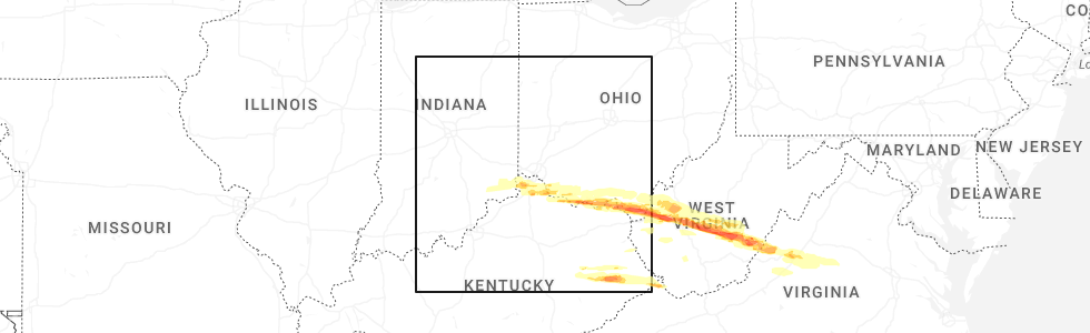
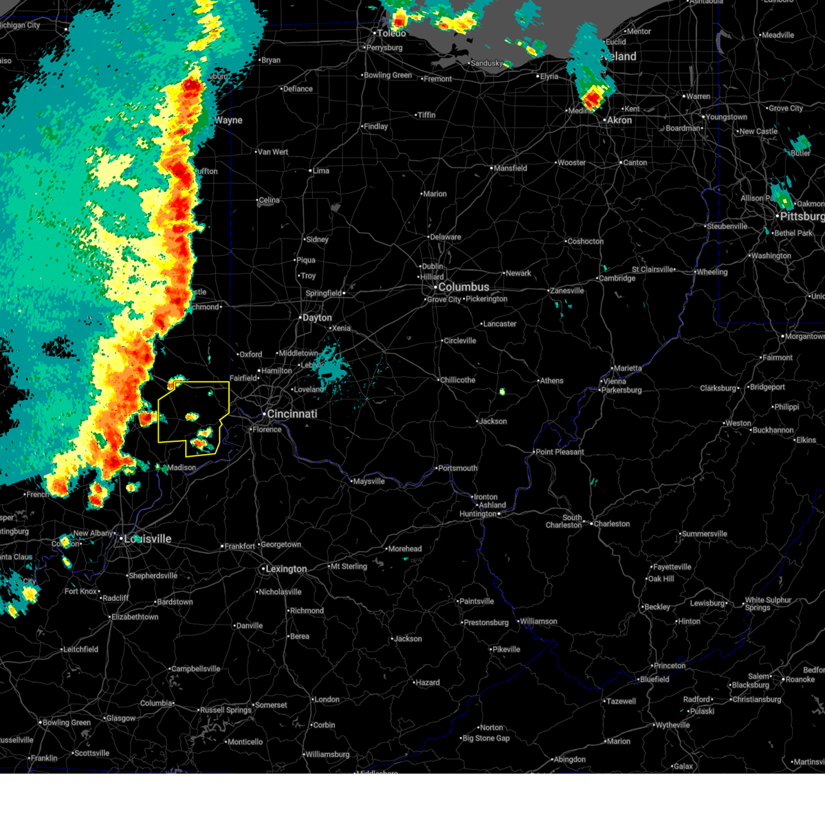
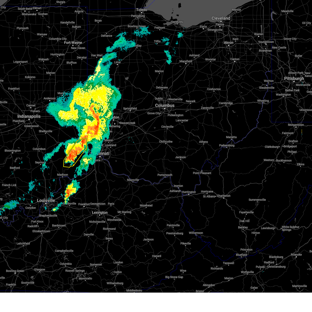
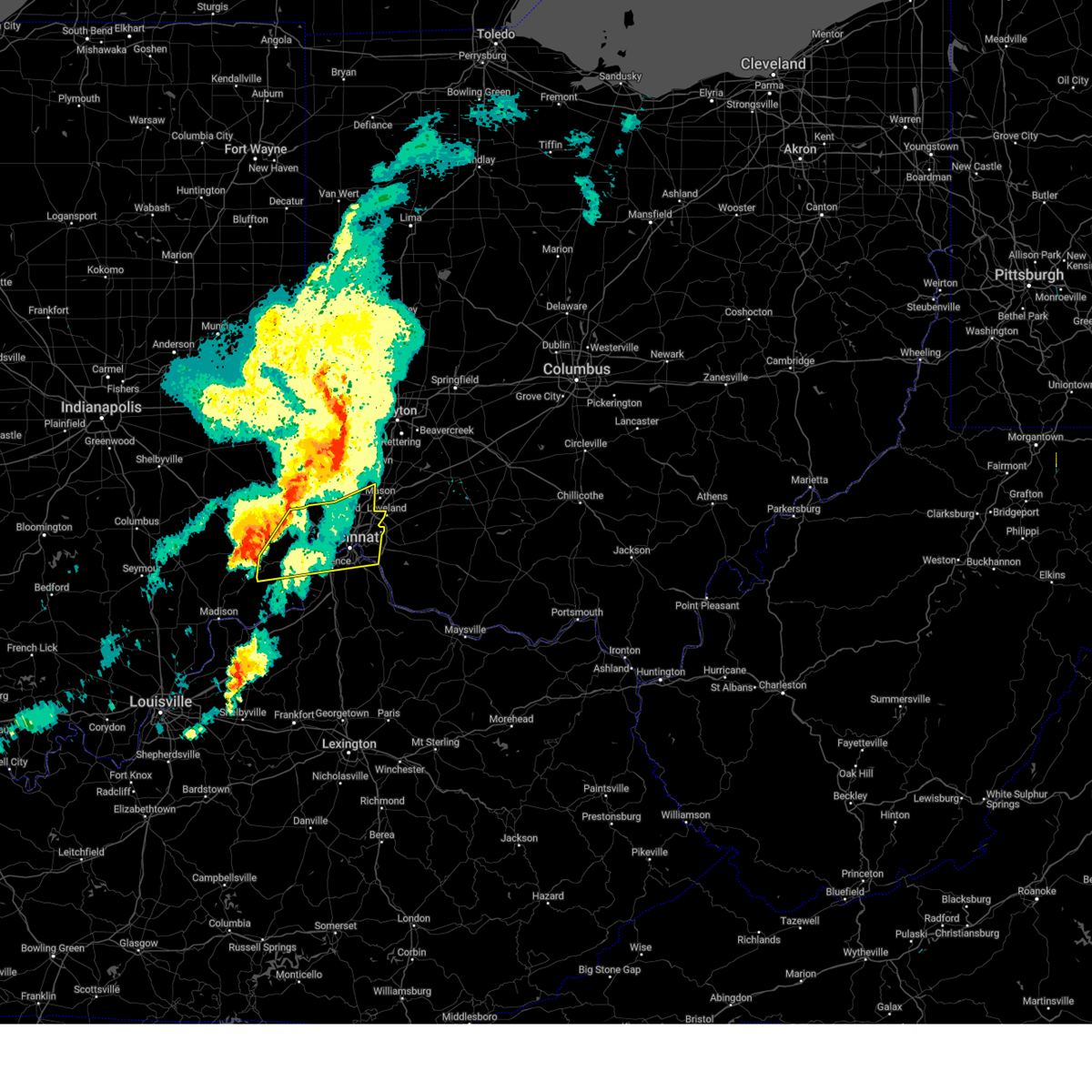
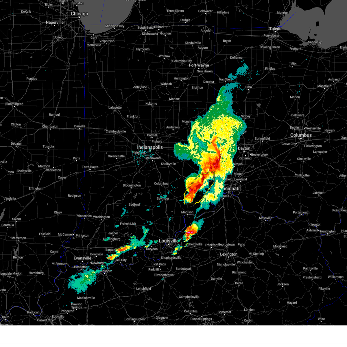
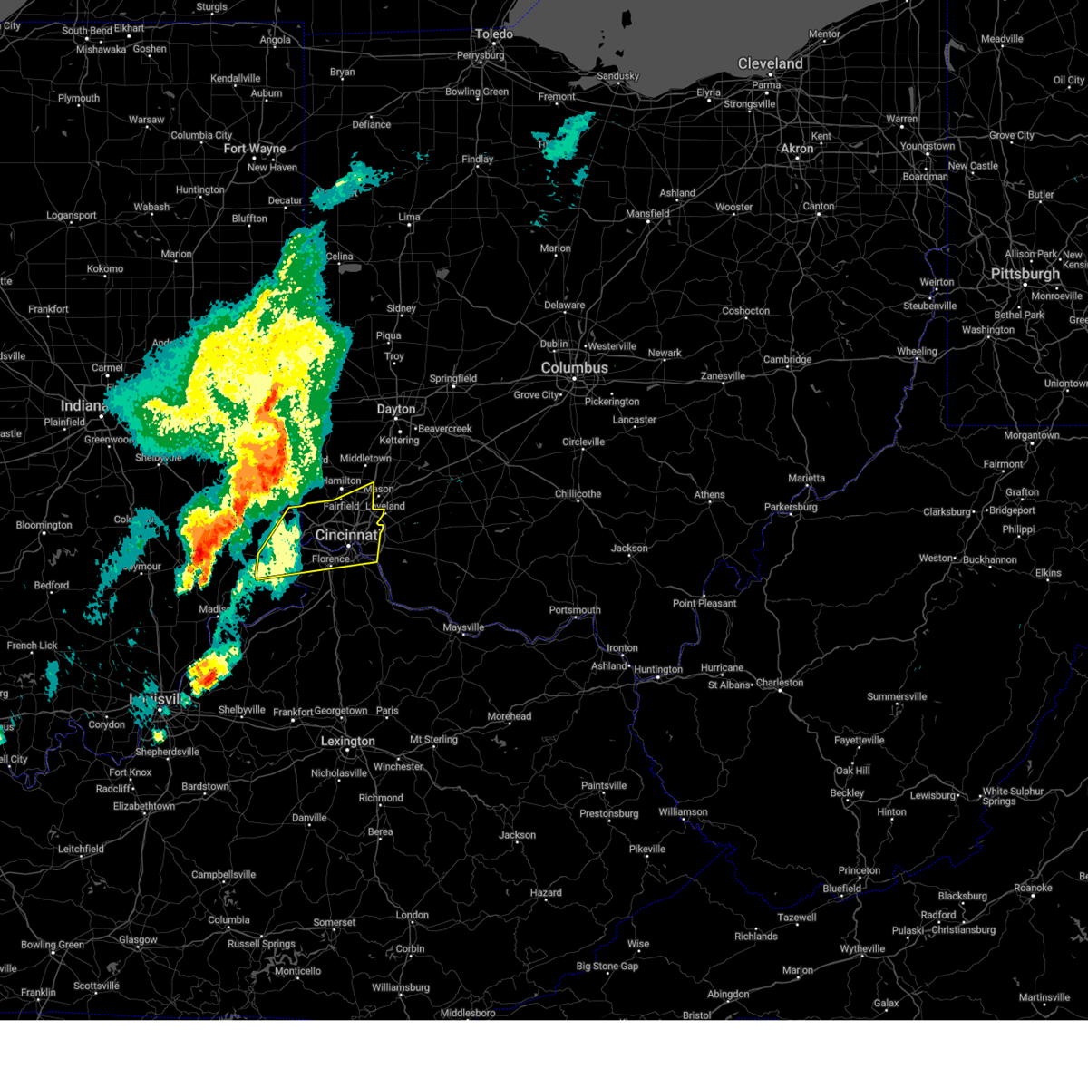
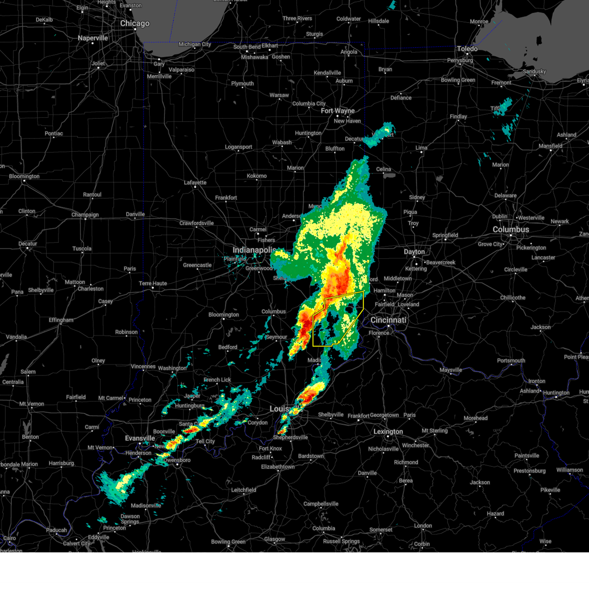
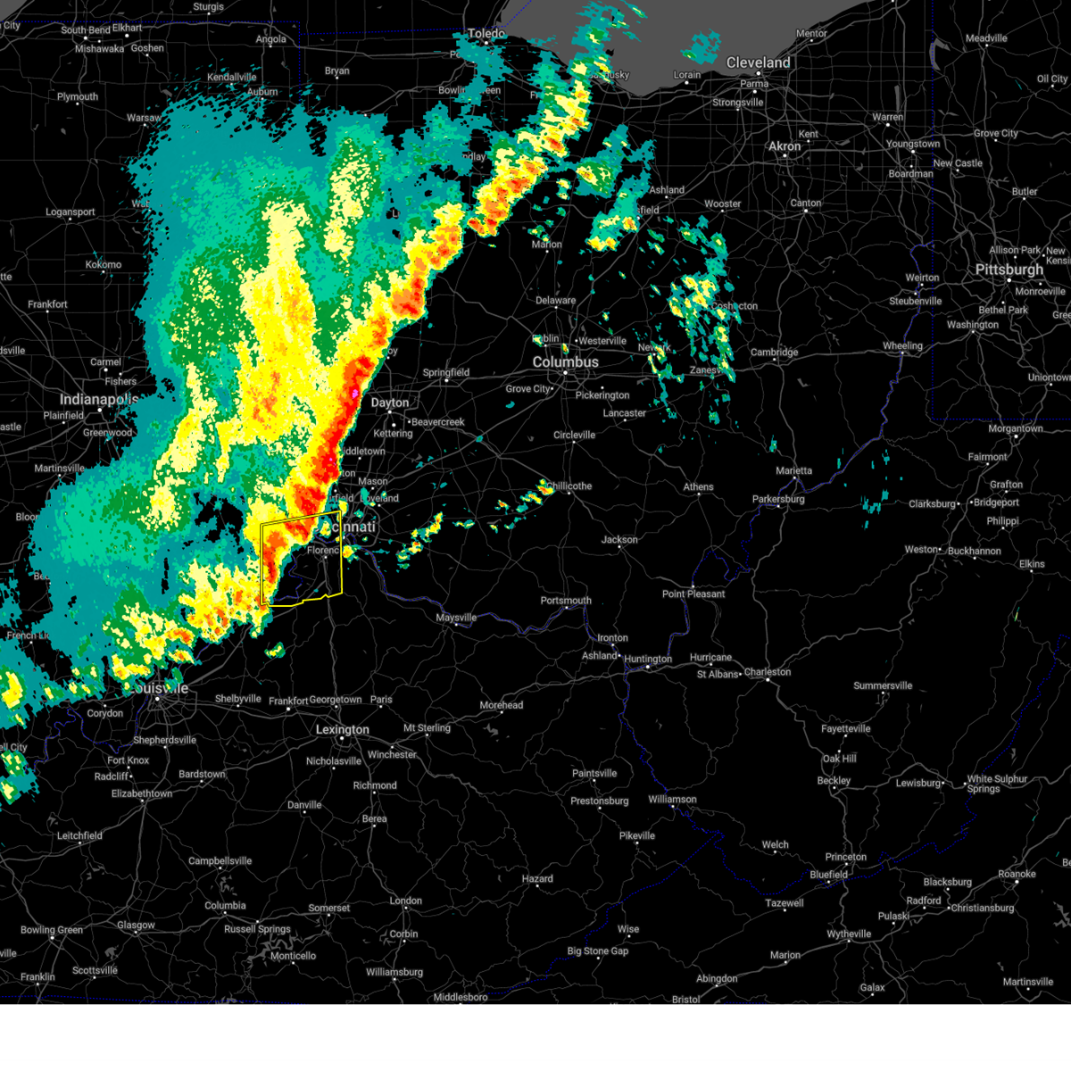
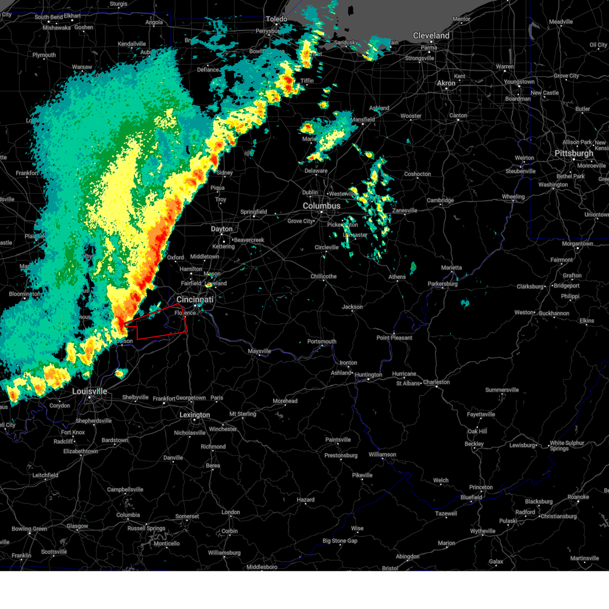
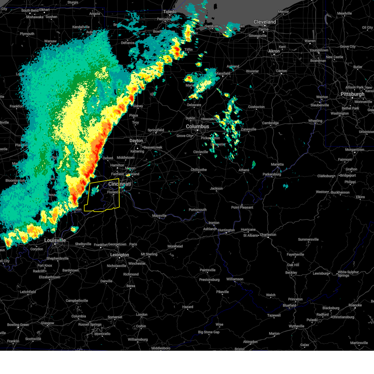
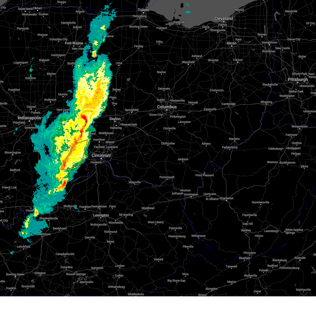
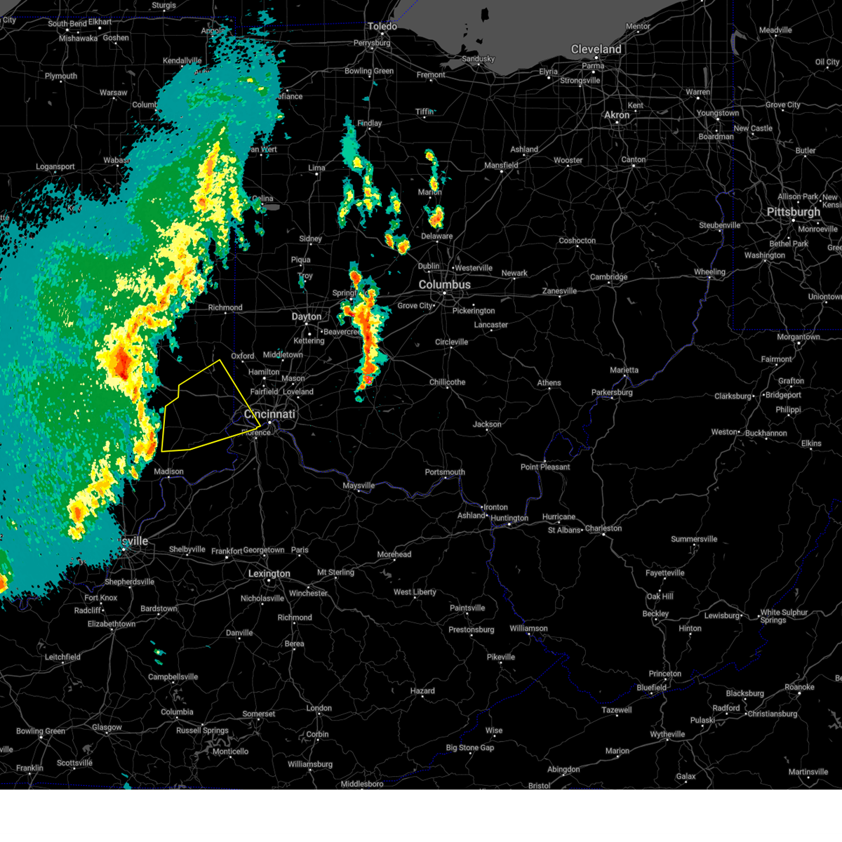
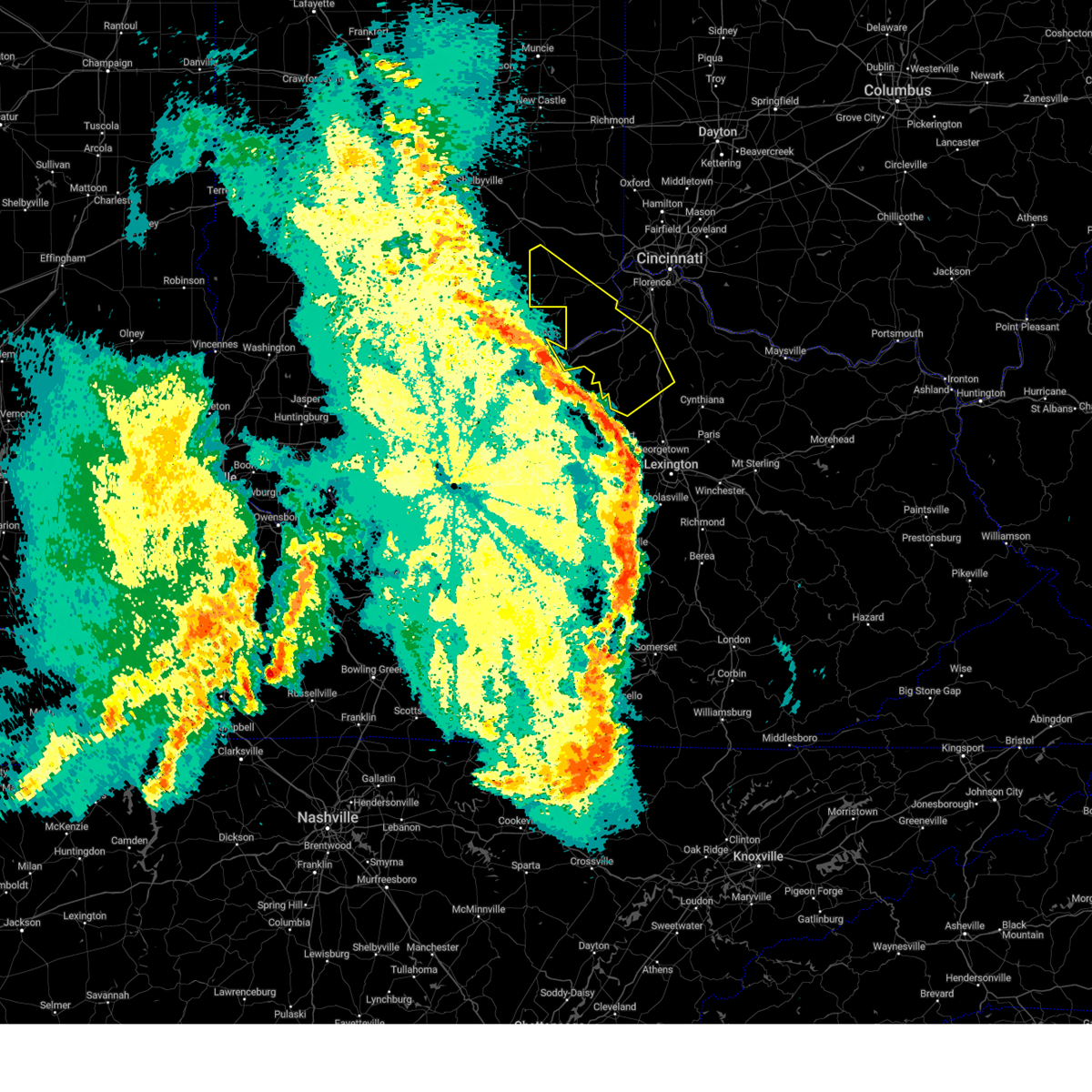
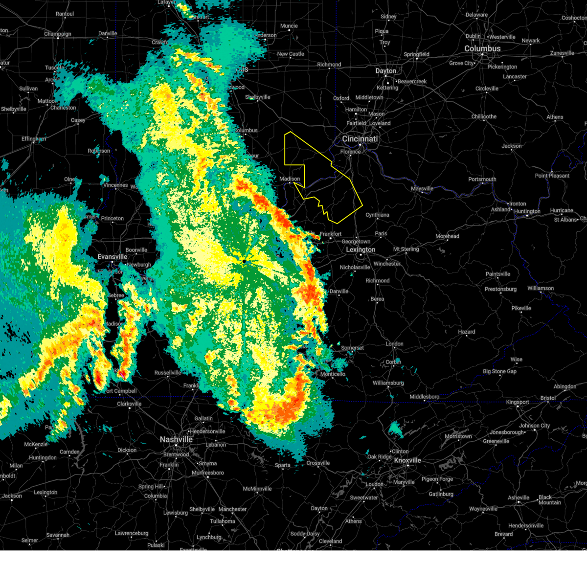
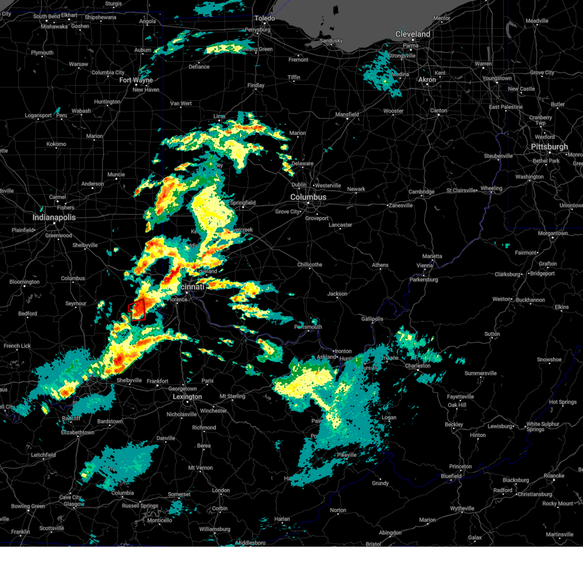
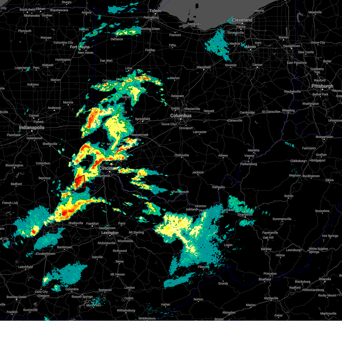
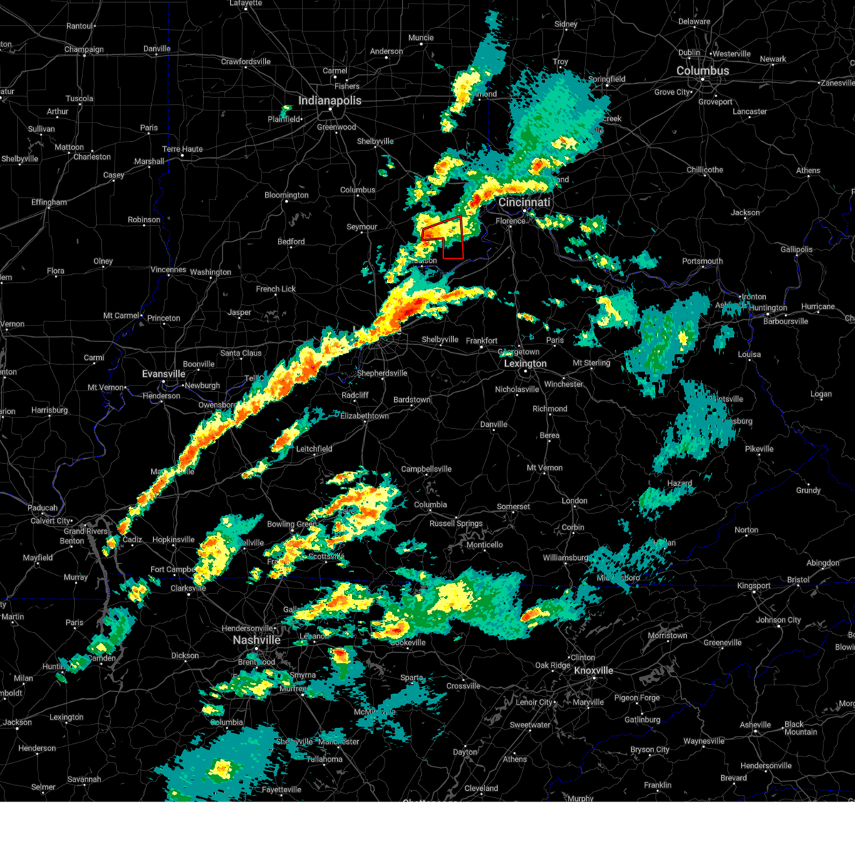
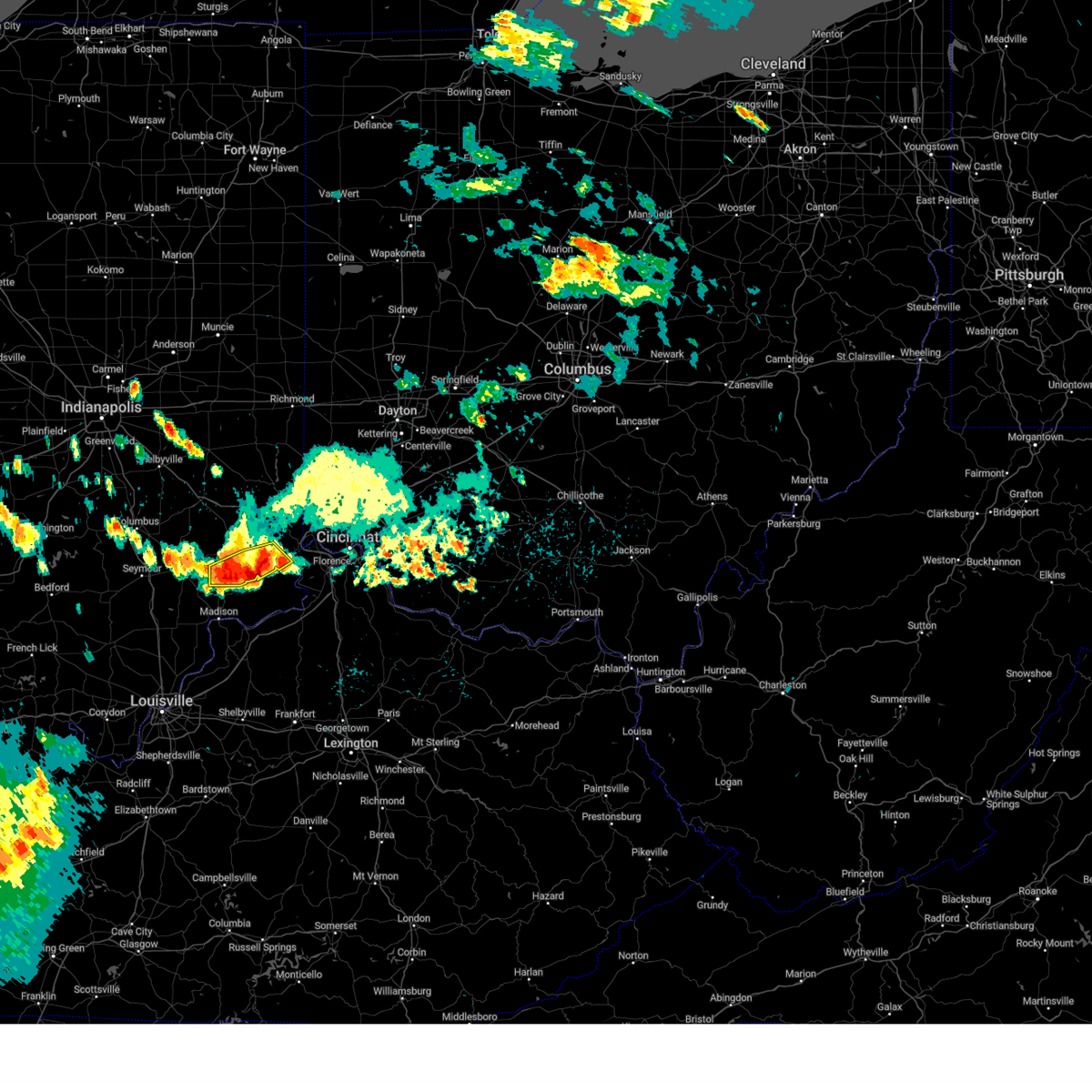
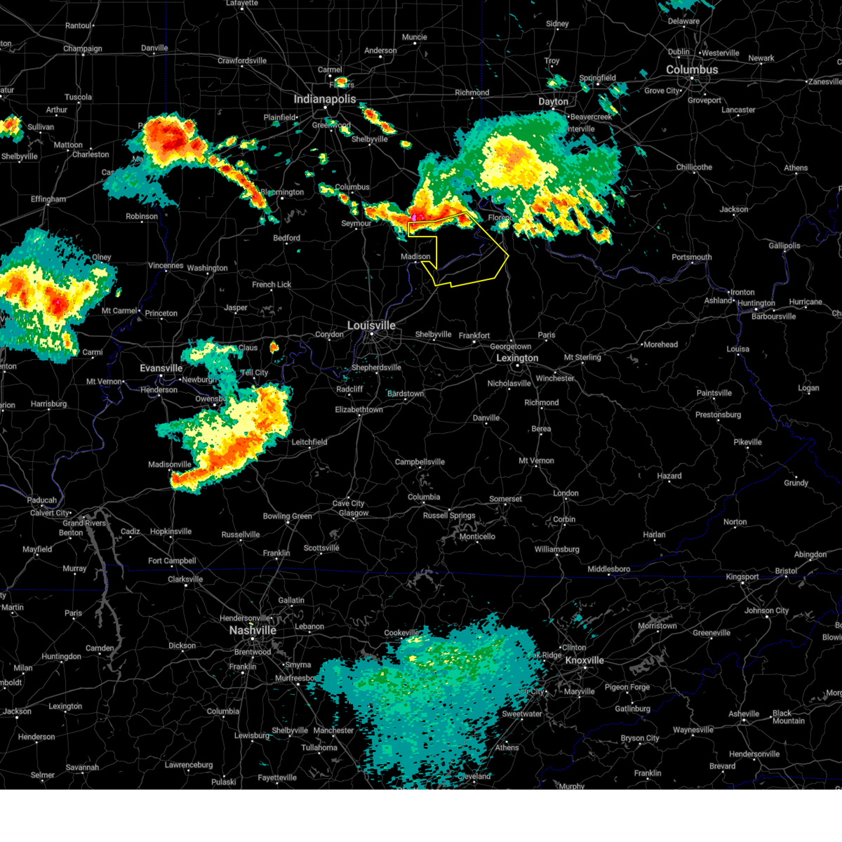
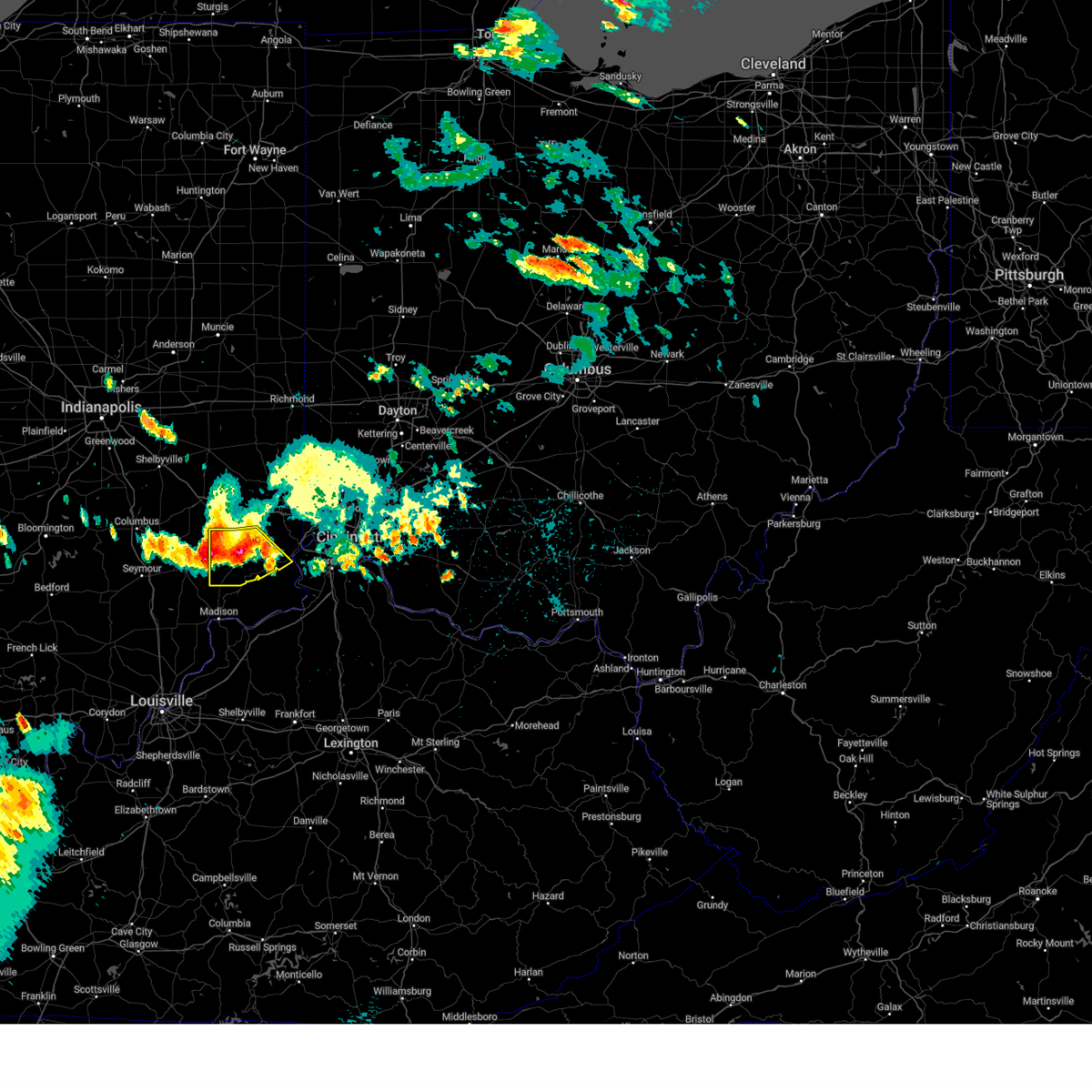
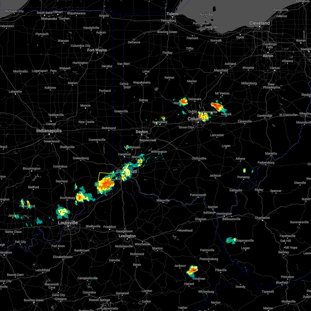
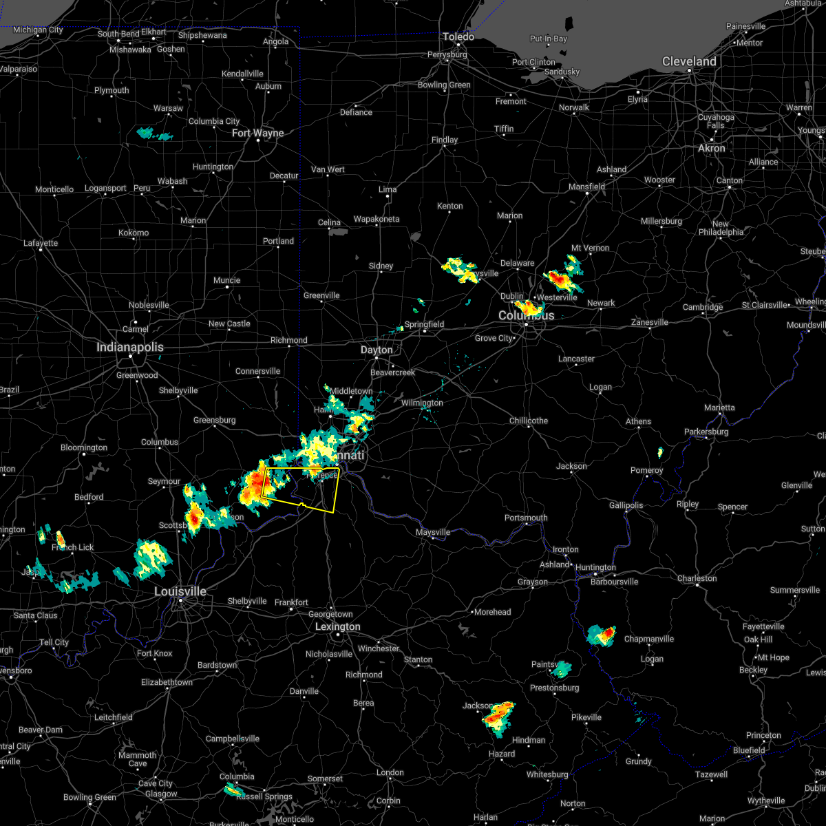
Hail Map for Dillsboro, IN
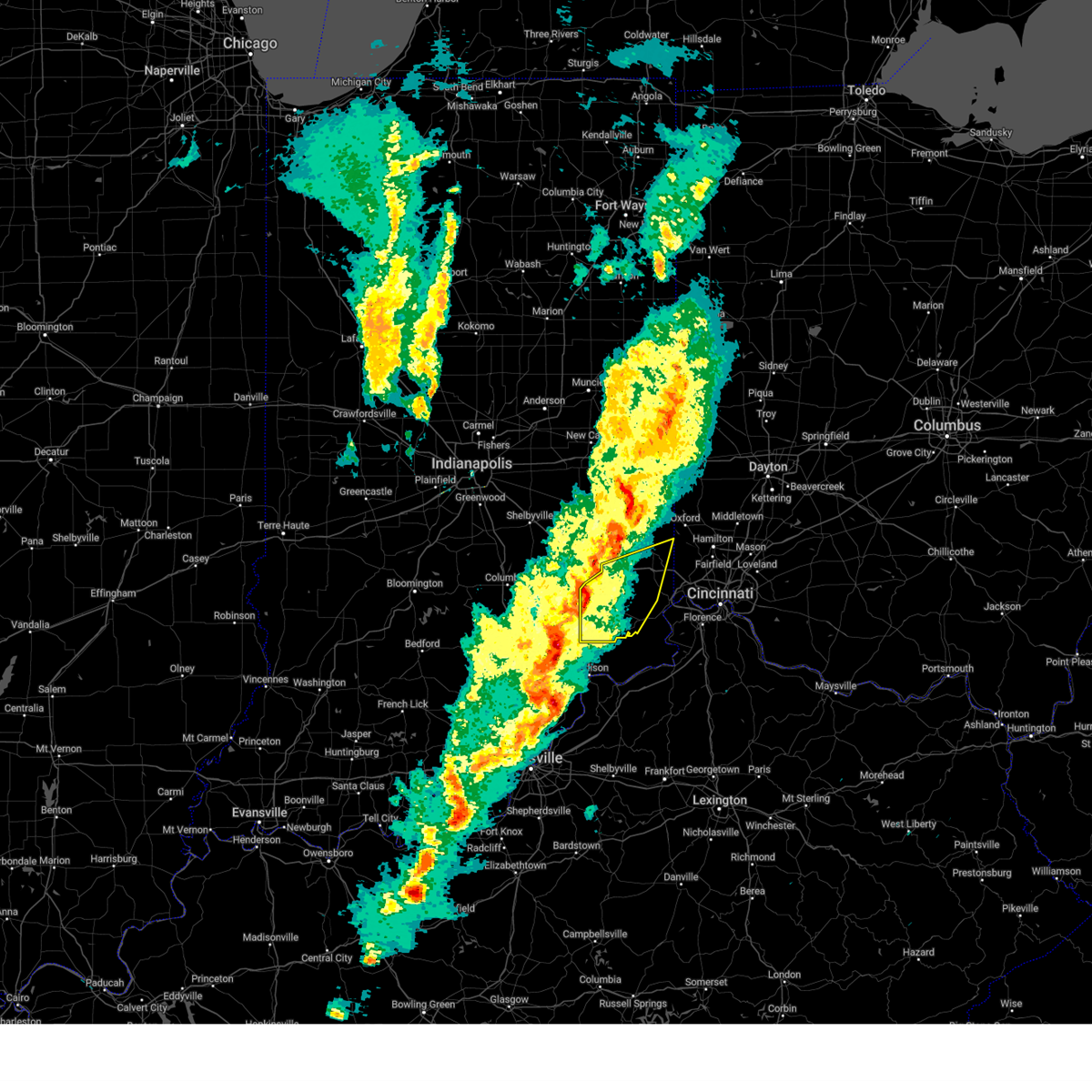
The Dillsboro, IN area has had 2 reports of on-the-ground hail by trained spotters, and has been under severe weather warnings 35 times during the past 12 months. Doppler radar has detected hail at or near Dillsboro, IN on 38 occasions, including 3 occasions during the past year.
| Name: | Dillsboro, IN |
| Where Located: | 30.4 miles WSW of Cincinnati, OH |
| Map: | Google Map for Dillsboro, IN |
| Population: | 1327 |
| Housing Units: | 580 |
| More Info: | Search Google for Dillsboro, IN |
1
The Top Recent Hail Date for Dillsboro, IN is Monday, April 14, 2025 (8th out of 38)
Hail and Wind Damage Spotted near Dillsboro, IN
| Date / Time | Report Details |
|---|---|
| 6/18/2025 6:53 PM EDT | At 652 pm edt, severe thunderstorms were located along a line extending from harrison to vevay, moving east at 35 mph (radar indicated). Hazards include 60 mph wind gusts and quarter size hail. Minor hail damage to vehicles is possible. expect wind damage to trees and power lines. locations impacted include, cincinnati, covington, florence, independence, norwood, forest park, erlanger, newport, sharonville, blue ash, springdale, reading, harrison, north college hill, edgewood, elsmere, wyoming, cheviot, fort mitchell, and villa hills. this includes the following interstates, i-71 in kentucky between mile markers 39 and 77. i-71 in ohio between mile markers 0 and 5. i-74 in indiana near mile marker 171. i-74 in ohio between mile markers 0 and 19. i-75 in kentucky between mile markers 167 and 191. I-75 in ohio between mile markers 0 and 17. |
| 6/18/2025 6:32 PM EDT |
 Svriln the national weather service in wilmington has issued a * severe thunderstorm warning for, ohio county in southeastern indiana, dearborn county in southeastern indiana, switzerland county in southeastern indiana, carroll county in northern kentucky, kenton county in northern kentucky, campbell county in northern kentucky, boone county in northern kentucky, gallatin county in northern kentucky, hamilton county in southwestern ohio, * until 730 pm edt. * at 631 pm edt, severe thunderstorms were located along a line extending from 6 miles west of bright to 9 miles southwest of dillsboro, moving east at 40 mph (radar indicated). Hazards include 60 mph wind gusts and quarter size hail. Minor hail damage to vehicles is possible. Expect wind damage to trees and power lines. Svriln the national weather service in wilmington has issued a * severe thunderstorm warning for, ohio county in southeastern indiana, dearborn county in southeastern indiana, switzerland county in southeastern indiana, carroll county in northern kentucky, kenton county in northern kentucky, campbell county in northern kentucky, boone county in northern kentucky, gallatin county in northern kentucky, hamilton county in southwestern ohio, * until 730 pm edt. * at 631 pm edt, severe thunderstorms were located along a line extending from 6 miles west of bright to 9 miles southwest of dillsboro, moving east at 40 mph (radar indicated). Hazards include 60 mph wind gusts and quarter size hail. Minor hail damage to vehicles is possible. Expect wind damage to trees and power lines.
|
| 6/18/2025 6:22 PM EDT |
 At 621 pm edt, severe thunderstorms were located along a line extending from 6 miles southeast of batesville to 8 miles south of versailles, moving east at 45 mph (radar indicated). Hazards include 60 mph wind gusts and quarter size hail. Minor hail damage to vehicles is possible. expect wind damage to trees and power lines. locations impacted include, batesville, lawrenceburg, greendale, aurora, bright, hidden valley, versailles, milan, osgood, dillsboro, moores hill, guilford, wilmington, logan, pleasant, manchester, sunman, hartford, st. leon, and fairview. this includes the following interstates, i-74 in indiana between mile markers 145 and 171. I-74 in ohio near mile marker 0. At 621 pm edt, severe thunderstorms were located along a line extending from 6 miles southeast of batesville to 8 miles south of versailles, moving east at 45 mph (radar indicated). Hazards include 60 mph wind gusts and quarter size hail. Minor hail damage to vehicles is possible. expect wind damage to trees and power lines. locations impacted include, batesville, lawrenceburg, greendale, aurora, bright, hidden valley, versailles, milan, osgood, dillsboro, moores hill, guilford, wilmington, logan, pleasant, manchester, sunman, hartford, st. leon, and fairview. this includes the following interstates, i-74 in indiana between mile markers 145 and 171. I-74 in ohio near mile marker 0.
|
| 6/18/2025 6:02 PM EDT |
 At 602 pm edt, severe thunderstorms were located along a line extending from 6 miles southwest of batesville to 9 miles southeast of vernon, moving northeast at 50 mph (radar indicated). Hazards include 60 mph wind gusts and quarter size hail. Minor hail damage to vehicles is possible. expect wind damage to trees and power lines. locations impacted include, batesville, lawrenceburg, greendale, aurora, bright, hidden valley, versailles, milan, osgood, dillsboro, moores hill, guilford, wilmington, logan, pleasant, manchester, sunman, hartford, st. leon, and holton. this includes the following interstates, i-74 in indiana between mile markers 145 and 171. I-74 in ohio near mile marker 0. At 602 pm edt, severe thunderstorms were located along a line extending from 6 miles southwest of batesville to 9 miles southeast of vernon, moving northeast at 50 mph (radar indicated). Hazards include 60 mph wind gusts and quarter size hail. Minor hail damage to vehicles is possible. expect wind damage to trees and power lines. locations impacted include, batesville, lawrenceburg, greendale, aurora, bright, hidden valley, versailles, milan, osgood, dillsboro, moores hill, guilford, wilmington, logan, pleasant, manchester, sunman, hartford, st. leon, and holton. this includes the following interstates, i-74 in indiana between mile markers 145 and 171. I-74 in ohio near mile marker 0.
|
| 6/18/2025 5:41 PM EDT |
 Svriln the national weather service in wilmington has issued a * severe thunderstorm warning for, ohio county in southeastern indiana, southern franklin county in southeastern indiana, ripley county in southeastern indiana, dearborn county in southeastern indiana, northwestern switzerland county in southeastern indiana, * until 645 pm edt. * at 541 pm edt, severe thunderstorms were located along a line extending from scottsburg to 8 miles southwest of greensburg, moving east at 55 mph (radar indicated). Hazards include 60 mph wind gusts and quarter size hail. Minor hail damage to vehicles is possible. Expect wind damage to trees and power lines. Svriln the national weather service in wilmington has issued a * severe thunderstorm warning for, ohio county in southeastern indiana, southern franklin county in southeastern indiana, ripley county in southeastern indiana, dearborn county in southeastern indiana, northwestern switzerland county in southeastern indiana, * until 645 pm edt. * at 541 pm edt, severe thunderstorms were located along a line extending from scottsburg to 8 miles southwest of greensburg, moving east at 55 mph (radar indicated). Hazards include 60 mph wind gusts and quarter size hail. Minor hail damage to vehicles is possible. Expect wind damage to trees and power lines.
|
| 5/16/2025 8:30 PM EDT | the severe thunderstorm warning has been cancelled and is no longer in effect |
| 5/16/2025 8:15 PM EDT | At 815 pm edt, a severe thunderstorm was located near versailles, moving east at 50 mph (radar indicated). Hazards include 60 mph wind gusts and quarter size hail. Minor hail damage to vehicles is possible. expect wind damage to trees and power lines. Locations impacted include, dillsboro, moores hill, rexville, idlewild, cold springs, waterloo, bright, farmers retreat, aurora, friendship, osgood, petersburg, versailles lake, french, guilford, hidden valley, elizabethtown, wilmington, mount sinai, and holton. |
| 5/16/2025 7:49 PM EDT | Svriln the national weather service in wilmington has issued a * severe thunderstorm warning for, ohio county in southeastern indiana, ripley county in southeastern indiana, dearborn county in southeastern indiana, northern boone county in northern kentucky, west central hamilton county in southwestern ohio, * until 845 pm edt. * at 748 pm edt, a severe thunderstorm was located over vernon, moving east at 55 mph (radar indicated). Hazards include 60 mph wind gusts and quarter size hail. Minor hail damage to vehicles is possible. Expect wind damage to trees and power lines. |
| 5/1/2025 11:28 AM EDT | Fallen tree on roadway. time estimated from rada in ripley county IN, 6.9 miles ESE of Dillsboro, IN |
| 4/29/2025 6:49 PM EDT |
 Svriln the national weather service in wilmington has issued a * severe thunderstorm warning for, ohio county in southeastern indiana, southern dearborn county in southeastern indiana, switzerland county in southeastern indiana, northern kenton county in northern kentucky, northern campbell county in northern kentucky, boone county in northern kentucky, hamilton county in southwestern ohio, * until 745 pm edt. * at 649 pm edt, a severe thunderstorm was located near dillsboro, moving east at 40 mph (radar indicated). Hazards include 60 mph wind gusts and quarter size hail. Minor hail damage to vehicles is possible. Expect wind damage to trees and power lines. Svriln the national weather service in wilmington has issued a * severe thunderstorm warning for, ohio county in southeastern indiana, southern dearborn county in southeastern indiana, switzerland county in southeastern indiana, northern kenton county in northern kentucky, northern campbell county in northern kentucky, boone county in northern kentucky, hamilton county in southwestern ohio, * until 745 pm edt. * at 649 pm edt, a severe thunderstorm was located near dillsboro, moving east at 40 mph (radar indicated). Hazards include 60 mph wind gusts and quarter size hail. Minor hail damage to vehicles is possible. Expect wind damage to trees and power lines.
|
| 4/29/2025 1:36 PM EDT |
 At 135 pm edt, a severe thunderstorm was located over cleves, moving east at 55 mph (radar indicated). Hazards include 60 mph wind gusts and quarter size hail. Minor hail damage to vehicles is possible. expect wind damage to trees and power lines. locations impacted include, dillsboro, lockland, dent, beckett ridge, cincinnati, cold springs, bright, covington, glendale, highland heights, villa hills, aurora, crescent park, lincoln heights, crestview hills, miami heights, guilford, fort thomas, mount healthy, and hidden valley. this includes the following interstates, i-71 in ohio between mile markers 0 and 19. i-74 in indiana between mile markers 166 and 171. i-74 in ohio between mile markers 0 and 19. i-75 in kentucky between mile markers 183 and 191. I-75 in ohio between mile markers 0 and 28. At 135 pm edt, a severe thunderstorm was located over cleves, moving east at 55 mph (radar indicated). Hazards include 60 mph wind gusts and quarter size hail. Minor hail damage to vehicles is possible. expect wind damage to trees and power lines. locations impacted include, dillsboro, lockland, dent, beckett ridge, cincinnati, cold springs, bright, covington, glendale, highland heights, villa hills, aurora, crescent park, lincoln heights, crestview hills, miami heights, guilford, fort thomas, mount healthy, and hidden valley. this includes the following interstates, i-71 in ohio between mile markers 0 and 19. i-74 in indiana between mile markers 166 and 171. i-74 in ohio between mile markers 0 and 19. i-75 in kentucky between mile markers 183 and 191. I-75 in ohio between mile markers 0 and 28.
|
| 4/29/2025 1:36 PM EDT |
 the severe thunderstorm warning has been cancelled and is no longer in effect the severe thunderstorm warning has been cancelled and is no longer in effect
|
| 4/29/2025 1:28 PM EDT |
 The storm which prompted the warning has moved out of the area. therefore, the warning will be allowed to expire. however, gusty winds and heavy rain are still possible with this thunderstorm. a severe thunderstorm watch remains in effect until 700 pm edt for southeastern indiana. please report previous wind damage or hail to the national weather service by going to our website at weather.gov/iln and submitting your report via social media. remember, a severe thunderstorm warning still remains in effect for a portion of dearborn county. The storm which prompted the warning has moved out of the area. therefore, the warning will be allowed to expire. however, gusty winds and heavy rain are still possible with this thunderstorm. a severe thunderstorm watch remains in effect until 700 pm edt for southeastern indiana. please report previous wind damage or hail to the national weather service by going to our website at weather.gov/iln and submitting your report via social media. remember, a severe thunderstorm warning still remains in effect for a portion of dearborn county.
|
| 4/29/2025 1:19 PM EDT |
 At 119 pm edt, a severe thunderstorm was located near moores hill, moving east at 45 mph (radar indicated). Hazards include 60 mph wind gusts and quarter size hail. Minor hail damage to vehicles is possible. expect wind damage to trees and power lines. locations impacted include, dillsboro, moores hill, rexville, cedar grove, cold springs, penntown, interstate 74 at us route 52, bright, rockdale, farmers retreat, st. leon, friendship, west harrison, versailles lake, sharptown, guilford, saint peter, mount sinai, mount carmel, and sunman. this includes the following interstates, i-74 in indiana between mile markers 154 and 171. I-74 in ohio near mile marker 0. At 119 pm edt, a severe thunderstorm was located near moores hill, moving east at 45 mph (radar indicated). Hazards include 60 mph wind gusts and quarter size hail. Minor hail damage to vehicles is possible. expect wind damage to trees and power lines. locations impacted include, dillsboro, moores hill, rexville, cedar grove, cold springs, penntown, interstate 74 at us route 52, bright, rockdale, farmers retreat, st. leon, friendship, west harrison, versailles lake, sharptown, guilford, saint peter, mount sinai, mount carmel, and sunman. this includes the following interstates, i-74 in indiana between mile markers 154 and 171. I-74 in ohio near mile marker 0.
|
| 4/29/2025 1:17 PM EDT |
 At 117 pm edt, a severe thunderstorm was located over moores hill, moving east at 55 mph (radar indicated). Hazards include 60 mph wind gusts and quarter size hail. Minor hail damage to vehicles is possible. expect wind damage to trees and power lines. locations impacted include, dillsboro, lockland, florence, dent, beckett ridge, cincinnati, cold springs, bright, covington, glendale, highland heights, villa hills, aurora, crescent park, lincoln heights, crestview hills, miami heights, guilford, fort thomas, and mount healthy. this includes the following interstates, i-71 in ohio between mile markers 0 and 19. i-74 in indiana between mile markers 166 and 171. i-74 in ohio between mile markers 0 and 19. i-75 in kentucky between mile markers 180 and 191. I-75 in ohio between mile markers 0 and 28. At 117 pm edt, a severe thunderstorm was located over moores hill, moving east at 55 mph (radar indicated). Hazards include 60 mph wind gusts and quarter size hail. Minor hail damage to vehicles is possible. expect wind damage to trees and power lines. locations impacted include, dillsboro, lockland, florence, dent, beckett ridge, cincinnati, cold springs, bright, covington, glendale, highland heights, villa hills, aurora, crescent park, lincoln heights, crestview hills, miami heights, guilford, fort thomas, and mount healthy. this includes the following interstates, i-71 in ohio between mile markers 0 and 19. i-74 in indiana between mile markers 166 and 171. i-74 in ohio between mile markers 0 and 19. i-75 in kentucky between mile markers 180 and 191. I-75 in ohio between mile markers 0 and 28.
|
| 4/29/2025 1:09 PM EDT |
 At 109 pm edt, a severe thunderstorm was located near osgood, moving east at 45 mph (radar indicated). Hazards include 60 mph wind gusts and quarter size hail. Minor hail damage to vehicles is possible. expect wind damage to trees and power lines. locations impacted include, dillsboro, moores hill, rexville, cedar grove, cold springs, penntown, interstate 74 at us route 52, bright, rockdale, farmers retreat, st. leon, friendship, osgood, west harrison, versailles lake, sharptown, guilford, saint peter, mount sinai, and holton. this includes the following interstates, i-74 in indiana between mile markers 150 and 171. I-74 in ohio near mile marker 0. At 109 pm edt, a severe thunderstorm was located near osgood, moving east at 45 mph (radar indicated). Hazards include 60 mph wind gusts and quarter size hail. Minor hail damage to vehicles is possible. expect wind damage to trees and power lines. locations impacted include, dillsboro, moores hill, rexville, cedar grove, cold springs, penntown, interstate 74 at us route 52, bright, rockdale, farmers retreat, st. leon, friendship, osgood, west harrison, versailles lake, sharptown, guilford, saint peter, mount sinai, and holton. this includes the following interstates, i-74 in indiana between mile markers 150 and 171. I-74 in ohio near mile marker 0.
|
| 4/29/2025 1:03 PM EDT |
 Svriln the national weather service in wilmington has issued a * severe thunderstorm warning for, ohio county in southeastern indiana, dearborn county in southeastern indiana, northern kenton county in northern kentucky, northern campbell county in northern kentucky, northern boone county in northern kentucky, hamilton county in southwestern ohio, southern butler county in southwestern ohio, * until 200 pm edt. * at 103 pm edt, a severe thunderstorm was located near versailles, moving east at 55 mph (radar indicated). Hazards include 60 mph wind gusts and quarter size hail. Minor hail damage to vehicles is possible. Expect wind damage to trees and power lines. Svriln the national weather service in wilmington has issued a * severe thunderstorm warning for, ohio county in southeastern indiana, dearborn county in southeastern indiana, northern kenton county in northern kentucky, northern campbell county in northern kentucky, northern boone county in northern kentucky, hamilton county in southwestern ohio, southern butler county in southwestern ohio, * until 200 pm edt. * at 103 pm edt, a severe thunderstorm was located near versailles, moving east at 55 mph (radar indicated). Hazards include 60 mph wind gusts and quarter size hail. Minor hail damage to vehicles is possible. Expect wind damage to trees and power lines.
|
| 4/29/2025 12:58 PM EDT |
 At 1258 pm edt, a severe thunderstorm was located near osgood, moving east at 55 mph (radar indicated). Hazards include 60 mph wind gusts and quarter size hail. Minor hail damage to vehicles is possible. expect wind damage to trees and power lines. locations impacted include, dillsboro, moores hill, rexville, cedar grove, huntersville, cold springs, penntown, interstate 74 at us route 52, bright, rockdale, farmers retreat, st. leon, friendship, osgood, west harrison, versailles lake, sharptown, guilford, oldenburg, and saint peter. this includes the following interstates, i-74 in indiana between mile markers 145 and 171. I-74 in ohio near mile marker 0. At 1258 pm edt, a severe thunderstorm was located near osgood, moving east at 55 mph (radar indicated). Hazards include 60 mph wind gusts and quarter size hail. Minor hail damage to vehicles is possible. expect wind damage to trees and power lines. locations impacted include, dillsboro, moores hill, rexville, cedar grove, huntersville, cold springs, penntown, interstate 74 at us route 52, bright, rockdale, farmers retreat, st. leon, friendship, osgood, west harrison, versailles lake, sharptown, guilford, oldenburg, and saint peter. this includes the following interstates, i-74 in indiana between mile markers 145 and 171. I-74 in ohio near mile marker 0.
|
| 4/29/2025 12:44 PM EDT |
 At 1244 pm edt, a severe thunderstorm was located 8 miles north of north vernon, moving east at 45 mph (radar indicated). Hazards include 60 mph wind gusts and quarter size hail. Minor hail damage to vehicles is possible. expect wind damage to trees and power lines. locations impacted include, dillsboro, moores hill, rexville, cedar grove, huntersville, cold springs, penntown, interstate 74 at us route 52, bright, rockdale, farmers retreat, st. leon, friendship, osgood, west harrison, versailles lake, sharptown, guilford, oldenburg, and saint peter. this includes the following interstates, i-74 in indiana between mile markers 145 and 171. I-74 in ohio near mile marker 0. At 1244 pm edt, a severe thunderstorm was located 8 miles north of north vernon, moving east at 45 mph (radar indicated). Hazards include 60 mph wind gusts and quarter size hail. Minor hail damage to vehicles is possible. expect wind damage to trees and power lines. locations impacted include, dillsboro, moores hill, rexville, cedar grove, huntersville, cold springs, penntown, interstate 74 at us route 52, bright, rockdale, farmers retreat, st. leon, friendship, osgood, west harrison, versailles lake, sharptown, guilford, oldenburg, and saint peter. this includes the following interstates, i-74 in indiana between mile markers 145 and 171. I-74 in ohio near mile marker 0.
|
| 4/29/2025 12:34 PM EDT |
 Svriln the national weather service in wilmington has issued a * severe thunderstorm warning for, southern franklin county in southeastern indiana, ripley county in southeastern indiana, dearborn county in southeastern indiana, * until 130 pm edt. * at 1234 pm edt, a severe thunderstorm was located 7 miles northwest of north vernon, moving east at 45 mph (radar indicated). Hazards include 60 mph wind gusts and quarter size hail. Minor hail damage to vehicles is possible. Expect wind damage to trees and power lines. Svriln the national weather service in wilmington has issued a * severe thunderstorm warning for, southern franklin county in southeastern indiana, ripley county in southeastern indiana, dearborn county in southeastern indiana, * until 130 pm edt. * at 1234 pm edt, a severe thunderstorm was located 7 miles northwest of north vernon, moving east at 45 mph (radar indicated). Hazards include 60 mph wind gusts and quarter size hail. Minor hail damage to vehicles is possible. Expect wind damage to trees and power lines.
|
| 4/3/2025 12:33 AM EDT | the severe thunderstorm warning has been cancelled and is no longer in effect |
| 4/3/2025 12:21 AM EDT |
 At 1221 am edt, a severe thunderstorm was located 8 miles south of brookville, moving northeast at 55 mph (radar indicated). Hazards include 70 mph wind gusts and penny size hail. Expect considerable tree damage. damage is likely to mobile homes, roofs, and outbuildings. locations impacted include, dillsboro, moores hill, cedar grove, cold springs, avonburg, farmers retreat, aurora, st. leon, friendship, guilford, wilmington, saint peter, mount sinai, dover, weisburg, brookville, logan, manchester, new trenton, and hartford. This includes i-74 in indiana between mile markers 157 and 167. At 1221 am edt, a severe thunderstorm was located 8 miles south of brookville, moving northeast at 55 mph (radar indicated). Hazards include 70 mph wind gusts and penny size hail. Expect considerable tree damage. damage is likely to mobile homes, roofs, and outbuildings. locations impacted include, dillsboro, moores hill, cedar grove, cold springs, avonburg, farmers retreat, aurora, st. leon, friendship, guilford, wilmington, saint peter, mount sinai, dover, weisburg, brookville, logan, manchester, new trenton, and hartford. This includes i-74 in indiana between mile markers 157 and 167.
|
| 4/3/2025 12:16 AM EDT |
 Svriln the national weather service in wilmington has issued a * severe thunderstorm warning for, ohio county in southeastern indiana, dearborn county in southeastern indiana, switzerland county in southeastern indiana, central carroll county in northern kentucky, central kenton county in northern kentucky, boone county in northern kentucky, gallatin county in northern kentucky, western hamilton county in southwestern ohio, * until 100 am edt. * at 1216 am edt, a severe thunderstorm was located 9 miles north of vevay, moving northeast at 70 mph. this is a destructive storm for southeast indiana, southwestern ohio, and far northern kentucky (radar indicated). Hazards include 80 mph wind gusts and penny size hail. Flying debris will be dangerous to those caught without shelter. mobile homes will be heavily damaged. expect considerable damage to roofs, windows, and vehicles. Extensive tree damage and power outages are likely. Svriln the national weather service in wilmington has issued a * severe thunderstorm warning for, ohio county in southeastern indiana, dearborn county in southeastern indiana, switzerland county in southeastern indiana, central carroll county in northern kentucky, central kenton county in northern kentucky, boone county in northern kentucky, gallatin county in northern kentucky, western hamilton county in southwestern ohio, * until 100 am edt. * at 1216 am edt, a severe thunderstorm was located 9 miles north of vevay, moving northeast at 70 mph. this is a destructive storm for southeast indiana, southwestern ohio, and far northern kentucky (radar indicated). Hazards include 80 mph wind gusts and penny size hail. Flying debris will be dangerous to those caught without shelter. mobile homes will be heavily damaged. expect considerable damage to roofs, windows, and vehicles. Extensive tree damage and power outages are likely.
|
| 4/3/2025 12:08 AM EDT | At 1208 am edt, a severe thunderstorm was located near batesville, moving east at 70 mph (radar indicated). Hazards include 70 mph wind gusts and penny size hail. Expect considerable tree damage. damage is likely to mobile homes, roofs, and outbuildings. locations impacted include, dillsboro, moores hill, rexville, cedar grove, huntersville, cold springs, penntown, avonburg, farmers retreat, aurora, st. leon, friendship, osgood, versailles lake, guilford, oldenburg, wilmington, saint peter, mount sinai, and batesville. This includes i-74 in indiana between mile markers 145 and 167. |
| 4/2/2025 11:54 PM EDT | At 1154 pm edt, a severe thunderstorm was located 11 miles northeast of north vernon, moving northeast at 55 mph (radar indicated). Hazards include 70 mph wind gusts and penny size hail. Expect considerable tree damage. damage is likely to mobile homes, roofs, and outbuildings. locations impacted include, dillsboro, moores hill, rexville, cedar grove, huntersville, cold springs, penntown, avonburg, farmers retreat, aurora, st. leon, friendship, osgood, versailles lake, guilford, oldenburg, wilmington, saint peter, mount sinai, and holton. This includes i-74 in indiana between mile markers 145 and 167. |
| 4/2/2025 11:38 PM EDT | Svriln the national weather service in wilmington has issued a * severe thunderstorm warning for, ohio county in southeastern indiana, central franklin county in southeastern indiana, ripley county in southeastern indiana, dearborn county in southeastern indiana, northwestern switzerland county in southeastern indiana, * until 1245 am edt. * at 1138 pm edt, a severe thunderstorm was located 7 miles northwest of north vernon, moving northeast at 55 mph (radar indicated). Hazards include 60 mph wind gusts. expect damage to trees and power lines |
| 3/30/2025 8:43 PM EDT |
 At 842 pm edt, a severe thunderstorm was located near rising sun, moving east at 45 mph (radar indicated). Hazards include 60 mph wind gusts and quarter size hail. Minor hail damage to vehicles is possible. expect wind damage to trees and power lines. locations impacted include, dillsboro, atwood, florence, dent, ryle, big bone lick, bracht, villa hills, aurora, crescent park, ricedale, crestview hills, miami heights, guilford, mount healthy, quercus grove, hidden valley, edgewood, ethridge, and bromley. this includes the following interstates, i-71 in kentucky between mile markers 64 and 77. i-74 in ohio between mile markers 7 and 19. i-75 in kentucky between mile markers 167 and 189. I-75 in ohio between mile markers 1 and 5. At 842 pm edt, a severe thunderstorm was located near rising sun, moving east at 45 mph (radar indicated). Hazards include 60 mph wind gusts and quarter size hail. Minor hail damage to vehicles is possible. expect wind damage to trees and power lines. locations impacted include, dillsboro, atwood, florence, dent, ryle, big bone lick, bracht, villa hills, aurora, crescent park, ricedale, crestview hills, miami heights, guilford, mount healthy, quercus grove, hidden valley, edgewood, ethridge, and bromley. this includes the following interstates, i-71 in kentucky between mile markers 64 and 77. i-74 in ohio between mile markers 7 and 19. i-75 in kentucky between mile markers 167 and 189. I-75 in ohio between mile markers 1 and 5.
|
| 3/30/2025 8:19 PM EDT |
 Toriln the national weather service in wilmington has issued a * tornado warning for, ohio county in southeastern indiana, southeastern ripley county in southeastern indiana, southern dearborn county in southeastern indiana, switzerland county in southeastern indiana, boone county in northern kentucky, eastern gallatin county in northern kentucky, * until 845 pm edt. * at 819 pm edt, a severe thunderstorm capable of producing a tornado was located 11 miles northeast of madison, moving east at 55 mph (radar indicated rotation). Hazards include tornado and quarter size hail. Flying debris will be dangerous to those caught without shelter. mobile homes will be damaged or destroyed. damage to roofs, windows, and vehicles will occur. Tree damage is likely. Toriln the national weather service in wilmington has issued a * tornado warning for, ohio county in southeastern indiana, southeastern ripley county in southeastern indiana, southern dearborn county in southeastern indiana, switzerland county in southeastern indiana, boone county in northern kentucky, eastern gallatin county in northern kentucky, * until 845 pm edt. * at 819 pm edt, a severe thunderstorm capable of producing a tornado was located 11 miles northeast of madison, moving east at 55 mph (radar indicated rotation). Hazards include tornado and quarter size hail. Flying debris will be dangerous to those caught without shelter. mobile homes will be damaged or destroyed. damage to roofs, windows, and vehicles will occur. Tree damage is likely.
|
| 3/30/2025 8:10 PM EDT |
 Svriln the national weather service in wilmington has issued a * severe thunderstorm warning for, ohio county in southeastern indiana, dearborn county in southeastern indiana, switzerland county in southeastern indiana, kenton county in northern kentucky, boone county in northern kentucky, central gallatin county in northern kentucky, southwestern hamilton county in southwestern ohio, * until 915 pm edt. * at 809 pm edt, a severe thunderstorm was located near versailles, moving east at 45 mph (radar indicated). Hazards include 60 mph wind gusts and quarter size hail. Minor hail damage to vehicles is possible. Expect wind damage to trees and power lines. Svriln the national weather service in wilmington has issued a * severe thunderstorm warning for, ohio county in southeastern indiana, dearborn county in southeastern indiana, switzerland county in southeastern indiana, kenton county in northern kentucky, boone county in northern kentucky, central gallatin county in northern kentucky, southwestern hamilton county in southwestern ohio, * until 915 pm edt. * at 809 pm edt, a severe thunderstorm was located near versailles, moving east at 45 mph (radar indicated). Hazards include 60 mph wind gusts and quarter size hail. Minor hail damage to vehicles is possible. Expect wind damage to trees and power lines.
|
| 3/19/2025 10:08 PM EDT |
 At 1008 pm edt, severe thunderstorms were located along a line extending from near brookville to near madison, moving northeast at 50 mph (radar indicated). Hazards include 60 mph wind gusts. Expect damage to trees and power lines. locations impacted include, dillsboro, moores hill, rexville, cedar grove, cold springs, penntown, farmers retreat, st. leon, friendship, osgood, versailles lake, sharptown, saint peter, mount sinai, mount carmel, sunman, dover, weisburg, benham, and interstate 74 at state route 101. This includes i-74 in indiana between mile markers 153 and 168. At 1008 pm edt, severe thunderstorms were located along a line extending from near brookville to near madison, moving northeast at 50 mph (radar indicated). Hazards include 60 mph wind gusts. Expect damage to trees and power lines. locations impacted include, dillsboro, moores hill, rexville, cedar grove, cold springs, penntown, farmers retreat, st. leon, friendship, osgood, versailles lake, sharptown, saint peter, mount sinai, mount carmel, sunman, dover, weisburg, benham, and interstate 74 at state route 101. This includes i-74 in indiana between mile markers 153 and 168.
|
| 3/19/2025 9:52 PM EDT |
 At 952 pm edt, severe thunderstorms were located along a line extending from batesville to 7 miles east of scottsburg, moving northeast at 50 mph (radar indicated). Hazards include 60 mph wind gusts. Expect damage to trees and power lines. locations impacted include, dillsboro, moores hill, rexville, cedar grove, huntersville, cold springs, penntown, farmers retreat, st. leon, friendship, osgood, versailles lake, sharptown, saint peter, mount sinai, holton, mount carmel, batesville, sunman, and dover. This includes i-74 in indiana between mile markers 146 and 168. At 952 pm edt, severe thunderstorms were located along a line extending from batesville to 7 miles east of scottsburg, moving northeast at 50 mph (radar indicated). Hazards include 60 mph wind gusts. Expect damage to trees and power lines. locations impacted include, dillsboro, moores hill, rexville, cedar grove, huntersville, cold springs, penntown, farmers retreat, st. leon, friendship, osgood, versailles lake, sharptown, saint peter, mount sinai, holton, mount carmel, batesville, sunman, and dover. This includes i-74 in indiana between mile markers 146 and 168.
|
| 3/19/2025 9:27 PM EDT |
 Svriln the national weather service in wilmington has issued a * severe thunderstorm warning for, southern franklin county in southeastern indiana, ripley county in southeastern indiana, dearborn county in southeastern indiana, * until 1015 pm edt. * at 926 pm edt, severe thunderstorms were located along a line extending from 10 miles south of greensburg to near salem, moving northeast at 50 mph (radar indicated). Hazards include 60 mph wind gusts and penny size hail. expect damage to trees and power lines Svriln the national weather service in wilmington has issued a * severe thunderstorm warning for, southern franklin county in southeastern indiana, ripley county in southeastern indiana, dearborn county in southeastern indiana, * until 1015 pm edt. * at 926 pm edt, severe thunderstorms were located along a line extending from 10 miles south of greensburg to near salem, moving northeast at 50 mph (radar indicated). Hazards include 60 mph wind gusts and penny size hail. expect damage to trees and power lines
|
| 3/15/2025 6:24 AM EDT |
 The storm which prompted the warning has weakened below severe limits and no longer poses an immediate threat to life or property. therefore, the warning will be allowed to expire. however, gusty winds are still possible with this thunderstorm. a tornado watch remains in effect until 1000 am edt for southeastern indiana, northern kentucky, and southwestern ohio. please report previous wind damage or hail to the national weather service by going to our website at weather.gov/iln and submitting your report via social media. The storm which prompted the warning has weakened below severe limits and no longer poses an immediate threat to life or property. therefore, the warning will be allowed to expire. however, gusty winds are still possible with this thunderstorm. a tornado watch remains in effect until 1000 am edt for southeastern indiana, northern kentucky, and southwestern ohio. please report previous wind damage or hail to the national weather service by going to our website at weather.gov/iln and submitting your report via social media.
|
| 3/15/2025 6:06 AM EDT |
 At 606 am edt, a severe thunderstorm was located near milan, moving northeast at 60 mph (radar indicated). Hazards include 60 mph wind gusts and penny size hail. Expect damage to trees and power lines. locations impacted include, dillsboro, rexville, addyston, huntersville, idlewild, cold springs, penntown, interstate 74 at us route 52, bright, aurora, st. leon, osgood, petersburg, west harrison, versailles lake, sharptown, miami heights, guilford, hidden valley, and oldenburg. this includes the following interstates, i-74 in indiana between mile markers 145 and 171. I-74 in ohio between mile markers 0 and 8. At 606 am edt, a severe thunderstorm was located near milan, moving northeast at 60 mph (radar indicated). Hazards include 60 mph wind gusts and penny size hail. Expect damage to trees and power lines. locations impacted include, dillsboro, rexville, addyston, huntersville, idlewild, cold springs, penntown, interstate 74 at us route 52, bright, aurora, st. leon, osgood, petersburg, west harrison, versailles lake, sharptown, miami heights, guilford, hidden valley, and oldenburg. this includes the following interstates, i-74 in indiana between mile markers 145 and 171. I-74 in ohio between mile markers 0 and 8.
|
| 3/15/2025 5:49 AM EDT |
 At 548 am edt, a severe thunderstorm was located 9 miles southwest of versailles, moving northeast at 65 mph (radar indicated). Hazards include 60 mph wind gusts and quarter size hail. Minor hail damage to vehicles is possible. expect wind damage to trees and power lines. locations impacted include, dillsboro, rexville, addyston, huntersville, idlewild, cold springs, penntown, interstate 74 at us route 52, bright, aurora, st. leon, osgood, petersburg, west harrison, versailles lake, sharptown, miami heights, guilford, hidden valley, and oldenburg. this includes the following interstates, i-74 in indiana between mile markers 145 and 171. I-74 in ohio between mile markers 0 and 8. At 548 am edt, a severe thunderstorm was located 9 miles southwest of versailles, moving northeast at 65 mph (radar indicated). Hazards include 60 mph wind gusts and quarter size hail. Minor hail damage to vehicles is possible. expect wind damage to trees and power lines. locations impacted include, dillsboro, rexville, addyston, huntersville, idlewild, cold springs, penntown, interstate 74 at us route 52, bright, aurora, st. leon, osgood, petersburg, west harrison, versailles lake, sharptown, miami heights, guilford, hidden valley, and oldenburg. this includes the following interstates, i-74 in indiana between mile markers 145 and 171. I-74 in ohio between mile markers 0 and 8.
|
| 3/15/2025 5:41 AM EDT |
 Svriln the national weather service in wilmington has issued a * severe thunderstorm warning for, ohio county in southeastern indiana, central franklin county in southeastern indiana, ripley county in southeastern indiana, dearborn county in southeastern indiana, northern boone county in northern kentucky, western hamilton county in southwestern ohio, southwestern butler county in southwestern ohio, * until 630 am edt. * at 540 am edt, a severe thunderstorm was located near vernon, moving northeast at 65 mph (radar indicated). Hazards include 60 mph wind gusts and nickel size hail. expect damage to trees and power lines Svriln the national weather service in wilmington has issued a * severe thunderstorm warning for, ohio county in southeastern indiana, central franklin county in southeastern indiana, ripley county in southeastern indiana, dearborn county in southeastern indiana, northern boone county in northern kentucky, western hamilton county in southwestern ohio, southwestern butler county in southwestern ohio, * until 630 am edt. * at 540 am edt, a severe thunderstorm was located near vernon, moving northeast at 65 mph (radar indicated). Hazards include 60 mph wind gusts and nickel size hail. expect damage to trees and power lines
|
| 5/26/2024 1:40 PM EDT |
 The storms which prompted the warning have weakened below severe limits and no longer pose an immediate threat to life or property. therefore, the warning will be allowed to expire. however, gusty winds are still possible with these thunderstorms. a severe thunderstorm watch remains in effect until 800 pm edt for southeastern and east central indiana, northern kentucky, and southwestern ohio. please report previous wind damage or hail to the national weather service by going to our website at weather.gov/iln and submitting your report via social media. The storms which prompted the warning have weakened below severe limits and no longer pose an immediate threat to life or property. therefore, the warning will be allowed to expire. however, gusty winds are still possible with these thunderstorms. a severe thunderstorm watch remains in effect until 800 pm edt for southeastern and east central indiana, northern kentucky, and southwestern ohio. please report previous wind damage or hail to the national weather service by going to our website at weather.gov/iln and submitting your report via social media.
|
| 5/26/2024 1:32 PM EDT |
 the severe thunderstorm warning has been cancelled and is no longer in effect the severe thunderstorm warning has been cancelled and is no longer in effect
|
| 5/26/2024 1:30 PM EDT |
 At 129 pm edt, severe thunderstorms were located along a line extending from 6 miles west of rushville to near milan, moving north at 45 mph (radar indicated). Hazards include 60 mph wind gusts. Expect damage to trees and power lines. locations impacted include, connersville, batesville, lawrenceburg, greendale, aurora, brookville, rising sun, bright, hidden valley, versailles, milan, osgood, dillsboro, oldenburg, moores hill, glenwood, lake santee, guilford, wilmington, and logan. this includes the following interstates, i-74 in indiana between mile markers 145 and 171. I-74 in ohio near mile marker 0. At 129 pm edt, severe thunderstorms were located along a line extending from 6 miles west of rushville to near milan, moving north at 45 mph (radar indicated). Hazards include 60 mph wind gusts. Expect damage to trees and power lines. locations impacted include, connersville, batesville, lawrenceburg, greendale, aurora, brookville, rising sun, bright, hidden valley, versailles, milan, osgood, dillsboro, oldenburg, moores hill, glenwood, lake santee, guilford, wilmington, and logan. this includes the following interstates, i-74 in indiana between mile markers 145 and 171. I-74 in ohio near mile marker 0.
|
| 5/26/2024 1:15 PM EDT |
 At 115 pm edt, severe thunderstorms were located along a line extending from 11 miles west of greensburg to 7 miles southwest of williamstown, moving north at 45 mph (radar indicated). Hazards include 60 mph wind gusts and penny size hail. Expect damage to trees and power lines. locations impacted include, williamstown, dry ridge, versailles, vevay, osgood, warsaw, dillsboro, florence, kentucky speedway, pleasant, hartford, holton, glencoe, fairview, ghent, sanders, napoleon, corinth, sparta, and patriot. this includes the following interstates, i-71 in kentucky between mile markers 51 and 70. I-75 in kentucky between mile markers 143 and 160. At 115 pm edt, severe thunderstorms were located along a line extending from 11 miles west of greensburg to 7 miles southwest of williamstown, moving north at 45 mph (radar indicated). Hazards include 60 mph wind gusts and penny size hail. Expect damage to trees and power lines. locations impacted include, williamstown, dry ridge, versailles, vevay, osgood, warsaw, dillsboro, florence, kentucky speedway, pleasant, hartford, holton, glencoe, fairview, ghent, sanders, napoleon, corinth, sparta, and patriot. this includes the following interstates, i-71 in kentucky between mile markers 51 and 70. I-75 in kentucky between mile markers 143 and 160.
|
| 5/26/2024 1:01 PM EDT |
 Svriln the national weather service in wilmington has issued a * severe thunderstorm warning for, ohio county in southeastern indiana, franklin county in southeastern indiana, ripley county in southeastern indiana, southwestern union county in east central indiana, dearborn county in southeastern indiana, fayette county in east central indiana, north central switzerland county in southeastern indiana, * until 145 pm edt. * at 101 pm edt, severe thunderstorms were located along a line extending from 9 miles northwest of north vernon to 6 miles northwest of carrollton, moving northeast at 40 mph (radar indicated). Hazards include 60 mph wind gusts. expect damage to trees and power lines Svriln the national weather service in wilmington has issued a * severe thunderstorm warning for, ohio county in southeastern indiana, franklin county in southeastern indiana, ripley county in southeastern indiana, southwestern union county in east central indiana, dearborn county in southeastern indiana, fayette county in east central indiana, north central switzerland county in southeastern indiana, * until 145 pm edt. * at 101 pm edt, severe thunderstorms were located along a line extending from 9 miles northwest of north vernon to 6 miles northwest of carrollton, moving northeast at 40 mph (radar indicated). Hazards include 60 mph wind gusts. expect damage to trees and power lines
|
| 5/26/2024 12:46 PM EDT |
 At 1246 pm edt, severe thunderstorms were located along a line extending from 6 miles northeast of seymour to 6 miles northeast of frankfort, moving northeast at 45 mph (radar indicated). Hazards include 70 mph wind gusts and nickel size hail. Expect considerable tree damage. damage is likely to mobile homes, roofs, and outbuildings. locations impacted include, carrollton, williamstown, dry ridge, versailles, vevay, osgood, warsaw, dillsboro, owenton, florence, kentucky speedway, pleasant, hartford, holton, glencoe, fairview, ghent, sanders, napoleon, and corinth. this includes the following interstates, i-71 in kentucky between mile markers 39 and 70. I-75 in kentucky between mile markers 143 and 160. At 1246 pm edt, severe thunderstorms were located along a line extending from 6 miles northeast of seymour to 6 miles northeast of frankfort, moving northeast at 45 mph (radar indicated). Hazards include 70 mph wind gusts and nickel size hail. Expect considerable tree damage. damage is likely to mobile homes, roofs, and outbuildings. locations impacted include, carrollton, williamstown, dry ridge, versailles, vevay, osgood, warsaw, dillsboro, owenton, florence, kentucky speedway, pleasant, hartford, holton, glencoe, fairview, ghent, sanders, napoleon, and corinth. this includes the following interstates, i-71 in kentucky between mile markers 39 and 70. I-75 in kentucky between mile markers 143 and 160.
|
| 5/26/2024 12:26 PM EDT |
 Svriln the national weather service in wilmington has issued a * severe thunderstorm warning for, ohio county in southeastern indiana, ripley county in southeastern indiana, southwestern dearborn county in southeastern indiana, switzerland county in southeastern indiana, carroll county in northern kentucky, grant county in northern kentucky, owen county in northern kentucky, gallatin county in northern kentucky, * until 145 pm edt. * at 1226 pm edt, severe thunderstorms were located along a line extending from near salem to 7 miles east of taylorsville, moving north at 45 mph (radar indicated). Hazards include 70 mph wind gusts and nickel size hail. Expect considerable tree damage. Damage is likely to mobile homes, roofs, and outbuildings. Svriln the national weather service in wilmington has issued a * severe thunderstorm warning for, ohio county in southeastern indiana, ripley county in southeastern indiana, southwestern dearborn county in southeastern indiana, switzerland county in southeastern indiana, carroll county in northern kentucky, grant county in northern kentucky, owen county in northern kentucky, gallatin county in northern kentucky, * until 145 pm edt. * at 1226 pm edt, severe thunderstorms were located along a line extending from near salem to 7 miles east of taylorsville, moving north at 45 mph (radar indicated). Hazards include 70 mph wind gusts and nickel size hail. Expect considerable tree damage. Damage is likely to mobile homes, roofs, and outbuildings.
|
| 4/2/2024 6:00 PM EDT |
 At 559 pm edt, a severe thunderstorm was located near dillsboro, moving east at 45 mph (public). Hazards include golf ball size hail and 60 mph wind gusts. People and animals outdoors will be injured. expect hail damage to roofs, siding, windows, and vehicles. expect wind damage to trees and power lines. locations impacted include, cincinnati, covington, florence, independence, norwood, erlanger, fort thomas, newport, madeira, edgewood, alexandria, elsmere, fort mitchell, villa hills, highland heights, taylor mill, bellevue, fort wright, dayton, and lawrenceburg. this includes the following interstates, i-71 in kentucky between mile markers 74 and 77. i-71 in ohio between mile markers 0 and 11. i-74 in ohio near mile marker 19. i-75 in kentucky between mile markers 171 and 191. I-75 in ohio between mile markers 0 and 5. At 559 pm edt, a severe thunderstorm was located near dillsboro, moving east at 45 mph (public). Hazards include golf ball size hail and 60 mph wind gusts. People and animals outdoors will be injured. expect hail damage to roofs, siding, windows, and vehicles. expect wind damage to trees and power lines. locations impacted include, cincinnati, covington, florence, independence, norwood, erlanger, fort thomas, newport, madeira, edgewood, alexandria, elsmere, fort mitchell, villa hills, highland heights, taylor mill, bellevue, fort wright, dayton, and lawrenceburg. this includes the following interstates, i-71 in kentucky between mile markers 74 and 77. i-71 in ohio between mile markers 0 and 11. i-74 in ohio near mile marker 19. i-75 in kentucky between mile markers 171 and 191. I-75 in ohio between mile markers 0 and 5.
|
| 4/2/2024 5:57 PM EDT |
 The tornado threat has diminished and the tornado warning has been cancelled. however, large hail and damaging winds remain likely and a severe thunderstorm warning remains in effect for the area. a tornado watch remains in effect until 1000 pm edt for southeastern indiana. please report previous tornadoes, wind damage or hail to the national weather service by going to our website at weather.gov/iln and submitting your report via social media. The tornado threat has diminished and the tornado warning has been cancelled. however, large hail and damaging winds remain likely and a severe thunderstorm warning remains in effect for the area. a tornado watch remains in effect until 1000 pm edt for southeastern indiana. please report previous tornadoes, wind damage or hail to the national weather service by going to our website at weather.gov/iln and submitting your report via social media.
|
| 4/2/2024 5:54 PM EDT | Golf Ball sized hail reported 4 miles NE of Dillsboro, IN, hail located in farmers retreat. |
| 4/2/2024 5:54 PM EDT |
 Svriln the national weather service in wilmington has issued a * severe thunderstorm warning for, ohio county in southeastern indiana, southern dearborn county in southeastern indiana, northeastern switzerland county in southeastern indiana, kenton county in northern kentucky, campbell county in northern kentucky, boone county in northern kentucky, southern hamilton county in southwestern ohio, west central clermont county in southwestern ohio, * until 645 pm edt. * at 553 pm edt, a severe thunderstorm was located near dillsboro, moving east at 50 mph (radar indicated). Hazards include 60 mph wind gusts and quarter size hail. Minor hail damage to vehicles is possible. Expect wind damage to trees and power lines. Svriln the national weather service in wilmington has issued a * severe thunderstorm warning for, ohio county in southeastern indiana, southern dearborn county in southeastern indiana, northeastern switzerland county in southeastern indiana, kenton county in northern kentucky, campbell county in northern kentucky, boone county in northern kentucky, southern hamilton county in southwestern ohio, west central clermont county in southwestern ohio, * until 645 pm edt. * at 553 pm edt, a severe thunderstorm was located near dillsboro, moving east at 50 mph (radar indicated). Hazards include 60 mph wind gusts and quarter size hail. Minor hail damage to vehicles is possible. Expect wind damage to trees and power lines.
|
| 4/2/2024 5:50 PM EDT |
 At 550 pm edt, a severe thunderstorm capable of producing a tornado was located 9 miles southwest of dillsboro, moving east at 50 mph. this storm previously produced a tornado and may generate another tornado at any time (radar indicated rotation). Hazards include tornado and quarter size hail. Flying debris will be dangerous to those caught without shelter. mobile homes will be damaged or destroyed. damage to roofs, windows, and vehicles will occur. tree damage is likely. Locations impacted include, dillsboro, pleasant, fairview, farmers retreat, friendship, bear branch, cross plains, and avonburg. At 550 pm edt, a severe thunderstorm capable of producing a tornado was located 9 miles southwest of dillsboro, moving east at 50 mph. this storm previously produced a tornado and may generate another tornado at any time (radar indicated rotation). Hazards include tornado and quarter size hail. Flying debris will be dangerous to those caught without shelter. mobile homes will be damaged or destroyed. damage to roofs, windows, and vehicles will occur. tree damage is likely. Locations impacted include, dillsboro, pleasant, fairview, farmers retreat, friendship, bear branch, cross plains, and avonburg.
|
| 4/2/2024 5:41 PM EDT |
 At 541 pm edt, a severe thunderstorm capable of producing a tornado was located 11 miles south of versailles, moving east at 50 mph. this storm previously produced a tornado and may generate another tornado at any time (radar indicated rotation). Hazards include tornado and quarter size hail. Flying debris will be dangerous to those caught without shelter. mobile homes will be damaged or destroyed. damage to roofs, windows, and vehicles will occur. tree damage is likely. Locations impacted include, dillsboro, pleasant, fairview, rexville, benham, moorefield, avonburg, farmers retreat, friendship, bear branch, cross plains, mount sterling, jacksonville, and olean. At 541 pm edt, a severe thunderstorm capable of producing a tornado was located 11 miles south of versailles, moving east at 50 mph. this storm previously produced a tornado and may generate another tornado at any time (radar indicated rotation). Hazards include tornado and quarter size hail. Flying debris will be dangerous to those caught without shelter. mobile homes will be damaged or destroyed. damage to roofs, windows, and vehicles will occur. tree damage is likely. Locations impacted include, dillsboro, pleasant, fairview, rexville, benham, moorefield, avonburg, farmers retreat, friendship, bear branch, cross plains, mount sterling, jacksonville, and olean.
|
| 4/2/2024 5:29 PM EDT |
 At 528 pm edt, a severe thunderstorm capable of producing a tornado was located 8 miles northwest of madison, moving east at 45 mph. this storm previously produced a tornado and may generate another tornado at any time (radar indicated rotation). Hazards include tornado and quarter size hail. Flying debris will be dangerous to those caught without shelter. mobile homes will be damaged or destroyed. damage to roofs, windows, and vehicles will occur. tree damage is likely. Locations impacted include, dillsboro, pleasant, fairview, rexville, benham, moorefield, avonburg, farmers retreat, friendship, bear branch, cross plains, mount sterling, jacksonville, and olean. At 528 pm edt, a severe thunderstorm capable of producing a tornado was located 8 miles northwest of madison, moving east at 45 mph. this storm previously produced a tornado and may generate another tornado at any time (radar indicated rotation). Hazards include tornado and quarter size hail. Flying debris will be dangerous to those caught without shelter. mobile homes will be damaged or destroyed. damage to roofs, windows, and vehicles will occur. tree damage is likely. Locations impacted include, dillsboro, pleasant, fairview, rexville, benham, moorefield, avonburg, farmers retreat, friendship, bear branch, cross plains, mount sterling, jacksonville, and olean.
|
| 4/2/2024 5:14 PM EDT |
 Toriln the national weather service in wilmington has issued a * tornado warning for, ohio county in southeastern indiana, southern ripley county in southeastern indiana, southwestern dearborn county in southeastern indiana, northwestern switzerland county in southeastern indiana, * until 600 pm edt. * at 513 pm edt, radar indicated that a tornado-producing storm was located 10 miles south of vernon, moving east at 55 mph (law enforcement confirmed tornado). Hazards include damaging tornado and quarter size hail. Flying debris will be dangerous to those caught without shelter. mobile homes will be damaged or destroyed. damage to roofs, windows, and vehicles will occur. Tree damage is likely. Toriln the national weather service in wilmington has issued a * tornado warning for, ohio county in southeastern indiana, southern ripley county in southeastern indiana, southwestern dearborn county in southeastern indiana, northwestern switzerland county in southeastern indiana, * until 600 pm edt. * at 513 pm edt, radar indicated that a tornado-producing storm was located 10 miles south of vernon, moving east at 55 mph (law enforcement confirmed tornado). Hazards include damaging tornado and quarter size hail. Flying debris will be dangerous to those caught without shelter. mobile homes will be damaged or destroyed. damage to roofs, windows, and vehicles will occur. Tree damage is likely.
|
| 4/2/2024 6:01 AM EDT |
 the severe thunderstorm warning has been cancelled and is no longer in effect the severe thunderstorm warning has been cancelled and is no longer in effect
|
| 4/2/2024 5:55 AM EDT |
 the severe thunderstorm warning has been cancelled and is no longer in effect the severe thunderstorm warning has been cancelled and is no longer in effect
|
| 4/2/2024 5:55 AM EDT |
 At 554 am edt, a severe thunderstorm was located near lawrenceburg, moving east at 55 mph (radar indicated). Hazards include 60 mph wind gusts. Expect damage to trees and power lines. locations impacted include, cincinnati, covington, florence, independence, norwood, erlanger, fort thomas, newport, reading, madeira, edgewood, alexandria, elsmere, cheviot, fort mitchell, villa hills, highland heights, taylor mill, bellevue, and deer park. this includes the following interstates, i-71 in ohio between mile markers 0 and 13. i-74 in ohio between mile markers 11 and 19. i-75 in kentucky between mile markers 176 and 191. I-75 in ohio between mile markers 0 and 11. At 554 am edt, a severe thunderstorm was located near lawrenceburg, moving east at 55 mph (radar indicated). Hazards include 60 mph wind gusts. Expect damage to trees and power lines. locations impacted include, cincinnati, covington, florence, independence, norwood, erlanger, fort thomas, newport, reading, madeira, edgewood, alexandria, elsmere, cheviot, fort mitchell, villa hills, highland heights, taylor mill, bellevue, and deer park. this includes the following interstates, i-71 in ohio between mile markers 0 and 13. i-74 in ohio between mile markers 11 and 19. i-75 in kentucky between mile markers 176 and 191. I-75 in ohio between mile markers 0 and 11.
|
| 4/2/2024 5:42 AM EDT |
 At 542 am edt, a severe thunderstorm was located near dillsboro, moving east at 55 mph (radar indicated). Hazards include 60 mph wind gusts and penny size hail. Expect damage to trees and power lines. locations impacted include, cincinnati, covington, florence, independence, norwood, erlanger, fort thomas, newport, reading, madeira, edgewood, alexandria, elsmere, cheviot, fort mitchell, villa hills, highland heights, taylor mill, bellevue, and deer park. this includes the following interstates, i-71 in ohio between mile markers 0 and 13. i-74 in ohio between mile markers 11 and 19. i-75 in kentucky between mile markers 176 and 191. I-75 in ohio between mile markers 0 and 11. At 542 am edt, a severe thunderstorm was located near dillsboro, moving east at 55 mph (radar indicated). Hazards include 60 mph wind gusts and penny size hail. Expect damage to trees and power lines. locations impacted include, cincinnati, covington, florence, independence, norwood, erlanger, fort thomas, newport, reading, madeira, edgewood, alexandria, elsmere, cheviot, fort mitchell, villa hills, highland heights, taylor mill, bellevue, and deer park. this includes the following interstates, i-71 in ohio between mile markers 0 and 13. i-74 in ohio between mile markers 11 and 19. i-75 in kentucky between mile markers 176 and 191. I-75 in ohio between mile markers 0 and 11.
|
| 4/2/2024 5:31 AM EDT |
 Svriln the national weather service in wilmington has issued a * severe thunderstorm warning for, ohio county in southeastern indiana, central ripley county in southeastern indiana, dearborn county in southeastern indiana, northern kenton county in northern kentucky, northern campbell county in northern kentucky, boone county in northern kentucky, central hamilton county in southwestern ohio, * until 615 am edt. * at 531 am edt, a severe thunderstorm was located over versailles, moving east at 55 mph (radar indicated). Hazards include 60 mph wind gusts and penny size hail. expect damage to trees and power lines Svriln the national weather service in wilmington has issued a * severe thunderstorm warning for, ohio county in southeastern indiana, central ripley county in southeastern indiana, dearborn county in southeastern indiana, northern kenton county in northern kentucky, northern campbell county in northern kentucky, boone county in northern kentucky, central hamilton county in southwestern ohio, * until 615 am edt. * at 531 am edt, a severe thunderstorm was located over versailles, moving east at 55 mph (radar indicated). Hazards include 60 mph wind gusts and penny size hail. expect damage to trees and power lines
|
| 7/1/2023 1:15 AM EDT |
 At 114 am edt, severe thunderstorms were located along a line extending from rising sun to 8 miles northwest of florence to 11 miles northeast of madison, moving southeast at 40 mph (radar indicated). Hazards include 60 mph wind gusts and quarter size hail. Minor hail damage to vehicles is possible. expect wind damage to trees and power lines. locations impacted include, carrollton, aurora, rising sun, crittenden, vevay, warsaw, dillsboro, florence, kentucky speedway, wilmington, pleasant, french, hartford, glencoe, fairview, ghent, sanders, sparta, patriot and worthville. this includes the following interstates, i-71 in kentucky between mile markers 39 and 73. I-75 in kentucky between mile markers 164 and 166. At 114 am edt, severe thunderstorms were located along a line extending from rising sun to 8 miles northwest of florence to 11 miles northeast of madison, moving southeast at 40 mph (radar indicated). Hazards include 60 mph wind gusts and quarter size hail. Minor hail damage to vehicles is possible. expect wind damage to trees and power lines. locations impacted include, carrollton, aurora, rising sun, crittenden, vevay, warsaw, dillsboro, florence, kentucky speedway, wilmington, pleasant, french, hartford, glencoe, fairview, ghent, sanders, sparta, patriot and worthville. this includes the following interstates, i-71 in kentucky between mile markers 39 and 73. I-75 in kentucky between mile markers 164 and 166.
|
| 7/1/2023 1:08 AM EDT |
 At 108 am edt, severe thunderstorms were located along a line extending from near dillsboro to 10 miles east of vernon, moving southeast at 35 mph (radar indicated). Hazards include 60 mph wind gusts and quarter size hail. Minor hail damage to vehicles is possible. expect wind damage to trees and power lines. locations impacted include, aurora, versailles, dillsboro, moores hill, wilmington, mount sinai, rexville, cold springs, benham, new marion, farmers retreat, friendship, cross plains, olean and versailles lake. hail threat, radar indicated max hail size, 1. 00 in wind threat, radar indicated max wind gust, 60 mph. At 108 am edt, severe thunderstorms were located along a line extending from near dillsboro to 10 miles east of vernon, moving southeast at 35 mph (radar indicated). Hazards include 60 mph wind gusts and quarter size hail. Minor hail damage to vehicles is possible. expect wind damage to trees and power lines. locations impacted include, aurora, versailles, dillsboro, moores hill, wilmington, mount sinai, rexville, cold springs, benham, new marion, farmers retreat, friendship, cross plains, olean and versailles lake. hail threat, radar indicated max hail size, 1. 00 in wind threat, radar indicated max wind gust, 60 mph.
|
| 7/1/2023 1:01 AM EDT |
 At 101 am edt, severe thunderstorms were located along a line extending from near aurora to 6 miles southwest of dillsboro to 10 miles southwest of versailles, moving southeast at 40 mph (radar indicated). Hazards include 60 mph wind gusts and quarter size hail. Minor hail damage to vehicles is possible. Expect wind damage to trees and power lines. At 101 am edt, severe thunderstorms were located along a line extending from near aurora to 6 miles southwest of dillsboro to 10 miles southwest of versailles, moving southeast at 40 mph (radar indicated). Hazards include 60 mph wind gusts and quarter size hail. Minor hail damage to vehicles is possible. Expect wind damage to trees and power lines.
|
| 7/1/2023 12:53 AM EDT |
 At 1253 am edt, severe thunderstorms were located along a line extending from near milan to 6 miles northeast of vernon, moving southeast at 35 mph (radar indicated). Hazards include 60 mph wind gusts and quarter size hail. Minor hail damage to vehicles is possible. expect wind damage to trees and power lines. locations impacted include, aurora, versailles, milan, osgood, dillsboro, moores hill, wilmington, holton, napoleon, mount sinai, rexville, cold springs, benham, new marion, farmers retreat, friendship, versailles lake, cross plains, otter village and olean. hail threat, radar indicated max hail size, 1. 00 in wind threat, radar indicated max wind gust, 60 mph. At 1253 am edt, severe thunderstorms were located along a line extending from near milan to 6 miles northeast of vernon, moving southeast at 35 mph (radar indicated). Hazards include 60 mph wind gusts and quarter size hail. Minor hail damage to vehicles is possible. expect wind damage to trees and power lines. locations impacted include, aurora, versailles, milan, osgood, dillsboro, moores hill, wilmington, holton, napoleon, mount sinai, rexville, cold springs, benham, new marion, farmers retreat, friendship, versailles lake, cross plains, otter village and olean. hail threat, radar indicated max hail size, 1. 00 in wind threat, radar indicated max wind gust, 60 mph.
|
| 7/1/2023 12:31 AM EDT |
 At 1231 am edt, severe thunderstorms were located along a line extending from 6 miles north of osgood to 11 miles north of north vernon, moving southeast at 35 mph (radar indicated). Hazards include 60 mph wind gusts and quarter size hail. Minor hail damage to vehicles is possible. Expect wind damage to trees and power lines. At 1231 am edt, severe thunderstorms were located along a line extending from 6 miles north of osgood to 11 miles north of north vernon, moving southeast at 35 mph (radar indicated). Hazards include 60 mph wind gusts and quarter size hail. Minor hail damage to vehicles is possible. Expect wind damage to trees and power lines.
|
| 9/21/2022 7:53 PM EDT |
 The severe thunderstorm warning for ohio, southern dearborn and northern boone counties will expire at 800 pm edt, the storm which prompted the warning has moved out of the area. therefore, the warning will be allowed to expire. please report previous wind damage or hail to the national weather service by going to our website at weather.gov/iln and submitting your report via social media. remember, a severe thunderstorm warning still remains in effect for ohio, southern dearborn, northeast switzerland, kenton and boone counties. The severe thunderstorm warning for ohio, southern dearborn and northern boone counties will expire at 800 pm edt, the storm which prompted the warning has moved out of the area. therefore, the warning will be allowed to expire. please report previous wind damage or hail to the national weather service by going to our website at weather.gov/iln and submitting your report via social media. remember, a severe thunderstorm warning still remains in effect for ohio, southern dearborn, northeast switzerland, kenton and boone counties.
|
| 9/21/2022 7:39 PM EDT |
 At 739 pm edt, a severe thunderstorm was located near dillsboro, moving east at 35 mph (radar indicated). Hazards include 60 mph wind gusts and penny size hail. expect damage to trees and power lines At 739 pm edt, a severe thunderstorm was located near dillsboro, moving east at 35 mph (radar indicated). Hazards include 60 mph wind gusts and penny size hail. expect damage to trees and power lines
|
| 9/21/2022 7:35 PM EDT |
 At 734 pm edt, a severe thunderstorm was located over dillsboro, moving east at 45 mph (radar indicated). Hazards include 60 mph wind gusts and quarter size hail. Minor hail damage to vehicles is possible. expect wind damage to trees and power lines. locations impacted include, lawrenceburg, greendale, aurora, rising sun, dillsboro, moores hill, wilmington, french, hartford, mount sinai, aberdeen, pate, cold springs, farmers retreat, bear branch, petersburg and rabbit hash. hail threat, radar indicated max hail size, 1. 00 in wind threat, radar indicated max wind gust, 60 mph. At 734 pm edt, a severe thunderstorm was located over dillsboro, moving east at 45 mph (radar indicated). Hazards include 60 mph wind gusts and quarter size hail. Minor hail damage to vehicles is possible. expect wind damage to trees and power lines. locations impacted include, lawrenceburg, greendale, aurora, rising sun, dillsboro, moores hill, wilmington, french, hartford, mount sinai, aberdeen, pate, cold springs, farmers retreat, bear branch, petersburg and rabbit hash. hail threat, radar indicated max hail size, 1. 00 in wind threat, radar indicated max wind gust, 60 mph.
|
| 9/21/2022 7:14 PM EDT |
 At 714 pm edt, a severe thunderstorm was located over versailles, moving east at 30 mph (radar indicated). Hazards include 60 mph wind gusts and quarter size hail. Minor hail damage to vehicles is possible. Expect wind damage to trees and power lines. At 714 pm edt, a severe thunderstorm was located over versailles, moving east at 30 mph (radar indicated). Hazards include 60 mph wind gusts and quarter size hail. Minor hail damage to vehicles is possible. Expect wind damage to trees and power lines.
|
| 7/6/2022 2:10 PM EDT |
 At 210 pm edt, a severe thunderstorm was located near dillsboro, moving east at 30 mph (radar indicated). Hazards include 70 mph wind gusts. Expect considerable tree damage. damage is likely to mobile homes, roofs, and outbuildings. locations impacted include, harrison, lawrenceburg, greendale, aurora, rising sun, bright, hidden valley, burlington, cleves, milan, warsaw, dillsboro, shawnee, moores hill, taylor creek, miami heights, blue jay, mack, guilford and wilmington. this includes i-74 in ohio between mile markers 4 and 8. thunderstorm damage threat, considerable hail threat, radar indicated max hail size, <. 75 in wind threat, radar indicated max wind gust, 70 mph. At 210 pm edt, a severe thunderstorm was located near dillsboro, moving east at 30 mph (radar indicated). Hazards include 70 mph wind gusts. Expect considerable tree damage. damage is likely to mobile homes, roofs, and outbuildings. locations impacted include, harrison, lawrenceburg, greendale, aurora, rising sun, bright, hidden valley, burlington, cleves, milan, warsaw, dillsboro, shawnee, moores hill, taylor creek, miami heights, blue jay, mack, guilford and wilmington. this includes i-74 in ohio between mile markers 4 and 8. thunderstorm damage threat, considerable hail threat, radar indicated max hail size, <. 75 in wind threat, radar indicated max wind gust, 70 mph.
|
| 7/6/2022 2:10 PM EDT |
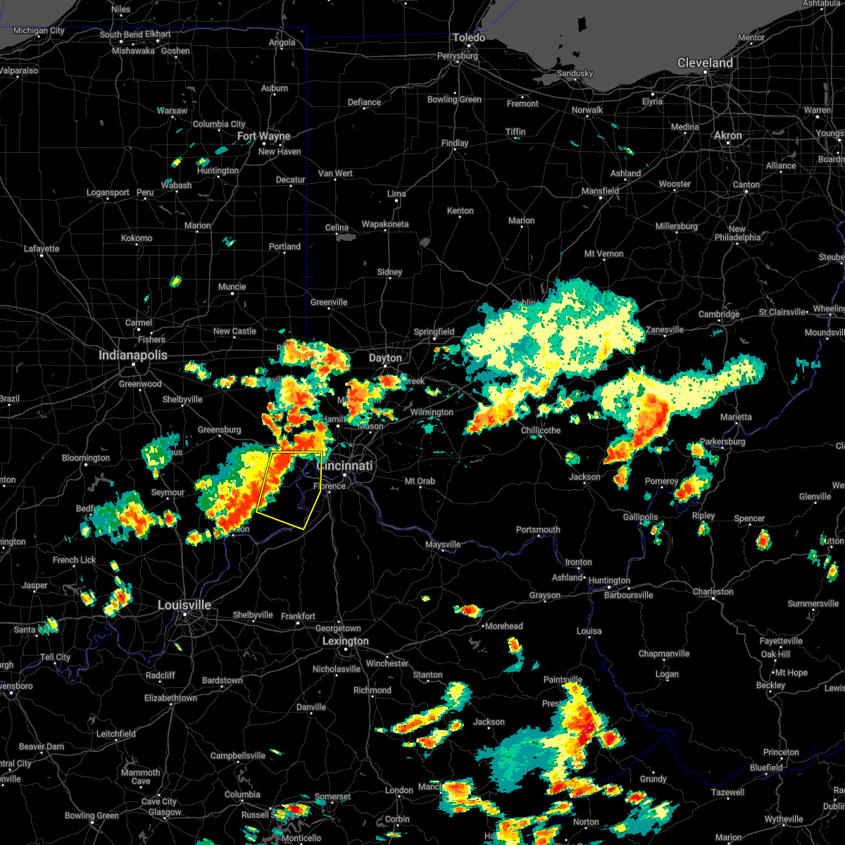 At 210 pm edt, a severe thunderstorm was located near dillsboro, moving east at 30 mph (radar indicated). Hazards include 70 mph wind gusts. Expect considerable tree damage. damage is likely to mobile homes, roofs, and outbuildings. locations impacted include, harrison, lawrenceburg, greendale, aurora, rising sun, bright, hidden valley, burlington, cleves, milan, warsaw, dillsboro, shawnee, moores hill, taylor creek, miami heights, blue jay, mack, guilford and wilmington. this includes i-74 in ohio between mile markers 4 and 8. thunderstorm damage threat, considerable hail threat, radar indicated max hail size, <. 75 in wind threat, radar indicated max wind gust, 70 mph. At 210 pm edt, a severe thunderstorm was located near dillsboro, moving east at 30 mph (radar indicated). Hazards include 70 mph wind gusts. Expect considerable tree damage. damage is likely to mobile homes, roofs, and outbuildings. locations impacted include, harrison, lawrenceburg, greendale, aurora, rising sun, bright, hidden valley, burlington, cleves, milan, warsaw, dillsboro, shawnee, moores hill, taylor creek, miami heights, blue jay, mack, guilford and wilmington. this includes i-74 in ohio between mile markers 4 and 8. thunderstorm damage threat, considerable hail threat, radar indicated max hail size, <. 75 in wind threat, radar indicated max wind gust, 70 mph.
|
| 7/6/2022 1:49 PM EDT |
 At 148 pm edt, a severe thunderstorm was located over osgood, moving east at 25 mph (radar indicated). Hazards include 70 mph wind gusts. Expect considerable tree damage. Damage is likely to mobile homes, roofs, and outbuildings. At 148 pm edt, a severe thunderstorm was located over osgood, moving east at 25 mph (radar indicated). Hazards include 70 mph wind gusts. Expect considerable tree damage. Damage is likely to mobile homes, roofs, and outbuildings.
|
| 7/6/2022 1:49 PM EDT |
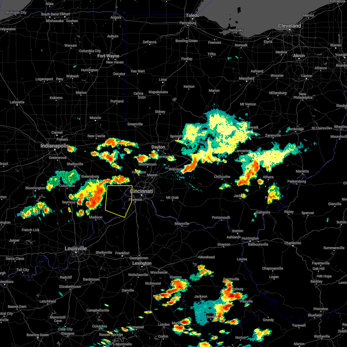 At 148 pm edt, a severe thunderstorm was located over osgood, moving east at 25 mph (radar indicated). Hazards include 70 mph wind gusts. Expect considerable tree damage. Damage is likely to mobile homes, roofs, and outbuildings. At 148 pm edt, a severe thunderstorm was located over osgood, moving east at 25 mph (radar indicated). Hazards include 70 mph wind gusts. Expect considerable tree damage. Damage is likely to mobile homes, roofs, and outbuildings.
|
| 6/17/2022 11:25 AM EDT | One tree down on aberdeen road. another tree down on willow creek road. time estimated from rada in ohio county IN, 7.5 miles N of Dillsboro, IN |
| 6/13/2022 5:16 PM EDT |
 At 516 pm edt, a severe thunderstorm was located over brookville, moving southeast at 35 mph (radar indicated). Hazards include 70 mph wind gusts and penny size hail. Expect considerable tree damage. Damage is likely to mobile homes, roofs, and outbuildings. At 516 pm edt, a severe thunderstorm was located over brookville, moving southeast at 35 mph (radar indicated). Hazards include 70 mph wind gusts and penny size hail. Expect considerable tree damage. Damage is likely to mobile homes, roofs, and outbuildings.
|
| 6/13/2022 5:16 PM EDT |
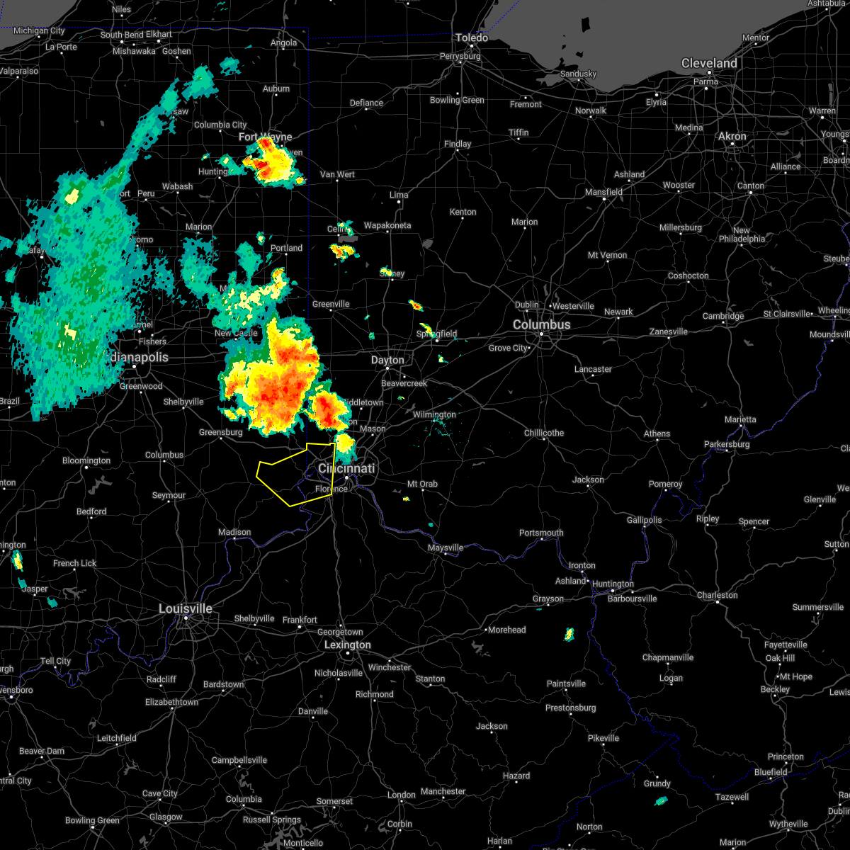 At 516 pm edt, a severe thunderstorm was located over brookville, moving southeast at 35 mph (radar indicated). Hazards include 70 mph wind gusts and penny size hail. Expect considerable tree damage. Damage is likely to mobile homes, roofs, and outbuildings. At 516 pm edt, a severe thunderstorm was located over brookville, moving southeast at 35 mph (radar indicated). Hazards include 70 mph wind gusts and penny size hail. Expect considerable tree damage. Damage is likely to mobile homes, roofs, and outbuildings.
|
| 6/8/2022 6:03 PM EDT |
 At 603 pm edt, a severe thunderstorm was located near dillsboro, moving east at 40 mph (radar indicated). Hazards include 60 mph wind gusts and quarter size hail. Minor hail damage to vehicles is possible. Expect wind damage to trees and power lines. At 603 pm edt, a severe thunderstorm was located near dillsboro, moving east at 40 mph (radar indicated). Hazards include 60 mph wind gusts and quarter size hail. Minor hail damage to vehicles is possible. Expect wind damage to trees and power lines.
|
| 6/6/2022 3:22 PM EDT |
 At 322 pm edt, a severe thunderstorm was located near rising sun, moving northeast at 50 mph (radar indicated). Hazards include 60 mph wind gusts. expect damage to trees and power lines At 322 pm edt, a severe thunderstorm was located near rising sun, moving northeast at 50 mph (radar indicated). Hazards include 60 mph wind gusts. expect damage to trees and power lines
|
| 5/26/2022 1:22 PM EDT |
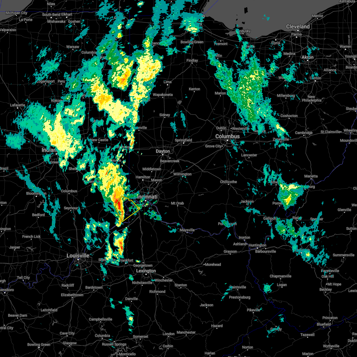 At 122 pm edt, a severe thunderstorm was located near rising sun, moving northeast at 35 mph (radar indicated). Hazards include 60 mph wind gusts. Expect damage to trees and power lines. locations impacted include, florence, lawrenceburg, greendale, aurora, rising sun, oakbrook, burlington, union, dillsboro, shawnee, wilmington, french, hartford, aberdeen, idlewild, waterloo, petersburg, rabbit hash, quercus grove and north landing. This includes i-75 in kentucky between mile markers 180 and 181. At 122 pm edt, a severe thunderstorm was located near rising sun, moving northeast at 35 mph (radar indicated). Hazards include 60 mph wind gusts. Expect damage to trees and power lines. locations impacted include, florence, lawrenceburg, greendale, aurora, rising sun, oakbrook, burlington, union, dillsboro, shawnee, wilmington, french, hartford, aberdeen, idlewild, waterloo, petersburg, rabbit hash, quercus grove and north landing. This includes i-75 in kentucky between mile markers 180 and 181.
|
| 5/26/2022 1:14 PM EDT |
 At 113 pm edt, a severe thunderstorm was located 7 miles west of rising sun, moving northeast at 30 mph (radar indicated). Hazards include 60 mph wind gusts. Expect damage to trees and power lines. locations impacted include, florence, lawrenceburg, greendale, aurora, rising sun, oakbrook, burlington, union, dillsboro, shawnee, wilmington, french, hartford, fairview, center square, aberdeen, idlewild, waterloo, markland and farmers retreat. This includes i-75 in kentucky between mile markers 179 and 181. At 113 pm edt, a severe thunderstorm was located 7 miles west of rising sun, moving northeast at 30 mph (radar indicated). Hazards include 60 mph wind gusts. Expect damage to trees and power lines. locations impacted include, florence, lawrenceburg, greendale, aurora, rising sun, oakbrook, burlington, union, dillsboro, shawnee, wilmington, french, hartford, fairview, center square, aberdeen, idlewild, waterloo, markland and farmers retreat. This includes i-75 in kentucky between mile markers 179 and 181.
|
| 5/26/2022 1:03 PM EDT |
 At 103 pm edt, a severe thunderstorm was located 9 miles north of vevay, moving northeast at 35 mph (radar indicated). Hazards include 60 mph wind gusts. expect damage to trees and power lines At 103 pm edt, a severe thunderstorm was located 9 miles north of vevay, moving northeast at 35 mph (radar indicated). Hazards include 60 mph wind gusts. expect damage to trees and power lines
|
| 5/26/2022 1:03 PM EDT |
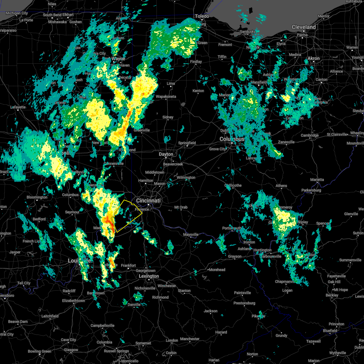 At 103 pm edt, a severe thunderstorm was located 9 miles north of vevay, moving northeast at 35 mph (radar indicated). Hazards include 60 mph wind gusts. expect damage to trees and power lines At 103 pm edt, a severe thunderstorm was located 9 miles north of vevay, moving northeast at 35 mph (radar indicated). Hazards include 60 mph wind gusts. expect damage to trees and power lines
|
| 5/21/2022 5:03 PM EDT |
 At 503 pm edt, a severe thunderstorm was located near dillsboro, moving east at 40 mph (radar indicated). Hazards include 60 mph wind gusts and quarter size hail. Minor hail damage to vehicles is possible. Expect wind damage to trees and power lines. At 503 pm edt, a severe thunderstorm was located near dillsboro, moving east at 40 mph (radar indicated). Hazards include 60 mph wind gusts and quarter size hail. Minor hail damage to vehicles is possible. Expect wind damage to trees and power lines.
|
| 5/21/2022 5:03 PM EDT |
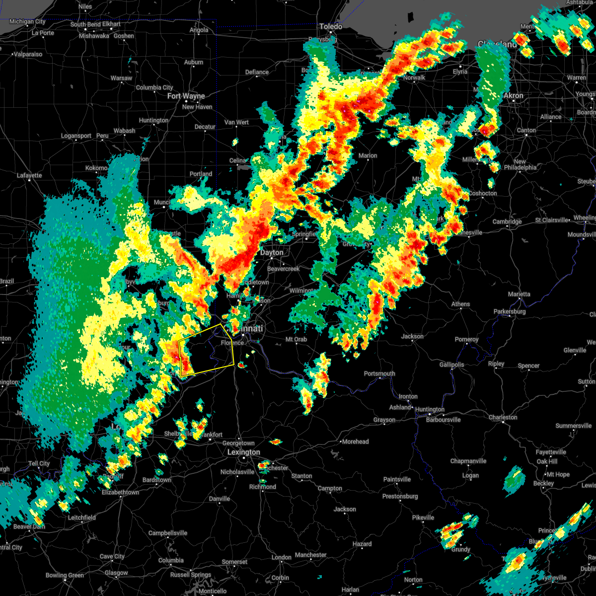 At 503 pm edt, a severe thunderstorm was located near dillsboro, moving east at 40 mph (radar indicated). Hazards include 60 mph wind gusts and quarter size hail. Minor hail damage to vehicles is possible. Expect wind damage to trees and power lines. At 503 pm edt, a severe thunderstorm was located near dillsboro, moving east at 40 mph (radar indicated). Hazards include 60 mph wind gusts and quarter size hail. Minor hail damage to vehicles is possible. Expect wind damage to trees and power lines.
|
| 5/19/2022 8:54 PM EDT |
 The severe thunderstorm warning for ohio, central dearborn, northern boone and northwestern hamilton counties will expire at 900 pm edt, the storms which prompted the warning have moved out of the area. therefore, the warning will be allowed to expire. a severe thunderstorm watch remains in effect until 200 am edt for southeastern indiana, northern kentucky, and southwestern ohio. please report previous wind damage or hail to the national weather service by going to our website at weather.gov/iln and submitting your report via social media. remember, a severe thunderstorm warning still remains in effect for parts of hamilton and boone counties until 930 pm. The severe thunderstorm warning for ohio, central dearborn, northern boone and northwestern hamilton counties will expire at 900 pm edt, the storms which prompted the warning have moved out of the area. therefore, the warning will be allowed to expire. a severe thunderstorm watch remains in effect until 200 am edt for southeastern indiana, northern kentucky, and southwestern ohio. please report previous wind damage or hail to the national weather service by going to our website at weather.gov/iln and submitting your report via social media. remember, a severe thunderstorm warning still remains in effect for parts of hamilton and boone counties until 930 pm.
|
| 5/19/2022 8:54 PM EDT |
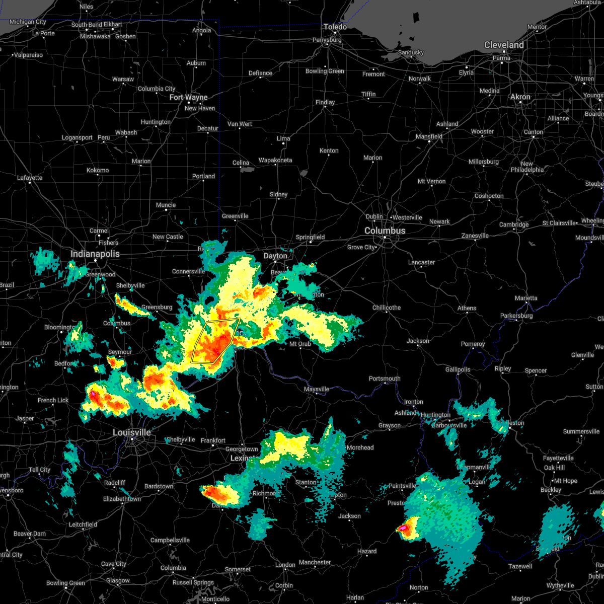 The severe thunderstorm warning for ohio, central dearborn, northern boone and northwestern hamilton counties will expire at 900 pm edt, the storms which prompted the warning have moved out of the area. therefore, the warning will be allowed to expire. a severe thunderstorm watch remains in effect until 200 am edt for southeastern indiana, northern kentucky, and southwestern ohio. please report previous wind damage or hail to the national weather service by going to our website at weather.gov/iln and submitting your report via social media. remember, a severe thunderstorm warning still remains in effect for parts of hamilton and boone counties until 930 pm. The severe thunderstorm warning for ohio, central dearborn, northern boone and northwestern hamilton counties will expire at 900 pm edt, the storms which prompted the warning have moved out of the area. therefore, the warning will be allowed to expire. a severe thunderstorm watch remains in effect until 200 am edt for southeastern indiana, northern kentucky, and southwestern ohio. please report previous wind damage or hail to the national weather service by going to our website at weather.gov/iln and submitting your report via social media. remember, a severe thunderstorm warning still remains in effect for parts of hamilton and boone counties until 930 pm.
|
| 5/19/2022 8:37 PM EDT |
 At 837 pm edt, severe thunderstorms were located from bright to near aurora to near rising sun to 8 miles southeast of dillsboro, moving east at 45 mph (radar indicated). Hazards include 60 mph wind gusts. Expect damage to trees and power lines. locations impacted include, cincinnati, harrison, lawrenceburg, greendale, aurora, rising sun, bright, hidden valley, burlington, cleves, dillsboro, shawnee, taylor creek, miami heights, dry ridge, blue jay, mack, colerain township, bridgetown and monfort heights. this includes i-74 in ohio between mile markers 2 and 13. hail threat, radar indicated max hail size, <. 75 in wind threat, radar indicated max wind gust, 60 mph. At 837 pm edt, severe thunderstorms were located from bright to near aurora to near rising sun to 8 miles southeast of dillsboro, moving east at 45 mph (radar indicated). Hazards include 60 mph wind gusts. Expect damage to trees and power lines. locations impacted include, cincinnati, harrison, lawrenceburg, greendale, aurora, rising sun, bright, hidden valley, burlington, cleves, dillsboro, shawnee, taylor creek, miami heights, dry ridge, blue jay, mack, colerain township, bridgetown and monfort heights. this includes i-74 in ohio between mile markers 2 and 13. hail threat, radar indicated max hail size, <. 75 in wind threat, radar indicated max wind gust, 60 mph.
|
| 5/19/2022 8:37 PM EDT |
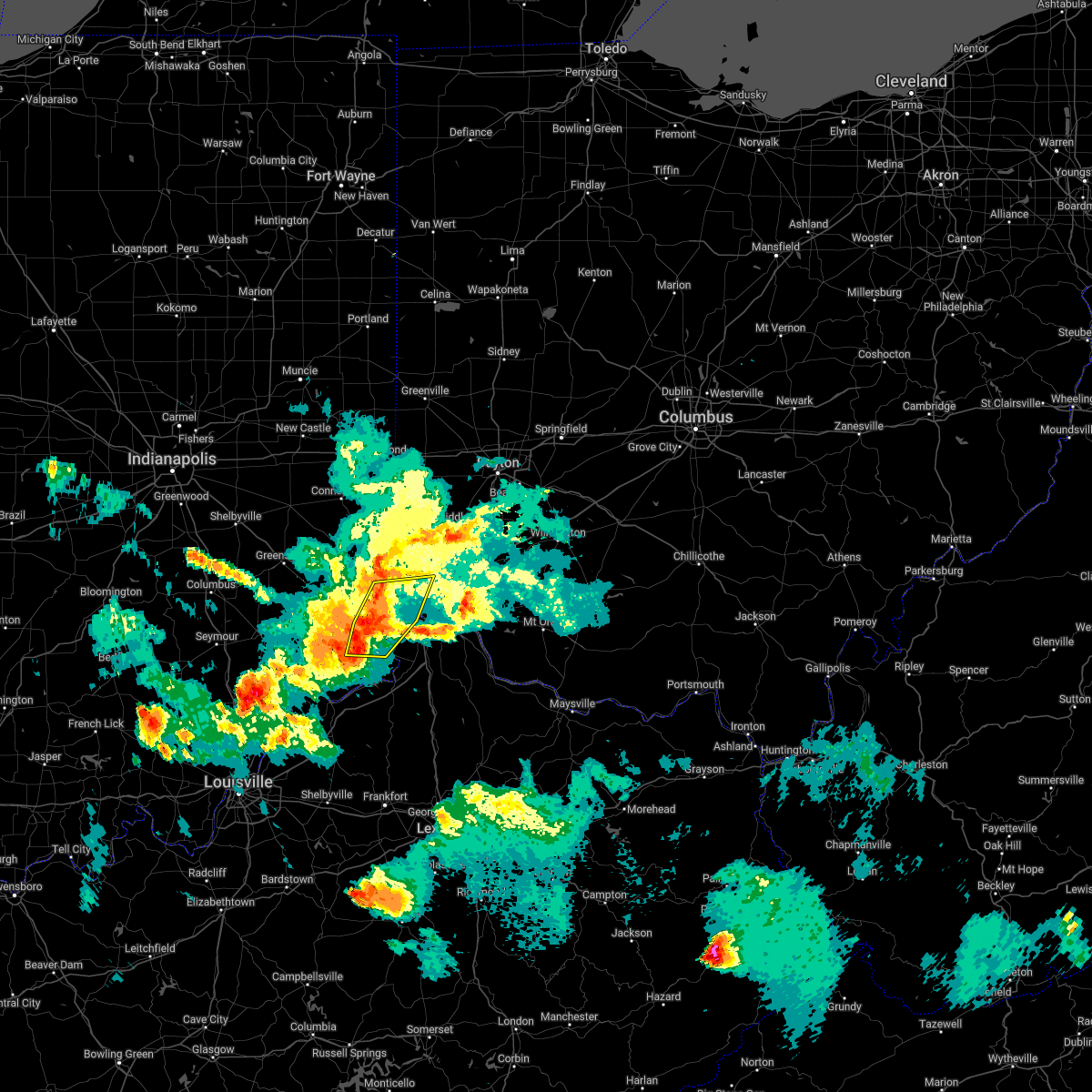 At 837 pm edt, severe thunderstorms were located from bright to near aurora to near rising sun to 8 miles southeast of dillsboro, moving east at 45 mph (radar indicated). Hazards include 60 mph wind gusts. Expect damage to trees and power lines. locations impacted include, cincinnati, harrison, lawrenceburg, greendale, aurora, rising sun, bright, hidden valley, burlington, cleves, dillsboro, shawnee, taylor creek, miami heights, dry ridge, blue jay, mack, colerain township, bridgetown and monfort heights. this includes i-74 in ohio between mile markers 2 and 13. hail threat, radar indicated max hail size, <. 75 in wind threat, radar indicated max wind gust, 60 mph. At 837 pm edt, severe thunderstorms were located from bright to near aurora to near rising sun to 8 miles southeast of dillsboro, moving east at 45 mph (radar indicated). Hazards include 60 mph wind gusts. Expect damage to trees and power lines. locations impacted include, cincinnati, harrison, lawrenceburg, greendale, aurora, rising sun, bright, hidden valley, burlington, cleves, dillsboro, shawnee, taylor creek, miami heights, dry ridge, blue jay, mack, colerain township, bridgetown and monfort heights. this includes i-74 in ohio between mile markers 2 and 13. hail threat, radar indicated max hail size, <. 75 in wind threat, radar indicated max wind gust, 60 mph.
|
| 5/19/2022 8:17 PM EDT |
 At 816 pm edt, severe thunderstorms were located from 6 miles north of moores hill to near milan to 11 miles southwest of versailles, moving east at 30 mph (radar indicated). Hazards include 60 mph wind gusts. expect damage to trees and power lines At 816 pm edt, severe thunderstorms were located from 6 miles north of moores hill to near milan to 11 miles southwest of versailles, moving east at 30 mph (radar indicated). Hazards include 60 mph wind gusts. expect damage to trees and power lines
|
| 5/19/2022 8:17 PM EDT |
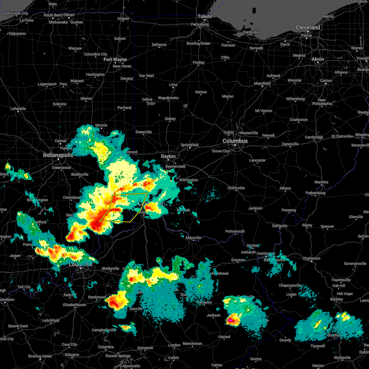 At 816 pm edt, severe thunderstorms were located from 6 miles north of moores hill to near milan to 11 miles southwest of versailles, moving east at 30 mph (radar indicated). Hazards include 60 mph wind gusts. expect damage to trees and power lines At 816 pm edt, severe thunderstorms were located from 6 miles north of moores hill to near milan to 11 miles southwest of versailles, moving east at 30 mph (radar indicated). Hazards include 60 mph wind gusts. expect damage to trees and power lines
|
| 5/19/2022 7:11 PM EDT |
 At 711 pm edt, a severe thunderstorm was located near aurora, moving east at 30 mph (radar indicated). Hazards include 60 mph wind gusts and half dollar size hail. Minor hail damage to vehicles is possible. Expect wind damage to trees and power lines. At 711 pm edt, a severe thunderstorm was located near aurora, moving east at 30 mph (radar indicated). Hazards include 60 mph wind gusts and half dollar size hail. Minor hail damage to vehicles is possible. Expect wind damage to trees and power lines.
|
| 4/13/2022 9:05 PM EDT |
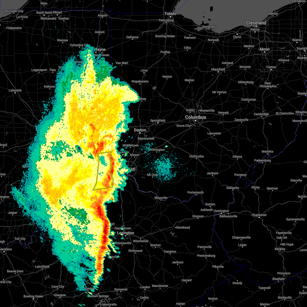 The severe thunderstorm warning for ohio, southeastern franklin, dearborn, northern switzerland and boone counties will expire at 915 pm edt, the storm which prompted the warning has weakened below severe limits, and no longer poses an immediate threat to life or property. therefore, the warning will be allowed to expire. however gusty winds are still possible with this thunderstorm as it moves into hamilton, boone, and kenton counties. please report previous wind damage or hail to the national weather service by going to our website at weather.gov/iln and submitting your report via social media. The severe thunderstorm warning for ohio, southeastern franklin, dearborn, northern switzerland and boone counties will expire at 915 pm edt, the storm which prompted the warning has weakened below severe limits, and no longer poses an immediate threat to life or property. therefore, the warning will be allowed to expire. however gusty winds are still possible with this thunderstorm as it moves into hamilton, boone, and kenton counties. please report previous wind damage or hail to the national weather service by going to our website at weather.gov/iln and submitting your report via social media.
|
| 4/13/2022 8:49 PM EDT |
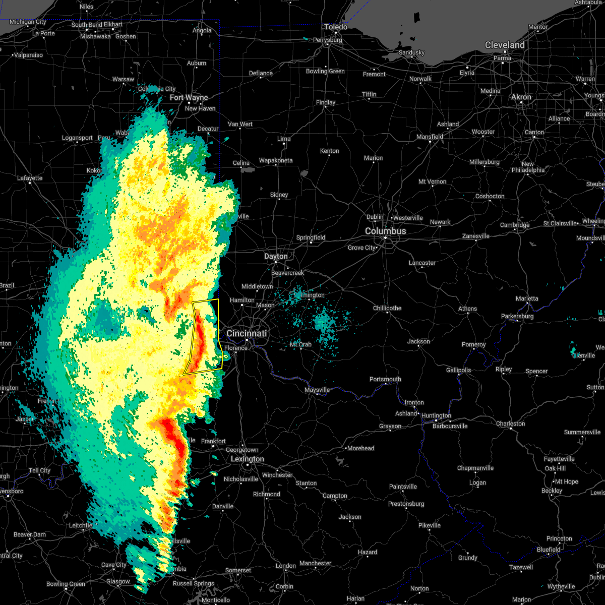 At 848 pm edt, a severe thunderstorm was located near bright, moving northeast at 45 mph (radar indicated). Hazards include 60 mph wind gusts. Expect damage to trees and power lines. locations impacted include, lawrenceburg, greendale, aurora, brookville, rising sun, bright, hidden valley, dillsboro, moores hill, guilford, wilmington, logan, manchester, french, sunman, hartford, st. leon, fairview, west harrison and cedar grove. this includes the following interstates, i-74 in indiana between mile markers 158 and 171. i-74 in ohio near mile marker 0. hail threat, radar indicated max hail size, <. 75 in wind threat, radar indicated max wind gust, 60 mph. At 848 pm edt, a severe thunderstorm was located near bright, moving northeast at 45 mph (radar indicated). Hazards include 60 mph wind gusts. Expect damage to trees and power lines. locations impacted include, lawrenceburg, greendale, aurora, brookville, rising sun, bright, hidden valley, dillsboro, moores hill, guilford, wilmington, logan, manchester, french, sunman, hartford, st. leon, fairview, west harrison and cedar grove. this includes the following interstates, i-74 in indiana between mile markers 158 and 171. i-74 in ohio near mile marker 0. hail threat, radar indicated max hail size, <. 75 in wind threat, radar indicated max wind gust, 60 mph.
|
| 4/13/2022 8:41 PM EDT |
 At 841 pm edt, a severe thunderstorm was located near moores hill, moving northeast at 50 mph (radar indicated). Hazards include 60 mph wind gusts. Expect damage to trees and power lines. locations impacted include, lawrenceburg, greendale, aurora, brookville, rising sun, bright, hidden valley, milan, dillsboro, shawnee, moores hill, guilford, wilmington, logan, pleasant, manchester, french, sunman, hartford and st. leon. this includes the following interstates, i-74 in indiana between mile markers 153 and 171. i-74 in ohio near mile marker 0. hail threat, radar indicated max hail size, <. 75 in wind threat, radar indicated max wind gust, 60 mph. At 841 pm edt, a severe thunderstorm was located near moores hill, moving northeast at 50 mph (radar indicated). Hazards include 60 mph wind gusts. Expect damage to trees and power lines. locations impacted include, lawrenceburg, greendale, aurora, brookville, rising sun, bright, hidden valley, milan, dillsboro, shawnee, moores hill, guilford, wilmington, logan, pleasant, manchester, french, sunman, hartford and st. leon. this includes the following interstates, i-74 in indiana between mile markers 153 and 171. i-74 in ohio near mile marker 0. hail threat, radar indicated max hail size, <. 75 in wind threat, radar indicated max wind gust, 60 mph.
|
| 4/13/2022 8:30 PM EDT |
 At 830 pm edt, a severe thunderstorm was located near milan, moving east at 45 mph (radar indicated). Hazards include 60 mph wind gusts and penny size hail. expect damage to trees and power lines At 830 pm edt, a severe thunderstorm was located near milan, moving east at 45 mph (radar indicated). Hazards include 60 mph wind gusts and penny size hail. expect damage to trees and power lines
|
| 3/7/2022 4:38 AM EST |
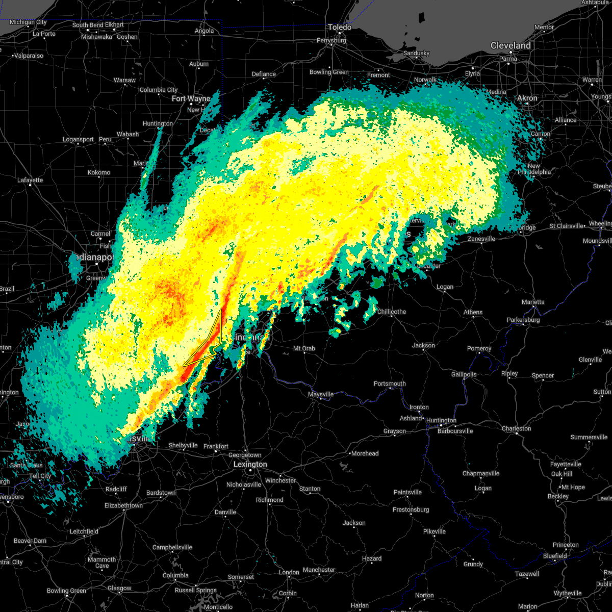 The severe thunderstorm warning for ohio, east central franklin, southeastern ripley and central dearborn counties will expire at 445 am est, the storm which prompted the warning has moved out of the area. therefore, the warning will be allowed to expire. however heavy rain is still possible with this thunderstorm. please report previous wind damage or hail to the national weather service by going to our website at weather.gov/iln and submitting your report via social media. The severe thunderstorm warning for ohio, east central franklin, southeastern ripley and central dearborn counties will expire at 445 am est, the storm which prompted the warning has moved out of the area. therefore, the warning will be allowed to expire. however heavy rain is still possible with this thunderstorm. please report previous wind damage or hail to the national weather service by going to our website at weather.gov/iln and submitting your report via social media.
|
| 3/7/2022 4:36 AM EST |
 At 436 am est, a severe thunderstorm was located over harrison, moving east at 55 mph (radar indicated). Hazards include 60 mph wind gusts. Expect damage to trees and power lines. locations impacted include, lawrenceburg, greendale, aurora, bright, hidden valley, dillsboro, guilford, wilmington, logan, french, hartford, west harrison, mount sinai, interstate 74 at us route 52, rockdale, farmers retreat and friendship. this includes the following interstates, i-74 in indiana between mile markers 168 and 171. i-74 in ohio near mile marker 0. hail threat, radar indicated max hail size, <. 75 in wind threat, radar indicated max wind gust, 60 mph. At 436 am est, a severe thunderstorm was located over harrison, moving east at 55 mph (radar indicated). Hazards include 60 mph wind gusts. Expect damage to trees and power lines. locations impacted include, lawrenceburg, greendale, aurora, bright, hidden valley, dillsboro, guilford, wilmington, logan, french, hartford, west harrison, mount sinai, interstate 74 at us route 52, rockdale, farmers retreat and friendship. this includes the following interstates, i-74 in indiana between mile markers 168 and 171. i-74 in ohio near mile marker 0. hail threat, radar indicated max hail size, <. 75 in wind threat, radar indicated max wind gust, 60 mph.
|
| 3/7/2022 4:29 AM EST |
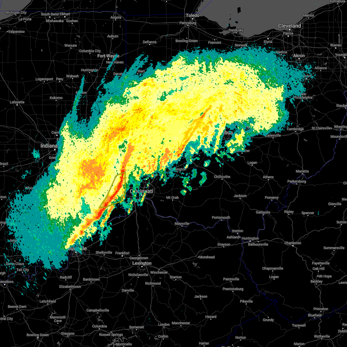 At 429 am est, a severe thunderstorm was located 7 miles northwest of harrison, moving northeast at 65 mph (radar indicated). Hazards include 60 mph wind gusts. Expect damage to trees and power lines. locations impacted include, lawrenceburg, greendale, aurora, bright, hidden valley, milan, dillsboro, moores hill, guilford, wilmington, logan, manchester, french, hartford, st. leon, west harrison, cedar grove, mount carmel, cold springs and interstate 74 at us route 52. this includes the following interstates, i-74 in indiana between mile markers 159 and 171. I-74 in ohio near mile marker 0. At 429 am est, a severe thunderstorm was located 7 miles northwest of harrison, moving northeast at 65 mph (radar indicated). Hazards include 60 mph wind gusts. Expect damage to trees and power lines. locations impacted include, lawrenceburg, greendale, aurora, bright, hidden valley, milan, dillsboro, moores hill, guilford, wilmington, logan, manchester, french, hartford, st. leon, west harrison, cedar grove, mount carmel, cold springs and interstate 74 at us route 52. this includes the following interstates, i-74 in indiana between mile markers 159 and 171. I-74 in ohio near mile marker 0.
|
| 3/7/2022 4:19 AM EST |
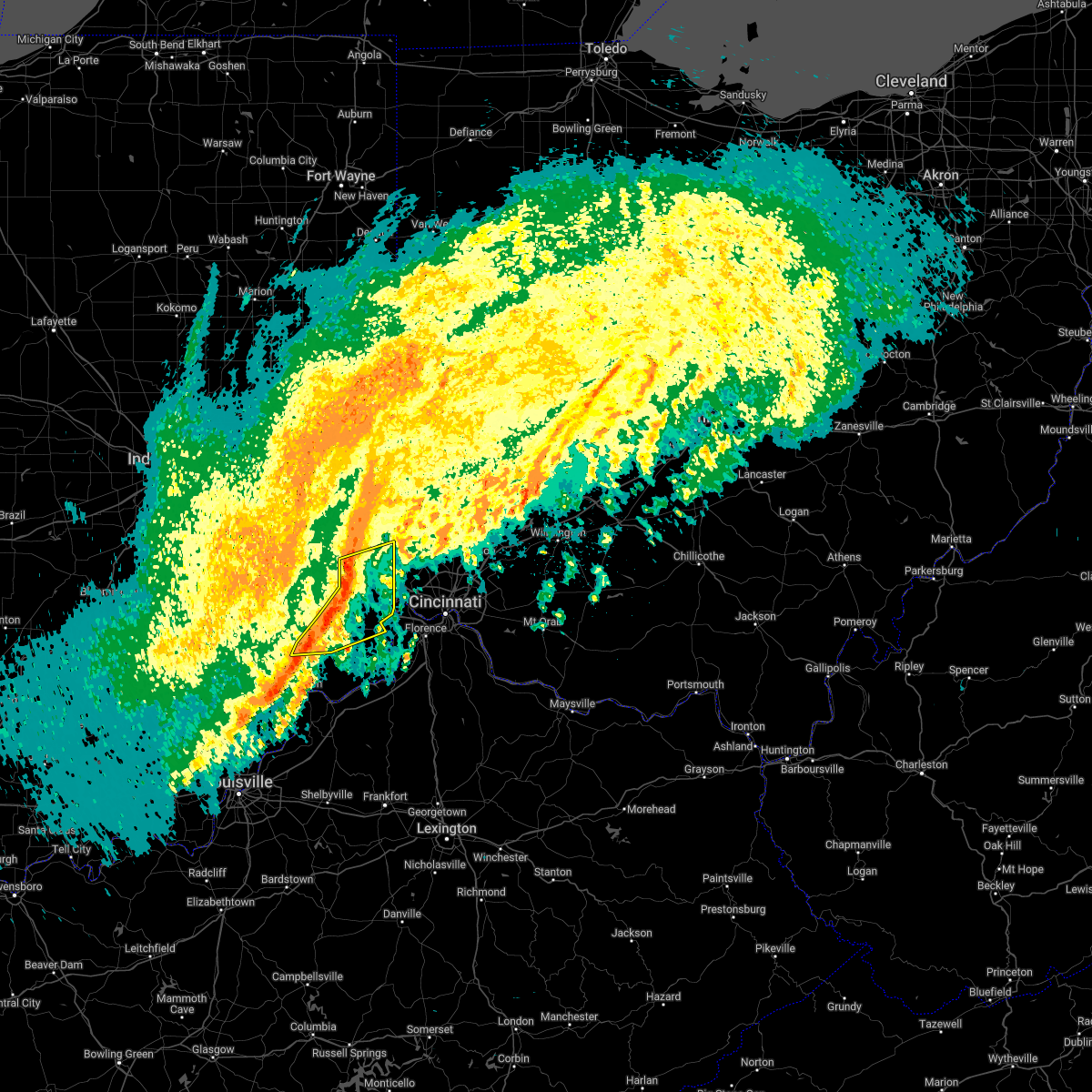 At 419 am est, a severe thunderstorm was located 7 miles east of batesville, moving northeast at 65 mph (radar indicated). Hazards include 60 mph wind gusts. Expect damage to trees and power lines. locations impacted include, lawrenceburg, greendale, aurora, bright, hidden valley, versailles, milan, dillsboro, moores hill, guilford, wilmington, logan, manchester, french, sunman, hartford, st. leon, west harrison, cedar grove and mount carmel. this includes the following interstates, i-74 in indiana between mile markers 154 and 171. I-74 in ohio near mile marker 0. At 419 am est, a severe thunderstorm was located 7 miles east of batesville, moving northeast at 65 mph (radar indicated). Hazards include 60 mph wind gusts. Expect damage to trees and power lines. locations impacted include, lawrenceburg, greendale, aurora, bright, hidden valley, versailles, milan, dillsboro, moores hill, guilford, wilmington, logan, manchester, french, sunman, hartford, st. leon, west harrison, cedar grove and mount carmel. this includes the following interstates, i-74 in indiana between mile markers 154 and 171. I-74 in ohio near mile marker 0.
|
| 3/7/2022 4:11 AM EST |
 At 411 am est, a severe thunderstorm was located near batesville, moving northeast at 65 mph (radar indicated). Hazards include 60 mph wind gusts. Expect damage to trees and power lines. locations impacted include, batesville, lawrenceburg, greendale, aurora, bright, hidden valley, versailles, milan, osgood, dillsboro, oldenburg, moores hill, guilford, wilmington, logan, manchester, french, sunman, hartford and st. leon. this includes the following interstates, i-74 in indiana between mile markers 145 and 171. i-74 in ohio near mile marker 0. hail threat, radar indicated max hail size, <. 75 in wind threat, radar indicated max wind gust, 60 mph. At 411 am est, a severe thunderstorm was located near batesville, moving northeast at 65 mph (radar indicated). Hazards include 60 mph wind gusts. Expect damage to trees and power lines. locations impacted include, batesville, lawrenceburg, greendale, aurora, bright, hidden valley, versailles, milan, osgood, dillsboro, oldenburg, moores hill, guilford, wilmington, logan, manchester, french, sunman, hartford and st. leon. this includes the following interstates, i-74 in indiana between mile markers 145 and 171. i-74 in ohio near mile marker 0. hail threat, radar indicated max hail size, <. 75 in wind threat, radar indicated max wind gust, 60 mph.
|
| 3/7/2022 3:59 AM EST |
 At 359 am est, a severe thunderstorm was located 8 miles west of osgood, moving northeast at 65 mph (radar indicated). Hazards include 60 mph wind gusts. expect damage to trees and power lines At 359 am est, a severe thunderstorm was located 8 miles west of osgood, moving northeast at 65 mph (radar indicated). Hazards include 60 mph wind gusts. expect damage to trees and power lines
|
| 7/16/2021 6:40 PM EDT |
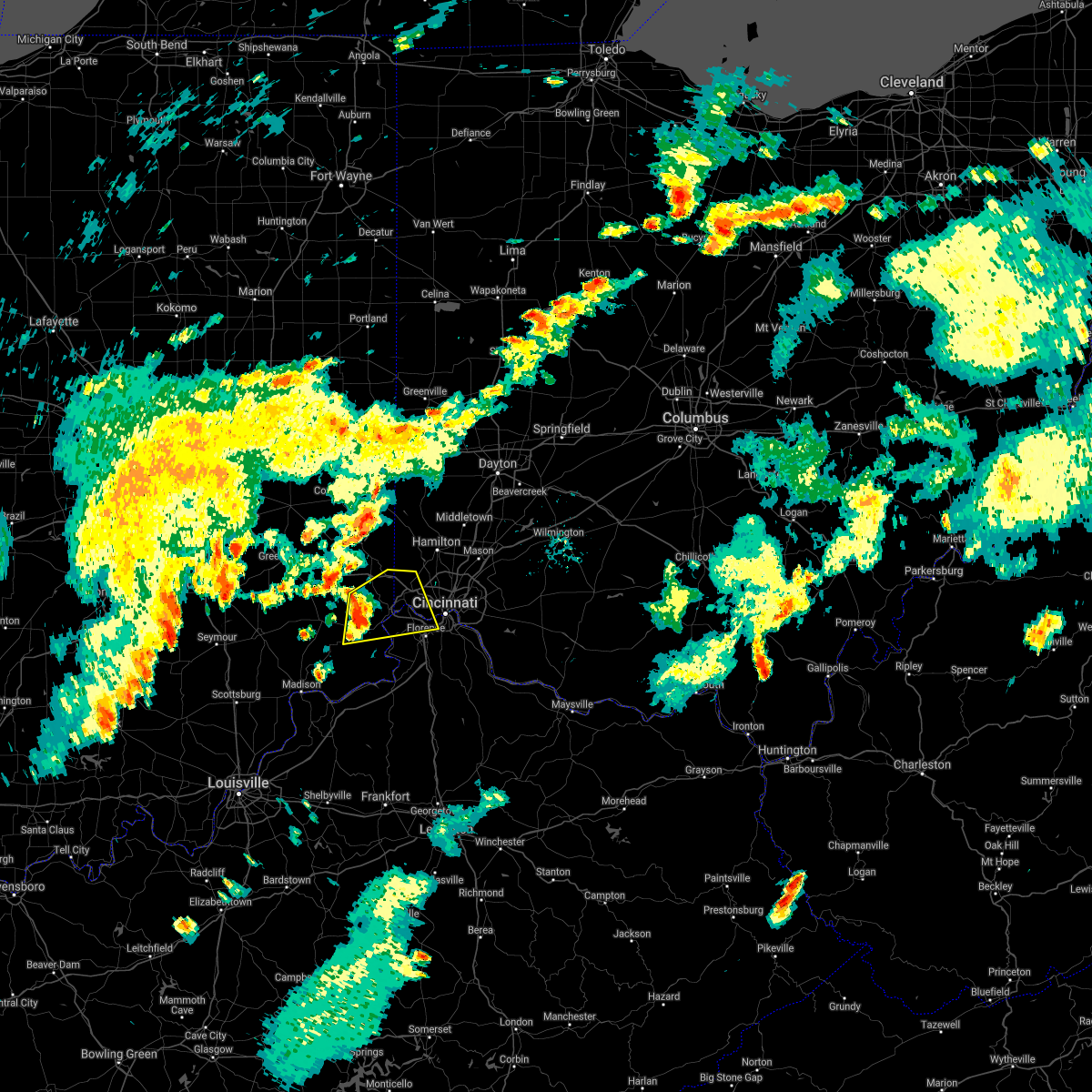 At 640 pm edt, a severe thunderstorm was located near aurora, moving east at 30 mph (radar indicated). Hazards include 60 mph wind gusts. Expect damage to trees and power lines. locations impacted include, cincinnati, florence, erlanger, harrison, cheviot, fort mitchell, villa hills, lawrenceburg, greendale, crescent springs, aurora, crestview hills, lakeside park, bright, hidden valley, burlington, oakbrook, cleves, dillsboro and shawnee. this includes the following interstates, i-74 in indiana between mile markers 165 and 171. i-74 in ohio between mile markers 0 and 13. I-75 in kentucky between mile markers 184 and 187. At 640 pm edt, a severe thunderstorm was located near aurora, moving east at 30 mph (radar indicated). Hazards include 60 mph wind gusts. Expect damage to trees and power lines. locations impacted include, cincinnati, florence, erlanger, harrison, cheviot, fort mitchell, villa hills, lawrenceburg, greendale, crescent springs, aurora, crestview hills, lakeside park, bright, hidden valley, burlington, oakbrook, cleves, dillsboro and shawnee. this includes the following interstates, i-74 in indiana between mile markers 165 and 171. i-74 in ohio between mile markers 0 and 13. I-75 in kentucky between mile markers 184 and 187.
|
| 7/16/2021 6:31 PM EDT |
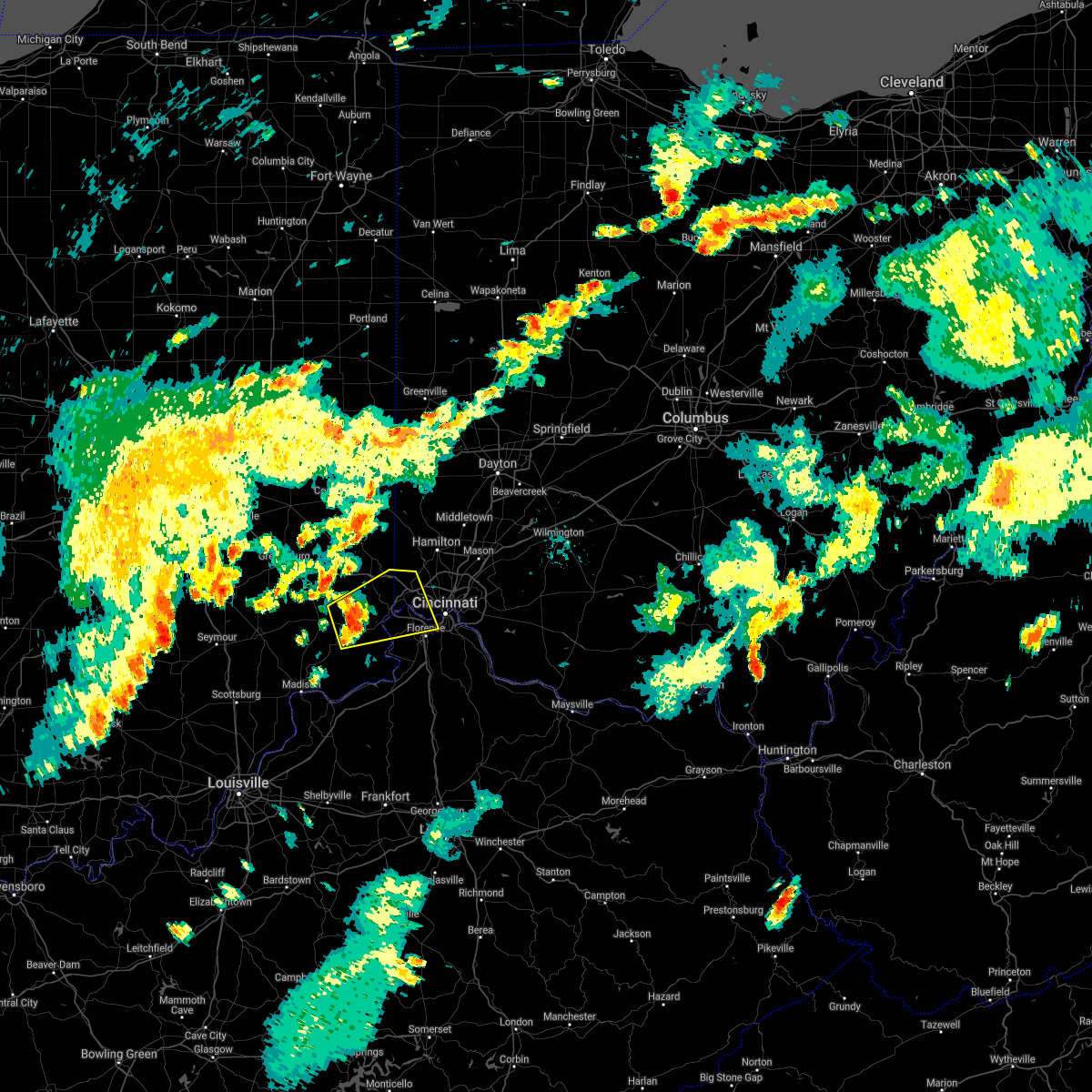 At 631 pm edt, a severe thunderstorm was located near dillsboro, moving east at 30 mph (radar indicated). Hazards include 60 mph wind gusts. expect damage to trees and power lines At 631 pm edt, a severe thunderstorm was located near dillsboro, moving east at 30 mph (radar indicated). Hazards include 60 mph wind gusts. expect damage to trees and power lines
|
| 6/29/2021 8:17 PM EDT |
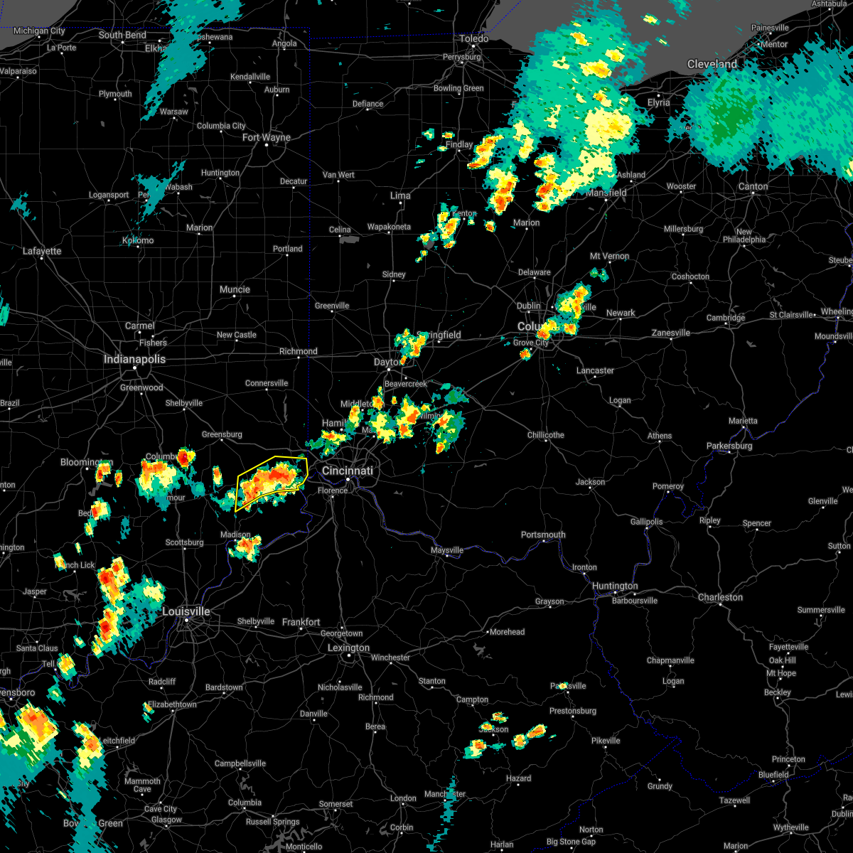 At 817 pm edt, a severe thunderstorm was located over moores hill, moving north at 15 mph (radar indicated). Hazards include 60 mph wind gusts. Expect damage to trees and power lines. Locations impacted include, lawrenceburg, greendale, aurora, bright, hidden valley, versailles, milan, osgood, dillsboro, moores hill, guilford, wilmington, manchester, sunman, mount sinai, rexville, cold springs, benham, weisburg and new marion. At 817 pm edt, a severe thunderstorm was located over moores hill, moving north at 15 mph (radar indicated). Hazards include 60 mph wind gusts. Expect damage to trees and power lines. Locations impacted include, lawrenceburg, greendale, aurora, bright, hidden valley, versailles, milan, osgood, dillsboro, moores hill, guilford, wilmington, manchester, sunman, mount sinai, rexville, cold springs, benham, weisburg and new marion.
|
| 6/29/2021 8:00 PM EDT |
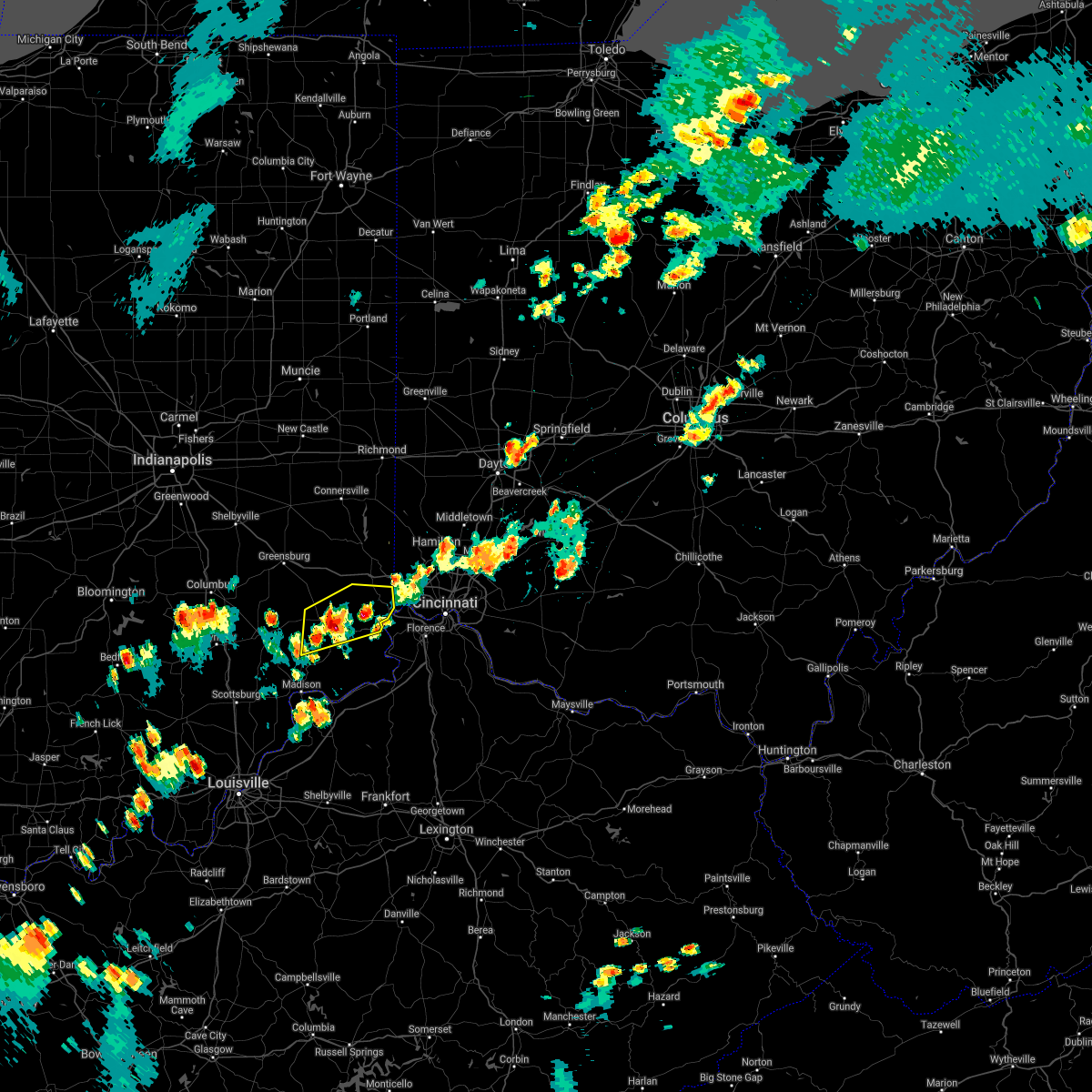 At 800 pm edt, a severe thunderstorm was located near moores hill, moving northeast at 5 mph (radar indicated). Hazards include 60 mph wind gusts and quarter size hail. Minor hail damage to vehicles is possible. expect wind damage to trees and power lines. Locations impacted include, lawrenceburg, greendale, aurora, bright, hidden valley, versailles, milan, osgood, dillsboro, moores hill, guilford, wilmington, manchester, sunman, rexville, cold springs, farmers retreat, friendship, versailles lake and mount sinai. At 800 pm edt, a severe thunderstorm was located near moores hill, moving northeast at 5 mph (radar indicated). Hazards include 60 mph wind gusts and quarter size hail. Minor hail damage to vehicles is possible. expect wind damage to trees and power lines. Locations impacted include, lawrenceburg, greendale, aurora, bright, hidden valley, versailles, milan, osgood, dillsboro, moores hill, guilford, wilmington, manchester, sunman, rexville, cold springs, farmers retreat, friendship, versailles lake and mount sinai.
|
| 6/29/2021 7:45 PM EDT |
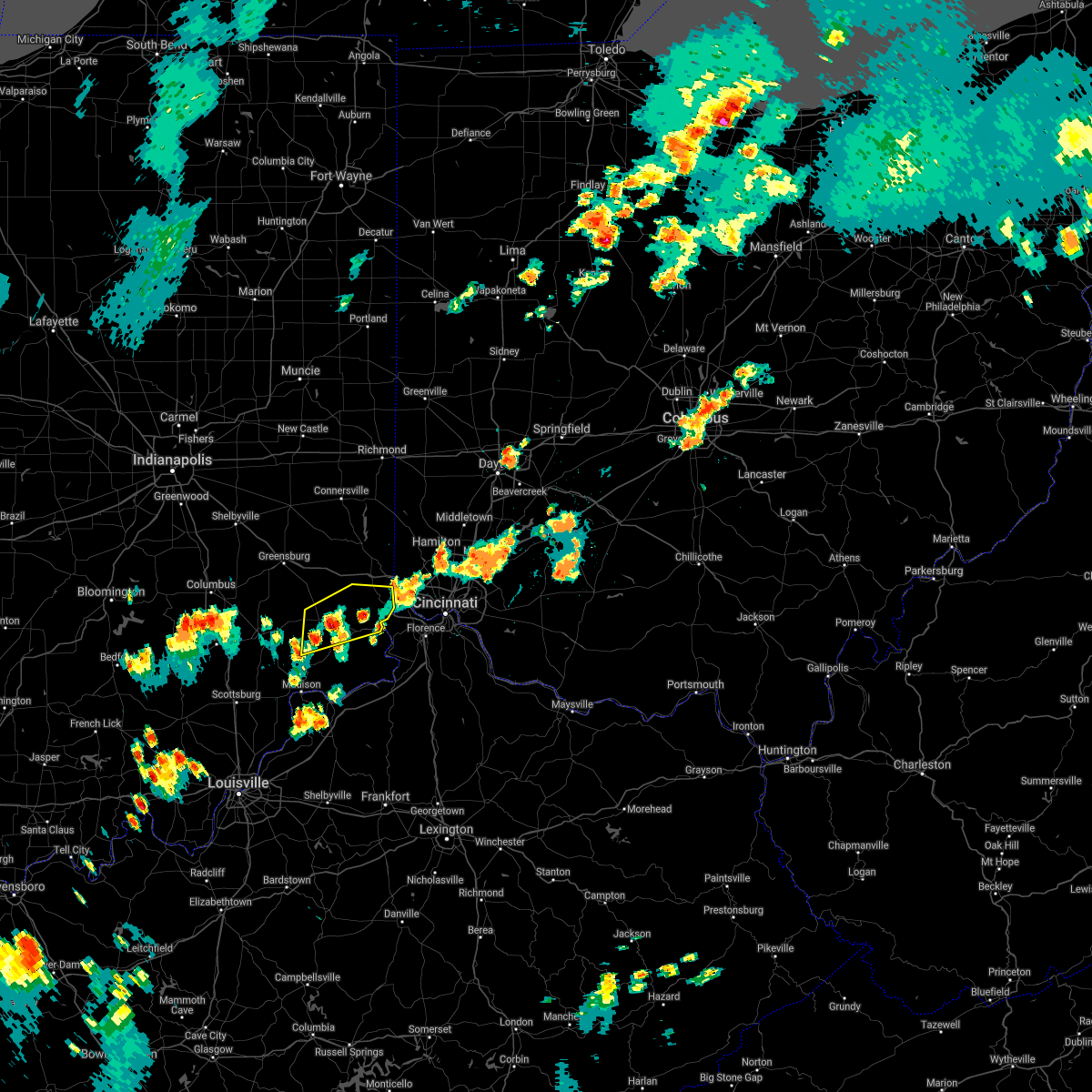 At 745 pm edt, a severe thunderstorm was located near versailles, moving northeast at 10 mph (radar indicated). Hazards include 60 mph wind gusts and quarter size hail. Minor hail damage to vehicles is possible. Expect wind damage to trees and power lines. At 745 pm edt, a severe thunderstorm was located near versailles, moving northeast at 10 mph (radar indicated). Hazards include 60 mph wind gusts and quarter size hail. Minor hail damage to vehicles is possible. Expect wind damage to trees and power lines.
|
| 6/18/2021 9:02 PM EDT |
 At 902 pm edt, a severe thunderstorm capable of producing a tornado was located over dillsboro, moving southeast at 55 mph (radar indicated rotation). Hazards include tornado. Flying debris will be dangerous to those caught without shelter. mobile homes will be damaged or destroyed. damage to roofs, windows, and vehicles will occur. Tree damage is likely. At 902 pm edt, a severe thunderstorm capable of producing a tornado was located over dillsboro, moving southeast at 55 mph (radar indicated rotation). Hazards include tornado. Flying debris will be dangerous to those caught without shelter. mobile homes will be damaged or destroyed. damage to roofs, windows, and vehicles will occur. Tree damage is likely.
|
| 6/18/2021 8:56 PM EDT |
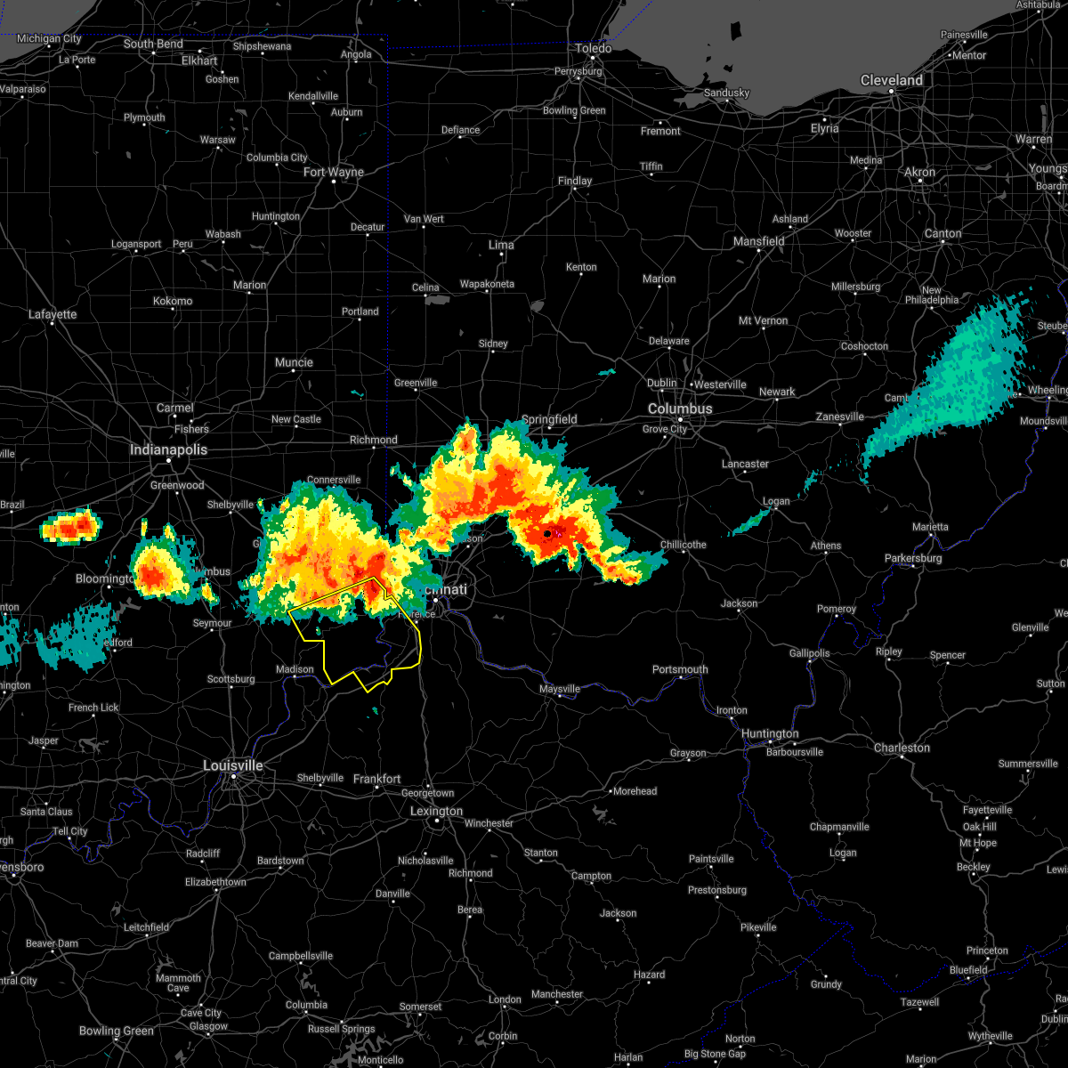 At 856 pm edt, severe thunderstorms were located along a line extending from near lawrenceburg to near versailles, moving southeast at 60 mph (radar indicated). Hazards include 70 mph wind gusts. Expect considerable tree damage. Damage is likely to mobile homes, roofs, and outbuildings. At 856 pm edt, severe thunderstorms were located along a line extending from near lawrenceburg to near versailles, moving southeast at 60 mph (radar indicated). Hazards include 70 mph wind gusts. Expect considerable tree damage. Damage is likely to mobile homes, roofs, and outbuildings.
|
| 6/18/2021 8:56 PM EDT |
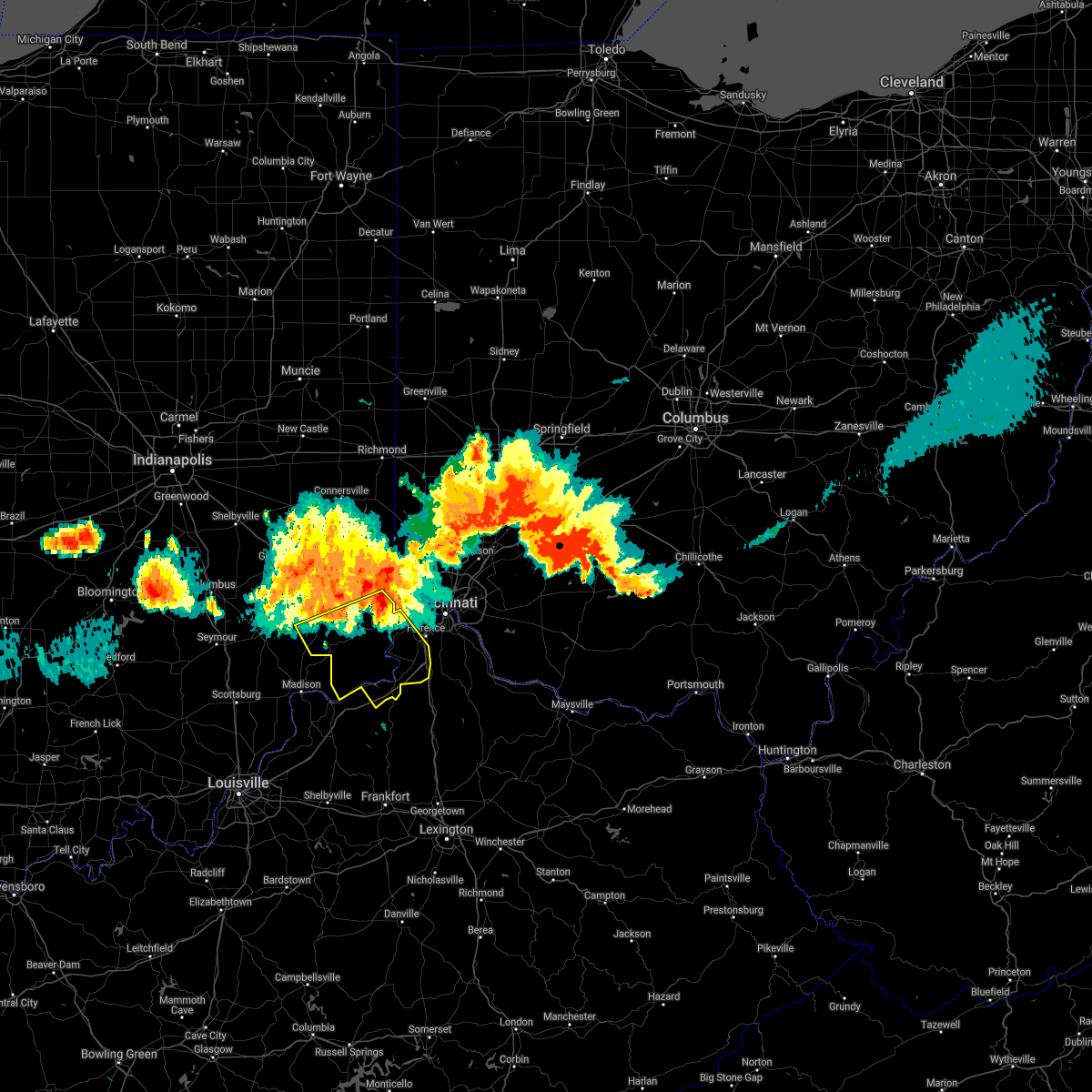 At 856 pm edt, severe thunderstorms were located along a line extending from near lawrenceburg to near versailles, moving southeast at 60 mph (radar indicated). Hazards include 70 mph wind gusts. Expect considerable tree damage. Damage is likely to mobile homes, roofs, and outbuildings. At 856 pm edt, severe thunderstorms were located along a line extending from near lawrenceburg to near versailles, moving southeast at 60 mph (radar indicated). Hazards include 70 mph wind gusts. Expect considerable tree damage. Damage is likely to mobile homes, roofs, and outbuildings.
|
| 3/25/2021 11:53 PM EDT |
 At 1152 pm edt, severe thunderstorms were located along a line extending from moores hill to vevay, moving northeast at 50 mph (radar indicated). Hazards include 60 mph wind gusts. Expect damage to trees and power lines. Locations impacted include, lawrenceburg, greendale, carrollton, aurora, rising sun, hidden valley, vevay, dillsboro, shawnee, moores hill, florence, guilford, wilmington, pleasant, manchester, french, hartford, fairview, ghent and patriot. At 1152 pm edt, severe thunderstorms were located along a line extending from moores hill to vevay, moving northeast at 50 mph (radar indicated). Hazards include 60 mph wind gusts. Expect damage to trees and power lines. Locations impacted include, lawrenceburg, greendale, carrollton, aurora, rising sun, hidden valley, vevay, dillsboro, shawnee, moores hill, florence, guilford, wilmington, pleasant, manchester, french, hartford, fairview, ghent and patriot.
|
| 3/25/2021 11:53 PM EDT |
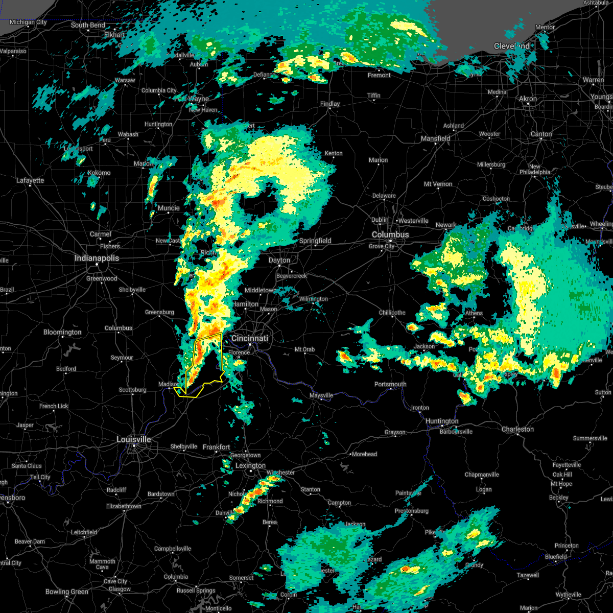 At 1152 pm edt, severe thunderstorms were located along a line extending from moores hill to vevay, moving northeast at 50 mph (radar indicated). Hazards include 60 mph wind gusts. Expect damage to trees and power lines. Locations impacted include, lawrenceburg, greendale, carrollton, aurora, rising sun, hidden valley, vevay, dillsboro, shawnee, moores hill, florence, guilford, wilmington, pleasant, manchester, french, hartford, fairview, ghent and patriot. At 1152 pm edt, severe thunderstorms were located along a line extending from moores hill to vevay, moving northeast at 50 mph (radar indicated). Hazards include 60 mph wind gusts. Expect damage to trees and power lines. Locations impacted include, lawrenceburg, greendale, carrollton, aurora, rising sun, hidden valley, vevay, dillsboro, shawnee, moores hill, florence, guilford, wilmington, pleasant, manchester, french, hartford, fairview, ghent and patriot.
|
| 3/25/2021 11:41 PM EDT |
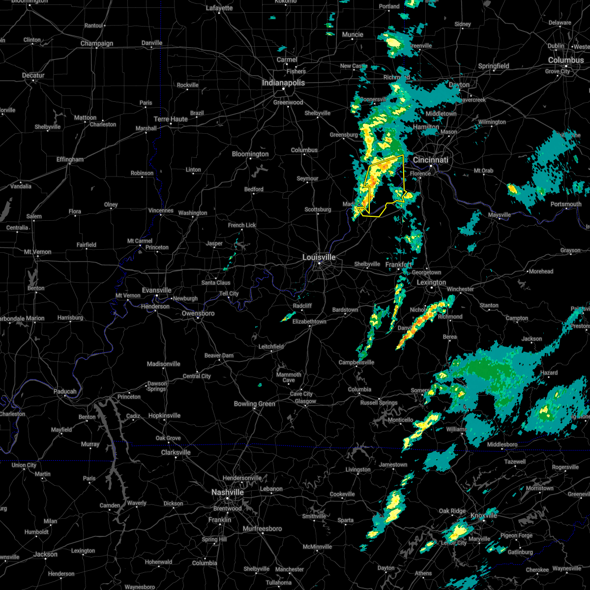 The national weather service in wilmington has issued a * severe thunderstorm warning for. ohio county in southeastern indiana. southeastern ripley county in southeastern indiana. southern dearborn county in southeastern indiana. Switzerland county in southeastern indiana. The national weather service in wilmington has issued a * severe thunderstorm warning for. ohio county in southeastern indiana. southeastern ripley county in southeastern indiana. southern dearborn county in southeastern indiana. Switzerland county in southeastern indiana.
|
| 3/25/2021 11:41 PM EDT |
 At 1140 pm edt, severe thunderstorms were located along a line extending from near versailles to near carrollton, moving northeast at 55 mph (radar indicated). Hazards include 60 mph wind gusts. expect damage to trees and power lines At 1140 pm edt, severe thunderstorms were located along a line extending from near versailles to near carrollton, moving northeast at 55 mph (radar indicated). Hazards include 60 mph wind gusts. expect damage to trees and power lines
|
| 4/8/2020 10:40 PM EDT |
 The severe thunderstorm warning for ohio, ripley, dearborn, switzerland, northern boone and hamilton counties will expire at 1045 pm edt, the storms which prompted the warning have moved out of the warned area.therefore, the warning will be allowed to expire. however gusty winds and heavy rain are still possible with these thunderstorms. a tornado watch remains in effect until 200 am edt for southeastern indiana, northern kentucky, and southwestern ohio. please report previous wind damage or hail to the national weather service by going to our website at weather.gov/iln and submitting your report via social media. The severe thunderstorm warning for ohio, ripley, dearborn, switzerland, northern boone and hamilton counties will expire at 1045 pm edt, the storms which prompted the warning have moved out of the warned area.therefore, the warning will be allowed to expire. however gusty winds and heavy rain are still possible with these thunderstorms. a tornado watch remains in effect until 200 am edt for southeastern indiana, northern kentucky, and southwestern ohio. please report previous wind damage or hail to the national weather service by going to our website at weather.gov/iln and submitting your report via social media.
|
| 4/8/2020 10:13 PM EDT |
 At 1013 pm edt, a severe thunderstorm capable of producing a tornado was located near dillsboro, moving east at 55 mph (radar indicated rotation). Hazards include tornado and quarter size hail. Flying debris will be dangerous to those caught without shelter. mobile homes will be damaged or destroyed. damage to roofs, windows, and vehicles will occur. Tree damage is likely. At 1013 pm edt, a severe thunderstorm capable of producing a tornado was located near dillsboro, moving east at 55 mph (radar indicated rotation). Hazards include tornado and quarter size hail. Flying debris will be dangerous to those caught without shelter. mobile homes will be damaged or destroyed. damage to roofs, windows, and vehicles will occur. Tree damage is likely.
|
| 4/8/2020 10:13 PM EDT |
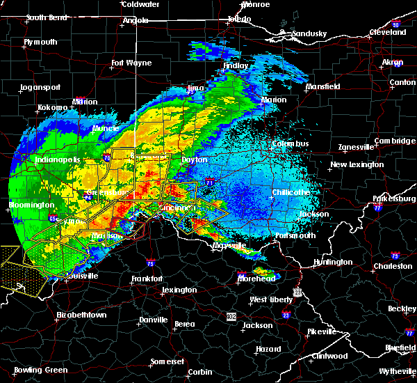 At 1013 pm edt, a severe thunderstorm capable of producing a tornado was located near dillsboro, moving east at 55 mph (radar indicated rotation). Hazards include tornado and quarter size hail. Flying debris will be dangerous to those caught without shelter. mobile homes will be damaged or destroyed. damage to roofs, windows, and vehicles will occur. Tree damage is likely. At 1013 pm edt, a severe thunderstorm capable of producing a tornado was located near dillsboro, moving east at 55 mph (radar indicated rotation). Hazards include tornado and quarter size hail. Flying debris will be dangerous to those caught without shelter. mobile homes will be damaged or destroyed. damage to roofs, windows, and vehicles will occur. Tree damage is likely.
|
| 4/8/2020 10:07 PM EDT |
 At 1007 pm edt, severe thunderstorms were located along a line extending from 6 miles west of ross to 10 miles southwest of versailles, moving southeast at 60 mph (radar indicated). Hazards include 70 mph wind gusts and quarter size hail. Minor hail damage to vehicles is possible. expect considerable tree damage. wind damage is also likely to mobile homes, roofs, and outbuildings. locations impacted include, cincinnati, fairfield, forest park, sharonville, springdale, reading, harrison, north college hill, wyoming, cheviot, villa hills, mount healthy, lawrenceburg, greendale, aurora, rising sun, bright, hidden valley, burlington and oakbrook. this includes the following interstates, i-74 in indiana between mile markers 155 and 171. i-74 in ohio between mile markers 0 and 19. i-75 in ohio between mile markers 4 and 6, and between mile markers 13 and 17. A tornado watch remains in effect until 200 am edt for southeastern indiana, northern kentucky, and southwestern ohio. At 1007 pm edt, severe thunderstorms were located along a line extending from 6 miles west of ross to 10 miles southwest of versailles, moving southeast at 60 mph (radar indicated). Hazards include 70 mph wind gusts and quarter size hail. Minor hail damage to vehicles is possible. expect considerable tree damage. wind damage is also likely to mobile homes, roofs, and outbuildings. locations impacted include, cincinnati, fairfield, forest park, sharonville, springdale, reading, harrison, north college hill, wyoming, cheviot, villa hills, mount healthy, lawrenceburg, greendale, aurora, rising sun, bright, hidden valley, burlington and oakbrook. this includes the following interstates, i-74 in indiana between mile markers 155 and 171. i-74 in ohio between mile markers 0 and 19. i-75 in ohio between mile markers 4 and 6, and between mile markers 13 and 17. A tornado watch remains in effect until 200 am edt for southeastern indiana, northern kentucky, and southwestern ohio.
|
| 4/8/2020 10:07 PM EDT |
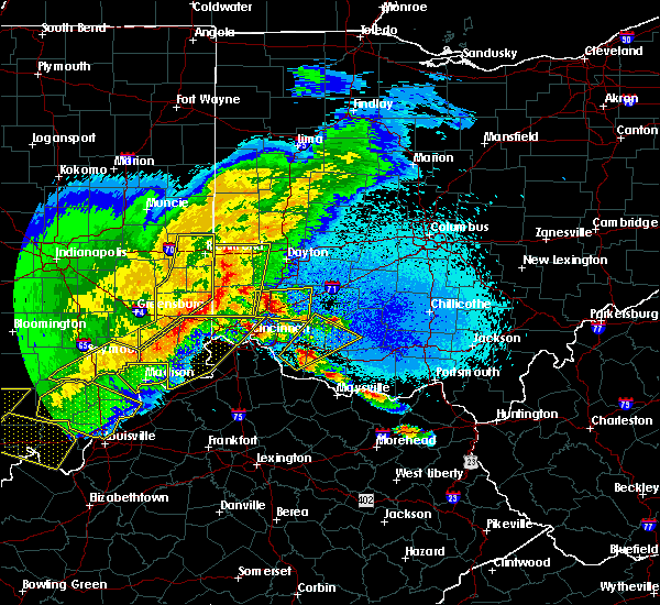 At 1007 pm edt, severe thunderstorms were located along a line extending from 6 miles west of ross to 10 miles southwest of versailles, moving southeast at 60 mph (radar indicated). Hazards include 70 mph wind gusts and quarter size hail. Minor hail damage to vehicles is possible. expect considerable tree damage. wind damage is also likely to mobile homes, roofs, and outbuildings. locations impacted include, cincinnati, fairfield, forest park, sharonville, springdale, reading, harrison, north college hill, wyoming, cheviot, villa hills, mount healthy, lawrenceburg, greendale, aurora, rising sun, bright, hidden valley, burlington and oakbrook. this includes the following interstates, i-74 in indiana between mile markers 155 and 171. i-74 in ohio between mile markers 0 and 19. i-75 in ohio between mile markers 4 and 6, and between mile markers 13 and 17. A tornado watch remains in effect until 200 am edt for southeastern indiana, northern kentucky, and southwestern ohio. At 1007 pm edt, severe thunderstorms were located along a line extending from 6 miles west of ross to 10 miles southwest of versailles, moving southeast at 60 mph (radar indicated). Hazards include 70 mph wind gusts and quarter size hail. Minor hail damage to vehicles is possible. expect considerable tree damage. wind damage is also likely to mobile homes, roofs, and outbuildings. locations impacted include, cincinnati, fairfield, forest park, sharonville, springdale, reading, harrison, north college hill, wyoming, cheviot, villa hills, mount healthy, lawrenceburg, greendale, aurora, rising sun, bright, hidden valley, burlington and oakbrook. this includes the following interstates, i-74 in indiana between mile markers 155 and 171. i-74 in ohio between mile markers 0 and 19. i-75 in ohio between mile markers 4 and 6, and between mile markers 13 and 17. A tornado watch remains in effect until 200 am edt for southeastern indiana, northern kentucky, and southwestern ohio.
|
| 4/8/2020 9:46 PM EDT |
 At 945 pm edt, severe thunderstorms were located along a line extending from 7 miles southeast of connersville to 9 miles northwest of north vernon, moving southeast at 60 mph (radar indicated). Hazards include 70 mph wind gusts and quarter size hail. Minor hail damage to vehicles is possible. expect considerable tree damage. Wind damage is also likely to mobile homes, roofs, and outbuildings. At 945 pm edt, severe thunderstorms were located along a line extending from 7 miles southeast of connersville to 9 miles northwest of north vernon, moving southeast at 60 mph (radar indicated). Hazards include 70 mph wind gusts and quarter size hail. Minor hail damage to vehicles is possible. expect considerable tree damage. Wind damage is also likely to mobile homes, roofs, and outbuildings.
|
| 4/8/2020 9:46 PM EDT |
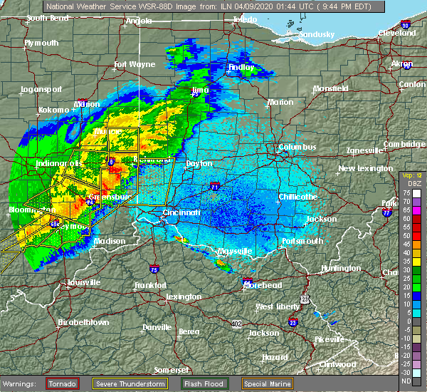 At 945 pm edt, severe thunderstorms were located along a line extending from 7 miles southeast of connersville to 9 miles northwest of north vernon, moving southeast at 60 mph (radar indicated). Hazards include 70 mph wind gusts and quarter size hail. Minor hail damage to vehicles is possible. expect considerable tree damage. Wind damage is also likely to mobile homes, roofs, and outbuildings. At 945 pm edt, severe thunderstorms were located along a line extending from 7 miles southeast of connersville to 9 miles northwest of north vernon, moving southeast at 60 mph (radar indicated). Hazards include 70 mph wind gusts and quarter size hail. Minor hail damage to vehicles is possible. expect considerable tree damage. Wind damage is also likely to mobile homes, roofs, and outbuildings.
|
| 3/28/2020 11:32 PM EDT |
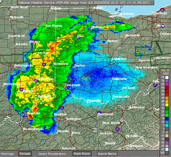 At 1132 pm edt, a severe thunderstorm was located over osgood, moving northeast at 60 mph (radar indicated). Hazards include 60 mph wind gusts. Expect damage to trees and power lines. locations impacted include, batesville, lawrenceburg, greendale, aurora, bright, hidden valley, versailles, milan, osgood, dillsboro, moores hill, guilford, wilmington, logan, manchester, sunman, hartford, st. leon, holton and west harrison. this includes the following interstates, i-74 in indiana between mile markers 149 and 171. I-74 in ohio near mile marker 0. At 1132 pm edt, a severe thunderstorm was located over osgood, moving northeast at 60 mph (radar indicated). Hazards include 60 mph wind gusts. Expect damage to trees and power lines. locations impacted include, batesville, lawrenceburg, greendale, aurora, bright, hidden valley, versailles, milan, osgood, dillsboro, moores hill, guilford, wilmington, logan, manchester, sunman, hartford, st. leon, holton and west harrison. this includes the following interstates, i-74 in indiana between mile markers 149 and 171. I-74 in ohio near mile marker 0.
|
| 3/28/2020 11:23 PM EDT |
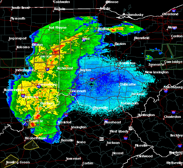 At 1123 pm edt, a severe thunderstorm was located 7 miles east of vernon, moving northeast at 50 mph (radar indicated). Hazards include 60 mph wind gusts. expect damage to trees and power lines At 1123 pm edt, a severe thunderstorm was located 7 miles east of vernon, moving northeast at 50 mph (radar indicated). Hazards include 60 mph wind gusts. expect damage to trees and power lines
|
| 8/6/2019 4:10 PM EDT |
 The severe thunderstorm warning for ohio and southwestern dearborn counties will expire at 415 pm edt, the storm which prompted the warning has weakened below severe limits, and no longer poses an immediate threat to life or property. therefore, the warning will be allowed to expire. please report previous wind damage or hail to the national weather service by going to our website at weather.gov/iln and submitting your report via social media. The severe thunderstorm warning for ohio and southwestern dearborn counties will expire at 415 pm edt, the storm which prompted the warning has weakened below severe limits, and no longer poses an immediate threat to life or property. therefore, the warning will be allowed to expire. please report previous wind damage or hail to the national weather service by going to our website at weather.gov/iln and submitting your report via social media.
|
| 8/6/2019 3:59 PM EDT |
 A severe thunderstorm warning remains in effect until 415 pm edt for ohio and southwestern dearborn counties. at 358 pm edt, a severe thunderstorm was located over dillsboro, moving east at 25 mph. hazard. 60 mph wind gusts. source. Radar indicated. A severe thunderstorm warning remains in effect until 415 pm edt for ohio and southwestern dearborn counties. at 358 pm edt, a severe thunderstorm was located over dillsboro, moving east at 25 mph. hazard. 60 mph wind gusts. source. Radar indicated.
|
| 8/6/2019 3:44 PM EDT |
 At 344 pm edt, a severe thunderstorm was located near versailles, moving east at 25 mph (radar indicated). Hazards include 60 mph wind gusts. expect damage to trees and power lines At 344 pm edt, a severe thunderstorm was located near versailles, moving east at 25 mph (radar indicated). Hazards include 60 mph wind gusts. expect damage to trees and power lines
|
| 4/12/2019 6:58 AM EDT |
 At 657 am edt, a severe thunderstorm was located over versailles, moving northeast at 60 mph (radar indicated). Hazards include 60 mph wind gusts and quarter size hail. Minor hail damage to vehicles is possible. Expect wind damage to trees and power lines. At 657 am edt, a severe thunderstorm was located over versailles, moving northeast at 60 mph (radar indicated). Hazards include 60 mph wind gusts and quarter size hail. Minor hail damage to vehicles is possible. Expect wind damage to trees and power lines.
|
| 3/14/2019 5:41 PM EDT |
 At 541 pm edt, a severe thunderstorm was located near rising sun, moving northeast at 65 mph (radar indicated). Hazards include 60 mph wind gusts. expect damage to trees and power lines At 541 pm edt, a severe thunderstorm was located near rising sun, moving northeast at 65 mph (radar indicated). Hazards include 60 mph wind gusts. expect damage to trees and power lines
|
| 3/14/2019 5:22 PM EDT |
 At 522 pm edt, a severe thunderstorm was located near dillsboro, moving northeast at 50 mph (radar indicated). Hazards include 60 mph wind gusts and nickel size hail. expect damage to trees and power lines At 522 pm edt, a severe thunderstorm was located near dillsboro, moving northeast at 50 mph (radar indicated). Hazards include 60 mph wind gusts and nickel size hail. expect damage to trees and power lines
|
| 9/5/2018 7:36 PM EDT |
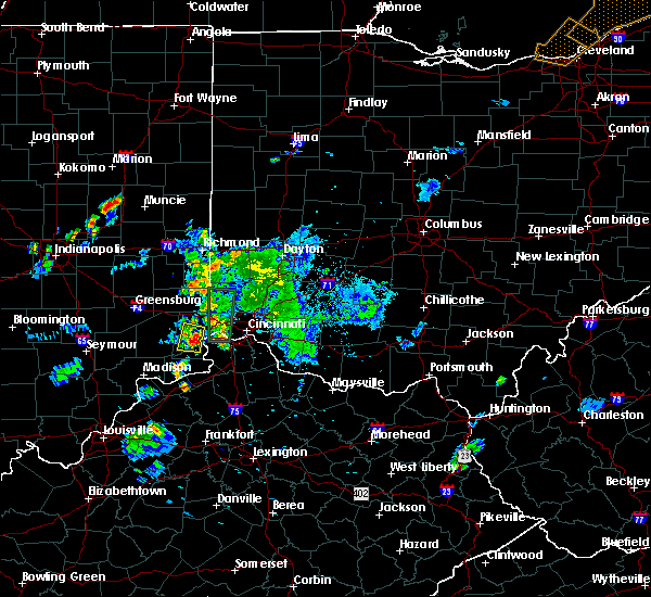 At 736 pm edt, a severe thunderstorm was located over aurora, moving north at 15 mph (radar indicated). Hazards include 60 mph wind gusts and quarter size hail. Minor hail damage to vehicles is possible. expect wind damage to trees and power lines. Locations impacted include, lawrenceburg, greendale, aurora, dillsboro, guilford, wilmington, manchester, hartford and mount sinai. At 736 pm edt, a severe thunderstorm was located over aurora, moving north at 15 mph (radar indicated). Hazards include 60 mph wind gusts and quarter size hail. Minor hail damage to vehicles is possible. expect wind damage to trees and power lines. Locations impacted include, lawrenceburg, greendale, aurora, dillsboro, guilford, wilmington, manchester, hartford and mount sinai.
|
| 9/5/2018 7:26 PM EDT |
 At 726 pm edt, a severe thunderstorm was located near aurora, moving north at 20 mph (radar indicated). Hazards include 60 mph wind gusts and quarter size hail. Minor hail damage to vehicles is possible. Expect wind damage to trees and power lines. At 726 pm edt, a severe thunderstorm was located near aurora, moving north at 20 mph (radar indicated). Hazards include 60 mph wind gusts and quarter size hail. Minor hail damage to vehicles is possible. Expect wind damage to trees and power lines.
|
| 8/25/2018 8:15 PM EDT |
 At 815 pm edt, a severe thunderstorm was located near rising sun, moving southeast at 30 mph (radar indicated). Hazards include 60 mph wind gusts. Expect damage to trees and power lines. Locations impacted include, aurora, rising sun, dillsboro, wilmington, french, hartford, aberdeen, pate, belleview, farmers retreat, rabbit hash, north landing and petersburg. At 815 pm edt, a severe thunderstorm was located near rising sun, moving southeast at 30 mph (radar indicated). Hazards include 60 mph wind gusts. Expect damage to trees and power lines. Locations impacted include, aurora, rising sun, dillsboro, wilmington, french, hartford, aberdeen, pate, belleview, farmers retreat, rabbit hash, north landing and petersburg.
|
| 8/25/2018 8:13 PM EDT |
 At 813 pm edt, a severe thunderstorm was located near dillsboro, moving southeast at 25 mph (radar indicated). Hazards include 60 mph wind gusts. Expect damage to trees and power lines. Locations impacted include, aurora, dillsboro, wilmington, cold springs and mount sinai. At 813 pm edt, a severe thunderstorm was located near dillsboro, moving southeast at 25 mph (radar indicated). Hazards include 60 mph wind gusts. Expect damage to trees and power lines. Locations impacted include, aurora, dillsboro, wilmington, cold springs and mount sinai.
|
| 8/25/2018 8:08 PM EDT | Tree down. time estimated from rada in ohio county IN, 4.7 miles N of Dillsboro, IN |
| 8/25/2018 8:05 PM EDT |
 At 805 pm edt, a severe thunderstorm was located over dillsboro, moving southeast at 25 mph (radar indicated). Hazards include 60 mph wind gusts and penny size hail. Expect damage to trees and power lines. Locations impacted include, aurora, dillsboro, moores hill, wilmington, friendship, mount sinai and cold springs. At 805 pm edt, a severe thunderstorm was located over dillsboro, moving southeast at 25 mph (radar indicated). Hazards include 60 mph wind gusts and penny size hail. Expect damage to trees and power lines. Locations impacted include, aurora, dillsboro, moores hill, wilmington, friendship, mount sinai and cold springs.
|
| 8/25/2018 8:03 PM EDT |
 At 803 pm edt, a severe thunderstorm was located over dillsboro, moving southeast at 30 mph (radar indicated). Hazards include 60 mph wind gusts and penny size hail. expect damage to trees and power lines At 803 pm edt, a severe thunderstorm was located over dillsboro, moving southeast at 30 mph (radar indicated). Hazards include 60 mph wind gusts and penny size hail. expect damage to trees and power lines
|
| 8/25/2018 8:03 PM EDT |
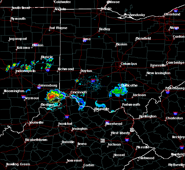 At 803 pm edt, a severe thunderstorm was located over dillsboro, moving southeast at 30 mph (radar indicated). Hazards include 60 mph wind gusts and penny size hail. expect damage to trees and power lines At 803 pm edt, a severe thunderstorm was located over dillsboro, moving southeast at 30 mph (radar indicated). Hazards include 60 mph wind gusts and penny size hail. expect damage to trees and power lines
|
| 8/25/2018 8:02 PM EDT | Tree down. time estimated from rada in dearborn county IN, 0.6 miles N of Dillsboro, IN |
| 8/25/2018 8:01 PM EDT |
 At 805 pm edt, a severe thunderstorm was located over dillsboro, moving southeast at 25 mph (radar indicated). Hazards include 60 mph wind gusts and penny size hail. Expect damage to trees and power lines. Locations impacted include, aurora, dillsboro, moores hill, wilmington, friendship, mount sinai and cold springs. At 805 pm edt, a severe thunderstorm was located over dillsboro, moving southeast at 25 mph (radar indicated). Hazards include 60 mph wind gusts and penny size hail. Expect damage to trees and power lines. Locations impacted include, aurora, dillsboro, moores hill, wilmington, friendship, mount sinai and cold springs.
|
| 8/25/2018 7:48 PM EDT |
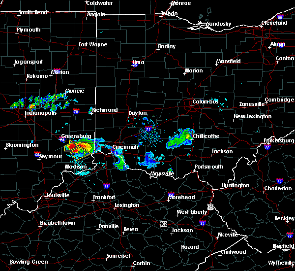 At 748 pm edt, a severe thunderstorm was located over milan, moving southeast at 25 mph (radar indicated). Hazards include 60 mph wind gusts and quarter size hail. Minor hail damage to vehicles is possible. expect wind damage to trees and power lines. Locations impacted include, aurora, versailles, milan, osgood, dillsboro, moores hill, wilmington, manchester, friendship, mount sinai, versailles lake and cold springs. At 748 pm edt, a severe thunderstorm was located over milan, moving southeast at 25 mph (radar indicated). Hazards include 60 mph wind gusts and quarter size hail. Minor hail damage to vehicles is possible. expect wind damage to trees and power lines. Locations impacted include, aurora, versailles, milan, osgood, dillsboro, moores hill, wilmington, manchester, friendship, mount sinai, versailles lake and cold springs.
|
| 8/25/2018 7:43 PM EDT |
 At 743 pm edt, a severe thunderstorm was located near milan, moving southeast at 25 mph (radar indicated). Hazards include 60 mph wind gusts and quarter size hail. Minor hail damage to vehicles is possible. Expect wind damage to trees and power lines. At 743 pm edt, a severe thunderstorm was located near milan, moving southeast at 25 mph (radar indicated). Hazards include 60 mph wind gusts and quarter size hail. Minor hail damage to vehicles is possible. Expect wind damage to trees and power lines.
|
| 7/20/2018 2:41 PM EDT |
 At 240 pm edt, severe thunderstorms were located along a line extending from aurora to 9 miles south of versailles, moving east at 35 mph (law enforcement reported widespread tree damage in ripley county). Hazards include 60 mph wind gusts and quarter size hail. Minor hail damage to vehicles is possible. expect wind damage to trees and power lines. locations impacted include, lawrenceburg, greendale, aurora, versailles, dillsboro, wilmington, pleasant, french, hartford, fairview, center square, aberdeen, rexville, cold springs, avonburg, moorefield, farmers retreat, friendship, versailles lake and quercus grove. A tornado watch remains in effect until 900 pm edt for southeastern indiana, and northern kentucky. At 240 pm edt, severe thunderstorms were located along a line extending from aurora to 9 miles south of versailles, moving east at 35 mph (law enforcement reported widespread tree damage in ripley county). Hazards include 60 mph wind gusts and quarter size hail. Minor hail damage to vehicles is possible. expect wind damage to trees and power lines. locations impacted include, lawrenceburg, greendale, aurora, versailles, dillsboro, wilmington, pleasant, french, hartford, fairview, center square, aberdeen, rexville, cold springs, avonburg, moorefield, farmers retreat, friendship, versailles lake and quercus grove. A tornado watch remains in effect until 900 pm edt for southeastern indiana, and northern kentucky.
|
| 7/20/2018 2:10 PM EDT |
 At 209 pm edt, severe thunderstorms were located along a line extending from near versailles to 8 miles southeast of vernon, moving east at 35 mph (radar indicated). Hazards include 60 mph wind gusts and quarter size hail. Minor hail damage to vehicles is possible. Expect wind damage to trees and power lines. At 209 pm edt, severe thunderstorms were located along a line extending from near versailles to 8 miles southeast of vernon, moving east at 35 mph (radar indicated). Hazards include 60 mph wind gusts and quarter size hail. Minor hail damage to vehicles is possible. Expect wind damage to trees and power lines.
|
| 5/31/2018 3:13 PM EDT |
 At 313 pm edt, severe thunderstorms were located along a line extending from near batesville to near dillsboro to near vevay, moving northeast at 45 mph (radar indicated). Hazards include 70 mph wind gusts. Expect considerable tree damage. Damage is likely to mobile homes, roofs, and outbuildings. At 313 pm edt, severe thunderstorms were located along a line extending from near batesville to near dillsboro to near vevay, moving northeast at 45 mph (radar indicated). Hazards include 70 mph wind gusts. Expect considerable tree damage. Damage is likely to mobile homes, roofs, and outbuildings.
|
| 5/31/2018 3:13 PM EDT |
 The national weather service in wilmington has issued a * severe thunderstorm warning for. ohio county in southeastern indiana. franklin county in southeastern indiana. ripley county in southeastern indiana. Dearborn county in southeastern indiana. The national weather service in wilmington has issued a * severe thunderstorm warning for. ohio county in southeastern indiana. franklin county in southeastern indiana. ripley county in southeastern indiana. Dearborn county in southeastern indiana.
|
| 5/31/2018 3:13 PM EDT |
 At 313 pm edt, severe thunderstorms were located along a line extending from near batesville to near dillsboro to near vevay, moving northeast at 45 mph (radar indicated). Hazards include 70 mph wind gusts. Expect considerable tree damage. Damage is likely to mobile homes, roofs, and outbuildings. At 313 pm edt, severe thunderstorms were located along a line extending from near batesville to near dillsboro to near vevay, moving northeast at 45 mph (radar indicated). Hazards include 70 mph wind gusts. Expect considerable tree damage. Damage is likely to mobile homes, roofs, and outbuildings.
|
| 5/31/2018 2:42 PM EDT |
 At 242 pm edt, severe thunderstorms were located along a line extending from 8 miles north of north vernon to 10 miles southeast of vernon to 12 miles west of bedford, moving east at 45 mph (radar indicated). Hazards include 70 mph wind gusts. Expect considerable tree damage. Damage is likely to mobile homes, roofs, and outbuildings. At 242 pm edt, severe thunderstorms were located along a line extending from 8 miles north of north vernon to 10 miles southeast of vernon to 12 miles west of bedford, moving east at 45 mph (radar indicated). Hazards include 70 mph wind gusts. Expect considerable tree damage. Damage is likely to mobile homes, roofs, and outbuildings.
|
| 8/2/2017 7:28 PM EDT |
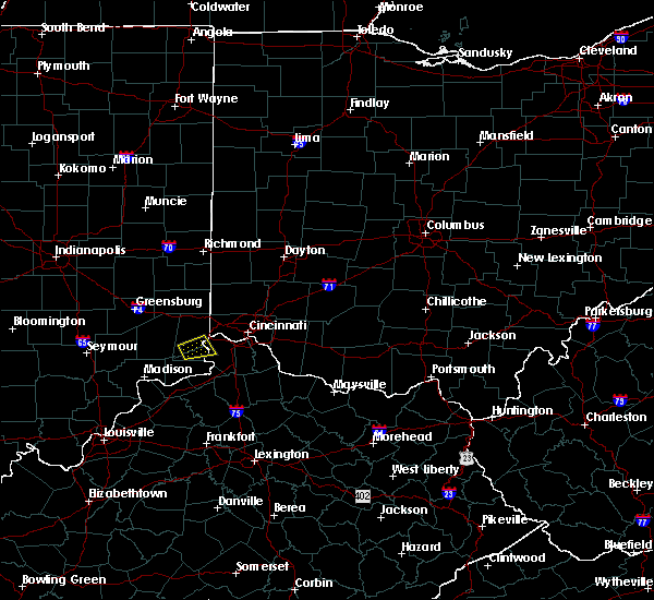 At 728 pm edt, a severe thunderstorm was located near dillsboro, moving east at 20 mph (radar indicated). Hazards include 60 mph wind gusts and quarter size hail. Minor hail damage to vehicles is possible. Expect wind damage to trees and power lines. At 728 pm edt, a severe thunderstorm was located near dillsboro, moving east at 20 mph (radar indicated). Hazards include 60 mph wind gusts and quarter size hail. Minor hail damage to vehicles is possible. Expect wind damage to trees and power lines.
|
| 5/20/2017 8:06 PM EDT |
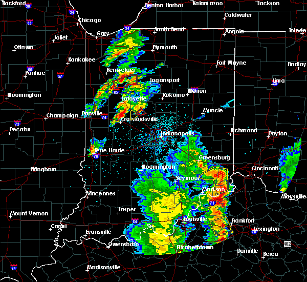 The severe thunderstorm warning for ohio, central ripley, southwestern dearborn and western switzerland counties will expire at 815 pm edt, the storm which prompted the warning has weakened below severe limits, and no longer poses an immediate threat to life or property. therefore, the warning will be allowed to expire. however small hail and gusty winds are still possible with this thunderstorm. please report previous wind damage or hail to the national weather service by going to our website at weather.gov/iln and submitting your report via social media. The severe thunderstorm warning for ohio, central ripley, southwestern dearborn and western switzerland counties will expire at 815 pm edt, the storm which prompted the warning has weakened below severe limits, and no longer poses an immediate threat to life or property. therefore, the warning will be allowed to expire. however small hail and gusty winds are still possible with this thunderstorm. please report previous wind damage or hail to the national weather service by going to our website at weather.gov/iln and submitting your report via social media.
|
| 5/20/2017 7:54 PM EDT |
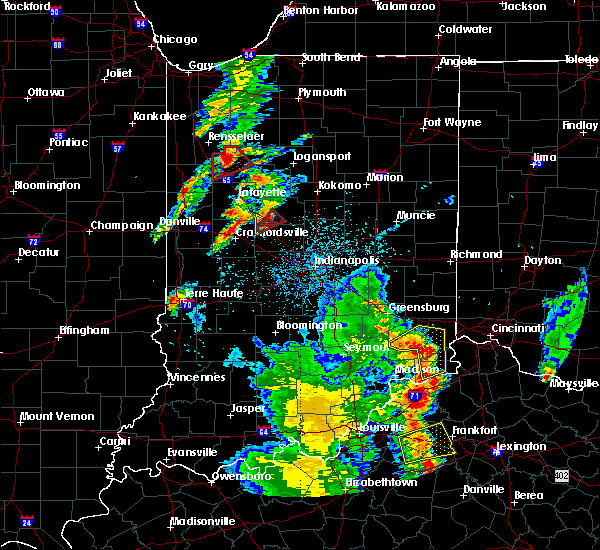 At 753 pm edt, a severe thunderstorm was located over dillsboro, moving northeast at 35 mph (radar indicated). Hazards include 60 mph wind gusts and quarter size hail. Hail damage to vehicles is expected. expect wind damage to roofs, siding, and trees. Locations impacted include, aurora, versailles, milan, osgood, dillsboro, moores hill, wilmington, manchester, sunman, hartford, holton, fairview, center square, aberdeen, cold springs, farmers retreat, friendship, versailles lake, quercus grove and mount sterling. At 753 pm edt, a severe thunderstorm was located over dillsboro, moving northeast at 35 mph (radar indicated). Hazards include 60 mph wind gusts and quarter size hail. Hail damage to vehicles is expected. expect wind damage to roofs, siding, and trees. Locations impacted include, aurora, versailles, milan, osgood, dillsboro, moores hill, wilmington, manchester, sunman, hartford, holton, fairview, center square, aberdeen, cold springs, farmers retreat, friendship, versailles lake, quercus grove and mount sterling.
|
| 5/20/2017 7:41 PM EDT |
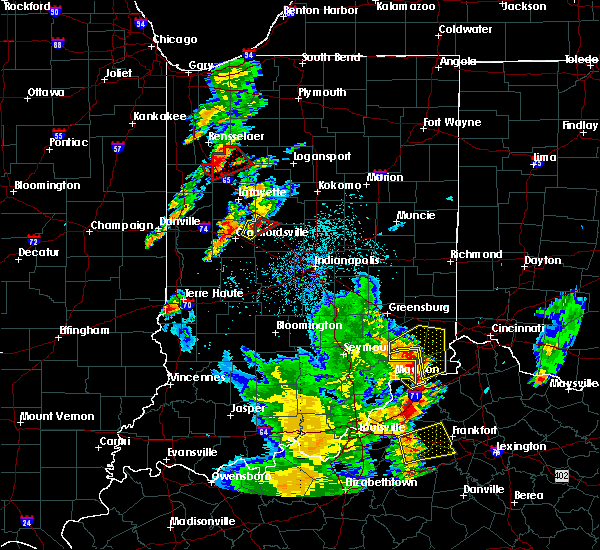 At 740 pm edt, a severe thunderstorm was located 7 miles southwest of dillsboro, moving northeast at 35 mph (radar indicated). Hazards include 60 mph wind gusts and quarter size hail. Hail damage to vehicles is expected. expect wind damage to roofs, siding, and trees. Locations impacted include, dillsboro, aurora, versailles, milan, osgood, moores hill, wilmington, manchester, sunman, hartford, holton, fairview, center square, aberdeen, cold springs, farmers retreat, friendship, versailles lake, quercus grove and mount sterling. At 740 pm edt, a severe thunderstorm was located 7 miles southwest of dillsboro, moving northeast at 35 mph (radar indicated). Hazards include 60 mph wind gusts and quarter size hail. Hail damage to vehicles is expected. expect wind damage to roofs, siding, and trees. Locations impacted include, dillsboro, aurora, versailles, milan, osgood, moores hill, wilmington, manchester, sunman, hartford, holton, fairview, center square, aberdeen, cold springs, farmers retreat, friendship, versailles lake, quercus grove and mount sterling.
|
| 5/20/2017 7:26 PM EDT |
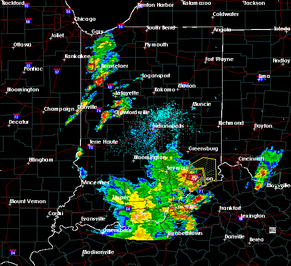 At 725 pm edt, a severe thunderstorm was located 9 miles north of madison, moving northeast at 30 mph (radar indicated). Hazards include 60 mph wind gusts and quarter size hail. Hail damage to vehicles is expected. Expect wind damage to roofs, siding, and trees. At 725 pm edt, a severe thunderstorm was located 9 miles north of madison, moving northeast at 30 mph (radar indicated). Hazards include 60 mph wind gusts and quarter size hail. Hail damage to vehicles is expected. Expect wind damage to roofs, siding, and trees.
|
| 5/19/2017 3:13 PM EDT |
 At 313 pm edt, a severe thunderstorm was located near osgood, moving east at 25 mph (radar indicated). Hazards include 60 mph wind gusts and nickel size hail. Expect damage to roofs, siding, and trees. Locations impacted include, versailles, milan, dillsboro, moores hill, wilmington, manchester, mount sinai, versailles lake and cold springs. At 313 pm edt, a severe thunderstorm was located near osgood, moving east at 25 mph (radar indicated). Hazards include 60 mph wind gusts and nickel size hail. Expect damage to roofs, siding, and trees. Locations impacted include, versailles, milan, dillsboro, moores hill, wilmington, manchester, mount sinai, versailles lake and cold springs.
|
| 5/19/2017 3:00 PM EDT |
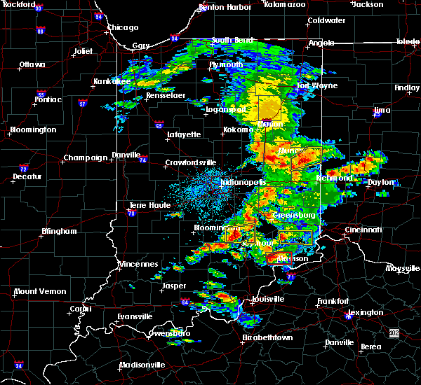 At 300 pm edt, a severe thunderstorm was located over osgood, moving east at 30 mph (radar indicated). Hazards include 60 mph wind gusts and nickel size hail. expect damage to roofs, siding, and trees At 300 pm edt, a severe thunderstorm was located over osgood, moving east at 30 mph (radar indicated). Hazards include 60 mph wind gusts and nickel size hail. expect damage to roofs, siding, and trees
|
| 4/29/2017 8:42 AM EDT |
 The severe thunderstorm warning for ohio, southeastern ripley, southwestern dearborn, switzerland, carroll, southern boone, northwestern grant, northwestern owen and gallatin counties will expire at 845 am edt, the storm which prompted the warning has moved out of the area. therefore, the warning will be allowed to expire. however gusty winds and heavy rain are still possible with this thunderstorm. please report previous wind damage or hail to the national weather service by going to our website at weather.gov/iln and submitting your report via social media. The severe thunderstorm warning for ohio, southeastern ripley, southwestern dearborn, switzerland, carroll, southern boone, northwestern grant, northwestern owen and gallatin counties will expire at 845 am edt, the storm which prompted the warning has moved out of the area. therefore, the warning will be allowed to expire. however gusty winds and heavy rain are still possible with this thunderstorm. please report previous wind damage or hail to the national weather service by going to our website at weather.gov/iln and submitting your report via social media.
|
| 4/29/2017 8:42 AM EDT |
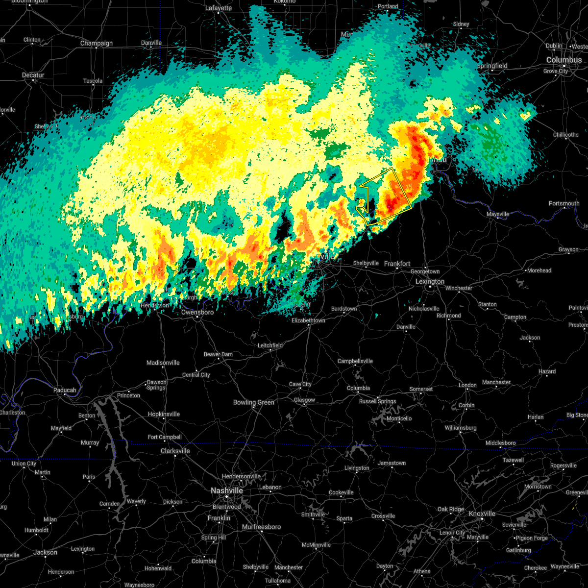 The severe thunderstorm warning for ohio, southeastern ripley, southwestern dearborn, switzerland, carroll, southern boone, northwestern grant, northwestern owen and gallatin counties will expire at 845 am edt, the storm which prompted the warning has moved out of the area. therefore, the warning will be allowed to expire. however gusty winds and heavy rain are still possible with this thunderstorm. please report previous wind damage or hail to the national weather service by going to our website at weather.gov/iln and submitting your report via social media. The severe thunderstorm warning for ohio, southeastern ripley, southwestern dearborn, switzerland, carroll, southern boone, northwestern grant, northwestern owen and gallatin counties will expire at 845 am edt, the storm which prompted the warning has moved out of the area. therefore, the warning will be allowed to expire. however gusty winds and heavy rain are still possible with this thunderstorm. please report previous wind damage or hail to the national weather service by going to our website at weather.gov/iln and submitting your report via social media.
|
| 4/29/2017 8:40 AM EDT |
 The severe thunderstorm warning for southeastern franklin, ripley, dearborn, northwestern hamilton and southwestern butler counties will expire at 845 am edt, the storm which prompted the warning has moved out of the area. therefore, the warning will be allowed to expire. however heavy rain is still possible with this thunderstorm. please report previous wind damage or hail to the national weather service by going to our website at weather.gov/iln and submitting your report via social media. The severe thunderstorm warning for southeastern franklin, ripley, dearborn, northwestern hamilton and southwestern butler counties will expire at 845 am edt, the storm which prompted the warning has moved out of the area. therefore, the warning will be allowed to expire. however heavy rain is still possible with this thunderstorm. please report previous wind damage or hail to the national weather service by going to our website at weather.gov/iln and submitting your report via social media.
|
| 4/29/2017 8:40 AM EDT |
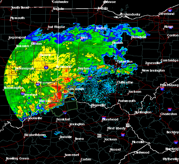 The severe thunderstorm warning for southeastern franklin, ripley, dearborn, northwestern hamilton and southwestern butler counties will expire at 845 am edt, the storm which prompted the warning has moved out of the area. therefore, the warning will be allowed to expire. however heavy rain is still possible with this thunderstorm. please report previous wind damage or hail to the national weather service by going to our website at weather.gov/iln and submitting your report via social media. The severe thunderstorm warning for southeastern franklin, ripley, dearborn, northwestern hamilton and southwestern butler counties will expire at 845 am edt, the storm which prompted the warning has moved out of the area. therefore, the warning will be allowed to expire. however heavy rain is still possible with this thunderstorm. please report previous wind damage or hail to the national weather service by going to our website at weather.gov/iln and submitting your report via social media.
|
| 4/29/2017 8:22 AM EDT |
 At 821 am edt, a severe thunderstorm was located near rising sun, moving east at 50 mph (radar indicated). Hazards include 60 mph wind gusts and quarter size hail. Hail damage to vehicles is expected. Expect wind damage to roofs, siding, and trees. At 821 am edt, a severe thunderstorm was located near rising sun, moving east at 50 mph (radar indicated). Hazards include 60 mph wind gusts and quarter size hail. Hail damage to vehicles is expected. Expect wind damage to roofs, siding, and trees.
|
| 4/29/2017 8:15 AM EDT |
 At 814 am edt, a severe thunderstorm was located near vevay, moving northeast at 50 mph (radar indicated). Hazards include 60 mph wind gusts and quarter size hail. Hail damage to vehicles is expected. expect wind damage to roofs, siding, and trees. locations impacted include, carrollton, aurora, rising sun, vevay, warsaw, dillsboro, florence, kentucky speedway, wilmington, pleasant, hartford, glencoe, fairview, ghent, sanders, sparta, patriot, worthville, prestonville and brooksburg. This includes i-71 in kentucky between mile markers 39 and 67. At 814 am edt, a severe thunderstorm was located near vevay, moving northeast at 50 mph (radar indicated). Hazards include 60 mph wind gusts and quarter size hail. Hail damage to vehicles is expected. expect wind damage to roofs, siding, and trees. locations impacted include, carrollton, aurora, rising sun, vevay, warsaw, dillsboro, florence, kentucky speedway, wilmington, pleasant, hartford, glencoe, fairview, ghent, sanders, sparta, patriot, worthville, prestonville and brooksburg. This includes i-71 in kentucky between mile markers 39 and 67.
|
| 4/29/2017 8:15 AM EDT |
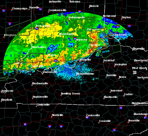 At 814 am edt, a severe thunderstorm was located near vevay, moving northeast at 50 mph (radar indicated). Hazards include 60 mph wind gusts and quarter size hail. Hail damage to vehicles is expected. expect wind damage to roofs, siding, and trees. locations impacted include, carrollton, aurora, rising sun, vevay, warsaw, dillsboro, florence, kentucky speedway, wilmington, pleasant, hartford, glencoe, fairview, ghent, sanders, sparta, patriot, worthville, prestonville and brooksburg. This includes i-71 in kentucky between mile markers 39 and 67. At 814 am edt, a severe thunderstorm was located near vevay, moving northeast at 50 mph (radar indicated). Hazards include 60 mph wind gusts and quarter size hail. Hail damage to vehicles is expected. expect wind damage to roofs, siding, and trees. locations impacted include, carrollton, aurora, rising sun, vevay, warsaw, dillsboro, florence, kentucky speedway, wilmington, pleasant, hartford, glencoe, fairview, ghent, sanders, sparta, patriot, worthville, prestonville and brooksburg. This includes i-71 in kentucky between mile markers 39 and 67.
|
| 4/29/2017 8:13 AM EDT |
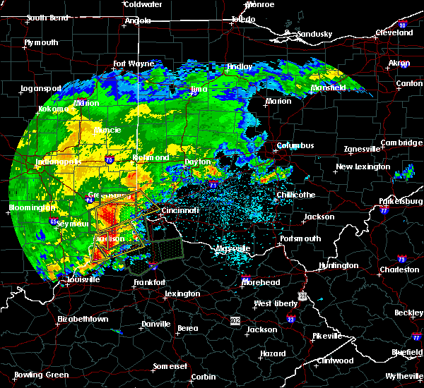 At 813 am edt, a severe thunderstorm was located over milan, moving northeast at 50 mph (radar indicated). Hazards include 60 mph wind gusts and quarter size hail. Hail damage to vehicles is expected. expect wind damage to roofs, siding, and trees. locations impacted include, cincinnati, fairfield, harrison, north college hill, batesville, mount healthy, lawrenceburg, greendale, aurora, bright, hidden valley, finneytown, ross, cleves, versailles, milan, osgood, dillsboro, shawnee and moores hill. this includes the following interstates, i-74 in indiana between mile markers 151 and 171. I-74 in ohio between mile markers 0 and 14. At 813 am edt, a severe thunderstorm was located over milan, moving northeast at 50 mph (radar indicated). Hazards include 60 mph wind gusts and quarter size hail. Hail damage to vehicles is expected. expect wind damage to roofs, siding, and trees. locations impacted include, cincinnati, fairfield, harrison, north college hill, batesville, mount healthy, lawrenceburg, greendale, aurora, bright, hidden valley, finneytown, ross, cleves, versailles, milan, osgood, dillsboro, shawnee and moores hill. this includes the following interstates, i-74 in indiana between mile markers 151 and 171. I-74 in ohio between mile markers 0 and 14.
|
| 4/29/2017 7:53 AM EDT |
 At 752 am edt, a severe thunderstorm was located near madison, moving northeast at 50 mph (radar indicated). Hazards include 60 mph wind gusts and quarter size hail. Hail damage to vehicles is expected. Expect wind damage to roofs, siding, and trees. At 752 am edt, a severe thunderstorm was located near madison, moving northeast at 50 mph (radar indicated). Hazards include 60 mph wind gusts and quarter size hail. Hail damage to vehicles is expected. Expect wind damage to roofs, siding, and trees.
|
| 4/29/2017 7:53 AM EDT |
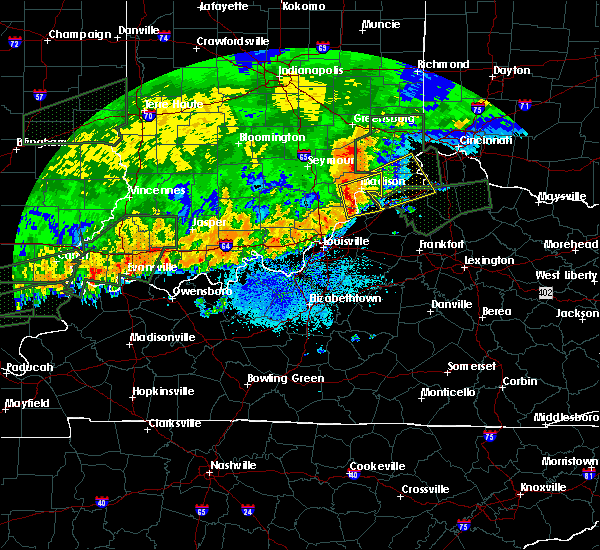 At 752 am edt, a severe thunderstorm was located near madison, moving northeast at 50 mph (radar indicated). Hazards include 60 mph wind gusts and quarter size hail. Hail damage to vehicles is expected. Expect wind damage to roofs, siding, and trees. At 752 am edt, a severe thunderstorm was located near madison, moving northeast at 50 mph (radar indicated). Hazards include 60 mph wind gusts and quarter size hail. Hail damage to vehicles is expected. Expect wind damage to roofs, siding, and trees.
|
| 4/28/2017 9:39 PM EDT |
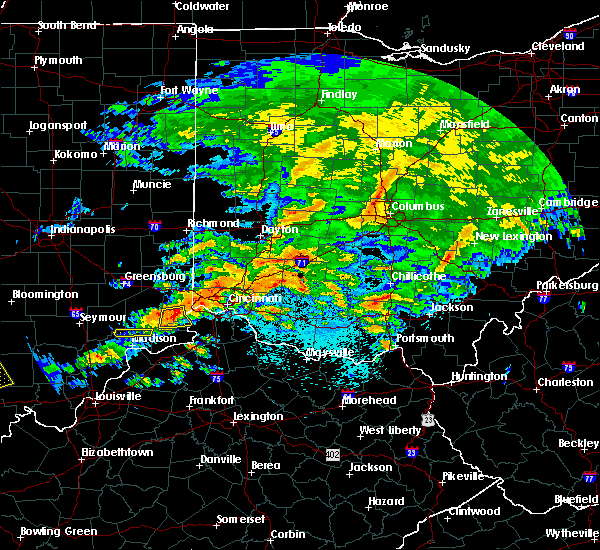 At 939 pm edt, a severe thunderstorm was located over dillsboro, moving east at 50 mph (radar indicated). Hazards include 60 mph wind gusts and nickel size hail. Expect damage to roofs, siding, and trees. Locations impacted include, aurora, rising sun, dillsboro, wilmington, french, hartford, farmers retreat, mount sinai, pate and cold springs. At 939 pm edt, a severe thunderstorm was located over dillsboro, moving east at 50 mph (radar indicated). Hazards include 60 mph wind gusts and nickel size hail. Expect damage to roofs, siding, and trees. Locations impacted include, aurora, rising sun, dillsboro, wilmington, french, hartford, farmers retreat, mount sinai, pate and cold springs.
|
| 4/28/2017 9:33 PM EDT |
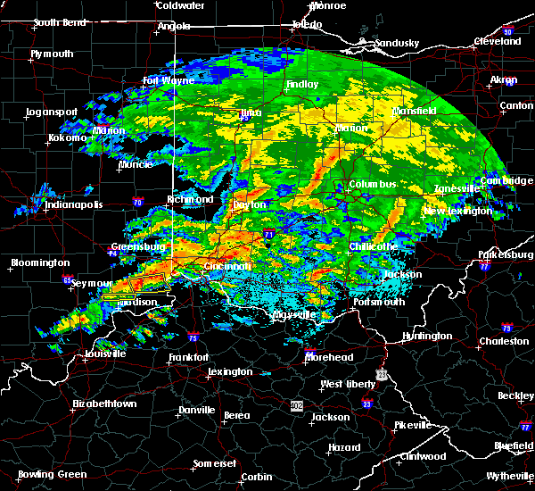 At 933 pm edt, a severe thunderstorm was located over dillsboro, moving east at 50 mph (radar indicated). Hazards include 60 mph wind gusts and nickel size hail. Expect damage to roofs, siding, and trees. Locations impacted include, aurora, rising sun, versailles, dillsboro, wilmington, french, hartford, mount sinai, pate, cold springs, farmers retreat, friendship, cross plains and olean. At 933 pm edt, a severe thunderstorm was located over dillsboro, moving east at 50 mph (radar indicated). Hazards include 60 mph wind gusts and nickel size hail. Expect damage to roofs, siding, and trees. Locations impacted include, aurora, rising sun, versailles, dillsboro, wilmington, french, hartford, mount sinai, pate, cold springs, farmers retreat, friendship, cross plains and olean.
|
| 4/28/2017 9:09 PM EDT |
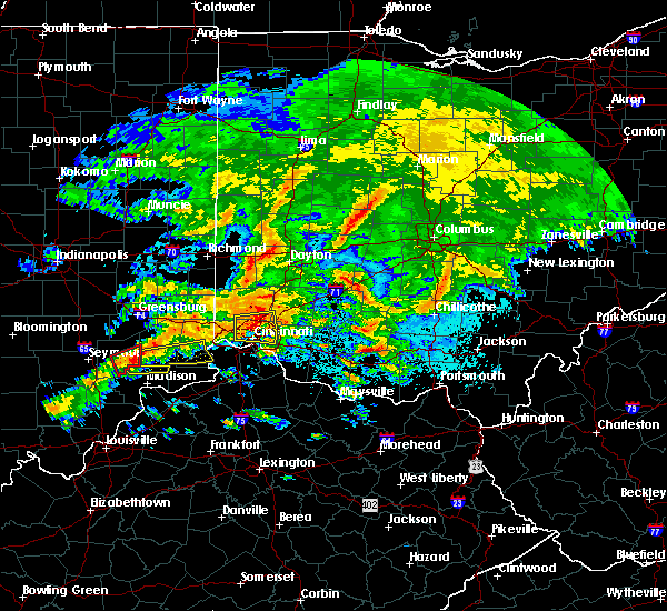 At 909 pm edt, a severe thunderstorm was located near vernon, moving east at 50 mph (radar indicated). Hazards include 60 mph wind gusts and quarter size hail. Hail damage to vehicles is expected. Expect wind damage to roofs, siding, and trees. At 909 pm edt, a severe thunderstorm was located near vernon, moving east at 50 mph (radar indicated). Hazards include 60 mph wind gusts and quarter size hail. Hail damage to vehicles is expected. Expect wind damage to roofs, siding, and trees.
|
| 4/20/2017 8:11 PM EDT |
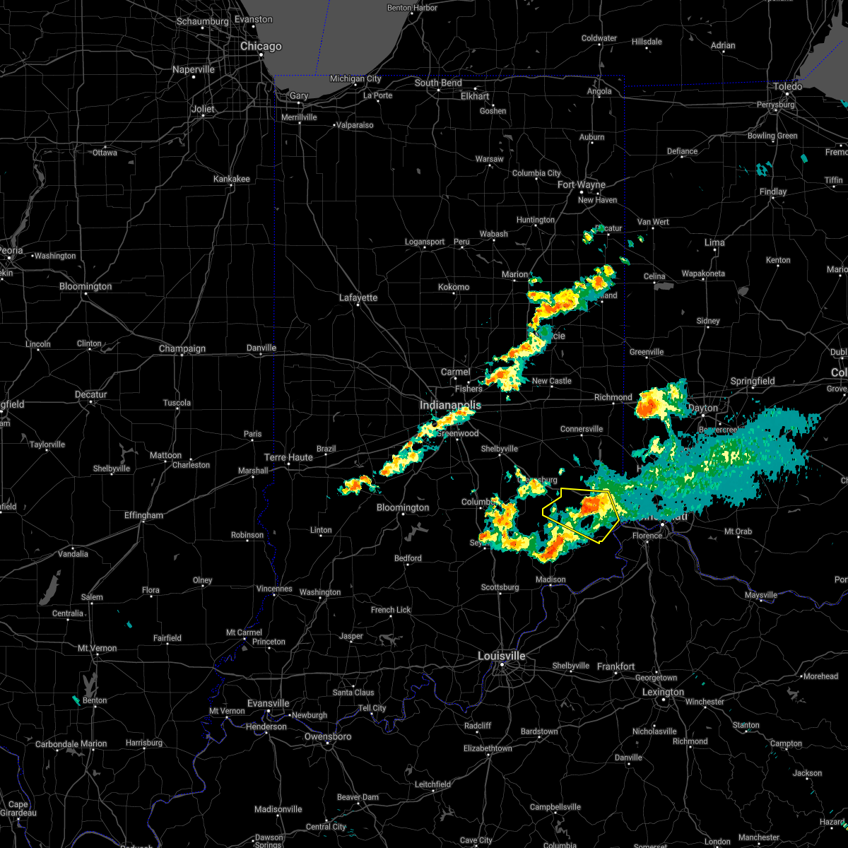 The severe thunderstorm warning for southwestern franklin, northern ripley and dearborn counties will expire at 815 pm edt, the storm which prompted the warning has weakened below severe limits, and no longer poses an immediate threat to life or property. therefore, the warning will be allowed to expire. however small hail and gusty winds are still possible with this thunderstorm. please report previous wind damage or hail to the national weather service by going to our website at weather.gov/iln and submitting your report via social media. The severe thunderstorm warning for southwestern franklin, northern ripley and dearborn counties will expire at 815 pm edt, the storm which prompted the warning has weakened below severe limits, and no longer poses an immediate threat to life or property. therefore, the warning will be allowed to expire. however small hail and gusty winds are still possible with this thunderstorm. please report previous wind damage or hail to the national weather service by going to our website at weather.gov/iln and submitting your report via social media.
|
| 4/20/2017 7:33 PM EDT |
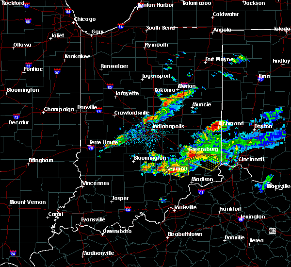 At 732 pm edt, a severe thunderstorm was located 8 miles northwest of osgood, moving east at 35 mph (radar indicated). Hazards include 60 mph wind gusts and quarter size hail. Hail damage to vehicles is expected. Expect wind damage to roofs, siding, and trees. At 732 pm edt, a severe thunderstorm was located 8 miles northwest of osgood, moving east at 35 mph (radar indicated). Hazards include 60 mph wind gusts and quarter size hail. Hail damage to vehicles is expected. Expect wind damage to roofs, siding, and trees.
|
| 4/5/2017 6:08 PM EDT |
 At 608 pm edt, a severe thunderstorm was located near aurora, moving northeast at 45 mph (radar indicated). Hazards include 60 mph wind gusts and quarter size hail. Hail damage to vehicles is expected. Expect wind damage to roofs, siding, and trees. At 608 pm edt, a severe thunderstorm was located near aurora, moving northeast at 45 mph (radar indicated). Hazards include 60 mph wind gusts and quarter size hail. Hail damage to vehicles is expected. Expect wind damage to roofs, siding, and trees.
|
| 3/1/2017 6:35 AM EST |
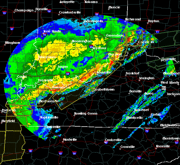 At 634 am est, a severe thunderstorm was located 8 miles northwest of florence, moving east at 60 mph (radar indicated). Hazards include 60 mph wind gusts and penny size hail. Expect damage to roofs, siding, and trees. locations impacted include, lawrenceburg, greendale, carrollton, aurora, rising sun, hidden valley, vevay, warsaw, dillsboro, florence, wilmington, pleasant, french, hartford, fairview, ghent, sanders, sparta, prestonville and braytown. this includes i-71 in kentucky between mile markers 45 and 55. A tornado watch remains in effect until 1100 am est for southeastern indiana, northern kentucky, and southwestern ohio. At 634 am est, a severe thunderstorm was located 8 miles northwest of florence, moving east at 60 mph (radar indicated). Hazards include 60 mph wind gusts and penny size hail. Expect damage to roofs, siding, and trees. locations impacted include, lawrenceburg, greendale, carrollton, aurora, rising sun, hidden valley, vevay, warsaw, dillsboro, florence, wilmington, pleasant, french, hartford, fairview, ghent, sanders, sparta, prestonville and braytown. this includes i-71 in kentucky between mile markers 45 and 55. A tornado watch remains in effect until 1100 am est for southeastern indiana, northern kentucky, and southwestern ohio.
|
| 3/1/2017 6:33 AM EST |
 At 633 am est, severe thunderstorms were located along a line extending from 6 miles west of oxford to bright to 6 miles southeast of versailles, moving east at 50 mph (radar indicated). Hazards include 60 mph wind gusts and half dollar size hail. Hail damage to vehicles is expected. expect wind damage to roofs, siding, and trees. locations impacted include, bright, hidden valley, dillsboro, west college corner, guilford, logan, manchester, st. leon, west harrison, cedar grove, mount carmel, mount sinai, charlottesville, cottage grove, cold springs, dover, interstate 74 at us route 52, rockdale, mixersville and sharptown. this includes i-74 in indiana between mile markers 164 and 170. a tornado watch remains in effect until 700 am est for east central indiana. A tornado watch also remains in effect until 1100 am est for southeastern indiana. At 633 am est, severe thunderstorms were located along a line extending from 6 miles west of oxford to bright to 6 miles southeast of versailles, moving east at 50 mph (radar indicated). Hazards include 60 mph wind gusts and half dollar size hail. Hail damage to vehicles is expected. expect wind damage to roofs, siding, and trees. locations impacted include, bright, hidden valley, dillsboro, west college corner, guilford, logan, manchester, st. leon, west harrison, cedar grove, mount carmel, mount sinai, charlottesville, cottage grove, cold springs, dover, interstate 74 at us route 52, rockdale, mixersville and sharptown. this includes i-74 in indiana between mile markers 164 and 170. a tornado watch remains in effect until 700 am est for east central indiana. A tornado watch also remains in effect until 1100 am est for southeastern indiana.
|
| 3/1/2017 6:15 AM EST |
 At 615 am est, a severe thunderstorm was located 11 miles north of madison, moving east at 65 mph (radar indicated). Hazards include 60 mph wind gusts and penny size hail. expect damage to roofs, siding, and trees At 615 am est, a severe thunderstorm was located 11 miles north of madison, moving east at 65 mph (radar indicated). Hazards include 60 mph wind gusts and penny size hail. expect damage to roofs, siding, and trees
|
| 3/1/2017 6:15 AM EST |
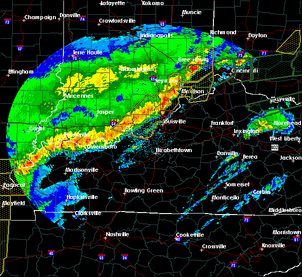 At 615 am est, a severe thunderstorm was located 11 miles north of madison, moving east at 65 mph (radar indicated). Hazards include 60 mph wind gusts and penny size hail. expect damage to roofs, siding, and trees At 615 am est, a severe thunderstorm was located 11 miles north of madison, moving east at 65 mph (radar indicated). Hazards include 60 mph wind gusts and penny size hail. expect damage to roofs, siding, and trees
|
| 3/1/2017 6:13 AM EST |
 At 613 am est, severe thunderstorms were located along a line extending from 6 miles north of brookville to near batesville to 6 miles east of vernon, moving east at 50 mph (radar indicated). Hazards include 60 mph wind gusts and quarter size hail. Hail damage to vehicles is expected. expect wind damage to roofs, siding, and trees. locations impacted include, batesville, brookville, bright, hidden valley, versailles, milan, osgood, dillsboro, west college corner, oldenburg, moores hill, guilford, salem, logan, manchester, blooming grove, sunman, metamora, st. leon and holton. this includes i-74 in indiana between mile markers 147 and 170. a tornado watch remains in effect until 700 am est for east central indiana. A tornado watch also remains in effect until 1100 am est for southeastern indiana. At 613 am est, severe thunderstorms were located along a line extending from 6 miles north of brookville to near batesville to 6 miles east of vernon, moving east at 50 mph (radar indicated). Hazards include 60 mph wind gusts and quarter size hail. Hail damage to vehicles is expected. expect wind damage to roofs, siding, and trees. locations impacted include, batesville, brookville, bright, hidden valley, versailles, milan, osgood, dillsboro, west college corner, oldenburg, moores hill, guilford, salem, logan, manchester, blooming grove, sunman, metamora, st. leon and holton. this includes i-74 in indiana between mile markers 147 and 170. a tornado watch remains in effect until 700 am est for east central indiana. A tornado watch also remains in effect until 1100 am est for southeastern indiana.
|
| 3/1/2017 5:59 AM EST |
 At 558 am est, severe thunderstorms were located along a line extending from near glenwood to southeast of greensburg to near north vernon, moving east at 50 mph (radar indicated). Hazards include 60 mph wind gusts and nickel size hail. expect damage to roofs, siding, and trees At 558 am est, severe thunderstorms were located along a line extending from near glenwood to southeast of greensburg to near north vernon, moving east at 50 mph (radar indicated). Hazards include 60 mph wind gusts and nickel size hail. expect damage to roofs, siding, and trees
|
| 2/24/2017 7:23 PM EST |
 The severe thunderstorm warning for ohio, southeastern ripley, southwestern dearborn and northwestern switzerland counties will expire at 730 pm est, the storm which prompted the warning has weakened below severe limits, and no longer poses an immediate threat to life or property. therefore, the warning will be allowed to expire. however gusty winds are still possible with this thunderstorm. a severe thunderstorm watch remains in effect until 200 am est for southeastern indiana, and northern kentucky. please report previous wind damage or hail to the national weather service by going to our website at weather.gov/iln and submitting your report via social media. The severe thunderstorm warning for ohio, southeastern ripley, southwestern dearborn and northwestern switzerland counties will expire at 730 pm est, the storm which prompted the warning has weakened below severe limits, and no longer poses an immediate threat to life or property. therefore, the warning will be allowed to expire. however gusty winds are still possible with this thunderstorm. a severe thunderstorm watch remains in effect until 200 am est for southeastern indiana, and northern kentucky. please report previous wind damage or hail to the national weather service by going to our website at weather.gov/iln and submitting your report via social media.
|
| 2/24/2017 7:07 PM EST |
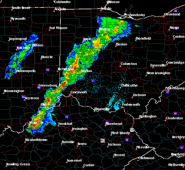 At 706 pm est, a severe thunderstorm was located 7 miles southwest of dillsboro, moving northeast at 40 mph (radar indicated). Hazards include 60 mph wind gusts and penny size hail. Expect damage to roofs, siding, and trees. Locations impacted include, dillsboro, pleasant, hartford, fairview, mount sinai, aberdeen, pate, avonburg, moorefield, farmers retreat, bear branch, friendship, east enterprise, cross plains, allensville, north landing and rabbit hash. At 706 pm est, a severe thunderstorm was located 7 miles southwest of dillsboro, moving northeast at 40 mph (radar indicated). Hazards include 60 mph wind gusts and penny size hail. Expect damage to roofs, siding, and trees. Locations impacted include, dillsboro, pleasant, hartford, fairview, mount sinai, aberdeen, pate, avonburg, moorefield, farmers retreat, bear branch, friendship, east enterprise, cross plains, allensville, north landing and rabbit hash.
|
| 2/24/2017 6:53 PM EST |
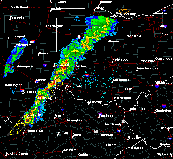 At 653 pm est, a severe thunderstorm was located 8 miles northeast of madison, moving northeast at 45 mph (radar indicated). Hazards include 60 mph wind gusts and nickel size hail. expect damage to roofs, siding, and trees At 653 pm est, a severe thunderstorm was located 8 miles northeast of madison, moving northeast at 45 mph (radar indicated). Hazards include 60 mph wind gusts and nickel size hail. expect damage to roofs, siding, and trees
|
| 1/10/2017 9:14 PM EST |
 At 912 pm est, severe thunderstorms were located along a line extending from near west alexandria to 7 miles west of bright to 12 miles east of vernon, moving southeast at 45 mph. strong to severe winds can be expected to continue for 20 minutes after the rain ends (radar indicated). Hazards include 60 mph wind gusts. Expect damage to roofs, siding, and trees. locations impacted include, dayton, hamilton, huber heights, richmond, trotwood, oxford, vandalia, englewood, trenton, harrison, eaton, batesville, moraine, lawrenceburg, greendale, aurora, bright, hidden valley, ross and cleves. this includes the following interstates, i-70 in indiana between mile markers 154 and 156. i-70 in ohio between mile markers 0 and 36. i-74 in indiana between mile markers 145 and 171. i-74 in ohio between mile markers 0 and 7. I-75 in ohio between mile markers 58 and 61. At 912 pm est, severe thunderstorms were located along a line extending from near west alexandria to 7 miles west of bright to 12 miles east of vernon, moving southeast at 45 mph. strong to severe winds can be expected to continue for 20 minutes after the rain ends (radar indicated). Hazards include 60 mph wind gusts. Expect damage to roofs, siding, and trees. locations impacted include, dayton, hamilton, huber heights, richmond, trotwood, oxford, vandalia, englewood, trenton, harrison, eaton, batesville, moraine, lawrenceburg, greendale, aurora, bright, hidden valley, ross and cleves. this includes the following interstates, i-70 in indiana between mile markers 154 and 156. i-70 in ohio between mile markers 0 and 36. i-74 in indiana between mile markers 145 and 171. i-74 in ohio between mile markers 0 and 7. I-75 in ohio between mile markers 58 and 61.
|
| 1/10/2017 9:09 PM EST |
 At 908 pm est, severe thunderstorms were located along a line extending from west alexandria to 9 miles east of batesville to 9 miles east of vernon, moving southeast at 45 mph. strong to severe winds can be expected to continue for 20 minutes after the rain ends (radar indicated). Hazards include 60 mph wind gusts. Expect damage to roofs, siding, and trees. locations impacted include, dayton, hamilton, huber heights, richmond, trotwood, oxford, vandalia, englewood, trenton, harrison, eaton, batesville, moraine, lawrenceburg, greendale, aurora, bright, hidden valley, ross and cleves. this includes the following interstates, i-70 in indiana between mile markers 154 and 156. i-70 in ohio between mile markers 0 and 36. i-74 in indiana between mile markers 145 and 171. i-74 in ohio between mile markers 0 and 7. I-75 in ohio between mile markers 58 and 61. At 908 pm est, severe thunderstorms were located along a line extending from west alexandria to 9 miles east of batesville to 9 miles east of vernon, moving southeast at 45 mph. strong to severe winds can be expected to continue for 20 minutes after the rain ends (radar indicated). Hazards include 60 mph wind gusts. Expect damage to roofs, siding, and trees. locations impacted include, dayton, hamilton, huber heights, richmond, trotwood, oxford, vandalia, englewood, trenton, harrison, eaton, batesville, moraine, lawrenceburg, greendale, aurora, bright, hidden valley, ross and cleves. this includes the following interstates, i-70 in indiana between mile markers 154 and 156. i-70 in ohio between mile markers 0 and 36. i-74 in indiana between mile markers 145 and 171. i-74 in ohio between mile markers 0 and 7. I-75 in ohio between mile markers 58 and 61.
|
| 1/10/2017 8:44 PM EST |
 At 844 pm est, severe thunderstorms were located along a line extending from new paris to lake santee to near north vernon, moving southeast at 45 mph (radar indicated). Hazards include 60 mph wind gusts. expect damage to roofs, siding, and trees At 844 pm est, severe thunderstorms were located along a line extending from new paris to lake santee to near north vernon, moving southeast at 45 mph (radar indicated). Hazards include 60 mph wind gusts. expect damage to roofs, siding, and trees
|
| 10/19/2016 6:39 PM EDT |
 The severe thunderstorm warning for ohio, southern dearborn, southeastern ripley, northern switzerland, central gallatin and boone counties will expire at 645 pm edt, the storm which prompted the warning has moved out of the area. therefore, the warning will be allowed to expire. another warning is in effect downstream. please report previous wind damage or hail to the national weather service by going to our website at weather.gov/iln and submitting your report via social media. The severe thunderstorm warning for ohio, southern dearborn, southeastern ripley, northern switzerland, central gallatin and boone counties will expire at 645 pm edt, the storm which prompted the warning has moved out of the area. therefore, the warning will be allowed to expire. another warning is in effect downstream. please report previous wind damage or hail to the national weather service by going to our website at weather.gov/iln and submitting your report via social media.
|
| 10/19/2016 6:37 PM EDT |
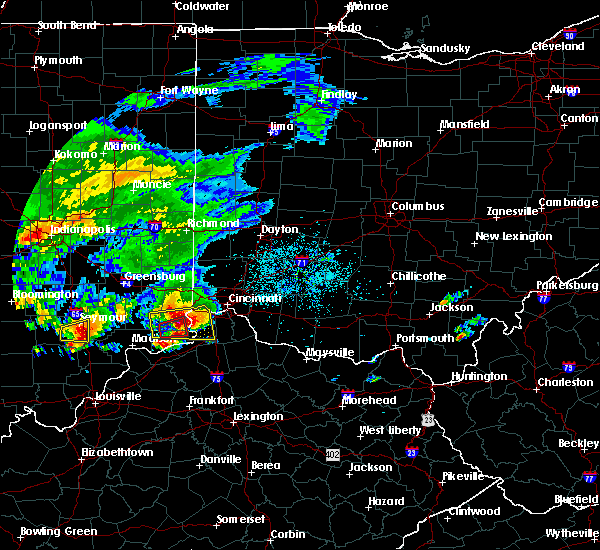 At 636 pm edt, a severe thunderstorm was located over elsmere, moving east at 50 mph. this is a very dangerous storm (radar indicated). Hazards include softball size hail and 60 mph wind gusts. People and animals outdoors will be severely injured. Expect shattered windows, extensive damage to roofs, siding, and vehicles. At 636 pm edt, a severe thunderstorm was located over elsmere, moving east at 50 mph. this is a very dangerous storm (radar indicated). Hazards include softball size hail and 60 mph wind gusts. People and animals outdoors will be severely injured. Expect shattered windows, extensive damage to roofs, siding, and vehicles.
|
| 10/19/2016 6:25 PM EDT | A few trees down in dearborn county IN, 0.1 miles SE of Dillsboro, IN |
| 10/19/2016 6:24 PM EDT |
 The severe thunderstorm warning for ohio, southwestern dearborn and southeastern ripley counties will expire at 630 pm edt, the storm which prompted the warning has moved out of the area. there are still warnings in effect downstream. this is a severe thunderstorm capable of producing a tornado. please report previous wind damage or hail to the national weather service by going to our website at weather.gov/iln and submitting your report via social media. The severe thunderstorm warning for ohio, southwestern dearborn and southeastern ripley counties will expire at 630 pm edt, the storm which prompted the warning has moved out of the area. there are still warnings in effect downstream. this is a severe thunderstorm capable of producing a tornado. please report previous wind damage or hail to the national weather service by going to our website at weather.gov/iln and submitting your report via social media.
|
| 10/19/2016 6:14 PM EDT |
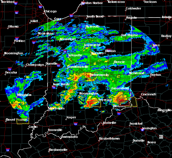 At 613 pm edt, a severe thunderstorm was located over moores hill, moving east at 30 mph (radar indicated). Hazards include 70 mph wind gusts and ping pong ball size hail. People and animals outdoors will be injured. expect hail damage to roofs, siding, windows, and vehicles. expect considerable tree damage. wind damage is also likely to mobile homes, roofs, and outbuildings. Locations impacted include, versailles, milan, dillsboro, moores hill, friendship, versailles lake, benham, farmers retreat, cold springs, cross plains and olean. At 613 pm edt, a severe thunderstorm was located over moores hill, moving east at 30 mph (radar indicated). Hazards include 70 mph wind gusts and ping pong ball size hail. People and animals outdoors will be injured. expect hail damage to roofs, siding, windows, and vehicles. expect considerable tree damage. wind damage is also likely to mobile homes, roofs, and outbuildings. Locations impacted include, versailles, milan, dillsboro, moores hill, friendship, versailles lake, benham, farmers retreat, cold springs, cross plains and olean.
|
| 10/19/2016 6:04 PM EDT |
 At 604 pm edt, a severe thunderstorm was located near dillsboro, moving east at 50 mph (radar indicated). Hazards include ping pong ball size hail and 60 mph wind gusts. People and animals outdoors will be injured. expect hail damage to roofs, siding, windows, and vehicles. Expect wind damage to roofs, siding, and trees. At 604 pm edt, a severe thunderstorm was located near dillsboro, moving east at 50 mph (radar indicated). Hazards include ping pong ball size hail and 60 mph wind gusts. People and animals outdoors will be injured. expect hail damage to roofs, siding, windows, and vehicles. Expect wind damage to roofs, siding, and trees.
|
| 10/19/2016 6:04 PM EDT |
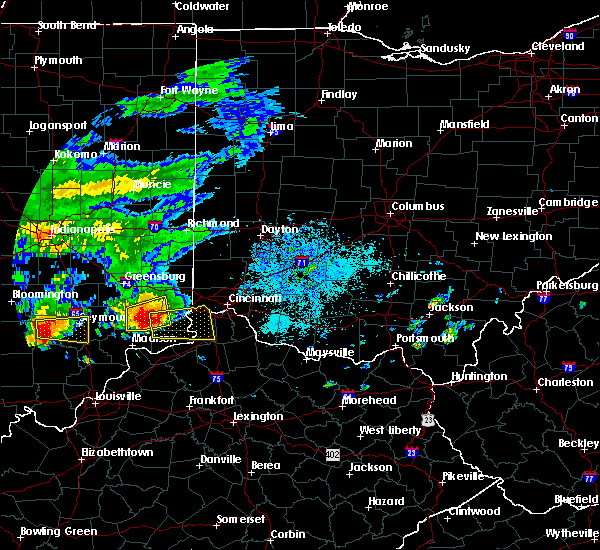 At 604 pm edt, a severe thunderstorm was located near dillsboro, moving east at 50 mph (radar indicated). Hazards include ping pong ball size hail and 60 mph wind gusts. People and animals outdoors will be injured. expect hail damage to roofs, siding, windows, and vehicles. Expect wind damage to roofs, siding, and trees. At 604 pm edt, a severe thunderstorm was located near dillsboro, moving east at 50 mph (radar indicated). Hazards include ping pong ball size hail and 60 mph wind gusts. People and animals outdoors will be injured. expect hail damage to roofs, siding, windows, and vehicles. Expect wind damage to roofs, siding, and trees.
|
| 10/19/2016 5:48 PM EDT |
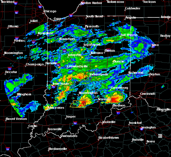 At 547 pm edt, a severe thunderstorm was located near versailles, moving east at 30 mph (radar indicated). Hazards include 60 mph wind gusts and quarter size hail. Hail damage to vehicles is expected. Expect wind damage to roofs, siding, and trees. At 547 pm edt, a severe thunderstorm was located near versailles, moving east at 30 mph (radar indicated). Hazards include 60 mph wind gusts and quarter size hail. Hail damage to vehicles is expected. Expect wind damage to roofs, siding, and trees.
|
| 9/10/2016 3:50 PM EDT |
 At 350 pm edt, a severe thunderstorm was located near dillsboro, moving east at 45 mph (radar indicated). Hazards include 60 mph wind gusts and penny size hail. Expect damage to roofs. siding. and trees. Locations impacted include, lawrenceburg, greendale, aurora, rising sun, dillsboro, wilmington, french, hartford, rabbit hash, bear branch, aberdeen, petersburg, pate, cold springs, farmers retreat and mount sinai. At 350 pm edt, a severe thunderstorm was located near dillsboro, moving east at 45 mph (radar indicated). Hazards include 60 mph wind gusts and penny size hail. Expect damage to roofs. siding. and trees. Locations impacted include, lawrenceburg, greendale, aurora, rising sun, dillsboro, wilmington, french, hartford, rabbit hash, bear branch, aberdeen, petersburg, pate, cold springs, farmers retreat and mount sinai.
|
| 9/10/2016 3:50 PM EDT |
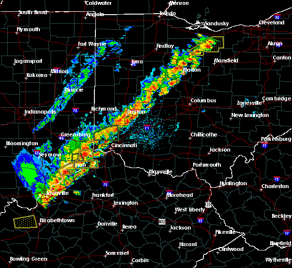 At 350 pm edt, a severe thunderstorm was located near dillsboro, moving east at 45 mph (radar indicated). Hazards include 60 mph wind gusts and penny size hail. Expect damage to roofs. siding. and trees. Locations impacted include, lawrenceburg, greendale, aurora, rising sun, dillsboro, wilmington, french, hartford, rabbit hash, bear branch, aberdeen, petersburg, pate, cold springs, farmers retreat and mount sinai. At 350 pm edt, a severe thunderstorm was located near dillsboro, moving east at 45 mph (radar indicated). Hazards include 60 mph wind gusts and penny size hail. Expect damage to roofs. siding. and trees. Locations impacted include, lawrenceburg, greendale, aurora, rising sun, dillsboro, wilmington, french, hartford, rabbit hash, bear branch, aberdeen, petersburg, pate, cold springs, farmers retreat and mount sinai.
|
| 9/10/2016 3:41 PM EDT |
 At 341 pm edt, a severe thunderstorm was located near dillsboro, moving east at 50 mph (radar indicated). Hazards include 60 mph wind gusts and penny size hail. Expect damage to roofs. siding. and trees. Locations impacted include, lawrenceburg, greendale, aurora, rising sun, dillsboro, moores hill, wilmington, french, hartford, rabbit hash, bear branch, aberdeen, petersburg, pate, cold springs, north landing, friendship, farmers retreat and mount sinai. At 341 pm edt, a severe thunderstorm was located near dillsboro, moving east at 50 mph (radar indicated). Hazards include 60 mph wind gusts and penny size hail. Expect damage to roofs. siding. and trees. Locations impacted include, lawrenceburg, greendale, aurora, rising sun, dillsboro, moores hill, wilmington, french, hartford, rabbit hash, bear branch, aberdeen, petersburg, pate, cold springs, north landing, friendship, farmers retreat and mount sinai.
|
| 9/10/2016 3:33 PM EDT |
 At 332 pm edt, a severe thunderstorm was located 8 miles south of versailles, moving east at 45 mph (radar indicated). Hazards include 60 mph wind gusts and penny size hail. Expect damage to roofs. siding. And trees. At 332 pm edt, a severe thunderstorm was located 8 miles south of versailles, moving east at 45 mph (radar indicated). Hazards include 60 mph wind gusts and penny size hail. Expect damage to roofs. siding. And trees.
|
| 9/10/2016 3:33 PM EDT |
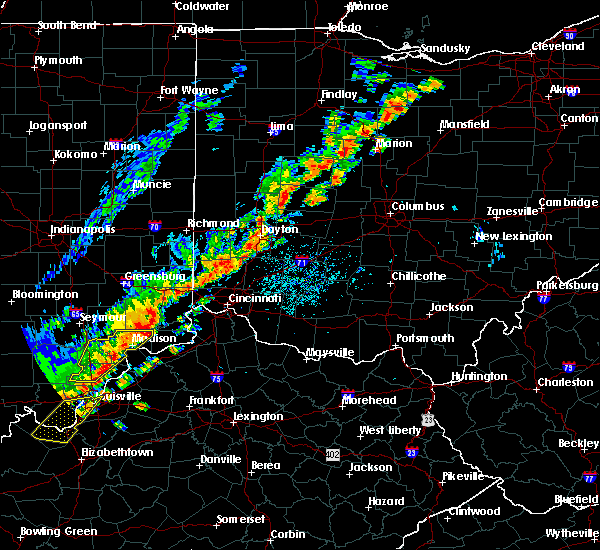 At 332 pm edt, a severe thunderstorm was located 8 miles south of versailles, moving east at 45 mph (radar indicated). Hazards include 60 mph wind gusts and penny size hail. Expect damage to roofs. siding. And trees. At 332 pm edt, a severe thunderstorm was located 8 miles south of versailles, moving east at 45 mph (radar indicated). Hazards include 60 mph wind gusts and penny size hail. Expect damage to roofs. siding. And trees.
|
| 8/27/2016 1:52 PM EDT |
 At 152 pm edt, a severe thunderstorm was located over brookville, moving northeast at 30 mph (radar indicated). Hazards include 60 mph wind gusts and penny size hail. Expect damage to roofs. siding. and trees. locations impacted include, lawrenceburg, greendale, aurora, brookville, hidden valley, bright, dillsboro, moores hill, guilford, wilmington, logan, manchester, blooming grove, metamora, st. Leon, laurel, cedar grove, dover, mounds state recreation area and weisburg. At 152 pm edt, a severe thunderstorm was located over brookville, moving northeast at 30 mph (radar indicated). Hazards include 60 mph wind gusts and penny size hail. Expect damage to roofs. siding. and trees. locations impacted include, lawrenceburg, greendale, aurora, brookville, hidden valley, bright, dillsboro, moores hill, guilford, wilmington, logan, manchester, blooming grove, metamora, st. Leon, laurel, cedar grove, dover, mounds state recreation area and weisburg.
|
| 8/27/2016 1:36 PM EDT |
 At 135 pm edt, a severe thunderstorm was located near oldenburg, moving northeast at 30 mph (radar indicated). Hazards include 60 mph wind gusts and penny size hail. Expect damage to roofs. siding. and trees. Locations impacted include, batesville, lawrenceburg, greendale, aurora, brookville, hidden valley, bright, versailles, milan, dillsboro, oldenburg, moores hill, lake santee, guilford, wilmington, logan, manchester, blooming grove, sunman and metamora. At 135 pm edt, a severe thunderstorm was located near oldenburg, moving northeast at 30 mph (radar indicated). Hazards include 60 mph wind gusts and penny size hail. Expect damage to roofs. siding. and trees. Locations impacted include, batesville, lawrenceburg, greendale, aurora, brookville, hidden valley, bright, versailles, milan, dillsboro, oldenburg, moores hill, lake santee, guilford, wilmington, logan, manchester, blooming grove, sunman and metamora.
|
| 8/27/2016 1:17 PM EDT |
 At 117 pm edt, a severe thunderstorm was located near batesville, moving northeast at 30 mph (radar indicated). Hazards include 60 mph wind gusts and penny size hail. Expect damage to roofs. siding. And trees. At 117 pm edt, a severe thunderstorm was located near batesville, moving northeast at 30 mph (radar indicated). Hazards include 60 mph wind gusts and penny size hail. Expect damage to roofs. siding. And trees.
|
| 7/8/2016 11:48 AM EDT |
 At 1147 am edt, severe thunderstorms were located along a line extending from near rising sun to near sparta, moving northeast at 55 mph (radar indicated). Hazards include 60 mph wind gusts. Expect damage to roofs. siding. And trees. At 1147 am edt, severe thunderstorms were located along a line extending from near rising sun to near sparta, moving northeast at 55 mph (radar indicated). Hazards include 60 mph wind gusts. Expect damage to roofs. siding. And trees.
|
| 6/21/2016 1:37 AM EDT |
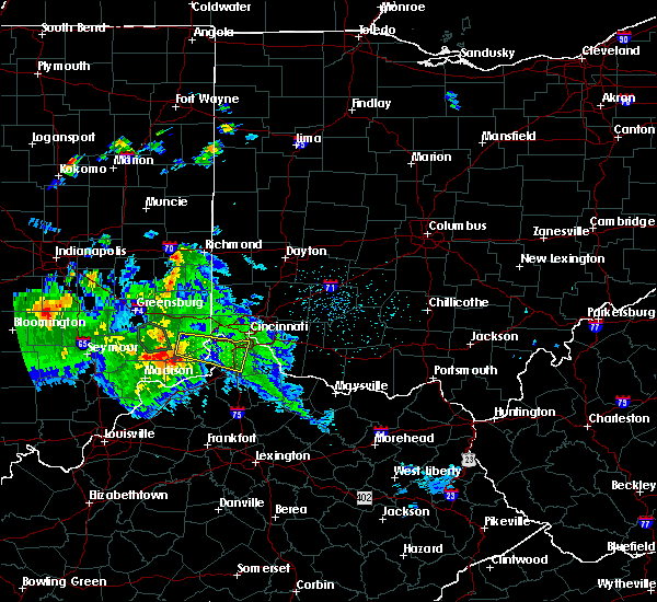 At 136 am edt, a severe thunderstorm was located over florence, moving east at 40 mph (radar indicated). Hazards include 60 mph wind gusts. Expect damage to roofs. siding. and trees. Locations impacted include, covington, florence, independence, erlanger, edgewood, elsmere, fort mitchell, villa hills, taylor mill, fort wright, lawrenceburg, greendale, ludlow, crescent springs, aurora, walton, crestview hills, park hills, lakeside park and rising sun. At 136 am edt, a severe thunderstorm was located over florence, moving east at 40 mph (radar indicated). Hazards include 60 mph wind gusts. Expect damage to roofs. siding. and trees. Locations impacted include, covington, florence, independence, erlanger, edgewood, elsmere, fort mitchell, villa hills, taylor mill, fort wright, lawrenceburg, greendale, ludlow, crescent springs, aurora, walton, crestview hills, park hills, lakeside park and rising sun.
|
| 6/21/2016 1:08 AM EDT |
 At 106 am edt, a severe thunderstorm was located over dillsboro, moving east at 40 mph (radar indicated). Hazards include 60 mph wind gusts. Expect damage to roofs. siding. And trees. At 106 am edt, a severe thunderstorm was located over dillsboro, moving east at 40 mph (radar indicated). Hazards include 60 mph wind gusts. Expect damage to roofs. siding. And trees.
|
| 6/21/2016 1:08 AM EDT |
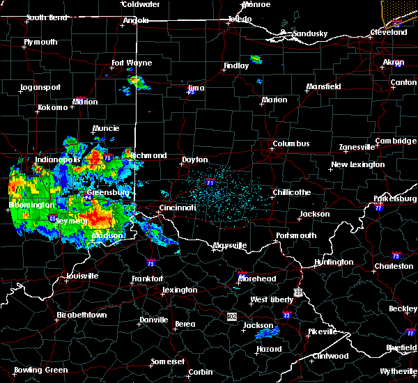 At 106 am edt, a severe thunderstorm was located over dillsboro, moving east at 40 mph (radar indicated). Hazards include 60 mph wind gusts. Expect damage to roofs. siding. And trees. At 106 am edt, a severe thunderstorm was located over dillsboro, moving east at 40 mph (radar indicated). Hazards include 60 mph wind gusts. Expect damage to roofs. siding. And trees.
|
| 6/15/2016 7:06 PM EDT |
 At 705 pm edt, a severe thunderstorm was located over burlington, moving southeast at 40 mph (radar indicated). Hazards include 60 mph wind gusts. Expect damage to roofs. siding. and trees. Locations impacted include, cincinnati, covington, florence, independence, erlanger, edgewood, elsmere, cheviot, fort mitchell, villa hills, fort wright, lawrenceburg, greendale, ludlow, crescent springs, aurora, crestview hills, lakeside park, rising sun and oakbrook. At 705 pm edt, a severe thunderstorm was located over burlington, moving southeast at 40 mph (radar indicated). Hazards include 60 mph wind gusts. Expect damage to roofs. siding. and trees. Locations impacted include, cincinnati, covington, florence, independence, erlanger, edgewood, elsmere, cheviot, fort mitchell, villa hills, fort wright, lawrenceburg, greendale, ludlow, crescent springs, aurora, crestview hills, lakeside park, rising sun and oakbrook.
|
| 6/15/2016 7:06 PM EDT |
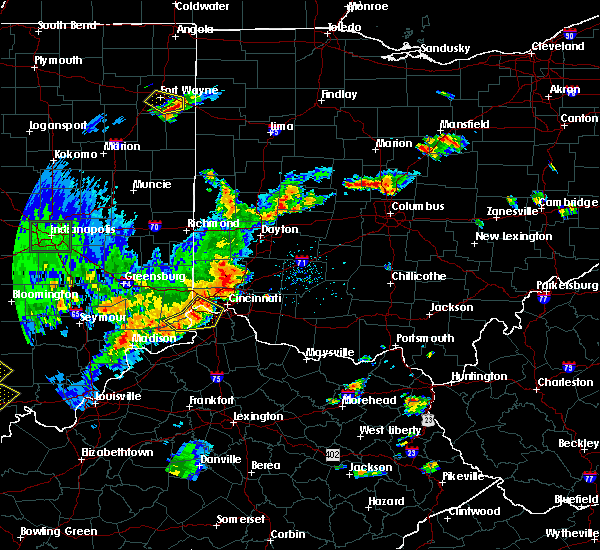 At 705 pm edt, a severe thunderstorm was located over burlington, moving southeast at 40 mph (radar indicated). Hazards include 60 mph wind gusts. Expect damage to roofs. siding. and trees. Locations impacted include, cincinnati, covington, florence, independence, erlanger, edgewood, elsmere, cheviot, fort mitchell, villa hills, fort wright, lawrenceburg, greendale, ludlow, crescent springs, aurora, crestview hills, lakeside park, rising sun and oakbrook. At 705 pm edt, a severe thunderstorm was located over burlington, moving southeast at 40 mph (radar indicated). Hazards include 60 mph wind gusts. Expect damage to roofs. siding. and trees. Locations impacted include, cincinnati, covington, florence, independence, erlanger, edgewood, elsmere, cheviot, fort mitchell, villa hills, fort wright, lawrenceburg, greendale, ludlow, crescent springs, aurora, crestview hills, lakeside park, rising sun and oakbrook.
|
| 6/15/2016 6:47 PM EDT |
 At 647 pm edt, a severe thunderstorm was located near greendale, moving southeast at 40 mph (radar indicated). Hazards include 60 mph wind gusts. Expect damage to roofs. siding. And trees. At 647 pm edt, a severe thunderstorm was located near greendale, moving southeast at 40 mph (radar indicated). Hazards include 60 mph wind gusts. Expect damage to roofs. siding. And trees.
|
| 6/15/2016 6:47 PM EDT |
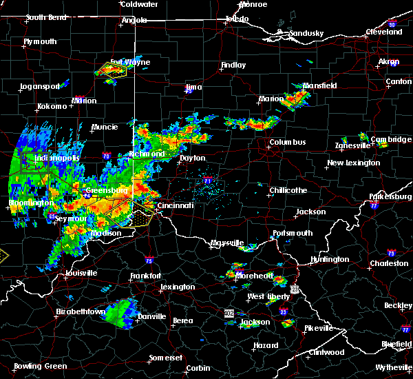 At 647 pm edt, a severe thunderstorm was located near greendale, moving southeast at 40 mph (radar indicated). Hazards include 60 mph wind gusts. Expect damage to roofs. siding. And trees. At 647 pm edt, a severe thunderstorm was located near greendale, moving southeast at 40 mph (radar indicated). Hazards include 60 mph wind gusts. Expect damage to roofs. siding. And trees.
|
| 12/23/2015 4:42 PM EST | At 442 pm est, radar indicated severe thunderstorms located along a line extending from near hagerstown to 6 miles southwest of liberty to 7 miles north of brooksburg, moving northeast at 60 mph. storm hazards include, winds to 60 mph, very heavy rain which may cause minor flooding, locations impacted include, richmond, connersville, harrison, lawrenceburg, greendale, aurora, brookville, centerville, rising sun, hidden valley, bright, liberty, versailles, milan, dillsboro, west college corner, moores hill, guilford, salem and wilmington. this includes the following interstates, i-70 in indiana between mile markers 154 and 156. i-70 in ohio near mile marker 0. i-74 in indiana between mile markers 152 and 171. i-74 in ohio near mile marker 0. |
| 12/23/2015 4:09 PM EST | The national weather service in wilmington has issued a * severe thunderstorm warning for. fayette county in east central indiana. ohio county in southeastern indiana. union county in east central indiana. Dearborn county in southeastern indiana. |
| 7/17/2015 7:09 PM EDT |
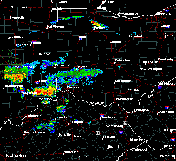 At 708 pm edt, radar indicated a severe thunderstorm located near dillsboro, moving southeast at 25 mph. storm hazards include, winds to 60 mph, penny size hail, very heavy rain which may cause minor flooding, locations impacted include, aurora, dillsboro, moores hill, guilford, wilmington, manchester, hartford, bear branch, farmers retreat, weisburg, pate, cold springs and mount sinai. At 708 pm edt, radar indicated a severe thunderstorm located near dillsboro, moving southeast at 25 mph. storm hazards include, winds to 60 mph, penny size hail, very heavy rain which may cause minor flooding, locations impacted include, aurora, dillsboro, moores hill, guilford, wilmington, manchester, hartford, bear branch, farmers retreat, weisburg, pate, cold springs and mount sinai.
|
| 7/17/2015 6:55 PM EDT |
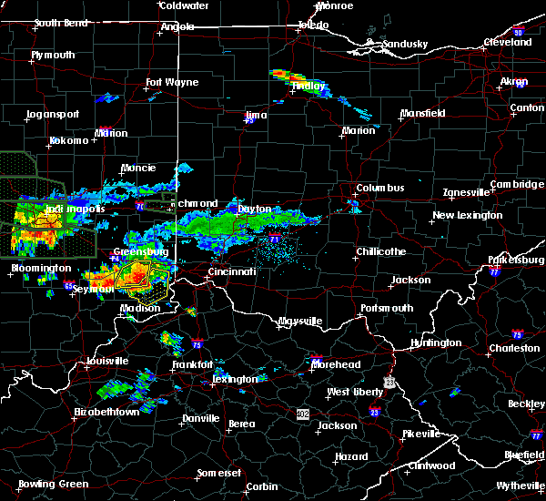 At 654 pm edt, radar indicated a severe thunderstorm located over dillsboro, moving east at 35 mph. storm hazards include, damaging winds to 70 mph, penny size hail, very heavy rain which may cause minor flooding, locations impacted include, aurora, versailles, milan, dillsboro, moores hill, guilford, wilmington, manchester, hartford, bear branch, avonburg, pate, cold springs, friendship, benham, farmers retreat, weisburg, olean, mount sinai and cross plains. At 654 pm edt, radar indicated a severe thunderstorm located over dillsboro, moving east at 35 mph. storm hazards include, damaging winds to 70 mph, penny size hail, very heavy rain which may cause minor flooding, locations impacted include, aurora, versailles, milan, dillsboro, moores hill, guilford, wilmington, manchester, hartford, bear branch, avonburg, pate, cold springs, friendship, benham, farmers retreat, weisburg, olean, mount sinai and cross plains.
|
| 7/17/2015 6:47 PM EDT |
 At 647 pm edt, radar indicated a severe thunderstorm located near dillsboro, moving southeast at 40 mph. storm hazards include, damaging winds to 70 mph, penny size hail, very heavy rain which may cause minor flooding, locations impacted include, aurora, versailles, milan, dillsboro, moores hill, guilford, wilmington, manchester, sunman, hartford, bear branch, avonburg, pate, cold springs, friendship, benham, versailles lake, farmers retreat, new marion and weisburg. At 647 pm edt, radar indicated a severe thunderstorm located near dillsboro, moving southeast at 40 mph. storm hazards include, damaging winds to 70 mph, penny size hail, very heavy rain which may cause minor flooding, locations impacted include, aurora, versailles, milan, dillsboro, moores hill, guilford, wilmington, manchester, sunman, hartford, bear branch, avonburg, pate, cold springs, friendship, benham, versailles lake, farmers retreat, new marion and weisburg.
|
| 7/17/2015 6:38 PM EDT |
 At 637 pm edt, radar indicated a severe thunderstorm located over versailles, moving southeast at 35 mph. storm hazards include, damaging winds to 70 mph, penny size hail,. At 637 pm edt, radar indicated a severe thunderstorm located over versailles, moving southeast at 35 mph. storm hazards include, damaging winds to 70 mph, penny size hail,.
|
| 7/14/2015 12:03 AM EDT |
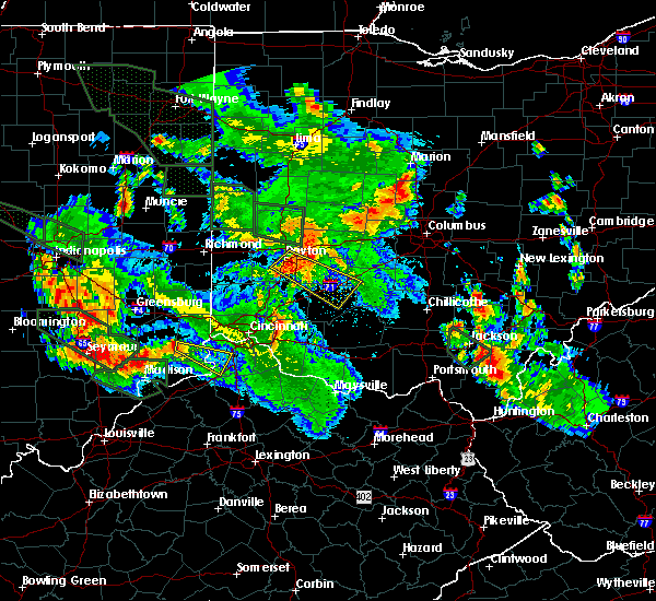 At 1203 am edt, radar indicated a severe thunderstorm located over dillsboro, moving southeast at 50 mph. storm hazards include, winds to 60 mph,. At 1203 am edt, radar indicated a severe thunderstorm located over dillsboro, moving southeast at 50 mph. storm hazards include, winds to 60 mph,.
|
| 7/13/2015 12:57 PM EDT |
 At 1257 pm edt, radar indicated severe thunderstorms located along a line extending from near carlisle to near oldenburg, moving southeast at 40 mph. storm hazards include, winds to 60 mph, penny size hail, frequent cloud to ground lightning, very heavy rain which may cause minor flooding,. At 1257 pm edt, radar indicated severe thunderstorms located along a line extending from near carlisle to near oldenburg, moving southeast at 40 mph. storm hazards include, winds to 60 mph, penny size hail, frequent cloud to ground lightning, very heavy rain which may cause minor flooding,.
|
| 4/10/2015 2:28 AM EDT | A severe thunderstorm warning remains in effect until 245 am edt for ripley. dearborn. southwestern franklin and ohio counties in southeast indiana. at 224 am edt. radar continued to indicate a severe thunderstorm located near versailles. moving northeast at 55 mph. Storm hazards include. |
| 4/10/2015 2:17 AM EDT | The national weather service in wilmington has issued a * severe thunderstorm warning for. ripley county in southeast indiana. dearborn county in southeast indiana. southwestern franklin county in southeast indiana. Ohio county in southeast indiana. |
| 3/15/2012 5:47 PM EDT | Quarter sized hail reported 4.2 miles NE of Dillsboro, IN, corrected time and location |
Hail Maps for Dillsboro, IN
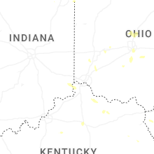
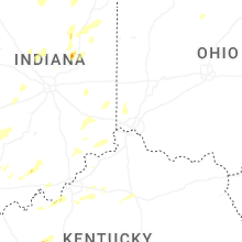
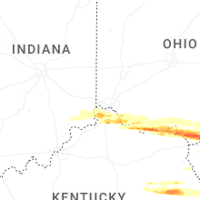


Connect with Interactive Hail Maps