

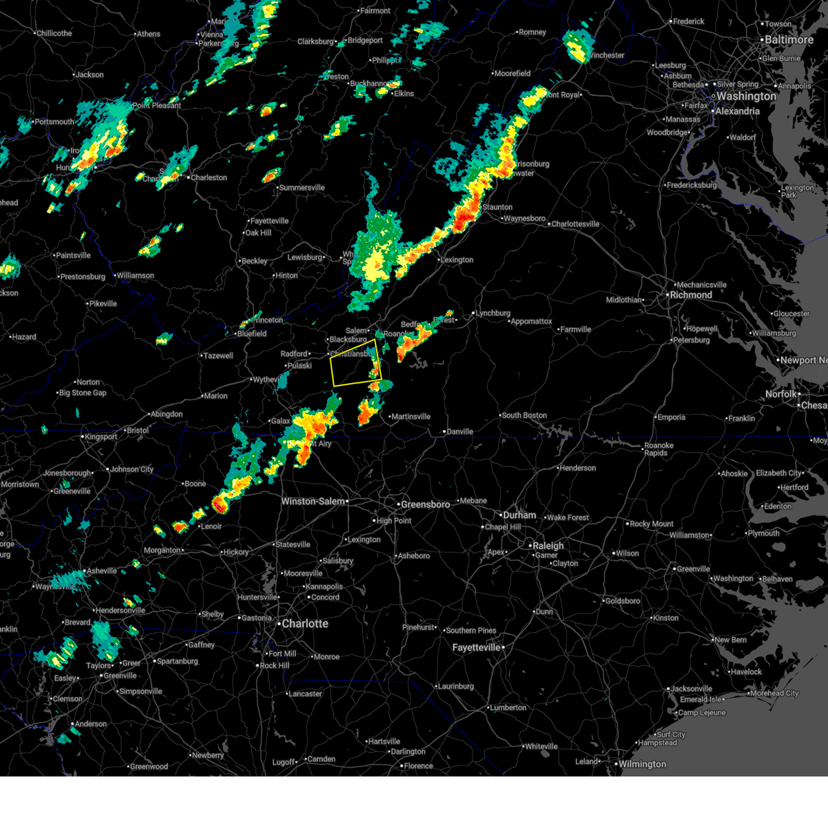
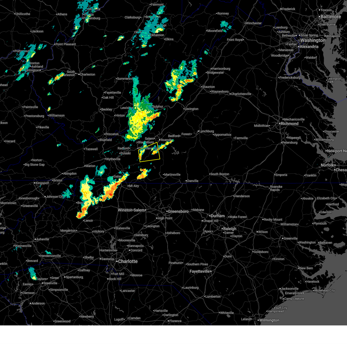
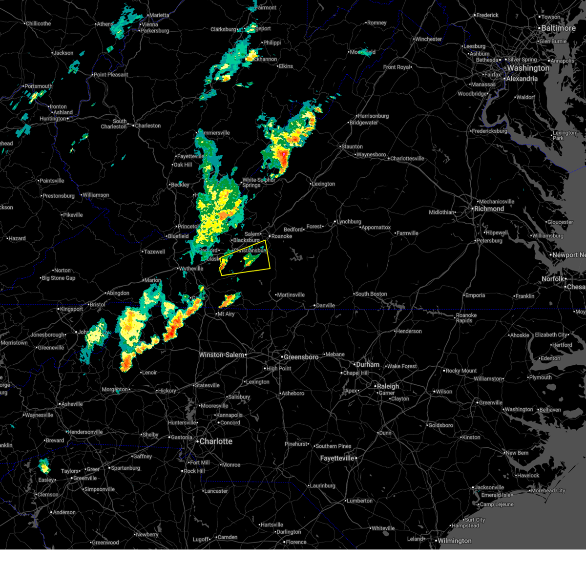
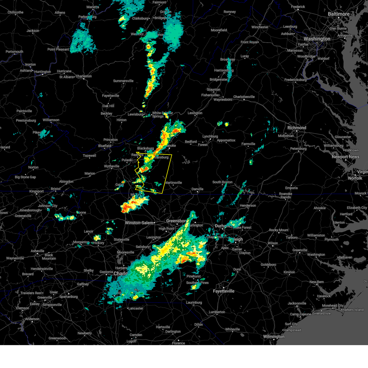
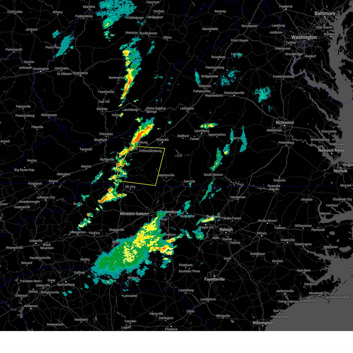
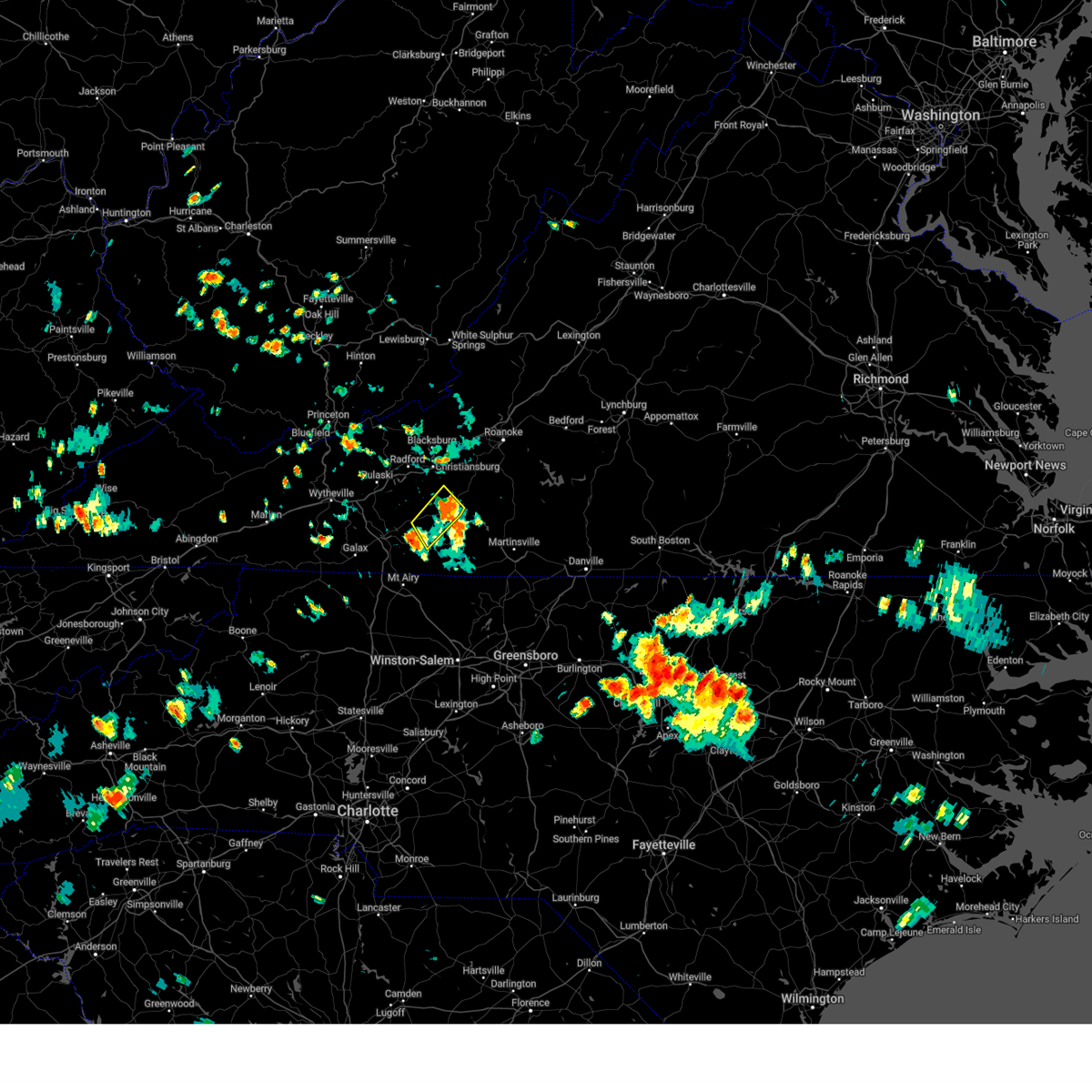
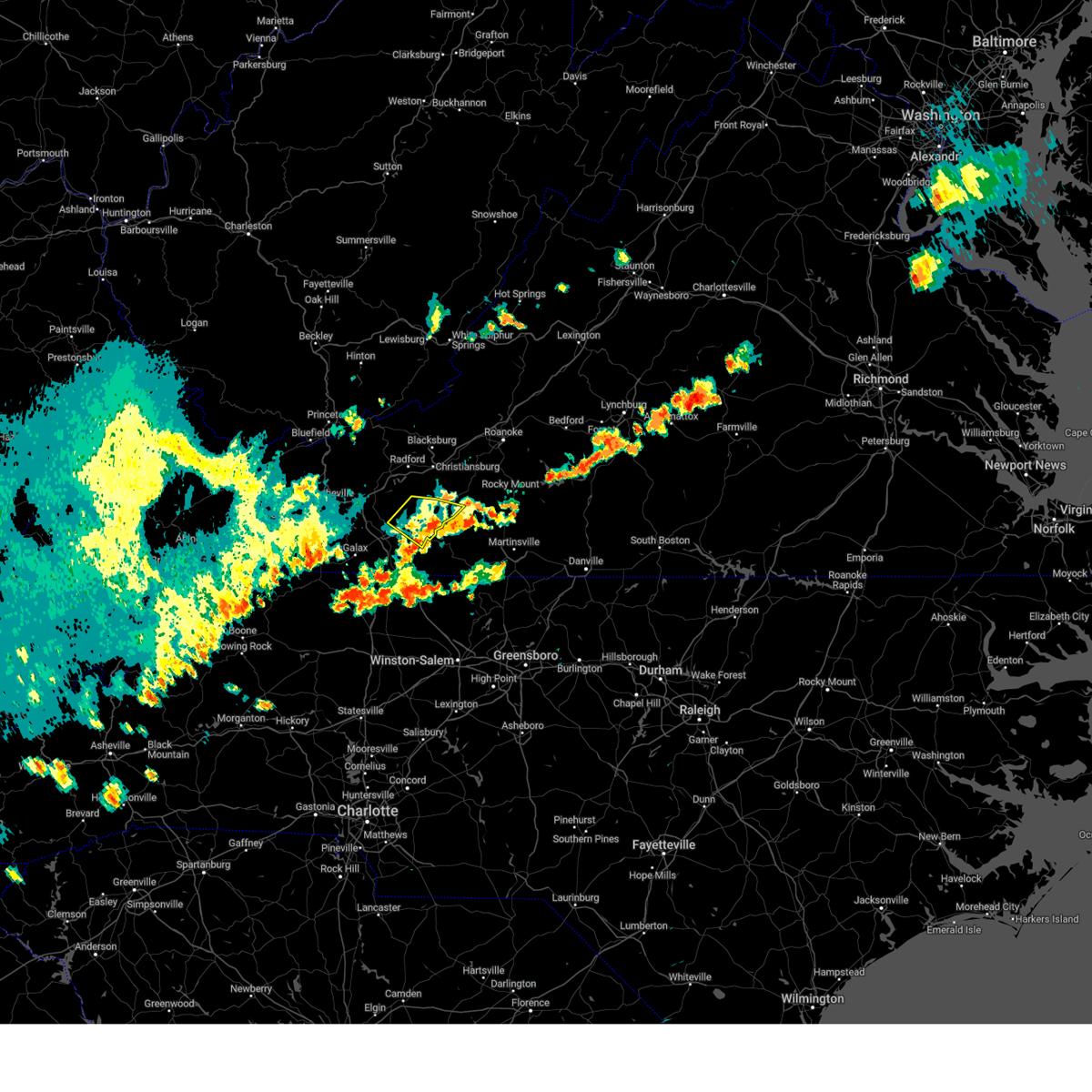
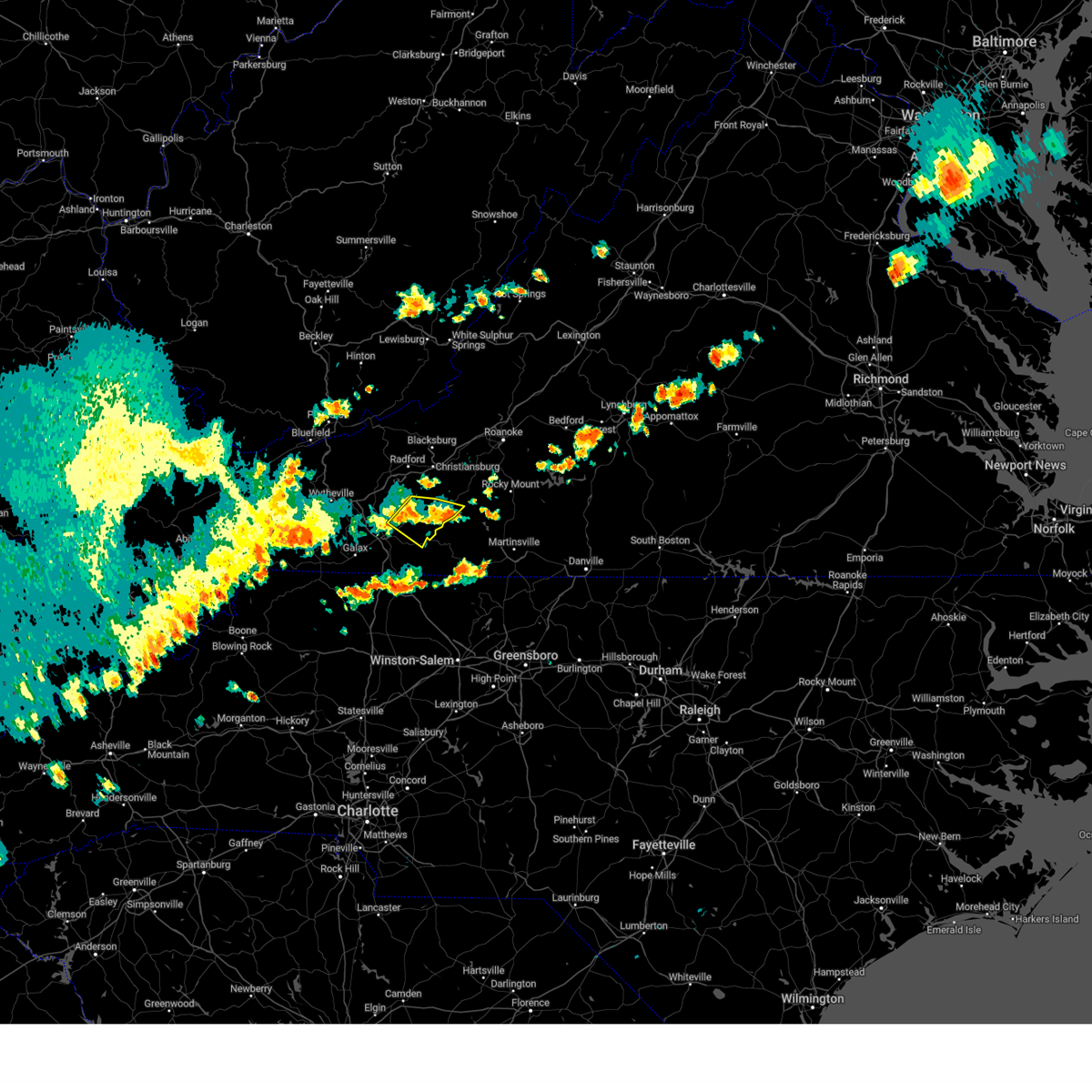
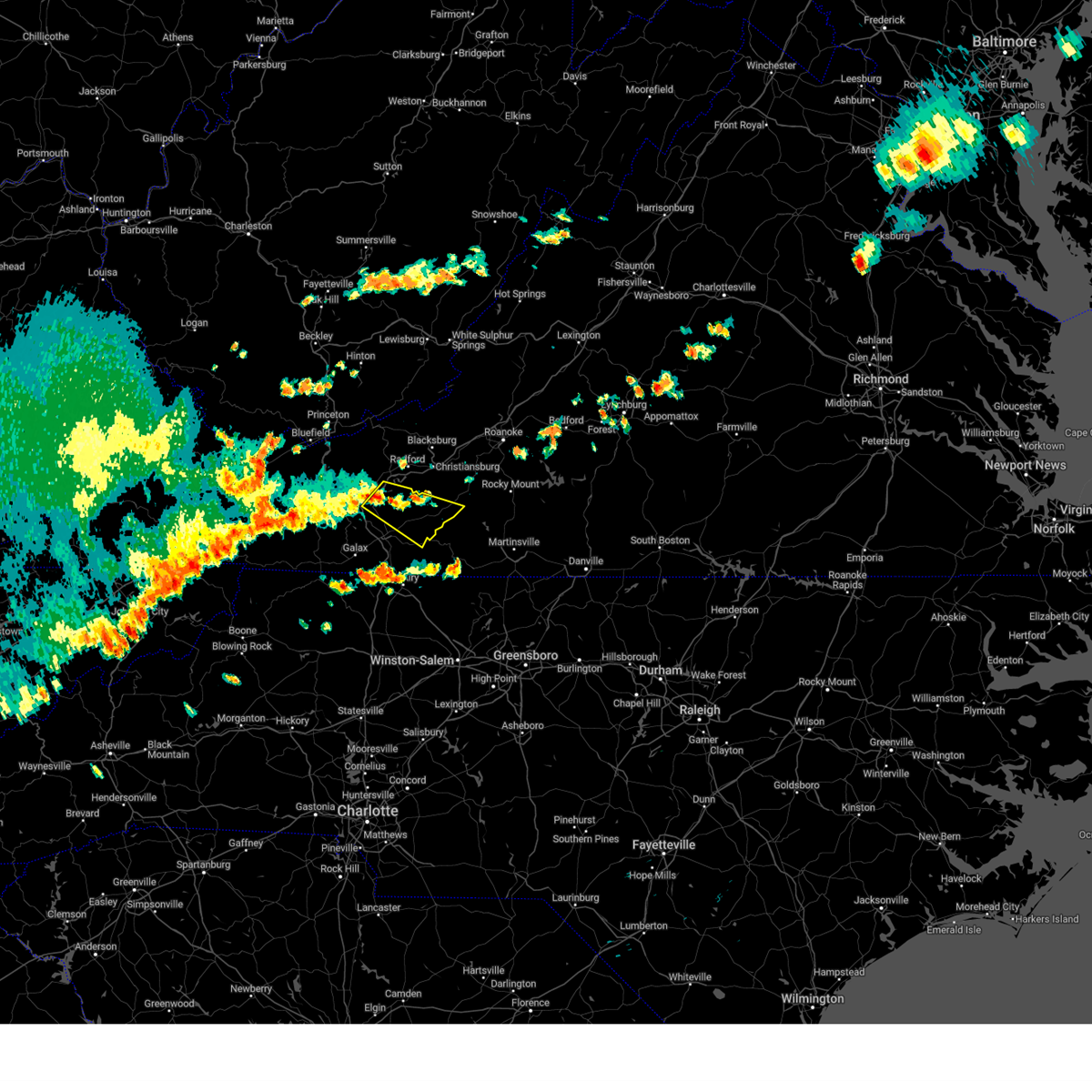
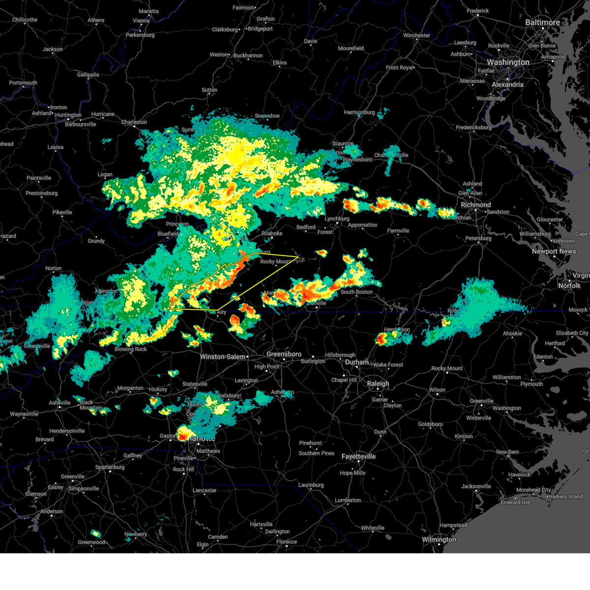
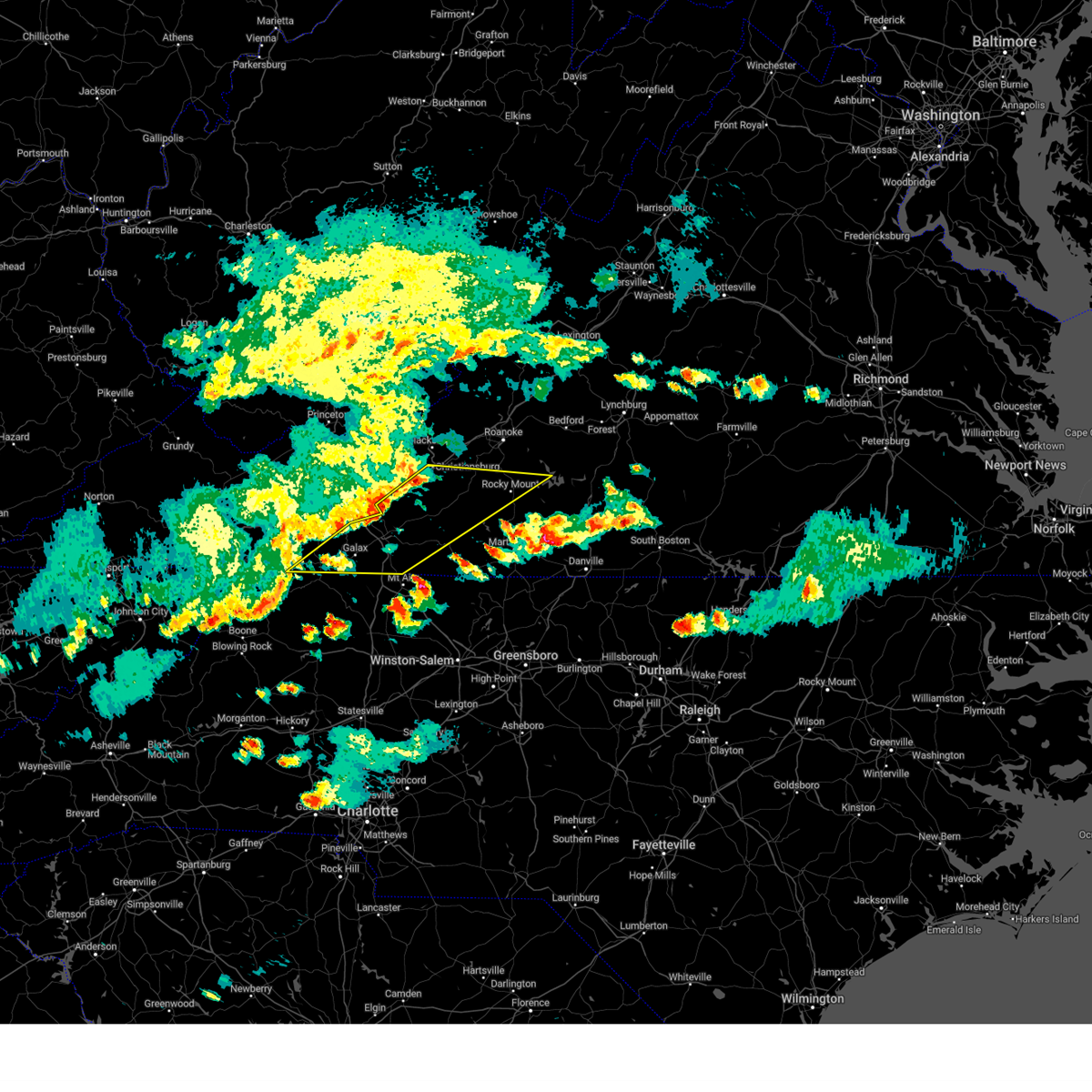
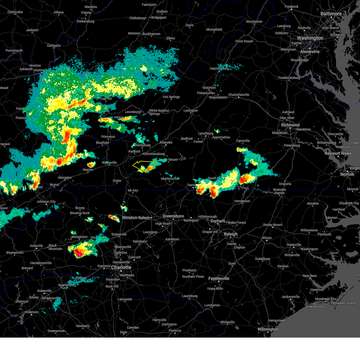
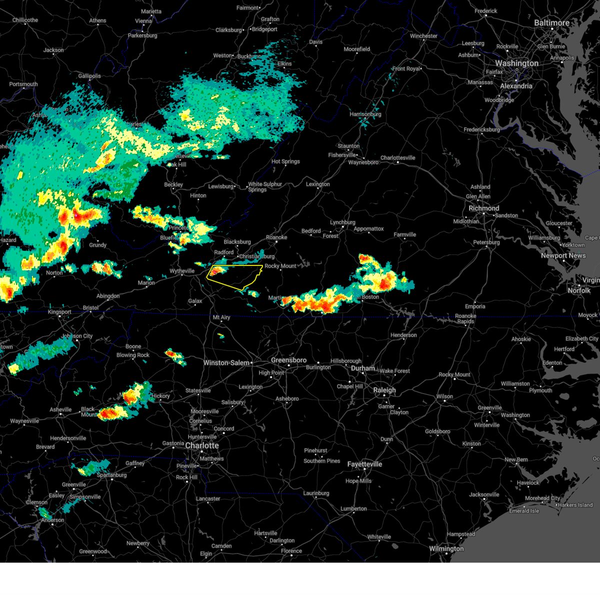
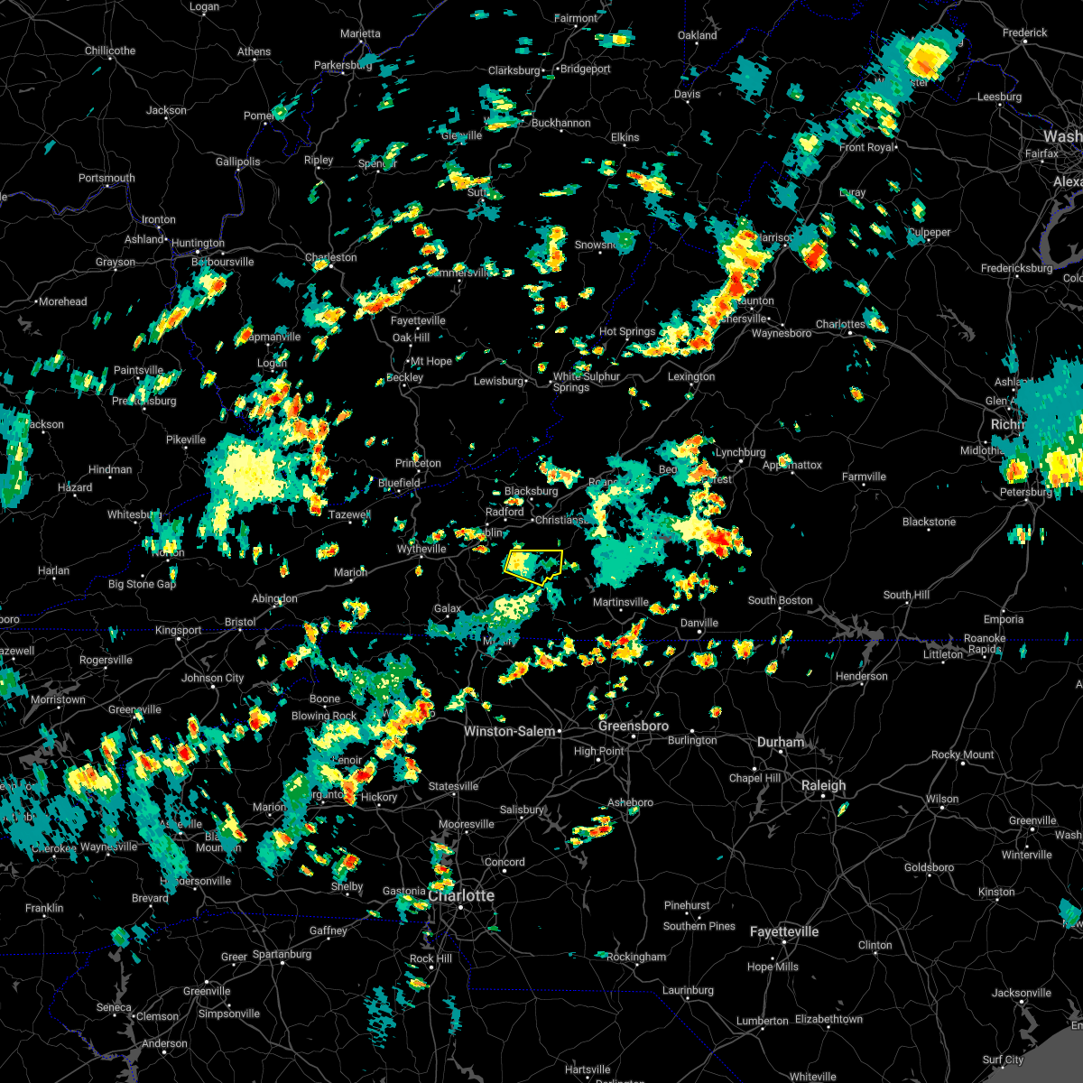
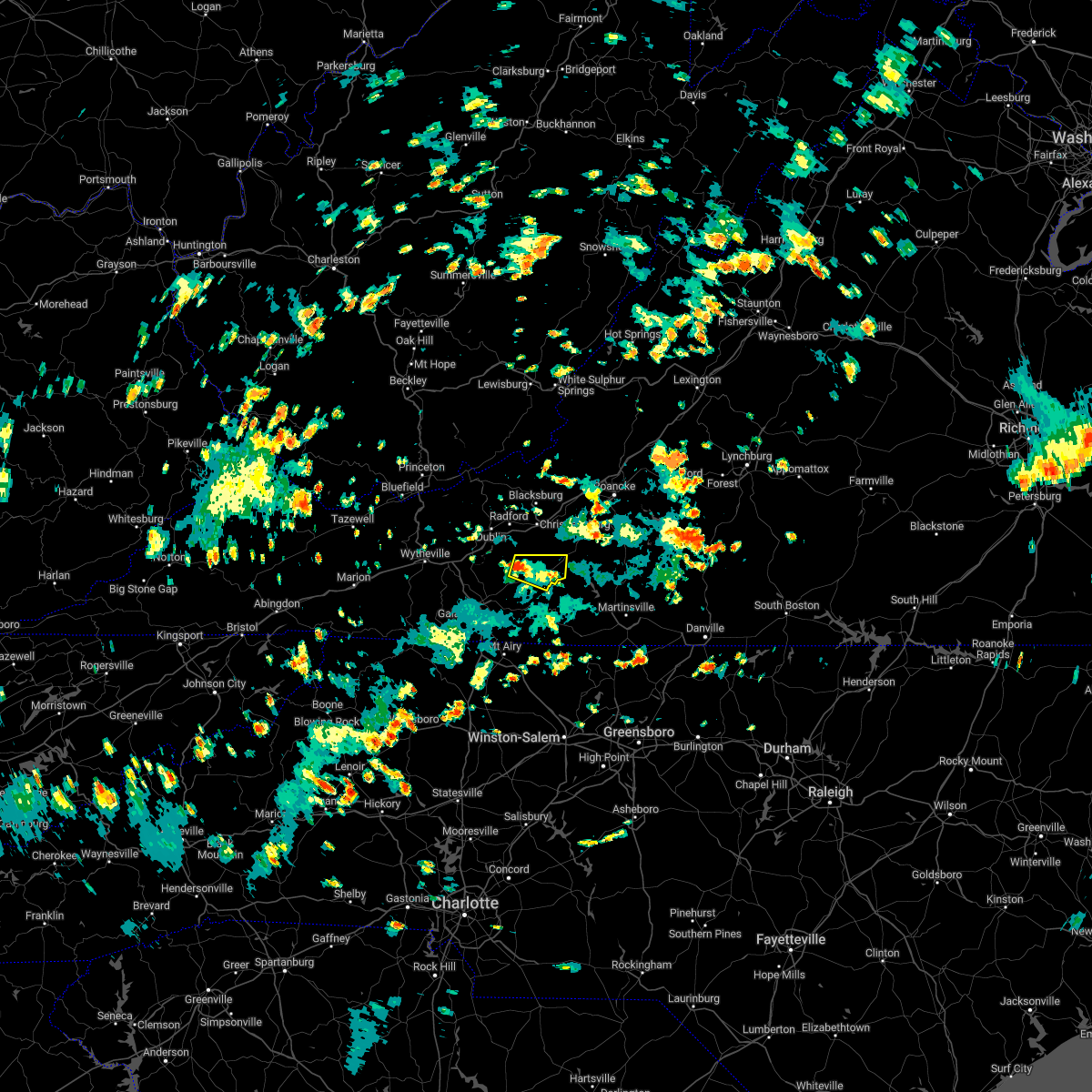
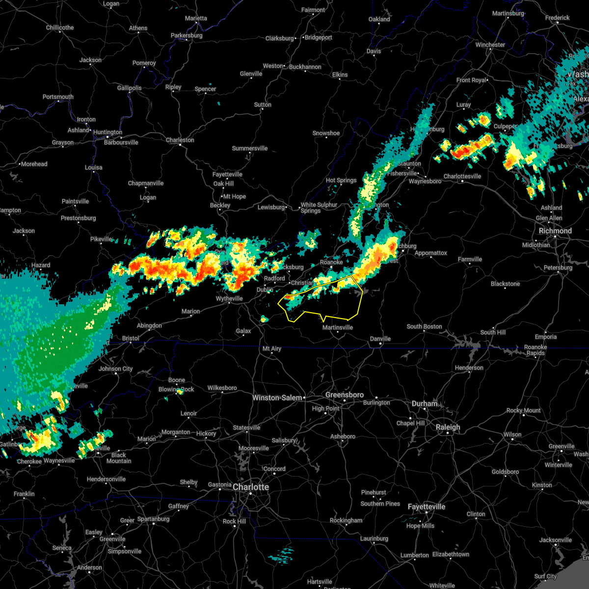
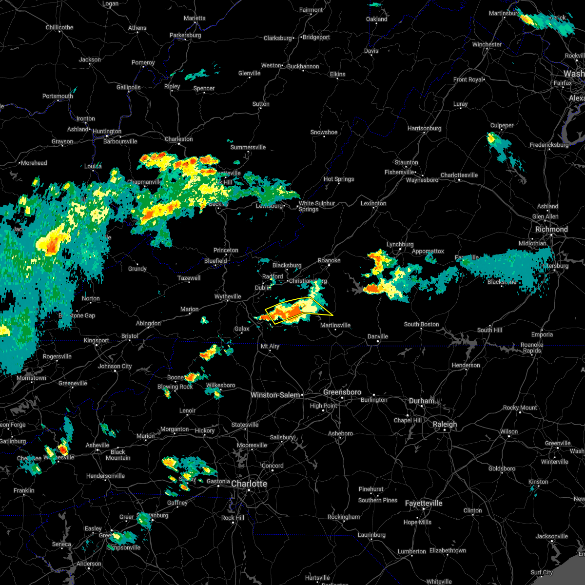
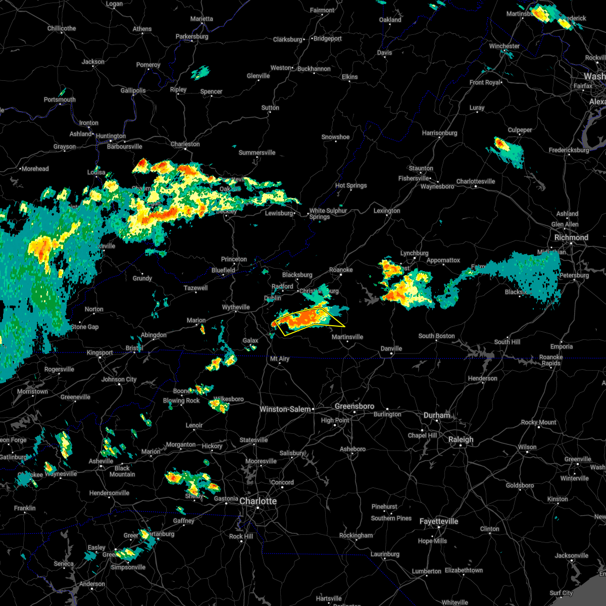
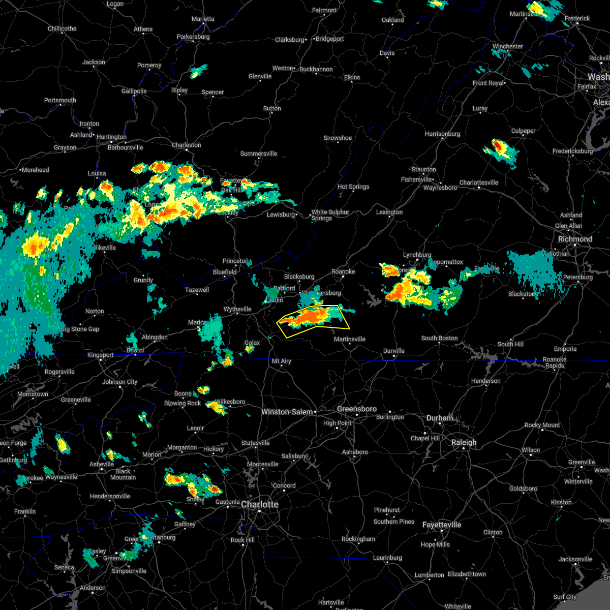
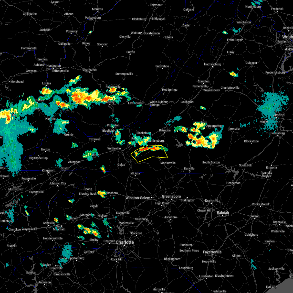
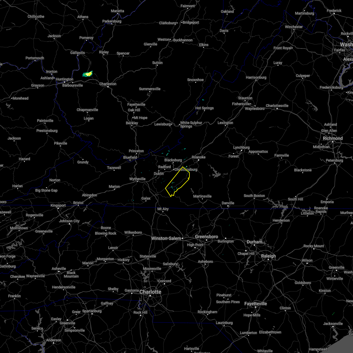
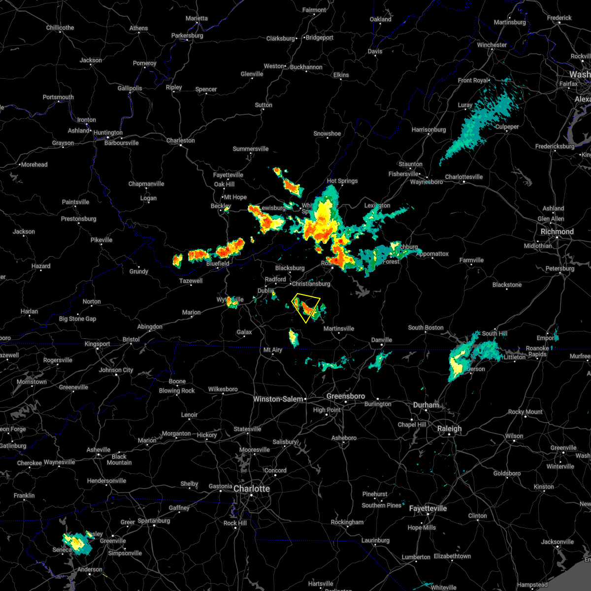
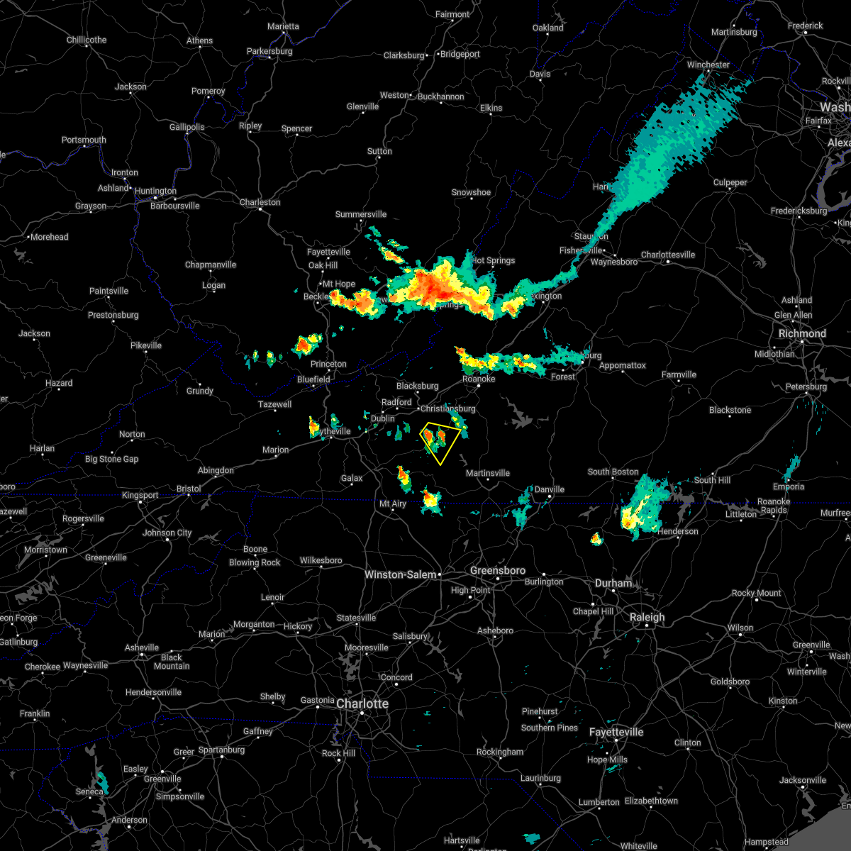
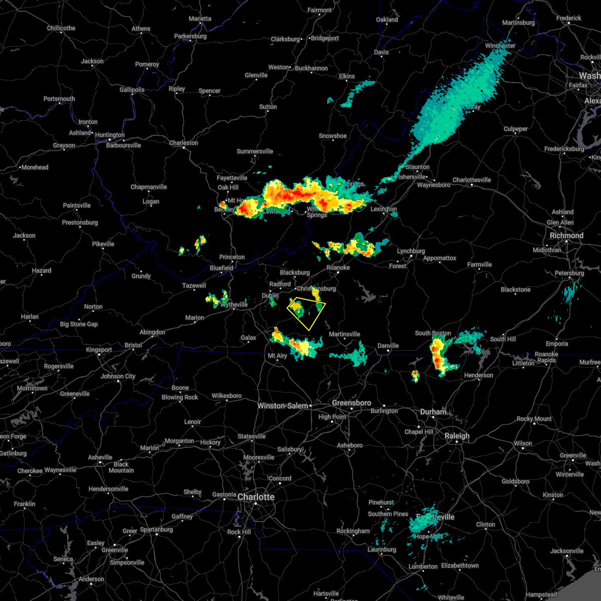
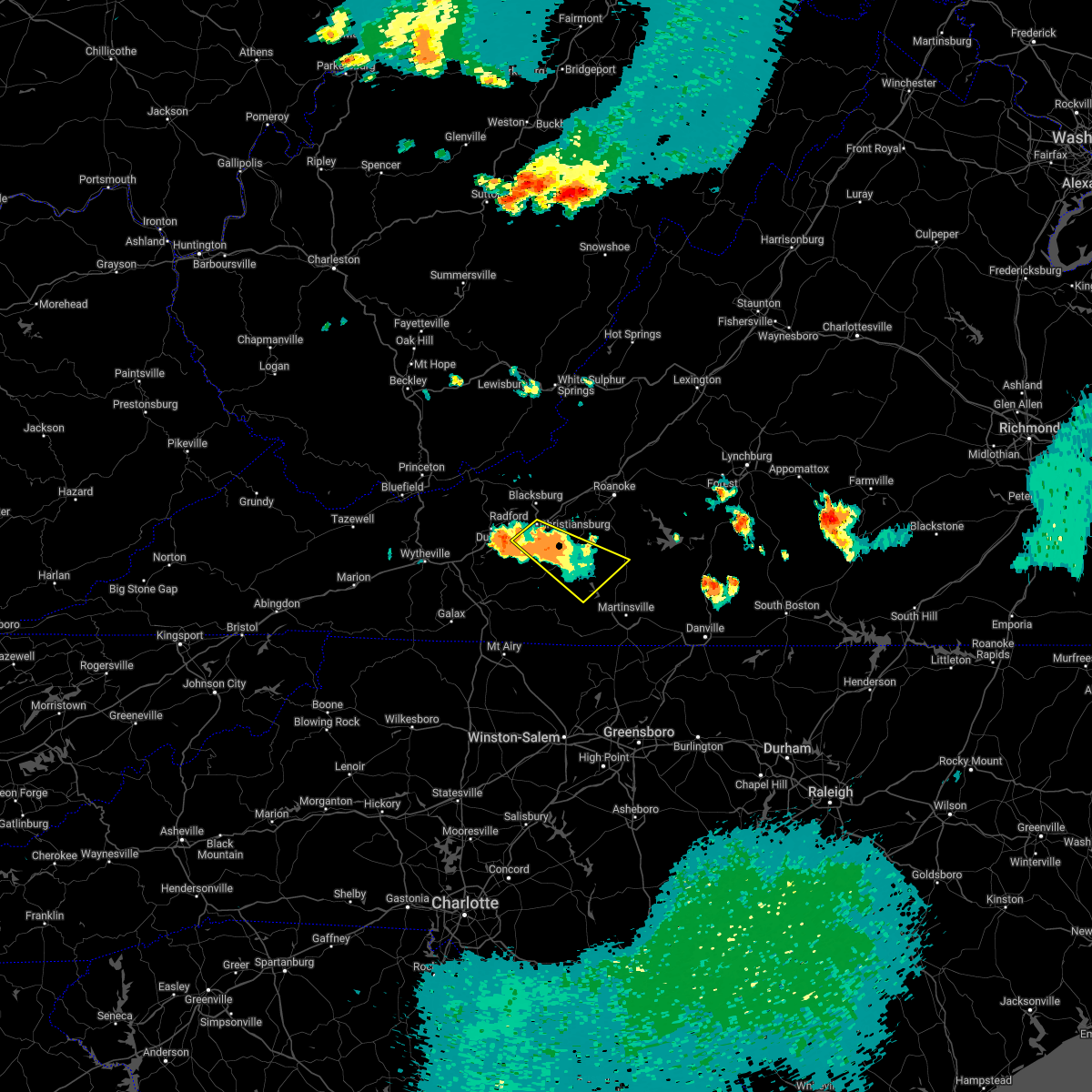
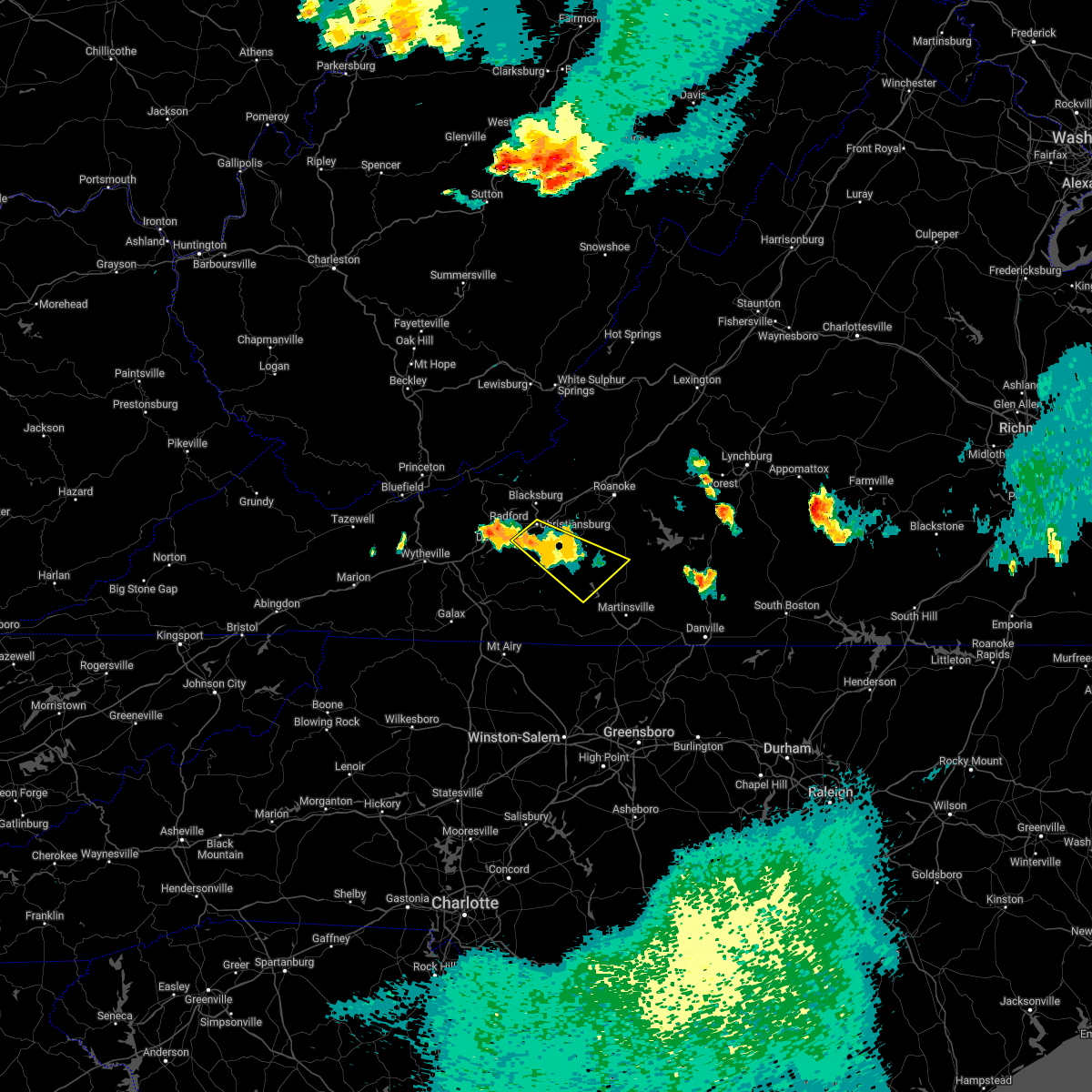
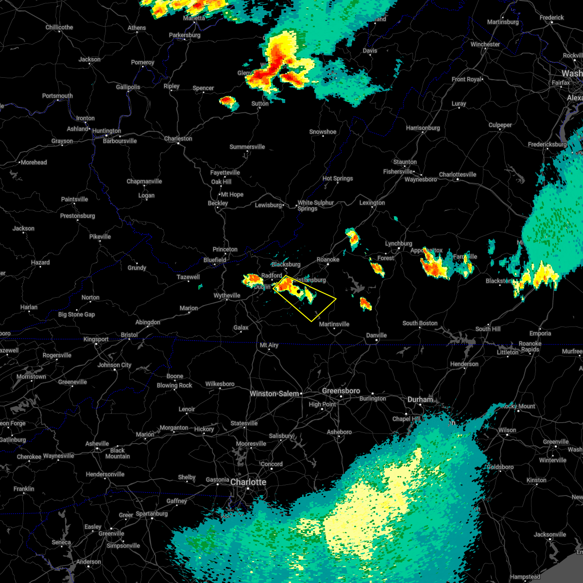
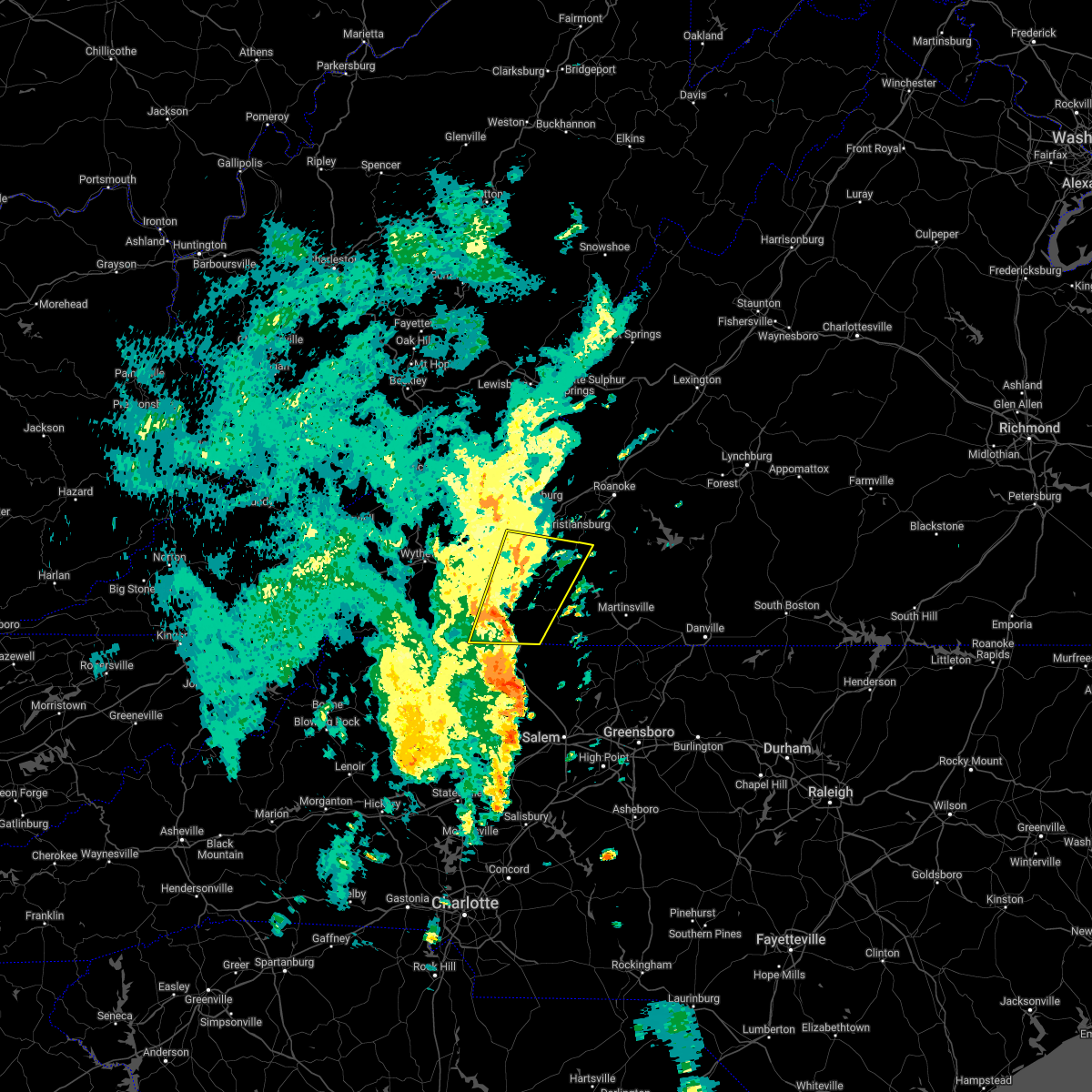
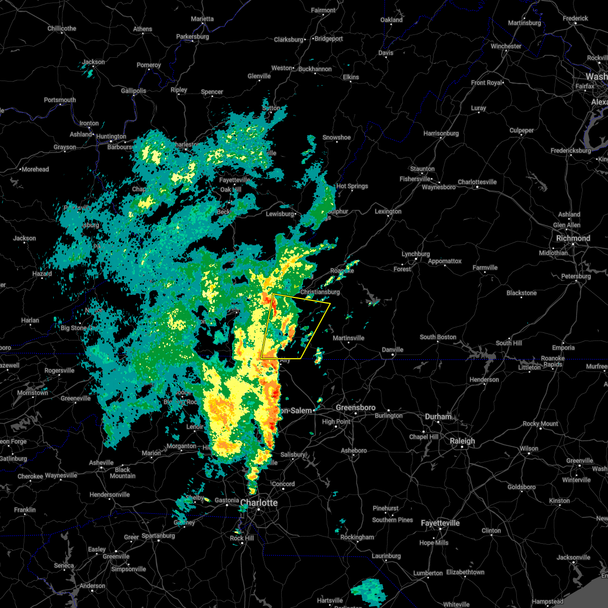
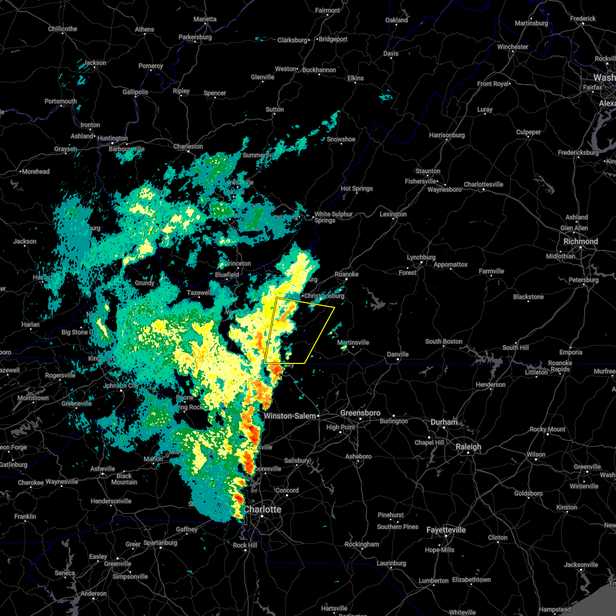
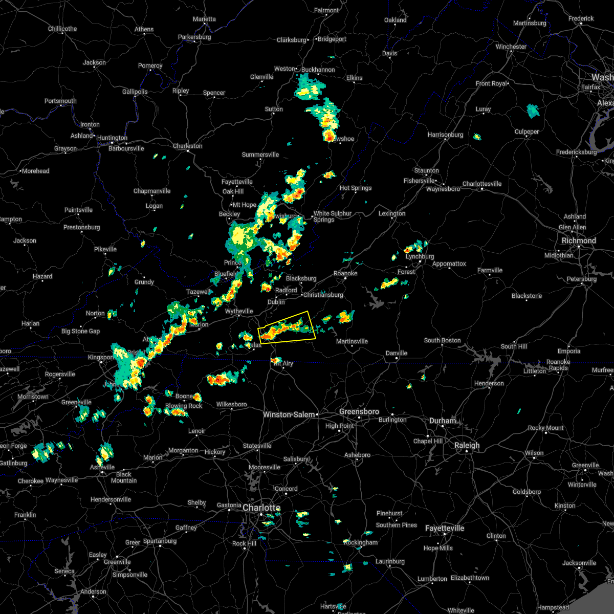
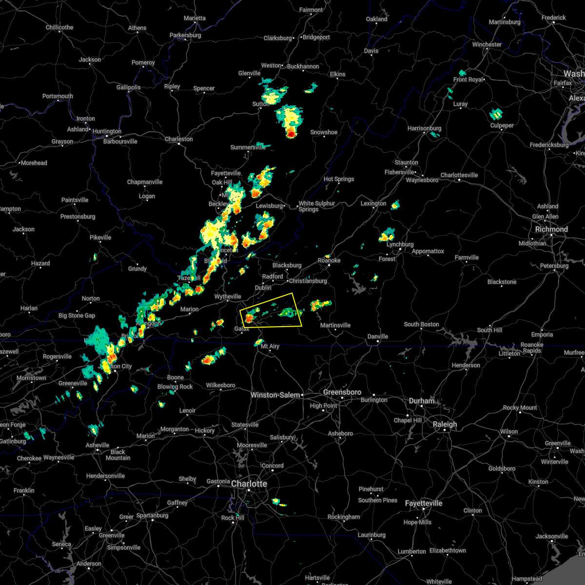
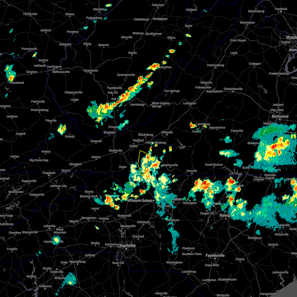
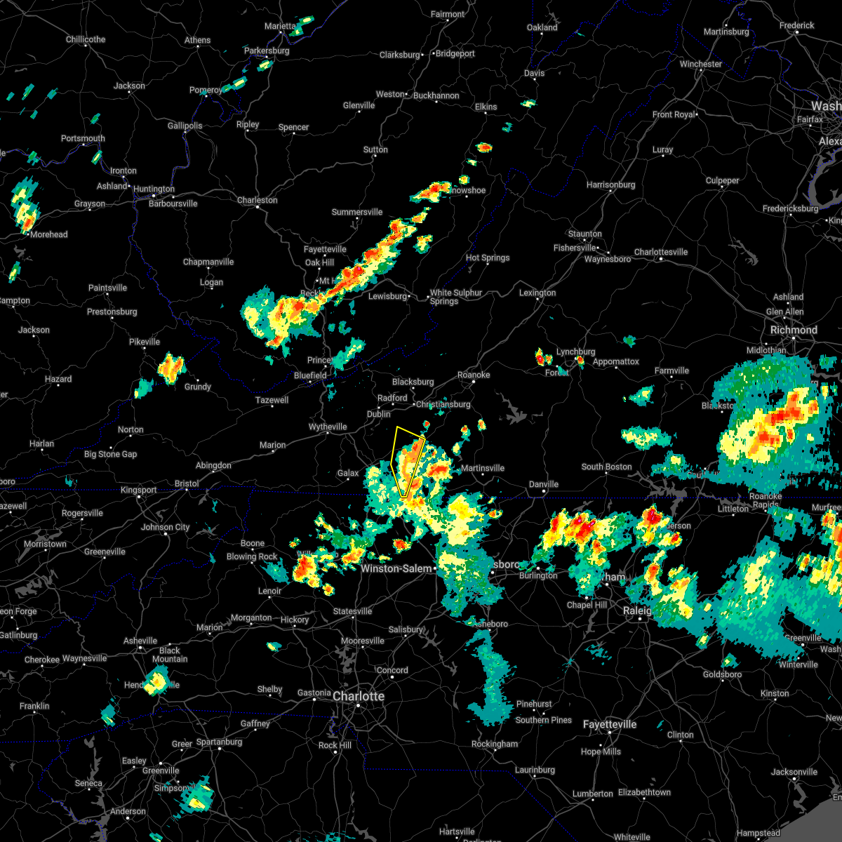
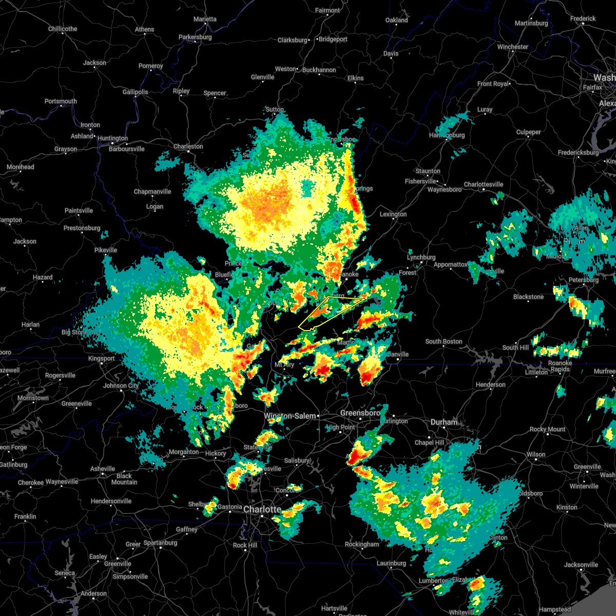
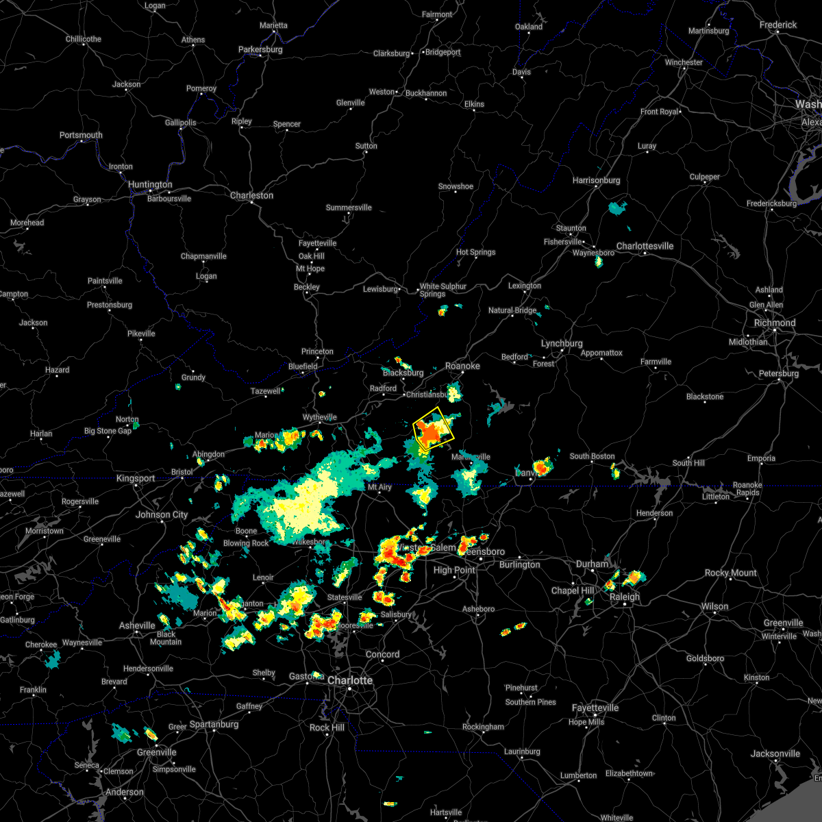
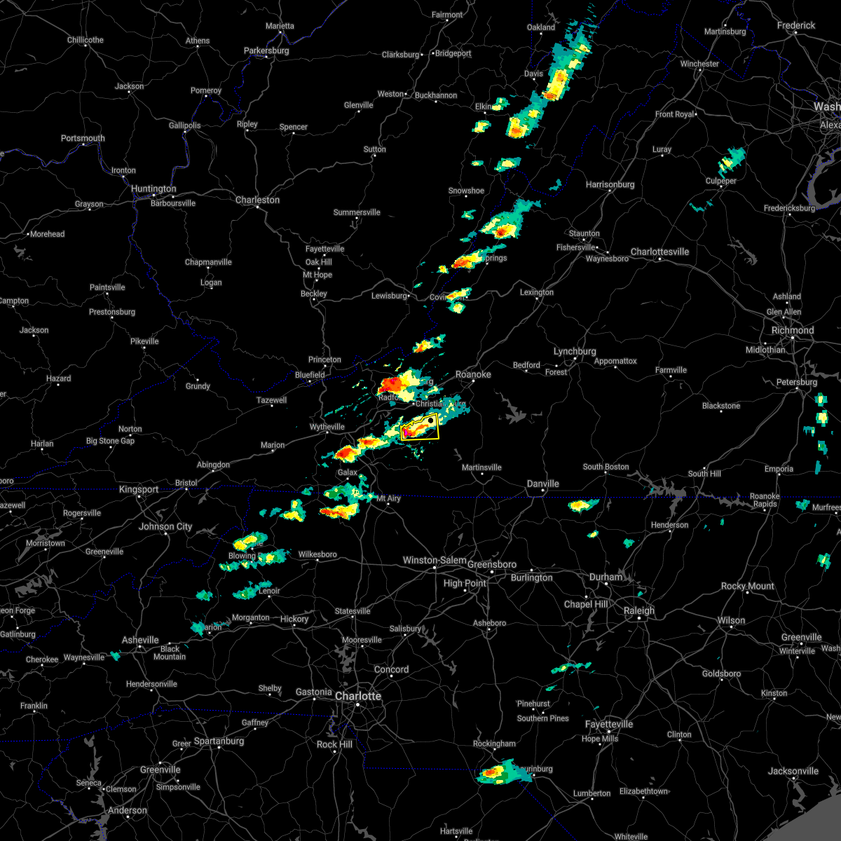
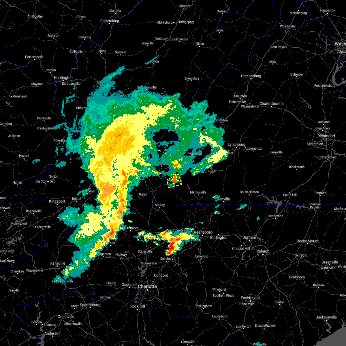
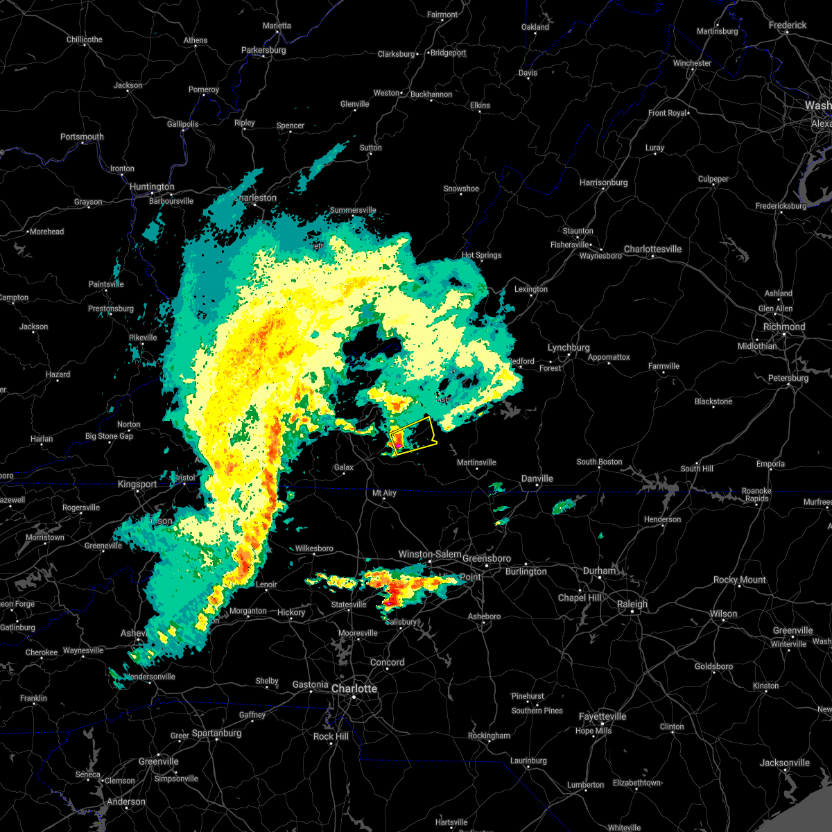
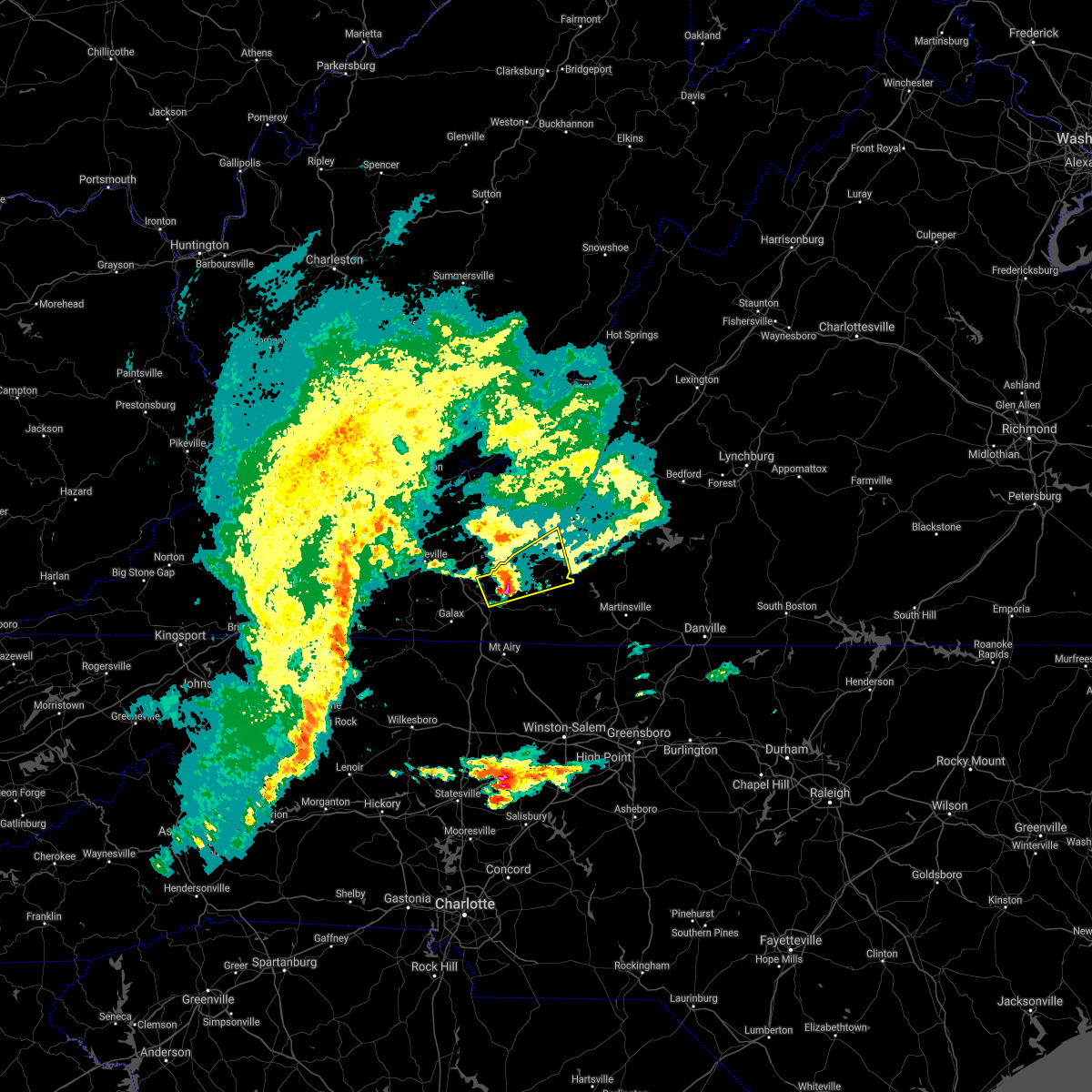
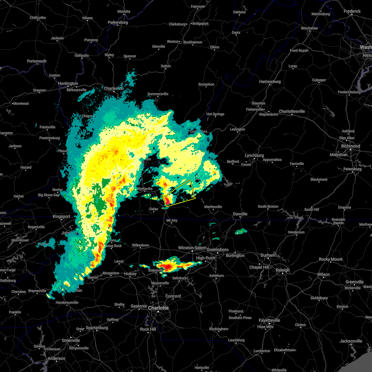
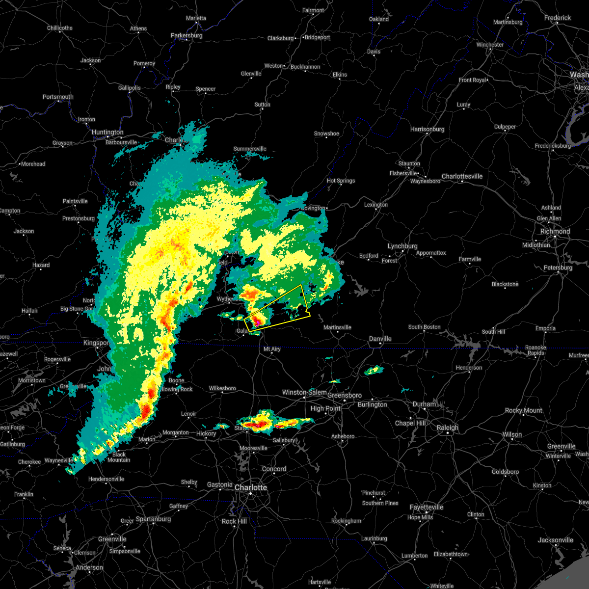
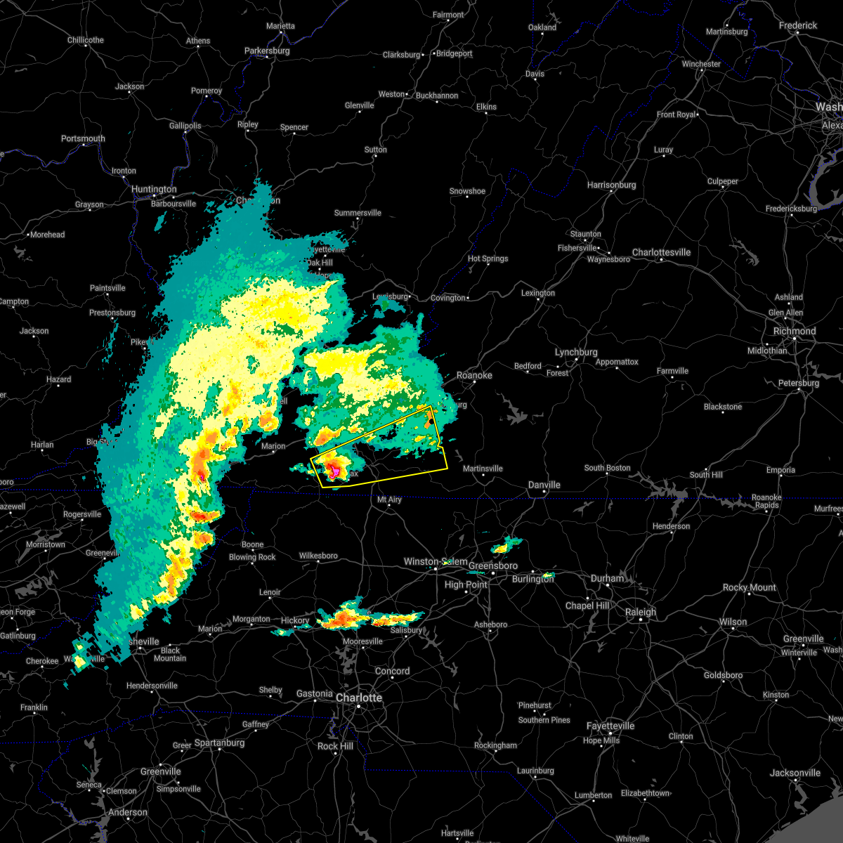
Hail Map for Floyd, VA
The Floyd, VA area has had 11 reports of on-the-ground hail by trained spotters, and has been under severe weather warnings 14 times during the past 12 months. Doppler radar has detected hail at or near Floyd, VA on 24 occasions.
| Name: | Floyd, VA |
| Where Located: | 32.4 miles SW of Roanoke, VA |
| Map: | Google Map for Floyd, VA |
| Population: | 425 |
| Housing Units: | 277 |
| More Info: | Search Google for Floyd, VA |
0
The Top Recent Hail Date for Floyd, VA is Monday, August 7, 2023 (24th out of 24)

Hail and Wind Damage Spotted near Floyd, VA
| Date / Time | Report Details |
|---|---|
| 6/19/2025 2:16 PM EDT |
 the severe thunderstorm warning has been cancelled and is no longer in effect the severe thunderstorm warning has been cancelled and is no longer in effect
|
| 6/19/2025 1:50 PM EDT | Delayed report: tree down across floyd highway north in floyd... va. time is estimated from rada in floyd county VA, 5.9 miles SW of Floyd, VA |
| 6/19/2025 1:47 PM EDT |
 At 147 pm edt, a severe thunderstorm was located near terrys fork, or near pilot, moving east at 40 mph (radar indicated). Hazards include 70 mph wind gusts and quarter size hail. Hail damage to vehicles is expected. expect considerable tree damage. wind damage is also likely to mobile homes, roofs, and outbuildings. Locations impacted include, floyd, pilot, copper hill, bent mountain, ferrum, terrys fork, and poages mill. At 147 pm edt, a severe thunderstorm was located near terrys fork, or near pilot, moving east at 40 mph (radar indicated). Hazards include 70 mph wind gusts and quarter size hail. Hail damage to vehicles is expected. expect considerable tree damage. wind damage is also likely to mobile homes, roofs, and outbuildings. Locations impacted include, floyd, pilot, copper hill, bent mountain, ferrum, terrys fork, and poages mill.
|
| 6/19/2025 1:30 PM EDT |
 Svrrnk the national weather service in blacksburg has issued a * severe thunderstorm warning for, southwestern roanoke county in west central virginia, floyd county in southwestern virginia, northwestern franklin county in west central virginia, southern montgomery county in southwestern virginia, * until 230 pm edt. * at 130 pm edt, a severe thunderstorm was located over copper valley, or near indian valley, moving east at 30 mph (radar indicated). Hazards include 70 mph wind gusts and quarter size hail. Hail damage to vehicles is expected. expect considerable tree damage. Wind damage is also likely to mobile homes, roofs, and outbuildings. Svrrnk the national weather service in blacksburg has issued a * severe thunderstorm warning for, southwestern roanoke county in west central virginia, floyd county in southwestern virginia, northwestern franklin county in west central virginia, southern montgomery county in southwestern virginia, * until 230 pm edt. * at 130 pm edt, a severe thunderstorm was located over copper valley, or near indian valley, moving east at 30 mph (radar indicated). Hazards include 70 mph wind gusts and quarter size hail. Hail damage to vehicles is expected. expect considerable tree damage. Wind damage is also likely to mobile homes, roofs, and outbuildings.
|
| 5/30/2025 3:44 PM EDT | the severe thunderstorm warning has been cancelled and is no longer in effect |
| 5/30/2025 3:44 PM EDT | At 344 pm edt, severe thunderstorms were located along a line extending from near poages mill to terrys fork to near floyd to near meadows of dan, moving east at 35 mph (radar indicated). Hazards include 60 mph wind gusts. Expect damage to roofs, siding, and trees. Locations impacted include, stuart, floyd, boones mill, copper hill, ferrum, woolwine, and bent mountain. |
| 5/30/2025 3:25 PM EDT |
 the severe thunderstorm warning has been cancelled and is no longer in effect the severe thunderstorm warning has been cancelled and is no longer in effect
|
| 5/30/2025 3:25 PM EDT |
 At 325 pm edt, severe thunderstorms were located along a line extending from shawsville to near childress to alum ridge to near gladesboro, moving east at 35 mph (radar indicated). Hazards include 60 mph wind gusts. Expect damage to roofs, siding, and trees. Locations impacted include, christiansburg, radford, stuart, floyd, boones mill, pilot, and copper hill. At 325 pm edt, severe thunderstorms were located along a line extending from shawsville to near childress to alum ridge to near gladesboro, moving east at 35 mph (radar indicated). Hazards include 60 mph wind gusts. Expect damage to roofs, siding, and trees. Locations impacted include, christiansburg, radford, stuart, floyd, boones mill, pilot, and copper hill.
|
| 5/30/2025 3:05 PM EDT |
 Svrrnk the national weather service in blacksburg has issued a * severe thunderstorm warning for, southern roanoke county in west central virginia, eastern pulaski county in southwestern virginia, the city of radford in southwestern virginia, floyd county in southwestern virginia, carroll county in southwestern virginia, west central henry county in south central virginia, the northeastern city of galax in southwestern virginia, patrick county in southwestern virginia, western franklin county in west central virginia, southern montgomery county in southwestern virginia, * until 400 pm edt. * at 305 pm edt, severe thunderstorms were located along a line extending from merrimac to claytor lake state park to near allisonia to woodlawn, moving east at 35 mph (radar indicated). Hazards include 60 mph wind gusts. expect damage to roofs, siding, and trees Svrrnk the national weather service in blacksburg has issued a * severe thunderstorm warning for, southern roanoke county in west central virginia, eastern pulaski county in southwestern virginia, the city of radford in southwestern virginia, floyd county in southwestern virginia, carroll county in southwestern virginia, west central henry county in south central virginia, the northeastern city of galax in southwestern virginia, patrick county in southwestern virginia, western franklin county in west central virginia, southern montgomery county in southwestern virginia, * until 400 pm edt. * at 305 pm edt, severe thunderstorms were located along a line extending from merrimac to claytor lake state park to near allisonia to woodlawn, moving east at 35 mph (radar indicated). Hazards include 60 mph wind gusts. expect damage to roofs, siding, and trees
|
| 5/16/2025 4:10 PM EDT | Svrrnk the national weather service in blacksburg has issued a * severe thunderstorm warning for, southern floyd county in southwestern virginia, the city of martinsville in south central virginia, northeastern carroll county in southwestern virginia, henry county in south central virginia, patrick county in southwestern virginia, southern franklin county in west central virginia, * until 515 pm edt. * at 410 pm edt, severe thunderstorms were located along a line extending from near indian valley to gladesboro, moving east at 60 mph (radar indicated). Hazards include 70 mph wind gusts and quarter size hail. Hail damage to vehicles is expected. expect considerable tree damage. Wind damage is also likely to mobile homes, roofs, and outbuildings. |
| 5/8/2025 7:30 PM EDT | Large tree down across main stree in floyd county VA, 4.1 miles SE of Floyd, VA |
| 8/30/2024 3:44 PM EDT |
 the severe thunderstorm warning has been cancelled and is no longer in effect the severe thunderstorm warning has been cancelled and is no longer in effect
|
| 8/30/2024 3:20 PM EDT |
 At 319 pm edt, a cluster of severe thunderstorms was located near floyd, moving southwest at 5 mph (radar indicated). Hazards include 60 mph wind gusts. Expect damage to roofs, siding, and trees. Locations impacted include, floyd, rocky knob recreation area, and rocky knob summit. At 319 pm edt, a cluster of severe thunderstorms was located near floyd, moving southwest at 5 mph (radar indicated). Hazards include 60 mph wind gusts. Expect damage to roofs, siding, and trees. Locations impacted include, floyd, rocky knob recreation area, and rocky knob summit.
|
| 8/30/2024 3:18 PM EDT |
 Svrrnk the national weather service in blacksburg has issued a * severe thunderstorm warning for, central floyd county in southwestern virginia, south central montgomery county in southwestern virginia, * until 400 pm edt. * at 317 pm edt, a severe thunderstorm was located over pilot, moving southeast at 10 mph (radar indicated). Hazards include 60 mph wind gusts and quarter size hail. Hail damage to vehicles is expected. Expect wind damage to roofs, siding, and trees. Svrrnk the national weather service in blacksburg has issued a * severe thunderstorm warning for, central floyd county in southwestern virginia, south central montgomery county in southwestern virginia, * until 400 pm edt. * at 317 pm edt, a severe thunderstorm was located over pilot, moving southeast at 10 mph (radar indicated). Hazards include 60 mph wind gusts and quarter size hail. Hail damage to vehicles is expected. Expect wind damage to roofs, siding, and trees.
|
| 8/30/2024 3:00 PM EDT | Several trees down in alum ridge neighborhood. trees blocked lanes and had to be removed by chainsa in floyd county VA, 3 miles SE of Floyd, VA |
| 8/30/2024 2:55 PM EDT |
 At 255 pm edt, a severe thunderstorm was located over floyd, moving southwest at 10 mph (radar indicated). Hazards include 60 mph wind gusts. Expect damage to roofs, siding, and trees. Locations impacted include, floyd, willis, rocky knob recreation area, meadows of dan, mabry mill, and rocky knob summit. At 255 pm edt, a severe thunderstorm was located over floyd, moving southwest at 10 mph (radar indicated). Hazards include 60 mph wind gusts. Expect damage to roofs, siding, and trees. Locations impacted include, floyd, willis, rocky knob recreation area, meadows of dan, mabry mill, and rocky knob summit.
|
| 8/30/2024 2:40 PM EDT |
 Svrrnk the national weather service in blacksburg has issued a * severe thunderstorm warning for, central floyd county in southwestern virginia, north central patrick county in southwestern virginia, * until 330 pm edt. * at 240 pm edt, a cluster of severe thunderstorms was located over floyd, moving southwest at 20 mph (radar indicated). Hazards include 60 mph wind gusts. expect damage to roofs, siding, and trees Svrrnk the national weather service in blacksburg has issued a * severe thunderstorm warning for, central floyd county in southwestern virginia, north central patrick county in southwestern virginia, * until 330 pm edt. * at 240 pm edt, a cluster of severe thunderstorms was located over floyd, moving southwest at 20 mph (radar indicated). Hazards include 60 mph wind gusts. expect damage to roofs, siding, and trees
|
| 5/26/2024 6:01 PM EDT |
 the severe thunderstorm warning has been cancelled and is no longer in effect the severe thunderstorm warning has been cancelled and is no longer in effect
|
| 5/26/2024 6:01 PM EDT |
 At 600 pm edt, severe thunderstorms were located along a line extending from maggie to near christiansburg to willis, moving east at 50 mph (radar indicated). Hazards include 70 mph wind gusts and quarter size hail. Hail damage to vehicles is expected. expect considerable tree damage. wind damage is also likely to mobile homes, roofs, and outbuildings. locations impacted include, roanoke, blacksburg, salem, christiansburg, radford, vinton, and rocky mount. This includes the following locations virginia tech, the salem fairgrounds, and roanoke regional airport. At 600 pm edt, severe thunderstorms were located along a line extending from maggie to near christiansburg to willis, moving east at 50 mph (radar indicated). Hazards include 70 mph wind gusts and quarter size hail. Hail damage to vehicles is expected. expect considerable tree damage. wind damage is also likely to mobile homes, roofs, and outbuildings. locations impacted include, roanoke, blacksburg, salem, christiansburg, radford, vinton, and rocky mount. This includes the following locations virginia tech, the salem fairgrounds, and roanoke regional airport.
|
| 5/26/2024 5:35 PM EDT |
 Svrrnk the national weather service in blacksburg has issued a * severe thunderstorm warning for, pulaski county in southwestern virginia, giles county in southwestern virginia, craig county in southwestern virginia, the city of radford in southwestern virginia, the city of salem in west central virginia, floyd county in southwestern virginia, northeastern carroll county in southwestern virginia, southwestern botetourt county in west central virginia, roanoke county in west central virginia, the city of roanoke in west central virginia, east central wythe county in southwestern virginia, western franklin county in west central virginia, montgomery county in southwestern virginia, * until 630 pm edt. * at 534 pm edt, severe thunderstorms were located along a line extending from pearisburg to near dublin to near ennice, moving east at 50 mph (radar indicated). Hazards include 70 mph wind gusts and quarter size hail. Hail damage to vehicles is expected. expect considerable tree damage. Wind damage is also likely to mobile homes, roofs, and outbuildings. Svrrnk the national weather service in blacksburg has issued a * severe thunderstorm warning for, pulaski county in southwestern virginia, giles county in southwestern virginia, craig county in southwestern virginia, the city of radford in southwestern virginia, the city of salem in west central virginia, floyd county in southwestern virginia, northeastern carroll county in southwestern virginia, southwestern botetourt county in west central virginia, roanoke county in west central virginia, the city of roanoke in west central virginia, east central wythe county in southwestern virginia, western franklin county in west central virginia, montgomery county in southwestern virginia, * until 630 pm edt. * at 534 pm edt, severe thunderstorms were located along a line extending from pearisburg to near dublin to near ennice, moving east at 50 mph (radar indicated). Hazards include 70 mph wind gusts and quarter size hail. Hail damage to vehicles is expected. expect considerable tree damage. Wind damage is also likely to mobile homes, roofs, and outbuildings.
|
| 4/11/2024 9:15 PM EDT |
 the severe thunderstorm warning has been cancelled and is no longer in effect the severe thunderstorm warning has been cancelled and is no longer in effect
|
| 4/11/2024 8:37 PM EDT |
 Svrrnk the national weather service in blacksburg has issued a * severe thunderstorm warning for, northeastern floyd county in southwestern virginia, the city of martinsville in south central virginia, northwestern henry county in south central virginia, eastern patrick county in southwestern virginia, southwestern franklin county in west central virginia, * until 930 pm edt. * at 837 pm edt, severe thunderstorms were located along a line extending from floyd to near fairy stone state park to critz, moving northeast at 50 mph (radar indicated). Hazards include 60 mph wind gusts. expect damage to roofs, siding, and trees Svrrnk the national weather service in blacksburg has issued a * severe thunderstorm warning for, northeastern floyd county in southwestern virginia, the city of martinsville in south central virginia, northwestern henry county in south central virginia, eastern patrick county in southwestern virginia, southwestern franklin county in west central virginia, * until 930 pm edt. * at 837 pm edt, severe thunderstorms were located along a line extending from floyd to near fairy stone state park to critz, moving northeast at 50 mph (radar indicated). Hazards include 60 mph wind gusts. expect damage to roofs, siding, and trees
|
| 8/7/2023 3:42 PM EDT |
 At 339 pm edt, public reported a severe thunderstorm located near rocky knob summit, or near floyd, moving east at 35 mph (public reported hail). Hazards include 60 mph wind gusts and half dollar size hail. Hail damage to vehicles is expected. expect wind damage to roofs, siding, and trees. locations impacted include, floyd, willis, ferrum, endicott, rocky knob recreation area, charity, and rocky knob summit. hail threat, observed max hail size, 1. 25 in wind threat, radar indicated max wind gust, 60 mph. At 339 pm edt, public reported a severe thunderstorm located near rocky knob summit, or near floyd, moving east at 35 mph (public reported hail). Hazards include 60 mph wind gusts and half dollar size hail. Hail damage to vehicles is expected. expect wind damage to roofs, siding, and trees. locations impacted include, floyd, willis, ferrum, endicott, rocky knob recreation area, charity, and rocky knob summit. hail threat, observed max hail size, 1. 25 in wind threat, radar indicated max wind gust, 60 mph.
|
| 8/7/2023 3:25 PM EDT | Quarter sized hail reported 9.7 miles ENE of Floyd, VA |
| 8/7/2023 3:17 PM EDT |
 At 316 pm edt, a severe thunderstorm was located near dugspur, or near indian valley, moving east at 45 mph (radar indicated). Hazards include 60 mph wind gusts and quarter size hail. Hail damage to vehicles is expected. Expect wind damage to roofs, siding, and trees. At 316 pm edt, a severe thunderstorm was located near dugspur, or near indian valley, moving east at 45 mph (radar indicated). Hazards include 60 mph wind gusts and quarter size hail. Hail damage to vehicles is expected. Expect wind damage to roofs, siding, and trees.
|
| 7/29/2023 6:08 PM EDT |
 The severe thunderstorm warning for southern floyd and northeastern carroll counties will expire at 615 pm edt, the storm which prompted the warning has moved out of the area. therefore, the warning will be allowed to expire. however, gusty winds and heavy rain are still possible with this thunderstorm. a severe thunderstorm watch remains in effect until 1000 pm edt for north central and northwestern north carolina, and south central, southwestern and west central virginia. The severe thunderstorm warning for southern floyd and northeastern carroll counties will expire at 615 pm edt, the storm which prompted the warning has moved out of the area. therefore, the warning will be allowed to expire. however, gusty winds and heavy rain are still possible with this thunderstorm. a severe thunderstorm watch remains in effect until 1000 pm edt for north central and northwestern north carolina, and south central, southwestern and west central virginia.
|
| 7/29/2023 5:51 PM EDT |
 At 551 pm edt, a severe thunderstorm was located near indian valley, moving southeast at 30 mph (radar indicated). Hazards include 60 mph wind gusts. Expect damage to roofs, siding, and trees. locations impacted include, floyd, indian valley, willis, dugspur, alum ridge, rocky knob summit, and mabry mill. hail threat, radar indicated max hail size, <. 75 in wind threat, radar indicated max wind gust, 60 mph. At 551 pm edt, a severe thunderstorm was located near indian valley, moving southeast at 30 mph (radar indicated). Hazards include 60 mph wind gusts. Expect damage to roofs, siding, and trees. locations impacted include, floyd, indian valley, willis, dugspur, alum ridge, rocky knob summit, and mabry mill. hail threat, radar indicated max hail size, <. 75 in wind threat, radar indicated max wind gust, 60 mph.
|
| 7/29/2023 5:27 PM EDT |
 At 527 pm edt, a severe thunderstorm was located over allisonia, moving southeast at 30 mph (radar indicated). Hazards include 60 mph wind gusts. expect damage to roofs, siding, and trees At 527 pm edt, a severe thunderstorm was located over allisonia, moving southeast at 30 mph (radar indicated). Hazards include 60 mph wind gusts. expect damage to roofs, siding, and trees
|
| 7/28/2023 6:42 PM EDT |
 The severe thunderstorm warning for east central craig, floyd, northwestern bedford, carroll, northwestern henry, patrick and franklin counties and the city of galax will expire at 645 pm edt, the storms which prompted the warning have moved out of the area. therefore, the warning will be allowed to expire. a severe thunderstorm watch remains in effect until 1100 pm edt for southwestern and west central virginia, and southeastern west virginia. The severe thunderstorm warning for east central craig, floyd, northwestern bedford, carroll, northwestern henry, patrick and franklin counties and the city of galax will expire at 645 pm edt, the storms which prompted the warning have moved out of the area. therefore, the warning will be allowed to expire. a severe thunderstorm watch remains in effect until 1100 pm edt for southwestern and west central virginia, and southeastern west virginia.
|
| 7/28/2023 6:35 PM EDT |
 At 634 pm edt, severe thunderstorms were located along a line extending from near montvale to near ferrum to near charity to rocky knob recreation area, moving southwest at 10 mph (radar indicated). Hazards include 60 mph wind gusts. Expect damage to roofs, siding, and trees. locations impacted include, roanoke, salem, vinton, galax, bedford, rocky mount, and hillsville. this includes the following locations the salem fairgrounds, the national d-day memorial, and roanoke regional airport. hail threat, radar indicated max hail size, <. 75 in wind threat, radar indicated max wind gust, 60 mph. At 634 pm edt, severe thunderstorms were located along a line extending from near montvale to near ferrum to near charity to rocky knob recreation area, moving southwest at 10 mph (radar indicated). Hazards include 60 mph wind gusts. Expect damage to roofs, siding, and trees. locations impacted include, roanoke, salem, vinton, galax, bedford, rocky mount, and hillsville. this includes the following locations the salem fairgrounds, the national d-day memorial, and roanoke regional airport. hail threat, radar indicated max hail size, <. 75 in wind threat, radar indicated max wind gust, 60 mph.
|
| 7/28/2023 5:33 PM EDT |
 At 533 pm edt, severe thunderstorms were located along a line extending from new castle to near crockett springs to near claytor lake state park to allisonia, moving east at 50 mph (radar indicated). Hazards include 60 mph wind gusts. expect damage to roofs, siding, and trees At 533 pm edt, severe thunderstorms were located along a line extending from new castle to near crockett springs to near claytor lake state park to allisonia, moving east at 50 mph (radar indicated). Hazards include 60 mph wind gusts. expect damage to roofs, siding, and trees
|
| 5/16/2023 7:28 PM EDT |
 At 727 pm edt, severe thunderstorms were located along a line extending from near boones mill to near fancy gap, moving east at 55 mph (radar indicated). Hazards include 60 mph wind gusts. Expect damage to roofs, siding, and trees. locations impacted include, galax, rocky mount, hillsville, independence, fries, floyd, and copper hill. hail threat, radar indicated max hail size, <. 75 in wind threat, radar indicated max wind gust, 60 mph. At 727 pm edt, severe thunderstorms were located along a line extending from near boones mill to near fancy gap, moving east at 55 mph (radar indicated). Hazards include 60 mph wind gusts. Expect damage to roofs, siding, and trees. locations impacted include, galax, rocky mount, hillsville, independence, fries, floyd, and copper hill. hail threat, radar indicated max hail size, <. 75 in wind threat, radar indicated max wind gust, 60 mph.
|
| 5/16/2023 7:10 PM EDT |
 At 710 pm edt, severe thunderstorms were located along a line extending from near crockett springs to fries, moving east at 55 mph (radar indicated). Hazards include 60 mph wind gusts. expect damage to roofs, siding, and trees At 710 pm edt, severe thunderstorms were located along a line extending from near crockett springs to fries, moving east at 55 mph (radar indicated). Hazards include 60 mph wind gusts. expect damage to roofs, siding, and trees
|
| 5/16/2023 5:51 PM EDT |
 The severe thunderstorm warning for central floyd county will expire at 600 pm edt, the storm which prompted the warning has weakened below severe limits and no longer poses an immediate threat to life or property. therefore, the warning will be allowed to expire. a severe thunderstorm watch remains in effect until 1000 pm edt for north central and northwestern north carolina, and south central, southwestern and west central virginia. The severe thunderstorm warning for central floyd county will expire at 600 pm edt, the storm which prompted the warning has weakened below severe limits and no longer poses an immediate threat to life or property. therefore, the warning will be allowed to expire. a severe thunderstorm watch remains in effect until 1000 pm edt for north central and northwestern north carolina, and south central, southwestern and west central virginia.
|
| 5/16/2023 5:27 PM EDT |
 At 527 pm edt, a severe thunderstorm was located over alum ridge, or near indian valley, moving east at 40 mph (radar indicated). Hazards include 60 mph wind gusts. Expect damage to roofs, siding, and trees. locations impacted include, floyd, indian valley, alum ridge, and copper valley. hail threat, radar indicated max hail size, <. 75 in wind threat, radar indicated max wind gust, 60 mph. At 527 pm edt, a severe thunderstorm was located over alum ridge, or near indian valley, moving east at 40 mph (radar indicated). Hazards include 60 mph wind gusts. Expect damage to roofs, siding, and trees. locations impacted include, floyd, indian valley, alum ridge, and copper valley. hail threat, radar indicated max hail size, <. 75 in wind threat, radar indicated max wind gust, 60 mph.
|
| 5/16/2023 5:12 PM EDT |
 At 512 pm edt, a severe thunderstorm was located near allisonia, moving east at 40 mph (radar indicated). Hazards include 60 mph wind gusts and quarter size hail. Hail damage to vehicles is expected. Expect wind damage to roofs, siding, and trees. At 512 pm edt, a severe thunderstorm was located near allisonia, moving east at 40 mph (radar indicated). Hazards include 60 mph wind gusts and quarter size hail. Hail damage to vehicles is expected. Expect wind damage to roofs, siding, and trees.
|
| 4/22/2023 8:40 AM EDT |
 At 839 am edt, a severe thunderstorm was located near fairy stone state park, or 9 miles northwest of bassett, moving northeast at 60 mph (radar indicated). Hazards include 60 mph wind gusts. Expect damage to roofs, siding, and trees. locations impacted include, martinsville, rocky mount, stuart, floyd, boones mill, copper hill, and ferrum. this includes the following locations the martinsville speedway and martinsville airport. hail threat, radar indicated max hail size, <. 75 in wind threat, radar indicated max wind gust, 60 mph. At 839 am edt, a severe thunderstorm was located near fairy stone state park, or 9 miles northwest of bassett, moving northeast at 60 mph (radar indicated). Hazards include 60 mph wind gusts. Expect damage to roofs, siding, and trees. locations impacted include, martinsville, rocky mount, stuart, floyd, boones mill, copper hill, and ferrum. this includes the following locations the martinsville speedway and martinsville airport. hail threat, radar indicated max hail size, <. 75 in wind threat, radar indicated max wind gust, 60 mph.
|
| 4/22/2023 8:24 AM EDT |
 At 824 am edt, a severe thunderstorm was located near stuart, moving northeast at 60 mph (radar indicated). Hazards include 60 mph wind gusts. expect damage to roofs, siding, and trees At 824 am edt, a severe thunderstorm was located near stuart, moving northeast at 60 mph (radar indicated). Hazards include 60 mph wind gusts. expect damage to roofs, siding, and trees
|
| 8/10/2022 2:53 PM EDT |
 At 252 pm edt, a severe thunderstorm was located near indian valley, and is nearly stationary (radar indicated). Hazards include 60 mph wind gusts and penny size hail. Expect damage to roofs, siding, and trees. locations impacted include, floyd, indian valley, willis, alum ridge, copper valley, and rocky knob summit. hail threat, radar indicated max hail size, 0. 75 in wind threat, radar indicated max wind gust, 60 mph. At 252 pm edt, a severe thunderstorm was located near indian valley, and is nearly stationary (radar indicated). Hazards include 60 mph wind gusts and penny size hail. Expect damage to roofs, siding, and trees. locations impacted include, floyd, indian valley, willis, alum ridge, copper valley, and rocky knob summit. hail threat, radar indicated max hail size, 0. 75 in wind threat, radar indicated max wind gust, 60 mph.
|
| 8/10/2022 2:26 PM EDT | Power line down along firehouse road just north of willi in floyd county VA, 9.8 miles ENE of Floyd, VA |
| 8/10/2022 2:25 PM EDT |
 At 225 pm edt, a severe thunderstorm was located near indian valley, and is nearly stationary (radar indicated). Hazards include 60 mph wind gusts and quarter size hail. Hail damage to vehicles is expected. Expect wind damage to roofs, siding, and trees. At 225 pm edt, a severe thunderstorm was located near indian valley, and is nearly stationary (radar indicated). Hazards include 60 mph wind gusts and quarter size hail. Hail damage to vehicles is expected. Expect wind damage to roofs, siding, and trees.
|
| 7/12/2022 8:48 PM EDT |
 At 847 pm edt, severe thunderstorms were located along a line extending from near westlake corner to near floyd, moving southeast at 30 mph (radar indicated). Hazards include 60 mph wind gusts and penny size hail. Expect damage to roofs, siding, and trees. locations impacted include, rocky mount, floyd, boones mill, copper hill, sydnorsville, ferrum, and penhook. hail threat, radar indicated max hail size, 0. 75 in wind threat, radar indicated max wind gust, 60 mph. At 847 pm edt, severe thunderstorms were located along a line extending from near westlake corner to near floyd, moving southeast at 30 mph (radar indicated). Hazards include 60 mph wind gusts and penny size hail. Expect damage to roofs, siding, and trees. locations impacted include, rocky mount, floyd, boones mill, copper hill, sydnorsville, ferrum, and penhook. hail threat, radar indicated max hail size, 0. 75 in wind threat, radar indicated max wind gust, 60 mph.
|
| 7/12/2022 8:21 PM EDT |
 At 821 pm edt, severe thunderstorms were located along a line extending from stewartsville to near pilot, moving southeast at 25 mph (radar indicated). Hazards include 60 mph wind gusts and quarter size hail. Hail damage to vehicles is expected. Expect wind damage to roofs, siding, and trees. At 821 pm edt, severe thunderstorms were located along a line extending from stewartsville to near pilot, moving southeast at 25 mph (radar indicated). Hazards include 60 mph wind gusts and quarter size hail. Hail damage to vehicles is expected. Expect wind damage to roofs, siding, and trees.
|
| 7/2/2022 5:41 PM EDT |
 The severe thunderstorm warning for central floyd, northeastern carroll, southwestern franklin and northeastern patrick counties will expire at 545 pm edt, the storms which prompted the warning have weakened below severe limits, and no longer pose an immediate threat to life or property. therefore, the warning will be allowed to expire. however gusty winds and heavy rain are still possible with these thunderstorms. The severe thunderstorm warning for central floyd, northeastern carroll, southwestern franklin and northeastern patrick counties will expire at 545 pm edt, the storms which prompted the warning have weakened below severe limits, and no longer pose an immediate threat to life or property. therefore, the warning will be allowed to expire. however gusty winds and heavy rain are still possible with these thunderstorms.
|
| 7/2/2022 5:30 PM EDT |
 At 530 pm edt, severe thunderstorms were located along a line extending from near ferrum to floyd to dugspur, moving south at 5 mph (radar indicated). Hazards include 60 mph wind gusts and quarter size hail. Hail damage to vehicles is expected. expect wind damage to roofs, siding, and trees. locations impacted include, floyd, willis, endicott, alum ridge, rocky knob summit, dugspur, and rocky knob recreation area. hail threat, radar indicated max hail size, 1. 00 in wind threat, radar indicated max wind gust, 60 mph. At 530 pm edt, severe thunderstorms were located along a line extending from near ferrum to floyd to dugspur, moving south at 5 mph (radar indicated). Hazards include 60 mph wind gusts and quarter size hail. Hail damage to vehicles is expected. expect wind damage to roofs, siding, and trees. locations impacted include, floyd, willis, endicott, alum ridge, rocky knob summit, dugspur, and rocky knob recreation area. hail threat, radar indicated max hail size, 1. 00 in wind threat, radar indicated max wind gust, 60 mph.
|
| 7/2/2022 5:15 PM EDT |
 At 515 pm edt, severe thunderstorms were located along a line extending from near ferrum to near floyd to dugspur, moving south at 5 mph (radar indicated). Hazards include 60 mph wind gusts and quarter size hail. Hail damage to vehicles is expected. expect wind damage to roofs, siding, and trees. locations impacted include, floyd, indian valley, willis, ferrum, endicott, callaway, and alum ridge. hail threat, radar indicated max hail size, 1. 00 in wind threat, radar indicated max wind gust, 60 mph. At 515 pm edt, severe thunderstorms were located along a line extending from near ferrum to near floyd to dugspur, moving south at 5 mph (radar indicated). Hazards include 60 mph wind gusts and quarter size hail. Hail damage to vehicles is expected. expect wind damage to roofs, siding, and trees. locations impacted include, floyd, indian valley, willis, ferrum, endicott, callaway, and alum ridge. hail threat, radar indicated max hail size, 1. 00 in wind threat, radar indicated max wind gust, 60 mph.
|
| 7/2/2022 5:05 PM EDT | Thunderstorm winds blew a tree down at the intersection of franklin pike and the blue ridge parkway. time estimated via rada in floyd county VA, 9.6 miles WSW of Floyd, VA |
| 7/2/2022 5:00 PM EDT | Thunderstorm winds blew a tree down in the 1900 block of floyd highway north. time estimated via rada in floyd county VA, 4.1 miles SW of Floyd, VA |
| 7/2/2022 4:49 PM EDT |
 At 449 pm edt, severe thunderstorms were located along a line extending from near ferrum to near terrys fork to near dugspur, moving south at 5 mph (radar indicated). Hazards include 60 mph wind gusts and quarter size hail. Hail damage to vehicles is expected. Expect wind damage to roofs, siding, and trees. At 449 pm edt, severe thunderstorms were located along a line extending from near ferrum to near terrys fork to near dugspur, moving south at 5 mph (radar indicated). Hazards include 60 mph wind gusts and quarter size hail. Hail damage to vehicles is expected. Expect wind damage to roofs, siding, and trees.
|
| 6/17/2022 4:39 PM EDT |
 At 438 pm edt, severe thunderstorms were located along a line extending from near ferrum to charity, moving southeast at 50 mph (radar indicated). Hazards include 60 mph wind gusts. Expect damage to roofs, siding, and trees. locations impacted include, floyd, copper hill, willis, shawsville, pilot, terrys fork, and mabry mill. hail threat, radar indicated max hail size, <. 75 in wind threat, radar indicated max wind gust, 60 mph. At 438 pm edt, severe thunderstorms were located along a line extending from near ferrum to charity, moving southeast at 50 mph (radar indicated). Hazards include 60 mph wind gusts. Expect damage to roofs, siding, and trees. locations impacted include, floyd, copper hill, willis, shawsville, pilot, terrys fork, and mabry mill. hail threat, radar indicated max hail size, <. 75 in wind threat, radar indicated max wind gust, 60 mph.
|
| 6/17/2022 4:36 PM EDT | Large trees down along route 221 in willis v in floyd county VA, 9.7 miles ENE of Floyd, VA |
| 6/17/2022 4:00 PM EDT |
 At 400 pm edt, severe thunderstorms were located along a line extending from merrimac to near pulaski, moving southeast at 50 mph (radar indicated). Hazards include 60 mph wind gusts. expect damage to roofs, siding, and trees At 400 pm edt, severe thunderstorms were located along a line extending from merrimac to near pulaski, moving southeast at 50 mph (radar indicated). Hazards include 60 mph wind gusts. expect damage to roofs, siding, and trees
|
| 6/17/2022 12:42 AM EDT |
 The severe thunderstorm warning for northeastern floyd, west central franklin and north central patrick counties will expire at 1245 am edt, the storm which prompted the warning has weakened below severe limits, and no longer poses an immediate threat to life or property. therefore, the warning will be allowed to expire. The severe thunderstorm warning for northeastern floyd, west central franklin and north central patrick counties will expire at 1245 am edt, the storm which prompted the warning has weakened below severe limits, and no longer poses an immediate threat to life or property. therefore, the warning will be allowed to expire.
|
| 6/17/2022 12:18 AM EDT |
 At 1216 am edt, a severe thunderstorm was located near floyd, moving southeast at 20 mph (radar indicated). Hazards include 60 mph wind gusts and quarter size hail. Hail damage to vehicles is expected. expect wind damage to roofs, siding, and trees. locations impacted include, floyd, and charity. hail threat, radar indicated max hail size, 1. 00 in wind threat, radar indicated max wind gust, 60 mph. At 1216 am edt, a severe thunderstorm was located near floyd, moving southeast at 20 mph (radar indicated). Hazards include 60 mph wind gusts and quarter size hail. Hail damage to vehicles is expected. expect wind damage to roofs, siding, and trees. locations impacted include, floyd, and charity. hail threat, radar indicated max hail size, 1. 00 in wind threat, radar indicated max wind gust, 60 mph.
|
| 6/17/2022 12:04 AM EDT |
 At 1204 am edt, a severe thunderstorm was located near pilot, moving southeast at 20 mph (radar indicated). Hazards include 60 mph wind gusts and quarter size hail. Hail damage to vehicles is expected. Expect wind damage to roofs, siding, and trees. At 1204 am edt, a severe thunderstorm was located near pilot, moving southeast at 20 mph (radar indicated). Hazards include 60 mph wind gusts and quarter size hail. Hail damage to vehicles is expected. Expect wind damage to roofs, siding, and trees.
|
| 6/16/2022 10:06 PM EDT |
 The severe thunderstorm warning for northeastern floyd, southwestern franklin, northeastern patrick and southern montgomery counties will expire at 1015 pm edt, the storm which prompted the warning has weakened below severe limits, and no longer poses an immediate threat to life or property. therefore, the warning will be allowed to expire. however gusty winds and heavy rain are still possible with this thunderstorm. The severe thunderstorm warning for northeastern floyd, southwestern franklin, northeastern patrick and southern montgomery counties will expire at 1015 pm edt, the storm which prompted the warning has weakened below severe limits, and no longer poses an immediate threat to life or property. therefore, the warning will be allowed to expire. however gusty winds and heavy rain are still possible with this thunderstorm.
|
| 6/16/2022 9:42 PM EDT |
 At 942 pm edt, a severe thunderstorm was located near pilot, moving southeast at 15 mph (radar indicated). Hazards include 60 mph wind gusts. Expect damage to roofs, siding, and trees. locations impacted include, christiansburg, floyd, pilot, ferrum, terrys fork, endicott, and fairy stone state park. hail threat, radar indicated max hail size, <. 75 in wind threat, radar indicated max wind gust, 60 mph. At 942 pm edt, a severe thunderstorm was located near pilot, moving southeast at 15 mph (radar indicated). Hazards include 60 mph wind gusts. Expect damage to roofs, siding, and trees. locations impacted include, christiansburg, floyd, pilot, ferrum, terrys fork, endicott, and fairy stone state park. hail threat, radar indicated max hail size, <. 75 in wind threat, radar indicated max wind gust, 60 mph.
|
| 6/16/2022 9:22 PM EDT |
 At 922 pm edt, a severe thunderstorm was located near pilot, moving southeast at 30 mph (radar indicated). Hazards include 60 mph wind gusts. expect damage to roofs, siding, and trees At 922 pm edt, a severe thunderstorm was located near pilot, moving southeast at 30 mph (radar indicated). Hazards include 60 mph wind gusts. expect damage to roofs, siding, and trees
|
| 6/14/2022 12:52 AM EDT |
 At 1252 am edt, a severe thunderstorm was located near woolwine, moving southeast at 15 mph (radar indicated). Hazards include 60 mph wind gusts. expect damage to roofs, siding, and trees At 1252 am edt, a severe thunderstorm was located near woolwine, moving southeast at 15 mph (radar indicated). Hazards include 60 mph wind gusts. expect damage to roofs, siding, and trees
|
| 6/14/2022 12:20 AM EDT | Tree down across bethlehem church road. time estimated by rada in floyd county VA, 6.2 miles SSW of Floyd, VA |
| 5/26/2022 10:02 PM EDT |
 At 1001 pm edt, severe thunderstorms were located along a line extending from near endicott to near mayodan, moving northeast at 40 mph (radar indicated). Hazards include 60 mph wind gusts. Expect damage to roofs, siding, and trees. Locations impacted include, mayodan, madison, walnut cove, stuart, stoneville, floyd, and danbury. At 1001 pm edt, severe thunderstorms were located along a line extending from near endicott to near mayodan, moving northeast at 40 mph (radar indicated). Hazards include 60 mph wind gusts. Expect damage to roofs, siding, and trees. Locations impacted include, mayodan, madison, walnut cove, stuart, stoneville, floyd, and danbury.
|
| 5/26/2022 9:35 PM EDT |
 At 934 pm edt, severe thunderstorms were located along a line extending from near willis to near germanton, moving northeast at 35 mph (radar indicated). Hazards include 60 mph wind gusts. Expect damage to roofs, siding, and trees. Locations impacted include, mayodan, madison, pilot mountain, walnut cove, stuart, stoneville, and floyd. At 934 pm edt, severe thunderstorms were located along a line extending from near willis to near germanton, moving northeast at 35 mph (radar indicated). Hazards include 60 mph wind gusts. Expect damage to roofs, siding, and trees. Locations impacted include, mayodan, madison, pilot mountain, walnut cove, stuart, stoneville, and floyd.
|
| 5/26/2022 9:26 PM EDT |
 The severe thunderstorm warning for southeastern pulaski, floyd, eastern carroll, west central franklin, central patrick and southwestern montgomery counties will expire at 930 pm edt, the northern part of the storm which prompted the warning has weakened below severe limits, and no longer poses an immediate threat to life or property. therefore, the warning will be allowed to expire. however gusty winds and heavy rain are still possible with this thunderstorm. a severe thunderstorm watch remains in effect until 1000 pm edt for north central and northwestern north carolina. remember, a severe thunderstorm warning still remains in effect for southern floyd, southeast carroll, western henry and patrick county until 1015pm. The severe thunderstorm warning for southeastern pulaski, floyd, eastern carroll, west central franklin, central patrick and southwestern montgomery counties will expire at 930 pm edt, the northern part of the storm which prompted the warning has weakened below severe limits, and no longer poses an immediate threat to life or property. therefore, the warning will be allowed to expire. however gusty winds and heavy rain are still possible with this thunderstorm. a severe thunderstorm watch remains in effect until 1000 pm edt for north central and northwestern north carolina. remember, a severe thunderstorm warning still remains in effect for southern floyd, southeast carroll, western henry and patrick county until 1015pm.
|
| 5/26/2022 9:14 PM EDT |
 At 913 pm edt, a severe thunderstorm was located over alum ridge, or near indian valley, moving north at 30 mph (radar indicated). Hazards include 60 mph wind gusts and penny size hail. Expect damage to roofs, siding, and trees. Locations impacted include, hillsville, floyd, pilot, indian valley, fancy gap, ararat, and cana. At 913 pm edt, a severe thunderstorm was located over alum ridge, or near indian valley, moving north at 30 mph (radar indicated). Hazards include 60 mph wind gusts and penny size hail. Expect damage to roofs, siding, and trees. Locations impacted include, hillsville, floyd, pilot, indian valley, fancy gap, ararat, and cana.
|
| 5/26/2022 9:11 PM EDT |
 At 910 pm edt, severe thunderstorms were located along a line extending from near laurel fork to huntsville, moving northeast at 40 mph (radar indicated). Hazards include 60 mph wind gusts. expect damage to roofs, siding, and trees At 910 pm edt, severe thunderstorms were located along a line extending from near laurel fork to huntsville, moving northeast at 40 mph (radar indicated). Hazards include 60 mph wind gusts. expect damage to roofs, siding, and trees
|
| 5/26/2022 8:53 PM EDT |
 At 852 pm edt, a severe thunderstorm was located near willis, moving north at 35 mph (radar indicated). Hazards include 60 mph wind gusts and penny size hail. Expect damage to roofs, siding, and trees. Locations impacted include, hillsville, dublin, floyd, pilot, indian valley, fancy gap, and ararat. At 852 pm edt, a severe thunderstorm was located near willis, moving north at 35 mph (radar indicated). Hazards include 60 mph wind gusts and penny size hail. Expect damage to roofs, siding, and trees. Locations impacted include, hillsville, dublin, floyd, pilot, indian valley, fancy gap, and ararat.
|
| 5/26/2022 8:11 PM EDT |
 At 810 pm edt, a severe thunderstorm was located over toast, or near mount airy, moving northeast at 30 mph (radar indicated). Hazards include 60 mph wind gusts. expect damage to roofs, siding, and trees At 810 pm edt, a severe thunderstorm was located over toast, or near mount airy, moving northeast at 30 mph (radar indicated). Hazards include 60 mph wind gusts. expect damage to roofs, siding, and trees
|
| 5/22/2022 2:40 PM EDT |
 At 239 pm edt, a severe thunderstorm was located over hillsville, moving east at 10 mph (radar indicated). Hazards include 60 mph wind gusts and quarter size hail. Hail damage to vehicles is expected. expect wind damage to roofs, siding, and trees. locations impacted include, hillsville, floyd, indian valley, woolwine, willis, dugspur, and mabry mill. hail threat, radar indicated max hail size, 1. 00 in wind threat, radar indicated max wind gust, 60 mph. At 239 pm edt, a severe thunderstorm was located over hillsville, moving east at 10 mph (radar indicated). Hazards include 60 mph wind gusts and quarter size hail. Hail damage to vehicles is expected. expect wind damage to roofs, siding, and trees. locations impacted include, hillsville, floyd, indian valley, woolwine, willis, dugspur, and mabry mill. hail threat, radar indicated max hail size, 1. 00 in wind threat, radar indicated max wind gust, 60 mph.
|
| 5/22/2022 2:16 PM EDT |
 At 216 pm edt, a severe thunderstorm was located near sylvatus, or near hillsville, moving east at 20 mph (radar indicated). Hazards include 60 mph wind gusts and quarter size hail. Hail damage to vehicles is expected. Expect wind damage to roofs, siding, and trees. At 216 pm edt, a severe thunderstorm was located near sylvatus, or near hillsville, moving east at 20 mph (radar indicated). Hazards include 60 mph wind gusts and quarter size hail. Hail damage to vehicles is expected. Expect wind damage to roofs, siding, and trees.
|
| 5/21/2022 7:05 PM EDT |
 The severe thunderstorm warning for southwestern floyd, east central carroll and western patrick counties will expire at 715 pm edt, the storm which prompted the warning has weakened below severe limits, and has exited the warned area. therefore, the warning will be allowed to expire. The severe thunderstorm warning for southwestern floyd, east central carroll and western patrick counties will expire at 715 pm edt, the storm which prompted the warning has weakened below severe limits, and has exited the warned area. therefore, the warning will be allowed to expire.
|
| 5/21/2022 6:57 PM EDT |
 At 656 pm edt, a severe thunderstorm was located over willis, moving northeast at 20 mph (radar indicated). Hazards include 60 mph wind gusts and penny size hail. Expect damage to roofs, siding, and trees. locations impacted include, floyd, indian valley, willis, ararat, laurel fork, meadows of dan, and mabry mill. hail threat, radar indicated max hail size, 0. 75 in wind threat, radar indicated max wind gust, 60 mph. At 656 pm edt, a severe thunderstorm was located over willis, moving northeast at 20 mph (radar indicated). Hazards include 60 mph wind gusts and penny size hail. Expect damage to roofs, siding, and trees. locations impacted include, floyd, indian valley, willis, ararat, laurel fork, meadows of dan, and mabry mill. hail threat, radar indicated max hail size, 0. 75 in wind threat, radar indicated max wind gust, 60 mph.
|
| 5/21/2022 6:16 PM EDT |
 At 614 pm edt, a severe thunderstorm was located near laurel fork, or near ararat, moving northeast at 15 mph (radar indicated). Hazards include 60 mph wind gusts and quarter size hail. Hail damage to vehicles is expected. Expect wind damage to roofs, siding, and trees. At 614 pm edt, a severe thunderstorm was located near laurel fork, or near ararat, moving northeast at 15 mph (radar indicated). Hazards include 60 mph wind gusts and quarter size hail. Hail damage to vehicles is expected. Expect wind damage to roofs, siding, and trees.
|
| 5/6/2022 7:52 PM EDT |
 The severe thunderstorm warning for northeastern floyd and west central franklin counties will expire at 800 pm edt, the storm which prompted the warning has weakened below severe limits, and no longer poses an immediate threat to life or property. therefore, the warning will be allowed to expire. however gusty winds and heavy rain are still possible with this thunderstorm. a tornado watch remains in effect until 800 pm edt for northwestern north carolina, and southwestern virginia. a tornado watch also remains in effect until 1000 pm edt for north central north carolina, and south central, central, southwestern and west central virginia. additional statements will be issued as conditions warrant. The severe thunderstorm warning for northeastern floyd and west central franklin counties will expire at 800 pm edt, the storm which prompted the warning has weakened below severe limits, and no longer poses an immediate threat to life or property. therefore, the warning will be allowed to expire. however gusty winds and heavy rain are still possible with this thunderstorm. a tornado watch remains in effect until 800 pm edt for northwestern north carolina, and southwestern virginia. a tornado watch also remains in effect until 1000 pm edt for north central north carolina, and south central, central, southwestern and west central virginia. additional statements will be issued as conditions warrant.
|
| 5/6/2022 7:40 PM EDT |
 At 738 pm edt, a severe thunderstorm was located over floyd, moving northeast at 30 mph (radar indicated). Hazards include 60 mph wind gusts and quarter size hail. Hail damage to vehicles is expected. expect wind damage to roofs, siding, and trees. locations impacted include, floyd, boones mill, copper hill, burnt chimney, check, callaway, and wirtz. hail threat, radar indicated max hail size, 1. 00 in wind threat, radar indicated max wind gust, 60 mph. At 738 pm edt, a severe thunderstorm was located over floyd, moving northeast at 30 mph (radar indicated). Hazards include 60 mph wind gusts and quarter size hail. Hail damage to vehicles is expected. expect wind damage to roofs, siding, and trees. locations impacted include, floyd, boones mill, copper hill, burnt chimney, check, callaway, and wirtz. hail threat, radar indicated max hail size, 1. 00 in wind threat, radar indicated max wind gust, 60 mph.
|
| 5/6/2022 7:20 PM EDT |
 At 720 pm edt, a severe thunderstorm was located over rocky knob summit, or near woolwine, moving northeast at 50 mph (radar indicated). Hazards include 60 mph wind gusts and quarter size hail. Hail damage to vehicles is expected. Expect wind damage to roofs, siding, and trees. At 720 pm edt, a severe thunderstorm was located over rocky knob summit, or near woolwine, moving northeast at 50 mph (radar indicated). Hazards include 60 mph wind gusts and quarter size hail. Hail damage to vehicles is expected. Expect wind damage to roofs, siding, and trees.
|
| 3/23/2022 9:54 PM EDT |
 At 953 pm edt, a severe thunderstorm was located over mabry mill, or near willis, moving northeast at 40 mph (radar indicated). Hazards include 60 mph wind gusts and quarter size hail. Hail damage to vehicles is expected. Expect wind damage to roofs, siding, and trees. At 953 pm edt, a severe thunderstorm was located over mabry mill, or near willis, moving northeast at 40 mph (radar indicated). Hazards include 60 mph wind gusts and quarter size hail. Hail damage to vehicles is expected. Expect wind damage to roofs, siding, and trees.
|
| 8/17/2021 11:20 PM EDT | Tree dow in patrick county VA, 5 miles N of Floyd, VA |
| 8/12/2021 5:00 PM EDT | Two trees down on shooting creek road s in floyd county VA, 2.4 miles WSW of Floyd, VA |
| 8/12/2021 4:49 PM EDT |
 At 449 pm edt, a severe thunderstorm was located near endicott, or near floyd, moving northeast at 10 mph (radar indicated). Hazards include 60 mph wind gusts and quarter size hail. Hail damage to vehicles is expected. Expect wind damage to roofs, siding, and trees. At 449 pm edt, a severe thunderstorm was located near endicott, or near floyd, moving northeast at 10 mph (radar indicated). Hazards include 60 mph wind gusts and quarter size hail. Hail damage to vehicles is expected. Expect wind damage to roofs, siding, and trees.
|
| 8/10/2021 1:14 PM EDT |
 At 113 pm edt, a severe thunderstorm was located over childress, or near radford, moving southeast at 25 mph (radar indicated). Hazards include 60 mph wind gusts. Expect damage to roofs, siding, and trees. locations impacted include, christiansburg, radford, floyd, pilot, terrys fork, alum ridge, and childress. hail threat, radar indicated max hail size, <. 75 in wind threat, radar indicated max wind gust, 60 mph. At 113 pm edt, a severe thunderstorm was located over childress, or near radford, moving southeast at 25 mph (radar indicated). Hazards include 60 mph wind gusts. Expect damage to roofs, siding, and trees. locations impacted include, christiansburg, radford, floyd, pilot, terrys fork, alum ridge, and childress. hail threat, radar indicated max hail size, <. 75 in wind threat, radar indicated max wind gust, 60 mph.
|
| 8/10/2021 12:43 PM EDT |
 At 1243 pm edt, a severe thunderstorm was located near draper, or near pulaski, moving southeast at 15 mph (radar indicated). Hazards include 60 mph wind gusts. expect damage to roofs, siding, and trees At 1243 pm edt, a severe thunderstorm was located near draper, or near pulaski, moving southeast at 15 mph (radar indicated). Hazards include 60 mph wind gusts. expect damage to roofs, siding, and trees
|
| 6/13/2021 9:20 PM EDT | Tree and powerlines down in the town of floy in floyd county VA, 0.2 miles NE of Floyd, VA |
| 6/13/2021 9:19 PM EDT | Two trees down on barberry roa in floyd county VA, 0.4 miles WNW of Floyd, VA |
| 6/13/2021 9:10 PM EDT | One tree down across ridgeview roa in floyd county VA, 4.3 miles SE of Floyd, VA |
| 6/13/2021 8:57 PM EDT |
 At 855 pm edt, severe thunderstorms were located along a line extending from near copper hill to dublin, moving south at 40 mph (radar indicated). Hazards include 60 mph wind gusts. expect damage to trees and powerlines At 855 pm edt, severe thunderstorms were located along a line extending from near copper hill to dublin, moving south at 40 mph (radar indicated). Hazards include 60 mph wind gusts. expect damage to trees and powerlines
|
| 4/9/2021 3:43 PM EDT |
 The severe thunderstorm warning for east central floyd county will expire at 345 pm edt, the storm which prompted the warning has moved out of the area. therefore, the warning will be allowed to expire. however small hail and gusty winds are still possible with this thunderstorm. a severe thunderstorm watch remains in effect until midnight edt for north central north carolina, and south central, southwestern and west central virginia. when it is safe to do so, please send your reports of hail of any size, as well as reports of any wind damage, including downed trees or large limbs, to the national weather service by calling toll free at 1, 8 6 6, 2 1 5, 4 3 2 4. reports and pictures can also be shared on the national weather service blacksburg facebook page and on twitter. remember, a severe thunderstorm warning still remains in effect for east central floyd county until 415 pm edt. The severe thunderstorm warning for east central floyd county will expire at 345 pm edt, the storm which prompted the warning has moved out of the area. therefore, the warning will be allowed to expire. however small hail and gusty winds are still possible with this thunderstorm. a severe thunderstorm watch remains in effect until midnight edt for north central north carolina, and south central, southwestern and west central virginia. when it is safe to do so, please send your reports of hail of any size, as well as reports of any wind damage, including downed trees or large limbs, to the national weather service by calling toll free at 1, 8 6 6, 2 1 5, 4 3 2 4. reports and pictures can also be shared on the national weather service blacksburg facebook page and on twitter. remember, a severe thunderstorm warning still remains in effect for east central floyd county until 415 pm edt.
|
| 4/9/2021 3:26 PM EDT | Quarter sized hail reported 3.3 miles S of Floyd, VA, nickel to quarter size hail stones coating the ground along route 8 north of floyd. |
| 4/9/2021 3:26 PM EDT |
 At 325 pm edt, a severe thunderstorm was located over floyd, moving east at 15 mph (radar indicated). Hazards include 60 mph wind gusts and half dollar size hail. Hail damage to vehicles is expected. expect wind damage to roofs, siding, and trees. Locations impacted include, floyd. At 325 pm edt, a severe thunderstorm was located over floyd, moving east at 15 mph (radar indicated). Hazards include 60 mph wind gusts and half dollar size hail. Hail damage to vehicles is expected. expect wind damage to roofs, siding, and trees. Locations impacted include, floyd.
|
| 4/9/2021 3:25 PM EDT | Quarter sized hail reported 4.2 miles WSW of Floyd, VA, report from mping: quarter (1.00 in.). |
| 4/9/2021 3:12 PM EDT |
 At 312 pm edt, a severe thunderstorm was located near floyd, moving east at 15 mph (radar indicated). Hazards include 60 mph wind gusts and half dollar size hail. Hail damage to vehicles is expected. expect wind damage to roofs, siding, and trees. Locations impacted include, floyd, and terrys fork. At 312 pm edt, a severe thunderstorm was located near floyd, moving east at 15 mph (radar indicated). Hazards include 60 mph wind gusts and half dollar size hail. Hail damage to vehicles is expected. expect wind damage to roofs, siding, and trees. Locations impacted include, floyd, and terrys fork.
|
| 4/9/2021 2:55 PM EDT |
 At 255 pm edt, a severe thunderstorm was located over alum ridge, or near indian valley, moving east at 15 mph (radar indicated). Hazards include 60 mph wind gusts and half dollar size hail. Hail damage to vehicles is expected. Expect wind damage to roofs, siding, and trees. At 255 pm edt, a severe thunderstorm was located over alum ridge, or near indian valley, moving east at 15 mph (radar indicated). Hazards include 60 mph wind gusts and half dollar size hail. Hail damage to vehicles is expected. Expect wind damage to roofs, siding, and trees.
|
| 3/27/2021 3:06 PM EDT |
 At 305 pm edt, severe thunderstorms were located along a line extending from terrys fork to near stuart to near courtney, moving east at 50 mph (radar indicated). Hazards include 60 mph wind gusts. Expect damage to roofs, siding, and trees. locations impacted include, christiansburg, eden, martinsville, mount airy, rocky mount, elkin, and fairview. This includes the following locations the martinsville speedway and martinsville airport. At 305 pm edt, severe thunderstorms were located along a line extending from terrys fork to near stuart to near courtney, moving east at 50 mph (radar indicated). Hazards include 60 mph wind gusts. Expect damage to roofs, siding, and trees. locations impacted include, christiansburg, eden, martinsville, mount airy, rocky mount, elkin, and fairview. This includes the following locations the martinsville speedway and martinsville airport.
|
| 3/27/2021 2:56 PM EDT |
 At 256 pm edt, severe thunderstorms were located along a line extending from near pilot to ararat to near buck shoals, moving east at 50 mph (radar indicated). Hazards include 60 mph wind gusts. expect damage to roofs, siding, and trees At 256 pm edt, severe thunderstorms were located along a line extending from near pilot to ararat to near buck shoals, moving east at 50 mph (radar indicated). Hazards include 60 mph wind gusts. expect damage to roofs, siding, and trees
|
| 3/27/2021 2:07 PM EDT | Ping Pong Ball sized hail reported 0.2 miles NE of Floyd, VA |
| 3/27/2021 2:07 PM EDT |
 At 157 pm edt, a severe thunderstorm was located over willis, moving east at 45 mph (public). Hazards include golf ball size hail. People and animals outdoors will be injured. expect damage to roofs, siding, windows, and vehicles. Locations impacted include, floyd, willis, indian valley, alum ridge, and rocky knob summit. At 157 pm edt, a severe thunderstorm was located over willis, moving east at 45 mph (public). Hazards include golf ball size hail. People and animals outdoors will be injured. expect damage to roofs, siding, windows, and vehicles. Locations impacted include, floyd, willis, indian valley, alum ridge, and rocky knob summit.
|
| 3/27/2021 2:04 PM EDT |
 At 204 pm edt, a severe thunderstorm was located over floyd, moving east at 45 mph (radar indicated). Hazards include quarter size hail. damage to vehicles is expected At 204 pm edt, a severe thunderstorm was located over floyd, moving east at 45 mph (radar indicated). Hazards include quarter size hail. damage to vehicles is expected
|
| 3/27/2021 1:57 PM EDT |
 At 157 pm edt, a severe thunderstorm was located over willis, moving east at 45 mph (public). Hazards include golf ball size hail. People and animals outdoors will be injured. expect damage to roofs, siding, windows, and vehicles. Locations impacted include, floyd, willis, indian valley, alum ridge, and rocky knob summit. At 157 pm edt, a severe thunderstorm was located over willis, moving east at 45 mph (public). Hazards include golf ball size hail. People and animals outdoors will be injured. expect damage to roofs, siding, windows, and vehicles. Locations impacted include, floyd, willis, indian valley, alum ridge, and rocky knob summit.
|
| 3/27/2021 1:55 PM EDT | Golf Ball sized hail reported 8.9 miles NE of Floyd, VA, some damage to roofing and cars. |
| 3/27/2021 1:48 PM EDT |
 At 147 pm edt, a severe thunderstorm was located near dugspur, or near willis, moving east at 50 mph (2 inch sized hail reported in fries earlier, as well as in independence). Hazards include two inch hail. People and animals outdoors will be injured. expect damage to roofs, siding, windows, and vehicles. Locations impacted include, hillsville, floyd, indian valley, pilot, willis, terrys fork, and dugspur. At 147 pm edt, a severe thunderstorm was located near dugspur, or near willis, moving east at 50 mph (2 inch sized hail reported in fries earlier, as well as in independence). Hazards include two inch hail. People and animals outdoors will be injured. expect damage to roofs, siding, windows, and vehicles. Locations impacted include, hillsville, floyd, indian valley, pilot, willis, terrys fork, and dugspur.
|
| 3/27/2021 1:42 PM EDT |
 At 142 pm edt, a severe thunderstorm was located over dugspur, or near hillsville, moving northeast at 50 mph (radar indicated). Hazards include quarter size hail. Damage to vehicles is expected. Locations impacted include, hillsville, floyd, indian valley, pilot, willis, terrys fork, and dugspur. At 142 pm edt, a severe thunderstorm was located over dugspur, or near hillsville, moving northeast at 50 mph (radar indicated). Hazards include quarter size hail. Damage to vehicles is expected. Locations impacted include, hillsville, floyd, indian valley, pilot, willis, terrys fork, and dugspur.
|
| 3/27/2021 1:31 PM EDT |
 At 131 pm edt, a severe thunderstorm was located near hillsville, moving northeast at 50 mph (radar indicated). Hazards include quarter size hail. Damage to vehicles is expected. Locations impacted include, hillsville, floyd, indian valley, pilot, willis, terrys fork, and dugspur. At 131 pm edt, a severe thunderstorm was located near hillsville, moving northeast at 50 mph (radar indicated). Hazards include quarter size hail. Damage to vehicles is expected. Locations impacted include, hillsville, floyd, indian valley, pilot, willis, terrys fork, and dugspur.
|
| 3/27/2021 1:11 PM EDT |
 At 111 pm edt, a severe thunderstorm was located over spring valley, or near fries, moving east at 50 mph (radar indicated). Hazards include quarter size hail. damage to vehicles is expected At 111 pm edt, a severe thunderstorm was located over spring valley, or near fries, moving east at 50 mph (radar indicated). Hazards include quarter size hail. damage to vehicles is expected
|
| 8/3/2020 2:07 PM EDT |
 The severe thunderstorm warning for northeastern floyd, northwestern pittsylvania, southwestern bedford, henry, franklin and eastern patrick counties and the city of martinsville will expire at 215 pm edt, the storms which prompted the warning have weakened below severe limits, and no longer pose an immediate threat to life or property. therefore, the warning will be allowed to expire. however gusty winds and heavy rain are still possible with these thunderstorms. when it is safe to do so, please send your reports of hail of any size, as well as reports of any wind damage, including downed trees or large limbs, to the national weather service by calling toll free at 1, 8 6 6, 2 1 5, 4 3 2 4. reports and pictures can also be shared on the national weather service blacksburg facebook page and on twitter. The severe thunderstorm warning for northeastern floyd, northwestern pittsylvania, southwestern bedford, henry, franklin and eastern patrick counties and the city of martinsville will expire at 215 pm edt, the storms which prompted the warning have weakened below severe limits, and no longer pose an immediate threat to life or property. therefore, the warning will be allowed to expire. however gusty winds and heavy rain are still possible with these thunderstorms. when it is safe to do so, please send your reports of hail of any size, as well as reports of any wind damage, including downed trees or large limbs, to the national weather service by calling toll free at 1, 8 6 6, 2 1 5, 4 3 2 4. reports and pictures can also be shared on the national weather service blacksburg facebook page and on twitter.
|
| 8/3/2020 2:02 PM EDT |
 At 201 pm edt, severe thunderstorms were located along a line extending from near sago to near patrick springs, moving north at 30 mph (radar indicated). Hazards include 60 mph wind gusts. Expect damage to roofs, siding, and trees. Locations impacted include, martinsville, rocky mount, floyd, boones mill, ferrum, moneta, and penhook. At 201 pm edt, severe thunderstorms were located along a line extending from near sago to near patrick springs, moving north at 30 mph (radar indicated). Hazards include 60 mph wind gusts. Expect damage to roofs, siding, and trees. Locations impacted include, martinsville, rocky mount, floyd, boones mill, ferrum, moneta, and penhook.
|
| 8/3/2020 1:46 PM EDT |
 At 146 pm edt, severe thunderstorms were located along a line extending from near swansonville to critz, moving north at 30 mph (radar indicated). Hazards include 60 mph wind gusts. Expect damage to roofs, siding, and trees. locations impacted include, martinsville, rocky mount, stuart, floyd, boones mill, ferrum, and francisco. This includes the following locations the martinsville speedway and martinsville airport. At 146 pm edt, severe thunderstorms were located along a line extending from near swansonville to critz, moving north at 30 mph (radar indicated). Hazards include 60 mph wind gusts. Expect damage to roofs, siding, and trees. locations impacted include, martinsville, rocky mount, stuart, floyd, boones mill, ferrum, and francisco. This includes the following locations the martinsville speedway and martinsville airport.
|
| 8/3/2020 1:37 PM EDT |
 At 137 pm edt, severe thunderstorms were located along a line extending from near swansonville to near penns store, moving north at 30 mph (radar indicated). Hazards include 60 mph wind gusts. Expect damage to roofs, siding, and trees. locations impacted include, martinsville, rocky mount, stuart, floyd, boones mill, danbury, and ferrum. This includes the following locations the martinsville speedway and martinsville airport. At 137 pm edt, severe thunderstorms were located along a line extending from near swansonville to near penns store, moving north at 30 mph (radar indicated). Hazards include 60 mph wind gusts. Expect damage to roofs, siding, and trees. locations impacted include, martinsville, rocky mount, stuart, floyd, boones mill, danbury, and ferrum. This includes the following locations the martinsville speedway and martinsville airport.
|
| 8/3/2020 1:18 PM EDT |
 At 117 pm edt, severe thunderstorms were located along a line extending from near mayfield to near prestonville, moving north at 30 mph (radar indicated). Hazards include 60 mph wind gusts. expect damage to roofs, siding, and trees At 117 pm edt, severe thunderstorms were located along a line extending from near mayfield to near prestonville, moving north at 30 mph (radar indicated). Hazards include 60 mph wind gusts. expect damage to roofs, siding, and trees
|
| 7/21/2020 3:25 PM EDT |
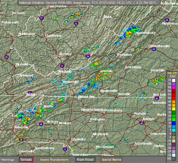 The severe thunderstorm warning for northeastern floyd county will expire at 330 pm edt, the storm which prompted the warning has moved out of the area. therefore, the warning will be allowed to expire. when it is safe to do so, please send your reports of hail of any size, as well as reports of any wind damage, including downed trees or large limbs, to the national weather service by calling toll free at 1, 8 6 6, 2 1 5, 4 3 2 4. reports and pictures can also be shared on the national weather service blacksburg facebook page and on twitter. The severe thunderstorm warning for northeastern floyd county will expire at 330 pm edt, the storm which prompted the warning has moved out of the area. therefore, the warning will be allowed to expire. when it is safe to do so, please send your reports of hail of any size, as well as reports of any wind damage, including downed trees or large limbs, to the national weather service by calling toll free at 1, 8 6 6, 2 1 5, 4 3 2 4. reports and pictures can also be shared on the national weather service blacksburg facebook page and on twitter.
|
| 7/21/2020 3:09 PM EDT |
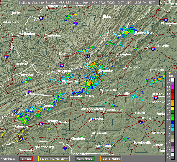 At 307 pm edt, a severe thunderstorm was located near floyd, moving northeast at 10 mph (radar indicated). Hazards include 60 mph wind gusts and quarter size hail. Hail damage to vehicles is possible. expect wind damage to trees and powerlines. Locations impacted include, floyd, copper hill, terrys fork, and check. At 307 pm edt, a severe thunderstorm was located near floyd, moving northeast at 10 mph (radar indicated). Hazards include 60 mph wind gusts and quarter size hail. Hail damage to vehicles is possible. expect wind damage to trees and powerlines. Locations impacted include, floyd, copper hill, terrys fork, and check.
|
| 7/21/2020 2:55 PM EDT | A tree and multiple limbs down on poor farm roa in floyd county VA, 5.4 miles SW of Floyd, VA |
| 7/21/2020 2:49 PM EDT |
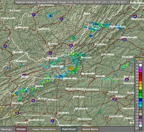 At 248 pm edt, a severe thunderstorm was located over floyd, moving northeast at 10 mph (radar indicated). Hazards include 60 mph wind gusts and quarter size hail. Hail damage to vehicles is possible. Expect wind damage to trees and powerlines. At 248 pm edt, a severe thunderstorm was located over floyd, moving northeast at 10 mph (radar indicated). Hazards include 60 mph wind gusts and quarter size hail. Hail damage to vehicles is possible. Expect wind damage to trees and powerlines.
|
| 4/13/2020 2:48 AM EDT |
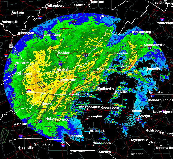 At 248 am edt, a severe thunderstorm was located over cana, moving northeast at 65 mph (radar indicated). Hazards include 60 mph wind gusts. expect damage to roofs, siding, and trees At 248 am edt, a severe thunderstorm was located over cana, moving northeast at 65 mph (radar indicated). Hazards include 60 mph wind gusts. expect damage to roofs, siding, and trees
|
| 4/8/2020 5:15 PM EDT | Large tree blown down on mill run r in floyd county VA, 1.3 miles E of Floyd, VA |
| 4/8/2020 5:15 PM EDT | Several trees down along route 8 in floyd count in floyd county VA, 2.6 miles SE of Floyd, VA |
| 4/8/2020 5:07 PM EDT |
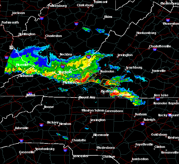 At 506 pm edt, severe thunderstorms were located along a line extending from near shawsville to near pilot to draper, moving southeast at 55 mph (radar indicated). Hazards include 60 mph wind gusts and quarter size hail. Hail damage to vehicles is expected. Expect wind damage to roofs, siding, and trees. At 506 pm edt, severe thunderstorms were located along a line extending from near shawsville to near pilot to draper, moving southeast at 55 mph (radar indicated). Hazards include 60 mph wind gusts and quarter size hail. Hail damage to vehicles is expected. Expect wind damage to roofs, siding, and trees.
|
| 1/11/2020 9:47 PM EST |
 At 946 pm est, severe thunderstorms were located along a line extending from near merrimac to near huntsville, moving northeast at 60 mph (radar indicated). Hazards include 70 mph wind gusts. Expect considerable tree damage. damage is likely to mobile homes, roofs, and outbuildings. Locations impacted include, mount airy, elkin, fairview, flat rock, yadkinville, hillsville, and jonesville. At 946 pm est, severe thunderstorms were located along a line extending from near merrimac to near huntsville, moving northeast at 60 mph (radar indicated). Hazards include 70 mph wind gusts. Expect considerable tree damage. damage is likely to mobile homes, roofs, and outbuildings. Locations impacted include, mount airy, elkin, fairview, flat rock, yadkinville, hillsville, and jonesville.
|
| 1/11/2020 9:43 PM EST |
 At 942 pm est, severe thunderstorms were located along a line extending from near huffman to near courtney, moving northeast at 50 mph (radar indicated). Hazards include 70 mph wind gusts. Expect considerable tree damage. Damage is likely to mobile homes, roofs, and outbuildings. At 942 pm est, severe thunderstorms were located along a line extending from near huffman to near courtney, moving northeast at 50 mph (radar indicated). Hazards include 70 mph wind gusts. Expect considerable tree damage. Damage is likely to mobile homes, roofs, and outbuildings.
|
| 1/11/2020 9:32 PM EST |
 At 930 pm est, severe thunderstorms were located along a line extending from near eggleston to near boonville, moving northeast at 75 mph (radar indicated). Hazards include 70 mph wind gusts. Expect considerable tree damage. damage is likely to mobile homes, roofs, and outbuildings. Locations impacted include, mount airy, galax, elkin, fairview, flat rock, yadkinville, and hillsville. At 930 pm est, severe thunderstorms were located along a line extending from near eggleston to near boonville, moving northeast at 75 mph (radar indicated). Hazards include 70 mph wind gusts. Expect considerable tree damage. damage is likely to mobile homes, roofs, and outbuildings. Locations impacted include, mount airy, galax, elkin, fairview, flat rock, yadkinville, and hillsville.
|
| 1/11/2020 9:07 PM EST |
 At 907 pm est, severe thunderstorms were located along a line extending from max meadows to near stony point, moving northeast at 75 mph (radar indicated). Hazards include 70 mph wind gusts. Expect considerable tree damage. Damage is likely to mobile homes, roofs, and outbuildings. At 907 pm est, severe thunderstorms were located along a line extending from max meadows to near stony point, moving northeast at 75 mph (radar indicated). Hazards include 70 mph wind gusts. Expect considerable tree damage. Damage is likely to mobile homes, roofs, and outbuildings.
|
| 10/31/2019 5:56 PM EDT | Tree down on ridgeview rd. time estimated from rada in floyd county VA, 6.3 miles ESE of Floyd, VA |
| 10/31/2019 5:55 PM EDT | Tree down on burks fork r in floyd county VA, 11.1 miles ENE of Floyd, VA |
| 10/31/2019 5:49 PM EDT |
 At 548 pm edt, a severe thunderstorm was located over dugspur, or 7 miles southwest of willis, moving northeast at 40 mph (radar indicated). Hazards include 60 mph wind gusts. expect damage to roofs, siding, and trees At 548 pm edt, a severe thunderstorm was located over dugspur, or 7 miles southwest of willis, moving northeast at 40 mph (radar indicated). Hazards include 60 mph wind gusts. expect damage to roofs, siding, and trees
|
| 10/31/2019 4:49 PM EDT | Tree down on shooting creek r in floyd county VA, 2.4 miles WSW of Floyd, VA |
| 8/22/2019 3:08 PM EDT | Tree down along ravens den lan in patrick county VA, 7.1 miles N of Floyd, VA |
| 8/1/2019 4:18 PM EDT |
 At 418 pm edt, a severe thunderstorm was located near claytor lake state park, moving east at 10 mph (radar indicated). Hazards include 60 mph wind gusts and quarter size hail. Hail damage to vehicles is expected. Expect wind damage to roofs, siding, and trees. At 418 pm edt, a severe thunderstorm was located near claytor lake state park, moving east at 10 mph (radar indicated). Hazards include 60 mph wind gusts and quarter size hail. Hail damage to vehicles is expected. Expect wind damage to roofs, siding, and trees.
|
| 8/1/2019 3:40 PM EDT |
 At 340 pm edt, a severe thunderstorm was located over copper valley, and is nearly stationary (radar indicated). Hazards include 60 mph wind gusts and quarter size hail. Hail damage to vehicles is expected. expect wind damage to roofs, siding, and trees. Locations impacted include, christiansburg, indian valley, pilot, terrys fork, and alum ridge. At 340 pm edt, a severe thunderstorm was located over copper valley, and is nearly stationary (radar indicated). Hazards include 60 mph wind gusts and quarter size hail. Hail damage to vehicles is expected. expect wind damage to roofs, siding, and trees. Locations impacted include, christiansburg, indian valley, pilot, terrys fork, and alum ridge.
|
| 8/1/2019 3:17 PM EDT |
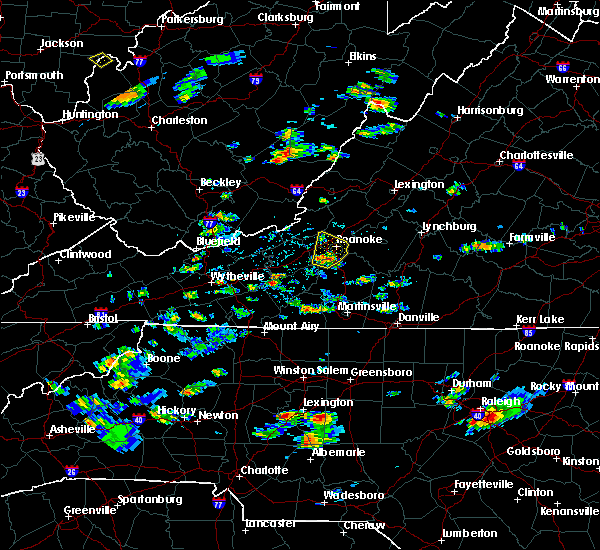 At 316 pm edt, a severe thunderstorm was located over copper valley, moving northeast at 10 mph (radar indicated). Hazards include 60 mph wind gusts and quarter size hail. Hail damage to vehicles is expected. Expect wind damage to roofs, siding, and trees. At 316 pm edt, a severe thunderstorm was located over copper valley, moving northeast at 10 mph (radar indicated). Hazards include 60 mph wind gusts and quarter size hail. Hail damage to vehicles is expected. Expect wind damage to roofs, siding, and trees.
|
| 7/22/2019 4:24 PM EDT |
 The severe thunderstorm warning for central floyd and eastern carroll counties will expire at 430 pm edt, the storms which prompted the warning have weakened below severe limits, and have exited the warned area. therefore, the warning will be allowed to expire. however heavy rain is still possible with these thunderstorms. when it is safe to do so, please send your reports of hail of any size, as well as reports of any wind damage, including downed trees or large limbs, to the national weather service by calling toll free at 1, 8 6 6, 2 1 5, 4 3 2 4. reports and pictures can also be shared on the national weather service blacksburg facebook page and on twitter. The severe thunderstorm warning for central floyd and eastern carroll counties will expire at 430 pm edt, the storms which prompted the warning have weakened below severe limits, and have exited the warned area. therefore, the warning will be allowed to expire. however heavy rain is still possible with these thunderstorms. when it is safe to do so, please send your reports of hail of any size, as well as reports of any wind damage, including downed trees or large limbs, to the national weather service by calling toll free at 1, 8 6 6, 2 1 5, 4 3 2 4. reports and pictures can also be shared on the national weather service blacksburg facebook page and on twitter.
|
| 7/22/2019 4:11 PM EDT |
 At 410 pm edt, severe thunderstorms were located along a line extending from near cana to near floyd, moving southeast at 20 mph (radar indicated). Hazards include 60 mph wind gusts. Expect damage to roofs, siding, and trees. Locations impacted include, hillsville, floyd, indian valley, willis, and cana. At 410 pm edt, severe thunderstorms were located along a line extending from near cana to near floyd, moving southeast at 20 mph (radar indicated). Hazards include 60 mph wind gusts. Expect damage to roofs, siding, and trees. Locations impacted include, hillsville, floyd, indian valley, willis, and cana.
|
| 7/22/2019 3:49 PM EDT |
 At 348 pm edt, severe thunderstorms were located along a line extending from near sinking creek to near shawsville to near pilot, moving northeast at 15 mph (radar indicated). Hazards include 60 mph wind gusts. expect damage to roofs, siding, and trees At 348 pm edt, severe thunderstorms were located along a line extending from near sinking creek to near shawsville to near pilot, moving northeast at 15 mph (radar indicated). Hazards include 60 mph wind gusts. expect damage to roofs, siding, and trees
|
| 7/22/2019 3:28 PM EDT |
 At 327 pm edt, severe thunderstorms were located along a line extending from near galax to graysontown, moving southeast at 20 mph (radar indicated). Hazards include 60 mph wind gusts. expect damage to roofs, siding, and trees At 327 pm edt, severe thunderstorms were located along a line extending from near galax to graysontown, moving southeast at 20 mph (radar indicated). Hazards include 60 mph wind gusts. expect damage to roofs, siding, and trees
|
| 5/29/2019 6:00 PM EDT |
 At 600 pm edt, severe thunderstorms were located along a line extending from near copper hill to volney, moving southeast at 55 mph (radar indicated). Hazards include 60 mph wind gusts and quarter size hail. Hail damage to vehicles is expected. Expect wind damage to roofs, siding, and trees. At 600 pm edt, severe thunderstorms were located along a line extending from near copper hill to volney, moving southeast at 55 mph (radar indicated). Hazards include 60 mph wind gusts and quarter size hail. Hail damage to vehicles is expected. Expect wind damage to roofs, siding, and trees.
|
| 5/29/2019 5:35 PM EDT |
 At 534 pm edt, severe thunderstorms were located along a line extending from near blacksburg to near ivanhoe to near bridle creek, moving east at 45 mph (radar indicated). Hazards include 60 mph wind gusts and quarter size hail. Hail damage to vehicles is expected. Expect wind damage to roofs, siding, and trees. At 534 pm edt, severe thunderstorms were located along a line extending from near blacksburg to near ivanhoe to near bridle creek, moving east at 45 mph (radar indicated). Hazards include 60 mph wind gusts and quarter size hail. Hail damage to vehicles is expected. Expect wind damage to roofs, siding, and trees.
|
| 5/26/2019 10:39 PM EDT |
 The severe thunderstorm warning for roanoke, southeastern pulaski, east central giles, southern craig, floyd, northeastern carroll and montgomery counties, the city of salem and the city of roanoke will expire at 1045 pm edt, the storms which prompted the warning have weakened below severe limits, and no longer pose an immediate threat to life or property. therefore, the warning will be allowed to expire. when it is safe to do so, please send your reports of hail of any size, as well as reports of any wind damage, including downed trees or large limbs, to the national weather service by calling toll free at 1, 8 6 6, 2 1 5, 4 3 2 4. reports and pictures can also be shared on the national weather service blacksburg facebook page and on twitter. The severe thunderstorm warning for roanoke, southeastern pulaski, east central giles, southern craig, floyd, northeastern carroll and montgomery counties, the city of salem and the city of roanoke will expire at 1045 pm edt, the storms which prompted the warning have weakened below severe limits, and no longer pose an immediate threat to life or property. therefore, the warning will be allowed to expire. when it is safe to do so, please send your reports of hail of any size, as well as reports of any wind damage, including downed trees or large limbs, to the national weather service by calling toll free at 1, 8 6 6, 2 1 5, 4 3 2 4. reports and pictures can also be shared on the national weather service blacksburg facebook page and on twitter.
|
| 5/26/2019 10:33 PM EDT |
 At 1032 pm edt, severe thunderstorms were located along a line extending from near new castle to catawba to crockett springs to near gladesboro, moving east at 55 mph (radar indicated). Hazards include 60 mph wind gusts. Expect damage to roofs, siding, and trees. locations impacted include, roanoke, blacksburg, salem, christiansburg, and vinton. This includes the following locations virginia tech, the salem fairgrounds, and roanoke regional airport. At 1032 pm edt, severe thunderstorms were located along a line extending from near new castle to catawba to crockett springs to near gladesboro, moving east at 55 mph (radar indicated). Hazards include 60 mph wind gusts. Expect damage to roofs, siding, and trees. locations impacted include, roanoke, blacksburg, salem, christiansburg, and vinton. This includes the following locations virginia tech, the salem fairgrounds, and roanoke regional airport.
|
| 5/26/2019 10:13 PM EDT |
 At 1012 pm edt, severe thunderstorms were located along a line extending from laurel branch to near maggie to fairlawn to near byllesby, moving east at 60 mph (radar indicated). Hazards include 60 mph wind gusts. expect damage to roofs, siding, and trees At 1012 pm edt, severe thunderstorms were located along a line extending from laurel branch to near maggie to fairlawn to near byllesby, moving east at 60 mph (radar indicated). Hazards include 60 mph wind gusts. expect damage to roofs, siding, and trees
|
| 5/3/2019 5:43 PM EDT |
 The severe thunderstorm warning for southeastern pulaski, floyd, northeastern carroll and south central montgomery counties will expire at 545 pm edt, the storm which prompted the warning has weakened below severe limits, and no longer poses an immediate threat to life or property. therefore the warning will be allowed to expire. however gusty winds and heavy rain are still possible with this thunderstorm. a severe thunderstorm watch remains in effect until 1000 pm edt for west virginia. when it is safe to do so, please send your reports of hail of any size, as well as any reports of wind damage, including downed trees or large limbs, to the national weather service by calling toll free at 1, 8 6 6, 2 1 5, 4 3 2 4. reports and pictures can also be shared on the national weather service blacksburg facebook page and on twitter. The severe thunderstorm warning for southeastern pulaski, floyd, northeastern carroll and south central montgomery counties will expire at 545 pm edt, the storm which prompted the warning has weakened below severe limits, and no longer poses an immediate threat to life or property. therefore the warning will be allowed to expire. however gusty winds and heavy rain are still possible with this thunderstorm. a severe thunderstorm watch remains in effect until 1000 pm edt for west virginia. when it is safe to do so, please send your reports of hail of any size, as well as any reports of wind damage, including downed trees or large limbs, to the national weather service by calling toll free at 1, 8 6 6, 2 1 5, 4 3 2 4. reports and pictures can also be shared on the national weather service blacksburg facebook page and on twitter.
|
| 5/3/2019 5:26 PM EDT |
 At 525 pm edt, a severe thunderstorm was located over indian valley, moving northeast at 30 mph (radar indicated). Hazards include 60 mph wind gusts and quarter size hail. Hail damage to vehicles is expected. expect wind damage to roofs, siding, and trees. Locations impacted include, hillsville, floyd, indian valley, pilot, and willis. At 525 pm edt, a severe thunderstorm was located over indian valley, moving northeast at 30 mph (radar indicated). Hazards include 60 mph wind gusts and quarter size hail. Hail damage to vehicles is expected. expect wind damage to roofs, siding, and trees. Locations impacted include, hillsville, floyd, indian valley, pilot, and willis.
|
| 5/3/2019 4:59 PM EDT |
 At 458 pm edt, a severe thunderstorm was located over sylvatus, moving northeast at 30 mph (radar indicated). Hazards include 60 mph wind gusts and quarter size hail. Hail damage to vehicles is expected. Expect wind damage to roofs, siding, and trees. At 458 pm edt, a severe thunderstorm was located over sylvatus, moving northeast at 30 mph (radar indicated). Hazards include 60 mph wind gusts and quarter size hail. Hail damage to vehicles is expected. Expect wind damage to roofs, siding, and trees.
|
| 4/14/2019 11:39 PM EDT |
 At 1139 pm edt, severe thunderstorms were located along a line extending from near alum ridge to near buck shoals, moving east at 25 mph (radar indicated). Hazards include 60 mph wind gusts. expect damage to roofs, siding, and trees At 1139 pm edt, severe thunderstorms were located along a line extending from near alum ridge to near buck shoals, moving east at 25 mph (radar indicated). Hazards include 60 mph wind gusts. expect damage to roofs, siding, and trees
|
| 4/14/2019 11:19 PM EDT |
 At 1119 pm edt, severe thunderstorms were located along a line extending from near alum ridge to near windy gap, moving east at 25 mph (radar indicated). Hazards include 60 mph wind gusts. Expect damage to roofs, siding, and trees. locations impacted include, mount airy, elkin, fairview, flat rock, and yadkinville. A tornado watch remains in effect until 500 am edt for north central and northwestern north carolina, and south central, southwestern and west central virginia. At 1119 pm edt, severe thunderstorms were located along a line extending from near alum ridge to near windy gap, moving east at 25 mph (radar indicated). Hazards include 60 mph wind gusts. Expect damage to roofs, siding, and trees. locations impacted include, mount airy, elkin, fairview, flat rock, and yadkinville. A tornado watch remains in effect until 500 am edt for north central and northwestern north carolina, and south central, southwestern and west central virginia.
|
| 4/14/2019 10:48 PM EDT |
 At 1047 pm edt, severe thunderstorms were located along a line extending from near allisonia to near moravian falls, moving east at 45 mph (radar indicated). Hazards include 60 mph wind gusts. Expect damage to roofs, siding, and trees. locations impacted include, mount airy, galax, north wilkesboro, elkin, and wilkesboro. A tornado watch remains in effect until 500 am edt for north central and northwestern north carolina, and south central, southwestern and west central virginia. At 1047 pm edt, severe thunderstorms were located along a line extending from near allisonia to near moravian falls, moving east at 45 mph (radar indicated). Hazards include 60 mph wind gusts. Expect damage to roofs, siding, and trees. locations impacted include, mount airy, galax, north wilkesboro, elkin, and wilkesboro. A tornado watch remains in effect until 500 am edt for north central and northwestern north carolina, and south central, southwestern and west central virginia.
|
| 4/14/2019 10:29 PM EDT |
 At 1029 pm edt, severe thunderstorms were located along a line extending from near patterson to near elkville, moving east at 30 mph (radar indicated). Hazards include 60 mph wind gusts. expect damage to roofs, siding, and trees At 1029 pm edt, severe thunderstorms were located along a line extending from near patterson to near elkville, moving east at 30 mph (radar indicated). Hazards include 60 mph wind gusts. expect damage to roofs, siding, and trees
|
| 4/14/2019 5:56 PM EDT | Tree down on roa in floyd county VA, 6 miles SSW of Floyd, VA |
| 4/14/2019 5:56 PM EDT |
 At 556 pm edt, a severe thunderstorm capable of producing a tornado was located over floyd, moving northeast at 55 mph (radar indicated rotation). Hazards include tornado. Flying debris will be dangerous to those caught without shelter. mobile homes will be damaged or destroyed. damage to roofs, windows, and vehicles will occur. tree damage is likely. Locations impacted include, floyd, and charity. At 556 pm edt, a severe thunderstorm capable of producing a tornado was located over floyd, moving northeast at 55 mph (radar indicated rotation). Hazards include tornado. Flying debris will be dangerous to those caught without shelter. mobile homes will be damaged or destroyed. damage to roofs, windows, and vehicles will occur. tree damage is likely. Locations impacted include, floyd, and charity.
|
| 4/14/2019 5:49 PM EDT | Multiple trees and limbs dow in floyd county VA, 7.8 miles NE of Floyd, VA |
| 4/14/2019 5:48 PM EDT |
 At 547 pm edt, a severe thunderstorm capable of producing a tornado was located over rocky knob summit, moving northeast at 55 mph (radar indicated rotation. at 5:33pm spotters reported trees down in meadows of dan). Hazards include tornado. Flying debris will be dangerous to those caught without shelter. mobile homes will be damaged or destroyed. damage to roofs, windows, and vehicles will occur. tree damage is likely. Locations impacted include, floyd, woolwine, willis, meadows of dan, and mabry mill. At 547 pm edt, a severe thunderstorm capable of producing a tornado was located over rocky knob summit, moving northeast at 55 mph (radar indicated rotation. at 5:33pm spotters reported trees down in meadows of dan). Hazards include tornado. Flying debris will be dangerous to those caught without shelter. mobile homes will be damaged or destroyed. damage to roofs, windows, and vehicles will occur. tree damage is likely. Locations impacted include, floyd, woolwine, willis, meadows of dan, and mabry mill.
|
| 4/14/2019 5:42 PM EDT |
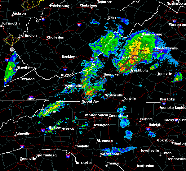 At 542 pm edt, a severe thunderstorm capable of producing a tornado was located over mabry mill, moving northeast at 60 mph (radar indicated rotation). Hazards include tornado. Flying debris will be dangerous to those caught without shelter. mobile homes will be damaged or destroyed. damage to roofs, windows, and vehicles will occur. tree damage is likely. Locations impacted include, floyd, woolwine, willis, laurel fork, and meadows of dan. At 542 pm edt, a severe thunderstorm capable of producing a tornado was located over mabry mill, moving northeast at 60 mph (radar indicated rotation). Hazards include tornado. Flying debris will be dangerous to those caught without shelter. mobile homes will be damaged or destroyed. damage to roofs, windows, and vehicles will occur. tree damage is likely. Locations impacted include, floyd, woolwine, willis, laurel fork, and meadows of dan.
|
| 4/14/2019 5:37 PM EDT |
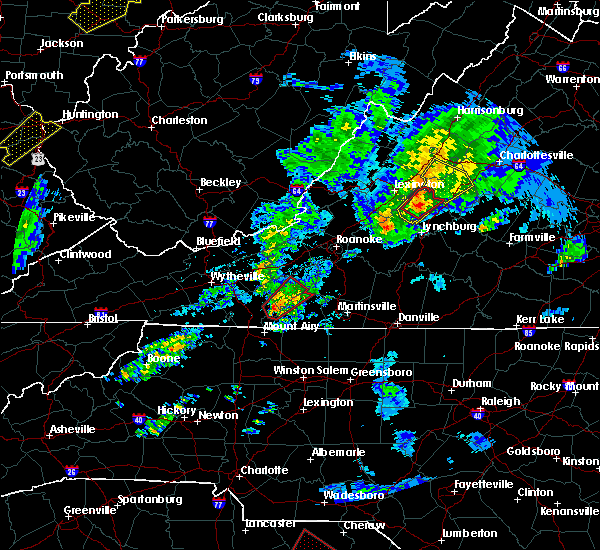 At 537 pm edt, a severe thunderstorm capable of producing a tornado was located over laurel fork, moving northeast at 60 mph (radar indicated rotation). Hazards include tornado. Flying debris will be dangerous to those caught without shelter. mobile homes will be damaged or destroyed. damage to roofs, windows, and vehicles will occur. tree damage is likely. Locations impacted include, floyd, woolwine, willis, laurel fork, and meadows of dan. At 537 pm edt, a severe thunderstorm capable of producing a tornado was located over laurel fork, moving northeast at 60 mph (radar indicated rotation). Hazards include tornado. Flying debris will be dangerous to those caught without shelter. mobile homes will be damaged or destroyed. damage to roofs, windows, and vehicles will occur. tree damage is likely. Locations impacted include, floyd, woolwine, willis, laurel fork, and meadows of dan.
|
| 4/14/2019 5:25 PM EDT |
 At 525 pm edt, a severe thunderstorm capable of producing a tornado was located over cana, moving northeast at 55 mph (radar indicated rotation). Hazards include tornado. Flying debris will be dangerous to those caught without shelter. mobile homes will be damaged or destroyed. damage to roofs, windows, and vehicles will occur. Tree damage is likely. At 525 pm edt, a severe thunderstorm capable of producing a tornado was located over cana, moving northeast at 55 mph (radar indicated rotation). Hazards include tornado. Flying debris will be dangerous to those caught without shelter. mobile homes will be damaged or destroyed. damage to roofs, windows, and vehicles will occur. Tree damage is likely.
|
| 9/1/2018 12:43 AM EDT |
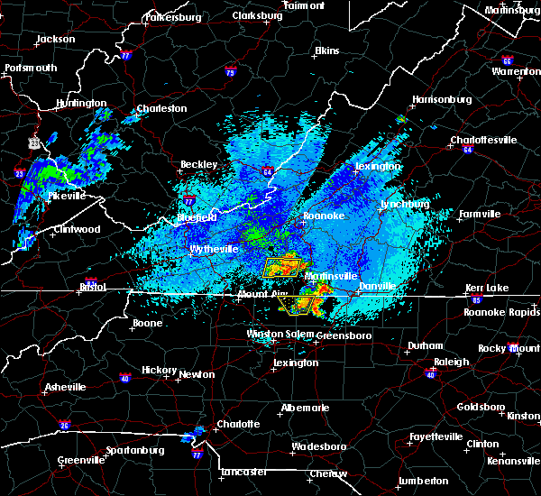 At 1241 am edt, severe thunderstorms were located along a line extending from woolwine to near fairy stone state park where large tree limbs were reported down. the storms are nearly stationary (radar indicated). Hazards include 60 mph wind gusts and quarter size hail. Hail damage to vehicles is expected. expect wind damage to roofs, siding, and trees. Locations impacted include, floyd, woolwine, endicott, fairy stone state park, and buffalo ridge. At 1241 am edt, severe thunderstorms were located along a line extending from woolwine to near fairy stone state park where large tree limbs were reported down. the storms are nearly stationary (radar indicated). Hazards include 60 mph wind gusts and quarter size hail. Hail damage to vehicles is expected. expect wind damage to roofs, siding, and trees. Locations impacted include, floyd, woolwine, endicott, fairy stone state park, and buffalo ridge.
|
| 9/1/2018 12:10 AM EDT |
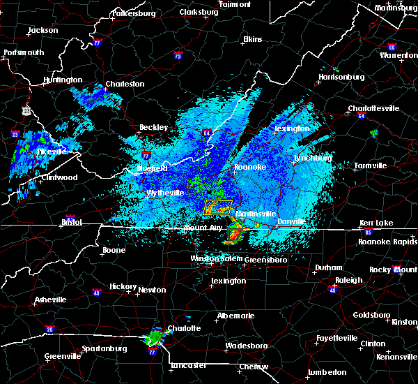 At 1210 am edt, severe thunderstorms were located along a line extending from woolwine to near fairy stone state park, and are nearly stationary (radar indicated). Hazards include 60 mph wind gusts and quarter size hail. Hail damage to vehicles is expected. Expect wind damage to roofs, siding, and trees. At 1210 am edt, severe thunderstorms were located along a line extending from woolwine to near fairy stone state park, and are nearly stationary (radar indicated). Hazards include 60 mph wind gusts and quarter size hail. Hail damage to vehicles is expected. Expect wind damage to roofs, siding, and trees.
|
| 8/8/2018 3:20 PM EDT | One tree blown down near the intersection of laurel branch road and weddle creek road in floyd county VA, 2.9 miles E of Floyd, VA |
| 8/6/2018 4:53 PM EDT |
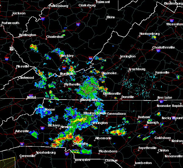 The severe thunderstorm warning for central floyd, west central franklin and north central patrick counties will expire at 500 pm edt, the storm which prompted the warning has weakened below severe limits, and has exited the warned area. therefore, the warning will be allowed to expire. however heavy rain remains possible in this area from lingering showers and thunderstorms. the potential for severe thunderstorms has shifted further east at this time. when it is safe to do so, please send your reports of hail of any size, as well as reports of any wind damage, including downed trees or large limbs, to the national weather service by calling toll free at 1, 8 6 6, 2 1 5, 4 3 2 4. reports and pictures can also be shared on the national weather service blacksburg facebook page and on twitter. The severe thunderstorm warning for central floyd, west central franklin and north central patrick counties will expire at 500 pm edt, the storm which prompted the warning has weakened below severe limits, and has exited the warned area. therefore, the warning will be allowed to expire. however heavy rain remains possible in this area from lingering showers and thunderstorms. the potential for severe thunderstorms has shifted further east at this time. when it is safe to do so, please send your reports of hail of any size, as well as reports of any wind damage, including downed trees or large limbs, to the national weather service by calling toll free at 1, 8 6 6, 2 1 5, 4 3 2 4. reports and pictures can also be shared on the national weather service blacksburg facebook page and on twitter.
|
| 8/6/2018 4:13 PM EDT |
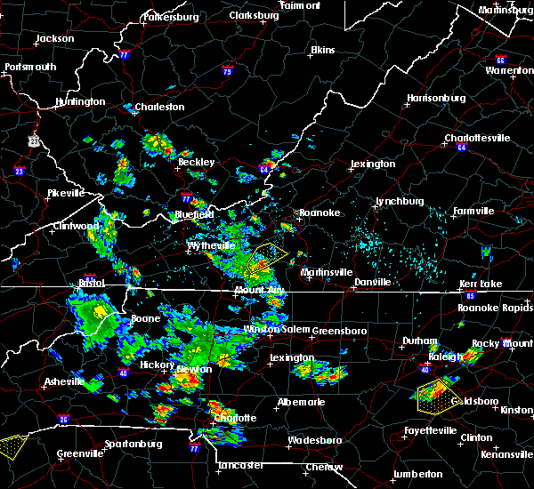 At 413 pm edt, a severe thunderstorm was located over rocky knob summit, moving northeast at 10 mph (radar indicated). Hazards include 60 mph wind gusts and quarter size hail. Hail damage to vehicles is expected. expect wind damage to roofs, siding, and trees. Locations impacted include, floyd, endicott, rocky knob recreation area, mabry mill, and rocky knob summit. At 413 pm edt, a severe thunderstorm was located over rocky knob summit, moving northeast at 10 mph (radar indicated). Hazards include 60 mph wind gusts and quarter size hail. Hail damage to vehicles is expected. expect wind damage to roofs, siding, and trees. Locations impacted include, floyd, endicott, rocky knob recreation area, mabry mill, and rocky knob summit.
|
| 8/6/2018 4:00 PM EDT | Quarter sized hail reported 5 miles N of Floyd, VA, dime to quarter size hail near the tuggle gap entrance to the blue ridge parkway. time estimated from radar. |
| 8/6/2018 3:53 PM EDT |
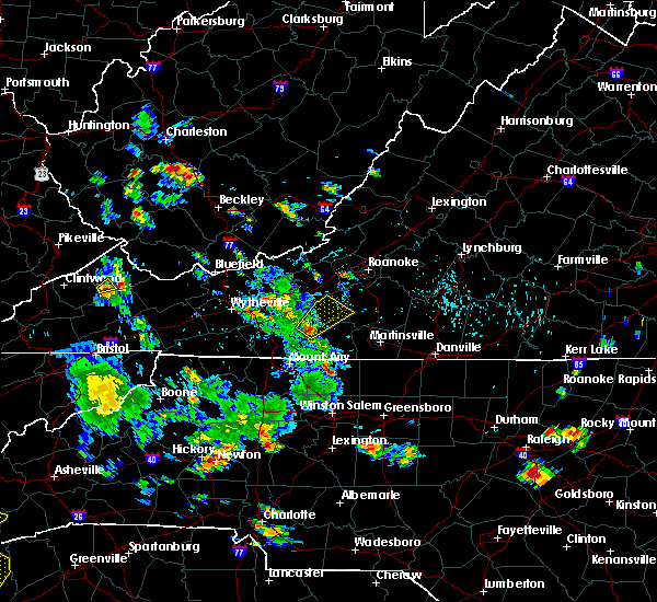 At 352 pm edt, a severe thunderstorm was located near rocky knob summit, moving northeast at 10 mph (radar indicated). Hazards include 60 mph wind gusts and quarter size hail. Hail damage to vehicles is expected. Expect wind damage to roofs, siding, and trees. At 352 pm edt, a severe thunderstorm was located near rocky knob summit, moving northeast at 10 mph (radar indicated). Hazards include 60 mph wind gusts and quarter size hail. Hail damage to vehicles is expected. Expect wind damage to roofs, siding, and trees.
|
| 6/13/2018 7:06 PM EDT |
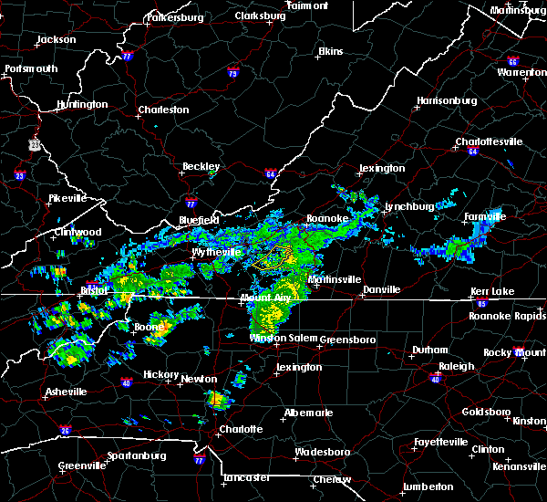 The severe thunderstorm warning for northeastern floyd county will expire at 715 pm edt, the storms which prompted the warning have weakened below severe limits, and no longer pose an immediate threat to life or property. therefore, the warning will be allowed to expire. when it is safe to do so, please send your reports of hail of any size, as well as reports of any wind damage, including downed trees or large limbs, to the national weather service by calling toll free at 1, 8 6 6, 2 1 5, 4 3 2 4. reports and pictures can also be shared on the national weather service blacksburg facebook page and on twitter. The severe thunderstorm warning for northeastern floyd county will expire at 715 pm edt, the storms which prompted the warning have weakened below severe limits, and no longer pose an immediate threat to life or property. therefore, the warning will be allowed to expire. when it is safe to do so, please send your reports of hail of any size, as well as reports of any wind damage, including downed trees or large limbs, to the national weather service by calling toll free at 1, 8 6 6, 2 1 5, 4 3 2 4. reports and pictures can also be shared on the national weather service blacksburg facebook page and on twitter.
|
| 6/13/2018 6:52 PM EDT |
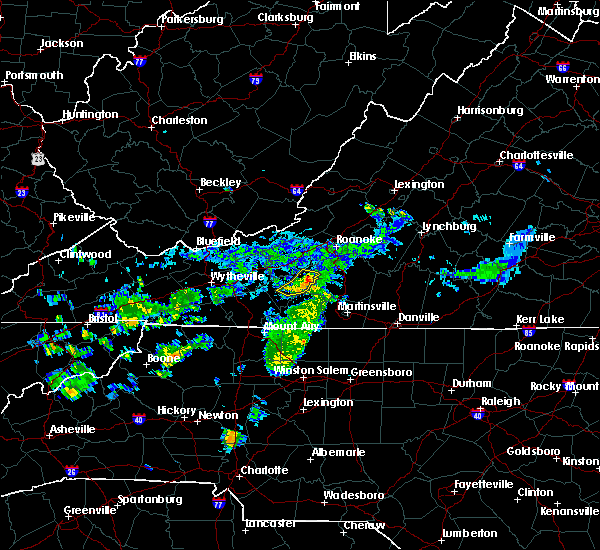 At 652 pm edt, severe thunderstorms were located along a line extending from near floyd to 6 miles south of terrys fork to near endicott, moving east at 15 mph (radar indicated). Hazards include 60 mph wind gusts and quarter size hail. Hail damage to vehicles is expected. expect wind damage to roofs, siding, and trees. Locations impacted include, floyd, terrys fork, and check. At 652 pm edt, severe thunderstorms were located along a line extending from near floyd to 6 miles south of terrys fork to near endicott, moving east at 15 mph (radar indicated). Hazards include 60 mph wind gusts and quarter size hail. Hail damage to vehicles is expected. expect wind damage to roofs, siding, and trees. Locations impacted include, floyd, terrys fork, and check.
|
| 6/13/2018 6:34 PM EDT |
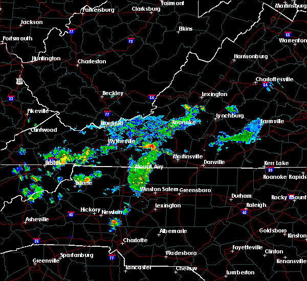 At 634 pm edt, severe thunderstorms were located along a line extending from near alum ridge to floyd to near endicott, moving east at 15 mph (radar indicated). Hazards include 60 mph wind gusts and quarter size hail. Hail damage to vehicles is expected. Expect wind damage to roofs, siding, and trees. At 634 pm edt, severe thunderstorms were located along a line extending from near alum ridge to floyd to near endicott, moving east at 15 mph (radar indicated). Hazards include 60 mph wind gusts and quarter size hail. Hail damage to vehicles is expected. Expect wind damage to roofs, siding, and trees.
|
| 6/10/2018 5:40 PM EDT |
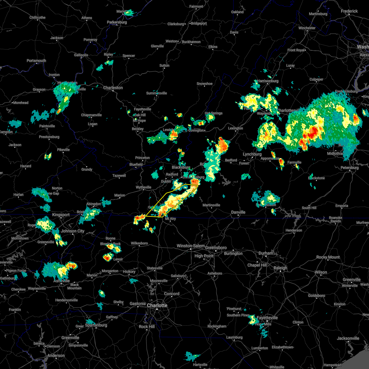 The severe thunderstorm warning for floyd, carroll and southeastern grayson counties and the city of galax will expire at 545 pm edt, the storms which prompted the warning have weakened below severe limits, and no longer pose an immediate threat to life or property. therefore, the warning will be allowed to expire. however, heavy rainfall and some localized flooding will persist for another 1 to 2 hours. when it is safe to do so, please send your reports of hail of any size, as well as reports of any wind damage, including downed trees or large limbs, to the national weather service by calling toll free at 1, 8 6 6, 2 1 5, 4 3 2 4. reports and pictures can also be shared on the national weather service blacksburg facebook page and on twitter. The severe thunderstorm warning for floyd, carroll and southeastern grayson counties and the city of galax will expire at 545 pm edt, the storms which prompted the warning have weakened below severe limits, and no longer pose an immediate threat to life or property. therefore, the warning will be allowed to expire. however, heavy rainfall and some localized flooding will persist for another 1 to 2 hours. when it is safe to do so, please send your reports of hail of any size, as well as reports of any wind damage, including downed trees or large limbs, to the national weather service by calling toll free at 1, 8 6 6, 2 1 5, 4 3 2 4. reports and pictures can also be shared on the national weather service blacksburg facebook page and on twitter.
|
| 6/10/2018 5:15 PM EDT |
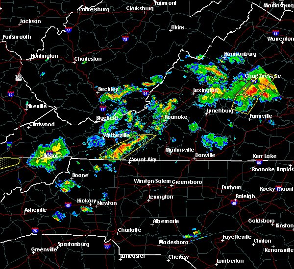 At 444 pm edt, severe thunderstorms extended from copper valley to baywood, moving east at 10 mph (radar indicated). Hazards include 60 mph wind gusts and quarter size hail. Hail damage to vehicles is expected. Expect wind damage to roofs, siding, and trees. At 444 pm edt, severe thunderstorms extended from copper valley to baywood, moving east at 10 mph (radar indicated). Hazards include 60 mph wind gusts and quarter size hail. Hail damage to vehicles is expected. Expect wind damage to roofs, siding, and trees.
|
| 6/10/2018 4:45 PM EDT |
 At 444 pm edt, severe thunderstorms extended from copper valley to baywood, moving east at 10 mph (radar indicated). Hazards include 60 mph wind gusts and quarter size hail. Hail damage to vehicles is expected. Expect wind damage to roofs, siding, and trees. At 444 pm edt, severe thunderstorms extended from copper valley to baywood, moving east at 10 mph (radar indicated). Hazards include 60 mph wind gusts and quarter size hail. Hail damage to vehicles is expected. Expect wind damage to roofs, siding, and trees.
|
| 5/15/2018 3:38 PM EDT |
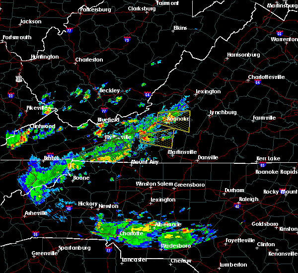 At 337 pm edt, a severe thunderstorm was located near terrys fork, moving east at 15 mph (radar indicated). Hazards include 60 mph wind gusts and quarter size hail. Hail damage to vehicles is expected. Expect wind damage to roofs, siding, and trees. At 337 pm edt, a severe thunderstorm was located near terrys fork, moving east at 15 mph (radar indicated). Hazards include 60 mph wind gusts and quarter size hail. Hail damage to vehicles is expected. Expect wind damage to roofs, siding, and trees.
|
| 4/15/2018 4:33 PM EDT | Quarter sized hail reported 6.1 miles SE of Floyd, VA |
| 4/15/2018 4:09 PM EDT | Quarter sized hail reported 0.6 miles SSE of Floyd, VA |
| 4/15/2018 4:09 PM EDT | Several large limbs blown dow in floyd county VA, 0.6 miles SSE of Floyd, VA |
| 4/15/2018 3:33 PM EDT |
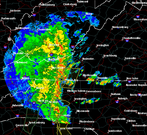 At 333 pm edt, a severe thunderstorm was located near francisco, moving north at 50 mph (radar indicated). Hazards include 60 mph wind gusts and quarter size hail. Hail damage to vehicles is expected. Expect wind damage to roofs, siding, and trees. At 333 pm edt, a severe thunderstorm was located near francisco, moving north at 50 mph (radar indicated). Hazards include 60 mph wind gusts and quarter size hail. Hail damage to vehicles is expected. Expect wind damage to roofs, siding, and trees.
|
| 10/23/2017 7:43 PM EDT |
 The severe thunderstorm warning for northeastern stokes. rockingham. east central floyd. southwestern pittsylvania. henry. franklin and eastern patrick counties and the city of martinsville will expire at 745 pm edt. the storms which prompted the warning have moved out of the area. Therefore the warning will be allowed to expire. The severe thunderstorm warning for northeastern stokes. rockingham. east central floyd. southwestern pittsylvania. henry. franklin and eastern patrick counties and the city of martinsville will expire at 745 pm edt. the storms which prompted the warning have moved out of the area. Therefore the warning will be allowed to expire.
|
| 10/23/2017 7:06 PM EDT |
 The severe thunderstorm warning for pulaski, southwestern giles, central floyd, east central bland, northeastern wythe and southwestern montgomery counties and the city of radford will expire at 715 pm edt, the storm which prompted the warning has weakened below severe limits, and has exited the warned area. therefore, the warning will be allowed to expire. a tornado watch remains in effect until 900 pm edt for north central north carolina. a tornado watch also remains in effect until 200 am edt for south central, southwestern and west central virginia. when it is safe to do so, please send your reports of hail of any size, as well as reports of any wind damage, including downed trees or large limbs, to the national weather service by calling toll free at 1, 8 6 6, 2 1 5, 4 3 2 4. reports and pictures can also be shared on the national weather service blacksburg facebook page and on twitter. The severe thunderstorm warning for pulaski, southwestern giles, central floyd, east central bland, northeastern wythe and southwestern montgomery counties and the city of radford will expire at 715 pm edt, the storm which prompted the warning has weakened below severe limits, and has exited the warned area. therefore, the warning will be allowed to expire. a tornado watch remains in effect until 900 pm edt for north central north carolina. a tornado watch also remains in effect until 200 am edt for south central, southwestern and west central virginia. when it is safe to do so, please send your reports of hail of any size, as well as reports of any wind damage, including downed trees or large limbs, to the national weather service by calling toll free at 1, 8 6 6, 2 1 5, 4 3 2 4. reports and pictures can also be shared on the national weather service blacksburg facebook page and on twitter.
|
| 10/23/2017 6:52 PM EDT |
 At 651 pm edt, a severe thunderstorm was located over claytor dam, moving northeast at 45 mph (radar indicated). Hazards include 60 mph wind gusts and quarter size hail. Hail damage to vehicles is expected. expect wind damage to roofs, siding, and trees. locations impacted include, radford, pulaski, dublin, floyd, and indian valley. a tornado watch remains in effect until 900 pm edt for north central and northwestern north carolina. A tornado watch also remains in effect until 200 am edt for south central, southwestern and west central virginia. At 651 pm edt, a severe thunderstorm was located over claytor dam, moving northeast at 45 mph (radar indicated). Hazards include 60 mph wind gusts and quarter size hail. Hail damage to vehicles is expected. expect wind damage to roofs, siding, and trees. locations impacted include, radford, pulaski, dublin, floyd, and indian valley. a tornado watch remains in effect until 900 pm edt for north central and northwestern north carolina. A tornado watch also remains in effect until 200 am edt for south central, southwestern and west central virginia.
|
| 10/23/2017 6:46 PM EDT |
 At 645 pm edt, severe thunderstorms were located along a line extending from near floyd to near ellisboro, moving northeast at 15 mph (radar indicated). Hazards include 60 mph wind gusts and quarter size hail. Hail damage to vehicles is expected. Expect wind damage to roofs, siding, and trees. At 645 pm edt, severe thunderstorms were located along a line extending from near floyd to near ellisboro, moving northeast at 15 mph (radar indicated). Hazards include 60 mph wind gusts and quarter size hail. Hail damage to vehicles is expected. Expect wind damage to roofs, siding, and trees.
|
| 10/23/2017 6:38 PM EDT | Tree down on route 8 in carroll county near floyd county lin in floyd county VA, 5.7 miles N of Floyd, VA |
| 10/23/2017 6:16 PM EDT |
 At 615 pm edt, a severe thunderstorm was located near sylvatus, moving northeast at 20 mph (radar indicated). Hazards include 60 mph wind gusts and quarter size hail. Hail damage to vehicles is expected. Expect wind damage to roofs, siding, and trees. At 615 pm edt, a severe thunderstorm was located near sylvatus, moving northeast at 20 mph (radar indicated). Hazards include 60 mph wind gusts and quarter size hail. Hail damage to vehicles is expected. Expect wind damage to roofs, siding, and trees.
|
| 7/4/2017 6:00 PM EDT | A tree was blown down along black ridge roa in floyd county VA, 8.7 miles NNE of Floyd, VA |
| 3/1/2017 12:26 PM EST |
 At 1225 pm est, severe thunderstorms were located along a line extending from montvale to boones mill to near callaway, moving east at 60 mph (radar indicated). Hazards include 60 mph wind gusts. Expect damage to roofs, siding, and trees. Locations impacted include, roanoke, vinton, rocky mount, floyd, and boones mill. At 1225 pm est, severe thunderstorms were located along a line extending from montvale to boones mill to near callaway, moving east at 60 mph (radar indicated). Hazards include 60 mph wind gusts. Expect damage to roofs, siding, and trees. Locations impacted include, roanoke, vinton, rocky mount, floyd, and boones mill.
|
| 3/1/2017 12:15 PM EST |
 At 1215 pm est, severe thunderstorms were located along a line extending from troutville to near bent mountain to near terrys fork, moving east at 60 mph (radar indicated). Hazards include 60 mph wind gusts. Expect damage to roofs, siding, and trees. locations impacted include, roanoke, salem, vinton, rocky mount, and floyd. This includes the following locations the salem fairgrounds and roanoke regional airport. At 1215 pm est, severe thunderstorms were located along a line extending from troutville to near bent mountain to near terrys fork, moving east at 60 mph (radar indicated). Hazards include 60 mph wind gusts. Expect damage to roofs, siding, and trees. locations impacted include, roanoke, salem, vinton, rocky mount, and floyd. This includes the following locations the salem fairgrounds and roanoke regional airport.
|
| 3/1/2017 12:00 PM EST |
 At 1159 am est, severe thunderstorms were located along a line extending from abbott to near christiansburg to graysontown, moving east at 60 mph (radar indicated). Hazards include 60 mph wind gusts. expect damage to roofs, siding, and trees At 1159 am est, severe thunderstorms were located along a line extending from abbott to near christiansburg to graysontown, moving east at 60 mph (radar indicated). Hazards include 60 mph wind gusts. expect damage to roofs, siding, and trees
|
| 9/29/2016 2:51 PM EDT | A tree was blown down along burks fork roa in floyd county VA, 12 miles ENE of Floyd, VA |
| 7/28/2016 3:46 PM EDT |
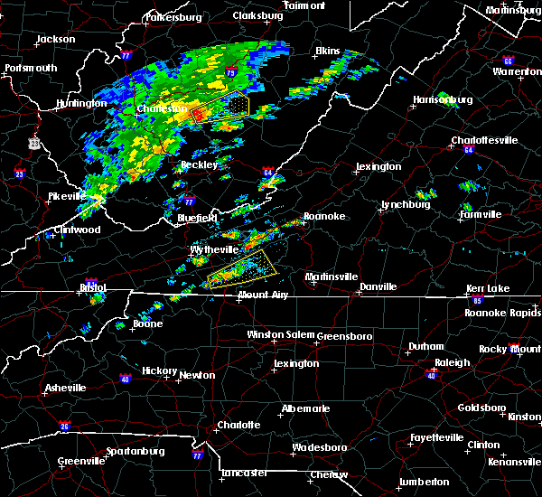 At 346 pm edt, a severe thunderstorm was located over hillsville, moving northeast at 20 mph (radar indicated). Hazards include 60 mph wind gusts. Expect damage to roofs. siding. and trees. Locations impacted include, hillsville, floyd, woolwine, indian valley, and willis. At 346 pm edt, a severe thunderstorm was located over hillsville, moving northeast at 20 mph (radar indicated). Hazards include 60 mph wind gusts. Expect damage to roofs. siding. and trees. Locations impacted include, hillsville, floyd, woolwine, indian valley, and willis.
|
| 7/28/2016 3:33 PM EDT |
 At 333 pm edt, a severe thunderstorm was located near woodlawn, moving northeast at 20 mph (radar indicated). Hazards include 60 mph wind gusts. Expect damage to roofs. siding. And trees. At 333 pm edt, a severe thunderstorm was located near woodlawn, moving northeast at 20 mph (radar indicated). Hazards include 60 mph wind gusts. Expect damage to roofs. siding. And trees.
|
| 7/8/2016 5:16 PM EDT |
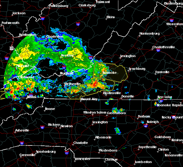 At 515 pm edt, severe thunderstorms were located along a line extending from near copper hill to near endicott to alum ridge, moving southeast at 25 mph (radar indicated). Hazards include 60 mph wind gusts and quarter size hail. Hail damage to vehicles is expected. expect wind damage to roofs, siding, and trees. Locations impacted include, rocky mount, floyd, boones mill, woolwine, and bent mountain. At 515 pm edt, severe thunderstorms were located along a line extending from near copper hill to near endicott to alum ridge, moving southeast at 25 mph (radar indicated). Hazards include 60 mph wind gusts and quarter size hail. Hail damage to vehicles is expected. expect wind damage to roofs, siding, and trees. Locations impacted include, rocky mount, floyd, boones mill, woolwine, and bent mountain.
|
| 7/8/2016 5:15 PM EDT | Tree blown down by thunderstorm winds on cypress road southeas in floyd county VA, 10.6 miles WSW of Floyd, VA |
| 7/8/2016 5:14 PM EDT | Tree blown down by thunderstorm winds on franklin pik in floyd county VA, 10.1 miles WSW of Floyd, VA |
| 7/8/2016 5:05 PM EDT |
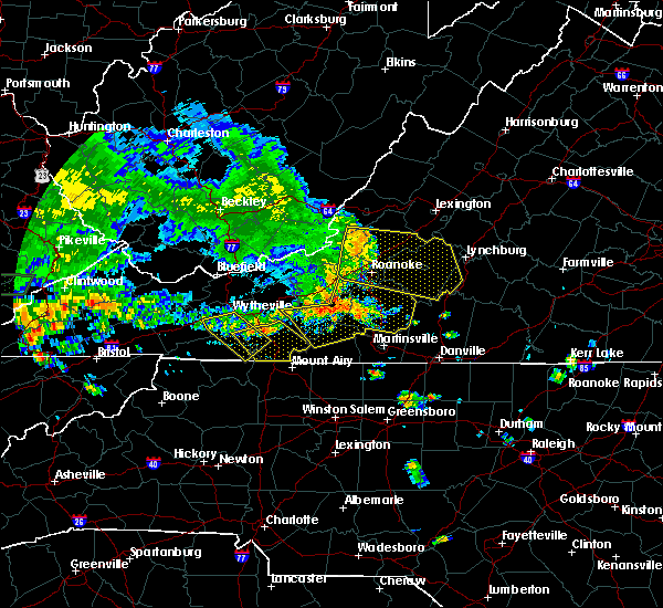 At 504 pm edt, severe thunderstorms were located along a line extending from shawsville to near check to near indian valley, moving southeast at 25 mph (radar indicated). Hazards include 60 mph wind gusts and quarter size hail. Hail damage to vehicles is expected. Expect wind damage to roofs, siding, and trees. At 504 pm edt, severe thunderstorms were located along a line extending from shawsville to near check to near indian valley, moving southeast at 25 mph (radar indicated). Hazards include 60 mph wind gusts and quarter size hail. Hail damage to vehicles is expected. Expect wind damage to roofs, siding, and trees.
|
| 7/4/2016 11:22 PM EDT |
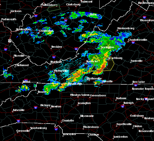 At 1121 pm edt, severe thunderstorms were located along a line extending from near endicott to near meadows of dan, moving southeast at 25 mph (radar indicated). Hazards include 60 mph wind gusts. Expect damage to roofs. siding. and trees. Locations impacted include, floyd, willis, mabry mill, alum ridge, and rocky knob summit. At 1121 pm edt, severe thunderstorms were located along a line extending from near endicott to near meadows of dan, moving southeast at 25 mph (radar indicated). Hazards include 60 mph wind gusts. Expect damage to roofs. siding. and trees. Locations impacted include, floyd, willis, mabry mill, alum ridge, and rocky knob summit.
|
| 7/4/2016 11:06 PM EDT |
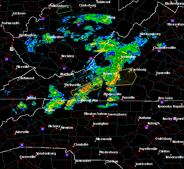 At 1106 pm edt, severe thunderstorms were located along a line extending from near callaway to near fairy stone state park to near buffalo ridge, moving southeast at 50 mph (radar indicated). Hazards include 60 mph wind gusts. Expect damage to roofs. siding. and trees. Locations impacted include, floyd, pilot, bent mountain, copper hill, and ferrum. At 1106 pm edt, severe thunderstorms were located along a line extending from near callaway to near fairy stone state park to near buffalo ridge, moving southeast at 50 mph (radar indicated). Hazards include 60 mph wind gusts. Expect damage to roofs. siding. and trees. Locations impacted include, floyd, pilot, bent mountain, copper hill, and ferrum.
|
| 7/4/2016 10:53 PM EDT |
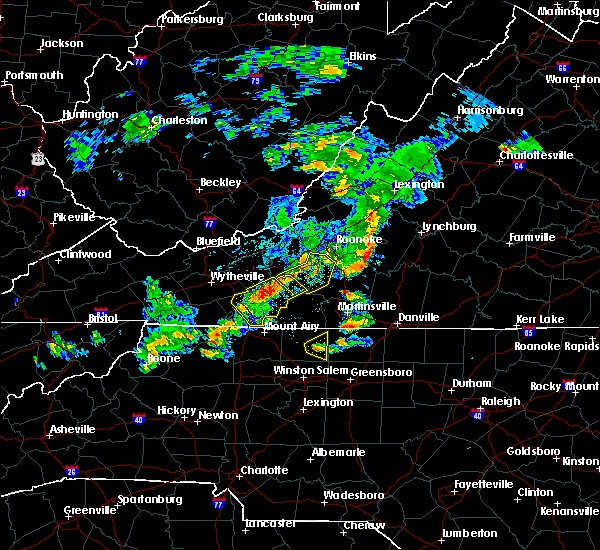 At 1052 pm edt, severe thunderstorms were located along a line extending from alum ridge to hillsville, moving southeast at 30 mph (radar indicated). Hazards include 60 mph wind gusts. Expect damage to roofs. siding. and trees. Locations impacted include, hillsville, floyd, cana, fancy gap, and indian valley. At 1052 pm edt, severe thunderstorms were located along a line extending from alum ridge to hillsville, moving southeast at 30 mph (radar indicated). Hazards include 60 mph wind gusts. Expect damage to roofs. siding. and trees. Locations impacted include, hillsville, floyd, cana, fancy gap, and indian valley.
|
| 7/4/2016 10:41 PM EDT |
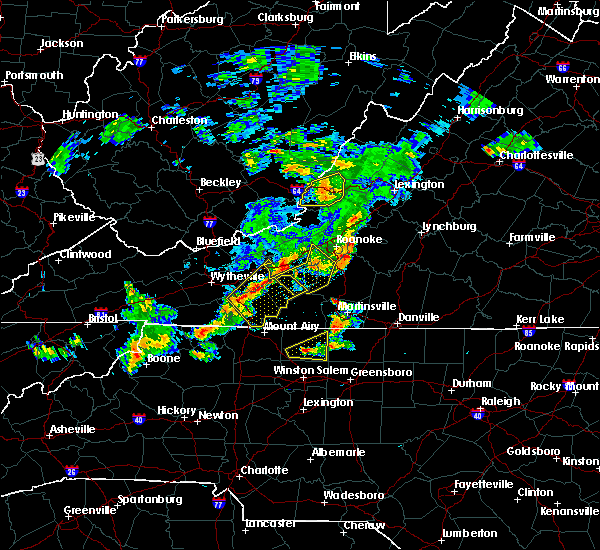 At 1041 pm edt, severe thunderstorms were located along a line extending from near shawsville to alum ridge to near dugspur, moving east at 40 mph (radar indicated). Hazards include 60 mph wind gusts. Expect damage to roofs. siding. and trees. Locations impacted include, floyd, pilot, bent mountain, copper hill, and ferrum. At 1041 pm edt, severe thunderstorms were located along a line extending from near shawsville to alum ridge to near dugspur, moving east at 40 mph (radar indicated). Hazards include 60 mph wind gusts. Expect damage to roofs. siding. and trees. Locations impacted include, floyd, pilot, bent mountain, copper hill, and ferrum.
|
| 7/4/2016 10:28 PM EDT |
 At 1027 pm edt, severe thunderstorms were located along a line extending from dublin to near byllesby, moving southeast at 25 mph (radar indicated). Hazards include 60 mph wind gusts. Expect damage to roofs. siding. And trees. At 1027 pm edt, severe thunderstorms were located along a line extending from dublin to near byllesby, moving southeast at 25 mph (radar indicated). Hazards include 60 mph wind gusts. Expect damage to roofs. siding. And trees.
|
| 7/4/2016 10:12 PM EDT |
 At 1011 pm edt, severe thunderstorms were located along a line extending from near glenvar to crockett springs to near pilot, moving southeast at 50 mph (radar indicated). Hazards include 60 mph wind gusts. Expect damage to roofs. siding. And trees. At 1011 pm edt, severe thunderstorms were located along a line extending from near glenvar to crockett springs to near pilot, moving southeast at 50 mph (radar indicated). Hazards include 60 mph wind gusts. Expect damage to roofs. siding. And trees.
|
| 6/16/2016 10:23 PM EDT |
 The severe thunderstorm warning for southeastern pulaski, southeastern roanoke, franklin, floyd and south central montgomery counties will expire at 1030 pm edt, the storms which prompted the warning have weakened below severe limits, and have exited the warned area. therefore the warning will be allowed to expire. however gusty winds and heavy rain are still possible with these thunderstorms. when it is safe to do so, please send your reports of hail of any size, as well as any reports of wind damage, including downed trees or large limbs, to the national weather service by calling toll free at 1, 8 6 6, 2 1 5, 4 3 2 4. reports and pictures can also be shared on the national weather service blacksburg facebook page and on twitter. The severe thunderstorm warning for southeastern pulaski, southeastern roanoke, franklin, floyd and south central montgomery counties will expire at 1030 pm edt, the storms which prompted the warning have weakened below severe limits, and have exited the warned area. therefore the warning will be allowed to expire. however gusty winds and heavy rain are still possible with these thunderstorms. when it is safe to do so, please send your reports of hail of any size, as well as any reports of wind damage, including downed trees or large limbs, to the national weather service by calling toll free at 1, 8 6 6, 2 1 5, 4 3 2 4. reports and pictures can also be shared on the national weather service blacksburg facebook page and on twitter.
|
| 6/16/2016 10:13 PM EDT |
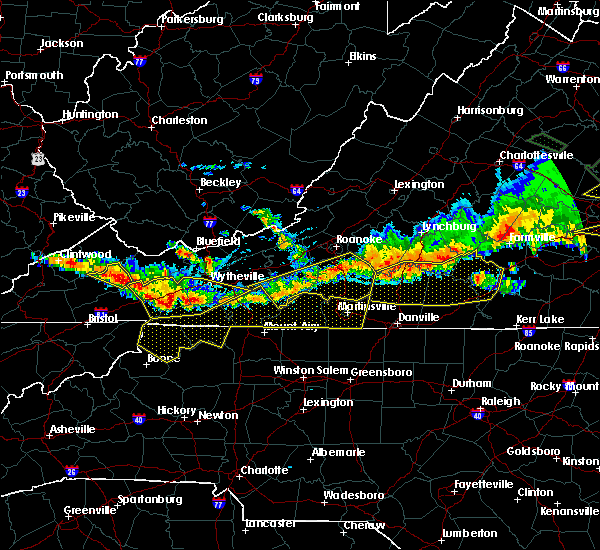 At 1012 pm edt, severe thunderstorms were located along a line extending from north shore to near callaway to near floyd, moving southeast at 40 mph (radar indicated). Hazards include 60 mph wind gusts and nickel size hail. Expect damage to roofs. siding. and trees. Locations impacted include, rocky mount, floyd, boones mill, willis, and penhook. At 1012 pm edt, severe thunderstorms were located along a line extending from north shore to near callaway to near floyd, moving southeast at 40 mph (radar indicated). Hazards include 60 mph wind gusts and nickel size hail. Expect damage to roofs. siding. and trees. Locations impacted include, rocky mount, floyd, boones mill, willis, and penhook.
|
| 6/16/2016 9:48 PM EDT |
 At 948 pm edt, severe thunderstorms were located along a line extending from near vinton to near bent mountain to near childress, moving southeast at 40 mph (radar indicated). Hazards include 60 mph wind gusts and quarter size hail. Hail damage to vehicles is expected. Expect wind damage to roofs, siding, and trees. At 948 pm edt, severe thunderstorms were located along a line extending from near vinton to near bent mountain to near childress, moving southeast at 40 mph (radar indicated). Hazards include 60 mph wind gusts and quarter size hail. Hail damage to vehicles is expected. Expect wind damage to roofs, siding, and trees.
|
| 5/2/2016 3:42 PM EDT | The severe thunderstorm warning for central floyd and south central montgomery counties will expire at 345 pm edt, the storm which prompted the warning has weakened below severe limits, and no longer poses an immediate threat to life or property. therefore the warning will be allowed to expire. however small hail is still possible with this thunderstorm. a severe thunderstorm watch remains in effect until 1000 pm edt. when it is safe to do so, please send your reports of hail of any size, as well as any reports of wind damage, including downed trees or large limbs, to the national weather service by calling toll free at 1, 8 6 6, 2 1 5, 4 3 2 4. reports and pictures can also be shared on the national weather service blacksburg facebook page and on twitter. |
| 5/2/2016 3:20 PM EDT |
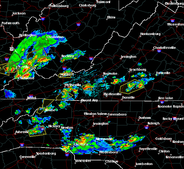 At 319 pm edt, a severe thunderstorm was located over alum ridge, moving east at 20 mph (radar indicated). Hazards include 60 mph wind gusts and quarter size hail. Hail damage to vehicles is expected. expect wind damage to roofs, siding, and trees. Locations impacted include, pilot, copper valley, and alum ridge. At 319 pm edt, a severe thunderstorm was located over alum ridge, moving east at 20 mph (radar indicated). Hazards include 60 mph wind gusts and quarter size hail. Hail damage to vehicles is expected. expect wind damage to roofs, siding, and trees. Locations impacted include, pilot, copper valley, and alum ridge.
|
| 5/2/2016 3:03 PM EDT |
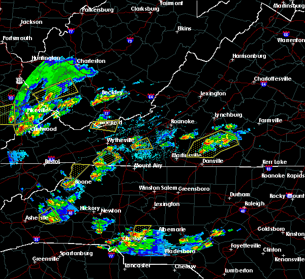 At 303 pm edt, a severe thunderstorm was located over indian valley, moving east at 20 mph (radar indicated). Hazards include 60 mph wind gusts and half dollar size hail. Hail damage to vehicles is expected. Expect wind damage to roofs, siding, and trees. At 303 pm edt, a severe thunderstorm was located over indian valley, moving east at 20 mph (radar indicated). Hazards include 60 mph wind gusts and half dollar size hail. Hail damage to vehicles is expected. Expect wind damage to roofs, siding, and trees.
|
| 2/24/2016 12:58 PM EST | Power line blown down near fairview church road and route in floyd county VA, 3.7 miles N of Floyd, VA |
| 2/24/2016 12:58 PM EST |
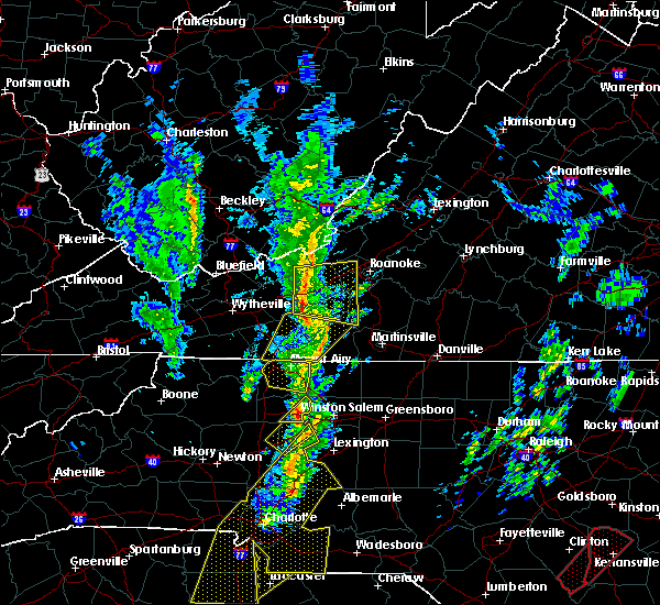 At 1258 pm est, a severe thunderstorm was located over alum ridge, moving northeast at 70 mph (radar indicated). Hazards include golf ball size hail and 60 mph wind gusts. People and animals outdoors will be injured. expect hail damage to roofs, siding, windows, and vehicles. expect wind damage to roofs, siding, and trees. locations impacted include, floyd, woolwine, indian valley, willis, and rocky knob recreation area. A tornado watch remains in effect until 700 pm est for north central north carolina. At 1258 pm est, a severe thunderstorm was located over alum ridge, moving northeast at 70 mph (radar indicated). Hazards include golf ball size hail and 60 mph wind gusts. People and animals outdoors will be injured. expect hail damage to roofs, siding, windows, and vehicles. expect wind damage to roofs, siding, and trees. locations impacted include, floyd, woolwine, indian valley, willis, and rocky knob recreation area. A tornado watch remains in effect until 700 pm est for north central north carolina.
|
| 2/24/2016 12:57 PM EST |
 At 1257 pm est, severe thunderstorms were located along a line extending from prices fork to laurel fork, moving east at 15 mph (radar indicated). Hazards include 60 mph wind gusts and quarter size hail. Hail damage to vehicles is expected. Expect wind damage to roofs, siding, and trees. At 1257 pm est, severe thunderstorms were located along a line extending from prices fork to laurel fork, moving east at 15 mph (radar indicated). Hazards include 60 mph wind gusts and quarter size hail. Hail damage to vehicles is expected. Expect wind damage to roofs, siding, and trees.
|
| 2/24/2016 12:37 PM EST |
 At 1236 pm est, a severe thunderstorm was located over pine ridge, moving northeast at 35 mph (radar indicated). Hazards include 60 mph wind gusts and quarter size hail. Hail damage to vehicles is expected. Expect wind damage to roofs, siding, and trees. At 1236 pm est, a severe thunderstorm was located over pine ridge, moving northeast at 35 mph (radar indicated). Hazards include 60 mph wind gusts and quarter size hail. Hail damage to vehicles is expected. Expect wind damage to roofs, siding, and trees.
|
| 2/24/2016 12:20 PM EST | Power line down on longlevel roa in floyd county VA, 2.9 miles NE of Floyd, VA |
| 9/4/2015 6:51 PM EDT |
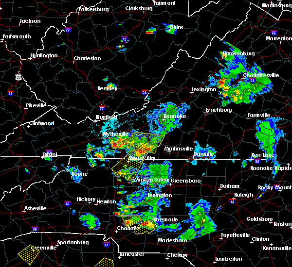 The severe thunderstorm warning for northeastern patrick, southwestern franklin, floyd, south central montgomery and northeastern carroll counties will expire at 700 pm edt, the storm which prompted the warning has moved out of the area. therefore the warning will be allowed to expire. when it is safe to do so, please send your reports of hail of any size, as well as any reports of wind damage, including downed trees or large limbs, to the national weather service by calling toll free at 1, 8 6 6, 2 1 5, 4 3 2 4. reports and pictures can also be shared on the national weather service blacksburg facebook page and on twitter. The severe thunderstorm warning for northeastern patrick, southwestern franklin, floyd, south central montgomery and northeastern carroll counties will expire at 700 pm edt, the storm which prompted the warning has moved out of the area. therefore the warning will be allowed to expire. when it is safe to do so, please send your reports of hail of any size, as well as any reports of wind damage, including downed trees or large limbs, to the national weather service by calling toll free at 1, 8 6 6, 2 1 5, 4 3 2 4. reports and pictures can also be shared on the national weather service blacksburg facebook page and on twitter.
|
| 9/4/2015 6:37 PM EDT |
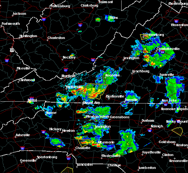 At 636 pm edt, a severe thunderstorm was located over charity, moving southwest at 30 mph (radar indicated). Hazards include 60 mph wind gusts and quarter size hail. Hail damage to vehicles is expected. expect wind damage to roofs, siding and trees. Locations impacted include, floyd, woolwine, ferrum, indian valley, and willis. At 636 pm edt, a severe thunderstorm was located over charity, moving southwest at 30 mph (radar indicated). Hazards include 60 mph wind gusts and quarter size hail. Hail damage to vehicles is expected. expect wind damage to roofs, siding and trees. Locations impacted include, floyd, woolwine, ferrum, indian valley, and willis.
|
| 9/4/2015 6:22 PM EDT |
 At 622 pm edt, a severe thunderstorm was located near endicott, moving southwest at 30 mph (radar indicated). Hazards include 60 mph wind gusts and quarter size hail. Hail damage to vehicles is expected. expect wind damage to roofs, siding and trees. Locations impacted include, floyd, woolwine, pilot, ferrum, and indian valley. At 622 pm edt, a severe thunderstorm was located near endicott, moving southwest at 30 mph (radar indicated). Hazards include 60 mph wind gusts and quarter size hail. Hail damage to vehicles is expected. expect wind damage to roofs, siding and trees. Locations impacted include, floyd, woolwine, pilot, ferrum, and indian valley.
|
| 9/4/2015 6:11 PM EDT |
 At 611 pm edt, a severe thunderstorm was located near callaway, moving south at 20 mph (radar indicated). Hazards include 60 mph wind gusts and quarter size hail. Hail damage to vehicles is expected. expect wind damage to roofs, siding and trees. Locations impacted include, christiansburg, floyd, boones mill, woolwine, and shawsville. At 611 pm edt, a severe thunderstorm was located near callaway, moving south at 20 mph (radar indicated). Hazards include 60 mph wind gusts and quarter size hail. Hail damage to vehicles is expected. expect wind damage to roofs, siding and trees. Locations impacted include, christiansburg, floyd, boones mill, woolwine, and shawsville.
|
| 9/4/2015 6:09 PM EDT | Quarter sized hail reported 10.6 miles ESE of Floyd, VA, trained spotter reports hail up to an inch in diameter that fell along bobcat trail road in floyd county... va. |
| 9/4/2015 5:57 PM EDT |
 At 556 pm edt, a severe thunderstorm was located over copper hill, moving southwest at 30 mph (radar indicated). Hazards include 60 mph wind gusts and quarter size hail. Hail damage to vehicles is expected. Expect wind damage to roofs, siding and trees. At 556 pm edt, a severe thunderstorm was located over copper hill, moving southwest at 30 mph (radar indicated). Hazards include 60 mph wind gusts and quarter size hail. Hail damage to vehicles is expected. Expect wind damage to roofs, siding and trees.
|
| 9/4/2015 5:41 PM EDT |
 At 541 pm edt, a severe thunderstorm was located over copper hill, moving southwest at 35 mph (radar indicated). Hazards include 60 mph wind gusts and quarter size hail. Hail damage to vehicles is expected. expect wind damage to roofs, siding and trees. locations impacted include, roanoke, salem, christiansburg, floyd, and boones mill. This includes the salem fairgrounds. At 541 pm edt, a severe thunderstorm was located over copper hill, moving southwest at 35 mph (radar indicated). Hazards include 60 mph wind gusts and quarter size hail. Hail damage to vehicles is expected. expect wind damage to roofs, siding and trees. locations impacted include, roanoke, salem, christiansburg, floyd, and boones mill. This includes the salem fairgrounds.
|
| 9/4/2015 5:04 PM EDT |
 At 504 pm edt, a severe thunderstorm was located over cave spring, moving southwest at 30 mph (radar indicated). Hazards include 60 mph wind gusts and quarter size hail. Hail damage to vehicles is expected. Expect wind damage to roofs, siding and trees. At 504 pm edt, a severe thunderstorm was located over cave spring, moving southwest at 30 mph (radar indicated). Hazards include 60 mph wind gusts and quarter size hail. Hail damage to vehicles is expected. Expect wind damage to roofs, siding and trees.
|
| 7/13/2015 7:48 PM EDT |
 At 746 pm edt, severe thunderstorms were located along a line extending from near mountain grove, to covington, to elliston, to near laurel fork, moving east at 40 mph (radar indicated). Hazards include 60 mph wind gusts. Expect damage to roofs. siding and trees. Locations impacted include, christiansburg, covington, clifton forge, floyd, and new castle. At 746 pm edt, severe thunderstorms were located along a line extending from near mountain grove, to covington, to elliston, to near laurel fork, moving east at 40 mph (radar indicated). Hazards include 60 mph wind gusts. Expect damage to roofs. siding and trees. Locations impacted include, christiansburg, covington, clifton forge, floyd, and new castle.
|
| 7/13/2015 7:42 PM EDT | Trees down around floy in floyd county VA, 0.6 miles SSE of Floyd, VA |
| 7/13/2015 7:09 PM EDT |
 At 708 pm edt, severe thunderstorms were located along a line extending from near marlinton to near draper, moving east at 70 mph (radar indicated). Hazards include 60 mph wind gusts. Expect damage to roofs. Siding and trees. At 708 pm edt, severe thunderstorms were located along a line extending from near marlinton to near draper, moving east at 70 mph (radar indicated). Hazards include 60 mph wind gusts. Expect damage to roofs. Siding and trees.
|
| 6/17/2015 11:02 PM EDT |
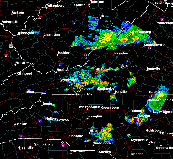 At 1059 pm edt, severe thunderstorms were located along a line extending from near callaway to floyd, moving east at 35 mph (radar indicated). Hazards include 60 mph wind gusts. Expect damage to roofs. siding and trees. Locations impacted include, floyd, and alum ridge. At 1059 pm edt, severe thunderstorms were located along a line extending from near callaway to floyd, moving east at 35 mph (radar indicated). Hazards include 60 mph wind gusts. Expect damage to roofs. siding and trees. Locations impacted include, floyd, and alum ridge.
|
| 6/17/2015 10:45 PM EDT |
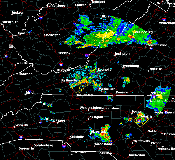 At 1044 pm edt, severe thunderstorms were located along a line extending from near copper hill to near floyd, moving east at 35 mph (radar indicated). Hazards include 60 mph wind gusts. Expect damage to roofs. siding and trees. Locations impacted include, floyd, indian valley, check, alum ridge, and terrys fork. At 1044 pm edt, severe thunderstorms were located along a line extending from near copper hill to near floyd, moving east at 35 mph (radar indicated). Hazards include 60 mph wind gusts. Expect damage to roofs. siding and trees. Locations impacted include, floyd, indian valley, check, alum ridge, and terrys fork.
|
| 6/17/2015 10:16 PM EDT |
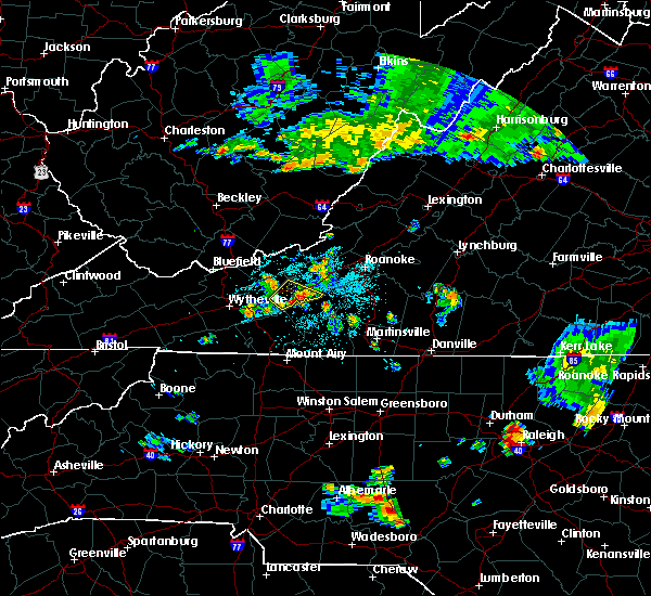 At 1016 pm edt, severe thunderstorms were located along a line extending from near pilot to near indian valley, moving east at 35 mph (radar indicated). Hazards include 60 mph wind gusts. Expect damage to roofs. Siding and trees. At 1016 pm edt, severe thunderstorms were located along a line extending from near pilot to near indian valley, moving east at 35 mph (radar indicated). Hazards include 60 mph wind gusts. Expect damage to roofs. Siding and trees.
|
| 6/8/2015 5:07 PM EDT | At 506 pm edt, a severe thunderstorm was located near floyd, moving east at 30 mph (radar indicated). Hazards include 60 mph wind gusts. Expect damage to roofs. siding and trees. Locations impacted include, floyd, pilot, willis, rocky knob recreation area, and alum ridge. |
| 6/8/2015 4:51 PM EDT | At 450 pm edt, a severe thunderstorm was located over indian valley, moving east at 30 mph (radar indicated). Hazards include 60 mph wind gusts. Expect damage to roofs. siding and trees. Locations impacted include, floyd, pilot, indian valley, willis, and rocky knob recreation area. |
| 6/8/2015 4:35 PM EDT |
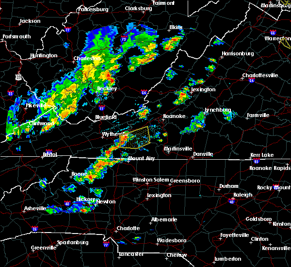 At 434 pm edt, a severe thunderstorm was located near dugspur, moving east at 30 mph (radar indicated). Hazards include 60 mph wind gusts. Expect damage to roofs. Siding and trees. At 434 pm edt, a severe thunderstorm was located near dugspur, moving east at 30 mph (radar indicated). Hazards include 60 mph wind gusts. Expect damage to roofs. Siding and trees.
|
| 6/16/2014 2:36 PM EDT | One tree down on charity hwy in patrick county VA, 8.7 miles NNW of Floyd, VA |
| 6/11/2014 9:25 PM EDT | Two trees down off rt 221 in floyd county VA, 4.6 miles ENE of Floyd, VA |
| 6/13/2013 2:55 PM EDT | Trees down on route 8 across from citizens telephone cooperative in floyd county VA, 0.9 miles SE of Floyd, VA |
| 6/13/2013 2:50 PM EDT | Trees down on rt 221 in floyd county VA, 0.6 miles SSE of Floyd, VA |
| 6/30/2012 11:43 PM EDT | Tree limbs in the road and dime size hail reported on woolwine highway in patrick county VA, 8.6 miles N of Floyd, VA |
| 6/30/2012 7:43 PM EDT | Tree limbs in the road and dime size hail reported on woolwine highway in patrick county VA, 8.6 miles N of Floyd, VA |
| 6/29/2012 9:34 PM EDT | Multiple trees dow in floyd county VA, 0.6 miles SSE of Floyd, VA |
| 6/29/2012 9:00 PM EDT | Storm damage reported in floyd county VA, 7.9 miles SSW of Floyd, VA |
| 5/3/2012 4:00 PM EDT | Quarter sized hail reported 11.1 miles ENE of Floyd, VA |
| 1/1/0001 12:00 AM | Trees down across shooting creek roa in floyd county VA, 3.2 miles W of Floyd, VA |
| 1/1/0001 12:00 AM | Tree down on union school roa in floyd county VA, 6.3 miles NE of Floyd, VA |
| 1/1/0001 12:00 AM | Tree down on woods gap roa in floyd county VA, 0.9 miles NNW of Floyd, VA |
| 1/1/0001 12:00 AM | Tree down on a power line and also fell on a house on harris hollow roa in floyd county VA, 7.2 miles ENE of Floyd, VA |
| 1/1/0001 12:00 AM | Tree down on emmanuel road near conner grove roa in floyd county VA, 9.6 miles NE of Floyd, VA |
| 1/1/0001 12:00 AM | Several trees downed in the willis area...including on buffalo mountain r in floyd county VA, 10 miles ENE of Floyd, VA |
| 1/1/0001 12:00 AM | Trees down county wid in floyd county VA, 0.6 miles SSE of Floyd, VA |
| 1/1/0001 12:00 AM | Barn damaged and several trees dow in floyd county VA, 11 miles NE of Floyd, VA |
| 1/1/0001 12:00 AM | Quarter sized hail reported 8.9 miles NE of Floyd, VA |
Hail Maps for Floyd, VA


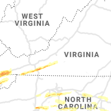


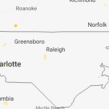


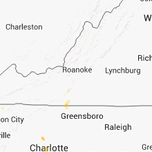

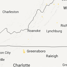


Connect with Interactive Hail Maps