

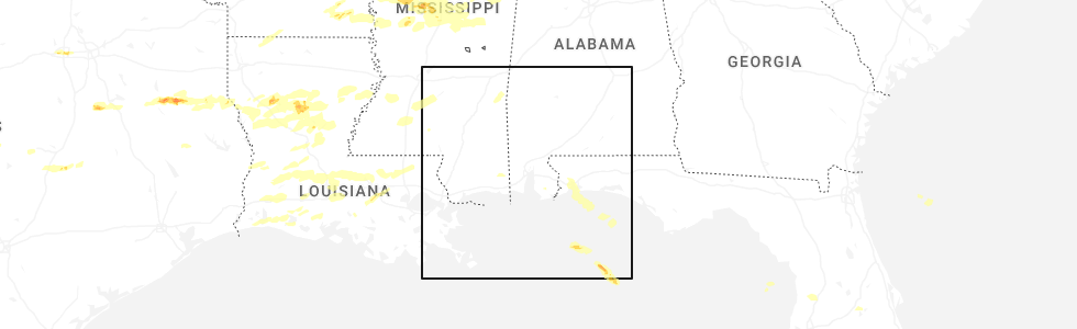
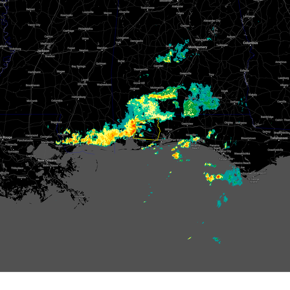
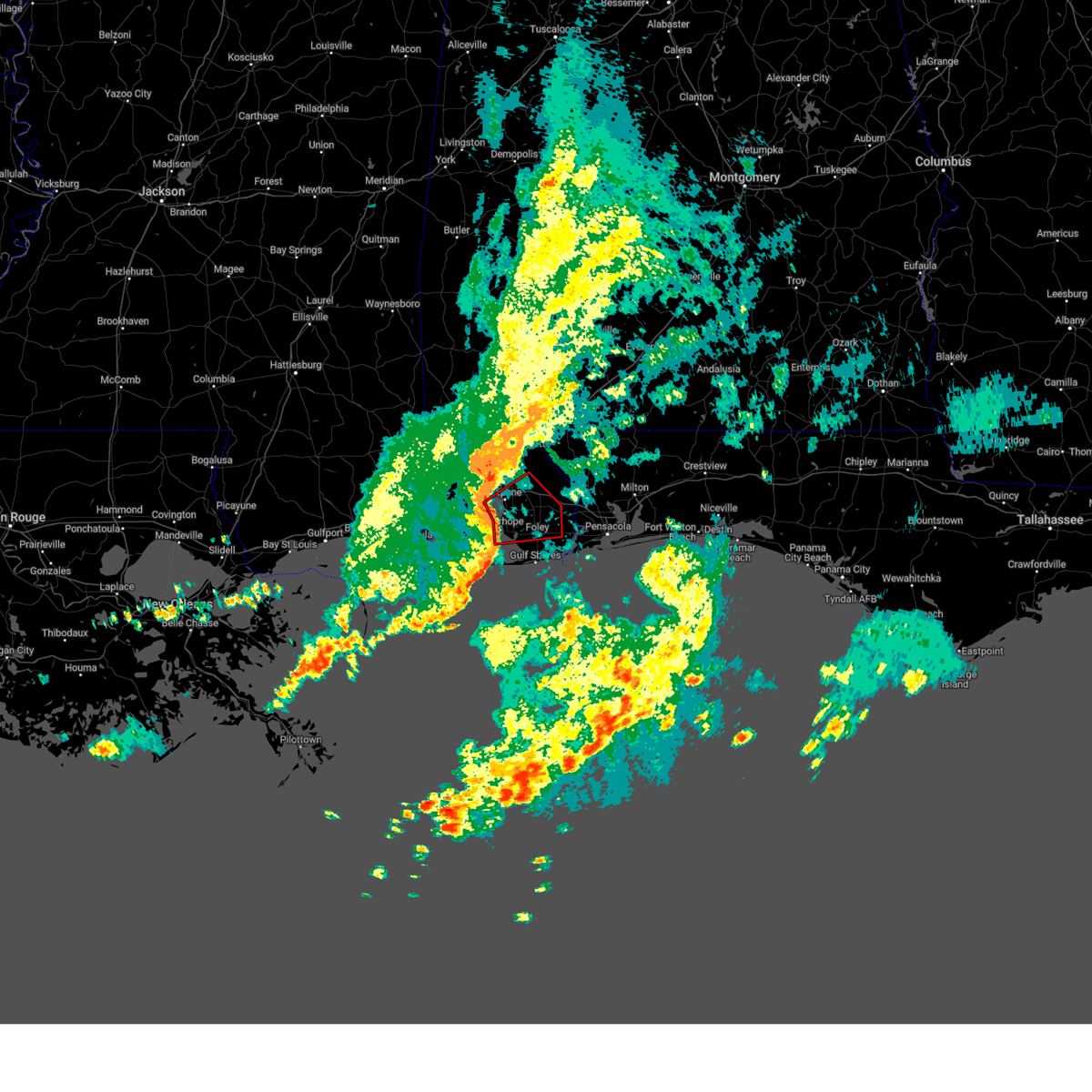
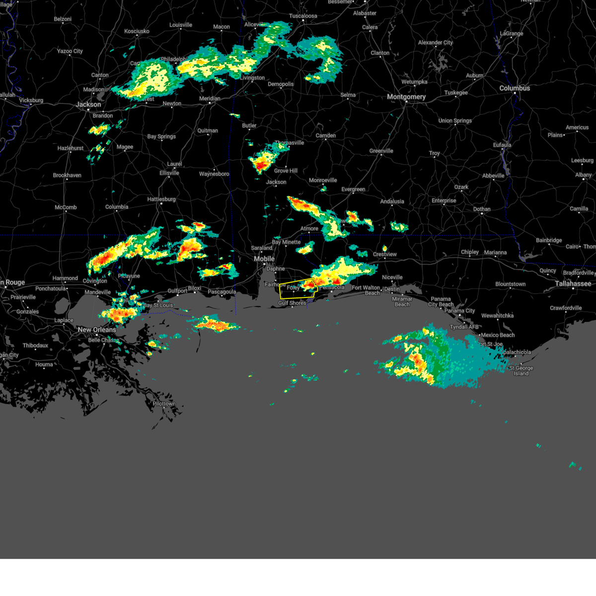
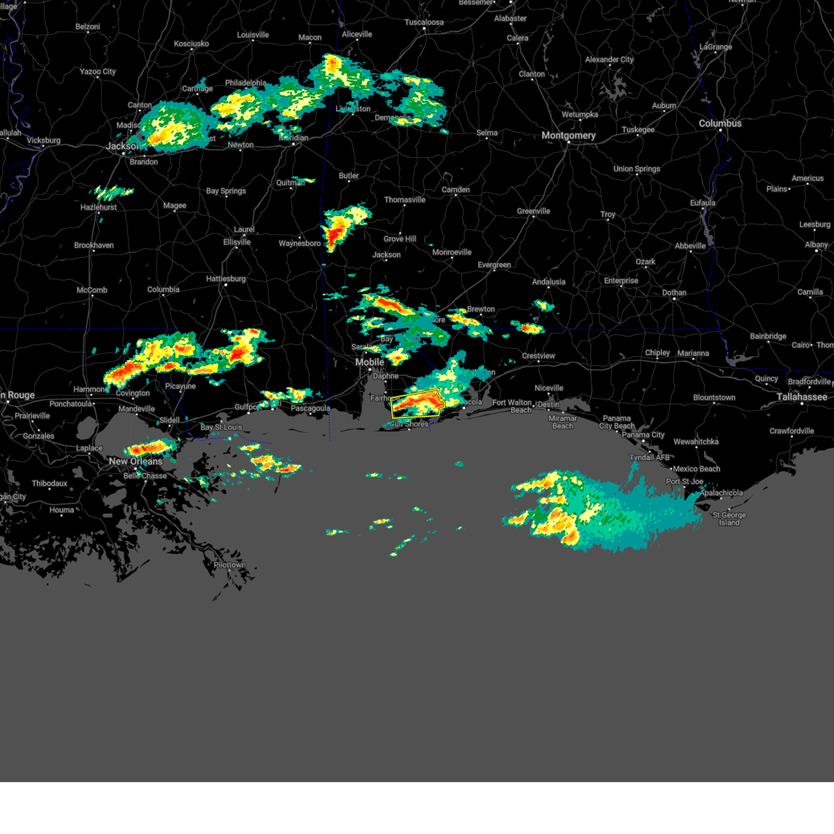
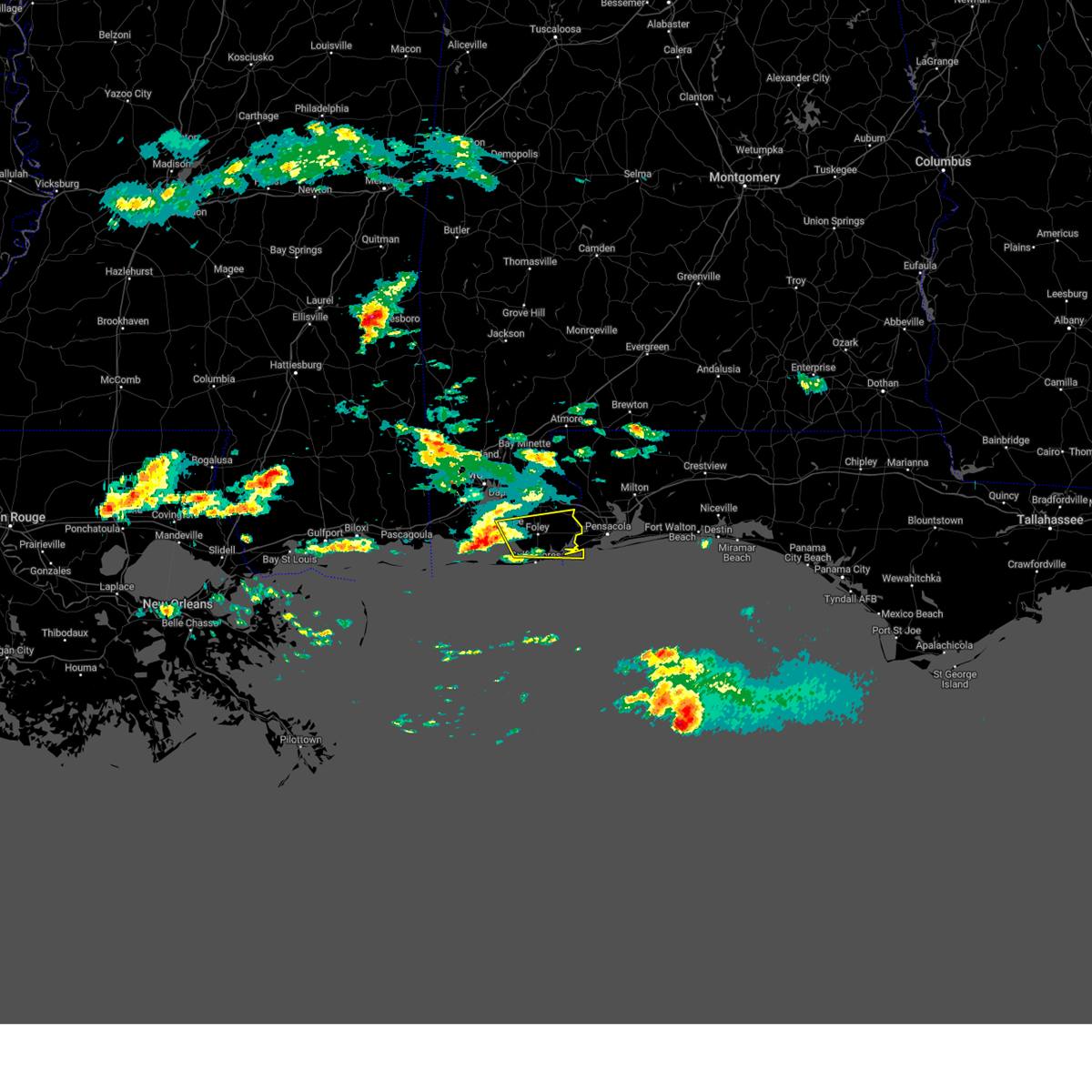
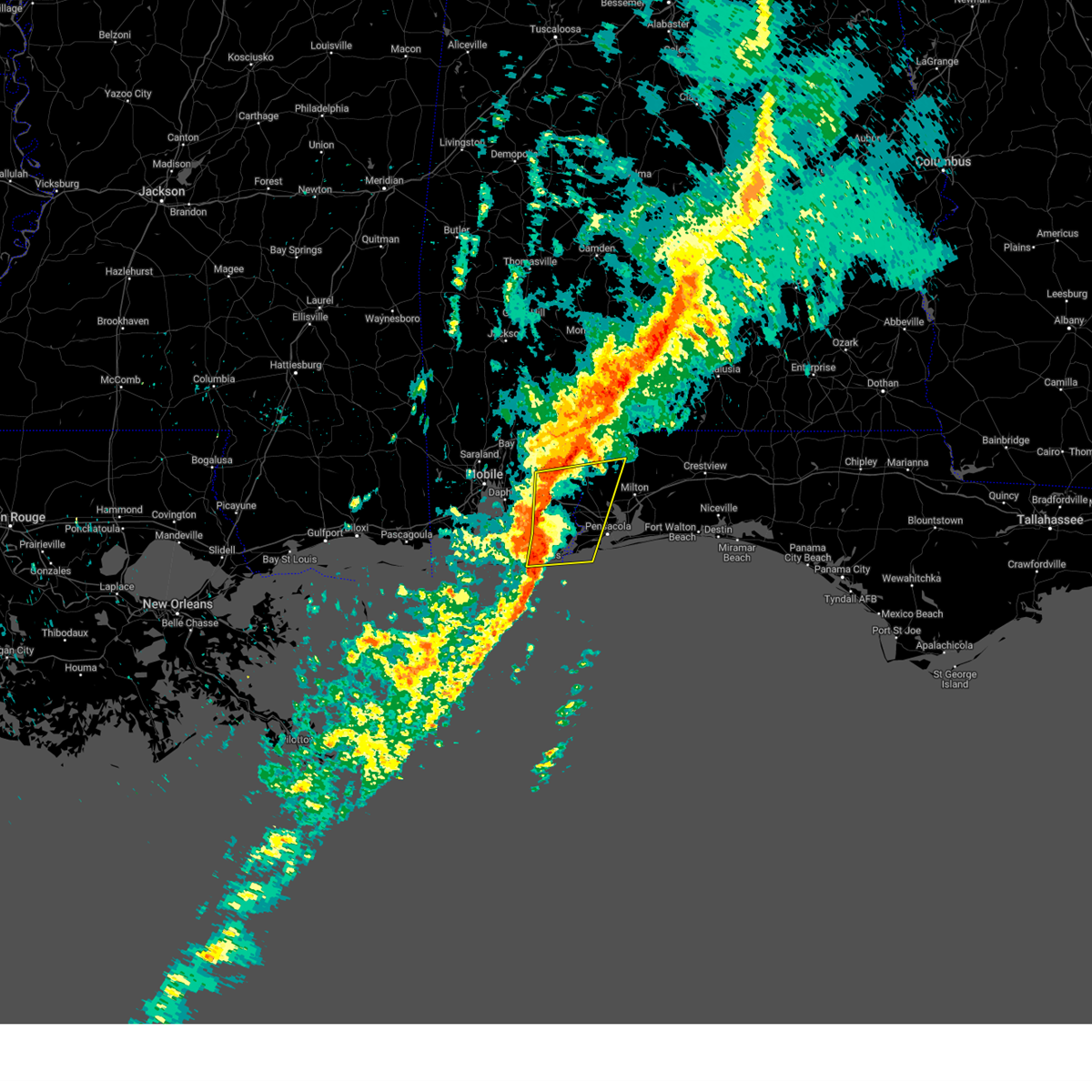
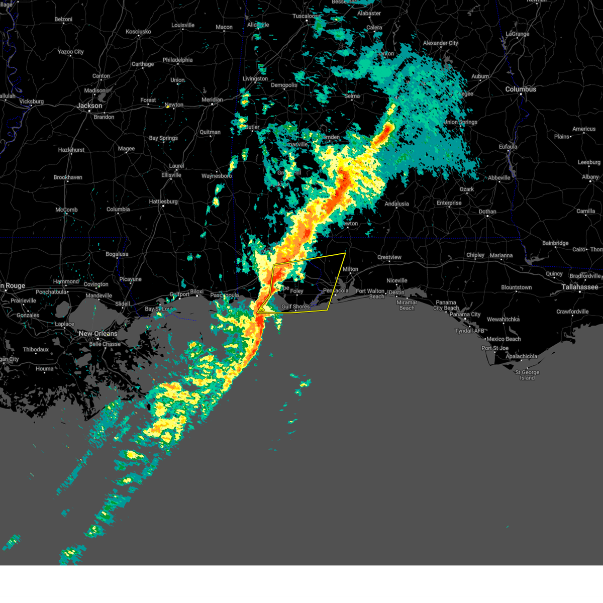
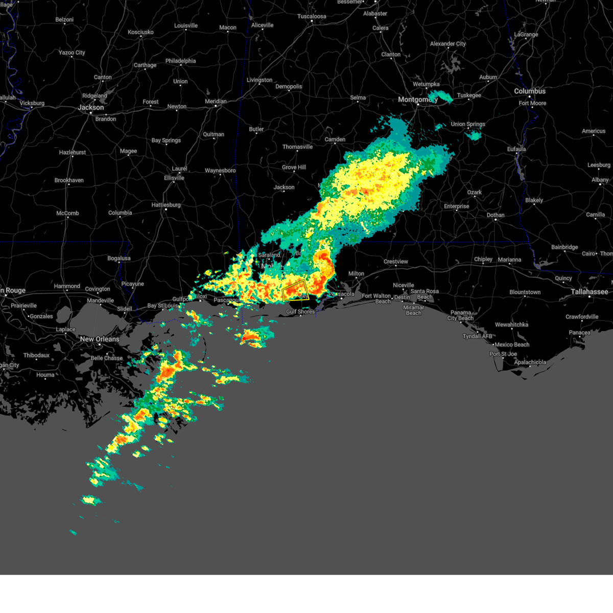
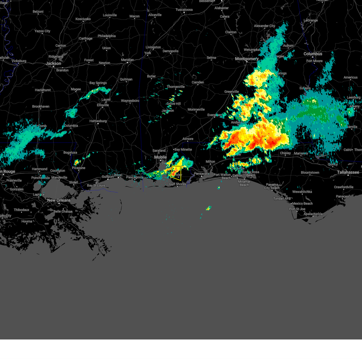
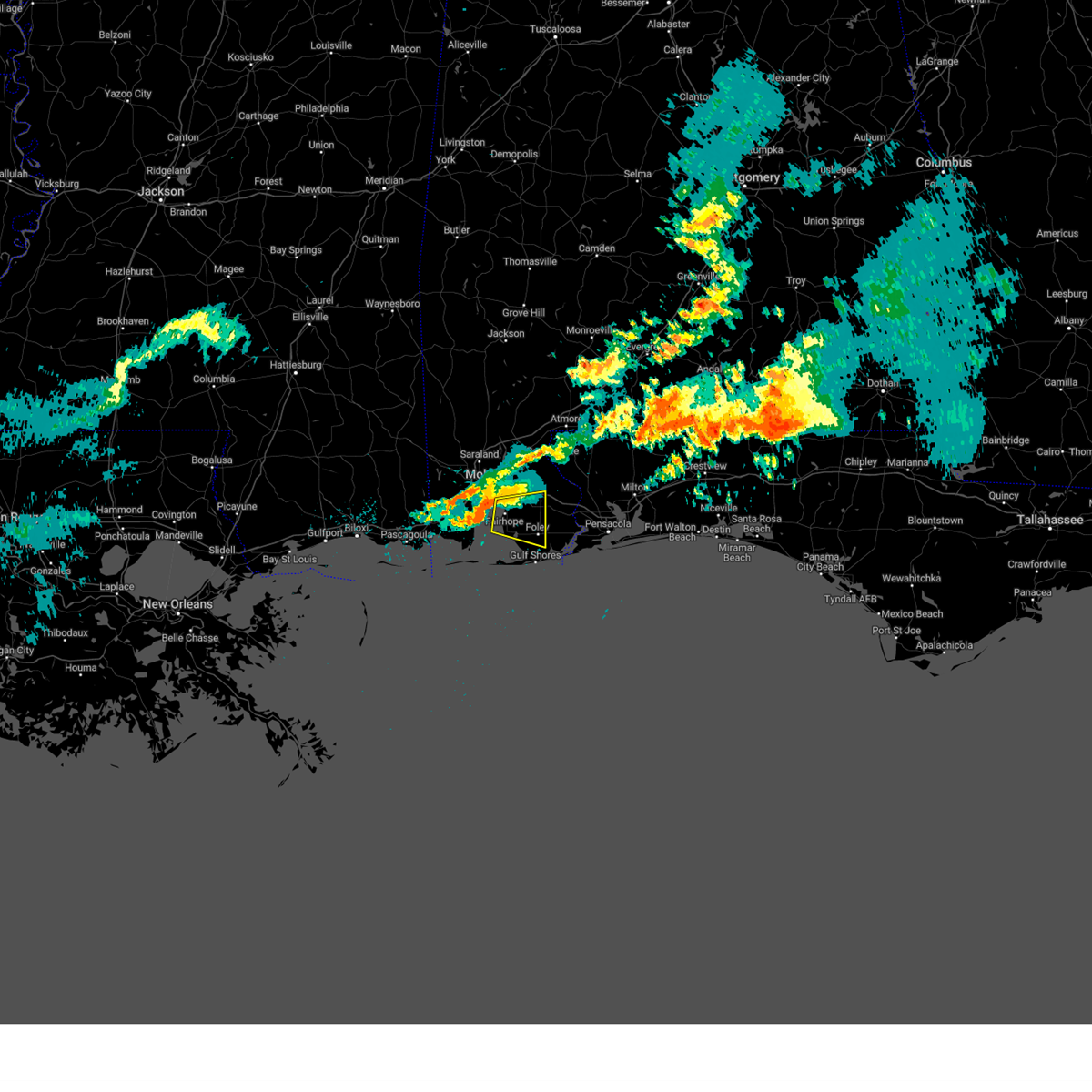
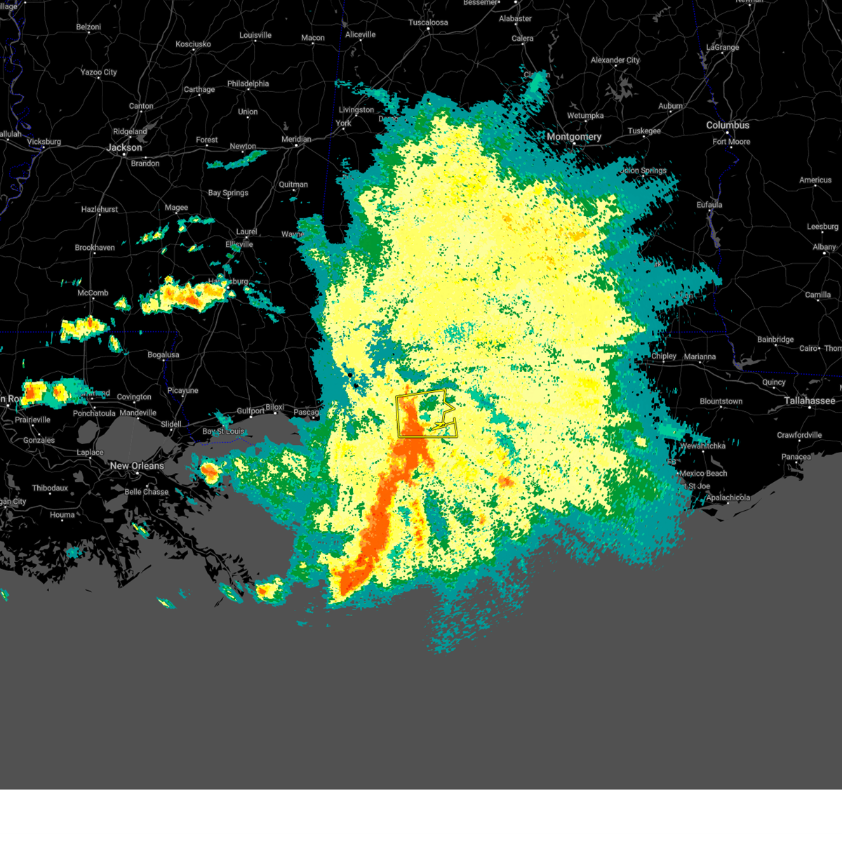
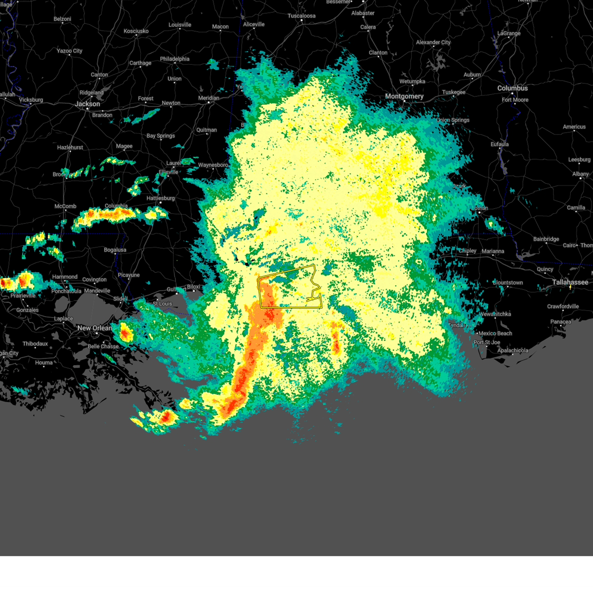
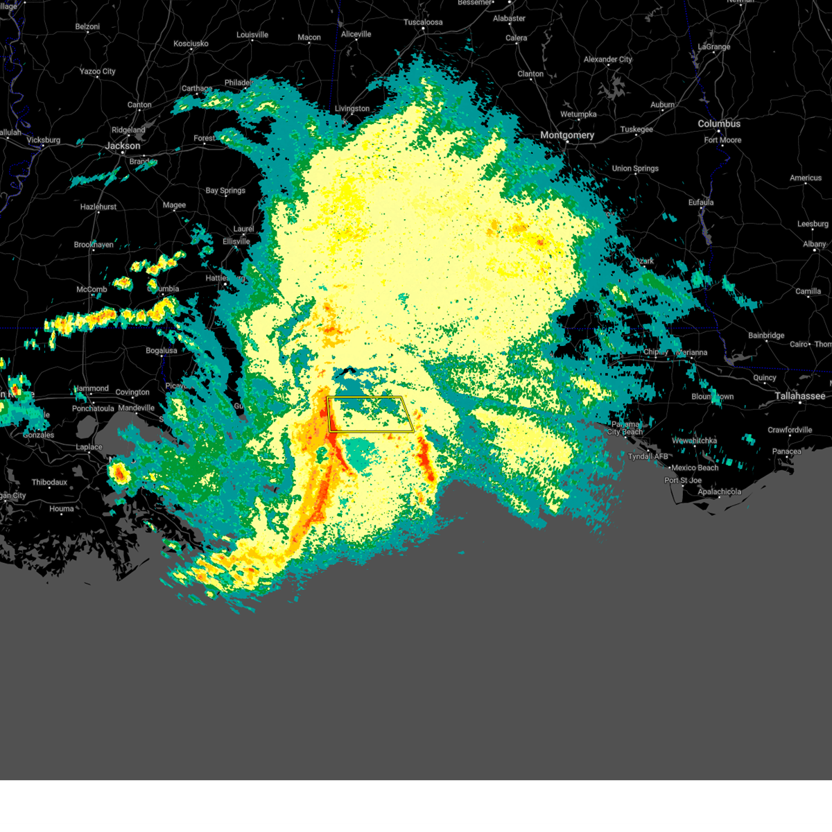
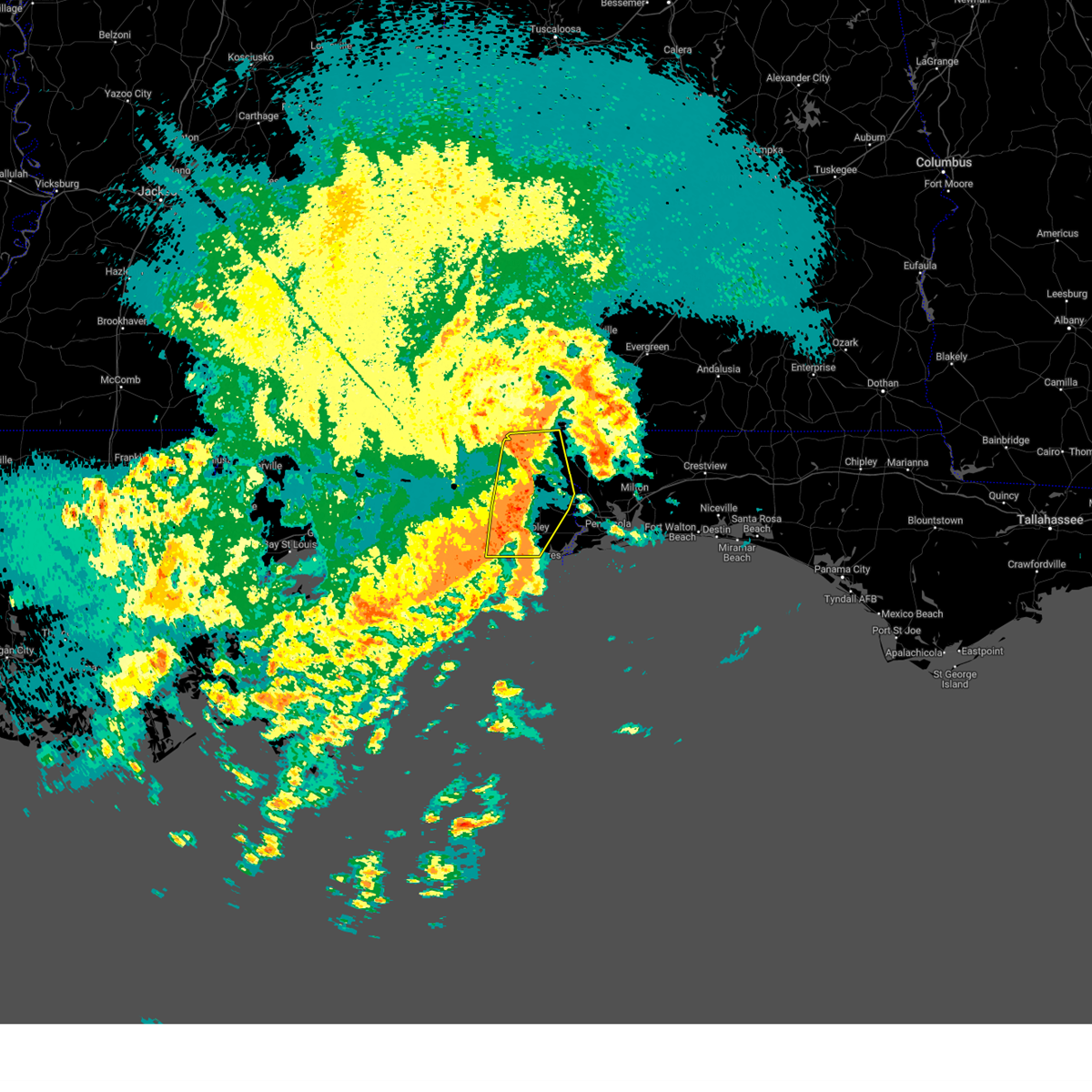
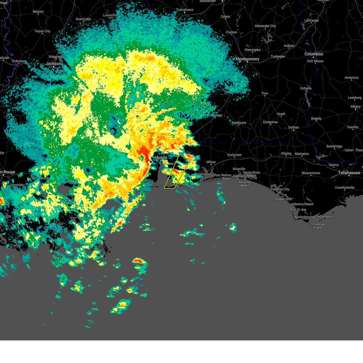
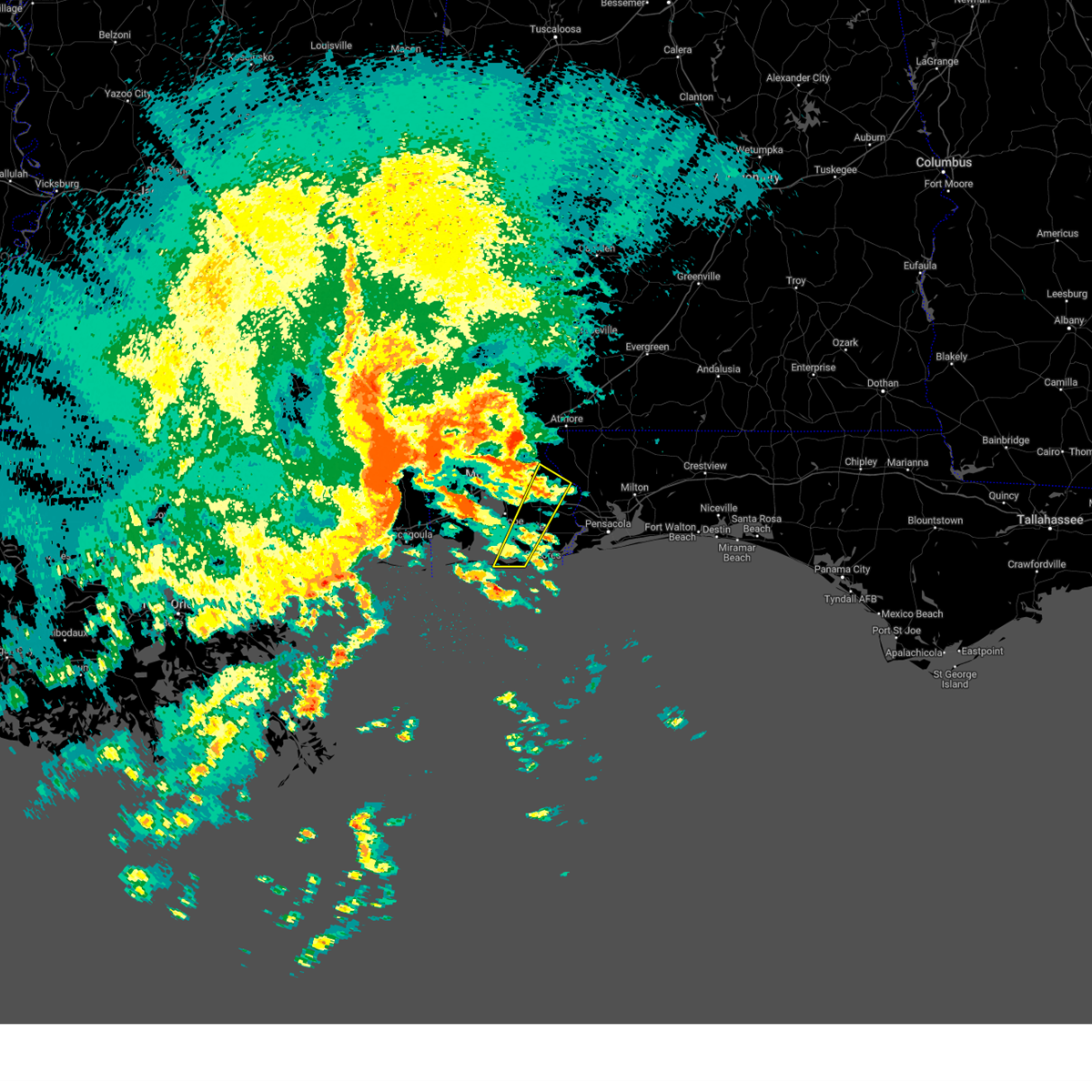
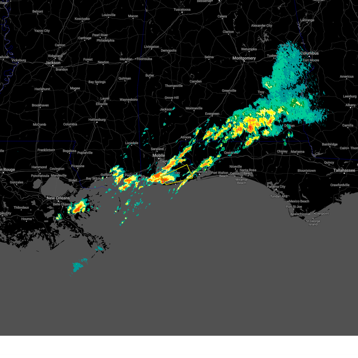
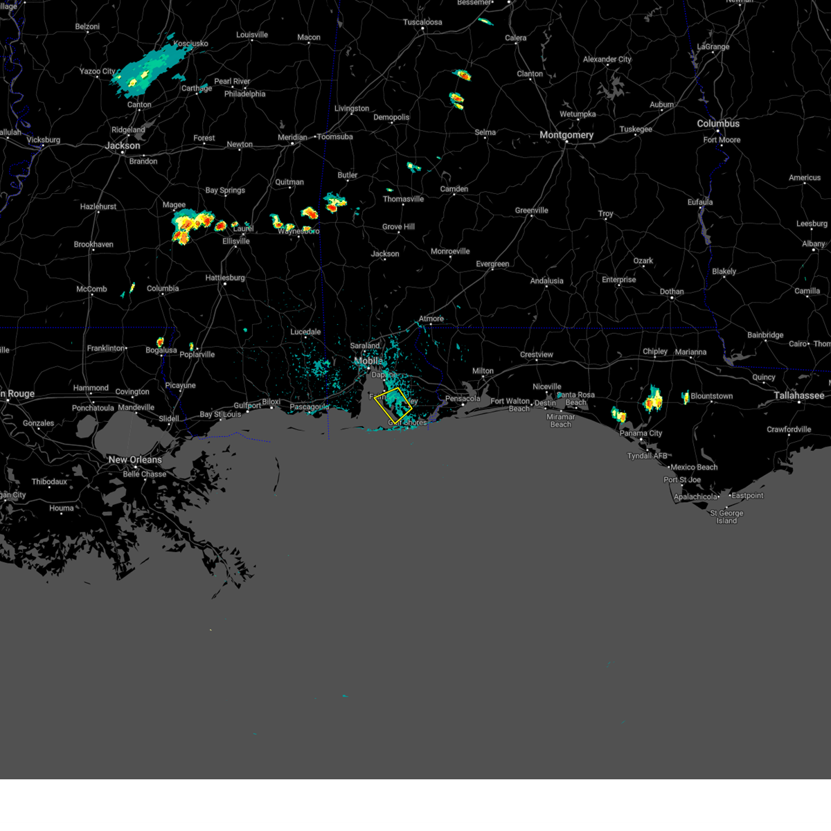
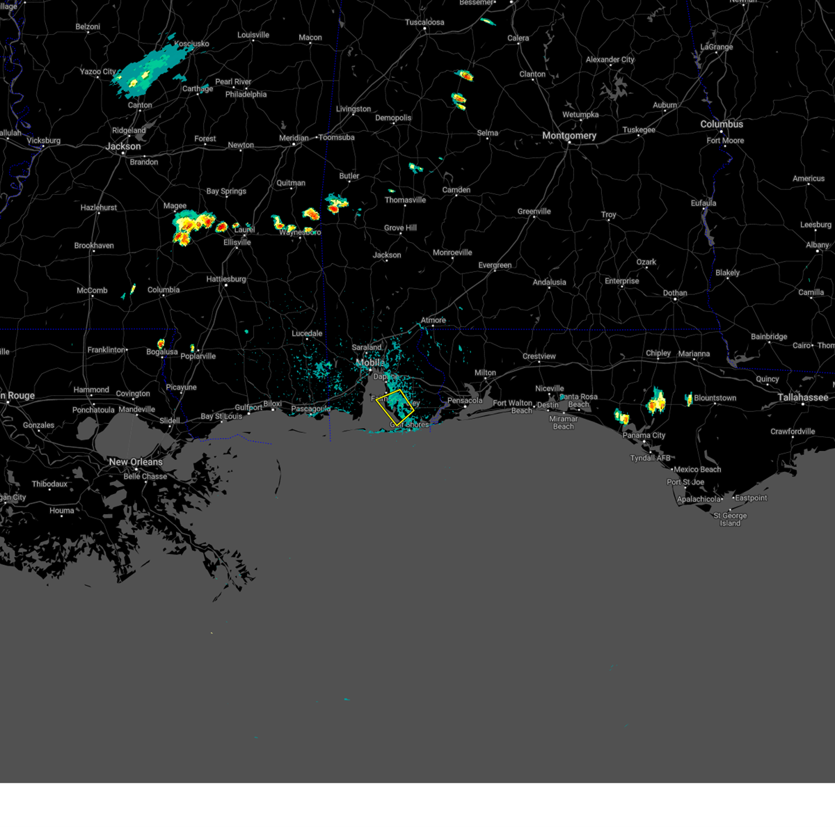
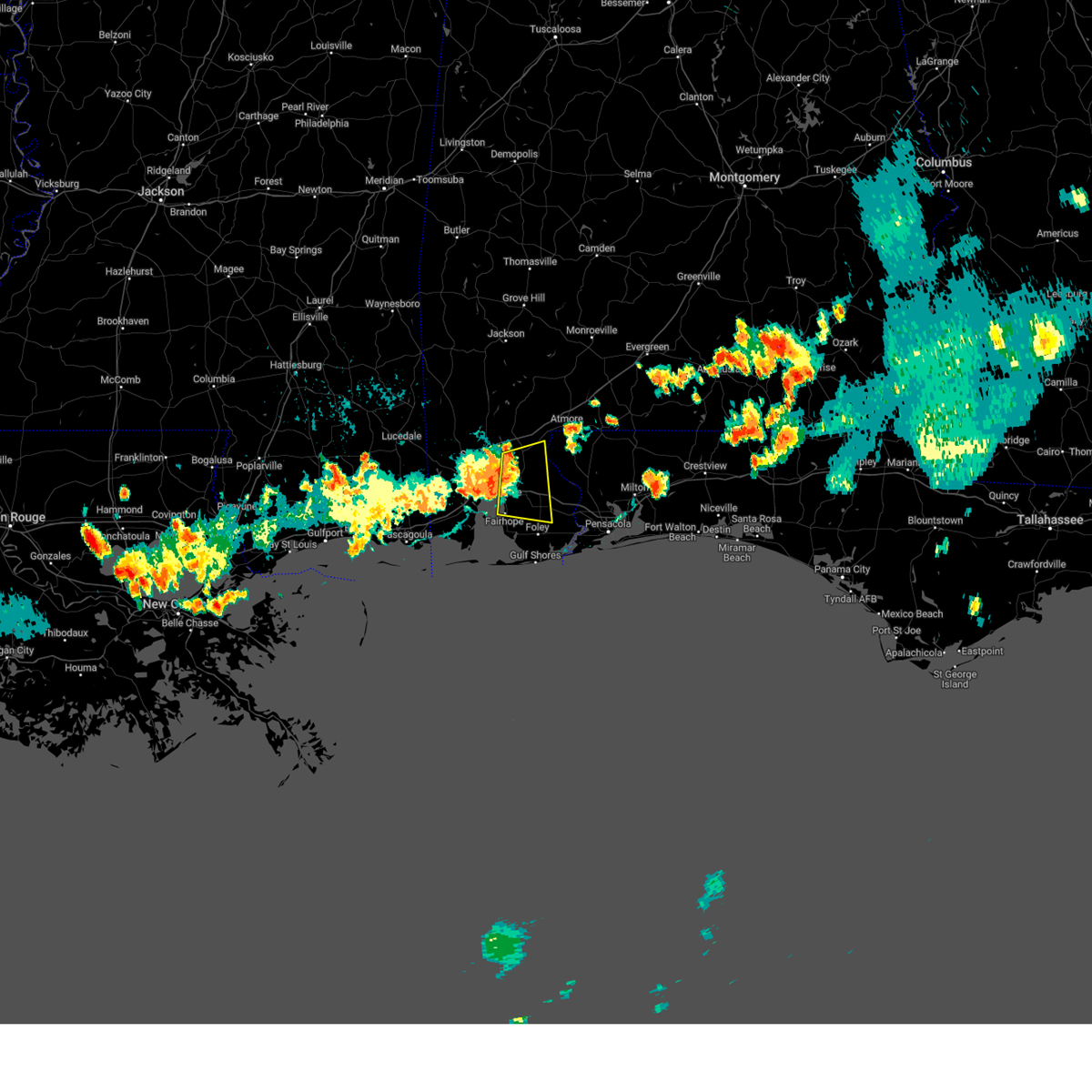
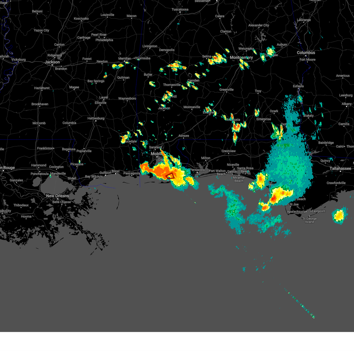
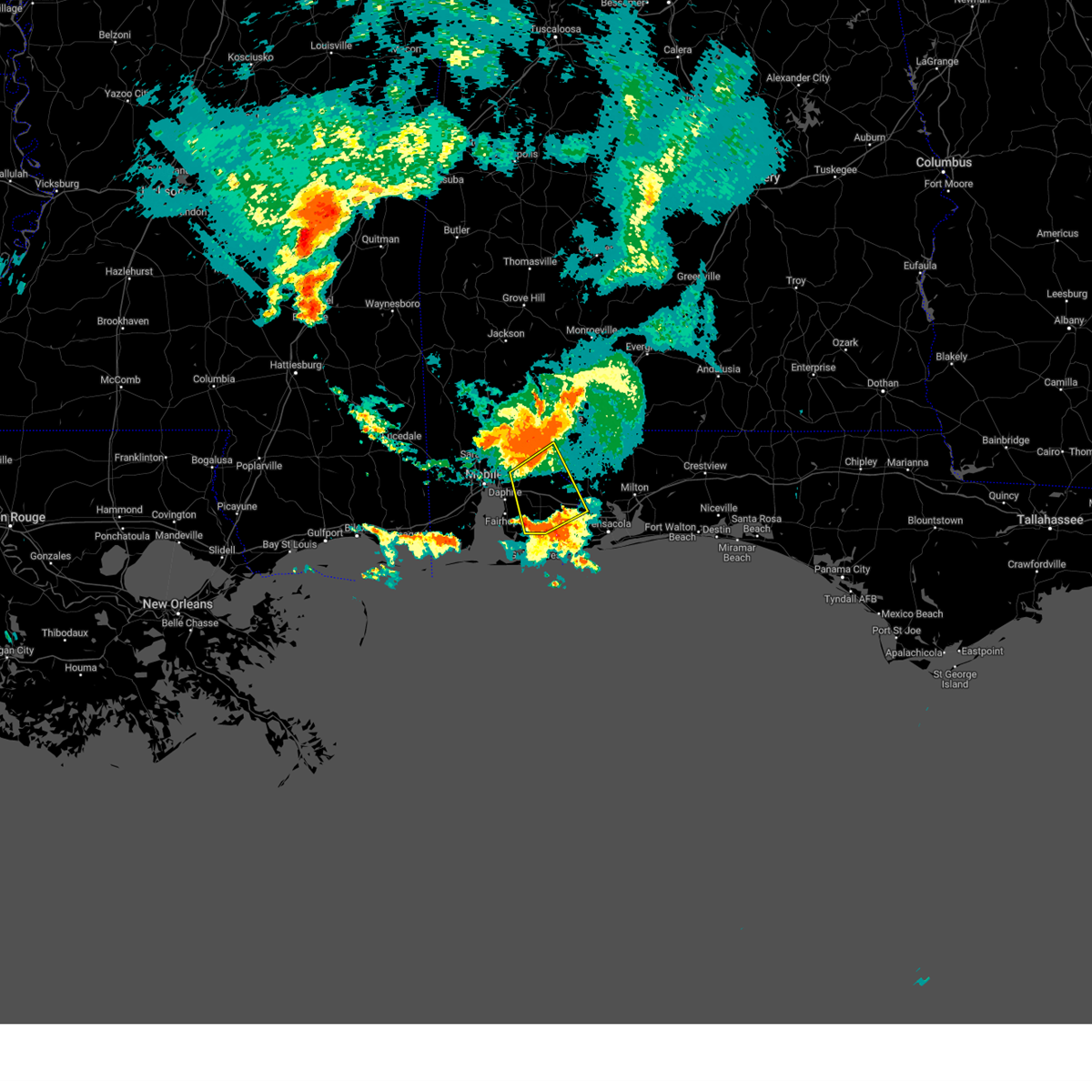
Hail Map for Foley, AL
The Foley, AL area has had 8 reports of on-the-ground hail by trained spotters, and has been under severe weather warnings 32 times during the past 12 months. Doppler radar has detected hail at or near Foley, AL on 45 occasions, including 1 occasion during the past year.
| Name: | Foley, AL |
| Where Located: | 31.3 miles SE of Mobile, AL |
| Map: | Google Map for Foley, AL |
| Population: | 14618 |
| Housing Units: | 7359 |
| More Info: | Search Google for Foley, AL |
1
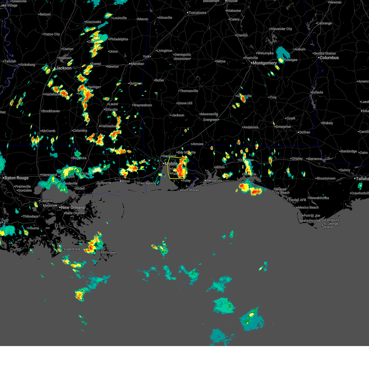
The Top Recent Hail Date for Foley, AL is Sunday, March 30, 2025 (9th out of 45)
Hail and Wind Damage Spotted near Foley, AL
| Date / Time | Report Details |
|---|---|
| 6/23/2025 5:27 PM CDT | At 527 pm cdt, a severe thunderstorm was located over loxley, moving west at 15 mph (radar indicated). Hazards include 60 mph wind gusts and quarter size hail. Hail damage to vehicles is expected. expect wind damage to roofs, siding, and trees. Locations impacted include, daphne, fairhope, spanish fort, robertsdale, point clear, loxley, stapleton, summerdale, and silverhill. |
| 6/23/2025 5:21 PM CDT |
 Svrmob the national weather service in mobile has issued a * severe thunderstorm warning for, southwestern baldwin county in southwestern alabama, * until 600 pm cdt. * at 521 pm cdt, a severe thunderstorm was located over loxley, moving west at 15 mph (radar indicated). Hazards include 60 mph wind gusts. expect damage to roofs, siding, and trees Svrmob the national weather service in mobile has issued a * severe thunderstorm warning for, southwestern baldwin county in southwestern alabama, * until 600 pm cdt. * at 521 pm cdt, a severe thunderstorm was located over loxley, moving west at 15 mph (radar indicated). Hazards include 60 mph wind gusts. expect damage to roofs, siding, and trees
|
| 6/9/2025 10:42 PM CDT |
 The storms which prompted the warning have moved out of the area. therefore, the warning will be allowed to expire. remember, a severe thunderstorm warning still remains in effect for escambia county florida until 1130 pm cdt. The storms which prompted the warning have moved out of the area. therefore, the warning will be allowed to expire. remember, a severe thunderstorm warning still remains in effect for escambia county florida until 1130 pm cdt.
|
| 6/9/2025 10:17 PM CDT |
 At 1016 pm cdt, severe thunderstorms were located along a line extending from 13 miles west of molino to 12 miles east of robertsdale to 4 miles east of summerdale, moving east at 45 mph (radar indicated). Hazards include 60 mph wind gusts. Expect damage to roofs, siding, and trees. Locations impacted include, gonzalez, robertsdale, molino, and summerdale. At 1016 pm cdt, severe thunderstorms were located along a line extending from 13 miles west of molino to 12 miles east of robertsdale to 4 miles east of summerdale, moving east at 45 mph (radar indicated). Hazards include 60 mph wind gusts. Expect damage to roofs, siding, and trees. Locations impacted include, gonzalez, robertsdale, molino, and summerdale.
|
| 6/9/2025 9:53 PM CDT |
 Svrmob the national weather service in mobile has issued a * severe thunderstorm warning for, central baldwin county in southwestern alabama, western escambia county in northwestern florida, * until 1045 pm cdt. * at 952 pm cdt, severe thunderstorms were located along a line extending from stapleton to 3 miles northwest of loxley to fairhope, moving east at 45 mph (radar indicated). Hazards include 60 mph wind gusts. expect damage to roofs, siding, and trees Svrmob the national weather service in mobile has issued a * severe thunderstorm warning for, central baldwin county in southwestern alabama, western escambia county in northwestern florida, * until 1045 pm cdt. * at 952 pm cdt, severe thunderstorms were located along a line extending from stapleton to 3 miles northwest of loxley to fairhope, moving east at 45 mph (radar indicated). Hazards include 60 mph wind gusts. expect damage to roofs, siding, and trees
|
| 5/29/2025 10:07 AM CDT |
 The storms which prompted the warning have weakened below severe limits, and have exited the warned area. therefore, the warning will be allowed to expire. however, gusty winds are still possible with these thunderstorms. to report severe weather, contact your nearest law enforcement agency. they will relay your report to the national weather service mobile. remember, a severe thunderstorm warning still remains in effect for portions of baldwin county, alabama. The storms which prompted the warning have weakened below severe limits, and have exited the warned area. therefore, the warning will be allowed to expire. however, gusty winds are still possible with these thunderstorms. to report severe weather, contact your nearest law enforcement agency. they will relay your report to the national weather service mobile. remember, a severe thunderstorm warning still remains in effect for portions of baldwin county, alabama.
|
| 5/29/2025 10:02 AM CDT |
 At 1002 am cdt, a severe squall line capable of producing both tornadoes and extensive straight line wind damage was located along a line extending from 6 miles northeast of loxley to 8 miles east of robertsdale to 7 miles north of elberta, moving east at 40 mph (radar indicated rotation). Hazards include tornado. Flying debris will be dangerous to those caught without shelter. mobile homes will be damaged or destroyed. damage to roofs, windows, and vehicles will occur. tree damage is likely. These tornadic storms will remain over mainly rural areas of southeastern baldwin county. At 1002 am cdt, a severe squall line capable of producing both tornadoes and extensive straight line wind damage was located along a line extending from 6 miles northeast of loxley to 8 miles east of robertsdale to 7 miles north of elberta, moving east at 40 mph (radar indicated rotation). Hazards include tornado. Flying debris will be dangerous to those caught without shelter. mobile homes will be damaged or destroyed. damage to roofs, windows, and vehicles will occur. tree damage is likely. These tornadic storms will remain over mainly rural areas of southeastern baldwin county.
|
| 5/29/2025 9:59 AM CDT |
 Svrmob the national weather service in mobile has issued a * severe thunderstorm warning for, southeastern baldwin county in southwestern alabama, southwestern santa rosa county in northwestern florida, escambia county in northwestern florida, * until 1045 am cdt. * at 959 am cdt, severe thunderstorms were located along a line extending from near loxley to 5 miles east of robertsdale to 4 miles north of elberta, moving east at 40 mph (radar indicated). Hazards include 60 mph wind gusts. expect damage to roofs, siding, and trees Svrmob the national weather service in mobile has issued a * severe thunderstorm warning for, southeastern baldwin county in southwestern alabama, southwestern santa rosa county in northwestern florida, escambia county in northwestern florida, * until 1045 am cdt. * at 959 am cdt, severe thunderstorms were located along a line extending from near loxley to 5 miles east of robertsdale to 4 miles north of elberta, moving east at 40 mph (radar indicated). Hazards include 60 mph wind gusts. expect damage to roofs, siding, and trees
|
| 5/29/2025 9:48 AM CDT |
 At 948 am cdt, a severe squall line capable of producing both tornadoes and extensive straight line wind damage was located along a line extending from 3 miles east of daphne to silverhill to 3 miles southwest of summerdale, moving east at 40 mph (radar indicated rotation). Hazards include tornado. Flying debris will be dangerous to those caught without shelter. mobile homes will be damaged or destroyed. damage to roofs, windows, and vehicles will occur. tree damage is likely. These dangerous storms will be near, loxley and robertsdale around 955 am cdt. At 948 am cdt, a severe squall line capable of producing both tornadoes and extensive straight line wind damage was located along a line extending from 3 miles east of daphne to silverhill to 3 miles southwest of summerdale, moving east at 40 mph (radar indicated rotation). Hazards include tornado. Flying debris will be dangerous to those caught without shelter. mobile homes will be damaged or destroyed. damage to roofs, windows, and vehicles will occur. tree damage is likely. These dangerous storms will be near, loxley and robertsdale around 955 am cdt.
|
| 5/29/2025 9:42 AM CDT |
 At 941 am cdt, a severe squall line capable of producing both tornadoes and extensive straight line wind damage was located along a line extending from daphne to 3 miles east of fairhope to 4 miles west of magnolia springs, moving east at 35 mph (radar indicated rotation). Hazards include tornado. Flying debris will be dangerous to those caught without shelter. mobile homes will be damaged or destroyed. damage to roofs, windows, and vehicles will occur. tree damage is likely. these dangerous storms will be near, silverhill and magnolia springs around 945 am cdt. summerdale, loxley, robertsdale, and foley around 950 am cdt. Elberta around 1000 am cdt. At 941 am cdt, a severe squall line capable of producing both tornadoes and extensive straight line wind damage was located along a line extending from daphne to 3 miles east of fairhope to 4 miles west of magnolia springs, moving east at 35 mph (radar indicated rotation). Hazards include tornado. Flying debris will be dangerous to those caught without shelter. mobile homes will be damaged or destroyed. damage to roofs, windows, and vehicles will occur. tree damage is likely. these dangerous storms will be near, silverhill and magnolia springs around 945 am cdt. summerdale, loxley, robertsdale, and foley around 950 am cdt. Elberta around 1000 am cdt.
|
| 5/29/2025 9:30 AM CDT |
 Tormob the national weather service in mobile has issued a * tornado warning for, southern baldwin county in southwestern alabama, * until 1015 am cdt. * at 929 am cdt, severe thunderstorms capable of producing both tornadoes and extensive straight line wind damage were located along a line extending from 6 miles west of fairhope to near point clear, moving east at 35 mph (radar indicated rotation). Hazards include tornado. Flying debris will be dangerous to those caught without shelter. mobile homes will be damaged or destroyed. damage to roofs, windows, and vehicles will occur. tree damage is likely. these dangerous storms will be near, daphne, point clear, and fairhope around 935 am cdt. magnolia springs around 940 am cdt. silverhill around 945 am cdt. summerdale, loxley, robertsdale, and foley around 950 am cdt. Elberta around 1000 am cdt. Tormob the national weather service in mobile has issued a * tornado warning for, southern baldwin county in southwestern alabama, * until 1015 am cdt. * at 929 am cdt, severe thunderstorms capable of producing both tornadoes and extensive straight line wind damage were located along a line extending from 6 miles west of fairhope to near point clear, moving east at 35 mph (radar indicated rotation). Hazards include tornado. Flying debris will be dangerous to those caught without shelter. mobile homes will be damaged or destroyed. damage to roofs, windows, and vehicles will occur. tree damage is likely. these dangerous storms will be near, daphne, point clear, and fairhope around 935 am cdt. magnolia springs around 940 am cdt. silverhill around 945 am cdt. summerdale, loxley, robertsdale, and foley around 950 am cdt. Elberta around 1000 am cdt.
|
| 5/29/2025 9:14 AM CDT |
 Svrmob the national weather service in mobile has issued a * severe thunderstorm warning for, southeastern mobile county in southwestern alabama, southwestern baldwin county in southwestern alabama, * until 945 am cdt. * at 913 am cdt, a severe thunderstorm was located near dauphin island, moving east at 50 mph (radar indicated). Hazards include 60 mph wind gusts. expect damage to roofs, siding, and trees Svrmob the national weather service in mobile has issued a * severe thunderstorm warning for, southeastern mobile county in southwestern alabama, southwestern baldwin county in southwestern alabama, * until 945 am cdt. * at 913 am cdt, a severe thunderstorm was located near dauphin island, moving east at 50 mph (radar indicated). Hazards include 60 mph wind gusts. expect damage to roofs, siding, and trees
|
| 3/30/2025 10:10 AM CDT |
 The storm which prompted the warning has weakened below severe limits, and no longer poses an immediate threat to life or property. therefore, the warning will be allowed to expire. The storm which prompted the warning has weakened below severe limits, and no longer poses an immediate threat to life or property. therefore, the warning will be allowed to expire.
|
| 3/30/2025 10:04 AM CDT |
 At 1003 am cdt, a severe thunderstorm was located over summerdale, or 4 miles north of foley, moving northeast at 10 mph (radar indicated). Hazards include 60 mph wind gusts and penny size hail. Expect damage to roofs, siding, and trees. Locations impacted include, summerdale. At 1003 am cdt, a severe thunderstorm was located over summerdale, or 4 miles north of foley, moving northeast at 10 mph (radar indicated). Hazards include 60 mph wind gusts and penny size hail. Expect damage to roofs, siding, and trees. Locations impacted include, summerdale.
|
| 3/30/2025 9:37 AM CDT |
 Svrmob the national weather service in mobile has issued a * severe thunderstorm warning for, southeastern baldwin county in southwestern alabama, * until 1015 am cdt. * at 936 am cdt, a severe thunderstorm was located over foley, moving northeast at 20 mph (radar indicated). Hazards include 60 mph wind gusts and nickel size hail. expect damage to roofs, siding, and trees Svrmob the national weather service in mobile has issued a * severe thunderstorm warning for, southeastern baldwin county in southwestern alabama, * until 1015 am cdt. * at 936 am cdt, a severe thunderstorm was located over foley, moving northeast at 20 mph (radar indicated). Hazards include 60 mph wind gusts and nickel size hail. expect damage to roofs, siding, and trees
|
| 3/9/2025 1:08 AM CDT |
 The storm which prompted the warning has weakened below severe limits, and has exited the warned area. therefore, the warning will be allowed to expire. however, small hail to nickel size is still possible with this thunderstorm. The storm which prompted the warning has weakened below severe limits, and has exited the warned area. therefore, the warning will be allowed to expire. however, small hail to nickel size is still possible with this thunderstorm.
|
| 3/9/2025 12:46 AM CDT |
 At 1145 pm cst, a severe thunderstorm was located over foley, moving east at 30 mph (radar indicated). Hazards include quarter size hail. Damage to vehicles is expected. Locations impacted include, elberta, summerdale, foley, lillian, and magnolia springs. At 1145 pm cst, a severe thunderstorm was located over foley, moving east at 30 mph (radar indicated). Hazards include quarter size hail. Damage to vehicles is expected. Locations impacted include, elberta, summerdale, foley, lillian, and magnolia springs.
|
| 3/9/2025 12:12 AM CDT |
 Svrmob the national weather service in mobile has issued a * severe thunderstorm warning for, southern baldwin county in southwestern alabama, * until 1215 am cst. * at 1111 pm cst, a severe thunderstorm was located 6 miles south of point clear, moving east at 40 mph (radar indicated). Hazards include half dollar size hail. damage to vehicles is expected Svrmob the national weather service in mobile has issued a * severe thunderstorm warning for, southern baldwin county in southwestern alabama, * until 1215 am cst. * at 1111 pm cst, a severe thunderstorm was located 6 miles south of point clear, moving east at 40 mph (radar indicated). Hazards include half dollar size hail. damage to vehicles is expected
|
| 3/4/2025 10:13 PM CST |
 At 1013 pm cst, severe thunderstorms were located along a line extending from 11 miles west of molino to 6 miles east of summerdale to 3 miles west of perdido beach to 11 miles south of gulf shores, moving east at 60 mph (radar indicated). Hazards include 60 mph wind gusts. Expect damage to roofs, siding, and trees. Locations impacted include, west pensacola, warrington, perdido beach, summerdale, orange beach, myrtle grove, lillian, gulf shores, ensley, molino, gonzalez, elberta, foley, bon secour, and robertsdale. At 1013 pm cst, severe thunderstorms were located along a line extending from 11 miles west of molino to 6 miles east of summerdale to 3 miles west of perdido beach to 11 miles south of gulf shores, moving east at 60 mph (radar indicated). Hazards include 60 mph wind gusts. Expect damage to roofs, siding, and trees. Locations impacted include, west pensacola, warrington, perdido beach, summerdale, orange beach, myrtle grove, lillian, gulf shores, ensley, molino, gonzalez, elberta, foley, bon secour, and robertsdale.
|
| 3/4/2025 9:44 PM CST |
 Svrmob the national weather service in mobile has issued a * severe thunderstorm warning for, southern baldwin county in southwestern alabama, west central santa rosa county in northwestern florida, central escambia county in northwestern florida, * until 1045 pm cst. * at 943 pm cst, severe thunderstorms were located along a line extending from daphne to 3 miles southwest of point clear to dauphin island to 15 miles south of fort morgan, moving east at 50 mph (radar indicated). Hazards include 60 mph wind gusts. expect damage to roofs, siding, and trees Svrmob the national weather service in mobile has issued a * severe thunderstorm warning for, southern baldwin county in southwestern alabama, west central santa rosa county in northwestern florida, central escambia county in northwestern florida, * until 1045 pm cst. * at 943 pm cst, severe thunderstorms were located along a line extending from daphne to 3 miles southwest of point clear to dauphin island to 15 miles south of fort morgan, moving east at 50 mph (radar indicated). Hazards include 60 mph wind gusts. expect damage to roofs, siding, and trees
|
| 12/29/2024 12:13 AM CST |
 Svrmob the national weather service in mobile has issued a * severe thunderstorm warning for, southern baldwin county in southwestern alabama, * until 115 am cst. * at 1213 am cst, severe thunderstorms were located along a line extending from 4 miles south of downtown mobile to 5 miles west of fairhope to 7 miles southwest of point clear to 4 miles southeast of alabama port, moving northeast at 40 mph (radar indicated). Hazards include 60 mph wind gusts. expect damage to roofs, siding, and trees Svrmob the national weather service in mobile has issued a * severe thunderstorm warning for, southern baldwin county in southwestern alabama, * until 115 am cst. * at 1213 am cst, severe thunderstorms were located along a line extending from 4 miles south of downtown mobile to 5 miles west of fairhope to 7 miles southwest of point clear to 4 miles southeast of alabama port, moving northeast at 40 mph (radar indicated). Hazards include 60 mph wind gusts. expect damage to roofs, siding, and trees
|
| 12/28/2024 8:01 PM CST |
 At 801 pm cst, a severe thunderstorm was located 4 miles east of point clear, moving east at 25 mph (radar indicated). Hazards include 60 mph wind gusts and penny size hail. Expect damage to roofs, siding, and trees. Locations impacted include, summerdale, robertsdale, fairhope, point clear, and silverhill. At 801 pm cst, a severe thunderstorm was located 4 miles east of point clear, moving east at 25 mph (radar indicated). Hazards include 60 mph wind gusts and penny size hail. Expect damage to roofs, siding, and trees. Locations impacted include, summerdale, robertsdale, fairhope, point clear, and silverhill.
|
| 12/28/2024 7:48 PM CST |
 At 748 pm cst, a severe thunderstorm was located over point clear, moving northeast at 30 mph (radar indicated). Hazards include 60 mph wind gusts and penny size hail. Expect damage to roofs, siding, and trees. Locations impacted include, fairhope, summerdale, robertsdale, foley, magnolia springs, point clear, silverhill, and elberta. At 748 pm cst, a severe thunderstorm was located over point clear, moving northeast at 30 mph (radar indicated). Hazards include 60 mph wind gusts and penny size hail. Expect damage to roofs, siding, and trees. Locations impacted include, fairhope, summerdale, robertsdale, foley, magnolia springs, point clear, silverhill, and elberta.
|
| 12/28/2024 7:42 PM CST |
 Svrmob the national weather service in mobile has issued a * severe thunderstorm warning for, southwestern baldwin county in southwestern alabama, * until 830 pm cst. * at 742 pm cst, a severe thunderstorm was located 6 miles east of alabama port, or 9 miles southwest of point clear, moving east at 25 mph (radar indicated). Hazards include 60 mph wind gusts and penny size hail. expect damage to roofs, siding, and trees Svrmob the national weather service in mobile has issued a * severe thunderstorm warning for, southwestern baldwin county in southwestern alabama, * until 830 pm cst. * at 742 pm cst, a severe thunderstorm was located 6 miles east of alabama port, or 9 miles southwest of point clear, moving east at 25 mph (radar indicated). Hazards include 60 mph wind gusts and penny size hail. expect damage to roofs, siding, and trees
|
| 12/27/2024 10:58 PM CST |
 The storm which prompted the warning has weakened below severe limits, and no longer poses an immediate threat to life or property. therefore, the warning will be allowed to expire. however, heavy rain is still possible with this thunderstorm. The storm which prompted the warning has weakened below severe limits, and no longer poses an immediate threat to life or property. therefore, the warning will be allowed to expire. however, heavy rain is still possible with this thunderstorm.
|
| 12/27/2024 10:47 PM CST |
 At 1047 pm cst, a severe thunderstorm was located over point clear, moving east at 15 mph (radar indicated). Hazards include 60 mph wind gusts and quarter size hail. Hail damage to vehicles is expected. expect wind damage to roofs, siding, and trees. Locations impacted include, summerdale, robertsdale, foley, silverhill, and magnolia springs. At 1047 pm cst, a severe thunderstorm was located over point clear, moving east at 15 mph (radar indicated). Hazards include 60 mph wind gusts and quarter size hail. Hail damage to vehicles is expected. expect wind damage to roofs, siding, and trees. Locations impacted include, summerdale, robertsdale, foley, silverhill, and magnolia springs.
|
| 12/27/2024 10:21 PM CST |
 Svrmob the national weather service in mobile has issued a * severe thunderstorm warning for, southwestern baldwin county in southwestern alabama, * until 1100 pm cst. * at 1021 pm cst, a severe thunderstorm was located over point clear, moving east at 20 mph (radar indicated). Hazards include 60 mph wind gusts and half dollar size hail. Hail damage to vehicles is expected. Expect wind damage to roofs, siding, and trees. Svrmob the national weather service in mobile has issued a * severe thunderstorm warning for, southwestern baldwin county in southwestern alabama, * until 1100 pm cst. * at 1021 pm cst, a severe thunderstorm was located over point clear, moving east at 20 mph (radar indicated). Hazards include 60 mph wind gusts and half dollar size hail. Hail damage to vehicles is expected. Expect wind damage to roofs, siding, and trees.
|
| 12/27/2024 8:58 PM CST |
 Svrmob the national weather service in mobile has issued a * severe thunderstorm warning for, baldwin county in southwestern alabama, * until 945 pm cst. * at 858 pm cst, severe thunderstorms were located along a line extending from 3 miles northeast of semmes to 3 miles northwest of midtown mobile to i10 and i65 to theodore to near grand bay, moving east at 25 mph (radar indicated). Hazards include 60 mph wind gusts and quarter size hail. Hail damage to vehicles is expected. Expect wind damage to roofs, siding, and trees. Svrmob the national weather service in mobile has issued a * severe thunderstorm warning for, baldwin county in southwestern alabama, * until 945 pm cst. * at 858 pm cst, severe thunderstorms were located along a line extending from 3 miles northeast of semmes to 3 miles northwest of midtown mobile to i10 and i65 to theodore to near grand bay, moving east at 25 mph (radar indicated). Hazards include 60 mph wind gusts and quarter size hail. Hail damage to vehicles is expected. Expect wind damage to roofs, siding, and trees.
|
| 8/14/2024 5:13 PM CDT |
 The storm which prompted the warning has weakened below severe limits, and no longer poses an immediate threat to life or property. therefore, the warning will be allowed to expire. The storm which prompted the warning has weakened below severe limits, and no longer poses an immediate threat to life or property. therefore, the warning will be allowed to expire.
|
| 8/14/2024 5:04 PM CDT |
 At 504 pm cdt, a severe thunderstorm was located 6 miles west of magnolia springs, or 7 miles south of point clear, moving south at 20 mph (radar indicated). Hazards include 60 mph wind gusts and quarter size hail. Hail damage to vehicles is expected. expect wind damage to roofs, siding, and trees. Locations impacted include, foley, magnolia springs, and bon secour. At 504 pm cdt, a severe thunderstorm was located 6 miles west of magnolia springs, or 7 miles south of point clear, moving south at 20 mph (radar indicated). Hazards include 60 mph wind gusts and quarter size hail. Hail damage to vehicles is expected. expect wind damage to roofs, siding, and trees. Locations impacted include, foley, magnolia springs, and bon secour.
|
| 8/14/2024 4:33 PM CDT |
 At 433 pm cdt, a severe thunderstorm was located over fairhope, moving south at 20 mph (radar indicated). Hazards include 60 mph wind gusts and quarter size hail. Hail damage to vehicles is expected. expect wind damage to roofs, siding, and trees. Locations impacted include, daphne, fairhope, foley, robertsdale, point clear, loxley, magnolia springs, bon secour, summerdale, and silverhill. At 433 pm cdt, a severe thunderstorm was located over fairhope, moving south at 20 mph (radar indicated). Hazards include 60 mph wind gusts and quarter size hail. Hail damage to vehicles is expected. expect wind damage to roofs, siding, and trees. Locations impacted include, daphne, fairhope, foley, robertsdale, point clear, loxley, magnolia springs, bon secour, summerdale, and silverhill.
|
| 8/14/2024 4:28 PM CDT |
 Svrmob the national weather service in mobile has issued a * severe thunderstorm warning for, baldwin county in southwestern alabama, * until 515 pm cdt. * at 428 pm cdt, a severe thunderstorm was located over fairhope, moving south at 20 mph (radar indicated). Hazards include 60 mph wind gusts and quarter size hail. Hail damage to vehicles is expected. Expect wind damage to roofs, siding, and trees. Svrmob the national weather service in mobile has issued a * severe thunderstorm warning for, baldwin county in southwestern alabama, * until 515 pm cdt. * at 428 pm cdt, a severe thunderstorm was located over fairhope, moving south at 20 mph (radar indicated). Hazards include 60 mph wind gusts and quarter size hail. Hail damage to vehicles is expected. Expect wind damage to roofs, siding, and trees.
|
| 5/17/2024 5:18 PM CDT |
 At 518 pm cdt, a severe thunderstorm was located over summerdale, or 4 miles south of robertsdale, moving east at 30 mph (radar indicated). Hazards include 60 mph wind gusts and penny size hail. Expect damage to roofs, siding, and trees. Locations impacted include, foley, robertsdale, magnolia springs, summerdale, and silverhill. At 518 pm cdt, a severe thunderstorm was located over summerdale, or 4 miles south of robertsdale, moving east at 30 mph (radar indicated). Hazards include 60 mph wind gusts and penny size hail. Expect damage to roofs, siding, and trees. Locations impacted include, foley, robertsdale, magnolia springs, summerdale, and silverhill.
|
| 5/17/2024 4:40 PM CDT |
 Svrmob the national weather service in mobile has issued a * severe thunderstorm warning for, southwestern baldwin county in southwestern alabama, * until 530 pm cdt. * at 440 pm cdt, a severe thunderstorm was located 6 miles northwest of point clear, moving east at 25 mph (radar indicated). Hazards include 60 mph wind gusts and quarter size hail. Hail damage to vehicles is expected. Expect wind damage to roofs, siding, and trees. Svrmob the national weather service in mobile has issued a * severe thunderstorm warning for, southwestern baldwin county in southwestern alabama, * until 530 pm cdt. * at 440 pm cdt, a severe thunderstorm was located 6 miles northwest of point clear, moving east at 25 mph (radar indicated). Hazards include 60 mph wind gusts and quarter size hail. Hail damage to vehicles is expected. Expect wind damage to roofs, siding, and trees.
|
| 5/17/2024 2:35 AM CDT | Weatherflow station (xglf) south of foley measured a 59 mph wind gus in baldwin county AL, 1.8 miles NNW of Foley, AL |
| 5/17/2024 2:32 AM CDT |
 At 231 am cdt, severe thunderstorms were located along a line extending from 3 miles west of summerdale to 10 miles south of gulf shores, moving east at 50 mph (radar indicated). Hazards include 60 mph wind gusts. Expect damage to roofs, siding, and trees. Locations impacted include, gulf shores, foley, orange beach, lillian, magnolia springs, bon secour, summerdale, perdido beach, and elberta. At 231 am cdt, severe thunderstorms were located along a line extending from 3 miles west of summerdale to 10 miles south of gulf shores, moving east at 50 mph (radar indicated). Hazards include 60 mph wind gusts. Expect damage to roofs, siding, and trees. Locations impacted include, gulf shores, foley, orange beach, lillian, magnolia springs, bon secour, summerdale, perdido beach, and elberta.
|
| 5/17/2024 2:10 AM CDT |
 Svrmob the national weather service in mobile has issued a * severe thunderstorm warning for, southern baldwin county in southwestern alabama, * until 300 am cdt. * at 209 am cdt, severe thunderstorms were located along a line extending from 7 miles west of point clear to 9 miles south of fort morgan, moving east at 45 mph (radar indicated). Hazards include 60 mph wind gusts. expect damage to roofs, siding, and trees Svrmob the national weather service in mobile has issued a * severe thunderstorm warning for, southern baldwin county in southwestern alabama, * until 300 am cdt. * at 209 am cdt, severe thunderstorms were located along a line extending from 7 miles west of point clear to 9 miles south of fort morgan, moving east at 45 mph (radar indicated). Hazards include 60 mph wind gusts. expect damage to roofs, siding, and trees
|
| 5/17/2024 1:38 AM CDT |
 Svrmob the national weather service in mobile has issued a * severe thunderstorm warning for, southwestern mobile county in southwestern alabama, southwestern baldwin county in southwestern alabama, * until 215 am cdt. * at 137 am cdt, severe thunderstorms were located along a line extending from 6 miles southwest of coden to 24 miles south of dauphin island to 26 miles south of petit bois island, moving east at 55 mph (radar indicated). Hazards include 60 mph wind gusts and penny size hail. expect damage to roofs, siding, and trees Svrmob the national weather service in mobile has issued a * severe thunderstorm warning for, southwestern mobile county in southwestern alabama, southwestern baldwin county in southwestern alabama, * until 215 am cdt. * at 137 am cdt, severe thunderstorms were located along a line extending from 6 miles southwest of coden to 24 miles south of dauphin island to 26 miles south of petit bois island, moving east at 55 mph (radar indicated). Hazards include 60 mph wind gusts and penny size hail. expect damage to roofs, siding, and trees
|
| 5/13/2024 10:24 AM CDT |
 At 1023 am cdt, severe thunderstorms were located along a line extending from 4 miles north of roeville to 4 miles south of floridatown to 5 miles southwest of bon secour, moving southeast at 40 mph. these are destructive storms for locations near whiting field, allentown, baker (radar indicated). Hazards include 80 mph wind gusts. Flying debris will be dangerous to those caught without shelter. mobile homes will be heavily damaged. expect considerable damage to roofs, windows, and vehicles. extensive tree damage and power outages are likely. Locations impacted include, pensacola, ferry pass, brent, west pensacola, wright, fort walton beach, ensley, warrington, gonzalez, gulf shores, foley, pace, milton, gulf breeze, orange beach, goulding, mary esther, robertsdale, bagdad, and ocean city. At 1023 am cdt, severe thunderstorms were located along a line extending from 4 miles north of roeville to 4 miles south of floridatown to 5 miles southwest of bon secour, moving southeast at 40 mph. these are destructive storms for locations near whiting field, allentown, baker (radar indicated). Hazards include 80 mph wind gusts. Flying debris will be dangerous to those caught without shelter. mobile homes will be heavily damaged. expect considerable damage to roofs, windows, and vehicles. extensive tree damage and power outages are likely. Locations impacted include, pensacola, ferry pass, brent, west pensacola, wright, fort walton beach, ensley, warrington, gonzalez, gulf shores, foley, pace, milton, gulf breeze, orange beach, goulding, mary esther, robertsdale, bagdad, and ocean city.
|
| 5/13/2024 10:16 AM CDT | Roof damage to a store in the foley community. video relayed on social medi in baldwin county AL, 3.3 miles SSE of Foley, AL |
| 5/13/2024 10:14 AM CDT |
 Svrmob the national weather service in mobile has issued a * severe thunderstorm warning for, southeastern baldwin county in southwestern alabama, western okaloosa county in northwestern florida, santa rosa county in northwestern florida, escambia county in northwestern florida, * until 1100 am cdt. * at 1014 am cdt, severe thunderstorms were located along a line extending from 9 miles north of point baker to 3 miles southwest of floridatown to 7 miles west of bon secour, moving southeast at 40 mph (radar indicated). Hazards include 70 mph wind gusts. Expect considerable tree damage. Damage is likely to mobile homes, roofs, and outbuildings. Svrmob the national weather service in mobile has issued a * severe thunderstorm warning for, southeastern baldwin county in southwestern alabama, western okaloosa county in northwestern florida, santa rosa county in northwestern florida, escambia county in northwestern florida, * until 1100 am cdt. * at 1014 am cdt, severe thunderstorms were located along a line extending from 9 miles north of point baker to 3 miles southwest of floridatown to 7 miles west of bon secour, moving southeast at 40 mph (radar indicated). Hazards include 70 mph wind gusts. Expect considerable tree damage. Damage is likely to mobile homes, roofs, and outbuildings.
|
| 5/13/2024 9:52 AM CDT |
 At 951 am cdt, severe thunderstorms were located along a line extending from 3 miles west of brewton to 5 miles northeast of gonzalez to summerdale, moving southeast at 55 mph (radar indicated). Hazards include 70 mph wind gusts and penny size hail. Expect considerable tree damage. damage is likely to mobile homes, roofs, and outbuildings. Locations impacted include, pensacola, ferry pass, brent, west pensacola, ensley, daphne, warrington, gonzalez, pace, milton, brewton, goulding, robertsdale, century, flomaton, bagdad, loxley, lillian, myrtle grove, and east brewton. At 951 am cdt, severe thunderstorms were located along a line extending from 3 miles west of brewton to 5 miles northeast of gonzalez to summerdale, moving southeast at 55 mph (radar indicated). Hazards include 70 mph wind gusts and penny size hail. Expect considerable tree damage. damage is likely to mobile homes, roofs, and outbuildings. Locations impacted include, pensacola, ferry pass, brent, west pensacola, ensley, daphne, warrington, gonzalez, pace, milton, brewton, goulding, robertsdale, century, flomaton, bagdad, loxley, lillian, myrtle grove, and east brewton.
|
| 5/13/2024 9:31 AM CDT |
 Svrmob the national weather service in mobile has issued a * severe thunderstorm warning for, central baldwin county in southwestern alabama, southern escambia county in south central alabama, santa rosa county in northwestern florida, escambia county in northwestern florida, * until 1015 am cdt. * at 930 am cdt, severe thunderstorms were located along a line extending from 4 miles southwest of i65 and al 113 to 11 miles west of molino to near fairhope, moving southeast at 55 mph. these are destructive storms for northerm baldwin, southwestern escambia alabama, and northwestern escambia florida counties (radar indicated). Hazards include 80 mph wind gusts and nickel size hail. Flying debris will be dangerous to those caught without shelter. mobile homes will be heavily damaged. expect considerable damage to roofs, windows, and vehicles. Extensive tree damage and power outages are likely. Svrmob the national weather service in mobile has issued a * severe thunderstorm warning for, central baldwin county in southwestern alabama, southern escambia county in south central alabama, santa rosa county in northwestern florida, escambia county in northwestern florida, * until 1015 am cdt. * at 930 am cdt, severe thunderstorms were located along a line extending from 4 miles southwest of i65 and al 113 to 11 miles west of molino to near fairhope, moving southeast at 55 mph. these are destructive storms for northerm baldwin, southwestern escambia alabama, and northwestern escambia florida counties (radar indicated). Hazards include 80 mph wind gusts and nickel size hail. Flying debris will be dangerous to those caught without shelter. mobile homes will be heavily damaged. expect considerable damage to roofs, windows, and vehicles. Extensive tree damage and power outages are likely.
|
| 5/13/2024 9:17 AM CDT |
 Svrmob the national weather service in mobile has issued a * severe thunderstorm warning for, southwestern mobile county in southwestern alabama, southwestern baldwin county in southwestern alabama, * until 1000 am cdt. * at 917 am cdt, a severe thunderstorm was located over tillmans corner, moving east at 40 mph (radar indicated). Hazards include 60 mph wind gusts. expect damage to roofs, siding, and trees Svrmob the national weather service in mobile has issued a * severe thunderstorm warning for, southwestern mobile county in southwestern alabama, southwestern baldwin county in southwestern alabama, * until 1000 am cdt. * at 917 am cdt, a severe thunderstorm was located over tillmans corner, moving east at 40 mph (radar indicated). Hazards include 60 mph wind gusts. expect damage to roofs, siding, and trees
|
| 5/10/2024 3:41 AM CDT | Trees reported down in fole in baldwin county AL, 2.5 miles SE of Foley, AL |
| 5/10/2024 3:39 AM CDT |
 Svrmob the national weather service in mobile has issued a * severe thunderstorm warning for, southern baldwin county in southwestern alabama, southwestern okaloosa county in northwestern florida, central santa rosa county in northwestern florida, southeastern escambia county in northwestern florida, * until 430 am cdt. * at 338 am cdt, severe thunderstorms were located along a line extending from 3 miles south of molino to 8 miles northeast of elberta to near foley to 7 miles northeast of fort morgan, moving east at 60 mph (radar indicated). Hazards include 60 mph wind gusts. expect damage to roofs, siding, and trees Svrmob the national weather service in mobile has issued a * severe thunderstorm warning for, southern baldwin county in southwestern alabama, southwestern okaloosa county in northwestern florida, central santa rosa county in northwestern florida, southeastern escambia county in northwestern florida, * until 430 am cdt. * at 338 am cdt, severe thunderstorms were located along a line extending from 3 miles south of molino to 8 miles northeast of elberta to near foley to 7 miles northeast of fort morgan, moving east at 60 mph (radar indicated). Hazards include 60 mph wind gusts. expect damage to roofs, siding, and trees
|
| 5/10/2024 3:02 AM CDT |
 Svrmob the national weather service in mobile has issued a * severe thunderstorm warning for, southern mobile county in southwestern alabama, baldwin county in southwestern alabama, southwestern escambia county in northwestern florida, * until 345 am cdt. * at 301 am cdt, severe thunderstorms were located along a line extending from saraland to near i65 and i165 to 6 miles west of theodore to big point, moving southeast at 65 mph (radar indicated). Hazards include 70 mph wind gusts. Expect considerable tree damage. Damage is likely to mobile homes, roofs, and outbuildings. Svrmob the national weather service in mobile has issued a * severe thunderstorm warning for, southern mobile county in southwestern alabama, baldwin county in southwestern alabama, southwestern escambia county in northwestern florida, * until 345 am cdt. * at 301 am cdt, severe thunderstorms were located along a line extending from saraland to near i65 and i165 to 6 miles west of theodore to big point, moving southeast at 65 mph (radar indicated). Hazards include 70 mph wind gusts. Expect considerable tree damage. Damage is likely to mobile homes, roofs, and outbuildings.
|
| 4/10/2024 1:03 PM CDT |
 At 103 pm cdt, severe thunderstorms were located along a line extending from 6 miles southwest of atmore to 12 miles west of gonzalez to 6 miles west of gulf shores, moving east at 40 mph (radar indicated). Hazards include 60 mph wind gusts and penny size hail. Expect damage to roofs, siding, and trees. Locations impacted include, pensacola, ferry pass, brent, west pensacola, ensley, warrington, gonzalez, gulf shores, foley, pace, milton, gulf breeze, orange beach, goulding, robertsdale, century, bagdad, lillian, myrtle grove, and magnolia springs. At 103 pm cdt, severe thunderstorms were located along a line extending from 6 miles southwest of atmore to 12 miles west of gonzalez to 6 miles west of gulf shores, moving east at 40 mph (radar indicated). Hazards include 60 mph wind gusts and penny size hail. Expect damage to roofs, siding, and trees. Locations impacted include, pensacola, ferry pass, brent, west pensacola, ensley, warrington, gonzalez, gulf shores, foley, pace, milton, gulf breeze, orange beach, goulding, robertsdale, century, bagdad, lillian, myrtle grove, and magnolia springs.
|
| 4/10/2024 12:54 PM CDT |
 Svrmob the national weather service in mobile has issued a * severe thunderstorm warning for, southeastern baldwin county in southwestern alabama, western santa rosa county in northwestern florida, escambia county in northwestern florida, * until 145 pm cdt. * at 1254 pm cdt, severe thunderstorms were located along a line extending from 8 miles northeast of bay minette to 7 miles northeast of robertsdale to 7 miles east of fort morgan, moving east at 40 mph (radar indicated). Hazards include 60 mph wind gusts and penny size hail. expect damage to roofs, siding, and trees Svrmob the national weather service in mobile has issued a * severe thunderstorm warning for, southeastern baldwin county in southwestern alabama, western santa rosa county in northwestern florida, escambia county in northwestern florida, * until 145 pm cdt. * at 1254 pm cdt, severe thunderstorms were located along a line extending from 8 miles northeast of bay minette to 7 miles northeast of robertsdale to 7 miles east of fort morgan, moving east at 40 mph (radar indicated). Hazards include 60 mph wind gusts and penny size hail. expect damage to roofs, siding, and trees
|
| 4/10/2024 12:47 PM CDT |
 At 1246 pm cdt, severe thunderstorms were located along a line extending from i65 and al 225 to 6 miles northeast of loxley to near robertsdale to 6 miles northeast of fort morgan, moving east at 40 mph (radar indicated). Hazards include 60 mph wind gusts and penny size hail. Expect damage to roofs, siding, and trees. Locations impacted include, daphne, fairhope, bay minette, foley, spanish fort, robertsdale, point clear, loxley, magnolia springs, stapleton, bon secour, summerdale, silverhill, elberta, and i65 and al 225. At 1246 pm cdt, severe thunderstorms were located along a line extending from i65 and al 225 to 6 miles northeast of loxley to near robertsdale to 6 miles northeast of fort morgan, moving east at 40 mph (radar indicated). Hazards include 60 mph wind gusts and penny size hail. Expect damage to roofs, siding, and trees. Locations impacted include, daphne, fairhope, bay minette, foley, spanish fort, robertsdale, point clear, loxley, magnolia springs, stapleton, bon secour, summerdale, silverhill, elberta, and i65 and al 225.
|
| 4/10/2024 12:47 PM CDT |
 the severe thunderstorm warning has been cancelled and is no longer in effect the severe thunderstorm warning has been cancelled and is no longer in effect
|
| 4/10/2024 12:13 PM CDT |
 Svrmob the national weather service in mobile has issued a * severe thunderstorm warning for, central mobile county in southwestern alabama, baldwin county in southwestern alabama, northwestern escambia county in northwestern florida, * until 100 pm cdt. * at 1213 pm cdt, severe thunderstorms were located along a line extending from near i65 and al 158 to near i10 and i65 to 6 miles east of theodore to 4 miles southwest of coden, moving east at 45 mph (radar indicated). Hazards include 60 mph wind gusts and penny size hail. expect damage to roofs, siding, and trees Svrmob the national weather service in mobile has issued a * severe thunderstorm warning for, central mobile county in southwestern alabama, baldwin county in southwestern alabama, northwestern escambia county in northwestern florida, * until 100 pm cdt. * at 1213 pm cdt, severe thunderstorms were located along a line extending from near i65 and al 158 to near i10 and i65 to 6 miles east of theodore to 4 miles southwest of coden, moving east at 45 mph (radar indicated). Hazards include 60 mph wind gusts and penny size hail. expect damage to roofs, siding, and trees
|
| 4/10/2024 12:08 PM CDT |
 The storm which prompted the warning has weakened below severe limits, and no longer poses an immediate threat to life or property. therefore, the warning will be allowed to expire. a tornado watch remains in effect until 500 pm cdt for southwestern alabama, and northwestern florida. The storm which prompted the warning has weakened below severe limits, and no longer poses an immediate threat to life or property. therefore, the warning will be allowed to expire. a tornado watch remains in effect until 500 pm cdt for southwestern alabama, and northwestern florida.
|
| 4/10/2024 11:50 AM CDT | Quarter sized hail reported 7.3 miles E of Foley, AL, photo relayed on social media of multiple hail stones ranging from quarter size and smaller. |
| 4/10/2024 11:36 AM CDT |
 Svrmob the national weather service in mobile has issued a * severe thunderstorm warning for, southeastern baldwin county in southwestern alabama, * until 1215 pm cdt. * at 1136 am cdt, a severe thunderstorm was located 7 miles east of fort morgan, or 12 miles west of gulf shores, moving northeast at 65 mph (radar indicated). Hazards include 60 mph wind gusts and half dollar size hail. Hail damage to vehicles is expected. Expect wind damage to roofs, siding, and trees. Svrmob the national weather service in mobile has issued a * severe thunderstorm warning for, southeastern baldwin county in southwestern alabama, * until 1215 pm cdt. * at 1136 am cdt, a severe thunderstorm was located 7 miles east of fort morgan, or 12 miles west of gulf shores, moving northeast at 65 mph (radar indicated). Hazards include 60 mph wind gusts and half dollar size hail. Hail damage to vehicles is expected. Expect wind damage to roofs, siding, and trees.
|
| 3/9/2024 2:25 AM CST |
 At 225 am cst, a severe thunderstorm was located 4 miles west of ensley, moving east at 65 mph (radar indicated). Hazards include golf ball size hail and 60 mph wind gusts. People and animals outdoors will be injured. expect hail damage to roofs, siding, windows, and vehicles. expect wind damage to roofs, siding, and trees. Locations impacted include, pensacola, ferry pass, brent, west pensacola, ensley, warrington, gonzalez, pace, milton, goulding, bagdad, lillian, myrtle grove, perdido beach, elberta, point baker, pea ridge, roeville, and floridatown. At 225 am cst, a severe thunderstorm was located 4 miles west of ensley, moving east at 65 mph (radar indicated). Hazards include golf ball size hail and 60 mph wind gusts. People and animals outdoors will be injured. expect hail damage to roofs, siding, windows, and vehicles. expect wind damage to roofs, siding, and trees. Locations impacted include, pensacola, ferry pass, brent, west pensacola, ensley, warrington, gonzalez, pace, milton, goulding, bagdad, lillian, myrtle grove, perdido beach, elberta, point baker, pea ridge, roeville, and floridatown.
|
| 3/9/2024 2:17 AM CST |
 Svrmob the national weather service in mobile has issued a * severe thunderstorm warning for, southeastern baldwin county in southwestern alabama, central santa rosa county in northwestern florida, south central escambia county in northwestern florida, * until 300 am cst. * at 217 am cst, a severe thunderstorm was located 4 miles northwest of lillian, or 11 miles east of foley, moving east at 65 mph (radar indicated). Hazards include 60 mph wind gusts and quarter size hail. Hail damage to vehicles is expected. Expect wind damage to roofs, siding, and trees. Svrmob the national weather service in mobile has issued a * severe thunderstorm warning for, southeastern baldwin county in southwestern alabama, central santa rosa county in northwestern florida, south central escambia county in northwestern florida, * until 300 am cst. * at 217 am cst, a severe thunderstorm was located 4 miles northwest of lillian, or 11 miles east of foley, moving east at 65 mph (radar indicated). Hazards include 60 mph wind gusts and quarter size hail. Hail damage to vehicles is expected. Expect wind damage to roofs, siding, and trees.
|
| 3/9/2024 2:10 AM CST | Golf Ball sized hail reported 2.1 miles SE of Foley, AL, numerous reports of quarter to golf ball size hail reported in the foley community. pictures and reports via social media. |
| 3/9/2024 1:56 AM CST |
 Svrmob the national weather service in mobile has issued a * severe thunderstorm warning for, southeastern baldwin county in southwestern alabama, south central escambia county in northwestern florida, * until 230 am cst. * at 155 am cst, a severe thunderstorm was located 7 miles southwest of magnolia springs, or 10 miles south of point clear, moving northeast at 60 mph (radar indicated). Hazards include 60 mph wind gusts and quarter size hail. Hail damage to vehicles is expected. Expect wind damage to roofs, siding, and trees. Svrmob the national weather service in mobile has issued a * severe thunderstorm warning for, southeastern baldwin county in southwestern alabama, south central escambia county in northwestern florida, * until 230 am cst. * at 155 am cst, a severe thunderstorm was located 7 miles southwest of magnolia springs, or 10 miles south of point clear, moving northeast at 60 mph (radar indicated). Hazards include 60 mph wind gusts and quarter size hail. Hail damage to vehicles is expected. Expect wind damage to roofs, siding, and trees.
|
| 1/9/2024 4:48 AM CST |
 At 447 am cst, severe thunderstorms were located along a line extending from near mccullough to 5 miles south of point clear, moving east at 40 mph (radar indicated). Hazards include 70 mph wind gusts. Expect considerable tree damage. Damage is likely to mobile homes, roofs, and outbuildings. At 447 am cst, severe thunderstorms were located along a line extending from near mccullough to 5 miles south of point clear, moving east at 40 mph (radar indicated). Hazards include 70 mph wind gusts. Expect considerable tree damage. Damage is likely to mobile homes, roofs, and outbuildings.
|
| 1/9/2024 4:46 AM CST |
 At 446 am cst, severe thunderstorms were located along a line extending from near mccullough to 5 miles south of point clear, moving east at 40 mph (radar indicated). Hazards include 70 mph wind gusts. Expect considerable tree damage. damage is likely to mobile homes, roofs, and outbuildings. Locations impacted include, daphne, fairhope, bay minette, atmore, spanish fort, robertsdale, point clear, loxley, stockton, mccullough, magnolia springs, stapleton, summerdale, silverhill, bratt, i65 and cr 1, i65 and al 21, i65 and al 225, fort morgan, and poarch creek reservation. At 446 am cst, severe thunderstorms were located along a line extending from near mccullough to 5 miles south of point clear, moving east at 40 mph (radar indicated). Hazards include 70 mph wind gusts. Expect considerable tree damage. damage is likely to mobile homes, roofs, and outbuildings. Locations impacted include, daphne, fairhope, bay minette, atmore, spanish fort, robertsdale, point clear, loxley, stockton, mccullough, magnolia springs, stapleton, summerdale, silverhill, bratt, i65 and cr 1, i65 and al 21, i65 and al 225, fort morgan, and poarch creek reservation.
|
| 1/9/2024 4:00 AM CST |
 The national weather service in mobile has issued a * severe thunderstorm warning for. central mobile county in southwestern alabama. baldwin county in southwestern alabama. southeastern washington county in southwestern alabama. Southern clarke county in southwestern alabama. The national weather service in mobile has issued a * severe thunderstorm warning for. central mobile county in southwestern alabama. baldwin county in southwestern alabama. southeastern washington county in southwestern alabama. Southern clarke county in southwestern alabama.
|
| 1/9/2024 4:00 AM CST |
 At 359 am cst, severe thunderstorms were located along a line extending from calvert to 10 miles west of coden, moving east at 40 mph (radar indicated). Hazards include 70 mph wind gusts. Expect considerable tree damage. Damage is likely to mobile homes, roofs, and outbuildings. At 359 am cst, severe thunderstorms were located along a line extending from calvert to 10 miles west of coden, moving east at 40 mph (radar indicated). Hazards include 70 mph wind gusts. Expect considerable tree damage. Damage is likely to mobile homes, roofs, and outbuildings.
|
| 8/27/2023 2:38 PM CDT |
 At 238 pm cdt, a severe thunderstorm was located over magnolia springs, or 7 miles southeast of point clear, moving southwest at 10 mph (radar indicated). Hazards include 60 mph wind gusts and quarter size hail. Hail damage to vehicles is expected. expect wind damage to roofs, siding, and trees. locations impacted include, foley, point clear, and magnolia springs. hail threat, radar indicated max hail size, 1. 00 in wind threat, radar indicated max wind gust, 60 mph. At 238 pm cdt, a severe thunderstorm was located over magnolia springs, or 7 miles southeast of point clear, moving southwest at 10 mph (radar indicated). Hazards include 60 mph wind gusts and quarter size hail. Hail damage to vehicles is expected. expect wind damage to roofs, siding, and trees. locations impacted include, foley, point clear, and magnolia springs. hail threat, radar indicated max hail size, 1. 00 in wind threat, radar indicated max wind gust, 60 mph.
|
| 8/27/2023 2:23 PM CDT |
 At 223 pm cdt, a severe thunderstorm was located near magnolia springs, or 7 miles east of point clear, moving southwest at 10 mph (radar indicated). Hazards include 60 mph wind gusts and quarter size hail. Hail damage to vehicles is expected. Expect wind damage to roofs, siding, and trees. At 223 pm cdt, a severe thunderstorm was located near magnolia springs, or 7 miles east of point clear, moving southwest at 10 mph (radar indicated). Hazards include 60 mph wind gusts and quarter size hail. Hail damage to vehicles is expected. Expect wind damage to roofs, siding, and trees.
|
| 8/15/2023 5:23 PM CDT |
 At 522 pm cdt, severe thunderstorms were located along a line extending from 5 miles southwest of bay minette to 3 miles northwest of daphne, moving southeast at 20 mph (radar indicated). Hazards include 60 mph wind gusts. expect damage to roofs, siding, and trees At 522 pm cdt, severe thunderstorms were located along a line extending from 5 miles southwest of bay minette to 3 miles northwest of daphne, moving southeast at 20 mph (radar indicated). Hazards include 60 mph wind gusts. expect damage to roofs, siding, and trees
|
| 6/26/2023 3:37 AM CDT |
 The severe thunderstorm warning for southern baldwin, southern santa rosa and southwestern escambia counties will expire at 345 am cdt, the storms which prompted the warning have weakened below severe limits. therefore, the warning will be allowed to expire. however gusty winds are still possible with these thunderstorms. a severe thunderstorm watch remains in effect until 500 am cdt for southwestern alabama. The severe thunderstorm warning for southern baldwin, southern santa rosa and southwestern escambia counties will expire at 345 am cdt, the storms which prompted the warning have weakened below severe limits. therefore, the warning will be allowed to expire. however gusty winds are still possible with these thunderstorms. a severe thunderstorm watch remains in effect until 500 am cdt for southwestern alabama.
|
| 6/26/2023 3:00 AM CDT |
 At 259 am cdt, severe thunderstorms were located along a line extending from 13 miles southwest of bratt to 3 miles east of loxley to 5 miles east of alabama port to 9 miles west of dauphin island, moving southeast at 50 mph (radar indicated). Hazards include 60 mph wind gusts. expect damage to roofs, siding, and trees At 259 am cdt, severe thunderstorms were located along a line extending from 13 miles southwest of bratt to 3 miles east of loxley to 5 miles east of alabama port to 9 miles west of dauphin island, moving southeast at 50 mph (radar indicated). Hazards include 60 mph wind gusts. expect damage to roofs, siding, and trees
|
| 6/26/2023 2:25 AM CDT |
 At 224 am cdt, severe thunderstorms were located along a line extending from 5 miles east of stockton to 6 miles east of satsuma to i10 and i65 to 5 miles northwest of grand bay, moving southeast at 45 mph (radar indicated). Hazards include 60 mph wind gusts. Expect damage to roofs, siding, and trees. locations impacted include, midtown mobile, downtown mobile, prichard, daphne, tillmans corner, fairhope, saraland, bay minette, theodore, chickasaw, satsuma, spanish fort, grand bay, robertsdale, bayou la batre, creola, point clear, dauphin island, loxley and chunchula. hail threat, radar indicated max hail size, <. 75 in wind threat, radar indicated max wind gust, 60 mph. At 224 am cdt, severe thunderstorms were located along a line extending from 5 miles east of stockton to 6 miles east of satsuma to i10 and i65 to 5 miles northwest of grand bay, moving southeast at 45 mph (radar indicated). Hazards include 60 mph wind gusts. Expect damage to roofs, siding, and trees. locations impacted include, midtown mobile, downtown mobile, prichard, daphne, tillmans corner, fairhope, saraland, bay minette, theodore, chickasaw, satsuma, spanish fort, grand bay, robertsdale, bayou la batre, creola, point clear, dauphin island, loxley and chunchula. hail threat, radar indicated max hail size, <. 75 in wind threat, radar indicated max wind gust, 60 mph.
|
| 6/26/2023 1:56 AM CDT |
 At 156 am cdt, severe thunderstorms were located along a line extending from 3 miles south of mcintosh to 3 miles southeast of citronelle to wilmer to 7 miles northwest of wade, moving southeast at 45 mph (radar indicated). Hazards include 60 mph wind gusts. expect damage to roofs, siding, and trees At 156 am cdt, severe thunderstorms were located along a line extending from 3 miles south of mcintosh to 3 miles southeast of citronelle to wilmer to 7 miles northwest of wade, moving southeast at 45 mph (radar indicated). Hazards include 60 mph wind gusts. expect damage to roofs, siding, and trees
|
| 6/19/2023 1:03 PM CDT |
 At 103 pm cdt, a confirmed tornado was located near magnolia springs, or 6 miles southwest of foley, moving east at 10 mph (radar confirmed tornado). Hazards include damaging tornado. Flying debris will be dangerous to those caught without shelter. mobile homes will be damaged or destroyed. damage to roofs, windows, and vehicles will occur. tree damage is likely. This tornadic thunderstorm will remain over mainly rural areas of south central baldwin county. At 103 pm cdt, a confirmed tornado was located near magnolia springs, or 6 miles southwest of foley, moving east at 10 mph (radar confirmed tornado). Hazards include damaging tornado. Flying debris will be dangerous to those caught without shelter. mobile homes will be damaged or destroyed. damage to roofs, windows, and vehicles will occur. tree damage is likely. This tornadic thunderstorm will remain over mainly rural areas of south central baldwin county.
|
| 6/19/2023 12:58 PM CDT |
 At 1258 pm cdt, a severe thunderstorm capable of producing a tornado was located near magnolia springs, or 8 miles southwest of foley, and is nearly stationary (radar indicated rotation). Hazards include tornado. Flying debris will be dangerous to those caught without shelter. mobile homes will be damaged or destroyed. damage to roofs, windows, and vehicles will occur. tree damage is likely. This tornadic thunderstorm will remain over mainly rural areas of south central baldwin county. At 1258 pm cdt, a severe thunderstorm capable of producing a tornado was located near magnolia springs, or 8 miles southwest of foley, and is nearly stationary (radar indicated rotation). Hazards include tornado. Flying debris will be dangerous to those caught without shelter. mobile homes will be damaged or destroyed. damage to roofs, windows, and vehicles will occur. tree damage is likely. This tornadic thunderstorm will remain over mainly rural areas of south central baldwin county.
|
| 6/19/2023 12:52 PM CDT |
 At 1251 pm cdt, a severe thunderstorm capable of producing a tornado was located 5 miles southwest of magnolia springs, or 8 miles southeast of point clear, moving east at 10 mph (radar indicated rotation). Hazards include tornado. Flying debris will be dangerous to those caught without shelter. mobile homes will be damaged or destroyed. damage to roofs, windows, and vehicles will occur. tree damage is likely. This dangerous storm will be near, magnolia springs around 115 pm cdt. At 1251 pm cdt, a severe thunderstorm capable of producing a tornado was located 5 miles southwest of magnolia springs, or 8 miles southeast of point clear, moving east at 10 mph (radar indicated rotation). Hazards include tornado. Flying debris will be dangerous to those caught without shelter. mobile homes will be damaged or destroyed. damage to roofs, windows, and vehicles will occur. tree damage is likely. This dangerous storm will be near, magnolia springs around 115 pm cdt.
|
| 6/19/2023 12:26 PM CDT |
 At 1226 pm cdt, a severe thunderstorm capable of producing a tornado was located 5 miles west of magnolia springs, or 6 miles southeast of point clear, moving east at 15 mph (radar indicated rotation). Hazards include tornado. Flying debris will be dangerous to those caught without shelter. mobile homes will be damaged or destroyed. damage to roofs, windows, and vehicles will occur. tree damage is likely. this dangerous storm will be near, magnolia springs around 1250 pm cdt. Foley around 110 pm cdt. At 1226 pm cdt, a severe thunderstorm capable of producing a tornado was located 5 miles west of magnolia springs, or 6 miles southeast of point clear, moving east at 15 mph (radar indicated rotation). Hazards include tornado. Flying debris will be dangerous to those caught without shelter. mobile homes will be damaged or destroyed. damage to roofs, windows, and vehicles will occur. tree damage is likely. this dangerous storm will be near, magnolia springs around 1250 pm cdt. Foley around 110 pm cdt.
|
| 6/19/2023 12:23 PM CDT |
 At 1222 pm cdt, a severe thunderstorm was located 4 miles west of magnolia springs, or 5 miles southeast of point clear, moving east at 20 mph (radar indicated). Hazards include 60 mph wind gusts and penny size hail. expect damage to roofs, siding, and trees At 1222 pm cdt, a severe thunderstorm was located 4 miles west of magnolia springs, or 5 miles southeast of point clear, moving east at 20 mph (radar indicated). Hazards include 60 mph wind gusts and penny size hail. expect damage to roofs, siding, and trees
|
| 6/18/2023 10:42 AM CDT |
 The severe thunderstorm warning for central baldwin and west central escambia counties will expire at 1045 am cdt, the storms which prompted the warning have weakened below severe limits. therefore, the warning will be allowed to expire. a severe thunderstorm watch remains in effect until noon cdt for southwestern alabama, and northwestern florida. The severe thunderstorm warning for central baldwin and west central escambia counties will expire at 1045 am cdt, the storms which prompted the warning have weakened below severe limits. therefore, the warning will be allowed to expire. a severe thunderstorm watch remains in effect until noon cdt for southwestern alabama, and northwestern florida.
|
| 6/18/2023 10:31 AM CDT |
 At 1030 am cdt, severe thunderstorms were located along a line extending from 10 miles southwest of bratt to 7 miles north of loxley to 3 miles southwest of stapleton, moving southeast at 50 mph (radar indicated). Hazards include 60 mph wind gusts and penny size hail. Expect damage to roofs, siding, and trees. locations impacted include, robertsdale, loxley, stapleton, summerdale and silverhill. hail threat, radar indicated max hail size, 0. 75 in wind threat, radar indicated max wind gust, 60 mph. At 1030 am cdt, severe thunderstorms were located along a line extending from 10 miles southwest of bratt to 7 miles north of loxley to 3 miles southwest of stapleton, moving southeast at 50 mph (radar indicated). Hazards include 60 mph wind gusts and penny size hail. Expect damage to roofs, siding, and trees. locations impacted include, robertsdale, loxley, stapleton, summerdale and silverhill. hail threat, radar indicated max hail size, 0. 75 in wind threat, radar indicated max wind gust, 60 mph.
|
| 6/18/2023 10:20 AM CDT |
 At 1020 am cdt, severe thunderstorms were located along a line extending from 9 miles southwest of atmore to 8 miles northwest of stapleton to near saraland, moving southeast at 45 mph (radar indicated). Hazards include 60 mph wind gusts and penny size hail. Expect damage to roofs, siding, and trees. locations impacted include, downtown mobile, prichard, daphne, fairhope, saraland, bay minette, chickasaw, satsuma, spanish fort, robertsdale, creola, point clear, loxley, stapleton, summerdale, silverhill, i65 and i165, i65 and al 225 and i65 and al 158. hail threat, radar indicated max hail size, 0. 75 in wind threat, radar indicated max wind gust, 60 mph. At 1020 am cdt, severe thunderstorms were located along a line extending from 9 miles southwest of atmore to 8 miles northwest of stapleton to near saraland, moving southeast at 45 mph (radar indicated). Hazards include 60 mph wind gusts and penny size hail. Expect damage to roofs, siding, and trees. locations impacted include, downtown mobile, prichard, daphne, fairhope, saraland, bay minette, chickasaw, satsuma, spanish fort, robertsdale, creola, point clear, loxley, stapleton, summerdale, silverhill, i65 and i165, i65 and al 225 and i65 and al 158. hail threat, radar indicated max hail size, 0. 75 in wind threat, radar indicated max wind gust, 60 mph.
|
| 6/18/2023 10:03 AM CDT |
 At 1002 am cdt, severe thunderstorms were located along a line extending from 10 miles west of poarch creek reservation to axis to 6 miles southwest of gulfcrest, moving southeast at 45 mph (radar indicated). Hazards include 60 mph wind gusts and penny size hail. expect damage to roofs, siding, and trees At 1002 am cdt, severe thunderstorms were located along a line extending from 10 miles west of poarch creek reservation to axis to 6 miles southwest of gulfcrest, moving southeast at 45 mph (radar indicated). Hazards include 60 mph wind gusts and penny size hail. expect damage to roofs, siding, and trees
|
| 6/17/2023 12:53 AM CDT |
 At 1253 am cdt, a severe thunderstorm was located near summerdale, or 5 miles northwest of foley, moving southeast at 40 mph (radar indicated). Hazards include 60 mph wind gusts and quarter size hail. Hail damage to vehicles is expected. expect wind damage to roofs, siding, and trees. Locations impacted include, daphne, fairhope, gulf shores, foley, orange beach, robertsdale, bayou la batre, point clear, dauphin island, loxley, lillian, magnolia springs, bon secour, summerdale, silverhill, perdido beach, elberta, coden, fort morgan and alabama port. At 1253 am cdt, a severe thunderstorm was located near summerdale, or 5 miles northwest of foley, moving southeast at 40 mph (radar indicated). Hazards include 60 mph wind gusts and quarter size hail. Hail damage to vehicles is expected. expect wind damage to roofs, siding, and trees. Locations impacted include, daphne, fairhope, gulf shores, foley, orange beach, robertsdale, bayou la batre, point clear, dauphin island, loxley, lillian, magnolia springs, bon secour, summerdale, silverhill, perdido beach, elberta, coden, fort morgan and alabama port.
|
| 6/17/2023 12:34 AM CDT |
 At 1233 am cdt, a severe thunderstorm was located over daphne, moving southeast at 40 mph (radar indicated). Hazards include 60 mph wind gusts and quarter size hail. Hail damage to vehicles is expected. Expect wind damage to roofs, siding, and trees. At 1233 am cdt, a severe thunderstorm was located over daphne, moving southeast at 40 mph (radar indicated). Hazards include 60 mph wind gusts and quarter size hail. Hail damage to vehicles is expected. Expect wind damage to roofs, siding, and trees.
|
| 6/16/2023 8:31 AM CDT |
 At 830 am cdt, severe thunderstorms were located along a line extending from 9 miles southwest of bratt to fort morgan, moving east at 50 mph (radar indicated). Hazards include 60 mph wind gusts and quarter size hail. Hail damage to vehicles is expected. Expect wind damage to roofs, siding, and trees. At 830 am cdt, severe thunderstorms were located along a line extending from 9 miles southwest of bratt to fort morgan, moving east at 50 mph (radar indicated). Hazards include 60 mph wind gusts and quarter size hail. Hail damage to vehicles is expected. Expect wind damage to roofs, siding, and trees.
|
| 6/16/2023 7:51 AM CDT |
 At 750 am cdt, severe thunderstorms were located along a line extending from 6 miles northwest of point clear to dauphin island, moving east at 45 mph (radar indicated). Hazards include 60 mph wind gusts and quarter size hail. Hail damage to vehicles is expected. Expect wind damage to roofs, siding, and trees. At 750 am cdt, severe thunderstorms were located along a line extending from 6 miles northwest of point clear to dauphin island, moving east at 45 mph (radar indicated). Hazards include 60 mph wind gusts and quarter size hail. Hail damage to vehicles is expected. Expect wind damage to roofs, siding, and trees.
|
| 6/16/2023 7:40 AM CDT |
 At 740 am cdt, a severe thunderstorm was located 8 miles east of stapleton, or 8 miles northeast of loxley, moving east at 35 mph (radar indicated). Hazards include 60 mph wind gusts and quarter size hail. Hail damage to vehicles is expected. Expect wind damage to roofs, siding, and trees. At 740 am cdt, a severe thunderstorm was located 8 miles east of stapleton, or 8 miles northeast of loxley, moving east at 35 mph (radar indicated). Hazards include 60 mph wind gusts and quarter size hail. Hail damage to vehicles is expected. Expect wind damage to roofs, siding, and trees.
|
| 4/27/2023 12:55 PM CDT |
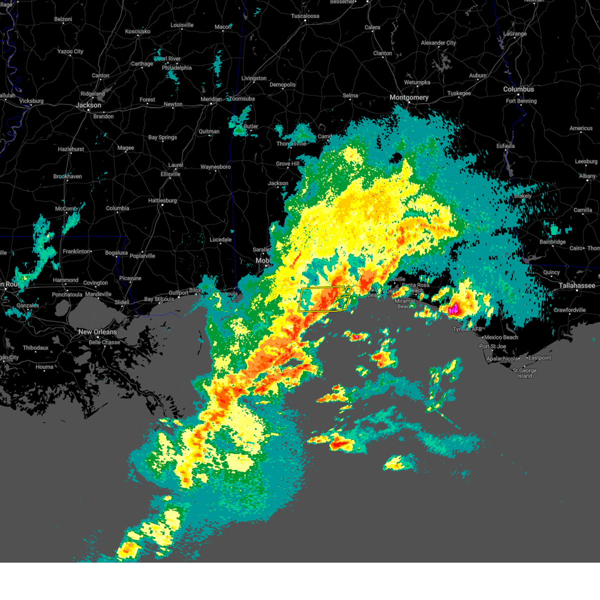 The severe thunderstorm warning for southeastern baldwin and south central escambia counties will expire at 100 pm cdt, the storms which prompted the warning have weakened below severe limits, and have exited the warned area. therefore, the warning will be allowed to expire. however small hail, gusty winds and heavy rain are still possible with these thunderstorms. a severe thunderstorm watch remains in effect until 200 pm cdt for southwestern alabama, and northwestern florida. The severe thunderstorm warning for southeastern baldwin and south central escambia counties will expire at 100 pm cdt, the storms which prompted the warning have weakened below severe limits, and have exited the warned area. therefore, the warning will be allowed to expire. however small hail, gusty winds and heavy rain are still possible with these thunderstorms. a severe thunderstorm watch remains in effect until 200 pm cdt for southwestern alabama, and northwestern florida.
|
| 4/27/2023 12:27 PM CDT |
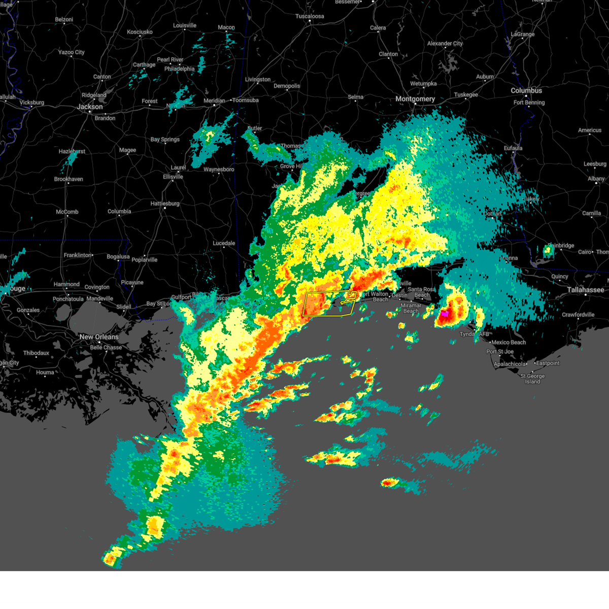 At 1226 pm cdt, severe thunderstorms were located along a line extending from 3 miles west of perdido beach to 4 miles south of orange beach, moving east at 40 mph (radar indicated). Hazards include 60 mph wind gusts. expect damage to roofs, siding, and trees At 1226 pm cdt, severe thunderstorms were located along a line extending from 3 miles west of perdido beach to 4 miles south of orange beach, moving east at 40 mph (radar indicated). Hazards include 60 mph wind gusts. expect damage to roofs, siding, and trees
|
| 4/27/2023 12:05 PM CDT |
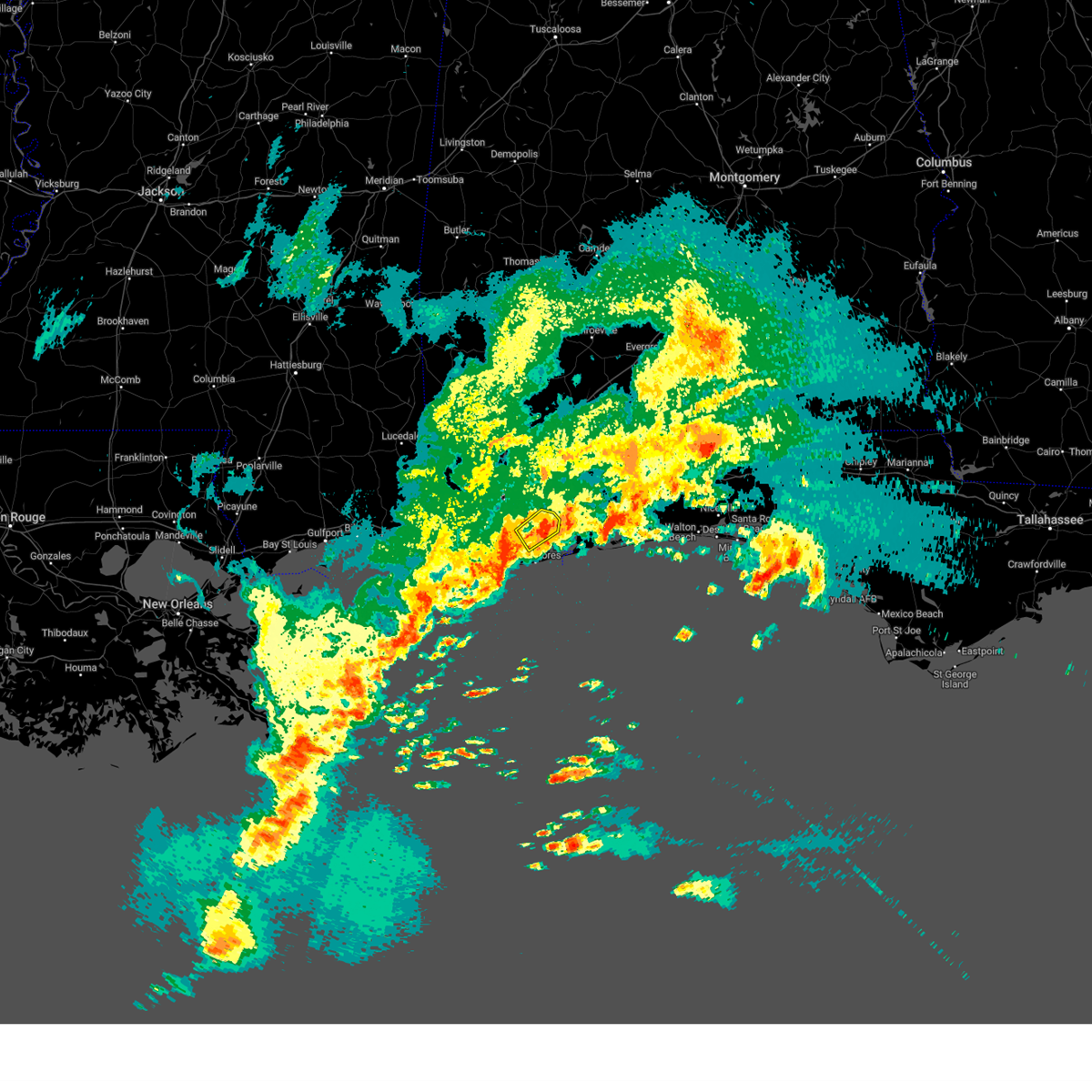 The severe thunderstorm warning for south central baldwin county will expire at 1215 pm cdt, the storm which prompted the warning has weakened below severe limits. therefore, the warning will be allowed to expire. however gusty winds and heavy rain are still possible with this thunderstorm. a severe thunderstorm watch remains in effect until 200 pm cdt for southwestern alabama. The severe thunderstorm warning for south central baldwin county will expire at 1215 pm cdt, the storm which prompted the warning has weakened below severe limits. therefore, the warning will be allowed to expire. however gusty winds and heavy rain are still possible with this thunderstorm. a severe thunderstorm watch remains in effect until 200 pm cdt for southwestern alabama.
|
| 4/27/2023 11:47 AM CDT | Quarter sized hail reported 2.1 miles SE of Foley, AL, retired nws employee reports quarter size hail in foley. time using radar. |
| 4/27/2023 11:42 AM CDT |
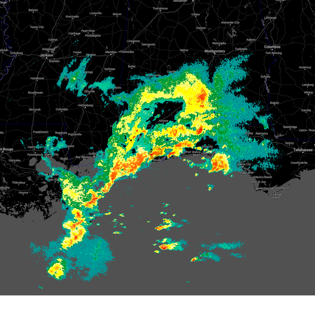 At 1141 am cdt, a severe thunderstorm was located over foley, moving northeast at 20 mph (radar indicated). Hazards include 60 mph wind gusts and quarter size hail. Hail damage to vehicles is expected. expect wind damage to roofs, siding, and trees. locations impacted include, foley, magnolia springs, bon secour, summerdale and elberta. hail threat, radar indicated max hail size, 1. 00 in wind threat, radar indicated max wind gust, 60 mph. At 1141 am cdt, a severe thunderstorm was located over foley, moving northeast at 20 mph (radar indicated). Hazards include 60 mph wind gusts and quarter size hail. Hail damage to vehicles is expected. expect wind damage to roofs, siding, and trees. locations impacted include, foley, magnolia springs, bon secour, summerdale and elberta. hail threat, radar indicated max hail size, 1. 00 in wind threat, radar indicated max wind gust, 60 mph.
|
| 4/27/2023 11:24 AM CDT |
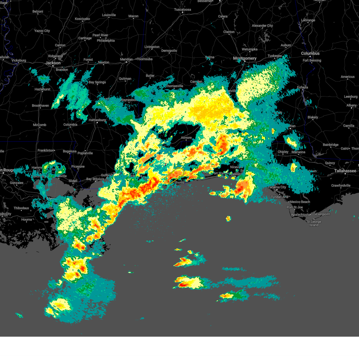 At 1122 am cdt, a severe thunderstorm was located over magnolia springs, or 7 miles west of foley, moving northeast at 20 mph (radar indicated). Hazards include 60 mph wind gusts and quarter size hail. Hail damage to vehicles is expected. Expect wind damage to roofs, siding, and trees. At 1122 am cdt, a severe thunderstorm was located over magnolia springs, or 7 miles west of foley, moving northeast at 20 mph (radar indicated). Hazards include 60 mph wind gusts and quarter size hail. Hail damage to vehicles is expected. Expect wind damage to roofs, siding, and trees.
|
| 4/15/2023 3:32 PM CDT |
 At 330 pm cdt, severe thunderstorms were located along a line extending from 9 miles west of molino to 11 miles north of lillian to elberta to 4 miles west of bon secour, moving east at 60 mph (trained weather spotters. at 315 pm trained spotter reports winds gusting to 60 to 70 mph near loxley. a mesonet site near loxley also reported a 58 mph gust). Hazards include 70 mph wind gusts and penny size hail. Expect considerable tree damage. damage is likely to mobile homes, roofs, and outbuildings. locations impacted include, pensacola, ferry pass, brent, west pensacola, ensley, warrington, gonzalez, gulf shores, foley, pace, milton, gulf breeze, orange beach, goulding, bagdad, lillian, myrtle grove, oriole beach, bon secour and navarre. thunderstorm damage threat, considerable hail threat, radar indicated max hail size, 0. 75 in wind threat, observed max wind gust, 70 mph. At 330 pm cdt, severe thunderstorms were located along a line extending from 9 miles west of molino to 11 miles north of lillian to elberta to 4 miles west of bon secour, moving east at 60 mph (trained weather spotters. at 315 pm trained spotter reports winds gusting to 60 to 70 mph near loxley. a mesonet site near loxley also reported a 58 mph gust). Hazards include 70 mph wind gusts and penny size hail. Expect considerable tree damage. damage is likely to mobile homes, roofs, and outbuildings. locations impacted include, pensacola, ferry pass, brent, west pensacola, ensley, warrington, gonzalez, gulf shores, foley, pace, milton, gulf breeze, orange beach, goulding, bagdad, lillian, myrtle grove, oriole beach, bon secour and navarre. thunderstorm damage threat, considerable hail threat, radar indicated max hail size, 0. 75 in wind threat, observed max wind gust, 70 mph.
|
| 4/15/2023 3:22 PM CDT |
 The severe thunderstorm warning for south central mobile and southwestern baldwin counties will expire at 330 pm cdt, the storms which prompted the warning have moved out of the area. therefore, the warning will be allowed to expire. a severe thunderstorm watch remains in effect until 400 pm cdt for southwestern alabama. remember, a severe thunderstorm warning still remains in effect for baldwin county until 415 pm cdt. The severe thunderstorm warning for south central mobile and southwestern baldwin counties will expire at 330 pm cdt, the storms which prompted the warning have moved out of the area. therefore, the warning will be allowed to expire. a severe thunderstorm watch remains in effect until 400 pm cdt for southwestern alabama. remember, a severe thunderstorm warning still remains in effect for baldwin county until 415 pm cdt.
|
| 4/15/2023 3:16 PM CDT |
 At 314 pm cdt, severe thunderstorms were located along a line extending from 5 miles southeast of bay minette to 4 miles northeast of loxley to near silverhill to 8 miles south of point clear, moving southeast at 55 mph (radar indicated). Hazards include 70 mph wind gusts and penny size hail. Expect considerable tree damage. Damage is likely to mobile homes, roofs, and outbuildings. At 314 pm cdt, severe thunderstorms were located along a line extending from 5 miles southeast of bay minette to 4 miles northeast of loxley to near silverhill to 8 miles south of point clear, moving southeast at 55 mph (radar indicated). Hazards include 70 mph wind gusts and penny size hail. Expect considerable tree damage. Damage is likely to mobile homes, roofs, and outbuildings.
|
| 4/15/2023 3:12 PM CDT |
 At 309 pm cdt, severe thunderstorms were located along a line extending from stapleton to 3 miles northeast of fairhope to 3 miles southeast of alabama port, moving east at 55 mph (radar indicated. at 255 pm cdt weather stations in downtown mobile reported wind gusts between 55 and 65 mph). Hazards include 70 mph wind gusts. Expect considerable tree damage. damage is likely to mobile homes, roofs, and outbuildings. locations impacted include, daphne, fairhope, gulf shores, foley, spanish fort, point clear, magnolia springs, bon secour, summerdale, silverhill and alabama port. thunderstorm damage threat, considerable hail threat, radar indicated max hail size, <. 75 in wind threat, observed max wind gust, 70 mph. At 309 pm cdt, severe thunderstorms were located along a line extending from stapleton to 3 miles northeast of fairhope to 3 miles southeast of alabama port, moving east at 55 mph (radar indicated. at 255 pm cdt weather stations in downtown mobile reported wind gusts between 55 and 65 mph). Hazards include 70 mph wind gusts. Expect considerable tree damage. damage is likely to mobile homes, roofs, and outbuildings. locations impacted include, daphne, fairhope, gulf shores, foley, spanish fort, point clear, magnolia springs, bon secour, summerdale, silverhill and alabama port. thunderstorm damage threat, considerable hail threat, radar indicated max hail size, <. 75 in wind threat, observed max wind gust, 70 mph.
|
| 4/15/2023 2:56 PM CDT |
 At 255 pm cdt, severe thunderstorms were located along a line extending from near spanish fort to 5 miles northeast of bayou la batre, moving east at 60 mph (radar indicated). Hazards include 70 mph wind gusts and penny size hail. Expect considerable tree damage. damage is likely to mobile homes, roofs, and outbuildings. locations impacted include, downtown mobile, daphne, tillmans corner, fairhope, gulf shores, foley, theodore, spanish fort, grand bay, bayou la batre, point clear, dauphin island, magnolia springs, bon secour, summerdale, silverhill, coden, fort morgan, i10 and i65 and alabama port. thunderstorm damage threat, considerable hail threat, radar indicated max hail size, 0. 75 in wind threat, radar indicated max wind gust, 70 mph. At 255 pm cdt, severe thunderstorms were located along a line extending from near spanish fort to 5 miles northeast of bayou la batre, moving east at 60 mph (radar indicated). Hazards include 70 mph wind gusts and penny size hail. Expect considerable tree damage. damage is likely to mobile homes, roofs, and outbuildings. locations impacted include, downtown mobile, daphne, tillmans corner, fairhope, gulf shores, foley, theodore, spanish fort, grand bay, bayou la batre, point clear, dauphin island, magnolia springs, bon secour, summerdale, silverhill, coden, fort morgan, i10 and i65 and alabama port. thunderstorm damage threat, considerable hail threat, radar indicated max hail size, 0. 75 in wind threat, radar indicated max wind gust, 70 mph.
|
| 4/15/2023 2:25 PM CDT |
 At 224 pm cdt, severe thunderstorms were located along a line extending from 6 miles northwest of petit bois island to 17 miles southwest of dauphin island, moving northeast at 40 mph (radar indicated). Hazards include 60 mph wind gusts and penny size hail. expect damage to roofs, siding, and trees At 224 pm cdt, severe thunderstorms were located along a line extending from 6 miles northwest of petit bois island to 17 miles southwest of dauphin island, moving northeast at 40 mph (radar indicated). Hazards include 60 mph wind gusts and penny size hail. expect damage to roofs, siding, and trees
|
| 12/30/2022 1:12 PM CST |
 At 111 pm cst, severe thunderstorms were located along a line extending from 3 miles southeast of bratt to near molino to 3 miles north of lillian to 3 miles northwest of orange beach, moving east at 30 mph (radar indicated). Hazards include 60 mph wind gusts. Expect damage to roofs, siding, and trees. Locations impacted include, pensacola, ferry pass, brent, west pensacola, ensley, warrington, gonzalez, atmore, pace, gulf breeze, brewton, orange beach, goulding, century, flomaton, lillian, myrtle grove, mccullough, east brewton and molino. At 111 pm cst, severe thunderstorms were located along a line extending from 3 miles southeast of bratt to near molino to 3 miles north of lillian to 3 miles northwest of orange beach, moving east at 30 mph (radar indicated). Hazards include 60 mph wind gusts. Expect damage to roofs, siding, and trees. Locations impacted include, pensacola, ferry pass, brent, west pensacola, ensley, warrington, gonzalez, atmore, pace, gulf breeze, brewton, orange beach, goulding, century, flomaton, lillian, myrtle grove, mccullough, east brewton and molino.
|
| 12/30/2022 12:42 PM CST |
 At 1241 pm cst, severe thunderstorms were located along a line extending from 8 miles east of bay minette to 11 miles east of stapleton to near summerdale to 8 miles west of bon secour, moving east at 30 mph (radar indicated). Hazards include 60 mph wind gusts. expect damage to roofs, siding, and trees At 1241 pm cst, severe thunderstorms were located along a line extending from 8 miles east of bay minette to 11 miles east of stapleton to near summerdale to 8 miles west of bon secour, moving east at 30 mph (radar indicated). Hazards include 60 mph wind gusts. expect damage to roofs, siding, and trees
|
| 12/30/2022 12:06 PM CST |
 At 1204 pm cst, severe thunderstorms were located along a line extending from 3 miles west of bay minette to daphne to 3 miles northwest of dauphin island, moving east at 30 mph (radar indicated). Hazards include 60 mph wind gusts. expect damage to roofs, siding, and trees At 1204 pm cst, severe thunderstorms were located along a line extending from 3 miles west of bay minette to daphne to 3 miles northwest of dauphin island, moving east at 30 mph (radar indicated). Hazards include 60 mph wind gusts. expect damage to roofs, siding, and trees
|
| 12/14/2022 8:01 PM CST |
 At 800 pm cst, severe thunderstorms were located along a line extending from 10 miles south of whatley to 5 miles south of point clear, moving east at 35 mph (radar indicated). Hazards include 60 mph wind gusts. Expect damage to roofs, siding, and trees. Locations impacted include, daphne, fairhope, gulf shores, bay minette, atmore, foley, orange beach, spanish fort, robertsdale, point clear, frisco city, loxley, stockton, mccullough, magnolia springs, stapleton, bon secour, uriah, summerdale and silverhill. At 800 pm cst, severe thunderstorms were located along a line extending from 10 miles south of whatley to 5 miles south of point clear, moving east at 35 mph (radar indicated). Hazards include 60 mph wind gusts. Expect damage to roofs, siding, and trees. Locations impacted include, daphne, fairhope, gulf shores, bay minette, atmore, foley, orange beach, spanish fort, robertsdale, point clear, frisco city, loxley, stockton, mccullough, magnolia springs, stapleton, bon secour, uriah, summerdale and silverhill.
|
| 12/14/2022 7:28 PM CST |
 At 728 pm cst, severe thunderstorms were located along a line extending from 3 miles northwest of mcintosh to 3 miles south of theodore, moving northeast at 45 mph (radar indicated). Hazards include 60 mph wind gusts. expect damage to roofs, siding, and trees At 728 pm cst, severe thunderstorms were located along a line extending from 3 miles northwest of mcintosh to 3 miles south of theodore, moving northeast at 45 mph (radar indicated). Hazards include 60 mph wind gusts. expect damage to roofs, siding, and trees
|
| 11/30/2022 5:38 AM CST |
 At 537 am cst, severe thunderstorms were located along a line extending from 3 miles east of loxley to near silverhill to fairhope to 7 miles west of point clear, moving east at 55 mph (radar indicated). Hazards include 60 mph wind gusts. expect damage to roofs, siding, and trees At 537 am cst, severe thunderstorms were located along a line extending from 3 miles east of loxley to near silverhill to fairhope to 7 miles west of point clear, moving east at 55 mph (radar indicated). Hazards include 60 mph wind gusts. expect damage to roofs, siding, and trees
|
| 10/29/2022 7:31 PM CDT |
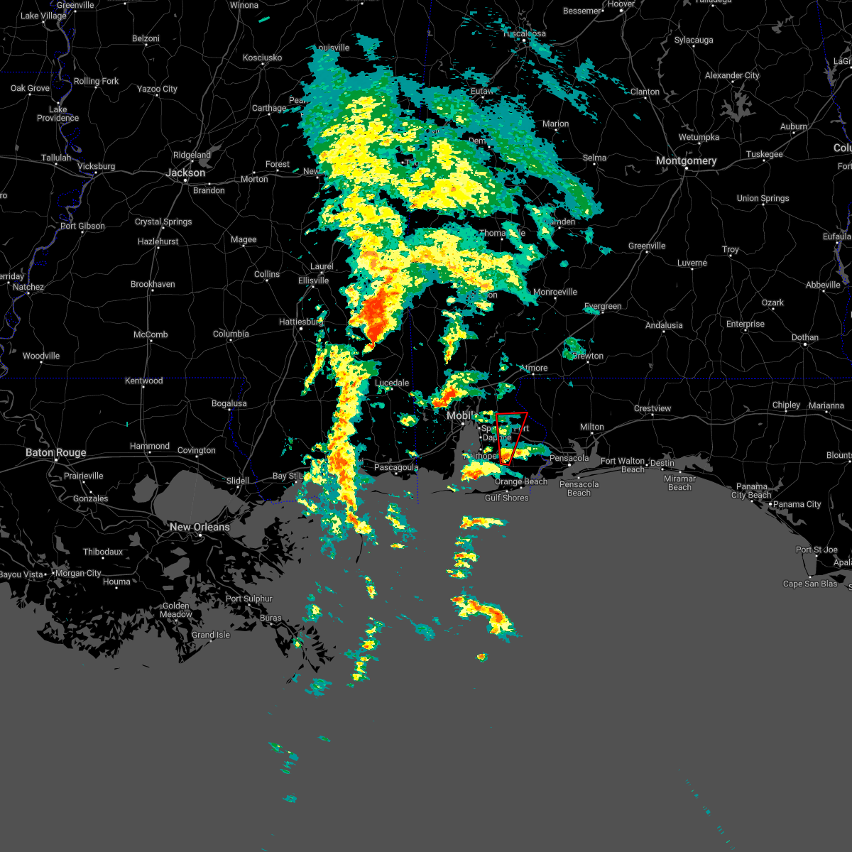 At 730 pm cdt, a severe thunderstorm capable of producing a tornado was located over summerdale, or 4 miles north of foley, moving north at 25 mph (radar indicated rotation). Hazards include tornado. Flying debris will be dangerous to those caught without shelter. mobile homes will be damaged or destroyed. damage to roofs, windows, and vehicles will occur. tree damage is likely. this dangerous storm will be near, silverhill around 740 pm cdt. robertsdale around 745 pm cdt. Loxley around 755 pm cdt. At 730 pm cdt, a severe thunderstorm capable of producing a tornado was located over summerdale, or 4 miles north of foley, moving north at 25 mph (radar indicated rotation). Hazards include tornado. Flying debris will be dangerous to those caught without shelter. mobile homes will be damaged or destroyed. damage to roofs, windows, and vehicles will occur. tree damage is likely. this dangerous storm will be near, silverhill around 740 pm cdt. robertsdale around 745 pm cdt. Loxley around 755 pm cdt.
|
| 10/29/2022 7:21 PM CDT |
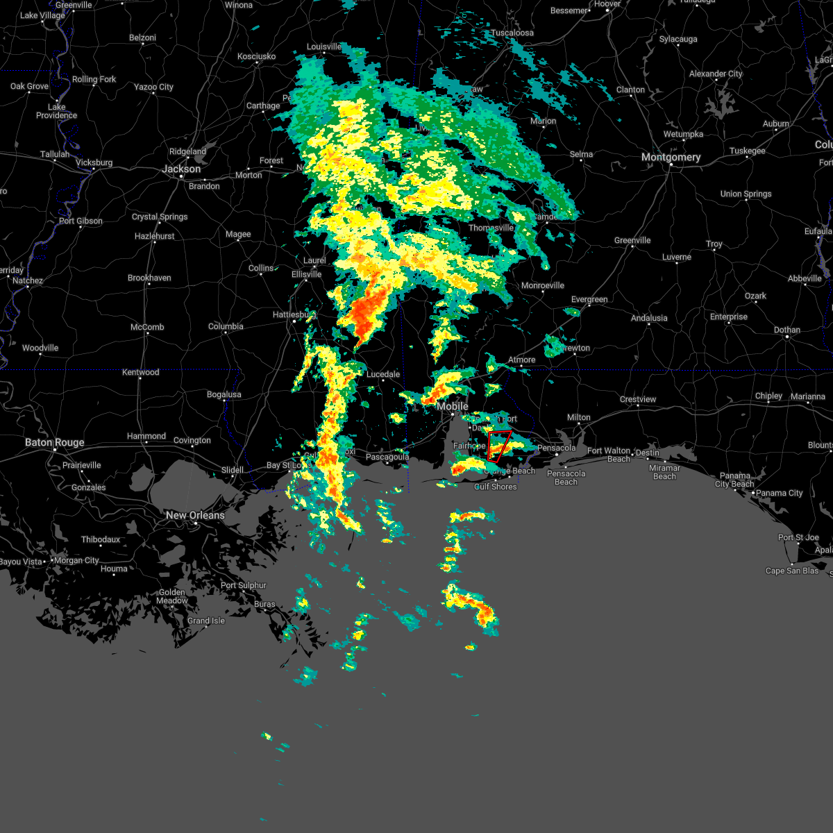 At 720 pm cdt, a severe thunderstorm capable of producing a tornado was located over foley, moving north at 25 mph (radar indicated rotation). Hazards include tornado. Flying debris will be dangerous to those caught without shelter. mobile homes will be damaged or destroyed. damage to roofs, windows, and vehicles will occur. tree damage is likely. this dangerous storm will be near, summerdale around 735 pm cdt. silverhill around 740 pm cdt. Robertsdale around 745 pm cdt. At 720 pm cdt, a severe thunderstorm capable of producing a tornado was located over foley, moving north at 25 mph (radar indicated rotation). Hazards include tornado. Flying debris will be dangerous to those caught without shelter. mobile homes will be damaged or destroyed. damage to roofs, windows, and vehicles will occur. tree damage is likely. this dangerous storm will be near, summerdale around 735 pm cdt. silverhill around 740 pm cdt. Robertsdale around 745 pm cdt.
|
| 10/29/2022 7:10 PM CDT |
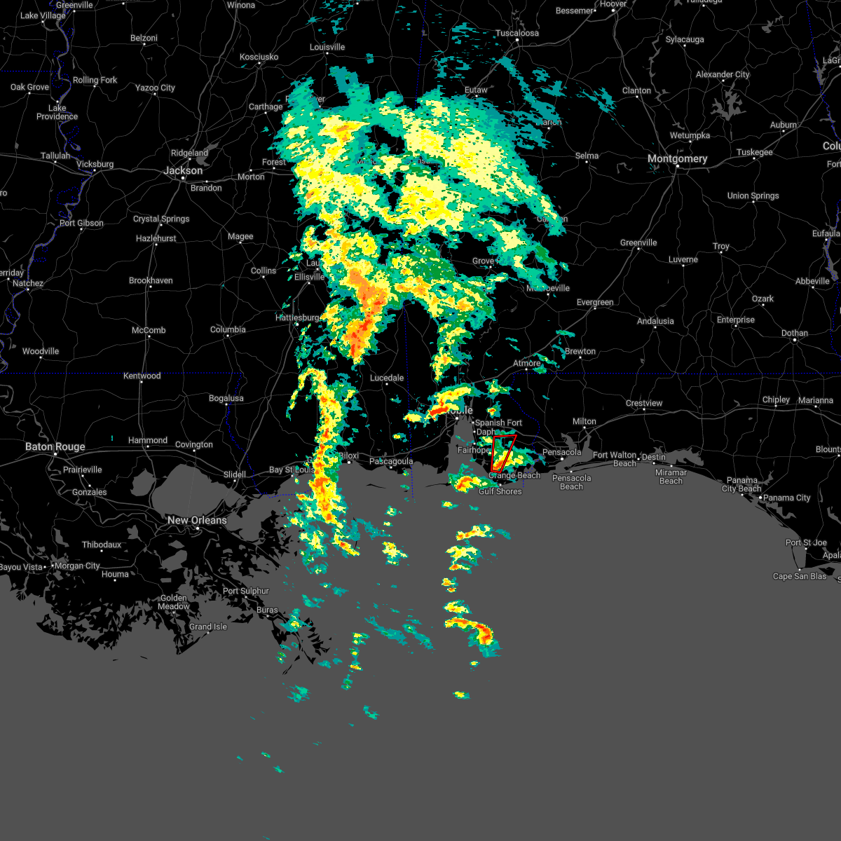 At 710 pm cdt, a confirmed tornado was located over bon secour, or 4 miles southwest of foley, moving north at 15 mph (radar confirmed tornado). Hazards include damaging tornado. Flying debris will be dangerous to those caught without shelter. mobile homes will be damaged or destroyed. damage to roofs, windows, and vehicles will occur. tree damage is likely. this tornado will be near, foley around 725 pm cdt. Robertsdale, summerdale and silverhill around 745 pm cdt. At 710 pm cdt, a confirmed tornado was located over bon secour, or 4 miles southwest of foley, moving north at 15 mph (radar confirmed tornado). Hazards include damaging tornado. Flying debris will be dangerous to those caught without shelter. mobile homes will be damaged or destroyed. damage to roofs, windows, and vehicles will occur. tree damage is likely. this tornado will be near, foley around 725 pm cdt. Robertsdale, summerdale and silverhill around 745 pm cdt.
|
| 10/29/2022 6:57 PM CDT |
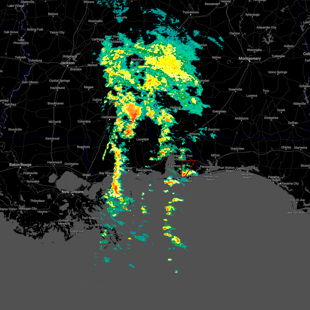 At 657 pm cdt, a confirmed tornado was located over bon secour, or 4 miles north of gulf shores, moving north at 30 mph (radar confirmed tornado). Hazards include damaging tornado. Flying debris will be dangerous to those caught without shelter. mobile homes will be damaged or destroyed. damage to roofs, windows, and vehicles will occur. tree damage is likely. this tornado will be near, foley around 710 pm cdt. elberta around 715 pm cdt. summerdale around 720 pm cdt. Robertsdale around 730 pm cdt. At 657 pm cdt, a confirmed tornado was located over bon secour, or 4 miles north of gulf shores, moving north at 30 mph (radar confirmed tornado). Hazards include damaging tornado. Flying debris will be dangerous to those caught without shelter. mobile homes will be damaged or destroyed. damage to roofs, windows, and vehicles will occur. tree damage is likely. this tornado will be near, foley around 710 pm cdt. elberta around 715 pm cdt. summerdale around 720 pm cdt. Robertsdale around 730 pm cdt.
|
| 10/29/2022 6:51 PM CDT |
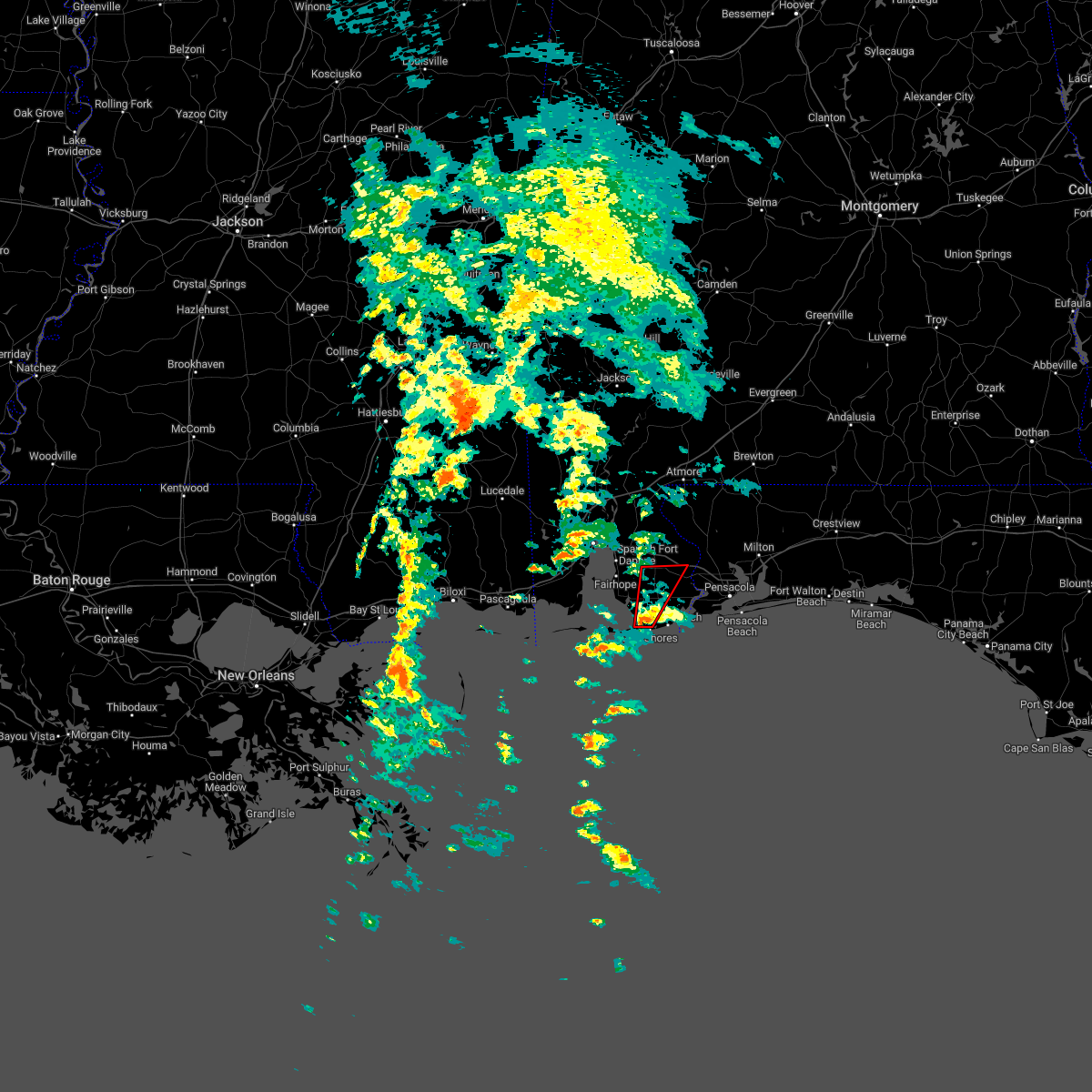 At 651 pm cdt, a severe thunderstorm capable of producing a tornado was located over gulf shores, moving north at 30 mph (radar indicated rotation). Hazards include tornado. Flying debris will be dangerous to those caught without shelter. mobile homes will be damaged or destroyed. damage to roofs, windows, and vehicles will occur. tree damage is likely. this dangerous storm will be near, bon secour around 655 pm cdt. foley around 710 pm cdt. elberta around 715 pm cdt. summerdale around 720 pm cdt. Robertsdale around 730 pm cdt. At 651 pm cdt, a severe thunderstorm capable of producing a tornado was located over gulf shores, moving north at 30 mph (radar indicated rotation). Hazards include tornado. Flying debris will be dangerous to those caught without shelter. mobile homes will be damaged or destroyed. damage to roofs, windows, and vehicles will occur. tree damage is likely. this dangerous storm will be near, bon secour around 655 pm cdt. foley around 710 pm cdt. elberta around 715 pm cdt. summerdale around 720 pm cdt. Robertsdale around 730 pm cdt.
|
| 10/29/2022 5:35 PM CDT |
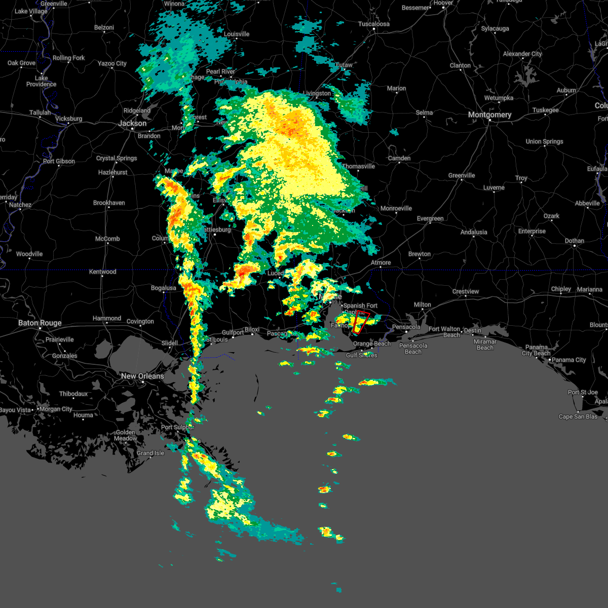 At 535 pm cdt, a confirmed tornado was located near summerdale, or 4 miles northwest of foley, moving north at 20 mph (radar confirmed tornado). Hazards include damaging tornado. Flying debris will be dangerous to those caught without shelter. mobile homes will be damaged or destroyed. damage to roofs, windows, and vehicles will occur. tree damage is likely. this tornado will be near, summerdale around 545 pm cdt. silverhill around 555 pm cdt. Robertsdale around 600 pm cdt. At 535 pm cdt, a confirmed tornado was located near summerdale, or 4 miles northwest of foley, moving north at 20 mph (radar confirmed tornado). Hazards include damaging tornado. Flying debris will be dangerous to those caught without shelter. mobile homes will be damaged or destroyed. damage to roofs, windows, and vehicles will occur. tree damage is likely. this tornado will be near, summerdale around 545 pm cdt. silverhill around 555 pm cdt. Robertsdale around 600 pm cdt.
|
| 10/29/2022 5:16 PM CDT |
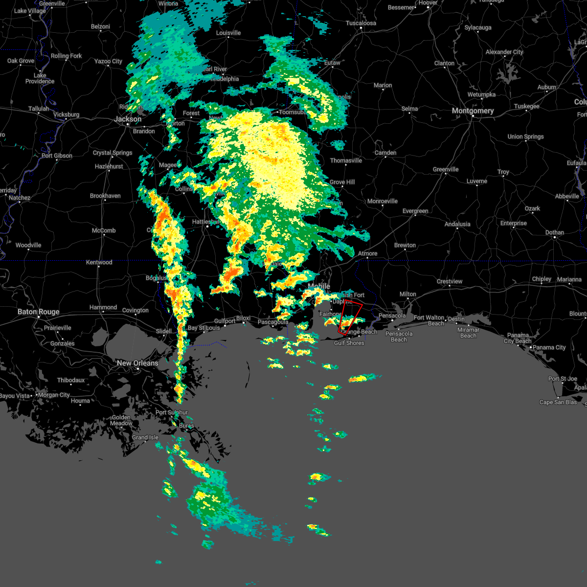 At 516 pm cdt, a tornado producing storm was located over bon secour, or 5 miles southwest of foley, moving northeast at 20 mph (radar confirmed tornado). Hazards include damaging tornado. Flying debris will be dangerous to those caught without shelter. mobile homes will be damaged or destroyed. damage to roofs, windows, and vehicles will occur. tree damage is likely. this tornadic storm will be near, magnolia springs around 525 pm cdt. foley around 535 pm cdt. summerdale around 550 pm cdt. silverhill around 555 pm cdt. Robertsdale around 600 pm cdt. At 516 pm cdt, a tornado producing storm was located over bon secour, or 5 miles southwest of foley, moving northeast at 20 mph (radar confirmed tornado). Hazards include damaging tornado. Flying debris will be dangerous to those caught without shelter. mobile homes will be damaged or destroyed. damage to roofs, windows, and vehicles will occur. tree damage is likely. this tornadic storm will be near, magnolia springs around 525 pm cdt. foley around 535 pm cdt. summerdale around 550 pm cdt. silverhill around 555 pm cdt. Robertsdale around 600 pm cdt.
|
| 6/25/2022 3:56 PM CDT |
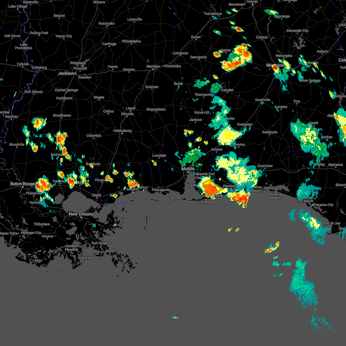 The severe thunderstorm warning for southeastern baldwin county will expire at 400 pm cdt, the storm which prompted the warning has weakened below severe limits. therefore, the warning will be allowed to expire. however gusty winds and heavy rain are still possible with this thunderstorm. The severe thunderstorm warning for southeastern baldwin county will expire at 400 pm cdt, the storm which prompted the warning has weakened below severe limits. therefore, the warning will be allowed to expire. however gusty winds and heavy rain are still possible with this thunderstorm.
|
| 6/25/2022 3:16 PM CDT |
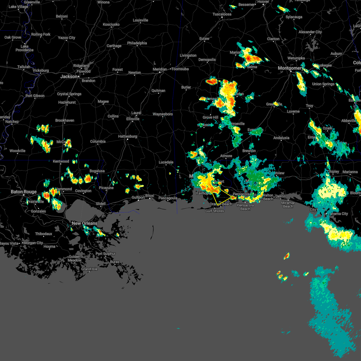 At 315 pm cdt, a severe thunderstorm was located over summerdale, or near robertsdale, moving southeast at 10 mph (radar indicated). Hazards include 60 mph wind gusts. expect damage to roofs, siding, and trees At 315 pm cdt, a severe thunderstorm was located over summerdale, or near robertsdale, moving southeast at 10 mph (radar indicated). Hazards include 60 mph wind gusts. expect damage to roofs, siding, and trees
|
| 6/25/2022 2:46 PM CDT |
 At 245 pm cdt, severe thunderstorms were located along a line extending from near spanish fort to 4 miles northwest of loxley to near stapleton, moving southeast at 20 mph (radar indicated). Hazards include 60 mph wind gusts and penny size hail. expect damage to roofs, siding, and trees At 245 pm cdt, severe thunderstorms were located along a line extending from near spanish fort to 4 miles northwest of loxley to near stapleton, moving southeast at 20 mph (radar indicated). Hazards include 60 mph wind gusts and penny size hail. expect damage to roofs, siding, and trees
|
| 6/10/2022 5:42 PM CDT |
 The severe thunderstorm warning for southeastern baldwin, west central okaloosa, central santa rosa and south central escambia counties will expire at 545 pm cdt, the storms which prompted the warning have moved out of the area. therefore, the warning will be allowed to expire. a severe thunderstorm watch remains in effect until 800 pm cdt for southwestern alabama, and northwestern florida. remember, a severe thunderstorm warning still remains in effect for southeastern santa rosa county and northwestern okaloosa county until 630 pm cdt. The severe thunderstorm warning for southeastern baldwin, west central okaloosa, central santa rosa and south central escambia counties will expire at 545 pm cdt, the storms which prompted the warning have moved out of the area. therefore, the warning will be allowed to expire. a severe thunderstorm watch remains in effect until 800 pm cdt for southwestern alabama, and northwestern florida. remember, a severe thunderstorm warning still remains in effect for southeastern santa rosa county and northwestern okaloosa county until 630 pm cdt.
|
| 6/10/2022 5:21 PM CDT |
 At 520 pm cdt, severe thunderstorms were located along a line extending from pea ridge to perdido beach, moving east at 20 mph (radar indicated. at 509 pm a wind gust to 59 mph was reported at the pensacola airport). Hazards include 60 mph wind gusts and quarter size hail. Hail damage to vehicles is expected. expect wind damage to roofs, siding, and trees. locations impacted include, pensacola, ferry pass, brent, west pensacola, ensley, warrington, gonzalez, pace, milton, gulf breeze, orange beach, goulding, bagdad, lillian, myrtle grove, oriole beach, perdido beach, pensacola beach, point baker and pea ridge. hail threat, radar indicated max hail size, 1. 00 in wind threat, observed max wind gust, 60 mph. At 520 pm cdt, severe thunderstorms were located along a line extending from pea ridge to perdido beach, moving east at 20 mph (radar indicated. at 509 pm a wind gust to 59 mph was reported at the pensacola airport). Hazards include 60 mph wind gusts and quarter size hail. Hail damage to vehicles is expected. expect wind damage to roofs, siding, and trees. locations impacted include, pensacola, ferry pass, brent, west pensacola, ensley, warrington, gonzalez, pace, milton, gulf breeze, orange beach, goulding, bagdad, lillian, myrtle grove, oriole beach, perdido beach, pensacola beach, point baker and pea ridge. hail threat, radar indicated max hail size, 1. 00 in wind threat, observed max wind gust, 60 mph.
|
| 6/10/2022 5:05 PM CDT |
 At 504 pm cdt, severe thunderstorms were located along a line extending from near pace to 3 miles west of perdido beach, moving east at 20 mph (radar indicated). Hazards include 60 mph wind gusts and quarter size hail. Hail damage to vehicles is expected. Expect wind damage to roofs, siding, and trees. At 504 pm cdt, severe thunderstorms were located along a line extending from near pace to 3 miles west of perdido beach, moving east at 20 mph (radar indicated). Hazards include 60 mph wind gusts and quarter size hail. Hail damage to vehicles is expected. Expect wind damage to roofs, siding, and trees.
|
| 6/5/2022 7:21 PM CDT |
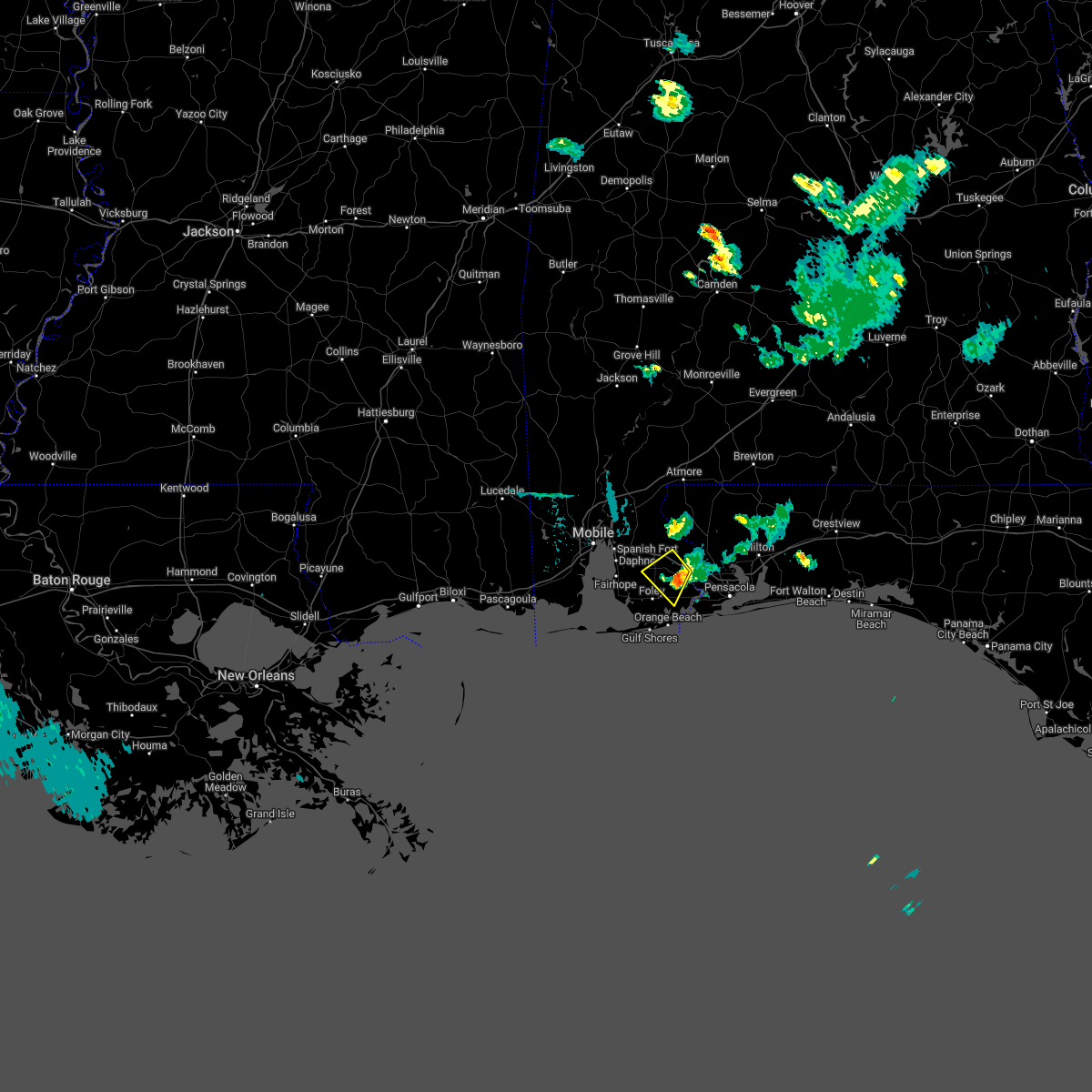 The severe thunderstorm warning for southeastern baldwin county will expire at 730 pm cdt, the storm which prompted the warning has weakened below severe limits. therefore, the warning will be allowed to expire at 730 pm cdt. The severe thunderstorm warning for southeastern baldwin county will expire at 730 pm cdt, the storm which prompted the warning has weakened below severe limits. therefore, the warning will be allowed to expire at 730 pm cdt.
|
| 6/5/2022 6:58 PM CDT |
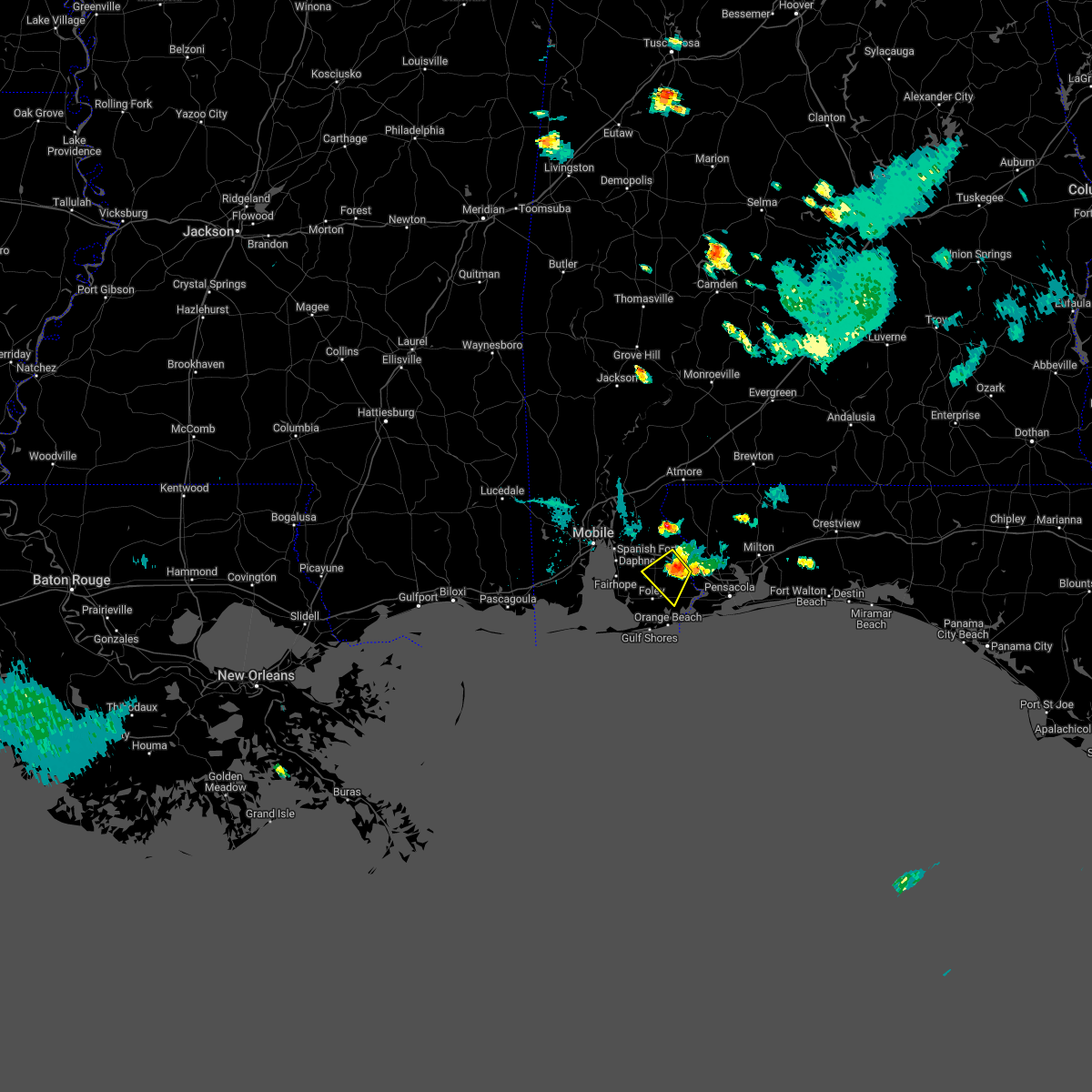 At 657 pm cdt, a severe thunderstorm was located 10 miles east of robertsdale, moving south at 10 mph (radar indicated). Hazards include 60 mph wind gusts and quarter size hail. Hail damage to vehicles is expected. expect wind damage to roofs, siding, and trees. locations impacted include, robertsdale and elberta. hail threat, radar indicated max hail size, 1. 00 in wind threat, radar indicated max wind gust, 60 mph. At 657 pm cdt, a severe thunderstorm was located 10 miles east of robertsdale, moving south at 10 mph (radar indicated). Hazards include 60 mph wind gusts and quarter size hail. Hail damage to vehicles is expected. expect wind damage to roofs, siding, and trees. locations impacted include, robertsdale and elberta. hail threat, radar indicated max hail size, 1. 00 in wind threat, radar indicated max wind gust, 60 mph.
|
| 6/5/2022 6:41 PM CDT |
 At 640 pm cdt, a severe thunderstorm was located 10 miles east of robertsdale, moving southwest at 5 mph (radar indicated). Hazards include 60 mph wind gusts and quarter size hail. Hail damage to vehicles is expected. Expect wind damage to roofs, siding, and trees. At 640 pm cdt, a severe thunderstorm was located 10 miles east of robertsdale, moving southwest at 5 mph (radar indicated). Hazards include 60 mph wind gusts and quarter size hail. Hail damage to vehicles is expected. Expect wind damage to roofs, siding, and trees.
|
| 5/25/2022 10:22 PM CDT |
 At 1022 pm cdt, a severe thunderstorm was located 4 miles east of elberta, or 9 miles east of foley, moving northeast at 25 mph (radar indicated). Hazards include 60 mph wind gusts and quarter size hail. Hail damage to vehicles is expected. Expect wind damage to roofs, siding, and trees. At 1022 pm cdt, a severe thunderstorm was located 4 miles east of elberta, or 9 miles east of foley, moving northeast at 25 mph (radar indicated). Hazards include 60 mph wind gusts and quarter size hail. Hail damage to vehicles is expected. Expect wind damage to roofs, siding, and trees.
|
| 5/15/2022 5:03 PM CDT |
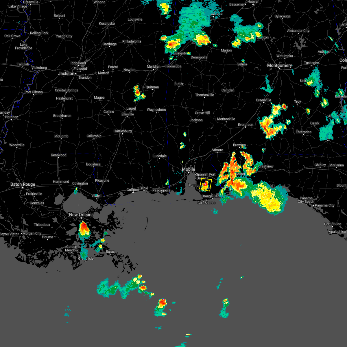 At 502 pm cdt, a severe thunderstorm was located over summerdale, or near robertsdale, and is nearly stationary (radar indicated). Hazards include ping pong ball size hail and 60 mph wind gusts. People and animals outdoors will be injured. expect hail damage to roofs, siding, windows, and vehicles. expect wind damage to roofs, siding, and trees. locations impacted include, foley, robertsdale, summerdale and silverhill. hail threat, observed max hail size, 1. 50 in wind threat, radar indicated max wind gust, 60 mph. At 502 pm cdt, a severe thunderstorm was located over summerdale, or near robertsdale, and is nearly stationary (radar indicated). Hazards include ping pong ball size hail and 60 mph wind gusts. People and animals outdoors will be injured. expect hail damage to roofs, siding, windows, and vehicles. expect wind damage to roofs, siding, and trees. locations impacted include, foley, robertsdale, summerdale and silverhill. hail threat, observed max hail size, 1. 50 in wind threat, radar indicated max wind gust, 60 mph.
|
| 5/15/2022 4:40 PM CDT |
 At 440 pm cdt, a severe thunderstorm was located over summerdale, or near robertsdale, and is nearly stationary (radar indicated). Hazards include 60 mph wind gusts and quarter size hail. Hail damage to vehicles is expected. Expect wind damage to roofs, siding, and trees. At 440 pm cdt, a severe thunderstorm was located over summerdale, or near robertsdale, and is nearly stationary (radar indicated). Hazards include 60 mph wind gusts and quarter size hail. Hail damage to vehicles is expected. Expect wind damage to roofs, siding, and trees.
|
| 5/14/2022 5:29 PM CDT |
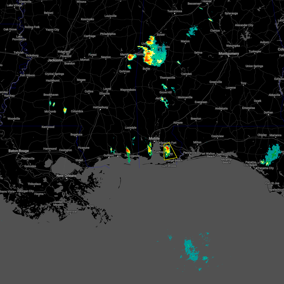 At 528 pm cdt, a severe thunderstorm was located over silverhill, or over robertsdale, moving south at 5 mph (radar indicated). Hazards include 60 mph wind gusts and half dollar size hail. Hail damage to vehicles is expected. expect wind damage to roofs, siding, and trees. locations impacted include, foley, robertsdale, loxley, magnolia springs, summerdale, silverhill and elberta. hail threat, observed max hail size, 1. 25 in wind threat, radar indicated max wind gust, 60 mph. At 528 pm cdt, a severe thunderstorm was located over silverhill, or over robertsdale, moving south at 5 mph (radar indicated). Hazards include 60 mph wind gusts and half dollar size hail. Hail damage to vehicles is expected. expect wind damage to roofs, siding, and trees. locations impacted include, foley, robertsdale, loxley, magnolia springs, summerdale, silverhill and elberta. hail threat, observed max hail size, 1. 25 in wind threat, radar indicated max wind gust, 60 mph.
|
| 5/14/2022 5:11 PM CDT |
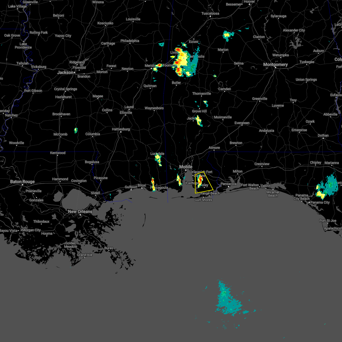 At 511 pm cdt, a severe thunderstorm was located over silverhill, or over robertsdale, moving south at 10 mph (radar indicated). Hazards include 60 mph wind gusts and quarter size hail. Hail damage to vehicles is expected. Expect wind damage to roofs, siding, and trees. At 511 pm cdt, a severe thunderstorm was located over silverhill, or over robertsdale, moving south at 10 mph (radar indicated). Hazards include 60 mph wind gusts and quarter size hail. Hail damage to vehicles is expected. Expect wind damage to roofs, siding, and trees.
|
| 5/6/2022 10:12 AM CDT |
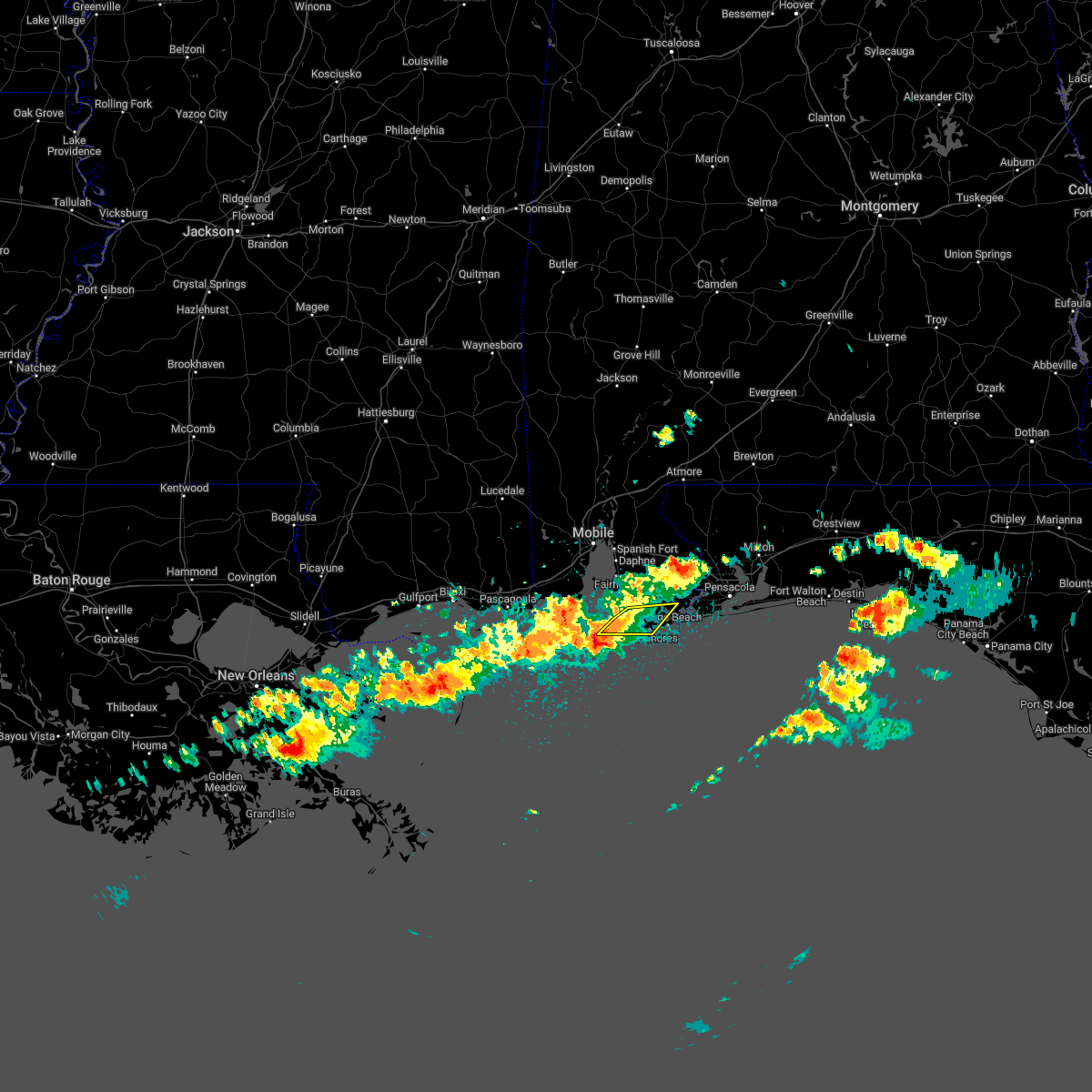 At 1012 am cdt, severe thunderstorms were located along a line extending from 6 miles west of bon secour to 5 miles south of fort morgan, moving east at 30 mph (radar indicated). Hazards include 60 mph wind gusts and quarter size hail. Hail damage to vehicles is expected. expect wind damage to roofs, siding, and trees. locations impacted include, gulf shores and bon secour. hail threat, radar indicated max hail size, 1. 00 in wind threat, radar indicated max wind gust, 60 mph. At 1012 am cdt, severe thunderstorms were located along a line extending from 6 miles west of bon secour to 5 miles south of fort morgan, moving east at 30 mph (radar indicated). Hazards include 60 mph wind gusts and quarter size hail. Hail damage to vehicles is expected. expect wind damage to roofs, siding, and trees. locations impacted include, gulf shores and bon secour. hail threat, radar indicated max hail size, 1. 00 in wind threat, radar indicated max wind gust, 60 mph.
|
| 5/6/2022 10:05 AM CDT |
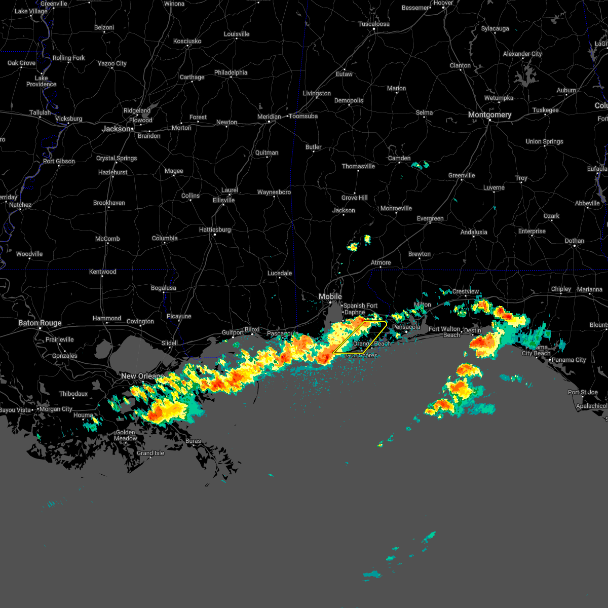 At 1004 am cdt, severe thunderstorms were located along a line extending from 4 miles northeast of summerdale to near fort morgan, moving east at 50 mph (radar indicated). Hazards include 60 mph wind gusts and quarter size hail. Hail damage to vehicles is expected. expect wind damage to roofs, siding, and trees. locations impacted include, gulf shores, foley, magnolia springs, bon secour, summerdale and elberta. hail threat, radar indicated max hail size, 1. 00 in wind threat, radar indicated max wind gust, 60 mph. At 1004 am cdt, severe thunderstorms were located along a line extending from 4 miles northeast of summerdale to near fort morgan, moving east at 50 mph (radar indicated). Hazards include 60 mph wind gusts and quarter size hail. Hail damage to vehicles is expected. expect wind damage to roofs, siding, and trees. locations impacted include, gulf shores, foley, magnolia springs, bon secour, summerdale and elberta. hail threat, radar indicated max hail size, 1. 00 in wind threat, radar indicated max wind gust, 60 mph.
|
| 5/6/2022 9:57 AM CDT |
 At 957 am cdt, a severe thunderstorm was located over robertsdale, moving northeast at 45 mph (radar indicated). Hazards include 60 mph wind gusts and quarter size hail. Hail damage to vehicles is expected. Expect wind damage to roofs, siding, and trees. At 957 am cdt, a severe thunderstorm was located over robertsdale, moving northeast at 45 mph (radar indicated). Hazards include 60 mph wind gusts and quarter size hail. Hail damage to vehicles is expected. Expect wind damage to roofs, siding, and trees.
|
| 5/6/2022 9:44 AM CDT |
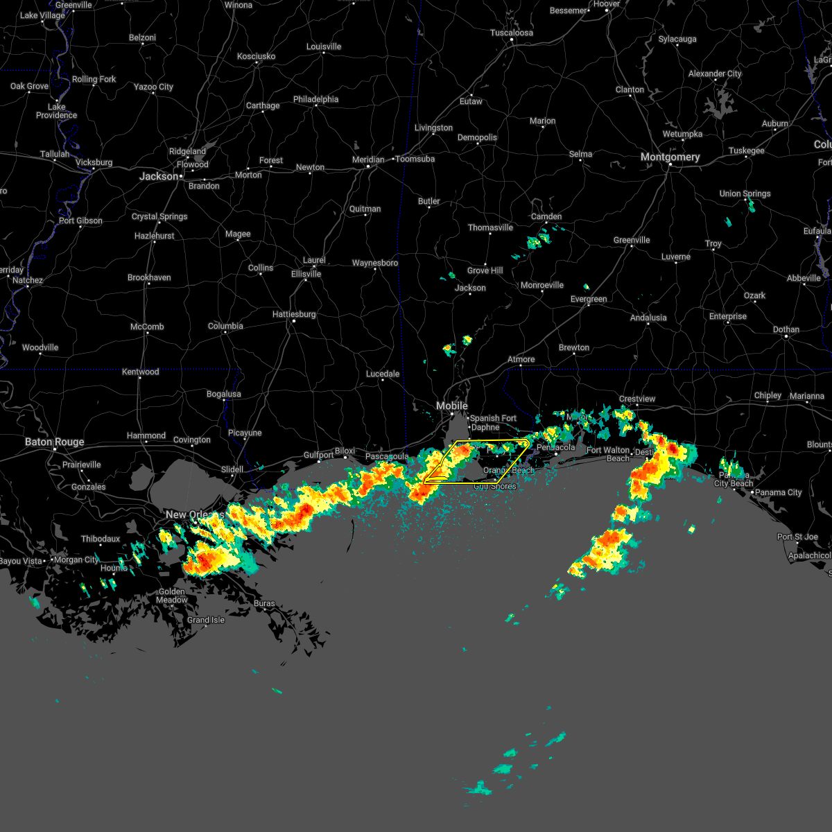 At 944 am cdt, severe thunderstorms were located along a line extending from near point clear to 11 miles southwest of dauphin island, moving east at 50 mph (radar indicated). Hazards include 60 mph wind gusts and quarter size hail. Hail damage to vehicles is expected. Expect wind damage to roofs, siding, and trees. At 944 am cdt, severe thunderstorms were located along a line extending from near point clear to 11 miles southwest of dauphin island, moving east at 50 mph (radar indicated). Hazards include 60 mph wind gusts and quarter size hail. Hail damage to vehicles is expected. Expect wind damage to roofs, siding, and trees.
|
| 5/6/2022 4:26 AM CDT |
 At 426 am cdt, severe thunderstorms were located along a line extending from 3 miles north of flomaton to 6 miles north of molino to 4 miles northwest of gonzalez to perdido beach, moving east at 55 mph (radar indicated). Hazards include 70 mph wind gusts. Expect considerable tree damage. damage is likely to mobile homes, roofs, and outbuildings. Locations impacted include, pensacola, ferry pass, brent, west pensacola, ensley, warrington, gonzalez, pace, milton, gulf breeze, brewton, orange beach, goulding, century, flomaton, bagdad, lillian, myrtle grove, oriole beach and navarre. At 426 am cdt, severe thunderstorms were located along a line extending from 3 miles north of flomaton to 6 miles north of molino to 4 miles northwest of gonzalez to perdido beach, moving east at 55 mph (radar indicated). Hazards include 70 mph wind gusts. Expect considerable tree damage. damage is likely to mobile homes, roofs, and outbuildings. Locations impacted include, pensacola, ferry pass, brent, west pensacola, ensley, warrington, gonzalez, pace, milton, gulf breeze, brewton, orange beach, goulding, century, flomaton, bagdad, lillian, myrtle grove, oriole beach and navarre.
|
| 5/6/2022 4:12 AM CDT |
 At 412 am cdt, severe thunderstorms were located along a line extending from atmore to 12 miles west of molino to 10 miles east of robertsdale to bon secour, moving east at 55 mph (radar indicated). Hazards include 60 mph wind gusts. expect damage to roofs, siding, and trees At 412 am cdt, severe thunderstorms were located along a line extending from atmore to 12 miles west of molino to 10 miles east of robertsdale to bon secour, moving east at 55 mph (radar indicated). Hazards include 60 mph wind gusts. expect damage to roofs, siding, and trees
|
| 5/6/2022 4:04 AM CDT |
 At 404 am cdt, severe thunderstorms were located along a line extending from 8 miles southwest of atmore to 13 miles east of stapleton to 4 miles northeast of robertsdale to near foley, moving east at 50 mph (radar indicated). Hazards include 60 mph wind gusts. Expect damage to roofs, siding, and trees. Locations impacted include, gulf shores, bay minette, foley, orange beach, robertsdale, loxley, lillian, magnolia springs, stapleton, bon secour, summerdale, silverhill, perdido beach, elberta and bratt. At 404 am cdt, severe thunderstorms were located along a line extending from 8 miles southwest of atmore to 13 miles east of stapleton to 4 miles northeast of robertsdale to near foley, moving east at 50 mph (radar indicated). Hazards include 60 mph wind gusts. Expect damage to roofs, siding, and trees. Locations impacted include, gulf shores, bay minette, foley, orange beach, robertsdale, loxley, lillian, magnolia springs, stapleton, bon secour, summerdale, silverhill, perdido beach, elberta and bratt.
|
| 5/6/2022 4:04 AM CDT |
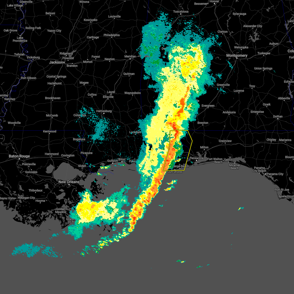 At 404 am cdt, severe thunderstorms were located along a line extending from 8 miles southwest of atmore to 13 miles east of stapleton to 4 miles northeast of robertsdale to near foley, moving east at 50 mph (radar indicated). Hazards include 60 mph wind gusts. Expect damage to roofs, siding, and trees. Locations impacted include, gulf shores, bay minette, foley, orange beach, robertsdale, loxley, lillian, magnolia springs, stapleton, bon secour, summerdale, silverhill, perdido beach, elberta and bratt. At 404 am cdt, severe thunderstorms were located along a line extending from 8 miles southwest of atmore to 13 miles east of stapleton to 4 miles northeast of robertsdale to near foley, moving east at 50 mph (radar indicated). Hazards include 60 mph wind gusts. Expect damage to roofs, siding, and trees. Locations impacted include, gulf shores, bay minette, foley, orange beach, robertsdale, loxley, lillian, magnolia springs, stapleton, bon secour, summerdale, silverhill, perdido beach, elberta and bratt.
|
| 5/6/2022 3:36 AM CDT |
 At 335 am cdt, severe thunderstorms were located along a line extending from axis to 4 miles northeast of downtown mobile to 7 miles east of theodore to 3 miles south of alabama port, moving east at 50 mph (radar indicated). Hazards include 60 mph wind gusts. expect damage to roofs, siding, and trees At 335 am cdt, severe thunderstorms were located along a line extending from axis to 4 miles northeast of downtown mobile to 7 miles east of theodore to 3 miles south of alabama port, moving east at 50 mph (radar indicated). Hazards include 60 mph wind gusts. expect damage to roofs, siding, and trees
|
| 4/17/2022 10:41 PM CDT |
 At 1039 pm cdt, severe thunderstorms were located along a line extending from robertsdale to near summerdale to 5 miles northwest of foley to 3 miles west of magnolia springs, moving east at 50 mph. this line of destructive storms will move across highway 59 from just east of robertsdale to foley. these are particularly dangerous storms with destructive winds. they may also produce tornadoes with little advanced warning. take cover immediately in these areas as if a tornado warning was issued (radar indicated). Hazards include 80 mph wind gusts and penny size hail. Flying debris will be dangerous to those caught without shelter. mobile homes will be heavily damaged. expect considerable damage to roofs, windows, and vehicles. extensive tree damage and power outages are likely. Locations impacted include, foley, orange beach, robertsdale, lillian, magnolia springs, summerdale, silverhill, perdido beach and elberta. At 1039 pm cdt, severe thunderstorms were located along a line extending from robertsdale to near summerdale to 5 miles northwest of foley to 3 miles west of magnolia springs, moving east at 50 mph. this line of destructive storms will move across highway 59 from just east of robertsdale to foley. these are particularly dangerous storms with destructive winds. they may also produce tornadoes with little advanced warning. take cover immediately in these areas as if a tornado warning was issued (radar indicated). Hazards include 80 mph wind gusts and penny size hail. Flying debris will be dangerous to those caught without shelter. mobile homes will be heavily damaged. expect considerable damage to roofs, windows, and vehicles. extensive tree damage and power outages are likely. Locations impacted include, foley, orange beach, robertsdale, lillian, magnolia springs, summerdale, silverhill, perdido beach and elberta.
|
| 4/17/2022 10:41 PM CDT |
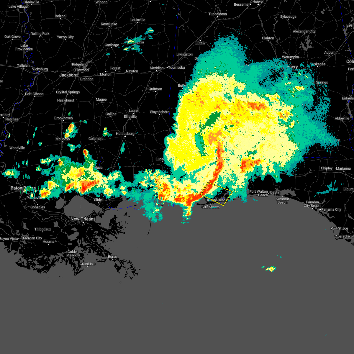 At 1039 pm cdt, severe thunderstorms were located along a line extending from robertsdale to near summerdale to 5 miles northwest of foley to 3 miles west of magnolia springs, moving east at 50 mph. this line of destructive storms will move across highway 59 from just east of robertsdale to foley. these are particularly dangerous storms with destructive winds. they may also produce tornadoes with little advanced warning. take cover immediately in these areas as if a tornado warning was issued (radar indicated). Hazards include 80 mph wind gusts and penny size hail. Flying debris will be dangerous to those caught without shelter. mobile homes will be heavily damaged. expect considerable damage to roofs, windows, and vehicles. extensive tree damage and power outages are likely. Locations impacted include, foley, orange beach, robertsdale, lillian, magnolia springs, summerdale, silverhill, perdido beach and elberta. At 1039 pm cdt, severe thunderstorms were located along a line extending from robertsdale to near summerdale to 5 miles northwest of foley to 3 miles west of magnolia springs, moving east at 50 mph. this line of destructive storms will move across highway 59 from just east of robertsdale to foley. these are particularly dangerous storms with destructive winds. they may also produce tornadoes with little advanced warning. take cover immediately in these areas as if a tornado warning was issued (radar indicated). Hazards include 80 mph wind gusts and penny size hail. Flying debris will be dangerous to those caught without shelter. mobile homes will be heavily damaged. expect considerable damage to roofs, windows, and vehicles. extensive tree damage and power outages are likely. Locations impacted include, foley, orange beach, robertsdale, lillian, magnolia springs, summerdale, silverhill, perdido beach and elberta.
|
| 4/17/2022 10:34 PM CDT |
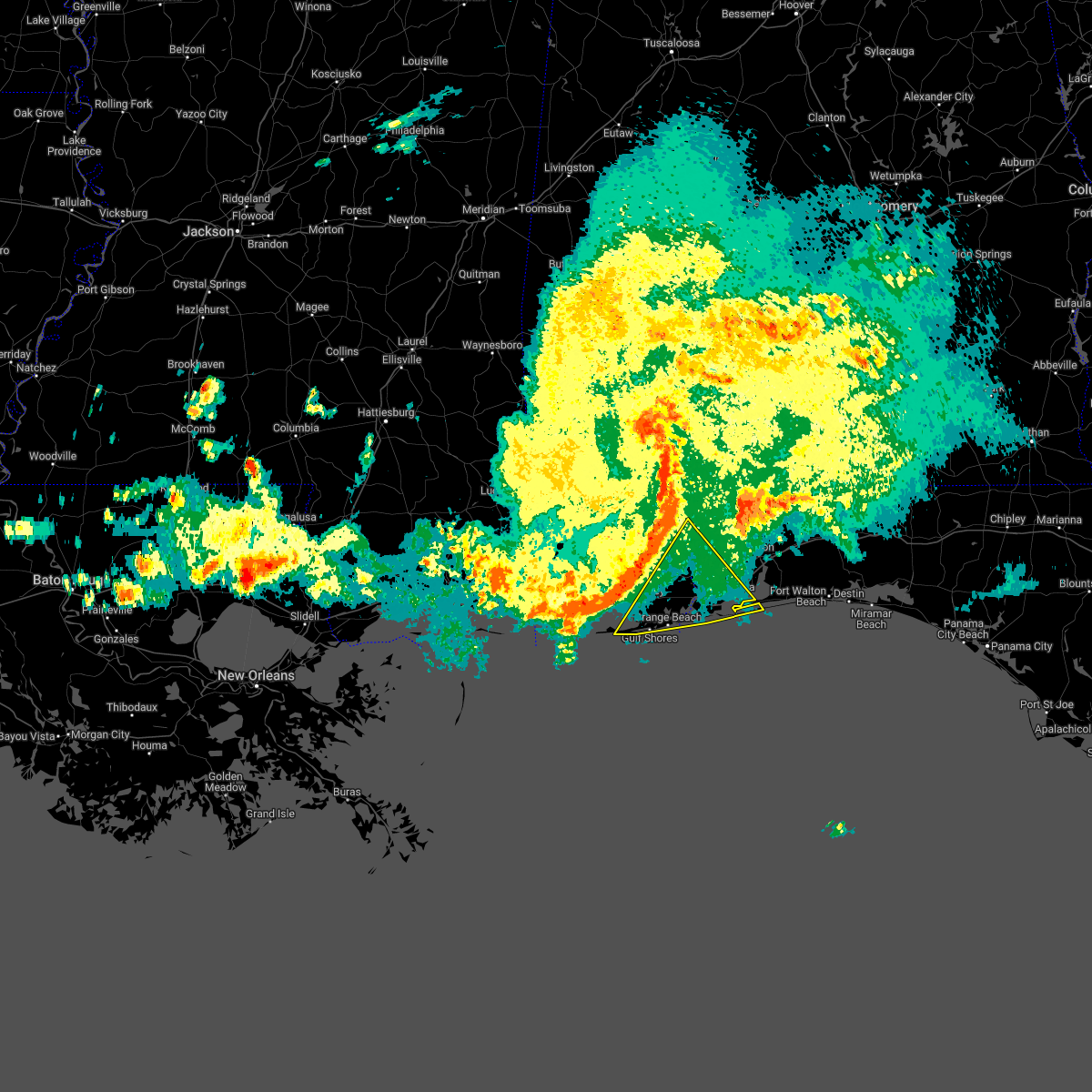 At 1032 pm cdt, severe thunderstorms were located along a line extending from 11 miles southeast of bay minette to 5 miles southeast of alabama port, moving southeast at 45 mph (radar indicated). Hazards include 70 mph wind gusts and penny size hail. Expect considerable tree damage. Damage is likely to mobile homes, roofs, and outbuildings. At 1032 pm cdt, severe thunderstorms were located along a line extending from 11 miles southeast of bay minette to 5 miles southeast of alabama port, moving southeast at 45 mph (radar indicated). Hazards include 70 mph wind gusts and penny size hail. Expect considerable tree damage. Damage is likely to mobile homes, roofs, and outbuildings.
|
| 4/17/2022 10:28 PM CDT |
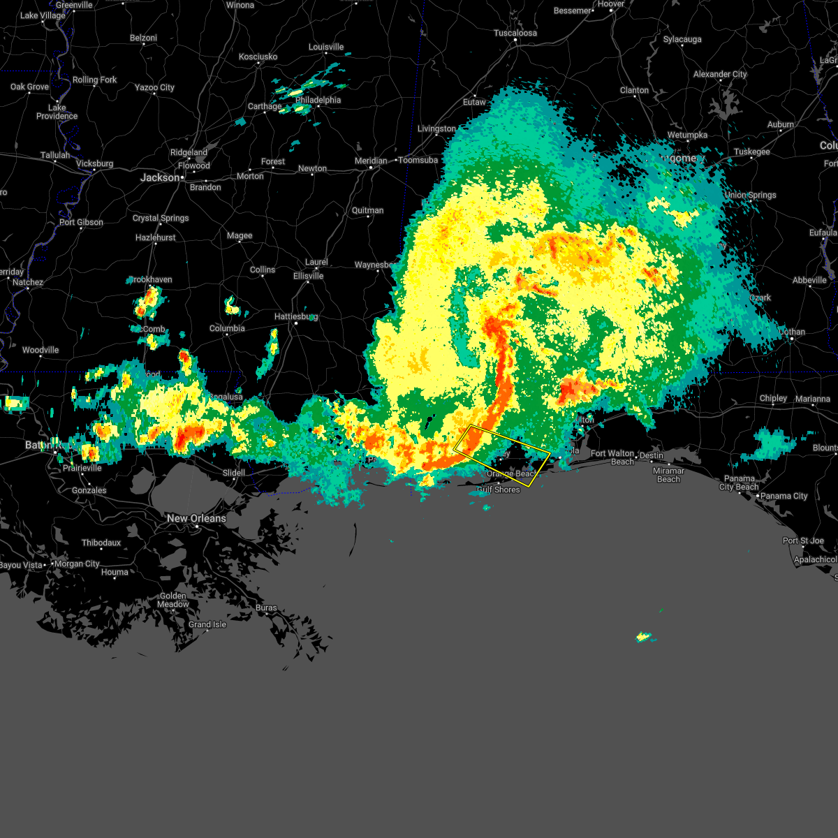 At 1026 pm cdt, a severe thunderstorm was located over fairhope, moving east at 55 mph. this line of destructive storms is moving through areas from spanish fort to daphne to fairhope to point clear in baldwin county. winds in excess of 80 mph are expected. this is a particularly dangerous line of storms. take cover immediately as if for a tornado! (radar indicated). Hazards include 80 mph wind gusts and penny size hail. Flying debris will be dangerous to those caught without shelter. mobile homes will be heavily damaged. expect considerable damage to roofs, windows, and vehicles. extensive tree damage and power outages are likely. Locations impacted include, daphne, fairhope, foley, orange beach, robertsdale, point clear, lillian, magnolia springs, summerdale, silverhill, perdido beach and elberta. At 1026 pm cdt, a severe thunderstorm was located over fairhope, moving east at 55 mph. this line of destructive storms is moving through areas from spanish fort to daphne to fairhope to point clear in baldwin county. winds in excess of 80 mph are expected. this is a particularly dangerous line of storms. take cover immediately as if for a tornado! (radar indicated). Hazards include 80 mph wind gusts and penny size hail. Flying debris will be dangerous to those caught without shelter. mobile homes will be heavily damaged. expect considerable damage to roofs, windows, and vehicles. extensive tree damage and power outages are likely. Locations impacted include, daphne, fairhope, foley, orange beach, robertsdale, point clear, lillian, magnolia springs, summerdale, silverhill, perdido beach and elberta.
|
| 4/17/2022 10:15 PM CDT |
 At 1013 pm cdt, a severe thunderstorm was located near i10 and i65, or 6 miles east of tillmans corner, moving southeast at 55 mph. this is a destructive storm for areas southeast of interstate 10 just south of the downtown brookely field mobile airport. this is a particularly dangerous situation (radar indicated). Hazards include 80 mph wind gusts and penny size hail. Flying debris will be dangerous to those caught without shelter. mobile homes will be heavily damaged. expect considerable damage to roofs, windows, and vehicles. Extensive tree damage and power outages are likely. At 1013 pm cdt, a severe thunderstorm was located near i10 and i65, or 6 miles east of tillmans corner, moving southeast at 55 mph. this is a destructive storm for areas southeast of interstate 10 just south of the downtown brookely field mobile airport. this is a particularly dangerous situation (radar indicated). Hazards include 80 mph wind gusts and penny size hail. Flying debris will be dangerous to those caught without shelter. mobile homes will be heavily damaged. expect considerable damage to roofs, windows, and vehicles. Extensive tree damage and power outages are likely.
|
| 4/17/2022 10:02 PM CDT |
 At 1002 pm cdt, severe thunderstorms were located along a line extending from 4 miles southeast of mount vernon to 5 miles north of grand bay, moving southeast at 40 mph (radar indicated). Hazards include 70 mph wind gusts and penny size hail. Expect considerable tree damage. damage is likely to mobile homes, roofs, and outbuildings. locations impacted include, midtown mobile, downtown mobile, prichard, daphne, tillmans corner, fairhope, saraland, bay minette, foley, theodore, chickasaw, satsuma, spanish fort, grand bay, robertsdale, bayou la batre, creola, point clear, dauphin island and loxley. thunderstorm damage threat, considerable hail threat, radar indicated max hail size, 0. 75 in wind threat, radar indicated max wind gust, 70 mph. At 1002 pm cdt, severe thunderstorms were located along a line extending from 4 miles southeast of mount vernon to 5 miles north of grand bay, moving southeast at 40 mph (radar indicated). Hazards include 70 mph wind gusts and penny size hail. Expect considerable tree damage. damage is likely to mobile homes, roofs, and outbuildings. locations impacted include, midtown mobile, downtown mobile, prichard, daphne, tillmans corner, fairhope, saraland, bay minette, foley, theodore, chickasaw, satsuma, spanish fort, grand bay, robertsdale, bayou la batre, creola, point clear, dauphin island and loxley. thunderstorm damage threat, considerable hail threat, radar indicated max hail size, 0. 75 in wind threat, radar indicated max wind gust, 70 mph.
|
| 4/17/2022 9:56 PM CDT |
 At 956 pm cdt, severe thunderstorms were located along a line extending from near mount vernon to 5 miles east of big point, moving southeast at 40 mph (radar indicated). Hazards include 60 mph wind gusts and penny size hail. expect damage to roofs, siding, and trees At 956 pm cdt, severe thunderstorms were located along a line extending from near mount vernon to 5 miles east of big point, moving southeast at 40 mph (radar indicated). Hazards include 60 mph wind gusts and penny size hail. expect damage to roofs, siding, and trees
|
| 3/31/2022 12:20 AM CDT |
 At 1219 am cdt, a severe thunderstorm was located over beulah and gonzalez, moving northeast at 60 mph (radar indicated). Hazards include 70 mph wind gusts and ping pong ball size hail. People and animals outdoors will be injured. expect hail damage to roofs, siding, windows, and vehicles. expect considerable tree damage. wind damage is also likely to mobile homes, roofs, and outbuildings. Locations impacted include, pensacola, ferry pass, brent, west pensacola, ensley, warrington, crestview, gonzalez, gulf shores, foley, pace, milton, gulf breeze, orange beach, goulding, century, bagdad, lillian, myrtle grove and baker. At 1219 am cdt, a severe thunderstorm was located over beulah and gonzalez, moving northeast at 60 mph (radar indicated). Hazards include 70 mph wind gusts and ping pong ball size hail. People and animals outdoors will be injured. expect hail damage to roofs, siding, windows, and vehicles. expect considerable tree damage. wind damage is also likely to mobile homes, roofs, and outbuildings. Locations impacted include, pensacola, ferry pass, brent, west pensacola, ensley, warrington, crestview, gonzalez, gulf shores, foley, pace, milton, gulf breeze, orange beach, goulding, century, bagdad, lillian, myrtle grove and baker.
|
| 3/31/2022 12:16 AM CDT |
 At 1215 am cdt, severe thunderstorms were located along a line extending from century to 3 miles west of ensley to 12 miles southeast of fort morgan, moving northeast at 70 mph (radar indicated). Hazards include 70 mph wind gusts. Expect considerable tree damage. Damage is likely to mobile homes, roofs, and outbuildings. At 1215 am cdt, severe thunderstorms were located along a line extending from century to 3 miles west of ensley to 12 miles southeast of fort morgan, moving northeast at 70 mph (radar indicated). Hazards include 70 mph wind gusts. Expect considerable tree damage. Damage is likely to mobile homes, roofs, and outbuildings.
|
| 3/30/2022 11:42 PM CDT |
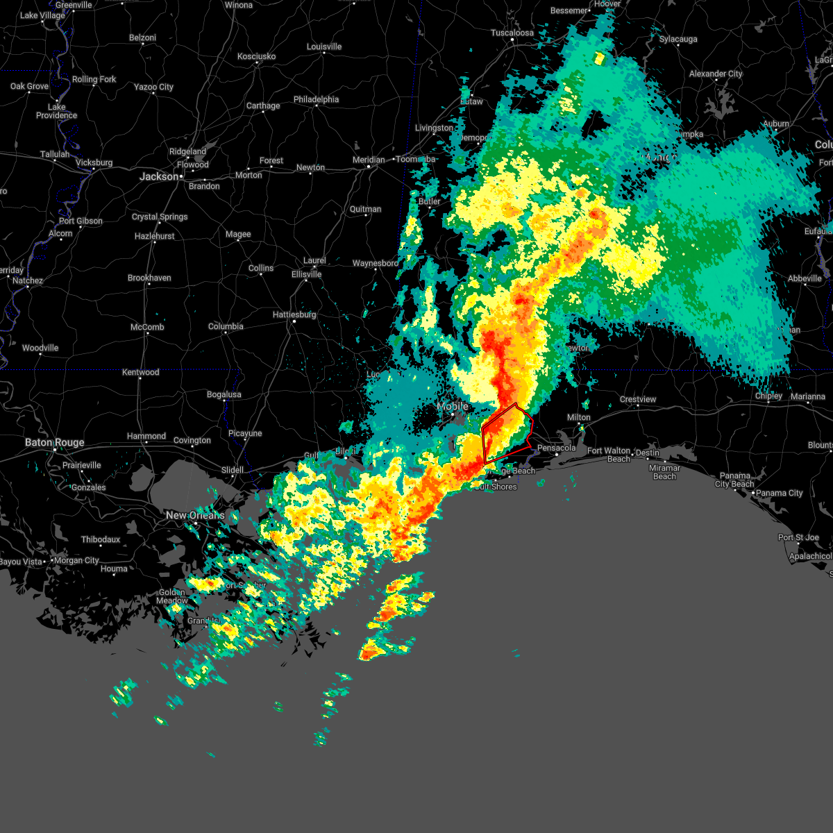 At 1142 pm cdt, severe thunderstorms capable of producing tornadoes were located along a line extending from near loxley to 3 miles south of magnolia springs, moving east at 30 mph (radar indicated rotation). Hazards include tornado. Flying debris will be dangerous to those caught without shelter. mobile homes will be damaged or destroyed. damage to roofs, windows, and vehicles will occur. tree damage is likely. Locations impacted include, foley, robertsdale, loxley, magnolia springs, summerdale and silverhill. At 1142 pm cdt, severe thunderstorms capable of producing tornadoes were located along a line extending from near loxley to 3 miles south of magnolia springs, moving east at 30 mph (radar indicated rotation). Hazards include tornado. Flying debris will be dangerous to those caught without shelter. mobile homes will be damaged or destroyed. damage to roofs, windows, and vehicles will occur. tree damage is likely. Locations impacted include, foley, robertsdale, loxley, magnolia springs, summerdale and silverhill.
|
| 3/30/2022 11:36 PM CDT |
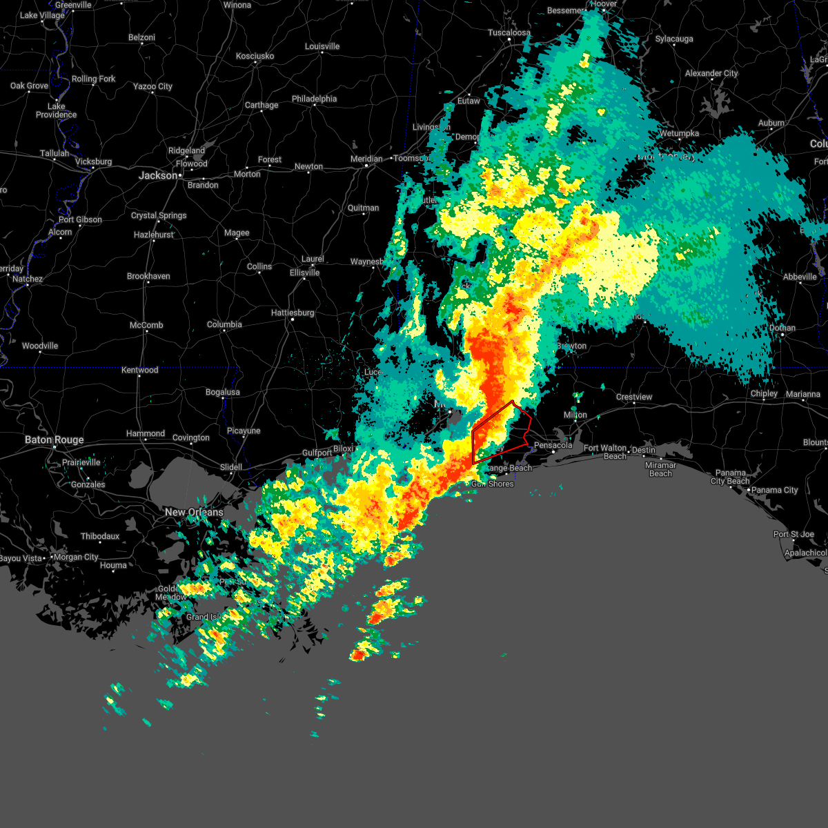 At 1134 pm cdt, a severe thunderstorm capable of producing a tornado was located near silverhill and magnolia springs, or near robertsdale, moving northeast at 50 mph (radar indicated rotation). Hazards include tornado. Flying debris will be dangerous to those caught without shelter. mobile homes will be damaged or destroyed. damage to roofs, windows, and vehicles will occur. tree damage is likely. Locations in the warning include silverhill, magnolia springs, and robertsdale. At 1134 pm cdt, a severe thunderstorm capable of producing a tornado was located near silverhill and magnolia springs, or near robertsdale, moving northeast at 50 mph (radar indicated rotation). Hazards include tornado. Flying debris will be dangerous to those caught without shelter. mobile homes will be damaged or destroyed. damage to roofs, windows, and vehicles will occur. tree damage is likely. Locations in the warning include silverhill, magnolia springs, and robertsdale.
|
| 3/30/2022 11:23 PM CDT |
 At 1122 pm cdt, severe thunderstorms were located along a line extending from near stapleton to point clear to fort morgan, moving east at 40 mph (radar indicated). Hazards include 70 mph wind gusts. Expect considerable tree damage. Damage is likely to mobile homes, roofs, and outbuildings. At 1122 pm cdt, severe thunderstorms were located along a line extending from near stapleton to point clear to fort morgan, moving east at 40 mph (radar indicated). Hazards include 70 mph wind gusts. Expect considerable tree damage. Damage is likely to mobile homes, roofs, and outbuildings.
|
| 3/30/2022 11:23 PM CDT |
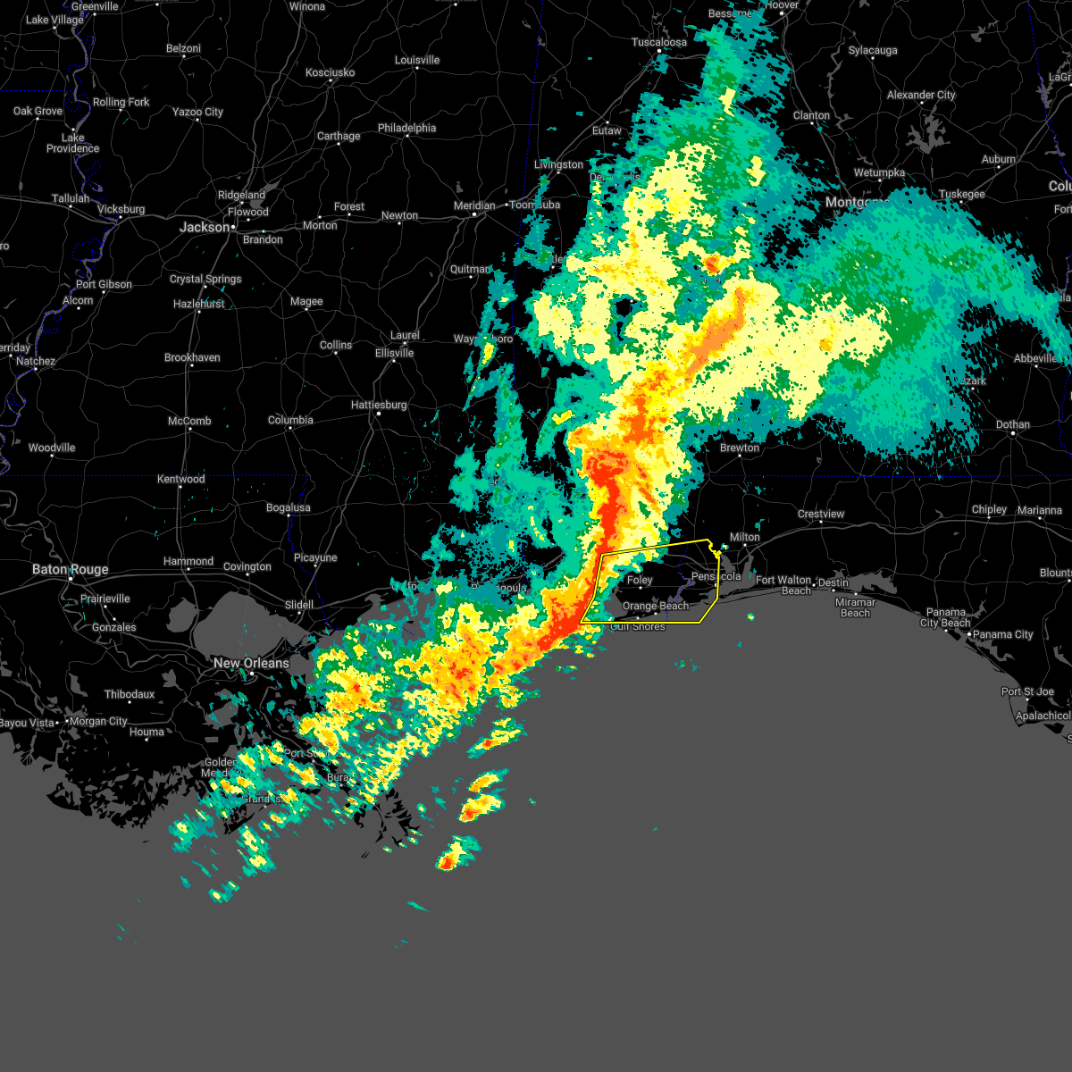 At 1122 pm cdt, severe thunderstorms were located along a line extending from near stapleton to point clear to fort morgan, moving east at 40 mph (radar indicated). Hazards include 70 mph wind gusts. Expect considerable tree damage. Damage is likely to mobile homes, roofs, and outbuildings. At 1122 pm cdt, severe thunderstorms were located along a line extending from near stapleton to point clear to fort morgan, moving east at 40 mph (radar indicated). Hazards include 70 mph wind gusts. Expect considerable tree damage. Damage is likely to mobile homes, roofs, and outbuildings.
|
| 3/30/2022 11:12 PM CDT |
 At 1111 pm cdt, a severe thunderstorm capable of producing a tornado was located 5 miles east of alabama port, or 9 miles southwest of point clear, moving northeast at 55 mph (radar indicated rotation). Hazards include tornado. Flying debris will be dangerous to those caught without shelter. mobile homes will be damaged or destroyed. damage to roofs, windows, and vehicles will occur. tree damage is likely. this dangerous storm will be near, point clear around 1120 pm cdt. fairhope and magnolia springs around 1125 pm cdt. Foley, robertsdale, loxley, summerdale and silverhill around 1135 pm cdt. At 1111 pm cdt, a severe thunderstorm capable of producing a tornado was located 5 miles east of alabama port, or 9 miles southwest of point clear, moving northeast at 55 mph (radar indicated rotation). Hazards include tornado. Flying debris will be dangerous to those caught without shelter. mobile homes will be damaged or destroyed. damage to roofs, windows, and vehicles will occur. tree damage is likely. this dangerous storm will be near, point clear around 1120 pm cdt. fairhope and magnolia springs around 1125 pm cdt. Foley, robertsdale, loxley, summerdale and silverhill around 1135 pm cdt.
|
| 3/30/2022 10:40 PM CDT |
 At 1039 pm cdt, severe thunderstorms were located along a line extending from 4 miles east of big point to 9 miles northeast of petit bois island to 23 miles south of gautier, moving east at 35 mph (radar indicated). Hazards include 70 mph wind gusts. Expect considerable tree damage. Damage is likely to mobile homes, roofs, and outbuildings. At 1039 pm cdt, severe thunderstorms were located along a line extending from 4 miles east of big point to 9 miles northeast of petit bois island to 23 miles south of gautier, moving east at 35 mph (radar indicated). Hazards include 70 mph wind gusts. Expect considerable tree damage. Damage is likely to mobile homes, roofs, and outbuildings.
|
| 3/23/2022 12:34 AM CDT |
 At 1233 am cdt, severe thunderstorms were located along a line extending from 6 miles southeast of bay minette to 5 miles southwest of bon secour, moving east at 40 mph (radar indicated). Hazards include 60 mph wind gusts. expect damage to roofs, siding, and trees At 1233 am cdt, severe thunderstorms were located along a line extending from 6 miles southeast of bay minette to 5 miles southwest of bon secour, moving east at 40 mph (radar indicated). Hazards include 60 mph wind gusts. expect damage to roofs, siding, and trees
|
| 3/23/2022 12:07 AM CDT |
 At 1206 am cdt, severe thunderstorms were located along a line extending from near daphne to fort morgan, moving northeast at 50 mph (radar indicated). Hazards include 60 mph wind gusts. expect damage to roofs, siding, and trees At 1206 am cdt, severe thunderstorms were located along a line extending from near daphne to fort morgan, moving northeast at 50 mph (radar indicated). Hazards include 60 mph wind gusts. expect damage to roofs, siding, and trees
|
| 3/22/2022 11:04 PM CDT |
 At 1104 pm cdt, a severe thunderstorm capable of producing a tornado was located near summerdale, or 4 miles northwest of foley, moving northeast at 30 mph (radar indicated rotation). Hazards include tornado. Flying debris will be dangerous to those caught without shelter. mobile homes will be damaged or destroyed. damage to roofs, windows, and vehicles will occur. tree damage is likely. This dangerous storm will be near, robertsdale around 1115 pm cdt. At 1104 pm cdt, a severe thunderstorm capable of producing a tornado was located near summerdale, or 4 miles northwest of foley, moving northeast at 30 mph (radar indicated rotation). Hazards include tornado. Flying debris will be dangerous to those caught without shelter. mobile homes will be damaged or destroyed. damage to roofs, windows, and vehicles will occur. tree damage is likely. This dangerous storm will be near, robertsdale around 1115 pm cdt.
|
| 3/22/2022 10:54 PM CDT |
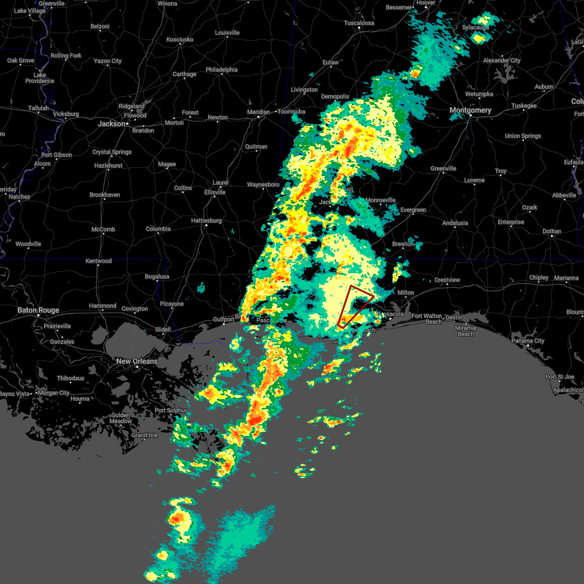 At 1053 pm cdt, a severe thunderstorm capable of producing a tornado was located near magnolia springs, or 4 miles west of foley, moving northeast at 40 mph (radar indicated rotation). Hazards include tornado. Flying debris will be dangerous to those caught without shelter. mobile homes will be damaged or destroyed. damage to roofs, windows, and vehicles will occur. tree damage is likely. this dangerous storm will be near, summerdale around 1105 pm cdt. Robertsdale around 1110 pm cdt. At 1053 pm cdt, a severe thunderstorm capable of producing a tornado was located near magnolia springs, or 4 miles west of foley, moving northeast at 40 mph (radar indicated rotation). Hazards include tornado. Flying debris will be dangerous to those caught without shelter. mobile homes will be damaged or destroyed. damage to roofs, windows, and vehicles will occur. tree damage is likely. this dangerous storm will be near, summerdale around 1105 pm cdt. Robertsdale around 1110 pm cdt.
|
| 3/22/2022 10:46 PM CDT |
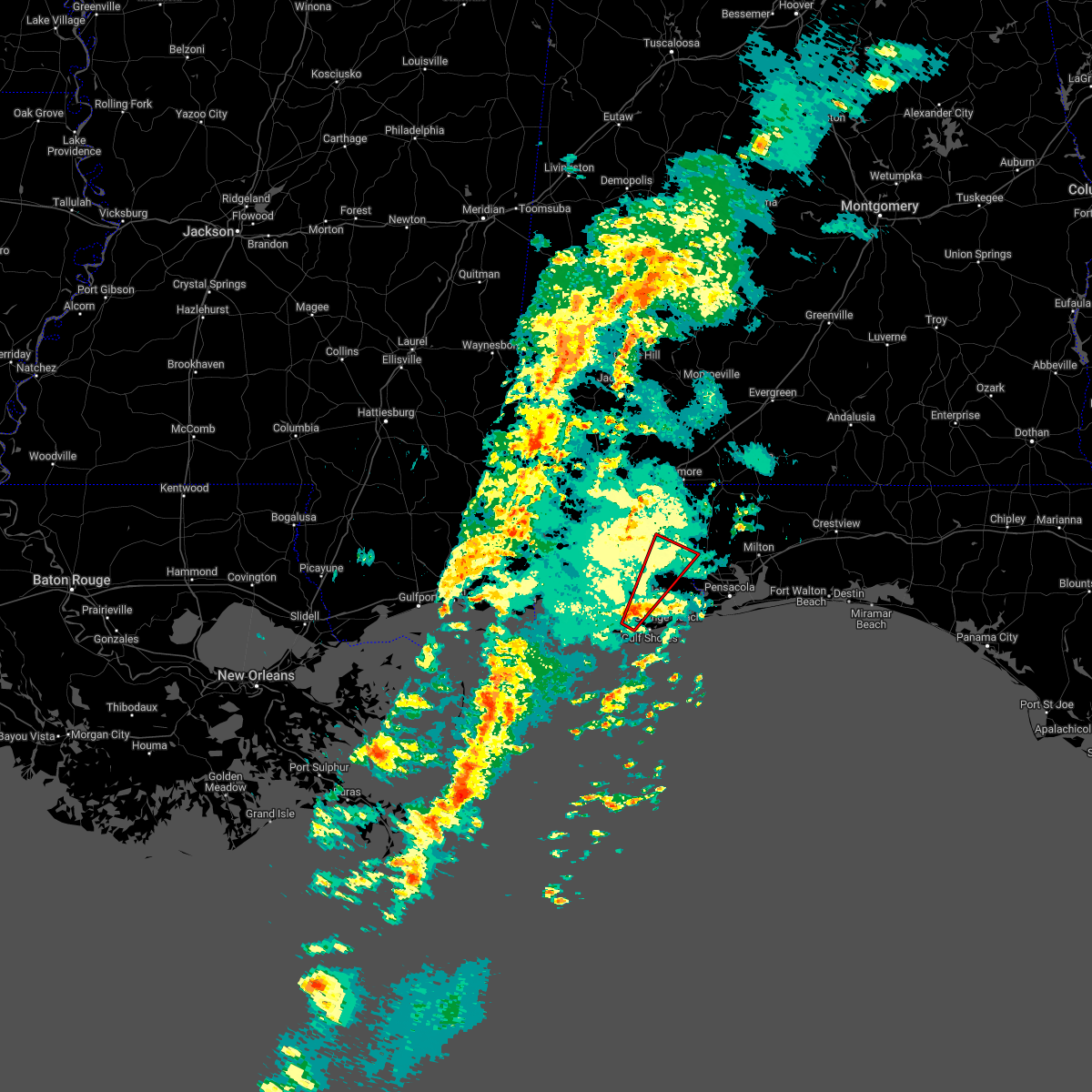 At 1045 pm cdt, a severe thunderstorm capable of producing a tornado was located 4 miles west of bon secour, or 8 miles northwest of gulf shores, moving northeast at 40 mph (radar indicated rotation). Hazards include tornado. Flying debris will be dangerous to those caught without shelter. mobile homes will be damaged or destroyed. damage to roofs, windows, and vehicles will occur. tree damage is likely. this dangerous storm will be near, magnolia springs around 1055 pm cdt. foley around 1100 pm cdt. summerdale around 1105 pm cdt. Robertsdale and silverhill around 1110 pm cdt. At 1045 pm cdt, a severe thunderstorm capable of producing a tornado was located 4 miles west of bon secour, or 8 miles northwest of gulf shores, moving northeast at 40 mph (radar indicated rotation). Hazards include tornado. Flying debris will be dangerous to those caught without shelter. mobile homes will be damaged or destroyed. damage to roofs, windows, and vehicles will occur. tree damage is likely. this dangerous storm will be near, magnolia springs around 1055 pm cdt. foley around 1100 pm cdt. summerdale around 1105 pm cdt. Robertsdale and silverhill around 1110 pm cdt.
|
| 3/22/2022 10:36 PM CDT |
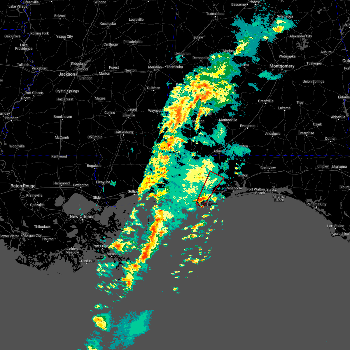 At 1035 pm cdt, a confirmed tornado was located 9 miles southwest of bon secour, or 9 miles west of gulf shores, moving northeast at 40 mph (weather spotters confirmed tornado). Hazards include damaging tornado. Flying debris will be dangerous to those caught without shelter. mobile homes will be damaged or destroyed. damage to roofs, windows, and vehicles will occur. tree damage is likely. this tornado will be near, bon secour around 1050 pm cdt. magnolia springs around 1055 pm cdt. foley around 1100 pm cdt. summerdale and elberta around 1105 pm cdt. silverhill around 1110 pm cdt. Robertsdale around 1115 pm cdt. At 1035 pm cdt, a confirmed tornado was located 9 miles southwest of bon secour, or 9 miles west of gulf shores, moving northeast at 40 mph (weather spotters confirmed tornado). Hazards include damaging tornado. Flying debris will be dangerous to those caught without shelter. mobile homes will be damaged or destroyed. damage to roofs, windows, and vehicles will occur. tree damage is likely. this tornado will be near, bon secour around 1050 pm cdt. magnolia springs around 1055 pm cdt. foley around 1100 pm cdt. summerdale and elberta around 1105 pm cdt. silverhill around 1110 pm cdt. Robertsdale around 1115 pm cdt.
|
| 3/22/2022 10:31 PM CDT |
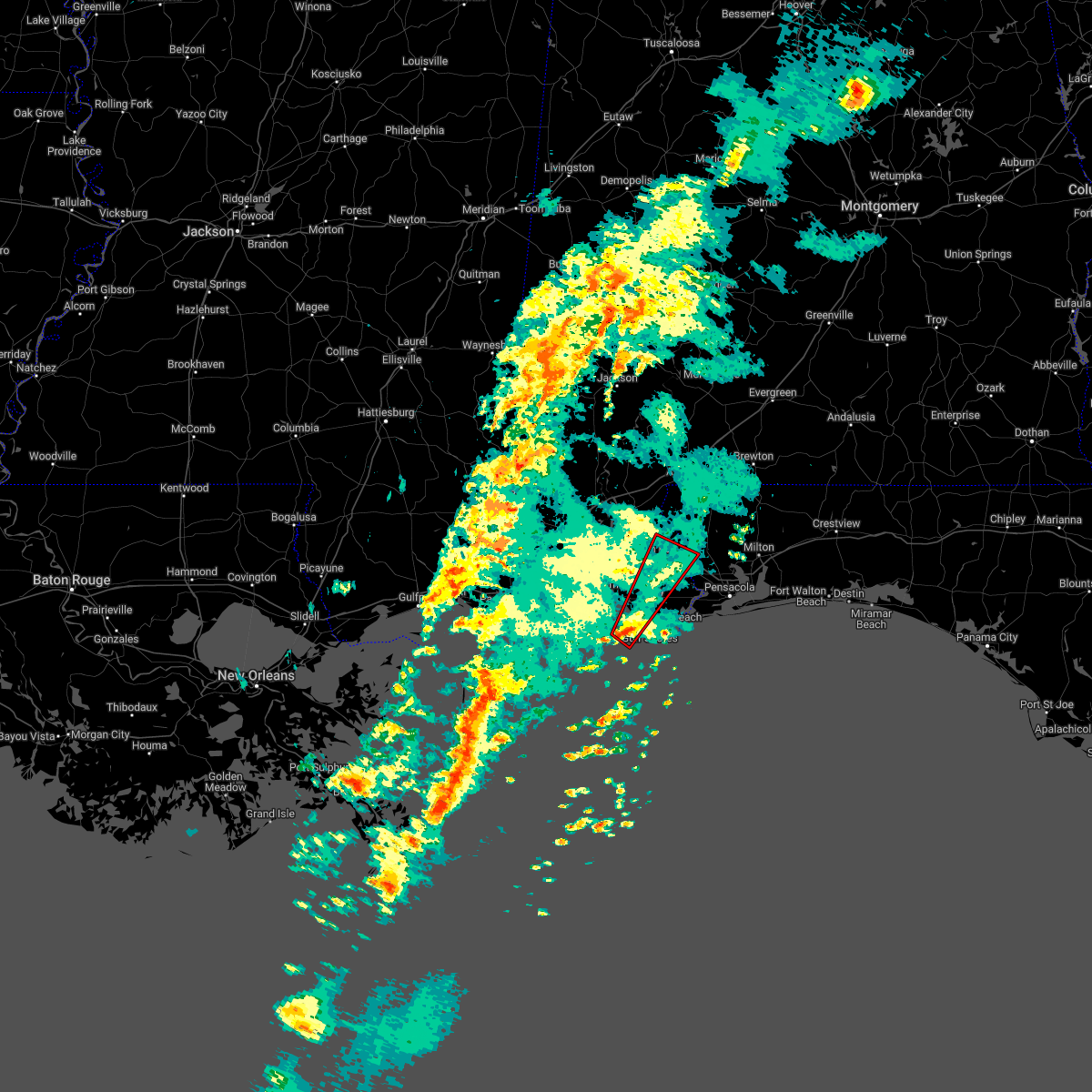 At 1031 pm cdt, a severe thunderstorm capable of producing a tornado was located 9 miles east of fort morgan, or 10 miles west of gulf shores, moving northeast at 50 mph (radar indicated rotation). Hazards include tornado. Flying debris will be dangerous to those caught without shelter. mobile homes will be damaged or destroyed. damage to roofs, windows, and vehicles will occur. tree damage is likely. this dangerous storm will be near, bon secour around 1045 pm cdt. foley and magnolia springs around 1050 pm cdt. summerdale and elberta around 1055 pm cdt. Robertsdale and silverhill around 1100 pm cdt. At 1031 pm cdt, a severe thunderstorm capable of producing a tornado was located 9 miles east of fort morgan, or 10 miles west of gulf shores, moving northeast at 50 mph (radar indicated rotation). Hazards include tornado. Flying debris will be dangerous to those caught without shelter. mobile homes will be damaged or destroyed. damage to roofs, windows, and vehicles will occur. tree damage is likely. this dangerous storm will be near, bon secour around 1045 pm cdt. foley and magnolia springs around 1050 pm cdt. summerdale and elberta around 1055 pm cdt. Robertsdale and silverhill around 1100 pm cdt.
|
| 3/22/2022 10:26 PM CDT |
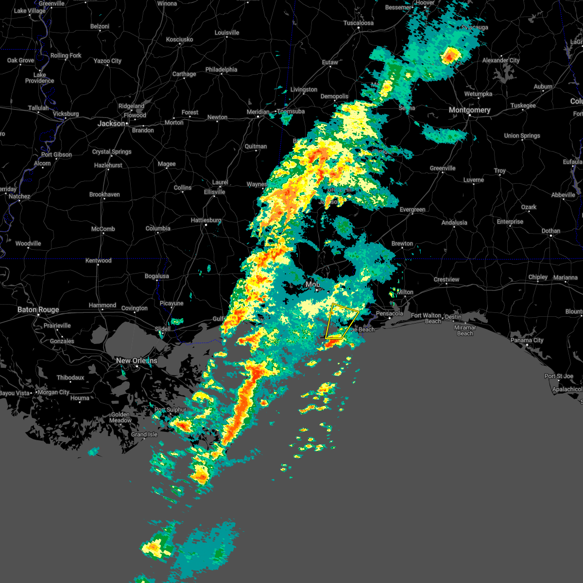 At 1025 pm cdt, a severe thunderstorm was located 8 miles southeast of fort morgan, or 13 miles southeast of dauphin island, moving northeast at 40 mph (radar indicated). Hazards include 60 mph wind gusts. expect damage to roofs, siding, and trees At 1025 pm cdt, a severe thunderstorm was located 8 miles southeast of fort morgan, or 13 miles southeast of dauphin island, moving northeast at 40 mph (radar indicated). Hazards include 60 mph wind gusts. expect damage to roofs, siding, and trees
|
| 3/18/2022 11:54 AM CDT |
 At 1153 am cdt, severe thunderstorms were located along a line extending from 12 miles east of riverview to near foley, moving east at 30 mph (radar indicated). Hazards include 60 mph wind gusts and quarter size hail. Hail damage to vehicles is expected. Expect wind damage to roofs, siding, and trees. At 1153 am cdt, severe thunderstorms were located along a line extending from 12 miles east of riverview to near foley, moving east at 30 mph (radar indicated). Hazards include 60 mph wind gusts and quarter size hail. Hail damage to vehicles is expected. Expect wind damage to roofs, siding, and trees.
|
| 3/18/2022 11:19 AM CDT |
 At 1118 am cdt, severe thunderstorms were located along a line extending from 12 miles southwest of river falls to 3 miles south of elberta, moving southeast at 35 mph (radar indicated). Hazards include 70 mph wind gusts and quarter size hail. Hail damage to vehicles is expected. expect considerable tree damage. wind damage is also likely to mobile homes, roofs, and outbuildings. locations impacted include, pensacola, ferry pass, brent, west pensacola, ensley, warrington, gonzalez, gulf shores, foley, pace, milton, gulf breeze, brewton, orange beach, goulding, robertsdale, point clear, century, flomaton and bagdad. thunderstorm damage threat, considerable hail threat, radar indicated max hail size, 1. 00 in wind threat, radar indicated max wind gust, 70 mph. At 1118 am cdt, severe thunderstorms were located along a line extending from 12 miles southwest of river falls to 3 miles south of elberta, moving southeast at 35 mph (radar indicated). Hazards include 70 mph wind gusts and quarter size hail. Hail damage to vehicles is expected. expect considerable tree damage. wind damage is also likely to mobile homes, roofs, and outbuildings. locations impacted include, pensacola, ferry pass, brent, west pensacola, ensley, warrington, gonzalez, gulf shores, foley, pace, milton, gulf breeze, brewton, orange beach, goulding, robertsdale, point clear, century, flomaton and bagdad. thunderstorm damage threat, considerable hail threat, radar indicated max hail size, 1. 00 in wind threat, radar indicated max wind gust, 70 mph.
|
| 3/18/2022 11:07 AM CDT |
 At 1107 am cdt, severe thunderstorms were located along a line extending from 13 miles southwest of red level to near foley, moving southeast at 20 mph (radar indicated). Hazards include 60 mph wind gusts and quarter size hail. Hail damage to vehicles is expected. Expect wind damage to roofs, siding, and trees. At 1107 am cdt, severe thunderstorms were located along a line extending from 13 miles southwest of red level to near foley, moving southeast at 20 mph (radar indicated). Hazards include 60 mph wind gusts and quarter size hail. Hail damage to vehicles is expected. Expect wind damage to roofs, siding, and trees.
|
| 3/18/2022 10:54 AM CDT |
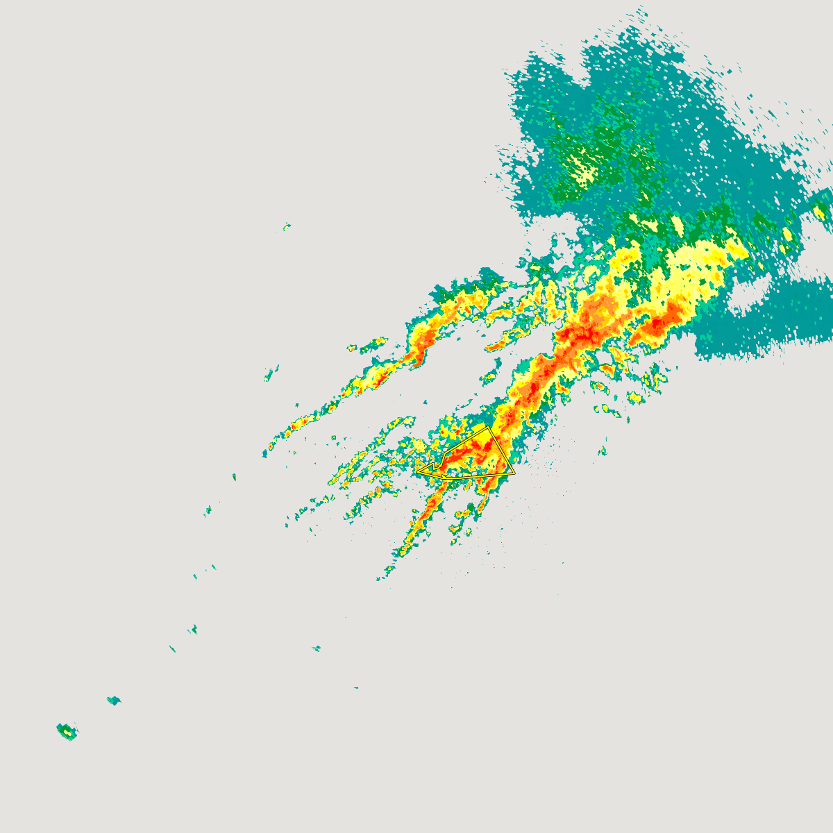 The severe thunderstorm warning for southwestern baldwin county will expire at 1100 am cdt, the storm which prompted the warning has weakened below severe limits. therefore, the warning will be allowed to expire. however small hail and gusty winds are still possible with this thunderstorm. a tornado watch remains in effect until noon cdt for southwestern alabama. a tornado watch also remains in effect until 200 pm cdt for southwestern alabama. The severe thunderstorm warning for southwestern baldwin county will expire at 1100 am cdt, the storm which prompted the warning has weakened below severe limits. therefore, the warning will be allowed to expire. however small hail and gusty winds are still possible with this thunderstorm. a tornado watch remains in effect until noon cdt for southwestern alabama. a tornado watch also remains in effect until 200 pm cdt for southwestern alabama.
|
| 3/18/2022 10:34 AM CDT |
 At 1034 am cdt, a severe thunderstorm was located 7 miles east of alabama port, or 8 miles southwest of point clear, moving northeast at 60 mph (radar indicated). Hazards include 60 mph wind gusts and quarter size hail. Hail damage to vehicles is expected. expect wind damage to roofs, siding, and trees. Locations impacted include, fairhope, foley, orange beach, point clear, magnolia springs, bon secour, summerdale, silverhill and alabama port. At 1034 am cdt, a severe thunderstorm was located 7 miles east of alabama port, or 8 miles southwest of point clear, moving northeast at 60 mph (radar indicated). Hazards include 60 mph wind gusts and quarter size hail. Hail damage to vehicles is expected. expect wind damage to roofs, siding, and trees. Locations impacted include, fairhope, foley, orange beach, point clear, magnolia springs, bon secour, summerdale, silverhill and alabama port.
|
| 3/18/2022 10:09 AM CDT |
 At 1008 am cdt, a severe thunderstorm was located 9 miles east of petit bois island, or 15 miles west of dauphin island, moving northeast at 60 mph (radar indicated). Hazards include 60 mph wind gusts and penny size hail. expect damage to roofs, siding, and trees At 1008 am cdt, a severe thunderstorm was located 9 miles east of petit bois island, or 15 miles west of dauphin island, moving northeast at 60 mph (radar indicated). Hazards include 60 mph wind gusts and penny size hail. expect damage to roofs, siding, and trees
|
| 1/9/2022 7:23 PM CST |
 The severe thunderstorm warning for southern baldwin, west central santa rosa and central escambia counties will expire at 730 pm cst, the storms which prompted the warning have weakened below severe limits. therefore, the warning will be allowed to expire. however gusty winds are still possible with these thunderstorms. The severe thunderstorm warning for southern baldwin, west central santa rosa and central escambia counties will expire at 730 pm cst, the storms which prompted the warning have weakened below severe limits. therefore, the warning will be allowed to expire. however gusty winds are still possible with these thunderstorms.
|
| 1/9/2022 7:18 PM CST |
 At 718 pm cst, severe thunderstorms were located along a line extending from 12 miles east of loxley to 4 miles east of robertsdale to 3 miles north of magnolia springs, moving east at 60 mph (radar indicated). Hazards include 60 mph wind gusts and penny size hail. Expect damage to roofs, siding, and trees. locations impacted include, fairhope, gonzalez, foley, robertsdale, point clear, loxley, molino, summerdale, silverhill and elberta. hail threat, radar indicated max hail size, 0. 75 in wind threat, radar indicated max wind gust, 60 mph. At 718 pm cst, severe thunderstorms were located along a line extending from 12 miles east of loxley to 4 miles east of robertsdale to 3 miles north of magnolia springs, moving east at 60 mph (radar indicated). Hazards include 60 mph wind gusts and penny size hail. Expect damage to roofs, siding, and trees. locations impacted include, fairhope, gonzalez, foley, robertsdale, point clear, loxley, molino, summerdale, silverhill and elberta. hail threat, radar indicated max hail size, 0. 75 in wind threat, radar indicated max wind gust, 60 mph.
|
| 1/9/2022 7:03 PM CST |
 At 702 pm cst, severe thunderstorms were located along a line extending from 4 miles northwest of loxley to near fairhope to 7 miles west of point clear, moving east at 60 mph (radar indicated). Hazards include 60 mph wind gusts and penny size hail. Expect damage to roofs, siding, and trees. locations impacted include, daphne, fairhope, gonzalez, foley, spanish fort, robertsdale, point clear, loxley, magnolia springs, stapleton, molino, summerdale, silverhill and elberta. hail threat, radar indicated max hail size, 0. 75 in wind threat, radar indicated max wind gust, 60 mph. At 702 pm cst, severe thunderstorms were located along a line extending from 4 miles northwest of loxley to near fairhope to 7 miles west of point clear, moving east at 60 mph (radar indicated). Hazards include 60 mph wind gusts and penny size hail. Expect damage to roofs, siding, and trees. locations impacted include, daphne, fairhope, gonzalez, foley, spanish fort, robertsdale, point clear, loxley, magnolia springs, stapleton, molino, summerdale, silverhill and elberta. hail threat, radar indicated max hail size, 0. 75 in wind threat, radar indicated max wind gust, 60 mph.
|
| 1/9/2022 6:43 PM CST |
 At 643 pm cst, severe thunderstorms were located along a line extending from midtown mobile to near tillmans corner to grand bay, moving east at 60 mph (radar indicated). Hazards include 60 mph wind gusts and penny size hail. expect damage to roofs, siding, and trees At 643 pm cst, severe thunderstorms were located along a line extending from midtown mobile to near tillmans corner to grand bay, moving east at 60 mph (radar indicated). Hazards include 60 mph wind gusts and penny size hail. expect damage to roofs, siding, and trees
|
| 8/29/2021 12:51 PM CDT |
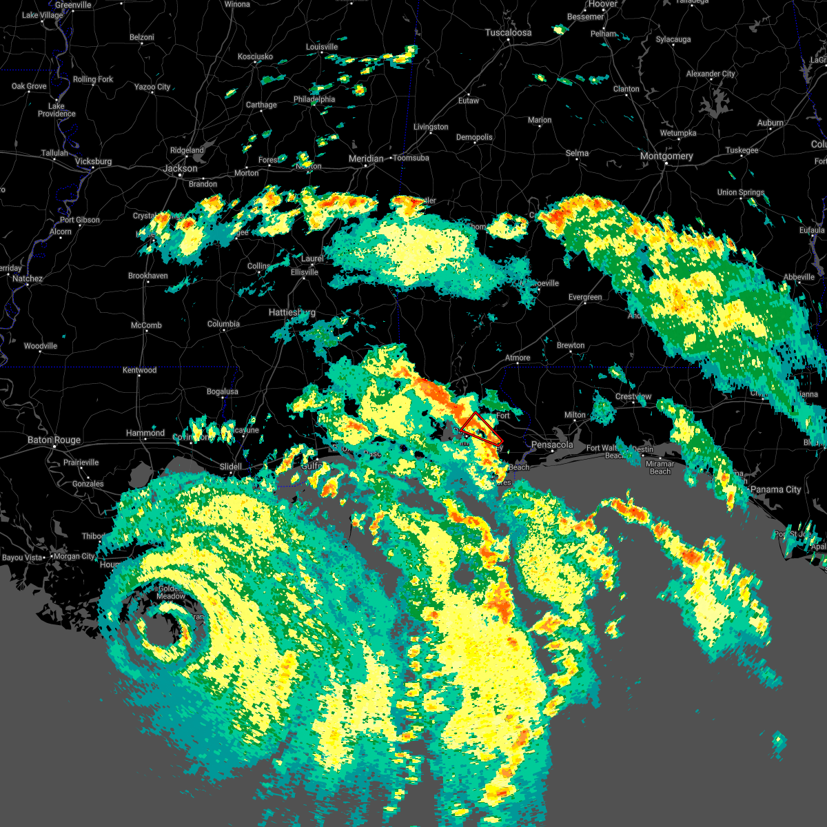 At 1251 pm cdt, a severe thunderstorm capable of producing a tornado was located over summerdale, or near robertsdale, moving northwest at 35 mph (radar indicated rotation). Hazards include tornado. Flying debris will be dangerous to those caught without shelter. mobile homes will be damaged or destroyed. damage to roofs, windows, and vehicles will occur. tree damage is likely. this dangerous storm will be near, robertsdale around 1255 pm cdt. silverhill around 100 pm cdt. loxley around 105 pm cdt. Daphne around 115 pm cdt. At 1251 pm cdt, a severe thunderstorm capable of producing a tornado was located over summerdale, or near robertsdale, moving northwest at 35 mph (radar indicated rotation). Hazards include tornado. Flying debris will be dangerous to those caught without shelter. mobile homes will be damaged or destroyed. damage to roofs, windows, and vehicles will occur. tree damage is likely. this dangerous storm will be near, robertsdale around 1255 pm cdt. silverhill around 100 pm cdt. loxley around 105 pm cdt. Daphne around 115 pm cdt.
|
| 8/29/2021 12:49 PM CDT |
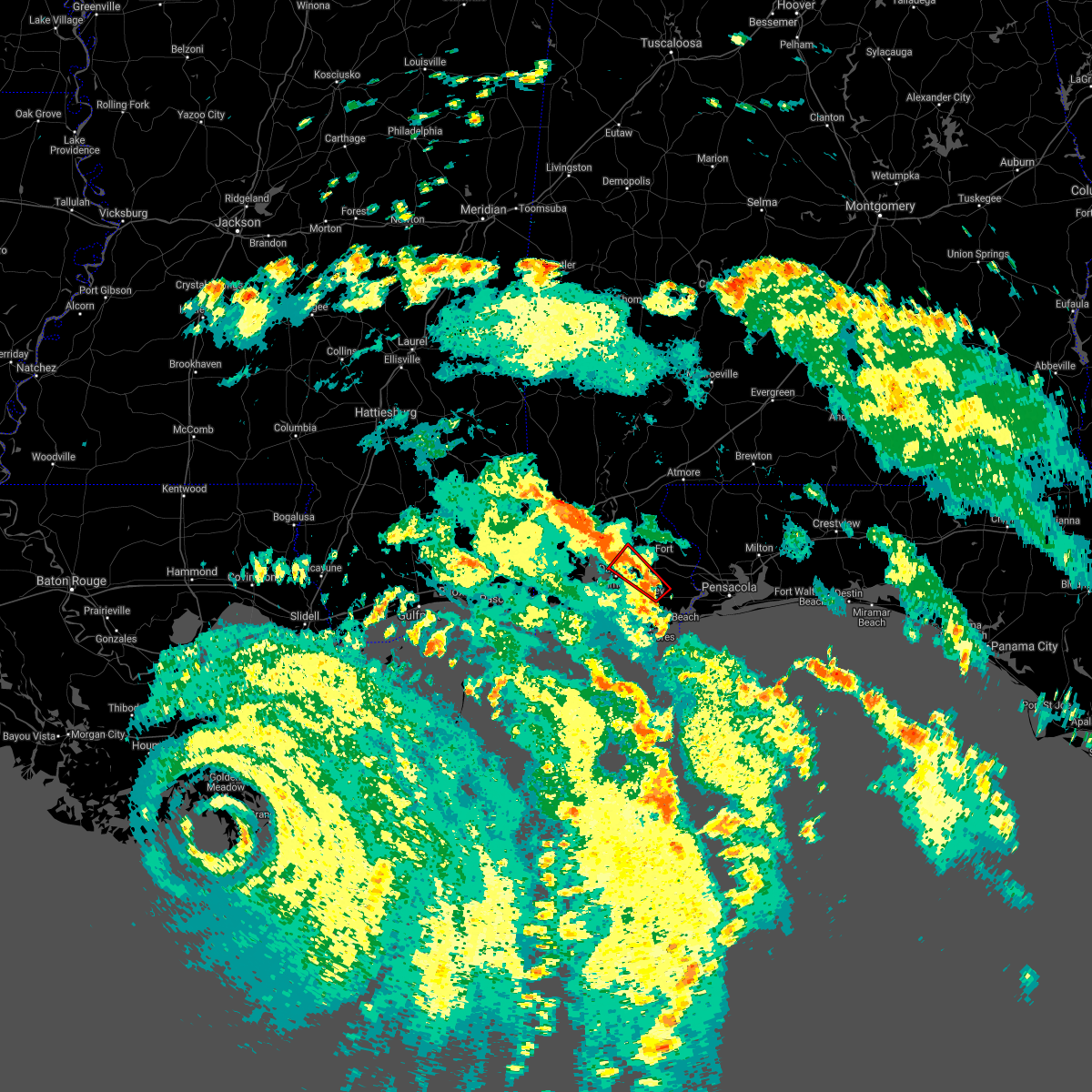 At 1248 pm cdt, a severe thunderstorm capable of producing a tornado was located over summerdale, or 5 miles north of foley, moving northwest at 25 mph (radar indicated rotation). Hazards include tornado. Flying debris will be dangerous to those caught without shelter. mobile homes will be damaged or destroyed. damage to roofs, windows, and vehicles will occur. tree damage is likely. this dangerous storm will be near, robertsdale around 100 pm cdt. silverhill around 105 pm cdt. loxley around 115 pm cdt. Daphne around 125 pm cdt. At 1248 pm cdt, a severe thunderstorm capable of producing a tornado was located over summerdale, or 5 miles north of foley, moving northwest at 25 mph (radar indicated rotation). Hazards include tornado. Flying debris will be dangerous to those caught without shelter. mobile homes will be damaged or destroyed. damage to roofs, windows, and vehicles will occur. tree damage is likely. this dangerous storm will be near, robertsdale around 100 pm cdt. silverhill around 105 pm cdt. loxley around 115 pm cdt. Daphne around 125 pm cdt.
|
| 8/29/2021 12:42 PM CDT |
 At 1241 pm cdt, a severe thunderstorm capable of producing a tornado was located over elberta, or near foley, moving northwest at 35 mph (radar indicated rotation). Hazards include tornado. Flying debris will be dangerous to those caught without shelter. mobile homes will be damaged or destroyed. damage to roofs, windows, and vehicles will occur. tree damage is likely. this dangerous storm will be near, summerdale around 1250 pm cdt. robertsdale and silverhill around 100 pm cdt. loxley around 110 pm cdt. Daphne around 115 pm cdt. At 1241 pm cdt, a severe thunderstorm capable of producing a tornado was located over elberta, or near foley, moving northwest at 35 mph (radar indicated rotation). Hazards include tornado. Flying debris will be dangerous to those caught without shelter. mobile homes will be damaged or destroyed. damage to roofs, windows, and vehicles will occur. tree damage is likely. this dangerous storm will be near, summerdale around 1250 pm cdt. robertsdale and silverhill around 100 pm cdt. loxley around 110 pm cdt. Daphne around 115 pm cdt.
|
| 8/29/2021 12:30 PM CDT |
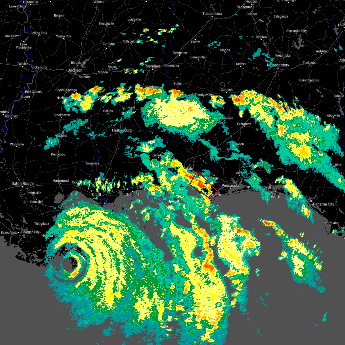 At 1230 pm cdt, a severe thunderstorm capable of producing a tornado was located 4 miles south of elberta, or 5 miles north of orange beach, moving northwest at 35 mph (radar indicated rotation). Hazards include tornado. Flying debris will be dangerous to those caught without shelter. mobile homes will be damaged or destroyed. damage to roofs, windows, and vehicles will occur. tree damage is likely. this dangerous storm will be near, elberta around 1235 pm cdt. foley around 1240 pm cdt. magnolia springs and summerdale around 1250 pm cdt. robertsdale and silverhill around 1255 pm cdt. point clear around 105 pm cdt. fairhope around 110 pm cdt. Daphne around 115 pm cdt. At 1230 pm cdt, a severe thunderstorm capable of producing a tornado was located 4 miles south of elberta, or 5 miles north of orange beach, moving northwest at 35 mph (radar indicated rotation). Hazards include tornado. Flying debris will be dangerous to those caught without shelter. mobile homes will be damaged or destroyed. damage to roofs, windows, and vehicles will occur. tree damage is likely. this dangerous storm will be near, elberta around 1235 pm cdt. foley around 1240 pm cdt. magnolia springs and summerdale around 1250 pm cdt. robertsdale and silverhill around 1255 pm cdt. point clear around 105 pm cdt. fairhope around 110 pm cdt. Daphne around 115 pm cdt.
|
| 8/28/2021 9:51 PM CDT |
 At 950 pm cdt, severe thunderstorms were located along a line extending from 18 miles south of pensacola beach to 9 miles south of orange beach to 19 miles south of gulf shores, moving northwest at 55 mph (radar indicated). Hazards include 60 mph wind gusts. expect damage to roofs, siding, and trees At 950 pm cdt, severe thunderstorms were located along a line extending from 18 miles south of pensacola beach to 9 miles south of orange beach to 19 miles south of gulf shores, moving northwest at 55 mph (radar indicated). Hazards include 60 mph wind gusts. expect damage to roofs, siding, and trees
|
| 8/28/2021 9:51 PM CDT |
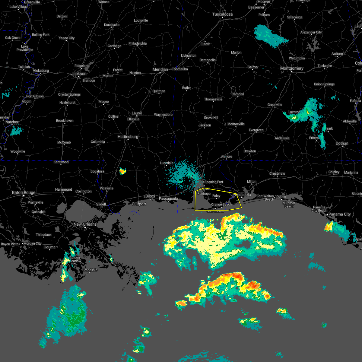 At 950 pm cdt, severe thunderstorms were located along a line extending from 18 miles south of pensacola beach to 9 miles south of orange beach to 19 miles south of gulf shores, moving northwest at 55 mph (radar indicated). Hazards include 60 mph wind gusts. expect damage to roofs, siding, and trees At 950 pm cdt, severe thunderstorms were located along a line extending from 18 miles south of pensacola beach to 9 miles south of orange beach to 19 miles south of gulf shores, moving northwest at 55 mph (radar indicated). Hazards include 60 mph wind gusts. expect damage to roofs, siding, and trees
|
| 7/29/2021 7:44 PM CDT |
 At 744 pm cdt, severe thunderstorms were located along a line extending from gonzalez to 3 miles west of ensley to near west pensacola, moving west at 15 mph (radar indicated). Hazards include 60 mph wind gusts. expect damage to roofs, siding, and trees At 744 pm cdt, severe thunderstorms were located along a line extending from gonzalez to 3 miles west of ensley to near west pensacola, moving west at 15 mph (radar indicated). Hazards include 60 mph wind gusts. expect damage to roofs, siding, and trees
|
| 7/23/2021 6:21 PM CDT |
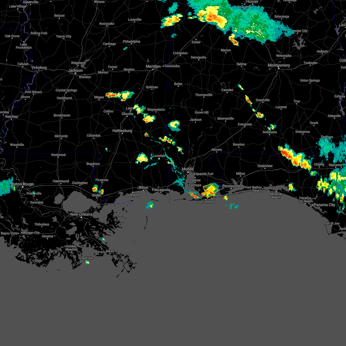 The severe thunderstorm warning for southeastern baldwin county will expire at 630 pm cdt, the storm which prompted the warning has weakened below severe limits, and no longer poses an immediate threat to life or property. therefore, the warning will be allowed to expire. The severe thunderstorm warning for southeastern baldwin county will expire at 630 pm cdt, the storm which prompted the warning has weakened below severe limits, and no longer poses an immediate threat to life or property. therefore, the warning will be allowed to expire.
|
| 7/23/2021 6:04 PM CDT |
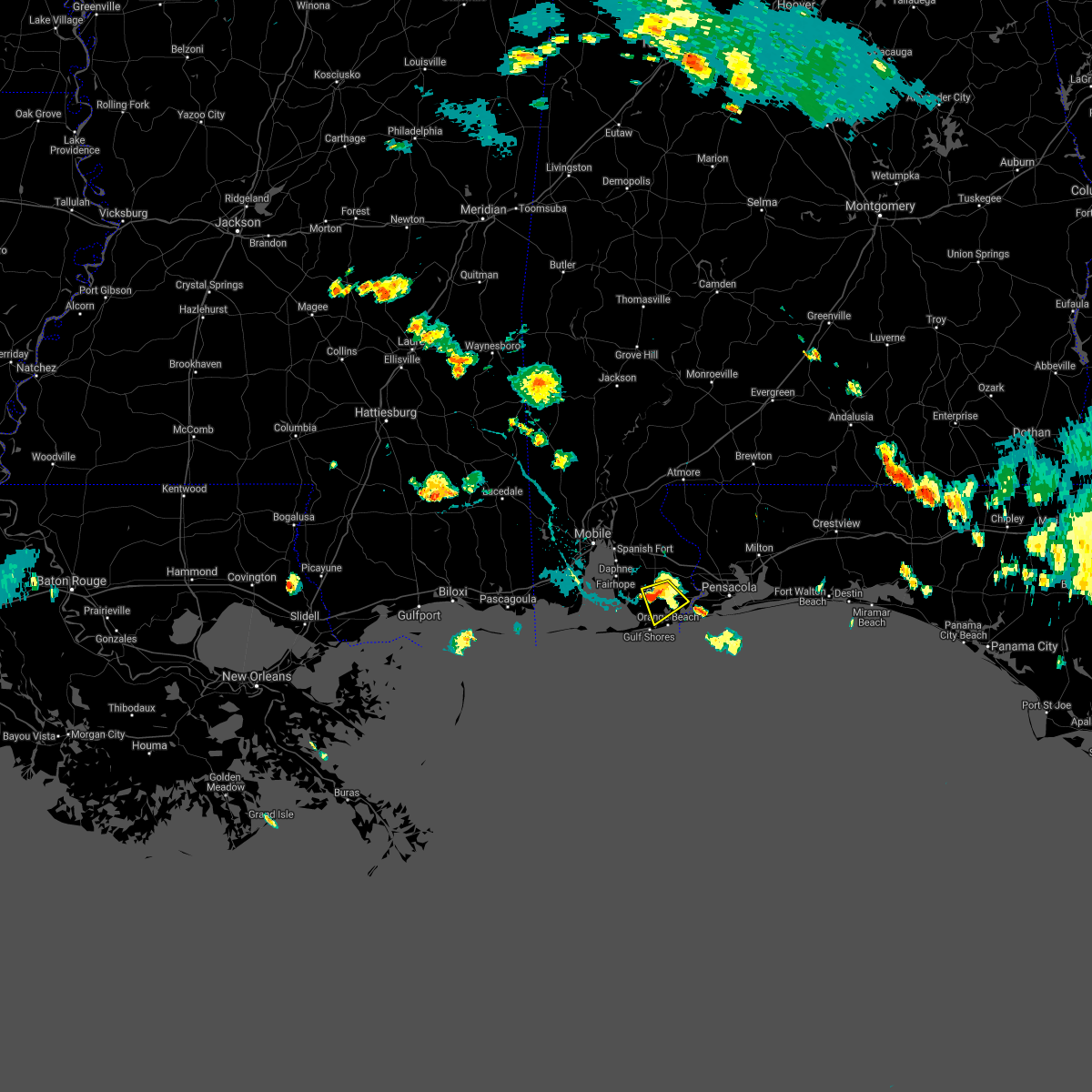 At 603 pm cdt, a severe thunderstorm was located near foley, moving southeast at 15 mph (radar indicated). Hazards include 60 mph wind gusts and nickel size hail. Expect damage to roofs, siding, and trees. Locations impacted include, foley and elberta. At 603 pm cdt, a severe thunderstorm was located near foley, moving southeast at 15 mph (radar indicated). Hazards include 60 mph wind gusts and nickel size hail. Expect damage to roofs, siding, and trees. Locations impacted include, foley and elberta.
|
| 7/23/2021 5:47 PM CDT |
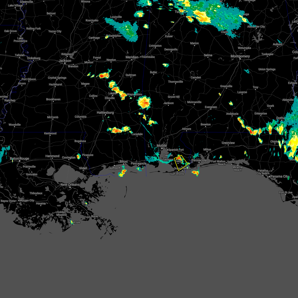 At 547 pm cdt, a severe thunderstorm was located over summerdale, or 5 miles southeast of robertsdale, moving southeast at 15 mph (radar indicated). Hazards include 60 mph wind gusts and penny size hail. expect damage to roofs, siding, and trees At 547 pm cdt, a severe thunderstorm was located over summerdale, or 5 miles southeast of robertsdale, moving southeast at 15 mph (radar indicated). Hazards include 60 mph wind gusts and penny size hail. expect damage to roofs, siding, and trees
|
| 6/19/2021 6:03 AM CDT |
 At 603 am cdt, a severe thunderstorm capable of producing a tornado was located over perdido beach, or 7 miles northeast of orange beach, moving north at 35 mph (radar indicated rotation). Hazards include tornado. Flying debris will be dangerous to those caught without shelter. mobile homes will be damaged or destroyed. damage to roofs, windows, and vehicles will occur. tree damage is likely. This tornadic thunderstorm will remain over mainly rural areas of southeastern baldwin county. At 603 am cdt, a severe thunderstorm capable of producing a tornado was located over perdido beach, or 7 miles northeast of orange beach, moving north at 35 mph (radar indicated rotation). Hazards include tornado. Flying debris will be dangerous to those caught without shelter. mobile homes will be damaged or destroyed. damage to roofs, windows, and vehicles will occur. tree damage is likely. This tornadic thunderstorm will remain over mainly rural areas of southeastern baldwin county.
|
| 6/19/2021 5:55 AM CDT |
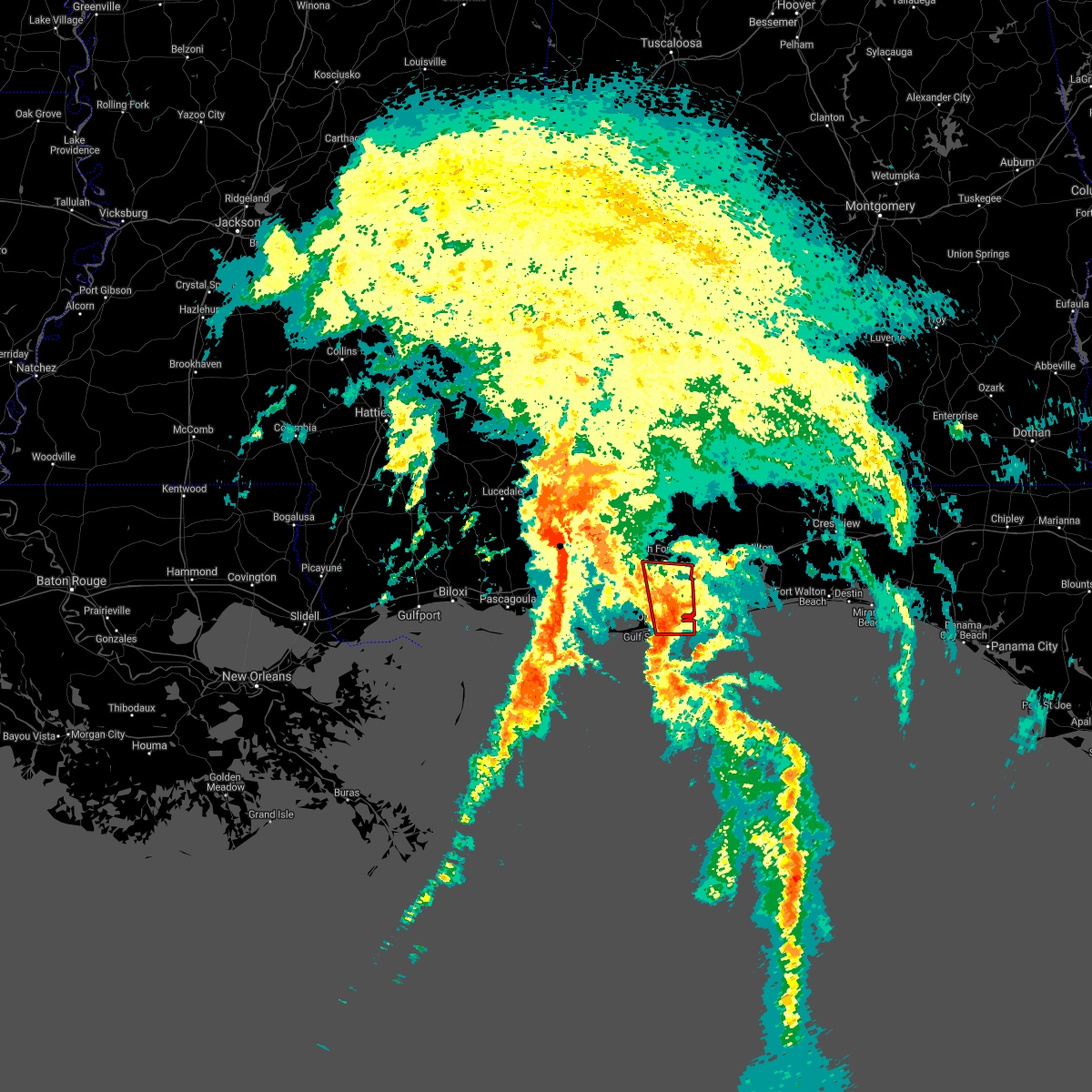 At 555 am cdt, a severe thunderstorm capable of producing a tornado was located over orange beach, moving north at 35 mph (radar indicated rotation). Hazards include tornado. Flying debris will be dangerous to those caught without shelter. mobile homes will be damaged or destroyed. damage to roofs, windows, and vehicles will occur. tree damage is likely. this dangerous storm will be near, perdido beach around 605 am cdt. lillian around 610 am cdt. Elberta around 615 am cdt. At 555 am cdt, a severe thunderstorm capable of producing a tornado was located over orange beach, moving north at 35 mph (radar indicated rotation). Hazards include tornado. Flying debris will be dangerous to those caught without shelter. mobile homes will be damaged or destroyed. damage to roofs, windows, and vehicles will occur. tree damage is likely. this dangerous storm will be near, perdido beach around 605 am cdt. lillian around 610 am cdt. Elberta around 615 am cdt.
|
| 6/15/2021 2:37 PM CDT |
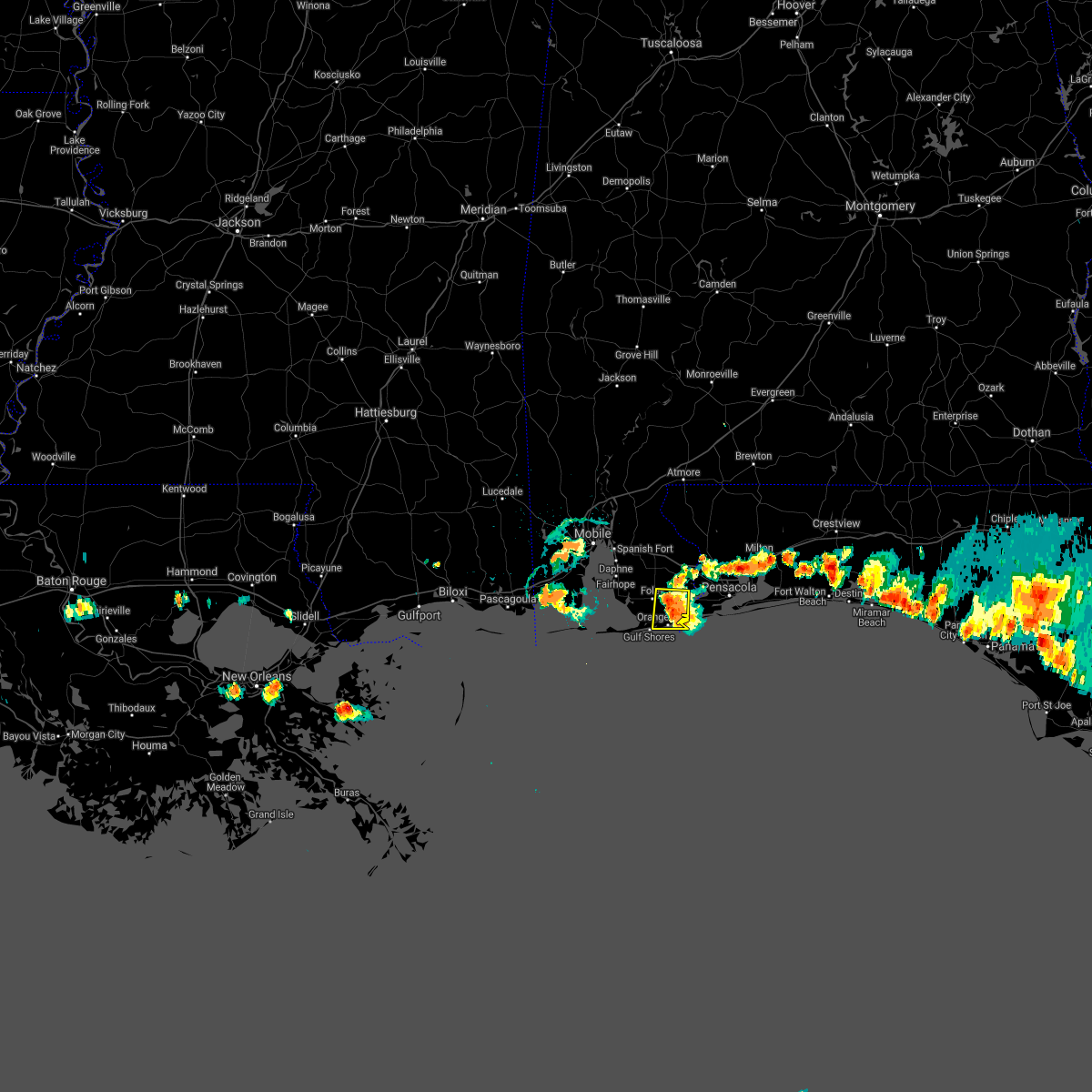 At 237 pm cdt, a severe thunderstorm was located over elberta, or 6 miles east of foley, and is nearly stationary (radar indicated). Hazards include 60 mph wind gusts and penny size hail. expect damage to roofs, siding, and trees At 237 pm cdt, a severe thunderstorm was located over elberta, or 6 miles east of foley, and is nearly stationary (radar indicated). Hazards include 60 mph wind gusts and penny size hail. expect damage to roofs, siding, and trees
|
| 4/24/2021 6:36 AM CDT |
 At 636 am cdt, severe thunderstorms were located along a line extending from 6 miles southeast of andalusia to 15 miles west of laurel hill to 12 miles northwest of baker to 5 miles northeast of robertsdale, moving east at 55 mph (radar indicated). Hazards include 60 mph wind gusts. Expect damage to roofs, siding, and trees. Locations impacted include, midtown mobile, downtown mobile, prichard, ferry pass, brent, ensley, daphne, crestview, fairhope, gonzalez, bay minette, pace, milton, chickasaw, spanish fort, robertsdale, bagdad, loxley, baker and stapleton. At 636 am cdt, severe thunderstorms were located along a line extending from 6 miles southeast of andalusia to 15 miles west of laurel hill to 12 miles northwest of baker to 5 miles northeast of robertsdale, moving east at 55 mph (radar indicated). Hazards include 60 mph wind gusts. Expect damage to roofs, siding, and trees. Locations impacted include, midtown mobile, downtown mobile, prichard, ferry pass, brent, ensley, daphne, crestview, fairhope, gonzalez, bay minette, pace, milton, chickasaw, spanish fort, robertsdale, bagdad, loxley, baker and stapleton.
|
| 4/24/2021 6:05 AM CDT |
 At 602 am cdt, severe thunderstorms were located along a line extending from 8 miles southeast of castleberry to pollard to 8 miles southeast of bratt to tillmans corner, moving east at 55 mph. mobile 911 call center reports structural damage and intense winds. radar also showing winds near 80 mph a few hundred feet off the surface. these are very dangerous storms (law enforcement). Hazards include 80 mph wind gusts. Flying debris will be dangerous to those caught without shelter. mobile homes will be heavily damaged. expect considerable damage to roofs, windows, and vehicles. extensive tree damage and power outages are likely. Locations impacted include, midtown mobile, downtown mobile, prichard, ferry pass, brent, west pensacola, ensley, daphne, tillmans corner, crestview, fairhope, saraland, gonzalez, gulf shores, bay minette, foley, pace, milton, theodore and chickasaw. At 602 am cdt, severe thunderstorms were located along a line extending from 8 miles southeast of castleberry to pollard to 8 miles southeast of bratt to tillmans corner, moving east at 55 mph. mobile 911 call center reports structural damage and intense winds. radar also showing winds near 80 mph a few hundred feet off the surface. these are very dangerous storms (law enforcement). Hazards include 80 mph wind gusts. Flying debris will be dangerous to those caught without shelter. mobile homes will be heavily damaged. expect considerable damage to roofs, windows, and vehicles. extensive tree damage and power outages are likely. Locations impacted include, midtown mobile, downtown mobile, prichard, ferry pass, brent, west pensacola, ensley, daphne, tillmans corner, crestview, fairhope, saraland, gonzalez, gulf shores, bay minette, foley, pace, milton, theodore and chickasaw.
|
| 4/24/2021 5:57 AM CDT |
 At 556 am cdt, severe thunderstorms were located along a line extending from 5 miles southeast of castleberry to flomaton to 7 miles south of bratt to near tillmans corner, moving east at 55 mph (radar indicated). Hazards include 70 mph wind gusts. Expect considerable tree damage. Damage is likely to mobile homes, roofs, and outbuildings. At 556 am cdt, severe thunderstorms were located along a line extending from 5 miles southeast of castleberry to flomaton to 7 miles south of bratt to near tillmans corner, moving east at 55 mph (radar indicated). Hazards include 70 mph wind gusts. Expect considerable tree damage. Damage is likely to mobile homes, roofs, and outbuildings.
|
| 4/15/2021 8:04 AM CDT |
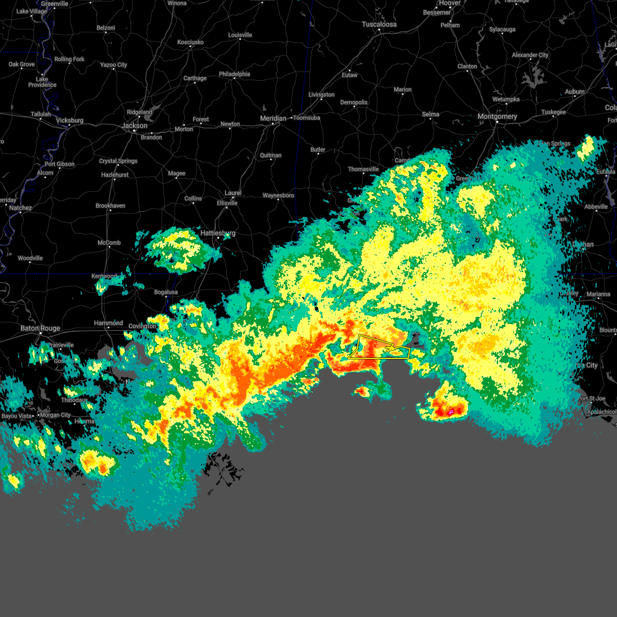 At 804 am cdt, severe thunderstorms were located along a line extending from near foley to gulf shores to 11 miles south of bon secour, moving southeast at 45 mph (radar indicated). Hazards include 60 mph wind gusts and quarter size hail. Hail damage to vehicles is expected. expect wind damage to roofs, siding, and trees. Locations impacted include, gulf shores, foley, orange beach, magnolia springs, bon secour and perdido beach. At 804 am cdt, severe thunderstorms were located along a line extending from near foley to gulf shores to 11 miles south of bon secour, moving southeast at 45 mph (radar indicated). Hazards include 60 mph wind gusts and quarter size hail. Hail damage to vehicles is expected. expect wind damage to roofs, siding, and trees. Locations impacted include, gulf shores, foley, orange beach, magnolia springs, bon secour and perdido beach.
|
| 4/15/2021 7:56 AM CDT | Quarter sized hail reported 3.6 miles E of Foley, AL, report of quarter-size hail in southwest foley. time and location given from location given by local police. |
| 4/15/2021 7:45 AM CDT |
 At 745 am cdt, severe thunderstorms were located along a line extending from 5 miles east of point clear to 6 miles southwest of magnolia springs to 4 miles northeast of fort morgan, moving east at 35 mph (radar indicated). Hazards include 60 mph wind gusts and quarter size hail. Hail damage to vehicles is expected. Expect wind damage to roofs, siding, and trees. At 745 am cdt, severe thunderstorms were located along a line extending from 5 miles east of point clear to 6 miles southwest of magnolia springs to 4 miles northeast of fort morgan, moving east at 35 mph (radar indicated). Hazards include 60 mph wind gusts and quarter size hail. Hail damage to vehicles is expected. Expect wind damage to roofs, siding, and trees.
|
| 4/10/2021 6:52 AM CDT |
 At 652 am cdt, severe thunderstorms were located along a line extending from 10 miles southwest of molino to 9 miles southwest of gulf shores, moving east at 50 mph (radar indicated). Hazards include 60 mph wind gusts and quarter size hail. Hail damage to vehicles is expected. Expect wind damage to roofs, siding, and trees. At 652 am cdt, severe thunderstorms were located along a line extending from 10 miles southwest of molino to 9 miles southwest of gulf shores, moving east at 50 mph (radar indicated). Hazards include 60 mph wind gusts and quarter size hail. Hail damage to vehicles is expected. Expect wind damage to roofs, siding, and trees.
|
| 4/10/2021 6:49 AM CDT |
 A severe thunderstorm warning remains in effect until 700 am cdt for southern baldwin and south central escambia counties. at 648 am cdt, severe thunderstorms were located along a line extending from near foley to 27 miles south of dauphin island, moving southeast at 50 mph. hazard. 60 mph wind gusts. A severe thunderstorm warning remains in effect until 700 am cdt for southern baldwin and south central escambia counties. at 648 am cdt, severe thunderstorms were located along a line extending from near foley to 27 miles south of dauphin island, moving southeast at 50 mph. hazard. 60 mph wind gusts.
|
| 4/10/2021 6:49 AM CDT |
 At 648 am cdt, severe thunderstorms were located along a line extending from near foley to 27 miles south of dauphin island, moving southeast at 50 mph (radar indicated). Hazards include 60 mph wind gusts. Expect damage to roofs, siding, and trees. Locations impacted include, gulf shores, foley, orange beach, robertsdale, loxley, lillian, magnolia springs, bon secour, summerdale, silverhill, perdido beach, elberta and fort morgan. At 648 am cdt, severe thunderstorms were located along a line extending from near foley to 27 miles south of dauphin island, moving southeast at 50 mph (radar indicated). Hazards include 60 mph wind gusts. Expect damage to roofs, siding, and trees. Locations impacted include, gulf shores, foley, orange beach, robertsdale, loxley, lillian, magnolia springs, bon secour, summerdale, silverhill, perdido beach, elberta and fort morgan.
|
| 4/10/2021 6:30 AM CDT |
 At 630 am cdt, severe thunderstorms were located along a line extending from 3 miles west of loxley to 14 miles southeast of petit bois island, moving southeast at 50 mph (radar indicated). Hazards include 60 mph wind gusts. Expect damage to roofs, siding, and trees. Locations impacted include, daphne, fairhope, gulf shores, foley, orange beach, spanish fort, robertsdale, bayou la batre, point clear, dauphin island, loxley, lillian, magnolia springs, stapleton, bon secour, summerdale, silverhill, perdido beach, elberta and coden. At 630 am cdt, severe thunderstorms were located along a line extending from 3 miles west of loxley to 14 miles southeast of petit bois island, moving southeast at 50 mph (radar indicated). Hazards include 60 mph wind gusts. Expect damage to roofs, siding, and trees. Locations impacted include, daphne, fairhope, gulf shores, foley, orange beach, spanish fort, robertsdale, bayou la batre, point clear, dauphin island, loxley, lillian, magnolia springs, stapleton, bon secour, summerdale, silverhill, perdido beach, elberta and coden.
|
| 4/10/2021 6:20 AM CDT |
 At 620 am cdt, severe thunderstorms were located along a line extending from near spanish fort to 7 miles southeast of petit bois island, moving southeast at 50 mph (radar indicated). Hazards include 60 mph wind gusts. expect damage to roofs, siding, and trees At 620 am cdt, severe thunderstorms were located along a line extending from near spanish fort to 7 miles southeast of petit bois island, moving southeast at 50 mph (radar indicated). Hazards include 60 mph wind gusts. expect damage to roofs, siding, and trees
|
| 4/10/2021 6:20 AM CDT |
 The national weather service in mobile has issued a * severe thunderstorm warning for. southwestern mobile county in southwestern alabama. southern baldwin county in southwestern alabama. south central escambia county in northwestern florida. Until 700 am cdt. The national weather service in mobile has issued a * severe thunderstorm warning for. southwestern mobile county in southwestern alabama. southern baldwin county in southwestern alabama. south central escambia county in northwestern florida. Until 700 am cdt.
|
| 4/10/2021 5:44 AM CDT |
 At 543 am cdt, severe thunderstorms were located along a line extending from 8 miles northwest of laurel hill to 8 miles north of navarre to 7 miles south of gulf shores, moving east at 45 mph (radar indicated). Hazards include 60 mph wind gusts and penny size hail. expect damage to roofs, siding, and trees At 543 am cdt, severe thunderstorms were located along a line extending from 8 miles northwest of laurel hill to 8 miles north of navarre to 7 miles south of gulf shores, moving east at 45 mph (radar indicated). Hazards include 60 mph wind gusts and penny size hail. expect damage to roofs, siding, and trees
|
| 4/10/2021 4:53 AM CDT |
 At 452 am cdt, severe thunderstorms were located along a line extending from near pollard to 4 miles north of molino to 7 miles west of bon secour to 13 miles southeast of petit bois island, moving east at 60 mph (radar indicated). Hazards include 60 mph wind gusts and penny size hail. expect damage to roofs, siding, and trees At 452 am cdt, severe thunderstorms were located along a line extending from near pollard to 4 miles north of molino to 7 miles west of bon secour to 13 miles southeast of petit bois island, moving east at 60 mph (radar indicated). Hazards include 60 mph wind gusts and penny size hail. expect damage to roofs, siding, and trees
|
| 4/10/2021 3:53 AM CDT |
 At 353 am cdt, severe thunderstorms were located along a line extending from 7 miles southwest of belknap to flomaton to midtown mobile to 4 miles northeast of gulf park estates, moving east at 40 mph (radar indicated). Hazards include 60 mph wind gusts and quarter size hail. Hail damage to vehicles is expected. Expect wind damage to roofs, siding, and trees. At 353 am cdt, severe thunderstorms were located along a line extending from 7 miles southwest of belknap to flomaton to midtown mobile to 4 miles northeast of gulf park estates, moving east at 40 mph (radar indicated). Hazards include 60 mph wind gusts and quarter size hail. Hail damage to vehicles is expected. Expect wind damage to roofs, siding, and trees.
|
| 4/10/2021 3:34 AM CDT |
 At 334 am cdt, a severe thunderstorm was located 4 miles east of elberta, or 9 miles east of foley, moving northeast at 35 mph (radar indicated). Hazards include tennis ball size hail and 60 mph wind gusts. People and animals outdoors will be injured. expect hail damage to roofs, siding, windows, and vehicles. expect wind damage to roofs, siding, and trees. Locations impacted include, gonzalez, lillian, perdido beach and elberta. At 334 am cdt, a severe thunderstorm was located 4 miles east of elberta, or 9 miles east of foley, moving northeast at 35 mph (radar indicated). Hazards include tennis ball size hail and 60 mph wind gusts. People and animals outdoors will be injured. expect hail damage to roofs, siding, windows, and vehicles. expect wind damage to roofs, siding, and trees. Locations impacted include, gonzalez, lillian, perdido beach and elberta.
|
| 4/10/2021 3:34 AM CDT |
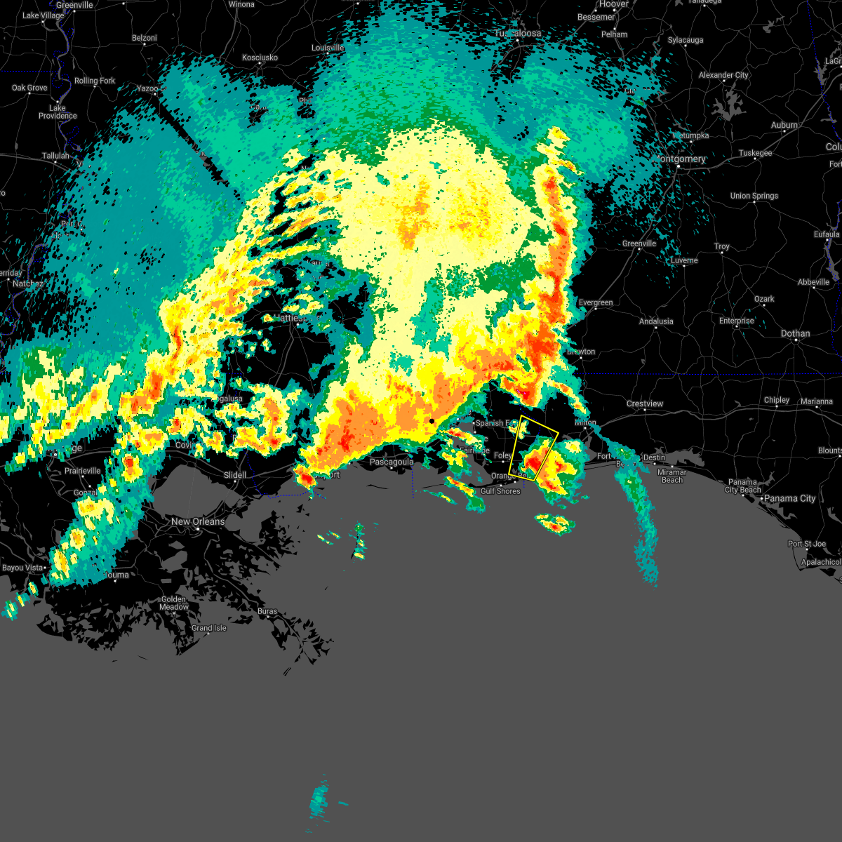 At 334 am cdt, a severe thunderstorm was located 4 miles east of elberta, or 9 miles east of foley, moving northeast at 35 mph (radar indicated). Hazards include tennis ball size hail and 60 mph wind gusts. People and animals outdoors will be injured. expect hail damage to roofs, siding, windows, and vehicles. expect wind damage to roofs, siding, and trees. Locations impacted include, gonzalez, lillian, perdido beach and elberta. At 334 am cdt, a severe thunderstorm was located 4 miles east of elberta, or 9 miles east of foley, moving northeast at 35 mph (radar indicated). Hazards include tennis ball size hail and 60 mph wind gusts. People and animals outdoors will be injured. expect hail damage to roofs, siding, windows, and vehicles. expect wind damage to roofs, siding, and trees. Locations impacted include, gonzalez, lillian, perdido beach and elberta.
|
| 4/10/2021 3:06 AM CDT |
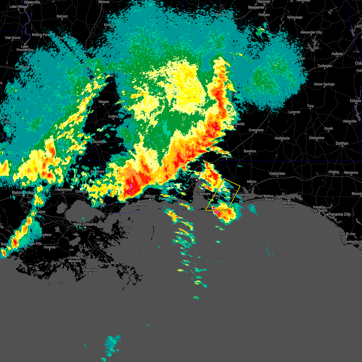 At 306 am cdt, a severe thunderstorm was located over gulf shores, moving northeast at 40 mph (radar indicated). Hazards include two inch hail and 60 mph wind gusts. People and animals outdoors will be injured. expect hail damage to roofs, siding, windows, and vehicles. expect wind damage to roofs, siding, and trees. Locations impacted include, gonzalez, gulf shores, foley, orange beach, lillian, bon secour, perdido beach and elberta. At 306 am cdt, a severe thunderstorm was located over gulf shores, moving northeast at 40 mph (radar indicated). Hazards include two inch hail and 60 mph wind gusts. People and animals outdoors will be injured. expect hail damage to roofs, siding, windows, and vehicles. expect wind damage to roofs, siding, and trees. Locations impacted include, gonzalez, gulf shores, foley, orange beach, lillian, bon secour, perdido beach and elberta.
|
| 4/10/2021 2:50 AM CDT |
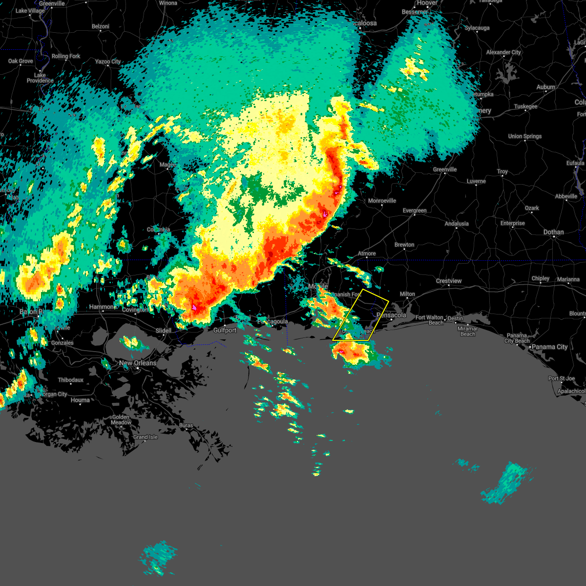 At 249 am cdt, a severe thunderstorm was located 10 miles southwest of gulf shores, moving northeast at 35 mph (radar indicated). Hazards include 60 mph wind gusts and quarter size hail. Hail damage to vehicles is expected. Expect wind damage to roofs, siding, and trees. At 249 am cdt, a severe thunderstorm was located 10 miles southwest of gulf shores, moving northeast at 35 mph (radar indicated). Hazards include 60 mph wind gusts and quarter size hail. Hail damage to vehicles is expected. Expect wind damage to roofs, siding, and trees.
|
| 3/23/2021 3:52 PM CDT |
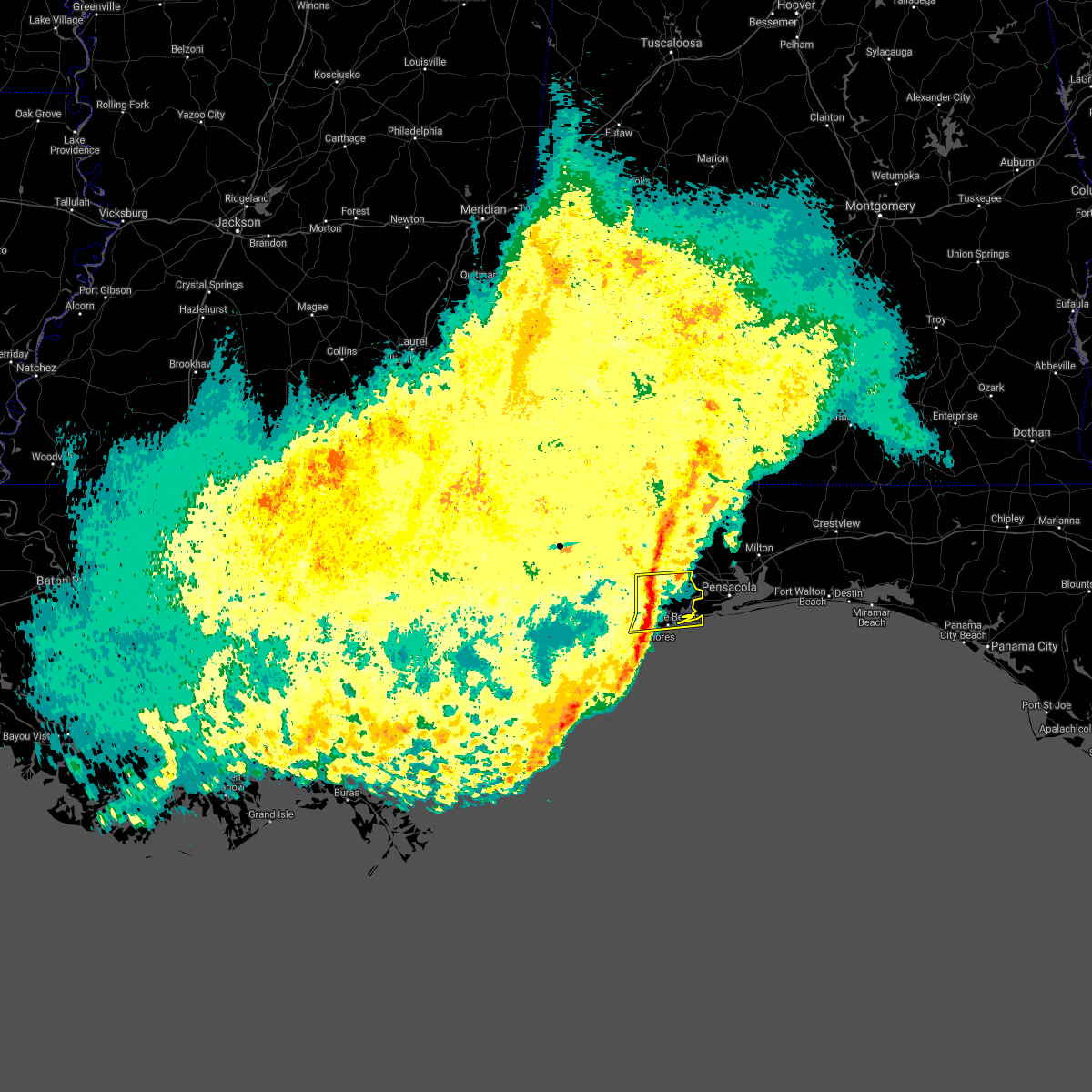 At 351 pm cdt, severe thunderstorms were located along a line extending from robertsdale to 3 miles north of bon secour to 4 miles west of gulf shores, moving northeast at 40 mph (radar indicated). Hazards include 60 mph wind gusts. Expect damage to roofs, siding, and trees. Locations impacted include, gulf shores, foley, orange beach, lillian, magnolia springs, bon secour, summerdale, perdido beach and elberta. At 351 pm cdt, severe thunderstorms were located along a line extending from robertsdale to 3 miles north of bon secour to 4 miles west of gulf shores, moving northeast at 40 mph (radar indicated). Hazards include 60 mph wind gusts. Expect damage to roofs, siding, and trees. Locations impacted include, gulf shores, foley, orange beach, lillian, magnolia springs, bon secour, summerdale, perdido beach and elberta.
|
| 3/23/2021 3:35 PM CDT |
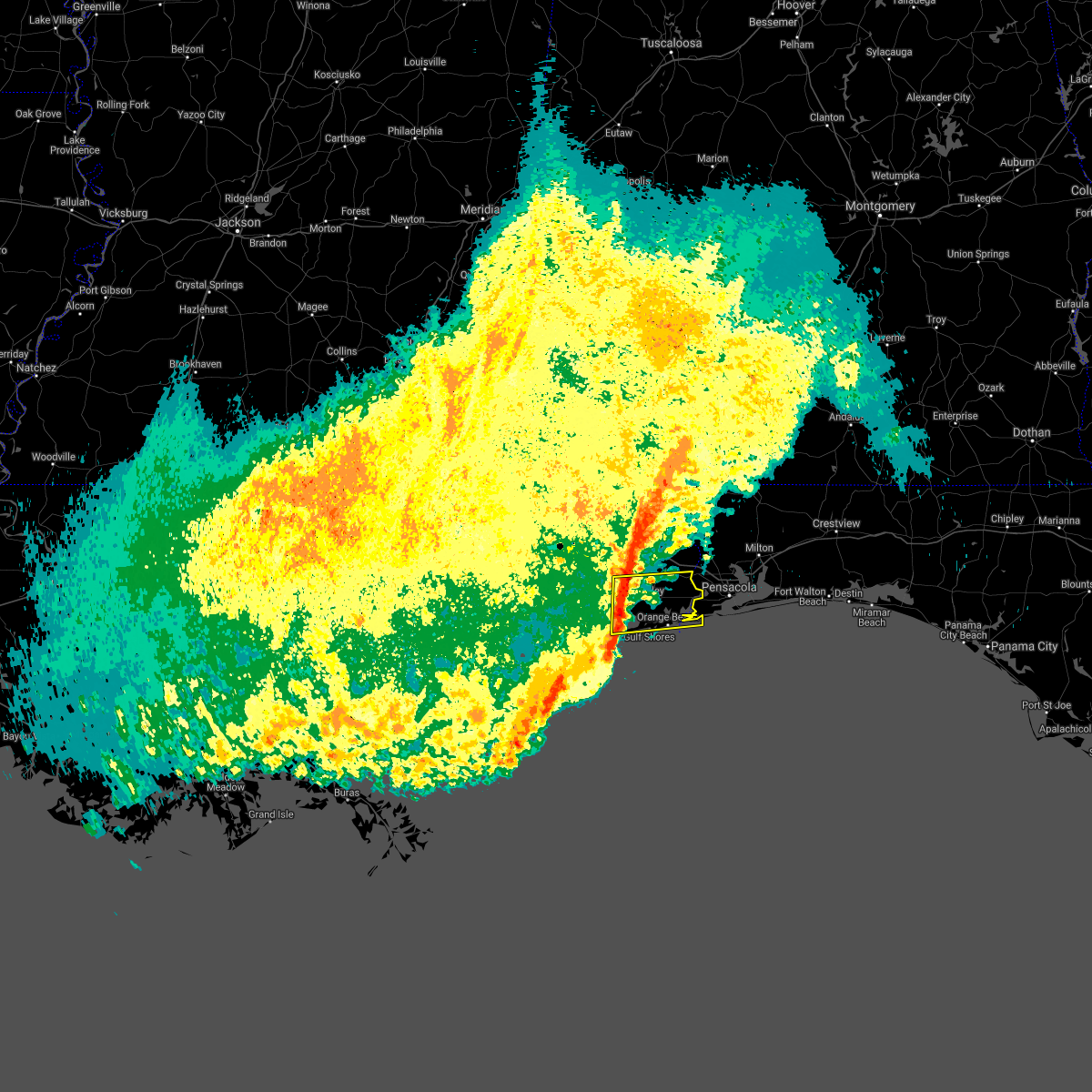 At 334 pm cdt, severe thunderstorms were located along a line extending from 5 miles southwest of silverhill to 7 miles west of bon secour to 6 miles southeast of fort morgan, moving east at 30 mph (radar indicated). Hazards include 60 mph wind gusts. expect damage to roofs, siding, and trees At 334 pm cdt, severe thunderstorms were located along a line extending from 5 miles southwest of silverhill to 7 miles west of bon secour to 6 miles southeast of fort morgan, moving east at 30 mph (radar indicated). Hazards include 60 mph wind gusts. expect damage to roofs, siding, and trees
|
| 3/18/2021 12:32 AM CDT |
 At 1232 am cdt, severe thunderstorms were located along a line extending from 6 miles southwest of point clear to 7 miles east of alabama port to near fort morgan, moving northeast at 55 mph (radar indicated). Hazards include 60 mph wind gusts. expect damage to roofs, siding, and trees At 1232 am cdt, severe thunderstorms were located along a line extending from 6 miles southwest of point clear to 7 miles east of alabama port to near fort morgan, moving northeast at 55 mph (radar indicated). Hazards include 60 mph wind gusts. expect damage to roofs, siding, and trees
|
| 11/29/2020 3:24 PM CST |
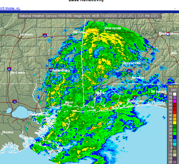 At 324 pm cst, a severe thunderstorm capable of producing a tornado was located 4 miles east of bon secour, or 4 miles northeast of gulf shores, moving northeast at 35 mph (radar indicated rotation). Hazards include tornado. Flying debris will be dangerous to those caught without shelter. mobile homes will be damaged or destroyed. damage to roofs, windows, and vehicles will occur. tree damage is likely. this dangerous storm will be near, elberta around 335 pm cst. Lillian around 350 pm cst. At 324 pm cst, a severe thunderstorm capable of producing a tornado was located 4 miles east of bon secour, or 4 miles northeast of gulf shores, moving northeast at 35 mph (radar indicated rotation). Hazards include tornado. Flying debris will be dangerous to those caught without shelter. mobile homes will be damaged or destroyed. damage to roofs, windows, and vehicles will occur. tree damage is likely. this dangerous storm will be near, elberta around 335 pm cst. Lillian around 350 pm cst.
|
| 9/16/2020 7:17 AM CDT | An estimated 1 foot of flooding and multiple trees down at a home in foley... al. reported through social medi in baldwin county AL, 2.1 miles SE of Foley, AL |
| 9/16/2020 7:01 AM CDT | Several trees down in neighborhood of magnolia springs... al. reported through social medi in baldwin county AL, 7.3 miles E of Foley, AL |
| 7/12/2020 9:19 PM CDT |
 At 919 pm cdt, a cluster of severe thunderstorms was located 10 miles northwest of lillian, or 12 miles east of robertsdale, moving southeast at 25 mph (radar indicated). Hazards include 60 mph wind gusts. Expect damage to roofs, siding, and trees. Locations impacted include, pensacola, brent, west pensacola, ensley, warrington, gonzalez, goulding, lillian, myrtle grove and perdido beach. At 919 pm cdt, a cluster of severe thunderstorms was located 10 miles northwest of lillian, or 12 miles east of robertsdale, moving southeast at 25 mph (radar indicated). Hazards include 60 mph wind gusts. Expect damage to roofs, siding, and trees. Locations impacted include, pensacola, brent, west pensacola, ensley, warrington, gonzalez, goulding, lillian, myrtle grove and perdido beach.
|
| 7/12/2020 9:03 PM CDT |
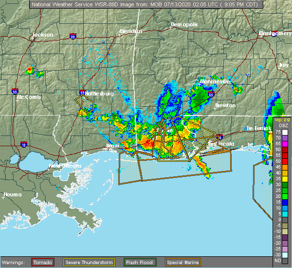 At 902 pm cdt, a cluster of severe thunderstorms was located near orange beach, moving southeast at 45 mph (radar indicated). Hazards include 60 mph wind gusts. Expect damage to roofs, siding, and trees. Locations impacted include, daphne, fairhope, gulf shores, foley, orange beach, spanish fort, robertsdale, point clear, loxley, magnolia springs, bon secour, summerdale, silverhill, elberta and fort morgan. At 902 pm cdt, a cluster of severe thunderstorms was located near orange beach, moving southeast at 45 mph (radar indicated). Hazards include 60 mph wind gusts. Expect damage to roofs, siding, and trees. Locations impacted include, daphne, fairhope, gulf shores, foley, orange beach, spanish fort, robertsdale, point clear, loxley, magnolia springs, bon secour, summerdale, silverhill, elberta and fort morgan.
|
| 7/12/2020 9:01 PM CDT |
 At 900 pm cdt, a cluster of severe thunderstorms was located 5 miles northeast of robertsdale, moving southeast at 25 mph (radar indicated). Hazards include 60 mph wind gusts. expect damage to roofs, siding, and trees At 900 pm cdt, a cluster of severe thunderstorms was located 5 miles northeast of robertsdale, moving southeast at 25 mph (radar indicated). Hazards include 60 mph wind gusts. expect damage to roofs, siding, and trees
|
| 7/12/2020 9:01 PM CDT |
 The national weather service in mobile has issued a * severe thunderstorm warning for. southeastern baldwin county in southwestern alabama. south central escambia county in northwestern florida. until 945 pm cdt. At 900 pm cdt, a cluster of severe thunderstorms was located 5. The national weather service in mobile has issued a * severe thunderstorm warning for. southeastern baldwin county in southwestern alabama. south central escambia county in northwestern florida. until 945 pm cdt. At 900 pm cdt, a cluster of severe thunderstorms was located 5.
|
| 7/12/2020 8:39 PM CDT |
 The national weather service in mobile has issued a * severe thunderstorm warning for. southwestern baldwin county in southwestern alabama. until 930 pm cdt. At 838 pm cdt, a cluster of severe thunderstorms was located near silverhill, or 5 miles southwest of robertsdale, moving southeast. The national weather service in mobile has issued a * severe thunderstorm warning for. southwestern baldwin county in southwestern alabama. until 930 pm cdt. At 838 pm cdt, a cluster of severe thunderstorms was located near silverhill, or 5 miles southwest of robertsdale, moving southeast.
|
| 7/12/2020 8:14 PM CDT |
 At 813 pm cdt, a cluster of severe thunderstorms was located near bay minette, moving southeast at 35 mph (radar indicated). Hazards include 60 mph wind gusts. expect damage to roofs, siding, and trees At 813 pm cdt, a cluster of severe thunderstorms was located near bay minette, moving southeast at 35 mph (radar indicated). Hazards include 60 mph wind gusts. expect damage to roofs, siding, and trees
|
| 7/12/2020 8:10 PM CDT |
 At 809 pm cdt, a severe thunderstorm was located near i10 and i65, or near downtown mobile, moving south at 35 mph (radar indicated). Hazards include 60 mph wind gusts and penny size hail. Expect damage to roofs, siding, and trees. Locations impacted include, midtown mobile, downtown mobile, prichard, daphne, tillmans corner, fairhope, saraland, gulf shores, foley, theodore, chickasaw, satsuma, orange beach, spanish fort, grand bay, robertsdale, bayou la batre, creola, point clear and dauphin island. At 809 pm cdt, a severe thunderstorm was located near i10 and i65, or near downtown mobile, moving south at 35 mph (radar indicated). Hazards include 60 mph wind gusts and penny size hail. Expect damage to roofs, siding, and trees. Locations impacted include, midtown mobile, downtown mobile, prichard, daphne, tillmans corner, fairhope, saraland, gulf shores, foley, theodore, chickasaw, satsuma, orange beach, spanish fort, grand bay, robertsdale, bayou la batre, creola, point clear and dauphin island.
|
| 7/12/2020 7:33 PM CDT |
 At 733 pm cdt, a cluster of severe thunderstorms was located over chunchula, or 7 miles northwest of creola, moving south at 35 mph (radar indicated). Hazards include 60 mph wind gusts and penny size hail. expect damage to roofs, siding, and trees At 733 pm cdt, a cluster of severe thunderstorms was located over chunchula, or 7 miles northwest of creola, moving south at 35 mph (radar indicated). Hazards include 60 mph wind gusts and penny size hail. expect damage to roofs, siding, and trees
|
| 7/1/2020 4:27 PM CDT |
 At 426 pm cdt, a severe thunderstorm was located over fairhope, moving south at 30 mph (radar indicated). Hazards include 60 mph wind gusts. expect damage to roofs, siding, and trees At 426 pm cdt, a severe thunderstorm was located over fairhope, moving south at 30 mph (radar indicated). Hazards include 60 mph wind gusts. expect damage to roofs, siding, and trees
|
| 6/24/2020 2:56 PM CDT |
 At 256 pm cdt, severe thunderstorms were located along a line extending from 6 miles west of i65 and al 113 to 12 miles south of gulf shores, moving east at 35 mph (radar indicated). Hazards include 60 mph wind gusts. expect damage to roofs, siding, and trees At 256 pm cdt, severe thunderstorms were located along a line extending from 6 miles west of i65 and al 113 to 12 miles south of gulf shores, moving east at 35 mph (radar indicated). Hazards include 60 mph wind gusts. expect damage to roofs, siding, and trees
|
| 6/24/2020 2:46 PM CDT |
 At 245 pm cdt, severe thunderstorms were located along a line extending from near mccullough to 8 miles east of loxley to 14 miles southeast of fort morgan, moving east at 45 mph (radar indicated). Hazards include 60 mph wind gusts. Expect damage to roofs, siding, and trees. Locations impacted include, gulf shores, bay minette, atmore, foley, orange beach, robertsdale, loxley, lillian, mccullough, magnolia springs, stapleton, bon secour, summerdale, silverhill, perdido beach, elberta, bratt, i65 and cr 1, i65 and al 21 and poarch creek reservation. At 245 pm cdt, severe thunderstorms were located along a line extending from near mccullough to 8 miles east of loxley to 14 miles southeast of fort morgan, moving east at 45 mph (radar indicated). Hazards include 60 mph wind gusts. Expect damage to roofs, siding, and trees. Locations impacted include, gulf shores, bay minette, atmore, foley, orange beach, robertsdale, loxley, lillian, mccullough, magnolia springs, stapleton, bon secour, summerdale, silverhill, perdido beach, elberta, bratt, i65 and cr 1, i65 and al 21 and poarch creek reservation.
|
| 6/24/2020 2:46 PM CDT |
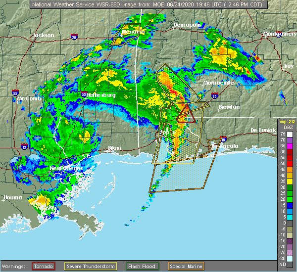 At 245 pm cdt, severe thunderstorms were located along a line extending from near mccullough to 8 miles east of loxley to 14 miles southeast of fort morgan, moving east at 45 mph (radar indicated). Hazards include 60 mph wind gusts. Expect damage to roofs, siding, and trees. Locations impacted include, gulf shores, bay minette, atmore, foley, orange beach, robertsdale, loxley, lillian, mccullough, magnolia springs, stapleton, bon secour, summerdale, silverhill, perdido beach, elberta, bratt, i65 and cr 1, i65 and al 21 and poarch creek reservation. At 245 pm cdt, severe thunderstorms were located along a line extending from near mccullough to 8 miles east of loxley to 14 miles southeast of fort morgan, moving east at 45 mph (radar indicated). Hazards include 60 mph wind gusts. Expect damage to roofs, siding, and trees. Locations impacted include, gulf shores, bay minette, atmore, foley, orange beach, robertsdale, loxley, lillian, mccullough, magnolia springs, stapleton, bon secour, summerdale, silverhill, perdido beach, elberta, bratt, i65 and cr 1, i65 and al 21 and poarch creek reservation.
|
| 6/24/2020 2:08 PM CDT |
 At 207 pm cdt, severe thunderstorms were located along a line extending from 4 miles southeast of movico to 5 miles west of fairhope to 20 miles southwest of fort morgan, moving east at 40 mph (radar indicated). Hazards include 60 mph wind gusts. expect damage to roofs, siding, and trees At 207 pm cdt, severe thunderstorms were located along a line extending from 4 miles southeast of movico to 5 miles west of fairhope to 20 miles southwest of fort morgan, moving east at 40 mph (radar indicated). Hazards include 60 mph wind gusts. expect damage to roofs, siding, and trees
|
| 6/7/2020 8:11 AM CDT |
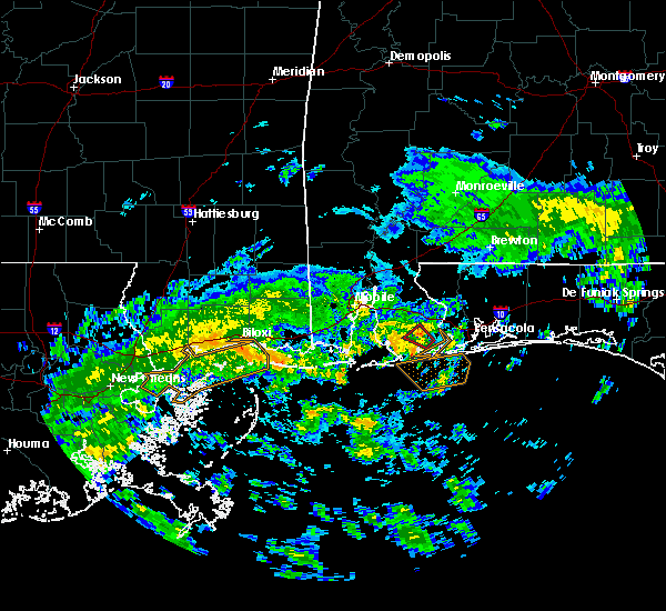 At 810 am cdt, a severe thunderstorm capable of producing a tornado was located near elberta, or 6 miles northeast of foley, moving northwest at 25 mph (radar indicated rotation). Hazards include tornado. Flying debris will be dangerous to those caught without shelter. mobile homes will be damaged or destroyed. damage to roofs, windows, and vehicles will occur. tree damage is likely. This tornadic thunderstorm will remain over mainly rural areas of southeastern baldwin county. At 810 am cdt, a severe thunderstorm capable of producing a tornado was located near elberta, or 6 miles northeast of foley, moving northwest at 25 mph (radar indicated rotation). Hazards include tornado. Flying debris will be dangerous to those caught without shelter. mobile homes will be damaged or destroyed. damage to roofs, windows, and vehicles will occur. tree damage is likely. This tornadic thunderstorm will remain over mainly rural areas of southeastern baldwin county.
|
| 6/7/2020 8:02 AM CDT |
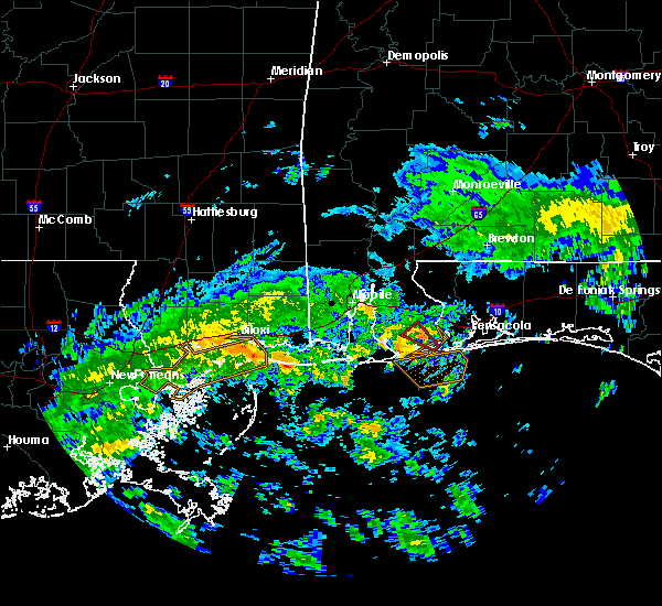 At 802 am cdt, a severe thunderstorm capable of producing a tornado was located over elberta, or 7 miles east of foley, moving northwest at 30 mph (radar indicated rotation). Hazards include tornado. Flying debris will be dangerous to those caught without shelter. mobile homes will be damaged or destroyed. damage to roofs, windows, and vehicles will occur. tree damage is likely. This dangerous storm will be near, elberta around 805 am cdt. At 802 am cdt, a severe thunderstorm capable of producing a tornado was located over elberta, or 7 miles east of foley, moving northwest at 30 mph (radar indicated rotation). Hazards include tornado. Flying debris will be dangerous to those caught without shelter. mobile homes will be damaged or destroyed. damage to roofs, windows, and vehicles will occur. tree damage is likely. This dangerous storm will be near, elberta around 805 am cdt.
|
| 6/7/2020 7:52 AM CDT |
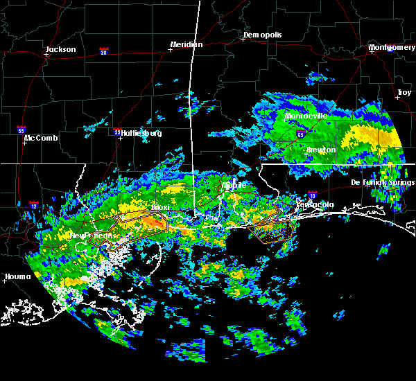 At 752 am cdt, a severe thunderstorm capable of producing a tornado was located over perdido beach, or 8 miles northeast of orange beach, moving northwest at 30 mph (radar indicated rotation). Hazards include tornado. Flying debris will be dangerous to those caught without shelter. mobile homes will be damaged or destroyed. damage to roofs, windows, and vehicles will occur. tree damage is likely. This dangerous storm will be near, elberta around 805 am cdt. At 752 am cdt, a severe thunderstorm capable of producing a tornado was located over perdido beach, or 8 miles northeast of orange beach, moving northwest at 30 mph (radar indicated rotation). Hazards include tornado. Flying debris will be dangerous to those caught without shelter. mobile homes will be damaged or destroyed. damage to roofs, windows, and vehicles will occur. tree damage is likely. This dangerous storm will be near, elberta around 805 am cdt.
|
| 4/23/2020 1:29 PM CDT |
 At 129 pm cdt, a severe thunderstorm was located over orange beach, moving east at 50 mph (radar indicated). Hazards include 60 mph wind gusts and quarter size hail. Hail damage to vehicles is expected. Expect wind damage to roofs, siding, and trees. At 129 pm cdt, a severe thunderstorm was located over orange beach, moving east at 50 mph (radar indicated). Hazards include 60 mph wind gusts and quarter size hail. Hail damage to vehicles is expected. Expect wind damage to roofs, siding, and trees.
|
| 4/20/2020 12:54 AM CDT |
 At 1254 am cdt, severe thunderstorms were located along a line extending from 7 miles north of oriole beach to 3 miles east of alabama port, moving east at 75 mph (radar indicated). Hazards include 60 mph wind gusts and penny size hail. expect damage to roofs, siding, and trees At 1254 am cdt, severe thunderstorms were located along a line extending from 7 miles north of oriole beach to 3 miles east of alabama port, moving east at 75 mph (radar indicated). Hazards include 60 mph wind gusts and penny size hail. expect damage to roofs, siding, and trees
|
| 4/20/2020 12:36 AM CDT |
 At 1236 am cdt, severe thunderstorms were located along a line extending from 4 miles southwest of baker to 8 miles northeast of navarre to 5 miles southwest of warrington, moving east at 60 mph (radar indicated). Hazards include 70 mph wind gusts. Expect considerable tree damage. damage is likely to mobile homes, roofs, and outbuildings. Locations impacted include, pensacola, ferry pass, brent, west pensacola, wright, fort walton beach, ensley, warrington, crestview, niceville, gonzalez, destin, gulf shores, eglin afb, foley, pace, milton, valparaiso, gulf breeze and orange beach. At 1236 am cdt, severe thunderstorms were located along a line extending from 4 miles southwest of baker to 8 miles northeast of navarre to 5 miles southwest of warrington, moving east at 60 mph (radar indicated). Hazards include 70 mph wind gusts. Expect considerable tree damage. damage is likely to mobile homes, roofs, and outbuildings. Locations impacted include, pensacola, ferry pass, brent, west pensacola, wright, fort walton beach, ensley, warrington, crestview, niceville, gonzalez, destin, gulf shores, eglin afb, foley, pace, milton, valparaiso, gulf breeze and orange beach.
|
| 4/20/2020 12:10 AM CDT |
 At 1209 am cdt, severe thunderstorms were located along a line extending from 7 miles east of molino to ensley to 3 miles northwest of bon secour, moving east at 60 mph (radar indicated). Hazards include 70 mph wind gusts. Expect considerable tree damage. Damage is likely to mobile homes, roofs, and outbuildings. At 1209 am cdt, severe thunderstorms were located along a line extending from 7 miles east of molino to ensley to 3 miles northwest of bon secour, moving east at 60 mph (radar indicated). Hazards include 70 mph wind gusts. Expect considerable tree damage. Damage is likely to mobile homes, roofs, and outbuildings.
|
| 4/19/2020 11:44 PM CDT |
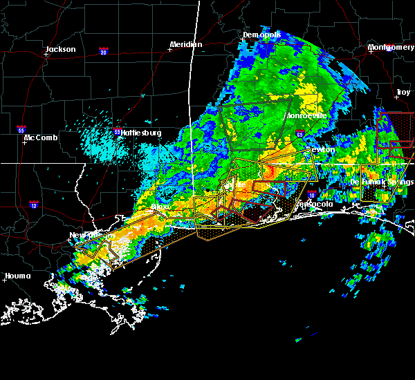 At 1143 pm cdt, a severe thunderstorm capable of producing a tornado was located 5 miles east of point clear, moving east southeast at 45 mph (radar indicated rotation). Hazards include tornado. Flying debris will be dangerous to those caught without shelter. mobile homes will be damaged or destroyed. damage to roofs, windows, and vehicles will occur. tree damage is likely. this dangerous storm will be near, magnolia springs around 1150 pm cdt. foley and summerdale around 1155 pm cdt. Elberta around 1205 am cdt. At 1143 pm cdt, a severe thunderstorm capable of producing a tornado was located 5 miles east of point clear, moving east southeast at 45 mph (radar indicated rotation). Hazards include tornado. Flying debris will be dangerous to those caught without shelter. mobile homes will be damaged or destroyed. damage to roofs, windows, and vehicles will occur. tree damage is likely. this dangerous storm will be near, magnolia springs around 1150 pm cdt. foley and summerdale around 1155 pm cdt. Elberta around 1205 am cdt.
|
| 4/19/2020 11:37 PM CDT |
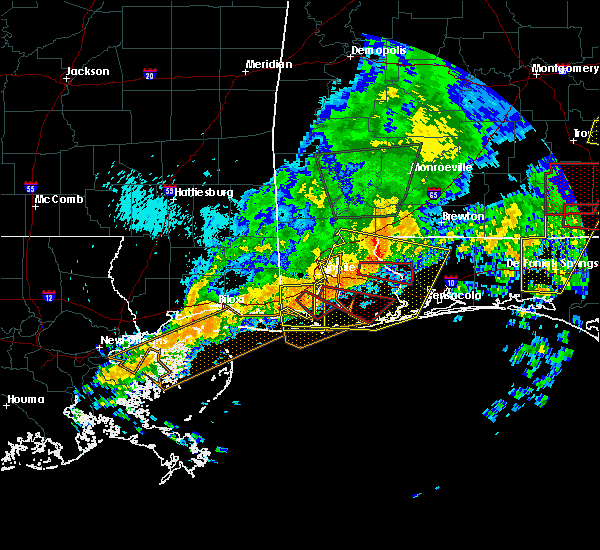 At 1136 pm cdt, a severe thunderstorm capable of producing a tornado was located over point clear, moving east southeast at 45 mph (radar indicated rotation). Hazards include tornado. Flying debris will be dangerous to those caught without shelter. mobile homes will be damaged or destroyed. damage to roofs, windows, and vehicles will occur. tree damage is likely. this dangerous storm will be near, magnolia springs around 1150 pm cdt. foley, bon secour and summerdale around 1155 pm cdt. Elberta around 1200 am cdt. At 1136 pm cdt, a severe thunderstorm capable of producing a tornado was located over point clear, moving east southeast at 45 mph (radar indicated rotation). Hazards include tornado. Flying debris will be dangerous to those caught without shelter. mobile homes will be damaged or destroyed. damage to roofs, windows, and vehicles will occur. tree damage is likely. this dangerous storm will be near, magnolia springs around 1150 pm cdt. foley, bon secour and summerdale around 1155 pm cdt. Elberta around 1200 am cdt.
|
| 4/19/2020 11:26 PM CDT |
 At 1125 pm cdt, a severe thunderstorm capable of producing a tornado was located 7 miles southeast of i10 and i65, or 7 miles east of theodore, moving east southeast at 45 mph (radar indicated rotation). Hazards include tornado. Flying debris will be dangerous to those caught without shelter. mobile homes will be damaged or destroyed. damage to roofs, windows, and vehicles will occur. tree damage is likely. this dangerous storm will be near, fairhope around 1135 pm cdt. point clear around 1140 pm cdt. magnolia springs around 1150 pm cdt. summerdale around 1155 pm cdt. foley and bon secour around 1200 am cdt. Elberta around 1205 am cdt. At 1125 pm cdt, a severe thunderstorm capable of producing a tornado was located 7 miles southeast of i10 and i65, or 7 miles east of theodore, moving east southeast at 45 mph (radar indicated rotation). Hazards include tornado. Flying debris will be dangerous to those caught without shelter. mobile homes will be damaged or destroyed. damage to roofs, windows, and vehicles will occur. tree damage is likely. this dangerous storm will be near, fairhope around 1135 pm cdt. point clear around 1140 pm cdt. magnolia springs around 1150 pm cdt. summerdale around 1155 pm cdt. foley and bon secour around 1200 am cdt. Elberta around 1205 am cdt.
|
| 4/19/2020 11:14 PM CDT |
 At 1114 pm cdt, severe thunderstorms were located along a line extending from stockton to tillmans corner to 3 miles east of gautier, moving east at 55 mph (radar indicated). Hazards include 60 mph wind gusts. expect damage to roofs, siding, and trees At 1114 pm cdt, severe thunderstorms were located along a line extending from stockton to tillmans corner to 3 miles east of gautier, moving east at 55 mph (radar indicated). Hazards include 60 mph wind gusts. expect damage to roofs, siding, and trees
|
| 3/31/2020 11:59 AM CDT |
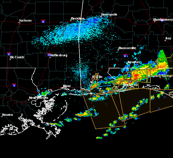 The national weather service in mobile has issued a * tornado warning for. south central baldwin county in southwestern alabama. until 100 pm cdt. At 1158 am cdt, a severe thunderstorm capable of producing a tornado was located 5 miles southwest of magnolia springs, or 10. The national weather service in mobile has issued a * tornado warning for. south central baldwin county in southwestern alabama. until 100 pm cdt. At 1158 am cdt, a severe thunderstorm capable of producing a tornado was located 5 miles southwest of magnolia springs, or 10.
|
| 7/23/2019 2:09 PM CDT |
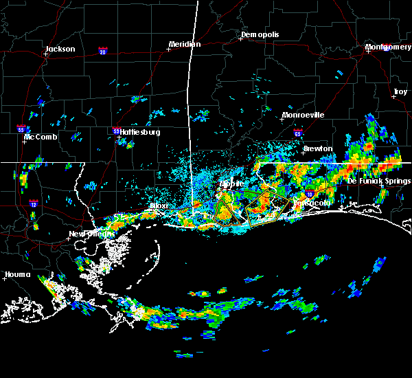 The national weather service in mobile has issued a * severe thunderstorm warning for. southeastern baldwin county in southwestern alabama. south central escambia county in northwestern florida. until 245 pm cdt. At 209 pm cdt, a severe thunderstorm was located near lillian, or. The national weather service in mobile has issued a * severe thunderstorm warning for. southeastern baldwin county in southwestern alabama. south central escambia county in northwestern florida. until 245 pm cdt. At 209 pm cdt, a severe thunderstorm was located near lillian, or.
|
| 7/23/2019 2:09 PM CDT |
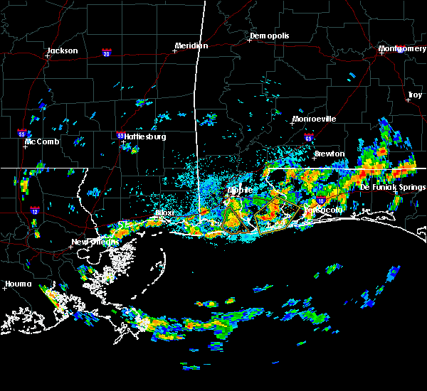 The national weather service in mobile has issued a * severe thunderstorm warning for. southeastern baldwin county in southwestern alabama. south central escambia county in northwestern florida. until 245 pm cdt. At 209 pm cdt, a severe thunderstorm was located near lillian, or. The national weather service in mobile has issued a * severe thunderstorm warning for. southeastern baldwin county in southwestern alabama. south central escambia county in northwestern florida. until 245 pm cdt. At 209 pm cdt, a severe thunderstorm was located near lillian, or.
|
| 7/9/2019 3:25 PM CDT |
 At 324 pm cdt, a severe thunderstorm was located near loxley, moving south at 20 mph (radar indicated). Hazards include 60 mph wind gusts and penny size hail. expect damage to roofs, siding, and trees At 324 pm cdt, a severe thunderstorm was located near loxley, moving south at 20 mph (radar indicated). Hazards include 60 mph wind gusts and penny size hail. expect damage to roofs, siding, and trees
|
| 6/27/2019 7:28 PM CDT |
 At 726 pm cdt, strong wind gusts associated with severe thunderstorms will affect the warned area (radar indicated). Hazards include 60 mph wind gusts. expect damage to roofs, siding, and trees At 726 pm cdt, strong wind gusts associated with severe thunderstorms will affect the warned area (radar indicated). Hazards include 60 mph wind gusts. expect damage to roofs, siding, and trees
|
| 6/27/2019 7:22 PM CDT |
 At 721 pm cdt, severe thunderstorms were located along a line extending from near summerdale to 3 miles southeast of alabama port to 8 miles northeast of petit bois island, moving south at 40 mph. a new severe thunderstorm warning will be issued shortly for a portion of this area (radar indicated). Hazards include 60 mph wind gusts. Expect damage to roofs, siding, and trees. Locations impacted include, fairhope, gulf shores, foley, bayou la batre, point clear, dauphin island, magnolia springs, bon secour, summerdale, silverhill, elberta, coden, fort morgan and alabama port. At 721 pm cdt, severe thunderstorms were located along a line extending from near summerdale to 3 miles southeast of alabama port to 8 miles northeast of petit bois island, moving south at 40 mph. a new severe thunderstorm warning will be issued shortly for a portion of this area (radar indicated). Hazards include 60 mph wind gusts. Expect damage to roofs, siding, and trees. Locations impacted include, fairhope, gulf shores, foley, bayou la batre, point clear, dauphin island, magnolia springs, bon secour, summerdale, silverhill, elberta, coden, fort morgan and alabama port.
|
| 6/27/2019 6:32 PM CDT |
 At 632 pm cdt, severe thunderstorms were located along a line extending from near i65 and al 225 to near semmes to 4 miles northwest of hurley, moving south at 40 mph (radar indicated). Hazards include 60 mph wind gusts. expect damage to roofs, siding, and trees At 632 pm cdt, severe thunderstorms were located along a line extending from near i65 and al 225 to near semmes to 4 miles northwest of hurley, moving south at 40 mph (radar indicated). Hazards include 60 mph wind gusts. expect damage to roofs, siding, and trees
|
| 6/27/2019 6:32 PM CDT |
 The national weather service in mobile has issued a * severe thunderstorm warning for. mobile county in southwestern alabama. southwestern baldwin county in southwestern alabama. southeastern george county in southeastern mississippi. Until 730 pm cdt. The national weather service in mobile has issued a * severe thunderstorm warning for. mobile county in southwestern alabama. southwestern baldwin county in southwestern alabama. southeastern george county in southeastern mississippi. Until 730 pm cdt.
|
| 6/6/2019 12:24 PM CDT |
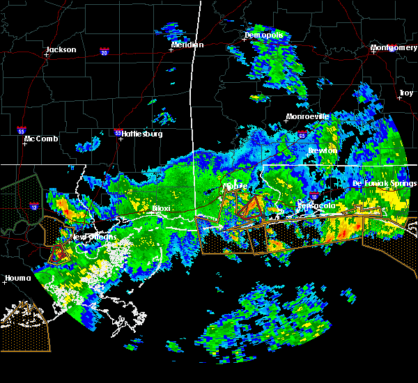 The tornado warning for south central baldwin county will expire at 1230 pm cdt, the storm which prompted the warning has weakened below severe limits, and no longer appears capable of producing a tornado. therefore, the warning will be allowed to expire. however gusty winds are still possible with this thunderstorm. a tornado watch remains in effect until 500 pm cdt for southwestern alabama. to report severe weather, contact your nearest law enforcement agency. they will relay your report to the national weather service mobile. The tornado warning for south central baldwin county will expire at 1230 pm cdt, the storm which prompted the warning has weakened below severe limits, and no longer appears capable of producing a tornado. therefore, the warning will be allowed to expire. however gusty winds are still possible with this thunderstorm. a tornado watch remains in effect until 500 pm cdt for southwestern alabama. to report severe weather, contact your nearest law enforcement agency. they will relay your report to the national weather service mobile.
|
| 6/6/2019 12:10 PM CDT |
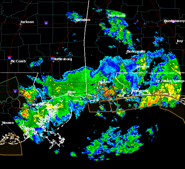 At 1210 pm cdt, a severe thunderstorm capable of producing a tornado was located 4 miles west of magnolia springs, or 7 miles southeast of point clear, moving northeast at 20 mph (radar indicated rotation). Hazards include tornado. Flying debris will be dangerous to those caught without shelter. mobile homes will be damaged or destroyed. damage to roofs, windows, and vehicles will occur. tree damage is likely. this dangerous storm will be near, magnolia springs around 1220 pm cdt. Foley, summerdale and silverhill around 1230 pm cdt. At 1210 pm cdt, a severe thunderstorm capable of producing a tornado was located 4 miles west of magnolia springs, or 7 miles southeast of point clear, moving northeast at 20 mph (radar indicated rotation). Hazards include tornado. Flying debris will be dangerous to those caught without shelter. mobile homes will be damaged or destroyed. damage to roofs, windows, and vehicles will occur. tree damage is likely. this dangerous storm will be near, magnolia springs around 1220 pm cdt. Foley, summerdale and silverhill around 1230 pm cdt.
|
| 6/6/2019 11:58 AM CDT |
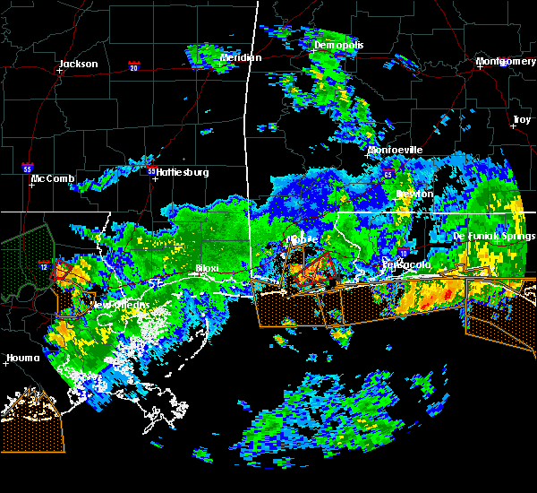 At 1158 am cdt, a severe thunderstorm capable of producing a tornado was located 7 miles south of point clear, moving east at 10 mph (radar indicated rotation). Hazards include tornado. Flying debris will be dangerous to those caught without shelter. mobile homes will be damaged or destroyed. damage to roofs, windows, and vehicles will occur. tree damage is likely. This dangerous storm will be near, magnolia springs around 1230 pm cdt. At 1158 am cdt, a severe thunderstorm capable of producing a tornado was located 7 miles south of point clear, moving east at 10 mph (radar indicated rotation). Hazards include tornado. Flying debris will be dangerous to those caught without shelter. mobile homes will be damaged or destroyed. damage to roofs, windows, and vehicles will occur. tree damage is likely. This dangerous storm will be near, magnolia springs around 1230 pm cdt.
|
| 6/6/2019 11:49 AM CDT |
 At 1149 am cdt, a severe thunderstorm capable of producing a tornado was located 7 miles south of point clear, moving northeast at 25 mph (radar indicated rotation). Hazards include tornado. Flying debris will be dangerous to those caught without shelter. mobile homes will be damaged or destroyed. damage to roofs, windows, and vehicles will occur. tree damage is likely. this dangerous storm will be near, magnolia springs around 1210 pm cdt. foley around 1225 pm cdt. Robertsdale, summerdale and silverhill around 1230 pm cdt. At 1149 am cdt, a severe thunderstorm capable of producing a tornado was located 7 miles south of point clear, moving northeast at 25 mph (radar indicated rotation). Hazards include tornado. Flying debris will be dangerous to those caught without shelter. mobile homes will be damaged or destroyed. damage to roofs, windows, and vehicles will occur. tree damage is likely. this dangerous storm will be near, magnolia springs around 1210 pm cdt. foley around 1225 pm cdt. Robertsdale, summerdale and silverhill around 1230 pm cdt.
|
| 5/12/2019 8:36 AM CDT | Bleachers blown into the baseball field and small trees snapped within the foley sports 5-plex. time estimated by rada in baldwin county AL, 3.5 miles ESE of Foley, AL |
| 5/12/2019 8:18 AM CDT |
 At 818 am cdt, a severe thunderstorm was located near magnolia springs, or 4 miles southwest of foley, moving east at 50 mph (radar indicated). Hazards include 60 mph wind gusts. expect damage to roofs, siding, and trees At 818 am cdt, a severe thunderstorm was located near magnolia springs, or 4 miles southwest of foley, moving east at 50 mph (radar indicated). Hazards include 60 mph wind gusts. expect damage to roofs, siding, and trees
|
| 5/12/2019 8:13 AM CDT |
 At 813 am cdt, a severe thunderstorm was located 6 miles southwest of bon secour, or 6 miles west of gulf shores, moving east at 50 mph (radar indicated). Hazards include 60 mph wind gusts. expect damage to roofs, siding, and trees At 813 am cdt, a severe thunderstorm was located 6 miles southwest of bon secour, or 6 miles west of gulf shores, moving east at 50 mph (radar indicated). Hazards include 60 mph wind gusts. expect damage to roofs, siding, and trees
|
| 5/12/2019 8:13 AM CDT |
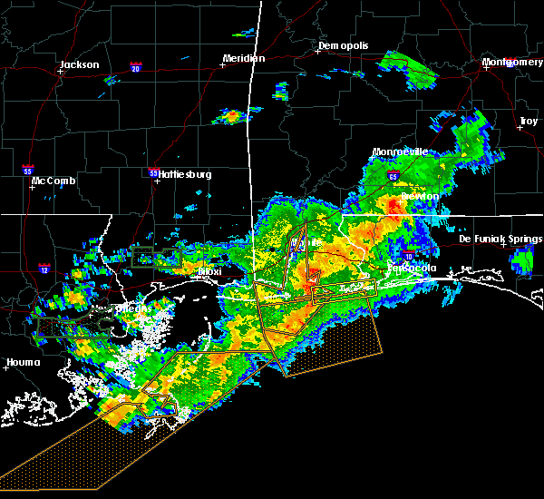 At 813 am cdt, a severe thunderstorm was located 6 miles southwest of bon secour, or 6 miles west of gulf shores, moving east at 50 mph (radar indicated). Hazards include 60 mph wind gusts. expect damage to roofs, siding, and trees At 813 am cdt, a severe thunderstorm was located 6 miles southwest of bon secour, or 6 miles west of gulf shores, moving east at 50 mph (radar indicated). Hazards include 60 mph wind gusts. expect damage to roofs, siding, and trees
|
| 4/25/2019 5:26 PM CDT |
 At 525 pm cdt, severe thunderstorms were located along a line extending from 4 miles east of fort morgan to 11 miles southwest of gulf shores to 32 miles southeast of dauphin island, moving east at 45 mph (radar indicated). Hazards include 60 mph wind gusts. expect damage to roofs, siding, and trees At 525 pm cdt, severe thunderstorms were located along a line extending from 4 miles east of fort morgan to 11 miles southwest of gulf shores to 32 miles southeast of dauphin island, moving east at 45 mph (radar indicated). Hazards include 60 mph wind gusts. expect damage to roofs, siding, and trees
|
| 4/25/2019 5:07 PM CDT |
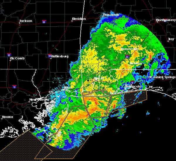 At 506 pm cdt, severe thunderstorms were located along a line extending from dauphin island to 7 miles south of fort morgan to 34 miles south of alabama port, moving east at 60 mph (radar indicated). Hazards include 70 mph wind gusts. Expect considerable tree damage. damage is likely to mobile homes, roofs, and outbuildings. Locations impacted include, gulf shores, dauphin island, magnolia springs, bon secour and fort morgan. At 506 pm cdt, severe thunderstorms were located along a line extending from dauphin island to 7 miles south of fort morgan to 34 miles south of alabama port, moving east at 60 mph (radar indicated). Hazards include 70 mph wind gusts. Expect considerable tree damage. damage is likely to mobile homes, roofs, and outbuildings. Locations impacted include, gulf shores, dauphin island, magnolia springs, bon secour and fort morgan.
|
| 4/25/2019 4:45 PM CDT |
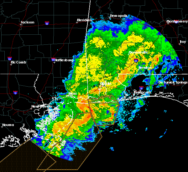 At 444 pm cdt, severe thunderstorms were located along a line extending from 4 miles southeast of petit bois island to 18 miles southwest of dauphin island to 23 miles southwest of fort morgan to 42 miles south of coden, moving east at 60 mph (radar indicated). Hazards include 70 mph wind gusts. Expect considerable tree damage. Damage is likely to mobile homes, roofs, and outbuildings. At 444 pm cdt, severe thunderstorms were located along a line extending from 4 miles southeast of petit bois island to 18 miles southwest of dauphin island to 23 miles southwest of fort morgan to 42 miles south of coden, moving east at 60 mph (radar indicated). Hazards include 70 mph wind gusts. Expect considerable tree damage. Damage is likely to mobile homes, roofs, and outbuildings.
|
| 4/18/2019 9:07 PM CDT |
 The severe thunderstorm warning for southeastern baldwin, eastern escambia, western santa rosa and escambia counties will expire at 915 pm cdt, the storms which prompted the warning have weakened below severe limits, and the warning will be allowed to expire. however gusty winds are still possible with these thunderstorms. a tornado watch remains in effect until 1100 pm cdt for south central and southwestern alabama, and northwestern florida. The severe thunderstorm warning for southeastern baldwin, eastern escambia, western santa rosa and escambia counties will expire at 915 pm cdt, the storms which prompted the warning have weakened below severe limits, and the warning will be allowed to expire. however gusty winds are still possible with these thunderstorms. a tornado watch remains in effect until 1100 pm cdt for south central and southwestern alabama, and northwestern florida.
|
| 4/18/2019 8:50 PM CDT |
 At 849 pm cdt, severe thunderstorms were located along a line extending from 3 miles southwest of castleberry to 8 miles southeast of gulf shores, moving east at 30 mph (radar indicated). Hazards include 60 mph wind gusts. Expect damage to roofs, siding, and trees. Locations impacted include, pensacola, ferry pass, brent, west pensacola, ensley, warrington, gonzalez, pace, milton, gulf breeze, brewton, orange beach, goulding, century, flomaton, lillian, myrtle grove, east brewton, molino and perdido beach. At 849 pm cdt, severe thunderstorms were located along a line extending from 3 miles southwest of castleberry to 8 miles southeast of gulf shores, moving east at 30 mph (radar indicated). Hazards include 60 mph wind gusts. Expect damage to roofs, siding, and trees. Locations impacted include, pensacola, ferry pass, brent, west pensacola, ensley, warrington, gonzalez, pace, milton, gulf breeze, brewton, orange beach, goulding, century, flomaton, lillian, myrtle grove, east brewton, molino and perdido beach.
|
| 4/18/2019 8:13 PM CDT |
 At 813 pm cdt, severe thunderstorms were located along a line extending from near i65 and al 113 to 11 miles southeast of fort morgan, moving east at 30 mph (radar indicated). Hazards include 60 mph wind gusts. expect damage to roofs, siding, and trees At 813 pm cdt, severe thunderstorms were located along a line extending from near i65 and al 113 to 11 miles southeast of fort morgan, moving east at 30 mph (radar indicated). Hazards include 60 mph wind gusts. expect damage to roofs, siding, and trees
|
| 4/18/2019 7:47 PM CDT |
 At 747 pm cdt, severe thunderstorms were located along a line extending from 7 miles west of frisco city to 7 miles northeast of fort morgan, moving east at 30 mph (radar indicated). Hazards include 60 mph wind gusts. Expect damage to roofs, siding, and trees. Locations impacted include, daphne, fairhope, gulf shores, bay minette, atmore, foley, spanish fort, robertsdale, point clear, frisco city, loxley, stockton, mccullough, magnolia springs, stapleton, bon secour, uriah, summerdale, silverhill and excel. At 747 pm cdt, severe thunderstorms were located along a line extending from 7 miles west of frisco city to 7 miles northeast of fort morgan, moving east at 30 mph (radar indicated). Hazards include 60 mph wind gusts. Expect damage to roofs, siding, and trees. Locations impacted include, daphne, fairhope, gulf shores, bay minette, atmore, foley, spanish fort, robertsdale, point clear, frisco city, loxley, stockton, mccullough, magnolia springs, stapleton, bon secour, uriah, summerdale, silverhill and excel.
|
| 4/18/2019 7:08 PM CDT |
 At 708 pm cdt, severe thunderstorms were located along a line extending from 7 miles southeast of jackson to 6 miles southwest of coden, moving east at 30 mph (radar indicated). Hazards include 60 mph wind gusts. expect damage to roofs, siding, and trees At 708 pm cdt, severe thunderstorms were located along a line extending from 7 miles southeast of jackson to 6 miles southwest of coden, moving east at 30 mph (radar indicated). Hazards include 60 mph wind gusts. expect damage to roofs, siding, and trees
|
| 11/1/2018 8:07 AM CDT |
 At 807 am cdt, severe thunderstorms were located along a line extending from 10 miles west of molino to 3 miles east of summerdale to fort morgan, moving east at 40 mph (radar indicated). Hazards include 60 mph wind gusts. expect damage to roofs, siding, and trees At 807 am cdt, severe thunderstorms were located along a line extending from 10 miles west of molino to 3 miles east of summerdale to fort morgan, moving east at 40 mph (radar indicated). Hazards include 60 mph wind gusts. expect damage to roofs, siding, and trees
|
| 11/1/2018 7:52 AM CDT |
 At 752 am cdt, severe thunderstorms were located along a line extending from 5 miles northwest of uriah to near summerdale, moving east at 45 mph (radar indicated). Hazards include 60 mph wind gusts. Expect damage to roofs, siding, and trees. locations impacted include, daphne, fairhope, bay minette, atmore, foley, spanish fort, robertsdale, point clear, loxley, lillian, mccullough, magnolia springs, stapleton, bon secour, uriah, summerdale, silverhill, perdido beach, elberta and bratt. A tornado watch remains in effect until 100 pm cdt for south central and southwestern alabama, and northwestern florida. At 752 am cdt, severe thunderstorms were located along a line extending from 5 miles northwest of uriah to near summerdale, moving east at 45 mph (radar indicated). Hazards include 60 mph wind gusts. Expect damage to roofs, siding, and trees. locations impacted include, daphne, fairhope, bay minette, atmore, foley, spanish fort, robertsdale, point clear, loxley, lillian, mccullough, magnolia springs, stapleton, bon secour, uriah, summerdale, silverhill, perdido beach, elberta and bratt. A tornado watch remains in effect until 100 pm cdt for south central and southwestern alabama, and northwestern florida.
|
| 11/1/2018 7:30 AM CDT |
 At 730 am cdt, severe thunderstorms were located along a line extending from 10 miles east of mcintosh to 6 miles east of alabama port, moving east at 50 mph (radar indicated). Hazards include 60 mph wind gusts. expect damage to roofs, siding, and trees At 730 am cdt, severe thunderstorms were located along a line extending from 10 miles east of mcintosh to 6 miles east of alabama port, moving east at 50 mph (radar indicated). Hazards include 60 mph wind gusts. expect damage to roofs, siding, and trees
|
| 6/28/2018 8:32 PM CDT |
 At 832 pm cdt, severe thunderstorms were located along a line extending from near wilmer to 3 miles north of tillmans corner to elberta, moving southeast at 25 mph (radar indicated). Hazards include 60 mph wind gusts. expect damage to roofs, siding, and trees At 832 pm cdt, severe thunderstorms were located along a line extending from near wilmer to 3 miles north of tillmans corner to elberta, moving southeast at 25 mph (radar indicated). Hazards include 60 mph wind gusts. expect damage to roofs, siding, and trees
|
| 6/28/2018 7:34 PM CDT |
 At 734 pm cdt, severe thunderstorms were located along a line extending from 3 miles south of bay minette to 3 miles west of pace to 4 miles west of santa rosa beach, moving southeast at 55 mph (radar indicated). Hazards include 60 mph wind gusts. expect damage to roofs, siding, and trees At 734 pm cdt, severe thunderstorms were located along a line extending from 3 miles south of bay minette to 3 miles west of pace to 4 miles west of santa rosa beach, moving southeast at 55 mph (radar indicated). Hazards include 60 mph wind gusts. expect damage to roofs, siding, and trees
|
| 5/14/2018 3:31 PM CDT |
 At 330 pm cdt, a severe thunderstorm was located near summerdale, or 6 miles southwest of robertsdale, moving west at 25 mph (radar indicated). Hazards include 60 mph wind gusts and nickel size hail. expect damage to roofs, siding, and trees At 330 pm cdt, a severe thunderstorm was located near summerdale, or 6 miles southwest of robertsdale, moving west at 25 mph (radar indicated). Hazards include 60 mph wind gusts and nickel size hail. expect damage to roofs, siding, and trees
|
| 4/22/2018 3:41 PM CDT |
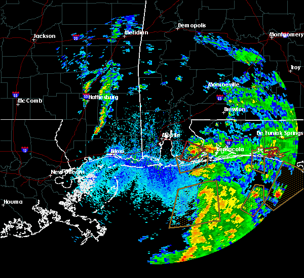 At 341 pm cdt, a severe thunderstorm capable of producing a tornado was located 4 miles east of summerdale, or 5 miles northeast of foley, moving northeast at 25 mph (weather spotters reported a funnel cloud). Hazards include tornado. Flying debris will be dangerous to those caught without shelter. mobile homes will be damaged or destroyed. damage to roofs, windows, and vehicles will occur. tree damage is likely. This tornadic thunderstorm will remain over mainly rural areas of southeastern baldwin and central escambia counties. At 341 pm cdt, a severe thunderstorm capable of producing a tornado was located 4 miles east of summerdale, or 5 miles northeast of foley, moving northeast at 25 mph (weather spotters reported a funnel cloud). Hazards include tornado. Flying debris will be dangerous to those caught without shelter. mobile homes will be damaged or destroyed. damage to roofs, windows, and vehicles will occur. tree damage is likely. This tornadic thunderstorm will remain over mainly rural areas of southeastern baldwin and central escambia counties.
|
| 4/22/2018 3:41 PM CDT |
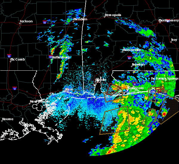 At 341 pm cdt, a severe thunderstorm capable of producing a tornado was located 4 miles east of summerdale, or 5 miles northeast of foley, moving northeast at 25 mph (weather spotters reported a funnel cloud). Hazards include tornado. Flying debris will be dangerous to those caught without shelter. mobile homes will be damaged or destroyed. damage to roofs, windows, and vehicles will occur. tree damage is likely. This tornadic thunderstorm will remain over mainly rural areas of southeastern baldwin and central escambia counties. At 341 pm cdt, a severe thunderstorm capable of producing a tornado was located 4 miles east of summerdale, or 5 miles northeast of foley, moving northeast at 25 mph (weather spotters reported a funnel cloud). Hazards include tornado. Flying debris will be dangerous to those caught without shelter. mobile homes will be damaged or destroyed. damage to roofs, windows, and vehicles will occur. tree damage is likely. This tornadic thunderstorm will remain over mainly rural areas of southeastern baldwin and central escambia counties.
|
| 4/22/2018 3:25 PM CDT | Seven over turned trailers at anchors rv park. minor damage to a lowes parking lo in baldwin county AL, 2.1 miles SE of Foley, AL |
| 4/22/2018 3:25 PM CDT |
 At 325 pm cdt, a severe thunderstorm capable of producing a tornado was located over foley, moving northeast at 25 mph (radar indicated rotation). Hazards include tornado. Flying debris will be dangerous to those caught without shelter. mobile homes will be damaged or destroyed. damage to roofs, windows, and vehicles will occur. tree damage is likely. this dangerous storm will be near, foley around 330 pm cdt. elberta around 335 pm cdt. summerdale around 340 pm cdt. Robertsdale around 350 pm cdt. At 325 pm cdt, a severe thunderstorm capable of producing a tornado was located over foley, moving northeast at 25 mph (radar indicated rotation). Hazards include tornado. Flying debris will be dangerous to those caught without shelter. mobile homes will be damaged or destroyed. damage to roofs, windows, and vehicles will occur. tree damage is likely. this dangerous storm will be near, foley around 330 pm cdt. elberta around 335 pm cdt. summerdale around 340 pm cdt. Robertsdale around 350 pm cdt.
|
| 4/22/2018 3:25 PM CDT |
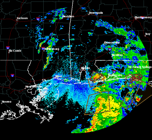 At 325 pm cdt, a severe thunderstorm capable of producing a tornado was located over foley, moving northeast at 25 mph (radar indicated rotation). Hazards include tornado. Flying debris will be dangerous to those caught without shelter. mobile homes will be damaged or destroyed. damage to roofs, windows, and vehicles will occur. tree damage is likely. this dangerous storm will be near, foley around 330 pm cdt. elberta around 335 pm cdt. summerdale around 340 pm cdt. Robertsdale around 350 pm cdt. At 325 pm cdt, a severe thunderstorm capable of producing a tornado was located over foley, moving northeast at 25 mph (radar indicated rotation). Hazards include tornado. Flying debris will be dangerous to those caught without shelter. mobile homes will be damaged or destroyed. damage to roofs, windows, and vehicles will occur. tree damage is likely. this dangerous storm will be near, foley around 330 pm cdt. elberta around 335 pm cdt. summerdale around 340 pm cdt. Robertsdale around 350 pm cdt.
|
| 4/14/2018 9:38 PM CDT |
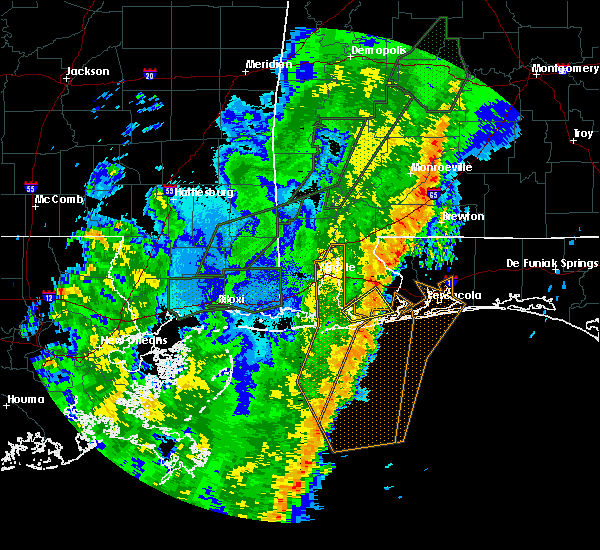 The severe thunderstorm warning for southeastern baldwin county will expire at 945 pm cdt, the storm which prompted the warning has weakened below severe limits, and no longer poses an immediate threat to life or property. therefore, the warning will be allowed to expire. however gusty winds and heavy rain are still possible with this thunderstorm. a tornado watch remains in effect until 200 am cdt for southwestern alabama. The severe thunderstorm warning for southeastern baldwin county will expire at 945 pm cdt, the storm which prompted the warning has weakened below severe limits, and no longer poses an immediate threat to life or property. therefore, the warning will be allowed to expire. however gusty winds and heavy rain are still possible with this thunderstorm. a tornado watch remains in effect until 200 am cdt for southwestern alabama.
|
| 4/14/2018 9:03 PM CDT |
 At 902 pm cdt, a severe thunderstorm was located near magnolia springs, or 8 miles southwest of foley, moving northeast at 25 mph (radar indicated). Hazards include 60 mph wind gusts. expect damage to roofs, siding, and trees At 902 pm cdt, a severe thunderstorm was located near magnolia springs, or 8 miles southwest of foley, moving northeast at 25 mph (radar indicated). Hazards include 60 mph wind gusts. expect damage to roofs, siding, and trees
|
| 2/7/2018 11:05 AM CST |
 The severe thunderstorm warning for southeastern baldwin, southern santa rosa and southeastern escambia counties will expire at 1115 am cst, the storm which prompted the warning has weakened below severe limits, and no longer poses an immediate threat to life or property. therefore the warning will be allowed to expire. however heavy rain is still possible with this thunderstorm. The severe thunderstorm warning for southeastern baldwin, southern santa rosa and southeastern escambia counties will expire at 1115 am cst, the storm which prompted the warning has weakened below severe limits, and no longer poses an immediate threat to life or property. therefore the warning will be allowed to expire. however heavy rain is still possible with this thunderstorm.
|
| 2/7/2018 10:45 AM CST |
 At 1044 am cst, a severe thunderstorm was located over myrtle grove, or over west pensacola, moving east at 35 mph (radar indicated). Hazards include 60 mph wind gusts and quarter size hail. Hail damage to vehicles is expected. expect wind damage to roofs, siding, and trees. Locations impacted include, pensacola, ferry pass, brent, west pensacola, ensley, warrington, gulf breeze, orange beach, goulding, lillian, myrtle grove, oriole beach, navarre, perdido beach, elberta, pensacola beach and navarre beach. At 1044 am cst, a severe thunderstorm was located over myrtle grove, or over west pensacola, moving east at 35 mph (radar indicated). Hazards include 60 mph wind gusts and quarter size hail. Hail damage to vehicles is expected. expect wind damage to roofs, siding, and trees. Locations impacted include, pensacola, ferry pass, brent, west pensacola, ensley, warrington, gulf breeze, orange beach, goulding, lillian, myrtle grove, oriole beach, navarre, perdido beach, elberta, pensacola beach and navarre beach.
|
| 2/7/2018 10:25 AM CST |
 At 1025 am cst, a severe thunderstorm was located near perdido beach, or 8 miles north of orange beach, moving east at 45 mph (radar indicated). Hazards include 60 mph wind gusts and quarter size hail. Hail damage to vehicles is expected. Expect wind damage to roofs, siding, and trees. At 1025 am cst, a severe thunderstorm was located near perdido beach, or 8 miles north of orange beach, moving east at 45 mph (radar indicated). Hazards include 60 mph wind gusts and quarter size hail. Hail damage to vehicles is expected. Expect wind damage to roofs, siding, and trees.
|
| 10/22/2017 4:35 PM CDT |
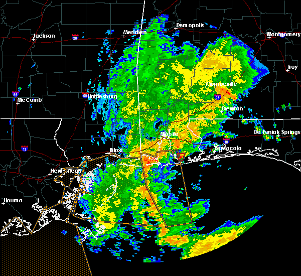 At 434 pm cdt, a severe thunderstorm capable of producing a tornado was located over bon secour, or 6 miles southwest of foley, moving north at 15 mph (radar indicated rotation). Hazards include tornado. Flying debris will be dangerous to those caught without shelter. mobile homes will be damaged or destroyed. damage to roofs, windows, and vehicles will occur. tree damage is likely. This dangerous storm will be near, foley and magnolia springs around 445 pm cdt. At 434 pm cdt, a severe thunderstorm capable of producing a tornado was located over bon secour, or 6 miles southwest of foley, moving north at 15 mph (radar indicated rotation). Hazards include tornado. Flying debris will be dangerous to those caught without shelter. mobile homes will be damaged or destroyed. damage to roofs, windows, and vehicles will occur. tree damage is likely. This dangerous storm will be near, foley and magnolia springs around 445 pm cdt.
|
| 10/22/2017 4:14 PM CDT |
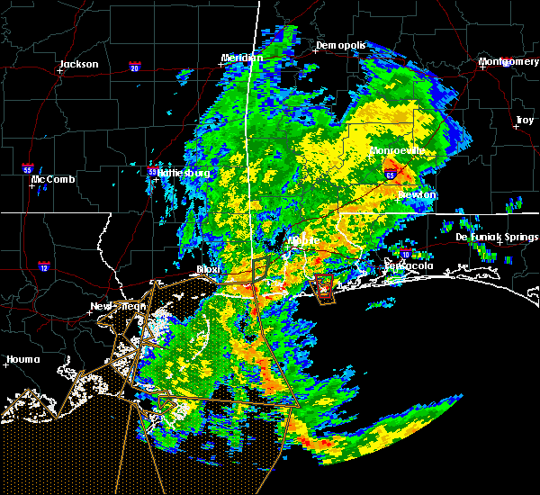 At 414 pm cdt, a severe thunderstorm capable of producing a tornado was located over bon secour, or near gulf shores, moving north at 15 mph (radar indicated rotation). Hazards include tornado. Flying debris will be dangerous to those caught without shelter. mobile homes will be damaged or destroyed. damage to roofs, windows, and vehicles will occur. tree damage is likely. this dangerous storm will be near, bon secour around 425 pm cdt. Foley and magnolia springs around 445 pm cdt. At 414 pm cdt, a severe thunderstorm capable of producing a tornado was located over bon secour, or near gulf shores, moving north at 15 mph (radar indicated rotation). Hazards include tornado. Flying debris will be dangerous to those caught without shelter. mobile homes will be damaged or destroyed. damage to roofs, windows, and vehicles will occur. tree damage is likely. this dangerous storm will be near, bon secour around 425 pm cdt. Foley and magnolia springs around 445 pm cdt.
|
| 10/22/2017 3:58 PM CDT |
 At 358 pm cdt, a confirmed waterspout was located just offshore over gulf shores, moving north at 10 mph (weather spotters confirmed waterspout moving onshore). Hazards include tornado. Flying debris will be dangerous to those caught without shelter. mobile homes will be damaged or destroyed. damage to roofs, windows, and vehicles will occur. tree damage is likely. this tornado will be near, gulf shores around 405 pm cdt. bon secour around 430 pm cdt. Foley and magnolia springs around 445 pm cdt. At 358 pm cdt, a confirmed waterspout was located just offshore over gulf shores, moving north at 10 mph (weather spotters confirmed waterspout moving onshore). Hazards include tornado. Flying debris will be dangerous to those caught without shelter. mobile homes will be damaged or destroyed. damage to roofs, windows, and vehicles will occur. tree damage is likely. this tornado will be near, gulf shores around 405 pm cdt. bon secour around 430 pm cdt. Foley and magnolia springs around 445 pm cdt.
|
| 10/22/2017 2:58 PM CDT |
 At 258 pm cdt, a confirmed tornado was located 4 miles northeast of bon secour, or 4 miles south of foley, moving northwest at 15 mph (law enforcement confirmed tornado). Hazards include damaging tornado. Flying debris will be dangerous to those caught without shelter. mobile homes will be damaged or destroyed. damage to roofs, windows, and vehicles will occur. tree damage is likely. This tornado will be near, foley around 315 pm cdt. At 258 pm cdt, a confirmed tornado was located 4 miles northeast of bon secour, or 4 miles south of foley, moving northwest at 15 mph (law enforcement confirmed tornado). Hazards include damaging tornado. Flying debris will be dangerous to those caught without shelter. mobile homes will be damaged or destroyed. damage to roofs, windows, and vehicles will occur. tree damage is likely. This tornado will be near, foley around 315 pm cdt.
|
| 10/22/2017 2:39 PM CDT |
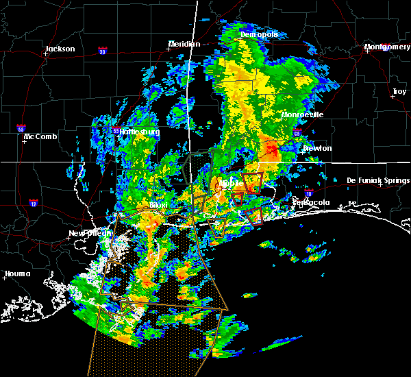 At 238 pm cdt, a severe thunderstorm capable of producing a tornado was located over orange beach, moving north at 15 mph (radar indicated rotation). Hazards include tornado. Flying debris will be dangerous to those caught without shelter. mobile homes will be damaged or destroyed. damage to roofs, windows, and vehicles will occur. tree damage is likely. this dangerous storm will be near, elberta around 305 pm cdt. Foley around 310 pm cdt. At 238 pm cdt, a severe thunderstorm capable of producing a tornado was located over orange beach, moving north at 15 mph (radar indicated rotation). Hazards include tornado. Flying debris will be dangerous to those caught without shelter. mobile homes will be damaged or destroyed. damage to roofs, windows, and vehicles will occur. tree damage is likely. this dangerous storm will be near, elberta around 305 pm cdt. Foley around 310 pm cdt.
|
| 10/22/2017 1:53 PM CDT |
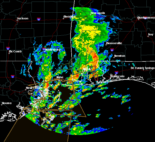 At 153 pm cdt, a severe thunderstorm capable of producing a tornado was located near summerdale, or 5 miles northeast of foley, moving north at 20 mph (radar indicated rotation). Hazards include tornado. Flying debris will be dangerous to those caught without shelter. mobile homes will be damaged or destroyed. damage to roofs, windows, and vehicles will occur. tree damage is likely. Locations impacted include, robertsdale. At 153 pm cdt, a severe thunderstorm capable of producing a tornado was located near summerdale, or 5 miles northeast of foley, moving north at 20 mph (radar indicated rotation). Hazards include tornado. Flying debris will be dangerous to those caught without shelter. mobile homes will be damaged or destroyed. damage to roofs, windows, and vehicles will occur. tree damage is likely. Locations impacted include, robertsdale.
|
| 10/22/2017 1:39 PM CDT |
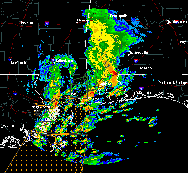 At 139 pm cdt, a severe thunderstorm capable of producing a tornado was located over elberta, or near foley, moving north at 15 mph (radar indicated rotation). Hazards include tornado. Flying debris will be dangerous to those caught without shelter. mobile homes will be damaged or destroyed. damage to roofs, windows, and vehicles will occur. Tree damage is likely. At 139 pm cdt, a severe thunderstorm capable of producing a tornado was located over elberta, or near foley, moving north at 15 mph (radar indicated rotation). Hazards include tornado. Flying debris will be dangerous to those caught without shelter. mobile homes will be damaged or destroyed. damage to roofs, windows, and vehicles will occur. Tree damage is likely.
|
| 10/22/2017 1:01 PM CDT |
 The national weather service in mobile has issued a * tornado warning for. south central baldwin county in southwestern alabama. Until 130 pm cdt * at 101 pm cdt, a confirmed tornado was located near foley, moving north at 15 mph. The national weather service in mobile has issued a * tornado warning for. south central baldwin county in southwestern alabama. Until 130 pm cdt * at 101 pm cdt, a confirmed tornado was located near foley, moving north at 15 mph.
|
| 10/22/2017 1:00 PM CDT |
 The national weather service in mobile has issued a * tornado warning for. southeastern baldwin county in southwestern alabama. central santa rosa county in northwestern florida. central escambia county in northwestern florida. Until 130 pm cdt. The national weather service in mobile has issued a * tornado warning for. southeastern baldwin county in southwestern alabama. central santa rosa county in northwestern florida. central escambia county in northwestern florida. Until 130 pm cdt.
|
| 10/7/2017 9:50 PM CDT |
 At 948 pm cdt, the storm which prompted the original warning has weakened, but a new severe thunderstorm capable of producing a tornado was located 10 miles southeast of orange beach, moving north at 35 mph (radar indicated rotation). Hazards include tornado. Flying debris will be dangerous to those caught without shelter. mobile homes will be damaged or destroyed. damage to roofs, windows, and vehicles will occur. tree damage is likely. this dangerous storm will be near, orange beach and perdido beach around 1010 pm cdt. Foley and elberta around 1015 pm cdt. At 948 pm cdt, the storm which prompted the original warning has weakened, but a new severe thunderstorm capable of producing a tornado was located 10 miles southeast of orange beach, moving north at 35 mph (radar indicated rotation). Hazards include tornado. Flying debris will be dangerous to those caught without shelter. mobile homes will be damaged or destroyed. damage to roofs, windows, and vehicles will occur. tree damage is likely. this dangerous storm will be near, orange beach and perdido beach around 1010 pm cdt. Foley and elberta around 1015 pm cdt.
|
| 10/7/2017 9:27 PM CDT |
 At 927 pm cdt, a severe thunderstorm capable of producing a tornado was located over orange beach, moving northwest at 40 mph (radar indicated rotation). Hazards include tornado. Flying debris will be dangerous to those caught without shelter. mobile homes will be damaged or destroyed. damage to roofs, windows, and vehicles will occur. tree damage is likely. this dangerous storm will be near, gulf shores around 930 pm cdt. bon secour and elberta around 940 pm cdt. foley and magnolia springs around 945 pm cdt. summerdale around 950 pm cdt. robertsdale around 955 pm cdt. silverhill around 1000 pm cdt. fairhope and loxley around 1005 pm cdt. Daphne around 1010 pm cdt. At 927 pm cdt, a severe thunderstorm capable of producing a tornado was located over orange beach, moving northwest at 40 mph (radar indicated rotation). Hazards include tornado. Flying debris will be dangerous to those caught without shelter. mobile homes will be damaged or destroyed. damage to roofs, windows, and vehicles will occur. tree damage is likely. this dangerous storm will be near, gulf shores around 930 pm cdt. bon secour and elberta around 940 pm cdt. foley and magnolia springs around 945 pm cdt. summerdale around 950 pm cdt. robertsdale around 955 pm cdt. silverhill around 1000 pm cdt. fairhope and loxley around 1005 pm cdt. Daphne around 1010 pm cdt.
|
| 10/7/2017 7:28 PM CDT |
 At 728 pm cdt, a severe thunderstorm capable of producing a tornado was located over foley, moving northwest at 50 mph (radar indicated rotation). Hazards include tornado. Flying debris will be dangerous to those caught without shelter. mobile homes will be damaged or destroyed. damage to roofs, windows, and vehicles will occur. tree damage is likely. this dangerous storm will be near, magnolia springs and summerdale around 735 pm cdt. robertsdale around 740 pm cdt. point clear and silverhill around 745 pm cdt. fairhope and loxley around 750 pm cdt. daphne around 755 pm cdt. Spanish fort around 800 pm cdt. At 728 pm cdt, a severe thunderstorm capable of producing a tornado was located over foley, moving northwest at 50 mph (radar indicated rotation). Hazards include tornado. Flying debris will be dangerous to those caught without shelter. mobile homes will be damaged or destroyed. damage to roofs, windows, and vehicles will occur. tree damage is likely. this dangerous storm will be near, magnolia springs and summerdale around 735 pm cdt. robertsdale around 740 pm cdt. point clear and silverhill around 745 pm cdt. fairhope and loxley around 750 pm cdt. daphne around 755 pm cdt. Spanish fort around 800 pm cdt.
|
| 10/7/2017 6:44 PM CDT |
 At 644 pm cdt, a severe thunderstorm capable of producing a tornado was located over foley, moving northwest at 45 mph (radar indicated rotation). Hazards include tornado. Flying debris will be dangerous to those caught without shelter. mobile homes will be damaged or destroyed. damage to roofs, windows, and vehicles will occur. tree damage is likely. Locations impacted include, daphne, fairhope, foley, robertsdale, loxley, magnolia springs, summerdale, silverhill and elberta. At 644 pm cdt, a severe thunderstorm capable of producing a tornado was located over foley, moving northwest at 45 mph (radar indicated rotation). Hazards include tornado. Flying debris will be dangerous to those caught without shelter. mobile homes will be damaged or destroyed. damage to roofs, windows, and vehicles will occur. tree damage is likely. Locations impacted include, daphne, fairhope, foley, robertsdale, loxley, magnolia springs, summerdale, silverhill and elberta.
|
| 10/7/2017 6:32 PM CDT |
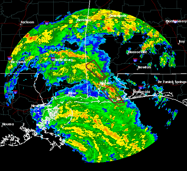 At 631 pm cdt, a confirmed waterspout was located just offshore over orange beach, moving northwest at 45 mph (weather spotters confirmed waterspout moving onshore). Hazards include tornado. Flying debris will be dangerous to those caught without shelter. mobile homes will be damaged or destroyed. damage to roofs, windows, and vehicles will occur. tree damage is likely. Locations impacted include, daphne, fairhope, foley, orange beach, robertsdale, point clear, loxley, magnolia springs, bon secour, summerdale, silverhill, perdido beach and elberta. At 631 pm cdt, a confirmed waterspout was located just offshore over orange beach, moving northwest at 45 mph (weather spotters confirmed waterspout moving onshore). Hazards include tornado. Flying debris will be dangerous to those caught without shelter. mobile homes will be damaged or destroyed. damage to roofs, windows, and vehicles will occur. tree damage is likely. Locations impacted include, daphne, fairhope, foley, orange beach, robertsdale, point clear, loxley, magnolia springs, bon secour, summerdale, silverhill, perdido beach and elberta.
|
| 10/7/2017 6:17 PM CDT |
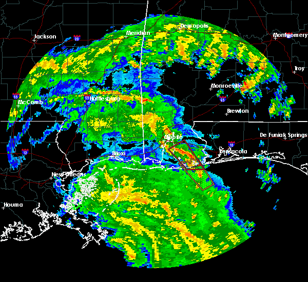 At 617 pm cdt, a severe thunderstorm capable of producing a tornado was located 9 miles southeast of orange beach, moving northwest at 45 mph (radar indicated rotation). Hazards include tornado. Flying debris will be dangerous to those caught without shelter. mobile homes will be damaged or destroyed. damage to roofs, windows, and vehicles will occur. Tree damage is likely. At 617 pm cdt, a severe thunderstorm capable of producing a tornado was located 9 miles southeast of orange beach, moving northwest at 45 mph (radar indicated rotation). Hazards include tornado. Flying debris will be dangerous to those caught without shelter. mobile homes will be damaged or destroyed. damage to roofs, windows, and vehicles will occur. Tree damage is likely.
|
| 10/7/2017 2:07 PM CDT |
 At 206 pm cdt, a severe thunderstorm capable of producing a tornado was located near bon secour, or 6 miles northwest of gulf shores, moving northwest at 35 mph. this storm has a history of producing waterspouts offshore (radar indicated rotation). Hazards include tornado. Flying debris will be dangerous to those caught without shelter. mobile homes will be damaged or destroyed. damage to roofs, windows, and vehicles will occur. tree damage is likely. This dangerous storm will be near, magnolia springs around 215 pm cdt. At 206 pm cdt, a severe thunderstorm capable of producing a tornado was located near bon secour, or 6 miles northwest of gulf shores, moving northwest at 35 mph. this storm has a history of producing waterspouts offshore (radar indicated rotation). Hazards include tornado. Flying debris will be dangerous to those caught without shelter. mobile homes will be damaged or destroyed. damage to roofs, windows, and vehicles will occur. tree damage is likely. This dangerous storm will be near, magnolia springs around 215 pm cdt.
|
| 10/7/2017 1:56 PM CDT |
 At 156 pm cdt, a confirmed waterspout was located just offshore over gulf shores, moving northwest at 35 mph (weather spotters confirmed waterspout moving onshore). Hazards include tornado. Flying debris will be dangerous to those caught without shelter. mobile homes will be damaged or destroyed. damage to roofs, windows, and vehicles will occur. tree damage is likely. this tornado will be near, bon secour around 205 pm cdt. Magnolia springs around 215 pm cdt. At 156 pm cdt, a confirmed waterspout was located just offshore over gulf shores, moving northwest at 35 mph (weather spotters confirmed waterspout moving onshore). Hazards include tornado. Flying debris will be dangerous to those caught without shelter. mobile homes will be damaged or destroyed. damage to roofs, windows, and vehicles will occur. tree damage is likely. this tornado will be near, bon secour around 205 pm cdt. Magnolia springs around 215 pm cdt.
|
| 10/7/2017 1:46 PM CDT |
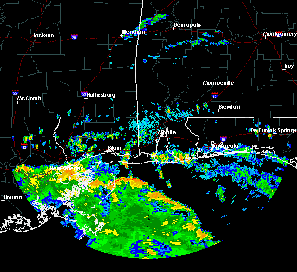 At 146 pm cdt, a severe thunderstorm capable of producing a tornado was located 5 miles south of orange beach, moving northwest at 35 mph (radar indicated rotation). Hazards include tornado. Flying debris will be dangerous to those caught without shelter. mobile homes will be damaged or destroyed. damage to roofs, windows, and vehicles will occur. tree damage is likely. this dangerous storm will be near, gulf shores around 155 pm cdt. bon secour around 205 pm cdt. Magnolia springs around 215 pm cdt. At 146 pm cdt, a severe thunderstorm capable of producing a tornado was located 5 miles south of orange beach, moving northwest at 35 mph (radar indicated rotation). Hazards include tornado. Flying debris will be dangerous to those caught without shelter. mobile homes will be damaged or destroyed. damage to roofs, windows, and vehicles will occur. tree damage is likely. this dangerous storm will be near, gulf shores around 155 pm cdt. bon secour around 205 pm cdt. Magnolia springs around 215 pm cdt.
|
| 6/22/2017 2:13 AM CDT |
 At 213 am cdt, a severe thunderstorm was located over summerdale, or near robertsdale, moving north at 30 mph (radar indicated). Hazards include 60 mph wind gusts. Expect damage to roofs, siding, and trees. locations impacted include, robertsdale, loxley, summerdale and silverhill. A tornado watch remains in effect until 300 am cdt for southwestern alabama. At 213 am cdt, a severe thunderstorm was located over summerdale, or near robertsdale, moving north at 30 mph (radar indicated). Hazards include 60 mph wind gusts. Expect damage to roofs, siding, and trees. locations impacted include, robertsdale, loxley, summerdale and silverhill. A tornado watch remains in effect until 300 am cdt for southwestern alabama.
|
| 6/22/2017 2:03 AM CDT |
 At 202 am cdt, one severe thunderstorm was located over foley. another severe thunderstorm was located between summerdale and elsanor. both thunderstorms were moving north at 40 mph (radar indicated). Hazards include 60 mph wind gusts. Expect damage to roofs, siding, and trees. locations impacted include, foley, robertsdale, loxley, summerdale, silverhill and elberta. A tornado watch remains in effect until 300 am cdt for southwestern alabama, and northwestern florida. At 202 am cdt, one severe thunderstorm was located over foley. another severe thunderstorm was located between summerdale and elsanor. both thunderstorms were moving north at 40 mph (radar indicated). Hazards include 60 mph wind gusts. Expect damage to roofs, siding, and trees. locations impacted include, foley, robertsdale, loxley, summerdale, silverhill and elberta. A tornado watch remains in effect until 300 am cdt for southwestern alabama, and northwestern florida.
|
| 6/22/2017 1:44 AM CDT |
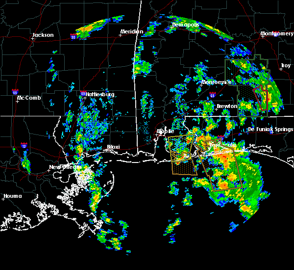 At 142 am cdt, a severe thunderstorm was moving onshore near gulf shores. another severe thunderstorm was located between bon secour and orange beach. movement of both storms was to the north at 30 mph (radar indicated). Hazards include 60 mph wind gusts. expect damage to roofs, siding, and trees At 142 am cdt, a severe thunderstorm was moving onshore near gulf shores. another severe thunderstorm was located between bon secour and orange beach. movement of both storms was to the north at 30 mph (radar indicated). Hazards include 60 mph wind gusts. expect damage to roofs, siding, and trees
|
| 6/21/2017 6:10 PM CDT |
 At 610 pm cdt, a severe thunderstorm was located near foley, moving northwest at 30 mph (radar indicated). Hazards include 60 mph wind gusts. expect damage to roofs, siding, and trees At 610 pm cdt, a severe thunderstorm was located near foley, moving northwest at 30 mph (radar indicated). Hazards include 60 mph wind gusts. expect damage to roofs, siding, and trees
|
| 6/21/2017 5:48 PM CDT |
 At 548 pm cdt, a severe thunderstorm was located over orange beach, moving northwest at 35 mph (radar indicated). Hazards include 60 mph wind gusts. expect damage to roofs, siding, and trees At 548 pm cdt, a severe thunderstorm was located over orange beach, moving northwest at 35 mph (radar indicated). Hazards include 60 mph wind gusts. expect damage to roofs, siding, and trees
|
| 6/21/2017 5:29 PM CDT |
 At 526 pm cdt, another severe thunderstorm was moving ashore from the gulf just to the west of gulf shores, moving north at 45 mph. other storms within the warned area also have the potential to become severe (radar indicated). Hazards include 60 mph wind gusts. Expect damage to roofs, siding, and trees. locations impacted include, downtown mobile, prichard, daphne, fairhope, saraland, gulf shores, foley, chickasaw, spanish fort, point clear, magnolia springs, bon secour, i65 and i165 and i65 and al 158. A tornado watch remains in effect until 700 pm cdt for southwestern alabama. At 526 pm cdt, another severe thunderstorm was moving ashore from the gulf just to the west of gulf shores, moving north at 45 mph. other storms within the warned area also have the potential to become severe (radar indicated). Hazards include 60 mph wind gusts. Expect damage to roofs, siding, and trees. locations impacted include, downtown mobile, prichard, daphne, fairhope, saraland, gulf shores, foley, chickasaw, spanish fort, point clear, magnolia springs, bon secour, i65 and i165 and i65 and al 158. A tornado watch remains in effect until 700 pm cdt for southwestern alabama.
|
| 6/21/2017 5:04 PM CDT |
 At 503 pm cdt, a severe thunderstorm was located near magnolia springs, or 9 miles southwest of foley, moving north at 75 mph (radar indicated). Hazards include 60 mph wind gusts. expect damage to roofs, siding, and trees At 503 pm cdt, a severe thunderstorm was located near magnolia springs, or 9 miles southwest of foley, moving north at 75 mph (radar indicated). Hazards include 60 mph wind gusts. expect damage to roofs, siding, and trees
|
| 6/21/2017 2:57 PM CDT |
 At 257 pm cdt, a severe thunderstorm capable of producing a tornado was located over foley, moving northwest at 30 mph (radar indicated rotation). Hazards include tornado. Flying debris will be dangerous to those caught without shelter. mobile homes will be damaged or destroyed. damage to roofs, windows, and vehicles will occur. tree damage is likely. this dangerous storm will be near, summerdale around 305 pm cdt. Robertsdale, loxley and silverhill around 315 pm cdt. At 257 pm cdt, a severe thunderstorm capable of producing a tornado was located over foley, moving northwest at 30 mph (radar indicated rotation). Hazards include tornado. Flying debris will be dangerous to those caught without shelter. mobile homes will be damaged or destroyed. damage to roofs, windows, and vehicles will occur. tree damage is likely. this dangerous storm will be near, summerdale around 305 pm cdt. Robertsdale, loxley and silverhill around 315 pm cdt.
|
| 6/21/2017 2:55 PM CDT | Trees and powerlines down. some minor damage to homes on state hwy 5 in baldwin county AL, 2.1 miles SE of Foley, AL |
| 6/21/2017 2:49 PM CDT |
 At 249 pm cdt, a severe thunderstorm capable of producing a tornado was located over foley, moving northwest at 30 mph (radar indicated rotation). Hazards include tornado. Flying debris will be dangerous to those caught without shelter. mobile homes will be damaged or destroyed. damage to roofs, windows, and vehicles will occur. tree damage is likely. this dangerous storm will be near, summerdale around 305 pm cdt. Robertsdale, loxley and silverhill around 315 pm cdt. At 249 pm cdt, a severe thunderstorm capable of producing a tornado was located over foley, moving northwest at 30 mph (radar indicated rotation). Hazards include tornado. Flying debris will be dangerous to those caught without shelter. mobile homes will be damaged or destroyed. damage to roofs, windows, and vehicles will occur. tree damage is likely. this dangerous storm will be near, summerdale around 305 pm cdt. Robertsdale, loxley and silverhill around 315 pm cdt.
|
| 6/21/2017 2:39 PM CDT |
 At 238 pm cdt, a severe thunderstorm capable of producing a tornado was located near orange beach, moving northwest at 35 mph (radar indicated rotation). Hazards include tornado. Flying debris will be dangerous to those caught without shelter. mobile homes will be damaged or destroyed. damage to roofs, windows, and vehicles will occur. tree damage is likely. this dangerous storm will be near, foley and elberta around 245 pm cdt. magnolia springs around 255 pm cdt. summerdale around 300 pm cdt. robertsdale and silverhill around 305 pm cdt. Daphne and loxley around 315 pm cdt. At 238 pm cdt, a severe thunderstorm capable of producing a tornado was located near orange beach, moving northwest at 35 mph (radar indicated rotation). Hazards include tornado. Flying debris will be dangerous to those caught without shelter. mobile homes will be damaged or destroyed. damage to roofs, windows, and vehicles will occur. tree damage is likely. this dangerous storm will be near, foley and elberta around 245 pm cdt. magnolia springs around 255 pm cdt. summerdale around 300 pm cdt. robertsdale and silverhill around 305 pm cdt. Daphne and loxley around 315 pm cdt.
|
| 6/21/2017 2:29 PM CDT |
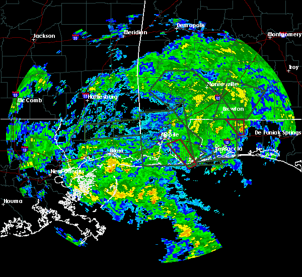 At 229 pm cdt, a severe thunderstorm capable of producing a tornado was located over orange beach, moving northwest at 40 mph (radar indicated rotation). Hazards include tornado. Flying debris will be dangerous to those caught without shelter. mobile homes will be damaged or destroyed. damage to roofs, windows, and vehicles will occur. tree damage is likely. this dangerous storm will be near, foley and bon secour around 240 pm cdt. elberta around 245 pm cdt. magnolia springs around 250 pm cdt. summerdale around 255 pm cdt. robertsdale and silverhill around 300 pm cdt. fairhope and loxley around 310 pm cdt. Daphne around 315 pm cdt. At 229 pm cdt, a severe thunderstorm capable of producing a tornado was located over orange beach, moving northwest at 40 mph (radar indicated rotation). Hazards include tornado. Flying debris will be dangerous to those caught without shelter. mobile homes will be damaged or destroyed. damage to roofs, windows, and vehicles will occur. tree damage is likely. this dangerous storm will be near, foley and bon secour around 240 pm cdt. elberta around 245 pm cdt. magnolia springs around 250 pm cdt. summerdale around 255 pm cdt. robertsdale and silverhill around 300 pm cdt. fairhope and loxley around 310 pm cdt. Daphne around 315 pm cdt.
|
| 4/3/2017 10:34 AM CDT |
 At 1033 am cdt, severe thunderstorms were located along a line extending from near ensley to 20 miles south of gulf shores to 38 miles south of fort morgan, moving east at 35 mph. the severe thunderstorm line is organizing along the coast and a new warning will likely be needed to replace the eastern portion of this warning by 1045 am cdt (radar indicated). Hazards include 60 mph wind gusts and quarter size hail. Hail damage to vehicles is expected. expect wind damage to roofs, siding, and trees. locations impacted include, pensacola, ferry pass, brent, west pensacola, ensley, warrington, gonzalez, gulf shores, foley, pace, milton, gulf breeze, orange beach, goulding, robertsdale, bagdad, lillian, myrtle grove, oriole beach and bon secour. a tornado watch remains in effect until 1100 am cdt for southwestern alabama. A tornado watch also remains in effect until 100 pm cdt for northwestern florida. At 1033 am cdt, severe thunderstorms were located along a line extending from near ensley to 20 miles south of gulf shores to 38 miles south of fort morgan, moving east at 35 mph. the severe thunderstorm line is organizing along the coast and a new warning will likely be needed to replace the eastern portion of this warning by 1045 am cdt (radar indicated). Hazards include 60 mph wind gusts and quarter size hail. Hail damage to vehicles is expected. expect wind damage to roofs, siding, and trees. locations impacted include, pensacola, ferry pass, brent, west pensacola, ensley, warrington, gonzalez, gulf shores, foley, pace, milton, gulf breeze, orange beach, goulding, robertsdale, bagdad, lillian, myrtle grove, oriole beach and bon secour. a tornado watch remains in effect until 1100 am cdt for southwestern alabama. A tornado watch also remains in effect until 100 pm cdt for northwestern florida.
|
| 4/3/2017 9:46 AM CDT |
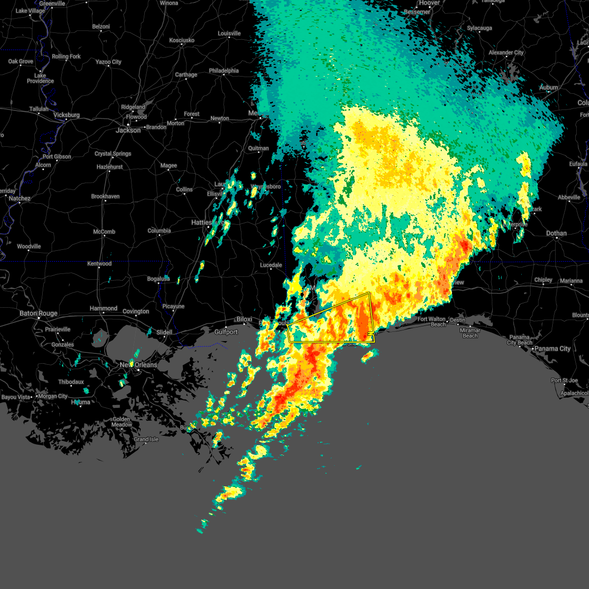 At 945 am cdt, severe thunderstorms were located along a line extending from near warrington to near gulf shores to 21 miles southwest of central dauphin island, moving southeast at 15 to 20 mph (radar indicated). Hazards include 60 mph wind gusts and quarter size hail. Hail damage to vehicles is expected. expect wind damage to roofs, siding, and trees. locations impacted include, fairhope, gulf shores, foley, orange beach, robertsdale, bayou la batre, point clear, central dauphin island, magnolia springs, bon secour, summerdale, silverhill, perdido beach, elberta, coden, fort gaines, fort morgan and alabama port. a tornado watch remains in effect until 1100 am cdt for southwestern alabama. A tornado watch also remains in effect until 100 pm cdt for northwestern florida. At 945 am cdt, severe thunderstorms were located along a line extending from near warrington to near gulf shores to 21 miles southwest of central dauphin island, moving southeast at 15 to 20 mph (radar indicated). Hazards include 60 mph wind gusts and quarter size hail. Hail damage to vehicles is expected. expect wind damage to roofs, siding, and trees. locations impacted include, fairhope, gulf shores, foley, orange beach, robertsdale, bayou la batre, point clear, central dauphin island, magnolia springs, bon secour, summerdale, silverhill, perdido beach, elberta, coden, fort gaines, fort morgan and alabama port. a tornado watch remains in effect until 1100 am cdt for southwestern alabama. A tornado watch also remains in effect until 100 pm cdt for northwestern florida.
|
| 4/3/2017 9:43 AM CDT |
 At 942 am cdt, severe thunderstorms were located along a line extending from near elberta to 23 miles south of orange beach, moving northeast at 35 mph (radar indicated). Hazards include 60 mph wind gusts and quarter size hail. Hail damage to vehicles is expected. Expect wind damage to roofs, siding, and trees. At 942 am cdt, severe thunderstorms were located along a line extending from near elberta to 23 miles south of orange beach, moving northeast at 35 mph (radar indicated). Hazards include 60 mph wind gusts and quarter size hail. Hail damage to vehicles is expected. Expect wind damage to roofs, siding, and trees.
|
| 4/3/2017 9:00 AM CDT |
 At 859 am cdt, severe thunderstorms were located along a line extending from 7 miles north of elberta to 6 miles southwest of point clear to 16 miles southwest of central dauphin island, moving south at 25 to 30 mph. reports of hail and high wind are also being received behind the line (radar indicated). Hazards include 60 mph wind gusts and quarter size hail. Hail damage to vehicles is expected. Expect wind damage to roofs, siding, and trees. At 859 am cdt, severe thunderstorms were located along a line extending from 7 miles north of elberta to 6 miles southwest of point clear to 16 miles southwest of central dauphin island, moving south at 25 to 30 mph. reports of hail and high wind are also being received behind the line (radar indicated). Hazards include 60 mph wind gusts and quarter size hail. Hail damage to vehicles is expected. Expect wind damage to roofs, siding, and trees.
|
| 2/7/2017 4:44 PM CST |
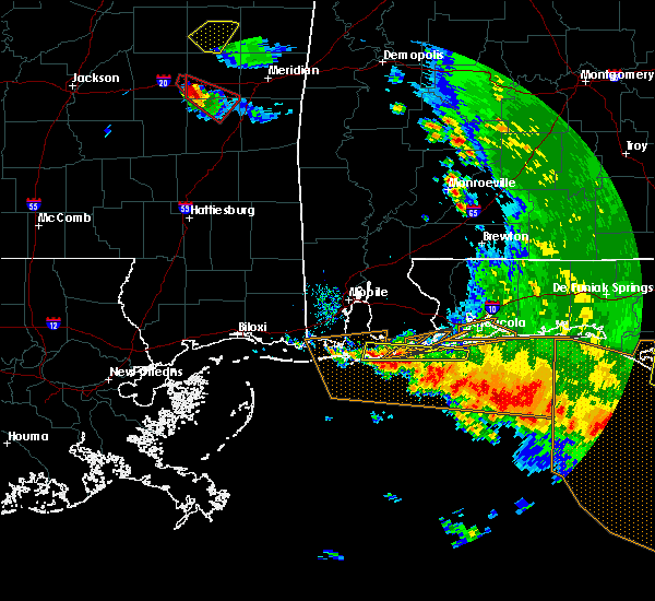 At 443 pm cst, a severe thunderstorm was located 8 miles southwest of bon secour, or 8 miles west of gulf shores, moving east at 45 mph (radar indicated). Hazards include 60 mph wind gusts and quarter size hail. Hail damage to vehicles is expected. Expect wind damage to roofs, siding, and trees. At 443 pm cst, a severe thunderstorm was located 8 miles southwest of bon secour, or 8 miles west of gulf shores, moving east at 45 mph (radar indicated). Hazards include 60 mph wind gusts and quarter size hail. Hail damage to vehicles is expected. Expect wind damage to roofs, siding, and trees.
|
| 2/7/2017 3:59 PM CST |
 At 359 pm cst, severe thunderstorms were located along a line extending from 6 miles south of moss point to central dauphin island to near orange beach, moving southeast at 35 mph (radar indicated). Hazards include 60 mph wind gusts and quarter size hail. Hail damage to vehicles is expected. Expect wind damage to roofs, siding, and trees. At 359 pm cst, severe thunderstorms were located along a line extending from 6 miles south of moss point to central dauphin island to near orange beach, moving southeast at 35 mph (radar indicated). Hazards include 60 mph wind gusts and quarter size hail. Hail damage to vehicles is expected. Expect wind damage to roofs, siding, and trees.
|
| 2/7/2017 3:35 PM CST |
 At 334 pm cst, severe thunderstorms were located along a line extending from 9 miles northwest of eglin air force base to near navarre beach to gulf shores, moving east at 65 mph (radar indicated). Hazards include 70 mph wind gusts and quarter size hail. Hail damage to vehicles is expected. expect considerable tree damage. wind damage is also likely to mobile homes, roofs, and outbuildings. locations impacted include, pensacola, brent, west pensacola, wright, fort walton beach, warrington, niceville, destin, gulf shores, eglin afb, foley, valparaiso, gulf breeze, orange beach, goulding, mary esther, ocean city, lake lorraine, lillian and myrtle grove. A tornado watch remains in effect until 600 pm cst for southwestern alabama, and northwestern florida. At 334 pm cst, severe thunderstorms were located along a line extending from 9 miles northwest of eglin air force base to near navarre beach to gulf shores, moving east at 65 mph (radar indicated). Hazards include 70 mph wind gusts and quarter size hail. Hail damage to vehicles is expected. expect considerable tree damage. wind damage is also likely to mobile homes, roofs, and outbuildings. locations impacted include, pensacola, brent, west pensacola, wright, fort walton beach, warrington, niceville, destin, gulf shores, eglin afb, foley, valparaiso, gulf breeze, orange beach, goulding, mary esther, ocean city, lake lorraine, lillian and myrtle grove. A tornado watch remains in effect until 600 pm cst for southwestern alabama, and northwestern florida.
|
| 2/7/2017 3:01 PM CST |
 At 301 pm cst, severe thunderstorms were located along a line extending from roeville to near warrington to near orange beach, moving east at 60 mph (radar indicated). Hazards include 70 mph wind gusts and half dollar size hail. Hail damage to vehicles is expected. expect considerable tree damage. Wind damage is also likely to mobile homes, roofs, and outbuildings. At 301 pm cst, severe thunderstorms were located along a line extending from roeville to near warrington to near orange beach, moving east at 60 mph (radar indicated). Hazards include 70 mph wind gusts and half dollar size hail. Hail damage to vehicles is expected. expect considerable tree damage. Wind damage is also likely to mobile homes, roofs, and outbuildings.
|
| 2/7/2017 2:46 PM CST |
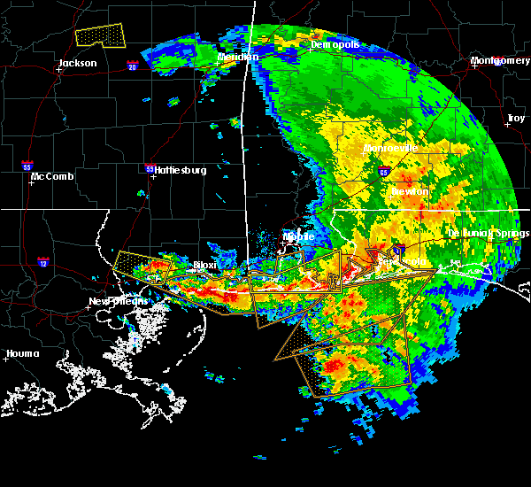 At 245 pm cst, severe thunderstorms were located along a line extending from near elberta to near orange beach to near bon secour to 12 miles west of central dauphin island, moving east at 50 mph (radar indicated). Hazards include 70 mph wind gusts and half dollar size hail. Hail damage to vehicles is expected. expect considerable tree damage. wind damage is also likely to mobile homes, roofs, and outbuildings. locations impacted include, gulf shores, foley, orange beach, robertsdale, point clear, central dauphin island, magnolia springs, bon secour, summerdale, elberta, coden, fort gaines, fort morgan and alabama port. A tornado watch remains in effect until 600 pm cst for southwestern alabama, and northwestern florida. At 245 pm cst, severe thunderstorms were located along a line extending from near elberta to near orange beach to near bon secour to 12 miles west of central dauphin island, moving east at 50 mph (radar indicated). Hazards include 70 mph wind gusts and half dollar size hail. Hail damage to vehicles is expected. expect considerable tree damage. wind damage is also likely to mobile homes, roofs, and outbuildings. locations impacted include, gulf shores, foley, orange beach, robertsdale, point clear, central dauphin island, magnolia springs, bon secour, summerdale, elberta, coden, fort gaines, fort morgan and alabama port. A tornado watch remains in effect until 600 pm cst for southwestern alabama, and northwestern florida.
|
| 2/7/2017 2:02 PM CST |
 At 200 pm cst, two clusters of severe thunderstorms will affect coastal alabama. one cluster of severe thunderstorms was located near moss point. another line of severe thunderstorms extended from the dog river bridge, south to the dauphin island causeway. movement was east at 55 mph (radar indicated). Hazards include 70 mph wind gusts and half dollar size hail. Hail damage to vehicles is expected. expect considerable tree damage. Wind damage is also likely to mobile homes, roofs, and outbuildings. At 200 pm cst, two clusters of severe thunderstorms will affect coastal alabama. one cluster of severe thunderstorms was located near moss point. another line of severe thunderstorms extended from the dog river bridge, south to the dauphin island causeway. movement was east at 55 mph (radar indicated). Hazards include 70 mph wind gusts and half dollar size hail. Hail damage to vehicles is expected. expect considerable tree damage. Wind damage is also likely to mobile homes, roofs, and outbuildings.
|
| 1/22/2017 9:51 AM CST | Quarter sized hail reported 2.1 miles SE of Foley, AL, hail seen in foley... al. several reports via social media. |
| 1/22/2017 9:31 AM CST |
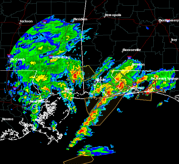 At 931 am cst, a severe thunderstorm was located over foley, moving northeast at 50 mph (radar indicated). Hazards include quarter size hail. damage to vehicles is expected At 931 am cst, a severe thunderstorm was located over foley, moving northeast at 50 mph (radar indicated). Hazards include quarter size hail. damage to vehicles is expected
|
| 1/22/2017 9:10 AM CST |
 At 910 am cst, a severe thunderstorm was located near summerdale, or 7 miles southeast of robertsdale, moving northeast at 45 mph (radar indicated). Hazards include 60 mph wind gusts and half dollar size hail. Hail damage to vehicles is expected. Expect wind damage to roofs, siding, and trees. At 910 am cst, a severe thunderstorm was located near summerdale, or 7 miles southeast of robertsdale, moving northeast at 45 mph (radar indicated). Hazards include 60 mph wind gusts and half dollar size hail. Hail damage to vehicles is expected. Expect wind damage to roofs, siding, and trees.
|
| 1/22/2017 9:00 AM CST |
 At 859 am cst, a severe thunderstorm was located over foley, moving northeast at 45 mph (radar indicated). Hazards include 60 mph wind gusts and quarter size hail. Hail damage to vehicles is expected. expect wind damage to roofs, siding, and trees. locations impacted include, fairhope, foley, robertsdale, point clear, loxley, lillian, magnolia springs, bon secour, summerdale, silverhill and elberta. A tornado watch remains in effect until 200 pm cst for southwestern alabama, and northwestern florida. At 859 am cst, a severe thunderstorm was located over foley, moving northeast at 45 mph (radar indicated). Hazards include 60 mph wind gusts and quarter size hail. Hail damage to vehicles is expected. expect wind damage to roofs, siding, and trees. locations impacted include, fairhope, foley, robertsdale, point clear, loxley, lillian, magnolia springs, bon secour, summerdale, silverhill and elberta. A tornado watch remains in effect until 200 pm cst for southwestern alabama, and northwestern florida.
|
| 1/22/2017 8:32 AM CST |
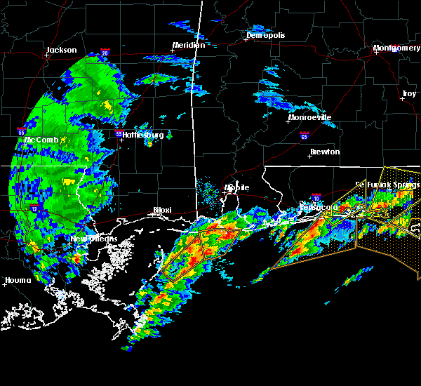 At 832 am cst, a severe thunderstorm was located over fort morgan, or 8 miles east of central dauphin island, moving northeast at 45 mph (radar indicated). Hazards include 60 mph wind gusts and quarter size hail. Hail damage to vehicles is expected. Expect wind damage to roofs, siding, and trees. At 832 am cst, a severe thunderstorm was located over fort morgan, or 8 miles east of central dauphin island, moving northeast at 45 mph (radar indicated). Hazards include 60 mph wind gusts and quarter size hail. Hail damage to vehicles is expected. Expect wind damage to roofs, siding, and trees.
|
| 1/21/2017 7:15 PM CST |
 At 714 pm cst, a severe thunderstorm was located over foley, moving northeast at 65 mph (radar indicated). Hazards include golf ball size hail and 60 mph wind gusts. People and animals outdoors will be injured. expect hail damage to roofs, siding, windows, and vehicles. Expect wind damage to roofs, siding, and trees. At 714 pm cst, a severe thunderstorm was located over foley, moving northeast at 65 mph (radar indicated). Hazards include golf ball size hail and 60 mph wind gusts. People and animals outdoors will be injured. expect hail damage to roofs, siding, windows, and vehicles. Expect wind damage to roofs, siding, and trees.
|
| 1/2/2017 8:32 PM CST |
 At 831 pm cst, severe thunderstorms were located along a line extending from 6 miles northwest of pace, to pea ridge, to near oriole beach, to near perdido beach, moving east at 55 mph (radar indicated). Hazards include 60 mph wind gusts and penny size hail. Expect damage to roofs, siding, and trees. Locations impacted include, pensacola, ferry pass, brent, west pensacola, ensley, warrington, gonzalez, pace, milton, gulf breeze, goulding, bagdad, myrtle grove, oriole beach, navarre, perdido beach, navarre beach, pea ridge, floridatown and pensacola beach. At 831 pm cst, severe thunderstorms were located along a line extending from 6 miles northwest of pace, to pea ridge, to near oriole beach, to near perdido beach, moving east at 55 mph (radar indicated). Hazards include 60 mph wind gusts and penny size hail. Expect damage to roofs, siding, and trees. Locations impacted include, pensacola, ferry pass, brent, west pensacola, ensley, warrington, gonzalez, pace, milton, gulf breeze, goulding, bagdad, myrtle grove, oriole beach, navarre, perdido beach, navarre beach, pea ridge, floridatown and pensacola beach.
|
| 1/2/2017 8:20 PM CST |
 At 819 pm cst, severe thunderstorms were located along a line extending from 6 miles southwest of molino, to gonzalez, to myrtle grove, to orange beach, moving northeast at 60 mph (radar indicated). Hazards include 60 mph wind gusts and quarter size hail. Hail damage to vehicles is expected. expect wind damage to roofs, siding, and trees. Locations impacted include, pensacola, ferry pass, brent, west pensacola, ensley, warrington, gonzalez, foley, pace, milton, gulf breeze, orange beach, goulding, bagdad, lillian, myrtle grove, oriole beach, navarre, molino and perdido beach. At 819 pm cst, severe thunderstorms were located along a line extending from 6 miles southwest of molino, to gonzalez, to myrtle grove, to orange beach, moving northeast at 60 mph (radar indicated). Hazards include 60 mph wind gusts and quarter size hail. Hail damage to vehicles is expected. expect wind damage to roofs, siding, and trees. Locations impacted include, pensacola, ferry pass, brent, west pensacola, ensley, warrington, gonzalez, foley, pace, milton, gulf breeze, orange beach, goulding, bagdad, lillian, myrtle grove, oriole beach, navarre, molino and perdido beach.
|
| 1/2/2017 8:00 PM CST |
 At 800 pm cst, severe thunderstorms were located along a line extending from near robertsdale to near elberta to near perdido beach to near gulf shores, moving east at 60 mph (radar indicated). Hazards include 60 mph wind gusts and quarter size hail. Hail damage to vehicles is expected. Expect wind damage to roofs, siding, and trees. At 800 pm cst, severe thunderstorms were located along a line extending from near robertsdale to near elberta to near perdido beach to near gulf shores, moving east at 60 mph (radar indicated). Hazards include 60 mph wind gusts and quarter size hail. Hail damage to vehicles is expected. Expect wind damage to roofs, siding, and trees.
|
| 1/2/2017 6:29 PM CST |
 At 628 pm cst, severe thunderstorms were located along a line extending from red level, to 7 miles south of andalusia, to near laurel hill, to near crestview, to near pensacola beach, moving east at 45 mph (radar indicated). Hazards include 60 mph wind gusts and nickel size hail. Expect damage to roofs, siding, and trees. locations impacted include, pensacola, ferry pass, brent, west pensacola, wright, fort walton beach, ensley, warrington, crestview, niceville, gonzalez, destin, gulf shores, andalusia, eglin afb, foley, pace, milton, opp and valparaiso. A tornado watch remains in effect until 800 pm cst for south central and southwestern alabama, and northwestern florida. At 628 pm cst, severe thunderstorms were located along a line extending from red level, to 7 miles south of andalusia, to near laurel hill, to near crestview, to near pensacola beach, moving east at 45 mph (radar indicated). Hazards include 60 mph wind gusts and nickel size hail. Expect damage to roofs, siding, and trees. locations impacted include, pensacola, ferry pass, brent, west pensacola, wright, fort walton beach, ensley, warrington, crestview, niceville, gonzalez, destin, gulf shores, andalusia, eglin afb, foley, pace, milton, opp and valparaiso. A tornado watch remains in effect until 800 pm cst for south central and southwestern alabama, and northwestern florida.
|
| 1/2/2017 6:13 PM CST |
 At 612 pm cst, severe thunderstorms were located along a line extending from 8 miles east of evergreen, to 13 miles southwest of river falls, to 10 miles north of baker, to 9 miles east of roeville, to 9 miles south of warrington, moving east at 45 mph (radar indicated). Hazards include 60 mph wind gusts and nickel size hail. Expect damage to roofs, siding, and trees. locations impacted include, pensacola, ferry pass, brent, west pensacola, wright, fort walton beach, ensley, warrington, crestview, niceville, gonzalez, destin, gulf shores, andalusia, eglin afb, foley, pace, milton, opp and valparaiso. A tornado watch remains in effect until 800 pm cst for south central and southwestern alabama, and northwestern florida. At 612 pm cst, severe thunderstorms were located along a line extending from 8 miles east of evergreen, to 13 miles southwest of river falls, to 10 miles north of baker, to 9 miles east of roeville, to 9 miles south of warrington, moving east at 45 mph (radar indicated). Hazards include 60 mph wind gusts and nickel size hail. Expect damage to roofs, siding, and trees. locations impacted include, pensacola, ferry pass, brent, west pensacola, wright, fort walton beach, ensley, warrington, crestview, niceville, gonzalez, destin, gulf shores, andalusia, eglin afb, foley, pace, milton, opp and valparaiso. A tornado watch remains in effect until 800 pm cst for south central and southwestern alabama, and northwestern florida.
|
| 1/2/2017 5:47 PM CST |
 At 546 pm cst, severe thunderstorms were located along a line extending from 13 miles southeast of beatrice to 7 miles northwest of brewton to near century to near magnolia springs to near fort morgan, moving east at 35 mph (radar indicated). Hazards include 60 mph wind gusts and quarter size hail. Hail damage to vehicles is expected. expect wind damage to roofs, siding, and trees. locations impacted include, downtown mobile, pensacola, ferry pass, brent, west pensacola, ensley, daphne, warrington, fairhope, gonzalez, gulf shores, foley, pace, gulf breeze, brewton, orange beach, spanish fort, goulding, robertsdale and evergreen. A tornado watch remains in effect until 800 pm cst for south central and southwestern alabama, and northwestern florida. At 546 pm cst, severe thunderstorms were located along a line extending from 13 miles southeast of beatrice to 7 miles northwest of brewton to near century to near magnolia springs to near fort morgan, moving east at 35 mph (radar indicated). Hazards include 60 mph wind gusts and quarter size hail. Hail damage to vehicles is expected. expect wind damage to roofs, siding, and trees. locations impacted include, downtown mobile, pensacola, ferry pass, brent, west pensacola, ensley, daphne, warrington, fairhope, gonzalez, gulf shores, foley, pace, gulf breeze, brewton, orange beach, spanish fort, goulding, robertsdale and evergreen. A tornado watch remains in effect until 800 pm cst for south central and southwestern alabama, and northwestern florida.
|
| 1/2/2017 5:42 PM CST |
 At 541 pm cst, severe thunderstorms were located along a line extending from near repton to near brewton to 8 miles east of jay to gulf shores, moving east at 45 mph (radar indicated). Hazards include 60 mph wind gusts and up to quarter size hail. expect damage to roofs, siding, and trees At 541 pm cst, severe thunderstorms were located along a line extending from near repton to near brewton to 8 miles east of jay to gulf shores, moving east at 45 mph (radar indicated). Hazards include 60 mph wind gusts and up to quarter size hail. expect damage to roofs, siding, and trees
|
| 1/2/2017 5:30 PM CST |
 At 528 pm cst, severe thunderstorms were located along a line extending from near beatrice, to near i65 and al 113, to near bratt, to near i10 and i65, to near alabama port, moving east at 45 mph (radar indicated). Hazards include 60 mph wind gusts and quarter size hail. Hail damage to vehicles is expected. expect wind damage to roofs, siding, and trees. locations impacted include, downtown mobile, midtown mobile, pensacola, prichard, ferry pass, brent, west pensacola, ensley, daphne, tillmans corner, warrington, fairhope, gonzalez, gulf shores, bay minette, atmore, foley, pace, monroeville and theodore. A tornado watch remains in effect until 800 pm cst for south central and southwestern alabama, and northwestern florida. At 528 pm cst, severe thunderstorms were located along a line extending from near beatrice, to near i65 and al 113, to near bratt, to near i10 and i65, to near alabama port, moving east at 45 mph (radar indicated). Hazards include 60 mph wind gusts and quarter size hail. Hail damage to vehicles is expected. expect wind damage to roofs, siding, and trees. locations impacted include, downtown mobile, midtown mobile, pensacola, prichard, ferry pass, brent, west pensacola, ensley, daphne, tillmans corner, warrington, fairhope, gonzalez, gulf shores, bay minette, atmore, foley, pace, monroeville and theodore. A tornado watch remains in effect until 800 pm cst for south central and southwestern alabama, and northwestern florida.
|
| 1/2/2017 5:15 PM CST |
 At 513 pm cst, severe thunderstorms were located along a line extending from near beatrice to near uriah to near poarch creek reservation to daphne to near alabama port, moving east at 35 mph (radar indicated). Hazards include 60 mph wind gusts and quarter size hail. Hail damage to vehicles is expected. expect wind damage to roofs, siding, and trees. locations impacted include, downtown mobile, midtown mobile, pensacola, prichard, ferry pass, brent, west pensacola, ensley, daphne, tillmans corner, warrington, fairhope, gonzalez, gulf shores, bay minette, atmore, foley, pace, monroeville and theodore. A tornado watch remains in effect until 800 pm cst for south central and southwestern alabama, and northwestern florida. At 513 pm cst, severe thunderstorms were located along a line extending from near beatrice to near uriah to near poarch creek reservation to daphne to near alabama port, moving east at 35 mph (radar indicated). Hazards include 60 mph wind gusts and quarter size hail. Hail damage to vehicles is expected. expect wind damage to roofs, siding, and trees. locations impacted include, downtown mobile, midtown mobile, pensacola, prichard, ferry pass, brent, west pensacola, ensley, daphne, tillmans corner, warrington, fairhope, gonzalez, gulf shores, bay minette, atmore, foley, pace, monroeville and theodore. A tornado watch remains in effect until 800 pm cst for south central and southwestern alabama, and northwestern florida.
|
| 1/2/2017 4:55 PM CST |
 At 454 pm cst, severe thunderstorms were located along a line extending from 7 miles west of vredenburgh to 13 miles southeast of jackson to 8 miles northeast of stockton to near i10 and i65 to near grand bay, moving east at 35 mph (radar indicated). Hazards include 60 mph wind gusts and quarter size hail. Hail damage to vehicles is expected. Expect wind damage to roofs, siding, and trees. At 454 pm cst, severe thunderstorms were located along a line extending from 7 miles west of vredenburgh to 13 miles southeast of jackson to 8 miles northeast of stockton to near i10 and i65 to near grand bay, moving east at 35 mph (radar indicated). Hazards include 60 mph wind gusts and quarter size hail. Hail damage to vehicles is expected. Expect wind damage to roofs, siding, and trees.
|
| 1/2/2017 3:00 PM CST |
 At 259 pm cst, a severe thunderstorm capable of producing a tornado was located over perdido beach, or near orange beach, moving northeast at 50 mph (radar indicated rotation). Hazards include tornado. Flying debris will be dangerous to those caught without shelter. mobile homes will be damaged or destroyed. damage to roofs, windows, and vehicles will occur. tree damage is likely. this dangerous storm will be near, pensacola around 305 pm cst. lillian around 310 pm cst. warrington and myrtle grove around 315 pm cst. west pensacola around 320 pm cst. Brent, ensley, gonzalez and goulding around 325 pm cst. At 259 pm cst, a severe thunderstorm capable of producing a tornado was located over perdido beach, or near orange beach, moving northeast at 50 mph (radar indicated rotation). Hazards include tornado. Flying debris will be dangerous to those caught without shelter. mobile homes will be damaged or destroyed. damage to roofs, windows, and vehicles will occur. tree damage is likely. this dangerous storm will be near, pensacola around 305 pm cst. lillian around 310 pm cst. warrington and myrtle grove around 315 pm cst. west pensacola around 320 pm cst. Brent, ensley, gonzalez and goulding around 325 pm cst.
|
| 1/2/2017 2:46 PM CST |
 At 246 pm cst, a severe thunderstorm capable of producing a tornado was located over gulf shores, moving northeast at 45 mph (radar indicated rotation). Hazards include tornado. Flying debris will be dangerous to those caught without shelter. mobile homes will be damaged or destroyed. damage to roofs, windows, and vehicles will occur. tree damage is likely. this dangerous storm will be near, foley around 250 pm cst. pensacola and orange beach around 300 pm cst. perdido beach and elberta around 305 pm cst. lillian around 315 pm cst. west pensacola, warrington and myrtle grove around 325 pm cst. Brent, ensley, gonzalez and goulding around 330 pm cst. At 246 pm cst, a severe thunderstorm capable of producing a tornado was located over gulf shores, moving northeast at 45 mph (radar indicated rotation). Hazards include tornado. Flying debris will be dangerous to those caught without shelter. mobile homes will be damaged or destroyed. damage to roofs, windows, and vehicles will occur. tree damage is likely. this dangerous storm will be near, foley around 250 pm cst. pensacola and orange beach around 300 pm cst. perdido beach and elberta around 305 pm cst. lillian around 315 pm cst. west pensacola, warrington and myrtle grove around 325 pm cst. Brent, ensley, gonzalez and goulding around 330 pm cst.
|
| 1/2/2017 2:33 PM CST |
 At 232 pm cst, a severe thunderstorm capable of producing a tornado was located 10 miles southeast of fort morgan, or 13 miles southwest of gulf shores, moving northeast at 40 mph (radar indicated rotation). Hazards include tornado. Flying debris will be dangerous to those caught without shelter. mobile homes will be damaged or destroyed. damage to roofs, windows, and vehicles will occur. tree damage is likely. this dangerous storm will be near, gulf shores around 250 pm cst. foley and bon secour around 255 pm cst. pensacola and orange beach around 305 pm cst. elberta around 310 pm cst. perdido beach around 315 pm cst. lillian around 320 pm cst. Brent, west pensacola, ensley, warrington, goulding and myrtle grove around 330 pm cst. At 232 pm cst, a severe thunderstorm capable of producing a tornado was located 10 miles southeast of fort morgan, or 13 miles southwest of gulf shores, moving northeast at 40 mph (radar indicated rotation). Hazards include tornado. Flying debris will be dangerous to those caught without shelter. mobile homes will be damaged or destroyed. damage to roofs, windows, and vehicles will occur. tree damage is likely. this dangerous storm will be near, gulf shores around 250 pm cst. foley and bon secour around 255 pm cst. pensacola and orange beach around 305 pm cst. elberta around 310 pm cst. perdido beach around 315 pm cst. lillian around 320 pm cst. Brent, west pensacola, ensley, warrington, goulding and myrtle grove around 330 pm cst.
|
| 1/2/2017 2:33 PM CST |
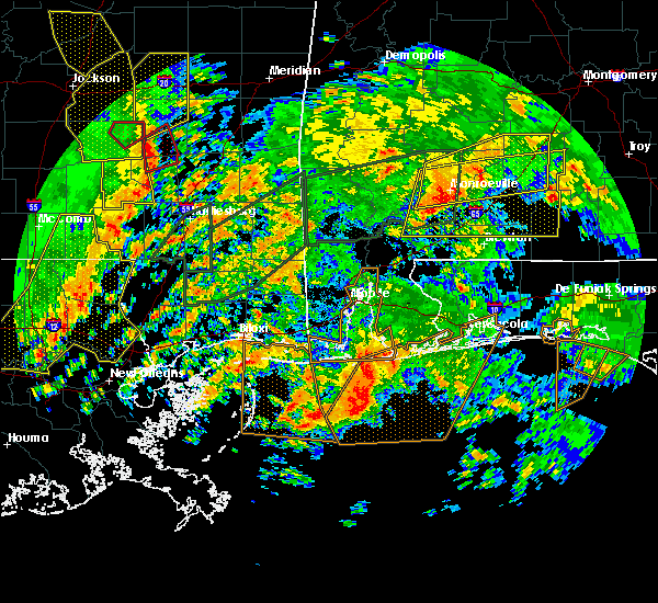 At 232 pm cst, a severe thunderstorm capable of producing a tornado was located 10 miles southeast of fort morgan, or 13 miles southwest of gulf shores, moving northeast at 40 mph (radar indicated rotation). Hazards include tornado. Flying debris will be dangerous to those caught without shelter. mobile homes will be damaged or destroyed. damage to roofs, windows, and vehicles will occur. tree damage is likely. this dangerous storm will be near, gulf shores around 250 pm cst. foley and bon secour around 255 pm cst. pensacola and orange beach around 305 pm cst. elberta around 310 pm cst. perdido beach around 315 pm cst. lillian around 320 pm cst. Brent, west pensacola, ensley, warrington, goulding and myrtle grove around 330 pm cst. At 232 pm cst, a severe thunderstorm capable of producing a tornado was located 10 miles southeast of fort morgan, or 13 miles southwest of gulf shores, moving northeast at 40 mph (radar indicated rotation). Hazards include tornado. Flying debris will be dangerous to those caught without shelter. mobile homes will be damaged or destroyed. damage to roofs, windows, and vehicles will occur. tree damage is likely. this dangerous storm will be near, gulf shores around 250 pm cst. foley and bon secour around 255 pm cst. pensacola and orange beach around 305 pm cst. elberta around 310 pm cst. perdido beach around 315 pm cst. lillian around 320 pm cst. Brent, west pensacola, ensley, warrington, goulding and myrtle grove around 330 pm cst.
|
| 12/4/2016 7:56 AM CST |
 The severe thunderstorm warning for south central baldwin county will expire at 800 am cst, the storm which prompted the warning has weakened below severe limits, and no longer pose an immediate threat to life or property. therefore the warning will be allowed to expire. however gusty winds are still possible with this thunderstorm. The severe thunderstorm warning for south central baldwin county will expire at 800 am cst, the storm which prompted the warning has weakened below severe limits, and no longer pose an immediate threat to life or property. therefore the warning will be allowed to expire. however gusty winds are still possible with this thunderstorm.
|
| 12/4/2016 7:43 AM CST |
 At 743 am cst, a severe thunderstorm was located 7 miles west of bon secour, or 10 miles west of gulf shores, moving northeast at 25 mph (radar indicated). Hazards include 60 mph wind gusts. Expect damage to roofs. siding. and trees. Locations impacted include, foley, robertsdale, magnolia springs, bon secour and silverhill. At 743 am cst, a severe thunderstorm was located 7 miles west of bon secour, or 10 miles west of gulf shores, moving northeast at 25 mph (radar indicated). Hazards include 60 mph wind gusts. Expect damage to roofs. siding. and trees. Locations impacted include, foley, robertsdale, magnolia springs, bon secour and silverhill.
|
| 12/4/2016 7:24 AM CST |
 At 723 am cst, a severe thunderstorm was located over fort morgan, or 8 miles east of central dauphin island, moving northeast at 25 mph (radar indicated). Hazards include 60 mph wind gusts. Expect damage to roofs. siding. And trees. At 723 am cst, a severe thunderstorm was located over fort morgan, or 8 miles east of central dauphin island, moving northeast at 25 mph (radar indicated). Hazards include 60 mph wind gusts. Expect damage to roofs. siding. And trees.
|
| 11/30/2016 12:42 PM CST |
 At 1242 pm cst, severe thunderstorms were located along a line extending from 9 miles east of loxley to 9 miles east of robertsdale to near foley to 9 miles east of fort morgan, moving east at 40 mph (radar indicated). Hazards include 60 mph wind gusts. Expect damage to roofs. siding. and trees. locations impacted include, gulf shores, foley, orange beach, lillian, magnolia springs, bon secour, summerdale, perdido beach and elberta. A tornado watch remains in effect until 500 pm cst for southwestern alabama, and northwestern florida. At 1242 pm cst, severe thunderstorms were located along a line extending from 9 miles east of loxley to 9 miles east of robertsdale to near foley to 9 miles east of fort morgan, moving east at 40 mph (radar indicated). Hazards include 60 mph wind gusts. Expect damage to roofs. siding. and trees. locations impacted include, gulf shores, foley, orange beach, lillian, magnolia springs, bon secour, summerdale, perdido beach and elberta. A tornado watch remains in effect until 500 pm cst for southwestern alabama, and northwestern florida.
|
| 11/30/2016 12:31 PM CST |
 At 1231 pm cst, severe thunderstorms were located along a line extending from near loxley to near summerdale to near fort morgan, moving east at 50 mph (radar indicated). Hazards include 60 mph wind gusts. Expect damage to roofs. siding. and trees. locations impacted include, gulf shores, foley, orange beach, robertsdale, loxley, lillian, magnolia springs, bon secour, summerdale, silverhill, perdido beach, elberta and fort morgan. A tornado watch remains in effect until 500 pm cst for southwestern alabama, and northwestern florida. At 1231 pm cst, severe thunderstorms were located along a line extending from near loxley to near summerdale to near fort morgan, moving east at 50 mph (radar indicated). Hazards include 60 mph wind gusts. Expect damage to roofs. siding. and trees. locations impacted include, gulf shores, foley, orange beach, robertsdale, loxley, lillian, magnolia springs, bon secour, summerdale, silverhill, perdido beach, elberta and fort morgan. A tornado watch remains in effect until 500 pm cst for southwestern alabama, and northwestern florida.
|
| 11/30/2016 12:14 PM CST |
 At 1214 pm cst, severe thunderstorms were located along a line extending from near fairhope to near point clear to fort morgan, moving east at 35 mph (radar indicated). Hazards include 60 mph wind gusts. Expect damage to roofs. siding. and trees. locations impacted include, daphne, fairhope, gulf shores, foley, orange beach, robertsdale, loxley, lillian, magnolia springs, bon secour, summerdale, silverhill, perdido beach, elberta and fort morgan. A tornado watch remains in effect until 500 pm cst for southwestern alabama, and northwestern florida. At 1214 pm cst, severe thunderstorms were located along a line extending from near fairhope to near point clear to fort morgan, moving east at 35 mph (radar indicated). Hazards include 60 mph wind gusts. Expect damage to roofs. siding. and trees. locations impacted include, daphne, fairhope, gulf shores, foley, orange beach, robertsdale, loxley, lillian, magnolia springs, bon secour, summerdale, silverhill, perdido beach, elberta and fort morgan. A tornado watch remains in effect until 500 pm cst for southwestern alabama, and northwestern florida.
|
| 11/30/2016 11:58 AM CST |
 At 1157 am cst, severe thunderstorms were located along a line extending from near i10 and i65 to near alabama port to near central dauphin island, moving east at 25 to 30 mph (radar indicated). Hazards include 60 mph wind gusts. Expect damage to roofs. siding. And trees. At 1157 am cst, severe thunderstorms were located along a line extending from near i10 and i65 to near alabama port to near central dauphin island, moving east at 25 to 30 mph (radar indicated). Hazards include 60 mph wind gusts. Expect damage to roofs. siding. And trees.
|
| 7/21/2016 2:42 PM CDT |
 At 241 pm cdt, a severe thunderstorm was located 7 miles east of robertsdale, moving northwest at 5 mph (radar indicated). Hazards include 60 mph wind gusts. Expect damage to roofs. siding. and trees. Locations impacted include, robertsdale. At 241 pm cdt, a severe thunderstorm was located 7 miles east of robertsdale, moving northwest at 5 mph (radar indicated). Hazards include 60 mph wind gusts. Expect damage to roofs. siding. and trees. Locations impacted include, robertsdale.
|
| 7/21/2016 2:28 PM CDT |
 At 227 pm cdt, a severe thunderstorm was located 7 miles east of robertsdale, moving northwest at 5 mph (radar indicated). Hazards include 60 mph wind gusts and penny size hail. Expect damage to roofs. siding. And trees. At 227 pm cdt, a severe thunderstorm was located 7 miles east of robertsdale, moving northwest at 5 mph (radar indicated). Hazards include 60 mph wind gusts and penny size hail. Expect damage to roofs. siding. And trees.
|
| 6/17/2016 8:12 PM CDT | The severe thunderstorm warning for southern baldwin, southwestern mobile, southeastern escambia, southern santa rosa and southern okaloosa counties will expire at 815 pm cdt, the storms which prompted the warning have moved out of the area. therefore the warning will be allowed to expire. |
| 6/17/2016 8:12 PM CDT | The severe thunderstorm warning for southern baldwin, southwestern mobile, southeastern escambia, southern santa rosa and southern okaloosa counties will expire at 815 pm cdt, the storms which prompted the warning have moved out of the area. therefore the warning will be allowed to expire. |
| 6/17/2016 7:53 PM CDT |
 At 752 pm cdt, severe thunderstorms were located along a line extending from 6 miles southeast of gautier to near fort gaines to near perdido beach to navarre to 7 miles north of santa rosa beach, moving southeast at 55 mph. wind damage will likely occur along a gust front ahead of the rain and lightning and will continue with the thunderstorms that follow (trained weather spotters). Hazards include 60 mph wind gusts. Expect damage to roofs. siding. and trees. Locations impacted include, pensacola, ferry pass, brent, west pensacola, wright, fort walton beach, ensley, daphne, tillmans corner, warrington, fairhope, niceville, gonzalez, destin, gulf shores, eglin afb, foley, pace, milton and theodore. At 752 pm cdt, severe thunderstorms were located along a line extending from 6 miles southeast of gautier to near fort gaines to near perdido beach to navarre to 7 miles north of santa rosa beach, moving southeast at 55 mph. wind damage will likely occur along a gust front ahead of the rain and lightning and will continue with the thunderstorms that follow (trained weather spotters). Hazards include 60 mph wind gusts. Expect damage to roofs. siding. and trees. Locations impacted include, pensacola, ferry pass, brent, west pensacola, wright, fort walton beach, ensley, daphne, tillmans corner, warrington, fairhope, niceville, gonzalez, destin, gulf shores, eglin afb, foley, pace, milton and theodore.
|
| 6/17/2016 7:20 PM CDT |
 At 719 pm cdt, severe thunderstorms were located along a line extending from 6 miles northwest of vancleave to near tillmans corner to 8 miles east of robertsdale to near point baker to 12 miles north of eglin air force base, moving southeast at 45 mph. wind damage will likely occur along a gust front ahead of the rain and lightning and will continue with the thunderstorms that follow (trained weather spotters. numerous reports of wind damage and measured gusts to 60 mph have been received). Hazards include 60 mph wind gusts and penny size hail. Expect damage to roofs. siding. And trees. At 719 pm cdt, severe thunderstorms were located along a line extending from 6 miles northwest of vancleave to near tillmans corner to 8 miles east of robertsdale to near point baker to 12 miles north of eglin air force base, moving southeast at 45 mph. wind damage will likely occur along a gust front ahead of the rain and lightning and will continue with the thunderstorms that follow (trained weather spotters. numerous reports of wind damage and measured gusts to 60 mph have been received). Hazards include 60 mph wind gusts and penny size hail. Expect damage to roofs. siding. And trees.
|
| 6/17/2016 6:59 PM CDT |
 At 658 pm cdt, severe thunderstorms were located along a line extending from near maxie to 9 miles south of lucedale to near stapleton to 7 miles northwest of baker, moving south at 45 mph. wind damage will likely occur along a gust front ahead of the rain and lightning and will continue with the thunderstorms that follow (trained weather spotters. numerous trees have been reported blown down. there have also been several measured wind gusts of 60 mph). Hazards include 60 mph wind gusts and penny size hail. Expect damage to roofs. siding. and trees. Locations impacted include, downtown mobile, midtown mobile, pensacola, prichard, ferry pass, ensley, daphne, tillmans corner, fairhope, saraland, gonzalez, bay minette, atmore, foley, pace, milton, theodore, chickasaw, satsuma and spanish fort. At 658 pm cdt, severe thunderstorms were located along a line extending from near maxie to 9 miles south of lucedale to near stapleton to 7 miles northwest of baker, moving south at 45 mph. wind damage will likely occur along a gust front ahead of the rain and lightning and will continue with the thunderstorms that follow (trained weather spotters. numerous trees have been reported blown down. there have also been several measured wind gusts of 60 mph). Hazards include 60 mph wind gusts and penny size hail. Expect damage to roofs. siding. and trees. Locations impacted include, downtown mobile, midtown mobile, pensacola, prichard, ferry pass, ensley, daphne, tillmans corner, fairhope, saraland, gonzalez, bay minette, atmore, foley, pace, milton, theodore, chickasaw, satsuma and spanish fort.
|
| 6/17/2016 6:24 PM CDT |
 At 622 pm cdt, severe thunderstorms were located along a line extending from near new augusta to 6 miles west of leakesville to near mount vernon to near i65 and al 113, moving south at 45 mph. wind damage will likely occur along a gust front ahead of the rain and lightning and will continue with the thunderstorms that follow (radar indicated). Hazards include 60 mph wind gusts and nickel size hail. Expect damage to roofs. siding. And trees. At 622 pm cdt, severe thunderstorms were located along a line extending from near new augusta to 6 miles west of leakesville to near mount vernon to near i65 and al 113, moving south at 45 mph. wind damage will likely occur along a gust front ahead of the rain and lightning and will continue with the thunderstorms that follow (radar indicated). Hazards include 60 mph wind gusts and nickel size hail. Expect damage to roofs. siding. And trees.
|
| 3/24/2016 1:58 PM CDT |
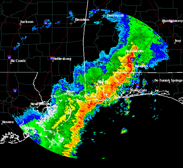 At 158 pm cdt, severe thunderstorms were located along a line extending from near robertsdale to near foley to 8 miles southeast of east end of dauphin, moving east at 45 mph (radar indicated). Hazards include 60 mph wind gusts and penny size hail. Expect damage to roofs. siding. and trees. locations impacted include, foley, orange beach, robertsdale, elberta, summerdale, magnolia springs, silverhill, bon secour, palmetto beach and lillian. A tornado watch remains in effect until 700 pm cdt for southwestern alabama, and northwestern florida. At 158 pm cdt, severe thunderstorms were located along a line extending from near robertsdale to near foley to 8 miles southeast of east end of dauphin, moving east at 45 mph (radar indicated). Hazards include 60 mph wind gusts and penny size hail. Expect damage to roofs. siding. and trees. locations impacted include, foley, orange beach, robertsdale, elberta, summerdale, magnolia springs, silverhill, bon secour, palmetto beach and lillian. A tornado watch remains in effect until 700 pm cdt for southwestern alabama, and northwestern florida.
|
| 3/24/2016 1:26 PM CDT |
 At 126 pm cdt, severe thunderstorms were located along a line extending from near i10 and i65 to near belle fontaine to near central dauphin island, moving east at 50 mph (radar indicated). Hazards include 60 mph wind gusts and penny size hail. Expect damage to roofs. siding. And trees. At 126 pm cdt, severe thunderstorms were located along a line extending from near i10 and i65 to near belle fontaine to near central dauphin island, moving east at 50 mph (radar indicated). Hazards include 60 mph wind gusts and penny size hail. Expect damage to roofs. siding. And trees.
|
| 3/17/2016 9:30 PM CDT |
 At 928 pm cdt, severe thunderstorms were located along a line extending from 9 miles north of lillian to near east end of dauphin, moving south at 45 mph (radar indicated). Hazards include 60 mph wind gusts and nickel size hail. Expect damage to roofs. siding. And trees. At 928 pm cdt, severe thunderstorms were located along a line extending from 9 miles north of lillian to near east end of dauphin, moving south at 45 mph (radar indicated). Hazards include 60 mph wind gusts and nickel size hail. Expect damage to roofs. siding. And trees.
|
| 3/17/2016 9:30 PM CDT |
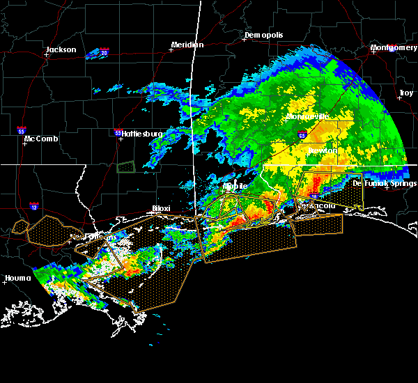 At 928 pm cdt, severe thunderstorms were located along a line extending from 9 miles north of lillian to near east end of dauphin, moving south at 45 mph (radar indicated). Hazards include 60 mph wind gusts and nickel size hail. Expect damage to roofs. siding. And trees. At 928 pm cdt, severe thunderstorms were located along a line extending from 9 miles north of lillian to near east end of dauphin, moving south at 45 mph (radar indicated). Hazards include 60 mph wind gusts and nickel size hail. Expect damage to roofs. siding. And trees.
|
| 3/17/2016 8:58 PM CDT |
 At 857 pm cdt, severe thunderstorms were located along a line extending from daphne to near point clear to coden, moving east at 50 mph (radar indicated). Hazards include 60 mph wind gusts and quarter size hail. Hail damage to vehicles is expected. expect wind damage to roofs, siding, and trees. Locations impacted include, mobile, daphne, fairhope, foley, orange beach, robertsdale, bayou la batre, point clear, theodore, elberta, summerdale, magnolia springs, silverhill, perdido beach, coden, bon secour, belle fontaine and fairhope. At 857 pm cdt, severe thunderstorms were located along a line extending from daphne to near point clear to coden, moving east at 50 mph (radar indicated). Hazards include 60 mph wind gusts and quarter size hail. Hail damage to vehicles is expected. expect wind damage to roofs, siding, and trees. Locations impacted include, mobile, daphne, fairhope, foley, orange beach, robertsdale, bayou la batre, point clear, theodore, elberta, summerdale, magnolia springs, silverhill, perdido beach, coden, bon secour, belle fontaine and fairhope.
|
| 3/17/2016 8:45 PM CDT |
 At 843 pm cdt, severe thunderstorms were located along a line extending from near chickasaw to near belle fontaine to near grand bay, moving east at 45 mph (radar indicated). Hazards include 60 mph wind gusts and quarter size hail. Hail damage to vehicles is expected. Expect wind damage to roofs, siding, and trees. At 843 pm cdt, severe thunderstorms were located along a line extending from near chickasaw to near belle fontaine to near grand bay, moving east at 45 mph (radar indicated). Hazards include 60 mph wind gusts and quarter size hail. Hail damage to vehicles is expected. Expect wind damage to roofs, siding, and trees.
|
| 2/23/2016 7:34 PM CST |
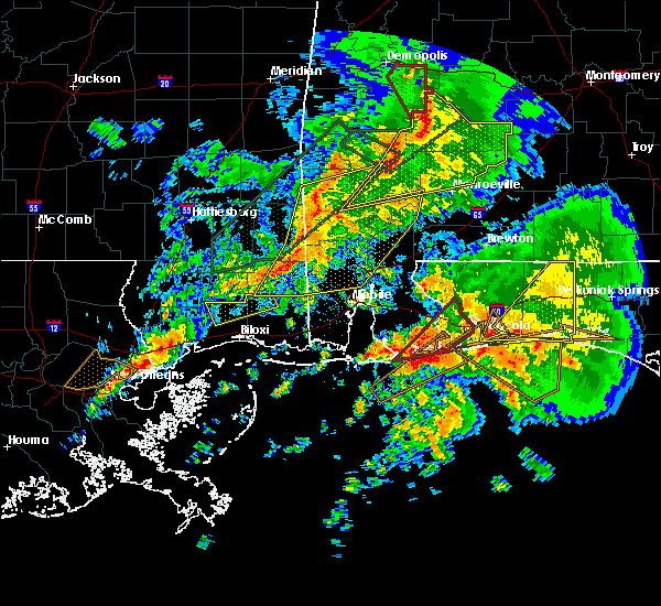 At 732 pm cst, a large and extremely dangerous tornado was located near orange beach, moving northeast at 35 mph. this is a particularly dangerous situation (radar indicated rotation). Hazards include damaging tornado. You are in a life threatening situation. flying debris may be deadly to those caught without shelter. mobile homes will be destroyed. considerable damage to homes, businesses, and vehicles is likely and complete destruction is possible. the tornado will be near, perdido beach around 750 pm cst. johnsons beach around 755 pm cst. lillian around 800 pm cst. myrtle grove and warrington around 810 pm cst. West pensacola, bellview, brent, goulding, ensley, pensacola international airport and ferry pass around 815 pm cst. At 732 pm cst, a large and extremely dangerous tornado was located near orange beach, moving northeast at 35 mph. this is a particularly dangerous situation (radar indicated rotation). Hazards include damaging tornado. You are in a life threatening situation. flying debris may be deadly to those caught without shelter. mobile homes will be destroyed. considerable damage to homes, businesses, and vehicles is likely and complete destruction is possible. the tornado will be near, perdido beach around 750 pm cst. johnsons beach around 755 pm cst. lillian around 800 pm cst. myrtle grove and warrington around 810 pm cst. West pensacola, bellview, brent, goulding, ensley, pensacola international airport and ferry pass around 815 pm cst.
|
| 2/23/2016 7:13 PM CST |
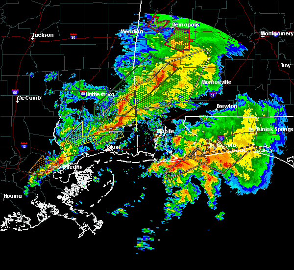 At 712 pm cst, a large and extremely dangerous tornado was located 8 miles south of gulf shores, moving northeast at 40 mph. this is a particularly dangerous situation (radar indicated rotation). Hazards include damaging tornado. You are in a life threatening situation. flying debris may be deadly to those caught without shelter. mobile homes will be destroyed. considerable damage to homes, businesses, and vehicles is likely and complete destruction is possible. the tornado will be near, foley around 725 pm cst. pensacola and orange beach around 735 pm cst. perdido beach around 740 pm cst. johnsons beach around 745 pm cst. lillian around 750 pm cst. bellview, myrtle grove and west pensacola around 800 pm cst. brent and goulding around 805 pm cst. Gonzalez, ensley, ferry pass and pensacola international airport around 810 pm cst. At 712 pm cst, a large and extremely dangerous tornado was located 8 miles south of gulf shores, moving northeast at 40 mph. this is a particularly dangerous situation (radar indicated rotation). Hazards include damaging tornado. You are in a life threatening situation. flying debris may be deadly to those caught without shelter. mobile homes will be destroyed. considerable damage to homes, businesses, and vehicles is likely and complete destruction is possible. the tornado will be near, foley around 725 pm cst. pensacola and orange beach around 735 pm cst. perdido beach around 740 pm cst. johnsons beach around 745 pm cst. lillian around 750 pm cst. bellview, myrtle grove and west pensacola around 800 pm cst. brent and goulding around 805 pm cst. Gonzalez, ensley, ferry pass and pensacola international airport around 810 pm cst.
|
| 2/15/2016 4:40 PM CST |
 At 439 pm cst, severe thunderstorms were located along a line extending from 6 miles northwest of i65 and al 83 to near i65 and al 113 to near i65 and al 225 to escatawpa, moving southeast at 25 mph (radar indicated). Hazards include 60 mph wind gusts. Expect damage to roofs. siding. and trees. locations impacted include, mobile, prichard, foley, saraland, atmore, bay minette, monroeville, satsuma, chickasaw, robertsdale, bayou la batre and creola. A tornado watch remains in effect until 900 pm cst for southwestern alabama and northwestern florida. At 439 pm cst, severe thunderstorms were located along a line extending from 6 miles northwest of i65 and al 83 to near i65 and al 113 to near i65 and al 225 to escatawpa, moving southeast at 25 mph (radar indicated). Hazards include 60 mph wind gusts. Expect damage to roofs. siding. and trees. locations impacted include, mobile, prichard, foley, saraland, atmore, bay minette, monroeville, satsuma, chickasaw, robertsdale, bayou la batre and creola. A tornado watch remains in effect until 900 pm cst for southwestern alabama and northwestern florida.
|
| 2/15/2016 4:28 PM CST |
 At 428 pm cst, severe thunderstorms were located along a line extending from near beatrice to uriah to near i65 and al 225 to near gulf park estates, moving southeast at 30 mph (radar indicated). Hazards include 60 mph wind gusts. Expect damage to roofs. siding. And trees. At 428 pm cst, severe thunderstorms were located along a line extending from near beatrice to uriah to near i65 and al 225 to near gulf park estates, moving southeast at 30 mph (radar indicated). Hazards include 60 mph wind gusts. Expect damage to roofs. siding. And trees.
|
| 12/21/2015 10:30 PM CST |
 At 1028 pm cst, a severe thunderstorm was located near middle bay light, moving east at 40 mph (radar indicated). Hazards include 60 mph wind gusts. Expect damage to roofs. siding and trees. Locations impacted include, fairhope, foley, robertsdale, loxley, point clear, magnolia springs, silverhill. At 1028 pm cst, a severe thunderstorm was located near middle bay light, moving east at 40 mph (radar indicated). Hazards include 60 mph wind gusts. Expect damage to roofs. siding and trees. Locations impacted include, fairhope, foley, robertsdale, loxley, point clear, magnolia springs, silverhill.
|
| 12/21/2015 10:10 PM CST |
 The national weather service in mobile has issued a * severe thunderstorm warning for. southwestern baldwin county in southwestern alabama. southwestern mobile county in southwestern alabama. until 1100 pm cst * at 1010 pm cst. A severe thunderstorm was located over bayou la. The national weather service in mobile has issued a * severe thunderstorm warning for. southwestern baldwin county in southwestern alabama. southwestern mobile county in southwestern alabama. until 1100 pm cst * at 1010 pm cst. A severe thunderstorm was located over bayou la.
|
| 11/18/2015 11:20 AM CST |
 At 1119 am cst, severe thunderstorms were located along a line extending from magnolia springs to orange beach to 8 miles south of gulf shores, moving northeast at 45 mph (radar indicated). Hazards include 60 mph wind gusts. Expect damage to roofs. siding and trees. locations impacted include, pensacola, foley, orange beach, elberta, magnolia springs, bon secour and lillian. A tornado watch remains in effect until 400 pm cst for southwestern alabama and northwestern florida. At 1119 am cst, severe thunderstorms were located along a line extending from magnolia springs to orange beach to 8 miles south of gulf shores, moving northeast at 45 mph (radar indicated). Hazards include 60 mph wind gusts. Expect damage to roofs. siding and trees. locations impacted include, pensacola, foley, orange beach, elberta, magnolia springs, bon secour and lillian. A tornado watch remains in effect until 400 pm cst for southwestern alabama and northwestern florida.
|
| 11/18/2015 10:57 AM CST |
 At 1056 am cst, severe thunderstorms were located along a line extending from near palmetto beach to 13 miles south of gulf shores to 24 miles southeast of sand island, moving northeast at 40 mph (radar indicated). Hazards include 60 mph wind gusts. Expect damage to roofs. Siding and trees. At 1056 am cst, severe thunderstorms were located along a line extending from near palmetto beach to 13 miles south of gulf shores to 24 miles southeast of sand island, moving northeast at 40 mph (radar indicated). Hazards include 60 mph wind gusts. Expect damage to roofs. Siding and trees.
|
| 11/18/2015 10:57 AM CST |
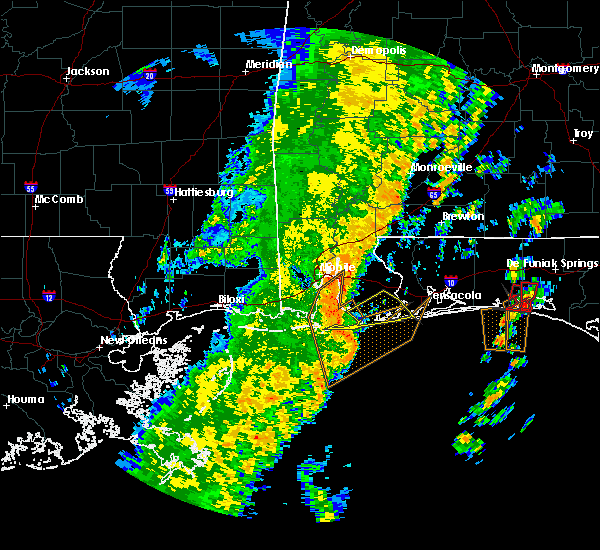 At 1056 am cst, severe thunderstorms were located along a line extending from near palmetto beach to 13 miles south of gulf shores to 24 miles southeast of sand island, moving northeast at 40 mph (radar indicated). Hazards include 60 mph wind gusts. Expect damage to roofs. Siding and trees. At 1056 am cst, severe thunderstorms were located along a line extending from near palmetto beach to 13 miles south of gulf shores to 24 miles southeast of sand island, moving northeast at 40 mph (radar indicated). Hazards include 60 mph wind gusts. Expect damage to roofs. Siding and trees.
|
| 9/27/2015 6:17 PM CDT |
 At 613 pm cdt, a severe thunderstorm capable of producing damaging winds over 60 mph was located over mouth of weeks bay, or 9 miles southwest of foley, moving northwest at 15 mph. At 613 pm cdt, a severe thunderstorm capable of producing damaging winds over 60 mph was located over mouth of weeks bay, or 9 miles southwest of foley, moving northwest at 15 mph.
|
| 9/27/2015 5:33 PM CDT |
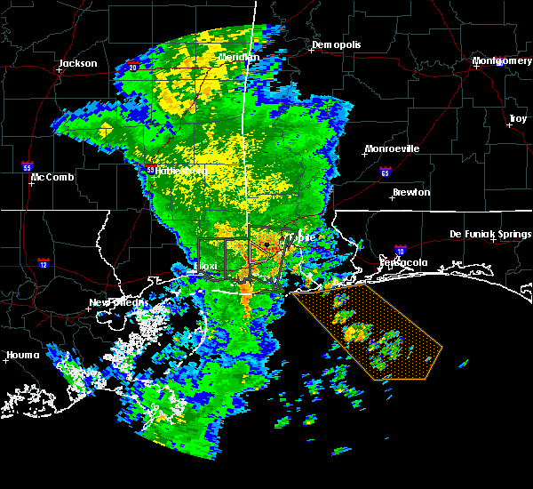 At 532 pm cdt, a severe thunderstorm capable of producing damaging winds over 60 mph was located over gulf shores, and moving northwest at 15 mph. At 532 pm cdt, a severe thunderstorm capable of producing damaging winds over 60 mph was located over gulf shores, and moving northwest at 15 mph.
|
| 8/8/2015 7:10 PM CDT |
 At 709 pm cdt, a line of severe thunderstorms capable of producing damaging winds over 60 mph were located along a line extending from 6 miles southeast of gulf shores to 8 miles southwest of western dauphin island, moving south at 30 mph. At 709 pm cdt, a line of severe thunderstorms capable of producing damaging winds over 60 mph were located along a line extending from 6 miles southeast of gulf shores to 8 miles southwest of western dauphin island, moving south at 30 mph.
|
| 8/8/2015 6:44 PM CDT |
 At 643 pm cdt, a line of severe thunderstorms capable of producing damaging winds over 60 mph was located along a line extending from near orange beach to 8 miles northwest of western dauphin island, and moving south at 30 mph. At 643 pm cdt, a line of severe thunderstorms capable of producing damaging winds over 60 mph was located along a line extending from near orange beach to 8 miles northwest of western dauphin island, and moving south at 30 mph.
|
| 8/8/2015 5:43 PM CDT |
 At 543 pm cdt, a line of severe thunderstorms capable of producing damaging winds over 60 mph was located along a line extending from 8 miles south of i65 and cr 47 to 8 miles northwest of semmes, and moving southeast at 35 mph. At 543 pm cdt, a line of severe thunderstorms capable of producing damaging winds over 60 mph was located along a line extending from 8 miles south of i65 and cr 47 to 8 miles northwest of semmes, and moving southeast at 35 mph.
|
| 7/20/2015 3:53 PM CDT |
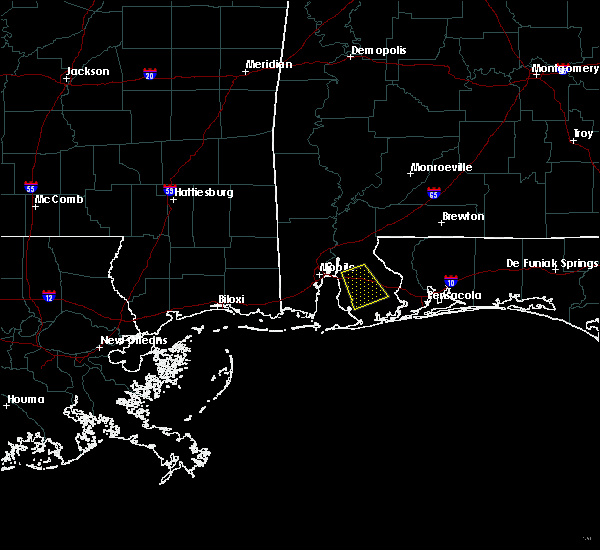 At 353 pm cdt, a severe thunderstorm capable of producing damaging winds over 60 mph was located 7 miles northeast of robertsdale, moving southeast at 25 mph. At 353 pm cdt, a severe thunderstorm capable of producing damaging winds over 60 mph was located 7 miles northeast of robertsdale, moving southeast at 25 mph.
|
| 7/20/2015 3:26 PM CDT |
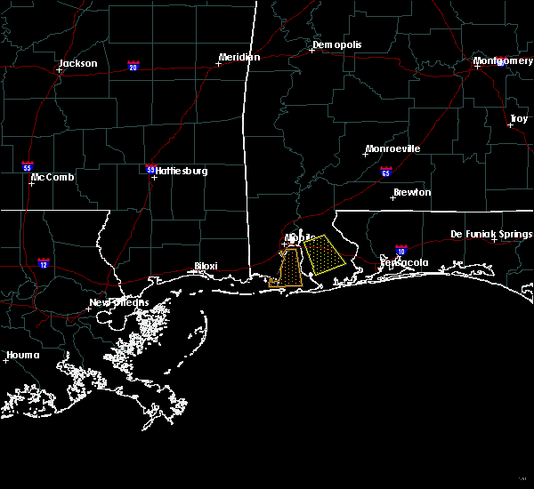 At 325 pm cdt, a severe thunderstorm capable of producing damaging winds over 60 mph was located near loxley, and moving southeast at 10 mph. At 325 pm cdt, a severe thunderstorm capable of producing damaging winds over 60 mph was located near loxley, and moving southeast at 10 mph.
|
| 7/19/2015 2:25 PM CDT |
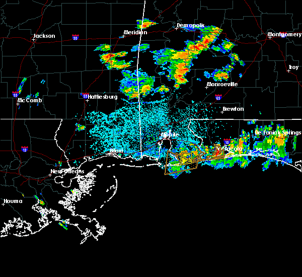 At 224 pm cdt, the storm that prompted the warning for south central baldwin county has weakened to below severe limits, thus the severe thunderstorm warning will be allowed to expire at 230 pm cdt. At 224 pm cdt, the storm that prompted the warning for south central baldwin county has weakened to below severe limits, thus the severe thunderstorm warning will be allowed to expire at 230 pm cdt.
|
| 7/19/2015 1:49 PM CDT |
 At 148 pm cdt, a severe thunderstorm capable of producing damaging winds over 60 mph was located near gulf shores, and moving south at 10 mph. At 148 pm cdt, a severe thunderstorm capable of producing damaging winds over 60 mph was located near gulf shores, and moving south at 10 mph.
|
| 7/17/2015 4:30 PM CDT |
 At 429 pm cdt, a line of severe thunderstorms capable of producing damaging winds over 60 mph were located along a line extending from 7 miles east of saraland to 6 miles northwest of fairhope to point clear to magnolia springs, moving west at 20 mph. At 429 pm cdt, a line of severe thunderstorms capable of producing damaging winds over 60 mph were located along a line extending from 7 miles east of saraland to 6 miles northwest of fairhope to point clear to magnolia springs, moving west at 20 mph.
|
| 7/17/2015 4:19 PM CDT |
 At 418 pm cdt, a line of severe thunderstorms capable of producing damaging winds over 60 mph was located along a line extending from 7 miles northwest of stapleton to near daphne to near point clear to near magnolia springs, and moving west at 20 mph. At 418 pm cdt, a line of severe thunderstorms capable of producing damaging winds over 60 mph was located along a line extending from 7 miles northwest of stapleton to near daphne to near point clear to near magnolia springs, and moving west at 20 mph.
|
| 7/17/2015 4:03 PM CDT |
 At 403 pm cdt, a line of severe thunderstorms capable of producing damaging winds over 60 mph was located along a line extending from near stapleton to near magnolia springs, and moving west at 35 mph. At 403 pm cdt, a line of severe thunderstorms capable of producing damaging winds over 60 mph was located along a line extending from near stapleton to near magnolia springs, and moving west at 35 mph.
|
| 7/12/2015 2:07 PM CDT |
 At 207 pm cdt, a severe thunderstorm capable of producing damaging winds over 60 mph was located near point clear, and moving south at 10 mph. At 207 pm cdt, a severe thunderstorm capable of producing damaging winds over 60 mph was located near point clear, and moving south at 10 mph.
|
| 6/23/2015 2:11 PM CDT |
 At 207 pm cdt, baldwin county emergency management reported golf ball sized hail in foley. at 208 pm cdt, national weather service doppler radar indicated a severe thunderstorm capable of producing golf ball size hail and damaging winds over 60 mph located over foley. the storm was drifting slowly to the west at less than 5 mph. At 207 pm cdt, baldwin county emergency management reported golf ball sized hail in foley. at 208 pm cdt, national weather service doppler radar indicated a severe thunderstorm capable of producing golf ball size hail and damaging winds over 60 mph located over foley. the storm was drifting slowly to the west at less than 5 mph.
|
| 6/23/2015 2:07 PM CDT | Golf Ball sized hail reported 2.1 miles SE of Foley, AL, golf ball size hail reported in foley along with high winds. |
| 6/23/2015 2:01 PM CDT |
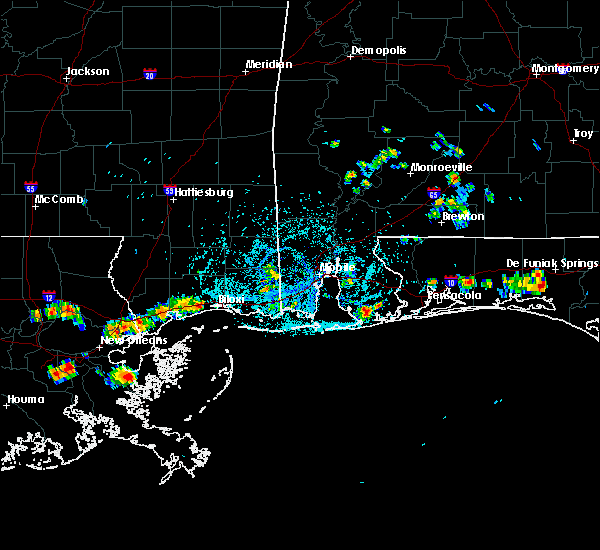 At 201 pm cdt, a severe thunderstorm capable of producing quarter size hail and damaging winds over 60 mph was located near foley, and was nearly stationary. At 201 pm cdt, a severe thunderstorm capable of producing quarter size hail and damaging winds over 60 mph was located near foley, and was nearly stationary.
|
| 4/25/2015 3:35 PM CDT | Off duty nws employee estimates 60mph winds. time estimated from rada in baldwin county AL, 2.1 miles SE of Foley, AL |
| 4/25/2015 3:26 PM CDT | At 326 pm cdt, a line of severe thunderstorms capable of producing damaging winds over 60 mph was located along a line extending from near bay minette to near magnolia springs to 10 miles southeast of sand island, and moving east at 60 mph. |
| 4/25/2015 3:26 PM CDT | At 326 pm cdt, a line of severe thunderstorms capable of producing damaging winds over 60 mph was located along a line extending from near bay minette to near magnolia springs to 10 miles southeast of sand island, and moving east at 60 mph. |
| 4/15/2015 4:32 PM CDT | The national weather service in mobile has issued a * severe thunderstorm warning for. southern baldwin county in southwestern alabama. until 515 pm cdt * at 430 pm cdt. A severe thunderstorm capable of producing quarter size hail and damaging winds over 60 mph was located over central. |
| 5/21/2012 7:05 PM CDT | Golf Ball sized hail reported 1.8 miles SSW of Foley, AL, 2 miles east of intersection of us 98 and al 59. this is a relayed report to the ema by citizen. |
| 1/1/0001 12:00 AM | Golf Ball sized hail reported 3.3 miles SSE of Foley, AL, quarter to golf ball size hail reported by the public near the foley beach express an cr 32 |
| 1/1/0001 12:00 AM | Tree and power lines blown dow in baldwin county AL, 2.1 miles SE of Foley, AL |
Hail Maps for Foley, AL


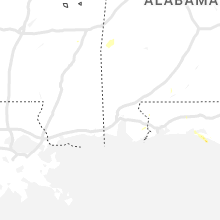


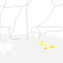
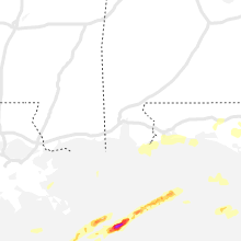


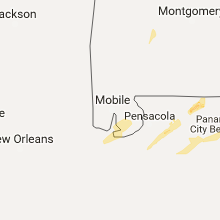


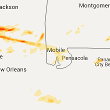


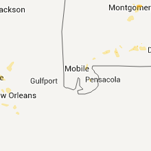


Connect with Interactive Hail Maps