

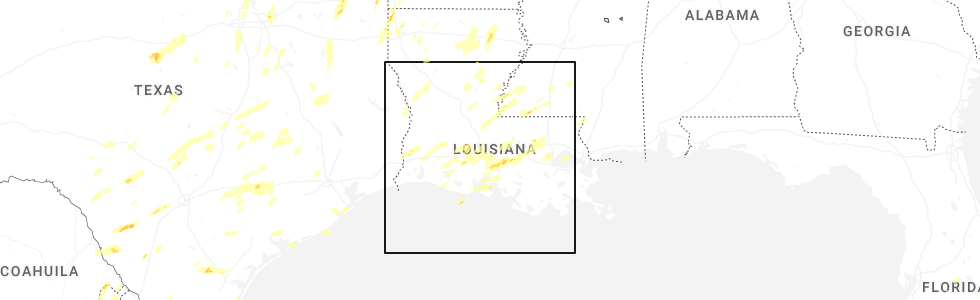
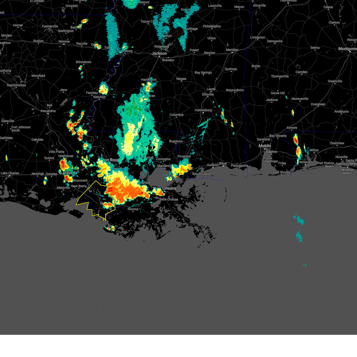
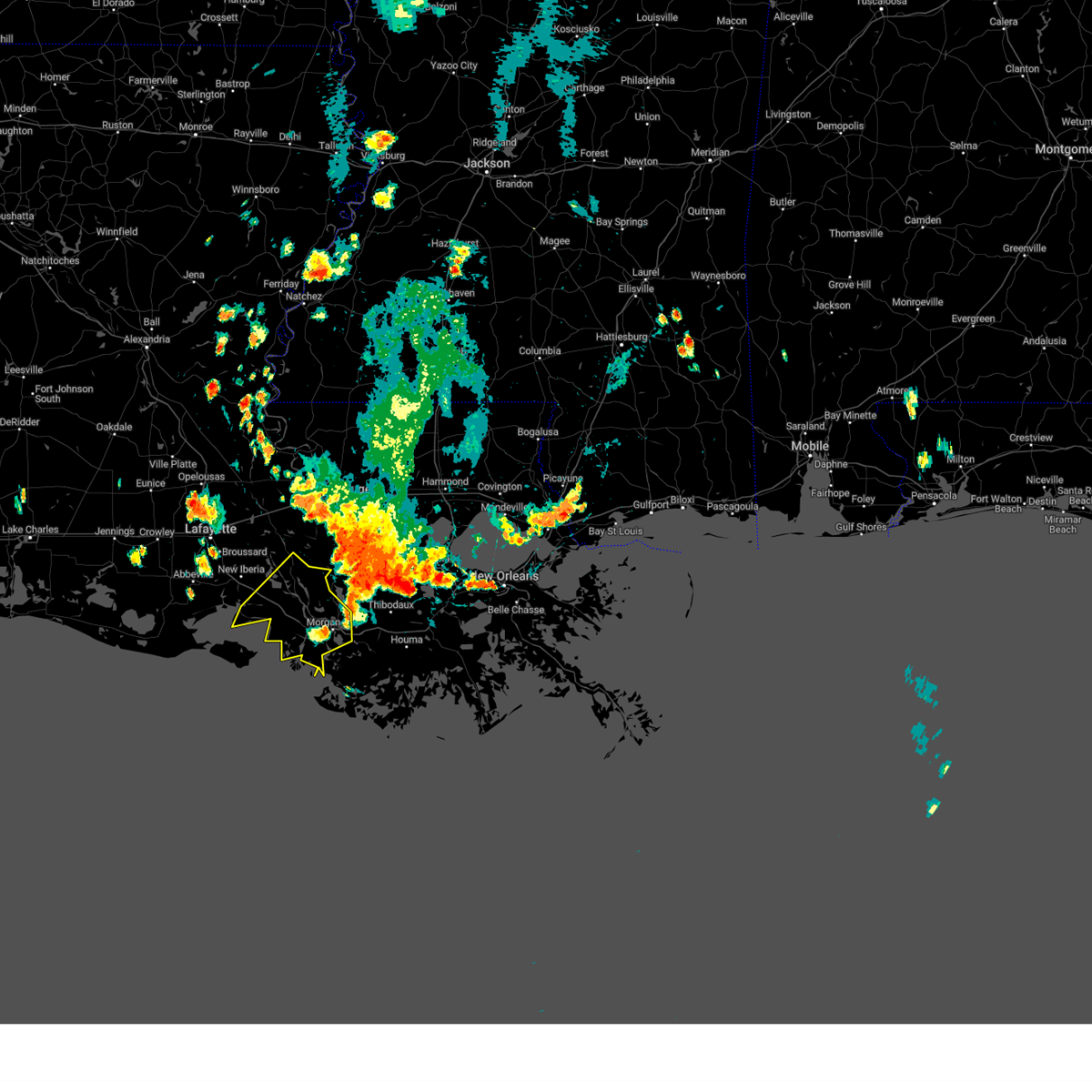
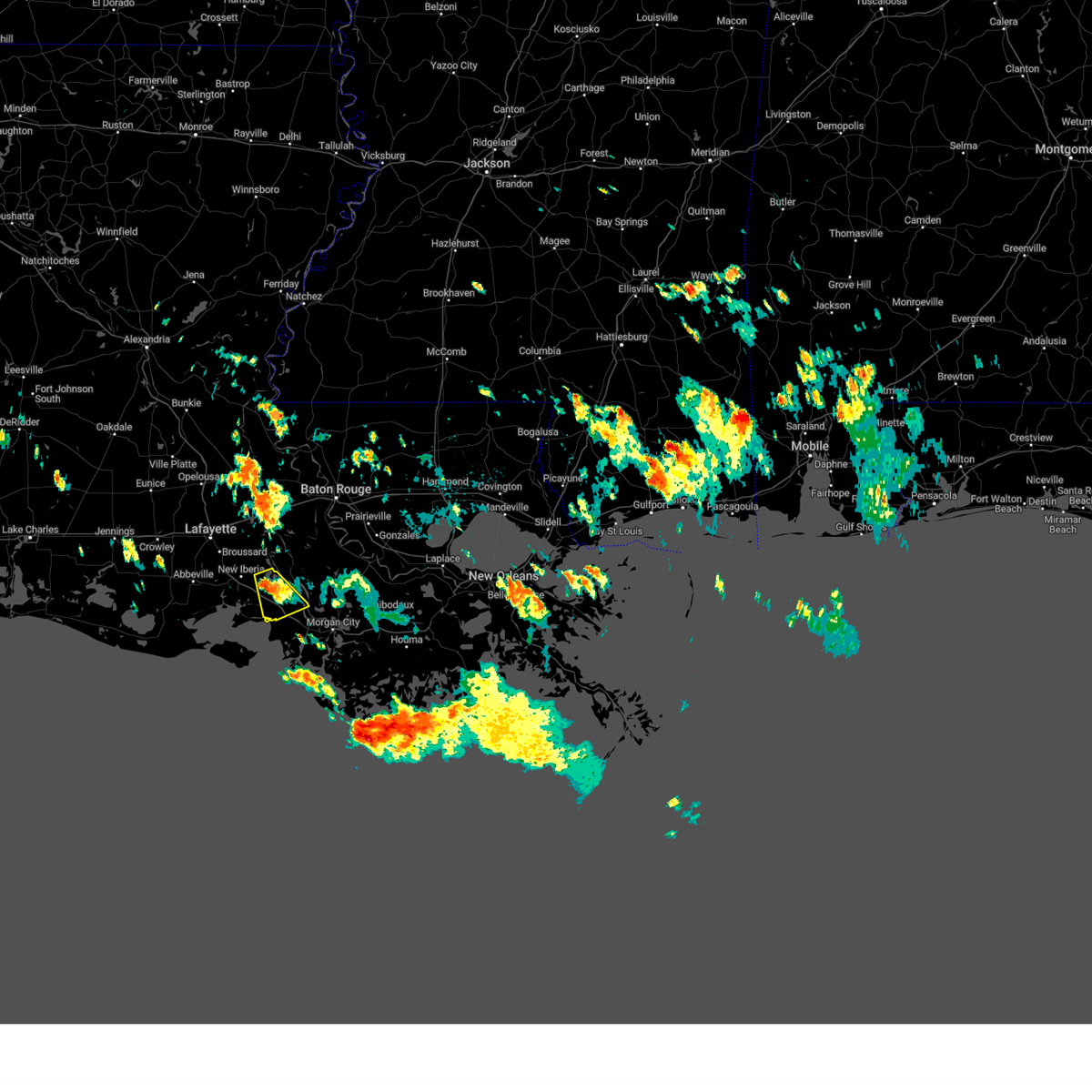
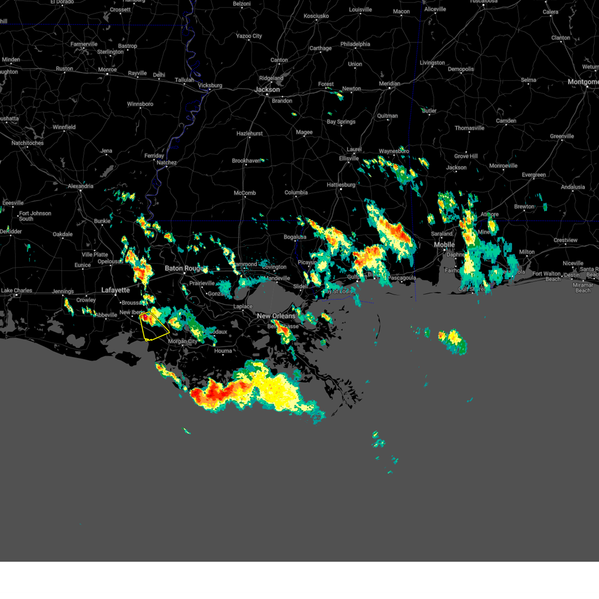
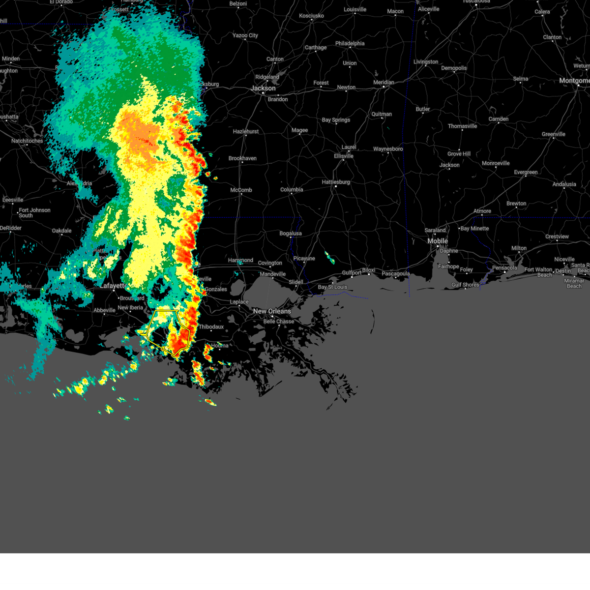
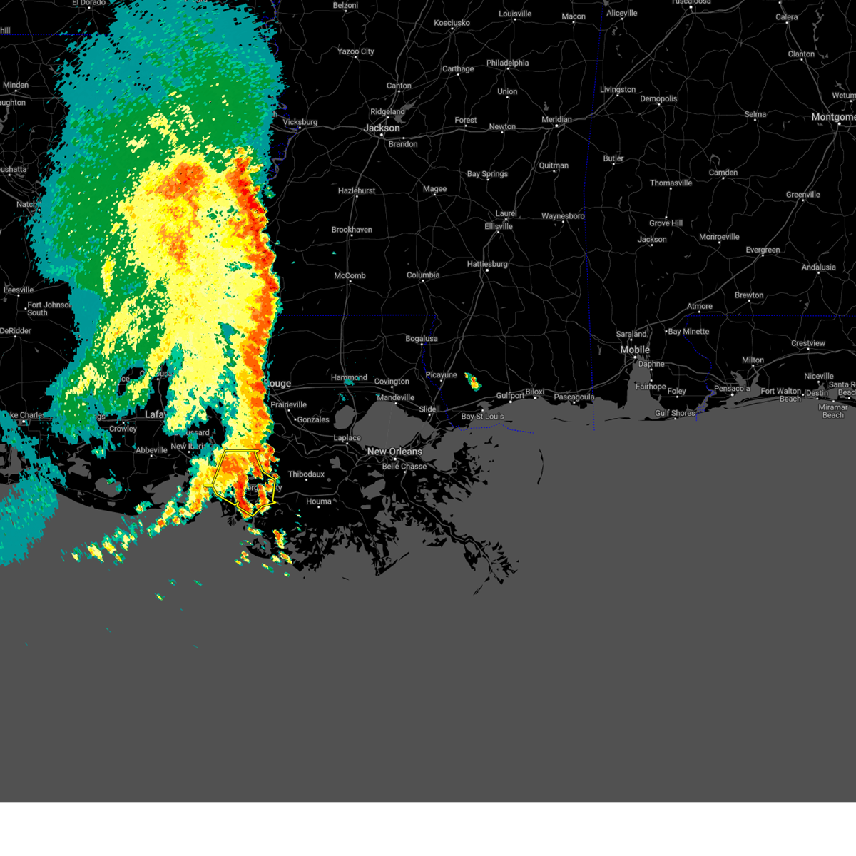
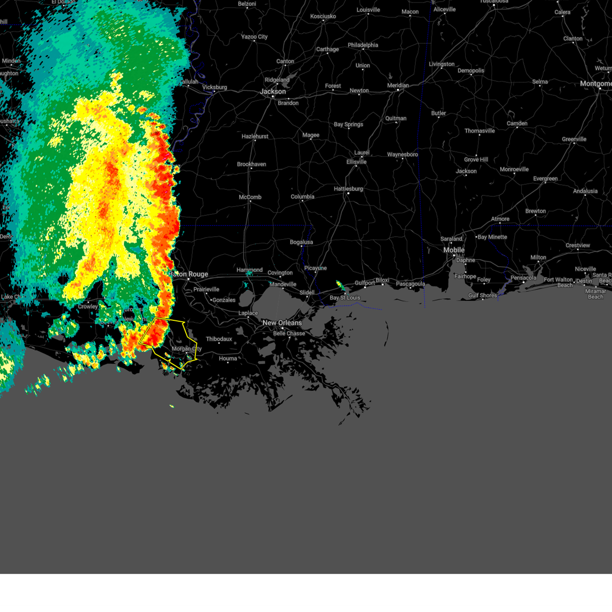
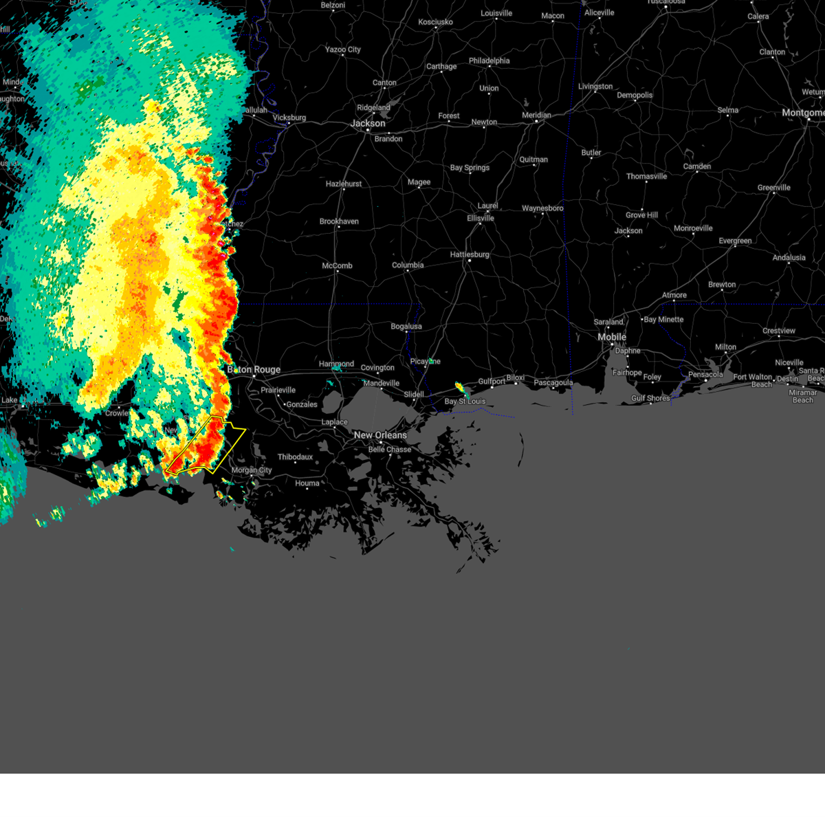
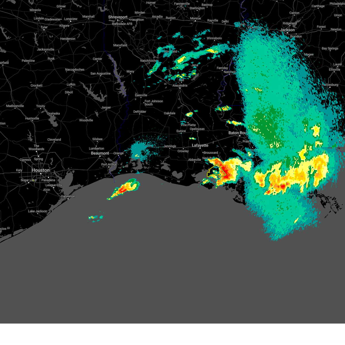
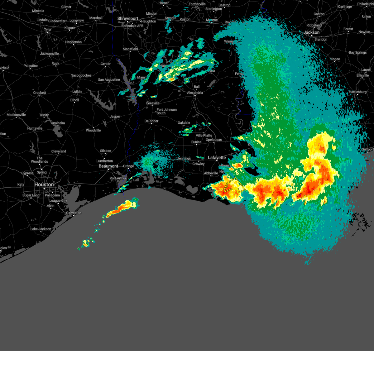
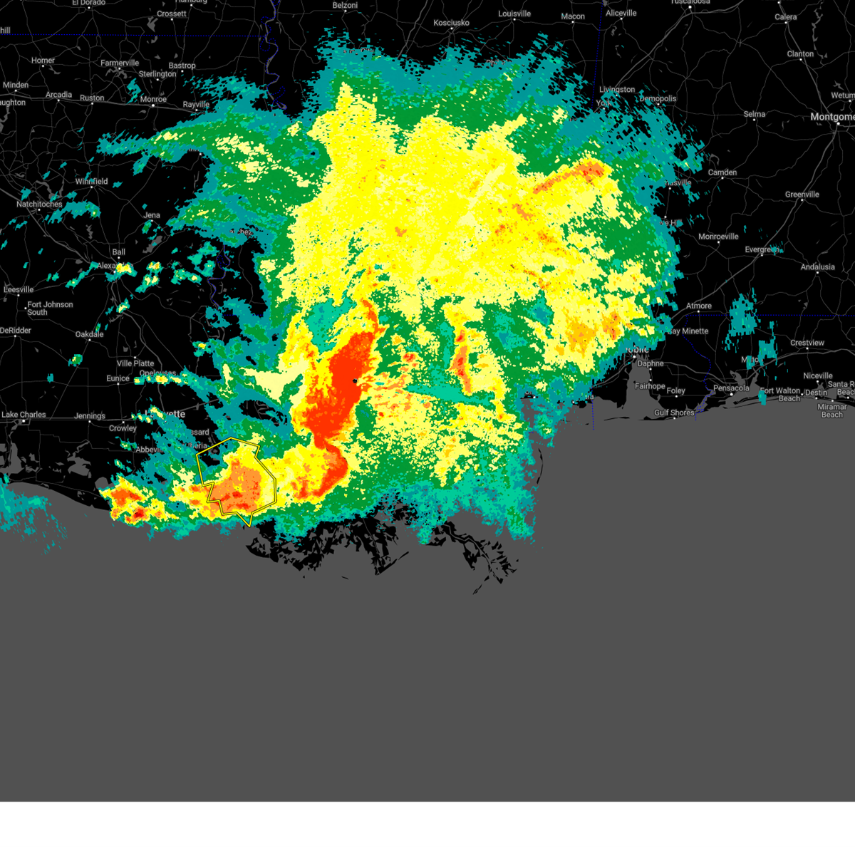
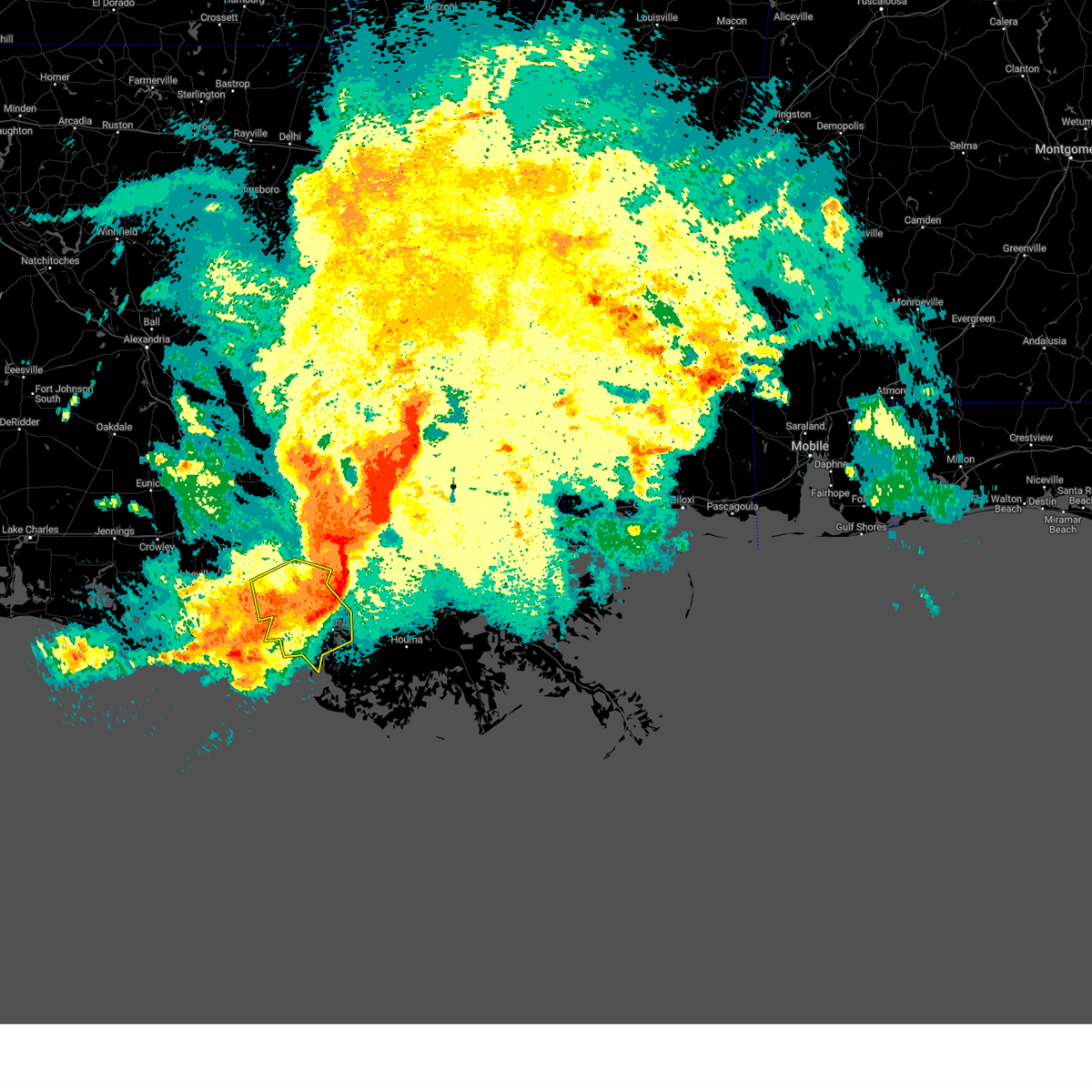
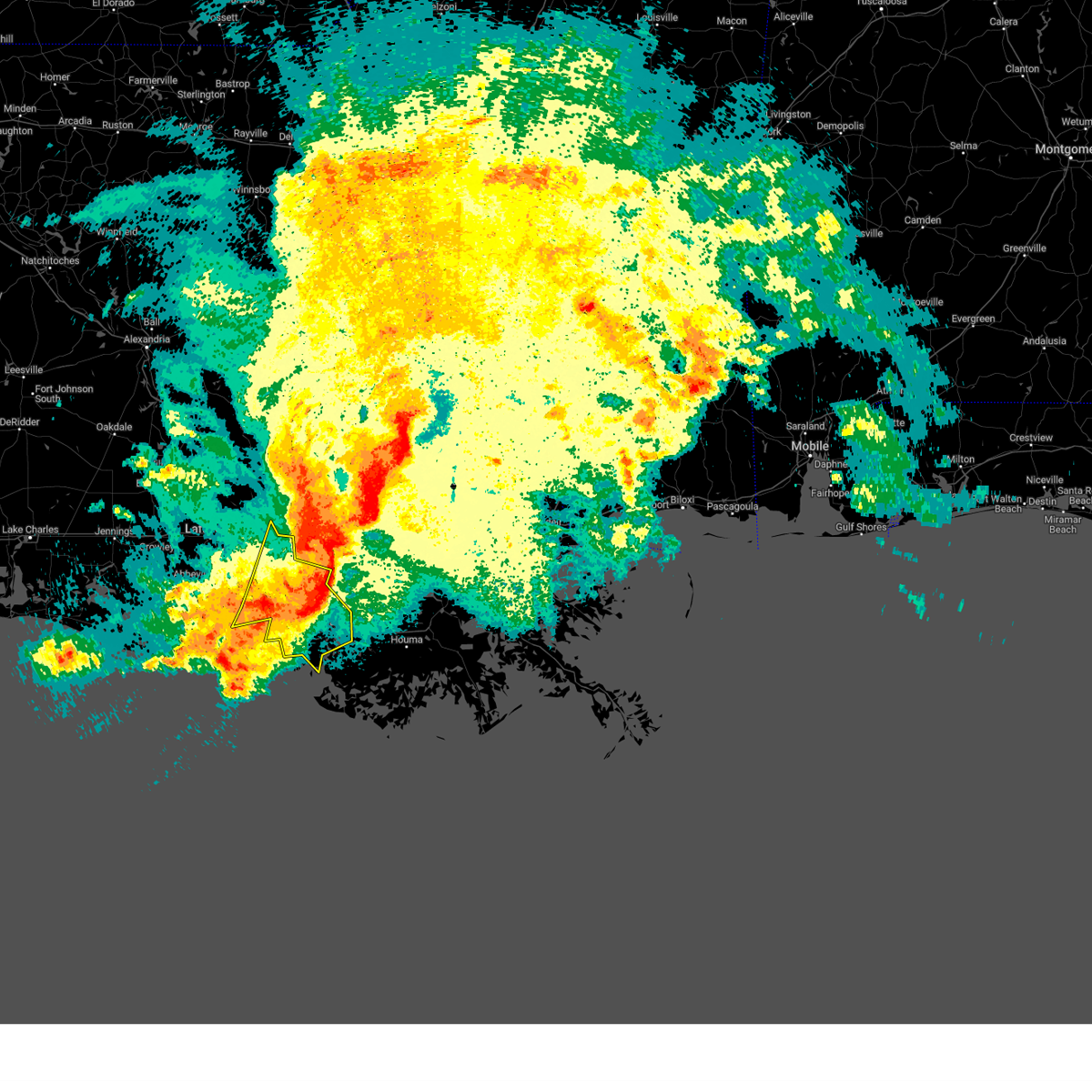
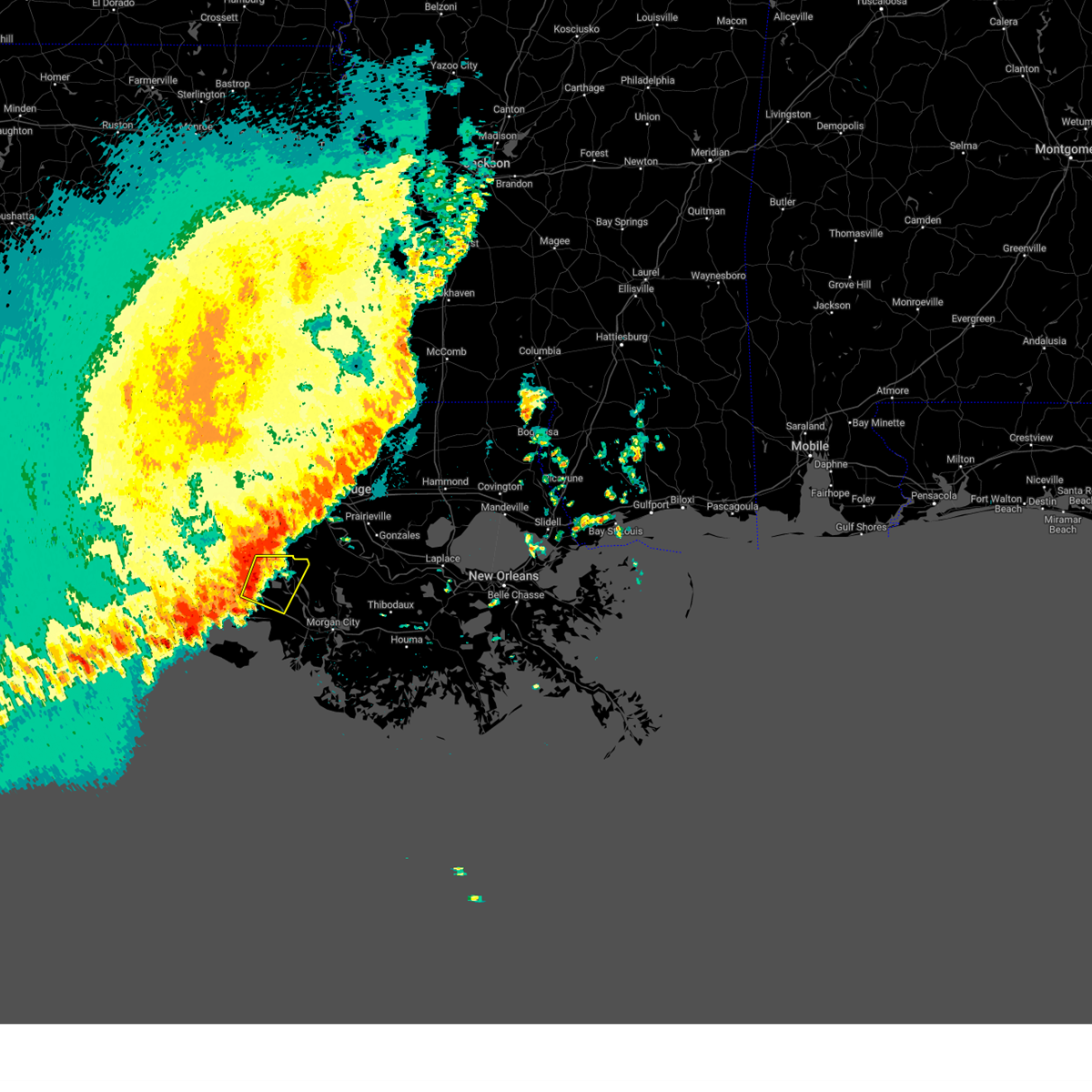
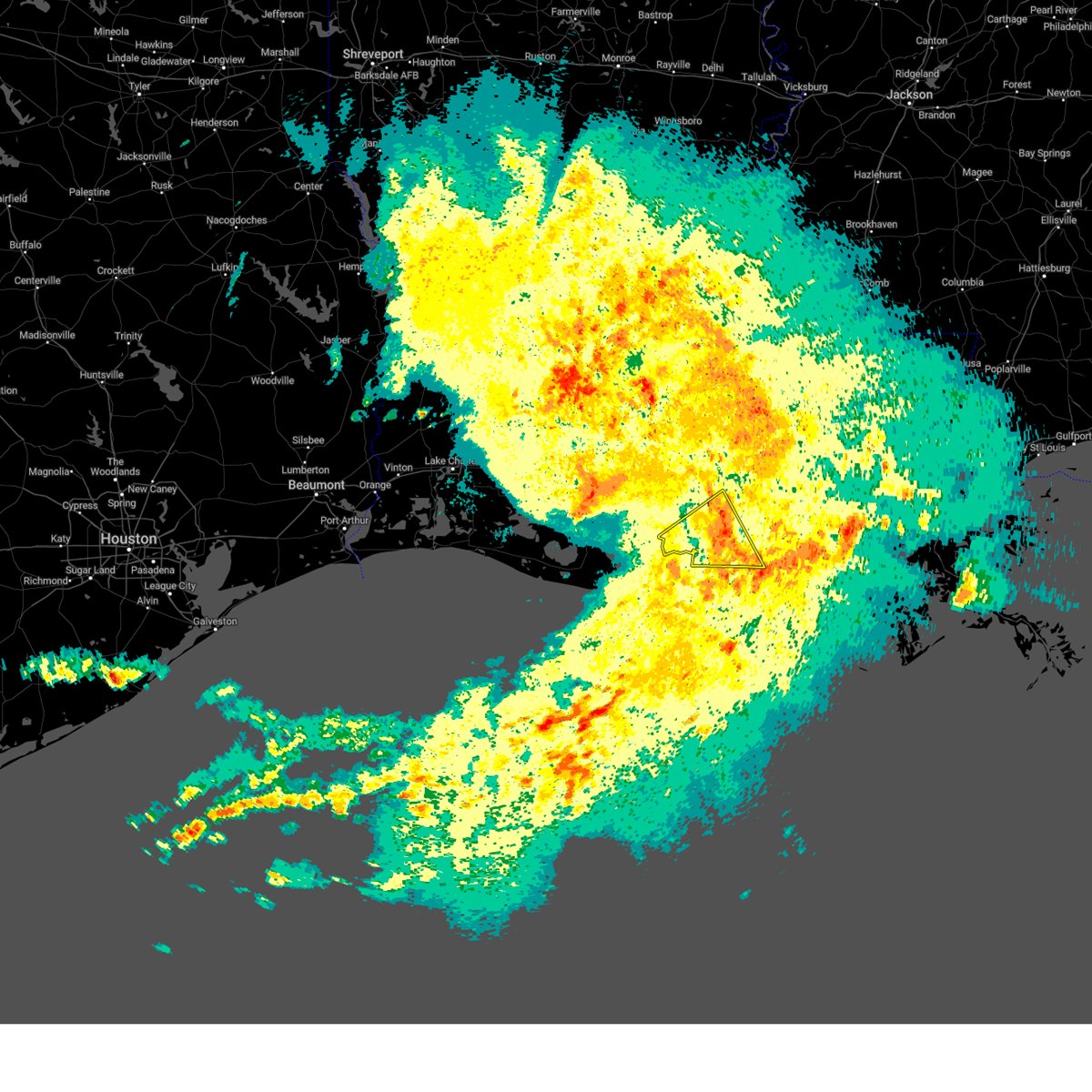
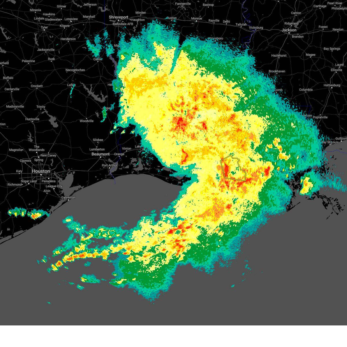
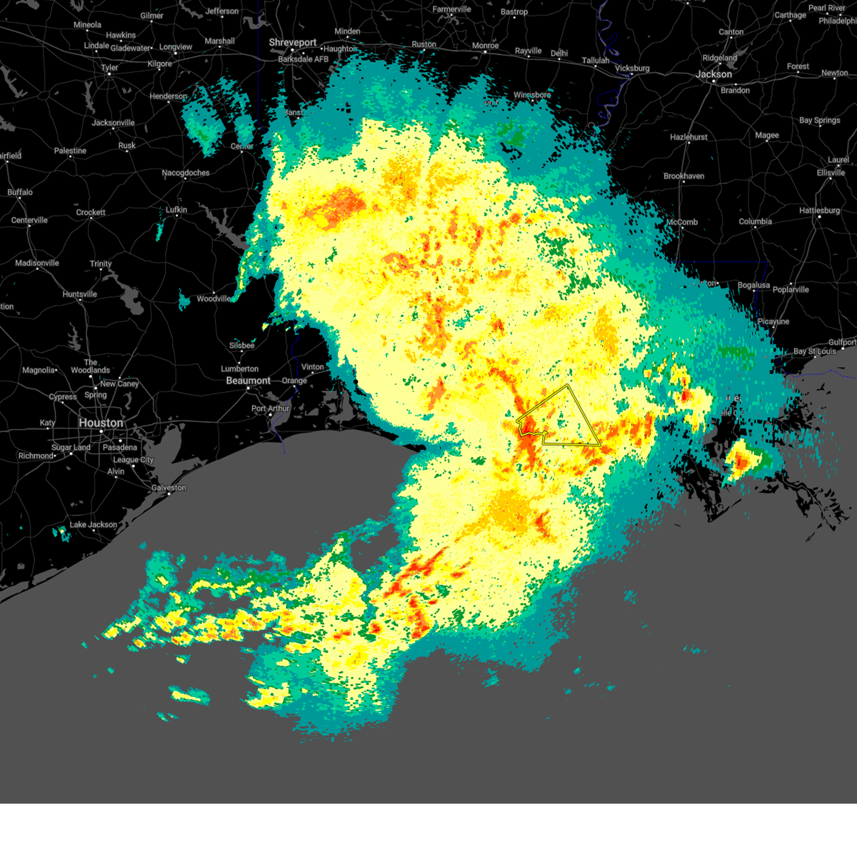
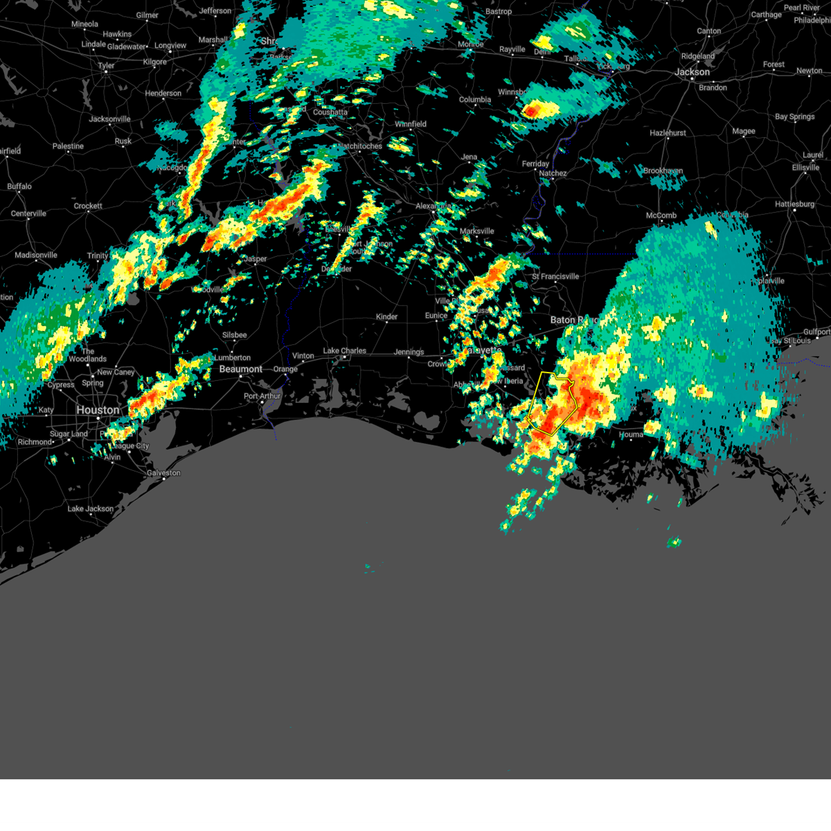
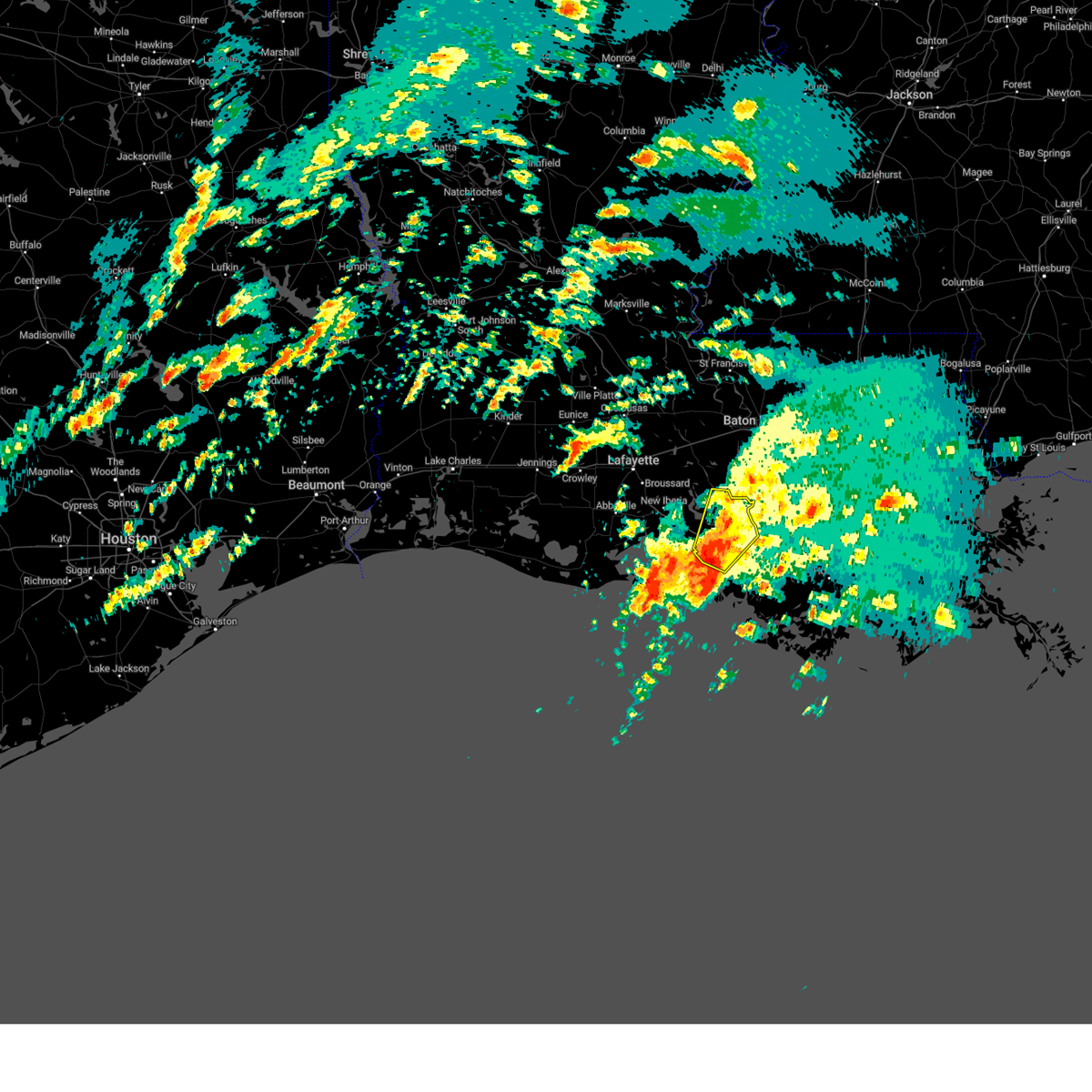
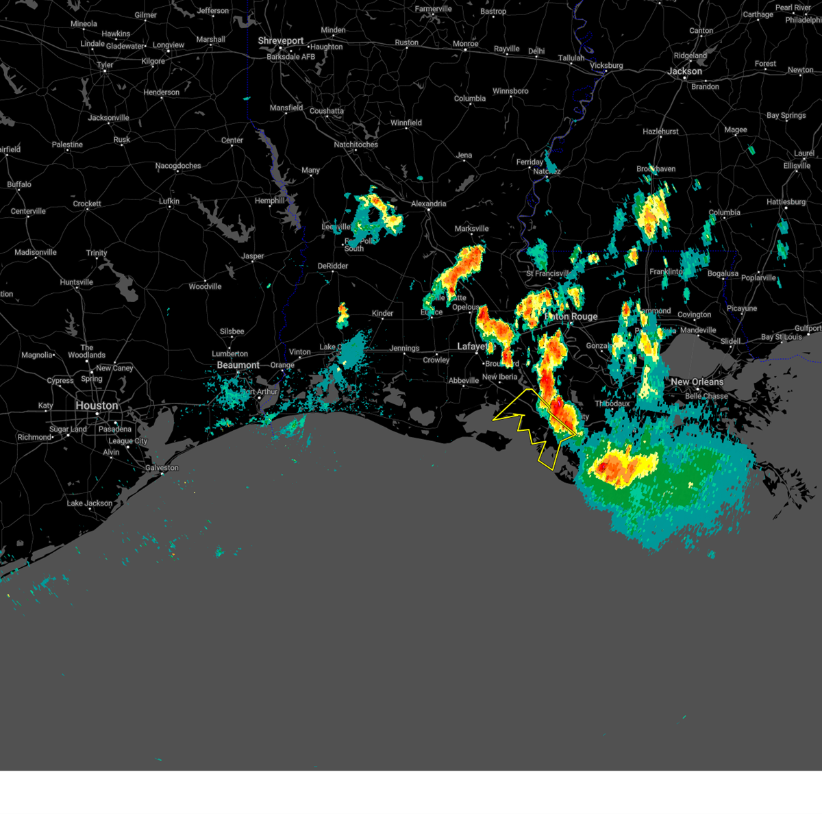
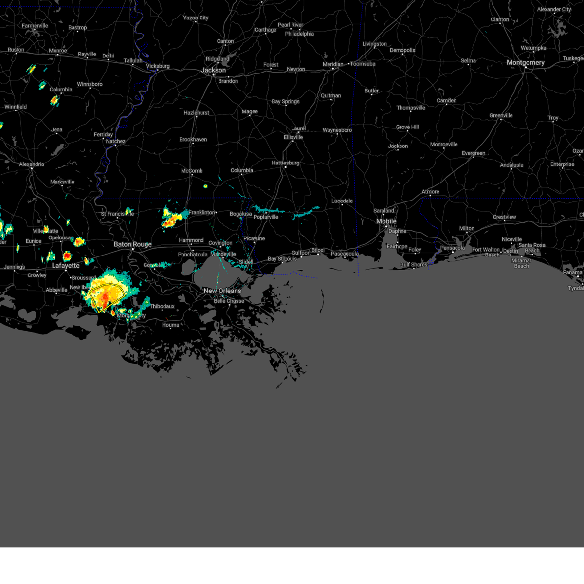
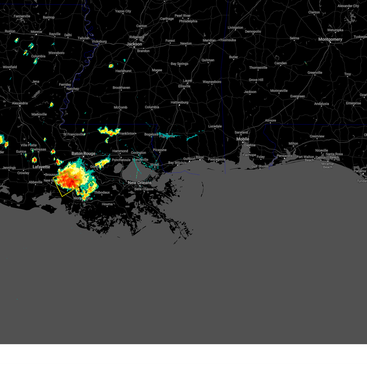
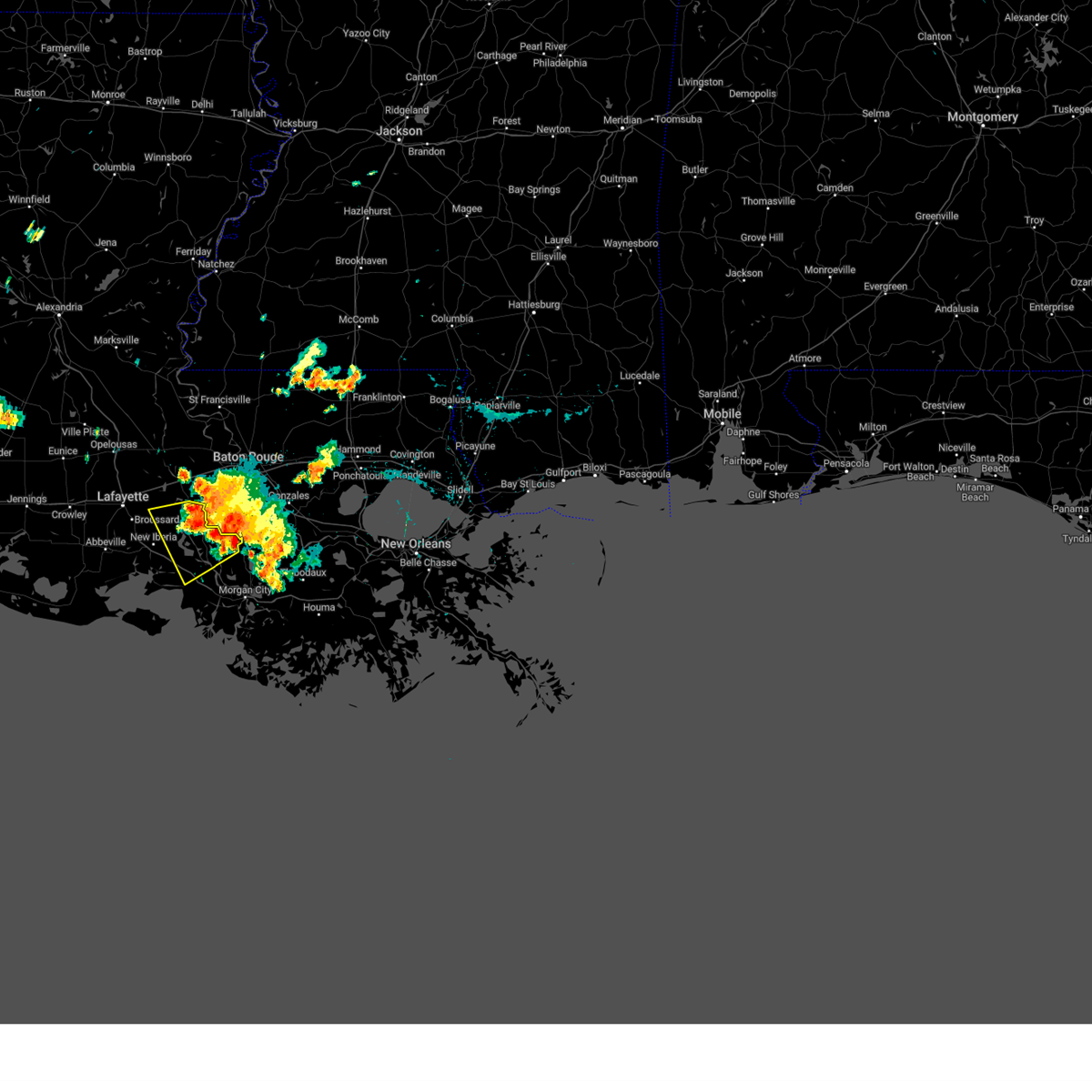
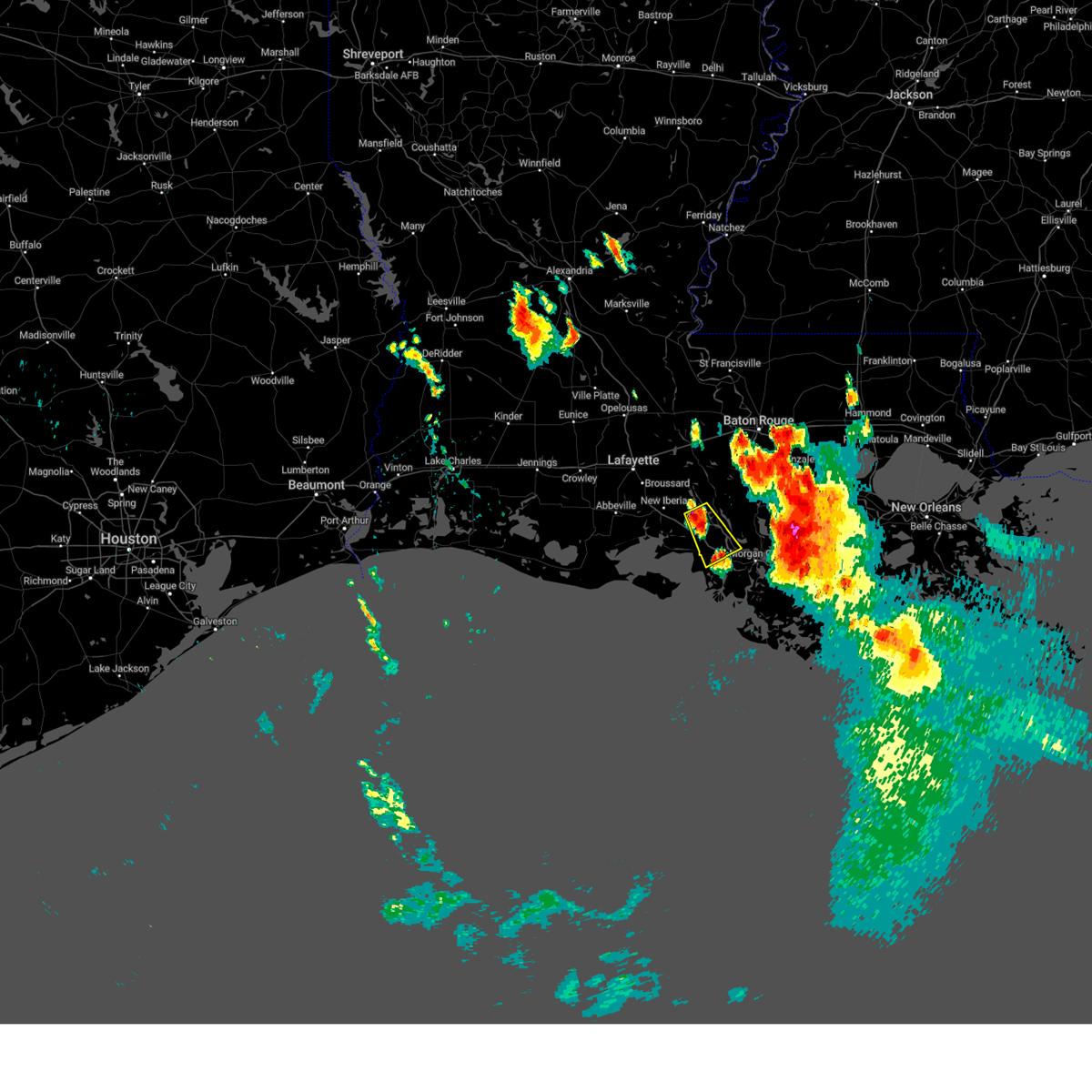
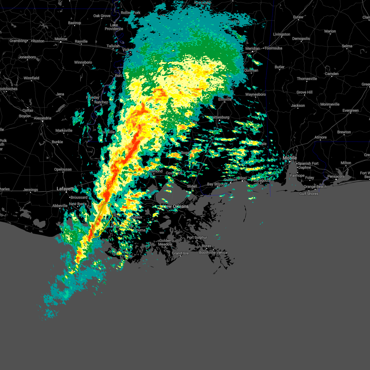
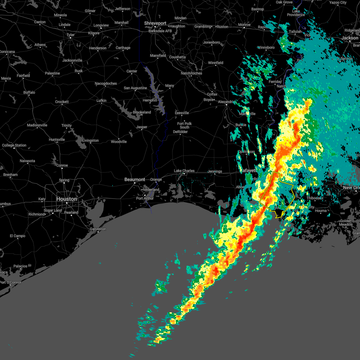
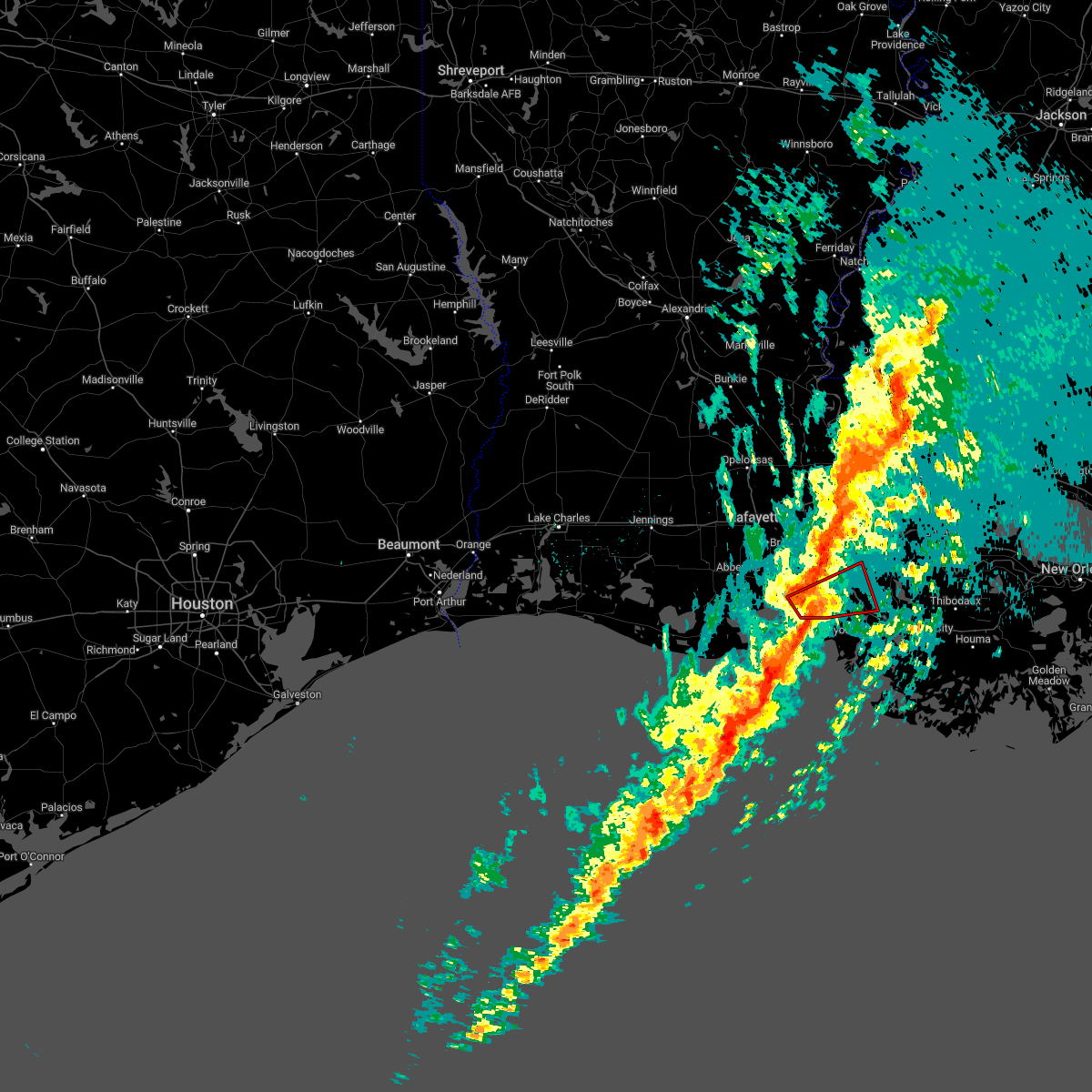
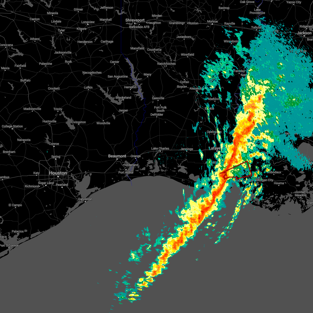
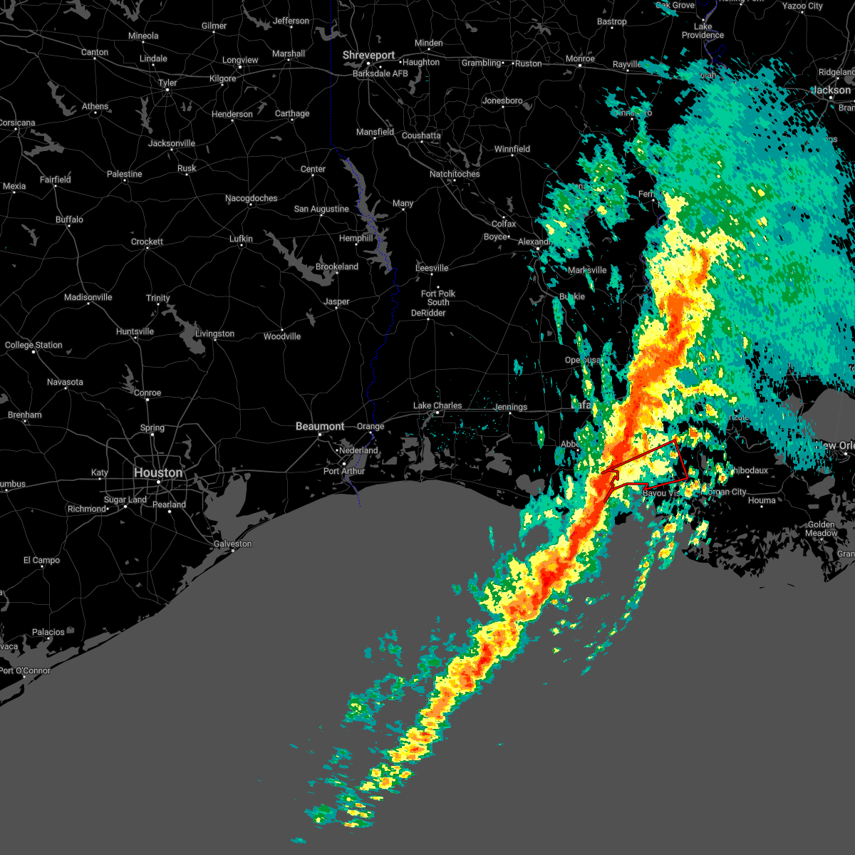
Hail Map for Franklin, LA
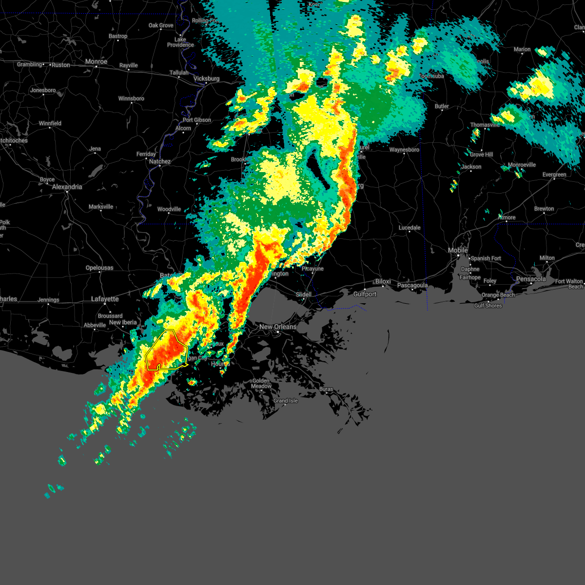
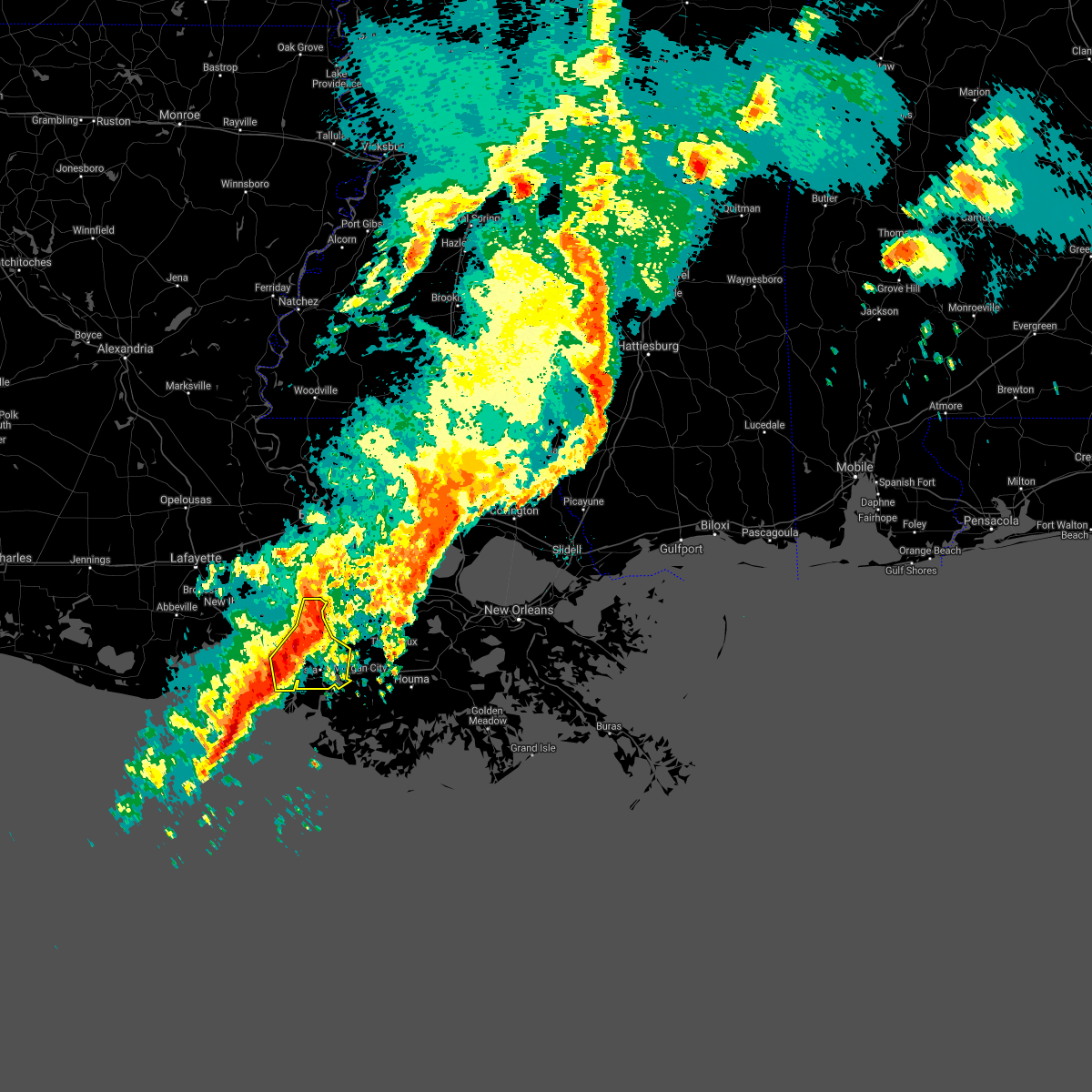
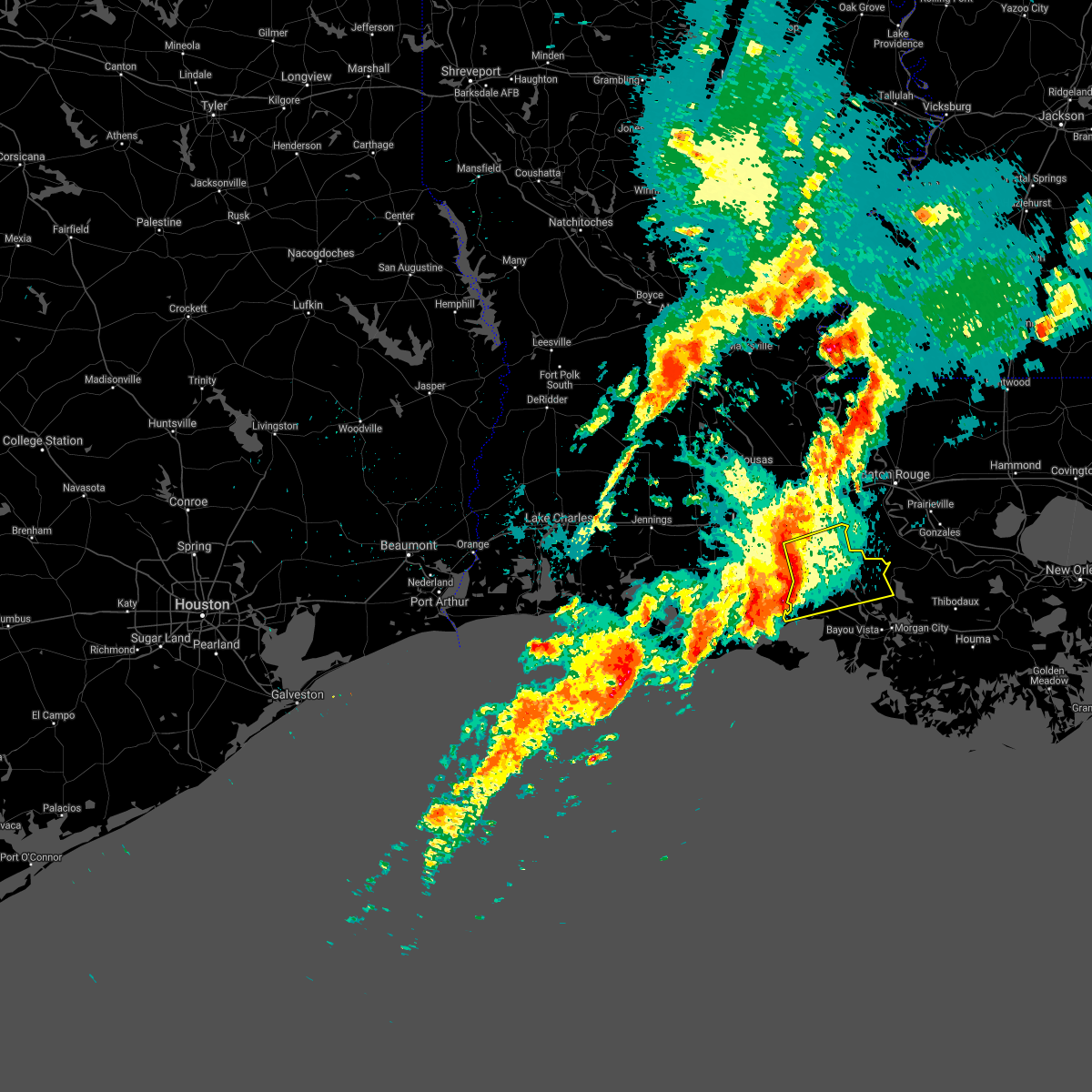
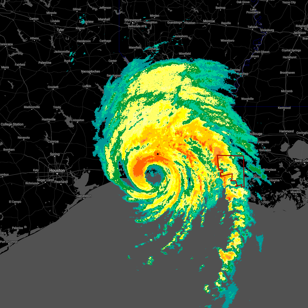
The Franklin, LA area has had 5 reports of on-the-ground hail by trained spotters, and has been under severe weather warnings 9 times during the past 12 months. Doppler radar has detected hail at or near Franklin, LA on 56 occasions, including 2 occasions during the past year.
| Name: | Franklin, LA |
| Where Located: | 42.8 miles SE of Lafayette, LA |
| Map: | Google Map for Franklin, LA |
| Population: | 7660 |
| Housing Units: | 3184 |
| More Info: | Search Google for Franklin, LA |
0
The Top Recent Hail Date for Franklin, LA is Tuesday, May 6, 2025 (47th out of 56)
Hail and Wind Damage Spotted near Franklin, LA
| Date / Time | Report Details |
|---|---|
| 3/4/2025 4:14 PM CST |
 Svrlch the national weather service in lake charles has issued a * severe thunderstorm warning for, northeastern iberia parish in south central louisiana, st. mary parish in south central louisiana, southeastern st. martin parish in south central louisiana, * until 500 pm cst. * at 413 pm cst, severe thunderstorms were located along a line extending from white castle to near burns point, moving east at 40 mph (radar indicated). Hazards include 60 mph wind gusts. expect damage to roofs, siding, and trees Svrlch the national weather service in lake charles has issued a * severe thunderstorm warning for, northeastern iberia parish in south central louisiana, st. mary parish in south central louisiana, southeastern st. martin parish in south central louisiana, * until 500 pm cst. * at 413 pm cst, severe thunderstorms were located along a line extending from white castle to near burns point, moving east at 40 mph (radar indicated). Hazards include 60 mph wind gusts. expect damage to roofs, siding, and trees
|
| 1/5/2025 9:22 PM CST |
 At 922 pm cst, severe thunderstorms were located along a line extending from near white castle to near patterson memorial airport, moving east at 35 mph (radar indicated). Hazards include 60 mph wind gusts. Expect damage to roofs, siding, and trees. Locations impacted include, franklin, stephensville, amelia, patterson memorial airport, bayou geneve, patterson, berwick, bayou vista, morgan city, and centerville. At 922 pm cst, severe thunderstorms were located along a line extending from near white castle to near patterson memorial airport, moving east at 35 mph (radar indicated). Hazards include 60 mph wind gusts. Expect damage to roofs, siding, and trees. Locations impacted include, franklin, stephensville, amelia, patterson memorial airport, bayou geneve, patterson, berwick, bayou vista, morgan city, and centerville.
|
| 1/5/2025 9:03 PM CST |
 Svrlch the national weather service in lake charles has issued a * severe thunderstorm warning for, northeastern iberia parish in south central louisiana, northern st. mary parish in south central louisiana, southeastern st. martin parish in south central louisiana, * until 945 pm cst. * at 902 pm cst, severe thunderstorms were located along a line extending from near bayou sorrel to near glencoe, moving east at 35 mph (radar indicated). Hazards include 60 mph wind gusts. expect damage to roofs, siding, and trees Svrlch the national weather service in lake charles has issued a * severe thunderstorm warning for, northeastern iberia parish in south central louisiana, northern st. mary parish in south central louisiana, southeastern st. martin parish in south central louisiana, * until 945 pm cst. * at 902 pm cst, severe thunderstorms were located along a line extending from near bayou sorrel to near glencoe, moving east at 35 mph (radar indicated). Hazards include 60 mph wind gusts. expect damage to roofs, siding, and trees
|
| 8/15/2024 6:59 PM CDT |
 the severe thunderstorm warning has been cancelled and is no longer in effect the severe thunderstorm warning has been cancelled and is no longer in effect
|
| 8/15/2024 6:39 PM CDT |
 At 639 pm cdt, severe thunderstorms were located along a line extending from near belle river to 6 miles south of labadieville, moving southwest at 30 mph (radar indicated). Hazards include 60 mph wind gusts and quarter size hail. Hail damage to vehicles is expected. expect wind damage to roofs, siding, and trees. Locations impacted include, morgan city, franklin, patterson, jeanerette, berwick, bayou vista, cypremort point, stephensville, burns point, belle river, baldwin, ellerslie, patterson memorial airport, glencoe, sorrel, cote blanche island, amelia, charenton, pierre part, and weeks island. At 639 pm cdt, severe thunderstorms were located along a line extending from near belle river to 6 miles south of labadieville, moving southwest at 30 mph (radar indicated). Hazards include 60 mph wind gusts and quarter size hail. Hail damage to vehicles is expected. expect wind damage to roofs, siding, and trees. Locations impacted include, morgan city, franklin, patterson, jeanerette, berwick, bayou vista, cypremort point, stephensville, burns point, belle river, baldwin, ellerslie, patterson memorial airport, glencoe, sorrel, cote blanche island, amelia, charenton, pierre part, and weeks island.
|
| 8/15/2024 6:12 PM CDT |
 Svrlch the national weather service in lake charles has issued a * severe thunderstorm warning for, northern iberia parish in south central louisiana, st. mary parish in south central louisiana, southeastern st. martin parish in south central louisiana, * until 715 pm cdt. * at 612 pm cdt, severe thunderstorms were located along a line extending from 6 miles southwest of white castle to near supreme, moving south at 40 mph (radar indicated). Hazards include 60 mph wind gusts and quarter size hail. Hail damage to vehicles is expected. Expect wind damage to roofs, siding, and trees. Svrlch the national weather service in lake charles has issued a * severe thunderstorm warning for, northern iberia parish in south central louisiana, st. mary parish in south central louisiana, southeastern st. martin parish in south central louisiana, * until 715 pm cdt. * at 612 pm cdt, severe thunderstorms were located along a line extending from 6 miles southwest of white castle to near supreme, moving south at 40 mph (radar indicated). Hazards include 60 mph wind gusts and quarter size hail. Hail damage to vehicles is expected. Expect wind damage to roofs, siding, and trees.
|
| 8/3/2024 5:33 PM CDT | the severe thunderstorm warning has been cancelled and is no longer in effect |
| 8/3/2024 5:33 PM CDT | At 532 pm cdt, a severe thunderstorm was located over jeanerette, moving southwest at 15 mph (radar indicated). Hazards include 60 mph wind gusts and penny size hail. Expect damage to roofs, siding, and trees. Locations impacted include, new iberia, jeanerette, baldwin, loreauville, sorrel, glencoe, lydia, lake fausse pointe, and charenton. |
| 8/3/2024 4:48 PM CDT | Svrlch the national weather service in lake charles has issued a * severe thunderstorm warning for, northeastern iberia parish in south central louisiana, northwestern st. mary parish in south central louisiana, central st. martin parish in south central louisiana, * until 545 pm cdt. * at 448 pm cdt, a severe thunderstorm was located 8 miles northeast of lake fausse pointe, or 13 miles southeast of catahoula, moving southwest at 15 mph (radar indicated). Hazards include 60 mph wind gusts and penny size hail. expect damage to roofs, siding, and trees |
| 6/2/2024 12:41 PM CDT |
 the severe thunderstorm warning has been cancelled and is no longer in effect the severe thunderstorm warning has been cancelled and is no longer in effect
|
| 6/2/2024 12:29 PM CDT |
 Svrlch the national weather service in lake charles has issued a * severe thunderstorm warning for, north central iberia parish in south central louisiana, north central st. mary parish in south central louisiana, * until 100 pm cdt. * at 1228 pm cdt, a severe thunderstorm was located over sorrel, or near jeanerette, moving southeast at 20 mph (radar indicated). Hazards include ping pong ball size hail. People and animals outdoors will be injured. Expect damage to roofs, siding, windows, and vehicles. Svrlch the national weather service in lake charles has issued a * severe thunderstorm warning for, north central iberia parish in south central louisiana, north central st. mary parish in south central louisiana, * until 100 pm cdt. * at 1228 pm cdt, a severe thunderstorm was located over sorrel, or near jeanerette, moving southeast at 20 mph (radar indicated). Hazards include ping pong ball size hail. People and animals outdoors will be injured. Expect damage to roofs, siding, windows, and vehicles.
|
| 5/31/2024 12:54 AM CDT |
 The storm which prompted the warning has weakened below severe limits, and no longer poses an immediate threat to life or property. therefore, the warning will be allowed to expire. The storm which prompted the warning has weakened below severe limits, and no longer poses an immediate threat to life or property. therefore, the warning will be allowed to expire.
|
| 5/31/2024 12:25 AM CDT |
 At 1225 am cdt, a severe thunderstorm was located over patterson, moving east at 25 mph (radar indicated). Hazards include 60 mph wind gusts and penny size hail. Expect damage to roofs, siding, and trees. Locations impacted include, morgan city, franklin, patterson, berwick, stephensville, bayou vista, baldwin, amelia, patterson memorial airport, charenton, pierre part, and centerville. At 1225 am cdt, a severe thunderstorm was located over patterson, moving east at 25 mph (radar indicated). Hazards include 60 mph wind gusts and penny size hail. Expect damage to roofs, siding, and trees. Locations impacted include, morgan city, franklin, patterson, berwick, stephensville, bayou vista, baldwin, amelia, patterson memorial airport, charenton, pierre part, and centerville.
|
| 5/30/2024 11:57 PM CDT |
 The storms which prompted the warning have moved out of the area. therefore, the warning will be allowed to expire. The storms which prompted the warning have moved out of the area. therefore, the warning will be allowed to expire.
|
| 5/30/2024 11:56 PM CDT |
 Svrlch the national weather service in lake charles has issued a * severe thunderstorm warning for, northeastern iberia parish in south central louisiana, st. mary parish in south central louisiana, southeastern st. martin parish in south central louisiana, * until 100 am cdt. * at 1156 pm cdt, a severe thunderstorm was located over franklin, moving southeast at 25 mph (radar indicated). Hazards include 60 mph wind gusts and penny size hail. expect damage to roofs, siding, and trees Svrlch the national weather service in lake charles has issued a * severe thunderstorm warning for, northeastern iberia parish in south central louisiana, st. mary parish in south central louisiana, southeastern st. martin parish in south central louisiana, * until 100 am cdt. * at 1156 pm cdt, a severe thunderstorm was located over franklin, moving southeast at 25 mph (radar indicated). Hazards include 60 mph wind gusts and penny size hail. expect damage to roofs, siding, and trees
|
| 5/30/2024 11:48 PM CDT |
 the severe thunderstorm warning has been cancelled and is no longer in effect the severe thunderstorm warning has been cancelled and is no longer in effect
|
| 5/30/2024 11:48 PM CDT |
 At 1148 pm cdt, severe thunderstorms were located along a line extending from 8 miles southwest of bayou sorrel to glencoe to near cypremort point, moving southeast at 35 mph (radar indicated). Hazards include 60 mph wind gusts and penny size hail. Expect damage to roofs, siding, and trees. Locations impacted include, franklin, jeanerette, cypremort point, baldwin, sorrel, glencoe, lake fausse pointe, charenton, lydia, and weeks island. At 1148 pm cdt, severe thunderstorms were located along a line extending from 8 miles southwest of bayou sorrel to glencoe to near cypremort point, moving southeast at 35 mph (radar indicated). Hazards include 60 mph wind gusts and penny size hail. Expect damage to roofs, siding, and trees. Locations impacted include, franklin, jeanerette, cypremort point, baldwin, sorrel, glencoe, lake fausse pointe, charenton, lydia, and weeks island.
|
| 5/30/2024 11:25 PM CDT |
 At 1125 pm cdt, severe thunderstorms were located along a line extending from near catahoula to avery island to near intracoastal city, moving southeast at 25 mph (radar indicated). Hazards include 60 mph wind gusts and penny size hail. Expect damage to roofs, siding, and trees. locations impacted include, new iberia, franklin, st. Martinville, jeanerette, cypremort point, forked island, avery island, intracoastal city, baldwin, erath, delcambre, loreauville, cade, glencoe, esther, lydia, acadiana regional airport, jefferson island, sorrel, and coteau. At 1125 pm cdt, severe thunderstorms were located along a line extending from near catahoula to avery island to near intracoastal city, moving southeast at 25 mph (radar indicated). Hazards include 60 mph wind gusts and penny size hail. Expect damage to roofs, siding, and trees. locations impacted include, new iberia, franklin, st. Martinville, jeanerette, cypremort point, forked island, avery island, intracoastal city, baldwin, erath, delcambre, loreauville, cade, glencoe, esther, lydia, acadiana regional airport, jefferson island, sorrel, and coteau.
|
| 5/30/2024 11:25 PM CDT |
 the severe thunderstorm warning has been cancelled and is no longer in effect the severe thunderstorm warning has been cancelled and is no longer in effect
|
| 5/30/2024 11:06 PM CDT |
 Svrlch the national weather service in lake charles has issued a * severe thunderstorm warning for, iberia parish in south central louisiana, southeastern lafayette parish in south central louisiana, northwestern st. mary parish in south central louisiana, eastern vermilion parish in southwestern louisiana, west central st. martin parish in south central louisiana, * until midnight cdt. * at 1106 pm cdt, severe thunderstorms were located along a line extending from near breaux bridge to erath to near forked island, moving southeast at 25 mph (radar indicated). Hazards include 60 mph wind gusts and penny size hail. expect damage to roofs, siding, and trees Svrlch the national weather service in lake charles has issued a * severe thunderstorm warning for, iberia parish in south central louisiana, southeastern lafayette parish in south central louisiana, northwestern st. mary parish in south central louisiana, eastern vermilion parish in southwestern louisiana, west central st. martin parish in south central louisiana, * until midnight cdt. * at 1106 pm cdt, severe thunderstorms were located along a line extending from near breaux bridge to erath to near forked island, moving southeast at 25 mph (radar indicated). Hazards include 60 mph wind gusts and penny size hail. expect damage to roofs, siding, and trees
|
| 5/28/2024 4:19 PM CDT |
 the severe thunderstorm warning has been cancelled and is no longer in effect the severe thunderstorm warning has been cancelled and is no longer in effect
|
| 5/28/2024 3:50 PM CDT |
 Svrlch the national weather service in lake charles has issued a * severe thunderstorm warning for, northern iberia parish in south central louisiana, southeastern lafayette parish in south central louisiana, northwestern st. mary parish in south central louisiana, northeastern vermilion parish in southwestern louisiana, southern st. martin parish in south central louisiana, * until 445 pm cdt. * at 350 pm cdt, severe thunderstorms were located along a line extending from near pierre part to near cypremort point to near forked island, moving west at 5 mph (radar indicated). Hazards include 60 mph wind gusts and penny size hail. expect damage to roofs, siding, and trees Svrlch the national weather service in lake charles has issued a * severe thunderstorm warning for, northern iberia parish in south central louisiana, southeastern lafayette parish in south central louisiana, northwestern st. mary parish in south central louisiana, northeastern vermilion parish in southwestern louisiana, southern st. martin parish in south central louisiana, * until 445 pm cdt. * at 350 pm cdt, severe thunderstorms were located along a line extending from near pierre part to near cypremort point to near forked island, moving west at 5 mph (radar indicated). Hazards include 60 mph wind gusts and penny size hail. expect damage to roofs, siding, and trees
|
| 5/17/2024 12:07 AM CDT |
 The storm which prompted the warning has weakened below severe limits, and has exited the warned area. therefore, the warning will be allowed to expire. The storm which prompted the warning has weakened below severe limits, and has exited the warned area. therefore, the warning will be allowed to expire.
|
| 5/16/2024 11:41 PM CDT |
 Svrlch the national weather service in lake charles has issued a * severe thunderstorm warning for, west central iberia parish in south central louisiana, northwestern st. mary parish in south central louisiana, * until 1215 am cdt. * at 1141 pm cdt, a severe thunderstorm was located over cypremort point, moving northeast at 55 mph (radar indicated). Hazards include quarter size hail. damage to vehicles is expected Svrlch the national weather service in lake charles has issued a * severe thunderstorm warning for, west central iberia parish in south central louisiana, northwestern st. mary parish in south central louisiana, * until 1215 am cdt. * at 1141 pm cdt, a severe thunderstorm was located over cypremort point, moving northeast at 55 mph (radar indicated). Hazards include quarter size hail. damage to vehicles is expected
|
| 5/16/2024 11:12 PM CDT |
 The severe thunderstorm which prompted the warning continues and the severe thunderstorm warning has been replaced by severe thunderstorm warning number 171. a tornado watch remains in effect until midnight cdt for south central louisiana. remember, a severe thunderstorm warning still remains in effect for south portions of st. mary parish!. The severe thunderstorm which prompted the warning continues and the severe thunderstorm warning has been replaced by severe thunderstorm warning number 171. a tornado watch remains in effect until midnight cdt for south central louisiana. remember, a severe thunderstorm warning still remains in effect for south portions of st. mary parish!.
|
| 5/16/2024 10:32 PM CDT |
 At 1031 pm cdt, a severe thunderstorm was located over paincourtville, or near napoleonville, moving east at 60 mph (radar indicated). Hazards include 60 mph wind gusts and penny size hail. Expect damage to roofs, siding, and trees. Locations impacted include, morgan city, franklin, patterson, jeanerette, berwick, bayou vista, stephensville, burns point, belle river, baldwin, ellerslie, patterson memorial airport, glencoe, sorrel, amelia, lake fausse pointe, charenton, pierre part, and centerville. At 1031 pm cdt, a severe thunderstorm was located over paincourtville, or near napoleonville, moving east at 60 mph (radar indicated). Hazards include 60 mph wind gusts and penny size hail. Expect damage to roofs, siding, and trees. Locations impacted include, morgan city, franklin, patterson, jeanerette, berwick, bayou vista, stephensville, burns point, belle river, baldwin, ellerslie, patterson memorial airport, glencoe, sorrel, amelia, lake fausse pointe, charenton, pierre part, and centerville.
|
| 5/16/2024 10:21 PM CDT |
 At 1021 pm cdt, a severe thunderstorm was located over pierre part, or near belle river, moving east at 70 mph (radar indicated). Hazards include 60 mph wind gusts and penny size hail. Expect damage to roofs, siding, and trees. Locations impacted include, morgan city, franklin, patterson, jeanerette, berwick, bayou vista, cypremort point, stephensville, burns point, belle river, baldwin, ellerslie, patterson memorial airport, glencoe, sorrel, cote blanche island, amelia, lake fausse pointe, charenton, and lydia. At 1021 pm cdt, a severe thunderstorm was located over pierre part, or near belle river, moving east at 70 mph (radar indicated). Hazards include 60 mph wind gusts and penny size hail. Expect damage to roofs, siding, and trees. Locations impacted include, morgan city, franklin, patterson, jeanerette, berwick, bayou vista, cypremort point, stephensville, burns point, belle river, baldwin, ellerslie, patterson memorial airport, glencoe, sorrel, cote blanche island, amelia, lake fausse pointe, charenton, and lydia.
|
| 5/16/2024 10:21 PM CDT |
 the severe thunderstorm warning has been cancelled and is no longer in effect the severe thunderstorm warning has been cancelled and is no longer in effect
|
| 5/16/2024 10:13 PM CDT |
 The severe thunderstorm which prompted the warning continues and a new severe thunderstorm warning has been issued. a tornado watch remains in effect until midnight cdt for south central and southwestern louisiana. remember, a severe thunderstorm warning still remains in effect for portions of iberia, st martin and st mary parishes. The severe thunderstorm which prompted the warning continues and a new severe thunderstorm warning has been issued. a tornado watch remains in effect until midnight cdt for south central and southwestern louisiana. remember, a severe thunderstorm warning still remains in effect for portions of iberia, st martin and st mary parishes.
|
| 5/16/2024 10:12 PM CDT |
 Svrlch the national weather service in lake charles has issued a * severe thunderstorm warning for, iberia parish in south central louisiana, southeastern lafayette parish in south central louisiana, st. mary parish in south central louisiana, st. martin parish in south central louisiana, * until 1115 pm cdt. * at 1012 pm cdt, a severe thunderstorm was located 8 miles west of pierre part, or 10 miles northwest of belle river, moving east at 70 mph (radar indicated). Hazards include 70 mph wind gusts and penny size hail. Expect considerable tree damage. Damage is likely to mobile homes, roofs, and outbuildings. Svrlch the national weather service in lake charles has issued a * severe thunderstorm warning for, iberia parish in south central louisiana, southeastern lafayette parish in south central louisiana, st. mary parish in south central louisiana, st. martin parish in south central louisiana, * until 1115 pm cdt. * at 1012 pm cdt, a severe thunderstorm was located 8 miles west of pierre part, or 10 miles northwest of belle river, moving east at 70 mph (radar indicated). Hazards include 70 mph wind gusts and penny size hail. Expect considerable tree damage. Damage is likely to mobile homes, roofs, and outbuildings.
|
| 5/16/2024 10:00 PM CDT |
 At 959 pm cdt, a severe thunderstorm was located near lake fausse pointe, or 11 miles southeast of catahoula, moving east at 65 mph. this is a destructive storm for loreaville, lake fausse pointe and upper saint martin parish (radar indicated). Hazards include 80 mph wind gusts and nickel size hail. Flying debris will be dangerous to those caught without shelter. mobile homes will be heavily damaged. expect considerable damage to roofs, windows, and vehicles. extensive tree damage and power outages are likely. locations impacted include, new iberia, catahoula, breaux bridge, franklin, st. Martinville, jeanerette, avery island, belle river, broussard, baldwin, loreauville, cade, butte la rose, lydia, acadiana regional airport, sorrel, coteau, lake fausse pointe, charenton, and pierre part. At 959 pm cdt, a severe thunderstorm was located near lake fausse pointe, or 11 miles southeast of catahoula, moving east at 65 mph. this is a destructive storm for loreaville, lake fausse pointe and upper saint martin parish (radar indicated). Hazards include 80 mph wind gusts and nickel size hail. Flying debris will be dangerous to those caught without shelter. mobile homes will be heavily damaged. expect considerable damage to roofs, windows, and vehicles. extensive tree damage and power outages are likely. locations impacted include, new iberia, catahoula, breaux bridge, franklin, st. Martinville, jeanerette, avery island, belle river, broussard, baldwin, loreauville, cade, butte la rose, lydia, acadiana regional airport, sorrel, coteau, lake fausse pointe, charenton, and pierre part.
|
| 5/16/2024 10:00 PM CDT |
 the severe thunderstorm warning has been cancelled and is no longer in effect the severe thunderstorm warning has been cancelled and is no longer in effect
|
| 5/16/2024 9:50 PM CDT |
 At 949 pm cdt, a severe thunderstorm was located over coteau, or 8 miles northwest of new iberia, moving east at 60 mph. this is a destructive storm for st martinville, new iberia, loreauville, catahoula (radar indicated). Hazards include 90 mph wind gusts and nickel size hail. You are in a life-threatening situation. flying debris may be deadly to those caught without shelter. mobile homes will be heavily damaged or destroyed. homes and businesses will have substantial roof and window damage. expect extensive tree damage and power outages. locations impacted include, lafayette, new iberia, abbeville, catahoula, scott, breaux bridge, franklin, st. Martinville, jeanerette, avery island, belle river, broussard, youngsville, baldwin, erath, delcambre, duson, maurice, loreauville, and butte la rose. At 949 pm cdt, a severe thunderstorm was located over coteau, or 8 miles northwest of new iberia, moving east at 60 mph. this is a destructive storm for st martinville, new iberia, loreauville, catahoula (radar indicated). Hazards include 90 mph wind gusts and nickel size hail. You are in a life-threatening situation. flying debris may be deadly to those caught without shelter. mobile homes will be heavily damaged or destroyed. homes and businesses will have substantial roof and window damage. expect extensive tree damage and power outages. locations impacted include, lafayette, new iberia, abbeville, catahoula, scott, breaux bridge, franklin, st. Martinville, jeanerette, avery island, belle river, broussard, youngsville, baldwin, erath, delcambre, duson, maurice, loreauville, and butte la rose.
|
| 5/16/2024 9:40 PM CDT |
 Svrlch the national weather service in lake charles has issued a * severe thunderstorm warning for, iberia parish in south central louisiana, lafayette parish in south central louisiana, northwestern st. mary parish in south central louisiana, northeastern vermilion parish in southwestern louisiana, st. martin parish in south central louisiana, * until 1015 pm cdt. * at 939 pm cdt, a severe thunderstorm was located over maurice, or near abbeville, moving east at 60 mph. this is a destructive storm for youngsville, cade, new iberia, jeanerette, and st mary parish (radar indicated). Hazards include 80 mph wind gusts and nickel size hail. Flying debris will be dangerous to those caught without shelter. mobile homes will be heavily damaged. expect considerable damage to roofs, windows, and vehicles. Extensive tree damage and power outages are likely. Svrlch the national weather service in lake charles has issued a * severe thunderstorm warning for, iberia parish in south central louisiana, lafayette parish in south central louisiana, northwestern st. mary parish in south central louisiana, northeastern vermilion parish in southwestern louisiana, st. martin parish in south central louisiana, * until 1015 pm cdt. * at 939 pm cdt, a severe thunderstorm was located over maurice, or near abbeville, moving east at 60 mph. this is a destructive storm for youngsville, cade, new iberia, jeanerette, and st mary parish (radar indicated). Hazards include 80 mph wind gusts and nickel size hail. Flying debris will be dangerous to those caught without shelter. mobile homes will be heavily damaged. expect considerable damage to roofs, windows, and vehicles. Extensive tree damage and power outages are likely.
|
| 4/29/2024 8:30 AM CDT |
 Svrlch the national weather service in lake charles has issued a * severe thunderstorm warning for, northeastern iberia parish in south central louisiana, northern st. mary parish in south central louisiana, southeastern st. martin parish in south central louisiana, * until 900 am cdt. * at 829 am cdt, a severe thunderstorm was located over sorrel, or near jeanerette, moving east at 15 mph (radar indicated). Hazards include 60 mph wind gusts. expect damage to roofs, siding, and trees Svrlch the national weather service in lake charles has issued a * severe thunderstorm warning for, northeastern iberia parish in south central louisiana, northern st. mary parish in south central louisiana, southeastern st. martin parish in south central louisiana, * until 900 am cdt. * at 829 am cdt, a severe thunderstorm was located over sorrel, or near jeanerette, moving east at 15 mph (radar indicated). Hazards include 60 mph wind gusts. expect damage to roofs, siding, and trees
|
| 4/29/2024 7:50 AM CDT |
 At 750 am cdt, a severe thunderstorm was located over jeanerette, moving east at 25 mph (radar indicated). Hazards include 60 mph wind gusts. Expect damage to roofs, siding, and trees. Locations impacted include, franklin, jeanerette, baldwin, loreauville, sorrel, lydia, lake fausse pointe, and charenton. At 750 am cdt, a severe thunderstorm was located over jeanerette, moving east at 25 mph (radar indicated). Hazards include 60 mph wind gusts. Expect damage to roofs, siding, and trees. Locations impacted include, franklin, jeanerette, baldwin, loreauville, sorrel, lydia, lake fausse pointe, and charenton.
|
| 4/29/2024 7:37 AM CDT |
 At 737 am cdt, a severe thunderstorm was located near jeanerette, moving east at 25 mph (radar indicated). Hazards include 60 mph wind gusts. Expect damage to roofs, siding, and trees. locations impacted include, new iberia, franklin, st. Martinville, jeanerette, broussard, baldwin, delcambre, loreauville, cade, lydia, acadiana regional airport, jefferson island, sorrel, coteau, lake fausse pointe, and charenton. At 737 am cdt, a severe thunderstorm was located near jeanerette, moving east at 25 mph (radar indicated). Hazards include 60 mph wind gusts. Expect damage to roofs, siding, and trees. locations impacted include, new iberia, franklin, st. Martinville, jeanerette, broussard, baldwin, delcambre, loreauville, cade, lydia, acadiana regional airport, jefferson island, sorrel, coteau, lake fausse pointe, and charenton.
|
| 4/29/2024 7:26 AM CDT |
 Svrlch the national weather service in lake charles has issued a * severe thunderstorm warning for, northwestern iberia parish in south central louisiana, north central st. mary parish in south central louisiana, west central st. martin parish in south central louisiana, * until 830 am cdt. * at 726 am cdt, a severe thunderstorm was located over new iberia, moving east at 20 mph (radar indicated). Hazards include 60 mph wind gusts. expect damage to roofs, siding, and trees Svrlch the national weather service in lake charles has issued a * severe thunderstorm warning for, northwestern iberia parish in south central louisiana, north central st. mary parish in south central louisiana, west central st. martin parish in south central louisiana, * until 830 am cdt. * at 726 am cdt, a severe thunderstorm was located over new iberia, moving east at 20 mph (radar indicated). Hazards include 60 mph wind gusts. expect damage to roofs, siding, and trees
|
| 4/10/2024 9:06 AM CDT |
 The storms which prompted the warning have weakened below severe limits, and no longer pose an immediate threat to life or property. therefore, the warning will be allowed to expire. The storms which prompted the warning have weakened below severe limits, and no longer pose an immediate threat to life or property. therefore, the warning will be allowed to expire.
|
| 4/10/2024 8:45 AM CDT |
 At 845 am cdt, severe thunderstorms were located along a line extending from 7 miles northeast of lake fausse pointe to near cypremort point to 19 miles east of freshwater city, moving east at 40 mph (radar indicated). Hazards include 60 mph wind gusts and quarter size hail. Hail damage to vehicles is expected. expect wind damage to roofs, siding, and trees. locations impacted include, new iberia, morgan city, franklin, st. Martinville, patterson, jeanerette, berwick, freshwater city, burns point, belle river, intracoastal city, bayou vista, cypremort point, stephensville, avery island, broussard, youngsville, baldwin, erath, and delcambre. At 845 am cdt, severe thunderstorms were located along a line extending from 7 miles northeast of lake fausse pointe to near cypremort point to 19 miles east of freshwater city, moving east at 40 mph (radar indicated). Hazards include 60 mph wind gusts and quarter size hail. Hail damage to vehicles is expected. expect wind damage to roofs, siding, and trees. locations impacted include, new iberia, morgan city, franklin, st. Martinville, patterson, jeanerette, berwick, freshwater city, burns point, belle river, intracoastal city, bayou vista, cypremort point, stephensville, avery island, broussard, youngsville, baldwin, erath, and delcambre.
|
| 4/10/2024 8:14 AM CDT |
 Svrlch the national weather service in lake charles has issued a * severe thunderstorm warning for, iberia parish in south central louisiana, southern lafayette parish in south central louisiana, st. mary parish in south central louisiana, vermilion parish in southwestern louisiana, central st. martin parish in south central louisiana, * until 915 am cdt. * at 814 am cdt, severe thunderstorms were located along a line extending from broussard to 7 miles southwest of intracoastal city to freshwater city, moving east at 40 mph (radar indicated). Hazards include 60 mph wind gusts and quarter size hail. Hail damage to vehicles is expected. Expect wind damage to roofs, siding, and trees. Svrlch the national weather service in lake charles has issued a * severe thunderstorm warning for, iberia parish in south central louisiana, southern lafayette parish in south central louisiana, st. mary parish in south central louisiana, vermilion parish in southwestern louisiana, central st. martin parish in south central louisiana, * until 915 am cdt. * at 814 am cdt, severe thunderstorms were located along a line extending from broussard to 7 miles southwest of intracoastal city to freshwater city, moving east at 40 mph (radar indicated). Hazards include 60 mph wind gusts and quarter size hail. Hail damage to vehicles is expected. Expect wind damage to roofs, siding, and trees.
|
| 4/10/2024 7:49 AM CDT |
 Svrlch the national weather service in lake charles has issued a * severe thunderstorm warning for, iberia parish in south central louisiana, southern lafayette parish in south central louisiana, st. mary parish in south central louisiana, vermilion parish in southwestern louisiana, southern st. martin parish in south central louisiana, * until 845 am cdt. * at 748 am cdt, severe thunderstorms were located along a line extending from near maurice to 9 miles southwest of forked island to 6 miles southwest of pecan island, moving east at 40 mph (radar indicated). Hazards include 60 mph wind gusts. expect damage to roofs, siding, and trees Svrlch the national weather service in lake charles has issued a * severe thunderstorm warning for, iberia parish in south central louisiana, southern lafayette parish in south central louisiana, st. mary parish in south central louisiana, vermilion parish in southwestern louisiana, southern st. martin parish in south central louisiana, * until 845 am cdt. * at 748 am cdt, severe thunderstorms were located along a line extending from near maurice to 9 miles southwest of forked island to 6 miles southwest of pecan island, moving east at 40 mph (radar indicated). Hazards include 60 mph wind gusts. expect damage to roofs, siding, and trees
|
| 3/17/2024 9:55 AM CDT |
 the severe thunderstorm warning has been cancelled and is no longer in effect the severe thunderstorm warning has been cancelled and is no longer in effect
|
| 3/17/2024 9:28 AM CDT |
 the severe thunderstorm warning has been cancelled and is no longer in effect the severe thunderstorm warning has been cancelled and is no longer in effect
|
| 3/17/2024 9:27 AM CDT |
 Svrlch the national weather service in lake charles has issued a * severe thunderstorm warning for, northeastern iberia parish in south central louisiana, northeastern st. mary parish in south central louisiana, southeastern st. martin parish in south central louisiana, * until 1015 am cdt. * at 927 am cdt, a severe thunderstorm was located over charenton, or near franklin, moving east at 35 mph (radar indicated). Hazards include 60 mph wind gusts. expect damage to roofs, siding, and trees Svrlch the national weather service in lake charles has issued a * severe thunderstorm warning for, northeastern iberia parish in south central louisiana, northeastern st. mary parish in south central louisiana, southeastern st. martin parish in south central louisiana, * until 1015 am cdt. * at 927 am cdt, a severe thunderstorm was located over charenton, or near franklin, moving east at 35 mph (radar indicated). Hazards include 60 mph wind gusts. expect damage to roofs, siding, and trees
|
| 3/17/2024 9:07 AM CDT |
 Svrlch the national weather service in lake charles has issued a * severe thunderstorm warning for, northeastern iberia parish in south central louisiana, st. mary parish in south central louisiana, southeastern st. martin parish in south central louisiana, * until 945 am cdt. * at 906 am cdt, a severe thunderstorm was located over cote blanche island, or near cypremort point, moving east at 55 mph (radar indicated). Hazards include 60 mph wind gusts and penny size hail. expect damage to roofs, siding, and trees Svrlch the national weather service in lake charles has issued a * severe thunderstorm warning for, northeastern iberia parish in south central louisiana, st. mary parish in south central louisiana, southeastern st. martin parish in south central louisiana, * until 945 am cdt. * at 906 am cdt, a severe thunderstorm was located over cote blanche island, or near cypremort point, moving east at 55 mph (radar indicated). Hazards include 60 mph wind gusts and penny size hail. expect damage to roofs, siding, and trees
|
| 1/8/2024 3:26 PM CST |
 The severe thunderstorm warning for northeastern iberia, north central st. mary and southeastern st. martin parishes will expire at 330 pm cst, the storm which prompted the warning has moved out of the area. therefore, the warning will be allowed to expire. however gusty winds and heavy rain are still possible with this thunderstorm. a tornado watch remains in effect until 900 pm cst for south central louisiana. to report severe weather, contact your nearest law enforcement agency. they will relay your report to the national weather service lake charles. &&. The severe thunderstorm warning for northeastern iberia, north central st. mary and southeastern st. martin parishes will expire at 330 pm cst, the storm which prompted the warning has moved out of the area. therefore, the warning will be allowed to expire. however gusty winds and heavy rain are still possible with this thunderstorm. a tornado watch remains in effect until 900 pm cst for south central louisiana. to report severe weather, contact your nearest law enforcement agency. they will relay your report to the national weather service lake charles. &&.
|
| 1/8/2024 2:46 PM CST |
 At 246 pm cst, a severe thunderstorm was located over franklin, moving northeast at 35 mph (radar indicated). Hazards include 60 mph wind gusts and quarter size hail. Hail damage to vehicles is expected. Expect wind damage to roofs, siding, and trees. At 246 pm cst, a severe thunderstorm was located over franklin, moving northeast at 35 mph (radar indicated). Hazards include 60 mph wind gusts and quarter size hail. Hail damage to vehicles is expected. Expect wind damage to roofs, siding, and trees.
|
| 9/8/2023 1:56 PM CDT |
 At 155 pm cdt, severe thunderstorms were located along a line extending from near ridge to 8 miles northwest of bayou sorrel, moving south at 25 mph (radar indicated). Hazards include 60 mph wind gusts and penny size hail. expect damage to roofs, siding, and trees At 155 pm cdt, severe thunderstorms were located along a line extending from near ridge to 8 miles northwest of bayou sorrel, moving south at 25 mph (radar indicated). Hazards include 60 mph wind gusts and penny size hail. expect damage to roofs, siding, and trees
|
| 9/7/2023 9:24 PM CDT |
 The severe thunderstorm warning for st. mary and southeastern st. martin parishes will expire at 930 pm cdt, the storm which prompted the warning has moved out of the area. therefore, the warning will be allowed to expire. The severe thunderstorm warning for st. mary and southeastern st. martin parishes will expire at 930 pm cdt, the storm which prompted the warning has moved out of the area. therefore, the warning will be allowed to expire.
|
| 9/7/2023 8:28 PM CDT |
 At 828 pm cdt, a severe thunderstorm was located over charenton, or near franklin, moving south at 10 mph (radar indicated). Hazards include 60 mph wind gusts and quarter size hail. Hail damage to vehicles is expected. Expect wind damage to roofs, siding, and trees. At 828 pm cdt, a severe thunderstorm was located over charenton, or near franklin, moving south at 10 mph (radar indicated). Hazards include 60 mph wind gusts and quarter size hail. Hail damage to vehicles is expected. Expect wind damage to roofs, siding, and trees.
|
| 9/7/2023 7:31 PM CDT |
 At 731 pm cdt, a severe thunderstorm was located near patterson memorial airport, or 7 miles north of patterson, and is moving south around 10 mph (radar indicated). Hazards include 60 mph wind gusts and half dollar size hail. Hail damage to vehicles is expected. Expect wind damage to roofs, siding, and trees. At 731 pm cdt, a severe thunderstorm was located near patterson memorial airport, or 7 miles north of patterson, and is moving south around 10 mph (radar indicated). Hazards include 60 mph wind gusts and half dollar size hail. Hail damage to vehicles is expected. Expect wind damage to roofs, siding, and trees.
|
| 8/2/2023 6:23 PM CDT |
 At 623 pm cdt, a severe thunderstorm was located 7 miles east of lake fausse pointe, or 12 miles northeast of jeanerette, moving west at 10 mph (radar indicated). Hazards include 60 mph wind gusts. Expect damage to roofs, siding, and trees. locations impacted include, franklin, jeanerette, baldwin, sorrel, lake fausse pointe, and charenton. hail threat, radar indicated max hail size, <. 75 in wind threat, radar indicated max wind gust, 60 mph. At 623 pm cdt, a severe thunderstorm was located 7 miles east of lake fausse pointe, or 12 miles northeast of jeanerette, moving west at 10 mph (radar indicated). Hazards include 60 mph wind gusts. Expect damage to roofs, siding, and trees. locations impacted include, franklin, jeanerette, baldwin, sorrel, lake fausse pointe, and charenton. hail threat, radar indicated max hail size, <. 75 in wind threat, radar indicated max wind gust, 60 mph.
|
| 8/2/2023 6:03 PM CDT |
 At 603 pm cdt, a severe thunderstorm was located 10 miles southwest of bayou sorrel, or 15 miles northeast of jeanerette, moving west at 10 mph (radar indicated). Hazards include 60 mph wind gusts. Expect damage to roofs, siding, and trees. locations impacted include, franklin, jeanerette, baldwin, loreauville, sorrel, lake fausse pointe, and charenton. hail threat, radar indicated max hail size, <. 75 in wind threat, radar indicated max wind gust, 60 mph. At 603 pm cdt, a severe thunderstorm was located 10 miles southwest of bayou sorrel, or 15 miles northeast of jeanerette, moving west at 10 mph (radar indicated). Hazards include 60 mph wind gusts. Expect damage to roofs, siding, and trees. locations impacted include, franklin, jeanerette, baldwin, loreauville, sorrel, lake fausse pointe, and charenton. hail threat, radar indicated max hail size, <. 75 in wind threat, radar indicated max wind gust, 60 mph.
|
| 8/2/2023 5:42 PM CDT |
 At 542 pm cdt, a severe thunderstorm was located 7 miles southwest of bayou sorrel, or 16 miles northwest of belle river, moving west at 10 mph (radar indicated). Hazards include 60 mph wind gusts. expect damage to roofs, siding, and trees At 542 pm cdt, a severe thunderstorm was located 7 miles southwest of bayou sorrel, or 16 miles northwest of belle river, moving west at 10 mph (radar indicated). Hazards include 60 mph wind gusts. expect damage to roofs, siding, and trees
|
| 6/20/2023 6:01 PM CDT |
 At 601 pm cdt, a severe thunderstorm was located over charenton, or near jeanerette, moving southeast at 20 mph (radar indicated). Hazards include 60 mph wind gusts and half dollar size hail. Hail damage to vehicles is expected. Expect wind damage to roofs, siding, and trees. At 601 pm cdt, a severe thunderstorm was located over charenton, or near jeanerette, moving southeast at 20 mph (radar indicated). Hazards include 60 mph wind gusts and half dollar size hail. Hail damage to vehicles is expected. Expect wind damage to roofs, siding, and trees.
|
| 5/17/2023 6:28 AM CDT |
 At 628 am cdt, a severe thunderstorm was located near ellerslie, or near franklin, and is nearly stationary (radar indicated). Hazards include quarter size hail. damage to vehicles is expected At 628 am cdt, a severe thunderstorm was located near ellerslie, or near franklin, and is nearly stationary (radar indicated). Hazards include quarter size hail. damage to vehicles is expected
|
| 4/27/2023 7:49 AM CDT |
 At 749 am cdt, a severe thunderstorm was located near patterson, moving east at 35 mph (radar indicated). Hazards include 60 mph wind gusts and quarter size hail. Hail damage to vehicles is expected. expect wind damage to roofs, siding, and trees. locations impacted include, morgan city, franklin, patterson, berwick, stephensville, bayou vista, amelia, patterson memorial airport, bayou geneve and centerville. hail threat, radar indicated max hail size, 1. 00 in wind threat, radar indicated max wind gust, 60 mph. At 749 am cdt, a severe thunderstorm was located near patterson, moving east at 35 mph (radar indicated). Hazards include 60 mph wind gusts and quarter size hail. Hail damage to vehicles is expected. expect wind damage to roofs, siding, and trees. locations impacted include, morgan city, franklin, patterson, berwick, stephensville, bayou vista, amelia, patterson memorial airport, bayou geneve and centerville. hail threat, radar indicated max hail size, 1. 00 in wind threat, radar indicated max wind gust, 60 mph.
|
| 4/27/2023 7:34 AM CDT |
 At 734 am cdt, a severe thunderstorm was located near burns point, moving east at 35 mph (radar indicated). Hazards include 60 mph wind gusts and quarter size hail. Hail damage to vehicles is expected. Expect wind damage to roofs, siding, and trees. At 734 am cdt, a severe thunderstorm was located near burns point, moving east at 35 mph (radar indicated). Hazards include 60 mph wind gusts and quarter size hail. Hail damage to vehicles is expected. Expect wind damage to roofs, siding, and trees.
|
| 1/24/2023 8:31 PM CST |
 At 830 pm cst, severe thunderstorms were located over mainly rural areas of iberia parish to near centerville, moving southeast at 35 mph (radar indicated). Hazards include 60 mph wind gusts and quarter size hail. Hail damage to vehicles is expected. expect wind damage to roofs, siding, and trees. locations impacted include, franklin, patterson, burns point, ellerslie, patterson memorial airport, pierre part and centerville. hail threat, radar indicated max hail size, 1. 00 in wind threat, radar indicated max wind gust, 60 mph. At 830 pm cst, severe thunderstorms were located over mainly rural areas of iberia parish to near centerville, moving southeast at 35 mph (radar indicated). Hazards include 60 mph wind gusts and quarter size hail. Hail damage to vehicles is expected. expect wind damage to roofs, siding, and trees. locations impacted include, franklin, patterson, burns point, ellerslie, patterson memorial airport, pierre part and centerville. hail threat, radar indicated max hail size, 1. 00 in wind threat, radar indicated max wind gust, 60 mph.
|
| 1/24/2023 8:00 PM CST |
 At 800 pm cst, severe thunderstorms were located along a line extending from 10 miles east of butte la rose to lake fausse pointe to near cypremort point, moving southeast at 30 mph (radar indicated). Hazards include 60 mph wind gusts and quarter size hail. Hail damage to vehicles is expected. Expect wind damage to roofs, siding, and trees. At 800 pm cst, severe thunderstorms were located along a line extending from 10 miles east of butte la rose to lake fausse pointe to near cypremort point, moving southeast at 30 mph (radar indicated). Hazards include 60 mph wind gusts and quarter size hail. Hail damage to vehicles is expected. Expect wind damage to roofs, siding, and trees.
|
| 1/24/2023 7:58 PM CST |
 At 757 pm cst, a severe thunderstorm capable of producing a tornado was located near glencoe, or near jeanerette, moving east at 55 mph (radar indicated rotation). Hazards include tornado. Flying debris will be dangerous to those caught without shelter. mobile homes will be damaged or destroyed. damage to roofs, windows, and vehicles will occur. tree damage is likely. This dangerous storm will be near, franklin, baldwin and charenton around 810 pm cst. At 757 pm cst, a severe thunderstorm capable of producing a tornado was located near glencoe, or near jeanerette, moving east at 55 mph (radar indicated rotation). Hazards include tornado. Flying debris will be dangerous to those caught without shelter. mobile homes will be damaged or destroyed. damage to roofs, windows, and vehicles will occur. tree damage is likely. This dangerous storm will be near, franklin, baldwin and charenton around 810 pm cst.
|
| 1/24/2023 7:48 PM CST |
 At 747 pm cst, a severe thunderstorm capable of producing a tornado was located near cypremort point, moving east at 55 mph (radar indicated rotation). Hazards include tornado. Flying debris will be dangerous to those caught without shelter. mobile homes will be damaged or destroyed. damage to roofs, windows, and vehicles will occur. tree damage is likely. this dangerous storm will be near, cote blanche island around 755 pm cst. jeanerette and glencoe around 800 pm cst. sorrel around 805 pm cst. franklin, baldwin and charenton around 810 pm cst. Other locations impacted by this tornadic thunderstorm include weeks island and centerville. At 747 pm cst, a severe thunderstorm capable of producing a tornado was located near cypremort point, moving east at 55 mph (radar indicated rotation). Hazards include tornado. Flying debris will be dangerous to those caught without shelter. mobile homes will be damaged or destroyed. damage to roofs, windows, and vehicles will occur. tree damage is likely. this dangerous storm will be near, cote blanche island around 755 pm cst. jeanerette and glencoe around 800 pm cst. sorrel around 805 pm cst. franklin, baldwin and charenton around 810 pm cst. Other locations impacted by this tornadic thunderstorm include weeks island and centerville.
|
| 1/24/2023 7:43 PM CST |
 At 743 pm cst, a severe thunderstorm capable of producing a tornado was located near cypremort point, moving east at 60 mph (radar indicated rotation). Hazards include tornado. Flying debris will be dangerous to those caught without shelter. mobile homes will be damaged or destroyed. damage to roofs, windows, and vehicles will occur. tree damage is likely. this dangerous storm will be near, cote blanche island around 755 pm cst. jeanerette and glencoe around 800 pm cst. franklin, baldwin and sorrel around 805 pm cst. charenton around 810 pm cst. Other locations impacted by this tornadic thunderstorm include weeks island and centerville. At 743 pm cst, a severe thunderstorm capable of producing a tornado was located near cypremort point, moving east at 60 mph (radar indicated rotation). Hazards include tornado. Flying debris will be dangerous to those caught without shelter. mobile homes will be damaged or destroyed. damage to roofs, windows, and vehicles will occur. tree damage is likely. this dangerous storm will be near, cote blanche island around 755 pm cst. jeanerette and glencoe around 800 pm cst. franklin, baldwin and sorrel around 805 pm cst. charenton around 810 pm cst. Other locations impacted by this tornadic thunderstorm include weeks island and centerville.
|
| 1/24/2023 7:19 PM CST |
 At 719 pm cst, severe thunderstorms were located along a line extending from 7 miles southeast of fort adams to near st. martinville to 8 miles south of intracoastal city, moving east at 40 mph (radar indicated). Hazards include 60 mph wind gusts and penny size hail. Expect damage to roofs, siding, and trees. locations impacted include, lafayette, new iberia, morgan city, abbeville, catahoula, breaux bridge, franklin, carencro, st. Martinville, patterson, jeanerette, berwick, arnaudville, freshwater city, belle river, intracoastal city, bayou vista, avery island, burns point and cypremort point. At 719 pm cst, severe thunderstorms were located along a line extending from 7 miles southeast of fort adams to near st. martinville to 8 miles south of intracoastal city, moving east at 40 mph (radar indicated). Hazards include 60 mph wind gusts and penny size hail. Expect damage to roofs, siding, and trees. locations impacted include, lafayette, new iberia, morgan city, abbeville, catahoula, breaux bridge, franklin, carencro, st. Martinville, patterson, jeanerette, berwick, arnaudville, freshwater city, belle river, intracoastal city, bayou vista, avery island, burns point and cypremort point.
|
| 1/24/2023 6:46 PM CST |
 At 645 pm cst, severe thunderstorms were located along a line extending from 6 miles south of simmesport to near maurice to 8 miles southwest of pecan island, moving east at 40 mph (radar indicated). Hazards include 60 mph wind gusts and penny size hail. expect damage to roofs, siding, and trees At 645 pm cst, severe thunderstorms were located along a line extending from 6 miles south of simmesport to near maurice to 8 miles southwest of pecan island, moving east at 40 mph (radar indicated). Hazards include 60 mph wind gusts and penny size hail. expect damage to roofs, siding, and trees
|
| 12/14/2022 11:39 AM CST |
 At 1139 am cst, a severe thunderstorm capable of producing a tornado was located near charenton, or near franklin, moving northeast at 45 mph (radar indicated rotation). Hazards include tornado. Flying debris will be dangerous to those caught without shelter. mobile homes will be damaged or destroyed. damage to roofs, windows, and vehicles will occur. tree damage is likely. this tornadic thunderstorm will remain over mainly rural areas of northeastern iberia, north central st. mary and southeastern st. Martin parishes. At 1139 am cst, a severe thunderstorm capable of producing a tornado was located near charenton, or near franklin, moving northeast at 45 mph (radar indicated rotation). Hazards include tornado. Flying debris will be dangerous to those caught without shelter. mobile homes will be damaged or destroyed. damage to roofs, windows, and vehicles will occur. tree damage is likely. this tornadic thunderstorm will remain over mainly rural areas of northeastern iberia, north central st. mary and southeastern st. Martin parishes.
|
| 12/14/2022 11:25 AM CST |
 At 1125 am cst, a severe thunderstorm capable of producing a tornado was located near glencoe, or near franklin, moving northeast at 40 mph (radar indicated rotation). Hazards include tornado. Flying debris will be dangerous to those caught without shelter. mobile homes will be damaged or destroyed. damage to roofs, windows, and vehicles will occur. tree damage is likely. this dangerous storm will be near, franklin, baldwin and sorrel around 1135 am cst. Charenton around 1140 am cst. At 1125 am cst, a severe thunderstorm capable of producing a tornado was located near glencoe, or near franklin, moving northeast at 40 mph (radar indicated rotation). Hazards include tornado. Flying debris will be dangerous to those caught without shelter. mobile homes will be damaged or destroyed. damage to roofs, windows, and vehicles will occur. tree damage is likely. this dangerous storm will be near, franklin, baldwin and sorrel around 1135 am cst. Charenton around 1140 am cst.
|
| 6/10/2022 5:32 PM CDT | St. mary parish em office reports power outages in the area due to a downed tree on 7th street. time estimated from rada in st. mary county LA, 0.3 miles SE of Franklin, LA |
| 3/15/2022 4:45 AM CDT |
 At 445 am cdt, a severe thunderstorm was located near franklin, moving east at 35 mph (radar indicated). Hazards include 60 mph wind gusts and penny size hail. Expect damage to roofs, siding, and trees. Locations impacted include, morgan city, franklin, patterson, berwick, bayou vista, stephensville, belle river, baldwin, ellerslie, patterson memorial airport, charenton, pierre part and centerville. At 445 am cdt, a severe thunderstorm was located near franklin, moving east at 35 mph (radar indicated). Hazards include 60 mph wind gusts and penny size hail. Expect damage to roofs, siding, and trees. Locations impacted include, morgan city, franklin, patterson, berwick, bayou vista, stephensville, belle river, baldwin, ellerslie, patterson memorial airport, charenton, pierre part and centerville.
|
| 3/15/2022 4:23 AM CDT |
 At 422 am cdt, a severe thunderstorm was located over glencoe, or 7 miles south of jeanerette, moving east at 35 mph (radar indicated). Hazards include 60 mph wind gusts and penny size hail. expect damage to roofs, siding, and trees At 422 am cdt, a severe thunderstorm was located over glencoe, or 7 miles south of jeanerette, moving east at 35 mph (radar indicated). Hazards include 60 mph wind gusts and penny size hail. expect damage to roofs, siding, and trees
|
| 10/27/2021 4:29 PM CDT |
 At 428 pm cdt, severe thunderstorms were located along a line extending from near bayou sorrel to near burns point, moving east at 20 mph (radar indicated). Hazards include 60 mph wind gusts. expect damage to roofs, siding, and trees At 428 pm cdt, severe thunderstorms were located along a line extending from near bayou sorrel to near burns point, moving east at 20 mph (radar indicated). Hazards include 60 mph wind gusts. expect damage to roofs, siding, and trees
|
| 10/27/2021 3:48 PM CDT |
 At 347 pm cdt, severe thunderstorms were located along a line extending from near zachary to 7 miles west of bayou sorrel to 11 miles southwest of cypremort point, moving east at 30 mph (radar indicated). Hazards include 60 mph wind gusts. Expect damage to roofs, siding, and trees. Locations impacted include, morgan city, franklin, patterson, jeanerette, berwick, bayou vista, cypremort point, stephensville, burns point, belle river, baldwin, ellerslie, patterson memorial airport, glencoe, sorrel, cote blanche island, amelia, lake fausse pointe, charenton and pierre part. At 347 pm cdt, severe thunderstorms were located along a line extending from near zachary to 7 miles west of bayou sorrel to 11 miles southwest of cypremort point, moving east at 30 mph (radar indicated). Hazards include 60 mph wind gusts. Expect damage to roofs, siding, and trees. Locations impacted include, morgan city, franklin, patterson, jeanerette, berwick, bayou vista, cypremort point, stephensville, burns point, belle river, baldwin, ellerslie, patterson memorial airport, glencoe, sorrel, cote blanche island, amelia, lake fausse pointe, charenton and pierre part.
|
| 10/27/2021 3:30 PM CDT |
 At 330 pm cdt, severe thunderstorms were located along a line extending from near new roads to near catahoula to 13 miles east of freshwater city, moving east at 30 mph (radar indicated). Hazards include 60 mph wind gusts. expect damage to roofs, siding, and trees At 330 pm cdt, severe thunderstorms were located along a line extending from near new roads to near catahoula to 13 miles east of freshwater city, moving east at 30 mph (radar indicated). Hazards include 60 mph wind gusts. expect damage to roofs, siding, and trees
|
| 5/11/2021 11:49 PM CDT |
 At 1148 pm cdt, severe thunderstorms were located along a line extending from near sorrel to franklin to 7 miles southeast of cote blanche island, moving east at 35 mph (radar indicated). Hazards include 60 mph wind gusts and penny size hail. expect damage to roofs, siding, and trees At 1148 pm cdt, severe thunderstorms were located along a line extending from near sorrel to franklin to 7 miles southeast of cote blanche island, moving east at 35 mph (radar indicated). Hazards include 60 mph wind gusts and penny size hail. expect damage to roofs, siding, and trees
|
| 4/24/2021 3:13 AM CDT |
 At 313 am cdt, a severe thunderstorm was located near belle river, moving east at 45 mph (radar indicated). Hazards include 60 mph wind gusts. Expect damage to roofs, siding, and trees. Locations impacted include, morgan city, franklin, patterson, berwick, bayou vista, stephensville, burns point, belle river, baldwin, ellerslie, patterson memorial airport, amelia, charenton, pierre part and centerville. At 313 am cdt, a severe thunderstorm was located near belle river, moving east at 45 mph (radar indicated). Hazards include 60 mph wind gusts. Expect damage to roofs, siding, and trees. Locations impacted include, morgan city, franklin, patterson, berwick, bayou vista, stephensville, burns point, belle river, baldwin, ellerslie, patterson memorial airport, amelia, charenton, pierre part and centerville.
|
| 4/24/2021 2:52 AM CDT |
 At 251 am cdt, a severe thunderstorm was located near lake fausse pointe, or 12 miles northeast of jeanerette, moving east at 85 mph (radar indicated). Hazards include 60 mph wind gusts. expect damage to roofs, siding, and trees At 251 am cdt, a severe thunderstorm was located near lake fausse pointe, or 12 miles northeast of jeanerette, moving east at 85 mph (radar indicated). Hazards include 60 mph wind gusts. expect damage to roofs, siding, and trees
|
| 4/16/2021 6:09 AM CDT |
 The severe thunderstorm warning for northeastern iberia, northern st. mary and st. martin parishes will expire at 615 am cdt, the storms which prompted the warning have weakened and moved out of the warned area. therefore, the warning will be allowed to expire. The severe thunderstorm warning for northeastern iberia, northern st. mary and st. martin parishes will expire at 615 am cdt, the storms which prompted the warning have weakened and moved out of the warned area. therefore, the warning will be allowed to expire.
|
| 4/16/2021 5:41 AM CDT |
 At 540 am cdt, severe thunderstorms were located along a line extending from near catahoula to near jeanerette, moving east at 50 mph (radar indicated). Hazards include 60 mph wind gusts and nickel size hail. Expect damage to roofs, siding, and trees. locations impacted include, new iberia, morgan city, catahoula, franklin, patterson, jeanerette, berwick, bayou vista, stephensville, baldwin, loreauville, patterson memorial airport, butte la rose, glencoe, lydia, sorrel, atchafalaya welcome center, lake fausse pointe, charenton and amelia. This includes interstate 10 in louisiana between mile markers 120 and 126. At 540 am cdt, severe thunderstorms were located along a line extending from near catahoula to near jeanerette, moving east at 50 mph (radar indicated). Hazards include 60 mph wind gusts and nickel size hail. Expect damage to roofs, siding, and trees. locations impacted include, new iberia, morgan city, catahoula, franklin, patterson, jeanerette, berwick, bayou vista, stephensville, baldwin, loreauville, patterson memorial airport, butte la rose, glencoe, lydia, sorrel, atchafalaya welcome center, lake fausse pointe, charenton and amelia. This includes interstate 10 in louisiana between mile markers 120 and 126.
|
| 4/16/2021 5:27 AM CDT |
 At 527 am cdt, severe thunderstorms were located along a line extending from near henderson to near new iberia, moving east at 50 mph (radar indicated). Hazards include 60 mph wind gusts and nickel size hail. Expect damage to roofs, siding, and trees. locations impacted include, new iberia, morgan city, catahoula, breaux bridge, franklin, st. martinville, patterson, jeanerette, berwick, arnaudville, bayou vista, stephensville, avery island, broussard, baldwin, delcambre, henderson, loreauville, patterson memorial airport and butte la rose. This includes interstate 10 in louisiana between mile markers 109 and 126. At 527 am cdt, severe thunderstorms were located along a line extending from near henderson to near new iberia, moving east at 50 mph (radar indicated). Hazards include 60 mph wind gusts and nickel size hail. Expect damage to roofs, siding, and trees. locations impacted include, new iberia, morgan city, catahoula, breaux bridge, franklin, st. martinville, patterson, jeanerette, berwick, arnaudville, bayou vista, stephensville, avery island, broussard, baldwin, delcambre, henderson, loreauville, patterson memorial airport and butte la rose. This includes interstate 10 in louisiana between mile markers 109 and 126.
|
| 4/16/2021 5:11 AM CDT |
 At 511 am cdt, severe thunderstorms were located along a line extending from near carencro to near maurice, moving east at 55 mph (radar indicated). Hazards include 60 mph wind gusts and nickel size hail. expect damage to roofs, siding, and trees At 511 am cdt, severe thunderstorms were located along a line extending from near carencro to near maurice, moving east at 55 mph (radar indicated). Hazards include 60 mph wind gusts and nickel size hail. expect damage to roofs, siding, and trees
|
| 4/14/2021 8:32 AM CDT |
 At 831 am cdt, a severe thunderstorm was located over ellerslie, or 7 miles north of burns point, moving east at 30 mph (radar indicated). Hazards include quarter size hail. damage to vehicles is expected At 831 am cdt, a severe thunderstorm was located over ellerslie, or 7 miles north of burns point, moving east at 30 mph (radar indicated). Hazards include quarter size hail. damage to vehicles is expected
|
| 4/13/2021 9:50 AM CDT | Quarter sized hail reported 1.9 miles NW of Franklin, LA, social media post of 1 inch hail near franklin. time and location estimated using radar. |
| 3/17/2021 6:40 PM CDT |
 At 640 pm cdt, severe thunderstorms were located along a line extending from near paincourtville to near stephensville to 7 miles south of burns point, moving east at 30 mph (radar indicated). Hazards include 60 mph wind gusts and nickel size hail. Expect damage to roofs, siding, and trees. Locations impacted include, morgan city, franklin, patterson, berwick, stephensville, bayou vista, ellerslie, patterson memorial airport, amelia, pierre part and centerville. At 640 pm cdt, severe thunderstorms were located along a line extending from near paincourtville to near stephensville to 7 miles south of burns point, moving east at 30 mph (radar indicated). Hazards include 60 mph wind gusts and nickel size hail. Expect damage to roofs, siding, and trees. Locations impacted include, morgan city, franklin, patterson, berwick, stephensville, bayou vista, ellerslie, patterson memorial airport, amelia, pierre part and centerville.
|
| 3/17/2021 6:21 PM CDT |
 At 621 pm cdt, severe thunderstorms were located along a line extending from near bayou sorrel to near pierre part to near patterson memorial airport to ellerslie, moving northeast at 35 mph (radar indicated). Hazards include 60 mph wind gusts and quarter size hail. Hail damage to vehicles is expected. Expect wind damage to roofs, siding, and trees. At 621 pm cdt, severe thunderstorms were located along a line extending from near bayou sorrel to near pierre part to near patterson memorial airport to ellerslie, moving northeast at 35 mph (radar indicated). Hazards include 60 mph wind gusts and quarter size hail. Hail damage to vehicles is expected. Expect wind damage to roofs, siding, and trees.
|
| 3/17/2021 3:53 PM CDT |
 At 352 pm cdt, severe thunderstorms were located along a line extending from near st. martinville to near lydia to 6 miles northwest of cote blanche island, moving east at 60 mph (radar indicated). Hazards include 70 mph wind gusts. Expect considerable tree damage. Damage is likely to mobile homes, roofs, and outbuildings. At 352 pm cdt, severe thunderstorms were located along a line extending from near st. martinville to near lydia to 6 miles northwest of cote blanche island, moving east at 60 mph (radar indicated). Hazards include 70 mph wind gusts. Expect considerable tree damage. Damage is likely to mobile homes, roofs, and outbuildings.
|
| 8/27/2020 4:36 AM CDT |
 The tornado warning for north central iberia, northwestern st. mary and central st. martin parishes will expire at 445 am cdt, the storm which prompted the warning has weakened below severe limits, and no longer appears capable of producing a tornado. therefore, the warning will be allowed to expire. a tornado watch remains in effect until 800 am cdt for south central louisiana. The tornado warning for north central iberia, northwestern st. mary and central st. martin parishes will expire at 445 am cdt, the storm which prompted the warning has weakened below severe limits, and no longer appears capable of producing a tornado. therefore, the warning will be allowed to expire. a tornado watch remains in effect until 800 am cdt for south central louisiana.
|
| 8/27/2020 4:31 AM CDT |
 At 431 am cdt, a severe thunderstorm capable of producing a tornado was located over sorrel, or near jeanerette, moving north at 60 mph (radar indicated rotation). Hazards include tornado. Flying debris will be dangerous to those caught without shelter. mobile homes will be damaged or destroyed. damage to roofs, windows, and vehicles will occur. tree damage is likely. Locations impacted include, franklin, jeanerette, baldwin, loreauville, sorrel, glencoe, lake fausse pointe and charenton. At 431 am cdt, a severe thunderstorm capable of producing a tornado was located over sorrel, or near jeanerette, moving north at 60 mph (radar indicated rotation). Hazards include tornado. Flying debris will be dangerous to those caught without shelter. mobile homes will be damaged or destroyed. damage to roofs, windows, and vehicles will occur. tree damage is likely. Locations impacted include, franklin, jeanerette, baldwin, loreauville, sorrel, glencoe, lake fausse pointe and charenton.
|
| 8/27/2020 4:18 AM CDT |
 At 418 am cdt, a severe thunderstorm capable of producing a tornado was located near cote blanche island, or 9 miles southwest of franklin, moving north at 60 mph (radar indicated rotation). Hazards include tornado. Flying debris will be dangerous to those caught without shelter. mobile homes will be damaged or destroyed. damage to roofs, windows, and vehicles will occur. Tree damage is likely. At 418 am cdt, a severe thunderstorm capable of producing a tornado was located near cote blanche island, or 9 miles southwest of franklin, moving north at 60 mph (radar indicated rotation). Hazards include tornado. Flying debris will be dangerous to those caught without shelter. mobile homes will be damaged or destroyed. damage to roofs, windows, and vehicles will occur. Tree damage is likely.
|
| 8/27/2020 2:25 AM CDT |
 At 225 am cdt, a severe thunderstorm capable of producing a tornado was located near burns point, moving north at 70 mph (radar indicated rotation). Hazards include tornado. Flying debris will be dangerous to those caught without shelter. mobile homes will be damaged or destroyed. damage to roofs, windows, and vehicles will occur. Tree damage is likely. At 225 am cdt, a severe thunderstorm capable of producing a tornado was located near burns point, moving north at 70 mph (radar indicated rotation). Hazards include tornado. Flying debris will be dangerous to those caught without shelter. mobile homes will be damaged or destroyed. damage to roofs, windows, and vehicles will occur. Tree damage is likely.
|
| 8/27/2020 12:44 AM CDT |
 At 1243 am cdt, a several thunderstorms, each capable of producing tornados were centered over duson, or near rayne, moving northwest at 55 mph (radar indicated rotation). Hazards include tornado. Flying debris will be dangerous to those caught without shelter. mobile homes will be damaged or destroyed. damage to roofs, windows, and vehicles will occur. Tree damage is likely. At 1243 am cdt, a several thunderstorms, each capable of producing tornados were centered over duson, or near rayne, moving northwest at 55 mph (radar indicated rotation). Hazards include tornado. Flying debris will be dangerous to those caught without shelter. mobile homes will be damaged or destroyed. damage to roofs, windows, and vehicles will occur. Tree damage is likely.
|
| 5/28/2020 5:01 PM CDT | Public posted photos of roof and awning damage to social medi in st. mary county LA, 21.1 miles E of Franklin, LA |
| 5/19/2019 8:14 AM CDT |
 At 814 am cdt, severe thunderstorms were located along a line extending from near plaquemine to near charenton to 7 miles west of cypremort point, moving southeast at 35 mph (radar indicated). Hazards include 60 mph wind gusts. expect damage to roofs, siding, and trees At 814 am cdt, severe thunderstorms were located along a line extending from near plaquemine to near charenton to 7 miles west of cypremort point, moving southeast at 35 mph (radar indicated). Hazards include 60 mph wind gusts. expect damage to roofs, siding, and trees
|
| 4/4/2019 10:51 AM CDT |
 At 1051 am cdt, a severe thunderstorm was located near franklin, moving northeast at 35 mph (radar indicated). Hazards include 60 mph wind gusts and nickel size hail. expect damage to roofs, siding, and trees At 1051 am cdt, a severe thunderstorm was located near franklin, moving northeast at 35 mph (radar indicated). Hazards include 60 mph wind gusts and nickel size hail. expect damage to roofs, siding, and trees
|
| 11/1/2018 3:33 AM CDT |
 At 333 am cdt, severe thunderstorms were located along a line extending from near pierre part to ellerslie, moving east at 35 mph (radar indicated). Hazards include 60 mph wind gusts. expect damage to roofs, siding, and trees At 333 am cdt, severe thunderstorms were located along a line extending from near pierre part to ellerslie, moving east at 35 mph (radar indicated). Hazards include 60 mph wind gusts. expect damage to roofs, siding, and trees
|
| 4/14/2018 8:41 AM CDT |
 At 840 am cdt, severe thunderstorms were located along a line extending from 6 miles west of pierre part to 8 miles east of burns point, moving east at 50 mph (radar indicated). Hazards include 60 mph wind gusts and quarter size hail. Hail damage to vehicles is expected. Expect wind damage to roofs, siding, and trees. At 840 am cdt, severe thunderstorms were located along a line extending from 6 miles west of pierre part to 8 miles east of burns point, moving east at 50 mph (radar indicated). Hazards include 60 mph wind gusts and quarter size hail. Hail damage to vehicles is expected. Expect wind damage to roofs, siding, and trees.
|
| 4/14/2018 7:51 AM CDT |
 At 751 am cdt, severe thunderstorms were located along a line extending from 6 miles west of bayou sorrel to near cote blanche island, moving east at 45 mph (radar indicated). Hazards include 60 mph wind gusts and quarter size hail. Hail damage to vehicles is expected. Expect wind damage to roofs, siding, and trees. At 751 am cdt, severe thunderstorms were located along a line extending from 6 miles west of bayou sorrel to near cote blanche island, moving east at 45 mph (radar indicated). Hazards include 60 mph wind gusts and quarter size hail. Hail damage to vehicles is expected. Expect wind damage to roofs, siding, and trees.
|
| 10/22/2017 11:01 AM CDT |
 At 1101 am cdt, severe thunderstorms were located along a line extending from napoleonville to 17 miles southwest of burns point, moving southeast at 40 mph (radar indicated). Hazards include 60 mph wind gusts. Expect damage to roofs, siding, and trees. Locations impacted include, morgan city, franklin, patterson, berwick, bayou vista, stephensville, burns point, belle river, ellerslie, patterson memorial airport, amelia, pierre part and centerville. At 1101 am cdt, severe thunderstorms were located along a line extending from napoleonville to 17 miles southwest of burns point, moving southeast at 40 mph (radar indicated). Hazards include 60 mph wind gusts. Expect damage to roofs, siding, and trees. Locations impacted include, morgan city, franklin, patterson, berwick, bayou vista, stephensville, burns point, belle river, ellerslie, patterson memorial airport, amelia, pierre part and centerville.
|
| 10/22/2017 10:43 AM CDT |
 At 1042 am cdt, severe thunderstorms were located along a line extending from near white castle to 15 miles south of cypremort point, moving southeast at 40 mph (radar indicated). Hazards include 60 mph wind gusts. expect damage to roofs, siding, and trees At 1042 am cdt, severe thunderstorms were located along a line extending from near white castle to 15 miles south of cypremort point, moving southeast at 40 mph (radar indicated). Hazards include 60 mph wind gusts. expect damage to roofs, siding, and trees
|
| 10/22/2017 10:31 AM CDT |
 At 1031 am cdt, severe thunderstorms were located along a line extending from near bayou sorrel to near cote blanche island, moving east at 35 mph (radar indicated). Hazards include 60 mph wind gusts. Expect damage to roofs, siding, and trees. Locations impacted include, new iberia, franklin, jeanerette, cypremort point, avery island, baldwin, loreauville, glencoe, lydia, sorrel, cote blanche island, lake fausse pointe, charenton, weeks island and centerville. At 1031 am cdt, severe thunderstorms were located along a line extending from near bayou sorrel to near cote blanche island, moving east at 35 mph (radar indicated). Hazards include 60 mph wind gusts. Expect damage to roofs, siding, and trees. Locations impacted include, new iberia, franklin, jeanerette, cypremort point, avery island, baldwin, loreauville, glencoe, lydia, sorrel, cote blanche island, lake fausse pointe, charenton, weeks island and centerville.
|
| 10/22/2017 10:10 AM CDT |
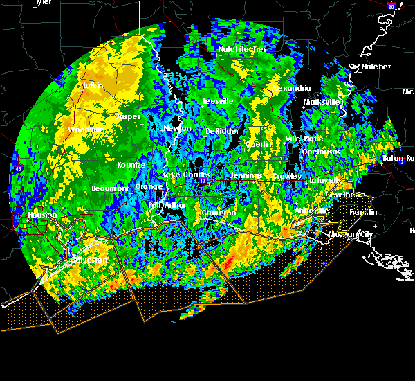 At 1010 am cdt, severe thunderstorms were located along a line extending from 7 miles south of ramah to 6 miles south of avery island, moving east at 35 mph (radar indicated). Hazards include 60 mph wind gusts. expect damage to roofs, siding, and trees At 1010 am cdt, severe thunderstorms were located along a line extending from 7 miles south of ramah to 6 miles south of avery island, moving east at 35 mph (radar indicated). Hazards include 60 mph wind gusts. expect damage to roofs, siding, and trees
|
| 8/28/2017 12:05 PM CDT |
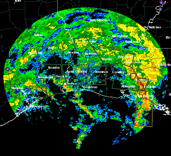 At 1204 pm cdt, a severe thunderstorm capable of producing a tornado was located near charenton, or 7 miles east of jeanerette, moving north at 20 mph (radar indicated rotation). Hazards include tornado. Flying debris will be dangerous to those caught without shelter. mobile homes will be damaged or destroyed. damage to roofs, windows, and vehicles will occur. tree damage is likely. This dangerous storm will be near, lake fausse pointe around 1220 pm cdt. At 1204 pm cdt, a severe thunderstorm capable of producing a tornado was located near charenton, or 7 miles east of jeanerette, moving north at 20 mph (radar indicated rotation). Hazards include tornado. Flying debris will be dangerous to those caught without shelter. mobile homes will be damaged or destroyed. damage to roofs, windows, and vehicles will occur. tree damage is likely. This dangerous storm will be near, lake fausse pointe around 1220 pm cdt.
|
| 8/28/2017 8:40 AM CDT |
 At 839 am cdt, a severe thunderstorm capable of producing a tornado was located near franklin, moving northwest at 10 mph (radar indicated rotation). Hazards include tornado. Flying debris will be dangerous to those caught without shelter. mobile homes will be damaged or destroyed. damage to roofs, windows, and vehicles will occur. tree damage is likely. This dangerous storm will be near, baldwin, glencoe, charenton and sorrel around 915 am cdt. At 839 am cdt, a severe thunderstorm capable of producing a tornado was located near franklin, moving northwest at 10 mph (radar indicated rotation). Hazards include tornado. Flying debris will be dangerous to those caught without shelter. mobile homes will be damaged or destroyed. damage to roofs, windows, and vehicles will occur. tree damage is likely. This dangerous storm will be near, baldwin, glencoe, charenton and sorrel around 915 am cdt.
|
| 5/3/2017 1:14 PM CDT |
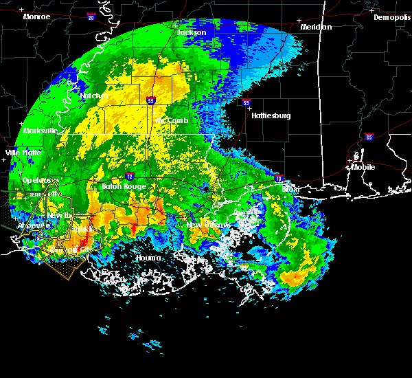 At 110 pm cdt, a severe thunderstorm was located over patterson memorial airport, or near patterson, moving east at 40 mph (radar indicated). Hazards include 60 mph wind gusts and quarter size hail. Hail damage to vehicles is expected. Expect wind damage to roofs, siding, and trees. At 110 pm cdt, a severe thunderstorm was located over patterson memorial airport, or near patterson, moving east at 40 mph (radar indicated). Hazards include 60 mph wind gusts and quarter size hail. Hail damage to vehicles is expected. Expect wind damage to roofs, siding, and trees.
|
| 5/3/2017 12:53 PM CDT | Social media photo shows a small metal shed blown across verdun lane. time estimated via rada in st. mary county LA, 0.9 miles SSE of Franklin, LA |
| 5/3/2017 12:25 PM CDT |
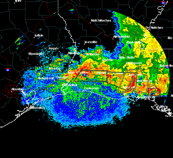 At 1224 pm cdt, severe thunderstorms were located along a line extending from near breaux bridge to near st. martinville to avery island to near henry, moving east at 40 mph (radar indicated). Hazards include 60 mph wind gusts and quarter size hail. Hail damage to vehicles is expected. Expect wind damage to roofs, siding, and trees. At 1224 pm cdt, severe thunderstorms were located along a line extending from near breaux bridge to near st. martinville to avery island to near henry, moving east at 40 mph (radar indicated). Hazards include 60 mph wind gusts and quarter size hail. Hail damage to vehicles is expected. Expect wind damage to roofs, siding, and trees.
|
| 5/3/2017 12:24 PM CDT | Golf Ball sized hail reported 0.4 miles WSW of Franklin, LA |
| 5/3/2017 12:20 PM CDT | Golf Ball sized hail reported 0.9 miles SSE of Franklin, LA |
| 5/3/2017 11:44 AM CDT |
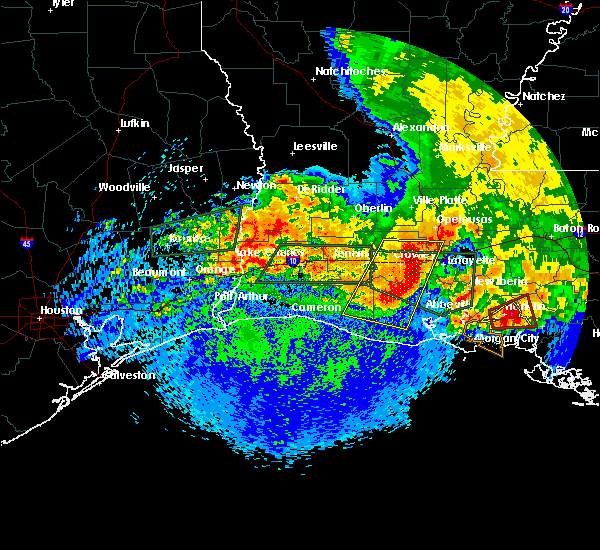 At 1144 am cdt, a severe thunderstorm capable of producing a tornado was located over franklin, moving east at 25 mph (radar indicated rotation). Hazards include tornado and ping pong ball size hail. Flying debris will be dangerous to those caught without shelter. mobile homes will be damaged or destroyed. damage to roofs, windows, and vehicles will occur. tree damage is likely. this tornadic thunderstorm will remain over mainly rural areas of northeastern st. mary and south central st. Martin parishes, including the following locations: centerville. At 1144 am cdt, a severe thunderstorm capable of producing a tornado was located over franklin, moving east at 25 mph (radar indicated rotation). Hazards include tornado and ping pong ball size hail. Flying debris will be dangerous to those caught without shelter. mobile homes will be damaged or destroyed. damage to roofs, windows, and vehicles will occur. tree damage is likely. this tornadic thunderstorm will remain over mainly rural areas of northeastern st. mary and south central st. Martin parishes, including the following locations: centerville.
|
| 5/3/2017 11:39 AM CDT |
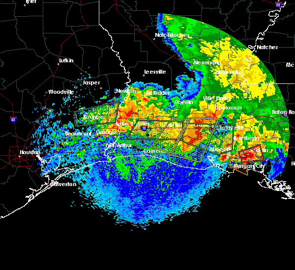 At 1138 am cdt, a severe thunderstorm capable of producing a tornado was located over franklin, moving east at 25 mph (radar indicated rotation). Hazards include tornado and ping pong ball size hail. Flying debris will be dangerous to those caught without shelter. mobile homes will be damaged or destroyed. damage to roofs, windows, and vehicles will occur. tree damage is likely. this dangerous storm will be near, charenton around 1145 am cdt. franklin around 1155 am cdt. Other locations impacted by this tornadic thunderstorm include centerville. At 1138 am cdt, a severe thunderstorm capable of producing a tornado was located over franklin, moving east at 25 mph (radar indicated rotation). Hazards include tornado and ping pong ball size hail. Flying debris will be dangerous to those caught without shelter. mobile homes will be damaged or destroyed. damage to roofs, windows, and vehicles will occur. tree damage is likely. this dangerous storm will be near, charenton around 1145 am cdt. franklin around 1155 am cdt. Other locations impacted by this tornadic thunderstorm include centerville.
|
| 5/3/2017 11:33 AM CDT |
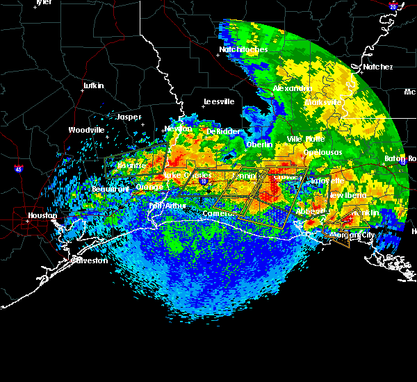 At 1133 am cdt, a severe thunderstorm was located near franklin, moving east at 25 mph (radar indicated). Hazards include 60 mph wind gusts and half dollar size hail. Hail damage to vehicles is expected. expect wind damage to roofs, siding, and trees. locations impacted include, morgan city, franklin, patterson, baldwin, patterson memorial airport and centerville. A tornado watch remains in effect until 500 pm cdt for south central louisiana. At 1133 am cdt, a severe thunderstorm was located near franklin, moving east at 25 mph (radar indicated). Hazards include 60 mph wind gusts and half dollar size hail. Hail damage to vehicles is expected. expect wind damage to roofs, siding, and trees. locations impacted include, morgan city, franklin, patterson, baldwin, patterson memorial airport and centerville. A tornado watch remains in effect until 500 pm cdt for south central louisiana.
|
| 5/3/2017 11:25 AM CDT |
 At 1124 am cdt, a severe thunderstorm was located over glencoe, or near franklin, moving east at 25 mph (radar indicated). Hazards include 60 mph wind gusts and half dollar size hail. Hail damage to vehicles is expected. expect wind damage to roofs, siding, and trees. locations impacted include, morgan city, franklin, patterson, jeanerette, baldwin, sorrel, cote blanche island, patterson memorial airport, glencoe, charenton and centerville. A tornado watch remains in effect until 500 pm cdt for south central louisiana. At 1124 am cdt, a severe thunderstorm was located over glencoe, or near franklin, moving east at 25 mph (radar indicated). Hazards include 60 mph wind gusts and half dollar size hail. Hail damage to vehicles is expected. expect wind damage to roofs, siding, and trees. locations impacted include, morgan city, franklin, patterson, jeanerette, baldwin, sorrel, cote blanche island, patterson memorial airport, glencoe, charenton and centerville. A tornado watch remains in effect until 500 pm cdt for south central louisiana.
|
| 5/3/2017 11:14 AM CDT |
 At 1112 am cdt, a severe thunderstorm was located over cote blanche island, or 8 miles south of jeanerette, moving east at 25 mph (radar indicated. at 1105 am hail was reported at the port of st. mary). Hazards include golf ball size hail and 60 mph wind gusts. People and animals outdoors will be injured. expect hail damage to roofs, siding, windows, and vehicles. Expect wind damage to roofs, siding, and trees. At 1112 am cdt, a severe thunderstorm was located over cote blanche island, or 8 miles south of jeanerette, moving east at 25 mph (radar indicated. at 1105 am hail was reported at the port of st. mary). Hazards include golf ball size hail and 60 mph wind gusts. People and animals outdoors will be injured. expect hail damage to roofs, siding, windows, and vehicles. Expect wind damage to roofs, siding, and trees.
|
| 5/3/2017 11:05 AM CDT | Golf Ball sized hail reported 3.1 miles SE of Franklin, LA, spotter report of golf ball sized hail which busted windsheild of truck. |
| 5/3/2017 11:02 AM CDT |
 At 1101 am cdt, a severe thunderstorm was located near cote blanche island, or near cypremort point, moving northeast at 35 mph (radar indicated). Hazards include golf ball size hail and 60 mph wind gusts. People and animals outdoors will be injured. expect hail damage to roofs, siding, windows, and vehicles. expect wind damage to roofs, siding, and trees. locations impacted include, franklin, jeanerette, cypremort point, baldwin, sorrel, cote blanche island, glencoe, lydia, lake fausse pointe, charenton, weeks island and centerville. A tornado watch remains in effect until 500 pm cdt for south central louisiana. At 1101 am cdt, a severe thunderstorm was located near cote blanche island, or near cypremort point, moving northeast at 35 mph (radar indicated). Hazards include golf ball size hail and 60 mph wind gusts. People and animals outdoors will be injured. expect hail damage to roofs, siding, windows, and vehicles. expect wind damage to roofs, siding, and trees. locations impacted include, franklin, jeanerette, cypremort point, baldwin, sorrel, cote blanche island, glencoe, lydia, lake fausse pointe, charenton, weeks island and centerville. A tornado watch remains in effect until 500 pm cdt for south central louisiana.
|
| 5/3/2017 10:44 AM CDT |
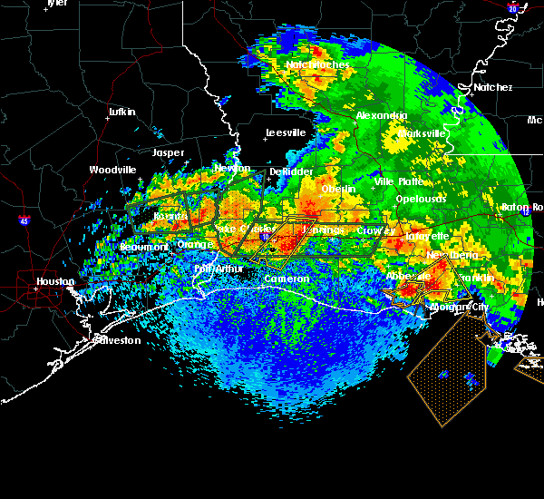 At 1044 am cdt, a severe thunderstorm was located over cypremort point, moving northeast at 25 mph (radar indicated). Hazards include golf ball size hail and 70 mph wind gusts. People and animals outdoors will be injured. expect hail damage to roofs, siding, windows, and vehicles. expect considerable tree damage. wind damage is also likely to mobile homes, roofs, and outbuildings. locations impacted include, franklin, jeanerette, cypremort point, baldwin, sorrel, cote blanche island, glencoe, lydia, lake fausse pointe, charenton, weeks island and centerville. A tornado watch remains in effect until 500 pm cdt for south central louisiana. At 1044 am cdt, a severe thunderstorm was located over cypremort point, moving northeast at 25 mph (radar indicated). Hazards include golf ball size hail and 70 mph wind gusts. People and animals outdoors will be injured. expect hail damage to roofs, siding, windows, and vehicles. expect considerable tree damage. wind damage is also likely to mobile homes, roofs, and outbuildings. locations impacted include, franklin, jeanerette, cypremort point, baldwin, sorrel, cote blanche island, glencoe, lydia, lake fausse pointe, charenton, weeks island and centerville. A tornado watch remains in effect until 500 pm cdt for south central louisiana.
|
| 5/3/2017 10:29 AM CDT |
 At 1027 am cdt, a severe thunderstorm was located near cypremort point, moving northeast at 40 mph (radar indicated). Hazards include golf ball size hail and 70 mph wind gusts. People and animals outdoors will be injured. expect hail damage to roofs, siding, windows, and vehicles. expect considerable tree damage. Wind damage is also likely to mobile homes, roofs, and outbuildings. At 1027 am cdt, a severe thunderstorm was located near cypremort point, moving northeast at 40 mph (radar indicated). Hazards include golf ball size hail and 70 mph wind gusts. People and animals outdoors will be injured. expect hail damage to roofs, siding, windows, and vehicles. expect considerable tree damage. Wind damage is also likely to mobile homes, roofs, and outbuildings.
|
| 5/3/2017 10:28 AM CDT |
 At 1027 am cdt, a severe thunderstorm was located near cypremort point, moving northeast at 40 mph (radar indicated). Hazards include golf ball size hail and 70 mph wind gusts. People and animals outdoors will be injured. expect hail damage to roofs, siding, windows, and vehicles. expect considerable tree damage. Wind damage is also likely to mobile homes, roofs, and outbuildings. At 1027 am cdt, a severe thunderstorm was located near cypremort point, moving northeast at 40 mph (radar indicated). Hazards include golf ball size hail and 70 mph wind gusts. People and animals outdoors will be injured. expect hail damage to roofs, siding, windows, and vehicles. expect considerable tree damage. Wind damage is also likely to mobile homes, roofs, and outbuildings.
|
| 4/30/2017 8:19 AM CDT |
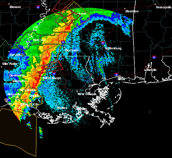 At 818 am cdt, severe thunderstorms were located along a line extending from near white castle to near ellerslie, moving northeast at 55 mph (radar indicated). Hazards include 60 mph wind gusts and half dollar size hail. Hail damage to vehicles is expected. Expect wind damage to roofs, siding, and trees. At 818 am cdt, severe thunderstorms were located along a line extending from near white castle to near ellerslie, moving northeast at 55 mph (radar indicated). Hazards include 60 mph wind gusts and half dollar size hail. Hail damage to vehicles is expected. Expect wind damage to roofs, siding, and trees.
|
| 4/30/2017 7:04 AM CDT |
 At 702 am cdt, scattered severe thunderstorms were advancing over the warned area, moving northeast at 50 mph (radar indicated). Hazards include 60 mph wind gusts and half dollar size hail. Hail damage to vehicles is expected. Expect wind damage to roofs, siding, and trees. At 702 am cdt, scattered severe thunderstorms were advancing over the warned area, moving northeast at 50 mph (radar indicated). Hazards include 60 mph wind gusts and half dollar size hail. Hail damage to vehicles is expected. Expect wind damage to roofs, siding, and trees.
|
| 3/30/2017 6:29 AM CDT |
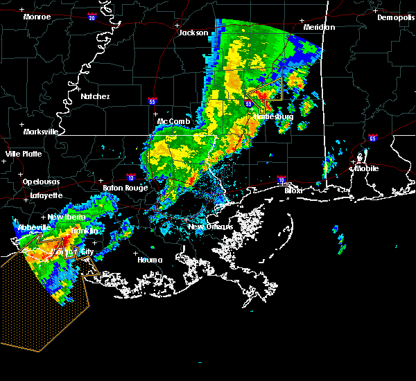 At 628 am cdt, a severe thunderstorm was located near franklin, moving east at 25 mph (radar indicated). Hazards include 60 mph wind gusts and quarter size hail. Hail damage to vehicles is expected. Expect wind damage to roofs, siding, and trees. At 628 am cdt, a severe thunderstorm was located near franklin, moving east at 25 mph (radar indicated). Hazards include 60 mph wind gusts and quarter size hail. Hail damage to vehicles is expected. Expect wind damage to roofs, siding, and trees.
|
| 5/19/2016 8:28 PM CDT |
 At 826 pm cdt, severe thunderstorms were located along a line extending from cankton to avery island to 7 miles southwest of cypremort point to 12 miles east of freshwater city, moving east at 45 mph (observation. at 815 pm...an observation site over east central vermilion parish reported a wind gust of 70 mph). Hazards include 70 mph wind gusts. Expect considerable tree damage. damage is likely to mobile homes, roofs, and outbuildings. locations impacted include, lafayette, new iberia, abbeville, catahoula, scott, breaux bridge, rayne, franklin, carencro, st. Martinville, jeanerette, church point, arnaudville, cypremort point, avery island, broussard, youngsville, sunset, baldwin and erath. At 826 pm cdt, severe thunderstorms were located along a line extending from cankton to avery island to 7 miles southwest of cypremort point to 12 miles east of freshwater city, moving east at 45 mph (observation. at 815 pm...an observation site over east central vermilion parish reported a wind gust of 70 mph). Hazards include 70 mph wind gusts. Expect considerable tree damage. damage is likely to mobile homes, roofs, and outbuildings. locations impacted include, lafayette, new iberia, abbeville, catahoula, scott, breaux bridge, rayne, franklin, carencro, st. Martinville, jeanerette, church point, arnaudville, cypremort point, avery island, broussard, youngsville, sunset, baldwin and erath.
|
| 4/30/2016 1:29 PM CDT |
 At 129 pm cdt, severe thunderstorms were located along a line extending from 9 miles southwest of bayou sorrel to near white castle to near stephensville to 6 miles southwest of burns point, moving east at 45 mph (radar indicated). Hazards include 70 mph wind gusts and quarter size hail. Hail damage to vehicles is expected. expect considerable tree damage. Wind damage is also likely to mobile homes, roofs, and outbuildings. At 129 pm cdt, severe thunderstorms were located along a line extending from 9 miles southwest of bayou sorrel to near white castle to near stephensville to 6 miles southwest of burns point, moving east at 45 mph (radar indicated). Hazards include 70 mph wind gusts and quarter size hail. Hail damage to vehicles is expected. expect considerable tree damage. Wind damage is also likely to mobile homes, roofs, and outbuildings.
|
| 4/30/2016 1:21 PM CDT |
 At 121 pm cdt, severe thunderstorms were located along a line extending from near white castle to near pierre part to 6 miles southwest of belle river to near patterson memorial airport to burns point, moving east at 40 mph (radar indicated). Hazards include 70 mph wind gusts and quarter size hail. Hail damage to vehicles is expected. expect considerable tree damage. wind damage is also likely to mobile homes, roofs, and outbuildings. Locations impacted include, morgan city, franklin, patterson, berwick, bayou vista, burns point, stephensville, patterson memorial airport, ellerslie, amelia and centerville. At 121 pm cdt, severe thunderstorms were located along a line extending from near white castle to near pierre part to 6 miles southwest of belle river to near patterson memorial airport to burns point, moving east at 40 mph (radar indicated). Hazards include 70 mph wind gusts and quarter size hail. Hail damage to vehicles is expected. expect considerable tree damage. wind damage is also likely to mobile homes, roofs, and outbuildings. Locations impacted include, morgan city, franklin, patterson, berwick, bayou vista, burns point, stephensville, patterson memorial airport, ellerslie, amelia and centerville.
|
| 4/30/2016 1:09 PM CDT |
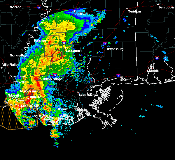 At 109 pm cdt, severe thunderstorms were located along a line extending from near bayou sorrel to 7 miles northeast of charenton to near franklin to near ellerslie to 8 miles west of burns point, moving east at 40 mph (radar indicated). Hazards include 70 mph wind gusts and quarter size hail. Hail damage to vehicles is expected. expect considerable tree damage. wind damage is also likely to mobile homes, roofs, and outbuildings. Locations impacted include, morgan city, franklin, patterson, berwick, bayou vista, burns point, stephensville, baldwin, charenton, patterson memorial airport, ellerslie, amelia and centerville. At 109 pm cdt, severe thunderstorms were located along a line extending from near bayou sorrel to 7 miles northeast of charenton to near franklin to near ellerslie to 8 miles west of burns point, moving east at 40 mph (radar indicated). Hazards include 70 mph wind gusts and quarter size hail. Hail damage to vehicles is expected. expect considerable tree damage. wind damage is also likely to mobile homes, roofs, and outbuildings. Locations impacted include, morgan city, franklin, patterson, berwick, bayou vista, burns point, stephensville, baldwin, charenton, patterson memorial airport, ellerslie, amelia and centerville.
|
| 4/30/2016 12:59 PM CDT |
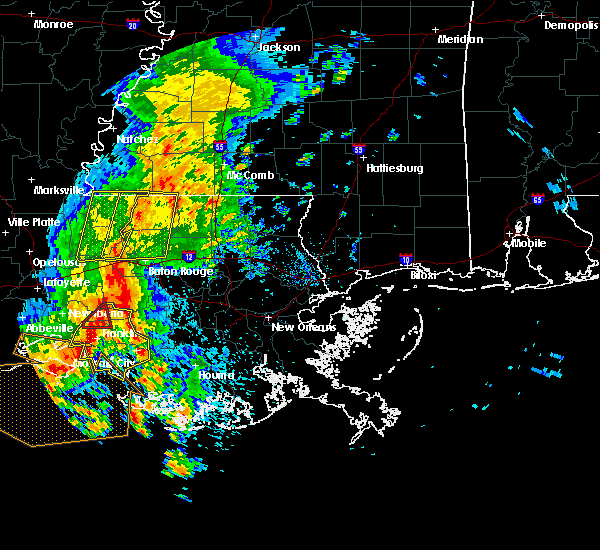 At 1258 pm cdt, severe thunderstorms were located along a line extending from near bayou sorrel to near sorrel to 6 miles southeast of glencoe to near cypremort point, moving southeast at 20 mph (radar indicated). Hazards include 60 mph wind gusts. Expect damage to roofs. siding. and trees. Locations impacted include, morgan city, franklin, patterson, jeanerette, berwick, bayou vista, burns point, stephensville, baldwin, charenton, cote blanche island, amelia, patterson memorial airport, sorrel, ellerslie, glencoe and centerville. At 1258 pm cdt, severe thunderstorms were located along a line extending from near bayou sorrel to near sorrel to 6 miles southeast of glencoe to near cypremort point, moving southeast at 20 mph (radar indicated). Hazards include 60 mph wind gusts. Expect damage to roofs. siding. and trees. Locations impacted include, morgan city, franklin, patterson, jeanerette, berwick, bayou vista, burns point, stephensville, baldwin, charenton, cote blanche island, amelia, patterson memorial airport, sorrel, ellerslie, glencoe and centerville.
|
| 4/30/2016 12:41 PM CDT |
 At 1240 pm cdt, severe thunderstorms were located along a line extending from 9 miles southwest of bayou sorrel to near jeanerette to near cypremort point, moving east at 20 mph (radar indicated). Hazards include 60 mph wind gusts. Expect damage to roofs. siding. and trees. Locations impacted include, morgan city, franklin, patterson, jeanerette, berwick, cypremort point, bayou vista, burns point, stephensville, baldwin, charenton, cote blanche island, amelia, patterson memorial airport, lydia, sorrel, ellerslie, lake fausse pointe, glencoe and centerville. At 1240 pm cdt, severe thunderstorms were located along a line extending from 9 miles southwest of bayou sorrel to near jeanerette to near cypremort point, moving east at 20 mph (radar indicated). Hazards include 60 mph wind gusts. Expect damage to roofs. siding. and trees. Locations impacted include, morgan city, franklin, patterson, jeanerette, berwick, cypremort point, bayou vista, burns point, stephensville, baldwin, charenton, cote blanche island, amelia, patterson memorial airport, lydia, sorrel, ellerslie, lake fausse pointe, glencoe and centerville.
|
| 4/30/2016 12:27 PM CDT |
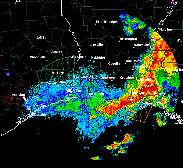 At 1227 pm cdt, severe thunderstorms capable of producing both tornadoes and extensive straight line wind damage were located over lydia, or near jeanerette, moving east at 15 mph (radar indicated rotation). Hazards include tornado and quarter size hail. Flying debris will be dangerous to those caught without shelter. mobile homes will be damaged or destroyed. damage to roofs, windows, and vehicles will occur. tree damage is likely. these dangerous storms will be near, jeanerette around 1250 pm cdt. sorrel and lake fausse pointe around 105 pm cdt. baldwin around 115 pm cdt. charenton around 120 pm cdt. Other locations impacted by this tornadic thunderstorm include weeks island. At 1227 pm cdt, severe thunderstorms capable of producing both tornadoes and extensive straight line wind damage were located over lydia, or near jeanerette, moving east at 15 mph (radar indicated rotation). Hazards include tornado and quarter size hail. Flying debris will be dangerous to those caught without shelter. mobile homes will be damaged or destroyed. damage to roofs, windows, and vehicles will occur. tree damage is likely. these dangerous storms will be near, jeanerette around 1250 pm cdt. sorrel and lake fausse pointe around 105 pm cdt. baldwin around 115 pm cdt. charenton around 120 pm cdt. Other locations impacted by this tornadic thunderstorm include weeks island.
|
| 4/30/2016 12:12 PM CDT |
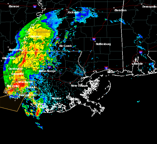 At 1212 pm cdt, severe thunderstorms were located along a line extending from near lake fausse pointe to new iberia to near cypremort point, moving east at 25 mph (radar indicated). Hazards include 60 mph wind gusts. Expect damage to roofs. siding. And trees. At 1212 pm cdt, severe thunderstorms were located along a line extending from near lake fausse pointe to new iberia to near cypremort point, moving east at 25 mph (radar indicated). Hazards include 60 mph wind gusts. Expect damage to roofs. siding. And trees.
|
| 2/23/2016 2:36 PM CST | Report of multiple mobile homes damage and power lines down between baldwin and franklin. time estimated from rada in st. mary county LA, 2.7 miles SSE of Franklin, LA |
| 2/15/2016 3:52 PM CST |
 At 350 pm cst, a severe thunderstorm was located near charenton, or 8 miles north of franklin, moving northeast at 40 mph (radar indicated). Hazards include 60 mph wind gusts and quarter size hail. Hail damage to vehicles is expected. Expect wind damage to roofs, siding and trees. At 350 pm cst, a severe thunderstorm was located near charenton, or 8 miles north of franklin, moving northeast at 40 mph (radar indicated). Hazards include 60 mph wind gusts and quarter size hail. Hail damage to vehicles is expected. Expect wind damage to roofs, siding and trees.
|
| 6/9/2015 2:12 PM CDT |
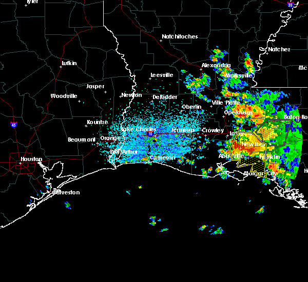 At 211 pm cdt, a line of severe thunderstorms producing quarter size hail and damaging winds in excess of 60 mph. these storms were located along a line extending from near coteau to near avery island to near sorrel, moving southwest at 20 mph. locations impacted include, lafayette, new iberia, abbeville, franklin, st. martinville, jeanerette, cypremort point, burns point, avery island, baldwin, loreauville, charenton, cote blanche island, coteau, acadiana regional airport, cade, lydia, sorrel, ellerslie and lake fausse pointe. At 211 pm cdt, a line of severe thunderstorms producing quarter size hail and damaging winds in excess of 60 mph. these storms were located along a line extending from near coteau to near avery island to near sorrel, moving southwest at 20 mph. locations impacted include, lafayette, new iberia, abbeville, franklin, st. martinville, jeanerette, cypremort point, burns point, avery island, baldwin, loreauville, charenton, cote blanche island, coteau, acadiana regional airport, cade, lydia, sorrel, ellerslie and lake fausse pointe.
|
| 6/9/2015 1:42 PM CDT |
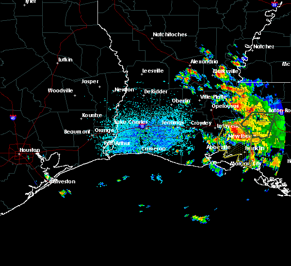 At 141 pm cdt, doppler radar indicated a line of severe thunderstorms capable of producing quarter size hail and damaging winds in excess of 60 mph. these storms were located along a line extending from near henderson to near lake fausse pointe to 11 miles northeast of charenton, and moving south at 20 mph. At 141 pm cdt, doppler radar indicated a line of severe thunderstorms capable of producing quarter size hail and damaging winds in excess of 60 mph. these storms were located along a line extending from near henderson to near lake fausse pointe to 11 miles northeast of charenton, and moving south at 20 mph.
|
| 5/27/2015 10:30 AM CDT | At 1029 am cdt, doppler radar indicated a severe thunderstorm capable of producing damaging winds in excess of 60 mph. this storm was located between franklin and centerville, moving southeast at 40 mph. penny size hail may also accompany the damaging winds. locations impacted include, morgan city, franklin, patterson, berwick, bayou vista, burns point, stephensville, baldwin, patterson memorial airport, ellerslie, amelia and centerville. |
| 5/27/2015 10:16 AM CDT | At 1015 am cdt, doppler radar indicated a severe thunderstorm capable of producing damaging winds in excess of 60 mph. this storm was located near franklin, moving east at 25 mph. penny size hail may also accompany the damaging winds. locations impacted include, morgan city, franklin, patterson, jeanerette, berwick, bayou vista, burns point, stephensville, baldwin, charenton, cote blanche island, amelia, patterson memorial airport, sorrel, ellerslie, glencoe, weeks island and centerville. |
| 5/27/2015 9:51 AM CDT | At 950 am cdt, doppler radar indicated a line of severe thunderstorms capable of producing damaging winds in excess of 60 mph. these storms were located along a line extending from near bayou sorrel to near glencoe to 10 miles south of cypremort point, moving east at 55 mph. penny size hail may also accompany the damaging winds. locations impacted include, new iberia, morgan city, catahoula, franklin, patterson, jeanerette, berwick, bayou vista, stephensville, cypremort point, burns point, avery island, baldwin, loreauville, charenton, cote blanche island, amelia, patterson memorial airport, lydia and sorrel. |
| 5/27/2015 9:28 AM CDT | At 927 am cdt, doppler radar indicated a line of severe thunderstorms capable of producing damaging winds in excess of 60 mph. these storms were located along a line extending from near butte la rose to near freshwater city, and moving southeast at 40 mph. penny size hail may also accompany the damaging winds. |
| 5/24/2015 5:28 PM CDT | At 527 pm cdt, doppler radar indicated a line of severe thunderstorms located along a line extending from lake pelba to near glencoe, and moving east at 15 mph. |
| 4/27/2015 9:13 AM CDT | Sheriffs dept reports tree dow in st. mary county LA, 0.9 miles SSE of Franklin, LA |
| 4/27/2015 8:51 AM CDT | At 850 am cdt, doppler radar indicated a line of severe thunderstorms capable of producing quarter size hail and damaging winds in excess of 60 mph. these storms were located along a line extending from near fort adams to near st. francisville to near erwinville to near ramah to 9 miles southeast of catahoula to near jeanerette to near cypremort point to 16 miles south of freshwater city, and moving east at 60 mph. |
| 4/25/2015 12:17 PM CDT | At 1217 pm cdt, doppler radar indicated a line of severe thunderstorms capable of producing quarter size hail and damaging winds in excess of 60 mph. these storms were located along a line extending from 11 miles northeast of charenton to near patterson memorial airport to ellerslie, moving east at 35 mph. locations impacted include, morgan city, franklin, patterson, berwick, bayou vista, burns point, belle river, stephensville, pierre part, amelia, patterson memorial airport, ellerslie and centerville. |
| 4/25/2015 11:56 AM CDT | At 1156 am cdt, doppler radar indicated a line of severe thunderstorms capable of producing quarter size hail and damaging winds in excess of 60 mph. these storms were located along a line extending from 6 miles southwest of bayou sorrel to near charenton to near cote blanche island to 22 miles southeast of freshwater city, and moving east at 35 mph. |
| 4/25/2015 11:35 AM CDT | At 1135 am cdt, doppler radar indicated a line of severe thunderstorms capable of producing large hail up to ping pong ball size and destructive winds in excess of 70 mph. these storms were located along a line extending from lydia to 15 miles southwest of cypremort point to 25 miles south of freshwater city, moving east at 65 mph. locations impacted include, abbeville, franklin, jeanerette, cypremort point, forked island, avery island, intracoastal city, freshwater city, baldwin, erath, delcambre, charenton, cote blanche island, esther, henry, lydia, sorrel, glencoe and weeks island. |
| 4/25/2015 11:14 AM CDT | At 1114 am cdt, doppler radar indicated a line of severe thunderstorms capable of producing large hail up to ping pong ball size and destructive winds in excess of 70 mph, with the greatest threat of this from pecan island to intracoastal city. these storms were located along a line extending from near erath to near freshwater city to 24 miles southwest of pecan island, moving east at 50 mph. locations impacted include, abbeville, franklin, jeanerette, cypremort point, pecan island, forked island, avery island, intracoastal city, freshwater city, baldwin, erath, delcambre, charenton, cote blanche island, esther, henry, lydia, sorrel, glencoe and weeks island. |
| 4/25/2015 11:01 AM CDT | At 1100 am cdt, doppler radar indicated a line of severe thunderstorms capable of producing half dollar size hail and destructive winds in excess of 70 mph. these storms were located along a line extending from 6 miles west of forked island to near pecan island to 24 miles south of rockefeller wildlife range, and moving east at 60 mph. |
| 7/3/2014 7:05 PM CDT | Metal roof on shed partially peeled of in st. mary county LA, 0.9 miles SSE of Franklin, LA |
| 1/1/0001 12:00 AM | Golf Ball sized hail reported 15.9 miles E of Franklin, LA, several public reports of hail damage to camps...boats...and vehicles. camps sustained broken windows and siding damage. vehicles and boats were dented and had windows |
Hail Maps for Franklin, LA
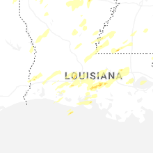


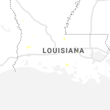


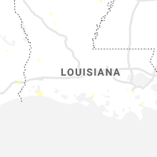
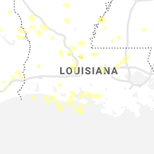

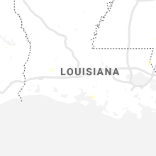


Connect with Interactive Hail Maps