

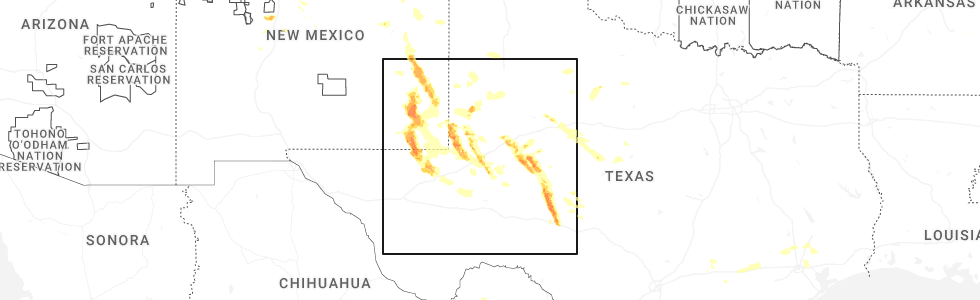
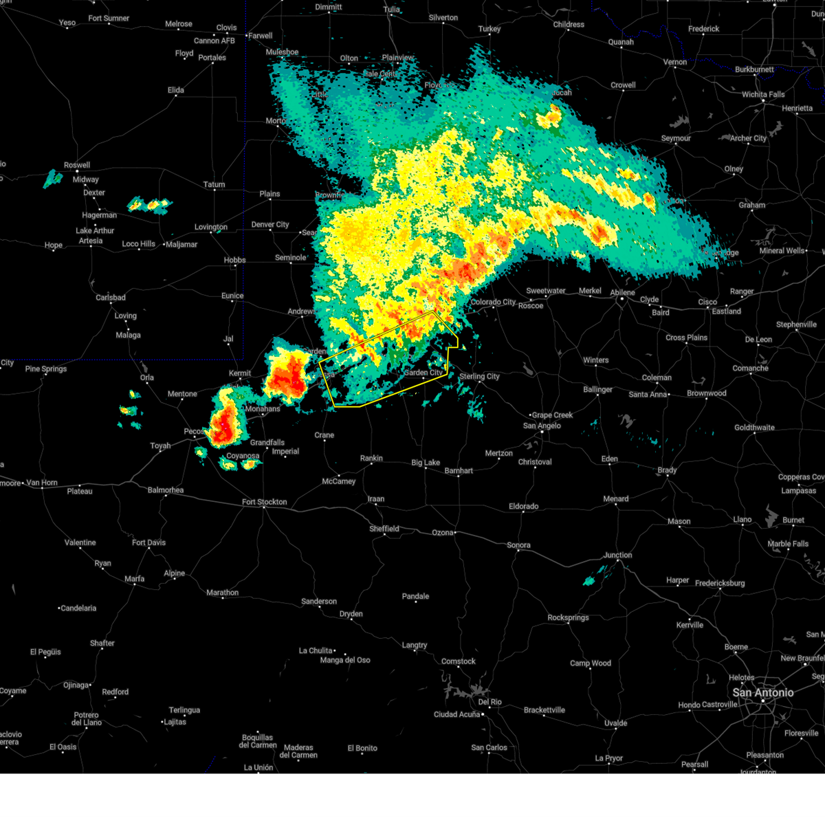
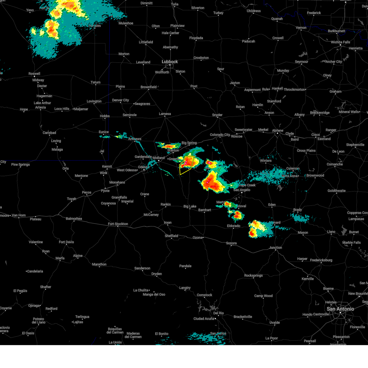
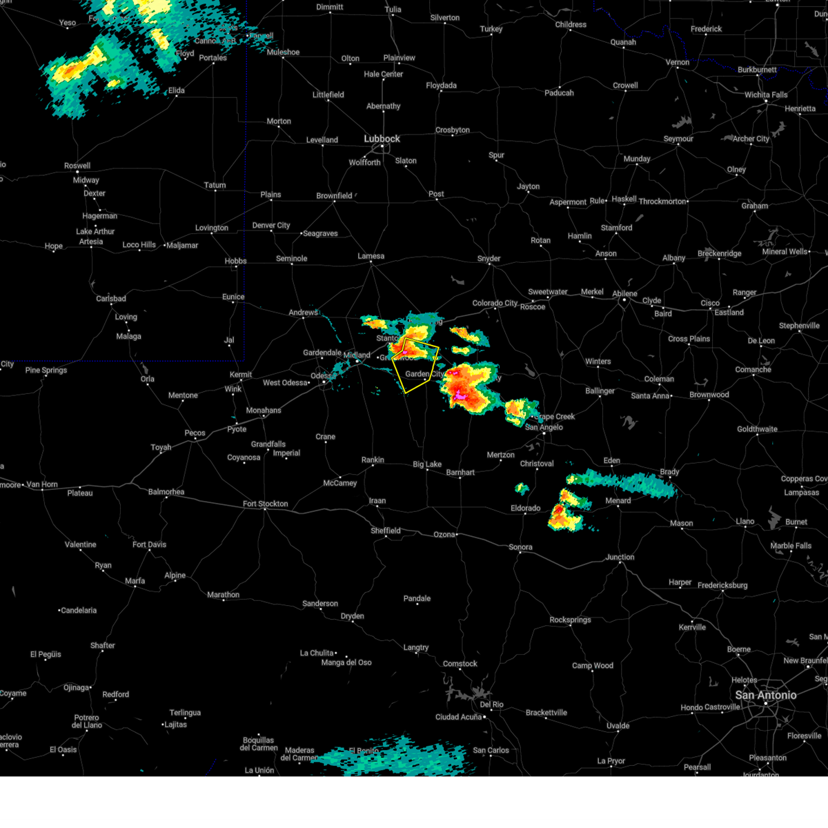
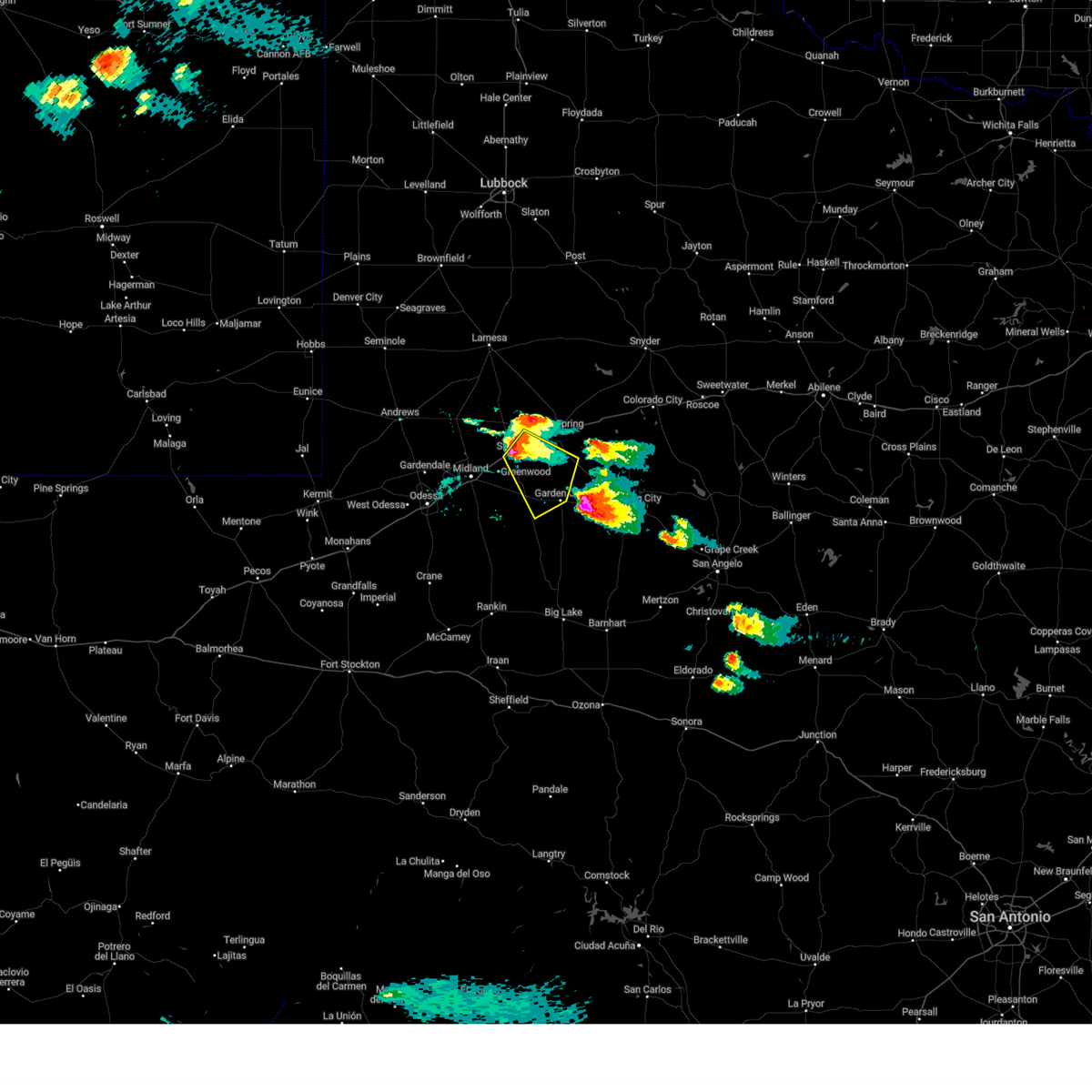
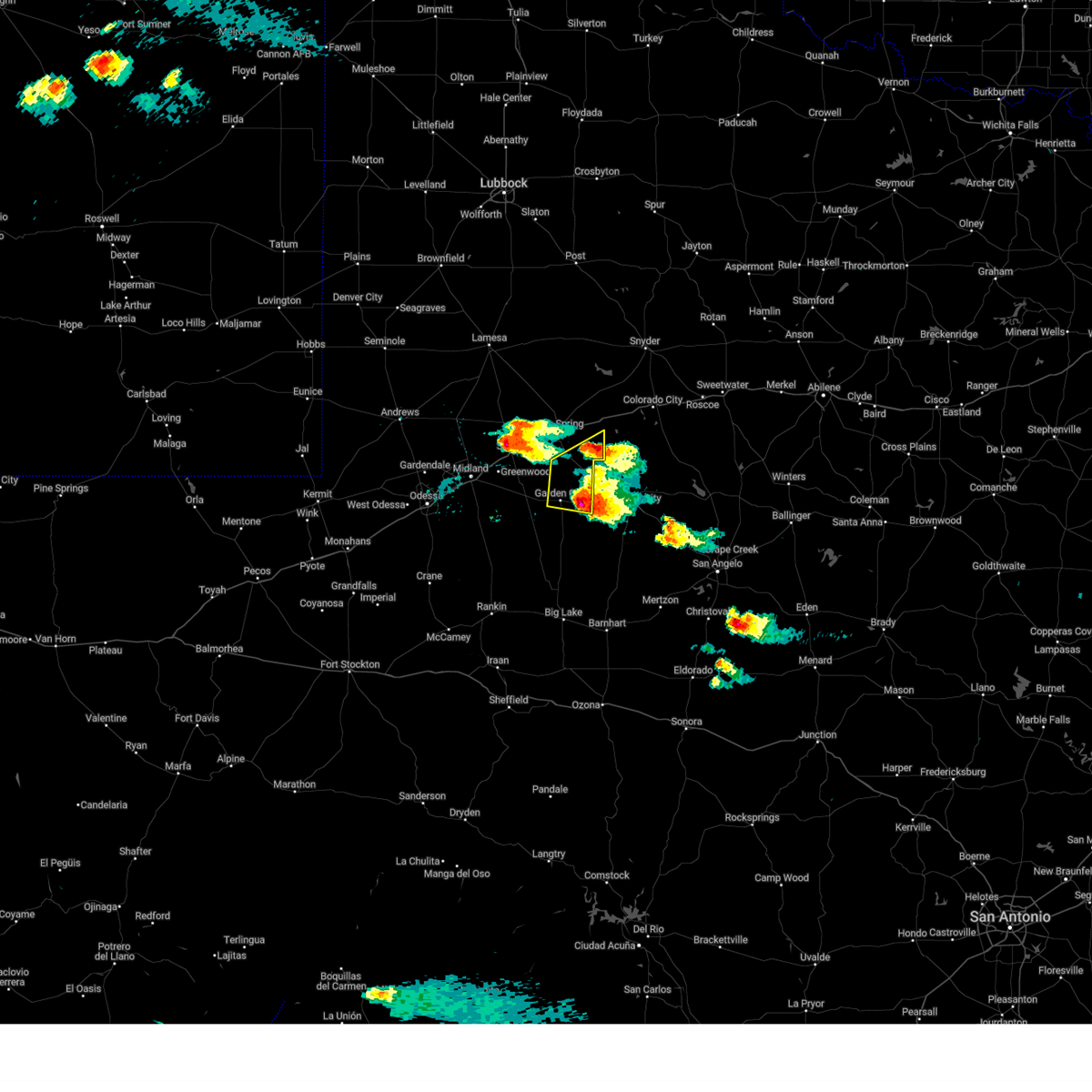
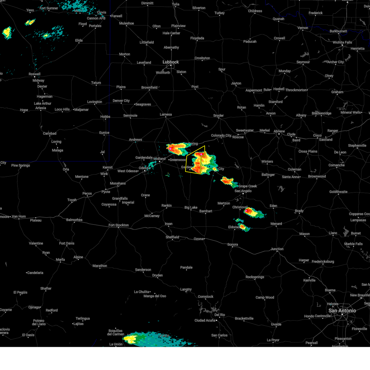
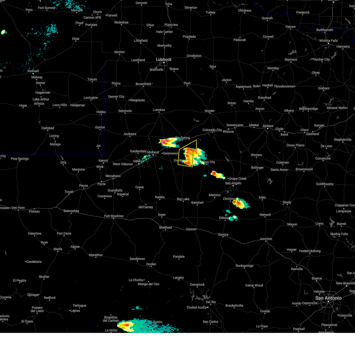
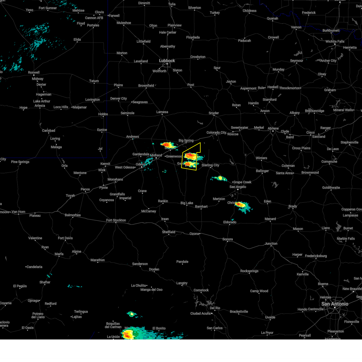
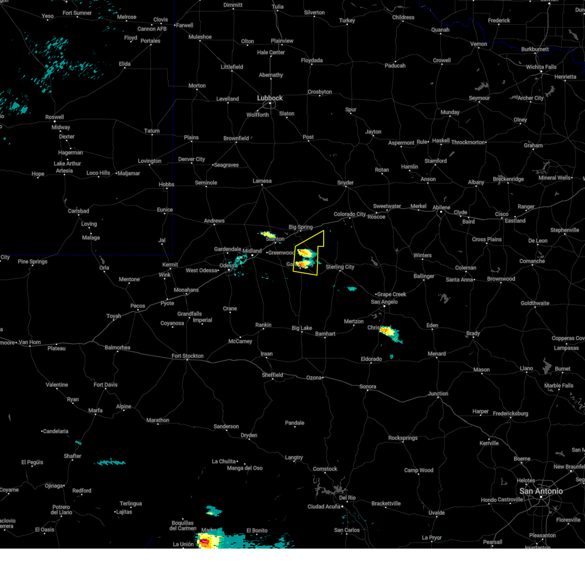
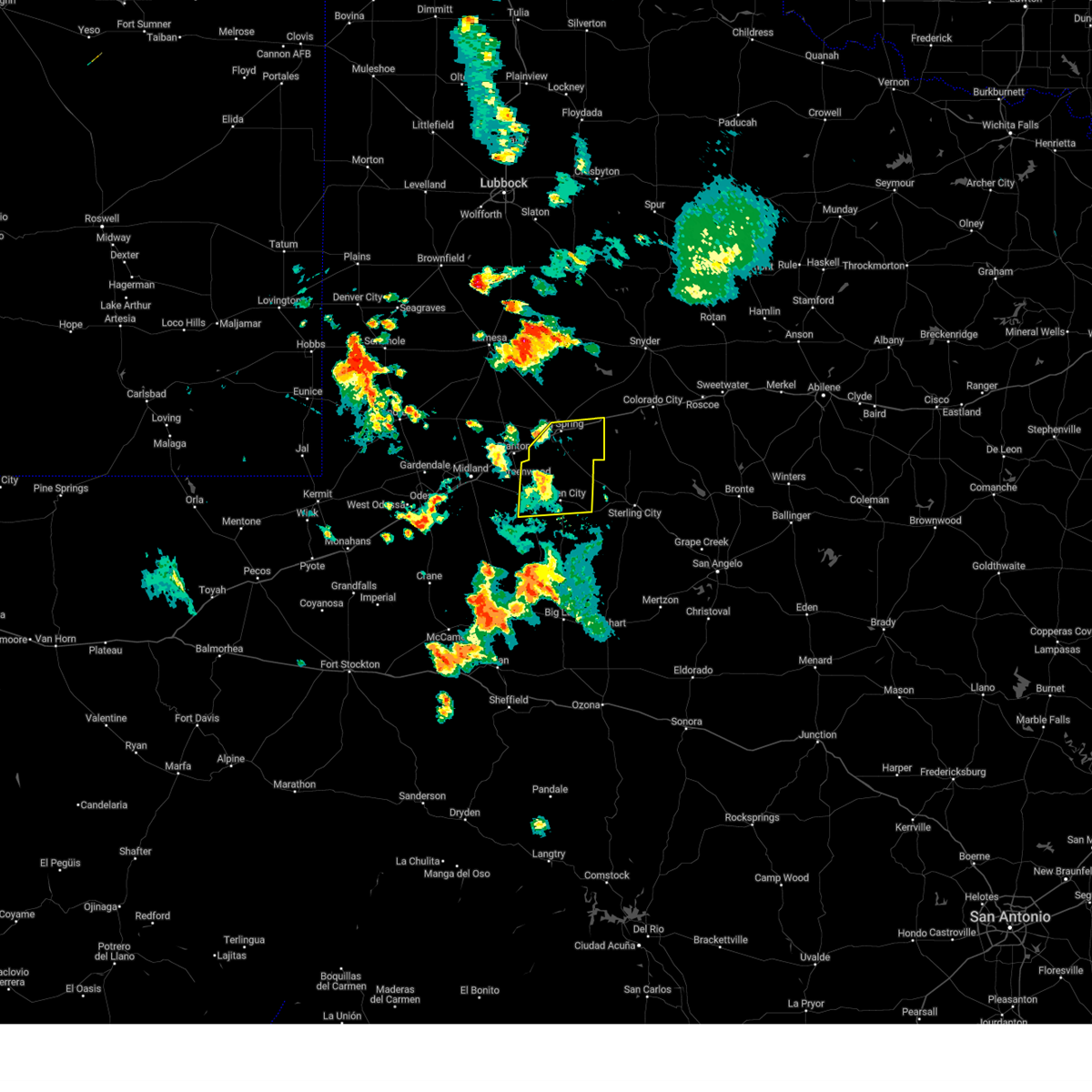
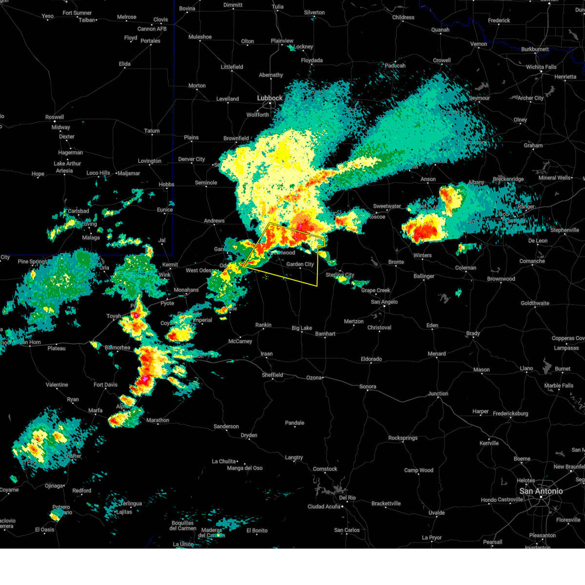
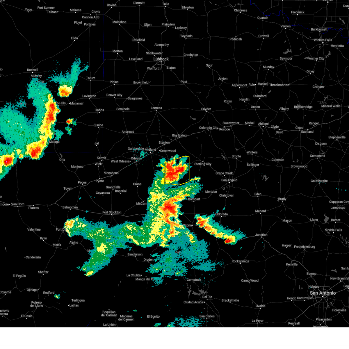
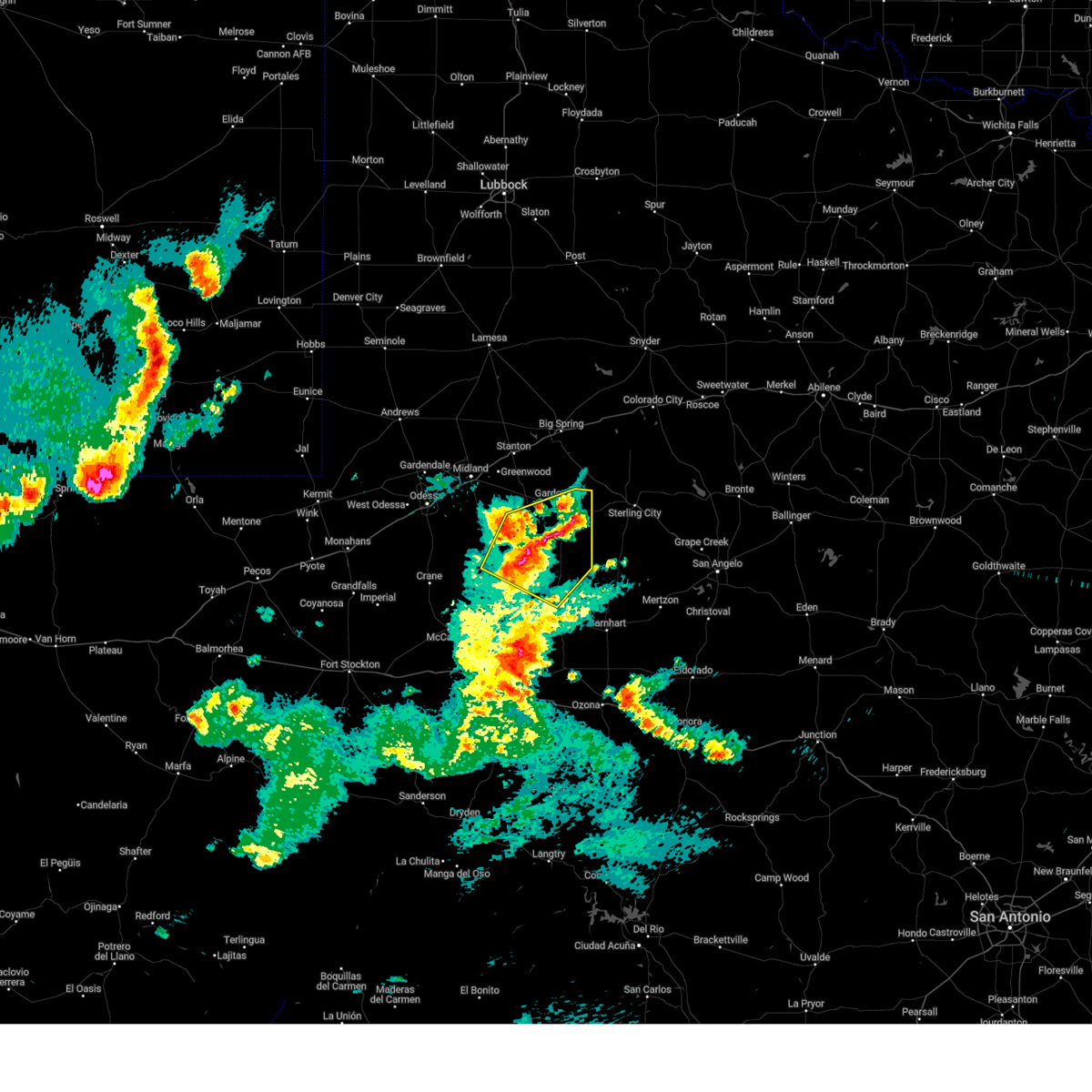
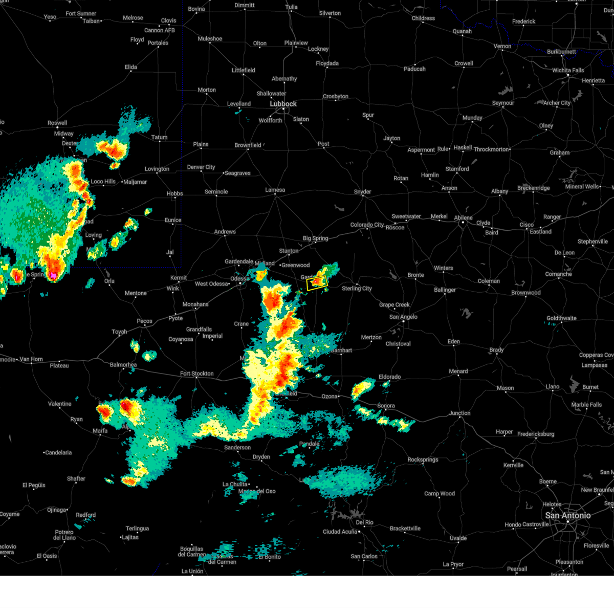
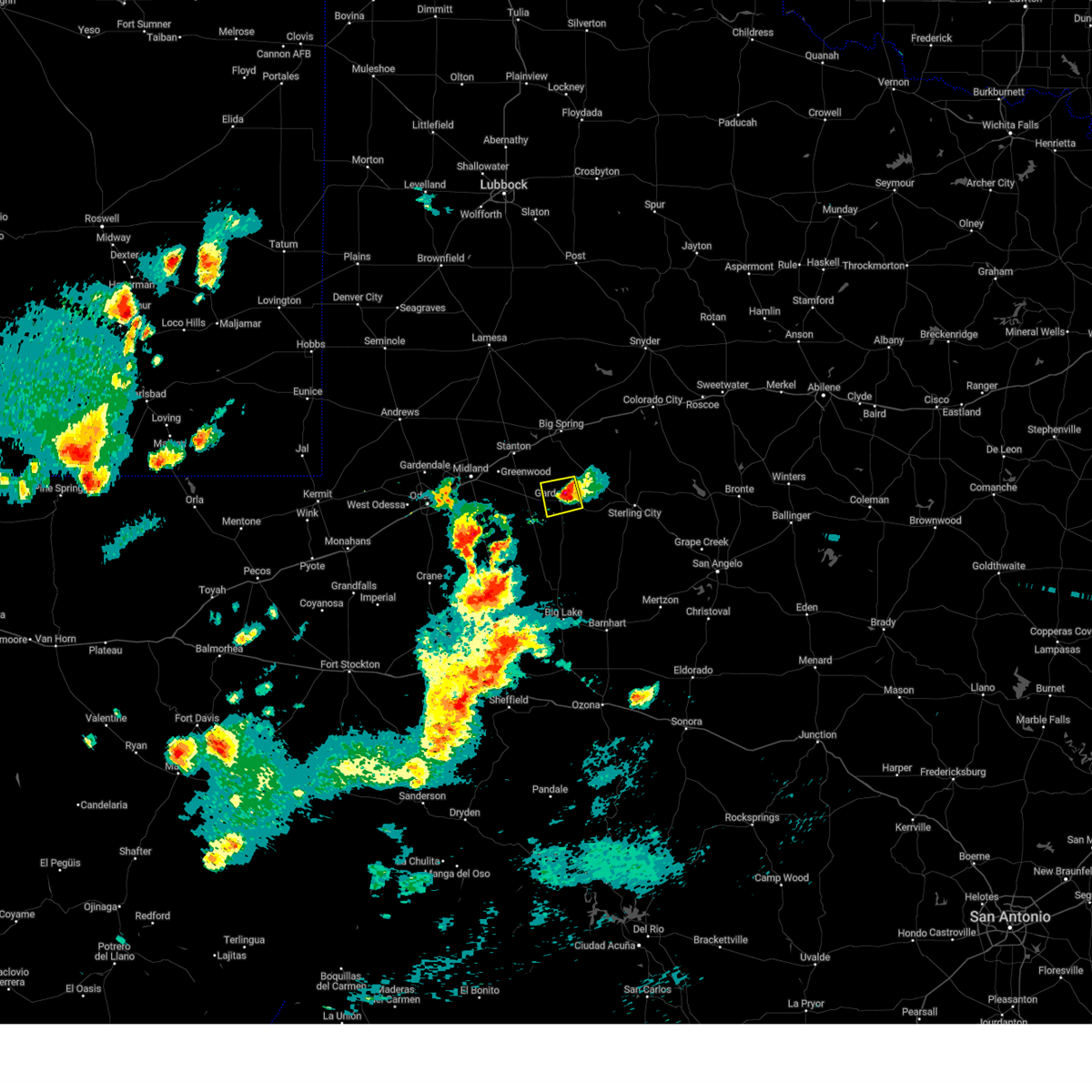
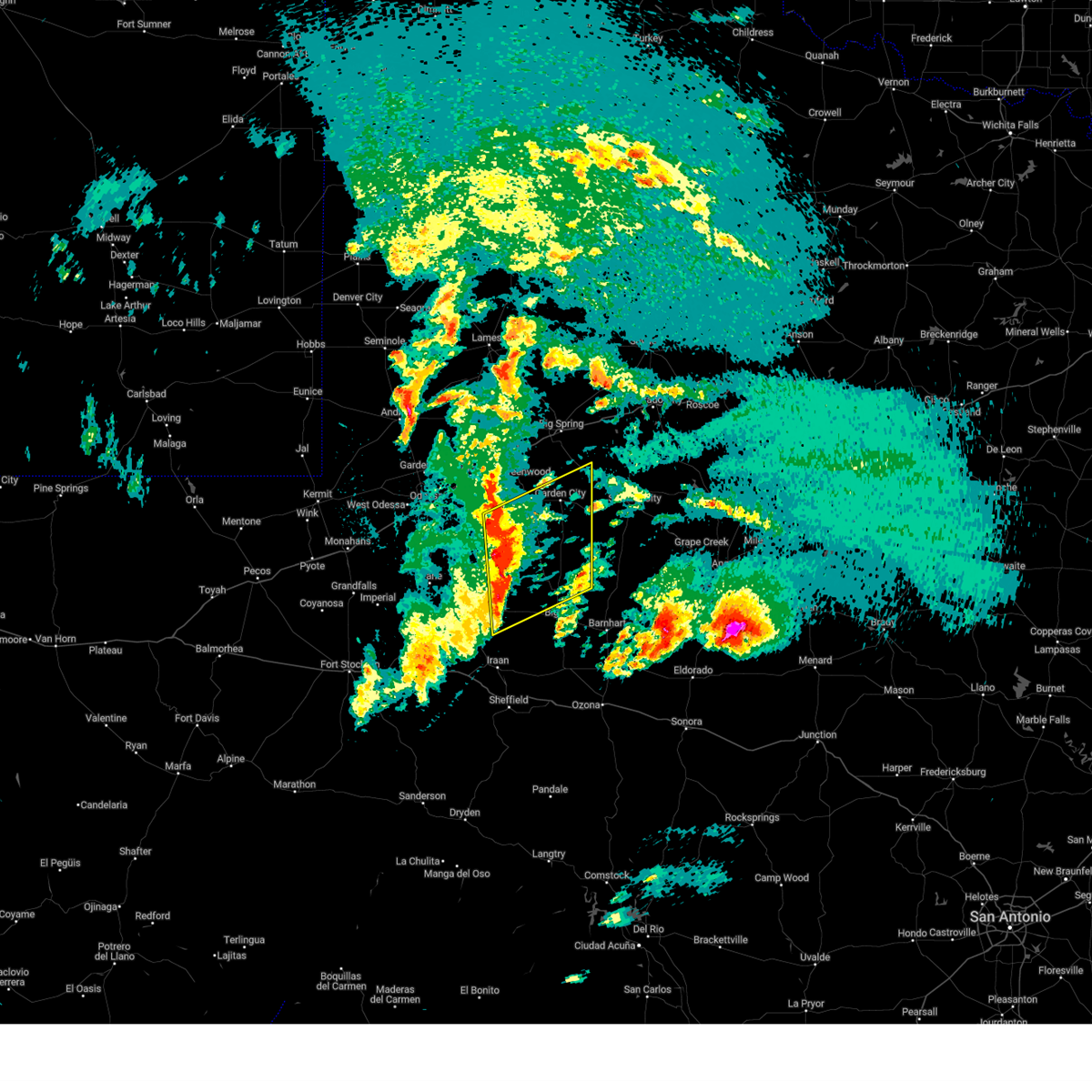
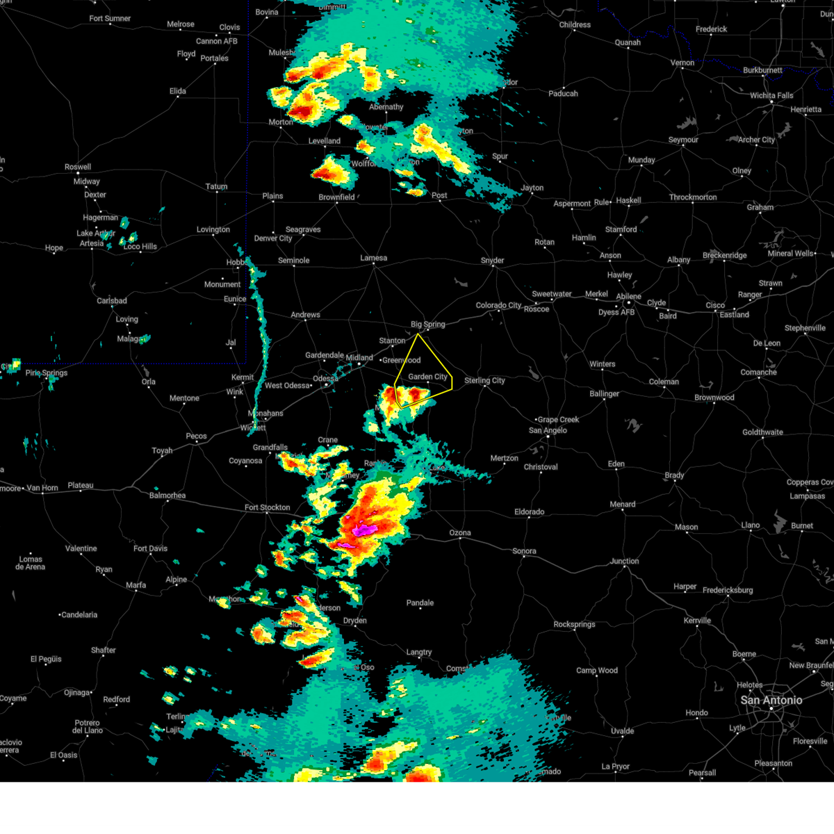
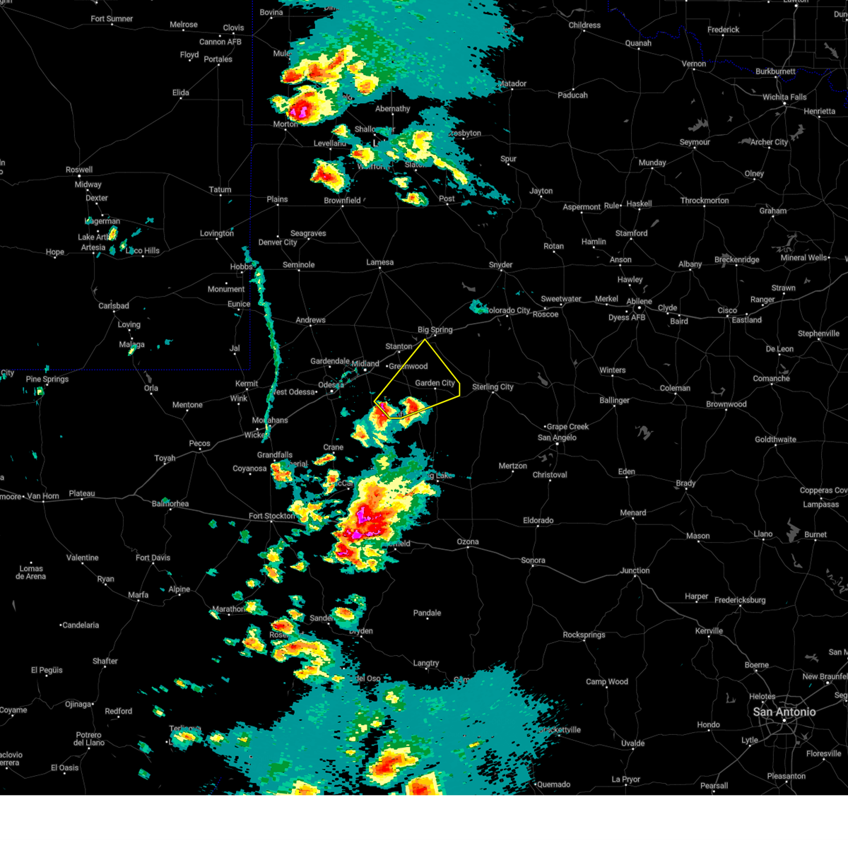
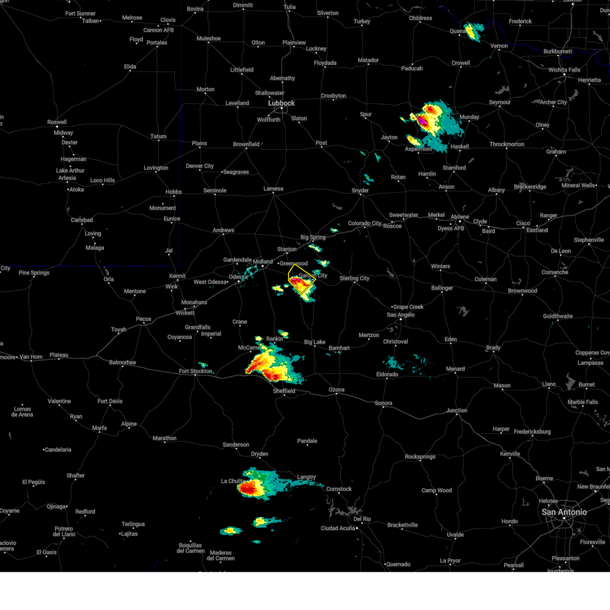
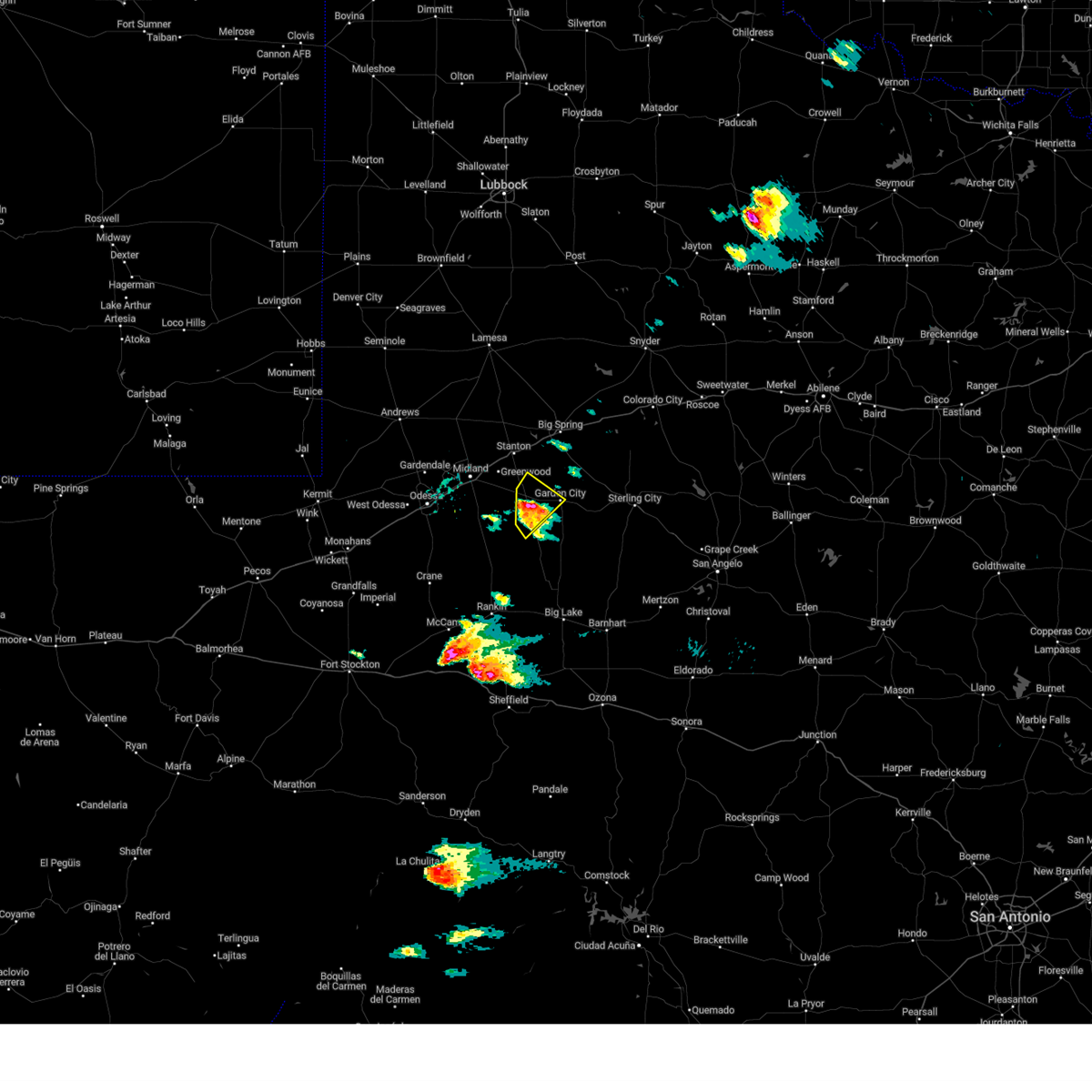
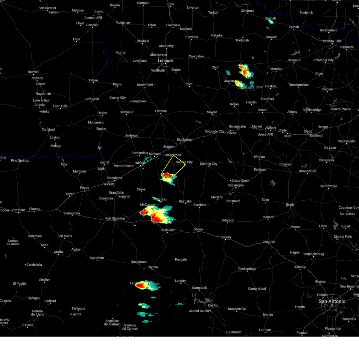
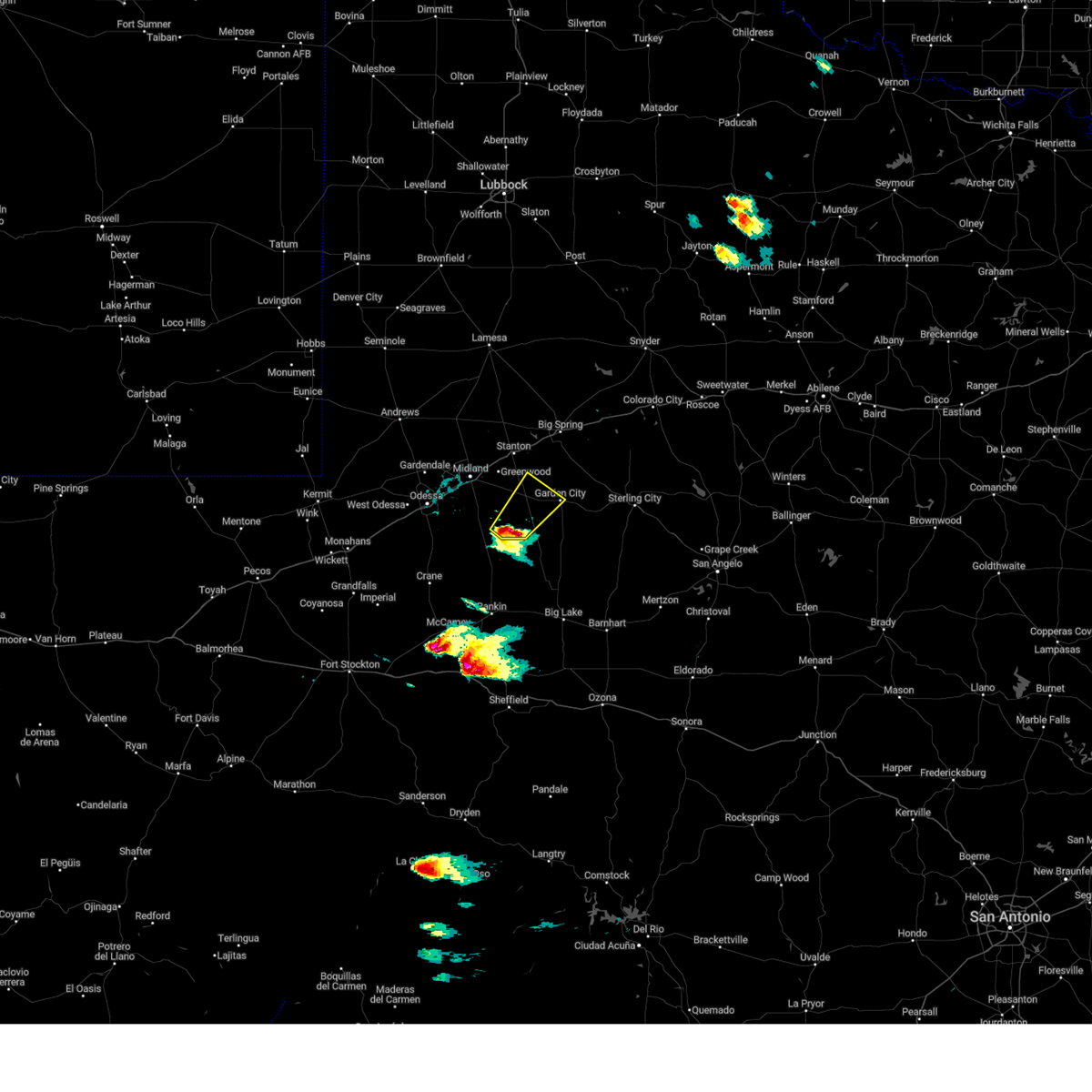
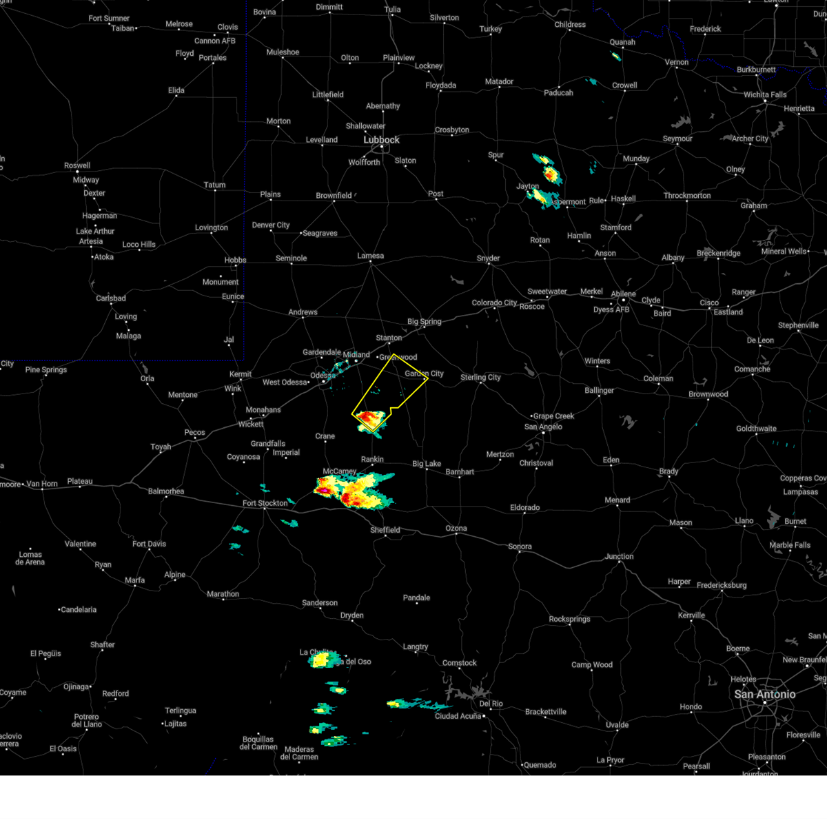
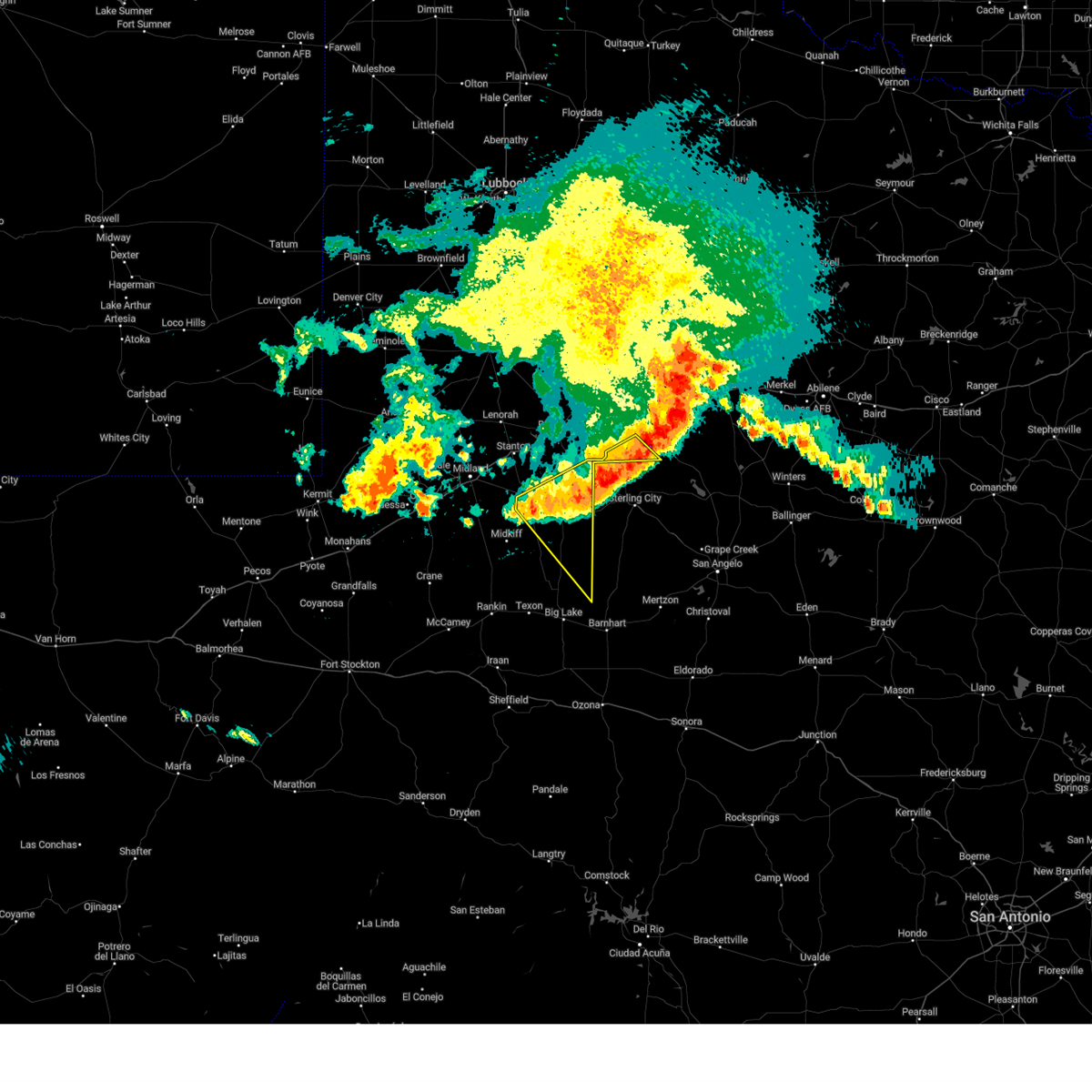
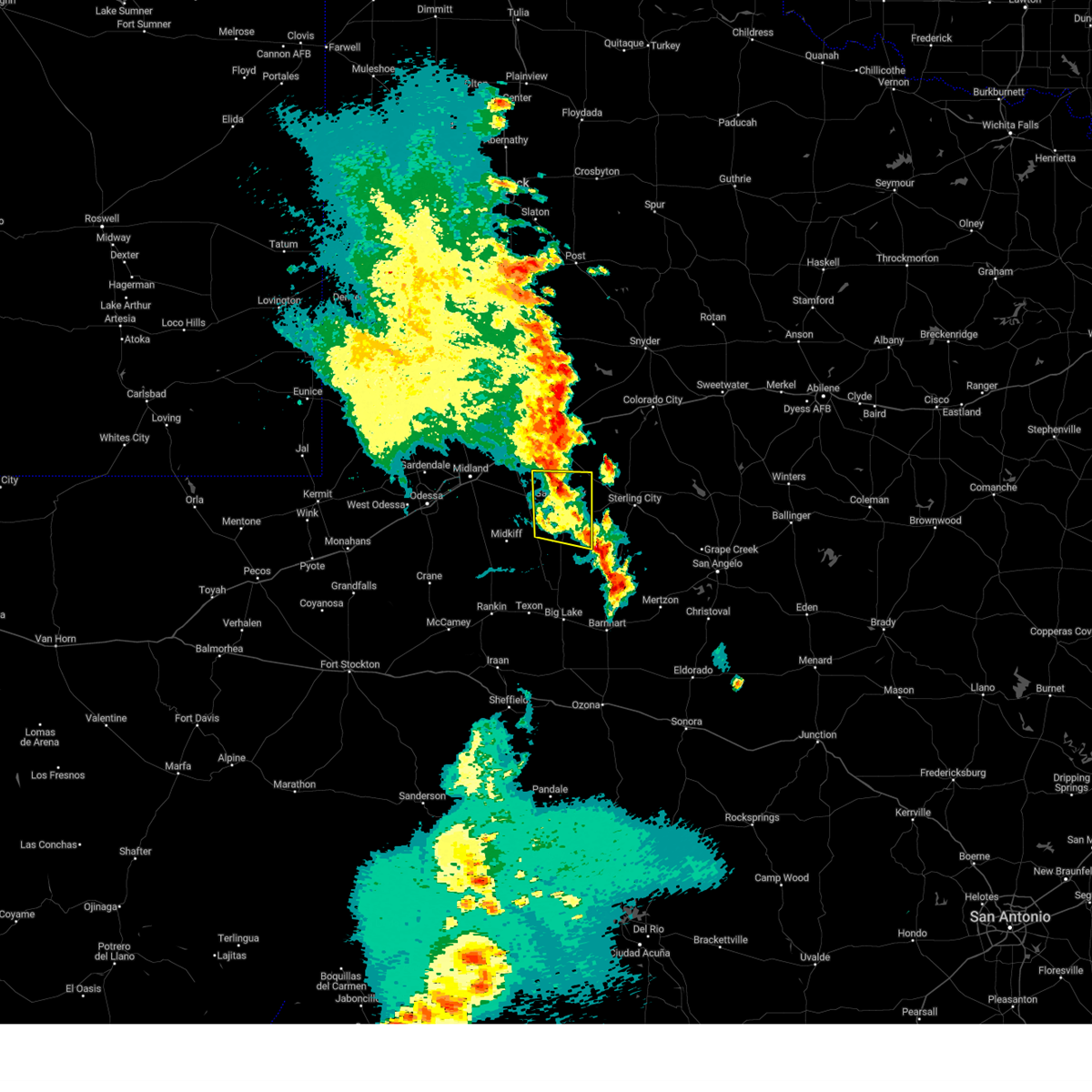
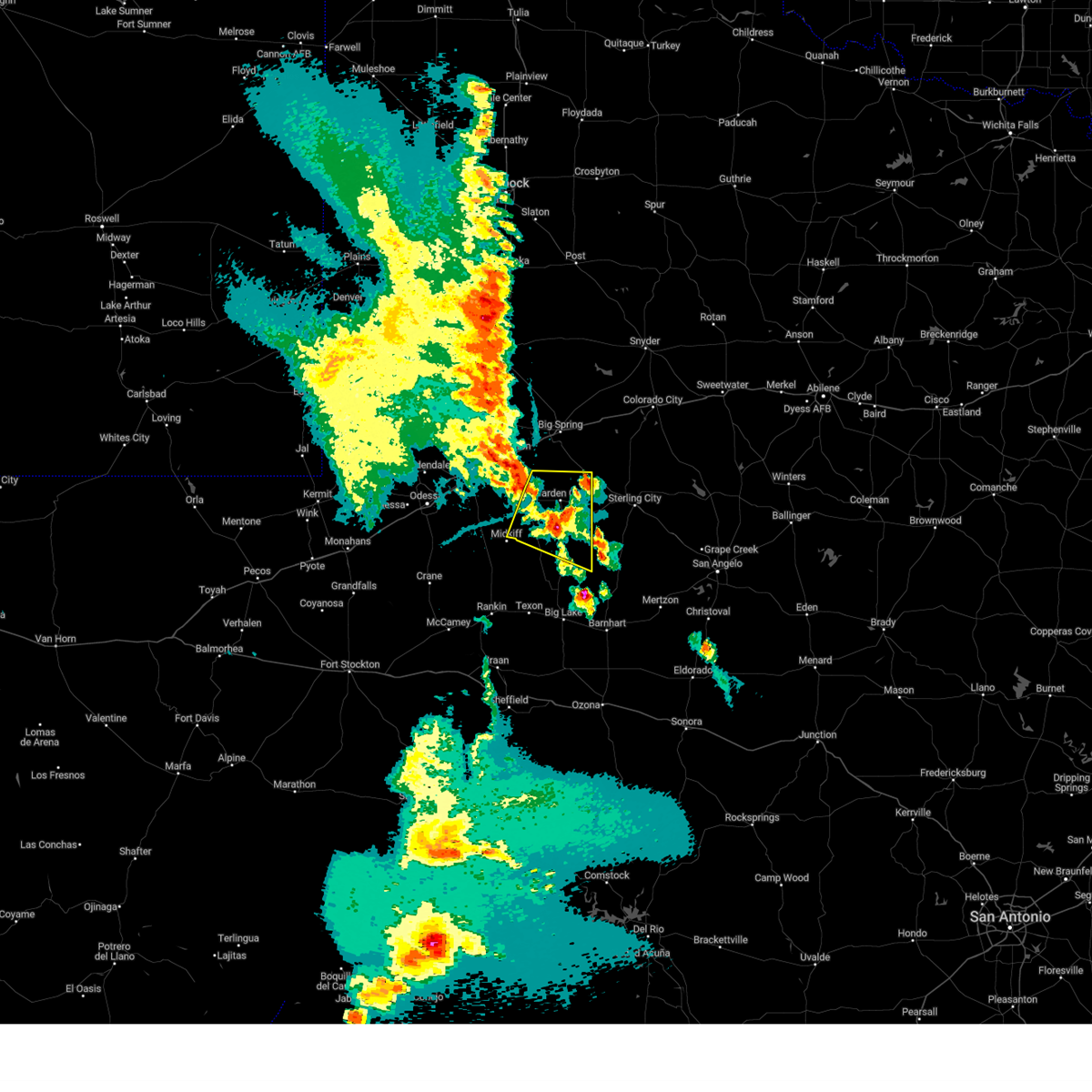
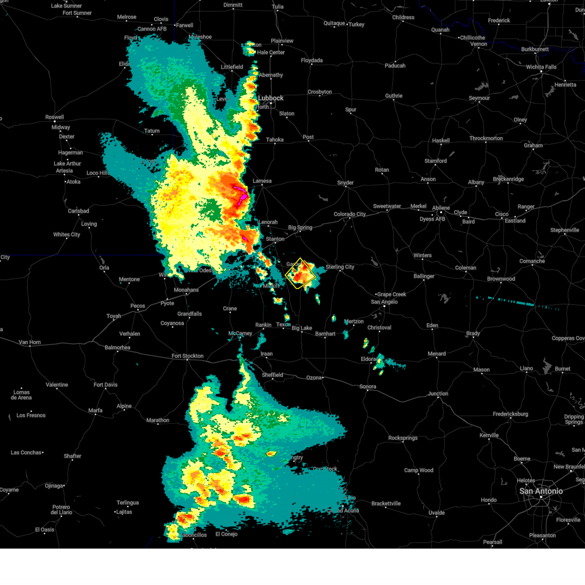
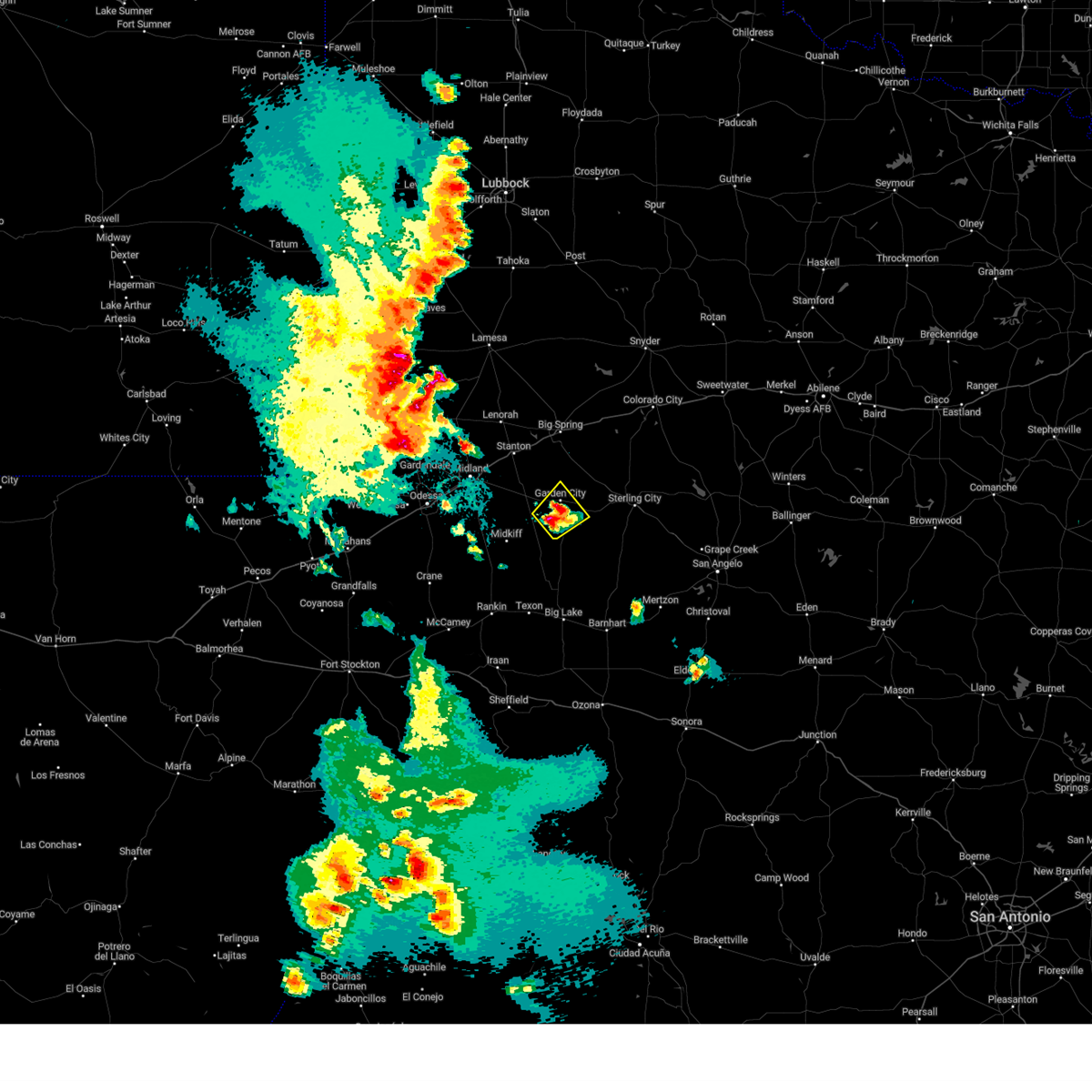
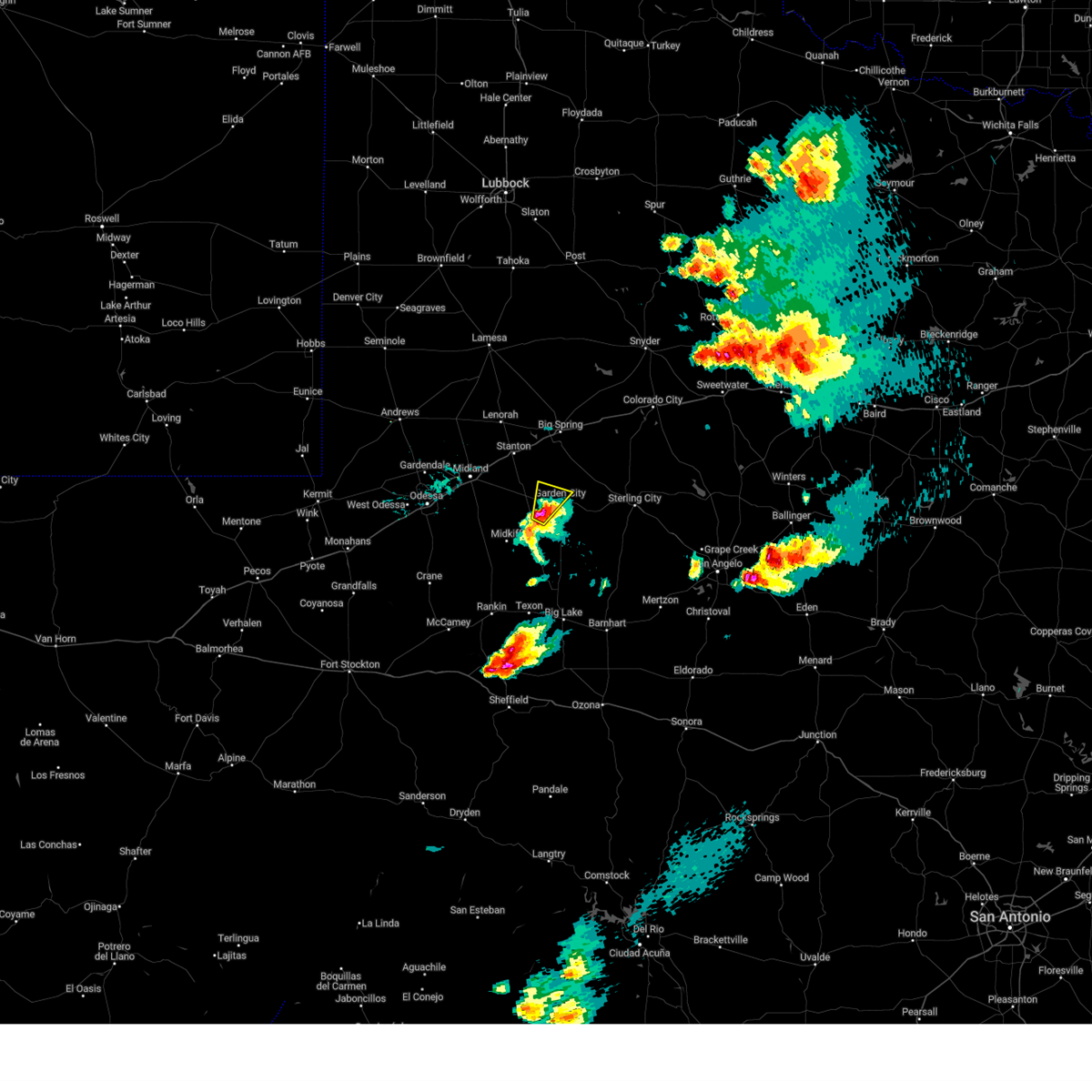
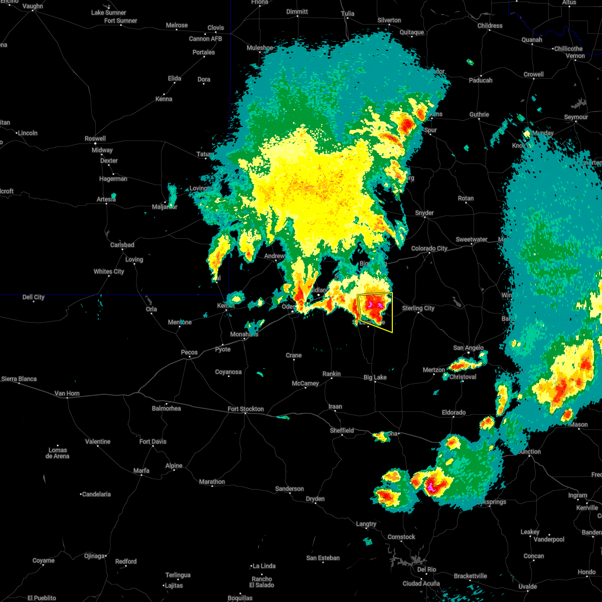
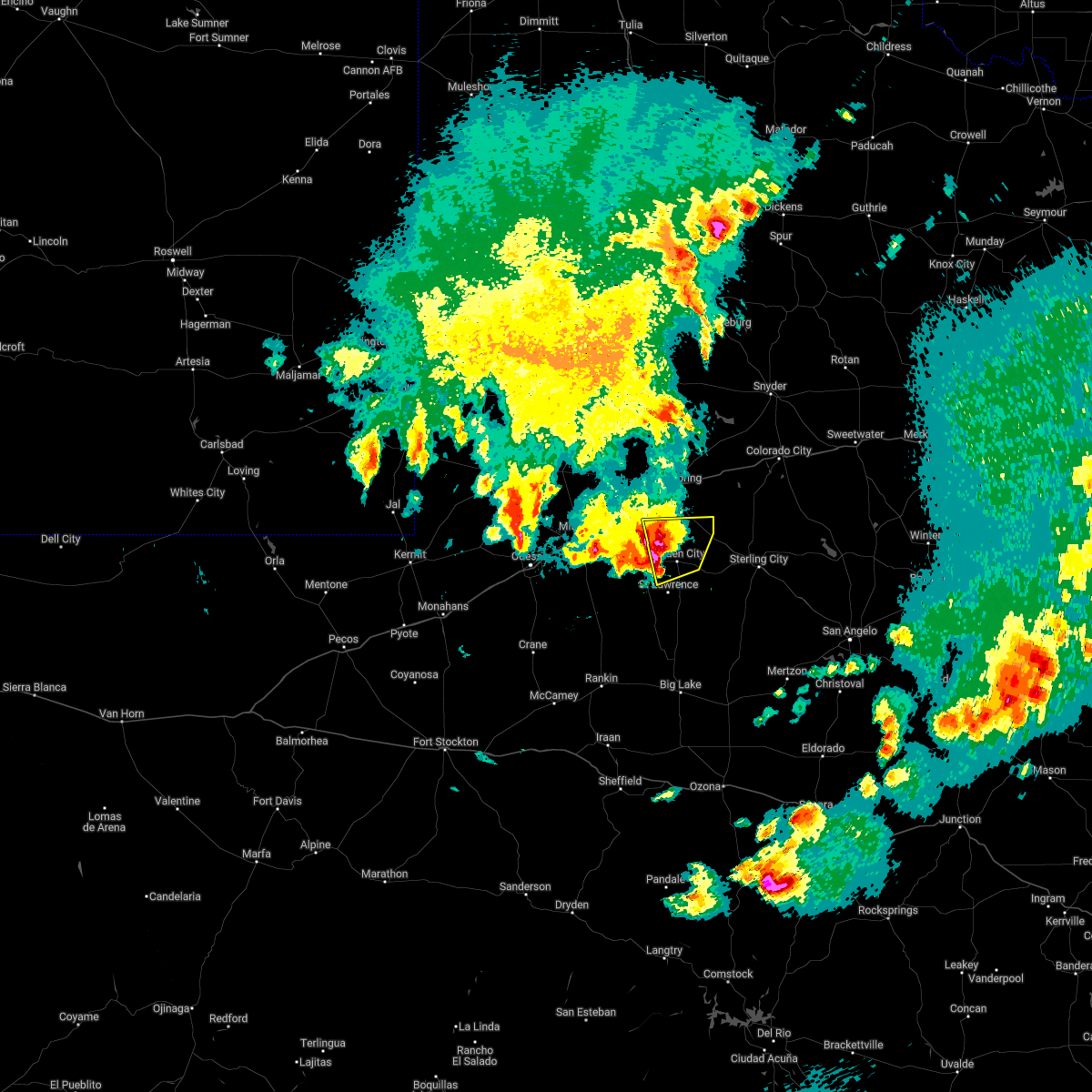
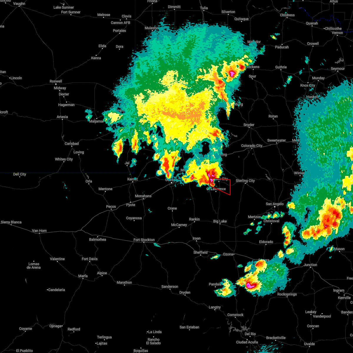
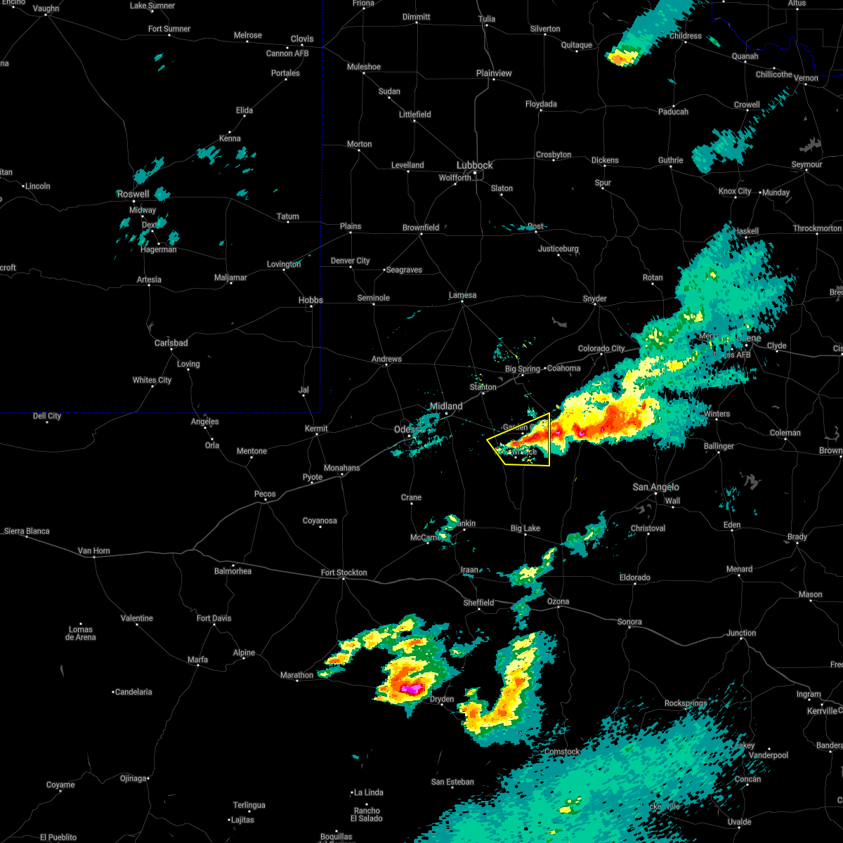
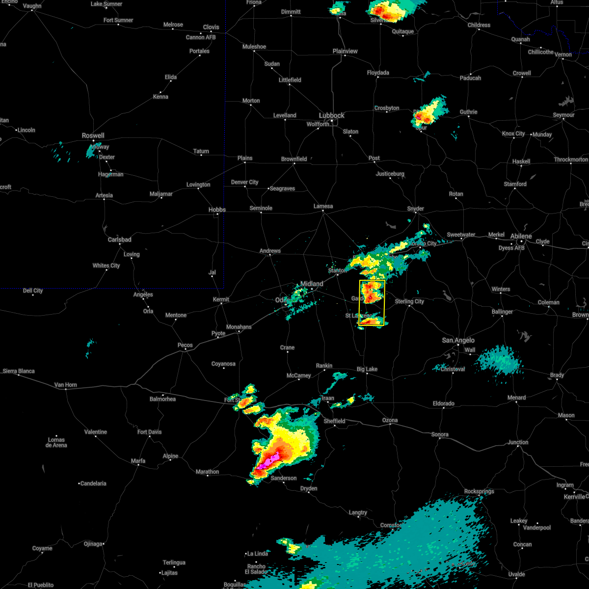
Hail Map for Garden City, TX
The Garden City, TX area has had 31 reports of on-the-ground hail by trained spotters, and has been under severe weather warnings 39 times during the past 12 months. Doppler radar has detected hail at or near Garden City, TX on 69 occasions, including 8 occasions during the past year.
| Name: | Garden City, TX |
| Where Located: | 52.5 miles E of Odessa, TX |
| Map: | Google Map for Garden City, TX |
| Population: | 334 |
| Housing Units: | 135 |
| More Info: | Search Google for Garden City, TX |
2
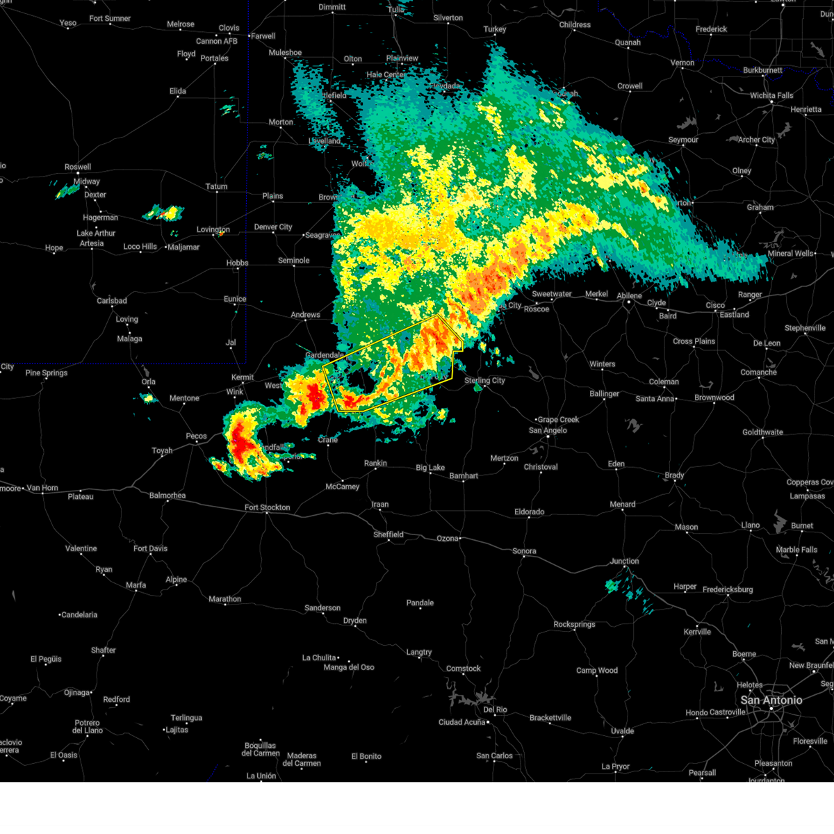
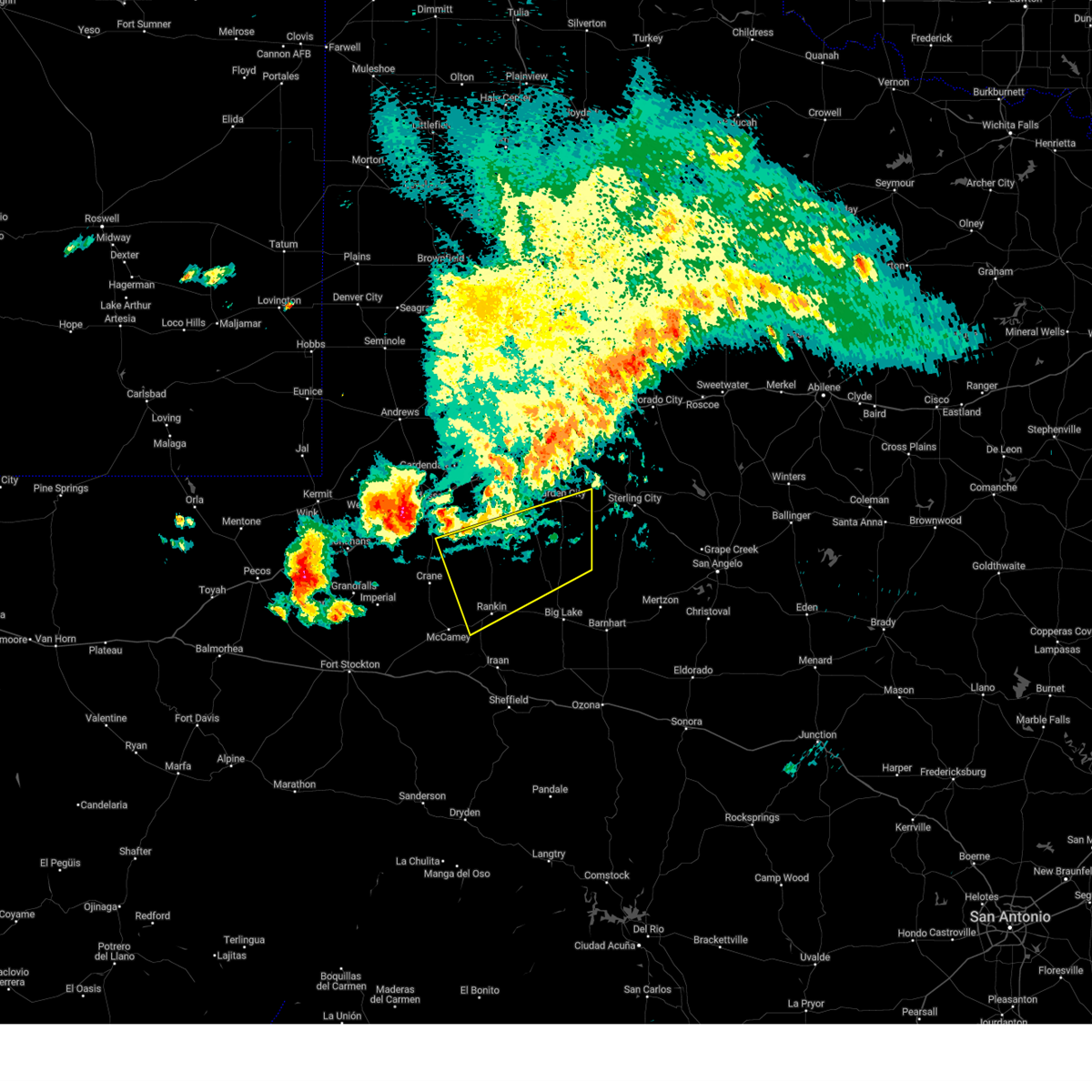
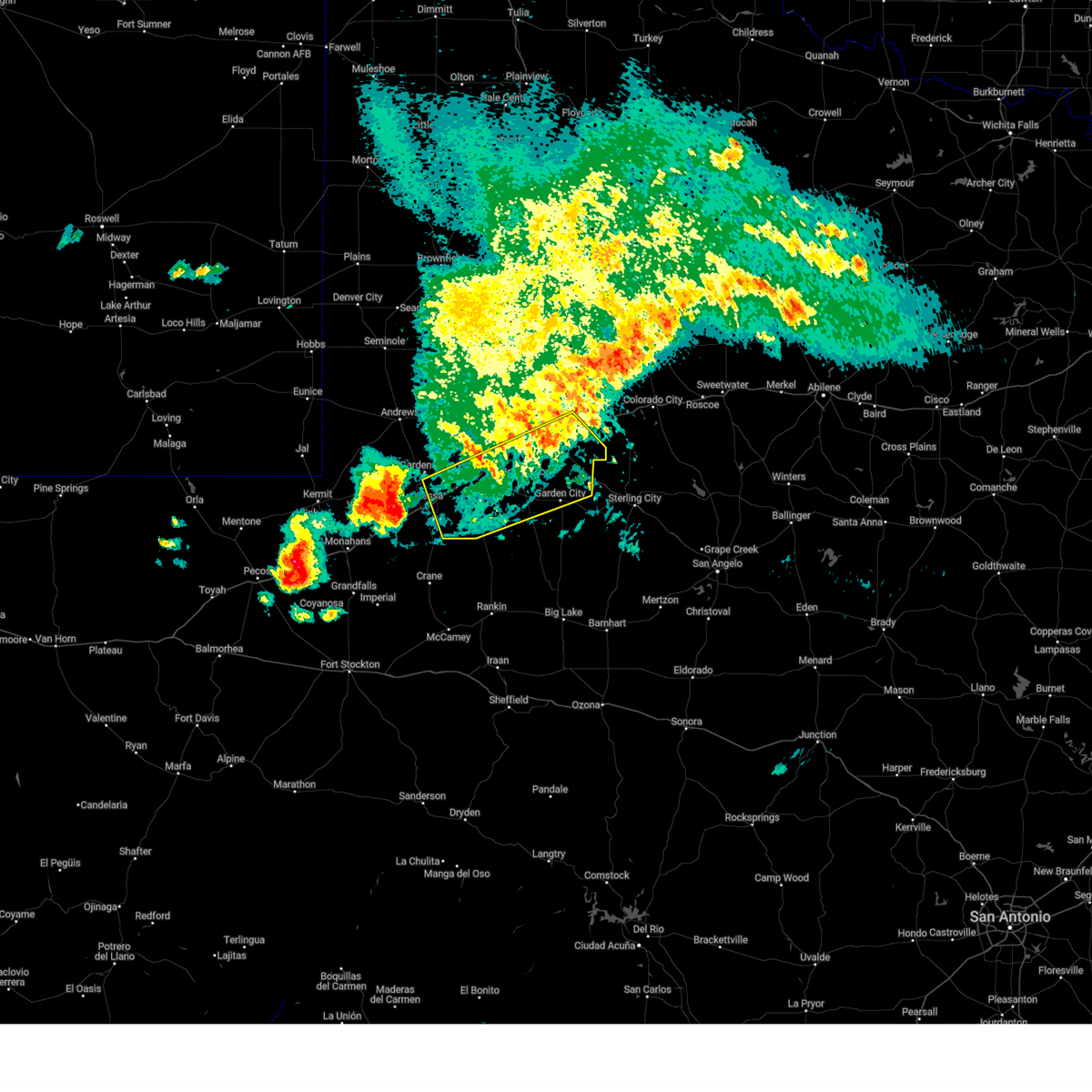
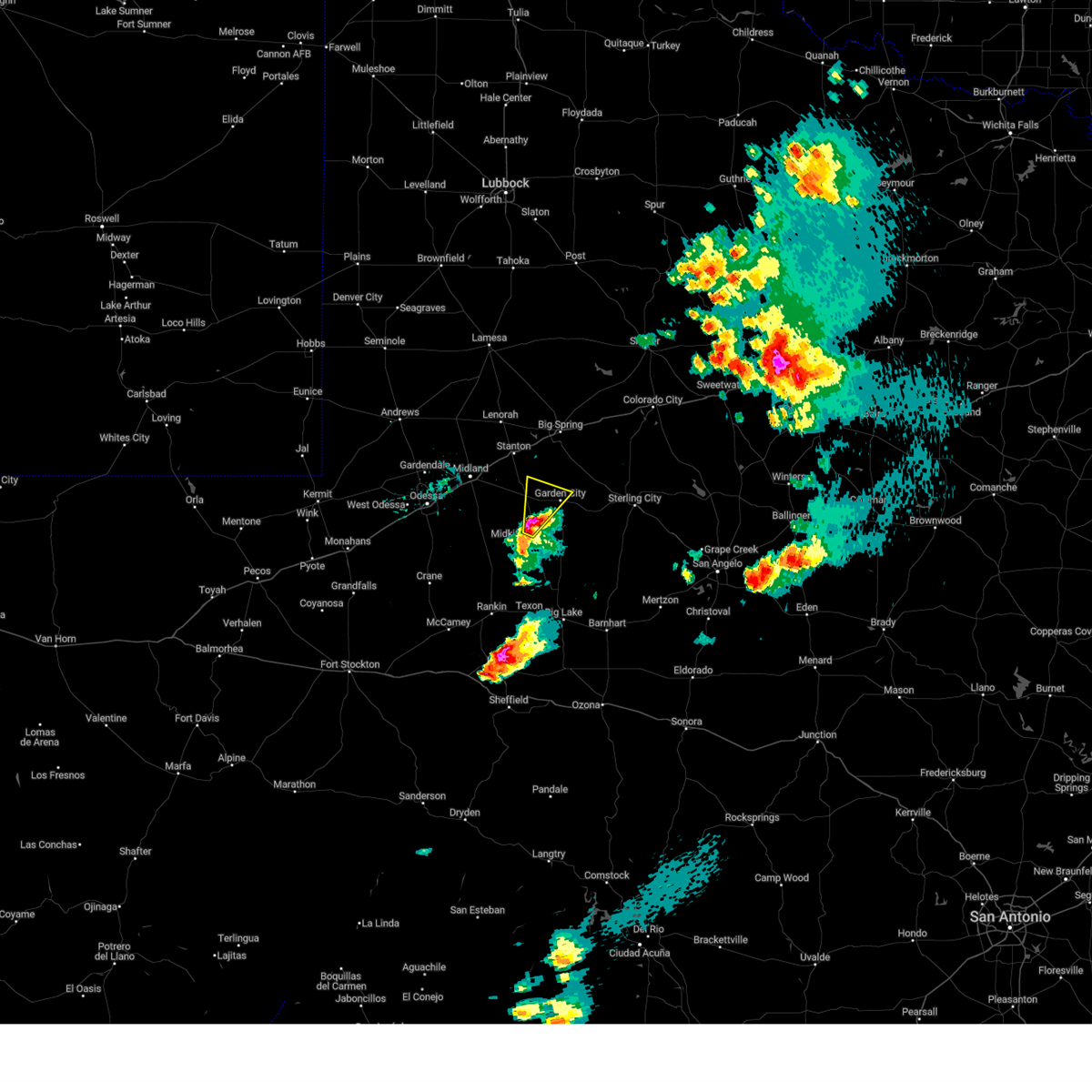
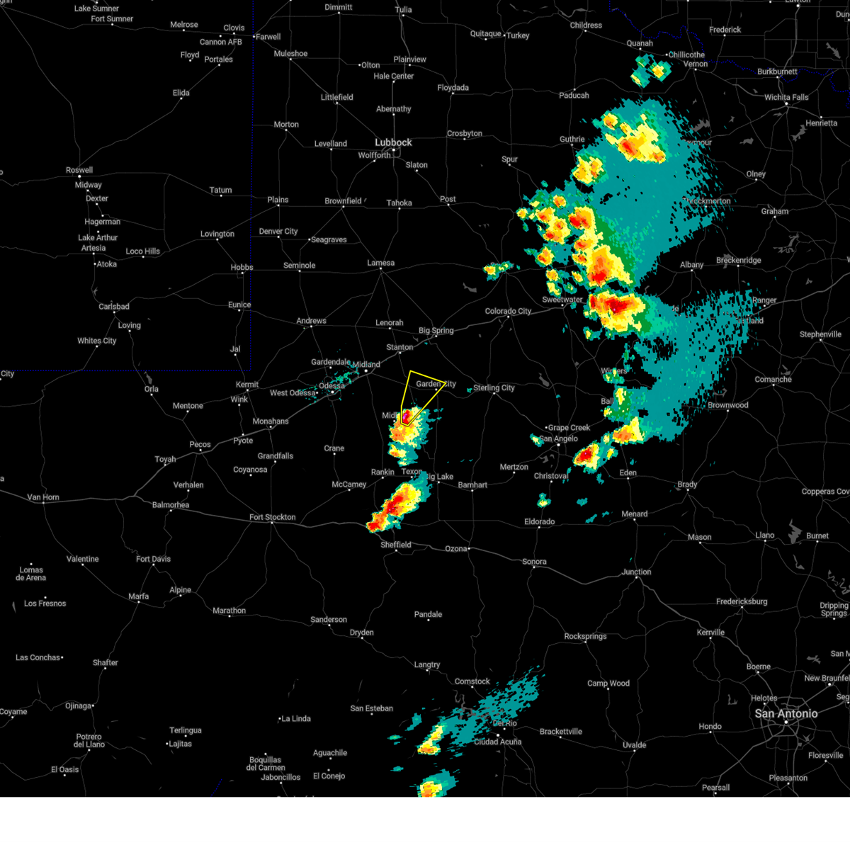
The Top Recent Hail Date for Garden City, TX is Monday, June 9, 2025 (9th out of 69)
Hail and Wind Damage Spotted near Garden City, TX
| Date / Time | Report Details |
|---|---|
| 6/10/2025 3:31 AM CDT | Mesonet station 55 5sw st. lawrence... t in glasscock county TX, 16.1 miles NNE of Garden City, TX |
| 6/10/2025 3:20 AM CDT |
 The storms which prompted the warning have weakened below severe limits, and no longer pose an immediate threat to life or property. therefore, the warning will be allowed to expire. The storms which prompted the warning have weakened below severe limits, and no longer pose an immediate threat to life or property. therefore, the warning will be allowed to expire.
|
| 6/10/2025 3:08 AM CDT |
 Svrmaf the national weather service in midland has issued a * severe thunderstorm warning for, southern glasscock county in western texas, southeastern midland county in western texas, northern reagan county in western texas, upton county in western texas, * until 415 am cdt. * at 308 am cdt, severe thunderstorms were located along a line extending from 6 miles north of garden city to 20 miles northeast of crane, moving southeast at 30 mph (radar indicated). Hazards include 60 mph wind gusts and penny size hail. expect damage to roofs, siding, and trees Svrmaf the national weather service in midland has issued a * severe thunderstorm warning for, southern glasscock county in western texas, southeastern midland county in western texas, northern reagan county in western texas, upton county in western texas, * until 415 am cdt. * at 308 am cdt, severe thunderstorms were located along a line extending from 6 miles north of garden city to 20 miles northeast of crane, moving southeast at 30 mph (radar indicated). Hazards include 60 mph wind gusts and penny size hail. expect damage to roofs, siding, and trees
|
| 6/10/2025 3:02 AM CDT |
 At 301 am cdt, severe thunderstorms were located along a line extending from 10 miles southeast of coahoma to 20 miles southeast of midland international air and space port, moving east at 50 mph (multiple automated weather stations are reporting wind gusts of 50 to 60 mph). Hazards include 60 mph wind gusts. Expect damage to roofs, siding, and trees. locations impacted include, midland, odessa, big spring, greenwood, garden city, stanton, coahoma, forsan, sand springs, lomax, midland international air and space port, cotton flat, warfield, midland airpark, skywest airport, big spring country club, courtney, big spring mcmahon-wrinkle airpark, stanton municipal aiport, and elbow. This includes interstate 20 between mile markers 119 and 187. At 301 am cdt, severe thunderstorms were located along a line extending from 10 miles southeast of coahoma to 20 miles southeast of midland international air and space port, moving east at 50 mph (multiple automated weather stations are reporting wind gusts of 50 to 60 mph). Hazards include 60 mph wind gusts. Expect damage to roofs, siding, and trees. locations impacted include, midland, odessa, big spring, greenwood, garden city, stanton, coahoma, forsan, sand springs, lomax, midland international air and space port, cotton flat, warfield, midland airpark, skywest airport, big spring country club, courtney, big spring mcmahon-wrinkle airpark, stanton municipal aiport, and elbow. This includes interstate 20 between mile markers 119 and 187.
|
| 6/10/2025 3:02 AM CDT |
 the severe thunderstorm warning has been cancelled and is no longer in effect the severe thunderstorm warning has been cancelled and is no longer in effect
|
| 6/10/2025 2:39 AM CDT |
 At 238 am cdt, severe thunderstorms were located along a line extending from near sand springs to 6 miles northwest of midland international air and space port, moving southeast at 45 mph (midland international airport measured a gust of 60 mph). Hazards include 60 mph wind gusts and penny size hail. Expect damage to roofs, siding, and trees. locations impacted include, midland, odessa, big spring, greenwood, garden city, stanton, coahoma, forsan, sand springs, lomax, lenorah, midland international air and space port, cotton flat, midland airpark, big spring mcmahon-wrinkle airpark, knott, stanton municipal aiport, elbow, tarzan, and warfield. This includes interstate 20 between mile markers 118 and 188. At 238 am cdt, severe thunderstorms were located along a line extending from near sand springs to 6 miles northwest of midland international air and space port, moving southeast at 45 mph (midland international airport measured a gust of 60 mph). Hazards include 60 mph wind gusts and penny size hail. Expect damage to roofs, siding, and trees. locations impacted include, midland, odessa, big spring, greenwood, garden city, stanton, coahoma, forsan, sand springs, lomax, lenorah, midland international air and space port, cotton flat, midland airpark, big spring mcmahon-wrinkle airpark, knott, stanton municipal aiport, elbow, tarzan, and warfield. This includes interstate 20 between mile markers 118 and 188.
|
| 6/10/2025 2:25 AM CDT |
 Svrmaf the national weather service in midland has issued a * severe thunderstorm warning for, glasscock county in western texas, northeastern ector county in western texas, southeastern andrews county in western texas, midland county in western texas, southern martin county in western texas, howard county in western texas, * until 330 am cdt. * at 225 am cdt, severe thunderstorms were located along a line extending from 6 miles southwest of luther to 15 miles northwest of midland international air and space port, moving southeast at 40 mph (national weather service employee reported 60 mph winds in gardendale). Hazards include 60 mph wind gusts and penny size hail. expect damage to roofs, siding, and trees Svrmaf the national weather service in midland has issued a * severe thunderstorm warning for, glasscock county in western texas, northeastern ector county in western texas, southeastern andrews county in western texas, midland county in western texas, southern martin county in western texas, howard county in western texas, * until 330 am cdt. * at 225 am cdt, severe thunderstorms were located along a line extending from 6 miles southwest of luther to 15 miles northwest of midland international air and space port, moving southeast at 40 mph (national weather service employee reported 60 mph winds in gardendale). Hazards include 60 mph wind gusts and penny size hail. expect damage to roofs, siding, and trees
|
| 6/9/2025 8:45 PM CDT | Ping Pong Ball sized hail reported 0.7 miles N of Garden City, TX |
| 6/9/2025 8:37 PM CDT |
 Svrmaf the national weather service in midland has issued a * severe thunderstorm warning for, eastern glasscock county in western texas, northeastern reagan county in western texas, * until 930 pm cdt. * at 836 pm cdt, a severe thunderstorm was located near garden city, moving southeast at 25 mph (radar indicated). Hazards include two inch hail and 70 mph wind gusts. People and animals outdoors will be injured. expect hail damage to roofs, siding, windows, and vehicles. expect considerable tree damage. Wind damage is also likely to mobile homes, roofs, and outbuildings. Svrmaf the national weather service in midland has issued a * severe thunderstorm warning for, eastern glasscock county in western texas, northeastern reagan county in western texas, * until 930 pm cdt. * at 836 pm cdt, a severe thunderstorm was located near garden city, moving southeast at 25 mph (radar indicated). Hazards include two inch hail and 70 mph wind gusts. People and animals outdoors will be injured. expect hail damage to roofs, siding, windows, and vehicles. expect considerable tree damage. Wind damage is also likely to mobile homes, roofs, and outbuildings.
|
| 6/9/2025 8:34 PM CDT | Quarter sized hail reported 2.9 miles NNW of Garden City, TX |
| 6/9/2025 8:25 PM CDT |
 At 824 pm cdt, a severe thunderstorm was located near garden city, moving southeast at 15 mph (radar indicated). Hazards include two inch hail and 60 mph wind gusts. People and animals outdoors will be injured. expect hail damage to roofs, siding, windows, and vehicles. expect wind damage to roofs, siding, and trees. Locations impacted include, garden city. At 824 pm cdt, a severe thunderstorm was located near garden city, moving southeast at 15 mph (radar indicated). Hazards include two inch hail and 60 mph wind gusts. People and animals outdoors will be injured. expect hail damage to roofs, siding, windows, and vehicles. expect wind damage to roofs, siding, and trees. Locations impacted include, garden city.
|
| 6/9/2025 8:25 PM CDT |
 the severe thunderstorm warning has been cancelled and is no longer in effect the severe thunderstorm warning has been cancelled and is no longer in effect
|
| 6/9/2025 8:04 PM CDT |
 the severe thunderstorm warning has been cancelled and is no longer in effect the severe thunderstorm warning has been cancelled and is no longer in effect
|
| 6/9/2025 8:04 PM CDT |
 At 803 pm cdt, a severe thunderstorm was located near lomax, or 13 miles northwest of garden city, moving southeast at 25 mph (radar indicated). Hazards include two inch hail and 60 mph wind gusts. People and animals outdoors will be injured. expect hail damage to roofs, siding, windows, and vehicles. expect wind damage to roofs, siding, and trees. Locations impacted include, garden city and lomax. At 803 pm cdt, a severe thunderstorm was located near lomax, or 13 miles northwest of garden city, moving southeast at 25 mph (radar indicated). Hazards include two inch hail and 60 mph wind gusts. People and animals outdoors will be injured. expect hail damage to roofs, siding, windows, and vehicles. expect wind damage to roofs, siding, and trees. Locations impacted include, garden city and lomax.
|
| 6/9/2025 7:41 PM CDT |
 Svrmaf the national weather service in midland has issued a * severe thunderstorm warning for, northwestern glasscock county in western texas, northeastern midland county in western texas, southeastern martin county in western texas, southwestern howard county in western texas, * until 845 pm cdt. * at 740 pm cdt, a severe thunderstorm was located over stanton, or 9 miles northeast of greenwood, moving southeast at 15 mph. this is a destructive storm for stanton (radar indicated). Hazards include 80 mph wind gusts and baseball size hail. Flying debris will be dangerous to those caught without shelter. mobile homes will be heavily damaged. expect considerable damage to roofs, windows, and vehicles. Extensive tree damage and power outages are likely. Svrmaf the national weather service in midland has issued a * severe thunderstorm warning for, northwestern glasscock county in western texas, northeastern midland county in western texas, southeastern martin county in western texas, southwestern howard county in western texas, * until 845 pm cdt. * at 740 pm cdt, a severe thunderstorm was located over stanton, or 9 miles northeast of greenwood, moving southeast at 15 mph. this is a destructive storm for stanton (radar indicated). Hazards include 80 mph wind gusts and baseball size hail. Flying debris will be dangerous to those caught without shelter. mobile homes will be heavily damaged. expect considerable damage to roofs, windows, and vehicles. Extensive tree damage and power outages are likely.
|
| 6/9/2025 7:30 PM CDT | Ping Pong Ball sized hail reported 8.2 miles WNW of Garden City, TX, time estimated from radar. |
| 6/9/2025 7:28 PM CDT |
 At 728 pm cdt, a severe thunderstorm was located 8 miles east of garden city, moving southeast at 10 mph. this is a destructive storm for highway 158 east of garden city (radar indicated). Hazards include baseball size hail and 70 mph wind gusts. People and animals outdoors will be severely injured. expect shattered windows, extensive damage to roofs, siding, and vehicles. Locations impacted include, garden city and forsan. At 728 pm cdt, a severe thunderstorm was located 8 miles east of garden city, moving southeast at 10 mph. this is a destructive storm for highway 158 east of garden city (radar indicated). Hazards include baseball size hail and 70 mph wind gusts. People and animals outdoors will be severely injured. expect shattered windows, extensive damage to roofs, siding, and vehicles. Locations impacted include, garden city and forsan.
|
| 6/9/2025 7:16 PM CDT |
 At 716 pm cdt, a severe thunderstorm was located near garden city, moving southeast at 10 mph (radar indicated). Hazards include golf ball size hail and 60 mph wind gusts. People and animals outdoors will be injured. expect hail damage to roofs, siding, windows, and vehicles. expect wind damage to roofs, siding, and trees. Locations impacted include, garden city and forsan. At 716 pm cdt, a severe thunderstorm was located near garden city, moving southeast at 10 mph (radar indicated). Hazards include golf ball size hail and 60 mph wind gusts. People and animals outdoors will be injured. expect hail damage to roofs, siding, windows, and vehicles. expect wind damage to roofs, siding, and trees. Locations impacted include, garden city and forsan.
|
| 6/9/2025 7:06 PM CDT |
 At 706 pm cdt, a severe thunderstorm was located near forsan, or 14 miles southeast of big spring, moving northeast at 10 mph (radar indicated). Hazards include 60 mph wind gusts and half dollar size hail. Hail damage to vehicles is expected. expect wind damage to roofs, siding, and trees. Locations impacted include, garden city and forsan. At 706 pm cdt, a severe thunderstorm was located near forsan, or 14 miles southeast of big spring, moving northeast at 10 mph (radar indicated). Hazards include 60 mph wind gusts and half dollar size hail. Hail damage to vehicles is expected. expect wind damage to roofs, siding, and trees. Locations impacted include, garden city and forsan.
|
| 6/9/2025 6:52 PM CDT |
 At 652 pm cdt, a severe thunderstorm was located near forsan, or 13 miles southeast of big spring, moving northeast at 15 mph (radar indicated). Hazards include two inch hail and 70 mph wind gusts. People and animals outdoors will be injured. expect hail damage to roofs, siding, windows, and vehicles. expect considerable tree damage. wind damage is also likely to mobile homes, roofs, and outbuildings. Locations impacted include, garden city and forsan. At 652 pm cdt, a severe thunderstorm was located near forsan, or 13 miles southeast of big spring, moving northeast at 15 mph (radar indicated). Hazards include two inch hail and 70 mph wind gusts. People and animals outdoors will be injured. expect hail damage to roofs, siding, windows, and vehicles. expect considerable tree damage. wind damage is also likely to mobile homes, roofs, and outbuildings. Locations impacted include, garden city and forsan.
|
| 6/9/2025 6:40 PM CDT |
 Svrmaf the national weather service in midland has issued a * severe thunderstorm warning for, northeastern glasscock county in western texas, southeastern howard county in western texas, * until 745 pm cdt. * at 639 pm cdt, a severe thunderstorm was located 8 miles north of garden city, moving northeast at 10 mph (radar indicated). Hazards include 60 mph wind gusts and half dollar size hail. Hail damage to vehicles is expected. Expect wind damage to roofs, siding, and trees. Svrmaf the national weather service in midland has issued a * severe thunderstorm warning for, northeastern glasscock county in western texas, southeastern howard county in western texas, * until 745 pm cdt. * at 639 pm cdt, a severe thunderstorm was located 8 miles north of garden city, moving northeast at 10 mph (radar indicated). Hazards include 60 mph wind gusts and half dollar size hail. Hail damage to vehicles is expected. Expect wind damage to roofs, siding, and trees.
|
| 6/8/2025 7:21 PM CDT | Storm damage reported in glasscock county TX, 16.1 miles NNE of Garden City, TX |
| 6/3/2025 12:10 AM CDT |
 the severe thunderstorm warning has been cancelled and is no longer in effect the severe thunderstorm warning has been cancelled and is no longer in effect
|
| 6/3/2025 12:03 AM CDT |
 At 1203 am cdt, a severe thunderstorm was located near lomax, or 13 miles northwest of garden city, moving northeast at 40 mph (radar indicated). Hazards include 60 mph wind gusts and quarter size hail. Hail damage to vehicles is expected. expect wind damage to roofs, siding, and trees. locations impacted include, big spring, garden city, coahoma, forsan, sand springs, lomax, big spring country club, big spring mcmahon-wrinkle airpark, and elbow. This includes interstate 20 between mile markers 165 and 196. At 1203 am cdt, a severe thunderstorm was located near lomax, or 13 miles northwest of garden city, moving northeast at 40 mph (radar indicated). Hazards include 60 mph wind gusts and quarter size hail. Hail damage to vehicles is expected. expect wind damage to roofs, siding, and trees. locations impacted include, big spring, garden city, coahoma, forsan, sand springs, lomax, big spring country club, big spring mcmahon-wrinkle airpark, and elbow. This includes interstate 20 between mile markers 165 and 196.
|
| 6/3/2025 12:03 AM CDT |
 the severe thunderstorm warning has been cancelled and is no longer in effect the severe thunderstorm warning has been cancelled and is no longer in effect
|
| 6/2/2025 11:42 PM CDT |
 Svrmaf the national weather service in midland has issued a * severe thunderstorm warning for, glasscock county in western texas, southeastern midland county in western texas, southern howard county in western texas, * until 1245 am cdt. * at 1142 pm cdt, a severe thunderstorm was located 9 miles southeast of greenwood, moving northeast at 40 mph (radar indicated). Hazards include 60 mph wind gusts and half dollar size hail. Hail damage to vehicles is expected. Expect wind damage to roofs, siding, and trees. Svrmaf the national weather service in midland has issued a * severe thunderstorm warning for, glasscock county in western texas, southeastern midland county in western texas, southern howard county in western texas, * until 1245 am cdt. * at 1142 pm cdt, a severe thunderstorm was located 9 miles southeast of greenwood, moving northeast at 40 mph (radar indicated). Hazards include 60 mph wind gusts and half dollar size hail. Hail damage to vehicles is expected. Expect wind damage to roofs, siding, and trees.
|
| 5/29/2025 8:31 PM CDT |
 At 830 pm cdt, severe thunderstorms were located along a line extending from near lomax to 14 miles west of garden city, moving southeast at 30 mph (lomax measured a wind gust of 66 mph). Hazards include 70 mph wind gusts and quarter size hail. Hail damage to vehicles is expected. expect considerable tree damage. wind damage is also likely to mobile homes, roofs, and outbuildings. locations impacted include, big spring, garden city, forsan, lomax, big spring country club, big spring mcmahon-wrinkle airpark, elbow, and spraberry. This includes interstate 20 between mile markers 161 and 175. At 830 pm cdt, severe thunderstorms were located along a line extending from near lomax to 14 miles west of garden city, moving southeast at 30 mph (lomax measured a wind gust of 66 mph). Hazards include 70 mph wind gusts and quarter size hail. Hail damage to vehicles is expected. expect considerable tree damage. wind damage is also likely to mobile homes, roofs, and outbuildings. locations impacted include, big spring, garden city, forsan, lomax, big spring country club, big spring mcmahon-wrinkle airpark, elbow, and spraberry. This includes interstate 20 between mile markers 161 and 175.
|
| 5/29/2025 8:09 PM CDT |
 Svrmaf the national weather service in midland has issued a * severe thunderstorm warning for, glasscock county in western texas, northern midland county in western texas, southeastern martin county in western texas, southern howard county in western texas, * until 915 pm cdt. * at 809 pm cdt, severe thunderstorms were located along a line extending from 7 miles north of stanton to 7 miles south of greenwood, moving southeast at 30 mph (radar indicated). Hazards include 60 mph wind gusts and quarter size hail. Hail damage to vehicles is expected. Expect wind damage to roofs, siding, and trees. Svrmaf the national weather service in midland has issued a * severe thunderstorm warning for, glasscock county in western texas, northern midland county in western texas, southeastern martin county in western texas, southern howard county in western texas, * until 915 pm cdt. * at 809 pm cdt, severe thunderstorms were located along a line extending from 7 miles north of stanton to 7 miles south of greenwood, moving southeast at 30 mph (radar indicated). Hazards include 60 mph wind gusts and quarter size hail. Hail damage to vehicles is expected. Expect wind damage to roofs, siding, and trees.
|
| 5/27/2025 9:39 PM CDT |
 the severe thunderstorm warning has been cancelled and is no longer in effect the severe thunderstorm warning has been cancelled and is no longer in effect
|
| 5/27/2025 9:39 PM CDT |
 At 939 pm cdt, severe thunderstorms were located along a line extending from 13 miles southeast of garden city to 26 miles north of big lake to 20 miles north of reagan county airport, moving east at 15 mph (the st lawrence mesonet recorded a 65 mph wind gust). Hazards include 70 mph wind gusts and quarter size hail. Hail damage to vehicles is expected. expect considerable tree damage. wind damage is also likely to mobile homes, roofs, and outbuildings. Locations impacted include, garden city and saint lawrence. At 939 pm cdt, severe thunderstorms were located along a line extending from 13 miles southeast of garden city to 26 miles north of big lake to 20 miles north of reagan county airport, moving east at 15 mph (the st lawrence mesonet recorded a 65 mph wind gust). Hazards include 70 mph wind gusts and quarter size hail. Hail damage to vehicles is expected. expect considerable tree damage. wind damage is also likely to mobile homes, roofs, and outbuildings. Locations impacted include, garden city and saint lawrence.
|
| 5/27/2025 9:32 PM CDT | Mesonet station 55 5sw st. lawrence... t in glasscock county TX, 16.1 miles NNE of Garden City, TX |
| 5/27/2025 9:24 PM CDT |
 Svrmaf the national weather service in midland has issued a * severe thunderstorm warning for, southern glasscock county in western texas, southeastern midland county in western texas, northern reagan county in western texas, northeastern upton county in western texas, * until 1015 pm cdt. * at 924 pm cdt, severe thunderstorms were located along a line extending from 12 miles southeast of garden city to 30 miles north of reagan county airport to 17 miles northeast of rankin, moving east at 10 mph (radar indicated). Hazards include 60 mph wind gusts and quarter size hail. Hail damage to vehicles is expected. Expect wind damage to roofs, siding, and trees. Svrmaf the national weather service in midland has issued a * severe thunderstorm warning for, southern glasscock county in western texas, southeastern midland county in western texas, northern reagan county in western texas, northeastern upton county in western texas, * until 1015 pm cdt. * at 924 pm cdt, severe thunderstorms were located along a line extending from 12 miles southeast of garden city to 30 miles north of reagan county airport to 17 miles northeast of rankin, moving east at 10 mph (radar indicated). Hazards include 60 mph wind gusts and quarter size hail. Hail damage to vehicles is expected. Expect wind damage to roofs, siding, and trees.
|
| 5/27/2025 9:07 PM CDT |
 At 907 pm cdt, a severe thunderstorm was located over garden city, moving southwest at 10 mph (radar indicated). Hazards include 60 mph wind gusts and quarter size hail. Hail damage to vehicles is expected. expect wind damage to roofs, siding, and trees. Locations impacted include, garden city. At 907 pm cdt, a severe thunderstorm was located over garden city, moving southwest at 10 mph (radar indicated). Hazards include 60 mph wind gusts and quarter size hail. Hail damage to vehicles is expected. expect wind damage to roofs, siding, and trees. Locations impacted include, garden city.
|
| 5/27/2025 8:48 PM CDT |
 Svrmaf the national weather service in midland has issued a * severe thunderstorm warning for, central glasscock county in western texas, * until 930 pm cdt. * at 848 pm cdt, a severe thunderstorm was located over garden city, moving west at 10 mph (radar indicated). Hazards include 60 mph wind gusts and quarter size hail. Hail damage to vehicles is expected. Expect wind damage to roofs, siding, and trees. Svrmaf the national weather service in midland has issued a * severe thunderstorm warning for, central glasscock county in western texas, * until 930 pm cdt. * at 848 pm cdt, a severe thunderstorm was located over garden city, moving west at 10 mph (radar indicated). Hazards include 60 mph wind gusts and quarter size hail. Hail damage to vehicles is expected. Expect wind damage to roofs, siding, and trees.
|
| 5/26/2025 3:42 PM CDT | Golf Ball sized hail reported 12.3 miles NNW of Garden City, TX, golf ball sized hail reported a few miles southeast of garden city. occasionally larger hail stones observed... but infrequent. |
| 5/26/2025 3:24 PM CDT | Hen Egg sized hail reported 10.4 miles N of Garden City, TX, report of hen egg sized hail near rm 33... south of garden city. |
| 5/26/2025 3:18 PM CDT |
 Svrmaf the national weather service in midland has issued a * severe thunderstorm warning for, southeastern glasscock county in western texas, northeastern reagan county in western texas, * until 400 pm cdt. * at 318 pm cdt, a severe thunderstorm was located 7 miles south of garden city, moving east at 15 mph (radar indicated). Hazards include ping pong ball size hail and 60 mph wind gusts. People and animals outdoors will be injured. expect hail damage to roofs, siding, windows, and vehicles. Expect wind damage to roofs, siding, and trees. Svrmaf the national weather service in midland has issued a * severe thunderstorm warning for, southeastern glasscock county in western texas, northeastern reagan county in western texas, * until 400 pm cdt. * at 318 pm cdt, a severe thunderstorm was located 7 miles south of garden city, moving east at 15 mph (radar indicated). Hazards include ping pong ball size hail and 60 mph wind gusts. People and animals outdoors will be injured. expect hail damage to roofs, siding, windows, and vehicles. Expect wind damage to roofs, siding, and trees.
|
| 5/25/2025 6:14 PM CDT |
 At 614 pm cdt, a severe thunderstorm was located near garden city, moving north at 15 mph (radar indicated). Hazards include ping pong ball size hail and 60 mph wind gusts. People and animals outdoors will be injured. expect hail damage to roofs, siding, windows, and vehicles. expect wind damage to roofs, siding, and trees. Locations impacted include, big spring, garden city, forsan, and big spring country club. At 614 pm cdt, a severe thunderstorm was located near garden city, moving north at 15 mph (radar indicated). Hazards include ping pong ball size hail and 60 mph wind gusts. People and animals outdoors will be injured. expect hail damage to roofs, siding, windows, and vehicles. expect wind damage to roofs, siding, and trees. Locations impacted include, big spring, garden city, forsan, and big spring country club.
|
| 5/25/2025 6:03 PM CDT | Svrmaf the national weather service in midland has issued a * severe thunderstorm warning for, northeastern glasscock county in western texas, southeastern howard county in western texas, * until 700 pm cdt. * at 603 pm cdt, a severe thunderstorm was located near garden city, moving northeast at 15 mph (radar indicated). Hazards include 60 mph wind gusts and quarter size hail. Hail damage to vehicles is expected. Expect wind damage to roofs, siding, and trees. |
| 5/22/2025 6:44 PM CDT | Mesonet station 55 5sw st. lawrence... t in glasscock county TX, 16.1 miles NNE of Garden City, TX |
| 5/6/2025 3:31 AM CDT |
 At 331 am cdt, severe thunderstorms were located along a line extending from near garden city to 28 miles south of forsan to 29 miles north of big lake to 8 miles north of reagan county airport, moving east at 30 mph (radar indicated). Hazards include 60 mph wind gusts and half dollar size hail. Hail damage to vehicles is expected. expect wind damage to roofs, siding, and trees. Locations impacted include, garden city, stiles, and saint lawrence. At 331 am cdt, severe thunderstorms were located along a line extending from near garden city to 28 miles south of forsan to 29 miles north of big lake to 8 miles north of reagan county airport, moving east at 30 mph (radar indicated). Hazards include 60 mph wind gusts and half dollar size hail. Hail damage to vehicles is expected. expect wind damage to roofs, siding, and trees. Locations impacted include, garden city, stiles, and saint lawrence.
|
| 5/6/2025 3:19 AM CDT |
 the severe thunderstorm warning has been cancelled and is no longer in effect the severe thunderstorm warning has been cancelled and is no longer in effect
|
| 5/6/2025 3:19 AM CDT |
 At 318 am cdt, severe thunderstorms were located along a line extending from near garden city to 25 miles north of big lake to 8 miles northwest of reagan county airport, moving east at 40 mph (radar indicated). Hazards include 60 mph wind gusts and quarter size hail. Hail damage to vehicles is expected. expect wind damage to roofs, siding, and trees. Locations impacted include, garden city, stiles, and saint lawrence. At 318 am cdt, severe thunderstorms were located along a line extending from near garden city to 25 miles north of big lake to 8 miles northwest of reagan county airport, moving east at 40 mph (radar indicated). Hazards include 60 mph wind gusts and quarter size hail. Hail damage to vehicles is expected. expect wind damage to roofs, siding, and trees. Locations impacted include, garden city, stiles, and saint lawrence.
|
| 5/6/2025 2:47 AM CDT |
 Svrmaf the national weather service in midland has issued a * severe thunderstorm warning for, glasscock county in western texas, southeastern midland county in western texas, reagan county in western texas, eastern upton county in western texas, * until 345 am cdt. * at 247 am cdt, severe thunderstorms were located along a line extending from 17 miles south of greenwood to near rankin, moving east at 30 mph (radar indicated). Hazards include 60 mph wind gusts and quarter size hail. Hail damage to vehicles is expected. Expect wind damage to roofs, siding, and trees. Svrmaf the national weather service in midland has issued a * severe thunderstorm warning for, glasscock county in western texas, southeastern midland county in western texas, reagan county in western texas, eastern upton county in western texas, * until 345 am cdt. * at 247 am cdt, severe thunderstorms were located along a line extending from 17 miles south of greenwood to near rankin, moving east at 30 mph (radar indicated). Hazards include 60 mph wind gusts and quarter size hail. Hail damage to vehicles is expected. Expect wind damage to roofs, siding, and trees.
|
| 4/28/2025 5:23 PM CDT | At 523 pm cdt, a severe thunderstorm was located 10 miles south of garden city, moving northeast at 30 mph (radar indicated). Hazards include two inch hail and 70 mph wind gusts. People and animals outdoors will be injured. expect hail damage to roofs, siding, windows, and vehicles. expect considerable tree damage. wind damage is also likely to mobile homes, roofs, and outbuildings. Locations impacted include, garden city and saint lawrence. |
| 4/28/2025 5:21 PM CDT | Ping Pong Ball sized hail reported 9.7 miles N of Garden City, TX, ping pong ball size hail reported by nws employee about 5 miles ene of saint lawrence. |
| 4/28/2025 5:14 PM CDT |
 the severe thunderstorm warning has been cancelled and is no longer in effect the severe thunderstorm warning has been cancelled and is no longer in effect
|
| 4/28/2025 5:14 PM CDT |
 At 514 pm cdt, a severe thunderstorm was located 12 miles south of garden city, moving east at 30 mph (radar indicated). Hazards include golf ball size hail and 70 mph wind gusts. People and animals outdoors will be injured. expect hail damage to roofs, siding, windows, and vehicles. expect considerable tree damage. wind damage is also likely to mobile homes, roofs, and outbuildings. Locations impacted include, garden city and saint lawrence. At 514 pm cdt, a severe thunderstorm was located 12 miles south of garden city, moving east at 30 mph (radar indicated). Hazards include golf ball size hail and 70 mph wind gusts. People and animals outdoors will be injured. expect hail damage to roofs, siding, windows, and vehicles. expect considerable tree damage. wind damage is also likely to mobile homes, roofs, and outbuildings. Locations impacted include, garden city and saint lawrence.
|
| 4/28/2025 4:58 PM CDT |
 Svrmaf the national weather service in midland has issued a * severe thunderstorm warning for, southeastern glasscock county in western texas, southeastern midland county in western texas, northwestern reagan county in western texas, northeastern upton county in western texas, * until 545 pm cdt. * at 458 pm cdt, a severe thunderstorm was located 17 miles southwest of garden city, moving northeast at 30 mph (radar indicated). Hazards include 70 mph wind gusts and ping pong ball size hail. People and animals outdoors will be injured. expect hail damage to roofs, siding, windows, and vehicles. expect considerable tree damage. Wind damage is also likely to mobile homes, roofs, and outbuildings. Svrmaf the national weather service in midland has issued a * severe thunderstorm warning for, southeastern glasscock county in western texas, southeastern midland county in western texas, northwestern reagan county in western texas, northeastern upton county in western texas, * until 545 pm cdt. * at 458 pm cdt, a severe thunderstorm was located 17 miles southwest of garden city, moving northeast at 30 mph (radar indicated). Hazards include 70 mph wind gusts and ping pong ball size hail. People and animals outdoors will be injured. expect hail damage to roofs, siding, windows, and vehicles. expect considerable tree damage. Wind damage is also likely to mobile homes, roofs, and outbuildings.
|
| 5/28/2024 4:36 PM CDT |
 At 436 pm cdt, a severe thunderstorm was located 11 miles west of garden city, moving northeast at 45 mph (radar indicated). Hazards include 60 mph wind gusts and quarter size hail. Hail damage to vehicles is expected. expect wind damage to roofs, siding, and trees. Locations impacted include, garden city. At 436 pm cdt, a severe thunderstorm was located 11 miles west of garden city, moving northeast at 45 mph (radar indicated). Hazards include 60 mph wind gusts and quarter size hail. Hail damage to vehicles is expected. expect wind damage to roofs, siding, and trees. Locations impacted include, garden city.
|
| 5/28/2024 4:36 PM CDT |
 the severe thunderstorm warning has been cancelled and is no longer in effect the severe thunderstorm warning has been cancelled and is no longer in effect
|
| 5/28/2024 4:24 PM CDT |
 Svrmaf the national weather service in midland has issued a * severe thunderstorm warning for, glasscock county in western texas, southeastern midland county in western texas, southwestern howard county in western texas, * until 500 pm cdt. * at 424 pm cdt, a severe thunderstorm was located 16 miles south of greenwood, moving northeast at 45 mph (radar indicated). Hazards include 60 mph wind gusts and quarter size hail. Hail damage to vehicles is expected. Expect wind damage to roofs, siding, and trees. Svrmaf the national weather service in midland has issued a * severe thunderstorm warning for, glasscock county in western texas, southeastern midland county in western texas, southwestern howard county in western texas, * until 500 pm cdt. * at 424 pm cdt, a severe thunderstorm was located 16 miles south of greenwood, moving northeast at 45 mph (radar indicated). Hazards include 60 mph wind gusts and quarter size hail. Hail damage to vehicles is expected. Expect wind damage to roofs, siding, and trees.
|
| 5/16/2024 7:24 PM CDT |
 Svrmaf the national weather service in midland has issued a * severe thunderstorm warning for, southern glasscock county in western texas, southeastern midland county in western texas, reagan county in western texas, eastern upton county in western texas, * until 830 pm cdt. * at 723 pm cdt, severe thunderstorms were located along a line extending from near garden city to 12 miles west of reagan county airport, moving east at 60 mph (radar indicated). Hazards include 70 mph wind gusts and half dollar size hail. Hail damage to vehicles is expected. expect considerable tree damage. Wind damage is also likely to mobile homes, roofs, and outbuildings. Svrmaf the national weather service in midland has issued a * severe thunderstorm warning for, southern glasscock county in western texas, southeastern midland county in western texas, reagan county in western texas, eastern upton county in western texas, * until 830 pm cdt. * at 723 pm cdt, severe thunderstorms were located along a line extending from near garden city to 12 miles west of reagan county airport, moving east at 60 mph (radar indicated). Hazards include 70 mph wind gusts and half dollar size hail. Hail damage to vehicles is expected. expect considerable tree damage. Wind damage is also likely to mobile homes, roofs, and outbuildings.
|
| 5/16/2024 7:00 PM CDT |
 At 659 pm cdt, severe thunderstorms were located along a line extending from 8 miles southwest of garden city to near rankin, moving east at 40 mph (st. lawerence mesonet reported a gust of 66 mph). Hazards include 70 mph wind gusts and quarter size hail. Hail damage to vehicles is expected. expect considerable tree damage. wind damage is also likely to mobile homes, roofs, and outbuildings. Locations impacted include, rankin, garden city, saint lawrence, best, stiles, and midkiff. At 659 pm cdt, severe thunderstorms were located along a line extending from 8 miles southwest of garden city to near rankin, moving east at 40 mph (st. lawerence mesonet reported a gust of 66 mph). Hazards include 70 mph wind gusts and quarter size hail. Hail damage to vehicles is expected. expect considerable tree damage. wind damage is also likely to mobile homes, roofs, and outbuildings. Locations impacted include, rankin, garden city, saint lawrence, best, stiles, and midkiff.
|
| 5/16/2024 6:30 PM CDT |
 Svrmaf the national weather service in midland has issued a * severe thunderstorm warning for, southern glasscock county in western texas, southeastern midland county in western texas, reagan county in western texas, upton county in western texas, * until 730 pm cdt. * at 630 pm cdt, severe thunderstorms were located along a line extending from 13 miles south of greenwood to 9 miles north of mccamey, moving east at 30 mph (radar indicated). Hazards include 60 mph wind gusts and quarter size hail. Hail damage to vehicles is expected. Expect wind damage to roofs, siding, and trees. Svrmaf the national weather service in midland has issued a * severe thunderstorm warning for, southern glasscock county in western texas, southeastern midland county in western texas, reagan county in western texas, upton county in western texas, * until 730 pm cdt. * at 630 pm cdt, severe thunderstorms were located along a line extending from 13 miles south of greenwood to 9 miles north of mccamey, moving east at 30 mph (radar indicated). Hazards include 60 mph wind gusts and quarter size hail. Hail damage to vehicles is expected. Expect wind damage to roofs, siding, and trees.
|
| 4/30/2024 5:33 PM CDT |
 Svrmaf the national weather service in midland has issued a * severe thunderstorm warning for, northeastern glasscock county in western texas, southeastern howard county in western texas, * until 630 pm cdt. * at 533 pm cdt, a severe thunderstorm was located 7 miles northwest of garden city, moving northeast at 30 mph (radar indicated). Hazards include ping pong ball size hail and 60 mph wind gusts. People and animals outdoors will be injured. expect hail damage to roofs, siding, windows, and vehicles. Expect wind damage to roofs, siding, and trees. Svrmaf the national weather service in midland has issued a * severe thunderstorm warning for, northeastern glasscock county in western texas, southeastern howard county in western texas, * until 630 pm cdt. * at 533 pm cdt, a severe thunderstorm was located 7 miles northwest of garden city, moving northeast at 30 mph (radar indicated). Hazards include ping pong ball size hail and 60 mph wind gusts. People and animals outdoors will be injured. expect hail damage to roofs, siding, windows, and vehicles. Expect wind damage to roofs, siding, and trees.
|
| 4/30/2024 5:21 PM CDT |
 At 521 pm cdt, a severe thunderstorm was located 11 miles west of garden city, moving northeast at 35 mph (radar indicated). Hazards include golf ball size hail and 60 mph wind gusts. People and animals outdoors will be injured. expect hail damage to roofs, siding, windows, and vehicles. expect wind damage to roofs, siding, and trees. Locations impacted include, garden city. At 521 pm cdt, a severe thunderstorm was located 11 miles west of garden city, moving northeast at 35 mph (radar indicated). Hazards include golf ball size hail and 60 mph wind gusts. People and animals outdoors will be injured. expect hail damage to roofs, siding, windows, and vehicles. expect wind damage to roofs, siding, and trees. Locations impacted include, garden city.
|
| 4/30/2024 5:15 PM CDT |
 the severe thunderstorm warning has been cancelled and is no longer in effect the severe thunderstorm warning has been cancelled and is no longer in effect
|
| 4/30/2024 5:15 PM CDT |
 At 514 pm cdt, a severe thunderstorm was located 12 miles west of garden city, moving northeast at 40 mph (radar indicated). Hazards include 60 mph wind gusts and half dollar size hail. Hail damage to vehicles is expected. expect wind damage to roofs, siding, and trees. Locations impacted include, garden city. At 514 pm cdt, a severe thunderstorm was located 12 miles west of garden city, moving northeast at 40 mph (radar indicated). Hazards include 60 mph wind gusts and half dollar size hail. Hail damage to vehicles is expected. expect wind damage to roofs, siding, and trees. Locations impacted include, garden city.
|
| 4/30/2024 4:59 PM CDT |
 At 458 pm cdt, a severe thunderstorm was located 20 miles south of greenwood, moving northeast at 35 mph (radar indicated). Hazards include 60 mph wind gusts and half dollar size hail. Hail damage to vehicles is expected. expect wind damage to roofs, siding, and trees. Locations impacted include, garden city. At 458 pm cdt, a severe thunderstorm was located 20 miles south of greenwood, moving northeast at 35 mph (radar indicated). Hazards include 60 mph wind gusts and half dollar size hail. Hail damage to vehicles is expected. expect wind damage to roofs, siding, and trees. Locations impacted include, garden city.
|
| 4/30/2024 4:59 PM CDT |
 the severe thunderstorm warning has been cancelled and is no longer in effect the severe thunderstorm warning has been cancelled and is no longer in effect
|
| 4/30/2024 4:39 PM CDT |
 Svrmaf the national weather service in midland has issued a * severe thunderstorm warning for, southwestern glasscock county in western texas, southeastern midland county in western texas, northeastern upton county in western texas, * until 545 pm cdt. * at 438 pm cdt, a severe thunderstorm was located 26 miles southeast of midland international air and space port, or 27 miles northeast of crane, moving northeast at 40 mph (radar indicated). Hazards include 60 mph wind gusts and half dollar size hail. Hail damage to vehicles is expected. Expect wind damage to roofs, siding, and trees. Svrmaf the national weather service in midland has issued a * severe thunderstorm warning for, southwestern glasscock county in western texas, southeastern midland county in western texas, northeastern upton county in western texas, * until 545 pm cdt. * at 438 pm cdt, a severe thunderstorm was located 26 miles southeast of midland international air and space port, or 27 miles northeast of crane, moving northeast at 40 mph (radar indicated). Hazards include 60 mph wind gusts and half dollar size hail. Hail damage to vehicles is expected. Expect wind damage to roofs, siding, and trees.
|
| 4/27/2024 10:00 PM CDT |
 Svrmaf the national weather service in midland has issued a * severe thunderstorm warning for, glasscock county in western texas, southwestern mitchell county in western texas, reagan county in western texas, southeastern howard county in western texas, southeastern upton county in western texas, * until 1100 pm cdt. * at 1000 pm cdt, severe thunderstorms were located along a line extending from 11 miles southwest of lake colorado city state park to 12 miles south of garden city to 15 miles southeast of rankin, moving east at 20 mph (radar indicated). Hazards include 60 mph wind gusts and quarter size hail. Hail damage to vehicles is expected. Expect wind damage to roofs, siding, and trees. Svrmaf the national weather service in midland has issued a * severe thunderstorm warning for, glasscock county in western texas, southwestern mitchell county in western texas, reagan county in western texas, southeastern howard county in western texas, southeastern upton county in western texas, * until 1100 pm cdt. * at 1000 pm cdt, severe thunderstorms were located along a line extending from 11 miles southwest of lake colorado city state park to 12 miles south of garden city to 15 miles southeast of rankin, moving east at 20 mph (radar indicated). Hazards include 60 mph wind gusts and quarter size hail. Hail damage to vehicles is expected. Expect wind damage to roofs, siding, and trees.
|
| 4/27/2024 9:31 PM CDT |
 At 931 pm cdt, severe thunderstorms were located along a line extending from 9 miles northwest of garden city to 19 miles northwest of reagan county airport to 9 miles south of rankin, moving east at 50 mph (radar indicated). Hazards include 60 mph wind gusts and half dollar size hail. Hail damage to vehicles is expected. expect wind damage to roofs, siding, and trees. Locations impacted include, big lake, rankin, garden city, reagan county airport, stiles, midkiff, saint lawrence, and best. At 931 pm cdt, severe thunderstorms were located along a line extending from 9 miles northwest of garden city to 19 miles northwest of reagan county airport to 9 miles south of rankin, moving east at 50 mph (radar indicated). Hazards include 60 mph wind gusts and half dollar size hail. Hail damage to vehicles is expected. expect wind damage to roofs, siding, and trees. Locations impacted include, big lake, rankin, garden city, reagan county airport, stiles, midkiff, saint lawrence, and best.
|
| 4/27/2024 9:07 PM CDT |
 Svrmaf the national weather service in midland has issued a * severe thunderstorm warning for, glasscock county in western texas, southeastern midland county in western texas, reagan county in western texas, upton county in western texas, * until 1000 pm cdt. * at 907 pm cdt, severe thunderstorms were located along a line extending from 9 miles south of greenwood to 8 miles northwest of rankin to near mccamey, moving east at 50 mph (radar indicated). Hazards include 60 mph wind gusts and quarter size hail. Hail damage to vehicles is expected. Expect wind damage to roofs, siding, and trees. Svrmaf the national weather service in midland has issued a * severe thunderstorm warning for, glasscock county in western texas, southeastern midland county in western texas, reagan county in western texas, upton county in western texas, * until 1000 pm cdt. * at 907 pm cdt, severe thunderstorms were located along a line extending from 9 miles south of greenwood to 8 miles northwest of rankin to near mccamey, moving east at 50 mph (radar indicated). Hazards include 60 mph wind gusts and quarter size hail. Hail damage to vehicles is expected. Expect wind damage to roofs, siding, and trees.
|
| 4/15/2024 4:40 PM CDT | Ping Pong Ball sized hail reported 6.9 miles S of Garden City, TX, time/location estimated. |
| 9/16/2023 5:53 AM CDT |
 At 553 am cdt, severe thunderstorms were located along a line extending from near silver to 11 miles south of garden city, moving southeast at 55 mph (radar indicated). Hazards include 60 mph wind gusts and penny size hail. Expect damage to roofs, siding, and trees. locations impacted include, garden city and saint lawrence. hail threat, radar indicated max hail size, 0. 75 in wind threat, radar indicated max wind gust, 60 mph. At 553 am cdt, severe thunderstorms were located along a line extending from near silver to 11 miles south of garden city, moving southeast at 55 mph (radar indicated). Hazards include 60 mph wind gusts and penny size hail. Expect damage to roofs, siding, and trees. locations impacted include, garden city and saint lawrence. hail threat, radar indicated max hail size, 0. 75 in wind threat, radar indicated max wind gust, 60 mph.
|
| 9/16/2023 5:26 AM CDT |
 At 525 am cdt, severe thunderstorms were located along a line extending from 8 miles southwest of lake colorado city state park to 12 miles southeast of greenwood, moving southeast at 55 mph (lomax mesonet reported a wind gust of 74 mph at 512 am cdt). Hazards include 70 mph wind gusts and penny size hail. Expect considerable tree damage. Damage is likely to mobile homes, roofs, and outbuildings. At 525 am cdt, severe thunderstorms were located along a line extending from 8 miles southwest of lake colorado city state park to 12 miles southeast of greenwood, moving southeast at 55 mph (lomax mesonet reported a wind gust of 74 mph at 512 am cdt). Hazards include 70 mph wind gusts and penny size hail. Expect considerable tree damage. Damage is likely to mobile homes, roofs, and outbuildings.
|
| 6/7/2023 10:58 PM CDT |
 At 1057 pm cdt, a severe thunderstorm was located near garden city, moving east at 30 mph (radar indicated). Hazards include 60 mph wind gusts and quarter size hail. Hail damage to vehicles is expected. expect wind damage to roofs, siding, and trees. locations impacted include, garden city and saint lawrence. hail threat, radar indicated max hail size, 1. 00 in wind threat, radar indicated max wind gust, 60 mph. At 1057 pm cdt, a severe thunderstorm was located near garden city, moving east at 30 mph (radar indicated). Hazards include 60 mph wind gusts and quarter size hail. Hail damage to vehicles is expected. expect wind damage to roofs, siding, and trees. locations impacted include, garden city and saint lawrence. hail threat, radar indicated max hail size, 1. 00 in wind threat, radar indicated max wind gust, 60 mph.
|
| 6/7/2023 10:29 PM CDT |
 At 1029 pm cdt, a severe thunderstorm was located 9 miles west of garden city, moving east at 30 mph (radar indicated). Hazards include 60 mph wind gusts and quarter size hail. Hail damage to vehicles is expected. Expect wind damage to roofs, siding, and trees. At 1029 pm cdt, a severe thunderstorm was located 9 miles west of garden city, moving east at 30 mph (radar indicated). Hazards include 60 mph wind gusts and quarter size hail. Hail damage to vehicles is expected. Expect wind damage to roofs, siding, and trees.
|
| 6/7/2023 9:57 PM CDT |
 At 956 pm cdt, a severe thunderstorm was located near garden city, and is nearly stationary (radar indicated). Hazards include 60 mph wind gusts and quarter size hail. Hail damage to vehicles is expected. expect wind damage to roofs, siding, and trees. locations impacted include, garden city and saint lawrence. hail threat, radar indicated max hail size, 1. 00 in wind threat, radar indicated max wind gust, 60 mph. At 956 pm cdt, a severe thunderstorm was located near garden city, and is nearly stationary (radar indicated). Hazards include 60 mph wind gusts and quarter size hail. Hail damage to vehicles is expected. expect wind damage to roofs, siding, and trees. locations impacted include, garden city and saint lawrence. hail threat, radar indicated max hail size, 1. 00 in wind threat, radar indicated max wind gust, 60 mph.
|
| 6/7/2023 9:33 PM CDT |
 At 933 pm cdt, a severe thunderstorm was located 7 miles southwest of garden city, and is nearly stationary (radar indicated). Hazards include 60 mph wind gusts and quarter size hail. Hail damage to vehicles is expected. Expect wind damage to roofs, siding, and trees. At 933 pm cdt, a severe thunderstorm was located 7 miles southwest of garden city, and is nearly stationary (radar indicated). Hazards include 60 mph wind gusts and quarter size hail. Hail damage to vehicles is expected. Expect wind damage to roofs, siding, and trees.
|
| 5/19/2023 6:34 PM CDT | Quarter sized hail reported 17.4 miles ENE of Garden City, TX |
| 5/12/2023 5:40 PM CDT |
 At 539 pm cdt, a severe thunderstorm was located near garden city, moving north at 25 mph (radar indicated). Hazards include 60 mph wind gusts and quarter size hail. Hail damage to vehicles is expected. expect wind damage to roofs, siding, and trees. locations impacted include, garden city and forsan. hail threat, radar indicated max hail size, 1. 00 in wind threat, radar indicated max wind gust, 60 mph. At 539 pm cdt, a severe thunderstorm was located near garden city, moving north at 25 mph (radar indicated). Hazards include 60 mph wind gusts and quarter size hail. Hail damage to vehicles is expected. expect wind damage to roofs, siding, and trees. locations impacted include, garden city and forsan. hail threat, radar indicated max hail size, 1. 00 in wind threat, radar indicated max wind gust, 60 mph.
|
| 5/12/2023 5:14 PM CDT |
 At 514 pm cdt, a severe thunderstorm was located near garden city, moving northeast at 15 mph (radar indicated). Hazards include 60 mph wind gusts and quarter size hail. Hail damage to vehicles is expected. Expect wind damage to roofs, siding, and trees. At 514 pm cdt, a severe thunderstorm was located near garden city, moving northeast at 15 mph (radar indicated). Hazards include 60 mph wind gusts and quarter size hail. Hail damage to vehicles is expected. Expect wind damage to roofs, siding, and trees.
|
| 5/7/2023 6:07 PM CDT |
 At 607 pm cdt, a severe thunderstorm was located 8 miles southwest of garden city, moving northeast at 20 mph (radar indicated). Hazards include 60 mph wind gusts and quarter size hail. Hail damage to vehicles is expected. expect wind damage to roofs, siding, and trees. locations impacted include, garden city. hail threat, radar indicated max hail size, 1. 00 in wind threat, radar indicated max wind gust, 60 mph. At 607 pm cdt, a severe thunderstorm was located 8 miles southwest of garden city, moving northeast at 20 mph (radar indicated). Hazards include 60 mph wind gusts and quarter size hail. Hail damage to vehicles is expected. expect wind damage to roofs, siding, and trees. locations impacted include, garden city. hail threat, radar indicated max hail size, 1. 00 in wind threat, radar indicated max wind gust, 60 mph.
|
| 5/7/2023 5:53 PM CDT |
 At 552 pm cdt, a severe thunderstorm was located 13 miles southwest of garden city, moving northeast at 30 mph (radar indicated). Hazards include ping pong ball size hail and 60 mph wind gusts. People and animals outdoors will be injured. expect hail damage to roofs, siding, windows, and vehicles. expect wind damage to roofs, siding, and trees. locations impacted include, garden city. hail threat, radar indicated max hail size, 1. 50 in wind threat, radar indicated max wind gust, 60 mph. At 552 pm cdt, a severe thunderstorm was located 13 miles southwest of garden city, moving northeast at 30 mph (radar indicated). Hazards include ping pong ball size hail and 60 mph wind gusts. People and animals outdoors will be injured. expect hail damage to roofs, siding, windows, and vehicles. expect wind damage to roofs, siding, and trees. locations impacted include, garden city. hail threat, radar indicated max hail size, 1. 50 in wind threat, radar indicated max wind gust, 60 mph.
|
| 5/7/2023 5:40 PM CDT |
 At 540 pm cdt, a severe thunderstorm was located 19 miles southwest of garden city, moving northeast at 30 mph (radar indicated). Hazards include 60 mph wind gusts and half dollar size hail. Hail damage to vehicles is expected. Expect wind damage to roofs, siding, and trees. At 540 pm cdt, a severe thunderstorm was located 19 miles southwest of garden city, moving northeast at 30 mph (radar indicated). Hazards include 60 mph wind gusts and half dollar size hail. Hail damage to vehicles is expected. Expect wind damage to roofs, siding, and trees.
|
| 8/29/2022 9:27 PM CDT |
 At 926 pm cdt, severe thunderstorms were located along a line extending from 10 miles west of garden city to 11 miles southeast of midland international air and space port to 11 miles south of west odessa, moving southeast at 30 mph (radar indicated). Hazards include 60 mph wind gusts. Expect damage to roofs, siding, and trees. locations impacted include, midland, odessa, greenwood, garden city, midland international air and space port, west odessa, cotton flat, midkiff, warfield, midland airpark, skywest airport, notrees, odessa schlemeyer field, penwell, spraberry and pleasant farms. this includes interstate 20 between mile markers 93 and 148. hail threat, radar indicated max hail size, <. 75 in wind threat, radar indicated max wind gust, 60 mph. At 926 pm cdt, severe thunderstorms were located along a line extending from 10 miles west of garden city to 11 miles southeast of midland international air and space port to 11 miles south of west odessa, moving southeast at 30 mph (radar indicated). Hazards include 60 mph wind gusts. Expect damage to roofs, siding, and trees. locations impacted include, midland, odessa, greenwood, garden city, midland international air and space port, west odessa, cotton flat, midkiff, warfield, midland airpark, skywest airport, notrees, odessa schlemeyer field, penwell, spraberry and pleasant farms. this includes interstate 20 between mile markers 93 and 148. hail threat, radar indicated max hail size, <. 75 in wind threat, radar indicated max wind gust, 60 mph.
|
| 8/29/2022 8:58 PM CDT |
 At 857 pm cdt, severe thunderstorms were located along a line extending from 7 miles northwest of greenwood to near west odessa, moving east at 40 mph (national weather service employee estimated 60 mph winds and zero visibility). Hazards include 60 mph wind gusts and penny size hail. expect damage to roofs, siding, and trees At 857 pm cdt, severe thunderstorms were located along a line extending from 7 miles northwest of greenwood to near west odessa, moving east at 40 mph (national weather service employee estimated 60 mph winds and zero visibility). Hazards include 60 mph wind gusts and penny size hail. expect damage to roofs, siding, and trees
|
| 6/1/2022 9:05 PM CDT | St. lawrence mesone in glasscock county TX, 16.1 miles NNE of Garden City, TX |
| 5/24/2022 7:03 PM CDT |
 At 702 pm cdt, severe thunderstorms were located along a line extending from near stanton to 12 miles south of greenwood to 20 miles southeast of midland to 17 miles southeast of midland international air and space port to 16 miles southeast of odessa, moving east at 35 mph (radar indicated). Hazards include 60 mph wind gusts and quarter size hail. Hail damage to vehicles is expected. expect wind damage to roofs, siding, and trees. locations impacted include, garden city, saint lawrence, midkiff and spraberry. hail threat, radar indicated max hail size, 1. 00 in wind threat, radar indicated max wind gust, 60 mph. At 702 pm cdt, severe thunderstorms were located along a line extending from near stanton to 12 miles south of greenwood to 20 miles southeast of midland to 17 miles southeast of midland international air and space port to 16 miles southeast of odessa, moving east at 35 mph (radar indicated). Hazards include 60 mph wind gusts and quarter size hail. Hail damage to vehicles is expected. expect wind damage to roofs, siding, and trees. locations impacted include, garden city, saint lawrence, midkiff and spraberry. hail threat, radar indicated max hail size, 1. 00 in wind threat, radar indicated max wind gust, 60 mph.
|
| 5/24/2022 6:45 PM CDT |
 At 645 pm cdt, severe thunderstorms were located along a line extending from 6 miles northwest of greenwood to 10 miles southeast of midland to 14 miles southeast of midland international air and space port to 11 miles south of odessa, moving east at 35 mph (radar indicated). Hazards include 60 mph wind gusts and quarter size hail. Hail damage to vehicles is expected. Expect wind damage to roofs, siding, and trees. At 645 pm cdt, severe thunderstorms were located along a line extending from 6 miles northwest of greenwood to 10 miles southeast of midland to 14 miles southeast of midland international air and space port to 11 miles south of odessa, moving east at 35 mph (radar indicated). Hazards include 60 mph wind gusts and quarter size hail. Hail damage to vehicles is expected. Expect wind damage to roofs, siding, and trees.
|
| 5/24/2022 6:32 PM CDT |
 At 630 pm cdt, a confirmed large and extremely dangerous tornado was located 7 miles southeast of garden city, moving east at 40 mph. this is a particularly dangerous situation. take cover now! (public confirmed tornado. at intersection of cr130 and cr150. additionally, another possible tornado at highway 137 and highway 158). Hazards include damaging tornado. You are in a life-threatening situation. flying debris may be deadly to those caught without shelter. mobile homes will be destroyed. considerable damage to homes, businesses, and vehicles is likely and complete destruction is possible. This tornadic thunderstorm will remain over mainly rural areas of southeastern glasscock county. At 630 pm cdt, a confirmed large and extremely dangerous tornado was located 7 miles southeast of garden city, moving east at 40 mph. this is a particularly dangerous situation. take cover now! (public confirmed tornado. at intersection of cr130 and cr150. additionally, another possible tornado at highway 137 and highway 158). Hazards include damaging tornado. You are in a life-threatening situation. flying debris may be deadly to those caught without shelter. mobile homes will be destroyed. considerable damage to homes, businesses, and vehicles is likely and complete destruction is possible. This tornadic thunderstorm will remain over mainly rural areas of southeastern glasscock county.
|
| 5/24/2022 6:29 PM CDT |
 At 629 pm cdt, a severe thunderstorm was located 8 miles southeast of garden city, moving east at 40 mph. this is a destructive storm for garden city (radar indicated). Hazards include 80 mph wind gusts and baseball size hail. Flying debris will be dangerous to those caught without shelter. mobile homes will be heavily damaged. expect considerable damage to roofs, windows, and vehicles. Extensive tree damage and power outages are likely. At 629 pm cdt, a severe thunderstorm was located 8 miles southeast of garden city, moving east at 40 mph. this is a destructive storm for garden city (radar indicated). Hazards include 80 mph wind gusts and baseball size hail. Flying debris will be dangerous to those caught without shelter. mobile homes will be heavily damaged. expect considerable damage to roofs, windows, and vehicles. Extensive tree damage and power outages are likely.
|
| 5/24/2022 6:27 PM CDT | Golf Ball sized hail reported 0.1 miles W of Garden City, TX, golf ball sized hail near garden city. |
| 5/24/2022 6:19 PM CDT |
 At 619 pm cdt, severe thunderstorms were located along a line extending from 8 miles southwest of forsan to garden city to 23 miles south of lomax, moving east at 40 mph. these are destructive storms for garden city and lees (public). Hazards include 80 mph wind gusts and baseball size hail. Flying debris will be dangerous to those caught without shelter. mobile homes will be heavily damaged. expect considerable damage to roofs, windows, and vehicles. extensive tree damage and power outages are likely. Locations impacted include, garden city. At 619 pm cdt, severe thunderstorms were located along a line extending from 8 miles southwest of forsan to garden city to 23 miles south of lomax, moving east at 40 mph. these are destructive storms for garden city and lees (public). Hazards include 80 mph wind gusts and baseball size hail. Flying debris will be dangerous to those caught without shelter. mobile homes will be heavily damaged. expect considerable damage to roofs, windows, and vehicles. extensive tree damage and power outages are likely. Locations impacted include, garden city.
|
| 5/24/2022 6:17 PM CDT |
 At 616 pm cdt, a large and extremely dangerous tornado was located near garden city, moving east at 40 mph. this is a particularly dangerous situation. take cover now! (radar indicated rotation). Hazards include damaging tornado. You are in a life-threatening situation. flying debris may be deadly to those caught without shelter. mobile homes will be destroyed. considerable damage to homes, businesses, and vehicles is likely and complete destruction is possible. The tornado will be near, garden city around 620 pm cdt. At 616 pm cdt, a large and extremely dangerous tornado was located near garden city, moving east at 40 mph. this is a particularly dangerous situation. take cover now! (radar indicated rotation). Hazards include damaging tornado. You are in a life-threatening situation. flying debris may be deadly to those caught without shelter. mobile homes will be destroyed. considerable damage to homes, businesses, and vehicles is likely and complete destruction is possible. The tornado will be near, garden city around 620 pm cdt.
|
| 5/24/2022 6:15 PM CDT | Tennis Ball sized hail reported 0.1 miles W of Garden City, TX |
| 5/24/2022 6:05 PM CDT |
 At 605 pm cdt, a severe thunderstorm capable of producing a tornado was located 11 miles west of garden city, moving east at 40 mph (radar indicated rotation). Hazards include tornado and baseball size hail. Flying debris will be dangerous to those caught without shelter. mobile homes will be damaged or destroyed. damage to roofs, windows, and vehicles will occur. tree damage is likely. This dangerous storm will be near, garden city around 620 pm cdt. At 605 pm cdt, a severe thunderstorm capable of producing a tornado was located 11 miles west of garden city, moving east at 40 mph (radar indicated rotation). Hazards include tornado and baseball size hail. Flying debris will be dangerous to those caught without shelter. mobile homes will be damaged or destroyed. damage to roofs, windows, and vehicles will occur. tree damage is likely. This dangerous storm will be near, garden city around 620 pm cdt.
|
| 5/24/2022 6:03 PM CDT |
 At 602 pm cdt, severe thunderstorms were located along a line extending from near lomax to 13 miles southeast of greenwood to 15 miles southeast of midland, moving east at 35 mph. these are destructive storms for spraberry, garden city, and lees (public). Hazards include 80 mph wind gusts and baseball size hail. Flying debris will be dangerous to those caught without shelter. mobile homes will be heavily damaged. expect considerable damage to roofs, windows, and vehicles. extensive tree damage and power outages are likely. Locations impacted include, garden city and spraberry. At 602 pm cdt, severe thunderstorms were located along a line extending from near lomax to 13 miles southeast of greenwood to 15 miles southeast of midland, moving east at 35 mph. these are destructive storms for spraberry, garden city, and lees (public). Hazards include 80 mph wind gusts and baseball size hail. Flying debris will be dangerous to those caught without shelter. mobile homes will be heavily damaged. expect considerable damage to roofs, windows, and vehicles. extensive tree damage and power outages are likely. Locations impacted include, garden city and spraberry.
|
| 5/24/2022 5:51 PM CDT |
 At 550 pm cdt, severe thunderstorms were located along a line extending from stanton to 8 miles southeast of greenwood to 12 miles southeast of midland, moving southeast at 40 mph. these are destructive storms for eastern midland, greenwood, stanton, and sprarberry (public). Hazards include 80 mph wind gusts and baseball size hail. Flying debris will be dangerous to those caught without shelter. mobile homes will be heavily damaged. expect considerable damage to roofs, windows, and vehicles. extensive tree damage and power outages are likely. locations impacted include, midland, greenwood, garden city, stanton, forsan, lomax, courtney, cotton flat, elbow, stanton municipal aiport and spraberry. this includes interstate 20 between mile markers 141 and 166. thunderstorm damage threat, destructive hail threat, observed max hail size, 2. 75 in wind threat, radar indicated max wind gust, 80 mph. At 550 pm cdt, severe thunderstorms were located along a line extending from stanton to 8 miles southeast of greenwood to 12 miles southeast of midland, moving southeast at 40 mph. these are destructive storms for eastern midland, greenwood, stanton, and sprarberry (public). Hazards include 80 mph wind gusts and baseball size hail. Flying debris will be dangerous to those caught without shelter. mobile homes will be heavily damaged. expect considerable damage to roofs, windows, and vehicles. extensive tree damage and power outages are likely. locations impacted include, midland, greenwood, garden city, stanton, forsan, lomax, courtney, cotton flat, elbow, stanton municipal aiport and spraberry. this includes interstate 20 between mile markers 141 and 166. thunderstorm damage threat, destructive hail threat, observed max hail size, 2. 75 in wind threat, radar indicated max wind gust, 80 mph.
|
| 5/24/2022 5:35 PM CDT |
 At 534 pm cdt, severe thunderstorms were located along a line extending from 8 miles southwest of lenorah to near midland to near midland international air and space port, moving east at 30 mph (public). Hazards include tennis ball size hail and 70 mph wind gusts. People and animals outdoors will be injured. expect hail damage to roofs, siding, windows, and vehicles. expect considerable tree damage. Wind damage is also likely to mobile homes, roofs, and outbuildings. At 534 pm cdt, severe thunderstorms were located along a line extending from 8 miles southwest of lenorah to near midland to near midland international air and space port, moving east at 30 mph (public). Hazards include tennis ball size hail and 70 mph wind gusts. People and animals outdoors will be injured. expect hail damage to roofs, siding, windows, and vehicles. expect considerable tree damage. Wind damage is also likely to mobile homes, roofs, and outbuildings.
|
| 5/10/2022 8:02 PM CDT | Corrects previous non-tstm wnd gst report from 5 sw saint lawrenc in glasscock county TX, 16.1 miles NNE of Garden City, TX |
| 5/10/2022 7:58 PM CDT |
 At 756 pm cdt, severe thunderstorms were located along a line extending from 9 miles southeast of lomax to 13 miles south of garden city to 11 miles east of rankin, moving northeast at 50 mph (the mesonet in st. lawrence reported wind gusts to 60 mph). Hazards include 60 mph wind gusts and penny size hail. Expect damage to roofs, siding, and trees. locations impacted include, big lake, garden city, reagan county airport, best, saint lawrence and stiles. hail threat, radar indicated max hail size, 0. 75 in wind threat, observed max wind gust, 60 mph. At 756 pm cdt, severe thunderstorms were located along a line extending from 9 miles southeast of lomax to 13 miles south of garden city to 11 miles east of rankin, moving northeast at 50 mph (the mesonet in st. lawrence reported wind gusts to 60 mph). Hazards include 60 mph wind gusts and penny size hail. Expect damage to roofs, siding, and trees. locations impacted include, big lake, garden city, reagan county airport, best, saint lawrence and stiles. hail threat, radar indicated max hail size, 0. 75 in wind threat, observed max wind gust, 60 mph.
|
| 5/10/2022 7:37 PM CDT |
 At 736 pm cdt, severe thunderstorms were located along a line extending from 13 miles southeast of greenwood to 25 miles southwest of garden city to 8 miles south of rankin, moving northeast at 50 mph (a 58 mph wind gust was reported at st. lawrence). Hazards include 60 mph wind gusts and penny size hail. expect damage to roofs, siding, and trees At 736 pm cdt, severe thunderstorms were located along a line extending from 13 miles southeast of greenwood to 25 miles southwest of garden city to 8 miles south of rankin, moving northeast at 50 mph (a 58 mph wind gust was reported at st. lawrence). Hazards include 60 mph wind gusts and penny size hail. expect damage to roofs, siding, and trees
|
| 2/16/2022 10:39 PM CST |
 At 1039 pm cst, severe thunderstorms were located along a line extending from near forsan to 16 miles south of garden city to 8 miles south of rankin, moving east at 45 mph (radar indicated). Hazards include 60 mph wind gusts and nickel size hail. Expect damage to roofs, siding, and trees. locations impacted include, big lake, mccamey, rankin, garden city, reagan county airport, stiles, midkiff, upton county airport, saint lawrence, best and spraberry. hail threat, radar indicated max hail size, 0. 88 in wind threat, radar indicated max wind gust, 60 mph. At 1039 pm cst, severe thunderstorms were located along a line extending from near forsan to 16 miles south of garden city to 8 miles south of rankin, moving east at 45 mph (radar indicated). Hazards include 60 mph wind gusts and nickel size hail. Expect damage to roofs, siding, and trees. locations impacted include, big lake, mccamey, rankin, garden city, reagan county airport, stiles, midkiff, upton county airport, saint lawrence, best and spraberry. hail threat, radar indicated max hail size, 0. 88 in wind threat, radar indicated max wind gust, 60 mph.
|
| 2/16/2022 10:17 PM CST |
 At 1017 pm cst, severe thunderstorms were located along a line extending from near lomax to near mccamey, moving east at 55 mph (radar indicated). Hazards include 60 mph wind gusts and nickel size hail. expect damage to roofs, siding, and trees At 1017 pm cst, severe thunderstorms were located along a line extending from near lomax to near mccamey, moving east at 55 mph (radar indicated). Hazards include 60 mph wind gusts and nickel size hail. expect damage to roofs, siding, and trees
|
| 8/19/2021 8:15 PM CDT | Storm damage reported in glasscock county TX, 12.2 miles NNE of Garden City, TX |
| 5/29/2021 12:07 AM CDT |
 At 1207 am cdt, severe thunderstorms were located along a line extending from big spring to near forsan to near garden city, moving east at 30 mph (trained weather spotters). Hazards include 70 mph wind gusts and quarter size hail. Hail damage to vehicles is expected. expect considerable tree damage. Wind damage is also likely to mobile homes, roofs, and outbuildings. At 1207 am cdt, severe thunderstorms were located along a line extending from big spring to near forsan to near garden city, moving east at 30 mph (trained weather spotters). Hazards include 70 mph wind gusts and quarter size hail. Hail damage to vehicles is expected. expect considerable tree damage. Wind damage is also likely to mobile homes, roofs, and outbuildings.
|
| 5/27/2021 8:00 PM CDT |
 At 800 pm cdt, a severe thunderstorm was located near garden city, and is nearly stationary (radar indicated). Hazards include 60 mph wind gusts and quarter size hail. Hail damage to vehicles is expected. expect wind damage to roofs, siding, and trees. Locations impacted include, garden city. At 800 pm cdt, a severe thunderstorm was located near garden city, and is nearly stationary (radar indicated). Hazards include 60 mph wind gusts and quarter size hail. Hail damage to vehicles is expected. expect wind damage to roofs, siding, and trees. Locations impacted include, garden city.
|
| 5/27/2021 7:28 PM CDT |
 At 728 pm cdt, a severe thunderstorm was located near garden city, and is nearly stationary (radar indicated). Hazards include 60 mph wind gusts and half dollar size hail. Hail damage to vehicles is expected. Expect wind damage to roofs, siding, and trees. At 728 pm cdt, a severe thunderstorm was located near garden city, and is nearly stationary (radar indicated). Hazards include 60 mph wind gusts and half dollar size hail. Hail damage to vehicles is expected. Expect wind damage to roofs, siding, and trees.
|
| 5/27/2021 6:15 PM CDT |
 At 614 pm cdt, a severe thunderstorm was located 13 miles south of garden city, moving east at 15 mph. other severe storms were near garden city (radar indicated). Hazards include 60 mph wind gusts and half dollar size hail. Hail damage to vehicles is expected. Expect wind damage to roofs, siding, and trees. At 614 pm cdt, a severe thunderstorm was located 13 miles south of garden city, moving east at 15 mph. other severe storms were near garden city (radar indicated). Hazards include 60 mph wind gusts and half dollar size hail. Hail damage to vehicles is expected. Expect wind damage to roofs, siding, and trees.
|
| 5/25/2021 7:00 PM CDT |
 At 659 pm cdt, a severe thunderstorm was located 9 miles north of garden city, moving east at 35 mph (radar indicated). Hazards include 60 mph wind gusts and half dollar size hail. Hail damage to vehicles is expected. expect wind damage to roofs, siding, and trees. locations impacted include, midland, big spring, greenwood, garden city, stanton, forsan, lomax, big spring country club, big spring mcmahon-wrinkle airpark, stanton municipal aiport, elbow and spraberry. This includes interstate 20 between mile markers 142 and 184. At 659 pm cdt, a severe thunderstorm was located 9 miles north of garden city, moving east at 35 mph (radar indicated). Hazards include 60 mph wind gusts and half dollar size hail. Hail damage to vehicles is expected. expect wind damage to roofs, siding, and trees. locations impacted include, midland, big spring, greenwood, garden city, stanton, forsan, lomax, big spring country club, big spring mcmahon-wrinkle airpark, stanton municipal aiport, elbow and spraberry. This includes interstate 20 between mile markers 142 and 184.
|
| 5/25/2021 6:36 PM CDT |
 At 636 pm cdt, a severe thunderstorm was located 12 miles southeast of greenwood, moving east at 35 mph (radar indicated). Hazards include golf ball size hail and 60 mph wind gusts. People and animals outdoors will be injured. expect hail damage to roofs, siding, windows, and vehicles. expect wind damage to roofs, siding, and trees. locations impacted include, midland, big spring, greenwood, garden city, stanton, forsan, lomax, big spring country club, big spring mcmahon-wrinkle airpark, stanton municipal aiport, elbow and spraberry. This includes interstate 20 between mile markers 141 and 184. At 636 pm cdt, a severe thunderstorm was located 12 miles southeast of greenwood, moving east at 35 mph (radar indicated). Hazards include golf ball size hail and 60 mph wind gusts. People and animals outdoors will be injured. expect hail damage to roofs, siding, windows, and vehicles. expect wind damage to roofs, siding, and trees. locations impacted include, midland, big spring, greenwood, garden city, stanton, forsan, lomax, big spring country club, big spring mcmahon-wrinkle airpark, stanton municipal aiport, elbow and spraberry. This includes interstate 20 between mile markers 141 and 184.
|
| 5/25/2021 6:19 PM CDT |
 At 618 pm cdt, a severe thunderstorm was located 9 miles south of greenwood, moving east at 35 mph (radar indicated). Hazards include two inch hail and 60 mph wind gusts. People and animals outdoors will be injured. expect hail damage to roofs, siding, windows, and vehicles. Expect wind damage to roofs, siding, and trees. At 618 pm cdt, a severe thunderstorm was located 9 miles south of greenwood, moving east at 35 mph (radar indicated). Hazards include two inch hail and 60 mph wind gusts. People and animals outdoors will be injured. expect hail damage to roofs, siding, windows, and vehicles. Expect wind damage to roofs, siding, and trees.
|
| 5/18/2021 3:01 AM CDT |
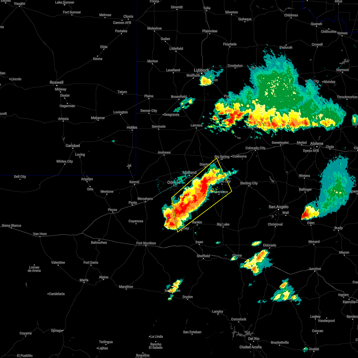 At 242 am cdt, a line of severe thunderstorms was located 9 miles northeast of crane to south of stanton, moving northeast at 10 mph (radar indicated). Hazards include ping pong ball size hail and 60 mph wind gusts. People and animals outdoors will be injured. expect hail damage to roofs, siding, windows, and vehicles. Expect wind damage to roofs, siding, and trees. At 242 am cdt, a line of severe thunderstorms was located 9 miles northeast of crane to south of stanton, moving northeast at 10 mph (radar indicated). Hazards include ping pong ball size hail and 60 mph wind gusts. People and animals outdoors will be injured. expect hail damage to roofs, siding, windows, and vehicles. Expect wind damage to roofs, siding, and trees.
|
| 5/18/2021 2:43 AM CDT |
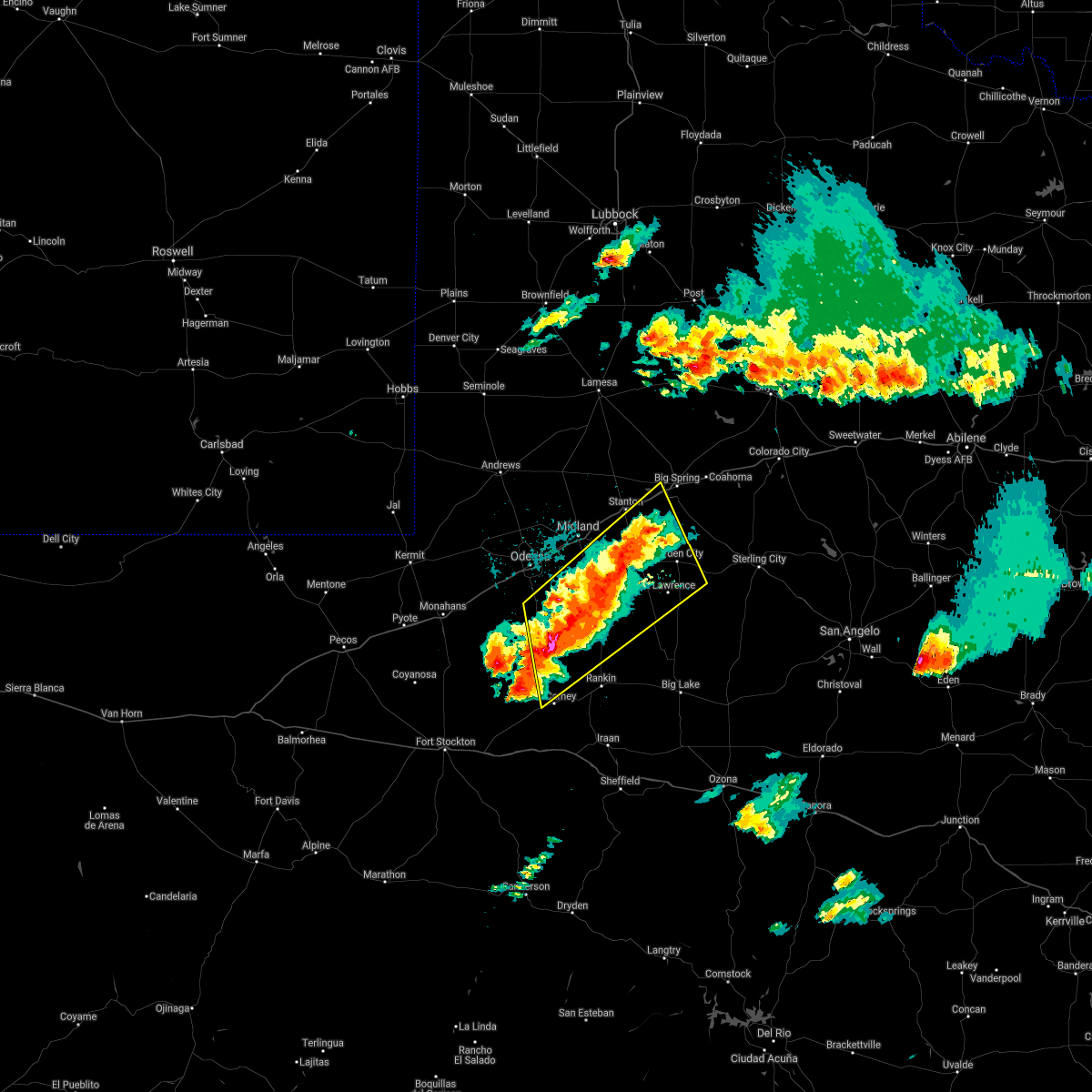 At 242 am cdt, a line of severe thunderstorms was located 9 miles northeast of crane to south of stanton, moving northeast at 10 mph (radar indicated). Hazards include ping pong ball size hail and 60 mph wind gusts. People and animals outdoors will be injured. expect hail damage to roofs, siding, windows, and vehicles. Expect wind damage to roofs, siding, and trees. At 242 am cdt, a line of severe thunderstorms was located 9 miles northeast of crane to south of stanton, moving northeast at 10 mph (radar indicated). Hazards include ping pong ball size hail and 60 mph wind gusts. People and animals outdoors will be injured. expect hail damage to roofs, siding, windows, and vehicles. Expect wind damage to roofs, siding, and trees.
|
| 5/17/2021 8:10 PM CDT | At 810 pm cdt, a severe thunderstorm was located near forsan, or 13 miles south of big spring, moving northeast at 20 mph (radar indicated). Hazards include tennis ball size hail and 60 mph wind gusts. People and animals outdoors will be injured. expect hail damage to roofs, siding, windows, and vehicles. expect wind damage to roofs, siding, and trees. Locations impacted include, garden city and saint lawrence. |
| 5/17/2021 7:59 PM CDT | At 759 pm cdt, a severe thunderstorm was located near forsan, or 12 miles north of garden city, moving east at 15 mph (radar indicated). Hazards include tennis ball size hail and 60 mph wind gusts. People and animals outdoors will be injured. expect hail damage to roofs, siding, windows, and vehicles. expect wind damage to roofs, siding, and trees. Locations impacted include, garden city and saint lawrence. |
| 5/17/2021 7:45 PM CDT | At 745 pm cdt, a severe thunderstorm was located 8 miles southwest of forsan, or 12 miles south of big spring, moving northeast at 20 mph (radar indicated). Hazards include ping pong ball size hail and 60 mph wind gusts. People and animals outdoors will be injured. expect hail damage to roofs, siding, windows, and vehicles. Expect wind damage to roofs, siding, and trees. |
| 4/28/2021 5:08 PM CDT |
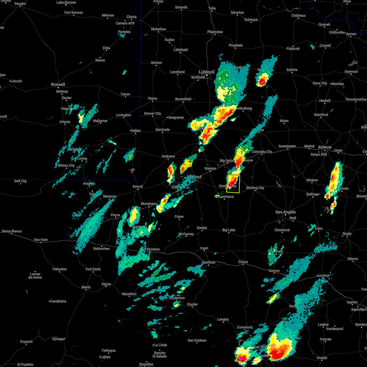 At 507 pm cdt, a severe thunderstorm was located 7 miles northeast of garden city, moving east at 35 mph (radar indicated). Hazards include ping pong ball size hail and 60 mph wind gusts. People and animals outdoors will be injured. expect hail damage to roofs, siding, windows, and vehicles. Expect wind damage to roofs, siding, and trees. At 507 pm cdt, a severe thunderstorm was located 7 miles northeast of garden city, moving east at 35 mph (radar indicated). Hazards include ping pong ball size hail and 60 mph wind gusts. People and animals outdoors will be injured. expect hail damage to roofs, siding, windows, and vehicles. Expect wind damage to roofs, siding, and trees.
|
| 3/13/2021 7:08 PM CDT |
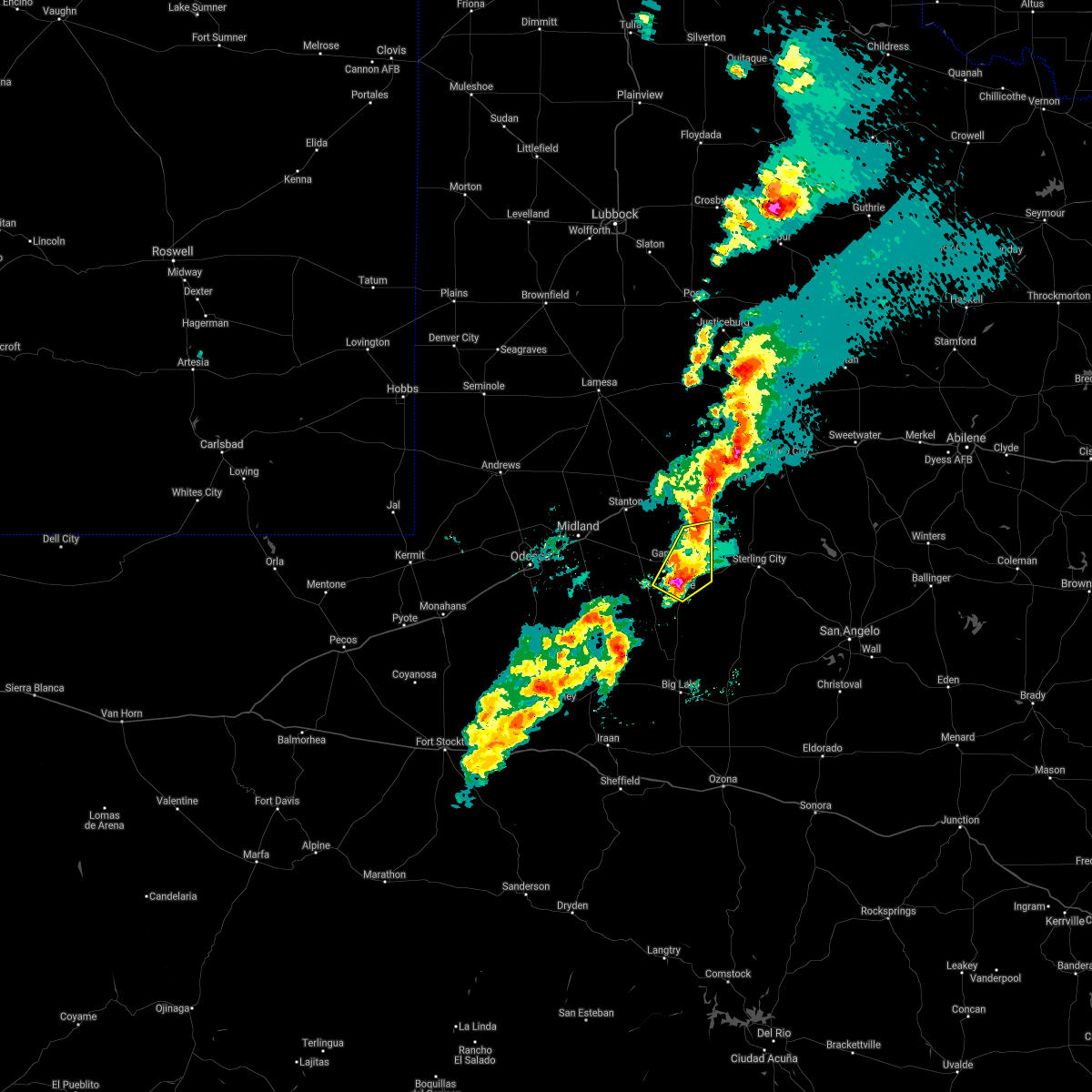 At 608 pm cst, a severe thunderstorm was located 7 miles south of garden city, moving northeast at 45 mph (trained weather spotters). Hazards include golf ball size hail and 70 mph wind gusts. People and animals outdoors will be injured. expect hail damage to roofs, siding, windows, and vehicles. expect considerable tree damage. Wind damage is also likely to mobile homes, roofs, and outbuildings. At 608 pm cst, a severe thunderstorm was located 7 miles south of garden city, moving northeast at 45 mph (trained weather spotters). Hazards include golf ball size hail and 70 mph wind gusts. People and animals outdoors will be injured. expect hail damage to roofs, siding, windows, and vehicles. expect considerable tree damage. Wind damage is also likely to mobile homes, roofs, and outbuildings.
|
| 3/13/2021 7:05 PM CDT | Ping Pong Ball sized hail reported 12.2 miles NNE of Garden City, TX, lots of ping pong ball sized hail with picture confirmation. |
| 3/13/2021 7:03 PM CDT | Ping Pong Ball sized hail reported 12.2 miles NNE of Garden City, TX, a lot of quarter to ping pong ball sized hail |
| 3/13/2021 7:02 PM CDT |
 At 602 pm cst, severe thunderstorms were located along a line extending from near lomax to near garden city, moving northeast at 40 mph (radar indicated). Hazards include 70 mph wind gusts and ping pong ball size hail. People and animals outdoors will be injured. expect hail damage to roofs, siding, windows, and vehicles. expect considerable tree damage. wind damage is also likely to mobile homes, roofs, and outbuildings. Locations impacted include, garden city and saint lawrence. At 602 pm cst, severe thunderstorms were located along a line extending from near lomax to near garden city, moving northeast at 40 mph (radar indicated). Hazards include 70 mph wind gusts and ping pong ball size hail. People and animals outdoors will be injured. expect hail damage to roofs, siding, windows, and vehicles. expect considerable tree damage. wind damage is also likely to mobile homes, roofs, and outbuildings. Locations impacted include, garden city and saint lawrence.
|
| 3/13/2021 5:49 PM CST |
 At 548 pm cst, severe thunderstorms were located along a line extending from 9 miles south of lomax to 7 miles west of garden city to 29 miles north of reagan county airport, moving northeast at 40 mph (radar indicated). Hazards include 70 mph wind gusts and ping pong ball size hail. People and animals outdoors will be injured. expect hail damage to roofs, siding, windows, and vehicles. expect considerable tree damage. wind damage is also likely to mobile homes, roofs, and outbuildings. Locations impacted include, garden city and saint lawrence. At 548 pm cst, severe thunderstorms were located along a line extending from 9 miles south of lomax to 7 miles west of garden city to 29 miles north of reagan county airport, moving northeast at 40 mph (radar indicated). Hazards include 70 mph wind gusts and ping pong ball size hail. People and animals outdoors will be injured. expect hail damage to roofs, siding, windows, and vehicles. expect considerable tree damage. wind damage is also likely to mobile homes, roofs, and outbuildings. Locations impacted include, garden city and saint lawrence.
|
| 3/13/2021 5:31 PM CST |
 At 531 pm cst, severe thunderstorms were located along a line extending from 9 miles southeast of greenwood to 15 miles southwest of garden city to 21 miles northeast of rankin, moving northeast at 40 mph (radar indicated). Hazards include 70 mph wind gusts and quarter size hail. Hail damage to vehicles is expected. expect considerable tree damage. Wind damage is also likely to mobile homes, roofs, and outbuildings. At 531 pm cst, severe thunderstorms were located along a line extending from 9 miles southeast of greenwood to 15 miles southwest of garden city to 21 miles northeast of rankin, moving northeast at 40 mph (radar indicated). Hazards include 70 mph wind gusts and quarter size hail. Hail damage to vehicles is expected. expect considerable tree damage. Wind damage is also likely to mobile homes, roofs, and outbuildings.
|
| 3/13/2021 5:04 PM CST |
 At 504 pm cst, severe thunderstorms were located along a line extending from 7 miles northeast of luther to big spring to near garden city to 28 miles southeast of greenwood, moving east at 35 mph (radar indicated). Hazards include 70 mph wind gusts and quarter size hail. Hail damage to vehicles is expected. expect considerable tree damage. wind damage is also likely to mobile homes, roofs, and outbuildings. locations impacted include, big spring, garden city, stanton, coahoma, forsan, sand springs, lomax, luther, big spring country club, big spring mcmahon-wrinkle airpark, knott, vealmoor, saint lawrence, elbow and spraberry. This includes interstate 20 between mile markers 157 and 192. At 504 pm cst, severe thunderstorms were located along a line extending from 7 miles northeast of luther to big spring to near garden city to 28 miles southeast of greenwood, moving east at 35 mph (radar indicated). Hazards include 70 mph wind gusts and quarter size hail. Hail damage to vehicles is expected. expect considerable tree damage. wind damage is also likely to mobile homes, roofs, and outbuildings. locations impacted include, big spring, garden city, stanton, coahoma, forsan, sand springs, lomax, luther, big spring country club, big spring mcmahon-wrinkle airpark, knott, vealmoor, saint lawrence, elbow and spraberry. This includes interstate 20 between mile markers 157 and 192.
|
| 3/13/2021 4:43 PM CST |
 At 442 pm cst, severe thunderstorms were located along a line extending from 8 miles northwest of luther to 6 miles north of lomax to 12 miles southeast of greenwood to 26 miles southwest of garden city, moving east at 35 mph (radar indicated). Hazards include 70 mph wind gusts and quarter size hail. Hail damage to vehicles is expected. expect considerable tree damage. Wind damage is also likely to mobile homes, roofs, and outbuildings. At 442 pm cst, severe thunderstorms were located along a line extending from 8 miles northwest of luther to 6 miles north of lomax to 12 miles southeast of greenwood to 26 miles southwest of garden city, moving east at 35 mph (radar indicated). Hazards include 70 mph wind gusts and quarter size hail. Hail damage to vehicles is expected. expect considerable tree damage. Wind damage is also likely to mobile homes, roofs, and outbuildings.
|
| 8/3/2020 2:50 AM CDT | Storm damage reported in glasscock county TX, 15.6 miles NE of Garden City, TX |
| 6/23/2020 1:20 AM CDT |
 At 119 am cdt, a severe thunderstorm was located 10 miles north of midland, moving southeast at 50 mph. winds are in association with a strong outflow boundary moving ahead of a line of storms to the north. winds will arrive before lightning and any rain (radar indicated). Hazards include 70 mph wind gusts. Expect considerable tree damage. Damage is likely to mobile homes, roofs, and outbuildings. At 119 am cdt, a severe thunderstorm was located 10 miles north of midland, moving southeast at 50 mph. winds are in association with a strong outflow boundary moving ahead of a line of storms to the north. winds will arrive before lightning and any rain (radar indicated). Hazards include 70 mph wind gusts. Expect considerable tree damage. Damage is likely to mobile homes, roofs, and outbuildings.
|
| 6/23/2020 12:14 AM CDT |
 At 1214 am cdt, a severe thunderstorm was located over garden city, moving east at 30 mph (radar indicated). Hazards include 60 mph wind gusts and quarter size hail. Hail damage to vehicles is expected. expect wind damage to roofs, siding, and trees. Locations impacted include, garden city. At 1214 am cdt, a severe thunderstorm was located over garden city, moving east at 30 mph (radar indicated). Hazards include 60 mph wind gusts and quarter size hail. Hail damage to vehicles is expected. expect wind damage to roofs, siding, and trees. Locations impacted include, garden city.
|
| 6/22/2020 11:50 PM CDT |
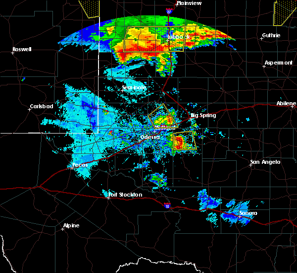 At 1150 pm cdt, a severe thunderstorm was located 7 miles west of garden city, moving east at 55 mph (radar indicated). Hazards include 70 mph wind gusts and quarter size hail. Hail damage to vehicles is expected. expect considerable tree damage. Wind damage is also likely to mobile homes, roofs, and outbuildings. At 1150 pm cdt, a severe thunderstorm was located 7 miles west of garden city, moving east at 55 mph (radar indicated). Hazards include 70 mph wind gusts and quarter size hail. Hail damage to vehicles is expected. expect considerable tree damage. Wind damage is also likely to mobile homes, roofs, and outbuildings.
|
| 6/18/2020 10:04 PM CDT |
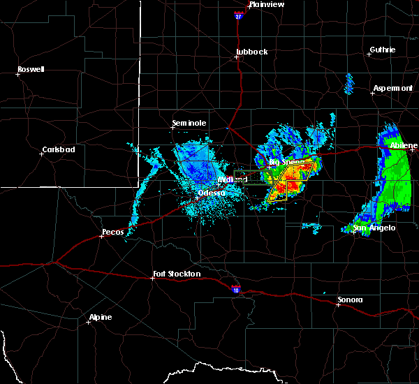 At 1003 pm cdt, severe thunderstorms were located along a line extending from 8 miles southwest of lake colorado city state park to 14 miles east of forsan to near garden city, moving east at 20 mph (radar indicated). Hazards include 60 mph wind gusts and quarter size hail. Hail damage to vehicles is expected. expect wind damage to roofs, siding, and trees. These severe thunderstorms will remain over mainly rural areas of northeastern glasscock, southwestern mitchell and southeastern howard counties. At 1003 pm cdt, severe thunderstorms were located along a line extending from 8 miles southwest of lake colorado city state park to 14 miles east of forsan to near garden city, moving east at 20 mph (radar indicated). Hazards include 60 mph wind gusts and quarter size hail. Hail damage to vehicles is expected. expect wind damage to roofs, siding, and trees. These severe thunderstorms will remain over mainly rural areas of northeastern glasscock, southwestern mitchell and southeastern howard counties.
|
| 6/18/2020 9:45 PM CDT |
 At 945 pm cdt, severe thunderstorms were located along a line extending from 8 miles east of coahoma to 8 miles east of forsan to near garden city, moving east at 20 mph (radar indicated). Hazards include 60 mph wind gusts and quarter size hail. Hail damage to vehicles is expected. expect wind damage to roofs, siding, and trees. Locations impacted include, garden city and forsan. At 945 pm cdt, severe thunderstorms were located along a line extending from 8 miles east of coahoma to 8 miles east of forsan to near garden city, moving east at 20 mph (radar indicated). Hazards include 60 mph wind gusts and quarter size hail. Hail damage to vehicles is expected. expect wind damage to roofs, siding, and trees. Locations impacted include, garden city and forsan.
|
| 6/18/2020 9:30 PM CDT |
 At 929 pm cdt, severe thunderstorms were located along a line extending from near coahoma to near forsan to near garden city to 16 miles south of lomax, moving east at 20 mph (radar indicated). Hazards include 60 mph wind gusts and quarter size hail. Hail damage to vehicles is expected. Expect wind damage to roofs, siding, and trees. At 929 pm cdt, severe thunderstorms were located along a line extending from near coahoma to near forsan to near garden city to 16 miles south of lomax, moving east at 20 mph (radar indicated). Hazards include 60 mph wind gusts and quarter size hail. Hail damage to vehicles is expected. Expect wind damage to roofs, siding, and trees.
|
| 5/15/2020 7:06 PM CDT |
 The severe thunderstorm warning for southern glasscock county will expire at 715 pm cdt, the storm which prompted the warning has moved out of the area. therefore, the warning will be allowed to expire. however gusty winds and heavy rain are still possible with this thunderstorm. a severe thunderstorm watch remains in effect until 1000 pm cdt for western texas. to report severe weather, contact your nearest law enforcement agency. they will relay your report to the national weather service midland. The severe thunderstorm warning for southern glasscock county will expire at 715 pm cdt, the storm which prompted the warning has moved out of the area. therefore, the warning will be allowed to expire. however gusty winds and heavy rain are still possible with this thunderstorm. a severe thunderstorm watch remains in effect until 1000 pm cdt for western texas. to report severe weather, contact your nearest law enforcement agency. they will relay your report to the national weather service midland.
|
| 5/15/2020 6:50 PM CDT |
 At 649 pm cdt, a severe thunderstorm was located 8 miles southeast of garden city, moving northeast at 40 mph (radar indicated). Hazards include 60 mph wind gusts and quarter size hail. Hail damage to vehicles is expected. expect wind damage to roofs, siding, and trees. Locations impacted include, garden city and saint lawrence. At 649 pm cdt, a severe thunderstorm was located 8 miles southeast of garden city, moving northeast at 40 mph (radar indicated). Hazards include 60 mph wind gusts and quarter size hail. Hail damage to vehicles is expected. expect wind damage to roofs, siding, and trees. Locations impacted include, garden city and saint lawrence.
|
| 5/15/2020 6:13 PM CDT |
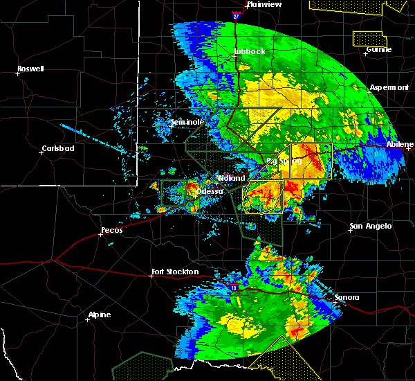 At 613 pm cdt, a cluster of severe thunderstorms was located near garden city, moving east at 20 mph (radar indicated). Hazards include 60 mph wind gusts and quarter size hail. Hail damage to vehicles is expected. Expect wind damage to roofs, siding, and trees. At 613 pm cdt, a cluster of severe thunderstorms was located near garden city, moving east at 20 mph (radar indicated). Hazards include 60 mph wind gusts and quarter size hail. Hail damage to vehicles is expected. Expect wind damage to roofs, siding, and trees.
|
| 5/15/2020 5:41 PM CDT |
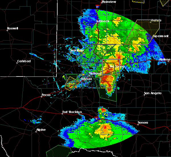 At 540 pm cdt, a cluster of severe thunderstorms was located near garden city, moving northeast at 20 mph (radar indicated). Hazards include 60 mph wind gusts and half dollar size hail. Hail damage to vehicles is expected. expect wind damage to roofs, siding, and trees. Locations impacted include, garden city and saint lawrence. At 540 pm cdt, a cluster of severe thunderstorms was located near garden city, moving northeast at 20 mph (radar indicated). Hazards include 60 mph wind gusts and half dollar size hail. Hail damage to vehicles is expected. expect wind damage to roofs, siding, and trees. Locations impacted include, garden city and saint lawrence.
|
| 5/15/2020 5:29 PM CDT | Wind damage with doors ripped off metal barn. wind speed estimated at 65-70 mph. time estimated by rada in glasscock county TX, 12.2 miles NNE of Garden City, TX |
| 5/15/2020 5:13 PM CDT |
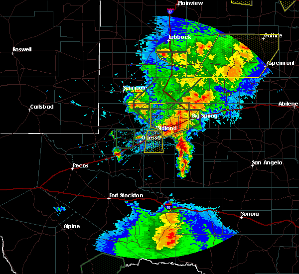 At 512 pm cdt, a severe thunderstorm was located 9 miles southwest of garden city, moving northeast at 25 mph (radar indicated). Hazards include 60 mph wind gusts and half dollar size hail. Hail damage to vehicles is expected. Expect wind damage to roofs, siding, and trees. At 512 pm cdt, a severe thunderstorm was located 9 miles southwest of garden city, moving northeast at 25 mph (radar indicated). Hazards include 60 mph wind gusts and half dollar size hail. Hail damage to vehicles is expected. Expect wind damage to roofs, siding, and trees.
|
| 4/27/2020 6:52 PM CDT |
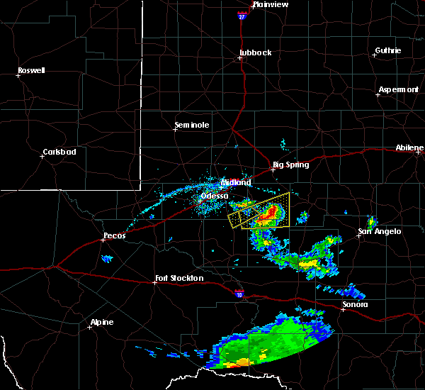 At 652 pm cdt, a severe thunderstorm was located 9 miles south of garden city, moving east at 30 mph (radar indicated). Hazards include 60 mph wind gusts and half dollar size hail. Hail damage to vehicles is expected. expect wind damage to roofs, siding, and trees. Locations impacted include, garden city and saint lawrence. At 652 pm cdt, a severe thunderstorm was located 9 miles south of garden city, moving east at 30 mph (radar indicated). Hazards include 60 mph wind gusts and half dollar size hail. Hail damage to vehicles is expected. expect wind damage to roofs, siding, and trees. Locations impacted include, garden city and saint lawrence.
|
| 4/27/2020 6:48 PM CDT | Golf Ball sized hail reported 4.2 miles N of Garden City, TX, time estimated from radar. |
| 4/27/2020 6:40 PM CDT | Half Dollar sized hail reported 10.2 miles NNE of Garden City, TX |
| 4/27/2020 6:22 PM CDT |
 At 622 pm cdt, a severe thunderstorm was located 18 miles southwest of garden city, moving east at 30 mph (radar indicated). Hazards include 60 mph wind gusts and half dollar size hail. Hail damage to vehicles is expected. Expect wind damage to roofs, siding, and trees. At 622 pm cdt, a severe thunderstorm was located 18 miles southwest of garden city, moving east at 30 mph (radar indicated). Hazards include 60 mph wind gusts and half dollar size hail. Hail damage to vehicles is expected. Expect wind damage to roofs, siding, and trees.
|
| 4/12/2020 2:04 AM CDT |
 At 204 am cdt, severe thunderstorms were located along a line extending from 8 miles northeast of garden city to 22 miles north of reagan county airport to 18 miles southeast of rankin, moving east at 35 mph (radar indicated). Hazards include ping pong ball size hail and 60 mph wind gusts. People and animals outdoors will be injured. expect hail damage to roofs, siding, windows, and vehicles. Expect wind damage to roofs, siding, and trees. At 204 am cdt, severe thunderstorms were located along a line extending from 8 miles northeast of garden city to 22 miles north of reagan county airport to 18 miles southeast of rankin, moving east at 35 mph (radar indicated). Hazards include ping pong ball size hail and 60 mph wind gusts. People and animals outdoors will be injured. expect hail damage to roofs, siding, windows, and vehicles. Expect wind damage to roofs, siding, and trees.
|
| 4/12/2020 1:45 AM CDT |
 At 145 am cdt, severe thunderstorms were located along a line extending from 6 miles northeast of garden city to near rankin, moving east at 45 mph (radar indicated). Hazards include 60 mph wind gusts and quarter size hail. Hail damage to vehicles is expected. expect wind damage to roofs, siding, and trees. Locations impacted include, rankin, garden city, saint lawrence and midkiff. At 145 am cdt, severe thunderstorms were located along a line extending from 6 miles northeast of garden city to near rankin, moving east at 45 mph (radar indicated). Hazards include 60 mph wind gusts and quarter size hail. Hail damage to vehicles is expected. expect wind damage to roofs, siding, and trees. Locations impacted include, rankin, garden city, saint lawrence and midkiff.
|
| 4/12/2020 1:40 AM CDT | Golf Ball sized hail reported 0.7 miles S of Garden City, TX |
| 4/12/2020 1:13 AM CDT |
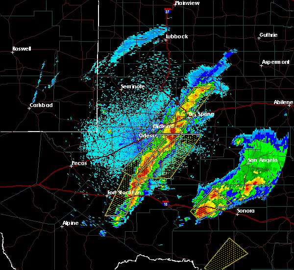 At 113 am cdt, severe thunderstorms were located along a line extending from 10 miles southeast of greenwood to 9 miles south of crane, moving east at 45 mph (radar indicated). Hazards include 60 mph wind gusts and quarter size hail. Hail damage to vehicles is expected. Expect wind damage to roofs, siding, and trees. At 113 am cdt, severe thunderstorms were located along a line extending from 10 miles southeast of greenwood to 9 miles south of crane, moving east at 45 mph (radar indicated). Hazards include 60 mph wind gusts and quarter size hail. Hail damage to vehicles is expected. Expect wind damage to roofs, siding, and trees.
|
| 3/13/2020 1:35 AM CDT |
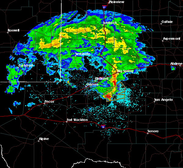 At 134 am cdt, a severe thunderstorm was located 20 miles southwest of garden city, moving northeast at 55 mph (radar indicated). Hazards include 60 mph wind gusts and half dollar size hail. Hail damage to vehicles is expected. expect wind damage to roofs, siding, and trees. Locations impacted include, garden city and saint lawrence. At 134 am cdt, a severe thunderstorm was located 20 miles southwest of garden city, moving northeast at 55 mph (radar indicated). Hazards include 60 mph wind gusts and half dollar size hail. Hail damage to vehicles is expected. expect wind damage to roofs, siding, and trees. Locations impacted include, garden city and saint lawrence.
|
| 3/13/2020 1:20 AM CDT |
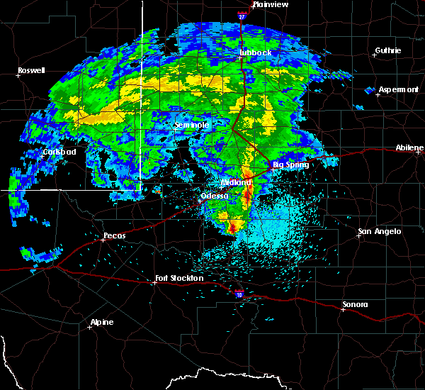 At 120 am cdt, a severe thunderstorm was located 22 miles north of rankin, moving northeast at 55 mph (radar indicated). Hazards include 60 mph wind gusts and half dollar size hail. Hail damage to vehicles is expected. Expect wind damage to roofs, siding, and trees. At 120 am cdt, a severe thunderstorm was located 22 miles north of rankin, moving northeast at 55 mph (radar indicated). Hazards include 60 mph wind gusts and half dollar size hail. Hail damage to vehicles is expected. Expect wind damage to roofs, siding, and trees.
|
| 6/5/2019 8:39 PM CDT |
 The severe thunderstorm warning for glasscock, mitchell, scurry, northeastern midland, borden, howard and southeastern martin counties will expire at 845 pm cdt, the storms which prompted the warning have moved out of the area. therefore, the warning will be allowed to expire. however small hail, gusty winds and heavy rain are still possible with these thunderstorms. The severe thunderstorm warning for glasscock, mitchell, scurry, northeastern midland, borden, howard and southeastern martin counties will expire at 845 pm cdt, the storms which prompted the warning have moved out of the area. therefore, the warning will be allowed to expire. however small hail, gusty winds and heavy rain are still possible with these thunderstorms.
|
| 6/5/2019 8:30 PM CDT |
 At 829 pm cdt, severe thunderstorms were located along a line extending from 7 miles northwest of snyder to near garden city, moving southeast at 55 mph (radar indicated). Hazards include 70 mph wind gusts and quarter size hail. Hail damage to vehicles is expected. expect considerable tree damage. wind damage is also likely to mobile homes, roofs, and outbuildings. locations impacted include, big spring, snyder, colorado city, garden city, gail, stanton, coahoma, loraine, forsan, sand springs, lomax, lake colorado city, lake colorado city state park, inadale, luther, fluvanna, colorado city airport, j b thomas reservoir, champion creek reservoir and westbrook. This includes interstate 20 between mile markers 158 and 228. At 829 pm cdt, severe thunderstorms were located along a line extending from 7 miles northwest of snyder to near garden city, moving southeast at 55 mph (radar indicated). Hazards include 70 mph wind gusts and quarter size hail. Hail damage to vehicles is expected. expect considerable tree damage. wind damage is also likely to mobile homes, roofs, and outbuildings. locations impacted include, big spring, snyder, colorado city, garden city, gail, stanton, coahoma, loraine, forsan, sand springs, lomax, lake colorado city, lake colorado city state park, inadale, luther, fluvanna, colorado city airport, j b thomas reservoir, champion creek reservoir and westbrook. This includes interstate 20 between mile markers 158 and 228.
|
| 6/5/2019 8:15 PM CDT |
 At 814 pm cdt, severe thunderstorms were located along a line extending from near fluvanna to 8 miles northwest of garden city, moving southeast at 70 mph (radar indicated). Hazards include 70 mph wind gusts and quarter size hail. Hail damage to vehicles is expected. expect considerable tree damage. wind damage is also likely to mobile homes, roofs, and outbuildings. locations impacted include, big spring, snyder, colorado city, ackerly, greenwood, garden city, gail, stanton, coahoma, loraine, forsan, sand springs, lomax, lake colorado city, lake colorado city state park, inadale, luther, fluvanna, colorado city airport and j b thomas reservoir. This includes interstate 20 between mile markers 146 and 228. At 814 pm cdt, severe thunderstorms were located along a line extending from near fluvanna to 8 miles northwest of garden city, moving southeast at 70 mph (radar indicated). Hazards include 70 mph wind gusts and quarter size hail. Hail damage to vehicles is expected. expect considerable tree damage. wind damage is also likely to mobile homes, roofs, and outbuildings. locations impacted include, big spring, snyder, colorado city, ackerly, greenwood, garden city, gail, stanton, coahoma, loraine, forsan, sand springs, lomax, lake colorado city, lake colorado city state park, inadale, luther, fluvanna, colorado city airport and j b thomas reservoir. This includes interstate 20 between mile markers 146 and 228.
|
| 6/5/2019 7:47 PM CDT |
 At 747 pm cdt, severe thunderstorms were located along a line extending from 10 miles southeast of grassland to 8 miles west of stanton, moving southeast at 70 mph (radar indicated). Hazards include 60 mph wind gusts and quarter size hail. Hail damage to vehicles is expected. Expect wind damage to roofs, siding, and trees. At 747 pm cdt, severe thunderstorms were located along a line extending from 10 miles southeast of grassland to 8 miles west of stanton, moving southeast at 70 mph (radar indicated). Hazards include 60 mph wind gusts and quarter size hail. Hail damage to vehicles is expected. Expect wind damage to roofs, siding, and trees.
|
| 5/21/2019 12:56 AM CDT |
 The severe thunderstorm warning for glasscock and northern reagan counties will expire at 100 am cdt, the storms which prompted the warning have weakened below severe limits, and no longer pose an immediate threat to life or property. therefore, the warning will be allowed to expire. a tornado watch remains in effect until 400 am cdt for western texas. to report severe weather, contact your nearest law enforcement agency. they will relay your report to the national weather service midland. remember, a tornado warning still remains in effect for far southeastern reagan county until 130 am cdt. The severe thunderstorm warning for glasscock and northern reagan counties will expire at 100 am cdt, the storms which prompted the warning have weakened below severe limits, and no longer pose an immediate threat to life or property. therefore, the warning will be allowed to expire. a tornado watch remains in effect until 400 am cdt for western texas. to report severe weather, contact your nearest law enforcement agency. they will relay your report to the national weather service midland. remember, a tornado warning still remains in effect for far southeastern reagan county until 130 am cdt.
|
| 5/21/2019 12:30 AM CDT |
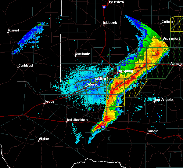 At 1229 am cdt, severe thunderstorms were located along a line extending from 7 miles northeast of garden city to 16 miles northeast of rankin, moving east at 40 mph (radar indicated). Hazards include 60 mph wind gusts and quarter size hail. Hail damage to vehicles is expected. expect wind damage to roofs, siding, and trees. Locations impacted include, garden city, stiles and saint lawrence. At 1229 am cdt, severe thunderstorms were located along a line extending from 7 miles northeast of garden city to 16 miles northeast of rankin, moving east at 40 mph (radar indicated). Hazards include 60 mph wind gusts and quarter size hail. Hail damage to vehicles is expected. expect wind damage to roofs, siding, and trees. Locations impacted include, garden city, stiles and saint lawrence.
|
| 5/21/2019 12:12 AM CDT |
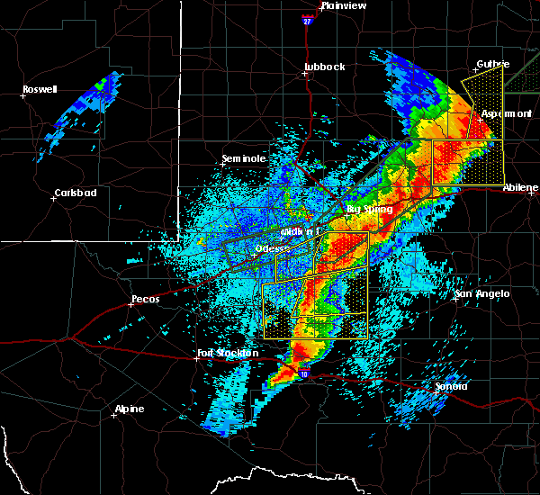 At 1212 am cdt, severe thunderstorms were located along a line extending from 7 miles northwest of garden city to 11 miles north of rankin, moving east at 60 mph (radar indicated). Hazards include 60 mph wind gusts and quarter size hail. Hail damage to vehicles is expected. Expect wind damage to roofs, siding, and trees. At 1212 am cdt, severe thunderstorms were located along a line extending from 7 miles northwest of garden city to 11 miles north of rankin, moving east at 60 mph (radar indicated). Hazards include 60 mph wind gusts and quarter size hail. Hail damage to vehicles is expected. Expect wind damage to roofs, siding, and trees.
|
| 5/20/2019 11:54 PM CDT |
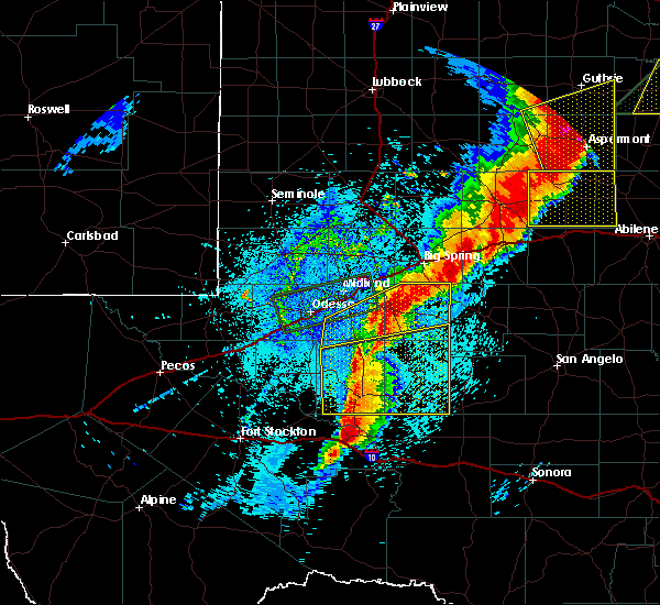 At 1127 pm cdt, a severe thunderstorm was located 18 miles southeast of odessa, moving northeast at 60 mph (radar indicated). Hazards include ping pong ball size hail and 60 mph wind gusts. People and animals outdoors will be injured. expect hail damage to roofs, siding, windows, and vehicles. Expect wind damage to roofs, siding, and trees. At 1127 pm cdt, a severe thunderstorm was located 18 miles southeast of odessa, moving northeast at 60 mph (radar indicated). Hazards include ping pong ball size hail and 60 mph wind gusts. People and animals outdoors will be injured. expect hail damage to roofs, siding, windows, and vehicles. Expect wind damage to roofs, siding, and trees.
|
| 5/20/2019 11:27 PM CDT |
 At 1127 pm cdt, a severe thunderstorm was located 18 miles southeast of odessa, moving northeast at 60 mph (radar indicated). Hazards include ping pong ball size hail and 60 mph wind gusts. People and animals outdoors will be injured. expect hail damage to roofs, siding, windows, and vehicles. Expect wind damage to roofs, siding, and trees. At 1127 pm cdt, a severe thunderstorm was located 18 miles southeast of odessa, moving northeast at 60 mph (radar indicated). Hazards include ping pong ball size hail and 60 mph wind gusts. People and animals outdoors will be injured. expect hail damage to roofs, siding, windows, and vehicles. Expect wind damage to roofs, siding, and trees.
|
| 5/20/2019 11:11 PM CDT |
 At 1111 pm cdt, a severe thunderstorm was located 9 miles southeast of greenwood, moving northeast at 55 mph (radar indicated). Hazards include 70 mph wind gusts and ping pong ball size hail. People and animals outdoors will be injured. expect hail damage to roofs, siding, windows, and vehicles. expect considerable tree damage. Wind damage is also likely to mobile homes, roofs, and outbuildings. At 1111 pm cdt, a severe thunderstorm was located 9 miles southeast of greenwood, moving northeast at 55 mph (radar indicated). Hazards include 70 mph wind gusts and ping pong ball size hail. People and animals outdoors will be injured. expect hail damage to roofs, siding, windows, and vehicles. expect considerable tree damage. Wind damage is also likely to mobile homes, roofs, and outbuildings.
|
| 5/20/2019 10:32 PM CDT |
 At 1032 pm cdt, severe thunderstorms were located along a line extending from near ackerly to 7 miles west of stanton to near midland international air and space port, moving east at 40 mph (trained weather spotters. at 1025 pm cdt, golf ball size hail was reported at grande stadium in midland). Hazards include golf ball size hail and 70 mph wind gusts. People and animals outdoors will be injured. expect hail damage to roofs, siding, windows, and vehicles. expect considerable tree damage. wind damage is also likely to mobile homes, roofs, and outbuildings. locations impacted include, midland, odessa, big spring, ackerly, greenwood, garden city, gail, stanton, sand springs, lomax, lenorah, midland international air and space port, luther, cotton flat, midland airpark, big spring mcmahon-wrinkle airpark, knott, vealmoor, stanton municipal aiport and elbow. This includes interstate 20 between mile markers 114 and 186. At 1032 pm cdt, severe thunderstorms were located along a line extending from near ackerly to 7 miles west of stanton to near midland international air and space port, moving east at 40 mph (trained weather spotters. at 1025 pm cdt, golf ball size hail was reported at grande stadium in midland). Hazards include golf ball size hail and 70 mph wind gusts. People and animals outdoors will be injured. expect hail damage to roofs, siding, windows, and vehicles. expect considerable tree damage. wind damage is also likely to mobile homes, roofs, and outbuildings. locations impacted include, midland, odessa, big spring, ackerly, greenwood, garden city, gail, stanton, sand springs, lomax, lenorah, midland international air and space port, luther, cotton flat, midland airpark, big spring mcmahon-wrinkle airpark, knott, vealmoor, stanton municipal aiport and elbow. This includes interstate 20 between mile markers 114 and 186.
|
| 5/20/2019 10:24 PM CDT |
 At 1023 pm cdt, severe thunderstorms were located along a line extending from near ackerly to 8 miles northeast of midland to 6 miles south of midland international air and space port, moving northeast at 40 mph (trained weather spotters. at 1023 pm cdt, ping pong ball size hail was observed at the national weather service office in midland). Hazards include 70 mph wind gusts and ping pong ball size hail. People and animals outdoors will be injured. expect hail damage to roofs, siding, windows, and vehicles. expect considerable tree damage. wind damage is also likely to mobile homes, roofs, and outbuildings. locations impacted include, midland, odessa, big spring, ackerly, greenwood, garden city, gail, stanton, sand springs, lomax, lenorah, midland international air and space port, luther, cotton flat, midland airpark, big spring mcmahon-wrinkle airpark, knott, vealmoor, stanton municipal aiport and elbow. This includes interstate 20 between mile markers 114 and 186. At 1023 pm cdt, severe thunderstorms were located along a line extending from near ackerly to 8 miles northeast of midland to 6 miles south of midland international air and space port, moving northeast at 40 mph (trained weather spotters. at 1023 pm cdt, ping pong ball size hail was observed at the national weather service office in midland). Hazards include 70 mph wind gusts and ping pong ball size hail. People and animals outdoors will be injured. expect hail damage to roofs, siding, windows, and vehicles. expect considerable tree damage. wind damage is also likely to mobile homes, roofs, and outbuildings. locations impacted include, midland, odessa, big spring, ackerly, greenwood, garden city, gail, stanton, sand springs, lomax, lenorah, midland international air and space port, luther, cotton flat, midland airpark, big spring mcmahon-wrinkle airpark, knott, vealmoor, stanton municipal aiport and elbow. This includes interstate 20 between mile markers 114 and 186.
|
| 5/20/2019 10:13 PM CDT |
 At 1012 pm cdt, severe thunderstorms were located along a line extending from 8 miles west of ackerly to near midland to near odessa, moving northeast at 45 mph (radar indicated). Hazards include 70 mph wind gusts and quarter size hail. Hail damage to vehicles is expected. expect considerable tree damage. Wind damage is also likely to mobile homes, roofs, and outbuildings. At 1012 pm cdt, severe thunderstorms were located along a line extending from 8 miles west of ackerly to near midland to near odessa, moving northeast at 45 mph (radar indicated). Hazards include 70 mph wind gusts and quarter size hail. Hail damage to vehicles is expected. expect considerable tree damage. Wind damage is also likely to mobile homes, roofs, and outbuildings.
|
| 5/20/2019 6:22 PM CDT | Several power poles down along state highway 158 at state highway 13 in glasscock county TX, 12.8 miles E of Garden City, TX |
| 5/3/2019 6:29 PM CDT |
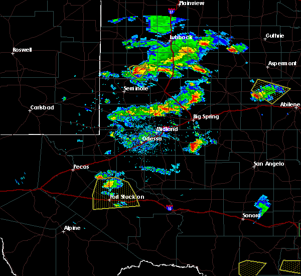 The national weather service in midland has issued a * severe thunderstorm warning for. southeastern glasscock county in western texas. until 730 pm cdt. At 629 pm cdt, a severe thunderstorm was located near garden city, moving east at 15 mph. The national weather service in midland has issued a * severe thunderstorm warning for. southeastern glasscock county in western texas. until 730 pm cdt. At 629 pm cdt, a severe thunderstorm was located near garden city, moving east at 15 mph.
|
| 4/23/2019 8:33 PM CDT |
 At 833 pm cdt, a severe thunderstorm capable of producing a tornado was located over garden city, moving northeast at 25 mph (radar indicated rotation). Hazards include tornado and ping pong ball size hail. Flying debris will be dangerous to those caught without shelter. mobile homes will be damaged or destroyed. damage to roofs, windows, and vehicles will occur. tree damage is likely. This tornadic thunderstorm will remain over mainly rural areas of central glasscock county. At 833 pm cdt, a severe thunderstorm capable of producing a tornado was located over garden city, moving northeast at 25 mph (radar indicated rotation). Hazards include tornado and ping pong ball size hail. Flying debris will be dangerous to those caught without shelter. mobile homes will be damaged or destroyed. damage to roofs, windows, and vehicles will occur. tree damage is likely. This tornadic thunderstorm will remain over mainly rural areas of central glasscock county.
|
| 4/23/2019 8:21 PM CDT |
 At 821 pm cdt, a severe thunderstorm was located 7 miles west of garden city, moving northeast at 45 mph (radar indicated). Hazards include ping pong ball size hail and 60 mph wind gusts. People and animals outdoors will be injured. expect hail damage to roofs, siding, windows, and vehicles. Expect wind damage to roofs, siding, and trees. At 821 pm cdt, a severe thunderstorm was located 7 miles west of garden city, moving northeast at 45 mph (radar indicated). Hazards include ping pong ball size hail and 60 mph wind gusts. People and animals outdoors will be injured. expect hail damage to roofs, siding, windows, and vehicles. Expect wind damage to roofs, siding, and trees.
|
| 12/26/2018 2:58 PM CST |
 At 258 pm cst, severe thunderstorms were located along a line extending from 6 miles west of hobbs to 6 miles southwest of robert lee to 12 miles south of mertzon, moving east at 55 mph (radar indicated). Hazards include 70 mph wind gusts. Expect considerable tree damage. damage is likely to mobile homes, roofs, and outbuildings. locations impacted include, big spring, snyder, colorado city, big lake, garden city, gail, coahoma, loraine, forsan, sand springs, lake colorado city, lake colorado city state park, inadale, luther, fluvanna, colorado city airport, j b thomas reservoir, reagan county airport, champion creek reservoir and westbrook. this includes interstate 20 between mile markers 177 and 228. Time, mot, loc 2058z 276deg 109kt 3279 10071 3182 10054 3109 10079. At 258 pm cst, severe thunderstorms were located along a line extending from 6 miles west of hobbs to 6 miles southwest of robert lee to 12 miles south of mertzon, moving east at 55 mph (radar indicated). Hazards include 70 mph wind gusts. Expect considerable tree damage. damage is likely to mobile homes, roofs, and outbuildings. locations impacted include, big spring, snyder, colorado city, big lake, garden city, gail, coahoma, loraine, forsan, sand springs, lake colorado city, lake colorado city state park, inadale, luther, fluvanna, colorado city airport, j b thomas reservoir, reagan county airport, champion creek reservoir and westbrook. this includes interstate 20 between mile markers 177 and 228. Time, mot, loc 2058z 276deg 109kt 3279 10071 3182 10054 3109 10079.
|
| 12/26/2018 2:33 PM CST |
 At 232 pm cst, severe thunderstorms were located along a line extending from 8 miles northwest of gail to 7 miles northeast of garden city to 8 miles west of reagan county airport, moving east at 55 mph. at 215 pm, a 70 mph wind gust was reported in big spring (radar indicated). Hazards include 70 mph wind gusts. Expect considerable tree damage. Damage is likely to mobile homes, roofs, and outbuildings. At 232 pm cst, severe thunderstorms were located along a line extending from 8 miles northwest of gail to 7 miles northeast of garden city to 8 miles west of reagan county airport, moving east at 55 mph. at 215 pm, a 70 mph wind gust was reported in big spring (radar indicated). Hazards include 70 mph wind gusts. Expect considerable tree damage. Damage is likely to mobile homes, roofs, and outbuildings.
|
| 6/23/2018 8:29 PM CDT |
 At 828 pm cdt, a severe thunderstorm was located 9 miles southeast of garden city, moving northeast at 15 mph (radar indicated). Hazards include 70 mph wind gusts and ping pong ball size hail. People and animals outdoors will be injured. expect hail damage to roofs, siding, windows, and vehicles. expect considerable tree damage. wind damage is also likely to mobile homes, roofs, and outbuildings. Locations impacted include, open country of southeastern glasscock county. At 828 pm cdt, a severe thunderstorm was located 9 miles southeast of garden city, moving northeast at 15 mph (radar indicated). Hazards include 70 mph wind gusts and ping pong ball size hail. People and animals outdoors will be injured. expect hail damage to roofs, siding, windows, and vehicles. expect considerable tree damage. wind damage is also likely to mobile homes, roofs, and outbuildings. Locations impacted include, open country of southeastern glasscock county.
|
| 6/23/2018 8:09 PM CDT |
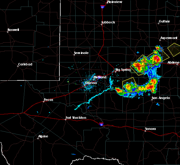 At 808 pm cdt, a severe thunderstorm was located 7 miles southeast of garden city, moving northeast at 15 mph (radar indicated). Hazards include golf ball size hail and 70 mph wind gusts. People and animals outdoors will be injured. expect hail damage to roofs, siding, windows, and vehicles. expect considerable tree damage. Wind damage is also likely to mobile homes, roofs, and outbuildings. At 808 pm cdt, a severe thunderstorm was located 7 miles southeast of garden city, moving northeast at 15 mph (radar indicated). Hazards include golf ball size hail and 70 mph wind gusts. People and animals outdoors will be injured. expect hail damage to roofs, siding, windows, and vehicles. expect considerable tree damage. Wind damage is also likely to mobile homes, roofs, and outbuildings.
|
| 5/2/2018 10:26 PM CDT |
 At 1025 pm cdt, a severe thunderstorm was located near garden city, moving northeast at 60 mph (radar indicated). Hazards include 60 mph wind gusts and quarter size hail. Hail damage to vehicles is expected. Expect wind damage to roofs, siding, and trees. At 1025 pm cdt, a severe thunderstorm was located near garden city, moving northeast at 60 mph (radar indicated). Hazards include 60 mph wind gusts and quarter size hail. Hail damage to vehicles is expected. Expect wind damage to roofs, siding, and trees.
|
| 3/26/2018 6:04 PM CDT |
 At 603 pm cdt, a severe thunderstorm was located just north of garden city, moving northeast at 25 mph (radar indicated). Hazards include 60 mph wind gusts and half dollar size hail. Hail damage to vehicles is expected. expect wind damage to roofs, siding, and trees. Locations impacted include, garden city and rural areas just north and northeast of garden city. At 603 pm cdt, a severe thunderstorm was located just north of garden city, moving northeast at 25 mph (radar indicated). Hazards include 60 mph wind gusts and half dollar size hail. Hail damage to vehicles is expected. expect wind damage to roofs, siding, and trees. Locations impacted include, garden city and rural areas just north and northeast of garden city.
|
| 3/26/2018 5:57 PM CDT | Golf Ball sized hail reported 0.1 miles W of Garden City, TX, quarter to some golf ball size. |
| 3/26/2018 5:51 PM CDT |
 At 550 pm cdt, a severe thunderstorm was located near garden city, moving east at 20 mph (radar indicated). Hazards include 60 mph wind gusts and quarter size hail. Hail damage to vehicles is expected. Expect wind damage to roofs, siding, and trees. At 550 pm cdt, a severe thunderstorm was located near garden city, moving east at 20 mph (radar indicated). Hazards include 60 mph wind gusts and quarter size hail. Hail damage to vehicles is expected. Expect wind damage to roofs, siding, and trees.
|
| 6/23/2017 8:12 PM CDT |
 The severe thunderstorm warning for eastern glasscock county will expire at 815 pm cdt. the storms which prompted the warning have weakened below severe limits, and no longer pose an immediate threat to life or property. Therefore the warning will be allowed to expire. The severe thunderstorm warning for eastern glasscock county will expire at 815 pm cdt. the storms which prompted the warning have weakened below severe limits, and no longer pose an immediate threat to life or property. Therefore the warning will be allowed to expire.
|
| 6/23/2017 7:52 PM CDT |
 At 751 pm cdt, severe thunderstorms were located along a line extending from 10 miles southeast of forsan to 18 miles southwest of sterling city, moving east at 25 mph (mesonet wind gust to 64 mph near st lawrence). Hazards include 70 mph wind gusts and quarter size hail. Hail damage to vehicles is expected. expect considerable tree damage. wind damage is also likely to mobile homes, roofs, and outbuildings. Locations impacted include, garden city, lees and saint lawrence. At 751 pm cdt, severe thunderstorms were located along a line extending from 10 miles southeast of forsan to 18 miles southwest of sterling city, moving east at 25 mph (mesonet wind gust to 64 mph near st lawrence). Hazards include 70 mph wind gusts and quarter size hail. Hail damage to vehicles is expected. expect considerable tree damage. wind damage is also likely to mobile homes, roofs, and outbuildings. Locations impacted include, garden city, lees and saint lawrence.
|
| 6/23/2017 7:35 PM CDT | Storm damage reported in glasscock county TX, 16.1 miles NNE of Garden City, TX |
| 6/23/2017 7:24 PM CDT |
 At 724 pm cdt, severe thunderstorms were located along a line extending from lees to near saint lawrence, moving east at 20 mph (radar indicated). Hazards include 70 mph wind gusts and quarter size hail. Hail damage to vehicles is expected. expect considerable tree damage. Wind damage is also likely to mobile homes, roofs, and outbuildings. At 724 pm cdt, severe thunderstorms were located along a line extending from lees to near saint lawrence, moving east at 20 mph (radar indicated). Hazards include 70 mph wind gusts and quarter size hail. Hail damage to vehicles is expected. expect considerable tree damage. Wind damage is also likely to mobile homes, roofs, and outbuildings.
|
| 6/23/2017 6:47 PM CDT |
 At 646 pm cdt, a severe thunderstorm was located near garden city, moving southeast at 10 mph (radar indicated). Hazards include 60 mph wind gusts. Expect damage to roofs, siding, and trees. locations impacted include, garden city. This includes interstate 20 between mile markers 115 and 159. At 646 pm cdt, a severe thunderstorm was located near garden city, moving southeast at 10 mph (radar indicated). Hazards include 60 mph wind gusts. Expect damage to roofs, siding, and trees. locations impacted include, garden city. This includes interstate 20 between mile markers 115 and 159.
|
| 6/23/2017 5:54 PM CDT |
 At 553 pm cdt, a severe thunderstorm was located over cotton flat, or near midland, moving south at 20 mph (radar indicated). Hazards include 70 mph wind gusts and quarter size hail. Hail damage to vehicles is expected. expect considerable tree damage. Wind damage is also likely to mobile homes, roofs, and outbuildings. At 553 pm cdt, a severe thunderstorm was located over cotton flat, or near midland, moving south at 20 mph (radar indicated). Hazards include 70 mph wind gusts and quarter size hail. Hail damage to vehicles is expected. expect considerable tree damage. Wind damage is also likely to mobile homes, roofs, and outbuildings.
|
| 6/15/2017 9:23 PM CDT |
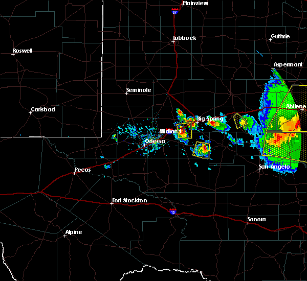 At 923 pm cdt, a severe thunderstorm was located 8 miles southeast of garden city, moving east at 40 mph (radar indicated). Hazards include golf ball size hail and 60 mph wind gusts. People and animals outdoors will be injured. expect hail damage to roofs, siding, windows, and vehicles. expect wind damage to roofs, siding, and trees. Locations impacted include, garden city and saint lawrence. At 923 pm cdt, a severe thunderstorm was located 8 miles southeast of garden city, moving east at 40 mph (radar indicated). Hazards include golf ball size hail and 60 mph wind gusts. People and animals outdoors will be injured. expect hail damage to roofs, siding, windows, and vehicles. expect wind damage to roofs, siding, and trees. Locations impacted include, garden city and saint lawrence.
|
| 6/15/2017 9:12 PM CDT |
 At 912 pm cdt, a severe thunderstorm was located over garden city, moving east at 35 mph. emergency management reported golf ball size hail near garden city (radar indicated). Hazards include golf ball size hail and 60 mph wind gusts. People and animals outdoors will be injured. expect hail damage to roofs, siding, windows, and vehicles. expect wind damage to roofs, siding, and trees. Locations impacted include, garden city and saint lawrence. At 912 pm cdt, a severe thunderstorm was located over garden city, moving east at 35 mph. emergency management reported golf ball size hail near garden city (radar indicated). Hazards include golf ball size hail and 60 mph wind gusts. People and animals outdoors will be injured. expect hail damage to roofs, siding, windows, and vehicles. expect wind damage to roofs, siding, and trees. Locations impacted include, garden city and saint lawrence.
|
| 6/15/2017 9:10 PM CDT | Golf Ball sized hail reported 0.8 miles SE of Garden City, TX |
| 6/15/2017 9:07 PM CDT |
 At 907 pm cdt, a severe thunderstorm was located over garden city, moving east at 40 mph (radar indicated). Hazards include 60 mph wind gusts and quarter size hail. Hail damage to vehicles is expected. Expect wind damage to roofs, siding, and trees. At 907 pm cdt, a severe thunderstorm was located over garden city, moving east at 40 mph (radar indicated). Hazards include 60 mph wind gusts and quarter size hail. Hail damage to vehicles is expected. Expect wind damage to roofs, siding, and trees.
|
| 5/22/2017 10:37 PM CDT |
 At 1034 pm cdt, a severe thunderstorm was located 17 miles southeast of saint lawrence, or 23 miles southeast of garden city, moving southeast at 55 mph (west texas mesonet at saint lawerence gusted to 63 mph). Hazards include 60 mph wind gusts and quarter size hail. Hail damage to vehicles is expected. expect wind damage to roofs, siding, and trees. Locations impacted include, garden city, bigby corner, saint lawrence, stiles and north reagan fire station. At 1034 pm cdt, a severe thunderstorm was located 17 miles southeast of saint lawrence, or 23 miles southeast of garden city, moving southeast at 55 mph (west texas mesonet at saint lawerence gusted to 63 mph). Hazards include 60 mph wind gusts and quarter size hail. Hail damage to vehicles is expected. expect wind damage to roofs, siding, and trees. Locations impacted include, garden city, bigby corner, saint lawrence, stiles and north reagan fire station.
|
| 5/22/2017 10:13 PM CDT |
 At 1012 pm cdt, a severe thunderstorm was located near saint lawrence, or near garden city, moving southeast at 45 mph (radar indicated). Hazards include 60 mph wind gusts and quarter size hail. Hail damage to vehicles is expected. Expect wind damage to roofs, siding, and trees. At 1012 pm cdt, a severe thunderstorm was located near saint lawrence, or near garden city, moving southeast at 45 mph (radar indicated). Hazards include 60 mph wind gusts and quarter size hail. Hail damage to vehicles is expected. Expect wind damage to roofs, siding, and trees.
|
| 5/22/2017 9:36 PM CDT |
 At 936 pm cdt, a severe thunderstorm was located 11 miles northwest of midland, moving southeast at 15 mph (radar indicated). Hazards include 60 mph wind gusts and nickel size hail. expect damage to roofs, siding, and trees At 936 pm cdt, a severe thunderstorm was located 11 miles northwest of midland, moving southeast at 15 mph (radar indicated). Hazards include 60 mph wind gusts and nickel size hail. expect damage to roofs, siding, and trees
|
| 5/16/2017 10:59 PM CDT |
 At 1058 pm cdt, severe thunderstorms were located along a line extending from near girard to 7 miles north of stiles, moving northeast at 70 mph (trained weather spotters and nws employees). Hazards include golf ball size hail and 60 mph wind gusts. People and animals outdoors will be injured. expect hail damage to roofs, siding, windows, and vehicles. expect wind damage to roofs, siding, and trees. locations impacted include, snyder, colorado city, big lake, rankin, garden city, china grove, valley view, loraine, westbrook, bigby corner, lake colorado city, lake colorado city state park, inadale, best, saint lawrence, colorado city airport, lees, stiles, hermleigh and j b thomas reservoir. This includes interstate 20 between mile markers 198 and 228. At 1058 pm cdt, severe thunderstorms were located along a line extending from near girard to 7 miles north of stiles, moving northeast at 70 mph (trained weather spotters and nws employees). Hazards include golf ball size hail and 60 mph wind gusts. People and animals outdoors will be injured. expect hail damage to roofs, siding, windows, and vehicles. expect wind damage to roofs, siding, and trees. locations impacted include, snyder, colorado city, big lake, rankin, garden city, china grove, valley view, loraine, westbrook, bigby corner, lake colorado city, lake colorado city state park, inadale, best, saint lawrence, colorado city airport, lees, stiles, hermleigh and j b thomas reservoir. This includes interstate 20 between mile markers 198 and 228.
|
| 5/16/2017 10:30 PM CDT |
 At 1029 pm cdt, severe thunderstorms were located along a line extending from lake alan henry to near rankin, moving east at 50 mph (trained weather spotters and nws employees). Hazards include golf ball size hail and 60 mph wind gusts. People and animals outdoors will be injured. expect hail damage to roofs, siding, windows, and vehicles. Expect wind damage to roofs, siding, and trees. At 1029 pm cdt, severe thunderstorms were located along a line extending from lake alan henry to near rankin, moving east at 50 mph (trained weather spotters and nws employees). Hazards include golf ball size hail and 60 mph wind gusts. People and animals outdoors will be injured. expect hail damage to roofs, siding, windows, and vehicles. Expect wind damage to roofs, siding, and trees.
|
| 5/16/2017 10:02 PM CDT |
 At 1001 pm cdt, severe thunderstorms were located along a line extending from near j b thomas reservoir to 8 miles southwest of rankin, moving east at 75 mph (trained weather spotters and nws employees). Hazards include golf ball size hail. People and animals outdoors will be injured. expect damage to roofs, siding, windows, and vehicles. locations impacted include, big spring, colorado city, big lake, stanton, mccamey, rankin, greenwood, garden city, china grove, coahoma, valley view, loraine, westbrook, forsan, sand springs, lomax, bigby corner, lake colorado city, lake colorado city state park and inadale. This includes interstate 20 between mile markers 152 and 228. At 1001 pm cdt, severe thunderstorms were located along a line extending from near j b thomas reservoir to 8 miles southwest of rankin, moving east at 75 mph (trained weather spotters and nws employees). Hazards include golf ball size hail. People and animals outdoors will be injured. expect damage to roofs, siding, windows, and vehicles. locations impacted include, big spring, colorado city, big lake, stanton, mccamey, rankin, greenwood, garden city, china grove, coahoma, valley view, loraine, westbrook, forsan, sand springs, lomax, bigby corner, lake colorado city, lake colorado city state park and inadale. This includes interstate 20 between mile markers 152 and 228.
|
| 5/16/2017 9:39 PM CDT |
 At 937 pm cdt, severe thunderstorms were located along a line extending from near ackerly to 7 miles northwest of girvin, moving east at 50 mph (trained weather spotters and nws employees). Hazards include golf ball size hail. People and animals outdoors will be injured. Expect damage to roofs, siding, windows, and vehicles. At 937 pm cdt, severe thunderstorms were located along a line extending from near ackerly to 7 miles northwest of girvin, moving east at 50 mph (trained weather spotters and nws employees). Hazards include golf ball size hail. People and animals outdoors will be injured. Expect damage to roofs, siding, windows, and vehicles.
|
| 4/16/2017 8:44 PM CDT |
 At 844 pm cdt, a severe thunderstorm was located 9 miles northwest of garden city, moving southeast at 10 mph (radar indicated). Hazards include 60 mph wind gusts and quarter size hail. Hail damage to vehicles is expected. expect wind damage to roofs, siding, and trees. Locations impacted include, garden city, forsan, lomax and lees. At 844 pm cdt, a severe thunderstorm was located 9 miles northwest of garden city, moving southeast at 10 mph (radar indicated). Hazards include 60 mph wind gusts and quarter size hail. Hail damage to vehicles is expected. expect wind damage to roofs, siding, and trees. Locations impacted include, garden city, forsan, lomax and lees.
|
| 4/16/2017 8:20 PM CDT |
 At 820 pm cdt, a severe thunderstorm was located 7 miles south of lomax, or 12 miles northwest of garden city, moving southeast at 10 mph (radar indicated). Hazards include 60 mph wind gusts and quarter size hail. Hail damage to vehicles is expected. Expect wind damage to roofs, siding, and trees. At 820 pm cdt, a severe thunderstorm was located 7 miles south of lomax, or 12 miles northwest of garden city, moving southeast at 10 mph (radar indicated). Hazards include 60 mph wind gusts and quarter size hail. Hail damage to vehicles is expected. Expect wind damage to roofs, siding, and trees.
|
| 4/16/2017 7:33 PM CDT |
 At 732 pm cdt, severe thunderstorms were located along a line extending from 8 miles southwest of spraberry to 6 miles southeast of rankin, moving east at 25 mph (radar indicated). Hazards include 60 mph wind gusts and half dollar size hail. Hail damage to vehicles is expected. Expect wind damage to roofs, siding, and trees. At 732 pm cdt, severe thunderstorms were located along a line extending from 8 miles southwest of spraberry to 6 miles southeast of rankin, moving east at 25 mph (radar indicated). Hazards include 60 mph wind gusts and half dollar size hail. Hail damage to vehicles is expected. Expect wind damage to roofs, siding, and trees.
|
| 3/28/2017 8:12 PM CDT |
 At 811 pm cdt, severe thunderstorms were located along a line extending from near coahoma to 10 miles east of garden city to 12 miles southeast of saint lawrence to near reagan county airport, moving northeast at 40 mph (radar indicated). Hazards include 60 mph wind gusts and quarter size hail. Hail damage to vehicles is expected. expect wind damage to roofs, siding, and trees. locations impacted include, big spring, big lake, garden city, coahoma, forsan, sand springs, lomax, lees, stiles, south haven, texon, bigby corner, reagan county airport, best, saint lawrence, elbow, big spring country club, big spring mcmahon-wrinkle airpark, north reagan fire station and midway. This includes interstate 20 between mile markers 166 and 196. At 811 pm cdt, severe thunderstorms were located along a line extending from near coahoma to 10 miles east of garden city to 12 miles southeast of saint lawrence to near reagan county airport, moving northeast at 40 mph (radar indicated). Hazards include 60 mph wind gusts and quarter size hail. Hail damage to vehicles is expected. expect wind damage to roofs, siding, and trees. locations impacted include, big spring, big lake, garden city, coahoma, forsan, sand springs, lomax, lees, stiles, south haven, texon, bigby corner, reagan county airport, best, saint lawrence, elbow, big spring country club, big spring mcmahon-wrinkle airpark, north reagan fire station and midway. This includes interstate 20 between mile markers 166 and 196.
|
| 3/28/2017 7:50 PM CDT |
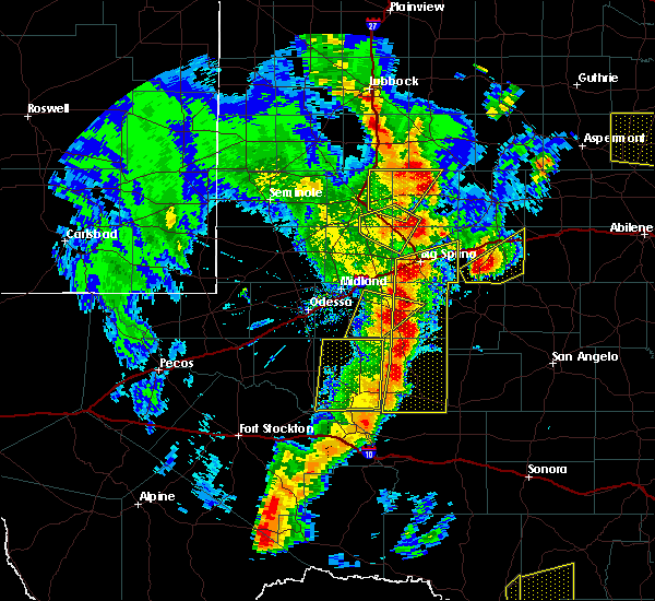 At 750 pm cdt, a severe thunderstorm was located 8 miles northwest of bigby corner, or 15 miles west of garden city, moving northeast at 20 mph (radar indicated). Hazards include 60 mph wind gusts and quarter size hail. Hail damage to vehicles is expected. expect wind damage to roofs, siding, and trees. Locations impacted include, greenwood and spraberry. At 750 pm cdt, a severe thunderstorm was located 8 miles northwest of bigby corner, or 15 miles west of garden city, moving northeast at 20 mph (radar indicated). Hazards include 60 mph wind gusts and quarter size hail. Hail damage to vehicles is expected. expect wind damage to roofs, siding, and trees. Locations impacted include, greenwood and spraberry.
|
| 3/28/2017 7:47 PM CDT |
 At 746 pm cdt, severe thunderstorms were located along a line extending from south haven to saint lawrence to near stiles to 9 miles southwest of texon, moving northeast at 40 mph (radar indicated). Hazards include 60 mph wind gusts and quarter size hail. Hail damage to vehicles is expected. Expect wind damage to roofs, siding, and trees. At 746 pm cdt, severe thunderstorms were located along a line extending from south haven to saint lawrence to near stiles to 9 miles southwest of texon, moving northeast at 40 mph (radar indicated). Hazards include 60 mph wind gusts and quarter size hail. Hail damage to vehicles is expected. Expect wind damage to roofs, siding, and trees.
|
| 3/28/2017 7:29 PM CDT |
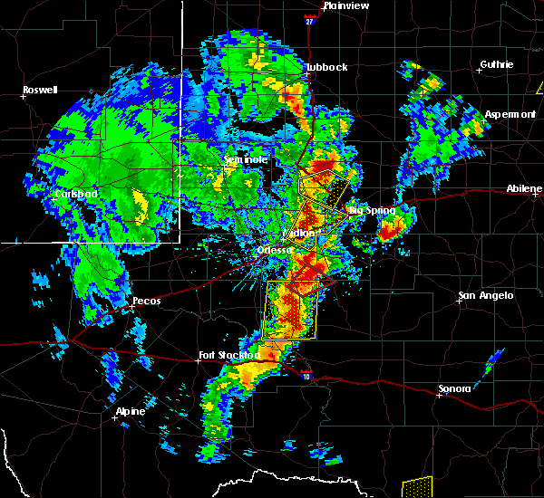 At 729 pm cdt, a severe thunderstorm was located near midkiff, or 21 miles south of greenwood, moving northeast at 20 mph (radar indicated). Hazards include 60 mph wind gusts and quarter size hail. Hail damage to vehicles is expected. Expect wind damage to roofs, siding, and trees. At 729 pm cdt, a severe thunderstorm was located near midkiff, or 21 miles south of greenwood, moving northeast at 20 mph (radar indicated). Hazards include 60 mph wind gusts and quarter size hail. Hail damage to vehicles is expected. Expect wind damage to roofs, siding, and trees.
|
| 3/28/2017 5:58 PM CDT |
 At 558 pm cdt, a severe thunderstorm was located 7 miles east of garden city, moving northeast at 25 mph (radar indicated). Hazards include 60 mph wind gusts and half dollar size hail. Hail damage to vehicles is expected. Expect wind damage to roofs, siding, and trees. At 558 pm cdt, a severe thunderstorm was located 7 miles east of garden city, moving northeast at 25 mph (radar indicated). Hazards include 60 mph wind gusts and half dollar size hail. Hail damage to vehicles is expected. Expect wind damage to roofs, siding, and trees.
|
| 3/28/2017 4:19 PM CDT |
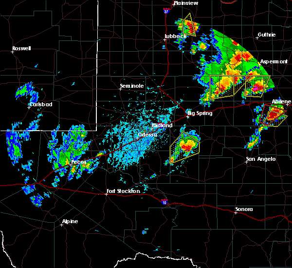 At 419 pm cdt, a severe thunderstorm was located near saint lawrence, or 12 miles south of garden city, moving northeast at 40 mph (radar indicated). Hazards include ping pong ball size hail and 60 mph wind gusts. People and animals outdoors will be injured. expect hail damage to roofs, siding, windows, and vehicles. expect wind damage to roofs, siding, and trees. Locations impacted include, garden city, bigby corner, saint lawrence and north reagan fire station. At 419 pm cdt, a severe thunderstorm was located near saint lawrence, or 12 miles south of garden city, moving northeast at 40 mph (radar indicated). Hazards include ping pong ball size hail and 60 mph wind gusts. People and animals outdoors will be injured. expect hail damage to roofs, siding, windows, and vehicles. expect wind damage to roofs, siding, and trees. Locations impacted include, garden city, bigby corner, saint lawrence and north reagan fire station.
|
| 3/28/2017 3:56 PM CDT |
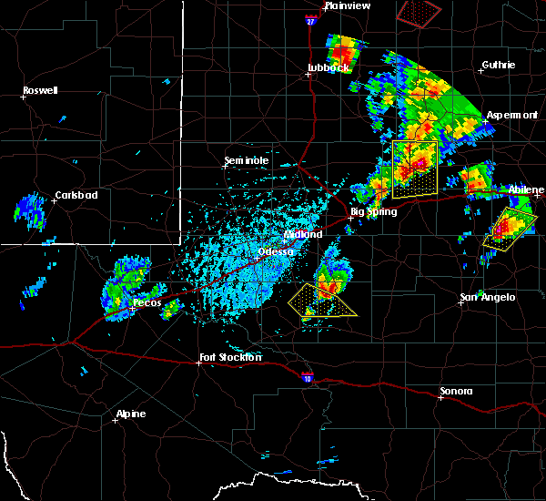 At 355 pm cdt, a severe thunderstorm was located 10 miles southeast of midkiff, or 24 miles southwest of garden city, moving northeast at 40 mph (radar indicated). Hazards include ping pong ball size hail and 60 mph wind gusts. People and animals outdoors will be injured. expect hail damage to roofs, siding, windows, and vehicles. Expect wind damage to roofs, siding, and trees. At 355 pm cdt, a severe thunderstorm was located 10 miles southeast of midkiff, or 24 miles southwest of garden city, moving northeast at 40 mph (radar indicated). Hazards include ping pong ball size hail and 60 mph wind gusts. People and animals outdoors will be injured. expect hail damage to roofs, siding, windows, and vehicles. Expect wind damage to roofs, siding, and trees.
|
| 1/1/2017 10:00 PM CST |
 At 1000 pm cst, severe thunderstorms were located along a line extending from near forsan to 7 miles southeast of rankin, moving east at 45 mph (radar indicated). Hazards include 60 mph wind gusts. Expect damage to roofs, siding, and trees. Locations impacted include, big lake, rankin, garden city, lees, stiles, midkiff, texon, bigby corner, best, saint lawrence, reagan county airport and north reagan fire station. At 1000 pm cst, severe thunderstorms were located along a line extending from near forsan to 7 miles southeast of rankin, moving east at 45 mph (radar indicated). Hazards include 60 mph wind gusts. Expect damage to roofs, siding, and trees. Locations impacted include, big lake, rankin, garden city, lees, stiles, midkiff, texon, bigby corner, best, saint lawrence, reagan county airport and north reagan fire station.
|
| 1/1/2017 9:41 PM CST |
 At 940 pm cst, severe thunderstorms were located along a line extending from near lomax to 7 miles east of mccamey, moving east at 40 mph (radar indicated). Hazards include 60 mph wind gusts. expect damage to roofs, siding, and trees At 940 pm cst, severe thunderstorms were located along a line extending from near lomax to 7 miles east of mccamey, moving east at 40 mph (radar indicated). Hazards include 60 mph wind gusts. expect damage to roofs, siding, and trees
|
| 9/17/2016 6:38 PM CDT |
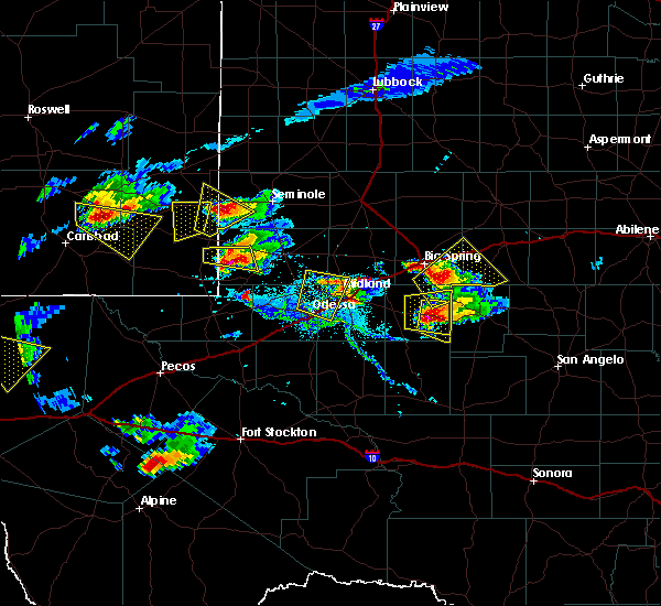 At 638 pm cdt, a severe thunderstorm was located near garden city, moving east at 20 mph (radar indicated). Hazards include 70 mph wind gusts and ping pong ball size hail. People and animals outdoors will be injured. expect hail damage to roofs, siding, windows, and vehicles. expect considerable tree damage. Wind damage is also likely to mobile homes, roofs, and outbuildings. At 638 pm cdt, a severe thunderstorm was located near garden city, moving east at 20 mph (radar indicated). Hazards include 70 mph wind gusts and ping pong ball size hail. People and animals outdoors will be injured. expect hail damage to roofs, siding, windows, and vehicles. expect considerable tree damage. Wind damage is also likely to mobile homes, roofs, and outbuildings.
|
| 9/17/2016 6:15 PM CDT |
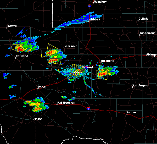 At 615 pm cdt, a severe thunderstorm was located over garden city, moving southeast at 10 mph (radar indicated). Hazards include golf ball size hail and 70 mph wind gusts. People and animals outdoors will be injured. expect hail damage to roofs, siding, windows, and vehicles. expect considerable tree damage. wind damage is also likely to mobile homes, roofs, and outbuildings. Locations impacted include, garden city. At 615 pm cdt, a severe thunderstorm was located over garden city, moving southeast at 10 mph (radar indicated). Hazards include golf ball size hail and 70 mph wind gusts. People and animals outdoors will be injured. expect hail damage to roofs, siding, windows, and vehicles. expect considerable tree damage. wind damage is also likely to mobile homes, roofs, and outbuildings. Locations impacted include, garden city.
|
| 9/17/2016 5:38 PM CDT |
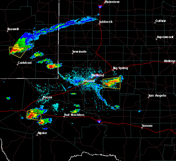 At 538 pm cdt, a severe thunderstorm was located near garden city, moving east at 15 mph (radar indicated). Hazards include ping pong ball size hail and 60 mph wind gusts. People and animals outdoors will be injured. expect hail damage to roofs, siding, windows, and vehicles. Expect wind damage to roofs, siding, and trees. At 538 pm cdt, a severe thunderstorm was located near garden city, moving east at 15 mph (radar indicated). Hazards include ping pong ball size hail and 60 mph wind gusts. People and animals outdoors will be injured. expect hail damage to roofs, siding, windows, and vehicles. Expect wind damage to roofs, siding, and trees.
|
| 6/15/2016 9:10 PM CDT | Storm damage reported in glasscock county TX, 15.8 miles NNE of Garden City, TX |
| 5/30/2016 8:02 PM CDT |
 At 801 pm cdt, a severe thunderstorm was located near garden city, moving east at 10 mph (radar indicated). Hazards include 60 mph wind gusts and quarter size hail. Hail damage to vehicles is expected. expect wind damage to roofs, siding, and trees. Locations impacted include, garden city and lees. At 801 pm cdt, a severe thunderstorm was located near garden city, moving east at 10 mph (radar indicated). Hazards include 60 mph wind gusts and quarter size hail. Hail damage to vehicles is expected. expect wind damage to roofs, siding, and trees. Locations impacted include, garden city and lees.
|
| 5/30/2016 7:30 PM CDT |
 At 730 pm cdt, a severe thunderstorm was located 8 miles northwest of garden city, moving southeast at 10 mph (radar indicated). Hazards include ping pong ball size hail and 60 mph wind gusts. People and animals outdoors will be injured. expect hail damage to roofs, siding, windows, and vehicles. Expect wind damage to roofs, siding, and trees. At 730 pm cdt, a severe thunderstorm was located 8 miles northwest of garden city, moving southeast at 10 mph (radar indicated). Hazards include ping pong ball size hail and 60 mph wind gusts. People and animals outdoors will be injured. expect hail damage to roofs, siding, windows, and vehicles. Expect wind damage to roofs, siding, and trees.
|
| 5/30/2016 7:01 PM CDT |
 At 701 pm cdt, a severe thunderstorm was located 8 miles south of lomax, or 12 miles southeast of stanton, moving east at 20 mph (radar indicated). Hazards include golf ball size hail and 60 mph wind gusts. People and animals outdoors will be injured. expect hail damage to roofs, siding, windows, and vehicles. Expect wind damage to roofs, siding, and trees. At 701 pm cdt, a severe thunderstorm was located 8 miles south of lomax, or 12 miles southeast of stanton, moving east at 20 mph (radar indicated). Hazards include golf ball size hail and 60 mph wind gusts. People and animals outdoors will be injured. expect hail damage to roofs, siding, windows, and vehicles. Expect wind damage to roofs, siding, and trees.
|
| 5/26/2016 3:30 PM CDT | Quarter sized hail reported 16.3 miles NNE of Garden City, TX |
| 5/26/2016 3:30 PM CDT | Half Dollar sized hail reported 16.3 miles NNE of Garden City, TX |
| 5/22/2016 10:35 PM CDT | A severe thunderstorm warning remains in effect until 1100 pm cdt for northeastern reagan and southern glasscock counties. at 1035 pm cdt. a severe thunderstorm was located over saint lawrence. or 12 miles south of garden city. moving southeast at 20 mph. hazard. Golf ball size hail and 70 mph wind gusts. |
| 5/22/2016 10:10 PM CDT |
 At 1035 pm cdt, a severe thunderstorm was located over saint lawrence, or 12 miles south of garden city, moving southeast at 20 mph (radar indicated). Hazards include golf ball size hail and 70 mph wind gusts. People and animals outdoors will be injured. expect hail damage to roofs, siding, windows, and vehicles. expect considerable tree damage. wind damage is also likely to mobile homes, roofs, and outbuildings. locations impacted include, garden city, bigby corner and saint lawrence. A tornado watch remains in effect until midnight cdt for western texas. At 1035 pm cdt, a severe thunderstorm was located over saint lawrence, or 12 miles south of garden city, moving southeast at 20 mph (radar indicated). Hazards include golf ball size hail and 70 mph wind gusts. People and animals outdoors will be injured. expect hail damage to roofs, siding, windows, and vehicles. expect considerable tree damage. wind damage is also likely to mobile homes, roofs, and outbuildings. locations impacted include, garden city, bigby corner and saint lawrence. A tornado watch remains in effect until midnight cdt for western texas.
|
| 5/22/2016 9:44 PM CDT |
 At 943 pm cdt, a severe thunderstorm was located 9 miles west of garden city, moving east at 30 mph (radar indicated). Hazards include golf ball size hail and 60 mph wind gusts. People and animals outdoors will be injured. expect hail damage to roofs, siding, windows, and vehicles. expect wind damage to roofs, siding, and trees. locations impacted include, garden city, spraberry, lees and saint lawrence. a tornado watch remains in effect until 1000 pm cdt for western texas. A tornado watch also remains in effect until midnight cdt for western texas. At 943 pm cdt, a severe thunderstorm was located 9 miles west of garden city, moving east at 30 mph (radar indicated). Hazards include golf ball size hail and 60 mph wind gusts. People and animals outdoors will be injured. expect hail damage to roofs, siding, windows, and vehicles. expect wind damage to roofs, siding, and trees. locations impacted include, garden city, spraberry, lees and saint lawrence. a tornado watch remains in effect until 1000 pm cdt for western texas. A tornado watch also remains in effect until midnight cdt for western texas.
|
| 5/22/2016 9:41 PM CDT |
 At 941 pm cdt, a severe thunderstorm capable of producing a tornado was located near saint lawrence, or 7 miles south of garden city, moving south at 10 mph (radar indicated rotation). Hazards include tornado and tennis ball size hail. Flying debris will be dangerous to those caught without shelter. mobile homes will be damaged or destroyed. damage to roofs, windows, and vehicles will occur. tree damage is likely. This tornadic thunderstorm will remain over mainly rural areas of southeastern glasscock county. At 941 pm cdt, a severe thunderstorm capable of producing a tornado was located near saint lawrence, or 7 miles south of garden city, moving south at 10 mph (radar indicated rotation). Hazards include tornado and tennis ball size hail. Flying debris will be dangerous to those caught without shelter. mobile homes will be damaged or destroyed. damage to roofs, windows, and vehicles will occur. tree damage is likely. This tornadic thunderstorm will remain over mainly rural areas of southeastern glasscock county.
|
| 5/22/2016 9:26 PM CDT | Golf Ball sized hail reported 0.1 miles W of Garden City, TX |
| 5/22/2016 9:11 PM CDT | Golf Ball sized hail reported 0.1 miles W of Garden City, TX, quarter to golf ball hail. |
| 5/22/2016 8:53 PM CDT | A tornado warning remains in effect until 915 pm cdt for east central glasscock county. at 853 pm cdt. a severe thunderstorm capable of producing a tornado was located over garden city. moving southeast at 15 mph. hazard. tornado and baseball size hail. source. Radar indicated rotation. |
| 5/22/2016 8:52 PM CDT | Quarter sized hail reported 2.7 miles S of Garden City, TX, ranch road 33 |
| 5/22/2016 8:43 PM CDT | Ranch road 33 in glasscock county TX, 2.7 miles S of Garden City, TX |
| 5/22/2016 8:13 PM CDT | The national weather service in midland has issued a * tornado warning for. northern glasscock county in western texas. until 845 pm cdt * at 812 pm cdt. a severe thunderstorm capable of producing a tornado was located near lees. Or 9 miles north of garden city. |
| 5/22/2016 7:01 PM CDT | The national weather service in midland has issued a * severe thunderstorm warning for. howard county in western texas. southeastern martin county in western texas. northern glasscock county in western texas. Until 745 pm cdt. |
| 5/13/2016 11:42 PM CDT | The severe thunderstorm warning for southern howard and eastern glasscock counties will expire at 1145 pm cdt, the storm which prompted the warning has weakened below severe limits, and no longer pose an immediate threat to life or property. therefore the warning will be allowed to expire. however gusty winds and heavy rain are still possible with this thunderstorm. |
| 5/13/2016 11:25 PM CDT |
 At 1125 pm cdt, a severe thunderstorm was located 8 miles southeast of lees, or 11 miles northeast of garden city, moving south at 25 mph (radar indicated). Hazards include 60 mph wind gusts and quarter size hail. Hail damage to vehicles is expected. expect wind damage to roofs, siding, and trees. locations impacted include, garden city, south haven, lomax, lees, elbow, south haven|2, big spring mcmahon-wrinkle airpark and forsan. This includes interstate 20 between mile markers 166 and 169. At 1125 pm cdt, a severe thunderstorm was located 8 miles southeast of lees, or 11 miles northeast of garden city, moving south at 25 mph (radar indicated). Hazards include 60 mph wind gusts and quarter size hail. Hail damage to vehicles is expected. expect wind damage to roofs, siding, and trees. locations impacted include, garden city, south haven, lomax, lees, elbow, south haven|2, big spring mcmahon-wrinkle airpark and forsan. This includes interstate 20 between mile markers 166 and 169.
|
| 5/13/2016 10:39 PM CDT |
 At 1039 pm cdt, a severe thunderstorm was located over big spring country club, or near big spring, moving south at 40 mph (radar indicated). Hazards include 60 mph wind gusts and quarter size hail. Hail damage to vehicles is expected. Expect wind damage to roofs, siding, and trees. At 1039 pm cdt, a severe thunderstorm was located over big spring country club, or near big spring, moving south at 40 mph (radar indicated). Hazards include 60 mph wind gusts and quarter size hail. Hail damage to vehicles is expected. Expect wind damage to roofs, siding, and trees.
|
| 4/26/2016 4:52 PM CDT |
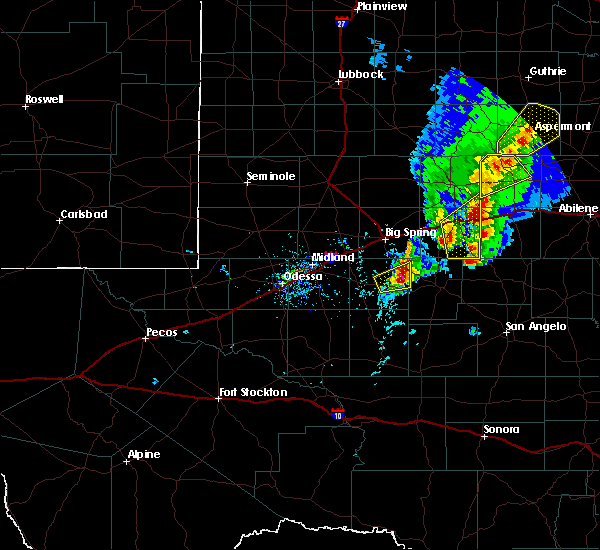 At 452 pm cdt, a severe thunderstorm was located near garden city, moving northeast at 20 mph (law enforcement). Hazards include quarter size hail. Hail damage to vehicles is expected. expect wind damage to roofs, siding, and trees. Locations impacted include, garden city. At 452 pm cdt, a severe thunderstorm was located near garden city, moving northeast at 20 mph (law enforcement). Hazards include quarter size hail. Hail damage to vehicles is expected. expect wind damage to roofs, siding, and trees. Locations impacted include, garden city.
|
| 4/26/2016 4:35 PM CDT | Quarter sized hail reported 0.1 miles W of Garden City, TX |
| 4/26/2016 4:31 PM CDT |
 At 431 pm cdt, a severe thunderstorm was located near garden city, moving northeast at 20 mph (radar indicated). Hazards include 60 mph wind gusts and quarter size hail. Hail damage to vehicles is expected. Expect wind damage to roofs, siding, and trees. At 431 pm cdt, a severe thunderstorm was located near garden city, moving northeast at 20 mph (radar indicated). Hazards include 60 mph wind gusts and quarter size hail. Hail damage to vehicles is expected. Expect wind damage to roofs, siding, and trees.
|
| 4/16/2016 7:58 PM CDT |
 At 758 pm cdt, a severe thunderstorm was located 10 miles southeast of coahoma, or 16 miles east of big spring, moving northeast at 30 mph (radar indicated). Hazards include 60 mph wind gusts and half dollar size hail. Hail damage to vehicles is expected. Expect wind damage to roofs, siding, and trees. At 758 pm cdt, a severe thunderstorm was located 10 miles southeast of coahoma, or 16 miles east of big spring, moving northeast at 30 mph (radar indicated). Hazards include 60 mph wind gusts and half dollar size hail. Hail damage to vehicles is expected. Expect wind damage to roofs, siding, and trees.
|
| 5/30/2015 1:25 AM CDT | Storm damage reported in reagan county TX, 16.7 miles NNE of Garden City, TX |
| 5/30/2015 12:35 AM CDT | At 1234 am cdt, severe thunderstorms were located along a line extending from loraine to 7 miles southwest of lomax to midland airpark to 13 miles southwest of andrews, and moving south at 35 mph (public reported wind gusts to 60 mph in snyder with this line of storms). Hazards include 70 mph wind gusts and quarter size hail. Hail damage to vehicles is expected. expect considerable tree damage. wind damage is also likely to mobile homes, roofs and outbuildings. Locations impacted include, midland, garden city, odessa, west odessa, greenwood, loraine, lees, valley view, champion creek reservoir, gardendale, cotton flat, spraberry, midland international, warfield, north cowden, mission dorado, odessa schelemeyer field, goldsmith, bigby corner and notrees. |
| 5/29/2015 11:58 PM CDT | At 1153 pm cdt, severe thunderstorms were located along a line extending from winston field to lenorah to 12 miles east of andrews county airport to 9 miles northwest of frankel city, and moving south at 50 mph (radar indicated). Hazards include 70 mph wind gusts and quarter size hail. Hail damage to vehicles is expected. expect considerable tree damage. Wind damage is also likely to mobile homes, roofs and outbuildings. |
| 5/25/2015 9:30 AM CDT | At 928 am cdt, severe thunderstorms were located along a line extending from 11 miles east of lees to 9 miles west of barnhart, and moving east at 35 mph (radar indicated). Hazards include 60 mph wind gusts and quarter size hail. Hail damage to vehicles is expected. expect wind damage to roofs, siding and trees. Locations impacted include, mainly rural areas of extreme eastern reagan, extreme southeastern glasscock and southwestern mitchell counties. |
| 5/25/2015 8:56 AM CDT | At 853 am cdt, severe thunderstorms were located along a line extending from lees to 7 miles south of texon, and moving east at 35 mph. these storms will impact big lake and fm 33 (radar indicated). Hazards include 60 mph wind gusts and quarter size hail. Hail damage to vehicles is expected. Expect wind damage to roofs, siding and trees. |
| 5/25/2015 8:34 AM CDT | At 830 am cdt, severe thunderstorms were located along a line extending from 6 miles southeast of lees to north reagan fire station to texon, and moving east at 25 mph (radar indicated). Hazards include 60 mph wind gusts and quarter size hail. Hail damage to vehicles is expected. expect wind damage to roofs, siding and trees. Locations impacted include, big lake, texon, stiles, best and reagan county airport. |
| 5/25/2015 8:06 AM CDT | At 801 am cdt, severe thunderstorms were located along a line extending from 6 miles southeast of lomax to 7 miles southwest of north reagan fire station to rankin, and moving east at 25 mph. this storm will impact fm 33 (radar indicated). Hazards include 60 mph wind gusts and quarter size hail. Hail damage to vehicles is expected. Expect wind damage to roofs, siding and trees. |
| 5/19/2015 1:50 AM CDT | Storm damage reported in reagan county TX, 16.7 miles NNE of Garden City, TX |
| 5/8/2015 9:16 PM CDT | At 915 pm cdt, a severe thunderstorm was located near garden city, and moving northeast at 20 mph (radar indicated). Hazards include quarter size hail. Damage to vehicles is expected. locations impacted include, mainly rural areas of central glasscock county. 1. 00in. |
| 5/8/2015 8:49 PM CDT | At 848 pm cdt, a severe thunderstorm was located near saint lawrence, and moving northeast at 15 mph (radar indicated). Hazards include golf ball size hail and 60 mph wind gusts. People and animals outdoors will be injured. expect hail damage to roofs, siding, windows and vehicles. Expect wind damage to roofs, siding and trees. |
| 6/15/2014 7:05 PM CDT | Golf Ball sized hail reported 0.1 miles W of Garden City, TX |
| 5/26/2014 8:57 PM CDT | Golf Ball sized hail reported 19.9 miles NE of Garden City, TX, golfball size hail reported at western gas plant |
| 6/5/2013 6:00 PM CDT | Storm damage reported in reagan county TX, 16.7 miles NNE of Garden City, TX |
| 9/25/2012 7:20 PM CDT | Quarter sized hail reported 8.3 miles S of Garden City, TX, quarter-sized hail reported by public 8 miles north of garden city |
| 5/7/2012 1:30 PM CDT | Quarter sized hail reported 11.8 miles NW of Garden City, TX, quarter hail lasted from 130 pm to 145 pm cdt. |
| 4/15/2012 2:10 AM CDT | Nickel hail also occurre in glasscock county TX, 0.1 miles W of Garden City, TX |
| 4/15/2012 1:29 AM CDT | Golf Ball sized hail reported 10.7 miles NE of Garden City, TX |
| 3/19/2012 4:45 AM CDT | Quarter sized hail reported 14.5 miles S of Garden City, TX |
| 1/1/0001 12:00 AM | Texas tech mesonet site in reagan county TX, 16.7 miles NNE of Garden City, TX |
| 1/1/0001 12:00 AM | Ping Pong Ball sized hail reported 16.5 miles NE of Garden City, TX |
| 1/1/0001 12:00 AM | Golf Ball sized hail reported 11.3 miles W of Garden City, TX |
Hail Maps for Garden City, TX
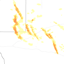
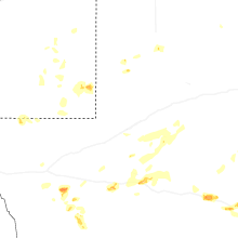

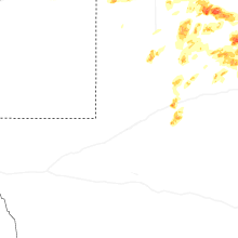

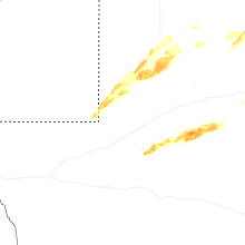
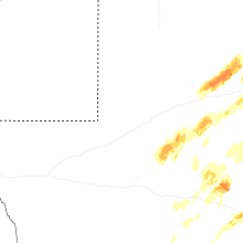
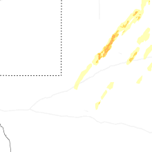


Connect with Interactive Hail Maps