

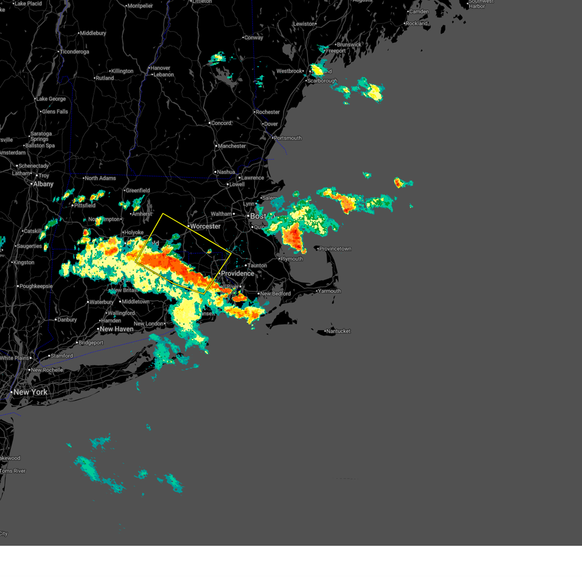
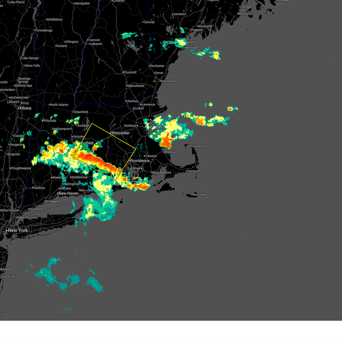
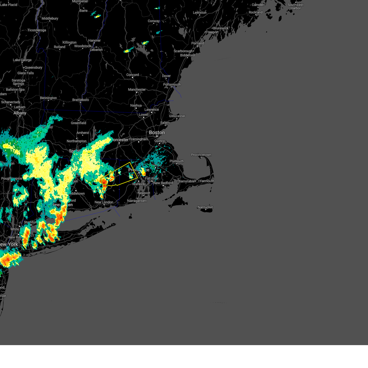
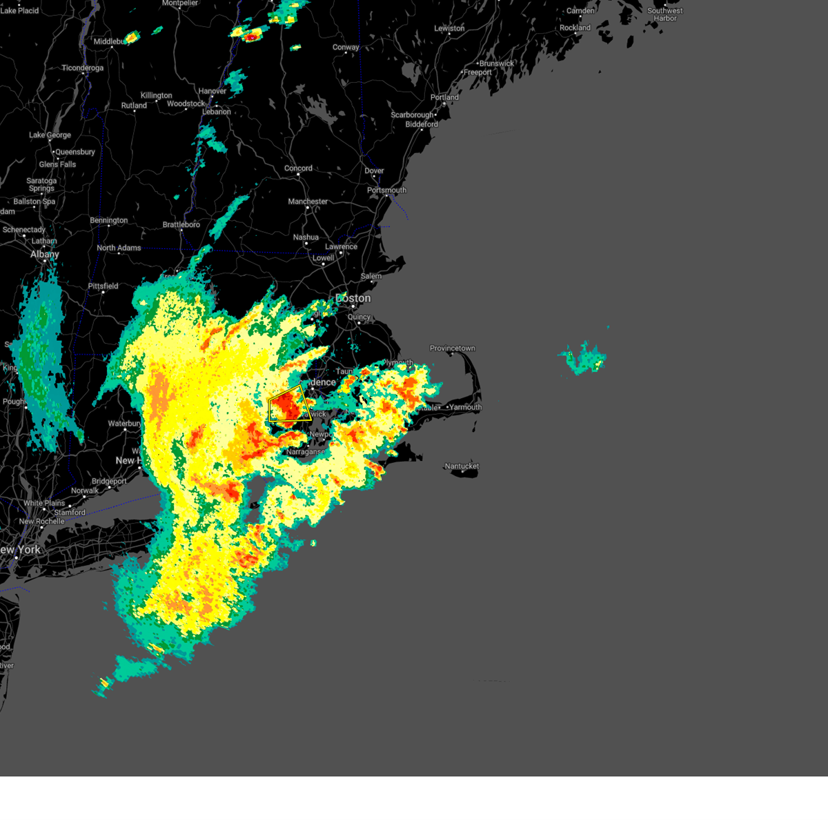
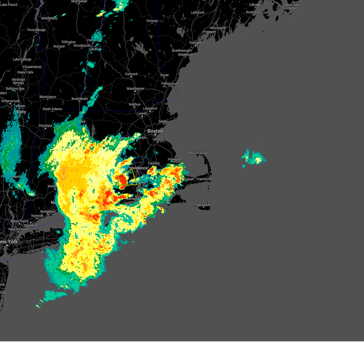
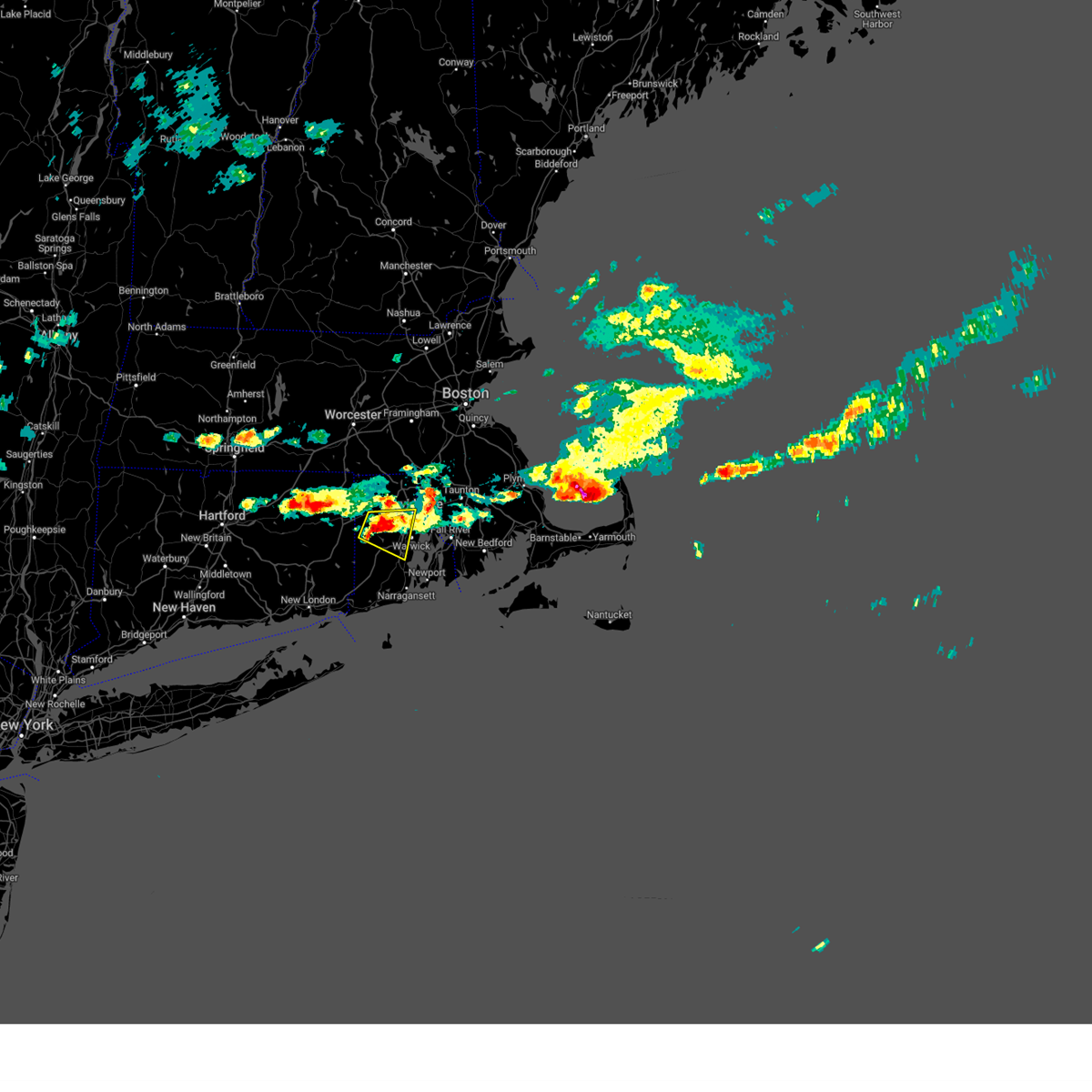
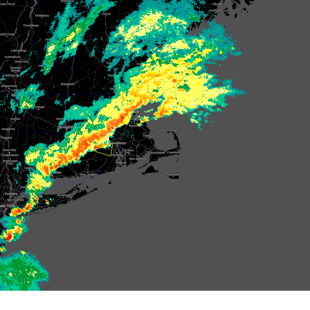
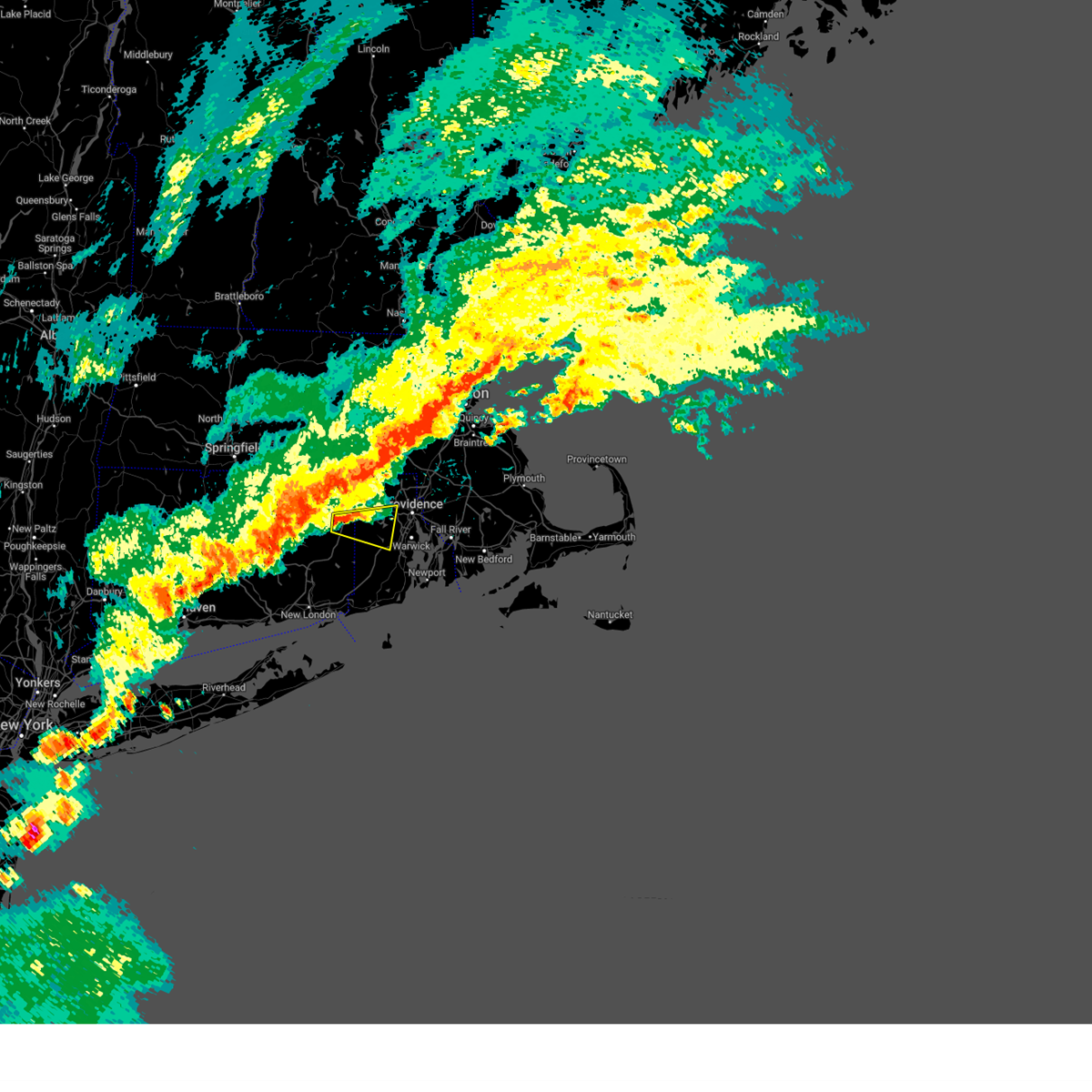
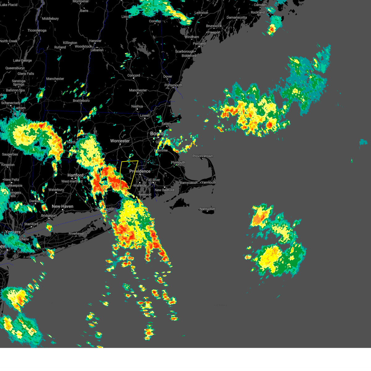
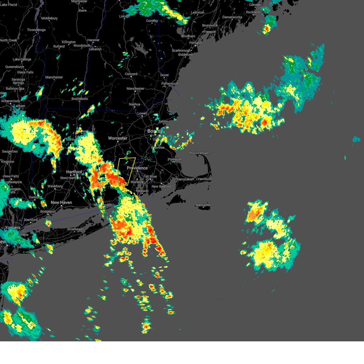
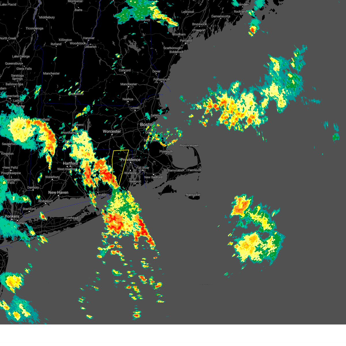
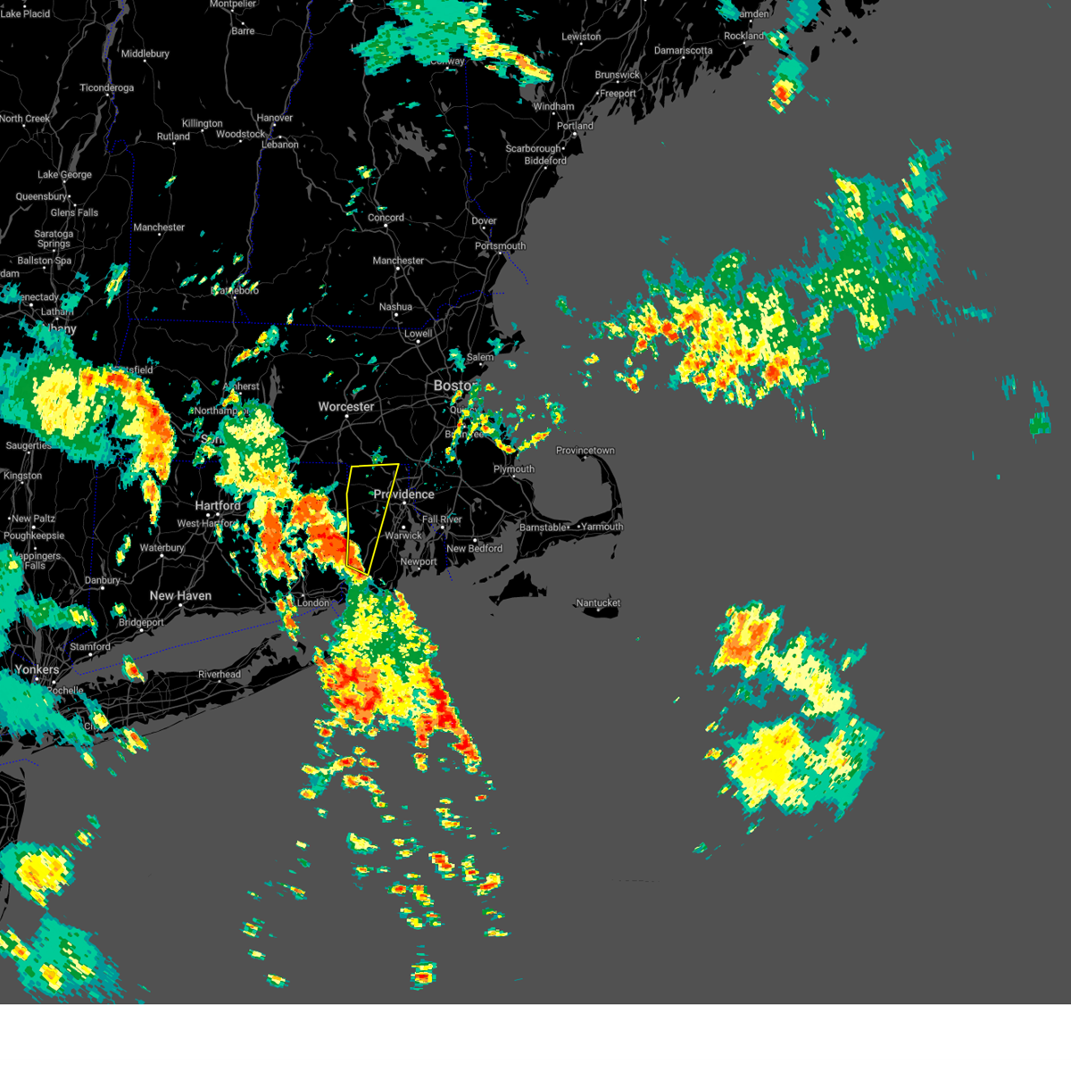
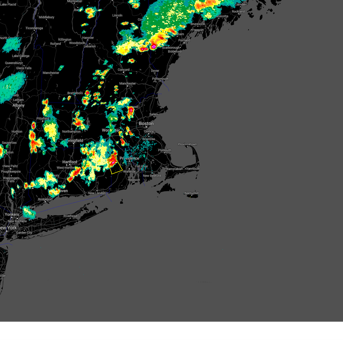
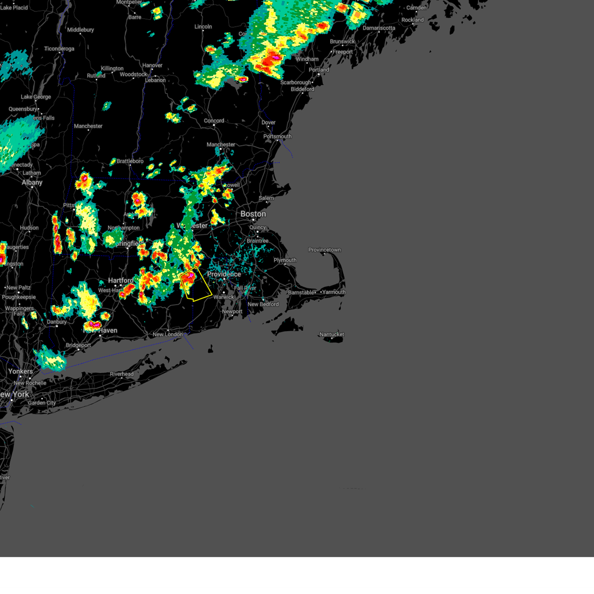
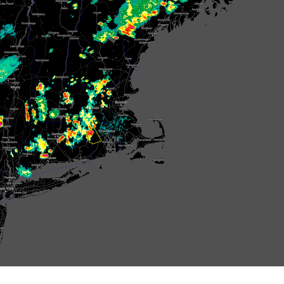
Hail Map for Greene, RI
The Greene, RI area has had 4 reports of on-the-ground hail by trained spotters, and has been under severe weather warnings 8 times during the past 12 months. Doppler radar has detected hail at or near Greene, RI on 13 occasions, including 2 occasions during the past year.
| Name: | Greene, RI |
| Where Located: | 19.5 miles WSW of Providence, RI |
| Map: | Google Map for Greene, RI |
| Population: | 888 |
| Housing Units: | 337 |
| More Info: | Search Google for Greene, RI |
0
The Top Recent Hail Date for Greene, RI is Thursday, July 3, 2025 (10th out of 13)

Hail and Wind Damage Spotted near Greene, RI
| Date / Time | Report Details |
|---|---|
| 7/9/2025 12:00 AM EDT |
 the severe thunderstorm warning has been cancelled and is no longer in effect the severe thunderstorm warning has been cancelled and is no longer in effect
|
| 7/9/2025 12:00 AM EDT |
 At 1159 pm edt, severe thunderstorms were located along a line extending from near monson to near cranston, moving northeast at 25 mph (law enforcement. trees have been downed in the towns of scotland, killingly and thompson). Hazards include 60 mph wind gusts and penny size hail. Expect damage to trees and power lines. Locations impacted include, worcester, providence, cranston, pawtucket, woonsocket, coventry, cumberland, north providence, franklin, west warwick, johnston, north attleborough, mansfield, plainfield, attleboro, smithfield, lincoln, central falls, grafton, and killingly. At 1159 pm edt, severe thunderstorms were located along a line extending from near monson to near cranston, moving northeast at 25 mph (law enforcement. trees have been downed in the towns of scotland, killingly and thompson). Hazards include 60 mph wind gusts and penny size hail. Expect damage to trees and power lines. Locations impacted include, worcester, providence, cranston, pawtucket, woonsocket, coventry, cumberland, north providence, franklin, west warwick, johnston, north attleborough, mansfield, plainfield, attleboro, smithfield, lincoln, central falls, grafton, and killingly.
|
| 7/8/2025 11:40 PM EDT |
 Svrbox the national weather service in boston/norton has issued a * severe thunderstorm warning for, windham county in northern connecticut, tolland county in northern connecticut, northeastern hartford county in northern connecticut, southern worcester county in central massachusetts, southwestern norfolk county in eastern massachusetts, southeastern hampshire county in western massachusetts, southeastern hampden county in western massachusetts, northwestern bristol county in southeastern massachusetts, north central washington county in rhode island, western kent county in rhode island, providence county in rhode island, * until 1245 am edt. * at 1139 pm edt, severe thunderstorms were located along a line extending from somers to near coventry, moving northeast at 25 mph (radar indicated). Hazards include 60 mph wind gusts and penny size hail. expect damage to trees and power lines Svrbox the national weather service in boston/norton has issued a * severe thunderstorm warning for, windham county in northern connecticut, tolland county in northern connecticut, northeastern hartford county in northern connecticut, southern worcester county in central massachusetts, southwestern norfolk county in eastern massachusetts, southeastern hampshire county in western massachusetts, southeastern hampden county in western massachusetts, northwestern bristol county in southeastern massachusetts, north central washington county in rhode island, western kent county in rhode island, providence county in rhode island, * until 1245 am edt. * at 1139 pm edt, severe thunderstorms were located along a line extending from somers to near coventry, moving northeast at 25 mph (radar indicated). Hazards include 60 mph wind gusts and penny size hail. expect damage to trees and power lines
|
| 7/3/2025 7:01 PM EDT | Svrbox the national weather service in boston/norton has issued a * severe thunderstorm warning for, west central bristol county in southeastern massachusetts, northern kent county in rhode island, providence county in rhode island, bristol county in rhode island, * until 745 pm edt. * at 701 pm edt, a severe thunderstorm was located over scituate, or near johnston, moving east at 35 mph (radar indicated). Hazards include 60 mph wind gusts and quarter size hail. Hail damage to vehicles is expected. Expect wind damage to trees and power lines. |
| 8/3/2024 7:26 PM EDT | The storm which prompted the warning has weakened below severe limits, and no longer poses an immediate threat to life or property. therefore, the warning will be allowed to expire. however, the storm will produce brief downpours, which could lead to minor street flooding, and frequent lightning. wait at least 30 minutes until you last hear thunder before resuming outdoor activities. |
| 8/3/2024 7:14 PM EDT | At 713 pm edt, a severe thunderstorm was located over foster and coventry, moving northeast at 30 mph (radar indicated). Hazards include 60 mph wind gusts. Expect damage to trees and power lines. Locations impacted include, cranston, johnston, smithfield, killingly, scituate, glocester, foster, and sterling. |
| 8/3/2024 6:58 PM EDT | At 658 pm edt, a severe thunderstorm was located near foster, or near plainfield, moving northeast at 45 mph (radar indicated). Hazards include 60 mph wind gusts. Expect damage to trees and power lines. Locations impacted include, cranston, coventry, johnston, plainfield, smithfield, killingly, burrillville, north smithfield, scituate, glocester, brooklyn, canterbury, foster, pomfret, and sterling. |
| 8/3/2024 6:40 PM EDT |
 Svrbox the national weather service in boston/norton has issued a * severe thunderstorm warning for, southern windham county in northern connecticut, northwestern kent county in rhode island, western providence county in rhode island, * until 730 pm edt. * at 640 pm edt, a severe thunderstorm was located over canterbury, or near windham, moving northeast at 45 mph (radar indicated). Hazards include 60 mph wind gusts and quarter size hail. Hail damage to vehicles is expected. Expect wind damage to trees and power lines. Svrbox the national weather service in boston/norton has issued a * severe thunderstorm warning for, southern windham county in northern connecticut, northwestern kent county in rhode island, western providence county in rhode island, * until 730 pm edt. * at 640 pm edt, a severe thunderstorm was located over canterbury, or near windham, moving northeast at 45 mph (radar indicated). Hazards include 60 mph wind gusts and quarter size hail. Hail damage to vehicles is expected. Expect wind damage to trees and power lines.
|
| 6/30/2024 3:05 PM EDT |
 At 304 pm edt, severe thunderstorms were located along a line extending from near glocester to near west warwick to richmond, moving east at 45 mph (radar indicated). Hazards include 60 mph wind gusts and quarter size hail. Hail damage to vehicles is expected. expect wind damage to roofs, siding, and trees. Locations impacted include, providence, warwick, cranston, pawtucket, east providence, coventry, cumberland, north providence, south kingstown, west warwick, johnston, north kingstown, smithfield, lincoln, central falls, narragansett, east greenwich, scituate, glocester, and hopkinton. At 304 pm edt, severe thunderstorms were located along a line extending from near glocester to near west warwick to richmond, moving east at 45 mph (radar indicated). Hazards include 60 mph wind gusts and quarter size hail. Hail damage to vehicles is expected. expect wind damage to roofs, siding, and trees. Locations impacted include, providence, warwick, cranston, pawtucket, east providence, coventry, cumberland, north providence, south kingstown, west warwick, johnston, north kingstown, smithfield, lincoln, central falls, narragansett, east greenwich, scituate, glocester, and hopkinton.
|
| 6/30/2024 3:05 PM EDT |
 the severe thunderstorm warning has been cancelled and is no longer in effect the severe thunderstorm warning has been cancelled and is no longer in effect
|
| 6/30/2024 2:36 PM EDT |
 Svrbox the national weather service in boston/norton has issued a * severe thunderstorm warning for, eastern windham county in northern connecticut, northern washington county in rhode island, kent county in rhode island, providence county in rhode island, * until 330 pm edt. * at 236 pm edt, severe thunderstorms were located along a line extending from near eastford to near plainfield to preston, moving east at 45 mph (radar indicated). Hazards include 60 mph wind gusts and half dollar size hail. Hail damage to vehicles is expected. Expect wind damage to roofs, siding, and trees. Svrbox the national weather service in boston/norton has issued a * severe thunderstorm warning for, eastern windham county in northern connecticut, northern washington county in rhode island, kent county in rhode island, providence county in rhode island, * until 330 pm edt. * at 236 pm edt, severe thunderstorms were located along a line extending from near eastford to near plainfield to preston, moving east at 45 mph (radar indicated). Hazards include 60 mph wind gusts and half dollar size hail. Hail damage to vehicles is expected. Expect wind damage to roofs, siding, and trees.
|
| 6/26/2024 11:29 PM EDT |
 the severe thunderstorm warning has been cancelled and is no longer in effect the severe thunderstorm warning has been cancelled and is no longer in effect
|
| 6/26/2024 10:46 PM EDT |
 Svrbox the national weather service in boston/norton has issued a * severe thunderstorm warning for, northeastern windham county in northern connecticut, southeastern worcester county in central massachusetts, southwestern norfolk county in eastern massachusetts, south central middlesex county in northeastern massachusetts, washington county in rhode island, kent county in rhode island, providence county in rhode island, * until 1145 pm edt. * at 1045 pm edt, severe thunderstorms were located along a line extending from union to canterbury to near groton, moving east at 55 mph (radar indicated). Hazards include 70 mph wind gusts. Expect considerable tree damage. Damage is likely to mobile homes, roofs, and outbuildings. Svrbox the national weather service in boston/norton has issued a * severe thunderstorm warning for, northeastern windham county in northern connecticut, southeastern worcester county in central massachusetts, southwestern norfolk county in eastern massachusetts, south central middlesex county in northeastern massachusetts, washington county in rhode island, kent county in rhode island, providence county in rhode island, * until 1145 pm edt. * at 1045 pm edt, severe thunderstorms were located along a line extending from union to canterbury to near groton, moving east at 55 mph (radar indicated). Hazards include 70 mph wind gusts. Expect considerable tree damage. Damage is likely to mobile homes, roofs, and outbuildings.
|
| 6/22/2024 4:36 PM EDT |
 the severe thunderstorm warning has been cancelled and is no longer in effect the severe thunderstorm warning has been cancelled and is no longer in effect
|
| 6/22/2024 4:16 PM EDT |
 At 416 pm edt, a severe thunderstorm was located near pomfret, or 13 miles north of plainfield, moving southeast at 35 mph (radar indicated). Hazards include 60 mph wind gusts and nickel size hail. Expect damage to roofs, siding, and trees. Locations impacted include, cranston, coventry, north providence, johnston, plainfield, smithfield, lincoln, killingly, burrillville, north smithfield, scituate, glocester, putnam, thompson, brooklyn, woodstock, west greenwich, foster, pomfret, and sterling. At 416 pm edt, a severe thunderstorm was located near pomfret, or 13 miles north of plainfield, moving southeast at 35 mph (radar indicated). Hazards include 60 mph wind gusts and nickel size hail. Expect damage to roofs, siding, and trees. Locations impacted include, cranston, coventry, north providence, johnston, plainfield, smithfield, lincoln, killingly, burrillville, north smithfield, scituate, glocester, putnam, thompson, brooklyn, woodstock, west greenwich, foster, pomfret, and sterling.
|
| 6/22/2024 4:16 PM EDT |
 the severe thunderstorm warning has been cancelled and is no longer in effect the severe thunderstorm warning has been cancelled and is no longer in effect
|
| 6/22/2024 3:56 PM EDT |
 Svrbox the national weather service in boston/norton has issued a * severe thunderstorm warning for, windham county in northern connecticut, northeastern tolland county in northern connecticut, southwestern worcester county in central massachusetts, southeastern hampden county in western massachusetts, western kent county in rhode island, providence county in rhode island, * until 500 pm edt. * at 356 pm edt, a severe thunderstorm was located over union, or 12 miles north of mansfield, moving southeast at 35 mph (radar indicated). Hazards include 60 mph wind gusts and quarter size hail. Hail damage to vehicles is expected. Expect wind damage to roofs, siding, and trees. Svrbox the national weather service in boston/norton has issued a * severe thunderstorm warning for, windham county in northern connecticut, northeastern tolland county in northern connecticut, southwestern worcester county in central massachusetts, southeastern hampden county in western massachusetts, western kent county in rhode island, providence county in rhode island, * until 500 pm edt. * at 356 pm edt, a severe thunderstorm was located over union, or 12 miles north of mansfield, moving southeast at 35 mph (radar indicated). Hazards include 60 mph wind gusts and quarter size hail. Hail damage to vehicles is expected. Expect wind damage to roofs, siding, and trees.
|
| 5/23/2024 12:04 PM EDT |
 the severe thunderstorm warning has been cancelled and is no longer in effect the severe thunderstorm warning has been cancelled and is no longer in effect
|
| 5/23/2024 11:50 AM EDT |
 At 1150 am edt, a severe thunderstorm was located over coventry, moving east at 30 mph (radar indicated). Hazards include 60 mph wind gusts and quarter size hail. Hail damage to vehicles is expected. expect wind damage to roofs, siding, and trees. Locations impacted include, warwick, cranston, coventry, west warwick, johnston, north kingstown, east greenwich, scituate, west greenwich, foster, and sterling. At 1150 am edt, a severe thunderstorm was located over coventry, moving east at 30 mph (radar indicated). Hazards include 60 mph wind gusts and quarter size hail. Hail damage to vehicles is expected. expect wind damage to roofs, siding, and trees. Locations impacted include, warwick, cranston, coventry, west warwick, johnston, north kingstown, east greenwich, scituate, west greenwich, foster, and sterling.
|
| 5/23/2024 11:28 AM EDT |
 Svrbox the national weather service in boston/norton has issued a * severe thunderstorm warning for, southeastern windham county in northern connecticut, northeastern washington county in rhode island, kent county in rhode island, southwestern providence county in rhode island, * until 1230 pm edt. * at 1127 am edt, a severe thunderstorm was located near voluntown, or near plainfield, moving east at 30 mph (trained weather spotters reports 1 inch hail in jewett city, ct). Hazards include 60 mph wind gusts and quarter size hail. Hail damage to vehicles is expected. Expect wind damage to roofs, siding, and trees. Svrbox the national weather service in boston/norton has issued a * severe thunderstorm warning for, southeastern windham county in northern connecticut, northeastern washington county in rhode island, kent county in rhode island, southwestern providence county in rhode island, * until 1230 pm edt. * at 1127 am edt, a severe thunderstorm was located near voluntown, or near plainfield, moving east at 30 mph (trained weather spotters reports 1 inch hail in jewett city, ct). Hazards include 60 mph wind gusts and quarter size hail. Hail damage to vehicles is expected. Expect wind damage to roofs, siding, and trees.
|
| 5/8/2024 7:42 PM EDT |
 At 742 pm edt, a severe thunderstorm was located near west warwick, moving east at 45 mph (radar indicated). Hazards include quarter size hail. Damage to vehicles is expected. Locations impacted include, providence, fall river, warwick, cranston, east providence, coventry, north providence, west warwick, johnston, north kingstown, bristol, plainfield, somerset, portsmouth, killingly, barrington, middletown, swansea, seekonk, and east greenwich. At 742 pm edt, a severe thunderstorm was located near west warwick, moving east at 45 mph (radar indicated). Hazards include quarter size hail. Damage to vehicles is expected. Locations impacted include, providence, fall river, warwick, cranston, east providence, coventry, north providence, west warwick, johnston, north kingstown, bristol, plainfield, somerset, portsmouth, killingly, barrington, middletown, swansea, seekonk, and east greenwich.
|
| 5/8/2024 7:25 PM EDT |
 Svrbox the national weather service in boston/norton has issued a * severe thunderstorm warning for, eastern windham county in northern connecticut, west central bristol county in southeastern massachusetts, northeastern washington county in rhode island, northwestern newport county in rhode island, kent county in rhode island, providence county in rhode island, bristol county in rhode island, * until 800 pm edt. * at 725 pm edt, a severe thunderstorm was located near killingly, or 8 miles northeast of plainfield, moving east at 40 mph (radar indicated). Hazards include quarter size hail. damage to vehicles is expected Svrbox the national weather service in boston/norton has issued a * severe thunderstorm warning for, eastern windham county in northern connecticut, west central bristol county in southeastern massachusetts, northeastern washington county in rhode island, northwestern newport county in rhode island, kent county in rhode island, providence county in rhode island, bristol county in rhode island, * until 800 pm edt. * at 725 pm edt, a severe thunderstorm was located near killingly, or 8 miles northeast of plainfield, moving east at 40 mph (radar indicated). Hazards include quarter size hail. damage to vehicles is expected
|
| 5/8/2024 6:53 PM EDT |
 At 653 pm edt, a severe thunderstorm was located over foster, or 9 miles northwest of coventry, moving east at 35 mph (radar indicated). Hazards include half dollar size hail. Damage to vehicles is expected. Locations impacted include, providence, warwick, cranston, pawtucket, east providence, coventry, north providence, west warwick, johnston, north kingstown, plainfield, smithfield, lincoln, central falls, killingly, seekonk, east greenwich, scituate, glocester, and putnam. At 653 pm edt, a severe thunderstorm was located over foster, or 9 miles northwest of coventry, moving east at 35 mph (radar indicated). Hazards include half dollar size hail. Damage to vehicles is expected. Locations impacted include, providence, warwick, cranston, pawtucket, east providence, coventry, north providence, west warwick, johnston, north kingstown, plainfield, smithfield, lincoln, central falls, killingly, seekonk, east greenwich, scituate, glocester, and putnam.
|
| 5/8/2024 6:40 PM EDT |
 Svrbox the national weather service in boston/norton has issued a * severe thunderstorm warning for, northeastern windham county in northern connecticut, northwestern bristol county in southeastern massachusetts, northeastern washington county in rhode island, central kent county in rhode island, providence county in rhode island, * until 730 pm edt. * at 640 pm edt, a severe thunderstorm was located near killingly, or 9 miles north of plainfield, moving east at 20 mph (radar indicated). Hazards include half dollar size hail. damage to vehicles is expected Svrbox the national weather service in boston/norton has issued a * severe thunderstorm warning for, northeastern windham county in northern connecticut, northwestern bristol county in southeastern massachusetts, northeastern washington county in rhode island, central kent county in rhode island, providence county in rhode island, * until 730 pm edt. * at 640 pm edt, a severe thunderstorm was located near killingly, or 9 miles north of plainfield, moving east at 20 mph (radar indicated). Hazards include half dollar size hail. damage to vehicles is expected
|
| 5/8/2024 6:33 PM EDT |
 the severe thunderstorm warning has been cancelled and is no longer in effect the severe thunderstorm warning has been cancelled and is no longer in effect
|
| 5/8/2024 6:33 PM EDT |
 At 633 pm edt, a severe thunderstorm was located near foster, or near plainfield, moving east at 40 mph (radar indicated). Hazards include quarter size hail. Damage to vehicles is expected. Locations impacted include, providence, warwick, cranston, coventry, west warwick, johnston, north kingstown, east greenwich, scituate, west greenwich, and foster. At 633 pm edt, a severe thunderstorm was located near foster, or near plainfield, moving east at 40 mph (radar indicated). Hazards include quarter size hail. Damage to vehicles is expected. Locations impacted include, providence, warwick, cranston, coventry, west warwick, johnston, north kingstown, east greenwich, scituate, west greenwich, and foster.
|
| 5/8/2024 6:23 PM EDT |
 Svrbox the national weather service in boston/norton has issued a * severe thunderstorm warning for, east central windham county in northern connecticut, northeastern washington county in rhode island, kent county in rhode island, southern providence county in rhode island, * until 715 pm edt. * at 622 pm edt, a severe thunderstorm was located near foster, or near plainfield, moving east at 35 mph (radar indicated). Hazards include quarter size hail. damage to vehicles is expected Svrbox the national weather service in boston/norton has issued a * severe thunderstorm warning for, east central windham county in northern connecticut, northeastern washington county in rhode island, kent county in rhode island, southern providence county in rhode island, * until 715 pm edt. * at 622 pm edt, a severe thunderstorm was located near foster, or near plainfield, moving east at 35 mph (radar indicated). Hazards include quarter size hail. damage to vehicles is expected
|
| 5/8/2024 5:27 PM EDT |
 the severe thunderstorm warning has been cancelled and is no longer in effect the severe thunderstorm warning has been cancelled and is no longer in effect
|
| 5/8/2024 5:15 PM EDT |
 At 513 pm edt, severe thunderstorms were located along a line extending from woonsocket to near canterbury, moving southeast at 35 mph (trained weather spotters and doppler radar. these storms have a history of hail up to golf ball size in pomfret, ct and putnam, ct). Hazards include quarter size hail. Damage to vehicles is expected. Locations impacted include, providence, fall river, warwick, cranston, pawtucket, east providence, woonsocket, coventry, cumberland, north providence, franklin, west warwick, johnston, north attleborough, north kingstown, bristol, attleboro, smithfield, lincoln, and central falls. At 513 pm edt, severe thunderstorms were located along a line extending from woonsocket to near canterbury, moving southeast at 35 mph (trained weather spotters and doppler radar. these storms have a history of hail up to golf ball size in pomfret, ct and putnam, ct). Hazards include quarter size hail. Damage to vehicles is expected. Locations impacted include, providence, fall river, warwick, cranston, pawtucket, east providence, woonsocket, coventry, cumberland, north providence, franklin, west warwick, johnston, north attleborough, north kingstown, bristol, attleboro, smithfield, lincoln, and central falls.
|
| 5/8/2024 4:56 PM EDT |
 Svrbox the national weather service in boston/norton has issued a * severe thunderstorm warning for, southeastern windham county in northern connecticut, southeastern worcester county in central massachusetts, southwestern norfolk county in eastern massachusetts, west central bristol county in southeastern massachusetts, northern washington county in rhode island, northwestern newport county in rhode island, kent county in rhode island, providence county in rhode island, bristol county in rhode island, * until 600 pm edt. * at 455 pm edt, severe thunderstorms were located along a line extending from millville to hampton, moving southeast at 35 mph (trained weather spotters and doppler radar. at 451 pm, a spotter in pomfret reported hail up to golf ball size). Hazards include ping pong ball size hail and 60 mph wind gusts. People and animals outdoors will be injured. expect hail damage to roofs, siding, windows, and vehicles. Expect wind damage to roofs, siding, and trees. Svrbox the national weather service in boston/norton has issued a * severe thunderstorm warning for, southeastern windham county in northern connecticut, southeastern worcester county in central massachusetts, southwestern norfolk county in eastern massachusetts, west central bristol county in southeastern massachusetts, northern washington county in rhode island, northwestern newport county in rhode island, kent county in rhode island, providence county in rhode island, bristol county in rhode island, * until 600 pm edt. * at 455 pm edt, severe thunderstorms were located along a line extending from millville to hampton, moving southeast at 35 mph (trained weather spotters and doppler radar. at 451 pm, a spotter in pomfret reported hail up to golf ball size). Hazards include ping pong ball size hail and 60 mph wind gusts. People and animals outdoors will be injured. expect hail damage to roofs, siding, windows, and vehicles. Expect wind damage to roofs, siding, and trees.
|
| 8/18/2023 8:46 AM EDT |
 At 845 am edt, a severe thunderstorm was located over woonsocket, moving northeast at 40 mph (radar indicated). Hazards include 60 mph wind gusts and quarter size hail. Hail damage to vehicles is expected. expect wind damage to roofs, siding, and trees. Locations impacted include, providence, warwick, cranston, pawtucket, taunton, east providence, woonsocket, coventry, cumberland, north providence, franklin, west warwick, johnston, north attleborough, milford, attleboro, smithfield, lincoln, central falls, and killingly. At 845 am edt, a severe thunderstorm was located over woonsocket, moving northeast at 40 mph (radar indicated). Hazards include 60 mph wind gusts and quarter size hail. Hail damage to vehicles is expected. expect wind damage to roofs, siding, and trees. Locations impacted include, providence, warwick, cranston, pawtucket, taunton, east providence, woonsocket, coventry, cumberland, north providence, franklin, west warwick, johnston, north attleborough, milford, attleboro, smithfield, lincoln, central falls, and killingly.
|
| 8/18/2023 8:39 AM EDT | Large branches down on roadwa in kent county RI, 4.7 miles NW of Greene, RI |
| 8/18/2023 8:05 AM EDT |
 At 805 am edt, a severe thunderstorm was located over brooklyn, or near plainfield, moving northeast at 40 mph (radar indicated). Hazards include 60 mph wind gusts and quarter size hail. Hail damage to vehicles is expected. Expect wind damage to roofs, siding, and trees. At 805 am edt, a severe thunderstorm was located over brooklyn, or near plainfield, moving northeast at 40 mph (radar indicated). Hazards include 60 mph wind gusts and quarter size hail. Hail damage to vehicles is expected. Expect wind damage to roofs, siding, and trees.
|
| 7/29/2023 7:59 PM EDT |
 At 758 pm edt, a severe thunderstorm was located near brooklyn, or near plainfield, moving east at 30 mph (trained weather spotters). Hazards include 60 mph wind gusts. expect damage to trees and power lines At 758 pm edt, a severe thunderstorm was located near brooklyn, or near plainfield, moving east at 30 mph (trained weather spotters). Hazards include 60 mph wind gusts. expect damage to trees and power lines
|
| 7/27/2023 8:01 PM EDT |
 At 801 pm edt, a severe thunderstorm was located over east greenwich, or over west warwick, moving east at 50 mph (radar indicated). Hazards include 60 mph wind gusts. Expect damage to trees and power lines. locations impacted include, warwick, cranston, east providence, coventry, west warwick, north kingstown, barrington, east greenwich, scituate, hopkinton, richmond, exeter, west greenwich, jamestown and prudence island. hail threat, radar indicated max hail size, <. 75 in wind threat, radar indicated max wind gust, 60 mph. At 801 pm edt, a severe thunderstorm was located over east greenwich, or over west warwick, moving east at 50 mph (radar indicated). Hazards include 60 mph wind gusts. Expect damage to trees and power lines. locations impacted include, warwick, cranston, east providence, coventry, west warwick, north kingstown, barrington, east greenwich, scituate, hopkinton, richmond, exeter, west greenwich, jamestown and prudence island. hail threat, radar indicated max hail size, <. 75 in wind threat, radar indicated max wind gust, 60 mph.
|
| 7/27/2023 7:55 PM EDT |
 At 755 pm edt, a severe thunderstorm was located near coventry, moving east at 50 mph (radar indicated). Hazards include 60 mph wind gusts. expect damage to trees and power lines At 755 pm edt, a severe thunderstorm was located near coventry, moving east at 50 mph (radar indicated). Hazards include 60 mph wind gusts. expect damage to trees and power lines
|
| 7/27/2023 7:45 PM EDT | Tree down on plainfield pike in coventry blocking the entrance to carbuncle pon in kent county RI, 1.7 miles ESE of Greene, RI |
| 7/27/2023 7:24 PM EDT |
 At 724 pm edt, a severe thunderstorm was located over sprague, or near windham, moving east at 50 mph (radar indicated). Hazards include 60 mph wind gusts. Expect damage to trees and power lines. this severe thunderstorm will remain over mainly rural areas of southern windham, southeastern tolland, northeastern washington, northwestern newport, kent, southern providence and northwestern bristol counties. hail threat, radar indicated max hail size, <. 75 in wind threat, radar indicated max wind gust, 60 mph. At 724 pm edt, a severe thunderstorm was located over sprague, or near windham, moving east at 50 mph (radar indicated). Hazards include 60 mph wind gusts. Expect damage to trees and power lines. this severe thunderstorm will remain over mainly rural areas of southern windham, southeastern tolland, northeastern washington, northwestern newport, kent, southern providence and northwestern bristol counties. hail threat, radar indicated max hail size, <. 75 in wind threat, radar indicated max wind gust, 60 mph.
|
| 7/27/2023 6:17 PM EDT |
 At 617 pm edt, a severe thunderstorm was located over smithfield, or near north providence, moving east at 30 mph (radar indicated). Hazards include 60 mph wind gusts. Expect damage to trees and power lines. locations impacted include, providence, fall river, warwick, cranston, pawtucket, taunton, east providence, woonsocket, coventry, cumberland, north providence, west warwick, johnston, north attleborough, north kingstown, windham, bristol, plainfield, attleboro and mansfield. hail threat, radar indicated max hail size, <. 75 in wind threat, observed max wind gust, 60 mph. At 617 pm edt, a severe thunderstorm was located over smithfield, or near north providence, moving east at 30 mph (radar indicated). Hazards include 60 mph wind gusts. Expect damage to trees and power lines. locations impacted include, providence, fall river, warwick, cranston, pawtucket, taunton, east providence, woonsocket, coventry, cumberland, north providence, west warwick, johnston, north attleborough, north kingstown, windham, bristol, plainfield, attleboro and mansfield. hail threat, radar indicated max hail size, <. 75 in wind threat, observed max wind gust, 60 mph.
|
| 7/27/2023 5:50 PM EDT |
 At 550 pm edt, a severe thunderstorm was located near pomfret, or 13 miles north of plainfield, moving east at 40 mph (radar indicated). Hazards include 60 mph wind gusts and penny size hail. expect damage to trees and power lines At 550 pm edt, a severe thunderstorm was located near pomfret, or 13 miles north of plainfield, moving east at 40 mph (radar indicated). Hazards include 60 mph wind gusts and penny size hail. expect damage to trees and power lines
|
| 6/27/2023 2:02 AM EDT |
 At 202 am edt, a severe thunderstorm was located over foster, or near coventry, moving north at 50 mph (radar indicated). Hazards include 60 mph wind gusts and penny size hail. Expect damage to trees and power lines. locations impacted include, cranston, woonsocket, coventry, cumberland, johnston, smithfield, lincoln, killingly, bellingham, burrillville, uxbridge, north smithfield, scituate, glocester, blackstone, west greenwich, foster, sterling and millville. hail threat, radar indicated max hail size, 0. 75 in wind threat, radar indicated max wind gust, 60 mph. At 202 am edt, a severe thunderstorm was located over foster, or near coventry, moving north at 50 mph (radar indicated). Hazards include 60 mph wind gusts and penny size hail. Expect damage to trees and power lines. locations impacted include, cranston, woonsocket, coventry, cumberland, johnston, smithfield, lincoln, killingly, bellingham, burrillville, uxbridge, north smithfield, scituate, glocester, blackstone, west greenwich, foster, sterling and millville. hail threat, radar indicated max hail size, 0. 75 in wind threat, radar indicated max wind gust, 60 mph.
|
| 6/27/2023 1:51 AM EDT |
 At 151 am edt, a severe thunderstorm was located near west greenwich, or near coventry, moving north at 50 mph (radar indicated). Hazards include 60 mph wind gusts and penny size hail. Expect damage to trees and power lines. locations impacted include, cranston, woonsocket, coventry, cumberland, johnston, smithfield, lincoln, killingly, bellingham, burrillville, uxbridge, north smithfield, scituate, glocester, blackstone, hopkinton, richmond, exeter, west greenwich and foster. hail threat, radar indicated max hail size, 0. 75 in wind threat, radar indicated max wind gust, 60 mph. At 151 am edt, a severe thunderstorm was located near west greenwich, or near coventry, moving north at 50 mph (radar indicated). Hazards include 60 mph wind gusts and penny size hail. Expect damage to trees and power lines. locations impacted include, cranston, woonsocket, coventry, cumberland, johnston, smithfield, lincoln, killingly, bellingham, burrillville, uxbridge, north smithfield, scituate, glocester, blackstone, hopkinton, richmond, exeter, west greenwich and foster. hail threat, radar indicated max hail size, 0. 75 in wind threat, radar indicated max wind gust, 60 mph.
|
| 6/27/2023 1:40 AM EDT |
 At 140 am edt, a severe thunderstorm was located over hopkinton, or 11 miles west of south kingstown, moving north at 50 mph (radar indicated). Hazards include 60 mph wind gusts and penny size hail. expect damage to trees and power lines At 140 am edt, a severe thunderstorm was located over hopkinton, or 11 miles west of south kingstown, moving north at 50 mph (radar indicated). Hazards include 60 mph wind gusts and penny size hail. expect damage to trees and power lines
|
| 6/2/2023 4:19 PM EDT |
 At 418 pm edt, a severe thunderstorm was located near foster, or near coventry, moving southeast at 25 mph (radar indicated). Hazards include 60 mph wind gusts and penny size hail. Expect damage to trees and power lines. locations impacted include, coventry, killingly, scituate, glocester, west greenwich, foster and sterling. hail threat, radar indicated max hail size, 0. 75 in wind threat, radar indicated max wind gust, 60 mph. At 418 pm edt, a severe thunderstorm was located near foster, or near coventry, moving southeast at 25 mph (radar indicated). Hazards include 60 mph wind gusts and penny size hail. Expect damage to trees and power lines. locations impacted include, coventry, killingly, scituate, glocester, west greenwich, foster and sterling. hail threat, radar indicated max hail size, 0. 75 in wind threat, radar indicated max wind gust, 60 mph.
|
| 6/2/2023 3:58 PM EDT |
 At 358 pm edt, a severe thunderstorm was located over killingly, or 10 miles northeast of plainfield, moving southeast at 25 mph (radar indicated). Hazards include 60 mph wind gusts and quarter size hail. Expect wind damage to trees and power lines. Minor hail damage to vehicles is possible. At 358 pm edt, a severe thunderstorm was located over killingly, or 10 miles northeast of plainfield, moving southeast at 25 mph (radar indicated). Hazards include 60 mph wind gusts and quarter size hail. Expect wind damage to trees and power lines. Minor hail damage to vehicles is possible.
|
| 4/23/2023 2:36 AM EDT |
 The severe thunderstorm warning for southeastern windham, north central washington and southwestern kent counties will expire at 245 am edt, the storm which prompted the warning has weakened below severe limits, and no longer poses an immediate threat to life or property. therefore, the warning will be allowed to expire. however small hail and heavy rain are still possible with this thunderstorm. The severe thunderstorm warning for southeastern windham, north central washington and southwestern kent counties will expire at 245 am edt, the storm which prompted the warning has weakened below severe limits, and no longer poses an immediate threat to life or property. therefore, the warning will be allowed to expire. however small hail and heavy rain are still possible with this thunderstorm.
|
| 4/23/2023 2:26 AM EDT |
 At 226 am edt, a severe thunderstorm was located near voluntown, or 10 miles east of jewett city, moving north at 40 mph (radar indicated). Hazards include quarter size hail. Minor hail damage to vehicles is possible. locations impacted include, coventry, hopkinton, exeter, west greenwich and sterling. hail threat, radar indicated max hail size, 1. 00 in wind threat, radar indicated max wind gust, <50 mph. At 226 am edt, a severe thunderstorm was located near voluntown, or 10 miles east of jewett city, moving north at 40 mph (radar indicated). Hazards include quarter size hail. Minor hail damage to vehicles is possible. locations impacted include, coventry, hopkinton, exeter, west greenwich and sterling. hail threat, radar indicated max hail size, 1. 00 in wind threat, radar indicated max wind gust, <50 mph.
|
| 4/23/2023 2:14 AM EDT |
 At 214 am edt, a severe thunderstorm was located over hopkinton, or 11 miles northeast of mystic, moving north at 35 mph (radar indicated). Hazards include quarter size hail. Minor hail damage to vehicles is possible. locations impacted include, coventry, westerly, hopkinton, richmond, exeter, west greenwich and sterling. hail threat, radar indicated max hail size, 1. 00 in wind threat, radar indicated max wind gust, <50 mph. At 214 am edt, a severe thunderstorm was located over hopkinton, or 11 miles northeast of mystic, moving north at 35 mph (radar indicated). Hazards include quarter size hail. Minor hail damage to vehicles is possible. locations impacted include, coventry, westerly, hopkinton, richmond, exeter, west greenwich and sterling. hail threat, radar indicated max hail size, 1. 00 in wind threat, radar indicated max wind gust, <50 mph.
|
| 4/23/2023 1:56 AM EDT |
 At 156 am edt, a severe thunderstorm was located near westerly, or 10 miles southeast of mystic, moving north at 40 mph (radar indicated). Hazards include quarter size hail. minor hail damage to vehicles is possible At 156 am edt, a severe thunderstorm was located near westerly, or 10 miles southeast of mystic, moving north at 40 mph (radar indicated). Hazards include quarter size hail. minor hail damage to vehicles is possible
|
| 8/26/2022 4:07 PM EDT | At 407 pm edt, severe thunderstorms were located along a line extending from everett to norfolk to near killingly, moving east at 30 mph (radar indicated). Hazards include 60 mph wind gusts and nickel size hail. Expect damage to trees and power lines. locations impacted include, boston, cambridge, quincy, lynn, newton, somerville, framingham, waltham, malden, brookline, medford, revere, peabody, arlington, everett, salem, woonsocket, marlborough, woburn and chelsea. hail threat, radar indicated max hail size, 0. 88 in wind threat, radar indicated max wind gust, 60 mph. |
| 8/26/2022 4:07 PM EDT | At 407 pm edt, severe thunderstorms were located along a line extending from everett to norfolk to near killingly, moving east at 30 mph (radar indicated). Hazards include 60 mph wind gusts and nickel size hail. Expect damage to trees and power lines. locations impacted include, boston, cambridge, quincy, lynn, newton, somerville, framingham, waltham, malden, brookline, medford, revere, peabody, arlington, everett, salem, woonsocket, marlborough, woburn and chelsea. hail threat, radar indicated max hail size, 0. 88 in wind threat, radar indicated max wind gust, 60 mph. |
| 8/26/2022 4:07 PM EDT | At 407 pm edt, severe thunderstorms were located along a line extending from everett to norfolk to near killingly, moving east at 30 mph (radar indicated). Hazards include 60 mph wind gusts and nickel size hail. Expect damage to trees and power lines. locations impacted include, boston, cambridge, quincy, lynn, newton, somerville, framingham, waltham, malden, brookline, medford, revere, peabody, arlington, everett, salem, woonsocket, marlborough, woburn and chelsea. hail threat, radar indicated max hail size, 0. 88 in wind threat, radar indicated max wind gust, 60 mph. |
| 8/26/2022 3:47 PM EDT | At 346 pm edt, severe thunderstorms were located along a line extending from waltham to bellingham to near scotland, moving east at 35 mph (radar indicated). Hazards include 60 mph wind gusts and nickel size hail. Expect damage to trees and power lines. locations impacted include, boston, worcester, cambridge, quincy, lynn, newton, somerville, framingham, waltham, malden, brookline, medford, revere, peabody, arlington, everett, salem, woonsocket, marlborough and woburn. hail threat, radar indicated max hail size, 0. 88 in wind threat, radar indicated max wind gust, 60 mph. |
| 8/26/2022 3:47 PM EDT | At 346 pm edt, severe thunderstorms were located along a line extending from waltham to bellingham to near scotland, moving east at 35 mph (radar indicated). Hazards include 60 mph wind gusts and nickel size hail. Expect damage to trees and power lines. locations impacted include, boston, worcester, cambridge, quincy, lynn, newton, somerville, framingham, waltham, malden, brookline, medford, revere, peabody, arlington, everett, salem, woonsocket, marlborough and woburn. hail threat, radar indicated max hail size, 0. 88 in wind threat, radar indicated max wind gust, 60 mph. |
| 8/26/2022 3:47 PM EDT | At 346 pm edt, severe thunderstorms were located along a line extending from waltham to bellingham to near scotland, moving east at 35 mph (radar indicated). Hazards include 60 mph wind gusts and nickel size hail. Expect damage to trees and power lines. locations impacted include, boston, worcester, cambridge, quincy, lynn, newton, somerville, framingham, waltham, malden, brookline, medford, revere, peabody, arlington, everett, salem, woonsocket, marlborough and woburn. hail threat, radar indicated max hail size, 0. 88 in wind threat, radar indicated max wind gust, 60 mph. |
| 8/26/2022 3:24 PM EDT | At 324 pm edt, severe thunderstorms were located along a line extending from near framingham to douglas to columbia, moving east at 35 mph (radar indicated). Hazards include 60 mph wind gusts and nickel size hail. expect damage to trees and power lines |
| 8/26/2022 3:24 PM EDT | At 324 pm edt, severe thunderstorms were located along a line extending from near framingham to douglas to columbia, moving east at 35 mph (radar indicated). Hazards include 60 mph wind gusts and nickel size hail. expect damage to trees and power lines |
| 8/26/2022 3:24 PM EDT | At 324 pm edt, severe thunderstorms were located along a line extending from near framingham to douglas to columbia, moving east at 35 mph (radar indicated). Hazards include 60 mph wind gusts and nickel size hail. expect damage to trees and power lines |
| 6/17/2022 3:09 PM EDT | Two trees down on robin hollow road in west greenwich. relayed by amateur radi in kent county RI, 6.9 miles NW of Greene, RI |
| 6/17/2022 3:02 PM EDT |
 At 302 pm edt, a severe thunderstorm was located over east greenwich, or over west warwick, moving east at 45 mph (radar indicated). Hazards include 60 mph wind gusts and penny size hail. Expect damage to trees and power lines. locations impacted include, new bedford, fall river, warwick, cranston, coventry, dartmouth, south kingstown, west warwick, north kingstown, newport, bristol, portsmouth, barrington, middletown, narragansett, tiverton, westport, east greenwich, warren and scituate. hail threat, radar indicated max hail size, 0. 75 in wind threat, radar indicated max wind gust, 60 mph. At 302 pm edt, a severe thunderstorm was located over east greenwich, or over west warwick, moving east at 45 mph (radar indicated). Hazards include 60 mph wind gusts and penny size hail. Expect damage to trees and power lines. locations impacted include, new bedford, fall river, warwick, cranston, coventry, dartmouth, south kingstown, west warwick, north kingstown, newport, bristol, portsmouth, barrington, middletown, narragansett, tiverton, westport, east greenwich, warren and scituate. hail threat, radar indicated max hail size, 0. 75 in wind threat, radar indicated max wind gust, 60 mph.
|
| 6/17/2022 2:51 PM EDT |
 At 250 pm edt, a severe thunderstorm was located over coventry, moving east at 45 mph (radar indicated). Hazards include 60 mph wind gusts and penny size hail. expect damage to trees and power lines At 250 pm edt, a severe thunderstorm was located over coventry, moving east at 45 mph (radar indicated). Hazards include 60 mph wind gusts and penny size hail. expect damage to trees and power lines
|
| 11/13/2021 5:05 PM EST | Tree down blocking philips hill road in kent county RI, 5.2 miles WNW of Greene, RI |
| 11/13/2021 5:01 PM EST |
 At 501 pm est, severe thunderstorms were located along a line extending from charlton to thompson to near killingly, moving northeast at 40 mph (radar indicated). Hazards include 60 mph wind gusts and penny size hail. expect damage to trees and power lines At 501 pm est, severe thunderstorms were located along a line extending from charlton to thompson to near killingly, moving northeast at 40 mph (radar indicated). Hazards include 60 mph wind gusts and penny size hail. expect damage to trees and power lines
|
| 7/7/2021 7:08 PM EDT |
 The severe thunderstorm warning for western norfolk, southeastern worcester, southeastern middlesex, northwestern bristol, northeastern washington, northwestern newport, kent, providence and western bristol counties will expire at 715 pm edt, the storms which prompted the warning have moved out of the area. therefore, the warning will be allowed to expire. a severe thunderstorm watch remains in effect until 1100 pm edt for eastern, central, southeastern and northeastern massachusetts, and rhode island. The severe thunderstorm warning for western norfolk, southeastern worcester, southeastern middlesex, northwestern bristol, northeastern washington, northwestern newport, kent, providence and western bristol counties will expire at 715 pm edt, the storms which prompted the warning have moved out of the area. therefore, the warning will be allowed to expire. a severe thunderstorm watch remains in effect until 1100 pm edt for eastern, central, southeastern and northeastern massachusetts, and rhode island.
|
| 7/7/2021 6:55 PM EDT |
 At 654 pm edt, severe thunderstorms were located along a line extending from sherborn to north providence to near exeter, moving east at 40 mph (radar indicated). Hazards include 60 mph wind gusts and penny size hail. Expect damage to trees and power lines. Locations impacted include, providence, newton, warwick, cranston, pawtucket, framingham, east providence, woonsocket, coventry, cumberland, natick, north providence, franklin, west warwick, needham, johnston, north attleborough, norwood, milford and wellesley. At 654 pm edt, severe thunderstorms were located along a line extending from sherborn to north providence to near exeter, moving east at 40 mph (radar indicated). Hazards include 60 mph wind gusts and penny size hail. Expect damage to trees and power lines. Locations impacted include, providence, newton, warwick, cranston, pawtucket, framingham, east providence, woonsocket, coventry, cumberland, natick, north providence, franklin, west warwick, needham, johnston, north attleborough, norwood, milford and wellesley.
|
| 7/7/2021 6:17 PM EDT |
 At 616 pm edt, severe thunderstorms were located along a line extending from auburn to near pomfret to preston, moving east at 40 mph (radar indicated). Hazards include 60 mph wind gusts and penny size hail. expect damage to trees and power lines At 616 pm edt, severe thunderstorms were located along a line extending from auburn to near pomfret to preston, moving east at 40 mph (radar indicated). Hazards include 60 mph wind gusts and penny size hail. expect damage to trees and power lines
|
| 7/6/2021 6:41 PM EDT |
 The severe thunderstorm warning for south central norfolk, northwestern bristol, washington, west central newport, kent, southeastern providence and bristol counties will expire at 645 pm edt, the storms which prompted the warning have weakened below severe limits, and no longer pose an immediate threat to life or property. therefore, the warning will be allowed to expire. however gusty winds and heavy rain are still possible with these thunderstorms. a severe thunderstorm watch remains in effect until 800 pm edt for eastern and southeastern massachusetts, and rhode island. The severe thunderstorm warning for south central norfolk, northwestern bristol, washington, west central newport, kent, southeastern providence and bristol counties will expire at 645 pm edt, the storms which prompted the warning have weakened below severe limits, and no longer pose an immediate threat to life or property. therefore, the warning will be allowed to expire. however gusty winds and heavy rain are still possible with these thunderstorms. a severe thunderstorm watch remains in effect until 800 pm edt for eastern and southeastern massachusetts, and rhode island.
|
| 7/6/2021 6:35 PM EDT |
 At 635 pm edt, severe thunderstorms were located along a line extending from near wrentham to near norwich, moving southeast at 25 mph (radar indicated). Hazards include 60 mph wind gusts. Expect damage to trees and power lines. Locations impacted include, providence, fall river, warwick, cranston, pawtucket, taunton, east providence, coventry, cumberland, north providence, south kingstown, west warwick, johnston, north attleborough, north kingstown, bristol, attleboro, mansfield, westerly and smithfield. At 635 pm edt, severe thunderstorms were located along a line extending from near wrentham to near norwich, moving southeast at 25 mph (radar indicated). Hazards include 60 mph wind gusts. Expect damage to trees and power lines. Locations impacted include, providence, fall river, warwick, cranston, pawtucket, taunton, east providence, coventry, cumberland, north providence, south kingstown, west warwick, johnston, north attleborough, north kingstown, bristol, attleboro, mansfield, westerly and smithfield.
|
| 7/6/2021 6:21 PM EDT |
 At 620 pm edt, severe thunderstorms were located along a line extending from franklin to near jewett city connecticut, moving southeast at 25 mph (radar indicated). Hazards include 60 mph wind gusts. Expect damage to trees and power lines. Locations impacted include, providence, fall river, warwick, cranston, pawtucket, taunton, east providence, woonsocket, coventry, cumberland, north providence, franklin, south kingstown, west warwick, johnston, north attleborough, north kingstown, windham, bristol and plainfield. At 620 pm edt, severe thunderstorms were located along a line extending from franklin to near jewett city connecticut, moving southeast at 25 mph (radar indicated). Hazards include 60 mph wind gusts. Expect damage to trees and power lines. Locations impacted include, providence, fall river, warwick, cranston, pawtucket, taunton, east providence, woonsocket, coventry, cumberland, north providence, franklin, south kingstown, west warwick, johnston, north attleborough, north kingstown, windham, bristol and plainfield.
|
| 7/6/2021 5:52 PM EDT |
 At 552 pm edt, severe thunderstorms were located along a line extending from near holliston to willimantic, moving southeast at 25 mph (radar indicated). Hazards include 60 mph wind gusts and penny size hail. expect damage to trees and power lines At 552 pm edt, severe thunderstorms were located along a line extending from near holliston to willimantic, moving southeast at 25 mph (radar indicated). Hazards include 60 mph wind gusts and penny size hail. expect damage to trees and power lines
|
| 6/22/2021 1:52 PM EDT |
 At 151 pm edt, a severe thunderstorm was located over west greenwich, or near coventry, moving northeast at 45 mph (radar indicated). Hazards include 60 mph wind gusts and penny size hail. expect damage to trees and power lines At 151 pm edt, a severe thunderstorm was located over west greenwich, or near coventry, moving northeast at 45 mph (radar indicated). Hazards include 60 mph wind gusts and penny size hail. expect damage to trees and power lines
|
| 6/19/2021 4:56 PM EDT | Tree branch down on wires on weaver hill roa in kent county RI, 6.8 miles NW of Greene, RI |
| 6/19/2021 4:38 PM EDT | Tree branch down on wires on weaver hill roa in kent county RI, 6.8 miles NW of Greene, RI |
| 5/26/2021 9:57 PM EDT |
 At 957 pm edt, a severe thunderstorm was located near scituate, or near johnston, moving east at 50 mph (radar indicated). Hazards include 60 mph wind gusts and penny size hail. Expect damage to trees and power lines. Locations impacted include, providence, warwick, cranston, pawtucket, east providence, coventry, cumberland, north providence, west warwick, johnston, north attleborough, bristol, plainfield, attleboro, smithfield, lincoln, central falls, killingly, barrington and burrillville. At 957 pm edt, a severe thunderstorm was located near scituate, or near johnston, moving east at 50 mph (radar indicated). Hazards include 60 mph wind gusts and penny size hail. Expect damage to trees and power lines. Locations impacted include, providence, warwick, cranston, pawtucket, east providence, coventry, cumberland, north providence, west warwick, johnston, north attleborough, bristol, plainfield, attleboro, smithfield, lincoln, central falls, killingly, barrington and burrillville.
|
| 5/26/2021 9:47 PM EDT |
 At 947 pm edt, a severe thunderstorm was located over killingly, or 7 miles northeast of plainfield, moving east at 40 mph (radar indicated). Hazards include 60 mph wind gusts and penny size hail. Expect damage to trees and power lines. Locations impacted include, providence, warwick, cranston, pawtucket, east providence, coventry, cumberland, north providence, west warwick, johnston, north attleborough, bristol, plainfield, attleboro, smithfield, lincoln, central falls, killingly, barrington and burrillville. At 947 pm edt, a severe thunderstorm was located over killingly, or 7 miles northeast of plainfield, moving east at 40 mph (radar indicated). Hazards include 60 mph wind gusts and penny size hail. Expect damage to trees and power lines. Locations impacted include, providence, warwick, cranston, pawtucket, east providence, coventry, cumberland, north providence, west warwick, johnston, north attleborough, bristol, plainfield, attleboro, smithfield, lincoln, central falls, killingly, barrington and burrillville.
|
| 5/26/2021 9:37 PM EDT |
 At 937 pm edt, a severe thunderstorm was located over brooklyn, or 7 miles northwest of plainfield, moving east at 40 mph (radar indicated). Hazards include 60 mph wind gusts and quarter size hail. Expect wind damage to trees and power lines. Minor hail damage to vehicles is possible. At 937 pm edt, a severe thunderstorm was located over brooklyn, or 7 miles northwest of plainfield, moving east at 40 mph (radar indicated). Hazards include 60 mph wind gusts and quarter size hail. Expect wind damage to trees and power lines. Minor hail damage to vehicles is possible.
|
| 11/15/2020 10:51 PM EST |
 At 1050 pm est, severe thunderstorms were located along a line extending from near burrillville to near richmond to 7 miles southeast of montauk point, moving east at 45 mph (radar indicated). Hazards include 60 mph wind gusts. Expect damage to trees and power lines. Locations impacted include, providence, new bedford, brockton, fall river, warwick, cranston, pawtucket, taunton, east providence, woonsocket, coventry, dartmouth, cumberland, north providence, franklin, south kingstown, west warwick, johnston, north attleborough and stoughton. At 1050 pm est, severe thunderstorms were located along a line extending from near burrillville to near richmond to 7 miles southeast of montauk point, moving east at 45 mph (radar indicated). Hazards include 60 mph wind gusts. Expect damage to trees and power lines. Locations impacted include, providence, new bedford, brockton, fall river, warwick, cranston, pawtucket, taunton, east providence, woonsocket, coventry, dartmouth, cumberland, north providence, franklin, south kingstown, west warwick, johnston, north attleborough and stoughton.
|
| 11/15/2020 10:24 PM EST |
 At 1024 pm est, severe thunderstorms were located along a line extending from near southbridge to preston to gardner`s island, moving east at 45 mph (radar indicated). Hazards include 60 mph wind gusts. expect damage to trees and power lines At 1024 pm est, severe thunderstorms were located along a line extending from near southbridge to preston to gardner`s island, moving east at 45 mph (radar indicated). Hazards include 60 mph wind gusts. expect damage to trees and power lines
|
| 10/7/2020 6:40 PM EDT |
 The severe thunderstorm warning for southeastern windham, central norfolk, southeastern worcester, plymouth, bristol, northeastern washington, northern newport, kent, providence and bristol counties will expire at 645 pm edt, the storms which prompted the warning have moved out of the area. therefore, the warning will be allowed to expire. The severe thunderstorm warning for southeastern windham, central norfolk, southeastern worcester, plymouth, bristol, northeastern washington, northern newport, kent, providence and bristol counties will expire at 645 pm edt, the storms which prompted the warning have moved out of the area. therefore, the warning will be allowed to expire.
|
| 10/7/2020 6:36 PM EDT |
 The severe thunderstorm warning for southeastern windham, west central kent and northwestern providence counties will expire at 645 pm edt, the storms which prompted the warning have moved out of the warned area. therefore, the warning will be allowed to expire. The severe thunderstorm warning for southeastern windham, west central kent and northwestern providence counties will expire at 645 pm edt, the storms which prompted the warning have moved out of the warned area. therefore, the warning will be allowed to expire.
|
| 10/7/2020 6:23 PM EDT |
 At 622 pm edt, severe thunderstorms were located along a line extending from north providence to columbia, moving east at 50 mph (radar indicated). Hazards include 70 mph wind gusts. Expect considerable damage to trees and power lines. damage is likely to mobile homes and outbuildings. Locations impacted include, coventry, cumberland, johnston, plainfield, smithfield, lincoln, killingly, north smithfield, scituate, glocester, brooklyn, west greenwich, canterbury, foster, sterling and scotland. At 622 pm edt, severe thunderstorms were located along a line extending from north providence to columbia, moving east at 50 mph (radar indicated). Hazards include 70 mph wind gusts. Expect considerable damage to trees and power lines. damage is likely to mobile homes and outbuildings. Locations impacted include, coventry, cumberland, johnston, plainfield, smithfield, lincoln, killingly, north smithfield, scituate, glocester, brooklyn, west greenwich, canterbury, foster, sterling and scotland.
|
| 10/7/2020 6:03 PM EDT |
 At 602 pm edt, severe thunderstorms were located along a line extending from canton to near killingly, moving southeast at 55 mph (radar indicated). Hazards include 60 mph wind gusts. expect damage to trees and power lines At 602 pm edt, severe thunderstorms were located along a line extending from canton to near killingly, moving southeast at 55 mph (radar indicated). Hazards include 60 mph wind gusts. expect damage to trees and power lines
|
| 10/7/2020 5:47 PM EDT |
 At 546 pm edt, severe thunderstorms were located along a line extending from near woodstock to near simsbury, moving east at 50 mph (radar indicated). Hazards include 70 mph wind gusts. Expect considerable damage to trees and power lines. Damage is likely to mobile homes and outbuildings. At 546 pm edt, severe thunderstorms were located along a line extending from near woodstock to near simsbury, moving east at 50 mph (radar indicated). Hazards include 70 mph wind gusts. Expect considerable damage to trees and power lines. Damage is likely to mobile homes and outbuildings.
|
| 8/25/2020 6:23 PM EDT |
 At 623 pm edt, a severe thunderstorm was located over plainfield, moving southeast at 40 mph. this storm has downed trees and wires in coventry and mansfield (radar indicated). Hazards include 60 mph wind gusts and penny size hail. expect damage to trees and power lines At 623 pm edt, a severe thunderstorm was located over plainfield, moving southeast at 40 mph. this storm has downed trees and wires in coventry and mansfield (radar indicated). Hazards include 60 mph wind gusts and penny size hail. expect damage to trees and power lines
|
| 7/23/2020 5:58 PM EDT |
 The severe thunderstorm warning for southern windham, southern tolland, north central washington, southwestern kent and southwestern providence counties will expire at 600 pm edt, the storm which prompted the warning has weakened below severe limits, and no longer poses an immediate threat to life or property. therefore, the warning will be allowed to expire. a severe thunderstorm watch remains in effect until 800 pm edt for northern connecticut, and rhode island. The severe thunderstorm warning for southern windham, southern tolland, north central washington, southwestern kent and southwestern providence counties will expire at 600 pm edt, the storm which prompted the warning has weakened below severe limits, and no longer poses an immediate threat to life or property. therefore, the warning will be allowed to expire. a severe thunderstorm watch remains in effect until 800 pm edt for northern connecticut, and rhode island.
|
| 7/23/2020 5:32 PM EDT |
 At 532 pm edt, a severe thunderstorm was located over canterbury, or 7 miles west of plainfield, moving east at 25 mph (radar indicated). Hazards include 60 mph wind gusts and penny size hail. Expect damage to trees and power lines. Locations impacted include, coventry, mansfield, windham, plainfield, willimantic, killingly, scituate, brooklyn, hopkinton, richmond, exeter, west greenwich, columbia, canterbury, bolton, foster, sterling, andover, chaplin and hampton. At 532 pm edt, a severe thunderstorm was located over canterbury, or 7 miles west of plainfield, moving east at 25 mph (radar indicated). Hazards include 60 mph wind gusts and penny size hail. Expect damage to trees and power lines. Locations impacted include, coventry, mansfield, windham, plainfield, willimantic, killingly, scituate, brooklyn, hopkinton, richmond, exeter, west greenwich, columbia, canterbury, bolton, foster, sterling, andover, chaplin and hampton.
|
| 7/23/2020 5:00 PM EDT |
 At 459 pm edt, a severe thunderstorm was located over mansfield, moving east at 30 mph (radar indicated). Hazards include 60 mph wind gusts and penny size hail. expect damage to trees and power lines At 459 pm edt, a severe thunderstorm was located over mansfield, moving east at 30 mph (radar indicated). Hazards include 60 mph wind gusts and penny size hail. expect damage to trees and power lines
|
| 7/2/2020 10:16 PM EDT |
 At 1015 pm edt, a severe thunderstorm was located over east greenwich, or near west warwick, moving south at 25 mph (radar indicated). Hazards include 60 mph wind gusts. Expect damage to trees and power lines. Locations impacted include, warwick, coventry, south kingstown, west warwick, north kingstown, newport, narragansett, east greenwich, scituate, charlestown, richmond, exeter, west greenwich and jamestown. At 1015 pm edt, a severe thunderstorm was located over east greenwich, or near west warwick, moving south at 25 mph (radar indicated). Hazards include 60 mph wind gusts. Expect damage to trees and power lines. Locations impacted include, warwick, coventry, south kingstown, west warwick, north kingstown, newport, narragansett, east greenwich, scituate, charlestown, richmond, exeter, west greenwich and jamestown.
|
| 7/2/2020 10:12 PM EDT | Tree down on 28 hill farm camp rd in coventr in kent county RI, 7.2 miles W of Greene, RI |
| 7/2/2020 10:10 PM EDT | Tree down blocking hill farm road in kent county RI, 5.2 miles WNW of Greene, RI |
| 7/2/2020 9:53 PM EDT |
 At 953 pm edt, a severe thunderstorm was located near scituate, or near coventry, moving south at 25 mph (radar indicated). Hazards include 60 mph wind gusts. expect damage to trees and power lines At 953 pm edt, a severe thunderstorm was located near scituate, or near coventry, moving south at 25 mph (radar indicated). Hazards include 60 mph wind gusts. expect damage to trees and power lines
|
| 8/21/2019 7:09 PM EDT |
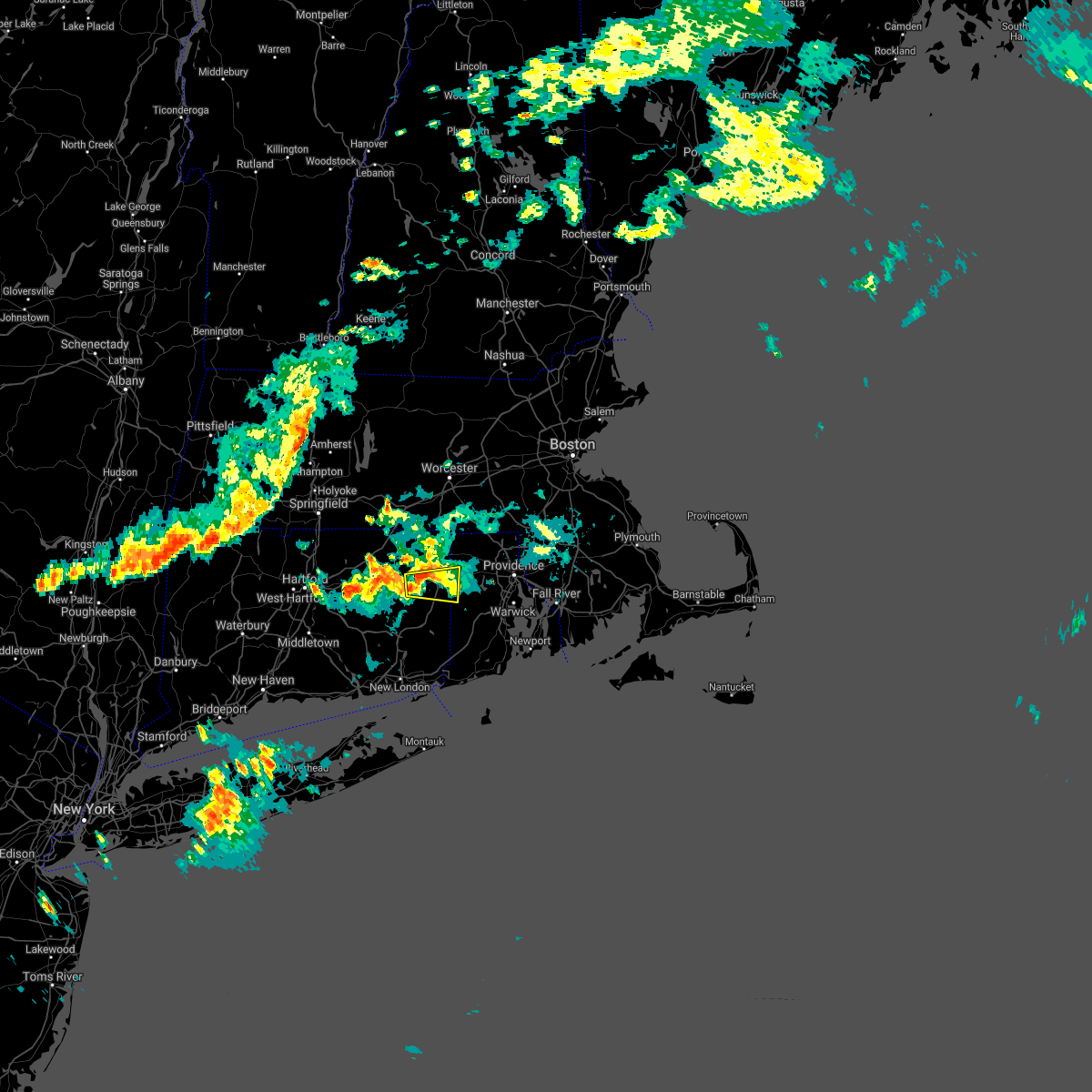 A severe thunderstorm warning remains in effect until 715 pm edt for southeastern windham. west central kent and southwestern providence counties. at 707 pm edt, a severe thunderstorm was located over brooklyn, or 7 miles northwest of plainfield, moving east at 30 mph. This storm was reintensifying and will be monitored for a possible upgrade. A severe thunderstorm warning remains in effect until 715 pm edt for southeastern windham. west central kent and southwestern providence counties. at 707 pm edt, a severe thunderstorm was located over brooklyn, or 7 miles northwest of plainfield, moving east at 30 mph. This storm was reintensifying and will be monitored for a possible upgrade.
|
| 8/21/2019 7:09 PM EDT |
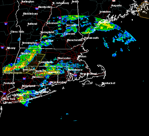 A severe thunderstorm warning remains in effect until 715 pm edt for southeastern windham. west central kent and southwestern providence counties. at 707 pm edt, a severe thunderstorm was located over brooklyn, or 7 miles northwest of plainfield, moving east at 30 mph. This storm was reintensifying and will be monitored for a possible upgrade. A severe thunderstorm warning remains in effect until 715 pm edt for southeastern windham. west central kent and southwestern providence counties. at 707 pm edt, a severe thunderstorm was located over brooklyn, or 7 miles northwest of plainfield, moving east at 30 mph. This storm was reintensifying and will be monitored for a possible upgrade.
|
| 8/21/2019 6:45 PM EDT |
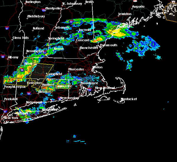 The national weather service in boston/norton has issued a * severe thunderstorm warning for. southern windham county in northern connecticut. east central tolland county in northern connecticut. west central kent county in rhode island. Southwestern providence county in rhode island. The national weather service in boston/norton has issued a * severe thunderstorm warning for. southern windham county in northern connecticut. east central tolland county in northern connecticut. west central kent county in rhode island. Southwestern providence county in rhode island.
|
| 8/21/2019 6:45 PM EDT |
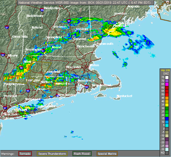 At 644 pm edt, a severe thunderstorm was located over hampton, or near windham, moving east at 40 mph (radar indicated). Hazards include 60 mph wind gusts. expect damage to trees and power lines At 644 pm edt, a severe thunderstorm was located over hampton, or near windham, moving east at 40 mph (radar indicated). Hazards include 60 mph wind gusts. expect damage to trees and power lines
|
| 8/21/2019 3:55 PM EDT |
 The national weather service in boston/norton has issued a * severe thunderstorm warning for. northwestern bristol county in southeastern massachusetts. northern kent county in rhode island. providence county in rhode island. Northern bristol county in rhode island. The national weather service in boston/norton has issued a * severe thunderstorm warning for. northwestern bristol county in southeastern massachusetts. northern kent county in rhode island. providence county in rhode island. Northern bristol county in rhode island.
|
| 8/8/2019 12:10 AM EDT |
 At 1209 am edt, a severe thunderstorm was located over johnston, moving northeast at 30 mph (radar indicated). Hazards include 60 mph wind gusts. Expect damage to trees and power lines. Locations impacted include, providence, warwick, cranston, pawtucket, taunton, east providence, woonsocket, coventry, cumberland, north providence, west warwick, johnston, north attleborough, attleboro, smithfield, lincoln, central falls, norton, barrington and burrillville. At 1209 am edt, a severe thunderstorm was located over johnston, moving northeast at 30 mph (radar indicated). Hazards include 60 mph wind gusts. Expect damage to trees and power lines. Locations impacted include, providence, warwick, cranston, pawtucket, taunton, east providence, woonsocket, coventry, cumberland, north providence, west warwick, johnston, north attleborough, attleboro, smithfield, lincoln, central falls, norton, barrington and burrillville.
|
| 8/7/2019 11:52 PM EDT |
 At 1151 pm edt, a severe thunderstorm was located near coventry, moving northeast at 30 mph (radar indicated). Hazards include 60 mph wind gusts. Expect damage to trees and power lines. Locations impacted include, providence, warwick, cranston, pawtucket, taunton, east providence, woonsocket, coventry, cumberland, north providence, west warwick, johnston, north attleborough, attleboro, smithfield, lincoln, central falls, norton, barrington and burrillville. At 1151 pm edt, a severe thunderstorm was located near coventry, moving northeast at 30 mph (radar indicated). Hazards include 60 mph wind gusts. Expect damage to trees and power lines. Locations impacted include, providence, warwick, cranston, pawtucket, taunton, east providence, woonsocket, coventry, cumberland, north providence, west warwick, johnston, north attleborough, attleboro, smithfield, lincoln, central falls, norton, barrington and burrillville.
|
| 8/7/2019 11:39 PM EDT |
 At 1138 pm edt, a severe thunderstorm was located over west greenwich, or near coventry, moving northeast at 30 mph (radar indicated). Hazards include 60 mph wind gusts. expect damage to trees and power lines At 1138 pm edt, a severe thunderstorm was located over west greenwich, or near coventry, moving northeast at 30 mph (radar indicated). Hazards include 60 mph wind gusts. expect damage to trees and power lines
|
| 6/29/2019 3:43 PM EDT |
 At 342 pm edt, a severe thunderstorm was located near coventry, moving east at 25 mph (radar indicated). Hazards include 60 mph wind gusts and penny size hail. Expect damage to trees and power lines. Locations impacted include, providence, fall river, warwick, cranston, east providence, coventry, dartmouth, north providence, west warwick, johnston, north kingstown, bristol, smithfield, somerset, portsmouth, barrington, swansea, tiverton, westport and seekonk. At 342 pm edt, a severe thunderstorm was located near coventry, moving east at 25 mph (radar indicated). Hazards include 60 mph wind gusts and penny size hail. Expect damage to trees and power lines. Locations impacted include, providence, fall river, warwick, cranston, east providence, coventry, dartmouth, north providence, west warwick, johnston, north kingstown, bristol, smithfield, somerset, portsmouth, barrington, swansea, tiverton, westport and seekonk.
|
| 6/29/2019 3:21 PM EDT |
 The national weather service in boston/norton has issued a * severe thunderstorm warning for. eastern windham county in northern connecticut. central bristol county in southeastern massachusetts. southwestern plymouth county in southeastern massachusetts. Northeastern washington county in rhode island. The national weather service in boston/norton has issued a * severe thunderstorm warning for. eastern windham county in northern connecticut. central bristol county in southeastern massachusetts. southwestern plymouth county in southeastern massachusetts. Northeastern washington county in rhode island.
|
| 6/29/2019 3:21 PM EDT |
 At 320 pm edt, a severe thunderstorm was located over foster, or near coventry, moving east at 25 mph (radar indicated). Hazards include 60 mph wind gusts and penny size hail. expect damage to trees and power lines At 320 pm edt, a severe thunderstorm was located over foster, or near coventry, moving east at 25 mph (radar indicated). Hazards include 60 mph wind gusts and penny size hail. expect damage to trees and power lines
|
| 5/15/2018 6:10 PM EDT | Tree down on house on pin oak court in kent county RI, 5.2 miles WNW of Greene, RI |
| 5/15/2018 5:48 PM EDT |
 At 547 pm edt, severe thunderstorms were located along a line extending from near douglas to near brooklyn to lebanon to near salem to clinton, moving east at 50 mph (radar indicated). Hazards include 60 mph wind gusts. expect damage to trees and power lines At 547 pm edt, severe thunderstorms were located along a line extending from near douglas to near brooklyn to lebanon to near salem to clinton, moving east at 50 mph (radar indicated). Hazards include 60 mph wind gusts. expect damage to trees and power lines
|
| 9/6/2017 10:04 AM EDT |
 At 1003 am edt, severe thunderstorms were located along a line extending from sprague to block island, moving northeast at 55 mph (radar indicated). Hazards include 60 mph wind gusts and penny size hail. expect damage to trees and power lines At 1003 am edt, severe thunderstorms were located along a line extending from sprague to block island, moving northeast at 55 mph (radar indicated). Hazards include 60 mph wind gusts and penny size hail. expect damage to trees and power lines
|
| 7/12/2017 4:38 PM EDT |
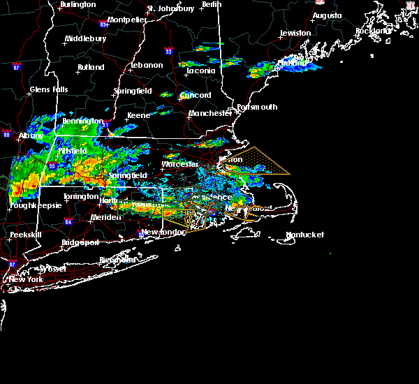 At 438 pm edt, a severe thunderstorm was located over west greenwich, or near coventry, moving east at 20 mph (radar indicated). Hazards include 60 mph wind gusts and quarter size hail. Hail damage to vehicles is possible. Expect damage to trees and power lines. At 438 pm edt, a severe thunderstorm was located over west greenwich, or near coventry, moving east at 20 mph (radar indicated). Hazards include 60 mph wind gusts and quarter size hail. Hail damage to vehicles is possible. Expect damage to trees and power lines.
|
| 6/1/2017 3:25 PM EDT |
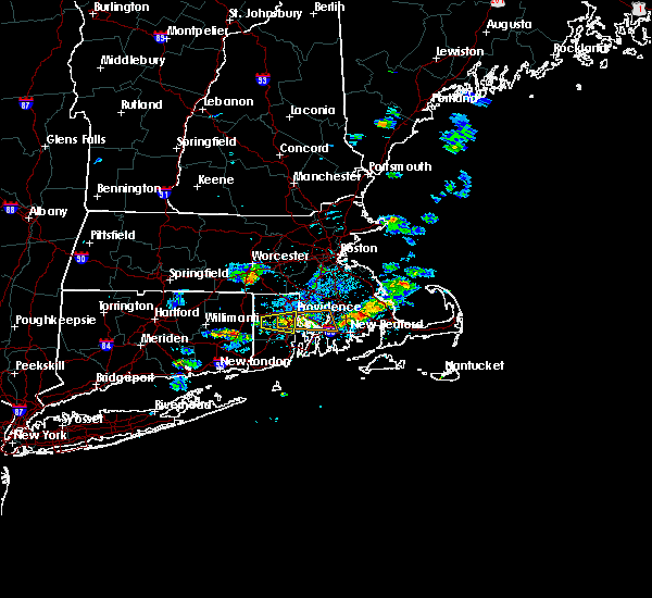 The severe thunderstorm warning for central kent and southern providence counties will expire at 330 pm edt, the storm which prompted the warning has weakened below severe limits, and no longer poses an immediate threat to life or property. therefore the warning will be allowed to expire. however small hail and gusty winds are still possible with this thunderstorm. The severe thunderstorm warning for central kent and southern providence counties will expire at 330 pm edt, the storm which prompted the warning has weakened below severe limits, and no longer poses an immediate threat to life or property. therefore the warning will be allowed to expire. however small hail and gusty winds are still possible with this thunderstorm.
|
| 6/1/2017 3:02 PM EDT |
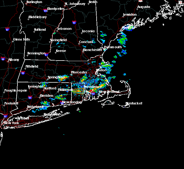 At 302 pm edt, a severe thunderstorm was located near coventry, moving east at 15 mph (radar indicated). Hazards include 60 mph wind gusts and quarter size hail. Hail damage to vehicles is possible. Expect damage to trees and power lines. At 302 pm edt, a severe thunderstorm was located near coventry, moving east at 15 mph (radar indicated). Hazards include 60 mph wind gusts and quarter size hail. Hail damage to vehicles is possible. Expect damage to trees and power lines.
|
| 8/14/2016 1:50 AM EDT |
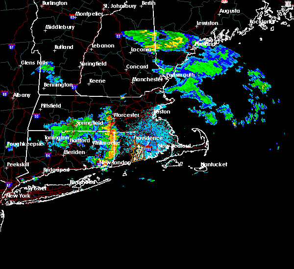 At 149 am edt, severe thunderstorms were located along a line extending from douglas to near voluntown, moving east at 30 mph (radar indicated). Hazards include 60 mph wind gusts. Expect damage to roofs. siding. And trees. At 149 am edt, severe thunderstorms were located along a line extending from douglas to near voluntown, moving east at 30 mph (radar indicated). Hazards include 60 mph wind gusts. Expect damage to roofs. siding. And trees.
|
| 8/12/2016 6:45 PM EDT | Tree and wires down on lewis farm road in kent county RI, 5.2 miles WNW of Greene, RI |
| 8/12/2016 6:18 PM EDT |
 At 618 pm edt, severe thunderstorms were located along a line extending from near pomfret to near killingly to near scituate, moving east at 10 mph (radar indicated). Hazards include 60 mph wind gusts. Expect damage to roofs. siding. and trees. Locations impacted include, providence, warwick, cranston, pawtucket, east providence, coventry, north providence, west warwick, johnston, plainfield, smithfield, lincoln, somerset, killingly, barrington, swansea, seekonk, rehoboth, warren and scituate. At 618 pm edt, severe thunderstorms were located along a line extending from near pomfret to near killingly to near scituate, moving east at 10 mph (radar indicated). Hazards include 60 mph wind gusts. Expect damage to roofs. siding. and trees. Locations impacted include, providence, warwick, cranston, pawtucket, east providence, coventry, north providence, west warwick, johnston, plainfield, smithfield, lincoln, somerset, killingly, barrington, swansea, seekonk, rehoboth, warren and scituate.
|
| 8/12/2016 5:51 PM EDT |
 At 551 pm edt, severe thunderstorms were located along a line extending from near eastford to near killingly to foster, moving east at 10 mph (radar indicated). Hazards include 60 mph wind gusts. Expect damage to roofs. siding. And trees. At 551 pm edt, severe thunderstorms were located along a line extending from near eastford to near killingly to foster, moving east at 10 mph (radar indicated). Hazards include 60 mph wind gusts. Expect damage to roofs. siding. And trees.
|
| 8/12/2016 5:18 PM EDT |
 At 518 pm edt, severe thunderstorms were located along a line extending from pomfret to near killingly to near smithfield to central falls, moving southeast at 25 mph (radar indicated). Hazards include 60 mph wind gusts. Expect damage to roofs. siding. And trees. At 518 pm edt, severe thunderstorms were located along a line extending from pomfret to near killingly to near smithfield to central falls, moving southeast at 25 mph (radar indicated). Hazards include 60 mph wind gusts. Expect damage to roofs. siding. And trees.
|
| 7/23/2016 8:15 PM EDT | Tree down across route 116. wires down at station street and route 116. trees down on wires on station street and knotty oak shores roa in kent county RI, 5.2 miles WNW of Greene, RI |
| 7/22/2016 11:21 PM EDT |
 At 1120 pm edt, a severe thunderstorm was located over cranston, moving east at 35 mph (radar indicated). Hazards include 60 mph wind gusts and penny size hail. Expect damage to roofs. siding. and trees. Locations impacted include, providence, new bedford, fall river, warwick, cranston, east providence, coventry, dartmouth, north providence, west warwick, johnston, north kingstown, newport, bristol, somerset, portsmouth, barrington, middletown, fairhaven and narragansett. At 1120 pm edt, a severe thunderstorm was located over cranston, moving east at 35 mph (radar indicated). Hazards include 60 mph wind gusts and penny size hail. Expect damage to roofs. siding. and trees. Locations impacted include, providence, new bedford, fall river, warwick, cranston, east providence, coventry, dartmouth, north providence, west warwick, johnston, north kingstown, newport, bristol, somerset, portsmouth, barrington, middletown, fairhaven and narragansett.
|
| 7/22/2016 11:06 PM EDT |
 At 1104 pm edt, a severe thunderstorm was located over foster, or 7 miles northwest of coventry, moving east at 40 mph (radar indicated). Hazards include 70 mph wind gusts and penny size hail. Expect considerable tree damage. Damage is likely to mobile homes, roofs, and outbuildings. At 1104 pm edt, a severe thunderstorm was located over foster, or 7 miles northwest of coventry, moving east at 40 mph (radar indicated). Hazards include 70 mph wind gusts and penny size hail. Expect considerable tree damage. Damage is likely to mobile homes, roofs, and outbuildings.
|
| 7/22/2016 10:49 PM EDT |
 At 1048 pm edt, a severe thunderstorm was located near killingly, or 8 miles north of plainfield, moving east at 40 mph (radar indicated). Hazards include 70 mph wind gusts and penny size hail. Expect considerable tree damage. damage is likely to mobile homes, roofs, and outbuildings. Locations impacted include, coventry, johnston, mansfield, windham, plainfield, killingly, scituate, putnam, brooklyn, west greenwich, canterbury, foster, pomfret, sterling, chaplin, hampton, eastford and scotland. At 1048 pm edt, a severe thunderstorm was located near killingly, or 8 miles north of plainfield, moving east at 40 mph (radar indicated). Hazards include 70 mph wind gusts and penny size hail. Expect considerable tree damage. damage is likely to mobile homes, roofs, and outbuildings. Locations impacted include, coventry, johnston, mansfield, windham, plainfield, killingly, scituate, putnam, brooklyn, west greenwich, canterbury, foster, pomfret, sterling, chaplin, hampton, eastford and scotland.
|
| 7/22/2016 10:27 PM EDT |
 At 1026 pm edt, a severe thunderstorm was located over chaplin, or near mansfield, moving east at 35 mph (radar indicated). Hazards include 60 mph wind gusts and penny size hail. Expect damage to roofs. siding. And trees. At 1026 pm edt, a severe thunderstorm was located over chaplin, or near mansfield, moving east at 35 mph (radar indicated). Hazards include 60 mph wind gusts and penny size hail. Expect damage to roofs. siding. And trees.
|
| 7/22/2016 10:25 PM EDT |
 At 1024 pm edt, a severe thunderstorm was located over west warwick, moving east at 40 mph (radar indicated). Hazards include 60 mph wind gusts. Expect damage to roofs. siding. And trees. At 1024 pm edt, a severe thunderstorm was located over west warwick, moving east at 40 mph (radar indicated). Hazards include 60 mph wind gusts. Expect damage to roofs. siding. And trees.
|
| 7/22/2016 9:47 PM EDT |
 At 946 pm edt, a cluster of severe thunderstorms in southern windham county with the strongest storm near killingly, or near plainfield, moving east at 45 mph. this storm has a history of downing trees in tolland county (radar indicated). Hazards include 60 mph wind gusts. Expect damage to roofs. siding. And trees. At 946 pm edt, a cluster of severe thunderstorms in southern windham county with the strongest storm near killingly, or near plainfield, moving east at 45 mph. this storm has a history of downing trees in tolland county (radar indicated). Hazards include 60 mph wind gusts. Expect damage to roofs. siding. And trees.
|
| 7/22/2016 8:44 PM EDT |
 At 843 pm edt, a severe thunderstorm was located over scituate, or near coventry, moving east at 35 mph (radar indicated). Hazards include 60 mph wind gusts and penny size hail. Expect damage to roofs. siding. And trees. At 843 pm edt, a severe thunderstorm was located over scituate, or near coventry, moving east at 35 mph (radar indicated). Hazards include 60 mph wind gusts and penny size hail. Expect damage to roofs. siding. And trees.
|
| 7/18/2016 4:42 PM EDT |
 At 442 pm edt, a severe thunderstorm was located over canterbury, or near windham, moving east at 45 mph (radar indicated). Hazards include 60 mph wind gusts. Expect damage to roofs. siding. And trees. At 442 pm edt, a severe thunderstorm was located over canterbury, or near windham, moving east at 45 mph (radar indicated). Hazards include 60 mph wind gusts. Expect damage to roofs. siding. And trees.
|
| 7/15/2016 2:21 PM EDT |
 At 220 pm edt, a severe thunderstorm was located near portsmouth, or near bristol, moving east at 30 mph (radar indicated). Hazards include 60 mph wind gusts and quarter size hail. Hail damage to vehicles is possible. expect wind damage to roofs, siding, and trees. Locations impacted include, providence, fall river, warwick, cranston, east providence, coventry, west warwick, north kingstown, bristol, somerset, portsmouth, barrington, swansea, tiverton, seekonk, east greenwich, rehoboth, warren, scituate and hopkinton. At 220 pm edt, a severe thunderstorm was located near portsmouth, or near bristol, moving east at 30 mph (radar indicated). Hazards include 60 mph wind gusts and quarter size hail. Hail damage to vehicles is possible. expect wind damage to roofs, siding, and trees. Locations impacted include, providence, fall river, warwick, cranston, east providence, coventry, west warwick, north kingstown, bristol, somerset, portsmouth, barrington, swansea, tiverton, seekonk, east greenwich, rehoboth, warren, scituate and hopkinton.
|
| 7/15/2016 2:11 PM EDT |
 At 210 pm edt, a severe thunderstorm was located over north kingstown, moving east at 30 mph (radar indicated). Hazards include 60 mph wind gusts. Expect damage to roofs. siding. And trees. At 210 pm edt, a severe thunderstorm was located over north kingstown, moving east at 30 mph (radar indicated). Hazards include 60 mph wind gusts. Expect damage to roofs. siding. And trees.
|
| 2/25/2016 3:13 AM EST |
 At 312 am est, doppler radar indicated a line of severe thunderstorms capable of producing destructive winds in excess of 70 mph. these storms were located along a line extending from near epping to ipswich to newton, and was moving northeast at 45 mph. At 312 am est, doppler radar indicated a line of severe thunderstorms capable of producing destructive winds in excess of 70 mph. these storms were located along a line extending from near epping to ipswich to newton, and was moving northeast at 45 mph.
|
| 2/25/2016 2:21 AM EST |
 At 220 am est, doppler radar indicated a line of severe thunderstorms capable of producing destructive winds in excess of 70 mph. these storms were located along a line extending from near oxford to near foster to near conning towers-nautilus park, and was moving northeast at 90 mph. At 220 am est, doppler radar indicated a line of severe thunderstorms capable of producing destructive winds in excess of 70 mph. these storms were located along a line extending from near oxford to near foster to near conning towers-nautilus park, and was moving northeast at 90 mph.
|
| 2/25/2016 12:14 AM EST | Tree down blocking a roa in kent county RI, 6.8 miles NW of Greene, RI |
| 8/4/2015 7:11 AM EDT |
 The severe thunderstorm warning for bristol, southwestern plymouth, southeastern norfolk, bristol, northern newport, kent, northeastern washington and providence counties will expire at 715 am edt, the line of storms which prompted the warning have moved out of the area. therefore the warning will be allowed to expire. however heavy rain is still possible with these thunderstorms. The severe thunderstorm warning for bristol, southwestern plymouth, southeastern norfolk, bristol, northern newport, kent, northeastern washington and providence counties will expire at 715 am edt, the line of storms which prompted the warning have moved out of the area. therefore the warning will be allowed to expire. however heavy rain is still possible with these thunderstorms.
|
| 8/4/2015 6:29 AM EDT |
 At 628 am edt, a severe thunderstorm producing widespread damage was moving into the cranston and providence metro area. this is a very dangerous situation. quarter size hail and destructive winds in excess of 80 mph are possible. these storms were located along a line extending from near cumberland to near cranston to near bristol, moving northeast at 45 mph. locations impacted include, providence, new bedford, brockton, fall river, warwick, cranston, pawtucket, taunton, east providence, woonsocket, coventry, dartmouth, cumberland, randolph, north providence, south kingstown, west warwick, johnston, north attleborough and stoughton. At 628 am edt, a severe thunderstorm producing widespread damage was moving into the cranston and providence metro area. this is a very dangerous situation. quarter size hail and destructive winds in excess of 80 mph are possible. these storms were located along a line extending from near cumberland to near cranston to near bristol, moving northeast at 45 mph. locations impacted include, providence, new bedford, brockton, fall river, warwick, cranston, pawtucket, taunton, east providence, woonsocket, coventry, dartmouth, cumberland, randolph, north providence, south kingstown, west warwick, johnston, north attleborough and stoughton.
|
| 8/4/2015 6:27 AM EDT | Tree on to house on black rock road in kent county RI, 3.5 miles W of Greene, RI |
| 8/4/2015 6:23 AM EDT |
 At 622 am edt, trained weather spotters confirmed a line of severe thunderstorms producing quarter size hail and destructive winds in excess of 70 mph. these storms were located along a line extending from north smithfield to cranston to portsmouth, moving northeast at 45 mph. this is a dangerous situation, damage has arleady been reported with this storm. locations impacted include, providence, new bedford, brockton, fall river, warwick, cranston, pawtucket, taunton, east providence, woonsocket, coventry, dartmouth, cumberland, randolph, north providence, franklin, south kingstown, west warwick, johnston and north attleborough. At 622 am edt, trained weather spotters confirmed a line of severe thunderstorms producing quarter size hail and destructive winds in excess of 70 mph. these storms were located along a line extending from north smithfield to cranston to portsmouth, moving northeast at 45 mph. this is a dangerous situation, damage has arleady been reported with this storm. locations impacted include, providence, new bedford, brockton, fall river, warwick, cranston, pawtucket, taunton, east providence, woonsocket, coventry, dartmouth, cumberland, randolph, north providence, franklin, south kingstown, west warwick, johnston and north attleborough.
|
| 8/4/2015 6:20 AM EDT | Tree down blocking maple valley road in kent county RI, 3.5 miles W of Greene, RI |
| 8/4/2015 6:18 AM EDT | Large tree down on coventry hill farm road. wires down on indian trai in kent county RI, 3.5 miles W of Greene, RI |
| 8/4/2015 6:14 AM EDT |
 At 614 am edt, doppler radar indicated a line of severe thunderstorms capable of producing quarter size hail and damaging winds in excess of 60 mph. these storms were located along a line extending from near glocester to near coventry to north kingstown, moving northeast at 45 mph. locations impacted include, providence, new bedford, brockton, fall river, warwick, cranston, pawtucket, taunton, east providence, woonsocket, coventry, dartmouth, cumberland, randolph, north providence, franklin, south kingstown, west warwick, johnston and north attleborough. At 614 am edt, doppler radar indicated a line of severe thunderstorms capable of producing quarter size hail and damaging winds in excess of 60 mph. these storms were located along a line extending from near glocester to near coventry to north kingstown, moving northeast at 45 mph. locations impacted include, providence, new bedford, brockton, fall river, warwick, cranston, pawtucket, taunton, east providence, woonsocket, coventry, dartmouth, cumberland, randolph, north providence, franklin, south kingstown, west warwick, johnston and north attleborough.
|
| 8/4/2015 6:09 AM EDT |
 At 609 am edt, doppler radar indicated a line of severe thunderstorms capable of producing damaging winds in excess of 60 mph. these storms were located along a line extending from glocester to coventry to north kingstown, and was moving northeast at 45 mph. * some locations impacted include, providence, new bedford, brockton, fall river, warwick, cranston, pawtucket, taunton, east providence, woonsocket, coventry, dartmouth, cumberland, randolph, north providence, franklin, south kingstown, west warwick, johnston and north attleborough. At 609 am edt, doppler radar indicated a line of severe thunderstorms capable of producing damaging winds in excess of 60 mph. these storms were located along a line extending from glocester to coventry to north kingstown, and was moving northeast at 45 mph. * some locations impacted include, providence, new bedford, brockton, fall river, warwick, cranston, pawtucket, taunton, east providence, woonsocket, coventry, dartmouth, cumberland, randolph, north providence, franklin, south kingstown, west warwick, johnston and north attleborough.
|
| 7/24/2015 6:10 PM EDT | Quarter sized hail reported 4.8 miles NW of Greene, RI |
| 7/24/2015 6:01 PM EDT |
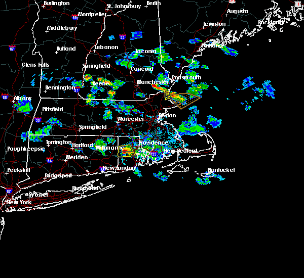 At 601 pm edt, doppler radar indicated a severe thunderstorm capable of producing large damaging hail up to golf ball size and damaging winds in excess of 60 mph. this storm was located over coventry, moving south at 20 mph. locations impacted include, warwick, coventry, west warwick, east greenwich, scituate and west greenwich. At 601 pm edt, doppler radar indicated a severe thunderstorm capable of producing large damaging hail up to golf ball size and damaging winds in excess of 60 mph. this storm was located over coventry, moving south at 20 mph. locations impacted include, warwick, coventry, west warwick, east greenwich, scituate and west greenwich.
|
| 7/24/2015 5:50 PM EDT |
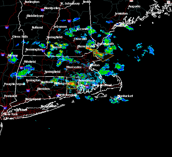 At 549 pm edt, doppler radar indicated a severe thunderstorm capable of producing large hail up to ping pong ball size and damaging winds in excess of 60 mph. this storm was located near coventry, moving south at 20 mph. locations impacted include, warwick, cranston, coventry, west warwick, johnston, east greenwich, scituate, west greenwich and foster. At 549 pm edt, doppler radar indicated a severe thunderstorm capable of producing large hail up to ping pong ball size and damaging winds in excess of 60 mph. this storm was located near coventry, moving south at 20 mph. locations impacted include, warwick, cranston, coventry, west warwick, johnston, east greenwich, scituate, west greenwich and foster.
|
| 7/24/2015 5:38 PM EDT |
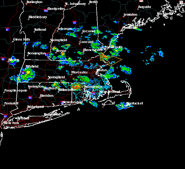 At 537 pm edt, doppler radar indicated a severe thunderstorm capable of producing quarter size hail and damaging winds in excess of 60 mph. this storm was located over foster, or 7 miles north of coventry, and was moving south at 20 mph. * some locations impacted include, warwick, cranston, coventry, west warwick, johnston, smithfield, east greenwich, scituate, glocester, west greenwich, foster and sterling. At 537 pm edt, doppler radar indicated a severe thunderstorm capable of producing quarter size hail and damaging winds in excess of 60 mph. this storm was located over foster, or 7 miles north of coventry, and was moving south at 20 mph. * some locations impacted include, warwick, cranston, coventry, west warwick, johnston, smithfield, east greenwich, scituate, glocester, west greenwich, foster and sterling.
|
| 7/1/2015 7:28 AM EDT |
 At 727 am edt, doppler radar indicated a line of severe thunderstorms capable of producing damaging winds in excess of 60 mph. these storms were located along a line extending from near foster to portsmouth to 16 miles south of block island, and was moving northeast at 35 mph. * some locations impacted include, providence, new bedford, brockton, fall river, warwick, cranston, pawtucket, plymouth, taunton, weymouth, east providence, woonsocket, braintree, coventry, dartmouth, cumberland, randolph, north providence, franklin and johnston. At 727 am edt, doppler radar indicated a line of severe thunderstorms capable of producing damaging winds in excess of 60 mph. these storms were located along a line extending from near foster to portsmouth to 16 miles south of block island, and was moving northeast at 35 mph. * some locations impacted include, providence, new bedford, brockton, fall river, warwick, cranston, pawtucket, plymouth, taunton, weymouth, east providence, woonsocket, braintree, coventry, dartmouth, cumberland, randolph, north providence, franklin and johnston.
|
| 7/1/2015 7:03 AM EDT |
 At 702 am edt, doppler radar indicated a line of severe thunderstorms capable of producing damaging winds in excess of 60 mph. these storms were located along a line extending from norwich to near richmond to near block island, and was moving northeast at 60 mph. * some locations impacted include, warwick, cranston, coventry, south kingstown, west warwick, north kingstown, plainfield, westerly, east greenwich, hopkinton, charlestown, richmond, exeter, west greenwich, canterbury, sterling and scotland. At 702 am edt, doppler radar indicated a line of severe thunderstorms capable of producing damaging winds in excess of 60 mph. these storms were located along a line extending from norwich to near richmond to near block island, and was moving northeast at 60 mph. * some locations impacted include, warwick, cranston, coventry, south kingstown, west warwick, north kingstown, plainfield, westerly, east greenwich, hopkinton, charlestown, richmond, exeter, west greenwich, canterbury, sterling and scotland.
|
| 6/23/2015 5:57 PM EDT | The severe thunderstorm warning for southeastern windham, western newport, kent, washington and southern providence counties will expire at 600 pm edt, the storm which prompted the warning has moved out of the area. therefore the warning will be allowed to expire. &&. |
| 6/23/2015 5:57 PM EDT | The severe thunderstorm warning for southeastern windham, western newport, kent, washington and southern providence counties will expire at 600 pm edt, the storm which prompted the warning has moved out of the area. therefore the warning will be allowed to expire. &&. |
| 6/23/2015 5:35 PM EDT | Tree and wires down in kent county RI, 4.8 miles NW of Greene, RI |
| 6/23/2015 5:30 PM EDT | Branches and limbs down on hill farm road and on town farm roa in kent county RI, 3.5 miles W of Greene, RI |
| 6/23/2015 5:30 PM EDT | Three utility poles down in western part of coventry in kent county RI, 3.5 miles W of Greene, RI |
| 6/23/2015 5:20 PM EDT |
 At 520 pm edt, doppler radar indicated a severe thunderstorm capable of producing destructive winds in excess of 70 mph. this storm was located near voluntown, or 11 miles southeast of plainfield, and was moving east at 40 mph. * some locations impacted include, providence, warwick, cranston, pawtucket, coventry, north providence, south kingstown, west warwick, johnston, north kingstown, newport, westerly, smithfield, lincoln, portsmouth, killingly, middletown, narragansett, east greenwich and scituate. At 520 pm edt, doppler radar indicated a severe thunderstorm capable of producing destructive winds in excess of 70 mph. this storm was located near voluntown, or 11 miles southeast of plainfield, and was moving east at 40 mph. * some locations impacted include, providence, warwick, cranston, pawtucket, coventry, north providence, south kingstown, west warwick, johnston, north kingstown, newport, westerly, smithfield, lincoln, portsmouth, killingly, middletown, narragansett, east greenwich and scituate.
|
| 8/10/2012 5:09 PM EDT | Large limb down on house on cove road...damaging the roo in kent county RI, 5.2 miles WNW of Greene, RI |
| 6/22/2012 6:21 PM EDT | Toigue avenue...sandy bottom road and the intersection of routes 3 and 33 closed due to flooding in kent county RI, 5.2 miles WNW of Greene, RI |
| 6/22/2012 5:35 PM EDT | Trees and wires down on mohawk street...shady valley road...new dam road...east shore and windsor park drives in kent county RI, 5.2 miles WNW of Greene, RI |
| 6/22/2012 5:30 PM EDT | Trees and wires down on waterman road in kent county RI, 5.2 miles WNW of Greene, RI |
| 6/22/2012 5:30 PM EDT | Quarter sized hail reported 5.2 miles WNW of Greene, RI |
| 6/22/2012 5:25 PM EDT | Trees and wires down on waterman road in kent county RI, 5.2 miles WNW of Greene, RI |
| 6/22/2012 5:25 PM EDT | Quarter sized hail reported 5.2 miles WNW of Greene, RI |
| 1/1/0001 12:00 AM | Powerline down along oak ridge road in kent county RI, 6.8 miles NW of Greene, RI |
| 1/1/0001 12:00 AM | Large branches down on south road in kent county RI, 6.8 miles NW of Greene, RI |
| 1/1/0001 12:00 AM | Quarter sized hail reported 6.8 miles NW of Greene, RI |
Hail Maps for Greene, RI


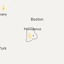

Connect with Interactive Hail Maps