

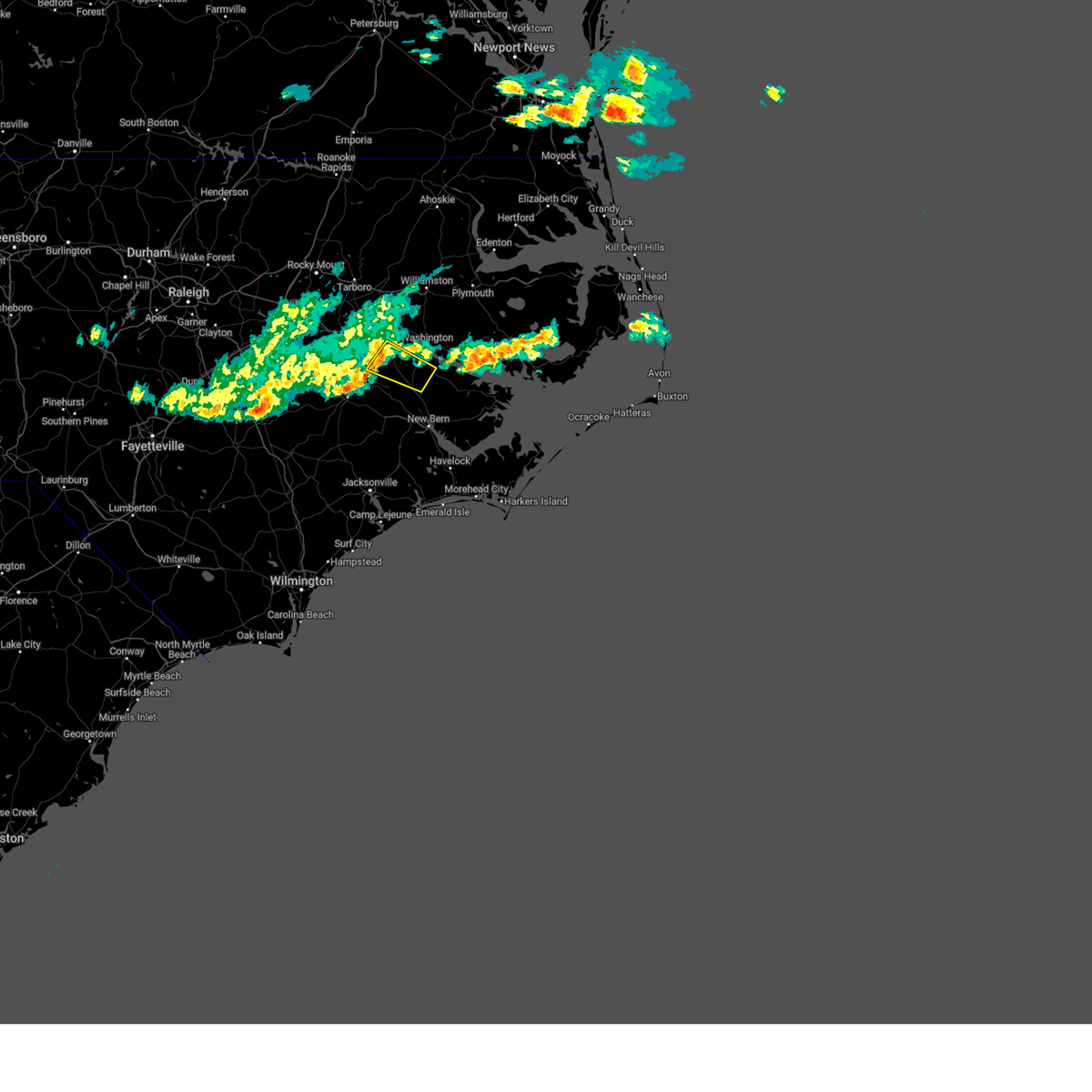
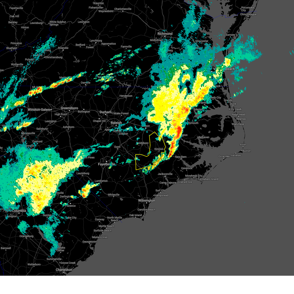
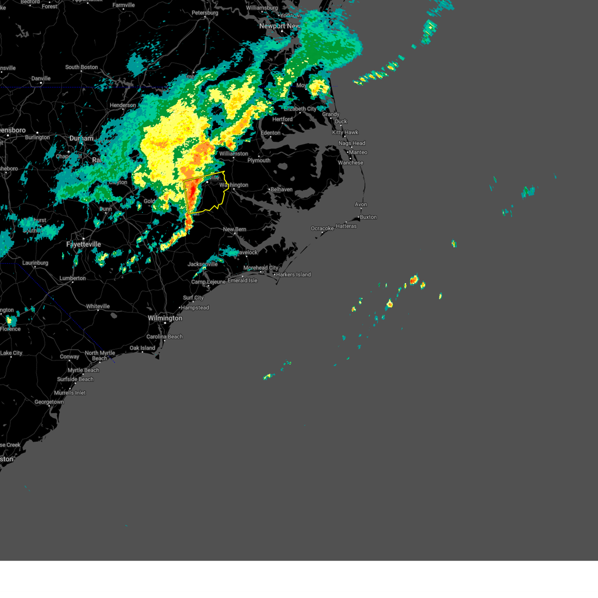
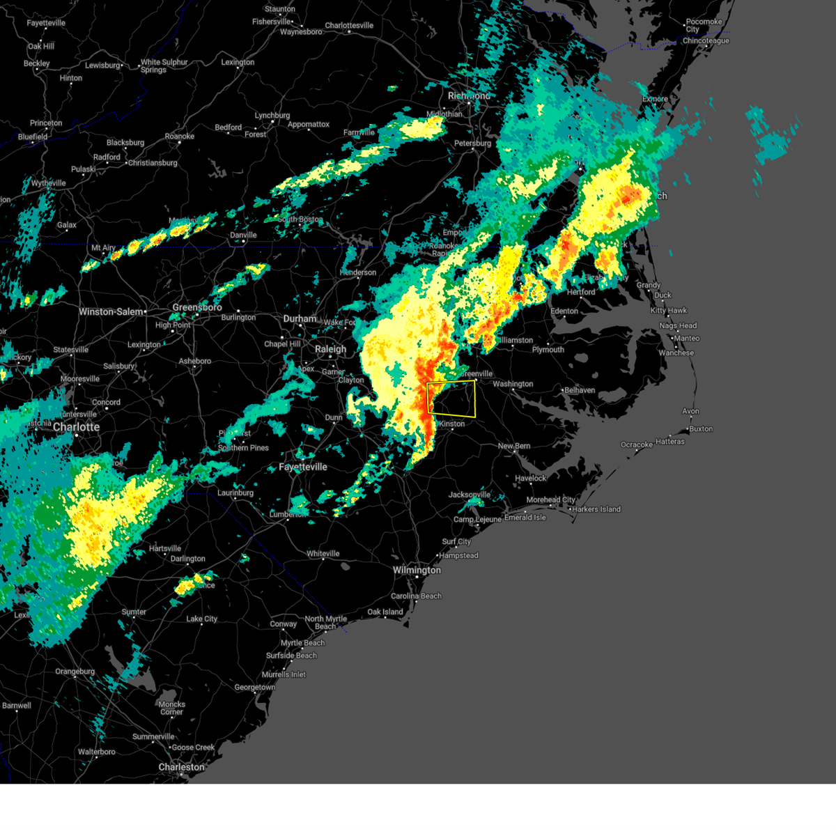
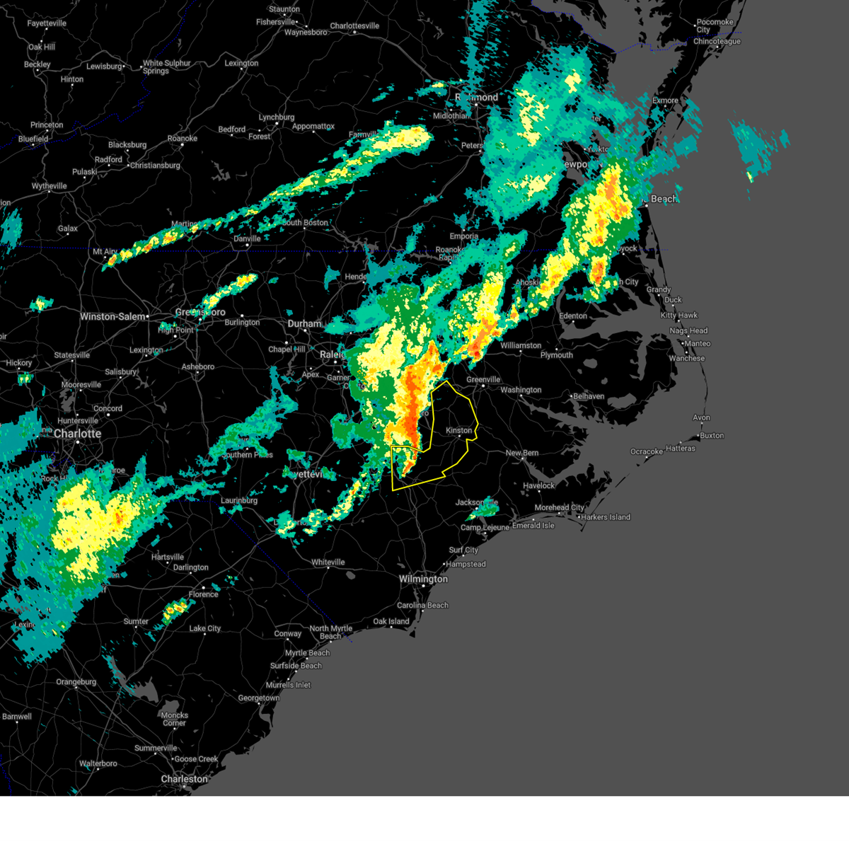
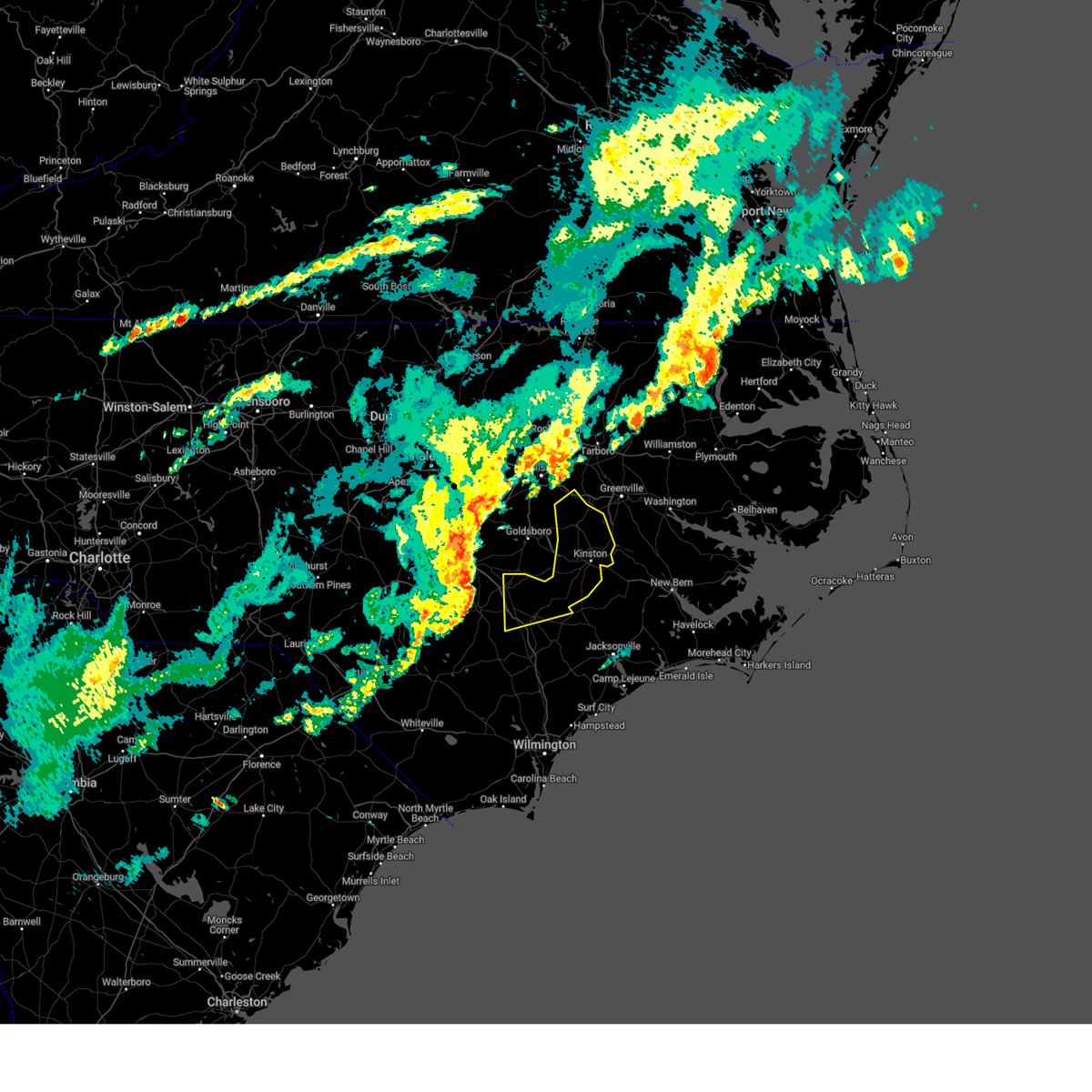
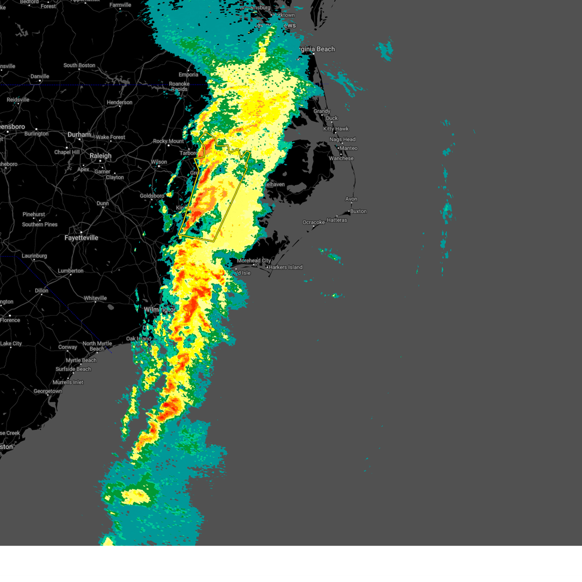
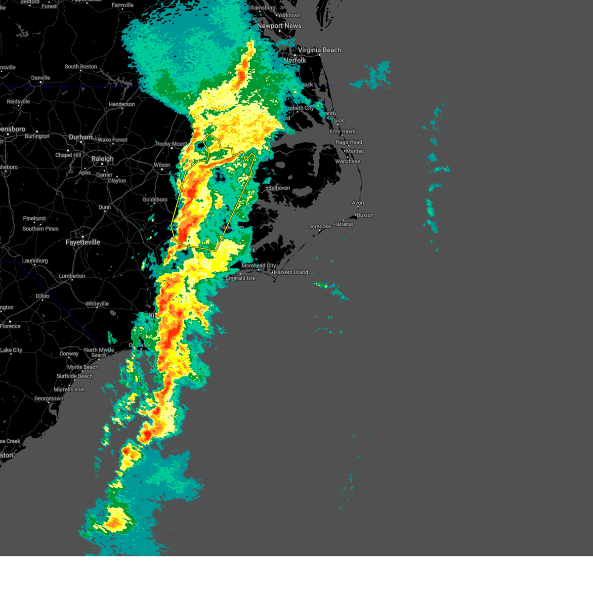
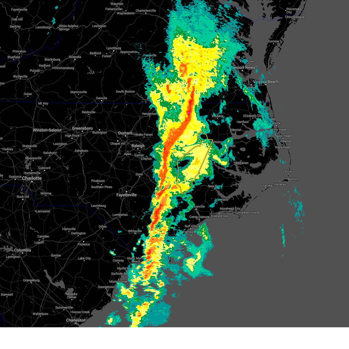
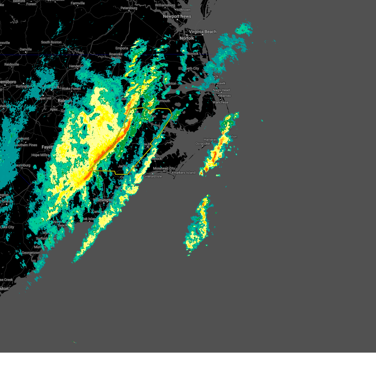
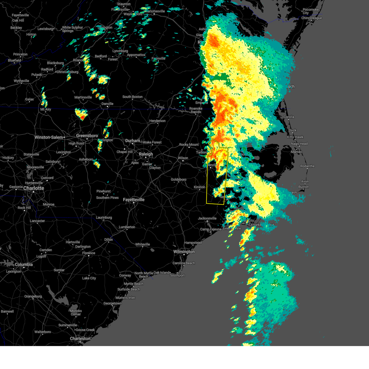
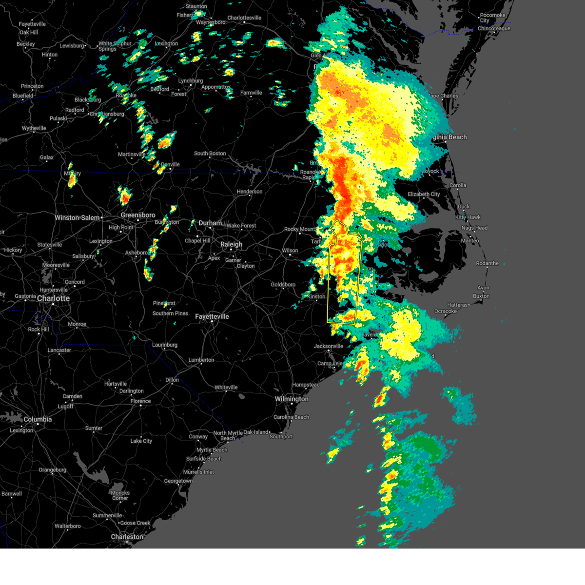
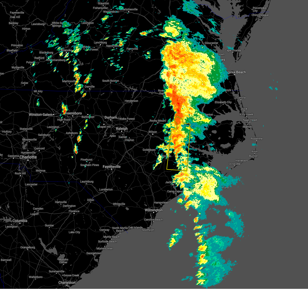
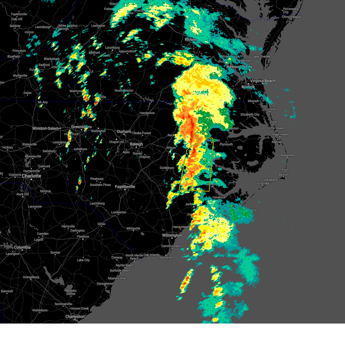
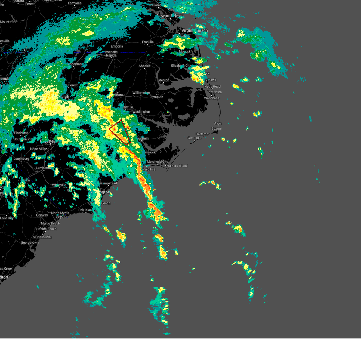
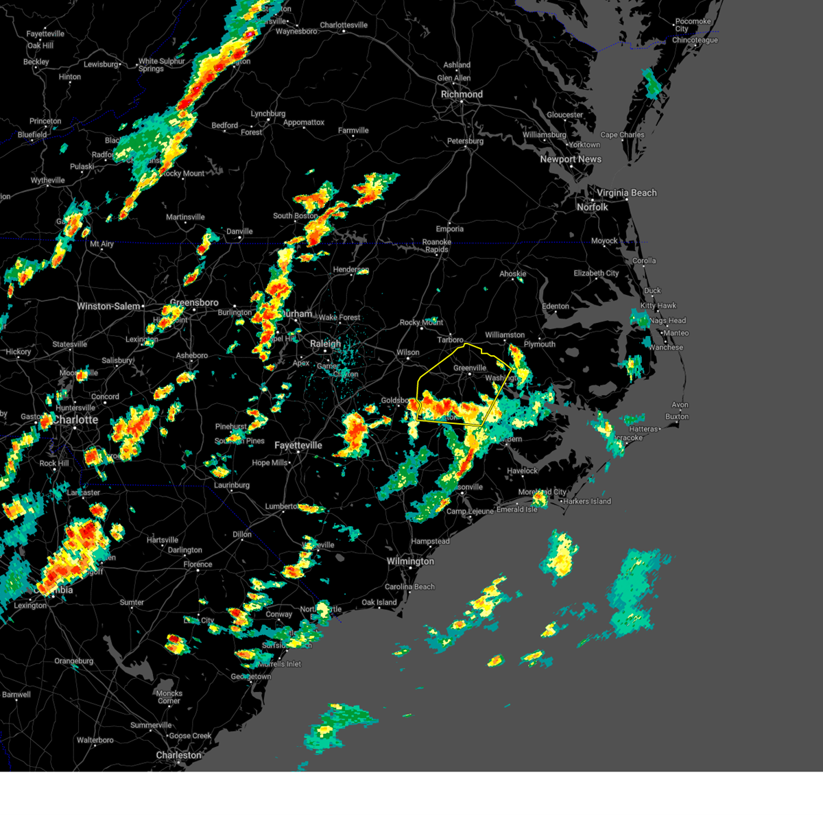
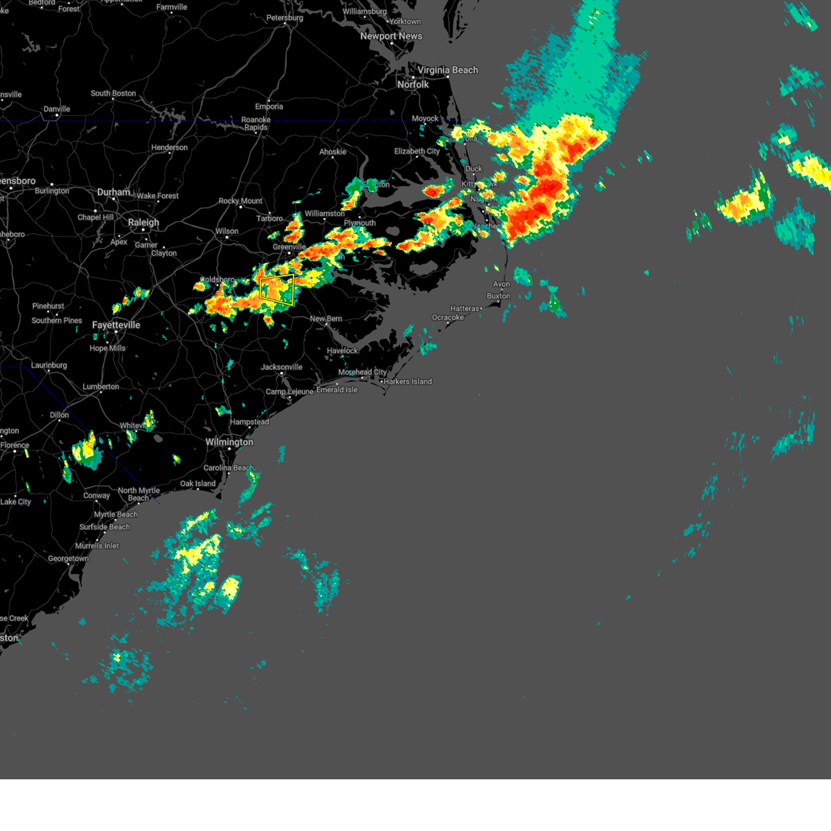
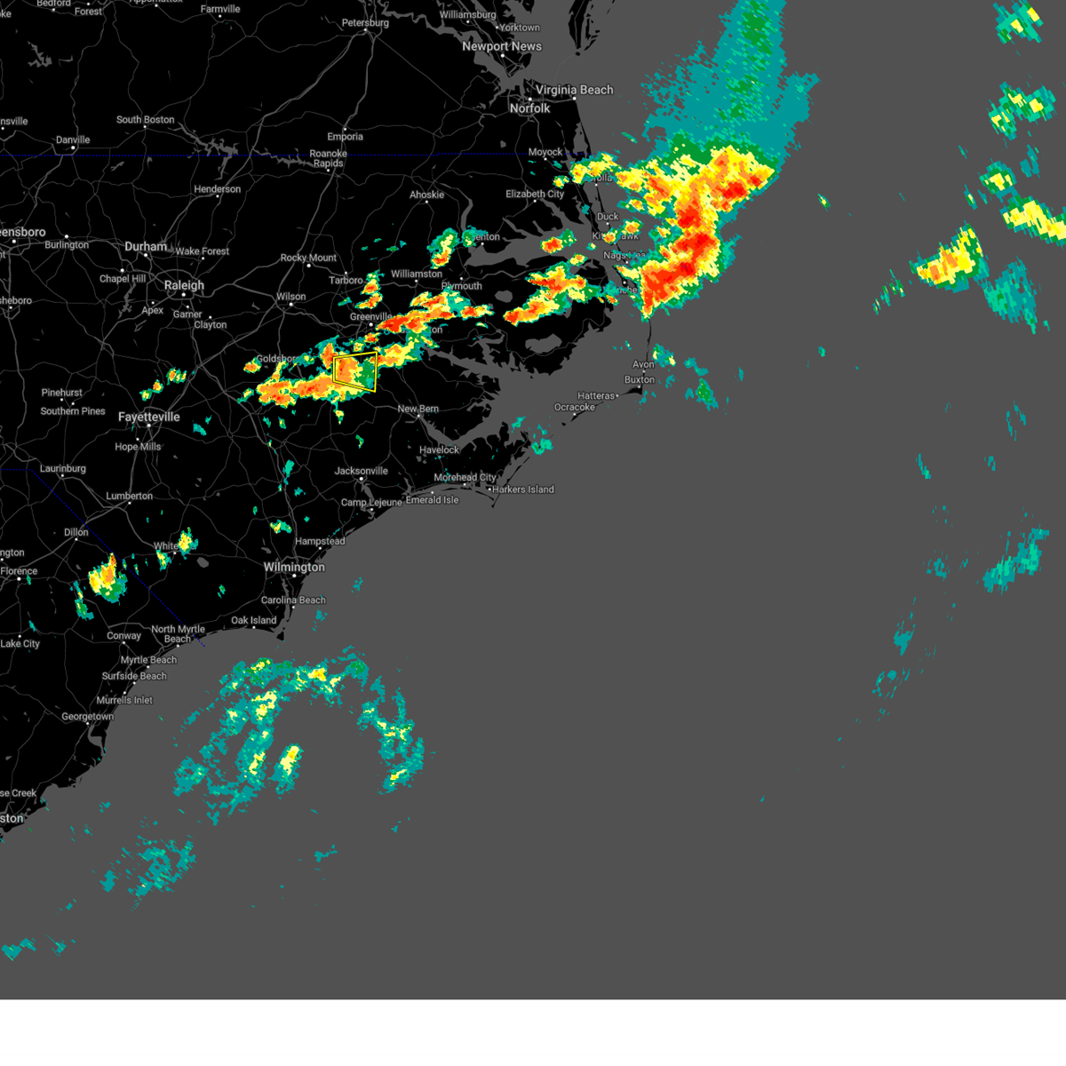
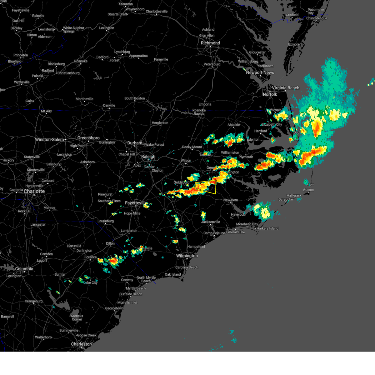
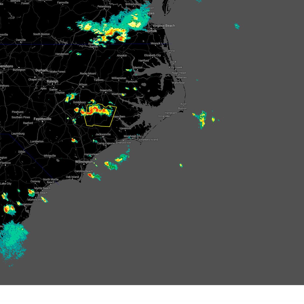
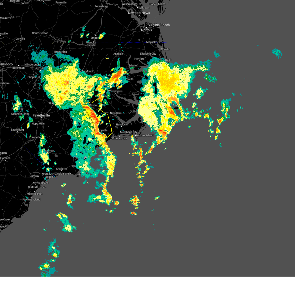
Hail Map for Grifton, NC
The Grifton, NC area has had 1 report of on-the-ground hail by trained spotters, and has been under severe weather warnings 34 times during the past 12 months. Doppler radar has detected hail at or near Grifton, NC on 55 occasions, including 1 occasion during the past year.
| Name: | Grifton, NC |
| Where Located: | 73.4 miles ESE of Raleigh, NC |
| Map: | Google Map for Grifton, NC |
| Population: | 2617 |
| Housing Units: | 1130 |
| More Info: | Search Google for Grifton, NC |
1
The Top Recent Hail Date for Grifton, NC is Monday, May 5, 2025 (10th out of 55)

Hail and Wind Damage Spotted near Grifton, NC
| Date / Time | Report Details |
|---|---|
| 6/7/2025 5:12 PM EDT | Trees down on the 5400 block of highway 118 in grifto in craven county NC, 7.7 miles WNW of Grifton, NC |
| 5/31/2025 6:58 PM EDT |
 Svrmhx the national weather service in newport has issued a * severe thunderstorm warning for, north central craven county in eastern north carolina, southeastern pitt county in eastern north carolina, west central beaufort county in eastern north carolina, * until 715 pm edt. * at 657 pm edt, severe thunderstorms were located along a line extending from near black jack to grifton, moving east at 45 mph (radar indicated). Hazards include 60 mph wind gusts. expect damage to roofs, siding, and trees Svrmhx the national weather service in newport has issued a * severe thunderstorm warning for, north central craven county in eastern north carolina, southeastern pitt county in eastern north carolina, west central beaufort county in eastern north carolina, * until 715 pm edt. * at 657 pm edt, severe thunderstorms were located along a line extending from near black jack to grifton, moving east at 45 mph (radar indicated). Hazards include 60 mph wind gusts. expect damage to roofs, siding, and trees
|
| 5/31/2025 6:38 PM EDT |
 Svrmhx the national weather service in newport has issued a * severe thunderstorm warning for, northwestern jones county in eastern north carolina, southern greene county in eastern north carolina, lenoir county in eastern north carolina, northwestern craven county in eastern north carolina, south central pitt county in eastern north carolina, northern duplin county in eastern north carolina, * until 715 pm edt. * at 637 pm edt, severe thunderstorms were located along a line extending from near snow hill to 13 miles southeast of benson, moving southeast at 45 mph (radar indicated). Hazards include 60 mph wind gusts. expect damage to roofs, siding, and trees Svrmhx the national weather service in newport has issued a * severe thunderstorm warning for, northwestern jones county in eastern north carolina, southern greene county in eastern north carolina, lenoir county in eastern north carolina, northwestern craven county in eastern north carolina, south central pitt county in eastern north carolina, northern duplin county in eastern north carolina, * until 715 pm edt. * at 637 pm edt, severe thunderstorms were located along a line extending from near snow hill to 13 miles southeast of benson, moving southeast at 45 mph (radar indicated). Hazards include 60 mph wind gusts. expect damage to roofs, siding, and trees
|
| 5/5/2025 3:14 PM EDT |
 Svrmhx the national weather service in newport has issued a * severe thunderstorm warning for, central pitt county in eastern north carolina, southwestern martin county in eastern north carolina, northwestern beaufort county in eastern north carolina, * until 400 pm edt. * at 314 pm edt, a severe thunderstorm was located near ayden, moving northeast at 30 mph (radar indicated). Hazards include 60 mph wind gusts and quarter size hail. Hail damage to vehicles is expected. Expect wind damage to roofs, siding, and trees. Svrmhx the national weather service in newport has issued a * severe thunderstorm warning for, central pitt county in eastern north carolina, southwestern martin county in eastern north carolina, northwestern beaufort county in eastern north carolina, * until 400 pm edt. * at 314 pm edt, a severe thunderstorm was located near ayden, moving northeast at 30 mph (radar indicated). Hazards include 60 mph wind gusts and quarter size hail. Hail damage to vehicles is expected. Expect wind damage to roofs, siding, and trees.
|
| 5/5/2025 2:32 PM EDT |
 the severe thunderstorm warning has been cancelled and is no longer in effect the severe thunderstorm warning has been cancelled and is no longer in effect
|
| 5/5/2025 2:25 PM EDT |
 the severe thunderstorm warning has been cancelled and is no longer in effect the severe thunderstorm warning has been cancelled and is no longer in effect
|
| 5/5/2025 2:25 PM EDT |
 At 225 pm edt, severe thunderstorms were located along a line extending from 7 miles northwest of jason to near kinston, moving northeast at 25 mph (radar indicated). Hazards include 60 mph wind gusts and quarter size hail. Hail damage to vehicles is expected. expect wind damage to roofs, siding, and trees. Locations impacted include, dawson, graingers, hookerton, kinston, snow hill, institute, kinston regional jetport, shine, jason, la grange, and grifton. At 225 pm edt, severe thunderstorms were located along a line extending from 7 miles northwest of jason to near kinston, moving northeast at 25 mph (radar indicated). Hazards include 60 mph wind gusts and quarter size hail. Hail damage to vehicles is expected. expect wind damage to roofs, siding, and trees. Locations impacted include, dawson, graingers, hookerton, kinston, snow hill, institute, kinston regional jetport, shine, jason, la grange, and grifton.
|
| 5/5/2025 2:10 PM EDT |
 At 210 pm edt, severe thunderstorms were located along a line extending from near beautancus to near deep run, moving northeast at 25 mph (radar indicated). Hazards include 60 mph wind gusts and quarter size hail. Hail damage to vehicles is expected. expect wind damage to roofs, siding, and trees. Locations impacted include, dawson, beautancus, snow hill, sandy bottom, la grange, shine, deep run, graingers, calypso, hookerton, kinston, institute, kinston regional jetport, albertson, jason, faison, grifton, mount olive, and warsaw. At 210 pm edt, severe thunderstorms were located along a line extending from near beautancus to near deep run, moving northeast at 25 mph (radar indicated). Hazards include 60 mph wind gusts and quarter size hail. Hail damage to vehicles is expected. expect wind damage to roofs, siding, and trees. Locations impacted include, dawson, beautancus, snow hill, sandy bottom, la grange, shine, deep run, graingers, calypso, hookerton, kinston, institute, kinston regional jetport, albertson, jason, faison, grifton, mount olive, and warsaw.
|
| 5/5/2025 1:52 PM EDT |
 Svrmhx the national weather service in newport has issued a * severe thunderstorm warning for, southern greene county in eastern north carolina, lenoir county in eastern north carolina, northern duplin county in eastern north carolina, * until 245 pm edt. * at 152 pm edt, severe thunderstorms were located along a line extending from near bowdens to deep run, moving northeast at 25 mph (radar indicated). Hazards include 60 mph wind gusts and quarter size hail. Hail damage to vehicles is expected. Expect wind damage to roofs, siding, and trees. Svrmhx the national weather service in newport has issued a * severe thunderstorm warning for, southern greene county in eastern north carolina, lenoir county in eastern north carolina, northern duplin county in eastern north carolina, * until 245 pm edt. * at 152 pm edt, severe thunderstorms were located along a line extending from near bowdens to deep run, moving northeast at 25 mph (radar indicated). Hazards include 60 mph wind gusts and quarter size hail. Hail damage to vehicles is expected. Expect wind damage to roofs, siding, and trees.
|
| 4/7/2025 4:32 PM EDT |
 the severe thunderstorm warning has been cancelled and is no longer in effect the severe thunderstorm warning has been cancelled and is no longer in effect
|
| 4/7/2025 4:20 PM EDT |
 The storms which prompted the warning have moved out of the area. therefore, the warning will be allowed to expire. however, small hail and gusty winds are still possible with these thunderstorms. a severe thunderstorm watch remains in effect until 1000 pm edt for eastern north carolina. The storms which prompted the warning have moved out of the area. therefore, the warning will be allowed to expire. however, small hail and gusty winds are still possible with these thunderstorms. a severe thunderstorm watch remains in effect until 1000 pm edt for eastern north carolina.
|
| 4/7/2025 4:01 PM EDT |
 Svrmhx the national weather service in newport has issued a * severe thunderstorm warning for, eastern greene county in eastern north carolina, northeastern lenoir county in eastern north carolina, pitt county in eastern north carolina, southern martin county in eastern north carolina, * until 500 pm edt. * at 359 pm edt, a severe thunderstorm was located over roundtree, or near ayden, moving east at 45 mph. this is a destructive storm for winterville and greenville (law enforcement. these thunderstorms have a history of producing damaging winds). Hazards include 80 mph wind gusts and penny size hail. Flying debris will be dangerous to those caught without shelter. mobile homes will be heavily damaged. expect considerable damage to roofs, windows, and vehicles. Extensive tree damage and power outages are likely. Svrmhx the national weather service in newport has issued a * severe thunderstorm warning for, eastern greene county in eastern north carolina, northeastern lenoir county in eastern north carolina, pitt county in eastern north carolina, southern martin county in eastern north carolina, * until 500 pm edt. * at 359 pm edt, a severe thunderstorm was located over roundtree, or near ayden, moving east at 45 mph. this is a destructive storm for winterville and greenville (law enforcement. these thunderstorms have a history of producing damaging winds). Hazards include 80 mph wind gusts and penny size hail. Flying debris will be dangerous to those caught without shelter. mobile homes will be heavily damaged. expect considerable damage to roofs, windows, and vehicles. Extensive tree damage and power outages are likely.
|
| 4/7/2025 3:59 PM EDT | Delayed report. tree on power line on contentnea lan in pitt county NC, 3.4 miles SE of Grifton, NC |
| 4/7/2025 3:49 PM EDT |
 Svrmhx the national weather service in newport has issued a * severe thunderstorm warning for, greene county in eastern north carolina, northeastern lenoir county in eastern north carolina, southwestern pitt county in eastern north carolina, * until 415 pm edt. * at 348 pm edt, a severe thunderstorm was located over snow hill, or 10 miles south of farmville, moving east at 55 mph. this is a destructive storm for snow hill (radar indicated). Hazards include 80 mph wind gusts. Flying debris will be dangerous to those caught without shelter. mobile homes will be heavily damaged. expect considerable damage to roofs, windows, and vehicles. Extensive tree damage and power outages are likely. Svrmhx the national weather service in newport has issued a * severe thunderstorm warning for, greene county in eastern north carolina, northeastern lenoir county in eastern north carolina, southwestern pitt county in eastern north carolina, * until 415 pm edt. * at 348 pm edt, a severe thunderstorm was located over snow hill, or 10 miles south of farmville, moving east at 55 mph. this is a destructive storm for snow hill (radar indicated). Hazards include 80 mph wind gusts. Flying debris will be dangerous to those caught without shelter. mobile homes will be heavily damaged. expect considerable damage to roofs, windows, and vehicles. Extensive tree damage and power outages are likely.
|
| 4/7/2025 3:36 PM EDT |
 At 334 pm edt, severe thunderstorms were located along a line extending from near fremont to near goldsboro to 6 miles northeast of mount olive to near beautancus to warsaw, moving northeast at 65 mph (automated weather observation. at 320 pm, a 64 mph wind gust was reported mount olive. these thunderstorms also produced wind gusts of 60 to 65 mph over the past hour for areas further west). Hazards include 70 mph wind gusts and penny size hail. Expect considerable tree damage. damage is likely to mobile homes, roofs, and outbuildings. Locations impacted include, dawson, walstonburg, snow hill, sandy bottom, la grange, lizzie, shine, kornegay, pink hill, graingers, calypso, kinston, institute, albertson, jason, faison, beautancus, maury, ormondsville, and warsaw. At 334 pm edt, severe thunderstorms were located along a line extending from near fremont to near goldsboro to 6 miles northeast of mount olive to near beautancus to warsaw, moving northeast at 65 mph (automated weather observation. at 320 pm, a 64 mph wind gust was reported mount olive. these thunderstorms also produced wind gusts of 60 to 65 mph over the past hour for areas further west). Hazards include 70 mph wind gusts and penny size hail. Expect considerable tree damage. damage is likely to mobile homes, roofs, and outbuildings. Locations impacted include, dawson, walstonburg, snow hill, sandy bottom, la grange, lizzie, shine, kornegay, pink hill, graingers, calypso, kinston, institute, albertson, jason, faison, beautancus, maury, ormondsville, and warsaw.
|
| 4/7/2025 3:11 PM EDT |
 Svrmhx the national weather service in newport has issued a * severe thunderstorm warning for, greene county in eastern north carolina, lenoir county in eastern north carolina, northern duplin county in eastern north carolina, * until 430 pm edt. * at 310 pm edt, severe thunderstorms were located along a line extending from 7 miles south of smithfield to 14 miles northwest of mount olive to 11 miles northwest of bowdens to near clinton to 13 miles northeast of ammon, moving east at 65 mph (weather observations. these thunderstorms have a history of producing wind gusts of 60 to 65 mph). Hazards include 70 mph wind gusts and penny size hail. Expect considerable tree damage. Damage is likely to mobile homes, roofs, and outbuildings. Svrmhx the national weather service in newport has issued a * severe thunderstorm warning for, greene county in eastern north carolina, lenoir county in eastern north carolina, northern duplin county in eastern north carolina, * until 430 pm edt. * at 310 pm edt, severe thunderstorms were located along a line extending from 7 miles south of smithfield to 14 miles northwest of mount olive to 11 miles northwest of bowdens to near clinton to 13 miles northeast of ammon, moving east at 65 mph (weather observations. these thunderstorms have a history of producing wind gusts of 60 to 65 mph). Hazards include 70 mph wind gusts and penny size hail. Expect considerable tree damage. Damage is likely to mobile homes, roofs, and outbuildings.
|
| 3/5/2025 3:35 PM EST |
 At 334 pm est, severe thunderstorms were located along a line extending from stokes to near phillips crossroads, moving northeast at 60 mph (radar indicated). Hazards include 70 mph wind gusts. Expect considerable tree damage. damage is likely to mobile homes, roofs, and outbuildings. Locations impacted include, rhems, vanceboro, black jack, wilmar, dowdy ficklen stadium, everetts, graingers, phillips crossroads, chocowinity, bethel, hassell, oak city, fort barnwell, greenville, house, shelmerdine, east carolina university, grifton, stokes, and cove city. At 334 pm est, severe thunderstorms were located along a line extending from stokes to near phillips crossroads, moving northeast at 60 mph (radar indicated). Hazards include 70 mph wind gusts. Expect considerable tree damage. damage is likely to mobile homes, roofs, and outbuildings. Locations impacted include, rhems, vanceboro, black jack, wilmar, dowdy ficklen stadium, everetts, graingers, phillips crossroads, chocowinity, bethel, hassell, oak city, fort barnwell, greenville, house, shelmerdine, east carolina university, grifton, stokes, and cove city.
|
| 3/5/2025 3:16 PM EST |
 Svrmhx the national weather service in newport has issued a * severe thunderstorm warning for, jones county in eastern north carolina, eastern greene county in eastern north carolina, lenoir county in eastern north carolina, northwestern craven county in eastern north carolina, pitt county in eastern north carolina, martin county in eastern north carolina, western beaufort county in eastern north carolina, * until 430 pm est. * at 315 pm est, severe thunderstorms were located along a line extending from near ormondsville to near potters hill, moving northeast at 60 mph (radar indicated). Hazards include 70 mph wind gusts. Expect considerable tree damage. Damage is likely to mobile homes, roofs, and outbuildings. Svrmhx the national weather service in newport has issued a * severe thunderstorm warning for, jones county in eastern north carolina, eastern greene county in eastern north carolina, lenoir county in eastern north carolina, northwestern craven county in eastern north carolina, pitt county in eastern north carolina, martin county in eastern north carolina, western beaufort county in eastern north carolina, * until 430 pm est. * at 315 pm est, severe thunderstorms were located along a line extending from near ormondsville to near potters hill, moving northeast at 60 mph (radar indicated). Hazards include 70 mph wind gusts. Expect considerable tree damage. Damage is likely to mobile homes, roofs, and outbuildings.
|
| 3/5/2025 2:27 PM EST |
 Svrmhx the national weather service in newport has issued a * severe thunderstorm warning for, greene county in eastern north carolina, lenoir county in eastern north carolina, pitt county in eastern north carolina, western martin county in eastern north carolina, * until 330 pm est. * at 227 pm est, severe thunderstorms were located along a line extending from 8 miles northwest of fremont to bowdens, moving northeast at 60 mph (radar indicated). Hazards include 70 mph wind gusts. Expect considerable tree damage. Damage is likely to mobile homes, roofs, and outbuildings. Svrmhx the national weather service in newport has issued a * severe thunderstorm warning for, greene county in eastern north carolina, lenoir county in eastern north carolina, pitt county in eastern north carolina, western martin county in eastern north carolina, * until 330 pm est. * at 227 pm est, severe thunderstorms were located along a line extending from 8 miles northwest of fremont to bowdens, moving northeast at 60 mph (radar indicated). Hazards include 70 mph wind gusts. Expect considerable tree damage. Damage is likely to mobile homes, roofs, and outbuildings.
|
| 2/16/2025 10:44 AM EST |
 Svrmhx the national weather service in newport has issued a * severe thunderstorm warning for, jones county in eastern north carolina, central lenoir county in eastern north carolina, craven county in eastern north carolina, central pitt county in eastern north carolina, northern onslow county in eastern north carolina, beaufort county in eastern north carolina, southern duplin county in eastern north carolina, * until 1130 am est. * at 1043 am est, severe thunderstorms were located along a line extending from dowdy ficklen stadium to near deep run to near harrells, moving east at 50 mph (trained weather spotters). Hazards include 60 mph wind gusts. expect damage to roofs, siding, and trees Svrmhx the national weather service in newport has issued a * severe thunderstorm warning for, jones county in eastern north carolina, central lenoir county in eastern north carolina, craven county in eastern north carolina, central pitt county in eastern north carolina, northern onslow county in eastern north carolina, beaufort county in eastern north carolina, southern duplin county in eastern north carolina, * until 1130 am est. * at 1043 am est, severe thunderstorms were located along a line extending from dowdy ficklen stadium to near deep run to near harrells, moving east at 50 mph (trained weather spotters). Hazards include 60 mph wind gusts. expect damage to roofs, siding, and trees
|
| 9/30/2024 4:56 PM EDT |
 The storm which prompted the warning has weakened below severe limits, and no longer poses an immediate threat to life or property. therefore, the warning will be allowed to expire. to report severe weather, contact your nearest law enforcement agency. they will relay your report to the national weather service newport. The storm which prompted the warning has weakened below severe limits, and no longer poses an immediate threat to life or property. therefore, the warning will be allowed to expire. to report severe weather, contact your nearest law enforcement agency. they will relay your report to the national weather service newport.
|
| 9/30/2024 4:35 PM EDT |
 At 435 pm edt, a severe thunderstorm was located over maury, or 7 miles south of farmville, moving east at 20 mph (radar indicated). Hazards include 60 mph wind gusts and penny size hail. Expect damage to roofs, siding, and trees. Locations impacted include, greenville, ayden, grifton, bell arthur, maury, ormondsville, roundtree, lizzie, and hookerton. At 435 pm edt, a severe thunderstorm was located over maury, or 7 miles south of farmville, moving east at 20 mph (radar indicated). Hazards include 60 mph wind gusts and penny size hail. Expect damage to roofs, siding, and trees. Locations impacted include, greenville, ayden, grifton, bell arthur, maury, ormondsville, roundtree, lizzie, and hookerton.
|
| 9/30/2024 4:16 PM EDT |
 Svrmhx the national weather service in newport has issued a * severe thunderstorm warning for, central greene county in eastern north carolina, northeastern lenoir county in eastern north carolina, southwestern pitt county in eastern north carolina, * until 500 pm edt. * at 416 pm edt, a severe thunderstorm was located over snow hill, or 9 miles south of farmville, moving east at 20 mph (radar indicated). Hazards include 60 mph wind gusts and quarter size hail. Hail damage to vehicles is expected. Expect wind damage to roofs, siding, and trees. Svrmhx the national weather service in newport has issued a * severe thunderstorm warning for, central greene county in eastern north carolina, northeastern lenoir county in eastern north carolina, southwestern pitt county in eastern north carolina, * until 500 pm edt. * at 416 pm edt, a severe thunderstorm was located over snow hill, or 9 miles south of farmville, moving east at 20 mph (radar indicated). Hazards include 60 mph wind gusts and quarter size hail. Hail damage to vehicles is expected. Expect wind damage to roofs, siding, and trees.
|
| 9/27/2024 3:16 PM EDT |
 The storms which prompted the warning have weakened below severe limits, and no longer pose an immediate threat to life or property. therefore, the warning has been allowed to expire. however, gusty winds are still possible with these thunderstorms. a tornado watch remains in effect until 600 pm edt for eastern north carolina. The storms which prompted the warning have weakened below severe limits, and no longer pose an immediate threat to life or property. therefore, the warning has been allowed to expire. however, gusty winds are still possible with these thunderstorms. a tornado watch remains in effect until 600 pm edt for eastern north carolina.
|
| 9/27/2024 3:02 PM EDT |
 the severe thunderstorm warning has been cancelled and is no longer in effect the severe thunderstorm warning has been cancelled and is no longer in effect
|
| 9/27/2024 3:02 PM EDT |
 At 301 pm edt, severe thunderstorms were located along a line extending from near robersonville to stokes to near shelmerdine to 6 miles south of fort barnwell, moving northeast at 25 mph (radar indicated). Hazards include 60 mph wind gusts. Expect damage to roofs, siding, and trees. Locations impacted include, greenville, new bern, washington, winterville, williamston, ayden, bethel, river bend, grifton, stokes, robersonville, vanceboro, pactolus, house, shelmerdine, calico, black jack, fort barnwell, jasper, and tuscarora. At 301 pm edt, severe thunderstorms were located along a line extending from near robersonville to stokes to near shelmerdine to 6 miles south of fort barnwell, moving northeast at 25 mph (radar indicated). Hazards include 60 mph wind gusts. Expect damage to roofs, siding, and trees. Locations impacted include, greenville, new bern, washington, winterville, williamston, ayden, bethel, river bend, grifton, stokes, robersonville, vanceboro, pactolus, house, shelmerdine, calico, black jack, fort barnwell, jasper, and tuscarora.
|
| 9/27/2024 2:40 PM EDT |
 At 240 pm edt, severe thunderstorms were located along a line extending from bethel to dowdy ficklen stadium to near grifton to phillips crossroads, moving north at 35 mph (radar indicated). Hazards include 60 mph wind gusts. Expect damage to roofs, siding, and trees. Locations impacted include, greenville, new bern, kinston, washington, winterville, williamston, ayden, bethel, river bend, grifton, phillips crossroads, stokes, robersonville, vanceboro, pactolus, house, shelmerdine, calico, black jack, and fort barnwell. At 240 pm edt, severe thunderstorms were located along a line extending from bethel to dowdy ficklen stadium to near grifton to phillips crossroads, moving north at 35 mph (radar indicated). Hazards include 60 mph wind gusts. Expect damage to roofs, siding, and trees. Locations impacted include, greenville, new bern, kinston, washington, winterville, williamston, ayden, bethel, river bend, grifton, phillips crossroads, stokes, robersonville, vanceboro, pactolus, house, shelmerdine, calico, black jack, and fort barnwell.
|
| 9/27/2024 2:12 PM EDT |
 Svrmhx the national weather service in newport has issued a * severe thunderstorm warning for, northern jones county in eastern north carolina, southeastern greene county in eastern north carolina, lenoir county in eastern north carolina, northwestern craven county in eastern north carolina, pitt county in eastern north carolina, martin county in eastern north carolina, northwestern beaufort county in eastern north carolina, * until 315 pm edt. * at 211 pm edt, severe thunderstorms were located along a line extending from near bethel to near pitt greenville airport to near ayden to near phillips crossroads, moving northeast at 25 mph (radar indicated). Hazards include 60 mph wind gusts. expect damage to roofs, siding, and trees Svrmhx the national weather service in newport has issued a * severe thunderstorm warning for, northern jones county in eastern north carolina, southeastern greene county in eastern north carolina, lenoir county in eastern north carolina, northwestern craven county in eastern north carolina, pitt county in eastern north carolina, martin county in eastern north carolina, northwestern beaufort county in eastern north carolina, * until 315 pm edt. * at 211 pm edt, severe thunderstorms were located along a line extending from near bethel to near pitt greenville airport to near ayden to near phillips crossroads, moving northeast at 25 mph (radar indicated). Hazards include 60 mph wind gusts. expect damage to roofs, siding, and trees
|
| 8/8/2024 5:49 AM EDT |
 At 548 am edt, a severe thunderstorm capable of producing a tornado was located over ayden, moving northwest at 30 mph (radar indicated rotation). Hazards include tornado. Flying debris will be dangerous to those caught without shelter. mobile homes will be damaged or destroyed. damage to roofs, windows, and vehicles will occur. tree damage is likely. this dangerous storm will be near, greenville, winterville, and roundtree around 555 am edt. Bell arthur around 605 am edt. At 548 am edt, a severe thunderstorm capable of producing a tornado was located over ayden, moving northwest at 30 mph (radar indicated rotation). Hazards include tornado. Flying debris will be dangerous to those caught without shelter. mobile homes will be damaged or destroyed. damage to roofs, windows, and vehicles will occur. tree damage is likely. this dangerous storm will be near, greenville, winterville, and roundtree around 555 am edt. Bell arthur around 605 am edt.
|
| 8/8/2024 5:43 AM EDT |
 At 543 am edt, a severe thunderstorm capable of producing a tornado was located near fort barnwell, or 13 miles east of kinston, moving north at 45 mph (radar indicated rotation). Hazards include tornado. Flying debris will be dangerous to those caught without shelter. mobile homes will be damaged or destroyed. damage to roofs, windows, and vehicles will occur. tree damage is likely. this dangerous storm will be near, grifton and graingers around 550 am edt. Other locations impacted by this tornadic thunderstorm include dover. At 543 am edt, a severe thunderstorm capable of producing a tornado was located near fort barnwell, or 13 miles east of kinston, moving north at 45 mph (radar indicated rotation). Hazards include tornado. Flying debris will be dangerous to those caught without shelter. mobile homes will be damaged or destroyed. damage to roofs, windows, and vehicles will occur. tree damage is likely. this dangerous storm will be near, grifton and graingers around 550 am edt. Other locations impacted by this tornadic thunderstorm include dover.
|
| 8/8/2024 5:41 AM EDT |
 the tornado warning has been cancelled and is no longer in effect the tornado warning has been cancelled and is no longer in effect
|
| 8/8/2024 5:41 AM EDT |
 At 541 am edt, a severe thunderstorm capable of producing a tornado was located near grifton, or near ayden, moving northwest at 35 mph (radar indicated rotation). Hazards include tornado. Flying debris will be dangerous to those caught without shelter. mobile homes will be damaged or destroyed. damage to roofs, windows, and vehicles will occur. tree damage is likely. this dangerous storm will be near, greenville, ayden, and grifton around 545 am edt. winterville and roundtree around 550 am edt. bell arthur around 600 am edt. Other locations impacted by this tornadic thunderstorm include gardnerville. At 541 am edt, a severe thunderstorm capable of producing a tornado was located near grifton, or near ayden, moving northwest at 35 mph (radar indicated rotation). Hazards include tornado. Flying debris will be dangerous to those caught without shelter. mobile homes will be damaged or destroyed. damage to roofs, windows, and vehicles will occur. tree damage is likely. this dangerous storm will be near, greenville, ayden, and grifton around 545 am edt. winterville and roundtree around 550 am edt. bell arthur around 600 am edt. Other locations impacted by this tornadic thunderstorm include gardnerville.
|
| 8/8/2024 5:32 AM EDT |
 Tormhx the national weather service in newport has issued a * tornado warning for, east central greene county in eastern north carolina, northeastern lenoir county in eastern north carolina, northwestern craven county in eastern north carolina, southwestern pitt county in eastern north carolina, * until 600 am edt. * at 532 am edt, a severe thunderstorm capable of producing a tornado was located near fort barnwell, or 10 miles southeast of ayden, moving northwest at 40 mph (radar indicated rotation). Hazards include tornado. Flying debris will be dangerous to those caught without shelter. mobile homes will be damaged or destroyed. damage to roofs, windows, and vehicles will occur. tree damage is likely. this dangerous storm will be near, greenville, ayden, and grifton around 540 am edt. winterville around 545 am edt. roundtree around 550 am edt. Other locations impacted by this tornadic thunderstorm include gardnerville. Tormhx the national weather service in newport has issued a * tornado warning for, east central greene county in eastern north carolina, northeastern lenoir county in eastern north carolina, northwestern craven county in eastern north carolina, southwestern pitt county in eastern north carolina, * until 600 am edt. * at 532 am edt, a severe thunderstorm capable of producing a tornado was located near fort barnwell, or 10 miles southeast of ayden, moving northwest at 40 mph (radar indicated rotation). Hazards include tornado. Flying debris will be dangerous to those caught without shelter. mobile homes will be damaged or destroyed. damage to roofs, windows, and vehicles will occur. tree damage is likely. this dangerous storm will be near, greenville, ayden, and grifton around 540 am edt. winterville around 545 am edt. roundtree around 550 am edt. Other locations impacted by this tornadic thunderstorm include gardnerville.
|
| 8/8/2024 5:31 AM EDT |
 Tormhx the national weather service in newport has issued a * tornado warning for, north central jones county in eastern north carolina, northeastern lenoir county in eastern north carolina, west central craven county in eastern north carolina, south central pitt county in eastern north carolina, * until 600 am edt. * at 531 am edt, a severe thunderstorm capable of producing a tornado was located near phillips crossroads, or 17 miles west of new bern, moving northwest at 45 mph (radar indicated rotation). Hazards include tornado. Flying debris will be dangerous to those caught without shelter. mobile homes will be damaged or destroyed. damage to roofs, windows, and vehicles will occur. tree damage is likely. this dangerous storm will be near, wyse fork around 540 am edt. kinston, grifton, and graingers around 550 am edt. Other locations impacted by this tornadic thunderstorm include dover, trenton, and cove city. Tormhx the national weather service in newport has issued a * tornado warning for, north central jones county in eastern north carolina, northeastern lenoir county in eastern north carolina, west central craven county in eastern north carolina, south central pitt county in eastern north carolina, * until 600 am edt. * at 531 am edt, a severe thunderstorm capable of producing a tornado was located near phillips crossroads, or 17 miles west of new bern, moving northwest at 45 mph (radar indicated rotation). Hazards include tornado. Flying debris will be dangerous to those caught without shelter. mobile homes will be damaged or destroyed. damage to roofs, windows, and vehicles will occur. tree damage is likely. this dangerous storm will be near, wyse fork around 540 am edt. kinston, grifton, and graingers around 550 am edt. Other locations impacted by this tornadic thunderstorm include dover, trenton, and cove city.
|
| 8/3/2024 2:48 PM EDT |
 Svrmhx the national weather service in newport has issued a * severe thunderstorm warning for, greene county in eastern north carolina, northern lenoir county in eastern north carolina, northwestern craven county in eastern north carolina, pitt county in eastern north carolina, northwestern beaufort county in eastern north carolina, * until 345 pm edt. * at 248 pm edt, severe thunderstorms were located along a line extending from near goldsboro to near calico, moving northeast at 30 mph (radar indicated). Hazards include 60 mph wind gusts and quarter size hail. Hail damage to vehicles is expected. Expect wind damage to roofs, siding, and trees. Svrmhx the national weather service in newport has issued a * severe thunderstorm warning for, greene county in eastern north carolina, northern lenoir county in eastern north carolina, northwestern craven county in eastern north carolina, pitt county in eastern north carolina, northwestern beaufort county in eastern north carolina, * until 345 pm edt. * at 248 pm edt, severe thunderstorms were located along a line extending from near goldsboro to near calico, moving northeast at 30 mph (radar indicated). Hazards include 60 mph wind gusts and quarter size hail. Hail damage to vehicles is expected. Expect wind damage to roofs, siding, and trees.
|
| 7/20/2024 8:29 PM EDT |
 Svrmhx the national weather service in newport has issued a * severe thunderstorm warning for, greene county in eastern north carolina, northern lenoir county in eastern north carolina, central pitt county in eastern north carolina, * until 915 pm edt. * at 828 pm edt, a severe thunderstorm was located near jason, or 7 miles northeast of goldsboro, moving east at 40 mph (radar indicated). Hazards include 60 mph wind gusts. expect damage to roofs, siding, and trees Svrmhx the national weather service in newport has issued a * severe thunderstorm warning for, greene county in eastern north carolina, northern lenoir county in eastern north carolina, central pitt county in eastern north carolina, * until 915 pm edt. * at 828 pm edt, a severe thunderstorm was located near jason, or 7 miles northeast of goldsboro, moving east at 40 mph (radar indicated). Hazards include 60 mph wind gusts. expect damage to roofs, siding, and trees
|
| 6/24/2024 3:02 PM EDT |
 the severe thunderstorm warning has been cancelled and is no longer in effect the severe thunderstorm warning has been cancelled and is no longer in effect
|
| 6/24/2024 2:51 PM EDT |
 At 251 pm edt, a severe thunderstorm was located near graingers, or near kinston, moving east at 25 mph (radar indicated). Hazards include 60 mph wind gusts and quarter size hail. Hail damage to vehicles is expected. expect wind damage to roofs, siding, and trees. Locations impacted include, kinston, grifton, graingers, kinston regional jetport, and hookerton. At 251 pm edt, a severe thunderstorm was located near graingers, or near kinston, moving east at 25 mph (radar indicated). Hazards include 60 mph wind gusts and quarter size hail. Hail damage to vehicles is expected. expect wind damage to roofs, siding, and trees. Locations impacted include, kinston, grifton, graingers, kinston regional jetport, and hookerton.
|
| 6/24/2024 2:38 PM EDT |
 Svrmhx the national weather service in newport has issued a * severe thunderstorm warning for, southeastern greene county in eastern north carolina, northern lenoir county in eastern north carolina, northwestern craven county in eastern north carolina, south central pitt county in eastern north carolina, * until 315 pm edt. * at 238 pm edt, a severe thunderstorm was located over dawson, or near kinston, moving east at 30 mph (radar indicated). Hazards include 60 mph wind gusts and quarter size hail. Hail damage to vehicles is expected. Expect wind damage to roofs, siding, and trees. Svrmhx the national weather service in newport has issued a * severe thunderstorm warning for, southeastern greene county in eastern north carolina, northern lenoir county in eastern north carolina, northwestern craven county in eastern north carolina, south central pitt county in eastern north carolina, * until 315 pm edt. * at 238 pm edt, a severe thunderstorm was located over dawson, or near kinston, moving east at 30 mph (radar indicated). Hazards include 60 mph wind gusts and quarter size hail. Hail damage to vehicles is expected. Expect wind damage to roofs, siding, and trees.
|
| 6/6/2024 8:56 PM EDT |
 The storm which prompted the warning has weakened below severe limits, and has exited the warned area. therefore, the warning will be allowed to expire. The storm which prompted the warning has weakened below severe limits, and has exited the warned area. therefore, the warning will be allowed to expire.
|
| 6/6/2024 8:42 PM EDT |
 At 840 pm edt, a severe thunderstorm was located over kinston, moving east at 35 mph (emergency management). Hazards include 60 mph wind gusts and nickel size hail. Expect damage to roofs, siding, and trees. trees were reported blown down in the sandy bottom community. Locations impacted include, kinston, grifton, dawson, graingers, wyse fork, kinston regional jetport, and dover. At 840 pm edt, a severe thunderstorm was located over kinston, moving east at 35 mph (emergency management). Hazards include 60 mph wind gusts and nickel size hail. Expect damage to roofs, siding, and trees. trees were reported blown down in the sandy bottom community. Locations impacted include, kinston, grifton, dawson, graingers, wyse fork, kinston regional jetport, and dover.
|
| 6/6/2024 8:23 PM EDT |
 Svrmhx the national weather service in newport has issued a * severe thunderstorm warning for, north central jones county in eastern north carolina, lenoir county in eastern north carolina, west central craven county in eastern north carolina, * until 900 pm edt. * at 823 pm edt, a severe thunderstorm was located near la grange, moving east at 35 mph (radar indicated). Hazards include 60 mph wind gusts and nickel size hail. expect damage to roofs, siding, and trees Svrmhx the national weather service in newport has issued a * severe thunderstorm warning for, north central jones county in eastern north carolina, lenoir county in eastern north carolina, west central craven county in eastern north carolina, * until 900 pm edt. * at 823 pm edt, a severe thunderstorm was located near la grange, moving east at 35 mph (radar indicated). Hazards include 60 mph wind gusts and nickel size hail. expect damage to roofs, siding, and trees
|
| 5/27/2024 1:32 AM EDT |
 At 132 am edt, a severe thunderstorm was located over house, or near greenville, moving east at 30 mph (radar indicated). Hazards include 60 mph wind gusts. Expect damage to roofs, siding, and trees. Locations impacted include, greenville, winterville, ayden, bethel, grifton, stokes, robersonville, vanceboro, house, shelmerdine, calico, pactolus, black jack, wilmar, roundtree, east carolina university, pitt greenville airport, dowdy ficklen stadium, grimesland, and simpson. At 132 am edt, a severe thunderstorm was located over house, or near greenville, moving east at 30 mph (radar indicated). Hazards include 60 mph wind gusts. Expect damage to roofs, siding, and trees. Locations impacted include, greenville, winterville, ayden, bethel, grifton, stokes, robersonville, vanceboro, house, shelmerdine, calico, pactolus, black jack, wilmar, roundtree, east carolina university, pitt greenville airport, dowdy ficklen stadium, grimesland, and simpson.
|
| 5/27/2024 12:55 AM EDT |
 Svrmhx the national weather service in newport has issued a * severe thunderstorm warning for, greene county in eastern north carolina, northeastern lenoir county in eastern north carolina, northwestern craven county in eastern north carolina, pitt county in eastern north carolina, southwestern martin county in eastern north carolina, northwestern beaufort county in eastern north carolina, * until 200 am edt. * at 1255 am edt, a severe thunderstorm was located near farmville, moving east at 30 mph (radar indicated). Hazards include 60 mph wind gusts. expect damage to roofs, siding, and trees Svrmhx the national weather service in newport has issued a * severe thunderstorm warning for, greene county in eastern north carolina, northeastern lenoir county in eastern north carolina, northwestern craven county in eastern north carolina, pitt county in eastern north carolina, southwestern martin county in eastern north carolina, northwestern beaufort county in eastern north carolina, * until 200 am edt. * at 1255 am edt, a severe thunderstorm was located near farmville, moving east at 30 mph (radar indicated). Hazards include 60 mph wind gusts. expect damage to roofs, siding, and trees
|
| 5/24/2024 6:50 PM EDT |
 At 650 pm edt, a severe thunderstorm was located near kinston, moving southeast at 25 mph (radar indicated). Hazards include 60 mph wind gusts and quarter size hail. Hail damage to vehicles is expected. expect wind damage to roofs, siding, and trees. Locations impacted include, kinston, la grange, grifton, phillips crossroads, kornegay, deep run, vanceboro, comfort, fort barnwell, jasper, tuscarora, dawson, potters hill, graingers, institute, pleasant hill, wyse fork, albertson, kinston regional jetport, and pink hill. At 650 pm edt, a severe thunderstorm was located near kinston, moving southeast at 25 mph (radar indicated). Hazards include 60 mph wind gusts and quarter size hail. Hail damage to vehicles is expected. expect wind damage to roofs, siding, and trees. Locations impacted include, kinston, la grange, grifton, phillips crossroads, kornegay, deep run, vanceboro, comfort, fort barnwell, jasper, tuscarora, dawson, potters hill, graingers, institute, pleasant hill, wyse fork, albertson, kinston regional jetport, and pink hill.
|
| 5/24/2024 6:50 PM EDT |
 the severe thunderstorm warning has been cancelled and is no longer in effect the severe thunderstorm warning has been cancelled and is no longer in effect
|
| 5/24/2024 6:35 PM EDT |
 Svrmhx the national weather service in newport has issued a * severe thunderstorm warning for, jones county in eastern north carolina, southwestern greene county in eastern north carolina, lenoir county in eastern north carolina, northwestern craven county in eastern north carolina, northeastern duplin county in eastern north carolina, * until 730 pm edt. * at 634 pm edt, a severe thunderstorm was located over la grange, moving southeast at 25 mph (radar indicated). Hazards include 60 mph wind gusts and quarter size hail. Hail damage to vehicles is expected. Expect wind damage to roofs, siding, and trees. Svrmhx the national weather service in newport has issued a * severe thunderstorm warning for, jones county in eastern north carolina, southwestern greene county in eastern north carolina, lenoir county in eastern north carolina, northwestern craven county in eastern north carolina, northeastern duplin county in eastern north carolina, * until 730 pm edt. * at 634 pm edt, a severe thunderstorm was located over la grange, moving southeast at 25 mph (radar indicated). Hazards include 60 mph wind gusts and quarter size hail. Hail damage to vehicles is expected. Expect wind damage to roofs, siding, and trees.
|
| 5/10/2024 5:10 PM EDT |
 Svrmhx the national weather service in newport has issued a * severe thunderstorm warning for, north central jones county in eastern north carolina, greene county in eastern north carolina, lenoir county in eastern north carolina, northwestern craven county in eastern north carolina, central pitt county in eastern north carolina, beaufort county in eastern north carolina, * until 615 pm edt. * at 510 pm edt, severe thunderstorms were located along a line extending from near pactolus to jason, moving east at 40 mph (public). Hazards include 70 mph wind gusts and ping pong ball size hail. People and animals outdoors will be injured. expect hail damage to roofs, siding, windows, and vehicles. expect considerable tree damage. Wind damage is also likely to mobile homes, roofs, and outbuildings. Svrmhx the national weather service in newport has issued a * severe thunderstorm warning for, north central jones county in eastern north carolina, greene county in eastern north carolina, lenoir county in eastern north carolina, northwestern craven county in eastern north carolina, central pitt county in eastern north carolina, beaufort county in eastern north carolina, * until 615 pm edt. * at 510 pm edt, severe thunderstorms were located along a line extending from near pactolus to jason, moving east at 40 mph (public). Hazards include 70 mph wind gusts and ping pong ball size hail. People and animals outdoors will be injured. expect hail damage to roofs, siding, windows, and vehicles. expect considerable tree damage. Wind damage is also likely to mobile homes, roofs, and outbuildings.
|
| 5/10/2024 4:55 PM EDT |
 At 455 pm edt, severe thunderstorms were located along a line extending from near pactolus to near bell arthur, moving east at 35 mph (radar indicated). Hazards include 70 mph wind gusts and half dollar size hail. Hail damage to vehicles is expected. expect considerable tree damage. wind damage is also likely to mobile homes, roofs, and outbuildings. Locations impacted include, greenville, washington, winterville, ayden, farmville, grifton, stokes, snow hill, bell arthur, pactolus, house, shelmerdine, calico, black jack, bruce, maury, ormondsville, roundtree, lizzie, and pitt greenville airport. At 455 pm edt, severe thunderstorms were located along a line extending from near pactolus to near bell arthur, moving east at 35 mph (radar indicated). Hazards include 70 mph wind gusts and half dollar size hail. Hail damage to vehicles is expected. expect considerable tree damage. wind damage is also likely to mobile homes, roofs, and outbuildings. Locations impacted include, greenville, washington, winterville, ayden, farmville, grifton, stokes, snow hill, bell arthur, pactolus, house, shelmerdine, calico, black jack, bruce, maury, ormondsville, roundtree, lizzie, and pitt greenville airport.
|
| 5/10/2024 4:11 PM EDT |
 Svrmhx the national weather service in newport has issued a * severe thunderstorm warning for, greene county in eastern north carolina, northeastern lenoir county in eastern north carolina, pitt county in eastern north carolina, northwestern beaufort county in eastern north carolina, * until 515 pm edt. * at 411 pm edt, severe thunderstorms were located along a line extending from 10 miles northwest of farmville to 6 miles south of wilson, moving east at 35 mph (radar indicated). Hazards include 60 mph wind gusts and quarter size hail. Hail damage to vehicles is expected. Expect wind damage to roofs, siding, and trees. Svrmhx the national weather service in newport has issued a * severe thunderstorm warning for, greene county in eastern north carolina, northeastern lenoir county in eastern north carolina, pitt county in eastern north carolina, northwestern beaufort county in eastern north carolina, * until 515 pm edt. * at 411 pm edt, severe thunderstorms were located along a line extending from 10 miles northwest of farmville to 6 miles south of wilson, moving east at 35 mph (radar indicated). Hazards include 60 mph wind gusts and quarter size hail. Hail damage to vehicles is expected. Expect wind damage to roofs, siding, and trees.
|
| 1/9/2024 8:14 PM EST |
 At 813 pm est, severe thunderstorms were located along a line extending from near house to near wyse fork, moving northeast at 70 mph (radar indicated). Hazards include 70 mph wind gusts. Expect considerable tree damage. Damage is likely to mobile homes, roofs, and outbuildings. At 813 pm est, severe thunderstorms were located along a line extending from near house to near wyse fork, moving northeast at 70 mph (radar indicated). Hazards include 70 mph wind gusts. Expect considerable tree damage. Damage is likely to mobile homes, roofs, and outbuildings.
|
| 1/9/2024 7:55 PM EST |
 At 755 pm est, severe thunderstorms were located along a line extending from snow hill to near petersburg to near edgecomb, moving east at 80 mph (radar indicated). Hazards include 70 mph wind gusts. Expect considerable tree damage. damage is likely to mobile homes, roofs, and outbuildings. locations impacted include, jacksonville, new bern, kinston, havelock, wallace, la grange, pumpkin center, piney green, new river station, half moon, camp lejeune center, james city, trent woods, river bend, swansboro, grifton, phillips crossroads, hubert, kornegay, and snow hill. thunderstorm damage threat, considerable hail threat, radar indicated max hail size, <. 75 in wind threat, radar indicated max wind gust, 70 mph. At 755 pm est, severe thunderstorms were located along a line extending from snow hill to near petersburg to near edgecomb, moving east at 80 mph (radar indicated). Hazards include 70 mph wind gusts. Expect considerable tree damage. damage is likely to mobile homes, roofs, and outbuildings. locations impacted include, jacksonville, new bern, kinston, havelock, wallace, la grange, pumpkin center, piney green, new river station, half moon, camp lejeune center, james city, trent woods, river bend, swansboro, grifton, phillips crossroads, hubert, kornegay, and snow hill. thunderstorm damage threat, considerable hail threat, radar indicated max hail size, <. 75 in wind threat, radar indicated max wind gust, 70 mph.
|
| 1/9/2024 7:51 PM EST |
 At 751 pm est, severe thunderstorms were located along a line extending from near snow hill to near pleasant hill to near edgecomb, moving east at 80 mph (radar indicated). Hazards include 70 mph wind gusts. Expect considerable tree damage. Damage is likely to mobile homes, roofs, and outbuildings. At 751 pm est, severe thunderstorms were located along a line extending from near snow hill to near pleasant hill to near edgecomb, moving east at 80 mph (radar indicated). Hazards include 70 mph wind gusts. Expect considerable tree damage. Damage is likely to mobile homes, roofs, and outbuildings.
|
| 1/9/2024 7:34 PM EST |
 At 733 pm est, severe thunderstorms were located along a line extending from near bruce to near kinston regional jetport, moving northeast at 65 mph (radar indicated). Hazards include 70 mph wind gusts. Expect considerable tree damage. Damage is likely to mobile homes, roofs, and outbuildings. At 733 pm est, severe thunderstorms were located along a line extending from near bruce to near kinston regional jetport, moving northeast at 65 mph (radar indicated). Hazards include 70 mph wind gusts. Expect considerable tree damage. Damage is likely to mobile homes, roofs, and outbuildings.
|
| 1/9/2024 6:54 PM EST |
 At 652 pm est, severe thunderstorms were located along a line extending from near smithfield to near clinton to near elizabethtown, moving east at 50 mph (radar indicated). Hazards include 70 mph wind gusts. these storms have a history of producing wind damage across central north carolina. Expect considerable tree damage. Damage is likely to mobile homes, roofs, and outbuildings. At 652 pm est, severe thunderstorms were located along a line extending from near smithfield to near clinton to near elizabethtown, moving east at 50 mph (radar indicated). Hazards include 70 mph wind gusts. these storms have a history of producing wind damage across central north carolina. Expect considerable tree damage. Damage is likely to mobile homes, roofs, and outbuildings.
|
| 8/15/2023 7:12 PM EDT |
 At 712 pm edt, severe thunderstorms were located along a line extending from near old ford to mount olive, moving east at 40 mph (radar indicated). Hazards include 60 mph wind gusts. Expect damage to roofs, siding, and trees. locations impacted include, greenville, kinston, washington, winterville, ayden, farmville, warsaw, la grange, river road, mount olive, grifton, kornegay, stokes, snow hill, bell arthur, pinetown, deep run, house, shelmerdine and bowdens. hail threat, radar indicated max hail size, <. 75 in wind threat, radar indicated max wind gust, 60 mph. At 712 pm edt, severe thunderstorms were located along a line extending from near old ford to mount olive, moving east at 40 mph (radar indicated). Hazards include 60 mph wind gusts. Expect damage to roofs, siding, and trees. locations impacted include, greenville, kinston, washington, winterville, ayden, farmville, warsaw, la grange, river road, mount olive, grifton, kornegay, stokes, snow hill, bell arthur, pinetown, deep run, house, shelmerdine and bowdens. hail threat, radar indicated max hail size, <. 75 in wind threat, radar indicated max wind gust, 60 mph.
|
| 8/15/2023 6:43 PM EDT |
 At 642 pm edt, severe thunderstorms were located along a line extending from near pactolus to 10 miles west of mount olive, moving east at 35 mph (radar indicated). Hazards include 60 mph wind gusts. expect damage to roofs, siding, and trees At 642 pm edt, severe thunderstorms were located along a line extending from near pactolus to 10 miles west of mount olive, moving east at 35 mph (radar indicated). Hazards include 60 mph wind gusts. expect damage to roofs, siding, and trees
|
| 8/15/2023 6:12 PM EDT |
 At 611 pm edt, severe thunderstorms were located along a line extending from near scotland neck to near tarboro to 7 miles east of wilson, moving northeast at 40 mph (radar indicated). Hazards include 60 mph wind gusts. Expect damage to roofs, siding, and trees. locations impacted include, greenville, kinston, washington, winterville, williamston, ayden, farmville, la grange, bethel, grifton, stokes, snow hill, bell arthur, robersonville, house, shelmerdine, pactolus, calico, black jack and bruce. hail threat, radar indicated max hail size, <. 75 in wind threat, radar indicated max wind gust, 60 mph. At 611 pm edt, severe thunderstorms were located along a line extending from near scotland neck to near tarboro to 7 miles east of wilson, moving northeast at 40 mph (radar indicated). Hazards include 60 mph wind gusts. Expect damage to roofs, siding, and trees. locations impacted include, greenville, kinston, washington, winterville, williamston, ayden, farmville, la grange, bethel, grifton, stokes, snow hill, bell arthur, robersonville, house, shelmerdine, pactolus, calico, black jack and bruce. hail threat, radar indicated max hail size, <. 75 in wind threat, radar indicated max wind gust, 60 mph.
|
| 8/15/2023 5:39 PM EDT |
 At 539 pm edt, severe thunderstorms were located along a line extending from 9 miles south of halifax to 6 miles north of fremont, moving northeast at 50 mph (radar indicated). Hazards include 60 mph wind gusts. expect damage to roofs, siding, and trees At 539 pm edt, severe thunderstorms were located along a line extending from 9 miles south of halifax to 6 miles north of fremont, moving northeast at 50 mph (radar indicated). Hazards include 60 mph wind gusts. expect damage to roofs, siding, and trees
|
| 8/7/2023 9:11 PM EDT | Tree down on nc 11 in grifto in lenoir county NC, 1.4 miles NE of Grifton, NC |
| 8/7/2023 8:50 PM EDT |
 At 849 pm edt, severe thunderstorms were located along a line extending from near lizzie to 6 miles northwest of deep run to willard, moving east at 55 mph (radar indicated). Hazards include 60 mph wind gusts. expect damage to roofs, siding, and trees At 849 pm edt, severe thunderstorms were located along a line extending from near lizzie to 6 miles northwest of deep run to willard, moving east at 55 mph (radar indicated). Hazards include 60 mph wind gusts. expect damage to roofs, siding, and trees
|
| 8/7/2023 8:33 PM EDT |
 At 832 pm edt, severe thunderstorms were located along a line extending from 8 miles northeast of rocky mount to 8 miles southeast of wilson to near mount olive, moving east at 40 mph (radar indicated). Hazards include 60 mph wind gusts. expect damage to roofs, siding, and trees At 832 pm edt, severe thunderstorms were located along a line extending from 8 miles northeast of rocky mount to 8 miles southeast of wilson to near mount olive, moving east at 40 mph (radar indicated). Hazards include 60 mph wind gusts. expect damage to roofs, siding, and trees
|
| 7/9/2023 3:51 PM EDT |
 At 351 pm edt, severe thunderstorms were located along a line extending from 7 miles southeast of scotland neck to ayden, moving northeast at 40 mph (radar indicated). Hazards include 60 mph wind gusts. expect damage to roofs, siding, and trees At 351 pm edt, severe thunderstorms were located along a line extending from 7 miles southeast of scotland neck to ayden, moving northeast at 40 mph (radar indicated). Hazards include 60 mph wind gusts. expect damage to roofs, siding, and trees
|
| 7/9/2023 3:30 PM EDT |
 At 330 pm edt, severe thunderstorms were located along a line extending from 7 miles northeast of tarboro to near institute to near harrells, moving southeast at 40 mph (radar indicated). Hazards include 60 mph wind gusts and nickel size hail. Expect damage to roofs, siding, and trees. Locations impacted include, greenville, kinston, winterville, ayden, farmville, wallace, warsaw, la grange, mount olive, bethel, grifton, kornegay, stokes, rose hill, snow hill, bell arthur, robersonville, beulaville, deep run and house. At 330 pm edt, severe thunderstorms were located along a line extending from 7 miles northeast of tarboro to near institute to near harrells, moving southeast at 40 mph (radar indicated). Hazards include 60 mph wind gusts and nickel size hail. Expect damage to roofs, siding, and trees. Locations impacted include, greenville, kinston, winterville, ayden, farmville, wallace, warsaw, la grange, mount olive, bethel, grifton, kornegay, stokes, rose hill, snow hill, bell arthur, robersonville, beulaville, deep run and house.
|
| 7/9/2023 2:52 PM EDT |
 At 251 pm edt, severe thunderstorms were located along a line extending from near dortches to near fremont to near clinton, moving east at 40 mph (radar indicated). Hazards include 60 mph wind gusts and nickel size hail. expect damage to roofs, siding, and trees At 251 pm edt, severe thunderstorms were located along a line extending from near dortches to near fremont to near clinton, moving east at 40 mph (radar indicated). Hazards include 60 mph wind gusts and nickel size hail. expect damage to roofs, siding, and trees
|
| 7/3/2023 3:55 PM EDT |
 At 355 pm edt, a severe thunderstorm was located over deep run, or 8 miles south of kinston, moving northeast at 30 mph (radar indicated). Hazards include 60 mph wind gusts. expect damage to roofs, siding, and trees At 355 pm edt, a severe thunderstorm was located over deep run, or 8 miles south of kinston, moving northeast at 30 mph (radar indicated). Hazards include 60 mph wind gusts. expect damage to roofs, siding, and trees
|
| 6/27/2023 12:13 AM EDT |
 At 1212 am edt, severe thunderstorms were located along a line extending from near bell arthur to near rose hill, moving east at 45 mph (radar indicated). Hazards include 60 mph wind gusts and quarter size hail. Hail damage to vehicles is expected. Expect wind damage to roofs, siding, and trees. At 1212 am edt, severe thunderstorms were located along a line extending from near bell arthur to near rose hill, moving east at 45 mph (radar indicated). Hazards include 60 mph wind gusts and quarter size hail. Hail damage to vehicles is expected. Expect wind damage to roofs, siding, and trees.
|
| 6/22/2023 1:17 PM EDT | Tree down... blocking the road. time estimated from rada in craven county NC, 8.2 miles WNW of Grifton, NC |
| 6/22/2023 1:16 PM EDT |
 At 116 pm edt, severe thunderstorms were located along a line extending from snow hill to grifton to near tuscarora, moving east at 50 mph (emergency management. at 100 pm, wind damage was reported in kinston). Hazards include 60 mph wind gusts. Expect damage to roofs, siding, and trees. Locations impacted include, greenville, winterville, ayden, farmville, bethel, grifton, stokes, snow hill, bell arthur, vanceboro, pactolus, house, shelmerdine, calico, black jack, fort barnwell, bruce, jasper, tuscarora and wilmar. At 116 pm edt, severe thunderstorms were located along a line extending from snow hill to grifton to near tuscarora, moving east at 50 mph (emergency management. at 100 pm, wind damage was reported in kinston). Hazards include 60 mph wind gusts. Expect damage to roofs, siding, and trees. Locations impacted include, greenville, winterville, ayden, farmville, bethel, grifton, stokes, snow hill, bell arthur, vanceboro, pactolus, house, shelmerdine, calico, black jack, fort barnwell, bruce, jasper, tuscarora and wilmar.
|
| 6/22/2023 1:07 PM EDT |
 At 107 pm edt, severe thunderstorms were located along a line extending from institute to graingers to near phillips crossroads, moving northeast at 50 mph (radar indicated). Hazards include 60 mph wind gusts. expect damage to roofs, siding, and trees At 107 pm edt, severe thunderstorms were located along a line extending from institute to graingers to near phillips crossroads, moving northeast at 50 mph (radar indicated). Hazards include 60 mph wind gusts. expect damage to roofs, siding, and trees
|
| 6/22/2023 1:00 PM EDT |
 At 100 pm edt, severe thunderstorms were located along a line extending from near institute to phillips crossroads to piney green, moving northeast at 55 mph (radar indicated). Hazards include 60 mph wind gusts. Expect damage to roofs, siding, and trees. Locations impacted include, jacksonville, kinston, la grange, new river station, pumpkin center, piney green, half moon, camp lejeune center, swansboro, grifton, phillips crossroads, hubert, richlands, deep run, maysville, catherine lake, silverdale, kellum, midway park and verona. At 100 pm edt, severe thunderstorms were located along a line extending from near institute to phillips crossroads to piney green, moving northeast at 55 mph (radar indicated). Hazards include 60 mph wind gusts. Expect damage to roofs, siding, and trees. Locations impacted include, jacksonville, kinston, la grange, new river station, pumpkin center, piney green, half moon, camp lejeune center, swansboro, grifton, phillips crossroads, hubert, richlands, deep run, maysville, catherine lake, silverdale, kellum, midway park and verona.
|
| 6/22/2023 12:20 PM EDT |
 At 1220 pm edt, severe thunderstorms were located along a line extending from near kenansville to cypress creek to topsail beach, moving northeast at 45 mph (radar indicated). Hazards include 60 mph wind gusts. expect damage to roofs, siding, and trees At 1220 pm edt, severe thunderstorms were located along a line extending from near kenansville to cypress creek to topsail beach, moving northeast at 45 mph (radar indicated). Hazards include 60 mph wind gusts. expect damage to roofs, siding, and trees
|
| 5/9/2023 4:29 PM EDT |
 At 429 pm edt, a severe thunderstorm was located near grifton, or near ayden, moving southeast at 50 mph (radar indicated). Hazards include ping pong ball size hail and 60 mph wind gusts. People and animals outdoors will be injured. expect hail damage to roofs, siding, windows, and vehicles. Expect wind damage to roofs, siding, and trees. At 429 pm edt, a severe thunderstorm was located near grifton, or near ayden, moving southeast at 50 mph (radar indicated). Hazards include ping pong ball size hail and 60 mph wind gusts. People and animals outdoors will be injured. expect hail damage to roofs, siding, windows, and vehicles. Expect wind damage to roofs, siding, and trees.
|
| 5/9/2023 4:12 PM EDT |
 At 411 pm edt, a severe thunderstorm was located over bell arthur, or near farmville, moving southeast at 30 mph (radar indicated). Hazards include golf ball size hail and 60 mph wind gusts. People and animals outdoors will be injured. expect hail damage to roofs, siding, windows, and vehicles. Expect wind damage to roofs, siding, and trees. At 411 pm edt, a severe thunderstorm was located over bell arthur, or near farmville, moving southeast at 30 mph (radar indicated). Hazards include golf ball size hail and 60 mph wind gusts. People and animals outdoors will be injured. expect hail damage to roofs, siding, windows, and vehicles. Expect wind damage to roofs, siding, and trees.
|
| 4/30/2023 3:34 PM EDT |
 At 334 pm edt, severe thunderstorms were located along a line extending from 8 miles south of tarboro to near roundtree, moving northeast at 50 mph (radar indicated). Hazards include 60 mph wind gusts and quarter size hail. Hail damage to vehicles is expected. Expect wind damage to roofs, siding, and trees. At 334 pm edt, severe thunderstorms were located along a line extending from 8 miles south of tarboro to near roundtree, moving northeast at 50 mph (radar indicated). Hazards include 60 mph wind gusts and quarter size hail. Hail damage to vehicles is expected. Expect wind damage to roofs, siding, and trees.
|
| 4/30/2023 3:19 PM EDT |
 At 319 pm edt, severe thunderstorms were located along a line extending from 8 miles northwest of snow hill to kinston, moving northeast at 45 mph (radar indicated). Hazards include 60 mph wind gusts and quarter size hail. Hail damage to vehicles is expected. expect wind damage to roofs, siding, and trees. locations impacted include, greenville, kinston, winterville, ayden, farmville, grifton, snow hill, bell arthur, bruce, dawson, graingers, maury, ormondsville, roundtree, lizzie, kinston regional jetport, fountain, hookerton, sandy bottom and castoria. hail threat, radar indicated max hail size, 1. 00 in wind threat, radar indicated max wind gust, 60 mph. At 319 pm edt, severe thunderstorms were located along a line extending from 8 miles northwest of snow hill to kinston, moving northeast at 45 mph (radar indicated). Hazards include 60 mph wind gusts and quarter size hail. Hail damage to vehicles is expected. expect wind damage to roofs, siding, and trees. locations impacted include, greenville, kinston, winterville, ayden, farmville, grifton, snow hill, bell arthur, bruce, dawson, graingers, maury, ormondsville, roundtree, lizzie, kinston regional jetport, fountain, hookerton, sandy bottom and castoria. hail threat, radar indicated max hail size, 1. 00 in wind threat, radar indicated max wind gust, 60 mph.
|
| 4/30/2023 2:50 PM EDT |
 At 250 pm edt, severe thunderstorms were located along a line extending from 6 miles southwest of fremont to near beautancus, moving northeast at 50 mph (radar indicated). Hazards include 60 mph wind gusts and quarter size hail. Hail damage to vehicles is expected. Expect wind damage to roofs, siding, and trees. At 250 pm edt, severe thunderstorms were located along a line extending from 6 miles southwest of fremont to near beautancus, moving northeast at 50 mph (radar indicated). Hazards include 60 mph wind gusts and quarter size hail. Hail damage to vehicles is expected. Expect wind damage to roofs, siding, and trees.
|
| 7/6/2022 10:57 PM EDT |
 At 1057 pm edt, severe thunderstorms were located along a line extending from washington to near grifton to near walnut creek, moving southeast at 15 mph (radar indicated). Hazards include 60 mph wind gusts. expect damage to roofs, siding, and trees At 1057 pm edt, severe thunderstorms were located along a line extending from washington to near grifton to near walnut creek, moving southeast at 15 mph (radar indicated). Hazards include 60 mph wind gusts. expect damage to roofs, siding, and trees
|
| 7/3/2022 5:33 PM EDT |
 At 533 pm edt, a severe thunderstorm was located over graingers, or 8 miles northeast of kinston, moving south at 15 mph (radar indicated). Hazards include 60 mph wind gusts and quarter size hail. Hail damage to vehicles is expected. expect wind damage to roofs, siding, and trees. locations impacted include, grifton and graingers. hail threat, radar indicated max hail size, 1. 00 in wind threat, radar indicated max wind gust, 60 mph. At 533 pm edt, a severe thunderstorm was located over graingers, or 8 miles northeast of kinston, moving south at 15 mph (radar indicated). Hazards include 60 mph wind gusts and quarter size hail. Hail damage to vehicles is expected. expect wind damage to roofs, siding, and trees. locations impacted include, grifton and graingers. hail threat, radar indicated max hail size, 1. 00 in wind threat, radar indicated max wind gust, 60 mph.
|
| 7/3/2022 5:13 PM EDT |
 At 512 pm edt, a severe thunderstorm was located near grifton, or near ayden, moving southeast at 15 mph (radar indicated). Hazards include 60 mph wind gusts and quarter size hail. Hail damage to vehicles is expected. Expect wind damage to roofs, siding, and trees. At 512 pm edt, a severe thunderstorm was located near grifton, or near ayden, moving southeast at 15 mph (radar indicated). Hazards include 60 mph wind gusts and quarter size hail. Hail damage to vehicles is expected. Expect wind damage to roofs, siding, and trees.
|
| 6/17/2022 8:09 PM EDT |
 At 808 pm edt, severe thunderstorms were located along a line extending from pactolus to near wyse fork to near kornegay to near rose hill, moving southeast at 45 mph (radar indicated). Hazards include 60 mph wind gusts. expect damage to roofs, siding, and trees At 808 pm edt, severe thunderstorms were located along a line extending from pactolus to near wyse fork to near kornegay to near rose hill, moving southeast at 45 mph (radar indicated). Hazards include 60 mph wind gusts. expect damage to roofs, siding, and trees
|
| 6/17/2022 8:06 PM EDT |
 At 805 pm edt, severe thunderstorms were located along a line extending from near greenville to near kinston to near kenansville, moving southeast at 60 mph (radar indicated). Hazards include 60 mph wind gusts. Expect damage to roofs, siding, and trees. locations impacted include, greenville, kinston, washington, winterville, ayden, farmville, wallace, warsaw, la grange, mount olive, grifton, phillips crossroads, kornegay, rose hill, snow hill, bell arthur, beulaville, deep run, house and shelmerdine. hail threat, radar indicated max hail size, <. 75 in wind threat, radar indicated max wind gust, 60 mph. At 805 pm edt, severe thunderstorms were located along a line extending from near greenville to near kinston to near kenansville, moving southeast at 60 mph (radar indicated). Hazards include 60 mph wind gusts. Expect damage to roofs, siding, and trees. locations impacted include, greenville, kinston, washington, winterville, ayden, farmville, wallace, warsaw, la grange, mount olive, grifton, phillips crossroads, kornegay, rose hill, snow hill, bell arthur, beulaville, deep run, house and shelmerdine. hail threat, radar indicated max hail size, <. 75 in wind threat, radar indicated max wind gust, 60 mph.
|
| 6/17/2022 7:24 PM EDT |
 At 723 pm edt, severe thunderstorms were located along a line extending from 7 miles southeast of wilson to 6 miles northwest of goldsboro to 12 miles southeast of godwin, moving southeast at 50 mph (radar indicated). Hazards include 60 mph wind gusts. expect damage to roofs, siding, and trees At 723 pm edt, severe thunderstorms were located along a line extending from 7 miles southeast of wilson to 6 miles northwest of goldsboro to 12 miles southeast of godwin, moving southeast at 50 mph (radar indicated). Hazards include 60 mph wind gusts. expect damage to roofs, siding, and trees
|
| 6/12/2022 7:25 PM EDT |
 At 725 pm edt, a severe thunderstorm was located near grifton, or 9 miles south of ayden, moving southeast at 15 mph (radar indicated). Hazards include 60 mph wind gusts and quarter size hail. Hail damage to vehicles is expected. Expect wind damage to roofs, siding, and trees. At 725 pm edt, a severe thunderstorm was located near grifton, or 9 miles south of ayden, moving southeast at 15 mph (radar indicated). Hazards include 60 mph wind gusts and quarter size hail. Hail damage to vehicles is expected. Expect wind damage to roofs, siding, and trees.
|
| 6/12/2022 7:13 PM EDT | Trees down and damage to a barn. caller said the roof was ripped off the barn. pea size hail occurred as well. time estimated based off rada in pitt county NC, 1 miles NNE of Grifton, NC |
| 5/23/2022 6:10 PM EDT |
 At 610 pm edt, a severe thunderstorm was located near jasper, or 16 miles northwest of new bern, moving east at 25 mph (radar indicated). Hazards include 60 mph wind gusts and quarter size hail. Hail damage to vehicles is expected. expect wind damage to roofs, siding, and trees. Locations impacted include, new bern, washington, james city, trent woods, grifton, blounts creek, vanceboro, askins, cayton, shelmerdine, calico, fort barnwell, jasper, tuscarora, rhems, wilmar, cox crossroads, ernul, fairfield harbour and coastal carolina regional airport. At 610 pm edt, a severe thunderstorm was located near jasper, or 16 miles northwest of new bern, moving east at 25 mph (radar indicated). Hazards include 60 mph wind gusts and quarter size hail. Hail damage to vehicles is expected. expect wind damage to roofs, siding, and trees. Locations impacted include, new bern, washington, james city, trent woods, grifton, blounts creek, vanceboro, askins, cayton, shelmerdine, calico, fort barnwell, jasper, tuscarora, rhems, wilmar, cox crossroads, ernul, fairfield harbour and coastal carolina regional airport.
|
| 5/23/2022 5:51 PM EDT |
 At 550 pm edt, a severe thunderstorm was located near fort barnwell, or 12 miles east of kinston, moving east at 25 mph (radar indicated). Hazards include 60 mph wind gusts and quarter size hail. Hail damage to vehicles is expected. Expect wind damage to roofs, siding, and trees. At 550 pm edt, a severe thunderstorm was located near fort barnwell, or 12 miles east of kinston, moving east at 25 mph (radar indicated). Hazards include 60 mph wind gusts and quarter size hail. Hail damage to vehicles is expected. Expect wind damage to roofs, siding, and trees.
|
| 5/23/2022 5:41 PM EDT |
 At 541 pm edt, a severe thunderstorm was located over wyse fork, or 8 miles east of kinston, moving east at 25 mph (emergency management). Hazards include 60 mph wind gusts and quarter size hail. Hail damage to vehicles is expected. expect wind damage to roofs, siding, and trees. Locations impacted include, kinston, grifton, fort barnwell, graingers, wyse fork, dover and cove city. At 541 pm edt, a severe thunderstorm was located over wyse fork, or 8 miles east of kinston, moving east at 25 mph (emergency management). Hazards include 60 mph wind gusts and quarter size hail. Hail damage to vehicles is expected. expect wind damage to roofs, siding, and trees. Locations impacted include, kinston, grifton, fort barnwell, graingers, wyse fork, dover and cove city.
|
| 5/23/2022 5:15 PM EDT |
 At 515 pm edt, a severe thunderstorm was located near deep run, or near kinston, moving east at 25 mph (radar indicated). Hazards include 60 mph wind gusts and quarter size hail. Hail damage to vehicles is expected. Expect wind damage to roofs, siding, and trees. At 515 pm edt, a severe thunderstorm was located near deep run, or near kinston, moving east at 25 mph (radar indicated). Hazards include 60 mph wind gusts and quarter size hail. Hail damage to vehicles is expected. Expect wind damage to roofs, siding, and trees.
|
| 5/20/2022 1:51 AM EDT |
 At 150 am edt, a severe thunderstorm was located near farmville, moving east at 45 mph (radar indicated). Hazards include 60 mph wind gusts and quarter size hail. Hail damage to vehicles is expected. expect wind damage to roofs, siding, and trees. locations impacted include, greenville, washington, winterville, williamston, ayden, farmville, bethel, grifton, stokes, snow hill, bell arthur, robersonville, pactolus, house, shelmerdine, calico, black jack, bruce, jason and maury. hail threat, radar indicated max hail size, 1. 00 in wind threat, radar indicated max wind gust, 60 mph. At 150 am edt, a severe thunderstorm was located near farmville, moving east at 45 mph (radar indicated). Hazards include 60 mph wind gusts and quarter size hail. Hail damage to vehicles is expected. expect wind damage to roofs, siding, and trees. locations impacted include, greenville, washington, winterville, williamston, ayden, farmville, bethel, grifton, stokes, snow hill, bell arthur, robersonville, pactolus, house, shelmerdine, calico, black jack, bruce, jason and maury. hail threat, radar indicated max hail size, 1. 00 in wind threat, radar indicated max wind gust, 60 mph.
|
| 5/20/2022 1:30 AM EDT |
 At 129 am edt, a severe thunderstorm was located near wilson, or 17 miles west of farmville, moving east at 40 mph (radar indicated). Hazards include 60 mph wind gusts and quarter size hail. Hail damage to vehicles is expected. Expect wind damage to roofs, siding, and trees. At 129 am edt, a severe thunderstorm was located near wilson, or 17 miles west of farmville, moving east at 40 mph (radar indicated). Hazards include 60 mph wind gusts and quarter size hail. Hail damage to vehicles is expected. Expect wind damage to roofs, siding, and trees.
|
| 5/16/2022 8:21 PM EDT |
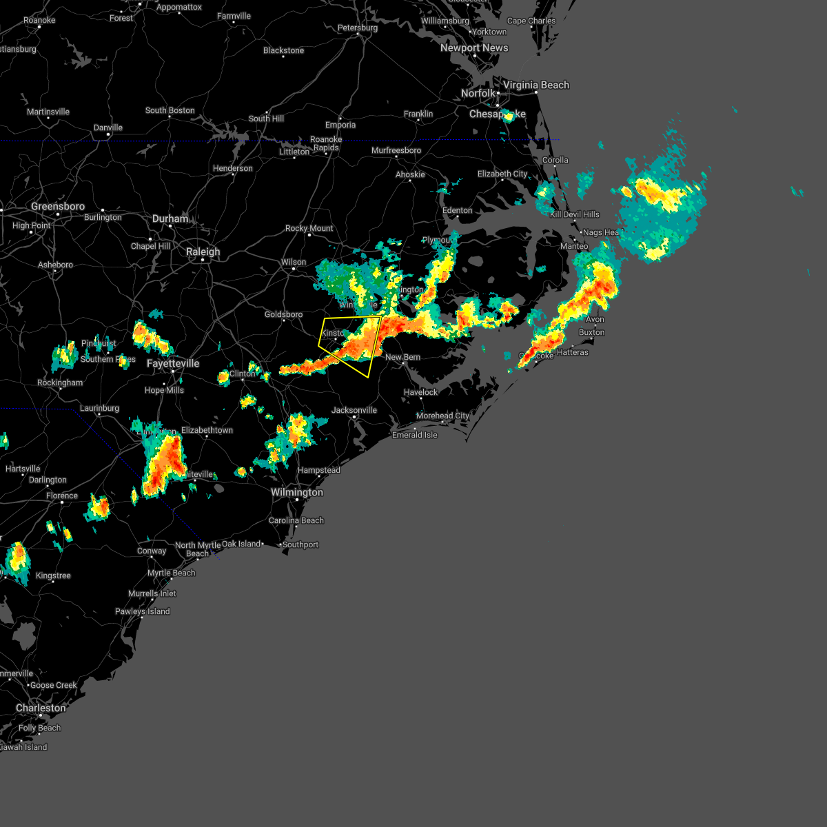 The severe thunderstorm warning for north central jones, southeastern greene, northeastern lenoir, northwestern craven and south central pitt counties will expire at 830 pm edt, the storm which prompted the warning has moved out of the area. therefore, the warning will be allowed to expire. however gusty winds and heavy rain are still possible with this thunderstorm. a severe thunderstorm watch remains in effect until 900 pm edt for eastern north carolina. to report severe weather, contact your nearest law enforcement agency. they will relay your report to the national weather service newport. The severe thunderstorm warning for north central jones, southeastern greene, northeastern lenoir, northwestern craven and south central pitt counties will expire at 830 pm edt, the storm which prompted the warning has moved out of the area. therefore, the warning will be allowed to expire. however gusty winds and heavy rain are still possible with this thunderstorm. a severe thunderstorm watch remains in effect until 900 pm edt for eastern north carolina. to report severe weather, contact your nearest law enforcement agency. they will relay your report to the national weather service newport.
|
| 5/16/2022 7:55 PM EDT | Duke energy reports 282 customers without power in the grifton area. time estimated by rada in pitt county NC, 1.6 miles NNE of Grifton, NC |
| 5/16/2022 7:42 PM EDT |
 At 740 pm edt, a severe thunderstorm was located over kinston, moving east at 35 mph (radar indicated). Hazards include 60 mph wind gusts. expect damage to roofs, siding, and trees At 740 pm edt, a severe thunderstorm was located over kinston, moving east at 35 mph (radar indicated). Hazards include 60 mph wind gusts. expect damage to roofs, siding, and trees
|
| 5/16/2022 5:43 PM EDT | Farm building blown down. time estimated based on rada in craven county NC, 9.8 miles WNW of Grifton, NC |
| 5/6/2022 3:08 PM EDT |
 At 308 pm edt, a severe thunderstorm was located near ayden, moving northeast at 25 mph (radar indicated). Hazards include 60 mph wind gusts and quarter size hail. Hail damage to vehicles is expected. Expect wind damage to roofs, siding, and trees. At 308 pm edt, a severe thunderstorm was located near ayden, moving northeast at 25 mph (radar indicated). Hazards include 60 mph wind gusts and quarter size hail. Hail damage to vehicles is expected. Expect wind damage to roofs, siding, and trees.
|
| 4/26/2022 6:04 PM EDT |
 At 603 pm edt, severe thunderstorms were located along a line extending from 8 miles north of robersonville to kornegay, moving southeast at 35 mph (radar indicated). Hazards include 60 mph wind gusts. Expect damage to roofs, siding, and trees. locations impacted include, greenville, kinston, washington, winterville, williamston, ayden, farmville, la grange, bethel, grifton, stokes, snow hill, bell arthur, robersonville, deep run, house, shelmerdine, pactolus, calico and black jack. hail threat, radar indicated max hail size, <. 75 in wind threat, radar indicated max wind gust, 60 mph. At 603 pm edt, severe thunderstorms were located along a line extending from 8 miles north of robersonville to kornegay, moving southeast at 35 mph (radar indicated). Hazards include 60 mph wind gusts. Expect damage to roofs, siding, and trees. locations impacted include, greenville, kinston, washington, winterville, williamston, ayden, farmville, la grange, bethel, grifton, stokes, snow hill, bell arthur, robersonville, deep run, house, shelmerdine, pactolus, calico and black jack. hail threat, radar indicated max hail size, <. 75 in wind threat, radar indicated max wind gust, 60 mph.
|
| 4/26/2022 5:35 PM EDT |
 At 534 pm edt, severe thunderstorms were located along a line extending from 8 miles southwest of scotland neck to mount olive, moving southeast at 35 mph (radar indicated). Hazards include 60 mph wind gusts. expect damage to roofs, siding, and trees At 534 pm edt, severe thunderstorms were located along a line extending from 8 miles southwest of scotland neck to mount olive, moving southeast at 35 mph (radar indicated). Hazards include 60 mph wind gusts. expect damage to roofs, siding, and trees
|
| 4/7/2022 6:28 PM EDT |
 At 627 pm edt, severe thunderstorms were located along a line extending from 8 miles northwest of bruce to near kinston, moving northeast at 75 mph (radar indicated). Hazards include 60 mph wind gusts and nickel size hail. expect damage to roofs, siding, and trees At 627 pm edt, severe thunderstorms were located along a line extending from 8 miles northwest of bruce to near kinston, moving northeast at 75 mph (radar indicated). Hazards include 60 mph wind gusts and nickel size hail. expect damage to roofs, siding, and trees
|
| 3/12/2022 9:01 AM EST |
 At 900 am est, severe thunderstorms were located along a line extending from near pactolus to near wyse fork to near wallace, moving northeast at 80 mph (radar indicated). Hazards include 60 mph wind gusts. expect damage to roofs, siding, and trees At 900 am est, severe thunderstorms were located along a line extending from near pactolus to near wyse fork to near wallace, moving northeast at 80 mph (radar indicated). Hazards include 60 mph wind gusts. expect damage to roofs, siding, and trees
|
| 3/12/2022 8:51 AM EST |
 At 850 am est, severe thunderstorms were located along a line extending from graingers to near chinquapin, moving east at 70 mph (radar indicated). Hazards include 60 mph wind gusts. Expect damage to roofs, siding, and trees. Locations impacted include, kinston, wallace, grifton, phillips crossroads, kornegay, rose hill, richlands, beulaville, deep run, cypress creek, comfort, kenansville, fort barnwell, chinquapin, dawson, potters hill, graingers, petersburg, pleasant hill and wyse fork. At 850 am est, severe thunderstorms were located along a line extending from graingers to near chinquapin, moving east at 70 mph (radar indicated). Hazards include 60 mph wind gusts. Expect damage to roofs, siding, and trees. Locations impacted include, kinston, wallace, grifton, phillips crossroads, kornegay, rose hill, richlands, beulaville, deep run, cypress creek, comfort, kenansville, fort barnwell, chinquapin, dawson, potters hill, graingers, petersburg, pleasant hill and wyse fork.
|
| 3/12/2022 8:27 AM EST |
 At 826 am est, severe thunderstorms were located along a line extending from 6 miles east of mount olive to near harrells, moving east at 70 mph (radar indicated). Hazards include 60 mph wind gusts. expect damage to roofs, siding, and trees At 826 am est, severe thunderstorms were located along a line extending from 6 miles east of mount olive to near harrells, moving east at 70 mph (radar indicated). Hazards include 60 mph wind gusts. expect damage to roofs, siding, and trees
|
| 7/28/2021 6:39 PM EDT |
 At 638 pm edt, severe thunderstorms were located along a line extending from 6 miles south of la grange to near graingers to near river bend, moving south at 30 mph (radar indicated). Hazards include 60 mph wind gusts and quarter size hail. Hail damage to vehicles is expected. Expect wind damage to roofs, siding, and trees. At 638 pm edt, severe thunderstorms were located along a line extending from 6 miles south of la grange to near graingers to near river bend, moving south at 30 mph (radar indicated). Hazards include 60 mph wind gusts and quarter size hail. Hail damage to vehicles is expected. Expect wind damage to roofs, siding, and trees.
|
| 7/28/2021 6:27 PM EDT |
 At 627 pm edt, severe thunderstorms were located along a line extending from near fremont to near roundtree to jasper, moving east at 20 mph (radar indicated). Hazards include 60 mph wind gusts and quarter size hail. Hail damage to vehicles is expected. expect wind damage to roofs, siding, and trees. Locations impacted include, greenville, new bern, kinston, winterville, ayden, farmville, la grange, river bend, grifton, snow hill, bell arthur, vanceboro, shelmerdine, calico, black jack, fort barnwell, jasper, tuscarora, dawson and rhems. At 627 pm edt, severe thunderstorms were located along a line extending from near fremont to near roundtree to jasper, moving east at 20 mph (radar indicated). Hazards include 60 mph wind gusts and quarter size hail. Hail damage to vehicles is expected. expect wind damage to roofs, siding, and trees. Locations impacted include, greenville, new bern, kinston, winterville, ayden, farmville, la grange, river bend, grifton, snow hill, bell arthur, vanceboro, shelmerdine, calico, black jack, fort barnwell, jasper, tuscarora, dawson and rhems.
|
| 7/28/2021 5:47 PM EDT |
 At 547 pm edt, severe thunderstorms were located along a line extending from near elm city to house to wilmar, moving south at 20 mph (radar indicated). Hazards include 60 mph wind gusts and quarter size hail. Hail damage to vehicles is expected. Expect wind damage to roofs, siding, and trees. At 547 pm edt, severe thunderstorms were located along a line extending from near elm city to house to wilmar, moving south at 20 mph (radar indicated). Hazards include 60 mph wind gusts and quarter size hail. Hail damage to vehicles is expected. Expect wind damage to roofs, siding, and trees.
|
| 3/27/2021 7:51 PM EDT |
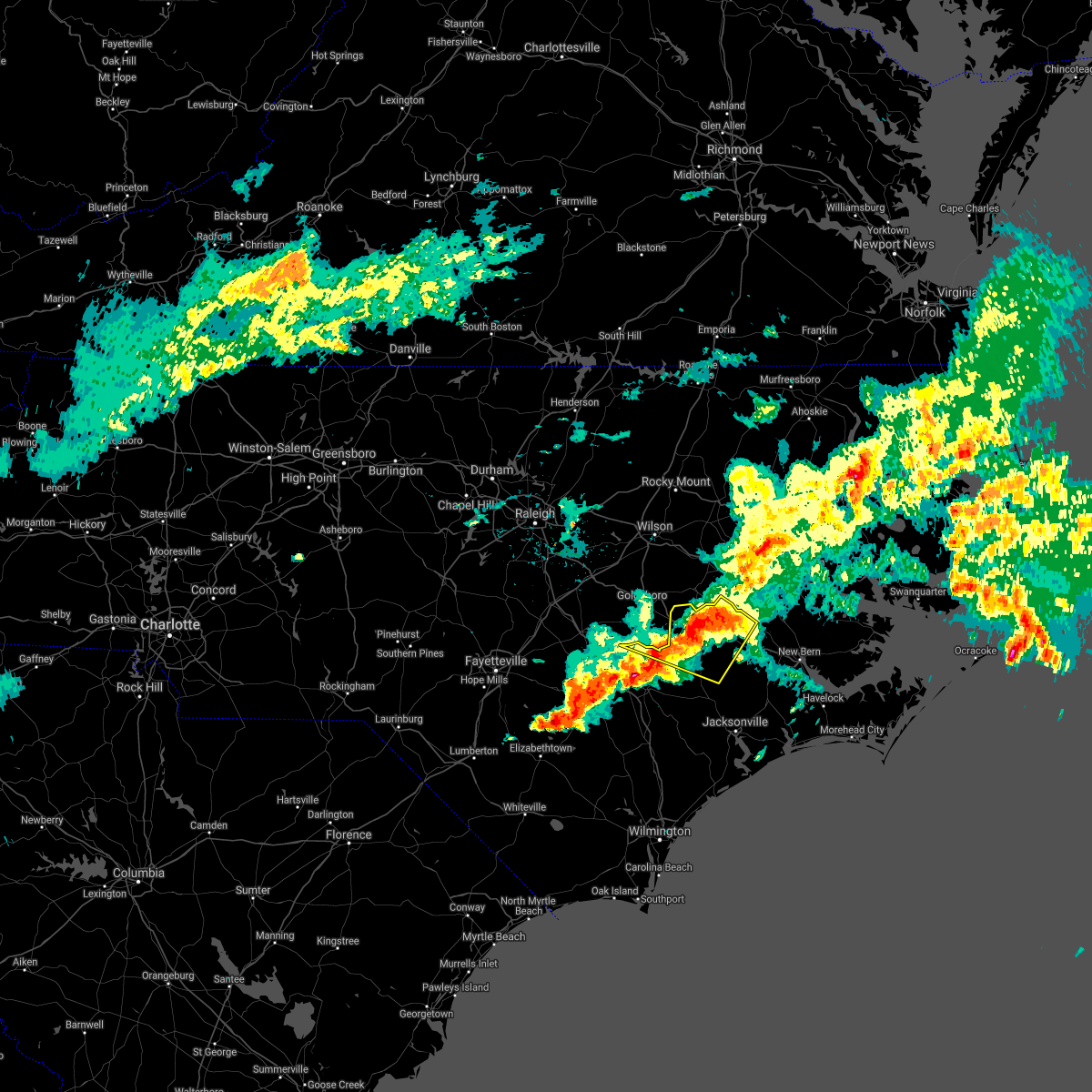 At 750 pm edt, severe thunderstorms were located along a line extending from ayden to near la grange, moving east at 30 mph (radar indicated). Hazards include two inch hail and 70 mph wind gusts. People and animals outdoors will be injured. expect hail damage to roofs, siding, windows, and vehicles. expect considerable tree damage. wind damage is also likely to mobile homes, roofs, and outbuildings. Locations impacted include, kinston, la grange, mount olive, grifton, deep run, fort barnwell, dawson, graingers, pleasant hill, institute, wyse fork, albertson, kinston regional jetport, dover and sandy bottom. At 750 pm edt, severe thunderstorms were located along a line extending from ayden to near la grange, moving east at 30 mph (radar indicated). Hazards include two inch hail and 70 mph wind gusts. People and animals outdoors will be injured. expect hail damage to roofs, siding, windows, and vehicles. expect considerable tree damage. wind damage is also likely to mobile homes, roofs, and outbuildings. Locations impacted include, kinston, la grange, mount olive, grifton, deep run, fort barnwell, dawson, graingers, pleasant hill, institute, wyse fork, albertson, kinston regional jetport, dover and sandy bottom.
|
| 3/27/2021 7:44 PM EDT |
 At 743 pm edt, severe thunderstorms were located along a line extending from near kinston to near beautancus to near ammon, moving east at 35 mph (radar indicated). Hazards include two inch hail and 70 mph wind gusts. People and animals outdoors will be injured. expect hail damage to roofs, siding, windows, and vehicles. expect considerable tree damage. Wind damage is also likely to mobile homes, roofs, and outbuildings. At 743 pm edt, severe thunderstorms were located along a line extending from near kinston to near beautancus to near ammon, moving east at 35 mph (radar indicated). Hazards include two inch hail and 70 mph wind gusts. People and animals outdoors will be injured. expect hail damage to roofs, siding, windows, and vehicles. expect considerable tree damage. Wind damage is also likely to mobile homes, roofs, and outbuildings.
|
| 3/27/2021 7:31 PM EDT |
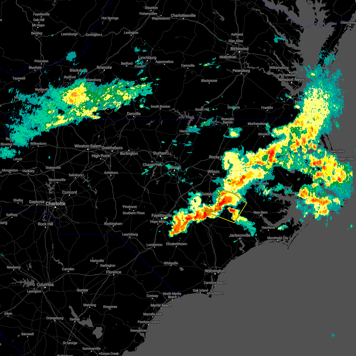 At 730 pm edt, severe thunderstorms were located along a line extending from maury to near walnut creek, moving east at 30 mph (radar indicated). Hazards include two inch hail and 70 mph wind gusts. People and animals outdoors will be injured. expect hail damage to roofs, siding, windows, and vehicles. expect considerable tree damage. wind damage is also likely to mobile homes, roofs, and outbuildings. Locations impacted include, kinston, la grange, mount olive, grifton, snow hill, deep run, fort barnwell, dawson, graingers, pleasant hill, institute, jason, wyse fork, albertson, kinston regional jetport, hookerton, dover, sandy bottom and shine. At 730 pm edt, severe thunderstorms were located along a line extending from maury to near walnut creek, moving east at 30 mph (radar indicated). Hazards include two inch hail and 70 mph wind gusts. People and animals outdoors will be injured. expect hail damage to roofs, siding, windows, and vehicles. expect considerable tree damage. wind damage is also likely to mobile homes, roofs, and outbuildings. Locations impacted include, kinston, la grange, mount olive, grifton, snow hill, deep run, fort barnwell, dawson, graingers, pleasant hill, institute, jason, wyse fork, albertson, kinston regional jetport, hookerton, dover, sandy bottom and shine.
|
| 3/27/2021 7:24 PM EDT |
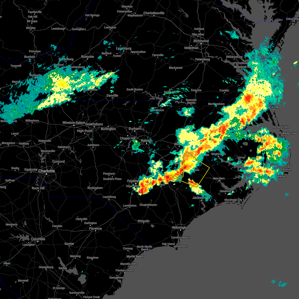 At 723 pm edt, severe thunderstorms were located along a line extending from near snow hill to near walnut creek, moving east at 30 mph (radar indicated). Hazards include two inch hail and 70 mph wind gusts. People and animals outdoors will be injured. expect hail damage to roofs, siding, windows, and vehicles. expect considerable tree damage. wind damage is also likely to mobile homes, roofs, and outbuildings. Locations impacted include, kinston, la grange, mount olive, grifton, snow hill, deep run, fort barnwell, dawson, graingers, institute, jason, maury, ormondsville, pleasant hill, wyse fork, albertson, lizzie, kinston regional jetport, hookerton and dover. At 723 pm edt, severe thunderstorms were located along a line extending from near snow hill to near walnut creek, moving east at 30 mph (radar indicated). Hazards include two inch hail and 70 mph wind gusts. People and animals outdoors will be injured. expect hail damage to roofs, siding, windows, and vehicles. expect considerable tree damage. wind damage is also likely to mobile homes, roofs, and outbuildings. Locations impacted include, kinston, la grange, mount olive, grifton, snow hill, deep run, fort barnwell, dawson, graingers, institute, jason, maury, ormondsville, pleasant hill, wyse fork, albertson, lizzie, kinston regional jetport, hookerton and dover.
|
| 3/27/2021 6:39 PM EDT |
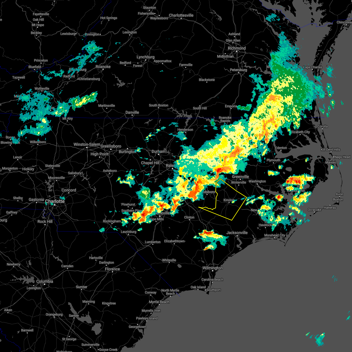 At 639 pm edt, severe thunderstorms were located along a line extending from near fremont to 11 miles east of benson, moving east at 30 mph (radar indicated). Hazards include 60 mph wind gusts and quarter size hail. Hail damage to vehicles is expected. Expect wind damage to roofs, siding, and trees. At 639 pm edt, severe thunderstorms were located along a line extending from near fremont to 11 miles east of benson, moving east at 30 mph (radar indicated). Hazards include 60 mph wind gusts and quarter size hail. Hail damage to vehicles is expected. Expect wind damage to roofs, siding, and trees.
|
| 3/27/2021 6:20 PM EDT |
 At 619 pm edt, a severe thunderstorm was located over wilson, or 15 miles south of rocky mount, moving east at 30 mph (radar indicated). Hazards include 60 mph wind gusts and quarter size hail. Hail damage to vehicles is expected. Expect wind damage to roofs, siding, and trees. At 619 pm edt, a severe thunderstorm was located over wilson, or 15 miles south of rocky mount, moving east at 30 mph (radar indicated). Hazards include 60 mph wind gusts and quarter size hail. Hail damage to vehicles is expected. Expect wind damage to roofs, siding, and trees.
|
| 2/22/2021 3:00 PM EST |
 At 259 pm est, severe thunderstorms were located along a line extending from ahoskie to 7 miles northeast of fremont, moving east at 70 mph (radar indicated). Hazards include 60 mph wind gusts. expect damage to roofs, siding, and trees At 259 pm est, severe thunderstorms were located along a line extending from ahoskie to 7 miles northeast of fremont, moving east at 70 mph (radar indicated). Hazards include 60 mph wind gusts. expect damage to roofs, siding, and trees
|
| 12/24/2020 10:41 PM EST |
 At 1041 pm est, severe thunderstorms were located along a line extending from 8 miles southeast of scotland neck to dowdy ficklen stadium, moving northeast at 80 mph (radar indicated). Hazards include 60 mph wind gusts. Expect damage to roofs, siding, and trees. Locations impacted include, greenville, washington, winterville, williamston, ayden, bethel, grifton, stokes, bell arthur, robersonville, pactolus, house, shelmerdine, black jack, bruce, graingers, ormondsville, roundtree, maury and old ford. At 1041 pm est, severe thunderstorms were located along a line extending from 8 miles southeast of scotland neck to dowdy ficklen stadium, moving northeast at 80 mph (radar indicated). Hazards include 60 mph wind gusts. Expect damage to roofs, siding, and trees. Locations impacted include, greenville, washington, winterville, williamston, ayden, bethel, grifton, stokes, bell arthur, robersonville, pactolus, house, shelmerdine, black jack, bruce, graingers, ormondsville, roundtree, maury and old ford.
|
| 12/24/2020 10:22 PM EST |
 At 1022 pm est, severe thunderstorms were located along a line extending from 11 miles southwest of tarboro to dawson, moving northeast at 70 mph (radar indicated). Hazards include 60 mph wind gusts. expect damage to roofs, siding, and trees At 1022 pm est, severe thunderstorms were located along a line extending from 11 miles southwest of tarboro to dawson, moving northeast at 70 mph (radar indicated). Hazards include 60 mph wind gusts. expect damage to roofs, siding, and trees
|
| 7/13/2020 4:40 PM EDT |
 At 440 pm edt, a severe thunderstorm was located over jason, or 7 miles north of la grange, moving northeast at 15 mph (radar indicated). Hazards include 60 mph wind gusts and quarter size hail. Hail damage to vehicles is expected. expect wind damage to roofs, siding, and trees. Locations impacted include, kinston, la grange, grifton, snow hill, dawson, ormondsville, maury, graingers, institute, jason, lizzie, kinston regional jetport and hookerton. At 440 pm edt, a severe thunderstorm was located over jason, or 7 miles north of la grange, moving northeast at 15 mph (radar indicated). Hazards include 60 mph wind gusts and quarter size hail. Hail damage to vehicles is expected. expect wind damage to roofs, siding, and trees. Locations impacted include, kinston, la grange, grifton, snow hill, dawson, ormondsville, maury, graingers, institute, jason, lizzie, kinston regional jetport and hookerton.
|
| 7/13/2020 4:21 PM EDT |
 At 421 pm edt, a severe thunderstorm was located near jason, or near la grange, moving northeast at 15 mph (radar indicated). Hazards include 60 mph wind gusts and quarter size hail. Hail damage to vehicles is expected. Expect wind damage to roofs, siding, and trees. At 421 pm edt, a severe thunderstorm was located near jason, or near la grange, moving northeast at 15 mph (radar indicated). Hazards include 60 mph wind gusts and quarter size hail. Hail damage to vehicles is expected. Expect wind damage to roofs, siding, and trees.
|
| 4/13/2020 9:28 AM EDT |
 At 927 am edt, severe thunderstorms were located along a line extending from near old ford to near phillips crossroads to near rocky point, moving east at 30 mph (radar indicated). Hazards include 60 mph wind gusts. expect damage to roofs, siding, and trees At 927 am edt, severe thunderstorms were located along a line extending from near old ford to near phillips crossroads to near rocky point, moving east at 30 mph (radar indicated). Hazards include 60 mph wind gusts. expect damage to roofs, siding, and trees
|
| 4/13/2020 9:12 AM EDT |
 At 912 am edt, severe thunderstorms were located along a line extending from near stokes to near pleasant hill to near murray town, moving east at 30 mph (radar indicated). Hazards include 60 mph wind gusts. Expect damage to roofs, siding, and trees. locations impacted include, greenville, jacksonville, kinston, winterville, williamston, ayden, wallace, half moon, grifton, phillips crossroads, kornegay, stokes, rose hill, richlands, robersonville, beulaville, deep run, catherine lake, house and shelmerdine. A tornado watch remains in effect until noon edt for eastern north carolina. At 912 am edt, severe thunderstorms were located along a line extending from near stokes to near pleasant hill to near murray town, moving east at 30 mph (radar indicated). Hazards include 60 mph wind gusts. Expect damage to roofs, siding, and trees. locations impacted include, greenville, jacksonville, kinston, winterville, williamston, ayden, wallace, half moon, grifton, phillips crossroads, kornegay, stokes, rose hill, richlands, robersonville, beulaville, deep run, catherine lake, house and shelmerdine. A tornado watch remains in effect until noon edt for eastern north carolina.
|
| 4/13/2020 8:51 AM EDT |
 At 850 am edt, severe thunderstorms were located along a line extending from 9 miles southeast of wilson to near kenansville to near sandyfield, moving east at 50 mph (radar indicated). Hazards include 60 mph wind gusts. Expect damage to roofs, siding, and trees. locations impacted include, greenville, jacksonville, kinston, winterville, williamston, ayden, farmville, wallace, warsaw, la grange, half moon, mount olive, bethel, grifton, phillips crossroads, kornegay, stokes, rose hill, snow hill and richlands. A tornado watch remains in effect until noon edt for eastern north carolina. At 850 am edt, severe thunderstorms were located along a line extending from 9 miles southeast of wilson to near kenansville to near sandyfield, moving east at 50 mph (radar indicated). Hazards include 60 mph wind gusts. Expect damage to roofs, siding, and trees. locations impacted include, greenville, jacksonville, kinston, winterville, williamston, ayden, farmville, wallace, warsaw, la grange, half moon, mount olive, bethel, grifton, phillips crossroads, kornegay, stokes, rose hill, snow hill and richlands. A tornado watch remains in effect until noon edt for eastern north carolina.
|
| 4/13/2020 8:29 AM EDT |
 At 827 am edt, severe thunderstorms were located along a line extending from 7 miles west of fremont to near clinton to near abbottsburg, moving east at 40 mph (radar indicated). Hazards include 60 mph wind gusts. expect damage to roofs, siding, and trees At 827 am edt, severe thunderstorms were located along a line extending from 7 miles west of fremont to near clinton to near abbottsburg, moving east at 40 mph (radar indicated). Hazards include 60 mph wind gusts. expect damage to roofs, siding, and trees
|
| 4/8/2020 8:12 PM EDT |
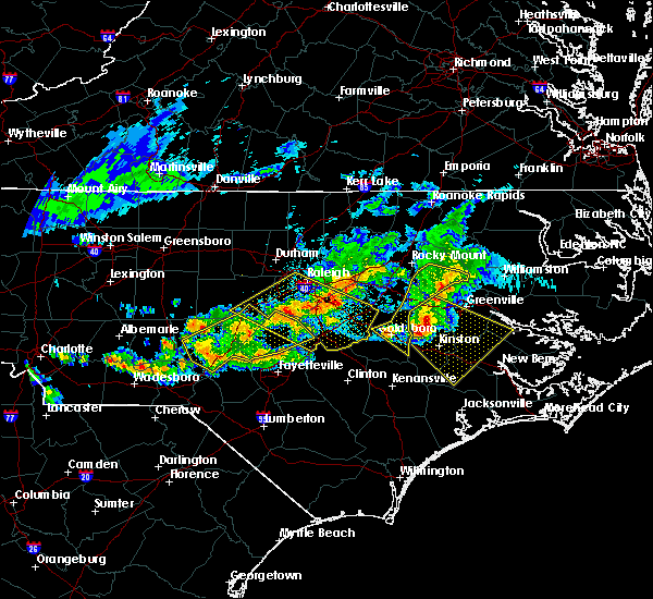 At 811 pm edt, a severe thunderstorm was located over kinston regional jetport, or near kinston, moving southeast at 45 mph (radar indicated). Hazards include 60 mph wind gusts and quarter size hail. Hail damage to vehicles is expected. expect wind damage to roofs, siding, and trees. Locations impacted include, greenville, kinston, ayden, farmville, la grange, grifton, phillips crossroads, snow hill, vanceboro, comfort, fort barnwell, jasper, dawson, graingers, institute, jason, ormondsville, maury, roundtree and wyse fork. At 811 pm edt, a severe thunderstorm was located over kinston regional jetport, or near kinston, moving southeast at 45 mph (radar indicated). Hazards include 60 mph wind gusts and quarter size hail. Hail damage to vehicles is expected. expect wind damage to roofs, siding, and trees. Locations impacted include, greenville, kinston, ayden, farmville, la grange, grifton, phillips crossroads, snow hill, vanceboro, comfort, fort barnwell, jasper, dawson, graingers, institute, jason, ormondsville, maury, roundtree and wyse fork.
|
| 4/8/2020 7:30 PM EDT |
 At 729 pm edt, a severe thunderstorm was located near wilson, or 20 miles north of goldsboro, moving southeast at 45 mph (radar indicated). Hazards include 60 mph wind gusts and quarter size hail. Hail damage to vehicles is expected. Expect wind damage to roofs, siding, and trees. At 729 pm edt, a severe thunderstorm was located near wilson, or 20 miles north of goldsboro, moving southeast at 45 mph (radar indicated). Hazards include 60 mph wind gusts and quarter size hail. Hail damage to vehicles is expected. Expect wind damage to roofs, siding, and trees.
|
| 4/6/2020 6:10 PM EDT |
 At 610 pm edt, severe thunderstorms were located along a line extending from near plymouth to near washington to near kinston regional jetport, moving southeast at 45 mph (radar indicated). Hazards include 60 mph wind gusts and quarter size hail. Hail damage to vehicles is expected. Expect wind damage to roofs, siding, and trees. At 610 pm edt, severe thunderstorms were located along a line extending from near plymouth to near washington to near kinston regional jetport, moving southeast at 45 mph (radar indicated). Hazards include 60 mph wind gusts and quarter size hail. Hail damage to vehicles is expected. Expect wind damage to roofs, siding, and trees.
|
| 1/12/2020 2:25 AM EST |
 At 225 am est, severe thunderstorms were located along a line extending from near walnut creek to near bowdens, moving northeast at 60 mph (radar indicated). Hazards include 60 mph wind gusts. Expect damage to roofs, siding, and trees. Locations impacted include, greenville, kinston, winterville, ayden, warsaw, la grange, mount olive, grifton, deep run, bowdens, beautancus, dawson, ormondsville, maury, graingers, institute, jason, roundtree, albertson and kinston regional jetport. At 225 am est, severe thunderstorms were located along a line extending from near walnut creek to near bowdens, moving northeast at 60 mph (radar indicated). Hazards include 60 mph wind gusts. Expect damage to roofs, siding, and trees. Locations impacted include, greenville, kinston, winterville, ayden, warsaw, la grange, mount olive, grifton, deep run, bowdens, beautancus, dawson, ormondsville, maury, graingers, institute, jason, roundtree, albertson and kinston regional jetport.
|
| 1/12/2020 2:01 AM EST |
 At 201 am est, severe thunderstorms were located along a line extending from near mount olive to near ammon, moving northeast at 45 mph (radar indicated). Hazards include 60 mph wind gusts. expect damage to roofs, siding, and trees At 201 am est, severe thunderstorms were located along a line extending from near mount olive to near ammon, moving northeast at 45 mph (radar indicated). Hazards include 60 mph wind gusts. expect damage to roofs, siding, and trees
|
| 10/22/2019 7:10 PM EDT |
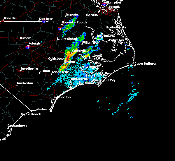 At 710 pm edt, a severe thunderstorm capable of producing a tornado was located over grifton, or near ayden, moving east at 30 mph (radar indicated rotation). Hazards include tornado. Flying debris will be dangerous to those caught without shelter. mobile homes will be damaged or destroyed. damage to roofs, windows, and vehicles will occur. Tree damage is likely. At 710 pm edt, a severe thunderstorm capable of producing a tornado was located over grifton, or near ayden, moving east at 30 mph (radar indicated rotation). Hazards include tornado. Flying debris will be dangerous to those caught without shelter. mobile homes will be damaged or destroyed. damage to roofs, windows, and vehicles will occur. Tree damage is likely.
|
| 9/5/2019 6:35 PM EDT |
 The tornado warning for northeastern lenoir, northwestern craven and south central pitt counties will expire at 645 pm edt, the storm which prompted the warning has weakened below severe limits, and has exited the warned area. therefore, the warning will be allowed to expire. a tornado watch remains in effect until 700 am edt for eastern north carolina. The tornado warning for northeastern lenoir, northwestern craven and south central pitt counties will expire at 645 pm edt, the storm which prompted the warning has weakened below severe limits, and has exited the warned area. therefore, the warning will be allowed to expire. a tornado watch remains in effect until 700 am edt for eastern north carolina.
|
| 9/5/2019 6:17 PM EDT |
 At 617 pm edt, a severe thunderstorm capable of producing a tornado was located over fort barnwell, or 14 miles east of kinston, moving northwest at 30 mph (radar indicated rotation). Hazards include tornado. Flying debris will be dangerous to those caught without shelter. mobile homes will be damaged or destroyed. damage to roofs, windows, and vehicles will occur. Tree damage is likely. At 617 pm edt, a severe thunderstorm capable of producing a tornado was located over fort barnwell, or 14 miles east of kinston, moving northwest at 30 mph (radar indicated rotation). Hazards include tornado. Flying debris will be dangerous to those caught without shelter. mobile homes will be damaged or destroyed. damage to roofs, windows, and vehicles will occur. Tree damage is likely.
|
| 9/5/2019 2:28 PM EDT |
 At 228 pm edt, a severe thunderstorm capable of producing a tornado was located over wilmar, or 12 miles southwest of river road, moving northwest at 35 mph (radar indicated rotation). Hazards include tornado. Flying debris will be dangerous to those caught without shelter. mobile homes will be damaged or destroyed. damage to roofs, windows, and vehicles will occur. Tree damage is likely. At 228 pm edt, a severe thunderstorm capable of producing a tornado was located over wilmar, or 12 miles southwest of river road, moving northwest at 35 mph (radar indicated rotation). Hazards include tornado. Flying debris will be dangerous to those caught without shelter. mobile homes will be damaged or destroyed. damage to roofs, windows, and vehicles will occur. Tree damage is likely.
|
| 7/17/2019 8:07 PM EDT |
 At 806 pm edt, a severe thunderstorm was located over snow hill, or near lizzie, moving northeast at 30 mph (radar indicated). Hazards include 60 mph wind gusts. Expect damage to roofs, siding, and trees. Locations impacted include, greenville, farmville, snow hill, bell arthur, ormondsville, maury, institute, roundtree, lizzie, hookerton and castoria. At 806 pm edt, a severe thunderstorm was located over snow hill, or near lizzie, moving northeast at 30 mph (radar indicated). Hazards include 60 mph wind gusts. Expect damage to roofs, siding, and trees. Locations impacted include, greenville, farmville, snow hill, bell arthur, ormondsville, maury, institute, roundtree, lizzie, hookerton and castoria.
|
| 7/17/2019 7:46 PM EDT |
 At 745 pm edt, a severe thunderstorm was located near jason, or 9 miles north of la grange, moving northeast at 30 mph (radar indicated). Hazards include 60 mph wind gusts. expect damage to roofs, siding, and trees At 745 pm edt, a severe thunderstorm was located near jason, or 9 miles north of la grange, moving northeast at 30 mph (radar indicated). Hazards include 60 mph wind gusts. expect damage to roofs, siding, and trees
|
| 5/31/2019 8:34 PM EDT |
 At 834 pm edt, a severe thunderstorm was located over calico, or 10 miles southeast of ayden, moving east at 55 mph (radar indicated). Hazards include ping pong ball size hail and 60 mph wind gusts. People and animals outdoors will be injured. expect hail damage to roofs, siding, windows, and vehicles. Expect wind damage to roofs, siding, and trees. At 834 pm edt, a severe thunderstorm was located over calico, or 10 miles southeast of ayden, moving east at 55 mph (radar indicated). Hazards include ping pong ball size hail and 60 mph wind gusts. People and animals outdoors will be injured. expect hail damage to roofs, siding, windows, and vehicles. Expect wind damage to roofs, siding, and trees.
|
| 5/31/2019 8:28 PM EDT |
 At 827 pm edt, a severe thunderstorm was located over dowdy ficklen stadium, or over greenville, moving northeast at 35 mph (public). Hazards include ping pong ball size hail and 60 mph wind gusts. People and animals outdoors will be injured. expect hail damage to roofs, siding, windows, and vehicles. expect wind damage to roofs, siding, and trees. Locations impacted include, greenville, washington, winterville, williamston, ayden, farmville, grifton, stokes, bell arthur, robersonville, pactolus, house, black jack, bruce, roundtree, old ford, pitt greenville airport, dowdy ficklen stadium, east carolina university and gold point. At 827 pm edt, a severe thunderstorm was located over dowdy ficklen stadium, or over greenville, moving northeast at 35 mph (public). Hazards include ping pong ball size hail and 60 mph wind gusts. People and animals outdoors will be injured. expect hail damage to roofs, siding, windows, and vehicles. expect wind damage to roofs, siding, and trees. Locations impacted include, greenville, washington, winterville, williamston, ayden, farmville, grifton, stokes, bell arthur, robersonville, pactolus, house, black jack, bruce, roundtree, old ford, pitt greenville airport, dowdy ficklen stadium, east carolina university and gold point.
|
| 5/31/2019 8:18 PM EDT |
 At 817 pm edt, a severe thunderstorm capable of producing a tornado was located over roundtree, or near ayden, moving east at 30 mph (radar indicated rotation). Hazards include tornado and ping pong ball size hail. Flying debris will be dangerous to those caught without shelter. mobile homes will be damaged or destroyed. damage to roofs, windows, and vehicles will occur. tree damage is likely. Locations impacted include, greenville, kinston, winterville, ayden, grifton, snow hill, dawson, ormondsville, maury, graingers, roundtree, lizzie, kinston regional jetport and hookerton. At 817 pm edt, a severe thunderstorm capable of producing a tornado was located over roundtree, or near ayden, moving east at 30 mph (radar indicated rotation). Hazards include tornado and ping pong ball size hail. Flying debris will be dangerous to those caught without shelter. mobile homes will be damaged or destroyed. damage to roofs, windows, and vehicles will occur. tree damage is likely. Locations impacted include, greenville, kinston, winterville, ayden, grifton, snow hill, dawson, ormondsville, maury, graingers, roundtree, lizzie, kinston regional jetport and hookerton.
|
| 5/31/2019 8:17 PM EDT |
 At 817 pm edt, a severe thunderstorm was located near bell arthur, or near winterville, moving northeast at 25 mph (radar indicated). Hazards include 60 mph wind gusts and quarter size hail. Hail damage to vehicles is expected. Expect wind damage to roofs, siding, and trees. At 817 pm edt, a severe thunderstorm was located near bell arthur, or near winterville, moving northeast at 25 mph (radar indicated). Hazards include 60 mph wind gusts and quarter size hail. Hail damage to vehicles is expected. Expect wind damage to roofs, siding, and trees.
|
| 5/31/2019 8:08 PM EDT |
 At 807 pm edt, a severe thunderstorm capable of producing a tornado was located near maury, or 10 miles west of ayden, moving east at 30 mph (radar indicated rotation). Hazards include tornado and ping pong ball size hail. Flying debris will be dangerous to those caught without shelter. mobile homes will be damaged or destroyed. damage to roofs, windows, and vehicles will occur. tree damage is likely. Locations impacted include, greenville, kinston, winterville, ayden, la grange, grifton, snow hill, dawson, ormondsville, maury, graingers, institute, jason, roundtree, lizzie, kinston regional jetport, hookerton, shine and fort run vfd. At 807 pm edt, a severe thunderstorm capable of producing a tornado was located near maury, or 10 miles west of ayden, moving east at 30 mph (radar indicated rotation). Hazards include tornado and ping pong ball size hail. Flying debris will be dangerous to those caught without shelter. mobile homes will be damaged or destroyed. damage to roofs, windows, and vehicles will occur. tree damage is likely. Locations impacted include, greenville, kinston, winterville, ayden, la grange, grifton, snow hill, dawson, ormondsville, maury, graingers, institute, jason, roundtree, lizzie, kinston regional jetport, hookerton, shine and fort run vfd.
|
| 5/31/2019 7:56 PM EDT |
 At 756 pm edt, a severe thunderstorm capable of producing a tornado was located over snow hill, or 9 miles northeast of la grange, moving east at 30 mph (radar indicated rotation). Hazards include tornado and ping pong ball size hail. Flying debris will be dangerous to those caught without shelter. mobile homes will be damaged or destroyed. damage to roofs, windows, and vehicles will occur. tree damage is likely. Locations impacted include, greenville, kinston, winterville, ayden, la grange, grifton, snow hill, dawson, ormondsville, maury, graingers, institute, jason, roundtree, lizzie, kinston regional jetport, hookerton, shine and fort run vfd. At 756 pm edt, a severe thunderstorm capable of producing a tornado was located over snow hill, or 9 miles northeast of la grange, moving east at 30 mph (radar indicated rotation). Hazards include tornado and ping pong ball size hail. Flying debris will be dangerous to those caught without shelter. mobile homes will be damaged or destroyed. damage to roofs, windows, and vehicles will occur. tree damage is likely. Locations impacted include, greenville, kinston, winterville, ayden, la grange, grifton, snow hill, dawson, ormondsville, maury, graingers, institute, jason, roundtree, lizzie, kinston regional jetport, hookerton, shine and fort run vfd.
|
| 5/31/2019 7:45 PM EDT |
 At 745 pm edt, a severe thunderstorm capable of producing a tornado was located near jason, or 8 miles north of la grange, moving east at 30 mph (radar indicated rotation). Hazards include tornado. Flying debris will be dangerous to those caught without shelter. mobile homes will be damaged or destroyed. damage to roofs, windows, and vehicles will occur. Tree damage is likely. At 745 pm edt, a severe thunderstorm capable of producing a tornado was located near jason, or 8 miles north of la grange, moving east at 30 mph (radar indicated rotation). Hazards include tornado. Flying debris will be dangerous to those caught without shelter. mobile homes will be damaged or destroyed. damage to roofs, windows, and vehicles will occur. Tree damage is likely.
|
| 5/31/2019 7:36 PM EDT |
 At 735 pm edt, a severe thunderstorm was located 7 miles east of fremont, or 11 miles northeast of goldsboro, moving east at 40 mph (radar indicated). Hazards include ping pong ball size hail and 60 mph wind gusts. People and animals outdoors will be injured. expect hail damage to roofs, siding, windows, and vehicles. Expect wind damage to roofs, siding, and trees. At 735 pm edt, a severe thunderstorm was located 7 miles east of fremont, or 11 miles northeast of goldsboro, moving east at 40 mph (radar indicated). Hazards include ping pong ball size hail and 60 mph wind gusts. People and animals outdoors will be injured. expect hail damage to roofs, siding, windows, and vehicles. Expect wind damage to roofs, siding, and trees.
|
| 5/31/2019 4:38 PM EDT |
 At 437 pm edt, a severe thunderstorm was located over grifton, or near ayden, moving east at 25 mph (radar indicated). Hazards include 60 mph wind gusts and quarter size hail. Hail damage to vehicles is expected. expect wind damage to roofs, siding, and trees. Locations impacted include, greenville, winterville, ayden, grifton, fort barnwell and roundtree. At 437 pm edt, a severe thunderstorm was located over grifton, or near ayden, moving east at 25 mph (radar indicated). Hazards include 60 mph wind gusts and quarter size hail. Hail damage to vehicles is expected. expect wind damage to roofs, siding, and trees. Locations impacted include, greenville, winterville, ayden, grifton, fort barnwell and roundtree.
|
| 5/31/2019 4:32 PM EDT |
 At 432 pm edt, a severe thunderstorm was located over ayden, moving east at 30 mph (radar indicated). Hazards include 60 mph wind gusts and half dollar size hail. Hail damage to vehicles is expected. Expect wind damage to roofs, siding, and trees. At 432 pm edt, a severe thunderstorm was located over ayden, moving east at 30 mph (radar indicated). Hazards include 60 mph wind gusts and half dollar size hail. Hail damage to vehicles is expected. Expect wind damage to roofs, siding, and trees.
|
| 5/31/2019 4:23 PM EDT | Multiple trees down all across northeast lenoir count in lenoir county NC, 3.9 miles E of Grifton, NC |
| 5/31/2019 4:08 PM EDT |
 At 407 pm edt, a severe thunderstorm was located near institute, or 8 miles northeast of la grange, moving east at 25 mph (law enforcement reported power lines and trees down). Hazards include 60 mph wind gusts and quarter size hail. Hail damage to vehicles is expected. expect wind damage to roofs, siding, and trees. Locations impacted include, greenville, kinston, winterville, ayden, grifton, snow hill, fort barnwell, dawson, ormondsville, maury, graingers, roundtree, kinston regional jetport and hookerton. At 407 pm edt, a severe thunderstorm was located near institute, or 8 miles northeast of la grange, moving east at 25 mph (law enforcement reported power lines and trees down). Hazards include 60 mph wind gusts and quarter size hail. Hail damage to vehicles is expected. expect wind damage to roofs, siding, and trees. Locations impacted include, greenville, kinston, winterville, ayden, grifton, snow hill, fort barnwell, dawson, ormondsville, maury, graingers, roundtree, kinston regional jetport and hookerton.
|
| 5/31/2019 3:54 PM EDT |
 At 354 pm edt, a severe thunderstorm was located over jason, or near la grange, moving east at 25 mph (radar indicated). Hazards include 60 mph wind gusts and quarter size hail. Hail damage to vehicles is expected. Expect wind damage to roofs, siding, and trees. At 354 pm edt, a severe thunderstorm was located over jason, or near la grange, moving east at 25 mph (radar indicated). Hazards include 60 mph wind gusts and quarter size hail. Hail damage to vehicles is expected. Expect wind damage to roofs, siding, and trees.
|
| 5/30/2019 7:58 PM EDT |
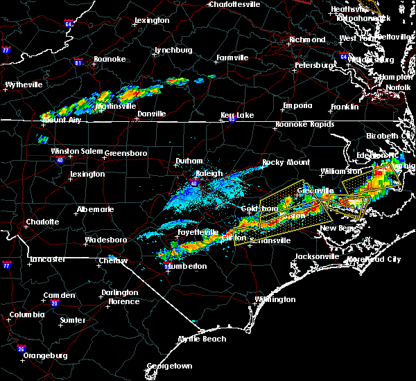 The national weather service in newport has issued a * severe thunderstorm warning for. north central jones county in eastern north carolina. southeastern greene county in eastern north carolina. lenoir county in eastern north carolina. Northwestern craven county in eastern north carolina. The national weather service in newport has issued a * severe thunderstorm warning for. north central jones county in eastern north carolina. southeastern greene county in eastern north carolina. lenoir county in eastern north carolina. Northwestern craven county in eastern north carolina.
|
| 5/30/2019 7:35 PM EDT |
 At 734 pm edt, a severe thunderstorm was located near jason, or 9 miles north of la grange, moving northeast at 45 mph (trained weather spotters). Hazards include 60 mph wind gusts and nickel size hail. expect damage to roofs, siding, and trees At 734 pm edt, a severe thunderstorm was located near jason, or 9 miles north of la grange, moving northeast at 45 mph (trained weather spotters). Hazards include 60 mph wind gusts and nickel size hail. expect damage to roofs, siding, and trees
|
| 5/13/2019 3:08 PM EDT |
 The national weather service in newport has issued a * severe thunderstorm warning for. southeastern greene county in eastern north carolina. northeastern lenoir county in eastern north carolina. northwestern craven county in eastern north carolina. Southern pitt county in eastern north carolina. The national weather service in newport has issued a * severe thunderstorm warning for. southeastern greene county in eastern north carolina. northeastern lenoir county in eastern north carolina. northwestern craven county in eastern north carolina. Southern pitt county in eastern north carolina.
|
| 5/13/2019 2:58 PM EDT |
 At 258 pm edt, a severe thunderstorm capable of producing a tornado was located over lizzie, or 7 miles south of farmville, moving east at 40 mph (radar indicated rotation). Hazards include tornado and golf ball size hail. Flying debris will be dangerous to those caught without shelter. mobile homes will be damaged or destroyed. damage to roofs, windows, and vehicles will occur. tree damage is likely. Locations impacted include, greenville, winterville, ayden, farmville, grifton, snow hill, bell arthur, ormondsville, maury, roundtree, lizzie, east carolina university, pitt greenville airport, dowdy ficklen stadium, hookerton, castoria and walstonburg. At 258 pm edt, a severe thunderstorm capable of producing a tornado was located over lizzie, or 7 miles south of farmville, moving east at 40 mph (radar indicated rotation). Hazards include tornado and golf ball size hail. Flying debris will be dangerous to those caught without shelter. mobile homes will be damaged or destroyed. damage to roofs, windows, and vehicles will occur. tree damage is likely. Locations impacted include, greenville, winterville, ayden, farmville, grifton, snow hill, bell arthur, ormondsville, maury, roundtree, lizzie, east carolina university, pitt greenville airport, dowdy ficklen stadium, hookerton, castoria and walstonburg.
|
| 5/13/2019 2:44 PM EDT |
 At 244 pm edt, a severe thunderstorm capable of producing a tornado was located 7 miles northwest of snow hill, or 12 miles southwest of farmville, moving east at 40 mph (radar indicated rotation). Hazards include tornado and golf ball size hail. Flying debris will be dangerous to those caught without shelter. mobile homes will be damaged or destroyed. damage to roofs, windows, and vehicles will occur. tree damage is likely. Locations impacted include, greenville, kinston, winterville, ayden, farmville, grifton, snow hill, bell arthur, dawson, graingers, institute, jason, ormondsville, maury, roundtree, lizzie, pitt greenville airport, dowdy ficklen stadium, east carolina university and kinston regional jetport. At 244 pm edt, a severe thunderstorm capable of producing a tornado was located 7 miles northwest of snow hill, or 12 miles southwest of farmville, moving east at 40 mph (radar indicated rotation). Hazards include tornado and golf ball size hail. Flying debris will be dangerous to those caught without shelter. mobile homes will be damaged or destroyed. damage to roofs, windows, and vehicles will occur. tree damage is likely. Locations impacted include, greenville, kinston, winterville, ayden, farmville, grifton, snow hill, bell arthur, dawson, graingers, institute, jason, ormondsville, maury, roundtree, lizzie, pitt greenville airport, dowdy ficklen stadium, east carolina university and kinston regional jetport.
|
| 5/13/2019 2:30 PM EDT |
 At 229 pm edt, a severe thunderstorm capable of producing a tornado was located over fremont, or 10 miles north of goldsboro, moving east at 40 mph (radar indicated rotation). Hazards include tornado and golf ball size hail. Flying debris will be dangerous to those caught without shelter. mobile homes will be damaged or destroyed. damage to roofs, windows, and vehicles will occur. Tree damage is likely. At 229 pm edt, a severe thunderstorm capable of producing a tornado was located over fremont, or 10 miles north of goldsboro, moving east at 40 mph (radar indicated rotation). Hazards include tornado and golf ball size hail. Flying debris will be dangerous to those caught without shelter. mobile homes will be damaged or destroyed. damage to roofs, windows, and vehicles will occur. Tree damage is likely.
|
| 4/19/2019 7:10 PM EDT |
 At 710 pm edt, a severe thunderstorm was located near ayden, moving northeast at 55 mph (radar indicated). Hazards include 60 mph wind gusts. expect damage to roofs, siding, and trees At 710 pm edt, a severe thunderstorm was located near ayden, moving northeast at 55 mph (radar indicated). Hazards include 60 mph wind gusts. expect damage to roofs, siding, and trees
|
| 4/19/2019 5:34 PM EDT |
 At 533 pm edt, severe thunderstorms were located along a line extending from 8 miles southwest of fremont to near lagoon, moving northeast at 60 mph (radar indicated). Hazards include 60 mph wind gusts and quarter size hail. Hail damage to vehicles is expected. Expect wind damage to roofs, siding, and trees. At 533 pm edt, severe thunderstorms were located along a line extending from 8 miles southwest of fremont to near lagoon, moving northeast at 60 mph (radar indicated). Hazards include 60 mph wind gusts and quarter size hail. Hail damage to vehicles is expected. Expect wind damage to roofs, siding, and trees.
|
| 7/22/2018 4:46 PM EDT |
 At 446 pm edt, a severe thunderstorm was located over pitt greenville airport, or over greenville, moving northeast at 35 mph (radar indicated). Hazards include 60 mph wind gusts and quarter size hail. Hail damage to vehicles is expected. expect wind damage to roofs, siding, and trees. Locations impacted include, greenville, winterville, ayden, farmville, bethel, bell arthur, house, bruce, roundtree, east carolina university, pitt greenville airport, dowdy ficklen stadium and falkland. At 446 pm edt, a severe thunderstorm was located over pitt greenville airport, or over greenville, moving northeast at 35 mph (radar indicated). Hazards include 60 mph wind gusts and quarter size hail. Hail damage to vehicles is expected. expect wind damage to roofs, siding, and trees. Locations impacted include, greenville, winterville, ayden, farmville, bethel, bell arthur, house, bruce, roundtree, east carolina university, pitt greenville airport, dowdy ficklen stadium and falkland.
|
| 7/22/2018 4:31 PM EDT |
 At 430 pm edt, a severe thunderstorm was located over roundtree, or near ayden, moving northeast at 30 mph (radar indicated). Hazards include 60 mph wind gusts and quarter size hail. Hail damage to vehicles is expected. expect wind damage to roofs, siding, and trees. Locations impacted include, greenville, winterville, ayden, farmville, bethel, snow hill, bell arthur, house, bruce, ormondsville, maury, roundtree, lizzie, east carolina university, pitt greenville airport, dowdy ficklen stadium, hookerton, castoria and falkland. At 430 pm edt, a severe thunderstorm was located over roundtree, or near ayden, moving northeast at 30 mph (radar indicated). Hazards include 60 mph wind gusts and quarter size hail. Hail damage to vehicles is expected. expect wind damage to roofs, siding, and trees. Locations impacted include, greenville, winterville, ayden, farmville, bethel, snow hill, bell arthur, house, bruce, ormondsville, maury, roundtree, lizzie, east carolina university, pitt greenville airport, dowdy ficklen stadium, hookerton, castoria and falkland.
|
| 7/22/2018 4:15 PM EDT |
 At 414 pm edt, a severe thunderstorm was located over ormondsville, or 8 miles west of ayden, moving north at 40 mph (radar indicated). Hazards include 60 mph wind gusts and quarter size hail. Hail damage to vehicles is expected. Expect wind damage to roofs, siding, and trees. At 414 pm edt, a severe thunderstorm was located over ormondsville, or 8 miles west of ayden, moving north at 40 mph (radar indicated). Hazards include 60 mph wind gusts and quarter size hail. Hail damage to vehicles is expected. Expect wind damage to roofs, siding, and trees.
|
| 3/1/2018 6:19 PM EST |
 At 619 pm est, severe thunderstorms were located along a line extending from near graingers to near deep run to near wallace, moving east at 60 mph (radar indicated). Hazards include 60 mph wind gusts and penny size hail. Expect damage to roofs, siding, and trees. Locations impacted include, jacksonville, kinston, wallace, half moon, grifton, phillips crossroads, kornegay, rose hill, richlands, beulaville, deep run, catherine lake, cypress creek, comfort, kenansville, fort barnwell, chinquapin, jasper, dawson and potters hill. At 619 pm est, severe thunderstorms were located along a line extending from near graingers to near deep run to near wallace, moving east at 60 mph (radar indicated). Hazards include 60 mph wind gusts and penny size hail. Expect damage to roofs, siding, and trees. Locations impacted include, jacksonville, kinston, wallace, half moon, grifton, phillips crossroads, kornegay, rose hill, richlands, beulaville, deep run, catherine lake, cypress creek, comfort, kenansville, fort barnwell, chinquapin, jasper, dawson and potters hill.
|
| 3/1/2018 5:56 PM EST |
 At 556 pm est, severe thunderstorms were located along a line extending from near walnut creek to beautancus to 7 miles west of harrells, moving east at 60 mph (radar indicated). Hazards include 60 mph wind gusts and quarter size hail. Hail damage to vehicles is expected. Expect wind damage to roofs, siding, and trees. At 556 pm est, severe thunderstorms were located along a line extending from near walnut creek to beautancus to 7 miles west of harrells, moving east at 60 mph (radar indicated). Hazards include 60 mph wind gusts and quarter size hail. Hail damage to vehicles is expected. Expect wind damage to roofs, siding, and trees.
|
| 9/1/2017 7:41 PM EDT |
 At 740 pm edt, a severe thunderstorm capable of producing a tornado was located over ayden, moving east at 30 mph (radar indicated rotation). Hazards include tornado. Flying debris will be dangerous to those caught without shelter. mobile homes will be damaged or destroyed. damage to roofs, windows, and vehicles will occur. tree damage is likely. Locations impacted include, greenville, winterville, ayden, calico, shelmerdine and simpson. At 740 pm edt, a severe thunderstorm capable of producing a tornado was located over ayden, moving east at 30 mph (radar indicated rotation). Hazards include tornado. Flying debris will be dangerous to those caught without shelter. mobile homes will be damaged or destroyed. damage to roofs, windows, and vehicles will occur. tree damage is likely. Locations impacted include, greenville, winterville, ayden, calico, shelmerdine and simpson.
|
| 9/1/2017 7:29 PM EDT |
 At 729 pm edt, a severe thunderstorm capable of producing a tornado was located over roundtree, or near ayden, moving east at 30 mph (radar indicated rotation). Hazards include tornado. Flying debris will be dangerous to those caught without shelter. mobile homes will be damaged or destroyed. damage to roofs, windows, and vehicles will occur. Tree damage is likely. At 729 pm edt, a severe thunderstorm capable of producing a tornado was located over roundtree, or near ayden, moving east at 30 mph (radar indicated rotation). Hazards include tornado. Flying debris will be dangerous to those caught without shelter. mobile homes will be damaged or destroyed. damage to roofs, windows, and vehicles will occur. Tree damage is likely.
|
| 9/1/2017 7:17 PM EDT |
 At 716 pm edt, a severe thunderstorm capable of producing a tornado was located over maury, or 8 miles south of farmville, moving northeast at 35 mph (radar indicated rotation). Hazards include tornado. Flying debris will be dangerous to those caught without shelter. mobile homes will be damaged or destroyed. damage to roofs, windows, and vehicles will occur. tree damage is likely. Locations impacted include, greenville, grifton, snow hill, bell arthur, maury, ormondsville, roundtree, lizzie and hookerton. At 716 pm edt, a severe thunderstorm capable of producing a tornado was located over maury, or 8 miles south of farmville, moving northeast at 35 mph (radar indicated rotation). Hazards include tornado. Flying debris will be dangerous to those caught without shelter. mobile homes will be damaged or destroyed. damage to roofs, windows, and vehicles will occur. tree damage is likely. Locations impacted include, greenville, grifton, snow hill, bell arthur, maury, ormondsville, roundtree, lizzie and hookerton.
|
| 9/1/2017 7:03 PM EDT |
 At 703 pm edt, a severe thunderstorm capable of producing a tornado was located near jason, or 8 miles north of la grange, moving northeast at 35 mph (radar indicated rotation). Hazards include tornado. Flying debris will be dangerous to those caught without shelter. mobile homes will be damaged or destroyed. damage to roofs, windows, and vehicles will occur. Tree damage is likely. At 703 pm edt, a severe thunderstorm capable of producing a tornado was located near jason, or 8 miles north of la grange, moving northeast at 35 mph (radar indicated rotation). Hazards include tornado. Flying debris will be dangerous to those caught without shelter. mobile homes will be damaged or destroyed. damage to roofs, windows, and vehicles will occur. Tree damage is likely.
|
| 7/8/2017 10:17 PM EDT |
 At 1016 pm edt, a severe thunderstorm was located 7 miles southeast of kinston, moving east at 45 mph. trees have been reported down in the kinston area with this storm (law enforcement). Hazards include 60 mph wind gusts and quarter size hail. Hail damage to vehicles is expected. expect wind damage to roofs, siding, and trees. Locations impacted include, kinston, grifton, kinston regional jetport, pink hill and dover. At 1016 pm edt, a severe thunderstorm was located 7 miles southeast of kinston, moving east at 45 mph. trees have been reported down in the kinston area with this storm (law enforcement). Hazards include 60 mph wind gusts and quarter size hail. Hail damage to vehicles is expected. expect wind damage to roofs, siding, and trees. Locations impacted include, kinston, grifton, kinston regional jetport, pink hill and dover.
|
| 7/8/2017 9:32 PM EDT |
 At 932 pm edt, a severe thunderstorm was located near goldsboro, moving east at 40 mph (radar indicated). Hazards include 60 mph wind gusts and quarter size hail. Hail damage to vehicles is expected. Expect wind damage to roofs, siding, and trees. At 932 pm edt, a severe thunderstorm was located near goldsboro, moving east at 40 mph (radar indicated). Hazards include 60 mph wind gusts and quarter size hail. Hail damage to vehicles is expected. Expect wind damage to roofs, siding, and trees.
|
| 6/24/2017 5:03 PM EDT |
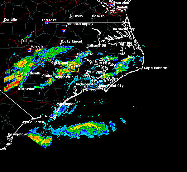 At 450 pm edt, a severe thunderstorm was located over kinston, moving east at 25 mph (radar indicated). Hazards include 60 mph wind gusts and quarter size hail. Hail damage to vehicles is expected. expect wind damage to roofs, siding, and trees. Locations impacted include, kinston, grifton, kinston regional jetport, dover and cove city. At 450 pm edt, a severe thunderstorm was located over kinston, moving east at 25 mph (radar indicated). Hazards include 60 mph wind gusts and quarter size hail. Hail damage to vehicles is expected. expect wind damage to roofs, siding, and trees. Locations impacted include, kinston, grifton, kinston regional jetport, dover and cove city.
|
| 6/24/2017 4:51 PM EDT |
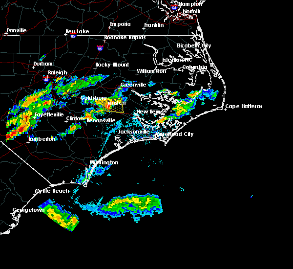 At 450 pm edt, a severe thunderstorm was located over kinston, moving east at 25 mph (radar indicated). Hazards include 60 mph wind gusts and quarter size hail. Hail damage to vehicles is expected. expect wind damage to roofs, siding, and trees. Locations impacted include, kinston, grifton, kinston regional jetport, dover and cove city. At 450 pm edt, a severe thunderstorm was located over kinston, moving east at 25 mph (radar indicated). Hazards include 60 mph wind gusts and quarter size hail. Hail damage to vehicles is expected. expect wind damage to roofs, siding, and trees. Locations impacted include, kinston, grifton, kinston regional jetport, dover and cove city.
|
| 6/24/2017 4:36 PM EDT |
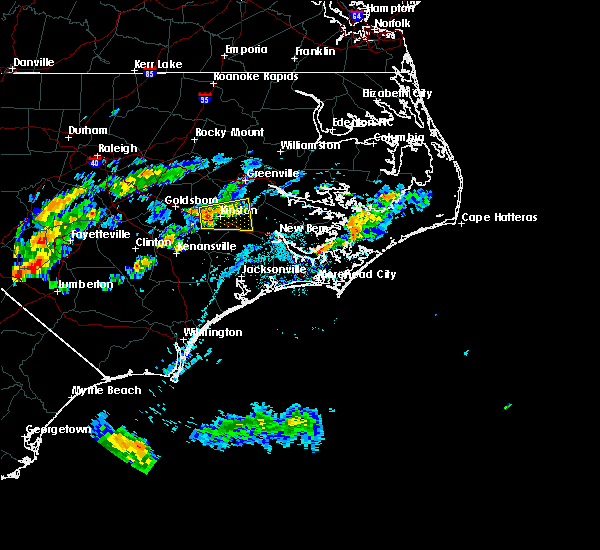 At 436 pm edt, a severe thunderstorm was located near kinston, moving east at 30 mph (radar indicated). Hazards include 60 mph wind gusts and quarter size hail. Hail damage to vehicles is expected. Expect wind damage to roofs, siding, and trees. At 436 pm edt, a severe thunderstorm was located near kinston, moving east at 30 mph (radar indicated). Hazards include 60 mph wind gusts and quarter size hail. Hail damage to vehicles is expected. Expect wind damage to roofs, siding, and trees.
|
| 7/31/2016 2:57 PM EDT |
 At 257 pm edt, a severe thunderstorm was located near grifton, or 7 miles southwest of ayden, moving east at 5 mph (radar indicated). Hazards include 60 mph wind gusts. Expect damage to roofs. siding. and trees. Locations impacted include, winterville, ayden, grifton and hookerton. At 257 pm edt, a severe thunderstorm was located near grifton, or 7 miles southwest of ayden, moving east at 5 mph (radar indicated). Hazards include 60 mph wind gusts. Expect damage to roofs. siding. and trees. Locations impacted include, winterville, ayden, grifton and hookerton.
|
| 7/31/2016 2:39 PM EDT |
 At 239 pm edt, a severe thunderstorm was located near grifton, or 8 miles southwest of ayden, moving northeast at 10 mph (radar indicated). Hazards include 60 mph wind gusts and quarter size hail. Hail damage to vehicles is expected. Expect wind damage to roofs, siding, and trees. At 239 pm edt, a severe thunderstorm was located near grifton, or 8 miles southwest of ayden, moving northeast at 10 mph (radar indicated). Hazards include 60 mph wind gusts and quarter size hail. Hail damage to vehicles is expected. Expect wind damage to roofs, siding, and trees.
|
| 7/19/2016 3:54 PM EDT |
 At 353 pm edt, severe thunderstorms were located along a line extending from near vanceboro to 14 miles northwest of new bern to 9 miles south of grifton, moving east at 15 mph (radar indicated). Hazards include 60 mph wind gusts and quarter size hail. Hail damage to vehicles is expected. expect wind damage to roofs, siding, and trees. Locations impacted include, grifton, vanceboro and cove city. At 353 pm edt, severe thunderstorms were located along a line extending from near vanceboro to 14 miles northwest of new bern to 9 miles south of grifton, moving east at 15 mph (radar indicated). Hazards include 60 mph wind gusts and quarter size hail. Hail damage to vehicles is expected. expect wind damage to roofs, siding, and trees. Locations impacted include, grifton, vanceboro and cove city.
|
| 7/19/2016 3:49 PM EDT | Quarter sized hail reported 1.9 miles NW of Grifton, NC, public reported dime to quarter size hail near quinerly crossroads east of grifton. |
| 7/19/2016 3:44 PM EDT |
 At 344 pm edt, severe thunderstorms were located along a line extending from 6 miles north of vanceboro to 14 miles southeast of ayden to near grifton, moving southeast at 15 mph (radar indicated). Hazards include 60 mph wind gusts and quarter size hail. Hail damage to vehicles is expected. expect wind damage to roofs, siding, and trees. Locations impacted include, kinston, grifton, vanceboro and cove city. At 344 pm edt, severe thunderstorms were located along a line extending from 6 miles north of vanceboro to 14 miles southeast of ayden to near grifton, moving southeast at 15 mph (radar indicated). Hazards include 60 mph wind gusts and quarter size hail. Hail damage to vehicles is expected. expect wind damage to roofs, siding, and trees. Locations impacted include, kinston, grifton, vanceboro and cove city.
|
| 7/19/2016 3:26 PM EDT |
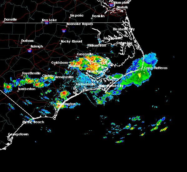 At 325 pm edt, severe thunderstorms were located along a line extending from 10 miles north of vanceboro to 9 miles southeast of ayden to near grifton, moving east at 15 mph (radar indicated). Hazards include 60 mph wind gusts and quarter size hail. Hail damage to vehicles is expected. Expect wind damage to roofs, siding, and trees. At 325 pm edt, severe thunderstorms were located along a line extending from 10 miles north of vanceboro to 9 miles southeast of ayden to near grifton, moving east at 15 mph (radar indicated). Hazards include 60 mph wind gusts and quarter size hail. Hail damage to vehicles is expected. Expect wind damage to roofs, siding, and trees.
|
| 7/8/2016 9:33 PM EDT |
 At 932 pm edt, severe thunderstorms were located along a line extending from near belhaven to 6 miles north of vanceboro to kinston, moving southeast at 40 mph (law enforcement). Hazards include 60 mph wind gusts. Expect damage to roofs. siding. and trees. Locations impacted include, greenville, jacksonville, new bern, kinston, washington, winterville, ayden, la grange, half moon, river road, james city, trent woods, river bend, grifton, belhaven, snow hill, richlands, maysville, vanceboro and kinston regional jetport. At 932 pm edt, severe thunderstorms were located along a line extending from near belhaven to 6 miles north of vanceboro to kinston, moving southeast at 40 mph (law enforcement). Hazards include 60 mph wind gusts. Expect damage to roofs. siding. and trees. Locations impacted include, greenville, jacksonville, new bern, kinston, washington, winterville, ayden, la grange, half moon, river road, james city, trent woods, river bend, grifton, belhaven, snow hill, richlands, maysville, vanceboro and kinston regional jetport.
|
| 7/8/2016 9:16 PM EDT |
 At 915 pm edt, severe thunderstorms were located along a line extending from 11 miles south of plymouth to near winterville to 6 miles west of snow hill, moving southeast at 40 mph (radar indicated). Hazards include 60 mph wind gusts. Expect damage to roofs. siding. and trees. Locations impacted include, greenville, jacksonville, new bern, kinston, washington, winterville, williamston, ayden, farmville, la grange, river road, half moon, james city, trent woods, river bend, grifton, belhaven, snow hill, richlands and robersonville. At 915 pm edt, severe thunderstorms were located along a line extending from 11 miles south of plymouth to near winterville to 6 miles west of snow hill, moving southeast at 40 mph (radar indicated). Hazards include 60 mph wind gusts. Expect damage to roofs. siding. and trees. Locations impacted include, greenville, jacksonville, new bern, kinston, washington, winterville, williamston, ayden, farmville, la grange, river road, half moon, james city, trent woods, river bend, grifton, belhaven, snow hill, richlands and robersonville.
|
| 7/8/2016 8:50 PM EDT |
 At 849 pm edt, severe thunderstorms were located along a line extending from 6 miles north of robersonville to 6 miles west of pitt greenville airport to near goldsboro, moving southeast at 45 mph (radar indicated). Hazards include 60 mph wind gusts. Expect damage to roofs. siding. And trees. At 849 pm edt, severe thunderstorms were located along a line extending from 6 miles north of robersonville to 6 miles west of pitt greenville airport to near goldsboro, moving southeast at 45 mph (radar indicated). Hazards include 60 mph wind gusts. Expect damage to roofs. siding. And trees.
|
| 7/7/2016 9:09 PM EDT |
 At 908 pm edt, severe thunderstorms were located along a line extending from near winterville to 8 miles west of vanceboro to 8 miles northeast of richlands, moving east at 45 mph (radar indicated). Hazards include 60 mph wind gusts. Expect damage to roofs. siding. and trees. Locations impacted include, greenville, new bern, winterville, ayden, james city, trent woods, river bend, grifton, vanceboro, pitt greenville airport, dowdy ficklen stadium, east carolina university, coastal carolina regional airport, bridgeton, grimesland, simpson, cove city, pollocksville and trenton. At 908 pm edt, severe thunderstorms were located along a line extending from near winterville to 8 miles west of vanceboro to 8 miles northeast of richlands, moving east at 45 mph (radar indicated). Hazards include 60 mph wind gusts. Expect damage to roofs. siding. and trees. Locations impacted include, greenville, new bern, winterville, ayden, james city, trent woods, river bend, grifton, vanceboro, pitt greenville airport, dowdy ficklen stadium, east carolina university, coastal carolina regional airport, bridgeton, grimesland, simpson, cove city, pollocksville and trenton.
|
| 7/7/2016 8:57 PM EDT |
 At 856 pm edt, severe thunderstorms were located along a line extending from near farmville to 8 miles south of grifton to near richlands, moving east at 45 mph (radar indicated). Hazards include 60 mph wind gusts. Expect damage to roofs. siding. and trees. Locations impacted include, greenville, new bern, winterville, ayden, farmville, james city, trent woods, river bend, grifton, richlands, vanceboro, east carolina university, coastal carolina regional airport, bridgeton, grimesland, simpson, hookerton and dover. At 856 pm edt, severe thunderstorms were located along a line extending from near farmville to 8 miles south of grifton to near richlands, moving east at 45 mph (radar indicated). Hazards include 60 mph wind gusts. Expect damage to roofs. siding. and trees. Locations impacted include, greenville, new bern, winterville, ayden, farmville, james city, trent woods, river bend, grifton, richlands, vanceboro, east carolina university, coastal carolina regional airport, bridgeton, grimesland, simpson, hookerton and dover.
|
| 7/7/2016 8:46 PM EDT |
 At 845 pm edt, severe thunderstorms were located along a line extending from near snow hill to near kinston to near richlands, moving east at 45 mph (radar indicated). Hazards include 60 mph wind gusts. Expect damage to roofs. siding. and trees. Locations impacted include, greenville, new bern, kinston, winterville, ayden, farmville, la grange, james city, trent woods, river bend, grifton, snow hill, richlands, maysville, vanceboro, east carolina university and coastal carolina regional airport. At 845 pm edt, severe thunderstorms were located along a line extending from near snow hill to near kinston to near richlands, moving east at 45 mph (radar indicated). Hazards include 60 mph wind gusts. Expect damage to roofs. siding. and trees. Locations impacted include, greenville, new bern, kinston, winterville, ayden, farmville, la grange, james city, trent woods, river bend, grifton, snow hill, richlands, maysville, vanceboro, east carolina university and coastal carolina regional airport.
|
| 7/7/2016 8:32 PM EDT |
 At 831 pm edt, severe thunderstorms were located along a line extending from near goldsboro to 9 miles south of la grange to near beulaville, moving east at 40 mph (radar indicated). Hazards include 60 mph wind gusts and nickel size hail. Expect damage to roofs. siding. And trees. At 831 pm edt, severe thunderstorms were located along a line extending from near goldsboro to 9 miles south of la grange to near beulaville, moving east at 40 mph (radar indicated). Hazards include 60 mph wind gusts and nickel size hail. Expect damage to roofs. siding. And trees.
|
| 7/7/2016 6:20 PM EDT | Tree blown down by strong winds on highway 118 near grifto in pitt county NC, 1.5 miles N of Grifton, NC |
| 7/7/2016 6:18 PM EDT |
 At 617 pm edt, severe thunderstorms were located along a line extending from ayden to near grifton to 11 miles south of kinston to near beulaville, moving east at 40 mph (radar indicated). Hazards include 60 mph wind gusts. Expect damage to roofs. siding. And trees. At 617 pm edt, severe thunderstorms were located along a line extending from ayden to near grifton to 11 miles south of kinston to near beulaville, moving east at 40 mph (radar indicated). Hazards include 60 mph wind gusts. Expect damage to roofs. siding. And trees.
|
| 7/7/2016 6:06 PM EDT |
 At 606 pm edt, severe thunderstorms were located along a line extending from near farmville to near kinston to 11 miles north of beulaville, moving east at 40 mph (radar indicated). Hazards include 60 mph wind gusts. Expect damage to roofs. siding. and trees. Locations impacted include, greenville, kinston, ayden, farmville, grifton, snow hill, kinston regional jetport, pink hill, hookerton and walstonburg. At 606 pm edt, severe thunderstorms were located along a line extending from near farmville to near kinston to 11 miles north of beulaville, moving east at 40 mph (radar indicated). Hazards include 60 mph wind gusts. Expect damage to roofs. siding. and trees. Locations impacted include, greenville, kinston, ayden, farmville, grifton, snow hill, kinston regional jetport, pink hill, hookerton and walstonburg.
|
| 7/7/2016 5:55 PM EDT |
 At 554 pm edt, severe thunderstorms were located along a line extending from 10 miles east of fremont to near kinston regional jetport to 11 miles northeast of kenansville, moving east at 40 mph (radar indicated). Hazards include 60 mph wind gusts. Expect damage to roofs. siding. and trees. Locations impacted include, greenville, kinston, ayden, farmville, la grange, mount olive, grifton, snow hill, kinston regional jetport, pink hill, calypso, hookerton and walstonburg. At 554 pm edt, severe thunderstorms were located along a line extending from 10 miles east of fremont to near kinston regional jetport to 11 miles northeast of kenansville, moving east at 40 mph (radar indicated). Hazards include 60 mph wind gusts. Expect damage to roofs. siding. and trees. Locations impacted include, greenville, kinston, ayden, farmville, la grange, mount olive, grifton, snow hill, kinston regional jetport, pink hill, calypso, hookerton and walstonburg.
|
| 7/7/2016 5:46 PM EDT |
 At 544 pm edt, severe thunderstorms were located along a line extending from 9 miles southeast of wilson to la grange to 8 miles southeast of mount olive, moving east at 40 mph (radar indicated). Hazards include 60 mph wind gusts. Expect damage to roofs. siding. and trees. Locations impacted include, greenville, kinston, ayden, farmville, warsaw, la grange, mount olive, grifton, snow hill, kinston regional jetport, faison, pink hill, calypso, fountain, hookerton, walstonburg and falkland. At 544 pm edt, severe thunderstorms were located along a line extending from 9 miles southeast of wilson to la grange to 8 miles southeast of mount olive, moving east at 40 mph (radar indicated). Hazards include 60 mph wind gusts. Expect damage to roofs. siding. and trees. Locations impacted include, greenville, kinston, ayden, farmville, warsaw, la grange, mount olive, grifton, snow hill, kinston regional jetport, faison, pink hill, calypso, fountain, hookerton, walstonburg and falkland.
|
| 7/7/2016 5:27 PM EDT |
 At 526 pm edt, severe thunderstorms were located along a line extending from 8 miles northwest of fremont to near goldsboro to near mount olive, moving east at 35 mph (radar indicated). Hazards include 60 mph wind gusts. Expect damage to roofs. siding. And trees. At 526 pm edt, severe thunderstorms were located along a line extending from 8 miles northwest of fremont to near goldsboro to near mount olive, moving east at 35 mph (radar indicated). Hazards include 60 mph wind gusts. Expect damage to roofs. siding. And trees.
|
| 5/3/2016 8:29 PM EDT |
 At 828 pm edt, a severe thunderstorm was located near ayden, moving east at 35 mph (radar indicated). Hazards include 60 mph wind gusts and quarter size hail. Hail damage to vehicles is expected. Expect wind damage to roofs, siding and trees. At 828 pm edt, a severe thunderstorm was located near ayden, moving east at 35 mph (radar indicated). Hazards include 60 mph wind gusts and quarter size hail. Hail damage to vehicles is expected. Expect wind damage to roofs, siding and trees.
|
| 5/3/2016 8:19 PM EDT |
 At 819 pm edt, a severe thunderstorm was located near ayden, moving east at 45 mph (radar indicated). Hazards include 60 mph wind gusts and quarter size hail. Hail damage to vehicles is expected. expect wind damage to roofs, siding and trees. Locations impacted include, greenville, washington, winterville, ayden and grifton. At 819 pm edt, a severe thunderstorm was located near ayden, moving east at 45 mph (radar indicated). Hazards include 60 mph wind gusts and quarter size hail. Hail damage to vehicles is expected. expect wind damage to roofs, siding and trees. Locations impacted include, greenville, washington, winterville, ayden and grifton.
|
| 5/3/2016 8:06 PM EDT |
 At 805 pm edt, a severe thunderstorm was located near ayden, moving east at 40 mph (radar indicated). Hazards include 60 mph wind gusts and quarter size hail. Hail damage to vehicles is expected. Expect wind damage to roofs, siding and trees. At 805 pm edt, a severe thunderstorm was located near ayden, moving east at 40 mph (radar indicated). Hazards include 60 mph wind gusts and quarter size hail. Hail damage to vehicles is expected. Expect wind damage to roofs, siding and trees.
|
| 2/16/2016 8:04 AM EST |
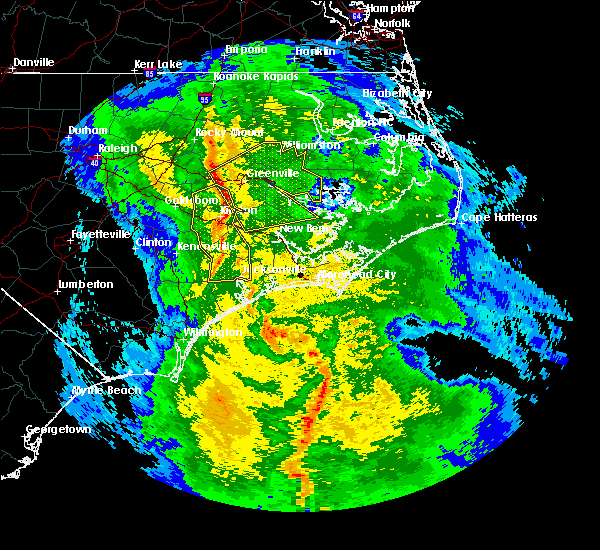 At 803 am est, doppler radar indicated a line of severe thunderstorms capable of producing damaging winds in excess of 60 mph. these storms were located along a line extending from 8 miles north of farmville to near ayden to 7 miles east of kinston, and moving east at 50 mph. At 803 am est, doppler radar indicated a line of severe thunderstorms capable of producing damaging winds in excess of 60 mph. these storms were located along a line extending from 8 miles north of farmville to near ayden to 7 miles east of kinston, and moving east at 50 mph.
|
| 2/16/2016 7:53 AM EST |
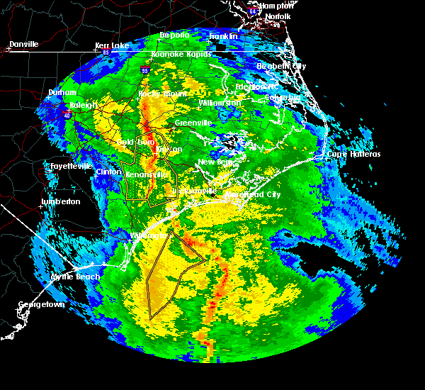 At 751 am est, emergency management reported a line of severe thunderstorms producing trees down near deep run. these storms were located along a line extending from near snow hill to kinston to near albert j ellis airport, moving northeast at 50 mph. locations impacted include, jacksonville, kinston, la grange, half moon, piney green, pumpkin center, grifton, snow hill, richlands, richlands south, albert j ellis airport, kinston regional jetport, pink hill, hookerton and trenton. At 751 am est, emergency management reported a line of severe thunderstorms producing trees down near deep run. these storms were located along a line extending from near snow hill to kinston to near albert j ellis airport, moving northeast at 50 mph. locations impacted include, jacksonville, kinston, la grange, half moon, piney green, pumpkin center, grifton, snow hill, richlands, richlands south, albert j ellis airport, kinston regional jetport, pink hill, hookerton and trenton.
|
| 2/16/2016 7:30 AM EST |
 At 729 am est, doppler radar indicated a line of severe thunderstorms capable of producing damaging winds in excess of 60 mph. these storms were located along a line extending from near walnut creek to near beulaville to near murray town, and moving northeast at 45 mph. At 729 am est, doppler radar indicated a line of severe thunderstorms capable of producing damaging winds in excess of 60 mph. these storms were located along a line extending from near walnut creek to near beulaville to near murray town, and moving northeast at 45 mph.
|
| 7/21/2015 9:40 PM EDT |
 The severe thunderstorm warning for northeastern lenoir, western beaufort, northwestern craven and southeastern pitt counties will expire at 945 pm edt, the storm which prompted the warning has begun weakening below severe limits, and no longer poses an immediate threat to life or property. therefore the warning will be allowed to expire. however gusty winds and small hail are still possible with this thunderstorm. to report severe weather, contact your nearest law enforcement agency. they will relay your report to the national weather service newport. remember, a severe thunderstorm warning still remains in effect for southern portions of lenoir county until 1015 pm!. The severe thunderstorm warning for northeastern lenoir, western beaufort, northwestern craven and southeastern pitt counties will expire at 945 pm edt, the storm which prompted the warning has begun weakening below severe limits, and no longer poses an immediate threat to life or property. therefore the warning will be allowed to expire. however gusty winds and small hail are still possible with this thunderstorm. to report severe weather, contact your nearest law enforcement agency. they will relay your report to the national weather service newport. remember, a severe thunderstorm warning still remains in effect for southern portions of lenoir county until 1015 pm!.
|
| 7/21/2015 9:22 PM EDT |
 At 921 pm edt, doppler radar indicated a severe thunderstorm capable of producing damaging winds in excess of 60 mph. this storm was located near vanceboro, or 12 miles southeast of ayden, moving east at 45 mph. locations impacted include, greenville, new bern, washington, winterville, ayden, river road, grifton, vanceboro, pitt greenville airport, dowdy ficklen stadium, east carolina university, chocowinity, washington park, grimesland and simpson. At 921 pm edt, doppler radar indicated a severe thunderstorm capable of producing damaging winds in excess of 60 mph. this storm was located near vanceboro, or 12 miles southeast of ayden, moving east at 45 mph. locations impacted include, greenville, new bern, washington, winterville, ayden, river road, grifton, vanceboro, pitt greenville airport, dowdy ficklen stadium, east carolina university, chocowinity, washington park, grimesland and simpson.
|
| 7/21/2015 9:15 PM EDT | Tree down on church stree in pitt county NC, 1.5 miles N of Grifton, NC |
| 7/21/2015 9:07 PM EDT |
 At 907 pm edt, doppler radar indicated a severe thunderstorm capable of producing damaging winds in excess of 60 mph. this storm was located over grifton, or 7 miles south of ayden, and moving east at 45 mph. At 907 pm edt, doppler radar indicated a severe thunderstorm capable of producing damaging winds in excess of 60 mph. this storm was located over grifton, or 7 miles south of ayden, and moving east at 45 mph.
|
| 7/21/2015 8:32 PM EDT |
 At 831 pm edt, doppler radar indicated a line of severe thunderstorms capable of producing damaging winds in excess of 60 mph. these storms were located along a line extending from near elm city to near mount olive, and moving east at 40 mph. At 831 pm edt, doppler radar indicated a line of severe thunderstorms capable of producing damaging winds in excess of 60 mph. these storms were located along a line extending from near elm city to near mount olive, and moving east at 40 mph.
|
| 6/11/2014 3:25 PM EDT | *** 1 inj *** one injury when tree crashes through trailer roo in pitt county NC, 1.5 miles N of Grifton, NC |
| 6/11/2014 2:35 PM EDT | Tree crushed a car and wind damaged a roof in grifto in pitt county NC, 1.5 miles N of Grifton, NC |
| 6/11/2014 2:30 PM EDT | Multiple trees down in cannon farm east of grifto in pitt county NC, 4.1 miles WNW of Grifton, NC |
| 7/9/2012 4:40 PM EDT | Lots of large tree limbs down in pitt county NC, 2.7 miles SSW of Grifton, NC |
Hail Maps for Grifton, NC


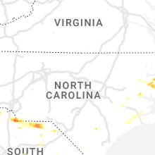


Connect with Interactive Hail Maps