

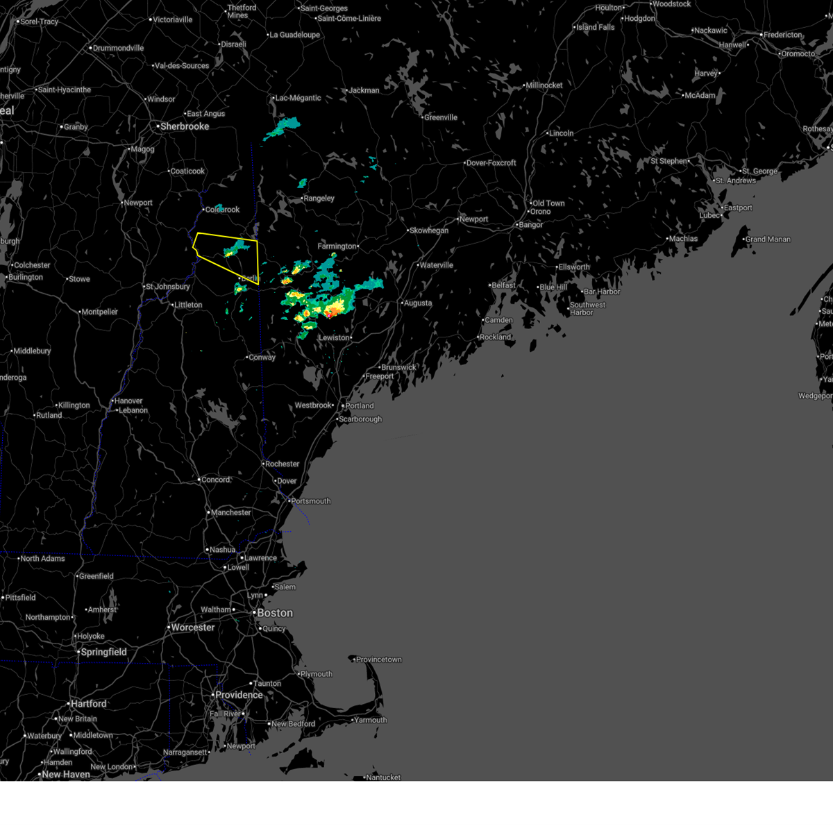
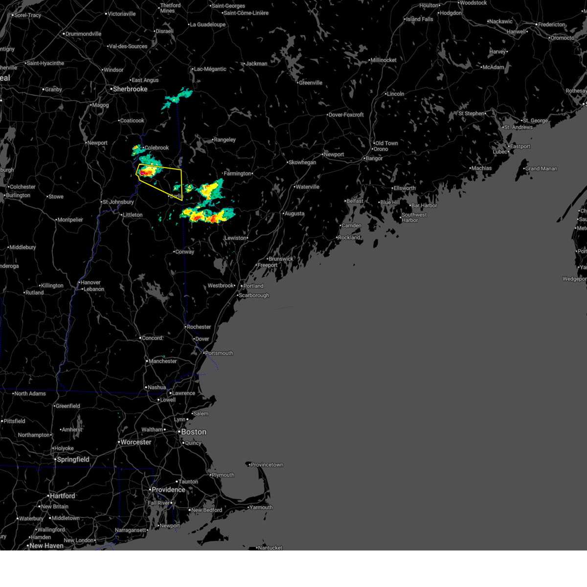
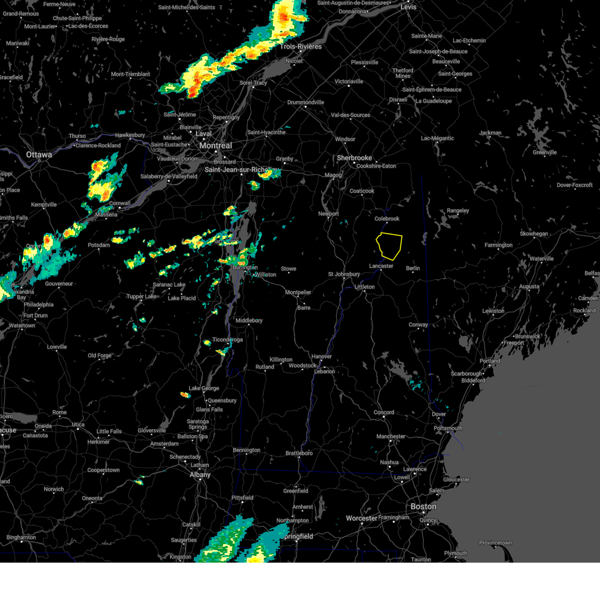
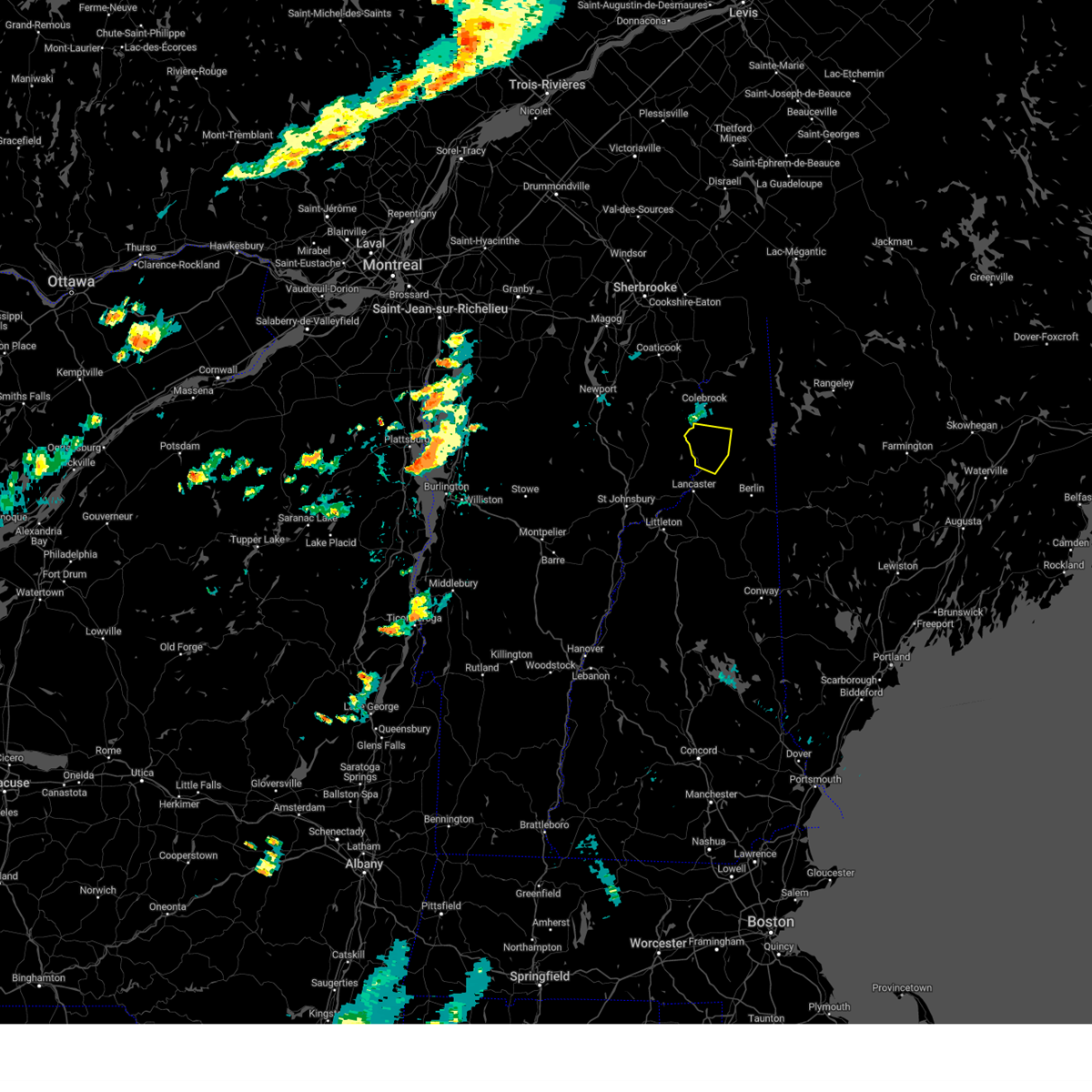
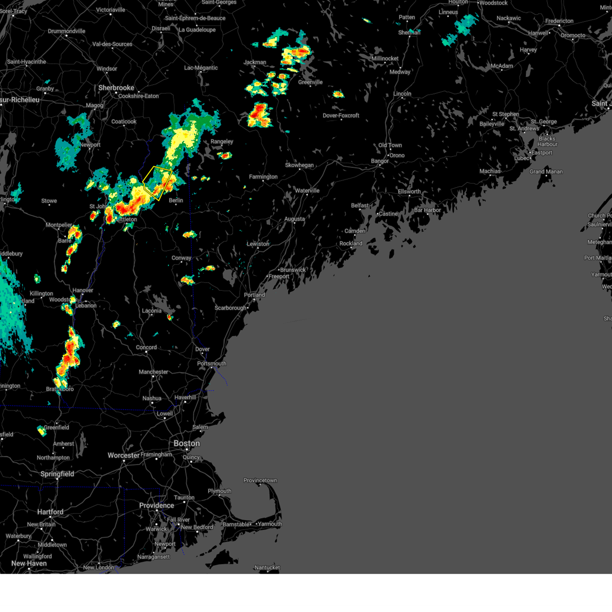
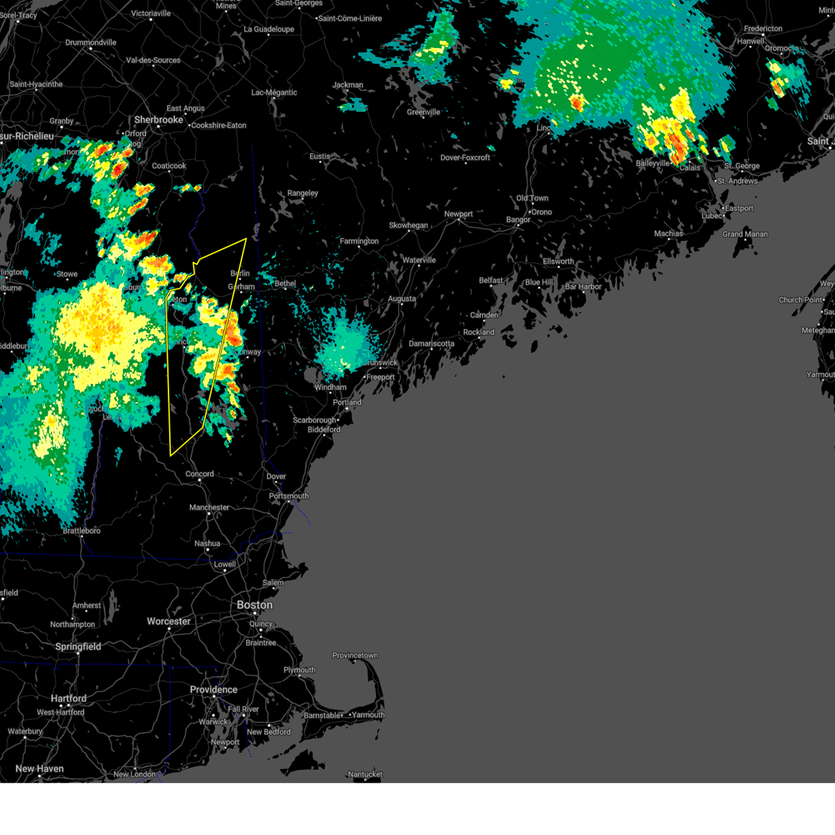
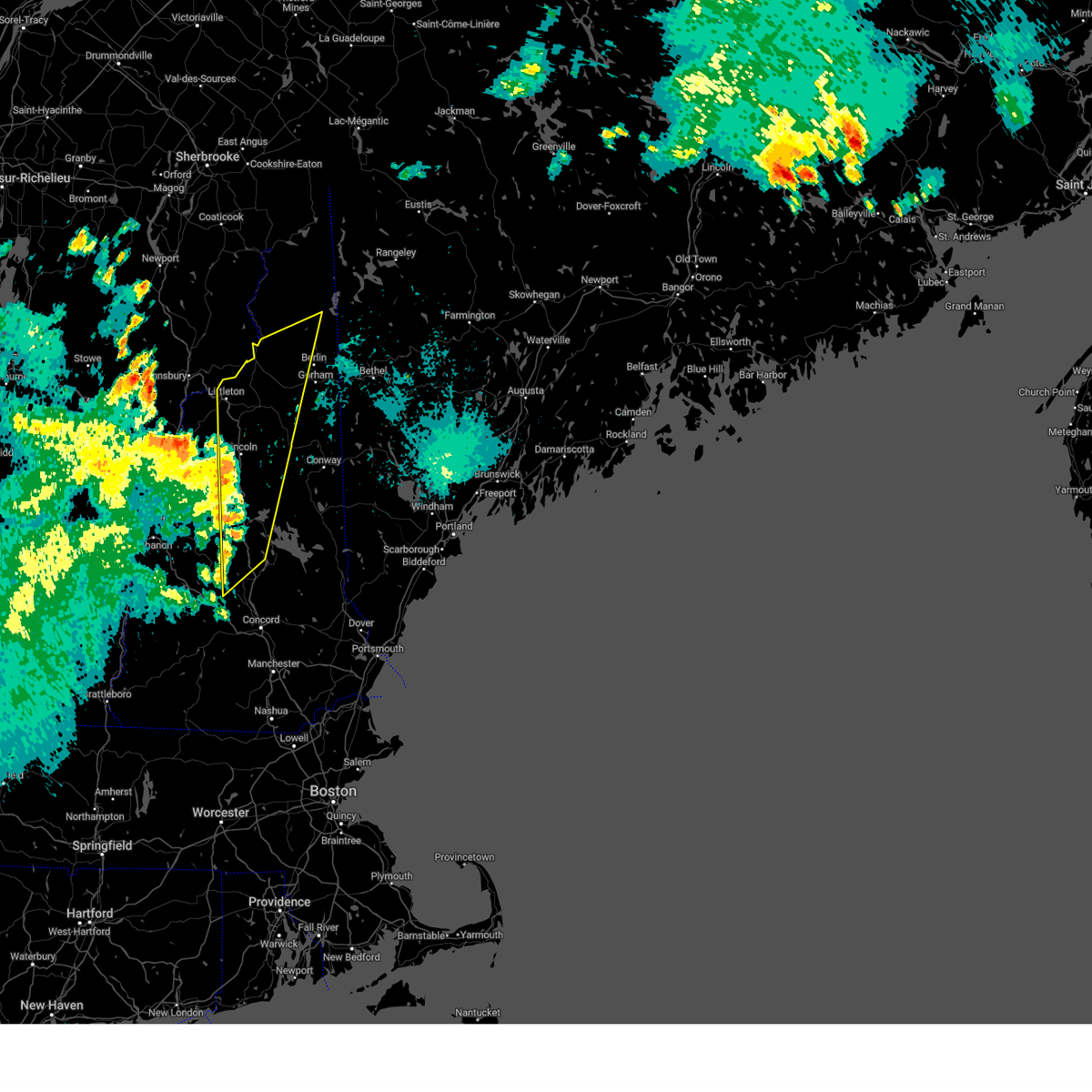
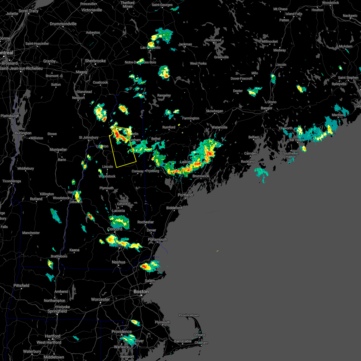
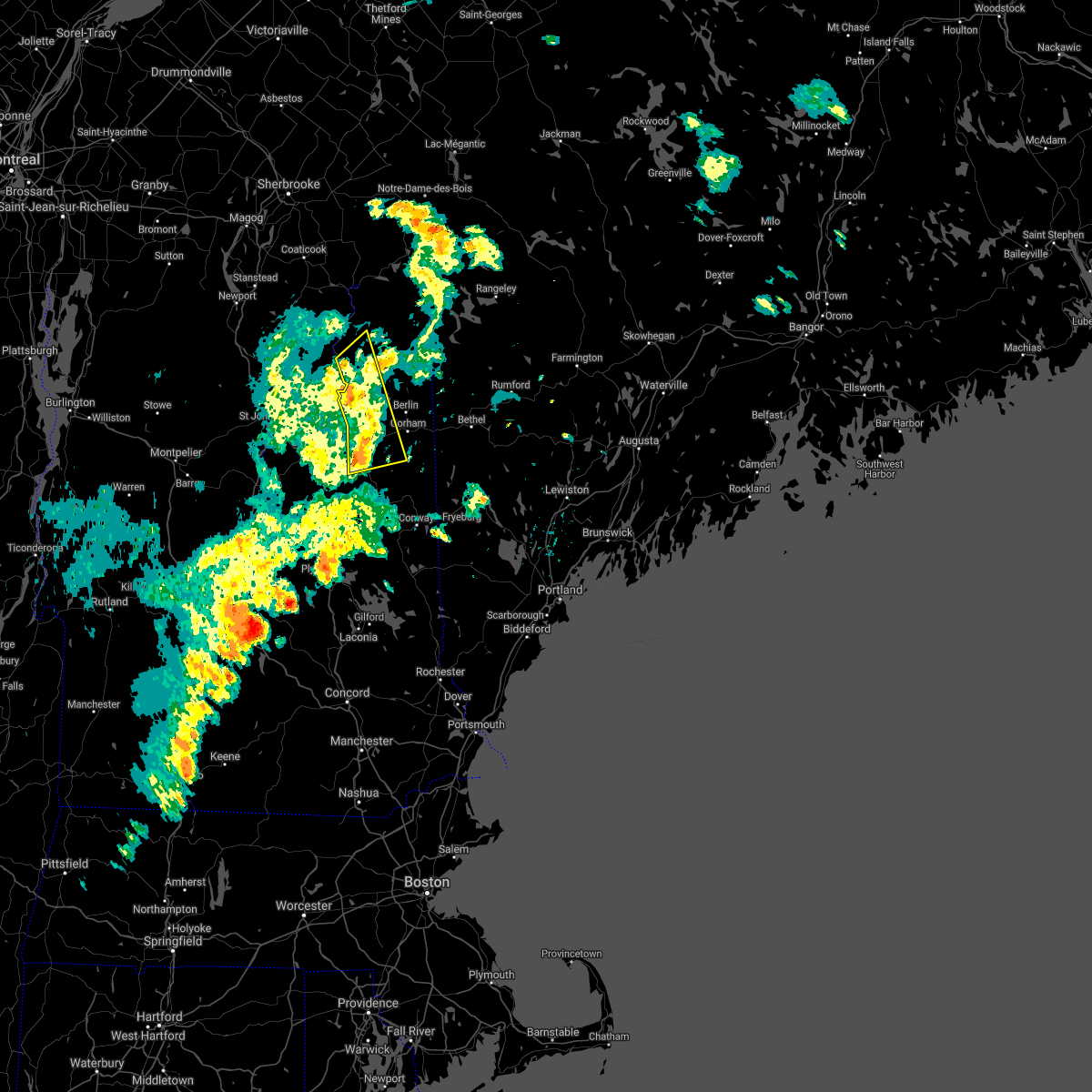
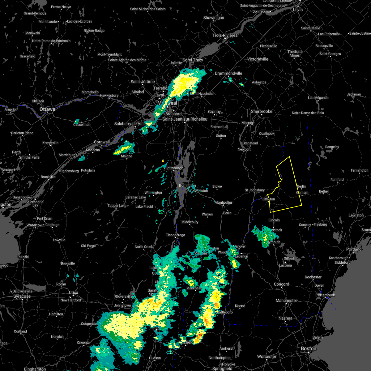
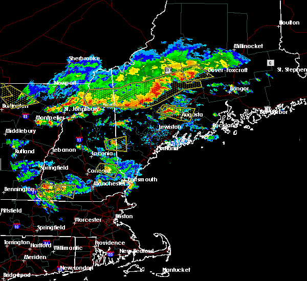
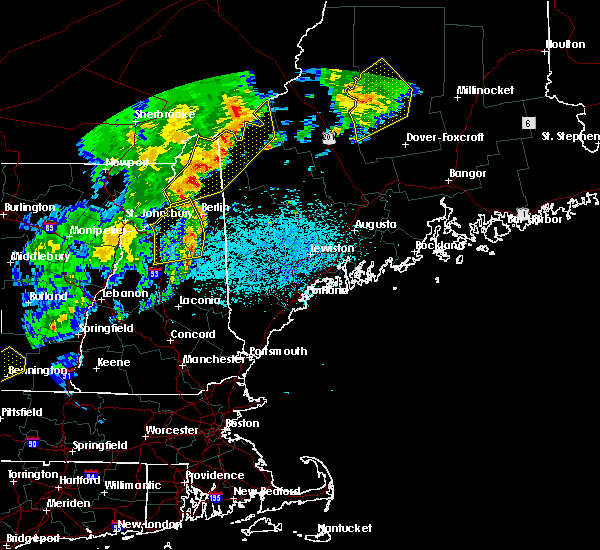
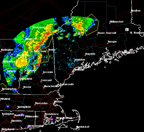
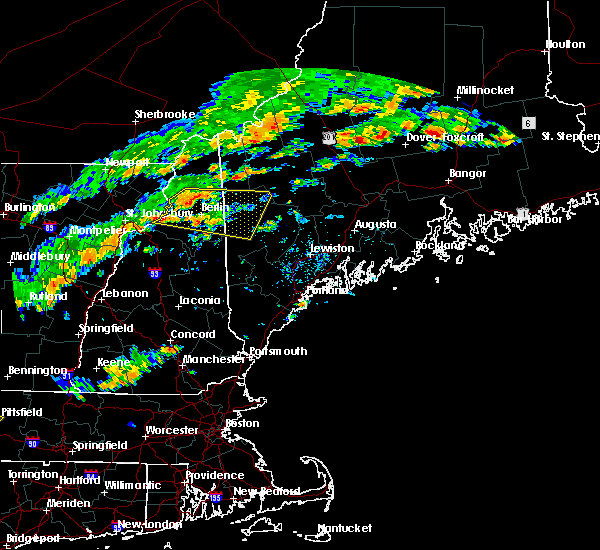
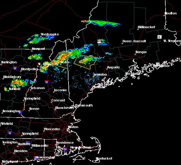
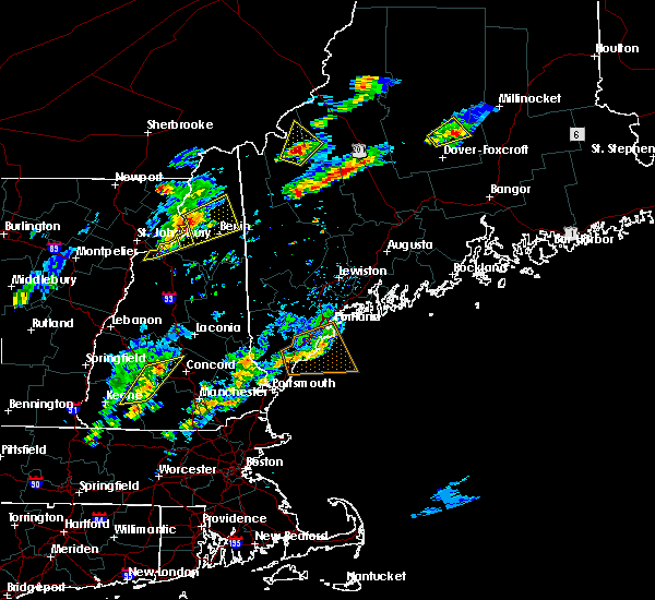
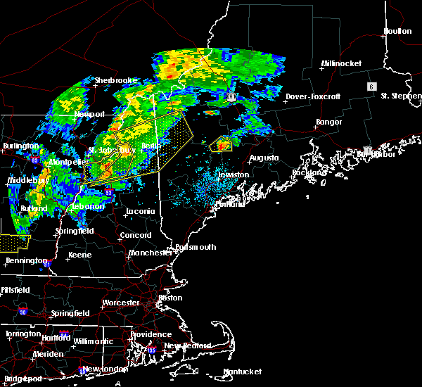
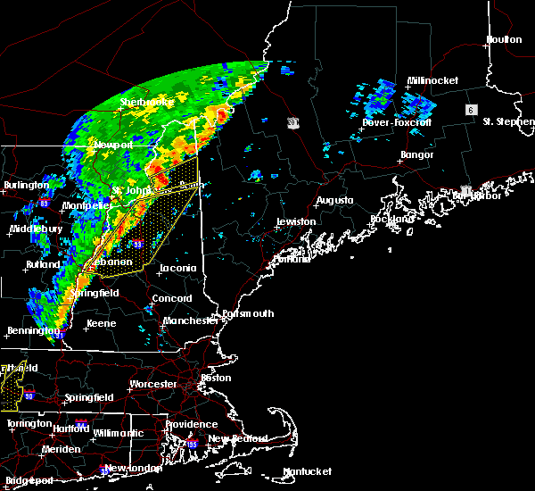
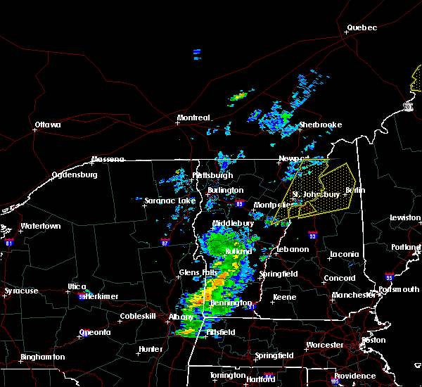
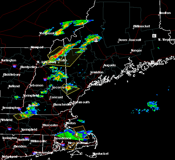
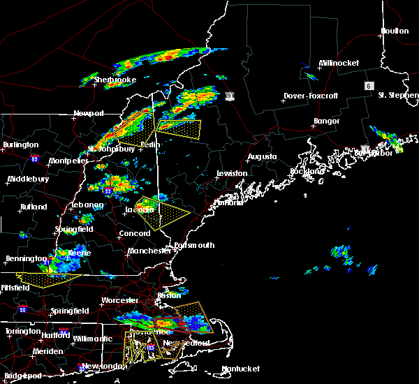
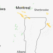
Hail Map for Groveton, NH
The Groveton, NH area has had 3 reports of on-the-ground hail by trained spotters, and has been under severe weather warnings 4 times during the past 12 months. Doppler radar has detected hail at or near Groveton, NH on 11 occasions.
| Name: | Groveton, NH |
| Where Located: | 83.8 miles E of Burlington, VT |
| Map: | Google Map for Groveton, NH |
| Population: | 1118 |
| Housing Units: | 550 |
| More Info: | Search Google for Groveton, NH |
0
The Top Recent Hail Date for Groveton, NH is Wednesday, June 19, 2024 (11th out of 11)

Hail and Wind Damage Spotted near Groveton, NH
| Date / Time | Report Details |
|---|---|
| 7/11/2025 5:39 AM EDT |
 the severe thunderstorm warning has been cancelled and is no longer in effect the severe thunderstorm warning has been cancelled and is no longer in effect
|
| 7/11/2025 5:09 AM EDT |
 Svrgyx the national weather service in gray maine has issued a * severe thunderstorm warning for, east central coos county in northern new hampshire, * until 600 am edt. * at 509 am edt, a severe thunderstorm was located near stratford, or 14 miles north of lancaster, moving east at 30 mph (radar indicated). Hazards include 60 mph wind gusts and quarter size hail. Hail damage to vehicles is expected. Expect wind damage to roofs, siding, and trees. Svrgyx the national weather service in gray maine has issued a * severe thunderstorm warning for, east central coos county in northern new hampshire, * until 600 am edt. * at 509 am edt, a severe thunderstorm was located near stratford, or 14 miles north of lancaster, moving east at 30 mph (radar indicated). Hazards include 60 mph wind gusts and quarter size hail. Hail damage to vehicles is expected. Expect wind damage to roofs, siding, and trees.
|
| 8/4/2024 2:57 PM EDT |
 The storm which prompted the warning has weakened below severe limits, and no longer poses an immediate threat to life or property. therefore, the warning will be allowed to expire. however, heavy rain is still possible with this thunderstorm. The storm which prompted the warning has weakened below severe limits, and no longer poses an immediate threat to life or property. therefore, the warning will be allowed to expire. however, heavy rain is still possible with this thunderstorm.
|
| 8/4/2024 2:17 PM EDT |
 Svrgyx the national weather service in gray maine has issued a * severe thunderstorm warning for, central coos county in northern new hampshire, * until 300 pm edt. * at 217 pm edt, a severe thunderstorm was located near stratford, or 15 miles southwest of colebrook, and is nearly stationary (radar indicated). Hazards include 60 mph wind gusts and quarter size hail. Hail damage to vehicles is expected. Expect wind damage to roofs, siding, and trees. Svrgyx the national weather service in gray maine has issued a * severe thunderstorm warning for, central coos county in northern new hampshire, * until 300 pm edt. * at 217 pm edt, a severe thunderstorm was located near stratford, or 15 miles southwest of colebrook, and is nearly stationary (radar indicated). Hazards include 60 mph wind gusts and quarter size hail. Hail damage to vehicles is expected. Expect wind damage to roofs, siding, and trees.
|
| 6/19/2024 2:47 PM EDT |
 the severe thunderstorm warning has been cancelled and is no longer in effect the severe thunderstorm warning has been cancelled and is no longer in effect
|
| 6/19/2024 2:33 PM EDT | Half Dollar sized hail reported 6.2 miles W of Groveton, NH |
| 6/19/2024 2:24 PM EDT | A couple trees down on hwy 11 in coos county NH, 6.8 miles WSW of Groveton, NH |
| 6/19/2024 2:22 PM EDT |
 At 221 pm edt, a severe thunderstorm was located over stratford, or 12 miles southwest of colebrook, moving southeast at 15 mph (radar indicated). Hazards include 60 mph wind gusts and quarter size hail. Hail damage to vehicles is expected. expect wind damage to roofs, siding, and trees. locations impacted include, stratford, dummer, northumberland, and stark. This also includes, kilkenny ridge trail, percy peaks, and south pond recreation area. At 221 pm edt, a severe thunderstorm was located over stratford, or 12 miles southwest of colebrook, moving southeast at 15 mph (radar indicated). Hazards include 60 mph wind gusts and quarter size hail. Hail damage to vehicles is expected. expect wind damage to roofs, siding, and trees. locations impacted include, stratford, dummer, northumberland, and stark. This also includes, kilkenny ridge trail, percy peaks, and south pond recreation area.
|
| 6/19/2024 1:54 PM EDT |
 Svrgyx the national weather service in gray maine has issued a * severe thunderstorm warning for, central coos county in northern new hampshire, * until 300 pm edt. * at 152 pm edt, a severe thunderstorm was located 8 miles northwest of stratford, or 14 miles southwest of colebrook, moving southeast at 15 mph (radar indicated). Hazards include 60 mph wind gusts and quarter size hail. Hail damage to vehicles is expected. Expect wind damage to roofs, siding, and trees. Svrgyx the national weather service in gray maine has issued a * severe thunderstorm warning for, central coos county in northern new hampshire, * until 300 pm edt. * at 152 pm edt, a severe thunderstorm was located 8 miles northwest of stratford, or 14 miles southwest of colebrook, moving southeast at 15 mph (radar indicated). Hazards include 60 mph wind gusts and quarter size hail. Hail damage to vehicles is expected. Expect wind damage to roofs, siding, and trees.
|
| 9/7/2023 11:57 PM EDT |
 The severe thunderstorm warning for southern coos, eastern grafton, northwestern belknap, north central merrimack and northwestern carroll counties will expire at midnight edt, the storms which prompted the warning have weakened below severe limits, and have exited the warned area. therefore, the warning will be allowed to expire. The severe thunderstorm warning for southern coos, eastern grafton, northwestern belknap, north central merrimack and northwestern carroll counties will expire at midnight edt, the storms which prompted the warning have weakened below severe limits, and have exited the warned area. therefore, the warning will be allowed to expire.
|
| 9/7/2023 11:43 PM EDT |
 At 1140 pm edt, severe thunderstorms were located along a line extending from near lancaster to near holderness, moving northeast at 50 mph (radar indicated). Hazards include 60 mph wind gusts and quarter size hail. Expect wind damage to trees and power lines. Minor hail damage to vehicles is possible. At 1140 pm edt, severe thunderstorms were located along a line extending from near lancaster to near holderness, moving northeast at 50 mph (radar indicated). Hazards include 60 mph wind gusts and quarter size hail. Expect wind damage to trees and power lines. Minor hail damage to vehicles is possible.
|
| 9/7/2023 11:09 PM EDT |
 At 1108 pm edt, severe thunderstorms were located along a line extending from 6 miles east of haverhill to 7 miles north of warner, moving northeast at 40 mph (radar indicated). Hazards include 60 mph wind gusts and quarter size hail. Expect wind damage to trees and power lines. Minor hail damage to vehicles is possible. At 1108 pm edt, severe thunderstorms were located along a line extending from 6 miles east of haverhill to 7 miles north of warner, moving northeast at 40 mph (radar indicated). Hazards include 60 mph wind gusts and quarter size hail. Expect wind damage to trees and power lines. Minor hail damage to vehicles is possible.
|
| 7/13/2023 8:02 PM EDT |
 At 802 pm edt, severe thunderstorms were located along a line extending from 11 miles west of littleton to 9 miles southwest of lebanon, moving northeast at 65 mph (radar indicated). Hazards include 60 mph wind gusts. expect damage to roofs, siding, and trees At 802 pm edt, severe thunderstorms were located along a line extending from 11 miles west of littleton to 9 miles southwest of lebanon, moving northeast at 65 mph (radar indicated). Hazards include 60 mph wind gusts. expect damage to roofs, siding, and trees
|
| 7/4/2023 1:45 PM EDT | Reported by amateur radio. social media photos of a tree down on the parking lot of dollar general and a tree that was partially blocking route 3 near north country pow in coos county NH, 0.3 miles W of Groveton, NH |
| 7/21/2022 2:54 PM EDT | Trees down in essex county VT, 4.1 miles SSE of Groveton, NH |
| 7/21/2022 2:49 PM EDT |
 At 248 pm edt, a severe thunderstorm was located over stratford, or 10 miles north of lancaster, moving northeast at 50 mph (radar indicated). Hazards include 60 mph wind gusts and quarter size hail. Hail damage to vehicles is expected. expect wind damage to roofs, siding, and trees. locations impacted include, lancaster, colebrook, errol, stratford, dixville, pittsburg, columbia, dummer, clarksville, northumberland, stark, wentworth location and stewartstown. hail threat, radar indicated max hail size, 1. 00 in wind threat, radar indicated max wind gust, 60 mph. At 248 pm edt, a severe thunderstorm was located over stratford, or 10 miles north of lancaster, moving northeast at 50 mph (radar indicated). Hazards include 60 mph wind gusts and quarter size hail. Hail damage to vehicles is expected. expect wind damage to roofs, siding, and trees. locations impacted include, lancaster, colebrook, errol, stratford, dixville, pittsburg, columbia, dummer, clarksville, northumberland, stark, wentworth location and stewartstown. hail threat, radar indicated max hail size, 1. 00 in wind threat, radar indicated max wind gust, 60 mph.
|
| 7/21/2022 2:38 PM EDT |
 At 238 pm edt, a severe thunderstorm was located near lancaster, moving northeast at 40 mph (radar indicated). Hazards include 60 mph wind gusts and quarter size hail. Hail damage to vehicles is expected. Expect wind damage to roofs, siding, and trees. At 238 pm edt, a severe thunderstorm was located near lancaster, moving northeast at 40 mph (radar indicated). Hazards include 60 mph wind gusts and quarter size hail. Hail damage to vehicles is expected. Expect wind damage to roofs, siding, and trees.
|
| 5/21/2022 7:01 PM EDT |
 At 700 pm edt, severe thunderstorms were located along a line extending from 19 miles northwest of coburn gore to 9 miles north of pittsburg to 19 miles west of stratford, moving east at 40 mph (radar indicated). Hazards include 70 mph wind gusts and half dollar size hail. Hail damage to vehicles is expected. expect considerable tree damage. wind damage is also likely to mobile homes, roofs, and outbuildings. locations impacted include, colebrook, eustis, coburn gore, rangeley, errol, pittsburg, dixville, stratford, grafton, columbia, dallas plantation, dummer, clarksville, upper cupsuptic, tim pond, davis, lynchtown, alder stream, upton and chain of ponds. thunderstorm damage threat, considerable hail threat, radar indicated max hail size, 1. 25 in wind threat, radar indicated max wind gust, 70 mph. At 700 pm edt, severe thunderstorms were located along a line extending from 19 miles northwest of coburn gore to 9 miles north of pittsburg to 19 miles west of stratford, moving east at 40 mph (radar indicated). Hazards include 70 mph wind gusts and half dollar size hail. Hail damage to vehicles is expected. expect considerable tree damage. wind damage is also likely to mobile homes, roofs, and outbuildings. locations impacted include, colebrook, eustis, coburn gore, rangeley, errol, pittsburg, dixville, stratford, grafton, columbia, dallas plantation, dummer, clarksville, upper cupsuptic, tim pond, davis, lynchtown, alder stream, upton and chain of ponds. thunderstorm damage threat, considerable hail threat, radar indicated max hail size, 1. 25 in wind threat, radar indicated max wind gust, 70 mph.
|
| 5/21/2022 6:46 PM EDT |
 At 645 pm edt, severe thunderstorms were located along a line extending from 24 miles northwest of coburn gore to 12 miles northwest of pittsburg to 25 miles west of stratford, moving east at 40 mph (radar indicated). Hazards include 70 mph wind gusts and quarter size hail. Hail damage to vehicles is expected. expect considerable tree damage. Wind damage is also likely to mobile homes, roofs, and outbuildings. At 645 pm edt, severe thunderstorms were located along a line extending from 24 miles northwest of coburn gore to 12 miles northwest of pittsburg to 25 miles west of stratford, moving east at 40 mph (radar indicated). Hazards include 70 mph wind gusts and quarter size hail. Hail damage to vehicles is expected. expect considerable tree damage. Wind damage is also likely to mobile homes, roofs, and outbuildings.
|
| 7/23/2021 5:18 PM EDT |
 At 517 pm edt, a severe thunderstorm was located near lancaster, moving south at 25 mph (radar indicated). Hazards include 60 mph wind gusts and quarter size hail. Hail damage to vehicles is expected. Expect wind damage to roofs, siding, and trees. At 517 pm edt, a severe thunderstorm was located near lancaster, moving south at 25 mph (radar indicated). Hazards include 60 mph wind gusts and quarter size hail. Hail damage to vehicles is expected. Expect wind damage to roofs, siding, and trees.
|
| 5/26/2021 5:35 PM EDT |
 At 535 pm edt, a severe thunderstorm was located near lancaster, moving east at 50 mph (radar indicated). Hazards include 60 mph wind gusts. Expect damage to roofs, siding, and trees. locations impacted include, berlin, lancaster, bethlehem, stratford, pinkham notch, mount washington, carroll, gorham, jefferson, columbia, randolph, stark, northumberland, whitefield and milan. This also includes, kilkenny ridge trail, mount jefferson, mount madison, mount eisenhower, and wildcat mountain. At 535 pm edt, a severe thunderstorm was located near lancaster, moving east at 50 mph (radar indicated). Hazards include 60 mph wind gusts. Expect damage to roofs, siding, and trees. locations impacted include, berlin, lancaster, bethlehem, stratford, pinkham notch, mount washington, carroll, gorham, jefferson, columbia, randolph, stark, northumberland, whitefield and milan. This also includes, kilkenny ridge trail, mount jefferson, mount madison, mount eisenhower, and wildcat mountain.
|
| 5/26/2021 5:20 PM EDT |
 At 519 pm edt, a severe thunderstorm was located near littleton, moving east at 50 mph (radar indicated). Hazards include 60 mph wind gusts and penny size hail. Expect damage to roofs, siding, and trees. locations impacted include, berlin, littleton, lancaster, bethlehem, colebrook, franconia, stratford, pinkham notch, mount washington, carroll, gorham, jefferson, dalton, columbia, dummer, whitefield, randolph, stark, northumberland and milan. this also includes, kilkenny ridge trail, north twin mountain, mount jefferson, mount madison, and mount eisenhower. This includes interstate 93 between mile markers 112 and 116, and between mile markers 120 and 121. At 519 pm edt, a severe thunderstorm was located near littleton, moving east at 50 mph (radar indicated). Hazards include 60 mph wind gusts and penny size hail. Expect damage to roofs, siding, and trees. locations impacted include, berlin, littleton, lancaster, bethlehem, colebrook, franconia, stratford, pinkham notch, mount washington, carroll, gorham, jefferson, dalton, columbia, dummer, whitefield, randolph, stark, northumberland and milan. this also includes, kilkenny ridge trail, north twin mountain, mount jefferson, mount madison, and mount eisenhower. This includes interstate 93 between mile markers 112 and 116, and between mile markers 120 and 121.
|
| 5/26/2021 4:51 PM EDT |
 At 450 pm edt, a severe thunderstorm was located 21 miles north of haverhill, or 21 miles west of littleton, moving east at 50 mph. this storm has a history of producing wind damage in vermont (radar indicated). Hazards include 60 mph wind gusts and penny size hail. expect damage to roofs, siding, and trees At 450 pm edt, a severe thunderstorm was located 21 miles north of haverhill, or 21 miles west of littleton, moving east at 50 mph. this storm has a history of producing wind damage in vermont (radar indicated). Hazards include 60 mph wind gusts and penny size hail. expect damage to roofs, siding, and trees
|
| 7/8/2020 5:25 PM EDT | Trees and wires down on kelley rd. time estimated from rada in coos county NH, 8.2 miles W of Groveton, NH |
| 7/8/2020 4:45 PM EDT | Corrects time from previous tstm wnd dmg report from 2 e stark. trees and wires down on kelley rd. time estimated from rada in coos county NH, 8.2 miles W of Groveton, NH |
| 7/8/2020 4:42 PM EDT |
 At 442 pm edt, severe thunderstorms were located along a line extending from 17 miles east of bingham to kingfield to near phillips to near weld to 8 miles east of stratford, moving southeast at 40 mph (radar indicated). Hazards include 60 mph wind gusts and quarter size hail. Hail damage to vehicles is expected. expect wind damage to roofs, siding, and trees. locations impacted include, farmington, rumford, madison, dixfield, kingfield, bingham, andover, carrabassett valley, errol, grafton, phillips, weld, stratford, mexico, wilton, anson, hartland, cornville, athens and harmony. This also includes, umbagog lake state park, kilkenny ridge trail, old speck mountain, sugarloaf mountain, and mount abraham. At 442 pm edt, severe thunderstorms were located along a line extending from 17 miles east of bingham to kingfield to near phillips to near weld to 8 miles east of stratford, moving southeast at 40 mph (radar indicated). Hazards include 60 mph wind gusts and quarter size hail. Hail damage to vehicles is expected. expect wind damage to roofs, siding, and trees. locations impacted include, farmington, rumford, madison, dixfield, kingfield, bingham, andover, carrabassett valley, errol, grafton, phillips, weld, stratford, mexico, wilton, anson, hartland, cornville, athens and harmony. This also includes, umbagog lake state park, kilkenny ridge trail, old speck mountain, sugarloaf mountain, and mount abraham.
|
| 7/8/2020 4:21 PM EDT | Off-duty officer reported tree down between brunswick and bloomfield on route-10 in essex county VT, 11 miles SSE of Groveton, NH |
| 7/8/2020 4:10 PM EDT |
 At 409 pm edt, severe thunderstorms were located along a line extending from 15 miles north of bingham to 8 miles west of carrabassett valley to 6 miles southeast of rangeley to 12 miles east of errol to colebrook, moving southeast at 40 mph (radar indicated). Hazards include 60 mph wind gusts and quarter size hail. Hail damage to vehicles is expected. Expect wind damage to roofs, siding, and trees. At 409 pm edt, severe thunderstorms were located along a line extending from 15 miles north of bingham to 8 miles west of carrabassett valley to 6 miles southeast of rangeley to 12 miles east of errol to colebrook, moving southeast at 40 mph (radar indicated). Hazards include 60 mph wind gusts and quarter size hail. Hail damage to vehicles is expected. Expect wind damage to roofs, siding, and trees.
|
| 5/29/2020 9:10 PM EDT |
 The severe thunderstorm warning for southwestern coos, northeastern grafton and north central carroll counties will expire at 915 pm edt, the storms which prompted the warning have weakened below severe limits, and no longer pose an immediate threat to life or property. therefore, the warning will be allowed to expire. however gusty winds are still possible with these thunderstorms. The severe thunderstorm warning for southwestern coos, northeastern grafton and north central carroll counties will expire at 915 pm edt, the storms which prompted the warning have weakened below severe limits, and no longer pose an immediate threat to life or property. therefore, the warning will be allowed to expire. however gusty winds are still possible with these thunderstorms.
|
| 5/29/2020 9:00 PM EDT | Trees dow in coos county NH, 4.5 miles SSE of Groveton, NH |
| 5/29/2020 8:53 PM EDT |
 At 852 pm edt, severe thunderstorms were located along a line extending from 18 miles west of coburn gore to near pittsburg to 9 miles southwest of stratford, moving northeast at 50 mph (radar indicated). Hazards include 60 mph wind gusts and penny size hail. expect damage to roofs, siding, and trees At 852 pm edt, severe thunderstorms were located along a line extending from 18 miles west of coburn gore to near pittsburg to 9 miles southwest of stratford, moving northeast at 50 mph (radar indicated). Hazards include 60 mph wind gusts and penny size hail. expect damage to roofs, siding, and trees
|
| 5/29/2020 8:47 PM EDT |
 At 846 pm edt, severe thunderstorms were located along a line extending from 12 miles west of lancaster to 6 miles northeast of bethlehem to 9 miles southeast of franconia to near lincoln, moving northeast at 45 mph (radar indicated). Hazards include 60 mph wind gusts. Expect damage to roofs, siding, and trees. locations impacted include, berlin, littleton, lancaster, bethlehem, lincoln, franconia, pinkham notch, mount washington, woodstock, carroll, gorham, bartlett, jefferson, dalton, jackson, whitefield, hart`s location, northumberland, randolph and stark. this also includes, crawford notch state park, franconia notch, kilkenny ridge trail, cannon mountain, and north twin mountain. This includes interstate 93 between mile markers 99 and 114. At 846 pm edt, severe thunderstorms were located along a line extending from 12 miles west of lancaster to 6 miles northeast of bethlehem to 9 miles southeast of franconia to near lincoln, moving northeast at 45 mph (radar indicated). Hazards include 60 mph wind gusts. Expect damage to roofs, siding, and trees. locations impacted include, berlin, littleton, lancaster, bethlehem, lincoln, franconia, pinkham notch, mount washington, woodstock, carroll, gorham, bartlett, jefferson, dalton, jackson, whitefield, hart`s location, northumberland, randolph and stark. this also includes, crawford notch state park, franconia notch, kilkenny ridge trail, cannon mountain, and north twin mountain. This includes interstate 93 between mile markers 99 and 114.
|
| 5/29/2020 8:47 PM EDT |
 At 846 pm edt, severe thunderstorms were located along a line extending from 18 miles north of colebrook to near pittsburg to 7 miles west of stratford, moving northeast at 40 mph (radar indicated). Hazards include 60 mph wind gusts and penny size hail. Expect damage to roofs, siding, and trees. locations impacted include, colebrook, errol, pittsburg, stratford, dixville, columbia, dummer, clarksville, stewartstown, northumberland, stark and wentworth location. This also includes, first connecticut lake, dixville notch state park, coleman state park, lake francis state park, and percy peaks. At 846 pm edt, severe thunderstorms were located along a line extending from 18 miles north of colebrook to near pittsburg to 7 miles west of stratford, moving northeast at 40 mph (radar indicated). Hazards include 60 mph wind gusts and penny size hail. Expect damage to roofs, siding, and trees. locations impacted include, colebrook, errol, pittsburg, stratford, dixville, columbia, dummer, clarksville, stewartstown, northumberland, stark and wentworth location. This also includes, first connecticut lake, dixville notch state park, coleman state park, lake francis state park, and percy peaks.
|
| 5/29/2020 8:26 PM EDT |
 At 825 pm edt, severe thunderstorms were located along a line extending from 19 miles northwest of franconia to 6 miles southwest of littleton to 8 miles northwest of lincoln to 7 miles west of woodstock, moving northeast at 45 mph (radar indicated). Hazards include 60 mph wind gusts. expect damage to roofs, siding, and trees At 825 pm edt, severe thunderstorms were located along a line extending from 19 miles northwest of franconia to 6 miles southwest of littleton to 8 miles northwest of lincoln to 7 miles west of woodstock, moving northeast at 45 mph (radar indicated). Hazards include 60 mph wind gusts. expect damage to roofs, siding, and trees
|
| 5/29/2020 8:21 PM EDT |
 At 820 pm edt, severe thunderstorms were located along a line extending from 20 miles west of pittsburg to 10 miles west of colebrook to 19 miles northwest of littleton, moving northeast at 40 mph (radar indicated). Hazards include 60 mph wind gusts and quarter size hail. Hail damage to vehicles is expected. Expect wind damage to roofs, siding, and trees. At 820 pm edt, severe thunderstorms were located along a line extending from 20 miles west of pittsburg to 10 miles west of colebrook to 19 miles northwest of littleton, moving northeast at 40 mph (radar indicated). Hazards include 60 mph wind gusts and quarter size hail. Hail damage to vehicles is expected. Expect wind damage to roofs, siding, and trees.
|
| 8/10/2019 3:28 PM EDT | Tree on wires on emerson roa in coos county NH, 5.7 miles W of Groveton, NH |
| 7/6/2019 2:15 PM EDT |
 At 215 pm edt, severe thunderstorms were located along a line extending from 7 miles northwest of grafton to 6 miles south of lancaster, moving east at 40 mph (radar indicated). Hazards include 60 mph wind gusts. expect damage to roofs, siding, and trees At 215 pm edt, severe thunderstorms were located along a line extending from 7 miles northwest of grafton to 6 miles south of lancaster, moving east at 40 mph (radar indicated). Hazards include 60 mph wind gusts. expect damage to roofs, siding, and trees
|
| 7/6/2019 2:08 PM EDT | Trees over road in stark in coos county NH, 5.7 miles W of Groveton, NH |
| 6/29/2019 7:26 PM EDT | Trees on wires in coos county NH, 5.7 miles W of Groveton, NH |
| 6/29/2019 6:38 PM EDT |
 At 637 pm edt, severe thunderstorms were located along a line extending from 27 miles north of dixville to near pittsburg to 11 miles northwest of colebrook, moving southeast at 45 mph (radar indicated). Hazards include 60 mph wind gusts and quarter size hail. Hail damage to vehicles is expected. Expect wind damage to roofs, siding, and trees. At 637 pm edt, severe thunderstorms were located along a line extending from 27 miles north of dixville to near pittsburg to 11 miles northwest of colebrook, moving southeast at 45 mph (radar indicated). Hazards include 60 mph wind gusts and quarter size hail. Hail damage to vehicles is expected. Expect wind damage to roofs, siding, and trees.
|
| 9/3/2018 5:17 PM EDT |
 At 516 pm edt, a severe thunderstorm was located 9 miles north of berlin or near dummer, moving southeast at 40 mph (radar indicated). Hazards include 60 mph wind gusts. Expect damage to roofs, siding, and trees. locations impacted include, berlin, lancaster, errol, dixville, stratford, gorham, dummer, gilead, milan, shelburne, stark, wentworth location, northumberland, batchelders grant, riley and randolph. This also includes, umbagog lake state park, kilkenny ridge trail, pontook reservoir, dixville notch state park, and mount success. At 516 pm edt, a severe thunderstorm was located 9 miles north of berlin or near dummer, moving southeast at 40 mph (radar indicated). Hazards include 60 mph wind gusts. Expect damage to roofs, siding, and trees. locations impacted include, berlin, lancaster, errol, dixville, stratford, gorham, dummer, gilead, milan, shelburne, stark, wentworth location, northumberland, batchelders grant, riley and randolph. This also includes, umbagog lake state park, kilkenny ridge trail, pontook reservoir, dixville notch state park, and mount success.
|
| 9/3/2018 4:57 PM EDT |
 At 457 pm edt, a severe thunderstorm was located near stratford, or 13 miles south of colebrook, moving southeast at 40 mph (radar indicated). Hazards include 60 mph wind gusts. expect damage to roofs, siding, and trees At 457 pm edt, a severe thunderstorm was located near stratford, or 13 miles south of colebrook, moving southeast at 40 mph (radar indicated). Hazards include 60 mph wind gusts. expect damage to roofs, siding, and trees
|
| 7/28/2018 7:35 PM EDT | Trees and wires down in coos county NH, 5.7 miles W of Groveton, NH |
| 7/28/2018 7:22 PM EDT |
 At 722 pm edt, a severe thunderstorm was located near lancaster, moving east at 35 mph (radar indicated). Hazards include 60 mph wind gusts and penny size hail. expect damage to roofs, siding, and trees At 722 pm edt, a severe thunderstorm was located near lancaster, moving east at 35 mph (radar indicated). Hazards include 60 mph wind gusts and penny size hail. expect damage to roofs, siding, and trees
|
| 5/4/2018 9:10 PM EDT |
 At 910 pm edt, severe thunderstorms were located along a line extending from 17 miles south of jackman to 10 miles south of eustis to near berlin to near mount washington, moving east at 50 mph (radar indicated). Hazards include 60 mph wind gusts. Expect damage to roofs, siding, and trees. locations impacted include, berlin, littleton, lancaster, bethlehem, colebrook, franconia, errol, dixville, stratford, pittsburg, carroll, lisbon, jefferson, dalton, columbia, dummer, clarksville, whitefield, northumberland and monroe. this also includes, umbagog lake state park, kilkenny ridge trail, pontook reservoir, dixville notch state park, and percy peaks. This includes interstate 93 between mile markers 112 and 131. At 910 pm edt, severe thunderstorms were located along a line extending from 17 miles south of jackman to 10 miles south of eustis to near berlin to near mount washington, moving east at 50 mph (radar indicated). Hazards include 60 mph wind gusts. Expect damage to roofs, siding, and trees. locations impacted include, berlin, littleton, lancaster, bethlehem, colebrook, franconia, errol, dixville, stratford, pittsburg, carroll, lisbon, jefferson, dalton, columbia, dummer, clarksville, whitefield, northumberland and monroe. this also includes, umbagog lake state park, kilkenny ridge trail, pontook reservoir, dixville notch state park, and percy peaks. This includes interstate 93 between mile markers 112 and 131.
|
| 5/4/2018 8:37 PM EDT |
 At 837 pm edt, severe thunderstorms were located along a line extending from coburn gore to 16 miles east of pittsburg to near lancaster to 6 miles west of littleton, moving east at 35 mph (radar indicated). Hazards include 60 mph wind gusts and penny size hail. Expect damage to roofs, siding, and trees. locations impacted include, berlin, littleton, lancaster, bethlehem, colebrook, franconia, errol, pittsburg, dixville, stratford, carroll, lisbon, jefferson, dalton, columbia, dummer, clarksville, whitefield, northumberland and monroe. this also includes, umbagog lake state park, first connecticut lake, kilkenny ridge trail, pontook reservoir, and dixville notch state park. This includes interstate 93 between mile markers 112 and 131. At 837 pm edt, severe thunderstorms were located along a line extending from coburn gore to 16 miles east of pittsburg to near lancaster to 6 miles west of littleton, moving east at 35 mph (radar indicated). Hazards include 60 mph wind gusts and penny size hail. Expect damage to roofs, siding, and trees. locations impacted include, berlin, littleton, lancaster, bethlehem, colebrook, franconia, errol, pittsburg, dixville, stratford, carroll, lisbon, jefferson, dalton, columbia, dummer, clarksville, whitefield, northumberland and monroe. this also includes, umbagog lake state park, first connecticut lake, kilkenny ridge trail, pontook reservoir, and dixville notch state park. This includes interstate 93 between mile markers 112 and 131.
|
| 5/4/2018 8:12 PM EDT |
 At 811 pm edt, severe thunderstorms were located along a line extending from 14 miles west of coburn gore to near pittsburg to 17 miles west of lancaster to 20 miles west of littleton, moving east at 50 mph (radar indicated). Hazards include 60 mph wind gusts and nickel size hail. expect damage to roofs, siding, and trees At 811 pm edt, severe thunderstorms were located along a line extending from 14 miles west of coburn gore to near pittsburg to 17 miles west of lancaster to 20 miles west of littleton, moving east at 50 mph (radar indicated). Hazards include 60 mph wind gusts and nickel size hail. expect damage to roofs, siding, and trees
|
| 8/22/2017 7:58 PM EDT |
 At 758 pm edt, severe thunderstorms were located along a line extending from near stratford to 8 miles east of lancaster to near lincoln, moving east at 50 mph (radar indicated). Hazards include 60 mph wind gusts and penny size hail. expect damage to trees, and power lines At 758 pm edt, severe thunderstorms were located along a line extending from near stratford to 8 miles east of lancaster to near lincoln, moving east at 50 mph (radar indicated). Hazards include 60 mph wind gusts and penny size hail. expect damage to trees, and power lines
|
| 5/31/2017 5:21 PM EDT |
 At 521 pm edt, severe thunderstorms were located along a line extending from 9 miles east of stratford to 9 miles southeast of lancaster to 9 miles west of woodstock, moving east at 35 mph (radar indicated). Hazards include 60 mph wind gusts and quarter size hail. Minor hail damage to vehicles is possible. expect wind damage to roofs, siding, and trees. locations impacted include, berlin, lancaster, bethlehem, lincoln, haverhill, franconia, errol, mount washington, stratford, piermont, dixville, woodstock, carroll, gorham, jefferson, columbia, benton, dummer, easton and randolph. This includes interstate 93 between mile markers 101 and 117. At 521 pm edt, severe thunderstorms were located along a line extending from 9 miles east of stratford to 9 miles southeast of lancaster to 9 miles west of woodstock, moving east at 35 mph (radar indicated). Hazards include 60 mph wind gusts and quarter size hail. Minor hail damage to vehicles is possible. expect wind damage to roofs, siding, and trees. locations impacted include, berlin, lancaster, bethlehem, lincoln, haverhill, franconia, errol, mount washington, stratford, piermont, dixville, woodstock, carroll, gorham, jefferson, columbia, benton, dummer, easton and randolph. This includes interstate 93 between mile markers 101 and 117.
|
| 5/31/2017 4:58 PM EDT |
 At 457 pm edt, severe thunderstorms were located along a line extending from 6 miles west of stratford to near littleton to near haverhill, moving east at 40 mph (radar indicated). Hazards include 60 mph wind gusts and quarter size hail. Minor hail damage to vehicles is possible. Expect wind damage to roofs, siding, and trees. At 457 pm edt, severe thunderstorms were located along a line extending from 6 miles west of stratford to near littleton to near haverhill, moving east at 40 mph (radar indicated). Hazards include 60 mph wind gusts and quarter size hail. Minor hail damage to vehicles is possible. Expect wind damage to roofs, siding, and trees.
|
| 5/18/2017 6:10 PM EDT | Trees and powerlines down in essex county VT, 4.1 miles SSE of Groveton, NH |
| 5/18/2017 5:40 PM EDT | Trees and powerlines down in essex county VT, 11.6 miles SSE of Groveton, NH |
| 5/18/2017 5:40 PM EDT | Trees and powerlines down in essex county VT, 4.1 miles SSE of Groveton, NH |
| 9/11/2016 8:08 AM EDT |
 At 808 am edt, a severe thunderstorm was located 7 miles southeast of stratford, or 10 miles northeast of lancaster, moving northeast at 50 mph (radar indicated). Hazards include 60 mph wind gusts and penny size hail. Expect damage to roofs. siding. and trees. Locations impacted include, lancaster, errol, stratford, dummer, wentworth location, stark, milan and northumberland. At 808 am edt, a severe thunderstorm was located 7 miles southeast of stratford, or 10 miles northeast of lancaster, moving northeast at 50 mph (radar indicated). Hazards include 60 mph wind gusts and penny size hail. Expect damage to roofs. siding. and trees. Locations impacted include, lancaster, errol, stratford, dummer, wentworth location, stark, milan and northumberland.
|
| 9/11/2016 8:04 AM EDT | Numerous trees and wires downed in coos county NH, 4.5 miles SSE of Groveton, NH |
| 9/11/2016 7:51 AM EDT |
 At 749 am edt, a severe thunderstorm was located 8 miles west of lancaster, moving northeast at 40 mph (radar indicated). Hazards include 60 mph wind gusts and penny size hail. locally heavy rainfall and frequent light will also accompany this storm. Expect damage to roofs. siding. And trees. At 749 am edt, a severe thunderstorm was located 8 miles west of lancaster, moving northeast at 40 mph (radar indicated). Hazards include 60 mph wind gusts and penny size hail. locally heavy rainfall and frequent light will also accompany this storm. Expect damage to roofs. siding. And trees.
|
| 7/22/2016 11:26 PM EDT |
 At 1126 pm edt, severe thunderstorms were located along a line extending from 9 miles southeast of stratford to 6 miles southeast of bethlehem to haverhill, moving east at 50 mph (radar indicated). Hazards include 60 mph wind gusts. Expect damage to roofs. siding. And trees. At 1126 pm edt, severe thunderstorms were located along a line extending from 9 miles southeast of stratford to 6 miles southeast of bethlehem to haverhill, moving east at 50 mph (radar indicated). Hazards include 60 mph wind gusts. Expect damage to roofs. siding. And trees.
|
| 7/14/2016 5:07 PM EDT |
 At 506 pm edt, severe thunderstorms were located along a line extending from 10 miles northwest of gilman to near lower waterford to near franconia, moving northeast at 50 mph (radar indicated). Hazards include 60 mph wind gusts and penny size hail. Expect damage to roofs. siding. And trees. At 506 pm edt, severe thunderstorms were located along a line extending from 10 miles northwest of gilman to near lower waterford to near franconia, moving northeast at 50 mph (radar indicated). Hazards include 60 mph wind gusts and penny size hail. Expect damage to roofs. siding. And trees.
|
| 8/4/2015 1:44 PM EDT |
 At 144 pm edt, doppler radar indicated a line of severe thunderstorms capable of producing quarter size hail and damaging winds in excess of 60 mph. these storms were located along a line extending from lunenburg to near bethlehem to 7 miles southwest of franconia, moving east at 40 mph. locations impacted include, berlin, littleton, lancaster, bethlehem, lincoln, franconia, mount washington, pinkham notch, franconia notch state park, carroll, gorham, lisbon, jefferson, bath, dalton, dummer, easton, south lunenburg, randolph and sugar hill. At 144 pm edt, doppler radar indicated a line of severe thunderstorms capable of producing quarter size hail and damaging winds in excess of 60 mph. these storms were located along a line extending from lunenburg to near bethlehem to 7 miles southwest of franconia, moving east at 40 mph. locations impacted include, berlin, littleton, lancaster, bethlehem, lincoln, franconia, mount washington, pinkham notch, franconia notch state park, carroll, gorham, lisbon, jefferson, bath, dalton, dummer, easton, south lunenburg, randolph and sugar hill.
|
| 8/4/2015 1:24 PM EDT |
 At 124 pm edt, doppler radar indicated a line of severe thunderstorms capable of producing quarter size hail and damaging winds in excess of 60 mph. these storms were located along a line extending from near granby to 7 miles southeast of barnet, and moving east at 40 mph. At 124 pm edt, doppler radar indicated a line of severe thunderstorms capable of producing quarter size hail and damaging winds in excess of 60 mph. these storms were located along a line extending from near granby to 7 miles southeast of barnet, and moving east at 40 mph.
|
| 8/3/2015 8:12 PM EDT |
 At 812 pm edt, doppler radar indicated a severe thunderstorm capable of producing half dollar size hail and damaging winds in excess of 60 mph. this storm was located over maidstone state park, or 11 miles northwest of lancaster, and moving northeast at 45 mph. At 812 pm edt, doppler radar indicated a severe thunderstorm capable of producing half dollar size hail and damaging winds in excess of 60 mph. this storm was located over maidstone state park, or 11 miles northwest of lancaster, and moving northeast at 45 mph.
|
| 7/19/2015 9:15 PM EDT | Tree down on a hous in essex county VT, 11 miles SSE of Groveton, NH |
| 6/23/2015 6:39 PM EDT |
 At 639 pm edt, doppler radar indicated a line of severe thunderstorms capable of producing quarter size hail and damaging winds in excess of 60 mph. these storms were located along a line extending from 9 miles northeast of errol to lancaster, and moving east at 45 mph. At 639 pm edt, doppler radar indicated a line of severe thunderstorms capable of producing quarter size hail and damaging winds in excess of 60 mph. these storms were located along a line extending from 9 miles northeast of errol to lancaster, and moving east at 45 mph.
|
| 6/23/2015 6:21 PM EDT |
 At 621 pm edt, doppler radar indicated a line of severe thunderstorms capable of producing quarter size hail and damaging winds in excess of 60 mph. these storms were located along a line extending from 7 miles northeast of coleman state park to maidstone state park, moving east at 40 mph. these severe thunderstorms will remain over mainly rural areas of central coos county, including the following locations, dixville notch state park, mollidgewock state park, milan, groveton, wentworth location, dummer, stark, clarksville, northumberland and columbia. a tornado watch remains in effect until 1100 pm edt for western maine and northern new hampshire. At 621 pm edt, doppler radar indicated a line of severe thunderstorms capable of producing quarter size hail and damaging winds in excess of 60 mph. these storms were located along a line extending from 7 miles northeast of coleman state park to maidstone state park, moving east at 40 mph. these severe thunderstorms will remain over mainly rural areas of central coos county, including the following locations, dixville notch state park, mollidgewock state park, milan, groveton, wentworth location, dummer, stark, clarksville, northumberland and columbia. a tornado watch remains in effect until 1100 pm edt for western maine and northern new hampshire.
|
| 6/23/2015 5:57 PM EDT |
 At 557 pm edt, doppler radar indicated a line of severe thunderstorms capable of producing quarter size hail and damaging winds in excess of 60 mph. these storms were located along a line extending from near colebrook to near east haven, and moving east at 35 mph. * severe thunderstorms will be near, colebrook around 605 pm edt. coleman state park and dixville around 620 pm edt. errol around 645 pm edt. other locations impacted by these severe thunderstorms include dixville notch state park, mollidgewock state park, milan, groveton, columbia, wentworth location, clarksville, dummer, stark and stewartstown. At 557 pm edt, doppler radar indicated a line of severe thunderstorms capable of producing quarter size hail and damaging winds in excess of 60 mph. these storms were located along a line extending from near colebrook to near east haven, and moving east at 35 mph. * severe thunderstorms will be near, colebrook around 605 pm edt. coleman state park and dixville around 620 pm edt. errol around 645 pm edt. other locations impacted by these severe thunderstorms include dixville notch state park, mollidgewock state park, milan, groveton, columbia, wentworth location, clarksville, dummer, stark and stewartstown.
|
| 7/23/2014 3:10 PM EDT | 2 mile stretch of trees down along nash stream road in stark and stratford in coos county NH, 5.1 miles SW of Groveton, NH |
| 9/11/2013 5:40 PM EDT | Trees and power lines down in coos county NH, 4.5 miles SSE of Groveton, NH |
| 7/19/2013 8:30 PM EDT | Trees down along route 3 from groveton up into colebrook and further north into pittsburg in coos county NH, 0.3 miles W of Groveton, NH |
| 7/19/2013 8:30 PM EDT | Multiple trees down - one fell through hous in coos county NH, 3.2 miles NNE of Groveton, NH |
| 7/19/2013 7:30 PM EDT | Trees down along route 3 from groveton up into colebrook and further north into pittsburg in coos county NH, 0.3 miles W of Groveton, NH |
| 1/1/0001 12:00 AM | Trees down on route 3 in town. time estimated from rada in coos county NH, 4.5 miles SSE of Groveton, NH |
| 1/1/0001 12:00 AM | Ping Pong Ball sized hail reported 0.3 miles W of Groveton, NH, just under golf ball size. time estimated |
| 1/1/0001 12:00 AM | Quarter sized hail reported 5.7 miles W of Groveton, NH, 1 inch hail fell for 15 minutes. |
| 1/1/0001 12:00 AM | Two trees down on private property in coos county NH, 5.7 miles W of Groveton, NH |
Hail Maps for Groveton, NH


Connect with Interactive Hail Maps