

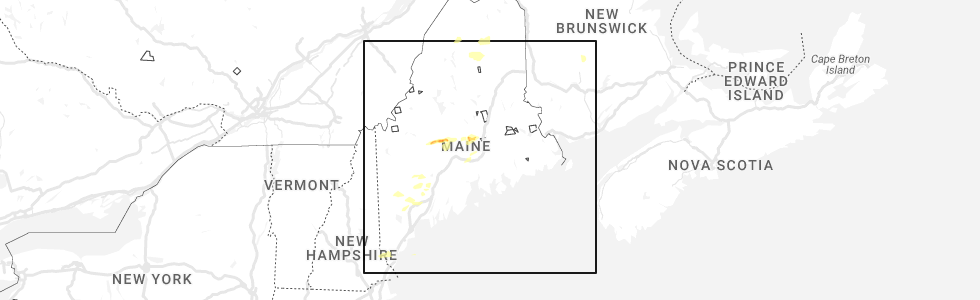
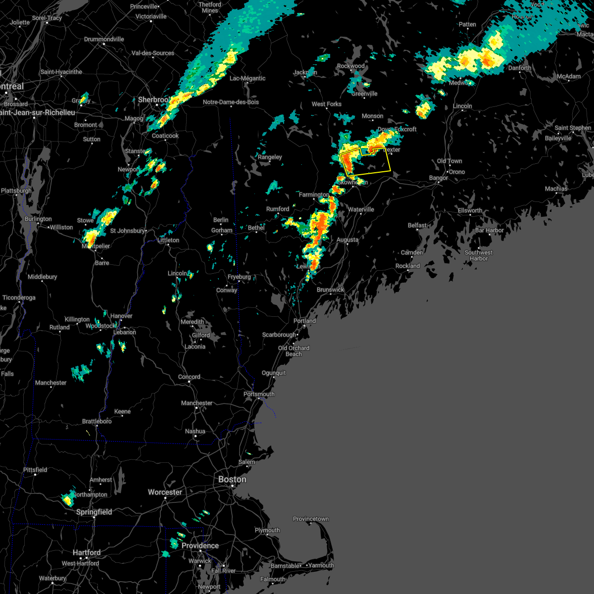
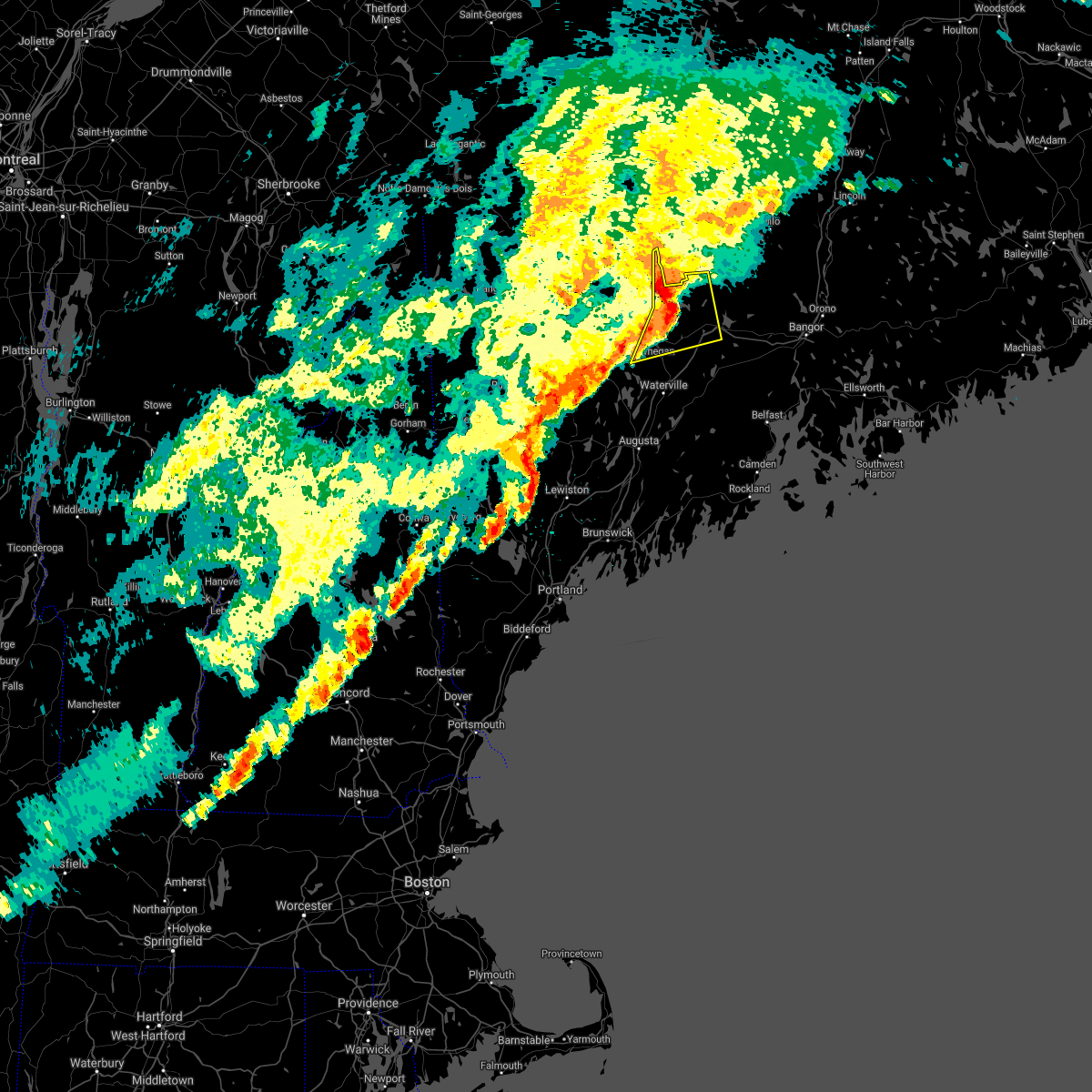
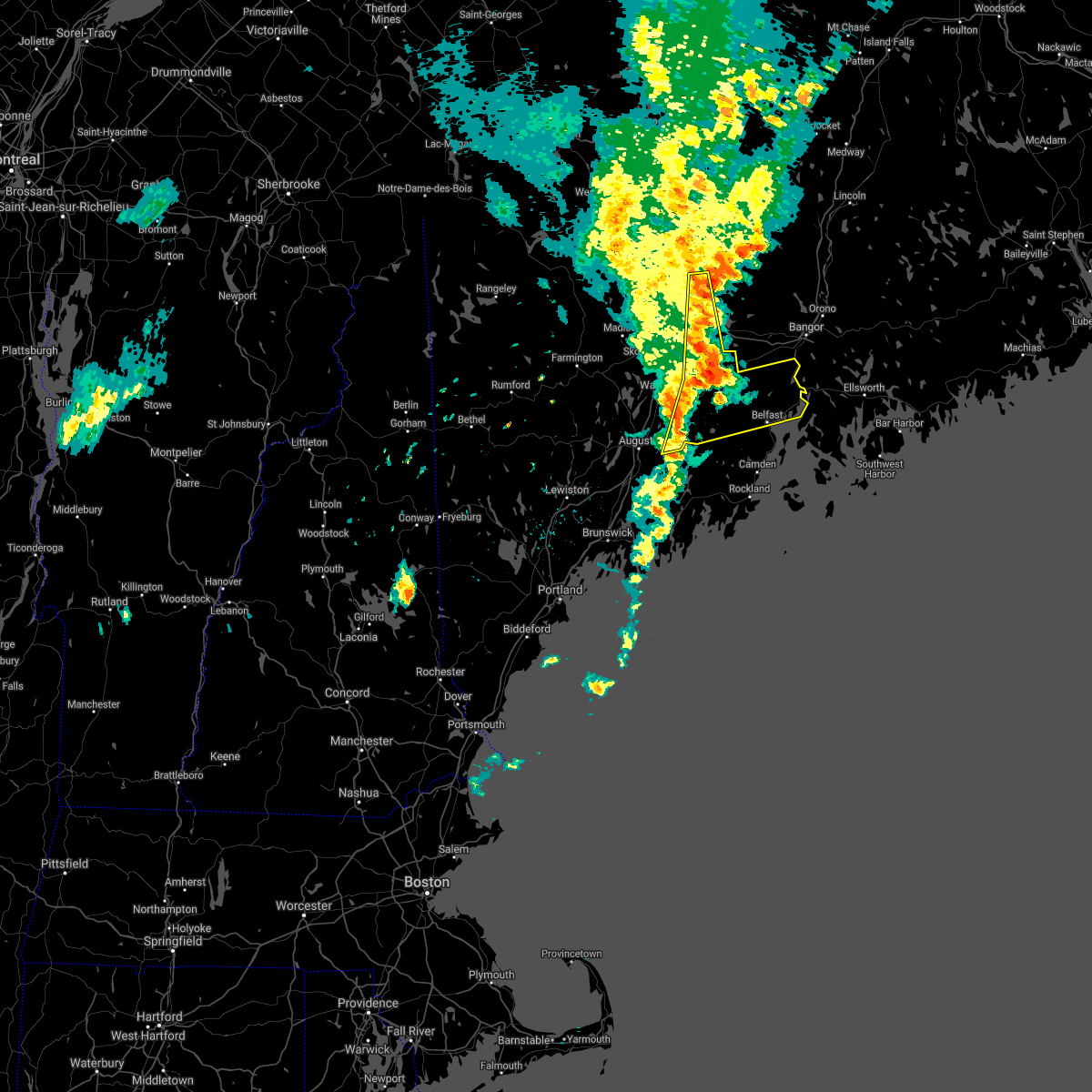
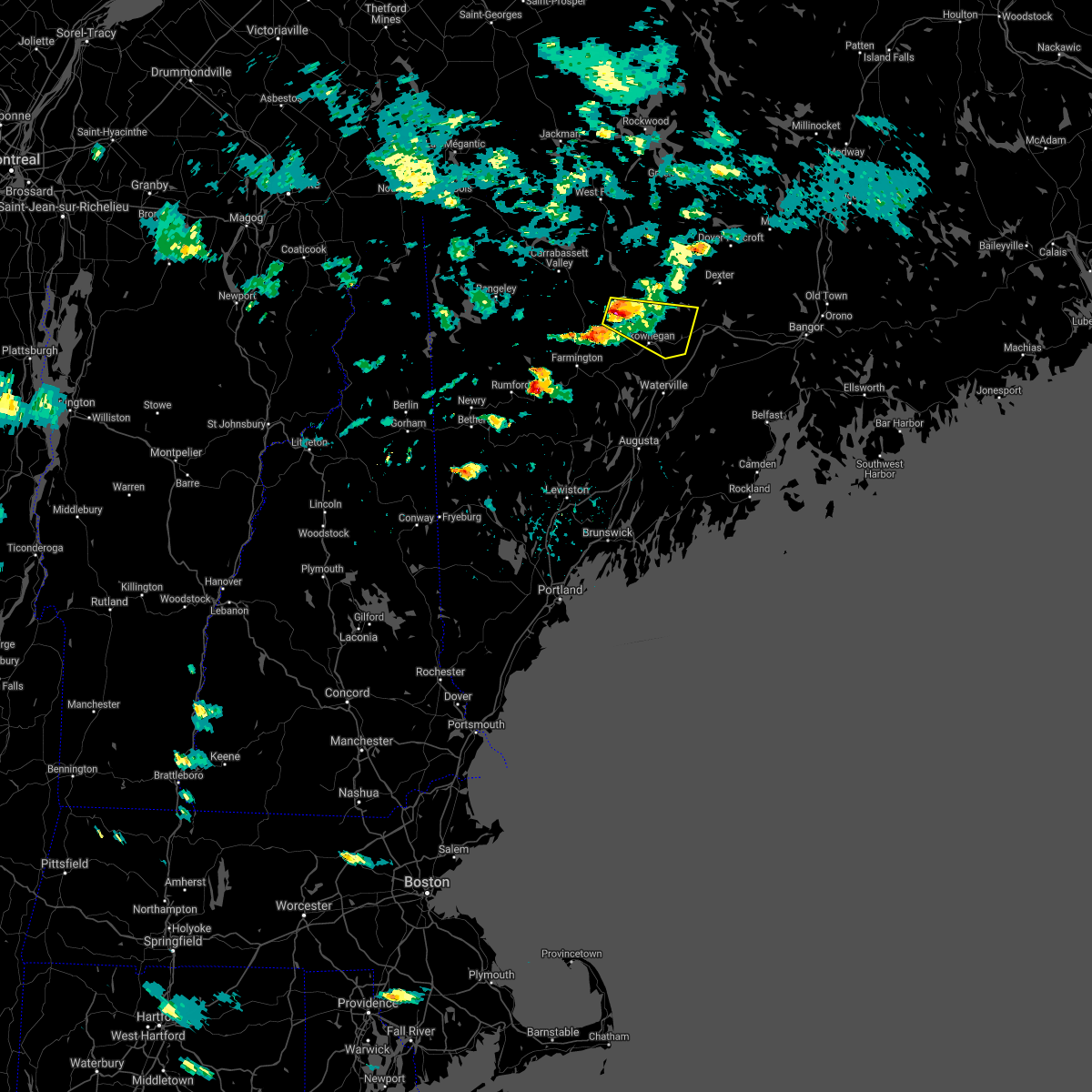
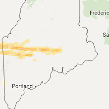
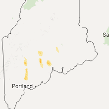
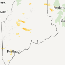
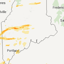
Hail Map for Hartland, ME
The Hartland, ME area has had 2 reports of on-the-ground hail by trained spotters, and has been under severe weather warnings 0 times during the past 12 months. Doppler radar has detected hail at or near Hartland, ME on 12 occasions.
| Name: | Hartland, ME |
| Where Located: | 34.1 miles W of Bangor, ME |
| Map: | Google Map for Hartland, ME |
| Population: | 813 |
| Housing Units: | 366 |
| More Info: | Search Google for Hartland, ME |
0
The Top Recent Hail Date for Hartland, ME is Sunday, August 13, 2023 (8th out of 12)
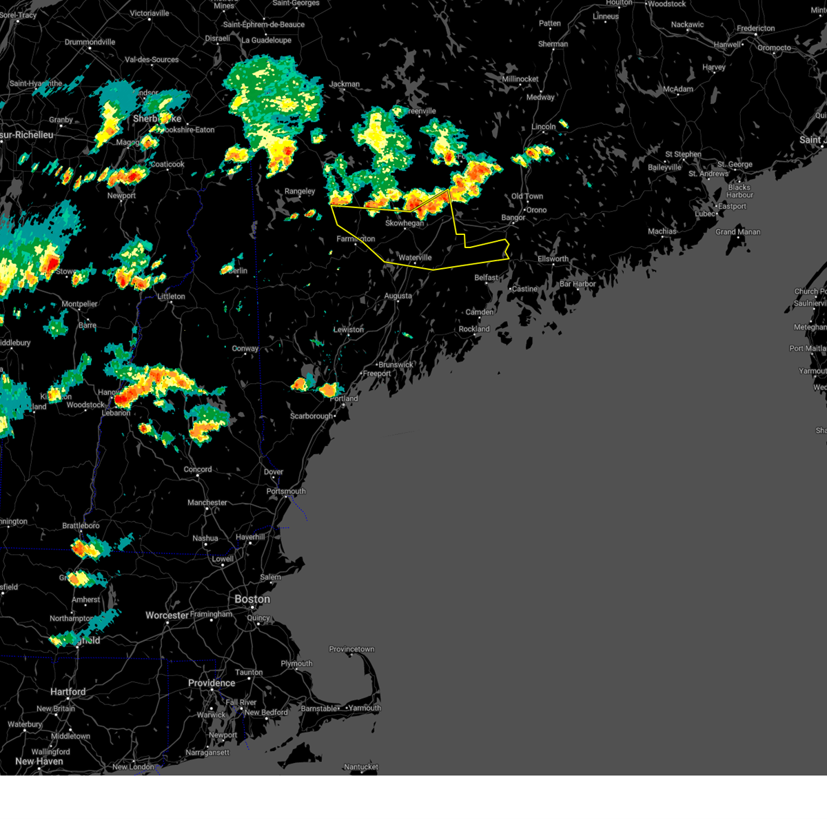
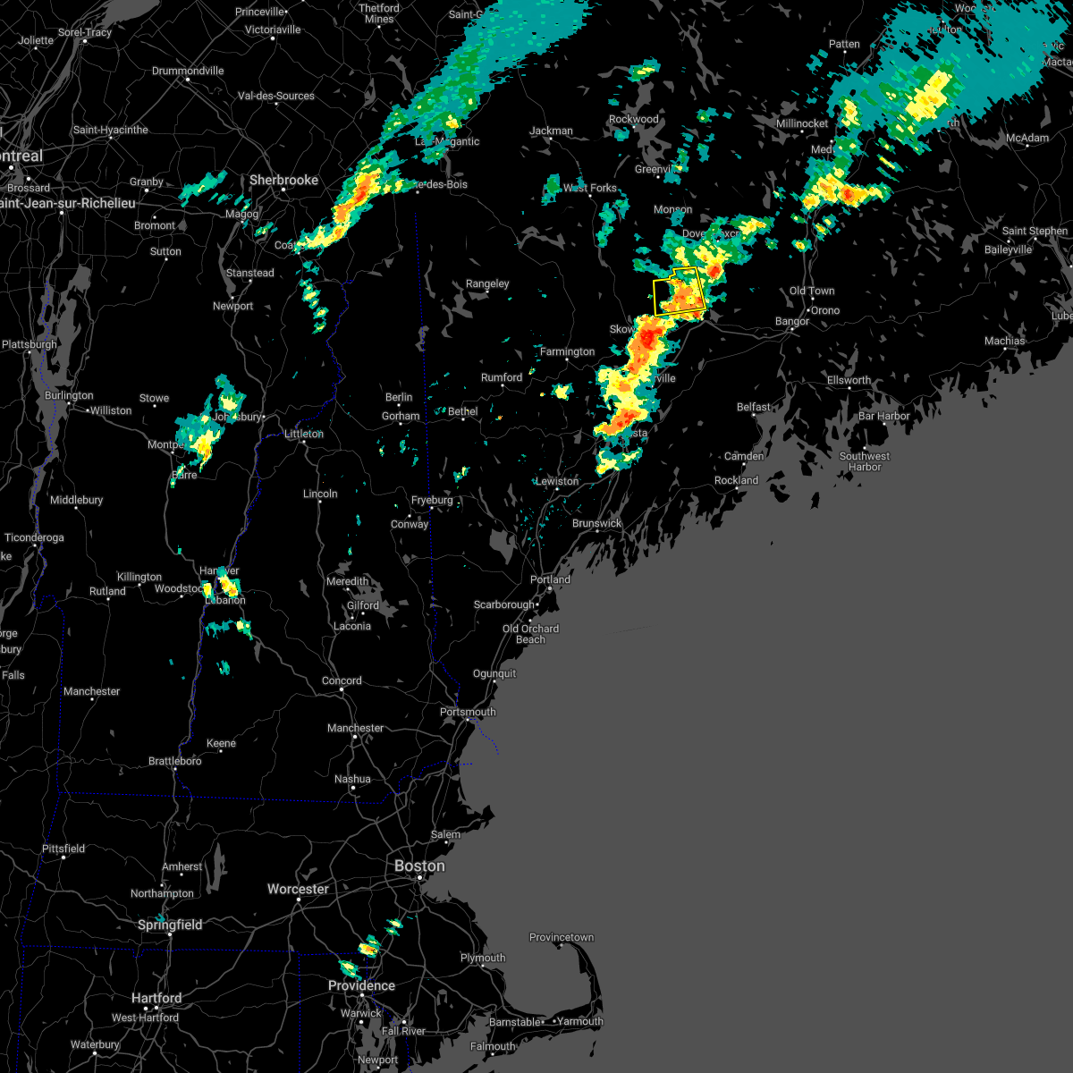
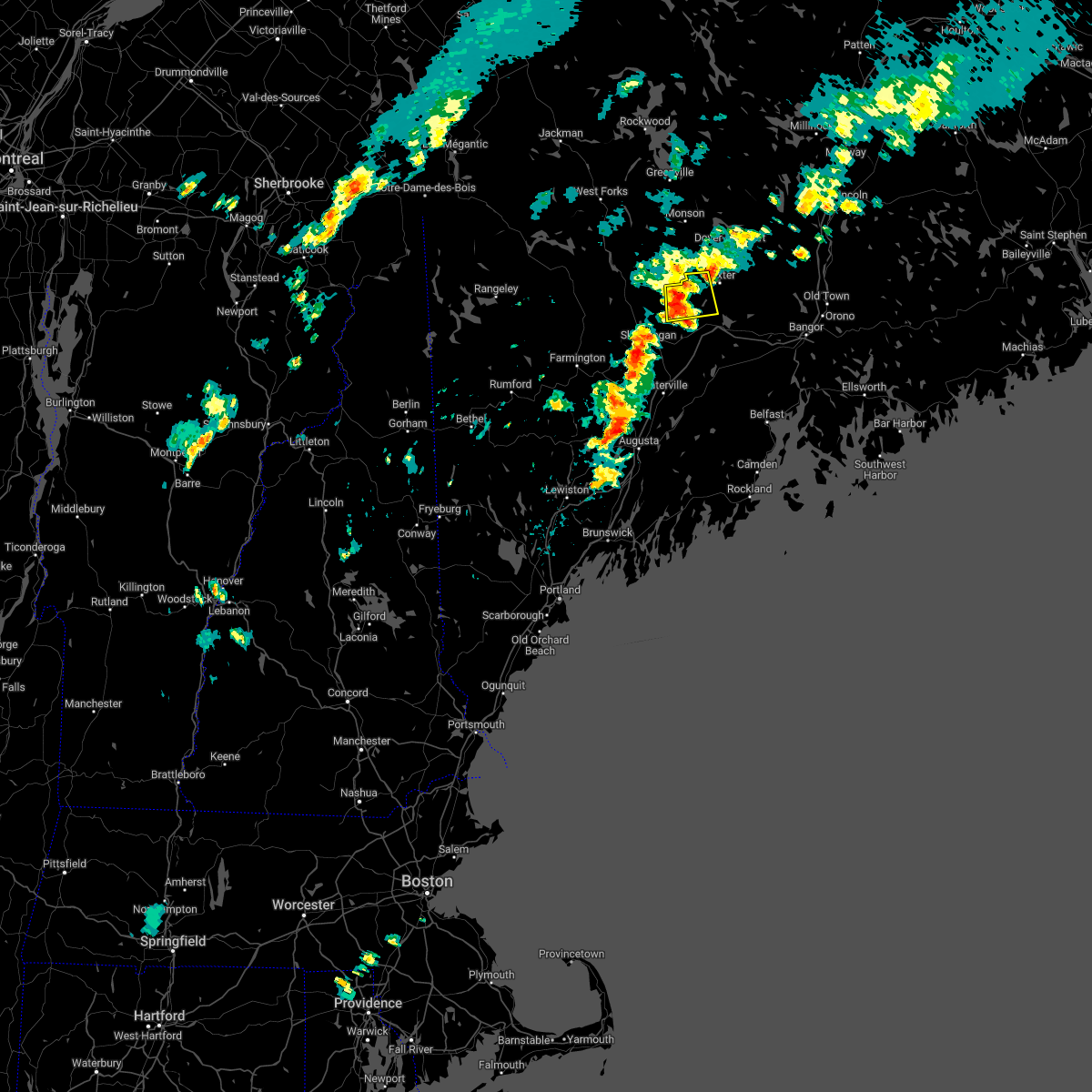
Hail and Wind Damage Spotted near Hartland, ME
| Date / Time | Report Details |
|---|---|
| 6/20/2024 3:29 PM EDT |
 Svrgyx the national weather service in gray maine has issued a * severe thunderstorm warning for, northeastern kennebec county in south central maine, northern waldo county in south central maine, southeastern somerset county in west central maine, southeastern franklin county in western maine, * until 430 pm edt. * at 328 pm edt, severe thunderstorms were located along a line extending from 15 miles northeast of pittsfield to 6 miles northeast of skowhegan to near phillips, moving southeast at 20 mph (radar indicated). Hazards include 60 mph wind gusts and penny size hail. expect damage to roofs, siding, and trees Svrgyx the national weather service in gray maine has issued a * severe thunderstorm warning for, northeastern kennebec county in south central maine, northern waldo county in south central maine, southeastern somerset county in west central maine, southeastern franklin county in western maine, * until 430 pm edt. * at 328 pm edt, severe thunderstorms were located along a line extending from 15 miles northeast of pittsfield to 6 miles northeast of skowhegan to near phillips, moving southeast at 20 mph (radar indicated). Hazards include 60 mph wind gusts and penny size hail. expect damage to roofs, siding, and trees
|
| 8/13/2023 3:45 PM EDT | Hen Egg sized hail reported 13.1 miles SSE of Hartland, ME |
| 8/13/2023 3:10 PM EDT | Hen Egg sized hail reported 13.1 miles SSE of Hartland, ME, corrects previous hail report from wellington. |
| 6/2/2023 2:47 PM EDT | Numerous trees down on wires and trees blocking road in somerset county ME, 0.8 miles W of Hartland, ME |
| 8/2/2022 5:20 PM EDT |
 The severe thunderstorm warning for southeastern somerset county will expire at 530 pm edt, the storm which prompted the warning has weakened below severe limits, and no longer poses an immediate threat to life or property. therefore, the warning will be allowed to expire. gusty winds are still possible with this thunderstorm. The severe thunderstorm warning for southeastern somerset county will expire at 530 pm edt, the storm which prompted the warning has weakened below severe limits, and no longer poses an immediate threat to life or property. therefore, the warning will be allowed to expire. gusty winds are still possible with this thunderstorm.
|
| 8/2/2022 5:10 PM EDT |
 At 509 pm edt, a severe thunderstorm was located 12 miles northwest of pittsfield, moving east at 35 mph (radar indicated). Hazards include 60 mph wind gusts and penny size hail. Expect damage to roofs, siding, and trees. locations impacted include, hartland, athens, harmony, saint albans, ripley and palmyra. hail threat, radar indicated max hail size, 0. 75 in wind threat, radar indicated max wind gust, 60 mph. At 509 pm edt, a severe thunderstorm was located 12 miles northwest of pittsfield, moving east at 35 mph (radar indicated). Hazards include 60 mph wind gusts and penny size hail. Expect damage to roofs, siding, and trees. locations impacted include, hartland, athens, harmony, saint albans, ripley and palmyra. hail threat, radar indicated max hail size, 0. 75 in wind threat, radar indicated max wind gust, 60 mph.
|
| 8/2/2022 4:54 PM EDT |
 At 454 pm edt, a severe thunderstorm was located 11 miles southeast of bingham, or 13 miles north of skowhegan, moving east at 35 mph (radar indicated). Hazards include 60 mph wind gusts and nickel size hail. expect damage to roofs, siding, and trees At 454 pm edt, a severe thunderstorm was located 11 miles southeast of bingham, or 13 miles north of skowhegan, moving east at 35 mph (radar indicated). Hazards include 60 mph wind gusts and nickel size hail. expect damage to roofs, siding, and trees
|
| 9/15/2021 5:00 PM EDT | One tree fell on a powerline and knocked out power for about 3 1/2 hour in piscataquis county ME, 13.7 miles SSE of Hartland, ME |
| 9/15/2021 4:58 PM EDT |
 At 458 pm edt, severe thunderstorms were located along a line extending from 14 miles east of bingham to 10 miles northwest of pittsfield to near skowhegan, moving northeast at 45 mph (radar indicated). Hazards include 60 mph wind gusts and penny size hail. expect damage to roofs, siding, and trees At 458 pm edt, severe thunderstorms were located along a line extending from 14 miles east of bingham to 10 miles northwest of pittsfield to near skowhegan, moving northeast at 45 mph (radar indicated). Hazards include 60 mph wind gusts and penny size hail. expect damage to roofs, siding, and trees
|
| 9/6/2021 5:08 PM EDT |
 At 508 pm edt, severe thunderstorms were located along a line extending from 12 miles north of pittsfield to thorndike to china to 6 miles southwest of palermo, moving east at 45 mph (radar indicated). Hazards include 60 mph wind gusts and nickel size hail. expect damage to roofs, siding, and trees At 508 pm edt, severe thunderstorms were located along a line extending from 12 miles north of pittsfield to thorndike to china to 6 miles southwest of palermo, moving east at 45 mph (radar indicated). Hazards include 60 mph wind gusts and nickel size hail. expect damage to roofs, siding, and trees
|
| 6/19/2021 3:32 PM EDT |
 At 331 pm edt, severe thunderstorms were located along a line extending from near pittsfield to near hallowell, moving east at 40 mph (radar indicated). Hazards include 60 mph wind gusts and quarter size hail. Hail damage to vehicles is expected. expect wind damage to roofs, siding, and trees. locations impacted include, augusta, waterville, fairfield, pittsfield, thorndike, oakland, china, clinton, belgrade, farmingdale, manchester, hallowell, liberty, palermo, unity, winthrop, knox, benton, chelsea and jefferson. This includes interstate 95 between mile markers 105 and 157. At 331 pm edt, severe thunderstorms were located along a line extending from near pittsfield to near hallowell, moving east at 40 mph (radar indicated). Hazards include 60 mph wind gusts and quarter size hail. Hail damage to vehicles is expected. expect wind damage to roofs, siding, and trees. locations impacted include, augusta, waterville, fairfield, pittsfield, thorndike, oakland, china, clinton, belgrade, farmingdale, manchester, hallowell, liberty, palermo, unity, winthrop, knox, benton, chelsea and jefferson. This includes interstate 95 between mile markers 105 and 157.
|
| 6/19/2021 3:13 PM EDT |
 At 313 pm edt, severe thunderstorms were located along a line extending from 6 miles northeast of skowhegan to winthrop, moving east at 45 mph (radar indicated). Hazards include 60 mph wind gusts and quarter size hail. Hail damage to vehicles is expected. Expect wind damage to roofs, siding, and trees. At 313 pm edt, severe thunderstorms were located along a line extending from 6 miles northeast of skowhegan to winthrop, moving east at 45 mph (radar indicated). Hazards include 60 mph wind gusts and quarter size hail. Hail damage to vehicles is expected. Expect wind damage to roofs, siding, and trees.
|
| 8/24/2020 1:27 PM EDT |
 At 127 pm edt, a severe thunderstorm was located 8 miles northwest of madison, or 15 miles northwest of skowhegan, moving east at 25 mph (radar indicated). Hazards include 60 mph wind gusts and quarter size hail. Hail damage to vehicles is expected. Expect wind damage to roofs, siding, and trees. At 127 pm edt, a severe thunderstorm was located 8 miles northwest of madison, or 15 miles northwest of skowhegan, moving east at 25 mph (radar indicated). Hazards include 60 mph wind gusts and quarter size hail. Hail damage to vehicles is expected. Expect wind damage to roofs, siding, and trees.
|
| 7/27/2020 7:13 PM EDT | Large limbs and wires dow in somerset county ME, 3.4 miles ENE of Hartland, ME |
| 7/27/2020 6:52 PM EDT | Large limbs and wires dow in somerset county ME, 3.6 miles SW of Hartland, ME |
| 7/27/2020 6:52 PM EDT | Corrects previous tstm wnd dmg report from 4 wsw hartland. large limbs and wires dow in somerset county ME, 3.4 miles ENE of Hartland, ME |
| 7/27/2020 6:46 PM EDT |
 At 645 pm edt, a severe thunderstorm was located 13 miles northwest of pittsfield, moving east at 30 mph (radar indicated). Hazards include 60 mph wind gusts. expect damage to roofs, siding, and trees At 645 pm edt, a severe thunderstorm was located 13 miles northwest of pittsfield, moving east at 30 mph (radar indicated). Hazards include 60 mph wind gusts. expect damage to roofs, siding, and trees
|
| 7/8/2020 5:27 PM EDT |
 At 527 pm edt, severe thunderstorms were located along a line extending from 16 miles northeast of pittsfield to near skowhegan to 10 miles west of oakland to near belgrade to near winthrop to near turner to 10 miles southwest of canton, moving east at 40 mph (radar indicated). Hazards include 60 mph wind gusts and quarter size hail. Hail damage to vehicles is expected. expect wind damage to roofs, siding, and trees. locations impacted include, augusta, waterville, farmington, fairfield, oakland, skowhegan, pittsfield, turner, madison, china, clinton, belgrade, livermore falls, manchester, hallowell, bingham, norridgewock, winthrop, unity and benton. This includes interstate 95 between mile markers 110 and 155. At 527 pm edt, severe thunderstorms were located along a line extending from 16 miles northeast of pittsfield to near skowhegan to 10 miles west of oakland to near belgrade to near winthrop to near turner to 10 miles southwest of canton, moving east at 40 mph (radar indicated). Hazards include 60 mph wind gusts and quarter size hail. Hail damage to vehicles is expected. expect wind damage to roofs, siding, and trees. locations impacted include, augusta, waterville, farmington, fairfield, oakland, skowhegan, pittsfield, turner, madison, china, clinton, belgrade, livermore falls, manchester, hallowell, bingham, norridgewock, winthrop, unity and benton. This includes interstate 95 between mile markers 110 and 155.
|
| 7/8/2020 4:54 PM EDT |
 At 454 pm edt, severe thunderstorms were located along a line extending from 10 miles east of bingham to 7 miles east of kingfield to 8 miles west of madison to near farmington to near wilton to dixfield to 6 miles southeast of andover, moving east at 55 mph (radar indicated). Hazards include 60 mph wind gusts and quarter size hail. Hail damage to vehicles is expected. Expect wind damage to roofs, siding, and trees. At 454 pm edt, severe thunderstorms were located along a line extending from 10 miles east of bingham to 7 miles east of kingfield to 8 miles west of madison to near farmington to near wilton to dixfield to 6 miles southeast of andover, moving east at 55 mph (radar indicated). Hazards include 60 mph wind gusts and quarter size hail. Hail damage to vehicles is expected. Expect wind damage to roofs, siding, and trees.
|
| 7/2/2020 4:53 PM EDT |
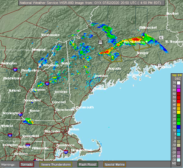 At 452 pm edt, a severe thunderstorm was located 10 miles southeast of bingham, or 12 miles north of skowhegan, moving south at 25 mph (radar indicated). Hazards include 60 mph wind gusts and quarter size hail. Hail damage to vehicles is expected. expect wind damage to roofs, siding, and trees. locations impacted include, fairfield, skowhegan, pittsfield, madison, clinton, bingham, norridgewock, unity, benton, anson, canaan, hartland, cornville, burnham, athens, harmony, embden, detroit, brighton plantation and solon. This includes interstate 95 between mile markers 136 and 155. At 452 pm edt, a severe thunderstorm was located 10 miles southeast of bingham, or 12 miles north of skowhegan, moving south at 25 mph (radar indicated). Hazards include 60 mph wind gusts and quarter size hail. Hail damage to vehicles is expected. expect wind damage to roofs, siding, and trees. locations impacted include, fairfield, skowhegan, pittsfield, madison, clinton, bingham, norridgewock, unity, benton, anson, canaan, hartland, cornville, burnham, athens, harmony, embden, detroit, brighton plantation and solon. This includes interstate 95 between mile markers 136 and 155.
|
| 7/2/2020 4:34 PM EDT |
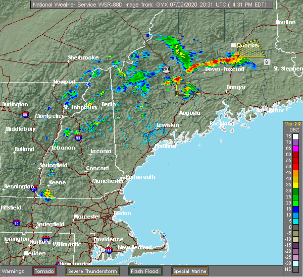 At 434 pm edt, a severe thunderstorm was located near bingham, or 19 miles north of skowhegan, moving south at 20 mph (radar indicated). Hazards include 60 mph wind gusts and quarter size hail. Hail damage to vehicles is expected. Expect wind damage to roofs, siding, and trees. At 434 pm edt, a severe thunderstorm was located near bingham, or 19 miles north of skowhegan, moving south at 20 mph (radar indicated). Hazards include 60 mph wind gusts and quarter size hail. Hail damage to vehicles is expected. Expect wind damage to roofs, siding, and trees.
|
| 7/2/2020 4:19 PM EDT |
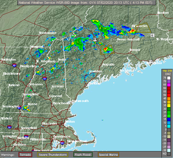 At 419 pm edt, a severe thunderstorm was located 13 miles northeast of skowhegan, moving south at 15 mph (trained weather spotters). Hazards include 60 mph wind gusts and quarter size hail. Hail damage to vehicles is expected. expect wind damage to roofs, siding, and trees. locations impacted include, skowhegan, pittsfield, madison, norridgewock, canaan, hartland, cornville, athens, harmony, detroit, palmyra, saint albans and solon. This includes interstate 95 between mile markers 150 and 154. At 419 pm edt, a severe thunderstorm was located 13 miles northeast of skowhegan, moving south at 15 mph (trained weather spotters). Hazards include 60 mph wind gusts and quarter size hail. Hail damage to vehicles is expected. expect wind damage to roofs, siding, and trees. locations impacted include, skowhegan, pittsfield, madison, norridgewock, canaan, hartland, cornville, athens, harmony, detroit, palmyra, saint albans and solon. This includes interstate 95 between mile markers 150 and 154.
|
| 7/2/2020 3:58 PM EDT |
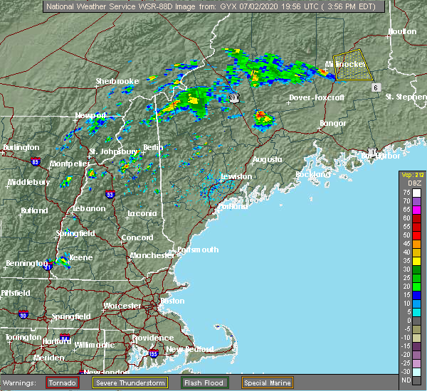 At 357 pm edt, a severe thunderstorm was located 13 miles east of bingham, or 17 miles north of skowhegan, moving south at 20 mph (trained weather spotters). Hazards include 60 mph wind gusts and quarter size hail. Hail damage to vehicles is expected. Expect wind damage to roofs, siding, and trees. At 357 pm edt, a severe thunderstorm was located 13 miles east of bingham, or 17 miles north of skowhegan, moving south at 20 mph (trained weather spotters). Hazards include 60 mph wind gusts and quarter size hail. Hail damage to vehicles is expected. Expect wind damage to roofs, siding, and trees.
|
| 7/28/2019 5:28 PM EDT |
 At 528 pm edt, a severe thunderstorm was located 14 miles northwest of pittsfield, moving east at 35 mph (radar indicated). Hazards include 60 mph wind gusts and quarter size hail. Hail damage to vehicles is expected. expect wind damage to roofs, siding, and trees. Locations impacted include, pittsfield, canaan, hartland, cornville, athens, harmony, saint albans, ripley and palmyra. At 528 pm edt, a severe thunderstorm was located 14 miles northwest of pittsfield, moving east at 35 mph (radar indicated). Hazards include 60 mph wind gusts and quarter size hail. Hail damage to vehicles is expected. expect wind damage to roofs, siding, and trees. Locations impacted include, pittsfield, canaan, hartland, cornville, athens, harmony, saint albans, ripley and palmyra.
|
| 7/28/2019 4:58 PM EDT |
 At 458 pm edt, a severe thunderstorm was located near bingham, or 18 miles north of skowhegan, moving east at 30 mph (radar indicated). Hazards include 60 mph wind gusts and quarter size hail. Hail damage to vehicles is expected. Expect wind damage to roofs, siding, and trees. At 458 pm edt, a severe thunderstorm was located near bingham, or 18 miles north of skowhegan, moving east at 30 mph (radar indicated). Hazards include 60 mph wind gusts and quarter size hail. Hail damage to vehicles is expected. Expect wind damage to roofs, siding, and trees.
|
| 5/20/2019 5:52 PM EDT |
 At 552 pm edt, a severe thunderstorm was located 8 miles east of skowhegan, moving east at 40 mph (radar indicated). Hazards include 60 mph wind gusts and quarter size hail. Hail damage to vehicles is expected. Expect wind damage to roofs, siding, and trees. At 552 pm edt, a severe thunderstorm was located 8 miles east of skowhegan, moving east at 40 mph (radar indicated). Hazards include 60 mph wind gusts and quarter size hail. Hail damage to vehicles is expected. Expect wind damage to roofs, siding, and trees.
|
| 8/9/2018 12:21 PM EDT |
 At 1221 pm edt, a severe thunderstorm was located 11 miles north of pittsfield, moving east at 30 mph (radar indicated). Hazards include 60 mph wind gusts and penny size hail. Expect damage to roofs, siding, and trees. locations impacted include, pittsfield, clinton, canaan, hartland, cornville, burnham, athens, harmony, detroit, palmyra, saint albans, and ripley. This includes interstate 95 between mile markers 145 and 156. At 1221 pm edt, a severe thunderstorm was located 11 miles north of pittsfield, moving east at 30 mph (radar indicated). Hazards include 60 mph wind gusts and penny size hail. Expect damage to roofs, siding, and trees. locations impacted include, pittsfield, clinton, canaan, hartland, cornville, burnham, athens, harmony, detroit, palmyra, saint albans, and ripley. This includes interstate 95 between mile markers 145 and 156.
|
| 8/9/2018 12:03 PM EDT |
 At 1202 pm edt, a severe thunderstorm was located 11 miles northwest of pittsfield, moving east at 30 mph (radar indicated). Hazards include 60 mph wind gusts and penny size hail. expect damage to roofs, siding, and trees At 1202 pm edt, a severe thunderstorm was located 11 miles northwest of pittsfield, moving east at 30 mph (radar indicated). Hazards include 60 mph wind gusts and penny size hail. expect damage to roofs, siding, and trees
|
| 10/30/2017 11:38 AM EDT | Trees dow in somerset county ME, 3.1 miles SW of Hartland, ME |
| 7/18/2016 3:31 PM EDT |
 At 331 pm edt, a severe thunderstorm was located near pittsfield, moving east at 45 mph (radar indicated). Hazards include 60 mph wind gusts and quarter size hail. Hail damage to vehicles is expected. expect wind damage to roofs, siding, and trees. Locations impacted include, dexter, newport, pittsfield, canaan, corinna, hartland, plymouth, burnham, athens, harmony, detroit, palmyra, saint albans and ripley. At 331 pm edt, a severe thunderstorm was located near pittsfield, moving east at 45 mph (radar indicated). Hazards include 60 mph wind gusts and quarter size hail. Hail damage to vehicles is expected. expect wind damage to roofs, siding, and trees. Locations impacted include, dexter, newport, pittsfield, canaan, corinna, hartland, plymouth, burnham, athens, harmony, detroit, palmyra, saint albans and ripley.
|
| 7/18/2016 3:15 PM EDT |
 At 315 pm edt, a severe thunderstorm was located over skowhegan, moving east at 50 mph (radar indicated). Hazards include ping pong ball size hail and 60 mph wind gusts. People and animals outdoors will be injured. expect hail damage to roofs, siding, windows, and vehicles. expect wind damage to roofs, siding, and trees. Locations impacted include, dexter, newport, skowhegan, pittsfield, madison, clinton, norridgewock, canaan, corinna, hartland, plymouth, cornville, burnham, athens, harmony, detroit, palmyra, saint albans, ripley and solon. At 315 pm edt, a severe thunderstorm was located over skowhegan, moving east at 50 mph (radar indicated). Hazards include ping pong ball size hail and 60 mph wind gusts. People and animals outdoors will be injured. expect hail damage to roofs, siding, windows, and vehicles. expect wind damage to roofs, siding, and trees. Locations impacted include, dexter, newport, skowhegan, pittsfield, madison, clinton, norridgewock, canaan, corinna, hartland, plymouth, cornville, burnham, athens, harmony, detroit, palmyra, saint albans, ripley and solon.
|
| 7/18/2016 2:59 PM EDT |
 At 258 pm edt, a severe thunderstorm was located 8 miles southwest of dexter, moving east at 35 mph (radar indicated). Hazards include ping pong ball size hail and 60 mph wind gusts. People and animals outdoors will be injured. expect hail damage to roofs, siding, windows, and vehicles. expect wind damage to roofs, siding, and trees. Locations impacted include, hartland, athens, harmony, saint albans, ripley and palmyra. At 258 pm edt, a severe thunderstorm was located 8 miles southwest of dexter, moving east at 35 mph (radar indicated). Hazards include ping pong ball size hail and 60 mph wind gusts. People and animals outdoors will be injured. expect hail damage to roofs, siding, windows, and vehicles. expect wind damage to roofs, siding, and trees. Locations impacted include, hartland, athens, harmony, saint albans, ripley and palmyra.
|
| 7/18/2016 2:52 PM EDT |
 At 252 pm edt, a severe thunderstorm was located 10 miles west of madison, or 10 miles northeast of farmington, moving east at 50 mph (radar indicated). Hazards include golf ball size hail and 60 mph wind gusts. People and animals outdoors will be injured. expect hail damage to roofs, siding, windows, and vehicles. Expect wind damage to roofs, siding, and trees. At 252 pm edt, a severe thunderstorm was located 10 miles west of madison, or 10 miles northeast of farmington, moving east at 50 mph (radar indicated). Hazards include golf ball size hail and 60 mph wind gusts. People and animals outdoors will be injured. expect hail damage to roofs, siding, windows, and vehicles. Expect wind damage to roofs, siding, and trees.
|
| 7/18/2016 2:51 PM EDT | Central maine power reports numerous trees down along route 15 in somerset county ME, 9.8 miles SE of Hartland, ME |
| 7/18/2016 2:41 PM EDT |
 At 241 pm edt, a severe thunderstorm was located 11 miles north of skowhegan, or near athens, moving east at 35 mph (radar indicated). Hazards include golf ball size hail and 60 mph wind gusts. People and animals outdoors will be injured. expect hail damage to roofs, siding, windows, and vehicles. expect wind damage to roofs, siding, and trees. Locations impacted include, pittsfield, skowhegan, madison, bingham, anson, canaan, hartland, plymouth, cornville, athens, harmony, embden, detroit, brighton plantation, palmyra, new portland, saint albans, ripley, solon and new vineyard. At 241 pm edt, a severe thunderstorm was located 11 miles north of skowhegan, or near athens, moving east at 35 mph (radar indicated). Hazards include golf ball size hail and 60 mph wind gusts. People and animals outdoors will be injured. expect hail damage to roofs, siding, windows, and vehicles. expect wind damage to roofs, siding, and trees. Locations impacted include, pittsfield, skowhegan, madison, bingham, anson, canaan, hartland, plymouth, cornville, athens, harmony, embden, detroit, brighton plantation, palmyra, new portland, saint albans, ripley, solon and new vineyard.
|
| 7/18/2016 2:31 PM EDT |
 At 230 pm edt, a severe thunderstorm was located near solon, or 13 miles northwest of skowhegan, moving east at 35 mph (radar indicated). Hazards include golf ball size hail and 60 mph wind gusts. People and animals outdoors will be injured. expect hail damage to roofs, siding, windows, and vehicles. expect wind damage to roofs, siding, and trees. Locations impacted include, pittsfield, skowhegan, madison, bingham, anson, canaan, hartland, plymouth, cornville, athens, harmony, embden, detroit, brighton plantation, lexington, concord, palmyra, new portland, saint albans and ripley. At 230 pm edt, a severe thunderstorm was located near solon, or 13 miles northwest of skowhegan, moving east at 35 mph (radar indicated). Hazards include golf ball size hail and 60 mph wind gusts. People and animals outdoors will be injured. expect hail damage to roofs, siding, windows, and vehicles. expect wind damage to roofs, siding, and trees. Locations impacted include, pittsfield, skowhegan, madison, bingham, anson, canaan, hartland, plymouth, cornville, athens, harmony, embden, detroit, brighton plantation, lexington, concord, palmyra, new portland, saint albans and ripley.
|
| 7/18/2016 2:12 PM EDT |
 At 211 pm edt, a severe thunderstorm was located near kingfield, or 19 miles northwest of skowhegan, moving east at 30 mph (radar indicated). Hazards include 60 mph wind gusts and half dollar size hail. Hail damage to vehicles is expected. Expect wind damage to roofs, siding, and trees. At 211 pm edt, a severe thunderstorm was located near kingfield, or 19 miles northwest of skowhegan, moving east at 30 mph (radar indicated). Hazards include 60 mph wind gusts and half dollar size hail. Hail damage to vehicles is expected. Expect wind damage to roofs, siding, and trees.
|
| 8/4/2015 4:30 PM EDT |
 At 429 pm edt, doppler radar indicated a line of severe thunderstorms capable of producing half dollar size hail and damaging winds in excess of 60 mph. these storms were located along a line extending from 6 miles east of skowhegan to near winthrop, and moving northeast at 30 mph. At 429 pm edt, doppler radar indicated a line of severe thunderstorms capable of producing half dollar size hail and damaging winds in excess of 60 mph. these storms were located along a line extending from 6 miles east of skowhegan to near winthrop, and moving northeast at 30 mph.
|
| 8/4/2015 4:14 PM EDT |
 At 413 pm edt, doppler radar indicated a severe thunderstorm capable of producing large hail up to ping pong ball size and damaging winds in excess of 60 mph. this storm was located over skowhegan, moving east at 50 mph. locations impacted include, northern waterville, fairfield, pittsfield, skowhegan, oakland, madison, clinton, belgrade, norridgewock, benton, anson, canaan, hartland, cornville, burnham, athens, harmony, detroit, brighton plantation and palmyra. At 413 pm edt, doppler radar indicated a severe thunderstorm capable of producing large hail up to ping pong ball size and damaging winds in excess of 60 mph. this storm was located over skowhegan, moving east at 50 mph. locations impacted include, northern waterville, fairfield, pittsfield, skowhegan, oakland, madison, clinton, belgrade, norridgewock, benton, anson, canaan, hartland, cornville, burnham, athens, harmony, detroit, brighton plantation and palmyra.
|
| 8/4/2015 3:55 PM EDT |
 At 355 pm edt, doppler radar indicated a line of severe thunderstorms capable of producing half dollar size hail and damaging winds in excess of 60 mph. these storms were located along a line extending from 11 miles north of skowhegan to jay, and moving east at 25 mph. At 355 pm edt, doppler radar indicated a line of severe thunderstorms capable of producing half dollar size hail and damaging winds in excess of 60 mph. these storms were located along a line extending from 11 miles north of skowhegan to jay, and moving east at 25 mph.
|
| 8/4/2015 3:49 PM EDT |
 At 349 pm edt, doppler radar indicated a line of severe thunderstorms capable of producing half dollar size hail and damaging winds in excess of 60 mph. these storms were located along a line extending from 11 miles southeast of bingham to near wilton, moving east at 40 mph. locations impacted include, farmington, fairfield, skowhegan, pittsfield, oakland, madison, jay, clinton, belgrade, livermore falls, dixfield, canton, bingham, wilton, norridgewock, anson, canaan, hartland, chesterville and cornville. At 349 pm edt, doppler radar indicated a line of severe thunderstorms capable of producing half dollar size hail and damaging winds in excess of 60 mph. these storms were located along a line extending from 11 miles southeast of bingham to near wilton, moving east at 40 mph. locations impacted include, farmington, fairfield, skowhegan, pittsfield, oakland, madison, jay, clinton, belgrade, livermore falls, dixfield, canton, bingham, wilton, norridgewock, anson, canaan, hartland, chesterville and cornville.
|
| 8/4/2015 3:38 PM EDT |
 At 338 pm edt, doppler radar indicated a line of severe thunderstorms capable of producing half dollar size hail and damaging winds in excess of 60 mph. these storms were located along a line extending from 9 miles southeast of bingham to jay, moving east at 35 mph. locations impacted include, farmington, fairfield, skowhegan, eastern rumford, pittsfield, oakland, madison, jay, clinton, belgrade, livermore falls, dixfield, canton, bingham, wilton, norridgewock, mexico, anson, canaan and livermore. At 338 pm edt, doppler radar indicated a line of severe thunderstorms capable of producing half dollar size hail and damaging winds in excess of 60 mph. these storms were located along a line extending from 9 miles southeast of bingham to jay, moving east at 35 mph. locations impacted include, farmington, fairfield, skowhegan, eastern rumford, pittsfield, oakland, madison, jay, clinton, belgrade, livermore falls, dixfield, canton, bingham, wilton, norridgewock, mexico, anson, canaan and livermore.
|
| 8/4/2015 3:16 PM EDT |
 At 316 pm edt, doppler radar indicated a line of severe thunderstorms capable of producing quarter size hail and damaging winds in excess of 60 mph. these storms were located along a line extending from near kingfield to rumford, and moving east at 40 mph. At 316 pm edt, doppler radar indicated a line of severe thunderstorms capable of producing quarter size hail and damaging winds in excess of 60 mph. these storms were located along a line extending from near kingfield to rumford, and moving east at 40 mph.
|
| 7/28/2015 5:55 PM EDT |
 The severe thunderstorm warning for southeastern somerset county will expire at 600 pm edt, the storm which prompted the warning has moved out of the area. therefore the warning will be allowed to expire. The severe thunderstorm warning for southeastern somerset county will expire at 600 pm edt, the storm which prompted the warning has moved out of the area. therefore the warning will be allowed to expire.
|
| 7/28/2015 5:40 PM EDT |
 At 540 pm edt, doppler radar indicated a severe thunderstorm capable of producing large hail up to ping pong ball size and damaging winds in excess of 60 mph. this storm was located over pittsfield, and moving southeast at 20 mph. At 540 pm edt, doppler radar indicated a severe thunderstorm capable of producing large hail up to ping pong ball size and damaging winds in excess of 60 mph. this storm was located over pittsfield, and moving southeast at 20 mph.
|
| 7/28/2015 5:30 PM EDT | Trees and wires down in somerset county ME, 0.3 miles W of Hartland, ME |
| 7/28/2015 5:26 PM EDT |
 At 525 pm edt, doppler radar indicated a severe thunderstorm capable of producing a tornado. this dangerous storm was located near pittsfield, and moving southeast at 25 mph. At 525 pm edt, doppler radar indicated a severe thunderstorm capable of producing a tornado. this dangerous storm was located near pittsfield, and moving southeast at 25 mph.
|
| 7/28/2015 5:21 PM EDT |
 At 521 pm edt, doppler radar indicated a severe thunderstorm capable of producing quarter size hail and damaging winds in excess of 60 mph. this storm was located 7 miles northwest of pittsfield, and moving southeast at 25 mph. At 521 pm edt, doppler radar indicated a severe thunderstorm capable of producing quarter size hail and damaging winds in excess of 60 mph. this storm was located 7 miles northwest of pittsfield, and moving southeast at 25 mph.
|
| 5/28/2015 5:18 PM EDT | At 518 pm edt, doppler radar indicated a line of severe thunderstorms capable of producing damaging winds in excess of 60 mph. these storms were located along a line extending from near dexter to newport to near unity to near china, moving east at 30 mph. locations impacted include, northeastern waterville, southeastern fairfield, thorndike, pittsfield, clinton, unity, knox, benton, canaan, albion, hartland, burnham, brooks, detroit, freedom, jackson, palmyra, troy, saint albans and ripley. |
| 5/28/2015 4:59 PM EDT | At 459 pm edt, doppler radar indicated a line of severe thunderstorms capable of producing damaging winds in excess of 60 mph. these storms were located along a line extending from near dexter to 6 miles northwest of pittsfield to near clinton to near belgrade, moving east at 30 mph. locations impacted include, waterville, fairfield, pittsfield, thorndike, skowhegan, oakland, madison, clinton, belgrade, norridgewock, unity, knox, benton, canaan, albion, hartland, cornville, burnham, brooks and athens. |
| 5/28/2015 4:37 PM EDT | At 437 pm edt, doppler radar indicated a line of severe thunderstorms capable of producing damaging winds in excess of 60 mph. these storms were located along a line extending from 12 miles east of bingham to 9 miles north of skowhegan to norridgewock to 8 miles east of livermore falls, and moving east at 30 mph. |
| 5/28/2015 4:37 PM EDT | At 437 pm edt, doppler radar indicated a line of severe thunderstorms capable of producing damaging winds in excess of 60 mph. these storms were located along a line extending from 12 miles east of bingham to 9 miles north of skowhegan to norridgewock to 8 miles east of livermore falls, and moving east at 30 mph. |
| 7/15/2014 7:13 PM EDT | Multiple houses damaged with trees down on house in somerset county ME, 3.1 miles SW of Hartland, ME |
| 7/15/2014 6:30 PM EDT | Multiple houses damaged with trees down on house in somerset county ME, 3.1 miles SW of Hartland, ME |
| 7/19/2013 9:55 PM EDT | Trees and wires d0wn in somerset county ME, 0.3 miles W of Hartland, ME |
| 6/2/2013 5:44 PM EDT | Tree down on ripley road in somerset county ME, 7.8 miles SE of Hartland, ME |
| 6/2/2013 5:44 PM EDT | Route 154 has a tree down over a wire in somerset county ME, 7.8 miles SE of Hartland, ME |
| 6/2/2013 5:30 PM EDT | Harmony had numerous 6-8 inch diameter trees snapped in somerset county ME, 7.8 miles SE of Hartland, ME |
| 1/1/0001 12:00 AM | Large branches down in somerset county ME, 7.8 miles SE of Hartland, ME |
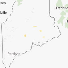
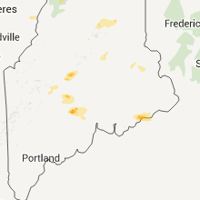
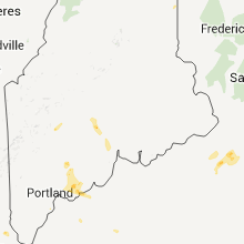
Hail Maps for Hartland, ME


Connect with Interactive Hail Maps