

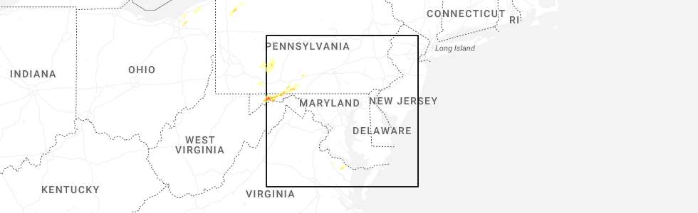
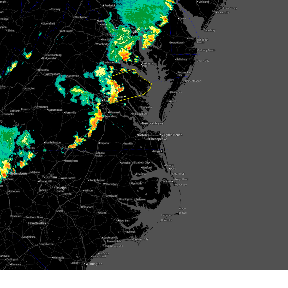
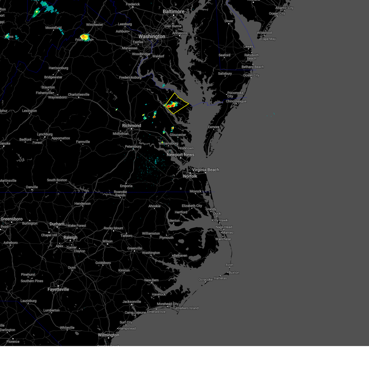
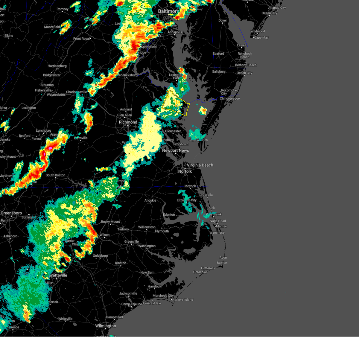
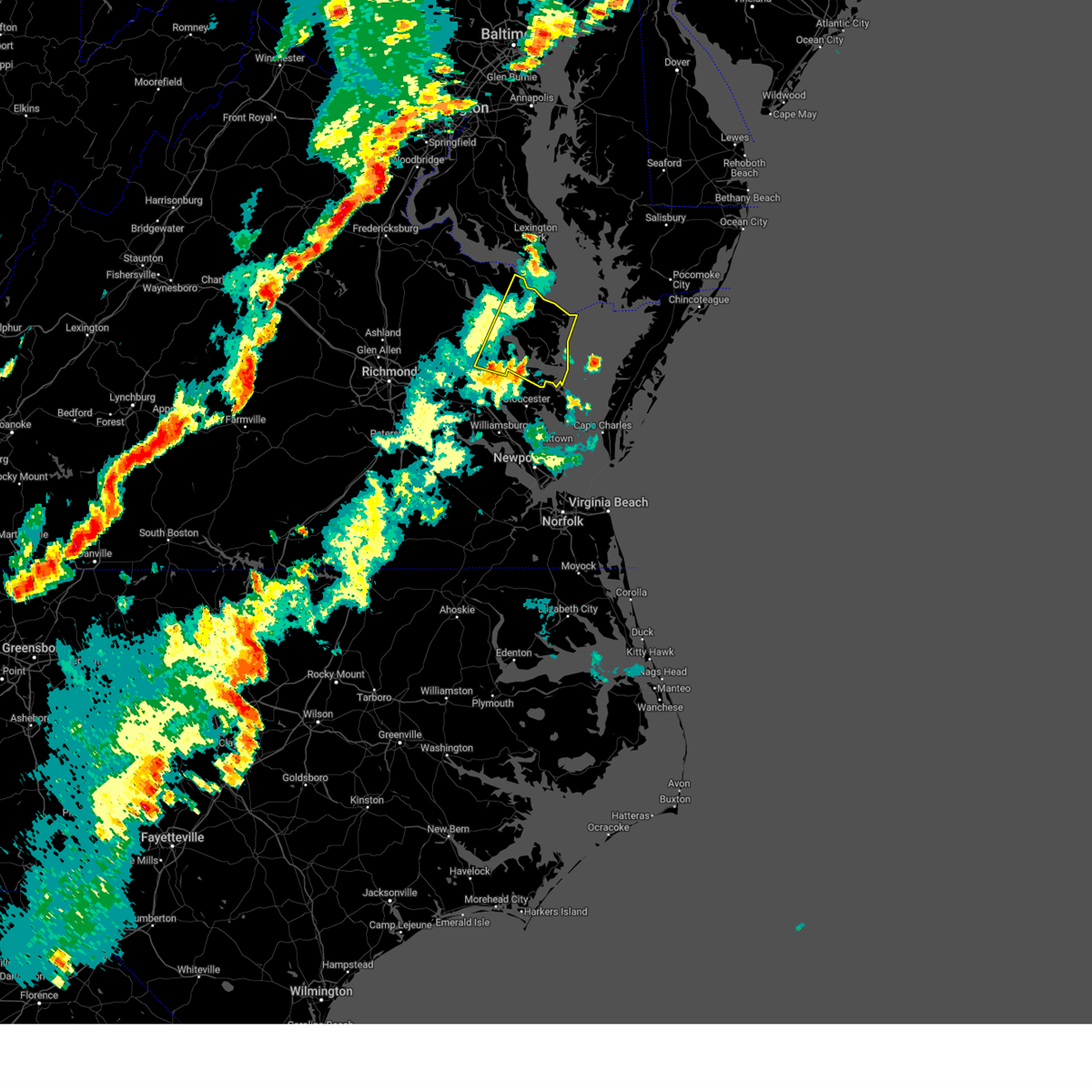
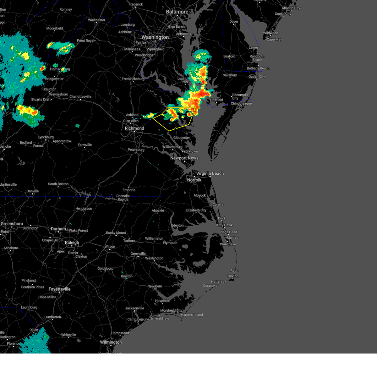
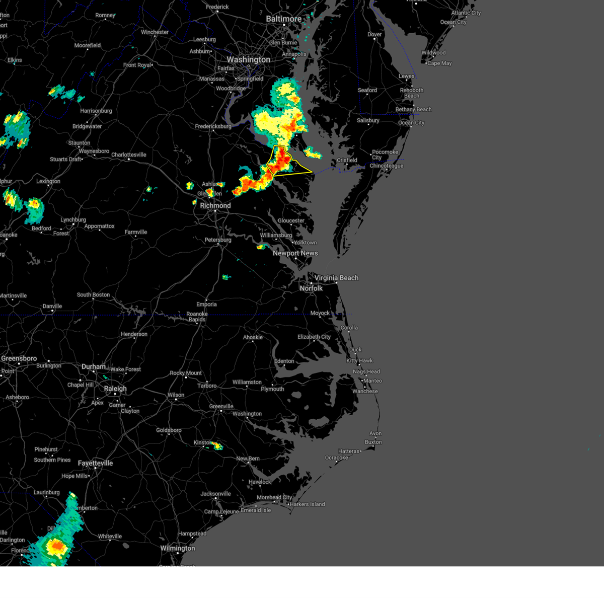
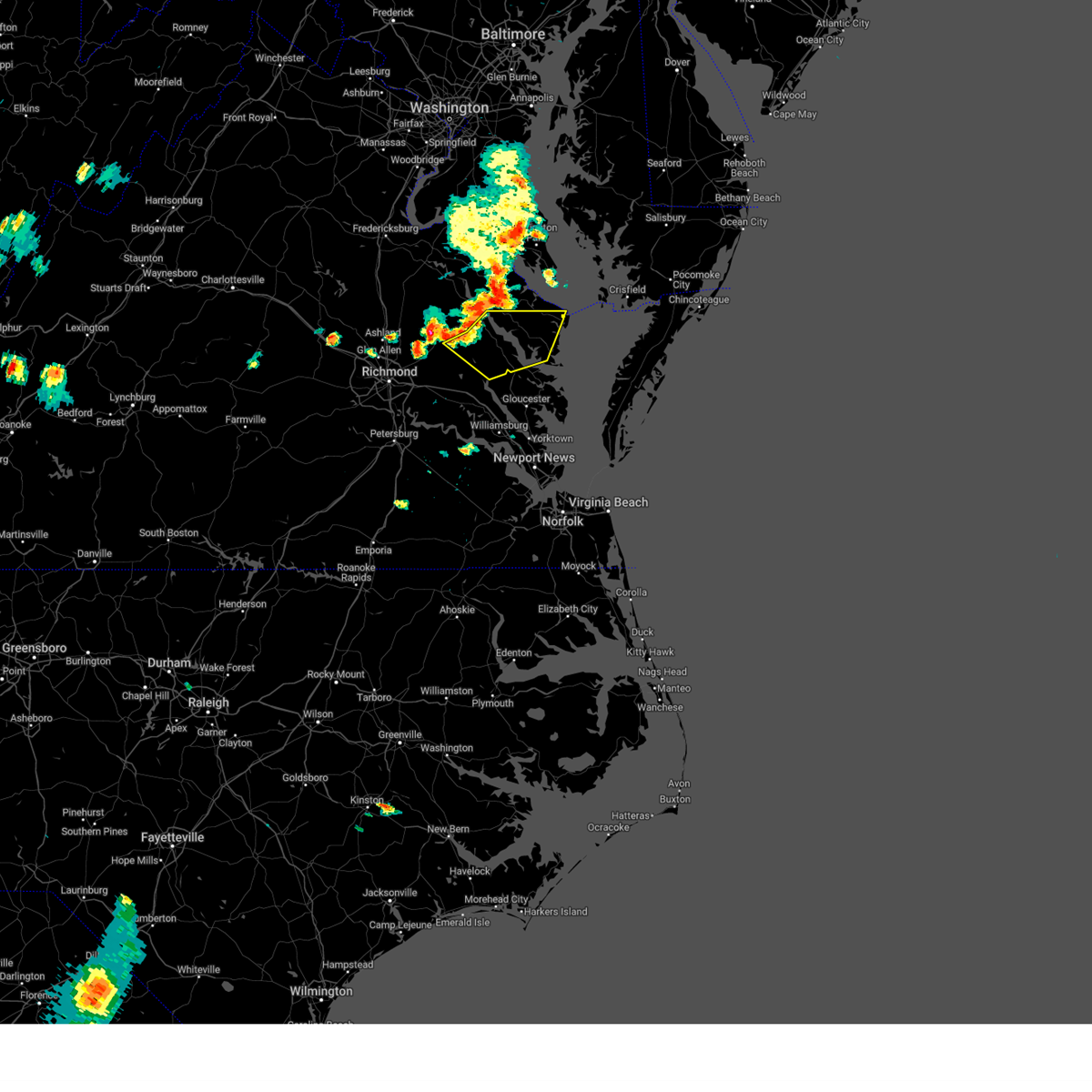
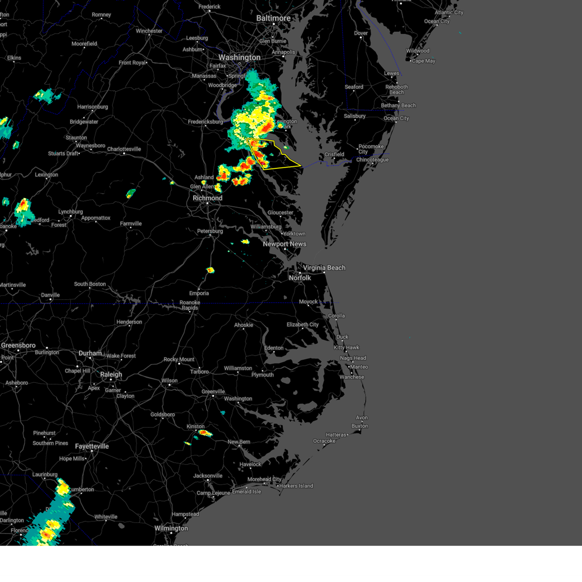
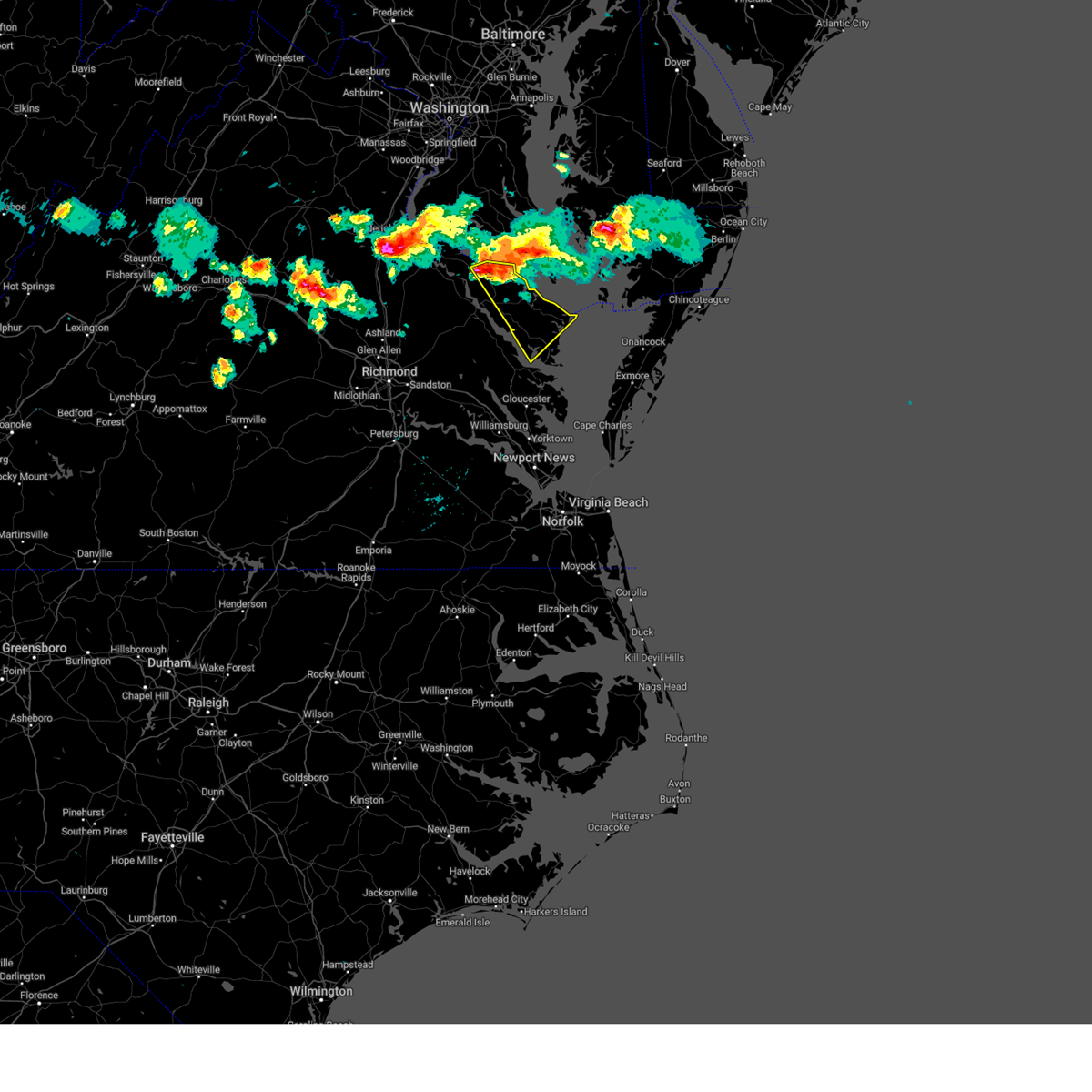
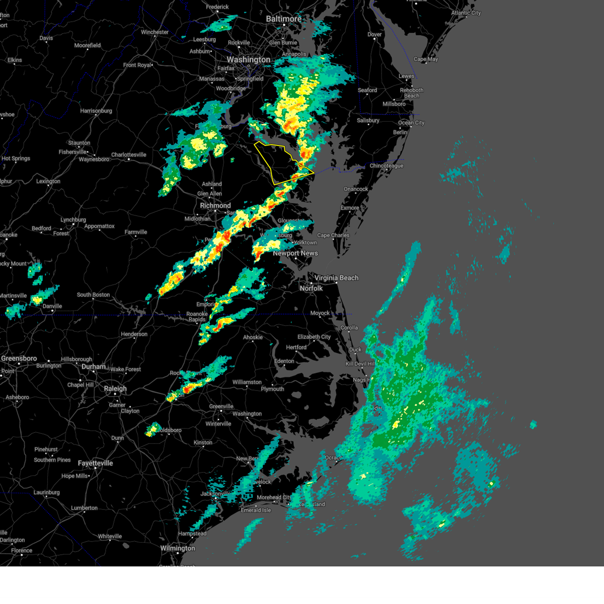
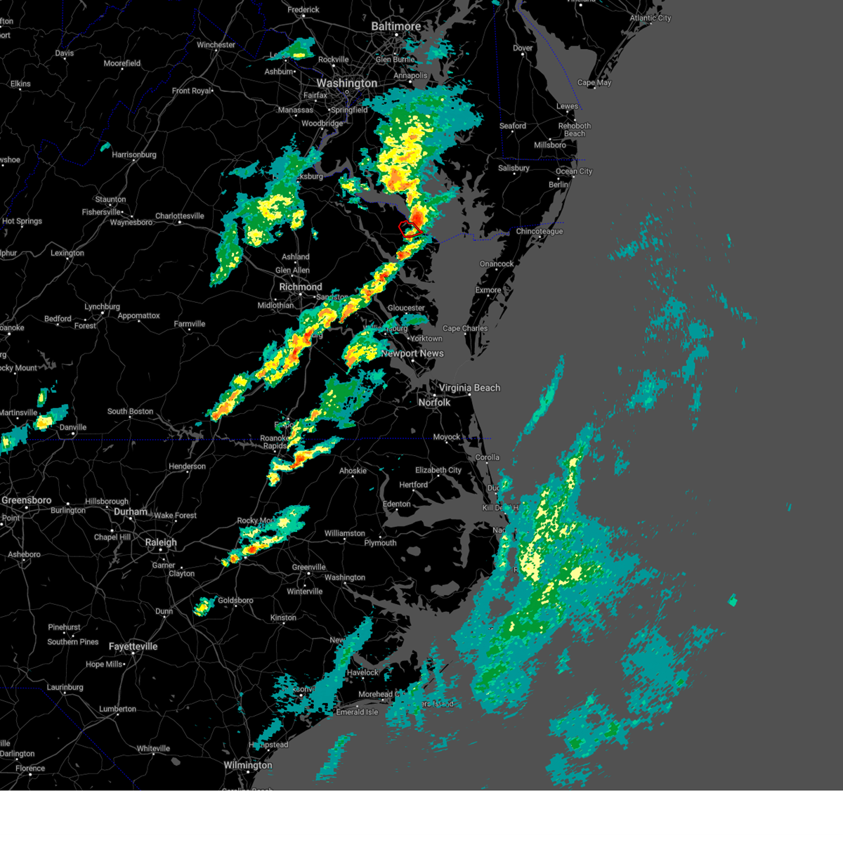
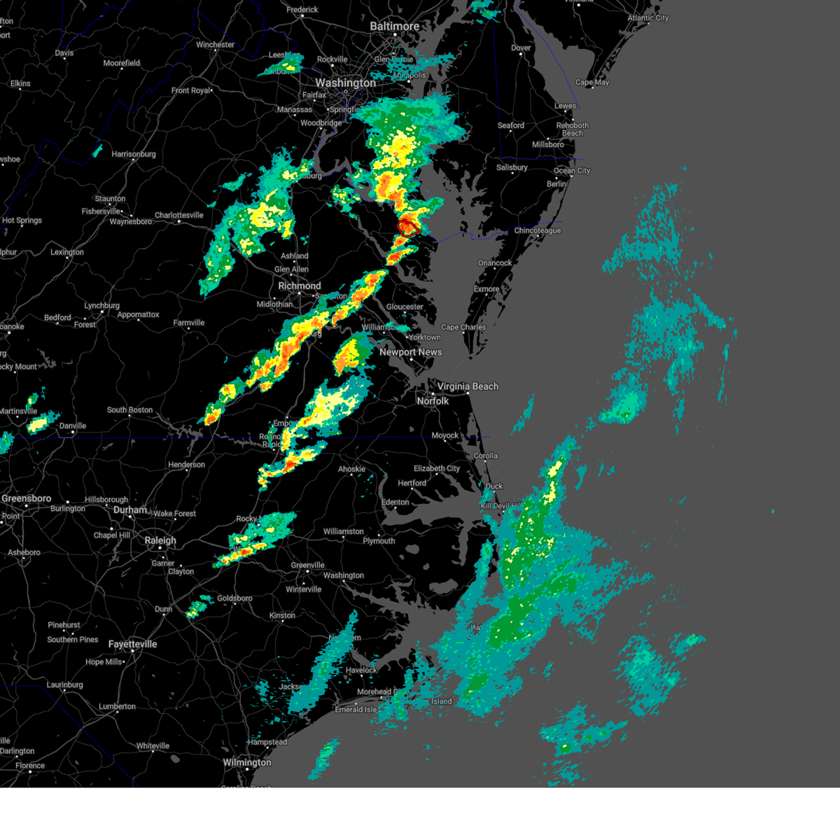
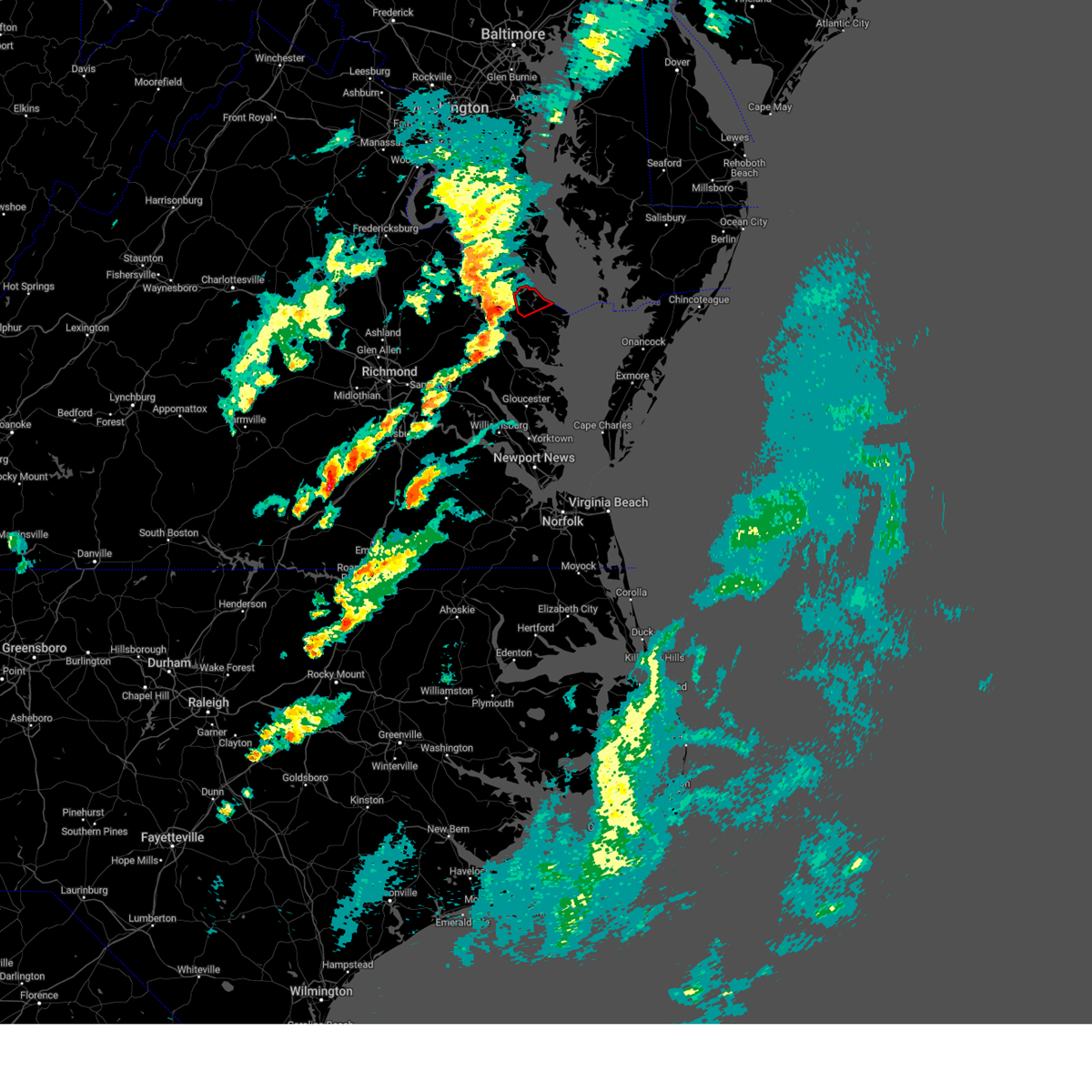
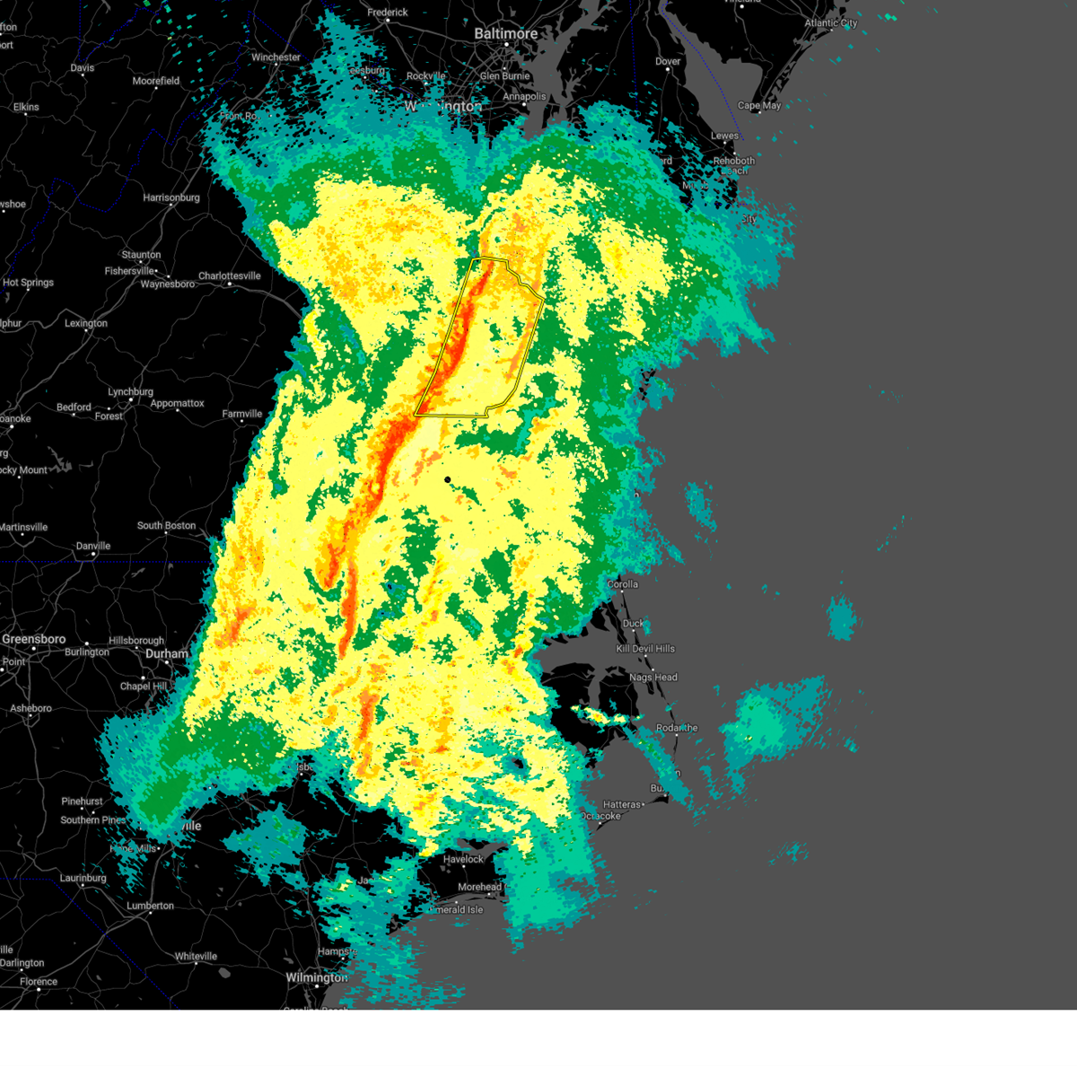
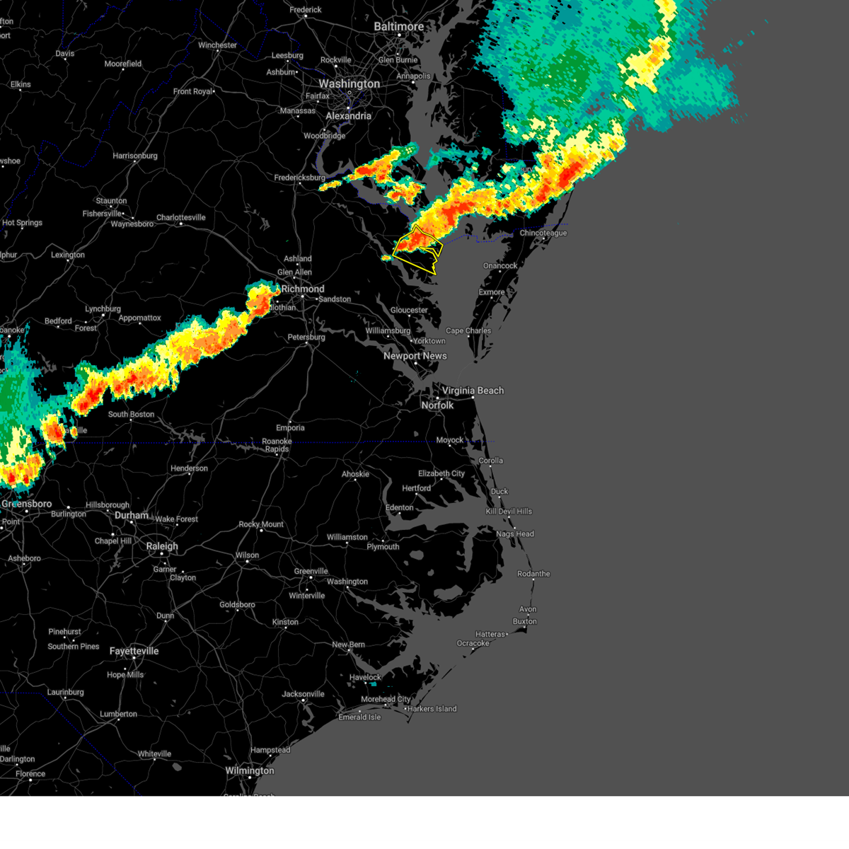
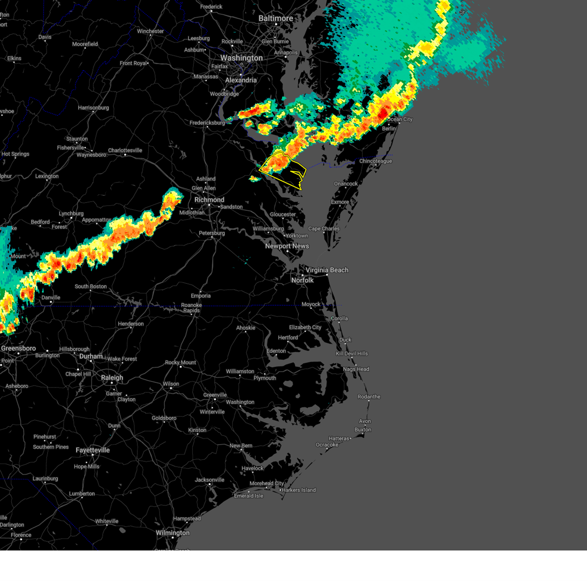
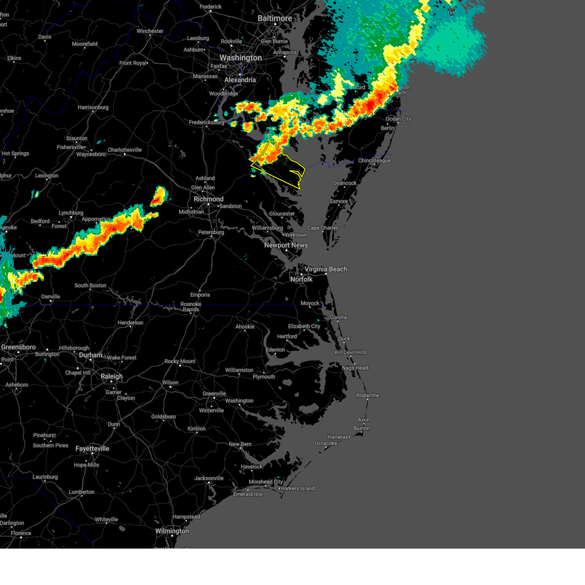
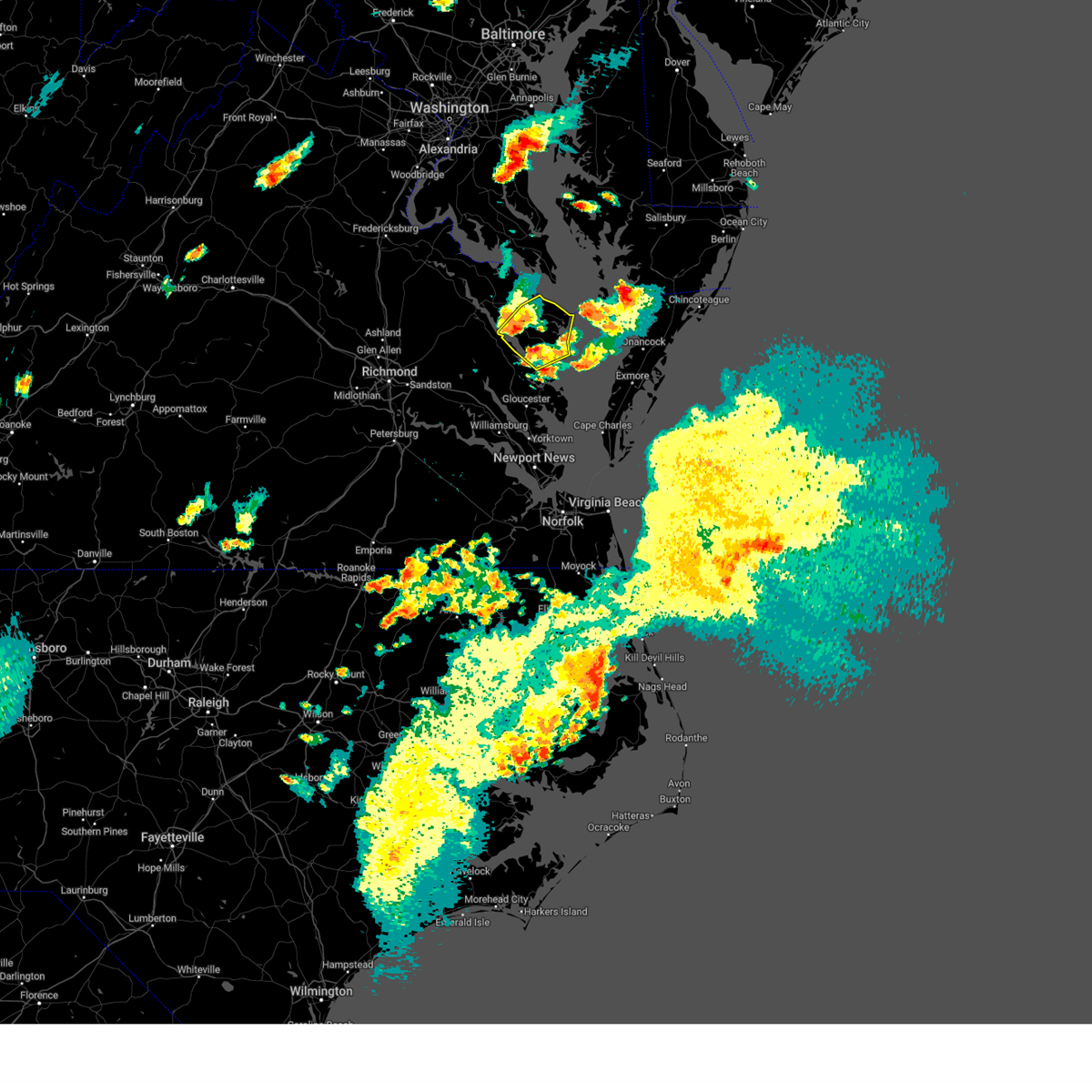
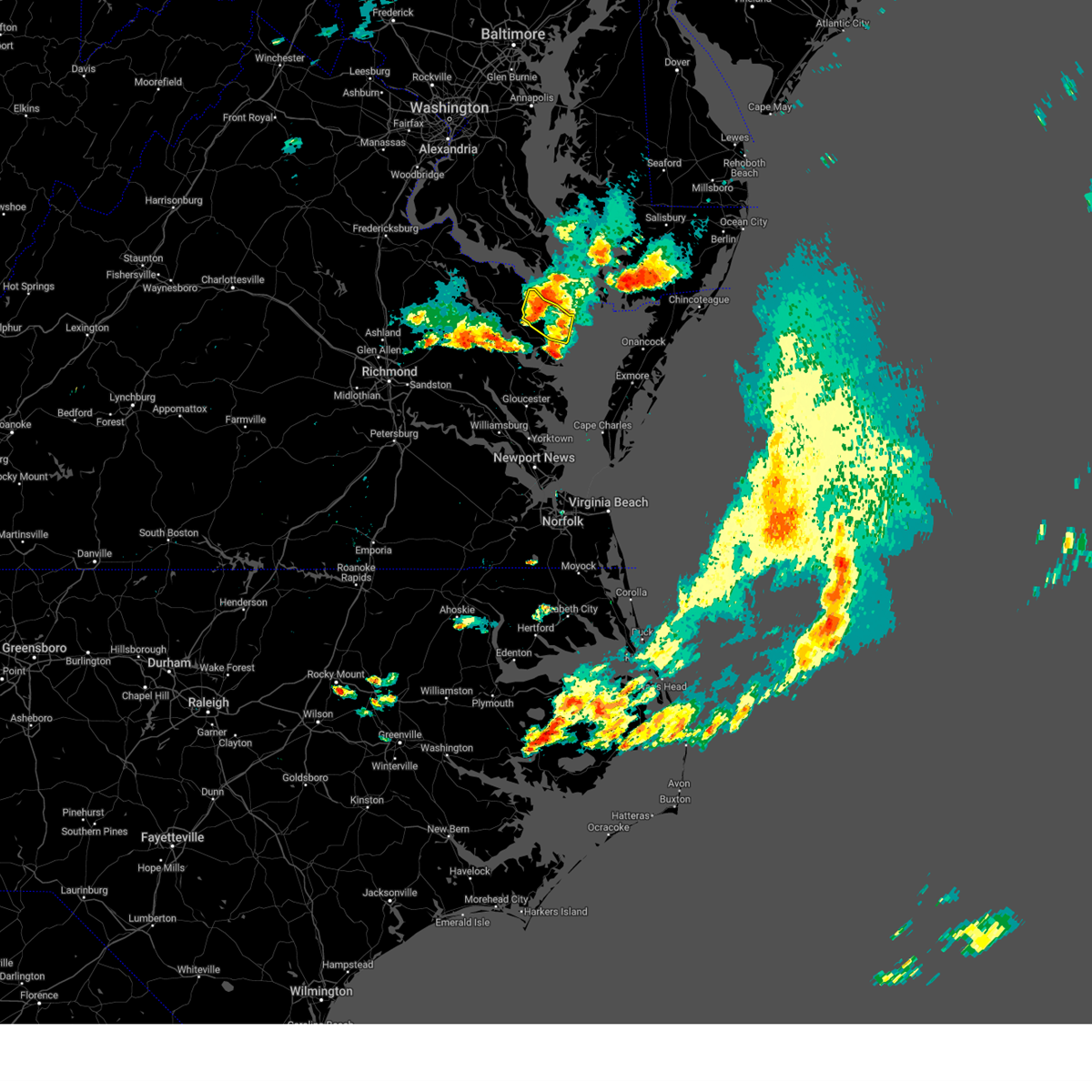
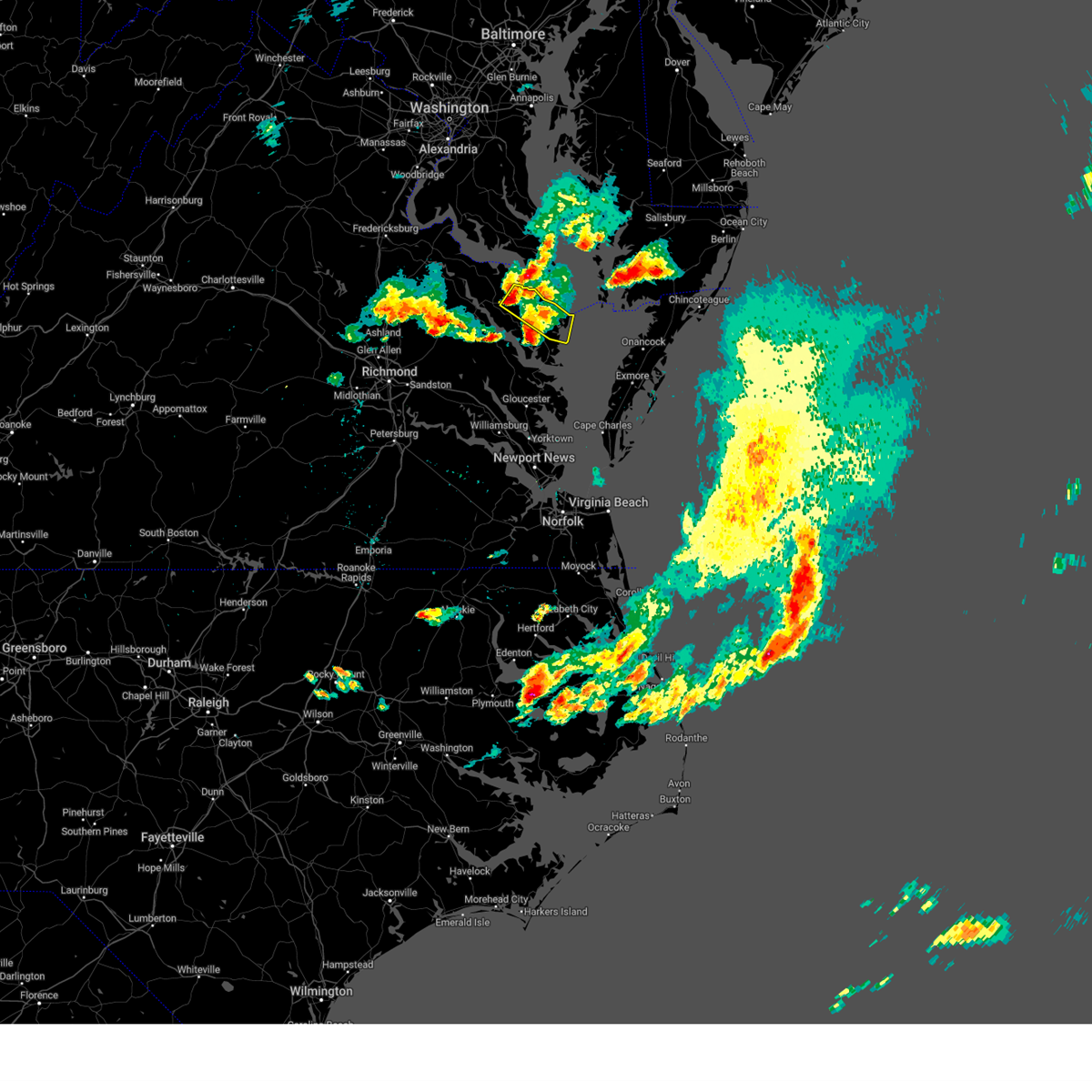
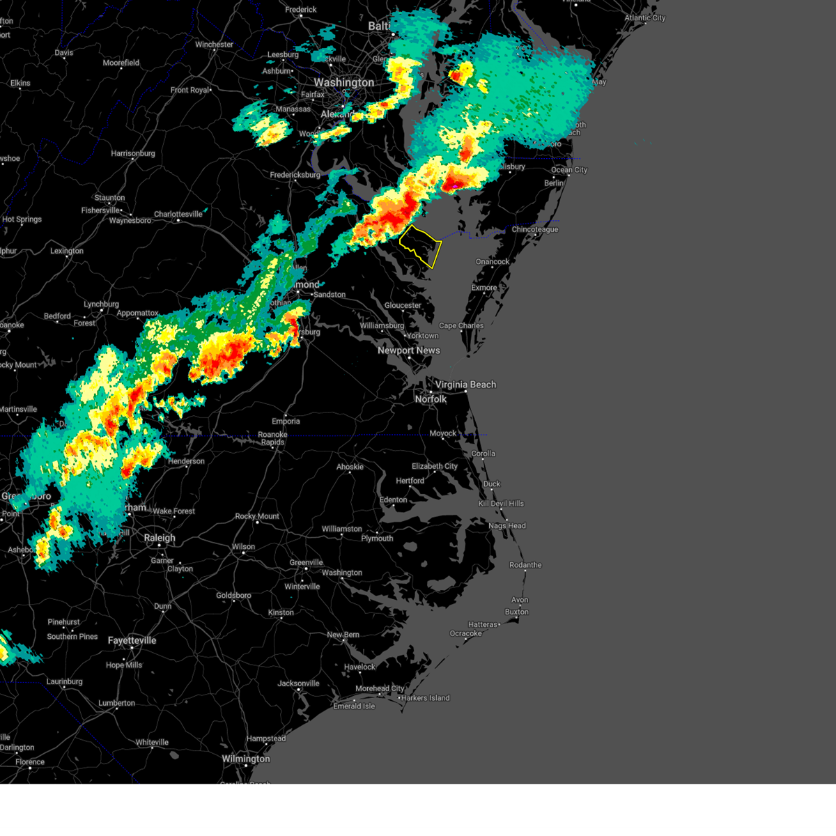
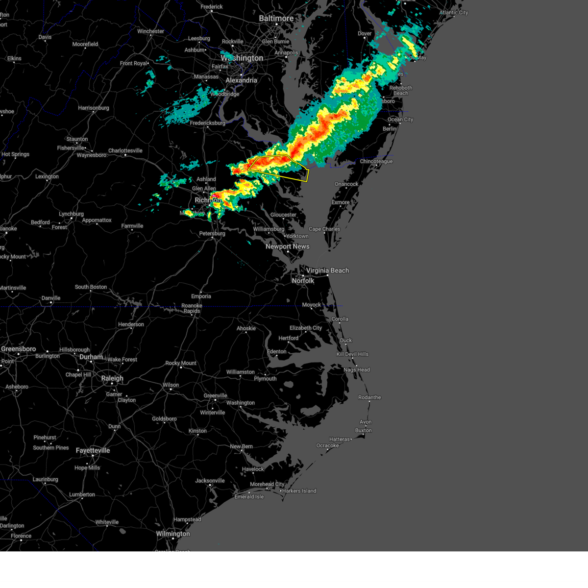
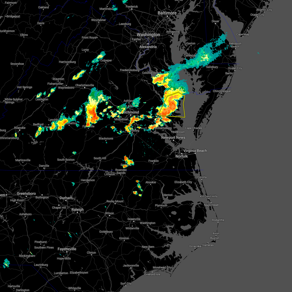
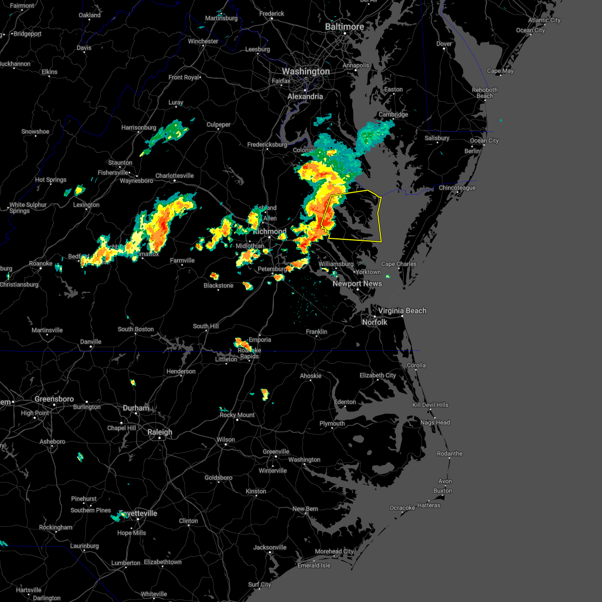
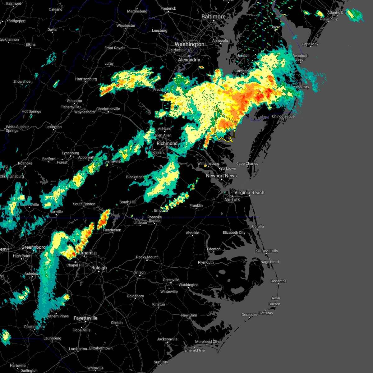
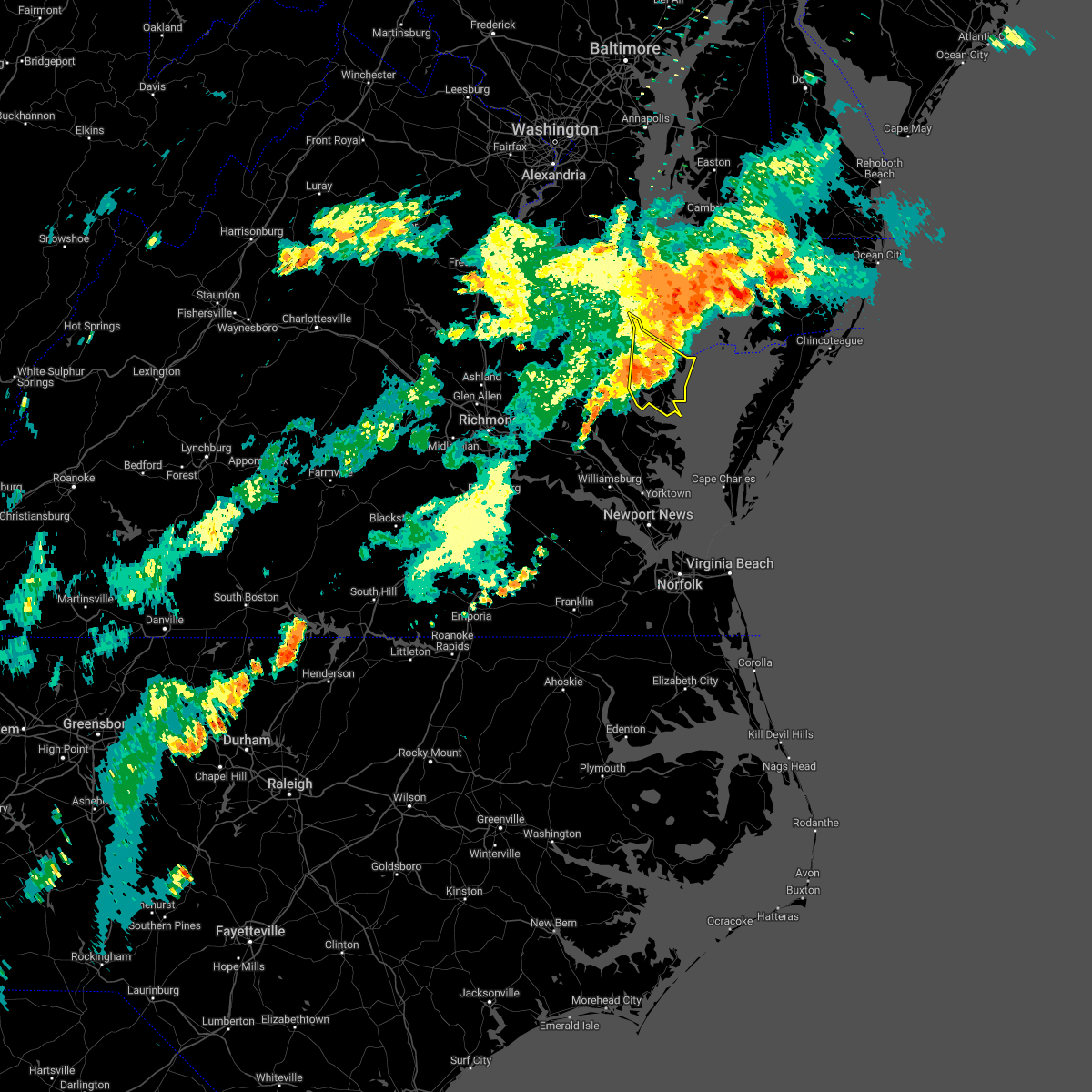
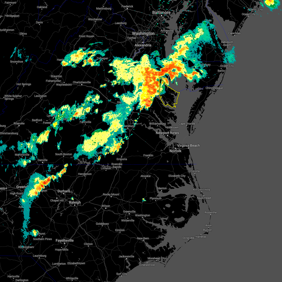
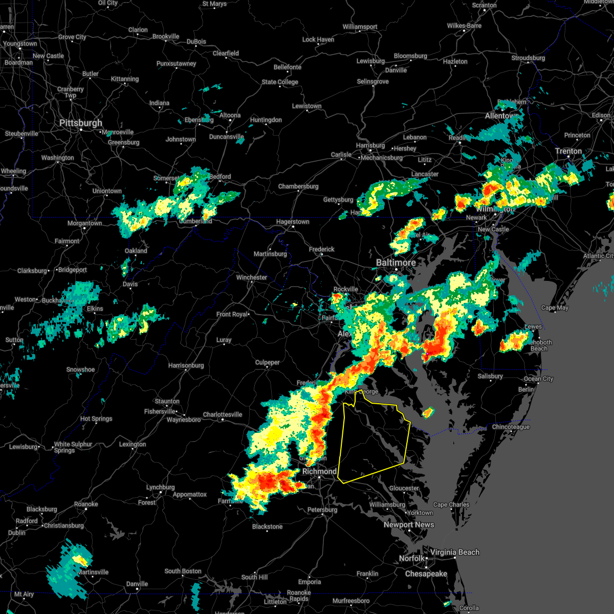
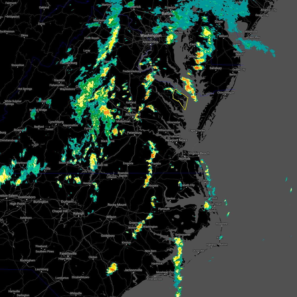
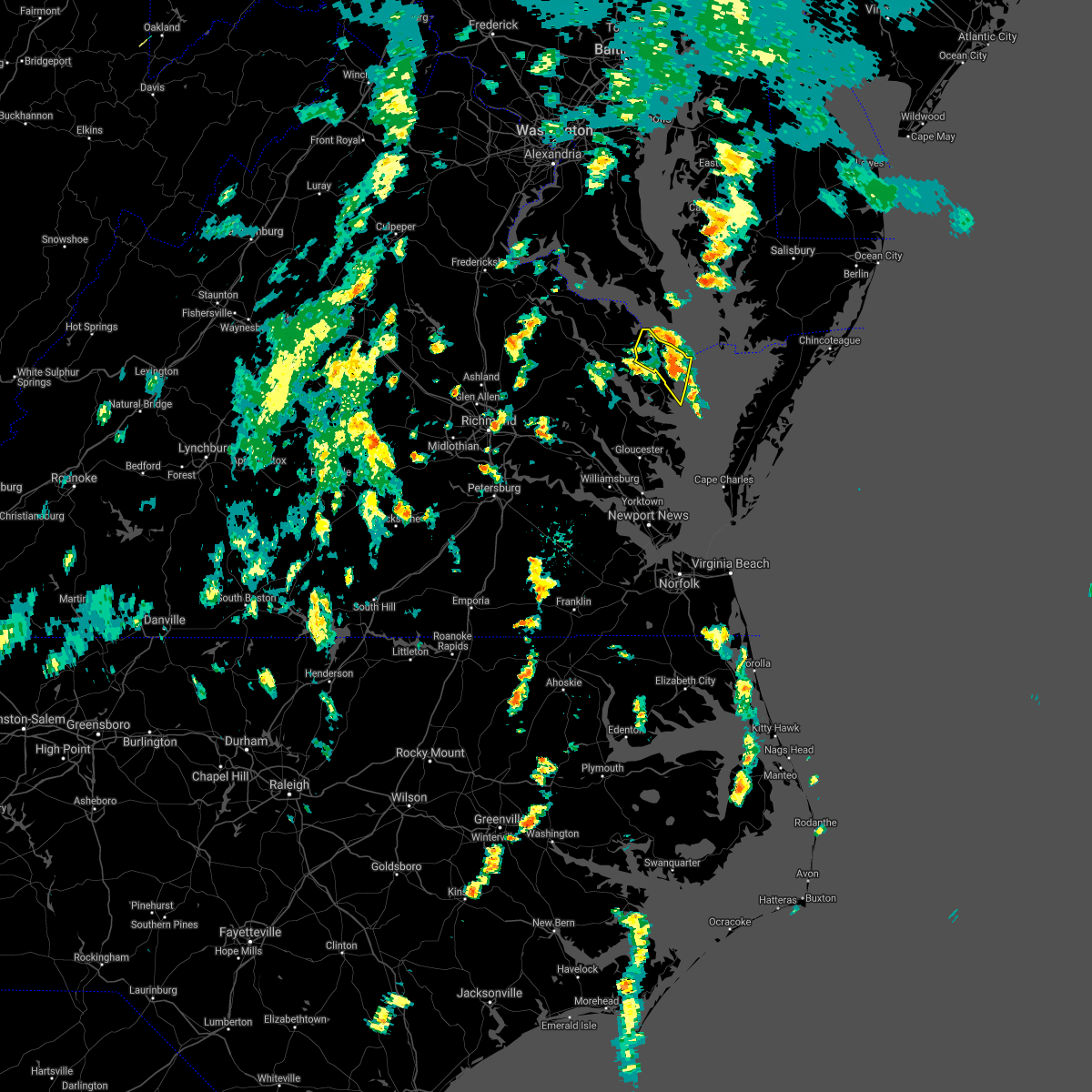
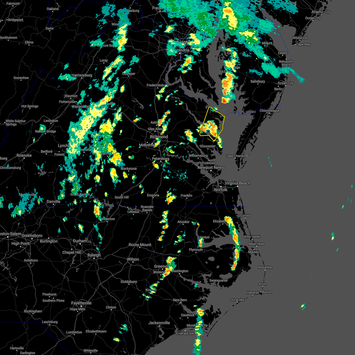
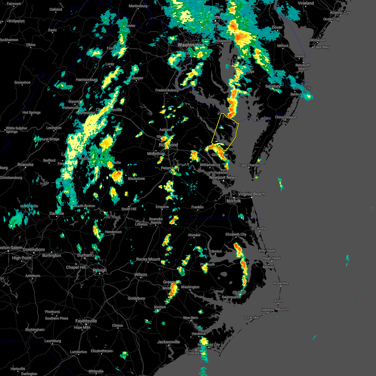
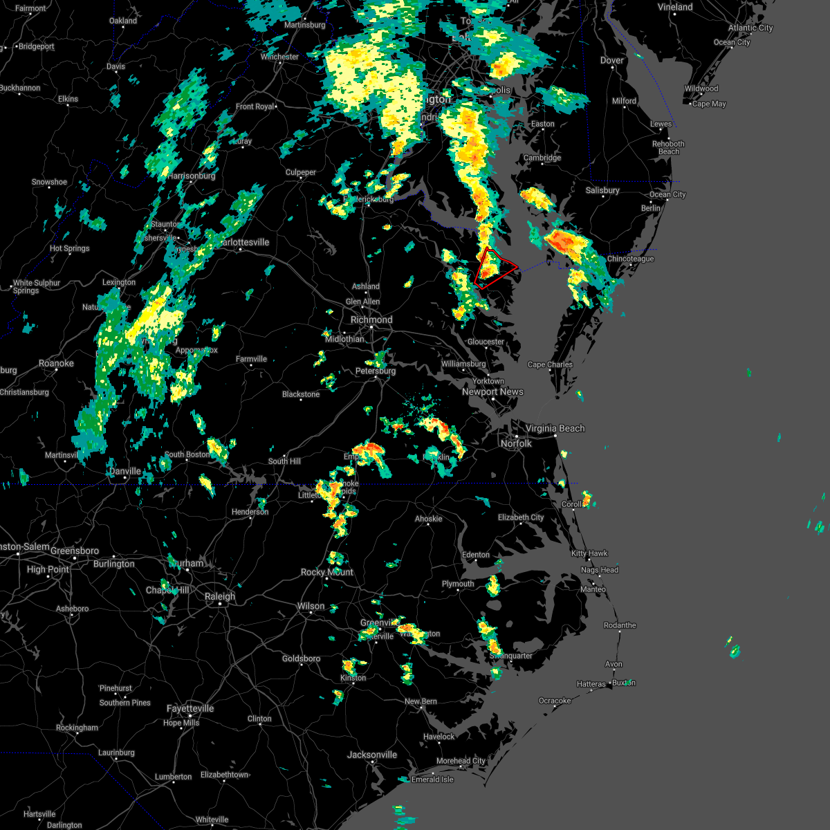
Hail Map for Heathsville, VA
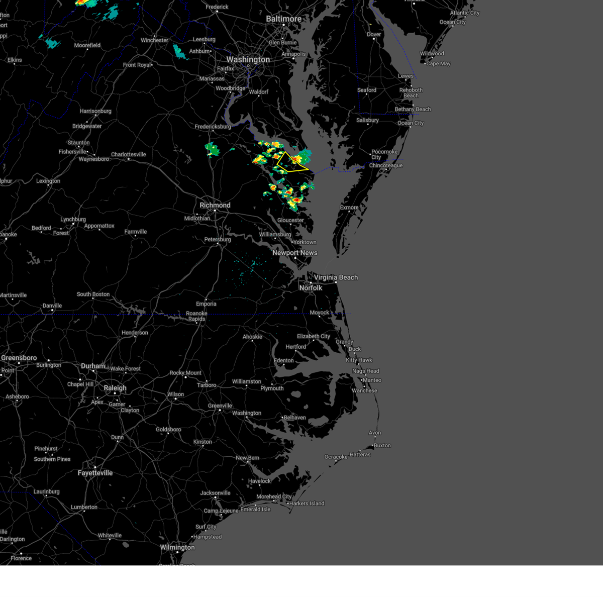
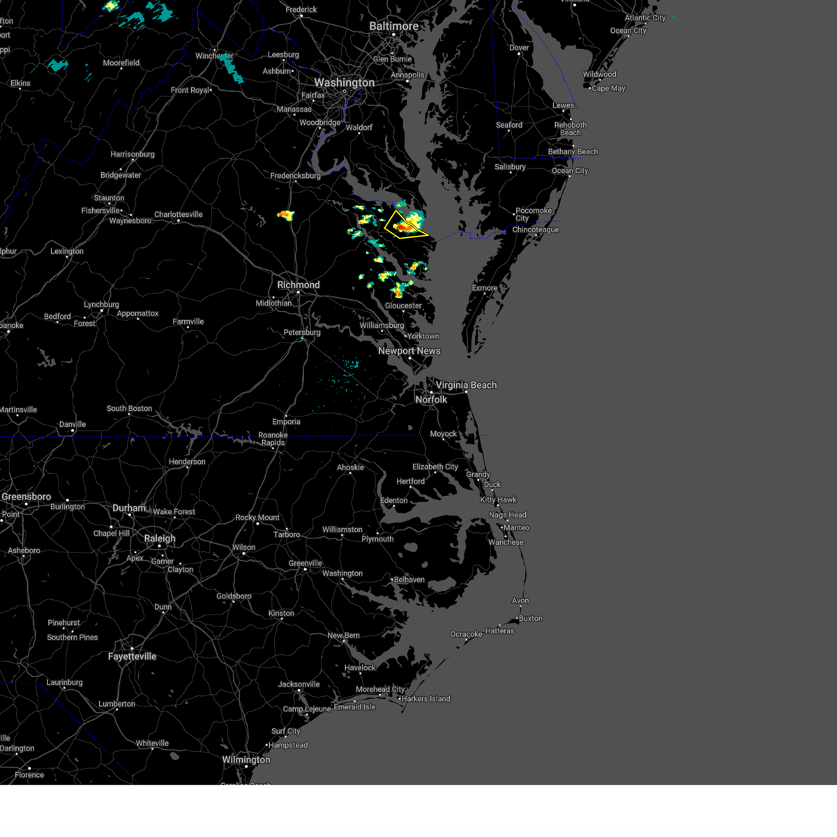
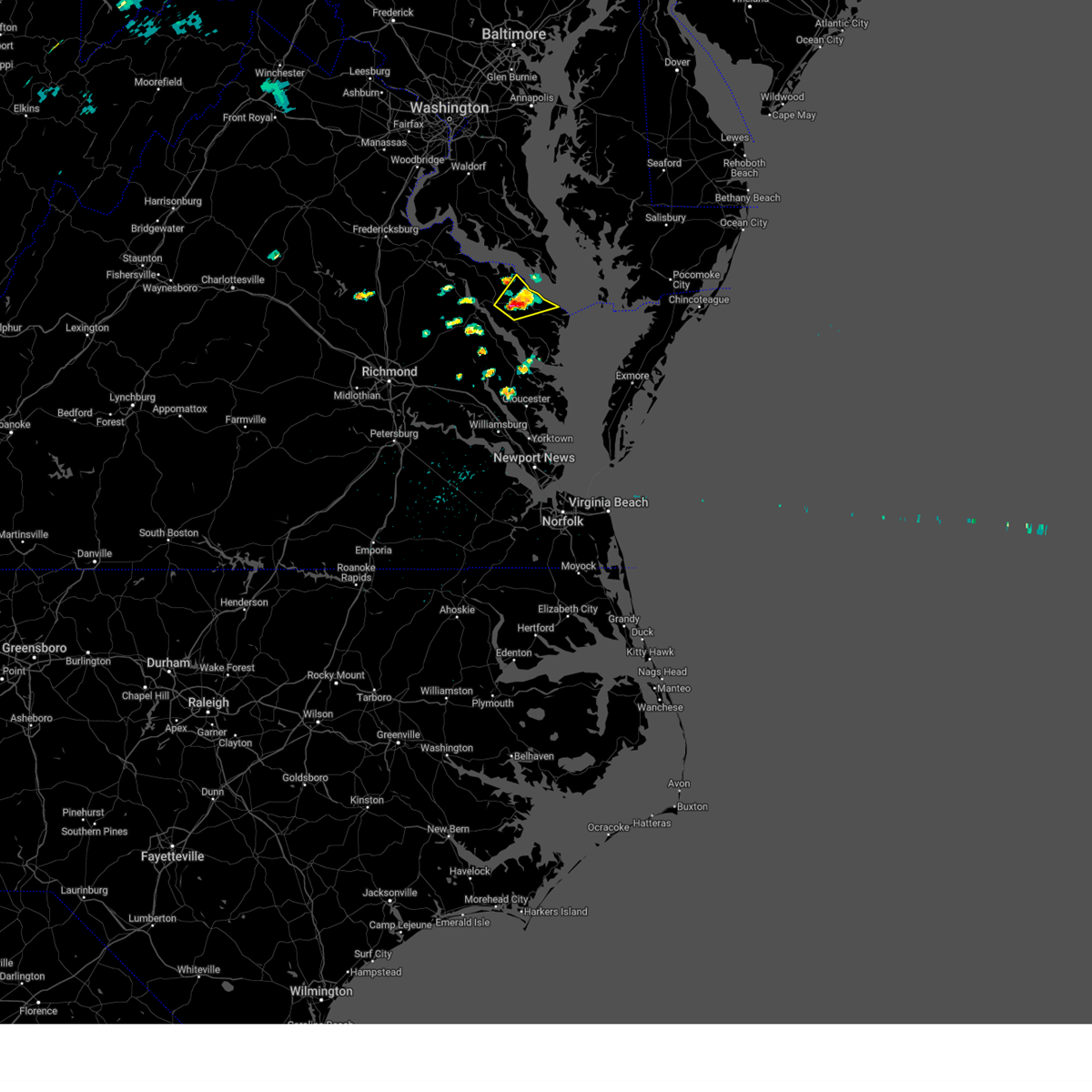
The Heathsville, VA area has had 3 reports of on-the-ground hail by trained spotters, and has been under severe weather warnings 22 times during the past 12 months. Doppler radar has detected hail at or near Heathsville, VA on 31 occasions, including 1 occasion during the past year.
| Name: | Heathsville, VA |
| Where Located: | 70.4 miles ENE of Richmond, VA |
| Map: | Google Map for Heathsville, VA |
| Population: | 142 |
| Housing Units: | 102 |
| More Info: | Search Google for Heathsville, VA |
0
The Top Recent Hail Date for Heathsville, VA is Thursday, May 1, 2025 (25th out of 31)
Hail and Wind Damage Spotted near Heathsville, VA
| Date / Time | Report Details |
|---|---|
| 7/9/2025 8:02 PM EDT |
 The storms which prompted the warning have weakened below severe limits, and no longer pose an immediate threat to life or property. therefore, the warning has been allowed to expire. a severe thunderstorm watch remains in effect until 1000 pm edt for east central virginia. The storms which prompted the warning have weakened below severe limits, and no longer pose an immediate threat to life or property. therefore, the warning has been allowed to expire. a severe thunderstorm watch remains in effect until 1000 pm edt for east central virginia.
|
| 7/9/2025 7:41 PM EDT |
 At 741 pm edt, severe thunderstorms were located along a line extending from saint marys river to near robley to near king and queen court house, moving east at 35 mph (radar indicated). Hazards include 60 mph wind gusts. Expect damage to trees and powerlines. these severe storms will be near, robley, heathsville, lewisetta, church view, jamaica, morattico, and little plymouth around 745 pm edt. lancaster around 750 pm edt. urbanna and wicomico church around 755 pm edt. kilmarnock and fair port around 800 pm edt. Other locations impacted by these severe thunderstorms include currioman landing, threeway, brook vale, belle isle state park, rose garden, lyells, crouch, westmoreland, mount landing, and mascot. At 741 pm edt, severe thunderstorms were located along a line extending from saint marys river to near robley to near king and queen court house, moving east at 35 mph (radar indicated). Hazards include 60 mph wind gusts. Expect damage to trees and powerlines. these severe storms will be near, robley, heathsville, lewisetta, church view, jamaica, morattico, and little plymouth around 745 pm edt. lancaster around 750 pm edt. urbanna and wicomico church around 755 pm edt. kilmarnock and fair port around 800 pm edt. Other locations impacted by these severe thunderstorms include currioman landing, threeway, brook vale, belle isle state park, rose garden, lyells, crouch, westmoreland, mount landing, and mascot.
|
| 7/9/2025 7:16 PM EDT | Svrakq the national weather service in wakefield has issued a * severe thunderstorm warning for, northwestern middlesex county in eastern virginia, king and queen county in east central virginia, northumberland county in eastern virginia, richmond county in east central virginia, northwestern new kent county in east central virginia, westmoreland county in east central virginia, southeastern hanover county in central virginia, king william county in east central virginia, essex county in east central virginia, lancaster county in eastern virginia, * until 800 pm edt. * at 715 pm edt, severe thunderstorms were located along a line extending from near montross to near tappahannock to near tunstall, moving east at 40 mph (radar indicated). Hazards include 60 mph wind gusts. Expect damage to trees and powerlines. severe thunderstorms will be near, king william, warsaw, stevensville, hague, coles point, dunnsville, tunstall, and center cross around 720 pm edt. king and queen court house, haynesville, and sharps around 725 pm edt. callao, kinsale, and farnham around 730 pm edt. robley, jamaica, and morattico around 735 pm edt. church view, lewisetta, little plymouth, and heathsville around 740 pm edt. lancaster around 750 pm edt. Other locations impacted by these severe thunderstorms include currioman landing, threeway, brook vale, belle isle state park, rose garden, lyells, crouch, westmoreland, mount landing, and mascot. |
| 7/8/2025 8:05 PM EDT | A tree was down along oakland r in richmond county VA, 5.7 miles ENE of Heathsville, VA |
| 6/19/2025 6:30 PM EDT | Multiple trees down across the entire count in northumberland county VA, 7.6 miles WNW of Heathsville, VA |
| 6/19/2025 6:28 PM EDT |
 Svrakq the national weather service in wakefield has issued a * severe thunderstorm warning for, northumberland county in eastern virginia, east central westmoreland county in east central virginia, central lancaster county in eastern virginia, * until 645 pm edt. * at 628 pm edt, severe thunderstorms were located along a line extending from saint george island to near fair port to white stone, moving east at 50 mph (radar indicated). Hazards include 60 mph wind gusts. Expect damage to trees and powerlines. These severe thunderstorms will remain over mainly rural areas of northumberland, east central westmoreland and central lancaster counties, including the following locations, byrdton, browns store, regina, avalon, slabtown, brook vale, reedville, lilian, millenbeck, and hull neck. Svrakq the national weather service in wakefield has issued a * severe thunderstorm warning for, northumberland county in eastern virginia, east central westmoreland county in east central virginia, central lancaster county in eastern virginia, * until 645 pm edt. * at 628 pm edt, severe thunderstorms were located along a line extending from saint george island to near fair port to white stone, moving east at 50 mph (radar indicated). Hazards include 60 mph wind gusts. Expect damage to trees and powerlines. These severe thunderstorms will remain over mainly rural areas of northumberland, east central westmoreland and central lancaster counties, including the following locations, byrdton, browns store, regina, avalon, slabtown, brook vale, reedville, lilian, millenbeck, and hull neck.
|
| 6/19/2025 6:25 PM EDT | Picture on social media shows multiple trees down in the heathsville vicinit in northumberland county VA, 0.5 miles W of Heathsville, VA |
| 6/19/2025 6:25 PM EDT | 911 call center reports 25 trees down... some of which fell on powerlines. locations were scattered across the county. time estimate in northumberland county VA, 2.2 miles WNW of Heathsville, VA |
| 6/19/2025 6:23 PM EDT | Wind gusts of up to 50 knots (58 mph) were measured by the point lookout weatherflow sensor (xptl) between 6:23 and 6:28 p in anz537 county MD, 11.9 miles SW of Heathsville, VA |
| 6/19/2025 6:07 PM EDT | the severe thunderstorm warning has been cancelled and is no longer in effect |
| 6/19/2025 6:07 PM EDT | At 606 pm edt, severe thunderstorms were located along a line extending from near montross to near robley to near little plymouth, moving east at 55 mph (radar indicated). Hazards include 60 mph wind gusts. Expect damage to trees and powerlines. these severe storms will be near, callao, lancaster, wicomico church, heathsville, hague, kinsale, church view, jamaica, morattico, and little plymouth around 610 pm edt. urbanna, fair port, coles point, and lewisetta around 615 pm edt. kilmarnock around 620 pm edt. Other locations impacted by these severe thunderstorms include lottsburg, threeway, avalon, brook vale, bertrand, reedville, belle isle state park, millenbeck, lyells, and westmoreland. |
| 6/19/2025 5:56 PM EDT | the severe thunderstorm warning has been cancelled and is no longer in effect |
| 6/19/2025 5:56 PM EDT | At 556 pm edt, severe thunderstorms were located along a line extending from near newland to near morattico to near new kent, moving east at 55 mph (radar indicated). Hazards include 60 mph wind gusts. Expect damage to trees and powerlines. these severe storms will be near, warsaw, montross, robley, haynesville, newland, farnham, church view, jamaica, morattico, and little plymouth around 600 pm edt. callao, lancaster, heathsville, hague, and kinsale around 605 pm edt. urbanna, wicomico church, coles point, and lewisetta around 610 pm edt. kilmarnock and fair port around 615 pm edt. Other locations impacted by these severe thunderstorms include lottsburg, threeway, avalon, brook vale, bertrand, cohoke, reedville, belle isle state park, millenbeck, and rose garden. |
| 6/19/2025 5:40 PM EDT |
 Svrakq the national weather service in wakefield has issued a * severe thunderstorm warning for, northwestern middlesex county in eastern virginia, king and queen county in east central virginia, northumberland county in eastern virginia, richmond county in east central virginia, northern new kent county in east central virginia, southern westmoreland county in east central virginia, east central caroline county in north central virginia, eastern king william county in east central virginia, essex county in east central virginia, lancaster county in eastern virginia, * until 630 pm edt. * at 540 pm edt, severe thunderstorms were located along a line extending from near newtown to near stevensville to bottoms bridge, moving east at 55 mph (radar indicated). Hazards include 60 mph wind gusts. Expect damage to trees and powerlines. severe thunderstorms will be near, king william, tappahannock, champlain, king and queen court house, talleysville, millers tavern, stevensville, dunnsville, and center cross around 545 pm edt. sharps around 550 pm edt. warsaw, robley, jamaica, newland, farnham, morattico, and little plymouth around 555 pm edt. west point, montross, haynesville, and church view around 600 pm edt. callao, lancaster, hague, kinsale, and heathsville around 605 pm edt. urbanna, lewisetta, and wicomico church around 610 pm edt. kilmarnock, fair port, and coles point around 615 pm edt. Other locations impacted by these severe thunderstorms include beazley, lottsburg, threeway, avalon, brook vale, bertrand, cohoke, reedville, belle isle state park, and millenbeck. Svrakq the national weather service in wakefield has issued a * severe thunderstorm warning for, northwestern middlesex county in eastern virginia, king and queen county in east central virginia, northumberland county in eastern virginia, richmond county in east central virginia, northern new kent county in east central virginia, southern westmoreland county in east central virginia, east central caroline county in north central virginia, eastern king william county in east central virginia, essex county in east central virginia, lancaster county in eastern virginia, * until 630 pm edt. * at 540 pm edt, severe thunderstorms were located along a line extending from near newtown to near stevensville to bottoms bridge, moving east at 55 mph (radar indicated). Hazards include 60 mph wind gusts. Expect damage to trees and powerlines. severe thunderstorms will be near, king william, tappahannock, champlain, king and queen court house, talleysville, millers tavern, stevensville, dunnsville, and center cross around 545 pm edt. sharps around 550 pm edt. warsaw, robley, jamaica, newland, farnham, morattico, and little plymouth around 555 pm edt. west point, montross, haynesville, and church view around 600 pm edt. callao, lancaster, hague, kinsale, and heathsville around 605 pm edt. urbanna, lewisetta, and wicomico church around 610 pm edt. kilmarnock, fair port, and coles point around 615 pm edt. Other locations impacted by these severe thunderstorms include beazley, lottsburg, threeway, avalon, brook vale, bertrand, cohoke, reedville, belle isle state park, and millenbeck.
|
| 5/5/2025 6:28 PM EDT | Svrakq the national weather service in wakefield has issued a * severe thunderstorm warning for, northwestern middlesex county in eastern virginia, central king and queen county in east central virginia, northwestern northumberland county in eastern virginia, richmond county in east central virginia, south central westmoreland county in east central virginia, central king william county in east central virginia, essex county in east central virginia, northwestern lancaster county in eastern virginia, * until 715 pm edt. * at 628 pm edt, severe thunderstorms were located along a line extending from near shacklefords to near center cross to near king william, moving north at 30 mph (radar indicated). Hazards include 60 mph wind gusts. expect damage to trees and powerlines |
| 5/1/2025 3:42 PM EDT |
 The storm which prompted the warning has weakened below severe limits, and has exited the warned area. therefore, the warning will be allowed to expire. The storm which prompted the warning has weakened below severe limits, and has exited the warned area. therefore, the warning will be allowed to expire.
|
| 5/1/2025 3:30 PM EDT |
 At 329 pm edt, a severe thunderstorm was located over callao, moving northeast at 15 mph (public. at 628 pm, quarter sized hail was reported near callao). Hazards include 60 mph wind gusts and quarter size hail. Minor damage to vehicles is possible. expect wind damage to trees and powerlines. Locations impacted include, heathsville, callao, lottsburg, kinsale, village, middletons corner, westmoreland, gibeon, oldhams, hull neck, and lewisetta. At 329 pm edt, a severe thunderstorm was located over callao, moving northeast at 15 mph (public. at 628 pm, quarter sized hail was reported near callao). Hazards include 60 mph wind gusts and quarter size hail. Minor damage to vehicles is possible. expect wind damage to trees and powerlines. Locations impacted include, heathsville, callao, lottsburg, kinsale, village, middletons corner, westmoreland, gibeon, oldhams, hull neck, and lewisetta.
|
| 5/1/2025 3:29 PM EDT | Quarter sized hail reported 5.6 miles SE of Heathsville, VA, 50 mph wind gust recorded on personal weather station. |
| 5/1/2025 3:12 PM EDT |
 the severe thunderstorm warning has been cancelled and is no longer in effect the severe thunderstorm warning has been cancelled and is no longer in effect
|
| 5/1/2025 3:12 PM EDT |
 At 312 pm edt, a severe thunderstorm was located over farnham, or near robley, moving northeast at 5 mph (radar indicated). Hazards include 60 mph wind gusts and quarter size hail. Minor damage to vehicles is possible. expect wind damage to trees and powerlines. Locations impacted include, heathsville, lottsburg, village, avalon, farnham, oldhams, hull neck, callao, kinsale, haynesville, middletons corner, westmoreland, gibeon, mulch, dodlyt, and lewisetta. At 312 pm edt, a severe thunderstorm was located over farnham, or near robley, moving northeast at 5 mph (radar indicated). Hazards include 60 mph wind gusts and quarter size hail. Minor damage to vehicles is possible. expect wind damage to trees and powerlines. Locations impacted include, heathsville, lottsburg, village, avalon, farnham, oldhams, hull neck, callao, kinsale, haynesville, middletons corner, westmoreland, gibeon, mulch, dodlyt, and lewisetta.
|
| 5/1/2025 2:54 PM EDT |
 Svrakq the national weather service in wakefield has issued a * severe thunderstorm warning for, northern northumberland county in eastern virginia, southeastern richmond county in east central virginia, southeastern westmoreland county in east central virginia, northwestern lancaster county in eastern virginia, * until 345 pm edt. * at 254 pm edt, a severe thunderstorm was located over farnham, or near robley, moving northeast at 5 mph (radar indicated). Hazards include 60 mph wind gusts and quarter size hail. Minor damage to vehicles is possible. expect wind damage to trees and powerlines. This severe thunderstorm will remain over mainly rural areas of northern northumberland, southeastern richmond, southeastern westmoreland and northwestern lancaster counties, including the following locations, lara, wellford, lottsburg, village, avalon, moon corner, oldhams, hull neck, edwardsville, and howland. Svrakq the national weather service in wakefield has issued a * severe thunderstorm warning for, northern northumberland county in eastern virginia, southeastern richmond county in east central virginia, southeastern westmoreland county in east central virginia, northwestern lancaster county in eastern virginia, * until 345 pm edt. * at 254 pm edt, a severe thunderstorm was located over farnham, or near robley, moving northeast at 5 mph (radar indicated). Hazards include 60 mph wind gusts and quarter size hail. Minor damage to vehicles is possible. expect wind damage to trees and powerlines. This severe thunderstorm will remain over mainly rural areas of northern northumberland, southeastern richmond, southeastern westmoreland and northwestern lancaster counties, including the following locations, lara, wellford, lottsburg, village, avalon, moon corner, oldhams, hull neck, edwardsville, and howland.
|
| 3/5/2025 4:23 PM EST |
 the severe thunderstorm warning has been cancelled and is no longer in effect the severe thunderstorm warning has been cancelled and is no longer in effect
|
| 3/5/2025 4:10 PM EST | A couple of trees down. time estimate in northumberland county VA, 5.6 miles SE of Heathsville, VA |
| 3/5/2025 4:09 PM EST |
 At 408 pm est, severe thunderstorms were located along a line extending from lewisetta to near wicomico church to near kilmarnock, moving northeast at 45 mph (radar indicated). Hazards include 70 mph wind gusts. Expect considerable tree damage. damage is likely to mobile homes, roofs, and outbuildings. Locations impacted include, byrdton, lottsburg, regina, kilmarnock, avalon, brook vale, nuttsville, reedville, white stone, edwardsville, christ church, fair port, middletons corner, dodlyt, lewisetta, rehoboth church, lara, heathsville, wicomico church, and browns store. At 408 pm est, severe thunderstorms were located along a line extending from lewisetta to near wicomico church to near kilmarnock, moving northeast at 45 mph (radar indicated). Hazards include 70 mph wind gusts. Expect considerable tree damage. damage is likely to mobile homes, roofs, and outbuildings. Locations impacted include, byrdton, lottsburg, regina, kilmarnock, avalon, brook vale, nuttsville, reedville, white stone, edwardsville, christ church, fair port, middletons corner, dodlyt, lewisetta, rehoboth church, lara, heathsville, wicomico church, and browns store.
|
| 3/5/2025 4:09 PM EST |
 the severe thunderstorm warning has been cancelled and is no longer in effect the severe thunderstorm warning has been cancelled and is no longer in effect
|
| 3/5/2025 3:51 PM EST |
 Svrakq the national weather service in wakefield has issued a * severe thunderstorm warning for, central middlesex county in eastern virginia, northumberland county in eastern virginia, southeastern richmond county in east central virginia, mathews county in eastern virginia, lancaster county in eastern virginia, * until 445 pm est. * at 351 pm est, severe thunderstorms were located along a line extending from near farnham to near hartfield to near bavon, moving east at 55 mph (radar indicated). Hazards include 70 mph wind gusts. Expect considerable tree damage. damage is likely to mobile homes, roofs, and outbuildings. severe thunderstorms will be near, callao, farnham, lancaster, robley, deltaville, blakes, gwynn, kilmarnock, and white stone around 355 pm est. lewisetta, wicomico church, and heathsville around 400 pm est. fair port around 405 pm est. Other locations impacted by these severe thunderstorms include byrdton, lottsburg, moon, laban, avalon, brook vale, bertrand, grafton, reedville, and belle isle state park. Svrakq the national weather service in wakefield has issued a * severe thunderstorm warning for, central middlesex county in eastern virginia, northumberland county in eastern virginia, southeastern richmond county in east central virginia, mathews county in eastern virginia, lancaster county in eastern virginia, * until 445 pm est. * at 351 pm est, severe thunderstorms were located along a line extending from near farnham to near hartfield to near bavon, moving east at 55 mph (radar indicated). Hazards include 70 mph wind gusts. Expect considerable tree damage. damage is likely to mobile homes, roofs, and outbuildings. severe thunderstorms will be near, callao, farnham, lancaster, robley, deltaville, blakes, gwynn, kilmarnock, and white stone around 355 pm est. lewisetta, wicomico church, and heathsville around 400 pm est. fair port around 405 pm est. Other locations impacted by these severe thunderstorms include byrdton, lottsburg, moon, laban, avalon, brook vale, bertrand, grafton, reedville, and belle isle state park.
|
| 8/3/2024 6:33 PM EDT |
 the severe thunderstorm warning has been cancelled and is no longer in effect the severe thunderstorm warning has been cancelled and is no longer in effect
|
| 8/3/2024 6:33 PM EDT |
 At 632 pm edt, severe thunderstorms were located along a line extending from near farnham to near wicomico church to 6 miles east of kilmarnock, moving east at 45 mph (radar indicated). Hazards include 60 mph wind gusts. Expect damage to trees and powerlines. these severe storms will be near, fair port and wicomico church around 640 pm edt. Other locations impacted by these severe thunderstorms include lottsburg, regina, avalon, brook vale, nuttsville, reedville, edwardsville, tidewater, middletons corner, and westmoreland. At 632 pm edt, severe thunderstorms were located along a line extending from near farnham to near wicomico church to 6 miles east of kilmarnock, moving east at 45 mph (radar indicated). Hazards include 60 mph wind gusts. Expect damage to trees and powerlines. these severe storms will be near, fair port and wicomico church around 640 pm edt. Other locations impacted by these severe thunderstorms include lottsburg, regina, avalon, brook vale, nuttsville, reedville, edwardsville, tidewater, middletons corner, and westmoreland.
|
| 8/3/2024 6:14 PM EDT |
 Svrakq the national weather service in wakefield has issued a * severe thunderstorm warning for, east central king and queen county in east central virginia, middlesex county in eastern virginia, northumberland county in eastern virginia, southeastern richmond county in east central virginia, southeastern westmoreland county in east central virginia, southeastern essex county in east central virginia, lancaster county in eastern virginia, * until 700 pm edt. * at 613 pm edt, severe thunderstorms were located along a line extending from near church view to near urbanna to deltaville, moving northeast at 40 mph (radar indicated). Hazards include 70 mph wind gusts. Expect considerable tree damage. damage is likely to mobile homes, roofs, and outbuildings. severe thunderstorms will be near, kilmarnock, lancaster, white stone, and morattico around 620 pm edt. robley, sharps, and wicomico church around 625 pm edt. fair port, farnham, and heathsville around 630 pm edt. callao and lewisetta around 640 pm edt. kinsale around 645 pm edt. Other locations impacted by these severe thunderstorms include byrdton, lottsburg, avalon, brook vale, bertrand, grafton, reedville, belle isle state park, amburg, and millenbeck. Svrakq the national weather service in wakefield has issued a * severe thunderstorm warning for, east central king and queen county in east central virginia, middlesex county in eastern virginia, northumberland county in eastern virginia, southeastern richmond county in east central virginia, southeastern westmoreland county in east central virginia, southeastern essex county in east central virginia, lancaster county in eastern virginia, * until 700 pm edt. * at 613 pm edt, severe thunderstorms were located along a line extending from near church view to near urbanna to deltaville, moving northeast at 40 mph (radar indicated). Hazards include 70 mph wind gusts. Expect considerable tree damage. damage is likely to mobile homes, roofs, and outbuildings. severe thunderstorms will be near, kilmarnock, lancaster, white stone, and morattico around 620 pm edt. robley, sharps, and wicomico church around 625 pm edt. fair port, farnham, and heathsville around 630 pm edt. callao and lewisetta around 640 pm edt. kinsale around 645 pm edt. Other locations impacted by these severe thunderstorms include byrdton, lottsburg, avalon, brook vale, bertrand, grafton, reedville, belle isle state park, amburg, and millenbeck.
|
| 6/26/2024 6:48 PM EDT |
 The storms which prompted the warning have weakened. therefore, the warning has been allowed to expire. however, heavy rain is still possible with these thunderstorms. to report severe weather, contact your nearest law enforcement agency. they will relay your report to the national weather service wakefield. The storms which prompted the warning have weakened. therefore, the warning has been allowed to expire. however, heavy rain is still possible with these thunderstorms. to report severe weather, contact your nearest law enforcement agency. they will relay your report to the national weather service wakefield.
|
| 6/26/2024 6:29 PM EDT | Weatherflow sensor xptl at point lookout measured a peak wind gust of 61 knots/ 70 mp in anz537 county MD, 11.9 miles SW of Heathsville, VA |
| 6/26/2024 6:24 PM EDT | Weatherflow sensor xptl at point lookout measured a peak wind gust of 55 knots/ 63mp in anz537 county MD, 11.9 miles SW of Heathsville, VA |
| 6/26/2024 6:23 PM EDT | A trained spotter reported widespread damage in the village area west of callao with numerous trees uprooted and snapped along with powerlines down. time estimated from in richmond county VA, 7.5 miles ESE of Heathsville, VA |
| 6/26/2024 6:14 PM EDT | The 911 call center reported numerous trees and powerlines down across northumberland county including across bon harbor road. time estimated from rada in northumberland county VA, 6.5 miles SSE of Heathsville, VA |
| 6/26/2024 6:02 PM EDT |
 At 602 pm edt, severe thunderstorms were located along a line extending from coles point to callao to near farnham, moving east at 30 mph (radar indicated). Hazards include 60 mph wind gusts. Expect damage to trees and powerlines. these severe storms will be near, callao, coles point, kinsale, and farnham around 605 pm edt. lewisetta and heathsville around 610 pm edt. Other locations impacted by these severe thunderstorms include wellford, ethel, lottsburg, threeway, village, avalon, mount holly, oldhams, hull neck, and edwardsville. At 602 pm edt, severe thunderstorms were located along a line extending from coles point to callao to near farnham, moving east at 30 mph (radar indicated). Hazards include 60 mph wind gusts. Expect damage to trees and powerlines. these severe storms will be near, callao, coles point, kinsale, and farnham around 605 pm edt. lewisetta and heathsville around 610 pm edt. Other locations impacted by these severe thunderstorms include wellford, ethel, lottsburg, threeway, village, avalon, mount holly, oldhams, hull neck, and edwardsville.
|
| 6/26/2024 6:00 PM EDT |
 Svrakq the national weather service in wakefield has issued a * severe thunderstorm warning for, southeastern king and queen county in east central virginia, northwestern middlesex county in eastern virginia, central northumberland county in eastern virginia, southeastern richmond county in east central virginia, east central king william county in east central virginia, southeastern essex county in east central virginia, lancaster county in eastern virginia, * until 645 pm edt. * at 600 pm edt, severe thunderstorms were located along a line extending from near warsaw to near center cross to near king william, moving east at 25 mph (radar indicated). Hazards include 60 mph wind gusts. Expect damage to trees and powerlines. severe thunderstorms will be near, stevensville, farnham, sharps, and center cross around 605 pm edt. king and queen court house and jamaica around 610 pm edt. robley and morattico around 615 pm edt. church view around 620 pm edt. lancaster and little plymouth around 630 pm edt. Other locations impacted by these severe thunderstorms include avalon, brook vale, bertrand, reedville, belle isle state park, millenbeck, crouch, mascot, dodlyt, and rehoboth church. Svrakq the national weather service in wakefield has issued a * severe thunderstorm warning for, southeastern king and queen county in east central virginia, northwestern middlesex county in eastern virginia, central northumberland county in eastern virginia, southeastern richmond county in east central virginia, east central king william county in east central virginia, southeastern essex county in east central virginia, lancaster county in eastern virginia, * until 645 pm edt. * at 600 pm edt, severe thunderstorms were located along a line extending from near warsaw to near center cross to near king william, moving east at 25 mph (radar indicated). Hazards include 60 mph wind gusts. Expect damage to trees and powerlines. severe thunderstorms will be near, stevensville, farnham, sharps, and center cross around 605 pm edt. king and queen court house and jamaica around 610 pm edt. robley and morattico around 615 pm edt. church view around 620 pm edt. lancaster and little plymouth around 630 pm edt. Other locations impacted by these severe thunderstorms include avalon, brook vale, bertrand, reedville, belle isle state park, millenbeck, crouch, mascot, dodlyt, and rehoboth church.
|
| 6/26/2024 5:45 PM EDT |
 Svrakq the national weather service in wakefield has issued a * severe thunderstorm warning for, northern northumberland county in eastern virginia, central richmond county in east central virginia, westmoreland county in east central virginia, * until 630 pm edt. * at 545 pm edt, severe thunderstorms were located along a line extending from near montross to haynesville to near sharps, moving east at 30 mph (radar indicated). Hazards include 60 mph wind gusts. Expect damage to trees and powerlines. severe thunderstorms will be near, callao, haynesville, hague, kinsale, and farnham around 550 pm edt. coles point around 555 pm edt. lewisetta and heathsville around 600 pm edt. Other locations impacted by these severe thunderstorms include currioman landing, lottsburg, threeway, avalon, mount holly, edwardsville, stratford hall, lyells, middletons corner, and kennard. Svrakq the national weather service in wakefield has issued a * severe thunderstorm warning for, northern northumberland county in eastern virginia, central richmond county in east central virginia, westmoreland county in east central virginia, * until 630 pm edt. * at 545 pm edt, severe thunderstorms were located along a line extending from near montross to haynesville to near sharps, moving east at 30 mph (radar indicated). Hazards include 60 mph wind gusts. Expect damage to trees and powerlines. severe thunderstorms will be near, callao, haynesville, hague, kinsale, and farnham around 550 pm edt. coles point around 555 pm edt. lewisetta and heathsville around 600 pm edt. Other locations impacted by these severe thunderstorms include currioman landing, lottsburg, threeway, avalon, mount holly, edwardsville, stratford hall, lyells, middletons corner, and kennard.
|
| 4/15/2024 6:00 PM EDT | A few trees down near heathsvill in northumberland county VA, 0.5 miles W of Heathsville, VA |
| 4/15/2024 5:39 PM EDT | Trees on power lines near kinsal in westmoreland county VA, 9.3 miles SE of Heathsville, VA |
| 4/15/2024 5:35 PM EDT |
 Svrakq the national weather service in wakefield has issued a * severe thunderstorm warning for, northumberland county in eastern virginia, eastern richmond county in east central virginia, westmoreland county in east central virginia, lancaster county in eastern virginia, * until 615 pm edt. * at 535 pm edt, a severe thunderstorm was located near hague, or near montross, moving southeast at 30 mph (radar indicated). Hazards include 60 mph wind gusts and quarter size hail. Minor damage to vehicles is possible. expect wind damage to trees and powerlines. this severe thunderstorm will be near, hague around 540 pm edt. haynesville around 545 pm edt. callao around 550 pm edt. farnham around 555 pm edt. robley around 605 pm edt. Other locations impacted by this severe thunderstorm include currioman landing, lottsburg, threeway, regina, mollusk, senora, avalon, brook vale, mount holly, and nuttsville. Svrakq the national weather service in wakefield has issued a * severe thunderstorm warning for, northumberland county in eastern virginia, eastern richmond county in east central virginia, westmoreland county in east central virginia, lancaster county in eastern virginia, * until 615 pm edt. * at 535 pm edt, a severe thunderstorm was located near hague, or near montross, moving southeast at 30 mph (radar indicated). Hazards include 60 mph wind gusts and quarter size hail. Minor damage to vehicles is possible. expect wind damage to trees and powerlines. this severe thunderstorm will be near, hague around 540 pm edt. haynesville around 545 pm edt. callao around 550 pm edt. farnham around 555 pm edt. robley around 605 pm edt. Other locations impacted by this severe thunderstorm include currioman landing, lottsburg, threeway, regina, mollusk, senora, avalon, brook vale, mount holly, and nuttsville.
|
| 4/3/2024 4:26 PM EDT |
 the severe thunderstorm warning has been cancelled and is no longer in effect the severe thunderstorm warning has been cancelled and is no longer in effect
|
| 4/3/2024 4:21 PM EDT |
 The storm which prompted the warning has moved out of the area. therefore, the warning will be allowed to expire. a tornado watch remains in effect until 700 pm edt for eastern and east central virginia. The storm which prompted the warning has moved out of the area. therefore, the warning will be allowed to expire. a tornado watch remains in effect until 700 pm edt for eastern and east central virginia.
|
| 4/3/2024 4:12 PM EDT |
 At 412 pm edt, a severe thunderstorm capable of producing a tornado was located over lewisetta, or near callao, moving northeast at 60 mph (radar indicated rotation). Hazards include tornado. Flying debris will be dangerous to those caught without shelter. mobile homes will be damaged or destroyed. damage to roofs, windows, and vehicles will occur. tree damage is likely. this dangerous storm will be near, lewisetta around 415 pm edt. Other locations impacted by this tornadic thunderstorm include middletons corner and lottsburg. At 412 pm edt, a severe thunderstorm capable of producing a tornado was located over lewisetta, or near callao, moving northeast at 60 mph (radar indicated rotation). Hazards include tornado. Flying debris will be dangerous to those caught without shelter. mobile homes will be damaged or destroyed. damage to roofs, windows, and vehicles will occur. tree damage is likely. this dangerous storm will be near, lewisetta around 415 pm edt. Other locations impacted by this tornadic thunderstorm include middletons corner and lottsburg.
|
| 4/3/2024 4:12 PM EDT |
 the tornado warning has been cancelled and is no longer in effect the tornado warning has been cancelled and is no longer in effect
|
| 4/3/2024 4:09 PM EDT | Structural damage was reported including roof and siding damage off of us-360 in heathsville. time estimated from radar. possible tornad in northumberland county VA, 0.6 miles E of Heathsville, VA |
| 4/3/2024 4:05 PM EDT | Possible tornado. multiple damage to homes on owltown road. several trees and power poles downe in northumberland county VA, 5.2 miles ESE of Heathsville, VA |
| 4/3/2024 4:03 PM EDT |
 Torakq the national weather service in wakefield has issued a * tornado warning for, northwestern northumberland county in eastern virginia, eastern richmond county in east central virginia, * until 430 pm edt. * at 403 pm edt, a severe thunderstorm capable of producing a tornado was located near haynesville, or near callao, moving northeast at 55 mph (radar indicated rotation). Hazards include tornado. Flying debris will be dangerous to those caught without shelter. mobile homes will be damaged or destroyed. damage to roofs, windows, and vehicles will occur. tree damage is likely. this dangerous storm will be near, lewisetta around 410 pm edt. Other locations impacted by this tornadic thunderstorm include dodlyt, mulch, lottsburg, middletons corner, and hull neck. Torakq the national weather service in wakefield has issued a * tornado warning for, northwestern northumberland county in eastern virginia, eastern richmond county in east central virginia, * until 430 pm edt. * at 403 pm edt, a severe thunderstorm capable of producing a tornado was located near haynesville, or near callao, moving northeast at 55 mph (radar indicated rotation). Hazards include tornado. Flying debris will be dangerous to those caught without shelter. mobile homes will be damaged or destroyed. damage to roofs, windows, and vehicles will occur. tree damage is likely. this dangerous storm will be near, lewisetta around 410 pm edt. Other locations impacted by this tornadic thunderstorm include dodlyt, mulch, lottsburg, middletons corner, and hull neck.
|
| 4/3/2024 3:55 PM EDT |
 Svrakq the national weather service in wakefield has issued a * severe thunderstorm warning for, northumberland county in eastern virginia, richmond county in east central virginia, westmoreland county in east central virginia, eastern essex county in east central virginia, * until 445 pm edt. * at 355 pm edt, severe thunderstorms were located along a line extending from near montross to warsaw to near center cross, moving east at 75 mph (radar indicated). Hazards include 60 mph wind gusts and quarter size hail. Minor damage to vehicles is possible. expect wind damage to trees and powerlines. severe thunderstorms will be near, montross, callao, robley, haynesville, hague, coles point, kinsale, and farnham around 400 pm edt. lewisetta and heathsville around 405 pm edt. Other locations impacted by these severe thunderstorms include currioman landing, lottsburg, threeway, avalon, mount holly, edwardsville, stratford hall, tidewater, lyells, and middletons corner. Svrakq the national weather service in wakefield has issued a * severe thunderstorm warning for, northumberland county in eastern virginia, richmond county in east central virginia, westmoreland county in east central virginia, eastern essex county in east central virginia, * until 445 pm edt. * at 355 pm edt, severe thunderstorms were located along a line extending from near montross to warsaw to near center cross, moving east at 75 mph (radar indicated). Hazards include 60 mph wind gusts and quarter size hail. Minor damage to vehicles is possible. expect wind damage to trees and powerlines. severe thunderstorms will be near, montross, callao, robley, haynesville, hague, coles point, kinsale, and farnham around 400 pm edt. lewisetta and heathsville around 405 pm edt. Other locations impacted by these severe thunderstorms include currioman landing, lottsburg, threeway, avalon, mount holly, edwardsville, stratford hall, tidewater, lyells, and middletons corner.
|
| 1/9/2024 7:28 PM EST |
 At 728 pm est, severe thunderstorms were located along a line extending from near tappahannock to near new kent to adkins store, moving east at 30 mph (radar indicated). Hazards include 60 mph wind gusts. Expect damage to trees and powerlines. severe thunderstorms will be near, new kent, charles city, warsaw, king and queen court house, dunnsville, ruthville, and center cross around 735 pm est. west point, haynesville, holdcroft, sharps, and little plymouth around 740 pm est. jamaica, farnham, and barhamsville around 745 pm est. toano, church view, morattico, and shacklefords around 750 pm est. robley and norge around 755 pm est. Other locations impacted by these severe thunderstorms include eltham, currioman landing, threeway, croaker, wayside, belle isle state park, rose garden, lyells, crouch, and westmoreland. At 728 pm est, severe thunderstorms were located along a line extending from near tappahannock to near new kent to adkins store, moving east at 30 mph (radar indicated). Hazards include 60 mph wind gusts. Expect damage to trees and powerlines. severe thunderstorms will be near, new kent, charles city, warsaw, king and queen court house, dunnsville, ruthville, and center cross around 735 pm est. west point, haynesville, holdcroft, sharps, and little plymouth around 740 pm est. jamaica, farnham, and barhamsville around 745 pm est. toano, church view, morattico, and shacklefords around 750 pm est. robley and norge around 755 pm est. Other locations impacted by these severe thunderstorms include eltham, currioman landing, threeway, croaker, wayside, belle isle state park, rose garden, lyells, crouch, and westmoreland.
|
| 7/29/2023 7:29 PM EDT |
 At 728 pm edt, severe thunderstorms were located along a line extending from 8 miles northeast of fair port to near wicomico church to robley, moving southeast at 30 mph (radar indicated). Hazards include 60 mph wind gusts and penny size hail. Expect damage to trees and powerlines. these severe storms will be near, fair port, lancaster, and wicomico church around 735 pm edt. kilmarnock around 740 pm edt. other locations impacted by these severe thunderstorms include lara, browns store, lottsburg, somers, regina, alfonso, avalon, brook vale, moon corner, and nuttsville. hail threat, radar indicated max hail size, 0. 75 in wind threat, radar indicated max wind gust, 60 mph. At 728 pm edt, severe thunderstorms were located along a line extending from 8 miles northeast of fair port to near wicomico church to robley, moving southeast at 30 mph (radar indicated). Hazards include 60 mph wind gusts and penny size hail. Expect damage to trees and powerlines. these severe storms will be near, fair port, lancaster, and wicomico church around 735 pm edt. kilmarnock around 740 pm edt. other locations impacted by these severe thunderstorms include lara, browns store, lottsburg, somers, regina, alfonso, avalon, brook vale, moon corner, and nuttsville. hail threat, radar indicated max hail size, 0. 75 in wind threat, radar indicated max wind gust, 60 mph.
|
| 7/29/2023 7:11 PM EDT |
 At 711 pm edt, severe thunderstorms were located along a line extending from near saint inigoes creek to heathsville to farnham, moving southeast at 30 mph (radar indicated). Hazards include 60 mph wind gusts and penny size hail. Expect damage to trees and powerlines. these severe storms will be near, robley and heathsville around 715 pm edt. wicomico church around 720 pm edt. fair port and lancaster around 725 pm edt. other locations impacted by these severe thunderstorms include lottsburg, threeway, regina, avalon, brook vale, nuttsville, reedville, edwardsville, tidewater, and middletons corner. hail threat, radar indicated max hail size, 0. 75 in wind threat, radar indicated max wind gust, 60 mph. At 711 pm edt, severe thunderstorms were located along a line extending from near saint inigoes creek to heathsville to farnham, moving southeast at 30 mph (radar indicated). Hazards include 60 mph wind gusts and penny size hail. Expect damage to trees and powerlines. these severe storms will be near, robley and heathsville around 715 pm edt. wicomico church around 720 pm edt. fair port and lancaster around 725 pm edt. other locations impacted by these severe thunderstorms include lottsburg, threeway, regina, avalon, brook vale, nuttsville, reedville, edwardsville, tidewater, and middletons corner. hail threat, radar indicated max hail size, 0. 75 in wind threat, radar indicated max wind gust, 60 mph.
|
| 7/29/2023 7:10 PM EDT | Tree knocked down near public library. time estimated from rada in northumberland county VA, 0.5 miles W of Heathsville, VA |
| 7/29/2023 6:54 PM EDT |
 At 654 pm edt, severe thunderstorms were located along a line extending from piney point to callao to near warsaw, moving southeast at 30 mph (radar indicated). Hazards include 60 mph wind gusts. Expect damage to trees and powerlines. severe thunderstorms will be near, callao, lewisetta, farnham, and heathsville around 700 pm edt. robley around 705 pm edt. wicomico church around 720 pm edt. fair port and lancaster around 725 pm edt. other locations impacted by these severe thunderstorms include lottsburg, threeway, regina, avalon, brook vale, mount holly, nuttsville, reedville, edwardsville, and tidewater. hail threat, radar indicated max hail size, <. 75 in wind threat, radar indicated max wind gust, 60 mph. At 654 pm edt, severe thunderstorms were located along a line extending from piney point to callao to near warsaw, moving southeast at 30 mph (radar indicated). Hazards include 60 mph wind gusts. Expect damage to trees and powerlines. severe thunderstorms will be near, callao, lewisetta, farnham, and heathsville around 700 pm edt. robley around 705 pm edt. wicomico church around 720 pm edt. fair port and lancaster around 725 pm edt. other locations impacted by these severe thunderstorms include lottsburg, threeway, regina, avalon, brook vale, mount holly, nuttsville, reedville, edwardsville, and tidewater. hail threat, radar indicated max hail size, <. 75 in wind threat, radar indicated max wind gust, 60 mph.
|
| 7/3/2023 6:18 PM EDT |
 At 618 pm edt, a severe thunderstorm was located near lancaster, or near kilmarnock, moving northeast at 25 mph (radar indicated). Hazards include 60 mph wind gusts and quarter size hail. Minor damage to vehicles is possible. expect wind damage to trees and powerlines. this severe thunderstorm will be near, lancaster around 625 pm edt. kilmarnock around 630 pm edt. wicomico church around 640 pm edt. fair port around 650 pm edt. other locations impacted by this severe thunderstorm include byrdton, regina, mollusk, senora, avalon, brook vale, nuttsville, bertrand, reedville and belle isle state park. hail threat, radar indicated max hail size, 1. 00 in wind threat, radar indicated max wind gust, 60 mph. At 618 pm edt, a severe thunderstorm was located near lancaster, or near kilmarnock, moving northeast at 25 mph (radar indicated). Hazards include 60 mph wind gusts and quarter size hail. Minor damage to vehicles is possible. expect wind damage to trees and powerlines. this severe thunderstorm will be near, lancaster around 625 pm edt. kilmarnock around 630 pm edt. wicomico church around 640 pm edt. fair port around 650 pm edt. other locations impacted by this severe thunderstorm include byrdton, regina, mollusk, senora, avalon, brook vale, nuttsville, bertrand, reedville and belle isle state park. hail threat, radar indicated max hail size, 1. 00 in wind threat, radar indicated max wind gust, 60 mph.
|
| 6/16/2023 8:31 PM EDT |
 At 831 pm edt, a severe thunderstorm was located over heathsville, or 7 miles northeast of robley, moving southeast at 25 mph (radar indicated). Hazards include 60 mph wind gusts and penny size hail. Expect damage to trees and powerlines. this severe storm will be near, wicomico church around 850 pm edt. fair port around 900 pm edt. other locations impacted by this severe thunderstorm include lara, browns store, lottsburg, regina, avalon, reedville, lilian, hull neck, edwardsville and howland. hail threat, radar indicated max hail size, 0. 75 in wind threat, radar indicated max wind gust, 60 mph. At 831 pm edt, a severe thunderstorm was located over heathsville, or 7 miles northeast of robley, moving southeast at 25 mph (radar indicated). Hazards include 60 mph wind gusts and penny size hail. Expect damage to trees and powerlines. this severe storm will be near, wicomico church around 850 pm edt. fair port around 900 pm edt. other locations impacted by this severe thunderstorm include lara, browns store, lottsburg, regina, avalon, reedville, lilian, hull neck, edwardsville and howland. hail threat, radar indicated max hail size, 0. 75 in wind threat, radar indicated max wind gust, 60 mph.
|
| 6/16/2023 8:12 PM EDT |
 At 811 pm edt, a severe thunderstorm was located over callao, moving southeast at 25 mph (radar indicated). Hazards include 60 mph wind gusts and quarter size hail. Minor damage to vehicles is possible. expect wind damage to trees and powerlines. this severe thunderstorm will be near, lewisetta around 825 pm edt. heathsville around 830 pm edt. wicomico church around 850 pm edt. fair port around 900 pm edt. other locations impacted by this severe thunderstorm include lara, browns store, lottsburg, village, regina, avalon, moon corner, reedville, lilian and hull neck. hail threat, radar indicated max hail size, 1. 00 in wind threat, radar indicated max wind gust, 60 mph. At 811 pm edt, a severe thunderstorm was located over callao, moving southeast at 25 mph (radar indicated). Hazards include 60 mph wind gusts and quarter size hail. Minor damage to vehicles is possible. expect wind damage to trees and powerlines. this severe thunderstorm will be near, lewisetta around 825 pm edt. heathsville around 830 pm edt. wicomico church around 850 pm edt. fair port around 900 pm edt. other locations impacted by this severe thunderstorm include lara, browns store, lottsburg, village, regina, avalon, moon corner, reedville, lilian and hull neck. hail threat, radar indicated max hail size, 1. 00 in wind threat, radar indicated max wind gust, 60 mph.
|
| 4/6/2023 7:14 PM EDT |
 At 714 pm edt, severe thunderstorms were located along a line extending from saint marys city to near saint george island to callao, moving east at 45 mph (radar indicated). Hazards include 60 mph wind gusts and penny size hail. Expect damage to trees and powerlines. severe thunderstorms will be near, wicomico church around 730 pm edt. fair port around 735 pm edt. other locations impacted by these severe thunderstorms include lara, avalon, reedville, lilian, hull neck, edwardsville, howland, fleeton, opheila and middletons corner. hail threat, radar indicated max hail size, 0. 75 in wind threat, radar indicated max wind gust, 60 mph. At 714 pm edt, severe thunderstorms were located along a line extending from saint marys city to near saint george island to callao, moving east at 45 mph (radar indicated). Hazards include 60 mph wind gusts and penny size hail. Expect damage to trees and powerlines. severe thunderstorms will be near, wicomico church around 730 pm edt. fair port around 735 pm edt. other locations impacted by these severe thunderstorms include lara, avalon, reedville, lilian, hull neck, edwardsville, howland, fleeton, opheila and middletons corner. hail threat, radar indicated max hail size, 0. 75 in wind threat, radar indicated max wind gust, 60 mph.
|
| 4/6/2023 7:00 PM EDT | A few power outages due to storm north of callao. time estimate in northumberland county VA, 7.4 miles SE of Heathsville, VA |
| 4/1/2023 8:15 PM EDT | Broken power pole on great house road in kinsale. time radar estimate in westmoreland county VA, 9.3 miles SE of Heathsville, VA |
| 4/1/2023 8:14 PM EDT | Storm damage reported in anz537 county MD, 11.9 miles SW of Heathsville, VA |
| 4/1/2023 8:13 PM EDT |
 At 813 pm edt, a severe thunderstorm was located over lewisetta, or near callao, moving east at 45 mph (radar indicated). Hazards include 60 mph wind gusts and quarter size hail. Minor damage to vehicles is possible. expect wind damage to trees and powerlines. this severe thunderstorm will remain over mainly rural areas of northumberland, richmond, southeastern westmoreland, central essex and north central lancaster counties, including the following locations, lottsburg, threeway, regina, avalon, reedville, edwardsville, tidewater, lyells, middletons corner and kennard. hail threat, radar indicated max hail size, 1. 00 in wind threat, radar indicated max wind gust, 60 mph. At 813 pm edt, a severe thunderstorm was located over lewisetta, or near callao, moving east at 45 mph (radar indicated). Hazards include 60 mph wind gusts and quarter size hail. Minor damage to vehicles is possible. expect wind damage to trees and powerlines. this severe thunderstorm will remain over mainly rural areas of northumberland, richmond, southeastern westmoreland, central essex and north central lancaster counties, including the following locations, lottsburg, threeway, regina, avalon, reedville, edwardsville, tidewater, lyells, middletons corner and kennard. hail threat, radar indicated max hail size, 1. 00 in wind threat, radar indicated max wind gust, 60 mph.
|
| 4/1/2023 8:12 PM EDT | Storm damage reported in anz537 county MD, 6.3 miles SSW of Heathsville, VA |
| 4/1/2023 8:12 PM EDT | Buoy station lwtv2 lewisetta... v in northumberland county VA, 5.5 miles S of Heathsville, VA |
| 4/1/2023 8:03 PM EDT | Numerous trees down. windows broken and shingles blown off homes. road signs bent ove in westmoreland county VA, 10 miles SSE of Heathsville, VA |
| 12/23/2022 12:48 PM EST | Storm damage reported in anz537 county MD, 10.7 miles SW of Heathsville, VA |
| 12/23/2022 10:07 AM EST | Storm damage reported in anz537 county MD, 10.7 miles SW of Heathsville, VA |
| 7/29/2022 3:40 PM EDT |
 At 339 pm edt, severe thunderstorms were located along a line extending from near wicomico church to near hartfield, moving east at 30 mph (radar indicated). Hazards include 60 mph wind gusts. Expect damage to trees and powerlines. these severe storms will be near, wicomico church around 345 pm edt. white stone around 350 pm edt. fair port around 355 pm edt. deltaville and gwynn around 400 pm edt. other locations impacted by these severe thunderstorms include byrdton, avalon, brook vale, bertrand, grafton, reedville, belle isle state park, amburg, millenbeck and mattaponi. hail threat, radar indicated max hail size, <. 75 in wind threat, radar indicated max wind gust, 60 mph. At 339 pm edt, severe thunderstorms were located along a line extending from near wicomico church to near hartfield, moving east at 30 mph (radar indicated). Hazards include 60 mph wind gusts. Expect damage to trees and powerlines. these severe storms will be near, wicomico church around 345 pm edt. white stone around 350 pm edt. fair port around 355 pm edt. deltaville and gwynn around 400 pm edt. other locations impacted by these severe thunderstorms include byrdton, avalon, brook vale, bertrand, grafton, reedville, belle isle state park, amburg, millenbeck and mattaponi. hail threat, radar indicated max hail size, <. 75 in wind threat, radar indicated max wind gust, 60 mph.
|
| 7/29/2022 3:07 PM EDT |
 At 306 pm edt, severe thunderstorms were located along a line extending from near sharps to near shacklefords, moving east at 25 mph (radar indicated). Hazards include 60 mph wind gusts. Expect damage to trees and powerlines. severe thunderstorms will be near, sharps around 310 pm edt. farnham, morattico and church view around 315 pm edt. robley around 320 pm edt. glenns and saluda around 325 pm edt. urbanna around 330 pm edt. lancaster and heathsville around 335 pm edt. hartfield and wicomico church around 345 pm edt. white stone around 350 pm edt. other locations impacted by these severe thunderstorms include byrdton, avalon, brook vale, bertrand, grafton, reedville, belle isle state park, amburg, millenbeck and mattaponi. hail threat, radar indicated max hail size, <. 75 in wind threat, radar indicated max wind gust, 60 mph. At 306 pm edt, severe thunderstorms were located along a line extending from near sharps to near shacklefords, moving east at 25 mph (radar indicated). Hazards include 60 mph wind gusts. Expect damage to trees and powerlines. severe thunderstorms will be near, sharps around 310 pm edt. farnham, morattico and church view around 315 pm edt. robley around 320 pm edt. glenns and saluda around 325 pm edt. urbanna around 330 pm edt. lancaster and heathsville around 335 pm edt. hartfield and wicomico church around 345 pm edt. white stone around 350 pm edt. other locations impacted by these severe thunderstorms include byrdton, avalon, brook vale, bertrand, grafton, reedville, belle isle state park, amburg, millenbeck and mattaponi. hail threat, radar indicated max hail size, <. 75 in wind threat, radar indicated max wind gust, 60 mph.
|
| 7/25/2022 6:57 PM EDT |
 The severe thunderstorm warning for northumberland, southeastern richmond, east central westmoreland and lancaster counties will expire at 700 pm edt, the storms which prompted the warning have weakened. therefore, the warning will be allowed to expire. however, gusty winds and heavy rain are still possible with these thunderstorms. a severe thunderstorm watch remains in effect until 1000 pm edt for eastern and east central virginia. to report severe weather, contact your nearest law enforcement agency. they will relay your report to the national weather service wakefield. The severe thunderstorm warning for northumberland, southeastern richmond, east central westmoreland and lancaster counties will expire at 700 pm edt, the storms which prompted the warning have weakened. therefore, the warning will be allowed to expire. however, gusty winds and heavy rain are still possible with these thunderstorms. a severe thunderstorm watch remains in effect until 1000 pm edt for eastern and east central virginia. to report severe weather, contact your nearest law enforcement agency. they will relay your report to the national weather service wakefield.
|
| 7/25/2022 6:49 PM EDT |
 At 649 pm edt, severe thunderstorms were located along a line extending from near sheridan point to near saint inigoes creek to near lancaster, moving east at 45 mph (radar indicated). Hazards include 60 mph wind gusts. Expect damage to trees and powerlines. locations impacted include, kilmarnock, fair port, callao, lancaster, white stone, heathsville, wicomico church, westmoreland, byrdton, lottsburg, regina, mollusk, senora, avalon, brook vale, nuttsville, bertrand, reedville, millenbeck and edwardsville. hail threat, radar indicated max hail size, <. 75 in wind threat, radar indicated max wind gust, 60 mph. At 649 pm edt, severe thunderstorms were located along a line extending from near sheridan point to near saint inigoes creek to near lancaster, moving east at 45 mph (radar indicated). Hazards include 60 mph wind gusts. Expect damage to trees and powerlines. locations impacted include, kilmarnock, fair port, callao, lancaster, white stone, heathsville, wicomico church, westmoreland, byrdton, lottsburg, regina, mollusk, senora, avalon, brook vale, nuttsville, bertrand, reedville, millenbeck and edwardsville. hail threat, radar indicated max hail size, <. 75 in wind threat, radar indicated max wind gust, 60 mph.
|
| 7/25/2022 6:42 PM EDT | Wind gusts of up to 56 knots (64 mph) were measured by the point lookout weatherflow sensor (xptl) between 6:42 and 6:48 p in anz537 county MD, 11.9 miles SW of Heathsville, VA |
| 7/25/2022 6:15 PM EDT |
 At 615 pm edt, severe thunderstorms were located along a line extending from near popes creek to near warsaw to little plymouth, moving east at 45 mph (radar indicated). Hazards include 60 mph wind gusts. expect damage to trees and powerlines At 615 pm edt, severe thunderstorms were located along a line extending from near popes creek to near warsaw to little plymouth, moving east at 45 mph (radar indicated). Hazards include 60 mph wind gusts. expect damage to trees and powerlines
|
| 6/2/2022 7:01 PM EDT |
 At 700 pm edt, severe thunderstorms were located along a line extending from near saint marys city to 6 miles east of heathsville to near lancaster, moving east at 45 mph (radar indicated). Hazards include 60 mph wind gusts and penny size hail. Expect damage to trees and powerlines. these severe storms will be near, fair port around 710 pm edt. other locations impacted by these severe thunderstorms include byrdton, lottsburg, regina, mollusk, senora, avalon, brook vale, nuttsville, reedville and belle isle state park. hail threat, radar indicated max hail size, 0. 75 in wind threat, radar indicated max wind gust, 60 mph. At 700 pm edt, severe thunderstorms were located along a line extending from near saint marys city to 6 miles east of heathsville to near lancaster, moving east at 45 mph (radar indicated). Hazards include 60 mph wind gusts and penny size hail. Expect damage to trees and powerlines. these severe storms will be near, fair port around 710 pm edt. other locations impacted by these severe thunderstorms include byrdton, lottsburg, regina, mollusk, senora, avalon, brook vale, nuttsville, reedville and belle isle state park. hail threat, radar indicated max hail size, 0. 75 in wind threat, radar indicated max wind gust, 60 mph.
|
| 6/2/2022 6:55 PM EDT | Trees and power lines throughout northumberland county. time estimated from rada in northumberland county VA, 1 miles W of Heathsville, VA |
| 6/2/2022 6:45 PM EDT | Trees and power lines down in route 616 in the vicinity of oakland road in richmond county. time estimated from rada in richmond county VA, 6.7 miles E of Heathsville, VA |
| 6/2/2022 6:41 PM EDT |
 At 641 pm edt, severe thunderstorms were located along a line extending from near coles point to farnham to jamaica, moving east at 45 mph (radar indicated). Hazards include 60 mph wind gusts and penny size hail. Expect damage to trees and powerlines. severe thunderstorms will be near, callao, robley and kinsale around 645 pm edt. heathsville around 650 pm edt. lancaster and lewisetta around 655 pm edt. kilmarnock around 700 pm edt. wicomico church around 705 pm edt. fair port around 710 pm edt. other locations impacted by these severe thunderstorms include byrdton, lottsburg, threeway, avalon, brook vale, bertrand, reedville, belle isle state park, millenbeck and westmoreland. hail threat, radar indicated max hail size, 0. 75 in wind threat, radar indicated max wind gust, 60 mph. At 641 pm edt, severe thunderstorms were located along a line extending from near coles point to farnham to jamaica, moving east at 45 mph (radar indicated). Hazards include 60 mph wind gusts and penny size hail. Expect damage to trees and powerlines. severe thunderstorms will be near, callao, robley and kinsale around 645 pm edt. heathsville around 650 pm edt. lancaster and lewisetta around 655 pm edt. kilmarnock around 700 pm edt. wicomico church around 705 pm edt. fair port around 710 pm edt. other locations impacted by these severe thunderstorms include byrdton, lottsburg, threeway, avalon, brook vale, bertrand, reedville, belle isle state park, millenbeck and westmoreland. hail threat, radar indicated max hail size, 0. 75 in wind threat, radar indicated max wind gust, 60 mph.
|
| 6/2/2022 6:37 PM EDT |
 At 636 pm edt, severe thunderstorms were located along a line extending from near saint clements bay to near farnham to little plymouth, moving east at 45 mph (radar indicated). Hazards include 60 mph wind gusts and penny size hail. Expect damage to trees and powerlines. these severe storms will be near, farnham, coles point, haynesville, morattico and hague around 640 pm edt. robley and callao around 645 pm edt. lewisetta around 655 pm edt. other locations impacted by these severe thunderstorms include currioman landing, lottsburg, threeway, cohoke, belle isle state park, rose garden, biscoe, lyells, crouch and westmoreland. hail threat, radar indicated max hail size, 0. 75 in wind threat, radar indicated max wind gust, 60 mph. At 636 pm edt, severe thunderstorms were located along a line extending from near saint clements bay to near farnham to little plymouth, moving east at 45 mph (radar indicated). Hazards include 60 mph wind gusts and penny size hail. Expect damage to trees and powerlines. these severe storms will be near, farnham, coles point, haynesville, morattico and hague around 640 pm edt. robley and callao around 645 pm edt. lewisetta around 655 pm edt. other locations impacted by these severe thunderstorms include currioman landing, lottsburg, threeway, cohoke, belle isle state park, rose garden, biscoe, lyells, crouch and westmoreland. hail threat, radar indicated max hail size, 0. 75 in wind threat, radar indicated max wind gust, 60 mph.
|
| 6/2/2022 6:28 PM EDT |
 At 627 pm edt, severe thunderstorms were located along a line extending from near wicomico river to dunnsville to near king and queen court house, moving east at 45 mph (radar indicated). Hazards include 60 mph wind gusts and penny size hail. Expect damage to trees and powerlines. these severe storms will be near, sharps around 635 pm edt. farnham, coles point, haynesville, morattico and hague around 640 pm edt. robley, callao, church view and jamaica around 645 pm edt. lewisetta around 655 pm edt. other locations impacted by these severe thunderstorms include beazley, currioman landing, lottsburg, threeway, cohoke, belle isle state park, rose garden, biscoe, lyells and crouch. hail threat, radar indicated max hail size, 0. 75 in wind threat, radar indicated max wind gust, 60 mph. At 627 pm edt, severe thunderstorms were located along a line extending from near wicomico river to dunnsville to near king and queen court house, moving east at 45 mph (radar indicated). Hazards include 60 mph wind gusts and penny size hail. Expect damage to trees and powerlines. these severe storms will be near, sharps around 635 pm edt. farnham, coles point, haynesville, morattico and hague around 640 pm edt. robley, callao, church view and jamaica around 645 pm edt. lewisetta around 655 pm edt. other locations impacted by these severe thunderstorms include beazley, currioman landing, lottsburg, threeway, cohoke, belle isle state park, rose garden, biscoe, lyells and crouch. hail threat, radar indicated max hail size, 0. 75 in wind threat, radar indicated max wind gust, 60 mph.
|
| 6/2/2022 6:04 PM EDT |
 At 604 pm edt, severe thunderstorms were located along a line extending from king george to near loretto to near aylett, moving east at 45 mph (radar indicated). Hazards include 60 mph wind gusts and penny size hail. Expect damage to trees and powerlines. severe thunderstorms will be near, champlain, loretto and leedstown around 610 pm edt. king william around 615 pm edt. colonial beach, newland, stevensville and millers tavern around 620 pm edt. montross and king and queen court house around 625 pm edt. warsaw, center cross and dunnsville around 630 pm edt. hague around 635 pm edt. jamaica, kinsale, coles point, sharps and church view around 640 pm edt. robley, morattico and lewisetta around 645 pm edt. other locations impacted by these severe thunderstorms include beazley, currioman landing, lottsburg, threeway, cohoke, belle isle state park, rose garden, biscoe, lyells and crouch. hail threat, radar indicated max hail size, 0. 75 in wind threat, radar indicated max wind gust, 60 mph. At 604 pm edt, severe thunderstorms were located along a line extending from king george to near loretto to near aylett, moving east at 45 mph (radar indicated). Hazards include 60 mph wind gusts and penny size hail. Expect damage to trees and powerlines. severe thunderstorms will be near, champlain, loretto and leedstown around 610 pm edt. king william around 615 pm edt. colonial beach, newland, stevensville and millers tavern around 620 pm edt. montross and king and queen court house around 625 pm edt. warsaw, center cross and dunnsville around 630 pm edt. hague around 635 pm edt. jamaica, kinsale, coles point, sharps and church view around 640 pm edt. robley, morattico and lewisetta around 645 pm edt. other locations impacted by these severe thunderstorms include beazley, currioman landing, lottsburg, threeway, cohoke, belle isle state park, rose garden, biscoe, lyells and crouch. hail threat, radar indicated max hail size, 0. 75 in wind threat, radar indicated max wind gust, 60 mph.
|
| 3/26/2022 5:36 PM EDT | Storm damage reported in anz537 county MD, 11.1 miles SW of Heathsville, VA |
| 1/16/2022 9:11 PM EST | Storm damage reported in anz537 county MD, 10.7 miles SW of Heathsville, VA |
| 9/1/2021 4:28 PM EDT |
 The severe thunderstorm warning for northumberland county will expire at 430 pm edt, the storms which prompted the warning have moved out of the area. therefore, the warning will be allowed to expire. a tornado watch remains in effect until 700 pm edt for eastern and east central virginia. The severe thunderstorm warning for northumberland county will expire at 430 pm edt, the storms which prompted the warning have moved out of the area. therefore, the warning will be allowed to expire. a tornado watch remains in effect until 700 pm edt for eastern and east central virginia.
|
| 9/1/2021 4:13 PM EDT |
 At 412 pm edt, severe thunderstorms were located along a line extending from kinsale to 6 miles east of heathsville to 6 miles south of fair port, moving northeast at 50 mph (radar indicated). Hazards include 60 mph wind gusts. Expect damage to trees and powerlines. these severe thunderstorms will remain over mainly rural areas of northumberland county, including the following locations, lottsburg, avalon, reedville, lilian, hull neck, edwardsville, howland, fleeton, opheila and middletons corner. hail threat, radar indicated max hail size, <. 75 in wind threat, radar indicated max wind gust, 60 mph. At 412 pm edt, severe thunderstorms were located along a line extending from kinsale to 6 miles east of heathsville to 6 miles south of fair port, moving northeast at 50 mph (radar indicated). Hazards include 60 mph wind gusts. Expect damage to trees and powerlines. these severe thunderstorms will remain over mainly rural areas of northumberland county, including the following locations, lottsburg, avalon, reedville, lilian, hull neck, edwardsville, howland, fleeton, opheila and middletons corner. hail threat, radar indicated max hail size, <. 75 in wind threat, radar indicated max wind gust, 60 mph.
|
| 9/1/2021 3:52 PM EDT |
 At 351 pm edt, severe thunderstorms were located along a line extending from church view to near lancaster to deltaville, moving north at 50 mph (radar indicated). Hazards include 60 mph wind gusts. Expect damage to trees and powerlines. these severe storms will be near, kilmarnock and lancaster around 355 pm edt. wicomico church around 400 pm edt. robley around 405 pm edt. fair port and heathsville around 415 pm edt. lewisetta around 420 pm edt. other locations impacted by these severe thunderstorms include byrdton, lottsburg, regina, mollusk, senora, avalon, brook vale, nuttsville, bertrand and reedville. hail threat, radar indicated max hail size, <. 75 in wind threat, radar indicated max wind gust, 60 mph. At 351 pm edt, severe thunderstorms were located along a line extending from church view to near lancaster to deltaville, moving north at 50 mph (radar indicated). Hazards include 60 mph wind gusts. Expect damage to trees and powerlines. these severe storms will be near, kilmarnock and lancaster around 355 pm edt. wicomico church around 400 pm edt. robley around 405 pm edt. fair port and heathsville around 415 pm edt. lewisetta around 420 pm edt. other locations impacted by these severe thunderstorms include byrdton, lottsburg, regina, mollusk, senora, avalon, brook vale, nuttsville, bertrand and reedville. hail threat, radar indicated max hail size, <. 75 in wind threat, radar indicated max wind gust, 60 mph.
|
| 9/1/2021 3:36 PM EDT |
 At 335 pm edt, a severe thunderstorm was located near glenns, or near urbanna, moving northeast at 50 mph. a 56 mph wind gust was reported at jamestown at 315 pm (radar indicated). Hazards include 60 mph wind gusts. Expect damage to trees and powerlines. this severe thunderstorm will be near, urbanna around 340 pm edt. white stone around 345 pm edt. kilmarnock and lancaster around 355 pm edt. wicomico church around 400 pm edt. fair port and heathsville around 405 pm edt. other locations impacted by this severe thunderstorm include byrdton, lottsburg, regina, mollusk, senora, avalon, brook vale, nuttsville, harmony village and bertrand. hail threat, radar indicated max hail size, <. 75 in wind threat, radar indicated max wind gust, 60 mph. At 335 pm edt, a severe thunderstorm was located near glenns, or near urbanna, moving northeast at 50 mph. a 56 mph wind gust was reported at jamestown at 315 pm (radar indicated). Hazards include 60 mph wind gusts. Expect damage to trees and powerlines. this severe thunderstorm will be near, urbanna around 340 pm edt. white stone around 345 pm edt. kilmarnock and lancaster around 355 pm edt. wicomico church around 400 pm edt. fair port and heathsville around 405 pm edt. other locations impacted by this severe thunderstorm include byrdton, lottsburg, regina, mollusk, senora, avalon, brook vale, nuttsville, harmony village and bertrand. hail threat, radar indicated max hail size, <. 75 in wind threat, radar indicated max wind gust, 60 mph.
|
| 9/1/2021 3:27 PM EDT |
 At 327 pm edt, a severe thunderstorm capable of producing a tornado was located near heathsville, or 8 miles northwest of fair port, moving northeast at 45 mph (radar indicated rotation). Hazards include tornado. Flying debris will be dangerous to those caught without shelter. mobile homes will be damaged or destroyed. damage to roofs, windows, and vehicles will occur. tree damage is likely. Locations impacted include, heathsville, lewisetta, avalon, edwardsville, middletons corner and hull neck. At 327 pm edt, a severe thunderstorm capable of producing a tornado was located near heathsville, or 8 miles northwest of fair port, moving northeast at 45 mph (radar indicated rotation). Hazards include tornado. Flying debris will be dangerous to those caught without shelter. mobile homes will be damaged or destroyed. damage to roofs, windows, and vehicles will occur. tree damage is likely. Locations impacted include, heathsville, lewisetta, avalon, edwardsville, middletons corner and hull neck.
|
| 9/1/2021 3:23 PM EDT |
 At 322 pm edt, a severe thunderstorm capable of producing a tornado was located near heathsville, or 7 miles northwest of fair port, moving northeast at 45 mph (radar indicated rotation). Hazards include tornado. Flying debris will be dangerous to those caught without shelter. mobile homes will be damaged or destroyed. damage to roofs, windows, and vehicles will occur. tree damage is likely. This tornadic thunderstorm will remain over mainly rural areas of central northumberland county, including the following locations, edwardsville, howland, browns store, middletons corner, avalon, dodlyt and hull neck. At 322 pm edt, a severe thunderstorm capable of producing a tornado was located near heathsville, or 7 miles northwest of fair port, moving northeast at 45 mph (radar indicated rotation). Hazards include tornado. Flying debris will be dangerous to those caught without shelter. mobile homes will be damaged or destroyed. damage to roofs, windows, and vehicles will occur. tree damage is likely. This tornadic thunderstorm will remain over mainly rural areas of central northumberland county, including the following locations, edwardsville, howland, browns store, middletons corner, avalon, dodlyt and hull neck.
|
| 9/1/2021 2:50 PM EDT |
 At 250 pm edt, a severe thunderstorm capable of producing a tornado was located over heathsville, or near callao, moving northeast at 35 mph (radar indicated rotation). Hazards include tornado. Flying debris will be dangerous to those caught without shelter. mobile homes will be damaged or destroyed. damage to roofs, windows, and vehicles will occur. tree damage is likely. this dangerous storm will be near, lewisetta around 300 pm edt. Other locations impacted by this tornadic thunderstorm include avalon, howland, dodlyt, lottsburg, middletons corner and hull neck. At 250 pm edt, a severe thunderstorm capable of producing a tornado was located over heathsville, or near callao, moving northeast at 35 mph (radar indicated rotation). Hazards include tornado. Flying debris will be dangerous to those caught without shelter. mobile homes will be damaged or destroyed. damage to roofs, windows, and vehicles will occur. tree damage is likely. this dangerous storm will be near, lewisetta around 300 pm edt. Other locations impacted by this tornadic thunderstorm include avalon, howland, dodlyt, lottsburg, middletons corner and hull neck.
|
| 9/1/2021 2:39 PM EDT |
 At 238 pm edt, a severe thunderstorm capable of producing a tornado was located near robley, moving northeast at 40 mph (radar indicated rotation). Hazards include tornado. Flying debris will be dangerous to those caught without shelter. mobile homes will be damaged or destroyed. damage to roofs, windows, and vehicles will occur. tree damage is likely. this dangerous storm will be near, heathsville around 245 pm edt. lewisetta around 255 pm edt. Other locations impacted by this tornadic thunderstorm include lara, lottsburg, somers, alfonso, avalon, nuttsville, moon corner, hull neck, edwardsville and howland. At 238 pm edt, a severe thunderstorm capable of producing a tornado was located near robley, moving northeast at 40 mph (radar indicated rotation). Hazards include tornado. Flying debris will be dangerous to those caught without shelter. mobile homes will be damaged or destroyed. damage to roofs, windows, and vehicles will occur. tree damage is likely. this dangerous storm will be near, heathsville around 245 pm edt. lewisetta around 255 pm edt. Other locations impacted by this tornadic thunderstorm include lara, lottsburg, somers, alfonso, avalon, nuttsville, moon corner, hull neck, edwardsville and howland.
|
| 9/1/2021 2:27 PM EDT |
 At 227 pm edt, a severe thunderstorm capable of producing a tornado was located over morattico, or near robley, moving northeast at 40 mph (radar indicated rotation). Hazards include tornado. Flying debris will be dangerous to those caught without shelter. mobile homes will be damaged or destroyed. damage to roofs, windows, and vehicles will occur. tree damage is likely. this dangerous storm will be near, robley around 235 pm edt. callao and heathsville around 245 pm edt. lewisetta around 255 pm edt. Other locations impacted by this tornadic thunderstorm include lara, browns store, lottsburg, somers, alfonso, avalon, nuttsville, moon corner, belle isle state park and hull neck. At 227 pm edt, a severe thunderstorm capable of producing a tornado was located over morattico, or near robley, moving northeast at 40 mph (radar indicated rotation). Hazards include tornado. Flying debris will be dangerous to those caught without shelter. mobile homes will be damaged or destroyed. damage to roofs, windows, and vehicles will occur. tree damage is likely. this dangerous storm will be near, robley around 235 pm edt. callao and heathsville around 245 pm edt. lewisetta around 255 pm edt. Other locations impacted by this tornadic thunderstorm include lara, browns store, lottsburg, somers, alfonso, avalon, nuttsville, moon corner, belle isle state park and hull neck.
|
| 9/1/2021 2:27 PM EDT |
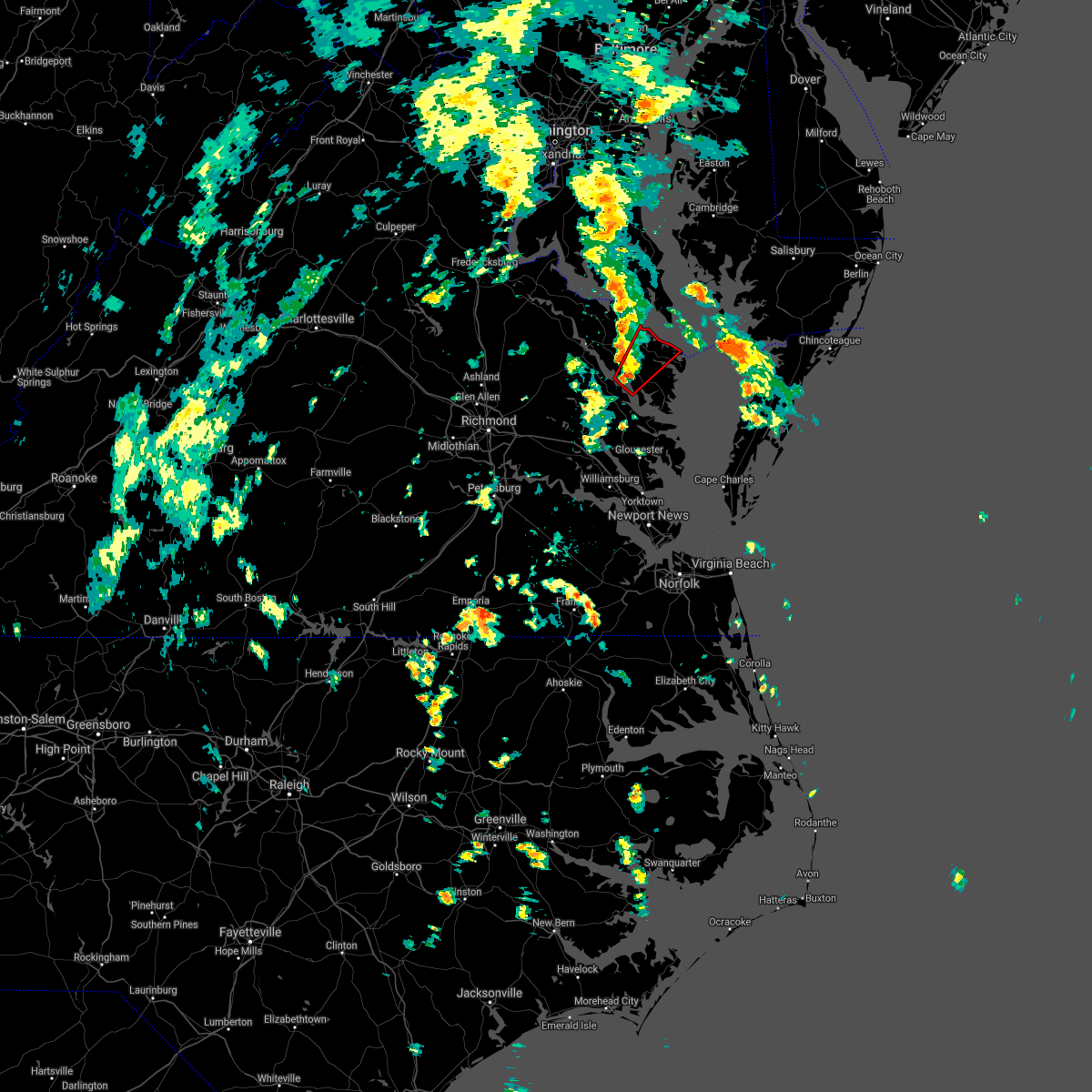 At 227 pm edt, a severe thunderstorm capable of producing a tornado was located over morattico, or near robley, moving northeast at 40 mph (radar indicated rotation). Hazards include tornado. Flying debris will be dangerous to those caught without shelter. mobile homes will be damaged or destroyed. damage to roofs, windows, and vehicles will occur. tree damage is likely. this dangerous storm will be near, robley around 235 pm edt. callao and heathsville around 245 pm edt. lewisetta around 255 pm edt. Other locations impacted by this tornadic thunderstorm include lara, browns store, lottsburg, somers, alfonso, avalon, nuttsville, moon corner, belle isle state park and hull neck. At 227 pm edt, a severe thunderstorm capable of producing a tornado was located over morattico, or near robley, moving northeast at 40 mph (radar indicated rotation). Hazards include tornado. Flying debris will be dangerous to those caught without shelter. mobile homes will be damaged or destroyed. damage to roofs, windows, and vehicles will occur. tree damage is likely. this dangerous storm will be near, robley around 235 pm edt. callao and heathsville around 245 pm edt. lewisetta around 255 pm edt. Other locations impacted by this tornadic thunderstorm include lara, browns store, lottsburg, somers, alfonso, avalon, nuttsville, moon corner, belle isle state park and hull neck.
|
| 9/1/2021 1:37 PM EDT |
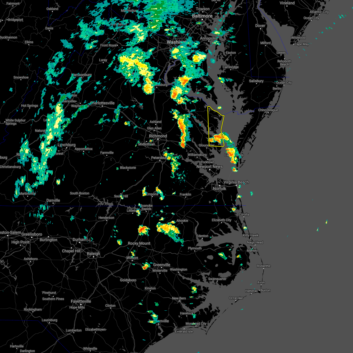 At 136 pm edt, a severe thunderstorm was located over deltaville, moving north at 45 mph (radar indicated). Hazards include 60 mph wind gusts. Expect damage to trees and powerlines. this severe thunderstorm will be near, white stone around 145 pm edt. kilmarnock around 155 pm edt. wicomico church around 200 pm edt. fair port around 205 pm edt. other locations impacted by this severe thunderstorm include byrdton, moon, regina, avalon, brook vale, grafton, reedville, amburg, millenbeck and edwardsville. hail threat, radar indicated max hail size, <. 75 in wind threat, radar indicated max wind gust, 60 mph. At 136 pm edt, a severe thunderstorm was located over deltaville, moving north at 45 mph (radar indicated). Hazards include 60 mph wind gusts. Expect damage to trees and powerlines. this severe thunderstorm will be near, white stone around 145 pm edt. kilmarnock around 155 pm edt. wicomico church around 200 pm edt. fair port around 205 pm edt. other locations impacted by this severe thunderstorm include byrdton, moon, regina, avalon, brook vale, grafton, reedville, amburg, millenbeck and edwardsville. hail threat, radar indicated max hail size, <. 75 in wind threat, radar indicated max wind gust, 60 mph.
|
| 8/22/2021 3:36 PM EDT |
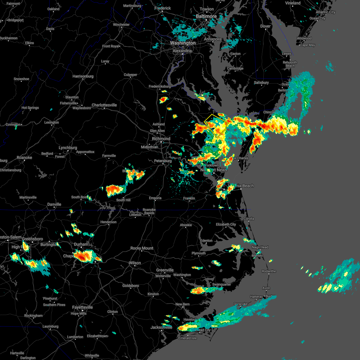 The severe thunderstorm warning for central northumberland, southeastern richmond and lancaster counties will expire at 345 pm edt, the storm which prompted the warning has weakened below severe limits, and no longer poses an immediate threat to life or property. therefore, the warning will be allowed to expire. however heavy rain is still possible with this thunderstorm. in additon, a flash flood warning has been issued for portions of the area. The severe thunderstorm warning for central northumberland, southeastern richmond and lancaster counties will expire at 345 pm edt, the storm which prompted the warning has weakened below severe limits, and no longer poses an immediate threat to life or property. therefore, the warning will be allowed to expire. however heavy rain is still possible with this thunderstorm. in additon, a flash flood warning has been issued for portions of the area.
|
| 8/22/2021 3:00 PM EDT | Trees down on browns store road. time estimate in northumberland county VA, 8.2 miles NNW of Heathsville, VA |
| 8/22/2021 2:53 PM EDT |
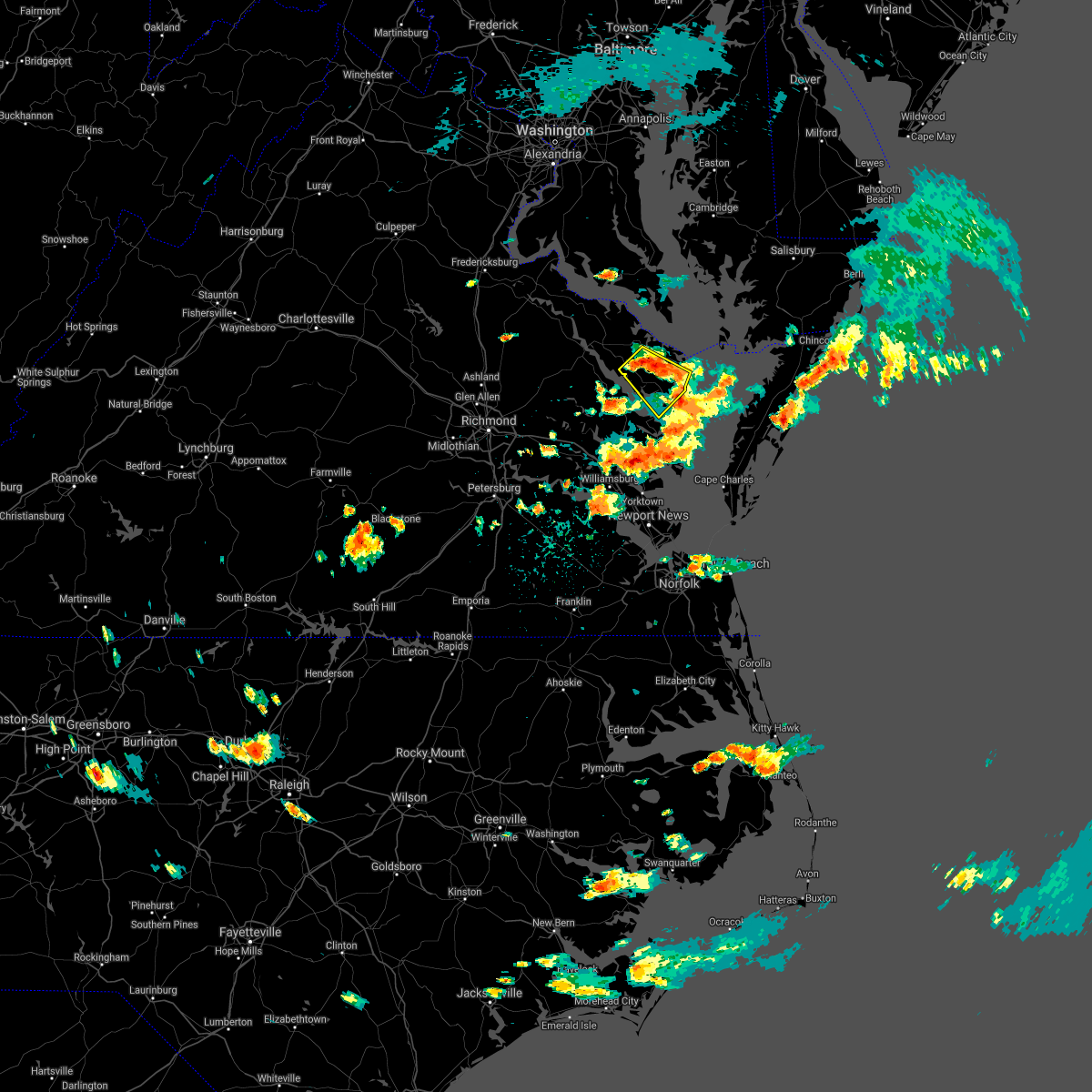 At 253 pm edt, a severe thunderstorm was located near heathsville, or near robley, moving southeast at 10 mph (radar indicated). Hazards include 60 mph wind gusts and quarter size hail. Minor damage to vehicles is possible. expect wind damage to trees and powerlines. this severe thunderstorm will be near, lancaster around 335 pm edt. kilmarnock, fair port and wicomico church around 345 pm edt. other locations impacted by this severe thunderstorm include lara, byrdton, browns store, somers, weems, regina, mollusk, alfonso, brook vale and nuttsville. hail threat, radar indicated max hail size, 1. 00 in wind threat, radar indicated max wind gust, 60 mph. At 253 pm edt, a severe thunderstorm was located near heathsville, or near robley, moving southeast at 10 mph (radar indicated). Hazards include 60 mph wind gusts and quarter size hail. Minor damage to vehicles is possible. expect wind damage to trees and powerlines. this severe thunderstorm will be near, lancaster around 335 pm edt. kilmarnock, fair port and wicomico church around 345 pm edt. other locations impacted by this severe thunderstorm include lara, byrdton, browns store, somers, weems, regina, mollusk, alfonso, brook vale and nuttsville. hail threat, radar indicated max hail size, 1. 00 in wind threat, radar indicated max wind gust, 60 mph.
|
| 7/14/2021 7:12 PM EDT |
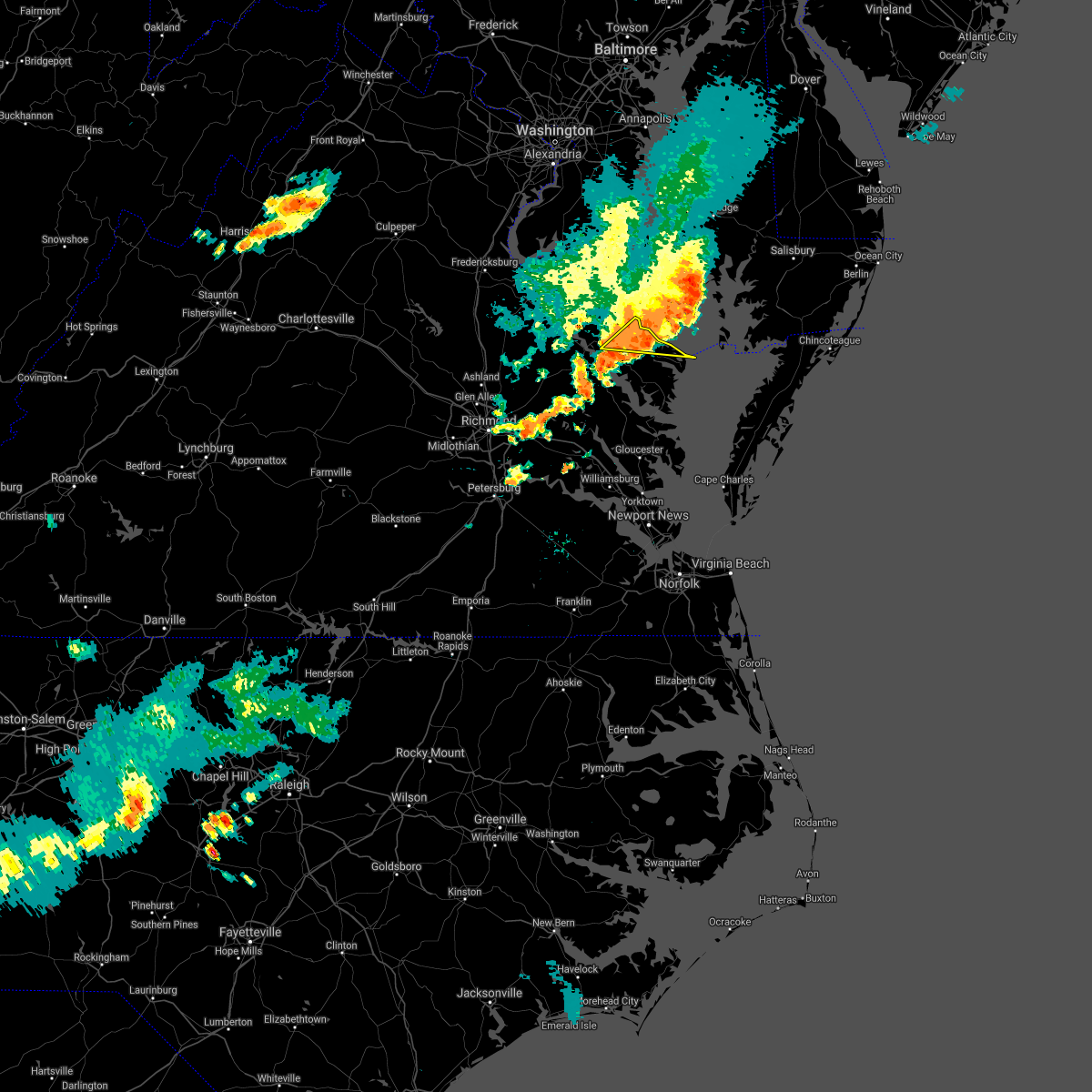 At 712 pm edt, a severe thunderstorm was located over heathsville, or near callao, moving southeast at 25 mph (radar indicated). Hazards include 60 mph wind gusts and penny size hail. Expect damage to trees and powerlines. This severe thunderstorm will remain over mainly rural areas of northern northumberland, east central richmond and southeastern westmoreland counties, including the following locations, edwardsville, lottsburg, opheila, village, middletons corner, westmoreland, gibeon, sandy point, hull neck and avalon. At 712 pm edt, a severe thunderstorm was located over heathsville, or near callao, moving southeast at 25 mph (radar indicated). Hazards include 60 mph wind gusts and penny size hail. Expect damage to trees and powerlines. This severe thunderstorm will remain over mainly rural areas of northern northumberland, east central richmond and southeastern westmoreland counties, including the following locations, edwardsville, lottsburg, opheila, village, middletons corner, westmoreland, gibeon, sandy point, hull neck and avalon.
|
| 7/14/2021 7:00 PM EDT | Trees downed along us-360. time radar-estimate in northumberland county VA, 4.1 miles SSE of Heathsville, VA |
| 7/14/2021 6:47 PM EDT |
 At 646 pm edt, a severe thunderstorm was located over kinsale, or near callao, moving east at 30 mph (radar indicated). Hazards include 60 mph wind gusts and penny size hail. Expect damage to trees and powerlines. this severe thunderstorm will be near, callao around 650 pm edt. lewisetta around 700 pm edt. Other locations impacted by this severe thunderstorm include ethel, currioman landing, lottsburg, threeway, village, mount holly, oldhams, hull neck, edwardsville and lyells. At 646 pm edt, a severe thunderstorm was located over kinsale, or near callao, moving east at 30 mph (radar indicated). Hazards include 60 mph wind gusts and penny size hail. Expect damage to trees and powerlines. this severe thunderstorm will be near, callao around 650 pm edt. lewisetta around 700 pm edt. Other locations impacted by this severe thunderstorm include ethel, currioman landing, lottsburg, threeway, village, mount holly, oldhams, hull neck, edwardsville and lyells.
|
| 7/1/2021 5:10 PM EDT |
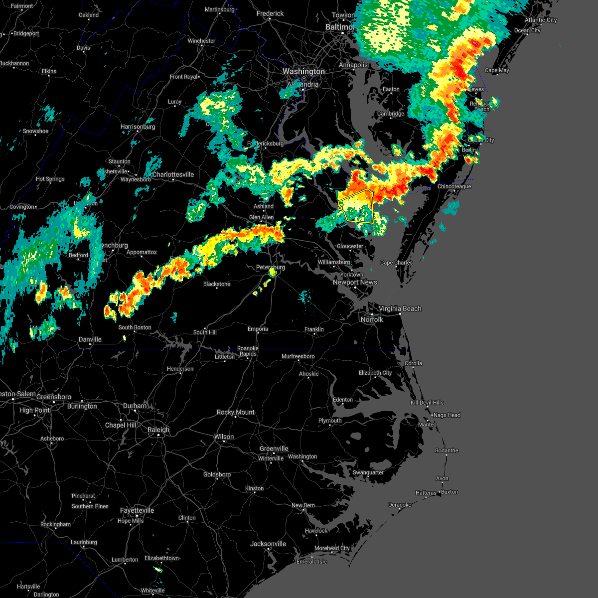 At 509 pm edt, severe thunderstorms were located along a line extending from near morattico to 6 miles southwest of tylerton, moving east at 30 mph (radar indicated). Hazards include 60 mph wind gusts and penny size hail. Expect damage to trees and powerlines. Locations impacted include, kilmarnock, fair port, robley, lancaster, morattico, wicomico church, byrdton, regina, mollusk, senora, avalon, brook vale, nuttsville, bertrand, reedville, belle isle state park, millenbeck, edwardsville, christ church and rehoboth church. At 509 pm edt, severe thunderstorms were located along a line extending from near morattico to 6 miles southwest of tylerton, moving east at 30 mph (radar indicated). Hazards include 60 mph wind gusts and penny size hail. Expect damage to trees and powerlines. Locations impacted include, kilmarnock, fair port, robley, lancaster, morattico, wicomico church, byrdton, regina, mollusk, senora, avalon, brook vale, nuttsville, bertrand, reedville, belle isle state park, millenbeck, edwardsville, christ church and rehoboth church.
|
| 7/1/2021 4:46 PM EDT |
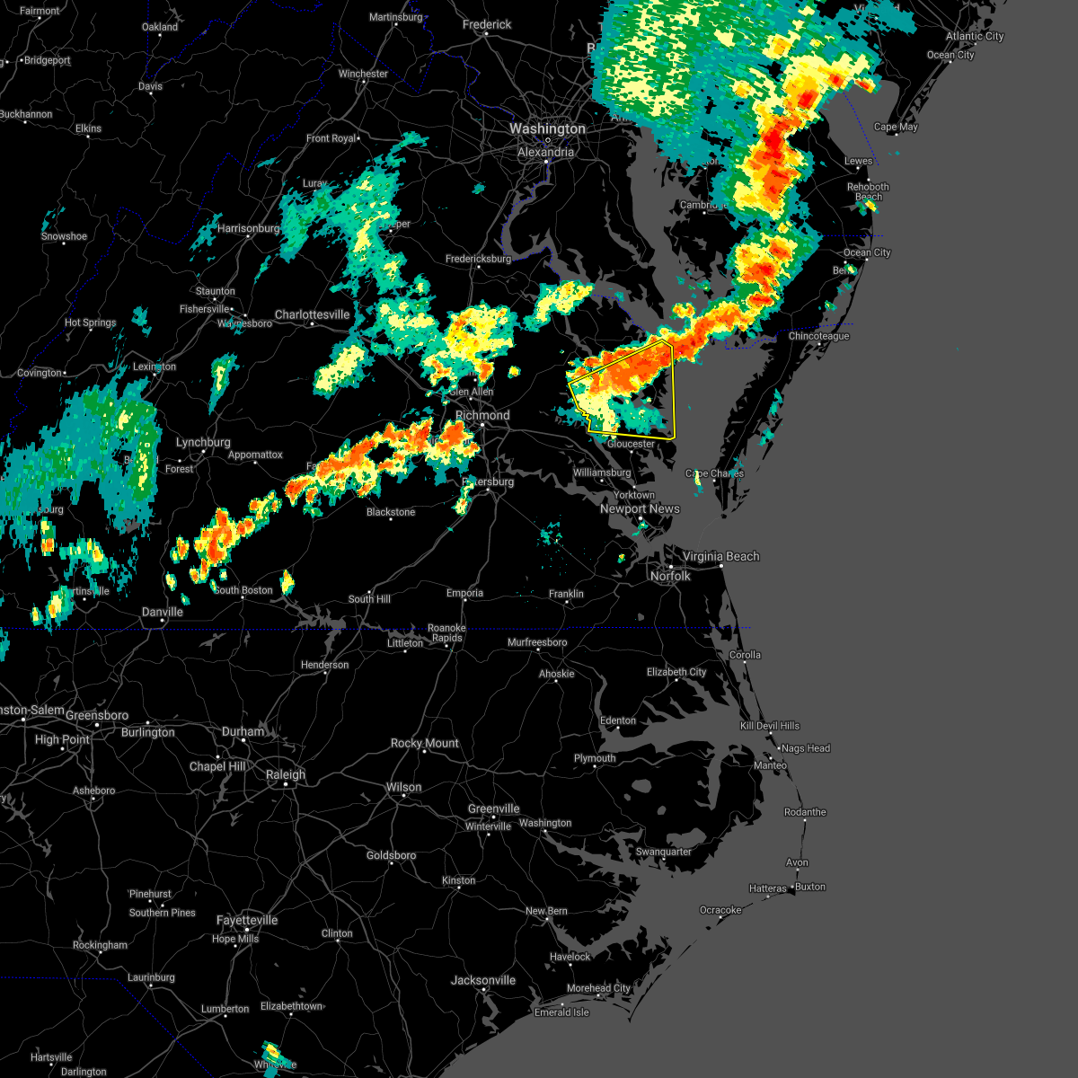 At 445 pm edt, severe thunderstorms were located along a line extending from near jamaica to fair port, moving east at 35 mph (radar indicated). Hazards include 60 mph wind gusts and penny size hail. Expect damage to trees and powerlines. Locations impacted include, west point, kilmarnock, urbanna, fair port, deltaville, robley, lancaster, white stone, morattico, saluda, wicomico church, jamaica, gwynn, church view, hartfield, glenns, blakes, little plymouth, shacklefords and byrdton. At 445 pm edt, severe thunderstorms were located along a line extending from near jamaica to fair port, moving east at 35 mph (radar indicated). Hazards include 60 mph wind gusts and penny size hail. Expect damage to trees and powerlines. Locations impacted include, west point, kilmarnock, urbanna, fair port, deltaville, robley, lancaster, white stone, morattico, saluda, wicomico church, jamaica, gwynn, church view, hartfield, glenns, blakes, little plymouth, shacklefords and byrdton.
|
| 7/1/2021 4:28 PM EDT |
 At 427 pm edt, severe thunderstorms were located along a line extending from near little plymouth to barhamsville, moving east at 30 mph (radar indicated). Hazards include 60 mph wind gusts and quarter size hail. Minor damage to vehicles is possible. Expect wind damage to trees and powerlines. At 427 pm edt, severe thunderstorms were located along a line extending from near little plymouth to barhamsville, moving east at 30 mph (radar indicated). Hazards include 60 mph wind gusts and quarter size hail. Minor damage to vehicles is possible. Expect wind damage to trees and powerlines.
|
| 6/4/2021 4:57 PM EDT |
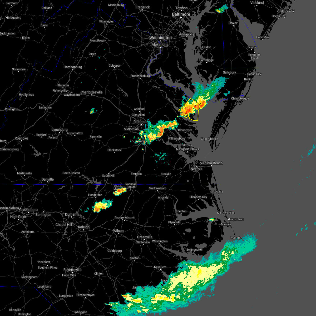 The severe thunderstorm warning for northumberland and lancaster counties will expire at 500 pm edt, the storms which prompted the warning have weakened below severe limits, and no longer pose an immediate threat to life or property. therefore, the warning will be allowed to expire. however gusty winds to 40 mph are still possible with these thunderstorms. a severe thunderstorm watch remains in effect until 900 pm edt for eastern and east central virginia. The severe thunderstorm warning for northumberland and lancaster counties will expire at 500 pm edt, the storms which prompted the warning have weakened below severe limits, and no longer pose an immediate threat to life or property. therefore, the warning will be allowed to expire. however gusty winds to 40 mph are still possible with these thunderstorms. a severe thunderstorm watch remains in effect until 900 pm edt for eastern and east central virginia.
|
| 6/4/2021 4:49 PM EDT |
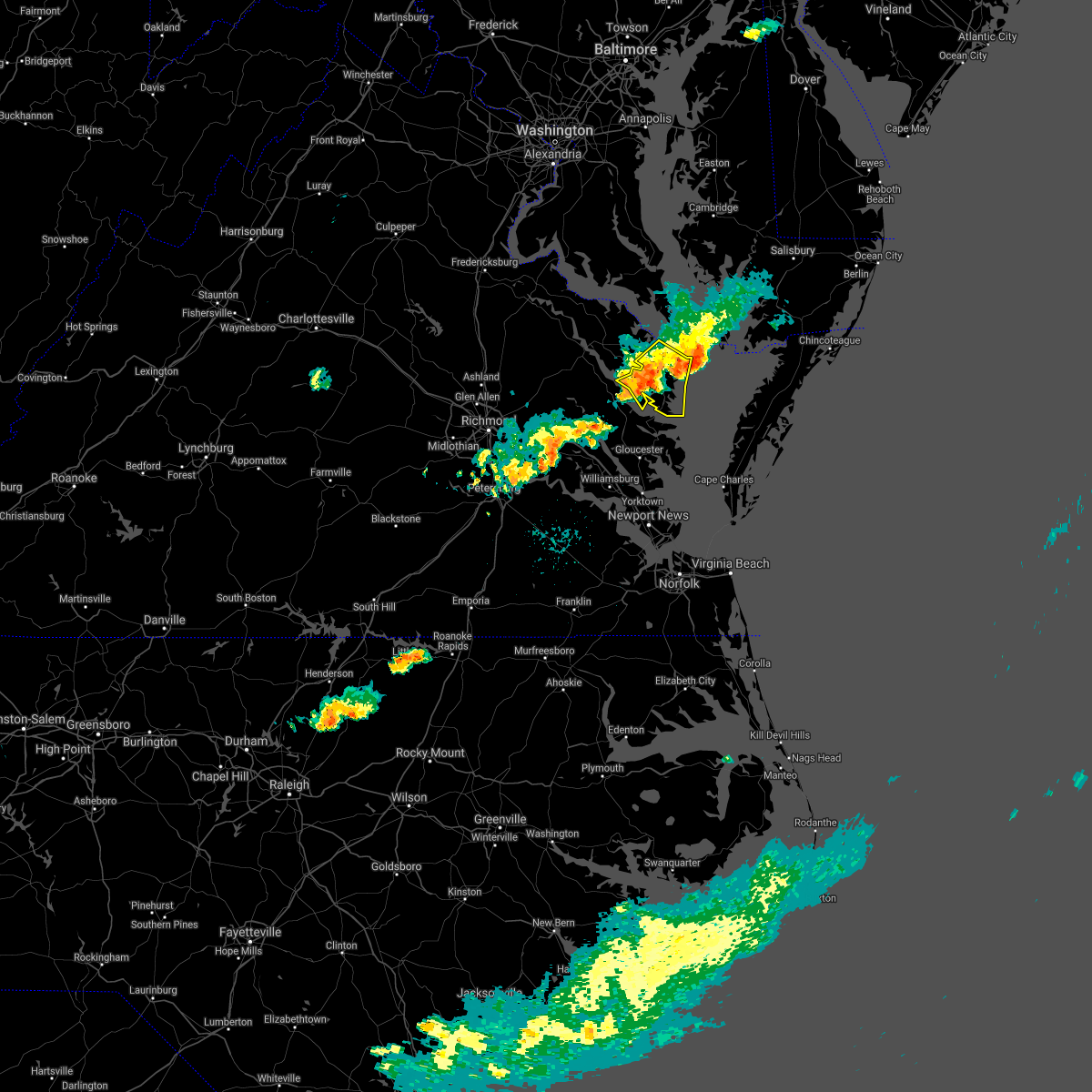 At 449 pm edt, severe thunderstorms were located along a line extending from near fair port to near urbanna, moving southeast at 35 mph (radar indicated). Hazards include 60 mph wind gusts. Expect damage to trees and powerlines. Locations impacted include, kilmarnock, fair port, lancaster, white stone, morattico, heathsville, wicomico church, byrdton, regina, mollusk, senora, avalon, brook vale, nuttsville, bertrand, reedville, belle isle state park, millenbeck, edwardsville and christ church. At 449 pm edt, severe thunderstorms were located along a line extending from near fair port to near urbanna, moving southeast at 35 mph (radar indicated). Hazards include 60 mph wind gusts. Expect damage to trees and powerlines. Locations impacted include, kilmarnock, fair port, lancaster, white stone, morattico, heathsville, wicomico church, byrdton, regina, mollusk, senora, avalon, brook vale, nuttsville, bertrand, reedville, belle isle state park, millenbeck, edwardsville and christ church.
|
| 6/4/2021 4:34 PM EDT |
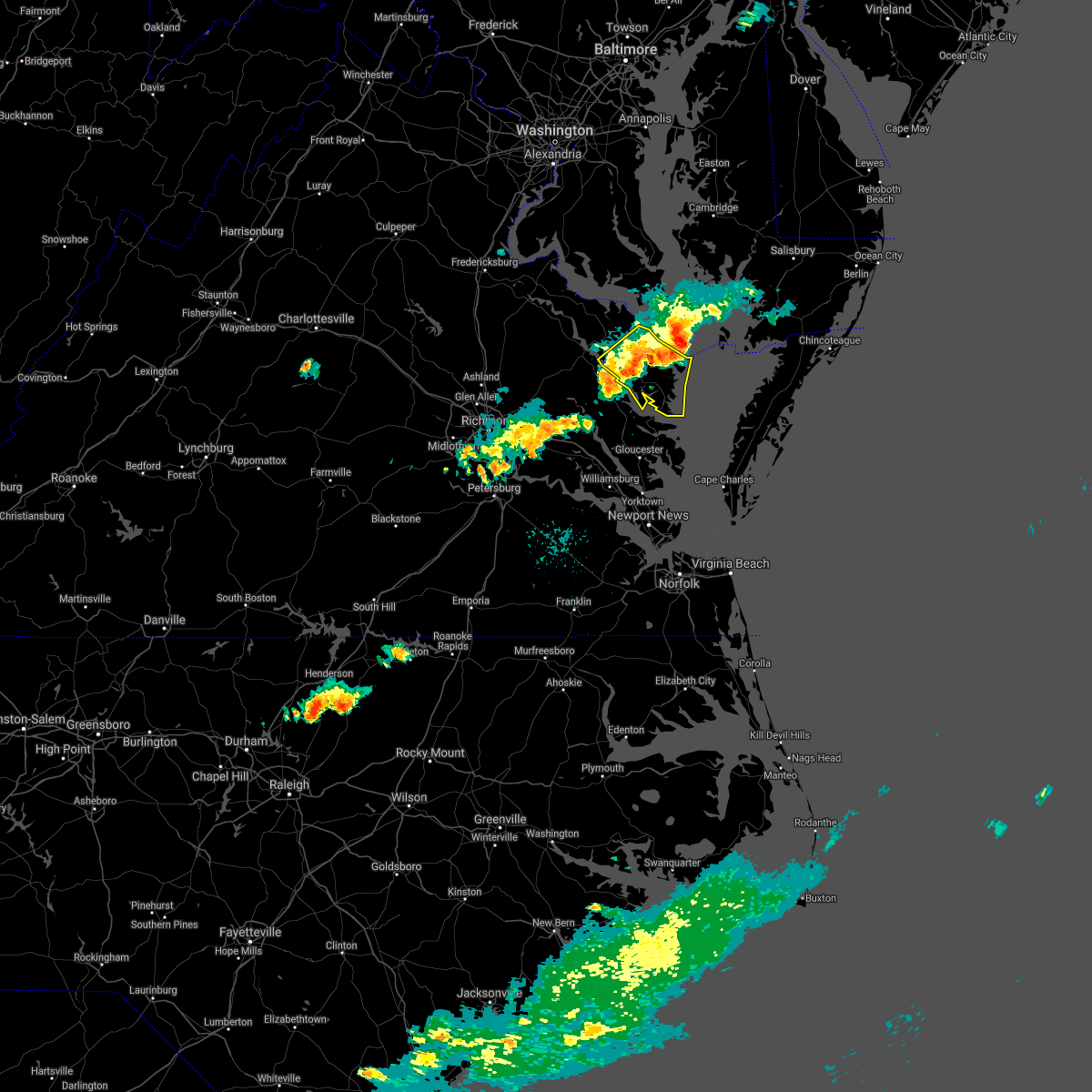 At 433 pm edt, severe thunderstorms were located along a line extending from 7 miles southeast of saint inigoes creek to farnham, moving east at 30 mph (radar indicated). Hazards include 60 mph wind gusts. Expect damage to trees and powerlines. Locations impacted include, kilmarnock, fair port, robley, callao, lancaster, white stone, morattico, heathsville, wicomico church, farnham, haynesville, lewisetta, sharps, byrdton, lottsburg, avalon, brook vale, bertrand, reedville and belle isle state park. At 433 pm edt, severe thunderstorms were located along a line extending from 7 miles southeast of saint inigoes creek to farnham, moving east at 30 mph (radar indicated). Hazards include 60 mph wind gusts. Expect damage to trees and powerlines. Locations impacted include, kilmarnock, fair port, robley, callao, lancaster, white stone, morattico, heathsville, wicomico church, farnham, haynesville, lewisetta, sharps, byrdton, lottsburg, avalon, brook vale, bertrand, reedville and belle isle state park.
|
| 6/4/2021 4:21 PM EDT |
 At 421 pm edt, severe thunderstorms were located along a line extending from near saint inigoes creek to near sharps, moving east at 30 mph (radar indicated). Hazards include 60 mph wind gusts. Expect damage to trees and powerlines. Locations impacted include, tappahannock, warsaw, kilmarnock, fair port, robley, callao, lancaster, white stone, morattico, heathsville, wicomico church, farnham, haynesville, lewisetta, sharps, byrdton, lottsburg, avalon, brook vale and bertrand. At 421 pm edt, severe thunderstorms were located along a line extending from near saint inigoes creek to near sharps, moving east at 30 mph (radar indicated). Hazards include 60 mph wind gusts. Expect damage to trees and powerlines. Locations impacted include, tappahannock, warsaw, kilmarnock, fair port, robley, callao, lancaster, white stone, morattico, heathsville, wicomico church, farnham, haynesville, lewisetta, sharps, byrdton, lottsburg, avalon, brook vale and bertrand.
|
| 6/4/2021 3:59 PM EDT | Power outage reported due to storm. time estimate in westmoreland county VA, 11.2 miles SSE of Heathsville, VA |
| 6/4/2021 3:59 PM EDT |
 The national weather service in wakefield has issued a * severe thunderstorm warning for. northumberland county in eastern virginia. richmond county in east central virginia. southeastern westmoreland county in east central virginia. East central essex county in east central virginia. The national weather service in wakefield has issued a * severe thunderstorm warning for. northumberland county in eastern virginia. richmond county in east central virginia. southeastern westmoreland county in east central virginia. East central essex county in east central virginia.
|
| 5/28/2021 7:54 PM EDT |
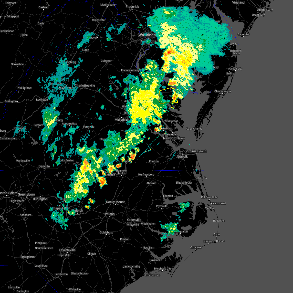 The severe thunderstorm warning for northwestern middlesex, northwestern northumberland, richmond, southeastern westmoreland, southeastern essex and northwestern lancaster counties will expire at 800 pm edt, the storm which prompted the warning has weakened below severe limits, and no longer poses an immediate threat to life or property. therefore, the warning will be allowed to expire. however gusty winds to 45 mph and heavy rain are still possible with this thunderstorm. The severe thunderstorm warning for northwestern middlesex, northwestern northumberland, richmond, southeastern westmoreland, southeastern essex and northwestern lancaster counties will expire at 800 pm edt, the storm which prompted the warning has weakened below severe limits, and no longer poses an immediate threat to life or property. therefore, the warning will be allowed to expire. however gusty winds to 45 mph and heavy rain are still possible with this thunderstorm.
|
| 5/28/2021 7:32 PM EDT |
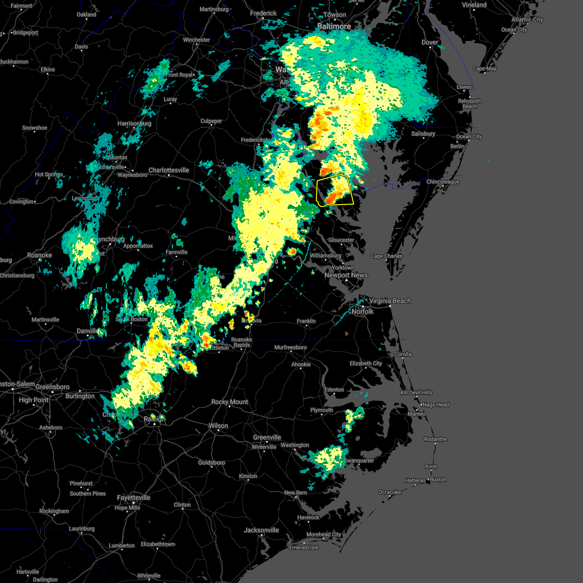 At 732 pm edt, a severe thunderstorm was located over farnham, or near robley, moving east at 30 mph (radar indicated). Hazards include 60 mph wind gusts and penny size hail. Expect damage to trees and powerlines. this severe storm will be near, morattico around 735 pm edt. robley around 740 pm edt. heathsville around 750 pm edt. lancaster around 755 pm edt. Other locations impacted by this severe thunderstorm include lottsburg, threeway, regina, nuttsville, belle isle state park, tidewater, middletons corner, kennard, dodlyt and laneview. At 732 pm edt, a severe thunderstorm was located over farnham, or near robley, moving east at 30 mph (radar indicated). Hazards include 60 mph wind gusts and penny size hail. Expect damage to trees and powerlines. this severe storm will be near, morattico around 735 pm edt. robley around 740 pm edt. heathsville around 750 pm edt. lancaster around 755 pm edt. Other locations impacted by this severe thunderstorm include lottsburg, threeway, regina, nuttsville, belle isle state park, tidewater, middletons corner, kennard, dodlyt and laneview.
|
| 5/28/2021 7:10 PM EDT |
 At 709 pm edt, a severe thunderstorm was located over dunnsville, or near tappahannock, moving east at 30 mph (radar indicated). Hazards include 60 mph wind gusts and penny size hail. Expect damage to trees and powerlines. this severe thunderstorm will be near, center cross around 715 pm edt. warsaw and sharps around 725 pm edt. haynesville and morattico around 730 pm edt. robley and farnham around 735 pm edt. callao and kinsale around 740 pm edt. heathsville and lewisetta around 750 pm edt. Other locations impacted by this severe thunderstorm include lottsburg, threeway, regina, upright, nuttsville, ino, belle isle state park, tidewater, lyells and crouch. At 709 pm edt, a severe thunderstorm was located over dunnsville, or near tappahannock, moving east at 30 mph (radar indicated). Hazards include 60 mph wind gusts and penny size hail. Expect damage to trees and powerlines. this severe thunderstorm will be near, center cross around 715 pm edt. warsaw and sharps around 725 pm edt. haynesville and morattico around 730 pm edt. robley and farnham around 735 pm edt. callao and kinsale around 740 pm edt. heathsville and lewisetta around 750 pm edt. Other locations impacted by this severe thunderstorm include lottsburg, threeway, regina, upright, nuttsville, ino, belle isle state park, tidewater, lyells and crouch.
|
| 5/28/2021 3:35 PM EDT | Tree downed along northumberland highway (us-360) between callao and lottsbur in northumberland county VA, 4.1 miles SSE of Heathsville, VA |
| 5/28/2021 3:25 PM EDT | Corrects previous time of tstm wnd dmg report from lottsburg. tree downed along northumberland highway (us-360) between callao and lottsbur in northumberland county VA, 4.1 miles SSE of Heathsville, VA |
| 5/28/2021 3:24 PM EDT |
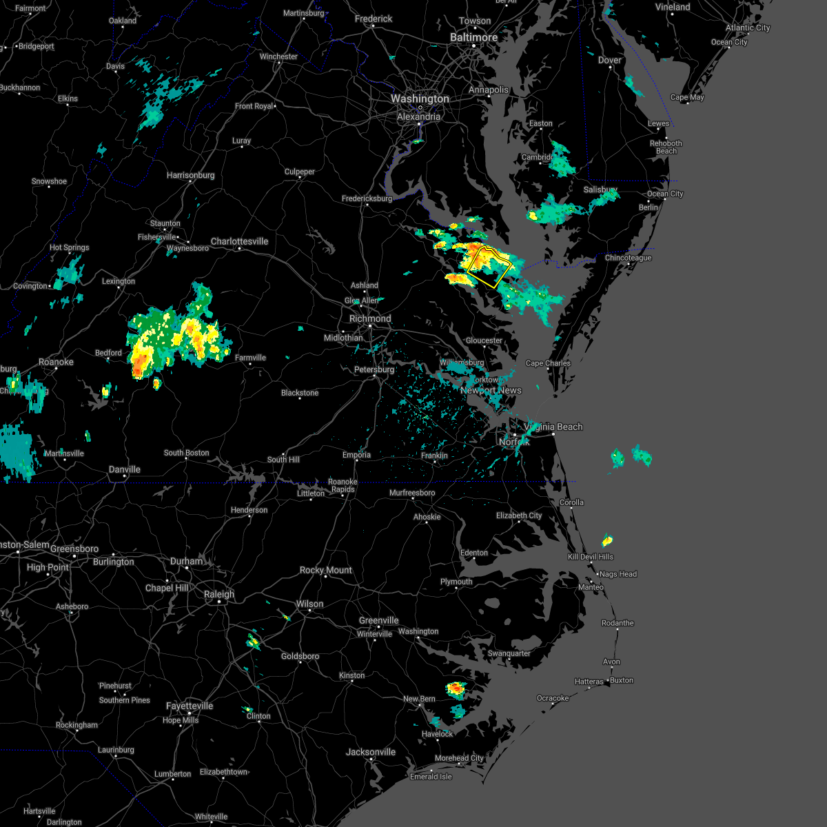 At 324 pm edt, severe thunderstorms were located along a line extending from kinsale to near lewisetta, moving northeast at 30 mph (radar indicated). Hazards include 60 mph wind gusts. Expect damage to trees and powerlines. These severe thunderstorms will remain over mainly rural areas of northumberland, southeastern richmond and north central lancaster counties, including the following locations, lara, browns store, lottsburg, village, alfonso, avalon, moon corner, hull neck, edwardsville and howland. At 324 pm edt, severe thunderstorms were located along a line extending from kinsale to near lewisetta, moving northeast at 30 mph (radar indicated). Hazards include 60 mph wind gusts. Expect damage to trees and powerlines. These severe thunderstorms will remain over mainly rural areas of northumberland, southeastern richmond and north central lancaster counties, including the following locations, lara, browns store, lottsburg, village, alfonso, avalon, moon corner, hull neck, edwardsville and howland.
|
| 5/28/2021 3:09 PM EDT |
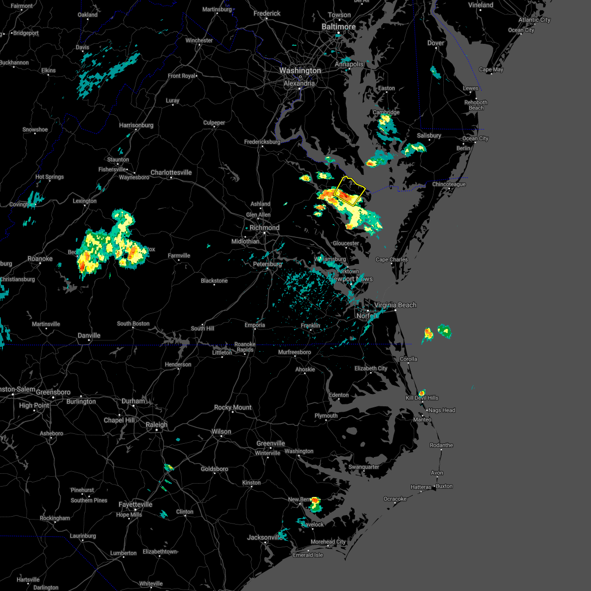 At 308 pm edt, a severe thunderstorm was located over robley, moving northeast at 35 mph (radar indicated). Hazards include 60 mph wind gusts and quarter size hail. Minor damage to vehicles is possible. expect wind damage to trees and powerlines. this severe thunderstorm will be near, callao and heathsville around 325 pm edt. lewisetta around 330 pm edt. Other locations impacted by this severe thunderstorm include lara, browns store, lottsburg, village, alfonso, avalon, moon corner, hull neck, edwardsville and howland. At 308 pm edt, a severe thunderstorm was located over robley, moving northeast at 35 mph (radar indicated). Hazards include 60 mph wind gusts and quarter size hail. Minor damage to vehicles is possible. expect wind damage to trees and powerlines. this severe thunderstorm will be near, callao and heathsville around 325 pm edt. lewisetta around 330 pm edt. Other locations impacted by this severe thunderstorm include lara, browns store, lottsburg, village, alfonso, avalon, moon corner, hull neck, edwardsville and howland.
|
| 5/28/2021 3:00 PM EDT | Numerous trees and power lines down on shore drive and sycamore ln off of morattico r in lancaster county VA, 9.8 miles NE of Heathsville, VA |
| 5/28/2021 2:56 PM EDT | Trees and power lines down in lancaster shore in lancaster county VA, 10.1 miles NE of Heathsville, VA |
| 5/28/2021 2:12 PM EDT | Trees dow in westmoreland county VA, 10.3 miles SSE of Heathsville, VA |
| 5/4/2021 7:19 PM EDT |
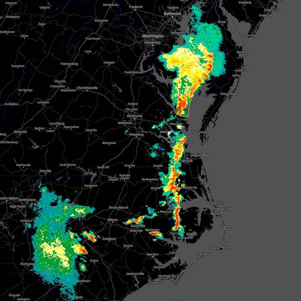 At 719 pm edt, severe thunderstorms were located along a line extending from near fair port to near white stone, moving northeast at 45 mph (radar indicated). Hazards include 70 mph wind gusts. Expect considerable tree damage. damage is likely to mobile homes, roofs, and outbuildings. These severe thunderstorms will remain over mainly rural areas of northumberland and lancaster counties, including the following locations, byrdton, browns store, weems, regina, alfonso, slabtown, avalon, brook vale, reedville and lilian. At 719 pm edt, severe thunderstorms were located along a line extending from near fair port to near white stone, moving northeast at 45 mph (radar indicated). Hazards include 70 mph wind gusts. Expect considerable tree damage. damage is likely to mobile homes, roofs, and outbuildings. These severe thunderstorms will remain over mainly rural areas of northumberland and lancaster counties, including the following locations, byrdton, browns store, weems, regina, alfonso, slabtown, avalon, brook vale, reedville and lilian.
|
| 5/4/2021 6:54 PM EDT |
 At 654 pm edt, severe thunderstorms were located along a line extending from near saint inigoes creek to near shacklefords, moving east at 40 mph (radar indicated). Hazards include 60 mph wind gusts. Expect damage to trees and powerlines. severe thunderstorms will be near, kilmarnock, lancaster and white stone around 720 pm edt. fair port around 735 pm edt. Other locations impacted by these severe thunderstorms include byrdton, regina, mollusk, senora, avalon, brook vale, nuttsville, harmony village, bertrand and reedville. At 654 pm edt, severe thunderstorms were located along a line extending from near saint inigoes creek to near shacklefords, moving east at 40 mph (radar indicated). Hazards include 60 mph wind gusts. Expect damage to trees and powerlines. severe thunderstorms will be near, kilmarnock, lancaster and white stone around 720 pm edt. fair port around 735 pm edt. Other locations impacted by these severe thunderstorms include byrdton, regina, mollusk, senora, avalon, brook vale, nuttsville, harmony village, bertrand and reedville.
|
| 5/4/2021 6:50 PM EDT |
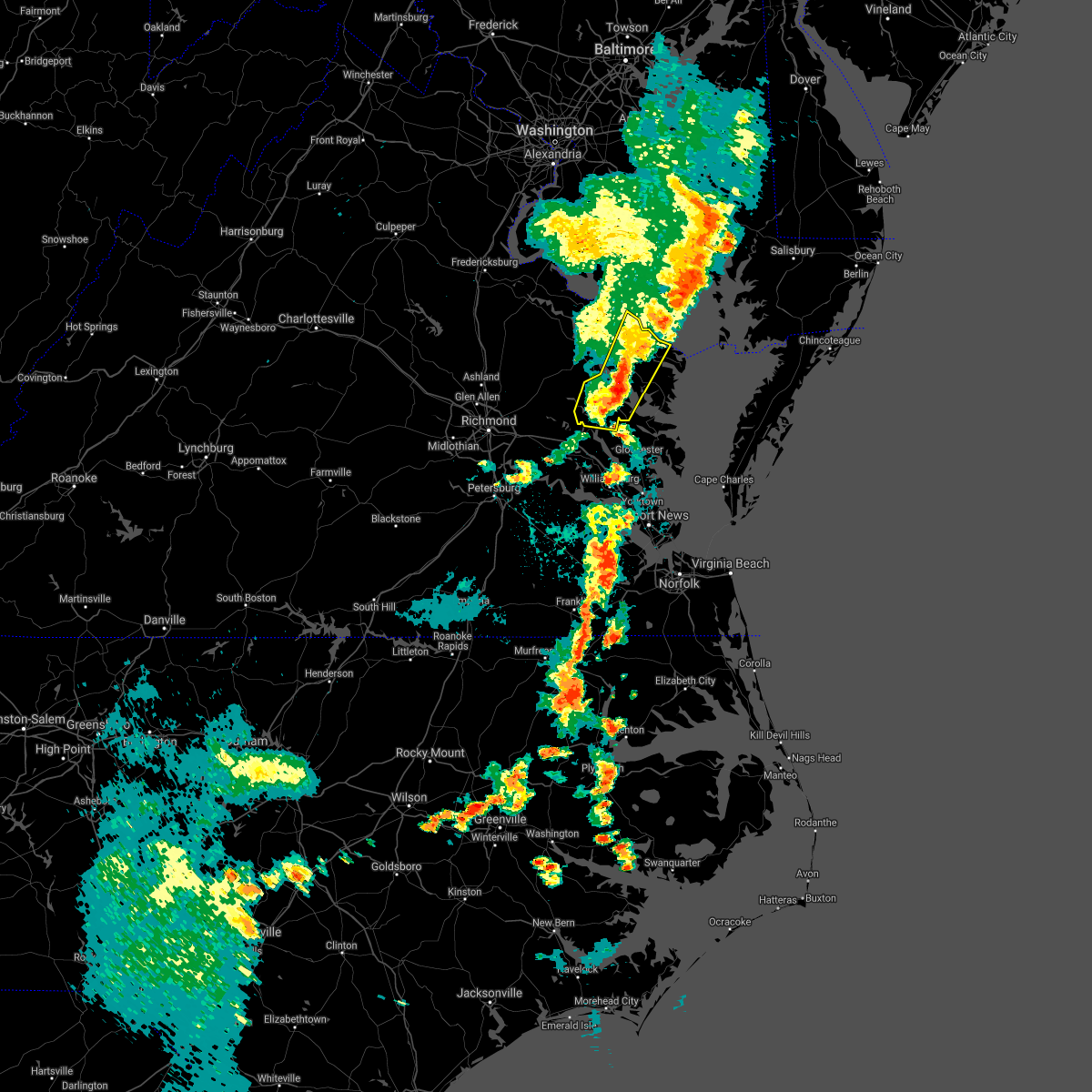 At 650 pm edt, severe thunderstorms were located along a line extending from near saint inigoes creek to church view, moving east at 50 mph (radar indicated). Hazards include 60 mph wind gusts. Expect damage to trees and powerlines. these severe storms will be near, lancaster around 705 pm edt. Other locations impacted by these severe thunderstorms include lottsburg, mollusk, avalon, nuttsville, ino, dragonville, belle isle state park, warner, tidewater and middletons corner. At 650 pm edt, severe thunderstorms were located along a line extending from near saint inigoes creek to church view, moving east at 50 mph (radar indicated). Hazards include 60 mph wind gusts. Expect damage to trees and powerlines. these severe storms will be near, lancaster around 705 pm edt. Other locations impacted by these severe thunderstorms include lottsburg, mollusk, avalon, nuttsville, ino, dragonville, belle isle state park, warner, tidewater and middletons corner.
|
| 5/4/2021 6:37 PM EDT |
 At 635 pm edt, severe thunderstorms were located along a line extending from saint george island to near little plymouth, moving east at 40 mph (radar indicated). Hazards include 60 mph wind gusts. Expect damage to trees and powerlines. these severe storms will be near, lewisetta around 640 pm edt. jamaica around 650 pm edt. church view around 655 pm edt. urbanna and saluda around 700 pm edt. Other locations impacted by these severe thunderstorms include eltham, currioman landing, lottsburg, threeway, avalon, cohoke, belle isle state park, rose garden, mattaponi and lyells. At 635 pm edt, severe thunderstorms were located along a line extending from saint george island to near little plymouth, moving east at 40 mph (radar indicated). Hazards include 60 mph wind gusts. Expect damage to trees and powerlines. these severe storms will be near, lewisetta around 640 pm edt. jamaica around 650 pm edt. church view around 655 pm edt. urbanna and saluda around 700 pm edt. Other locations impacted by these severe thunderstorms include eltham, currioman landing, lottsburg, threeway, avalon, cohoke, belle isle state park, rose garden, mattaponi and lyells.
|
| 5/4/2021 6:37 PM EDT |
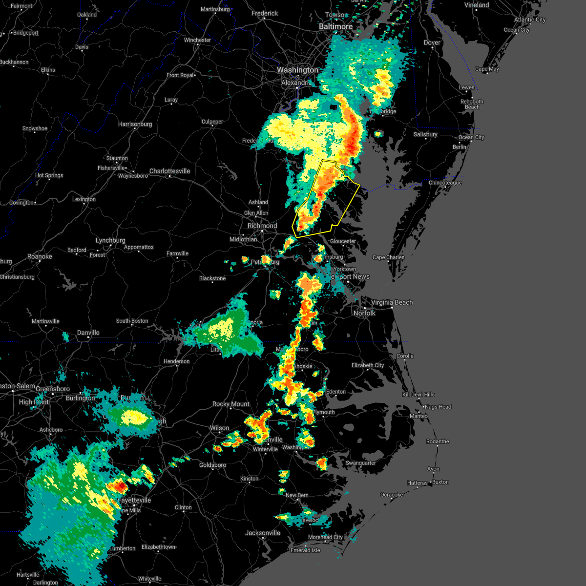 At 635 pm edt, severe thunderstorms were located along a line extending from saint george island to near little plymouth, moving east at 40 mph (radar indicated). Hazards include 60 mph wind gusts. Expect damage to trees and powerlines. these severe storms will be near, lewisetta around 640 pm edt. jamaica around 650 pm edt. church view around 655 pm edt. urbanna and saluda around 700 pm edt. Other locations impacted by these severe thunderstorms include eltham, currioman landing, lottsburg, threeway, avalon, cohoke, belle isle state park, rose garden, mattaponi and lyells. At 635 pm edt, severe thunderstorms were located along a line extending from saint george island to near little plymouth, moving east at 40 mph (radar indicated). Hazards include 60 mph wind gusts. Expect damage to trees and powerlines. these severe storms will be near, lewisetta around 640 pm edt. jamaica around 650 pm edt. church view around 655 pm edt. urbanna and saluda around 700 pm edt. Other locations impacted by these severe thunderstorms include eltham, currioman landing, lottsburg, threeway, avalon, cohoke, belle isle state park, rose garden, mattaponi and lyells.
|
| 5/4/2021 6:11 PM EDT |
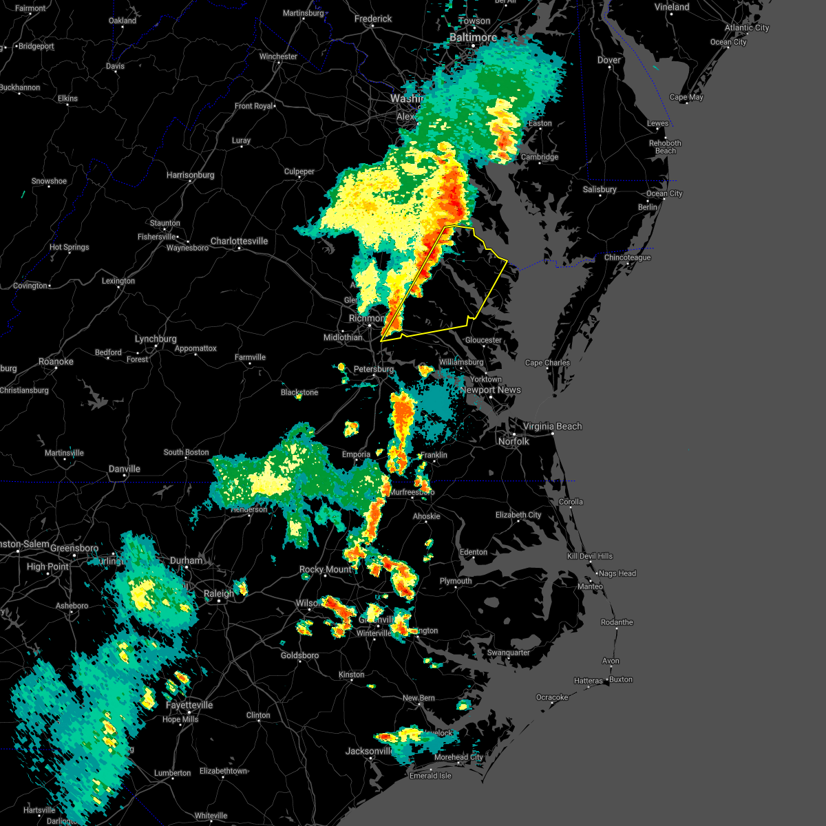 At 609 pm edt, severe thunderstorms were located along a line extending from near saint clements bay to bottoms bridge, moving east at 50 mph (radar indicated). Hazards include 60 mph wind gusts. Expect damage to trees and powerlines. severe thunderstorms will be near, new kent and king william around 625 pm edt. west point, king and queen court house and little plymouth around 635 pm edt. shacklefords around 640 pm edt. church view and jamaica around 645 pm edt. urbanna and saluda around 650 pm edt. lancaster around 700 pm edt. Other locations impacted by these severe thunderstorms include eltham, currioman landing, lottsburg, threeway, avalon, cohoke, belle isle state park, sandston, rose garden and mattaponi. At 609 pm edt, severe thunderstorms were located along a line extending from near saint clements bay to bottoms bridge, moving east at 50 mph (radar indicated). Hazards include 60 mph wind gusts. Expect damage to trees and powerlines. severe thunderstorms will be near, new kent and king william around 625 pm edt. west point, king and queen court house and little plymouth around 635 pm edt. shacklefords around 640 pm edt. church view and jamaica around 645 pm edt. urbanna and saluda around 650 pm edt. lancaster around 700 pm edt. Other locations impacted by these severe thunderstorms include eltham, currioman landing, lottsburg, threeway, avalon, cohoke, belle isle state park, sandston, rose garden and mattaponi.
|
| 5/3/2021 3:20 PM EDT | Damage to homes on lewisetta road and chambers lane. funnel cloud sighte in northumberland county VA, 6.2 miles S of Heathsville, VA |
| 8/4/2020 6:05 AM EDT |
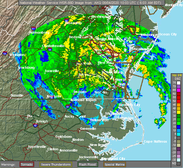 At 604 am edt, a confirmed tornado was located over heathsville, or near callao, moving northwest at 55 mph (radar confirmed tornado). Hazards include damaging tornado. Flying debris will be dangerous to those caught without shelter. mobile homes will be damaged or destroyed. damage to roofs, windows, and vehicles will occur. tree damage is likely. this tornado will be near, haynesville around 610 am edt. Other locations impacted by this tornadic thunderstorm include lara, howland, lottsburg, village, middletons corner, avalon, moon corner, gibeon, mulch and dodlyt. At 604 am edt, a confirmed tornado was located over heathsville, or near callao, moving northwest at 55 mph (radar confirmed tornado). Hazards include damaging tornado. Flying debris will be dangerous to those caught without shelter. mobile homes will be damaged or destroyed. damage to roofs, windows, and vehicles will occur. tree damage is likely. this tornado will be near, haynesville around 610 am edt. Other locations impacted by this tornadic thunderstorm include lara, howland, lottsburg, village, middletons corner, avalon, moon corner, gibeon, mulch and dodlyt.
|
| 8/4/2020 5:56 AM EDT |
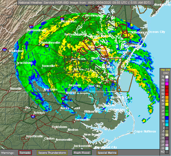 At 555 am edt, a confirmed tornado was located near lancaster, or 7 miles east of robley, moving northwest at 55 mph (radar confirmed tornado). Hazards include damaging tornado. Flying debris will be dangerous to those caught without shelter. mobile homes will be damaged or destroyed. damage to roofs, windows, and vehicles will occur. tree damage is likely. this tornado will be near, robley around 600 am edt. heathsville and farnham around 605 am edt. callao, lewisetta and haynesville around 610 am edt. Other locations impacted by this tornadic thunderstorm include lara, browns store, lottsburg, village, regina, alfonso, avalon, moon corner, brook vale and howland. At 555 am edt, a confirmed tornado was located near lancaster, or 7 miles east of robley, moving northwest at 55 mph (radar confirmed tornado). Hazards include damaging tornado. Flying debris will be dangerous to those caught without shelter. mobile homes will be damaged or destroyed. damage to roofs, windows, and vehicles will occur. tree damage is likely. this tornado will be near, robley around 600 am edt. heathsville and farnham around 605 am edt. callao, lewisetta and haynesville around 610 am edt. Other locations impacted by this tornadic thunderstorm include lara, browns store, lottsburg, village, regina, alfonso, avalon, moon corner, brook vale and howland.
|
| 8/4/2020 5:46 AM EDT |
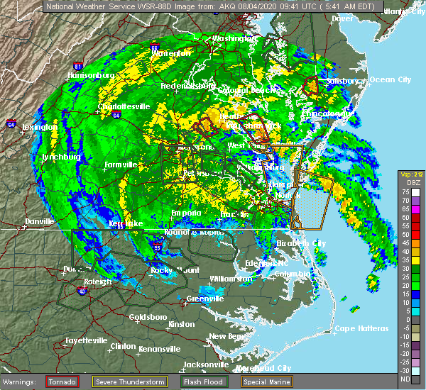 At 546 am edt, a confirmed tornado was located over kilmarnock, moving northwest at 55 mph (radar confirmed tornado). Hazards include damaging tornado. Flying debris will be dangerous to those caught without shelter. mobile homes will be damaged or destroyed. damage to roofs, windows, and vehicles will occur. tree damage is likely. this tornado will be near, lancaster around 550 am edt. wicomico church around 555 am edt. robley around 600 am edt. heathsville and farnham around 605 am edt. callao, lewisetta and haynesville around 610 am edt. Other locations impacted by this tornadic thunderstorm include lara, byrdton, browns store, lottsburg, somers, weems, village, regina, alfonso and avalon. At 546 am edt, a confirmed tornado was located over kilmarnock, moving northwest at 55 mph (radar confirmed tornado). Hazards include damaging tornado. Flying debris will be dangerous to those caught without shelter. mobile homes will be damaged or destroyed. damage to roofs, windows, and vehicles will occur. tree damage is likely. this tornado will be near, lancaster around 550 am edt. wicomico church around 555 am edt. robley around 600 am edt. heathsville and farnham around 605 am edt. callao, lewisetta and haynesville around 610 am edt. Other locations impacted by this tornadic thunderstorm include lara, byrdton, browns store, lottsburg, somers, weems, village, regina, alfonso and avalon.
|
| 8/4/2020 5:42 AM EDT |
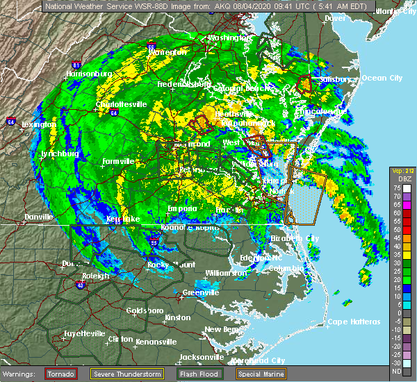 At 542 am edt, a severe thunderstorm capable of producing a tornado was located over white stone, or near kilmarnock, moving northwest at 55 mph (radar indicated rotation). Hazards include tornado. Flying debris will be dangerous to those caught without shelter. mobile homes will be damaged or destroyed. damage to roofs, windows, and vehicles will occur. tree damage is likely. this dangerous storm will be near, lancaster and wicomico church around 555 am edt. robley around 600 am edt. heathsville and farnham around 605 am edt. callao, lewisetta and haynesville around 610 am edt. Other locations impacted by this tornadic thunderstorm include lara, byrdton, browns store, lottsburg, somers, weems, village, regina, alfonso and avalon. At 542 am edt, a severe thunderstorm capable of producing a tornado was located over white stone, or near kilmarnock, moving northwest at 55 mph (radar indicated rotation). Hazards include tornado. Flying debris will be dangerous to those caught without shelter. mobile homes will be damaged or destroyed. damage to roofs, windows, and vehicles will occur. tree damage is likely. this dangerous storm will be near, lancaster and wicomico church around 555 am edt. robley around 600 am edt. heathsville and farnham around 605 am edt. callao, lewisetta and haynesville around 610 am edt. Other locations impacted by this tornadic thunderstorm include lara, byrdton, browns store, lottsburg, somers, weems, village, regina, alfonso and avalon.
|
| 7/28/2020 8:42 PM EDT |
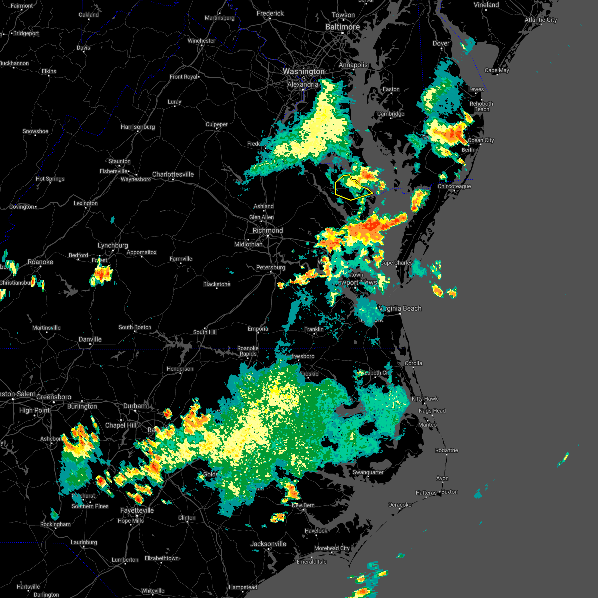 The severe thunderstorm warning for northern northumberland, east central richmond and southeastern westmoreland counties will expire at 845 pm edt, the storms which prompted the warning have moved out of the area. therefore, the warning will be allowed to expire. The severe thunderstorm warning for northern northumberland, east central richmond and southeastern westmoreland counties will expire at 845 pm edt, the storms which prompted the warning have moved out of the area. therefore, the warning will be allowed to expire.
|
| 7/28/2020 8:24 PM EDT | Tree knocked down. time estimated from rada in northumberland county VA, 5.6 miles SE of Heathsville, VA |
| 7/28/2020 8:24 PM EDT |
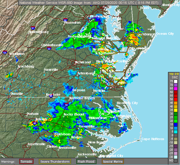 At 824 pm edt, severe thunderstorms were located along a line extending from near hague to callao to near robley, moving east at 25 mph (radar indicated). Hazards include 60 mph wind gusts. Expect damage to trees and powerlines. these severe storms will be near, lewisetta and heathsville around 835 pm edt. Other locations impacted by these severe thunderstorms include lara, lottsburg, village, avalon, moon corner, oldhams, hull neck, edwardsville, howland and opheila. At 824 pm edt, severe thunderstorms were located along a line extending from near hague to callao to near robley, moving east at 25 mph (radar indicated). Hazards include 60 mph wind gusts. Expect damage to trees and powerlines. these severe storms will be near, lewisetta and heathsville around 835 pm edt. Other locations impacted by these severe thunderstorms include lara, lottsburg, village, avalon, moon corner, oldhams, hull neck, edwardsville, howland and opheila.
|
| 7/28/2020 8:10 PM EDT | Tree knocked down. time estimated from rada in northumberland county VA, 0.8 miles SW of Heathsville, VA |
| 7/28/2020 8:01 PM EDT |
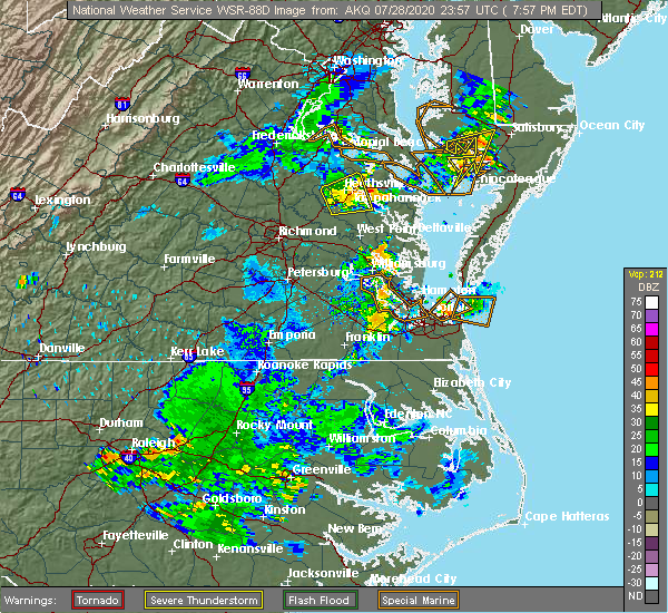 At 801 pm edt, severe thunderstorms were located along a line extending from near newland to warsaw to near sharps, moving east at 25 mph (radar indicated). Hazards include 60 mph wind gusts. Expect damage to trees and powerlines. severe thunderstorms will be near, haynesville around 810 pm edt. farnham around 815 pm edt. robley and hague around 820 pm edt. callao and kinsale around 825 pm edt. heathsville around 835 pm edt. lewisetta around 840 pm edt. Other locations impacted by these severe thunderstorms include lottsburg, threeway, avalon, mount holly, reedville, edwardsville, tidewater, lyells, middletons corner and kennard. At 801 pm edt, severe thunderstorms were located along a line extending from near newland to warsaw to near sharps, moving east at 25 mph (radar indicated). Hazards include 60 mph wind gusts. Expect damage to trees and powerlines. severe thunderstorms will be near, haynesville around 810 pm edt. farnham around 815 pm edt. robley and hague around 820 pm edt. callao and kinsale around 825 pm edt. heathsville around 835 pm edt. lewisetta around 840 pm edt. Other locations impacted by these severe thunderstorms include lottsburg, threeway, avalon, mount holly, reedville, edwardsville, tidewater, lyells, middletons corner and kennard.
|
| 6/25/2020 7:19 PM EDT |
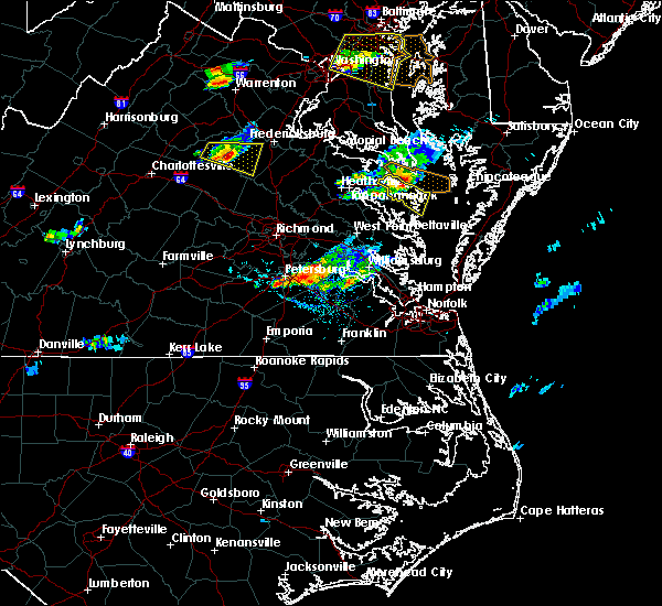 At 719 pm edt, a severe thunderstorm was located near lewisetta, or 8 miles east of callao, moving east at 25 mph (radar indicated). Hazards include 60 mph wind gusts and penny size hail. Expect damage to trees and powerlines. Locations impacted include, fair port, heathsville, lewisetta, edwardsville, fleeton, opheila, middletons corner, avalon, reedville, lilian and hull neck. At 719 pm edt, a severe thunderstorm was located near lewisetta, or 8 miles east of callao, moving east at 25 mph (radar indicated). Hazards include 60 mph wind gusts and penny size hail. Expect damage to trees and powerlines. Locations impacted include, fair port, heathsville, lewisetta, edwardsville, fleeton, opheila, middletons corner, avalon, reedville, lilian and hull neck.
|
| 6/25/2020 7:00 PM EDT |
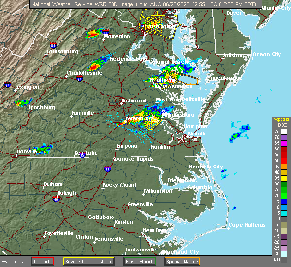 At 659 pm edt, a severe thunderstorm was located over callao, moving east at 25 mph (radar indicated). Hazards include 60 mph wind gusts and penny size hail. expect damage to trees and powerlines At 659 pm edt, a severe thunderstorm was located over callao, moving east at 25 mph (radar indicated). Hazards include 60 mph wind gusts and penny size hail. expect damage to trees and powerlines
|
| 6/25/2020 6:50 PM EDT | Tree down on lodge road. time estimated from rada in northumberland county VA, 5.6 miles SE of Heathsville, VA |
| 6/25/2020 6:45 PM EDT |
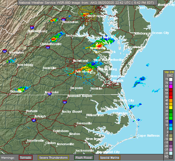 At 645 pm edt, a severe thunderstorm was located near kinsale, or near callao, moving east southeast at 20 mph (radar indicated). Hazards include 60 mph wind gusts and penny size hail. Expect damage to trees and powerlines. Locations impacted include, warsaw, callao, kinsale, coles point, lewisetta, hague, sharps, farnham, haynesville, westmoreland, lottsburg, threeway, mount holly, tidewater, lyells, kennard, erica, piney grove, wellford and ethel. At 645 pm edt, a severe thunderstorm was located near kinsale, or near callao, moving east southeast at 20 mph (radar indicated). Hazards include 60 mph wind gusts and penny size hail. Expect damage to trees and powerlines. Locations impacted include, warsaw, callao, kinsale, coles point, lewisetta, hague, sharps, farnham, haynesville, westmoreland, lottsburg, threeway, mount holly, tidewater, lyells, kennard, erica, piney grove, wellford and ethel.
|
| 6/25/2020 6:20 PM EDT |
 At 620 pm edt, severe thunderstorms were located along a line extending from near hague to near newland to near champlain, moving east at 25 mph (radar indicated). Hazards include 60 mph wind gusts and penny size hail. Expect damage to trees and powerlines. severe thunderstorms will be near, coles point around 625 pm edt. hague around 630 pm edt. warsaw and kinsale around 640 pm edt. callao and haynesville around 650 pm edt. lewisetta and sharps around 655 pm edt. farnham around 700 pm edt. Other locations impacted by these severe thunderstorms include wellford, ethel, currioman landing, lottsburg, threeway, village, bowlers wharf, mount holly, oldhams and tidewater. At 620 pm edt, severe thunderstorms were located along a line extending from near hague to near newland to near champlain, moving east at 25 mph (radar indicated). Hazards include 60 mph wind gusts and penny size hail. Expect damage to trees and powerlines. severe thunderstorms will be near, coles point around 625 pm edt. hague around 630 pm edt. warsaw and kinsale around 640 pm edt. callao and haynesville around 650 pm edt. lewisetta and sharps around 655 pm edt. farnham around 700 pm edt. Other locations impacted by these severe thunderstorms include wellford, ethel, currioman landing, lottsburg, threeway, village, bowlers wharf, mount holly, oldhams and tidewater.
|
| 6/19/2020 5:06 PM EDT |
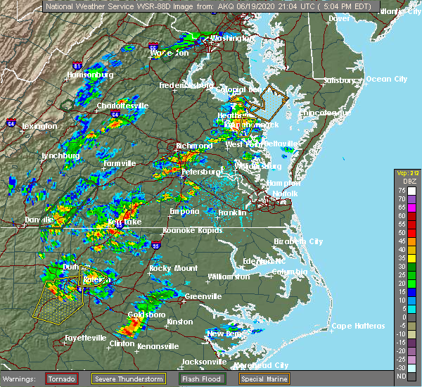 The severe thunderstorm warning for northwestern middlesex, west central northumberland, southeastern richmond and northwestern lancaster counties will expire at 515 pm edt, the storm which prompted the warning has weakened below severe limits, and no longer poses an immediate threat to life or property. therefore, the warning will be allowed to expire. however heavy rain is still possible with this thunderstorm. The severe thunderstorm warning for northwestern middlesex, west central northumberland, southeastern richmond and northwestern lancaster counties will expire at 515 pm edt, the storm which prompted the warning has weakened below severe limits, and no longer poses an immediate threat to life or property. therefore, the warning will be allowed to expire. however heavy rain is still possible with this thunderstorm.
|
| 6/19/2020 4:48 PM EDT |
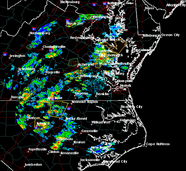 At 448 pm edt, a severe thunderstorm was located over morattico, or near robley, moving north at 40 mph (radar indicated). Hazards include 60 mph wind gusts and quarter size hail. Minor damage to vehicles is possible. expect wind damage to trees and powerlines. this severe storm will be near, farnham around 455 pm edt. heathsville around 500 pm edt. Other locations impacted by this severe thunderstorm include lara, nesting, somers, village, mollusk, alfonso, moon corner, nuttsville, belle isle state park and downing. At 448 pm edt, a severe thunderstorm was located over morattico, or near robley, moving north at 40 mph (radar indicated). Hazards include 60 mph wind gusts and quarter size hail. Minor damage to vehicles is possible. expect wind damage to trees and powerlines. this severe storm will be near, farnham around 455 pm edt. heathsville around 500 pm edt. Other locations impacted by this severe thunderstorm include lara, nesting, somers, village, mollusk, alfonso, moon corner, nuttsville, belle isle state park and downing.
|
| 6/19/2020 4:31 PM EDT |
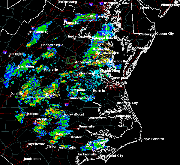 At 431 pm edt, a severe thunderstorm was located over urbanna, moving north at 30 mph (radar indicated). Hazards include 60 mph wind gusts and quarter size hail. Minor damage to vehicles is possible. expect wind damage to trees and powerlines. this severe storm will be near, lancaster and morattico around 450 pm edt. robley around 455 pm edt. farnham around 500 pm edt. heathsville around 510 pm edt. Other locations impacted by this severe thunderstorm include regina, mollusk, senora, avalon, nuttsville, bertrand, belle isle state park, edwardsville, dodlyt and samos. At 431 pm edt, a severe thunderstorm was located over urbanna, moving north at 30 mph (radar indicated). Hazards include 60 mph wind gusts and quarter size hail. Minor damage to vehicles is possible. expect wind damage to trees and powerlines. this severe storm will be near, lancaster and morattico around 450 pm edt. robley around 455 pm edt. farnham around 500 pm edt. heathsville around 510 pm edt. Other locations impacted by this severe thunderstorm include regina, mollusk, senora, avalon, nuttsville, bertrand, belle isle state park, edwardsville, dodlyt and samos.
|
| 6/19/2020 4:15 PM EDT |
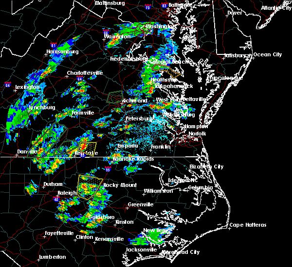 At 415 pm edt, a severe thunderstorm was located over glenns, or near urbanna, moving north at 25 mph (radar indicated). Hazards include 60 mph wind gusts and quarter size hail. Minor damage to vehicles is possible. expect wind damage to trees and powerlines. this severe thunderstorm will be near, saluda around 420 pm edt. urbanna around 430 pm edt. lancaster and morattico around 450 pm edt. robley around 455 pm edt. farnham around 500 pm edt. heathsville around 510 pm edt. Other locations impacted by this severe thunderstorm include regina, mollusk, senora, avalon, nuttsville, bertrand, belle isle state park, edwardsville, warner and dodlyt. At 415 pm edt, a severe thunderstorm was located over glenns, or near urbanna, moving north at 25 mph (radar indicated). Hazards include 60 mph wind gusts and quarter size hail. Minor damage to vehicles is possible. expect wind damage to trees and powerlines. this severe thunderstorm will be near, saluda around 420 pm edt. urbanna around 430 pm edt. lancaster and morattico around 450 pm edt. robley around 455 pm edt. farnham around 500 pm edt. heathsville around 510 pm edt. Other locations impacted by this severe thunderstorm include regina, mollusk, senora, avalon, nuttsville, bertrand, belle isle state park, edwardsville, warner and dodlyt.
|
| 6/6/2020 8:42 PM EDT |
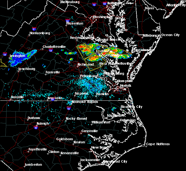 At 842 pm edt, severe thunderstorms were located along a line extending from callao to farnham to sharps, moving southeast at 25 mph (radar indicated). Hazards include 60 mph wind gusts and quarter size hail. Minor damage to vehicles is possible. expect wind damage to trees and powerlines. severe thunderstorms will be near, robley around 850 pm edt. heathsville and morattico around 855 pm edt. lancaster around 910 pm edt. wicomico church around 915 pm edt. kilmarnock and fair port around 920 pm edt. white stone and hartfield around 930 pm edt. Other locations impacted by these severe thunderstorms include byrdton, lottsburg, regina, mollusk, senora, avalon, brook vale, nuttsville, harmony village and bertrand. At 842 pm edt, severe thunderstorms were located along a line extending from callao to farnham to sharps, moving southeast at 25 mph (radar indicated). Hazards include 60 mph wind gusts and quarter size hail. Minor damage to vehicles is possible. expect wind damage to trees and powerlines. severe thunderstorms will be near, robley around 850 pm edt. heathsville and morattico around 855 pm edt. lancaster around 910 pm edt. wicomico church around 915 pm edt. kilmarnock and fair port around 920 pm edt. white stone and hartfield around 930 pm edt. Other locations impacted by these severe thunderstorms include byrdton, lottsburg, regina, mollusk, senora, avalon, brook vale, nuttsville, harmony village and bertrand.
|
| 4/13/2020 10:00 AM EDT |
 At 958 am edt, severe thunderstorms were located along a line extending from near saint george island to near jamaica, moving northeast at 40 mph (radar indicated). Hazards include 60 mph wind gusts. Expect damage to trees and powerlines. these severe storms will be near, farnham around 1015 am edt. wicomico church around 1020 am edt. heathsville around 1025 am edt. lewisetta around 1030 am edt. Other locations impacted by these severe thunderstorms include lottsburg, regina, mollusk, senora, avalon, brook vale, nuttsville, bertrand, reedville and belle isle state park. At 958 am edt, severe thunderstorms were located along a line extending from near saint george island to near jamaica, moving northeast at 40 mph (radar indicated). Hazards include 60 mph wind gusts. Expect damage to trees and powerlines. these severe storms will be near, farnham around 1015 am edt. wicomico church around 1020 am edt. heathsville around 1025 am edt. lewisetta around 1030 am edt. Other locations impacted by these severe thunderstorms include lottsburg, regina, mollusk, senora, avalon, brook vale, nuttsville, bertrand, reedville and belle isle state park.
|
| 4/13/2020 9:34 AM EDT |
 At 934 am edt, severe thunderstorms were located along a line extending from farnham to near west point, moving northeast at 40 mph (radar indicated). Hazards include 60 mph wind gusts. Expect damage to trees and powerlines. severe thunderstorms will be near, farnham around 940 am edt. callao around 945 am edt. lewisetta around 950 am edt. church view and jamaica around 955 am edt. urbanna around 1000 am edt. morattico around 1005 am edt. robley around 1010 am edt. lancaster around 1015 am edt. Other locations impacted by these severe thunderstorms include lottsburg, regina, mollusk, senora, avalon, brook vale, nuttsville, bertrand, reedville and belle isle state park. At 934 am edt, severe thunderstorms were located along a line extending from farnham to near west point, moving northeast at 40 mph (radar indicated). Hazards include 60 mph wind gusts. Expect damage to trees and powerlines. severe thunderstorms will be near, farnham around 940 am edt. callao around 945 am edt. lewisetta around 950 am edt. church view and jamaica around 955 am edt. urbanna around 1000 am edt. morattico around 1005 am edt. robley around 1010 am edt. lancaster around 1015 am edt. Other locations impacted by these severe thunderstorms include lottsburg, regina, mollusk, senora, avalon, brook vale, nuttsville, bertrand, reedville and belle isle state park.
|
| 4/7/2020 4:58 PM EDT | Trees down on hazard rd. time estimated by rada in northumberland county VA, 2.9 miles NNE of Heathsville, VA |
| 4/7/2020 4:57 PM EDT |
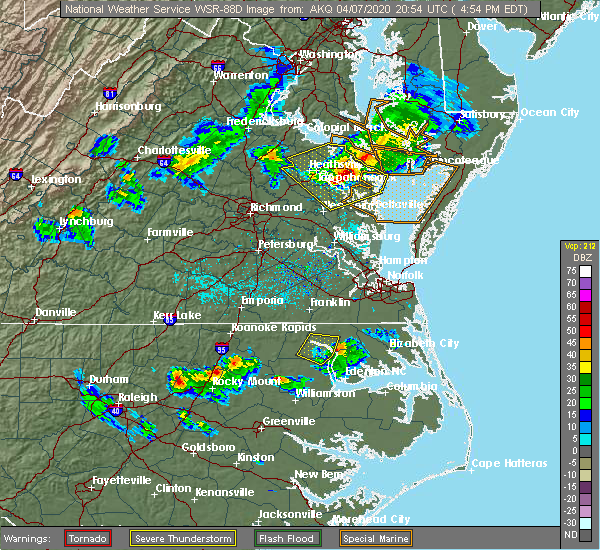 At 456 pm edt, severe thunderstorms were located along a line extending from 11 miles east of patuxent river naval air station to lewisetta to near millers tavern, moving southeast at 40 mph (radar indicated). Hazards include 60 mph wind gusts and quarter size hail. Minor damage to vehicles is possible. expect wind damage to trees and powerlines. these severe storms will be near, lewisetta around 500 pm edt. heathsville around 505 pm edt. fair port, jamaica, wicomico church and morattico around 520 pm edt. church view around 525 pm edt. urbanna around 530 pm edt. Other locations impacted by these severe thunderstorms include lottsburg, regina, mollusk, senora, avalon, brook vale, nuttsville, bertrand, ino and dragonville. At 456 pm edt, severe thunderstorms were located along a line extending from 11 miles east of patuxent river naval air station to lewisetta to near millers tavern, moving southeast at 40 mph (radar indicated). Hazards include 60 mph wind gusts and quarter size hail. Minor damage to vehicles is possible. expect wind damage to trees and powerlines. these severe storms will be near, lewisetta around 500 pm edt. heathsville around 505 pm edt. fair port, jamaica, wicomico church and morattico around 520 pm edt. church view around 525 pm edt. urbanna around 530 pm edt. Other locations impacted by these severe thunderstorms include lottsburg, regina, mollusk, senora, avalon, brook vale, nuttsville, bertrand, ino and dragonville.
|
| 4/7/2020 4:52 PM EDT | Trees down on coan stage road. time estimated from rada in northumberland county VA, 3.4 miles E of Heathsville, VA |
| 4/7/2020 4:36 PM EDT |
 At 435 pm edt, severe thunderstorms were located along a line extending from chesapeake ranch estates to near coles point to near newtown, moving east at 40 mph (radar indicated). Hazards include 60 mph wind gusts and quarter size hail. Minor damage to vehicles is possible. expect wind damage to trees and powerlines. these severe storms will be near, coles point and hague around 440 pm edt. kinsale around 445 pm edt. tappahannock and newland around 455 pm edt. warsaw, haynesville and dunnsville around 500 pm edt. Other locations impacted by these severe thunderstorms include beazley, currioman landing, lottsburg, threeway, avalon, brook vale, bertrand, reedville, belle isle state park and millenbeck. At 435 pm edt, severe thunderstorms were located along a line extending from chesapeake ranch estates to near coles point to near newtown, moving east at 40 mph (radar indicated). Hazards include 60 mph wind gusts and quarter size hail. Minor damage to vehicles is possible. expect wind damage to trees and powerlines. these severe storms will be near, coles point and hague around 440 pm edt. kinsale around 445 pm edt. tappahannock and newland around 455 pm edt. warsaw, haynesville and dunnsville around 500 pm edt. Other locations impacted by these severe thunderstorms include beazley, currioman landing, lottsburg, threeway, avalon, brook vale, bertrand, reedville, belle isle state park and millenbeck.
|
| 4/7/2020 4:30 PM EDT |
 At 430 pm edt, severe thunderstorms were located along a line extending from lusby to near coles point to near newtown, moving southeast at 40 mph (radar indicated). Hazards include 60 mph wind gusts and quarter size hail. Minor damage to vehicles is possible. expect wind damage to trees and powerlines. severe thunderstorms will be near, lexington park and coles point around 435 pm edt. piney point and hague around 440 pm edt. saint george island and kinsale around 445 pm edt. tappahannock and callao around 450 pm edt. lewisetta and millers tavern around 455 pm edt. dunnsville, heathsville and stevensville around 500 pm edt. center cross around 505 pm edt. sharps around 510 pm edt. other locations impacted by these severe thunderstorms include beazley, currioman landing, lottsburg, threeway, valley lee, avalon, brook vale, bertrand, reedville and belle isle state park. People at rappahannock general hospital should seek safe shelter immediately!. At 430 pm edt, severe thunderstorms were located along a line extending from lusby to near coles point to near newtown, moving southeast at 40 mph (radar indicated). Hazards include 60 mph wind gusts and quarter size hail. Minor damage to vehicles is possible. expect wind damage to trees and powerlines. severe thunderstorms will be near, lexington park and coles point around 435 pm edt. piney point and hague around 440 pm edt. saint george island and kinsale around 445 pm edt. tappahannock and callao around 450 pm edt. lewisetta and millers tavern around 455 pm edt. dunnsville, heathsville and stevensville around 500 pm edt. center cross around 505 pm edt. sharps around 510 pm edt. other locations impacted by these severe thunderstorms include beazley, currioman landing, lottsburg, threeway, valley lee, avalon, brook vale, bertrand, reedville and belle isle state park. People at rappahannock general hospital should seek safe shelter immediately!.
|
| 2/7/2020 9:18 AM EST | Storm damage reported in anz537 county MD, 6.3 miles SSW of Heathsville, VA |
| 2/7/2020 9:18 AM EST | Buoy station lwtv2 lewisetta... v in northumberland county VA, 5.5 miles S of Heathsville, VA |
| 8/20/2019 5:41 PM EDT |
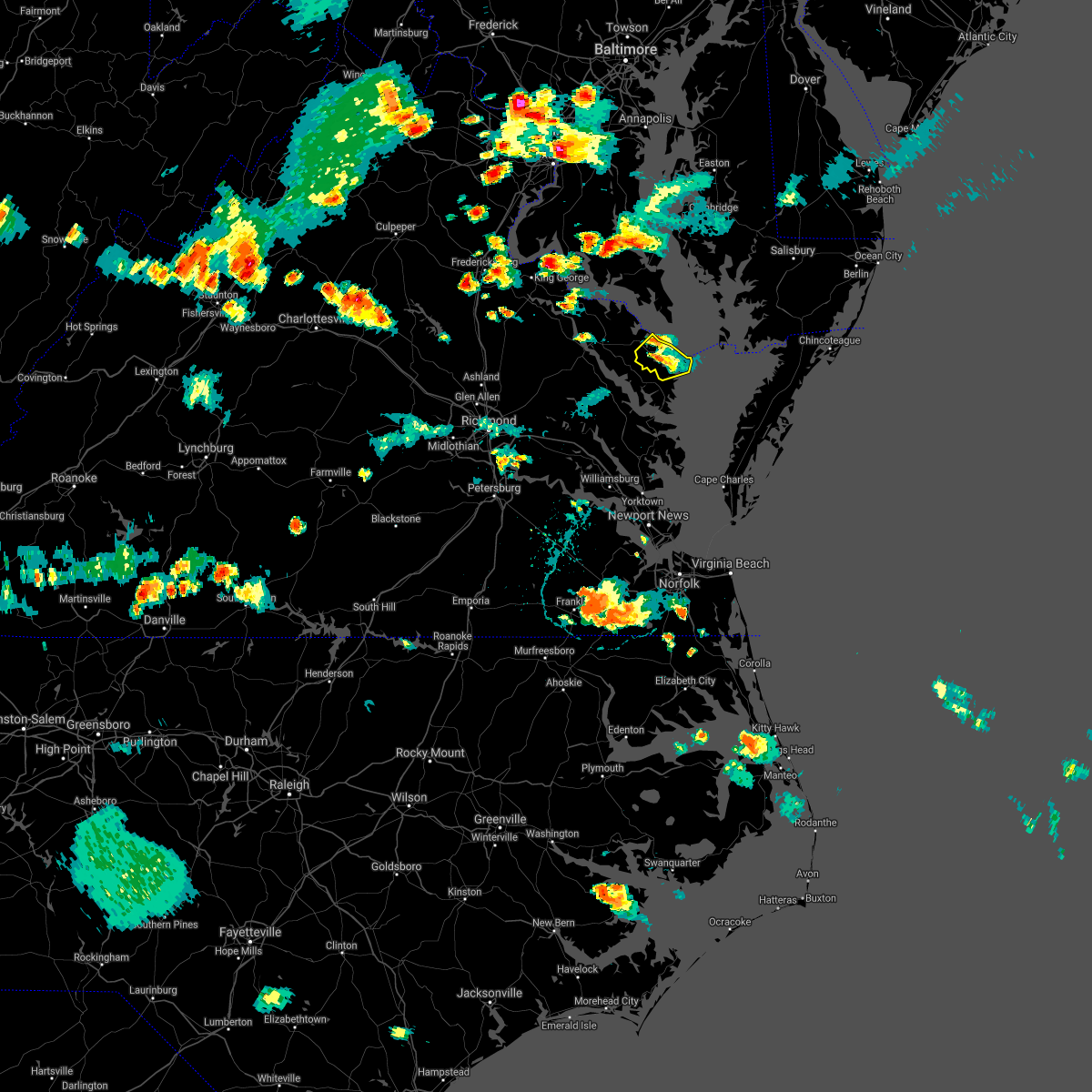 The severe thunderstorm warning for northumberland county will expire at 545 pm edt. the storm which prompted the warning has weakened below severe limits, and no longer poses an immediate threat to life or property. therefore, the warning will be allowed to expire. However heavy rain is still possible with this thunderstorm. The severe thunderstorm warning for northumberland county will expire at 545 pm edt. the storm which prompted the warning has weakened below severe limits, and no longer poses an immediate threat to life or property. therefore, the warning will be allowed to expire. However heavy rain is still possible with this thunderstorm.
|
| 8/20/2019 5:25 PM EDT |
 A severe thunderstorm warning remains in effect until 545 pm edt for northumberland county. at 525 pm edt, a severe thunderstorm was located near heathsville, or 7 miles northwest of fair port, and is nearly stationary. hazard. 60 mph wind gusts and penny size hail. source. Radar indicated. A severe thunderstorm warning remains in effect until 545 pm edt for northumberland county. at 525 pm edt, a severe thunderstorm was located near heathsville, or 7 miles northwest of fair port, and is nearly stationary. hazard. 60 mph wind gusts and penny size hail. source. Radar indicated.
|
| 8/20/2019 5:20 PM EDT | Tree down on rt 201 causing power outages in the area. time estimated by rada in northumberland county VA, 3 miles NNW of Heathsville, VA |
| 8/20/2019 5:07 PM EDT |
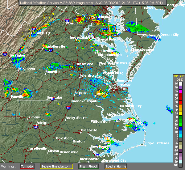 At 507 pm edt, a severe thunderstorm was located near heathsville, or 7 miles west of fair port, moving northeast at 5 mph (radar indicated). Hazards include 60 mph wind gusts and quarter size hail. Minor damage to vehicles is possible. expect wind damage to trees and powerlines. this severe thunderstorm will be near, wicomico church around 510 pm edt. fair port around 545 pm edt. Other locations impacted by this severe thunderstorm include lara, browns store, regina, avalon, reedville, lilian, hull neck, edwardsville, howland and fleeton. At 507 pm edt, a severe thunderstorm was located near heathsville, or 7 miles west of fair port, moving northeast at 5 mph (radar indicated). Hazards include 60 mph wind gusts and quarter size hail. Minor damage to vehicles is possible. expect wind damage to trees and powerlines. this severe thunderstorm will be near, wicomico church around 510 pm edt. fair port around 545 pm edt. Other locations impacted by this severe thunderstorm include lara, browns store, regina, avalon, reedville, lilian, hull neck, edwardsville, howland and fleeton.
|
| 8/19/2019 6:00 PM EDT | Reports of structural damage to houses and potential gas leak along bay quarter dr. time estimated from rada in northumberland county VA, 4.3 miles SW of Heathsville, VA |
| 8/19/2019 5:59 PM EDT | Reports of 2 trees down along bay quarter dr. time estimated via rada in northumberland county VA, 4.3 miles SW of Heathsville, VA |
| 8/19/2019 5:55 PM EDT | Quarter sized hail reported 4.7 miles SW of Heathsville, VA, quarter size hail reported along bay quarter drive. |
| 8/19/2019 5:38 PM EDT |
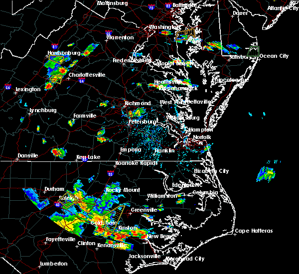 The national weather service in wakefield has issued a * severe thunderstorm warning for. northern northumberland county in eastern virginia. until 630 pm edt. At 538 pm edt, a severe thunderstorm was located near lewisetta, or 7 miles east of callao, moving east at 5 mph. The national weather service in wakefield has issued a * severe thunderstorm warning for. northern northumberland county in eastern virginia. until 630 pm edt. At 538 pm edt, a severe thunderstorm was located near lewisetta, or 7 miles east of callao, moving east at 5 mph.
|
| 8/9/2019 5:11 PM EDT | Quarter sized hail reported 8.8 miles NW of Heathsville, VA |
| 8/9/2019 4:47 PM EDT |
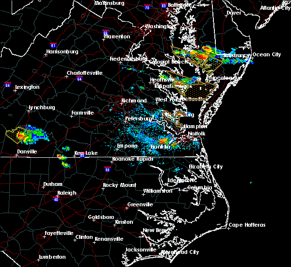 At 446 pm edt, a severe thunderstorm was located near heathsville, or 8 miles northwest of fair port, moving southeast at 25 mph (radar indicated). Hazards include 60 mph wind gusts and penny size hail. Expect damage to trees and powerlines. this severe thunderstorm will be near, wicomico church around 500 pm edt. fair port around 510 pm edt. Other locations impacted by this severe thunderstorm include edwardsville, howland, fleeton, opheila, middletons corner, avalon, dodlyt, rehoboth church, reedville and lilian. At 446 pm edt, a severe thunderstorm was located near heathsville, or 8 miles northwest of fair port, moving southeast at 25 mph (radar indicated). Hazards include 60 mph wind gusts and penny size hail. Expect damage to trees and powerlines. this severe thunderstorm will be near, wicomico church around 500 pm edt. fair port around 510 pm edt. Other locations impacted by this severe thunderstorm include edwardsville, howland, fleeton, opheila, middletons corner, avalon, dodlyt, rehoboth church, reedville and lilian.
|
| 8/9/2019 4:27 PM EDT |
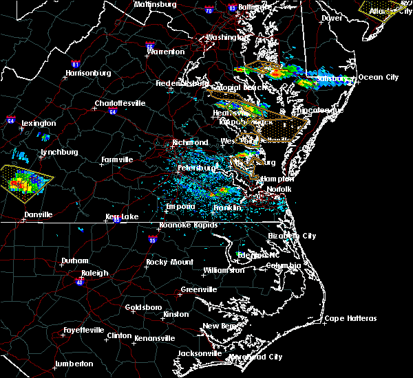 At 427 pm edt, a severe thunderstorm was located over callao, moving southeast at 25 mph (radar indicated). Hazards include 60 mph wind gusts. Expect damage to trees and powerlines. this severe storm will be near, lewisetta around 430 pm edt. heathsville around 440 pm edt. Other locations impacted by this severe thunderstorm include lara, howland, lottsburg, village, middletons corner, avalon, moon corner, gibeon, dodlyt and mulch. At 427 pm edt, a severe thunderstorm was located over callao, moving southeast at 25 mph (radar indicated). Hazards include 60 mph wind gusts. Expect damage to trees and powerlines. this severe storm will be near, lewisetta around 430 pm edt. heathsville around 440 pm edt. Other locations impacted by this severe thunderstorm include lara, howland, lottsburg, village, middletons corner, avalon, moon corner, gibeon, dodlyt and mulch.
|
| 8/9/2019 4:07 PM EDT |
 At 406 pm edt, a severe thunderstorm was located over hague, or 7 miles northwest of callao, moving southeast at 25 mph (radar indicated). Hazards include 60 mph wind gusts and penny size hail. Expect damage to trees and powerlines. this severe thunderstorm will be near, kinsale around 420 pm edt. callao around 425 pm edt. lewisetta around 435 pm edt. heathsville around 440 pm edt. Other locations impacted by this severe thunderstorm include lara, lottsburg, village, avalon, mount holly, moon corner, oldhams, hull neck, howland and middletons corner. At 406 pm edt, a severe thunderstorm was located over hague, or 7 miles northwest of callao, moving southeast at 25 mph (radar indicated). Hazards include 60 mph wind gusts and penny size hail. Expect damage to trees and powerlines. this severe thunderstorm will be near, kinsale around 420 pm edt. callao around 425 pm edt. lewisetta around 435 pm edt. heathsville around 440 pm edt. Other locations impacted by this severe thunderstorm include lara, lottsburg, village, avalon, mount holly, moon corner, oldhams, hull neck, howland and middletons corner.
|
| 7/22/2019 11:13 PM EDT |
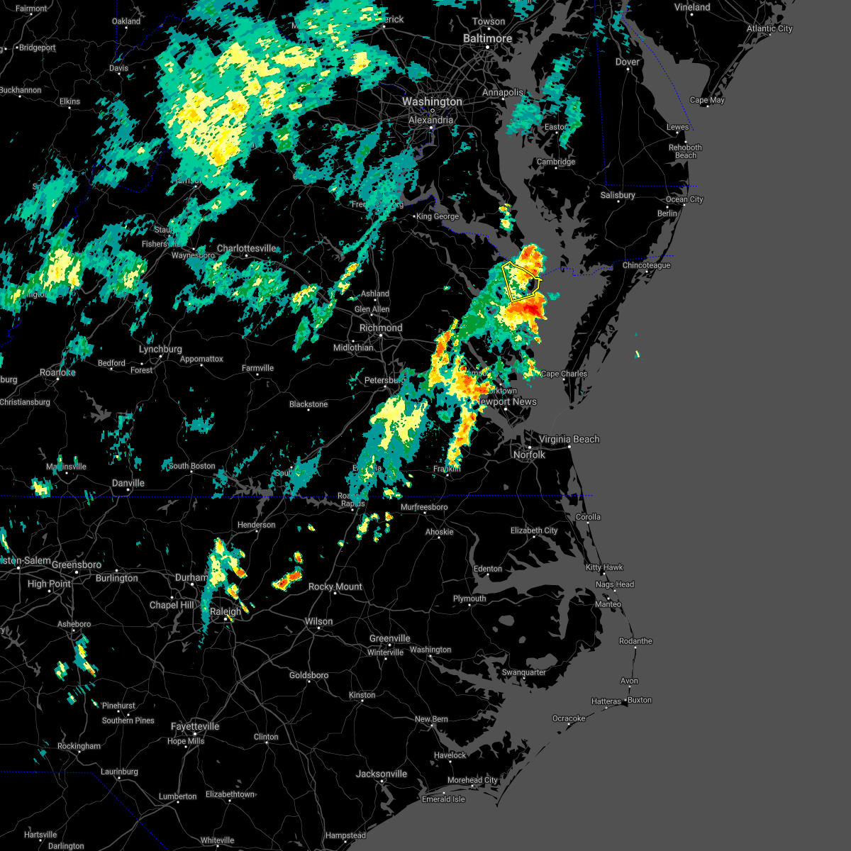 The severe thunderstorm warning for eastern northumberland and northeastern lancaster counties will expire at 1115 pm edt. the storm which prompted the warning has moved out of the area. therefore, the warning will be allowed to expire. however gusty winds and heavy rain are still possible with this thunderstorm. To report severe weather, contact your nearest law enforcement. The severe thunderstorm warning for eastern northumberland and northeastern lancaster counties will expire at 1115 pm edt. the storm which prompted the warning has moved out of the area. therefore, the warning will be allowed to expire. however gusty winds and heavy rain are still possible with this thunderstorm. To report severe weather, contact your nearest law enforcement.
|
| 7/22/2019 11:10 PM EDT | Storm damage reported in anz537 county MD, 11.9 miles SW of Heathsville, VA |
| 7/22/2019 11:10 PM EDT | Numerous trees reported down around town of heathsville. power outages reported in the are in northumberland county VA, 0.5 miles W of Heathsville, VA |
| 7/22/2019 11:05 PM EDT | Tree downed in town of heathsville. minor structural damage reporte in northumberland county VA, 0.5 miles W of Heathsville, VA |
| 7/22/2019 10:59 PM EDT |
 At 1059 pm edt, a severe thunderstorm was located near fair port, moving northeast at 50 mph (radar indicated). Hazards include 60 mph wind gusts. Expect damage to trees and powerlines. This severe thunderstorm will remain over mainly rural areas of eastern northumberland and northeastern lancaster counties, including the following locations, browns store, regina, avalon, brook vale, reedville, lilian, hull neck, edwardsville, howland and fleeton. At 1059 pm edt, a severe thunderstorm was located near fair port, moving northeast at 50 mph (radar indicated). Hazards include 60 mph wind gusts. Expect damage to trees and powerlines. This severe thunderstorm will remain over mainly rural areas of eastern northumberland and northeastern lancaster counties, including the following locations, browns store, regina, avalon, brook vale, reedville, lilian, hull neck, edwardsville, howland and fleeton.
|
| 7/11/2019 7:55 PM EDT | A couple of trees dow in northumberland county VA, 8.8 miles NW of Heathsville, VA |
| 7/11/2019 7:55 PM EDT |
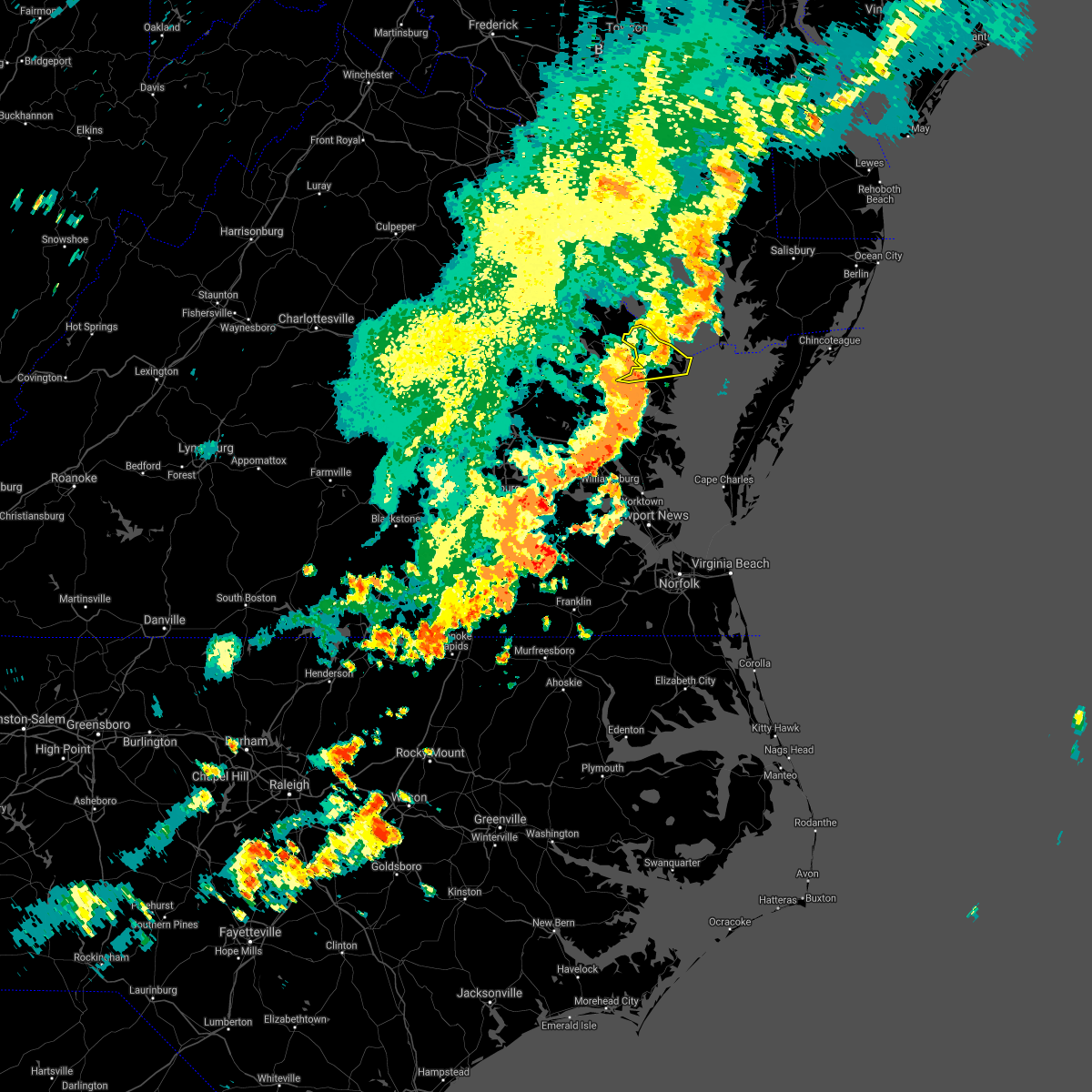 The severe thunderstorm warning for northumberland and northwestern lancaster counties will expire at 800 pm edt, the storms which prompted the warning have weakened below severe limits, and no longer pose an immediate threat to life or property. therefore, the warning will be allowed to expire. however gusty winds and heavy rain are still possible with these thunderstorms. The severe thunderstorm warning for northumberland and northwestern lancaster counties will expire at 800 pm edt, the storms which prompted the warning have weakened below severe limits, and no longer pose an immediate threat to life or property. therefore, the warning will be allowed to expire. however gusty winds and heavy rain are still possible with these thunderstorms.
|
| 7/11/2019 7:42 PM EDT |
 At 742 pm edt, severe thunderstorms were located along a line extending from near piney point to lewisetta to robley, moving east at 25 mph (radar indicated). Hazards include 60 mph wind gusts. Expect damage to trees and powerlines. Locations impacted include, fair port, callao, lewisetta, heathsville, wicomico church, lottsburg, regina, avalon, nuttsville, reedville, belle isle state park, edwardsville, middletons corner, dodlyt, lara, browns store, somers, alfonso, lilian and hull neck. At 742 pm edt, severe thunderstorms were located along a line extending from near piney point to lewisetta to robley, moving east at 25 mph (radar indicated). Hazards include 60 mph wind gusts. Expect damage to trees and powerlines. Locations impacted include, fair port, callao, lewisetta, heathsville, wicomico church, lottsburg, regina, avalon, nuttsville, reedville, belle isle state park, edwardsville, middletons corner, dodlyt, lara, browns store, somers, alfonso, lilian and hull neck.
|
| 7/11/2019 7:21 PM EDT |
 At 721 pm edt, severe thunderstorms were located along a line extending from near hague to near haynesville to sharps, moving east at 25 mph (radar indicated). Hazards include 60 mph wind gusts. expect damage to trees and powerlines At 721 pm edt, severe thunderstorms were located along a line extending from near hague to near haynesville to sharps, moving east at 25 mph (radar indicated). Hazards include 60 mph wind gusts. expect damage to trees and powerlines
|
| 6/5/2019 5:53 PM EDT |
 The severe thunderstorm warning for northumberland, richmond, southern westmoreland and northern essex counties will expire at 600 pm edt, the storms which prompted the warning have weakened below severe limits, and have exited the warned area. therefore, the warning will be allowed to expire. a severe thunderstorm watch remains in effect until 1000 pm edt for eastern and east central virginia. The severe thunderstorm warning for northumberland, richmond, southern westmoreland and northern essex counties will expire at 600 pm edt, the storms which prompted the warning have weakened below severe limits, and have exited the warned area. therefore, the warning will be allowed to expire. a severe thunderstorm watch remains in effect until 1000 pm edt for eastern and east central virginia.
|
| 6/5/2019 5:23 PM EDT | Tree down on brickyard rd near burges in northumberland county VA, 8.6 miles WNW of Heathsville, VA |
| 6/5/2019 5:15 PM EDT |
 At 514 pm edt, severe thunderstorms were located along a line extending from near newland to near warsaw to near sharps, moving east at 45 mph (radar indicated). Hazards include 60 mph wind gusts and penny size hail. Expect damage to trees and powerlines. severe thunderstorms will be near, farnham and haynesville around 520 pm edt. callao and kinsale around 525 pm edt. heathsville around 530 pm edt. hague, coles point and lewisetta around 535 pm edt. Other locations impacted by these severe thunderstorms include lottsburg, threeway, avalon, mount holly, edwardsville, tidewater, lyells, middletons corner, kennard and westmoreland. At 514 pm edt, severe thunderstorms were located along a line extending from near newland to near warsaw to near sharps, moving east at 45 mph (radar indicated). Hazards include 60 mph wind gusts and penny size hail. Expect damage to trees and powerlines. severe thunderstorms will be near, farnham and haynesville around 520 pm edt. callao and kinsale around 525 pm edt. heathsville around 530 pm edt. hague, coles point and lewisetta around 535 pm edt. Other locations impacted by these severe thunderstorms include lottsburg, threeway, avalon, mount holly, edwardsville, tidewater, lyells, middletons corner, kennard and westmoreland.
|
| 4/26/2019 4:00 PM EDT |
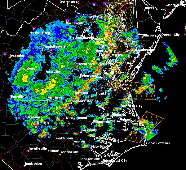 At 400 pm edt, a severe thunderstorm was located over heathsville, or near callao, moving northeast at 60 mph (radar indicated). Hazards include 60 mph wind gusts and quarter size hail. Minor damage to vehicles is possible. expect wind damage to trees and powerlines. this severe storm will be near, lewisetta around 405 pm edt. other locations impacted by this severe thunderstorm include lara, nesting, lottsburg, somers, village, alfonso, avalon, moon corner, nuttsville and belle isle state park. A tornado watch remains in effect until 900 pm edt for eastern and east central virginia. At 400 pm edt, a severe thunderstorm was located over heathsville, or near callao, moving northeast at 60 mph (radar indicated). Hazards include 60 mph wind gusts and quarter size hail. Minor damage to vehicles is possible. expect wind damage to trees and powerlines. this severe storm will be near, lewisetta around 405 pm edt. other locations impacted by this severe thunderstorm include lara, nesting, lottsburg, somers, village, alfonso, avalon, moon corner, nuttsville and belle isle state park. A tornado watch remains in effect until 900 pm edt for eastern and east central virginia.
|
| 4/26/2019 3:58 PM EDT | Trees dow in northumberland county VA, 3.4 miles ENE of Heathsville, VA |
| 4/26/2019 3:48 PM EDT |
 At 348 pm edt, a severe thunderstorm was located over center cross, or 9 miles northeast of king and queen court house, moving northeast at 35 mph (radar indicated). Hazards include 60 mph wind gusts and quarter size hail. Minor damage to vehicles is possible. expect wind damage to trees and powerlines. this severe thunderstorm will be near, sharps around 355 pm edt. morattico around 400 pm edt. robley and farnham around 405 pm edt. haynesville around 410 pm edt. callao around 415 pm edt. heathsville around 420 pm edt. lewisetta around 425 pm edt. other locations impacted by this severe thunderstorm include lara, nesting, lottsburg, somers, village, alfonso, avalon, bowlers wharf, moon corner and nuttsville. A tornado watch remains in effect until 900 pm edt for eastern and east central virginia. At 348 pm edt, a severe thunderstorm was located over center cross, or 9 miles northeast of king and queen court house, moving northeast at 35 mph (radar indicated). Hazards include 60 mph wind gusts and quarter size hail. Minor damage to vehicles is possible. expect wind damage to trees and powerlines. this severe thunderstorm will be near, sharps around 355 pm edt. morattico around 400 pm edt. robley and farnham around 405 pm edt. haynesville around 410 pm edt. callao around 415 pm edt. heathsville around 420 pm edt. lewisetta around 425 pm edt. other locations impacted by this severe thunderstorm include lara, nesting, lottsburg, somers, village, alfonso, avalon, bowlers wharf, moon corner and nuttsville. A tornado watch remains in effect until 900 pm edt for eastern and east central virginia.
|
| 4/26/2019 3:07 PM EDT |
 At 306 pm edt, a severe thunderstorm was located near heathsville, or near robley, moving northeast at 40 mph (radar indicated). Hazards include 60 mph wind gusts and quarter size hail. Minor damage to vehicles is possible. expect wind damage to trees and powerlines. this severe storm will be near, callao and heathsville around 310 pm edt. lewisetta around 320 pm edt. other locations impacted by this severe thunderstorm include lara, edwardsville, howland, lottsburg, middletons corner, avalon, moon corner, dodlyt, mulch and hull neck. A tornado watch remains in effect until 900 pm edt for eastern and east central virginia. At 306 pm edt, a severe thunderstorm was located near heathsville, or near robley, moving northeast at 40 mph (radar indicated). Hazards include 60 mph wind gusts and quarter size hail. Minor damage to vehicles is possible. expect wind damage to trees and powerlines. this severe storm will be near, callao and heathsville around 310 pm edt. lewisetta around 320 pm edt. other locations impacted by this severe thunderstorm include lara, edwardsville, howland, lottsburg, middletons corner, avalon, moon corner, dodlyt, mulch and hull neck. A tornado watch remains in effect until 900 pm edt for eastern and east central virginia.
|
| 4/26/2019 2:59 PM EDT |
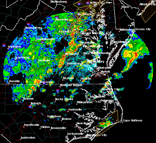 At 259 pm edt, a severe thunderstorm was located over robley, moving northeast at 40 mph (radar indicated). Hazards include 60 mph wind gusts and quarter size hail. Minor damage to vehicles is possible. expect wind damage to trees and powerlines. this severe thunderstorm will be near, heathsville around 310 pm edt. callao around 315 pm edt. lewisetta and kinsale around 320 pm edt. other locations impacted by this severe thunderstorm include lara, browns store, lottsburg, somers, village, mollusk, alfonso, avalon, moon corner and nuttsville. A tornado watch remains in effect until 900 pm edt for eastern and east central virginia. At 259 pm edt, a severe thunderstorm was located over robley, moving northeast at 40 mph (radar indicated). Hazards include 60 mph wind gusts and quarter size hail. Minor damage to vehicles is possible. expect wind damage to trees and powerlines. this severe thunderstorm will be near, heathsville around 310 pm edt. callao around 315 pm edt. lewisetta and kinsale around 320 pm edt. other locations impacted by this severe thunderstorm include lara, browns store, lottsburg, somers, village, mollusk, alfonso, avalon, moon corner and nuttsville. A tornado watch remains in effect until 900 pm edt for eastern and east central virginia.
|
| 4/19/2019 8:54 PM EDT |
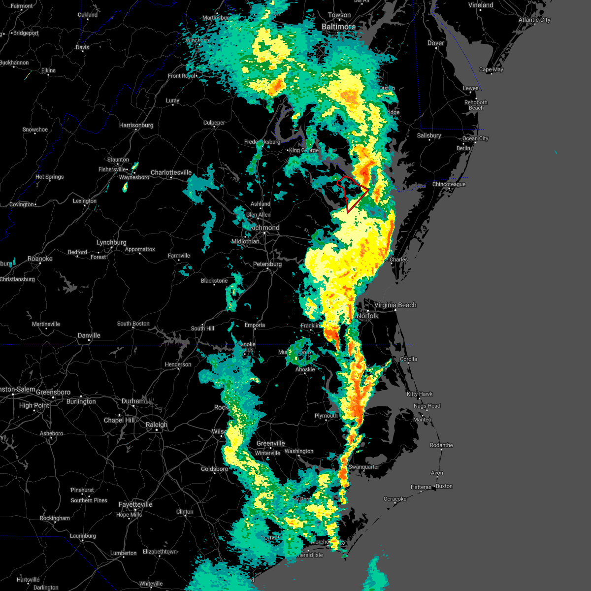 The tornado warning for northumberland and north central lancaster counties will expire at 900 pm edt, the storm which prompted the warning has moved out of the area. therefore, the warning will be allowed to expire. a tornado watch remains in effect until midnight edt for eastern and east central virginia. The tornado warning for northumberland and north central lancaster counties will expire at 900 pm edt, the storm which prompted the warning has moved out of the area. therefore, the warning will be allowed to expire. a tornado watch remains in effect until midnight edt for eastern and east central virginia.
|
| 4/19/2019 8:42 PM EDT |
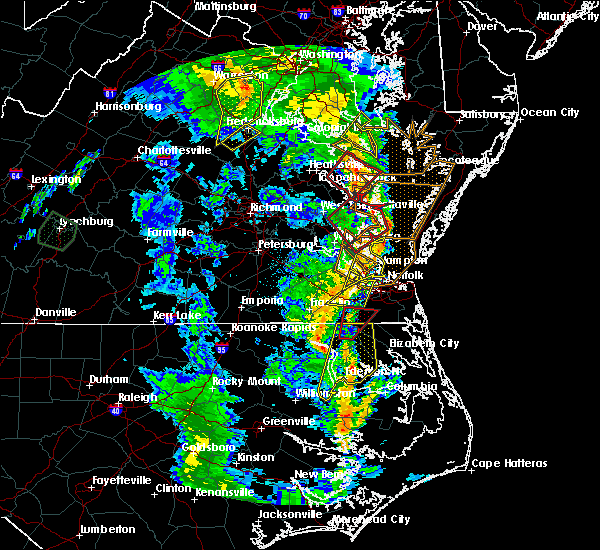 At 842 pm edt, a severe thunderstorm capable of producing a tornado was located near lewisetta, or near saint george island, moving northeast at 60 mph (radar indicated rotation). Hazards include tornado. Flying debris will be dangerous to those caught without shelter. mobile homes will be damaged or destroyed. damage to roofs, windows, and vehicles will occur. tree damage is likely. This tornadic thunderstorm will remain over mainly rural areas of northumberland and north central lancaster counties, including the following locations, lara, browns store, lottsburg, regina, alfonso, avalon, hull neck, edwardsville, howland and lively. At 842 pm edt, a severe thunderstorm capable of producing a tornado was located near lewisetta, or near saint george island, moving northeast at 60 mph (radar indicated rotation). Hazards include tornado. Flying debris will be dangerous to those caught without shelter. mobile homes will be damaged or destroyed. damage to roofs, windows, and vehicles will occur. tree damage is likely. This tornadic thunderstorm will remain over mainly rural areas of northumberland and north central lancaster counties, including the following locations, lara, browns store, lottsburg, regina, alfonso, avalon, hull neck, edwardsville, howland and lively.
|
| 4/19/2019 8:26 PM EDT |
 At 826 pm edt, a severe thunderstorm capable of producing a tornado was located over sharps, or near robley, moving northeast at 60 mph (radar indicated rotation). Hazards include tornado. Flying debris will be dangerous to those caught without shelter. mobile homes will be damaged or destroyed. damage to roofs, windows, and vehicles will occur. tree damage is likely. this dangerous storm will be near, haynesville around 830 pm edt. callao and heathsville around 835 pm edt. lewisetta and kinsale around 840 pm edt. Other locations impacted by this tornadic thunderstorm include lottsburg, regina, mollusk, avalon, nuttsville, belle isle state park, edwardsville, tidewater, middletons corner and westmoreland. At 826 pm edt, a severe thunderstorm capable of producing a tornado was located over sharps, or near robley, moving northeast at 60 mph (radar indicated rotation). Hazards include tornado. Flying debris will be dangerous to those caught without shelter. mobile homes will be damaged or destroyed. damage to roofs, windows, and vehicles will occur. tree damage is likely. this dangerous storm will be near, haynesville around 830 pm edt. callao and heathsville around 835 pm edt. lewisetta and kinsale around 840 pm edt. Other locations impacted by this tornadic thunderstorm include lottsburg, regina, mollusk, avalon, nuttsville, belle isle state park, edwardsville, tidewater, middletons corner and westmoreland.
|
| 4/15/2019 3:06 AM EDT | Co-op observer station lwtv2 lewisett in northumberland county VA, 5.5 miles S of Heathsville, VA |
| 4/15/2019 2:50 AM EDT |
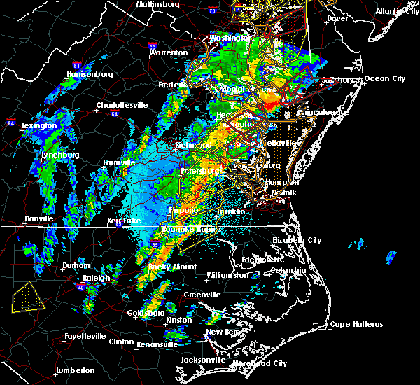 At 250 am edt, a severe thunderstorm was located over sharps, or 7 miles west of robley, moving northeast at 65 mph (radar indicated). Hazards include 60 mph wind gusts and quarter size hail. Minor damage to vehicles is possible. expect wind damage to trees and powerlines. this severe thunderstorm will be near, robley, farnham and haynesville around 255 am edt. callao and heathsville around 300 am edt. lewisetta and kinsale around 305 am edt. other locations impacted by this severe thunderstorm include lottsburg, threeway, avalon, nuttsville, belle isle state park, edwardsville, tidewater, middletons corner, kennard and westmoreland. A tornado watch remains in effect until 700 am edt for eastern and east central virginia. At 250 am edt, a severe thunderstorm was located over sharps, or 7 miles west of robley, moving northeast at 65 mph (radar indicated). Hazards include 60 mph wind gusts and quarter size hail. Minor damage to vehicles is possible. expect wind damage to trees and powerlines. this severe thunderstorm will be near, robley, farnham and haynesville around 255 am edt. callao and heathsville around 300 am edt. lewisetta and kinsale around 305 am edt. other locations impacted by this severe thunderstorm include lottsburg, threeway, avalon, nuttsville, belle isle state park, edwardsville, tidewater, middletons corner, kennard and westmoreland. A tornado watch remains in effect until 700 am edt for eastern and east central virginia.
|
| 4/15/2019 2:23 AM EDT |
 At 223 am edt, a severe thunderstorm capable of producing a tornado was located over morattico, or over robley, moving northeast at 55 mph (radar indicated rotation). Hazards include tornado. Flying debris will be dangerous to those caught without shelter. mobile homes will be damaged or destroyed. damage to roofs, windows, and vehicles will occur. tree damage is likely. this dangerous storm will be near, callao and heathsville around 235 am edt. lewisetta around 240 am edt. Other locations impacted by this tornadic thunderstorm include lara, wellford, lottsburg, somers, village, alfonso, avalon, moon corner, nuttsville and belle isle state park. At 223 am edt, a severe thunderstorm capable of producing a tornado was located over morattico, or over robley, moving northeast at 55 mph (radar indicated rotation). Hazards include tornado. Flying debris will be dangerous to those caught without shelter. mobile homes will be damaged or destroyed. damage to roofs, windows, and vehicles will occur. tree damage is likely. this dangerous storm will be near, callao and heathsville around 235 am edt. lewisetta around 240 am edt. Other locations impacted by this tornadic thunderstorm include lara, wellford, lottsburg, somers, village, alfonso, avalon, moon corner, nuttsville and belle isle state park.
|
| 4/15/2019 2:09 AM EDT |
 At 208 am edt, a severe thunderstorm capable of producing a tornado was located near center cross, or 9 miles northeast of king and queen court house, moving northeast at 55 mph (radar indicated rotation). Hazards include tornado. Flying debris will be dangerous to those caught without shelter. mobile homes will be damaged or destroyed. damage to roofs, windows, and vehicles will occur. tree damage is likely. this dangerous storm will be near, morattico around 215 am edt. robley, farnham and haynesville around 220 am edt. callao and heathsville around 230 am edt. lewisetta around 235 am edt. Other locations impacted by this tornadic thunderstorm include lara, wellford, lottsburg, somers, village, alfonso, avalon, moon corner, nuttsville and belle isle state park. At 208 am edt, a severe thunderstorm capable of producing a tornado was located near center cross, or 9 miles northeast of king and queen court house, moving northeast at 55 mph (radar indicated rotation). Hazards include tornado. Flying debris will be dangerous to those caught without shelter. mobile homes will be damaged or destroyed. damage to roofs, windows, and vehicles will occur. tree damage is likely. this dangerous storm will be near, morattico around 215 am edt. robley, farnham and haynesville around 220 am edt. callao and heathsville around 230 am edt. lewisetta around 235 am edt. Other locations impacted by this tornadic thunderstorm include lara, wellford, lottsburg, somers, village, alfonso, avalon, moon corner, nuttsville and belle isle state park.
|
| 6/24/2018 5:49 PM EDT |
 At 548 pm edt, severe thunderstorms were located along a line extending from lewisetta to lancaster to near church view, moving east at 40 mph (radar indicated). Hazards include 60 mph wind gusts. Expect damage to trees and powerlines. severe thunderstorms will be near, kilmarnock and wicomico church around 555 pm edt. fair port around 600 pm edt. white stone around 610 pm edt. tangier island around 630 pm edt. Other locations impacted by these severe thunderstorms include byrdton, melfa, harborton, avalon, brook vale, bertrand, reedville, millenbeck, wallops island and nelsonia. At 548 pm edt, severe thunderstorms were located along a line extending from lewisetta to lancaster to near church view, moving east at 40 mph (radar indicated). Hazards include 60 mph wind gusts. Expect damage to trees and powerlines. severe thunderstorms will be near, kilmarnock and wicomico church around 555 pm edt. fair port around 600 pm edt. white stone around 610 pm edt. tangier island around 630 pm edt. Other locations impacted by these severe thunderstorms include byrdton, melfa, harborton, avalon, brook vale, bertrand, reedville, millenbeck, wallops island and nelsonia.
|
| 6/24/2018 5:46 PM EDT |
 At 545 pm edt, severe thunderstorms were located along a line extending from near heathsville to lancaster to near urbanna, moving east at 45 mph (radar indicated). Hazards include 60 mph wind gusts. Expect damage to trees and powerlines. Locations impacted include, mathews, west point, urbanna, deltaville, robley, morattico, saluda, heathsville, jamaica, gwynn, church view, lewisetta, hartfield, glenns, blakes, shacklefords, lottsburg, moon, laban and avalon. At 545 pm edt, severe thunderstorms were located along a line extending from near heathsville to lancaster to near urbanna, moving east at 45 mph (radar indicated). Hazards include 60 mph wind gusts. Expect damage to trees and powerlines. Locations impacted include, mathews, west point, urbanna, deltaville, robley, morattico, saluda, heathsville, jamaica, gwynn, church view, lewisetta, hartfield, glenns, blakes, shacklefords, lottsburg, moon, laban and avalon.
|
| 6/24/2018 5:26 PM EDT |
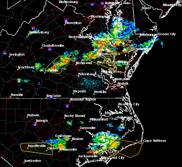 At 525 pm edt, severe thunderstorms were located along a line extending from near haynesville to sharps to near king and queen court house, moving east at 40 mph (radar indicated). Hazards include 60 mph wind gusts and penny size hail. Expect damage to trees and powerlines. Locations impacted include, king william, mathews, west point, tappahannock, warsaw, kilmarnock, urbanna, robley, king and queen court house, deltaville, callao, lancaster, white stone, kinsale, saluda, farnham, jamaica, dunnsville, hague and sharps. At 525 pm edt, severe thunderstorms were located along a line extending from near haynesville to sharps to near king and queen court house, moving east at 40 mph (radar indicated). Hazards include 60 mph wind gusts and penny size hail. Expect damage to trees and powerlines. Locations impacted include, king william, mathews, west point, tappahannock, warsaw, kilmarnock, urbanna, robley, king and queen court house, deltaville, callao, lancaster, white stone, kinsale, saluda, farnham, jamaica, dunnsville, hague and sharps.
|
| 6/24/2018 5:08 PM EDT |
 At 507 pm edt, severe thunderstorms were located along a line extending from near newland to near tappahannock to near king william, moving east at 40 mph (radar indicated). Hazards include 60 mph wind gusts. expect damage to trees and powerlines At 507 pm edt, severe thunderstorms were located along a line extending from near newland to near tappahannock to near king william, moving east at 40 mph (radar indicated). Hazards include 60 mph wind gusts. expect damage to trees and powerlines
|
| 5/14/2018 8:05 PM EDT |
 At 804 pm edt, severe thunderstorms were located along a line extending from near saint marys river to morattico, moving east at 40 mph (radar indicated). Hazards include 70 mph wind gusts and quarter size hail. Minor damage to vehicles is possible. expect considerable tree damage. wind damage is also likely to mobile homes, roofs, and outbuildings. Locations impacted include, tappahannock, warsaw, montross, fair port, robley, callao, lancaster, center cross, kinsale, morattico, heathsville, wicomico church, farnham, haynesville, coles point, dunnsville, hague, lewisetta, sharps and westmoreland. At 804 pm edt, severe thunderstorms were located along a line extending from near saint marys river to morattico, moving east at 40 mph (radar indicated). Hazards include 70 mph wind gusts and quarter size hail. Minor damage to vehicles is possible. expect considerable tree damage. wind damage is also likely to mobile homes, roofs, and outbuildings. Locations impacted include, tappahannock, warsaw, montross, fair port, robley, callao, lancaster, center cross, kinsale, morattico, heathsville, wicomico church, farnham, haynesville, coles point, dunnsville, hague, lewisetta, sharps and westmoreland.
|
| 5/14/2018 7:43 PM EDT |
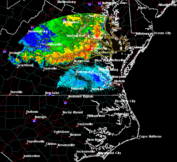 At 742 pm edt, severe thunderstorms were located along a line extending from near saint clements bay to dunnsville, moving east at 65 mph (radar indicated). Hazards include 60 mph wind gusts and quarter size hail. Minor damage to vehicles is possible. expect wind damage to trees and powerlines. severe thunderstorms will be near, farnham around 750 pm edt. robley and morattico around 755 pm edt. lancaster and heathsville around 800 pm edt. wicomico church around 805 pm edt. fair port around 810 pm edt. Other locations impacted by these severe thunderstorms include currioman landing, lottsburg, threeway, regina, avalon, mount holly, brook vale, upright, nuttsville and reedville. At 742 pm edt, severe thunderstorms were located along a line extending from near saint clements bay to dunnsville, moving east at 65 mph (radar indicated). Hazards include 60 mph wind gusts and quarter size hail. Minor damage to vehicles is possible. expect wind damage to trees and powerlines. severe thunderstorms will be near, farnham around 750 pm edt. robley and morattico around 755 pm edt. lancaster and heathsville around 800 pm edt. wicomico church around 805 pm edt. fair port around 810 pm edt. Other locations impacted by these severe thunderstorms include currioman landing, lottsburg, threeway, regina, avalon, mount holly, brook vale, upright, nuttsville and reedville.
|
| 5/10/2018 4:55 PM EDT |
 At 455 pm edt, a severe thunderstorm was located over millers tavern, or near tappahannock, moving east at 35 mph (radar indicated). Hazards include 60 mph wind gusts and quarter size hail. Minor damage to vehicles is possible. expect wind damage to trees and powerlines. this severe thunderstorm will be near, tappahannock around 505 pm edt. dunnsville around 510 pm edt. warsaw and center cross around 515 pm edt. sharps around 520 pm edt. farnham and haynesville around 525 pm edt. robley and morattico around 530 pm edt. heathsville around 540 pm edt. lancaster around 545 pm edt. Other locations impacted by this severe thunderstorm include lottsburg, regina, avalon, brook vale, upright, nuttsville, reedville, belle isle state park, biscoe and edwardsville. At 455 pm edt, a severe thunderstorm was located over millers tavern, or near tappahannock, moving east at 35 mph (radar indicated). Hazards include 60 mph wind gusts and quarter size hail. Minor damage to vehicles is possible. expect wind damage to trees and powerlines. this severe thunderstorm will be near, tappahannock around 505 pm edt. dunnsville around 510 pm edt. warsaw and center cross around 515 pm edt. sharps around 520 pm edt. farnham and haynesville around 525 pm edt. robley and morattico around 530 pm edt. heathsville around 540 pm edt. lancaster around 545 pm edt. Other locations impacted by this severe thunderstorm include lottsburg, regina, avalon, brook vale, upright, nuttsville, reedville, belle isle state park, biscoe and edwardsville.
|
| 2/11/2018 3:59 PM EST |
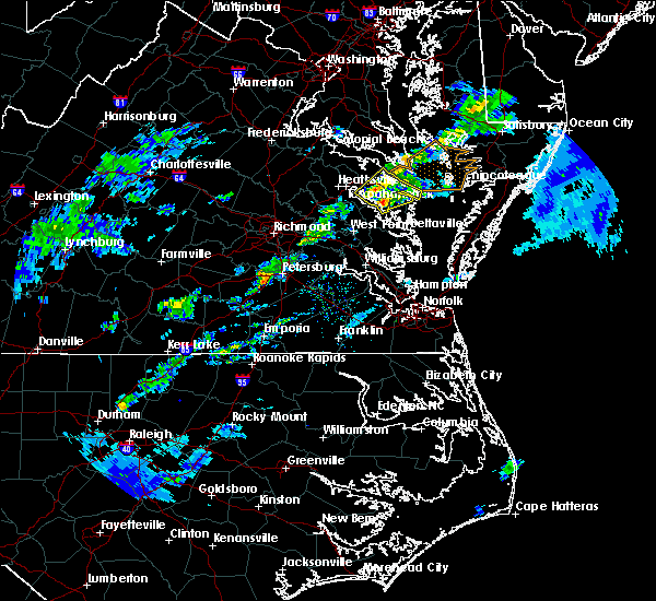 A severe thunderstorm warning remains in effect until 415 pm est for northumberland. southeastern richmond. southeastern westmoreland. northwestern lancaster and east central essex counties. At 358 pm est, a severe thunderstorm was located over robley, moving northeast at 50 mph. A severe thunderstorm warning remains in effect until 415 pm est for northumberland. southeastern richmond. southeastern westmoreland. northwestern lancaster and east central essex counties. At 358 pm est, a severe thunderstorm was located over robley, moving northeast at 50 mph.
|
| 2/11/2018 3:44 PM EST |
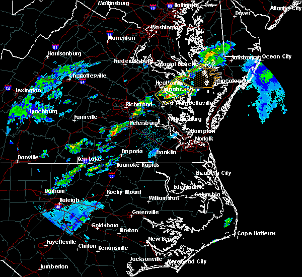 At 343 pm est, a severe thunderstorm was located near jamaica, or 7 miles northeast of king and queen court house, moving northeast at 50 mph (radar indicated). Hazards include 60 mph wind gusts. Expect damage to trees and powerlines. this severe storm will be near, sharps around 350 pm est. morattico and farnham around 355 pm est. robley and lancaster around 400 pm est. heathsville around 405 pm est. wicomico church around 410 pm est. fair port around 415 pm est. Other locations impacted by this severe thunderstorm include lottsburg, regina, mollusk, avalon, upright, nuttsville, ino, dragonville, reedville and belle isle state park. At 343 pm est, a severe thunderstorm was located near jamaica, or 7 miles northeast of king and queen court house, moving northeast at 50 mph (radar indicated). Hazards include 60 mph wind gusts. Expect damage to trees and powerlines. this severe storm will be near, sharps around 350 pm est. morattico and farnham around 355 pm est. robley and lancaster around 400 pm est. heathsville around 405 pm est. wicomico church around 410 pm est. fair port around 415 pm est. Other locations impacted by this severe thunderstorm include lottsburg, regina, mollusk, avalon, upright, nuttsville, ino, dragonville, reedville and belle isle state park.
|
| 2/11/2018 3:26 PM EST |
 At 326 pm est, a severe thunderstorm was located near king william, moving northeast at 50 mph (radar indicated). Hazards include 60 mph wind gusts. Expect damage to trees and powerlines. this severe thunderstorm will be near, king and queen court house and stevensville around 335 pm est. little plymouth around 340 pm est. jamaica, church view and center cross around 345 pm est. sharps around 350 pm est. morattico and farnham around 355 pm est. robley and lancaster around 400 pm est. heathsville around 405 pm est. wicomico church around 410 pm est. Other locations impacted by this severe thunderstorm include lottsburg, regina, mollusk, avalon, upright, nuttsville, ino, cohoke, dragonville and reedville. At 326 pm est, a severe thunderstorm was located near king william, moving northeast at 50 mph (radar indicated). Hazards include 60 mph wind gusts. Expect damage to trees and powerlines. this severe thunderstorm will be near, king and queen court house and stevensville around 335 pm est. little plymouth around 340 pm est. jamaica, church view and center cross around 345 pm est. sharps around 350 pm est. morattico and farnham around 355 pm est. robley and lancaster around 400 pm est. heathsville around 405 pm est. wicomico church around 410 pm est. Other locations impacted by this severe thunderstorm include lottsburg, regina, mollusk, avalon, upright, nuttsville, ino, cohoke, dragonville and reedville.
|
| 8/18/2017 8:30 PM EDT |
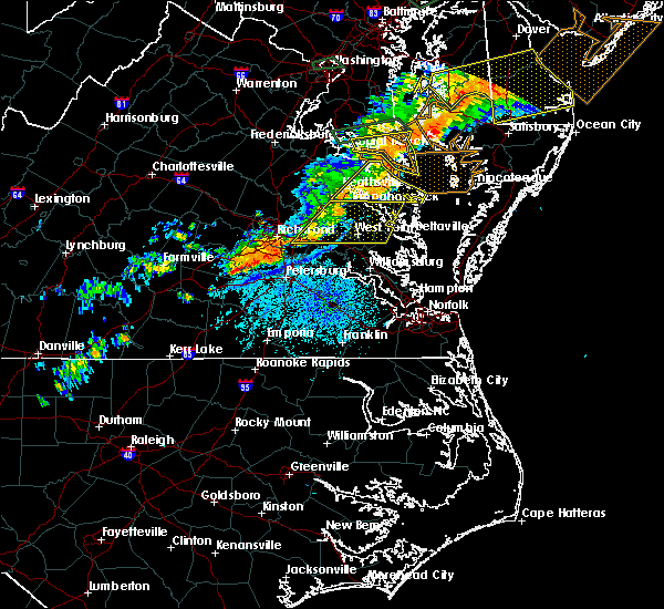 At 829 pm edt, a severe thunderstorm was located near saint george island, moving east at 50 mph (radar indicated). Hazards include 60 mph wind gusts. Expect damage to trees and powerlines. This severe thunderstorm will remain over mainly rural areas of northumberland, richmond, southeastern westmoreland, east central essex and north central lancaster counties, including the following locations: lottsburg, threeway, avalon, mount holly, reedville, edwardsville, tidewater, lyells, middletons corner and kennard. At 829 pm edt, a severe thunderstorm was located near saint george island, moving east at 50 mph (radar indicated). Hazards include 60 mph wind gusts. Expect damage to trees and powerlines. This severe thunderstorm will remain over mainly rural areas of northumberland, richmond, southeastern westmoreland, east central essex and north central lancaster counties, including the following locations: lottsburg, threeway, avalon, mount holly, reedville, edwardsville, tidewater, lyells, middletons corner and kennard.
|
| 8/18/2017 7:53 PM EDT |
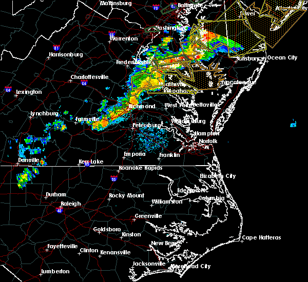 At 752 pm edt, a severe thunderstorm was located over champlain, moving east at 50 mph (radar indicated). Hazards include 60 mph wind gusts. Expect damage to trees and powerlines. this severe thunderstorm will be near, champlain and leedstown around 755 pm edt. tappahannock around 800 pm edt. montross and newland around 805 pm edt. warsaw around 810 pm edt. hague and haynesville around 815 pm edt. callao, kinsale and coles point around 820 pm edt. lewisetta around 830 pm edt. Other locations impacted by this severe thunderstorm include beazley, currioman landing, lottsburg, threeway, avalon, reedville, lyells, westmoreland, mount landing and dodlyt. At 752 pm edt, a severe thunderstorm was located over champlain, moving east at 50 mph (radar indicated). Hazards include 60 mph wind gusts. Expect damage to trees and powerlines. this severe thunderstorm will be near, champlain and leedstown around 755 pm edt. tappahannock around 800 pm edt. montross and newland around 805 pm edt. warsaw around 810 pm edt. hague and haynesville around 815 pm edt. callao, kinsale and coles point around 820 pm edt. lewisetta around 830 pm edt. Other locations impacted by this severe thunderstorm include beazley, currioman landing, lottsburg, threeway, avalon, reedville, lyells, westmoreland, mount landing and dodlyt.
|
| 8/15/2017 1:34 PM EDT |
 At 133 pm edt, a severe thunderstorm was located over wicomico church, or 7 miles north of kilmarnock, moving east at 25 mph (radar indicated). Hazards include 60 mph wind gusts and quarter size hail. Minor damage to vehicles is possible. expect wind damage to trees and powerlines. this severe thunderstorm will be near, fair port around 150 pm edt. Other locations impacted by this severe thunderstorm include lottsburg, regina, mollusk, avalon, brook vale, nuttsville, reedville, belle isle state park, edwardsville and middletons corner. At 133 pm edt, a severe thunderstorm was located over wicomico church, or 7 miles north of kilmarnock, moving east at 25 mph (radar indicated). Hazards include 60 mph wind gusts and quarter size hail. Minor damage to vehicles is possible. expect wind damage to trees and powerlines. this severe thunderstorm will be near, fair port around 150 pm edt. Other locations impacted by this severe thunderstorm include lottsburg, regina, mollusk, avalon, brook vale, nuttsville, reedville, belle isle state park, edwardsville and middletons corner.
|
| 8/15/2017 1:31 PM EDT |
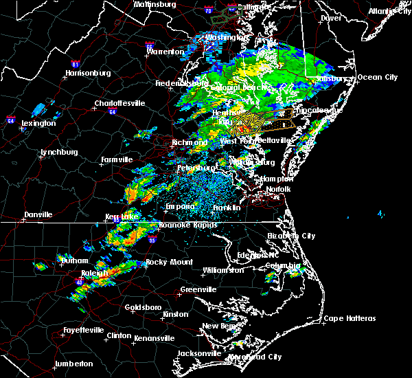 At 131 pm edt, a severe thunderstorm was located near wicomico church, or near kilmarnock, moving east at 25 mph (radar indicated). Hazards include 60 mph wind gusts and penny size hail. Expect damage to trees and powerlines. this severe storm will be near, fair port around 145 pm edt. Other locations impacted by this severe thunderstorm include lara, nesting, browns store, somers, regina, mollusk, alfonso, brook vale, nuttsville and moon corner. At 131 pm edt, a severe thunderstorm was located near wicomico church, or near kilmarnock, moving east at 25 mph (radar indicated). Hazards include 60 mph wind gusts and penny size hail. Expect damage to trees and powerlines. this severe storm will be near, fair port around 145 pm edt. Other locations impacted by this severe thunderstorm include lara, nesting, browns store, somers, regina, mollusk, alfonso, brook vale, nuttsville and moon corner.
|
| 8/15/2017 1:15 PM EDT |
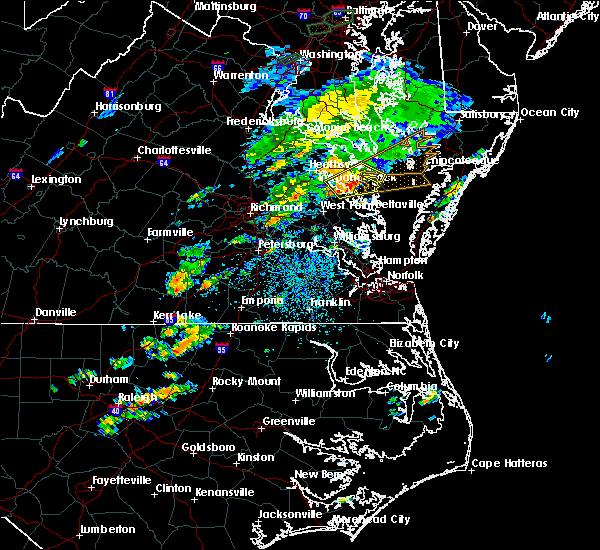 At 115 pm edt, a severe thunderstorm was located near robley, moving northeast at 25 mph (radar indicated). Hazards include 60 mph wind gusts and penny size hail. Expect damage to trees and powerlines. this severe storm will be near, wicomico church and heathsville around 130 pm edt. fair port around 145 pm edt. Other locations impacted by this severe thunderstorm include lottsburg, regina, mollusk, avalon, brook vale, nuttsville, reedville, belle isle state park, edwardsville and tidewater. At 115 pm edt, a severe thunderstorm was located near robley, moving northeast at 25 mph (radar indicated). Hazards include 60 mph wind gusts and penny size hail. Expect damage to trees and powerlines. this severe storm will be near, wicomico church and heathsville around 130 pm edt. fair port around 145 pm edt. Other locations impacted by this severe thunderstorm include lottsburg, regina, mollusk, avalon, brook vale, nuttsville, reedville, belle isle state park, edwardsville and tidewater.
|
| 8/15/2017 12:58 PM EDT |
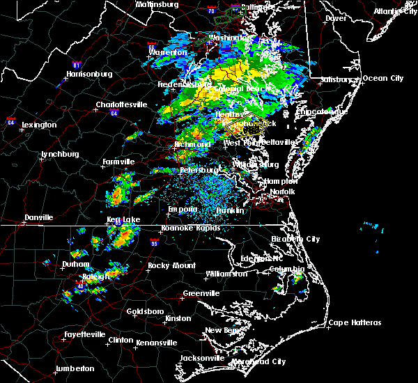 At 1258 pm edt, a severe thunderstorm was located over morattico, or near robley, moving northeast at 35 mph (radar indicated). Hazards include 60 mph wind gusts and penny size hail. Expect damage to trees and powerlines. this severe thunderstorm will be near, lancaster around 110 pm edt. heathsville around 115 pm edt. wicomico church around 120 pm edt. fair port around 130 pm edt. Other locations impacted by this severe thunderstorm include lottsburg, regina, mollusk, avalon, brook vale, nuttsville, reedville, belle isle state park, edwardsville and tidewater. At 1258 pm edt, a severe thunderstorm was located over morattico, or near robley, moving northeast at 35 mph (radar indicated). Hazards include 60 mph wind gusts and penny size hail. Expect damage to trees and powerlines. this severe thunderstorm will be near, lancaster around 110 pm edt. heathsville around 115 pm edt. wicomico church around 120 pm edt. fair port around 130 pm edt. Other locations impacted by this severe thunderstorm include lottsburg, regina, mollusk, avalon, brook vale, nuttsville, reedville, belle isle state park, edwardsville and tidewater.
|
| 7/22/2017 8:41 PM EDT |
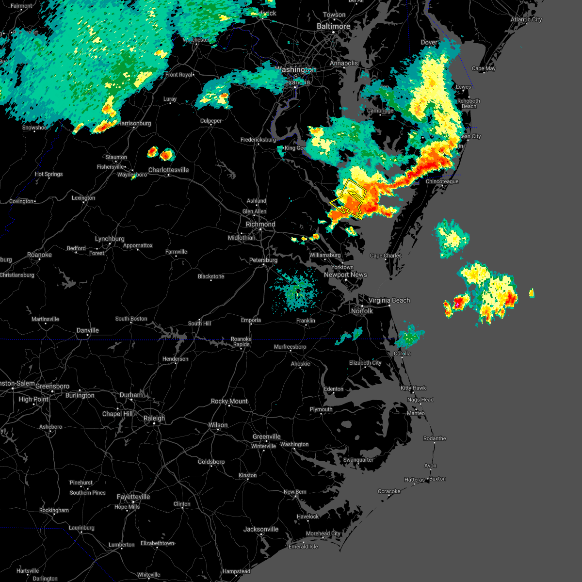 The severe thunderstorm warning for northumberland and lancaster counties will expire at 845 pm edt. the storms which prompted the warning have weakened below severe limits, and no longer pose an immediate threat to life or property. therefore the warning will be allowed to expire. However heavy rain and cloud to ground lightning are still expected with these. The severe thunderstorm warning for northumberland and lancaster counties will expire at 845 pm edt. the storms which prompted the warning have weakened below severe limits, and no longer pose an immediate threat to life or property. therefore the warning will be allowed to expire. However heavy rain and cloud to ground lightning are still expected with these.
|
| 7/22/2017 8:26 PM EDT |
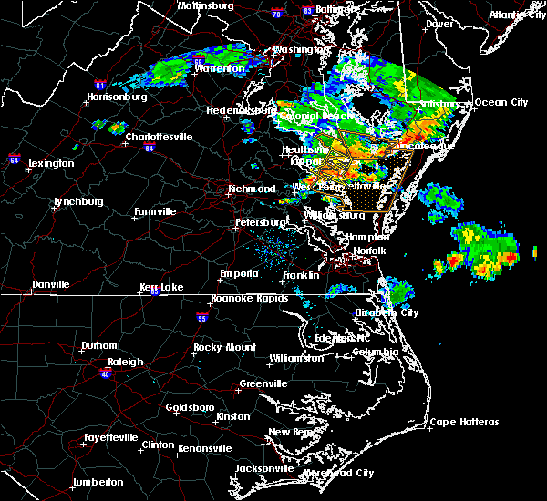 At 825 pm edt, severe thunderstorms were located along a line extending from 10 miles east of lewisetta to near fair port to near wicomico church, moving east at 30 mph (radar indicated). Hazards include 60 mph wind gusts. Expect damage to trees and powerlines. these severe storms will be near, fair port around 840 pm edt. Other locations impacted by these severe thunderstorms include lara, byrdton, browns store, somers, regina, mollusk, alfonso, avalon, brook vale and nuttsville. At 825 pm edt, severe thunderstorms were located along a line extending from 10 miles east of lewisetta to near fair port to near wicomico church, moving east at 30 mph (radar indicated). Hazards include 60 mph wind gusts. Expect damage to trees and powerlines. these severe storms will be near, fair port around 840 pm edt. Other locations impacted by these severe thunderstorms include lara, byrdton, browns store, somers, regina, mollusk, alfonso, avalon, brook vale and nuttsville.
|
| 7/22/2017 8:12 PM EDT | Tree down on citrus mill pond r in northumberland county VA, 0.5 miles W of Heathsville, VA |
| 7/22/2017 8:10 PM EDT |
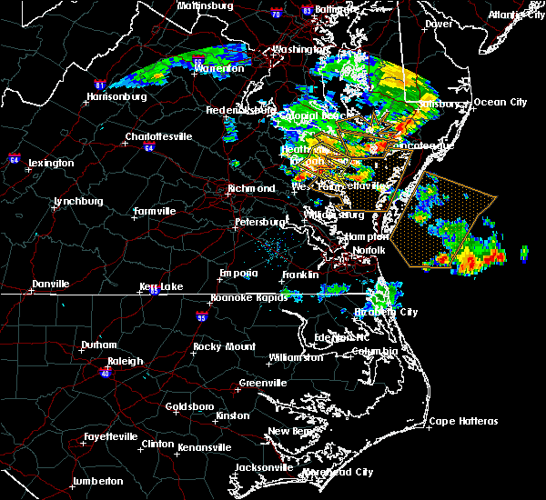 At 810 pm edt, severe thunderstorms were located along a line extending from near lewisetta to heathsville to robley, moving east at 30 mph (radar indicated). Hazards include 60 mph wind gusts. Expect damage to trees and powerlines. these severe storms will be near, kilmarnock and wicomico church around 830 pm edt. fair port around 840 pm edt. Other locations impacted by these severe thunderstorms include byrdton, lottsburg, regina, mollusk, avalon, brook vale, nuttsville, reedville, belle isle state park and edwardsville. At 810 pm edt, severe thunderstorms were located along a line extending from near lewisetta to heathsville to robley, moving east at 30 mph (radar indicated). Hazards include 60 mph wind gusts. Expect damage to trees and powerlines. these severe storms will be near, kilmarnock and wicomico church around 830 pm edt. fair port around 840 pm edt. Other locations impacted by these severe thunderstorms include byrdton, lottsburg, regina, mollusk, avalon, brook vale, nuttsville, reedville, belle isle state park and edwardsville.
|
| 7/22/2017 7:45 PM EDT |
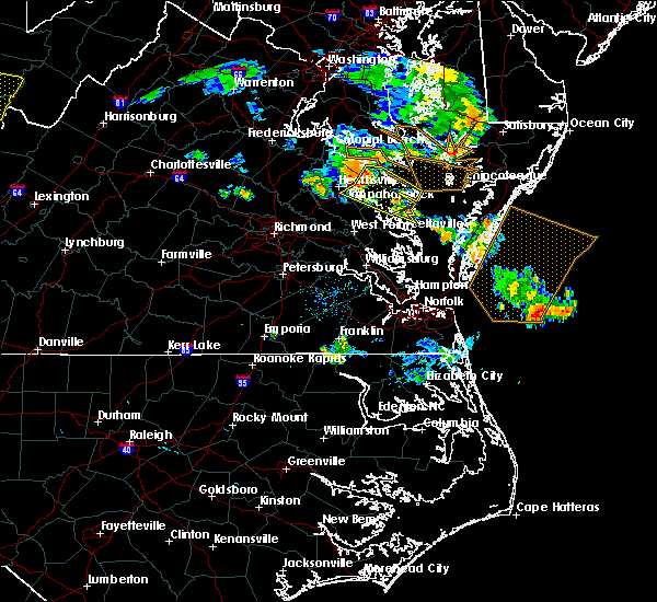 At 744 pm edt, severe thunderstorms were located along a line extending from near hague to near haynesville to dunnsville, moving east at 30 mph (radar indicated). Hazards include 60 mph wind gusts. Expect damage to trees and powerlines. severe thunderstorms will be near, haynesville around 750 pm edt. callao, kinsale and farnham around 755 pm edt. lewisetta around 805 pm edt. robley, heathsville and morattico around 810 pm edt. lancaster around 825 pm edt. kilmarnock and wicomico church around 830 pm edt. fair port around 840 pm edt. Other locations impacted by these severe thunderstorms include byrdton, lottsburg, threeway, regina, mollusk, avalon, brook vale, nuttsville, reedville and belle isle state park. At 744 pm edt, severe thunderstorms were located along a line extending from near hague to near haynesville to dunnsville, moving east at 30 mph (radar indicated). Hazards include 60 mph wind gusts. Expect damage to trees and powerlines. severe thunderstorms will be near, haynesville around 750 pm edt. callao, kinsale and farnham around 755 pm edt. lewisetta around 805 pm edt. robley, heathsville and morattico around 810 pm edt. lancaster around 825 pm edt. kilmarnock and wicomico church around 830 pm edt. fair port around 840 pm edt. Other locations impacted by these severe thunderstorms include byrdton, lottsburg, threeway, regina, mollusk, avalon, brook vale, nuttsville, reedville and belle isle state park.
|
| 7/6/2017 9:23 PM EDT |
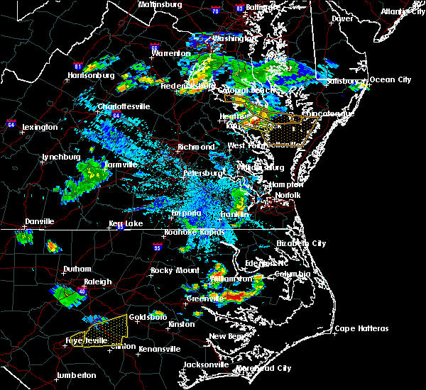 At 923 pm edt, severe thunderstorms were located along a line extending from 8 miles southeast of saint inigoes creek to heathsville, moving east at 35 mph (radar indicated). Hazards include 60 mph wind gusts. Expect damage to trees and powerlines. Locations impacted include, heathsville, wicomico church, farnham, lewisetta, lara, lottsburg, avalon, moon corner, reedville, lilian, hull neck, edwardsville, howland, opheila, middletons corner, dodlyt, mulch and browns store. At 923 pm edt, severe thunderstorms were located along a line extending from 8 miles southeast of saint inigoes creek to heathsville, moving east at 35 mph (radar indicated). Hazards include 60 mph wind gusts. Expect damage to trees and powerlines. Locations impacted include, heathsville, wicomico church, farnham, lewisetta, lara, lottsburg, avalon, moon corner, reedville, lilian, hull neck, edwardsville, howland, opheila, middletons corner, dodlyt, mulch and browns store.
|
| 7/6/2017 9:02 PM EDT |
 At 901 pm edt, severe thunderstorms were located along a line extending from near saint george island to haynesville, moving east at 35 mph (radar indicated). Hazards include 60 mph wind gusts. Expect damage to trees and powerlines. Locations impacted include, warsaw, callao, kinsale, lewisetta, heathsville, wicomico church, farnham, haynesville, westmoreland, lottsburg, threeway, avalon, reedville, edwardsville, middletons corner, kennard, dodlyt, lara, village and moon corner. At 901 pm edt, severe thunderstorms were located along a line extending from near saint george island to haynesville, moving east at 35 mph (radar indicated). Hazards include 60 mph wind gusts. Expect damage to trees and powerlines. Locations impacted include, warsaw, callao, kinsale, lewisetta, heathsville, wicomico church, farnham, haynesville, westmoreland, lottsburg, threeway, avalon, reedville, edwardsville, middletons corner, kennard, dodlyt, lara, village and moon corner.
|
| 7/6/2017 8:44 PM EDT |
 At 843 pm edt, severe thunderstorms were located along a line extending from near hague to near tappahannock, moving east at 35 mph (radar indicated). Hazards include 60 mph wind gusts. expect damage to trees and powerlines At 843 pm edt, severe thunderstorms were located along a line extending from near hague to near tappahannock, moving east at 35 mph (radar indicated). Hazards include 60 mph wind gusts. expect damage to trees and powerlines
|
| 6/19/2017 7:18 PM EDT | Large tree blocked major thoroughfare in heathsvill in northumberland county VA, 0.5 miles W of Heathsville, VA |
| 5/19/2017 7:00 PM EDT |
 A severe thunderstorm warning remains in effect until 715 pm edt for northwestern northumberland. richmond and westmoreland counties. at 700 pm edt, a severe thunderstorm was located over piney point, moving east at 20 mph. hazard. 60 mph wind gusts and quarter size hail. A severe thunderstorm warning remains in effect until 715 pm edt for northwestern northumberland. richmond and westmoreland counties. at 700 pm edt, a severe thunderstorm was located over piney point, moving east at 20 mph. hazard. 60 mph wind gusts and quarter size hail.
|
| 5/19/2017 6:37 PM EDT |
 At 636 pm edt, a severe thunderstorm was located over hague, or 7 miles south of white point beach, moving east at 20 mph (radar indicated). Hazards include 60 mph wind gusts and quarter size hail. Minor damage to vehicles is possible. expect wind damage to trees and powerlines. this severe thunderstorm will be near, coles point and kinsale around 645 pm edt. Other locations impacted by this severe thunderstorm include currioman landing, lottsburg, threeway, hustle, mount holly, stratford hall, lyells, middletons corner, kennard and westmoreland. At 636 pm edt, a severe thunderstorm was located over hague, or 7 miles south of white point beach, moving east at 20 mph (radar indicated). Hazards include 60 mph wind gusts and quarter size hail. Minor damage to vehicles is possible. expect wind damage to trees and powerlines. this severe thunderstorm will be near, coles point and kinsale around 645 pm edt. Other locations impacted by this severe thunderstorm include currioman landing, lottsburg, threeway, hustle, mount holly, stratford hall, lyells, middletons corner, kennard and westmoreland.
|
| 5/5/2017 9:20 AM EDT |
 The severe thunderstorm warning for gloucester, southeastern king and queen, middlesex, central northumberland, southeastern richmond, mathews, east central new kent, southeastern essex and lancaster counties will expire at 930 am edt, the storms which prompted the warning have moved out of the area. therefore the warning will be allowed to expire. a tornado watch remains in effect until 100 pm edt for eastern and southeastern virginia. The severe thunderstorm warning for gloucester, southeastern king and queen, middlesex, central northumberland, southeastern richmond, mathews, east central new kent, southeastern essex and lancaster counties will expire at 930 am edt, the storms which prompted the warning have moved out of the area. therefore the warning will be allowed to expire. a tornado watch remains in effect until 100 pm edt for eastern and southeastern virginia.
|
| 5/5/2017 8:54 AM EDT |
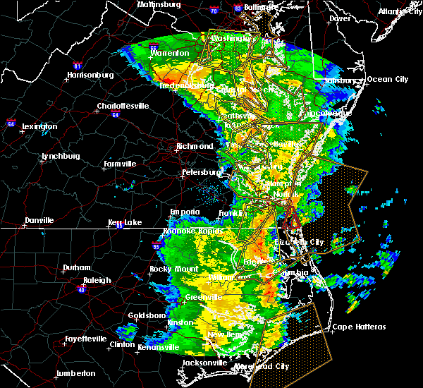 At 853 am edt, severe thunderstorms were located along a line extending from near wicomico church to near kilmarnock to near gloucester courthouse, moving east at 40 mph (radar indicated). Hazards include 60 mph wind gusts. Expect damage to roofs, siding, and trees. these severe storms will be near, kilmarnock and wicomico church around 900 am edt. hartfield around 910 am edt. blakes and mobjack around 915 am edt. mathews and deltaville around 920 am edt. other locations impacted by these severe thunderstorms include beulah, moon, laban, avalon, brook vale, grafton, amburg, belle isle state park, mattaponi and mascot. A tornado watch remains in effect until 100 pm edt for eastern and southeastern virginia. At 853 am edt, severe thunderstorms were located along a line extending from near wicomico church to near kilmarnock to near gloucester courthouse, moving east at 40 mph (radar indicated). Hazards include 60 mph wind gusts. Expect damage to roofs, siding, and trees. these severe storms will be near, kilmarnock and wicomico church around 900 am edt. hartfield around 910 am edt. blakes and mobjack around 915 am edt. mathews and deltaville around 920 am edt. other locations impacted by these severe thunderstorms include beulah, moon, laban, avalon, brook vale, grafton, amburg, belle isle state park, mattaponi and mascot. A tornado watch remains in effect until 100 pm edt for eastern and southeastern virginia.
|
| 5/5/2017 8:43 AM EDT |
 At 842 am edt, severe thunderstorms were located along a line extending from 6 miles southwest of golden beach to near coles point to sharps, moving east at 40 mph (radar indicated). Hazards include 60 mph wind gusts. Expect damage to roofs, siding, and trees. these severe storms will be near, heathsville around 900 am edt. Other locations impacted by these severe thunderstorms include currioman landing, lottsburg, threeway, avalon, mount holly, stratford hall, tidewater, lyells, middletons corner and kennard. At 842 am edt, severe thunderstorms were located along a line extending from 6 miles southwest of golden beach to near coles point to sharps, moving east at 40 mph (radar indicated). Hazards include 60 mph wind gusts. Expect damage to roofs, siding, and trees. these severe storms will be near, heathsville around 900 am edt. Other locations impacted by these severe thunderstorms include currioman landing, lottsburg, threeway, avalon, mount holly, stratford hall, tidewater, lyells, middletons corner and kennard.
|
| 5/5/2017 8:40 AM EDT |
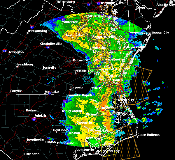 At 839 am edt, severe thunderstorms were located along a line extending from near robley to urbanna to near norge, moving northeast at 40 mph (radar indicated). Hazards include 60 mph wind gusts. Expect damage to roofs, siding, and trees. severe thunderstorms will be near, urbanna, robley, lancaster and morattico around 845 am edt. wicomico church around 850 am edt. hayes around 855 am edt. kilmarnock around 900 am edt. hartfield and blakes around 910 am edt. mathews around 915 am edt. deltaville around 920 am edt. other locations impacted by these severe thunderstorms include eltham, byrdton, croaker, beulah, moon, laban, avalon, brook vale, grafton and amburg. A tornado watch remains in effect until 100 pm edt for eastern, southeastern and east central virginia. At 839 am edt, severe thunderstorms were located along a line extending from near robley to urbanna to near norge, moving northeast at 40 mph (radar indicated). Hazards include 60 mph wind gusts. Expect damage to roofs, siding, and trees. severe thunderstorms will be near, urbanna, robley, lancaster and morattico around 845 am edt. wicomico church around 850 am edt. hayes around 855 am edt. kilmarnock around 900 am edt. hartfield and blakes around 910 am edt. mathews around 915 am edt. deltaville around 920 am edt. other locations impacted by these severe thunderstorms include eltham, byrdton, croaker, beulah, moon, laban, avalon, brook vale, grafton and amburg. A tornado watch remains in effect until 100 pm edt for eastern, southeastern and east central virginia.
|
| 5/5/2017 8:28 AM EDT |
 At 828 am edt, severe thunderstorms were located along a line extending from 7 miles southeast of popes creek to near hague to near center cross, moving northeast at 40 mph (radar indicated). Hazards include 60 mph wind gusts. Expect damage to roofs, siding, and trees. severe thunderstorms will be near, hague and kinsale around 835 am edt. coles point around 840 am edt. robley, farnham and haynesville around 850 am edt. callao around 855 am edt. heathsville around 900 am edt. lewisetta around 905 am edt. Other locations impacted by these severe thunderstorms include currioman landing, lottsburg, threeway, avalon, mount holly, upright, ino, stratford hall, tidewater and lyells. At 828 am edt, severe thunderstorms were located along a line extending from 7 miles southeast of popes creek to near hague to near center cross, moving northeast at 40 mph (radar indicated). Hazards include 60 mph wind gusts. Expect damage to roofs, siding, and trees. severe thunderstorms will be near, hague and kinsale around 835 am edt. coles point around 840 am edt. robley, farnham and haynesville around 850 am edt. callao around 855 am edt. heathsville around 900 am edt. lewisetta around 905 am edt. Other locations impacted by these severe thunderstorms include currioman landing, lottsburg, threeway, avalon, mount holly, upright, ino, stratford hall, tidewater and lyells.
|
| 4/21/2017 8:32 PM EDT |
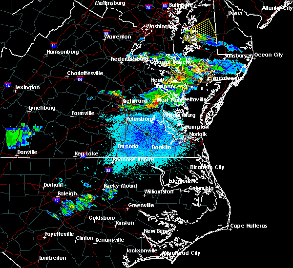 At 832 pm edt, severe thunderstorms were located along a line extending from near lewisetta to near heathsville to near callao, moving east at 35 mph (radar indicated). Hazards include 60 mph wind gusts and quarter size hail. Hail damage to vehicles is expected. expect wind damage to roofs, siding, and trees. severe thunderstorms will be near, fair port around 900 pm edt. Other locations impacted by these severe thunderstorms include edwardsville, lottsburg, opheila, village, middletons corner, avalon, gibeon, dodlyt, reedville and lilian. At 832 pm edt, severe thunderstorms were located along a line extending from near lewisetta to near heathsville to near callao, moving east at 35 mph (radar indicated). Hazards include 60 mph wind gusts and quarter size hail. Hail damage to vehicles is expected. expect wind damage to roofs, siding, and trees. severe thunderstorms will be near, fair port around 900 pm edt. Other locations impacted by these severe thunderstorms include edwardsville, lottsburg, opheila, village, middletons corner, avalon, gibeon, dodlyt, reedville and lilian.
|
| 4/6/2017 12:30 PM EDT | Storm damage reported in anz537 county MD, 11.9 miles SW of Heathsville, VA |
| 4/6/2017 12:04 PM EDT |
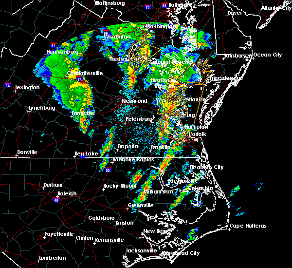 At 1203 pm edt, a severe thunderstorm was located near urbanna, moving northeast at 55 mph (radar indicated). Hazards include 60 mph wind gusts and nickel size hail. expect damage to roofs, siding, and trees At 1203 pm edt, a severe thunderstorm was located near urbanna, moving northeast at 55 mph (radar indicated). Hazards include 60 mph wind gusts and nickel size hail. expect damage to roofs, siding, and trees
|
| 3/1/2017 2:34 PM EST |
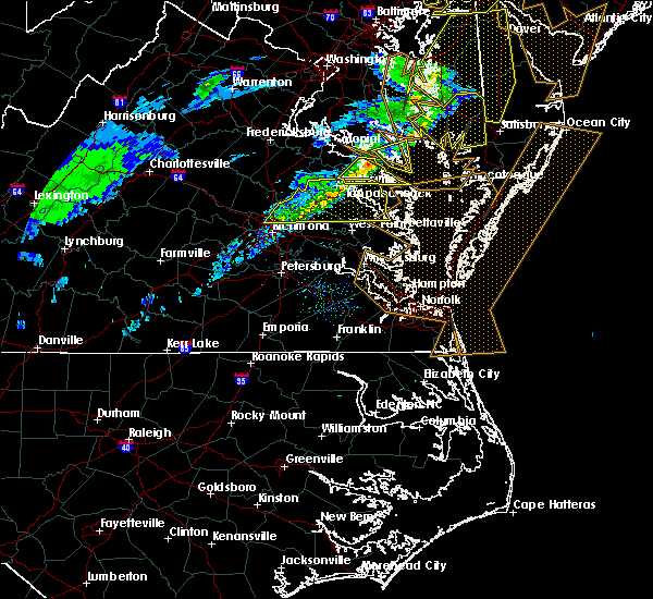 At 234 pm est, a severe thunderstorm was located over hague, or 7 miles northwest of callao, moving east at 60 mph (radar indicated). Hazards include 60 mph wind gusts. Expect damage to roofs, siding, and trees. this severe storm will be near, lewisetta around 240 pm est. other locations impacted by this severe thunderstorm include ethel, lottsburg, threeway, village, mount holly, oldhams, hull neck, lyells, naylors beach and middletons corner. precautionary/preparedness actions, for your protection move to an interior room on the lowest floor of a building. please send your reports of hail and or wind damage, including trees or large limbs downed, by calling noaa`s national weather service in wakefield at , 7 5 7, 8 9 9, 2 4 1 5. At 234 pm est, a severe thunderstorm was located over hague, or 7 miles northwest of callao, moving east at 60 mph (radar indicated). Hazards include 60 mph wind gusts. Expect damage to roofs, siding, and trees. this severe storm will be near, lewisetta around 240 pm est. other locations impacted by this severe thunderstorm include ethel, lottsburg, threeway, village, mount holly, oldhams, hull neck, lyells, naylors beach and middletons corner. precautionary/preparedness actions, for your protection move to an interior room on the lowest floor of a building. please send your reports of hail and or wind damage, including trees or large limbs downed, by calling noaa`s national weather service in wakefield at , 7 5 7, 8 9 9, 2 4 1 5.
|
| 3/1/2017 2:07 PM EST |
 At 206 pm est, a severe thunderstorm was located near loretto, or 8 miles northwest of champlain, moving east at 50 mph (radar indicated). Hazards include 60 mph wind gusts. Expect damage to roofs, siding, and trees. this severe thunderstorm will be near, loretto around 210 pm est. champlain and leedstown around 215 pm est. newland around 220 pm est. montross around 225 pm est. warsaw around 230 pm est. hague, kinsale and coles point around 235 pm est. callao around 240 pm est. lewisetta around 245 pm est. Other locations impacted by this severe thunderstorm include beazley, currioman landing, lottsburg, threeway, hustle, elevon, supply, mount holly, stratford hall and lyells. At 206 pm est, a severe thunderstorm was located near loretto, or 8 miles northwest of champlain, moving east at 50 mph (radar indicated). Hazards include 60 mph wind gusts. Expect damage to roofs, siding, and trees. this severe thunderstorm will be near, loretto around 210 pm est. champlain and leedstown around 215 pm est. newland around 220 pm est. montross around 225 pm est. warsaw around 230 pm est. hague, kinsale and coles point around 235 pm est. callao around 240 pm est. lewisetta around 245 pm est. Other locations impacted by this severe thunderstorm include beazley, currioman landing, lottsburg, threeway, hustle, elevon, supply, mount holly, stratford hall and lyells.
|
| 9/28/2016 7:52 PM EDT |
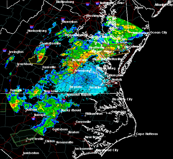 The severe thunderstorm warning for northumberland and northwestern lancaster counties will expire at 800 pm edt, the severe thunderstorm which prompted the warning will move out of the warned area. therefore the warning will be allowed to expire. a severe thunderstorm watch remains in effect until 1000 pm edt for eastern and east central virginia. The severe thunderstorm warning for northumberland and northwestern lancaster counties will expire at 800 pm edt, the severe thunderstorm which prompted the warning will move out of the warned area. therefore the warning will be allowed to expire. a severe thunderstorm watch remains in effect until 1000 pm edt for eastern and east central virginia.
|
| 9/28/2016 7:15 PM EDT |
 At 714 pm edt, a severe thunderstorm was located over lancaster, or 7 miles southeast of robley, moving northeast at 25 mph (radar indicated). Hazards include 60 mph wind gusts and quarter size hail. Hail damage to vehicles is expected. expect wind damage to roofs, siding, and trees. this severe thunderstorm will be near, wicomico church and heathsville around 730 pm edt. fair port around 740 pm edt. Other locations impacted by this severe thunderstorm include beanes corner, lara, lilian, browns store, nuttsville, middletons corner, reedville, fleeton, hull neck and rehoboth church. At 714 pm edt, a severe thunderstorm was located over lancaster, or 7 miles southeast of robley, moving northeast at 25 mph (radar indicated). Hazards include 60 mph wind gusts and quarter size hail. Hail damage to vehicles is expected. expect wind damage to roofs, siding, and trees. this severe thunderstorm will be near, wicomico church and heathsville around 730 pm edt. fair port around 740 pm edt. Other locations impacted by this severe thunderstorm include beanes corner, lara, lilian, browns store, nuttsville, middletons corner, reedville, fleeton, hull neck and rehoboth church.
|
| 7/28/2016 11:08 PM EDT |
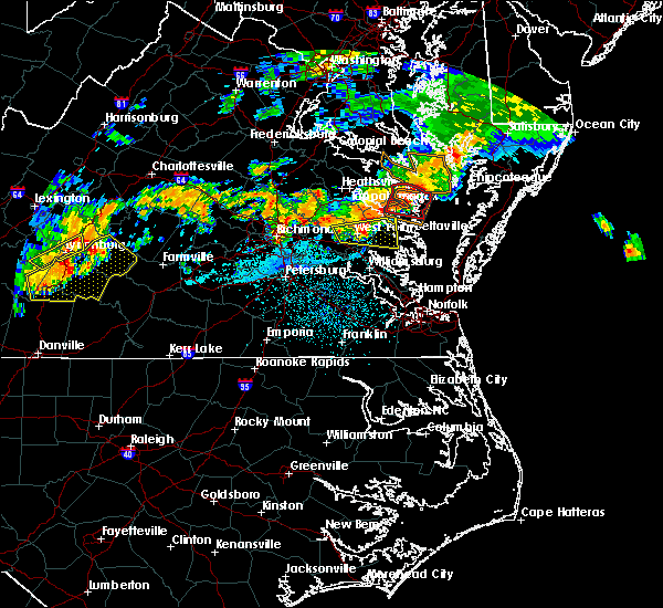 The tornado warning for northumberland and northern lancaster counties will expire at 1115 pm edt, the storm which prompted the warning has weakened below severe limits, and no longer appears capable of producing a tornado. therefore the warning will be allowed to expire. however gusty winds are still possible with this thunderstorm. The tornado warning for northumberland and northern lancaster counties will expire at 1115 pm edt, the storm which prompted the warning has weakened below severe limits, and no longer appears capable of producing a tornado. therefore the warning will be allowed to expire. however gusty winds are still possible with this thunderstorm.
|
| 7/28/2016 10:58 PM EDT |
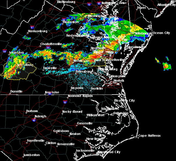 At 1057 pm edt, a severe thunderstorm capable of producing a tornado was located near heathsville, or 7 miles northwest of fair port, moving east at 30 mph (radar indicated rotation). Hazards include tornado. Flying debris will be dangerous to those caught without shelter. mobile homes will be damaged or destroyed. damage to roofs, windows, and vehicles will occur. tree damage is likely. this dangerous storm will be near, fair port around 1105 pm edt. other locations impacted by this tornadic thunderstorm include beanes corner, lara, lilian, browns store, nuttsville, dodlyt, middletons corner, reedville, fleeton and hull neck. precautionary/preparedness actions, take cover now! move to a basement or an interior room on the lowest floor of a sturdy building. avoid windows. if you are outdoors, in a mobile home, or in a vehicle, move to the closest substantial shelter and protect yourself from flying debris. tornadoes are extremely difficult to see and confirm at night. do not wait to see or hear the tornado. take cover now! please send your reports of hail and or wind damage, including trees or large limbs downed, by calling noaa`s national weather service in wakefield at , 7 5 7, 8 9 9, 2 4 1 5. At 1057 pm edt, a severe thunderstorm capable of producing a tornado was located near heathsville, or 7 miles northwest of fair port, moving east at 30 mph (radar indicated rotation). Hazards include tornado. Flying debris will be dangerous to those caught without shelter. mobile homes will be damaged or destroyed. damage to roofs, windows, and vehicles will occur. tree damage is likely. this dangerous storm will be near, fair port around 1105 pm edt. other locations impacted by this tornadic thunderstorm include beanes corner, lara, lilian, browns store, nuttsville, dodlyt, middletons corner, reedville, fleeton and hull neck. precautionary/preparedness actions, take cover now! move to a basement or an interior room on the lowest floor of a sturdy building. avoid windows. if you are outdoors, in a mobile home, or in a vehicle, move to the closest substantial shelter and protect yourself from flying debris. tornadoes are extremely difficult to see and confirm at night. do not wait to see or hear the tornado. take cover now! please send your reports of hail and or wind damage, including trees or large limbs downed, by calling noaa`s national weather service in wakefield at , 7 5 7, 8 9 9, 2 4 1 5.
|
| 7/28/2016 10:22 PM EDT |
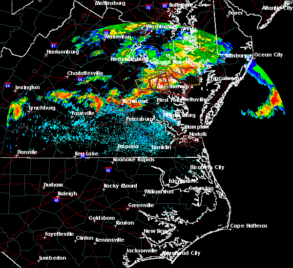 At 1021 pm edt, a severe thunderstorm capable of producing a tornado was located over sharps, or near warsaw, moving east at 30 mph (radar indicated rotation). Hazards include tornado and quarter size hail. Flying debris will be dangerous to those caught without shelter. mobile homes will be damaged or destroyed. damage to roofs, windows, and vehicles will occur. tree damage is likely. this dangerous storm will be near, farnham, haynesville and morattico around 1030 pm edt. robley around 1035 pm edt. callao around 1040 pm edt. heathsville and lewisetta around 1050 pm edt. wicomico church around 1055 pm edt. fair port around 1105 pm edt. Other locations impacted by this tornadic thunderstorm include lara, lilian, downing, montague, browns store, piney grove, nuttsville, village, lyells and gibeon. At 1021 pm edt, a severe thunderstorm capable of producing a tornado was located over sharps, or near warsaw, moving east at 30 mph (radar indicated rotation). Hazards include tornado and quarter size hail. Flying debris will be dangerous to those caught without shelter. mobile homes will be damaged or destroyed. damage to roofs, windows, and vehicles will occur. tree damage is likely. this dangerous storm will be near, farnham, haynesville and morattico around 1030 pm edt. robley around 1035 pm edt. callao around 1040 pm edt. heathsville and lewisetta around 1050 pm edt. wicomico church around 1055 pm edt. fair port around 1105 pm edt. Other locations impacted by this tornadic thunderstorm include lara, lilian, downing, montague, browns store, piney grove, nuttsville, village, lyells and gibeon.
|
| 7/28/2016 7:29 PM EDT |
 At 729 pm edt, a severe thunderstorm was located over wicomico church, or near kilmarnock, moving east at 35 mph (radar indicated). Hazards include 60 mph wind gusts and nickel size hail. Expect damage to roofs. siding. and trees. this severe thunderstorm will be near, fair port around 740 pm edt. Other locations impacted by this severe thunderstorm include beanes corner, lara, lilian, browns store, dodlyt, reedville, fleeton, hull neck, rehoboth church and avalon. At 729 pm edt, a severe thunderstorm was located over wicomico church, or near kilmarnock, moving east at 35 mph (radar indicated). Hazards include 60 mph wind gusts and nickel size hail. Expect damage to roofs. siding. and trees. this severe thunderstorm will be near, fair port around 740 pm edt. Other locations impacted by this severe thunderstorm include beanes corner, lara, lilian, browns store, dodlyt, reedville, fleeton, hull neck, rehoboth church and avalon.
|
| 6/16/2016 11:27 PM EDT | The severe thunderstorm warning for middlesex, gloucester, northumberland, lancaster, mathews, southeastern richmond, southeastern king and queen, southeastern essex and central york counties will expire at 1130 pm edt, the storms which prompted the warning have weakened below severe limits, and no longer pose an immediate threat to life or property. therefore the warning will be allowed to expire. a severe thunderstorm watch remains in effect until 300 am edt for southeastern virginia. |
| 6/16/2016 11:10 PM EDT |
 At 1109 pm edt, severe thunderstorms were located along a line extending from 8 miles west of tylerton to near fair port to near kilmarnock to near hartfield to near wicomico to near fort eustis, moving east at 25 mph (radar indicated). Hazards include 60 mph wind gusts and quarter size hail. Hail damage to vehicles is expected. expect wind damage to roofs, siding, and trees. these severe storms will be near, fair port around 1115 pm edt. mathews, deltaville, blakes, bavon, mobjack and gwynn around 1130 pm edt. other locations impacted by these severe thunderstorms include ruff, belroi, harcum, healys, water view, lara, diggs, adner, warner and foxwells. precautionary/preparedness actions, for your protection move to an interior room on the lowest floor of a building. please send your reports of hail and or wind damage, including trees or large limbs downed, by calling noaa`s national weather service in wakefield at , 7 5 7, 8 9 9, 2 4 1 5. At 1109 pm edt, severe thunderstorms were located along a line extending from 8 miles west of tylerton to near fair port to near kilmarnock to near hartfield to near wicomico to near fort eustis, moving east at 25 mph (radar indicated). Hazards include 60 mph wind gusts and quarter size hail. Hail damage to vehicles is expected. expect wind damage to roofs, siding, and trees. these severe storms will be near, fair port around 1115 pm edt. mathews, deltaville, blakes, bavon, mobjack and gwynn around 1130 pm edt. other locations impacted by these severe thunderstorms include ruff, belroi, harcum, healys, water view, lara, diggs, adner, warner and foxwells. precautionary/preparedness actions, for your protection move to an interior room on the lowest floor of a building. please send your reports of hail and or wind damage, including trees or large limbs downed, by calling noaa`s national weather service in wakefield at , 7 5 7, 8 9 9, 2 4 1 5.
|
| 6/16/2016 10:49 PM EDT |
 At 1048 pm edt, severe thunderstorms were located along a line extending from near lewisetta to near wicomico church to near morattico to near glenns to 6 miles north of queens lake to near scotland, moving southeast at 35 mph (radar indicated). Hazards include 60 mph wind gusts and quarter size hail. Hail damage to vehicles is expected. expect wind damage to roofs, siding, and trees. these severe storms will be near, gloucester courthouse, queens lake, wicomico church and york terrace around 1055 pm edt. fair port and hayes around 1100 pm edt. kilmarnock, gloucester point and wicomico around 1105 pm edt. virginia institute for marine sciences, white stone, achilles and hartfield around 1110 pm edt. blakes around 1115 pm edt. deltaville around 1120 pm edt. mathews, mobjack and gwynn around 1125 pm edt. bavon around 1130 pm edt. other locations impacted by these severe thunderstorms include water view, diggs, foxwells, nuttsville, stampers, ark, fleeton, severn, camp peary and samos. precautionary/preparedness actions, for your protection move to an interior room on the lowest floor of a building. please send your reports of hail and or wind damage, including trees or large limbs downed, by calling noaa`s national weather service in wakefield at , 7 5 7, 8 9 9, 2 4 1 5. At 1048 pm edt, severe thunderstorms were located along a line extending from near lewisetta to near wicomico church to near morattico to near glenns to 6 miles north of queens lake to near scotland, moving southeast at 35 mph (radar indicated). Hazards include 60 mph wind gusts and quarter size hail. Hail damage to vehicles is expected. expect wind damage to roofs, siding, and trees. these severe storms will be near, gloucester courthouse, queens lake, wicomico church and york terrace around 1055 pm edt. fair port and hayes around 1100 pm edt. kilmarnock, gloucester point and wicomico around 1105 pm edt. virginia institute for marine sciences, white stone, achilles and hartfield around 1110 pm edt. blakes around 1115 pm edt. deltaville around 1120 pm edt. mathews, mobjack and gwynn around 1125 pm edt. bavon around 1130 pm edt. other locations impacted by these severe thunderstorms include water view, diggs, foxwells, nuttsville, stampers, ark, fleeton, severn, camp peary and samos. precautionary/preparedness actions, for your protection move to an interior room on the lowest floor of a building. please send your reports of hail and or wind damage, including trees or large limbs downed, by calling noaa`s national weather service in wakefield at , 7 5 7, 8 9 9, 2 4 1 5.
|
| 6/16/2016 10:28 PM EDT |
 At 1027 pm edt, severe thunderstorms were located along a line extending from near hague to near haynesville to near center cross to near king and queen court house to barhamsville to near charles city, moving southeast at 35 mph (radar indicated). Hazards include 60 mph wind gusts and quarter size hail. Hail damage to vehicles is expected. expect wind damage to roofs, siding, and trees. severe thunderstorms will be near, callao, toano and robley around 1035 pm edt. norge, heathsville, morattico, jamaica and church view around 1040 pm edt. williamsburg and shacklefords around 1045 pm edt. queens lake, glenns, wicomico church and saluda around 1050 pm edt. gloucester courthouse, urbanna, college of william and mary and lancaster around 1055 pm edt. fair port, hayes and kings point around 1100 pm edt. kilmarnock, gloucester point, virginia institute for marine sciences, white stone, wicomico, hartfield and carver gardens around 1105 pm edt. achilles around 1110 pm edt. Other locations impacted by these severe thunderstorms include water view, diggs, foxwells, nuttsville, stampers, lyells, ark, fleeton, threeway and henley fork. At 1027 pm edt, severe thunderstorms were located along a line extending from near hague to near haynesville to near center cross to near king and queen court house to barhamsville to near charles city, moving southeast at 35 mph (radar indicated). Hazards include 60 mph wind gusts and quarter size hail. Hail damage to vehicles is expected. expect wind damage to roofs, siding, and trees. severe thunderstorms will be near, callao, toano and robley around 1035 pm edt. norge, heathsville, morattico, jamaica and church view around 1040 pm edt. williamsburg and shacklefords around 1045 pm edt. queens lake, glenns, wicomico church and saluda around 1050 pm edt. gloucester courthouse, urbanna, college of william and mary and lancaster around 1055 pm edt. fair port, hayes and kings point around 1100 pm edt. kilmarnock, gloucester point, virginia institute for marine sciences, white stone, wicomico, hartfield and carver gardens around 1105 pm edt. achilles around 1110 pm edt. Other locations impacted by these severe thunderstorms include water view, diggs, foxwells, nuttsville, stampers, lyells, ark, fleeton, threeway and henley fork.
|
| 6/16/2016 9:37 PM EDT |
 At 937 pm edt, severe thunderstorms were located along a line extending from near popes creek to near newtown to wyndham, moving east at 50 mph (radar indicated). Hazards include 70 mph wind gusts and half dollar size hail. Hail damage to vehicles is expected. expect considerable tree damage. wind damage is also likely to mobile homes, roofs, and outbuildings. severe thunderstorms will be near, newtown and beulahville around 940 pm edt. mechanicsville, champlain and hanover around 950 pm edt. tappahannock, studley and millers tavern around 955 pm edt. dunnsville and manquin around 1000 pm edt. warsaw, sharps and center cross around 1005 pm edt. king william, farnham, morattico and haynesville around 1010 pm edt. robley, king and queen court house, callao and stevensville around 1015 pm edt. lancaster and heathsville around 1020 pm edt. Other locations impacted by these severe thunderstorms include supply, singerly, water view, elevon, hustle, epworth, nuttsville, lyells, sparta and threeway. At 937 pm edt, severe thunderstorms were located along a line extending from near popes creek to near newtown to wyndham, moving east at 50 mph (radar indicated). Hazards include 70 mph wind gusts and half dollar size hail. Hail damage to vehicles is expected. expect considerable tree damage. wind damage is also likely to mobile homes, roofs, and outbuildings. severe thunderstorms will be near, newtown and beulahville around 940 pm edt. mechanicsville, champlain and hanover around 950 pm edt. tappahannock, studley and millers tavern around 955 pm edt. dunnsville and manquin around 1000 pm edt. warsaw, sharps and center cross around 1005 pm edt. king william, farnham, morattico and haynesville around 1010 pm edt. robley, king and queen court house, callao and stevensville around 1015 pm edt. lancaster and heathsville around 1020 pm edt. Other locations impacted by these severe thunderstorms include supply, singerly, water view, elevon, hustle, epworth, nuttsville, lyells, sparta and threeway.
|
| 2/24/2016 8:55 PM EST |
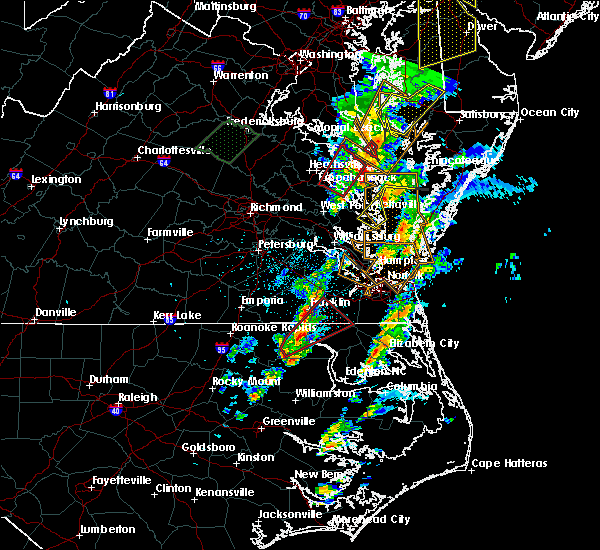 The tornado warning for northumberland, northwestern lancaster, southeastern richmond, southeastern essex, northwestern middlesex and southeastern westmoreland counties will expire at 900 pm est, the tornadic thunderstorm which prompted the warning has weakened. therefore the warning will be allowed to expire. The tornado warning for northumberland, northwestern lancaster, southeastern richmond, southeastern essex, northwestern middlesex and southeastern westmoreland counties will expire at 900 pm est, the tornadic thunderstorm which prompted the warning has weakened. therefore the warning will be allowed to expire.
|
| 2/24/2016 8:23 PM EST |
 At 823 pm est, doppler radar indicated a tornado. this dangerous storm was located over center cross, or 9 miles southwest of robley, and moving northeast at 55 mph. * this dangerous storm will be near, robley around 830 pm est. warsaw, farnham and haynesville around 835 pm est. callao and heathsville around 840 pm est. kinsale, lewisetta and hague around 845 pm est. other locations impacted by this tornadic thunderstorm include water view, lara, downing, montague, nuttsville, village, gibeon, threeway, emmerton and belle isle state park. At 823 pm est, doppler radar indicated a tornado. this dangerous storm was located over center cross, or 9 miles southwest of robley, and moving northeast at 55 mph. * this dangerous storm will be near, robley around 830 pm est. warsaw, farnham and haynesville around 835 pm est. callao and heathsville around 840 pm est. kinsale, lewisetta and hague around 845 pm est. other locations impacted by this tornadic thunderstorm include water view, lara, downing, montague, nuttsville, village, gibeon, threeway, emmerton and belle isle state park.
|
| 2/24/2016 7:52 PM EST |
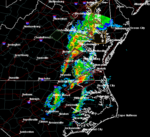 At 751 pm est, doppler radar indicated a severe thunderstorm capable of producing quarter size hail and damaging winds in excess of 60 mph. this storm was located near center cross, or 7 miles northeast of king and queen court house, and moving northeast at 50 mph. * this severe thunderstorm will be near, center cross and jamaica around 755 pm est. sharps and dunnsville around 800 pm est. morattico around 805 pm est. warsaw, robley, haynesville and farnham around 810 pm est. callao around 815 pm est. kinsale and hague around 820 pm est. lewisetta around 825 pm est. other locations impacted by this severe thunderstorm include lara, downing, montague, village, lyells, gibeon, threeway, emmerton, belle isle state park and oldhams. a tornado watch remains in effect until 900 pm est for eastern virginia. At 751 pm est, doppler radar indicated a severe thunderstorm capable of producing quarter size hail and damaging winds in excess of 60 mph. this storm was located near center cross, or 7 miles northeast of king and queen court house, and moving northeast at 50 mph. * this severe thunderstorm will be near, center cross and jamaica around 755 pm est. sharps and dunnsville around 800 pm est. morattico around 805 pm est. warsaw, robley, haynesville and farnham around 810 pm est. callao around 815 pm est. kinsale and hague around 820 pm est. lewisetta around 825 pm est. other locations impacted by this severe thunderstorm include lara, downing, montague, village, lyells, gibeon, threeway, emmerton, belle isle state park and oldhams. a tornado watch remains in effect until 900 pm est for eastern virginia.
|
| 2/24/2016 7:18 PM EST |
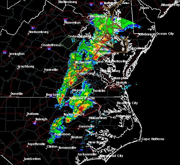 At 717 pm est, doppler radar indicated a severe thunderstorm capable of producing a tornado. this dangerous storm was located near king and queen court house, moving northeast at 60 mph. this dangerous storm will be near, jamaica and church view around 720 pm est. center cross and dunnsville around 725 pm est. robley, sharps and morattico around 730 pm est. warsaw, haynesville and farnham around 735 pm est. callao, kinsale, hague and heathsville around 740 pm est. lewisetta around 745 pm est. other locations impacted by this tornadic thunderstorm include water view, lara, downing, montague, browns store, nuttsville, village, gibeon, threeway and hull neck. At 717 pm est, doppler radar indicated a severe thunderstorm capable of producing a tornado. this dangerous storm was located near king and queen court house, moving northeast at 60 mph. this dangerous storm will be near, jamaica and church view around 720 pm est. center cross and dunnsville around 725 pm est. robley, sharps and morattico around 730 pm est. warsaw, haynesville and farnham around 735 pm est. callao, kinsale, hague and heathsville around 740 pm est. lewisetta around 745 pm est. other locations impacted by this tornadic thunderstorm include water view, lara, downing, montague, browns store, nuttsville, village, gibeon, threeway and hull neck.
|
| 2/24/2016 7:01 PM EST |
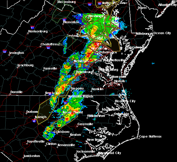 At 701 pm est, doppler radar indicated a possible tornado. this dangerous storm was located over new kent, and moving northeast at 55 mph. * this dangerous storm will be near, west point, king and queen court house, little plymouth and stevensville around 715 pm est. center cross, jamaica and church view around 725 pm est. sharps and dunnsville around 730 pm est. robley, farnham and morattico around 735 pm est. haynesville around 740 pm est. callao, kinsale, lewisetta and heathsville around 745 pm est. other locations impacted by this tornadic thunderstorm include water view, lara, downing, montague, browns store, nuttsville, village, gibeon, threeway and hull neck. At 701 pm est, doppler radar indicated a possible tornado. this dangerous storm was located over new kent, and moving northeast at 55 mph. * this dangerous storm will be near, west point, king and queen court house, little plymouth and stevensville around 715 pm est. center cross, jamaica and church view around 725 pm est. sharps and dunnsville around 730 pm est. robley, farnham and morattico around 735 pm est. haynesville around 740 pm est. callao, kinsale, lewisetta and heathsville around 745 pm est. other locations impacted by this tornadic thunderstorm include water view, lara, downing, montague, browns store, nuttsville, village, gibeon, threeway and hull neck.
|
| 6/20/2015 10:27 PM EDT |
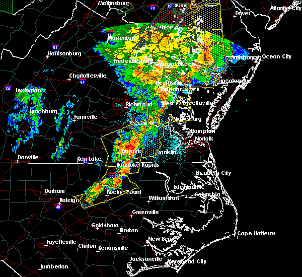 At 1026 pm edt, doppler radar indicated a line of severe thunderstorms capable of producing quarter size hail and damaging winds in excess of 60 mph. these storms were located along a line extending from newland to church view to near norge, moving east at 40 mph. these severe storms will be near, church view, jamaica, saluda and glenns around 1030 pm edt. urbanna around 1035 pm edt. haynesville around 1040 pm edt. gloucester courthouse, kilmarnock, gloucester point, lancaster, hague, kinsale, wicomico and hayes around 1045 pm edt. other locations impacted by these severe thunderstorms include water view, nuttsville, stampers, lyells, ark, threeway, camp peary, naylors beach, samos and oaktree. At 1026 pm edt, doppler radar indicated a line of severe thunderstorms capable of producing quarter size hail and damaging winds in excess of 60 mph. these storms were located along a line extending from newland to church view to near norge, moving east at 40 mph. these severe storms will be near, church view, jamaica, saluda and glenns around 1030 pm edt. urbanna around 1035 pm edt. haynesville around 1040 pm edt. gloucester courthouse, kilmarnock, gloucester point, lancaster, hague, kinsale, wicomico and hayes around 1045 pm edt. other locations impacted by these severe thunderstorms include water view, nuttsville, stampers, lyells, ark, threeway, camp peary, naylors beach, samos and oaktree.
|
| 6/20/2015 9:58 PM EDT |
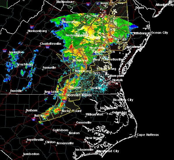 At 957 pm edt, doppler radar indicated a line of severe thunderstorms capable of producing quarter size hail and damaging winds in excess of 60 mph. these storms were located along a line extending from 6 miles northwest of newtown to near king william to near claremont, and moving east at 40 mph. * severe thunderstorms will be near, west point, king and queen court house and stevensville around 1005 pm edt. williamsburg, champlain, norge, toano, college of william and mary, little plymouth and center cross around 1010 pm edt. queens lake, newland, jamaica and church view around 1015 pm edt. gloucester courthouse, warsaw, urbanna, montross, gloucester point, robley, morattico and wicomico around 1020 pm edt. kilmarnock, lancaster, hague and hayes around 1025 pm edt. mathews, mobjack, wicomico church, kinsale, blakes and bavon around 1030 pm edt. fair port around 1035 pm edt. At 957 pm edt, doppler radar indicated a line of severe thunderstorms capable of producing quarter size hail and damaging winds in excess of 60 mph. these storms were located along a line extending from 6 miles northwest of newtown to near king william to near claremont, and moving east at 40 mph. * severe thunderstorms will be near, west point, king and queen court house and stevensville around 1005 pm edt. williamsburg, champlain, norge, toano, college of william and mary, little plymouth and center cross around 1010 pm edt. queens lake, newland, jamaica and church view around 1015 pm edt. gloucester courthouse, warsaw, urbanna, montross, gloucester point, robley, morattico and wicomico around 1020 pm edt. kilmarnock, lancaster, hague and hayes around 1025 pm edt. mathews, mobjack, wicomico church, kinsale, blakes and bavon around 1030 pm edt. fair port around 1035 pm edt.
|
| 6/20/2015 9:49 PM EDT |
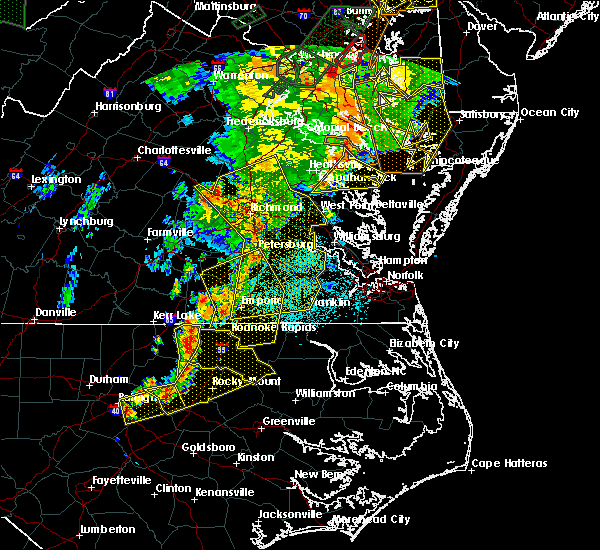 At 948 pm edt, doppler radar indicated a line of severe thunderstorms capable of producing damaging winds in excess of 60 mph. these storms were located along a line extending from near plum point to near saint george island to sharps, moving northeast at 35 mph. these severe storms will be near, callao and heathsville around 1010 pm edt. lewisetta around 1020 pm edt. other locations impacted by these severe thunderstorms include lara, lilian, downing, montague, browns store, nuttsville, village, gibeon, reedville and fleeton. At 948 pm edt, doppler radar indicated a line of severe thunderstorms capable of producing damaging winds in excess of 60 mph. these storms were located along a line extending from near plum point to near saint george island to sharps, moving northeast at 35 mph. these severe storms will be near, callao and heathsville around 1010 pm edt. lewisetta around 1020 pm edt. other locations impacted by these severe thunderstorms include lara, lilian, downing, montague, browns store, nuttsville, village, gibeon, reedville and fleeton.
|
| 6/20/2015 9:27 PM EDT |
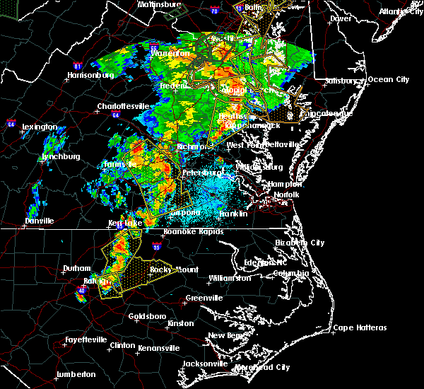 At 926 pm edt, doppler radar indicated a line of severe thunderstorms capable of producing damaging winds in excess of 60 mph. these storms were located along a line extending from prince frederick to near callao to near stevensville, and moving northeast at 40 mph. * severe thunderstorms will be near, lewisetta, jamaica and dunnsville around 940 pm edt. sharps around 945 pm edt. morattico around 950 pm edt. robley and farnham around 955 pm edt. heathsville around 1010 pm edt. other locations impacted by these severe thunderstorms include water view, lara, nuttsville, lyells, gibeon, fleeton, threeway, alfonso, naylors beach and samos. At 926 pm edt, doppler radar indicated a line of severe thunderstorms capable of producing damaging winds in excess of 60 mph. these storms were located along a line extending from prince frederick to near callao to near stevensville, and moving northeast at 40 mph. * severe thunderstorms will be near, lewisetta, jamaica and dunnsville around 940 pm edt. sharps around 945 pm edt. morattico around 950 pm edt. robley and farnham around 955 pm edt. heathsville around 1010 pm edt. other locations impacted by these severe thunderstorms include water view, lara, nuttsville, lyells, gibeon, fleeton, threeway, alfonso, naylors beach and samos.
|
| 6/20/2015 9:05 PM EDT | Trees and power lines dow in westmoreland county VA, 9.3 miles SE of Heathsville, VA |
| 6/18/2015 9:40 PM EDT | Multiple trees and power lines down in lancaster county VA, 11 miles NE of Heathsville, VA |
| 4/10/2015 6:45 PM EDT | The national weather service in wakefield has issued a * severe thunderstorm warning for. gloucester county in eastern virginia. northwestern york county in southeastern virginia. central lancaster county in eastern virginia. Northumberland county in eastern virginia. |
| 5/27/2014 9:40 PM EDT | Trees blocking the road at newmans neck r in northumberland county VA, 0.5 miles W of Heathsville, VA |
| 2/21/2014 1:00 PM EST | Storm damage reported in st. marys county MD, 11.9 miles SW of Heathsville, VA |
| 6/24/2013 7:00 PM EDT | Storm damage reported in st. marys county MD, 11.9 miles SW of Heathsville, VA |
| 4/12/2013 5:50 PM EDT | Storm damage reported in anz537 county MD, 10.7 miles SW of Heathsville, VA |
| 7/15/2012 5:15 PM EDT | Power lines down along ridge road just east of farnham in richmond county VA, 5.4 miles ENE of Heathsville, VA |
| 6/22/2012 2:10 PM EDT | Trees down along rte 360 in heathsville and dodlyt road. dime size hai in northumberland county VA, 0.5 miles W of Heathsville, VA |
| 1/1/0001 12:00 AM | Large trees and powerlines knocked down on hull roa in northumberland county VA, 7 miles W of Heathsville, VA |
| 1/1/0001 12:00 AM | Large tree and powerlines blocking road in northumberland county VA, 3.8 miles NW of Heathsville, VA |
Hail Maps for Heathsville, VA


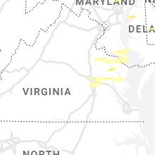


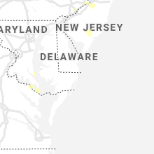


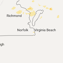


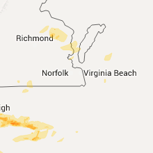

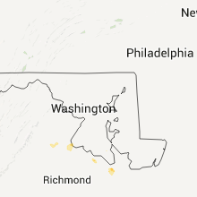


Connect with Interactive Hail Maps