

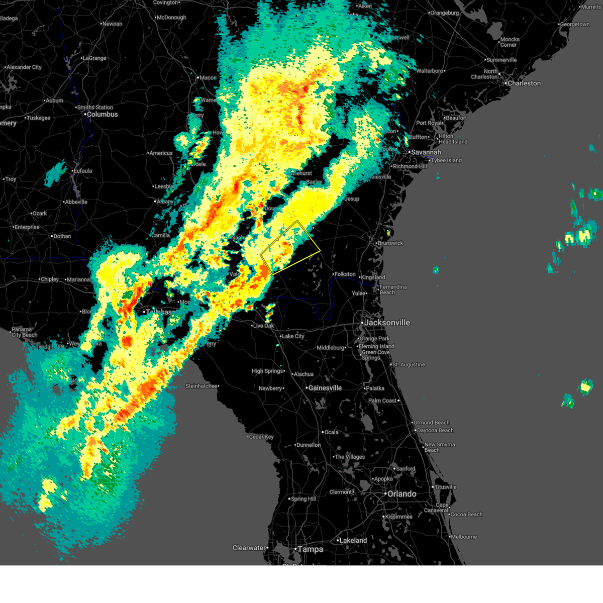
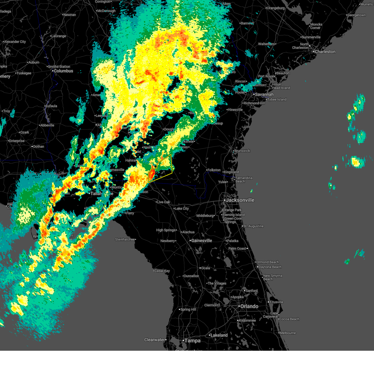
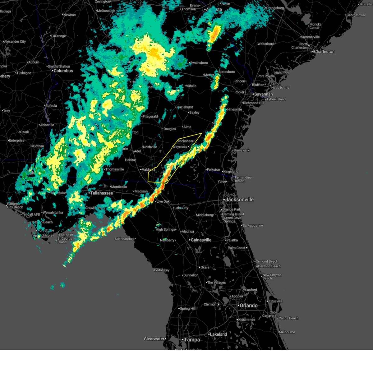
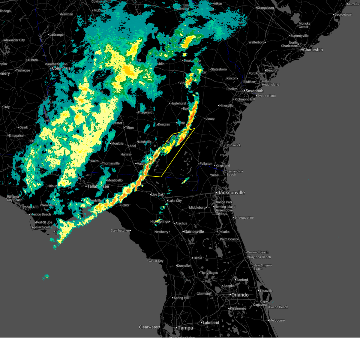
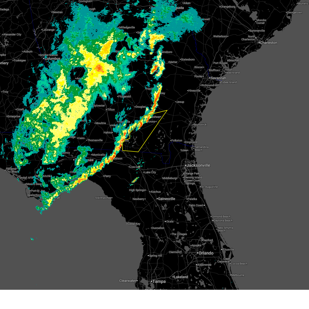
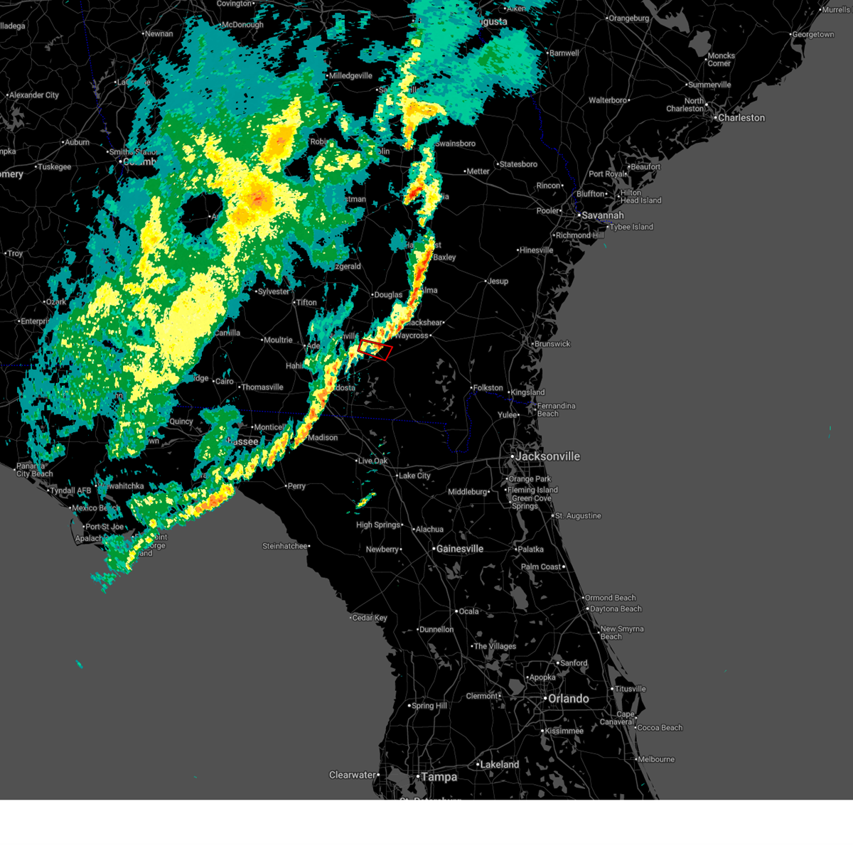
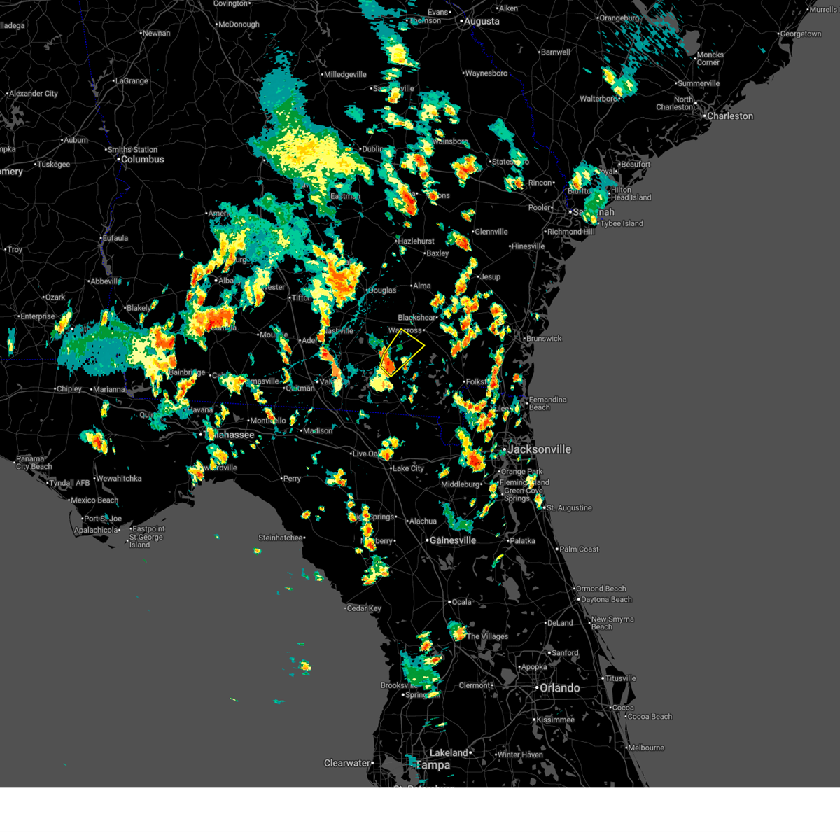
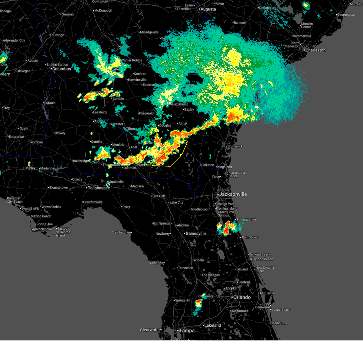
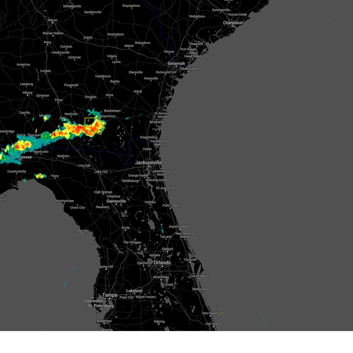
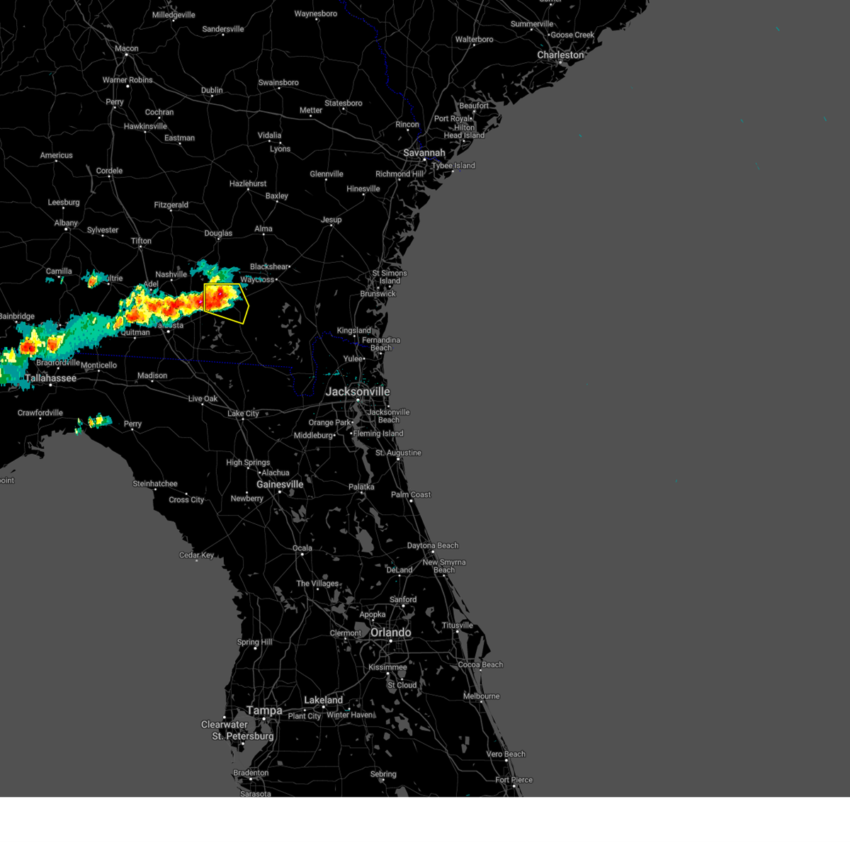
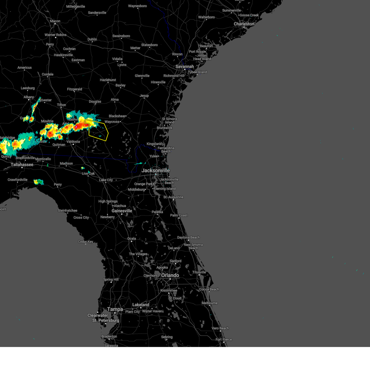
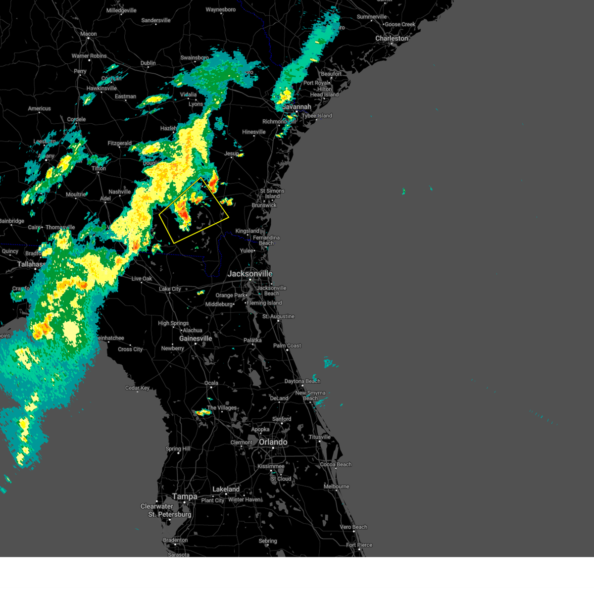
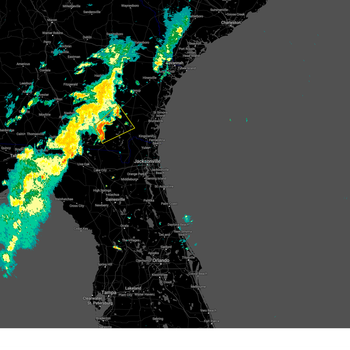
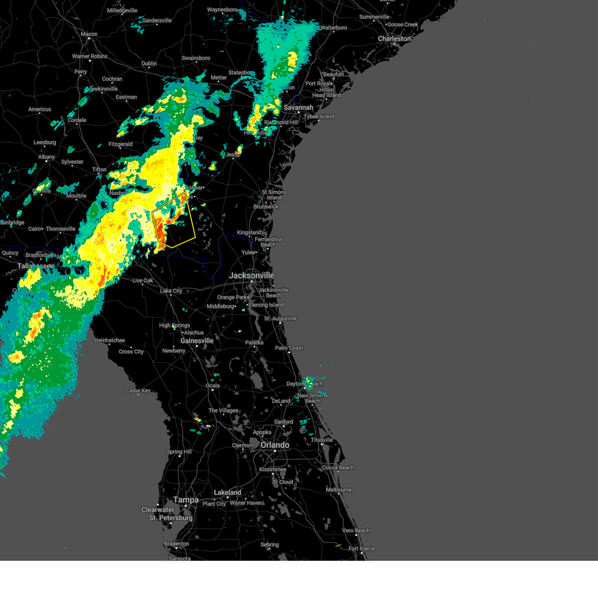
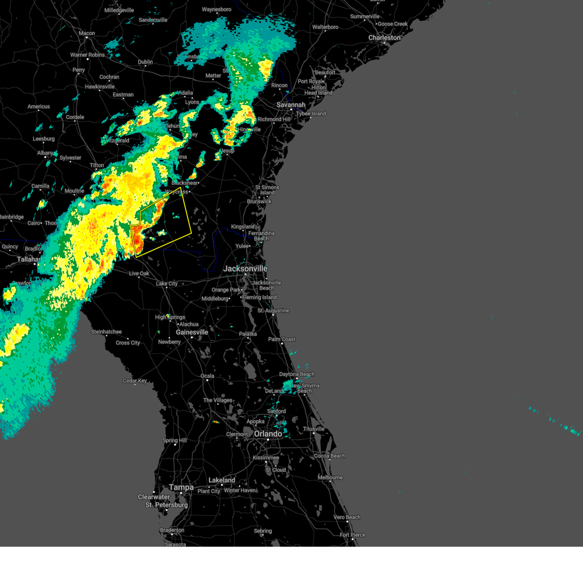
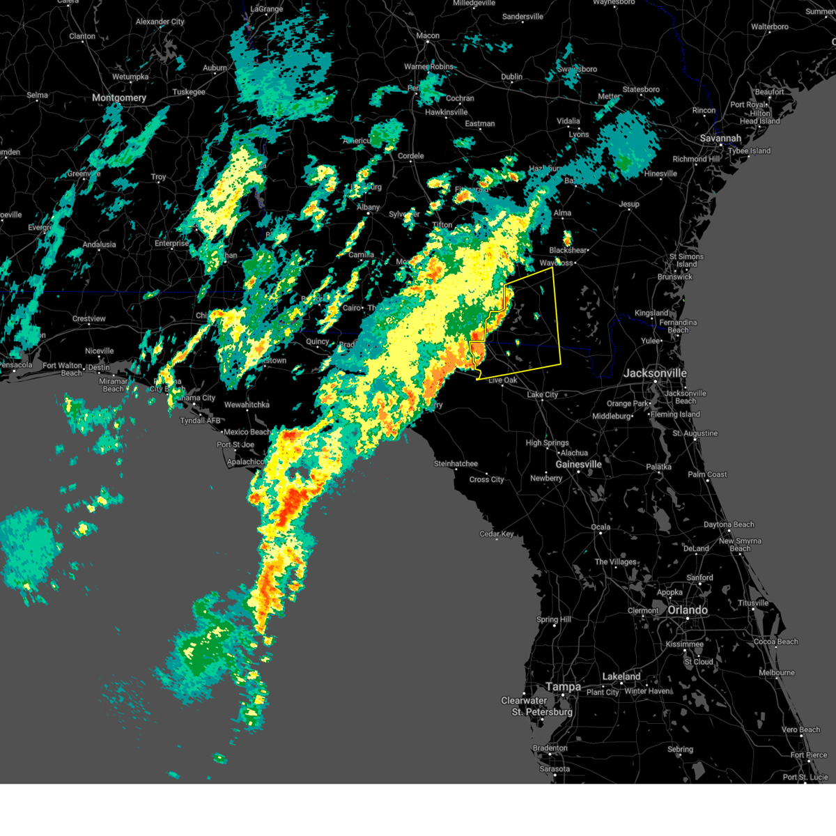
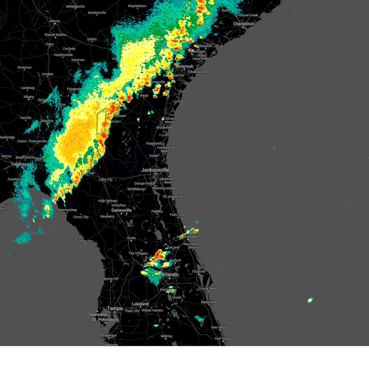
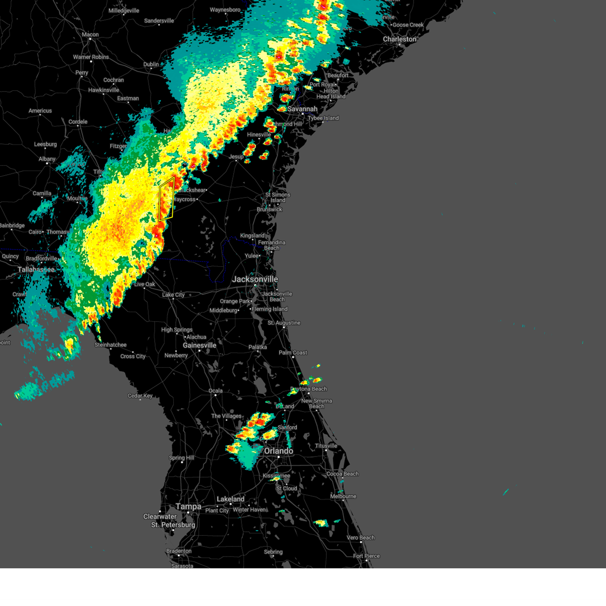
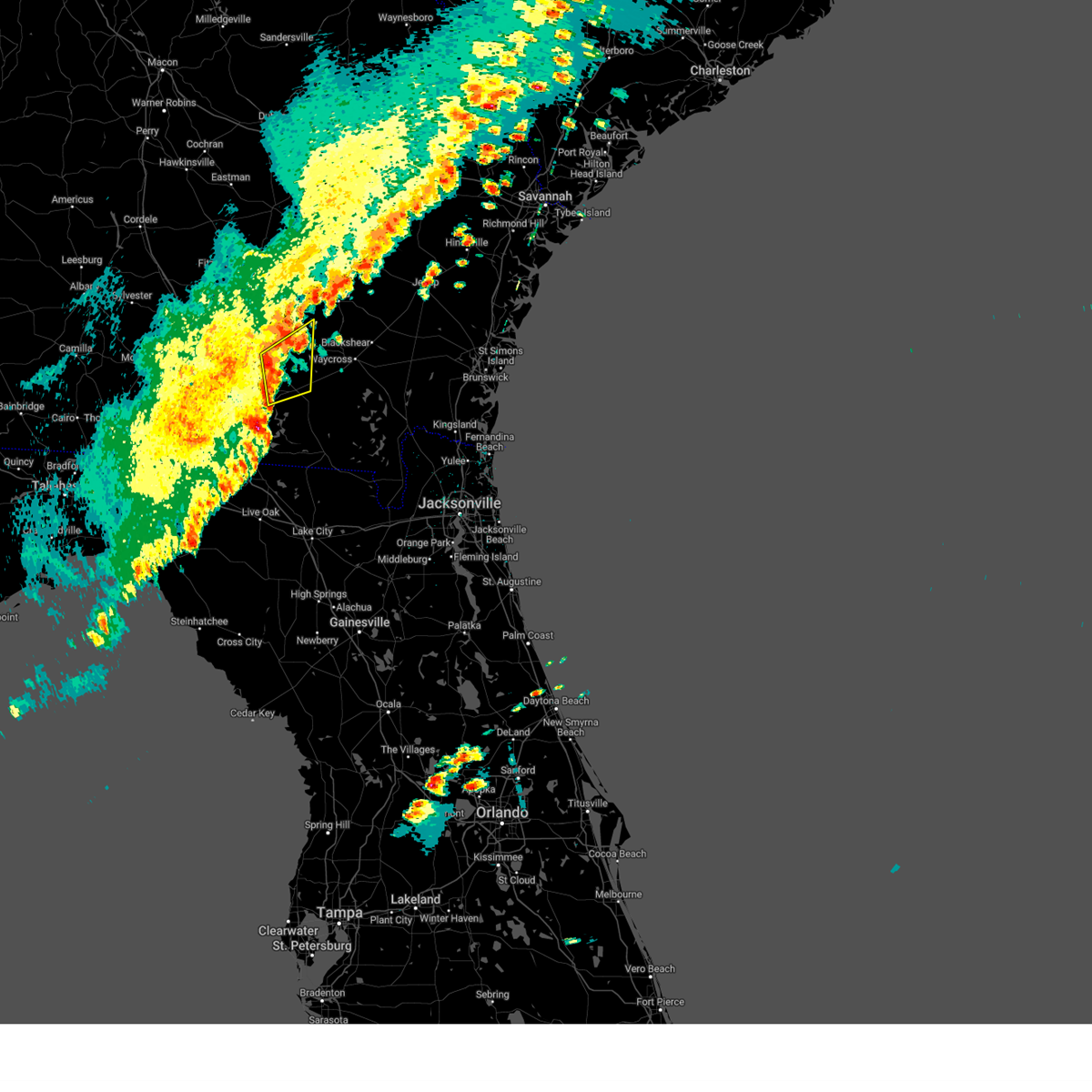
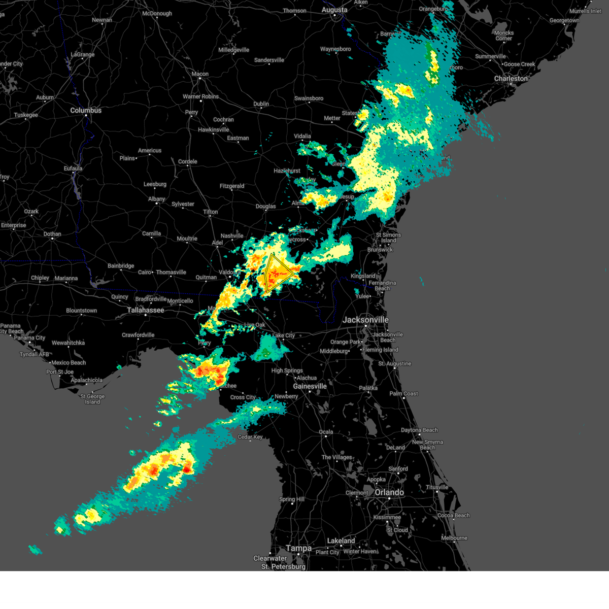
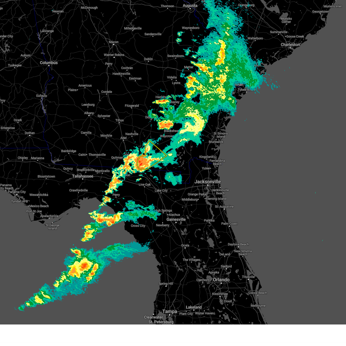
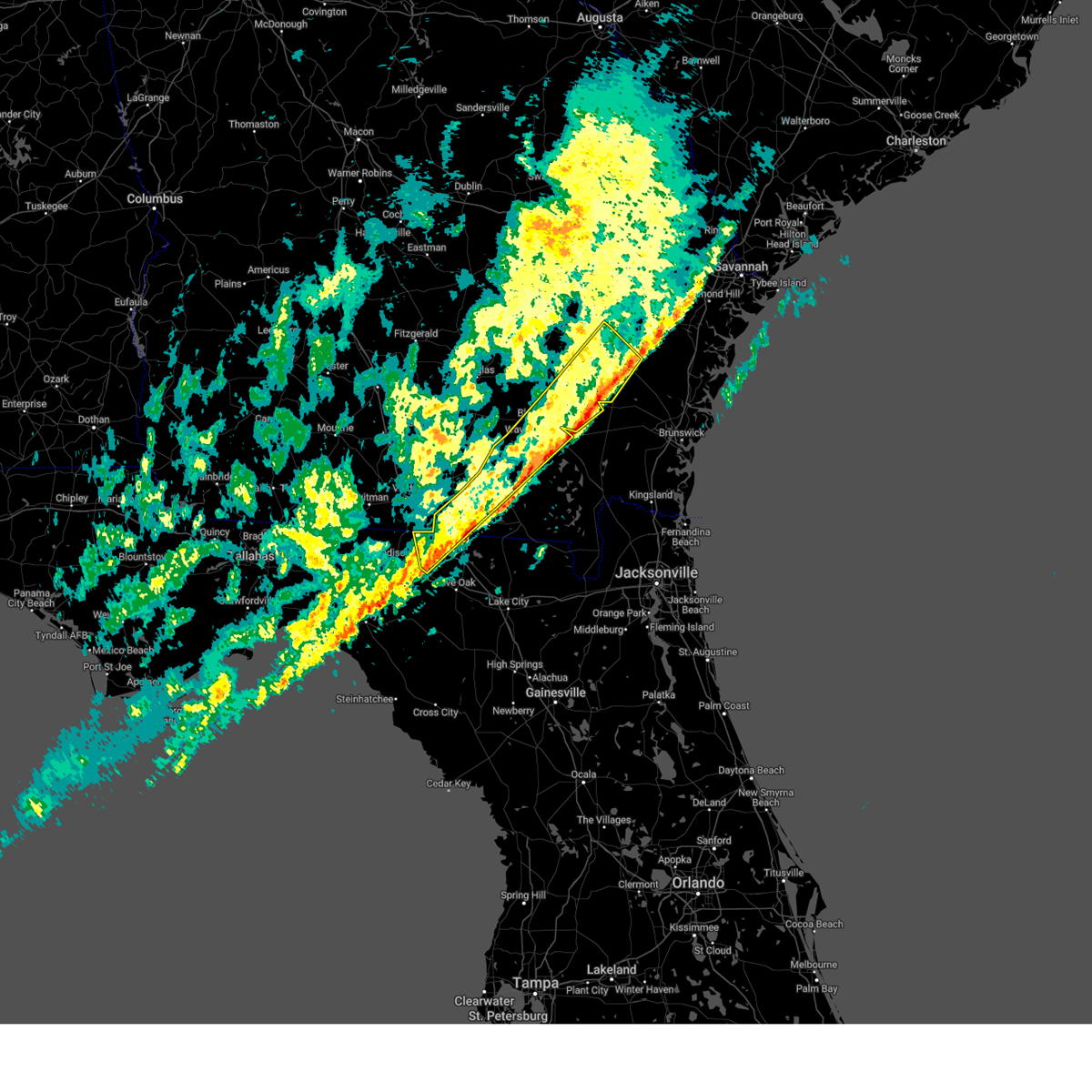
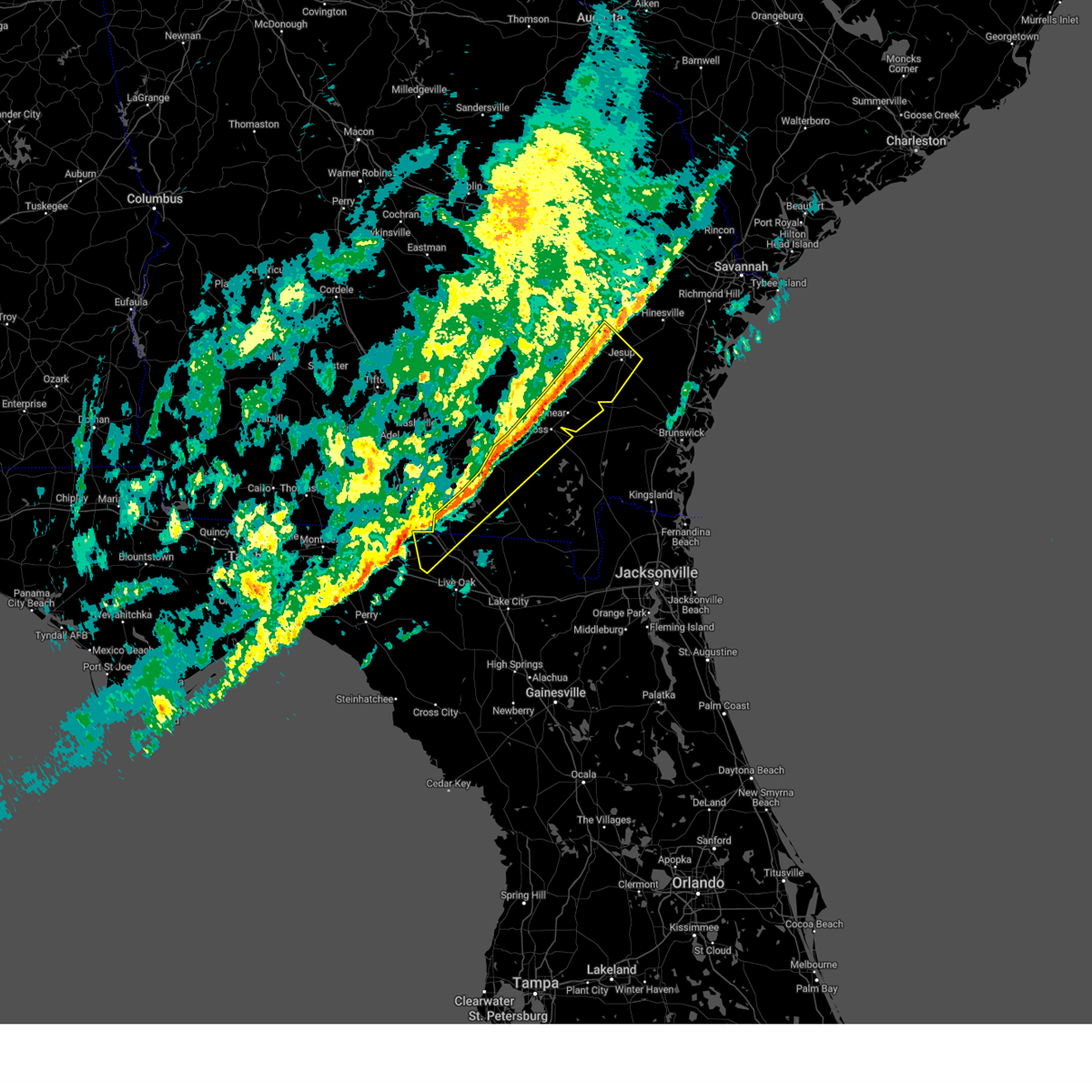
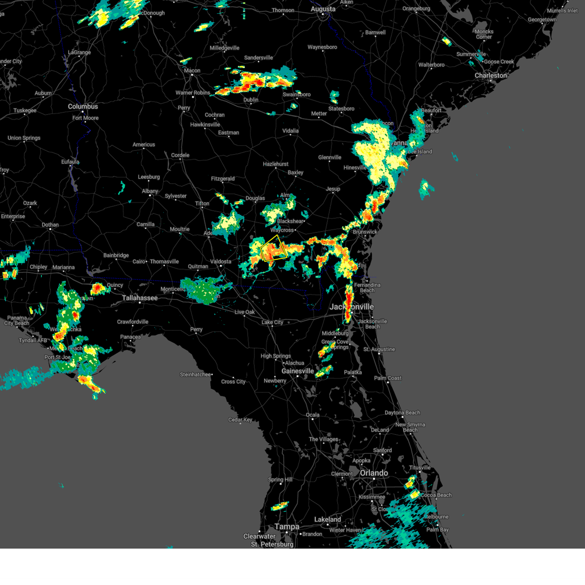
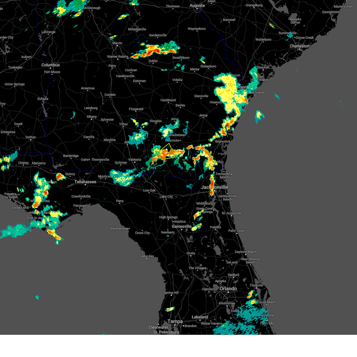
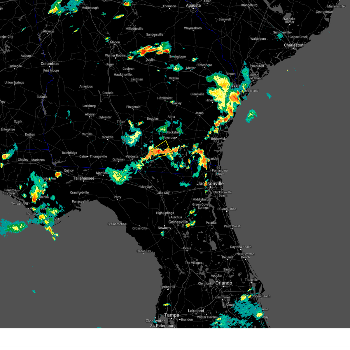
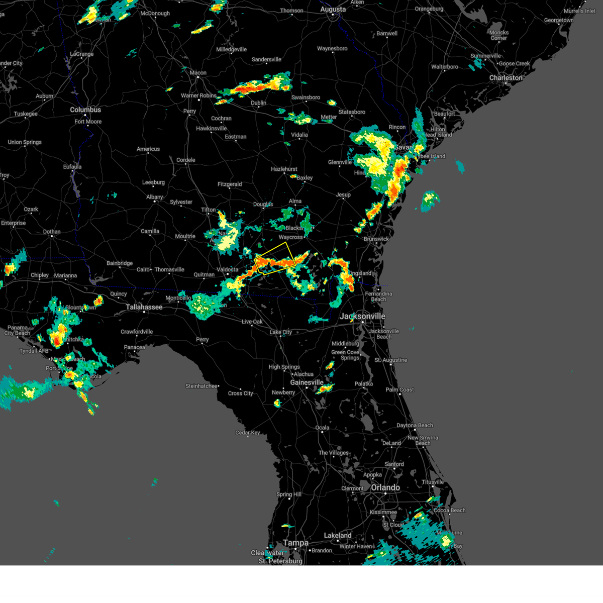
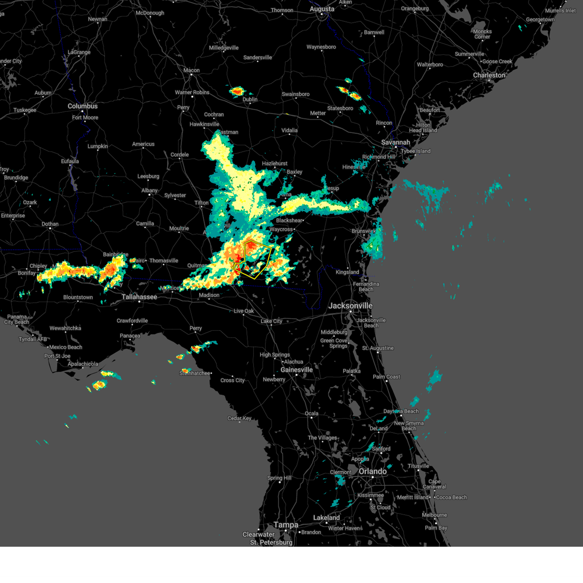
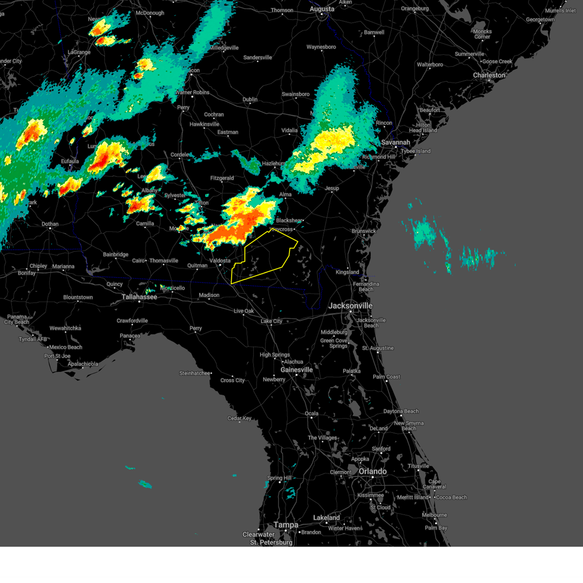
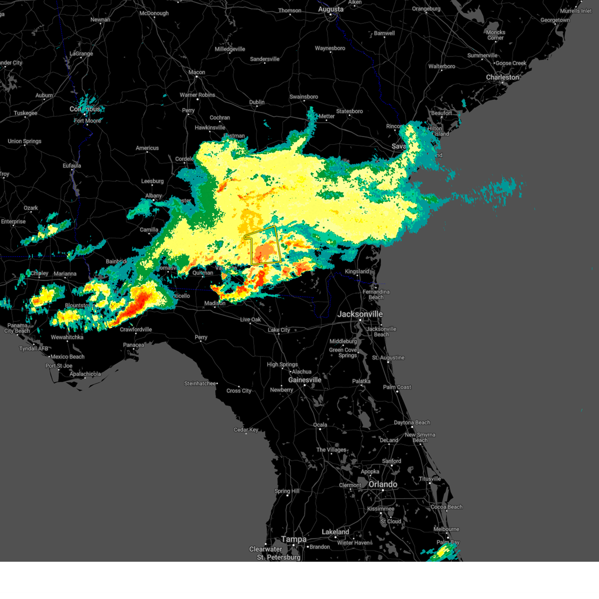
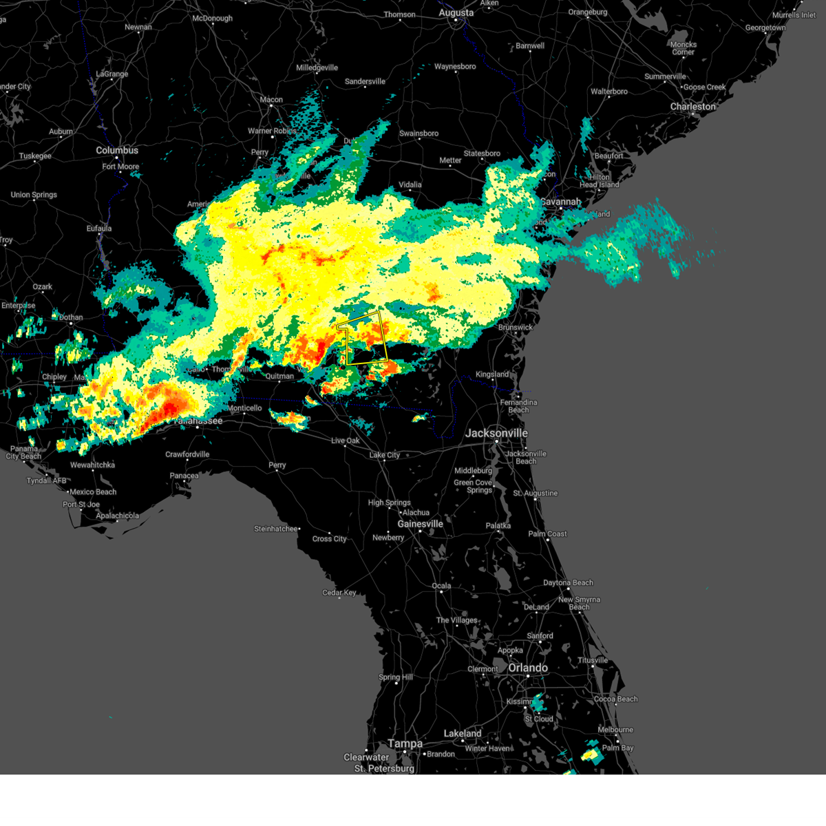
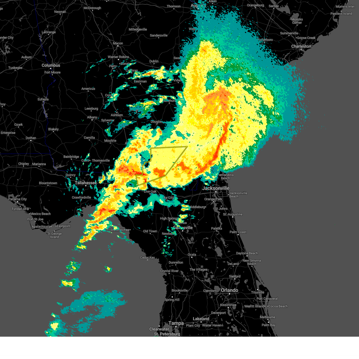
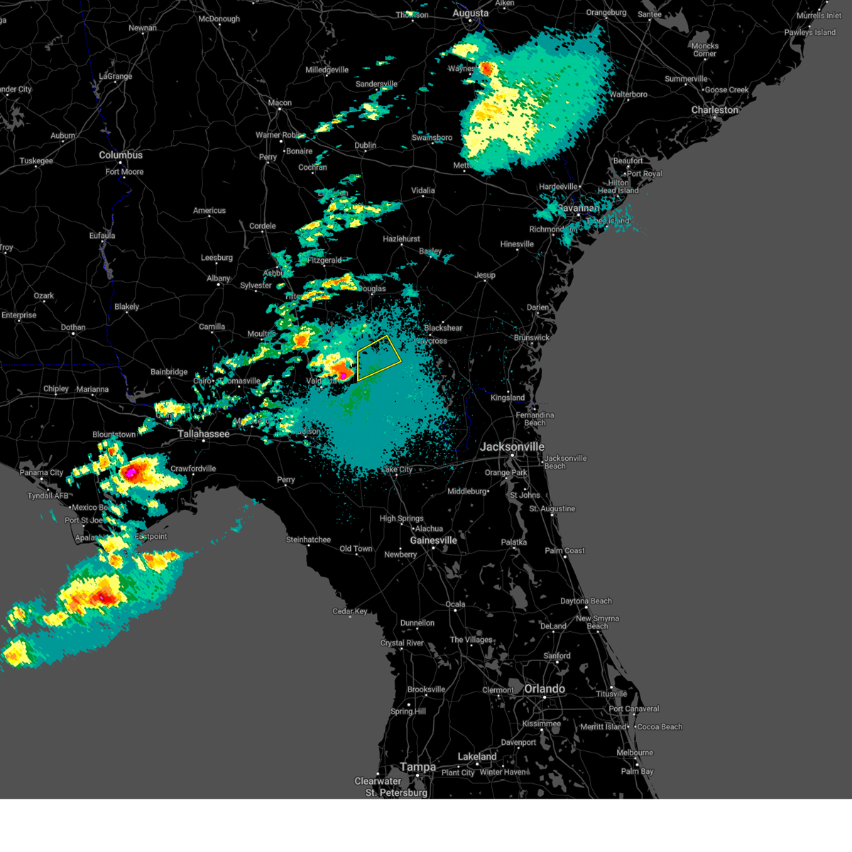
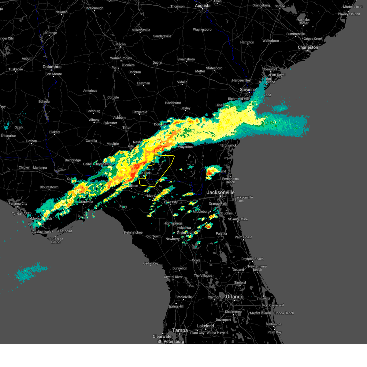
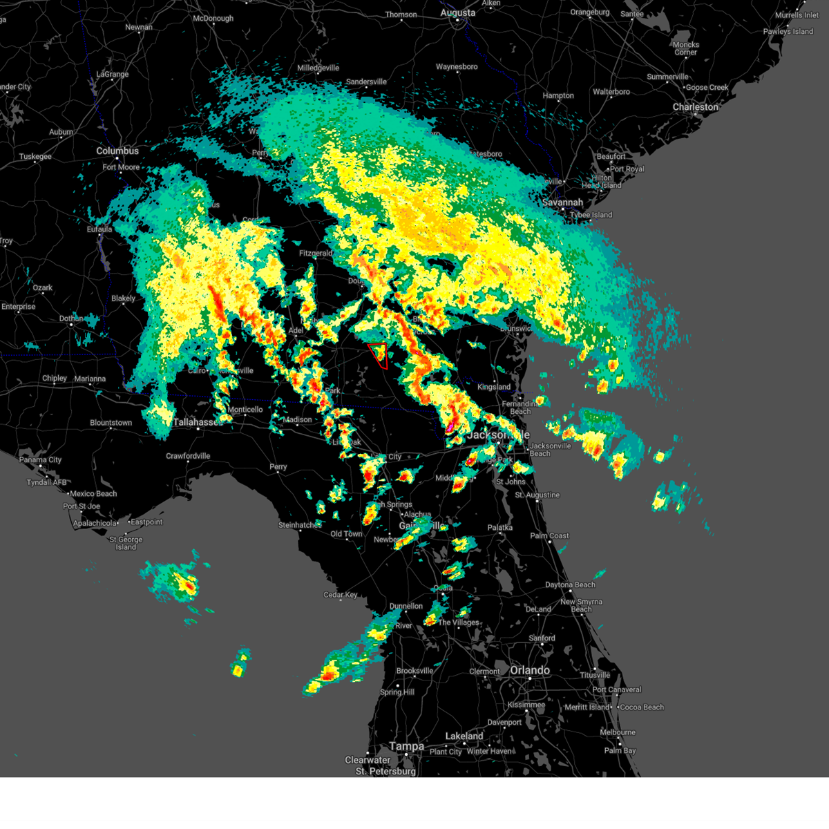
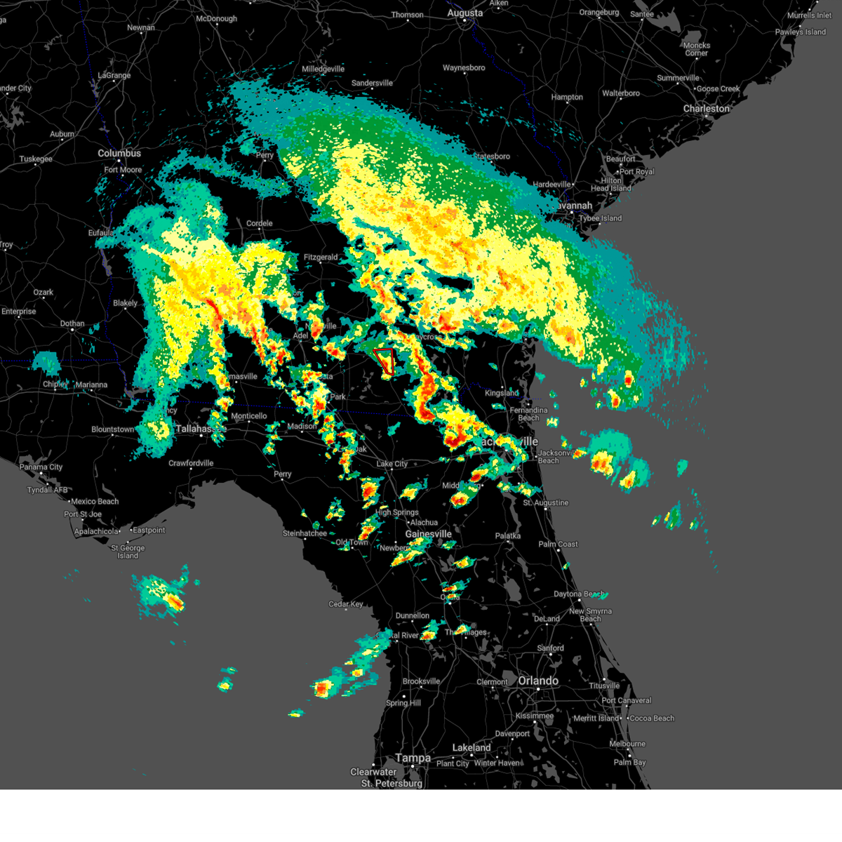
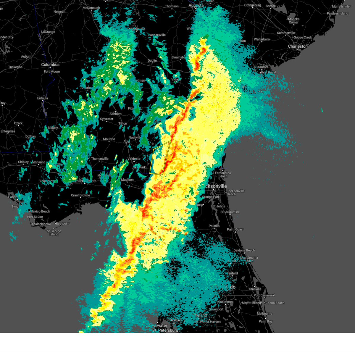
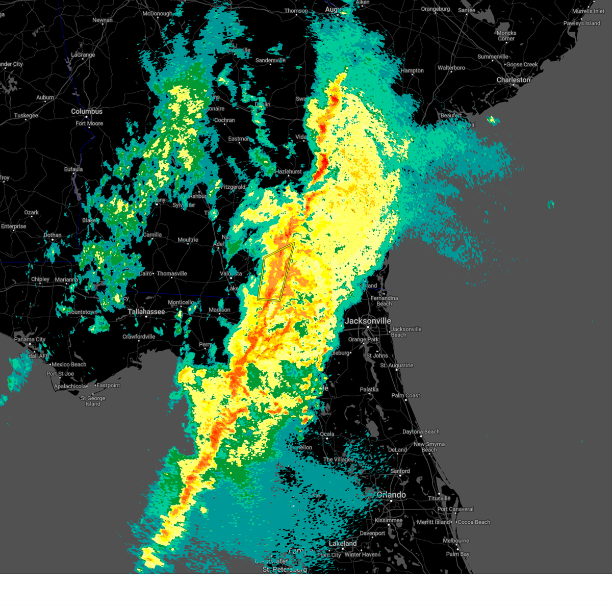
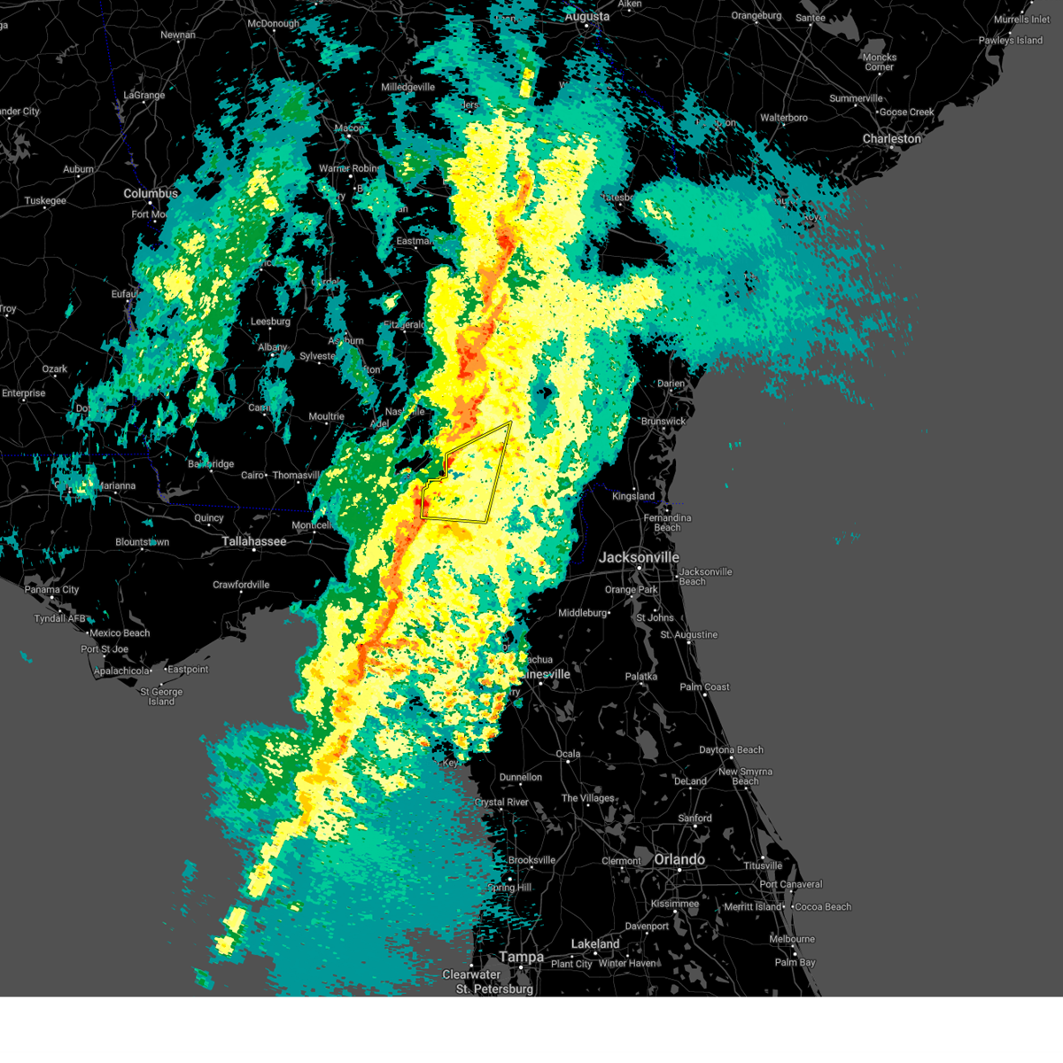
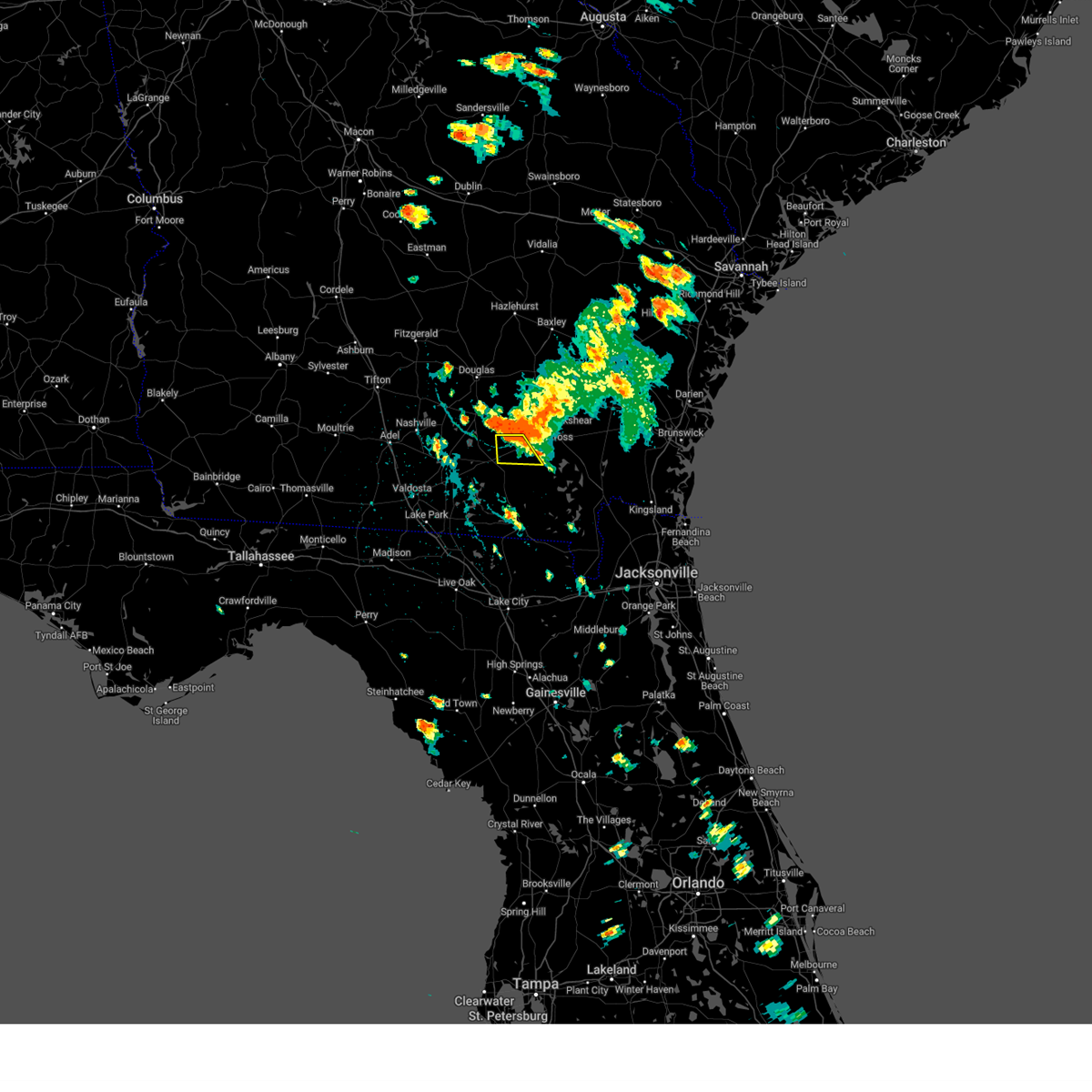
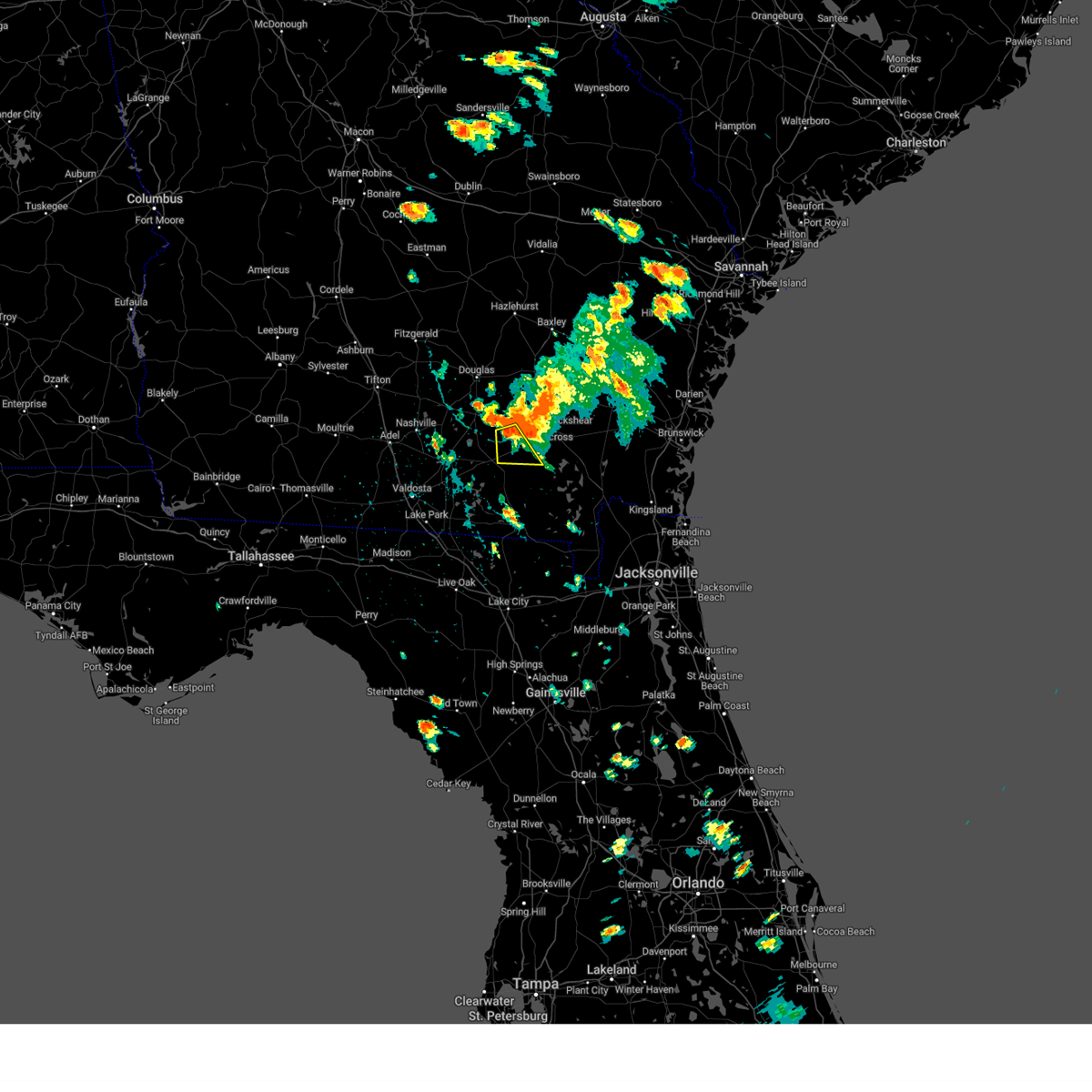
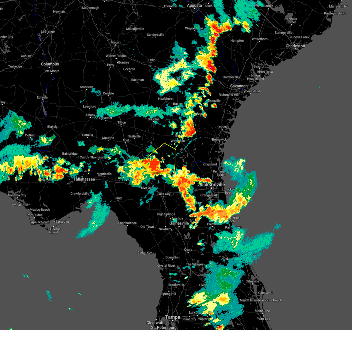
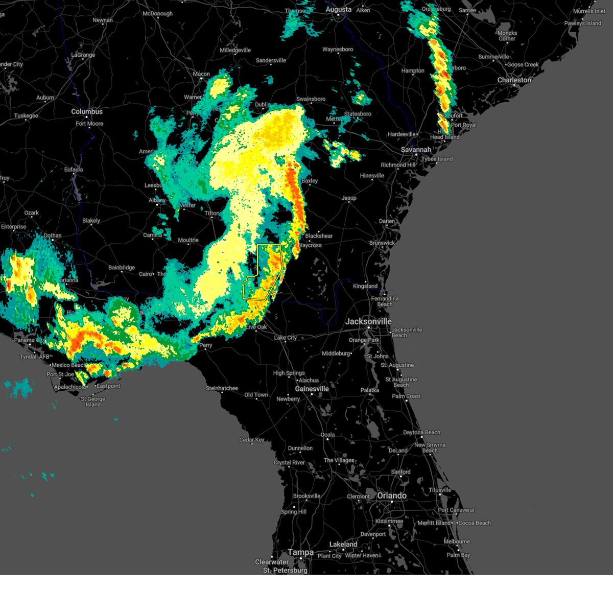
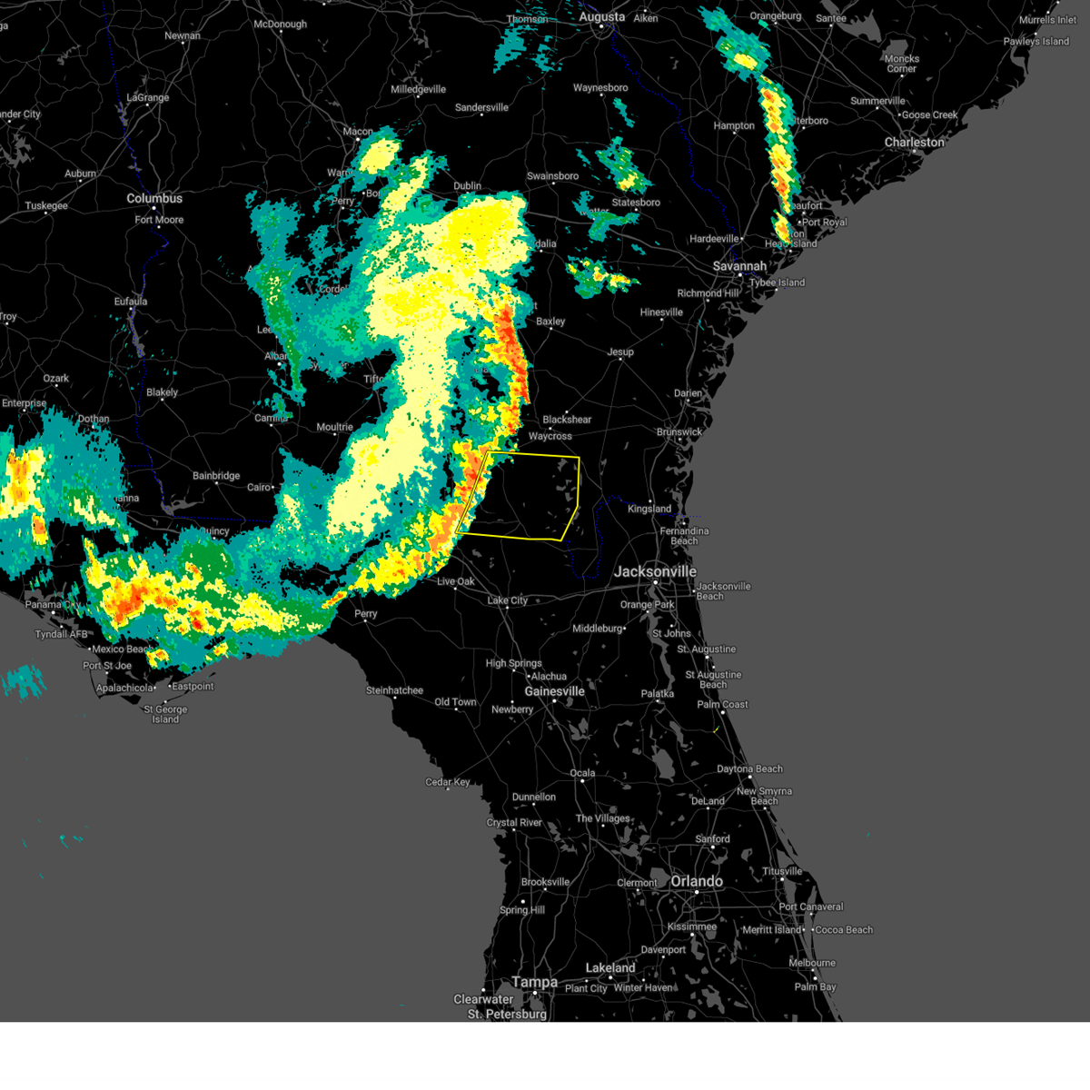
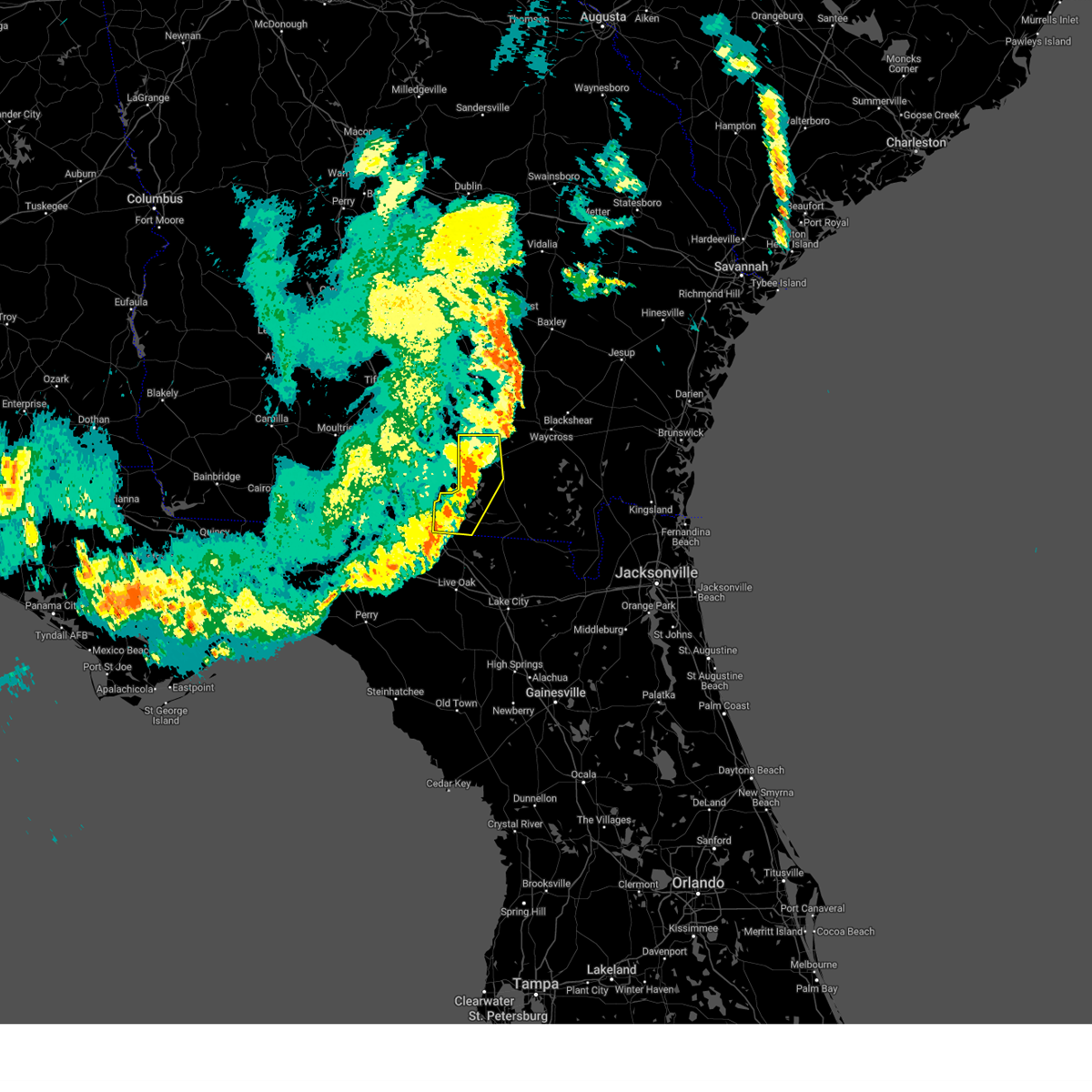
Hail Map for Homerville, GA
The Homerville, GA area has had 2 reports of on-the-ground hail by trained spotters, and has been under severe weather warnings 15 times during the past 12 months. Doppler radar has detected hail at or near Homerville, GA on 54 occasions, including 1 occasion during the past year.
| Name: | Homerville, GA |
| Where Located: | 32.8 miles S of Douglas, GA |
| Map: | Google Map for Homerville, GA |
| Population: | 2456 |
| Housing Units: | 1074 |
| More Info: | Search Google for Homerville, GA |
0
The Top Recent Hail Date for Homerville, GA is Sunday, November 9, 2025 (54th out of 54)

Hail and Wind Damage Spotted near Homerville, GA
| Date / Time | Report Details |
|---|---|
| 3/16/2026 11:48 AM EDT |
 the severe thunderstorm warning has been cancelled and is no longer in effect the severe thunderstorm warning has been cancelled and is no longer in effect
|
| 3/16/2026 11:35 AM EDT |
 Svrjax the national weather service in jacksonville has issued a * severe thunderstorm warning for, southwestern pierce county in southeastern georgia, southwestern brantley county in southeastern georgia, central ware county in southeastern georgia, northern clinch county in southeastern georgia, northwestern charlton county in southeastern georgia, * until 1215 pm edt. * at 1135 am edt, a severe thunderstorm was located near argyle, moving northeast at 50 mph (radar indicated). Hazards include 70 mph wind gusts and penny size hail. Expect considerable tree damage. Damage is likely to mobile homes, roofs, and outbuildings. Svrjax the national weather service in jacksonville has issued a * severe thunderstorm warning for, southwestern pierce county in southeastern georgia, southwestern brantley county in southeastern georgia, central ware county in southeastern georgia, northern clinch county in southeastern georgia, northwestern charlton county in southeastern georgia, * until 1215 pm edt. * at 1135 am edt, a severe thunderstorm was located near argyle, moving northeast at 50 mph (radar indicated). Hazards include 70 mph wind gusts and penny size hail. Expect considerable tree damage. Damage is likely to mobile homes, roofs, and outbuildings.
|
| 3/16/2026 11:30 AM EDT |
 At 1130 am edt, a severe thunderstorm was located over manor, or near argyle, moving northeast at 45 mph (radar indicated). Hazards include 70 mph wind gusts and penny size hail. Expect considerable tree damage. damage is likely to mobile homes, roofs, and outbuildings. Locations impacted include, homerville and du pont. At 1130 am edt, a severe thunderstorm was located over manor, or near argyle, moving northeast at 45 mph (radar indicated). Hazards include 70 mph wind gusts and penny size hail. Expect considerable tree damage. damage is likely to mobile homes, roofs, and outbuildings. Locations impacted include, homerville and du pont.
|
| 3/16/2026 11:23 AM EDT |
 At 1123 am edt, a severe thunderstorm was located near argyle, moving northeast at 45 mph (radar indicated). Hazards include 60 mph wind gusts and penny size hail. Expect damage to roofs, siding, and trees. Locations impacted include, homerville and du pont. At 1123 am edt, a severe thunderstorm was located near argyle, moving northeast at 45 mph (radar indicated). Hazards include 60 mph wind gusts and penny size hail. Expect damage to roofs, siding, and trees. Locations impacted include, homerville and du pont.
|
| 3/16/2026 11:08 AM EDT |
 Svrjax the national weather service in jacksonville has issued a * severe thunderstorm warning for, northwestern echols county in southeastern georgia, northwestern clinch county in southeastern georgia, * until 1145 am edt. * at 1108 am edt, a severe thunderstorm was located near mayday, or near statenville, moving northeast at 45 mph (radar indicated). Hazards include 60 mph wind gusts and penny size hail. expect damage to roofs, siding, and trees Svrjax the national weather service in jacksonville has issued a * severe thunderstorm warning for, northwestern echols county in southeastern georgia, northwestern clinch county in southeastern georgia, * until 1145 am edt. * at 1108 am edt, a severe thunderstorm was located near mayday, or near statenville, moving northeast at 45 mph (radar indicated). Hazards include 60 mph wind gusts and penny size hail. expect damage to roofs, siding, and trees
|
| 3/12/2026 9:22 AM EDT |
 The storms which prompted the warning have weakened below severe limits, and no longer pose an immediate threat to life or property. therefore, the warning will be allowed to expire. a tornado watch remains in effect until 100 pm edt for southeastern georgia. remember, a tornado warning still remains in effect for portions of echols and clinch counties. The storms which prompted the warning have weakened below severe limits, and no longer pose an immediate threat to life or property. therefore, the warning will be allowed to expire. a tornado watch remains in effect until 100 pm edt for southeastern georgia. remember, a tornado warning still remains in effect for portions of echols and clinch counties.
|
| 3/12/2026 8:52 AM EDT |
 At 852 am edt, severe thunderstorms were located along a line extending from jamestown to near statenville, moving east at 50 mph (radar indicated). Hazards include 60 mph wind gusts. Expect damage to roofs, siding, and trees. Locations impacted include, waycross, blackshear, homerville, patterson, argyle, statenville, offerman, boggy bay, mayday, and pebble hill. At 852 am edt, severe thunderstorms were located along a line extending from jamestown to near statenville, moving east at 50 mph (radar indicated). Hazards include 60 mph wind gusts. Expect damage to roofs, siding, and trees. Locations impacted include, waycross, blackshear, homerville, patterson, argyle, statenville, offerman, boggy bay, mayday, and pebble hill.
|
| 3/12/2026 8:52 AM EDT |
 the severe thunderstorm warning has been cancelled and is no longer in effect the severe thunderstorm warning has been cancelled and is no longer in effect
|
| 3/12/2026 8:46 AM EDT |
 Svrjax the national weather service in jacksonville has issued a * severe thunderstorm warning for, southern pierce county in southeastern georgia, echols county in southeastern georgia, southeastern atkinson county in southeastern georgia, northwestern ware county in southeastern georgia, clinch county in southeastern georgia, * until 930 am edt. * at 845 am edt, severe thunderstorms were located along a line extending from near dixie union to near lake park, moving east at 45 mph (radar indicated). Hazards include 60 mph wind gusts. expect damage to roofs, siding, and trees Svrjax the national weather service in jacksonville has issued a * severe thunderstorm warning for, southern pierce county in southeastern georgia, echols county in southeastern georgia, southeastern atkinson county in southeastern georgia, northwestern ware county in southeastern georgia, clinch county in southeastern georgia, * until 930 am edt. * at 845 am edt, severe thunderstorms were located along a line extending from near dixie union to near lake park, moving east at 45 mph (radar indicated). Hazards include 60 mph wind gusts. expect damage to roofs, siding, and trees
|
| 3/12/2026 8:38 AM EDT |
 The storm which prompted the warning is gradually weakening below severe limits, and no longer appears capable of producing a tornado. therefore, the warning will be allowed to expire. however, gusty winds are still possible with this thunderstorm. a tornado watch remains in effect until 100 pm edt for southeastern georgia. The storm which prompted the warning is gradually weakening below severe limits, and no longer appears capable of producing a tornado. therefore, the warning will be allowed to expire. however, gusty winds are still possible with this thunderstorm. a tornado watch remains in effect until 100 pm edt for southeastern georgia.
|
| 3/12/2026 8:26 AM EDT |
 Torjax the national weather service in jacksonville has issued a * tornado warning for, northwestern clinch county in southeastern georgia, * until 845 am edt. * at 826 am edt, a severe thunderstorm capable of producing a tornado was located 9 miles north of du pont, or 10 miles northwest of homerville, moving east at 35 mph (radar indicated rotation). Hazards include tornado. Flying debris will be dangerous to those caught without shelter. mobile homes will be damaged or destroyed. damage to roofs, windows, and vehicles will occur. tree damage is likely. This dangerous storm will be near, homerville around 835 am edt. Torjax the national weather service in jacksonville has issued a * tornado warning for, northwestern clinch county in southeastern georgia, * until 845 am edt. * at 826 am edt, a severe thunderstorm capable of producing a tornado was located 9 miles north of du pont, or 10 miles northwest of homerville, moving east at 35 mph (radar indicated rotation). Hazards include tornado. Flying debris will be dangerous to those caught without shelter. mobile homes will be damaged or destroyed. damage to roofs, windows, and vehicles will occur. tree damage is likely. This dangerous storm will be near, homerville around 835 am edt.
|
| 8/5/2025 3:23 PM EDT |
 The storm which prompted the warning has weakened below severe limits, and no longer poses an immediate threat to life or property. therefore, the warning will be allowed to expire. however, gusty winds are still possible with this thunderstorm. The storm which prompted the warning has weakened below severe limits, and no longer poses an immediate threat to life or property. therefore, the warning will be allowed to expire. however, gusty winds are still possible with this thunderstorm.
|
| 8/5/2025 3:01 PM EDT |
 At 301 pm edt, a severe thunderstorm was located near argyle, moving northeast at 20 mph (radar indicated). Hazards include 60 mph wind gusts. Expect damage to roofs, siding, and trees. Locations impacted include, argyle and manor. At 301 pm edt, a severe thunderstorm was located near argyle, moving northeast at 20 mph (radar indicated). Hazards include 60 mph wind gusts. Expect damage to roofs, siding, and trees. Locations impacted include, argyle and manor.
|
| 8/5/2025 2:46 PM EDT |
 Svrjax the national weather service in jacksonville has issued a * severe thunderstorm warning for, west central ware county in southeastern georgia, northeastern clinch county in southeastern georgia, * until 330 pm edt. * at 246 pm edt, a severe thunderstorm was located 7 miles south of argyle, moving northeast at 25 mph (radar indicated). Hazards include 60 mph wind gusts. expect damage to roofs, siding, and trees Svrjax the national weather service in jacksonville has issued a * severe thunderstorm warning for, west central ware county in southeastern georgia, northeastern clinch county in southeastern georgia, * until 330 pm edt. * at 246 pm edt, a severe thunderstorm was located 7 miles south of argyle, moving northeast at 25 mph (radar indicated). Hazards include 60 mph wind gusts. expect damage to roofs, siding, and trees
|
| 7/10/2025 7:07 PM EDT |
 Svrjax the national weather service in jacksonville has issued a * severe thunderstorm warning for, southwestern pierce county in southeastern georgia, north central echols county in southeastern georgia, central ware county in southeastern georgia, central clinch county in southeastern georgia, * until 730 pm edt. * at 707 pm edt, severe thunderstorms were located along a line extending from 6 miles west of waycross to 8 miles south of du pont, moving east at 20 mph (radar indicated). Hazards include 60 mph wind gusts and penny size hail. expect damage to roofs, siding, and trees Svrjax the national weather service in jacksonville has issued a * severe thunderstorm warning for, southwestern pierce county in southeastern georgia, north central echols county in southeastern georgia, central ware county in southeastern georgia, central clinch county in southeastern georgia, * until 730 pm edt. * at 707 pm edt, severe thunderstorms were located along a line extending from 6 miles west of waycross to 8 miles south of du pont, moving east at 20 mph (radar indicated). Hazards include 60 mph wind gusts and penny size hail. expect damage to roofs, siding, and trees
|
| 5/21/2025 12:58 PM EDT |
 The severe thunderstorm which prompted the warning has weakened. therefore, the warning will be allowed to expire. The severe thunderstorm which prompted the warning has weakened. therefore, the warning will be allowed to expire.
|
| 5/21/2025 12:43 PM EDT |
 the severe thunderstorm warning has been cancelled and is no longer in effect the severe thunderstorm warning has been cancelled and is no longer in effect
|
| 5/21/2025 12:43 PM EDT |
 At 1242 pm edt, a severe thunderstorm was located near homerville, moving east at 25 mph (radar indicated). Hazards include 60 mph wind gusts and quarter size hail. Hail damage to vehicles is expected. expect wind damage to roofs, siding, and trees. Locations impacted include, homerville, argyle, du pont, and cogdell. At 1242 pm edt, a severe thunderstorm was located near homerville, moving east at 25 mph (radar indicated). Hazards include 60 mph wind gusts and quarter size hail. Hail damage to vehicles is expected. expect wind damage to roofs, siding, and trees. Locations impacted include, homerville, argyle, du pont, and cogdell.
|
| 5/21/2025 12:19 PM EDT |
 Svrjax the national weather service in jacksonville has issued a * severe thunderstorm warning for, southwestern atkinson county in southeastern georgia, northwestern clinch county in southeastern georgia, * until 100 pm edt. * at 1218 pm edt, a severe thunderstorm was located 8 miles northeast of lakeland, moving east at 25 mph (radar indicated). Hazards include 60 mph wind gusts and quarter size hail. Hail damage to vehicles is expected. Expect wind damage to roofs, siding, and trees. Svrjax the national weather service in jacksonville has issued a * severe thunderstorm warning for, southwestern atkinson county in southeastern georgia, northwestern clinch county in southeastern georgia, * until 100 pm edt. * at 1218 pm edt, a severe thunderstorm was located 8 miles northeast of lakeland, moving east at 25 mph (radar indicated). Hazards include 60 mph wind gusts and quarter size hail. Hail damage to vehicles is expected. Expect wind damage to roofs, siding, and trees.
|
| 4/7/2025 3:44 PM EDT |
 the severe thunderstorm warning has been cancelled and is no longer in effect the severe thunderstorm warning has been cancelled and is no longer in effect
|
| 4/7/2025 3:27 PM EDT |
 Svrjax the national weather service in jacksonville has issued a * severe thunderstorm warning for, southwestern pierce county in southeastern georgia, southwestern brantley county in southeastern georgia, central ware county in southeastern georgia, eastern clinch county in southeastern georgia, northern charlton county in southeastern georgia, * until 400 pm edt. * at 327 pm edt, a severe thunderstorm was located 13 miles southeast of argyle, moving northeast at 50 mph (radar indicated). Hazards include 60 mph wind gusts. expect damage to roofs, siding, and trees Svrjax the national weather service in jacksonville has issued a * severe thunderstorm warning for, southwestern pierce county in southeastern georgia, southwestern brantley county in southeastern georgia, central ware county in southeastern georgia, eastern clinch county in southeastern georgia, northern charlton county in southeastern georgia, * until 400 pm edt. * at 327 pm edt, a severe thunderstorm was located 13 miles southeast of argyle, moving northeast at 50 mph (radar indicated). Hazards include 60 mph wind gusts. expect damage to roofs, siding, and trees
|
| 4/7/2025 3:20 PM EDT |
 the severe thunderstorm warning has been cancelled and is no longer in effect the severe thunderstorm warning has been cancelled and is no longer in effect
|
| 4/7/2025 3:20 PM EDT |
 At 320 pm edt, a severe thunderstorm was located 13 miles north of needmore, or 13 miles north of fargo, moving northeast at 45 mph (radar indicated). Hazards include 60 mph wind gusts. Expect damage to roofs, siding, and trees. Locations impacted include, homerville, argyle, and manor. At 320 pm edt, a severe thunderstorm was located 13 miles north of needmore, or 13 miles north of fargo, moving northeast at 45 mph (radar indicated). Hazards include 60 mph wind gusts. Expect damage to roofs, siding, and trees. Locations impacted include, homerville, argyle, and manor.
|
| 4/7/2025 2:56 PM EDT |
 Svrjax the national weather service in jacksonville has issued a * severe thunderstorm warning for, north central hamilton county in northern florida, echols county in southeastern georgia, southwestern ware county in southeastern georgia, clinch county in southeastern georgia, west central charlton county in southeastern georgia, * until 330 pm edt. * at 256 pm edt, a severe thunderstorm was located near statenville, moving northeast at 45 mph (radar indicated). Hazards include 60 mph wind gusts. expect damage to roofs, siding, and trees Svrjax the national weather service in jacksonville has issued a * severe thunderstorm warning for, north central hamilton county in northern florida, echols county in southeastern georgia, southwestern ware county in southeastern georgia, clinch county in southeastern georgia, west central charlton county in southeastern georgia, * until 330 pm edt. * at 256 pm edt, a severe thunderstorm was located near statenville, moving northeast at 45 mph (radar indicated). Hazards include 60 mph wind gusts. expect damage to roofs, siding, and trees
|
| 4/7/2025 2:31 PM EDT |
 Svrjax the national weather service in jacksonville has issued a * severe thunderstorm warning for, northwestern suwannee county in northern florida, northeastern columbia county in northern florida, hamilton county in northern florida, echols county in southeastern georgia, west central ware county in southeastern georgia, clinch county in southeastern georgia, * until 300 pm edt. * at 231 pm edt, a severe thunderstorm was located over crossroads, or near jennings, moving northeast at 45 mph (radar indicated). Hazards include 60 mph wind gusts. expect damage to roofs, siding, and trees Svrjax the national weather service in jacksonville has issued a * severe thunderstorm warning for, northwestern suwannee county in northern florida, northeastern columbia county in northern florida, hamilton county in northern florida, echols county in southeastern georgia, west central ware county in southeastern georgia, clinch county in southeastern georgia, * until 300 pm edt. * at 231 pm edt, a severe thunderstorm was located over crossroads, or near jennings, moving northeast at 45 mph (radar indicated). Hazards include 60 mph wind gusts. expect damage to roofs, siding, and trees
|
| 3/31/2025 5:32 PM EDT |
 the severe thunderstorm warning has been cancelled and is no longer in effect the severe thunderstorm warning has been cancelled and is no longer in effect
|
| 3/31/2025 5:24 PM EDT |
 At 524 pm edt, a severe thunderstorm was located over cogdell, or near argyle, moving northeast at 40 mph (radar indicated). Hazards include 60 mph wind gusts and nickel size hail. Expect damage to roofs, siding, and trees. Locations impacted include, cogdell, millwood, homerville, argyle, and axson. At 524 pm edt, a severe thunderstorm was located over cogdell, or near argyle, moving northeast at 40 mph (radar indicated). Hazards include 60 mph wind gusts and nickel size hail. Expect damage to roofs, siding, and trees. Locations impacted include, cogdell, millwood, homerville, argyle, and axson.
|
| 3/31/2025 5:13 PM EDT |
 Svrjax the national weather service in jacksonville has issued a * severe thunderstorm warning for, southeastern coffee county in southeastern georgia, southeastern atkinson county in southeastern georgia, west central ware county in southeastern georgia, northwestern clinch county in southeastern georgia, * until 545 pm edt. * at 513 pm edt, a severe thunderstorm was located near pearson, moving northeast at 30 mph (radar indicated). Hazards include 60 mph wind gusts and nickel size hail. expect damage to roofs, siding, and trees Svrjax the national weather service in jacksonville has issued a * severe thunderstorm warning for, southeastern coffee county in southeastern georgia, southeastern atkinson county in southeastern georgia, west central ware county in southeastern georgia, northwestern clinch county in southeastern georgia, * until 545 pm edt. * at 513 pm edt, a severe thunderstorm was located near pearson, moving northeast at 30 mph (radar indicated). Hazards include 60 mph wind gusts and nickel size hail. expect damage to roofs, siding, and trees
|
| 3/16/2025 10:05 AM EDT |
 The storm which prompted the warning has weakened below severe limits, and no longer poses an immediate threat to life or property. therefore, the warning will be allowed to expire. a tornado watch remains in effect until 300 pm edt for southeastern georgia. The storm which prompted the warning has weakened below severe limits, and no longer poses an immediate threat to life or property. therefore, the warning will be allowed to expire. a tornado watch remains in effect until 300 pm edt for southeastern georgia.
|
| 3/16/2025 10:03 AM EDT |
 At 1003 am edt, a severe thunderstorm was located near homerville, moving northeast at 40 mph (radar indicated). Hazards include 60 mph wind gusts. Expect damage to roofs, siding, and trees. Locations impacted include, homerville. At 1003 am edt, a severe thunderstorm was located near homerville, moving northeast at 40 mph (radar indicated). Hazards include 60 mph wind gusts. Expect damage to roofs, siding, and trees. Locations impacted include, homerville.
|
| 3/16/2025 9:56 AM EDT |
 At 956 am edt, a severe thunderstorm was located near homerville, moving northeast at 40 mph (radar indicated). Hazards include 60 mph wind gusts. Expect damage to roofs, siding, and trees. Locations impacted include, du pont and homerville. At 956 am edt, a severe thunderstorm was located near homerville, moving northeast at 40 mph (radar indicated). Hazards include 60 mph wind gusts. Expect damage to roofs, siding, and trees. Locations impacted include, du pont and homerville.
|
| 3/16/2025 9:28 AM EDT |
 Svrjax the national weather service in jacksonville has issued a * severe thunderstorm warning for, echols county in southeastern georgia, northern clinch county in southeastern georgia, * until 1015 am edt. * at 928 am edt, a severe thunderstorm was located near mayday, or near statenville, moving northeast at 40 mph (radar indicated). Hazards include 60 mph wind gusts. expect damage to roofs, siding, and trees Svrjax the national weather service in jacksonville has issued a * severe thunderstorm warning for, echols county in southeastern georgia, northern clinch county in southeastern georgia, * until 1015 am edt. * at 928 am edt, a severe thunderstorm was located near mayday, or near statenville, moving northeast at 40 mph (radar indicated). Hazards include 60 mph wind gusts. expect damage to roofs, siding, and trees
|
| 2/16/2025 9:37 AM EST |
 The storms which prompted the warning have weakened below severe limits, and no longer pose an immediate threat to life or property. therefore, the warning will be allowed to expire. however, gusty winds and heavy rain are still possible with these thunderstorms. a severe thunderstorm watch remains in effect until 100 pm est for northern florida, and southeastern georgia. The storms which prompted the warning have weakened below severe limits, and no longer pose an immediate threat to life or property. therefore, the warning will be allowed to expire. however, gusty winds and heavy rain are still possible with these thunderstorms. a severe thunderstorm watch remains in effect until 100 pm est for northern florida, and southeastern georgia.
|
| 2/16/2025 9:15 AM EST |
 At 914 am est, severe thunderstorms were located along a line extending from donald to near homerville to 11 miles northwest of perry, moving east at 50 mph (radar indicated). Hazards include 60 mph wind gusts. Expect damage to roofs, siding, and trees. Locations impacted include, waycross, jesup, blackshear, homerville, jennings, patterson, argyle, statenville, suwannee river state park, and screven. At 914 am est, severe thunderstorms were located along a line extending from donald to near homerville to 11 miles northwest of perry, moving east at 50 mph (radar indicated). Hazards include 60 mph wind gusts. Expect damage to roofs, siding, and trees. Locations impacted include, waycross, jesup, blackshear, homerville, jennings, patterson, argyle, statenville, suwannee river state park, and screven.
|
| 2/16/2025 8:58 AM EST |
 Svrjax the national weather service in jacksonville has issued a * severe thunderstorm warning for, northwestern hamilton county in northern florida, pierce county in southeastern georgia, echols county in southeastern georgia, northern ware county in southeastern georgia, southern bacon county in southeastern georgia, wayne county in southeastern georgia, clinch county in southeastern georgia, southeastern appling county in southeastern georgia, * until 945 am est. * at 858 am est, severe thunderstorms were located along a line extending from 11 miles northeast of surrency to 6 miles north of dixie union to 7 miles northeast of madison, moving east at 50 mph (radar indicated). Hazards include 60 mph wind gusts. expect damage to roofs, siding, and trees Svrjax the national weather service in jacksonville has issued a * severe thunderstorm warning for, northwestern hamilton county in northern florida, pierce county in southeastern georgia, echols county in southeastern georgia, northern ware county in southeastern georgia, southern bacon county in southeastern georgia, wayne county in southeastern georgia, clinch county in southeastern georgia, southeastern appling county in southeastern georgia, * until 945 am est. * at 858 am est, severe thunderstorms were located along a line extending from 11 miles northeast of surrency to 6 miles north of dixie union to 7 miles northeast of madison, moving east at 50 mph (radar indicated). Hazards include 60 mph wind gusts. expect damage to roofs, siding, and trees
|
| 2/16/2025 8:35 AM EST |
 At 834 am est, severe thunderstorms were located along a line extending from near nevils to 6 miles north of pearson to near hahira, moving east at 60 mph (radar indicated). Hazards include 60 mph wind gusts. Expect damage to roofs, siding, and trees. Locations impacted include, douglas, baxley, alma, homerville, pearson, surrency, nicholls, du pont, cogdell, and dixie union. At 834 am est, severe thunderstorms were located along a line extending from near nevils to 6 miles north of pearson to near hahira, moving east at 60 mph (radar indicated). Hazards include 60 mph wind gusts. Expect damage to roofs, siding, and trees. Locations impacted include, douglas, baxley, alma, homerville, pearson, surrency, nicholls, du pont, cogdell, and dixie union.
|
| 2/16/2025 8:10 AM EST |
 Svrjax the national weather service in jacksonville has issued a * severe thunderstorm warning for, coffee county in southeastern georgia, atkinson county in southeastern georgia, northwestern ware county in southeastern georgia, bacon county in southeastern georgia, northwestern clinch county in southeastern georgia, southeastern jeff davis county in southeastern georgia, appling county in southeastern georgia, * until 900 am est. * at 809 am est, severe thunderstorms were located along a line extending from 6 miles northwest of gordonia altamaha state park to near alapaha to 6 miles northwest of boston, moving east at 60 mph (radar indicated). Hazards include 60 mph wind gusts. expect damage to roofs, siding, and trees Svrjax the national weather service in jacksonville has issued a * severe thunderstorm warning for, coffee county in southeastern georgia, atkinson county in southeastern georgia, northwestern ware county in southeastern georgia, bacon county in southeastern georgia, northwestern clinch county in southeastern georgia, southeastern jeff davis county in southeastern georgia, appling county in southeastern georgia, * until 900 am est. * at 809 am est, severe thunderstorms were located along a line extending from 6 miles northwest of gordonia altamaha state park to near alapaha to 6 miles northwest of boston, moving east at 60 mph (radar indicated). Hazards include 60 mph wind gusts. expect damage to roofs, siding, and trees
|
| 7/18/2024 4:04 PM EDT |
 the severe thunderstorm warning has been cancelled and is no longer in effect the severe thunderstorm warning has been cancelled and is no longer in effect
|
| 7/18/2024 3:55 PM EDT |
 At 355 pm edt, a severe thunderstorm was located near homerville, moving east at 20 mph (radar indicated). Hazards include 60 mph wind gusts. Expect damage to roofs, siding, and trees. Locations impacted include, homerville, argyle, and manor. At 355 pm edt, a severe thunderstorm was located near homerville, moving east at 20 mph (radar indicated). Hazards include 60 mph wind gusts. Expect damage to roofs, siding, and trees. Locations impacted include, homerville, argyle, and manor.
|
| 7/18/2024 3:40 PM EDT |
 At 340 pm edt, a severe thunderstorm was located near homerville, moving east at 20 mph (radar indicated). Hazards include 60 mph wind gusts. Expect damage to roofs, siding, and trees. Locations impacted include, homerville, argyle, du pont, and manor. At 340 pm edt, a severe thunderstorm was located near homerville, moving east at 20 mph (radar indicated). Hazards include 60 mph wind gusts. Expect damage to roofs, siding, and trees. Locations impacted include, homerville, argyle, du pont, and manor.
|
| 7/18/2024 3:31 PM EDT |
 Svrjax the national weather service in jacksonville has issued a * severe thunderstorm warning for, west central ware county in southeastern georgia, central clinch county in southeastern georgia, * until 415 pm edt. * at 331 pm edt, a severe thunderstorm was located near du pont, or 9 miles southwest of homerville, moving northeast at 20 mph (radar indicated). Hazards include 60 mph wind gusts. expect damage to roofs, siding, and trees Svrjax the national weather service in jacksonville has issued a * severe thunderstorm warning for, west central ware county in southeastern georgia, central clinch county in southeastern georgia, * until 415 pm edt. * at 331 pm edt, a severe thunderstorm was located near du pont, or 9 miles southwest of homerville, moving northeast at 20 mph (radar indicated). Hazards include 60 mph wind gusts. expect damage to roofs, siding, and trees
|
| 5/28/2024 12:45 AM EDT |
 At 1245 am edt, severe thunderstorms were located along a line extending from du pont to near mayday, moving southeast at 35 mph (radar indicated). Hazards include 60 mph wind gusts. Expect damage to roofs, siding, and trees. Locations impacted include, homerville, du pont, and mayday. At 1245 am edt, severe thunderstorms were located along a line extending from du pont to near mayday, moving southeast at 35 mph (radar indicated). Hazards include 60 mph wind gusts. Expect damage to roofs, siding, and trees. Locations impacted include, homerville, du pont, and mayday.
|
| 5/28/2024 12:28 AM EDT |
 Svrjax the national weather service in jacksonville has issued a * severe thunderstorm warning for, northwestern echols county in southeastern georgia, northwestern clinch county in southeastern georgia, * until 115 am edt. * at 1228 am edt, severe thunderstorms were located along a line extending from near lakeland to 6 miles southeast of moody air force base, moving southeast at 35 mph (radar indicated). Hazards include 60 mph wind gusts and penny size hail. expect damage to roofs, siding, and trees Svrjax the national weather service in jacksonville has issued a * severe thunderstorm warning for, northwestern echols county in southeastern georgia, northwestern clinch county in southeastern georgia, * until 115 am edt. * at 1228 am edt, severe thunderstorms were located along a line extending from near lakeland to 6 miles southeast of moody air force base, moving southeast at 35 mph (radar indicated). Hazards include 60 mph wind gusts and penny size hail. expect damage to roofs, siding, and trees
|
| 5/27/2024 8:29 PM EDT |
 the severe thunderstorm warning has been cancelled and is no longer in effect the severe thunderstorm warning has been cancelled and is no longer in effect
|
| 5/27/2024 8:28 PM EDT |
 The storms which prompted the warning have weakened below severe limits, and no longer pose an immediate threat to life or property. therefore, the warning will be allowed to expire. however, gusty winds and heavy rain are still possible with these thunderstorms. a severe thunderstorm watch remains in effect until 1000 pm edt for southeastern georgia. to report severe weather, contact your nearest law enforcement agency. they will relay your report to the national weather service jacksonville. The storms which prompted the warning have weakened below severe limits, and no longer pose an immediate threat to life or property. therefore, the warning will be allowed to expire. however, gusty winds and heavy rain are still possible with these thunderstorms. a severe thunderstorm watch remains in effect until 1000 pm edt for southeastern georgia. to report severe weather, contact your nearest law enforcement agency. they will relay your report to the national weather service jacksonville.
|
| 5/27/2024 8:19 PM EDT |
 At 819 pm edt, severe thunderstorms were located along a line extending from 7 miles northeast of cogdell to near du pont to 7 miles south of moody air force base, moving southeast at 35 mph (radar indicated). Hazards include 60 mph wind gusts and quarter size hail. Hail damage to vehicles is expected. expect wind damage to roofs, siding, and trees. Locations impacted include, homerville, argyle, statenville, du pont, mayday, manor, and cogdell. At 819 pm edt, severe thunderstorms were located along a line extending from 7 miles northeast of cogdell to near du pont to 7 miles south of moody air force base, moving southeast at 35 mph (radar indicated). Hazards include 60 mph wind gusts and quarter size hail. Hail damage to vehicles is expected. expect wind damage to roofs, siding, and trees. Locations impacted include, homerville, argyle, statenville, du pont, mayday, manor, and cogdell.
|
| 5/27/2024 8:17 PM EDT |
 At 817 pm edt, severe thunderstorms were located along a line extending from 6 miles northeast of pearson to near cogdell to near lakeland, moving southeast at 25 mph (radar indicated). Hazards include 60 mph wind gusts and quarter size hail. Hail damage to vehicles is expected. expect wind damage to roofs, siding, and trees. Locations impacted include, homerville, pearson, argyle, manor, cogdell, millwood, and axson. At 817 pm edt, severe thunderstorms were located along a line extending from 6 miles northeast of pearson to near cogdell to near lakeland, moving southeast at 25 mph (radar indicated). Hazards include 60 mph wind gusts and quarter size hail. Hail damage to vehicles is expected. expect wind damage to roofs, siding, and trees. Locations impacted include, homerville, pearson, argyle, manor, cogdell, millwood, and axson.
|
| 5/27/2024 8:09 PM EDT |
 At 808 pm edt, severe thunderstorms were located along a line extending from 7 miles northeast of pearson to near cogdell to near lakeland, moving south southeast at 30 mph (radar indicated). Hazards include 70 mph wind gusts and ping pong ball size hail. People and animals outdoors will be injured. expect hail damage to roofs, siding, windows, and vehicles. expect considerable tree damage. wind damage is also likely to mobile homes, roofs, and outbuildings. Locations impacted include, homerville, pearson, argyle, manor, cogdell, millwood, and axson. At 808 pm edt, severe thunderstorms were located along a line extending from 7 miles northeast of pearson to near cogdell to near lakeland, moving south southeast at 30 mph (radar indicated). Hazards include 70 mph wind gusts and ping pong ball size hail. People and animals outdoors will be injured. expect hail damage to roofs, siding, windows, and vehicles. expect considerable tree damage. wind damage is also likely to mobile homes, roofs, and outbuildings. Locations impacted include, homerville, pearson, argyle, manor, cogdell, millwood, and axson.
|
| 5/27/2024 8:09 PM EDT |
 the severe thunderstorm warning has been cancelled and is no longer in effect the severe thunderstorm warning has been cancelled and is no longer in effect
|
| 5/27/2024 8:07 PM EDT |
 Svrjax the national weather service in jacksonville has issued a * severe thunderstorm warning for, northwestern echols county in southeastern georgia, west central ware county in southeastern georgia, clinch county in southeastern georgia, * until 845 pm edt. * at 806 pm edt, severe thunderstorms were located along a line extending from near pearson to 6 miles north of du pont to near moody air force base, moving south southeast at 30 mph (radar indicated). Hazards include 70 mph wind gusts and quarter size hail. Hail damage to vehicles is expected. expect considerable tree damage. Wind damage is also likely to mobile homes, roofs, and outbuildings. Svrjax the national weather service in jacksonville has issued a * severe thunderstorm warning for, northwestern echols county in southeastern georgia, west central ware county in southeastern georgia, clinch county in southeastern georgia, * until 845 pm edt. * at 806 pm edt, severe thunderstorms were located along a line extending from near pearson to 6 miles north of du pont to near moody air force base, moving south southeast at 30 mph (radar indicated). Hazards include 70 mph wind gusts and quarter size hail. Hail damage to vehicles is expected. expect considerable tree damage. Wind damage is also likely to mobile homes, roofs, and outbuildings.
|
| 5/27/2024 7:57 PM EDT |
 At 757 pm edt, severe thunderstorms were located along a line extending from 7 miles south of douglas to near pearson to near lakeland, moving southeast at 25 mph (radar indicated). Hazards include 70 mph wind gusts and ping pong ball size hail. People and animals outdoors will be injured. expect hail damage to roofs, siding, windows, and vehicles. expect considerable tree damage. wind damage is also likely to mobile homes, roofs, and outbuildings. Locations impacted include, homerville, pearson, argyle, manor, cogdell, millwood, and axson. At 757 pm edt, severe thunderstorms were located along a line extending from 7 miles south of douglas to near pearson to near lakeland, moving southeast at 25 mph (radar indicated). Hazards include 70 mph wind gusts and ping pong ball size hail. People and animals outdoors will be injured. expect hail damage to roofs, siding, windows, and vehicles. expect considerable tree damage. wind damage is also likely to mobile homes, roofs, and outbuildings. Locations impacted include, homerville, pearson, argyle, manor, cogdell, millwood, and axson.
|
| 5/27/2024 7:43 PM EDT |
 Svrjax the national weather service in jacksonville has issued a * severe thunderstorm warning for, southeastern coffee county in southeastern georgia, atkinson county in southeastern georgia, northwestern ware county in southeastern georgia, northwestern clinch county in southeastern georgia, * until 830 pm edt. * at 743 pm edt, severe thunderstorms were located along a line extending from douglas to near pearson to ray city, moving southeast at 30 mph (radar indicated). Hazards include 70 mph wind gusts and ping pong ball size hail. People and animals outdoors will be injured. expect hail damage to roofs, siding, windows, and vehicles. expect considerable tree damage. Wind damage is also likely to mobile homes, roofs, and outbuildings. Svrjax the national weather service in jacksonville has issued a * severe thunderstorm warning for, southeastern coffee county in southeastern georgia, atkinson county in southeastern georgia, northwestern ware county in southeastern georgia, northwestern clinch county in southeastern georgia, * until 830 pm edt. * at 743 pm edt, severe thunderstorms were located along a line extending from douglas to near pearson to ray city, moving southeast at 30 mph (radar indicated). Hazards include 70 mph wind gusts and ping pong ball size hail. People and animals outdoors will be injured. expect hail damage to roofs, siding, windows, and vehicles. expect considerable tree damage. Wind damage is also likely to mobile homes, roofs, and outbuildings.
|
| 5/17/2024 9:41 PM EDT |
 The storm which prompted the warning has moved out of the area. therefore, the warning will be allowed to expire. a tornado watch remains in effect until 100 am edt for southeastern georgia. The storm which prompted the warning has moved out of the area. therefore, the warning will be allowed to expire. a tornado watch remains in effect until 100 am edt for southeastern georgia.
|
| 5/17/2024 9:05 PM EDT |
 Svrjax the national weather service in jacksonville has issued a * severe thunderstorm warning for, southeastern atkinson county in southeastern georgia, northwestern ware county in southeastern georgia, northwestern clinch county in southeastern georgia, * until 945 pm edt. * at 905 pm edt, a severe thunderstorm was located over lakeland, moving east at 25 mph (radar indicated). Hazards include 60 mph wind gusts and penny size hail. expect damage to roofs, siding, and trees Svrjax the national weather service in jacksonville has issued a * severe thunderstorm warning for, southeastern atkinson county in southeastern georgia, northwestern ware county in southeastern georgia, northwestern clinch county in southeastern georgia, * until 945 pm edt. * at 905 pm edt, a severe thunderstorm was located over lakeland, moving east at 25 mph (radar indicated). Hazards include 60 mph wind gusts and penny size hail. expect damage to roofs, siding, and trees
|
| 5/14/2024 7:13 AM EDT |
 Svrjax the national weather service in jacksonville has issued a * severe thunderstorm warning for, southeastern coffee county in southeastern georgia, southeastern atkinson county in southeastern georgia, northwestern ware county in southeastern georgia, southern bacon county in southeastern georgia, northwestern clinch county in southeastern georgia, * until 745 am edt. * at 713 am edt, a severe thunderstorm was located near cogdell, or 8 miles north of homerville, moving northeast at 55 mph (radar indicated). Hazards include 60 mph wind gusts and penny size hail. expect damage to roofs, siding, and trees Svrjax the national weather service in jacksonville has issued a * severe thunderstorm warning for, southeastern coffee county in southeastern georgia, southeastern atkinson county in southeastern georgia, northwestern ware county in southeastern georgia, southern bacon county in southeastern georgia, northwestern clinch county in southeastern georgia, * until 745 am edt. * at 713 am edt, a severe thunderstorm was located near cogdell, or 8 miles north of homerville, moving northeast at 55 mph (radar indicated). Hazards include 60 mph wind gusts and penny size hail. expect damage to roofs, siding, and trees
|
| 5/14/2024 7:03 AM EDT |
 At 703 am edt, a severe thunderstorm was located over du pont, or 7 miles southwest of homerville, moving northeast at 55 mph (radar indicated). Hazards include 60 mph wind gusts and penny size hail. Expect damage to roofs, siding, and trees. Locations impacted include, homerville, pearson, argyle, du pont, manor, cogdell, and axson. At 703 am edt, a severe thunderstorm was located over du pont, or 7 miles southwest of homerville, moving northeast at 55 mph (radar indicated). Hazards include 60 mph wind gusts and penny size hail. Expect damage to roofs, siding, and trees. Locations impacted include, homerville, pearson, argyle, du pont, manor, cogdell, and axson.
|
| 5/14/2024 7:03 AM EDT |
 the severe thunderstorm warning has been cancelled and is no longer in effect the severe thunderstorm warning has been cancelled and is no longer in effect
|
| 5/14/2024 6:50 AM EDT |
 Svrjax the national weather service in jacksonville has issued a * severe thunderstorm warning for, northwestern echols county in southeastern georgia, eastern atkinson county in southeastern georgia, west central ware county in southeastern georgia, northwestern clinch county in southeastern georgia, * until 715 am edt. * at 649 am edt, a severe thunderstorm was located over mayday, or 11 miles north of statenville, moving northeast at 50 mph (radar indicated). Hazards include 60 mph wind gusts and penny size hail. expect damage to roofs, siding, and trees Svrjax the national weather service in jacksonville has issued a * severe thunderstorm warning for, northwestern echols county in southeastern georgia, eastern atkinson county in southeastern georgia, west central ware county in southeastern georgia, northwestern clinch county in southeastern georgia, * until 715 am edt. * at 649 am edt, a severe thunderstorm was located over mayday, or 11 miles north of statenville, moving northeast at 50 mph (radar indicated). Hazards include 60 mph wind gusts and penny size hail. expect damage to roofs, siding, and trees
|
| 5/10/2024 8:02 AM EDT |
 At 801 am edt, severe thunderstorms were located along a line extending from near alma to near manor, moving east at 45 mph (radar indicated). Hazards include 60 mph wind gusts and quarter size hail. Hail damage to vehicles is expected. expect wind damage to roofs, siding, and trees. Locations impacted include, waycross, alma, blackshear, homerville, patterson, argyle, offerman, boggy bay, pebble hill, and fort mudge. At 801 am edt, severe thunderstorms were located along a line extending from near alma to near manor, moving east at 45 mph (radar indicated). Hazards include 60 mph wind gusts and quarter size hail. Hail damage to vehicles is expected. expect wind damage to roofs, siding, and trees. Locations impacted include, waycross, alma, blackshear, homerville, patterson, argyle, offerman, boggy bay, pebble hill, and fort mudge.
|
| 5/10/2024 8:02 AM EDT |
 the severe thunderstorm warning has been cancelled and is no longer in effect the severe thunderstorm warning has been cancelled and is no longer in effect
|
| 5/10/2024 8:00 AM EDT |
 At 800 am edt, severe thunderstorms were located along a line extending from moody air force base to 7 miles southwest of dowling park to near steinhatchee, moving east at 45 mph (radar indicated). Hazards include 70 mph wind gusts and quarter size hail. possible tornadoes. Hail damage to vehicles is expected. expect considerable tree damage. wind damage is also likely to mobile homes, roofs, and outbuildings. Locations impacted include, lake city, live oak, jasper, homerville, trenton, jennings, white springs, bell, fargo, and statenville. At 800 am edt, severe thunderstorms were located along a line extending from moody air force base to 7 miles southwest of dowling park to near steinhatchee, moving east at 45 mph (radar indicated). Hazards include 70 mph wind gusts and quarter size hail. possible tornadoes. Hail damage to vehicles is expected. expect considerable tree damage. wind damage is also likely to mobile homes, roofs, and outbuildings. Locations impacted include, lake city, live oak, jasper, homerville, trenton, jennings, white springs, bell, fargo, and statenville.
|
| 5/10/2024 7:50 AM EDT |
 Svrjax the national weather service in jacksonville has issued a * severe thunderstorm warning for, gilchrist county in northern florida, suwannee county in northern florida, western columbia county in northern florida, hamilton county in northern florida, echols county in southeastern georgia, west central ware county in southeastern georgia, clinch county in southeastern georgia, * until 830 am edt. * at 750 am edt, severe thunderstorms were located along a line extending from near hahira to 7 miles west of dowling park to 18 miles northwest of steinhatchee, moving east at 55 mph (radar indicated). Hazards include 70 mph wind gusts and quarter size hail. Hail damage to vehicles is expected. expect considerable tree damage. Wind damage is also likely to mobile homes, roofs, and outbuildings. Svrjax the national weather service in jacksonville has issued a * severe thunderstorm warning for, gilchrist county in northern florida, suwannee county in northern florida, western columbia county in northern florida, hamilton county in northern florida, echols county in southeastern georgia, west central ware county in southeastern georgia, clinch county in southeastern georgia, * until 830 am edt. * at 750 am edt, severe thunderstorms were located along a line extending from near hahira to 7 miles west of dowling park to 18 miles northwest of steinhatchee, moving east at 55 mph (radar indicated). Hazards include 70 mph wind gusts and quarter size hail. Hail damage to vehicles is expected. expect considerable tree damage. Wind damage is also likely to mobile homes, roofs, and outbuildings.
|
| 5/10/2024 7:43 AM EDT |
 Svrjax the national weather service in jacksonville has issued a * severe thunderstorm warning for, southeastern coffee county in southeastern georgia, pierce county in southeastern georgia, eastern atkinson county in southeastern georgia, southwestern brantley county in southeastern georgia, ware county in southeastern georgia, bacon county in southeastern georgia, west central wayne county in southeastern georgia, northwestern clinch county in southeastern georgia, southeastern appling county in southeastern georgia, northwestern charlton county in southeastern georgia, * until 815 am edt. * at 743 am edt, severe thunderstorms were located along a line extending from nicholls to near cogdell, moving east at 45 mph (radar indicated). Hazards include 60 mph wind gusts and quarter size hail. Hail damage to vehicles is expected. Expect wind damage to roofs, siding, and trees. Svrjax the national weather service in jacksonville has issued a * severe thunderstorm warning for, southeastern coffee county in southeastern georgia, pierce county in southeastern georgia, eastern atkinson county in southeastern georgia, southwestern brantley county in southeastern georgia, ware county in southeastern georgia, bacon county in southeastern georgia, west central wayne county in southeastern georgia, northwestern clinch county in southeastern georgia, southeastern appling county in southeastern georgia, northwestern charlton county in southeastern georgia, * until 815 am edt. * at 743 am edt, severe thunderstorms were located along a line extending from nicholls to near cogdell, moving east at 45 mph (radar indicated). Hazards include 60 mph wind gusts and quarter size hail. Hail damage to vehicles is expected. Expect wind damage to roofs, siding, and trees.
|
| 5/9/2024 4:19 PM EDT |
 At 419 pm edt, a severe thunderstorm was located over manor, or near argyle, moving east at 45 mph (radar indicated). Hazards include 60 mph wind gusts and quarter size hail. Hail damage to vehicles is expected. expect wind damage to roofs, siding, and trees. Locations impacted include, argyle, boggy bay, manor, and needham. At 419 pm edt, a severe thunderstorm was located over manor, or near argyle, moving east at 45 mph (radar indicated). Hazards include 60 mph wind gusts and quarter size hail. Hail damage to vehicles is expected. expect wind damage to roofs, siding, and trees. Locations impacted include, argyle, boggy bay, manor, and needham.
|
| 5/9/2024 4:02 PM EDT |
 Svrjax the national weather service in jacksonville has issued a * severe thunderstorm warning for, central ware county in southeastern georgia, northern clinch county in southeastern georgia, northwestern charlton county in southeastern georgia, * until 430 pm edt. * at 402 pm edt, a severe thunderstorm was located near homerville, moving east at 45 mph (radar indicated). Hazards include 60 mph wind gusts and quarter size hail. Hail damage to vehicles is expected. Expect wind damage to roofs, siding, and trees. Svrjax the national weather service in jacksonville has issued a * severe thunderstorm warning for, central ware county in southeastern georgia, northern clinch county in southeastern georgia, northwestern charlton county in southeastern georgia, * until 430 pm edt. * at 402 pm edt, a severe thunderstorm was located near homerville, moving east at 45 mph (radar indicated). Hazards include 60 mph wind gusts and quarter size hail. Hail damage to vehicles is expected. Expect wind damage to roofs, siding, and trees.
|
| 4/11/2024 6:11 AM EDT |
 Svrjax the national weather service in jacksonville has issued a * severe thunderstorm warning for, northern hamilton county in northern florida, echols county in southeastern georgia, central ware county in southeastern georgia, clinch county in southeastern georgia, northwestern charlton county in southeastern georgia, * until 700 am edt. * at 611 am edt, severe thunderstorms were located along a line extending from near lake park to 6 miles southwest of needmore, moving northeast at 50 mph (radar indicated). Hazards include 60 mph wind gusts. expect damage to roofs, siding, and trees Svrjax the national weather service in jacksonville has issued a * severe thunderstorm warning for, northern hamilton county in northern florida, echols county in southeastern georgia, central ware county in southeastern georgia, clinch county in southeastern georgia, northwestern charlton county in southeastern georgia, * until 700 am edt. * at 611 am edt, severe thunderstorms were located along a line extending from near lake park to 6 miles southwest of needmore, moving northeast at 50 mph (radar indicated). Hazards include 60 mph wind gusts. expect damage to roofs, siding, and trees
|
| 3/27/2024 2:12 AM EDT |
 Svrjax the national weather service in jacksonville has issued a * severe thunderstorm warning for, southern atkinson county in southeastern georgia, northwestern clinch county in southeastern georgia, * until 245 am edt. * at 212 am edt, a severe thunderstorm was located near lakeland, moving northeast at 40 mph (radar indicated). Hazards include 60 mph wind gusts and half dollar size hail. Hail damage to vehicles is expected. Expect wind damage to roofs, siding, and trees. Svrjax the national weather service in jacksonville has issued a * severe thunderstorm warning for, southern atkinson county in southeastern georgia, northwestern clinch county in southeastern georgia, * until 245 am edt. * at 212 am edt, a severe thunderstorm was located near lakeland, moving northeast at 40 mph (radar indicated). Hazards include 60 mph wind gusts and half dollar size hail. Hail damage to vehicles is expected. Expect wind damage to roofs, siding, and trees.
|
| 3/9/2024 12:20 PM EST |
 the severe thunderstorm warning has been cancelled and is no longer in effect the severe thunderstorm warning has been cancelled and is no longer in effect
|
| 3/9/2024 12:20 PM EST |
 At 1220 pm est, a severe thunderstorm was located 8 miles southwest of dixie union, or 11 miles west of waycross, moving northeast at 45 mph (radar indicated). Hazards include 60 mph wind gusts and quarter size hail. Hail damage to vehicles is expected. expect wind damage to roofs, siding, and trees. Locations impacted include, waycross, homerville, argyle, pebble hill, manor, cogdell, dixie union, and needham. At 1220 pm est, a severe thunderstorm was located 8 miles southwest of dixie union, or 11 miles west of waycross, moving northeast at 45 mph (radar indicated). Hazards include 60 mph wind gusts and quarter size hail. Hail damage to vehicles is expected. expect wind damage to roofs, siding, and trees. Locations impacted include, waycross, homerville, argyle, pebble hill, manor, cogdell, dixie union, and needham.
|
| 3/9/2024 12:08 PM EST |
 Svrjax the national weather service in jacksonville has issued a * severe thunderstorm warning for, northwestern hamilton county in northern florida, echols county in southeastern georgia, west central clinch county in southeastern georgia, * until 100 pm est. * at 1207 pm est, severe thunderstorms were located along a line extending from 6 miles north of mayday to 9 miles southwest of lake park, moving east at 35 mph (radar indicated). Hazards include 60 mph wind gusts and penny size hail. expect damage to roofs, siding, and trees Svrjax the national weather service in jacksonville has issued a * severe thunderstorm warning for, northwestern hamilton county in northern florida, echols county in southeastern georgia, west central clinch county in southeastern georgia, * until 100 pm est. * at 1207 pm est, severe thunderstorms were located along a line extending from 6 miles north of mayday to 9 miles southwest of lake park, moving east at 35 mph (radar indicated). Hazards include 60 mph wind gusts and penny size hail. expect damage to roofs, siding, and trees
|
| 3/9/2024 11:58 AM EST |
 Svrjax the national weather service in jacksonville has issued a * severe thunderstorm warning for, southeastern atkinson county in southeastern georgia, northwestern ware county in southeastern georgia, northwestern clinch county in southeastern georgia, * until 1245 pm est. * at 1157 am est, a severe thunderstorm was located near cogdell, or 7 miles north of homerville, moving northeast at 50 mph (radar indicated). Hazards include 60 mph wind gusts and penny size hail. expect damage to roofs, siding, and trees Svrjax the national weather service in jacksonville has issued a * severe thunderstorm warning for, southeastern atkinson county in southeastern georgia, northwestern ware county in southeastern georgia, northwestern clinch county in southeastern georgia, * until 1245 pm est. * at 1157 am est, a severe thunderstorm was located near cogdell, or 7 miles north of homerville, moving northeast at 50 mph (radar indicated). Hazards include 60 mph wind gusts and penny size hail. expect damage to roofs, siding, and trees
|
| 2/4/2024 4:13 PM EST |
 The tornado warning for north central clinch county will expire at 415 pm est, the storm which prompted the warning has weakened below severe limits, and no longer appears capable of producing a tornado. therefore, the warning will be allowed to expire. The tornado warning for north central clinch county will expire at 415 pm est, the storm which prompted the warning has weakened below severe limits, and no longer appears capable of producing a tornado. therefore, the warning will be allowed to expire.
|
| 2/4/2024 4:02 PM EST |
 At 402 pm est, a confirmed tornado was located 8 miles southeast of homerville, moving north at 35 mph (radar confirmed tornado). Hazards include damaging tornado. Flying debris will be dangerous to those caught without shelter. mobile homes will be damaged or destroyed. damage to roofs, windows, and vehicles will occur. tree damage is likely. Locations impacted include, homerville and argyle. At 402 pm est, a confirmed tornado was located 8 miles southeast of homerville, moving north at 35 mph (radar confirmed tornado). Hazards include damaging tornado. Flying debris will be dangerous to those caught without shelter. mobile homes will be damaged or destroyed. damage to roofs, windows, and vehicles will occur. tree damage is likely. Locations impacted include, homerville and argyle.
|
| 2/4/2024 3:53 PM EST | Clinch em paramedic reported damage along 447 salt road in homerville ga. possible tornado. time estimated off rada in clinch county GA, 8 miles NW of Homerville, GA |
| 2/4/2024 3:48 PM EST |
 At 348 pm est, a confirmed tornado was located 12 miles north of needmore, or 13 miles south of homerville, moving north at 25 mph (radar confirmed tornado). Hazards include damaging tornado. Flying debris will be dangerous to those caught without shelter. mobile homes will be damaged or destroyed. damage to roofs, windows, and vehicles will occur. tree damage is likely. Locations impacted include, homerville and argyle. At 348 pm est, a confirmed tornado was located 12 miles north of needmore, or 13 miles south of homerville, moving north at 25 mph (radar confirmed tornado). Hazards include damaging tornado. Flying debris will be dangerous to those caught without shelter. mobile homes will be damaged or destroyed. damage to roofs, windows, and vehicles will occur. tree damage is likely. Locations impacted include, homerville and argyle.
|
| 2/4/2024 3:47 PM EST | Spotter reported trees and power lines down along bethel church rd in homerville... ga. possible tornado. time estimated off rada in clinch county GA, 9.1 miles NW of Homerville, GA |
| 2/4/2024 3:45 PM EST |
 At 345 pm est, a severe thunderstorm capable of producing a tornado was located 11 miles north of needmore, or 12 miles northwest of fargo, moving north at 25 mph (radar indicated rotation). Hazards include tornado. Flying debris will be dangerous to those caught without shelter. mobile homes will be damaged or destroyed. damage to roofs, windows, and vehicles will occur. tree damage is likely. This tornadic thunderstorm will remain over mainly rural areas of central clinch county. At 345 pm est, a severe thunderstorm capable of producing a tornado was located 11 miles north of needmore, or 12 miles northwest of fargo, moving north at 25 mph (radar indicated rotation). Hazards include tornado. Flying debris will be dangerous to those caught without shelter. mobile homes will be damaged or destroyed. damage to roofs, windows, and vehicles will occur. tree damage is likely. This tornadic thunderstorm will remain over mainly rural areas of central clinch county.
|
| 2/4/2024 3:43 PM EST |
 At 343 pm est, a severe thunderstorm was located 11 miles north of needmore, or 12 miles northwest of fargo, moving north at 25 mph (radar indicated). Hazards include 60 mph wind gusts and nickel size hail. Expect damage to roofs, siding, and trees. Locations impacted include, homerville. At 343 pm est, a severe thunderstorm was located 11 miles north of needmore, or 12 miles northwest of fargo, moving north at 25 mph (radar indicated). Hazards include 60 mph wind gusts and nickel size hail. Expect damage to roofs, siding, and trees. Locations impacted include, homerville.
|
| 2/4/2024 3:30 PM EST |
 At 330 pm est, a severe thunderstorm was located 7 miles north of needmore, or 7 miles northwest of fargo, moving north at 25 mph (radar indicated). Hazards include 60 mph wind gusts and quarter size hail. Hail damage to vehicles is expected. Expect wind damage to roofs, siding, and trees. At 330 pm est, a severe thunderstorm was located 7 miles north of needmore, or 7 miles northwest of fargo, moving north at 25 mph (radar indicated). Hazards include 60 mph wind gusts and quarter size hail. Hail damage to vehicles is expected. Expect wind damage to roofs, siding, and trees.
|
| 1/9/2024 1:36 PM EST |
 The severe thunderstorm warning for central echols, west central ware and central clinch counties will expire at 145 pm est, the storms which prompted the warning have moved out of the area. therefore, the warning will be allowed to expire. however, gusty winds are still possible with these thunderstorms. a tornado watch remains in effect until 300 pm est for southeastern georgia. The severe thunderstorm warning for central echols, west central ware and central clinch counties will expire at 145 pm est, the storms which prompted the warning have moved out of the area. therefore, the warning will be allowed to expire. however, gusty winds are still possible with these thunderstorms. a tornado watch remains in effect until 300 pm est for southeastern georgia.
|
| 1/9/2024 1:21 PM EST |
 At 121 pm est, severe thunderstorms were located along a line extending from 9 miles southwest of dixie union to near homerville to 10 miles east of statenville, moving northeast at 55 mph (radar indicated). Hazards include 60 mph wind gusts and penny size hail. Expect damage to roofs, siding, and trees. Locations impacted include, homerville, argyle, du pont, and manor. At 121 pm est, severe thunderstorms were located along a line extending from 9 miles southwest of dixie union to near homerville to 10 miles east of statenville, moving northeast at 55 mph (radar indicated). Hazards include 60 mph wind gusts and penny size hail. Expect damage to roofs, siding, and trees. Locations impacted include, homerville, argyle, du pont, and manor.
|
| 1/9/2024 12:49 PM EST |
 At 1248 pm est, severe thunderstorms were located along a line extending from near du pont to near statenville to 7 miles southwest of suwannee river state park, moving northeast at 70 mph (radar indicated). Hazards include 70 mph wind gusts and penny size hail. Expect considerable tree damage. Damage is likely to mobile homes, roofs, and outbuildings. At 1248 pm est, severe thunderstorms were located along a line extending from near du pont to near statenville to 7 miles southwest of suwannee river state park, moving northeast at 70 mph (radar indicated). Hazards include 70 mph wind gusts and penny size hail. Expect considerable tree damage. Damage is likely to mobile homes, roofs, and outbuildings.
|
| 8/8/2023 7:47 PM EDT |
 At 746 pm edt, severe thunderstorms were located along a line extending from near glennville to near lake park, moving east at 15 mph (radar indicated). Hazards include 60 mph wind gusts and quarter size hail. Hail damage to vehicles is expected. expect wind damage to roofs, siding, and trees. locations impacted include, waycross, jesup, blackshear, homerville, patterson, fargo, argyle, statenville, screven, and odum. hail threat, radar indicated max hail size, 1. 00 in wind threat, radar indicated max wind gust, 60 mph. At 746 pm edt, severe thunderstorms were located along a line extending from near glennville to near lake park, moving east at 15 mph (radar indicated). Hazards include 60 mph wind gusts and quarter size hail. Hail damage to vehicles is expected. expect wind damage to roofs, siding, and trees. locations impacted include, waycross, jesup, blackshear, homerville, patterson, fargo, argyle, statenville, screven, and odum. hail threat, radar indicated max hail size, 1. 00 in wind threat, radar indicated max wind gust, 60 mph.
|
| 8/8/2023 7:21 PM EDT |
 At 720 pm edt, severe thunderstorms were located along a line extending from 10 miles southwest of glennville to near lake park, moving east at 15 mph (radar indicated). Hazards include 60 mph wind gusts and quarter size hail. Hail damage to vehicles is expected. expect wind damage to roofs, siding, and trees. locations impacted include, waycross, jesup, baxley, alma, blackshear, homerville, pearson, patterson, fargo, and argyle. hail threat, radar indicated max hail size, 1. 00 in wind threat, radar indicated max wind gust, 60 mph. At 720 pm edt, severe thunderstorms were located along a line extending from 10 miles southwest of glennville to near lake park, moving east at 15 mph (radar indicated). Hazards include 60 mph wind gusts and quarter size hail. Hail damage to vehicles is expected. expect wind damage to roofs, siding, and trees. locations impacted include, waycross, jesup, baxley, alma, blackshear, homerville, pearson, patterson, fargo, and argyle. hail threat, radar indicated max hail size, 1. 00 in wind threat, radar indicated max wind gust, 60 mph.
|
| 8/8/2023 7:08 PM EDT |
 At 708 pm edt, severe thunderstorms were located along a line extending from 10 miles northeast of surrency to 6 miles southwest of lake park, moving east at 15 mph (radar indicated). Hazards include 60 mph wind gusts and quarter size hail. Hail damage to vehicles is expected. Expect wind damage to roofs, siding, and trees. At 708 pm edt, severe thunderstorms were located along a line extending from 10 miles northeast of surrency to 6 miles southwest of lake park, moving east at 15 mph (radar indicated). Hazards include 60 mph wind gusts and quarter size hail. Hail damage to vehicles is expected. Expect wind damage to roofs, siding, and trees.
|
| 8/1/2023 5:10 PM EDT |
 The severe thunderstorm warning for west central ware and north central clinch counties will expire at 515 pm edt, the storm which prompted the warning has weakened below severe limits, and has exited the warned area. therefore, the warning will be allowed to expire. however gusty winds are still possible with this thunderstorm. The severe thunderstorm warning for west central ware and north central clinch counties will expire at 515 pm edt, the storm which prompted the warning has weakened below severe limits, and has exited the warned area. therefore, the warning will be allowed to expire. however gusty winds are still possible with this thunderstorm.
|
| 8/1/2023 5:04 PM EDT |
 At 503 pm edt, a severe thunderstorm was located near manor, or near argyle, moving southeast at 20 mph (radar indicated). Hazards include 60 mph wind gusts and quarter size hail. Hail damage to vehicles is expected. expect wind damage to roofs, siding, and trees. Locations impacted include, argyle and manor. At 503 pm edt, a severe thunderstorm was located near manor, or near argyle, moving southeast at 20 mph (radar indicated). Hazards include 60 mph wind gusts and quarter size hail. Hail damage to vehicles is expected. expect wind damage to roofs, siding, and trees. Locations impacted include, argyle and manor.
|
| 8/1/2023 4:50 PM EDT |
 At 449 pm edt, a severe thunderstorm was located over manor, or near argyle, moving southeast at 20 mph (radar indicated). Hazards include 70 mph wind gusts and quarter size hail. Hail damage to vehicles is expected. expect considerable tree damage. wind damage is also likely to mobile homes, roofs, and outbuildings. Locations impacted include, argyle, manor and cogdell. At 449 pm edt, a severe thunderstorm was located over manor, or near argyle, moving southeast at 20 mph (radar indicated). Hazards include 70 mph wind gusts and quarter size hail. Hail damage to vehicles is expected. expect considerable tree damage. wind damage is also likely to mobile homes, roofs, and outbuildings. Locations impacted include, argyle, manor and cogdell.
|
| 8/1/2023 4:42 PM EDT |
 At 441 pm edt, a severe thunderstorm was located near manor, or near argyle, moving southeast at 20 mph (radar indicated). Hazards include 60 mph wind gusts and nickel size hail. expect damage to roofs, siding, and trees At 441 pm edt, a severe thunderstorm was located near manor, or near argyle, moving southeast at 20 mph (radar indicated). Hazards include 60 mph wind gusts and nickel size hail. expect damage to roofs, siding, and trees
|
| 8/1/2023 4:35 PM EDT | Along pearson hwy and n. gate rd...reported tree limb fell onto power line. tree limb caught on fire. time est. off rada in clinch county GA, 2.9 miles SE of Homerville, GA |
| 7/30/2023 7:38 PM EDT |
 At 737 pm edt, a severe thunderstorm was located 9 miles southeast of mayday, or 10 miles northeast of statenville, moving east at 20 mph (radar indicated). Hazards include 60 mph wind gusts and penny size hail. expect damage to roofs, siding, and trees At 737 pm edt, a severe thunderstorm was located 9 miles southeast of mayday, or 10 miles northeast of statenville, moving east at 20 mph (radar indicated). Hazards include 60 mph wind gusts and penny size hail. expect damage to roofs, siding, and trees
|
| 7/30/2023 7:06 PM EDT |
 At 706 pm edt, severe thunderstorms were located along a line extending from near odum to near cogdell, moving east at 25 mph (radar indicated). Hazards include 60 mph wind gusts and quarter size hail. Hail damage to vehicles is expected. expect wind damage to roofs, siding, and trees. locations impacted include, waycross, jesup, alma, blackshear, homerville, patterson, argyle, surrency, gardi and screven. hail threat, radar indicated max hail size, 1. 00 in wind threat, radar indicated max wind gust, 60 mph. At 706 pm edt, severe thunderstorms were located along a line extending from near odum to near cogdell, moving east at 25 mph (radar indicated). Hazards include 60 mph wind gusts and quarter size hail. Hail damage to vehicles is expected. expect wind damage to roofs, siding, and trees. locations impacted include, waycross, jesup, alma, blackshear, homerville, patterson, argyle, surrency, gardi and screven. hail threat, radar indicated max hail size, 1. 00 in wind threat, radar indicated max wind gust, 60 mph.
|
| 7/30/2023 6:38 PM EDT |
 At 638 pm edt, severe thunderstorms were located along a line extending from near surrency to pearson, moving southeast at 25 mph (radar indicated). Hazards include 60 mph wind gusts and quarter size hail. Hail damage to vehicles is expected. Expect wind damage to roofs, siding, and trees. At 638 pm edt, severe thunderstorms were located along a line extending from near surrency to pearson, moving southeast at 25 mph (radar indicated). Hazards include 60 mph wind gusts and quarter size hail. Hail damage to vehicles is expected. Expect wind damage to roofs, siding, and trees.
|
| 7/22/2023 2:15 PM EDT |
 At 214 pm edt, severe thunderstorms were located along a line extending from douglas to near willacoochee, moving east at 10 mph (radar indicated). Hazards include 60 mph wind gusts and quarter size hail. Hail damage to vehicles is expected. Expect wind damage to roofs, siding, and trees. At 214 pm edt, severe thunderstorms were located along a line extending from douglas to near willacoochee, moving east at 10 mph (radar indicated). Hazards include 60 mph wind gusts and quarter size hail. Hail damage to vehicles is expected. Expect wind damage to roofs, siding, and trees.
|
| 6/19/2023 10:57 AM EDT |
 The severe thunderstorm warning for echols and northwestern clinch counties will expire at 1100 am edt, the storms which prompted the warning have moved out of the area. therefore, the warning will be allowed to expire. a severe thunderstorm watch remains in effect until 200 pm edt for southeastern georgia. remember, a severe thunderstorm warning still remains in effect for clinch and echols counties. The severe thunderstorm warning for echols and northwestern clinch counties will expire at 1100 am edt, the storms which prompted the warning have moved out of the area. therefore, the warning will be allowed to expire. a severe thunderstorm watch remains in effect until 200 pm edt for southeastern georgia. remember, a severe thunderstorm warning still remains in effect for clinch and echols counties.
|
| 6/19/2023 10:49 AM EDT |
 At 1049 am edt, severe thunderstorms were located along a line extending from 6 miles south of homerville to 10 miles northwest of needmore to 10 miles east of statenville, moving east at 40 mph (radar indicated). Hazards include 60 mph wind gusts and penny size hail. expect damage to roofs, siding, and trees At 1049 am edt, severe thunderstorms were located along a line extending from 6 miles south of homerville to 10 miles northwest of needmore to 10 miles east of statenville, moving east at 40 mph (radar indicated). Hazards include 60 mph wind gusts and penny size hail. expect damage to roofs, siding, and trees
|
| 6/19/2023 10:42 AM EDT |
 At 1042 am edt, severe thunderstorms were located along a line extending from near du pont to near mayday to near jennings, moving east at 45 mph (radar indicated). Hazards include 60 mph wind gusts and penny size hail. Expect damage to roofs, siding, and trees. locations impacted include, homerville, statenville, du pont, cogdell and mayday. hail threat, radar indicated max hail size, 0. 75 in wind threat, radar indicated max wind gust, 60 mph. At 1042 am edt, severe thunderstorms were located along a line extending from near du pont to near mayday to near jennings, moving east at 45 mph (radar indicated). Hazards include 60 mph wind gusts and penny size hail. Expect damage to roofs, siding, and trees. locations impacted include, homerville, statenville, du pont, cogdell and mayday. hail threat, radar indicated max hail size, 0. 75 in wind threat, radar indicated max wind gust, 60 mph.
|
| 6/19/2023 10:09 AM EDT |
 At 1008 am edt, severe thunderstorms were located along a line extending from near nashville to near moody air force base to near i-75 at exit 16, moving east at 55 mph (radar indicated). Hazards include 60 mph wind gusts and quarter size hail. Hail damage to vehicles is expected. Expect wind damage to roofs, siding, and trees. At 1008 am edt, severe thunderstorms were located along a line extending from near nashville to near moody air force base to near i-75 at exit 16, moving east at 55 mph (radar indicated). Hazards include 60 mph wind gusts and quarter size hail. Hail damage to vehicles is expected. Expect wind damage to roofs, siding, and trees.
|
| 6/14/2023 8:25 PM EDT |
 The severe thunderstorm warning for central ware, clinch and northwestern charlton counties will expire at 830 pm edt, the storm which prompted the warning has weakened below severe limits, and no longer poses an immediate threat to life or property. therefore, the warning will be allowed to expire. however small hail, gusty winds and heavy rain are still possible with this thunderstorm. a tornado watch remains in effect until 1000 pm edt for southeastern georgia. The severe thunderstorm warning for central ware, clinch and northwestern charlton counties will expire at 830 pm edt, the storm which prompted the warning has weakened below severe limits, and no longer poses an immediate threat to life or property. therefore, the warning will be allowed to expire. however small hail, gusty winds and heavy rain are still possible with this thunderstorm. a tornado watch remains in effect until 1000 pm edt for southeastern georgia.
|
| 6/14/2023 8:00 PM EDT | Got report from a storm spotter and confirmed by emer. mgr of damage to a carport and a porch at a home located off of berry patch rd... nw of homerville ap. time is es in clinch county GA, 4.2 miles SE of Homerville, GA |
| 6/14/2023 7:43 PM EDT |
 At 743 pm edt, a severe thunderstorm was located 9 miles south of argyle, moving southeast at 45 mph (radar indicated). Hazards include 60 mph wind gusts and quarter size hail. Hail damage to vehicles is expected. Expect wind damage to roofs, siding, and trees. At 743 pm edt, a severe thunderstorm was located 9 miles south of argyle, moving southeast at 45 mph (radar indicated). Hazards include 60 mph wind gusts and quarter size hail. Hail damage to vehicles is expected. Expect wind damage to roofs, siding, and trees.
|
| 6/14/2023 7:08 PM EDT |
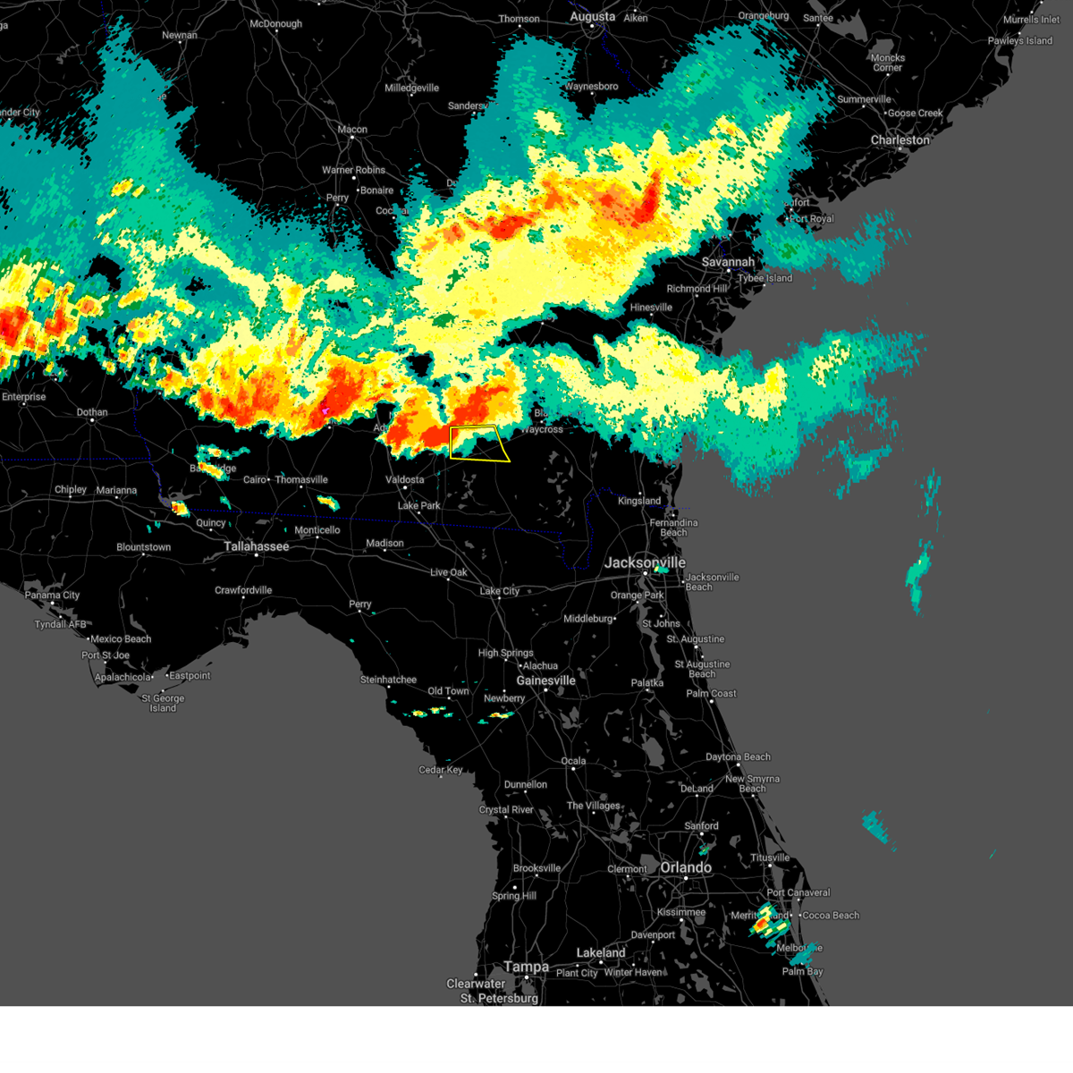 At 708 pm edt, a severe thunderstorm was located 8 miles west of cogdell, or 9 miles northwest of homerville, moving east at 30 mph (radar indicated). Hazards include 60 mph wind gusts and quarter size hail. Hail damage to vehicles is expected. Expect wind damage to roofs, siding, and trees. At 708 pm edt, a severe thunderstorm was located 8 miles west of cogdell, or 9 miles northwest of homerville, moving east at 30 mph (radar indicated). Hazards include 60 mph wind gusts and quarter size hail. Hail damage to vehicles is expected. Expect wind damage to roofs, siding, and trees.
|
| 6/14/2023 3:51 PM EDT |
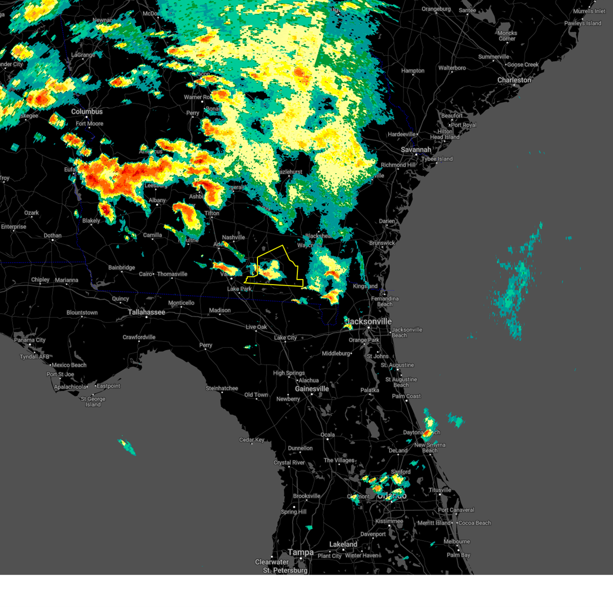 At 351 pm edt, a severe thunderstorm was located near du pont, or 9 miles southwest of homerville, moving east at 30 mph (radar indicated). Hazards include 70 mph wind gusts and quarter size hail. Hail damage to vehicles is expected. expect considerable tree damage. wind damage is also likely to mobile homes, roofs, and outbuildings. Locations impacted include, homerville, argyle, du pont and mayday. At 351 pm edt, a severe thunderstorm was located near du pont, or 9 miles southwest of homerville, moving east at 30 mph (radar indicated). Hazards include 70 mph wind gusts and quarter size hail. Hail damage to vehicles is expected. expect considerable tree damage. wind damage is also likely to mobile homes, roofs, and outbuildings. Locations impacted include, homerville, argyle, du pont and mayday.
|
| 6/14/2023 3:45 PM EDT |
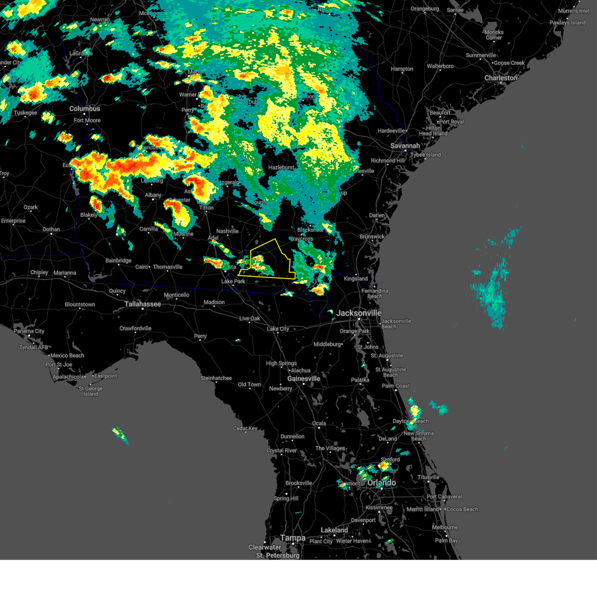 At 344 pm edt, a severe thunderstorm was located near du pont, or 12 miles southwest of homerville, moving east at 30 mph (radar indicated). Hazards include 70 mph wind gusts and quarter size hail. Hail damage to vehicles is expected. expect considerable tree damage. wind damage is also likely to mobile homes, roofs, and outbuildings. Locations impacted include, homerville, argyle, du pont and mayday. At 344 pm edt, a severe thunderstorm was located near du pont, or 12 miles southwest of homerville, moving east at 30 mph (radar indicated). Hazards include 70 mph wind gusts and quarter size hail. Hail damage to vehicles is expected. expect considerable tree damage. wind damage is also likely to mobile homes, roofs, and outbuildings. Locations impacted include, homerville, argyle, du pont and mayday.
|
| 6/14/2023 3:36 PM EDT |
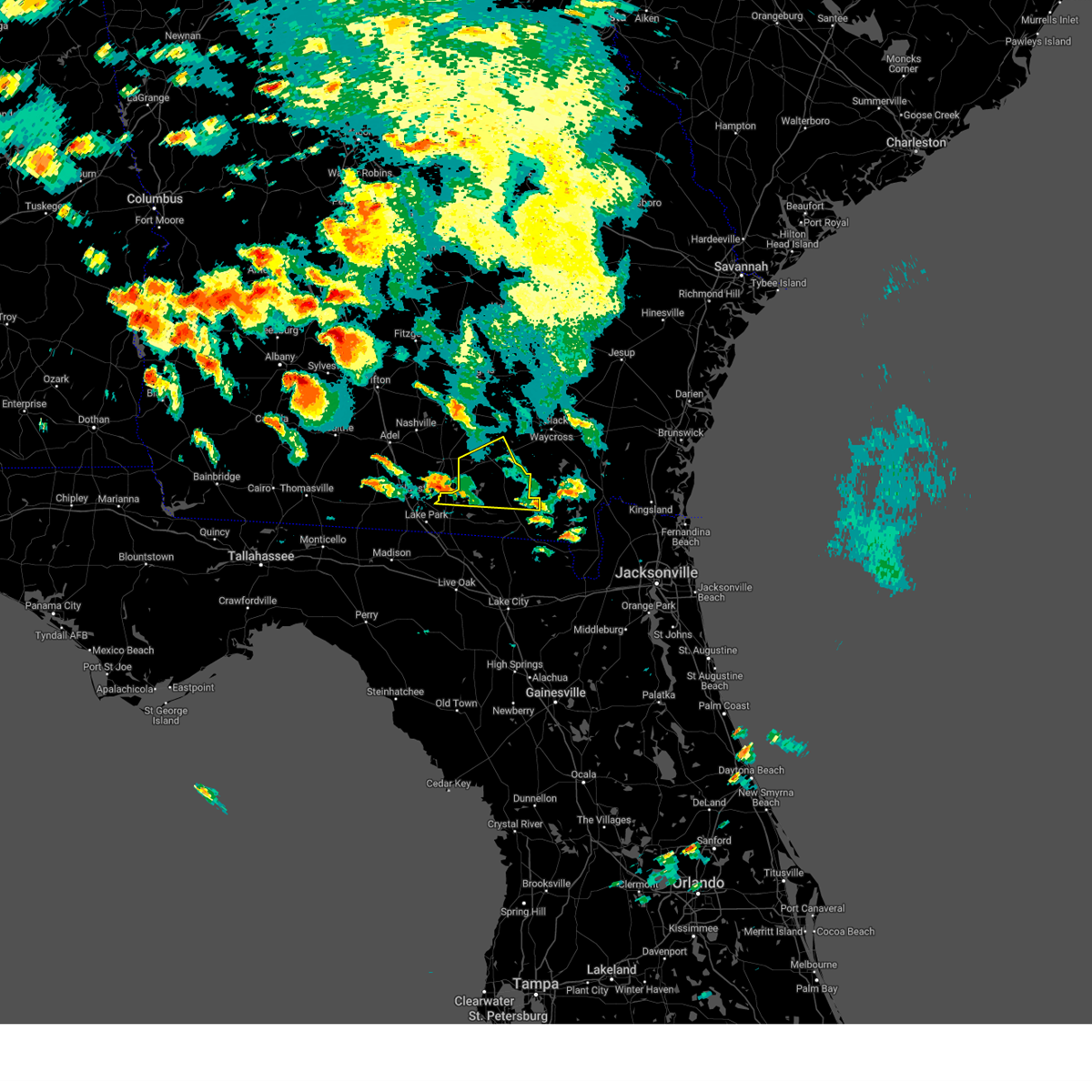 At 335 pm edt, a severe thunderstorm was located near mayday, or 10 miles southeast of lakeland, moving east at 30 mph (radar indicated). Hazards include 70 mph wind gusts and quarter size hail. Hail damage to vehicles is expected. expect considerable tree damage. Wind damage is also likely to mobile homes, roofs, and outbuildings. At 335 pm edt, a severe thunderstorm was located near mayday, or 10 miles southeast of lakeland, moving east at 30 mph (radar indicated). Hazards include 70 mph wind gusts and quarter size hail. Hail damage to vehicles is expected. expect considerable tree damage. Wind damage is also likely to mobile homes, roofs, and outbuildings.
|
| 6/13/2023 6:19 PM EDT |
 At 619 pm edt, severe thunderstorms were located along a line extending from near boggy bay to 8 miles north of fargo to near jennings, moving east at 40 mph (radar indicated). Hazards include 60 mph wind gusts. expect damage to roofs, siding, and trees At 619 pm edt, severe thunderstorms were located along a line extending from near boggy bay to 8 miles north of fargo to near jennings, moving east at 40 mph (radar indicated). Hazards include 60 mph wind gusts. expect damage to roofs, siding, and trees
|
| 6/13/2023 6:05 PM EDT | Trees and power lines down in homerville near april rd. time estimated from rada in clinch county GA, 1.7 miles SSE of Homerville, GA |
| 6/13/2023 5:55 PM EDT |
 At 554 pm edt, severe thunderstorms were located along a line extending from 9 miles north of cogdell to near du pont, moving southeast at 40 mph (radar indicated). Hazards include 60 mph wind gusts and nickel size hail. expect damage to roofs, siding, and trees At 554 pm edt, severe thunderstorms were located along a line extending from 9 miles north of cogdell to near du pont, moving southeast at 40 mph (radar indicated). Hazards include 60 mph wind gusts and nickel size hail. expect damage to roofs, siding, and trees
|
| 6/13/2023 5:48 PM EDT |
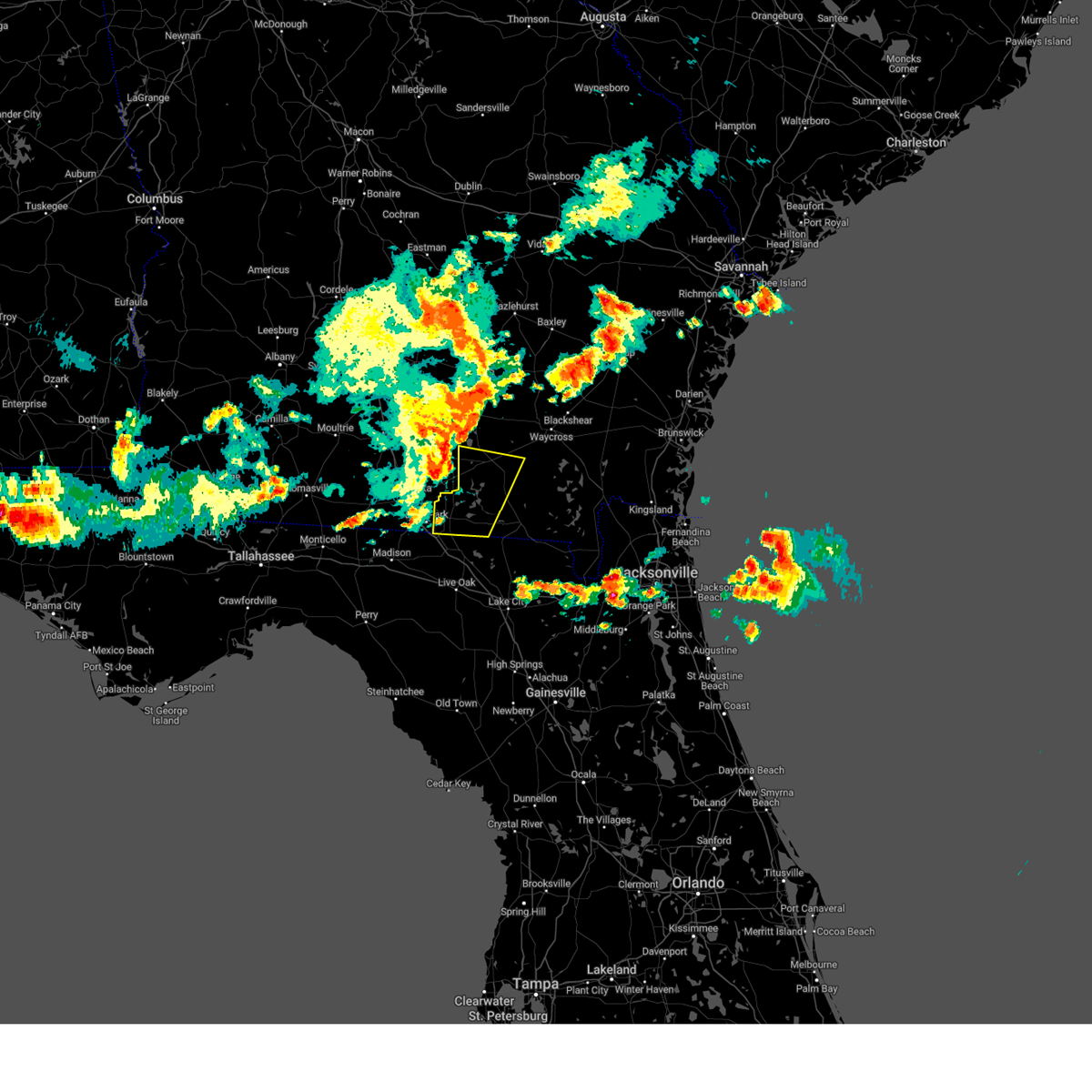 At 548 pm edt, severe thunderstorms were located along a line extending from 8 miles northeast of lakeland to 6 miles west of mayday, moving southeast at 35 mph (radar indicated). Hazards include 60 mph wind gusts and penny size hail. expect damage to roofs, siding, and trees At 548 pm edt, severe thunderstorms were located along a line extending from 8 miles northeast of lakeland to 6 miles west of mayday, moving southeast at 35 mph (radar indicated). Hazards include 60 mph wind gusts and penny size hail. expect damage to roofs, siding, and trees
|
| 6/13/2023 5:46 PM EDT |
 At 546 pm edt, a severe thunderstorm was located near pearson, moving east at 60 mph (radar indicated). Hazards include 60 mph wind gusts and nickel size hail. Expect damage to roofs, siding, and trees. locations impacted include, argyle, cogdell, manor, millwood and axson. hail threat, radar indicated max hail size, 0. 88 in wind threat, radar indicated max wind gust, 60 mph. At 546 pm edt, a severe thunderstorm was located near pearson, moving east at 60 mph (radar indicated). Hazards include 60 mph wind gusts and nickel size hail. Expect damage to roofs, siding, and trees. locations impacted include, argyle, cogdell, manor, millwood and axson. hail threat, radar indicated max hail size, 0. 88 in wind threat, radar indicated max wind gust, 60 mph.
|
| 6/13/2023 5:23 PM EDT |
 At 523 pm edt, a severe thunderstorm was located near nashville, moving east at 55 mph (radar indicated). Hazards include 70 mph wind gusts and nickel size hail. Expect considerable tree damage. Damage is likely to mobile homes, roofs, and outbuildings. At 523 pm edt, a severe thunderstorm was located near nashville, moving east at 55 mph (radar indicated). Hazards include 70 mph wind gusts and nickel size hail. Expect considerable tree damage. Damage is likely to mobile homes, roofs, and outbuildings.
|
| 3/25/2023 3:23 PM EDT |
 At 322 pm edt, a severe thunderstorm was located over boggy bay, or near waycross, moving east at 40 mph (radar indicated). Hazards include 60 mph wind gusts and quarter size hail. Hail damage to vehicles is expected. expect wind damage to roofs, siding, and trees. locations impacted include, homerville, argyle, manor, cogdell, dixie union, needham and millwood. hail threat, radar indicated max hail size, 1. 00 in wind threat, radar indicated max wind gust, 60 mph. At 322 pm edt, a severe thunderstorm was located over boggy bay, or near waycross, moving east at 40 mph (radar indicated). Hazards include 60 mph wind gusts and quarter size hail. Hail damage to vehicles is expected. expect wind damage to roofs, siding, and trees. locations impacted include, homerville, argyle, manor, cogdell, dixie union, needham and millwood. hail threat, radar indicated max hail size, 1. 00 in wind threat, radar indicated max wind gust, 60 mph.
|
| 3/25/2023 2:58 PM EDT |
 At 258 pm edt, a severe thunderstorm was located near cogdell, or near argyle, moving east at 40 mph (radar indicated). Hazards include 60 mph wind gusts and quarter size hail. Hail damage to vehicles is expected. Expect wind damage to roofs, siding, and trees. At 258 pm edt, a severe thunderstorm was located near cogdell, or near argyle, moving east at 40 mph (radar indicated). Hazards include 60 mph wind gusts and quarter size hail. Hail damage to vehicles is expected. Expect wind damage to roofs, siding, and trees.
|
| 3/25/2023 2:24 PM EDT |
 The national weather service in jacksonville has issued a * severe thunderstorm warning for. atkinson county in southeastern georgia. northwestern ware county in southeastern georgia. northwestern clinch county in southeastern georgia. Until 300 pm edt. The national weather service in jacksonville has issued a * severe thunderstorm warning for. atkinson county in southeastern georgia. northwestern ware county in southeastern georgia. northwestern clinch county in southeastern georgia. Until 300 pm edt.
|
| 3/12/2023 3:51 PM EDT |
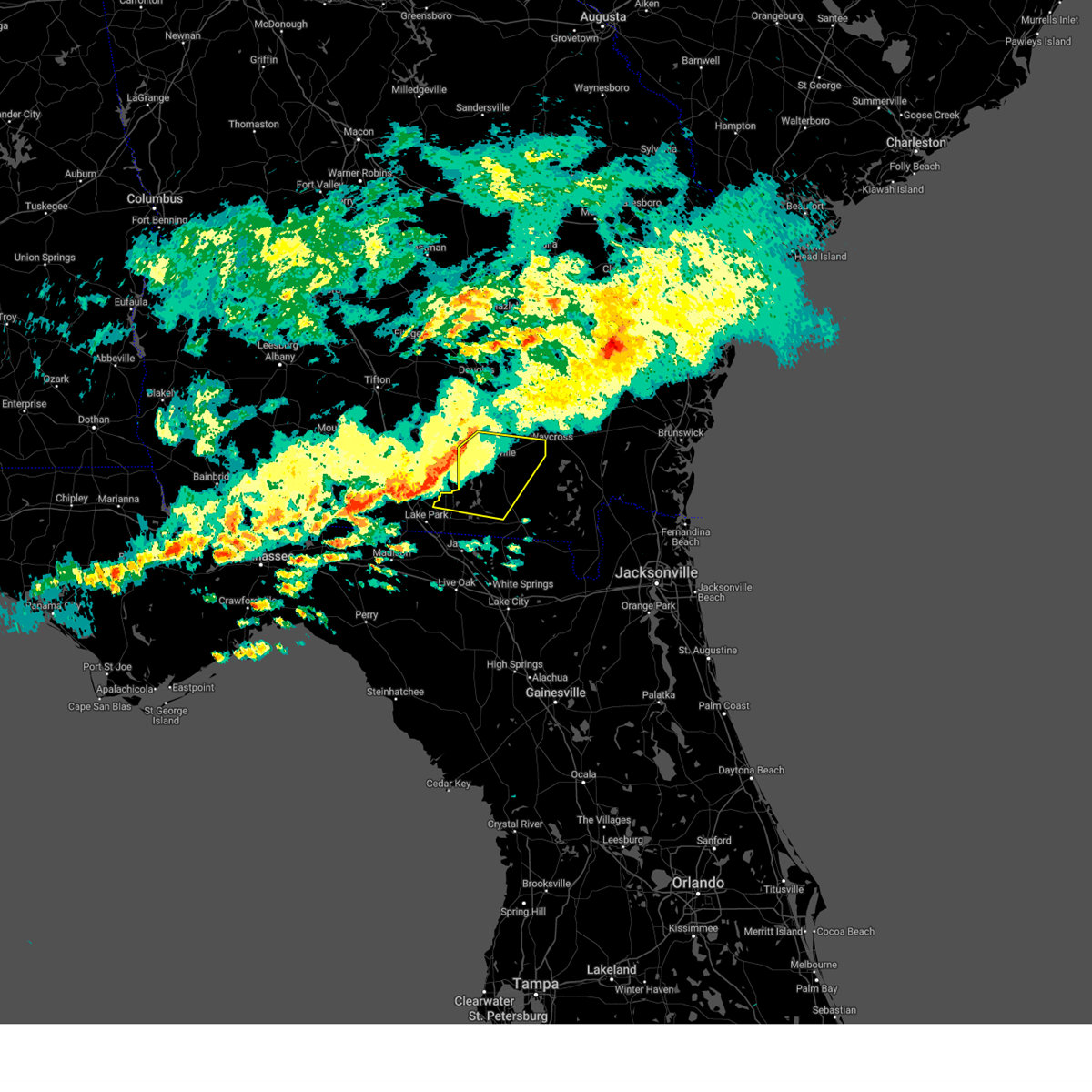 At 351 pm edt, severe thunderstorms were located along a line extending from 7 miles west of cogdell to 7 miles west of mayday, moving east at 40 mph (radar indicated). Hazards include 60 mph wind gusts and quarter size hail. Hail damage to vehicles is expected. expect wind damage to roofs, siding, and trees. Locations impacted include, homerville, argyle, du pont, cogdell, mayday and manor. At 351 pm edt, severe thunderstorms were located along a line extending from 7 miles west of cogdell to 7 miles west of mayday, moving east at 40 mph (radar indicated). Hazards include 60 mph wind gusts and quarter size hail. Hail damage to vehicles is expected. expect wind damage to roofs, siding, and trees. Locations impacted include, homerville, argyle, du pont, cogdell, mayday and manor.
|
| 3/12/2023 3:30 PM EDT |
 At 330 pm edt, severe thunderstorms were located along a line extending from 9 miles south of willacoochee to near valdosta, moving east at 40 mph (radar indicated). Hazards include 60 mph wind gusts and quarter size hail. Hail damage to vehicles is expected. Expect wind damage to roofs, siding, and trees. At 330 pm edt, severe thunderstorms were located along a line extending from 9 miles south of willacoochee to near valdosta, moving east at 40 mph (radar indicated). Hazards include 60 mph wind gusts and quarter size hail. Hail damage to vehicles is expected. Expect wind damage to roofs, siding, and trees.
|
| 1/4/2023 12:32 PM EST |
 At 1232 pm est, severe thunderstorms were located along a line extending from near dixie union to 12 miles northwest of fargo to 7 miles southwest of needmore to near crossroads, moving northeast at 45 mph (radar indicated). Hazards include 60 mph wind gusts and quarter size hail. Hail damage to vehicles is expected. expect wind damage to roofs, siding, and trees. Locations impacted include, jasper, homerville, white springs, fargo, argyle, suwannee river state park, suwannee springs, suwannee valley, belmont and crossroads. At 1232 pm est, severe thunderstorms were located along a line extending from near dixie union to 12 miles northwest of fargo to 7 miles southwest of needmore to near crossroads, moving northeast at 45 mph (radar indicated). Hazards include 60 mph wind gusts and quarter size hail. Hail damage to vehicles is expected. expect wind damage to roofs, siding, and trees. Locations impacted include, jasper, homerville, white springs, fargo, argyle, suwannee river state park, suwannee springs, suwannee valley, belmont and crossroads.
|
| 1/4/2023 12:24 PM EST |
 At 1224 pm est, severe thunderstorms were located along a line extending from 9 miles north of manor to 9 miles northwest of needmore to 7 miles northeast of jasper to near crossroads, moving northeast at 45 mph (radar indicated). Hazards include 60 mph wind gusts and quarter size hail. Hail damage to vehicles is expected. expect wind damage to roofs, siding, and trees. Locations impacted include, jasper, homerville, white springs, fargo, argyle, suwannee river state park, suwannee springs, suwannee valley, belmont and crossroads. At 1224 pm est, severe thunderstorms were located along a line extending from 9 miles north of manor to 9 miles northwest of needmore to 7 miles northeast of jasper to near crossroads, moving northeast at 45 mph (radar indicated). Hazards include 60 mph wind gusts and quarter size hail. Hail damage to vehicles is expected. expect wind damage to roofs, siding, and trees. Locations impacted include, jasper, homerville, white springs, fargo, argyle, suwannee river state park, suwannee springs, suwannee valley, belmont and crossroads.
|
| 1/4/2023 12:20 PM EST |
 At 1220 pm est, severe thunderstorms were located along a line extending from 7 miles northeast of cogdell to 10 miles northwest of needmore to near jasper to near suwannee river state park, moving east at 45 mph (radar indicated). Hazards include 60 mph wind gusts and quarter size hail. Hail damage to vehicles is expected. expect wind damage to roofs, siding, and trees. Locations impacted include, jasper, homerville, jennings, white springs, fargo, argyle, suwannee river state park, suwannee springs, du pont and suwannee valley. At 1220 pm est, severe thunderstorms were located along a line extending from 7 miles northeast of cogdell to 10 miles northwest of needmore to near jasper to near suwannee river state park, moving east at 45 mph (radar indicated). Hazards include 60 mph wind gusts and quarter size hail. Hail damage to vehicles is expected. expect wind damage to roofs, siding, and trees. Locations impacted include, jasper, homerville, jennings, white springs, fargo, argyle, suwannee river state park, suwannee springs, du pont and suwannee valley.
|
| 1/4/2023 12:14 PM EST |
 At 1214 pm est, severe thunderstorms were located along a line extending from 6 miles north of cogdell to 7 miles east of mayday to 6 miles east of jennings to near blue springs, moving northeast at 45 mph (radar indicated). Hazards include 60 mph wind gusts and quarter size hail. Hail damage to vehicles is expected. Expect wind damage to roofs, siding, and trees. At 1214 pm est, severe thunderstorms were located along a line extending from 6 miles north of cogdell to 7 miles east of mayday to 6 miles east of jennings to near blue springs, moving northeast at 45 mph (radar indicated). Hazards include 60 mph wind gusts and quarter size hail. Hail damage to vehicles is expected. Expect wind damage to roofs, siding, and trees.
|
| 1/4/2023 11:42 AM EST |
 At 1142 am est, a severe thunderstorm was located near lakeland, moving northeast at 45 mph (radar indicated). Hazards include 60 mph wind gusts and quarter size hail. Hail damage to vehicles is expected. Expect wind damage to roofs, siding, and trees. At 1142 am est, a severe thunderstorm was located near lakeland, moving northeast at 45 mph (radar indicated). Hazards include 60 mph wind gusts and quarter size hail. Hail damage to vehicles is expected. Expect wind damage to roofs, siding, and trees.
|
| 8/10/2022 5:11 PM EDT |
 At 511 pm edt, severe thunderstorms were located along a line extending from pearson to near homerville, moving northeast at 25 mph (radar indicated). Hazards include 60 mph wind gusts and nickel size hail. Expect damage to roofs, siding, and trees. locations impacted include, homerville, pearson, argyle, cogdell and axson. hail threat, radar indicated max hail size, 0. 88 in wind threat, radar indicated max wind gust, 60 mph. At 511 pm edt, severe thunderstorms were located along a line extending from pearson to near homerville, moving northeast at 25 mph (radar indicated). Hazards include 60 mph wind gusts and nickel size hail. Expect damage to roofs, siding, and trees. locations impacted include, homerville, pearson, argyle, cogdell and axson. hail threat, radar indicated max hail size, 0. 88 in wind threat, radar indicated max wind gust, 60 mph.
|
| 8/10/2022 4:57 PM EDT |
 At 456 pm edt, severe thunderstorms were located along a line extending from near ambrose to near homerville, moving northeast at 20 mph (radar indicated). Hazards include 60 mph wind gusts and nickel size hail. Expect damage to roofs, siding, and trees. locations impacted include, homerville, pearson, ambrose, argyle, cogdell and axson. hail threat, radar indicated max hail size, 0. 88 in wind threat, radar indicated max wind gust, 60 mph. At 456 pm edt, severe thunderstorms were located along a line extending from near ambrose to near homerville, moving northeast at 20 mph (radar indicated). Hazards include 60 mph wind gusts and nickel size hail. Expect damage to roofs, siding, and trees. locations impacted include, homerville, pearson, ambrose, argyle, cogdell and axson. hail threat, radar indicated max hail size, 0. 88 in wind threat, radar indicated max wind gust, 60 mph.
|
| 8/10/2022 4:46 PM EDT |
 At 446 pm edt, severe thunderstorms were located along a line extending from 6 miles south of ambrose to near homerville, moving northeast at 20 mph (radar indicated). Hazards include 60 mph wind gusts and nickel size hail. expect damage to roofs, siding, and trees At 446 pm edt, severe thunderstorms were located along a line extending from 6 miles south of ambrose to near homerville, moving northeast at 20 mph (radar indicated). Hazards include 60 mph wind gusts and nickel size hail. expect damage to roofs, siding, and trees
|
| 8/9/2022 6:55 PM EDT | Trees down along us 221 with a couple of transformers blown in the surrounding area. time estimated by rada in clinch county GA, 15.3 miles ESE of Homerville, GA |
| 6/24/2022 4:18 PM EDT |
 At 418 pm edt, severe thunderstorms were located along a line extending from near lakeland to near white springs to 7 miles south of obrien, moving east at 10 mph (radar indicated). Hazards include 60 mph wind gusts and quarter size hail. Hail damage to vehicles is expected. expect wind damage to roofs, siding, and trees. locations impacted include, lake city, live oak, jasper, homerville, white springs, ichetucknee spring, statenville, suwannee springs, columbia and du pont. hail threat, radar indicated max hail size, 1. 00 in wind threat, radar indicated max wind gust, 60 mph. At 418 pm edt, severe thunderstorms were located along a line extending from near lakeland to near white springs to 7 miles south of obrien, moving east at 10 mph (radar indicated). Hazards include 60 mph wind gusts and quarter size hail. Hail damage to vehicles is expected. expect wind damage to roofs, siding, and trees. locations impacted include, lake city, live oak, jasper, homerville, white springs, ichetucknee spring, statenville, suwannee springs, columbia and du pont. hail threat, radar indicated max hail size, 1. 00 in wind threat, radar indicated max wind gust, 60 mph.
|
| 6/24/2022 4:06 PM EDT |
 At 406 pm edt, severe thunderstorms were located along a line extending from 6 miles northeast of mayday to near obrien, moving east at 10 mph (radar indicated). Hazards include 60 mph wind gusts and quarter size hail. Hail damage to vehicles is expected. Expect wind damage to roofs, siding, and trees. At 406 pm edt, severe thunderstorms were located along a line extending from 6 miles northeast of mayday to near obrien, moving east at 10 mph (radar indicated). Hazards include 60 mph wind gusts and quarter size hail. Hail damage to vehicles is expected. Expect wind damage to roofs, siding, and trees.
|
| 5/30/2022 4:43 PM EDT |
 At 443 pm edt, a severe thunderstorm was located over argyle, moving north at 25 mph (radar indicated). Hazards include 60 mph wind gusts and quarter size hail. Hail damage to vehicles is expected. Expect wind damage to roofs, siding, and trees. At 443 pm edt, a severe thunderstorm was located over argyle, moving north at 25 mph (radar indicated). Hazards include 60 mph wind gusts and quarter size hail. Hail damage to vehicles is expected. Expect wind damage to roofs, siding, and trees.
|
| 5/23/2022 4:18 PM EDT | Tree down across shiloh rd 3 miles east of hwy 44 in clinch county GA, 5.6 miles WNW of Homerville, GA |
| 5/23/2022 4:14 PM EDT | Tree down over shiloh rd near the intersection with hwy 44 in clinch county GA, 3.4 miles NW of Homerville, GA |
| 5/6/2022 6:24 PM EDT |
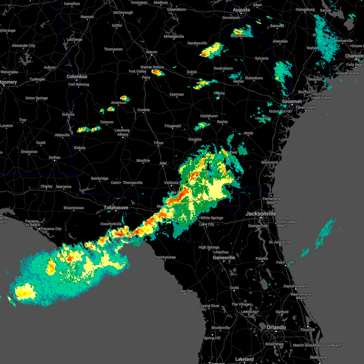 At 624 pm edt, severe thunderstorms were located along a line extending from near du pont to near jennings, moving east at 45 mph (radar indicated). Hazards include 60 mph wind gusts and penny size hail. Expect damage to roofs, siding, and trees. locations impacted include, homerville, jennings, statenville, du pont and mayday. hail threat, radar indicated max hail size, 0. 75 in wind threat, radar indicated max wind gust, 60 mph. At 624 pm edt, severe thunderstorms were located along a line extending from near du pont to near jennings, moving east at 45 mph (radar indicated). Hazards include 60 mph wind gusts and penny size hail. Expect damage to roofs, siding, and trees. locations impacted include, homerville, jennings, statenville, du pont and mayday. hail threat, radar indicated max hail size, 0. 75 in wind threat, radar indicated max wind gust, 60 mph.
|
| 5/6/2022 6:09 PM EDT |
 At 608 pm edt, severe thunderstorms were located along a line extending from 8 miles east of valdosta to 7 miles southwest of lake park, moving east at 50 mph (radar indicated). Hazards include 60 mph wind gusts and penny size hail. expect damage to roofs, siding, and trees At 608 pm edt, severe thunderstorms were located along a line extending from 8 miles east of valdosta to 7 miles southwest of lake park, moving east at 50 mph (radar indicated). Hazards include 60 mph wind gusts and penny size hail. expect damage to roofs, siding, and trees
|
| 5/6/2022 6:09 PM EDT |
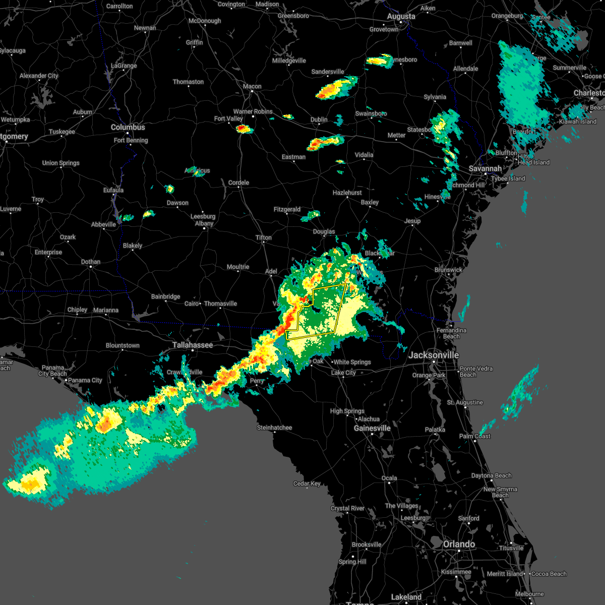 At 608 pm edt, severe thunderstorms were located along a line extending from 8 miles east of valdosta to 7 miles southwest of lake park, moving east at 50 mph (radar indicated). Hazards include 60 mph wind gusts and penny size hail. expect damage to roofs, siding, and trees At 608 pm edt, severe thunderstorms were located along a line extending from 8 miles east of valdosta to 7 miles southwest of lake park, moving east at 50 mph (radar indicated). Hazards include 60 mph wind gusts and penny size hail. expect damage to roofs, siding, and trees
|
| 4/17/2022 8:30 PM EDT | Damage to home in homerville. pictures on facebook of porch awning collapse. time approximate in clinch county GA, 5.3 miles W of Homerville, GA |
| 3/19/2022 6:26 PM EDT |
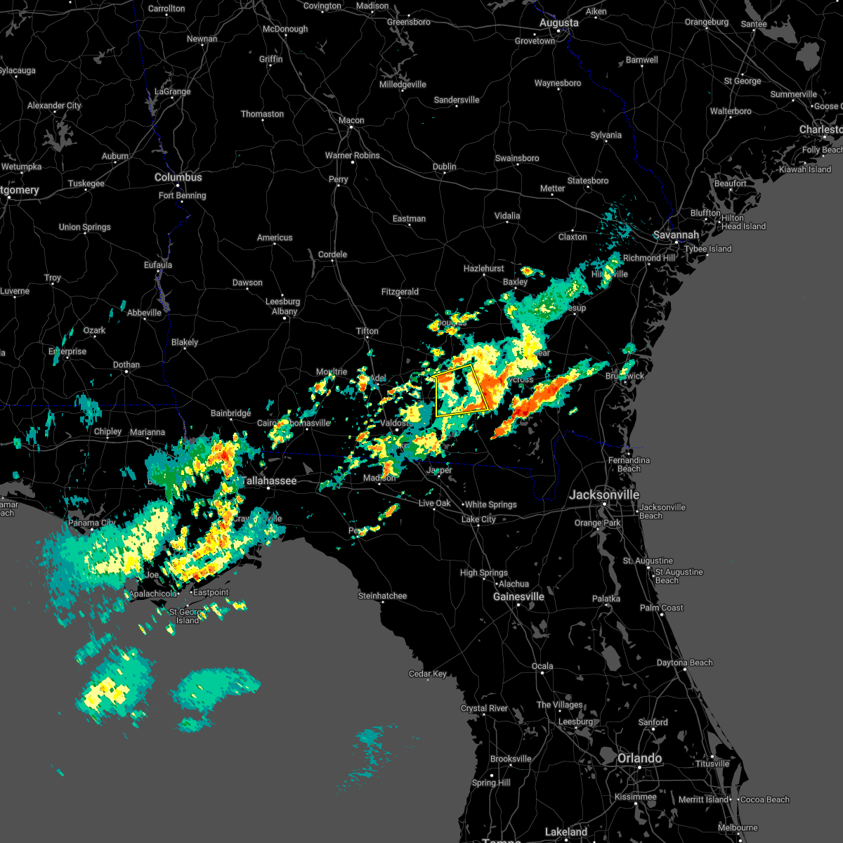 The severe thunderstorm warning for southeastern atkinson, northwestern ware and northwestern clinch counties will expire at 630 pm edt, the storm which prompted the warning has weakened below severe limits, and no longer poses an immediate threat to life or property. therefore, the warning will be allowed to expire. however small hail, gusty winds and heavy rain are still possible with this thunderstorm. The severe thunderstorm warning for southeastern atkinson, northwestern ware and northwestern clinch counties will expire at 630 pm edt, the storm which prompted the warning has weakened below severe limits, and no longer poses an immediate threat to life or property. therefore, the warning will be allowed to expire. however small hail, gusty winds and heavy rain are still possible with this thunderstorm.
|
| 3/19/2022 5:58 PM EDT |
 At 558 pm edt, a severe thunderstorm was located near du pont, or 8 miles west of homerville, moving east at 35 mph (radar indicated). Hazards include 60 mph wind gusts and quarter size hail. Hail damage to vehicles is expected. Expect wind damage to roofs, siding, and trees. At 558 pm edt, a severe thunderstorm was located near du pont, or 8 miles west of homerville, moving east at 35 mph (radar indicated). Hazards include 60 mph wind gusts and quarter size hail. Hail damage to vehicles is expected. Expect wind damage to roofs, siding, and trees.
|
| 3/19/2022 5:24 PM EDT |
 At 524 pm edt, severe thunderstorms were located along a line extending from 9 miles south of willacoochee to near valdosta, moving east at 35 mph (radar indicated). Hazards include 60 mph wind gusts and half dollar size hail. Hail damage to vehicles is expected. expect wind damage to roofs, siding, and trees. Locations impacted include, homerville, pearson, willacoochee, argyle, du pont, mayday, manor, cogdell, needham and millwood. At 524 pm edt, severe thunderstorms were located along a line extending from 9 miles south of willacoochee to near valdosta, moving east at 35 mph (radar indicated). Hazards include 60 mph wind gusts and half dollar size hail. Hail damage to vehicles is expected. expect wind damage to roofs, siding, and trees. Locations impacted include, homerville, pearson, willacoochee, argyle, du pont, mayday, manor, cogdell, needham and millwood.
|
| 3/19/2022 5:12 PM EDT |
 At 512 pm edt, severe thunderstorms were located along a line extending from near nashville to 7 miles southwest of hahira, moving east at 30 mph (radar indicated). Hazards include 60 mph wind gusts and half dollar size hail. Hail damage to vehicles is expected. Expect wind damage to roofs, siding, and trees. At 512 pm edt, severe thunderstorms were located along a line extending from near nashville to 7 miles southwest of hahira, moving east at 30 mph (radar indicated). Hazards include 60 mph wind gusts and half dollar size hail. Hail damage to vehicles is expected. Expect wind damage to roofs, siding, and trees.
|
| 12/30/2021 6:58 PM EST |
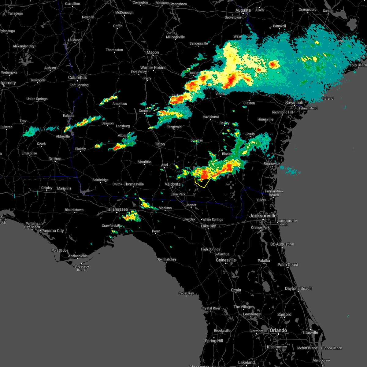 At 658 pm est, a severe thunderstorm was located near homerville, moving east at 25 mph (radar indicated). Hazards include 60 mph wind gusts. Expect damage to roofs, siding, and trees. Locations impacted include, homerville, argyle and du pont. At 658 pm est, a severe thunderstorm was located near homerville, moving east at 25 mph (radar indicated). Hazards include 60 mph wind gusts. Expect damage to roofs, siding, and trees. Locations impacted include, homerville, argyle and du pont.
|
| 12/30/2021 6:37 PM EST |
 At 637 pm est, a severe thunderstorm was located over du pont, or near homerville, moving east at 25 mph (radar indicated). Hazards include 60 mph wind gusts and quarter size hail. Hail damage to vehicles is expected. Expect wind damage to roofs, siding, and trees. At 637 pm est, a severe thunderstorm was located over du pont, or near homerville, moving east at 25 mph (radar indicated). Hazards include 60 mph wind gusts and quarter size hail. Hail damage to vehicles is expected. Expect wind damage to roofs, siding, and trees.
|
| 12/30/2021 5:57 PM EST |
 The severe thunderstorm warning for southeastern atkinson and northwestern clinch counties will expire at 600 pm est, the storm which prompted the warning has weakened below severe limits, and no longer poses an immediate threat to life or property. therefore, the warning will be allowed to expire. however small hail, gusty winds and heavy rain are still possible with this thunderstorm. The severe thunderstorm warning for southeastern atkinson and northwestern clinch counties will expire at 600 pm est, the storm which prompted the warning has weakened below severe limits, and no longer poses an immediate threat to life or property. therefore, the warning will be allowed to expire. however small hail, gusty winds and heavy rain are still possible with this thunderstorm.
|
| 12/30/2021 5:39 PM EST |
 At 539 pm est, a severe thunderstorm was located 7 miles west of cogdell, or 8 miles northwest of homerville, moving east at 20 mph (radar indicated). Hazards include 60 mph wind gusts and penny size hail. Expect damage to roofs, siding, and trees. Locations impacted include, homerville, argyle and cogdell. At 539 pm est, a severe thunderstorm was located 7 miles west of cogdell, or 8 miles northwest of homerville, moving east at 20 mph (radar indicated). Hazards include 60 mph wind gusts and penny size hail. Expect damage to roofs, siding, and trees. Locations impacted include, homerville, argyle and cogdell.
|
| 12/30/2021 5:20 PM EST |
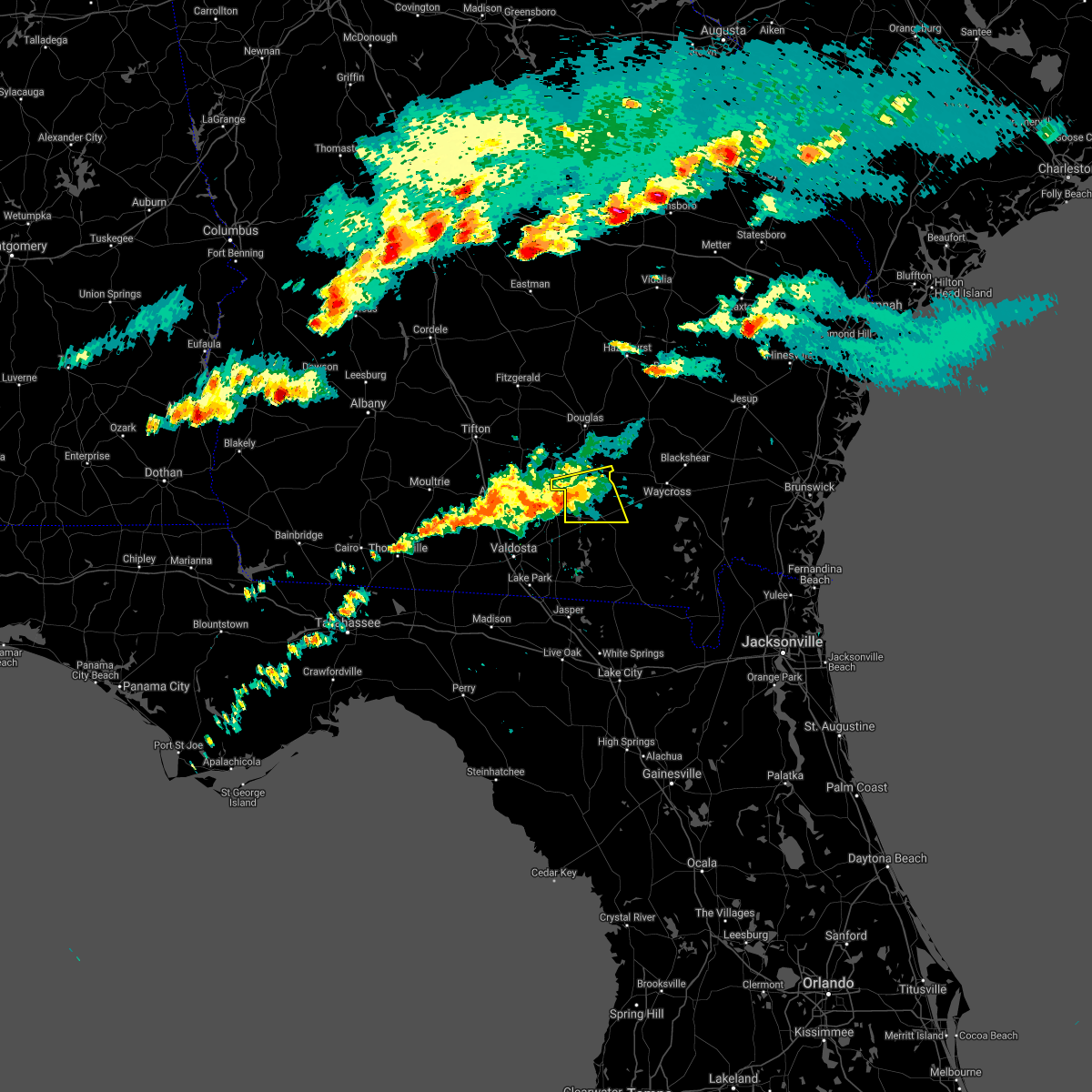 At 520 pm est, a severe thunderstorm was located 9 miles northeast of lakeland, moving east at 20 mph (radar indicated). Hazards include 60 mph wind gusts and quarter size hail. Hail damage to vehicles is expected. Expect wind damage to roofs, siding, and trees. At 520 pm est, a severe thunderstorm was located 9 miles northeast of lakeland, moving east at 20 mph (radar indicated). Hazards include 60 mph wind gusts and quarter size hail. Hail damage to vehicles is expected. Expect wind damage to roofs, siding, and trees.
|
| 8/31/2021 12:48 PM EDT |
 At 1247 pm edt, a severe thunderstorm was located near du pont, or 9 miles west of homerville, moving northeast at 35 mph (radar indicated). Hazards include 60 mph wind gusts. expect damage to roofs, siding, and trees At 1247 pm edt, a severe thunderstorm was located near du pont, or 9 miles west of homerville, moving northeast at 35 mph (radar indicated). Hazards include 60 mph wind gusts. expect damage to roofs, siding, and trees
|
| 4/24/2021 11:38 PM EDT |
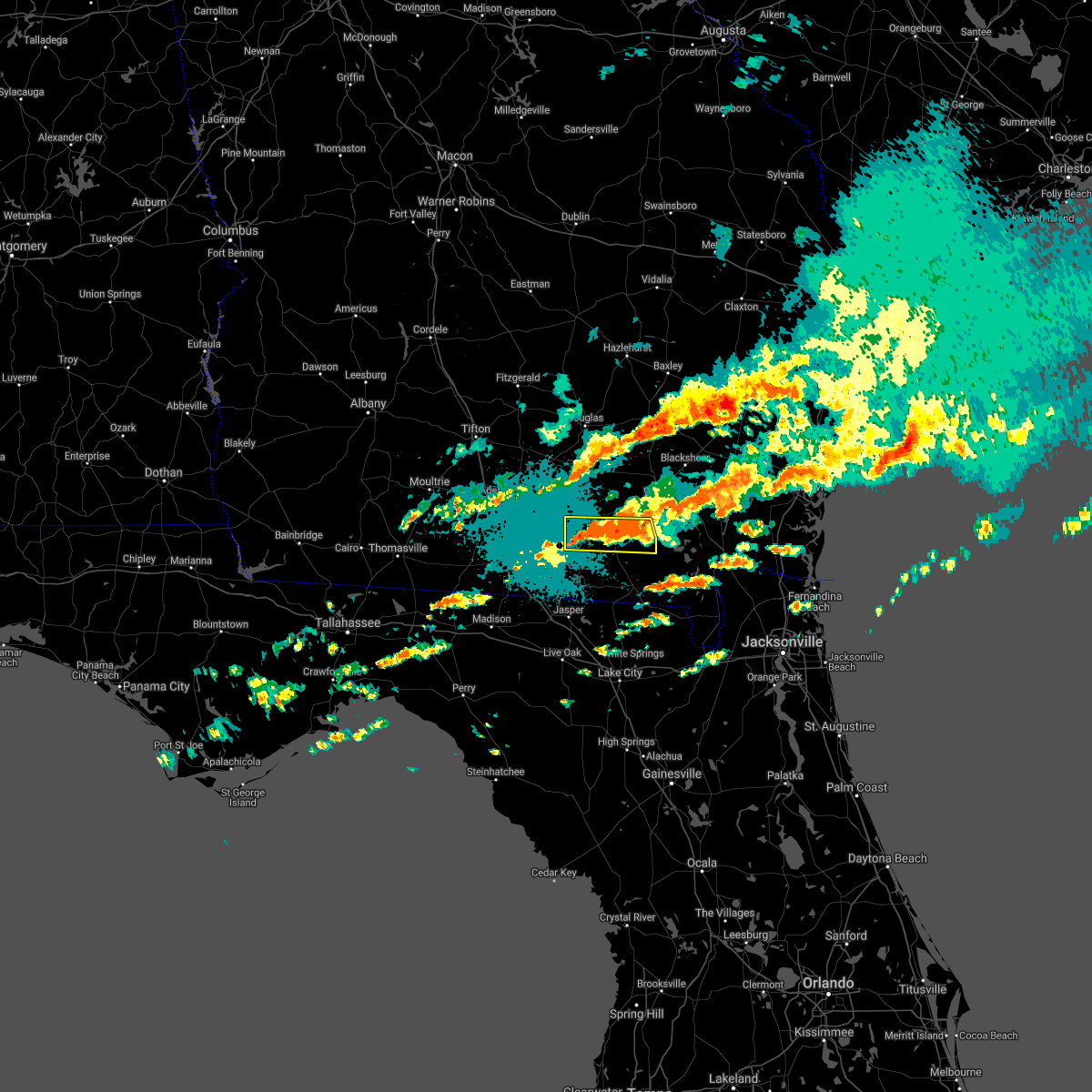 At 1138 pm edt, a severe thunderstorm was located 7 miles southeast of argyle, moving east at 55 mph (radar indicated). Hazards include 70 mph wind gusts and quarter size hail. Hail damage to vehicles is expected. expect considerable tree damage. wind damage is also likely to mobile homes, roofs, and outbuildings. Locations impacted include, homerville and du pont. At 1138 pm edt, a severe thunderstorm was located 7 miles southeast of argyle, moving east at 55 mph (radar indicated). Hazards include 70 mph wind gusts and quarter size hail. Hail damage to vehicles is expected. expect considerable tree damage. wind damage is also likely to mobile homes, roofs, and outbuildings. Locations impacted include, homerville and du pont.
|
| 4/24/2021 11:28 PM EDT |
 At 1105 pm edt, a severe thunderstorm was located near mayday, or 9 miles south of lakeland, moving east at 35 mph (radar indicated). Hazards include 60 mph wind gusts and quarter size hail. Hail damage to vehicles is expected. Expect wind damage to roofs, siding, and trees. At 1105 pm edt, a severe thunderstorm was located near mayday, or 9 miles south of lakeland, moving east at 35 mph (radar indicated). Hazards include 60 mph wind gusts and quarter size hail. Hail damage to vehicles is expected. Expect wind damage to roofs, siding, and trees.
|
| 4/24/2021 11:05 PM EDT |
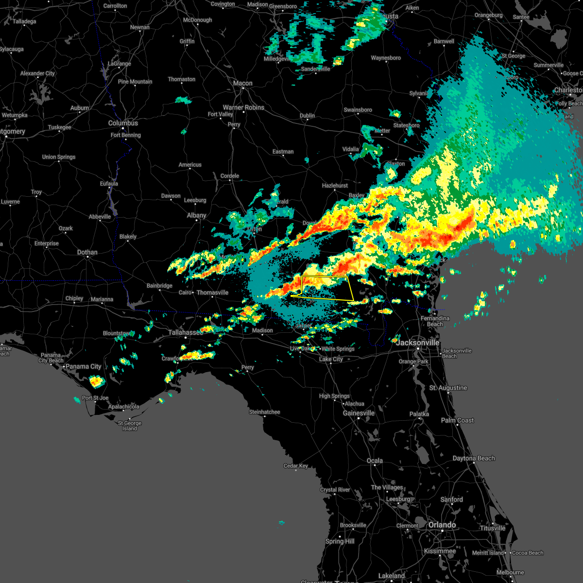 At 1105 pm edt, a severe thunderstorm was located near mayday, or 9 miles south of lakeland, moving east at 35 mph (radar indicated). Hazards include 60 mph wind gusts and quarter size hail. Hail damage to vehicles is expected. Expect wind damage to roofs, siding, and trees. At 1105 pm edt, a severe thunderstorm was located near mayday, or 9 miles south of lakeland, moving east at 35 mph (radar indicated). Hazards include 60 mph wind gusts and quarter size hail. Hail damage to vehicles is expected. Expect wind damage to roofs, siding, and trees.
|
| 4/24/2021 10:48 PM EDT | Quarter sized hail reported 0.2 miles SE of Homerville, GA, quarter size hail was reported near moonshadow rd. time estimation based on radar. |
| 4/24/2021 10:43 PM EDT |
 At 1043 pm edt, a severe thunderstorm was located near du pont, or 7 miles northwest of homerville, moving east at 55 mph (radar indicated). Hazards include 60 mph wind gusts and penny size hail. Expect damage to roofs, siding, and trees. Locations impacted include, homerville, argyle, du pont and cogdell. At 1043 pm edt, a severe thunderstorm was located near du pont, or 7 miles northwest of homerville, moving east at 55 mph (radar indicated). Hazards include 60 mph wind gusts and penny size hail. Expect damage to roofs, siding, and trees. Locations impacted include, homerville, argyle, du pont and cogdell.
|
| 4/24/2021 10:17 PM EDT |
 At 1017 pm edt, a severe thunderstorm was located over lakeland, moving east at 40 mph (radar indicated). Hazards include 60 mph wind gusts and penny size hail. possible tornado. expect damage to roofs, siding, and trees At 1017 pm edt, a severe thunderstorm was located over lakeland, moving east at 40 mph (radar indicated). Hazards include 60 mph wind gusts and penny size hail. possible tornado. expect damage to roofs, siding, and trees
|
| 4/24/2021 12:42 PM EDT |
 At 1242 pm edt, severe thunderstorms were located along a line extending from near bristol to 8 miles north of du pont, moving east at 30 mph (radar indicated). Hazards include 60 mph wind gusts and penny size hail. Expect damage to roofs, siding, and trees. Locations impacted include, homerville, argyle, jamestown, pebble hill, cogdell, dixie union and millwood. At 1242 pm edt, severe thunderstorms were located along a line extending from near bristol to 8 miles north of du pont, moving east at 30 mph (radar indicated). Hazards include 60 mph wind gusts and penny size hail. Expect damage to roofs, siding, and trees. Locations impacted include, homerville, argyle, jamestown, pebble hill, cogdell, dixie union and millwood.
|
| 4/24/2021 12:37 PM EDT |
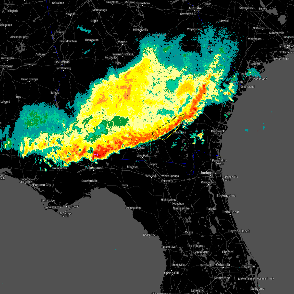 At 1237 pm edt, severe thunderstorms were located along a line extending from 6 miles west of bristol to 8 miles north of du pont, moving east at 25 mph (radar indicated). Hazards include 60 mph wind gusts and penny size hail. Expect damage to roofs, siding, and trees. Locations impacted include, homerville, argyle, jamestown, pebble hill, cogdell, dixie union, millwood and axson. At 1237 pm edt, severe thunderstorms were located along a line extending from 6 miles west of bristol to 8 miles north of du pont, moving east at 25 mph (radar indicated). Hazards include 60 mph wind gusts and penny size hail. Expect damage to roofs, siding, and trees. Locations impacted include, homerville, argyle, jamestown, pebble hill, cogdell, dixie union, millwood and axson.
|
| 4/24/2021 12:18 PM EDT |
 At 1217 pm edt, severe thunderstorms were located along a line extending from 6 miles north of dixie union to 9 miles southwest of pearson, moving east at 30 mph (radar indicated). Hazards include 60 mph wind gusts and penny size hail. expect damage to roofs, siding, and trees At 1217 pm edt, severe thunderstorms were located along a line extending from 6 miles north of dixie union to 9 miles southwest of pearson, moving east at 30 mph (radar indicated). Hazards include 60 mph wind gusts and penny size hail. expect damage to roofs, siding, and trees
|
| 4/24/2021 10:57 AM EDT |
 The national weather service in jacksonville has issued a * severe thunderstorm warning for. atkinson county in southeastern georgia. northwestern clinch county in southeastern georgia. until 1145 am edt. At 1057 am edt, a severe thunderstorm was located near. The national weather service in jacksonville has issued a * severe thunderstorm warning for. atkinson county in southeastern georgia. northwestern clinch county in southeastern georgia. until 1145 am edt. At 1057 am edt, a severe thunderstorm was located near.
|
| 4/10/2021 2:49 PM EDT |
 At 249 pm edt, a severe thunderstorm was located over cogdell, or near argyle, moving northeast at 35 mph (radar indicated). Hazards include 60 mph wind gusts. Expect damage to roofs, siding, and trees. Locations impacted include, homerville and du pont. At 249 pm edt, a severe thunderstorm was located over cogdell, or near argyle, moving northeast at 35 mph (radar indicated). Hazards include 60 mph wind gusts. Expect damage to roofs, siding, and trees. Locations impacted include, homerville and du pont.
|
| 4/10/2021 2:13 PM EDT |
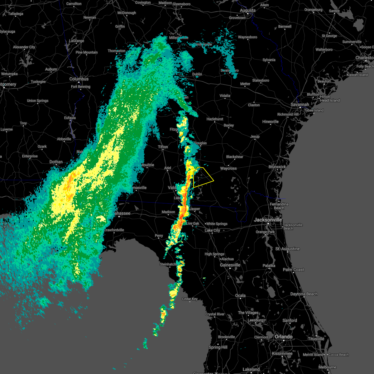 At 213 pm edt, a severe thunderstorm was located near lakeland, moving northeast at 35 mph (radar indicated). Hazards include 60 mph wind gusts. expect damage to roofs, siding, and trees At 213 pm edt, a severe thunderstorm was located near lakeland, moving northeast at 35 mph (radar indicated). Hazards include 60 mph wind gusts. expect damage to roofs, siding, and trees
|
| 12/24/2020 5:01 PM EST |
 At 501 pm est, severe thunderstorms were located along a line extending from 7 miles northeast of manor to 6 miles north of needmore to near mayo, moving east at 45 mph (radar indicated). Hazards include 60 mph wind gusts. Expect damage to roofs, siding, and trees. Locations impacted include, waycross, lake city, live oak, jasper, homerville, white springs, fargo, argyle, stephen foster state park and ichetucknee spring. At 501 pm est, severe thunderstorms were located along a line extending from 7 miles northeast of manor to 6 miles north of needmore to near mayo, moving east at 45 mph (radar indicated). Hazards include 60 mph wind gusts. Expect damage to roofs, siding, and trees. Locations impacted include, waycross, lake city, live oak, jasper, homerville, white springs, fargo, argyle, stephen foster state park and ichetucknee spring.
|
| 12/24/2020 4:39 PM EST |
 At 439 pm est, severe thunderstorms were located along a line extending from near homerville to 7 miles east of statenville to 13 miles southeast of perry, moving east at 45 mph (radar indicated). Hazards include 60 mph wind gusts. expect damage to roofs, siding, and trees At 439 pm est, severe thunderstorms were located along a line extending from near homerville to 7 miles east of statenville to 13 miles southeast of perry, moving east at 45 mph (radar indicated). Hazards include 60 mph wind gusts. expect damage to roofs, siding, and trees
|
| 12/24/2020 4:20 PM EST |
 At 420 pm est, severe thunderstorms were located along a line extending from 6 miles west of du pont to near blue springs, moving east at 35 mph (radar indicated). Hazards include 60 mph wind gusts. Expect damage to roofs, siding, and trees. Locations impacted include, jasper, homerville, jennings, argyle, statenville, suwannee river state park, du pont, mayday, manor and blue springs. At 420 pm est, severe thunderstorms were located along a line extending from 6 miles west of du pont to near blue springs, moving east at 35 mph (radar indicated). Hazards include 60 mph wind gusts. Expect damage to roofs, siding, and trees. Locations impacted include, jasper, homerville, jennings, argyle, statenville, suwannee river state park, du pont, mayday, manor and blue springs.
|
| 12/24/2020 4:20 PM EST |
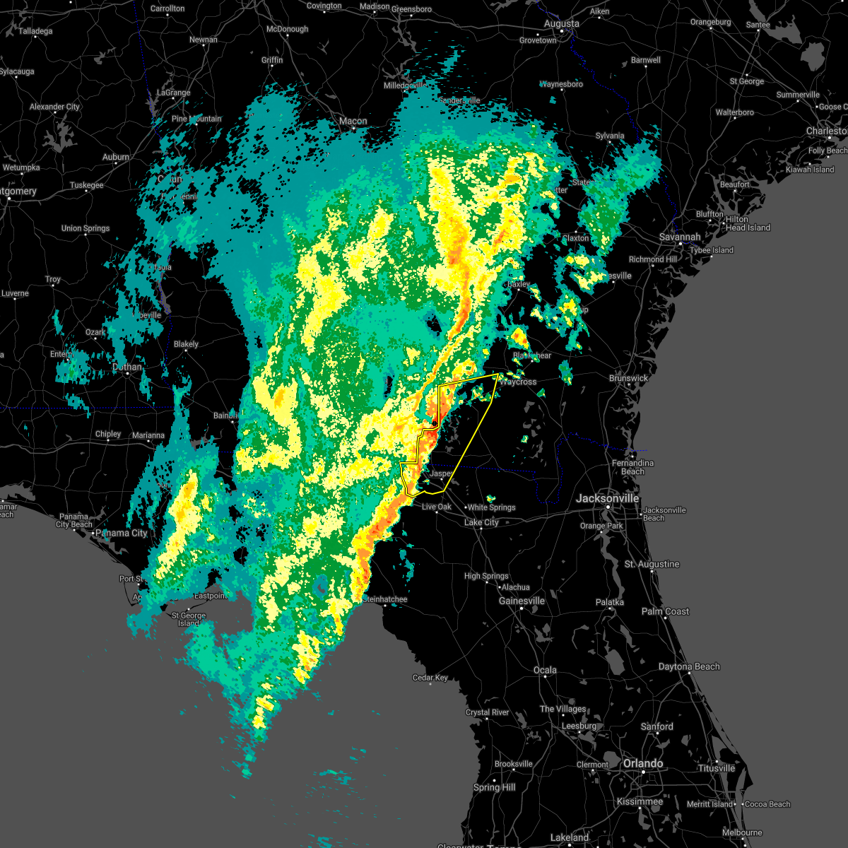 At 420 pm est, severe thunderstorms were located along a line extending from 6 miles west of du pont to near blue springs, moving east at 35 mph (radar indicated). Hazards include 60 mph wind gusts. Expect damage to roofs, siding, and trees. Locations impacted include, jasper, homerville, jennings, argyle, statenville, suwannee river state park, du pont, mayday, manor and blue springs. At 420 pm est, severe thunderstorms were located along a line extending from 6 miles west of du pont to near blue springs, moving east at 35 mph (radar indicated). Hazards include 60 mph wind gusts. Expect damage to roofs, siding, and trees. Locations impacted include, jasper, homerville, jennings, argyle, statenville, suwannee river state park, du pont, mayday, manor and blue springs.
|
| 12/24/2020 4:02 PM EST |
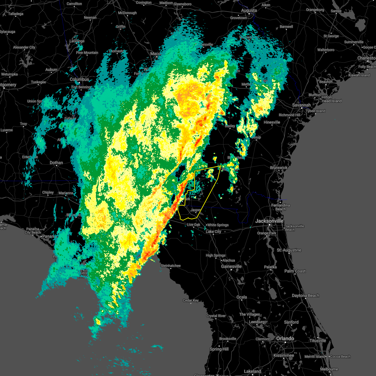 At 401 pm est, severe thunderstorms were located along a line extending from valdosta to 14 miles southwest of madison, moving east at 30 mph (radar indicated). Hazards include 60 mph wind gusts. expect damage to roofs, siding, and trees At 401 pm est, severe thunderstorms were located along a line extending from valdosta to 14 miles southwest of madison, moving east at 30 mph (radar indicated). Hazards include 60 mph wind gusts. expect damage to roofs, siding, and trees
|
| 11/30/2020 4:22 AM EST |
 At 422 am est, a severe thunderstorm was located 12 miles southeast of homerville, moving northeast at 60 mph (radar indicated). Hazards include 60 mph wind gusts. Expect damage to roofs, siding, and trees. Locations impacted include, homerville, argyle, cogdell and manor. At 422 am est, a severe thunderstorm was located 12 miles southeast of homerville, moving northeast at 60 mph (radar indicated). Hazards include 60 mph wind gusts. Expect damage to roofs, siding, and trees. Locations impacted include, homerville, argyle, cogdell and manor.
|
| 11/30/2020 4:17 AM EST |
 At 417 am est, a severe thunderstorm was located near homerville, moving northeast at 30 mph (radar indicated). Hazards include 60 mph wind gusts. expect damage to roofs, siding, and trees At 417 am est, a severe thunderstorm was located near homerville, moving northeast at 30 mph (radar indicated). Hazards include 60 mph wind gusts. expect damage to roofs, siding, and trees
|
| 11/30/2020 3:55 AM EST |
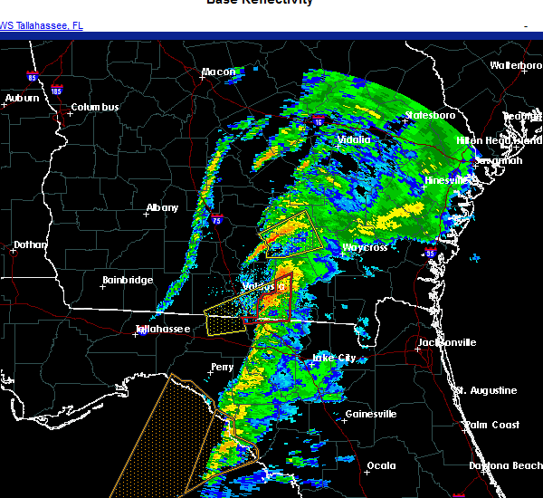 At 355 am est, a severe thunderstorm was located over statenville, moving northeast at 60 mph (radar indicated). Hazards include 60 mph wind gusts. expect damage to roofs, siding, and trees At 355 am est, a severe thunderstorm was located over statenville, moving northeast at 60 mph (radar indicated). Hazards include 60 mph wind gusts. expect damage to roofs, siding, and trees
|
| 9/16/2020 5:44 PM EDT |
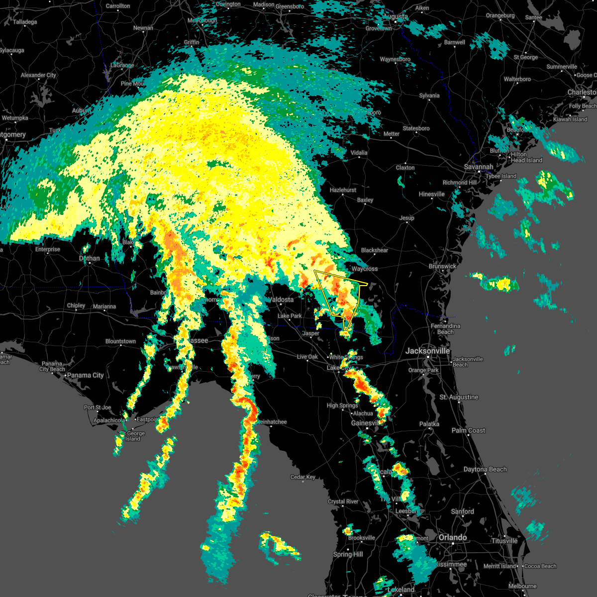 At 543 pm edt, a severe thunderstorm was located 9 miles southeast of homerville, moving north at 20 mph (radar indicated). Hazards include 60 mph wind gusts. possible tornado. Expect damage to roofs, siding, and trees. Locations impacted include, homerville, fargo and argyle. At 543 pm edt, a severe thunderstorm was located 9 miles southeast of homerville, moving north at 20 mph (radar indicated). Hazards include 60 mph wind gusts. possible tornado. Expect damage to roofs, siding, and trees. Locations impacted include, homerville, fargo and argyle.
|
| 9/16/2020 5:31 PM EDT |
 At 531 pm edt, a severe thunderstorm was located near fargo, moving north at 25 mph (radar indicated). Hazards include 60 mph wind gusts. possible tornado. expect damage to roofs, siding, and trees At 531 pm edt, a severe thunderstorm was located near fargo, moving north at 25 mph (radar indicated). Hazards include 60 mph wind gusts. possible tornado. expect damage to roofs, siding, and trees
|
| 7/1/2020 5:04 PM EDT |
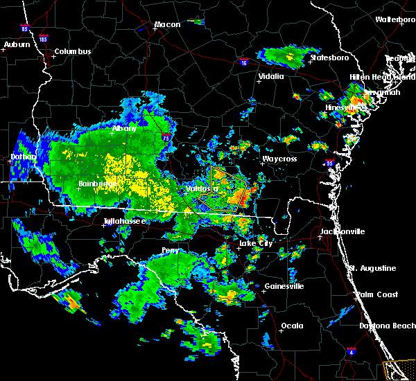 At 503 pm edt, a severe thunderstorm centered near du pont, or about 8 miles south of homerville, moving east at 35 mph (radar indicated). Hazards include 60 mph wind gusts. Expect damage to roofs, siding, and trees. Locations impacted include, homerville, du pont and needmore. At 503 pm edt, a severe thunderstorm centered near du pont, or about 8 miles south of homerville, moving east at 35 mph (radar indicated). Hazards include 60 mph wind gusts. Expect damage to roofs, siding, and trees. Locations impacted include, homerville, du pont and needmore.
|
| 7/1/2020 4:44 PM EDT |
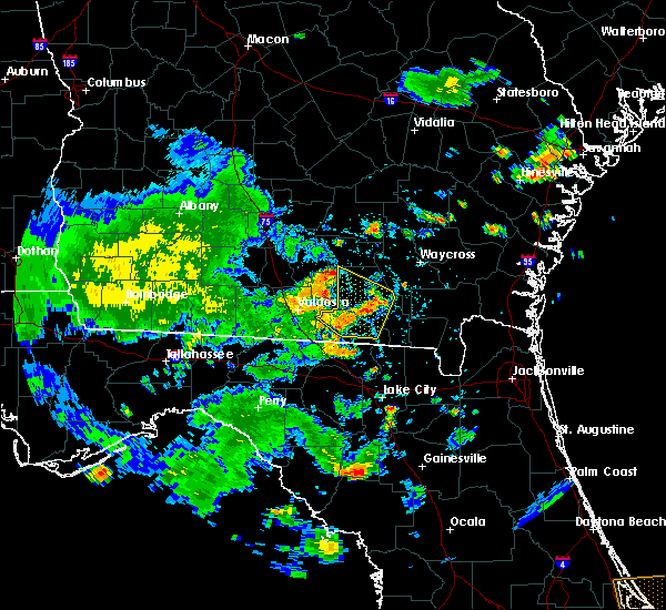 At 443 pm edt, severe thunderstorms were located along a line extending from 7 miles northeast of lakeland to near mayday, moving east at 30 mph. additional thunderstorms are over central clinch county moving east at 25 mph (radar indicated). Hazards include 60 mph wind gusts and small hail. Expect damage to roofs, siding, and trees. Locations impacted include, homerville, du pont, mayday and needmore. At 443 pm edt, severe thunderstorms were located along a line extending from 7 miles northeast of lakeland to near mayday, moving east at 30 mph. additional thunderstorms are over central clinch county moving east at 25 mph (radar indicated). Hazards include 60 mph wind gusts and small hail. Expect damage to roofs, siding, and trees. Locations impacted include, homerville, du pont, mayday and needmore.
|
| 7/1/2020 4:31 PM EDT |
 At 430 pm edt, severe thunderstorms were located along a line extending from near lakeland to 6 miles east of valdosta, moving southeast at 30 mph (radar indicated). Hazards include 60 mph wind gusts and penny size hail. expect damage to roofs, siding, and trees At 430 pm edt, severe thunderstorms were located along a line extending from near lakeland to 6 miles east of valdosta, moving southeast at 30 mph (radar indicated). Hazards include 60 mph wind gusts and penny size hail. expect damage to roofs, siding, and trees
|
| 6/30/2020 5:10 PM EDT |
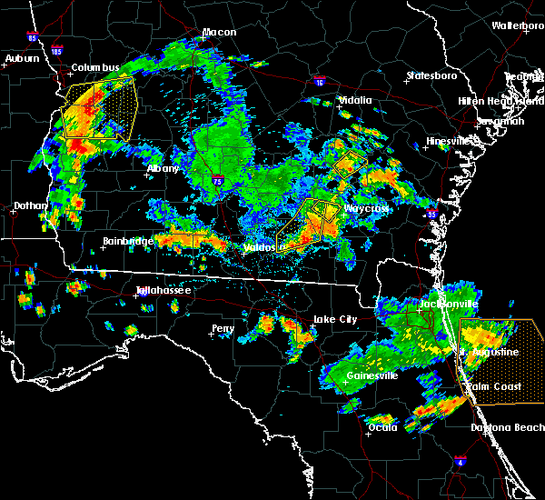 The severe thunderstorm warning for southeastern atkinson, northwestern ware and northwestern clinch counties will expire at 515 pm edt, the storms which prompted the warning have weakened below severe limits, and have exited the warned area. therefore, the warning will be allowed to expire. however small hail, gusty winds and heavy rain are still possible with these thunderstorms. to report severe weather, contact your nearest law enforcement agency. they will relay your report to the national weather service jacksonville. The severe thunderstorm warning for southeastern atkinson, northwestern ware and northwestern clinch counties will expire at 515 pm edt, the storms which prompted the warning have weakened below severe limits, and have exited the warned area. therefore, the warning will be allowed to expire. however small hail, gusty winds and heavy rain are still possible with these thunderstorms. to report severe weather, contact your nearest law enforcement agency. they will relay your report to the national weather service jacksonville.
|
| 6/30/2020 4:50 PM EDT | Tree down on harper street and also shattered part of windshield on parked ca in clinch county GA, 0.9 miles S of Homerville, GA |
| 6/30/2020 4:35 PM EDT |
 At 435 pm edt, severe thunderstorms were located along a line extending from 10 miles east of pearson to near homerville to 6 miles southeast of lakeland, moving east at 30 mph (radar indicated). Hazards include 60 mph wind gusts and quarter size hail. Hail damage to vehicles is expected. Expect wind damage to roofs, siding, and trees. At 435 pm edt, severe thunderstorms were located along a line extending from 10 miles east of pearson to near homerville to 6 miles southeast of lakeland, moving east at 30 mph (radar indicated). Hazards include 60 mph wind gusts and quarter size hail. Hail damage to vehicles is expected. Expect wind damage to roofs, siding, and trees.
|
| 4/23/2020 8:02 PM EDT |
 At 801 pm edt, severe thunderstorms were located along a line extending from near du pont to near jennings to near perry, moving east at 55 mph (radar indicated). Hazards include 60 mph wind gusts and quarter size hail. Hail damage to vehicles is expected. expect wind damage to roofs, siding, and trees. Locations impacted include, live oak, jasper, homerville, jennings, argyle, statenville, suwannee river state park, suwannee springs, du pont and mayday. At 801 pm edt, severe thunderstorms were located along a line extending from near du pont to near jennings to near perry, moving east at 55 mph (radar indicated). Hazards include 60 mph wind gusts and quarter size hail. Hail damage to vehicles is expected. expect wind damage to roofs, siding, and trees. Locations impacted include, live oak, jasper, homerville, jennings, argyle, statenville, suwannee river state park, suwannee springs, du pont and mayday.
|
| 4/23/2020 7:36 PM EDT |
 At 736 pm edt, severe thunderstorms were located along a line extending from near ray city to 16 miles west of perry, moving east at 45 mph (radar indicated). Hazards include 60 mph wind gusts and quarter size hail. Hail damage to vehicles is expected. Expect wind damage to roofs, siding, and trees. At 736 pm edt, severe thunderstorms were located along a line extending from near ray city to 16 miles west of perry, moving east at 45 mph (radar indicated). Hazards include 60 mph wind gusts and quarter size hail. Hail damage to vehicles is expected. Expect wind damage to roofs, siding, and trees.
|
| 4/23/2020 2:04 PM EDT |
 At 203 pm edt, a confirmed large and extremely dangerous tornado was located near manor, or 9 miles west of waycross, moving east at 50 mph. this is a particularly dangerous situation. take cover now! (radar confirmed tornado). Hazards include damaging tornado. You are in a life-threatening situation. flying debris may be deadly to those caught without shelter. mobile homes will be destroyed. considerable damage to homes, businesses, and vehicles is likely and complete destruction is possible. the tornado will be near, waycross and boggy bay around 215 pm edt. blackshear and braganza around 220 pm edt. fort mudge around 225 pm edt. Other locations impacted by this tornadic thunderstorm include millwood and needham. At 203 pm edt, a confirmed large and extremely dangerous tornado was located near manor, or 9 miles west of waycross, moving east at 50 mph. this is a particularly dangerous situation. take cover now! (radar confirmed tornado). Hazards include damaging tornado. You are in a life-threatening situation. flying debris may be deadly to those caught without shelter. mobile homes will be destroyed. considerable damage to homes, businesses, and vehicles is likely and complete destruction is possible. the tornado will be near, waycross and boggy bay around 215 pm edt. blackshear and braganza around 220 pm edt. fort mudge around 225 pm edt. Other locations impacted by this tornadic thunderstorm include millwood and needham.
|
| 4/23/2020 1:45 PM EDT | Sporadic trees down in the cogdell area. radar estimated tim in clinch county GA, 8.6 miles S of Homerville, GA |
| 4/23/2020 1:41 PM EDT |
 At 141 pm edt, a confirmed large and extremely dangerous tornado was located near cogdell, or 9 miles northwest of homerville, moving east at 50 mph. this is a particularly dangerous situation. take cover now! (radar confirmed tornado). Hazards include damaging tornado. You are in a life-threatening situation. flying debris may be deadly to those caught without shelter. mobile homes will be destroyed. considerable damage to homes, businesses, and vehicles is likely and complete destruction is possible. the tornado will be near, homerville around 145 pm edt. cogdell around 150 pm edt. argyle around 155 pm edt. manor around 200 pm edt. waycross and boggy bay around 215 pm edt. blackshear and braganza around 220 pm edt. fort mudge around 225 pm edt. Other locations impacted by this tornadic thunderstorm include millwood, axson and needham. At 141 pm edt, a confirmed large and extremely dangerous tornado was located near cogdell, or 9 miles northwest of homerville, moving east at 50 mph. this is a particularly dangerous situation. take cover now! (radar confirmed tornado). Hazards include damaging tornado. You are in a life-threatening situation. flying debris may be deadly to those caught without shelter. mobile homes will be destroyed. considerable damage to homes, businesses, and vehicles is likely and complete destruction is possible. the tornado will be near, homerville around 145 pm edt. cogdell around 150 pm edt. argyle around 155 pm edt. manor around 200 pm edt. waycross and boggy bay around 215 pm edt. blackshear and braganza around 220 pm edt. fort mudge around 225 pm edt. Other locations impacted by this tornadic thunderstorm include millwood, axson and needham.
|
| 4/23/2020 1:34 PM EDT |
 At 134 pm edt, severe thunderstorms were located along a line extending from 7 miles northeast of willacoochee to 6 miles north of mayday, moving east at 50 mph (radar indicated). Hazards include 70 mph wind gusts and quarter size hail. Hail damage to vehicles is expected. expect considerable tree damage. Wind damage is also likely to mobile homes, roofs, and outbuildings. At 134 pm edt, severe thunderstorms were located along a line extending from 7 miles northeast of willacoochee to 6 miles north of mayday, moving east at 50 mph (radar indicated). Hazards include 70 mph wind gusts and quarter size hail. Hail damage to vehicles is expected. expect considerable tree damage. Wind damage is also likely to mobile homes, roofs, and outbuildings.
|
| 4/23/2020 1:24 PM EDT |
 At 123 pm edt, a confirmed large and extremely dangerous tornado was located near ray city, or near nashville, moving east at 45 mph. this is a particularly dangerous situation. take cover now! (radar confirmed tornado). Hazards include damaging tornado. You are in a life-threatening situation. flying debris may be deadly to those caught without shelter. mobile homes will be destroyed. considerable damage to homes, businesses, and vehicles is likely and complete destruction is possible. the tornado will be near, homerville around 155 pm edt. cogdell around 200 pm edt. Other locations impacted by this tornadic thunderstorm include axson. At 123 pm edt, a confirmed large and extremely dangerous tornado was located near ray city, or near nashville, moving east at 45 mph. this is a particularly dangerous situation. take cover now! (radar confirmed tornado). Hazards include damaging tornado. You are in a life-threatening situation. flying debris may be deadly to those caught without shelter. mobile homes will be destroyed. considerable damage to homes, businesses, and vehicles is likely and complete destruction is possible. the tornado will be near, homerville around 155 pm edt. cogdell around 200 pm edt. Other locations impacted by this tornadic thunderstorm include axson.
|
| 4/23/2020 1:12 PM EDT |
 At 112 pm edt, a tornado producing storm was located near nashville, moving east at 45 mph (radar confirmed tornado). Hazards include damaging tornado and ping pong ball size hail. Flying debris will be dangerous to those caught without shelter. mobile homes will be damaged or destroyed. damage to roofs, windows, and vehicles will occur. tree damage is likely. this tornadic storm will be near, homerville around 155 pm edt. cogdell around 200 pm edt. Other locations impacted by this tornadic thunderstorm include axson. At 112 pm edt, a tornado producing storm was located near nashville, moving east at 45 mph (radar confirmed tornado). Hazards include damaging tornado and ping pong ball size hail. Flying debris will be dangerous to those caught without shelter. mobile homes will be damaged or destroyed. damage to roofs, windows, and vehicles will occur. tree damage is likely. this tornadic storm will be near, homerville around 155 pm edt. cogdell around 200 pm edt. Other locations impacted by this tornadic thunderstorm include axson.
|
| 4/23/2020 12:52 PM EDT |
 At 1252 pm edt, severe thunderstorms were located along a line extending from near unionville to near boston, moving east at 50 mph (radar indicated). Hazards include 70 mph wind gusts and quarter size hail. Hail damage to vehicles is expected. expect considerable tree damage. Wind damage is also likely to mobile homes, roofs, and outbuildings. At 1252 pm edt, severe thunderstorms were located along a line extending from near unionville to near boston, moving east at 50 mph (radar indicated). Hazards include 70 mph wind gusts and quarter size hail. Hail damage to vehicles is expected. expect considerable tree damage. Wind damage is also likely to mobile homes, roofs, and outbuildings.
|
| 4/20/2020 4:36 AM EDT |
 The severe thunderstorm warning for southeastern coffee, pierce, southeastern atkinson, west central brantley, northern ware, bacon, western wayne, northern clinch, appling and central jeff davis counties will expire at 445 am edt, the storms which prompted the warning have moved out of the area. therefore, the warning will be allowed to expire. a tornado watch remains in effect until 1100 am edt for southeastern georgia. The severe thunderstorm warning for southeastern coffee, pierce, southeastern atkinson, west central brantley, northern ware, bacon, western wayne, northern clinch, appling and central jeff davis counties will expire at 445 am edt, the storms which prompted the warning have moved out of the area. therefore, the warning will be allowed to expire. a tornado watch remains in effect until 1100 am edt for southeastern georgia.
|
| 4/20/2020 3:58 AM EDT |
 At 358 am edt, severe thunderstorms were located along a line extending from near graham to near alma to 7 miles south of nicholls to near cogdell to 9 miles northwest of homerville to near lakeland, moving east at 40 mph (radar indicated). Hazards include quarter size hail. damage to vehicles is expected At 358 am edt, severe thunderstorms were located along a line extending from near graham to near alma to 7 miles south of nicholls to near cogdell to 9 miles northwest of homerville to near lakeland, moving east at 40 mph (radar indicated). Hazards include quarter size hail. damage to vehicles is expected
|
| 4/20/2020 3:17 AM EDT |
 At 317 am edt, severe thunderstorms were located along a line extending from 7 miles north of jacksonville to near ambrose to near alapaha to 7 miles west of willacoochee to nashville to 6 miles northwest of hahira, moving east at 40 mph (radar indicated). Hazards include 60 mph wind gusts. expect damage to roofs, siding, and trees At 317 am edt, severe thunderstorms were located along a line extending from 7 miles north of jacksonville to near ambrose to near alapaha to 7 miles west of willacoochee to nashville to 6 miles northwest of hahira, moving east at 40 mph (radar indicated). Hazards include 60 mph wind gusts. expect damage to roofs, siding, and trees
|
| 4/20/2020 2:59 AM EDT |
 The national weather service in jacksonville has issued a * severe thunderstorm warning for. northwestern glynn county in southeastern georgia. pierce county in southeastern georgia. southeastern atkinson county in southeastern georgia. Central brantley county in southeastern georgia. The national weather service in jacksonville has issued a * severe thunderstorm warning for. northwestern glynn county in southeastern georgia. pierce county in southeastern georgia. southeastern atkinson county in southeastern georgia. Central brantley county in southeastern georgia.
|
| 4/19/2020 7:21 PM EDT |
 The severe thunderstorm warning for northern clinch county will expire at 730 pm edt, the storm which prompted the warning has weakened below severe limits, and no longer poses an immediate threat to life or property. therefore, the warning will be allowed to expire. however gusty winds and heavy rain are still possible with this thunderstorm. to report severe weather, contact your nearest law enforcement agency. they will relay your report to the national weather service jacksonville. The severe thunderstorm warning for northern clinch county will expire at 730 pm edt, the storm which prompted the warning has weakened below severe limits, and no longer poses an immediate threat to life or property. therefore, the warning will be allowed to expire. however gusty winds and heavy rain are still possible with this thunderstorm. to report severe weather, contact your nearest law enforcement agency. they will relay your report to the national weather service jacksonville.
|
| 4/19/2020 6:56 PM EDT |
 At 656 pm edt, a severe thunderstorm was located near du pont, or 8 miles southeast of lakeland, moving east at 30 mph (radar indicated). Hazards include 60 mph wind gusts and half dollar size hail. Hail damage to vehicles is expected. Expect wind damage to roofs, siding, and trees. At 656 pm edt, a severe thunderstorm was located near du pont, or 8 miles southeast of lakeland, moving east at 30 mph (radar indicated). Hazards include 60 mph wind gusts and half dollar size hail. Hail damage to vehicles is expected. Expect wind damage to roofs, siding, and trees.
|
| 4/19/2020 6:45 PM EDT |
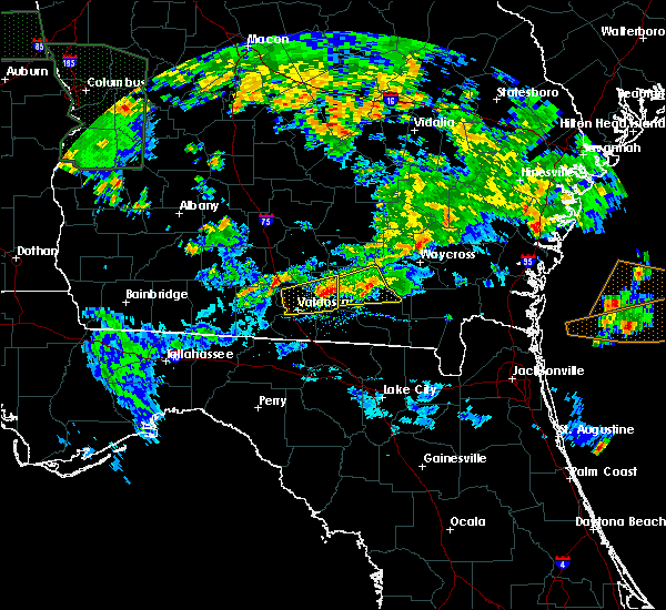 At 645 pm edt, a severe thunderstorm was located near lakeland, moving east at 40 mph (radar indicated). Hazards include 60 mph wind gusts and half dollar size hail. Hail damage to vehicles is expected. expect wind damage to roofs, siding, and trees. Locations impacted include, homerville, argyle, du pont and cogdell. At 645 pm edt, a severe thunderstorm was located near lakeland, moving east at 40 mph (radar indicated). Hazards include 60 mph wind gusts and half dollar size hail. Hail damage to vehicles is expected. expect wind damage to roofs, siding, and trees. Locations impacted include, homerville, argyle, du pont and cogdell.
|
| 4/19/2020 6:21 PM EDT |
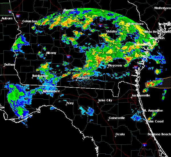 At 621 pm edt, a severe thunderstorm was located near lakeland, moving east at 30 mph (radar indicated). Hazards include 60 mph wind gusts and quarter size hail. Hail damage to vehicles is expected. Expect wind damage to roofs, siding, and trees. At 621 pm edt, a severe thunderstorm was located near lakeland, moving east at 30 mph (radar indicated). Hazards include 60 mph wind gusts and quarter size hail. Hail damage to vehicles is expected. Expect wind damage to roofs, siding, and trees.
|
| 4/13/2020 8:28 AM EDT |
 At 828 am edt, severe thunderstorms were located along a line extending from near patterson to 9 miles south of boggy bay to near mayday, moving northeast at 40 mph (radar indicated). Hazards include 70 mph wind gusts and quarter size hail. Hail damage to vehicles is expected. expect considerable tree damage. wind damage is also likely to mobile homes, roofs, and outbuildings. Locations impacted include, waycross, folkston, homerville, nahunta, fargo, argyle, statenville, stephen foster state park, homeland and du pont. At 828 am edt, severe thunderstorms were located along a line extending from near patterson to 9 miles south of boggy bay to near mayday, moving northeast at 40 mph (radar indicated). Hazards include 70 mph wind gusts and quarter size hail. Hail damage to vehicles is expected. expect considerable tree damage. wind damage is also likely to mobile homes, roofs, and outbuildings. Locations impacted include, waycross, folkston, homerville, nahunta, fargo, argyle, statenville, stephen foster state park, homeland and du pont.
|
| 4/13/2020 8:12 AM EDT |
 At 812 am edt, severe thunderstorms were located along a line extending from near blackshear to 9 miles south of manor to near lake park, moving northeast at 40 mph (radar indicated). Hazards include 60 mph wind gusts. expect damage to roofs, siding, and trees At 812 am edt, severe thunderstorms were located along a line extending from near blackshear to 9 miles south of manor to near lake park, moving northeast at 40 mph (radar indicated). Hazards include 60 mph wind gusts. expect damage to roofs, siding, and trees
|
| 4/13/2020 8:01 AM EDT |
 At 801 am edt, severe thunderstorms were located along a line extending from 6 miles northeast of fort mudge to 7 miles southwest of i-75 at exit 16, moving east at 30 mph (radar indicated). Hazards include 60 mph wind gusts. Expect damage to roofs, siding, and trees. Locations impacted include, waycross, blackshear, homerville, nahunta, jennings, argyle, statenville, du pont, boggy bay and mayday. At 801 am edt, severe thunderstorms were located along a line extending from 6 miles northeast of fort mudge to 7 miles southwest of i-75 at exit 16, moving east at 30 mph (radar indicated). Hazards include 60 mph wind gusts. Expect damage to roofs, siding, and trees. Locations impacted include, waycross, blackshear, homerville, nahunta, jennings, argyle, statenville, du pont, boggy bay and mayday.
|
| 4/13/2020 7:52 AM EDT |
 At 752 am edt, severe thunderstorms were located along a line extending from near blackshear to 8 miles southeast of quitman, moving east at 30 mph (radar indicated). Hazards include 60 mph wind gusts. Expect damage to roofs, siding, and trees. Locations impacted include, waycross, blackshear, homerville, nahunta, jennings, argyle, statenville, du pont, boggy bay and mayday. At 752 am edt, severe thunderstorms were located along a line extending from near blackshear to 8 miles southeast of quitman, moving east at 30 mph (radar indicated). Hazards include 60 mph wind gusts. Expect damage to roofs, siding, and trees. Locations impacted include, waycross, blackshear, homerville, nahunta, jennings, argyle, statenville, du pont, boggy bay and mayday.
|
| 4/13/2020 7:20 AM EDT |
 At 719 am edt, severe thunderstorms were located along a line extending from near pebble hill to near quitman, moving east at 25 mph (radar indicated). Hazards include 60 mph wind gusts. expect damage to roofs, siding, and trees At 719 am edt, severe thunderstorms were located along a line extending from near pebble hill to near quitman, moving east at 25 mph (radar indicated). Hazards include 60 mph wind gusts. expect damage to roofs, siding, and trees
|
| 4/8/2020 9:00 PM EDT | Quarter sized hail reported 5.5 miles E of Homerville, GA, quarter-sized ail has been reported falling on hwy 37... west of homerville... measuring 1 inch in diameter. |
| 4/8/2020 8:36 PM EDT |
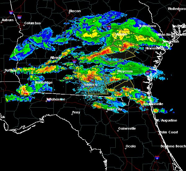 At 836 pm edt, a severe thunderstorm capable of producing a tornado was located over lakeland, moving southeast at 45 mph (radar indicated rotation). Hazards include tornado and quarter size hail. Flying debris will be dangerous to those caught without shelter. mobile homes will be damaged or destroyed. damage to roofs, windows, and vehicles will occur. tree damage is likely. This dangerous storm will be near, du pont around 850 pm edt. At 836 pm edt, a severe thunderstorm capable of producing a tornado was located over lakeland, moving southeast at 45 mph (radar indicated rotation). Hazards include tornado and quarter size hail. Flying debris will be dangerous to those caught without shelter. mobile homes will be damaged or destroyed. damage to roofs, windows, and vehicles will occur. tree damage is likely. This dangerous storm will be near, du pont around 850 pm edt.
|
| 4/8/2020 8:29 PM EDT |
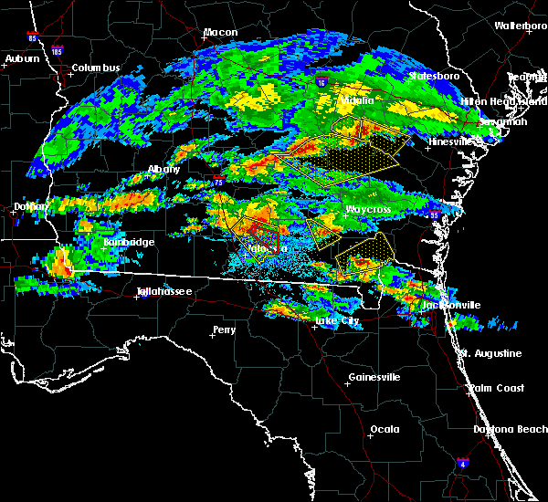 At 829 pm edt, a severe thunderstorm was located near lakeland, moving southeast at 35 mph (radar indicated). Hazards include 70 mph wind gusts and quarter size hail. Hail damage to vehicles is expected. expect considerable tree damage. Wind damage is also likely to mobile homes, roofs, and outbuildings. At 829 pm edt, a severe thunderstorm was located near lakeland, moving southeast at 35 mph (radar indicated). Hazards include 70 mph wind gusts and quarter size hail. Hail damage to vehicles is expected. expect considerable tree damage. Wind damage is also likely to mobile homes, roofs, and outbuildings.
|
| 4/8/2020 8:10 PM EDT |
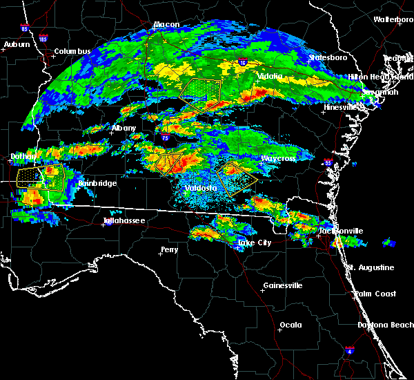 At 810 pm edt, a severe thunderstorm was located near cogdell, or near homerville, moving southeast at 20 mph (radar indicated). Hazards include 60 mph wind gusts and quarter size hail. Hail damage to vehicles is expected. Expect wind damage to roofs, siding, and trees. At 810 pm edt, a severe thunderstorm was located near cogdell, or near homerville, moving southeast at 20 mph (radar indicated). Hazards include 60 mph wind gusts and quarter size hail. Hail damage to vehicles is expected. Expect wind damage to roofs, siding, and trees.
|
| 2/6/2020 7:55 PM EST |
 At 754 pm est, severe thunderstorms were located along a line extending from near argyle to 7 miles north of needmore to 6 miles northeast of dowling park, moving northeast at 65 mph. the strongest storm winds are in clinch and moving into ware county. these are very dangerous storms (radar indicated). Hazards include 60 to 80 mph wind gusts. Flying debris will be dangerous to those caught without shelter. mobile homes will be heavily damaged. expect considerable damage to roofs, windows, and vehicles. extensive tree damage and power outages are likely. Locations impacted include, live oak, jasper, homerville, white springs, fargo, argyle, suwannee springs, stephen foster state park, homeland and belmont. At 754 pm est, severe thunderstorms were located along a line extending from near argyle to 7 miles north of needmore to 6 miles northeast of dowling park, moving northeast at 65 mph. the strongest storm winds are in clinch and moving into ware county. these are very dangerous storms (radar indicated). Hazards include 60 to 80 mph wind gusts. Flying debris will be dangerous to those caught without shelter. mobile homes will be heavily damaged. expect considerable damage to roofs, windows, and vehicles. extensive tree damage and power outages are likely. Locations impacted include, live oak, jasper, homerville, white springs, fargo, argyle, suwannee springs, stephen foster state park, homeland and belmont.
|
| 2/6/2020 7:45 PM EST | Multiple trees and power lines dow in clinch county GA, 10.5 miles NNW of Homerville, GA |
| 2/6/2020 7:42 PM EST |
 At 742 pm est, severe thunderstorms were located along a line extending from 6 miles northeast of mayday to 8 miles northeast of jasper to near dowling park, moving east at 60 mph (radar indicated). Hazards include 70 mph wind gusts. Expect considerable tree damage. Damage is likely to mobile homes, roofs, and outbuildings. At 742 pm est, severe thunderstorms were located along a line extending from 6 miles northeast of mayday to 8 miles northeast of jasper to near dowling park, moving east at 60 mph (radar indicated). Hazards include 70 mph wind gusts. Expect considerable tree damage. Damage is likely to mobile homes, roofs, and outbuildings.
|
| 12/17/2019 2:36 PM EST |
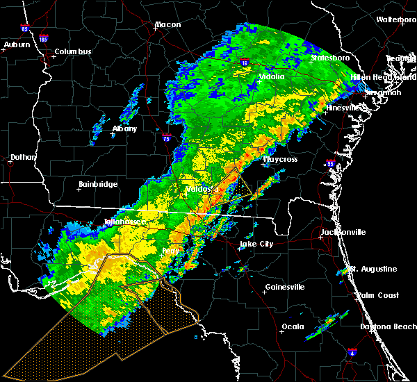 At 235 pm est, a severe thunderstorm was located 8 miles south of du pont, or 12 miles south of homerville, moving northeast at 50 mph (radar indicated). Hazards include 60 mph wind gusts. expect damage to roofs, siding, and trees At 235 pm est, a severe thunderstorm was located 8 miles south of du pont, or 12 miles south of homerville, moving northeast at 50 mph (radar indicated). Hazards include 60 mph wind gusts. expect damage to roofs, siding, and trees
|
| 6/20/2019 8:49 PM EDT |
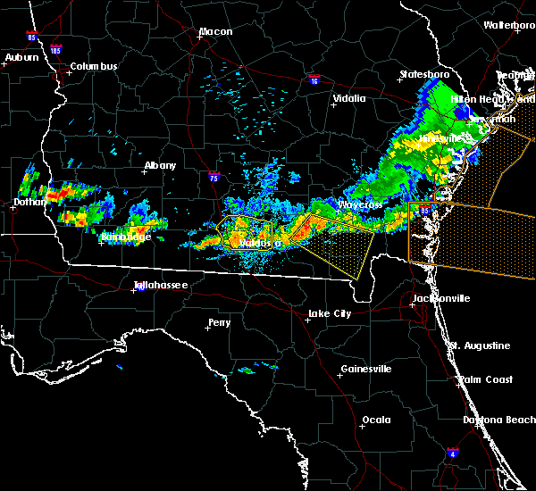 At 848 pm edt, a severe thunderstorm was located near argyle, moving southeast at 45 mph (radar indicated). Hazards include 60 mph wind gusts. expect damage to roofs, siding, and trees At 848 pm edt, a severe thunderstorm was located near argyle, moving southeast at 45 mph (radar indicated). Hazards include 60 mph wind gusts. expect damage to roofs, siding, and trees
|
| 6/20/2019 7:59 PM EDT |
 At 759 pm edt, severe thunderstorms were located along a line extending from near odum to near homerville, moving southeast at 45 mph (radar indicated). Hazards include 60 mph wind gusts. Expect damage to roofs, siding, and trees. Locations impacted include, waycross, jesup, blackshear, homerville, patterson, argyle, gardi, screven, odum and offerman. At 759 pm edt, severe thunderstorms were located along a line extending from near odum to near homerville, moving southeast at 45 mph (radar indicated). Hazards include 60 mph wind gusts. Expect damage to roofs, siding, and trees. Locations impacted include, waycross, jesup, blackshear, homerville, patterson, argyle, gardi, screven, odum and offerman.
|
| 6/20/2019 7:39 PM EDT |
 At 739 pm edt, severe thunderstorms were located along a line extending from surrency to 10 miles north of du pont, moving southeast at 45 mph (radar indicated). Hazards include 60 mph wind gusts. expect damage to roofs, siding, and trees At 739 pm edt, severe thunderstorms were located along a line extending from surrency to 10 miles north of du pont, moving southeast at 45 mph (radar indicated). Hazards include 60 mph wind gusts. expect damage to roofs, siding, and trees
|
| 6/20/2019 7:30 PM EDT |
 At 730 pm edt, severe thunderstorms were located along a line extending from near surrency to near lakeland, moving southeast at 45 mph (radar indicated). Hazards include 60 mph wind gusts. Expect damage to roofs, siding, and trees. Locations impacted include, douglas, baxley, alma, homerville, pearson, willacoochee, graham, surrency, plant hatch and nicholls. At 730 pm edt, severe thunderstorms were located along a line extending from near surrency to near lakeland, moving southeast at 45 mph (radar indicated). Hazards include 60 mph wind gusts. Expect damage to roofs, siding, and trees. Locations impacted include, douglas, baxley, alma, homerville, pearson, willacoochee, graham, surrency, plant hatch and nicholls.
|
| 6/20/2019 7:20 PM EDT |
 At 719 pm edt, severe thunderstorms were located along a line extending from near baxley to near lakeland, moving southeast at 45 mph (radar indicated). Hazards include 60 mph wind gusts. Expect damage to roofs, siding, and trees. Locations impacted include, douglas, baxley, alma, homerville, pearson, willacoochee, graham, surrency, plant hatch and nicholls. At 719 pm edt, severe thunderstorms were located along a line extending from near baxley to near lakeland, moving southeast at 45 mph (radar indicated). Hazards include 60 mph wind gusts. Expect damage to roofs, siding, and trees. Locations impacted include, douglas, baxley, alma, homerville, pearson, willacoochee, graham, surrency, plant hatch and nicholls.
|
| 6/20/2019 7:07 PM EDT |
 At 706 pm edt, severe thunderstorms were located along a line extending from near plant hatch to near nashville, moving southeast at 45 mph (radar indicated). Hazards include 60 mph wind gusts. Expect damage to roofs, siding, and trees. Locations impacted include, douglas, baxley, hazlehurst, alma, homerville, pearson, willacoochee, broxton, graham and surrency. At 706 pm edt, severe thunderstorms were located along a line extending from near plant hatch to near nashville, moving southeast at 45 mph (radar indicated). Hazards include 60 mph wind gusts. Expect damage to roofs, siding, and trees. Locations impacted include, douglas, baxley, hazlehurst, alma, homerville, pearson, willacoochee, broxton, graham and surrency.
|
| 6/20/2019 6:49 PM EDT |
 The national weather service in jacksonville has issued a * severe thunderstorm warning for. coffee county in southeastern georgia. north central echols county in southeastern georgia. atkinson county in southeastern georgia. Northwestern ware county in southeastern georgia. The national weather service in jacksonville has issued a * severe thunderstorm warning for. coffee county in southeastern georgia. north central echols county in southeastern georgia. atkinson county in southeastern georgia. Northwestern ware county in southeastern georgia.
|
| 5/12/2019 3:00 PM EDT |
 At 259 pm edt, severe thunderstorms were located along a line extending from broxton to near lakeland, moving northeast at 50 mph (radar indicated). Hazards include 60 mph wind gusts and penny size hail. Expect damage to roofs, siding, and trees. Locations impacted include, douglas, hazlehurst, homerville, pearson, willacoochee, broxton, ambrose, argyle, nicholls and du pont. At 259 pm edt, severe thunderstorms were located along a line extending from broxton to near lakeland, moving northeast at 50 mph (radar indicated). Hazards include 60 mph wind gusts and penny size hail. Expect damage to roofs, siding, and trees. Locations impacted include, douglas, hazlehurst, homerville, pearson, willacoochee, broxton, ambrose, argyle, nicholls and du pont.
|
| 5/12/2019 2:40 PM EDT |
 At 240 pm edt, severe thunderstorms were located along a line extending from 7 miles southwest of ambrose to near valdosta, moving northeast near 50 mph (radar indicated). Hazards include 60 mph wind gusts and penny size hail. expect damage to roofs, siding, and trees At 240 pm edt, severe thunderstorms were located along a line extending from 7 miles southwest of ambrose to near valdosta, moving northeast near 50 mph (radar indicated). Hazards include 60 mph wind gusts and penny size hail. expect damage to roofs, siding, and trees
|
| 4/19/2019 10:38 AM EDT |
 At 1037 am edt, severe thunderstorms were located along a line extending from graham to 8 miles south of boggy bay, moving east at 55 mph (radar indicated). Hazards include 70 mph wind gusts. Expect considerable tree damage. damage is likely to mobile homes, roofs, and outbuildings. Locations impacted include, homerville, nicholls, cogdell, west green and axson. At 1037 am edt, severe thunderstorms were located along a line extending from graham to 8 miles south of boggy bay, moving east at 55 mph (radar indicated). Hazards include 70 mph wind gusts. Expect considerable tree damage. damage is likely to mobile homes, roofs, and outbuildings. Locations impacted include, homerville, nicholls, cogdell, west green and axson.
|
| 4/19/2019 10:35 AM EDT | Clinch county emergency management reports damage to the roof of a mobile home near the intersection of u.s. highway 84 and leland smith road. time of damage based on r in clinch county GA, 4.3 miles WSW of Homerville, GA |
| 4/19/2019 10:30 AM EDT | Clinch county emergency management reports trees down in the cogdell area and power outages in dupont. time of tree damage based on radar dat in clinch county GA, 8.6 miles S of Homerville, GA |
| 4/19/2019 10:16 AM EDT |
 At 1016 am edt, severe thunderstorms were located along a line extending from near snipesville to 6 miles southeast of homerville, moving east at 55 mph (radar indicated). Hazards include 70 mph wind gusts. Expect considerable tree damage. damage is likely to mobile homes, roofs, and outbuildings. Locations impacted include, douglas, homerville, pearson, nicholls, du pont, cogdell, west green and axson. At 1016 am edt, severe thunderstorms were located along a line extending from near snipesville to 6 miles southeast of homerville, moving east at 55 mph (radar indicated). Hazards include 70 mph wind gusts. Expect considerable tree damage. damage is likely to mobile homes, roofs, and outbuildings. Locations impacted include, douglas, homerville, pearson, nicholls, du pont, cogdell, west green and axson.
|
| 4/19/2019 10:15 AM EDT |
 At 1014 am edt, severe thunderstorms were located along a line extending from 8 miles east of mayday to near jasper, moving northeast at 55 mph (radar indicated). Hazards include 70 mph wind gusts. Expect considerable tree damage. Damage is likely to mobile homes, roofs, and outbuildings. At 1014 am edt, severe thunderstorms were located along a line extending from 8 miles east of mayday to near jasper, moving northeast at 55 mph (radar indicated). Hazards include 70 mph wind gusts. Expect considerable tree damage. Damage is likely to mobile homes, roofs, and outbuildings.
|
| 4/19/2019 10:01 AM EDT |
 At 1001 am edt, severe thunderstorms were located along a line extending from near pridgen to near du pont, moving northeast at 55 mph (radar indicated). Hazards include 70 mph wind gusts. Expect considerable tree damage. Damage is likely to mobile homes, roofs, and outbuildings. At 1001 am edt, severe thunderstorms were located along a line extending from near pridgen to near du pont, moving northeast at 55 mph (radar indicated). Hazards include 70 mph wind gusts. Expect considerable tree damage. Damage is likely to mobile homes, roofs, and outbuildings.
|
| 8/8/2018 6:08 PM EDT |
 At 608 pm edt, a severe thunderstorm was located 9 miles north of du pont, or 9 miles northwest of homerville, moving northeast at 15 mph (radar indicated). Hazards include 60 mph wind gusts. expect damage to roofs, siding, and trees At 608 pm edt, a severe thunderstorm was located 9 miles north of du pont, or 9 miles northwest of homerville, moving northeast at 15 mph (radar indicated). Hazards include 60 mph wind gusts. expect damage to roofs, siding, and trees
|
| 6/2/2018 3:30 PM EDT |
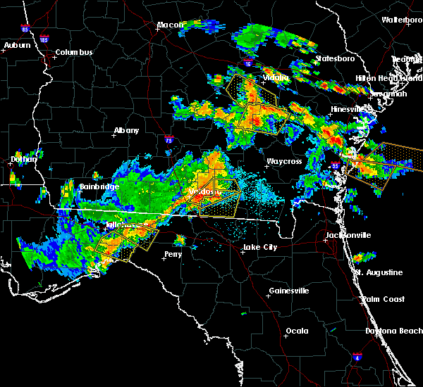 At 330 pm edt, severe thunderstorms were located along a line extending from 7 miles north of lakeland to 6 miles west of du pont to near valdosta, moving east at 20 mph (radar indicated). Hazards include 70 mph wind gusts and quarter size hail. Hail damage to vehicles is expected. expect considerable tree damage. wind damage is also likely to mobile homes, roofs, and outbuildings. Locations impacted include, homerville, du pont and mayday. At 330 pm edt, severe thunderstorms were located along a line extending from 7 miles north of lakeland to 6 miles west of du pont to near valdosta, moving east at 20 mph (radar indicated). Hazards include 70 mph wind gusts and quarter size hail. Hail damage to vehicles is expected. expect considerable tree damage. wind damage is also likely to mobile homes, roofs, and outbuildings. Locations impacted include, homerville, du pont and mayday.
|
| 6/2/2018 3:07 PM EDT |
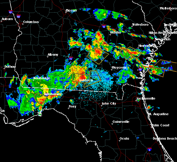 At 307 pm edt, severe thunderstorms were located along a line extending from near nashville to near lakeland to valdosta, moving east at 20 mph (radar indicated). Hazards include 60 mph wind gusts and quarter size hail. Hail damage to vehicles is expected. Expect wind damage to roofs, siding, and trees. At 307 pm edt, severe thunderstorms were located along a line extending from near nashville to near lakeland to valdosta, moving east at 20 mph (radar indicated). Hazards include 60 mph wind gusts and quarter size hail. Hail damage to vehicles is expected. Expect wind damage to roofs, siding, and trees.
|
| 5/28/2018 2:45 PM EDT |
 At 244 pm edt, a severe thunderstorm was located 7 miles southeast of du pont, or 7 miles south of homerville, moving north at 45 mph (radar indicated). Hazards include 60 mph wind gusts. expect damage to roofs, siding, and trees At 244 pm edt, a severe thunderstorm was located 7 miles southeast of du pont, or 7 miles south of homerville, moving north at 45 mph (radar indicated). Hazards include 60 mph wind gusts. expect damage to roofs, siding, and trees
|
| 4/15/2018 11:13 AM EDT |
 At 1112 am edt, severe thunderstorms were located along a line extending from near homerville to near jasper to 13 miles south of mayo, moving northeast at 40 mph (radar indicated). Hazards include 60 mph wind gusts. expect damage to roofs, siding, and trees At 1112 am edt, severe thunderstorms were located along a line extending from near homerville to near jasper to 13 miles south of mayo, moving northeast at 40 mph (radar indicated). Hazards include 60 mph wind gusts. expect damage to roofs, siding, and trees
|
| 4/15/2018 10:59 AM EDT |
 At 1033 am edt, severe thunderstorms were located along a line extending from near lakeland to mayday to 6 miles southwest of mayo, moving northeast at 55 mph (radar indicated). Hazards include 60 mph wind gusts. Expect damage to roofs, siding, and trees. locations impacted include, live oak, jasper, homerville, jennings, statenville, suwannee river state park, suwannee springs, du pont, mayday and crossroads. A tornado watch remains in effect until 600 pm edt for northern florida, and southeastern georgia. At 1033 am edt, severe thunderstorms were located along a line extending from near lakeland to mayday to 6 miles southwest of mayo, moving northeast at 55 mph (radar indicated). Hazards include 60 mph wind gusts. Expect damage to roofs, siding, and trees. locations impacted include, live oak, jasper, homerville, jennings, statenville, suwannee river state park, suwannee springs, du pont, mayday and crossroads. A tornado watch remains in effect until 600 pm edt for northern florida, and southeastern georgia.
|
| 4/15/2018 10:33 AM EDT |
 At 1033 am edt, severe thunderstorms were located along a line extending from near lakeland to mayday to 6 miles southwest of mayo, moving northeast at 55 mph (radar indicated). Hazards include 60 mph wind gusts. Expect damage to roofs, siding, and trees. locations impacted include, live oak, jasper, homerville, jennings, statenville, suwannee river state park, suwannee springs, du pont, mayday and crossroads. A tornado watch remains in effect until 600 pm edt for northern florida, and southeastern georgia. At 1033 am edt, severe thunderstorms were located along a line extending from near lakeland to mayday to 6 miles southwest of mayo, moving northeast at 55 mph (radar indicated). Hazards include 60 mph wind gusts. Expect damage to roofs, siding, and trees. locations impacted include, live oak, jasper, homerville, jennings, statenville, suwannee river state park, suwannee springs, du pont, mayday and crossroads. A tornado watch remains in effect until 600 pm edt for northern florida, and southeastern georgia.
|
| 4/15/2018 10:09 AM EDT |
 At 1009 am edt, severe thunderstorms were located along a line extending from near valdosta to 7 miles northwest of blue springs to 7 miles east of perry, moving northeast at 40 mph (radar indicated). Hazards include 60 mph wind gusts. expect damage to roofs, siding, and trees At 1009 am edt, severe thunderstorms were located along a line extending from near valdosta to 7 miles northwest of blue springs to 7 miles east of perry, moving northeast at 40 mph (radar indicated). Hazards include 60 mph wind gusts. expect damage to roofs, siding, and trees
|
| 7/16/2017 4:02 PM EDT |
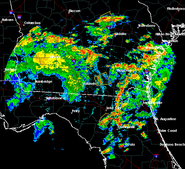 At 402 pm edt, a severe thunderstorm was located near du pont, or near homerville, moving east at 20 mph (radar indicated). Hazards include 60 mph wind gusts and penny size hail. expect damage to roofs, siding, and trees At 402 pm edt, a severe thunderstorm was located near du pont, or near homerville, moving east at 20 mph (radar indicated). Hazards include 60 mph wind gusts and penny size hail. expect damage to roofs, siding, and trees
|
| 7/13/2017 4:21 PM EDT |
 The severe thunderstorm warning for southeastern atkinson, west central ware and northwestern clinch counties will expire at 430 pm edt, the storm which prompted the warning has weakened below severe limits, and no longer poses an immediate threat to life or property. therefore the warning will be allowed to expire. however gusty winds are still possible with this thunderstorm. The severe thunderstorm warning for southeastern atkinson, west central ware and northwestern clinch counties will expire at 430 pm edt, the storm which prompted the warning has weakened below severe limits, and no longer poses an immediate threat to life or property. therefore the warning will be allowed to expire. however gusty winds are still possible with this thunderstorm.
|
| 7/13/2017 4:15 PM EDT | A tree was blown down across highway 84 within homerville city limits. the exact location was not relayed. report from tri-county 911. time of damage was based on radar in clinch county GA, 0.5 miles WSW of Homerville, GA |
| 7/13/2017 4:04 PM EDT |
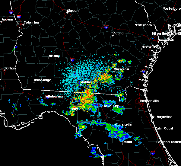 At 404 pm edt, a severe thunderstorm was located near argyle, moving west at 15 mph (radar indicated). Hazards include 60 mph wind gusts and penny size hail. Expect damage to roofs, siding, and trees. Locations impacted include, homerville, argyle, du pont, cogdell and manor. At 404 pm edt, a severe thunderstorm was located near argyle, moving west at 15 mph (radar indicated). Hazards include 60 mph wind gusts and penny size hail. Expect damage to roofs, siding, and trees. Locations impacted include, homerville, argyle, du pont, cogdell and manor.
|
| 7/13/2017 3:47 PM EDT |
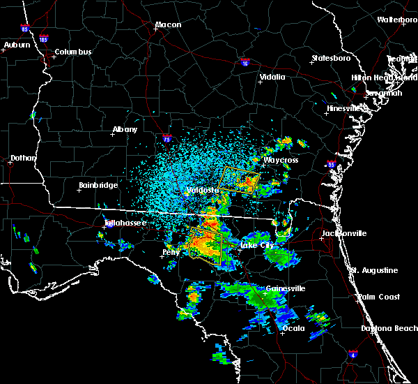 At 347 pm edt, a severe thunderstorm was located 8 miles south of manor, or 8 miles southeast of argyle, moving west at 15 mph (radar indicated). Hazards include 60 mph wind gusts and penny size hail. expect damage to roofs, siding, and trees At 347 pm edt, a severe thunderstorm was located 8 miles south of manor, or 8 miles southeast of argyle, moving west at 15 mph (radar indicated). Hazards include 60 mph wind gusts and penny size hail. expect damage to roofs, siding, and trees
|
| 5/23/2017 4:12 PM EDT |
 At 412 pm edt, a severe thunderstorm was located near cogdell, or near argyle, moving northeast at 45 mph (radar indicated). Hazards include 60 mph wind gusts and penny size hail. expect damage to roofs, siding, and trees At 412 pm edt, a severe thunderstorm was located near cogdell, or near argyle, moving northeast at 45 mph (radar indicated). Hazards include 60 mph wind gusts and penny size hail. expect damage to roofs, siding, and trees
|
| 5/23/2017 3:26 PM EDT |
 The severe thunderstorm warning for northwestern clinch county will expire at 330 pm edt, the storm which prompted the warning has weakened below severe limits, and no longer poses an immediate threat to life or property. therefore the warning will be allowed to expire. a tornado watch remains in effect until 1100 pm edt for southeastern georgia. The severe thunderstorm warning for northwestern clinch county will expire at 330 pm edt, the storm which prompted the warning has weakened below severe limits, and no longer poses an immediate threat to life or property. therefore the warning will be allowed to expire. a tornado watch remains in effect until 1100 pm edt for southeastern georgia.
|
| 5/23/2017 3:00 PM EDT |
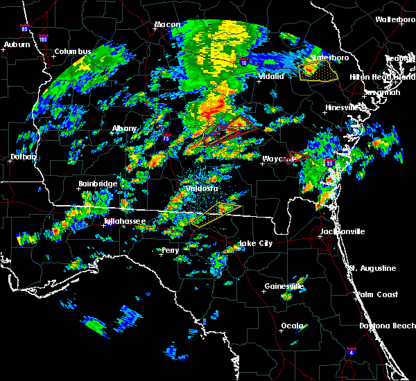 At 259 pm edt, a severe thunderstorm was located near du pont, or 7 miles southeast of lakeland, moving northeast at 40 mph (radar indicated). Hazards include 60 mph wind gusts and quarter size hail. Hail damage to vehicles is expected. Expect wind damage to roofs, siding, and trees. At 259 pm edt, a severe thunderstorm was located near du pont, or 7 miles southeast of lakeland, moving northeast at 40 mph (radar indicated). Hazards include 60 mph wind gusts and quarter size hail. Hail damage to vehicles is expected. Expect wind damage to roofs, siding, and trees.
|
| 4/3/2017 5:47 PM EDT |
 At 546 pm edt, severe thunderstorms were located along a line extending from near lakeland to near mayday to statenville, moving northeast at 50 mph (radar indicated). Hazards include 60 mph wind gusts and quarter size hail. Hail damage to vehicles is expected. expect wind damage to roofs, siding, and trees. locations impacted include, homerville, argyle, statenville, du pont and mayday. A tornado watch remains in effect until 900 pm edt for southeastern georgia. At 546 pm edt, severe thunderstorms were located along a line extending from near lakeland to near mayday to statenville, moving northeast at 50 mph (radar indicated). Hazards include 60 mph wind gusts and quarter size hail. Hail damage to vehicles is expected. expect wind damage to roofs, siding, and trees. locations impacted include, homerville, argyle, statenville, du pont and mayday. A tornado watch remains in effect until 900 pm edt for southeastern georgia.
|
| 4/3/2017 5:31 PM EDT |
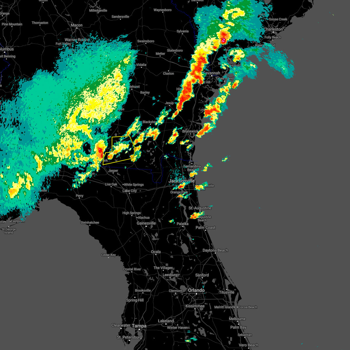 At 530 pm edt, a severe thunderstorm was located 8 miles west of mayday, or 8 miles east of valdosta, moving east at 55 mph (radar indicated). Hazards include 60 mph wind gusts and quarter size hail. Hail damage to vehicles is expected. Expect wind damage to roofs, siding, and trees. At 530 pm edt, a severe thunderstorm was located 8 miles west of mayday, or 8 miles east of valdosta, moving east at 55 mph (radar indicated). Hazards include 60 mph wind gusts and quarter size hail. Hail damage to vehicles is expected. Expect wind damage to roofs, siding, and trees.
|
| 2/7/2017 8:43 PM EST |
 The severe thunderstorm warning for echols. clinch. coffee and atkinson counties will expire at 845 pm est. the storms which prompted the warning have weakened below severe limits, and no longer pose an immediate threat to life or property. therefore the warning will be allowed to expire. However gusty winds are still possible with these thunderstorms. The severe thunderstorm warning for echols. clinch. coffee and atkinson counties will expire at 845 pm est. the storms which prompted the warning have weakened below severe limits, and no longer pose an immediate threat to life or property. therefore the warning will be allowed to expire. However gusty winds are still possible with these thunderstorms.
|
| 2/7/2017 8:32 PM EST |
 At 832 pm est, severe thunderstorms were located along a line extending from 6 miles east of willacoochee to near du pont to near jennings, moving east at 50 mph (radar indicated). Hazards include 60 mph wind gusts. Expect damage to roofs, siding, and trees. Locations impacted include, douglas, homerville, pearson, broxton, ambrose, argyle, statenville, nicholls, du pont and mayday. At 832 pm est, severe thunderstorms were located along a line extending from 6 miles east of willacoochee to near du pont to near jennings, moving east at 50 mph (radar indicated). Hazards include 60 mph wind gusts. Expect damage to roofs, siding, and trees. Locations impacted include, douglas, homerville, pearson, broxton, ambrose, argyle, statenville, nicholls, du pont and mayday.
|
| 2/7/2017 8:04 PM EST |
 At 802 pm est, severe thunderstorms were located along a line extending from near alapaha to moody air force base to near madison, moving east at 45 mph (radar indicated). Hazards include 60 mph wind gusts. expect damage to roofs, siding, and trees At 802 pm est, severe thunderstorms were located along a line extending from near alapaha to moody air force base to near madison, moving east at 45 mph (radar indicated). Hazards include 60 mph wind gusts. expect damage to roofs, siding, and trees
|
| 1/22/2017 5:34 PM EST |
 At 534 pm est, severe thunderstorms were located along a line extending from near baxley to near manor, moving north at 140 mph (radar indicated). Hazards include 70 mph wind gusts and penny size hail. Expect considerable tree damage. damage is likely to mobile homes, roofs, and outbuildings. locations impacted include, waycross, alma, blackshear, argyle, bristol, dixie union, pebble hill, manor, jamestown and boggy bay. a tornado watch remains in effect until 800 pm est for southeastern georgia. Time, mot, loc 2234z 200deg 123kt 3169 8230 3104 8257. At 534 pm est, severe thunderstorms were located along a line extending from near baxley to near manor, moving north at 140 mph (radar indicated). Hazards include 70 mph wind gusts and penny size hail. Expect considerable tree damage. damage is likely to mobile homes, roofs, and outbuildings. locations impacted include, waycross, alma, blackshear, argyle, bristol, dixie union, pebble hill, manor, jamestown and boggy bay. a tornado watch remains in effect until 800 pm est for southeastern georgia. Time, mot, loc 2234z 200deg 123kt 3169 8230 3104 8257.
|
| 1/22/2017 5:13 PM EST |
 At 512 pm est, severe thunderstorms were located along a line extending from 7 miles east of west green to 7 miles northeast of mayday, moving east around 55 mph (radar indicated). Hazards include 70 mph wind gusts and penny size hail. Expect considerable tree damage. damage is likely to mobile homes, roofs, and outbuildings. Numerous trees have already fell in coffee county due to these storms. At 512 pm est, severe thunderstorms were located along a line extending from 7 miles east of west green to 7 miles northeast of mayday, moving east around 55 mph (radar indicated). Hazards include 70 mph wind gusts and penny size hail. Expect considerable tree damage. damage is likely to mobile homes, roofs, and outbuildings. Numerous trees have already fell in coffee county due to these storms.
|
| 1/22/2017 4:40 PM EST |
 At 439 pm est, severe thunderstorms were located along a line extending from 9 miles northeast of alapaha to 6 miles southeast of willacoochee to 6 miles south of lakeland, moving north at near 70 mph (radar indicated). Hazards include 70 mph wind gusts and nickel size hail. Expect considerable tree damage. damage is likely to mobile homes, roofs, and outbuildings. locations impacted include, douglas, pearson, willacoochee, broxton, ambrose, nicholls, du pont, west green, snipesville and pridgen. A tornado watch remains in effect until 800 pm est for southeastern georgia. At 439 pm est, severe thunderstorms were located along a line extending from 9 miles northeast of alapaha to 6 miles southeast of willacoochee to 6 miles south of lakeland, moving north at near 70 mph (radar indicated). Hazards include 70 mph wind gusts and nickel size hail. Expect considerable tree damage. damage is likely to mobile homes, roofs, and outbuildings. locations impacted include, douglas, pearson, willacoochee, broxton, ambrose, nicholls, du pont, west green, snipesville and pridgen. A tornado watch remains in effect until 800 pm est for southeastern georgia.
|
| 1/22/2017 4:33 PM EST |
 At 433 pm est, a cluster of severes thunderstorms were located 9 miles southwest of pearson, moving northeast around 60 mph (radar indicated). Hazards include 60 mph wind gusts and nickel size hail. expect damage to roofs, siding, and trees At 433 pm est, a cluster of severes thunderstorms were located 9 miles southwest of pearson, moving northeast around 60 mph (radar indicated). Hazards include 60 mph wind gusts and nickel size hail. expect damage to roofs, siding, and trees
|
| 1/22/2017 10:47 AM EST |
 At 1047 am est, severe thunderstorms capable of producing tornadoes were located along a line extending from near du pont to near mayday, moving east at 45 mph (radar indicated rotation). Hazards include tornado. Flying debris will be dangerous to those caught without shelter. mobile homes will be damaged or destroyed. damage to roofs, windows, and vehicles will occur. tree damage is likely. Locations impacted include, homerville, argyle, du pont and manor. At 1047 am est, severe thunderstorms capable of producing tornadoes were located along a line extending from near du pont to near mayday, moving east at 45 mph (radar indicated rotation). Hazards include tornado. Flying debris will be dangerous to those caught without shelter. mobile homes will be damaged or destroyed. damage to roofs, windows, and vehicles will occur. tree damage is likely. Locations impacted include, homerville, argyle, du pont and manor.
|
| 1/22/2017 10:43 AM EST |
 At 1043 am est, severe thunderstorms were located along a line extending from near boggy bay to statenville, moving east at 50 mph (radar indicated). Hazards include 60 mph wind gusts. expect damage to roofs, siding, and trees At 1043 am est, severe thunderstorms were located along a line extending from near boggy bay to statenville, moving east at 50 mph (radar indicated). Hazards include 60 mph wind gusts. expect damage to roofs, siding, and trees
|
| 1/22/2017 10:36 AM EST |
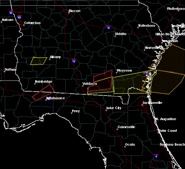 At 1036 am est, severe thunderstorms capable of producing a tornado were located along a line extending from near du pont to near statenville, moving northeast at 45 mph (radar indicated rotation). Hazards include tornado. Flying debris will be dangerous to those caught without shelter. mobile homes will be damaged or destroyed. damage to roofs, windows, and vehicles will occur. tree damage is likely. these dangerous storms will be near, du pont around 1040 am est. homerville around 1050 am est. argyle and cogdell around 1100 am est. Manor around 1105 am est. At 1036 am est, severe thunderstorms capable of producing a tornado were located along a line extending from near du pont to near statenville, moving northeast at 45 mph (radar indicated rotation). Hazards include tornado. Flying debris will be dangerous to those caught without shelter. mobile homes will be damaged or destroyed. damage to roofs, windows, and vehicles will occur. tree damage is likely. these dangerous storms will be near, du pont around 1040 am est. homerville around 1050 am est. argyle and cogdell around 1100 am est. Manor around 1105 am est.
|
| 1/22/2017 9:27 AM EST |
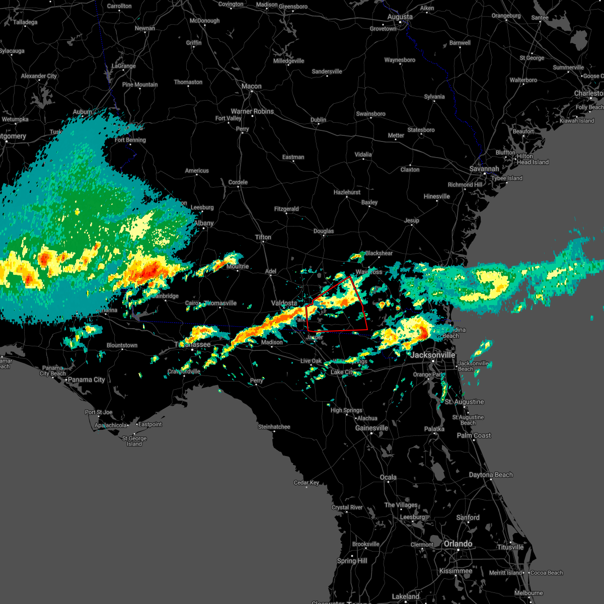 The tornado warning for echols, clinch and southwestern ware counties will expire at 930 am est, the storm which prompted the warning has moved out of the area. therefore the warning will be allowed to expire. however gusty winds are still possible with this thunderstorm. a tornado watch remains in effect until 1100 am est for northern florida, southeastern georgia, and until 1000 am est for southeastern georgia. The tornado warning for echols, clinch and southwestern ware counties will expire at 930 am est, the storm which prompted the warning has moved out of the area. therefore the warning will be allowed to expire. however gusty winds are still possible with this thunderstorm. a tornado watch remains in effect until 1100 am est for northern florida, southeastern georgia, and until 1000 am est for southeastern georgia.
|
| 1/22/2017 8:57 AM EST |
 At 857 am est, a severe thunderstorm capable of producing a tornado was located 7 miles east of statenville, moving east at 40 mph (radar indicated rotation). Hazards include tornado. Flying debris will be dangerous to those caught without shelter. mobile homes will be damaged or destroyed. damage to roofs, windows, and vehicles will occur. tree damage is likely. this dangerous storm will be near, needmore around 915 am est. Fargo around 925 am est. At 857 am est, a severe thunderstorm capable of producing a tornado was located 7 miles east of statenville, moving east at 40 mph (radar indicated rotation). Hazards include tornado. Flying debris will be dangerous to those caught without shelter. mobile homes will be damaged or destroyed. damage to roofs, windows, and vehicles will occur. tree damage is likely. this dangerous storm will be near, needmore around 915 am est. Fargo around 925 am est.
|
| 1/22/2017 8:27 AM EST |
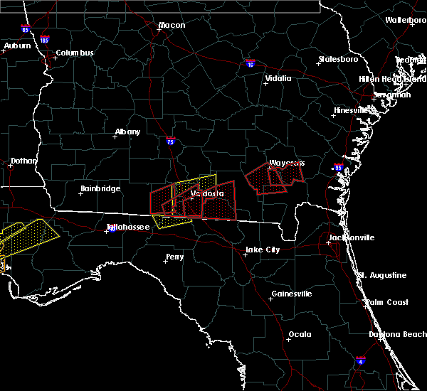 At 827 am est, a severe thunderstorm capable of producing a tornado was located 7 miles southeast of quitman, moving east at 55 mph (radar indicated rotation). Hazards include tornado. Flying debris will be dangerous to those caught without shelter. mobile homes will be damaged or destroyed. damage to roofs, windows, and vehicles will occur. tree damage is likely. This dangerous storm will be near, statenville and mayday around 855 am est. At 827 am est, a severe thunderstorm capable of producing a tornado was located 7 miles southeast of quitman, moving east at 55 mph (radar indicated rotation). Hazards include tornado. Flying debris will be dangerous to those caught without shelter. mobile homes will be damaged or destroyed. damage to roofs, windows, and vehicles will occur. tree damage is likely. This dangerous storm will be near, statenville and mayday around 855 am est.
|
| 1/22/2017 7:57 AM EST |
 At 757 am est, a severe thunderstorm capable of producing a tornado was located near argyle, moving east at 35 mph (radar indicated rotation). Hazards include tornado and quarter size hail. Flying debris will be dangerous to those caught without shelter. mobile homes will be damaged or destroyed. damage to roofs, windows, and vehicles will occur. tree damage is likely. this dangerous storm will be near, boggy bay around 825 am est. waycross around 830 am est. braganza around 835 am est. Other locations impacted by this tornadic thunderstorm include needham. At 757 am est, a severe thunderstorm capable of producing a tornado was located near argyle, moving east at 35 mph (radar indicated rotation). Hazards include tornado and quarter size hail. Flying debris will be dangerous to those caught without shelter. mobile homes will be damaged or destroyed. damage to roofs, windows, and vehicles will occur. tree damage is likely. this dangerous storm will be near, boggy bay around 825 am est. waycross around 830 am est. braganza around 835 am est. Other locations impacted by this tornadic thunderstorm include needham.
|
| 1/22/2017 7:55 AM EST | Em reported power lines down along shiloh hwy in association with downed tree in clinch county GA, 4 miles N of Homerville, GA |
| 1/22/2017 7:47 AM EST |
 At 746 am est, a severe squall line capable of producing both tornadoes and extensive straight line wind damage was located near homerville, moving east at 50 mph (radar indicated rotation). Hazards include tornado and quarter size hail. Flying debris will be dangerous to those caught without shelter. mobile homes will be damaged or destroyed. damage to roofs, windows, and vehicles will occur. tree damage is likely. Locations impacted include, homerville, argyle, manor and needham. At 746 am est, a severe squall line capable of producing both tornadoes and extensive straight line wind damage was located near homerville, moving east at 50 mph (radar indicated rotation). Hazards include tornado and quarter size hail. Flying debris will be dangerous to those caught without shelter. mobile homes will be damaged or destroyed. damage to roofs, windows, and vehicles will occur. tree damage is likely. Locations impacted include, homerville, argyle, manor and needham.
|
| 1/22/2017 7:45 AM EST | Trees down near homerville georgi in clinch county GA, 0.2 miles SE of Homerville, GA |
| 1/22/2017 7:44 AM EST | Em reports power lines down on hwy 187. time of event estimated with rada in clinch county GA, 2.9 miles NNE of Homerville, GA |
| 1/22/2017 7:38 AM EST |
 At 737 am est, a severe squall line capable of producing both tornadoes and extensive straight line wind damage was located over homerville, moving east at 50 mph (radar indicated rotation). Hazards include tornado and quarter size hail. Flying debris will be dangerous to those caught without shelter. mobile homes will be damaged or destroyed. damage to roofs, windows, and vehicles will occur. tree damage is likely. Locations impacted include, homerville, pearson, argyle, du pont, dixie union, pebble hill, manor, cogdell, needham and millwood. At 737 am est, a severe squall line capable of producing both tornadoes and extensive straight line wind damage was located over homerville, moving east at 50 mph (radar indicated rotation). Hazards include tornado and quarter size hail. Flying debris will be dangerous to those caught without shelter. mobile homes will be damaged or destroyed. damage to roofs, windows, and vehicles will occur. tree damage is likely. Locations impacted include, homerville, pearson, argyle, du pont, dixie union, pebble hill, manor, cogdell, needham and millwood.
|
| 1/22/2017 7:12 AM EST |
 At 711 am est, severe thunderstorms capable of producing both tornadoes and extensive straight line wind damage were located along a line extending from near ray city to near valdosta, moving east at 55 mph (radar indicated rotation). Hazards include tornado and quarter size hail. Flying debris will be dangerous to those caught without shelter. mobile homes will be damaged or destroyed. damage to roofs, windows, and vehicles will occur. Tree damage is likely. At 711 am est, severe thunderstorms capable of producing both tornadoes and extensive straight line wind damage were located along a line extending from near ray city to near valdosta, moving east at 55 mph (radar indicated rotation). Hazards include tornado and quarter size hail. Flying debris will be dangerous to those caught without shelter. mobile homes will be damaged or destroyed. damage to roofs, windows, and vehicles will occur. Tree damage is likely.
|
| 1/21/2017 3:30 PM EST | Clinch county emergency management reports that a shelter was blown down on 2 vehicles along leland smith roa in clinch county GA, 3.6 miles SW of Homerville, GA |
| 1/2/2017 11:51 PM EST |
 At 1150 pm est, severe thunderstorms were located along a line extending from 6 miles north of snipesville to 7 miles southeast of lakeland, moving east at 45 mph (radar indicated). Hazards include 70 mph wind gusts. Expect considerable tree damage. damage is likely to mobile homes, roofs, and outbuildings. locations impacted include, douglas, baxley, hazlehurst, alma, homerville, pearson, willacoochee, broxton, ambrose and graham. A tornado watch remains in effect until 300 am est for southeastern georgia. At 1150 pm est, severe thunderstorms were located along a line extending from 6 miles north of snipesville to 7 miles southeast of lakeland, moving east at 45 mph (radar indicated). Hazards include 70 mph wind gusts. Expect considerable tree damage. damage is likely to mobile homes, roofs, and outbuildings. locations impacted include, douglas, baxley, hazlehurst, alma, homerville, pearson, willacoochee, broxton, ambrose and graham. A tornado watch remains in effect until 300 am est for southeastern georgia.
|
| 1/2/2017 11:15 PM EST |
 At 1113 pm est, severe thunderstorms were located along a line extending from 8 miles north of fitzgerald to 7 miles southwest of hahira, moving east at 45 mph (radar indicated). Hazards include 70 mph wind gusts. Expect considerable tree damage. Damage is likely to mobile homes, roofs, and outbuildings. At 1113 pm est, severe thunderstorms were located along a line extending from 8 miles north of fitzgerald to 7 miles southwest of hahira, moving east at 45 mph (radar indicated). Hazards include 70 mph wind gusts. Expect considerable tree damage. Damage is likely to mobile homes, roofs, and outbuildings.
|
| 7/19/2016 6:23 PM EDT |
 The severe thunderstorm warning for north central clinch and southeastern atkinson counties will expire at 630 pm edt, the storm which prompted the warning has weakened below severe limits, and no longer pose an immediate threat to life or property. therefore, the warning will be allowed to expire. however gusty winds are still possible with this thunderstorm. The severe thunderstorm warning for north central clinch and southeastern atkinson counties will expire at 630 pm edt, the storm which prompted the warning has weakened below severe limits, and no longer pose an immediate threat to life or property. therefore, the warning will be allowed to expire. however gusty winds are still possible with this thunderstorm.
|
| 7/19/2016 6:00 PM EDT |
 At 600 pm edt, a severe thunderstorm was located near cogdell, or 7 miles southeast of pearson, moving west at 10 mph (radar indicated). Hazards include 60 mph wind gusts and quarter size hail. Hail damage to vehicles is expected. expect wind damage to roofs, siding, and trees. Locations impacted include, homerville, pearson, argyle, cogdell and axson. At 600 pm edt, a severe thunderstorm was located near cogdell, or 7 miles southeast of pearson, moving west at 10 mph (radar indicated). Hazards include 60 mph wind gusts and quarter size hail. Hail damage to vehicles is expected. expect wind damage to roofs, siding, and trees. Locations impacted include, homerville, pearson, argyle, cogdell and axson.
|
| 7/19/2016 5:54 PM EDT |
 At 554 pm edt, a severe thunderstorm was located near cogdell, or 7 miles southeast of pearson, moving west at 10 mph (radar indicated). Hazards include 60 mph wind gusts and quarter size hail. Hail damage to vehicles is expected. expect wind damage to roofs, siding, and trees. Locations impacted include, homerville, pearson, argyle, cogdell and axson. At 554 pm edt, a severe thunderstorm was located near cogdell, or 7 miles southeast of pearson, moving west at 10 mph (radar indicated). Hazards include 60 mph wind gusts and quarter size hail. Hail damage to vehicles is expected. expect wind damage to roofs, siding, and trees. Locations impacted include, homerville, pearson, argyle, cogdell and axson.
|
| 7/19/2016 5:45 PM EDT |
 At 545 pm edt, a severe thunderstorm was located near cogdell, or 9 miles southeast of pearson, and is nearly stationary (radar indicated). Hazards include 60 mph wind gusts and quarter size hail. Hail damage to vehicles is expected. Expect wind damage to roofs, siding, and trees. At 545 pm edt, a severe thunderstorm was located near cogdell, or 9 miles southeast of pearson, and is nearly stationary (radar indicated). Hazards include 60 mph wind gusts and quarter size hail. Hail damage to vehicles is expected. Expect wind damage to roofs, siding, and trees.
|
| 7/19/2016 5:45 PM EDT |
 At 545 pm edt, a severe thunderstorm was located near cogdell, or 8 miles southeast of pearson, moving west at 10 mph (radar indicated). Hazards include 60 mph wind gusts and quarter size hail. Hail damage to vehicles is expected. Expect wind damage to roofs, siding, and trees. At 545 pm edt, a severe thunderstorm was located near cogdell, or 8 miles southeast of pearson, moving west at 10 mph (radar indicated). Hazards include 60 mph wind gusts and quarter size hail. Hail damage to vehicles is expected. Expect wind damage to roofs, siding, and trees.
|
| 7/17/2016 6:45 PM EDT | Dispatch reported powerlines down on county road 37 in homerville. timing estimated by rada in clinch county GA, 2.6 miles N of Homerville, GA |
| 7/17/2016 6:31 PM EDT |
 At 631 pm edt, a severe thunderstorm was located 8 miles south of manor, or 9 miles southeast of argyle, moving southwest at 20 mph (radar indicated). Hazards include 60 mph wind gusts and quarter size hail. Hail damage to vehicles is expected. Expect wind damage to roofs, siding, and trees. At 631 pm edt, a severe thunderstorm was located 8 miles south of manor, or 9 miles southeast of argyle, moving southwest at 20 mph (radar indicated). Hazards include 60 mph wind gusts and quarter size hail. Hail damage to vehicles is expected. Expect wind damage to roofs, siding, and trees.
|
| 5/31/2016 7:24 PM EDT |
 At 724 pm edt, a severe thunderstorm was located over argyle, moving southeast at 10 mph (radar indicated). Hazards include 60 mph wind gusts. Expect damage to roofs. siding. and trees. Locations impacted include, homerville, pearson, willacoochee, argyle, cogdell and axson. At 724 pm edt, a severe thunderstorm was located over argyle, moving southeast at 10 mph (radar indicated). Hazards include 60 mph wind gusts. Expect damage to roofs. siding. and trees. Locations impacted include, homerville, pearson, willacoochee, argyle, cogdell and axson.
|
| 5/31/2016 7:00 PM EDT |
 At 659 pm edt, a severe thunderstorm was located over cogdell, or near homerville, moving southeast at 10 mph (radar indicated). Hazards include 60 mph wind gusts and penny size hail. Expect damage to roofs. siding. And trees. At 659 pm edt, a severe thunderstorm was located over cogdell, or near homerville, moving southeast at 10 mph (radar indicated). Hazards include 60 mph wind gusts and penny size hail. Expect damage to roofs. siding. And trees.
|
| 4/1/2016 5:33 PM EDT |
 At 533 pm edt, severe thunderstorms were located along a line extending from near nicholls to 8 miles southwest of dixie union to near du pont, moving northeast at 55 mph (radar indicated). Hazards include 60 mph wind gusts. Expect damage to roofs. siding. And trees. At 533 pm edt, severe thunderstorms were located along a line extending from near nicholls to 8 miles southwest of dixie union to near du pont, moving northeast at 55 mph (radar indicated). Hazards include 60 mph wind gusts. Expect damage to roofs. siding. And trees.
|
| 4/1/2016 5:20 PM EDT | Clinch county emergency management relayed several photograhs depicting uprooted large trees...snapped trees...and significant structural damage to a home in the guest in clinch county GA, 11.5 miles SSE of Homerville, GA |
| 4/1/2016 5:20 PM EDT | Clinch county emergency management relayed several photograhs depicting uprooted large trees...snapped trees...and significant structural damage to a home in the guest in clinch county GA, 11.5 miles SSE of Homerville, GA |
| 4/1/2016 5:17 PM EDT | Emergency manager reports numerous trees and powerlines down off of hwy 441 near guest millpond. time estimated from rada in clinch county GA, 11.5 miles SSE of Homerville, GA |
| 4/1/2016 4:57 PM EDT |
 At 456 pm edt, severe thunderstorms were located along a line extending from near ray city to 9 miles southeast of quitman, moving east at 45 mph (radar indicated). Hazards include 60 mph wind gusts. Expect damage to roofs. siding. And trees. At 456 pm edt, severe thunderstorms were located along a line extending from near ray city to 9 miles southeast of quitman, moving east at 45 mph (radar indicated). Hazards include 60 mph wind gusts. Expect damage to roofs. siding. And trees.
|
| 2/24/2016 5:56 AM EST |
 The severe thunderstorm warning for southern ware, northwestern charlton, clinch and echols counties will expire at 600 am est, the storms which prompted the warning have weakened. therefore the warning will be allowed to expire. however gusty winds of 45 to 55 mph are still possible with these thunderstorms. a tornado watch remains in effect until 1000 am est for northeastern florida and southeastern georgia. The severe thunderstorm warning for southern ware, northwestern charlton, clinch and echols counties will expire at 600 am est, the storms which prompted the warning have weakened. therefore the warning will be allowed to expire. however gusty winds of 45 to 55 mph are still possible with these thunderstorms. a tornado watch remains in effect until 1000 am est for northeastern florida and southeastern georgia.
|
| 2/24/2016 5:44 AM EST |
 At 544 am est, severe thunderstorms were located along a line extending from near mayday to 6 miles southeast of needmore, moving northeast at 65 mph (radar indicated). Hazards include 60 mph wind gusts. Expect damage to roofs. siding and trees. locations impacted include, homerville, fargo, argyle, stephen foster state park, statenville, du pont, needmore and mayday. A tornado watch remains in effect until 1000 am est for northeastern florida and southeastern georgia. At 544 am est, severe thunderstorms were located along a line extending from near mayday to 6 miles southeast of needmore, moving northeast at 65 mph (radar indicated). Hazards include 60 mph wind gusts. Expect damage to roofs. siding and trees. locations impacted include, homerville, fargo, argyle, stephen foster state park, statenville, du pont, needmore and mayday. A tornado watch remains in effect until 1000 am est for northeastern florida and southeastern georgia.
|
| 2/24/2016 5:30 AM EST |
 At 530 am est, severe thunderstorms were located along a line extending from near mayday to near belmont, moving northeast at 85 mph (radar indicated). Hazards include 60 mph wind gusts. Expect damage to roofs. siding and trees. locations impacted include, jasper, homerville, white springs, fargo, argyle, stephen foster state park, statenville, du pont, belmont, needmore and mayday. A tornado watch remains in effect until 1000 am est for northeastern florida and southeastern georgia. At 530 am est, severe thunderstorms were located along a line extending from near mayday to near belmont, moving northeast at 85 mph (radar indicated). Hazards include 60 mph wind gusts. Expect damage to roofs. siding and trees. locations impacted include, jasper, homerville, white springs, fargo, argyle, stephen foster state park, statenville, du pont, belmont, needmore and mayday. A tornado watch remains in effect until 1000 am est for northeastern florida and southeastern georgia.
|
| 2/24/2016 5:30 AM EST |
 A severe thunderstorm warning remains in effect until 600 am est for eastern hamilton. northern columbia. southern ware. northwestern charlton. clinch and echols counties. at 530 am est. severe thunderstorms were located along a line extending from near mayday to near belmont. Moving northeast at 85 mph. A severe thunderstorm warning remains in effect until 600 am est for eastern hamilton. northern columbia. southern ware. northwestern charlton. clinch and echols counties. at 530 am est. severe thunderstorms were located along a line extending from near mayday to near belmont. Moving northeast at 85 mph.
|
| 2/24/2016 5:20 AM EST |
 At 520 am est, severe thunderstorms were located along a line extending from near statenville to white springs, moving northeast at 85 mph (radar indicated). Hazards include 60 mph wind gusts. Expect damage to roofs. Siding and trees. At 520 am est, severe thunderstorms were located along a line extending from near statenville to white springs, moving northeast at 85 mph (radar indicated). Hazards include 60 mph wind gusts. Expect damage to roofs. Siding and trees.
|
| 2/16/2016 12:57 AM EST | The severe thunderstorm warning for west central pierce, atkinson, northwestern ware, southwestern bacon, southeastern coffee and northwestern clinch counties will expire at 100 am est, the storm which prompted the warning has weakened below severe limits, and no longer pose an immediate threat to life or property. therefore the warning will be allowed to expire. however gusty winds are still possible with this thunderstorm. to report severe weather, contact your nearest law enforcement agency. they will relay your report to the national weather service jacksonville. |
| 2/16/2016 12:21 AM EST |
 At 1221 am est, a severe thunderstorm was located near pearson, moving northeast at 35 mph (radar indicated). Hazards include 60 mph wind gusts. Expect damage to roofs. Siding and trees. At 1221 am est, a severe thunderstorm was located near pearson, moving northeast at 35 mph (radar indicated). Hazards include 60 mph wind gusts. Expect damage to roofs. Siding and trees.
|
| 8/23/2015 3:54 PM EDT |
 At 354 pm edt, doppler radar indicated a severe thunderstorm capable of producing damaging winds in excess of 60 mph. this storm was located near du pont, or 7 miles southwest of homerville, moving east at 30 mph. locations impacted include, homerville, argyle and du pont. At 354 pm edt, doppler radar indicated a severe thunderstorm capable of producing damaging winds in excess of 60 mph. this storm was located near du pont, or 7 miles southwest of homerville, moving east at 30 mph. locations impacted include, homerville, argyle and du pont.
|
| 8/23/2015 3:37 PM EDT |
 At 337 pm edt, doppler radar indicated a severe thunderstorm capable of producing damaging winds in excess of 60 mph. this storm was located near lakeland, and moving east at 30 mph. At 337 pm edt, doppler radar indicated a severe thunderstorm capable of producing damaging winds in excess of 60 mph. this storm was located near lakeland, and moving east at 30 mph.
|
| 8/6/2015 3:28 PM EDT | The severe thunderstorm warning for northwestern clinch and northern echols counties will expire at 330 pm edt, the storms which prompted the warning have weakened below severe limits, and no longer poses an immediate threat to life or property. therefore the warning will be allowed to expire. however gusty winds are still possible with these thunderstorms. |
| 8/6/2015 3:00 PM EDT |
 At 300 pm edt, doppler radar indicated a line of severe thunderstorms capable of producing damaging winds in excess of 60 mph. these storms were located along a line extending from i-75 at exit 16 to near lake park to 7 miles northwest of blue springs, and moving northeast at 35 mph. At 300 pm edt, doppler radar indicated a line of severe thunderstorms capable of producing damaging winds in excess of 60 mph. these storms were located along a line extending from i-75 at exit 16 to near lake park to 7 miles northwest of blue springs, and moving northeast at 35 mph.
|
| 8/4/2015 3:31 PM EDT |
 At 330 pm edt, doppler radar indicated a severe thunderstorm capable of producing damaging winds of 60 mph. this storm was located over cogdell, or 7 miles northwest of argyle, moving northeast at 10 mph. locations impacted include, homerville, argyle, cogdell and axson. At 330 pm edt, doppler radar indicated a severe thunderstorm capable of producing damaging winds of 60 mph. this storm was located over cogdell, or 7 miles northwest of argyle, moving northeast at 10 mph. locations impacted include, homerville, argyle, cogdell and axson.
|
| 8/4/2015 3:17 PM EDT |
 At 317 pm edt, doppler radar indicated a severe thunderstorm capable of producing damaging winds in excess of 60 mph. this storm was located near cogdell, or near homerville, and moving northeast at 10 mph. penny size hail may also accompany the damaging winds. At 317 pm edt, doppler radar indicated a severe thunderstorm capable of producing damaging winds in excess of 60 mph. this storm was located near cogdell, or near homerville, and moving northeast at 10 mph. penny size hail may also accompany the damaging winds.
|
| 7/23/2015 7:02 PM EDT |
 At 702 pm edt, doppler radar indicated a severe thunderstorm capable of producing damaging winds in excess of 60 mph. this storm was located near du pont, or near homerville, and moving southeast at 30 mph. At 702 pm edt, doppler radar indicated a severe thunderstorm capable of producing damaging winds in excess of 60 mph. this storm was located near du pont, or near homerville, and moving southeast at 30 mph.
|
| 7/2/2015 5:44 PM EDT |
 At 543 pm edt, doppler radar indicated a line of severe thunderstorms capable of producing damaging winds in excess of 60 mph. these storms were located along a line extending from graham to near sunnyside to 9 miles southeast of argyle, moving east at 45 mph. locations impacted include, hazlehurst, alma, graham, argyle, nicholls, deenwood, hebardville, sunnyside, pebble hill, dixie union, manor, emerson park, jamestown, boggy bay, pine grove, waresboro, bickley, new lacy and needham. At 543 pm edt, doppler radar indicated a line of severe thunderstorms capable of producing damaging winds in excess of 60 mph. these storms were located along a line extending from graham to near sunnyside to 9 miles southeast of argyle, moving east at 45 mph. locations impacted include, hazlehurst, alma, graham, argyle, nicholls, deenwood, hebardville, sunnyside, pebble hill, dixie union, manor, emerson park, jamestown, boggy bay, pine grove, waresboro, bickley, new lacy and needham.
|
| 7/2/2015 5:15 PM EDT |
 At 515 pm edt, doppler radar indicated a line of severe thunderstorms capable of producing damaging winds in excess of 60 mph. these storms were located along a line extending from near snipesville to 6 miles north of manor to 7 miles south of du pont, and moving east at 40 mph. At 515 pm edt, doppler radar indicated a line of severe thunderstorms capable of producing damaging winds in excess of 60 mph. these storms were located along a line extending from near snipesville to 6 miles north of manor to 7 miles south of du pont, and moving east at 40 mph.
|
| 7/2/2015 5:14 PM EDT | A tree was blown down along west plant avenue in homervill in clinch county GA, 0.2 miles SE of Homerville, GA |
| 7/2/2015 4:39 PM EDT |
 At 437 pm edt, doppler radar indicated a line of severe thunderstorms capable of producing damaging winds in excess of 60 mph. these storms were located along a line extending from 7 miles north of jacksonville to near ambrose to 11 miles northeast of alapaha to near willacoochee to near lakeland, and moving east at 40 mph. At 437 pm edt, doppler radar indicated a line of severe thunderstorms capable of producing damaging winds in excess of 60 mph. these storms were located along a line extending from 7 miles north of jacksonville to near ambrose to 11 miles northeast of alapaha to near willacoochee to near lakeland, and moving east at 40 mph.
|
| 6/30/2015 1:12 PM EDT |
 At 112 pm edt, doppler radar indicated a line of severe thunderstorms capable of producing damaging winds in excess of 60 mph. these storms were located along a line extending from near lakeland to near monticello, and moving east at 35 mph. At 112 pm edt, doppler radar indicated a line of severe thunderstorms capable of producing damaging winds in excess of 60 mph. these storms were located along a line extending from near lakeland to near monticello, and moving east at 35 mph.
|
| 6/28/2015 3:11 PM EDT |
 At 310 pm edt, doppler radar indicated a severe thunderstorm capable of producing damaging winds in excess of 60 mph. this storm was located over mayday, or 7 miles northeast of statenville, moving east at 40 mph. locations impacted include, homerville, argyle, du pont and mayday. At 310 pm edt, doppler radar indicated a severe thunderstorm capable of producing damaging winds in excess of 60 mph. this storm was located over mayday, or 7 miles northeast of statenville, moving east at 40 mph. locations impacted include, homerville, argyle, du pont and mayday.
|
| 6/28/2015 2:53 PM EDT |
 At 253 pm edt, doppler radar indicated a severe thunderstorm capable of producing damaging winds in excess of 60 mph. this storm was located near mayday, or 9 miles east of valdosta, and moving east at 40 mph. At 253 pm edt, doppler radar indicated a severe thunderstorm capable of producing damaging winds in excess of 60 mph. this storm was located near mayday, or 9 miles east of valdosta, and moving east at 40 mph.
|
| 6/28/2015 1:55 PM EDT |
 At 155 pm edt, doppler radar indicated a line of severe thunderstorms capable of producing damaging winds in excess of 60 mph. these storms were located along a line extending from near pebble hill to 10 miles northwest of needmore, moving east at 20 mph. locations impacted include, argyle, pebble hill, dixie union, braganza, manor, deenwood, emerson park, hebardville, boggy bay, sunnyside, needham and waresboro. At 155 pm edt, doppler radar indicated a line of severe thunderstorms capable of producing damaging winds in excess of 60 mph. these storms were located along a line extending from near pebble hill to 10 miles northwest of needmore, moving east at 20 mph. locations impacted include, argyle, pebble hill, dixie union, braganza, manor, deenwood, emerson park, hebardville, boggy bay, sunnyside, needham and waresboro.
|
| 6/28/2015 1:50 PM EDT |
 At 150 pm edt, doppler radar indicated a line of severe thunderstorms capable of producing damaging winds in excess of 60 mph. these storms were located along a line extending from near pebble hill to 9 miles north of needmore, moving east at 20 mph. locations impacted include, homerville, fargo, argyle, deenwood, hebardville, sunnyside, pebble hill, dixie union, braganza, manor, emerson park, boggy bay, waresboro and needham. At 150 pm edt, doppler radar indicated a line of severe thunderstorms capable of producing damaging winds in excess of 60 mph. these storms were located along a line extending from near pebble hill to 9 miles north of needmore, moving east at 20 mph. locations impacted include, homerville, fargo, argyle, deenwood, hebardville, sunnyside, pebble hill, dixie union, braganza, manor, emerson park, boggy bay, waresboro and needham.
|
| 6/28/2015 1:39 PM EDT |
 At 139 pm edt, doppler radar indicated a line of severe thunderstorms capable of producing damaging winds in excess of 60 mph. these storms were located along a line extending from near dixie union to 11 miles northwest of needmore, moving east at 30 mph. locations impacted include, homerville, fargo, argyle, deenwood, hebardville, sunnyside, pebble hill, dixie union, braganza, manor, emerson park, needmore, boggy bay, cogdell, waresboro and needham. At 139 pm edt, doppler radar indicated a line of severe thunderstorms capable of producing damaging winds in excess of 60 mph. these storms were located along a line extending from near dixie union to 11 miles northwest of needmore, moving east at 30 mph. locations impacted include, homerville, fargo, argyle, deenwood, hebardville, sunnyside, pebble hill, dixie union, braganza, manor, emerson park, needmore, boggy bay, cogdell, waresboro and needham.
|
| 6/28/2015 1:38 PM EDT | Tree down across railroad tracks 4 miles east of homervill in clinch county GA, 3.4 miles W of Homerville, GA |
| 6/28/2015 1:34 PM EDT |
 At 134 pm edt, doppler radar indicated a line of severe thunderstorms capable of producing damaging winds in excess of 60 mph. these storms were located along a line extending from 10 miles west of dixie union to near mayday, moving east at 20 mph. locations impacted include, homerville, fargo, argyle, du pont, deenwood, hebardville, sunnyside, pebble hill, dixie union, braganza, manor, emerson park, needmore, boggy bay, cogdell, waresboro, bickley, axson, needham and millwood. At 134 pm edt, doppler radar indicated a line of severe thunderstorms capable of producing damaging winds in excess of 60 mph. these storms were located along a line extending from 10 miles west of dixie union to near mayday, moving east at 20 mph. locations impacted include, homerville, fargo, argyle, du pont, deenwood, hebardville, sunnyside, pebble hill, dixie union, braganza, manor, emerson park, needmore, boggy bay, cogdell, waresboro, bickley, axson, needham and millwood.
|
| 6/28/2015 1:32 PM EDT | Powerline down on sand hill road in homervill in clinch county GA, 0.9 miles NE of Homerville, GA |
| 6/28/2015 1:28 PM EDT |
 At 128 pm edt, doppler radar indicated a line of severe thunderstorms capable of producing damaging winds in excess of 60 mph. these storms were located along a line extending from 9 miles west of dixie union to near mayday, and moving east at 20 mph. At 128 pm edt, doppler radar indicated a line of severe thunderstorms capable of producing damaging winds in excess of 60 mph. these storms were located along a line extending from 9 miles west of dixie union to near mayday, and moving east at 20 mph.
|
| 6/25/2015 7:48 PM EDT |
 At 748 pm edt, doppler radar indicated a severe thunderstorm capable of producing quarter size hail and damaging winds in excess of 60 mph. this storm was located 10 miles southeast of homerville, and moving south at 10 mph. At 748 pm edt, doppler radar indicated a severe thunderstorm capable of producing quarter size hail and damaging winds in excess of 60 mph. this storm was located 10 miles southeast of homerville, and moving south at 10 mph.
|
| 6/3/2015 8:10 PM EDT | At 810 pm edt, doppler radar indicated a line of severe thunderstorms capable of producing half dollar size hail and damaging winds in excess of 60 mph. these storms were located along a line extending from 10 miles northeast of lakeland to 6 miles southwest of du pont, moving east at 15 mph. locations impacted include, homerville, du pont, mayday and cogdell. |
| 6/3/2015 8:01 PM EDT | At 801 pm edt, doppler radar indicated a line of severe thunderstorms capable of producing half dollar size hail and damaging winds in excess of 60 mph. these storms were located along a line extending from 11 miles southwest of pearson to 7 miles southeast of lakeland, moving east at 20 mph. locations impacted include, homerville, pearson, willacoochee, du pont, mayday, cogdell and axson. |
| 6/3/2015 7:38 PM EDT | At 738 pm edt, doppler radar indicated a line of severe thunderstorms capable of producing half dollar size hail and damaging winds in excess of 60 mph. these storms were located along a line extending from 8 miles east of nashville to near moody afb, and moving east at 15 mph. |
| 5/26/2015 7:02 PM EDT | At 702 pm edt, doppler radar indicated a severe thunderstorm capable of producing quarter size hail and damaging winds in excess of 60 mph. this storm was located over manor, or near argyle, moving northeast at 20 mph. locations impacted include, argyle, dixie union, cogdell, manor, millwood and waresboro. |
| 5/26/2015 7:02 PM EDT | At 702 pm edt, doppler radar indicated a severe thunderstorm capable of producing quarter size hail and damaging winds in excess of 60 mph. this storm was located over manor, or near argyle, moving northeast at 20 mph. locations impacted include, argyle, dixie union, cogdell, manor, millwood and waresboro. |
| 5/26/2015 7:02 PM EDT | At 702 pm edt, doppler radar indicated a severe thunderstorm capable of producing quarter size hail and damaging winds in excess of 60 mph. this storm was located over manor, or near argyle, moving northeast at 20 mph. locations impacted include, argyle, dixie union, cogdell, manor, millwood and waresboro. |
| 5/26/2015 6:44 PM EDT | At 643 pm edt, doppler radar indicated a severe thunderstorm capable of producing quarter size hail and damaging winds in excess of 60 mph. this storm was located near argyle, and moving north at 25 mph. |
| 4/25/2015 8:48 PM EDT | At 847 pm edt, doppler radar indicated a line of severe thunderstorms capable of producing quarter size hail and damaging winds in excess of 60 mph. these storms were located along a line extending from 8 miles west of cogdell to 6 miles northwest of du pont to moody afb, and moving east at 50 mph. |
| 4/19/2015 2:20 PM EDT | At 211 pm edt, doppler radar indicated a severe thunderstorm capable of producing quarter size hail and damaging winds in excess of 60 mph. this storm was located near argyle, and moving northeast at 25 mph. |
| 4/19/2015 2:11 PM EDT | At 211 pm edt, doppler radar indicated a severe thunderstorm capable of producing quarter size hail and damaging winds in excess of 60 mph. this storm was located near argyle, and moving northeast at 25 mph. |
| 3/16/2014 3:56 PM EDT | 911 call center reported one tree down on timber drive in homervill in clinch county GA, 0.2 miles SE of Homerville, GA |
| 3/24/2013 9:33 AM EDT | A spotter reported trees and power lines were blown down in travisville...located between homerville and argyle. the time of damage was based on rada in clinch county GA, 3 miles WSW of Homerville, GA |
| 1/1/0001 12:00 AM | The 911 center reported a tree blown down on a powerline just off of 441 north near homerville. the time given was based on rada in clinch county GA, 4.4 miles SE of Homerville, GA |
| 1/1/0001 12:00 AM | Emergency manager reported a few trees and power lines down in the homerville vicinity. time is estimated and based on radar imager in clinch county GA, 0.2 miles SE of Homerville, GA |
Hail Maps for Homerville, GA
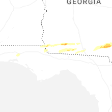
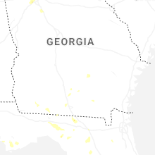
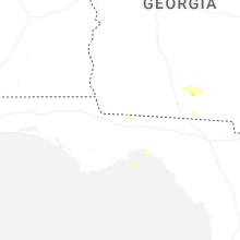


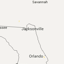


Connect with Interactive Hail Maps