

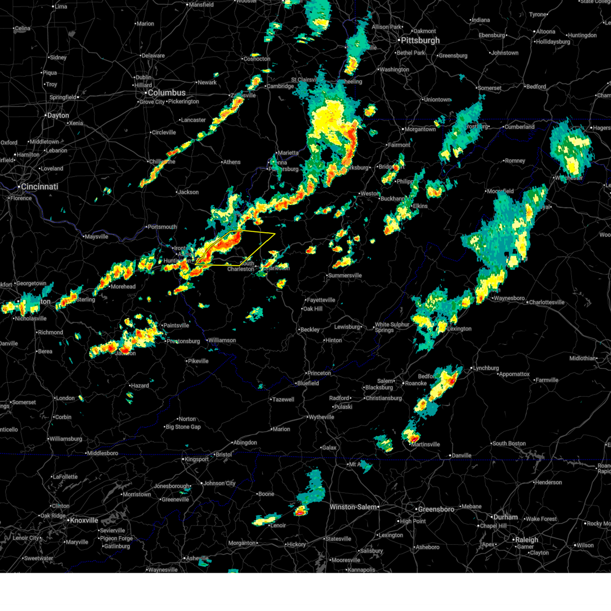
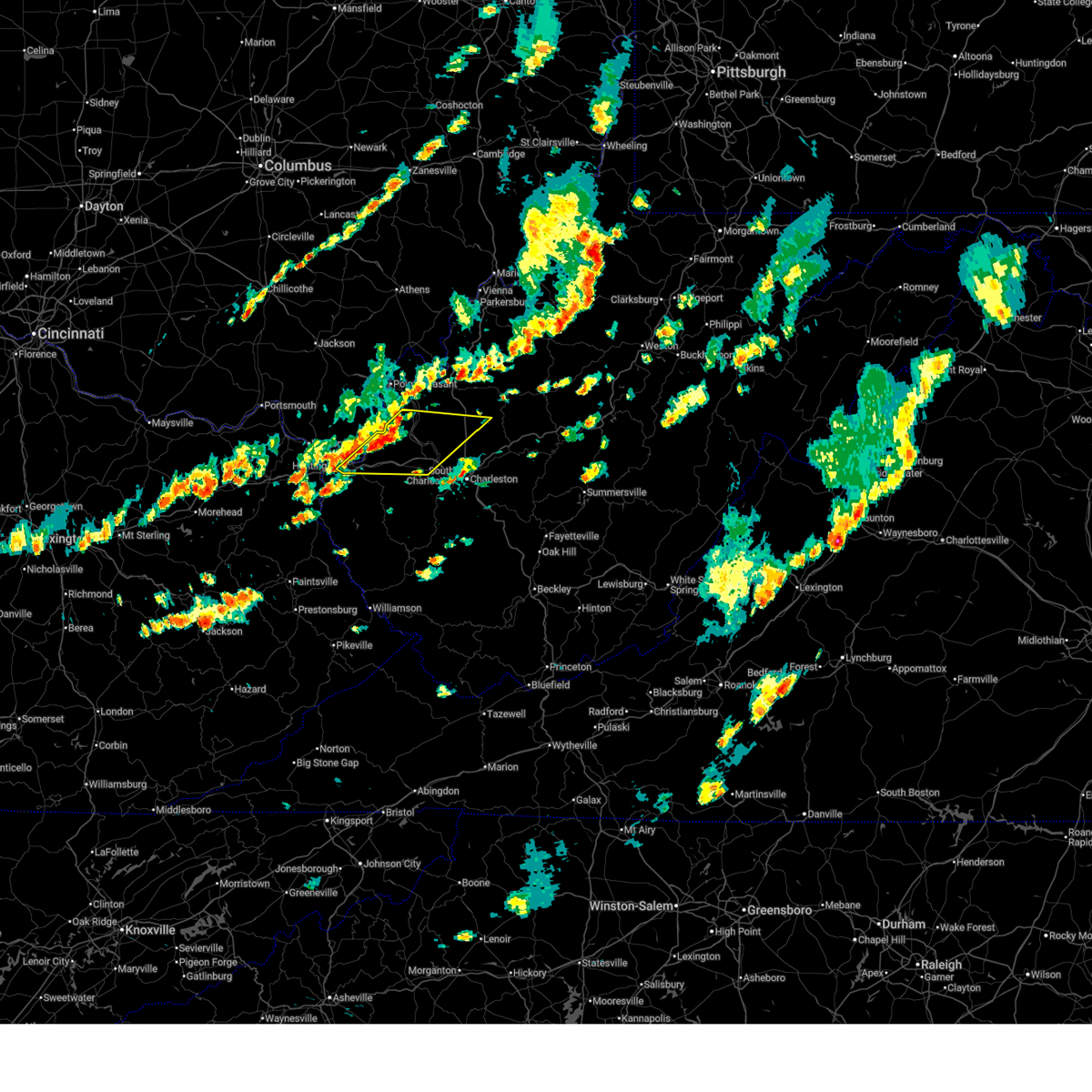
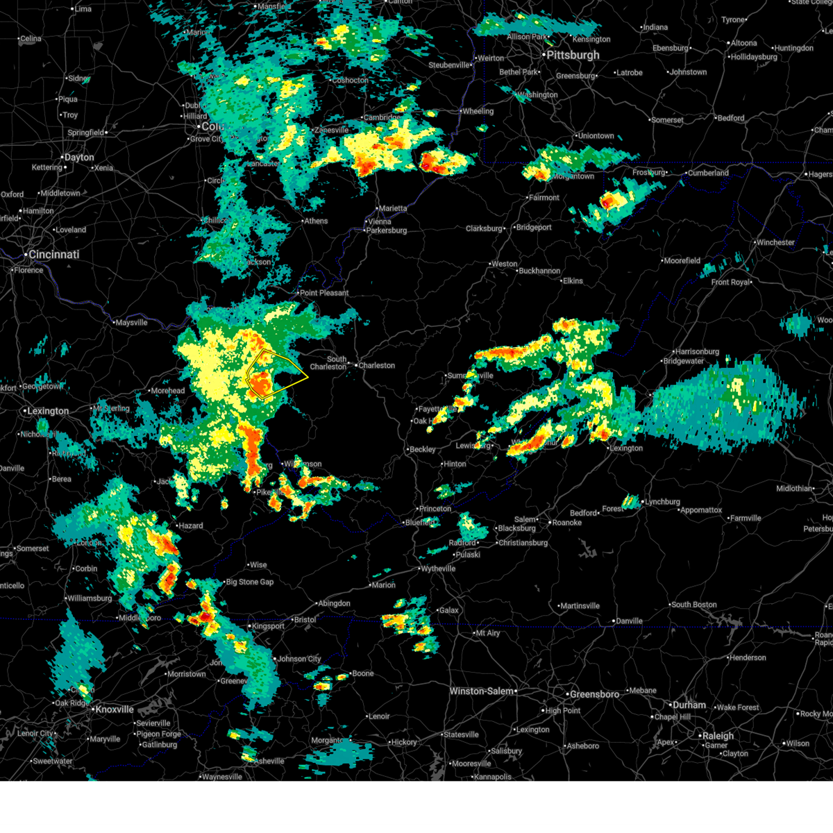
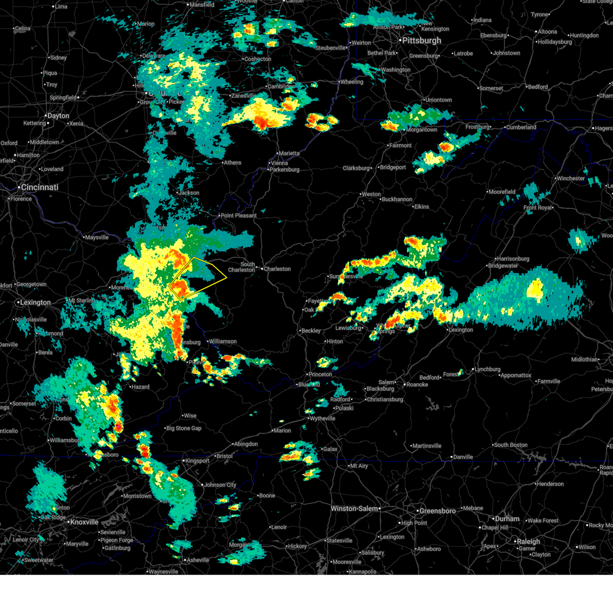
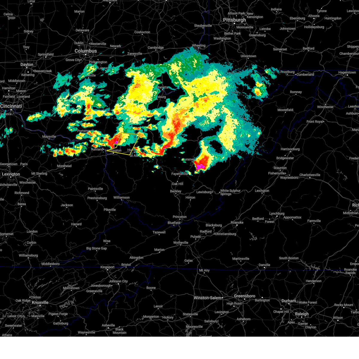
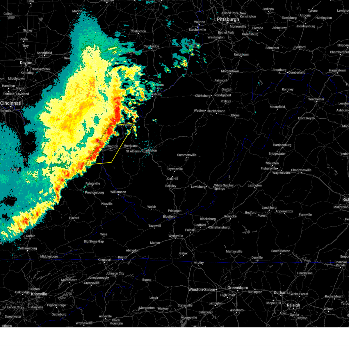
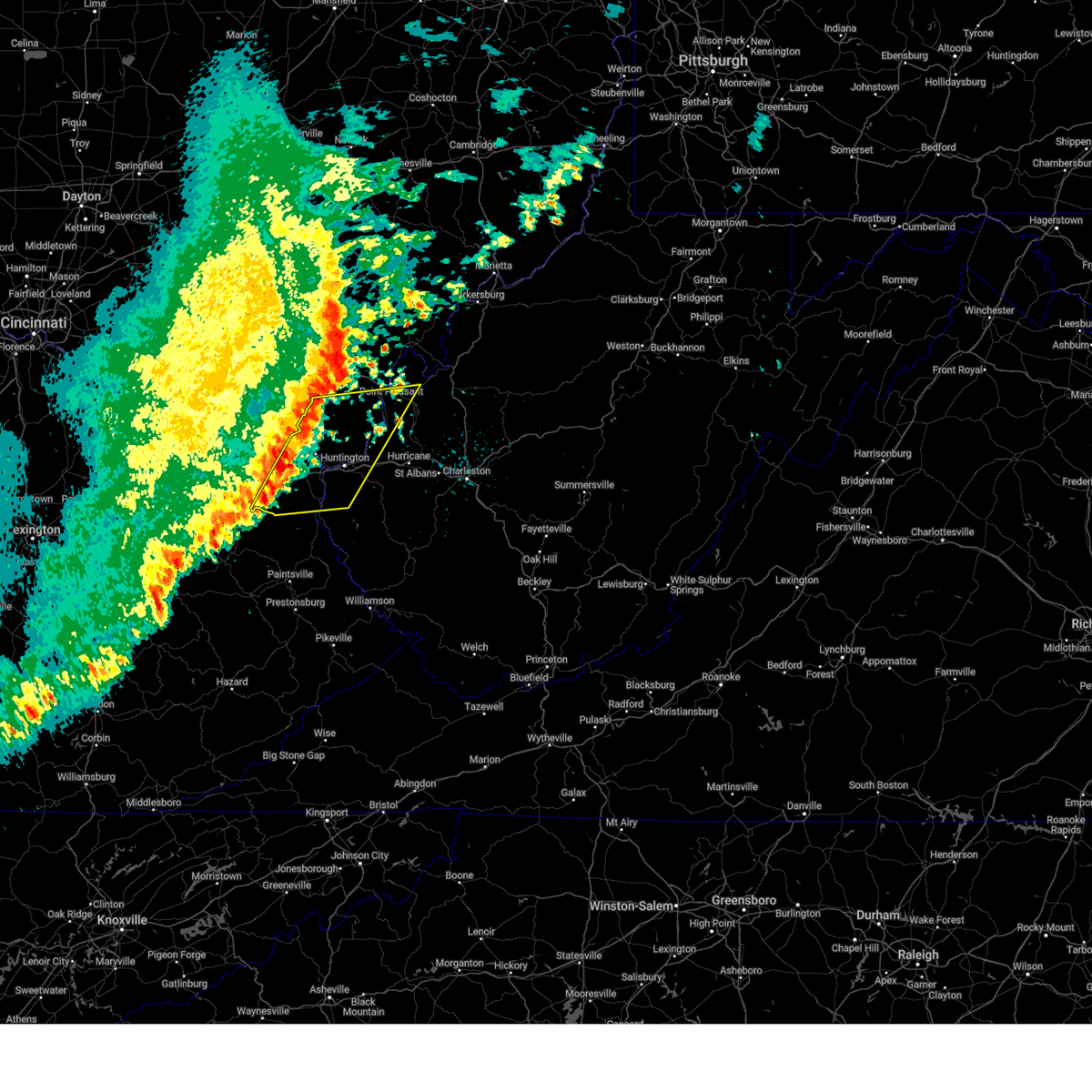
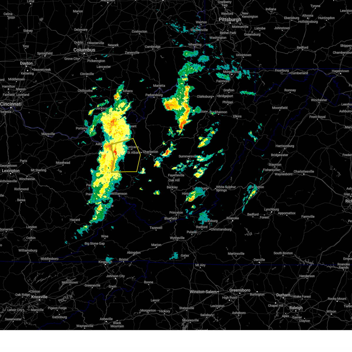
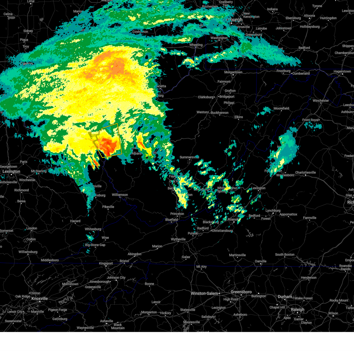
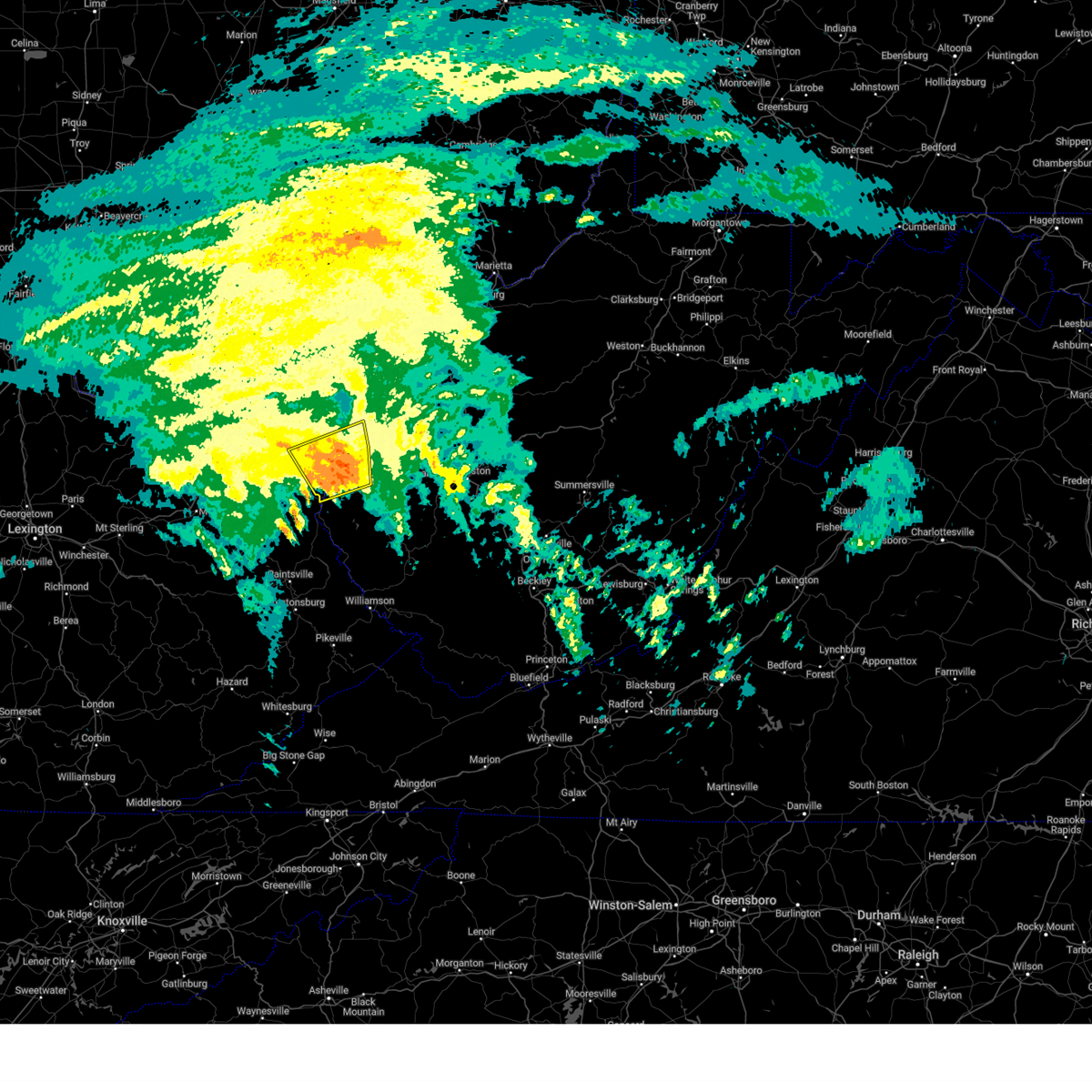
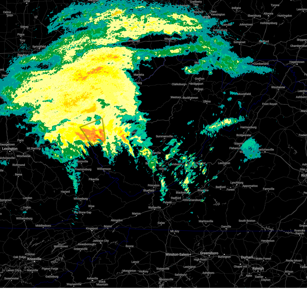
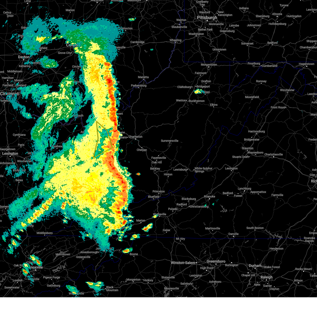
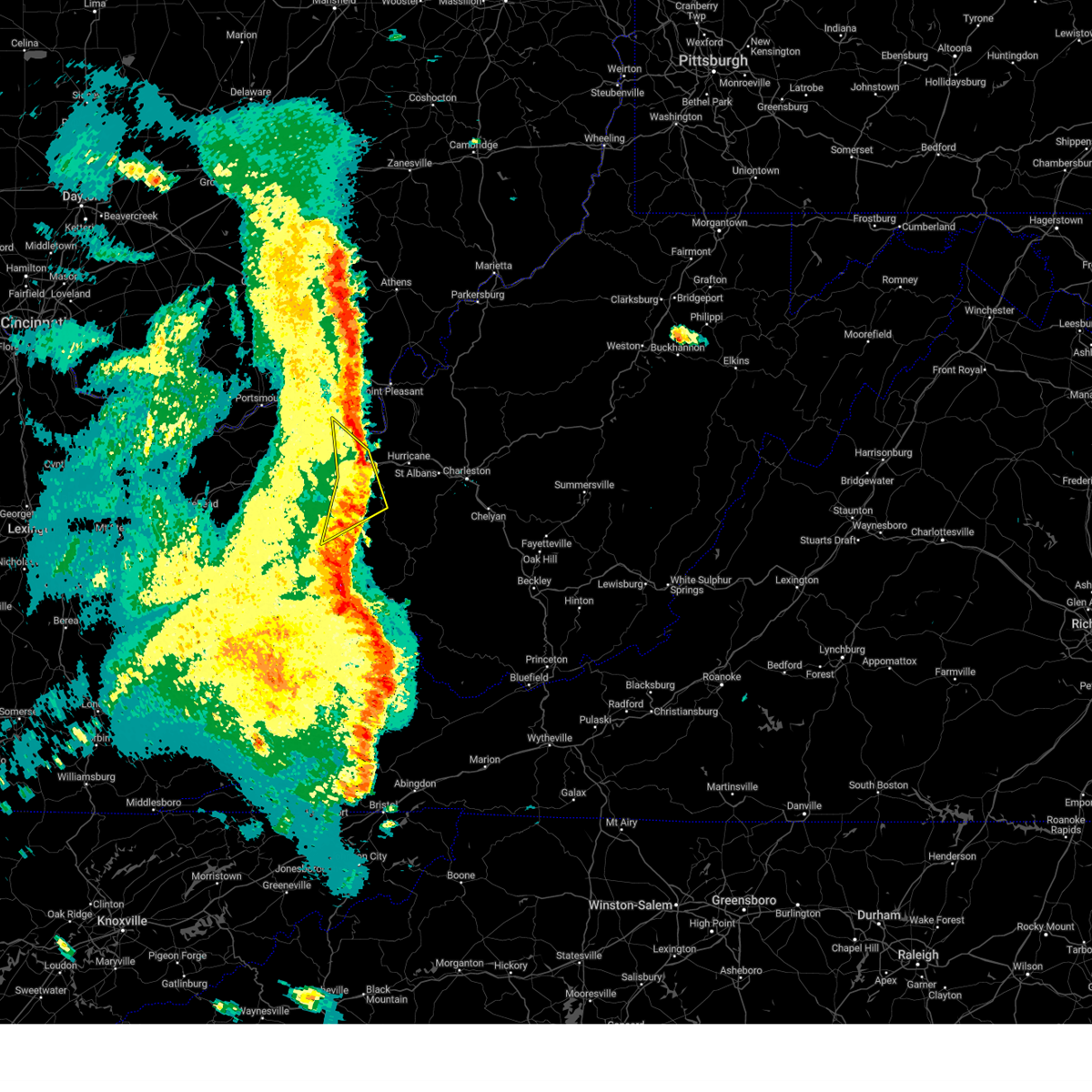
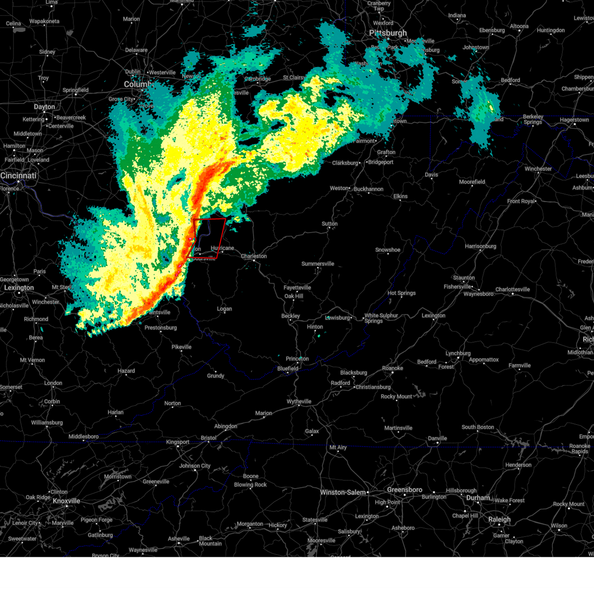
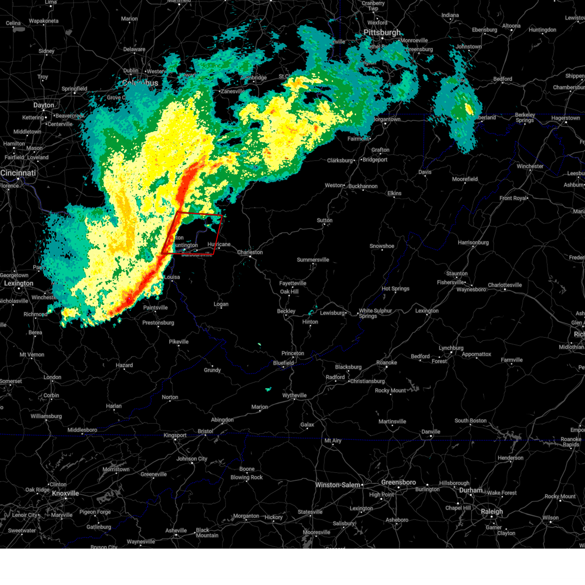
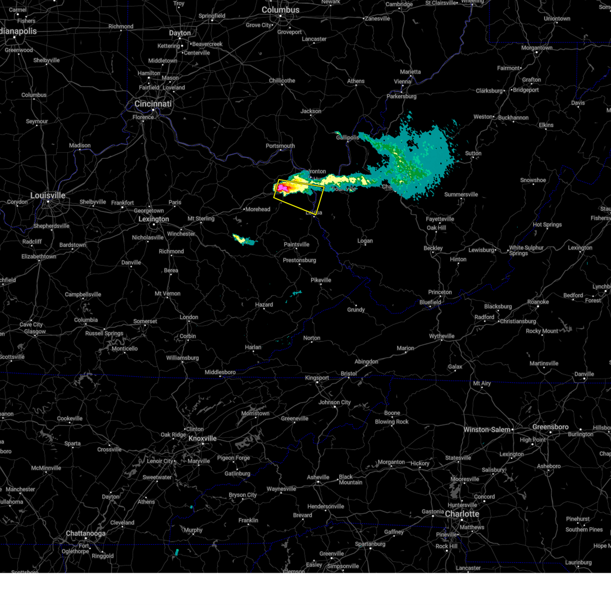
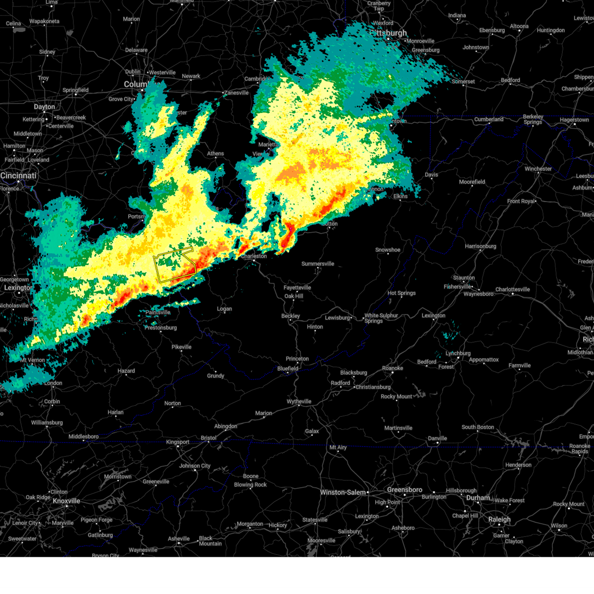
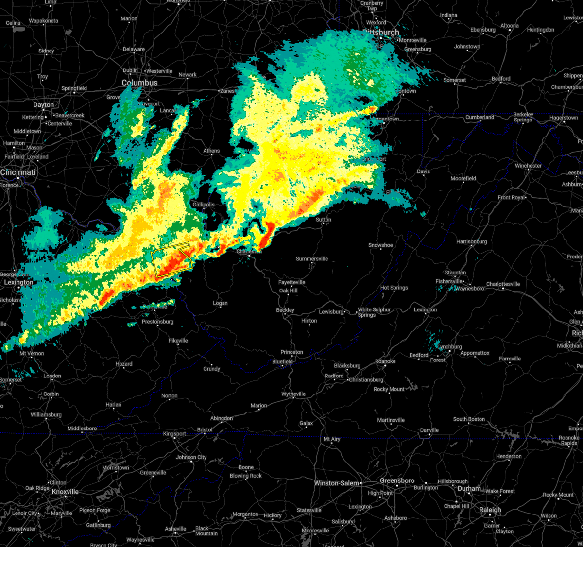
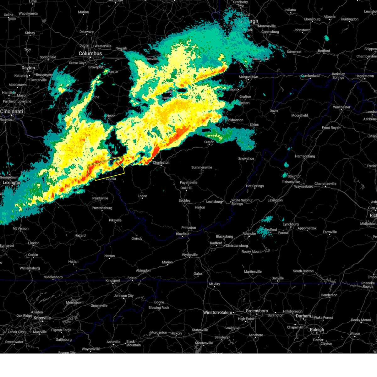
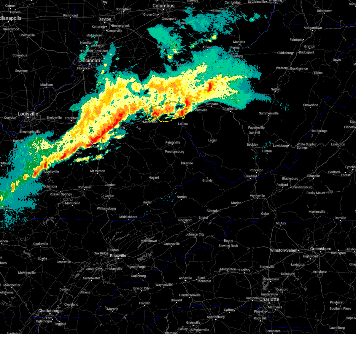
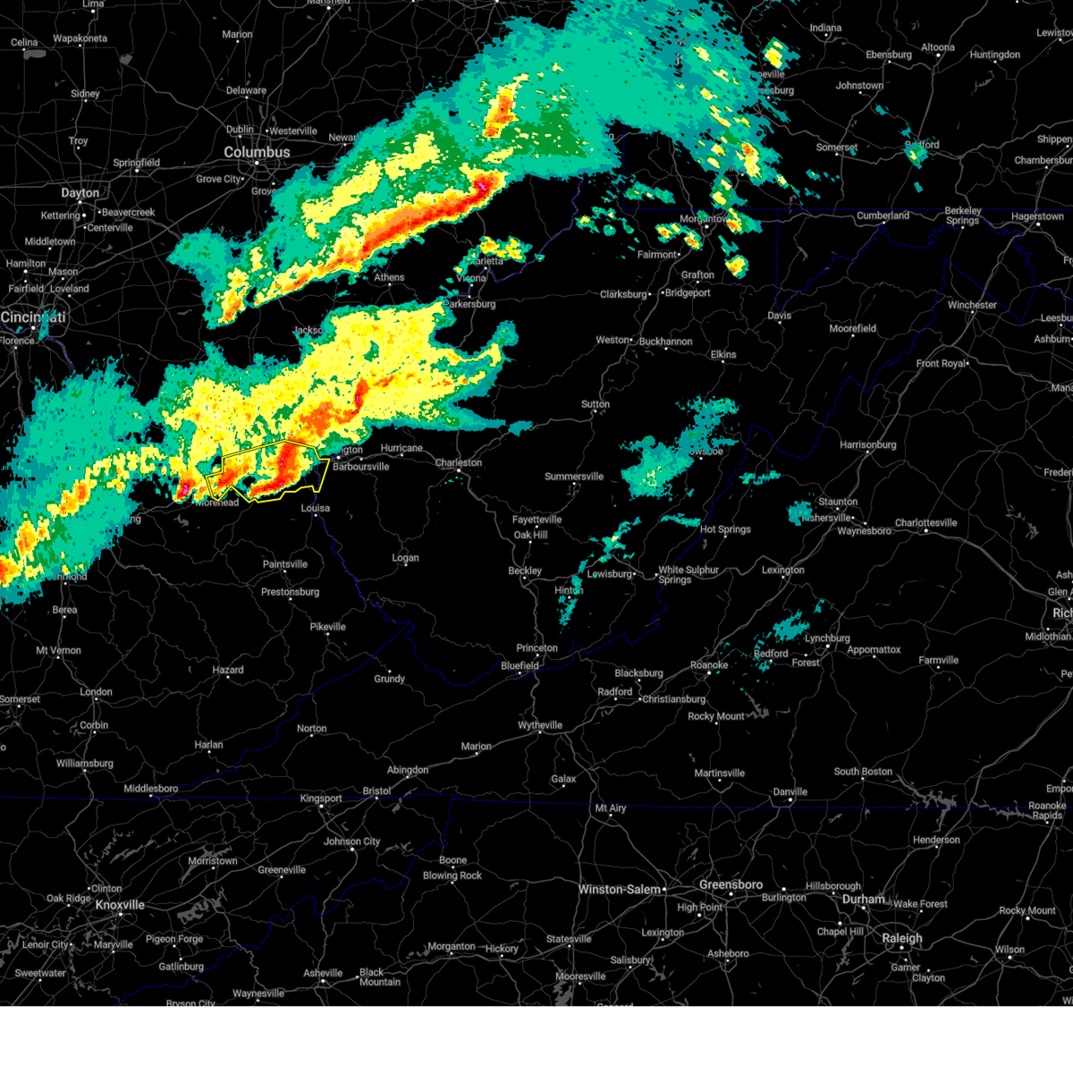
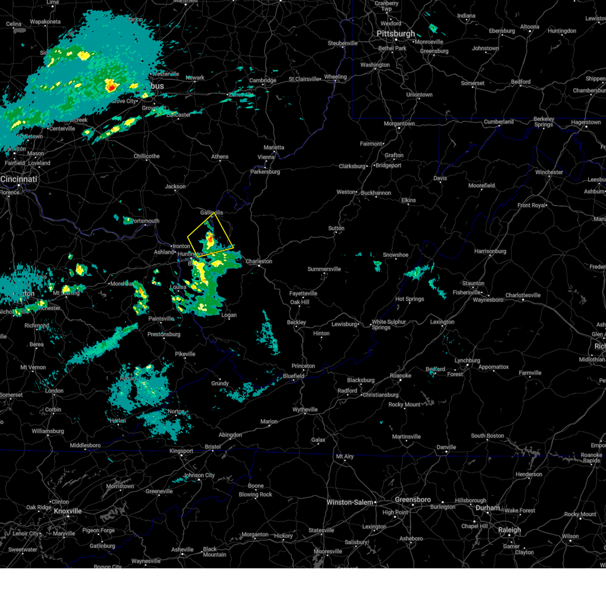
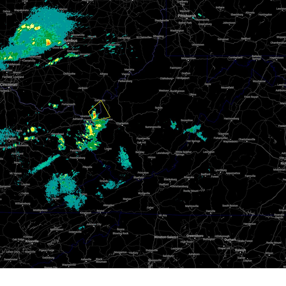
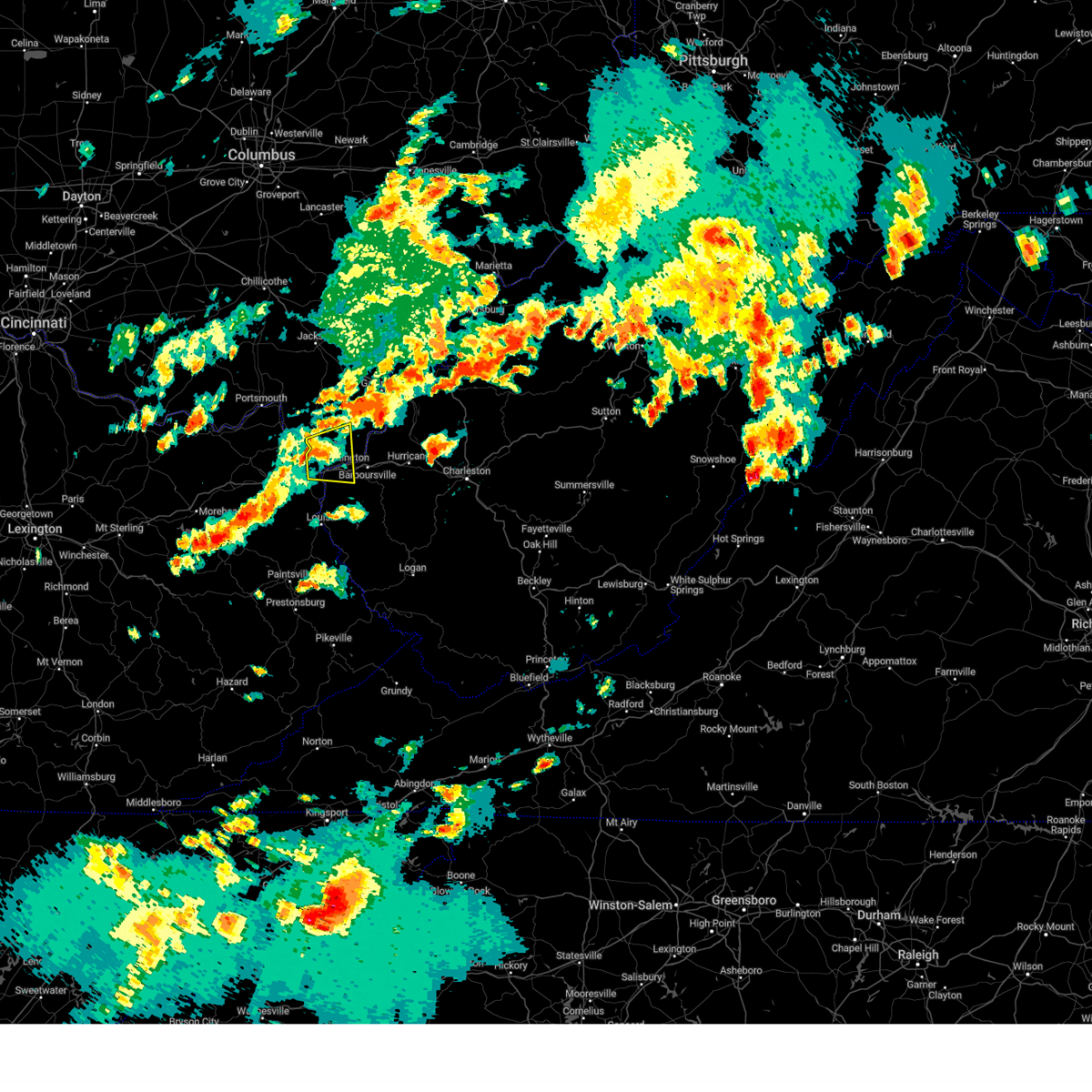
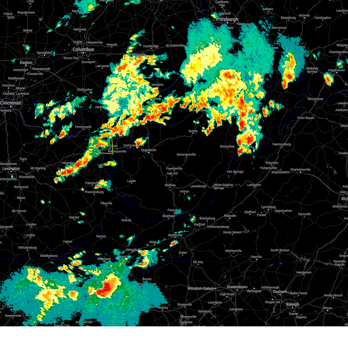
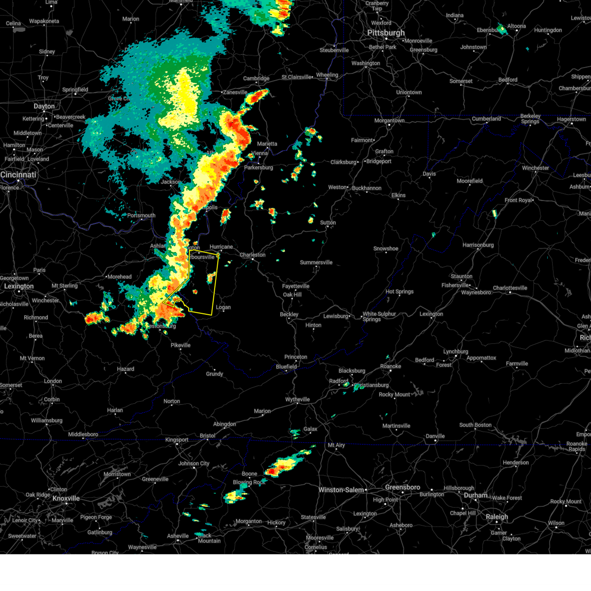
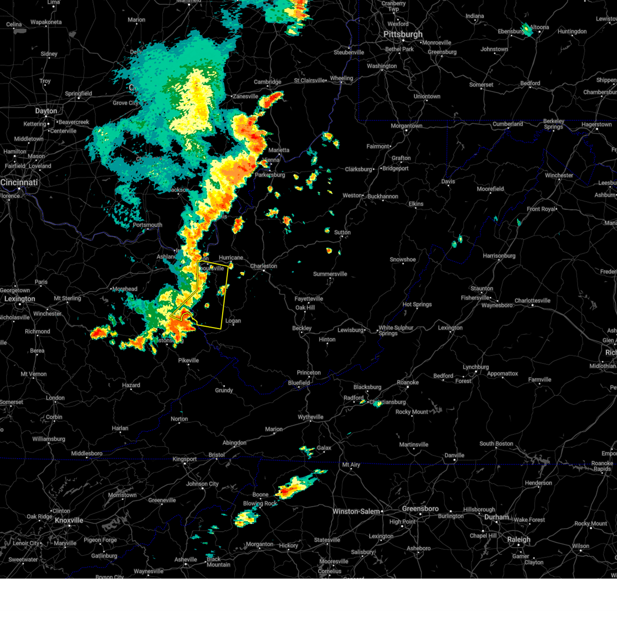
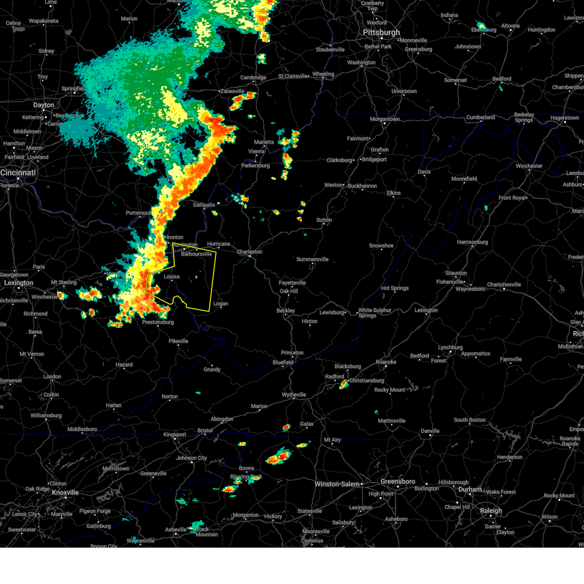
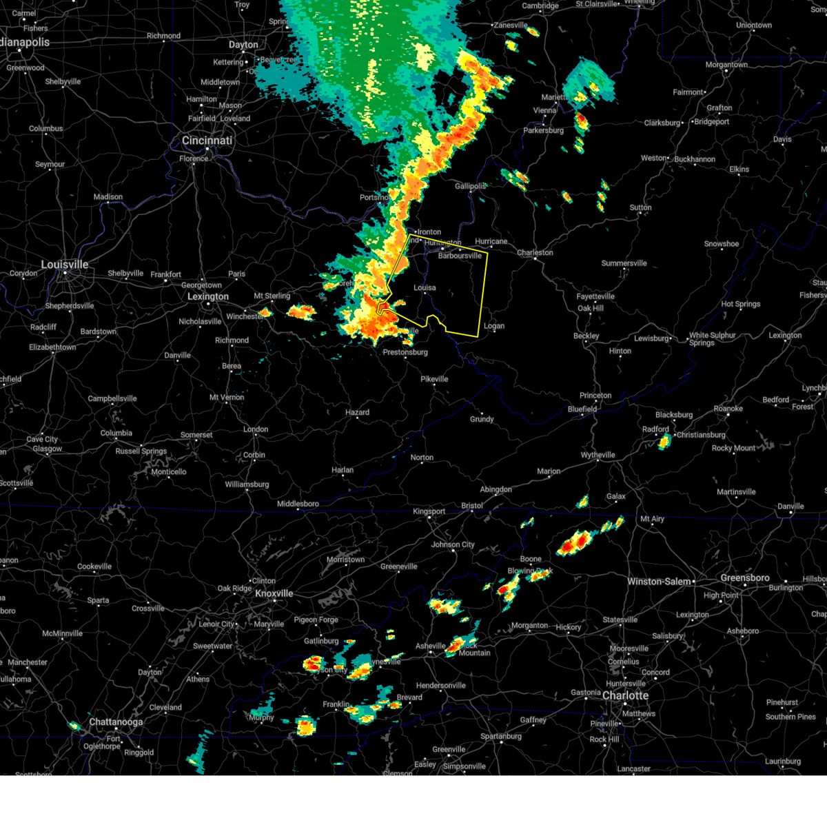
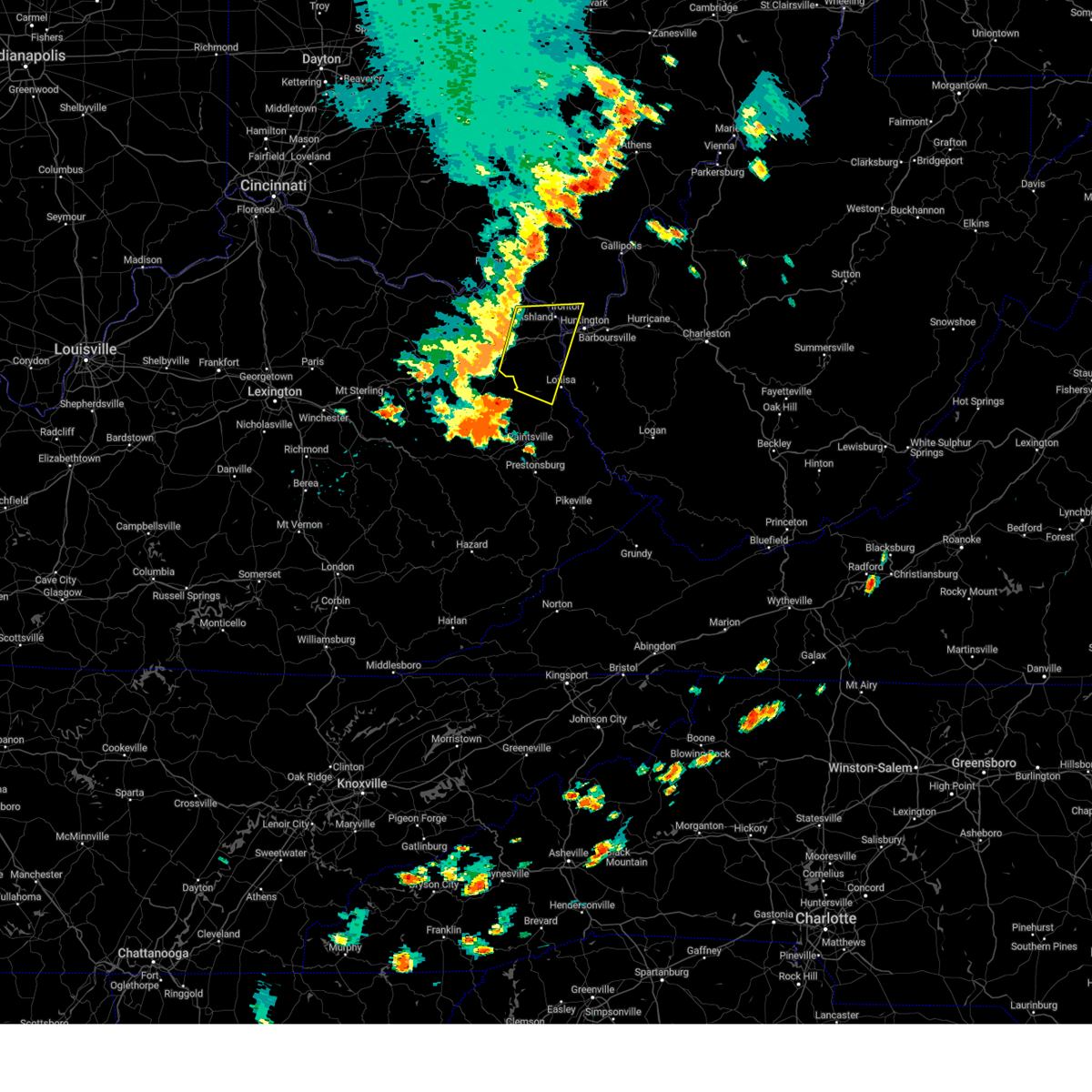
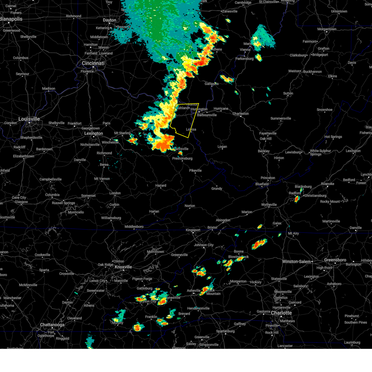
Hail Map for Huntington, WV
The Huntington, WV area has had 9 reports of on-the-ground hail by trained spotters, and has been under severe weather warnings 31 times during the past 12 months. Doppler radar has detected hail at or near Huntington, WV on 54 occasions, including 3 occasions during the past year.
| Name: | Huntington, WV |
| Where Located: | 43.2 miles W of Charleston, WV |
| Map: | Google Map for Huntington, WV |
| Population: | 49138 |
| Housing Units: | 25146 |
| More Info: | Search Google for Huntington, WV |
0
The Top Recent Hail Date for Huntington, WV is Friday, May 16, 2025 (29th out of 54)

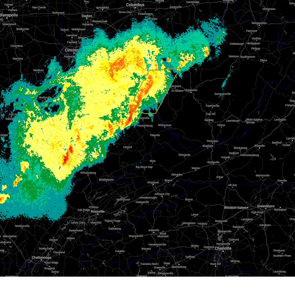
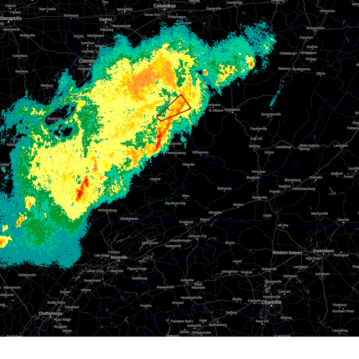
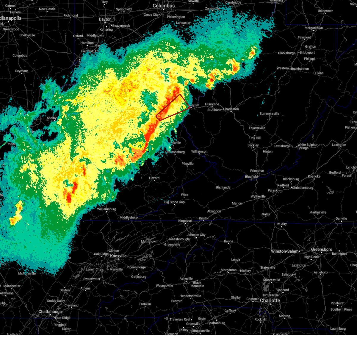
Hail and Wind Damage Spotted near Huntington, WV
| Date / Time | Report Details |
|---|---|
| 6/19/2025 2:40 PM EDT |
 the severe thunderstorm warning has been cancelled and is no longer in effect the severe thunderstorm warning has been cancelled and is no longer in effect
|
| 6/19/2025 2:40 PM EDT |
 At 239 pm edt, severe thunderstorms were located along a line extending from near buffalo to ona, moving east at 45 mph (radar indicated). Hazards include 60 mph wind gusts. Expect damage to roofs, siding, and trees. Locations impacted include, huntington, nitro, winfield, hurricane, barboursville, milton, eleanor, buffalo, poca, ona, culloden, kenna, teays valley, cross lanes, bancroft, liberty, kentuck, grimms landing, pea ridge, and fraziers bottom. At 239 pm edt, severe thunderstorms were located along a line extending from near buffalo to ona, moving east at 45 mph (radar indicated). Hazards include 60 mph wind gusts. Expect damage to roofs, siding, and trees. Locations impacted include, huntington, nitro, winfield, hurricane, barboursville, milton, eleanor, buffalo, poca, ona, culloden, kenna, teays valley, cross lanes, bancroft, liberty, kentuck, grimms landing, pea ridge, and fraziers bottom.
|
| 6/19/2025 2:26 PM EDT |
 Svrrlx the national weather service in charleston west virginia has issued a * severe thunderstorm warning for, southeastern lawrence county in southeastern ohio, southern mason county in western west virginia, cabell county in central west virginia, putnam county in western west virginia, northwestern kanawha county in central west virginia, southwestern roane county in central west virginia, southeastern jackson county in northwestern west virginia, * until 300 pm edt. * at 226 pm edt, severe thunderstorms were located along a line extending from 6 miles northwest of buffalo to huntington, moving east at 45 mph (radar indicated). Hazards include 60 mph wind gusts. expect damage to roofs, siding, and trees Svrrlx the national weather service in charleston west virginia has issued a * severe thunderstorm warning for, southeastern lawrence county in southeastern ohio, southern mason county in western west virginia, cabell county in central west virginia, putnam county in western west virginia, northwestern kanawha county in central west virginia, southwestern roane county in central west virginia, southeastern jackson county in northwestern west virginia, * until 300 pm edt. * at 226 pm edt, severe thunderstorms were located along a line extending from 6 miles northwest of buffalo to huntington, moving east at 45 mph (radar indicated). Hazards include 60 mph wind gusts. expect damage to roofs, siding, and trees
|
| 6/13/2025 8:21 PM EDT | The storm which prompted the warning has moved out of the area. therefore, the warning will be allowed to expire. however, gusty winds and heavy rain are still possible with this thunderstorm. |
| 6/13/2025 8:01 PM EDT | Tree contact resulted in 20 customers without powe in cabell county WV, 5.6 miles W of Huntington, WV |
| 6/13/2025 8:01 PM EDT |
 At 800 pm edt, a severe thunderstorm was located over beech fork state park, moving northeast at 25 mph (radar indicated). Hazards include 60 mph wind gusts. Expect damage to roofs, siding, and trees. Locations impacted include, huntington, wayne, hamlin, chesapeake, proctorville, beech fork state park, barboursville, east lynn lake, centerville, west hamlin, lavalette, branchland, salt rock, pea ridge, and east lynn. At 800 pm edt, a severe thunderstorm was located over beech fork state park, moving northeast at 25 mph (radar indicated). Hazards include 60 mph wind gusts. Expect damage to roofs, siding, and trees. Locations impacted include, huntington, wayne, hamlin, chesapeake, proctorville, beech fork state park, barboursville, east lynn lake, centerville, west hamlin, lavalette, branchland, salt rock, pea ridge, and east lynn.
|
| 6/13/2025 8:01 PM EDT |
 the severe thunderstorm warning has been cancelled and is no longer in effect the severe thunderstorm warning has been cancelled and is no longer in effect
|
| 6/13/2025 7:46 PM EDT |
 Svrrlx the national weather service in charleston west virginia has issued a * severe thunderstorm warning for, southeastern boyd county in northeastern kentucky, northeastern lawrence county in northeastern kentucky, south central lawrence county in southeastern ohio, southwestern cabell county in central west virginia, northwestern lincoln county in central west virginia, northern wayne county in western west virginia, * until 830 pm edt. * at 745 pm edt, a severe thunderstorm was located over centerville, or near wayne, moving northeast at 25 mph (radar indicated). Hazards include 60 mph wind gusts. expect damage to roofs, siding, and trees Svrrlx the national weather service in charleston west virginia has issued a * severe thunderstorm warning for, southeastern boyd county in northeastern kentucky, northeastern lawrence county in northeastern kentucky, south central lawrence county in southeastern ohio, southwestern cabell county in central west virginia, northwestern lincoln county in central west virginia, northern wayne county in western west virginia, * until 830 pm edt. * at 745 pm edt, a severe thunderstorm was located over centerville, or near wayne, moving northeast at 25 mph (radar indicated). Hazards include 60 mph wind gusts. expect damage to roofs, siding, and trees
|
| 4/14/2025 6:40 PM EDT |
 Svrrlx the national weather service in charleston west virginia has issued a * severe thunderstorm warning for, southeastern gallia county in southeastern ohio, southeastern lawrence county in southeastern ohio, southwestern mason county in western west virginia, northern cabell county in central west virginia, northwestern putnam county in western west virginia, * until 715 pm edt. * at 640 pm edt, a severe thunderstorm was located near proctorville, moving east at 55 mph (radar indicated). Hazards include ping pong ball size hail and 60 mph wind gusts. People and animals outdoors will be injured. expect hail damage to roofs, siding, windows, and vehicles. Expect wind damage to roofs, siding, and trees. Svrrlx the national weather service in charleston west virginia has issued a * severe thunderstorm warning for, southeastern gallia county in southeastern ohio, southeastern lawrence county in southeastern ohio, southwestern mason county in western west virginia, northern cabell county in central west virginia, northwestern putnam county in western west virginia, * until 715 pm edt. * at 640 pm edt, a severe thunderstorm was located near proctorville, moving east at 55 mph (radar indicated). Hazards include ping pong ball size hail and 60 mph wind gusts. People and animals outdoors will be injured. expect hail damage to roofs, siding, windows, and vehicles. Expect wind damage to roofs, siding, and trees.
|
| 4/3/2025 5:02 AM EDT | the severe thunderstorm warning has been cancelled and is no longer in effect |
| 4/3/2025 5:02 AM EDT | At 502 am edt, severe thunderstorms were located along a line extending from milton to milo, moving east at 45 mph (radar indicated). Hazards include 60 mph wind gusts. Expect damage to roofs, siding, and trees. Locations impacted include, ranger, louisa, barboursville, nitro, salt rock, palermo, pea ridge, genoa, alkol, poca, harts, mud, cross lanes, gill, gallup, sweetland, lavalette, west hamlin, clifford, and ulysses. |
| 4/3/2025 4:45 AM EDT | Svrrlx the national weather service in charleston west virginia has issued a * severe thunderstorm warning for, southeastern boyd county in northeastern kentucky, lawrence county in northeastern kentucky, southeastern lawrence county in southeastern ohio, cabell county in central west virginia, northwestern mingo county in southern west virginia, southern putnam county in western west virginia, west central kanawha county in central west virginia, lincoln county in central west virginia, northwestern logan county in southern west virginia, wayne county in western west virginia, * until 530 am edt. * at 445 am edt, severe thunderstorms were located along a line extending from near proctorville to near chandlerville, moving east at 45 mph (radar indicated). Hazards include 60 mph wind gusts. expect damage to roofs, siding, and trees |
| 4/3/2025 4:33 AM EDT |
 At 433 am edt, severe thunderstorms were located along a line extending from 8 miles northeast of lake vesuvius to keaton, moving east at 60 mph (radar indicated). Hazards include 60 mph wind gusts. Expect damage to roofs, siding, and trees. Locations impacted include, louisa, crown city, barboursville, coalton, denton, summit, waterloo, hitchins, burnaugh, pea ridge, ironton, kenova, worthington, ceredo, genoa, leon, aid, martha, gallup, and lavalette. At 433 am edt, severe thunderstorms were located along a line extending from 8 miles northeast of lake vesuvius to keaton, moving east at 60 mph (radar indicated). Hazards include 60 mph wind gusts. Expect damage to roofs, siding, and trees. Locations impacted include, louisa, crown city, barboursville, coalton, denton, summit, waterloo, hitchins, burnaugh, pea ridge, ironton, kenova, worthington, ceredo, genoa, leon, aid, martha, gallup, and lavalette.
|
| 4/3/2025 4:30 AM EDT |
 the tornado warning has been cancelled and is no longer in effect the tornado warning has been cancelled and is no longer in effect
|
| 4/3/2025 4:16 AM EDT |
 Torrlx the national weather service in charleston west virginia has issued a * tornado warning for, central boyd county in northeastern kentucky, southeastern greenup county in northeastern kentucky, southeastern carter county in northeastern kentucky, southwestern lawrence county in southeastern ohio, northern wayne county in western west virginia, * until 445 am edt. * at 415 am edt, a severe thunderstorm capable of producing a tornado was located near grayson lake state park, moving northeast at 85 mph (radar indicated rotation). Hazards include tornado. Flying debris will be dangerous to those caught without shelter. mobile homes will be damaged or destroyed. damage to roofs, windows, and vehicles will occur. tree damage is likely. this dangerous storm will be near, princess, rush, oldtown, coalton, and grayson around 420 am edt. ashland, naples, and cannonsburg around 425 am edt. coal grove, kenova, ironton, ceredo, and catlettsburg around 430 am edt. Other locations impacted by this tornadic thunderstorm include grahn, hopewell, flatwoods, summit, bellefonte, westwood, hitchins, raceland, russell, and burlington. Torrlx the national weather service in charleston west virginia has issued a * tornado warning for, central boyd county in northeastern kentucky, southeastern greenup county in northeastern kentucky, southeastern carter county in northeastern kentucky, southwestern lawrence county in southeastern ohio, northern wayne county in western west virginia, * until 445 am edt. * at 415 am edt, a severe thunderstorm capable of producing a tornado was located near grayson lake state park, moving northeast at 85 mph (radar indicated rotation). Hazards include tornado. Flying debris will be dangerous to those caught without shelter. mobile homes will be damaged or destroyed. damage to roofs, windows, and vehicles will occur. tree damage is likely. this dangerous storm will be near, princess, rush, oldtown, coalton, and grayson around 420 am edt. ashland, naples, and cannonsburg around 425 am edt. coal grove, kenova, ironton, ceredo, and catlettsburg around 430 am edt. Other locations impacted by this tornadic thunderstorm include grahn, hopewell, flatwoods, summit, bellefonte, westwood, hitchins, raceland, russell, and burlington.
|
| 4/3/2025 4:13 AM EDT | Svrrlx the national weather service in charleston west virginia has issued a * severe thunderstorm warning for, boyd county in northeastern kentucky, greenup county in northeastern kentucky, lawrence county in northeastern kentucky, carter county in northeastern kentucky, southern gallia county in southeastern ohio, lawrence county in southeastern ohio, southwestern mason county in western west virginia, cabell county in central west virginia, wayne county in western west virginia, * until 445 am edt. * at 412 am edt, severe thunderstorms were located along a line extending from near wheelersburg to wrigley, moving east at 60 mph (radar indicated). Hazards include 60 mph wind gusts. expect damage to roofs, siding, and trees |
| 3/31/2025 1:44 AM EDT | The storms which prompted the warning have weakened below severe limits, and no longer pose an immediate threat to life or property. therefore, the warning will be allowed to expire. however, gusty winds and heavy rain are still possible with these thunderstorms. a severe thunderstorm watch remains in effect until 600 am edt for northeastern kentucky, southeastern ohio, and central, western and northwestern west virginia. to report severe weather, contact your nearest law enforcement agency. they will relay your report to the national weather service charleston west virginia. remember, a severe thunderstorm warning still remains in effect for portions of mason and jackson counties in west virginia. |
| 3/31/2025 1:37 AM EDT | At 136 am edt, severe thunderstorms were located along a line extending from 9 miles southeast of point pleasant to near fort gay, moving east at 40 mph (radar indicated). Hazards include 60 mph wind gusts and penny size hail. Expect damage to roofs, siding, and trees. Locations impacted include, lockwood, ona, beech fork state park, louisa, crown city, culloden, barboursville, huntington, ashton, burnaugh, salt rock, pea ridge, burlington, eleanor, east lynn, genoa, fraziers bottom, hurricane, leon, and buffalo. |
| 3/31/2025 1:37 AM EDT | the severe thunderstorm warning has been cancelled and is no longer in effect |
| 3/31/2025 1:36 AM EDT | At 135 am edt, severe thunderstorms were located along a line extending from 9 miles southeast of point pleasant to near fort gay, moving east at 40 mph (radar indicated). Hazards include 60 mph wind gusts and penny size hail. Expect damage to roofs, siding, and trees. Locations impacted include, louisa, crown city, barboursville, burnaugh, salt rock, pea ridge, kenova, ceredo, genoa, fraziers bottom, leon, aid, buffalo, lavalette, west hamlin, durbin, east lynn lake, branchland, buchanan, and centerville. |
| 3/31/2025 1:13 AM EDT | Svrrlx the national weather service in charleston west virginia has issued a * severe thunderstorm warning for, boyd county in northeastern kentucky, northern lawrence county in northeastern kentucky, southeastern carter county in northeastern kentucky, southern gallia county in southeastern ohio, southeastern lawrence county in southeastern ohio, mason county in western west virginia, cabell county in central west virginia, northwestern putnam county in western west virginia, northwestern lincoln county in central west virginia, wayne county in western west virginia, west central jackson county in northwestern west virginia, * until 145 am edt. * at 112 am edt, severe thunderstorms were located along a line extending from 6 miles southwest of gallipolis to near webbville, moving east at 40 mph (radar indicated). Hazards include 60 mph wind gusts and penny size hail. expect damage to roofs, siding, and trees |
| 3/31/2025 1:03 AM EDT |
 At 102 am edt, severe thunderstorms were located along a line extending from 9 miles south of rio grande to 6 miles south of rush, moving east at 50 mph (radar indicated). Hazards include 60 mph wind gusts and penny size hail. Expect damage to roofs, siding, and trees. Locations impacted include, lockwood, webbville, princess, beech fork state park, crown city, catlettsburg, barboursville, coalton, huntington, denton, summit, waterloo, ashton, westwood, burnaugh, pea ridge, gallopolis ferry, ironton, burlington, and kenova. At 102 am edt, severe thunderstorms were located along a line extending from 9 miles south of rio grande to 6 miles south of rush, moving east at 50 mph (radar indicated). Hazards include 60 mph wind gusts and penny size hail. Expect damage to roofs, siding, and trees. Locations impacted include, lockwood, webbville, princess, beech fork state park, crown city, catlettsburg, barboursville, coalton, huntington, denton, summit, waterloo, ashton, westwood, burnaugh, pea ridge, gallopolis ferry, ironton, burlington, and kenova.
|
| 3/31/2025 1:03 AM EDT |
 the severe thunderstorm warning has been cancelled and is no longer in effect the severe thunderstorm warning has been cancelled and is no longer in effect
|
| 3/31/2025 12:45 AM EDT |
 Svrrlx the national weather service in charleston west virginia has issued a * severe thunderstorm warning for, boyd county in northeastern kentucky, southeastern greenup county in northeastern kentucky, northwestern lawrence county in northeastern kentucky, southeastern carter county in northeastern kentucky, southern gallia county in southeastern ohio, lawrence county in southeastern ohio, west central mason county in western west virginia, central cabell county in central west virginia, northwestern wayne county in western west virginia, * until 115 am edt. * at 1245 am edt, severe thunderstorms were located along a line extending from 8 miles east of south webster to near denton, moving east at 50 mph (radar indicated). Hazards include 60 mph wind gusts and penny size hail. expect damage to roofs, siding, and trees Svrrlx the national weather service in charleston west virginia has issued a * severe thunderstorm warning for, boyd county in northeastern kentucky, southeastern greenup county in northeastern kentucky, northwestern lawrence county in northeastern kentucky, southeastern carter county in northeastern kentucky, southern gallia county in southeastern ohio, lawrence county in southeastern ohio, west central mason county in western west virginia, central cabell county in central west virginia, northwestern wayne county in western west virginia, * until 115 am edt. * at 1245 am edt, severe thunderstorms were located along a line extending from 8 miles east of south webster to near denton, moving east at 50 mph (radar indicated). Hazards include 60 mph wind gusts and penny size hail. expect damage to roofs, siding, and trees
|
| 12/31/2024 12:53 PM EST |
 Svrrlx the national weather service in charleston west virginia has issued a * severe thunderstorm warning for, southeastern lawrence county in southeastern ohio, southern mason county in western west virginia, cabell county in central west virginia, western putnam county in western west virginia, western kanawha county in central west virginia, lincoln county in central west virginia, northeastern wayne county in western west virginia, northwestern boone county in central west virginia, * until 145 pm est. * at 1253 pm est, severe thunderstorms were located along a line extending from near proctorville to 6 miles east of beech fork state park to near kiahsville, moving east at 30 mph (radar indicated). Hazards include 60 mph wind gusts. expect damage to roofs, siding, and trees Svrrlx the national weather service in charleston west virginia has issued a * severe thunderstorm warning for, southeastern lawrence county in southeastern ohio, southern mason county in western west virginia, cabell county in central west virginia, western putnam county in western west virginia, western kanawha county in central west virginia, lincoln county in central west virginia, northeastern wayne county in western west virginia, northwestern boone county in central west virginia, * until 145 pm est. * at 1253 pm est, severe thunderstorms were located along a line extending from near proctorville to 6 miles east of beech fork state park to near kiahsville, moving east at 30 mph (radar indicated). Hazards include 60 mph wind gusts. expect damage to roofs, siding, and trees
|
| 9/27/2024 2:25 PM EDT | Several trees down and power lines on hous in wayne county WV, 5.6 miles NNE of Huntington, WV |
| 9/27/2024 2:24 PM EDT |
 Svrrlx the national weather service in charleston west virginia has issued a * severe thunderstorm warning for, northeastern boyd county in northeastern kentucky, northeastern greenup county in northeastern kentucky, southwestern gallia county in southeastern ohio, lawrence county in southeastern ohio, northwestern cabell county in central west virginia, northwestern wayne county in western west virginia, * until 330 pm edt. * at 223 pm edt, a severe thunderstorm was located over catlettsburg, or near ashland, moving northwest at 25 mph (radar indicated). Hazards include 70 mph wind gusts. Expect considerable tree damage. Damage is likely to mobile homes, roofs, and outbuildings. Svrrlx the national weather service in charleston west virginia has issued a * severe thunderstorm warning for, northeastern boyd county in northeastern kentucky, northeastern greenup county in northeastern kentucky, southwestern gallia county in southeastern ohio, lawrence county in southeastern ohio, northwestern cabell county in central west virginia, northwestern wayne county in western west virginia, * until 330 pm edt. * at 223 pm edt, a severe thunderstorm was located over catlettsburg, or near ashland, moving northwest at 25 mph (radar indicated). Hazards include 70 mph wind gusts. Expect considerable tree damage. Damage is likely to mobile homes, roofs, and outbuildings.
|
| 9/27/2024 2:10 PM EDT |
 the severe thunderstorm warning has been cancelled and is no longer in effect the severe thunderstorm warning has been cancelled and is no longer in effect
|
| 9/27/2024 2:10 PM EDT |
 At 209 pm edt, a severe thunderstorm was located near ceredo, or 7 miles southwest of huntington, moving northwest at 35 mph (radar indicated). Hazards include 60 mph wind gusts. Expect damage to roofs, siding, and trees. Locations impacted include, huntington, ashland, ironton, coal grove, chesapeake, proctorville, beech fork state park, cannonsburg, barboursville, kenova, catlettsburg, ceredo, burnaugh, durbin, centerville, flatwoods, south point, russell, raceland, and burlington. At 209 pm edt, a severe thunderstorm was located near ceredo, or 7 miles southwest of huntington, moving northwest at 35 mph (radar indicated). Hazards include 60 mph wind gusts. Expect damage to roofs, siding, and trees. Locations impacted include, huntington, ashland, ironton, coal grove, chesapeake, proctorville, beech fork state park, cannonsburg, barboursville, kenova, catlettsburg, ceredo, burnaugh, durbin, centerville, flatwoods, south point, russell, raceland, and burlington.
|
| 9/27/2024 2:00 PM EDT |
 Svrrlx the national weather service in charleston west virginia has issued a * severe thunderstorm warning for, boyd county in northeastern kentucky, southeastern greenup county in northeastern kentucky, northeastern lawrence county in northeastern kentucky, south central gallia county in southeastern ohio, southeastern lawrence county in southeastern ohio, western cabell county in central west virginia, northern wayne county in western west virginia, * until 230 pm edt. * at 159 pm edt, a severe thunderstorm was located over centerville, or near wayne, moving northwest at 35 mph (radar indicated). Hazards include 60 mph wind gusts. expect damage to roofs, siding, and trees Svrrlx the national weather service in charleston west virginia has issued a * severe thunderstorm warning for, boyd county in northeastern kentucky, southeastern greenup county in northeastern kentucky, northeastern lawrence county in northeastern kentucky, south central gallia county in southeastern ohio, southeastern lawrence county in southeastern ohio, western cabell county in central west virginia, northern wayne county in western west virginia, * until 230 pm edt. * at 159 pm edt, a severe thunderstorm was located over centerville, or near wayne, moving northwest at 35 mph (radar indicated). Hazards include 60 mph wind gusts. expect damage to roofs, siding, and trees
|
| 8/29/2024 6:42 PM EDT | Tree down on the residence between w 6th st and w 4th s in cabell county WV, 1.6 miles ESE of Huntington, WV |
| 8/29/2024 6:35 PM EDT | Tree down at crescent drive... huntington. airport road and broad hollow roa in wayne county WV, 7.6 miles ENE of Huntington, WV |
| 8/29/2024 6:28 PM EDT | Tree down at 40 smith branch road... huntingto in wayne county WV, 7.5 miles E of Huntington, WV |
| 8/29/2024 6:26 PM EDT | Power pole/lines down. tree down also. time estimated from rada in wayne county WV, 8.2 miles NNE of Huntington, WV |
| 8/29/2024 6:23 PM EDT | Tree dow in wayne county WV, 4.2 miles E of Huntington, WV |
| 8/29/2024 6:23 PM EDT | Tree down blocking the roa in wayne county WV, 7.5 miles E of Huntington, WV |
| 7/14/2024 6:15 PM EDT | 3-inch tree limbs broke in wayne county WV, 3.1 miles E of Huntington, WV |
| 7/14/2024 6:08 PM EDT | Tree down on washington blv in cabell county WV, 1.3 miles WSW of Huntington, WV |
| 7/14/2024 6:07 PM EDT |
 Svrrlx the national weather service in charleston west virginia has issued a * severe thunderstorm warning for, central calhoun county in north central west virginia, southern mason county in western west virginia, cabell county in central west virginia, putnam county in western west virginia, kanawha county in central west virginia, northern lincoln county in central west virginia, roane county in central west virginia, jackson county in northwestern west virginia, northeastern wayne county in western west virginia, northern boone county in central west virginia, * until 715 pm edt. * at 607 pm edt, severe thunderstorms were located along a line extending from 6 miles southwest of racine to 8 miles west of buffalo to proctorville, moving southeast at 45 mph (radar indicated). Hazards include 60 mph wind gusts. expect damage to roofs, siding, and trees Svrrlx the national weather service in charleston west virginia has issued a * severe thunderstorm warning for, central calhoun county in north central west virginia, southern mason county in western west virginia, cabell county in central west virginia, putnam county in western west virginia, kanawha county in central west virginia, northern lincoln county in central west virginia, roane county in central west virginia, jackson county in northwestern west virginia, northeastern wayne county in western west virginia, northern boone county in central west virginia, * until 715 pm edt. * at 607 pm edt, severe thunderstorms were located along a line extending from 6 miles southwest of racine to 8 miles west of buffalo to proctorville, moving southeast at 45 mph (radar indicated). Hazards include 60 mph wind gusts. expect damage to roofs, siding, and trees
|
| 7/14/2024 6:03 PM EDT |
 At 602 pm edt, severe thunderstorms were located along a line extending from near new haven to 9 miles south of gallipolis to near chesapeake, moving southeast at 45 mph (radar indicated). Hazards include 60 mph wind gusts. Expect damage to roofs, siding, and trees. Locations impacted include, huntington, ashland, ironton, point pleasant, gallipolis, coal grove, pomeroy, rio grande, chesapeake, racine, proctorville, rutland, beech fork state park, lake vesuvius, barboursville, ravenswood, kenova, catlettsburg, new haven, and ceredo. At 602 pm edt, severe thunderstorms were located along a line extending from near new haven to 9 miles south of gallipolis to near chesapeake, moving southeast at 45 mph (radar indicated). Hazards include 60 mph wind gusts. Expect damage to roofs, siding, and trees. Locations impacted include, huntington, ashland, ironton, point pleasant, gallipolis, coal grove, pomeroy, rio grande, chesapeake, racine, proctorville, rutland, beech fork state park, lake vesuvius, barboursville, ravenswood, kenova, catlettsburg, new haven, and ceredo.
|
| 7/14/2024 5:35 PM EDT |
 Svrrlx the national weather service in charleston west virginia has issued a * severe thunderstorm warning for, northeastern boyd county in northeastern kentucky, central greenup county in northeastern kentucky, meigs county in southeastern ohio, gallia county in southeastern ohio, lawrence county in southeastern ohio, mason county in western west virginia, cabell county in central west virginia, northwestern putnam county in western west virginia, northwestern jackson county in northwestern west virginia, north central wayne county in western west virginia, * until 615 pm edt. * at 534 pm edt, severe thunderstorms were located along a line extending from 10 miles southwest of albany to near rio grande to 6 miles northwest of lake vesuvius, moving southeast at 45 mph (radar indicated). Hazards include 60 mph wind gusts. expect damage to roofs, siding, and trees Svrrlx the national weather service in charleston west virginia has issued a * severe thunderstorm warning for, northeastern boyd county in northeastern kentucky, central greenup county in northeastern kentucky, meigs county in southeastern ohio, gallia county in southeastern ohio, lawrence county in southeastern ohio, mason county in western west virginia, cabell county in central west virginia, northwestern putnam county in western west virginia, northwestern jackson county in northwestern west virginia, north central wayne county in western west virginia, * until 615 pm edt. * at 534 pm edt, severe thunderstorms were located along a line extending from 10 miles southwest of albany to near rio grande to 6 miles northwest of lake vesuvius, moving southeast at 45 mph (radar indicated). Hazards include 60 mph wind gusts. expect damage to roofs, siding, and trees
|
| 6/29/2024 10:27 PM EDT |
 The storms which prompted the warning have weakened below severe limits, and have exited the warned area. therefore, the warning will be allowed to expire. however, small hail, gusty winds and heavy rain are still possible with these thunderstorms. The storms which prompted the warning have weakened below severe limits, and have exited the warned area. therefore, the warning will be allowed to expire. however, small hail, gusty winds and heavy rain are still possible with these thunderstorms.
|
| 6/29/2024 10:11 PM EDT |
 the severe thunderstorm warning has been cancelled and is no longer in effect the severe thunderstorm warning has been cancelled and is no longer in effect
|
| 6/29/2024 10:11 PM EDT |
 At 1010 pm edt, severe thunderstorms were located along a line extending from 11 miles northwest of milton to ona to near beech fork state park, moving east at 40 mph (radar indicated). Hazards include 60 mph wind gusts and penny size hail. Expect damage to roofs, siding, and trees. Locations impacted include, huntington, hamlin, proctorville, beech fork state park, hurricane, barboursville, milton, eleanor, ona, culloden, teays valley, west hamlin, crown city, athalia, lavalette, scottown, salt rock, pea ridge, green bottom, and fraziers bottom. At 1010 pm edt, severe thunderstorms were located along a line extending from 11 miles northwest of milton to ona to near beech fork state park, moving east at 40 mph (radar indicated). Hazards include 60 mph wind gusts and penny size hail. Expect damage to roofs, siding, and trees. Locations impacted include, huntington, hamlin, proctorville, beech fork state park, hurricane, barboursville, milton, eleanor, ona, culloden, teays valley, west hamlin, crown city, athalia, lavalette, scottown, salt rock, pea ridge, green bottom, and fraziers bottom.
|
| 6/29/2024 9:54 PM EDT |
 Svrrlx the national weather service in charleston west virginia has issued a * severe thunderstorm warning for, east central boyd county in northeastern kentucky, south central gallia county in southeastern ohio, southeastern lawrence county in southeastern ohio, southwestern mason county in western west virginia, cabell county in central west virginia, southwestern putnam county in western west virginia, northwestern lincoln county in central west virginia, northern wayne county in western west virginia, * until 1030 pm edt. * at 953 pm edt, severe thunderstorms were located along a line extending from 12 miles east of lake vesuvius to near proctorville to near ceredo, moving east at 40 mph (radar indicated). Hazards include 60 mph wind gusts and penny size hail. expect damage to roofs, siding, and trees Svrrlx the national weather service in charleston west virginia has issued a * severe thunderstorm warning for, east central boyd county in northeastern kentucky, south central gallia county in southeastern ohio, southeastern lawrence county in southeastern ohio, southwestern mason county in western west virginia, cabell county in central west virginia, southwestern putnam county in western west virginia, northwestern lincoln county in central west virginia, northern wayne county in western west virginia, * until 1030 pm edt. * at 953 pm edt, severe thunderstorms were located along a line extending from 12 miles east of lake vesuvius to near proctorville to near ceredo, moving east at 40 mph (radar indicated). Hazards include 60 mph wind gusts and penny size hail. expect damage to roofs, siding, and trees
|
| 6/29/2024 9:43 PM EDT |
 At 942 pm edt, severe thunderstorms were located along a line extending from 8 miles east of lake vesuvius to 7 miles north of chesapeake to catlettsburg, moving east at 35 mph (radar indicated). Hazards include 60 mph wind gusts and penny size hail. Expect damage to roofs, siding, and trees. Locations impacted include, huntington, ashland, ironton, coal grove, chesapeake, proctorville, lake vesuvius, kenova, catlettsburg, ceredo, naples, flatwoods, south point, russell, vernon, waterloo, raceland, worthington, burlington, and bellefonte. At 942 pm edt, severe thunderstorms were located along a line extending from 8 miles east of lake vesuvius to 7 miles north of chesapeake to catlettsburg, moving east at 35 mph (radar indicated). Hazards include 60 mph wind gusts and penny size hail. Expect damage to roofs, siding, and trees. Locations impacted include, huntington, ashland, ironton, coal grove, chesapeake, proctorville, lake vesuvius, kenova, catlettsburg, ceredo, naples, flatwoods, south point, russell, vernon, waterloo, raceland, worthington, burlington, and bellefonte.
|
| 6/29/2024 9:28 PM EDT |
 Svrrlx the national weather service in charleston west virginia has issued a * severe thunderstorm warning for, northern boyd county in northeastern kentucky, southeastern greenup county in northeastern kentucky, southern gallia county in southeastern ohio, lawrence county in southeastern ohio, northwestern cabell county in central west virginia, * until 1000 pm edt. * at 928 pm edt, severe thunderstorms were located along a line extending from near lake vesuvius to near ironton to near naples, moving east at 25 mph (radar indicated). Hazards include 60 mph wind gusts. expect damage to roofs, siding, and trees Svrrlx the national weather service in charleston west virginia has issued a * severe thunderstorm warning for, northern boyd county in northeastern kentucky, southeastern greenup county in northeastern kentucky, southern gallia county in southeastern ohio, lawrence county in southeastern ohio, northwestern cabell county in central west virginia, * until 1000 pm edt. * at 928 pm edt, severe thunderstorms were located along a line extending from near lake vesuvius to near ironton to near naples, moving east at 25 mph (radar indicated). Hazards include 60 mph wind gusts. expect damage to roofs, siding, and trees
|
| 5/26/2024 4:21 PM EDT |
 The storms which prompted the warning have moved out of the area. therefore, the warning will be allowed to expire. however, gusty winds are still possible with these thunderstorms. a severe thunderstorm watch remains in effect until 800 pm edt for northeastern kentucky, southeastern ohio, and central and western west virginia. The storms which prompted the warning have moved out of the area. therefore, the warning will be allowed to expire. however, gusty winds are still possible with these thunderstorms. a severe thunderstorm watch remains in effect until 800 pm edt for northeastern kentucky, southeastern ohio, and central and western west virginia.
|
| 5/26/2024 4:01 PM EDT |
 the severe thunderstorm warning has been cancelled and is no longer in effect the severe thunderstorm warning has been cancelled and is no longer in effect
|
| 5/26/2024 4:01 PM EDT |
 At 400 pm edt, severe thunderstorms were located along a line extending from 10 miles southwest of gallipolis to near barboursville to near dunlow, moving east at 40 mph (radar indicated). Hazards include 60 mph wind gusts and quarter size hail. Hail damage to vehicles is expected. expect wind damage to roofs, siding, and trees. Locations impacted include, huntington, wayne, chesapeake, proctorville, beech fork state park, barboursville, east lynn lake, aid, west hamlin, athalia, lavalette, scottown, branchland, salt rock, pea ridge, east lynn, and genoa. At 400 pm edt, severe thunderstorms were located along a line extending from 10 miles southwest of gallipolis to near barboursville to near dunlow, moving east at 40 mph (radar indicated). Hazards include 60 mph wind gusts and quarter size hail. Hail damage to vehicles is expected. expect wind damage to roofs, siding, and trees. Locations impacted include, huntington, wayne, chesapeake, proctorville, beech fork state park, barboursville, east lynn lake, aid, west hamlin, athalia, lavalette, scottown, branchland, salt rock, pea ridge, east lynn, and genoa.
|
| 5/26/2024 4:00 PM EDT |
 Torrlx the national weather service in charleston west virginia has issued a * tornado warning for, southeastern lawrence county in southeastern ohio, southern mason county in western west virginia, northeastern cabell county in central west virginia, northwestern putnam county in western west virginia, * until 430 pm edt. * at 400 pm edt, a severe thunderstorm capable of producing a tornado was located near ona, or 8 miles east of proctorville, moving east at 40 mph (radar indicated rotation). Hazards include tornado. Flying debris will be dangerous to those caught without shelter. mobile homes will be damaged or destroyed. damage to roofs, windows, and vehicles will occur. tree damage is likely. this dangerous storm will be near, hurricane, milton, and culloden around 405 pm edt. eleanor, buffalo, and teays valley around 410 pm edt. winfield around 415 pm edt. Other locations impacted by this tornadic thunderstorm include bancroft, pea ridge, fraziers bottom, and athalia. Torrlx the national weather service in charleston west virginia has issued a * tornado warning for, southeastern lawrence county in southeastern ohio, southern mason county in western west virginia, northeastern cabell county in central west virginia, northwestern putnam county in western west virginia, * until 430 pm edt. * at 400 pm edt, a severe thunderstorm capable of producing a tornado was located near ona, or 8 miles east of proctorville, moving east at 40 mph (radar indicated rotation). Hazards include tornado. Flying debris will be dangerous to those caught without shelter. mobile homes will be damaged or destroyed. damage to roofs, windows, and vehicles will occur. tree damage is likely. this dangerous storm will be near, hurricane, milton, and culloden around 405 pm edt. eleanor, buffalo, and teays valley around 410 pm edt. winfield around 415 pm edt. Other locations impacted by this tornadic thunderstorm include bancroft, pea ridge, fraziers bottom, and athalia.
|
| 5/26/2024 3:13 PM EDT |
 Svrrlx the national weather service in charleston west virginia has issued a * severe thunderstorm warning for, boyd county in northeastern kentucky, central greenup county in northeastern kentucky, lawrence county in northeastern kentucky, southeastern carter county in northeastern kentucky, southern lawrence county in southeastern ohio, southwestern cabell county in central west virginia, northwestern lincoln county in central west virginia, wayne county in western west virginia, * until 430 pm edt. * at 313 pm edt, a severe thunderstorm was located over rush, or near cannonsburg, moving east at 45 mph (radar indicated). Hazards include 60 mph wind gusts and quarter size hail. Hail damage to vehicles is expected. Expect wind damage to roofs, siding, and trees. Svrrlx the national weather service in charleston west virginia has issued a * severe thunderstorm warning for, boyd county in northeastern kentucky, central greenup county in northeastern kentucky, lawrence county in northeastern kentucky, southeastern carter county in northeastern kentucky, southern lawrence county in southeastern ohio, southwestern cabell county in central west virginia, northwestern lincoln county in central west virginia, wayne county in western west virginia, * until 430 pm edt. * at 313 pm edt, a severe thunderstorm was located over rush, or near cannonsburg, moving east at 45 mph (radar indicated). Hazards include 60 mph wind gusts and quarter size hail. Hail damage to vehicles is expected. Expect wind damage to roofs, siding, and trees.
|
| 5/22/2024 2:31 PM EDT |
 At 231 pm edt, a severe thunderstorm was located near ona, or 10 miles northeast of proctorville, moving east at 35 mph (radar indicated). Hazards include 60 mph wind gusts and half dollar size hail. Hail damage to vehicles is expected. expect wind damage to roofs, siding, and trees. Locations impacted include, huntington, proctorville, hurricane, barboursville, milton, buffalo, ona, culloden, teays valley, crown city, athalia, pea ridge, green bottom, and fraziers bottom. At 231 pm edt, a severe thunderstorm was located near ona, or 10 miles northeast of proctorville, moving east at 35 mph (radar indicated). Hazards include 60 mph wind gusts and half dollar size hail. Hail damage to vehicles is expected. expect wind damage to roofs, siding, and trees. Locations impacted include, huntington, proctorville, hurricane, barboursville, milton, buffalo, ona, culloden, teays valley, crown city, athalia, pea ridge, green bottom, and fraziers bottom.
|
| 5/22/2024 2:12 PM EDT |
 Svrrlx the national weather service in charleston west virginia has issued a * severe thunderstorm warning for, south central gallia county in southeastern ohio, southeastern lawrence county in southeastern ohio, southwestern mason county in western west virginia, cabell county in central west virginia, northwestern putnam county in western west virginia, * until 245 pm edt. * at 211 pm edt, a severe thunderstorm was located near proctorville, moving east at 35 mph (radar indicated). Hazards include 60 mph wind gusts and half dollar size hail. Hail damage to vehicles is expected. Expect wind damage to roofs, siding, and trees. Svrrlx the national weather service in charleston west virginia has issued a * severe thunderstorm warning for, south central gallia county in southeastern ohio, southeastern lawrence county in southeastern ohio, southwestern mason county in western west virginia, cabell county in central west virginia, northwestern putnam county in western west virginia, * until 245 pm edt. * at 211 pm edt, a severe thunderstorm was located near proctorville, moving east at 35 mph (radar indicated). Hazards include 60 mph wind gusts and half dollar size hail. Hail damage to vehicles is expected. Expect wind damage to roofs, siding, and trees.
|
| 4/2/2024 10:53 AM EDT |
 the severe thunderstorm warning has been cancelled and is no longer in effect the severe thunderstorm warning has been cancelled and is no longer in effect
|
| 4/2/2024 10:53 AM EDT |
 At 1050 am edt, severe thunderstorms were located along a line extending from 10 miles north of ona to river, moving east at 60 mph (radar indicated). Hazards include 80 mph wind gusts and penny size hail. Flying debris will be dangerous to those caught without shelter. mobile homes will be heavily damaged. expect considerable damage to roofs, windows, and vehicles. extensive tree damage and power outages are likely. Locations impacted include, huntington, nitro, louisa, winfield, wayne, hamlin, proctorville, beech fork state park, hurricane, barboursville, milton, eleanor, buffalo, poca, fort gay, ranger, ona, culloden, harts, and gill. At 1050 am edt, severe thunderstorms were located along a line extending from 10 miles north of ona to river, moving east at 60 mph (radar indicated). Hazards include 80 mph wind gusts and penny size hail. Flying debris will be dangerous to those caught without shelter. mobile homes will be heavily damaged. expect considerable damage to roofs, windows, and vehicles. extensive tree damage and power outages are likely. Locations impacted include, huntington, nitro, louisa, winfield, wayne, hamlin, proctorville, beech fork state park, hurricane, barboursville, milton, eleanor, buffalo, poca, fort gay, ranger, ona, culloden, harts, and gill.
|
| 4/2/2024 10:38 AM EDT |
 At 1038 am edt, a severe squall line capable of producing both tornadoes and extensive straight line wind damage was located along a line extending from 9 miles southwest of gallipolis to near huntington, moving east at 70 mph (radar indicated rotation). Hazards include tornado. Flying debris will be dangerous to those caught without shelter. mobile homes will be damaged or destroyed. damage to roofs, windows, and vehicles will occur. tree damage is likely. these dangerous storms will be near, barboursville, milton, culloden, and ona around 1045 am edt. Other locations impacted by these tornadic storms include green bottom, pea ridge, ashton, athalia, and crown city. At 1038 am edt, a severe squall line capable of producing both tornadoes and extensive straight line wind damage was located along a line extending from 9 miles southwest of gallipolis to near huntington, moving east at 70 mph (radar indicated rotation). Hazards include tornado. Flying debris will be dangerous to those caught without shelter. mobile homes will be damaged or destroyed. damage to roofs, windows, and vehicles will occur. tree damage is likely. these dangerous storms will be near, barboursville, milton, culloden, and ona around 1045 am edt. Other locations impacted by these tornadic storms include green bottom, pea ridge, ashton, athalia, and crown city.
|
| 4/2/2024 10:38 AM EDT |
 the tornado warning has been cancelled and is no longer in effect the tornado warning has been cancelled and is no longer in effect
|
| 4/2/2024 10:36 AM EDT |
 the severe thunderstorm warning has been cancelled and is no longer in effect the severe thunderstorm warning has been cancelled and is no longer in effect
|
| 4/2/2024 10:36 AM EDT |
 At 1034 am edt, severe thunderstorms were located along a line extending from 9 miles north of proctorville to near barnetts creek, moving east at 70 mph. these are destructive storms for barboursville, louisa, winfield, milton, hurricane, chesapeake, and hamlin (radar indicated). Hazards include 80 mph wind gusts. Flying debris will be dangerous to those caught without shelter. mobile homes will be heavily damaged. expect considerable damage to roofs, windows, and vehicles. extensive tree damage and power outages are likely. Locations impacted include, huntington, nitro, louisa, winfield, wayne, hamlin, chesapeake, proctorville, blaine, beech fork state park, yatesville lake state park, hurricane, barboursville, kenova, milton, catlettsburg, eleanor, ceredo, buffalo, and poca. At 1034 am edt, severe thunderstorms were located along a line extending from 9 miles north of proctorville to near barnetts creek, moving east at 70 mph. these are destructive storms for barboursville, louisa, winfield, milton, hurricane, chesapeake, and hamlin (radar indicated). Hazards include 80 mph wind gusts. Flying debris will be dangerous to those caught without shelter. mobile homes will be heavily damaged. expect considerable damage to roofs, windows, and vehicles. extensive tree damage and power outages are likely. Locations impacted include, huntington, nitro, louisa, winfield, wayne, hamlin, chesapeake, proctorville, blaine, beech fork state park, yatesville lake state park, hurricane, barboursville, kenova, milton, catlettsburg, eleanor, ceredo, buffalo, and poca.
|
| 4/2/2024 10:35 AM EDT | Trees and power lines down all over huntington. tractor trailor flipped over on the 31st bridg in cabell county WV, 1.2 miles S of Huntington, WV |
| 4/2/2024 10:30 AM EDT | Storm damage reported in wayne county WV, 7.3 miles ENE of Huntington, WV |
| 4/2/2024 10:27 AM EDT |
 Torrlx the national weather service in charleston west virginia has issued a * tornado warning for, northeastern boyd county in northeastern kentucky, southern gallia county in southeastern ohio, lawrence county in southeastern ohio, southwestern mason county in western west virginia, cabell county in central west virginia, west central putnam county in western west virginia, north central wayne county in western west virginia, * until 1100 am edt. * at 1026 am edt, severe thunderstorms capable of producing both tornadoes and extensive straight line wind damage were located along a line extending from 9 miles northeast of lake vesuvius to near ashland, moving east at 55 mph (radar indicated rotation). Hazards include tornado. Flying debris will be dangerous to those caught without shelter. mobile homes will be damaged or destroyed. damage to roofs, windows, and vehicles will occur. tree damage is likely. these dangerous storms will be near, huntington, ashland, chesapeake, kenova, catlettsburg, and ceredo around 1030 am edt. proctorville around 1035 am edt. barboursville around 1040 am edt. ona around 1045 am edt. milton and culloden around 1050 am edt. Other locations impacted by these tornadic storms include pea ridge, burlington, athalia, crown city, south point, green bottom, scottown, waterloo, ashton, and aid. Torrlx the national weather service in charleston west virginia has issued a * tornado warning for, northeastern boyd county in northeastern kentucky, southern gallia county in southeastern ohio, lawrence county in southeastern ohio, southwestern mason county in western west virginia, cabell county in central west virginia, west central putnam county in western west virginia, north central wayne county in western west virginia, * until 1100 am edt. * at 1026 am edt, severe thunderstorms capable of producing both tornadoes and extensive straight line wind damage were located along a line extending from 9 miles northeast of lake vesuvius to near ashland, moving east at 55 mph (radar indicated rotation). Hazards include tornado. Flying debris will be dangerous to those caught without shelter. mobile homes will be damaged or destroyed. damage to roofs, windows, and vehicles will occur. tree damage is likely. these dangerous storms will be near, huntington, ashland, chesapeake, kenova, catlettsburg, and ceredo around 1030 am edt. proctorville around 1035 am edt. barboursville around 1040 am edt. ona around 1045 am edt. milton and culloden around 1050 am edt. Other locations impacted by these tornadic storms include pea ridge, burlington, athalia, crown city, south point, green bottom, scottown, waterloo, ashton, and aid.
|
| 4/2/2024 10:22 AM EDT |
 Svrrlx the national weather service in charleston west virginia has issued a * severe thunderstorm warning for, boyd county in northeastern kentucky, lawrence county in northeastern kentucky, southeastern carter county in northeastern kentucky, south central gallia county in southeastern ohio, southeastern lawrence county in southeastern ohio, southwestern mason county in western west virginia, cabell county in central west virginia, northwestern mingo county in southern west virginia, putnam county in western west virginia, western lincoln county in central west virginia, wayne county in western west virginia, * until 1100 am edt. * at 1021 am edt, severe thunderstorms were located along a line extending from near lake vesuvius to logville, moving east at 65 mph (radar indicated). Hazards include 60 mph wind gusts. expect damage to roofs, siding, and trees Svrrlx the national weather service in charleston west virginia has issued a * severe thunderstorm warning for, boyd county in northeastern kentucky, lawrence county in northeastern kentucky, southeastern carter county in northeastern kentucky, south central gallia county in southeastern ohio, southeastern lawrence county in southeastern ohio, southwestern mason county in western west virginia, cabell county in central west virginia, northwestern mingo county in southern west virginia, putnam county in western west virginia, western lincoln county in central west virginia, wayne county in western west virginia, * until 1100 am edt. * at 1021 am edt, severe thunderstorms were located along a line extending from near lake vesuvius to logville, moving east at 65 mph (radar indicated). Hazards include 60 mph wind gusts. expect damage to roofs, siding, and trees
|
| 3/14/2024 5:27 PM EDT |
 Svrrlx the national weather service in charleston west virginia has issued a * severe thunderstorm warning for, boyd county in northeastern kentucky, south central greenup county in northeastern kentucky, north central lawrence county in northeastern kentucky, eastern carter county in northeastern kentucky, northwestern wayne county in western west virginia, * until 600 pm edt. * at 527 pm edt, a severe thunderstorm was located over grayson, moving east at 35 mph (radar indicated). Hazards include 60 mph wind gusts and quarter size hail. Hail damage to vehicles is expected. Expect wind damage to roofs, siding, and trees. Svrrlx the national weather service in charleston west virginia has issued a * severe thunderstorm warning for, boyd county in northeastern kentucky, south central greenup county in northeastern kentucky, north central lawrence county in northeastern kentucky, eastern carter county in northeastern kentucky, northwestern wayne county in western west virginia, * until 600 pm edt. * at 527 pm edt, a severe thunderstorm was located over grayson, moving east at 35 mph (radar indicated). Hazards include 60 mph wind gusts and quarter size hail. Hail damage to vehicles is expected. Expect wind damage to roofs, siding, and trees.
|
| 2/28/2024 8:39 AM EST |
 The storm which prompted the warning has moved out of the area. therefore, the warning will be allowed to expire. however, gusty winds and heavy rain are still possible with this thunderstorm. a tornado watch remains in effect until 900 am est for northeastern kentucky. a tornado watch also remains in effect until 1000 am est for southeastern ohio, and central and western west virginia. The storm which prompted the warning has moved out of the area. therefore, the warning will be allowed to expire. however, gusty winds and heavy rain are still possible with this thunderstorm. a tornado watch remains in effect until 900 am est for northeastern kentucky. a tornado watch also remains in effect until 1000 am est for southeastern ohio, and central and western west virginia.
|
| 2/28/2024 8:27 AM EST |
 At 827 am est, a severe thunderstorm was located near ceredo, or 7 miles southwest of huntington, moving east at 60 mph (radar indicated). Hazards include 60 mph wind gusts and penny size hail. Expect damage to roofs, siding, and trees. Locations impacted include, huntington, wayne, chesapeake, proctorville, beech fork state park, cannonsburg, kenova, catlettsburg, ceredo, princess, durbin, coalton, burnaugh, centerville, rush, south point, burlington, lockwood, lavalette, and buchanan. At 827 am est, a severe thunderstorm was located near ceredo, or 7 miles southwest of huntington, moving east at 60 mph (radar indicated). Hazards include 60 mph wind gusts and penny size hail. Expect damage to roofs, siding, and trees. Locations impacted include, huntington, wayne, chesapeake, proctorville, beech fork state park, cannonsburg, kenova, catlettsburg, ceredo, princess, durbin, coalton, burnaugh, centerville, rush, south point, burlington, lockwood, lavalette, and buchanan.
|
| 2/28/2024 8:11 AM EST |
 Svrrlx the national weather service in charleston west virginia has issued a * severe thunderstorm warning for, boyd county in northeastern kentucky, northwestern lawrence county in northeastern kentucky, southeastern carter county in northeastern kentucky, south central lawrence county in southeastern ohio, northwestern wayne county in western west virginia, * until 845 am est. * at 809 am est, a severe thunderstorm was located over denton, or near grayson, moving east at 60 mph (radar indicated). Hazards include 60 mph wind gusts and penny size hail. expect damage to roofs, siding, and trees Svrrlx the national weather service in charleston west virginia has issued a * severe thunderstorm warning for, boyd county in northeastern kentucky, northwestern lawrence county in northeastern kentucky, southeastern carter county in northeastern kentucky, south central lawrence county in southeastern ohio, northwestern wayne county in western west virginia, * until 845 am est. * at 809 am est, a severe thunderstorm was located over denton, or near grayson, moving east at 60 mph (radar indicated). Hazards include 60 mph wind gusts and penny size hail. expect damage to roofs, siding, and trees
|
| 2/28/2024 7:54 AM EST |
 The storm which prompted the warning has moved out of the area. therefore, the warning will be allowed to expire. however, gusty winds are still possible with this thunderstorm. a tornado watch remains in effect until 1000 am est for southeastern ohio, and central and western west virginia. The storm which prompted the warning has moved out of the area. therefore, the warning will be allowed to expire. however, gusty winds are still possible with this thunderstorm. a tornado watch remains in effect until 1000 am est for southeastern ohio, and central and western west virginia.
|
| 2/28/2024 7:38 AM EST |
 At 737 am est, a severe thunderstorm was located 7 miles north of milton, or 12 miles northeast of proctorville, moving east at 60 mph (radar indicated). Hazards include 60 mph wind gusts and penny size hail. Expect damage to roofs, siding, and trees. Locations impacted include, huntington, proctorville, hurricane, barboursville, milton, buffalo, ona, culloden, teays valley, crown city, athalia, pea ridge, green bottom, and fraziers bottom. At 737 am est, a severe thunderstorm was located 7 miles north of milton, or 12 miles northeast of proctorville, moving east at 60 mph (radar indicated). Hazards include 60 mph wind gusts and penny size hail. Expect damage to roofs, siding, and trees. Locations impacted include, huntington, proctorville, hurricane, barboursville, milton, buffalo, ona, culloden, teays valley, crown city, athalia, pea ridge, green bottom, and fraziers bottom.
|
| 2/28/2024 7:24 AM EST |
 Svrrlx the national weather service in charleston west virginia has issued a * severe thunderstorm warning for, northeastern boyd county in northeastern kentucky, southeastern lawrence county in southeastern ohio, southwestern mason county in western west virginia, northern cabell county in central west virginia, northwestern putnam county in western west virginia, * until 800 am est. * at 724 am est, a severe thunderstorm was located near proctorville, moving east at 60 mph (radar indicated). Hazards include 60 mph wind gusts and penny size hail. expect damage to roofs, siding, and trees Svrrlx the national weather service in charleston west virginia has issued a * severe thunderstorm warning for, northeastern boyd county in northeastern kentucky, southeastern lawrence county in southeastern ohio, southwestern mason county in western west virginia, northern cabell county in central west virginia, northwestern putnam county in western west virginia, * until 800 am est. * at 724 am est, a severe thunderstorm was located near proctorville, moving east at 60 mph (radar indicated). Hazards include 60 mph wind gusts and penny size hail. expect damage to roofs, siding, and trees
|
| 2/28/2024 7:20 AM EST |
 At 720 am est, a severe thunderstorm was located over catlettsburg, or near ashland, moving east at 60 mph (radar indicated). Hazards include 60 mph wind gusts and penny size hail. Expect damage to roofs, siding, and trees. Locations impacted include, huntington, ashland, grayson, olive hill, cannonsburg, grayson lake state park, carter caves state park, kenova, catlettsburg, ceredo, princess, coalton, denton, burnaugh, gesling, oldtown, naples, rush, durbin, and carter. At 720 am est, a severe thunderstorm was located over catlettsburg, or near ashland, moving east at 60 mph (radar indicated). Hazards include 60 mph wind gusts and penny size hail. Expect damage to roofs, siding, and trees. Locations impacted include, huntington, ashland, grayson, olive hill, cannonsburg, grayson lake state park, carter caves state park, kenova, catlettsburg, ceredo, princess, coalton, denton, burnaugh, gesling, oldtown, naples, rush, durbin, and carter.
|
| 2/28/2024 7:05 AM EST |
 Svrrlx the national weather service in charleston west virginia has issued a * severe thunderstorm warning for, boyd county in northeastern kentucky, southeastern greenup county in northeastern kentucky, carter county in northeastern kentucky, northwestern wayne county in western west virginia, * until 730 am est. * at 705 am est, a severe thunderstorm was located near grayson, moving east at 60 mph (radar indicated). Hazards include 60 mph wind gusts and penny size hail. expect damage to roofs, siding, and trees Svrrlx the national weather service in charleston west virginia has issued a * severe thunderstorm warning for, boyd county in northeastern kentucky, southeastern greenup county in northeastern kentucky, carter county in northeastern kentucky, northwestern wayne county in western west virginia, * until 730 am est. * at 705 am est, a severe thunderstorm was located near grayson, moving east at 60 mph (radar indicated). Hazards include 60 mph wind gusts and penny size hail. expect damage to roofs, siding, and trees
|
| 2/28/2024 4:13 AM EST |
 The storm which prompted the warning has weakened below severe limits, and has exited the warned area. therefore, the warning will be allowed to expire. The storm which prompted the warning has weakened below severe limits, and has exited the warned area. therefore, the warning will be allowed to expire.
|
| 2/28/2024 4:07 AM EST |
 At 406 am est, a severe thunderstorm was located 11 miles north of proctorville, moving northeast at 70 mph (radar indicated). Hazards include 60 mph wind gusts. Expect damage to roofs, siding, and trees. Locations impacted include, gallipolis, proctorville, buffalo, crown city, athalia, gallopolis ferry, green bottom, scottown, fraziers bottom, and ashton. At 406 am est, a severe thunderstorm was located 11 miles north of proctorville, moving northeast at 70 mph (radar indicated). Hazards include 60 mph wind gusts. Expect damage to roofs, siding, and trees. Locations impacted include, gallipolis, proctorville, buffalo, crown city, athalia, gallopolis ferry, green bottom, scottown, fraziers bottom, and ashton.
|
| 2/28/2024 3:50 AM EST |
 Svrrlx the national weather service in charleston west virginia has issued a * severe thunderstorm warning for, northeastern boyd county in northeastern kentucky, southeastern greenup county in northeastern kentucky, southern gallia county in southeastern ohio, lawrence county in southeastern ohio, southwestern mason county in western west virginia, northern cabell county in central west virginia, west central putnam county in western west virginia, northern wayne county in western west virginia, * until 415 am est. * at 349 am est, a severe thunderstorm was located over ashland, moving northeast at 70 mph (radar indicated). Hazards include 60 mph wind gusts. expect damage to roofs, siding, and trees Svrrlx the national weather service in charleston west virginia has issued a * severe thunderstorm warning for, northeastern boyd county in northeastern kentucky, southeastern greenup county in northeastern kentucky, southern gallia county in southeastern ohio, lawrence county in southeastern ohio, southwestern mason county in western west virginia, northern cabell county in central west virginia, west central putnam county in western west virginia, northern wayne county in western west virginia, * until 415 am est. * at 349 am est, a severe thunderstorm was located over ashland, moving northeast at 70 mph (radar indicated). Hazards include 60 mph wind gusts. expect damage to roofs, siding, and trees
|
| 8/7/2023 3:00 PM EDT | Utility company reports power outages due to tree damag in cabell county WV, 2.4 miles WSW of Huntington, WV |
| 8/7/2023 2:46 PM EDT |
 At 245 pm edt, a severe thunderstorm was located near coal grove, moving east at 50 mph (radar indicated). Hazards include 60 mph wind gusts and nickel size hail. expect damage to roofs, siding, and trees At 245 pm edt, a severe thunderstorm was located near coal grove, moving east at 50 mph (radar indicated). Hazards include 60 mph wind gusts and nickel size hail. expect damage to roofs, siding, and trees
|
| 8/7/2023 2:05 PM EDT | Quarter sized hail reported 2 miles WNW of Huntington, WV, doh reports quarter sized hail. |
| 7/28/2023 2:36 PM EDT |
 At 236 pm edt, a severe thunderstorm was located near ranger, or 14 miles southeast of wayne, moving southeast at 50 mph (radar indicated). Hazards include 60 mph wind gusts and penny size hail. Expect damage to roofs, siding, and trees. locations impacted include, huntington, hamlin, beech fork state park, barboursville, ranger, harts, gill, ulysses, east lynn lake, kiahsville, dunlow, west hamlin, crum, glenhayes, salt rock, pea ridge, wilsondale, east lynn, genoa, and breeden. hail threat, radar indicated max hail size, 0. 75 in wind threat, radar indicated max wind gust, 60 mph. At 236 pm edt, a severe thunderstorm was located near ranger, or 14 miles southeast of wayne, moving southeast at 50 mph (radar indicated). Hazards include 60 mph wind gusts and penny size hail. Expect damage to roofs, siding, and trees. locations impacted include, huntington, hamlin, beech fork state park, barboursville, ranger, harts, gill, ulysses, east lynn lake, kiahsville, dunlow, west hamlin, crum, glenhayes, salt rock, pea ridge, wilsondale, east lynn, genoa, and breeden. hail threat, radar indicated max hail size, 0. 75 in wind threat, radar indicated max wind gust, 60 mph.
|
| 7/28/2023 2:23 PM EDT |
 At 223 pm edt, a severe thunderstorm was located over east lynn lake, or near wayne, moving southeast at 50 mph (radar indicated). Hazards include 60 mph wind gusts and penny size hail. Expect damage to roofs, siding, and trees. locations impacted include, huntington, louisa, wayne, hamlin, chesapeake, proctorville, blaine, beech fork state park, yatesville lake state park, barboursville, kenova, ceredo, fort gay, ranger, harts, martha, gill, ulysses, east lynn lake, and charley. hail threat, radar indicated max hail size, 0. 75 in wind threat, radar indicated max wind gust, 60 mph. At 223 pm edt, a severe thunderstorm was located over east lynn lake, or near wayne, moving southeast at 50 mph (radar indicated). Hazards include 60 mph wind gusts and penny size hail. Expect damage to roofs, siding, and trees. locations impacted include, huntington, louisa, wayne, hamlin, chesapeake, proctorville, blaine, beech fork state park, yatesville lake state park, barboursville, kenova, ceredo, fort gay, ranger, harts, martha, gill, ulysses, east lynn lake, and charley. hail threat, radar indicated max hail size, 0. 75 in wind threat, radar indicated max wind gust, 60 mph.
|
| 7/28/2023 2:06 PM EDT |
 At 206 pm edt, a severe thunderstorm was located near durbin, or near yatesville lake state park, moving southeast at 50 mph (radar indicated). Hazards include 60 mph wind gusts and nickel size hail. expect damage to roofs, siding, and trees At 206 pm edt, a severe thunderstorm was located near durbin, or near yatesville lake state park, moving southeast at 50 mph (radar indicated). Hazards include 60 mph wind gusts and nickel size hail. expect damage to roofs, siding, and trees
|
| 7/28/2023 2:02 PM EDT |
 At 202 pm edt, a severe thunderstorm was located over rush, or near cannonsburg, moving east at 45 mph (radar indicated). Hazards include 60 mph wind gusts. Expect damage to roofs, siding, and trees. locations impacted include, huntington, ashland, ironton, grayson, louisa, coal grove, cannonsburg, yatesville lake state park, kenova, catlettsburg, ceredo, webbville, princess, coalton, denton, burnaugh, greenbo lake, oldtown, naples, and rush. hail threat, radar indicated max hail size, <. 75 in wind threat, radar indicated max wind gust, 60 mph. At 202 pm edt, a severe thunderstorm was located over rush, or near cannonsburg, moving east at 45 mph (radar indicated). Hazards include 60 mph wind gusts. Expect damage to roofs, siding, and trees. locations impacted include, huntington, ashland, ironton, grayson, louisa, coal grove, cannonsburg, yatesville lake state park, kenova, catlettsburg, ceredo, webbville, princess, coalton, denton, burnaugh, greenbo lake, oldtown, naples, and rush. hail threat, radar indicated max hail size, <. 75 in wind threat, radar indicated max wind gust, 60 mph.
|
| 7/28/2023 1:46 PM EDT |
 At 146 pm edt, a severe thunderstorm was located near grayson, moving southeast at 45 mph (radar indicated). Hazards include 60 mph wind gusts. expect damage to roofs, siding, and trees At 146 pm edt, a severe thunderstorm was located near grayson, moving southeast at 45 mph (radar indicated). Hazards include 60 mph wind gusts. expect damage to roofs, siding, and trees
|
| 7/24/2023 4:25 PM EDT | Multiple trees down in downtown huntingto in cabell county WV, 1.2 miles S of Huntington, WV |
| 7/18/2023 9:41 PM EDT |
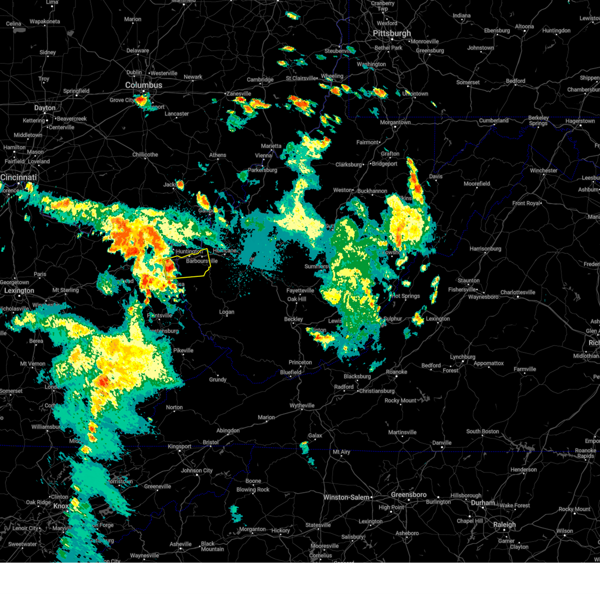 At 941 pm edt, a severe thunderstorm was located over durbin, or near cannonsburg, moving east at 35 mph (radar indicated). Hazards include 60 mph wind gusts and quarter size hail. Hail damage to vehicles is expected. Expect wind damage to roofs, siding, and trees. At 941 pm edt, a severe thunderstorm was located over durbin, or near cannonsburg, moving east at 35 mph (radar indicated). Hazards include 60 mph wind gusts and quarter size hail. Hail damage to vehicles is expected. Expect wind damage to roofs, siding, and trees.
|
| 7/18/2023 9:41 PM EDT |
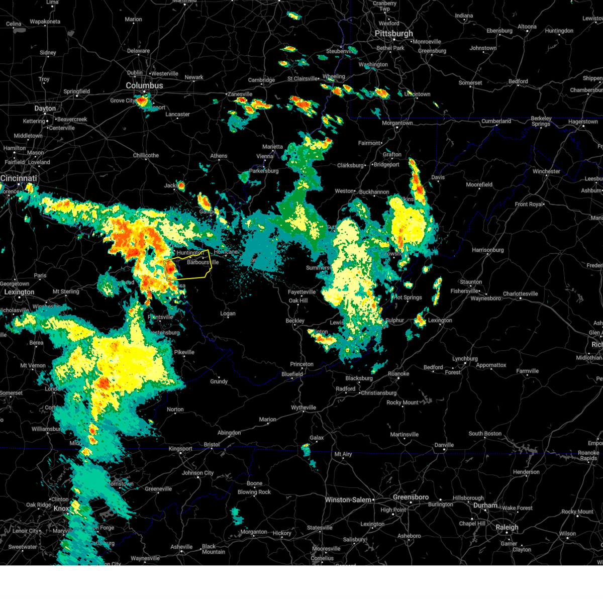 At 941 pm edt, a severe thunderstorm was located over durbin, or near cannonsburg, moving east at 35 mph (radar indicated). Hazards include 60 mph wind gusts and quarter size hail. Hail damage to vehicles is expected. Expect wind damage to roofs, siding, and trees. At 941 pm edt, a severe thunderstorm was located over durbin, or near cannonsburg, moving east at 35 mph (radar indicated). Hazards include 60 mph wind gusts and quarter size hail. Hail damage to vehicles is expected. Expect wind damage to roofs, siding, and trees.
|
| 7/2/2023 7:06 PM EDT |
 At 705 pm edt, a severe thunderstorm was located over yatesville lake state park, moving northeast at 45 mph (radar indicated). Hazards include 60 mph wind gusts and nickel size hail. expect damage to roofs, siding, and trees At 705 pm edt, a severe thunderstorm was located over yatesville lake state park, moving northeast at 45 mph (radar indicated). Hazards include 60 mph wind gusts and nickel size hail. expect damage to roofs, siding, and trees
|
| 7/2/2023 7:06 PM EDT |
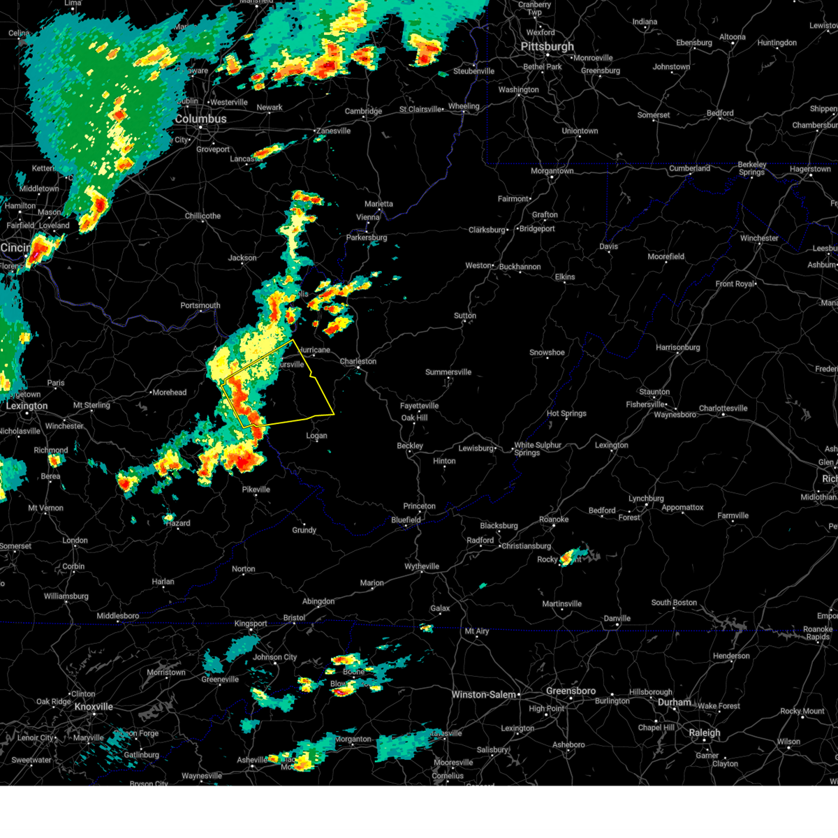 At 705 pm edt, a severe thunderstorm was located over yatesville lake state park, moving northeast at 45 mph (radar indicated). Hazards include 60 mph wind gusts and nickel size hail. expect damage to roofs, siding, and trees At 705 pm edt, a severe thunderstorm was located over yatesville lake state park, moving northeast at 45 mph (radar indicated). Hazards include 60 mph wind gusts and nickel size hail. expect damage to roofs, siding, and trees
|
| 3/3/2023 5:00 PM EST |
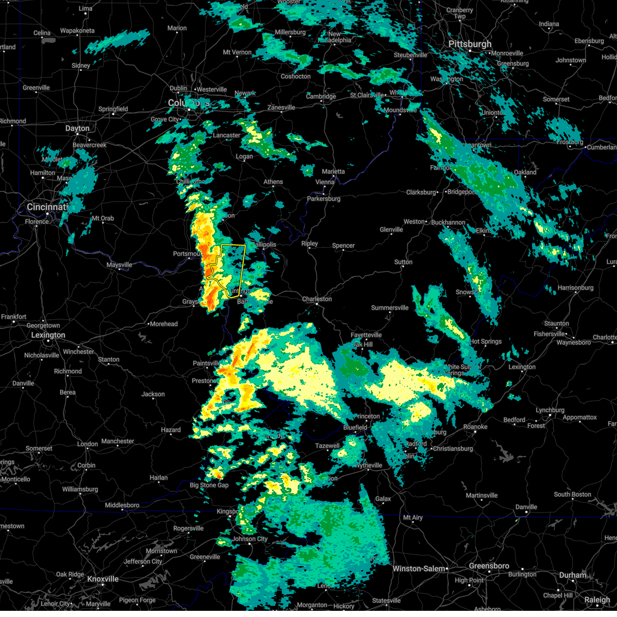 At 459 pm est, a line of severe thunderstorms was located near lake vesuvius, moving northeast at 60 mph (radar indicated). Hazards include 60 mph wind gusts. Expect damage to roofs, siding, and trees. locations impacted include, huntington, ashland, ironton, coal grove, lake vesuvius, ceredo, gallia, south point, vernon, waterloo, burlington, aid, hanging rock and pedro. hail threat, radar indicated max hail size, <. 75 in wind threat, radar indicated max wind gust, 60 mph. At 459 pm est, a line of severe thunderstorms was located near lake vesuvius, moving northeast at 60 mph (radar indicated). Hazards include 60 mph wind gusts. Expect damage to roofs, siding, and trees. locations impacted include, huntington, ashland, ironton, coal grove, lake vesuvius, ceredo, gallia, south point, vernon, waterloo, burlington, aid, hanging rock and pedro. hail threat, radar indicated max hail size, <. 75 in wind threat, radar indicated max wind gust, 60 mph.
|
| 3/3/2023 4:46 PM EST |
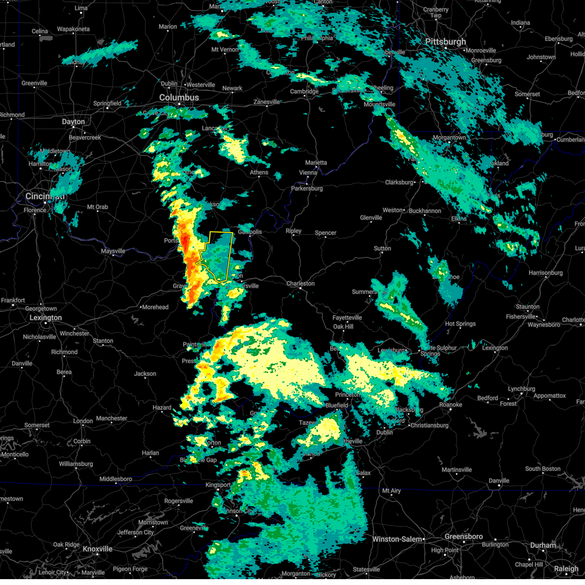 At 445 pm est, a severe thunderstorm was located near greenup, or near ironton, moving east at 60 mph (radar indicated). Hazards include 60 mph wind gusts. expect damage to roofs, siding, and trees At 445 pm est, a severe thunderstorm was located near greenup, or near ironton, moving east at 60 mph (radar indicated). Hazards include 60 mph wind gusts. expect damage to roofs, siding, and trees
|
| 3/3/2023 4:44 PM EST |
 At 444 pm est, a severe thunderstorm was located near webbville, or near grayson lake state park, moving northeast at 55 mph (radar indicated). Hazards include 60 mph wind gusts. expect damage to roofs, siding, and trees At 444 pm est, a severe thunderstorm was located near webbville, or near grayson lake state park, moving northeast at 55 mph (radar indicated). Hazards include 60 mph wind gusts. expect damage to roofs, siding, and trees
|
| 3/3/2023 4:44 PM EST |
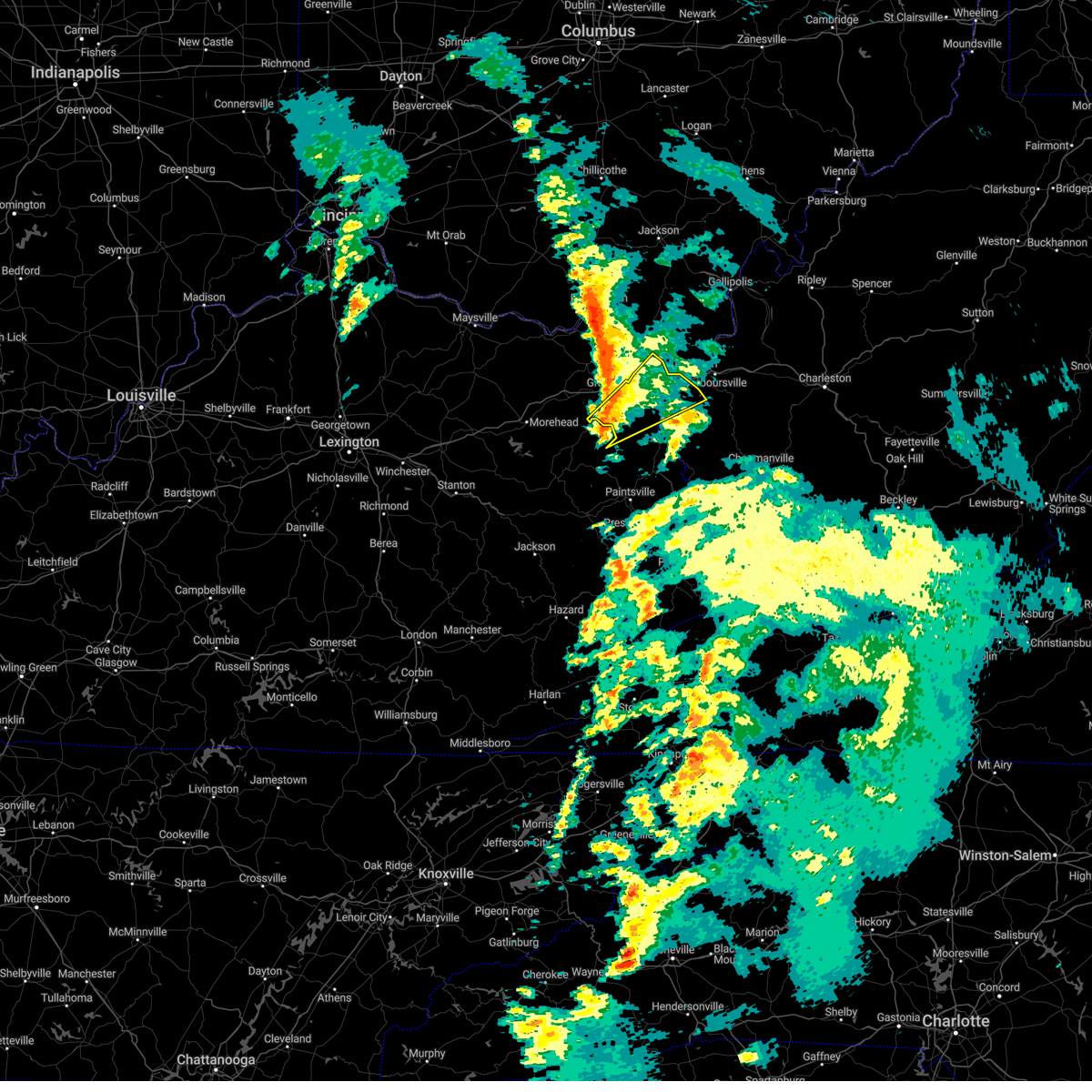 At 444 pm est, a severe thunderstorm was located near webbville, or near grayson lake state park, moving northeast at 55 mph (radar indicated). Hazards include 60 mph wind gusts. expect damage to roofs, siding, and trees At 444 pm est, a severe thunderstorm was located near webbville, or near grayson lake state park, moving northeast at 55 mph (radar indicated). Hazards include 60 mph wind gusts. expect damage to roofs, siding, and trees
|
| 2/27/2023 5:22 PM EST |
 At 522 pm est, a severe thunderstorm was located near rush, or 8 miles northwest of yatesville lake state park, moving east at 60 mph (radar indicated). Hazards include 60 mph wind gusts. expect damage to roofs, siding, and trees At 522 pm est, a severe thunderstorm was located near rush, or 8 miles northwest of yatesville lake state park, moving east at 60 mph (radar indicated). Hazards include 60 mph wind gusts. expect damage to roofs, siding, and trees
|
| 2/27/2023 5:22 PM EST |
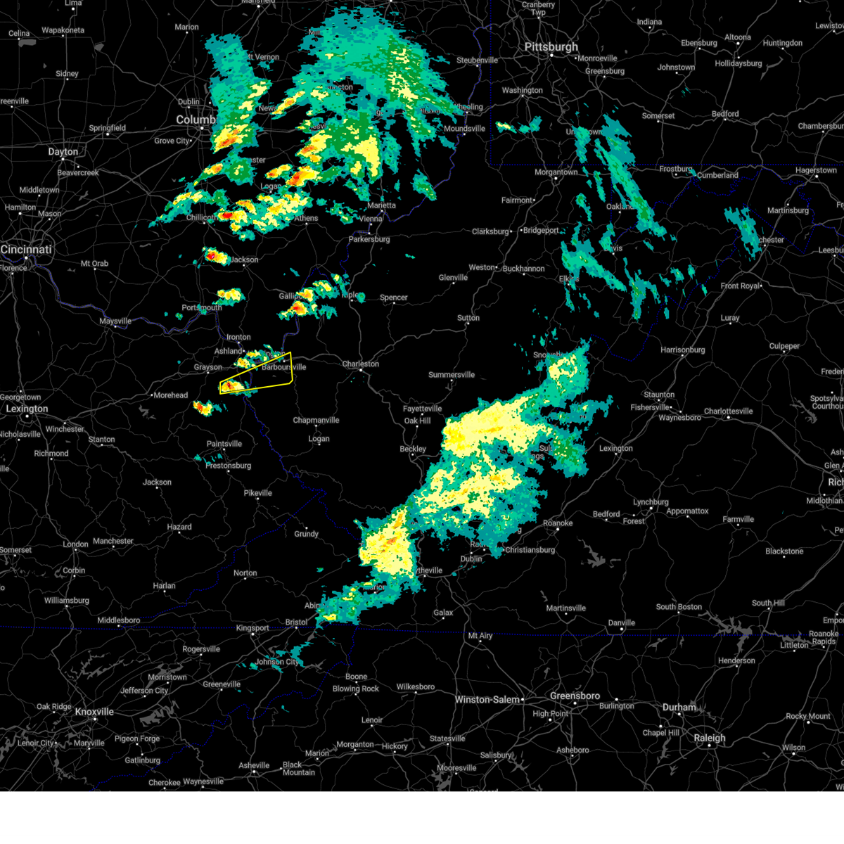 At 522 pm est, a severe thunderstorm was located near rush, or 8 miles northwest of yatesville lake state park, moving east at 60 mph (radar indicated). Hazards include 60 mph wind gusts. expect damage to roofs, siding, and trees At 522 pm est, a severe thunderstorm was located near rush, or 8 miles northwest of yatesville lake state park, moving east at 60 mph (radar indicated). Hazards include 60 mph wind gusts. expect damage to roofs, siding, and trees
|
| 7/8/2022 3:31 PM EDT |
 At 331 pm edt, a severe thunderstorm was located over milton, or 10 miles north of hamlin, moving east at 30 mph (radar indicated). Hazards include 60 mph wind gusts and penny size hail. Expect damage to roofs, siding, and trees. Locations impacted include, huntington, nitro, winfield, proctorville, hurricane, barboursville, milton, eleanor, buffalo, poca, ona, culloden, teays valley, bancroft, crown city, athalia, ashton, pea ridge, green bottom and fraziers bottom. At 331 pm edt, a severe thunderstorm was located over milton, or 10 miles north of hamlin, moving east at 30 mph (radar indicated). Hazards include 60 mph wind gusts and penny size hail. Expect damage to roofs, siding, and trees. Locations impacted include, huntington, nitro, winfield, proctorville, hurricane, barboursville, milton, eleanor, buffalo, poca, ona, culloden, teays valley, bancroft, crown city, athalia, ashton, pea ridge, green bottom and fraziers bottom.
|
| 7/8/2022 3:05 PM EDT |
 At 305 pm edt, a severe thunderstorm was located over proctorville, moving east at 30 mph (radar indicated). Hazards include 60 mph wind gusts and penny size hail. expect damage to roofs, siding, and trees At 305 pm edt, a severe thunderstorm was located over proctorville, moving east at 30 mph (radar indicated). Hazards include 60 mph wind gusts and penny size hail. expect damage to roofs, siding, and trees
|
| 7/6/2022 5:45 PM EDT |
 At 545 pm edt, severe thunderstorms were located along a line extending from near hurricane to 6 miles southeast of barboursville, moving southeast at 55 mph (radar indicated). Hazards include 60 mph wind gusts. expect damage to roofs, siding, and trees At 545 pm edt, severe thunderstorms were located along a line extending from near hurricane to 6 miles southeast of barboursville, moving southeast at 55 mph (radar indicated). Hazards include 60 mph wind gusts. expect damage to roofs, siding, and trees
|
| 7/6/2022 5:35 PM EDT | Tree reported down in westbound lanes of interstate 64 at mile marker in wayne county WV, 3.7 miles E of Huntington, WV |
| 7/6/2022 5:15 PM EDT |
 At 514 pm edt, severe thunderstorms were located along a line extending from 6 miles northeast of oak hill to near lake vesuvius to naples, moving east at 50 mph (radar indicated). Hazards include 60 mph wind gusts. expect damage to roofs, siding, and trees At 514 pm edt, severe thunderstorms were located along a line extending from 6 miles northeast of oak hill to near lake vesuvius to naples, moving east at 50 mph (radar indicated). Hazards include 60 mph wind gusts. expect damage to roofs, siding, and trees
|
| 6/26/2022 3:45 PM EDT | One tree reported down in ritter par in cabell county WV, 0.7 miles SE of Huntington, WV |
| 6/17/2022 1:54 PM EDT | Trees blown down onto the roof of a home in the spring valley community. pictures provided via social medi in wayne county WV, 5 miles ENE of Huntington, WV |
| 6/13/2022 10:27 PM EDT | Multiple trees down on walkers branch r in wayne county WV, 6.4 miles E of Huntington, WV |
| 6/13/2022 10:23 PM EDT |
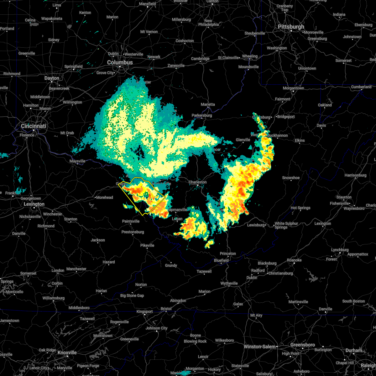 The severe thunderstorm warning for boyd, central lawrence, southeastern carter, west central lincoln and wayne counties will expire at 1030 pm edt, the storm which prompted the warning has weakened below severe limits, and no longer poses an immediate threat to life or property. therefore, the warning will be allowed to expire. however gusty winds are still possible with this thunderstorm. a severe thunderstorm watch remains in effect until 100 am edt for northeastern kentucky, and central and western west virginia. The severe thunderstorm warning for boyd, central lawrence, southeastern carter, west central lincoln and wayne counties will expire at 1030 pm edt, the storm which prompted the warning has weakened below severe limits, and no longer poses an immediate threat to life or property. therefore, the warning will be allowed to expire. however gusty winds are still possible with this thunderstorm. a severe thunderstorm watch remains in effect until 100 am edt for northeastern kentucky, and central and western west virginia.
|
| 6/13/2022 10:21 PM EDT | Trees dow in wayne county WV, 6.4 miles E of Huntington, WV |
| 6/13/2022 10:15 PM EDT |
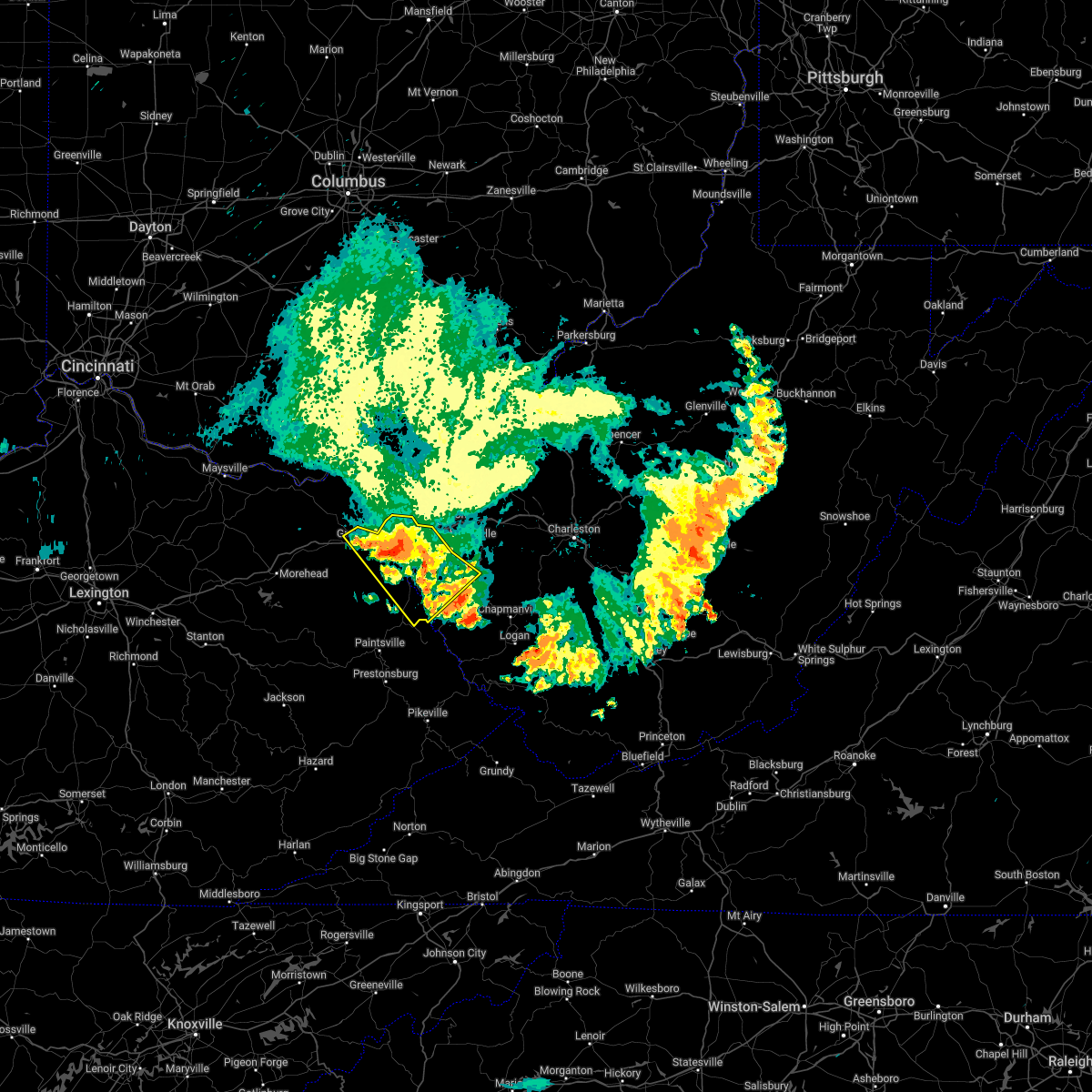 At 1015 pm edt, a severe thunderstorm was located over centerville, or near wayne, moving southeast at 50 mph (radar indicated). Hazards include 60 mph wind gusts and penny size hail. Expect damage to roofs, siding, and trees. locations impacted include, huntington, ashland, grayson, louisa, wayne, beech fork state park, cannonsburg, yatesville lake state park, kenova, catlettsburg, ceredo, fort gay, princess, coalton, denton, burnaugh, rush, durbin, east lynn lake and centerville. hail threat, radar indicated max hail size, 0. 75 in wind threat, radar indicated max wind gust, 60 mph. At 1015 pm edt, a severe thunderstorm was located over centerville, or near wayne, moving southeast at 50 mph (radar indicated). Hazards include 60 mph wind gusts and penny size hail. Expect damage to roofs, siding, and trees. locations impacted include, huntington, ashland, grayson, louisa, wayne, beech fork state park, cannonsburg, yatesville lake state park, kenova, catlettsburg, ceredo, fort gay, princess, coalton, denton, burnaugh, rush, durbin, east lynn lake and centerville. hail threat, radar indicated max hail size, 0. 75 in wind threat, radar indicated max wind gust, 60 mph.
|
| 6/13/2022 9:55 PM EDT |
 At 954 pm edt, a severe thunderstorm was located over coalton, or near cannonsburg, moving southeast at 50 mph (radar indicated). Hazards include 60 mph wind gusts and penny size hail. expect damage to roofs, siding, and trees At 954 pm edt, a severe thunderstorm was located over coalton, or near cannonsburg, moving southeast at 50 mph (radar indicated). Hazards include 60 mph wind gusts and penny size hail. expect damage to roofs, siding, and trees
|
| 6/13/2022 9:55 PM EDT |
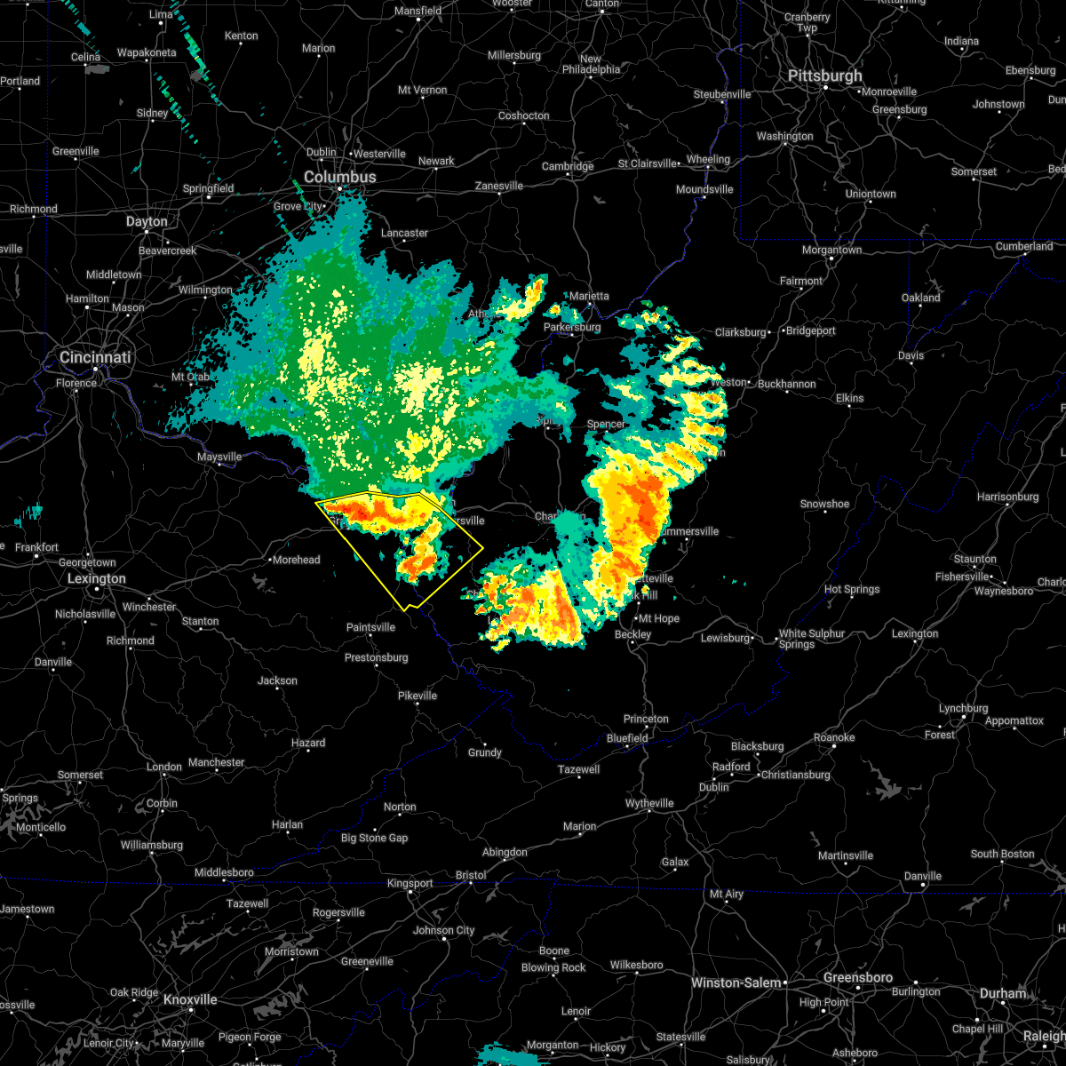 At 954 pm edt, a severe thunderstorm was located over coalton, or near cannonsburg, moving southeast at 50 mph (radar indicated). Hazards include 60 mph wind gusts and penny size hail. expect damage to roofs, siding, and trees At 954 pm edt, a severe thunderstorm was located over coalton, or near cannonsburg, moving southeast at 50 mph (radar indicated). Hazards include 60 mph wind gusts and penny size hail. expect damage to roofs, siding, and trees
|
| 6/13/2022 9:05 PM EDT |
 At 904 pm edt, severe thunderstorms were located along a line extending from 6 miles northeast of pomeroy to ona to near rush, moving east at 40 mph (radar indicated). Hazards include 70 mph wind gusts and quarter size hail. Hail damage to vehicles is expected. expect considerable tree damage. wind damage is also likely to mobile homes, roofs, and outbuildings. locations impacted include, ripley, winfield, wayne, hamlin, beech fork state park, hurricane, barboursville, ravenswood, milton, eleanor, buffalo, ranger, ona, sandyville, culloden, teays valley, harts, west hamlin, bancroft and leon. thunderstorm damage threat, considerable hail threat, radar indicated max hail size, 1. 00 in wind threat, radar indicated max wind gust, 70 mph. At 904 pm edt, severe thunderstorms were located along a line extending from 6 miles northeast of pomeroy to ona to near rush, moving east at 40 mph (radar indicated). Hazards include 70 mph wind gusts and quarter size hail. Hail damage to vehicles is expected. expect considerable tree damage. wind damage is also likely to mobile homes, roofs, and outbuildings. locations impacted include, ripley, winfield, wayne, hamlin, beech fork state park, hurricane, barboursville, ravenswood, milton, eleanor, buffalo, ranger, ona, sandyville, culloden, teays valley, harts, west hamlin, bancroft and leon. thunderstorm damage threat, considerable hail threat, radar indicated max hail size, 1. 00 in wind threat, radar indicated max wind gust, 70 mph.
|
| 6/13/2022 9:01 PM EDT |
 At 901 pm edt, severe thunderstorms were located along a line extending from near catlettsburg to near cannonsburg, moving east at 35 mph (radar indicated). Hazards include 60 mph wind gusts. Expect damage to roofs, siding, and trees. locations impacted include, huntington, wayne, beech fork state park, ceredo, durbin, burnaugh, centerville, lockwood, lavalette and buchanan. hail threat, radar indicated max hail size, <. 75 in wind threat, radar indicated max wind gust, 60 mph. At 901 pm edt, severe thunderstorms were located along a line extending from near catlettsburg to near cannonsburg, moving east at 35 mph (radar indicated). Hazards include 60 mph wind gusts. Expect damage to roofs, siding, and trees. locations impacted include, huntington, wayne, beech fork state park, ceredo, durbin, burnaugh, centerville, lockwood, lavalette and buchanan. hail threat, radar indicated max hail size, <. 75 in wind threat, radar indicated max wind gust, 60 mph.
|
| 6/13/2022 9:01 PM EDT |
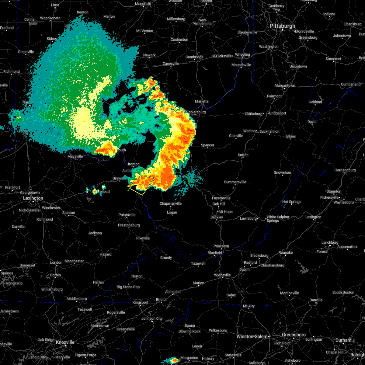 A severe thunderstorm warning remains in effect until 915 pm edt for southeastern boyd. north central lawrence. west central cabell and northwestern wayne counties. At 901 pm edt, severe thunderstorms were located along a line extending from near catlettsburg to near cannonsburg, moving east at 35 mph. A severe thunderstorm warning remains in effect until 915 pm edt for southeastern boyd. north central lawrence. west central cabell and northwestern wayne counties. At 901 pm edt, severe thunderstorms were located along a line extending from near catlettsburg to near cannonsburg, moving east at 35 mph.
|
| 6/13/2022 8:51 PM EDT |
 At 850 pm edt, severe thunderstorms were located along a line extending from 8 miles northeast of rutland to near proctorville to near oldtown, moving east at 40 mph (radar indicated). Hazards include 70 mph wind gusts and quarter size hail. Hail damage to vehicles is expected. expect considerable tree damage. wind damage is also likely to mobile homes, roofs, and outbuildings. locations impacted include, huntington, ashland, ironton, point pleasant, gallipolis, ripley, winfield, coal grove, pomeroy, wayne, hamlin, chesapeake, racine, coolville, beech fork state park, cannonsburg, forked run state park, hurricane, barboursville and ravenswood. thunderstorm damage threat, considerable hail threat, radar indicated max hail size, 1. 00 in wind threat, radar indicated max wind gust, 70 mph. At 850 pm edt, severe thunderstorms were located along a line extending from 8 miles northeast of rutland to near proctorville to near oldtown, moving east at 40 mph (radar indicated). Hazards include 70 mph wind gusts and quarter size hail. Hail damage to vehicles is expected. expect considerable tree damage. wind damage is also likely to mobile homes, roofs, and outbuildings. locations impacted include, huntington, ashland, ironton, point pleasant, gallipolis, ripley, winfield, coal grove, pomeroy, wayne, hamlin, chesapeake, racine, coolville, beech fork state park, cannonsburg, forked run state park, hurricane, barboursville and ravenswood. thunderstorm damage threat, considerable hail threat, radar indicated max hail size, 1. 00 in wind threat, radar indicated max wind gust, 70 mph.
|
| 6/13/2022 8:42 PM EDT |
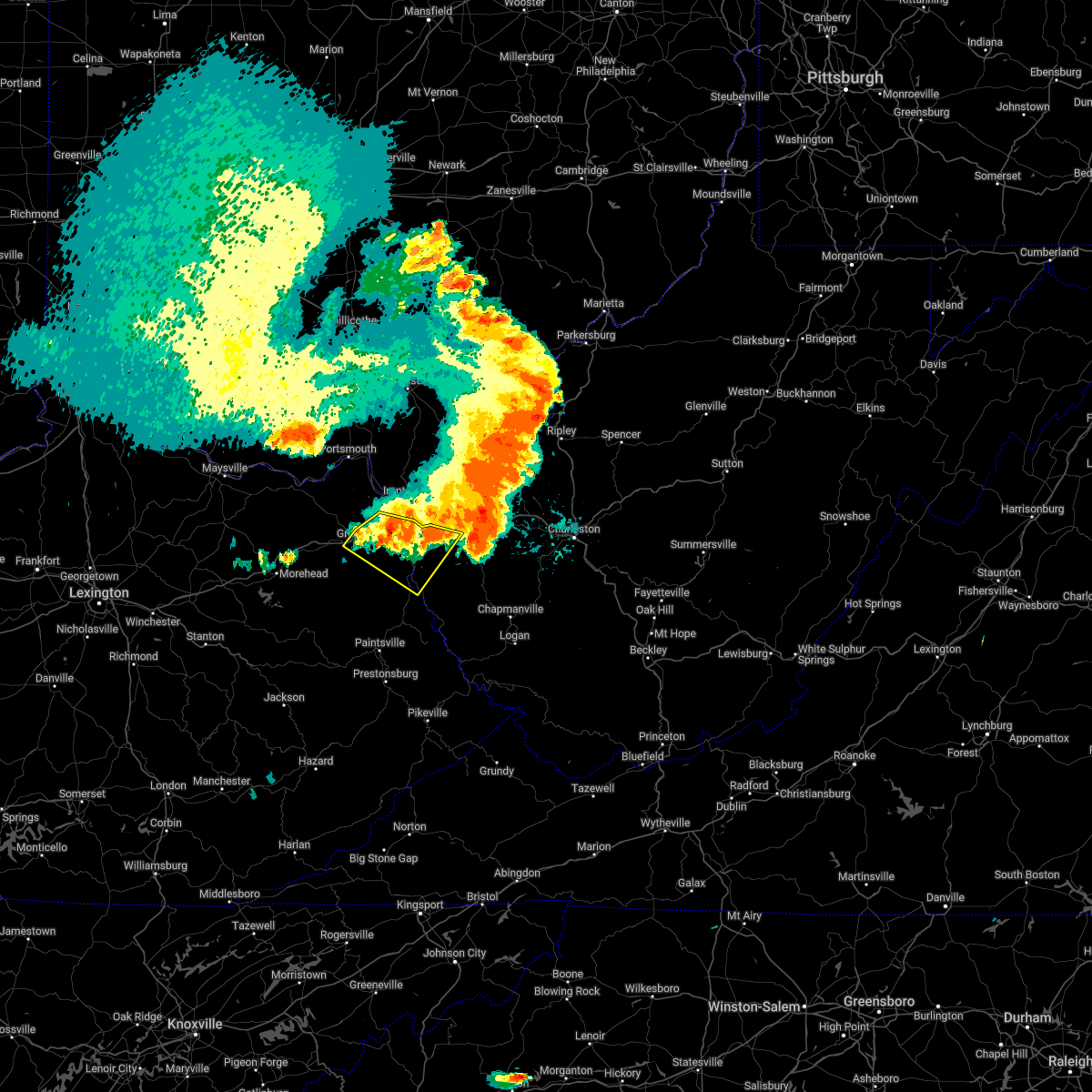 At 842 pm edt, severe thunderstorms were located along a line extending from near naples to near grayson, moving east at 35 mph (radar indicated). Hazards include 60 mph wind gusts and penny size hail. Expect damage to roofs, siding, and trees. locations impacted include, huntington, ashland, grayson, louisa, wayne, beech fork state park, cannonsburg, yatesville lake state park, kenova, catlettsburg, ceredo, fort gay, princess, coalton, denton, burnaugh, naples, rush, durbin and centerville. hail threat, radar indicated max hail size, 0. 75 in wind threat, radar indicated max wind gust, 60 mph. At 842 pm edt, severe thunderstorms were located along a line extending from near naples to near grayson, moving east at 35 mph (radar indicated). Hazards include 60 mph wind gusts and penny size hail. Expect damage to roofs, siding, and trees. locations impacted include, huntington, ashland, grayson, louisa, wayne, beech fork state park, cannonsburg, yatesville lake state park, kenova, catlettsburg, ceredo, fort gay, princess, coalton, denton, burnaugh, naples, rush, durbin and centerville. hail threat, radar indicated max hail size, 0. 75 in wind threat, radar indicated max wind gust, 60 mph.
|
| 6/13/2022 8:38 PM EDT | Trees uprooted or snapped; roof blown of in wayne county WV, 7.8 miles NW of Huntington, WV |
| 6/13/2022 8:25 PM EDT | Tree dow in cabell county WV, 4 miles WNW of Huntington, WV |
| 6/13/2022 6:49 PM EDT |
 At 649 pm edt, a severe thunderstorm was located near chesapeake, moving northeast at 15 mph (radar indicated). Hazards include 60 mph wind gusts and quarter size hail. Hail damage to vehicles is expected. expect wind damage to roofs, siding, and trees. locations impacted include, huntington, chesapeake, proctorville, barboursville, ceredo, south point, burlington, aid, athalia, pea ridge and scottown. hail threat, radar indicated max hail size, 1. 00 in wind threat, radar indicated max wind gust, 60 mph. At 649 pm edt, a severe thunderstorm was located near chesapeake, moving northeast at 15 mph (radar indicated). Hazards include 60 mph wind gusts and quarter size hail. Hail damage to vehicles is expected. expect wind damage to roofs, siding, and trees. locations impacted include, huntington, chesapeake, proctorville, barboursville, ceredo, south point, burlington, aid, athalia, pea ridge and scottown. hail threat, radar indicated max hail size, 1. 00 in wind threat, radar indicated max wind gust, 60 mph.
|
| 6/13/2022 6:49 PM EDT |
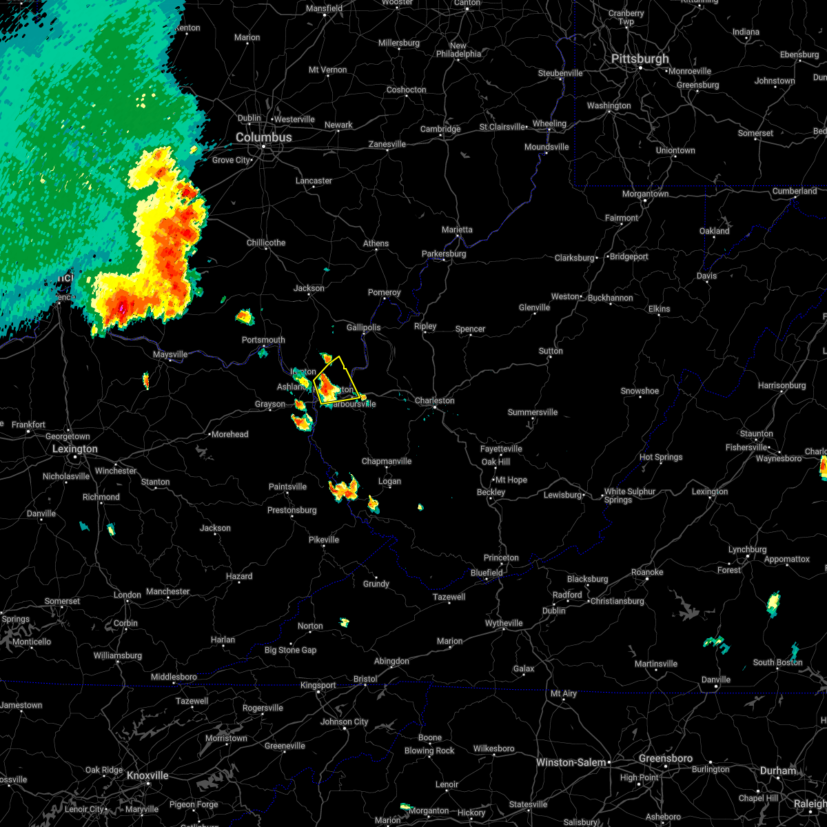 At 649 pm edt, a severe thunderstorm was located near chesapeake, moving northeast at 15 mph (radar indicated). Hazards include 60 mph wind gusts and quarter size hail. Hail damage to vehicles is expected. expect wind damage to roofs, siding, and trees. locations impacted include, huntington, chesapeake, proctorville, barboursville, ceredo, south point, burlington, aid, athalia, pea ridge and scottown. hail threat, radar indicated max hail size, 1. 00 in wind threat, radar indicated max wind gust, 60 mph. At 649 pm edt, a severe thunderstorm was located near chesapeake, moving northeast at 15 mph (radar indicated). Hazards include 60 mph wind gusts and quarter size hail. Hail damage to vehicles is expected. expect wind damage to roofs, siding, and trees. locations impacted include, huntington, chesapeake, proctorville, barboursville, ceredo, south point, burlington, aid, athalia, pea ridge and scottown. hail threat, radar indicated max hail size, 1. 00 in wind threat, radar indicated max wind gust, 60 mph.
|
| 6/13/2022 6:36 PM EDT |
 At 636 pm edt, a severe thunderstorm was located near coal grove, moving northeast at 20 mph (radar indicated). Hazards include 60 mph wind gusts and quarter size hail. Hail damage to vehicles is expected. Expect wind damage to roofs, siding, and trees. At 636 pm edt, a severe thunderstorm was located near coal grove, moving northeast at 20 mph (radar indicated). Hazards include 60 mph wind gusts and quarter size hail. Hail damage to vehicles is expected. Expect wind damage to roofs, siding, and trees.
|
| 6/13/2022 6:36 PM EDT |
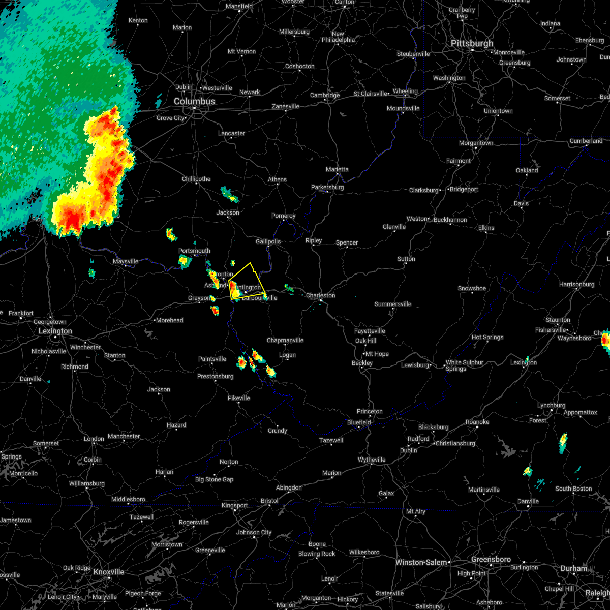 At 636 pm edt, a severe thunderstorm was located near coal grove, moving northeast at 20 mph (radar indicated). Hazards include 60 mph wind gusts and quarter size hail. Hail damage to vehicles is expected. Expect wind damage to roofs, siding, and trees. At 636 pm edt, a severe thunderstorm was located near coal grove, moving northeast at 20 mph (radar indicated). Hazards include 60 mph wind gusts and quarter size hail. Hail damage to vehicles is expected. Expect wind damage to roofs, siding, and trees.
|
| 10/21/2021 3:23 PM EDT |
 At 323 pm edt, a severe thunderstorm was located near chesapeake, moving northeast at 45 mph (radar indicated). Hazards include 60 mph wind gusts. expect damage to roofs, siding, and trees At 323 pm edt, a severe thunderstorm was located near chesapeake, moving northeast at 45 mph (radar indicated). Hazards include 60 mph wind gusts. expect damage to roofs, siding, and trees
|
| 10/21/2021 3:23 PM EDT |
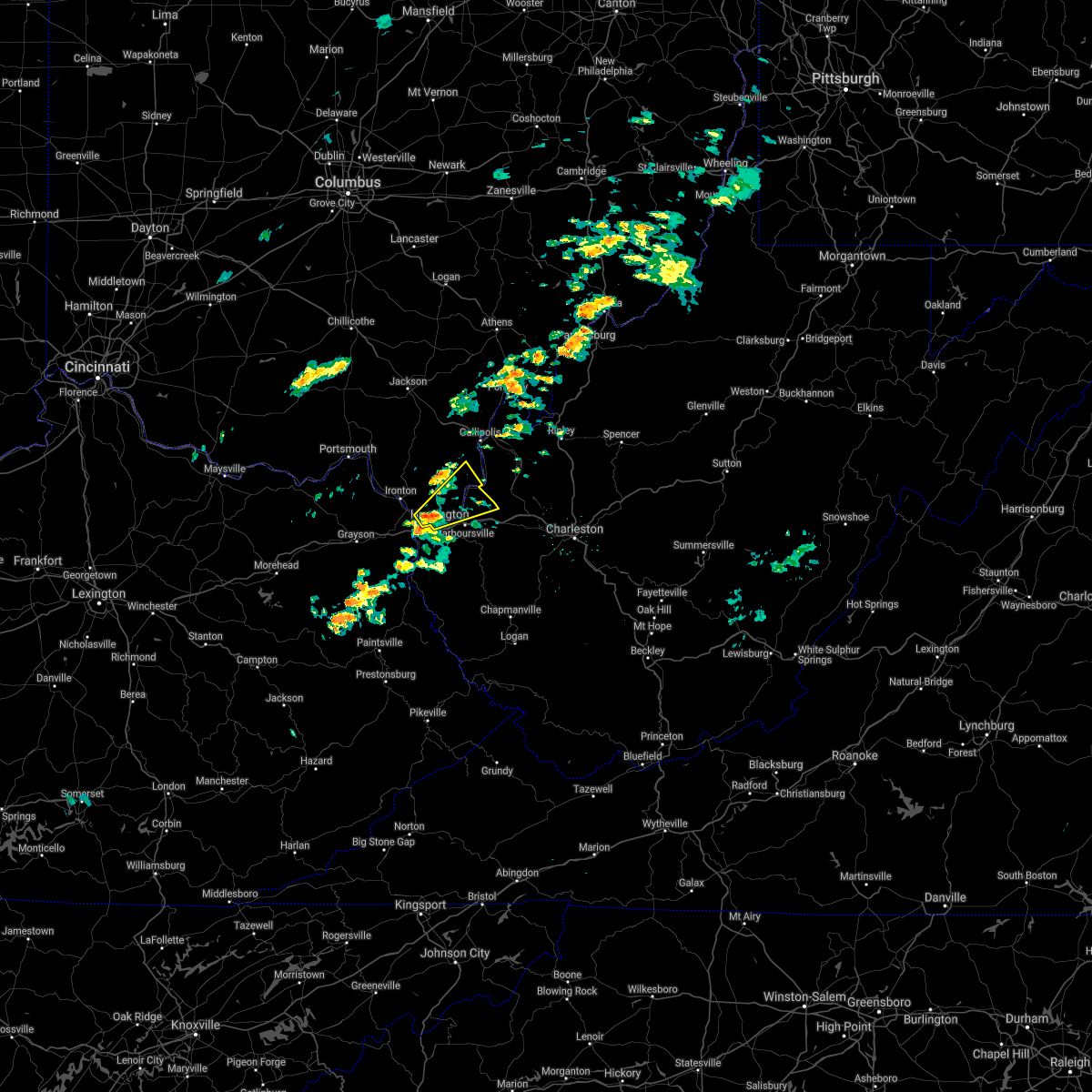 At 323 pm edt, a severe thunderstorm was located near chesapeake, moving northeast at 45 mph (radar indicated). Hazards include 60 mph wind gusts. expect damage to roofs, siding, and trees At 323 pm edt, a severe thunderstorm was located near chesapeake, moving northeast at 45 mph (radar indicated). Hazards include 60 mph wind gusts. expect damage to roofs, siding, and trees
|
| 8/13/2021 2:43 PM EDT |
 At 243 pm edt, a severe thunderstorm was located over chesapeake, moving east at 25 mph (radar indicated). Hazards include 60 mph wind gusts. expect damage to roofs, siding, and trees At 243 pm edt, a severe thunderstorm was located over chesapeake, moving east at 25 mph (radar indicated). Hazards include 60 mph wind gusts. expect damage to roofs, siding, and trees
|
| 8/13/2021 2:43 PM EDT |
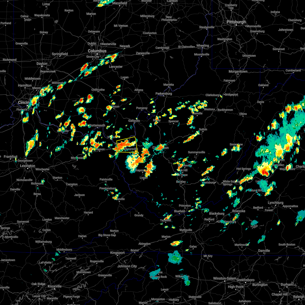 At 243 pm edt, a severe thunderstorm was located over chesapeake, moving east at 25 mph (radar indicated). Hazards include 60 mph wind gusts. expect damage to roofs, siding, and trees At 243 pm edt, a severe thunderstorm was located over chesapeake, moving east at 25 mph (radar indicated). Hazards include 60 mph wind gusts. expect damage to roofs, siding, and trees
|
| 8/10/2021 4:26 PM EDT |
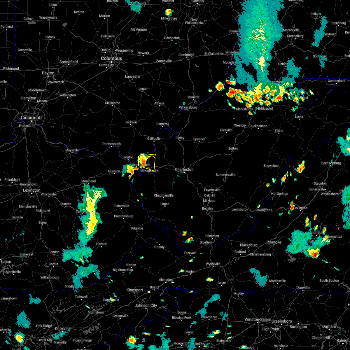 At 424 pm edt, a severe thunderstorm was located near proctorville, moving east at 25 mph (radar indicated). Hazards include 60 mph wind gusts and half inch size hail. Expect damage to roofs, siding, and trees. locations impacted include, huntington, chesapeake, proctorville, barboursville, ona, crown city, athalia, pea ridge, green bottom and scottown. hail threat, radar indicated max hail size, 0. 75 in wind threat, radar indicated max wind gust, 60 mph. At 424 pm edt, a severe thunderstorm was located near proctorville, moving east at 25 mph (radar indicated). Hazards include 60 mph wind gusts and half inch size hail. Expect damage to roofs, siding, and trees. locations impacted include, huntington, chesapeake, proctorville, barboursville, ona, crown city, athalia, pea ridge, green bottom and scottown. hail threat, radar indicated max hail size, 0. 75 in wind threat, radar indicated max wind gust, 60 mph.
|
| 8/10/2021 4:07 PM EDT |
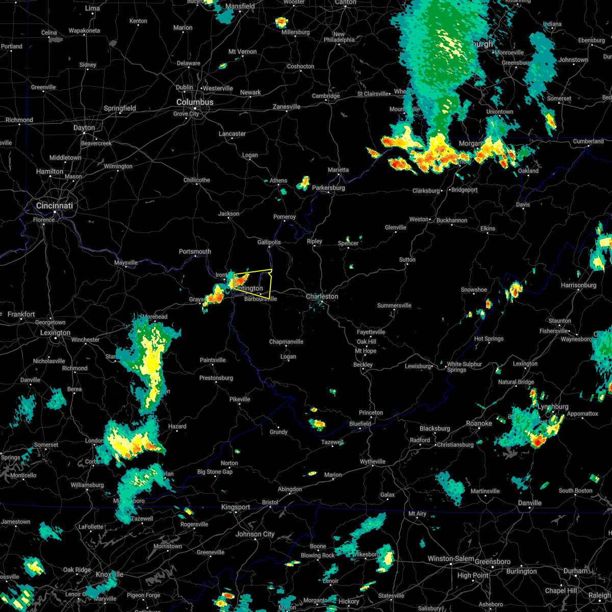 At 406 pm edt, a severe thunderstorm was located near chesapeake, moving east at 25 mph (radar indicated). Hazards include 60 mph wind gusts and half inch size hail. expect damage to roofs, siding, and trees At 406 pm edt, a severe thunderstorm was located near chesapeake, moving east at 25 mph (radar indicated). Hazards include 60 mph wind gusts and half inch size hail. expect damage to roofs, siding, and trees
|
| 8/10/2021 4:07 PM EDT |
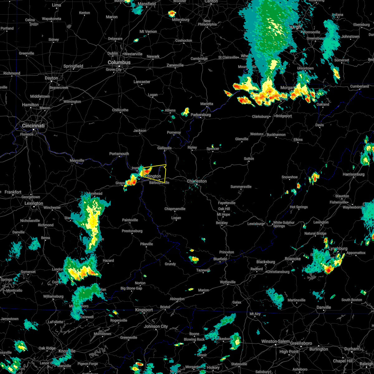 At 406 pm edt, a severe thunderstorm was located near chesapeake, moving east at 25 mph (radar indicated). Hazards include 60 mph wind gusts and half inch size hail. expect damage to roofs, siding, and trees At 406 pm edt, a severe thunderstorm was located near chesapeake, moving east at 25 mph (radar indicated). Hazards include 60 mph wind gusts and half inch size hail. expect damage to roofs, siding, and trees
|
| 6/13/2021 6:04 PM EDT |
 At 604 pm edt, a severe thunderstorm was located near east lynn lake, or 7 miles east of wayne, moving east at 20 mph (radar indicated). Hazards include 60 mph wind gusts and quarter size hail. Hail damage to vehicles is expected. Expect wind damage to roofs, siding, and trees. At 604 pm edt, a severe thunderstorm was located near east lynn lake, or 7 miles east of wayne, moving east at 20 mph (radar indicated). Hazards include 60 mph wind gusts and quarter size hail. Hail damage to vehicles is expected. Expect wind damage to roofs, siding, and trees.
|
| 6/8/2021 6:07 PM EDT | One tree down along 16th street... route 1 in cabell county WV, 0.5 miles SSW of Huntington, WV |
| 3/25/2021 11:26 PM EDT | One tree down at 500 woodland drive in huntingto in cabell county WV, 1.2 miles W of Huntington, WV |
| 3/18/2021 6:09 PM EDT |
 At 609 pm edt, a severe thunderstorm was located over barboursville, or 7 miles southeast of proctorville, moving east at 30 mph (radar indicated). Hazards include 60 mph wind gusts and quarter size hail. Hail damage to vehicles is expected. Expect wind damage to roofs, siding, and trees. At 609 pm edt, a severe thunderstorm was located over barboursville, or 7 miles southeast of proctorville, moving east at 30 mph (radar indicated). Hazards include 60 mph wind gusts and quarter size hail. Hail damage to vehicles is expected. Expect wind damage to roofs, siding, and trees.
|
| 3/18/2021 2:14 PM EDT |
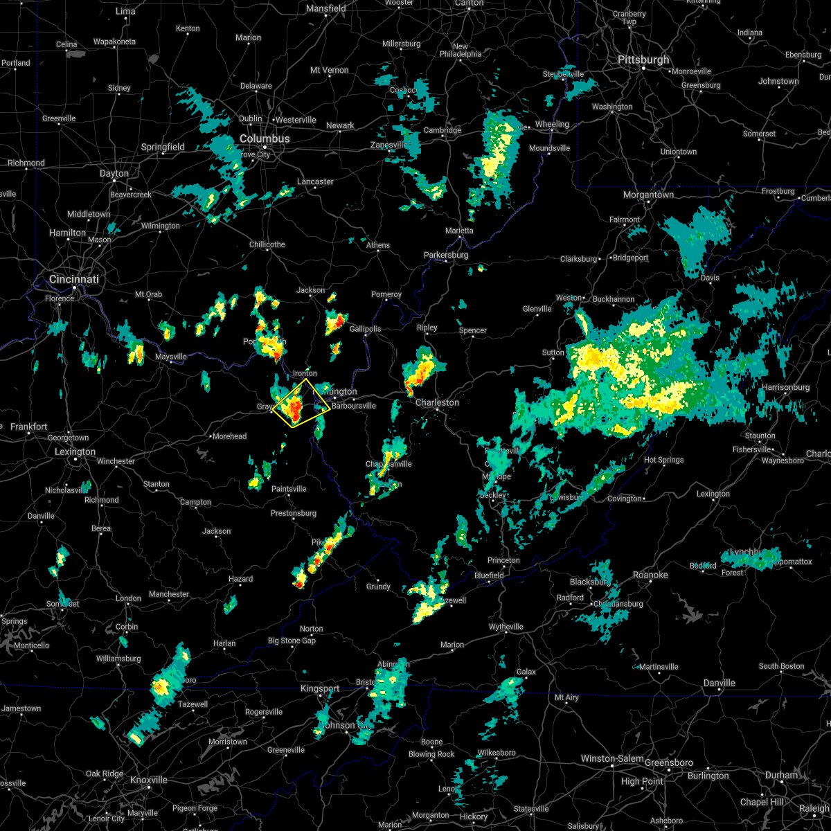 At 214 pm edt, a severe thunderstorm was located over rush, or near cannonsburg, moving northeast at 40 mph (radar indicated). Hazards include 60 mph wind gusts and penny size hail. Expect damage to roofs, siding, and trees. Locations impacted include, ashland, ironton, grayson, coal grove, cannonsburg, kenova, catlettsburg, ceredo, princess, coalton, naples, rush, flatwoods, south point, russell, burlington, bellefonte, westwood, summit and mavity. At 214 pm edt, a severe thunderstorm was located over rush, or near cannonsburg, moving northeast at 40 mph (radar indicated). Hazards include 60 mph wind gusts and penny size hail. Expect damage to roofs, siding, and trees. Locations impacted include, ashland, ironton, grayson, coal grove, cannonsburg, kenova, catlettsburg, ceredo, princess, coalton, naples, rush, flatwoods, south point, russell, burlington, bellefonte, westwood, summit and mavity.
|
| 3/18/2021 2:00 PM EDT |
 At 200 pm edt, a severe thunderstorm was located over denton, or near grayson, moving northeast at 40 mph (radar indicated). Hazards include 60 mph wind gusts and quarter size hail. Hail damage to vehicles is expected. Expect wind damage to roofs, siding, and trees. At 200 pm edt, a severe thunderstorm was located over denton, or near grayson, moving northeast at 40 mph (radar indicated). Hazards include 60 mph wind gusts and quarter size hail. Hail damage to vehicles is expected. Expect wind damage to roofs, siding, and trees.
|
| 3/18/2021 2:00 PM EDT |
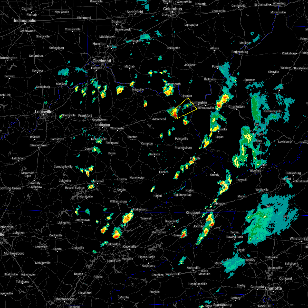 At 200 pm edt, a severe thunderstorm was located over denton, or near grayson, moving northeast at 40 mph (radar indicated). Hazards include 60 mph wind gusts and quarter size hail. Hail damage to vehicles is expected. Expect wind damage to roofs, siding, and trees. At 200 pm edt, a severe thunderstorm was located over denton, or near grayson, moving northeast at 40 mph (radar indicated). Hazards include 60 mph wind gusts and quarter size hail. Hail damage to vehicles is expected. Expect wind damage to roofs, siding, and trees.
|
| 8/25/2020 6:41 PM EDT | A few trees and large tree limbs down in cabell county WV, 0.5 miles SSW of Huntington, WV |
| 8/25/2020 6:35 PM EDT | Several trees down and power out in the beverly hills neighborhood. time estimated from caller and rada in cabell county WV, 0.5 miles SSW of Huntington, WV |
| 7/22/2020 5:36 PM EDT |
 The severe thunderstorm warning for southeastern lawrence, cabell, northwestern lincoln and northeastern wayne counties will expire at 545 pm edt, the storm which prompted the warning has moved out of the area. therefore, the warning will be allowed to expire. The severe thunderstorm warning for southeastern lawrence, cabell, northwestern lincoln and northeastern wayne counties will expire at 545 pm edt, the storm which prompted the warning has moved out of the area. therefore, the warning will be allowed to expire.
|
| 7/22/2020 5:36 PM EDT |
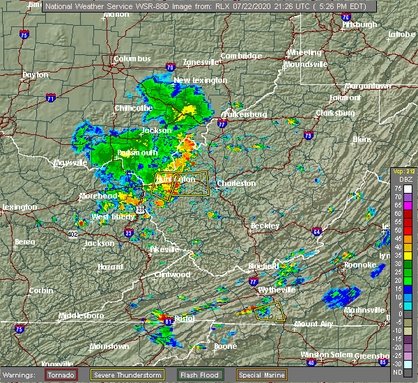 The severe thunderstorm warning for southeastern lawrence, cabell, northwestern lincoln and northeastern wayne counties will expire at 545 pm edt, the storm which prompted the warning has moved out of the area. therefore, the warning will be allowed to expire. The severe thunderstorm warning for southeastern lawrence, cabell, northwestern lincoln and northeastern wayne counties will expire at 545 pm edt, the storm which prompted the warning has moved out of the area. therefore, the warning will be allowed to expire.
|
| 7/22/2020 5:22 PM EDT |
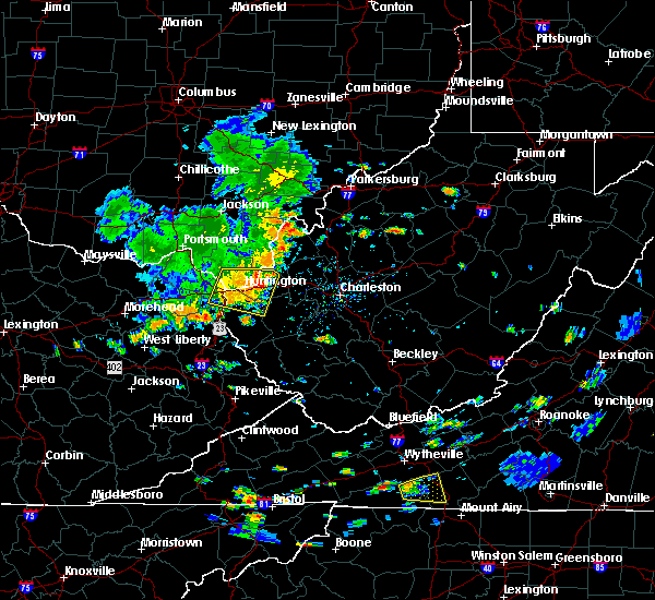 At 522 pm edt, a severe thunderstorm was located over ona, or 8 miles east of proctorville, moving east at 40 mph (radar indicated). Hazards include 60 mph wind gusts. Expect damage to roofs, siding, and trees. Locations impacted include, huntington, chesapeake, proctorville, beech fork state park, barboursville, ona, athalia, salt rock, pea ridge, lavalette, green bottom and scottown. At 522 pm edt, a severe thunderstorm was located over ona, or 8 miles east of proctorville, moving east at 40 mph (radar indicated). Hazards include 60 mph wind gusts. Expect damage to roofs, siding, and trees. Locations impacted include, huntington, chesapeake, proctorville, beech fork state park, barboursville, ona, athalia, salt rock, pea ridge, lavalette, green bottom and scottown.
|
| 7/22/2020 4:58 PM EDT |
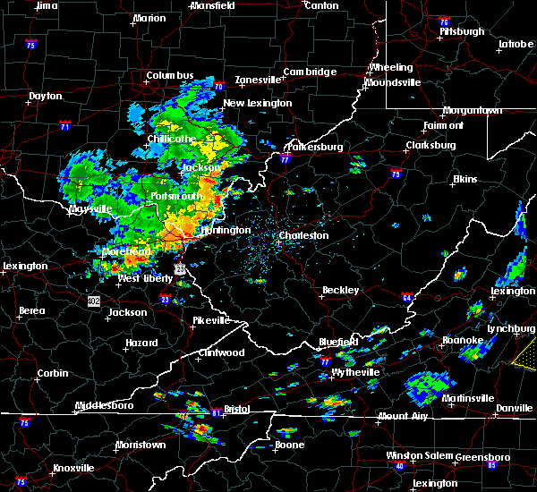 At 458 pm edt, a severe thunderstorm was located over ceredo, or near chesapeake, moving east at 30 mph (radar indicated). Hazards include 60 mph wind gusts. expect damage to roofs, siding, and trees At 458 pm edt, a severe thunderstorm was located over ceredo, or near chesapeake, moving east at 30 mph (radar indicated). Hazards include 60 mph wind gusts. expect damage to roofs, siding, and trees
|
| 6/10/2020 8:58 PM EDT |
 The severe thunderstorm warning for northern boyd, southeastern greenup, east central carter, gallia, southeastern jackson, lawrence and northwestern cabell counties will expire at 900 pm edt, the storms which prompted the warning have weakened below severe limits, and no longer pose an immediate threat to life or property. therefore, the warning will be allowed to expire. however gusty winds are still possible with these thunderstorms. a severe thunderstorm watch remains in effect until 100 am edt for northeastern kentucky, southeastern ohio, and central and western west virginia. to report severe weather, contact your nearest law enforcement agency. they will relay your report to the national weather service charleston west virginia. remember, a tornado warning still remains in effect for gallia county until 9 15 pm edt. The severe thunderstorm warning for northern boyd, southeastern greenup, east central carter, gallia, southeastern jackson, lawrence and northwestern cabell counties will expire at 900 pm edt, the storms which prompted the warning have weakened below severe limits, and no longer pose an immediate threat to life or property. therefore, the warning will be allowed to expire. however gusty winds are still possible with these thunderstorms. a severe thunderstorm watch remains in effect until 100 am edt for northeastern kentucky, southeastern ohio, and central and western west virginia. to report severe weather, contact your nearest law enforcement agency. they will relay your report to the national weather service charleston west virginia. remember, a tornado warning still remains in effect for gallia county until 9 15 pm edt.
|
| 6/10/2020 8:29 PM EDT |
 At 829 pm edt, a severe thunderstorm was located near durbin, or 7 miles north of yatesville lake state park, moving northeast at 45 mph (radar indicated). Hazards include 60 mph wind gusts and nickel size hail. Expect damage to roofs, siding, and trees. Locations impacted include, huntington, louisa, wayne, blaine, beech fork state park, yatesville lake state park, cannonsburg, kenova, catlettsburg, ceredo, fort gay, webbville, burnaugh, martha, durbin, east lynn lake, centerville, south point, burlington and lockwood. At 829 pm edt, a severe thunderstorm was located near durbin, or 7 miles north of yatesville lake state park, moving northeast at 45 mph (radar indicated). Hazards include 60 mph wind gusts and nickel size hail. Expect damage to roofs, siding, and trees. Locations impacted include, huntington, louisa, wayne, blaine, beech fork state park, yatesville lake state park, cannonsburg, kenova, catlettsburg, ceredo, fort gay, webbville, burnaugh, martha, durbin, east lynn lake, centerville, south point, burlington and lockwood.
|
| 6/10/2020 8:24 PM EDT |
 At 824 pm edt, severe thunderstorms were located along a line extending from rio grande to near lake vesuvius to near oldtown, moving northeast at 40 mph (radar indicated). Hazards include 60 mph wind gusts and quarter size hail. Hail damage to vehicles is expected. expect wind damage to roofs, siding, and trees. Locations impacted include, huntington, ashland, ironton, grayson, gallipolis, coal grove, oak hill, rio grande, chesapeake, cannonsburg, lake vesuvius, kenova, catlettsburg, ceredo, princess, coalton, naples, gallia, flatwoods and south point. At 824 pm edt, severe thunderstorms were located along a line extending from rio grande to near lake vesuvius to near oldtown, moving northeast at 40 mph (radar indicated). Hazards include 60 mph wind gusts and quarter size hail. Hail damage to vehicles is expected. expect wind damage to roofs, siding, and trees. Locations impacted include, huntington, ashland, ironton, grayson, gallipolis, coal grove, oak hill, rio grande, chesapeake, cannonsburg, lake vesuvius, kenova, catlettsburg, ceredo, princess, coalton, naples, gallia, flatwoods and south point.
|
| 6/10/2020 8:05 PM EDT |
 At 804 pm edt, a severe thunderstorm was located near bruin, or near grayson lake state park, moving northeast at 45 mph (radar indicated). Hazards include 60 mph wind gusts and nickel size hail. expect damage to roofs, siding, and trees At 804 pm edt, a severe thunderstorm was located near bruin, or near grayson lake state park, moving northeast at 45 mph (radar indicated). Hazards include 60 mph wind gusts and nickel size hail. expect damage to roofs, siding, and trees
|
| 6/10/2020 7:59 PM EDT |
 At 758 pm edt, severe thunderstorms were located along a line extending from near south webster to near greenbo lake to near olive hill, moving northeast at 45 mph (radar indicated). Hazards include 70 mph wind gusts and half dollar size hail. Hail damage to vehicles is expected. expect considerable tree damage. Wind damage is also likely to mobile homes, roofs, and outbuildings. At 758 pm edt, severe thunderstorms were located along a line extending from near south webster to near greenbo lake to near olive hill, moving northeast at 45 mph (radar indicated). Hazards include 70 mph wind gusts and half dollar size hail. Hail damage to vehicles is expected. expect considerable tree damage. Wind damage is also likely to mobile homes, roofs, and outbuildings.
|
| 4/9/2020 12:53 AM EDT |
 At 1253 am edt, a severe thunderstorm was located near beech fork state park, moving east at 65 mph (radar indicated). Hazards include 70 mph wind gusts and quarter size hail. Hail damage to vehicles is expected. expect considerable tree damage. wind damage is also likely to mobile homes, roofs, and outbuildings. Locations impacted include, huntington, wayne, chesapeake, proctorville, beech fork state park, barboursville, east lynn lake, centerville, kiahsville, burlington, athalia, lavalette, buchanan, pea ridge, fallsburg, east lynn and genoa. At 1253 am edt, a severe thunderstorm was located near beech fork state park, moving east at 65 mph (radar indicated). Hazards include 70 mph wind gusts and quarter size hail. Hail damage to vehicles is expected. expect considerable tree damage. wind damage is also likely to mobile homes, roofs, and outbuildings. Locations impacted include, huntington, wayne, chesapeake, proctorville, beech fork state park, barboursville, east lynn lake, centerville, kiahsville, burlington, athalia, lavalette, buchanan, pea ridge, fallsburg, east lynn and genoa.
|
| 4/9/2020 12:53 AM EDT |
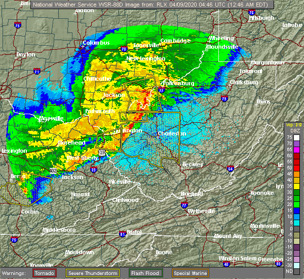 At 1253 am edt, a severe thunderstorm was located near beech fork state park, moving east at 65 mph (radar indicated). Hazards include 70 mph wind gusts and quarter size hail. Hail damage to vehicles is expected. expect considerable tree damage. wind damage is also likely to mobile homes, roofs, and outbuildings. Locations impacted include, huntington, wayne, chesapeake, proctorville, beech fork state park, barboursville, east lynn lake, centerville, kiahsville, burlington, athalia, lavalette, buchanan, pea ridge, fallsburg, east lynn and genoa. At 1253 am edt, a severe thunderstorm was located near beech fork state park, moving east at 65 mph (radar indicated). Hazards include 70 mph wind gusts and quarter size hail. Hail damage to vehicles is expected. expect considerable tree damage. wind damage is also likely to mobile homes, roofs, and outbuildings. Locations impacted include, huntington, wayne, chesapeake, proctorville, beech fork state park, barboursville, east lynn lake, centerville, kiahsville, burlington, athalia, lavalette, buchanan, pea ridge, fallsburg, east lynn and genoa.
|
| 4/9/2020 12:39 AM EDT | Tree limbs less than 4 inches and at least one power pole broke in cabell county WV, 1.4 miles SSW of Huntington, WV |
| 4/9/2020 12:34 AM EDT |
 At 1233 am edt, a severe thunderstorm was located near durbin, or 8 miles south of cannonsburg, moving east at 20 mph (radar indicated). Hazards include 70 mph wind gusts and quarter size hail. Hail damage to vehicles is expected. expect considerable tree damage. Wind damage is also likely to mobile homes, roofs, and outbuildings. At 1233 am edt, a severe thunderstorm was located near durbin, or 8 miles south of cannonsburg, moving east at 20 mph (radar indicated). Hazards include 70 mph wind gusts and quarter size hail. Hail damage to vehicles is expected. expect considerable tree damage. Wind damage is also likely to mobile homes, roofs, and outbuildings.
|
| 4/8/2020 2:22 PM EDT |
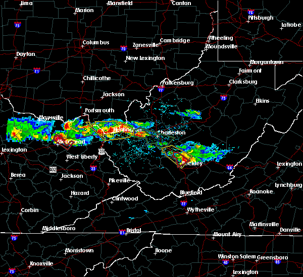 At 222 pm edt, severe thunderstorms were located along a line extending from catlettsburg to milton, moving southeast at 50 mph (radar indicated). Hazards include 60 mph wind gusts and quarter size hail. Hail damage to vehicles is expected. expect wind damage to roofs, siding, and trees. Locations impacted include, huntington, chesapeake, beech fork state park, barboursville, kenova, milton, catlettsburg, ceredo, ona, culloden, lavalette, salt rock, pea ridge and green bottom. At 222 pm edt, severe thunderstorms were located along a line extending from catlettsburg to milton, moving southeast at 50 mph (radar indicated). Hazards include 60 mph wind gusts and quarter size hail. Hail damage to vehicles is expected. expect wind damage to roofs, siding, and trees. Locations impacted include, huntington, chesapeake, beech fork state park, barboursville, kenova, milton, catlettsburg, ceredo, ona, culloden, lavalette, salt rock, pea ridge and green bottom.
|
| 4/8/2020 2:01 PM EDT |
 At 159 pm edt, severe thunderstorms were located along a line extending from near greenup to 9 miles north of proctorville, moving southeast at 30 mph (radar indicated). Hazards include 60 mph wind gusts and quarter size hail. Hail damage to vehicles is expected. Expect wind damage to roofs, siding, and trees. At 159 pm edt, severe thunderstorms were located along a line extending from near greenup to 9 miles north of proctorville, moving southeast at 30 mph (radar indicated). Hazards include 60 mph wind gusts and quarter size hail. Hail damage to vehicles is expected. Expect wind damage to roofs, siding, and trees.
|
| 1/11/2020 3:33 PM EST | Cabell county reports numerous power lines down across much of the county. many areas are without power in cabell county WV, 0.5 miles SSW of Huntington, WV |
| 1/11/2020 3:29 PM EST |
 At 328 pm est, a severe thunderstorm was located near huntington, moving east at 60 mph (radar indicated. huntington airport recently reported a gust of 57 mph). Hazards include 60 mph wind gusts. expect damage to roofs, siding, and trees At 328 pm est, a severe thunderstorm was located near huntington, moving east at 60 mph (radar indicated. huntington airport recently reported a gust of 57 mph). Hazards include 60 mph wind gusts. expect damage to roofs, siding, and trees
|
| 7/2/2019 3:41 PM EDT |
 The severe thunderstorm warning for southeastern lawrence, west central cabell and north central wayne counties will expire at 345 pm edt, the storm which prompted the warning has weakened below severe limits, and no longer poses an immediate threat to life or property. therefore, the warning will be allowed to expire. however gusty winds and heavy rain are still possible with this thunderstorm. The severe thunderstorm warning for southeastern lawrence, west central cabell and north central wayne counties will expire at 345 pm edt, the storm which prompted the warning has weakened below severe limits, and no longer poses an immediate threat to life or property. therefore, the warning will be allowed to expire. however gusty winds and heavy rain are still possible with this thunderstorm.
|
| 7/2/2019 3:41 PM EDT |
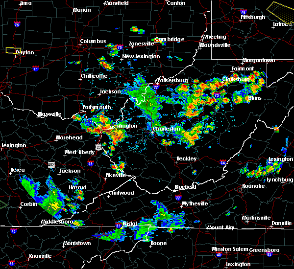 At 315 pm edt, a severe thunderstorm was located over chesapeake, moving east at 20 mph with the entire segment gradually drifting south (radar indicated). Hazards include 60 mph wind gusts and nickel size hail. expect damage to roofs, siding, and trees At 315 pm edt, a severe thunderstorm was located over chesapeake, moving east at 20 mph with the entire segment gradually drifting south (radar indicated). Hazards include 60 mph wind gusts and nickel size hail. expect damage to roofs, siding, and trees
|
| 7/2/2019 3:16 PM EDT |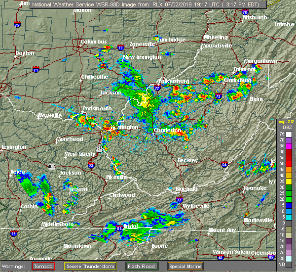
 At 315 pm edt, a severe thunderstorm was located over chesapeake, moving east at 20 mph with the entire segment gradually drifting south (radar indicated). Hazards include 60 mph wind gusts and nickel size hail. expect damage to roofs, siding, and trees At 315 pm edt, a severe thunderstorm was located over chesapeake, moving east at 20 mph with the entire segment gradually drifting south (radar indicated). Hazards include 60 mph wind gusts and nickel size hail. expect damage to roofs, siding, and trees
|
| 6/16/2019 9:06 PM EDT |
 At 905 pm edt, severe thunderstorms were located along a line extending from 7 miles south of gallipolis to near milton to near kiahsville to near charley, moving east at 40 mph (radar indicated). Hazards include 60 mph wind gusts and nickel size hail. Expect damage to roofs, siding, and trees. Locations impacted include, huntington, nitro, louisa, winfield, wayne, hamlin, proctorville, blaine, beech fork state park, yatesville lake state park, hurricane, barboursville, milton, eleanor, buffalo, poca, fort gay, ranger, harts and martha. At 905 pm edt, severe thunderstorms were located along a line extending from 7 miles south of gallipolis to near milton to near kiahsville to near charley, moving east at 40 mph (radar indicated). Hazards include 60 mph wind gusts and nickel size hail. Expect damage to roofs, siding, and trees. Locations impacted include, huntington, nitro, louisa, winfield, wayne, hamlin, proctorville, blaine, beech fork state park, yatesville lake state park, hurricane, barboursville, milton, eleanor, buffalo, poca, fort gay, ranger, harts and martha.
|
| 6/16/2019 8:42 PM EDT |
 At 840 pm edt, severe thunderstorms were located along a line extending from 11 miles northeast of lake vesuvius to near huntington to near fort gay to martha, moving east at 40 mph. this line of storms recently produced damage in ashland (radar indicated). Hazards include 60 mph wind gusts and quarter size hail. Hail damage to vehicles is expected. Expect wind damage to roofs, siding, and trees. At 840 pm edt, severe thunderstorms were located along a line extending from 11 miles northeast of lake vesuvius to near huntington to near fort gay to martha, moving east at 40 mph. this line of storms recently produced damage in ashland (radar indicated). Hazards include 60 mph wind gusts and quarter size hail. Hail damage to vehicles is expected. Expect wind damage to roofs, siding, and trees.
|
| 6/16/2019 8:29 PM EDT | Tree blown into home in ceredo. no injuries reported in wayne county WV, 6.4 miles E of Huntington, WV |
| 6/16/2019 8:22 PM EDT |
 At 822 pm edt, severe thunderstorms were located along a line extending from near franklin furnace to near cannonsburg to near martha, moving east at 30 mph (radar indicated). Hazards include 60 mph wind gusts and quarter size hail. Hail damage to vehicles is expected. expect wind damage to roofs, siding, and trees. Locations impacted include, huntington, ashland, ironton, grayson, louisa, coal grove, wayne, chesapeake, proctorville, blaine, beech fork state park, cannonsburg, lake vesuvius, yatesville lake state park, barboursville, kenova, catlettsburg, ceredo, fort gay and coalton. At 822 pm edt, severe thunderstorms were located along a line extending from near franklin furnace to near cannonsburg to near martha, moving east at 30 mph (radar indicated). Hazards include 60 mph wind gusts and quarter size hail. Hail damage to vehicles is expected. expect wind damage to roofs, siding, and trees. Locations impacted include, huntington, ashland, ironton, grayson, louisa, coal grove, wayne, chesapeake, proctorville, blaine, beech fork state park, cannonsburg, lake vesuvius, yatesville lake state park, barboursville, kenova, catlettsburg, ceredo, fort gay and coalton.
|
| 6/16/2019 7:59 PM EDT |
 At 759 pm edt, severe thunderstorms were located along a line extending from near letitia to near grayson to near little sandy, moving east at 30 mph (radar indicated). Hazards include 60 mph wind gusts and quarter size hail. Hail damage to vehicles is expected. Expect wind damage to roofs, siding, and trees. At 759 pm edt, severe thunderstorms were located along a line extending from near letitia to near grayson to near little sandy, moving east at 30 mph (radar indicated). Hazards include 60 mph wind gusts and quarter size hail. Hail damage to vehicles is expected. Expect wind damage to roofs, siding, and trees.
|
| 6/16/2019 1:40 PM EDT |
 A severe thunderstorm warning remains in effect until 200 pm edt for northeastern boyd. southeastern lawrence. western cabell and northern wayne counties. at 140 pm edt, a severe thunderstorm was located near ashland, moving east at 40 mph. hazard. 60 mph wind gusts and penny size hail. A severe thunderstorm warning remains in effect until 200 pm edt for northeastern boyd. southeastern lawrence. western cabell and northern wayne counties. at 140 pm edt, a severe thunderstorm was located near ashland, moving east at 40 mph. hazard. 60 mph wind gusts and penny size hail.
|
| 6/16/2019 1:40 PM EDT |
 At 140 pm edt, a severe thunderstorm was located near ashland, moving east at 40 mph (radar indicated). Hazards include 60 mph wind gusts and penny size hail. Expect damage to roofs, siding, and trees. Locations impacted include, huntington, ashland, coal grove, chesapeake, proctorville, beech fork state park, cannonsburg, barboursville, kenova, catlettsburg, ceredo, south point, burlington, athalia, lavalette, scottown, pea ridge, green bottom and mavity. At 140 pm edt, a severe thunderstorm was located near ashland, moving east at 40 mph (radar indicated). Hazards include 60 mph wind gusts and penny size hail. Expect damage to roofs, siding, and trees. Locations impacted include, huntington, ashland, coal grove, chesapeake, proctorville, beech fork state park, cannonsburg, barboursville, kenova, catlettsburg, ceredo, south point, burlington, athalia, lavalette, scottown, pea ridge, green bottom and mavity.
|
| 6/16/2019 1:40 PM EDT |
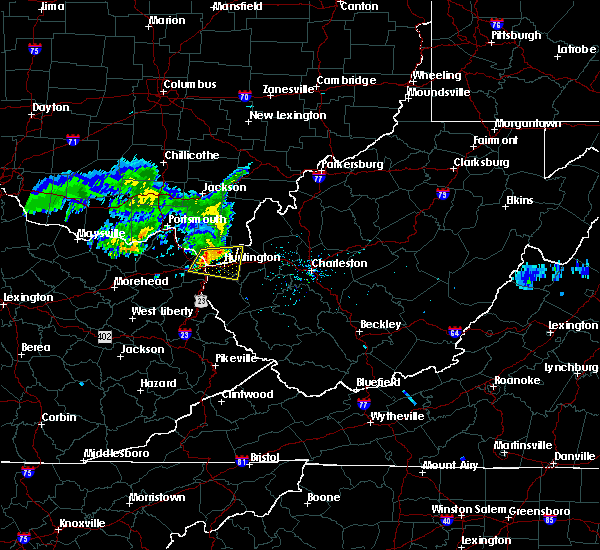 At 126 pm edt, a severe thunderstorm was located over naples, or near ironton, moving east at 40 mph (radar indicated). Hazards include 60 mph wind gusts and nickel size hail. expect damage to roofs, siding, and trees At 126 pm edt, a severe thunderstorm was located over naples, or near ironton, moving east at 40 mph (radar indicated). Hazards include 60 mph wind gusts and nickel size hail. expect damage to roofs, siding, and trees
|
| 6/16/2019 1:27 PM EDT |
 At 126 pm edt, a severe thunderstorm was located over naples, or near ironton, moving east at 40 mph (radar indicated). Hazards include 60 mph wind gusts and nickel size hail. expect damage to roofs, siding, and trees At 126 pm edt, a severe thunderstorm was located over naples, or near ironton, moving east at 40 mph (radar indicated). Hazards include 60 mph wind gusts and nickel size hail. expect damage to roofs, siding, and trees
|
| 6/2/2019 2:51 PM EDT |
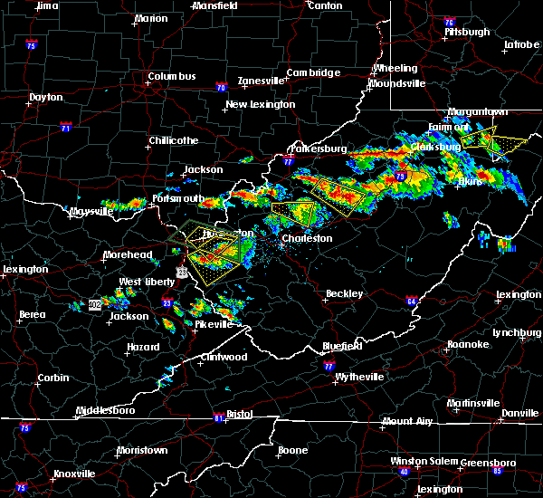 The severe thunderstorm warning for southeastern lawrence, cabell and northeastern wayne counties will expire at 300 pm edt, therefore, the warning will be allowed to expire as storm which prompted the warning continues to moved out of the warned areas. a severe thunderstorm watch remains in effect until 800 pm edt for southeastern ohio, and central and western west virginia. The severe thunderstorm warning for southeastern lawrence, cabell and northeastern wayne counties will expire at 300 pm edt, therefore, the warning will be allowed to expire as storm which prompted the warning continues to moved out of the warned areas. a severe thunderstorm watch remains in effect until 800 pm edt for southeastern ohio, and central and western west virginia.
|
| 6/2/2019 2:42 PM EDT |
 At 242 pm edt, a severe thunderstorm was located near barboursville, or near beech fork state park, moving southeast at 20 mph (radar indicated). Hazards include ping pong ball size hail and 60 mph wind gusts. People and animals outdoors will be injured. expect hail damage to roofs, siding, windows, and vehicles. Expect wind damage to roofs, siding, and trees. At 242 pm edt, a severe thunderstorm was located near barboursville, or near beech fork state park, moving southeast at 20 mph (radar indicated). Hazards include ping pong ball size hail and 60 mph wind gusts. People and animals outdoors will be injured. expect hail damage to roofs, siding, windows, and vehicles. Expect wind damage to roofs, siding, and trees.
|
| 6/2/2019 2:24 PM EDT | Half Dollar sized hail reported 1.1 miles NW of Huntington, WV, via twitter with photo |
| 6/2/2019 2:20 PM EDT | Half Dollar sized hail reported 2 miles E of Huntington, WV, via facebook private message with picture |
| 6/2/2019 2:15 PM EDT | Quarter sized hail reported 1.2 miles W of Huntington, WV, via facebook private message. |
| 6/2/2019 2:11 PM EDT |
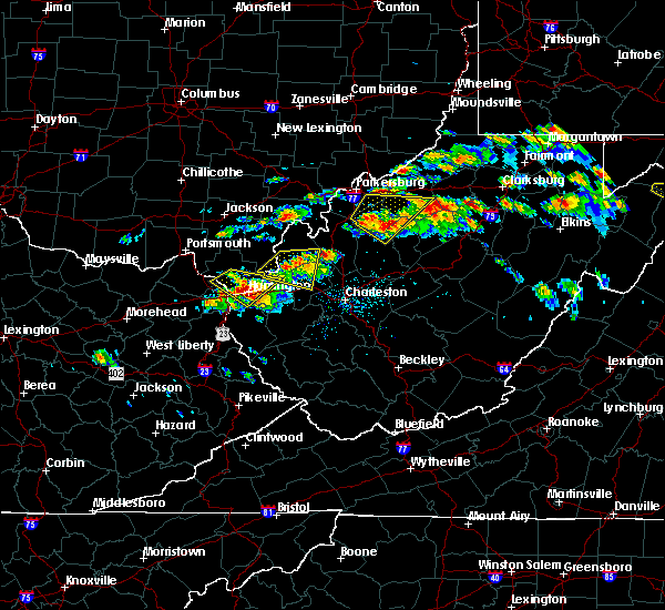 At 210 pm edt, a severe thunderstorm was located over chesapeake, moving southeast at 20 mph (radar indicated). Hazards include ping pong ball size hail and 60 mph wind gusts. this storm is also exhibiting rotation. People and animals outdoors will be injured. expect hail damage to roofs, siding, windows, and vehicles. Expect wind damage to roofs, siding, and trees. At 210 pm edt, a severe thunderstorm was located over chesapeake, moving southeast at 20 mph (radar indicated). Hazards include ping pong ball size hail and 60 mph wind gusts. this storm is also exhibiting rotation. People and animals outdoors will be injured. expect hail damage to roofs, siding, windows, and vehicles. Expect wind damage to roofs, siding, and trees.
|
| 6/2/2019 2:11 PM EDT |
 The national weather service in charleston west virginia has issued a * severe thunderstorm warning for. southeastern lawrence county in southeastern ohio. cabell county in central west virginia. northeastern wayne county in western west virginia. Until 300 pm edt. The national weather service in charleston west virginia has issued a * severe thunderstorm warning for. southeastern lawrence county in southeastern ohio. cabell county in central west virginia. northeastern wayne county in western west virginia. Until 300 pm edt.
|
| 6/2/2019 1:43 PM EDT |
 At 143 pm edt, a severe thunderstorm was located near coal grove, moving southeast at 25 mph (radar indicated). Hazards include ping pong ball size hail and 60 mph wind gusts. People and animals outdoors will be injured. expect hail damage to roofs, siding, windows, and vehicles. expect wind damage to roofs, siding, and trees. Locations impacted include, huntington, ashland, ironton, coal grove, chesapeake, proctorville, barboursville, kenova, catlettsburg, ceredo, flatwoods, south point, russell, burlington, bellefonte, westwood, athalia, lavalette, scottown and pea ridge. At 143 pm edt, a severe thunderstorm was located near coal grove, moving southeast at 25 mph (radar indicated). Hazards include ping pong ball size hail and 60 mph wind gusts. People and animals outdoors will be injured. expect hail damage to roofs, siding, windows, and vehicles. expect wind damage to roofs, siding, and trees. Locations impacted include, huntington, ashland, ironton, coal grove, chesapeake, proctorville, barboursville, kenova, catlettsburg, ceredo, flatwoods, south point, russell, burlington, bellefonte, westwood, athalia, lavalette, scottown and pea ridge.
|
| 6/2/2019 1:43 PM EDT |
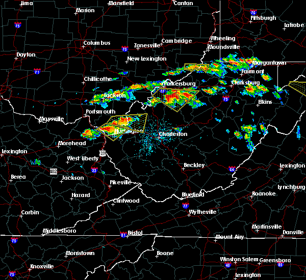 At 143 pm edt, a severe thunderstorm was located near coal grove, moving southeast at 25 mph (radar indicated). Hazards include ping pong ball size hail and 60 mph wind gusts. People and animals outdoors will be injured. expect hail damage to roofs, siding, windows, and vehicles. expect wind damage to roofs, siding, and trees. Locations impacted include, huntington, ashland, ironton, coal grove, chesapeake, proctorville, barboursville, kenova, catlettsburg, ceredo, flatwoods, south point, russell, burlington, bellefonte, westwood, athalia, lavalette, scottown and pea ridge. At 143 pm edt, a severe thunderstorm was located near coal grove, moving southeast at 25 mph (radar indicated). Hazards include ping pong ball size hail and 60 mph wind gusts. People and animals outdoors will be injured. expect hail damage to roofs, siding, windows, and vehicles. expect wind damage to roofs, siding, and trees. Locations impacted include, huntington, ashland, ironton, coal grove, chesapeake, proctorville, barboursville, kenova, catlettsburg, ceredo, flatwoods, south point, russell, burlington, bellefonte, westwood, athalia, lavalette, scottown and pea ridge.
|
| 6/2/2019 1:43 PM EDT |
 At 126 pm edt, a severe thunderstorm was located over ironton, moving southeast at 25 mph (radar indicated). Hazards include 65 mph wind gusts and half dollar size hail. Hail damage to vehicles is expected. Expect wind damage to roofs, siding, and trees. At 126 pm edt, a severe thunderstorm was located over ironton, moving southeast at 25 mph (radar indicated). Hazards include 65 mph wind gusts and half dollar size hail. Hail damage to vehicles is expected. Expect wind damage to roofs, siding, and trees.
|
| 6/2/2019 1:26 PM EDT |
 At 126 pm edt, a severe thunderstorm was located over ironton, moving southeast at 25 mph (radar indicated). Hazards include 65 mph wind gusts and half dollar size hail. Hail damage to vehicles is expected. Expect wind damage to roofs, siding, and trees. At 126 pm edt, a severe thunderstorm was located over ironton, moving southeast at 25 mph (radar indicated). Hazards include 65 mph wind gusts and half dollar size hail. Hail damage to vehicles is expected. Expect wind damage to roofs, siding, and trees.
|
| 5/17/2019 7:54 PM EDT |
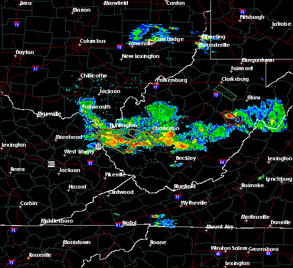 The severe thunderstorm warning for east central boyd, southwestern cabell and northern wayne counties will expire at 800 pm edt, the storm which prompted the warning has weakened below severe limits, and no longer poses an immediate threat to life or property. therefore, the warning will be allowed to expire. however gusty winds of 40 to 50 mph are still possible with this thunderstorm. a severe thunderstorm watch remains in effect until 1100 pm edt for northeastern kentucky, southeastern ohio, and central and western west virginia. The severe thunderstorm warning for east central boyd, southwestern cabell and northern wayne counties will expire at 800 pm edt, the storm which prompted the warning has weakened below severe limits, and no longer poses an immediate threat to life or property. therefore, the warning will be allowed to expire. however gusty winds of 40 to 50 mph are still possible with this thunderstorm. a severe thunderstorm watch remains in effect until 1100 pm edt for northeastern kentucky, southeastern ohio, and central and western west virginia.
|
| 5/17/2019 7:44 PM EDT |
 At 743 pm edt, a severe thunderstorm was located over barboursville, or near proctorville, moving east at 45 mph (radar indicated). Hazards include 60 mph wind gusts. Expect damage to roofs, siding, and trees. Locations impacted include, huntington, beech fork state park, barboursville, kenova, ceredo, south point, burlington, salt rock and lavalette. At 743 pm edt, a severe thunderstorm was located over barboursville, or near proctorville, moving east at 45 mph (radar indicated). Hazards include 60 mph wind gusts. Expect damage to roofs, siding, and trees. Locations impacted include, huntington, beech fork state park, barboursville, kenova, ceredo, south point, burlington, salt rock and lavalette.
|
| 5/17/2019 7:44 PM EDT |
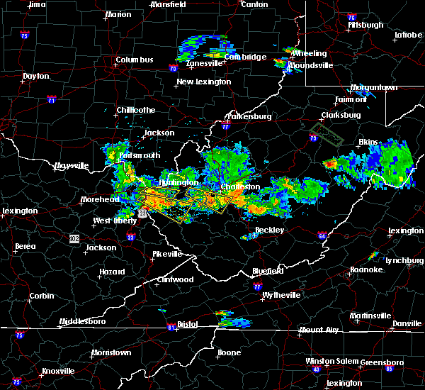 At 743 pm edt, a severe thunderstorm was located over barboursville, or near proctorville, moving east at 45 mph (radar indicated). Hazards include 60 mph wind gusts. Expect damage to roofs, siding, and trees. Locations impacted include, huntington, beech fork state park, barboursville, kenova, ceredo, south point, burlington, salt rock and lavalette. At 743 pm edt, a severe thunderstorm was located over barboursville, or near proctorville, moving east at 45 mph (radar indicated). Hazards include 60 mph wind gusts. Expect damage to roofs, siding, and trees. Locations impacted include, huntington, beech fork state park, barboursville, kenova, ceredo, south point, burlington, salt rock and lavalette.
|
| 5/17/2019 7:13 PM EDT |
 At 713 pm edt, a severe thunderstorm was located over naples, or near cannonsburg, moving east at 45 mph (radar indicated). Hazards include 60 mph wind gusts and penny size hail. expect damage to roofs, siding, and trees At 713 pm edt, a severe thunderstorm was located over naples, or near cannonsburg, moving east at 45 mph (radar indicated). Hazards include 60 mph wind gusts and penny size hail. expect damage to roofs, siding, and trees
|
| 5/17/2019 7:13 PM EDT |
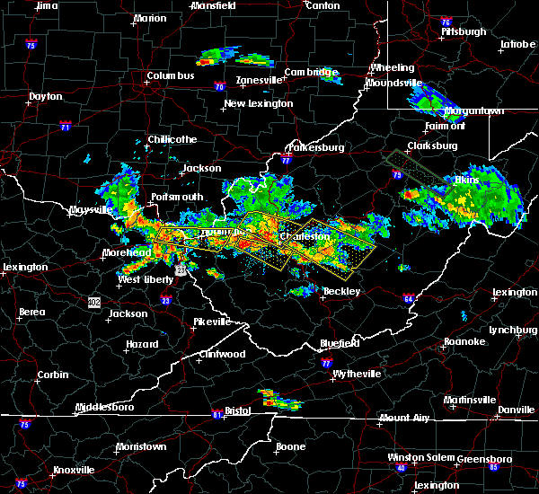 At 713 pm edt, a severe thunderstorm was located over naples, or near cannonsburg, moving east at 45 mph (radar indicated). Hazards include 60 mph wind gusts and penny size hail. expect damage to roofs, siding, and trees At 713 pm edt, a severe thunderstorm was located over naples, or near cannonsburg, moving east at 45 mph (radar indicated). Hazards include 60 mph wind gusts and penny size hail. expect damage to roofs, siding, and trees
|
| 5/3/2019 1:23 PM EDT |
 At 123 pm edt, a severe thunderstorm was located over barboursville, or near proctorville, moving northeast at 30 mph (radar indicated). Hazards include 60 mph wind gusts and quarter size hail. Hail damage to vehicles is expected. expect wind damage to roofs, siding, and trees. Locations impacted include, barboursville, milton, culloden, ona and pea ridge. At 123 pm edt, a severe thunderstorm was located over barboursville, or near proctorville, moving northeast at 30 mph (radar indicated). Hazards include 60 mph wind gusts and quarter size hail. Hail damage to vehicles is expected. expect wind damage to roofs, siding, and trees. Locations impacted include, barboursville, milton, culloden, ona and pea ridge.
|
| 5/3/2019 1:06 PM EDT |
 At 106 pm edt, a severe thunderstorm was located over beech fork state park, moving northeast at 25 mph (radar indicated). Hazards include 60 mph wind gusts and quarter size hail. Hail damage to vehicles is expected. Expect wind damage to roofs, siding, and trees. At 106 pm edt, a severe thunderstorm was located over beech fork state park, moving northeast at 25 mph (radar indicated). Hazards include 60 mph wind gusts and quarter size hail. Hail damage to vehicles is expected. Expect wind damage to roofs, siding, and trees.
|
| 5/3/2019 1:06 PM EDT |
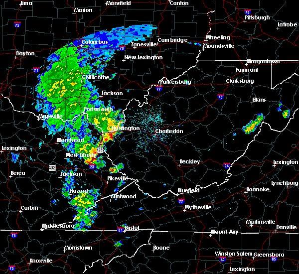 At 106 pm edt, a severe thunderstorm was located over beech fork state park, moving northeast at 25 mph (radar indicated). Hazards include 60 mph wind gusts and quarter size hail. Hail damage to vehicles is expected. Expect wind damage to roofs, siding, and trees. At 106 pm edt, a severe thunderstorm was located over beech fork state park, moving northeast at 25 mph (radar indicated). Hazards include 60 mph wind gusts and quarter size hail. Hail damage to vehicles is expected. Expect wind damage to roofs, siding, and trees.
|
| 4/14/2019 5:58 PM EDT |
 At 557 pm edt, a severe thunderstorm was located 7 miles north of ona, or 9 miles northeast of proctorville, moving northeast at 60 mph (radar indicated). Hazards include 60 mph wind gusts. Expect damage to roofs, siding, and trees. Locations impacted include, huntington, proctorville, barboursville, ona, crown city, athalia, pea ridge, green bottom and scottown. At 557 pm edt, a severe thunderstorm was located 7 miles north of ona, or 9 miles northeast of proctorville, moving northeast at 60 mph (radar indicated). Hazards include 60 mph wind gusts. Expect damage to roofs, siding, and trees. Locations impacted include, huntington, proctorville, barboursville, ona, crown city, athalia, pea ridge, green bottom and scottown.
|
| 4/14/2019 5:53 PM EDT |
 The severe thunderstorm warning for boyd, north central lawrence, east central carter and northwestern wayne counties will expire at 600 pm edt, the storm which prompted the warning has moved out of the area. therefore, the warning will be allowed to expire. a tornado watch remains in effect until 900 pm edt for northeastern kentucky, southeastern ohio, and western west virginia. The severe thunderstorm warning for boyd, north central lawrence, east central carter and northwestern wayne counties will expire at 600 pm edt, the storm which prompted the warning has moved out of the area. therefore, the warning will be allowed to expire. a tornado watch remains in effect until 900 pm edt for northeastern kentucky, southeastern ohio, and western west virginia.
|
| 4/14/2019 5:53 PM EDT |
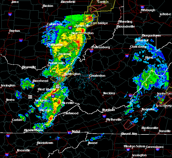 The severe thunderstorm warning for boyd, north central lawrence, east central carter and northwestern wayne counties will expire at 600 pm edt, the storm which prompted the warning has moved out of the area. therefore, the warning will be allowed to expire. a tornado watch remains in effect until 900 pm edt for northeastern kentucky, southeastern ohio, and western west virginia. The severe thunderstorm warning for boyd, north central lawrence, east central carter and northwestern wayne counties will expire at 600 pm edt, the storm which prompted the warning has moved out of the area. therefore, the warning will be allowed to expire. a tornado watch remains in effect until 900 pm edt for northeastern kentucky, southeastern ohio, and western west virginia.
|
| 4/14/2019 5:47 PM EDT |
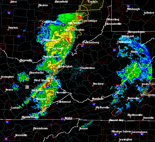 At 546 pm edt, a severe thunderstorm was located over huntington, moving northeast at 70 mph (radar indicated). Hazards include 60 mph wind gusts. expect damage to roofs, siding, and trees At 546 pm edt, a severe thunderstorm was located over huntington, moving northeast at 70 mph (radar indicated). Hazards include 60 mph wind gusts. expect damage to roofs, siding, and trees
|
| 4/14/2019 5:40 PM EDT |
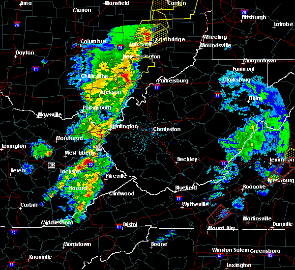 At 539 pm edt, a severe thunderstorm was located over durbin, or 7 miles south of cannonsburg, moving northeast at 60 mph (radar indicated). Hazards include 60 mph wind gusts and penny size hail. Expect damage to roofs, siding, and trees. Locations impacted include, huntington, ashland, coal grove, cannonsburg, kenova, catlettsburg, ceredo, princess, durbin, coalton, burnaugh, rush, burlington, westwood, lockwood, summit, buchanan and mavity. At 539 pm edt, a severe thunderstorm was located over durbin, or 7 miles south of cannonsburg, moving northeast at 60 mph (radar indicated). Hazards include 60 mph wind gusts and penny size hail. Expect damage to roofs, siding, and trees. Locations impacted include, huntington, ashland, coal grove, cannonsburg, kenova, catlettsburg, ceredo, princess, durbin, coalton, burnaugh, rush, burlington, westwood, lockwood, summit, buchanan and mavity.
|
| 4/14/2019 5:24 PM EDT |
 At 523 pm edt, a severe thunderstorm was located over webbville, or 8 miles southeast of grayson lake state park, moving northeast at 60 mph (radar indicated). Hazards include 60 mph wind gusts and penny size hail. expect damage to roofs, siding, and trees At 523 pm edt, a severe thunderstorm was located over webbville, or 8 miles southeast of grayson lake state park, moving northeast at 60 mph (radar indicated). Hazards include 60 mph wind gusts and penny size hail. expect damage to roofs, siding, and trees
|
| 9/2/2018 5:33 PM EDT |
 At 533 pm edt, a severe thunderstorm was located over proctorville, and is nearly stationary (radar indicated). Hazards include 60 mph wind gusts and quarter size hail. Minor hail damage to vehicles is possible. expect wind damage to trees and power lines, resulting in some power outages. Locations impacted include, huntington, chesapeake, proctorville, athalia, green bottom and scottown. At 533 pm edt, a severe thunderstorm was located over proctorville, and is nearly stationary (radar indicated). Hazards include 60 mph wind gusts and quarter size hail. Minor hail damage to vehicles is possible. expect wind damage to trees and power lines, resulting in some power outages. Locations impacted include, huntington, chesapeake, proctorville, athalia, green bottom and scottown.
|
| 9/2/2018 5:33 PM EDT |
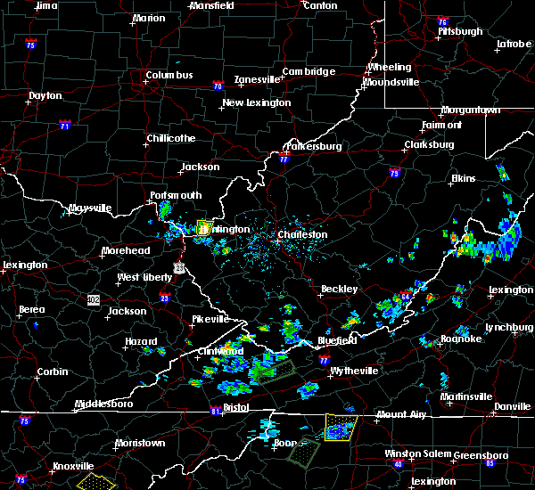 At 533 pm edt, a severe thunderstorm was located over proctorville, and is nearly stationary (radar indicated). Hazards include 60 mph wind gusts and quarter size hail. Minor hail damage to vehicles is possible. expect wind damage to trees and power lines, resulting in some power outages. Locations impacted include, huntington, chesapeake, proctorville, athalia, green bottom and scottown. At 533 pm edt, a severe thunderstorm was located over proctorville, and is nearly stationary (radar indicated). Hazards include 60 mph wind gusts and quarter size hail. Minor hail damage to vehicles is possible. expect wind damage to trees and power lines, resulting in some power outages. Locations impacted include, huntington, chesapeake, proctorville, athalia, green bottom and scottown.
|
| 9/2/2018 5:30 PM EDT | Large pine tree was snapped at the base and fell on a vehicl in cabell county WV, 0.5 miles SSW of Huntington, WV |
| 9/2/2018 5:25 PM EDT |
 At 524 pm edt, a severe thunderstorm was located over proctorville, and is nearly stationary (radar indicated). Hazards include golf ball size hail and 60 mph wind gusts. People and animals outdoors will be injured. expect hail damage to roofs, siding, windows, and vehicles. expect wind damage to trees and power lines, resulting in some power outages. Locations impacted include, huntington, chesapeake, proctorville, barboursville, athalia, pea ridge, green bottom and scottown. At 524 pm edt, a severe thunderstorm was located over proctorville, and is nearly stationary (radar indicated). Hazards include golf ball size hail and 60 mph wind gusts. People and animals outdoors will be injured. expect hail damage to roofs, siding, windows, and vehicles. expect wind damage to trees and power lines, resulting in some power outages. Locations impacted include, huntington, chesapeake, proctorville, barboursville, athalia, pea ridge, green bottom and scottown.
|
| 9/2/2018 5:25 PM EDT |
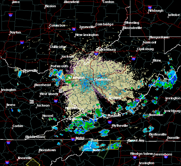 At 524 pm edt, a severe thunderstorm was located over proctorville, and is nearly stationary (radar indicated). Hazards include golf ball size hail and 60 mph wind gusts. People and animals outdoors will be injured. expect hail damage to roofs, siding, windows, and vehicles. expect wind damage to trees and power lines, resulting in some power outages. Locations impacted include, huntington, chesapeake, proctorville, barboursville, athalia, pea ridge, green bottom and scottown. At 524 pm edt, a severe thunderstorm was located over proctorville, and is nearly stationary (radar indicated). Hazards include golf ball size hail and 60 mph wind gusts. People and animals outdoors will be injured. expect hail damage to roofs, siding, windows, and vehicles. expect wind damage to trees and power lines, resulting in some power outages. Locations impacted include, huntington, chesapeake, proctorville, barboursville, athalia, pea ridge, green bottom and scottown.
|
| 9/2/2018 5:18 PM EDT |
 At 517 pm edt, a severe thunderstorm was located over proctorville, and is nearly stationary (radar indicated). Hazards include 60 mph wind gusts and half dollar size hail. Minor hail damage to vehicles is possible. expect wind damage to trees and power lines, resulting in some power outages. Locations impacted include, huntington, chesapeake, proctorville, barboursville, athalia, pea ridge, green bottom and scottown. At 517 pm edt, a severe thunderstorm was located over proctorville, and is nearly stationary (radar indicated). Hazards include 60 mph wind gusts and half dollar size hail. Minor hail damage to vehicles is possible. expect wind damage to trees and power lines, resulting in some power outages. Locations impacted include, huntington, chesapeake, proctorville, barboursville, athalia, pea ridge, green bottom and scottown.
|
| 9/2/2018 5:08 PM EDT |
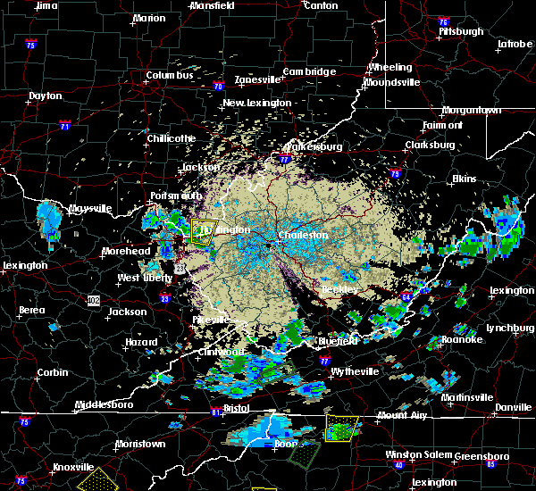 The national weather service in charleston west virginia has issued a * severe thunderstorm warning for. southeastern lawrence county in southeastern ohio. northwestern cabell county in central west virginia. north central wayne county in western west virginia. Until 600 pm edt. The national weather service in charleston west virginia has issued a * severe thunderstorm warning for. southeastern lawrence county in southeastern ohio. northwestern cabell county in central west virginia. north central wayne county in western west virginia. Until 600 pm edt.
|
| 9/2/2018 5:08 PM EDT |
 At 508 pm edt, a severe thunderstorm was located over proctorville, and is nearly stationary (radar indicated). Hazards include 60 mph wind gusts and quarter size hail. Minor hail damage to vehicles is possible. Expect wind damage to trees and power lines, resulting in some power outages. At 508 pm edt, a severe thunderstorm was located over proctorville, and is nearly stationary (radar indicated). Hazards include 60 mph wind gusts and quarter size hail. Minor hail damage to vehicles is possible. Expect wind damage to trees and power lines, resulting in some power outages.
|
| 7/31/2018 1:57 PM EDT |
 At 157 pm edt, a severe thunderstorm was located over ona, or 8 miles east of proctorville, moving northeast at 30 mph (radar indicated). Hazards include 60 mph wind gusts and quarter size hail. Hail damage to vehicles is expected. expect wind damage to roofs, siding, and trees. Locations impacted include, huntington, chesapeake, proctorville, barboursville, milton, ona, culloden, athalia, salt rock and pea ridge. At 157 pm edt, a severe thunderstorm was located over ona, or 8 miles east of proctorville, moving northeast at 30 mph (radar indicated). Hazards include 60 mph wind gusts and quarter size hail. Hail damage to vehicles is expected. expect wind damage to roofs, siding, and trees. Locations impacted include, huntington, chesapeake, proctorville, barboursville, milton, ona, culloden, athalia, salt rock and pea ridge.
|
| 7/31/2018 1:37 PM EDT |
 At 137 pm edt, a severe thunderstorm was located near beech fork state park, moving northeast at 25 mph (radar indicated). Hazards include 60 mph wind gusts and quarter size hail. Hail damage to vehicles is expected. Expect wind damage to roofs, siding, and trees. At 137 pm edt, a severe thunderstorm was located near beech fork state park, moving northeast at 25 mph (radar indicated). Hazards include 60 mph wind gusts and quarter size hail. Hail damage to vehicles is expected. Expect wind damage to roofs, siding, and trees.
|
| 1/23/2018 12:09 AM EST |
 The severe thunderstorm warning for northeastern boyd, south central gallia, southeastern lawrence and northwestern wayne counties will expire at 1215 am est, the storms which prompted the warning have weakened below severe limits, and no longer pose an immediate threat to life or property. therefore the warning will be allowed to expire. however small hail and gusty winds are still possible with these thunderstorms. to report severe weather, contact your nearest law enforcement agency. they will relay your report to the national weather service charleston west virginia. The severe thunderstorm warning for northeastern boyd, south central gallia, southeastern lawrence and northwestern wayne counties will expire at 1215 am est, the storms which prompted the warning have weakened below severe limits, and no longer pose an immediate threat to life or property. therefore the warning will be allowed to expire. however small hail and gusty winds are still possible with these thunderstorms. to report severe weather, contact your nearest law enforcement agency. they will relay your report to the national weather service charleston west virginia.
|
| 1/23/2018 12:00 AM EST |
 At 1159 pm est, severe thunderstorms were located along a line extending from lake vesuvius to near coal grove to catlettsburg, moving northeast at 65 mph (radar indicated). Hazards include 60 mph wind gusts and quarter size hail. Hail damage to vehicles is expected. expect wind damage to roofs, siding, and trees. locations impacted include, huntington, ashland, ironton, coal grove, chesapeake, lake vesuvius, kenova, catlettsburg, ceredo, south point, burlington, aid and scottown. this includes the following highways, interstate 64 in kentucky between mile markers 188 and 191. Interstate 64 in west virginia between mile markers 1 and 6. At 1159 pm est, severe thunderstorms were located along a line extending from lake vesuvius to near coal grove to catlettsburg, moving northeast at 65 mph (radar indicated). Hazards include 60 mph wind gusts and quarter size hail. Hail damage to vehicles is expected. expect wind damage to roofs, siding, and trees. locations impacted include, huntington, ashland, ironton, coal grove, chesapeake, lake vesuvius, kenova, catlettsburg, ceredo, south point, burlington, aid and scottown. this includes the following highways, interstate 64 in kentucky between mile markers 188 and 191. Interstate 64 in west virginia between mile markers 1 and 6.
|
| 1/22/2018 11:49 PM EST |
 At 1149 pm est, severe thunderstorms were located along a line extending from ironton to near rush, moving northeast at 65 mph (radar indicated). Hazards include 60 mph wind gusts and quarter size hail. Hail damage to vehicles is expected. Expect wind damage to roofs, siding, and trees. At 1149 pm est, severe thunderstorms were located along a line extending from ironton to near rush, moving northeast at 65 mph (radar indicated). Hazards include 60 mph wind gusts and quarter size hail. Hail damage to vehicles is expected. Expect wind damage to roofs, siding, and trees.
|
| 7/22/2017 10:59 PM EDT |
 At 1059 pm edt, a severe thunderstorm was located near huntington, moving southeast at 30 mph (radar indicated). Hazards include 60 mph wind gusts. expect damage to roofs, siding, and trees At 1059 pm edt, a severe thunderstorm was located near huntington, moving southeast at 30 mph (radar indicated). Hazards include 60 mph wind gusts. expect damage to roofs, siding, and trees
|
| 7/22/2017 10:55 PM EDT | Several reports of trees down in the cit in cabell county WV, 0.5 miles SSW of Huntington, WV |
| 7/7/2017 9:18 PM EDT |
 At 918 pm edt, severe thunderstorms were located along a line extending from near ripley to 6 miles southeast of barboursville to near webbville, moving southeast at 35 mph (radar indicated). Hazards include 60 mph wind gusts and nickel size hail. Expect damage to roofs, siding, and trees. locations impacted include, huntington, winfield, wayne, beech fork state park, hurricane, barboursville, milton, eleanor, buffalo, ona, culloden, centerville, teays valley, lavalette, given, salt rock, grimms landing, pea ridge, fraziers bottom and fairplain. this includes the following highways, interstate 77 in west virginia between mile markers 131 and 136. Interstate 64 in west virginia between mile markers 9 and 39. At 918 pm edt, severe thunderstorms were located along a line extending from near ripley to 6 miles southeast of barboursville to near webbville, moving southeast at 35 mph (radar indicated). Hazards include 60 mph wind gusts and nickel size hail. Expect damage to roofs, siding, and trees. locations impacted include, huntington, winfield, wayne, beech fork state park, hurricane, barboursville, milton, eleanor, buffalo, ona, culloden, centerville, teays valley, lavalette, given, salt rock, grimms landing, pea ridge, fraziers bottom and fairplain. this includes the following highways, interstate 77 in west virginia between mile markers 131 and 136. Interstate 64 in west virginia between mile markers 9 and 39.
|
| 7/7/2017 9:02 PM EDT |
 At 902 pm edt, severe thunderstorms were located along a line extending from 6 miles west of ripley to near barboursville to webbville, moving southeast at 45 mph (radar indicated). Hazards include 60 mph wind gusts and nickel size hail. Expect damage to roofs, siding, and trees. locations impacted include, huntington, louisa, winfield, wayne, blaine, beech fork state park, grayson lake state park, yatesville lake state park, hurricane, barboursville, milton, eleanor, ceredo, buffalo, fort gay, webbville, ona, culloden, denton and burnaugh. this includes the following highways, interstate 77 in west virginia between mile markers 131 and 136. Interstate 64 in west virginia between mile markers 3 and 39. At 902 pm edt, severe thunderstorms were located along a line extending from 6 miles west of ripley to near barboursville to webbville, moving southeast at 45 mph (radar indicated). Hazards include 60 mph wind gusts and nickel size hail. Expect damage to roofs, siding, and trees. locations impacted include, huntington, louisa, winfield, wayne, blaine, beech fork state park, grayson lake state park, yatesville lake state park, hurricane, barboursville, milton, eleanor, ceredo, buffalo, fort gay, webbville, ona, culloden, denton and burnaugh. this includes the following highways, interstate 77 in west virginia between mile markers 131 and 136. Interstate 64 in west virginia between mile markers 3 and 39.
|
| 7/7/2017 8:46 PM EDT |
 At 846 pm edt, severe thunderstorms were located along a line extending from near racine to near rush, moving southeast at 35 mph (radar indicated). Hazards include 60 mph wind gusts and nickel size hail. expect damage to roofs, siding, and trees At 846 pm edt, severe thunderstorms were located along a line extending from near racine to near rush, moving southeast at 35 mph (radar indicated). Hazards include 60 mph wind gusts and nickel size hail. expect damage to roofs, siding, and trees
|
| 6/13/2017 2:08 PM EDT |
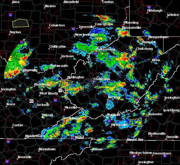 At 208 pm edt, a severe thunderstorm was located near ceredo, or near beech fork state park, moving southeast at 15 mph (radar indicated). Hazards include 60 mph wind gusts and quarter size hail. Hail damage to vehicles is expected. Expect wind damage to roofs, siding, and trees. At 208 pm edt, a severe thunderstorm was located near ceredo, or near beech fork state park, moving southeast at 15 mph (radar indicated). Hazards include 60 mph wind gusts and quarter size hail. Hail damage to vehicles is expected. Expect wind damage to roofs, siding, and trees.
|
| 5/20/2017 3:43 PM EDT |
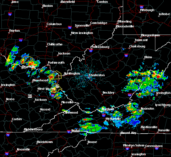 At 343 pm edt, a severe thunderstorm was located over coalton, or near cannonsburg, moving northeast at 15 mph (radar indicated). Hazards include two inch hail and 60 mph wind gusts. People and animals outdoors will be injured. expect hail damage to roofs, siding, windows, and vehicles. expect wind damage to roofs, siding, and trees. locations impacted include, huntington, ashland, ironton, coal grove, cannonsburg, kenova, catlettsburg, ceredo, princess, coalton, naples, rush, flatwoods, south point, russell, burlington, bellefonte, westwood, summit and mavity. this includes the following highways, interstate 64 in kentucky between mile markers 174 and 191. Interstate 64 in west virginia between mile markers 1 and 5. At 343 pm edt, a severe thunderstorm was located over coalton, or near cannonsburg, moving northeast at 15 mph (radar indicated). Hazards include two inch hail and 60 mph wind gusts. People and animals outdoors will be injured. expect hail damage to roofs, siding, windows, and vehicles. expect wind damage to roofs, siding, and trees. locations impacted include, huntington, ashland, ironton, coal grove, cannonsburg, kenova, catlettsburg, ceredo, princess, coalton, naples, rush, flatwoods, south point, russell, burlington, bellefonte, westwood, summit and mavity. this includes the following highways, interstate 64 in kentucky between mile markers 174 and 191. Interstate 64 in west virginia between mile markers 1 and 5.
|
| 5/20/2017 3:32 PM EDT |
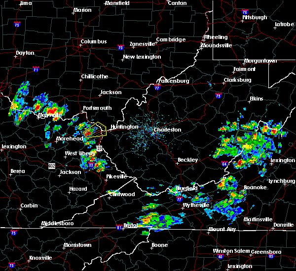 At 332 pm edt, a severe thunderstorm was located over rush, or near grayson, moving northeast at 15 mph (radar indicated). Hazards include 60 mph wind gusts and quarter size hail. Hail damage to vehicles is expected. Expect wind damage to roofs, siding, and trees. At 332 pm edt, a severe thunderstorm was located over rush, or near grayson, moving northeast at 15 mph (radar indicated). Hazards include 60 mph wind gusts and quarter size hail. Hail damage to vehicles is expected. Expect wind damage to roofs, siding, and trees.
|
| 4/29/2017 3:38 AM EDT |
 At 338 am edt, a severe thunderstorm was located over coal grove, moving east at 60 mph (radar indicated). Hazards include 60 mph wind gusts and penny size hail. Expect damage to roofs, siding, and trees. locations impacted include, huntington, ashland, ironton, coal grove, chesapeake, proctorville, cannonsburg, lake vesuvius, barboursville, kenova, catlettsburg, ceredo, greenup, princess, coalton, greenbo lake, oldtown, naples, rush and durbin. this includes the following highways, interstate 64 in kentucky between mile markers 174 and 191. Interstate 64 in west virginia between mile markers 1 and 15. At 338 am edt, a severe thunderstorm was located over coal grove, moving east at 60 mph (radar indicated). Hazards include 60 mph wind gusts and penny size hail. Expect damage to roofs, siding, and trees. locations impacted include, huntington, ashland, ironton, coal grove, chesapeake, proctorville, cannonsburg, lake vesuvius, barboursville, kenova, catlettsburg, ceredo, greenup, princess, coalton, greenbo lake, oldtown, naples, rush and durbin. this includes the following highways, interstate 64 in kentucky between mile markers 174 and 191. Interstate 64 in west virginia between mile markers 1 and 15.
|
| 4/29/2017 3:10 AM EDT |
 At 310 am edt, a severe thunderstorm was located 7 miles northeast of camp dix, or 12 miles north of carter caves state park, moving east at 60 mph (radar indicated). Hazards include 60 mph wind gusts and penny size hail. expect damage to roofs, siding, and trees At 310 am edt, a severe thunderstorm was located 7 miles northeast of camp dix, or 12 miles north of carter caves state park, moving east at 60 mph (radar indicated). Hazards include 60 mph wind gusts and penny size hail. expect damage to roofs, siding, and trees
|
| 4/11/2017 7:04 PM EDT |
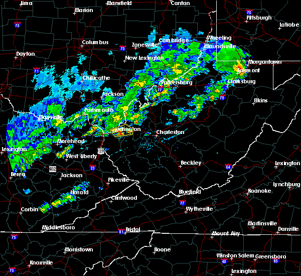 At 703 pm edt, a severe thunderstorm was located over barboursville, or near proctorville, moving east at 30 mph (radar indicated and nickel sized hail was reported in huntington). Hazards include 60 mph wind gusts and quarter size hail. Hail damage to vehicles is expected. expect wind damage to roofs, siding, and trees. locations impacted include, huntington, chesapeake, proctorville, barboursville, milton, ona, culloden, athalia and pea ridge. This includes interstate 64 in west virginia between mile markers 11 and 32. At 703 pm edt, a severe thunderstorm was located over barboursville, or near proctorville, moving east at 30 mph (radar indicated and nickel sized hail was reported in huntington). Hazards include 60 mph wind gusts and quarter size hail. Hail damage to vehicles is expected. expect wind damage to roofs, siding, and trees. locations impacted include, huntington, chesapeake, proctorville, barboursville, milton, ona, culloden, athalia and pea ridge. This includes interstate 64 in west virginia between mile markers 11 and 32.
|
| 4/11/2017 6:54 PM EDT | Quarter sized hail reported 0.9 miles NNE of Huntington, WV, she reported some stones were a little larger than quarters but not quite the size of a half dollar. |
| 4/11/2017 6:52 PM EDT |
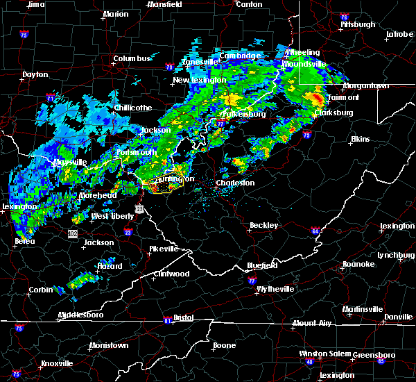 At 652 pm edt, a severe thunderstorm was located near huntington, moving east at 30 mph (radar indicated). Hazards include 60 mph wind gusts and quarter size hail. Hail damage to vehicles is expected. Expect wind damage to roofs, siding, and trees. At 652 pm edt, a severe thunderstorm was located near huntington, moving east at 30 mph (radar indicated). Hazards include 60 mph wind gusts and quarter size hail. Hail damage to vehicles is expected. Expect wind damage to roofs, siding, and trees.
|
| 3/1/2017 9:39 AM EST |
 At 938 am est, severe thunderstorms were located along a line extending from near huntington to 6 miles west of dunlow, moving east at 55 mph (radar indicated). Hazards include 70 mph wind gusts and half dollar size hail. Hail damage to vehicles is expected. expect considerable tree damage. wind damage is also likely to mobile homes, roofs, and outbuildings. locations impacted include, huntington, louisa, wayne, chesapeake, proctorville, beech fork state park, barboursville, kenova, ceredo, fort gay, east lynn lake, centerville, dunlow, kiahsville, burlington, lavalette, glenhayes, pea ridge, east lynn and genoa. This includes interstate 64 in west virginia between mile markers 1 and 21. At 938 am est, severe thunderstorms were located along a line extending from near huntington to 6 miles west of dunlow, moving east at 55 mph (radar indicated). Hazards include 70 mph wind gusts and half dollar size hail. Hail damage to vehicles is expected. expect considerable tree damage. wind damage is also likely to mobile homes, roofs, and outbuildings. locations impacted include, huntington, louisa, wayne, chesapeake, proctorville, beech fork state park, barboursville, kenova, ceredo, fort gay, east lynn lake, centerville, dunlow, kiahsville, burlington, lavalette, glenhayes, pea ridge, east lynn and genoa. This includes interstate 64 in west virginia between mile markers 1 and 21.
|
| 3/1/2017 9:34 AM EST |
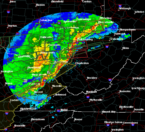 At 934 am est, severe thunderstorms were located along a line extending from near ceredo to near louisa, moving east at 55 mph (radar indicated). Hazards include 70 mph wind gusts and half dollar size hail. Hail damage to vehicles is expected. expect considerable tree damage. wind damage is also likely to mobile homes, roofs, and outbuildings. locations impacted include, huntington, ashland, louisa, coal grove, wayne, chesapeake, proctorville, beech fork state park, barboursville, kenova, ceredo, fort gay, east lynn lake, centerville, dunlow, kiahsville, south point, burlington, lavalette and glenhayes. This includes interstate 64 in west virginia between mile markers 1 and 21. At 934 am est, severe thunderstorms were located along a line extending from near ceredo to near louisa, moving east at 55 mph (radar indicated). Hazards include 70 mph wind gusts and half dollar size hail. Hail damage to vehicles is expected. expect considerable tree damage. wind damage is also likely to mobile homes, roofs, and outbuildings. locations impacted include, huntington, ashland, louisa, coal grove, wayne, chesapeake, proctorville, beech fork state park, barboursville, kenova, ceredo, fort gay, east lynn lake, centerville, dunlow, kiahsville, south point, burlington, lavalette and glenhayes. This includes interstate 64 in west virginia between mile markers 1 and 21.
|
| 3/1/2017 9:28 AM EST |
 At 927 am est, severe thunderstorms were located along a line extending from kenova to near charley, moving east at 55 mph (radar indicated). Hazards include 70 mph wind gusts and half dollar size hail. Hail damage to vehicles is expected. expect considerable tree damage. wind damage is also likely to mobile homes, roofs, and outbuildings. locations impacted include, huntington, ashland, louisa, coal grove, wayne, chesapeake, proctorville, blaine, beech fork state park, cannonsburg, yatesville lake state park, barboursville, kenova, catlettsburg, ceredo, fort gay, webbville, princess, coalton and burnaugh. this includes the following highways, interstate 64 in kentucky between mile markers 181 and 191. Interstate 64 in west virginia between mile markers 1 and 21. At 927 am est, severe thunderstorms were located along a line extending from kenova to near charley, moving east at 55 mph (radar indicated). Hazards include 70 mph wind gusts and half dollar size hail. Hail damage to vehicles is expected. expect considerable tree damage. wind damage is also likely to mobile homes, roofs, and outbuildings. locations impacted include, huntington, ashland, louisa, coal grove, wayne, chesapeake, proctorville, blaine, beech fork state park, cannonsburg, yatesville lake state park, barboursville, kenova, catlettsburg, ceredo, fort gay, webbville, princess, coalton and burnaugh. this includes the following highways, interstate 64 in kentucky between mile markers 181 and 191. Interstate 64 in west virginia between mile markers 1 and 21.
|
| 3/1/2017 9:01 AM EST |
 At 900 am est, severe thunderstorms were located along a line extending from near gesling to sandy hook, moving east at 55 mph (radar indicated). Hazards include 70 mph wind gusts and half dollar size hail. Hail damage to vehicles is expected. expect considerable tree damage. Wind damage is also likely to mobile homes, roofs, and outbuildings. At 900 am est, severe thunderstorms were located along a line extending from near gesling to sandy hook, moving east at 55 mph (radar indicated). Hazards include 70 mph wind gusts and half dollar size hail. Hail damage to vehicles is expected. expect considerable tree damage. Wind damage is also likely to mobile homes, roofs, and outbuildings.
|
| 3/1/2017 9:01 AM EST |
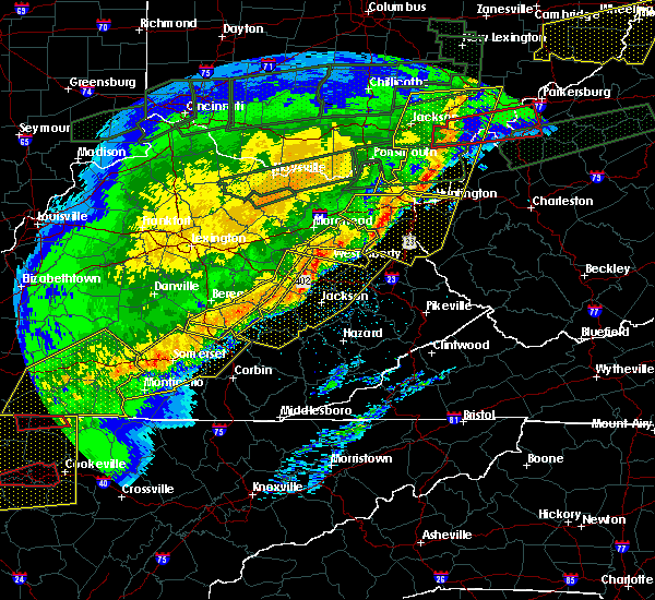 At 900 am est, severe thunderstorms were located along a line extending from near gesling to sandy hook, moving east at 55 mph (radar indicated). Hazards include 70 mph wind gusts and half dollar size hail. Hail damage to vehicles is expected. expect considerable tree damage. Wind damage is also likely to mobile homes, roofs, and outbuildings. At 900 am est, severe thunderstorms were located along a line extending from near gesling to sandy hook, moving east at 55 mph (radar indicated). Hazards include 70 mph wind gusts and half dollar size hail. Hail damage to vehicles is expected. expect considerable tree damage. Wind damage is also likely to mobile homes, roofs, and outbuildings.
|
| 2/25/2017 1:04 AM EST |
 At 104 am est, severe thunderstorms were located along a line extending from near ironton to ashland to near durbin, moving northeast at 65 mph (radar indicated). Hazards include 60 mph wind gusts and penny size hail. expect damage to roofs, siding, and trees At 104 am est, severe thunderstorms were located along a line extending from near ironton to ashland to near durbin, moving northeast at 65 mph (radar indicated). Hazards include 60 mph wind gusts and penny size hail. expect damage to roofs, siding, and trees
|
| 2/25/2017 1:04 AM EST |
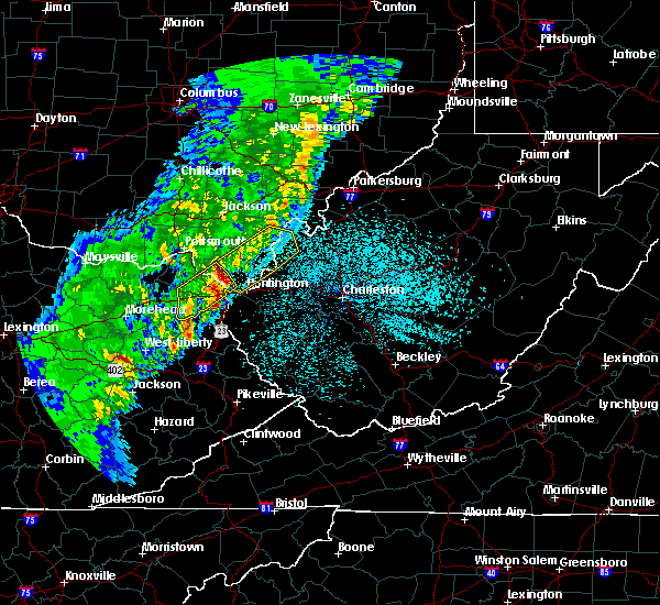 At 104 am est, severe thunderstorms were located along a line extending from near ironton to ashland to near durbin, moving northeast at 65 mph (radar indicated). Hazards include 60 mph wind gusts and penny size hail. expect damage to roofs, siding, and trees At 104 am est, severe thunderstorms were located along a line extending from near ironton to ashland to near durbin, moving northeast at 65 mph (radar indicated). Hazards include 60 mph wind gusts and penny size hail. expect damage to roofs, siding, and trees
|
| 7/14/2016 4:51 PM EDT |
 The severe thunderstorm warning for greenup, northeastern carter, northern boyd, lawrence, south central gallia and central cabell counties will expire at 500 pm edt, the storm which prompted the warning has moved out of the area. therefore, the warning will be allowed to expire. however gusty winds are still possible with this thunderstorm. The severe thunderstorm warning for greenup, northeastern carter, northern boyd, lawrence, south central gallia and central cabell counties will expire at 500 pm edt, the storm which prompted the warning has moved out of the area. therefore, the warning will be allowed to expire. however gusty winds are still possible with this thunderstorm.
|
| 7/14/2016 4:03 PM EDT |
 At 402 pm edt, a line of severe thunderstorms were located over greenbo lake, or 10 miles north of grayson, moving east at 40 mph (radar indicated). Hazards include 60 mph wind gusts. Expect damage to roofs. siding. And trees. At 402 pm edt, a line of severe thunderstorms were located over greenbo lake, or 10 miles north of grayson, moving east at 40 mph (radar indicated). Hazards include 60 mph wind gusts. Expect damage to roofs. siding. And trees.
|
| 7/8/2016 2:43 PM EDT |
 At 241 pm edt, a severe thunderstorm was located over culloden, or 9 miles north of hamlin, moving east at 45 mph (radar indicated). Hazards include 60 mph wind gusts. Expect damage to roofs. siding. and trees. Locations impacted include, huntington, hamlin, hurricane, barboursville, milton, culloden, spurlockville, ona, teays valley, west hamlin, athalia, palermo, green bottom, griffithsville, branchland, pea ridge, salt rock, myra, yawkey and sweetland. At 241 pm edt, a severe thunderstorm was located over culloden, or 9 miles north of hamlin, moving east at 45 mph (radar indicated). Hazards include 60 mph wind gusts. Expect damage to roofs. siding. and trees. Locations impacted include, huntington, hamlin, hurricane, barboursville, milton, culloden, spurlockville, ona, teays valley, west hamlin, athalia, palermo, green bottom, griffithsville, branchland, pea ridge, salt rock, myra, yawkey and sweetland.
|
| 7/8/2016 2:16 PM EDT |
 At 215 pm edt, a severe thunderstorm was located near chesapeake, moving east at 45 mph (radar indicated). Hazards include 60 mph wind gusts. Expect damage to roofs. siding. And trees. At 215 pm edt, a severe thunderstorm was located near chesapeake, moving east at 45 mph (radar indicated). Hazards include 60 mph wind gusts. Expect damage to roofs. siding. And trees.
|
| 7/6/2016 9:51 PM EDT |
 The severe thunderstorm warning for northwestern lincoln and central cabell counties will expire at 1000 pm edt, the storm which prompted the warning has weakened below severe limits. therefore, the warning will be allowed to expire. however gusty winds are still possible with this thunderstorm. The severe thunderstorm warning for northwestern lincoln and central cabell counties will expire at 1000 pm edt, the storm which prompted the warning has weakened below severe limits. therefore, the warning will be allowed to expire. however gusty winds are still possible with this thunderstorm.
|
| 7/6/2016 9:35 PM EDT |
 At 935 pm edt, a severe thunderstorm was located over barboursville, or near proctorville, moving east at 30 mph (radar indicated). Hazards include 70 mph wind gusts and quarter size hail. Hail damage to vehicles is expected. expect considerable tree damage. wind damage is also likely to mobile homes, roofs, and outbuildings. Locations impacted include, huntington, hamlin, barboursville, milton, ona, culloden, west hamlin, salt rock and pea ridge. At 935 pm edt, a severe thunderstorm was located over barboursville, or near proctorville, moving east at 30 mph (radar indicated). Hazards include 70 mph wind gusts and quarter size hail. Hail damage to vehicles is expected. expect considerable tree damage. wind damage is also likely to mobile homes, roofs, and outbuildings. Locations impacted include, huntington, hamlin, barboursville, milton, ona, culloden, west hamlin, salt rock and pea ridge.
|
| 7/6/2016 9:15 PM EDT |
 At 915 pm edt, a severe thunderstorm was located near ceredo, or near huntington, moving east at 30 mph (radar indicated). Hazards include 70 mph wind gusts and penny size hail. Expect considerable tree damage. Damage is likely to mobile homes, roofs, and outbuildings. At 915 pm edt, a severe thunderstorm was located near ceredo, or near huntington, moving east at 30 mph (radar indicated). Hazards include 70 mph wind gusts and penny size hail. Expect considerable tree damage. Damage is likely to mobile homes, roofs, and outbuildings.
|
| 7/6/2016 9:12 PM EDT |
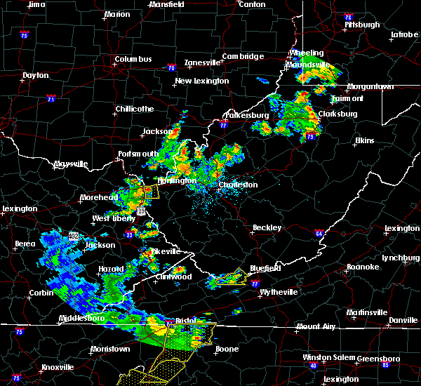 At 911 pm edt, a severe thunderstorm was located over ceredo, moving east at 30 mph (radar indicated). Hazards include 70 mph wind gusts and penny size hail. Expect considerable tree damage. damage is likely to mobile homes, roofs, and outbuildings. Locations impacted include, huntington, wayne, beech fork state park, kenova, ceredo, centerville and lavalette. At 911 pm edt, a severe thunderstorm was located over ceredo, moving east at 30 mph (radar indicated). Hazards include 70 mph wind gusts and penny size hail. Expect considerable tree damage. damage is likely to mobile homes, roofs, and outbuildings. Locations impacted include, huntington, wayne, beech fork state park, kenova, ceredo, centerville and lavalette.
|
| 7/6/2016 9:08 PM EDT | Tree down on rt 75 near interstate. time estimated via rada in wayne county WV, 7.6 miles ENE of Huntington, WV |
| 7/6/2016 8:54 PM EDT |
 At 853 pm edt, a severe thunderstorm was located over cannonsburg, moving east at 30 mph (radar indicated). Hazards include 70 mph wind gusts and quarter size hail. Hail damage to vehicles is expected. expect considerable tree damage. Wind damage is also likely to mobile homes, roofs, and outbuildings. At 853 pm edt, a severe thunderstorm was located over cannonsburg, moving east at 30 mph (radar indicated). Hazards include 70 mph wind gusts and quarter size hail. Hail damage to vehicles is expected. expect considerable tree damage. Wind damage is also likely to mobile homes, roofs, and outbuildings.
|
| 7/6/2016 8:54 PM EDT |
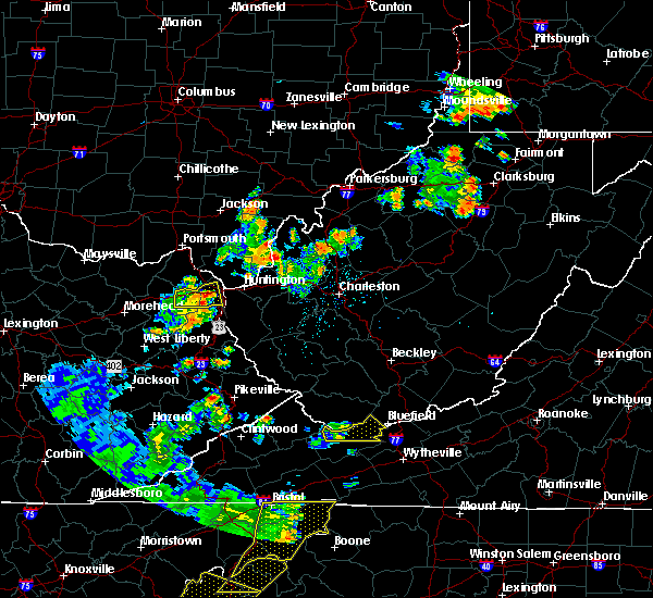 At 853 pm edt, a severe thunderstorm was located over cannonsburg, moving east at 30 mph (radar indicated). Hazards include 70 mph wind gusts and quarter size hail. Hail damage to vehicles is expected. expect considerable tree damage. Wind damage is also likely to mobile homes, roofs, and outbuildings. At 853 pm edt, a severe thunderstorm was located over cannonsburg, moving east at 30 mph (radar indicated). Hazards include 70 mph wind gusts and quarter size hail. Hail damage to vehicles is expected. expect considerable tree damage. Wind damage is also likely to mobile homes, roofs, and outbuildings.
|
| 7/4/2016 3:45 PM EDT |
 At 344 pm edt, a severe thunderstorm was located near blaine, moving east at 45 mph (radar indicated). Hazards include 60 mph wind gusts. Expect damage to roofs. siding. And trees. At 344 pm edt, a severe thunderstorm was located near blaine, moving east at 45 mph (radar indicated). Hazards include 60 mph wind gusts. Expect damage to roofs. siding. And trees.
|
| 6/23/2016 4:24 PM EDT |
 The severe thunderstorm warning for southeastern lawrence and central cabell counties will expire at 430 pm edt, the storm which prompted the warning has weakened below severe limits, and no longer pose an immediate threat to life or property. therefore, the warning will be allowed to expire. a tornado watch remains in effect until 1000 pm edt for southeastern ohio, and central west virginia. The severe thunderstorm warning for southeastern lawrence and central cabell counties will expire at 430 pm edt, the storm which prompted the warning has weakened below severe limits, and no longer pose an immediate threat to life or property. therefore, the warning will be allowed to expire. a tornado watch remains in effect until 1000 pm edt for southeastern ohio, and central west virginia.
|
| 6/23/2016 4:12 PM EDT |
 At 411 pm edt, a severe thunderstorm was located near proctorville, moving southeast at 45 mph (radar indicated). Hazards include 60 mph wind gusts. Expect damage to roofs. siding. and trees. locations impacted include, huntington, proctorville, barboursville, milton, ona, athalia, salt rock and pea ridge. A tornado watch remains in effect until 1000 pm edt for southeastern ohio, and central west virginia. At 411 pm edt, a severe thunderstorm was located near proctorville, moving southeast at 45 mph (radar indicated). Hazards include 60 mph wind gusts. Expect damage to roofs. siding. and trees. locations impacted include, huntington, proctorville, barboursville, milton, ona, athalia, salt rock and pea ridge. A tornado watch remains in effect until 1000 pm edt for southeastern ohio, and central west virginia.
|
| 6/23/2016 3:55 PM EDT |
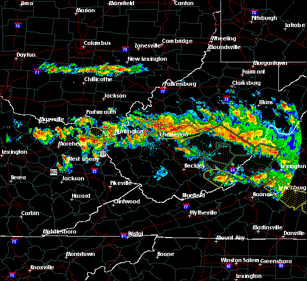 At 354 pm edt, a severe thunderstorm was located near coal grove, moving southeast at 45 mph (radar indicated). Hazards include 60 mph wind gusts and quarter size hail. Hail damage to vehicles is expected. Expect wind damage to roofs, siding, and trees. At 354 pm edt, a severe thunderstorm was located near coal grove, moving southeast at 45 mph (radar indicated). Hazards include 60 mph wind gusts and quarter size hail. Hail damage to vehicles is expected. Expect wind damage to roofs, siding, and trees.
|
| 6/23/2016 3:53 PM EDT | Trees down in cered in wayne county WV, 6.4 miles E of Huntington, WV |
| 6/23/2016 3:45 PM EDT |
 At 344 pm edt, a severe thunderstorm was located over naples, or near cannonsburg, moving east at 45 mph (radar indicated). Hazards include 60 mph wind gusts. Expect damage to roofs. siding. and trees. locations impacted include, huntington, ashland, ironton, coal grove, cannonsburg, kenova, catlettsburg, ceredo, coalton, princess, naples, oldtown, flatwoods, south point, russell, raceland, burlington, wurtland, bellefonte and westwood. A tornado watch remains in effect until 1000 pm edt for northeastern kentucky, southeastern ohio, and western and central west virginia. At 344 pm edt, a severe thunderstorm was located over naples, or near cannonsburg, moving east at 45 mph (radar indicated). Hazards include 60 mph wind gusts. Expect damage to roofs. siding. and trees. locations impacted include, huntington, ashland, ironton, coal grove, cannonsburg, kenova, catlettsburg, ceredo, coalton, princess, naples, oldtown, flatwoods, south point, russell, raceland, burlington, wurtland, bellefonte and westwood. A tornado watch remains in effect until 1000 pm edt for northeastern kentucky, southeastern ohio, and western and central west virginia.
|
| 6/23/2016 3:45 PM EDT |
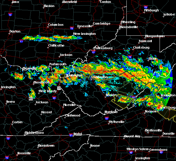 At 344 pm edt, a severe thunderstorm was located over naples, or near cannonsburg, moving east at 45 mph (radar indicated). Hazards include 60 mph wind gusts. Expect damage to roofs. siding. and trees. locations impacted include, huntington, ashland, ironton, coal grove, cannonsburg, kenova, catlettsburg, ceredo, coalton, princess, naples, oldtown, flatwoods, south point, russell, raceland, burlington, wurtland, bellefonte and westwood. A tornado watch remains in effect until 1000 pm edt for northeastern kentucky, southeastern ohio, and western and central west virginia. At 344 pm edt, a severe thunderstorm was located over naples, or near cannonsburg, moving east at 45 mph (radar indicated). Hazards include 60 mph wind gusts. Expect damage to roofs. siding. and trees. locations impacted include, huntington, ashland, ironton, coal grove, cannonsburg, kenova, catlettsburg, ceredo, coalton, princess, naples, oldtown, flatwoods, south point, russell, raceland, burlington, wurtland, bellefonte and westwood. A tornado watch remains in effect until 1000 pm edt for northeastern kentucky, southeastern ohio, and western and central west virginia.
|
| 6/23/2016 3:34 PM EDT |
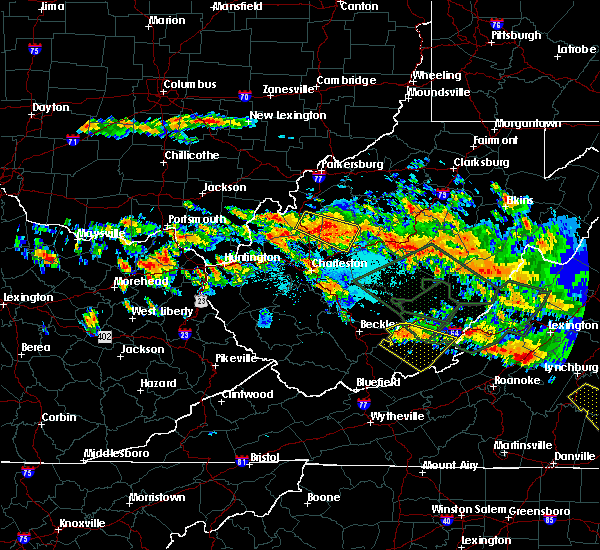 At 334 pm edt, a severe thunderstorm was located over oldtown, or 8 miles north of grayson, moving east at 50 mph (radar indicated). Hazards include 60 mph wind gusts and quarter size hail. Hail damage to vehicles is expected. Expect wind damage to roofs, siding, and trees. At 334 pm edt, a severe thunderstorm was located over oldtown, or 8 miles north of grayson, moving east at 50 mph (radar indicated). Hazards include 60 mph wind gusts and quarter size hail. Hail damage to vehicles is expected. Expect wind damage to roofs, siding, and trees.
|
| 6/23/2016 7:22 AM EDT |
 At 721 am edt, severe thunderstorms were located along a line extending from near milton to near culver, moving southeast at 45 mph (radar indicated). Hazards include 60 mph wind gusts. Expect damage to roofs. siding. and trees. locations impacted include, nitro, madison, louisa, wayne, hamlin, blaine, beech fork state park, yatesville lake state park, south charleston, st. Albans, hurricane, barboursville, milton, chapmanville, fort gay, durbin, ulysses, kiahsville, centerville and charley. At 721 am edt, severe thunderstorms were located along a line extending from near milton to near culver, moving southeast at 45 mph (radar indicated). Hazards include 60 mph wind gusts. Expect damage to roofs. siding. and trees. locations impacted include, nitro, madison, louisa, wayne, hamlin, blaine, beech fork state park, yatesville lake state park, south charleston, st. Albans, hurricane, barboursville, milton, chapmanville, fort gay, durbin, ulysses, kiahsville, centerville and charley.
|
| 6/23/2016 6:58 AM EDT |
 At 658 am edt, severe thunderstorms were located along a line extending from 14 miles east of lake vesuvius to near farley, moving southeast at 45 mph (radar indicated). Hazards include 60 mph wind gusts. Expect damage to roofs. siding. And trees. At 658 am edt, severe thunderstorms were located along a line extending from 14 miles east of lake vesuvius to near farley, moving southeast at 45 mph (radar indicated). Hazards include 60 mph wind gusts. Expect damage to roofs. siding. And trees.
|
| 6/23/2016 6:17 AM EDT |
 At 616 am edt, severe thunderstorms were located along a line extending from near jackson to 9 miles west of lucasville to near tollesboro, moving southeast at 50 mph (radar indicated). Hazards include 60 mph wind gusts. Expect damage to roofs. siding. And trees. At 616 am edt, severe thunderstorms were located along a line extending from near jackson to 9 miles west of lucasville to near tollesboro, moving southeast at 50 mph (radar indicated). Hazards include 60 mph wind gusts. Expect damage to roofs. siding. And trees.
|
| 6/23/2016 6:09 AM EDT |
 The severe thunderstorm warning for southeastern lawrence, southwestern putnam, southwestern nicholas, southwestern clay, northwestern fayette, northern boone, lincoln, cabell and kanawha counties will expire at 615 am edt, the storms which prompted the warning have weakened. therefore, the warning will be allowed to expire. a severe thunderstorm watch remains in effect until 800 am edt for southeastern ohio, and western, north central, southern, southeastern and central west virginia. The severe thunderstorm warning for southeastern lawrence, southwestern putnam, southwestern nicholas, southwestern clay, northwestern fayette, northern boone, lincoln, cabell and kanawha counties will expire at 615 am edt, the storms which prompted the warning have weakened. therefore, the warning will be allowed to expire. a severe thunderstorm watch remains in effect until 800 am edt for southeastern ohio, and western, north central, southern, southeastern and central west virginia.
|
| 6/23/2016 5:46 AM EDT |
 At 546 am edt, severe thunderstorms were located along a line extending from near hamlin to near glen, moving southeast at 40 mph (radar indicated). Hazards include 60 mph wind gusts. Expect damage to roofs. siding. and trees. locations impacted include, charleston, huntington, nitro, summersville, madison, hamlin, proctorville, clay, jefferson, south charleston, st. Albans, dunbar, hurricane, barboursville, milton, montgomery, chesapeake, marmet, ansted and belle. At 546 am edt, severe thunderstorms were located along a line extending from near hamlin to near glen, moving southeast at 40 mph (radar indicated). Hazards include 60 mph wind gusts. Expect damage to roofs. siding. and trees. locations impacted include, charleston, huntington, nitro, summersville, madison, hamlin, proctorville, clay, jefferson, south charleston, st. Albans, dunbar, hurricane, barboursville, milton, montgomery, chesapeake, marmet, ansted and belle.
|
| 6/23/2016 5:11 AM EDT |
 At 511 am edt, severe thunderstorms were located along a line extending from near chesapeake to 9 miles east of kenna, moving southeast at 40 mph (radar indicated). Hazards include 60 mph wind gusts. Expect damage to roofs. siding. And trees. At 511 am edt, severe thunderstorms were located along a line extending from near chesapeake to 9 miles east of kenna, moving southeast at 40 mph (radar indicated). Hazards include 60 mph wind gusts. Expect damage to roofs. siding. And trees.
|
| 5/1/2016 4:57 PM EDT | The severe thunderstorm warning for south central lawrence, northwestern wayne and southwestern cabell counties will expire at 500 pm edt, the storm which prompted the warning has weakened below severe limits, and have exited the warned area. therefore the warning will be allowed to expire. a severe thunderstorm watch remains in effect until 1100 pm edt for southeastern ohio, and western west virginia. |
| 5/1/2016 4:57 PM EDT | The severe thunderstorm warning for south central lawrence, northwestern wayne and southwestern cabell counties will expire at 500 pm edt, the storm which prompted the warning has weakened below severe limits, and have exited the warned area. therefore the warning will be allowed to expire. a severe thunderstorm watch remains in effect until 1100 pm edt for southeastern ohio, and western west virginia. |
| 5/1/2016 4:37 PM EDT |
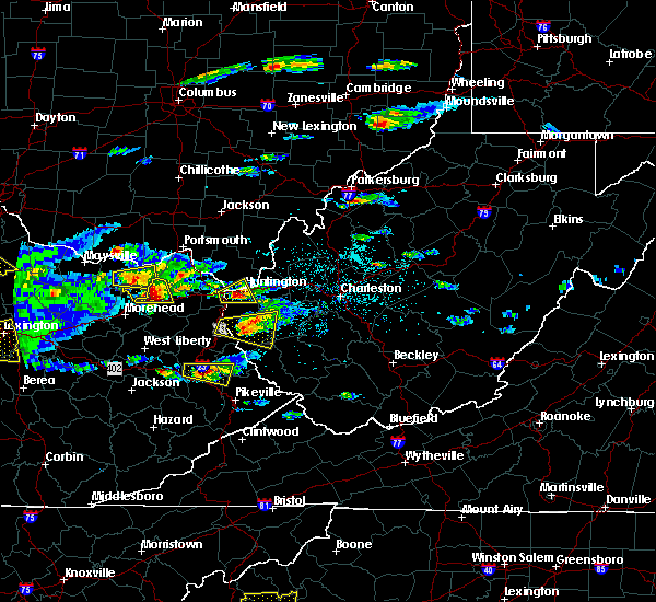 At 437 pm edt, a severe thunderstorm was located near ceredo, or near huntington, moving east at 20 mph (radar indicated). Hazards include 60 mph wind gusts and quarter size hail. Hail damage to vehicles is expected. expect wind damage to roofs, siding, and trees. Locations impacted include, huntington, chesapeake, proctorville, beech fork state park, kenova, ceredo, south point, burlington and lavalette. At 437 pm edt, a severe thunderstorm was located near ceredo, or near huntington, moving east at 20 mph (radar indicated). Hazards include 60 mph wind gusts and quarter size hail. Hail damage to vehicles is expected. expect wind damage to roofs, siding, and trees. Locations impacted include, huntington, chesapeake, proctorville, beech fork state park, kenova, ceredo, south point, burlington and lavalette.
|
| 5/1/2016 4:19 PM EDT |
 At 418 pm edt, a severe thunderstorm was located near kenova, or near cannonsburg, moving east at 20 mph (radar indicated). Hazards include 60 mph wind gusts and quarter size hail. Hail damage to vehicles is expected. Expect wind damage to roofs, siding, and trees. At 418 pm edt, a severe thunderstorm was located near kenova, or near cannonsburg, moving east at 20 mph (radar indicated). Hazards include 60 mph wind gusts and quarter size hail. Hail damage to vehicles is expected. Expect wind damage to roofs, siding, and trees.
|
| 5/1/2016 4:19 PM EDT |
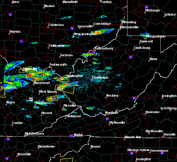 At 418 pm edt, a severe thunderstorm was located near kenova, or near cannonsburg, moving east at 20 mph (radar indicated). Hazards include 60 mph wind gusts and quarter size hail. Hail damage to vehicles is expected. Expect wind damage to roofs, siding, and trees. At 418 pm edt, a severe thunderstorm was located near kenova, or near cannonsburg, moving east at 20 mph (radar indicated). Hazards include 60 mph wind gusts and quarter size hail. Hail damage to vehicles is expected. Expect wind damage to roofs, siding, and trees.
|
| 7/14/2015 7:46 PM EDT | Multiple trees and power lines down throughout the county in cabell county WV, 1.9 miles WSW of Huntington, WV |
| 7/14/2015 5:52 PM EDT |
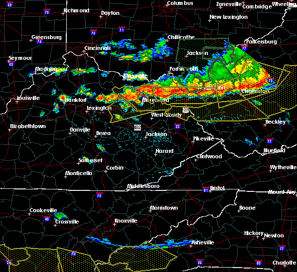 At 549 pm edt, doppler radar indicated a line of severe thunderstorms capable of producing damaging winds in excess of 60 mph. these storms were located along a line extending from culloden to princess to near olive hill, moving south at 35 mph. locations impacted include, huntington, ashland, grayson, louisa, coal grove, olive hill, wayne, hamlin, chesapeake, proctorville, beech fork state park, cannonsburg, carter caves state park, grayson lake state park, yatesville lake state park, barboursville, kenova, milton, catlettsburg and ceredo. At 549 pm edt, doppler radar indicated a line of severe thunderstorms capable of producing damaging winds in excess of 60 mph. these storms were located along a line extending from culloden to princess to near olive hill, moving south at 35 mph. locations impacted include, huntington, ashland, grayson, louisa, coal grove, olive hill, wayne, hamlin, chesapeake, proctorville, beech fork state park, cannonsburg, carter caves state park, grayson lake state park, yatesville lake state park, barboursville, kenova, milton, catlettsburg and ceredo.
|
| 7/14/2015 5:11 PM EDT |
 At 509 pm edt, doppler radar indicated a line of severe thunderstorms capable of producing damaging winds in excess of 60 mph. these storms were located along a line extending from south shore to near vanceburg to near manchester, and moving southeast at 55 mph. At 509 pm edt, doppler radar indicated a line of severe thunderstorms capable of producing damaging winds in excess of 60 mph. these storms were located along a line extending from south shore to near vanceburg to near manchester, and moving southeast at 55 mph.
|
| 7/7/2015 5:41 PM EDT |
 The severe thunderstorm warning for southeastern gallia, northwestern putnam, southern mason and central cabell counties will expire at 545 pm edt, the storms which prompted the warning have weakened below severe limits, and no longer poses an immediate threat to life or property. therefore the warning will be allowed to expire. The severe thunderstorm warning for southeastern gallia, northwestern putnam, southern mason and central cabell counties will expire at 545 pm edt, the storms which prompted the warning have weakened below severe limits, and no longer poses an immediate threat to life or property. therefore the warning will be allowed to expire.
|
| 7/7/2015 5:22 PM EDT |
 At 522 pm edt, doppler radar indicated a line of severe thunderstorms capable of producing damaging winds in excess of 60 mph. these storms were located along a line extending from 6 miles southeast of point pleasant to near buffalo to near milton, moving east at 40 mph. locations impacted include, huntington, winfield, hurricane, barboursville, milton, eleanor, buffalo, culloden, ona, teays valley, bancroft, leon, green bottom, gallopolis ferry, pea ridge, southside, fraziers bottom, ashton and grimms landing. At 522 pm edt, doppler radar indicated a line of severe thunderstorms capable of producing damaging winds in excess of 60 mph. these storms were located along a line extending from 6 miles southeast of point pleasant to near buffalo to near milton, moving east at 40 mph. locations impacted include, huntington, winfield, hurricane, barboursville, milton, eleanor, buffalo, culloden, ona, teays valley, bancroft, leon, green bottom, gallopolis ferry, pea ridge, southside, fraziers bottom, ashton and grimms landing.
|
| 7/7/2015 4:59 PM EDT |
 At 459 pm edt, doppler radar indicated a line of severe thunderstorms capable of producing damaging winds in excess of 60 mph. these storms were located along a line extending from 7 miles southwest of gallipolis to 8 miles northeast of proctorville to huntington, and moving east at 35 mph. At 459 pm edt, doppler radar indicated a line of severe thunderstorms capable of producing damaging winds in excess of 60 mph. these storms were located along a line extending from 7 miles southwest of gallipolis to 8 miles northeast of proctorville to huntington, and moving east at 35 mph.
|
| 6/26/2015 9:08 PM EDT | The severe thunderstorm warning for south central gallia, southeastern lawrence and northern cabell counties will expire at 915 pm edt, the storm which prompted the warning has moved out of the area. therefore the warning will be allowed to expire. |
| 6/26/2015 9:08 PM EDT | The severe thunderstorm warning for south central gallia, southeastern lawrence and northern cabell counties will expire at 915 pm edt, the storm which prompted the warning has moved out of the area. therefore the warning will be allowed to expire. |
| 6/26/2015 9:00 PM EDT | Quarter sized hail reported 2.1 miles ESE of Huntington, WV |
| 6/26/2015 8:56 PM EDT | At 855 pm edt, trained weather spotters reported a severe thunderstorm producing estimated 60 mph winds and tree limbs down in huntington. this storm is also capable of producing quarter size hail. this storm was located near proctorville, moving east at 30 mph. locations impacted include, huntington, hamlin, chesapeake, proctorville, barboursville, milton, ona, west hamlin, salt rock, myra and pea ridge. |
| 6/26/2015 8:56 PM EDT | At 855 pm edt, trained weather spotters reported a severe thunderstorm producing estimated 60 mph winds and tree limbs down in huntington. this storm is also capable of producing quarter size hail. this storm was located near proctorville, moving east at 30 mph. locations impacted include, huntington, hamlin, chesapeake, proctorville, barboursville, milton, ona, west hamlin, salt rock, myra and pea ridge. |
| 6/26/2015 8:55 PM EDT | 60 mph winds tree limbs dow in cabell county WV, 0.5 miles SSW of Huntington, WV |
| 6/26/2015 8:50 PM EDT | Numerous trees and powerlines down in and around the downtown huntington are in cabell county WV, 0.5 miles SSW of Huntington, WV |
| 6/26/2015 8:45 PM EDT | At 844 pm edt, trained weather spotters reported a severe thunderstorm that produced quarter sized hail near ashland ky. this storm is also capable of damaging winds in excess of 60 mph. this storm was located near proctorville, moving east at 30 mph. locations impacted include, huntington, chesapeake, proctorville, crown city, athalia, green bottom and scottown. |
| 6/26/2015 8:45 PM EDT | At 844 pm edt, trained weather spotters reported a severe thunderstorm that produced quarter sized hail near ashland ky. this storm is also capable of damaging winds in excess of 60 mph. this storm was located near proctorville, moving east at 30 mph. locations impacted include, huntington, chesapeake, proctorville, crown city, athalia, green bottom and scottown. |
| 6/26/2015 8:39 PM EDT | At 838 pm edt, doppler radar indicated a severe thunderstorm capable of producing half dollar size hail and damaging winds in excess of 60 mph. this storm was located over chesapeake, and moving east at 30 mph. |
| 6/26/2015 8:39 PM EDT | At 838 pm edt, doppler radar indicated a severe thunderstorm capable of producing half dollar size hail and damaging winds in excess of 60 mph. this storm was located over chesapeake, and moving east at 30 mph. |
| 6/26/2015 8:39 PM EDT | At 838 pm edt, doppler radar indicated a severe thunderstorm capable of producing half dollar size hail and damaging winds in excess of 60 mph. this storm was located over chesapeake, and moving east at 30 mph. |
| 6/26/2015 8:19 PM EDT | At 818 pm edt, doppler radar indicated a severe thunderstorm capable of producing half dollar size hail and damaging winds in excess of 60 mph. this storm was located over coal grove, and moving east at 25 mph. |
| 6/26/2015 8:19 PM EDT | At 818 pm edt, doppler radar indicated a severe thunderstorm capable of producing half dollar size hail and damaging winds in excess of 60 mph. this storm was located over coal grove, and moving east at 25 mph. |
| 6/26/2015 8:19 PM EDT | At 818 pm edt, doppler radar indicated a severe thunderstorm capable of producing half dollar size hail and damaging winds in excess of 60 mph. this storm was located over coal grove, and moving east at 25 mph. |
| 4/8/2015 1:35 PM EDT | A severe thunderstorm warning remains in effect until 200 pm edt for southern greenup. carter and boyd counties in kentucky. and eastern meigs. lawrence. southern gallia and extreme southeastern athens counties in southeast ohio. and northern wayne. cabell. northern jackson and mason counties in west virginia. at 122 pm edt. National weather service doppler radar continued to. |
| 4/8/2015 1:35 PM EDT | A severe thunderstorm warning remains in effect until 200 pm edt for southern greenup. carter and boyd counties in kentucky. and eastern meigs. lawrence. southern gallia and extreme southeastern athens counties in southeast ohio. and northern wayne. cabell. northern jackson and mason counties in west virginia. at 122 pm edt. National weather service doppler radar continued to. |
| 4/8/2015 1:35 PM EDT | A severe thunderstorm warning remains in effect until 200 pm edt for southern greenup. carter and boyd counties in kentucky. and eastern meigs. lawrence. southern gallia and extreme southeastern athens counties in southeast ohio. and northern wayne. cabell. northern jackson and mason counties in west virginia. at 122 pm edt. National weather service doppler radar continued to. |
| 4/8/2015 12:56 PM EDT | The national weather service in charleston has issued a * severe thunderstorm warning for. boyd county in kentucky. this includes the cities of. cannonsburg. ashland. carter county in kentucky. this includes the cities of. olive hill. Grayson lake state. |
| 4/8/2015 12:56 PM EDT | The national weather service in charleston has issued a * severe thunderstorm warning for. boyd county in kentucky. this includes the cities of. cannonsburg. ashland. carter county in kentucky. this includes the cities of. olive hill. Grayson lake state. |
| 4/8/2015 12:56 PM EDT | The national weather service in charleston has issued a * severe thunderstorm warning for. boyd county in kentucky. this includes the cities of. cannonsburg. ashland. carter county in kentucky. this includes the cities of. olive hill. Grayson lake state. |
| 8/2/2014 6:09 PM EDT | 7080 customers without power in cabell county in cabell county WV, 0.5 miles SSW of Huntington, WV |
| 8/2/2014 4:20 PM EDT | Large tree limb fell on truck near 9th ave and 24th st in cabell county WV, 0.5 miles SSW of Huntington, WV |
| 8/2/2014 4:18 PM EDT | Trees down on 9th ave...power lines down on 8th ave in cabell county WV, 0.5 miles SSW of Huntington, WV |
| 8/2/2014 4:16 PM EDT | Trees down along route 243 in lawrence county OH, 3.1 miles SW of Huntington, WV |
| 6/19/2014 7:15 PM EDT | Tree down on power lines 5th stree in cabell county WV, 0.5 miles SSW of Huntington, WV |
| 2/21/2014 1:25 AM EST | Roof blown of church at 1900 block of madison ave in cabell county WV, 3.2 miles E of Huntington, WV |
| 11/1/2013 2:25 AM EDT | Spotter at marshall univ campus estimates 65-70mph wind gusts. also reports power lines and many large branches dow in cabell county WV, 0.5 miles SSW of Huntington, WV |
| 11/1/2013 2:25 AM EDT | Public reports large tree down in the road at mccoy... near cross street morrow st...near huntington art museum. event time is a radar estimat in cabell county WV, 0.5 miles SSW of Huntington, WV |
| 11/1/2013 2:25 AM EDT | Roof off house on monel avenue in cabell county WV, 0.5 miles SSW of Huntington, WV |
| 11/1/2013 2:12 AM EDT | Tree down into powerline which snapped power pol in lawrence county OH, 2.8 miles ESE of Huntington, WV |
| 7/24/2012 1:20 PM EDT | Small branches broken. heavy rain and cloud to ground lightnin in cabell county WV, 0.5 miles SSW of Huntington, WV |
| 7/8/2012 3:10 PM EDT | Power lines down across interstate 64 at the 5th street exit. west bound lanes close in cabell county WV, 0.2 miles NW of Huntington, WV |
| 6/29/2012 6:51 PM EDT | West huntington... multiple large trees down. est winds 40 plus mph in cabell county WV, 0.5 miles SSW of Huntington, WV |
| 9/26/2011 1:45 PM EDT | Quarter sized hail reported 0.5 miles SSW of Huntington, WV, mostly dime size hail with quarter size mix in. very heavy rain and very gusty winds. cars had to pull off side of i-64 some cars in the median. |
| 9/26/2011 1:15 PM EDT | Quarter sized hail reported 0.5 miles SSW of Huntington, WV, mostly dime size hail with quarter size mix in. very heavy rain and very gusty winds. cars had to pull off side of i-64 some cars in the median. between 115pm - 120pm |
| 1/1/0001 12:00 AM | Spencer adkins reports a strand of trees down and a flag pole snapped of in cabell county WV, 1.1 miles ESE of Huntington, WV |
| 1/1/0001 12:00 AM | Numerous trees and power lines down across the huntington area in cabell county WV, 0.5 miles SSW of Huntington, WV |
| 1/1/0001 12:00 AM | Numerous trees and power lines down across the huntington area in cabell county WV, 0.5 miles SSW of Huntington, WV |
| 1/1/0001 12:00 AM | Quarter sized hail reported 0.5 miles SSW of Huntington, WV, quarter to golf ball sized hail has been reported on i-64 through huntington. |
| 1/1/0001 12:00 AM | Tree down on collins ave. timed from rada in cabell county WV, 0.5 miles SSW of Huntington, WV |
Hail Maps for Huntington, WV


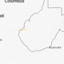


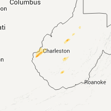


Connect with Interactive Hail Maps