

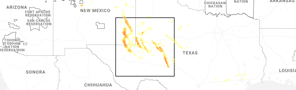
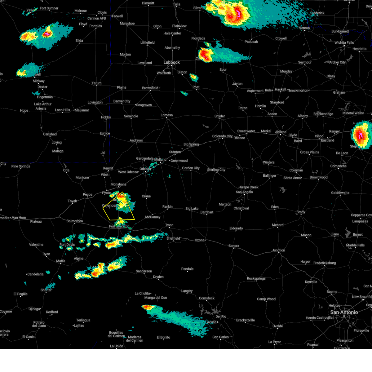
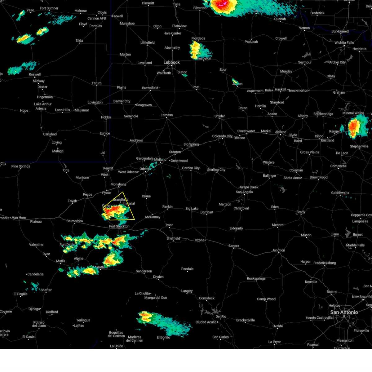
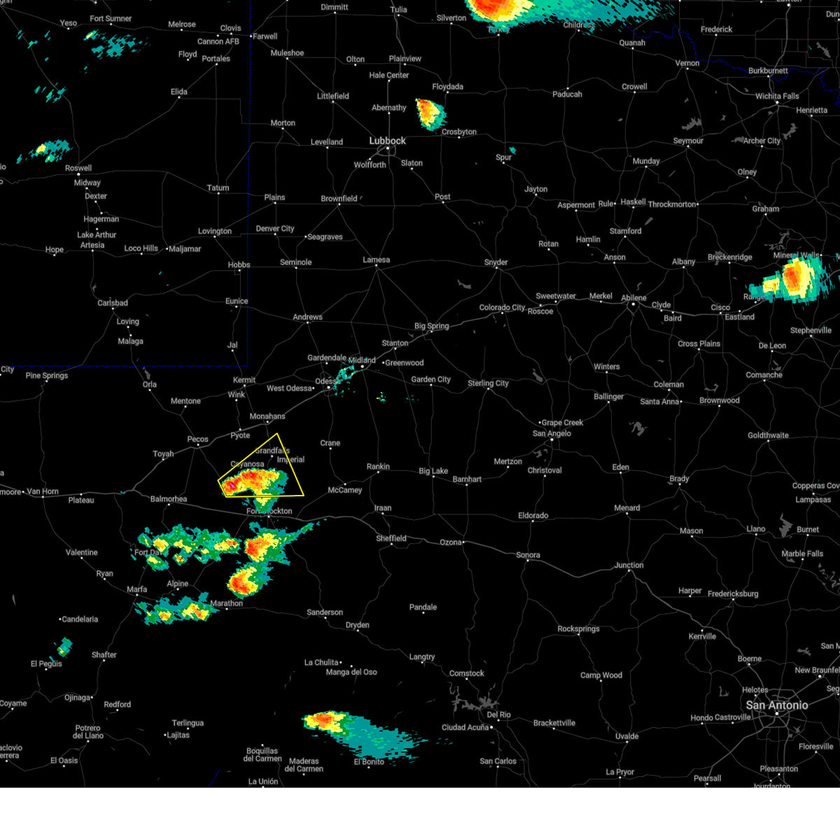
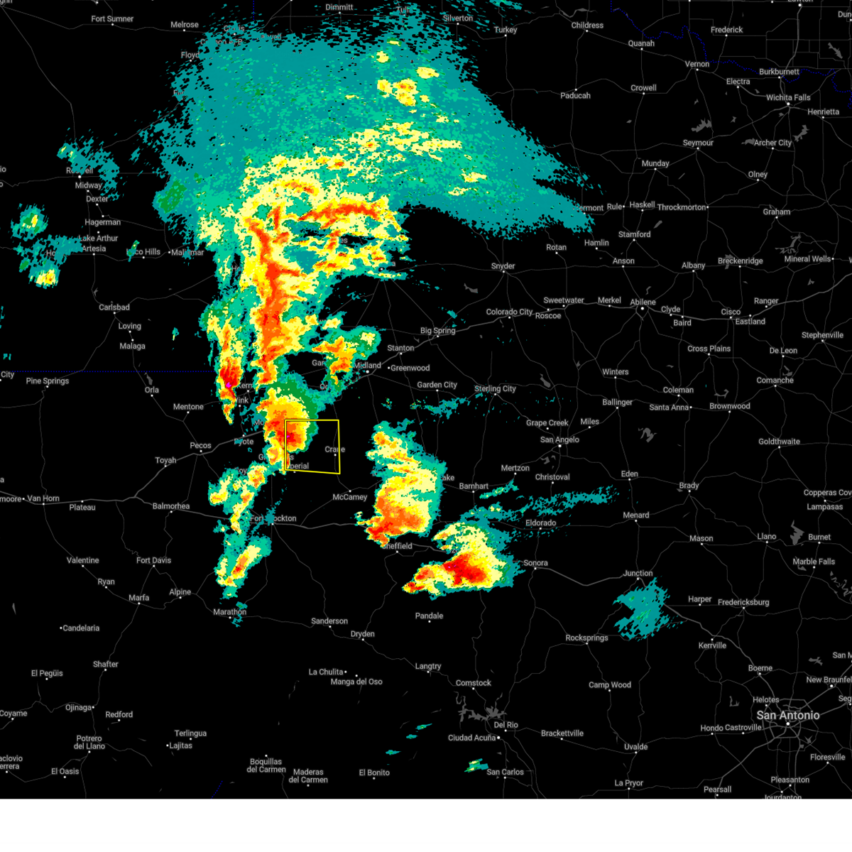
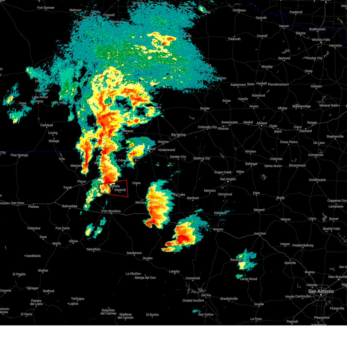
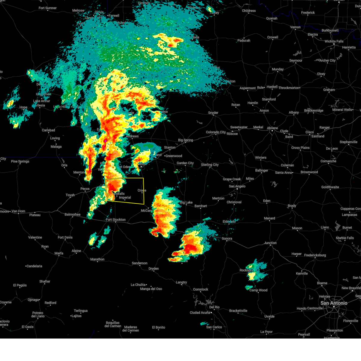
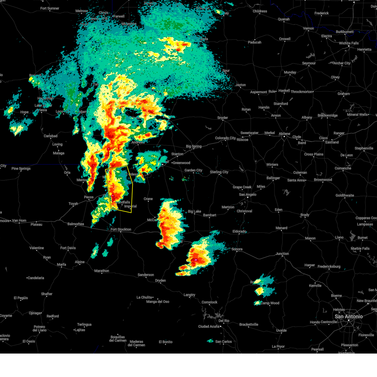
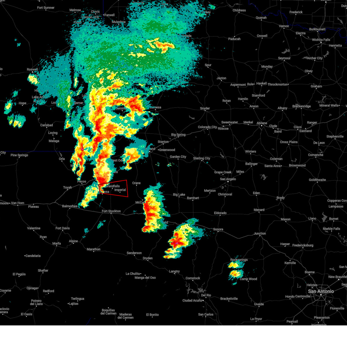
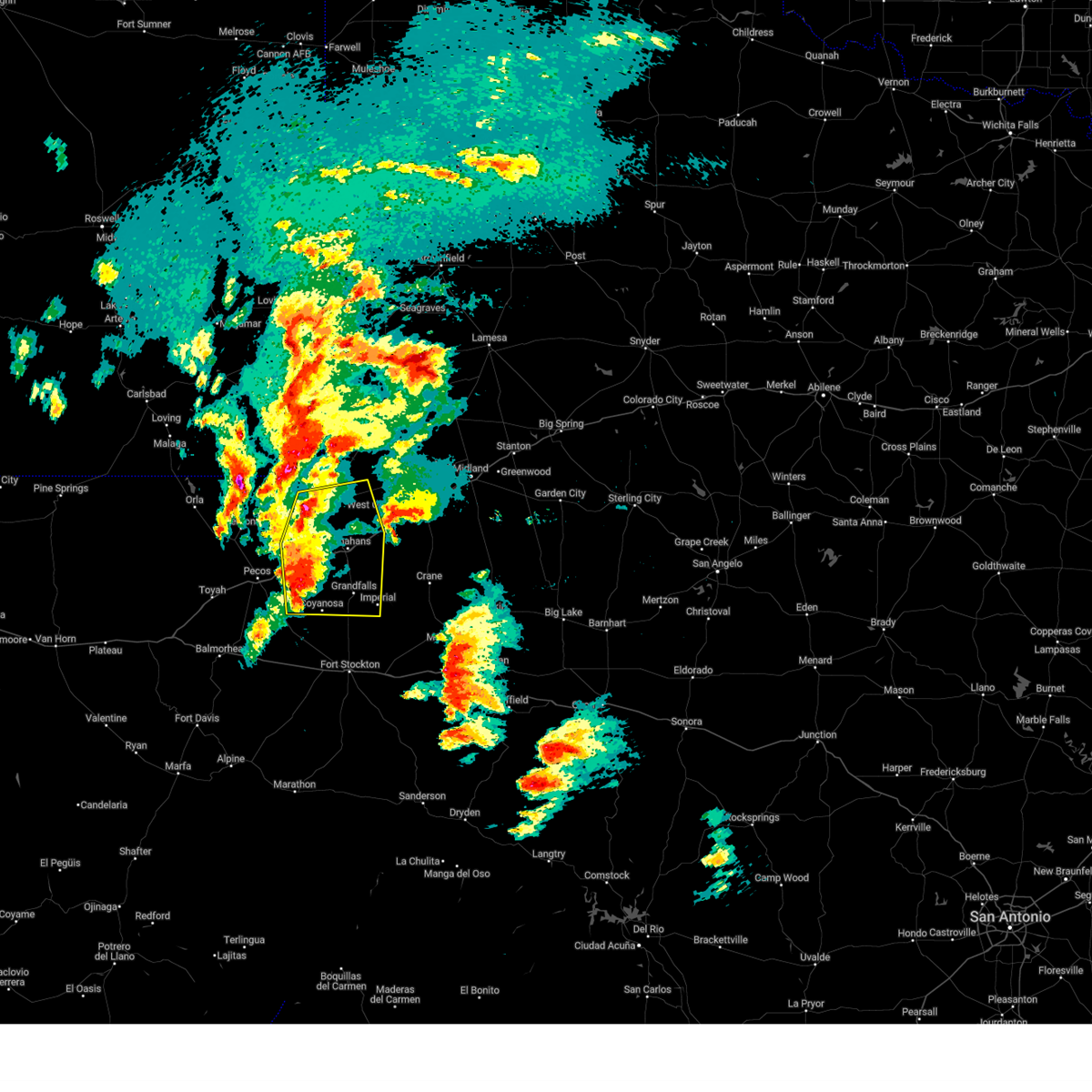
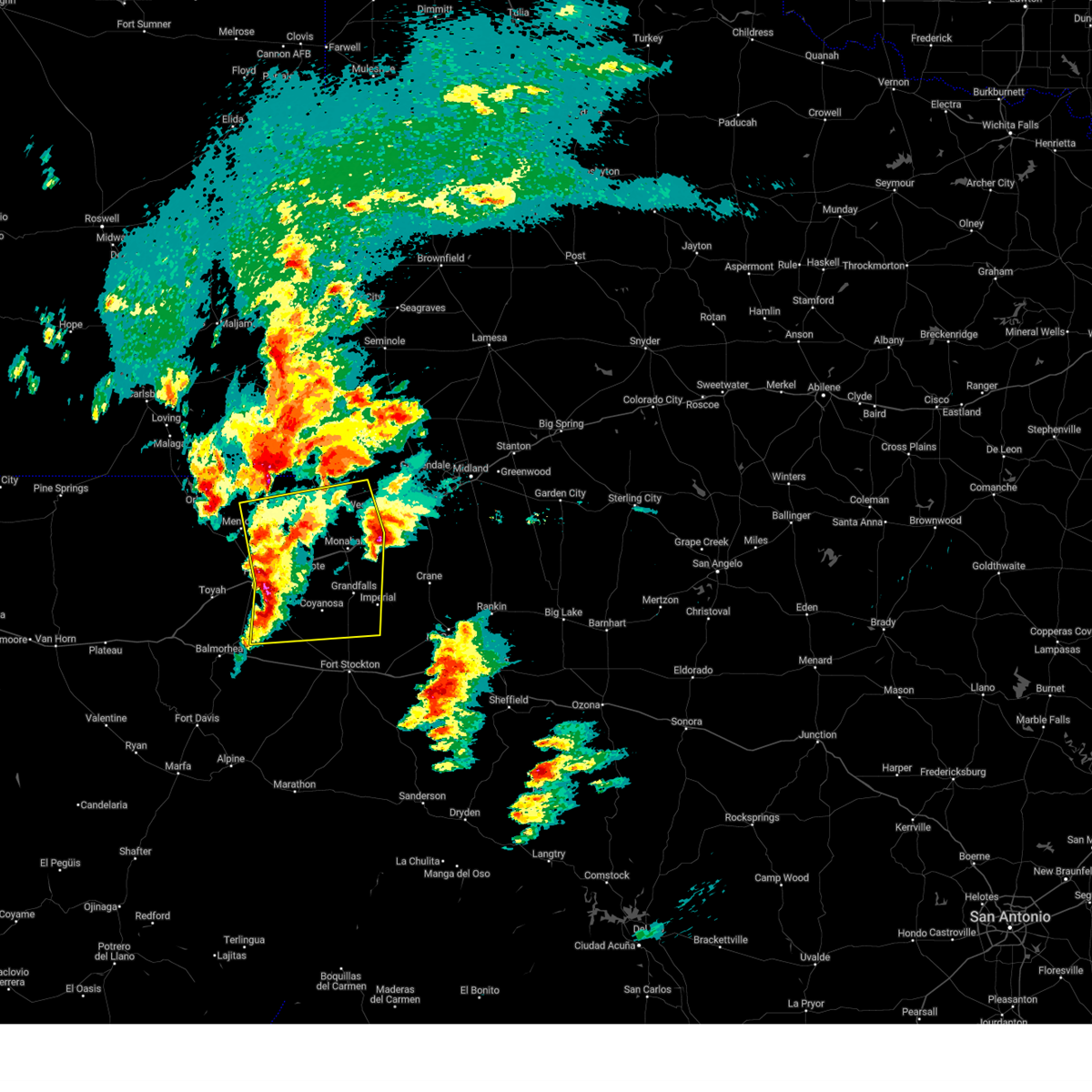
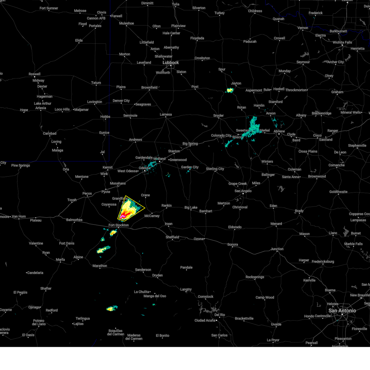
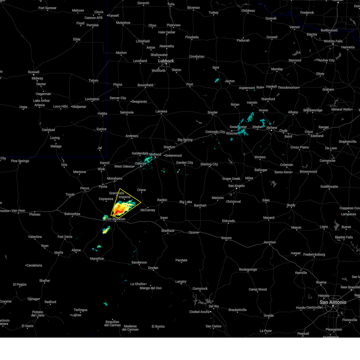
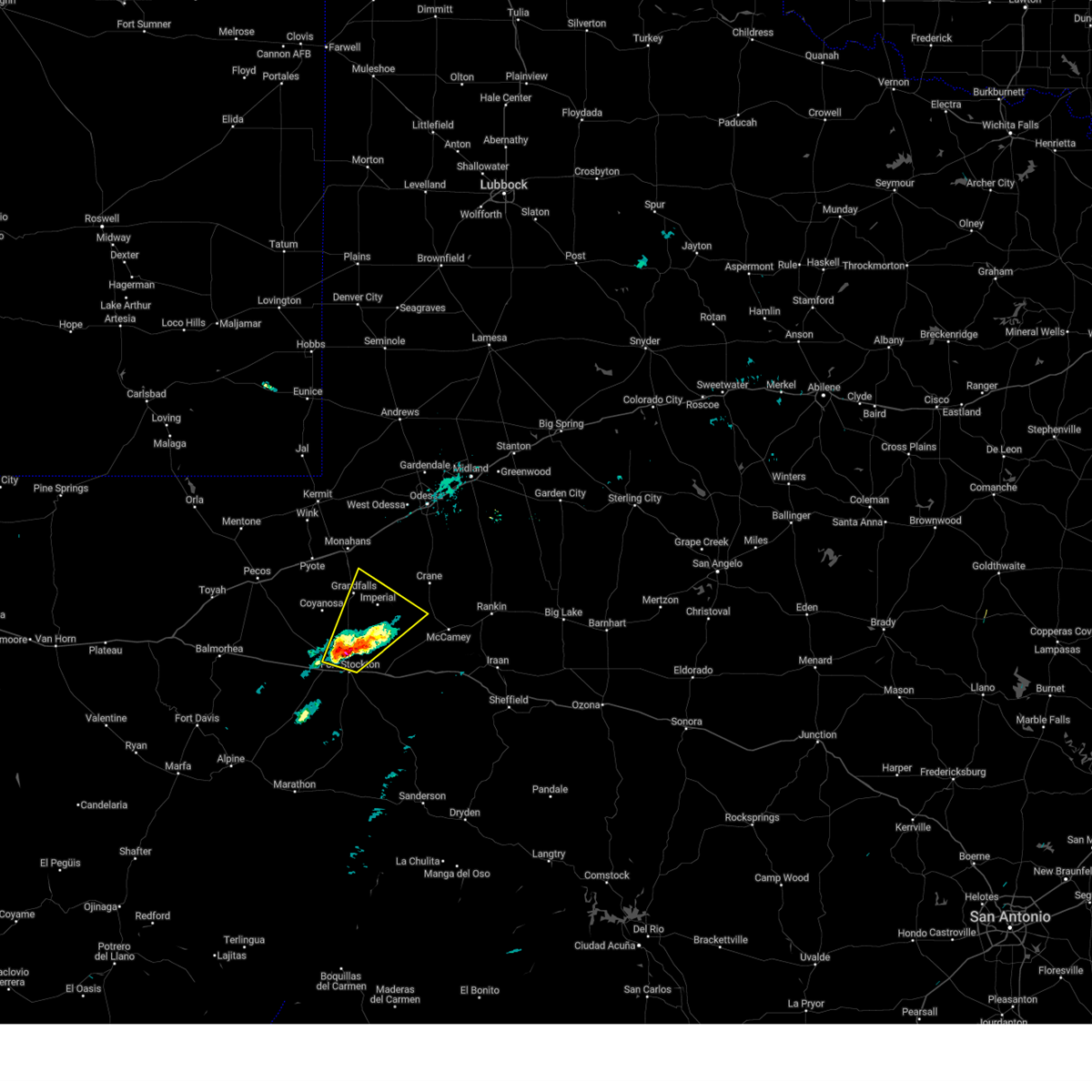
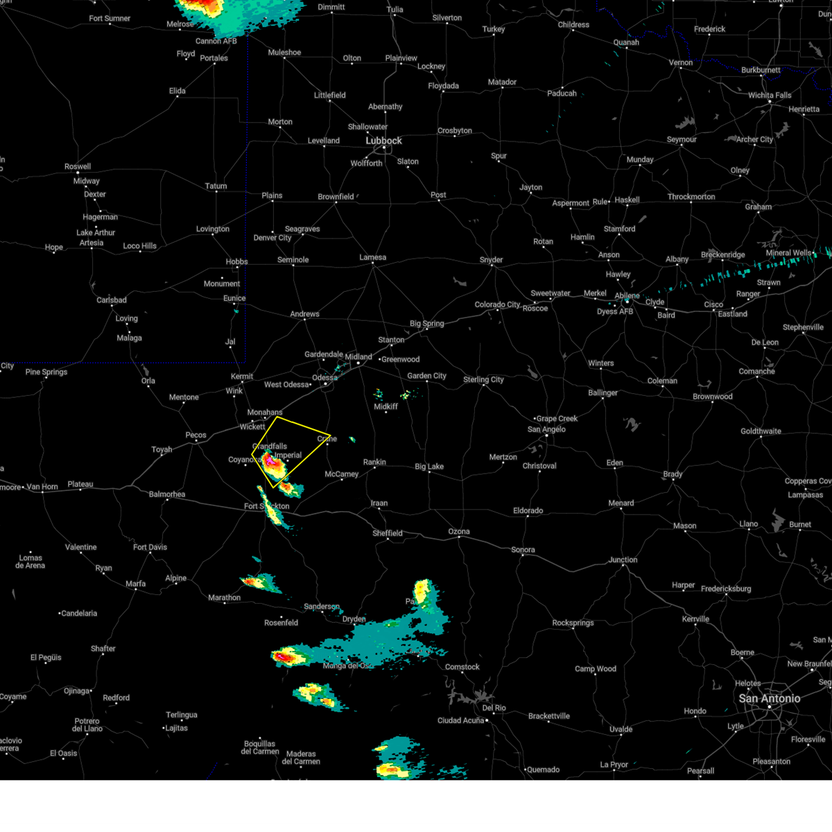
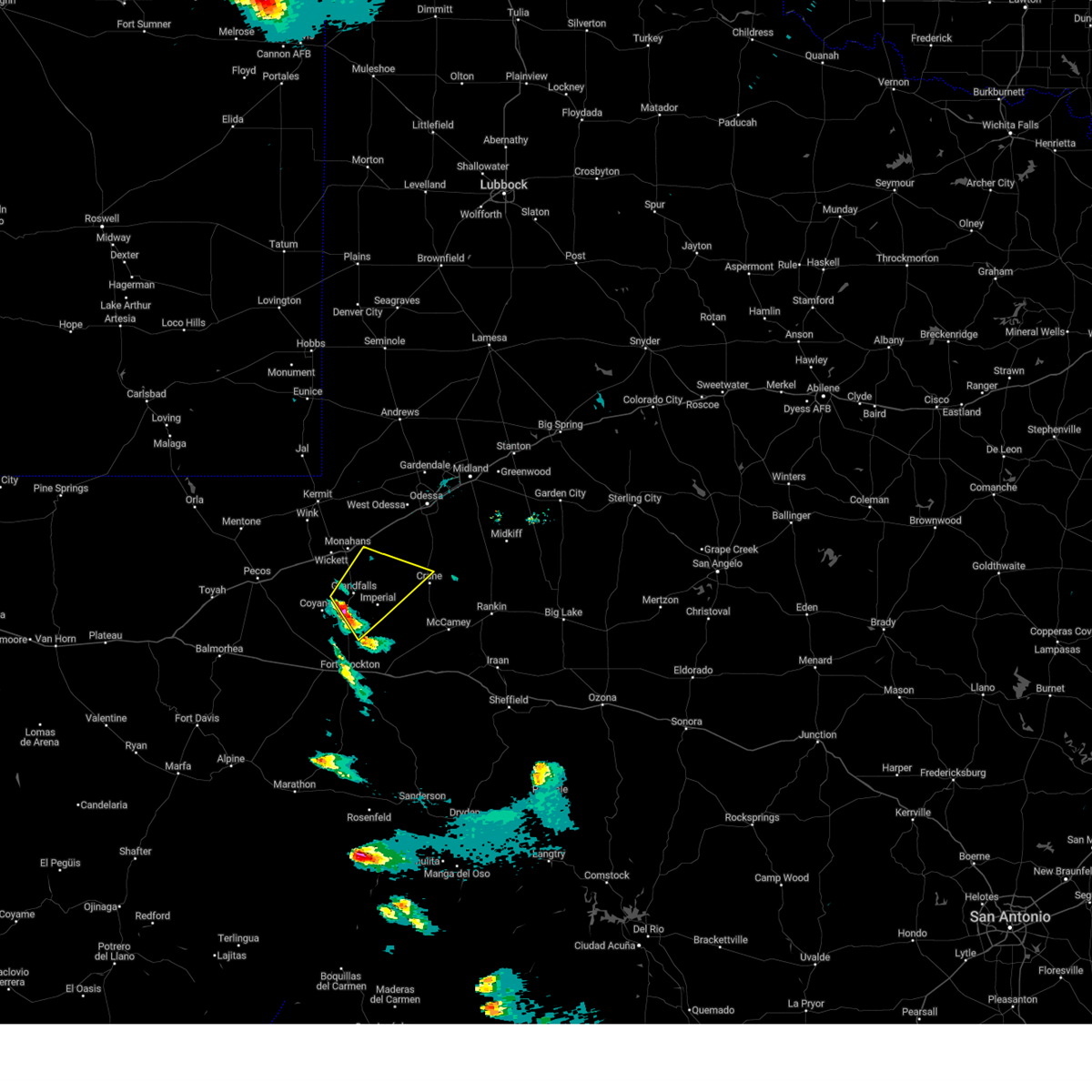
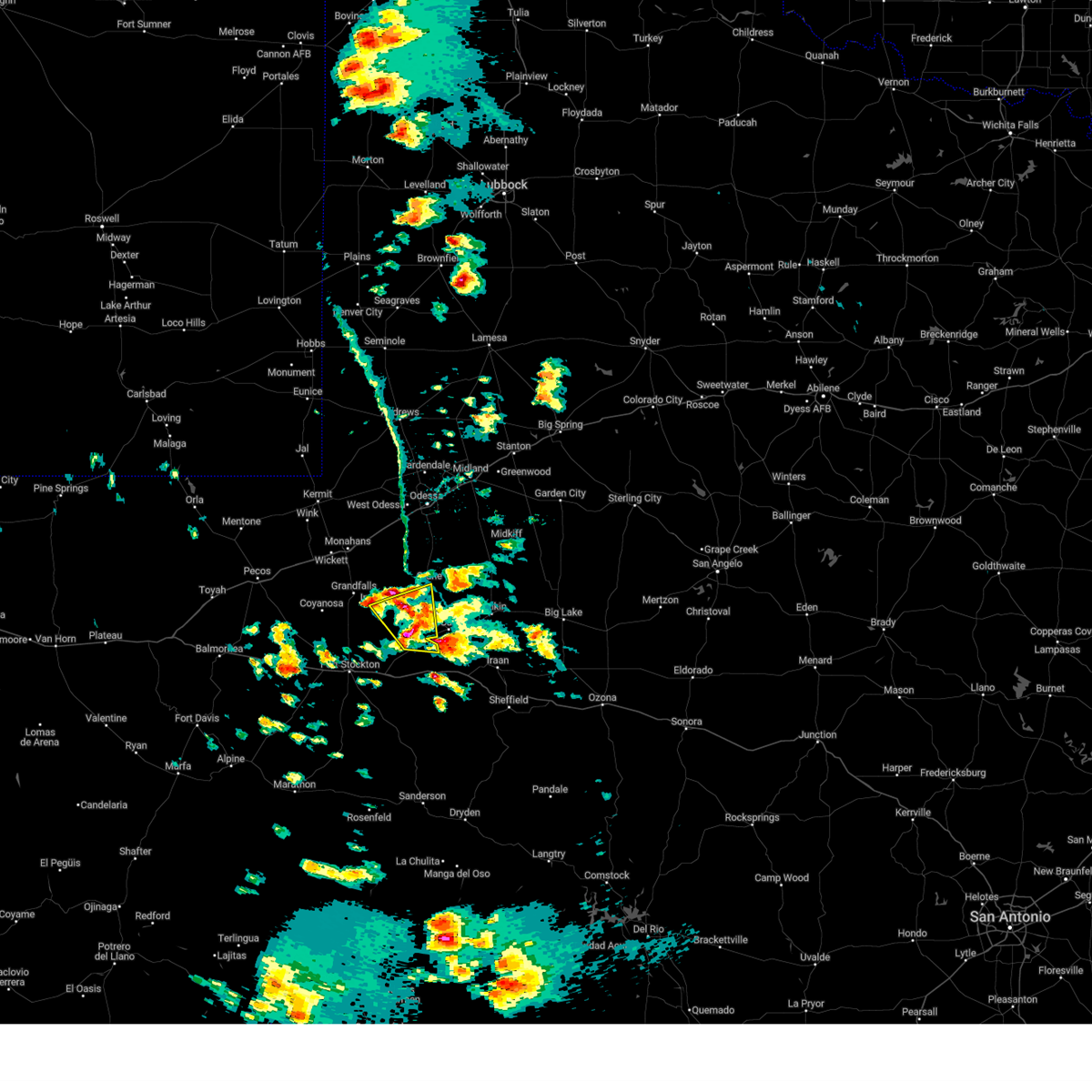
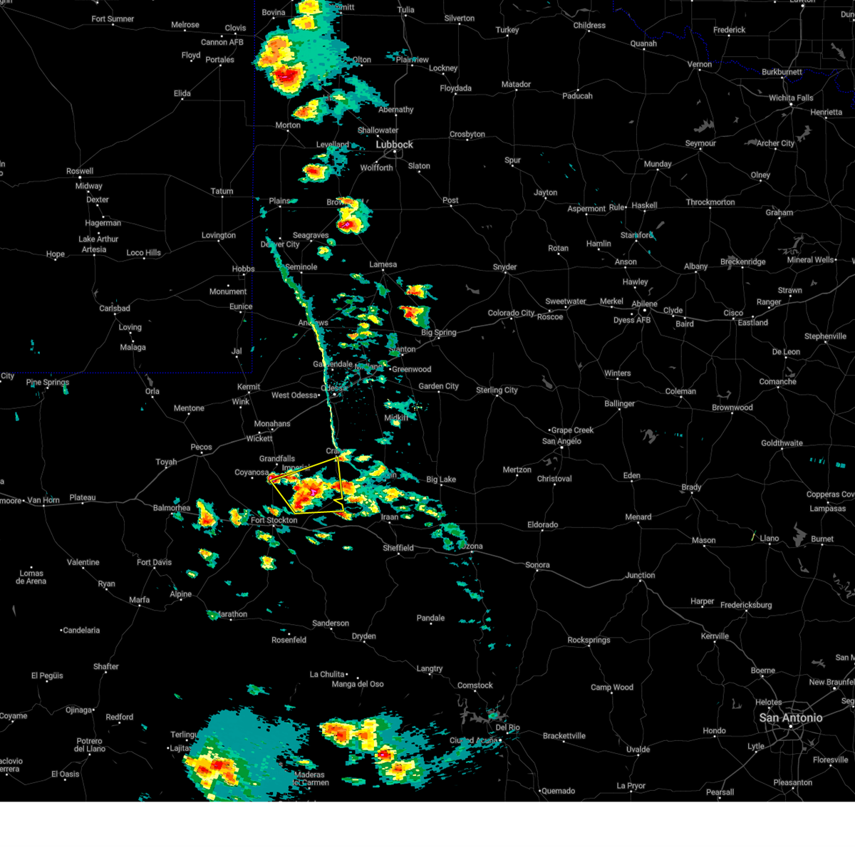
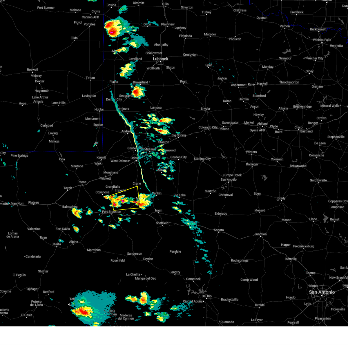
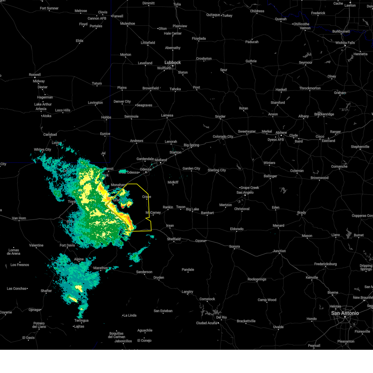
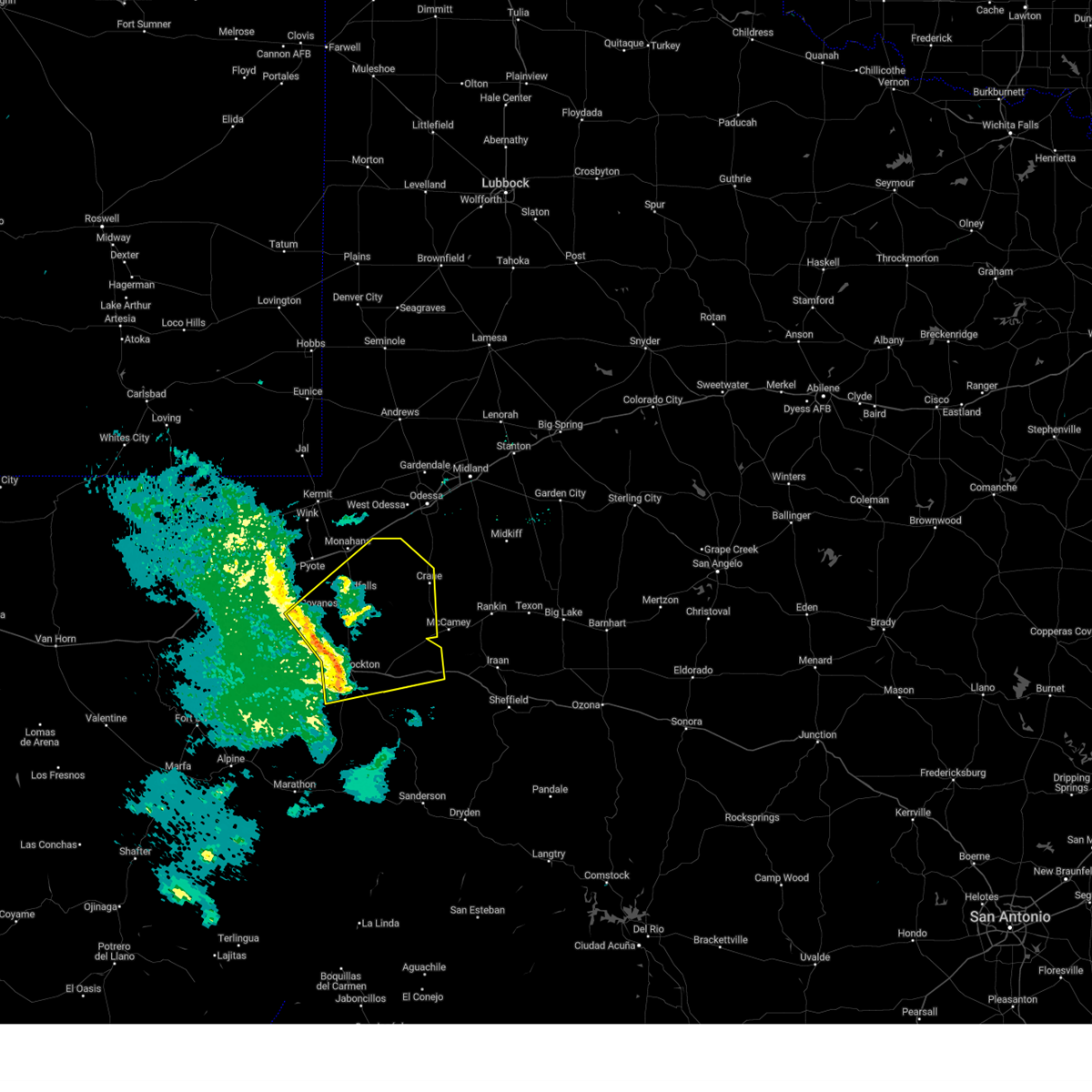
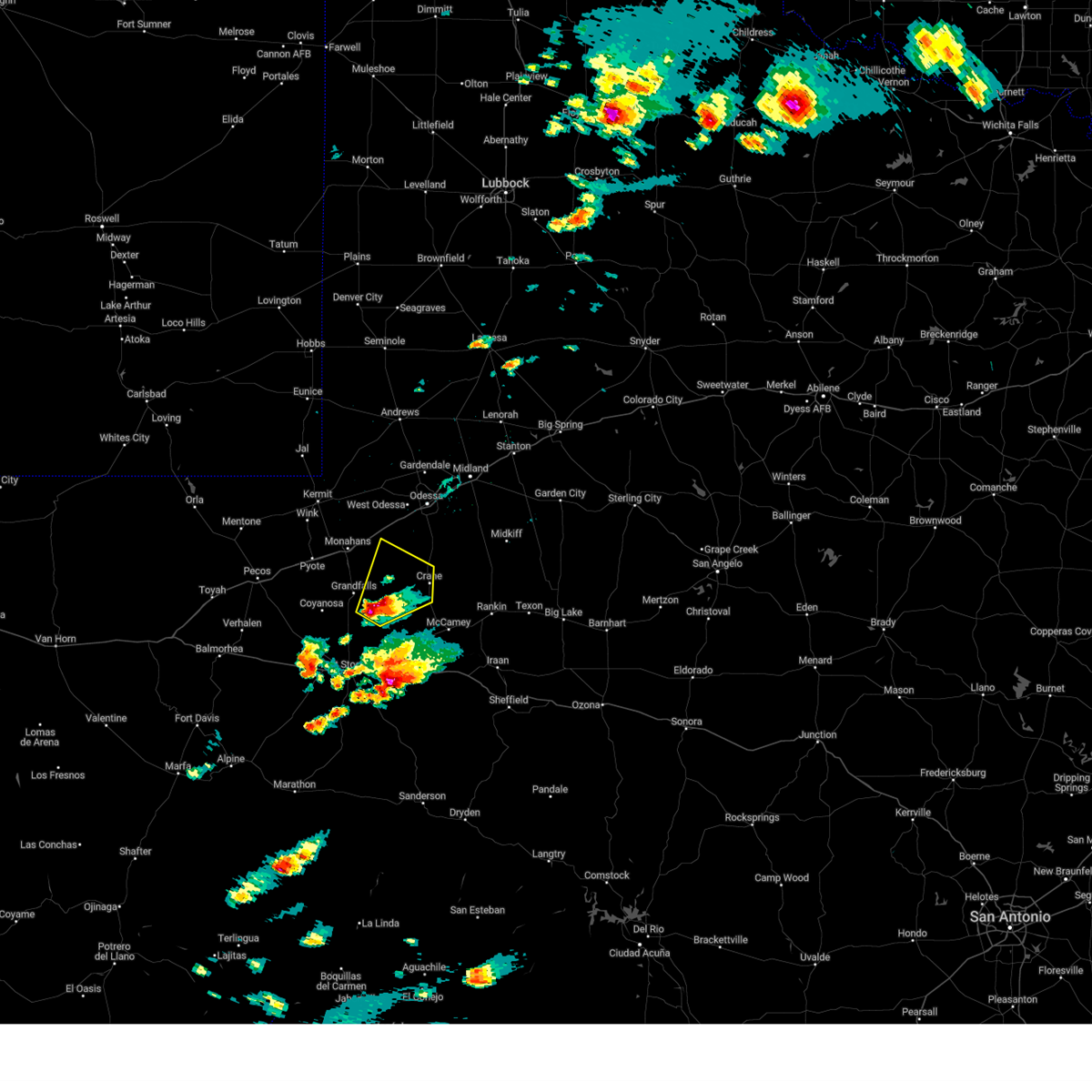
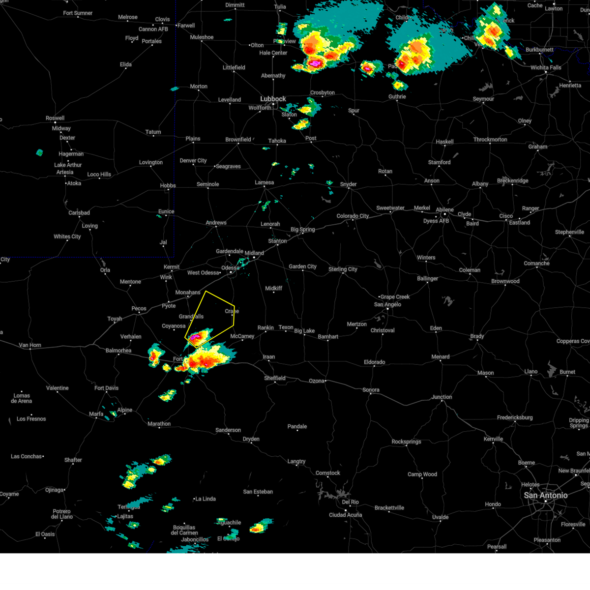
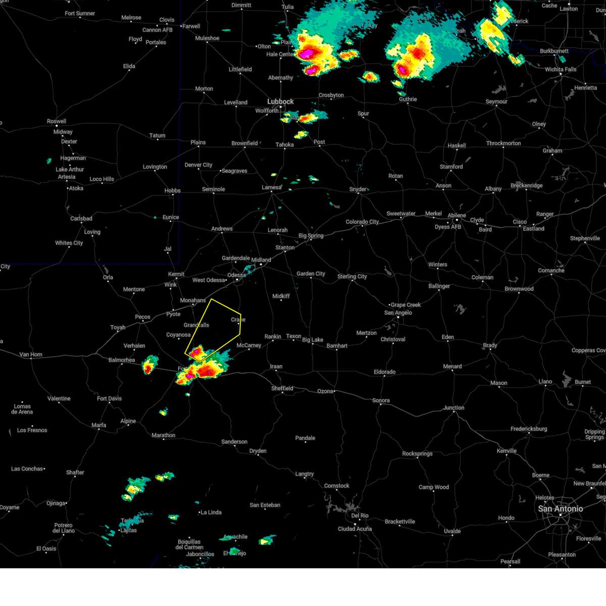
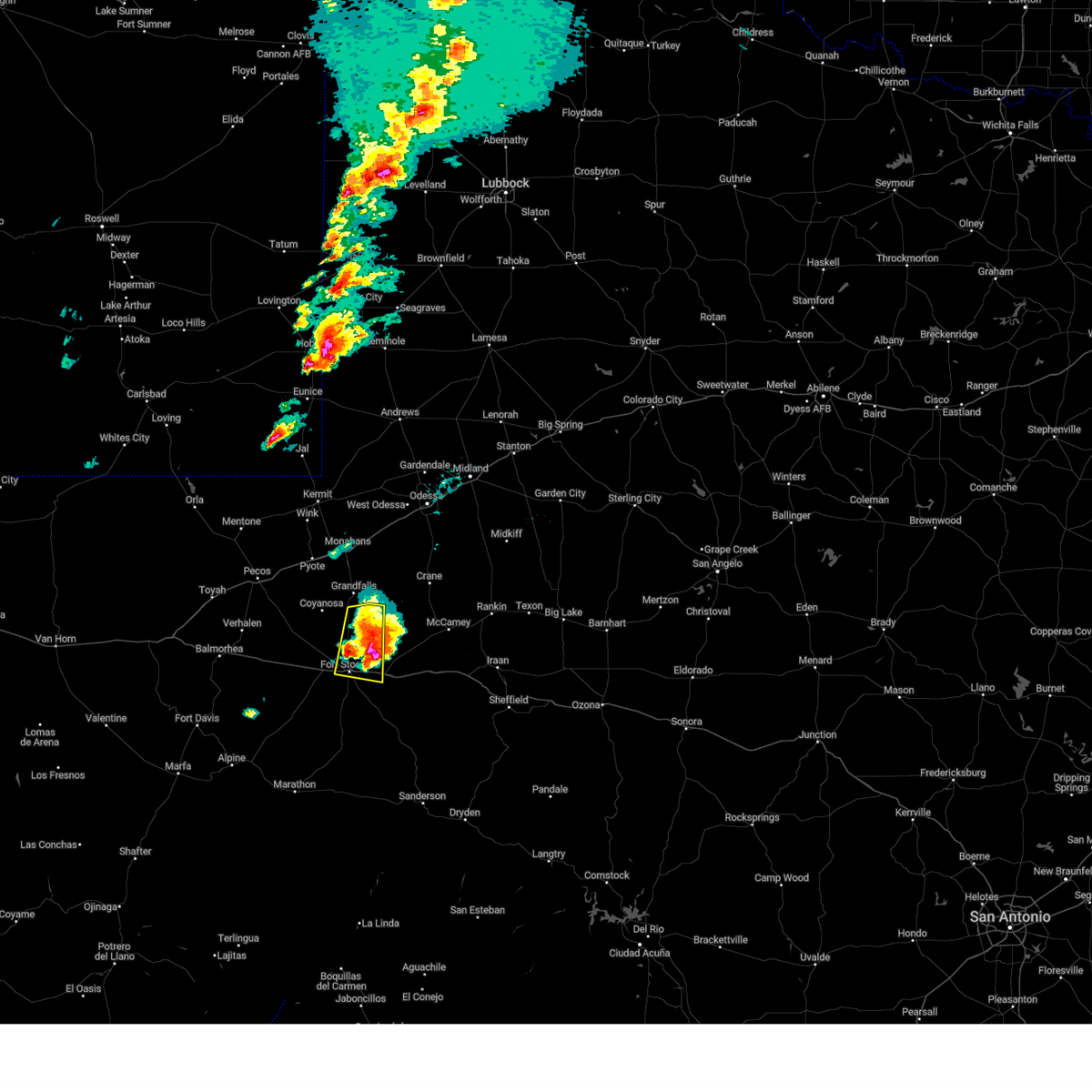
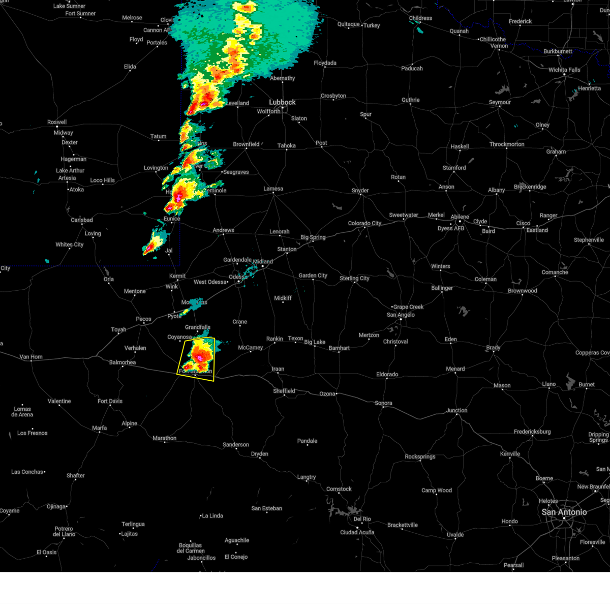
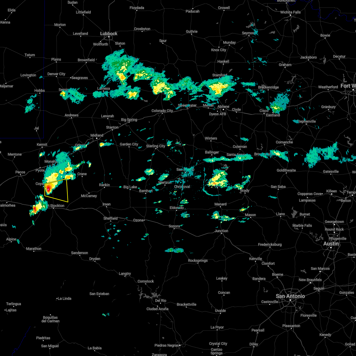
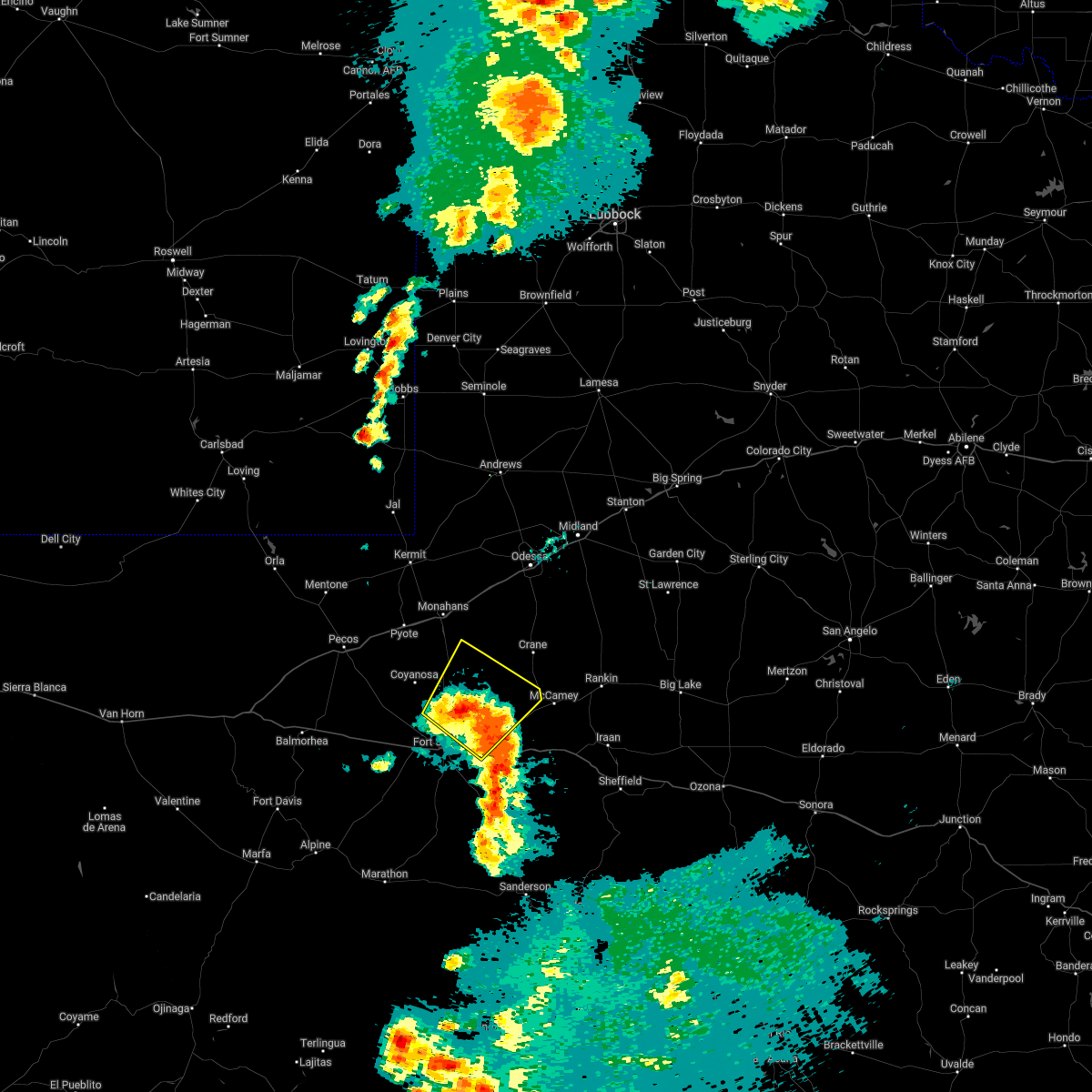
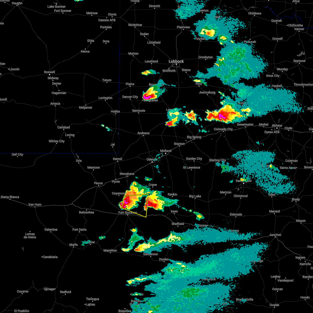
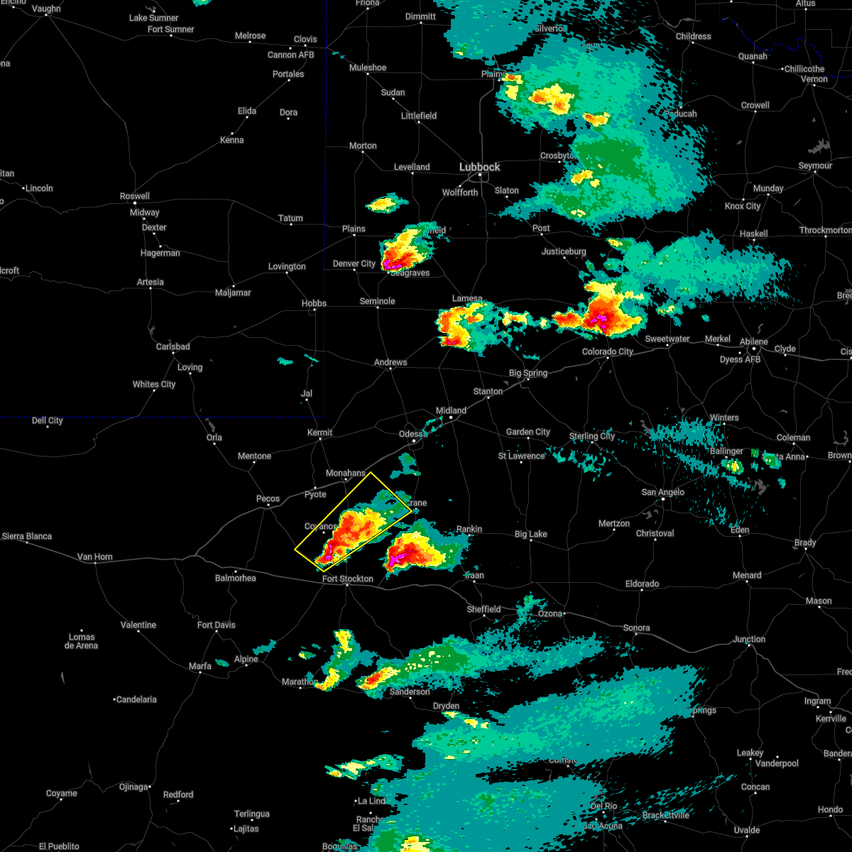
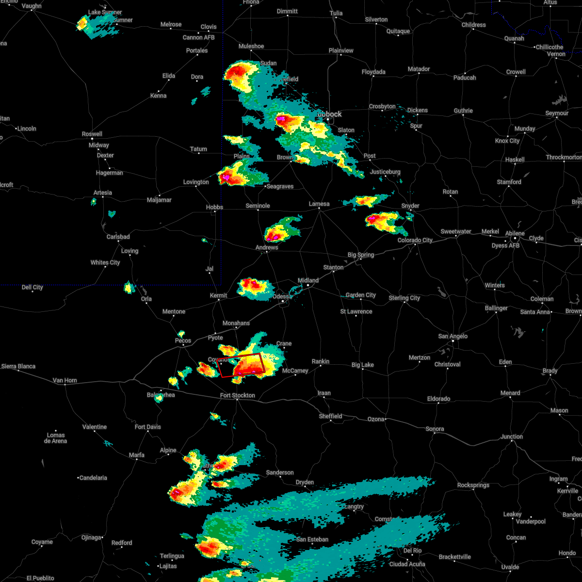
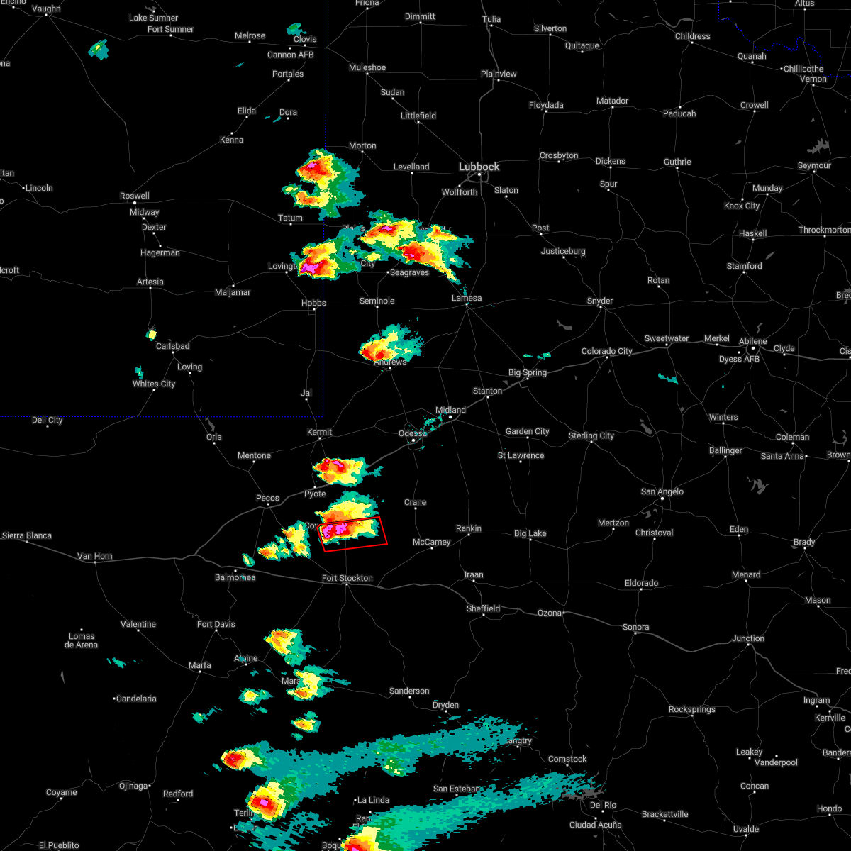
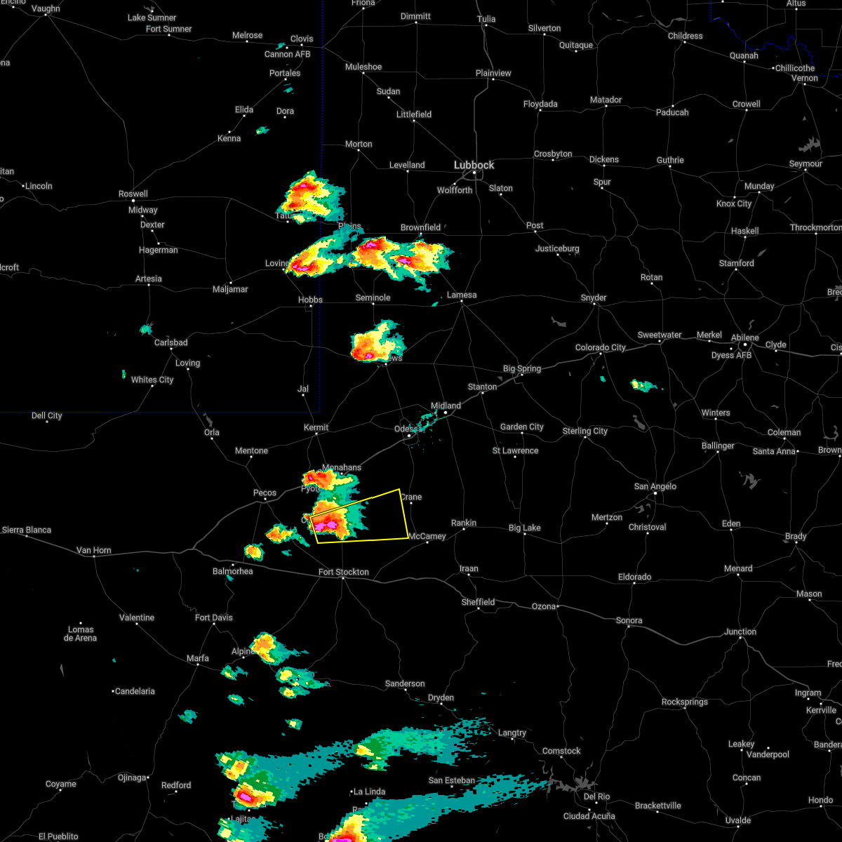
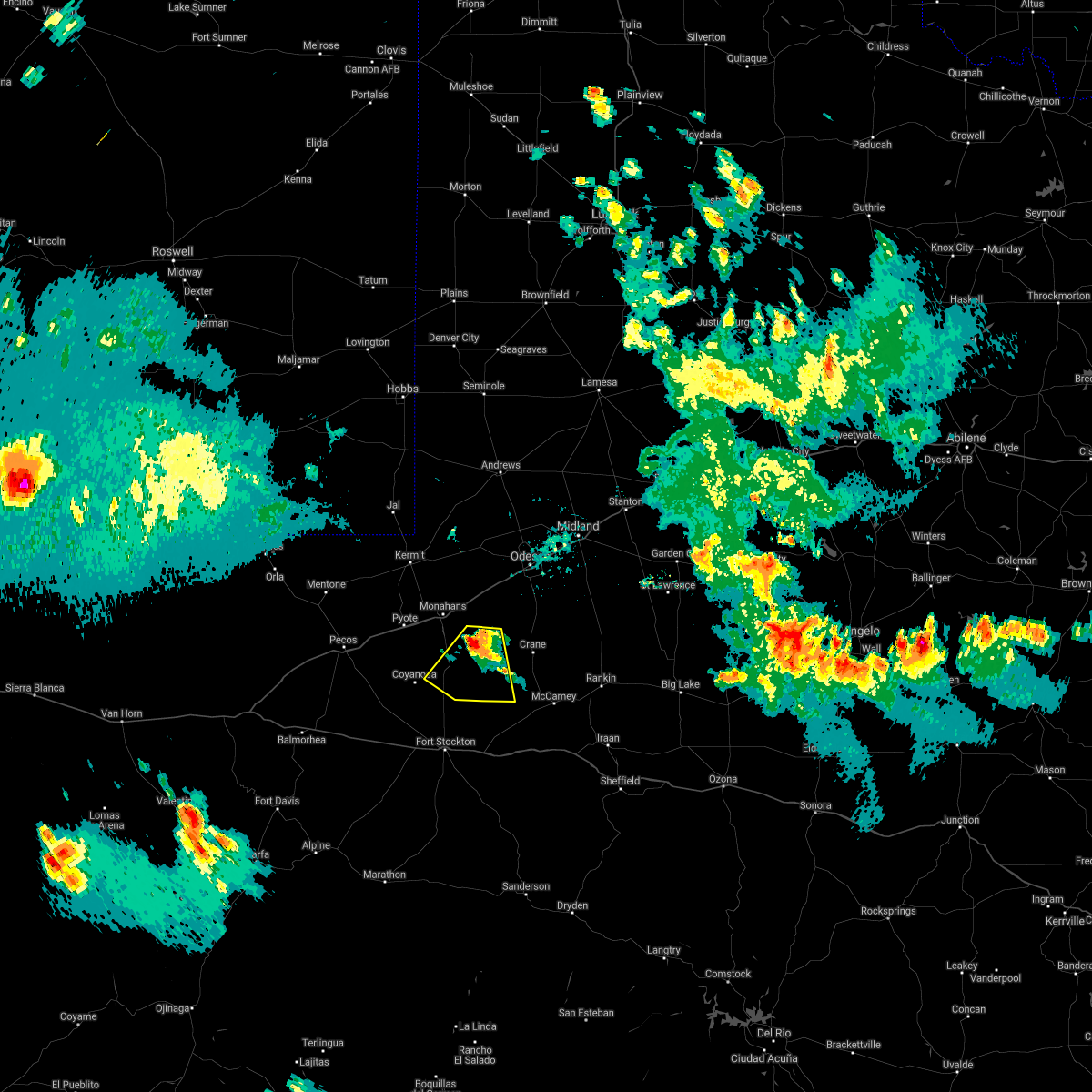
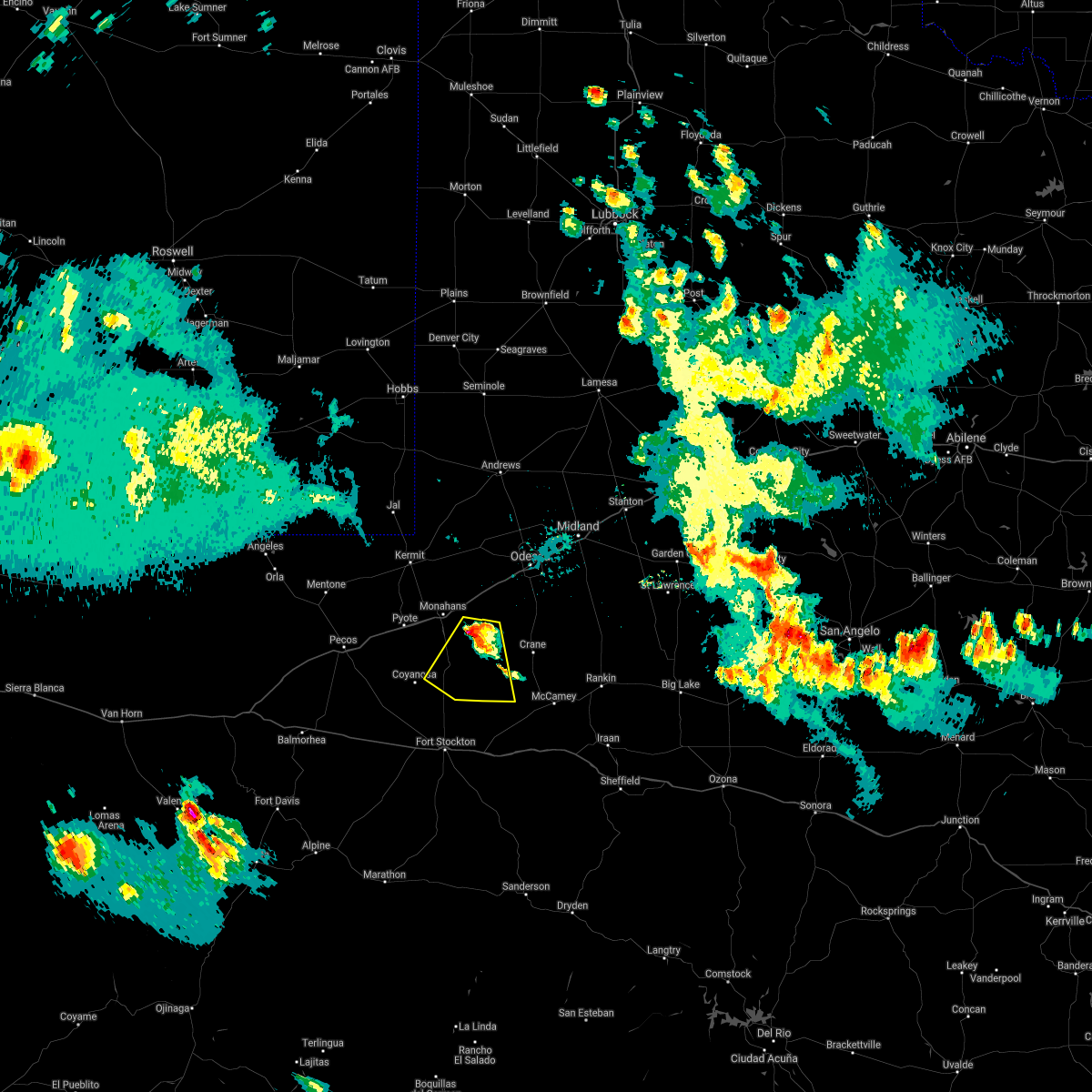
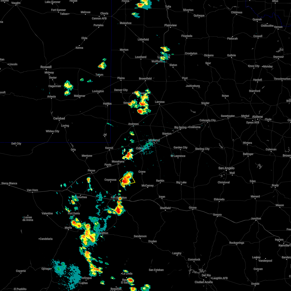
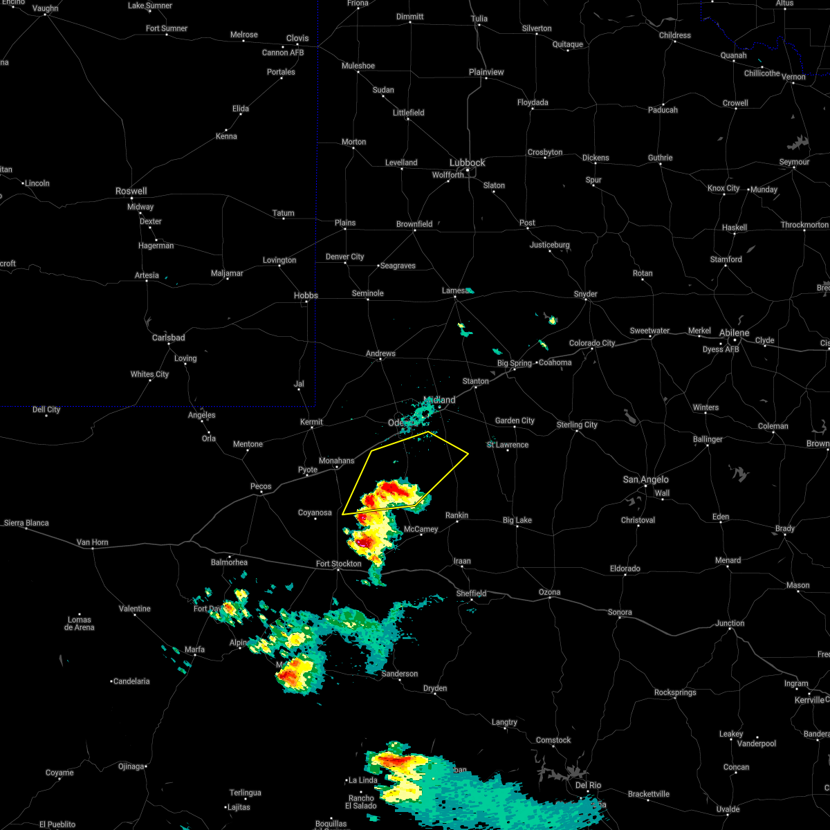
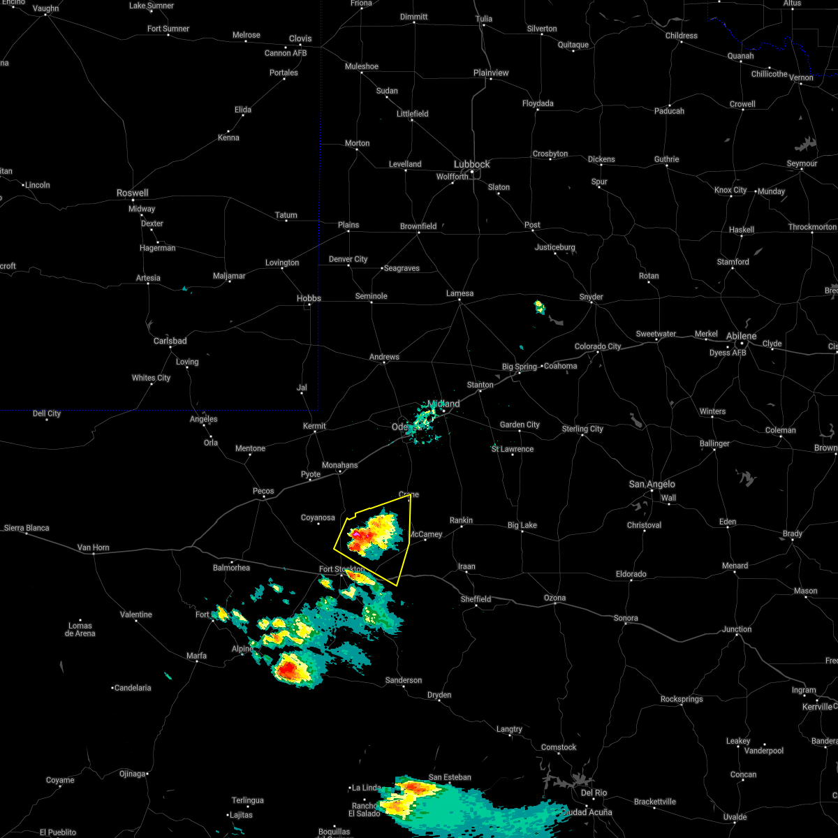
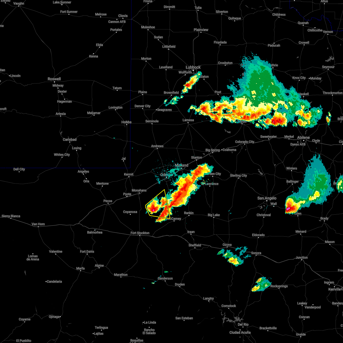
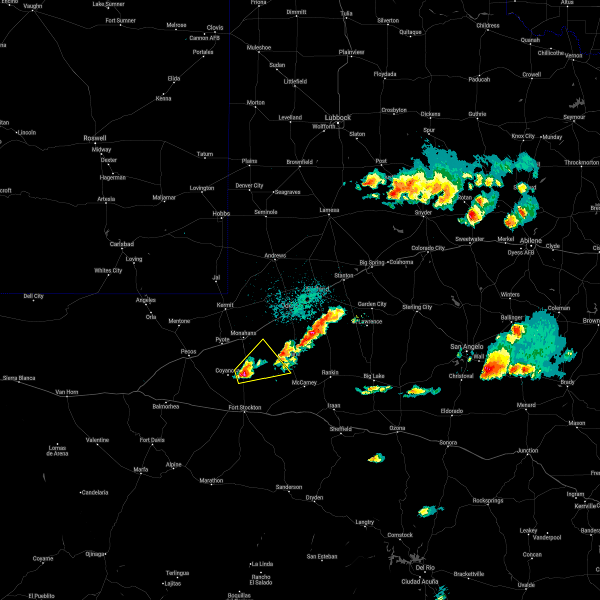
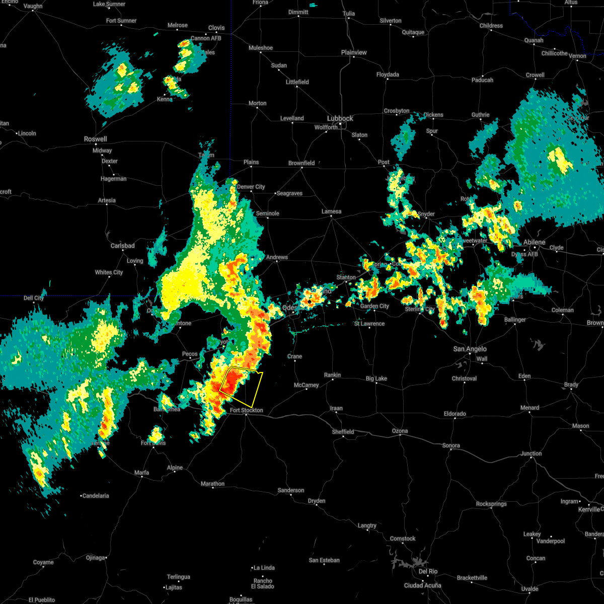
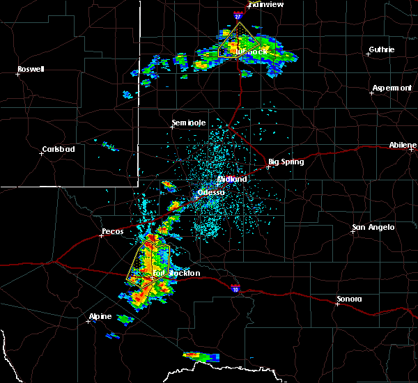
Hail Map for Imperial, TX
The Imperial, TX area has had 16 reports of on-the-ground hail by trained spotters, and has been under severe weather warnings 24 times during the past 12 months. Doppler radar has detected hail at or near Imperial, TX on 60 occasions, including 4 occasions during the past year.
| Name: | Imperial, TX |
| Where Located: | 44.4 miles SSW of Odessa, TX |
| Map: | Google Map for Imperial, TX |
| Population: | 278 |
| Housing Units: | 135 |
| More Info: | Search Google for Imperial, TX |
1
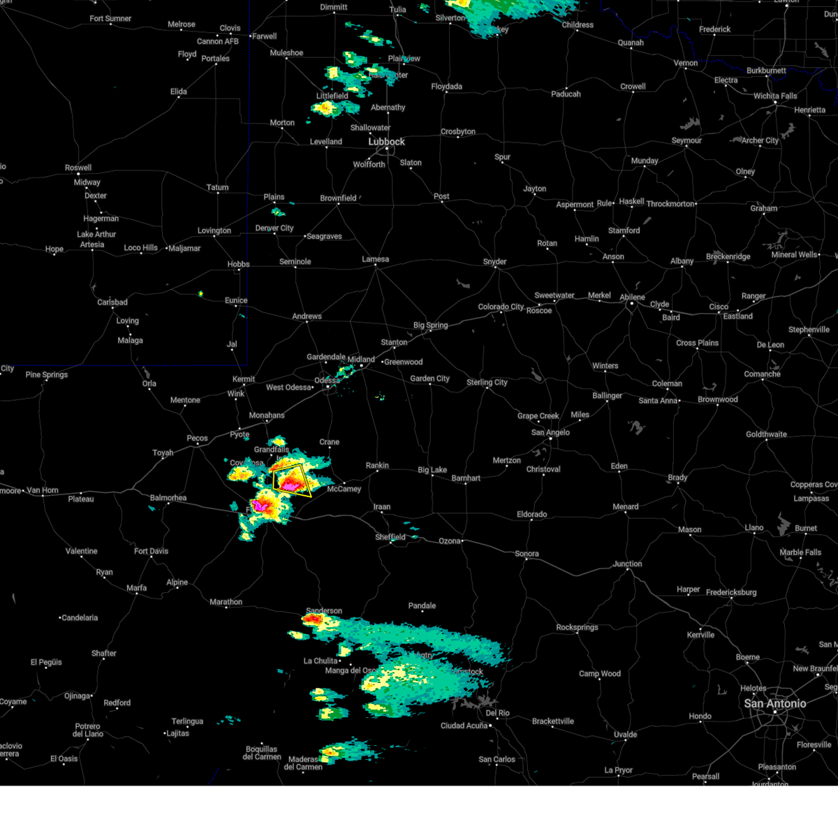
The Top Recent Hail Date for Imperial, TX is Monday, June 9, 2025 (18th out of 60)
Hail and Wind Damage Spotted near Imperial, TX
| Date / Time | Report Details |
|---|---|
| 6/10/2025 4:15 AM CDT |
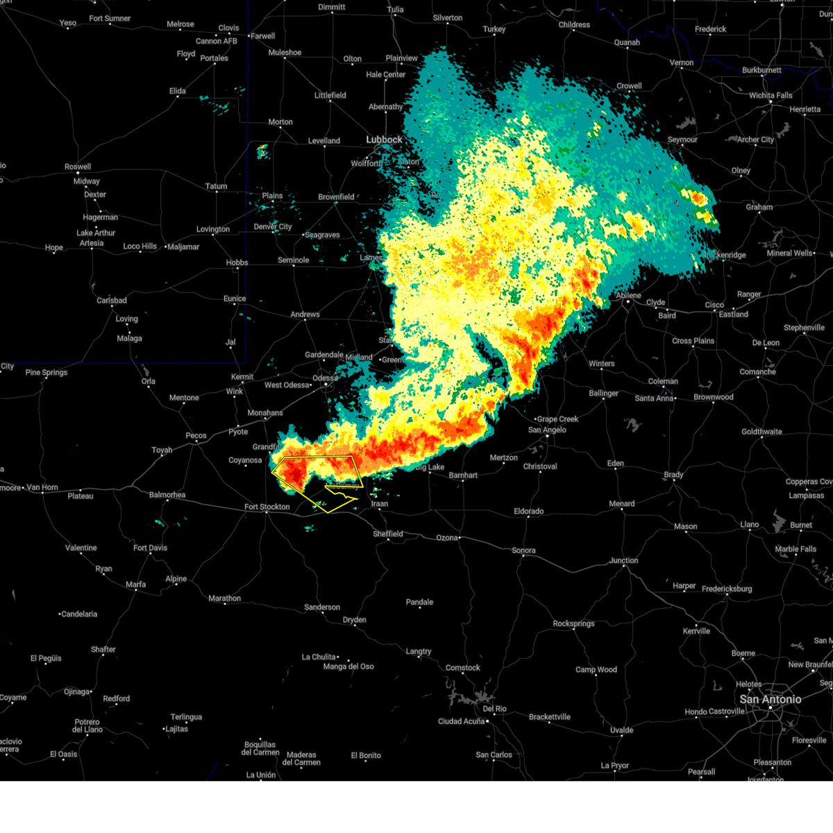 At 415 am cdt, severe thunderstorms were located along a line extending from 6 miles west of rankin to 18 miles southwest of mccamey, moving southeast at 35 mph (radar indicated). Hazards include 60 mph wind gusts and penny size hail. Expect damage to roofs, siding, and trees. locations impacted include, mccamey, upton county airport, imperial, king mountain, and girvin. This includes interstate 10 near mile marker 292. At 415 am cdt, severe thunderstorms were located along a line extending from 6 miles west of rankin to 18 miles southwest of mccamey, moving southeast at 35 mph (radar indicated). Hazards include 60 mph wind gusts and penny size hail. Expect damage to roofs, siding, and trees. locations impacted include, mccamey, upton county airport, imperial, king mountain, and girvin. This includes interstate 10 near mile marker 292.
|
| 6/10/2025 4:02 AM CDT |
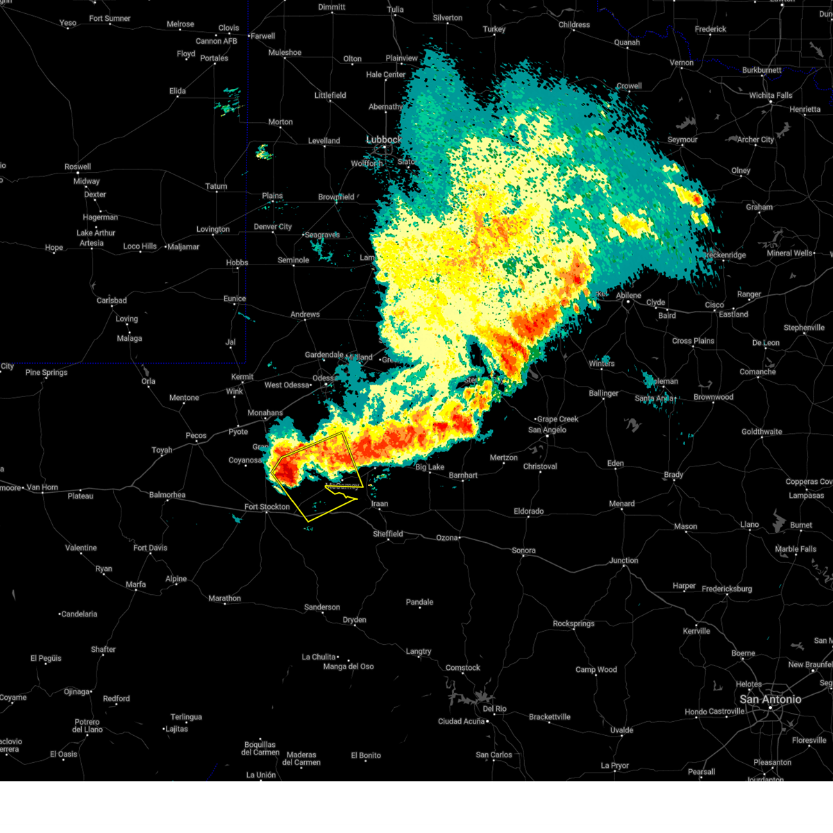 At 402 am cdt, severe thunderstorms were located along a line extending from 9 miles northeast of mccamey to 16 miles northeast of fort stockton, moving southeast at 30 mph (radar indicated). Hazards include 60 mph wind gusts and quarter size hail. Hail damage to vehicles is expected. expect wind damage to roofs, siding, and trees. locations impacted include, crane, mccamey, crane county airport, upton county airport, imperial, king mountain, girvin, and cordona lake. This includes interstate 10 between mile markers 280 and 292. At 402 am cdt, severe thunderstorms were located along a line extending from 9 miles northeast of mccamey to 16 miles northeast of fort stockton, moving southeast at 30 mph (radar indicated). Hazards include 60 mph wind gusts and quarter size hail. Hail damage to vehicles is expected. expect wind damage to roofs, siding, and trees. locations impacted include, crane, mccamey, crane county airport, upton county airport, imperial, king mountain, girvin, and cordona lake. This includes interstate 10 between mile markers 280 and 292.
|
| 6/10/2025 3:47 AM CDT |
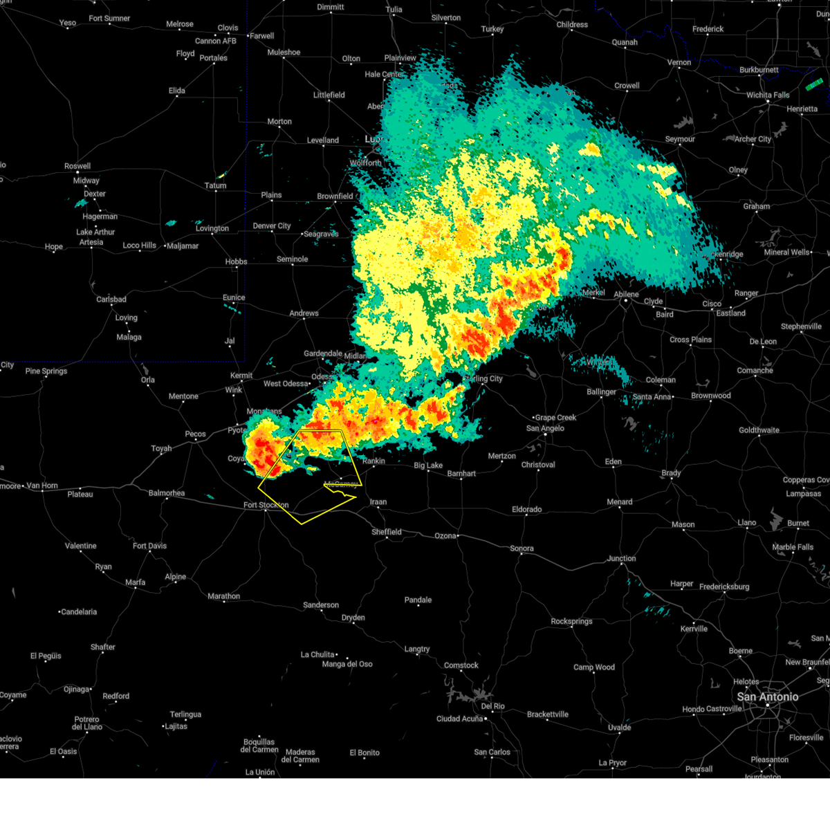 Svrmaf the national weather service in midland has issued a * severe thunderstorm warning for, northeastern pecos county in southwestern texas, southern crane county in western texas, southwestern upton county in western texas, * until 445 am cdt. * at 347 am cdt, severe thunderstorms were located along a line extending from 10 miles east of crane to 13 miles northeast of fort stockton, moving southeast at 30 mph (radar indicated). Hazards include 60 mph wind gusts and penny size hail. expect damage to roofs, siding, and trees Svrmaf the national weather service in midland has issued a * severe thunderstorm warning for, northeastern pecos county in southwestern texas, southern crane county in western texas, southwestern upton county in western texas, * until 445 am cdt. * at 347 am cdt, severe thunderstorms were located along a line extending from 10 miles east of crane to 13 miles northeast of fort stockton, moving southeast at 30 mph (radar indicated). Hazards include 60 mph wind gusts and penny size hail. expect damage to roofs, siding, and trees
|
| 6/8/2025 5:41 PM CDT |
 the severe thunderstorm warning has been cancelled and is no longer in effect the severe thunderstorm warning has been cancelled and is no longer in effect
|
| 6/8/2025 5:16 PM CDT |
 At 516 pm cdt, a severe thunderstorm was located 14 miles southwest of grandfalls, or 23 miles northwest of fort stockton, moving northeast at 35 mph (radar indicated). Hazards include 60 mph wind gusts and quarter size hail. Hail damage to vehicles is expected. expect wind damage to roofs, siding, and trees. Locations impacted include, grandfalls, royalty, imperial, coyanosa, and imperial reservoir. At 516 pm cdt, a severe thunderstorm was located 14 miles southwest of grandfalls, or 23 miles northwest of fort stockton, moving northeast at 35 mph (radar indicated). Hazards include 60 mph wind gusts and quarter size hail. Hail damage to vehicles is expected. expect wind damage to roofs, siding, and trees. Locations impacted include, grandfalls, royalty, imperial, coyanosa, and imperial reservoir.
|
| 6/8/2025 5:03 PM CDT |
 Svrmaf the national weather service in midland has issued a * severe thunderstorm warning for, northwestern pecos county in southwestern texas, east central reeves county in southwestern texas, southeastern ward county in western texas, west central crane county in western texas, * until 600 pm cdt. * at 502 pm cdt, a severe thunderstorm was located 23 miles southwest of grandfalls, or 24 miles northwest of fort stockton, moving east at 30 mph (radar indicated). Hazards include 60 mph wind gusts and half dollar size hail. Hail damage to vehicles is expected. Expect wind damage to roofs, siding, and trees. Svrmaf the national weather service in midland has issued a * severe thunderstorm warning for, northwestern pecos county in southwestern texas, east central reeves county in southwestern texas, southeastern ward county in western texas, west central crane county in western texas, * until 600 pm cdt. * at 502 pm cdt, a severe thunderstorm was located 23 miles southwest of grandfalls, or 24 miles northwest of fort stockton, moving east at 30 mph (radar indicated). Hazards include 60 mph wind gusts and half dollar size hail. Hail damage to vehicles is expected. Expect wind damage to roofs, siding, and trees.
|
| 5/6/2025 1:03 AM CDT |
 the severe thunderstorm warning has been cancelled and is no longer in effect the severe thunderstorm warning has been cancelled and is no longer in effect
|
| 5/6/2025 1:03 AM CDT |
 At 102 am cdt, a severe thunderstorm was located 11 miles southeast of monahans, moving east at 30 mph (radar indicated). Hazards include 60 mph wind gusts and quarter size hail. Hail damage to vehicles is expected. expect wind damage to roofs, siding, and trees. locations impacted include, crane, cordona lake, crane county airport, and imperial. This includes interstate 20 between mile markers 89 and 90. At 102 am cdt, a severe thunderstorm was located 11 miles southeast of monahans, moving east at 30 mph (radar indicated). Hazards include 60 mph wind gusts and quarter size hail. Hail damage to vehicles is expected. expect wind damage to roofs, siding, and trees. locations impacted include, crane, cordona lake, crane county airport, and imperial. This includes interstate 20 between mile markers 89 and 90.
|
| 5/6/2025 12:43 AM CDT |
 the tornado warning has been cancelled and is no longer in effect the tornado warning has been cancelled and is no longer in effect
|
| 5/6/2025 12:42 AM CDT |
 Svrmaf the national weather service in midland has issued a * severe thunderstorm warning for, north central pecos county in southwestern texas, eastern ward county in western texas, crane county in western texas, * until 145 am cdt. * at 1242 am cdt, a severe thunderstorm was located 7 miles south of thorntonville, or 7 miles south of monahans, moving east at 35 mph (radar indicated). Hazards include 60 mph wind gusts and half dollar size hail. Hail damage to vehicles is expected. Expect wind damage to roofs, siding, and trees. Svrmaf the national weather service in midland has issued a * severe thunderstorm warning for, north central pecos county in southwestern texas, eastern ward county in western texas, crane county in western texas, * until 145 am cdt. * at 1242 am cdt, a severe thunderstorm was located 7 miles south of thorntonville, or 7 miles south of monahans, moving east at 35 mph (radar indicated). Hazards include 60 mph wind gusts and half dollar size hail. Hail damage to vehicles is expected. Expect wind damage to roofs, siding, and trees.
|
| 5/6/2025 12:34 AM CDT |
 At 1234 am cdt, severe thunderstorms were located along a line extending from near kermit to near thorntonville to 6 miles west of grandfalls, moving northeast at 25 mph (coyanosa mesonet measured a 63 mph wind gust). Hazards include 60 mph wind gusts and quarter size hail. Hail damage to vehicles is expected. expect wind damage to roofs, siding, and trees. locations impacted include, monahans, kermit, thorntonville, grandfalls, wickett, royalty, notrees, imperial reservoir, roy hurd memorial airport, imperial, and monahans sandhills state park. This includes interstate 20 between mile markers 67 and 96. At 1234 am cdt, severe thunderstorms were located along a line extending from near kermit to near thorntonville to 6 miles west of grandfalls, moving northeast at 25 mph (coyanosa mesonet measured a 63 mph wind gust). Hazards include 60 mph wind gusts and quarter size hail. Hail damage to vehicles is expected. expect wind damage to roofs, siding, and trees. locations impacted include, monahans, kermit, thorntonville, grandfalls, wickett, royalty, notrees, imperial reservoir, roy hurd memorial airport, imperial, and monahans sandhills state park. This includes interstate 20 between mile markers 67 and 96.
|
| 5/6/2025 12:27 AM CDT |
 Tormaf the national weather service in midland has issued a * tornado warning for, north central pecos county in southwestern texas, eastern reeves county in southwestern texas, southeastern ward county in western texas, west central crane county in western texas, * until 100 am cdt. * at 1227 am cdt, a severe thunderstorm capable of producing a tornado was located 10 miles west of grandfalls, or 20 miles south of monahans, moving east at 45 mph (radar indicated rotation). Hazards include tornado and half dollar size hail. Flying debris will be dangerous to those caught without shelter. mobile homes will be damaged or destroyed. damage to roofs, windows, and vehicles will occur. tree damage is likely. this dangerous storm will be near, grandfalls around 1230 am cdt. Other locations impacted by this tornadic thunderstorm include royalty, imperial, imperial reservoir, and cordona lake. Tormaf the national weather service in midland has issued a * tornado warning for, north central pecos county in southwestern texas, eastern reeves county in southwestern texas, southeastern ward county in western texas, west central crane county in western texas, * until 100 am cdt. * at 1227 am cdt, a severe thunderstorm capable of producing a tornado was located 10 miles west of grandfalls, or 20 miles south of monahans, moving east at 45 mph (radar indicated rotation). Hazards include tornado and half dollar size hail. Flying debris will be dangerous to those caught without shelter. mobile homes will be damaged or destroyed. damage to roofs, windows, and vehicles will occur. tree damage is likely. this dangerous storm will be near, grandfalls around 1230 am cdt. Other locations impacted by this tornadic thunderstorm include royalty, imperial, imperial reservoir, and cordona lake.
|
| 5/6/2025 12:11 AM CDT |
 At 1210 am cdt, severe thunderstorms were located along a line extending from near wink to pyote to 19 miles southeast of barstow, moving northeast at 55 mph (radar indicated). Hazards include 60 mph wind gusts and half dollar size hail. Hail damage to vehicles is expected. expect wind damage to roofs, siding, and trees. locations impacted include, monahans, kermit, wink, thorntonville, grandfalls, pyote, wickett, coyanosa, imperial reservoir, roy hurd memorial airport, monahans sandhills state park, royalty, notrees, b f goodrich testing track, imperial, and winkler county airport. This includes interstate 20 between mile markers 54 and 96. At 1210 am cdt, severe thunderstorms were located along a line extending from near wink to pyote to 19 miles southeast of barstow, moving northeast at 55 mph (radar indicated). Hazards include 60 mph wind gusts and half dollar size hail. Hail damage to vehicles is expected. expect wind damage to roofs, siding, and trees. locations impacted include, monahans, kermit, wink, thorntonville, grandfalls, pyote, wickett, coyanosa, imperial reservoir, roy hurd memorial airport, monahans sandhills state park, royalty, notrees, b f goodrich testing track, imperial, and winkler county airport. This includes interstate 20 between mile markers 54 and 96.
|
| 5/6/2025 12:11 AM CDT |
 the severe thunderstorm warning has been cancelled and is no longer in effect the severe thunderstorm warning has been cancelled and is no longer in effect
|
| 5/5/2025 11:58 PM CDT |
 Svrmaf the national weather service in midland has issued a * severe thunderstorm warning for, northwestern pecos county in southwestern texas, southwestern ector county in western texas, east central reeves county in southwestern texas, ward county in western texas, winkler county in western texas, northwestern crane county in western texas, southeastern loving county in western texas, * until 1245 am cdt. * at 1158 pm cdt, severe thunderstorms were located along a line extending from 11 miles west of wink to 6 miles east of barstow to 19 miles southeast of pecos, moving northeast at 55 mph (radar indicated). Hazards include 60 mph wind gusts and half dollar size hail. Hail damage to vehicles is expected. Expect wind damage to roofs, siding, and trees. Svrmaf the national weather service in midland has issued a * severe thunderstorm warning for, northwestern pecos county in southwestern texas, southwestern ector county in western texas, east central reeves county in southwestern texas, ward county in western texas, winkler county in western texas, northwestern crane county in western texas, southeastern loving county in western texas, * until 1245 am cdt. * at 1158 pm cdt, severe thunderstorms were located along a line extending from 11 miles west of wink to 6 miles east of barstow to 19 miles southeast of pecos, moving northeast at 55 mph (radar indicated). Hazards include 60 mph wind gusts and half dollar size hail. Hail damage to vehicles is expected. Expect wind damage to roofs, siding, and trees.
|
| 4/29/2025 1:37 PM CDT |
 the severe thunderstorm warning has been cancelled and is no longer in effect the severe thunderstorm warning has been cancelled and is no longer in effect
|
| 4/29/2025 1:37 PM CDT |
 At 136 pm cdt, a severe thunderstorm was located 15 miles northeast of fort stockton, moving northeast at 25 mph (trained weather spotters). Hazards include golf ball size hail and 70 mph wind gusts. People and animals outdoors will be injured. expect hail damage to roofs, siding, windows, and vehicles. expect considerable tree damage. wind damage is also likely to mobile homes, roofs, and outbuildings. Locations impacted include, cordona lake and imperial. At 136 pm cdt, a severe thunderstorm was located 15 miles northeast of fort stockton, moving northeast at 25 mph (trained weather spotters). Hazards include golf ball size hail and 70 mph wind gusts. People and animals outdoors will be injured. expect hail damage to roofs, siding, windows, and vehicles. expect considerable tree damage. wind damage is also likely to mobile homes, roofs, and outbuildings. Locations impacted include, cordona lake and imperial.
|
| 4/29/2025 1:34 PM CDT | Golf Ball sized hail reported 12.7 miles NNE of Imperial, TX, golf ball sized hail reported by emergency manager. time estimated per report. |
| 4/29/2025 1:34 PM CDT |
 At 128 pm cdt, trained spotters reported quarter sized hail on fm 1053 about 15 miles north of fort stockton. at 131 pm cdt, a severe thunderstorm was located 16 miles south of grandfalls, or 16 miles north of fort stockton, moving northeast at 30 mph (trained weather spotters). Hazards include ping pong ball size hail and 60 mph wind gusts. People and animals outdoors will be injured. expect hail damage to roofs, siding, windows, and vehicles. expect wind damage to roofs, siding, and trees. Locations impacted include, imperial reservoir, cordona lake, and imperial. At 128 pm cdt, trained spotters reported quarter sized hail on fm 1053 about 15 miles north of fort stockton. at 131 pm cdt, a severe thunderstorm was located 16 miles south of grandfalls, or 16 miles north of fort stockton, moving northeast at 30 mph (trained weather spotters). Hazards include ping pong ball size hail and 60 mph wind gusts. People and animals outdoors will be injured. expect hail damage to roofs, siding, windows, and vehicles. expect wind damage to roofs, siding, and trees. Locations impacted include, imperial reservoir, cordona lake, and imperial.
|
| 4/29/2025 1:26 PM CDT |
 At 126 pm cdt, a severe thunderstorm was located 13 miles north of fort stockton, moving northeast at 30 mph (radar indicated). Hazards include 60 mph wind gusts and half dollar size hail. Hail damage to vehicles is expected. expect wind damage to roofs, siding, and trees. Locations impacted include, imperial reservoir, cordona lake, and imperial. At 126 pm cdt, a severe thunderstorm was located 13 miles north of fort stockton, moving northeast at 30 mph (radar indicated). Hazards include 60 mph wind gusts and half dollar size hail. Hail damage to vehicles is expected. expect wind damage to roofs, siding, and trees. Locations impacted include, imperial reservoir, cordona lake, and imperial.
|
| 4/29/2025 1:12 PM CDT |
 Svrmaf the national weather service in midland has issued a * severe thunderstorm warning for, north central pecos county in southwestern texas, southeastern ward county in western texas, southern crane county in western texas, * until 215 pm cdt. * at 112 pm cdt, a severe thunderstorm was located 8 miles north of fort stockton, moving northeast at 25 mph (radar indicated). Hazards include 60 mph wind gusts and quarter size hail. Hail damage to vehicles is expected. Expect wind damage to roofs, siding, and trees. Svrmaf the national weather service in midland has issued a * severe thunderstorm warning for, north central pecos county in southwestern texas, southeastern ward county in western texas, southern crane county in western texas, * until 215 pm cdt. * at 112 pm cdt, a severe thunderstorm was located 8 miles north of fort stockton, moving northeast at 25 mph (radar indicated). Hazards include 60 mph wind gusts and quarter size hail. Hail damage to vehicles is expected. Expect wind damage to roofs, siding, and trees.
|
| 4/22/2025 4:37 PM CDT |
 At 437 pm cdt, a severe thunderstorm was located 7 miles northeast of fort stockton, moving east at 20 mph (trained weather spotters). Hazards include two inch hail and 70 mph wind gusts. People and animals outdoors will be injured. expect hail damage to roofs, siding, windows, and vehicles. expect considerable tree damage. wind damage is also likely to mobile homes, roofs, and outbuildings. Locations impacted include, imperial. At 437 pm cdt, a severe thunderstorm was located 7 miles northeast of fort stockton, moving east at 20 mph (trained weather spotters). Hazards include two inch hail and 70 mph wind gusts. People and animals outdoors will be injured. expect hail damage to roofs, siding, windows, and vehicles. expect considerable tree damage. wind damage is also likely to mobile homes, roofs, and outbuildings. Locations impacted include, imperial.
|
| 4/22/2025 4:26 PM CDT |
 At 425 pm cdt, a severe thunderstorm was located 6 miles north of fort stockton, and is nearly stationary (trained weather spotters). Hazards include two inch hail and 70 mph wind gusts. People and animals outdoors will be injured. expect hail damage to roofs, siding, windows, and vehicles. expect considerable tree damage. wind damage is also likely to mobile homes, roofs, and outbuildings. Locations impacted include, imperial. At 425 pm cdt, a severe thunderstorm was located 6 miles north of fort stockton, and is nearly stationary (trained weather spotters). Hazards include two inch hail and 70 mph wind gusts. People and animals outdoors will be injured. expect hail damage to roofs, siding, windows, and vehicles. expect considerable tree damage. wind damage is also likely to mobile homes, roofs, and outbuildings. Locations impacted include, imperial.
|
| 4/22/2025 4:21 PM CDT | Ping Pong Ball sized hail reported 11.5 miles NNE of Imperial, TX, report from mping: ping pong ball (1.50 in.). |
| 4/22/2025 4:20 PM CDT | Ping Pong Ball sized hail reported 12.1 miles NNE of Imperial, TX, report from mping: ping pong ball (1.50 in.). |
| 4/22/2025 4:17 PM CDT | Ping Pong Ball sized hail reported 13.4 miles NNE of Imperial, TX, ping pong ball sized hail reported by chaser freddy mckinney. |
| 4/22/2025 4:07 PM CDT |
 Svrmaf the national weather service in midland has issued a * severe thunderstorm warning for, north central pecos county in southwestern texas, * until 500 pm cdt. * at 407 pm cdt, a severe thunderstorm was located 16 miles southeast of grandfalls, moving east at 20 mph (trained weather spotters). Hazards include 70 mph wind gusts and half dollar size hail. Hail damage to vehicles is expected. expect considerable tree damage. Wind damage is also likely to mobile homes, roofs, and outbuildings. Svrmaf the national weather service in midland has issued a * severe thunderstorm warning for, north central pecos county in southwestern texas, * until 500 pm cdt. * at 407 pm cdt, a severe thunderstorm was located 16 miles southeast of grandfalls, moving east at 20 mph (trained weather spotters). Hazards include 70 mph wind gusts and half dollar size hail. Hail damage to vehicles is expected. expect considerable tree damage. Wind damage is also likely to mobile homes, roofs, and outbuildings.
|
| 4/22/2025 4:01 PM CDT | Quarter sized hail reported 9.8 miles NE of Imperial, TX, report from mping: quarter (1.00 in.). |
| 4/22/2025 3:49 PM CDT |
 Svrmaf the national weather service in midland has issued a * severe thunderstorm warning for, northern pecos county in southwestern texas, southeastern ward county in western texas, * until 445 pm cdt. * at 349 pm cdt, a severe thunderstorm was located 10 miles south of grandfalls, moving east at 10 mph (law enforcement). Hazards include golf ball size hail and 70 mph wind gusts. People and animals outdoors will be injured. expect hail damage to roofs, siding, windows, and vehicles. expect considerable tree damage. Wind damage is also likely to mobile homes, roofs, and outbuildings. Svrmaf the national weather service in midland has issued a * severe thunderstorm warning for, northern pecos county in southwestern texas, southeastern ward county in western texas, * until 445 pm cdt. * at 349 pm cdt, a severe thunderstorm was located 10 miles south of grandfalls, moving east at 10 mph (law enforcement). Hazards include golf ball size hail and 70 mph wind gusts. People and animals outdoors will be injured. expect hail damage to roofs, siding, windows, and vehicles. expect considerable tree damage. Wind damage is also likely to mobile homes, roofs, and outbuildings.
|
| 5/29/2024 9:24 PM CDT |
 At 924 pm cdt, a severe thunderstorm was located near grandfalls, or 20 miles south of monahans, moving northeast at 30 mph (trained weather spotters reported golf ball sized hail 3 sse of grandfalls). Hazards include golf ball size hail and 60 mph wind gusts. People and animals outdoors will be injured. expect hail damage to roofs, siding, windows, and vehicles. expect wind damage to roofs, siding, and trees. Locations impacted include, grandfalls, royalty, imperial, imperial reservoir, and cordona lake. At 924 pm cdt, a severe thunderstorm was located near grandfalls, or 20 miles south of monahans, moving northeast at 30 mph (trained weather spotters reported golf ball sized hail 3 sse of grandfalls). Hazards include golf ball size hail and 60 mph wind gusts. People and animals outdoors will be injured. expect hail damage to roofs, siding, windows, and vehicles. expect wind damage to roofs, siding, and trees. Locations impacted include, grandfalls, royalty, imperial, imperial reservoir, and cordona lake.
|
| 5/29/2024 9:22 PM CDT | Golf Ball sized hail reported 11.4 miles ESE of Imperial, TX |
| 5/29/2024 9:16 PM CDT |
 Svrmaf the national weather service in midland has issued a * severe thunderstorm warning for, north central pecos county in southwestern texas, southeastern ward county in western texas, northern crane county in western texas, * until 1015 pm cdt. * at 916 pm cdt, a severe thunderstorm was located near grandfalls, or 22 miles south of monahans, moving northeast at 25 mph (radar indicated). Hazards include 60 mph wind gusts and quarter size hail. Hail damage to vehicles is expected. Expect wind damage to roofs, siding, and trees. Svrmaf the national weather service in midland has issued a * severe thunderstorm warning for, north central pecos county in southwestern texas, southeastern ward county in western texas, northern crane county in western texas, * until 1015 pm cdt. * at 916 pm cdt, a severe thunderstorm was located near grandfalls, or 22 miles south of monahans, moving northeast at 25 mph (radar indicated). Hazards include 60 mph wind gusts and quarter size hail. Hail damage to vehicles is expected. Expect wind damage to roofs, siding, and trees.
|
| 5/28/2024 3:18 PM CDT |
 At 318 pm cdt, a severe thunderstorm was located 10 miles west of mccamey, moving northeast at 25 mph (radar indicated). Hazards include ping pong ball size hail and 60 mph wind gusts. People and animals outdoors will be injured. expect hail damage to roofs, siding, windows, and vehicles. expect wind damage to roofs, siding, and trees. Locations impacted include, crane, imperial, girvin, and cordona lake. At 318 pm cdt, a severe thunderstorm was located 10 miles west of mccamey, moving northeast at 25 mph (radar indicated). Hazards include ping pong ball size hail and 60 mph wind gusts. People and animals outdoors will be injured. expect hail damage to roofs, siding, windows, and vehicles. expect wind damage to roofs, siding, and trees. Locations impacted include, crane, imperial, girvin, and cordona lake.
|
| 5/28/2024 3:17 PM CDT |
 Svrmaf the national weather service in midland has issued a * severe thunderstorm warning for, north central pecos county in southwestern texas, central crane county in western texas, northwestern upton county in western texas, * until 400 pm cdt. * at 317 pm cdt, a severe thunderstorm was located 11 miles west of crane, moving northeast at 25 mph (radar indicated). Hazards include 60 mph wind gusts and half dollar size hail. Hail damage to vehicles is expected. Expect wind damage to roofs, siding, and trees. Svrmaf the national weather service in midland has issued a * severe thunderstorm warning for, north central pecos county in southwestern texas, central crane county in western texas, northwestern upton county in western texas, * until 400 pm cdt. * at 317 pm cdt, a severe thunderstorm was located 11 miles west of crane, moving northeast at 25 mph (radar indicated). Hazards include 60 mph wind gusts and half dollar size hail. Hail damage to vehicles is expected. Expect wind damage to roofs, siding, and trees.
|
| 5/28/2024 3:05 PM CDT |
 At 305 pm cdt, a severe thunderstorm was located 14 miles west of mccamey, moving east at 20 mph (radar indicated). Hazards include ping pong ball size hail and 60 mph wind gusts. People and animals outdoors will be injured. expect hail damage to roofs, siding, windows, and vehicles. expect wind damage to roofs, siding, and trees. Locations impacted include, crane, imperial, girvin, and cordona lake. At 305 pm cdt, a severe thunderstorm was located 14 miles west of mccamey, moving east at 20 mph (radar indicated). Hazards include ping pong ball size hail and 60 mph wind gusts. People and animals outdoors will be injured. expect hail damage to roofs, siding, windows, and vehicles. expect wind damage to roofs, siding, and trees. Locations impacted include, crane, imperial, girvin, and cordona lake.
|
| 5/28/2024 2:40 PM CDT |
 Svrmaf the national weather service in midland has issued a * severe thunderstorm warning for, north central pecos county in southwestern texas, southeastern crane county in western texas, * until 330 pm cdt. * at 240 pm cdt, a severe thunderstorm was located 20 miles southeast of grandfalls, or 21 miles northeast of fort stockton, moving east at 10 mph (radar indicated). Hazards include ping pong ball size hail and 60 mph wind gusts. People and animals outdoors will be injured. expect hail damage to roofs, siding, windows, and vehicles. Expect wind damage to roofs, siding, and trees. Svrmaf the national weather service in midland has issued a * severe thunderstorm warning for, north central pecos county in southwestern texas, southeastern crane county in western texas, * until 330 pm cdt. * at 240 pm cdt, a severe thunderstorm was located 20 miles southeast of grandfalls, or 21 miles northeast of fort stockton, moving east at 10 mph (radar indicated). Hazards include ping pong ball size hail and 60 mph wind gusts. People and animals outdoors will be injured. expect hail damage to roofs, siding, windows, and vehicles. Expect wind damage to roofs, siding, and trees.
|
| 1/23/2024 8:40 PM CST |
 At 840 pm cst, severe thunderstorms were located along a line extending from 10 miles west of grandfalls to 26 miles southwest of crane to 15 miles northeast of fort stockton, moving northeast at 50 mph (radar indicated). Hazards include 60 mph wind gusts. Expect damage to roofs, siding, and trees. locations impacted include, crane, grandfalls, royalty, coyanosa, imperial reservoir, crane county airport, imperial, bakersfield, girvin, and cordona lake. this includes interstate 10 between mile markers 270 and 277, and between mile markers 283 and 297. hail threat, radar indicated max hail size, <. 75 in wind threat, radar indicated max wind gust, 60 mph. At 840 pm cst, severe thunderstorms were located along a line extending from 10 miles west of grandfalls to 26 miles southwest of crane to 15 miles northeast of fort stockton, moving northeast at 50 mph (radar indicated). Hazards include 60 mph wind gusts. Expect damage to roofs, siding, and trees. locations impacted include, crane, grandfalls, royalty, coyanosa, imperial reservoir, crane county airport, imperial, bakersfield, girvin, and cordona lake. this includes interstate 10 between mile markers 270 and 277, and between mile markers 283 and 297. hail threat, radar indicated max hail size, <. 75 in wind threat, radar indicated max wind gust, 60 mph.
|
| 1/23/2024 8:16 PM CST |
 At 816 pm cst, severe thunderstorms were located along a line extending from 20 miles southeast of barstow to 21 miles south of grandfalls to 7 miles southwest of fort stockton, moving northeast at 45 mph (belding mesonet reported a 58 mph wind gust at 802 pm cst). Hazards include 60 mph wind gusts. expect damage to roofs, siding, and trees At 816 pm cst, severe thunderstorms were located along a line extending from 20 miles southeast of barstow to 21 miles south of grandfalls to 7 miles southwest of fort stockton, moving northeast at 45 mph (belding mesonet reported a 58 mph wind gust at 802 pm cst). Hazards include 60 mph wind gusts. expect damage to roofs, siding, and trees
|
| 10/4/2023 3:28 PM CDT |
 At 328 pm cdt, a severe thunderstorm was located 7 miles east of grandfalls, or 21 miles southeast of monahans, moving northeast at 30 mph (emergency management reported ping pong ball sized hail in imperial). Hazards include ping pong ball size hail and 60 mph wind gusts. People and animals outdoors will be injured. expect hail damage to roofs, siding, windows, and vehicles. expect wind damage to roofs, siding, and trees. locations impacted include, crane, imperial, cordona lake, and crane county airport. hail threat, observed max hail size, 1. 50 in wind threat, radar indicated max wind gust, 60 mph. At 328 pm cdt, a severe thunderstorm was located 7 miles east of grandfalls, or 21 miles southeast of monahans, moving northeast at 30 mph (emergency management reported ping pong ball sized hail in imperial). Hazards include ping pong ball size hail and 60 mph wind gusts. People and animals outdoors will be injured. expect hail damage to roofs, siding, windows, and vehicles. expect wind damage to roofs, siding, and trees. locations impacted include, crane, imperial, cordona lake, and crane county airport. hail threat, observed max hail size, 1. 50 in wind threat, radar indicated max wind gust, 60 mph.
|
| 10/4/2023 3:27 PM CDT | Ping Pong Ball sized hail reported 0.4 miles SSW of Imperial, TX, emergency manager reports ping pong ball size hail in imperial. |
| 10/4/2023 3:10 PM CDT |
 At 310 pm cdt, a severe thunderstorm was located 10 miles south of grandfalls, or 21 miles north of fort stockton, moving northeast at 30 mph (radar indicated). Hazards include tennis ball size hail and 60 mph wind gusts. People and animals outdoors will be injured. expect hail damage to roofs, siding, windows, and vehicles. expect wind damage to roofs, siding, and trees. locations impacted include, crane, imperial, imperial reservoir, cordona lake, and crane county airport. thunderstorm damage threat, considerable hail threat, radar indicated max hail size, 2. 50 in wind threat, radar indicated max wind gust, 60 mph. At 310 pm cdt, a severe thunderstorm was located 10 miles south of grandfalls, or 21 miles north of fort stockton, moving northeast at 30 mph (radar indicated). Hazards include tennis ball size hail and 60 mph wind gusts. People and animals outdoors will be injured. expect hail damage to roofs, siding, windows, and vehicles. expect wind damage to roofs, siding, and trees. locations impacted include, crane, imperial, imperial reservoir, cordona lake, and crane county airport. thunderstorm damage threat, considerable hail threat, radar indicated max hail size, 2. 50 in wind threat, radar indicated max wind gust, 60 mph.
|
| 10/4/2023 2:59 PM CDT |
 At 259 pm cdt, a severe thunderstorm was located 15 miles south of grandfalls, or 15 miles north of fort stockton, moving northeast at 30 mph (radar indicated). Hazards include ping pong ball size hail and 60 mph wind gusts. People and animals outdoors will be injured. expect hail damage to roofs, siding, windows, and vehicles. Expect wind damage to roofs, siding, and trees. At 259 pm cdt, a severe thunderstorm was located 15 miles south of grandfalls, or 15 miles north of fort stockton, moving northeast at 30 mph (radar indicated). Hazards include ping pong ball size hail and 60 mph wind gusts. People and animals outdoors will be injured. expect hail damage to roofs, siding, windows, and vehicles. Expect wind damage to roofs, siding, and trees.
|
| 9/11/2023 10:03 PM CDT |
 At 1002 pm cdt, a severe thunderstorm was located near thorntonville, or 8 miles southwest of monahans, moving southeast at 40 mph (a 65 mph wind gust was observed in pyote). Hazards include 70 mph wind gusts. Expect considerable tree damage. damage is likely to mobile homes, roofs, and outbuildings. locations impacted include, pecos, monahans, thorntonville, grandfalls, barstow, pyote, wickett, toyah lake, coyanosa, imperial reservoir, pecos municipal airport, roy hurd memorial airport, monahans sandhills state park, royalty, b f goodrich testing track, and imperial. this includes interstate 20 between mile markers 24 and 90. thunderstorm damage threat, considerable hail threat, radar indicated max hail size, <. 75 in wind threat, observed max wind gust, 70 mph. At 1002 pm cdt, a severe thunderstorm was located near thorntonville, or 8 miles southwest of monahans, moving southeast at 40 mph (a 65 mph wind gust was observed in pyote). Hazards include 70 mph wind gusts. Expect considerable tree damage. damage is likely to mobile homes, roofs, and outbuildings. locations impacted include, pecos, monahans, thorntonville, grandfalls, barstow, pyote, wickett, toyah lake, coyanosa, imperial reservoir, pecos municipal airport, roy hurd memorial airport, monahans sandhills state park, royalty, b f goodrich testing track, and imperial. this includes interstate 20 between mile markers 24 and 90. thunderstorm damage threat, considerable hail threat, radar indicated max hail size, <. 75 in wind threat, observed max wind gust, 70 mph.
|
| 9/11/2023 9:36 PM CDT |
 At 935 pm cdt, a severe thunderstorm was located over wink, moving southeast at 40 mph (68 mph wind gust was observed at wink asos at 929 pm cdt). Hazards include 70 mph wind gusts. Expect considerable tree damage. Damage is likely to mobile homes, roofs, and outbuildings. At 935 pm cdt, a severe thunderstorm was located over wink, moving southeast at 40 mph (68 mph wind gust was observed at wink asos at 929 pm cdt). Hazards include 70 mph wind gusts. Expect considerable tree damage. Damage is likely to mobile homes, roofs, and outbuildings.
|
| 6/2/2023 1:38 PM CDT |
 At 138 pm cdt, a severe thunderstorm was located 9 miles north of fort stockton, moving east at 20 mph (radar indicated). Hazards include tennis ball size hail and 70 mph wind gusts. People and animals outdoors will be injured. expect hail damage to roofs, siding, windows, and vehicles. expect considerable tree damage. wind damage is also likely to mobile homes, roofs, and outbuildings. locations impacted include, fort stockton, imperial, fort stockton-pecos county airport and imperial reservoir. This includes interstate 10 between mile markers 254 and 273. At 138 pm cdt, a severe thunderstorm was located 9 miles north of fort stockton, moving east at 20 mph (radar indicated). Hazards include tennis ball size hail and 70 mph wind gusts. People and animals outdoors will be injured. expect hail damage to roofs, siding, windows, and vehicles. expect considerable tree damage. wind damage is also likely to mobile homes, roofs, and outbuildings. locations impacted include, fort stockton, imperial, fort stockton-pecos county airport and imperial reservoir. This includes interstate 10 between mile markers 254 and 273.
|
| 6/2/2023 1:28 PM CDT |
 At 127 pm cdt, a severe thunderstorm was located 7 miles north of fort stockton, moving east at 20 mph (radar indicated. emergency manager reported rain-wrapped funnel cloud and golf ball sized hail). Hazards include tennis ball size hail and 70 mph wind gusts. People and animals outdoors will be injured. expect hail damage to roofs, siding, windows, and vehicles. expect considerable tree damage. wind damage is also likely to mobile homes, roofs, and outbuildings. locations impacted include, fort stockton, imperial, fort stockton-pecos county airport, imperial reservoir and firestone test track. This includes interstate 10 between mile markers 247 and 273. At 127 pm cdt, a severe thunderstorm was located 7 miles north of fort stockton, moving east at 20 mph (radar indicated. emergency manager reported rain-wrapped funnel cloud and golf ball sized hail). Hazards include tennis ball size hail and 70 mph wind gusts. People and animals outdoors will be injured. expect hail damage to roofs, siding, windows, and vehicles. expect considerable tree damage. wind damage is also likely to mobile homes, roofs, and outbuildings. locations impacted include, fort stockton, imperial, fort stockton-pecos county airport, imperial reservoir and firestone test track. This includes interstate 10 between mile markers 247 and 273.
|
| 6/2/2023 1:19 PM CDT |
 At 118 pm cdt, a severe thunderstorm was located 8 miles northwest of fort stockton, moving east at 20 mph. this is a destructive storm for fort stockton and those along hwy 18 (radar indicated). Hazards include baseball size hail and 70 mph wind gusts. People and animals outdoors will be severely injured. expect shattered windows, extensive damage to roofs, siding, and vehicles. locations impacted include, fort stockton, firestone test track, imperial, fort stockton-pecos county airport and imperial reservoir. This includes interstate 10 between mile markers 243 and 273. At 118 pm cdt, a severe thunderstorm was located 8 miles northwest of fort stockton, moving east at 20 mph. this is a destructive storm for fort stockton and those along hwy 18 (radar indicated). Hazards include baseball size hail and 70 mph wind gusts. People and animals outdoors will be severely injured. expect shattered windows, extensive damage to roofs, siding, and vehicles. locations impacted include, fort stockton, firestone test track, imperial, fort stockton-pecos county airport and imperial reservoir. This includes interstate 10 between mile markers 243 and 273.
|
| 6/2/2023 1:12 PM CDT |
 At 111 pm cdt, a severe thunderstorm was located 10 miles northwest of fort stockton, moving east at 20 mph (radar indicated). Hazards include two inch hail and 70 mph wind gusts. People and animals outdoors will be injured. expect hail damage to roofs, siding, windows, and vehicles. expect considerable tree damage. wind damage is also likely to mobile homes, roofs, and outbuildings. locations impacted include, fort stockton, firestone test track, imperial, fort stockton-pecos county airport and imperial reservoir. This includes interstate 10 between mile markers 242 and 273. At 111 pm cdt, a severe thunderstorm was located 10 miles northwest of fort stockton, moving east at 20 mph (radar indicated). Hazards include two inch hail and 70 mph wind gusts. People and animals outdoors will be injured. expect hail damage to roofs, siding, windows, and vehicles. expect considerable tree damage. wind damage is also likely to mobile homes, roofs, and outbuildings. locations impacted include, fort stockton, firestone test track, imperial, fort stockton-pecos county airport and imperial reservoir. This includes interstate 10 between mile markers 242 and 273.
|
| 6/2/2023 1:09 PM CDT |
 At 109 pm cdt, a severe thunderstorm was located 10 miles northwest of fort stockton, moving east at 20 mph (radar indicated). Hazards include 70 mph wind gusts and ping pong ball size hail. People and animals outdoors will be injured. expect hail damage to roofs, siding, windows, and vehicles. expect considerable tree damage. wind damage is also likely to mobile homes, roofs, and outbuildings. locations impacted include, fort stockton, firestone test track, imperial, fort stockton-pecos county airport and imperial reservoir. This includes interstate 10 between mile markers 242 and 273. At 109 pm cdt, a severe thunderstorm was located 10 miles northwest of fort stockton, moving east at 20 mph (radar indicated). Hazards include 70 mph wind gusts and ping pong ball size hail. People and animals outdoors will be injured. expect hail damage to roofs, siding, windows, and vehicles. expect considerable tree damage. wind damage is also likely to mobile homes, roofs, and outbuildings. locations impacted include, fort stockton, firestone test track, imperial, fort stockton-pecos county airport and imperial reservoir. This includes interstate 10 between mile markers 242 and 273.
|
| 6/2/2023 12:57 PM CDT |
 At 1257 pm cdt, a severe thunderstorm was located 14 miles northwest of fort stockton, moving east at 20 mph (radar indicated). Hazards include golf ball size hail and 70 mph wind gusts. People and animals outdoors will be injured. expect hail damage to roofs, siding, windows, and vehicles. expect considerable tree damage. Wind damage is also likely to mobile homes, roofs, and outbuildings. At 1257 pm cdt, a severe thunderstorm was located 14 miles northwest of fort stockton, moving east at 20 mph (radar indicated). Hazards include golf ball size hail and 70 mph wind gusts. People and animals outdoors will be injured. expect hail damage to roofs, siding, windows, and vehicles. expect considerable tree damage. Wind damage is also likely to mobile homes, roofs, and outbuildings.
|
| 5/3/2023 9:56 PM CDT |
 At 956 pm cdt, a severe thunderstorm was located over grandfalls, or 17 miles south of monahans, moving east at 25 mph (radar indicated). Hazards include 60 mph wind gusts and quarter size hail. Hail damage to vehicles is expected. Expect wind damage to roofs, siding, and trees. At 956 pm cdt, a severe thunderstorm was located over grandfalls, or 17 miles south of monahans, moving east at 25 mph (radar indicated). Hazards include 60 mph wind gusts and quarter size hail. Hail damage to vehicles is expected. Expect wind damage to roofs, siding, and trees.
|
| 10/16/2022 4:01 PM CDT |
 At 401 pm cdt, a severe thunderstorm was located 11 miles south of grandfalls, or 21 miles north of fort stockton, moving east at 30 mph (radar indicated). Hazards include ping pong ball size hail and 60 mph wind gusts. People and animals outdoors will be injured. expect hail damage to roofs, siding, windows, and vehicles. expect wind damage to roofs, siding, and trees. locations impacted include, imperial reservoir and imperial. hail threat, radar indicated max hail size, 1. 50 in wind threat, radar indicated max wind gust, 60 mph. At 401 pm cdt, a severe thunderstorm was located 11 miles south of grandfalls, or 21 miles north of fort stockton, moving east at 30 mph (radar indicated). Hazards include ping pong ball size hail and 60 mph wind gusts. People and animals outdoors will be injured. expect hail damage to roofs, siding, windows, and vehicles. expect wind damage to roofs, siding, and trees. locations impacted include, imperial reservoir and imperial. hail threat, radar indicated max hail size, 1. 50 in wind threat, radar indicated max wind gust, 60 mph.
|
| 10/16/2022 3:44 PM CDT |
 At 344 pm cdt, a severe thunderstorm was located 11 miles southwest of grandfalls, or 20 miles north of fort stockton, moving east at 25 mph (radar indicated). Hazards include 60 mph wind gusts and quarter size hail. Hail damage to vehicles is expected. Expect wind damage to roofs, siding, and trees. At 344 pm cdt, a severe thunderstorm was located 11 miles southwest of grandfalls, or 20 miles north of fort stockton, moving east at 25 mph (radar indicated). Hazards include 60 mph wind gusts and quarter size hail. Hail damage to vehicles is expected. Expect wind damage to roofs, siding, and trees.
|
| 5/10/2022 6:11 PM CDT |
 At 611 pm cdt, a severe thunderstorm was located 17 miles northeast of fort stockton, moving northeast at 30 mph (emergency management reported wind damage in fort stockton associated with this storm). Hazards include 70 mph wind gusts and penny size hail. Expect considerable tree damage. damage is likely to mobile homes, roofs, and outbuildings. locations impacted include, grandfalls, imperial, imperial reservoir and cordona lake. this includes interstate 10 between mile markers 269 and 275. thunderstorm damage threat, considerable hail threat, radar indicated max hail size, 0. 75 in wind threat, observed max wind gust, 70 mph. At 611 pm cdt, a severe thunderstorm was located 17 miles northeast of fort stockton, moving northeast at 30 mph (emergency management reported wind damage in fort stockton associated with this storm). Hazards include 70 mph wind gusts and penny size hail. Expect considerable tree damage. damage is likely to mobile homes, roofs, and outbuildings. locations impacted include, grandfalls, imperial, imperial reservoir and cordona lake. this includes interstate 10 between mile markers 269 and 275. thunderstorm damage threat, considerable hail threat, radar indicated max hail size, 0. 75 in wind threat, observed max wind gust, 70 mph.
|
| 5/10/2022 5:45 PM CDT |
 At 544 pm cdt, a severe thunderstorm was located near fort stockton, moving northeast at 30 mph (emergency management reported wind damage in fort stockton. wind gusts up to 65 mph were observed at the airport in fort stockton). Hazards include 70 mph wind gusts and quarter size hail. Hail damage to vehicles is expected. expect considerable tree damage. Wind damage is also likely to mobile homes, roofs, and outbuildings. At 544 pm cdt, a severe thunderstorm was located near fort stockton, moving northeast at 30 mph (emergency management reported wind damage in fort stockton. wind gusts up to 65 mph were observed at the airport in fort stockton). Hazards include 70 mph wind gusts and quarter size hail. Hail damage to vehicles is expected. expect considerable tree damage. Wind damage is also likely to mobile homes, roofs, and outbuildings.
|
| 5/1/2022 7:12 PM CDT |
 At 711 pm cdt, a severe thunderstorm was located 13 miles north of fort stockton, moving east at 40 mph. this is a destructive storm for northern pecos county including imperial (radar indicated). Hazards include three inch hail and 70 mph wind gusts. People and animals outdoors will be severely injured. Expect shattered windows, extensive damage to roofs, siding, and vehicles. At 711 pm cdt, a severe thunderstorm was located 13 miles north of fort stockton, moving east at 40 mph. this is a destructive storm for northern pecos county including imperial (radar indicated). Hazards include three inch hail and 70 mph wind gusts. People and animals outdoors will be severely injured. Expect shattered windows, extensive damage to roofs, siding, and vehicles.
|
| 5/1/2022 6:57 PM CDT |
 At 656 pm cdt, a severe thunderstorm was located 11 miles northeast of grandfalls, or 13 miles southeast of monahans, moving northeast at 55 mph (radar indicated). Hazards include golf ball size hail and 60 mph wind gusts. People and animals outdoors will be injured. expect hail damage to roofs, siding, windows, and vehicles. expect wind damage to roofs, siding, and trees. locations impacted include, grandfalls, royalty, imperial, coyanosa, imperial reservoir and cordona lake. thunderstorm damage threat, considerable hail threat, radar indicated max hail size, 1. 75 in wind threat, radar indicated max wind gust, 60 mph. At 656 pm cdt, a severe thunderstorm was located 11 miles northeast of grandfalls, or 13 miles southeast of monahans, moving northeast at 55 mph (radar indicated). Hazards include golf ball size hail and 60 mph wind gusts. People and animals outdoors will be injured. expect hail damage to roofs, siding, windows, and vehicles. expect wind damage to roofs, siding, and trees. locations impacted include, grandfalls, royalty, imperial, coyanosa, imperial reservoir and cordona lake. thunderstorm damage threat, considerable hail threat, radar indicated max hail size, 1. 75 in wind threat, radar indicated max wind gust, 60 mph.
|
| 5/1/2022 6:33 PM CDT |
 At 633 pm cdt, a severe thunderstorm was located 10 miles southwest of grandfalls, or 24 miles south of monahans, moving northeast at 55 mph (radar indicated). Hazards include 60 mph wind gusts and half dollar size hail. Hail damage to vehicles is expected. Expect wind damage to roofs, siding, and trees. At 633 pm cdt, a severe thunderstorm was located 10 miles southwest of grandfalls, or 24 miles south of monahans, moving northeast at 55 mph (radar indicated). Hazards include 60 mph wind gusts and half dollar size hail. Hail damage to vehicles is expected. Expect wind damage to roofs, siding, and trees.
|
| 5/1/2022 5:37 PM CDT |
 The tornado warning for north central pecos, southeastern ward and west central crane counties will expire at 545 pm cdt, the storm which prompted the warning has moved out of the area. therefore, the warning will be allowed to expire. a tornado watch remains in effect until 1000 pm cdt for western and southwestern texas. The tornado warning for north central pecos, southeastern ward and west central crane counties will expire at 545 pm cdt, the storm which prompted the warning has moved out of the area. therefore, the warning will be allowed to expire. a tornado watch remains in effect until 1000 pm cdt for western and southwestern texas.
|
| 5/1/2022 5:01 PM CDT |
 At 500 pm cdt, a severe thunderstorm capable of producing a tornado was located 10 miles southwest of grandfalls, or 23 miles north of fort stockton, moving east at 20 mph (radar indicated rotation). Hazards include tornado and baseball size hail. Flying debris will be dangerous to those caught without shelter. mobile homes will be damaged or destroyed. damage to roofs, windows, and vehicles will occur. tree damage is likely. This tornadic thunderstorm will remain over mainly rural areas of north central pecos, southeastern ward and west central crane counties, including the following locations, coyanosa, imperial reservoir and imperial. At 500 pm cdt, a severe thunderstorm capable of producing a tornado was located 10 miles southwest of grandfalls, or 23 miles north of fort stockton, moving east at 20 mph (radar indicated rotation). Hazards include tornado and baseball size hail. Flying debris will be dangerous to those caught without shelter. mobile homes will be damaged or destroyed. damage to roofs, windows, and vehicles will occur. tree damage is likely. This tornadic thunderstorm will remain over mainly rural areas of north central pecos, southeastern ward and west central crane counties, including the following locations, coyanosa, imperial reservoir and imperial.
|
| 5/1/2022 4:57 PM CDT |
 At 457 pm cdt, a severe thunderstorm capable of producing a tornado was located 11 miles southwest of grandfalls, or 23 miles north of fort stockton, moving east at 20 mph (radar indicated rotation). Hazards include tornado and hail up to two inches in diameter. Flying debris will be dangerous to those caught without shelter. mobile homes will be damaged or destroyed. damage to roofs, windows, and vehicles will occur. tree damage is likely. this dangerous storm will be near, grandfalls around 530 pm cdt. Other locations impacted by this tornadic thunderstorm include coyanosa, imperial reservoir and imperial. At 457 pm cdt, a severe thunderstorm capable of producing a tornado was located 11 miles southwest of grandfalls, or 23 miles north of fort stockton, moving east at 20 mph (radar indicated rotation). Hazards include tornado and hail up to two inches in diameter. Flying debris will be dangerous to those caught without shelter. mobile homes will be damaged or destroyed. damage to roofs, windows, and vehicles will occur. tree damage is likely. this dangerous storm will be near, grandfalls around 530 pm cdt. Other locations impacted by this tornadic thunderstorm include coyanosa, imperial reservoir and imperial.
|
| 5/1/2022 4:51 PM CDT |
 At 451 pm cdt, a severe thunderstorm was located near grandfalls, or 21 miles south of monahans, moving east at 40 mph (radar indicated). Hazards include two inch hail and 60 mph wind gusts. People and animals outdoors will be injured. expect hail damage to roofs, siding, windows, and vehicles. expect wind damage to roofs, siding, and trees. Locations impacted include, grandfalls, royalty, imperial, coyanosa, imperial reservoir and cordona lake. At 451 pm cdt, a severe thunderstorm was located near grandfalls, or 21 miles south of monahans, moving east at 40 mph (radar indicated). Hazards include two inch hail and 60 mph wind gusts. People and animals outdoors will be injured. expect hail damage to roofs, siding, windows, and vehicles. expect wind damage to roofs, siding, and trees. Locations impacted include, grandfalls, royalty, imperial, coyanosa, imperial reservoir and cordona lake.
|
| 5/1/2022 4:40 PM CDT |
 At 440 pm cdt, a severe thunderstorm was located 9 miles southwest of grandfalls, or 23 miles south of monahans, moving east at 40 mph (radar indicated). Hazards include ping pong ball size hail and 60 mph wind gusts. People and animals outdoors will be injured. expect hail damage to roofs, siding, windows, and vehicles. Expect wind damage to roofs, siding, and trees. At 440 pm cdt, a severe thunderstorm was located 9 miles southwest of grandfalls, or 23 miles south of monahans, moving east at 40 mph (radar indicated). Hazards include ping pong ball size hail and 60 mph wind gusts. People and animals outdoors will be injured. expect hail damage to roofs, siding, windows, and vehicles. Expect wind damage to roofs, siding, and trees.
|
| 7/11/2021 7:29 PM CDT |
 At 728 pm cdt, a severe thunderstorm was located 8 miles east of grandfalls, or 20 miles southeast of monahans, moving south at 15 mph (radar indicated). Hazards include 60 mph wind gusts and quarter size hail. Hail damage to vehicles is expected. expect wind damage to roofs, siding, and trees. Locations impacted include, grandfalls, imperial, imperial reservoir and cordona lake. At 728 pm cdt, a severe thunderstorm was located 8 miles east of grandfalls, or 20 miles southeast of monahans, moving south at 15 mph (radar indicated). Hazards include 60 mph wind gusts and quarter size hail. Hail damage to vehicles is expected. expect wind damage to roofs, siding, and trees. Locations impacted include, grandfalls, imperial, imperial reservoir and cordona lake.
|
| 7/11/2021 7:08 PM CDT |
 At 707 pm cdt, a severe thunderstorm was located 10 miles northeast of grandfalls, or 13 miles southeast of monahans, moving south at 15 mph (radar indicated). Hazards include 60 mph wind gusts and quarter size hail. Hail damage to vehicles is expected. expect wind damage to roofs, siding, and trees. Locations impacted include, grandfalls, royalty, imperial, imperial reservoir and cordona lake. At 707 pm cdt, a severe thunderstorm was located 10 miles northeast of grandfalls, or 13 miles southeast of monahans, moving south at 15 mph (radar indicated). Hazards include 60 mph wind gusts and quarter size hail. Hail damage to vehicles is expected. expect wind damage to roofs, siding, and trees. Locations impacted include, grandfalls, royalty, imperial, imperial reservoir and cordona lake.
|
| 7/11/2021 6:57 PM CDT |
 At 656 pm cdt, a severe thunderstorm was located 12 miles southeast of monahans, moving south at 10 mph (radar indicated). Hazards include 60 mph wind gusts and quarter size hail. Hail damage to vehicles is expected. Expect wind damage to roofs, siding, and trees. At 656 pm cdt, a severe thunderstorm was located 12 miles southeast of monahans, moving south at 10 mph (radar indicated). Hazards include 60 mph wind gusts and quarter size hail. Hail damage to vehicles is expected. Expect wind damage to roofs, siding, and trees.
|
| 6/25/2021 4:47 PM CDT |
 At 447 pm cdt, a severe thunderstorm was located 8 miles southeast of grandfalls, or 23 miles south of monahans, moving northeast at 10 mph (radar indicated). Hazards include 70 mph wind gusts and quarter size hail. Hail damage to vehicles is expected. expect considerable tree damage. Wind damage is also likely to mobile homes, roofs, and outbuildings. At 447 pm cdt, a severe thunderstorm was located 8 miles southeast of grandfalls, or 23 miles south of monahans, moving northeast at 10 mph (radar indicated). Hazards include 70 mph wind gusts and quarter size hail. Hail damage to vehicles is expected. expect considerable tree damage. Wind damage is also likely to mobile homes, roofs, and outbuildings.
|
| 6/9/2021 6:56 PM CDT |
 At 656 pm cdt, a severe thunderstorm was located near grandfalls, or 20 miles south of monahans, and is nearly stationary (trained spotter on the ground reported up to half dollar size hail). Hazards include 60 mph wind gusts and half dollar size hail. Hail damage to vehicles is expected. Expect wind damage to roofs, siding, and trees. At 656 pm cdt, a severe thunderstorm was located near grandfalls, or 20 miles south of monahans, and is nearly stationary (trained spotter on the ground reported up to half dollar size hail). Hazards include 60 mph wind gusts and half dollar size hail. Hail damage to vehicles is expected. Expect wind damage to roofs, siding, and trees.
|
| 6/2/2021 8:18 PM CDT |
 At 817 pm cdt, severe thunderstorms were located along a line extending from 8 miles west of pyote to 18 miles northwest of fort stockton, moving east at 40 mph (radar indicated). Hazards include 60 mph wind gusts and half dollar size hail. Hail damage to vehicles is expected. Expect wind damage to roofs, siding, and trees. At 817 pm cdt, severe thunderstorms were located along a line extending from 8 miles west of pyote to 18 miles northwest of fort stockton, moving east at 40 mph (radar indicated). Hazards include 60 mph wind gusts and half dollar size hail. Hail damage to vehicles is expected. Expect wind damage to roofs, siding, and trees.
|
| 5/31/2021 5:39 PM CDT |
 At 538 pm cdt, a severe thunderstorm was located over grandfalls, or 16 miles south of monahans, moving east at 25 mph (radar indicated). Hazards include two inch hail and 70 mph wind gusts. there has been a report on the ground of two inch hail in this storm. People and animals outdoors will be injured. expect hail damage to roofs, siding, windows, and vehicles. expect considerable tree damage. wind damage is also likely to mobile homes, roofs, and outbuildings. Locations impacted include, monahans, grandfalls, royalty, imperial and imperial reservoir. At 538 pm cdt, a severe thunderstorm was located over grandfalls, or 16 miles south of monahans, moving east at 25 mph (radar indicated). Hazards include two inch hail and 70 mph wind gusts. there has been a report on the ground of two inch hail in this storm. People and animals outdoors will be injured. expect hail damage to roofs, siding, windows, and vehicles. expect considerable tree damage. wind damage is also likely to mobile homes, roofs, and outbuildings. Locations impacted include, monahans, grandfalls, royalty, imperial and imperial reservoir.
|
| 5/31/2021 5:25 PM CDT |
 At 525 pm cdt, a severe thunderstorm was located near grandfalls, or 15 miles south of monahans, moving east at 25 mph (radar indicated). Hazards include golf ball size hail and 70 mph wind gusts. reports on the ground of strong wind. People and animals outdoors will be injured. expect hail damage to roofs, siding, windows, and vehicles. expect considerable tree damage. wind damage is also likely to mobile homes, roofs, and outbuildings. Locations impacted include, monahans, grandfalls, royalty, imperial and imperial reservoir. At 525 pm cdt, a severe thunderstorm was located near grandfalls, or 15 miles south of monahans, moving east at 25 mph (radar indicated). Hazards include golf ball size hail and 70 mph wind gusts. reports on the ground of strong wind. People and animals outdoors will be injured. expect hail damage to roofs, siding, windows, and vehicles. expect considerable tree damage. wind damage is also likely to mobile homes, roofs, and outbuildings. Locations impacted include, monahans, grandfalls, royalty, imperial and imperial reservoir.
|
| 5/31/2021 5:12 PM CDT |
 At 512 pm cdt, a severe thunderstorm was located 10 miles west of grandfalls, or 16 miles southwest of monahans, moving east at 25 mph (radar indicated). Hazards include ping pong ball size hail and 60 mph wind gusts. People and animals outdoors will be injured. expect hail damage to roofs, siding, windows, and vehicles. Expect wind damage to roofs, siding, and trees. At 512 pm cdt, a severe thunderstorm was located 10 miles west of grandfalls, or 16 miles southwest of monahans, moving east at 25 mph (radar indicated). Hazards include ping pong ball size hail and 60 mph wind gusts. People and animals outdoors will be injured. expect hail damage to roofs, siding, windows, and vehicles. Expect wind damage to roofs, siding, and trees.
|
| 5/31/2021 4:10 PM CDT |
 At 410 pm cdt, a severe thunderstorm was located 9 miles north of fort stockton, moving northeast at 30 mph (radar indicated). Hazards include 60 mph wind gusts and quarter size hail. Hail damage to vehicles is expected. expect wind damage to roofs, siding, and trees. locations impacted include, fort stockton, fort stockton-pecos county airport and imperial. This includes interstate 10 between mile markers 253 and 286. At 410 pm cdt, a severe thunderstorm was located 9 miles north of fort stockton, moving northeast at 30 mph (radar indicated). Hazards include 60 mph wind gusts and quarter size hail. Hail damage to vehicles is expected. expect wind damage to roofs, siding, and trees. locations impacted include, fort stockton, fort stockton-pecos county airport and imperial. This includes interstate 10 between mile markers 253 and 286.
|
| 5/31/2021 3:51 PM CDT |
 At 351 pm cdt, a severe thunderstorm was located 7 miles northwest of fort stockton, moving northeast at 30 mph (radar indicated). Hazards include 60 mph wind gusts and half dollar size hail. Hail damage to vehicles is expected. Expect wind damage to roofs, siding, and trees. At 351 pm cdt, a severe thunderstorm was located 7 miles northwest of fort stockton, moving northeast at 30 mph (radar indicated). Hazards include 60 mph wind gusts and half dollar size hail. Hail damage to vehicles is expected. Expect wind damage to roofs, siding, and trees.
|
| 5/28/2021 6:15 PM CDT |
 At 615 pm cdt, a severe thunderstorm was located 15 miles northeast of grandfalls, or 17 miles southeast of monahans, moving northeast at 20 mph (radar indicated). Hazards include two inch hail and 60 mph wind gusts. People and animals outdoors will be injured. expect hail damage to roofs, siding, windows, and vehicles. expect wind damage to roofs, siding, and trees. Locations impacted include, crane, grandfalls, royalty, coyanosa, imperial reservoir, crane county airport, imperial, king mountain and cordona lake. At 615 pm cdt, a severe thunderstorm was located 15 miles northeast of grandfalls, or 17 miles southeast of monahans, moving northeast at 20 mph (radar indicated). Hazards include two inch hail and 60 mph wind gusts. People and animals outdoors will be injured. expect hail damage to roofs, siding, windows, and vehicles. expect wind damage to roofs, siding, and trees. Locations impacted include, crane, grandfalls, royalty, coyanosa, imperial reservoir, crane county airport, imperial, king mountain and cordona lake.
|
| 5/28/2021 6:05 PM CDT |
 At 605 pm cdt, a severe thunderstorm was located 8 miles east of grandfalls, or 16 miles southeast of monahans, moving northeast at 25 mph (radar indicated). Hazards include 70 mph wind gusts and ping pong ball size hail. People and animals outdoors will be injured. expect hail damage to roofs, siding, windows, and vehicles. expect considerable tree damage. wind damage is also likely to mobile homes, roofs, and outbuildings. Locations impacted include, crane, grandfalls, royalty, coyanosa, imperial reservoir, crane county airport, imperial, king mountain and cordona lake. At 605 pm cdt, a severe thunderstorm was located 8 miles east of grandfalls, or 16 miles southeast of monahans, moving northeast at 25 mph (radar indicated). Hazards include 70 mph wind gusts and ping pong ball size hail. People and animals outdoors will be injured. expect hail damage to roofs, siding, windows, and vehicles. expect considerable tree damage. wind damage is also likely to mobile homes, roofs, and outbuildings. Locations impacted include, crane, grandfalls, royalty, coyanosa, imperial reservoir, crane county airport, imperial, king mountain and cordona lake.
|
| 5/28/2021 5:46 PM CDT |
 At 546 pm cdt, a severe thunderstorm was located over grandfalls, or 19 miles south of monahans, moving northeast at 25 mph (radar indicated). Hazards include golf ball size hail and 70 mph wind gusts. People and animals outdoors will be injured. expect hail damage to roofs, siding, windows, and vehicles. expect considerable tree damage. Wind damage is also likely to mobile homes, roofs, and outbuildings. At 546 pm cdt, a severe thunderstorm was located over grandfalls, or 19 miles south of monahans, moving northeast at 25 mph (radar indicated). Hazards include golf ball size hail and 70 mph wind gusts. People and animals outdoors will be injured. expect hail damage to roofs, siding, windows, and vehicles. expect considerable tree damage. Wind damage is also likely to mobile homes, roofs, and outbuildings.
|
| 5/27/2021 5:50 PM CDT | Golf Ball sized hail reported 10.6 miles WNW of Imperial, TX, golfball size hail reported on hwy 285 |
| 5/25/2021 4:50 PM CDT |
 At 450 pm cdt, a severe thunderstorm was located 17 miles northeast of fort stockton, moving southeast at 20 mph (radar indicated). Hazards include 60 mph wind gusts and half dollar size hail. Hail damage to vehicles is expected. expect wind damage to roofs, siding, and trees. locations impacted include, crane, imperial, girvin, cordona lake, crane county airport and imperial reservoir. This includes interstate 10 between mile markers 282 and 287. At 450 pm cdt, a severe thunderstorm was located 17 miles northeast of fort stockton, moving southeast at 20 mph (radar indicated). Hazards include 60 mph wind gusts and half dollar size hail. Hail damage to vehicles is expected. expect wind damage to roofs, siding, and trees. locations impacted include, crane, imperial, girvin, cordona lake, crane county airport and imperial reservoir. This includes interstate 10 between mile markers 282 and 287.
|
| 5/25/2021 4:49 PM CDT |
 At 448 pm cdt, a severe thunderstorm was located near crane, moving northeast at 30 mph (radar indicated). Hazards include 60 mph wind gusts and quarter size hail. Hail damage to vehicles is expected. Expect wind damage to roofs, siding, and trees. At 448 pm cdt, a severe thunderstorm was located near crane, moving northeast at 30 mph (radar indicated). Hazards include 60 mph wind gusts and quarter size hail. Hail damage to vehicles is expected. Expect wind damage to roofs, siding, and trees.
|
| 5/25/2021 4:33 PM CDT |
 At 433 pm cdt, a severe thunderstorm was located 19 miles southeast of grandfalls, or 22 miles southwest of crane, moving east at 10 mph (radar indicated). Hazards include 60 mph wind gusts and quarter size hail. Hail damage to vehicles is expected. expect wind damage to roofs, siding, and trees. locations impacted include, crane, imperial, girvin, cordona lake, crane county airport and imperial reservoir. This includes interstate 10 between mile markers 282 and 287. At 433 pm cdt, a severe thunderstorm was located 19 miles southeast of grandfalls, or 22 miles southwest of crane, moving east at 10 mph (radar indicated). Hazards include 60 mph wind gusts and quarter size hail. Hail damage to vehicles is expected. expect wind damage to roofs, siding, and trees. locations impacted include, crane, imperial, girvin, cordona lake, crane county airport and imperial reservoir. This includes interstate 10 between mile markers 282 and 287.
|
| 5/25/2021 4:18 PM CDT |
 At 417 pm cdt, a severe thunderstorm was located 17 miles southeast of grandfalls, or 22 miles northeast of fort stockton, moving east at 10 mph (radar indicated). Hazards include 60 mph wind gusts and quarter size hail. Hail damage to vehicles is expected. Expect wind damage to roofs, siding, and trees. At 417 pm cdt, a severe thunderstorm was located 17 miles southeast of grandfalls, or 22 miles northeast of fort stockton, moving east at 10 mph (radar indicated). Hazards include 60 mph wind gusts and quarter size hail. Hail damage to vehicles is expected. Expect wind damage to roofs, siding, and trees.
|
| 5/18/2021 2:30 AM CDT |
 At 230 am cdt, a severe thunderstorm was located 14 miles east of grandfalls, or 15 miles west of crane, moving east at 15 mph (radar indicated). Hazards include ping pong ball size hail and 60 mph wind gusts. People and animals outdoors will be injured. expect hail damage to roofs, siding, windows, and vehicles. Expect wind damage to roofs, siding, and trees. At 230 am cdt, a severe thunderstorm was located 14 miles east of grandfalls, or 15 miles west of crane, moving east at 15 mph (radar indicated). Hazards include ping pong ball size hail and 60 mph wind gusts. People and animals outdoors will be injured. expect hail damage to roofs, siding, windows, and vehicles. Expect wind damage to roofs, siding, and trees.
|
| 5/18/2021 1:59 AM CDT |
 At 159 am cdt, a severe thunderstorm was located near grandfalls, or 20 miles southeast of monahans, moving northeast at 35 mph (radar indicated). Hazards include ping pong ball size hail and 60 mph wind gusts. People and animals outdoors will be injured. expect hail damage to roofs, siding, windows, and vehicles. expect wind damage to roofs, siding, and trees. Locations impacted include, grandfalls, royalty, imperial, imperial reservoir and cordona lake. At 159 am cdt, a severe thunderstorm was located near grandfalls, or 20 miles southeast of monahans, moving northeast at 35 mph (radar indicated). Hazards include ping pong ball size hail and 60 mph wind gusts. People and animals outdoors will be injured. expect hail damage to roofs, siding, windows, and vehicles. expect wind damage to roofs, siding, and trees. Locations impacted include, grandfalls, royalty, imperial, imperial reservoir and cordona lake.
|
| 5/18/2021 1:50 AM CDT |
 At 149 am cdt, a severe thunderstorm was located near grandfalls, or 22 miles south of monahans, moving northeast at 35 mph (radar indicated). Hazards include 60 mph wind gusts and half dollar size hail. Hail damage to vehicles is expected. Expect wind damage to roofs, siding, and trees. At 149 am cdt, a severe thunderstorm was located near grandfalls, or 22 miles south of monahans, moving northeast at 35 mph (radar indicated). Hazards include 60 mph wind gusts and half dollar size hail. Hail damage to vehicles is expected. Expect wind damage to roofs, siding, and trees.
|
| 9/8/2020 8:01 PM CDT |
 The national weather service in midland has issued a * severe thunderstorm warning for. north central pecos county in southwestern texas. southeastern ward county in western texas. until 900 pm cdt. At 800 pm cdt, a severe thunderstorm was located 12 miles southwest. The national weather service in midland has issued a * severe thunderstorm warning for. north central pecos county in southwestern texas. southeastern ward county in western texas. until 900 pm cdt. At 800 pm cdt, a severe thunderstorm was located 12 miles southwest.
|
| 5/13/2020 4:32 PM CDT |
 At 432 pm cdt, a severe thunderstorm was located over fort stockton, moving northeast at 25 mph (radar indicated). Hazards include 60 mph wind gusts and quarter size hail. Hail damage to vehicles is expected. expect wind damage to roofs, siding, and trees. locations impacted include, fort stockton, firestone test track, imperial, fort stockton-pecos county airport and imperial reservoir. This includes interstate 10 between mile markers 242 and 265. At 432 pm cdt, a severe thunderstorm was located over fort stockton, moving northeast at 25 mph (radar indicated). Hazards include 60 mph wind gusts and quarter size hail. Hail damage to vehicles is expected. expect wind damage to roofs, siding, and trees. locations impacted include, fort stockton, firestone test track, imperial, fort stockton-pecos county airport and imperial reservoir. This includes interstate 10 between mile markers 242 and 265.
|
| 5/13/2020 4:14 PM CDT |
 At 414 pm cdt, a severe thunderstorm was located 10 miles northwest of fort stockton, moving northeast at 20 mph (radar indicated). Hazards include 60 mph wind gusts and half dollar size hail. Hail damage to vehicles is expected. expect wind damage to roofs, siding, and trees. locations impacted include, fort stockton, firestone test track, imperial, fort stockton-pecos county airport and imperial reservoir. This includes interstate 10 between mile markers 242 and 265. At 414 pm cdt, a severe thunderstorm was located 10 miles northwest of fort stockton, moving northeast at 20 mph (radar indicated). Hazards include 60 mph wind gusts and half dollar size hail. Hail damage to vehicles is expected. expect wind damage to roofs, siding, and trees. locations impacted include, fort stockton, firestone test track, imperial, fort stockton-pecos county airport and imperial reservoir. This includes interstate 10 between mile markers 242 and 265.
|
| 5/13/2020 4:03 PM CDT |
 At 402 pm cdt, a severe thunderstorm was located 11 miles west of fort stockton, moving northeast at 20 mph (radar indicated). Hazards include 60 mph wind gusts and quarter size hail. Hail damage to vehicles is expected. expect wind damage to roofs, siding, and trees. locations impacted include, fort stockton, firestone test track, imperial, fort stockton-pecos county airport, coyanosa and imperial reservoir. This includes interstate 10 between mile markers 241 and 265. At 402 pm cdt, a severe thunderstorm was located 11 miles west of fort stockton, moving northeast at 20 mph (radar indicated). Hazards include 60 mph wind gusts and quarter size hail. Hail damage to vehicles is expected. expect wind damage to roofs, siding, and trees. locations impacted include, fort stockton, firestone test track, imperial, fort stockton-pecos county airport, coyanosa and imperial reservoir. This includes interstate 10 between mile markers 241 and 265.
|
| 5/13/2020 3:44 PM CDT |
 At 344 pm cdt, a severe thunderstorm was located 12 miles west of fort stockton, moving northeast at 25 mph (radar indicated). Hazards include 60 mph wind gusts and quarter size hail. Hail damage to vehicles is expected. Expect wind damage to roofs, siding, and trees. At 344 pm cdt, a severe thunderstorm was located 12 miles west of fort stockton, moving northeast at 25 mph (radar indicated). Hazards include 60 mph wind gusts and quarter size hail. Hail damage to vehicles is expected. Expect wind damage to roofs, siding, and trees.
|
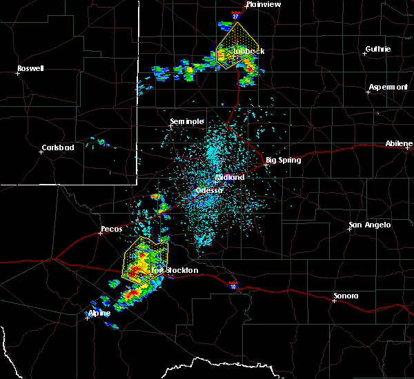
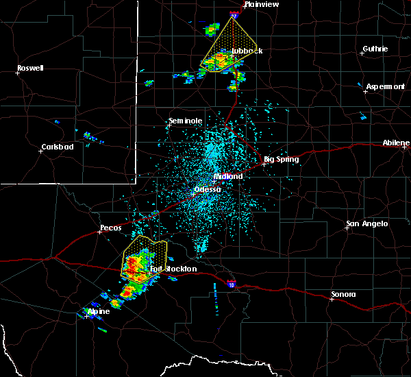
| 4/10/2020 5:43 PM CDT |
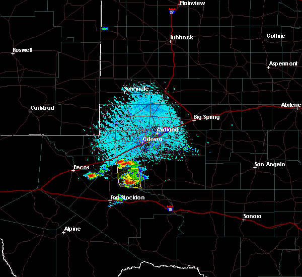 At 542 pm cdt, a severe thunderstorm was located 18 miles southeast of grandfalls, or 20 miles southwest of crane, moving east at 15 mph (radar indicated). Hazards include 60 mph wind gusts and half dollar size hail. Hail damage to vehicles is expected. expect wind damage to roofs, siding, and trees. Locations impacted include, cordona lake and imperial. At 542 pm cdt, a severe thunderstorm was located 18 miles southeast of grandfalls, or 20 miles southwest of crane, moving east at 15 mph (radar indicated). Hazards include 60 mph wind gusts and half dollar size hail. Hail damage to vehicles is expected. expect wind damage to roofs, siding, and trees. Locations impacted include, cordona lake and imperial.
|
| 4/10/2020 5:31 PM CDT |
 At 531 pm cdt, a severe thunderstorm was located 17 miles southeast of grandfalls, or 21 miles southwest of crane, moving east northeast at 20 mph (radar indicated). Hazards include golf ball size hail and 60 mph wind gusts. People and animals outdoors will be injured. expect hail damage to roofs, siding, windows, and vehicles. expect wind damage to roofs, siding, and trees. Locations impacted include, cordona lake and imperial. At 531 pm cdt, a severe thunderstorm was located 17 miles southeast of grandfalls, or 21 miles southwest of crane, moving east northeast at 20 mph (radar indicated). Hazards include golf ball size hail and 60 mph wind gusts. People and animals outdoors will be injured. expect hail damage to roofs, siding, windows, and vehicles. expect wind damage to roofs, siding, and trees. Locations impacted include, cordona lake and imperial.
|
| 4/10/2020 5:22 PM CDT | Ping Pong Ball sized hail reported 8 miles N of Imperial, TX |
| 4/10/2020 5:12 PM CDT |
 At 511 pm cdt, a severe thunderstorm was located 14 miles southeast of grandfalls, or 21 miles northeast of fort stockton, moving northeast at 15 mph (radar indicated). Hazards include golf ball size hail and 60 mph wind gusts. People and animals outdoors will be injured. expect hail damage to roofs, siding, windows, and vehicles. expect wind damage to roofs, siding, and trees. Locations impacted include, cordona lake and imperial. At 511 pm cdt, a severe thunderstorm was located 14 miles southeast of grandfalls, or 21 miles northeast of fort stockton, moving northeast at 15 mph (radar indicated). Hazards include golf ball size hail and 60 mph wind gusts. People and animals outdoors will be injured. expect hail damage to roofs, siding, windows, and vehicles. expect wind damage to roofs, siding, and trees. Locations impacted include, cordona lake and imperial.
|
| 4/10/2020 4:54 PM CDT |
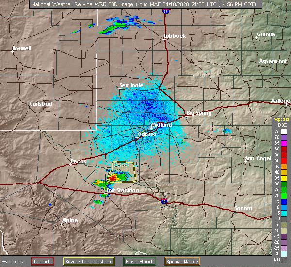 At 454 pm cdt, a severe thunderstorm was located 14 miles south of grandfalls, or 18 miles north of fort stockton, moving northeast at 20 mph (radar indicated). Hazards include 60 mph wind gusts and half dollar size hail. Hail damage to vehicles is expected. Expect wind damage to roofs, siding, and trees. At 454 pm cdt, a severe thunderstorm was located 14 miles south of grandfalls, or 18 miles north of fort stockton, moving northeast at 20 mph (radar indicated). Hazards include 60 mph wind gusts and half dollar size hail. Hail damage to vehicles is expected. Expect wind damage to roofs, siding, and trees.
|
| 6/30/2019 6:25 PM CDT |
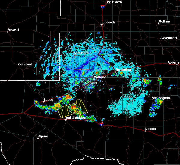 The national weather service in midland has issued a * severe thunderstorm warning for. north central pecos county in southwestern texas. southeastern ward county in western texas. west central crane county in western texas. Until 730 pm cdt. The national weather service in midland has issued a * severe thunderstorm warning for. north central pecos county in southwestern texas. southeastern ward county in western texas. west central crane county in western texas. Until 730 pm cdt.
|
| 5/30/2019 11:19 AM CDT |
 At 1118 am cdt, a severe thunderstorm was located 19 miles southeast of grandfalls, or 23 miles west of mccamey, moving northeast at 25 mph (radar indicated). Hazards include 60 mph wind gusts and quarter size hail. Hail damage to vehicles is expected. expect wind damage to roofs, siding, and trees. Locations impacted include, mccamey, cordona lake and imperial. At 1118 am cdt, a severe thunderstorm was located 19 miles southeast of grandfalls, or 23 miles west of mccamey, moving northeast at 25 mph (radar indicated). Hazards include 60 mph wind gusts and quarter size hail. Hail damage to vehicles is expected. expect wind damage to roofs, siding, and trees. Locations impacted include, mccamey, cordona lake and imperial.
|
| 5/30/2019 11:00 AM CDT |
 At 1059 am cdt, a severe thunderstorm was located 17 miles northeast of fort stockton, moving northeast at 25 mph (radar indicated). Hazards include golf ball size hail and 60 mph wind gusts. People and animals outdoors will be injured. expect hail damage to roofs, siding, windows, and vehicles. expect wind damage to roofs, siding, and trees. Locations impacted include, mccamey, cordona lake and imperial. At 1059 am cdt, a severe thunderstorm was located 17 miles northeast of fort stockton, moving northeast at 25 mph (radar indicated). Hazards include golf ball size hail and 60 mph wind gusts. People and animals outdoors will be injured. expect hail damage to roofs, siding, windows, and vehicles. expect wind damage to roofs, siding, and trees. Locations impacted include, mccamey, cordona lake and imperial.
|
| 5/30/2019 10:37 AM CDT |
 At 1037 am cdt, a severe thunderstorm was located 12 miles north of fort stockton, moving northeast at 25 mph (radar indicated). Hazards include 60 mph wind gusts and quarter size hail. Hail damage to vehicles is expected. Expect wind damage to roofs, siding, and trees. At 1037 am cdt, a severe thunderstorm was located 12 miles north of fort stockton, moving northeast at 25 mph (radar indicated). Hazards include 60 mph wind gusts and quarter size hail. Hail damage to vehicles is expected. Expect wind damage to roofs, siding, and trees.
|
| 5/25/2019 6:01 PM CDT |
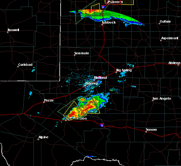 At 601 pm cdt, a severe thunderstorm was located 17 miles northeast of fort stockton, moving northeast at 25 mph (radar indicated). Hazards include ping pong ball size hail and 60 mph wind gusts. People and animals outdoors will be injured. expect hail damage to roofs, siding, windows, and vehicles. expect wind damage to roofs, siding, and trees. Locations impacted include, girvin and imperial. At 601 pm cdt, a severe thunderstorm was located 17 miles northeast of fort stockton, moving northeast at 25 mph (radar indicated). Hazards include ping pong ball size hail and 60 mph wind gusts. People and animals outdoors will be injured. expect hail damage to roofs, siding, windows, and vehicles. expect wind damage to roofs, siding, and trees. Locations impacted include, girvin and imperial.
|
| 5/25/2019 5:47 PM CDT |
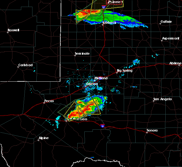 At 547 pm cdt, a severe thunderstorm was located 12 miles northeast of fort stockton, moving northeast at 40 mph (radar indicated). Hazards include ping pong ball size hail and 60 mph wind gusts. People and animals outdoors will be injured. expect hail damage to roofs, siding, windows, and vehicles. Expect wind damage to roofs, siding, and trees. At 547 pm cdt, a severe thunderstorm was located 12 miles northeast of fort stockton, moving northeast at 40 mph (radar indicated). Hazards include ping pong ball size hail and 60 mph wind gusts. People and animals outdoors will be injured. expect hail damage to roofs, siding, windows, and vehicles. Expect wind damage to roofs, siding, and trees.
|
| 5/25/2019 5:19 PM CDT |
 At 518 pm cdt, a severe thunderstorm was located 8 miles southwest of crane, moving northeast at 20 mph (radar indicated). Hazards include golf ball size hail and 60 mph wind gusts. People and animals outdoors will be injured. expect hail damage to roofs, siding, windows, and vehicles. expect wind damage to roofs, siding, and trees. Locations impacted include, crane, imperial, king mountain, cordona lake and crane county airport. At 518 pm cdt, a severe thunderstorm was located 8 miles southwest of crane, moving northeast at 20 mph (radar indicated). Hazards include golf ball size hail and 60 mph wind gusts. People and animals outdoors will be injured. expect hail damage to roofs, siding, windows, and vehicles. expect wind damage to roofs, siding, and trees. Locations impacted include, crane, imperial, king mountain, cordona lake and crane county airport.
|
| 5/25/2019 5:03 PM CDT |
 At 502 pm cdt, a severe thunderstorm was located 14 miles southwest of crane, moving northeast at 20 mph (radar indicated). Hazards include golf ball size hail and 60 mph wind gusts. People and animals outdoors will be injured. expect hail damage to roofs, siding, windows, and vehicles. expect wind damage to roofs, siding, and trees. Locations impacted include, crane, imperial, king mountain, cordona lake and crane county airport. At 502 pm cdt, a severe thunderstorm was located 14 miles southwest of crane, moving northeast at 20 mph (radar indicated). Hazards include golf ball size hail and 60 mph wind gusts. People and animals outdoors will be injured. expect hail damage to roofs, siding, windows, and vehicles. expect wind damage to roofs, siding, and trees. Locations impacted include, crane, imperial, king mountain, cordona lake and crane county airport.
|
| 5/25/2019 4:46 PM CDT |
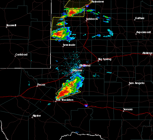 At 446 pm cdt, a severe thunderstorm was located 17 miles southeast of grandfalls, or 19 miles southwest of crane, moving northeast at 20 mph (radar indicated). Hazards include ping pong ball size hail and 60 mph wind gusts. People and animals outdoors will be injured. expect hail damage to roofs, siding, windows, and vehicles. Expect wind damage to roofs, siding, and trees. At 446 pm cdt, a severe thunderstorm was located 17 miles southeast of grandfalls, or 19 miles southwest of crane, moving northeast at 20 mph (radar indicated). Hazards include ping pong ball size hail and 60 mph wind gusts. People and animals outdoors will be injured. expect hail damage to roofs, siding, windows, and vehicles. Expect wind damage to roofs, siding, and trees.
|
| 5/25/2019 4:28 PM CDT |
 At 427 pm cdt, a severe thunderstorm was located 13 miles north of fort stockton, moving northeast at 30 mph (radar indicated). Hazards include 60 mph wind gusts and half dollar size hail. Hail damage to vehicles is expected. expect wind damage to roofs, siding, and trees. Locations impacted include, crane, mccamey, imperial, upton county airport, king mountain, cordona lake and crane county airport. At 427 pm cdt, a severe thunderstorm was located 13 miles north of fort stockton, moving northeast at 30 mph (radar indicated). Hazards include 60 mph wind gusts and half dollar size hail. Hail damage to vehicles is expected. expect wind damage to roofs, siding, and trees. Locations impacted include, crane, mccamey, imperial, upton county airport, king mountain, cordona lake and crane county airport.
|
| 5/25/2019 4:09 PM CDT |
 At 348 pm cdt, a severe thunderstorm was located 21 miles west of fort stockton, moving northeast at 30 mph (radar indicated). Hazards include 60 mph wind gusts and half dollar size hail. Hail damage to vehicles is expected. Expect wind damage to roofs, siding, and trees. At 348 pm cdt, a severe thunderstorm was located 21 miles west of fort stockton, moving northeast at 30 mph (radar indicated). Hazards include 60 mph wind gusts and half dollar size hail. Hail damage to vehicles is expected. Expect wind damage to roofs, siding, and trees.
|
| 5/25/2019 4:01 PM CDT |
 At 400 pm cdt, a severe thunderstorm was located 7 miles northwest of crane, moving northeast at 30 mph. this storm has had a history of baseball sized hail (radar indicated). Hazards include two inch hail and 70 mph wind gusts. People and animals outdoors will be injured. expect hail damage to roofs, siding, windows, and vehicles. expect considerable tree damage. wind damage is also likely to mobile homes, roofs, and outbuildings. Locations impacted include, pleasant farms, royalty, crane county airport and imperial. At 400 pm cdt, a severe thunderstorm was located 7 miles northwest of crane, moving northeast at 30 mph. this storm has had a history of baseball sized hail (radar indicated). Hazards include two inch hail and 70 mph wind gusts. People and animals outdoors will be injured. expect hail damage to roofs, siding, windows, and vehicles. expect considerable tree damage. wind damage is also likely to mobile homes, roofs, and outbuildings. Locations impacted include, pleasant farms, royalty, crane county airport and imperial.
|
| 5/25/2019 3:48 PM CDT |
 At 348 pm cdt, a severe thunderstorm was located 21 miles west of fort stockton, moving northeast at 30 mph (radar indicated). Hazards include 60 mph wind gusts and half dollar size hail. Hail damage to vehicles is expected. Expect wind damage to roofs, siding, and trees. At 348 pm cdt, a severe thunderstorm was located 21 miles west of fort stockton, moving northeast at 30 mph (radar indicated). Hazards include 60 mph wind gusts and half dollar size hail. Hail damage to vehicles is expected. Expect wind damage to roofs, siding, and trees.
|
| 5/25/2019 3:44 PM CDT |
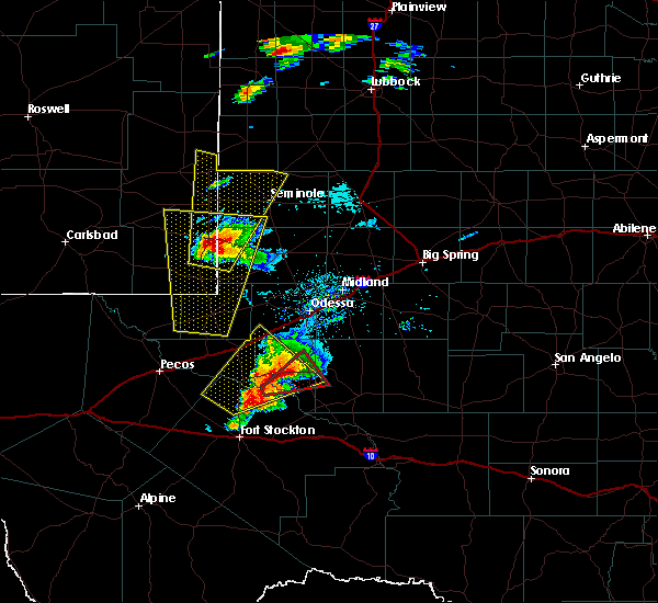 At 344 pm cdt, a severe thunderstorm was located 13 miles west of crane, moving northeast at 30 mph. this storm has had a history of baseball sized hail. this is a very dangerous storm (radar indicated). Hazards include three inch hail and 70 mph wind gusts. People and animals outdoors will be severely injured. Expect shattered windows, extensive damage to roofs, siding, and vehicles. At 344 pm cdt, a severe thunderstorm was located 13 miles west of crane, moving northeast at 30 mph. this storm has had a history of baseball sized hail. this is a very dangerous storm (radar indicated). Hazards include three inch hail and 70 mph wind gusts. People and animals outdoors will be severely injured. Expect shattered windows, extensive damage to roofs, siding, and vehicles.
|
| 5/25/2019 3:41 PM CDT |
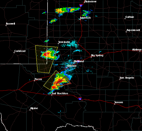 At 340 pm cdt, a severe thunderstorm capable of producing a tornado was located 12 miles west of crane, moving northeast at 30 mph (radar indicated rotation). Hazards include tornado and three inch hail. Flying debris will be dangerous to those caught without shelter. mobile homes will be damaged or destroyed. damage to roofs, windows, and vehicles will occur. tree damage is likely. this dangerous storm will be near, crane around 400 pm cdt. Other locations impacted by this tornadic thunderstorm include cordona lake, imperial and crane county airport. At 340 pm cdt, a severe thunderstorm capable of producing a tornado was located 12 miles west of crane, moving northeast at 30 mph (radar indicated rotation). Hazards include tornado and three inch hail. Flying debris will be dangerous to those caught without shelter. mobile homes will be damaged or destroyed. damage to roofs, windows, and vehicles will occur. tree damage is likely. this dangerous storm will be near, crane around 400 pm cdt. Other locations impacted by this tornadic thunderstorm include cordona lake, imperial and crane county airport.
|
| 5/25/2019 3:23 PM CDT |
 At 323 pm cdt, a severe thunderstorm capable of producing a tornado was located 13 miles east of grandfalls, or 17 miles southwest of crane, moving northeast at 30 mph (radar indicated rotation). Hazards include tornado and hail up to three inches in diameter. Flying debris will be dangerous to those caught without shelter. mobile homes will be damaged or destroyed. damage to roofs, windows, and vehicles will occur. tree damage is likely. this dangerous storm will be near, crane around 400 pm cdt. Other locations impacted by this tornadic thunderstorm include cordona lake, imperial and crane county airport. At 323 pm cdt, a severe thunderstorm capable of producing a tornado was located 13 miles east of grandfalls, or 17 miles southwest of crane, moving northeast at 30 mph (radar indicated rotation). Hazards include tornado and hail up to three inches in diameter. Flying debris will be dangerous to those caught without shelter. mobile homes will be damaged or destroyed. damage to roofs, windows, and vehicles will occur. tree damage is likely. this dangerous storm will be near, crane around 400 pm cdt. Other locations impacted by this tornadic thunderstorm include cordona lake, imperial and crane county airport.
|
| 5/25/2019 3:02 PM CDT |
 At 302 pm cdt, a severe thunderstorm was located near grandfalls, or 19 miles southeast of monahans, moving northeast at 30 mph. trained spotter has reported hail to baseball sized near imperial reservoir. this is a very dangerous storm (trained weather spotters). Hazards include three inch hail and 60 mph wind gusts. People and animals outdoors will be severely injured. expect shattered windows, extensive damage to roofs, siding, and vehicles. locations impacted include, monahans, crane, grandfalls, royalty, coyanosa, imperial reservoir, crane county airport, imperial, monahans sandhills state park and cordona lake. This includes interstate 20 between mile markers 81 and 96. At 302 pm cdt, a severe thunderstorm was located near grandfalls, or 19 miles southeast of monahans, moving northeast at 30 mph. trained spotter has reported hail to baseball sized near imperial reservoir. this is a very dangerous storm (trained weather spotters). Hazards include three inch hail and 60 mph wind gusts. People and animals outdoors will be severely injured. expect shattered windows, extensive damage to roofs, siding, and vehicles. locations impacted include, monahans, crane, grandfalls, royalty, coyanosa, imperial reservoir, crane county airport, imperial, monahans sandhills state park and cordona lake. This includes interstate 20 between mile markers 81 and 96.
|
| 5/25/2019 3:00 PM CDT | Baseball sized hail reported 8.8 miles E of Imperial, TX |
| 5/25/2019 2:58 PM CDT |
 At 257 pm cdt, a severe thunderstorm was located near grandfalls, or 19 miles south of monahans, moving northeast at 30 mph. trained spotter near imperial reservoir reported ping pong ball sized at 252 pm cdt (trained weather spotters). Hazards include two inch hail and 70 mph wind gusts. People and animals outdoors will be injured. expect hail damage to roofs, siding, windows, and vehicles. expect wind damage to roofs, siding, and trees. locations impacted include, monahans, crane, grandfalls, royalty, coyanosa, imperial reservoir, crane county airport, imperial, monahans sandhills state park and cordona lake. This includes interstate 20 between mile markers 81 and 96. At 257 pm cdt, a severe thunderstorm was located near grandfalls, or 19 miles south of monahans, moving northeast at 30 mph. trained spotter near imperial reservoir reported ping pong ball sized at 252 pm cdt (trained weather spotters). Hazards include two inch hail and 70 mph wind gusts. People and animals outdoors will be injured. expect hail damage to roofs, siding, windows, and vehicles. expect wind damage to roofs, siding, and trees. locations impacted include, monahans, crane, grandfalls, royalty, coyanosa, imperial reservoir, crane county airport, imperial, monahans sandhills state park and cordona lake. This includes interstate 20 between mile markers 81 and 96.
|
| 5/25/2019 2:52 PM CDT | Ping Pong Ball sized hail reported 3.1 miles W of Imperial, TX, imperial reservoir |
| 5/25/2019 2:52 PM CDT | Ping Pong Ball sized hail reported 8.8 miles E of Imperial, TX, imperial reservoir |
| 5/25/2019 2:44 PM CDT |
 At 243 pm cdt, a severe thunderstorm was located near grandfalls, or 22 miles south of monahans, moving northeast at 30 mph (radar indicated). Hazards include golf ball size hail and 60 mph wind gusts. People and animals outdoors will be injured. expect hail damage to roofs, siding, windows, and vehicles. Expect wind damage to roofs, siding, and trees. At 243 pm cdt, a severe thunderstorm was located near grandfalls, or 22 miles south of monahans, moving northeast at 30 mph (radar indicated). Hazards include golf ball size hail and 60 mph wind gusts. People and animals outdoors will be injured. expect hail damage to roofs, siding, windows, and vehicles. Expect wind damage to roofs, siding, and trees.
|
| 5/25/2019 2:34 PM CDT |
 At 234 pm cdt, a severe thunderstorm was located near grandfalls, or 23 miles south of monahans, moving northeast at 30 mph (radar indicated). Hazards include 60 mph wind gusts and half dollar size hail. Hail damage to vehicles is expected. expect wind damage to roofs, siding, and trees. Locations impacted include, grandfalls, royalty, imperial, coyanosa and imperial reservoir. At 234 pm cdt, a severe thunderstorm was located near grandfalls, or 23 miles south of monahans, moving northeast at 30 mph (radar indicated). Hazards include 60 mph wind gusts and half dollar size hail. Hail damage to vehicles is expected. expect wind damage to roofs, siding, and trees. Locations impacted include, grandfalls, royalty, imperial, coyanosa and imperial reservoir.
|
| 5/25/2019 2:18 PM CDT |
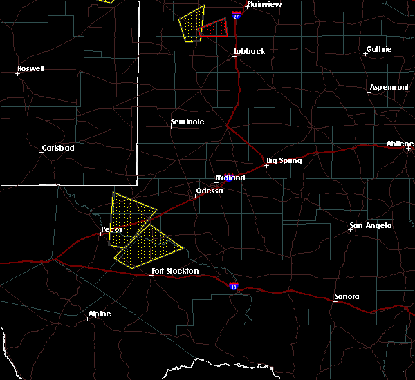 At 218 pm cdt, a severe thunderstorm was located 10 miles south of grandfalls, or 21 miles north of fort stockton, moving northeast at 30 mph (radar indicated). Hazards include 60 mph wind gusts and quarter size hail. Hail damage to vehicles is expected. expect wind damage to roofs, siding, and trees. Locations impacted include, grandfalls, royalty, imperial, coyanosa and imperial reservoir. At 218 pm cdt, a severe thunderstorm was located 10 miles south of grandfalls, or 21 miles north of fort stockton, moving northeast at 30 mph (radar indicated). Hazards include 60 mph wind gusts and quarter size hail. Hail damage to vehicles is expected. expect wind damage to roofs, siding, and trees. Locations impacted include, grandfalls, royalty, imperial, coyanosa and imperial reservoir.
|
| 5/25/2019 2:10 PM CDT |
 At 210 pm cdt, a severe thunderstorm was located 13 miles southwest of grandfalls, or 19 miles north of fort stockton, moving northeast at 30 mph (radar indicated). Hazards include 60 mph wind gusts and quarter size hail. Hail damage to vehicles is expected. expect wind damage to roofs, siding, and trees. Locations impacted include, grandfalls, royalty, imperial, coyanosa and imperial reservoir. At 210 pm cdt, a severe thunderstorm was located 13 miles southwest of grandfalls, or 19 miles north of fort stockton, moving northeast at 30 mph (radar indicated). Hazards include 60 mph wind gusts and quarter size hail. Hail damage to vehicles is expected. expect wind damage to roofs, siding, and trees. Locations impacted include, grandfalls, royalty, imperial, coyanosa and imperial reservoir.
|
| 5/25/2019 1:45 PM CDT |
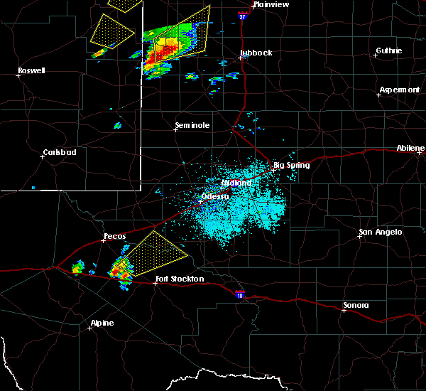 At 145 pm cdt, a severe thunderstorm was located 19 miles northwest of fort stockton, moving northeast at 30 mph (radar indicated). Hazards include 60 mph wind gusts and quarter size hail. Hail damage to vehicles is expected. Expect wind damage to roofs, siding, and trees. At 145 pm cdt, a severe thunderstorm was located 19 miles northwest of fort stockton, moving northeast at 30 mph (radar indicated). Hazards include 60 mph wind gusts and quarter size hail. Hail damage to vehicles is expected. Expect wind damage to roofs, siding, and trees.
|
| 5/17/2019 4:28 PM CDT |
 At 428 pm cdt, a severe thunderstorm was located 14 miles east of fort stockton, moving east at 30 mph (radar indicated). Hazards include golf ball size hail and 60 mph wind gusts. People and animals outdoors will be injured. expect hail damage to roofs, siding, windows, and vehicles. expect wind damage to roofs, siding, and trees. locations impacted include, mccamey, girvin, cordona lake and upton county airport. This includes interstate 10 between mile markers 269 and 280. At 428 pm cdt, a severe thunderstorm was located 14 miles east of fort stockton, moving east at 30 mph (radar indicated). Hazards include golf ball size hail and 60 mph wind gusts. People and animals outdoors will be injured. expect hail damage to roofs, siding, windows, and vehicles. expect wind damage to roofs, siding, and trees. locations impacted include, mccamey, girvin, cordona lake and upton county airport. This includes interstate 10 between mile markers 269 and 280.
|
| 5/17/2019 4:09 PM CDT |
 At 359 pm cdt, a severe thunderstorm was located 9 miles east of fort stockton, moving northeast at 25 mph. at 354pm cdt, emergency management reported quarter size hail along interstate 10 at mile marker 267 (radar indicated). Hazards include 60 mph wind gusts and half dollar size hail. Hail damage to vehicles is expected. expect wind damage to roofs, siding, and trees. locations impacted include, fort stockton, mccamey, fort stockton-pecos county airport, girvin, cordona lake and upton county airport. This includes interstate 10 between mile markers 258 and 280. At 359 pm cdt, a severe thunderstorm was located 9 miles east of fort stockton, moving northeast at 25 mph. at 354pm cdt, emergency management reported quarter size hail along interstate 10 at mile marker 267 (radar indicated). Hazards include 60 mph wind gusts and half dollar size hail. Hail damage to vehicles is expected. expect wind damage to roofs, siding, and trees. locations impacted include, fort stockton, mccamey, fort stockton-pecos county airport, girvin, cordona lake and upton county airport. This includes interstate 10 between mile markers 258 and 280.
|
| 5/17/2019 4:00 PM CDT |
 At 359 pm cdt, a severe thunderstorm was located 9 miles east of fort stockton, moving northeast at 25 mph. at 354pm cdt, emergency management reported quarter size hail along interstate 10 at mile marker 267 (radar indicated). Hazards include 60 mph wind gusts and half dollar size hail. Hail damage to vehicles is expected. expect wind damage to roofs, siding, and trees. locations impacted include, fort stockton, mccamey, fort stockton-pecos county airport, girvin, cordona lake and upton county airport. This includes interstate 10 between mile markers 258 and 280. At 359 pm cdt, a severe thunderstorm was located 9 miles east of fort stockton, moving northeast at 25 mph. at 354pm cdt, emergency management reported quarter size hail along interstate 10 at mile marker 267 (radar indicated). Hazards include 60 mph wind gusts and half dollar size hail. Hail damage to vehicles is expected. expect wind damage to roofs, siding, and trees. locations impacted include, fort stockton, mccamey, fort stockton-pecos county airport, girvin, cordona lake and upton county airport. This includes interstate 10 between mile markers 258 and 280.
|
| 5/17/2019 3:52 PM CDT |
 At 351 pm cdt, a severe thunderstorm was located near fort stockton, moving northeast at 30 mph. at 350pm, one and a half inch hail was reported along i-10, 7 miles east of fort stockton (radar indicated). Hazards include 60 mph wind gusts and half dollar size hail. Hail damage to vehicles is expected. Expect wind damage to roofs, siding, and trees. At 351 pm cdt, a severe thunderstorm was located near fort stockton, moving northeast at 30 mph. at 350pm, one and a half inch hail was reported along i-10, 7 miles east of fort stockton (radar indicated). Hazards include 60 mph wind gusts and half dollar size hail. Hail damage to vehicles is expected. Expect wind damage to roofs, siding, and trees.
|
| 5/7/2019 5:02 PM CDT |
 At 500 pm cdt, dps confirmed tornado still on the ground 12 miles northeast of fort stockton, between sh18 and fm1053. this storm moving east at 20 mph (law enforcement confirmed tornado). Hazards include damaging tornado and baseball size hail. Flying debris will be dangerous to those caught without shelter. mobile homes will be damaged or destroyed. damage to roofs, windows, and vehicles will occur. Tree damage is likely. At 500 pm cdt, dps confirmed tornado still on the ground 12 miles northeast of fort stockton, between sh18 and fm1053. this storm moving east at 20 mph (law enforcement confirmed tornado). Hazards include damaging tornado and baseball size hail. Flying debris will be dangerous to those caught without shelter. mobile homes will be damaged or destroyed. damage to roofs, windows, and vehicles will occur. Tree damage is likely.
|
| 5/7/2019 4:51 PM CDT |
 A tornado warning remains in effect until 515 pm cdt for north central pecos county, radar at 448 pm cdt, dps has confirmed tornado touched down along with baseball size hail was located 14 miles north of fort stockton on sh18. this storm was moving east at 15 mph (law enforcement confirmed tornado). Hazards include damaging tornado and baseball size hail. Flying debris will be dangerous to those caught without shelter. mobile homes will be damaged or destroyed. damage to roofs, windows, and vehicles will occur. tree damage is likely. Locations impacted include, imperial. A tornado warning remains in effect until 515 pm cdt for north central pecos county, radar at 448 pm cdt, dps has confirmed tornado touched down along with baseball size hail was located 14 miles north of fort stockton on sh18. this storm was moving east at 15 mph (law enforcement confirmed tornado). Hazards include damaging tornado and baseball size hail. Flying debris will be dangerous to those caught without shelter. mobile homes will be damaged or destroyed. damage to roofs, windows, and vehicles will occur. tree damage is likely. Locations impacted include, imperial.
|
| 5/7/2019 4:37 PM CDT |
 At 436 pm cdt, a severe thunderstorm capable of producing a tornado was located 15 miles north of fort stockton, moving east at 20 mph. this storm is crossing state high 18 north of fort stockton (radar indicated rotation). Hazards include tornado and baseball size hail. Flying debris will be dangerous to those caught without shelter. mobile homes will be damaged or destroyed. damage to roofs, windows, and vehicles will occur. tree damage is likely. Locations impacted include, imperial. At 436 pm cdt, a severe thunderstorm capable of producing a tornado was located 15 miles north of fort stockton, moving east at 20 mph. this storm is crossing state high 18 north of fort stockton (radar indicated rotation). Hazards include tornado and baseball size hail. Flying debris will be dangerous to those caught without shelter. mobile homes will be damaged or destroyed. damage to roofs, windows, and vehicles will occur. tree damage is likely. Locations impacted include, imperial.
|
| 5/7/2019 4:33 PM CDT |
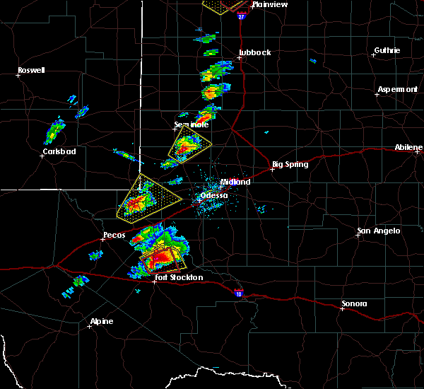 At 431 pm cdt, a severe thunderstorm capable of producing a tornado was located 9 miles south of grandfalls along state highway 18, or 21 miles north of fort stockton, moving northeast at 25 mph (radar indicated). Hazards include golf ball size hail and 70 mph wind gusts. People and animals outdoors will be injured. expect hail damage to roofs, siding, windows, and vehicles. expect considerable tree damage. wind damage is also likely to mobile homes, roofs, and outbuildings. Locations impacted include, highway 18 north of fort stockton, imperial reservoir and imperial. At 431 pm cdt, a severe thunderstorm capable of producing a tornado was located 9 miles south of grandfalls along state highway 18, or 21 miles north of fort stockton, moving northeast at 25 mph (radar indicated). Hazards include golf ball size hail and 70 mph wind gusts. People and animals outdoors will be injured. expect hail damage to roofs, siding, windows, and vehicles. expect considerable tree damage. wind damage is also likely to mobile homes, roofs, and outbuildings. Locations impacted include, highway 18 north of fort stockton, imperial reservoir and imperial.
|
| 5/7/2019 4:25 PM CDT |
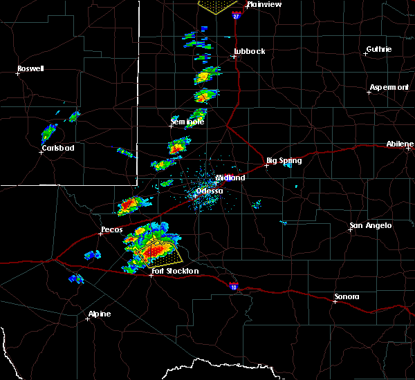 At 425 pm cdt, a severe thunderstorm capable of producing a tornado was located 15 miles north of fort stockton, moving east at 20 mph (radar indicated rotation). Hazards include tornado and baseball size hail. Flying debris will be dangerous to those caught without shelter. mobile homes will be damaged or destroyed. damage to roofs, windows, and vehicles will occur. tree damage is likely. This tornadic thunderstorm will remain over mainly rural areas of north central pecos county, including the following locations, imperial. At 425 pm cdt, a severe thunderstorm capable of producing a tornado was located 15 miles north of fort stockton, moving east at 20 mph (radar indicated rotation). Hazards include tornado and baseball size hail. Flying debris will be dangerous to those caught without shelter. mobile homes will be damaged or destroyed. damage to roofs, windows, and vehicles will occur. tree damage is likely. This tornadic thunderstorm will remain over mainly rural areas of north central pecos county, including the following locations, imperial.
|
| 5/7/2019 4:15 PM CDT |
 At 414 pm cdt, a severe thunderstorm was located 12 miles south of grandfalls, or 19 miles north of fort stockton, moving northeast at 25 mph (radar indicated). Hazards include golf ball size hail and 60 mph wind gusts. People and animals outdoors will be injured. expect hail damage to roofs, siding, windows, and vehicles. Expect wind damage to roofs, siding, and trees. At 414 pm cdt, a severe thunderstorm was located 12 miles south of grandfalls, or 19 miles north of fort stockton, moving northeast at 25 mph (radar indicated). Hazards include golf ball size hail and 60 mph wind gusts. People and animals outdoors will be injured. expect hail damage to roofs, siding, windows, and vehicles. Expect wind damage to roofs, siding, and trees.
|
| 5/5/2019 3:17 PM CDT |
 At 303 pm cdt, a severe thunderstorm was located 11 miles north of fort stockton, moving northeast at 15 mph (radar indicated). Hazards include 60 mph wind gusts and quarter size hail. Hail damage to vehicles is expected. Expect wind damage to roofs, siding, and trees. At 303 pm cdt, a severe thunderstorm was located 11 miles north of fort stockton, moving northeast at 15 mph (radar indicated). Hazards include 60 mph wind gusts and quarter size hail. Hail damage to vehicles is expected. Expect wind damage to roofs, siding, and trees.
|
| 5/5/2019 3:03 PM CDT |
 At 303 pm cdt, a severe thunderstorm was located 11 miles north of fort stockton, moving northeast at 15 mph (radar indicated). Hazards include 60 mph wind gusts and quarter size hail. Hail damage to vehicles is expected. Expect wind damage to roofs, siding, and trees. At 303 pm cdt, a severe thunderstorm was located 11 miles north of fort stockton, moving northeast at 15 mph (radar indicated). Hazards include 60 mph wind gusts and quarter size hail. Hail damage to vehicles is expected. Expect wind damage to roofs, siding, and trees.
|
| 5/3/2019 6:17 PM CDT |
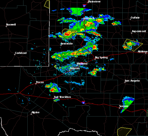 At 616 pm cdt, a severe thunderstorm was located 10 miles southwest of grandfalls, or 22 miles north of fort stockton, moving southeast at 20 mph (radar indicated). Hazards include two inch hail and 70 mph wind gusts. People and animals outdoors will be injured. expect hail damage to roofs, siding, windows, and vehicles. expect considerable tree damage. Wind damage is also likely to mobile homes, roofs, and outbuildings. At 616 pm cdt, a severe thunderstorm was located 10 miles southwest of grandfalls, or 22 miles north of fort stockton, moving southeast at 20 mph (radar indicated). Hazards include two inch hail and 70 mph wind gusts. People and animals outdoors will be injured. expect hail damage to roofs, siding, windows, and vehicles. expect considerable tree damage. Wind damage is also likely to mobile homes, roofs, and outbuildings.
|
| 5/3/2019 5:53 PM CDT |
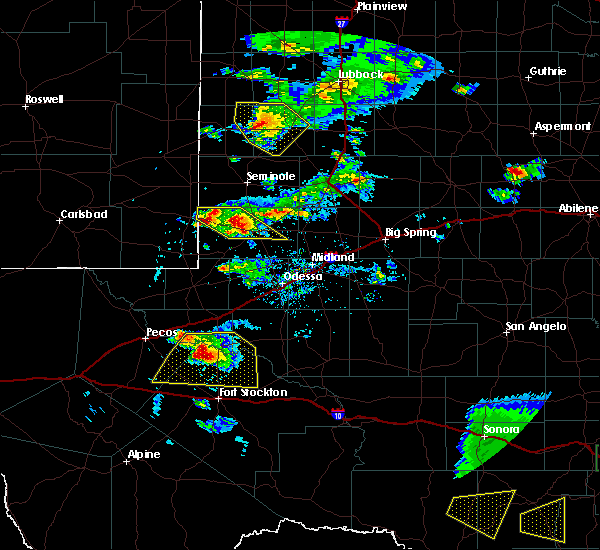 At 549 pm cdt, a trained spotter reported lime size hail 1 mile north of coyanosa. at 550 pm cdt doppler radar indicated a severe thunderstorm over coyanosa. the storm was moving to the south at 20 mph (trained weather spotters). Hazards include two inch hail. People and animals outdoors will be injured. expect damage to roofs, siding, windows, and vehicles. Locations impacted include, grandfalls, royalty, imperial, coyanosa, b f goodrich testing track and imperial reservoir. At 549 pm cdt, a trained spotter reported lime size hail 1 mile north of coyanosa. at 550 pm cdt doppler radar indicated a severe thunderstorm over coyanosa. the storm was moving to the south at 20 mph (trained weather spotters). Hazards include two inch hail. People and animals outdoors will be injured. expect damage to roofs, siding, windows, and vehicles. Locations impacted include, grandfalls, royalty, imperial, coyanosa, b f goodrich testing track and imperial reservoir.
|
| 5/3/2019 5:44 PM CDT |
 At 544 pm cdt, a severe thunderstorm was located 12 miles west of grandfalls, or 22 miles southwest of monahans, moving south at 20 mph (radar indicated). Hazards include golf ball size hail and 60 mph wind gusts. People and animals outdoors will be injured. expect hail damage to roofs, siding, windows, and vehicles. expect wind damage to roofs, siding, and trees. Locations impacted include, grandfalls, royalty, imperial, coyanosa, b f goodrich testing track and imperial reservoir. At 544 pm cdt, a severe thunderstorm was located 12 miles west of grandfalls, or 22 miles southwest of monahans, moving south at 20 mph (radar indicated). Hazards include golf ball size hail and 60 mph wind gusts. People and animals outdoors will be injured. expect hail damage to roofs, siding, windows, and vehicles. expect wind damage to roofs, siding, and trees. Locations impacted include, grandfalls, royalty, imperial, coyanosa, b f goodrich testing track and imperial reservoir.
|
| 5/3/2019 5:30 PM CDT |
 At 529 pm cdt, a severe thunderstorm was located 9 miles northwest of grandfalls, or 14 miles southwest of monahans, moving south at 10 mph (radar indicated). Hazards include ping pong ball size hail and 60 mph wind gusts. People and animals outdoors will be injured. expect hail damage to roofs, siding, windows, and vehicles. Expect wind damage to roofs, siding, and trees. At 529 pm cdt, a severe thunderstorm was located 9 miles northwest of grandfalls, or 14 miles southwest of monahans, moving south at 10 mph (radar indicated). Hazards include ping pong ball size hail and 60 mph wind gusts. People and animals outdoors will be injured. expect hail damage to roofs, siding, windows, and vehicles. Expect wind damage to roofs, siding, and trees.
|
| 4/23/2019 10:10 PM CDT | Quarter sized hail reported 0.4 miles SSW of Imperial, TX |
| 4/23/2019 10:03 PM CDT |
 At 1002 pm cdt, a severe thunderstorm was located 12 miles southeast of grandfalls, or 22 miles southwest of crane, moving east at 30 mph (radar indicated). Hazards include two inch hail and 60 mph wind gusts. People and animals outdoors will be injured. expect hail damage to roofs, siding, windows, and vehicles. expect wind damage to roofs, siding, and trees. Locations impacted include, crane, mccamey, crane county airport, imperial, upton county airport, king mountain and cordona lake. At 1002 pm cdt, a severe thunderstorm was located 12 miles southeast of grandfalls, or 22 miles southwest of crane, moving east at 30 mph (radar indicated). Hazards include two inch hail and 60 mph wind gusts. People and animals outdoors will be injured. expect hail damage to roofs, siding, windows, and vehicles. expect wind damage to roofs, siding, and trees. Locations impacted include, crane, mccamey, crane county airport, imperial, upton county airport, king mountain and cordona lake.
|
| 4/23/2019 9:43 PM CDT |
 At 942 pm cdt, a severe thunderstorm was located 8 miles south of grandfalls, or 22 miles north of fort stockton, moving east at 40 mph (radar indicated). Hazards include golf ball size hail and 60 mph wind gusts. People and animals outdoors will be injured. expect hail damage to roofs, siding, windows, and vehicles. Expect wind damage to roofs, siding, and trees. At 942 pm cdt, a severe thunderstorm was located 8 miles south of grandfalls, or 22 miles north of fort stockton, moving east at 40 mph (radar indicated). Hazards include golf ball size hail and 60 mph wind gusts. People and animals outdoors will be injured. expect hail damage to roofs, siding, windows, and vehicles. Expect wind damage to roofs, siding, and trees.
|
| 4/23/2019 9:27 PM CDT |
 At 927 pm cdt, a severe thunderstorm was located 11 miles southwest of grandfalls, or 24 miles south of monahans, moving east at 45 mph (radar indicated). Hazards include ping pong ball size hail and 60 mph wind gusts. People and animals outdoors will be injured. expect hail damage to roofs, siding, windows, and vehicles. expect wind damage to roofs, siding, and trees. locations impacted include, monahans, thorntonville, grandfalls, pyote, wickett, royalty, coyanosa, imperial reservoir, imperial, roy hurd memorial airport, monahans sandhills state park and cordona lake. This includes interstate 20 between mile markers 58 and 95. At 927 pm cdt, a severe thunderstorm was located 11 miles southwest of grandfalls, or 24 miles south of monahans, moving east at 45 mph (radar indicated). Hazards include ping pong ball size hail and 60 mph wind gusts. People and animals outdoors will be injured. expect hail damage to roofs, siding, windows, and vehicles. expect wind damage to roofs, siding, and trees. locations impacted include, monahans, thorntonville, grandfalls, pyote, wickett, royalty, coyanosa, imperial reservoir, imperial, roy hurd memorial airport, monahans sandhills state park and cordona lake. This includes interstate 20 between mile markers 58 and 95.
|
| 4/23/2019 9:09 PM CDT |
 At 907 pm cdt, a severe thunderstorm was located 9 miles southeast of barstow, or 12 miles east of pecos, moving east at 50 mph (radar indicated). Hazards include golf ball size hail and 60 mph wind gusts. People and animals outdoors will be injured. expect hail damage to roofs, siding, windows, and vehicles. expect wind damage to roofs, siding, and trees. locations impacted include, pecos, monahans, thorntonville, grandfalls, barstow, pyote, wickett, toyah lake, coyanosa, imperial reservoir, roy hurd memorial airport, monahans sandhills state park, royalty, b f goodrich testing track, imperial and cordona lake. This includes interstate 20 between mile markers 42 and 100. At 907 pm cdt, a severe thunderstorm was located 9 miles southeast of barstow, or 12 miles east of pecos, moving east at 50 mph (radar indicated). Hazards include golf ball size hail and 60 mph wind gusts. People and animals outdoors will be injured. expect hail damage to roofs, siding, windows, and vehicles. expect wind damage to roofs, siding, and trees. locations impacted include, pecos, monahans, thorntonville, grandfalls, barstow, pyote, wickett, toyah lake, coyanosa, imperial reservoir, roy hurd memorial airport, monahans sandhills state park, royalty, b f goodrich testing track, imperial and cordona lake. This includes interstate 20 between mile markers 42 and 100.
|
| 4/23/2019 8:50 PM CDT |
 At 849 pm cdt, a severe thunderstorm was located near pecos, moving east at 50 mph (radar indicated). Hazards include golf ball size hail and 60 mph wind gusts. People and animals outdoors will be injured. expect hail damage to roofs, siding, windows, and vehicles. Expect wind damage to roofs, siding, and trees. At 849 pm cdt, a severe thunderstorm was located near pecos, moving east at 50 mph (radar indicated). Hazards include golf ball size hail and 60 mph wind gusts. People and animals outdoors will be injured. expect hail damage to roofs, siding, windows, and vehicles. Expect wind damage to roofs, siding, and trees.
|
| 4/23/2019 8:11 PM CDT |
 At 809 pm cdt, a severe thunderstorm was located 14 miles east of grandfalls, or 16 miles west of crane, moving northeast at 35 mph. this is a very dangerous storm (radar indicated). Hazards include baseball size hail and 60 mph wind gusts. People and animals outdoors will be severely injured. expect shattered windows, extensive damage to roofs, siding, and vehicles. Locations impacted include, highway 329 west of crane, imperial, king mountain, cordona lake. At 809 pm cdt, a severe thunderstorm was located 14 miles east of grandfalls, or 16 miles west of crane, moving northeast at 35 mph. this is a very dangerous storm (radar indicated). Hazards include baseball size hail and 60 mph wind gusts. People and animals outdoors will be severely injured. expect shattered windows, extensive damage to roofs, siding, and vehicles. Locations impacted include, highway 329 west of crane, imperial, king mountain, cordona lake.
|
| 4/23/2019 8:01 PM CDT |
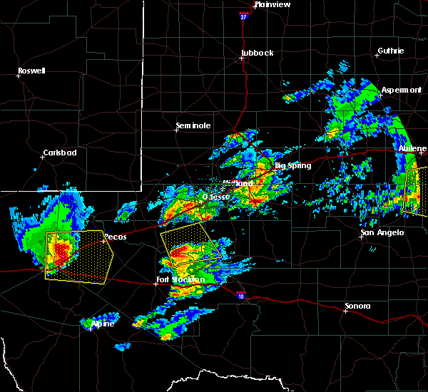 At 801 pm cdt, a severe thunderstorm was located 14 miles southeast of grandfalls, or 19 miles southwest of crane, moving northeast at 30 mph (radar indicated). Hazards include 60 mph wind gusts and half dollar size hail. Hail damage to vehicles is expected. Expect wind damage to roofs, siding, and trees. At 801 pm cdt, a severe thunderstorm was located 14 miles southeast of grandfalls, or 19 miles southwest of crane, moving northeast at 30 mph (radar indicated). Hazards include 60 mph wind gusts and half dollar size hail. Hail damage to vehicles is expected. Expect wind damage to roofs, siding, and trees.
|
| 4/23/2019 7:31 PM CDT |
 At 730 pm cdt, a severe thunderstorm was located 3 miles east of fort stockton, moving northeast at 30 mph (radar indicated). Hazards include 60 mph wind gusts and quarter size hail. Hail damage to vehicles is expected. expect wind damage to roofs, siding, and trees. locations impacted include, fort stockton, imperial, fort stockton-pecos county airport and bakersfield. This includes interstate 10 between mile markers 256 and 299. At 730 pm cdt, a severe thunderstorm was located 3 miles east of fort stockton, moving northeast at 30 mph (radar indicated). Hazards include 60 mph wind gusts and quarter size hail. Hail damage to vehicles is expected. expect wind damage to roofs, siding, and trees. locations impacted include, fort stockton, imperial, fort stockton-pecos county airport and bakersfield. This includes interstate 10 between mile markers 256 and 299.
|
| 4/23/2019 7:09 PM CDT |
 At 709 pm cdt, a severe thunderstorm was located 7 miles south of fort stockton, moving northeast at 25 mph (radar indicated). Hazards include 60 mph wind gusts and half dollar size hail. Hail damage to vehicles is expected. Expect wind damage to roofs, siding, and trees. At 709 pm cdt, a severe thunderstorm was located 7 miles south of fort stockton, moving northeast at 25 mph (radar indicated). Hazards include 60 mph wind gusts and half dollar size hail. Hail damage to vehicles is expected. Expect wind damage to roofs, siding, and trees.
|
| 3/28/2019 8:13 PM CDT |
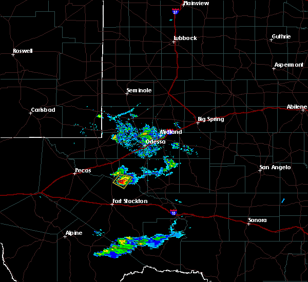 At 812 pm cdt, a severe thunderstorm was located 8 miles southeast of grandfalls, or 23 miles southeast of monahans, moving east at 10 mph. a trained spotter south-southeast of grandfalls reported golf ball sized hail around 810 pm cdt (trained weather spotters). Hazards include golf ball size hail and 60 mph wind gusts. People and animals outdoors will be injured. expect hail damage to roofs, siding, windows, and vehicles. expect wind damage to roofs, siding, and trees. Locations impacted include, imperial reservoir and imperial. At 812 pm cdt, a severe thunderstorm was located 8 miles southeast of grandfalls, or 23 miles southeast of monahans, moving east at 10 mph. a trained spotter south-southeast of grandfalls reported golf ball sized hail around 810 pm cdt (trained weather spotters). Hazards include golf ball size hail and 60 mph wind gusts. People and animals outdoors will be injured. expect hail damage to roofs, siding, windows, and vehicles. expect wind damage to roofs, siding, and trees. Locations impacted include, imperial reservoir and imperial.
|
| 3/28/2019 8:09 PM CDT |
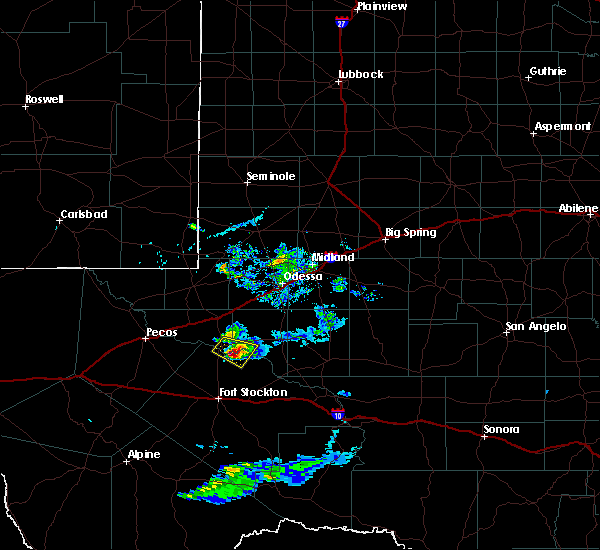 At 808 pm cdt, a severe thunderstorm was located 7 miles southeast of grandfalls, or 22 miles south of monahans, moving east at 10 mph (radar indicated). Hazards include ping pong ball size hail and 60 mph wind gusts. People and animals outdoors will be injured. expect hail damage to roofs, siding, windows, and vehicles. expect wind damage to roofs, siding, and trees. Locations impacted include, imperial reservoir and imperial. At 808 pm cdt, a severe thunderstorm was located 7 miles southeast of grandfalls, or 22 miles south of monahans, moving east at 10 mph (radar indicated). Hazards include ping pong ball size hail and 60 mph wind gusts. People and animals outdoors will be injured. expect hail damage to roofs, siding, windows, and vehicles. expect wind damage to roofs, siding, and trees. Locations impacted include, imperial reservoir and imperial.
|
| 3/28/2019 7:57 PM CDT |
 At 756 pm cdt, a severe thunderstorm was located near grandfalls, or 21 miles south of monahans, moving east at 10 mph (radar indicated). Hazards include ping pong ball size hail and 60 mph wind gusts. People and animals outdoors will be injured. expect hail damage to roofs, siding, windows, and vehicles. expect wind damage to roofs, siding, and trees. Locations impacted include, grandfalls, royalty, imperial and imperial reservoir. At 756 pm cdt, a severe thunderstorm was located near grandfalls, or 21 miles south of monahans, moving east at 10 mph (radar indicated). Hazards include ping pong ball size hail and 60 mph wind gusts. People and animals outdoors will be injured. expect hail damage to roofs, siding, windows, and vehicles. expect wind damage to roofs, siding, and trees. Locations impacted include, grandfalls, royalty, imperial and imperial reservoir.
|
| 3/28/2019 7:43 PM CDT |
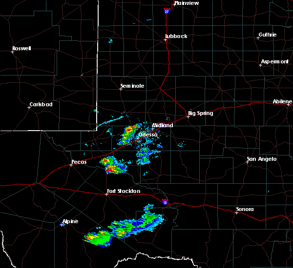 At 743 pm cdt, a severe thunderstorm was located near grandfalls, or 19 miles south of monahans, moving east at 10 mph (radar indicated). Hazards include 60 mph wind gusts and quarter size hail. Hail damage to vehicles is expected. Expect wind damage to roofs, siding, and trees. At 743 pm cdt, a severe thunderstorm was located near grandfalls, or 19 miles south of monahans, moving east at 10 mph (radar indicated). Hazards include 60 mph wind gusts and quarter size hail. Hail damage to vehicles is expected. Expect wind damage to roofs, siding, and trees.
|
| 6/3/2018 11:43 PM CDT |
 At 1143 pm cdt, severe thunderstorms were located along a line extending from 14 miles east of kermit to 14 miles east of monahans to 14 miles southeast of grandfalls to 10 miles northwest of fort stockton, moving east at 25 mph (radar indicated). Hazards include 60 mph wind gusts and quarter size hail. Hail damage to vehicles is expected. expect wind damage to roofs, siding, and trees. locations impacted include, monahans, crane, wink, thorntonville, grandfalls, pyote, west odessa, wickett, coyanosa, imperial reservoir, crane county airport, roy hurd memorial airport, monahans sandhills state park, royalty, b f goodrich testing track, penwell, imperial and cordona lake. This includes interstate 20 between mile markers 60 and 109. At 1143 pm cdt, severe thunderstorms were located along a line extending from 14 miles east of kermit to 14 miles east of monahans to 14 miles southeast of grandfalls to 10 miles northwest of fort stockton, moving east at 25 mph (radar indicated). Hazards include 60 mph wind gusts and quarter size hail. Hail damage to vehicles is expected. expect wind damage to roofs, siding, and trees. locations impacted include, monahans, crane, wink, thorntonville, grandfalls, pyote, west odessa, wickett, coyanosa, imperial reservoir, crane county airport, roy hurd memorial airport, monahans sandhills state park, royalty, b f goodrich testing track, penwell, imperial and cordona lake. This includes interstate 20 between mile markers 60 and 109.
|
| 6/3/2018 11:28 PM CDT |
 At 1128 pm cdt, severe thunderstorms were located along a line extending from 8 miles east of kermit to 9 miles southeast of monahans to 12 miles south of grandfalls to 12 miles northwest of fort stockton, moving east at 20 mph (radar indicated). Hazards include 60 mph wind gusts and quarter size hail. Hail damage to vehicles is expected. Expect wind damage to roofs, siding, and trees. At 1128 pm cdt, severe thunderstorms were located along a line extending from 8 miles east of kermit to 9 miles southeast of monahans to 12 miles south of grandfalls to 12 miles northwest of fort stockton, moving east at 20 mph (radar indicated). Hazards include 60 mph wind gusts and quarter size hail. Hail damage to vehicles is expected. Expect wind damage to roofs, siding, and trees.
|
| 4/30/2018 6:08 PM CDT |
 The severe thunderstorm warning for north central pecos county will expire at 615 pm cdt, the storm which prompted the warning has weakened below severe limits, and no longer poses an immediate threat to life or property. therefore the warning will be allowed to expire. however small hail is still possible with this thunderstorm. a severe thunderstorm watch remains in effect until 1100 pm cdt for southwestern texas. The severe thunderstorm warning for north central pecos county will expire at 615 pm cdt, the storm which prompted the warning has weakened below severe limits, and no longer poses an immediate threat to life or property. therefore the warning will be allowed to expire. however small hail is still possible with this thunderstorm. a severe thunderstorm watch remains in effect until 1100 pm cdt for southwestern texas.
|
| 4/30/2018 5:51 PM CDT |
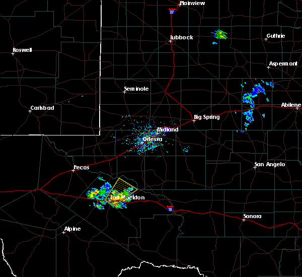 At 550 pm cdt, a severe thunderstorm was located 7 miles east of fort stockton, moving northeast at 20 mph (radar indicated). Hazards include quarter size hail. Damage to vehicles is expected. locations impacted include, fort stockton, fort stockton-pecos county airport and imperial. This includes interstate 10 between mile markers 257 and 270. At 550 pm cdt, a severe thunderstorm was located 7 miles east of fort stockton, moving northeast at 20 mph (radar indicated). Hazards include quarter size hail. Damage to vehicles is expected. locations impacted include, fort stockton, fort stockton-pecos county airport and imperial. This includes interstate 10 between mile markers 257 and 270.
|
| 4/30/2018 5:28 PM CDT |
 At 527 pm cdt, a severe thunderstorm was located over fort stockton, moving northeast at 25 mph. numerous reports of pea to quarter size hail have been reported in fort stockton (radar indicated). Hazards include 60 mph wind gusts and quarter size hail. Hail damage to vehicles is expected. expect wind damage to roofs, siding, and trees. locations impacted include, fort stockton, fort stockton-pecos county airport and imperial. This includes interstate 10 between mile markers 257 and 270. At 527 pm cdt, a severe thunderstorm was located over fort stockton, moving northeast at 25 mph. numerous reports of pea to quarter size hail have been reported in fort stockton (radar indicated). Hazards include 60 mph wind gusts and quarter size hail. Hail damage to vehicles is expected. expect wind damage to roofs, siding, and trees. locations impacted include, fort stockton, fort stockton-pecos county airport and imperial. This includes interstate 10 between mile markers 257 and 270.
|
| 4/30/2018 5:10 PM CDT |
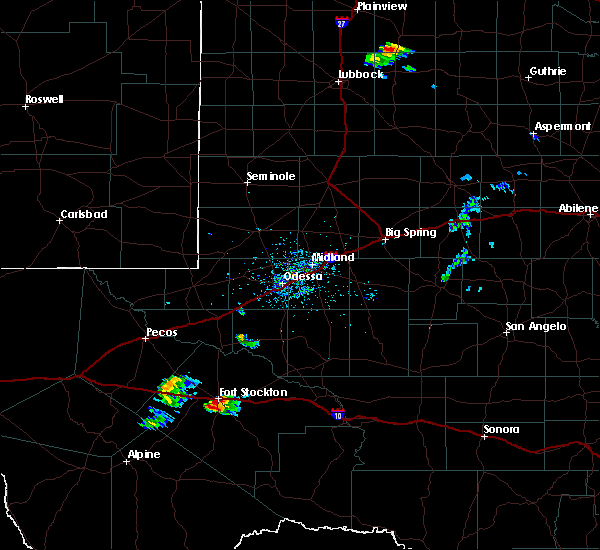 The national weather service in midland has issued a * severe thunderstorm warning for. north central pecos county in southwestern texas. Until 615 pm cdt * at 510 pm cdt, a severe thunderstorm was located over fort stockton, moving northeast at 30 mph. The national weather service in midland has issued a * severe thunderstorm warning for. north central pecos county in southwestern texas. Until 615 pm cdt * at 510 pm cdt, a severe thunderstorm was located over fort stockton, moving northeast at 30 mph.
|
| 6/23/2017 7:23 PM CDT |
 At 714 pm cdt a wind gust of 64 mph was reported in pecos. this storm was moving south at 30 mph (radar indicated). Hazards include 70 mph wind gusts and quarter size hail. Hail damage to vehicles is expected. expect considerable tree damage. wind damage is also likely to mobile homes, roofs, and outbuildings. Locations impacted include, pecos, monahans, crane, grandfalls, wickett, thorntonville, barstow, pyote, coyanosa, imperial reservoir, girvin, royalty, imperial, monahans sandhills state park, fort stockton-pecos county airport, toyah lake, crane county airport, pecos municipal airport, roy hurd memorial airport and b f goodrich testing track. At 714 pm cdt a wind gust of 64 mph was reported in pecos. this storm was moving south at 30 mph (radar indicated). Hazards include 70 mph wind gusts and quarter size hail. Hail damage to vehicles is expected. expect considerable tree damage. wind damage is also likely to mobile homes, roofs, and outbuildings. Locations impacted include, pecos, monahans, crane, grandfalls, wickett, thorntonville, barstow, pyote, coyanosa, imperial reservoir, girvin, royalty, imperial, monahans sandhills state park, fort stockton-pecos county airport, toyah lake, crane county airport, pecos municipal airport, roy hurd memorial airport and b f goodrich testing track.
|
| 6/23/2017 6:46 PM CDT |
 At 646 pm cdt, a severe thunderstorm was located over monahans, moving south at 25 mph (radar indicated). Hazards include 70 mph wind gusts and quarter size hail. Hail damage to vehicles is expected. expect considerable tree damage. Wind damage is also likely to mobile homes, roofs, and outbuildings. At 646 pm cdt, a severe thunderstorm was located over monahans, moving south at 25 mph (radar indicated). Hazards include 70 mph wind gusts and quarter size hail. Hail damage to vehicles is expected. expect considerable tree damage. Wind damage is also likely to mobile homes, roofs, and outbuildings.
|
| 6/12/2017 4:41 PM CDT |
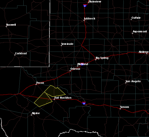 At 441 pm cdt, a severe thunderstorm was located over coyanosa, or 26 miles southwest of monahans, moving northeast at 20 mph (radar indicated). Hazards include 60 mph wind gusts and quarter size hail. Hail damage to vehicles is expected. expect wind damage to roofs, siding, and trees. Locations impacted include, coyanosa, imperial and imperial reservoir. At 441 pm cdt, a severe thunderstorm was located over coyanosa, or 26 miles southwest of monahans, moving northeast at 20 mph (radar indicated). Hazards include 60 mph wind gusts and quarter size hail. Hail damage to vehicles is expected. expect wind damage to roofs, siding, and trees. Locations impacted include, coyanosa, imperial and imperial reservoir.
|
| 6/12/2017 4:09 PM CDT |
 At 409 pm cdt, a severe thunderstorm was located 10 miles southwest of coyanosa, or 22 miles northwest of fort stockton, moving northeast at 20 mph (radar indicated). Hazards include 60 mph wind gusts and half dollar size hail. Hail damage to vehicles is expected. Expect wind damage to roofs, siding, and trees. At 409 pm cdt, a severe thunderstorm was located 10 miles southwest of coyanosa, or 22 miles northwest of fort stockton, moving northeast at 20 mph (radar indicated). Hazards include 60 mph wind gusts and half dollar size hail. Hail damage to vehicles is expected. Expect wind damage to roofs, siding, and trees.
|
| 5/22/2017 9:58 PM CDT |
 At 957 pm cdt, a severe thunderstorm was located 14 miles west of midkiff, or 20 miles northeast of crane, moving southeast at 45 mph (radar indicated). Hazards include 60 mph wind gusts and quarter size hail. Hail damage to vehicles is expected. Expect wind damage to roofs, siding, and trees. At 957 pm cdt, a severe thunderstorm was located 14 miles west of midkiff, or 20 miles northeast of crane, moving southeast at 45 mph (radar indicated). Hazards include 60 mph wind gusts and quarter size hail. Hail damage to vehicles is expected. Expect wind damage to roofs, siding, and trees.
|
| 5/22/2017 7:08 PM CDT |
 At 708 pm cdt, severe thunderstorms were located along a line extending from 11 miles west of crane to near imperial, moving east at 35 mph (radar indicated). Hazards include 60 mph wind gusts and quarter size hail. Hail damage to vehicles is expected. Expect wind damage to roofs, siding, and trees. At 708 pm cdt, severe thunderstorms were located along a line extending from 11 miles west of crane to near imperial, moving east at 35 mph (radar indicated). Hazards include 60 mph wind gusts and quarter size hail. Hail damage to vehicles is expected. Expect wind damage to roofs, siding, and trees.
|
| 3/11/2017 8:25 PM CDT |
 At 725 pm cst, a severe thunderstorm was located near grandfalls, moving south at 10 mph (radar indicated). Hazards include 60 mph wind gusts and quarter size hail. Hail damage to vehicles is expected. Expect wind damage to roofs, siding, and trees. At 725 pm cst, a severe thunderstorm was located near grandfalls, moving south at 10 mph (radar indicated). Hazards include 60 mph wind gusts and quarter size hail. Hail damage to vehicles is expected. Expect wind damage to roofs, siding, and trees.
|
| 9/16/2016 5:53 PM CDT |
 At 540 pm cdt, the public reported a severe thunderstorm passed over grandfalls producing hail up to quarter size. locations impacted include, crane, grandfalls, imperial reservoir, imperial, royalty, crane county airport, cordona lake and tubbs corner. At 540 pm cdt, the public reported a severe thunderstorm passed over grandfalls producing hail up to quarter size. locations impacted include, crane, grandfalls, imperial reservoir, imperial, royalty, crane county airport, cordona lake and tubbs corner.
|
| 9/16/2016 5:38 PM CDT |
 At 537 pm cdt, a severe thunderstorm was located over grandfalls, moving northeast at 30 mph (radar indicated). Hazards include ping pong ball size hail and 60 mph wind gusts. People and animals outdoors will be injured. expect hail damage to roofs, siding, windows, and vehicles. Expect wind damage to roofs, siding, and trees. At 537 pm cdt, a severe thunderstorm was located over grandfalls, moving northeast at 30 mph (radar indicated). Hazards include ping pong ball size hail and 60 mph wind gusts. People and animals outdoors will be injured. expect hail damage to roofs, siding, windows, and vehicles. Expect wind damage to roofs, siding, and trees.
|
| 6/15/2016 8:16 PM CDT |
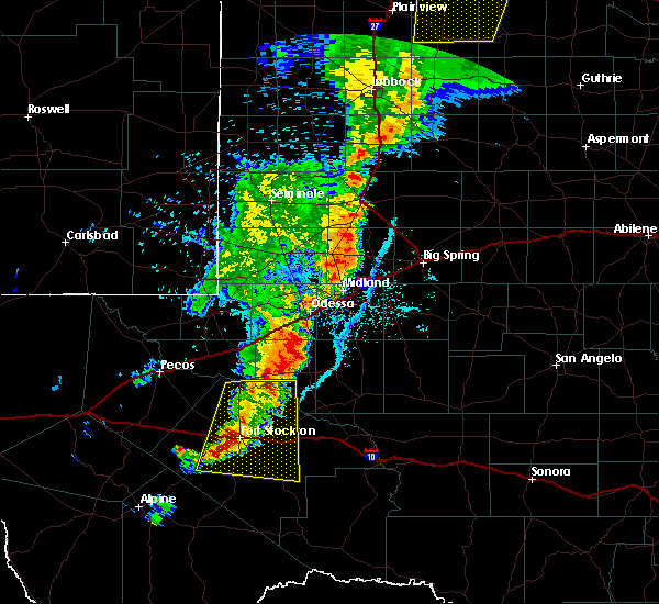 At 755 pm cdt, the public reported quarter size hail 3 miles southeast of grandfalls. at 814 pm cdt doppler radar indicated a severe thunderstorm was located near fort stockton-pecos county airport, or near fort stockton, moving east at 20 mph (public). Hazards include 60 mph wind gusts and quarter size hail. Hail damage to vehicles is expected. expect wind damage to roofs, siding, and trees. locations impacted include, fort stockton, belding, firestone test track, fort stockton-pecos county airport, imperial, cordona lake, grandfalls and imperial reservoir. This includes interstate 10 between mile markers 245 and 287. At 755 pm cdt, the public reported quarter size hail 3 miles southeast of grandfalls. at 814 pm cdt doppler radar indicated a severe thunderstorm was located near fort stockton-pecos county airport, or near fort stockton, moving east at 20 mph (public). Hazards include 60 mph wind gusts and quarter size hail. Hail damage to vehicles is expected. expect wind damage to roofs, siding, and trees. locations impacted include, fort stockton, belding, firestone test track, fort stockton-pecos county airport, imperial, cordona lake, grandfalls and imperial reservoir. This includes interstate 10 between mile markers 245 and 287.
|
| 6/15/2016 7:44 PM CDT |
 At 742 pm cdt, doppler radar indicated a line of severe thunderstorms from near grandfalls south to coyanosa to 7 miles west of fort stockton. the line was moving to the east at 20 mph (radar indicated). Hazards include 60 mph wind gusts and quarter size hail. Hail damage to vehicles is expected. Expect wind damage to roofs, siding, and trees. At 742 pm cdt, doppler radar indicated a line of severe thunderstorms from near grandfalls south to coyanosa to 7 miles west of fort stockton. the line was moving to the east at 20 mph (radar indicated). Hazards include 60 mph wind gusts and quarter size hail. Hail damage to vehicles is expected. Expect wind damage to roofs, siding, and trees.
|
| 10/7/2015 6:29 PM CDT |
 At 629 pm cdt, a severe thunderstorm was located 7 miles southwest of royalty, or 19 miles south of monahans, moving northeast at 25 mph (radar indicated). Hazards include 70 mph wind gusts and quarter size hail. Hail damage to vehicles is expected. expect considerable tree damage. Wind damage is also likely to mobile homes, roofs and outbuildings. At 629 pm cdt, a severe thunderstorm was located 7 miles southwest of royalty, or 19 miles south of monahans, moving northeast at 25 mph (radar indicated). Hazards include 70 mph wind gusts and quarter size hail. Hail damage to vehicles is expected. expect considerable tree damage. Wind damage is also likely to mobile homes, roofs and outbuildings.
|
| 5/28/2015 5:05 PM CDT | At 503 pm cdt, a severe thunderstorm was located 8 miles south of imperial, and moving east at 25 mph (radar indicated). Hazards include 60 mph wind gusts and quarter size hail. Hail damage to vehicles is expected. Expect wind damage to roofs, siding and trees. |
| 5/23/2015 5:42 PM CDT | At 539 pm cdt, severe thunderstorms were located along a line extending from 7 miles west of pleasant farms to 13 miles southwest of bakersfield, and moving east at 60 mph (radar indicated). Hazards include 60 mph wind gusts and quarter size hail. Hail damage to vehicles is expected. expect wind damage to roofs, siding and trees. Locations impacted include, crane, bakersfield, girvin, pleasant farms, crane county airport and king mountain. |
| 5/23/2015 5:16 PM CDT | At 511 pm cdt, severe thunderstorms were located along a line extending from 5 miles northwest of roy hurd memorial airport to 6 miles east of belding, and moving east at 50 mph (radar indicated). Hazards include 60 mph wind gusts and quarter size hail. Hail damage to vehicles is expected. Expect wind damage to roofs, siding and trees. |
| 5/18/2015 9:23 PM CDT | At 918 pm cdt, a severe thunderstorm was located 11 miles east of coyanosa, and moving east at 20 mph (radar indicated). Hazards include 60 mph wind gusts and quarter size hail. Hail damage to vehicles is expected. expect wind damage to roofs, siding and trees. locations impacted include, imperial, cordona lake and tubbs corner. 1. 00in. |
| 5/18/2015 9:01 PM CDT | At 900 pm cdt, a severe thunderstorm was located 6 miles southeast of coyanosa, and moving east at 20 mph (radar indicated). Hazards include 60 mph wind gusts and half dollar size hail. Hail damage to vehicles is expected. Expect wind damage to roofs, siding and trees. |
| 5/18/2015 8:34 PM CDT | At 832 pm cdt, a severe thunderstorm was located 7 miles west of imperial, and moving east at 15 mph (trained weather spotters. a spotter reported a large tree down by strong winds in grandfalls). Hazards include 60 mph wind gusts and half dollar size hail. Hail damage to vehicles is expected. expect wind damage to roofs, siding and trees. locations impacted include, imperial, cordona lake and tubbs corner. 1. 25in. |
| 5/18/2015 8:12 PM CDT | At 809 pm cdt, a severe thunderstorm was located 10 miles south of royalty, and moving east at 5 mph (radar indicated). Hazards include ping pong ball size hail and 60 mph wind gusts. People and animals outdoors will be injured. expect hail damage to roofs, siding, windows and vehicles. Expect wind damage to roofs, siding and trees. |
| 5/4/2015 10:38 PM CDT | At 1033 pm cdt, a severe thunderstorm was located near imperial, and moving northeast at 10 mph (radar indicated). Hazards include 60 mph wind gusts and quarter size hail. Hail damage to vehicles is expected. expect wind damage to roofs, siding and trees. locations impacted include, imperial. 1. 00in. |
| 5/4/2015 10:00 PM CDT | At 956 pm cdt, a severe thunderstorm was located near coyanosa, and moving northeast at 10 mph (radar indicated). Hazards include 60 mph wind gusts and quarter size hail. Hail damage to vehicles is expected. Expect wind damage to roofs, siding and trees. |
| 4/16/2015 7:24 PM CDT | At 654 pm cdt, a severe thunderstorm was located near imperial, and moving east at 20 mph (radar indicated). Hazards include golf ball size hail and 60 mph wind gusts. People and animals outdoors will be injured. expect hail damage to roofs, siding, windows and vehicles. Expect wind damage to roofs, siding and trees. |
| 4/16/2015 7:00 PM CDT | At 654 pm cdt, a severe thunderstorm was located near imperial, and moving east at 20 mph (radar indicated). Hazards include golf ball size hail and 60 mph wind gusts. People and animals outdoors will be injured. expect hail damage to roofs, siding, windows and vehicles. Expect wind damage to roofs, siding and trees. |
| 4/16/2015 6:56 PM CDT | At 650 pm cdt, the public reported half dollar size hail in the town of imperial. a severe thunderstorm was located near imperial, and moving southeast at 15 mph (public). Hazards include half dollar size hail. Damage to vehicles is expected. locations impacted include, mainly rural areas of central crane and extreme northern pecos counties. 1. 25in. |
| 4/16/2015 6:55 PM CDT | Quarter sized hail reported 0.4 miles SSW of Imperial, TX |
| 4/16/2015 6:55 PM CDT | Half Dollar sized hail reported 0.4 miles SSW of Imperial, TX |
| 4/16/2015 6:33 PM CDT | At 632 pm cdt, a severe thunderstorm was located 6 miles west of imperial, and moving southeast at 20 mph (radar indicated). Hazards include golf ball size hail and 60 mph wind gusts. People and animals outdoors will be injured. expect hail damage to roofs, siding, windows and vehicles. expect wind damage to roofs, siding and trees. locations impacted include, royalty and imperial. 1. 75in. |
| 4/16/2015 6:12 PM CDT | At 609 pm cdt, a severe thunderstorm was located near grandfalls, and moving southeast at 20 mph (radar indicated). Hazards include golf ball size hail and 60 mph wind gusts. People and animals outdoors will be injured. expect hail damage to roofs, siding, windows and vehicles. Expect wind damage to roofs, siding and trees. |
| 4/12/2015 6:06 PM CDT | A severe thunderstorm warning remains in effect for southeastern ward. western upton. north central pecos and crane counties until 615 pm cdt. at 551 pm cdt. a severe thunderstorm was located 12 miles northeast of tubbs corner. and moving northeast at 20 mph. hazard. 60 mph wind gusts. |
| 4/12/2015 5:33 PM CDT | The national weather service in midland has issued a * severe thunderstorm warning for. crane county in west texas. north central pecos county in southwest texas. western upton county in west texas. Southeastern ward county in west texas. |
| 5/28/2013 5:42 PM CDT | Half Dollar sized hail reported 6.8 miles WNW of Imperial, TX, spotter found melted hail and is expected to have been as large as golf ball. |
Hail Maps for Imperial, TX
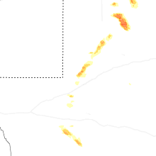
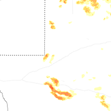


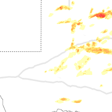


Connect with Interactive Hail Maps