

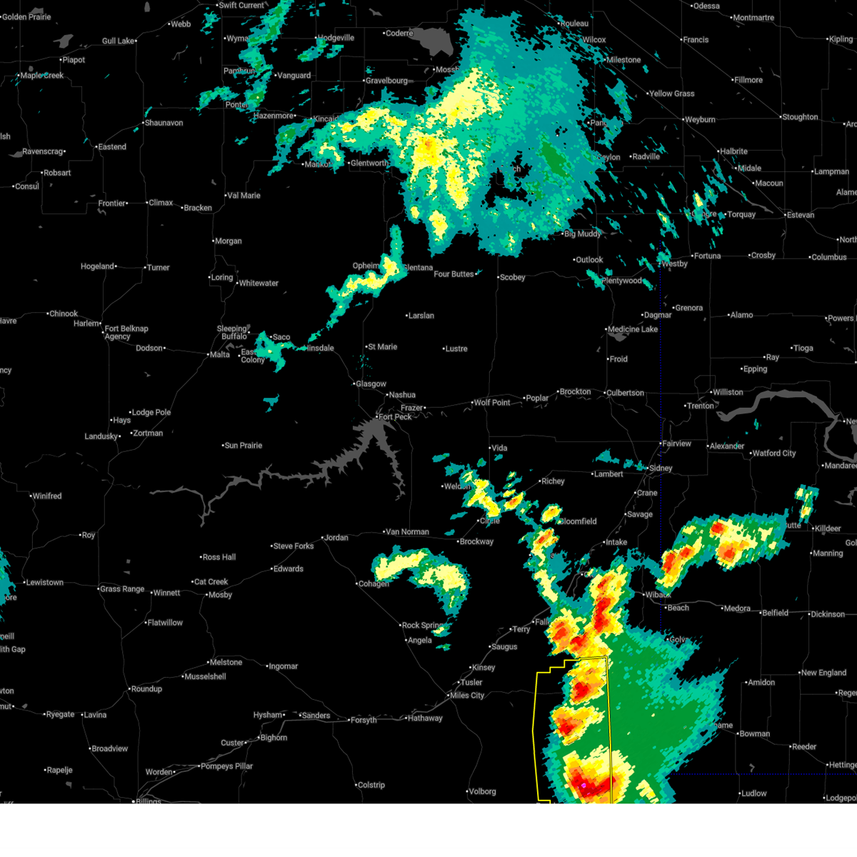
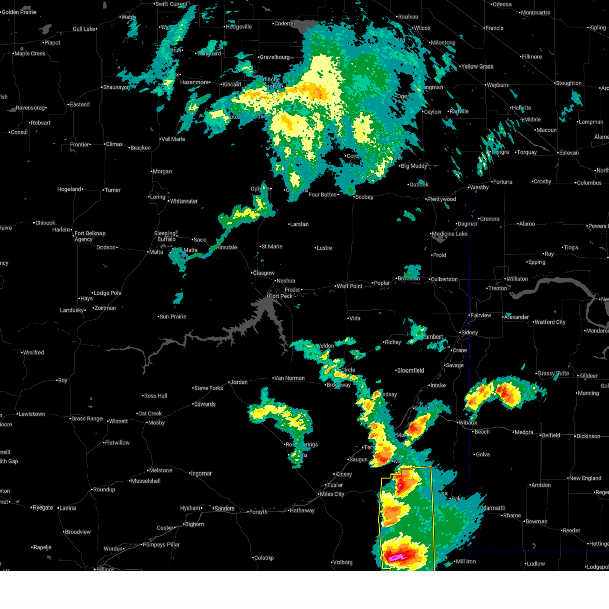
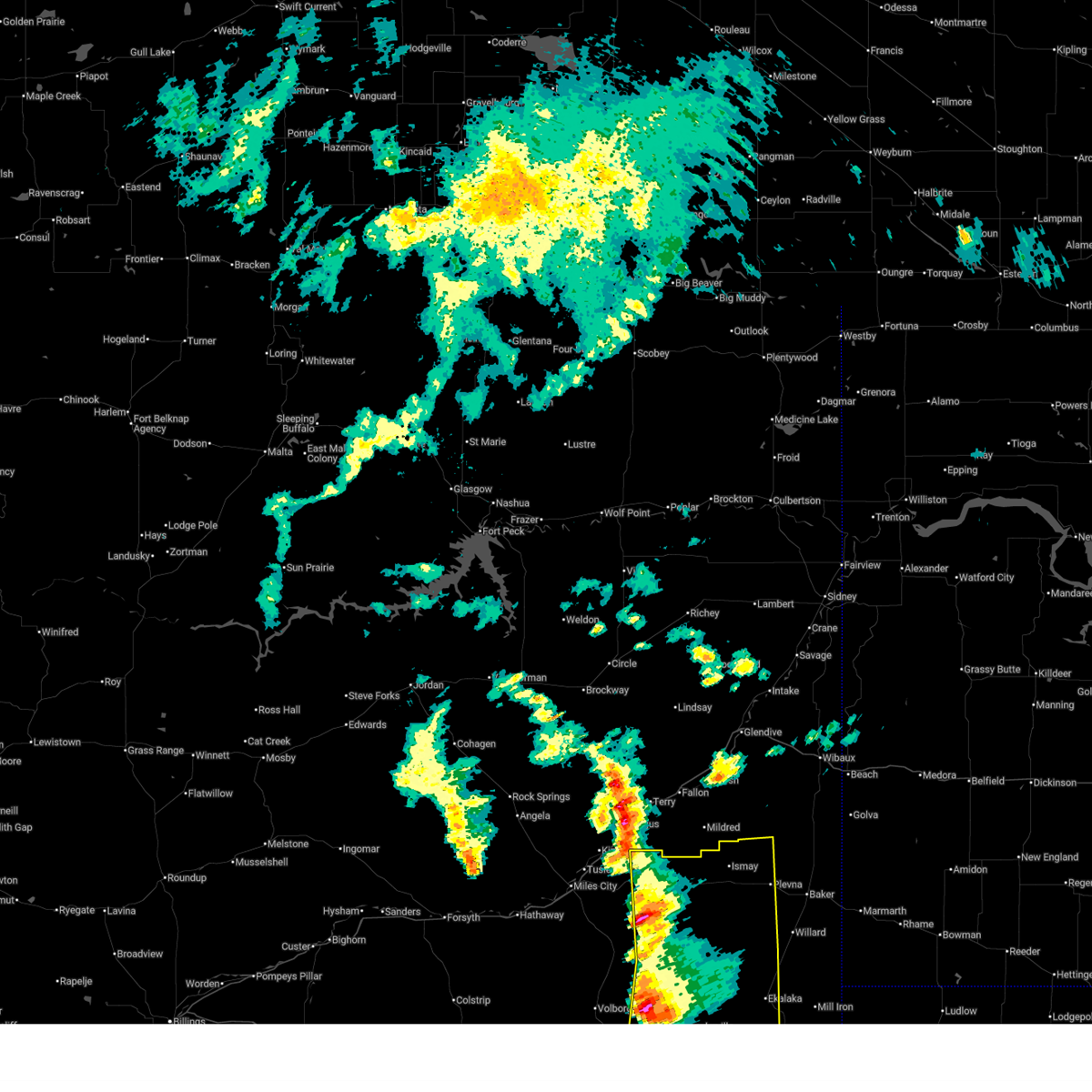
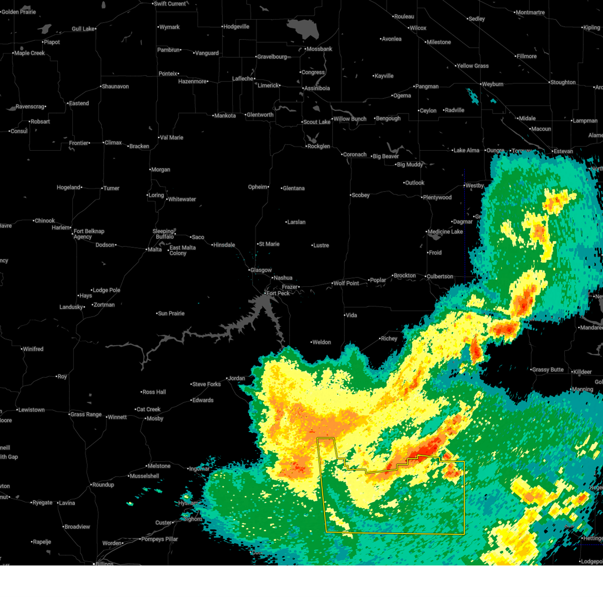
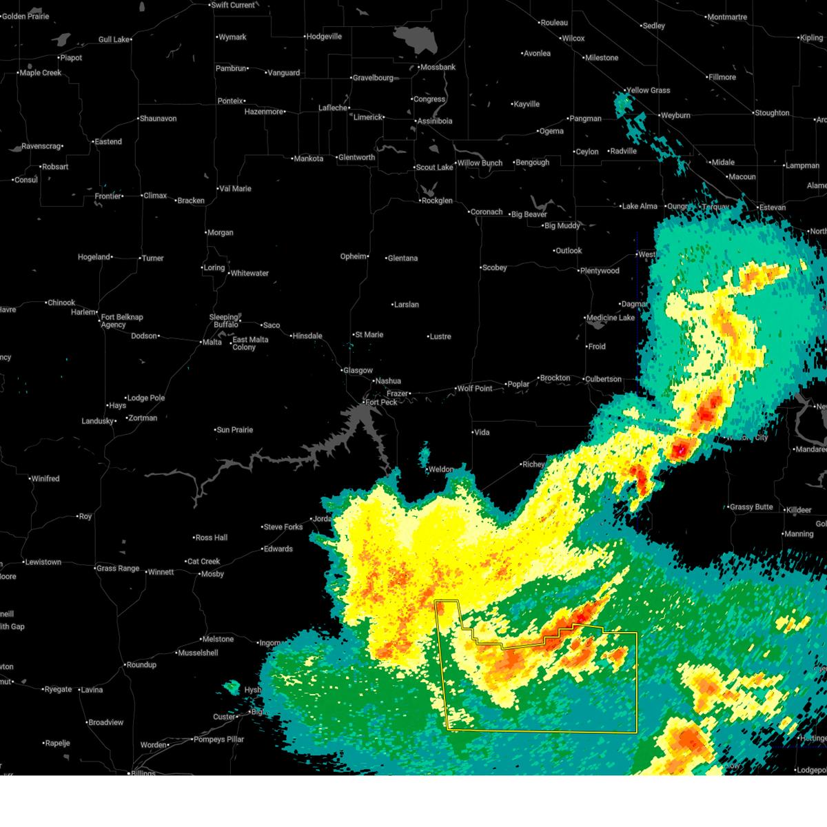
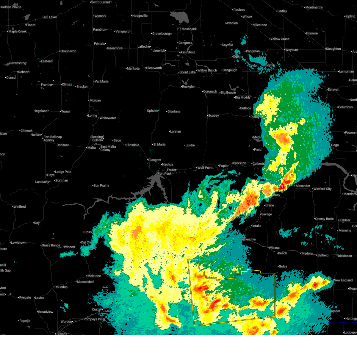
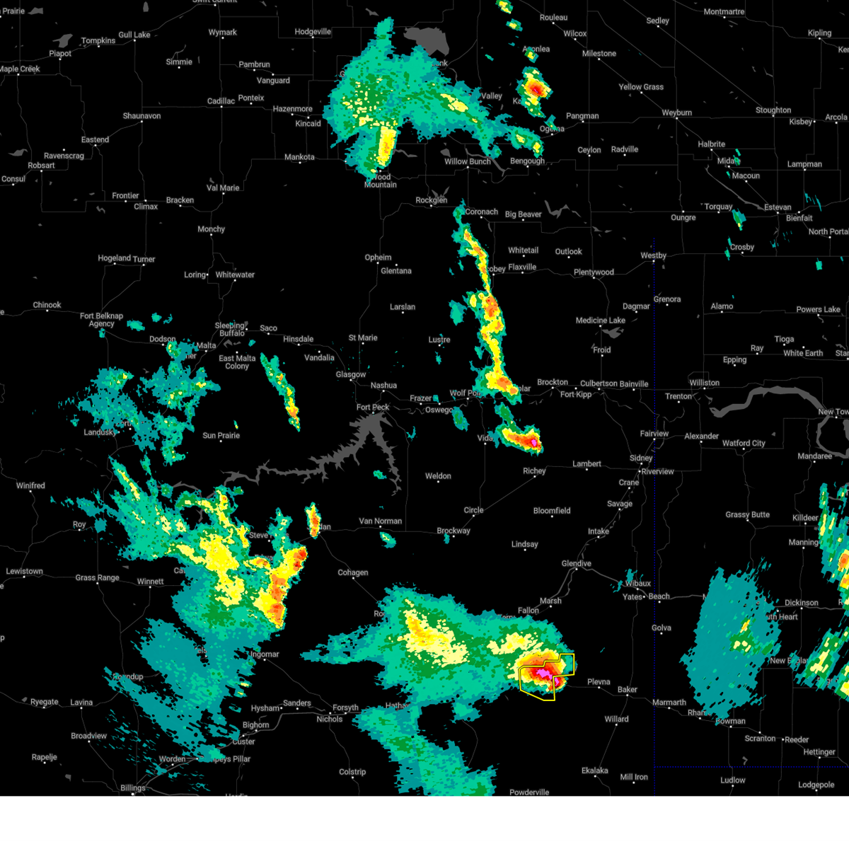
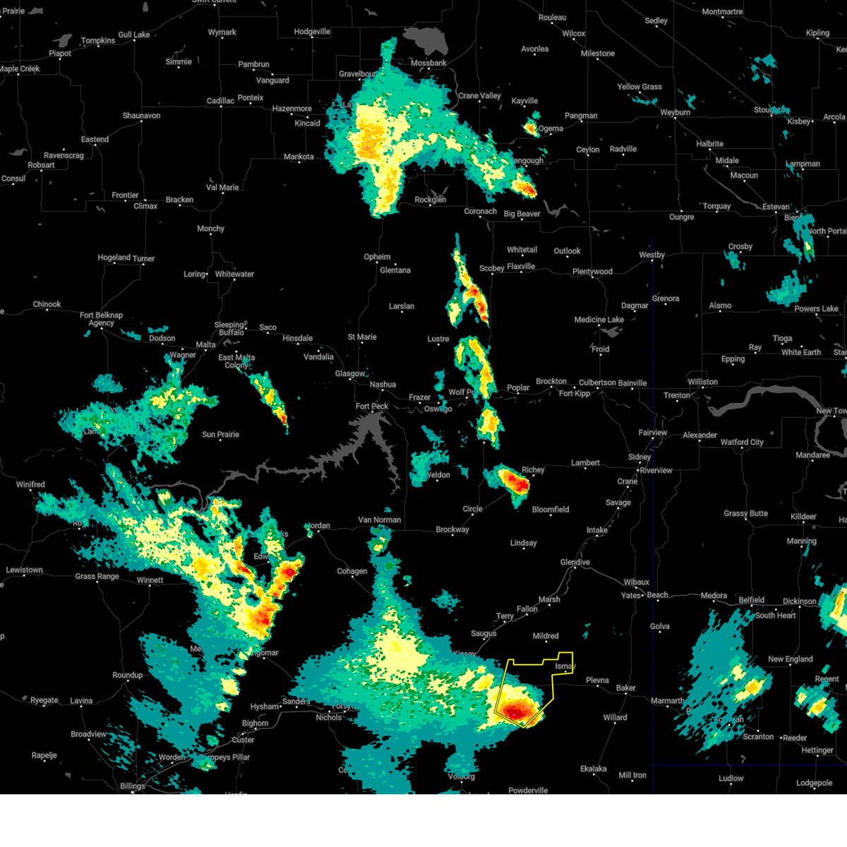
Hail Map for Ismay, MT
The Ismay, MT area has had 14 reports of on-the-ground hail by trained spotters, and has been under severe weather warnings 10 times during the past 12 months. Doppler radar has detected hail at or near Ismay, MT on 21 occasions, including 1 occasion during the past year.
| Name: | Ismay, MT |
| Where Located: | 50.6 miles E of Miles City, MT |
| Map: | Google Map for Ismay, MT |
| Population: | 19 |
| Housing Units: | 13 |
| More Info: | Search Google for Ismay, MT |
0
The Top Recent Hail Date for Ismay, MT is Thursday, September 12, 2024 (14th out of 21)

Hail and Wind Damage Spotted near Ismay, MT
| Date / Time | Report Details |
|---|---|
| 6/20/2025 4:54 PM MDT |
 The storms which prompted the warning have weakened below severe limits, and no longer pose an immediate threat to life or property. therefore, the warning will be allowed to expire. however, small hail and gusty winds are still possible with these thunderstorms. a severe thunderstorm watch remains in effect until 900 pm mdt friday for a portion of southeast montana. The storms which prompted the warning have weakened below severe limits, and no longer pose an immediate threat to life or property. therefore, the warning will be allowed to expire. however, small hail and gusty winds are still possible with these thunderstorms. a severe thunderstorm watch remains in effect until 900 pm mdt friday for a portion of southeast montana.
|
| 6/20/2025 4:35 PM MDT |
 At 435 pm mdt, severe thunderstorms were located along a line from 28 miles west of baker to 17 miles west of ekalaka, moving east at 35 mph. the strongest thunderstorm is located west of ekalaka, capable of producing golf ball size hail (radar indicated). Hazards include golf ball size hail and 60 mph wind gusts. People and animals outdoors will be injured. expect hail damage to roofs, siding, windows, and vehicles. expect wind damage to roofs, siding, and trees. Locations impacted include, ekalaka, plevna, ismay, medicine rocks state park, westmore and knowlton. At 435 pm mdt, severe thunderstorms were located along a line from 28 miles west of baker to 17 miles west of ekalaka, moving east at 35 mph. the strongest thunderstorm is located west of ekalaka, capable of producing golf ball size hail (radar indicated). Hazards include golf ball size hail and 60 mph wind gusts. People and animals outdoors will be injured. expect hail damage to roofs, siding, windows, and vehicles. expect wind damage to roofs, siding, and trees. Locations impacted include, ekalaka, plevna, ismay, medicine rocks state park, westmore and knowlton.
|
| 6/20/2025 4:35 PM MDT |
 the severe thunderstorm warning has been cancelled and is no longer in effect the severe thunderstorm warning has been cancelled and is no longer in effect
|
| 6/20/2025 4:01 PM MDT |
 Svrbyz the national weather service in billings has issued a * severe thunderstorm warning for, northwestern carter county in southeastern montana, southeastern custer county in southeastern montana, western fallon county in southeastern montana, northeastern powder river county in southeastern montana, * until 500 pm mdt. * at 401 pm mdt, severe thunderstorms were located along a line from 26 miles east of miles city to 18 miles east of volborg, or along a line from 26 miles east of miles city to 28 miles north of broadus, moving east at 35 mph. the strongest storms are located near knowlton and east of volborg (radar indicated). Hazards include 60 mph wind gusts and half dollar size hail. Hail damage to vehicles is expected. Expect wind damage to roofs, siding, and trees. Svrbyz the national weather service in billings has issued a * severe thunderstorm warning for, northwestern carter county in southeastern montana, southeastern custer county in southeastern montana, western fallon county in southeastern montana, northeastern powder river county in southeastern montana, * until 500 pm mdt. * at 401 pm mdt, severe thunderstorms were located along a line from 26 miles east of miles city to 18 miles east of volborg, or along a line from 26 miles east of miles city to 28 miles north of broadus, moving east at 35 mph. the strongest storms are located near knowlton and east of volborg (radar indicated). Hazards include 60 mph wind gusts and half dollar size hail. Hail damage to vehicles is expected. Expect wind damage to roofs, siding, and trees.
|
| 6/15/2025 11:53 PM MDT |
 The storm which prompted the warning has weakened below severe limits, and no longer poses an immediate threat to life or property. therefore, the warning will be allowed to expire. however, small hail, gusty winds, and heavy rain are still possible with this thunderstorm. a severe thunderstorm watch remains in effect until 100 am mdt for a portion of southeast montana. The storm which prompted the warning has weakened below severe limits, and no longer poses an immediate threat to life or property. therefore, the warning will be allowed to expire. however, small hail, gusty winds, and heavy rain are still possible with this thunderstorm. a severe thunderstorm watch remains in effect until 100 am mdt for a portion of southeast montana.
|
| 6/15/2025 11:38 PM MDT |
 At 1138 pm mdt, a severe thunderstorm was located 26 miles northwest of baker, moving northeast at 40 mph (radar indicated). Hazards include 60 mph wind gusts and small hail. Expect damage to roofs, siding, and trees. Locations impacted include, baker, plevna, ismay, knowlton, westmore, mizpah, locate, medicine rocks state park, willard, webster, strawberry hill recreation area, matthews recreation area and ollie. At 1138 pm mdt, a severe thunderstorm was located 26 miles northwest of baker, moving northeast at 40 mph (radar indicated). Hazards include 60 mph wind gusts and small hail. Expect damage to roofs, siding, and trees. Locations impacted include, baker, plevna, ismay, knowlton, westmore, mizpah, locate, medicine rocks state park, willard, webster, strawberry hill recreation area, matthews recreation area and ollie.
|
| 6/15/2025 10:58 PM MDT |
 Svrbyz the national weather service in billings has issued a * severe thunderstorm warning for, northwestern carter county in southeastern montana, central custer county in southeastern montana, fallon county in southeastern montana, * until midnight mdt. * at 1058 pm mdt, a severe thunderstorm was located 39 miles northeast of volborg, or 34 miles east of miles city, moving northeast at 40 mph (radar indicated). Hazards include 60 mph wind gusts and small hail. expect damage to roofs, siding, and trees Svrbyz the national weather service in billings has issued a * severe thunderstorm warning for, northwestern carter county in southeastern montana, central custer county in southeastern montana, fallon county in southeastern montana, * until midnight mdt. * at 1058 pm mdt, a severe thunderstorm was located 39 miles northeast of volborg, or 34 miles east of miles city, moving northeast at 40 mph (radar indicated). Hazards include 60 mph wind gusts and small hail. expect damage to roofs, siding, and trees
|
| 9/12/2024 5:59 PM MDT |
 The storm which prompted the warning will move out of the area by 600 pm. therefore, the warning will be allowed to expire. a severe thunderstorm watch remains in effect until 700 pm mdt for southeastern montana. The storm which prompted the warning will move out of the area by 600 pm. therefore, the warning will be allowed to expire. a severe thunderstorm watch remains in effect until 700 pm mdt for southeastern montana.
|
| 9/12/2024 5:51 PM MDT |
 At 550 pm mdt, a severe thunderstorm was located 28 miles south of fallon, or 29 miles southeast of terry, moving northeast at 50 mph (radar indicated). Hazards include 60 mph wind gusts and quarter size hail. Hail damage to vehicles is possible. Locations impacted include, ismay. At 550 pm mdt, a severe thunderstorm was located 28 miles south of fallon, or 29 miles southeast of terry, moving northeast at 50 mph (radar indicated). Hazards include 60 mph wind gusts and quarter size hail. Hail damage to vehicles is possible. Locations impacted include, ismay.
|
| 9/12/2024 5:33 PM MDT |
 Svrbyz the national weather service in billings has issued a * severe thunderstorm warning for, east central custer county in southeastern montana, * until 600 pm mdt. * at 533 pm mdt, a severe thunderstorm was located 30 miles east of miles city, moving northeast at 50 mph (radar indicated). Hazards include 60 mph wind gusts and quarter size hail. Hail damage to vehicles is expected. Expect wind damage to roofs, siding, and trees. Svrbyz the national weather service in billings has issued a * severe thunderstorm warning for, east central custer county in southeastern montana, * until 600 pm mdt. * at 533 pm mdt, a severe thunderstorm was located 30 miles east of miles city, moving northeast at 50 mph (radar indicated). Hazards include 60 mph wind gusts and quarter size hail. Hail damage to vehicles is expected. Expect wind damage to roofs, siding, and trees.
|
| 7/13/2024 8:40 PM MDT | Mesonet station ktfm8 knowlto in custer county MT, 17.2 miles NE of Ismay, MT |
| 6/26/2023 4:00 PM MDT |
 At 359 pm mdt, a severe thunderstorm was located 25 miles south of fallon, or 25 miles southeast of terry, moving northeast at 15 mph (radar indicated). Hazards include torrential rain, 60 mph wind gusts and quarter size hail. Hail damage to vehicles is expected. expect wind damage to roofs, siding, and trees. Localized flooding on roads. At 359 pm mdt, a severe thunderstorm was located 25 miles south of fallon, or 25 miles southeast of terry, moving northeast at 15 mph (radar indicated). Hazards include torrential rain, 60 mph wind gusts and quarter size hail. Hail damage to vehicles is expected. expect wind damage to roofs, siding, and trees. Localized flooding on roads.
|
| 6/19/2023 8:12 PM MDT |
 At 810 pm mdt, a severe thunderstorm was located 20 miles northwest of baker, moving northeast at 50 mph. this is a destructive storm for plevna, ismay and westmore (radar indicated. wind gusts to 83 mph have been reported with this storm). Hazards include 80 mph wind gusts and ping pong ball size hail. Flying debris will be dangerous to those caught without shelter. mobile homes will be heavily damaged. expect considerable damage to roofs, windows, and vehicles. extensive tree damage and power outages are likely. locations impacted include, plevna, ismay and westmore. thunderstorm damage threat, destructive hail threat, radar indicated max hail size, 1. 50 in wind threat, observed max wind gust, 80 mph. At 810 pm mdt, a severe thunderstorm was located 20 miles northwest of baker, moving northeast at 50 mph. this is a destructive storm for plevna, ismay and westmore (radar indicated. wind gusts to 83 mph have been reported with this storm). Hazards include 80 mph wind gusts and ping pong ball size hail. Flying debris will be dangerous to those caught without shelter. mobile homes will be heavily damaged. expect considerable damage to roofs, windows, and vehicles. extensive tree damage and power outages are likely. locations impacted include, plevna, ismay and westmore. thunderstorm damage threat, destructive hail threat, radar indicated max hail size, 1. 50 in wind threat, observed max wind gust, 80 mph.
|
| 6/19/2023 7:48 PM MDT | Storm damage reported in custer county MT, 17.2 miles NE of Ismay, MT |
| 6/19/2023 7:43 PM MDT |
 At 741 pm mdt, a severe thunderstorm was located 31 miles south of terry or near locate, moving northeast at 40 mph. this is a destructive storm for northeast custer and northwest fallon counties (radar indicated). Hazards include 85 mph wind gusts and golf ball size hail. Flying debris will be dangerous to those caught without shelter. mobile homes will be heavily damaged. expect considerable damage to roofs, windows, and vehicles. Extensive tree damage and power outages are likely. At 741 pm mdt, a severe thunderstorm was located 31 miles south of terry or near locate, moving northeast at 40 mph. this is a destructive storm for northeast custer and northwest fallon counties (radar indicated). Hazards include 85 mph wind gusts and golf ball size hail. Flying debris will be dangerous to those caught without shelter. mobile homes will be heavily damaged. expect considerable damage to roofs, windows, and vehicles. Extensive tree damage and power outages are likely.
|
| 7/9/2022 11:59 PM MDT |
 At 1158 pm mdt, a severe thunderstorm was located 18 miles south of terry, moving east at 50 mph (trained weather spotters). Hazards include 70 mph wind gusts and half dollar size hail. Hail damage to vehicles, considerable tree damage. Wind damage is also likely to mobile homes, roofs, and outbuildings. At 1158 pm mdt, a severe thunderstorm was located 18 miles south of terry, moving east at 50 mph (trained weather spotters). Hazards include 70 mph wind gusts and half dollar size hail. Hail damage to vehicles, considerable tree damage. Wind damage is also likely to mobile homes, roofs, and outbuildings.
|
| 7/5/2022 6:04 AM MDT |
 At 604 am mdt, a severe thunderstorm was located 8 miles north of volborg, or 32 miles south of miles city, moving east at 45 mph (radar indicated). Hazards include 60 mph wind gusts and quarter size hail. Hail damage to vehicles is expected. Expect wind damage to roofs, siding, and trees. At 604 am mdt, a severe thunderstorm was located 8 miles north of volborg, or 32 miles south of miles city, moving east at 45 mph (radar indicated). Hazards include 60 mph wind gusts and quarter size hail. Hail damage to vehicles is expected. Expect wind damage to roofs, siding, and trees.
|
| 7/5/2022 3:12 AM MDT |
 At 311 am mdt, a severe thunderstorm was located 29 miles south of fallon, or 30 miles southeast of terry, moving east at 25 mph. this storm is following highway 12 (radar indicated). Hazards include golf ball size hail and 60 mph wind gusts, along with very heavy rain. People and animals outdoors will be injured. expect hail damage to roofs, siding, windows, and vehicles. expect wind damage to roofs, siding, and trees. locations impacted include, ismay. thunderstorm damage threat, considerable hail threat, radar indicated max hail size, 1. 75 in wind threat, radar indicated max wind gust, 60 mph. At 311 am mdt, a severe thunderstorm was located 29 miles south of fallon, or 30 miles southeast of terry, moving east at 25 mph. this storm is following highway 12 (radar indicated). Hazards include golf ball size hail and 60 mph wind gusts, along with very heavy rain. People and animals outdoors will be injured. expect hail damage to roofs, siding, windows, and vehicles. expect wind damage to roofs, siding, and trees. locations impacted include, ismay. thunderstorm damage threat, considerable hail threat, radar indicated max hail size, 1. 75 in wind threat, radar indicated max wind gust, 60 mph.
|
| 7/5/2022 2:43 AM MDT |
 At 242 am mdt, a severe thunderstorm was located 25 miles east of miles city, moving east at 30 mph. this storm will impact travel on highway 12 (radar indicated). Hazards include golf ball size hail and 60 mph wind gusts, along with very heavy rain. People and animals outdoors will be injured. expect hail damage to roofs, siding, windows, and vehicles. Expect wind damage to roofs, siding, and trees. At 242 am mdt, a severe thunderstorm was located 25 miles east of miles city, moving east at 30 mph. this storm will impact travel on highway 12 (radar indicated). Hazards include golf ball size hail and 60 mph wind gusts, along with very heavy rain. People and animals outdoors will be injured. expect hail damage to roofs, siding, windows, and vehicles. Expect wind damage to roofs, siding, and trees.
|
| 7/3/2022 10:11 PM MDT |
 The severe thunderstorm warning for western fallon, east central custer and northwestern carter counties will expire at 1015 pm mdt, the storm which prompted the warning has weakened below severe limits, and no longer poses an immediate threat to life or property. therefore, the warning will be allowed to expire. however gusty winds and heavy rain are still possible with this thunderstorm. a severe thunderstorm watch remains in effect until 1100 pm mdt for southeastern montana. to report severe weather, contact your nearest law enforcement agency. they will relay your report to the national weather service billings. The severe thunderstorm warning for western fallon, east central custer and northwestern carter counties will expire at 1015 pm mdt, the storm which prompted the warning has weakened below severe limits, and no longer poses an immediate threat to life or property. therefore, the warning will be allowed to expire. however gusty winds and heavy rain are still possible with this thunderstorm. a severe thunderstorm watch remains in effect until 1100 pm mdt for southeastern montana. to report severe weather, contact your nearest law enforcement agency. they will relay your report to the national weather service billings.
|
| 7/3/2022 9:58 PM MDT |
 At 957 pm mdt, a severe thunderstorm was located 14 miles west of baker, moving east at 30 mph (radar indicated). Hazards include 60 mph wind gusts. Expect damage to roofs, siding, and trees. locations impacted include, plevna, ismay, westmore, knowlton, medicine rocks state park and willard. hail threat, radar indicated max hail size, <. 75 in wind threat, radar indicated max wind gust, 60 mph. At 957 pm mdt, a severe thunderstorm was located 14 miles west of baker, moving east at 30 mph (radar indicated). Hazards include 60 mph wind gusts. Expect damage to roofs, siding, and trees. locations impacted include, plevna, ismay, westmore, knowlton, medicine rocks state park and willard. hail threat, radar indicated max hail size, <. 75 in wind threat, radar indicated max wind gust, 60 mph.
|
| 7/3/2022 9:41 PM MDT |
 At 941 pm mdt, a severe thunderstorm was located 26 miles west of baker, moving east at 45 mph (radar indicated). Hazards include 60 mph wind gusts and quarter size hail. Hail damage to vehicles is expected. Expect wind damage to roofs, siding, and trees. At 941 pm mdt, a severe thunderstorm was located 26 miles west of baker, moving east at 45 mph (radar indicated). Hazards include 60 mph wind gusts and quarter size hail. Hail damage to vehicles is expected. Expect wind damage to roofs, siding, and trees.
|
| 7/3/2022 8:36 PM MDT |
 At 836 pm mdt, severe thunderstorms were located along a line extending from 11 miles west of carlyle to 18 miles southeast of terry, moving east at 15 mph. storm chasers shared video of a wall cloud with this storm (radar indicated). Hazards include 60 mph wind gusts and quarter size hail. Hail damage to vehicles is expected. expect wind damage to roofs, siding, and trees. Locations impacted include, ismay, ollie and westmore. At 836 pm mdt, severe thunderstorms were located along a line extending from 11 miles west of carlyle to 18 miles southeast of terry, moving east at 15 mph. storm chasers shared video of a wall cloud with this storm (radar indicated). Hazards include 60 mph wind gusts and quarter size hail. Hail damage to vehicles is expected. expect wind damage to roofs, siding, and trees. Locations impacted include, ismay, ollie and westmore.
|
| 7/3/2022 8:24 PM MDT |
 At 824 pm mdt, severe thunderstorms were located along a line extending from 13 miles west of carlyle to 17 miles southeast of terry, moving east at 15 mph (radar indicated). Hazards include 60 mph wind gusts and quarter size hail. Hail damage to vehicles is expected. expect wind damage to roofs, siding, and trees. locations impacted include, ismay, ollie and westmore. hail threat, radar indicated max hail size, 1. 00 in wind threat, radar indicated max wind gust, 60 mph. At 824 pm mdt, severe thunderstorms were located along a line extending from 13 miles west of carlyle to 17 miles southeast of terry, moving east at 15 mph (radar indicated). Hazards include 60 mph wind gusts and quarter size hail. Hail damage to vehicles is expected. expect wind damage to roofs, siding, and trees. locations impacted include, ismay, ollie and westmore. hail threat, radar indicated max hail size, 1. 00 in wind threat, radar indicated max wind gust, 60 mph.
|
| 7/3/2022 7:59 PM MDT |
 At 758 pm mdt, severe thunderstorms were located along a line extending from 19 miles west of carlyle to 17 miles south of terry, moving east-southeast at 15 mph (radar indicated). Hazards include 70 mph wind gusts and half dollar size hail. Hail damage to vehicles is expected. expect considerable tree damage. Wind damage is also likely to mobile homes, roofs, and outbuildings. At 758 pm mdt, severe thunderstorms were located along a line extending from 19 miles west of carlyle to 17 miles south of terry, moving east-southeast at 15 mph (radar indicated). Hazards include 70 mph wind gusts and half dollar size hail. Hail damage to vehicles is expected. expect considerable tree damage. Wind damage is also likely to mobile homes, roofs, and outbuildings.
|
| 8/20/2020 11:23 PM MDT |
 The severe thunderstorm warning for central custer county will expire at 1130 pm mdt, the storm which prompted the warning has weakened below severe limits, and no longer poses an immediate threat to life or property. therefore, the warning will be allowed to expire. however gusty winds are still possible with this thunderstorm. The severe thunderstorm warning for central custer county will expire at 1130 pm mdt, the storm which prompted the warning has weakened below severe limits, and no longer poses an immediate threat to life or property. therefore, the warning will be allowed to expire. however gusty winds are still possible with this thunderstorm.
|
| 8/20/2020 11:15 PM MDT |
 At 1114 pm mdt, a severe thunderstorm was located 18 miles east of miles city, moving east at 30 mph (radar indicated). Hazards include 50 to 60 mph wind gusts. Localized damage to roofs, siding, and trees is possible. Locations impacted include, ismay, locate, mizpah and knowlton. At 1114 pm mdt, a severe thunderstorm was located 18 miles east of miles city, moving east at 30 mph (radar indicated). Hazards include 50 to 60 mph wind gusts. Localized damage to roofs, siding, and trees is possible. Locations impacted include, ismay, locate, mizpah and knowlton.
|
| 8/20/2020 10:43 PM MDT |
 At 1042 pm mdt, a severe thunderstorm was located near miles city, moving east at 30 mph (miles city airport reported a gust to 58 mph). Hazards include 60 mph wind gusts. localized damage to roofs, siding, and trees is possible At 1042 pm mdt, a severe thunderstorm was located near miles city, moving east at 30 mph (miles city airport reported a gust to 58 mph). Hazards include 60 mph wind gusts. localized damage to roofs, siding, and trees is possible
|
| 7/7/2020 7:58 PM MDT |
 The severe thunderstorm warning for central custer county will expire at 800 pm mdt, the storm which prompted the warning has weakened below severe limits, and no longer poses an immediate threat to life or property. therefore, the warning will be allowed to expire. a severe thunderstorm watch remains in effect until 900 pm mdt for southeastern montana. The severe thunderstorm warning for central custer county will expire at 800 pm mdt, the storm which prompted the warning has weakened below severe limits, and no longer poses an immediate threat to life or property. therefore, the warning will be allowed to expire. a severe thunderstorm watch remains in effect until 900 pm mdt for southeastern montana.
|
| 7/7/2020 7:44 PM MDT |
 At 742 pm mdt, severe thunderstorm wind gusts were located 28 miles south of terry, moving southeast at 55 mph (radar indicated. a gust to 74 mph was reported in miles city with this activity). Hazards include 70 mph wind gusts. Expect considerable tree damage. damage is likely to mobile homes, roofs, and outbuildings. Locations impacted include, ismay, locate, twelve mile dam, mizpah and knowlton. At 742 pm mdt, severe thunderstorm wind gusts were located 28 miles south of terry, moving southeast at 55 mph (radar indicated. a gust to 74 mph was reported in miles city with this activity). Hazards include 70 mph wind gusts. Expect considerable tree damage. damage is likely to mobile homes, roofs, and outbuildings. Locations impacted include, ismay, locate, twelve mile dam, mizpah and knowlton.
|
| 7/7/2020 7:17 PM MDT |
 At 716 pm mdt, a severe thunderstorm was located near miles city, moving east at 55 mph (radar indicated. at 711pm a 74 mph wind gust was reported the miles city airport). Hazards include 75 mph wind gusts. Expect considerable tree damage. Damage is likely to mobile homes, roofs, and outbuildings. At 716 pm mdt, a severe thunderstorm was located near miles city, moving east at 55 mph (radar indicated. at 711pm a 74 mph wind gust was reported the miles city airport). Hazards include 75 mph wind gusts. Expect considerable tree damage. Damage is likely to mobile homes, roofs, and outbuildings.
|
| 7/7/2020 6:42 PM MDT |
 At 641 pm mdt, severe thunderstorms were located along a line extending from 35 miles northwest of ekalaka to 11 miles southeast of broadus, moving east at 30 mph. the southern portion of these storms contains good rotation (trained weather spotters. at 610 pm mdt, ping pong size hail was reported 10 miles west of broadus). Hazards include ping pong ball size hail and 60 mph wind gusts. People and animals outdoors will be injured. expect hail damage to roofs, siding, windows, and vehicles. Expect wind damage to roofs, siding, and trees. At 641 pm mdt, severe thunderstorms were located along a line extending from 35 miles northwest of ekalaka to 11 miles southeast of broadus, moving east at 30 mph. the southern portion of these storms contains good rotation (trained weather spotters. at 610 pm mdt, ping pong size hail was reported 10 miles west of broadus). Hazards include ping pong ball size hail and 60 mph wind gusts. People and animals outdoors will be injured. expect hail damage to roofs, siding, windows, and vehicles. Expect wind damage to roofs, siding, and trees.
|
| 7/6/2020 5:25 PM MDT | Quarter sized hail reported 34 miles NNE of Ismay, MT |
| 5/20/2020 7:41 PM MDT |
 At 741 pm mdt, severe thunderstorms were located along a line extending from 24 miles southwest of hillside to 25 miles west of baker, moving east at 60 mph (radar indicated). Hazards include 70 mph wind gusts and penny size hail. Expect considerable tree damage. damage is likely to mobile homes, roofs, and outbuildings. Locations impacted include, baker, plevna, ismay, ollie, locate, rock springs, angela, westmore, matthews recreation area and knowlton. At 741 pm mdt, severe thunderstorms were located along a line extending from 24 miles southwest of hillside to 25 miles west of baker, moving east at 60 mph (radar indicated). Hazards include 70 mph wind gusts and penny size hail. Expect considerable tree damage. damage is likely to mobile homes, roofs, and outbuildings. Locations impacted include, baker, plevna, ismay, ollie, locate, rock springs, angela, westmore, matthews recreation area and knowlton.
|
| 5/20/2020 7:24 PM MDT |
 At 724 pm mdt, severe thunderstorms were located along a line extending from 14 miles north of forsyth to 22 miles northwest of ekalaka, moving north at 60 mph (weather station. at the miles city airport, a 66 mph gust was reported at 720 pm). Hazards include 70 mph wind gusts and quarter size hail. Hail damage to vehicles is expected. expect considerable tree damage. Wind damage is also likely to mobile homes, roofs, and outbuildings. At 724 pm mdt, severe thunderstorms were located along a line extending from 14 miles north of forsyth to 22 miles northwest of ekalaka, moving north at 60 mph (weather station. at the miles city airport, a 66 mph gust was reported at 720 pm). Hazards include 70 mph wind gusts and quarter size hail. Hail damage to vehicles is expected. expect considerable tree damage. Wind damage is also likely to mobile homes, roofs, and outbuildings.
|
| 9/17/2019 5:35 PM MDT | Large branch broken off tree. tin blown off outbuilding roo in custer county MT, 0.3 miles W of Ismay, MT |
| 8/11/2019 10:39 PM MDT |
 The severe thunderstorm warning for eastern custer county will expire at 1045 pm mdt, the storms which prompted the warning have weakened below severe limits, and are exiting the warned area. therefore, the warning will be allowed to expire. a tornado watch remains in effect until midnight mdt for southeastern montana. The severe thunderstorm warning for eastern custer county will expire at 1045 pm mdt, the storms which prompted the warning have weakened below severe limits, and are exiting the warned area. therefore, the warning will be allowed to expire. a tornado watch remains in effect until midnight mdt for southeastern montana.
|
| 8/11/2019 10:26 PM MDT |
 At 1025 pm mdt, severe thunderstorm wind gusts were located along a line extending from near terry to 27 miles south of fallon to 25 miles east of volborg, moving east at 45 mph (radar indicated). Hazards include 60 mph wind gusts. Expect damage to roofs, siding, and trees. Locations impacted include, ismay, locate, mizpah and knowlton. At 1025 pm mdt, severe thunderstorm wind gusts were located along a line extending from near terry to 27 miles south of fallon to 25 miles east of volborg, moving east at 45 mph (radar indicated). Hazards include 60 mph wind gusts. Expect damage to roofs, siding, and trees. Locations impacted include, ismay, locate, mizpah and knowlton.
|
| 8/11/2019 10:07 PM MDT |
 At 1006 pm mdt, severe thunderstorms were located along a line extending from 10 miles west of terry to 18 miles east of miles city to 13 miles northeast of volborg, moving east at 50 mph (radar indicated). Hazards include 60 mph wind gusts and nickel size hail. Expect damage to roofs, siding, and trees. Locations impacted include, ismay, locate, mizpah, knowlton and strawberry hill recreation area. At 1006 pm mdt, severe thunderstorms were located along a line extending from 10 miles west of terry to 18 miles east of miles city to 13 miles northeast of volborg, moving east at 50 mph (radar indicated). Hazards include 60 mph wind gusts and nickel size hail. Expect damage to roofs, siding, and trees. Locations impacted include, ismay, locate, mizpah, knowlton and strawberry hill recreation area.
|
| 8/11/2019 9:40 PM MDT |
 At 937 pm mdt, severe thunderstorms were located along a line extending from 23 miles east of hillside to near miles city to 15 miles northwest of volborg, moving east at 45 mph (radar indicated. wind gust of 60 mph was reported along i- 94 in eastern rosebud county). Hazards include 60 mph wind gusts and quarter size hail. rotation on the leading edge of the line of severe thunderstorms could produce a brief tornado. Hail damage to vehicles is expected. Expect wind damage to roofs, siding, and trees. At 937 pm mdt, severe thunderstorms were located along a line extending from 23 miles east of hillside to near miles city to 15 miles northwest of volborg, moving east at 45 mph (radar indicated. wind gust of 60 mph was reported along i- 94 in eastern rosebud county). Hazards include 60 mph wind gusts and quarter size hail. rotation on the leading edge of the line of severe thunderstorms could produce a brief tornado. Hail damage to vehicles is expected. Expect wind damage to roofs, siding, and trees.
|
| 7/30/2019 8:05 PM MDT |
 At 805 pm mdt, a severe thunderstorm was located 23 miles west of baker, moving southeast at 25 mph (radar indicated). Hazards include 60 mph wind gusts and quarter size hail. Hail damage to vehicles is expected. expect wind damage to roofs, siding, and trees. Locations impacted include, plevna, ismay and westmore. At 805 pm mdt, a severe thunderstorm was located 23 miles west of baker, moving southeast at 25 mph (radar indicated). Hazards include 60 mph wind gusts and quarter size hail. Hail damage to vehicles is expected. expect wind damage to roofs, siding, and trees. Locations impacted include, plevna, ismay and westmore.
|
| 7/30/2019 7:34 PM MDT |
 At 734 pm mdt, a severe thunderstorm was located 19 miles southeast of fallon, or 22 miles southeast of terry, moving southeast at 25 mph (radar indicated). Hazards include 60 mph wind gusts and quarter size hail. Hail damage to vehicles is expected. Expect wind damage to roofs, siding, and trees. At 734 pm mdt, a severe thunderstorm was located 19 miles southeast of fallon, or 22 miles southeast of terry, moving southeast at 25 mph (radar indicated). Hazards include 60 mph wind gusts and quarter size hail. Hail damage to vehicles is expected. Expect wind damage to roofs, siding, and trees.
|
| 7/14/2019 10:27 PM MDT |
 At 1027 pm mdt, severe thunderstorms were located along a line extending from 20 miles southeast of fallon to 19 miles west of ekalaka, moving east at 45 mph (radar indicated). Hazards include 70 mph wind gusts. winds up to 70 mph have been reported with this storm. Expect considerable tree damage. Damage is likely to mobile homes, roofs, and outbuildings. At 1027 pm mdt, severe thunderstorms were located along a line extending from 20 miles southeast of fallon to 19 miles west of ekalaka, moving east at 45 mph (radar indicated). Hazards include 70 mph wind gusts. winds up to 70 mph have been reported with this storm. Expect considerable tree damage. Damage is likely to mobile homes, roofs, and outbuildings.
|
| 7/14/2019 10:15 PM MDT |
 At 1014 pm mdt, severe thunderstorms were located along a line extending from 12 miles southeast of glendive to 22 miles northwest of ekalaka, moving east at 55 mph (radar indicated). Hazards include 70 mph wind gusts. wind gusts of 69 mph were reported at 927 pm at the miles city airport. Expect considerable tree damage. damage is likely to mobile homes, roofs, and outbuildings. Locations impacted include, baker, plevna, ismay, ollie, locate, westmore, mizpah, knowlton and willard. At 1014 pm mdt, severe thunderstorms were located along a line extending from 12 miles southeast of glendive to 22 miles northwest of ekalaka, moving east at 55 mph (radar indicated). Hazards include 70 mph wind gusts. wind gusts of 69 mph were reported at 927 pm at the miles city airport. Expect considerable tree damage. damage is likely to mobile homes, roofs, and outbuildings. Locations impacted include, baker, plevna, ismay, ollie, locate, westmore, mizpah, knowlton and willard.
|
| 7/14/2019 9:33 PM MDT |
 At 932 pm mdt, severe thunderstorms were located along a line extending from 10 miles north of terry to 15 miles north of volborg, moving east at 55 mph (radar indicated). Hazards include 70 mph wind gusts. winds of 69 mph were reported at the miles city airport at 927 pm. Expect considerable tree damage. Damage is likely to mobile homes, roofs, and outbuildings. At 932 pm mdt, severe thunderstorms were located along a line extending from 10 miles north of terry to 15 miles north of volborg, moving east at 55 mph (radar indicated). Hazards include 70 mph wind gusts. winds of 69 mph were reported at the miles city airport at 927 pm. Expect considerable tree damage. Damage is likely to mobile homes, roofs, and outbuildings.
|
| 8/3/2018 8:31 PM MDT |
 At 827 pm mdt, a line of severe winds associated with thunderstorms was located along a line extending from 11 miles west of baker to near ekalaka and alzada, moving east at 45 mph (radar indicated). Hazards include 60 mph wind gusts. Expect damage to roofs, siding, and trees. Locations impacted include, baker, broadus, ekalaka, ridgeway, biddle, alzada, plevna, ismay, locate, westmore, boyes, mill iron, medicine rocks state park, capitol, knowlton, ollie, willard, webster, hammond and belltower. At 827 pm mdt, a line of severe winds associated with thunderstorms was located along a line extending from 11 miles west of baker to near ekalaka and alzada, moving east at 45 mph (radar indicated). Hazards include 60 mph wind gusts. Expect damage to roofs, siding, and trees. Locations impacted include, baker, broadus, ekalaka, ridgeway, biddle, alzada, plevna, ismay, locate, westmore, boyes, mill iron, medicine rocks state park, capitol, knowlton, ollie, willard, webster, hammond and belltower.
|
| 8/3/2018 7:28 PM MDT |
 At 725 pm mdt, a line of severe winds associated with thunderstorms was located from 10 miles east of miles city south to the wyoming border, moving east at 45 mph (radar indicated). Hazards include 60 mph wind gusts. expect damage to roofs, siding, and trees At 725 pm mdt, a line of severe winds associated with thunderstorms was located from 10 miles east of miles city south to the wyoming border, moving east at 45 mph (radar indicated). Hazards include 60 mph wind gusts. expect damage to roofs, siding, and trees
|
| 7/3/2018 12:02 AM MDT |
 At 1202 am mdt, severe thunderstorms were located along a line extending from 30 miles south of fallon to 17 miles northwest of ekalaka to 27 miles northwest of ridgeway, moving east at 40 mph (radar indicated). Hazards include ping pong ball size hail and 60 mph wind gusts. People and animals outdoors will be injured. expect hail damage to roofs, siding, windows, and vehicles. Expect wind damage to roofs, siding, and trees. At 1202 am mdt, severe thunderstorms were located along a line extending from 30 miles south of fallon to 17 miles northwest of ekalaka to 27 miles northwest of ridgeway, moving east at 40 mph (radar indicated). Hazards include ping pong ball size hail and 60 mph wind gusts. People and animals outdoors will be injured. expect hail damage to roofs, siding, windows, and vehicles. Expect wind damage to roofs, siding, and trees.
|
| 7/2/2018 11:24 PM MDT |
 At 1122 pm mdt, a severe thunderstorm was located 30 miles west of baker, moving east at 45 mph (radar indicated. this storm has a history of large hail and severe winds). Hazards include 60 mph wind gusts and half dollar size hail. hail damage to vehicles is possible along with wind damage to roofs, siding, and trees At 1122 pm mdt, a severe thunderstorm was located 30 miles west of baker, moving east at 45 mph (radar indicated. this storm has a history of large hail and severe winds). Hazards include 60 mph wind gusts and half dollar size hail. hail damage to vehicles is possible along with wind damage to roofs, siding, and trees
|
| 7/2/2018 11:12 PM MDT |
 At 1112 pm mdt, a severe thunderstorm was located 33 miles south of terry, moving east at 40 mph (trained weather spotters). Hazards include ping pong ball size hail and 60 mph wind gusts. People and animals outdoors will be injured. expect hail damage to roofs, siding, windows, and vehicles. expect wind damage to roofs, siding, and trees. Locations impacted include, ismay, locate, mizpah, knowlton and strawberry hill recreation area. At 1112 pm mdt, a severe thunderstorm was located 33 miles south of terry, moving east at 40 mph (trained weather spotters). Hazards include ping pong ball size hail and 60 mph wind gusts. People and animals outdoors will be injured. expect hail damage to roofs, siding, windows, and vehicles. expect wind damage to roofs, siding, and trees. Locations impacted include, ismay, locate, mizpah, knowlton and strawberry hill recreation area.
|
| 7/2/2018 10:46 PM MDT |
 At 1046 pm mdt, a severe thunderstorm was located 20 miles east of miles city, moving east at 45 mph (radar indicated). Hazards include 60 mph wind gusts and quarter size hail. Hail damage to vehicles is expected. Expect wind damage to roofs, siding, and trees. At 1046 pm mdt, a severe thunderstorm was located 20 miles east of miles city, moving east at 45 mph (radar indicated). Hazards include 60 mph wind gusts and quarter size hail. Hail damage to vehicles is expected. Expect wind damage to roofs, siding, and trees.
|
| 7/2/2018 10:42 PM MDT |
 At 1041 pm mdt, a severe thunderstorm was located 18 miles south of terry, moving northeast at 30 mph (radar indicated). Hazards include 60 mph wind gusts and half dollar size hail. Hail damage to vehicles is expected. expect wind damage to roofs, siding, and trees. Locations impacted include, ismay. At 1041 pm mdt, a severe thunderstorm was located 18 miles south of terry, moving northeast at 30 mph (radar indicated). Hazards include 60 mph wind gusts and half dollar size hail. Hail damage to vehicles is expected. expect wind damage to roofs, siding, and trees. Locations impacted include, ismay.
|
| 7/2/2018 10:17 PM MDT |
 At 1016 pm mdt, a severe thunderstorm was located 19 miles east of miles city, moving east at 15 mph (radar indicated). Hazards include 60 mph wind gusts and half dollar size hail. Hail damage to vehicles is expected. Expect wind damage to roofs, siding, and trees. At 1016 pm mdt, a severe thunderstorm was located 19 miles east of miles city, moving east at 15 mph (radar indicated). Hazards include 60 mph wind gusts and half dollar size hail. Hail damage to vehicles is expected. Expect wind damage to roofs, siding, and trees.
|
| 6/28/2018 7:30 PM MDT |
 At 729 pm mdt, a severe thunderstorm was located 30 miles northwest of ekalaka, moving east at 45 mph (radar indicated). Hazards include 60 mph wind gusts and quarter size hail. Hail damage to vehicles is expected. expect wind damage to roofs, siding, and trees. locations impacted include, ismay, mizpah, knowlton and medicine rocks state park. A tornado watch remains in effect until 1100 pm mdt for southeastern montana. At 729 pm mdt, a severe thunderstorm was located 30 miles northwest of ekalaka, moving east at 45 mph (radar indicated). Hazards include 60 mph wind gusts and quarter size hail. Hail damage to vehicles is expected. expect wind damage to roofs, siding, and trees. locations impacted include, ismay, mizpah, knowlton and medicine rocks state park. A tornado watch remains in effect until 1100 pm mdt for southeastern montana.
|
| 6/28/2018 7:23 PM MDT |
 At 710 pm mdt, a severe thunderstorm was located near miles city, moving east at 30 mph (radar indicated). Hazards include ping pong ball size hail and 60 mph wind gusts. People and animals outdoors will be injured. expect hail damage to roofs, siding, windows, and vehicles. Expect wind damage to roofs, siding, and trees. At 710 pm mdt, a severe thunderstorm was located near miles city, moving east at 30 mph (radar indicated). Hazards include ping pong ball size hail and 60 mph wind gusts. People and animals outdoors will be injured. expect hail damage to roofs, siding, windows, and vehicles. Expect wind damage to roofs, siding, and trees.
|
| 6/28/2018 7:11 PM MDT |
 At 710 pm mdt, a severe thunderstorm was located near miles city, moving east at 30 mph (radar indicated). Hazards include ping pong ball size hail and 60 mph wind gusts. People and animals outdoors will be injured. expect hail damage to roofs, siding, windows, and vehicles. Expect wind damage to roofs, siding, and trees. At 710 pm mdt, a severe thunderstorm was located near miles city, moving east at 30 mph (radar indicated). Hazards include ping pong ball size hail and 60 mph wind gusts. People and animals outdoors will be injured. expect hail damage to roofs, siding, windows, and vehicles. Expect wind damage to roofs, siding, and trees.
|
| 6/28/2018 7:06 PM MDT |
 At 705 pm mdt, a severe thunderstorm was located 21 miles northeast of volborg, or 31 miles southeast of miles city, moving east at 40 mph (radar indicated). Hazards include 60 mph wind gusts and quarter size hail. Hail damage to vehicles is expected. Expect wind damage to roofs, siding, and trees. At 705 pm mdt, a severe thunderstorm was located 21 miles northeast of volborg, or 31 miles southeast of miles city, moving east at 40 mph (radar indicated). Hazards include 60 mph wind gusts and quarter size hail. Hail damage to vehicles is expected. Expect wind damage to roofs, siding, and trees.
|
| 5/23/2018 7:09 PM MDT |
 The severe thunderstorm warning for east central custer county will expire at 715 pm mdt, the storm which prompted the warning has moved out of the area. therefore, the warning will be allowed to expire. to report severe weather, contact your nearest law enforcement agency. they will relay your report to the national weather service billings. The severe thunderstorm warning for east central custer county will expire at 715 pm mdt, the storm which prompted the warning has moved out of the area. therefore, the warning will be allowed to expire. to report severe weather, contact your nearest law enforcement agency. they will relay your report to the national weather service billings.
|
| 5/23/2018 6:50 PM MDT |
 At 647 pm mdt, a severe thunderstorm was located 24 miles south of terry, moving northeast at 35 mph (trained weather spotters reported 2 inch hail at 620 pm 17 miles south of miles city). Hazards include 60 mph wind gusts and half dollar size hail. Hail damage to vehicles is expected. expect wind damage to roofs, siding, and trees. Locations impacted include, ismay and locate. At 647 pm mdt, a severe thunderstorm was located 24 miles south of terry, moving northeast at 35 mph (trained weather spotters reported 2 inch hail at 620 pm 17 miles south of miles city). Hazards include 60 mph wind gusts and half dollar size hail. Hail damage to vehicles is expected. expect wind damage to roofs, siding, and trees. Locations impacted include, ismay and locate.
|
| 5/23/2018 6:18 PM MDT |
 At 617 pm mdt, a severe thunderstorm was located 16 miles southeast of miles city, moving northeast at 35 mph (trained weather spotters reported severe hail at 12 mile dam 12 miles south of miles city at 555 pm mdt). Hazards include 60 mph wind gusts and half dollar size hail. Hail damage to vehicles is expected. Expect wind damage to roofs, siding, and trees. At 617 pm mdt, a severe thunderstorm was located 16 miles southeast of miles city, moving northeast at 35 mph (trained weather spotters reported severe hail at 12 mile dam 12 miles south of miles city at 555 pm mdt). Hazards include 60 mph wind gusts and half dollar size hail. Hail damage to vehicles is expected. Expect wind damage to roofs, siding, and trees.
|
| 7/10/2017 6:32 PM MDT |
 At 630 pm mdt, an area of damaging wind preceding associated with thunderstorms over custer ocunty were located along a line extending from 13 miles south of terry to 12 miles northeast of volborg, moving east at 45 mph (trained weather spotters). Hazards include 60 to 70 mph wind gusts. expect damage to roofs, siding, and trees At 630 pm mdt, an area of damaging wind preceding associated with thunderstorms over custer ocunty were located along a line extending from 13 miles south of terry to 12 miles northeast of volborg, moving east at 45 mph (trained weather spotters). Hazards include 60 to 70 mph wind gusts. expect damage to roofs, siding, and trees
|
| 7/10/2017 6:12 PM MDT |
 At 609 pm mdt, damaging winds preceding and associated with thunderstorms were located along a line extending from 14 miles southwest of terry to 17 miles northeast of ashland, moving southwest at 45 mph (trained weather spotters have reported downed power lines in miles city. gusts to 72 mph have been recorded). Hazards include 70 mph wind gusts. Expect considerable tree damage. damage is likely to mobile homes, roofs, and outbuildings. Locations impacted include, miles city, volborg, ismay, twelve mile dam, locate, garland, matthews recreation area, strawberry hill recreation area, mizpah and knowlton. At 609 pm mdt, damaging winds preceding and associated with thunderstorms were located along a line extending from 14 miles southwest of terry to 17 miles northeast of ashland, moving southwest at 45 mph (trained weather spotters have reported downed power lines in miles city. gusts to 72 mph have been recorded). Hazards include 70 mph wind gusts. Expect considerable tree damage. damage is likely to mobile homes, roofs, and outbuildings. Locations impacted include, miles city, volborg, ismay, twelve mile dam, locate, garland, matthews recreation area, strawberry hill recreation area, mizpah and knowlton.
|
| 7/10/2017 5:41 PM MDT |
 At 539 pm mdt, damaging winds were preceding thunderstorms along a line extending from 9 miles west of terry to 17 miles west of volborg, moving east at 45 mph (reported at miles city). Hazards include 70 mph wind gusts. Expect considerable tree damage. Damage is likely to mobile homes, roofs, and outbuildings. At 539 pm mdt, damaging winds were preceding thunderstorms along a line extending from 9 miles west of terry to 17 miles west of volborg, moving east at 45 mph (reported at miles city). Hazards include 70 mph wind gusts. Expect considerable tree damage. Damage is likely to mobile homes, roofs, and outbuildings.
|
| 7/9/2016 9:33 PM MDT |
 At 933 pm mdt, a severe thunderstorm was located 24 miles west of baker, moving northeast at 30 mph (radar indicated). Hazards include 60 mph wind gusts and quarter size hail. Hail damage to vehicles is expected. Expect wind damage to roofs, siding, and trees. At 933 pm mdt, a severe thunderstorm was located 24 miles west of baker, moving northeast at 30 mph (radar indicated). Hazards include 60 mph wind gusts and quarter size hail. Hail damage to vehicles is expected. Expect wind damage to roofs, siding, and trees.
|
| 6/9/2016 9:11 PM MDT | The severe thunderstorm warning for fallon and east central custer counties will expire at 915 pm mdt. the storm which prompted the warning has weakened below severe limits and exited the warned area. therefore the warning will be allowed to expire. However gusty winds are still possible with this thunderstorm. |
| 6/9/2016 8:45 PM MDT |
 At 843 pm mdt, a severe thunderstorm was located west of baker, moving east at 40 mph (measured 70 mph wind gust at the baker airport). Hazards include 60 to 70 mph wind gusts and dime size hail...along with frequent lightning and very heavy rain. Expect considerable tree damage. damage is likely to mobile homes, roofs, and outbuildings. Locations impacted include, baker, plevna, ismay, westmore and willard. At 843 pm mdt, a severe thunderstorm was located west of baker, moving east at 40 mph (measured 70 mph wind gust at the baker airport). Hazards include 60 to 70 mph wind gusts and dime size hail...along with frequent lightning and very heavy rain. Expect considerable tree damage. damage is likely to mobile homes, roofs, and outbuildings. Locations impacted include, baker, plevna, ismay, westmore and willard.
|
| 6/9/2016 8:40 PM MDT | Storm damage reported in custer county MT, 17.2 miles NE of Ismay, MT |
| 6/9/2016 8:17 PM MDT |
 At 816 pm mdt, a severe thunderstorm was located 35 miles west of baker, moving east at 40 mph (radar indicated). Hazards include 60 mph wind gusts and quarter size hail...along with very heavy rain and frequent lightning. Hail damage to vehicles is expected. Expect wind damage to roofs, siding, and trees. At 816 pm mdt, a severe thunderstorm was located 35 miles west of baker, moving east at 40 mph (radar indicated). Hazards include 60 mph wind gusts and quarter size hail...along with very heavy rain and frequent lightning. Hail damage to vehicles is expected. Expect wind damage to roofs, siding, and trees.
|
| 9/5/2015 9:08 PM MDT | Golf Ball sized hail reported 25 miles N of Ismay, MT |
| 7/27/2015 9:10 PM MDT |
 The severe thunderstorm warning for fallon and east central custer counties will expire at 915 pm mdt, the storms which prompted the warning have weakened below severe limits, and exited the warned area. therefore the warning will be allowed to expire. The severe thunderstorm warning for fallon and east central custer counties will expire at 915 pm mdt, the storms which prompted the warning have weakened below severe limits, and exited the warned area. therefore the warning will be allowed to expire.
|
| 7/27/2015 8:47 PM MDT |
 At 846 pm mdt, severe thunderstorm winds were located along a line extending from near ismay to near webster, moving northeast at 50 mph (gusts to 66 mph recorded in baker). Hazards include 70 mph wind gusts. Expect considerable tree damage. damage is likely to mobile homes, roofs and outbuildings. Locations impacted include, baker, plevna, ismay, westmore, ollie, willard and webster. At 846 pm mdt, severe thunderstorm winds were located along a line extending from near ismay to near webster, moving northeast at 50 mph (gusts to 66 mph recorded in baker). Hazards include 70 mph wind gusts. Expect considerable tree damage. damage is likely to mobile homes, roofs and outbuildings. Locations impacted include, baker, plevna, ismay, westmore, ollie, willard and webster.
|
| 7/27/2015 8:22 PM MDT |
 At 821 pm mdt, severe thunderstorms were located along a line extending from 17 miles southeast of mildred to 9 miles southwest of marmarth, moving northeast at 50 mph (at 820 pm wind gusts to 66 mph were recorded at the baker airport). Hazards include 70 mph wind gusts. Expect considerable tree damage. Damage is likely to mobile homes, roofs and outbuildings. At 821 pm mdt, severe thunderstorms were located along a line extending from 17 miles southeast of mildred to 9 miles southwest of marmarth, moving northeast at 50 mph (at 820 pm wind gusts to 66 mph were recorded at the baker airport). Hazards include 70 mph wind gusts. Expect considerable tree damage. Damage is likely to mobile homes, roofs and outbuildings.
|
| 6/21/2015 8:40 PM MDT |
 At 839 pm mdt, severe thunderstorms were located along a line extending from 13 miles south of mildred to 26 miles east of volborg, moving east at 50 mph (radar indicated. at 810 pm mdt...60 mph wind gusts were reported at miles city. a camper was blown over by the winds 4 miles southwest of miles city at 802 pm mdt). Hazards include golf ball size hail and 70 mph wind gusts. People and animals outdoors will be injured. expect hail damage to roofs, siding, windows and vehicles. expect considerable tree damage. wind damage is also likely to mobile homes, roofs and outbuildings. locations impacted include, baker, ekalaka, volborg, plevna, ismay, westmore, ollie, webster, knowlton, locate, mill iron, willard, mizpah and medicine rocks state park. A tornado watch remains in effect until 1000 pm mdt for southeastern montana. At 839 pm mdt, severe thunderstorms were located along a line extending from 13 miles south of mildred to 26 miles east of volborg, moving east at 50 mph (radar indicated. at 810 pm mdt...60 mph wind gusts were reported at miles city. a camper was blown over by the winds 4 miles southwest of miles city at 802 pm mdt). Hazards include golf ball size hail and 70 mph wind gusts. People and animals outdoors will be injured. expect hail damage to roofs, siding, windows and vehicles. expect considerable tree damage. wind damage is also likely to mobile homes, roofs and outbuildings. locations impacted include, baker, ekalaka, volborg, plevna, ismay, westmore, ollie, webster, knowlton, locate, mill iron, willard, mizpah and medicine rocks state park. A tornado watch remains in effect until 1000 pm mdt for southeastern montana.
|
| 6/21/2015 8:22 PM MDT |
 At 821 pm mdt, severe thunderstorms were located along a line extending from 21 miles southwest of mildred to 14 miles northeast of volborg, moving east at 50 mph (radar indicated). Hazards include golf ball size hail and 70 mph wind gusts. People and animals outdoors will be injured. expect hail damage to roofs, siding, windows and vehicles. expect considerable tree damage. Wind damage is also likely to mobile homes, roofs and outbuildings. At 821 pm mdt, severe thunderstorms were located along a line extending from 21 miles southwest of mildred to 14 miles northeast of volborg, moving east at 50 mph (radar indicated). Hazards include golf ball size hail and 70 mph wind gusts. People and animals outdoors will be injured. expect hail damage to roofs, siding, windows and vehicles. expect considerable tree damage. Wind damage is also likely to mobile homes, roofs and outbuildings.
|
| 6/21/2015 4:00 PM MDT | Tennis Ball sized hail reported 5.5 miles NNE of Ismay, MT, golf ball to tennis ball sized hail 3 to 4 inch deep along road. trees completely bare...like winter time. roadside reflectors shattered all along hwy 12 mm55. |
| 6/21/2015 3:55 PM MDT | Baseball sized hail reported 9.5 miles NE of Ismay, MT, spotter reported baseball hail that destroyed their windshield and wind gust of 70 mph. |
| 6/21/2015 3:47 PM MDT |
 At 344 pm mdt, a severe thunderstorm was located 16 miles south of mildred, or 29 miles southeast of terry, moving east at 30 mph (trained weather spotters. at 335 pm mdt...tennis ball size hail was reported 11 miles southwest of mildred in prairie county). Hazards include tennis ball size hail and 60 mph wind gusts. People and animals outdoors will be injured. expect hail damage to roofs, siding, windows and vehicles. Expect wind damage to roofs, siding and trees. At 344 pm mdt, a severe thunderstorm was located 16 miles south of mildred, or 29 miles southeast of terry, moving east at 30 mph (trained weather spotters. at 335 pm mdt...tennis ball size hail was reported 11 miles southwest of mildred in prairie county). Hazards include tennis ball size hail and 60 mph wind gusts. People and animals outdoors will be injured. expect hail damage to roofs, siding, windows and vehicles. Expect wind damage to roofs, siding and trees.
|
| 6/21/2015 3:45 PM MDT | Golf Ball sized hail reported 5.9 miles E of Ismay, MT, spotter reported hail up to the size of golf balls. with windows knocked out of house. |
| 6/21/2015 3:36 PM MDT |
 At 336 pm mdt, a severe thunderstorm was located 13 miles southwest of mildred, or 22 miles southeast of terry, moving southeast at 15 mph (radar indicated). Hazards include ping pong ball size hail and 60 mph wind gusts. People and animals outdoors will be injured. expect hail damage to roofs, siding, windows and vehicles. expect wind damage to roofs, siding and trees. locations impacted include, ismay. A tornado watch remains in effect until 1000 pm mdt for southeastern montana. At 336 pm mdt, a severe thunderstorm was located 13 miles southwest of mildred, or 22 miles southeast of terry, moving southeast at 15 mph (radar indicated). Hazards include ping pong ball size hail and 60 mph wind gusts. People and animals outdoors will be injured. expect hail damage to roofs, siding, windows and vehicles. expect wind damage to roofs, siding and trees. locations impacted include, ismay. A tornado watch remains in effect until 1000 pm mdt for southeastern montana.
|
| 6/21/2015 3:17 PM MDT |
 At 316 pm mdt, a severe thunderstorm was located 14 miles southwest of mildred, or 18 miles south of terry, moving east at 45 mph (radar indicated). Hazards include 60 mph wind gusts and quarter size hail. Hail damage to vehicles is expected. expect wind damage to roofs, siding and trees. locations impacted include, ismay and locate. A tornado watch remains in effect until 1000 pm mdt for southeastern montana. At 316 pm mdt, a severe thunderstorm was located 14 miles southwest of mildred, or 18 miles south of terry, moving east at 45 mph (radar indicated). Hazards include 60 mph wind gusts and quarter size hail. Hail damage to vehicles is expected. expect wind damage to roofs, siding and trees. locations impacted include, ismay and locate. A tornado watch remains in effect until 1000 pm mdt for southeastern montana.
|
| 6/21/2015 2:58 PM MDT |
 At 258 pm mdt, a severe thunderstorm was located 18 miles southwest of terry, moving east at 45 mph (radar indicated). Hazards include 60 mph wind gusts and quarter size hail. Hail damage to vehicles is expected. Expect wind damage to roofs, siding and trees. At 258 pm mdt, a severe thunderstorm was located 18 miles southwest of terry, moving east at 45 mph (radar indicated). Hazards include 60 mph wind gusts and quarter size hail. Hail damage to vehicles is expected. Expect wind damage to roofs, siding and trees.
|
| 6/19/2015 4:50 PM MDT |
 The severe thunderstorm warning for east central custer county will expire at 500 pm mdt, the storm which prompted the warning has weakened below severe limits and exited the warned area. therefore the warning will be allowed to expire. a tornado watch remains in effect until 1000 pm mdt for southeastern montana. The severe thunderstorm warning for east central custer county will expire at 500 pm mdt, the storm which prompted the warning has weakened below severe limits and exited the warned area. therefore the warning will be allowed to expire. a tornado watch remains in effect until 1000 pm mdt for southeastern montana.
|
| 6/19/2015 4:37 PM MDT |
 At 437 pm mdt, a severe thunderstorm was located 19 miles southeast of mildred, or 21 miles west of baker, moving southeast at 40 mph (radar indicated). Hazards include 60 mph wind gusts and quarter size hail. Hail damage to vehicles is expected. expect wind damage to roofs, siding and trees. locations impacted include, ismay and knowlton. A tornado watch remains in effect until 1000 pm mdt for southeastern montana. At 437 pm mdt, a severe thunderstorm was located 19 miles southeast of mildred, or 21 miles west of baker, moving southeast at 40 mph (radar indicated). Hazards include 60 mph wind gusts and quarter size hail. Hail damage to vehicles is expected. expect wind damage to roofs, siding and trees. locations impacted include, ismay and knowlton. A tornado watch remains in effect until 1000 pm mdt for southeastern montana.
|
| 6/19/2015 4:30 PM MDT | Trained spotter estimated 60 mph winds along with nickel size hail and heavy rai in fallon county MT, 4.2 miles W of Ismay, MT |
| 6/19/2015 4:16 PM MDT |
 At 415 pm mdt, a severe thunderstorm was located 12 miles south of mildred, or 28 miles southeast of terry, moving southeast at 60 mph (public. at 406pm...quarter size hail was reported 13 miles east of miles city). Hazards include 60 mph wind gusts and half dollar size hail. Hail damage to vehicles is expected. expect wind damage to roofs, siding and trees. locations impacted include, ismay, locate and knowlton. A tornado watch remains in effect until 1000 pm mdt for southeastern montana. At 415 pm mdt, a severe thunderstorm was located 12 miles south of mildred, or 28 miles southeast of terry, moving southeast at 60 mph (public. at 406pm...quarter size hail was reported 13 miles east of miles city). Hazards include 60 mph wind gusts and half dollar size hail. Hail damage to vehicles is expected. expect wind damage to roofs, siding and trees. locations impacted include, ismay, locate and knowlton. A tornado watch remains in effect until 1000 pm mdt for southeastern montana.
|
| 6/19/2015 3:58 PM MDT |
 At 357 pm mdt, a severe thunderstorm was located 11 miles southwest of mildred, or 16 miles southeast of terry, moving east at 30 mph (radar indicated). Hazards include ping pong ball size hail and 60 mph wind gusts. People and animals outdoors will be injured. expect hail damage to roofs, siding, windows and vehicles. Expect wind damage to roofs, siding and trees. At 357 pm mdt, a severe thunderstorm was located 11 miles southwest of mildred, or 16 miles southeast of terry, moving east at 30 mph (radar indicated). Hazards include ping pong ball size hail and 60 mph wind gusts. People and animals outdoors will be injured. expect hail damage to roofs, siding, windows and vehicles. Expect wind damage to roofs, siding and trees.
|
| 7/22/2014 4:45 PM MDT | Storm damage reported in fallon county MT, 5.8 miles NNW of Ismay, MT |
| 7/22/2014 4:41 PM MDT | Storm damage reported in fallon county MT, 7.6 miles N of Ismay, MT |
| 6/26/2014 6:40 PM MDT | Storm damage reported in fallon county MT, 5.8 miles NNW of Ismay, MT |
| 6/26/2014 6:32 PM MDT | Storm damage reported in fallon county MT, 7.6 miles N of Ismay, MT |
| 6/17/2014 4:10 PM MDT | Quarter sized hail reported 3.6 miles SW of Ismay, MT |
| 6/17/2014 1:45 PM MDT | Tea Cup sized hail reported 2.4 miles SSE of Ismay, MT, hail measured 3 1/2 inches in diameter. |
| 6/17/2014 1:35 PM MDT | Half Dollar sized hail reported 3.6 miles SW of Ismay, MT |
| 9/7/2013 3:10 PM MDT | Ping Pong Ball sized hail reported 4.2 miles W of Ismay, MT |
| 8/28/2013 9:25 PM MDT | Shingles ripped from roo in prairie county MT, 14.3 miles SSW of Ismay, MT |
| 7/8/2013 7:45 PM MDT | Knowlton raws in custer county MT, 17.2 miles NE of Ismay, MT |
| 7/8/2013 7:40 PM MDT | With heavy rain reducing visibility to less than i/4 mil in prairie county MT, 14.4 miles ESE of Ismay, MT |
| 7/8/2013 6:30 PM MDT | Estimated 60 mph or more...lots of tree branches down in custer county MT, 3.6 miles SW of Ismay, MT |
| 8/13/2012 4:55 PM MDT | Storm damage reported in custer county MT, 16.7 miles NE of Ismay, MT |
| 6/25/2012 6:09 PM MDT | Half Dollar sized hail reported 15.7 miles ENE of Ismay, MT |
| 6/25/2012 6:09 PM MDT | Storm damage reported in custer county MT, 15.7 miles ENE of Ismay, MT |
| 6/25/2012 6:00 PM MDT | Quarter sized hail reported 16.5 miles NE of Ismay, MT, quarter size hail accompanied by thunderstorm wind gusts estimated at 50 mph. |
| 1/1/0001 12:00 AM | 60-70 mph winds with one half inch hail. large trees missing limbs and leave in custer county MT, 3.1 miles SW of Ismay, MT |
| 1/1/0001 12:00 AM | Quarter sized hail reported 25.5 miles NNW of Ismay, MT, estimated wind gust 60 mph |
| 1/1/0001 12:00 AM | Quarter sized hail reported 15.9 miles NE of Ismay, MT |
| 1/1/0001 12:00 AM | Storm damage reported in custer county MT, 16.5 miles NE of Ismay, MT |
| 1/1/0001 12:00 AM | Ping Pong Ball sized hail reported 25 miles N of Ismay, MT |
Hail Maps for Ismay, MT


Connect with Interactive Hail Maps