

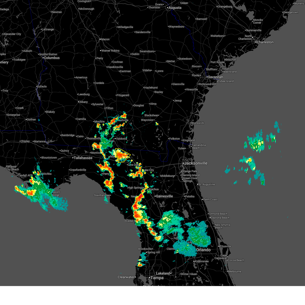
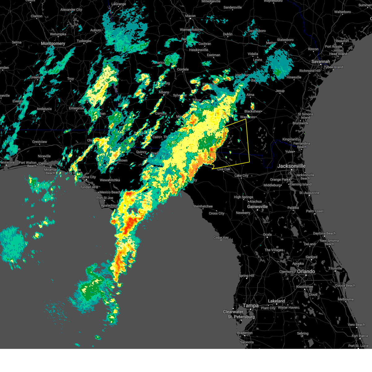
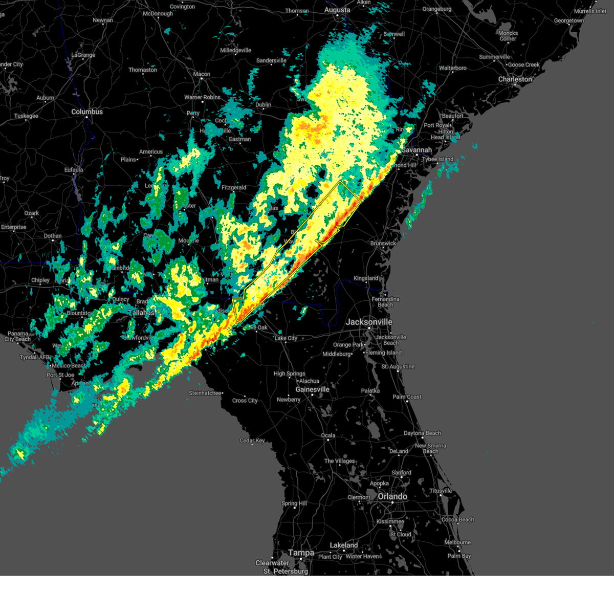
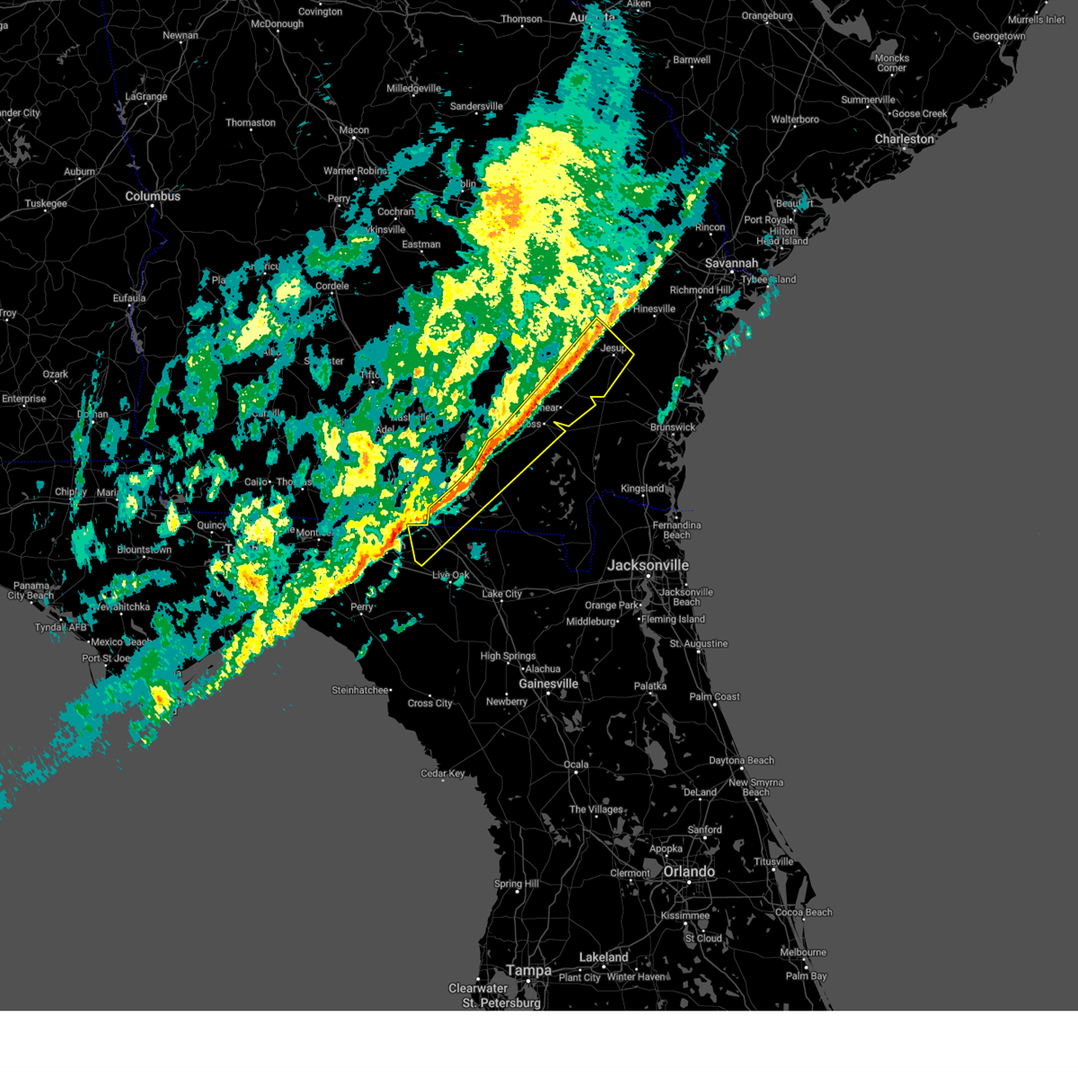
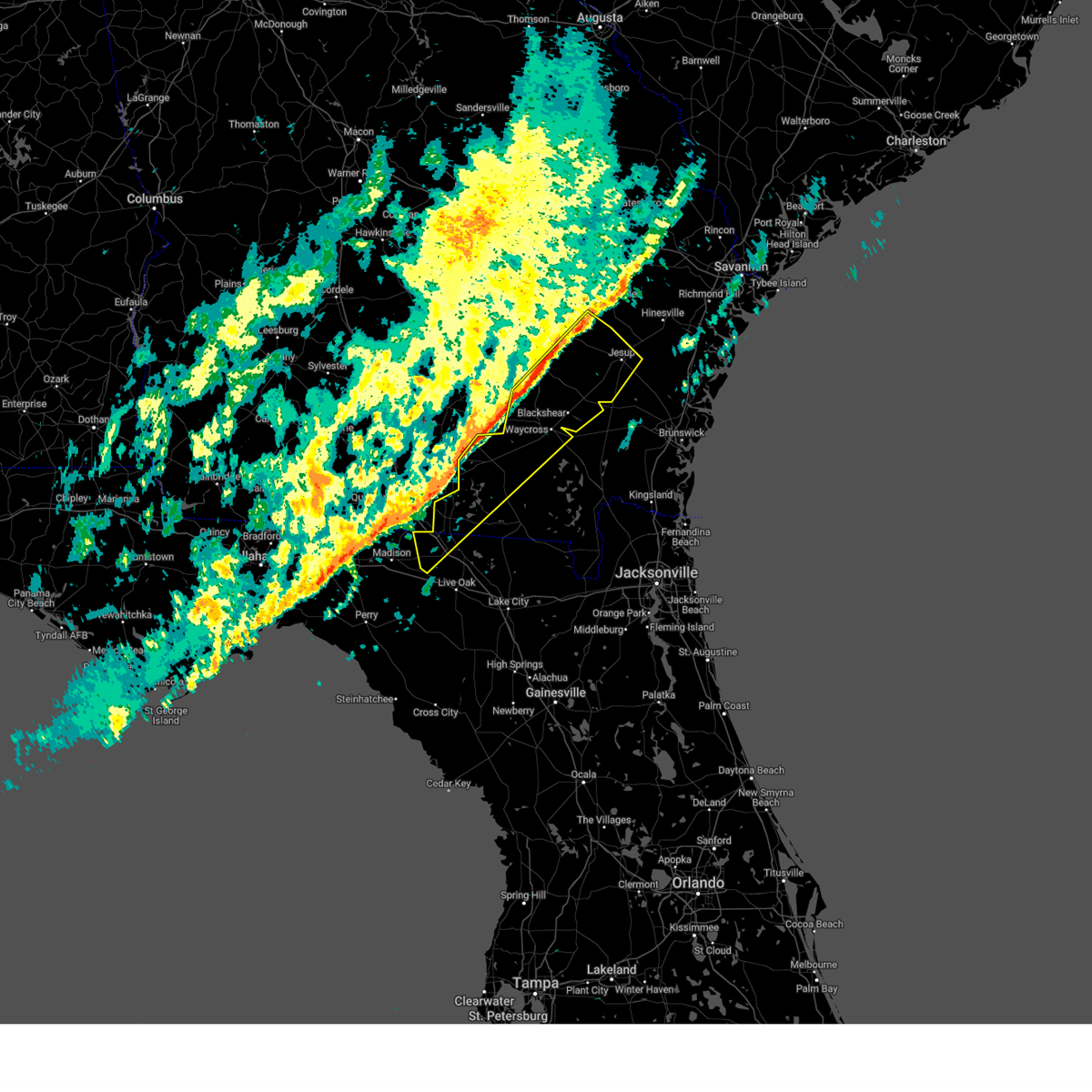
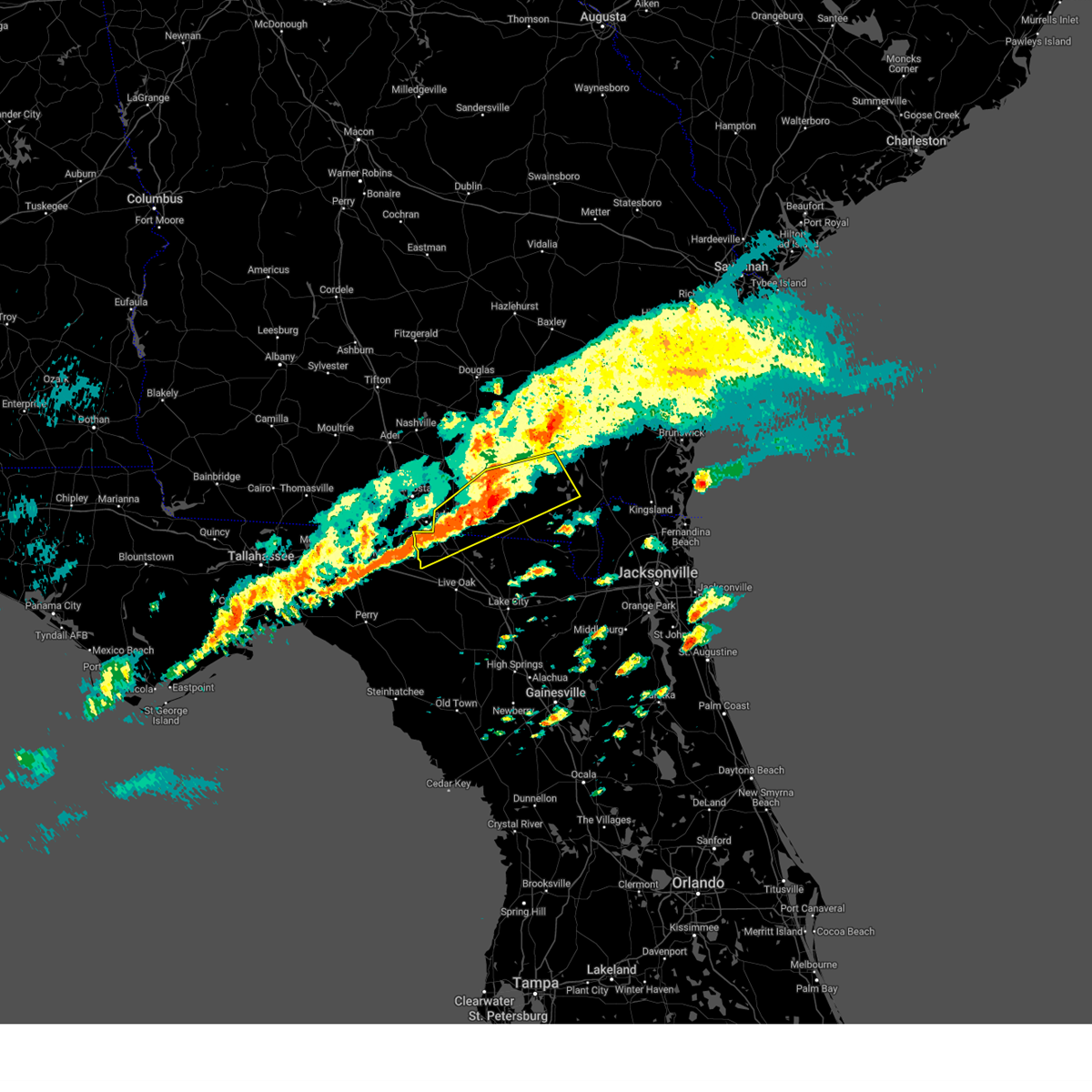
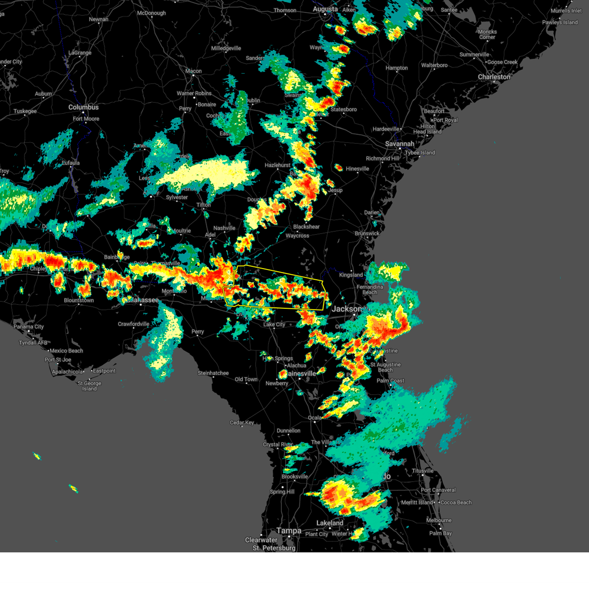
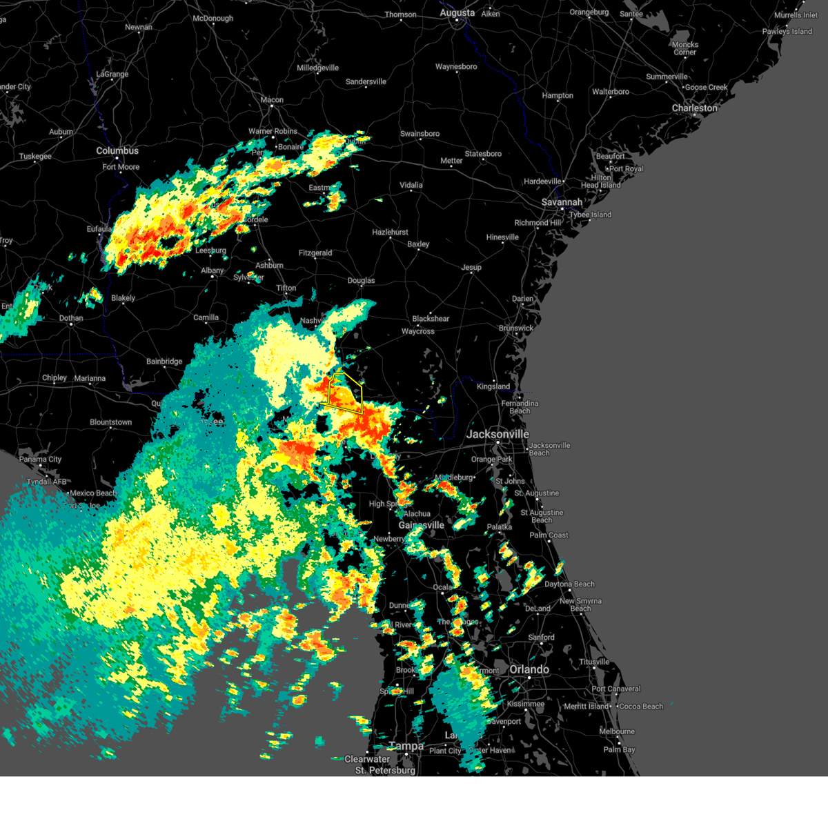
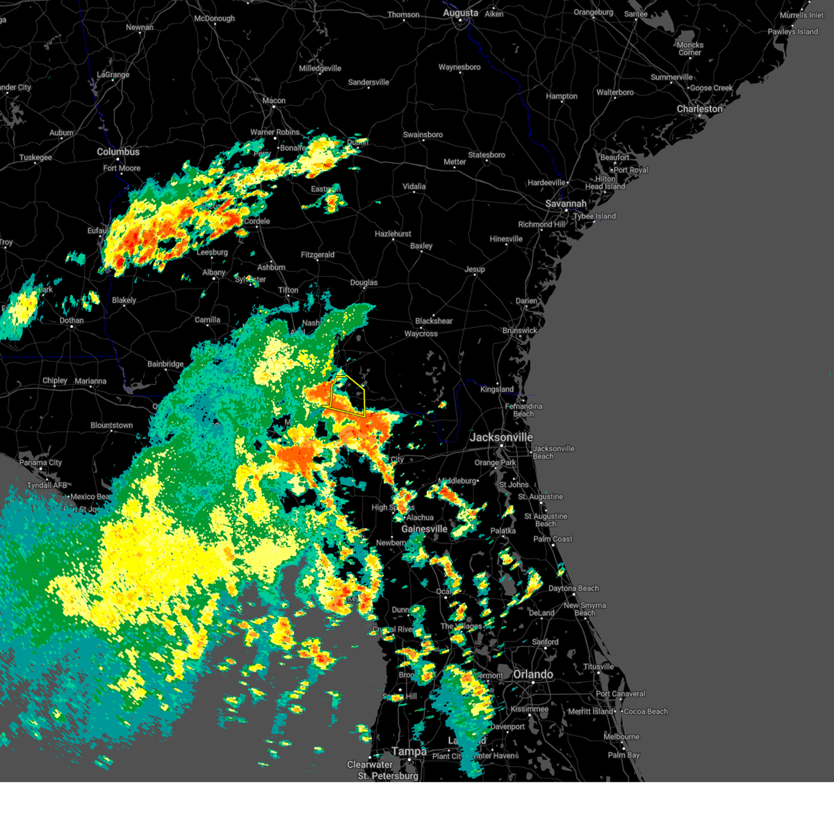
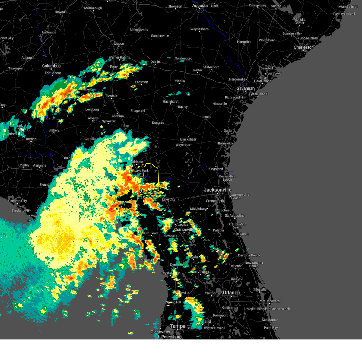
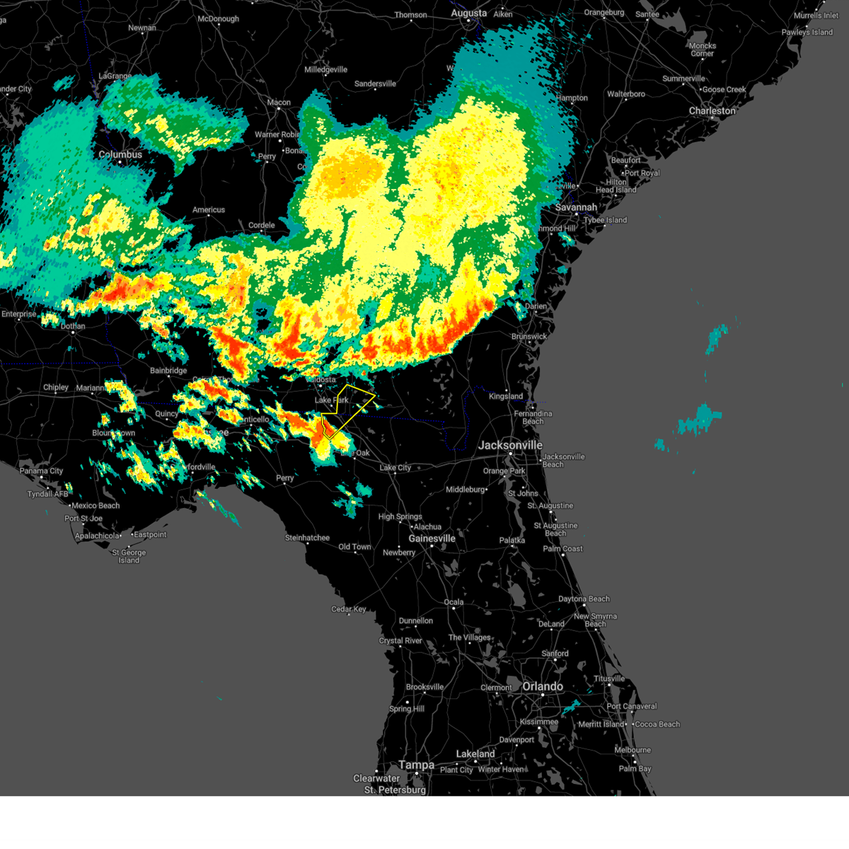
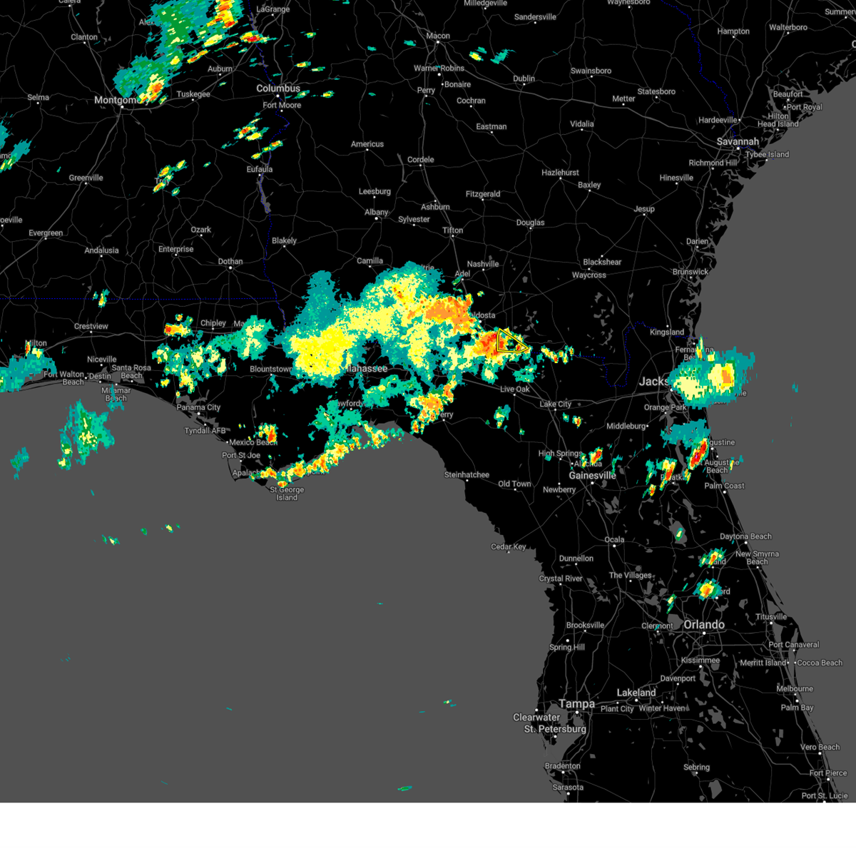
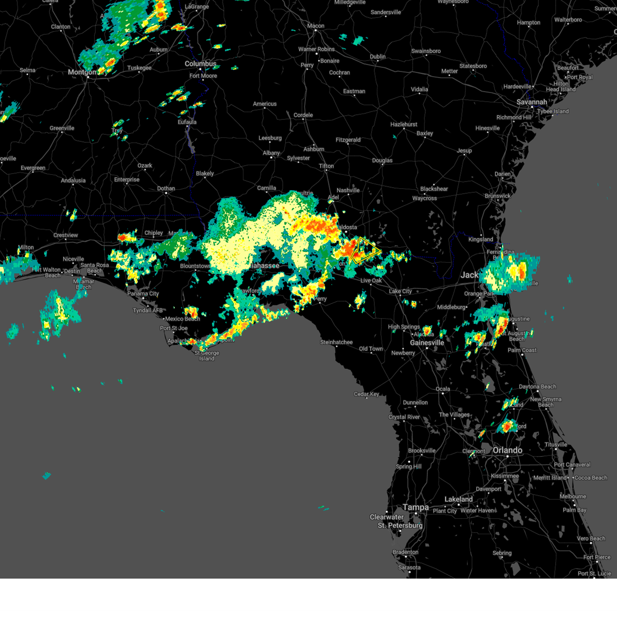
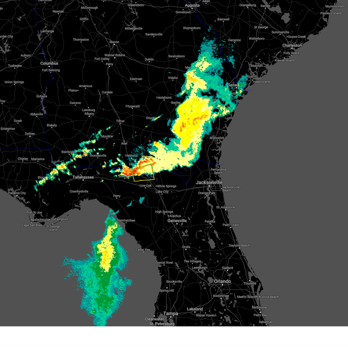
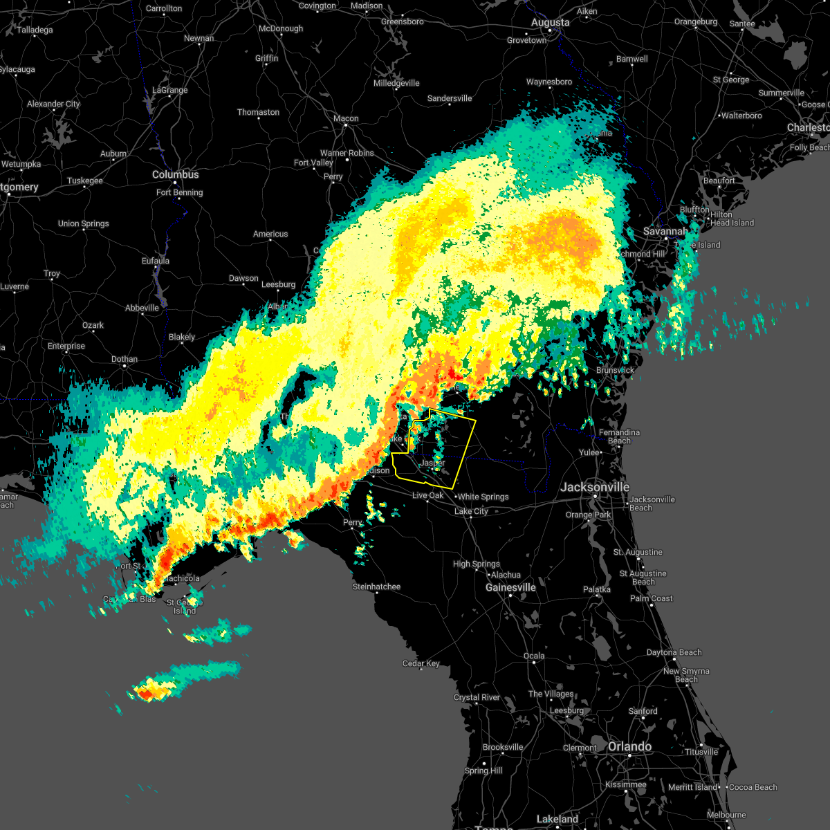
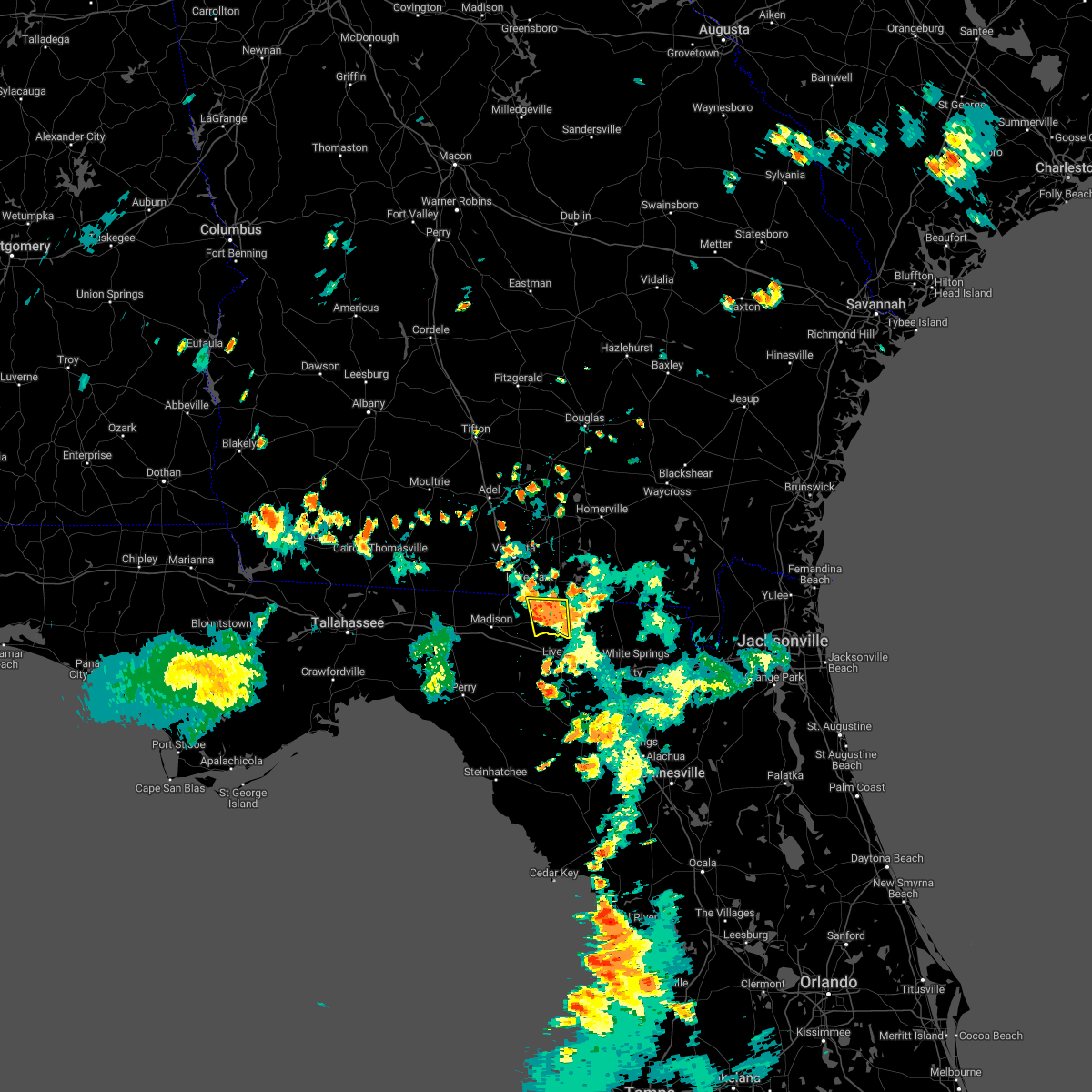
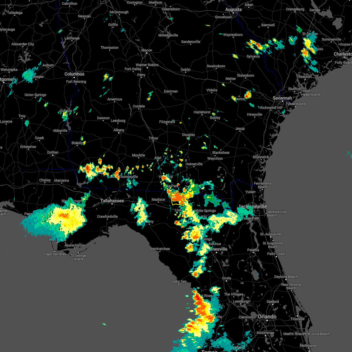
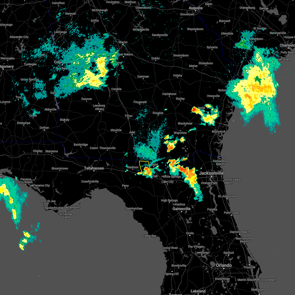
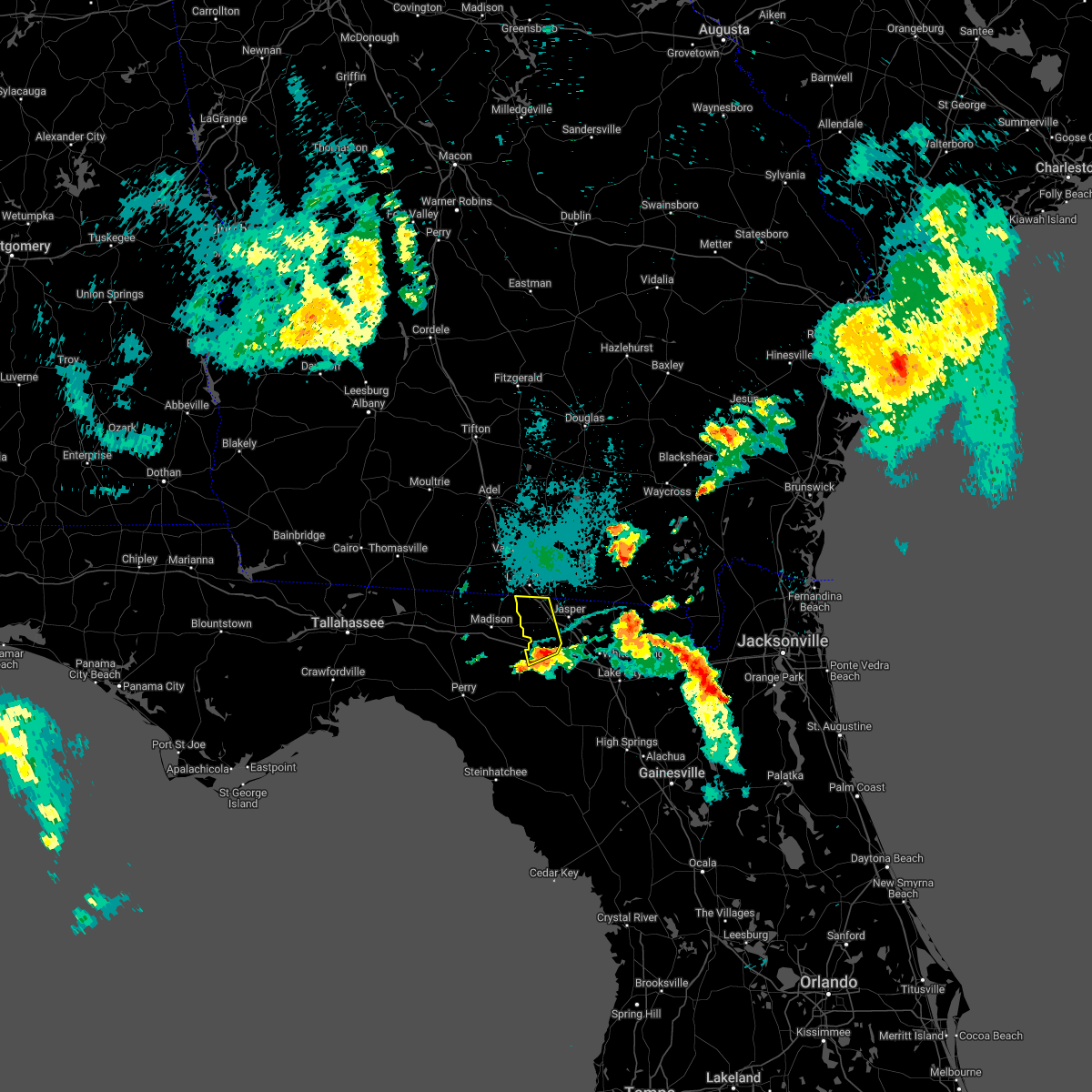
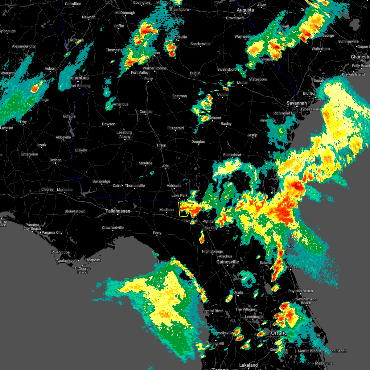
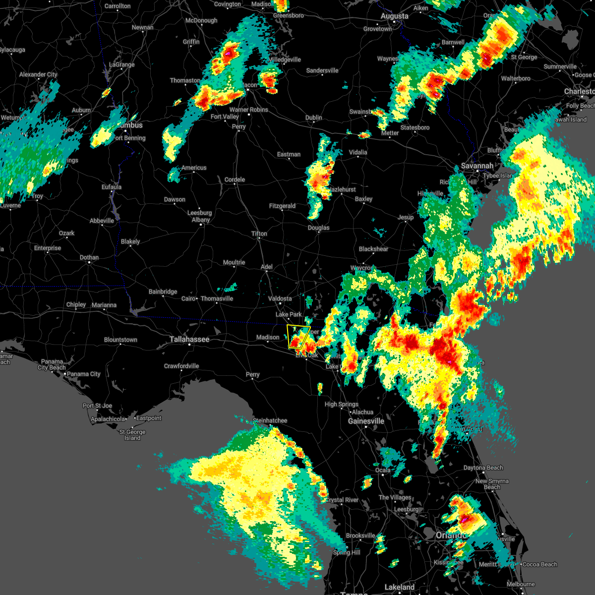
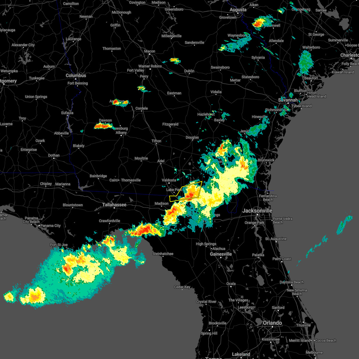
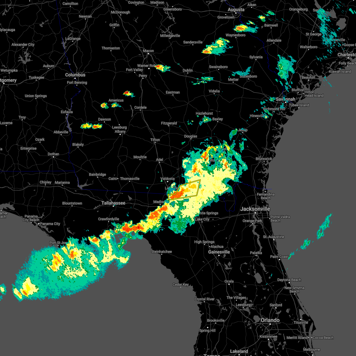
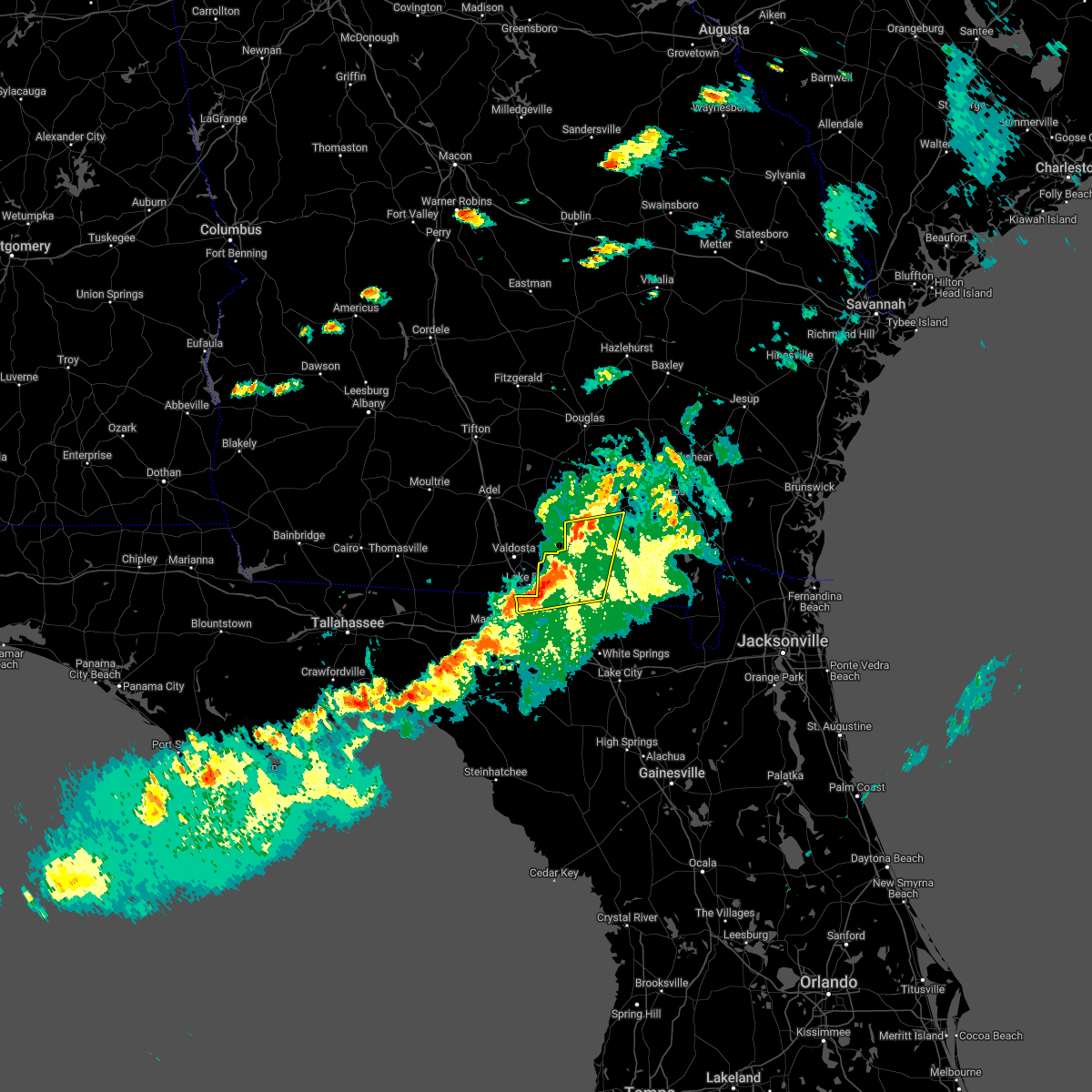
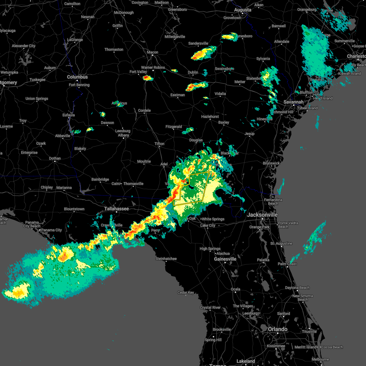
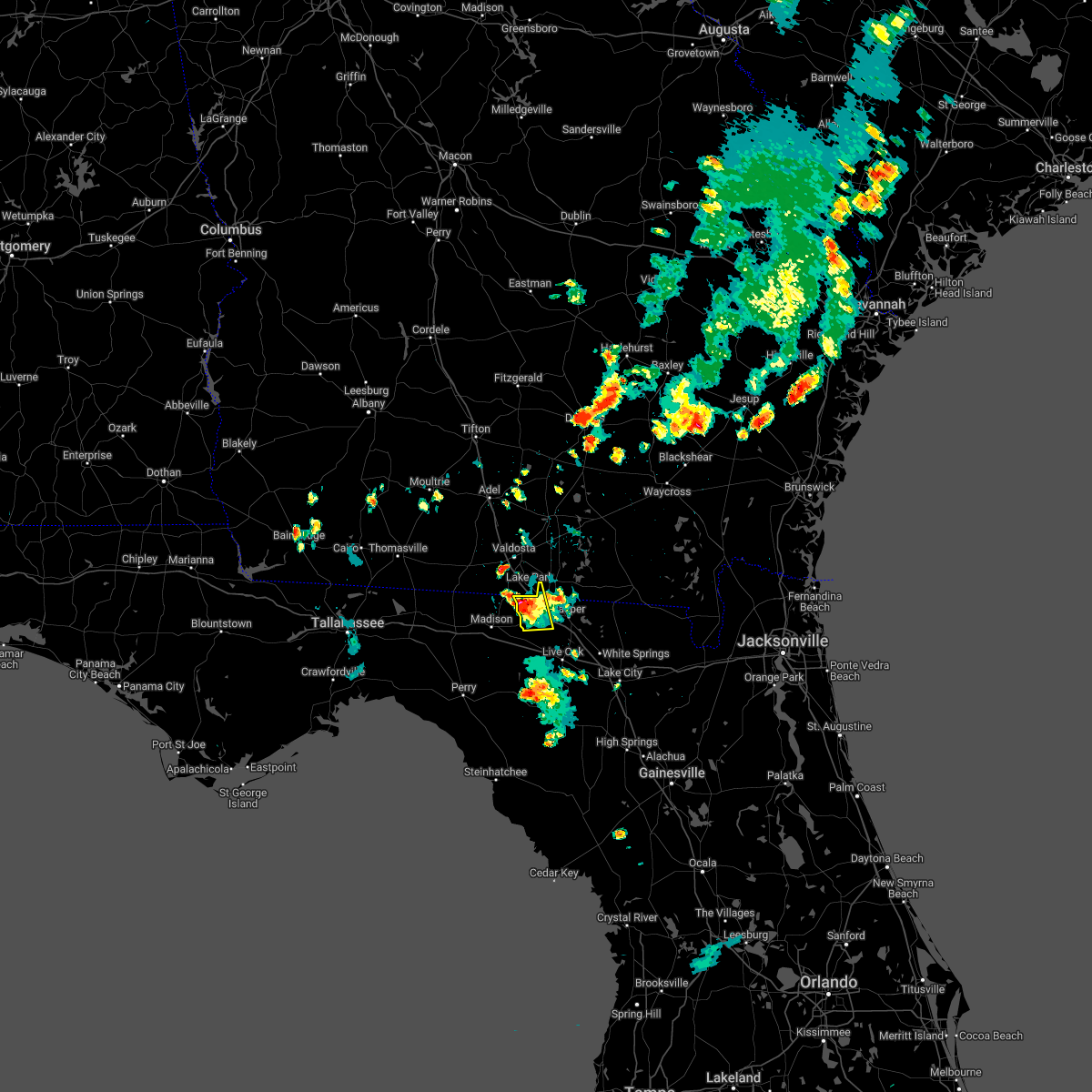
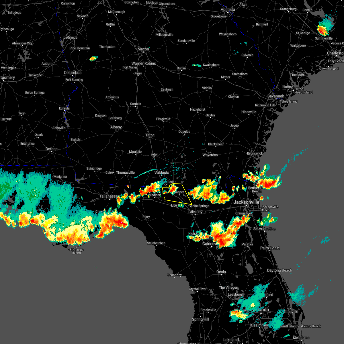
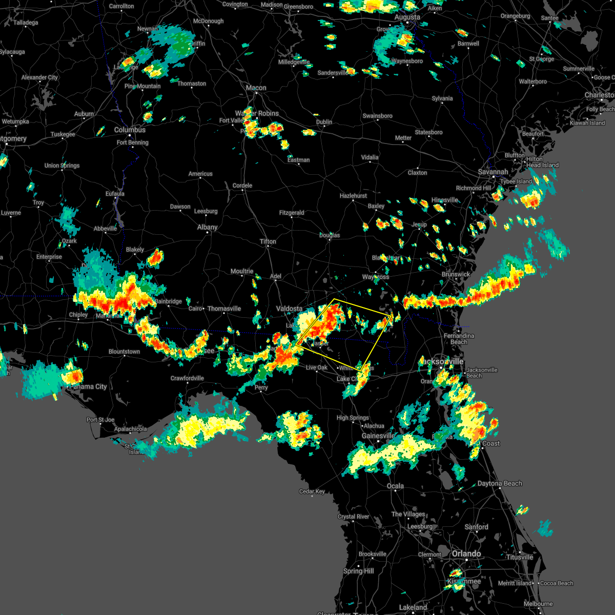
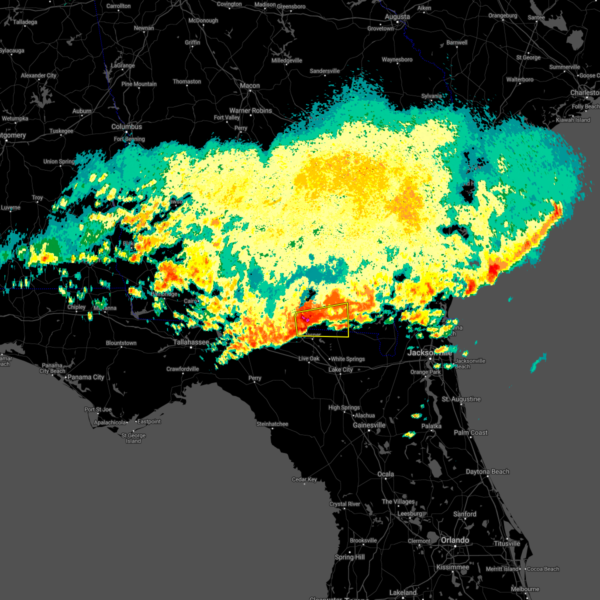
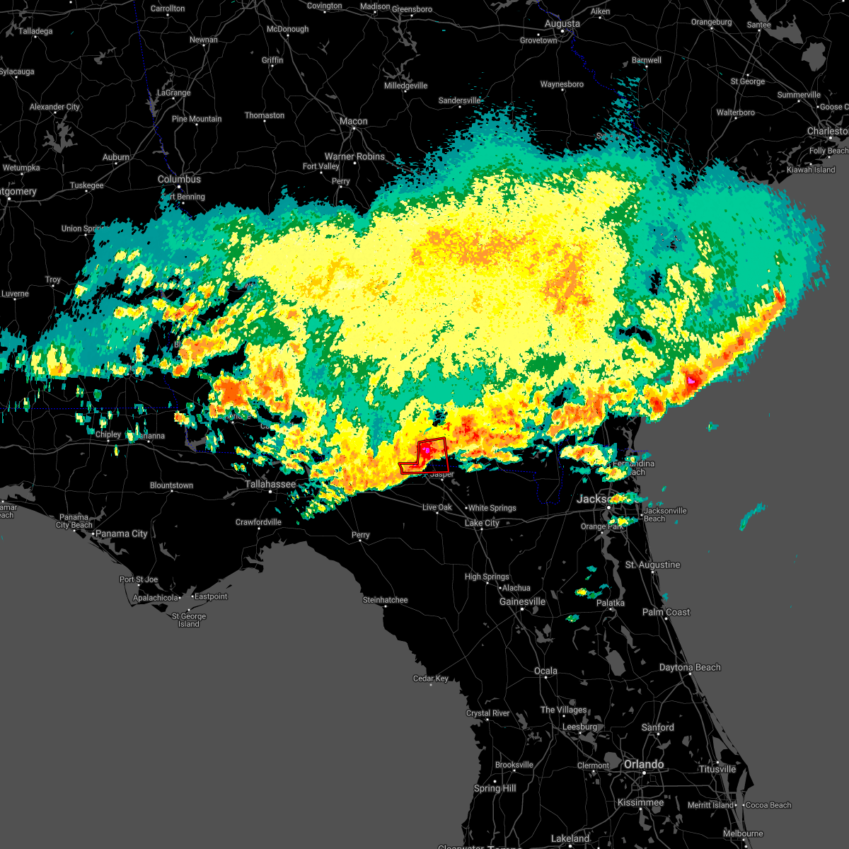
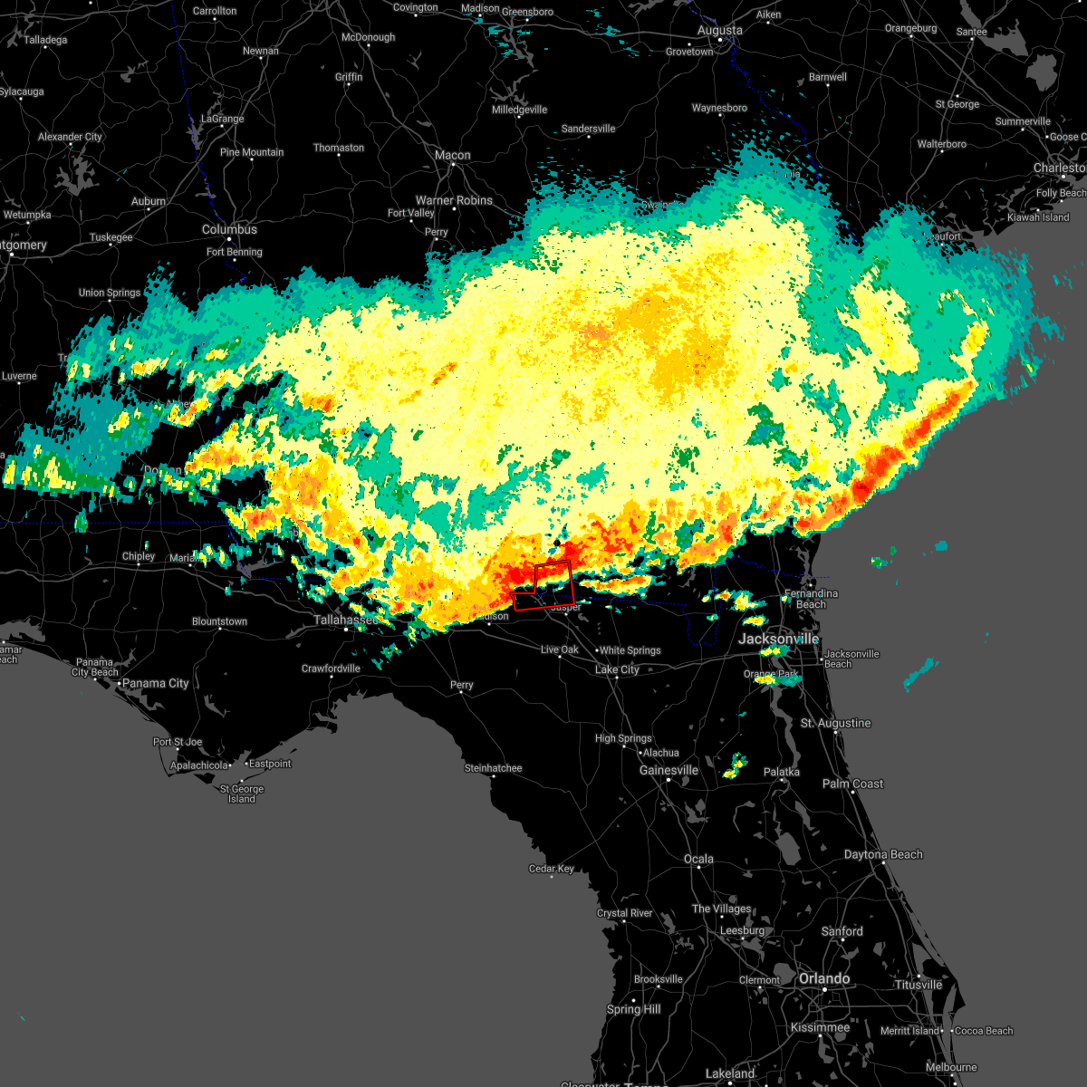
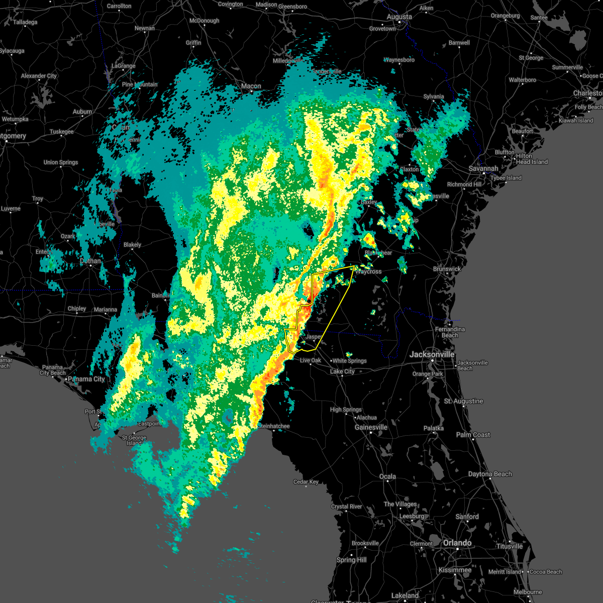
Hail Map for Jennings, FL
The Jennings, FL area has had 1 report of on-the-ground hail by trained spotters, and has been under severe weather warnings 8 times during the past 12 months. Doppler radar has detected hail at or near Jennings, FL on 52 occasions, including 5 occasions during the past year.
| Name: | Jennings, FL |
| Where Located: | 64.1 miles SSW of Douglas, GA |
| Map: | Google Map for Jennings, FL |
| Population: | 878 |
| Housing Units: | 327 |
| More Info: | Search Google for Jennings, FL |
3
The Top Recent Hail Date for Jennings, FL is Friday, July 19, 2024 (7th out of 52)

Hail and Wind Damage Spotted near Jennings, FL
| Date / Time | Report Details |
|---|---|
| 6/26/2025 5:02 PM EDT |
 the severe thunderstorm warning has been cancelled and is no longer in effect the severe thunderstorm warning has been cancelled and is no longer in effect
|
| 6/26/2025 4:41 PM EDT |
 Svrjax the national weather service in jacksonville has issued a * severe thunderstorm warning for, northwestern suwannee county in northern florida, northwestern hamilton county in northern florida, * until 515 pm edt. * at 439 pm edt, a severe thunderstorm was located over blue springs, or near suwannee river state park, moving northwest at 25 mph (radar indicated). Hazards include 60 mph wind gusts and quarter size hail. Hail damage to vehicles is expected. Expect wind damage to roofs, siding, and trees. Svrjax the national weather service in jacksonville has issued a * severe thunderstorm warning for, northwestern suwannee county in northern florida, northwestern hamilton county in northern florida, * until 515 pm edt. * at 439 pm edt, a severe thunderstorm was located over blue springs, or near suwannee river state park, moving northwest at 25 mph (radar indicated). Hazards include 60 mph wind gusts and quarter size hail. Hail damage to vehicles is expected. Expect wind damage to roofs, siding, and trees.
|
| 4/7/2025 2:31 PM EDT |
 Svrjax the national weather service in jacksonville has issued a * severe thunderstorm warning for, northwestern suwannee county in northern florida, northeastern columbia county in northern florida, hamilton county in northern florida, echols county in southeastern georgia, west central ware county in southeastern georgia, clinch county in southeastern georgia, * until 300 pm edt. * at 231 pm edt, a severe thunderstorm was located over crossroads, or near jennings, moving northeast at 45 mph (radar indicated). Hazards include 60 mph wind gusts. expect damage to roofs, siding, and trees Svrjax the national weather service in jacksonville has issued a * severe thunderstorm warning for, northwestern suwannee county in northern florida, northeastern columbia county in northern florida, hamilton county in northern florida, echols county in southeastern georgia, west central ware county in southeastern georgia, clinch county in southeastern georgia, * until 300 pm edt. * at 231 pm edt, a severe thunderstorm was located over crossroads, or near jennings, moving northeast at 45 mph (radar indicated). Hazards include 60 mph wind gusts. expect damage to roofs, siding, and trees
|
| 2/16/2025 9:37 AM EST |
 The storms which prompted the warning have weakened below severe limits, and no longer pose an immediate threat to life or property. therefore, the warning will be allowed to expire. however, gusty winds and heavy rain are still possible with these thunderstorms. a severe thunderstorm watch remains in effect until 100 pm est for northern florida, and southeastern georgia. The storms which prompted the warning have weakened below severe limits, and no longer pose an immediate threat to life or property. therefore, the warning will be allowed to expire. however, gusty winds and heavy rain are still possible with these thunderstorms. a severe thunderstorm watch remains in effect until 100 pm est for northern florida, and southeastern georgia.
|
| 2/16/2025 9:15 AM EST |
 At 914 am est, severe thunderstorms were located along a line extending from donald to near homerville to 11 miles northwest of perry, moving east at 50 mph (radar indicated). Hazards include 60 mph wind gusts. Expect damage to roofs, siding, and trees. Locations impacted include, waycross, jesup, blackshear, homerville, jennings, patterson, argyle, statenville, suwannee river state park, and screven. At 914 am est, severe thunderstorms were located along a line extending from donald to near homerville to 11 miles northwest of perry, moving east at 50 mph (radar indicated). Hazards include 60 mph wind gusts. Expect damage to roofs, siding, and trees. Locations impacted include, waycross, jesup, blackshear, homerville, jennings, patterson, argyle, statenville, suwannee river state park, and screven.
|
| 2/16/2025 8:58 AM EST |
 Svrjax the national weather service in jacksonville has issued a * severe thunderstorm warning for, northwestern hamilton county in northern florida, pierce county in southeastern georgia, echols county in southeastern georgia, northern ware county in southeastern georgia, southern bacon county in southeastern georgia, wayne county in southeastern georgia, clinch county in southeastern georgia, southeastern appling county in southeastern georgia, * until 945 am est. * at 858 am est, severe thunderstorms were located along a line extending from 11 miles northeast of surrency to 6 miles north of dixie union to 7 miles northeast of madison, moving east at 50 mph (radar indicated). Hazards include 60 mph wind gusts. expect damage to roofs, siding, and trees Svrjax the national weather service in jacksonville has issued a * severe thunderstorm warning for, northwestern hamilton county in northern florida, pierce county in southeastern georgia, echols county in southeastern georgia, northern ware county in southeastern georgia, southern bacon county in southeastern georgia, wayne county in southeastern georgia, clinch county in southeastern georgia, southeastern appling county in southeastern georgia, * until 945 am est. * at 858 am est, severe thunderstorms were located along a line extending from 11 miles northeast of surrency to 6 miles north of dixie union to 7 miles northeast of madison, moving east at 50 mph (radar indicated). Hazards include 60 mph wind gusts. expect damage to roofs, siding, and trees
|
| 7/18/2024 3:26 PM EDT |
 the severe thunderstorm warning has been cancelled and is no longer in effect the severe thunderstorm warning has been cancelled and is no longer in effect
|
| 7/18/2024 3:07 PM EDT |
 Svrjax the national weather service in jacksonville has issued a * severe thunderstorm warning for, western echols county in southeastern georgia, * until 400 pm edt. * at 307 pm edt, a severe thunderstorm was located over lake park, moving northeast at 20 mph (radar indicated). Hazards include 60 mph wind gusts. expect damage to roofs, siding, and trees Svrjax the national weather service in jacksonville has issued a * severe thunderstorm warning for, western echols county in southeastern georgia, * until 400 pm edt. * at 307 pm edt, a severe thunderstorm was located over lake park, moving northeast at 20 mph (radar indicated). Hazards include 60 mph wind gusts. expect damage to roofs, siding, and trees
|
| 6/26/2024 3:29 PM EDT |
 Svrjax the national weather service in jacksonville has issued a * severe thunderstorm warning for, northeastern suwannee county in northern florida, central hamilton county in northern florida, southwestern echols county in southeastern georgia, * until 400 pm edt. * at 329 pm edt, severe thunderstorms were located along a line extending from near crossroads to near live oak, moving northeast at 10 mph (radar indicated). Hazards include 60 mph wind gusts and quarter size hail. Hail damage to vehicles is expected. Expect wind damage to roofs, siding, and trees. Svrjax the national weather service in jacksonville has issued a * severe thunderstorm warning for, northeastern suwannee county in northern florida, central hamilton county in northern florida, southwestern echols county in southeastern georgia, * until 400 pm edt. * at 329 pm edt, severe thunderstorms were located along a line extending from near crossroads to near live oak, moving northeast at 10 mph (radar indicated). Hazards include 60 mph wind gusts and quarter size hail. Hail damage to vehicles is expected. Expect wind damage to roofs, siding, and trees.
|
| 5/14/2024 6:55 AM EDT |
 The storm which prompted the warning has weakened below severe limits, and no longer poses an immediate threat to life or property. therefore, the warning will be allowed to expire. however, gusty winds are still possible with this thunderstorm. a tornado watch remains in effect until 100 pm edt for northern florida, and southeastern georgia. The storm which prompted the warning has weakened below severe limits, and no longer poses an immediate threat to life or property. therefore, the warning will be allowed to expire. however, gusty winds are still possible with this thunderstorm. a tornado watch remains in effect until 100 pm edt for northern florida, and southeastern georgia.
|
| 5/14/2024 6:32 AM EDT |
 Svrjax the national weather service in jacksonville has issued a * severe thunderstorm warning for, north central suwannee county in northern florida, north central columbia county in northern florida, hamilton county in northern florida, echols county in southeastern georgia, central clinch county in southeastern georgia, * until 700 am edt. * at 632 am edt, a severe thunderstorm was located near jasper, moving northeast at 45 mph (radar indicated). Hazards include 60 mph wind gusts and penny size hail. expect damage to roofs, siding, and trees Svrjax the national weather service in jacksonville has issued a * severe thunderstorm warning for, north central suwannee county in northern florida, north central columbia county in northern florida, hamilton county in northern florida, echols county in southeastern georgia, central clinch county in southeastern georgia, * until 700 am edt. * at 632 am edt, a severe thunderstorm was located near jasper, moving northeast at 45 mph (radar indicated). Hazards include 60 mph wind gusts and penny size hail. expect damage to roofs, siding, and trees
|
| 5/10/2024 8:00 AM EDT |
 At 800 am edt, severe thunderstorms were located along a line extending from moody air force base to 7 miles southwest of dowling park to near steinhatchee, moving east at 45 mph (radar indicated). Hazards include 70 mph wind gusts and quarter size hail. possible tornadoes. Hail damage to vehicles is expected. expect considerable tree damage. wind damage is also likely to mobile homes, roofs, and outbuildings. Locations impacted include, lake city, live oak, jasper, homerville, trenton, jennings, white springs, bell, fargo, and statenville. At 800 am edt, severe thunderstorms were located along a line extending from moody air force base to 7 miles southwest of dowling park to near steinhatchee, moving east at 45 mph (radar indicated). Hazards include 70 mph wind gusts and quarter size hail. possible tornadoes. Hail damage to vehicles is expected. expect considerable tree damage. wind damage is also likely to mobile homes, roofs, and outbuildings. Locations impacted include, lake city, live oak, jasper, homerville, trenton, jennings, white springs, bell, fargo, and statenville.
|
| 5/10/2024 7:50 AM EDT |
 Svrjax the national weather service in jacksonville has issued a * severe thunderstorm warning for, gilchrist county in northern florida, suwannee county in northern florida, western columbia county in northern florida, hamilton county in northern florida, echols county in southeastern georgia, west central ware county in southeastern georgia, clinch county in southeastern georgia, * until 830 am edt. * at 750 am edt, severe thunderstorms were located along a line extending from near hahira to 7 miles west of dowling park to 18 miles northwest of steinhatchee, moving east at 55 mph (radar indicated). Hazards include 70 mph wind gusts and quarter size hail. Hail damage to vehicles is expected. expect considerable tree damage. Wind damage is also likely to mobile homes, roofs, and outbuildings. Svrjax the national weather service in jacksonville has issued a * severe thunderstorm warning for, gilchrist county in northern florida, suwannee county in northern florida, western columbia county in northern florida, hamilton county in northern florida, echols county in southeastern georgia, west central ware county in southeastern georgia, clinch county in southeastern georgia, * until 830 am edt. * at 750 am edt, severe thunderstorms were located along a line extending from near hahira to 7 miles west of dowling park to 18 miles northwest of steinhatchee, moving east at 55 mph (radar indicated). Hazards include 70 mph wind gusts and quarter size hail. Hail damage to vehicles is expected. expect considerable tree damage. Wind damage is also likely to mobile homes, roofs, and outbuildings.
|
| 4/11/2024 7:37 AM EDT |
 A tornado warning remains in effect for central suwannee county until 745 am a tornado watch remains in effect until 300 pm edt for northern florida, and southeastern georgia. A tornado warning remains in effect for central suwannee county until 745 am a tornado watch remains in effect until 300 pm edt for northern florida, and southeastern georgia.
|
| 4/11/2024 7:28 AM EDT |
 At 727 am edt, severe thunderstorms were located along a line extending from near statenville to 33 miles west of steinhatchee, moving southeast at 20 mph (radar indicated). Hazards include 60 mph wind gusts and penny size hail. Expect damage to roofs, siding, and trees. Locations impacted include, live oak, jasper, jennings, white springs, suwannee river state park, suwannee springs, belmont, crossroads, luraville, and dowling park. At 727 am edt, severe thunderstorms were located along a line extending from near statenville to 33 miles west of steinhatchee, moving southeast at 20 mph (radar indicated). Hazards include 60 mph wind gusts and penny size hail. Expect damage to roofs, siding, and trees. Locations impacted include, live oak, jasper, jennings, white springs, suwannee river state park, suwannee springs, belmont, crossroads, luraville, and dowling park.
|
| 4/11/2024 6:53 AM EDT |
 Svrjax the national weather service in jacksonville has issued a * severe thunderstorm warning for, suwannee county in northern florida, hamilton county in northern florida, * until 745 am edt. * at 653 am edt, severe thunderstorms were located along a line extending from near mayday to 38 miles west of steinhatchee, moving east at 10 mph (radar indicated). Hazards include 60 mph wind gusts and penny size hail. expect damage to roofs, siding, and trees Svrjax the national weather service in jacksonville has issued a * severe thunderstorm warning for, suwannee county in northern florida, hamilton county in northern florida, * until 745 am edt. * at 653 am edt, severe thunderstorms were located along a line extending from near mayday to 38 miles west of steinhatchee, moving east at 10 mph (radar indicated). Hazards include 60 mph wind gusts and penny size hail. expect damage to roofs, siding, and trees
|
| 4/11/2024 6:11 AM EDT |
 Svrjax the national weather service in jacksonville has issued a * severe thunderstorm warning for, northern hamilton county in northern florida, echols county in southeastern georgia, central ware county in southeastern georgia, clinch county in southeastern georgia, northwestern charlton county in southeastern georgia, * until 700 am edt. * at 611 am edt, severe thunderstorms were located along a line extending from near lake park to 6 miles southwest of needmore, moving northeast at 50 mph (radar indicated). Hazards include 60 mph wind gusts. expect damage to roofs, siding, and trees Svrjax the national weather service in jacksonville has issued a * severe thunderstorm warning for, northern hamilton county in northern florida, echols county in southeastern georgia, central ware county in southeastern georgia, clinch county in southeastern georgia, northwestern charlton county in southeastern georgia, * until 700 am edt. * at 611 am edt, severe thunderstorms were located along a line extending from near lake park to 6 miles southwest of needmore, moving northeast at 50 mph (radar indicated). Hazards include 60 mph wind gusts. expect damage to roofs, siding, and trees
|
| 3/9/2024 1:45 PM EST |
 Svrjax the national weather service in jacksonville has issued a * severe thunderstorm warning for, northwestern baker county in northeastern florida, north central suwannee county in northern florida, northeastern columbia county in northern florida, hamilton county in northern florida, southern echols county in southeastern georgia, southeastern ware county in southeastern georgia, southeastern clinch county in southeastern georgia, northern charlton county in southeastern georgia, * until 215 pm est. * at 145 pm est, severe thunderstorms were located along a line extending from 8 miles northeast of stephen foster state park to 8 miles east of fargo to suwannee river state park, moving southeast at 15 mph (radar indicated). Hazards include 60 mph wind gusts and penny size hail. expect damage to roofs, siding, and trees Svrjax the national weather service in jacksonville has issued a * severe thunderstorm warning for, northwestern baker county in northeastern florida, north central suwannee county in northern florida, northeastern columbia county in northern florida, hamilton county in northern florida, southern echols county in southeastern georgia, southeastern ware county in southeastern georgia, southeastern clinch county in southeastern georgia, northern charlton county in southeastern georgia, * until 215 pm est. * at 145 pm est, severe thunderstorms were located along a line extending from 8 miles northeast of stephen foster state park to 8 miles east of fargo to suwannee river state park, moving southeast at 15 mph (radar indicated). Hazards include 60 mph wind gusts and penny size hail. expect damage to roofs, siding, and trees
|
| 3/9/2024 12:58 PM EST |
 Svrjax the national weather service in jacksonville has issued a * severe thunderstorm warning for, northwestern hamilton county in northern florida, echols county in southeastern georgia, central ware county in southeastern georgia, central clinch county in southeastern georgia, northwestern charlton county in southeastern georgia, * until 145 pm est. * at 1258 pm est, a severe thunderstorm was located 9 miles north of needmore, or 9 miles northwest of fargo, moving northeast at 45 mph (radar indicated). Hazards include 60 mph wind gusts and penny size hail. expect damage to roofs, siding, and trees Svrjax the national weather service in jacksonville has issued a * severe thunderstorm warning for, northwestern hamilton county in northern florida, echols county in southeastern georgia, central ware county in southeastern georgia, central clinch county in southeastern georgia, northwestern charlton county in southeastern georgia, * until 145 pm est. * at 1258 pm est, a severe thunderstorm was located 9 miles north of needmore, or 9 miles northwest of fargo, moving northeast at 45 mph (radar indicated). Hazards include 60 mph wind gusts and penny size hail. expect damage to roofs, siding, and trees
|
| 3/9/2024 12:08 PM EST |
 Svrjax the national weather service in jacksonville has issued a * severe thunderstorm warning for, northwestern hamilton county in northern florida, echols county in southeastern georgia, west central clinch county in southeastern georgia, * until 100 pm est. * at 1207 pm est, severe thunderstorms were located along a line extending from 6 miles north of mayday to 9 miles southwest of lake park, moving east at 35 mph (radar indicated). Hazards include 60 mph wind gusts and penny size hail. expect damage to roofs, siding, and trees Svrjax the national weather service in jacksonville has issued a * severe thunderstorm warning for, northwestern hamilton county in northern florida, echols county in southeastern georgia, west central clinch county in southeastern georgia, * until 100 pm est. * at 1207 pm est, severe thunderstorms were located along a line extending from 6 miles north of mayday to 9 miles southwest of lake park, moving east at 35 mph (radar indicated). Hazards include 60 mph wind gusts and penny size hail. expect damage to roofs, siding, and trees
|
| 1/9/2024 12:58 PM EST |
 At 1258 pm est, severe thunderstorms were located along a line extending from jennings to 8 miles northwest of steinhatchee, moving northeast at 40 mph (radar indicated). Hazards include 60 mph wind gusts and penny size hail. expect damage to roofs, siding, and trees At 1258 pm est, severe thunderstorms were located along a line extending from jennings to 8 miles northwest of steinhatchee, moving northeast at 40 mph (radar indicated). Hazards include 60 mph wind gusts and penny size hail. expect damage to roofs, siding, and trees
|
| 1/9/2024 12:25 PM EST |
 At 1225 pm est, severe thunderstorms were located along a line extending from near lake park to 13 miles south of perry, moving northeast at 55 mph (radar indicated). Hazards include 70 mph wind gusts and penny size hail. Expect considerable tree damage. damage is likely to mobile homes, roofs, and outbuildings. Locations impacted include, jennings, suwannee river state park, dowling park, blue springs, crossroads, luraville, and newburn. At 1225 pm est, severe thunderstorms were located along a line extending from near lake park to 13 miles south of perry, moving northeast at 55 mph (radar indicated). Hazards include 70 mph wind gusts and penny size hail. Expect considerable tree damage. damage is likely to mobile homes, roofs, and outbuildings. Locations impacted include, jennings, suwannee river state park, dowling park, blue springs, crossroads, luraville, and newburn.
|
| 1/9/2024 12:04 PM EST |
 At 1204 pm est, severe thunderstorms were located along a line extending from 11 miles northwest of madison to 29 miles southeast of st. marks, moving northeast at 55 mph (radar indicated). Hazards include 70 mph wind gusts and penny size hail. Expect considerable tree damage. Damage is likely to mobile homes, roofs, and outbuildings. At 1204 pm est, severe thunderstorms were located along a line extending from 11 miles northwest of madison to 29 miles southeast of st. marks, moving northeast at 55 mph (radar indicated). Hazards include 70 mph wind gusts and penny size hail. Expect considerable tree damage. Damage is likely to mobile homes, roofs, and outbuildings.
|
| 7/30/2023 7:04 PM EDT |
 At 704 pm edt, severe thunderstorms were located along a line extending from near jennings to near st. george, moving south at 15 mph (radar indicated). Hazards include 60 mph wind gusts and penny size hail. expect damage to roofs, siding, and trees At 704 pm edt, severe thunderstorms were located along a line extending from near jennings to near st. george, moving south at 15 mph (radar indicated). Hazards include 60 mph wind gusts and penny size hail. expect damage to roofs, siding, and trees
|
| 7/23/2023 12:24 PM EDT |
 The severe thunderstorm warning for north central hamilton and western echols counties will expire at 1230 pm edt, the storms which prompted the warning have weakened below severe limits, and no longer pose an immediate threat to life or property. therefore, the warning will be allowed to expire. however gusty winds are still possible with these thunderstorms. The severe thunderstorm warning for north central hamilton and western echols counties will expire at 1230 pm edt, the storms which prompted the warning have weakened below severe limits, and no longer pose an immediate threat to life or property. therefore, the warning will be allowed to expire. however gusty winds are still possible with these thunderstorms.
|
| 7/23/2023 12:15 PM EDT |
 At 1215 pm edt, severe thunderstorms were located along a line extending from near lake park to near jennings, moving northeast at 25 mph (radar indicated). Hazards include 60 mph wind gusts. Expect damage to roofs, siding, and trees. locations impacted include, jennings, statenville and mayday. hail threat, radar indicated max hail size, <. 75 in wind threat, radar indicated max wind gust, 60 mph. At 1215 pm edt, severe thunderstorms were located along a line extending from near lake park to near jennings, moving northeast at 25 mph (radar indicated). Hazards include 60 mph wind gusts. Expect damage to roofs, siding, and trees. locations impacted include, jennings, statenville and mayday. hail threat, radar indicated max hail size, <. 75 in wind threat, radar indicated max wind gust, 60 mph.
|
| 7/23/2023 11:55 AM EDT | Tree down caused by thunderstrorm wind in hamilton county FL, 9.3 miles E of Jennings, FL |
| 7/23/2023 11:44 AM EDT |
 At 1144 am edt, severe thunderstorms were located along a line extending from 10 miles southwest of lake park to suwannee river state park, moving northeast at 25 mph (radar indicated). Hazards include 60 mph wind gusts. expect damage to roofs, siding, and trees At 1144 am edt, severe thunderstorms were located along a line extending from 10 miles southwest of lake park to suwannee river state park, moving northeast at 25 mph (radar indicated). Hazards include 60 mph wind gusts. expect damage to roofs, siding, and trees
|
| 6/19/2023 10:55 AM EDT |
 The severe thunderstorm warning for northern suwannee and hamilton counties will expire at 1100 am edt, the storms which prompted the warning have weakened below severe limits, and no longer pose an immediate threat to life or property. therefore, the warning will be allowed to expire. however gusty winds are still possible with these thunderstorms. a severe thunderstorm watch remains in effect until 200 pm edt for northern florida. The severe thunderstorm warning for northern suwannee and hamilton counties will expire at 1100 am edt, the storms which prompted the warning have weakened below severe limits, and no longer pose an immediate threat to life or property. therefore, the warning will be allowed to expire. however gusty winds are still possible with these thunderstorms. a severe thunderstorm watch remains in effect until 200 pm edt for northern florida.
|
| 6/19/2023 10:20 AM EDT |
 At 1020 am edt, severe thunderstorms were located along a line extending from 12 miles southwest of lake park to near madison to 10 miles southeast of monticello, moving east at 40 mph (radar indicated). Hazards include 60 mph wind gusts and penny size hail. expect damage to roofs, siding, and trees At 1020 am edt, severe thunderstorms were located along a line extending from 12 miles southwest of lake park to near madison to 10 miles southeast of monticello, moving east at 40 mph (radar indicated). Hazards include 60 mph wind gusts and penny size hail. expect damage to roofs, siding, and trees
|
| 6/15/2023 11:45 AM EDT | Ping Pong Ball sized hail reported 3.9 miles ENE of Jennings, FL, ping pong ball size hail reported and relayed to nws employee on northwest county road 152. |
| 6/15/2023 11:39 AM EDT |
 At 1139 am edt, a severe thunderstorm was located near blue springs, or near jennings, moving northeast at 35 mph (radar indicated). Hazards include 60 mph wind gusts and quarter size hail. Hail damage to vehicles is expected. Expect wind damage to roofs, siding, and trees. At 1139 am edt, a severe thunderstorm was located near blue springs, or near jennings, moving northeast at 35 mph (radar indicated). Hazards include 60 mph wind gusts and quarter size hail. Hail damage to vehicles is expected. Expect wind damage to roofs, siding, and trees.
|
| 6/14/2023 8:13 PM EDT |
 At 813 pm edt, severe thunderstorms were located along a line extending from 13 miles north of needmore to near lake park, moving southeast at 35 mph (radar indicated). Hazards include 60 mph wind gusts and quarter size hail. Hail damage to vehicles is expected. Expect wind damage to roofs, siding, and trees. At 813 pm edt, severe thunderstorms were located along a line extending from 13 miles north of needmore to near lake park, moving southeast at 35 mph (radar indicated). Hazards include 60 mph wind gusts and quarter size hail. Hail damage to vehicles is expected. Expect wind damage to roofs, siding, and trees.
|
| 6/13/2023 6:28 PM EDT |
 At 628 pm edt, severe thunderstorms were located along a line extending from near blackshear to 8 miles west of stephen foster state park to 8 miles northeast of jasper, moving east at 45 mph (radar indicated). Hazards include 60 mph wind gusts. Expect damage to roofs, siding, and trees. locations impacted include, jasper, blackshear, jennings, fargo, stephen foster state park, boggy bay, needmore, braganza, race pond and fort mudge. hail threat, radar indicated max hail size, <. 75 in wind threat, radar indicated max wind gust, 60 mph. At 628 pm edt, severe thunderstorms were located along a line extending from near blackshear to 8 miles west of stephen foster state park to 8 miles northeast of jasper, moving east at 45 mph (radar indicated). Hazards include 60 mph wind gusts. Expect damage to roofs, siding, and trees. locations impacted include, jasper, blackshear, jennings, fargo, stephen foster state park, boggy bay, needmore, braganza, race pond and fort mudge. hail threat, radar indicated max hail size, <. 75 in wind threat, radar indicated max wind gust, 60 mph.
|
| 6/13/2023 6:19 PM EDT |
 At 619 pm edt, severe thunderstorms were located along a line extending from near boggy bay to 8 miles north of fargo to near jennings, moving east at 40 mph (radar indicated). Hazards include 60 mph wind gusts. expect damage to roofs, siding, and trees At 619 pm edt, severe thunderstorms were located along a line extending from near boggy bay to 8 miles north of fargo to near jennings, moving east at 40 mph (radar indicated). Hazards include 60 mph wind gusts. expect damage to roofs, siding, and trees
|
| 6/13/2023 5:48 PM EDT |
 At 548 pm edt, severe thunderstorms were located along a line extending from 8 miles northeast of lakeland to 6 miles west of mayday, moving southeast at 35 mph (radar indicated). Hazards include 60 mph wind gusts and penny size hail. expect damage to roofs, siding, and trees At 548 pm edt, severe thunderstorms were located along a line extending from 8 miles northeast of lakeland to 6 miles west of mayday, moving southeast at 35 mph (radar indicated). Hazards include 60 mph wind gusts and penny size hail. expect damage to roofs, siding, and trees
|
| 5/17/2023 3:26 PM EDT |
 The severe thunderstorm warning for southwestern echols county will expire at 330 pm edt, the storm which prompted the warning has weakened below severe limits, and has exited the warned area. therefore, the warning will be allowed to expire. to report severe weather, contact your nearest law enforcement agency. they will relay your report to the national weather service jacksonville. The severe thunderstorm warning for southwestern echols county will expire at 330 pm edt, the storm which prompted the warning has weakened below severe limits, and has exited the warned area. therefore, the warning will be allowed to expire. to report severe weather, contact your nearest law enforcement agency. they will relay your report to the national weather service jacksonville.
|
| 5/17/2023 3:04 PM EDT |
 At 304 pm edt, a severe thunderstorm was located over jennings, moving northeast at 10 mph (radar indicated). Hazards include 60 mph wind gusts and nickel size hail. Expect damage to roofs, siding, and trees. locations impacted include, statenville. hail threat, radar indicated max hail size, 0. 88 in wind threat, radar indicated max wind gust, 60 mph. At 304 pm edt, a severe thunderstorm was located over jennings, moving northeast at 10 mph (radar indicated). Hazards include 60 mph wind gusts and nickel size hail. Expect damage to roofs, siding, and trees. locations impacted include, statenville. hail threat, radar indicated max hail size, 0. 88 in wind threat, radar indicated max wind gust, 60 mph.
|
| 5/17/2023 2:50 PM EDT | Corrects previous tstm wnd dmg report from 1 wsw jennings. a trees was blown down across 2 lanes of i-75 at mile marker 467. the time of damage was based on radar image in hamilton county FL, 1.2 miles NE of Jennings, FL |
| 5/17/2023 2:49 PM EDT |
 At 249 pm edt, a severe thunderstorm was located over jennings, moving northeast at 10 mph (radar indicated). Hazards include 60 mph wind gusts and nickel size hail. expect damage to roofs, siding, and trees At 249 pm edt, a severe thunderstorm was located over jennings, moving northeast at 10 mph (radar indicated). Hazards include 60 mph wind gusts and nickel size hail. expect damage to roofs, siding, and trees
|
| 3/18/2023 12:39 AM EDT |
 At 1238 am edt, a severe thunderstorm capable of producing a tornado was located near jennings, moving east at 40 mph (radar indicated rotation). Hazards include tornado. Flying debris will be dangerous to those caught without shelter. mobile homes will be damaged or destroyed. damage to roofs, windows, and vehicles will occur. tree damage is likely. This dangerous storm will be near, jasper around 1250 am edt. At 1238 am edt, a severe thunderstorm capable of producing a tornado was located near jennings, moving east at 40 mph (radar indicated rotation). Hazards include tornado. Flying debris will be dangerous to those caught without shelter. mobile homes will be damaged or destroyed. damage to roofs, windows, and vehicles will occur. tree damage is likely. This dangerous storm will be near, jasper around 1250 am edt.
|
| 3/18/2023 12:19 AM EDT |
 At 1218 am edt, a severe thunderstorm was located over blue springs, or 9 miles northwest of suwannee river state park, moving east at 35 mph (radar indicated). Hazards include 60 mph wind gusts. expect damage to roofs, siding, and trees At 1218 am edt, a severe thunderstorm was located over blue springs, or 9 miles northwest of suwannee river state park, moving east at 35 mph (radar indicated). Hazards include 60 mph wind gusts. expect damage to roofs, siding, and trees
|
| 3/10/2023 4:00 PM EST |
 At 400 pm est, a severe thunderstorm was located 11 miles west of lake park, moving southeast at 30 mph (radar indicated). Hazards include 60 mph wind gusts and nickel size hail. expect damage to roofs, siding, and trees At 400 pm est, a severe thunderstorm was located 11 miles west of lake park, moving southeast at 30 mph (radar indicated). Hazards include 60 mph wind gusts and nickel size hail. expect damage to roofs, siding, and trees
|
| 1/22/2023 6:34 PM EST |
 At 634 pm est, a severe thunderstorm was located near statenville, moving east at 60 mph (radar indicated). Hazards include 60 mph wind gusts. expect damage to roofs, siding, and trees At 634 pm est, a severe thunderstorm was located near statenville, moving east at 60 mph (radar indicated). Hazards include 60 mph wind gusts. expect damage to roofs, siding, and trees
|
| 1/4/2023 12:20 PM EST |
 At 1220 pm est, severe thunderstorms were located along a line extending from 7 miles northeast of cogdell to 10 miles northwest of needmore to near jasper to near suwannee river state park, moving east at 45 mph (radar indicated). Hazards include 60 mph wind gusts and quarter size hail. Hail damage to vehicles is expected. expect wind damage to roofs, siding, and trees. Locations impacted include, jasper, homerville, jennings, white springs, fargo, argyle, suwannee river state park, suwannee springs, du pont and suwannee valley. At 1220 pm est, severe thunderstorms were located along a line extending from 7 miles northeast of cogdell to 10 miles northwest of needmore to near jasper to near suwannee river state park, moving east at 45 mph (radar indicated). Hazards include 60 mph wind gusts and quarter size hail. Hail damage to vehicles is expected. expect wind damage to roofs, siding, and trees. Locations impacted include, jasper, homerville, jennings, white springs, fargo, argyle, suwannee river state park, suwannee springs, du pont and suwannee valley.
|
| 1/4/2023 12:14 PM EST |
 At 1214 pm est, severe thunderstorms were located along a line extending from 6 miles north of cogdell to 7 miles east of mayday to 6 miles east of jennings to near blue springs, moving northeast at 45 mph (radar indicated). Hazards include 60 mph wind gusts and quarter size hail. Hail damage to vehicles is expected. Expect wind damage to roofs, siding, and trees. At 1214 pm est, severe thunderstorms were located along a line extending from 6 miles north of cogdell to 7 miles east of mayday to 6 miles east of jennings to near blue springs, moving northeast at 45 mph (radar indicated). Hazards include 60 mph wind gusts and quarter size hail. Hail damage to vehicles is expected. Expect wind damage to roofs, siding, and trees.
|
| 1/4/2023 11:39 AM EST |
 At 1139 am est, severe thunderstorms were located along a line extending from 6 miles south of lakeland to 6 miles southwest of madison, moving east at 40 mph (radar indicated). Hazards include 60 mph wind gusts and quarter size hail. Hail damage to vehicles is expected. Expect wind damage to roofs, siding, and trees. At 1139 am est, severe thunderstorms were located along a line extending from 6 miles south of lakeland to 6 miles southwest of madison, moving east at 40 mph (radar indicated). Hazards include 60 mph wind gusts and quarter size hail. Hail damage to vehicles is expected. Expect wind damage to roofs, siding, and trees.
|
| 11/30/2022 11:24 AM EST |
 At 1124 am est, severe thunderstorms were located along a line extending from 8 miles east of mayday to near jasper, moving southeast at 45 mph (radar indicated). Hazards include 60 mph wind gusts. Expect damage to roofs, siding, and trees. Locations impacted include, jasper, statenville and needmore. At 1124 am est, severe thunderstorms were located along a line extending from 8 miles east of mayday to near jasper, moving southeast at 45 mph (radar indicated). Hazards include 60 mph wind gusts. Expect damage to roofs, siding, and trees. Locations impacted include, jasper, statenville and needmore.
|
| 11/30/2022 11:10 AM EST |
 At 1109 am est, severe thunderstorms were located along a line extending from near mayday to near blue springs, moving southeast at 40 mph (radar indicated). Hazards include 60 mph wind gusts. Expect damage to roofs, siding, and trees. Locations impacted include, jasper, jennings, statenville, mayday, needmore, blue springs and crossroads. At 1109 am est, severe thunderstorms were located along a line extending from near mayday to near blue springs, moving southeast at 40 mph (radar indicated). Hazards include 60 mph wind gusts. Expect damage to roofs, siding, and trees. Locations impacted include, jasper, jennings, statenville, mayday, needmore, blue springs and crossroads.
|
| 11/30/2022 10:52 AM EST |
 At 1051 am est, severe thunderstorms were located along a line extending from near moody air force base to 7 miles southwest of lake park, moving southeast at 40 mph (radar indicated). Hazards include 60 mph wind gusts. expect damage to roofs, siding, and trees At 1051 am est, severe thunderstorms were located along a line extending from near moody air force base to 7 miles southwest of lake park, moving southeast at 40 mph (radar indicated). Hazards include 60 mph wind gusts. expect damage to roofs, siding, and trees
|
| 7/23/2022 6:56 PM EDT |
 The severe thunderstorm warning for northwestern hamilton county will expire at 700 pm edt, the storm which prompted the warning has weakened below severe limits, and no longer poses an immediate threat to life or property. therefore, the warning will be allowed to expire. however gusty winds and heavy rain are still possible with this thunderstorm. The severe thunderstorm warning for northwestern hamilton county will expire at 700 pm edt, the storm which prompted the warning has weakened below severe limits, and no longer poses an immediate threat to life or property. therefore, the warning will be allowed to expire. however gusty winds and heavy rain are still possible with this thunderstorm.
|
| 7/23/2022 6:46 PM EDT |
 At 646 pm edt, a severe thunderstorm was located over crossroads, or near suwannee river state park, moving southwest at 15 mph (radar indicated). Hazards include 60 mph wind gusts and penny size hail. Expect damage to roofs, siding, and trees. locations impacted include, jasper, jennings and crossroads. hail threat, radar indicated max hail size, 0. 75 in wind threat, radar indicated max wind gust, 60 mph. At 646 pm edt, a severe thunderstorm was located over crossroads, or near suwannee river state park, moving southwest at 15 mph (radar indicated). Hazards include 60 mph wind gusts and penny size hail. Expect damage to roofs, siding, and trees. locations impacted include, jasper, jennings and crossroads. hail threat, radar indicated max hail size, 0. 75 in wind threat, radar indicated max wind gust, 60 mph.
|
| 7/23/2022 6:31 PM EDT |
 At 631 pm edt, a severe thunderstorm was located near jasper, moving west at 10 mph (radar indicated). Hazards include 60 mph wind gusts and penny size hail. expect damage to roofs, siding, and trees At 631 pm edt, a severe thunderstorm was located near jasper, moving west at 10 mph (radar indicated). Hazards include 60 mph wind gusts and penny size hail. expect damage to roofs, siding, and trees
|
| 5/22/2022 10:39 PM EDT |
 The severe thunderstorm warning for north central suwannee and northwestern hamilton counties will expire at 1045 pm edt, the storm which prompted the warning is weakening below severe limits, and no longer poses an immediate threat to life or property. therefore, the warning will be allowed to expire. however strong gusty winds are still expected with this thunderstorm. The severe thunderstorm warning for north central suwannee and northwestern hamilton counties will expire at 1045 pm edt, the storm which prompted the warning is weakening below severe limits, and no longer poses an immediate threat to life or property. therefore, the warning will be allowed to expire. however strong gusty winds are still expected with this thunderstorm.
|
| 5/22/2022 10:24 PM EDT |
 At 1024 pm edt, a severe thunderstorm was located over crossroads, or near suwannee river state park, moving north at 35 mph (radar indicated). Hazards include 60 mph wind gusts. Expect damage to roofs, siding, and trees. locations impacted include, jennings, suwannee river state park, blue springs and crossroads. hail threat, radar indicated max hail size, <. 75 in wind threat, radar indicated max wind gust, 60 mph. At 1024 pm edt, a severe thunderstorm was located over crossroads, or near suwannee river state park, moving north at 35 mph (radar indicated). Hazards include 60 mph wind gusts. Expect damage to roofs, siding, and trees. locations impacted include, jennings, suwannee river state park, blue springs and crossroads. hail threat, radar indicated max hail size, <. 75 in wind threat, radar indicated max wind gust, 60 mph.
|
| 5/22/2022 10:09 PM EDT |
 At 1008 pm edt, a severe thunderstorm was located near suwannee river state park, moving north at 30 mph (radar indicated). Hazards include 60 mph wind gusts and penny size hail. expect damage to roofs, siding, and trees At 1008 pm edt, a severe thunderstorm was located near suwannee river state park, moving north at 30 mph (radar indicated). Hazards include 60 mph wind gusts and penny size hail. expect damage to roofs, siding, and trees
|
| 5/21/2022 6:35 PM EDT |
 The severe thunderstorm warning for north central suwannee and northwestern hamilton counties will expire at 645 pm edt, the storm which prompted the warning has weakened below severe limits, and no longer poses an immediate threat to life or property. therefore, the warning will be allowed to expire. however heavy rain is still possible with this thunderstorm. to report severe weather, contact your nearest law enforcement agency. they will relay your report to the national weather service jacksonville. The severe thunderstorm warning for north central suwannee and northwestern hamilton counties will expire at 645 pm edt, the storm which prompted the warning has weakened below severe limits, and no longer poses an immediate threat to life or property. therefore, the warning will be allowed to expire. however heavy rain is still possible with this thunderstorm. to report severe weather, contact your nearest law enforcement agency. they will relay your report to the national weather service jacksonville.
|
| 5/21/2022 6:19 PM EDT |
 At 619 pm edt, a severe thunderstorm was located over crossroads, or near suwannee river state park, moving north at 20 mph (radar indicated). Hazards include 60 mph wind gusts and quarter size hail. Hail damage to vehicles is expected. expect wind damage to roofs, siding, and trees. locations impacted include, jennings and crossroads. hail threat, radar indicated max hail size, 1. 00 in wind threat, radar indicated max wind gust, 60 mph. At 619 pm edt, a severe thunderstorm was located over crossroads, or near suwannee river state park, moving north at 20 mph (radar indicated). Hazards include 60 mph wind gusts and quarter size hail. Hail damage to vehicles is expected. expect wind damage to roofs, siding, and trees. locations impacted include, jennings and crossroads. hail threat, radar indicated max hail size, 1. 00 in wind threat, radar indicated max wind gust, 60 mph.
|
| 5/21/2022 6:10 PM EDT |
 At 610 pm edt, a severe thunderstorm was located over suwannee river state park, moving north at 20 mph (radar indicated). Hazards include 60 mph wind gusts and quarter size hail. Hail damage to vehicles is expected. Expect wind damage to roofs, siding, and trees. At 610 pm edt, a severe thunderstorm was located over suwannee river state park, moving north at 20 mph (radar indicated). Hazards include 60 mph wind gusts and quarter size hail. Hail damage to vehicles is expected. Expect wind damage to roofs, siding, and trees.
|
| 5/6/2022 6:54 PM EDT |
 The severe thunderstorm warning for northwestern hamilton, western echols and central clinch counties will expire at 700 pm edt, the storm which prompted the warning has moved out of the area. therefore, the warning will be allowed to expire. however small hail and gusty winds are still possible with this thunderstorm. a tornado watch remains in effect until 800 pm edt for northern florida, and southeastern georgia. The severe thunderstorm warning for northwestern hamilton, western echols and central clinch counties will expire at 700 pm edt, the storm which prompted the warning has moved out of the area. therefore, the warning will be allowed to expire. however small hail and gusty winds are still possible with this thunderstorm. a tornado watch remains in effect until 800 pm edt for northern florida, and southeastern georgia.
|
| 5/6/2022 6:37 PM EDT |
 At 637 pm edt, severe thunderstorms were located along a line extending from near statenville to near jennings, moving east at 50 mph (radar indicated). Hazards include 60 mph wind gusts and penny size hail. Expect damage to roofs, siding, and trees. locations impacted include, jennings and statenville. hail threat, radar indicated max hail size, 0. 75 in wind threat, radar indicated max wind gust, 60 mph. At 637 pm edt, severe thunderstorms were located along a line extending from near statenville to near jennings, moving east at 50 mph (radar indicated). Hazards include 60 mph wind gusts and penny size hail. Expect damage to roofs, siding, and trees. locations impacted include, jennings and statenville. hail threat, radar indicated max hail size, 0. 75 in wind threat, radar indicated max wind gust, 60 mph.
|
| 5/6/2022 6:24 PM EDT |
 At 624 pm edt, severe thunderstorms were located along a line extending from near du pont to near jennings, moving east at 45 mph (radar indicated). Hazards include 60 mph wind gusts and penny size hail. Expect damage to roofs, siding, and trees. locations impacted include, homerville, jennings, statenville, du pont and mayday. hail threat, radar indicated max hail size, 0. 75 in wind threat, radar indicated max wind gust, 60 mph. At 624 pm edt, severe thunderstorms were located along a line extending from near du pont to near jennings, moving east at 45 mph (radar indicated). Hazards include 60 mph wind gusts and penny size hail. Expect damage to roofs, siding, and trees. locations impacted include, homerville, jennings, statenville, du pont and mayday. hail threat, radar indicated max hail size, 0. 75 in wind threat, radar indicated max wind gust, 60 mph.
|
| 5/6/2022 6:09 PM EDT |
 At 608 pm edt, severe thunderstorms were located along a line extending from 8 miles east of valdosta to 7 miles southwest of lake park, moving east at 50 mph (radar indicated). Hazards include 60 mph wind gusts and penny size hail. expect damage to roofs, siding, and trees At 608 pm edt, severe thunderstorms were located along a line extending from 8 miles east of valdosta to 7 miles southwest of lake park, moving east at 50 mph (radar indicated). Hazards include 60 mph wind gusts and penny size hail. expect damage to roofs, siding, and trees
|
| 5/3/2022 5:52 PM EDT |
 At 552 pm edt, a severe thunderstorm was located near lake park, moving north at 10 mph (radar indicated). Hazards include 60 mph wind gusts and quarter size hail. Hail damage to vehicles is expected. Expect wind damage to roofs, siding, and trees. At 552 pm edt, a severe thunderstorm was located near lake park, moving north at 10 mph (radar indicated). Hazards include 60 mph wind gusts and quarter size hail. Hail damage to vehicles is expected. Expect wind damage to roofs, siding, and trees.
|
| 3/23/2022 2:45 PM EDT |
 At 245 pm edt, a severe thunderstorm capable of producing a tornado was located near statenville, moving northeast at 35 mph (radar indicated rotation). Hazards include tornado. Flying debris will be dangerous to those caught without shelter. mobile homes will be damaged or destroyed. damage to roofs, windows, and vehicles will occur. tree damage is likely. This dangerous storm will be near, statenville around 255 pm edt. At 245 pm edt, a severe thunderstorm capable of producing a tornado was located near statenville, moving northeast at 35 mph (radar indicated rotation). Hazards include tornado. Flying debris will be dangerous to those caught without shelter. mobile homes will be damaged or destroyed. damage to roofs, windows, and vehicles will occur. tree damage is likely. This dangerous storm will be near, statenville around 255 pm edt.
|
| 6/15/2021 4:47 PM EDT |
 At 447 pm edt, a severe thunderstorm was located over jennings, moving southeast at 5 mph (radar indicated). Hazards include 60 mph wind gusts and quarter size hail. Hail damage to vehicles is expected. expect wind damage to roofs, siding, and trees. this severe thunderstorm will be near, crossroads around 505 pm edt. Jasper around 530 pm edt. At 447 pm edt, a severe thunderstorm was located over jennings, moving southeast at 5 mph (radar indicated). Hazards include 60 mph wind gusts and quarter size hail. Hail damage to vehicles is expected. expect wind damage to roofs, siding, and trees. this severe thunderstorm will be near, crossroads around 505 pm edt. Jasper around 530 pm edt.
|
| 6/12/2021 3:22 PM EDT |
 At 322 pm edt, severe thunderstorms were located along a line extending from 10 miles southeast of du pont to near jennings, moving east at 25 mph (radar indicated). Hazards include 60 mph wind gusts and penny size hail. expect damage to roofs, siding, and trees At 322 pm edt, severe thunderstorms were located along a line extending from 10 miles southeast of du pont to near jennings, moving east at 25 mph (radar indicated). Hazards include 60 mph wind gusts and penny size hail. expect damage to roofs, siding, and trees
|
| 4/24/2021 3:19 PM EDT | Hamilton county emergency management reported a tree down on a house at 2355 nw 99th ave in jaspe in hamilton county FL, 7.8 miles WNW of Jennings, FL |
| 4/24/2021 2:56 PM EDT |
 At 256 pm edt, a severe thunderstorm was located over statenville, moving east at 40 mph (radar indicated). Hazards include two inch hail and 60 mph wind gusts. People and animals outdoors will be injured. expect hail damage to roofs, siding, windows, and vehicles. Expect wind damage to roofs, siding, and trees. At 256 pm edt, a severe thunderstorm was located over statenville, moving east at 40 mph (radar indicated). Hazards include two inch hail and 60 mph wind gusts. People and animals outdoors will be injured. expect hail damage to roofs, siding, windows, and vehicles. Expect wind damage to roofs, siding, and trees.
|
| 4/24/2021 2:49 PM EDT |
 At 249 pm edt, a severe thunderstorm capable of producing a tornado was located near statenville, moving east at 40 mph (radar indicated rotation). Hazards include tornado and two inch hail. Flying debris will be dangerous to those caught without shelter. mobile homes will be damaged or destroyed. damage to roofs, windows, and vehicles will occur. tree damage is likely. This dangerous storm will be near, statenville around 255 pm edt. At 249 pm edt, a severe thunderstorm capable of producing a tornado was located near statenville, moving east at 40 mph (radar indicated rotation). Hazards include tornado and two inch hail. Flying debris will be dangerous to those caught without shelter. mobile homes will be damaged or destroyed. damage to roofs, windows, and vehicles will occur. tree damage is likely. This dangerous storm will be near, statenville around 255 pm edt.
|
| 4/24/2021 2:36 PM EDT |
 At 236 pm edt, a severe thunderstorm capable of producing a tornado was located over lake park, moving east at 40 mph (radar indicated rotation). Hazards include tornado and half dollar size hail. Flying debris will be dangerous to those caught without shelter. mobile homes will be damaged or destroyed. damage to roofs, windows, and vehicles will occur. tree damage is likely. this dangerous storm will be near, jennings around 245 pm edt. Statenville around 255 pm edt. At 236 pm edt, a severe thunderstorm capable of producing a tornado was located over lake park, moving east at 40 mph (radar indicated rotation). Hazards include tornado and half dollar size hail. Flying debris will be dangerous to those caught without shelter. mobile homes will be damaged or destroyed. damage to roofs, windows, and vehicles will occur. tree damage is likely. this dangerous storm will be near, jennings around 245 pm edt. Statenville around 255 pm edt.
|
| 4/10/2021 2:18 PM EDT |
 At 218 pm edt, severe thunderstorms were located along a line extending from near mayday to near dowling park, moving east at 25 mph (radar indicated). Hazards include 60 mph wind gusts and penny size hail. expect damage to roofs, siding, and trees At 218 pm edt, severe thunderstorms were located along a line extending from near mayday to near dowling park, moving east at 25 mph (radar indicated). Hazards include 60 mph wind gusts and penny size hail. expect damage to roofs, siding, and trees
|
| 12/24/2020 4:39 PM EST |
 At 439 pm est, severe thunderstorms were located along a line extending from near homerville to 7 miles east of statenville to 13 miles southeast of perry, moving east at 45 mph (radar indicated). Hazards include 60 mph wind gusts. expect damage to roofs, siding, and trees At 439 pm est, severe thunderstorms were located along a line extending from near homerville to 7 miles east of statenville to 13 miles southeast of perry, moving east at 45 mph (radar indicated). Hazards include 60 mph wind gusts. expect damage to roofs, siding, and trees
|
| 12/24/2020 4:20 PM EST |
 At 420 pm est, severe thunderstorms were located along a line extending from 6 miles west of du pont to near blue springs, moving east at 35 mph (radar indicated). Hazards include 60 mph wind gusts. Expect damage to roofs, siding, and trees. Locations impacted include, jasper, homerville, jennings, argyle, statenville, suwannee river state park, du pont, mayday, manor and blue springs. At 420 pm est, severe thunderstorms were located along a line extending from 6 miles west of du pont to near blue springs, moving east at 35 mph (radar indicated). Hazards include 60 mph wind gusts. Expect damage to roofs, siding, and trees. Locations impacted include, jasper, homerville, jennings, argyle, statenville, suwannee river state park, du pont, mayday, manor and blue springs.
|
| 12/24/2020 4:02 PM EST |
 At 401 pm est, severe thunderstorms were located along a line extending from valdosta to 14 miles southwest of madison, moving east at 30 mph (radar indicated). Hazards include 60 mph wind gusts. expect damage to roofs, siding, and trees At 401 pm est, severe thunderstorms were located along a line extending from valdosta to 14 miles southwest of madison, moving east at 30 mph (radar indicated). Hazards include 60 mph wind gusts. expect damage to roofs, siding, and trees
|
| 12/24/2020 4:02 PM EST |
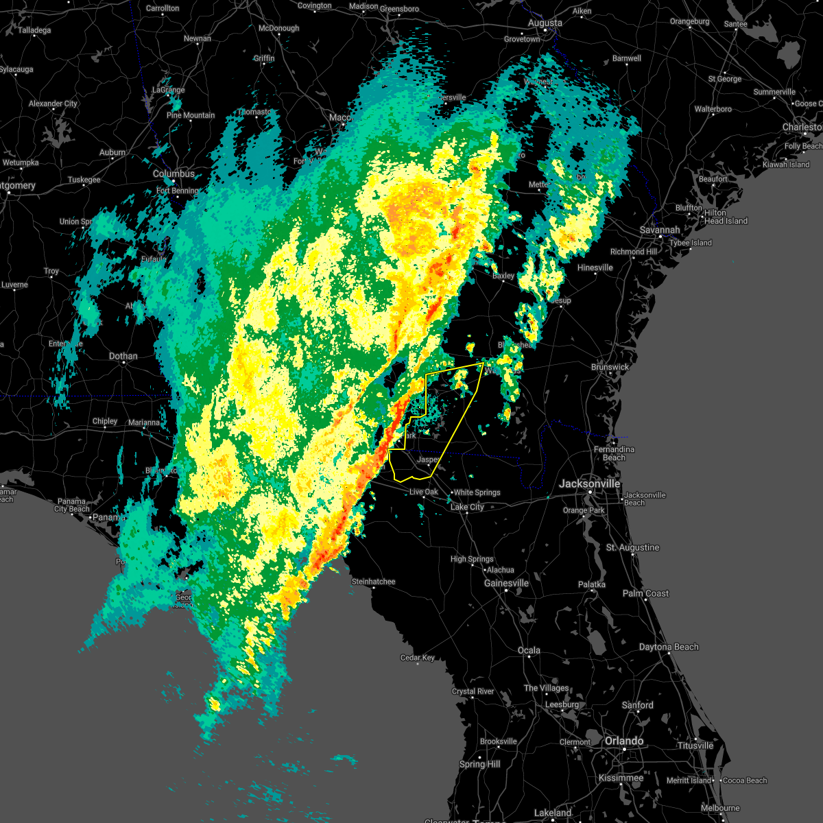 At 401 pm est, severe thunderstorms were located along a line extending from valdosta to 14 miles southwest of madison, moving east at 30 mph (radar indicated). Hazards include 60 mph wind gusts. expect damage to roofs, siding, and trees At 401 pm est, severe thunderstorms were located along a line extending from valdosta to 14 miles southwest of madison, moving east at 30 mph (radar indicated). Hazards include 60 mph wind gusts. expect damage to roofs, siding, and trees
|
| 11/30/2020 3:57 AM EST |
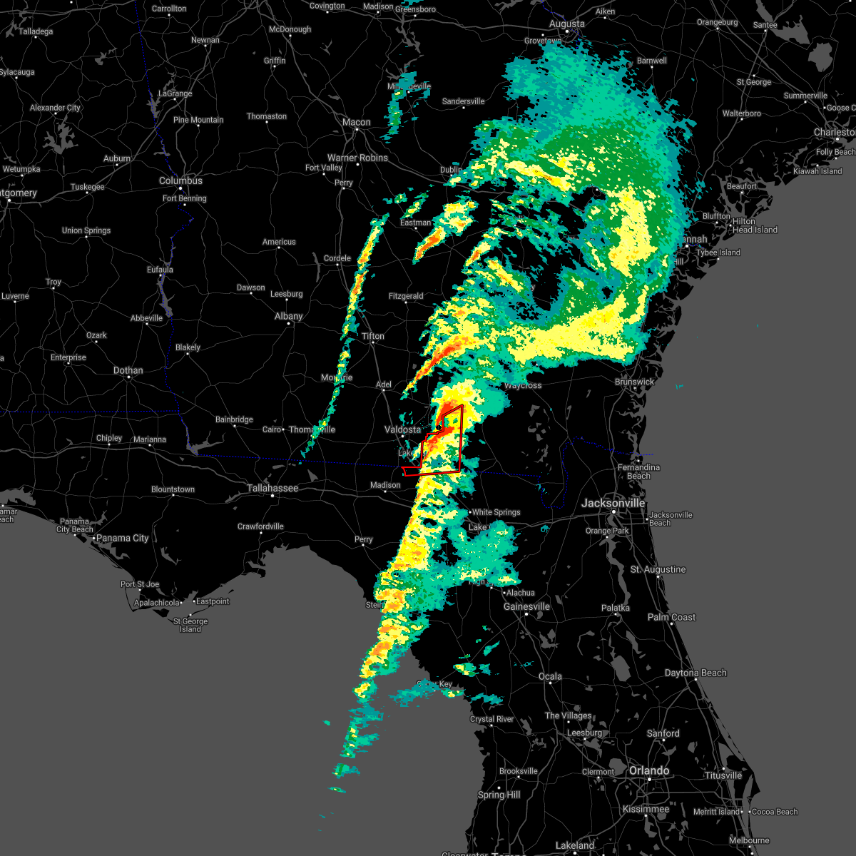 The tornado warning for northwestern hamilton, echols and west central clinch counties will expire at 400 am est, the storm which prompted the warning has moved out of the area. therefore, the warning will be allowed to expire. The tornado warning for northwestern hamilton, echols and west central clinch counties will expire at 400 am est, the storm which prompted the warning has moved out of the area. therefore, the warning will be allowed to expire.
|
| 11/30/2020 3:18 AM EST |
 At 318 am est, a tornado producing storm was located 12 miles north of madison, moving northeast at 45 mph (radar confirmed tornado). Hazards include damaging tornado. Flying debris will be dangerous to those caught without shelter. mobile homes will be damaged or destroyed. damage to roofs, windows, and vehicles will occur. tree damage is likely. this tornadic storm will be near, statenville around 350 am est. Mayday around 355 am est. At 318 am est, a tornado producing storm was located 12 miles north of madison, moving northeast at 45 mph (radar confirmed tornado). Hazards include damaging tornado. Flying debris will be dangerous to those caught without shelter. mobile homes will be damaged or destroyed. damage to roofs, windows, and vehicles will occur. tree damage is likely. this tornadic storm will be near, statenville around 350 am est. Mayday around 355 am est.
|
| 8/24/2020 7:15 PM EDT | Trees reported down near county road 152 between jennings and jasper. time of event based on rada in hamilton county FL, 4.4 miles NW of Jennings, FL |
| 8/24/2020 6:37 PM EDT |
 At 636 pm edt, a severe thunderstorm was located over crossroads, or near suwannee river state park, moving north at 30 mph (radar indicated). Hazards include 60 mph wind gusts. Expect damage to roofs, siding, and trees. Locations impacted include, jennings and crossroads. At 636 pm edt, a severe thunderstorm was located over crossroads, or near suwannee river state park, moving north at 30 mph (radar indicated). Hazards include 60 mph wind gusts. Expect damage to roofs, siding, and trees. Locations impacted include, jennings and crossroads.
|
| 8/24/2020 6:15 PM EDT | Trees reported down near county road 152 between jennings and jaspe in hamilton county FL, 4.4 miles NW of Jennings, FL |
| 8/24/2020 6:14 PM EDT |
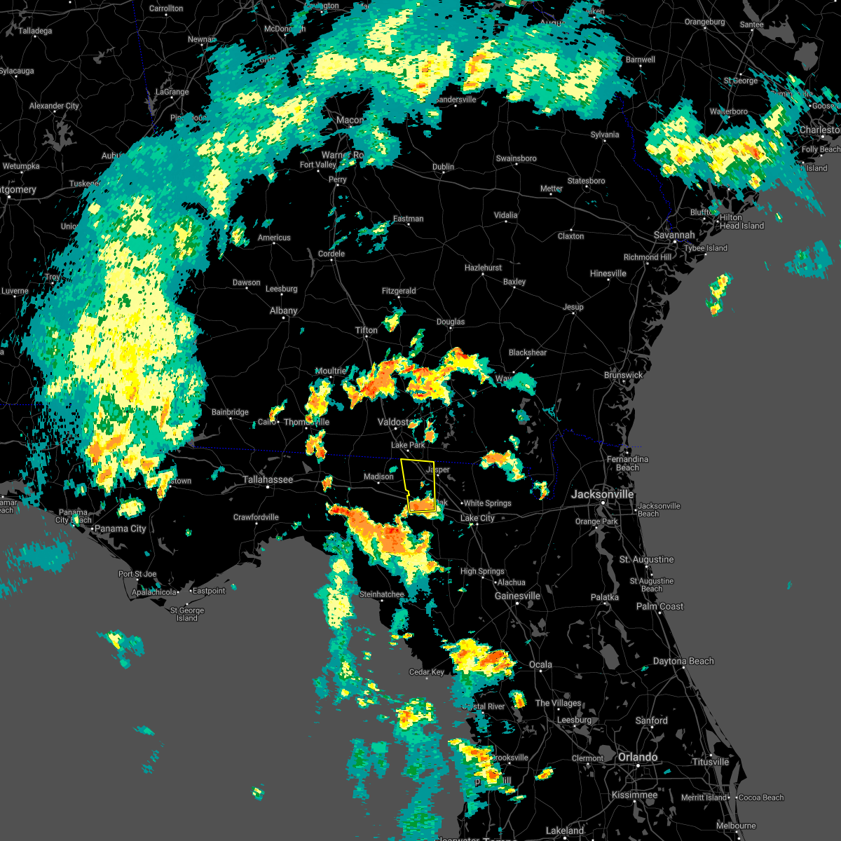 At 614 pm edt, a severe thunderstorm was located near live oak, moving north at 30 mph (radar indicated). Hazards include 60 mph wind gusts. expect damage to roofs, siding, and trees At 614 pm edt, a severe thunderstorm was located near live oak, moving north at 30 mph (radar indicated). Hazards include 60 mph wind gusts. expect damage to roofs, siding, and trees
|
| 7/25/2020 4:06 PM EDT |
 At 405 pm edt, a severe thunderstorm was located over jasper, moving west at 30 mph (radar indicated). Hazards include 60 mph wind gusts and quarter size hail. Hail damage to vehicles is expected. Expect wind damage to roofs, siding, and trees. At 405 pm edt, a severe thunderstorm was located over jasper, moving west at 30 mph (radar indicated). Hazards include 60 mph wind gusts and quarter size hail. Hail damage to vehicles is expected. Expect wind damage to roofs, siding, and trees.
|
| 6/30/2020 6:56 PM EDT |
 The severe thunderstorm warning for northeastern suwannee and hamilton counties will expire at 700 pm edt, the storm which prompted the warning has weakened below severe limits, and no longer poses an immediate threat to life or property. therefore, the warning will be allowed to expire. however small hail, gusty winds and heavy rain are still possible with this thunderstorm. The severe thunderstorm warning for northeastern suwannee and hamilton counties will expire at 700 pm edt, the storm which prompted the warning has weakened below severe limits, and no longer poses an immediate threat to life or property. therefore, the warning will be allowed to expire. however small hail, gusty winds and heavy rain are still possible with this thunderstorm.
|
| 6/30/2020 6:50 PM EDT |
 At 649 pm edt, a severe thunderstorm was located over jennings, moving southeast at 20 mph (radar indicated). Hazards include 60 mph wind gusts and nickel size hail. Expect damage to roofs, siding, and trees. Locations impacted include, live oak, jasper, jennings, suwannee springs, blue springs, crossroads and houston. At 649 pm edt, a severe thunderstorm was located over jennings, moving southeast at 20 mph (radar indicated). Hazards include 60 mph wind gusts and nickel size hail. Expect damage to roofs, siding, and trees. Locations impacted include, live oak, jasper, jennings, suwannee springs, blue springs, crossroads and houston.
|
| 6/30/2020 6:33 PM EDT |
 At 633 pm edt, a severe thunderstorm was located near lake park, moving southeast at 20 mph (radar indicated). Hazards include 60 mph wind gusts and nickel size hail. expect damage to roofs, siding, and trees At 633 pm edt, a severe thunderstorm was located near lake park, moving southeast at 20 mph (radar indicated). Hazards include 60 mph wind gusts and nickel size hail. expect damage to roofs, siding, and trees
|
| 4/23/2020 8:02 PM EDT |
 At 801 pm edt, severe thunderstorms were located along a line extending from near du pont to near jennings to near perry, moving east at 55 mph (radar indicated). Hazards include 60 mph wind gusts and quarter size hail. Hail damage to vehicles is expected. expect wind damage to roofs, siding, and trees. Locations impacted include, live oak, jasper, homerville, jennings, argyle, statenville, suwannee river state park, suwannee springs, du pont and mayday. At 801 pm edt, severe thunderstorms were located along a line extending from near du pont to near jennings to near perry, moving east at 55 mph (radar indicated). Hazards include 60 mph wind gusts and quarter size hail. Hail damage to vehicles is expected. expect wind damage to roofs, siding, and trees. Locations impacted include, live oak, jasper, homerville, jennings, argyle, statenville, suwannee river state park, suwannee springs, du pont and mayday.
|
| 4/23/2020 7:53 PM EDT | Report of multiple trees down bringing down a powerline and causing a small fire and covering a roadway near the intersection of nw county road 152 and nw 13th drive. t in hamilton county FL, 3.9 miles ENE of Jennings, FL |
| 4/23/2020 7:36 PM EDT |
 At 736 pm edt, severe thunderstorms were located along a line extending from near ray city to 16 miles west of perry, moving east at 45 mph (radar indicated). Hazards include 60 mph wind gusts and quarter size hail. Hail damage to vehicles is expected. Expect wind damage to roofs, siding, and trees. At 736 pm edt, severe thunderstorms were located along a line extending from near ray city to 16 miles west of perry, moving east at 45 mph (radar indicated). Hazards include 60 mph wind gusts and quarter size hail. Hail damage to vehicles is expected. Expect wind damage to roofs, siding, and trees.
|
| 4/13/2020 9:29 AM EDT |
 At 929 am edt, severe thunderstorms were located along a line extending from near jekyll island to 9 miles east of fargo, moving east at 60 mph (radar indicated). Hazards include 70 mph wind gusts and quarter size hail. Hail damage to vehicles is expected. expect considerable tree damage. wind damage is also likely to mobile homes, roofs, and outbuildings. locations impacted include, st. marys, kingsland, brunswick, st. Simons island, hilliard, folkston, woodbine, fargo, statenville and dock junction. At 929 am edt, severe thunderstorms were located along a line extending from near jekyll island to 9 miles east of fargo, moving east at 60 mph (radar indicated). Hazards include 70 mph wind gusts and quarter size hail. Hail damage to vehicles is expected. expect considerable tree damage. wind damage is also likely to mobile homes, roofs, and outbuildings. locations impacted include, st. marys, kingsland, brunswick, st. Simons island, hilliard, folkston, woodbine, fargo, statenville and dock junction.
|
| 4/13/2020 9:15 AM EDT |
 At 915 am edt, severe thunderstorms were located along a line extending from 6 miles west of dowling park to near belmont, moving east at 65 mph (radar indicated). Hazards include 60 mph wind gusts. expect damage to roofs, siding, and trees At 915 am edt, severe thunderstorms were located along a line extending from 6 miles west of dowling park to near belmont, moving east at 65 mph (radar indicated). Hazards include 60 mph wind gusts. expect damage to roofs, siding, and trees
|
| 4/13/2020 9:11 AM EDT |
 The severe thunderstorm warning for northern hamilton, echols, brantley, central ware, southern clinch and northern charlton counties will expire at 915 am edt, the storms which prompted the warning have moved out of the area. remember, a severe thunderstorm warning still remains in effect for echols, southern clinch, ware, charlton, and parts of brantley counties. The severe thunderstorm warning for northern hamilton, echols, brantley, central ware, southern clinch and northern charlton counties will expire at 915 am edt, the storms which prompted the warning have moved out of the area. remember, a severe thunderstorm warning still remains in effect for echols, southern clinch, ware, charlton, and parts of brantley counties.
|
| 4/13/2020 9:08 AM EDT |
 At 908 am edt, severe thunderstorms were located along a line extending from 6 miles west of woodbine to near needmore, moving east at 60 mph (radar indicated). Hazards include 70 mph wind gusts and quarter size hail. Hail damage to vehicles is expected. expect considerable tree damage. Wind damage is also likely to mobile homes, roofs, and outbuildings. At 908 am edt, severe thunderstorms were located along a line extending from 6 miles west of woodbine to near needmore, moving east at 60 mph (radar indicated). Hazards include 70 mph wind gusts and quarter size hail. Hail damage to vehicles is expected. expect considerable tree damage. Wind damage is also likely to mobile homes, roofs, and outbuildings.
|
| 4/13/2020 8:54 AM EDT |
 At 854 am edt, severe thunderstorms were located along a line extending from near gardi to near fort mudge to du pont, moving northeast at 40 mph (radar indicated). Hazards include 70 mph wind gusts and quarter size hail. Hail damage to vehicles is expected. expect considerable tree damage. wind damage is also likely to mobile homes, roofs, and outbuildings. Locations impacted include, folkston, nahunta, fargo, statenville, stephen foster state park, homeland, hickox, mayday, raybon and race pond. At 854 am edt, severe thunderstorms were located along a line extending from near gardi to near fort mudge to du pont, moving northeast at 40 mph (radar indicated). Hazards include 70 mph wind gusts and quarter size hail. Hail damage to vehicles is expected. expect considerable tree damage. wind damage is also likely to mobile homes, roofs, and outbuildings. Locations impacted include, folkston, nahunta, fargo, statenville, stephen foster state park, homeland, hickox, mayday, raybon and race pond.
|
| 4/13/2020 8:35 AM EDT |
 At 835 am edt, severe thunderstorms were located along a line extending from near needmore to near jasper to 12 miles west of dowling park, moving northeast at 65 mph (radar indicated). Hazards include 60 mph wind gusts. expect damage to roofs, siding, and trees At 835 am edt, severe thunderstorms were located along a line extending from near needmore to near jasper to 12 miles west of dowling park, moving northeast at 65 mph (radar indicated). Hazards include 60 mph wind gusts. expect damage to roofs, siding, and trees
|
| 4/13/2020 8:28 AM EDT |
 At 828 am edt, severe thunderstorms were located along a line extending from near patterson to 9 miles south of boggy bay to near mayday, moving northeast at 40 mph (radar indicated). Hazards include 70 mph wind gusts and quarter size hail. Hail damage to vehicles is expected. expect considerable tree damage. wind damage is also likely to mobile homes, roofs, and outbuildings. Locations impacted include, waycross, folkston, homerville, nahunta, fargo, argyle, statenville, stephen foster state park, homeland and du pont. At 828 am edt, severe thunderstorms were located along a line extending from near patterson to 9 miles south of boggy bay to near mayday, moving northeast at 40 mph (radar indicated). Hazards include 70 mph wind gusts and quarter size hail. Hail damage to vehicles is expected. expect considerable tree damage. wind damage is also likely to mobile homes, roofs, and outbuildings. Locations impacted include, waycross, folkston, homerville, nahunta, fargo, argyle, statenville, stephen foster state park, homeland and du pont.
|
| 4/13/2020 8:12 AM EDT |
 At 812 am edt, severe thunderstorms were located along a line extending from near blackshear to 9 miles south of manor to near lake park, moving northeast at 40 mph (radar indicated). Hazards include 60 mph wind gusts. expect damage to roofs, siding, and trees At 812 am edt, severe thunderstorms were located along a line extending from near blackshear to 9 miles south of manor to near lake park, moving northeast at 40 mph (radar indicated). Hazards include 60 mph wind gusts. expect damage to roofs, siding, and trees
|
| 4/13/2020 8:01 AM EDT |
 At 801 am edt, severe thunderstorms were located along a line extending from 6 miles northeast of fort mudge to 7 miles southwest of i-75 at exit 16, moving east at 30 mph (radar indicated). Hazards include 60 mph wind gusts. Expect damage to roofs, siding, and trees. Locations impacted include, waycross, blackshear, homerville, nahunta, jennings, argyle, statenville, du pont, boggy bay and mayday. At 801 am edt, severe thunderstorms were located along a line extending from 6 miles northeast of fort mudge to 7 miles southwest of i-75 at exit 16, moving east at 30 mph (radar indicated). Hazards include 60 mph wind gusts. Expect damage to roofs, siding, and trees. Locations impacted include, waycross, blackshear, homerville, nahunta, jennings, argyle, statenville, du pont, boggy bay and mayday.
|
| 4/13/2020 7:52 AM EDT |
 At 752 am edt, severe thunderstorms were located along a line extending from near blackshear to 8 miles southeast of quitman, moving east at 30 mph (radar indicated). Hazards include 60 mph wind gusts. Expect damage to roofs, siding, and trees. Locations impacted include, waycross, blackshear, homerville, nahunta, jennings, argyle, statenville, du pont, boggy bay and mayday. At 752 am edt, severe thunderstorms were located along a line extending from near blackshear to 8 miles southeast of quitman, moving east at 30 mph (radar indicated). Hazards include 60 mph wind gusts. Expect damage to roofs, siding, and trees. Locations impacted include, waycross, blackshear, homerville, nahunta, jennings, argyle, statenville, du pont, boggy bay and mayday.
|
| 4/13/2020 7:20 AM EDT |
 At 719 am edt, severe thunderstorms were located along a line extending from near pebble hill to near quitman, moving east at 25 mph (radar indicated). Hazards include 60 mph wind gusts. expect damage to roofs, siding, and trees At 719 am edt, severe thunderstorms were located along a line extending from near pebble hill to near quitman, moving east at 25 mph (radar indicated). Hazards include 60 mph wind gusts. expect damage to roofs, siding, and trees
|
| 3/31/2020 4:43 PM EDT |
 At 443 pm edt, a severe thunderstorm capable of producing a tornado was located 9 miles south of madison, moving east at 55 mph (radar indicated rotation). Hazards include tornado. Flying debris will be dangerous to those caught without shelter. mobile homes will be damaged or destroyed. damage to roofs, windows, and vehicles will occur. tree damage is likely. this dangerous storm will be near, suwannee river state park around 500 pm edt. Other locations impacted by this tornadic thunderstorm include newburn. At 443 pm edt, a severe thunderstorm capable of producing a tornado was located 9 miles south of madison, moving east at 55 mph (radar indicated rotation). Hazards include tornado. Flying debris will be dangerous to those caught without shelter. mobile homes will be damaged or destroyed. damage to roofs, windows, and vehicles will occur. tree damage is likely. this dangerous storm will be near, suwannee river state park around 500 pm edt. Other locations impacted by this tornadic thunderstorm include newburn.
|
| 2/6/2020 8:00 PM EST |
 At 759 pm est, severe thunderstorms were located along a line extending from near jennings to 8 miles south of perry, moving east at 25 mph (radar indicated). Hazards include 60 to 70 mph wind gusts. Expect considerable tree damage. Damage is likely to mobile homes, roofs, and outbuildings. At 759 pm est, severe thunderstorms were located along a line extending from near jennings to 8 miles south of perry, moving east at 25 mph (radar indicated). Hazards include 60 to 70 mph wind gusts. Expect considerable tree damage. Damage is likely to mobile homes, roofs, and outbuildings.
|
| 2/6/2020 7:20 PM EST |
 At 720 pm est, severe thunderstorms were located along a line extending from near jennings to near perry, moving east at 15 mph (radar indicated). Hazards include 70 mph wind gusts. Expect considerable tree damage. damage is likely to mobile homes, roofs, and outbuildings. Locations impacted include, jasper, jennings, suwannee river state park, dowling park, blue springs, crossroads and newburn. At 720 pm est, severe thunderstorms were located along a line extending from near jennings to near perry, moving east at 15 mph (radar indicated). Hazards include 70 mph wind gusts. Expect considerable tree damage. damage is likely to mobile homes, roofs, and outbuildings. Locations impacted include, jasper, jennings, suwannee river state park, dowling park, blue springs, crossroads and newburn.
|
| 2/6/2020 7:18 PM EST |
 At 718 pm est, a severe thunderstorm was located near lake park, moving northeast at 30 mph (radar indicated). Hazards include 70 mph wind gusts. Expect considerable tree damage. Damage is likely to mobile homes, roofs, and outbuildings. At 718 pm est, a severe thunderstorm was located near lake park, moving northeast at 30 mph (radar indicated). Hazards include 70 mph wind gusts. Expect considerable tree damage. Damage is likely to mobile homes, roofs, and outbuildings.
|
| 2/6/2020 7:04 PM EST |
 At 703 pm est, severe thunderstorms were located along a line extending from near lake park to near perry, moving east at 15 to 20 mph. the line is expected to increase in forward speed over the next hour (radar indicated). Hazards include 60 mph wind gusts. expect damage to roofs, siding, and trees At 703 pm est, severe thunderstorms were located along a line extending from near lake park to near perry, moving east at 15 to 20 mph. the line is expected to increase in forward speed over the next hour (radar indicated). Hazards include 60 mph wind gusts. expect damage to roofs, siding, and trees
|
| 6/24/2019 8:13 PM EDT |
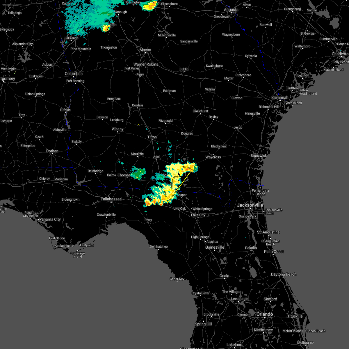 The severe thunderstorm warning for northwestern hamilton, western echols and west central clinch counties will expire at 815 pm edt, the storm which prompted the warning has weakened below severe limits, and no longer poses an immediate threat to life or property. therefore, the warning will be allowed to expire. however gusty winds are still possible with this thunderstorm. The severe thunderstorm warning for northwestern hamilton, western echols and west central clinch counties will expire at 815 pm edt, the storm which prompted the warning has weakened below severe limits, and no longer poses an immediate threat to life or property. therefore, the warning will be allowed to expire. however gusty winds are still possible with this thunderstorm.
|
| 6/24/2019 7:59 PM EDT |
 At 759 pm edt, a severe thunderstorm was located near mayday, or 11 miles south of lakeland, moving east at 30 mph (radar indicated). Hazards include 60 mph wind gusts. Expect damage to roofs, siding, and trees. Locations impacted include, jennings, statenville, du pont, blue springs and mayday. At 759 pm edt, a severe thunderstorm was located near mayday, or 11 miles south of lakeland, moving east at 30 mph (radar indicated). Hazards include 60 mph wind gusts. Expect damage to roofs, siding, and trees. Locations impacted include, jennings, statenville, du pont, blue springs and mayday.
|
| 6/24/2019 7:59 PM EDT |
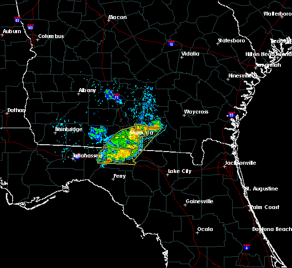 At 759 pm edt, a severe thunderstorm was located near mayday, or 11 miles south of lakeland, moving east at 30 mph (radar indicated). Hazards include 60 mph wind gusts. Expect damage to roofs, siding, and trees. Locations impacted include, jennings, statenville, du pont, blue springs and mayday. At 759 pm edt, a severe thunderstorm was located near mayday, or 11 miles south of lakeland, moving east at 30 mph (radar indicated). Hazards include 60 mph wind gusts. Expect damage to roofs, siding, and trees. Locations impacted include, jennings, statenville, du pont, blue springs and mayday.
|
| 6/24/2019 7:46 PM EDT |
 At 746 pm edt, a severe thunderstorm was located near valdosta, moving east at 30 mph (radar indicated). Hazards include 60 mph wind gusts. expect damage to roofs, siding, and trees At 746 pm edt, a severe thunderstorm was located near valdosta, moving east at 30 mph (radar indicated). Hazards include 60 mph wind gusts. expect damage to roofs, siding, and trees
|
| 6/24/2019 7:46 PM EDT |
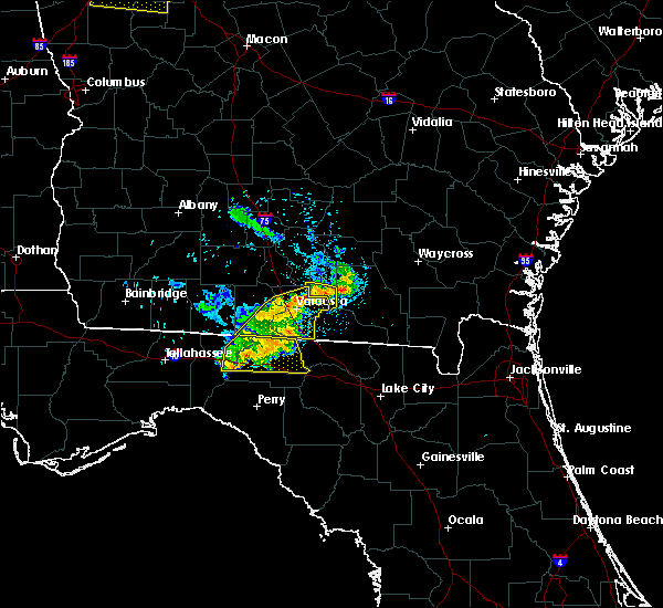 At 746 pm edt, a severe thunderstorm was located near valdosta, moving east at 30 mph (radar indicated). Hazards include 60 mph wind gusts. expect damage to roofs, siding, and trees At 746 pm edt, a severe thunderstorm was located near valdosta, moving east at 30 mph (radar indicated). Hazards include 60 mph wind gusts. expect damage to roofs, siding, and trees
|
| 4/19/2019 10:22 AM EDT |
 The severe thunderstorm warning for northwestern suwannee, central hamilton and western echols counties will expire at 1030 am edt, the storms which prompted the warning have moved out of the area. therefore, the warning will be allowed to expire. however gusty winds are still possible with these thunderstorms. a tornado watch remains in effect until 400 pm edt for northern florida, and southeastern georgia. The severe thunderstorm warning for northwestern suwannee, central hamilton and western echols counties will expire at 1030 am edt, the storms which prompted the warning have moved out of the area. therefore, the warning will be allowed to expire. however gusty winds are still possible with these thunderstorms. a tornado watch remains in effect until 400 pm edt for northern florida, and southeastern georgia.
|
| 4/19/2019 10:03 AM EDT |
 At 1002 am edt, severe thunderstorms were located along a line extending from near mayday to live oak, moving northeast at 50 mph (radar indicated). Hazards include 70 mph wind gusts. Expect considerable tree damage. damage is likely to mobile homes, roofs, and outbuildings. Locations impacted include, live oak, jasper, jennings, suwannee springs, statenville, mayday, crossroads and newburn. At 1002 am edt, severe thunderstorms were located along a line extending from near mayday to live oak, moving northeast at 50 mph (radar indicated). Hazards include 70 mph wind gusts. Expect considerable tree damage. damage is likely to mobile homes, roofs, and outbuildings. Locations impacted include, live oak, jasper, jennings, suwannee springs, statenville, mayday, crossroads and newburn.
|
| 4/19/2019 9:50 AM EDT | Hamilton county 911/dispatch reports numerous trees downed across the western portion of the count in hamilton county FL, 0.3 miles ENE of Jennings, FL |
| 4/19/2019 9:43 AM EDT |
 At 943 am edt, severe thunderstorms were located along a line extending from near lake park to near luraville, moving northeast at 45 mph (radar indicated). Hazards include 60 mph wind gusts. expect damage to roofs, siding, and trees At 943 am edt, severe thunderstorms were located along a line extending from near lake park to near luraville, moving northeast at 45 mph (radar indicated). Hazards include 60 mph wind gusts. expect damage to roofs, siding, and trees
|
| 12/3/2018 4:08 AM EST |
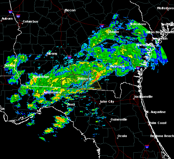 The severe thunderstorm warning for north central hamilton, echols and northwestern clinch counties will expire at 415 am est, the storm which prompted the warning has weakened below severe limits, and no longer poses an immediate threat to life or property. therefore, the warning will be allowed to expire. however gusty winds are still possible with this thunderstorm. to report severe weather, contact your nearest law enforcement agency. they will relay your report to the national weather service jacksonville. The severe thunderstorm warning for north central hamilton, echols and northwestern clinch counties will expire at 415 am est, the storm which prompted the warning has weakened below severe limits, and no longer poses an immediate threat to life or property. therefore, the warning will be allowed to expire. however gusty winds are still possible with this thunderstorm. to report severe weather, contact your nearest law enforcement agency. they will relay your report to the national weather service jacksonville.
|
| 12/3/2018 3:47 AM EST |
 At 347 am est, a severe thunderstorm was located near mayday, or 12 miles northeast of statenville, moving east at 30 mph (radar indicated). Hazards include 60 mph wind gusts. expect damage to roofs, siding, and trees At 347 am est, a severe thunderstorm was located near mayday, or 12 miles northeast of statenville, moving east at 30 mph (radar indicated). Hazards include 60 mph wind gusts. expect damage to roofs, siding, and trees
|
| 12/3/2018 3:47 AM EST |
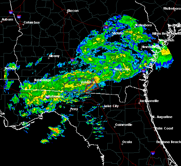 At 347 am est, a severe thunderstorm was located near mayday, or 12 miles northeast of statenville, moving east at 30 mph (radar indicated). Hazards include 60 mph wind gusts. expect damage to roofs, siding, and trees At 347 am est, a severe thunderstorm was located near mayday, or 12 miles northeast of statenville, moving east at 30 mph (radar indicated). Hazards include 60 mph wind gusts. expect damage to roofs, siding, and trees
|
| 7/22/2018 6:58 PM EDT |
 At 658 pm edt, severe thunderstorms were located along a line extending from near blue springs to near suwannee river state park, moving southeast at 20 mph (radar indicated). Hazards include 60 mph wind gusts and quarter size hail. Hail damage to vehicles is expected. Expect wind damage to roofs, siding, and trees. At 658 pm edt, severe thunderstorms were located along a line extending from near blue springs to near suwannee river state park, moving southeast at 20 mph (radar indicated). Hazards include 60 mph wind gusts and quarter size hail. Hail damage to vehicles is expected. Expect wind damage to roofs, siding, and trees.
|
| 7/21/2018 2:00 PM EDT |
 At 200 pm edt, a severe thunderstorm was located near crossroads, or near suwannee river state park, moving southeast at 35 mph (radar indicated). Hazards include 60 mph wind gusts. expect damage to roofs, siding, and trees At 200 pm edt, a severe thunderstorm was located near crossroads, or near suwannee river state park, moving southeast at 35 mph (radar indicated). Hazards include 60 mph wind gusts. expect damage to roofs, siding, and trees
|
| 6/2/2018 4:31 PM EDT |
 At 430 pm edt, severe thunderstorms were located along a line extending from 9 miles southwest of needmore to near blue springs, moving east near 35 mph (radar indicated). Hazards include 60 mph wind gusts. Expect damage to roofs, siding, and trees. Locations impacted include, jasper, jennings, suwannee springs, suwannee river state park, belmont, blue springs, crossroads, dowling park and newburn. At 430 pm edt, severe thunderstorms were located along a line extending from 9 miles southwest of needmore to near blue springs, moving east near 35 mph (radar indicated). Hazards include 60 mph wind gusts. Expect damage to roofs, siding, and trees. Locations impacted include, jasper, jennings, suwannee springs, suwannee river state park, belmont, blue springs, crossroads, dowling park and newburn.
|
| 6/2/2018 4:02 PM EDT |
 At 401 pm edt, severe thunderstorms were located along a line extending from statenville to 14 miles west of madison, moving southeast near 30 mph (radar indicated). Hazards include 60 mph wind gusts. expect damage to roofs, siding, and trees At 401 pm edt, severe thunderstorms were located along a line extending from statenville to 14 miles west of madison, moving southeast near 30 mph (radar indicated). Hazards include 60 mph wind gusts. expect damage to roofs, siding, and trees
|
| 4/15/2018 10:59 AM EDT |
 At 1033 am edt, severe thunderstorms were located along a line extending from near lakeland to mayday to 6 miles southwest of mayo, moving northeast at 55 mph (radar indicated). Hazards include 60 mph wind gusts. Expect damage to roofs, siding, and trees. locations impacted include, live oak, jasper, homerville, jennings, statenville, suwannee river state park, suwannee springs, du pont, mayday and crossroads. A tornado watch remains in effect until 600 pm edt for northern florida, and southeastern georgia. At 1033 am edt, severe thunderstorms were located along a line extending from near lakeland to mayday to 6 miles southwest of mayo, moving northeast at 55 mph (radar indicated). Hazards include 60 mph wind gusts. Expect damage to roofs, siding, and trees. locations impacted include, live oak, jasper, homerville, jennings, statenville, suwannee river state park, suwannee springs, du pont, mayday and crossroads. A tornado watch remains in effect until 600 pm edt for northern florida, and southeastern georgia.
|
| 4/15/2018 10:33 AM EDT |
 At 1033 am edt, severe thunderstorms were located along a line extending from near lakeland to mayday to 6 miles southwest of mayo, moving northeast at 55 mph (radar indicated). Hazards include 60 mph wind gusts. Expect damage to roofs, siding, and trees. locations impacted include, live oak, jasper, homerville, jennings, statenville, suwannee river state park, suwannee springs, du pont, mayday and crossroads. A tornado watch remains in effect until 600 pm edt for northern florida, and southeastern georgia. At 1033 am edt, severe thunderstorms were located along a line extending from near lakeland to mayday to 6 miles southwest of mayo, moving northeast at 55 mph (radar indicated). Hazards include 60 mph wind gusts. Expect damage to roofs, siding, and trees. locations impacted include, live oak, jasper, homerville, jennings, statenville, suwannee river state park, suwannee springs, du pont, mayday and crossroads. A tornado watch remains in effect until 600 pm edt for northern florida, and southeastern georgia.
|
| 4/15/2018 10:09 AM EDT |
 At 1009 am edt, severe thunderstorms were located along a line extending from near valdosta to 7 miles northwest of blue springs to 7 miles east of perry, moving northeast at 40 mph (radar indicated). Hazards include 60 mph wind gusts. expect damage to roofs, siding, and trees At 1009 am edt, severe thunderstorms were located along a line extending from near valdosta to 7 miles northwest of blue springs to 7 miles east of perry, moving northeast at 40 mph (radar indicated). Hazards include 60 mph wind gusts. expect damage to roofs, siding, and trees
|
| 7/13/2017 4:10 PM EDT | Hamilton county 911/dispatch reports a tree downed by strong wind gusts along hamilton avenue in jennings. time of damage based on radar dat in hamilton county FL, 0.3 miles ENE of Jennings, FL |
| 7/13/2017 4:05 PM EDT | Hamilton county 911/dispatch reports a tree downed by strong wind gusts in jennings. time of damage based on radar dat in hamilton county FL, 0.3 miles WNW of Jennings, FL |
| 7/13/2017 3:58 PM EDT |
 The national weather service in jacksonville has issued a * severe thunderstorm warning for. northwestern suwannee county in northern florida. northwestern hamilton county in northern florida. western echols county in southeastern georgia. West central clinch county in southeastern georgia. The national weather service in jacksonville has issued a * severe thunderstorm warning for. northwestern suwannee county in northern florida. northwestern hamilton county in northern florida. western echols county in southeastern georgia. West central clinch county in southeastern georgia.
|
| 6/17/2017 2:56 PM EDT | Central dispatch reported a tree down at nw 23rd blvd and nw 26 lan in hamilton county FL, 7.4 miles ENE of Jennings, FL |
| 6/17/2017 2:38 PM EDT | Central dispatch reported a tree down at 152 lake alcyon in hamilton county FL, 8.7 miles E of Jennings, FL |
| 5/24/2017 10:47 AM EDT |
 At 1047 am edt, severe thunderstorms were located along a line extending from near dowling park to near ichetucknee spring, moving northeast at 35 mph (radar indicated). Hazards include 60 mph wind gusts. expect damage to roofs, siding, and trees At 1047 am edt, severe thunderstorms were located along a line extending from near dowling park to near ichetucknee spring, moving northeast at 35 mph (radar indicated). Hazards include 60 mph wind gusts. expect damage to roofs, siding, and trees
|
| 5/23/2017 3:00 PM EDT |
 At 259 pm edt, a severe thunderstorm capable of producing a tornado was located over blue springs, or 7 miles northwest of suwannee river state park, moving northeast at 40 mph (radar indicated rotation). Hazards include tornado and quarter size hail. Flying debris will be dangerous to those caught without shelter. mobile homes will be damaged or destroyed. damage to roofs, windows, and vehicles will occur. tree damage is likely. this dangerous storm will be near, crossroads around 310 pm edt. jennings around 315 pm edt. Jasper and statenville around 325 pm edt. At 259 pm edt, a severe thunderstorm capable of producing a tornado was located over blue springs, or 7 miles northwest of suwannee river state park, moving northeast at 40 mph (radar indicated rotation). Hazards include tornado and quarter size hail. Flying debris will be dangerous to those caught without shelter. mobile homes will be damaged or destroyed. damage to roofs, windows, and vehicles will occur. tree damage is likely. this dangerous storm will be near, crossroads around 310 pm edt. jennings around 315 pm edt. Jasper and statenville around 325 pm edt.
|
| 5/23/2017 3:00 PM EDT |
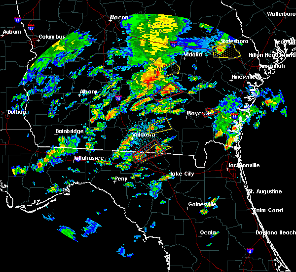 At 259 pm edt, a severe thunderstorm capable of producing a tornado was located over blue springs, or 7 miles northwest of suwannee river state park, moving northeast at 40 mph (radar indicated rotation). Hazards include tornado and quarter size hail. Flying debris will be dangerous to those caught without shelter. mobile homes will be damaged or destroyed. damage to roofs, windows, and vehicles will occur. tree damage is likely. this dangerous storm will be near, crossroads around 310 pm edt. jennings around 315 pm edt. Jasper and statenville around 325 pm edt. At 259 pm edt, a severe thunderstorm capable of producing a tornado was located over blue springs, or 7 miles northwest of suwannee river state park, moving northeast at 40 mph (radar indicated rotation). Hazards include tornado and quarter size hail. Flying debris will be dangerous to those caught without shelter. mobile homes will be damaged or destroyed. damage to roofs, windows, and vehicles will occur. tree damage is likely. this dangerous storm will be near, crossroads around 310 pm edt. jennings around 315 pm edt. Jasper and statenville around 325 pm edt.
|
| 4/3/2017 8:46 PM EDT |
 At 845 pm edt, a severe thunderstorm was located near suwannee river state park, moving east at 45 mph (radar indicated). Hazards include 60 mph wind gusts and quarter size hail. Hail damage to vehicles is expected. expect wind damage to roofs, siding, and trees. Locations impacted include, live oak, jasper, jennings, white springs, suwannee springs, suwannee river state park, dowling park, blue springs, crossroads and newburn. At 845 pm edt, a severe thunderstorm was located near suwannee river state park, moving east at 45 mph (radar indicated). Hazards include 60 mph wind gusts and quarter size hail. Hail damage to vehicles is expected. expect wind damage to roofs, siding, and trees. Locations impacted include, live oak, jasper, jennings, white springs, suwannee springs, suwannee river state park, dowling park, blue springs, crossroads and newburn.
|
| 4/3/2017 8:34 PM EDT |
 At 834 pm edt, a severe thunderstorm was located near dowling park, or 8 miles southwest of suwannee river state park, moving northeast at 45 mph (radar indicated). Hazards include 60 mph wind gusts and quarter size hail. Hail damage to vehicles is expected. Expect wind damage to roofs, siding, and trees. At 834 pm edt, a severe thunderstorm was located near dowling park, or 8 miles southwest of suwannee river state park, moving northeast at 45 mph (radar indicated). Hazards include 60 mph wind gusts and quarter size hail. Hail damage to vehicles is expected. Expect wind damage to roofs, siding, and trees.
|
| 2/7/2017 8:43 PM EST |
 The severe thunderstorm warning for echols. clinch. coffee and atkinson counties will expire at 845 pm est. the storms which prompted the warning have weakened below severe limits, and no longer pose an immediate threat to life or property. therefore the warning will be allowed to expire. However gusty winds are still possible with these thunderstorms. The severe thunderstorm warning for echols. clinch. coffee and atkinson counties will expire at 845 pm est. the storms which prompted the warning have weakened below severe limits, and no longer pose an immediate threat to life or property. therefore the warning will be allowed to expire. However gusty winds are still possible with these thunderstorms.
|
| 2/7/2017 8:32 PM EST |
 At 832 pm est, severe thunderstorms were located along a line extending from 6 miles east of willacoochee to near du pont to near jennings, moving east at 50 mph (radar indicated). Hazards include 60 mph wind gusts. Expect damage to roofs, siding, and trees. Locations impacted include, douglas, homerville, pearson, broxton, ambrose, argyle, statenville, nicholls, du pont and mayday. At 832 pm est, severe thunderstorms were located along a line extending from 6 miles east of willacoochee to near du pont to near jennings, moving east at 50 mph (radar indicated). Hazards include 60 mph wind gusts. Expect damage to roofs, siding, and trees. Locations impacted include, douglas, homerville, pearson, broxton, ambrose, argyle, statenville, nicholls, du pont and mayday.
|
| 2/7/2017 8:04 PM EST |
 At 802 pm est, severe thunderstorms were located along a line extending from near alapaha to moody air force base to near madison, moving east at 45 mph (radar indicated). Hazards include 60 mph wind gusts. expect damage to roofs, siding, and trees At 802 pm est, severe thunderstorms were located along a line extending from near alapaha to moody air force base to near madison, moving east at 45 mph (radar indicated). Hazards include 60 mph wind gusts. expect damage to roofs, siding, and trees
|
| 1/22/2017 5:09 PM EST |
 At 509 pm est, severe thunderstorms were located along a line extending from near mayday to near suwannee springs to 6 miles west of mayo, moving northeast at 55 mph (radar indicated). Hazards include 60 mph wind gusts and quarter size hail. Hail damage to vehicles is expected. Expect wind damage to roofs, siding, and trees. At 509 pm est, severe thunderstorms were located along a line extending from near mayday to near suwannee springs to 6 miles west of mayo, moving northeast at 55 mph (radar indicated). Hazards include 60 mph wind gusts and quarter size hail. Hail damage to vehicles is expected. Expect wind damage to roofs, siding, and trees.
|
| 1/22/2017 9:59 AM EST |
 At 958 am est, severe thunderstorms were located along a line extending from near jennings to 8 miles north of needmore, moving northeast at 40 mph (radar indicated). Hazards include 60 mph wind gusts. expect damage to roofs, siding, and trees At 958 am est, severe thunderstorms were located along a line extending from near jennings to 8 miles north of needmore, moving northeast at 40 mph (radar indicated). Hazards include 60 mph wind gusts. expect damage to roofs, siding, and trees
|
| 1/22/2017 9:28 AM EST |
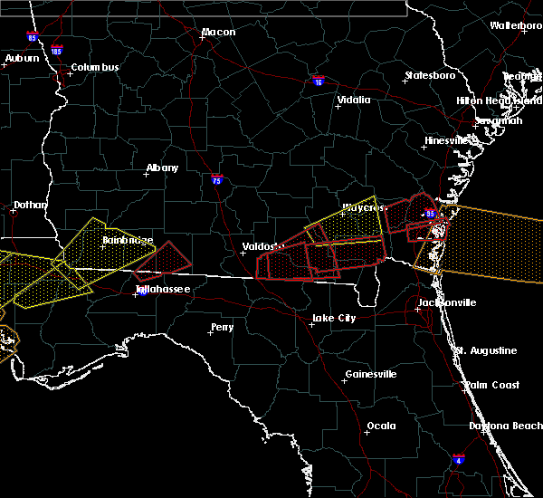 At 928 am est, a severe thunderstorm capable of producing a tornado was located over statenville, moving east at 45 mph (radar indicated rotation). Hazards include tornado. Flying debris will be dangerous to those caught without shelter. mobile homes will be damaged or destroyed. damage to roofs, windows, and vehicles will occur. tree damage is likely. This dangerous storm will be near, mayday around 935 am est. At 928 am est, a severe thunderstorm capable of producing a tornado was located over statenville, moving east at 45 mph (radar indicated rotation). Hazards include tornado. Flying debris will be dangerous to those caught without shelter. mobile homes will be damaged or destroyed. damage to roofs, windows, and vehicles will occur. tree damage is likely. This dangerous storm will be near, mayday around 935 am est.
|
| 8/14/2016 7:26 PM EDT |
 The severe thunderstorm warning for northwestern hamilton and southwestern echols counties will expire at 730 pm edt, the storm which prompted the warning has weakened below severe limits, and no longer pose an immediate threat to life or property. therefore, the warning will be allowed to expire. however heavy rain is still possible with this thunderstorm. The severe thunderstorm warning for northwestern hamilton and southwestern echols counties will expire at 730 pm edt, the storm which prompted the warning has weakened below severe limits, and no longer pose an immediate threat to life or property. therefore, the warning will be allowed to expire. however heavy rain is still possible with this thunderstorm.
|
| 8/14/2016 7:26 PM EDT |
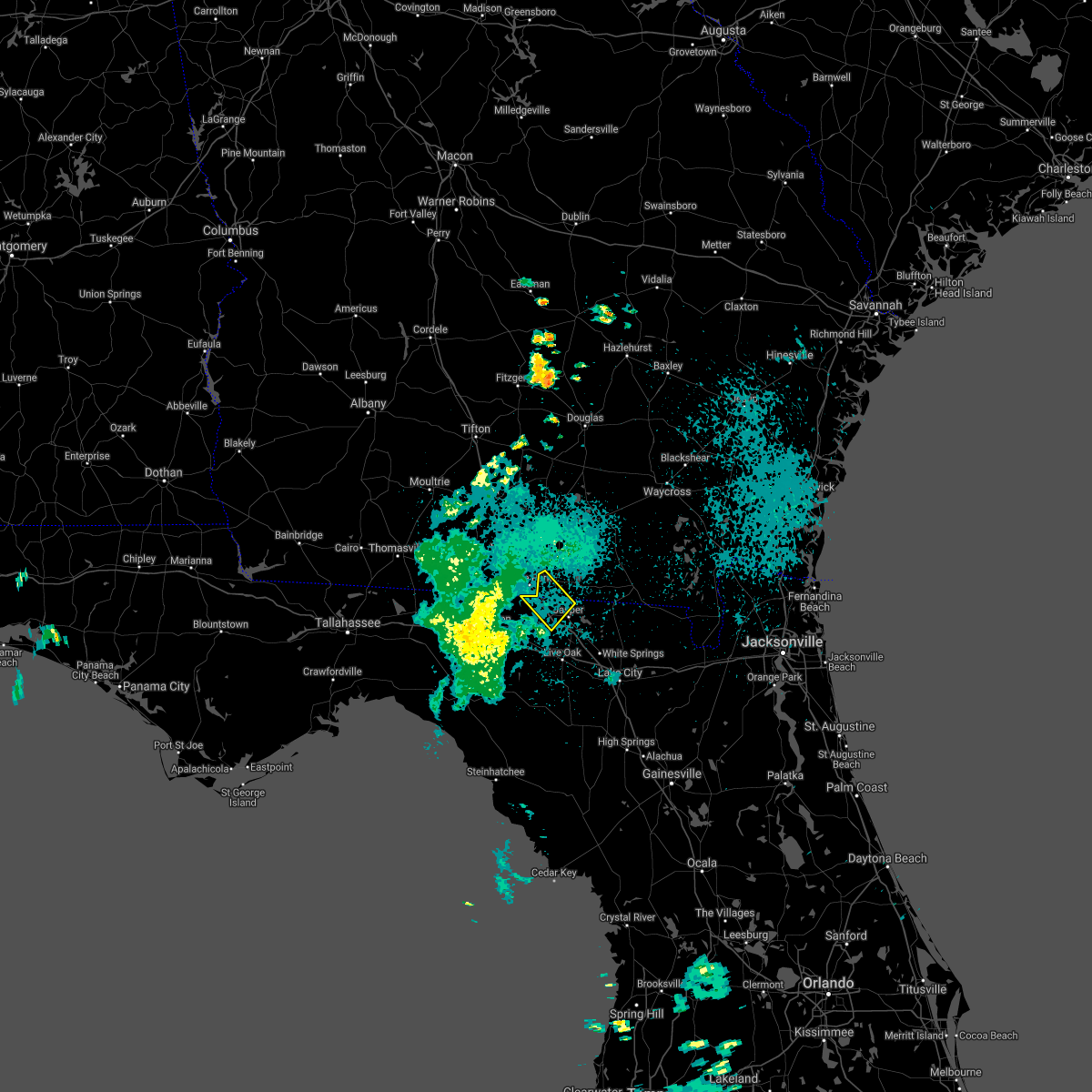 The severe thunderstorm warning for northwestern hamilton and southwestern echols counties will expire at 730 pm edt, the storm which prompted the warning has weakened below severe limits, and no longer pose an immediate threat to life or property. therefore, the warning will be allowed to expire. however heavy rain is still possible with this thunderstorm. The severe thunderstorm warning for northwestern hamilton and southwestern echols counties will expire at 730 pm edt, the storm which prompted the warning has weakened below severe limits, and no longer pose an immediate threat to life or property. therefore, the warning will be allowed to expire. however heavy rain is still possible with this thunderstorm.
|
| 8/14/2016 6:43 PM EDT |
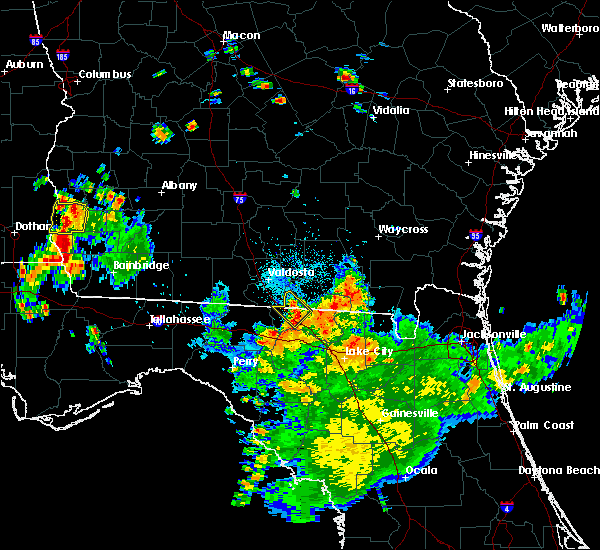 At 643 pm edt, a severe thunderstorm was located near jennings, moving northwest at 15 mph (radar indicated). Hazards include 60 mph wind gusts. Expect damage to roofs. siding. And trees. At 643 pm edt, a severe thunderstorm was located near jennings, moving northwest at 15 mph (radar indicated). Hazards include 60 mph wind gusts. Expect damage to roofs. siding. And trees.
|
| 3/3/2016 11:40 PM EST |
 At 1140 pm est, a severe thunderstorm was located over blue springs, or near suwannee river state park, moving east at 60 mph (radar indicated). Hazards include 60 mph wind gusts and quarter size hail. Hail damage to vehicles is expected. Expect wind damage to roofs, siding and trees. At 1140 pm est, a severe thunderstorm was located over blue springs, or near suwannee river state park, moving east at 60 mph (radar indicated). Hazards include 60 mph wind gusts and quarter size hail. Hail damage to vehicles is expected. Expect wind damage to roofs, siding and trees.
|
| 2/24/2016 5:20 AM EST |
 At 520 am est, severe thunderstorms were located along a line extending from near statenville to white springs, moving northeast at 85 mph (radar indicated). Hazards include 60 mph wind gusts. Expect damage to roofs. Siding and trees. At 520 am est, severe thunderstorms were located along a line extending from near statenville to white springs, moving northeast at 85 mph (radar indicated). Hazards include 60 mph wind gusts. Expect damage to roofs. Siding and trees.
|
| 8/22/2015 10:18 PM EDT |
 At 1018 pm edt, doppler radar indicated a severe thunderstorm capable of producing destructive winds in excess of 70 mph. this storm was located 7 miles northeast of jasper, and moving southwest at 10 mph. At 1018 pm edt, doppler radar indicated a severe thunderstorm capable of producing destructive winds in excess of 70 mph. this storm was located 7 miles northeast of jasper, and moving southwest at 10 mph.
|
| 8/7/2015 4:34 PM EDT |
 At 434 pm edt, doppler radar indicated a line of severe thunderstorms capable of producing damaging winds in excess of 60 mph. these storms were located along a line extending from 9 miles northwest of fargo to needmore to 6 miles north of jasper, moving east at 40 mph. locations impacted include, jasper, jennings, blue springs and needmore. At 434 pm edt, doppler radar indicated a line of severe thunderstorms capable of producing damaging winds in excess of 60 mph. these storms were located along a line extending from 9 miles northwest of fargo to needmore to 6 miles north of jasper, moving east at 40 mph. locations impacted include, jasper, jennings, blue springs and needmore.
|
| 8/7/2015 4:33 PM EDT |
 At 433 pm edt, doppler radar indicated a line of severe thunderstorms capable of producing damaging winds in excess of 60 mph. these storms were located along a line extending from near needmore to 6 miles west of belmont to near blue springs, and moving southeast at 35 mph. At 433 pm edt, doppler radar indicated a line of severe thunderstorms capable of producing damaging winds in excess of 60 mph. these storms were located along a line extending from near needmore to 6 miles west of belmont to near blue springs, and moving southeast at 35 mph.
|
| 8/7/2015 4:16 PM EDT |
 At 416 pm edt, doppler radar indicated a line of severe thunderstorms capable of producing damaging winds in excess of 60 mph. these storms were located along a line extending from 9 miles east of mayday to 9 miles west of needmore to near jennings, moving east at 40 mph. locations impacted include, jasper, jennings, statenville, blue springs and needmore. At 416 pm edt, doppler radar indicated a line of severe thunderstorms capable of producing damaging winds in excess of 60 mph. these storms were located along a line extending from 9 miles east of mayday to 9 miles west of needmore to near jennings, moving east at 40 mph. locations impacted include, jasper, jennings, statenville, blue springs and needmore.
|
| 8/7/2015 3:39 PM EDT |
 At 339 pm edt, doppler radar indicated a line of severe thunderstorms capable of producing damaging winds in excess of 60 mph. these storms were located along a line extending from near valdosta to near i-75 at exit 16 to 6 miles east of quitman, and moving east at 40 mph. At 339 pm edt, doppler radar indicated a line of severe thunderstorms capable of producing damaging winds in excess of 60 mph. these storms were located along a line extending from near valdosta to near i-75 at exit 16 to 6 miles east of quitman, and moving east at 40 mph.
|
| 8/7/2015 3:39 PM EDT |
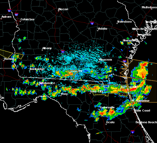 At 339 pm edt, doppler radar indicated a line of severe thunderstorms capable of producing damaging winds in excess of 60 mph. these storms were located along a line extending from near valdosta to near i-75 at exit 16 to 6 miles east of quitman, and moving east at 40 mph. At 339 pm edt, doppler radar indicated a line of severe thunderstorms capable of producing damaging winds in excess of 60 mph. these storms were located along a line extending from near valdosta to near i-75 at exit 16 to 6 miles east of quitman, and moving east at 40 mph.
|
| 7/5/2015 2:22 PM EDT |
 At 221 pm edt, doppler radar indicated a severe thunderstorm capable of producing quarter size hail and damaging winds in excess of 60 mph. this storm was located near jasper, and moving northeast at 10 mph. At 221 pm edt, doppler radar indicated a severe thunderstorm capable of producing quarter size hail and damaging winds in excess of 60 mph. this storm was located near jasper, and moving northeast at 10 mph.
|
| 7/5/2015 2:22 PM EDT |
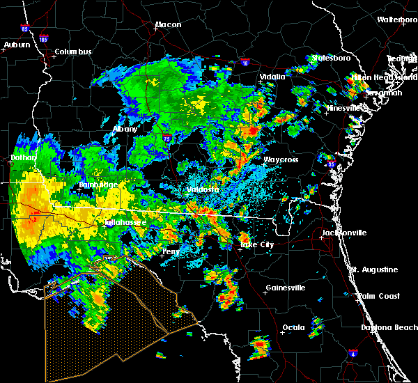 At 221 pm edt, doppler radar indicated a severe thunderstorm capable of producing quarter size hail and damaging winds in excess of 60 mph. this storm was located near jasper, and moving northeast at 10 mph. At 221 pm edt, doppler radar indicated a severe thunderstorm capable of producing quarter size hail and damaging winds in excess of 60 mph. this storm was located near jasper, and moving northeast at 10 mph.
|
| 7/1/2015 7:12 PM EDT |
 At 711 pm edt, doppler radar indicated a severe thunderstorm capable of producing quarter size hail and destructive winds in excess of 70 mph. this storm was located near statenville along gaddis road and west boundary road, moving east at 25 mph. locations impacted include, statenville, needmore and mayday. At 711 pm edt, doppler radar indicated a severe thunderstorm capable of producing quarter size hail and destructive winds in excess of 70 mph. this storm was located near statenville along gaddis road and west boundary road, moving east at 25 mph. locations impacted include, statenville, needmore and mayday.
|
| 7/1/2015 7:04 PM EDT |
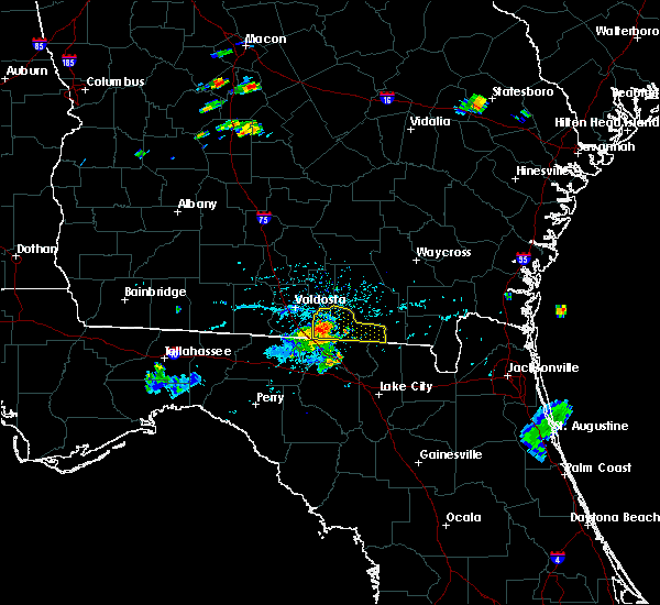 At 703 pm edt, doppler radar indicated a severe thunderstorm capable of producing damaging winds in excess of 60 mph. this storm was located near statenville along u.s. highway 129 and state route 94, moving east at 30 mph. locations impacted include, statenville, needmore and mayday. At 703 pm edt, doppler radar indicated a severe thunderstorm capable of producing damaging winds in excess of 60 mph. this storm was located near statenville along u.s. highway 129 and state route 94, moving east at 30 mph. locations impacted include, statenville, needmore and mayday.
|
| 7/1/2015 6:55 PM EDT |
 At 654 pm edt, doppler radar indicated a severe thunderstorm capable of producing damaging winds in excess of 60 mph. this storm was located over statenville, and moving east at 25 mph. At 654 pm edt, doppler radar indicated a severe thunderstorm capable of producing damaging winds in excess of 60 mph. this storm was located over statenville, and moving east at 25 mph.
|
| 6/30/2015 7:22 PM EDT |
 At 721 pm edt, doppler radar indicated a line of severe thunderstorms capable of producing damaging winds in excess of 60 mph. these storms were located along a line extending from 9 miles north of blue springs to near luraville, and moving east at 55 mph. At 721 pm edt, doppler radar indicated a line of severe thunderstorms capable of producing damaging winds in excess of 60 mph. these storms were located along a line extending from 9 miles north of blue springs to near luraville, and moving east at 55 mph.
|
| 6/30/2015 1:59 PM EDT |
 At 159 pm edt, doppler radar indicated a line of severe thunderstorms capable of producing damaging winds in excess of 60 mph. these storms were located along a line extending from 11 miles north of needmore to 10 miles southwest of dowling park, and moving east at 35 mph. At 159 pm edt, doppler radar indicated a line of severe thunderstorms capable of producing damaging winds in excess of 60 mph. these storms were located along a line extending from 11 miles north of needmore to 10 miles southwest of dowling park, and moving east at 35 mph.
|
| 6/30/2015 1:12 PM EDT |
 At 112 pm edt, doppler radar indicated a line of severe thunderstorms capable of producing damaging winds in excess of 60 mph. these storms were located along a line extending from near lakeland to near monticello, and moving east at 35 mph. At 112 pm edt, doppler radar indicated a line of severe thunderstorms capable of producing damaging winds in excess of 60 mph. these storms were located along a line extending from near lakeland to near monticello, and moving east at 35 mph.
|
| 6/30/2015 1:12 PM EDT |
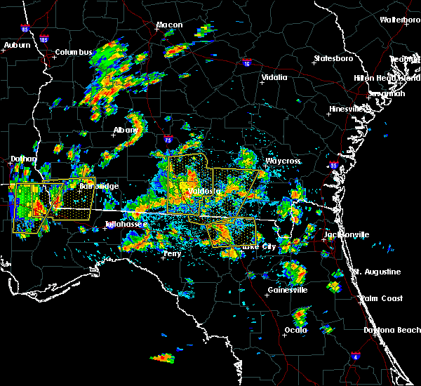 At 112 pm edt, doppler radar indicated a line of severe thunderstorms capable of producing damaging winds in excess of 60 mph. these storms were located along a line extending from near lakeland to near monticello, and moving east at 35 mph. At 112 pm edt, doppler radar indicated a line of severe thunderstorms capable of producing damaging winds in excess of 60 mph. these storms were located along a line extending from near lakeland to near monticello, and moving east at 35 mph.
|
| 6/3/2015 8:49 PM EDT | At 849 pm edt, doppler radar indicated a severe thunderstorm capable of producing large hail up to ping pong ball size and destructive winds in excess of 70 mph. this storm was located 7 miles east of mayday, or 12 miles northeast of statenville, moving southeast at 20 mph. locations impacted include, jennings, fargo, statenville, needmore and mayday. |
| 6/3/2015 8:40 PM EDT | At 840 pm edt, doppler radar indicated a severe thunderstorm capable of producing half dollar size hail and damaging winds in excess of 60 mph. this storm was located near mayday, or 12 miles northeast of statenville, and moving southeast at 20 mph. |
| 5/26/2015 5:42 PM EDT | The severe thunderstorm warning for north central hamilton and southwestern echols counties will expire at 545 pm edt, the storm which prompted the warning has weakened below severe limits, and no longer poses an immediate threat to life or property. therefore the warning will be allowed to expire. however gusty winds are still possible with this thunderstorm. |
| 5/26/2015 5:42 PM EDT | The severe thunderstorm warning for north central hamilton and southwestern echols counties will expire at 545 pm edt, the storm which prompted the warning has weakened below severe limits, and no longer poses an immediate threat to life or property. therefore the warning will be allowed to expire. however gusty winds are still possible with this thunderstorm. |
| 5/26/2015 5:34 PM EDT | At 534 pm edt, doppler radar indicated a severe thunderstorm capable of producing quarter size hail and damaging winds in excess of 60 mph. this storm was located near statenville, moving north at 20 mph. locations impacted include, jasper, jennings and statenville. |
| 5/26/2015 5:34 PM EDT | At 534 pm edt, doppler radar indicated a severe thunderstorm capable of producing quarter size hail and damaging winds in excess of 60 mph. this storm was located near statenville, moving north at 20 mph. locations impacted include, jasper, jennings and statenville. |
| 5/26/2015 5:21 PM EDT | At 521 pm edt, doppler radar indicated a severe thunderstorm capable of producing quarter size hail and damaging winds in excess of 60 mph. this storm was located near jennings, moving northwest at 20 mph. locations impacted include, jasper, jennings and statenville. |
| 5/26/2015 5:21 PM EDT | At 521 pm edt, doppler radar indicated a severe thunderstorm capable of producing quarter size hail and damaging winds in excess of 60 mph. this storm was located near jennings, moving northwest at 20 mph. locations impacted include, jasper, jennings and statenville. |
| 5/26/2015 5:18 PM EDT | Powerline down reported along highway 41. time estimated by rada in hamilton county FL, 5.3 miles NW of Jennings, FL |
| 5/26/2015 5:12 PM EDT | At 511 pm edt, doppler radar indicated a severe thunderstorm capable of producing quarter size hail. this storm was located near jasper, and moving northwest at 25 mph. |
| 5/26/2015 5:12 PM EDT | At 511 pm edt, doppler radar indicated a severe thunderstorm capable of producing quarter size hail. this storm was located near jasper, and moving northwest at 25 mph. |
| 5/19/2015 9:32 PM EDT | Multiple trees dow in hamilton county FL, 9.7 miles N of Jennings, FL |
| 5/19/2015 9:28 PM EDT | At 926 pm edt, doppler radar indicated a line of severe thunderstorms capable of producing damaging winds in excess of 60 mph. these storms were located along a line extending from mayday to near suwannee springs, and moving west at 5 mph. nickel size hail may also accompany the damaging winds. the hamilton county sheriffs office has reported hails with numerous trees down around the county. |
| 5/19/2015 9:28 PM EDT | At 926 pm edt, doppler radar indicated a line of severe thunderstorms capable of producing damaging winds in excess of 60 mph. these storms were located along a line extending from mayday to near suwannee springs, and moving west at 5 mph. nickel size hail may also accompany the damaging winds. the hamilton county sheriffs office has reported hails with numerous trees down around the county. |
| 2/25/2015 10:30 PM EST | Trained spotter reports one tree downed along with large branches in jenning in hamilton county FL, 0.3 miles WNW of Jennings, FL |
| 11/17/2014 11:45 AM EST | 911 call center relayed public report of damage to a home at 5750 sw 61st ave in jasper. extent of damage is unknown at this time. public report mentioned it was possib in hamilton county FL, 9 miles N of Jennings, FL |
| 7/3/2014 5:55 PM EDT | Tree blown onto us hwy 41 blocking southbound lane. echols county ga just north of florida state lin in echols county GA, 2.5 miles SE of Jennings, FL |
| 7/3/2014 3:00 PM EDT | Trees down on house on nw 49th ave. also trees down nearby on cr152 near nw 27th blv in hamilton county FL, 3.9 miles NE of Jennings, FL |
| 7/3/2014 3:00 PM EDT | Trees down on house on nw 49th ave. also trees down nearby on cr152 near nw 27th blv in hamilton county FL, 3.9 miles NE of Jennings, FL |
| 8/17/2013 7:28 PM EDT | A roof of a home was blown back by thunderstorm wind in echols county GA, 4.7 miles S of Jennings, FL |
| 8/17/2013 7:14 PM EDT | Correction...the roof damage was that of a bar in echols county GA, 4.7 miles S of Jennings, FL |
| 8/17/2013 7:13 PM EDT | A few trees were blown down at the intersection of j frank culpepper road and bethal church road. the time of damage was based on radar imager in echols county GA, 4.7 miles S of Jennings, FL |
| 4/14/2013 7:25 PM EDT | Central dispatch reported a tree down on nw 66th blv in hamilton county FL, 4.5 miles NNW of Jennings, FL |
| 3/24/2013 8:53 AM EDT | Winds downed a tree south of jennings along highway 4 in hamilton county FL, 3 miles NW of Jennings, FL |
| 12/20/2012 6:20 PM EST | Jennings police reported trees down on county road 14 in hamilton county FL, 0.8 miles NNW of Jennings, FL |
| 1/1/0001 12:00 AM | Damage was reported to a shed and shingles were torn from roof of a house at 4976 nw 42nd place. several trees down with numerous potted plants knocked over. a 3/4 inch in hamilton county FL, 8.6 miles NNE of Jennings, FL |
| 1/1/0001 12:00 AM | Wind damage to trees was noted naer highway 41 at the echols and hamilton county lin in echols county GA, 1.6 miles SE of Jennings, FL |
| 1/1/0001 12:00 AM | Trees and power lines down in hamilton county FL, 6.2 miles NE of Jennings, FL |
| 1/1/0001 12:00 AM | Tree down on a house and tore off the back side on j frank culpepper roa in echols county GA, 3.5 miles SSW of Jennings, FL |
| 1/1/0001 12:00 AM | The echols county emergency manager reported a downburst damaged the roofs on two homes with a tin roof completely removed. he also reports 50 to 100 trees blown down b in echols county GA, 4.7 miles S of Jennings, FL |
Hail Maps for Jennings, FL
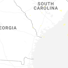
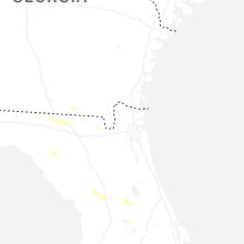


Connect with Interactive Hail Maps