

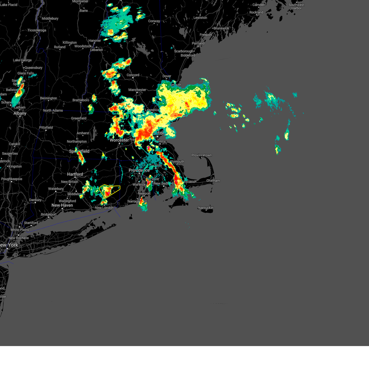
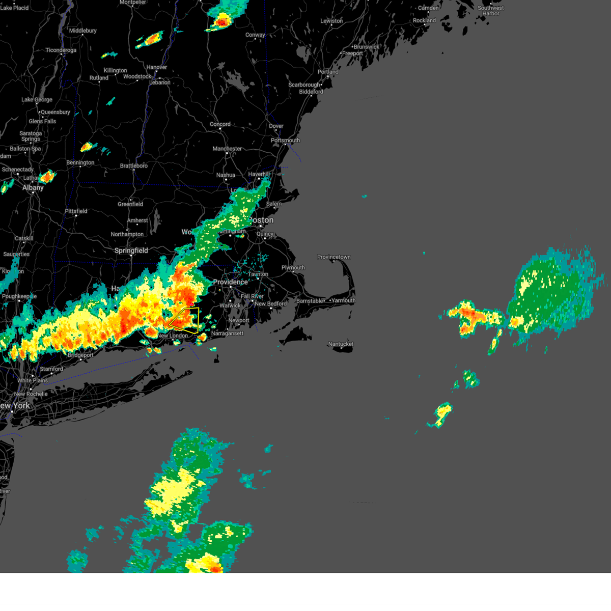
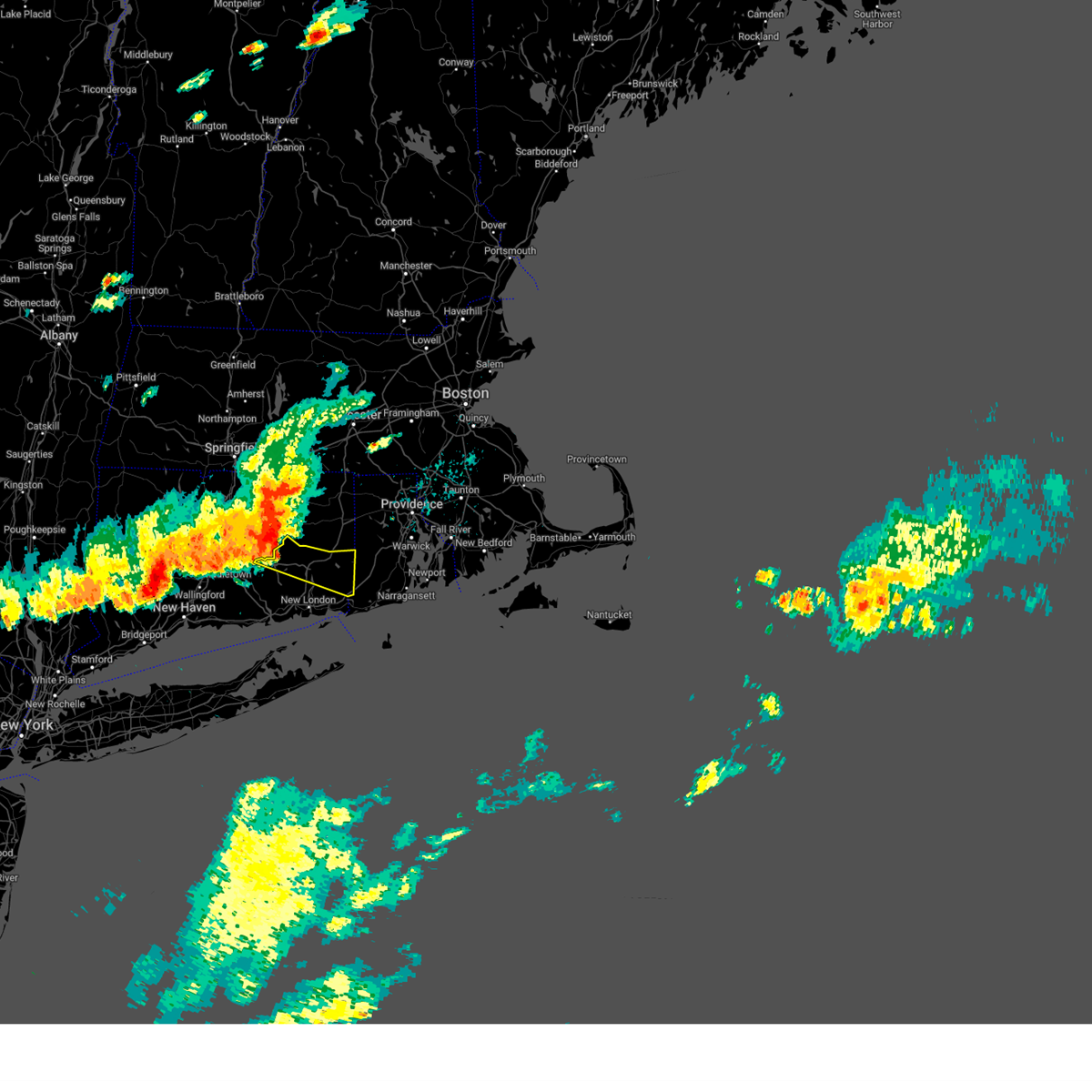
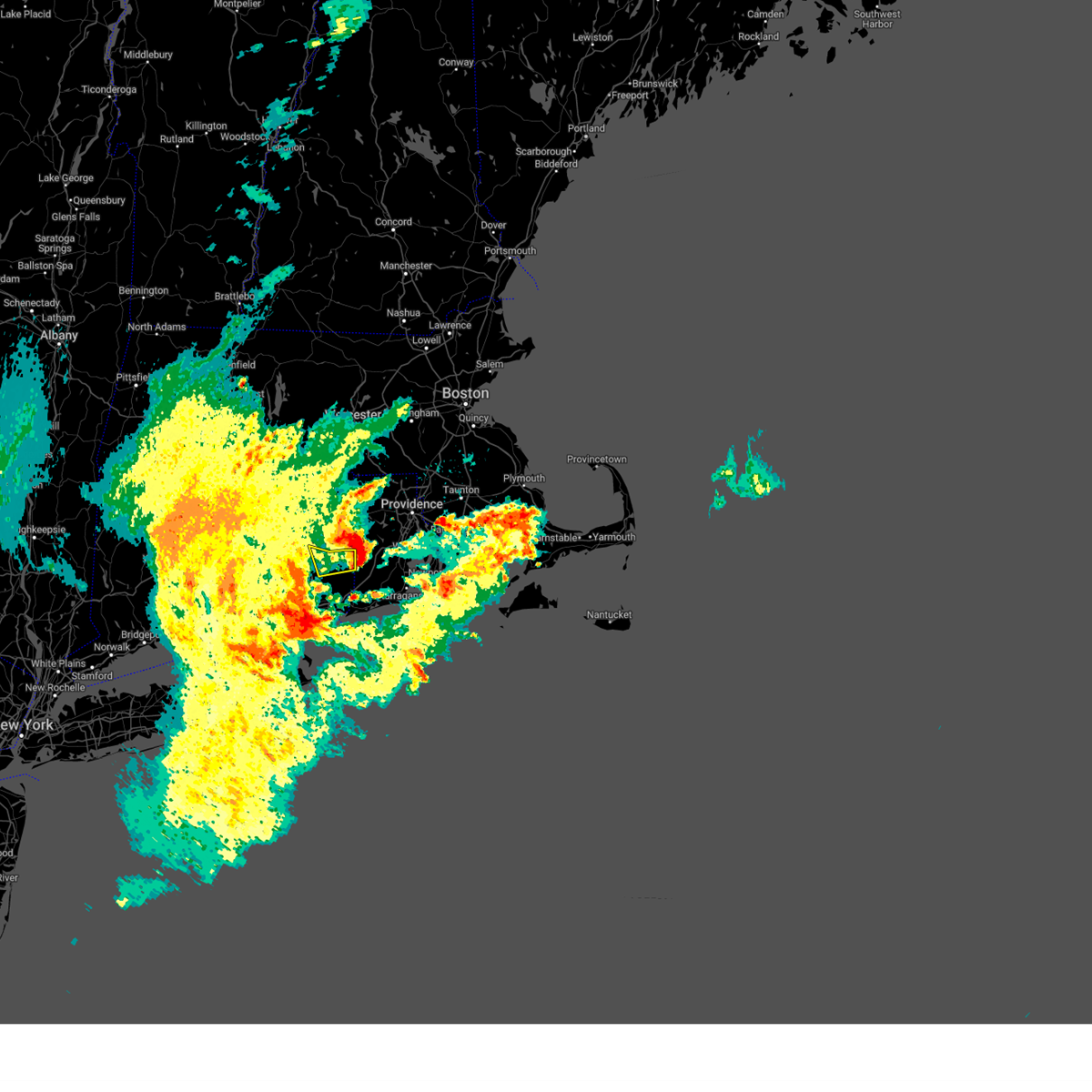
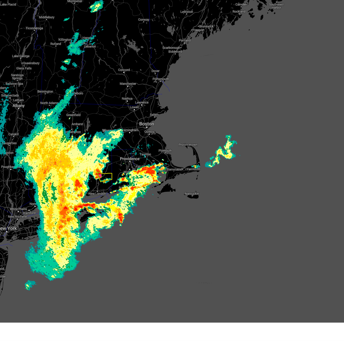
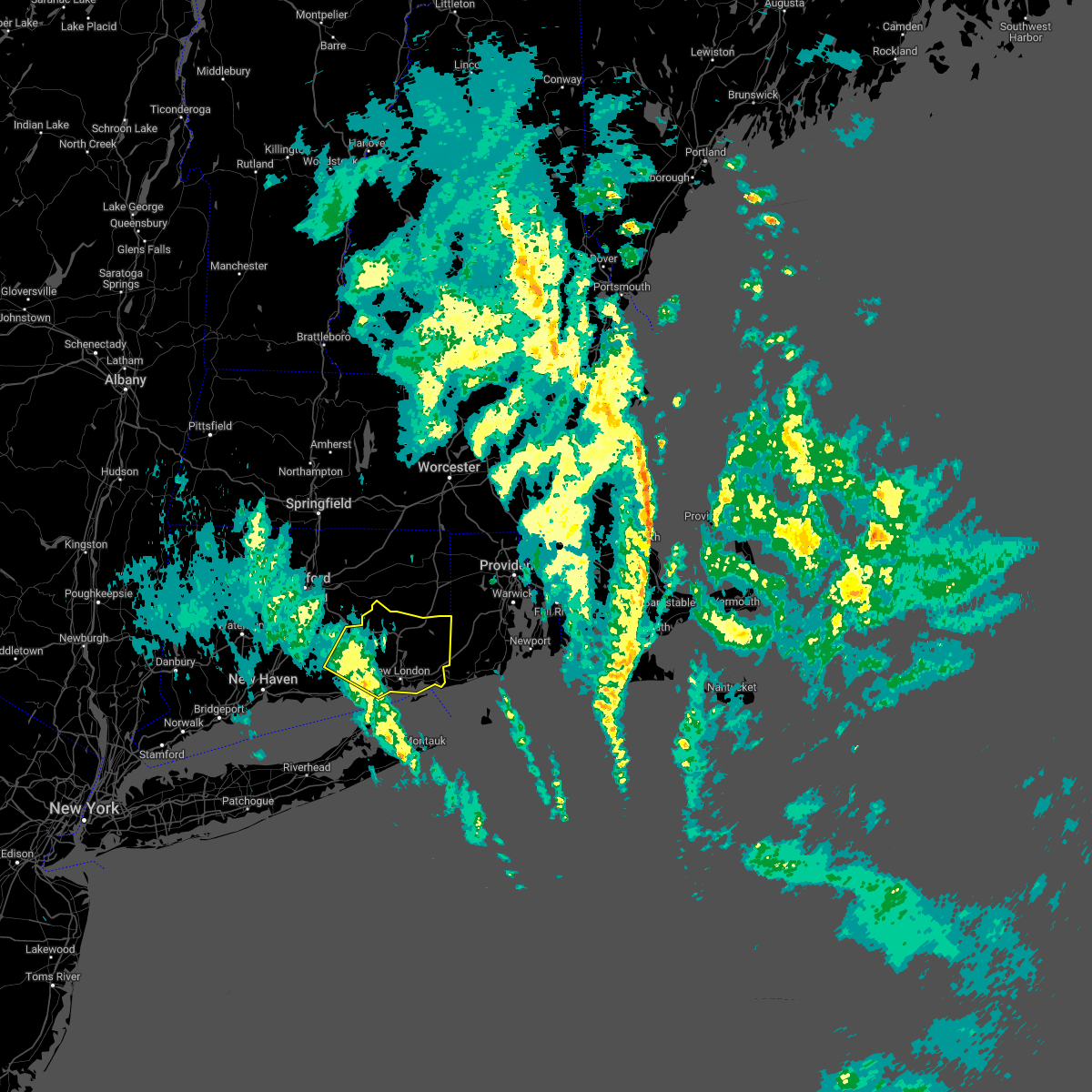
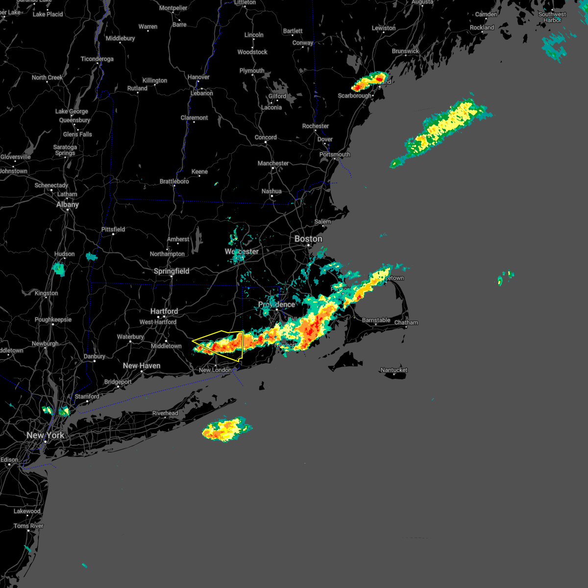
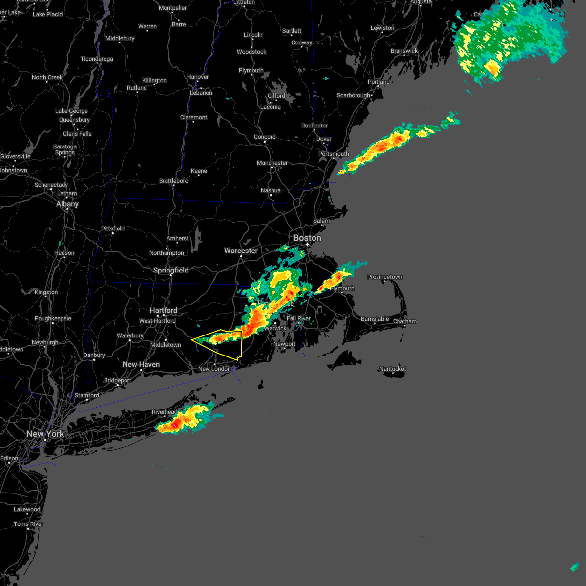
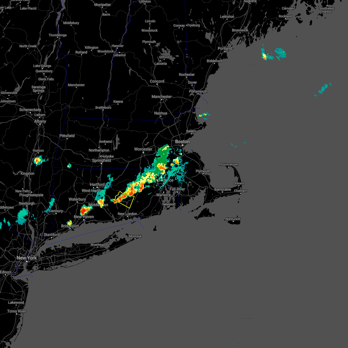
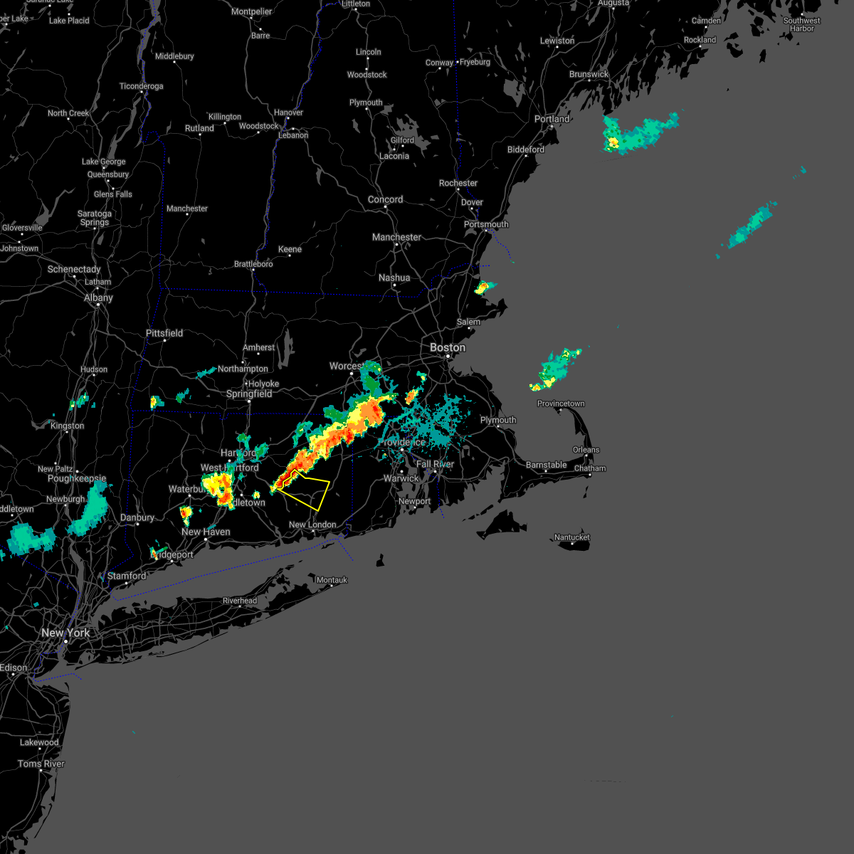
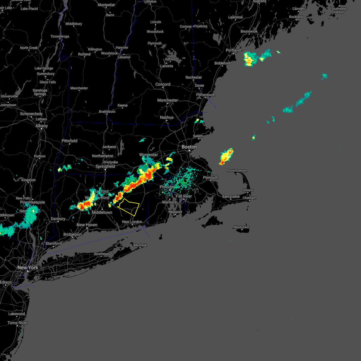
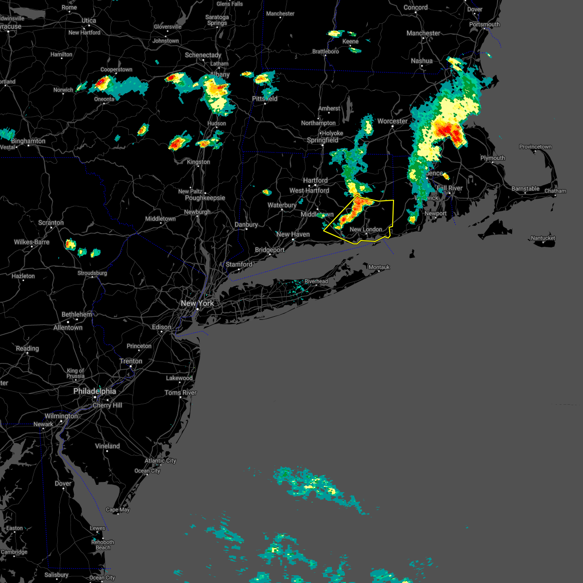
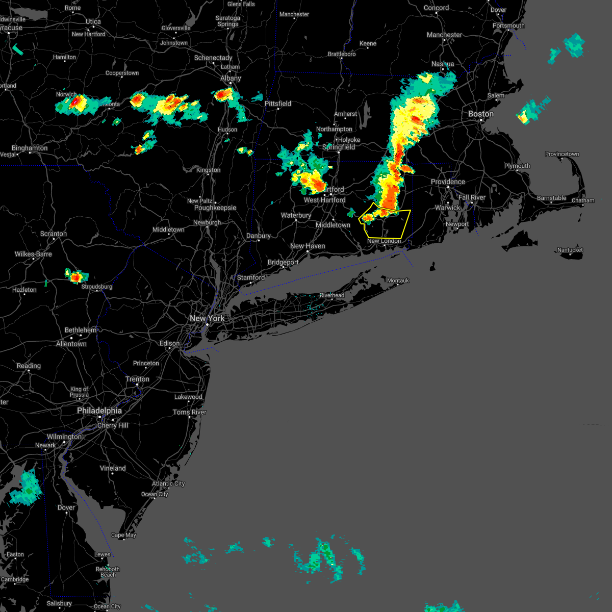
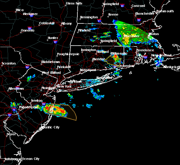
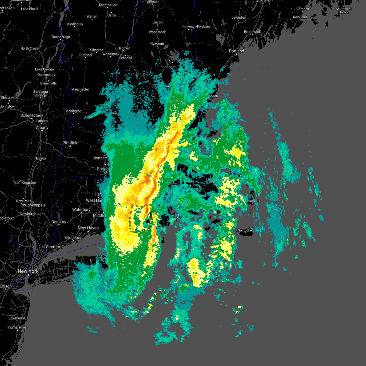
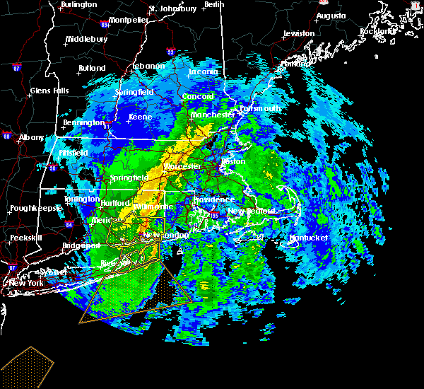
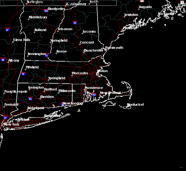
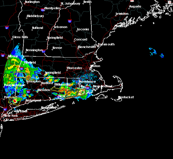
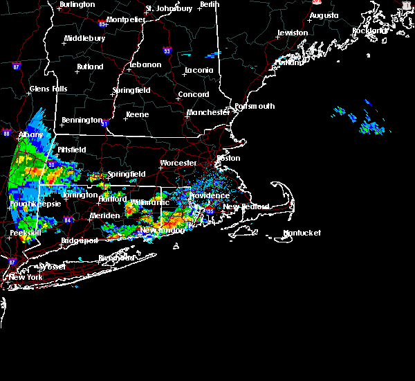
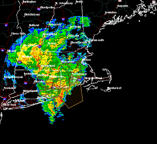
Hail Map for Jewett City, CT
The Jewett City, CT area has had 2 reports of on-the-ground hail by trained spotters, and has been under severe weather warnings 3 times during the past 12 months. Doppler radar has detected hail at or near Jewett City, CT on 8 occasions, including 1 occasion during the past year.
| Name: | Jewett City, CT |
| Where Located: | 33 miles WSW of Providence, RI |
| Map: | Google Map for Jewett City, CT |
| Population: | 3487 |
| Housing Units: | 1662 |
| More Info: | Search Google for Jewett City, CT |
0
The Top Recent Hail Date for Jewett City, CT is Saturday, August 3, 2024 (5th out of 8)

Hail and Wind Damage Spotted near Jewett City, CT
| Date / Time | Report Details |
|---|---|
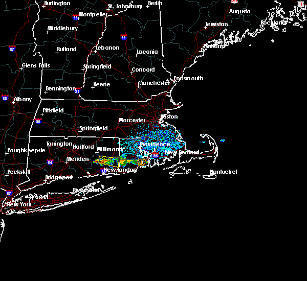
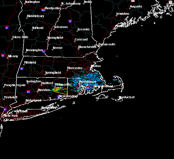
| 8/15/2024 4:11 PM EDT |
 The storms which prompted the warning have weakened below severe limits, and no longer pose an immediate threat to life or property. therefore, the warning will be allowed to expire. however, small hail, gusty winds and heavy rain are still possible with these thunderstorms. The storms which prompted the warning have weakened below severe limits, and no longer pose an immediate threat to life or property. therefore, the warning will be allowed to expire. however, small hail, gusty winds and heavy rain are still possible with these thunderstorms.
|
| 8/15/2024 3:58 PM EDT |
 At 358 pm edt, severe thunderstorms were located along a line extending from jewett city to norwich, moving southeast at 20 mph (radar indicated). Hazards include 60 mph wind gusts and quarter size hail. Minor hail damage to vehicles is possible. expect wind damage to trees and power lines. Locations impacted include, jewett city, norwich, ledyard, griswold, lebanon, preston, lisbon, sprague, bozrah, voluntown, montville, north stonington, and franklin. At 358 pm edt, severe thunderstorms were located along a line extending from jewett city to norwich, moving southeast at 20 mph (radar indicated). Hazards include 60 mph wind gusts and quarter size hail. Minor hail damage to vehicles is possible. expect wind damage to trees and power lines. Locations impacted include, jewett city, norwich, ledyard, griswold, lebanon, preston, lisbon, sprague, bozrah, voluntown, montville, north stonington, and franklin.
|
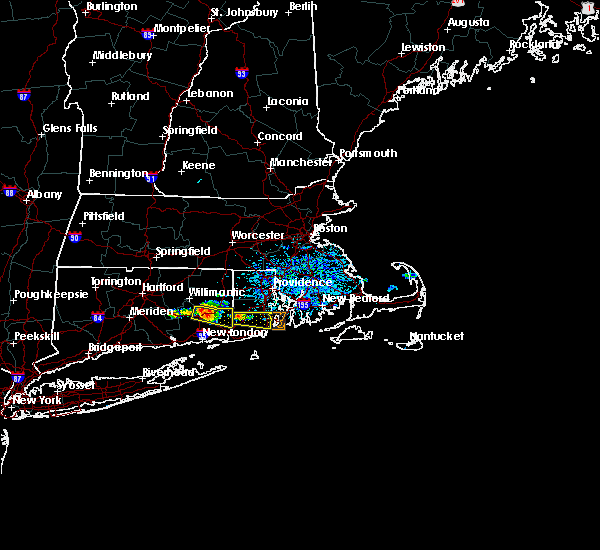
| 8/15/2024 3:34 PM EDT |
 Svrokx the national weather service in upton ny has issued a * severe thunderstorm warning for, northeastern new london county in southern connecticut, * until 415 pm edt. * at 333 pm edt, severe thunderstorms were located along a line extending from near sprague to near bozrah, moving southeast at 20 mph (radar indicated). Hazards include 60 mph wind gusts and quarter size hail. Minor hail damage to vehicles is possible. Expect wind damage to trees and power lines. Svrokx the national weather service in upton ny has issued a * severe thunderstorm warning for, northeastern new london county in southern connecticut, * until 415 pm edt. * at 333 pm edt, severe thunderstorms were located along a line extending from near sprague to near bozrah, moving southeast at 20 mph (radar indicated). Hazards include 60 mph wind gusts and quarter size hail. Minor hail damage to vehicles is possible. Expect wind damage to trees and power lines.
|
| 6/30/2024 3:13 PM EDT |
 The storm which prompted the warning has weakened below severe limits, and has exited the warned area. therefore, the warning will be allowed to expire. a severe thunderstorm watch remains in effect until 700 pm edt for southern connecticut. The storm which prompted the warning has weakened below severe limits, and has exited the warned area. therefore, the warning will be allowed to expire. a severe thunderstorm watch remains in effect until 700 pm edt for southern connecticut.
|
| 6/30/2024 2:49 PM EDT |
 At 249 pm edt, a severe thunderstorm was located over jamestown, or near north kingstown, moving east at 45 mph (radar indicated). Hazards include 60 mph wind gusts and quarter size hail. Minor hail damage to vehicles is possible. expect wind damage to trees and power lines. This severe thunderstorm will remain over mainly rural areas of northeastern new london county. At 249 pm edt, a severe thunderstorm was located over jamestown, or near north kingstown, moving east at 45 mph (radar indicated). Hazards include 60 mph wind gusts and quarter size hail. Minor hail damage to vehicles is possible. expect wind damage to trees and power lines. This severe thunderstorm will remain over mainly rural areas of northeastern new london county.
|
| 6/30/2024 2:13 PM EDT |
 Svrokx the national weather service in upton ny has issued a * severe thunderstorm warning for, northern new london county in southern connecticut, * until 315 pm edt. * at 213 pm edt, a severe thunderstorm was located over hebron, or near colchester, moving east at 45 mph (radar indicated). Hazards include 60 mph wind gusts and quarter size hail. Minor hail damage to vehicles is possible. expect wind damage to trees and power lines. this severe thunderstorm will be near, lebanon and bozrah around 220 pm edt. norwich and sprague around 225 pm edt. jewett city and griswold around 230 pm edt. Voluntown around 240 pm edt. Svrokx the national weather service in upton ny has issued a * severe thunderstorm warning for, northern new london county in southern connecticut, * until 315 pm edt. * at 213 pm edt, a severe thunderstorm was located over hebron, or near colchester, moving east at 45 mph (radar indicated). Hazards include 60 mph wind gusts and quarter size hail. Minor hail damage to vehicles is possible. expect wind damage to trees and power lines. this severe thunderstorm will be near, lebanon and bozrah around 220 pm edt. norwich and sprague around 225 pm edt. jewett city and griswold around 230 pm edt. Voluntown around 240 pm edt.
|
| 6/26/2024 10:13 PM EDT |
 Svrokx the national weather service in upton ny has issued a * severe thunderstorm warning for, new london county in southern connecticut, middlesex county in southern connecticut, southeastern new haven county in southern connecticut, * until 1100 pm edt. * at 1013 pm edt, severe thunderstorms were located along a line extending from windsor to haddam to 7 miles southeast of guilford, moving east at 45 mph (radar indicated). Hazards include 60 mph wind gusts. Expect damage to trees and power lines. severe thunderstorms will be near, colchester and clinton around 1020 pm edt. salem and old lyme around 1025 pm edt. east lyme and bozrah around 1030 pm edt. norwich and waterford around 1035 pm edt. new london and ledyard around 1040 pm edt. groton and lisbon around 1045 pm edt. Jewett city and griswold around 1050 pm edt. Svrokx the national weather service in upton ny has issued a * severe thunderstorm warning for, new london county in southern connecticut, middlesex county in southern connecticut, southeastern new haven county in southern connecticut, * until 1100 pm edt. * at 1013 pm edt, severe thunderstorms were located along a line extending from windsor to haddam to 7 miles southeast of guilford, moving east at 45 mph (radar indicated). Hazards include 60 mph wind gusts. Expect damage to trees and power lines. severe thunderstorms will be near, colchester and clinton around 1020 pm edt. salem and old lyme around 1025 pm edt. east lyme and bozrah around 1030 pm edt. norwich and waterford around 1035 pm edt. new london and ledyard around 1040 pm edt. groton and lisbon around 1045 pm edt. Jewett city and griswold around 1050 pm edt.
|
| 6/23/2024 9:14 PM EDT |
 The storms which prompted the warning have weakened below severe limits, and no longer pose an immediate threat to life or property. therefore, the warning will be allowed to expire. however, gusty winds are still possible with these thunderstorms. The storms which prompted the warning have weakened below severe limits, and no longer pose an immediate threat to life or property. therefore, the warning will be allowed to expire. however, gusty winds are still possible with these thunderstorms.
|
| 6/23/2024 8:47 PM EDT |
 the severe thunderstorm warning has been cancelled and is no longer in effect the severe thunderstorm warning has been cancelled and is no longer in effect
|
| 6/23/2024 8:47 PM EDT |
 At 847 pm edt, severe thunderstorms were located along a line extending from lebanon to near salem, moving east at 50 mph (radar indicated). Hazards include 60 mph wind gusts. Expect damage to trees and power lines. Locations impacted include, jewett city, middletown, norwich, colchester, east hampton, salem, chester, waterford, east lyme, ledyard, griswold, east haddam, haddam, lebanon, and killingworth. At 847 pm edt, severe thunderstorms were located along a line extending from lebanon to near salem, moving east at 50 mph (radar indicated). Hazards include 60 mph wind gusts. Expect damage to trees and power lines. Locations impacted include, jewett city, middletown, norwich, colchester, east hampton, salem, chester, waterford, east lyme, ledyard, griswold, east haddam, haddam, lebanon, and killingworth.
|
| 6/23/2024 8:28 PM EDT |
 Svrokx the national weather service in upton ny has issued a * severe thunderstorm warning for, central new london county in southern connecticut, middlesex county in southern connecticut, northeastern new haven county in southern connecticut, * until 915 pm edt. * at 827 pm edt, severe thunderstorms were located along a line extending from near berlin to near north branford, moving east at 40 mph (radar indicated). Hazards include 60 mph wind gusts. expect damage to trees and power lines Svrokx the national weather service in upton ny has issued a * severe thunderstorm warning for, central new london county in southern connecticut, middlesex county in southern connecticut, northeastern new haven county in southern connecticut, * until 915 pm edt. * at 827 pm edt, severe thunderstorms were located along a line extending from near berlin to near north branford, moving east at 40 mph (radar indicated). Hazards include 60 mph wind gusts. expect damage to trees and power lines
|
| 5/23/2024 11:39 AM EDT |
 The storm which prompted the warning will be moving out of the area in the next minute or two. therefore, the warning will be allowed to expire. however, heavy rain is still possible with this thunderstorm. The storm which prompted the warning will be moving out of the area in the next minute or two. therefore, the warning will be allowed to expire. however, heavy rain is still possible with this thunderstorm.
|
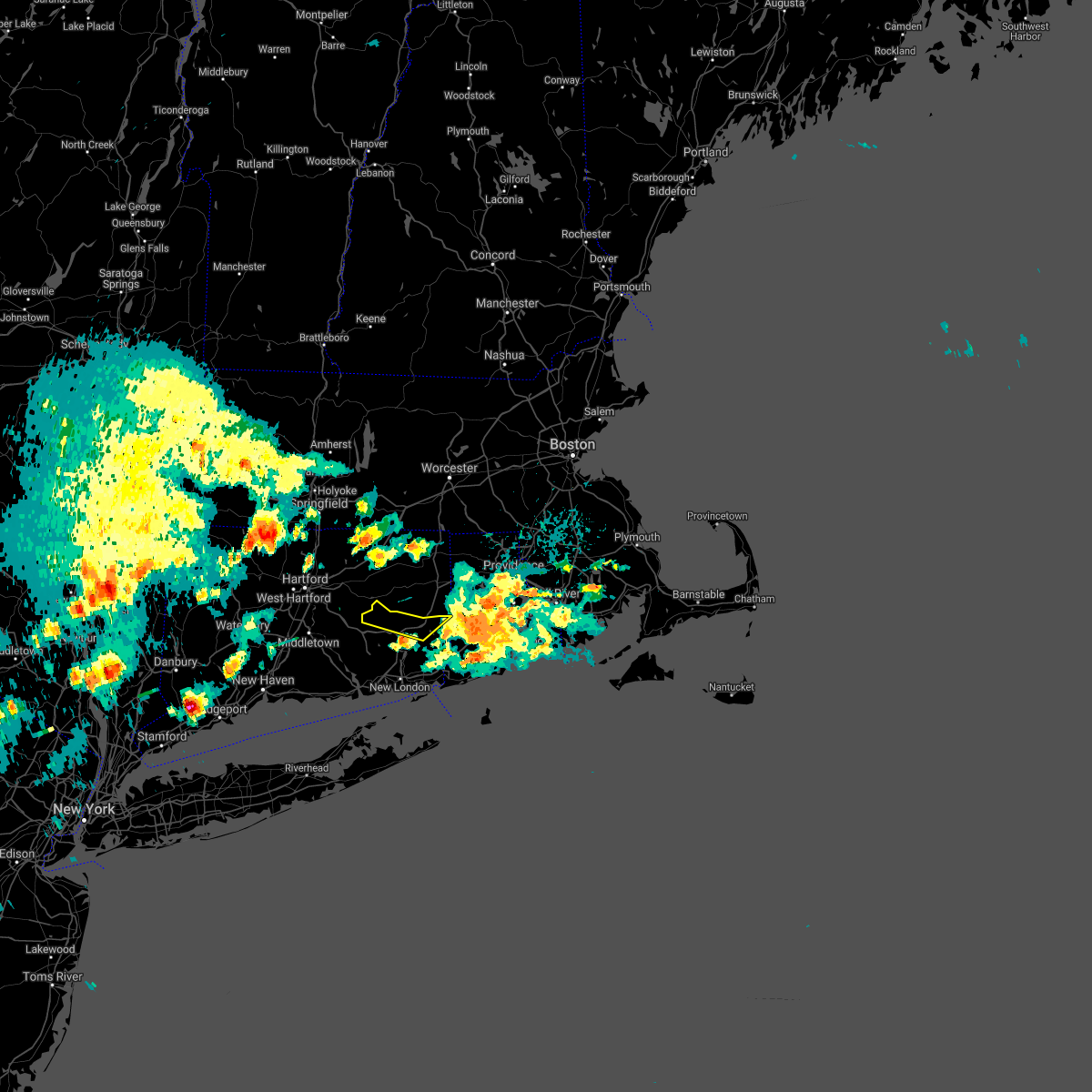
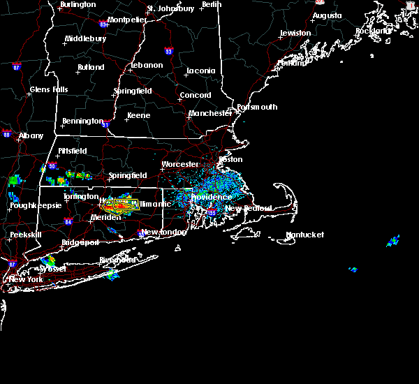
| 5/23/2024 11:33 AM EDT | Large tree and wires dow in new london county CT, 4 miles WSW of Jewett City, CT |
| 5/23/2024 11:22 AM EDT | Quarter sized hail reported 1.2 miles WNW of Jewett City, CT, estimated 1 inch diameter hail along interstate 395 near taylor hill rd. |
| 5/23/2024 11:18 AM EDT |
 Svrokx the national weather service in upton ny has issued a * severe thunderstorm warning for, northeastern new london county in southern connecticut, * until 1145 am edt. * at 1118 am edt, a severe thunderstorm was located over jewett city, moving east at 25 mph (radar indicated). Hazards include 60 mph wind gusts and quarter size hail. Minor hail damage to vehicles is possible. expect wind damage to trees and power lines. This severe thunderstorm will be near, griswold and voluntown around 1125 am edt. Svrokx the national weather service in upton ny has issued a * severe thunderstorm warning for, northeastern new london county in southern connecticut, * until 1145 am edt. * at 1118 am edt, a severe thunderstorm was located over jewett city, moving east at 25 mph (radar indicated). Hazards include 60 mph wind gusts and quarter size hail. Minor hail damage to vehicles is possible. expect wind damage to trees and power lines. This severe thunderstorm will be near, griswold and voluntown around 1125 am edt.
|
| 7/27/2023 7:56 PM EDT |
 The severe thunderstorm warning for new london, southern middlesex and southeastern new haven counties will expire at 800 pm edt, the storms which prompted the warning will move east of the area by around 8pm. therefore, the warning will be allowed to expire. a severe thunderstorm watch remains in effect until 800 pm edt for southern connecticut. to report severe weather, contact your nearest law enforcement agency. they will relay your report to the national weather service upton ny. The severe thunderstorm warning for new london, southern middlesex and southeastern new haven counties will expire at 800 pm edt, the storms which prompted the warning will move east of the area by around 8pm. therefore, the warning will be allowed to expire. a severe thunderstorm watch remains in effect until 800 pm edt for southern connecticut. to report severe weather, contact your nearest law enforcement agency. they will relay your report to the national weather service upton ny.
|
| 7/27/2023 7:41 PM EDT |
 At 741 pm edt, severe thunderstorms were located along a line extending from voluntown to near gales ferry to near old lyme, moving east at 35 mph (radar indicated). Hazards include 60 mph wind gusts and penny size hail. Expect damage to trees and power lines. these severe storms will be near, new london and groton around 745 pm edt. hail threat, radar indicated max hail size, 0. 75 in wind threat, radar indicated max wind gust, 60 mph. At 741 pm edt, severe thunderstorms were located along a line extending from voluntown to near gales ferry to near old lyme, moving east at 35 mph (radar indicated). Hazards include 60 mph wind gusts and penny size hail. Expect damage to trees and power lines. these severe storms will be near, new london and groton around 745 pm edt. hail threat, radar indicated max hail size, 0. 75 in wind threat, radar indicated max wind gust, 60 mph.
|
| 7/27/2023 7:17 PM EDT |
 At 716 pm edt, severe thunderstorms were located along a line extending from near sprague to north lyme to clinton, moving east at 35 mph (radar indicated). Hazards include 60 mph wind gusts and penny size hail. Expect damage to trees and power lines. severe thunderstorms will be near, norwich and clinton around 720 pm edt. jewett city and ledyard around 725 pm edt. new london and groton around 730 pm edt. mystic around 740 pm edt. hail threat, radar indicated max hail size, 0. 75 in wind threat, radar indicated max wind gust, 60 mph. At 716 pm edt, severe thunderstorms were located along a line extending from near sprague to north lyme to clinton, moving east at 35 mph (radar indicated). Hazards include 60 mph wind gusts and penny size hail. Expect damage to trees and power lines. severe thunderstorms will be near, norwich and clinton around 720 pm edt. jewett city and ledyard around 725 pm edt. new london and groton around 730 pm edt. mystic around 740 pm edt. hail threat, radar indicated max hail size, 0. 75 in wind threat, radar indicated max wind gust, 60 mph.
|
| 12/23/2022 2:20 PM EST |
 At 218 pm est, showers with isolated thunderstorms producing damaging winds were located along a line extending from near hebron to near fishers island, moving north at 80 mph (radar indicated). Hazards include 60 mph wind gusts. expect damage to trees and power lines At 218 pm est, showers with isolated thunderstorms producing damaging winds were located along a line extending from near hebron to near fishers island, moving north at 80 mph (radar indicated). Hazards include 60 mph wind gusts. expect damage to trees and power lines
|
| 8/26/2022 6:58 PM EDT | The severe thunderstorm warning for northeastern new london county will expire at 700 pm edt, the storm which prompted the warning has weakened below severe limits, and no longer poses an immediate threat to life or property. therefore, the warning will be allowed to expire. however heavy rain and cloud to ground lightning is still expected with this thunderstorm. to report severe weather, contact your nearest law enforcement agency. they will relay your report to the national weather service upton ny. |
| 8/26/2022 6:37 PM EDT | At 637 pm edt, a severe thunderstorm was located near norwich, moving east at 25 mph (radar indicated). Hazards include 60 mph wind gusts. Expect damage to trees and power lines. this severe storm will be near, griswold around 640 pm edt. voluntown around 655 pm edt. hail threat, radar indicated max hail size, <. 75 in wind threat, radar indicated max wind gust, 60 mph. |
| 8/26/2022 6:16 PM EDT | At 616 pm edt, severe thunderstorms were located along a line extending from near voluntown to lisbon to near colchester, moving east at 30 mph (radar indicated). Hazards include 60 mph wind gusts. Expect damage to trees and power lines. severe thunderstorms will be near, jewett city and lisbon around 620 pm edt. griswold around 625 pm edt. lebanon and sprague around 630 pm edt. preston around 640 pm edt. hail threat, radar indicated max hail size, <. 75 in wind threat, radar indicated max wind gust, 60 mph. |
| 8/26/2022 5:58 PM EDT | At 558 pm edt, severe thunderstorms were located along a line extending from near jewett city to near bozrah to near east hampton, moving east at 25 mph (radar indicated). Hazards include 60 mph wind gusts. Expect damage to trees and power lines. locations impacted include, jewett city, norwich, colchester, salem, griswold, lebanon, preston, lisbon, sprague, bozrah, voluntown, lake pocotopaug--east hampton, north stonington and franklin. hail threat, radar indicated max hail size, <. 75 in wind threat, radar indicated max wind gust, 60 mph. |
| 8/26/2022 5:27 PM EDT | At 526 pm edt, a severe thunderstorm was located near colchester, moving east at 30 mph (radar indicated). Hazards include 60 mph wind gusts and quarter size hail. Minor hail damage to vehicles is possible. expect wind damage to trees and power lines. this severe thunderstorm will be near, salem around 535 pm edt. lebanon and bozrah around 540 pm edt. sprague around 545 pm edt. norwich and preston around 555 pm edt. jewett city and lisbon around 600 pm edt. griswold around 605 pm edt. voluntown around 615 pm edt. hail threat, radar indicated max hail size, 1. 00 in wind threat, radar indicated max wind gust, 60 mph. |
| 6/17/2022 3:40 PM EDT |
 The severe thunderstorm warning for northern new london county will expire at 345 pm edt, the storms which prompted the warning have weakened below severe limits, and no longer pose an immediate threat to life or property. therefore, the warning will be allowed to expire. The severe thunderstorm warning for northern new london county will expire at 345 pm edt, the storms which prompted the warning have weakened below severe limits, and no longer pose an immediate threat to life or property. therefore, the warning will be allowed to expire.
|
| 6/17/2022 3:03 PM EDT |
 At 301 pm edt, severe thunderstorms were located along a line extending from near west greenwich to near ledyard center, moving east at 25 mph (radar indicated). Hazards include 60 mph wind gusts and quarter size hail. Minor hail damage to vehicles is possible. Expect wind damage to trees and power lines. At 301 pm edt, severe thunderstorms were located along a line extending from near west greenwich to near ledyard center, moving east at 25 mph (radar indicated). Hazards include 60 mph wind gusts and quarter size hail. Minor hail damage to vehicles is possible. Expect wind damage to trees and power lines.
|
| 11/13/2021 4:50 PM EST | Multiple large branches down on roa in new london county CT, 3.1 miles WSW of Jewett City, CT |
| 9/9/2021 5:09 AM EDT | Trees and wires down with a transformer fir in new london county CT, 2.1 miles E of Jewett City, CT |
| 7/16/2021 6:08 PM EDT |
 The severe thunderstorm warning for northwestern new london county will expire at 615 pm edt, the storm which prompted the warning is weakening, but may still be capable of producing gusty winds. The severe thunderstorm warning for northwestern new london county will expire at 615 pm edt, the storm which prompted the warning is weakening, but may still be capable of producing gusty winds.
|
| 7/16/2021 5:48 PM EDT |
 At 548 pm edt, a severe thunderstorm was located over lebanon, or near windham, moving southeast at 20 mph (radar indicated). Hazards include 60 mph wind gusts and penny size hail. Expect damage to trees and power lines. this severe storm will be near, bozrah around 605 pm edt. sprague around 610 pm edt. norwich around 625 pm edt. Preston and lisbon around 630 pm edt. At 548 pm edt, a severe thunderstorm was located over lebanon, or near windham, moving southeast at 20 mph (radar indicated). Hazards include 60 mph wind gusts and penny size hail. Expect damage to trees and power lines. this severe storm will be near, bozrah around 605 pm edt. sprague around 610 pm edt. norwich around 625 pm edt. Preston and lisbon around 630 pm edt.
|
| 7/16/2021 5:26 PM EDT |
 At 525 pm edt, a severe thunderstorm was located over andover, or 8 miles southeast of manchester, moving east at 20 mph (radar indicated). Hazards include 60 mph wind gusts and penny size hail. Expect damage to trees and power lines. this severe thunderstorm will be near, colchester around 540 pm edt. lebanon and bozrah around 605 pm edt. sprague around 610 pm edt. Norwich, preston and lisbon around 615 pm edt. At 525 pm edt, a severe thunderstorm was located over andover, or 8 miles southeast of manchester, moving east at 20 mph (radar indicated). Hazards include 60 mph wind gusts and penny size hail. Expect damage to trees and power lines. this severe thunderstorm will be near, colchester around 540 pm edt. lebanon and bozrah around 605 pm edt. sprague around 610 pm edt. Norwich, preston and lisbon around 615 pm edt.
|
| 7/7/2021 7:13 PM EDT |
 At 713 pm edt, severe thunderstorms were located along a line extending from sprague to lyme, moving east at 30 mph (radar indicated). Hazards include 60 mph wind gusts and penny size hail. Expect damage to trees and power lines. severe thunderstorms will be near, norwich and preston around 720 pm edt. jewett city and waterford around 725 pm edt. voluntown around 735 pm edt. new london and groton around 740 pm edt. ledyard center around 745 pm edt. Mystic around 750 pm edt. At 713 pm edt, severe thunderstorms were located along a line extending from sprague to lyme, moving east at 30 mph (radar indicated). Hazards include 60 mph wind gusts and penny size hail. Expect damage to trees and power lines. severe thunderstorms will be near, norwich and preston around 720 pm edt. jewett city and waterford around 725 pm edt. voluntown around 735 pm edt. new london and groton around 740 pm edt. ledyard center around 745 pm edt. Mystic around 750 pm edt.
|
| 7/7/2021 6:14 PM EDT |
 At 613 pm edt, severe thunderstorms were located along a line extending from near thompson to lisbon to near colchester, moving east at 55 mph (radar indicated). Hazards include 60 mph wind gusts. Expect damage to trees and power lines. these severe storms will be near, griswold around 620 pm edt. Voluntown around 640 pm edt. At 613 pm edt, severe thunderstorms were located along a line extending from near thompson to lisbon to near colchester, moving east at 55 mph (radar indicated). Hazards include 60 mph wind gusts. Expect damage to trees and power lines. these severe storms will be near, griswold around 620 pm edt. Voluntown around 640 pm edt.
|
| 7/7/2021 5:43 PM EDT |
 At 543 pm edt, severe thunderstorms were located along a line extending from near wales to hebron to near glastonbury, moving southeast at 35 mph (radar indicated). Hazards include 60 mph wind gusts. Expect damage to trees and power lines. severe thunderstorms will be near, colchester and east hampton around 550 pm edt. lake pocotopaug--east hampton around 555 pm edt. east haddam and bozrah around 600 pm edt. salem around 605 pm edt. north lyme around 615 pm edt. east lyme and lyme around 620 pm edt. groton and waterford around 625 pm edt. New london and mystic around 630 pm edt. At 543 pm edt, severe thunderstorms were located along a line extending from near wales to hebron to near glastonbury, moving southeast at 35 mph (radar indicated). Hazards include 60 mph wind gusts. Expect damage to trees and power lines. severe thunderstorms will be near, colchester and east hampton around 550 pm edt. lake pocotopaug--east hampton around 555 pm edt. east haddam and bozrah around 600 pm edt. salem around 605 pm edt. north lyme around 615 pm edt. east lyme and lyme around 620 pm edt. groton and waterford around 625 pm edt. New london and mystic around 630 pm edt.
|
| 7/6/2021 6:07 PM EDT |
 The severe thunderstorm warning for northwestern new london and northern middlesex counties will expire at 615 pm edt, the storm which prompted the warning has weakened and no longer poses an immediate threat to life or property, so the warning will be allowed to expire. however gusty winds up to 40 mph are still likely. a severe thunderstorm watch remains in effect until 10 pm. The severe thunderstorm warning for northwestern new london and northern middlesex counties will expire at 615 pm edt, the storm which prompted the warning has weakened and no longer poses an immediate threat to life or property, so the warning will be allowed to expire. however gusty winds up to 40 mph are still likely. a severe thunderstorm watch remains in effect until 10 pm.
|
| 7/6/2021 5:35 PM EDT |
 At 534 pm edt, a severe thunderstorm was located near glastonbury, moving east at 35 mph (radar indicated). Hazards include 60 mph wind gusts and penny size hail. expect damage to trees and power lines At 534 pm edt, a severe thunderstorm was located near glastonbury, moving east at 35 mph (radar indicated). Hazards include 60 mph wind gusts and penny size hail. expect damage to trees and power lines
|
| 11/15/2020 9:41 PM EST |
 At 940 pm est, severe thunderstorms were located along a line extending from wethersfield to near branford, moving east at 60 mph (radar indicated). Hazards include 60 mph wind gusts. Expect damage to trees and power lines. severe thunderstorms will be near, east hampton and cromwell around 945 pm est. clinton and north madison around 955 pm est. old saybrook and westbrook around 1000 pm est. chester and old lyme around 1005 pm est. lyme and north lyme around 1010 pm est. waterford and east lyme around 1015 pm est. new london and groton around 1020 pm est. ledyard center around 1025 pm est. Ledyard around 1030 pm est. At 940 pm est, severe thunderstorms were located along a line extending from wethersfield to near branford, moving east at 60 mph (radar indicated). Hazards include 60 mph wind gusts. Expect damage to trees and power lines. severe thunderstorms will be near, east hampton and cromwell around 945 pm est. clinton and north madison around 955 pm est. old saybrook and westbrook around 1000 pm est. chester and old lyme around 1005 pm est. lyme and north lyme around 1010 pm est. waterford and east lyme around 1015 pm est. new london and groton around 1020 pm est. ledyard center around 1025 pm est. Ledyard around 1030 pm est.
|
| 7/28/2020 3:49 PM EDT |
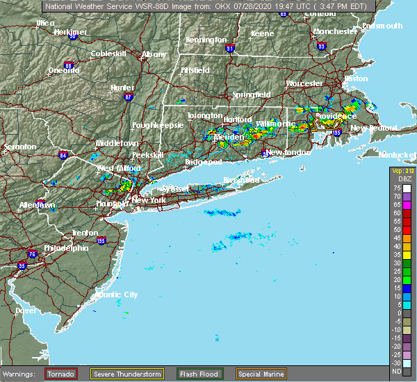 At 349 pm edt, a severe thunderstorm was located over lebanon, or near colchester, moving northeast at 20 mph (radar indicated). Hazards include 60 mph wind gusts and quarter size hail. Minor hail damage to vehicles is possible. expect wind damage to trees and power lines. this severe thunderstorm will be near, norwich around 415 pm edt. sprague around 420 pm edt. lisbon around 425 pm edt. Griswold around 445 pm edt. At 349 pm edt, a severe thunderstorm was located over lebanon, or near colchester, moving northeast at 20 mph (radar indicated). Hazards include 60 mph wind gusts and quarter size hail. Minor hail damage to vehicles is possible. expect wind damage to trees and power lines. this severe thunderstorm will be near, norwich around 415 pm edt. sprague around 420 pm edt. lisbon around 425 pm edt. Griswold around 445 pm edt.
|
| 7/23/2020 5:56 PM EDT |
 The severe thunderstorm warning for northeastern new london county will expire at 600 pm edt, the storms which prompted the warning have weakened below severe limits, and no longer pose an immediate threat to life or property. therefore, the warning will be allowed to expire. The severe thunderstorm warning for northeastern new london county will expire at 600 pm edt, the storms which prompted the warning have weakened below severe limits, and no longer pose an immediate threat to life or property. therefore, the warning will be allowed to expire.
|
| 7/23/2020 5:07 PM EDT |
 The national weather service in upton ny has issued a * severe thunderstorm warning for. northeastern new london county in southern connecticut. until 600 pm edt. At 506 pm edt, severe thunderstorms were located along a line extending from near hampton to near columbia, moving southeast at. The national weather service in upton ny has issued a * severe thunderstorm warning for. northeastern new london county in southern connecticut. until 600 pm edt. At 506 pm edt, severe thunderstorms were located along a line extending from near hampton to near columbia, moving southeast at.
|
| 7/14/2020 2:37 PM EDT |
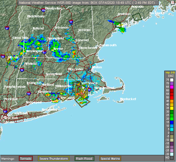 At 237 pm edt, a severe thunderstorm was located over norwich, moving southeast at 15 mph (radar indicated). Hazards include 60 mph wind gusts and quarter size hail. Minor hail damage to vehicles is possible. expect wind damage to trees and power lines. this severe storm will be near, preston around 250 pm edt. gales ferry around 300 pm edt. ledyard center around 305 pm edt. ledyard around 310 pm edt. Groton and mystic around 330 pm edt. At 237 pm edt, a severe thunderstorm was located over norwich, moving southeast at 15 mph (radar indicated). Hazards include 60 mph wind gusts and quarter size hail. Minor hail damage to vehicles is possible. expect wind damage to trees and power lines. this severe storm will be near, preston around 250 pm edt. gales ferry around 300 pm edt. ledyard center around 305 pm edt. ledyard around 310 pm edt. Groton and mystic around 330 pm edt.
|
| 7/14/2020 2:30 PM EDT |
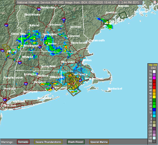 At 230 pm edt, a severe thunderstorm was located over sprague, or near norwich, moving southeast at 15 mph (radar indicated). Hazards include quarter size hail. Minor damage to vehicles is possible. this severe thunderstorm will be near, lisbon around 240 pm edt. norwich around 245 pm edt. preston around 250 pm edt. gales ferry around 300 pm edt. ledyard center around 305 pm edt. Groton and ledyard around 315 pm edt. At 230 pm edt, a severe thunderstorm was located over sprague, or near norwich, moving southeast at 15 mph (radar indicated). Hazards include quarter size hail. Minor damage to vehicles is possible. this severe thunderstorm will be near, lisbon around 240 pm edt. norwich around 245 pm edt. preston around 250 pm edt. gales ferry around 300 pm edt. ledyard center around 305 pm edt. Groton and ledyard around 315 pm edt.
|
| 7/1/2020 3:24 PM EDT |
 At 323 pm edt, a severe thunderstorm was located near ledyard center, or near norwich, moving east at 30 mph (radar indicated). Hazards include ping pong ball size hail. People and animals outdoors will be injured. expect damage to roofs, siding, windows, and vehicles. this severe thunderstorm will be near, griswold around 340 pm edt. Voluntown around 350 pm edt. At 323 pm edt, a severe thunderstorm was located near ledyard center, or near norwich, moving east at 30 mph (radar indicated). Hazards include ping pong ball size hail. People and animals outdoors will be injured. expect damage to roofs, siding, windows, and vehicles. this severe thunderstorm will be near, griswold around 340 pm edt. Voluntown around 350 pm edt.
|
| 7/1/2020 3:19 PM EDT |
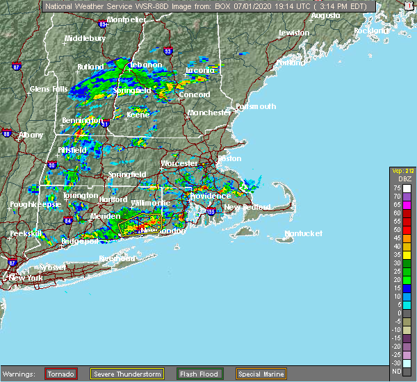 A severe thunderstorm warning remains in effect until 330 pm edt for eastern new london county. at 318 pm edt, a severe thunderstorm was located over ledyard center, or near norwich, moving east at 30 mph. hazard. quarter size hail. source. Radar indicated. A severe thunderstorm warning remains in effect until 330 pm edt for eastern new london county. at 318 pm edt, a severe thunderstorm was located over ledyard center, or near norwich, moving east at 30 mph. hazard. quarter size hail. source. Radar indicated.
|
| 7/1/2020 2:50 PM EDT |
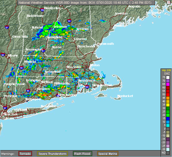 At 250 pm edt, a severe thunderstorm was located over salem, moving east at 30 mph (radar indicated). Hazards include ping pong ball size hail. People and animals outdoors will be injured. Expect damage to roofs, siding, windows, and vehicles. At 250 pm edt, a severe thunderstorm was located over salem, moving east at 30 mph (radar indicated). Hazards include ping pong ball size hail. People and animals outdoors will be injured. Expect damage to roofs, siding, windows, and vehicles.
|
| 6/28/2020 9:22 PM EDT |
 The severe thunderstorm warning for central new london county will expire at 930 pm edt, the storm which prompted the warning has weakened below severe limits, and has exited the warned area. therefore, the warning will be allowed to expire. The severe thunderstorm warning for central new london county will expire at 930 pm edt, the storm which prompted the warning has weakened below severe limits, and has exited the warned area. therefore, the warning will be allowed to expire.
|
| 6/28/2020 8:45 PM EDT |
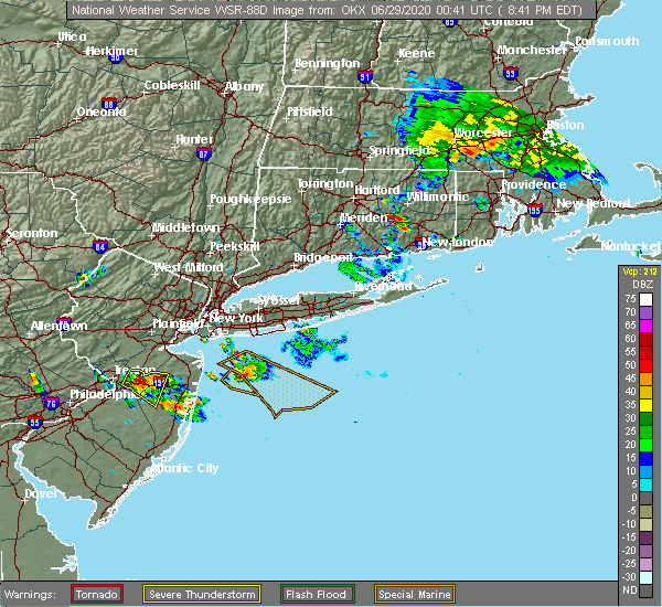 At 845 pm edt, a severe thunderstorm was located over colchester, moving east at 20 mph (radar indicated). Hazards include 60 mph wind gusts and quarter size hail. Minor hail damage to vehicles is possible. Expect wind damage to trees and power lines. At 845 pm edt, a severe thunderstorm was located over colchester, moving east at 20 mph (radar indicated). Hazards include 60 mph wind gusts and quarter size hail. Minor hail damage to vehicles is possible. Expect wind damage to trees and power lines.
|
| 6/6/2020 4:13 PM EDT | Tree down on unoccupied car on hill s in new london county CT, 0.2 miles S of Jewett City, CT |
| 6/6/2020 4:13 PM EDT | Trees reported dow in new london county CT, 2.1 miles ENE of Jewett City, CT |
| 4/21/2020 4:58 PM EDT |
 The severe thunderstorm warning for eastern new london county will expire at 500 pm edt, the storms which prompted the warning have moved out of the area. therefore, the warning will be allowed to expire. The severe thunderstorm warning for eastern new london county will expire at 500 pm edt, the storms which prompted the warning have moved out of the area. therefore, the warning will be allowed to expire.
|
| 4/21/2020 4:44 PM EDT |
 At 443 pm edt, severe thunderstorms were located along a line extending from near hopkinton to near montauk point, moving east at 65 mph (radar indicated). Hazards include 60 mph wind gusts. expect damage to trees and power lines At 443 pm edt, severe thunderstorms were located along a line extending from near hopkinton to near montauk point, moving east at 65 mph (radar indicated). Hazards include 60 mph wind gusts. expect damage to trees and power lines
|
| 4/21/2020 4:08 PM EDT |
 At 408 pm edt, severe thunderstorms were located along a line extending from old lyme to near mattituck, moving east at 65 mph (radar indicated). Hazards include 60 mph wind gusts and penny size hail. Expect damage to trees and power lines. severe thunderstorms will be near, east lyme and lyme around 415 pm edt. new london and waterford around 420 pm edt. mystic and ledyard center around 425 pm edt. groton and ledyard around 430 pm edt. Norwich--new london around 435 pm edt. At 408 pm edt, severe thunderstorms were located along a line extending from old lyme to near mattituck, moving east at 65 mph (radar indicated). Hazards include 60 mph wind gusts and penny size hail. Expect damage to trees and power lines. severe thunderstorms will be near, east lyme and lyme around 415 pm edt. new london and waterford around 420 pm edt. mystic and ledyard center around 425 pm edt. groton and ledyard around 430 pm edt. Norwich--new london around 435 pm edt.
|
| 10/17/2019 12:33 AM EDT |
 At 1232 am edt, severe thunderstorms were located along a line extending from norwich to 42 miles southeast of montauk point, moving northeast at 30 mph (radar indicated). Hazards include 60 mph wind gusts. expect damage to trees and power lines At 1232 am edt, severe thunderstorms were located along a line extending from norwich to 42 miles southeast of montauk point, moving northeast at 30 mph (radar indicated). Hazards include 60 mph wind gusts. expect damage to trees and power lines
|
| 5/15/2018 6:11 PM EDT |
 The severe thunderstorm warning for new london, southeastern new haven, middlesex, queens, suffolk, kings and nassau counties will expire at 615 pm edt, the storms which prompted the warning have weakened below severe limits, and no longer pose an immediate threat to life or property. therefore, the warning will be allowed to expire. however small hail and gusty winds are still possible with these thunderstorms across far eastern new london county in connecticut, and across the south shore and east end of long island. The severe thunderstorm warning for new london, southeastern new haven, middlesex, queens, suffolk, kings and nassau counties will expire at 615 pm edt, the storms which prompted the warning have weakened below severe limits, and no longer pose an immediate threat to life or property. therefore, the warning will be allowed to expire. however small hail and gusty winds are still possible with these thunderstorms across far eastern new london county in connecticut, and across the south shore and east end of long island.
|
| 5/15/2018 5:28 PM EDT |
 At 527 pm edt, severe thunderstorms were located along a line extending from near colchester to near guilford to port jefferson to sheepshead bay, moving east at 60 mph (radar indicated). Hazards include 60 mph wind gusts. Expect damage to trees and power lines. severe thunderstorms will be near, colchester and middle island around 535 pm edt. manorville and wading river around 540 pm edt. jewett city and freeport around 545 pm edt. massapequa and mattituck around 550 pm edt. fishers island and shinnecock hills around 555 pm edt. southampton and bridgehampton around 600 pm edt. East hampton around 605 pm edt. At 527 pm edt, severe thunderstorms were located along a line extending from near colchester to near guilford to port jefferson to sheepshead bay, moving east at 60 mph (radar indicated). Hazards include 60 mph wind gusts. Expect damage to trees and power lines. severe thunderstorms will be near, colchester and middle island around 535 pm edt. manorville and wading river around 540 pm edt. jewett city and freeport around 545 pm edt. massapequa and mattituck around 550 pm edt. fishers island and shinnecock hills around 555 pm edt. southampton and bridgehampton around 600 pm edt. East hampton around 605 pm edt.
|
| 7/13/2017 3:27 PM EDT |
 The severe thunderstorm warning for northern new london county will expire at 330 pm edt, the severe thunderstorm which prompted the warning has weakened and is moving out of the warned area. therefore, the warning will be allowed to expire. a severe thunderstorm watch remains in effect until 900 pm edt for southern connecticut. The severe thunderstorm warning for northern new london county will expire at 330 pm edt, the severe thunderstorm which prompted the warning has weakened and is moving out of the warned area. therefore, the warning will be allowed to expire. a severe thunderstorm watch remains in effect until 900 pm edt for southern connecticut.
|
| 7/13/2017 3:09 PM EDT |
 At 237 pm edt, a severe thunderstorm was located over lebanon, or near windham, moving east at 25 mph (radar indicated). Hazards include 60 mph wind gusts and quarter size hail. Hail damage to vehicles is expected. expect wind damage to roofs, siding, and trees. this severe thunderstorm will be near, bozrah around 245 pm edt. sprague around 250 pm edt. norwich and preston around 305 pm edt. jewett city and lisbon around 310 pm edt. griswold around 315 pm edt. Voluntown around 325 pm edt. At 237 pm edt, a severe thunderstorm was located over lebanon, or near windham, moving east at 25 mph (radar indicated). Hazards include 60 mph wind gusts and quarter size hail. Hail damage to vehicles is expected. expect wind damage to roofs, siding, and trees. this severe thunderstorm will be near, bozrah around 245 pm edt. sprague around 250 pm edt. norwich and preston around 305 pm edt. jewett city and lisbon around 310 pm edt. griswold around 315 pm edt. Voluntown around 325 pm edt.
|
| 7/13/2017 2:38 PM EDT |
 At 237 pm edt, a severe thunderstorm was located over lebanon, or near windham, moving east at 25 mph (radar indicated). Hazards include 60 mph wind gusts and quarter size hail. Hail damage to vehicles is expected. expect wind damage to roofs, siding, and trees. this severe thunderstorm will be near, bozrah around 245 pm edt. sprague around 250 pm edt. norwich and preston around 305 pm edt. jewett city and lisbon around 310 pm edt. griswold around 315 pm edt. Voluntown around 325 pm edt. At 237 pm edt, a severe thunderstorm was located over lebanon, or near windham, moving east at 25 mph (radar indicated). Hazards include 60 mph wind gusts and quarter size hail. Hail damage to vehicles is expected. expect wind damage to roofs, siding, and trees. this severe thunderstorm will be near, bozrah around 245 pm edt. sprague around 250 pm edt. norwich and preston around 305 pm edt. jewett city and lisbon around 310 pm edt. griswold around 315 pm edt. Voluntown around 325 pm edt.
|
| 8/11/2016 4:41 PM EDT |
 The national weather service in upton ny has issued a * severe thunderstorm warning for. new london county in southern connecticut. until 530 pm edt * at 440 pm edt. severe thunderstorms were located along a line extending from willimantic to near hebron. Moving southeast at 45. The national weather service in upton ny has issued a * severe thunderstorm warning for. new london county in southern connecticut. until 530 pm edt * at 440 pm edt. severe thunderstorms were located along a line extending from willimantic to near hebron. Moving southeast at 45.
|
| 2/25/2016 1:58 AM EST |
 At 158 am est, doppler radar indicated a severe thunderstorm capable of producing damaging winds in excess of 60 mph. this storm was located near old saybrook, and moving northeast at 85 mph. * this severe thunderstorm will be near, waterford around 205 am est. groton, salem and gales ferry around 210 am est. ledyard, preston, bozrah and ledyard center around 215 am est. norwich, griswold, lisbon and sprague around 220 am est. plainfield, canterbury and voluntown around 225 am est. sterling around 230 am est. other locations impacted by this severe thunderstorm include poquonock bridge, pawcatuck, saybrook manor, millington, jewett city, fenwick, deep river, essex, franklin and montville. At 158 am est, doppler radar indicated a severe thunderstorm capable of producing damaging winds in excess of 60 mph. this storm was located near old saybrook, and moving northeast at 85 mph. * this severe thunderstorm will be near, waterford around 205 am est. groton, salem and gales ferry around 210 am est. ledyard, preston, bozrah and ledyard center around 215 am est. norwich, griswold, lisbon and sprague around 220 am est. plainfield, canterbury and voluntown around 225 am est. sterling around 230 am est. other locations impacted by this severe thunderstorm include poquonock bridge, pawcatuck, saybrook manor, millington, jewett city, fenwick, deep river, essex, franklin and montville.
|
| 7/20/2015 3:56 PM EDT |
 The severe thunderstorm warning for northeastern new london county will expire at 400 pm edt, the severe thunderstorm which prompted the warning has weakened. therefore the warning will be allowed to expire. The severe thunderstorm warning for northeastern new london county will expire at 400 pm edt, the severe thunderstorm which prompted the warning has weakened. therefore the warning will be allowed to expire.
|
| 7/20/2015 3:25 PM EDT | Trees and wires down at intersection of tyler terrace and roode road in new london county CT, 1.2 miles WNW of Jewett City, CT |
| 7/20/2015 3:23 PM EDT |
 At 323 pm edt, trained weather spotters reported a severe thunderstorm producing damaging winds in excess of 60 mph. this storm was located over griswold, or 7 miles northeast of norwich, moving east at 35 mph. locations impacted include, norwich, griswold, preston, lisbon, sprague, bozrah, voluntown, north stonington, jewett city and franklin. At 323 pm edt, trained weather spotters reported a severe thunderstorm producing damaging winds in excess of 60 mph. this storm was located over griswold, or 7 miles northeast of norwich, moving east at 35 mph. locations impacted include, norwich, griswold, preston, lisbon, sprague, bozrah, voluntown, north stonington, jewett city and franklin.
|
| 7/20/2015 3:20 PM EDT | Tree down at intersection of north burnham highway rt 169 and lisbon heights in new london county CT, 1.6 miles ENE of Jewett City, CT |
| 7/20/2015 3:20 PM EDT | Trees and wires down at 5 lincoln square in new london county CT, 0.2 miles S of Jewett City, CT |
| 7/20/2015 3:01 PM EDT |
 At 300 pm edt, doppler radar indicated a severe thunderstorm capable of producing damaging winds in excess of 60 mph. this storm was located over sprague, or near norwich, and moving east at 35 mph. At 300 pm edt, doppler radar indicated a severe thunderstorm capable of producing damaging winds in excess of 60 mph. this storm was located over sprague, or near norwich, and moving east at 35 mph.
|
| 7/1/2015 7:00 AM EDT |
 At 659 am edt, doppler radar indicated a line of severe thunderstorms capable of producing damaging winds in excess of 60 mph. these storms were located along a line extending from lebanon to norwich to near charlestown, moving northeast at 55 mph. these severe storms will be near, griswold, voluntown and scotland around 710 am edt. plainfield, canterbury and sterling around 715 am edt. At 659 am edt, doppler radar indicated a line of severe thunderstorms capable of producing damaging winds in excess of 60 mph. these storms were located along a line extending from lebanon to norwich to near charlestown, moving northeast at 55 mph. these severe storms will be near, griswold, voluntown and scotland around 710 am edt. plainfield, canterbury and sterling around 715 am edt.
|
| 7/1/2015 6:20 AM EDT |
 At 619 am edt, doppler radar indicated a line of severe thunderstorms capable of producing damaging winds in excess of 60 mph. these storms were across the twin forks of long island, and moving northeast at 80 mph. * severe thunderstorms will be near, gardner`s island and plum island around 625 am edt. old saybrook and fishers island around 630 am edt. old lyme and north lyme around 635 am edt. waterford, east lyme, lyme and norwich--new london around 640 am edt. new london, groton, westerly and gales ferry around 645 am edt. norwich, ledyard, preston and ledyard center around 650 am edt. griswold and lisbon around 655 am edt. voluntown around 700 am edt. other locations impacted by these severe thunderstorms include pawcatuck, millington, orient, springs, fenwick, deep river, essex, franklin, montville and north stonington. At 619 am edt, doppler radar indicated a line of severe thunderstorms capable of producing damaging winds in excess of 60 mph. these storms were across the twin forks of long island, and moving northeast at 80 mph. * severe thunderstorms will be near, gardner`s island and plum island around 625 am edt. old saybrook and fishers island around 630 am edt. old lyme and north lyme around 635 am edt. waterford, east lyme, lyme and norwich--new london around 640 am edt. new london, groton, westerly and gales ferry around 645 am edt. norwich, ledyard, preston and ledyard center around 650 am edt. griswold and lisbon around 655 am edt. voluntown around 700 am edt. other locations impacted by these severe thunderstorms include pawcatuck, millington, orient, springs, fenwick, deep river, essex, franklin, montville and north stonington.
|
| 6/23/2015 5:02 PM EDT |
 At 501 pm edt, doppler radar indicated a severe thunderstorm capable of producing damaging winds in excess of 60 mph. this storm was located over colchester, moving east at 55 mph. penny size hail may also accompany the damaging winds. locations impacted include, middletown, norwich, new london, colchester, plainfield, clinton, east hampton, groton, old saybrook, salem, chester, hartford, waterford, east lyme, ledyard, griswold, portland, east haddam, haddam and old lyme. At 501 pm edt, doppler radar indicated a severe thunderstorm capable of producing damaging winds in excess of 60 mph. this storm was located over colchester, moving east at 55 mph. penny size hail may also accompany the damaging winds. locations impacted include, middletown, norwich, new london, colchester, plainfield, clinton, east hampton, groton, old saybrook, salem, chester, hartford, waterford, east lyme, ledyard, griswold, portland, east haddam, haddam and old lyme.
|
| 6/23/2015 4:32 PM EDT |
 At 432 pm edt, doppler radar indicated an area of severe thunderstorms capable of producing damaging winds in excess of 60 mph. this storm was located over wallingford, and moving east at 55 mph. penny size hail may also accompany the damaging winds. At 432 pm edt, doppler radar indicated an area of severe thunderstorms capable of producing damaging winds in excess of 60 mph. this storm was located over wallingford, and moving east at 55 mph. penny size hail may also accompany the damaging winds.
|
| 5/25/2014 3:17 PM EDT | Golf Ball sized hail reported 3.6 miles WNW of Jewett City, CT |
Hail Maps for Jewett City, CT


Connect with Interactive Hail Maps