

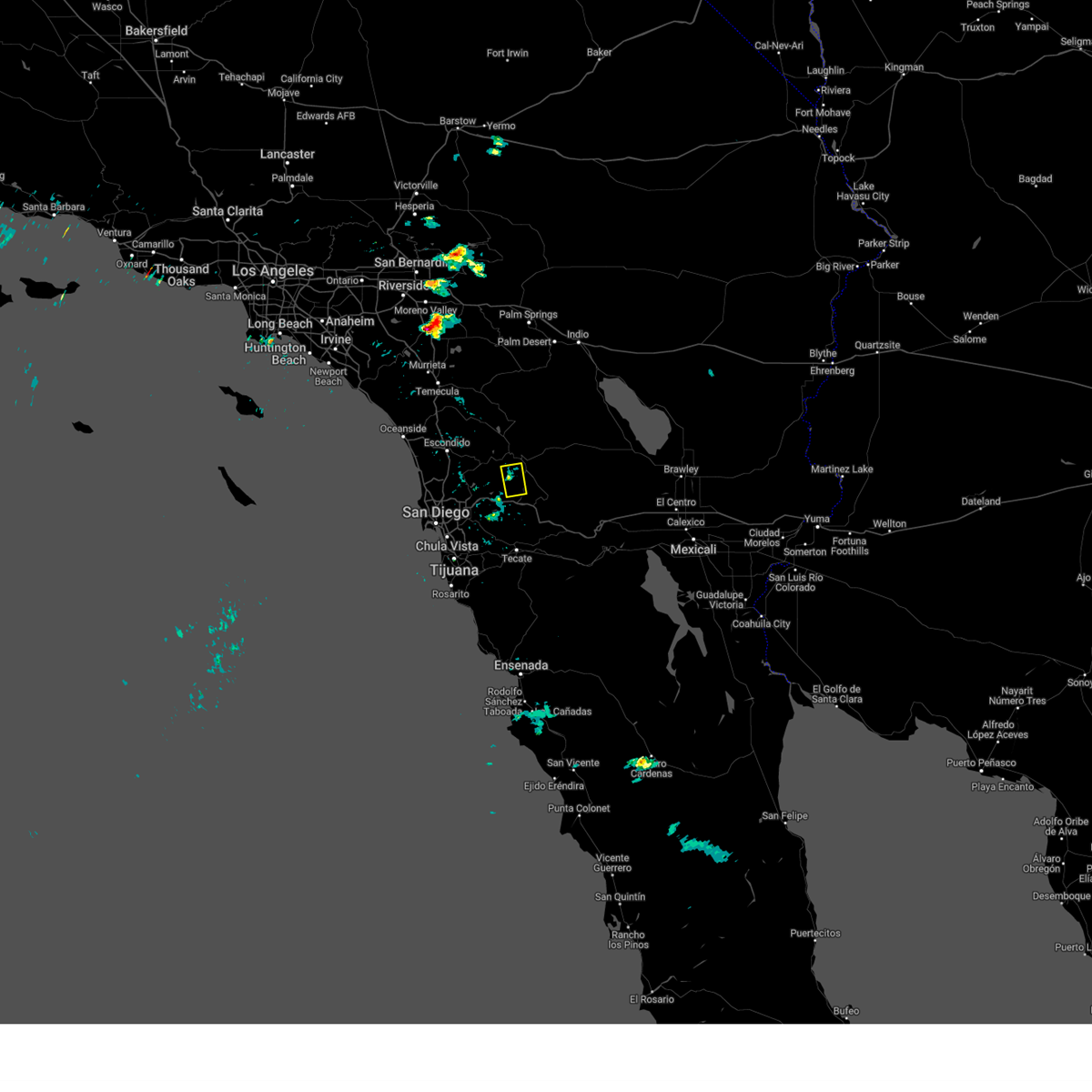
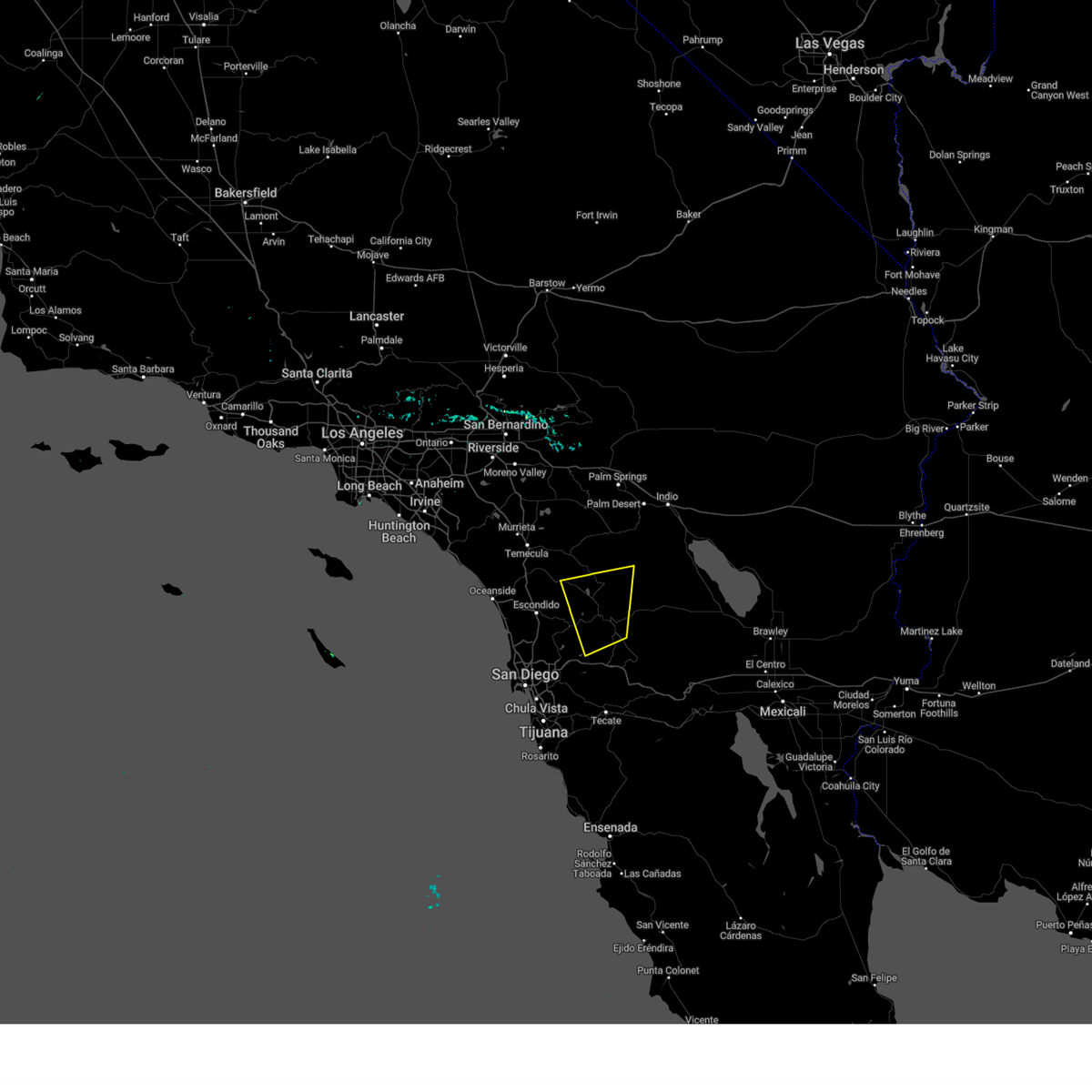
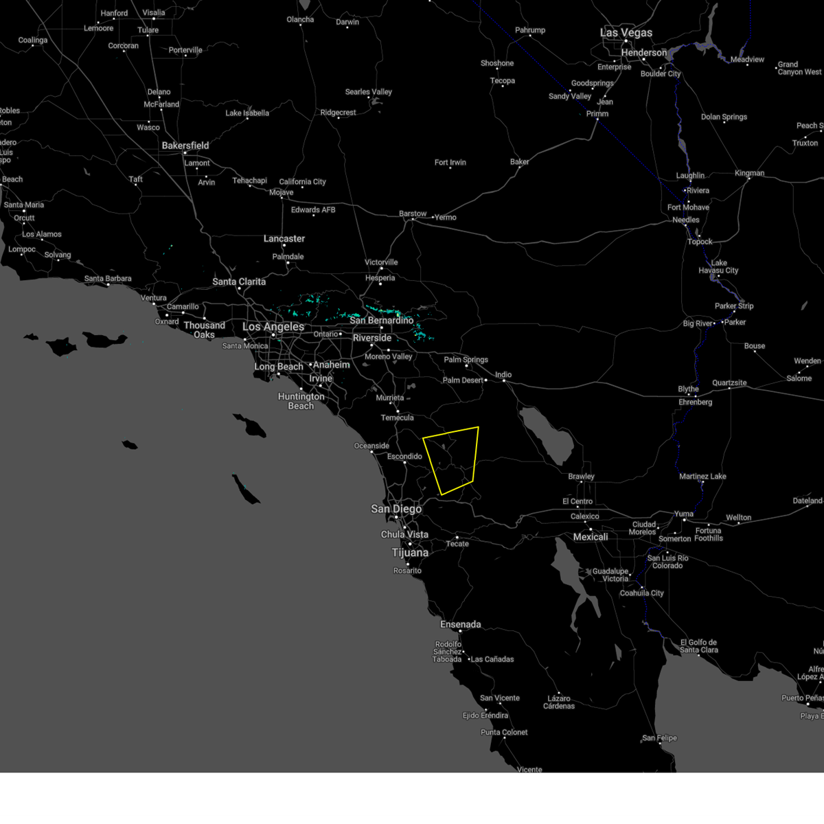
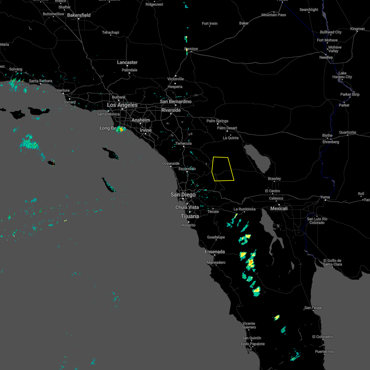
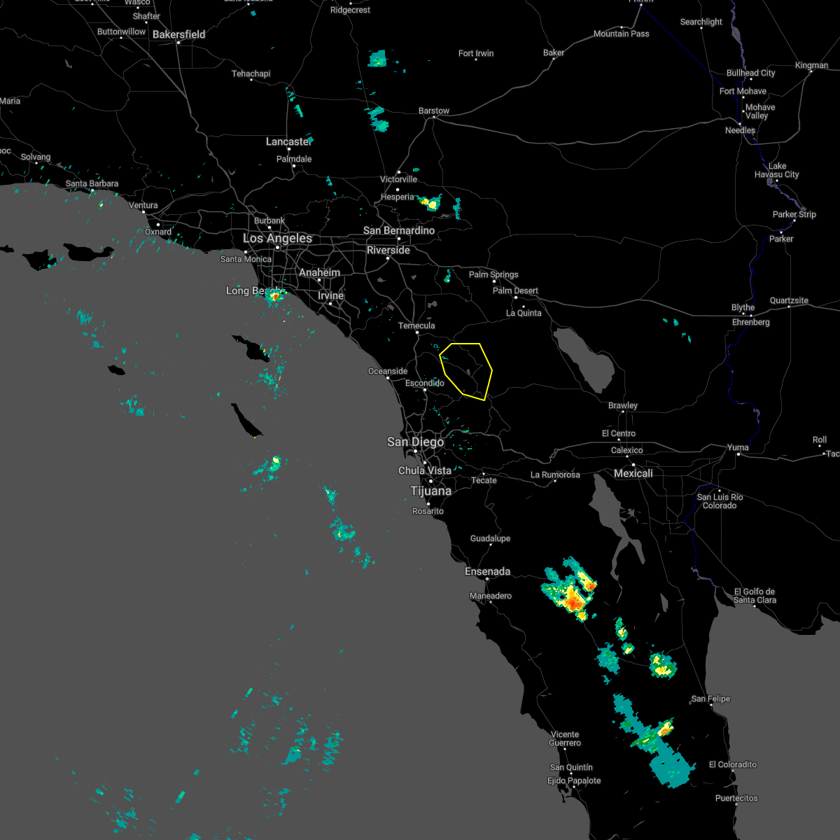
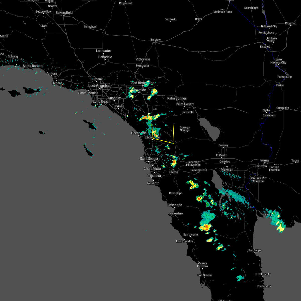
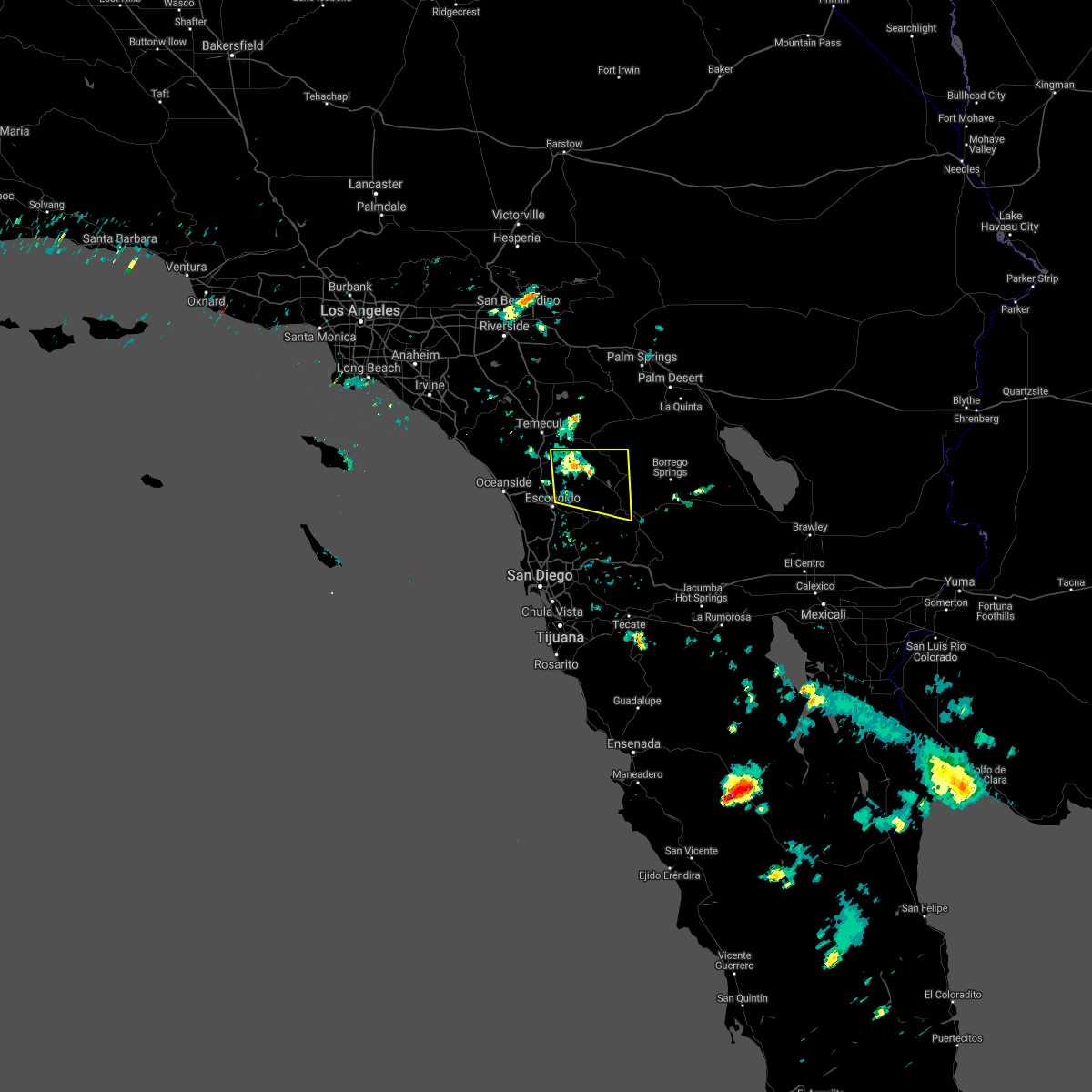
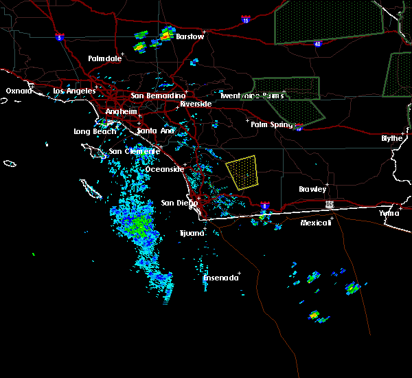
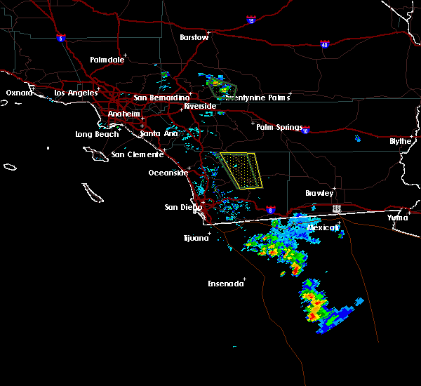
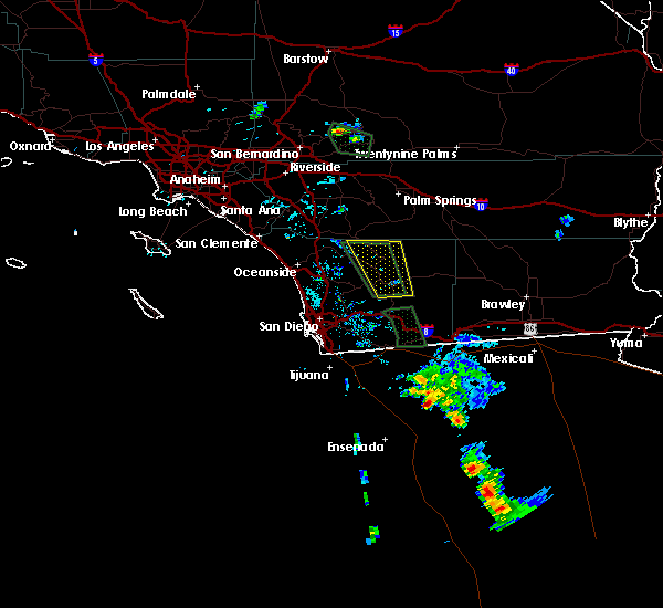
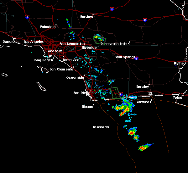
Hail Map for Julian, CA
The Julian, CA area has had 1 report of on-the-ground hail by trained spotters, and has been under severe weather warnings 6 times during the past 12 months. Doppler radar has detected hail at or near Julian, CA on 2 occasions, including 1 occasion during the past year.
| Name: | Julian, CA |
| Where Located: | 41.6 miles NE of San Diego, CA |
| Map: | Google Map for Julian, CA |
| Population: | 1502 |
| Housing Units: | 917 |
| More Info: | Search Google for Julian, CA |
5
The Top Recent Hail Date for Julian, CA is Sunday, August 11, 2024 (1st out of 2)

Hail and Wind Damage Spotted near Julian, CA
| Date / Time | Report Details |
|---|---|
| 9/7/2024 3:42 PM PDT |
 the severe thunderstorm warning has been cancelled and is no longer in effect the severe thunderstorm warning has been cancelled and is no longer in effect
|
| 9/7/2024 3:29 PM PDT |
 At 329 pm pdt, a severe thunderstorm was located near cuyamaca rancho state park, and is nearly stationary (radar indicated). Hazards include 60 mph wind gusts and quarter size hail. Hail damage to vehicles is expected. expect wind damage to roofs, siding, and trees. Locations impacted include, cuyamaca rancho state park, descanso, lake cuyamaca, boulder creek, and captain grande indian reservation. At 329 pm pdt, a severe thunderstorm was located near cuyamaca rancho state park, and is nearly stationary (radar indicated). Hazards include 60 mph wind gusts and quarter size hail. Hail damage to vehicles is expected. expect wind damage to roofs, siding, and trees. Locations impacted include, cuyamaca rancho state park, descanso, lake cuyamaca, boulder creek, and captain grande indian reservation.
|
| 9/7/2024 3:10 PM PDT |
 Svrsgx the national weather service in san diego has issued a * severe thunderstorm warning for, central san diego county in southwestern california, * until 400 pm pdt. * at 310 pm pdt, a severe thunderstorm was located near lake cuyamaca, or near cuyamaca rancho state park, moving south at 5 mph (radar indicated). Hazards include 60 mph wind gusts and quarter size hail. Hail damage to vehicles is expected. Expect wind damage to roofs, siding, and trees. Svrsgx the national weather service in san diego has issued a * severe thunderstorm warning for, central san diego county in southwestern california, * until 400 pm pdt. * at 310 pm pdt, a severe thunderstorm was located near lake cuyamaca, or near cuyamaca rancho state park, moving south at 5 mph (radar indicated). Hazards include 60 mph wind gusts and quarter size hail. Hail damage to vehicles is expected. Expect wind damage to roofs, siding, and trees.
|
| 8/11/2024 3:03 PM PDT |
 The severe thunderstorm which prompted the warning has weakened. therefore, the warning has been allowed to expire. very heavy rainfall continues and a flash flood warning for the san diego mountains from julian to pine valley. The severe thunderstorm which prompted the warning has weakened. therefore, the warning has been allowed to expire. very heavy rainfall continues and a flash flood warning for the san diego mountains from julian to pine valley.
|
| 8/11/2024 2:19 PM PDT |
 At 217 pm pdt, a cluster of severe thunderstorms were located at the merger of state highway 78 and 79 in julian, just east of santa ysabel and nearly stationary. hail has been reported along with peak wind gusts near 50 mph from the thunderstorms (radar indicated). Hazards include 60 mph wind gusts and up to penny size hail. heavy rainfall. Expect damage to roofs, siding, and trees. Locations impacted include, ramona, hwy 78 between banner and s2, julian, cuyamaca rancho state park, valley center, ranchita, hwy 79 between santa ysabel and warner springs, lake henshaw, borrego palm canyon, s7 - east grade rd, warner springs, lake cuyamaca, san diego country estates, hwy 79 between julian and lake cuyamaca, hwy s2 between hwy 79 and hwy 78, hwy 78 between ramona and santa ysabel, hwy s22 between ranchita and borrego springs, hwy 79 between warner springs and oak grove, palomar mountain, and hwy s1 between lake cuyamaca and mount laguna. At 217 pm pdt, a cluster of severe thunderstorms were located at the merger of state highway 78 and 79 in julian, just east of santa ysabel and nearly stationary. hail has been reported along with peak wind gusts near 50 mph from the thunderstorms (radar indicated). Hazards include 60 mph wind gusts and up to penny size hail. heavy rainfall. Expect damage to roofs, siding, and trees. Locations impacted include, ramona, hwy 78 between banner and s2, julian, cuyamaca rancho state park, valley center, ranchita, hwy 79 between santa ysabel and warner springs, lake henshaw, borrego palm canyon, s7 - east grade rd, warner springs, lake cuyamaca, san diego country estates, hwy 79 between julian and lake cuyamaca, hwy s2 between hwy 79 and hwy 78, hwy 78 between ramona and santa ysabel, hwy s22 between ranchita and borrego springs, hwy 79 between warner springs and oak grove, palomar mountain, and hwy s1 between lake cuyamaca and mount laguna.
|
| 8/11/2024 1:53 PM PDT |
 Svrsgx the national weather service in san diego has issued a * severe thunderstorm warning for, central san diego county in southwestern california, * until 300 pm pdt. * at 152 pm pdt, a couple severe thunderstorm were located near julian, and is nearly stationary (radar indicated). Hazards include 60 mph wind gusts and penny size hail. expect damage to roofs, siding, and trees Svrsgx the national weather service in san diego has issued a * severe thunderstorm warning for, central san diego county in southwestern california, * until 300 pm pdt. * at 152 pm pdt, a couple severe thunderstorm were located near julian, and is nearly stationary (radar indicated). Hazards include 60 mph wind gusts and penny size hail. expect damage to roofs, siding, and trees
|
| 10/6/2022 6:24 PM PDT |
 The severe thunderstorm warning for central san diego county will expire at 630 pm pdt, the storm which prompted the warning has weakened below severe limits, and no longer poses an immediate threat to life or property. therefore, the warning will be allowed to expire. however gusty winds are still possible with this thunderstorm. The severe thunderstorm warning for central san diego county will expire at 630 pm pdt, the storm which prompted the warning has weakened below severe limits, and no longer poses an immediate threat to life or property. therefore, the warning will be allowed to expire. however gusty winds are still possible with this thunderstorm.
|
| 10/6/2022 5:48 PM PDT |
 At 547 pm pdt, a severe thunderstorm was located near hwy 79 between julian and lake cuyamaca, or near julian, moving south at 15 mph (radar indicated). Hazards include 60 mph wind gusts and quarter size hail. Hail damage to vehicles is expected. Expect wind damage to roofs, siding, and trees. At 547 pm pdt, a severe thunderstorm was located near hwy 79 between julian and lake cuyamaca, or near julian, moving south at 15 mph (radar indicated). Hazards include 60 mph wind gusts and quarter size hail. Hail damage to vehicles is expected. Expect wind damage to roofs, siding, and trees.
|
| 9/29/2022 1:58 PM PDT |
 At 158 pm pdt, a severe thunderstorm was located over hwy s22 between ranchita and borrego springs, or 7 miles southwest of borrego springs, moving south at 5 mph (radar indicated). Hazards include 60 mph wind gusts and nickel size hail. expect damage to roofs, siding, and trees At 158 pm pdt, a severe thunderstorm was located over hwy s22 between ranchita and borrego springs, or 7 miles southwest of borrego springs, moving south at 5 mph (radar indicated). Hazards include 60 mph wind gusts and nickel size hail. expect damage to roofs, siding, and trees
|
| 8/14/2022 4:09 PM PDT |
 The severe thunderstorm warning for east central san diego county will expire at 415 pm pdt, the severe thunderstorm which prompted the warning has weakened and moved out of the warned area. therefore, the warning will be allowed to expire. more thunderstroms are developing and being monitored over far southeastern san diego county. The severe thunderstorm warning for east central san diego county will expire at 415 pm pdt, the severe thunderstorm which prompted the warning has weakened and moved out of the warned area. therefore, the warning will be allowed to expire. more thunderstroms are developing and being monitored over far southeastern san diego county.
|
| 8/14/2022 3:59 PM PDT |
 At 400 pm pdt, thunderstorms have weakened over the area but continue to produce prolific and deadly lightning and very heavy rainfall east and southeast of pine valley. the thunderstorms were developing southward, and were between mount laguna and jacumba, including the i-8 corridor (radar indicated). Hazards include very heavy rain, lightning and strong wind gusts. Expect damage to roofs, siding, and trees. locations impacted include, mount laguna, cuyamaca rancho state park, hwy s2 between shelter valley and agua caliente, hwy s2 between agua caliente and canebrake, hwy s1 between lake cuyamaca and mount laguna, hwy 79 between julian and lake cuyamaca, lake cuyamaca, pine valley, fish creek wash and agua caliente. hail threat, radar indicated max hail size, <. 75 in wind threat, radar indicated max wind gust, 60 mph. At 400 pm pdt, thunderstorms have weakened over the area but continue to produce prolific and deadly lightning and very heavy rainfall east and southeast of pine valley. the thunderstorms were developing southward, and were between mount laguna and jacumba, including the i-8 corridor (radar indicated). Hazards include very heavy rain, lightning and strong wind gusts. Expect damage to roofs, siding, and trees. locations impacted include, mount laguna, cuyamaca rancho state park, hwy s2 between shelter valley and agua caliente, hwy s2 between agua caliente and canebrake, hwy s1 between lake cuyamaca and mount laguna, hwy 79 between julian and lake cuyamaca, lake cuyamaca, pine valley, fish creek wash and agua caliente. hail threat, radar indicated max hail size, <. 75 in wind threat, radar indicated max wind gust, 60 mph.
|
| 8/14/2022 3:22 PM PDT |
 At 322 pm pdt, a severe thunderstorm was located over hwy s1 between lake cuyamaca and mount laguna, or over cuyamaca rancho state park, moving southwest at 20 mph (radar indicated). Hazards include 60 mph wind gusts. expect damage to roofs, siding, and trees At 322 pm pdt, a severe thunderstorm was located over hwy s1 between lake cuyamaca and mount laguna, or over cuyamaca rancho state park, moving southwest at 20 mph (radar indicated). Hazards include 60 mph wind gusts. expect damage to roofs, siding, and trees
|
| 8/13/2022 2:56 PM PDT |
 At 255 pm pdt, a severe thunderstorm was located over warner springs, or 14 miles north of julian, moving east at 5 mph. the storm produced wind gusts to 55 mph and very heavy rain. flooding reported on highway 79 (radar indicated). Hazards include 60 mph wind gusts and nickel size hail. Expect damage to roofs, siding, and trees. locations impacted include, julian, valley center, warner springs, palomar mountain, hwy 79 between oak grove and aguanga, hwy 79 between warner springs and oak grove, hwy 79 between santa ysabel and warner springs, lake henshaw, palomar mountain state park and s7 - east grade rd. hail threat, radar indicated max hail size, 0. 88 in wind threat, radar indicated max wind gust, 60 mph. At 255 pm pdt, a severe thunderstorm was located over warner springs, or 14 miles north of julian, moving east at 5 mph. the storm produced wind gusts to 55 mph and very heavy rain. flooding reported on highway 79 (radar indicated). Hazards include 60 mph wind gusts and nickel size hail. Expect damage to roofs, siding, and trees. locations impacted include, julian, valley center, warner springs, palomar mountain, hwy 79 between oak grove and aguanga, hwy 79 between warner springs and oak grove, hwy 79 between santa ysabel and warner springs, lake henshaw, palomar mountain state park and s7 - east grade rd. hail threat, radar indicated max hail size, 0. 88 in wind threat, radar indicated max wind gust, 60 mph.
|
| 8/13/2022 2:21 PM PDT |
 At 220 pm pdt, a severe thunderstorm was located near route s7 - east grade rd, or 11 miles east of valley center, moving west at 5 mph (radar indicated). Hazards include 60 mph wind gusts and nickel size hail. very heavy rain. expect damage to roofs, siding, and trees At 220 pm pdt, a severe thunderstorm was located near route s7 - east grade rd, or 11 miles east of valley center, moving west at 5 mph (radar indicated). Hazards include 60 mph wind gusts and nickel size hail. very heavy rain. expect damage to roofs, siding, and trees
|
| 9/24/2021 2:13 PM PDT |
 The severe thunderstorm warning for north central san diego county will expire at 215 pm pdt, the severe thunderstorm which prompted the warning has weakened to below severe levels. therefore, the warning will be allowed to expire. The severe thunderstorm warning for north central san diego county will expire at 215 pm pdt, the severe thunderstorm which prompted the warning has weakened to below severe levels. therefore, the warning will be allowed to expire.
|
| 9/24/2021 1:24 PM PDT |
 At 123 pm pdt, a severe thunderstorm was located 7 miles west of palomar mountain state park, or 8 miles north of valley center, moving southwest at 10 mph (radar indicated. a spotter reported up to one-inch diameter hail at birch hill on palomar mountain). Hazards include 60 mph wind gusts and quarter size hail. Hail damage to vehicles is expected. Expect wind damage to roofs, siding, and trees. At 123 pm pdt, a severe thunderstorm was located 7 miles west of palomar mountain state park, or 8 miles north of valley center, moving southwest at 10 mph (radar indicated. a spotter reported up to one-inch diameter hail at birch hill on palomar mountain). Hazards include 60 mph wind gusts and quarter size hail. Hail damage to vehicles is expected. Expect wind damage to roofs, siding, and trees.
|
| 8/22/2020 2:55 PM PDT |
 At 255 pm pdt, a severe thunderstorm was located over pine valley, or near mount laguna, moving northwest at 10 mph (radar indicated). Hazards include 60 mph wind gusts and quarter size hail. Hail damage to vehicles is expected. expect wind damage to roofs, siding, and trees. Locations impacted include, hwy 78 between banner and s2, i-8 between pine valley and boulevard, mount laguna, cuyamaca rancho state park, julian, hwy 78 between s2 and borrego springs rd, hwy s2 between shelter valley and agua caliente, lake cuyamaca, pine valley and hwy s1 between lake cuyamaca and mount laguna. At 255 pm pdt, a severe thunderstorm was located over pine valley, or near mount laguna, moving northwest at 10 mph (radar indicated). Hazards include 60 mph wind gusts and quarter size hail. Hail damage to vehicles is expected. expect wind damage to roofs, siding, and trees. Locations impacted include, hwy 78 between banner and s2, i-8 between pine valley and boulevard, mount laguna, cuyamaca rancho state park, julian, hwy 78 between s2 and borrego springs rd, hwy s2 between shelter valley and agua caliente, lake cuyamaca, pine valley and hwy s1 between lake cuyamaca and mount laguna.
|
| 8/22/2020 2:21 PM PDT |
 At 220 pm pdt, a severe thunderstorm was located near i-8 between pine valley and boulevard, moving northwest at 20 mph (radar indicated). Hazards include 60 mph wind gusts and quarter size hail. Hail damage to vehicles is expected. Expect wind damage to roofs, siding, and trees. At 220 pm pdt, a severe thunderstorm was located near i-8 between pine valley and boulevard, moving northwest at 20 mph (radar indicated). Hazards include 60 mph wind gusts and quarter size hail. Hail damage to vehicles is expected. Expect wind damage to roofs, siding, and trees.
|
| 9/5/2019 2:24 PM PDT |
 At 219 pm pdt, a severe thunderstorm was located 2 miles northeast of julian. it was moving northeast at 10 mph over highway s2. at 210 pm, a wind gust to 46 mph was reported at volcan mountain (radar indicated). Hazards include 60 mph wind gusts, nickel size hail and very heavy rain. Possible damage to roofs, siding, and trees. flash flooding. Locations impacted include, julian, hwy 78 between s2 and borrego springs rd, and ranchita. At 219 pm pdt, a severe thunderstorm was located 2 miles northeast of julian. it was moving northeast at 10 mph over highway s2. at 210 pm, a wind gust to 46 mph was reported at volcan mountain (radar indicated). Hazards include 60 mph wind gusts, nickel size hail and very heavy rain. Possible damage to roofs, siding, and trees. flash flooding. Locations impacted include, julian, hwy 78 between s2 and borrego springs rd, and ranchita.
|
| 9/5/2019 2:04 PM PDT |
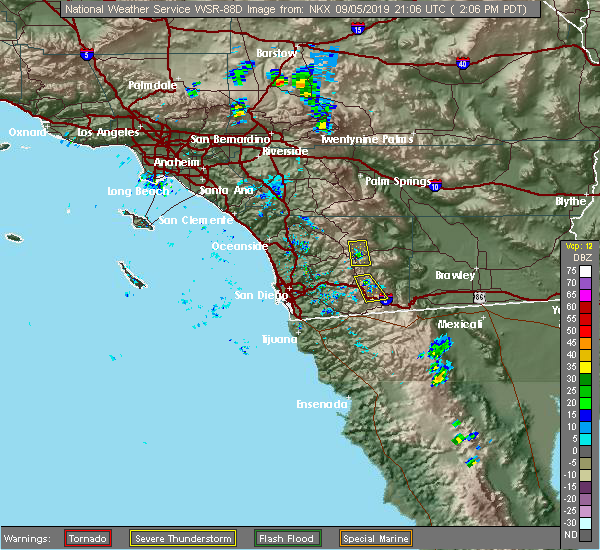 At 202 pm pdt, a severe thunderstorm was located near julian, and was moving northeast at 10 mph (radar indicated). Hazards include 60 mph wind gusts and nickel size hail. expect damage to roofs, siding, and trees At 202 pm pdt, a severe thunderstorm was located near julian, and was moving northeast at 10 mph (radar indicated). Hazards include 60 mph wind gusts and nickel size hail. expect damage to roofs, siding, and trees
|
| 7/24/2019 3:30 PM PDT | Mesonet station thunderstorm wind gust of 61 mp in san diego county CA, 10.3 miles NW of Julian, CA |
| 7/24/2019 3:12 PM PDT |
 At 312 pm pdt, a severe thunderstorm was located near hwy 78 between banner and s2, moving west at 5 mph. another intensifying thunderstorm was located just west of julian (radar indicated). Hazards include 60 mph wind gusts and penny size hail. expect damage to roofs, siding, and trees At 312 pm pdt, a severe thunderstorm was located near hwy 78 between banner and s2, moving west at 5 mph. another intensifying thunderstorm was located just west of julian (radar indicated). Hazards include 60 mph wind gusts and penny size hail. expect damage to roofs, siding, and trees
|
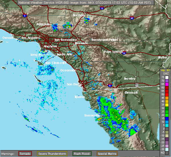
| 7/22/2019 2:28 PM PDT |
 At 227 pm pdt, a severe thunderstorm was located near hwy s2 between hwy 79 and hwy 78, or near julian, moving northwest at 5 mph (radar indicated). Hazards include 60 mph wind gusts and penny size hail. Expect damage to roofs, siding, and trees. Frequent lightning and heavy rainfall can also be expected. At 227 pm pdt, a severe thunderstorm was located near hwy s2 between hwy 79 and hwy 78, or near julian, moving northwest at 5 mph (radar indicated). Hazards include 60 mph wind gusts and penny size hail. Expect damage to roofs, siding, and trees. Frequent lightning and heavy rainfall can also be expected.
|
| 8/15/2018 2:33 PM PDT |
 At 222 pm pdt, a severe thunderstorm stretched from near julian to the pine valley area, and the storm was nearly stationary (radar indicated). Hazards include 60 mph wind gusts. Expect damage to roofs, siding, and trees. Locations impacted include, alpine, highway 78 between banner and s2, i-8 between pine valley and boulevard, mount laguna, cuyamaca rancho state park, julian, highway 78 between s2 and borrego springs rd, highway s2 between shelter valley and agua caliente, ranchita, lake morena, lake cuyamaca, pine valley, highway s1 between lake cuyamaca and mount laguna, highway 79 between julian and lake cuyamaca, descanso, highway s2 between highway 79 and highway 78, highway 78 between ramona and santa ysabel, san diego country estates, potrero and highway s22 between ranchita and borrego springs. At 222 pm pdt, a severe thunderstorm stretched from near julian to the pine valley area, and the storm was nearly stationary (radar indicated). Hazards include 60 mph wind gusts. Expect damage to roofs, siding, and trees. Locations impacted include, alpine, highway 78 between banner and s2, i-8 between pine valley and boulevard, mount laguna, cuyamaca rancho state park, julian, highway 78 between s2 and borrego springs rd, highway s2 between shelter valley and agua caliente, ranchita, lake morena, lake cuyamaca, pine valley, highway s1 between lake cuyamaca and mount laguna, highway 79 between julian and lake cuyamaca, descanso, highway s2 between highway 79 and highway 78, highway 78 between ramona and santa ysabel, san diego country estates, potrero and highway s22 between ranchita and borrego springs.
|
| 8/15/2018 1:59 PM PDT |
 At 157 pm pdt, a severe thunderstorm was located near hwy 78 between s2 and borrego springs rd, and nearly stationary (radar indicated). Hazards include 60 mph wind gusts. expect damage to roofs, siding, and trees At 157 pm pdt, a severe thunderstorm was located near hwy 78 between s2 and borrego springs rd, and nearly stationary (radar indicated). Hazards include 60 mph wind gusts. expect damage to roofs, siding, and trees
|
| 9/9/2017 2:49 PM PDT |
 At 245 pm pdt, a severe thunderstorm was located over julian, moving north at 20 mph. the storm was producing rainfall of one-half inch per hour (radar indicated). Hazards include 60 mph wind gusts and penny size hail. Expect damage to roofs, siding, and trees. Locations impacted include, hwy 78 between banner and s2, cuyamaca rancho state park, julian, hwy 78 between s2 and borrego springs rd, lake cuyamaca, hwy s2 between shelter valley and agua caliente, ranchita, hwy s1 between lake cuyamaca and mount laguna, hwy 79 between santa ysabel and warner springs, lake henshaw, hwy s22 between ranchita and borrego springs and hwy 79 between julian and lake cuyamaca. At 245 pm pdt, a severe thunderstorm was located over julian, moving north at 20 mph. the storm was producing rainfall of one-half inch per hour (radar indicated). Hazards include 60 mph wind gusts and penny size hail. Expect damage to roofs, siding, and trees. Locations impacted include, hwy 78 between banner and s2, cuyamaca rancho state park, julian, hwy 78 between s2 and borrego springs rd, lake cuyamaca, hwy s2 between shelter valley and agua caliente, ranchita, hwy s1 between lake cuyamaca and mount laguna, hwy 79 between santa ysabel and warner springs, lake henshaw, hwy s22 between ranchita and borrego springs and hwy 79 between julian and lake cuyamaca.
|
| 9/9/2017 2:26 PM PDT |
 At 225 pm pdt, a severe thunderstorm was located over julian, moving north at 20 mph (radar indicated). Hazards include 60 mph wind gusts and penny size hail. expect damage to roofs, siding, and trees At 225 pm pdt, a severe thunderstorm was located over julian, moving north at 20 mph (radar indicated). Hazards include 60 mph wind gusts and penny size hail. expect damage to roofs, siding, and trees
|
| 3/11/2016 5:10 PM PST | Mesonet station volcan mountain /vcmsd/ in san diego county CA, 1.8 miles S of Julian, CA |
| 3/7/2016 9:24 AM PST |
 The severe thunderstorm warning for central san diego county will expire at 930 am pst, the line of severe thunderstorms which prompted the warning has weakened and moved east. therefore the warning will be allowed to expire at 930 am. The severe thunderstorm warning for central san diego county will expire at 930 am pst, the line of severe thunderstorms which prompted the warning has weakened and moved east. therefore the warning will be allowed to expire at 930 am.
|
| 3/7/2016 8:46 AM PST |
 At 845 am pst, doppler radar continued indicated a line of severe thunderstorms capable of producing damaging winds of 45 to 60 mph moving through the san diego county valley and coastal areas. this line of storms was moving east at 35 mph. locations impacted include, san diego, chula vista, el cajon, encinitas, national city, escondido, la mesa, poway, imperial beach and ramona. At 845 am pst, doppler radar continued indicated a line of severe thunderstorms capable of producing damaging winds of 45 to 60 mph moving through the san diego county valley and coastal areas. this line of storms was moving east at 35 mph. locations impacted include, san diego, chula vista, el cajon, encinitas, national city, escondido, la mesa, poway, imperial beach and ramona.
|
| 3/7/2016 8:06 AM PST |
 At 805 am pst, doppler radar indicated a line of severe thunderstorms capable of producing damaging wind gusts of 45 to 60 mph approaching the san diego county coast. this line of storms was located near del mar, and moving east at 35 mph. * locations impacted include but are not limited to, san diego, chula vista, carlsbad, el cajon, encinitas, national city, escondido, la mesa, poway, imperial beach and ramona. At 805 am pst, doppler radar indicated a line of severe thunderstorms capable of producing damaging wind gusts of 45 to 60 mph approaching the san diego county coast. this line of storms was located near del mar, and moving east at 35 mph. * locations impacted include but are not limited to, san diego, chula vista, carlsbad, el cajon, encinitas, national city, escondido, la mesa, poway, imperial beach and ramona.
|
| 1/31/2016 4:40 PM PST |
 The severe thunderstorm warning for eastern san diego county will expire at 445 pm pst, the line of storms which prompted the warning have weakened below severe limits, and exited the warned area. therefore the warning will be allowed to expire. however gusty winds are still possible with these thunderstorms. The severe thunderstorm warning for eastern san diego county will expire at 445 pm pst, the line of storms which prompted the warning have weakened below severe limits, and exited the warned area. therefore the warning will be allowed to expire. however gusty winds are still possible with these thunderstorms.
|
| 1/31/2016 4:14 PM PST |
 At 411 pm pst, doppler radar indicated a line of severe thunderstorms capable of producing damaging winds in excess of 60 mph. these storms have moved east of the mountain ridge. in addition, several cases of wind damage have been reported. locations impacted include, ramona, alpine, san diego country, jamul, harbison canyon, borrego springs, julian and pine valley. At 411 pm pst, doppler radar indicated a line of severe thunderstorms capable of producing damaging winds in excess of 60 mph. these storms have moved east of the mountain ridge. in addition, several cases of wind damage have been reported. locations impacted include, ramona, alpine, san diego country, jamul, harbison canyon, borrego springs, julian and pine valley.
|
| 1/31/2016 3:22 PM PST |
 At 321 pm pst, doppler radar indicated a line of severe thunderstorms capable of producing damaging winds in excess of 60 mph. these storms were located along a line extending from 18 miles northeast of ramona to 12 miles southeast of bonita, and moving east at 40 mph. At 321 pm pst, doppler radar indicated a line of severe thunderstorms capable of producing damaging winds in excess of 60 mph. these storms were located along a line extending from 18 miles northeast of ramona to 12 miles southeast of bonita, and moving east at 40 mph.
|
| 9/8/2015 3:41 PM PDT |
 The severe thunderstorm warning for northeastern san diego county will expire at 345 pm pdt, the storm which prompted the warning has weakened below severe limits, and no longer pose an immediate threat to life or property. therefore the warning will be allowed to expire. however small hail is still possible with this thunderstorm. The severe thunderstorm warning for northeastern san diego county will expire at 345 pm pdt, the storm which prompted the warning has weakened below severe limits, and no longer pose an immediate threat to life or property. therefore the warning will be allowed to expire. however small hail is still possible with this thunderstorm.
|
| 9/8/2015 3:15 PM PDT |
 At 250 pm pdt, a trained spotter reported one inch diameter hail falling over julian. doppler radar continues to indicate a cluster of severe thunderstorms between julian and warner springs capable of producing one inch diameter hail and winds in excess of 40 mph. these storms were nearly stationary. locations impacted include, julian, santa ysabel, warner springs, and portions of highway 79. At 250 pm pdt, a trained spotter reported one inch diameter hail falling over julian. doppler radar continues to indicate a cluster of severe thunderstorms between julian and warner springs capable of producing one inch diameter hail and winds in excess of 40 mph. these storms were nearly stationary. locations impacted include, julian, santa ysabel, warner springs, and portions of highway 79.
|
| 9/8/2015 2:50 PM PDT | Quarter sized hail reported 1.4 miles ESE of Julian, CA, trained spotter reported quarter-sized hail...and extremely heavy rain |
| 9/8/2015 2:49 PM PDT |
 At 247 pm pdt, doppler radar indicated a cluster of severe thunderstorms capable of producing quarter size hail and damaging winds in excess of 60 mph. the strongest storm was located over julian, and moving north at 5 mph. At 247 pm pdt, doppler radar indicated a cluster of severe thunderstorms capable of producing quarter size hail and damaging winds in excess of 60 mph. the strongest storm was located over julian, and moving north at 5 mph.
|
| 6/30/2015 2:08 PM PDT |
 At 207 pm pdt, doppler radar indicated a severe thunderstorm capable of producing damaging winds in excess of 60 mph. this storm was located from ramona southward to alpine, and moving west northwest at 25 mph. penny size hail may also accompany the damaging winds. At 207 pm pdt, doppler radar indicated a severe thunderstorm capable of producing damaging winds in excess of 60 mph. this storm was located from ramona southward to alpine, and moving west northwest at 25 mph. penny size hail may also accompany the damaging winds.
|
| 9/7/2013 2:15 PM PDT | Large tree limb broken and laying by highway 79 in san diego county CA, 12.6 miles SSE of Julian, CA |
| 9/5/2013 2:20 PM PDT | San diego county reports trees down on valley view and deer creek trail roads in san diego county CA, 0.4 miles NE of Julian, CA |
| 9/5/2013 2:10 PM PDT | Mesonet station warners /warsd/ in san diego county CA, 13.8 miles SSE of Julian, CA |
| 9/5/2013 2:00 PM PDT | Mesonet station mataguay /mgysd/ in san diego county CA, 12 miles SSE of Julian, CA |
| 8/12/2012 2:20 PM PDT | Sdge east warners sensor recorded 58mph gust during tr in san diego county CA, 14.4 miles S of Julian, CA |
Hail Maps for Julian, CA


Connect with Interactive Hail Maps