

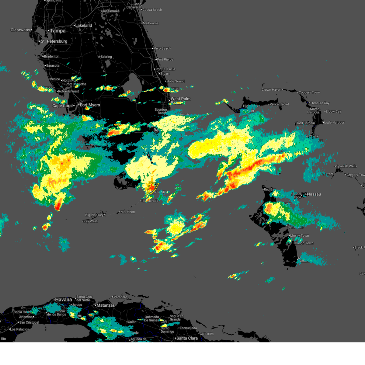
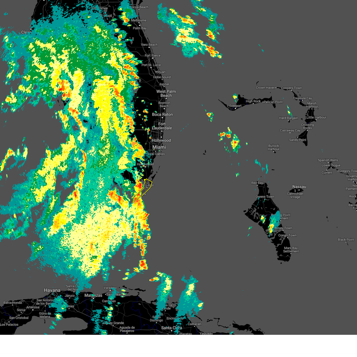
Hail Map for Key Largo, FL
The Key Largo, FL area has had 1 report of on-the-ground hail by trained spotters, and has been under severe weather warnings 1 time during the past 12 months. Doppler radar has detected hail at or near Key Largo, FL on 9 occasions, including 2 occasions during the past year.
| Name: | Key Largo, FL |
| Where Located: | 43.6 miles SSW of Miami, FL |
| Map: | Google Map for Key Largo, FL |
| Population: | 10433 |
| Housing Units: | 8459 |
| More Info: | Search Google for Key Largo, FL |
5
The Top Recent Hail Date for Key Largo, FL is Wednesday, June 3, 2026 (2nd out of 9)

Hail and Wind Damage Spotted near Key Largo, FL
| Date / Time | Report Details |
|---|---|
| 6/3/2026 4:23 PM EDT |
 Svrkey the national weather service in key west has issued a * severe thunderstorm warning for, upper keys in monroe county in florida, * until 515 pm edt. * at 423 pm edt, a severe thunderstorm was located over jewfish creek bridge, moving east at 10 mph (radar indicated). Hazards include 60 mph wind gusts and penny size hail. expect damage to roofs, siding, and trees Svrkey the national weather service in key west has issued a * severe thunderstorm warning for, upper keys in monroe county in florida, * until 515 pm edt. * at 423 pm edt, a severe thunderstorm was located over jewfish creek bridge, moving east at 10 mph (radar indicated). Hazards include 60 mph wind gusts and penny size hail. expect damage to roofs, siding, and trees
|
| 3/1/2026 3:44 PM EST | Quarter sized hail reported 7.1 miles NE of Key Largo, FL, corrects previous hail report from 3 sw rock harbor. a member of the public reported dime-sized hail near mm94.5... on coconut drive. a follow-up call relayed that quar |
| 6/3/2025 2:54 PM EDT |
 The storm which prompted the warning has weakened below severe limits, and no longer poses an immediate threat to life or property. therefore, the warning will be allowed to expire. The storm which prompted the warning has weakened below severe limits, and no longer poses an immediate threat to life or property. therefore, the warning will be allowed to expire.
|
| 6/3/2025 2:33 PM EDT |
 Svrkey the national weather service in key west has issued a * severe thunderstorm warning for, upper keys in monroe county in florida, * until 300 pm edt. * at 232 pm edt, a severe thunderstorm was located near rock harbor, or near key largo, moving north at 15 mph (radar indicated). Hazards include 60 mph wind gusts. expect damage to roofs, siding, and trees Svrkey the national weather service in key west has issued a * severe thunderstorm warning for, upper keys in monroe county in florida, * until 300 pm edt. * at 232 pm edt, a severe thunderstorm was located near rock harbor, or near key largo, moving north at 15 mph (radar indicated). Hazards include 60 mph wind gusts. expect damage to roofs, siding, and trees
|
| 8/4/2024 5:13 PM EDT |
 The storm which prompted the warning has weakened below severe limits, and no longer poses an immediate threat to life or property. therefore, the warning will be allowed to expire but a special weather statement will replace it. The storm which prompted the warning has weakened below severe limits, and no longer poses an immediate threat to life or property. therefore, the warning will be allowed to expire but a special weather statement will replace it.
|
| 8/4/2024 4:50 PM EDT |
 Svrkey the national weather service in key west has issued a * severe thunderstorm warning for, upper keys in monroe county in florida, * until 515 pm edt. * at 449 pm edt, a severe thunderstorm was located near upper matecumbe key, or 11 miles east of east end of channel 5 bridge, moving north at 35 mph (radar indicated). Hazards include 60 mph wind gusts. expect damage to roofs, siding, and trees Svrkey the national weather service in key west has issued a * severe thunderstorm warning for, upper keys in monroe county in florida, * until 515 pm edt. * at 449 pm edt, a severe thunderstorm was located near upper matecumbe key, or 11 miles east of east end of channel 5 bridge, moving north at 35 mph (radar indicated). Hazards include 60 mph wind gusts. expect damage to roofs, siding, and trees
|
| 7/24/2021 3:01 PM EDT |
 At 300 pm edt, a severe thunderstorm capable of producing a tornado was located over plantation, or 11 miles southwest of key largo, moving southeast at 10 mph (radar indicated rotation). Hazards include tornado. Flying debris will be dangerous to those caught without shelter. mobile homes will be damaged or destroyed. damage to roofs, windows, and vehicles will occur. Tree damage is likely. At 300 pm edt, a severe thunderstorm capable of producing a tornado was located over plantation, or 11 miles southwest of key largo, moving southeast at 10 mph (radar indicated rotation). Hazards include tornado. Flying debris will be dangerous to those caught without shelter. mobile homes will be damaged or destroyed. damage to roofs, windows, and vehicles will occur. Tree damage is likely.
|
| 7/24/2021 2:37 PM EDT |
 At 237 pm edt, a severe thunderstorm capable of producing a tornado was located near plantation, or 9 miles southwest of key largo, moving southeast at 10 mph (radar indicated rotation). Hazards include tornado. Flying debris will be dangerous to those caught without shelter. mobile homes will be damaged or destroyed. damage to roofs, windows, and vehicles will occur. Tree damage is likely. At 237 pm edt, a severe thunderstorm capable of producing a tornado was located near plantation, or 9 miles southwest of key largo, moving southeast at 10 mph (radar indicated rotation). Hazards include tornado. Flying debris will be dangerous to those caught without shelter. mobile homes will be damaged or destroyed. damage to roofs, windows, and vehicles will occur. Tree damage is likely.
|
| 4/11/2020 5:40 PM EDT |
 At 540 pm edt, a severe thunderstorm was located near jewfish creek bridge, moving southeast at 20 mph (radar indicated). Hazards include 60 mph wind gusts and quarter size hail. Hail damage to vehicles is expected. Expect wind damage to roofs, siding, and trees. At 540 pm edt, a severe thunderstorm was located near jewfish creek bridge, moving southeast at 20 mph (radar indicated). Hazards include 60 mph wind gusts and quarter size hail. Hail damage to vehicles is expected. Expect wind damage to roofs, siding, and trees.
|
| 4/15/2018 9:26 PM EDT |
 At 915 pm edt, a severe thunderstorm capable of producing a tornado was located over rock harbor, or near key largo, moving northeast at 25 mph (radar indicated rotation). Hazards include tornado. Flying debris will be dangerous to those caught without shelter. mobile homes will be damaged or destroyed. damage to roofs, windows, and vehicles will occur. tree damage is likely. locations impacted include, key largo, rock harbor, route 1/card sound, route 1/card sound road split and north key largo. This includes us 1 between mile markers 92 and 107. At 915 pm edt, a severe thunderstorm capable of producing a tornado was located over rock harbor, or near key largo, moving northeast at 25 mph (radar indicated rotation). Hazards include tornado. Flying debris will be dangerous to those caught without shelter. mobile homes will be damaged or destroyed. damage to roofs, windows, and vehicles will occur. tree damage is likely. locations impacted include, key largo, rock harbor, route 1/card sound, route 1/card sound road split and north key largo. This includes us 1 between mile markers 92 and 107.
|
| 4/15/2018 9:15 PM EDT |
 At 915 pm edt, a severe thunderstorm capable of producing a tornado was located over rock harbor, or near key largo, moving northeast at 25 mph (radar indicated rotation). Hazards include tornado. Flying debris will be dangerous to those caught without shelter. mobile homes will be damaged or destroyed. damage to roofs, windows, and vehicles will occur. tree damage is likely. locations impacted include, key largo, rock harbor, route 1/card sound, route 1/card sound road split and north key largo. This includes us 1 between mile markers 92 and 107. At 915 pm edt, a severe thunderstorm capable of producing a tornado was located over rock harbor, or near key largo, moving northeast at 25 mph (radar indicated rotation). Hazards include tornado. Flying debris will be dangerous to those caught without shelter. mobile homes will be damaged or destroyed. damage to roofs, windows, and vehicles will occur. tree damage is likely. locations impacted include, key largo, rock harbor, route 1/card sound, route 1/card sound road split and north key largo. This includes us 1 between mile markers 92 and 107.
|
| 4/15/2018 9:01 PM EDT |
 The national weather service in key west has issued a * tornado warning for. upper keys in monroe county in florida. Until 930 pm edt * at 900 pm edt, a severe thunderstorm capable of producing a tornado was located over plantation, or 9 miles southwest of key largo,. The national weather service in key west has issued a * tornado warning for. upper keys in monroe county in florida. Until 930 pm edt * at 900 pm edt, a severe thunderstorm capable of producing a tornado was located over plantation, or 9 miles southwest of key largo,.
|
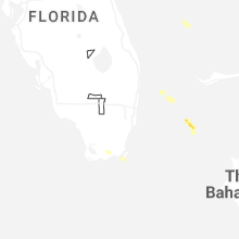
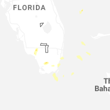
Hail Maps for Key Largo, FL


Connect with Interactive Hail Maps