

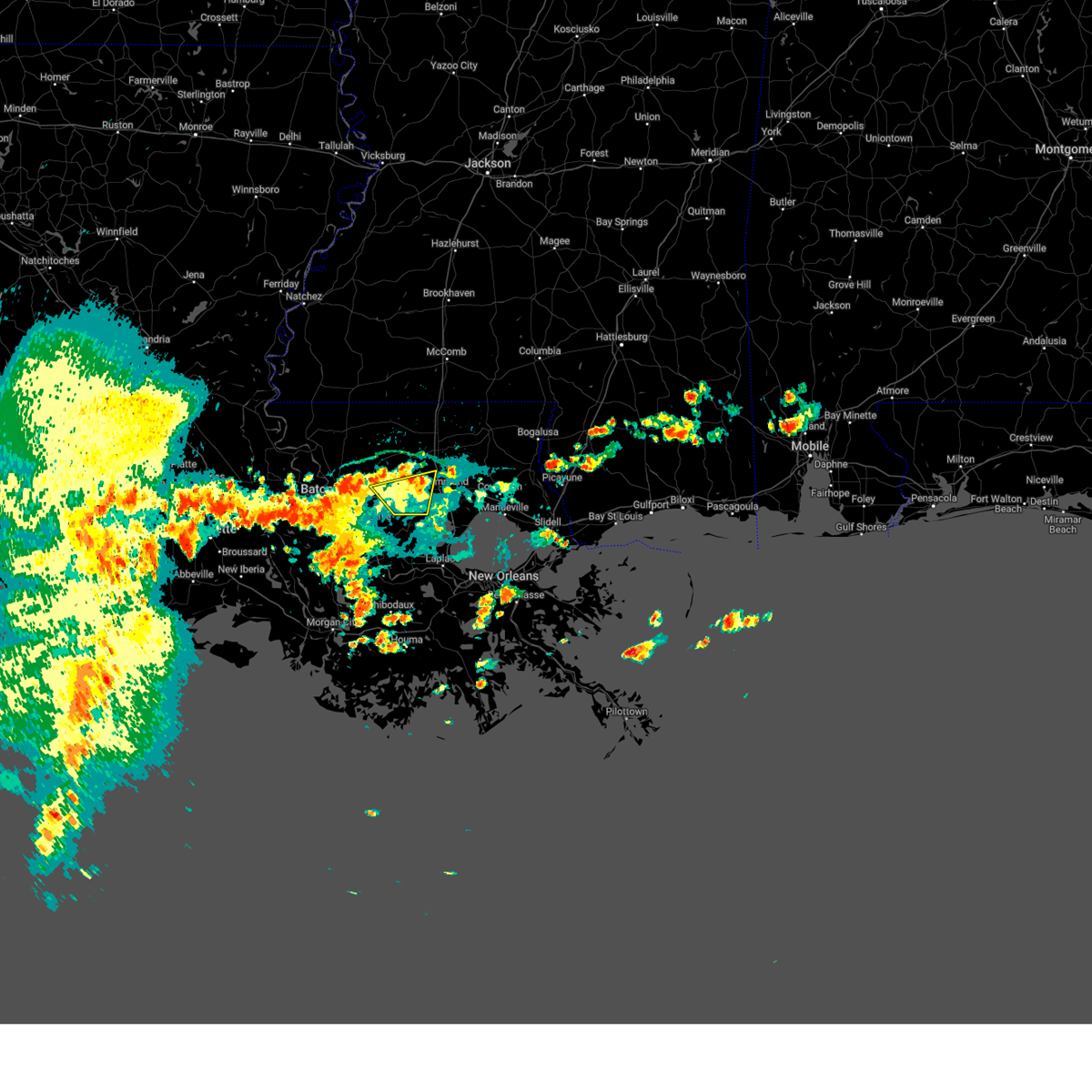
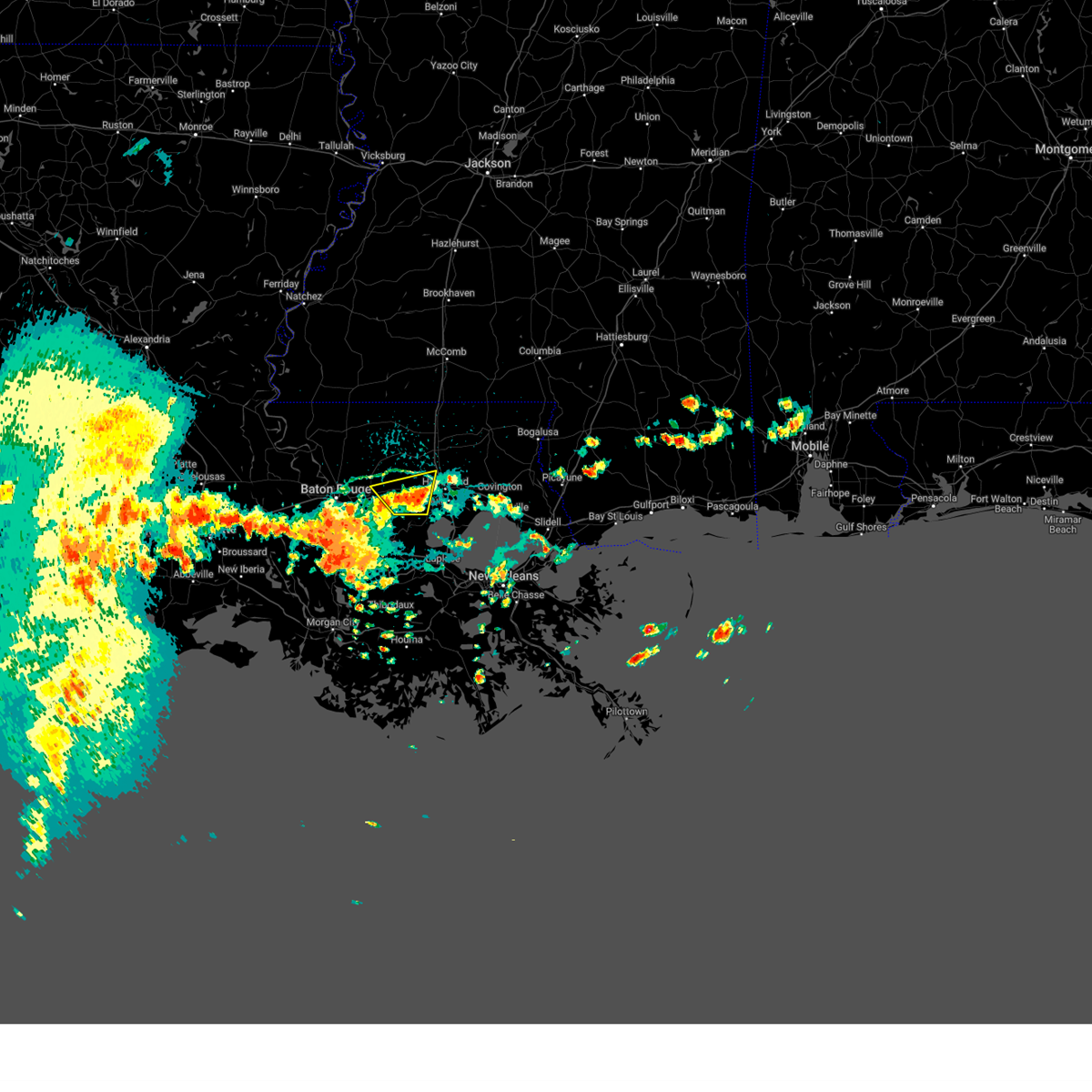
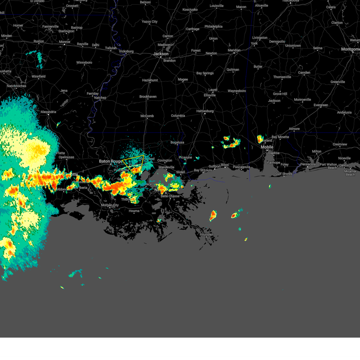
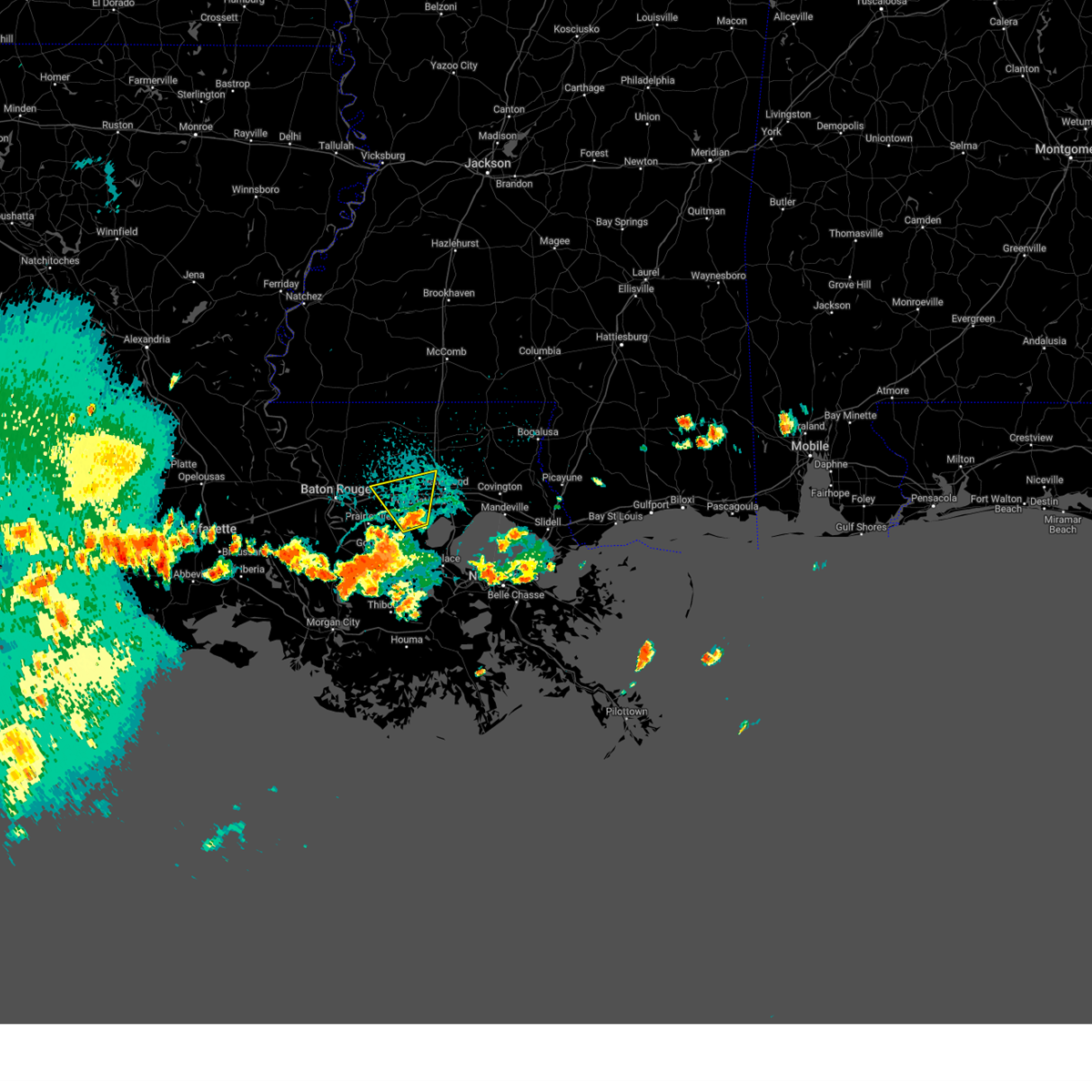
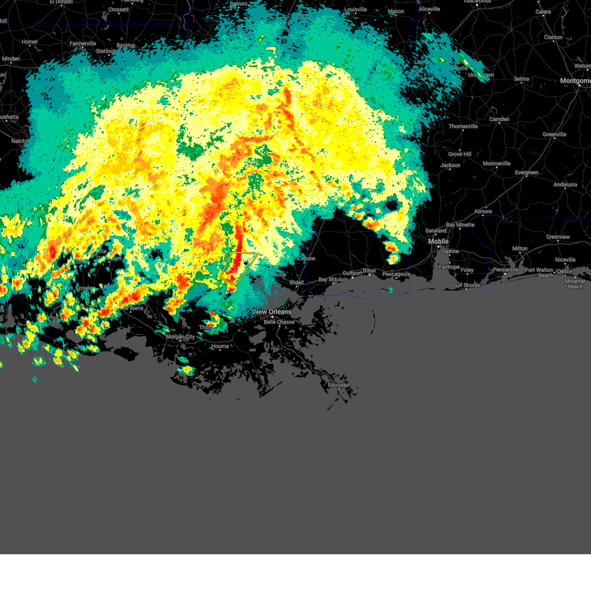
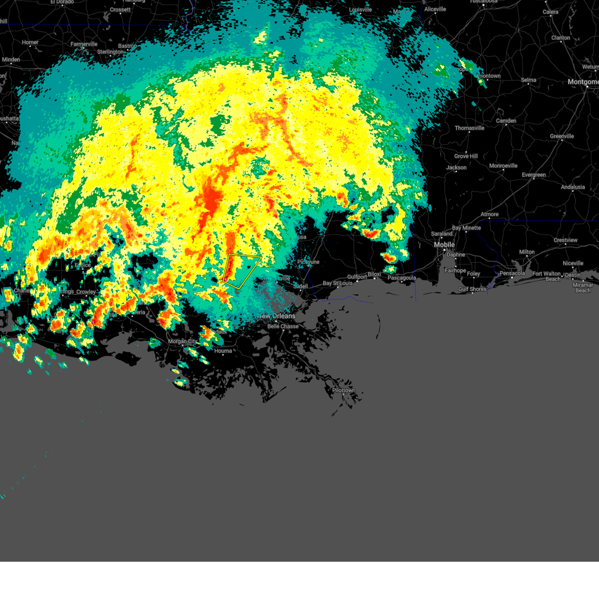
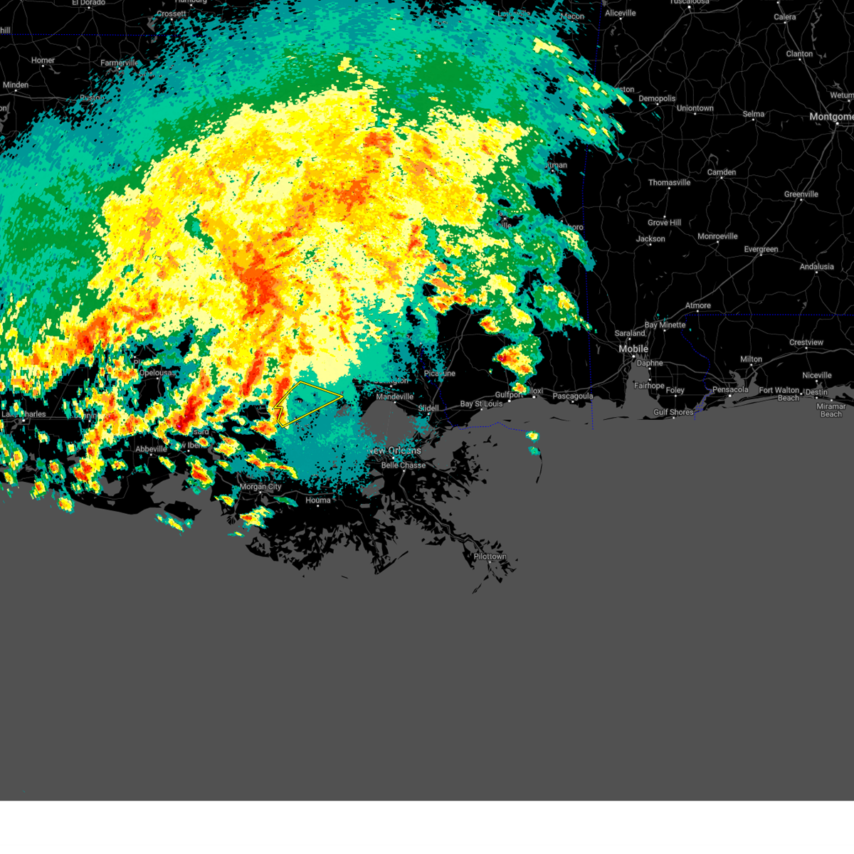
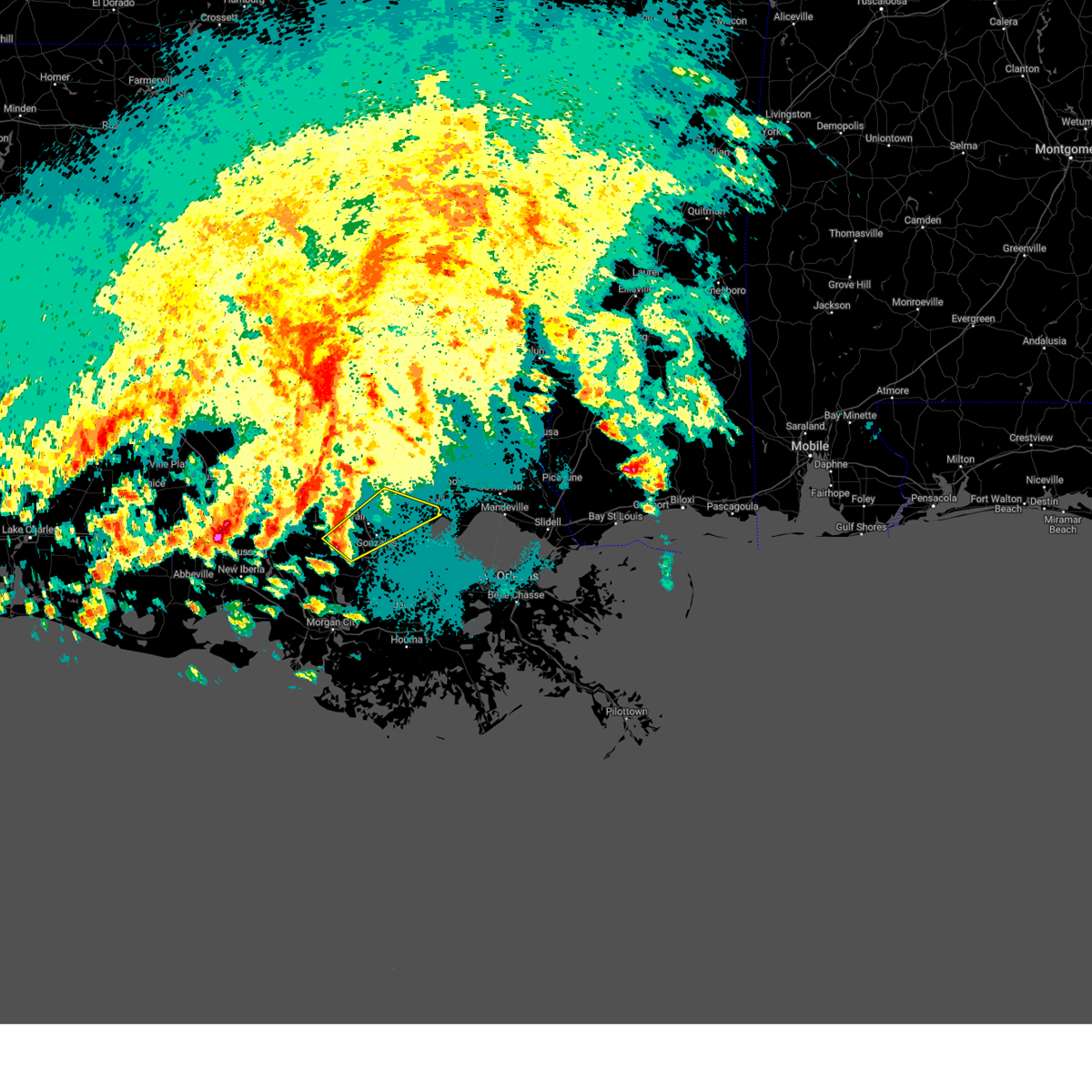
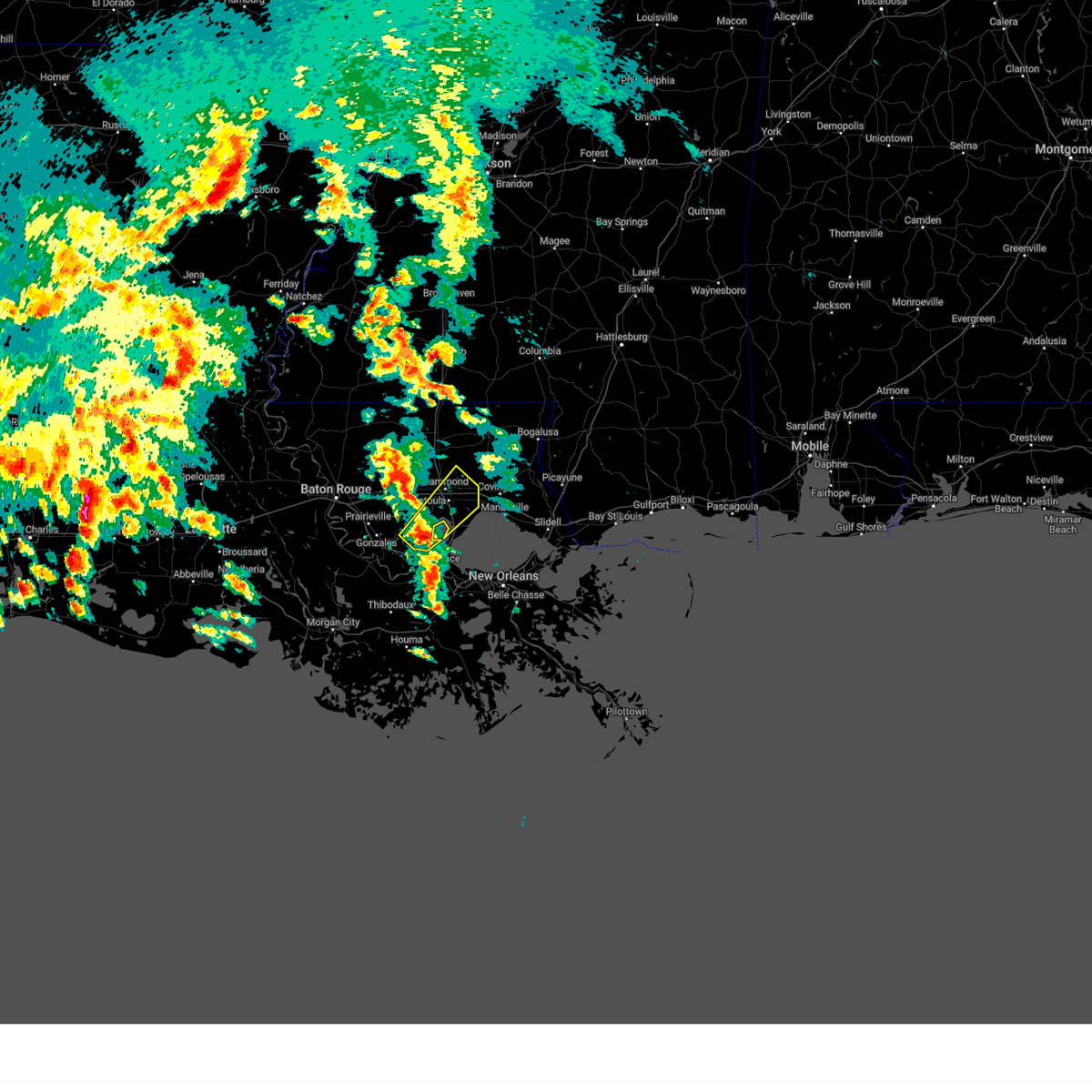
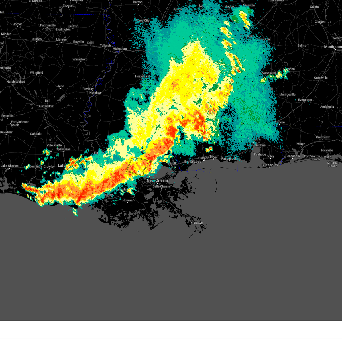
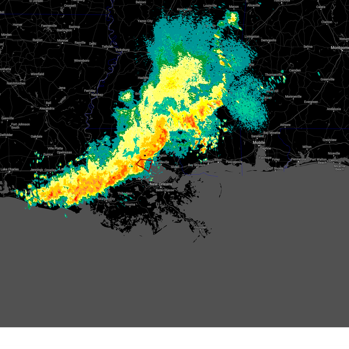
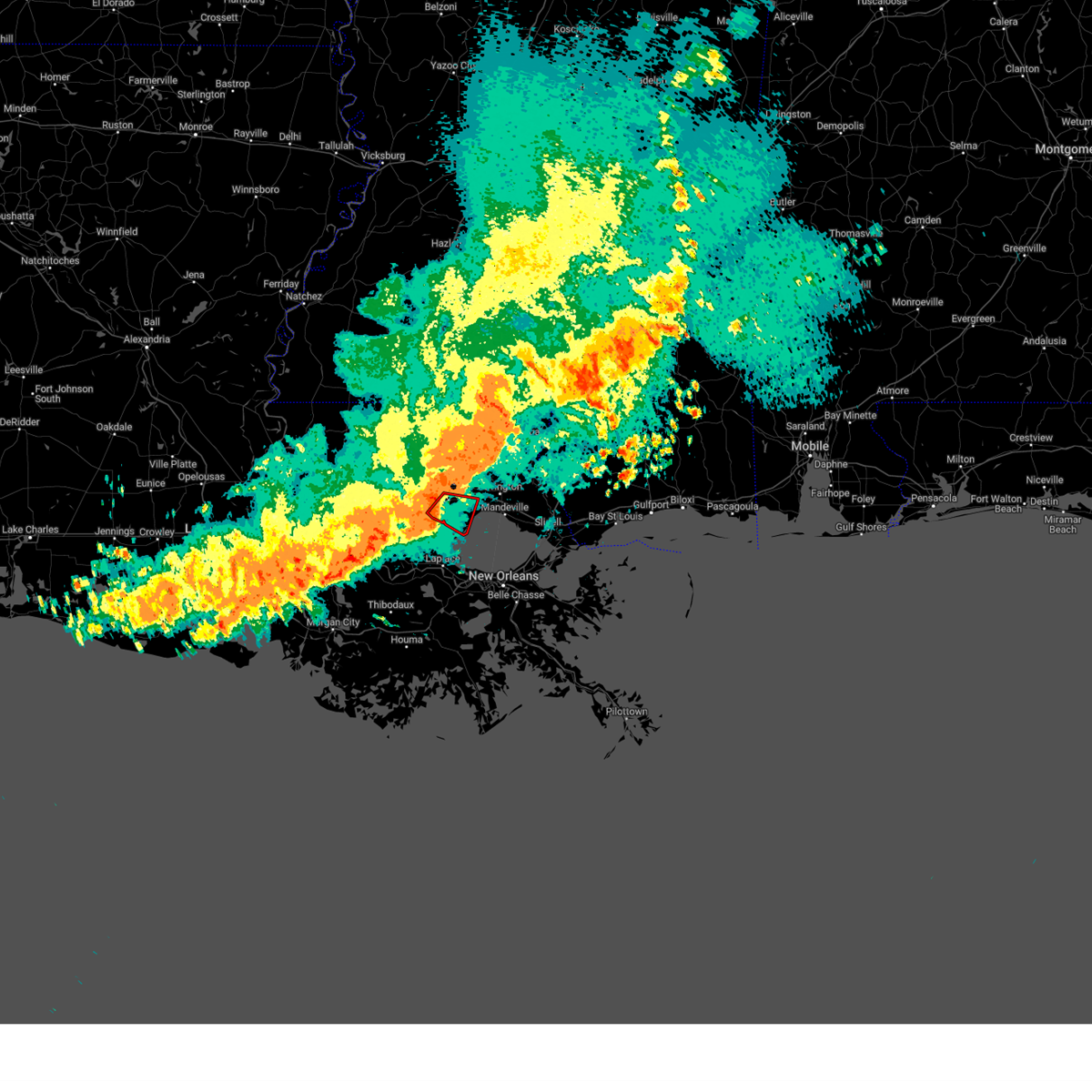
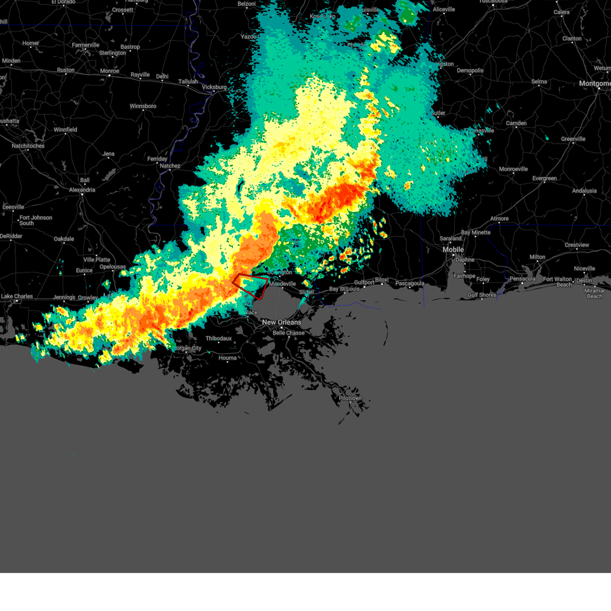
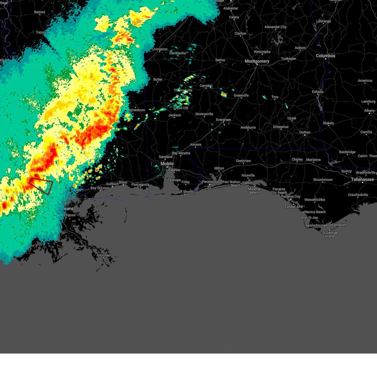
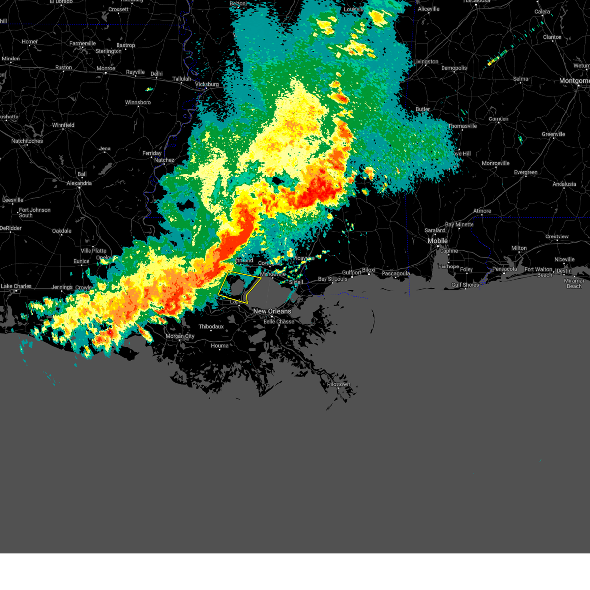
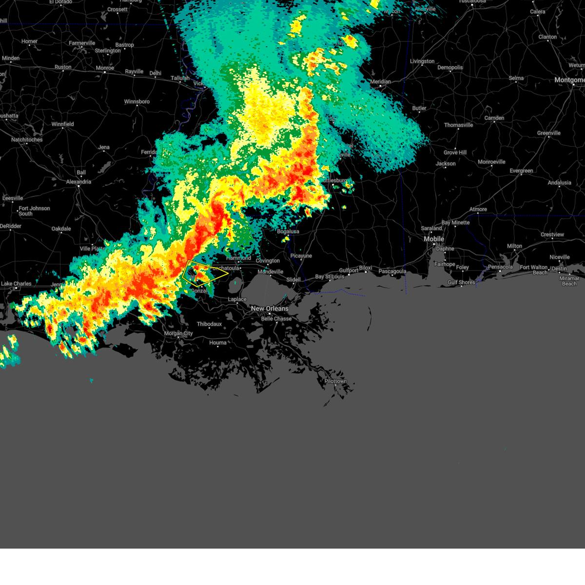
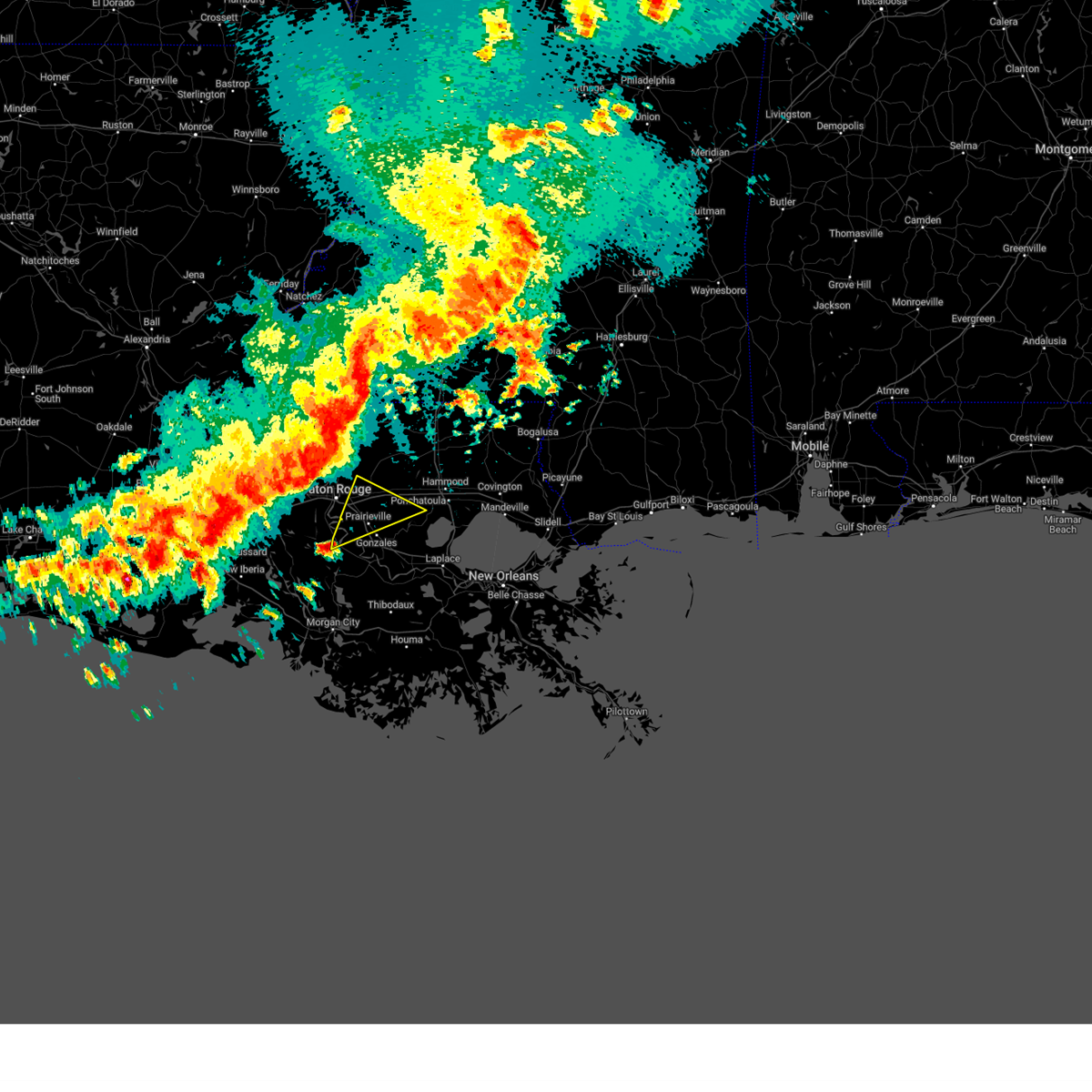
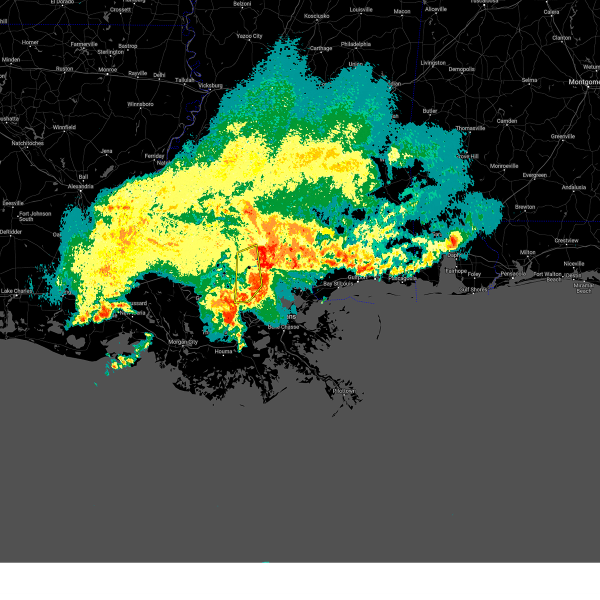
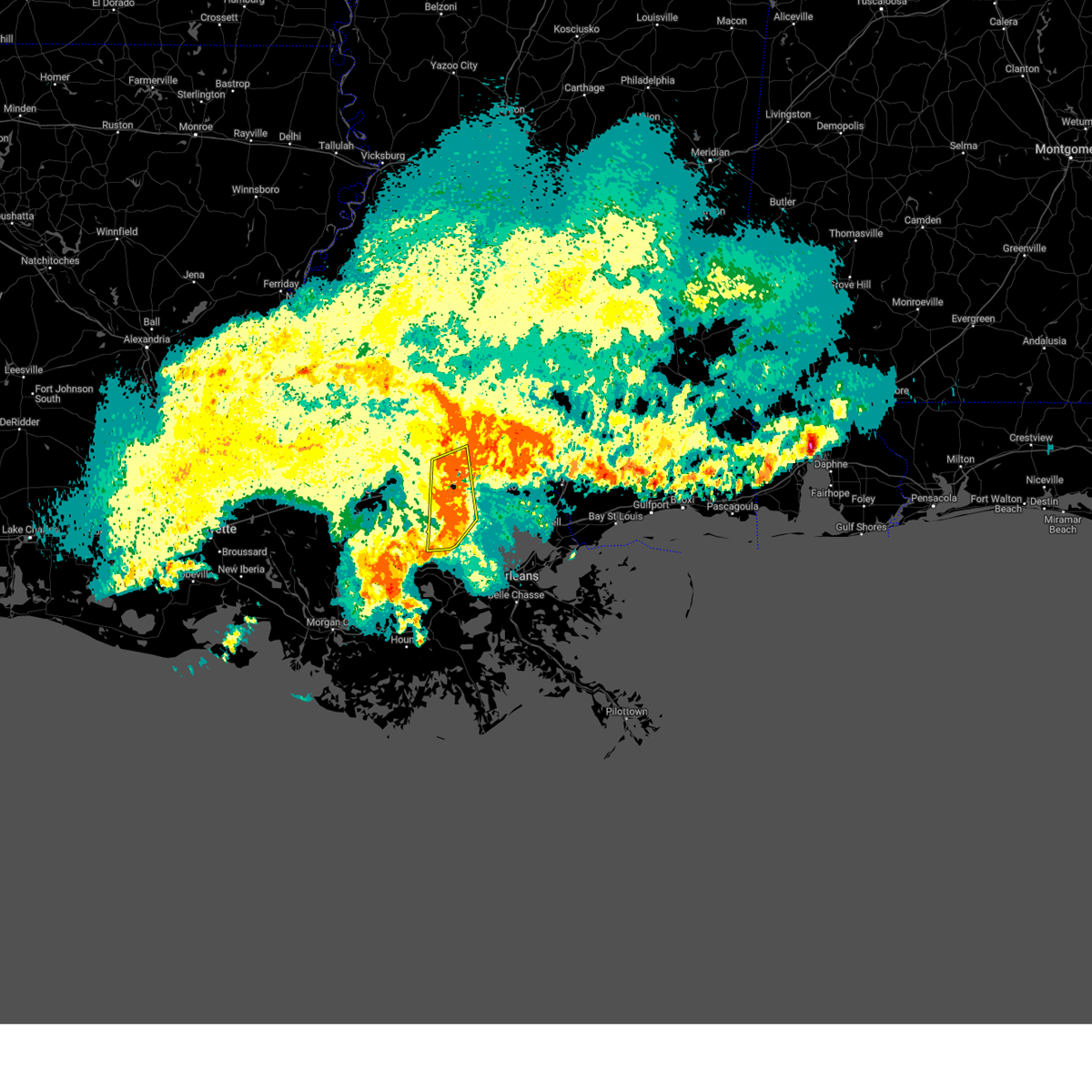
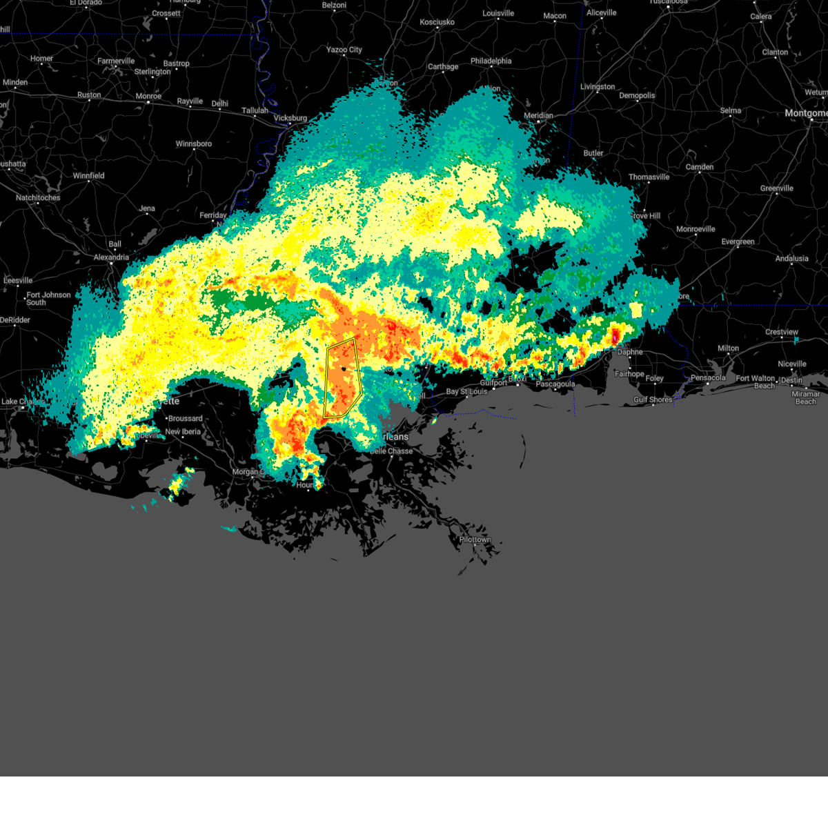
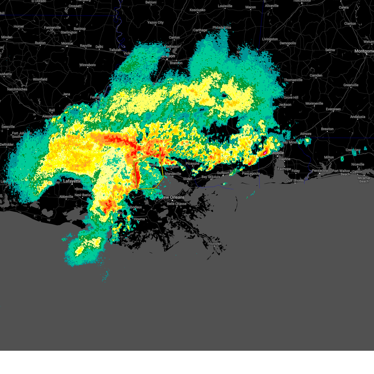
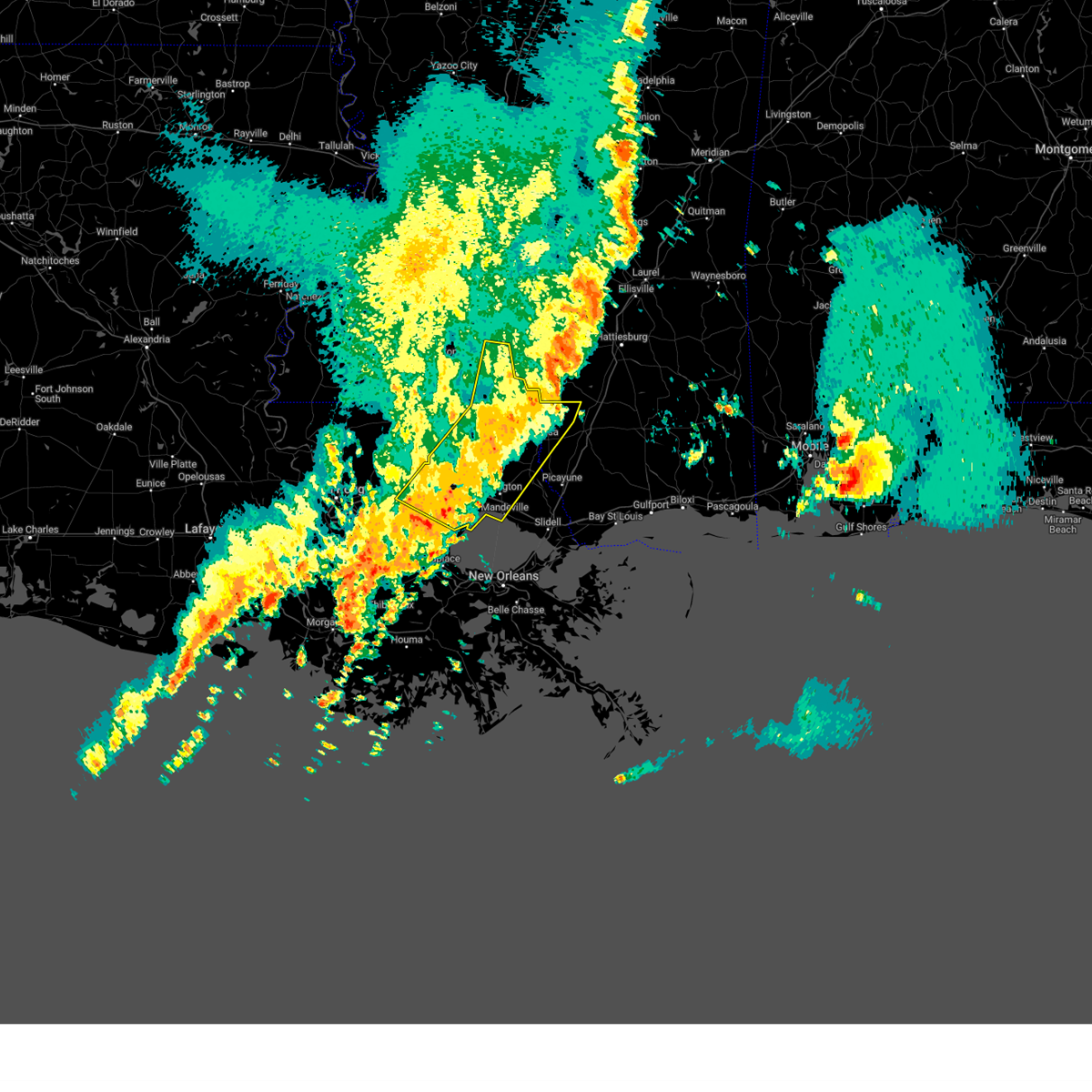
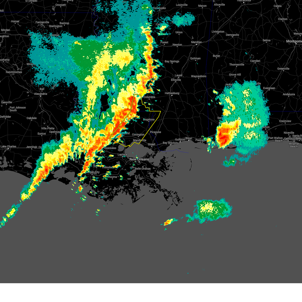
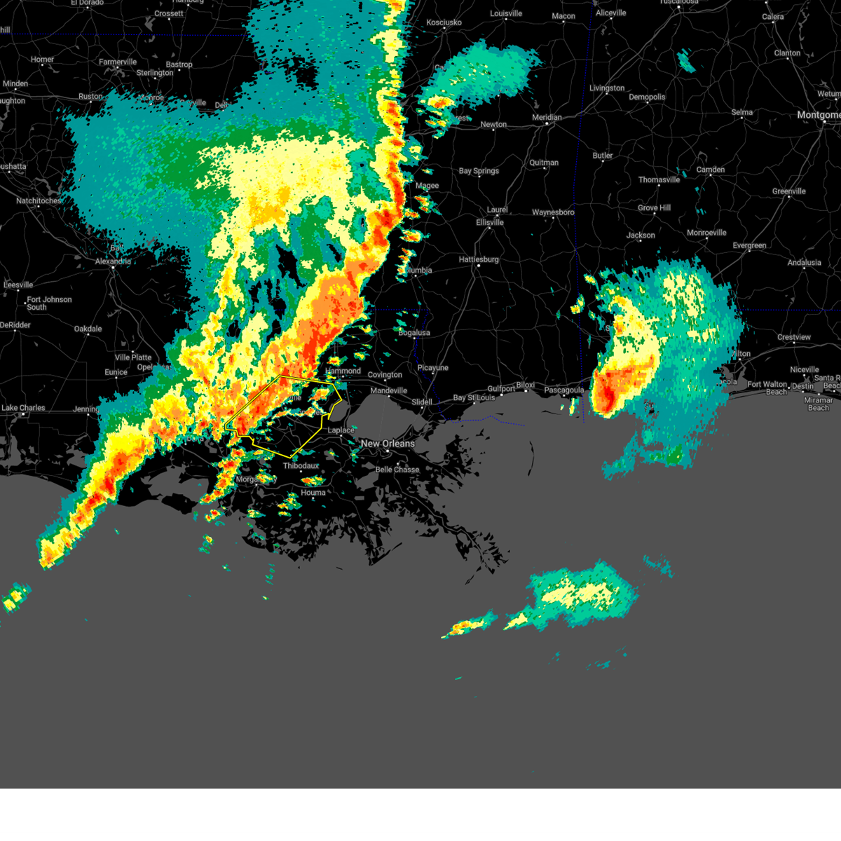
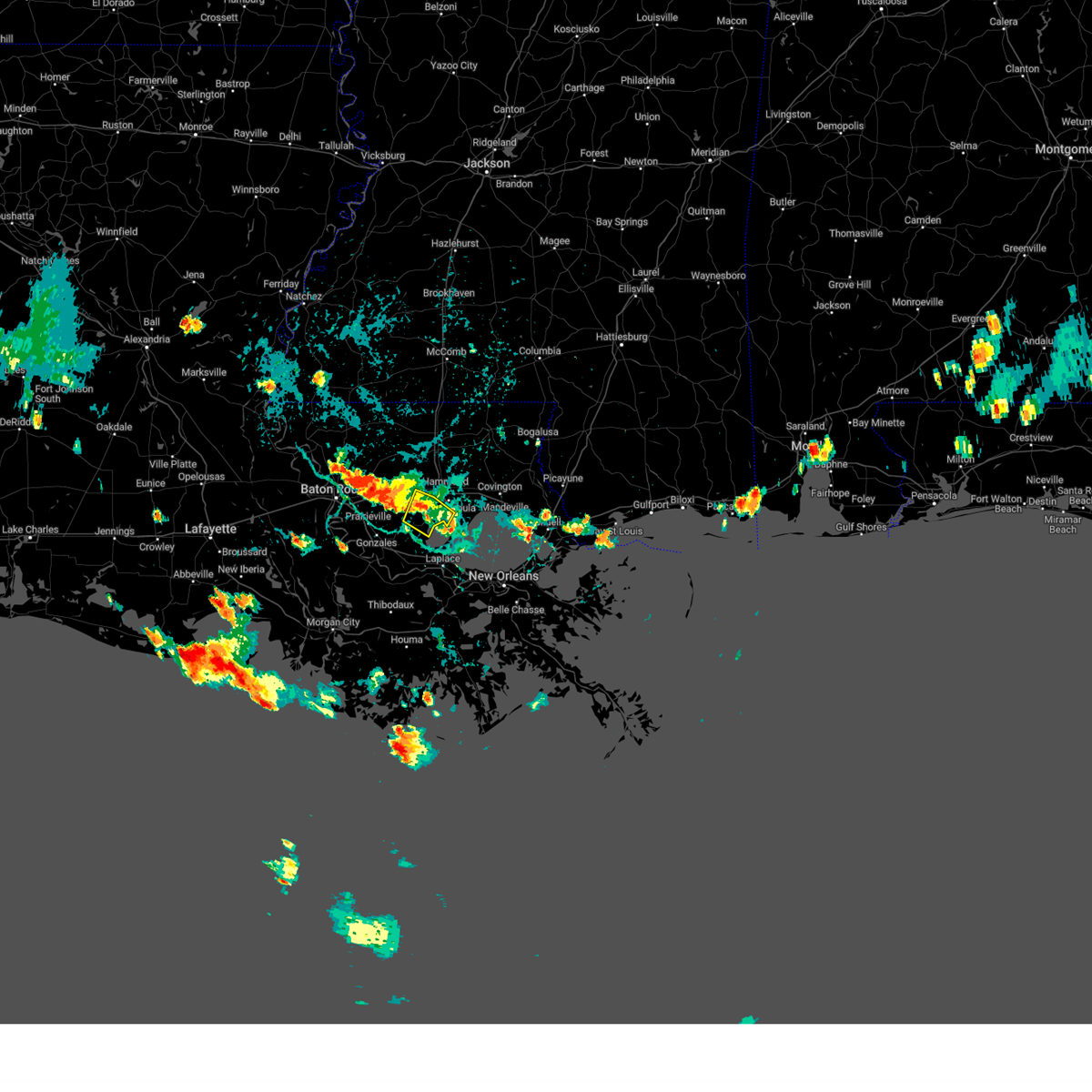
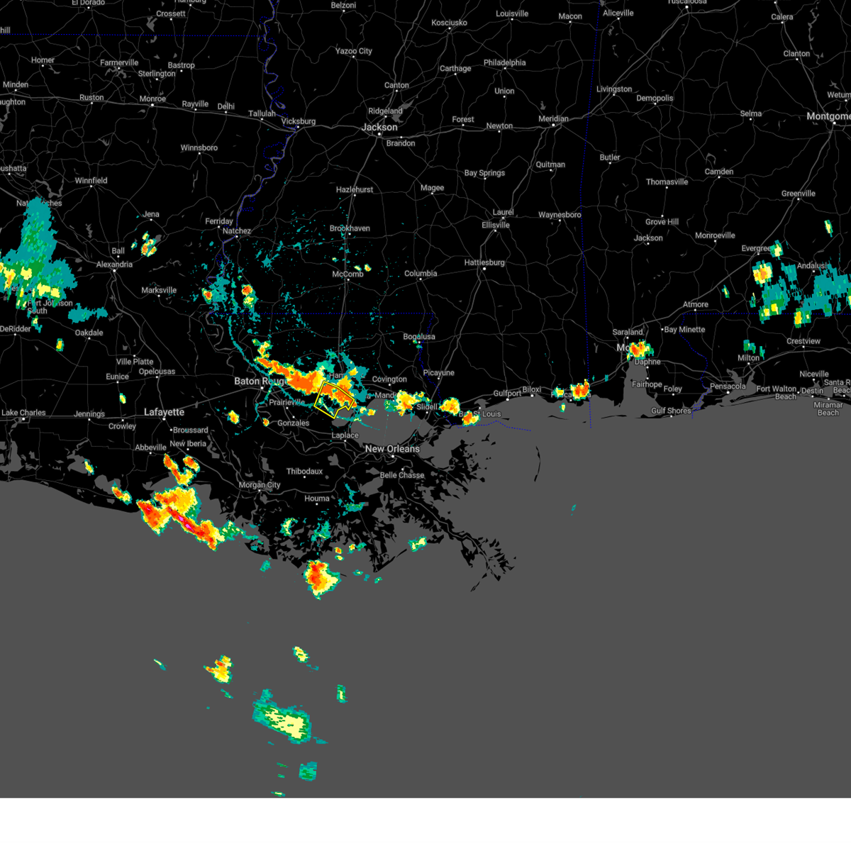
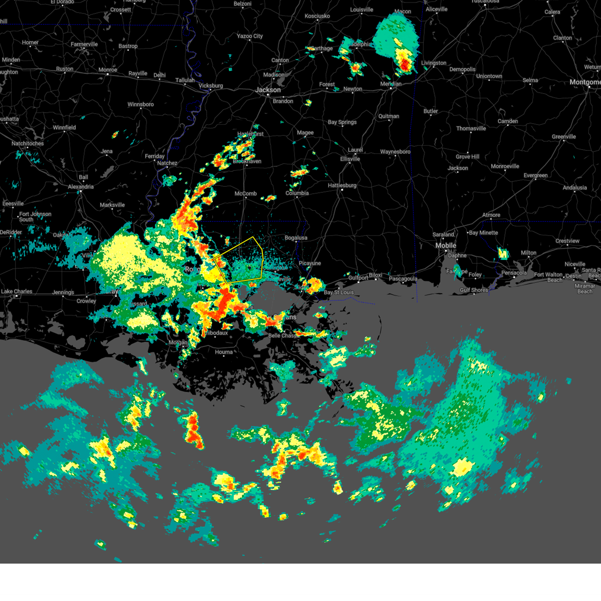
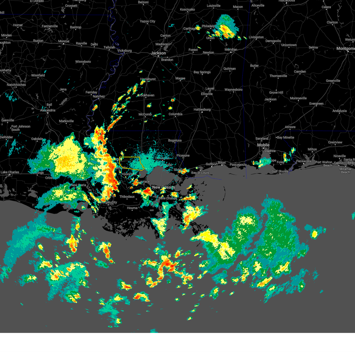
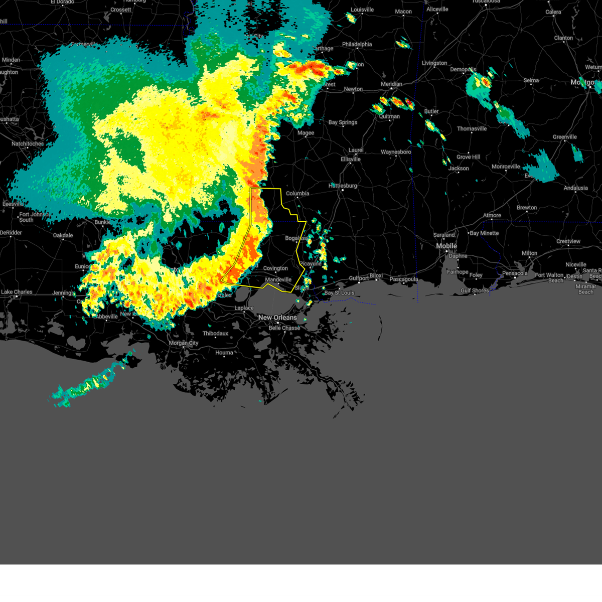
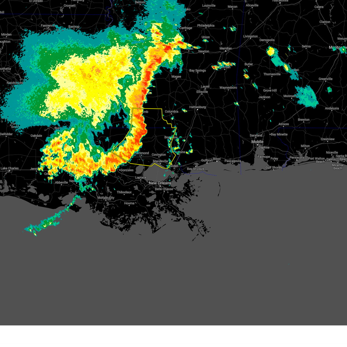
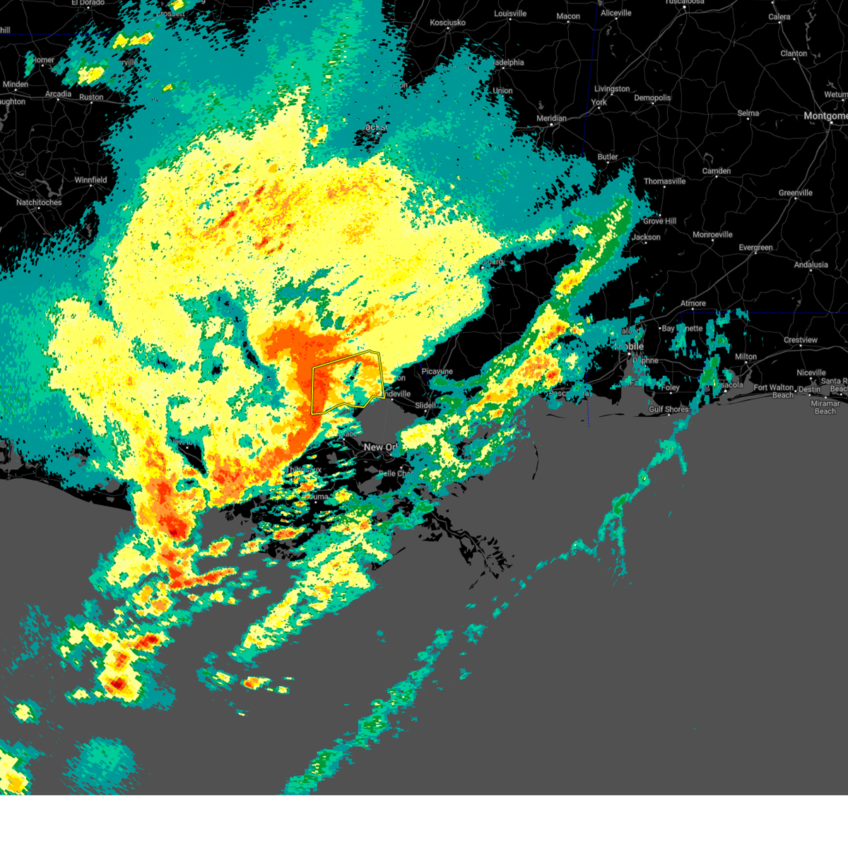
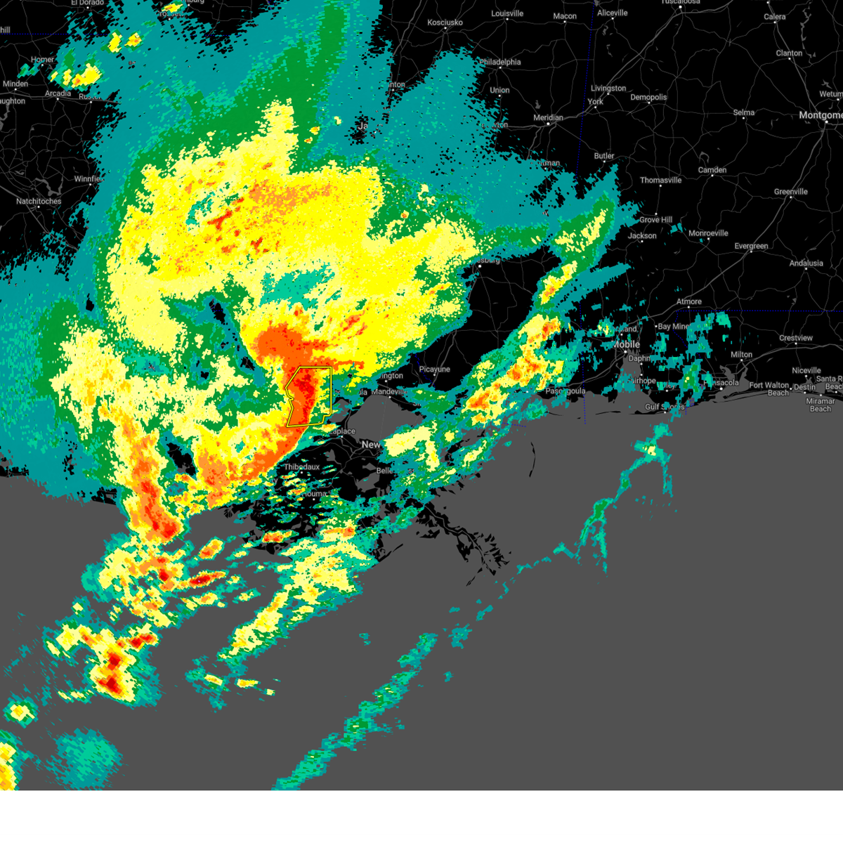
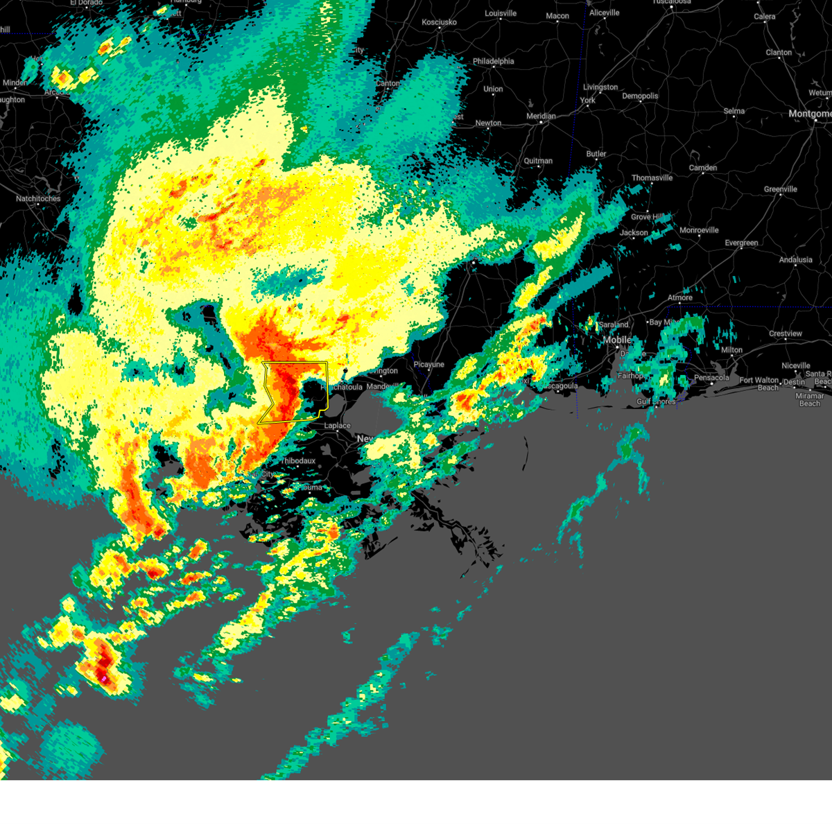
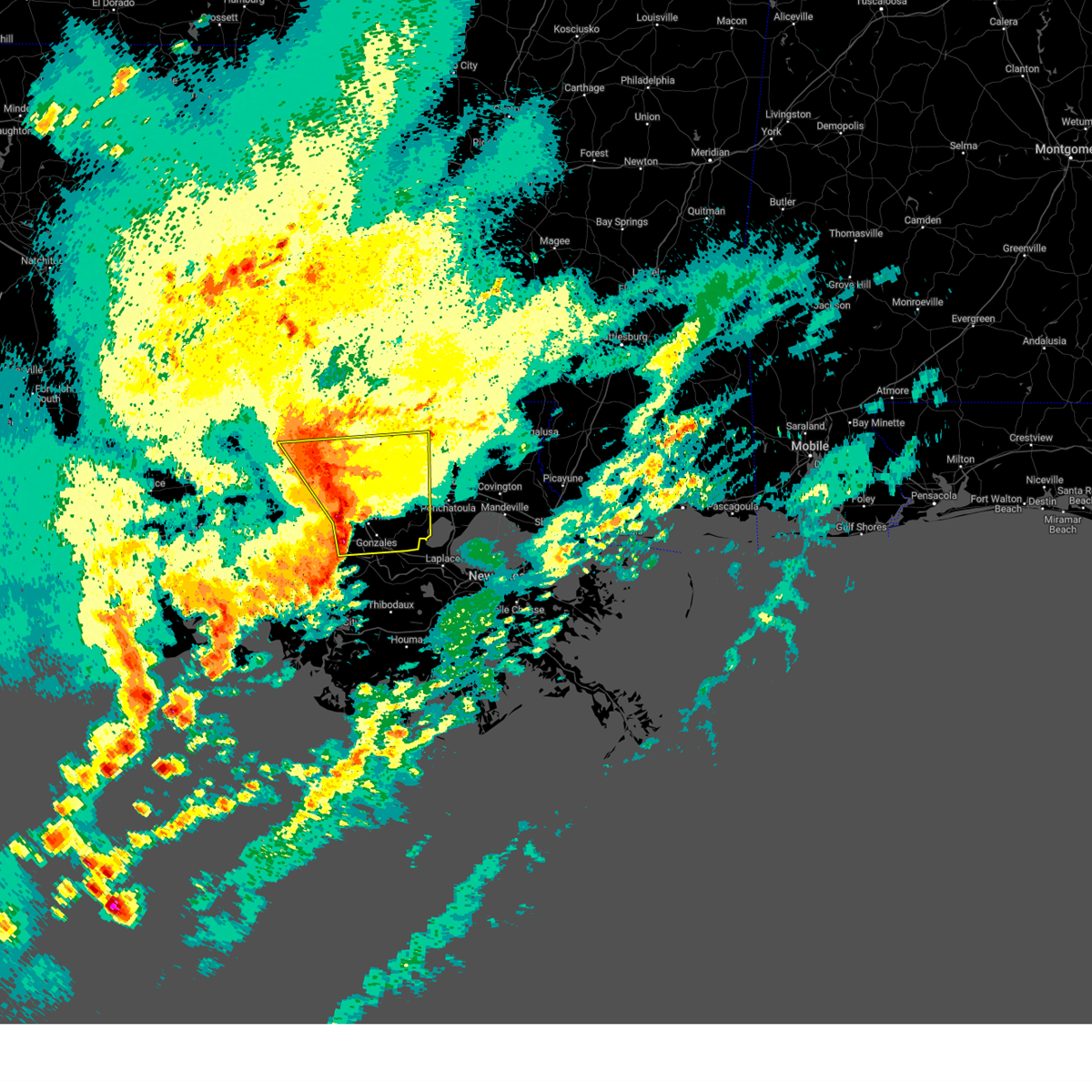
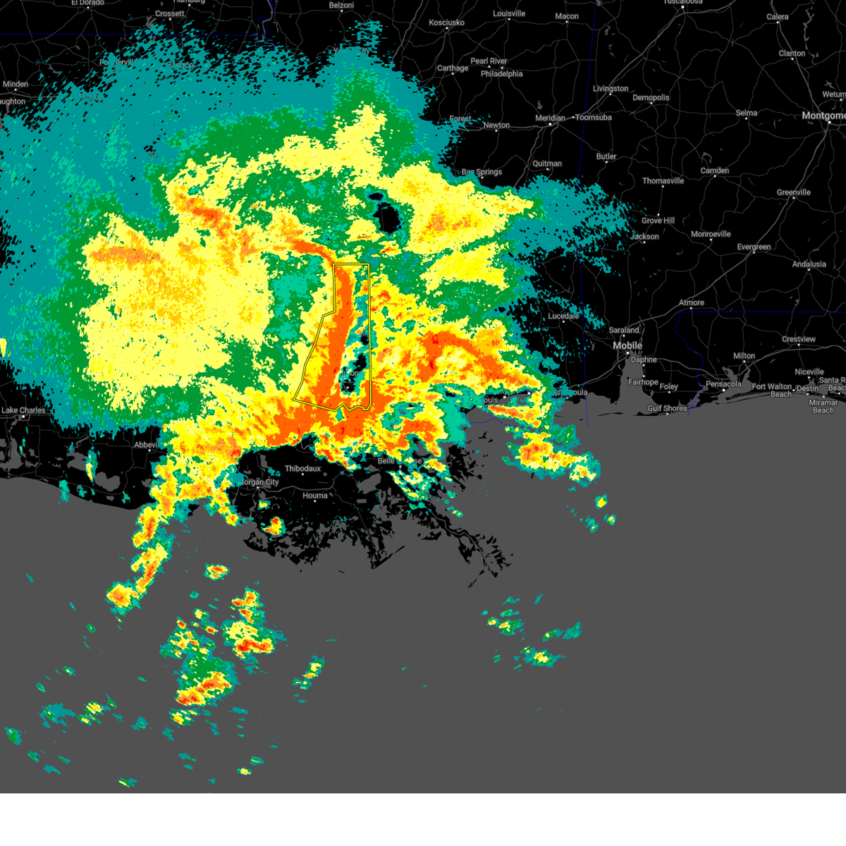
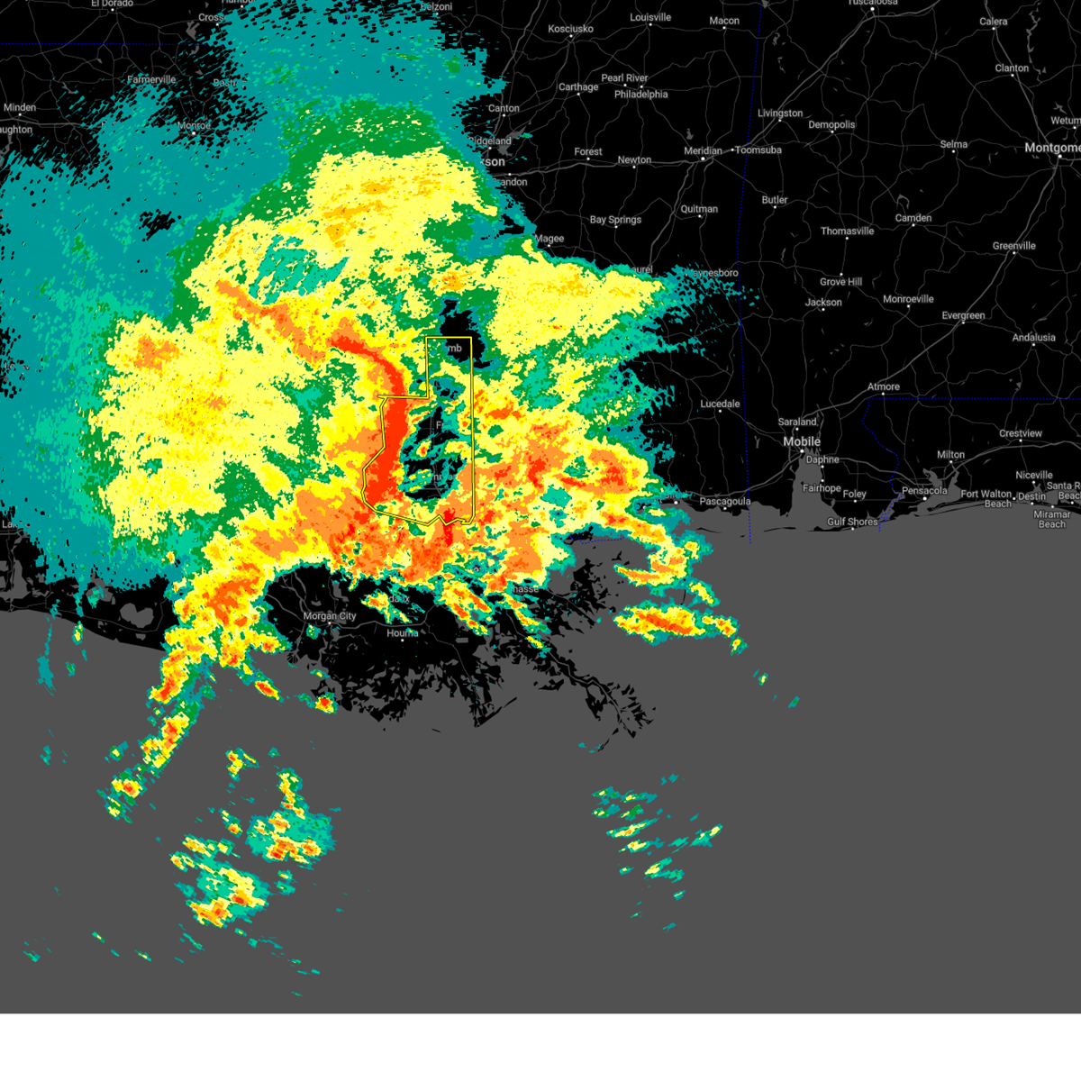
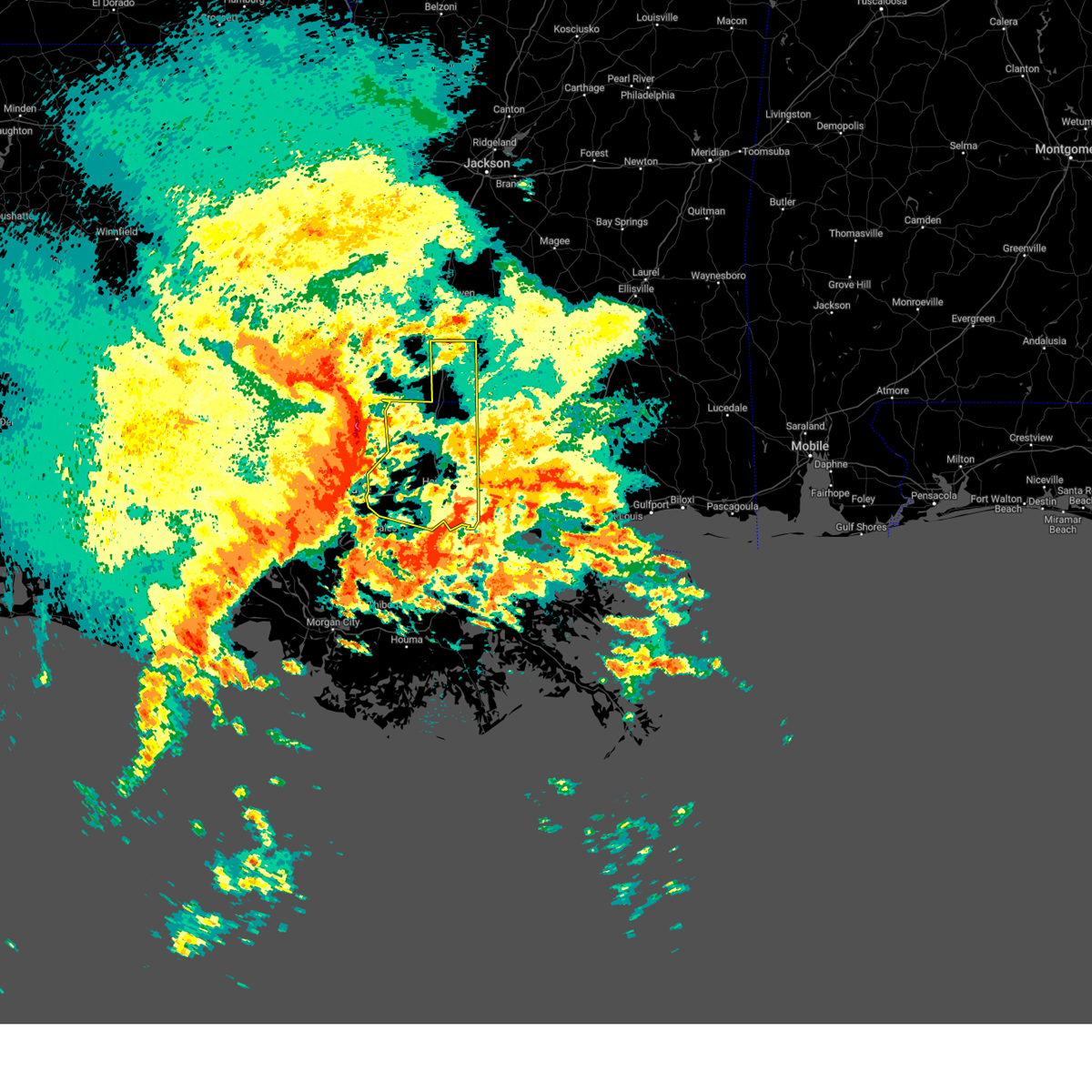
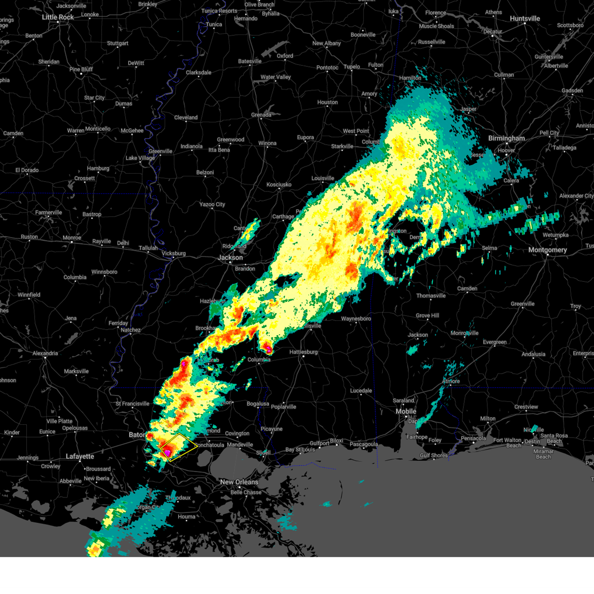
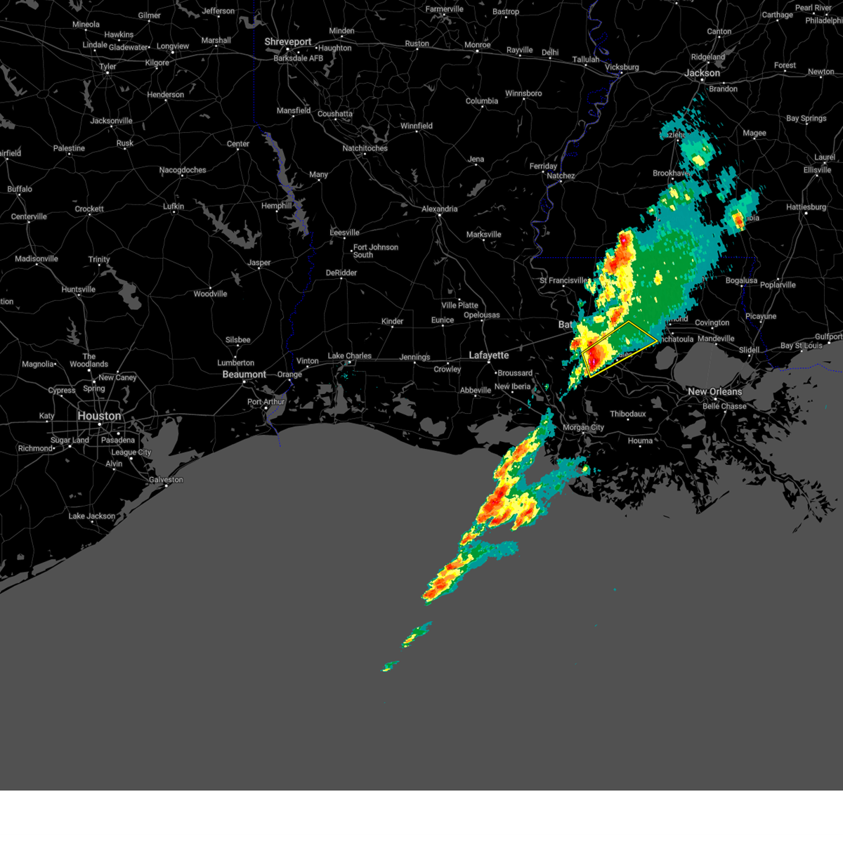
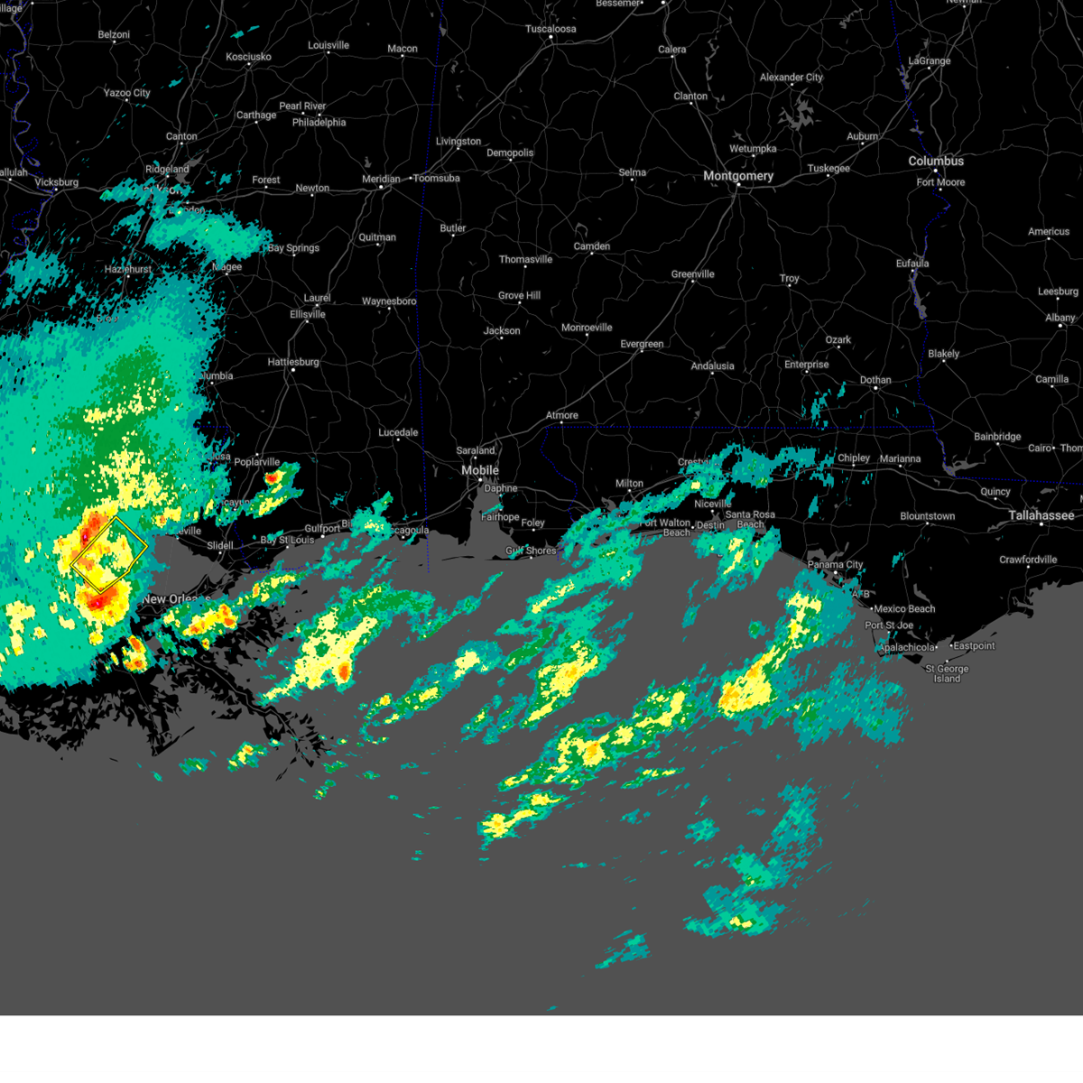
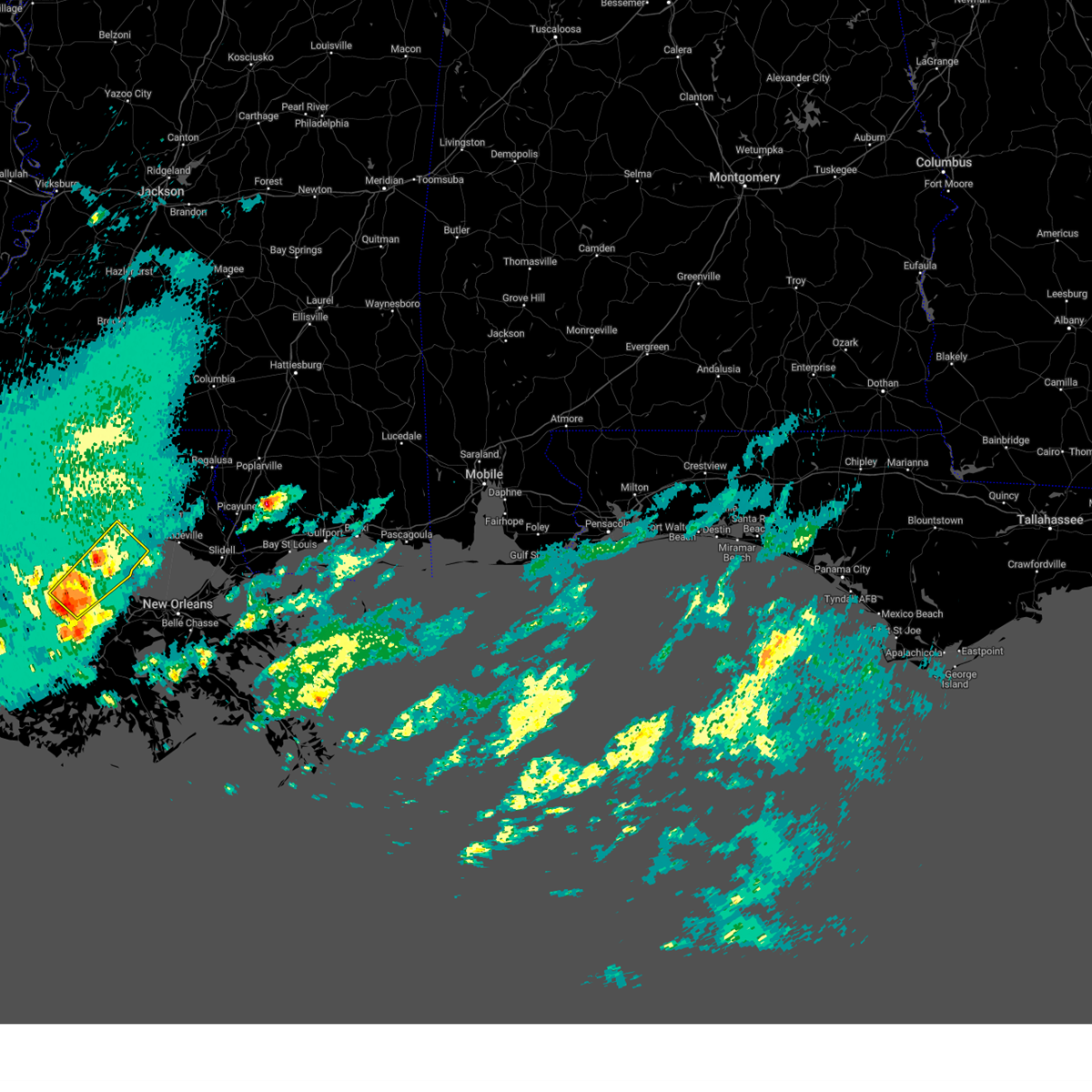
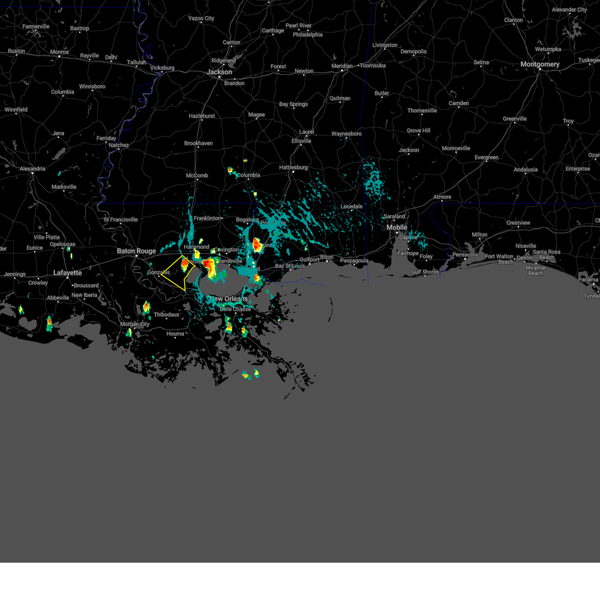
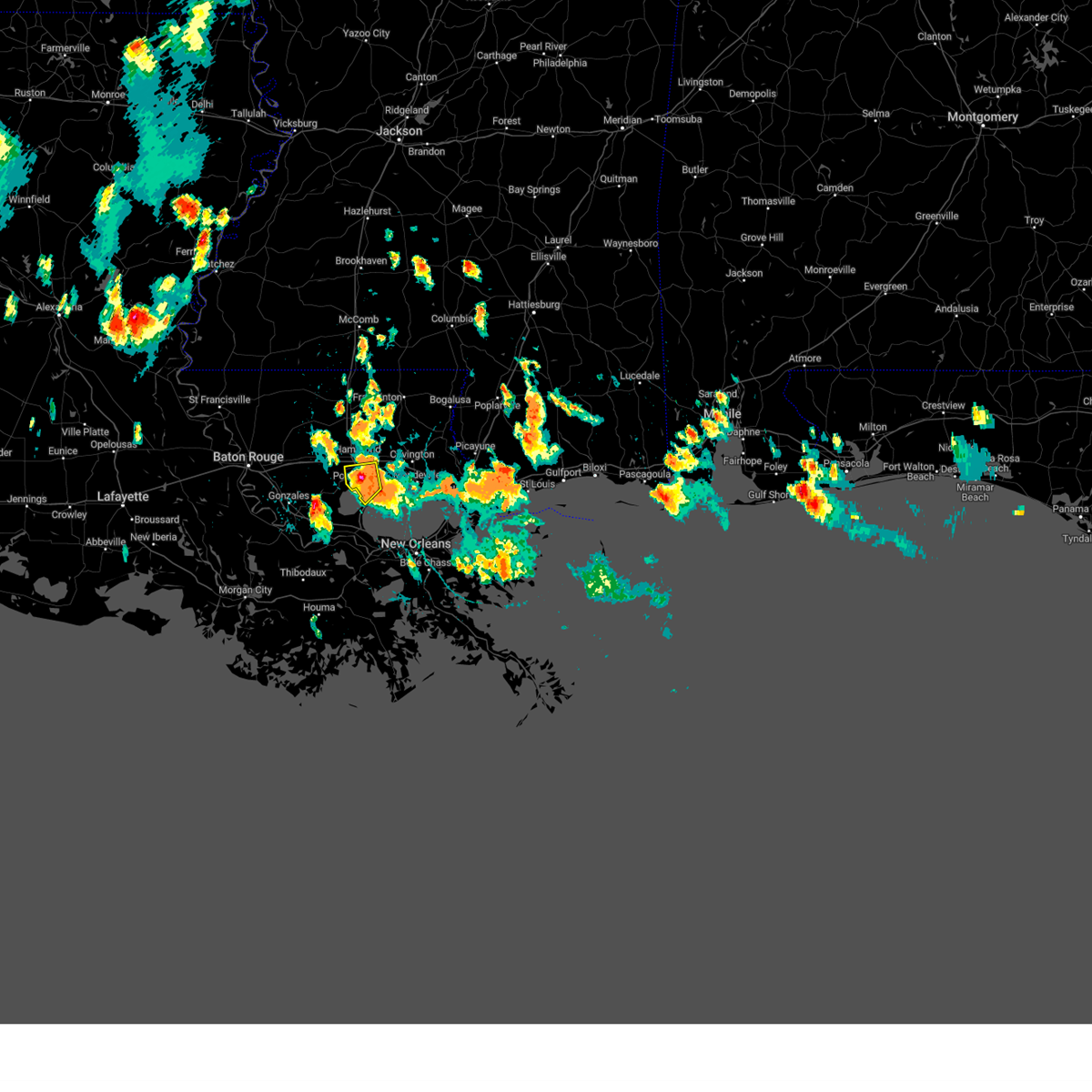
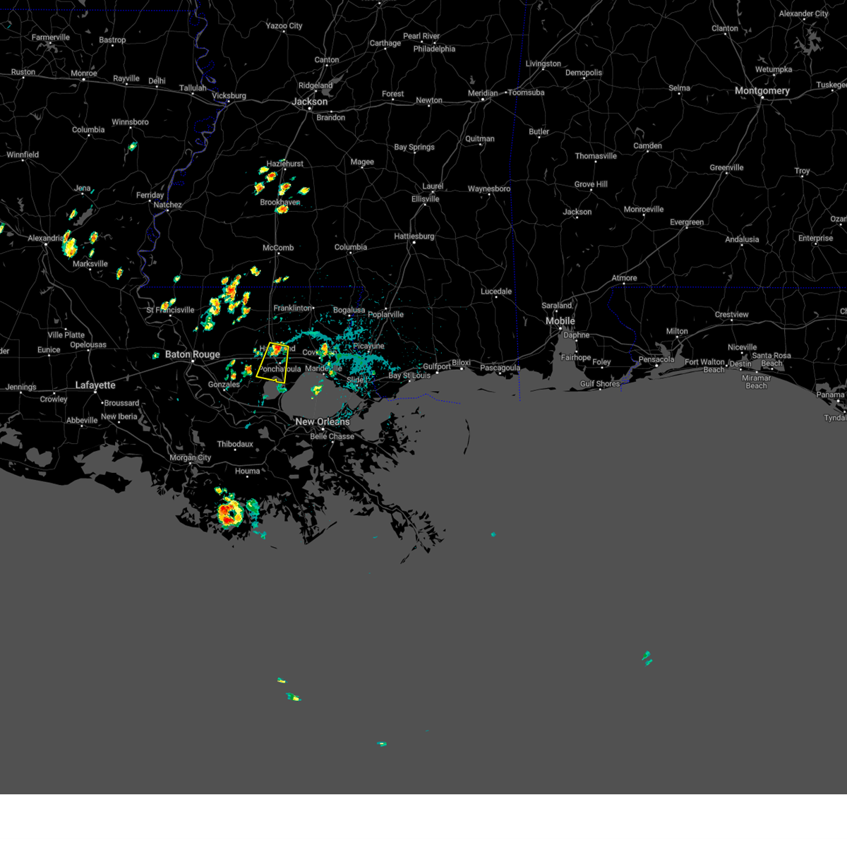
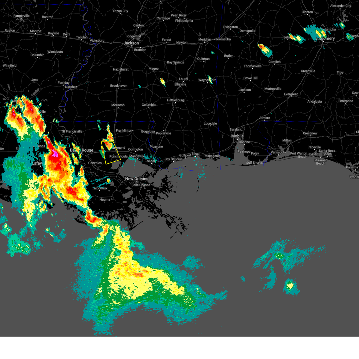
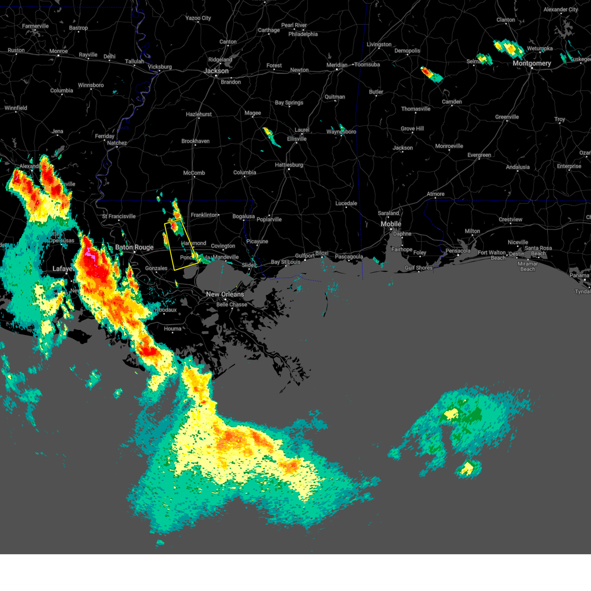
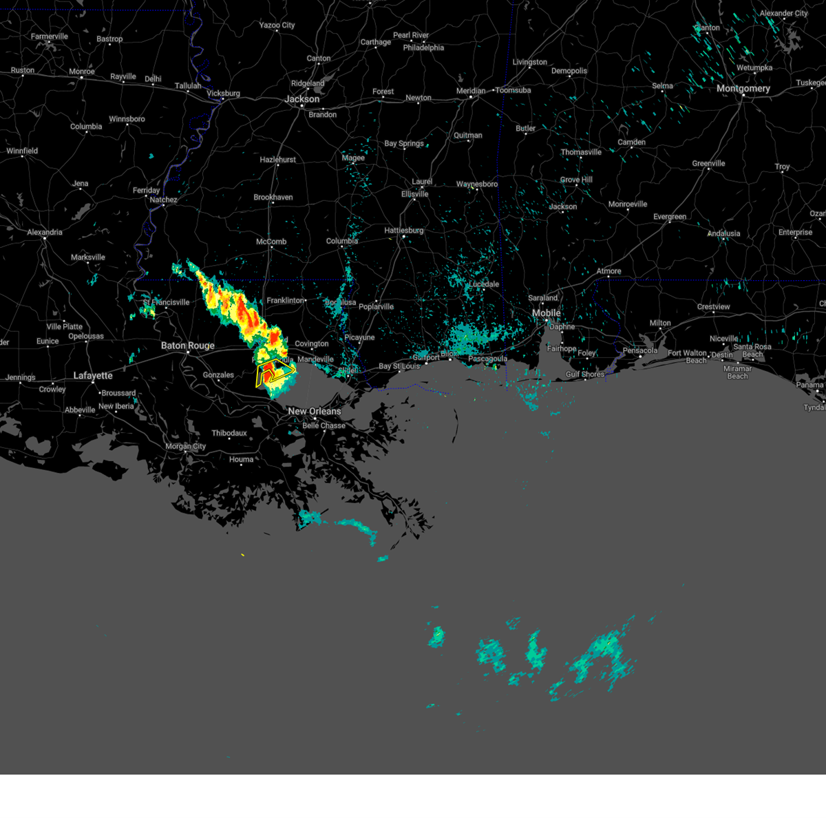
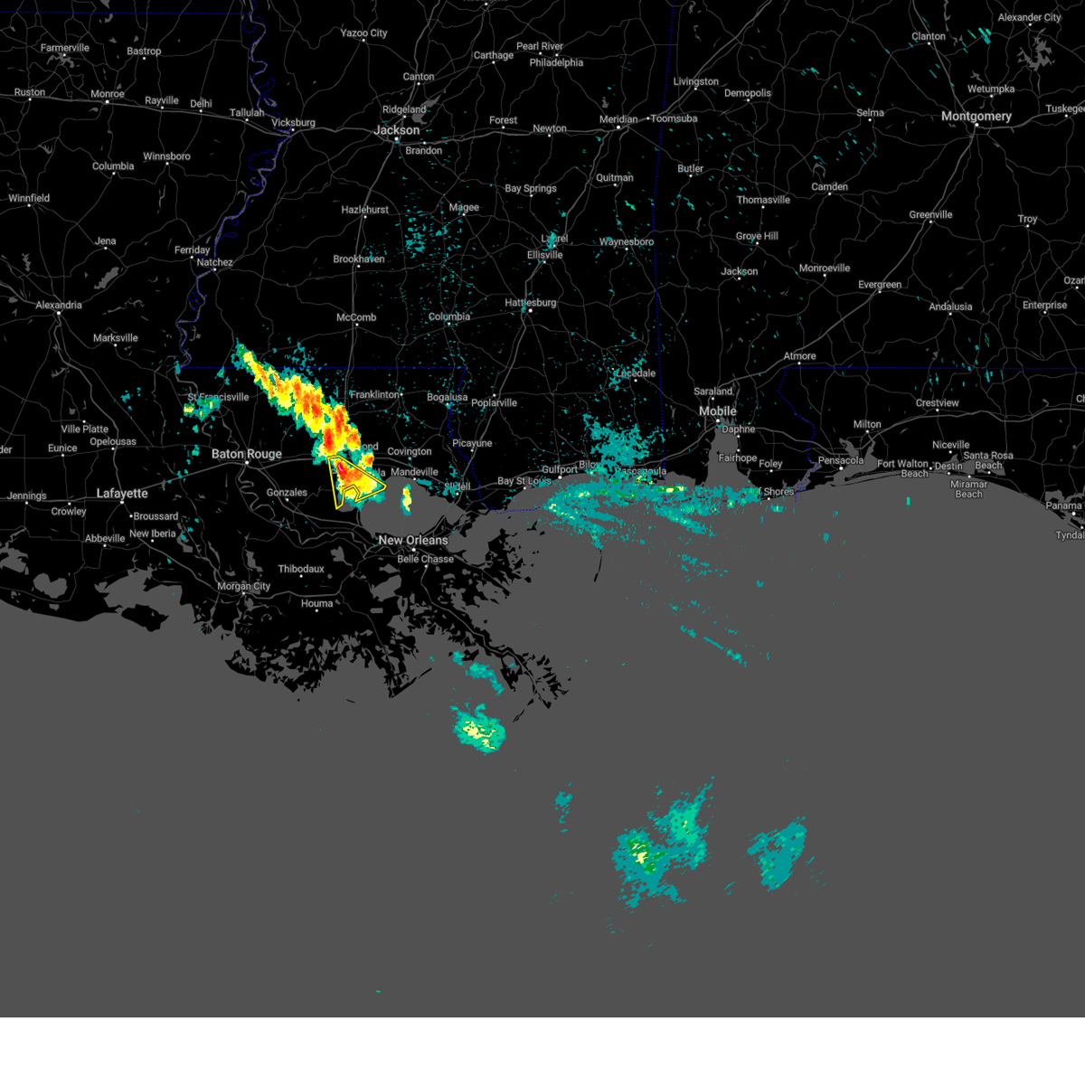
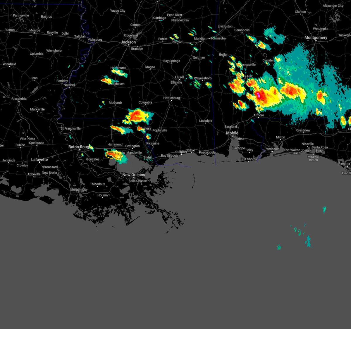
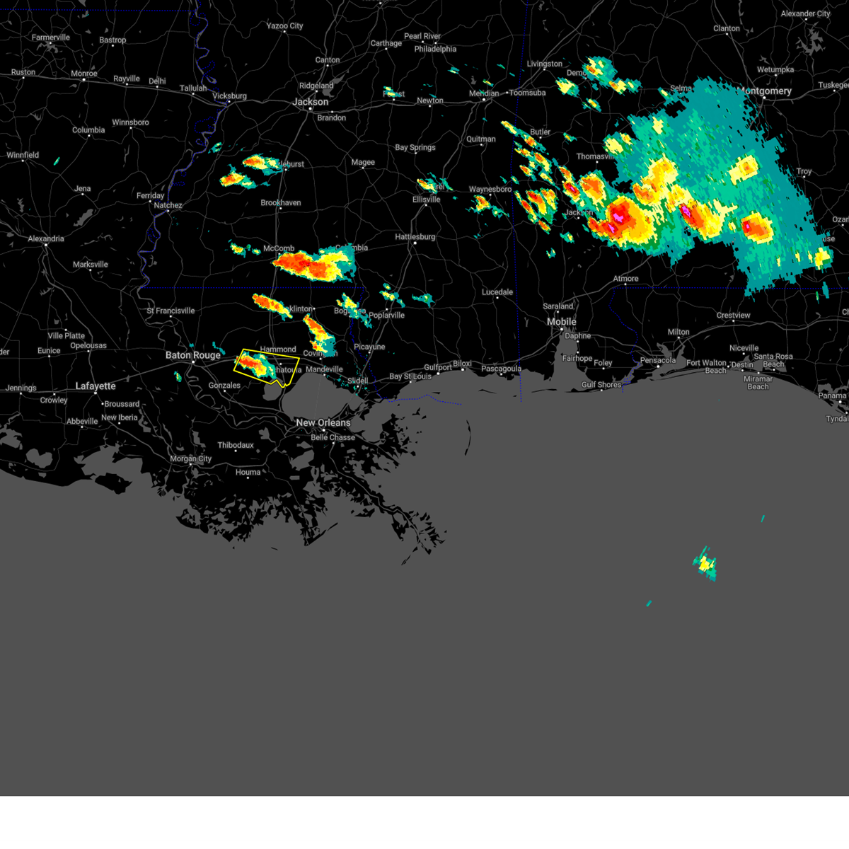
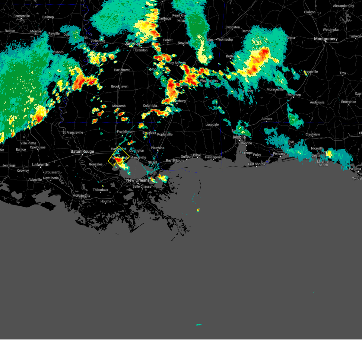
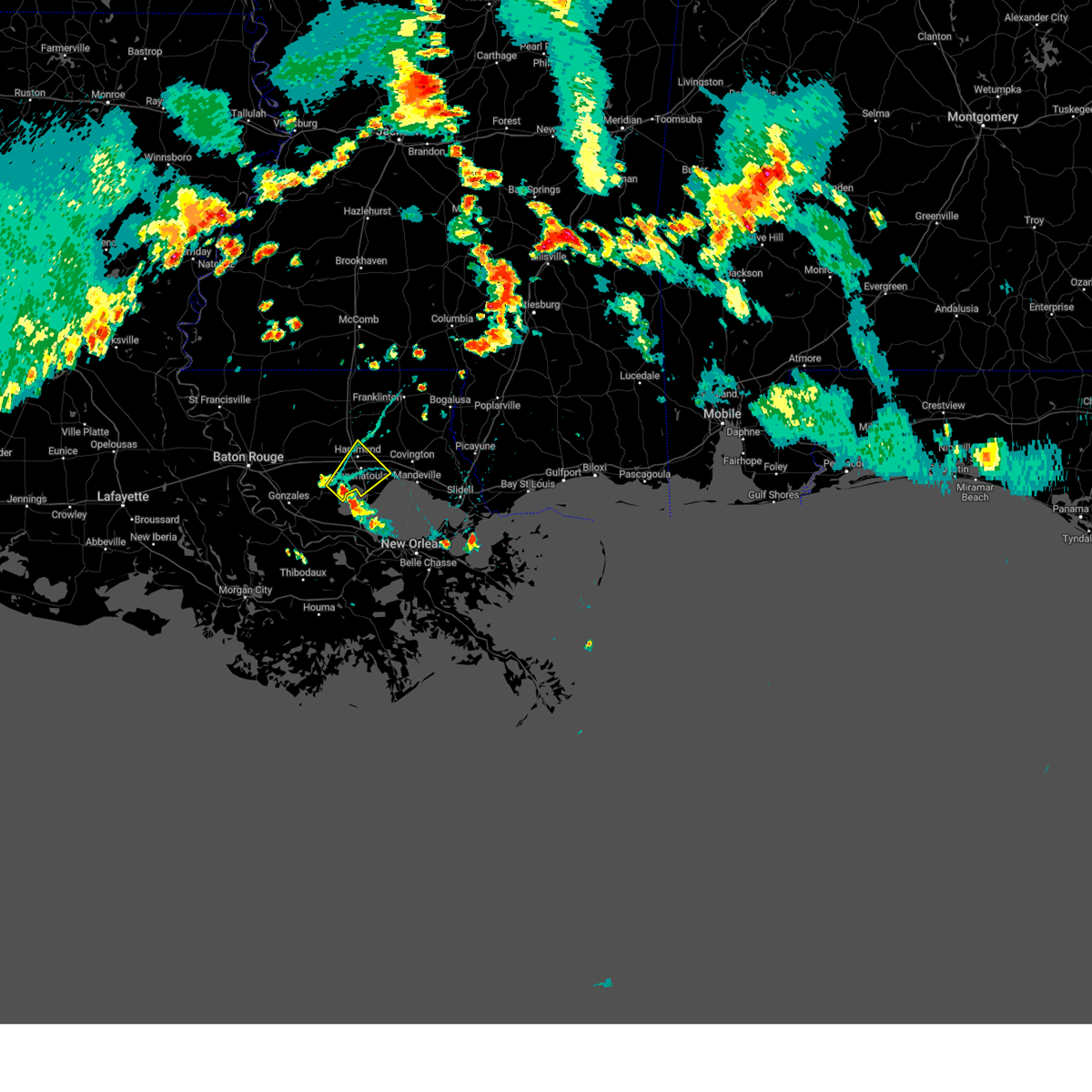
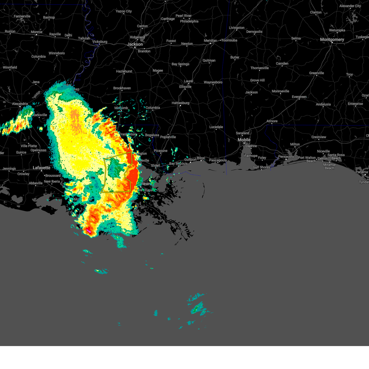
Hail Map for Killian, LA
The Killian, LA area has had 0 reports of on-the-ground hail by trained spotters, and has been under severe weather warnings 33 times during the past 12 months. Doppler radar has detected hail at or near Killian, LA on 52 occasions, including 5 occasions during the past year.
| Name: | Killian, LA |
| Where Located: | 41 miles NW of New Orleans, LA |
| Map: | Google Map for Killian, LA |
| Population: | 1206 |
| Housing Units: | 708 |
| More Info: | Search Google for Killian, LA |
5
The Top Recent Hail Date for Killian, LA is Thursday, July 18, 2024 (3rd out of 52)

Hail and Wind Damage Spotted near Killian, LA
| Date / Time | Report Details |
|---|---|
| 5/28/2025 3:26 PM CDT |
 The storm which prompted the warning has weakened below severe limits, and no longer poses an immediate threat to life or property. therefore, the warning will be allowed to expire. a severe thunderstorm watch remains in effect until 900 pm cdt for southeastern louisiana. The storm which prompted the warning has weakened below severe limits, and no longer poses an immediate threat to life or property. therefore, the warning will be allowed to expire. a severe thunderstorm watch remains in effect until 900 pm cdt for southeastern louisiana.
|
| 5/28/2025 3:08 PM CDT |
 At 308 pm cdt, a severe thunderstorm was located near livingston, or 15 miles west of hammond, moving north at 15 mph (radar indicated). Hazards include 60 mph wind gusts and quarter size hail. Hail damage to vehicles is expected. expect wind damage to roofs, siding, and trees. locations impacted include, walker, livingston, albany, killian, and denham springs. This includes interstate 12 between mile markers 14 and 34. At 308 pm cdt, a severe thunderstorm was located near livingston, or 15 miles west of hammond, moving north at 15 mph (radar indicated). Hazards include 60 mph wind gusts and quarter size hail. Hail damage to vehicles is expected. expect wind damage to roofs, siding, and trees. locations impacted include, walker, livingston, albany, killian, and denham springs. This includes interstate 12 between mile markers 14 and 34.
|
| 5/28/2025 2:46 PM CDT |
 At 246 pm cdt, a severe thunderstorm was located near whitehall, or 16 miles southwest of hammond, moving north at 15 mph (radar indicated). Hazards include 60 mph wind gusts and quarter size hail. Hail damage to vehicles is expected. expect wind damage to roofs, siding, and trees. locations impacted include, walker, livingston, albany, killian, and denham springs. This includes interstate 12 between mile markers 14 and 34. At 246 pm cdt, a severe thunderstorm was located near whitehall, or 16 miles southwest of hammond, moving north at 15 mph (radar indicated). Hazards include 60 mph wind gusts and quarter size hail. Hail damage to vehicles is expected. expect wind damage to roofs, siding, and trees. locations impacted include, walker, livingston, albany, killian, and denham springs. This includes interstate 12 between mile markers 14 and 34.
|
| 5/28/2025 2:40 PM CDT |
 Svrlix the national weather service in new orleans has issued a * severe thunderstorm warning for, central livingston parish in southeastern louisiana, west central tangipahoa parish in southeastern louisiana, * until 330 pm cdt. * at 240 pm cdt, a severe thunderstorm was located near whitehall, or 16 miles southwest of hammond, moving north at 15 mph (radar indicated). Hazards include 60 mph wind gusts and quarter size hail. Hail damage to vehicles is expected. Expect wind damage to roofs, siding, and trees. Svrlix the national weather service in new orleans has issued a * severe thunderstorm warning for, central livingston parish in southeastern louisiana, west central tangipahoa parish in southeastern louisiana, * until 330 pm cdt. * at 240 pm cdt, a severe thunderstorm was located near whitehall, or 16 miles southwest of hammond, moving north at 15 mph (radar indicated). Hazards include 60 mph wind gusts and quarter size hail. Hail damage to vehicles is expected. Expect wind damage to roofs, siding, and trees.
|
| 5/6/2025 9:28 PM CDT |
 At 927 pm cdt, a severe thunderstorm was located over springfield, or 7 miles southwest of hammond, moving northeast at 45 mph (radar indicated). Hazards include ping pong ball size hail. People and animals outdoors will be injured. expect damage to roofs, siding, windows, and vehicles. locations impacted include, tickfaw, ponchatoula, natalbany, hammond, springfield, independence, killian, and albany. this includes the following interstates, interstate 12 between mile markers 29 and 45. interstate 55 in louisiana between mile markers 24 and 40. This hail core will move directly over hammond and ponchatoula. At 927 pm cdt, a severe thunderstorm was located over springfield, or 7 miles southwest of hammond, moving northeast at 45 mph (radar indicated). Hazards include ping pong ball size hail. People and animals outdoors will be injured. expect damage to roofs, siding, windows, and vehicles. locations impacted include, tickfaw, ponchatoula, natalbany, hammond, springfield, independence, killian, and albany. this includes the following interstates, interstate 12 between mile markers 29 and 45. interstate 55 in louisiana between mile markers 24 and 40. This hail core will move directly over hammond and ponchatoula.
|
| 5/6/2025 9:20 PM CDT |
 Svrlix the national weather service in new orleans has issued a * severe thunderstorm warning for, northeastern livingston parish in southeastern louisiana, southern tangipahoa parish in southeastern louisiana, * until 1015 pm cdt. * at 920 pm cdt, a severe thunderstorm was located 7 miles west of springfield, or 14 miles southwest of hammond, moving northeast at 45 mph (radar indicated). Hazards include half dollar size hail. damage to vehicles is expected Svrlix the national weather service in new orleans has issued a * severe thunderstorm warning for, northeastern livingston parish in southeastern louisiana, southern tangipahoa parish in southeastern louisiana, * until 1015 pm cdt. * at 920 pm cdt, a severe thunderstorm was located 7 miles west of springfield, or 14 miles southwest of hammond, moving northeast at 45 mph (radar indicated). Hazards include half dollar size hail. damage to vehicles is expected
|
| 5/6/2025 8:47 PM CDT |
 the severe thunderstorm warning has been cancelled and is no longer in effect the severe thunderstorm warning has been cancelled and is no longer in effect
|
| 5/6/2025 8:47 PM CDT |
 At 847 pm cdt, a severe thunderstorm was located over prairieville, or near gonzales, moving northeast at 50 mph (radar indicated). Hazards include ping pong ball size hail and 60 mph wind gusts. People and animals outdoors will be injured. expect hail damage to roofs, siding, windows, and vehicles. expect wind damage to roofs, siding, and trees. locations impacted include, prairieville, old jefferson, french settlement, geismar, walker, port vincent, shenandoah, gonzales, killian, denham springs, and st. gabriel. this includes the following interstates, interstate 10 in louisiana between mile markers 166 and 177. Interstate 12 between mile markers 12 and 22. At 847 pm cdt, a severe thunderstorm was located over prairieville, or near gonzales, moving northeast at 50 mph (radar indicated). Hazards include ping pong ball size hail and 60 mph wind gusts. People and animals outdoors will be injured. expect hail damage to roofs, siding, windows, and vehicles. expect wind damage to roofs, siding, and trees. locations impacted include, prairieville, old jefferson, french settlement, geismar, walker, port vincent, shenandoah, gonzales, killian, denham springs, and st. gabriel. this includes the following interstates, interstate 10 in louisiana between mile markers 166 and 177. Interstate 12 between mile markers 12 and 22.
|
| 5/6/2025 8:35 PM CDT |
 Svrlix the national weather service in new orleans has issued a * severe thunderstorm warning for, ascension parish in southeastern louisiana, central livingston parish in southeastern louisiana, east central iberville parish in southeastern louisiana, south central east baton rouge parish in southeastern louisiana, * until 915 pm cdt. * at 835 pm cdt, a severe thunderstorm was located over carville, or 8 miles southeast of plaquemine, moving northeast at 50 mph (radar indicated). Hazards include 60 mph wind gusts and quarter size hail. Hail damage to vehicles is expected. Expect wind damage to roofs, siding, and trees. Svrlix the national weather service in new orleans has issued a * severe thunderstorm warning for, ascension parish in southeastern louisiana, central livingston parish in southeastern louisiana, east central iberville parish in southeastern louisiana, south central east baton rouge parish in southeastern louisiana, * until 915 pm cdt. * at 835 pm cdt, a severe thunderstorm was located over carville, or 8 miles southeast of plaquemine, moving northeast at 50 mph (radar indicated). Hazards include 60 mph wind gusts and quarter size hail. Hail damage to vehicles is expected. Expect wind damage to roofs, siding, and trees.
|
| 5/6/2025 5:41 PM CDT |
 Svrlix the national weather service in new orleans has issued a * severe thunderstorm warning for, northwestern st. john the baptist parish in southeastern louisiana, east central ascension parish in southeastern louisiana, southeastern livingston parish in southeastern louisiana, southern tangipahoa parish in southeastern louisiana, * until 630 pm cdt. * at 541 pm cdt, a severe thunderstorm was located near whitehall, or 11 miles north of reserve, moving northeast at 30 mph (radar indicated). Hazards include 60 mph wind gusts and half dollar size hail. Hail damage to vehicles is expected. Expect wind damage to roofs, siding, and trees. Svrlix the national weather service in new orleans has issued a * severe thunderstorm warning for, northwestern st. john the baptist parish in southeastern louisiana, east central ascension parish in southeastern louisiana, southeastern livingston parish in southeastern louisiana, southern tangipahoa parish in southeastern louisiana, * until 630 pm cdt. * at 541 pm cdt, a severe thunderstorm was located near whitehall, or 11 miles north of reserve, moving northeast at 30 mph (radar indicated). Hazards include 60 mph wind gusts and half dollar size hail. Hail damage to vehicles is expected. Expect wind damage to roofs, siding, and trees.
|
| 4/25/2025 4:36 PM CDT |
 At 436 pm cdt, a severe thunderstorm was located near livingston, or 16 miles east of denham springs, moving southeast at 15 mph (radar indicated). Hazards include 60 mph wind gusts and quarter size hail. Hail damage to vehicles is expected. expect wind damage to roofs, siding, and trees. locations impacted include, livingston, albany, walker, and killian. This includes interstate 12 between mile markers 16 and 32. At 436 pm cdt, a severe thunderstorm was located near livingston, or 16 miles east of denham springs, moving southeast at 15 mph (radar indicated). Hazards include 60 mph wind gusts and quarter size hail. Hail damage to vehicles is expected. expect wind damage to roofs, siding, and trees. locations impacted include, livingston, albany, walker, and killian. This includes interstate 12 between mile markers 16 and 32.
|
| 4/25/2025 4:10 PM CDT |
 At 410 pm cdt, a severe thunderstorm was located over livingston, or 11 miles east of denham springs, moving east at 15 mph (radar indicated). Hazards include 60 mph wind gusts and half dollar size hail. Hail damage to vehicles is expected. expect wind damage to roofs, siding, and trees. locations impacted include, walker, livingston, albany, and killian. This includes interstate 12 between mile markers 13 and 32. At 410 pm cdt, a severe thunderstorm was located over livingston, or 11 miles east of denham springs, moving east at 15 mph (radar indicated). Hazards include 60 mph wind gusts and half dollar size hail. Hail damage to vehicles is expected. expect wind damage to roofs, siding, and trees. locations impacted include, walker, livingston, albany, and killian. This includes interstate 12 between mile markers 13 and 32.
|
| 4/25/2025 3:55 PM CDT |
 Svrlix the national weather service in new orleans has issued a * severe thunderstorm warning for, central livingston parish in southeastern louisiana, * until 445 pm cdt. * at 355 pm cdt, a severe thunderstorm was located over walker, or 7 miles east of denham springs, moving east at 15 mph (radar indicated). Hazards include 60 mph wind gusts and quarter size hail. Hail damage to vehicles is expected. Expect wind damage to roofs, siding, and trees. Svrlix the national weather service in new orleans has issued a * severe thunderstorm warning for, central livingston parish in southeastern louisiana, * until 445 pm cdt. * at 355 pm cdt, a severe thunderstorm was located over walker, or 7 miles east of denham springs, moving east at 15 mph (radar indicated). Hazards include 60 mph wind gusts and quarter size hail. Hail damage to vehicles is expected. Expect wind damage to roofs, siding, and trees.
|
| 3/31/2025 7:22 AM CDT |
 At 722 am cdt, a severe thunderstorm was located 9 miles south of ponchatoula, or 14 miles south of hammond, moving east at 45 mph (radar indicated). Hazards include 70 mph wind gusts and quarter size hail. Hail damage to vehicles is expected. expect considerable tree damage. wind damage is also likely to mobile homes, roofs, and outbuildings. locations impacted include, killian, w lk pontchartrain buoy, and springfield. This includes interstate 55 in louisiana between mile markers 2 and 23. At 722 am cdt, a severe thunderstorm was located 9 miles south of ponchatoula, or 14 miles south of hammond, moving east at 45 mph (radar indicated). Hazards include 70 mph wind gusts and quarter size hail. Hail damage to vehicles is expected. expect considerable tree damage. wind damage is also likely to mobile homes, roofs, and outbuildings. locations impacted include, killian, w lk pontchartrain buoy, and springfield. This includes interstate 55 in louisiana between mile markers 2 and 23.
|
| 3/31/2025 7:22 AM CDT |
 At 722 am cdt, severe thunderstorms capable of producing both tornadoes and straight line wind damage was located near ponchatoula, or 11 miles south of hammond, moving southeast at 50 mph (radar indicated rotation). Hazards include tornado and quarter size hail. Flying debris will be dangerous to those caught without shelter. mobile homes will be damaged or destroyed. damage to roofs, windows, and vehicles will occur. tree damage is likely. locations impacted include, ponchatoula, killian, and springfield. This includes interstate 55 in louisiana between mile markers 14 and 26. At 722 am cdt, severe thunderstorms capable of producing both tornadoes and straight line wind damage was located near ponchatoula, or 11 miles south of hammond, moving southeast at 50 mph (radar indicated rotation). Hazards include tornado and quarter size hail. Flying debris will be dangerous to those caught without shelter. mobile homes will be damaged or destroyed. damage to roofs, windows, and vehicles will occur. tree damage is likely. locations impacted include, ponchatoula, killian, and springfield. This includes interstate 55 in louisiana between mile markers 14 and 26.
|
| 3/31/2025 7:18 AM CDT |
 At 717 am cdt, a severe thunderstorm capable of producing a tornado was located near springfield, or 8 miles south of hammond, moving southeast at 35 mph (radar indicated rotation). Hazards include tornado and quarter size hail. Flying debris will be dangerous to those caught without shelter. mobile homes will be damaged or destroyed. damage to roofs, windows, and vehicles will occur. tree damage is likely. this tornadic thunderstorm will remain over mainly rural areas of northeastern st. john the baptist, southeastern livingston and southern tangipahoa parishes, including the following locations, killian. This includes interstate 55 in louisiana between mile markers 14 and 28. At 717 am cdt, a severe thunderstorm capable of producing a tornado was located near springfield, or 8 miles south of hammond, moving southeast at 35 mph (radar indicated rotation). Hazards include tornado and quarter size hail. Flying debris will be dangerous to those caught without shelter. mobile homes will be damaged or destroyed. damage to roofs, windows, and vehicles will occur. tree damage is likely. this tornadic thunderstorm will remain over mainly rural areas of northeastern st. john the baptist, southeastern livingston and southern tangipahoa parishes, including the following locations, killian. This includes interstate 55 in louisiana between mile markers 14 and 28.
|
| 3/31/2025 7:11 AM CDT |
 At 711 am cdt, a severe thunderstorm capable of producing a tornado was located over springfield, or 7 miles southwest of hammond, moving southeast at 40 mph (radar indicated rotation). Hazards include tornado and quarter size hail. Flying debris will be dangerous to those caught without shelter. mobile homes will be damaged or destroyed. damage to roofs, windows, and vehicles will occur. tree damage is likely. this dangerous storm will be near, springfield and ponchatoula around 715 am cdt. other locations impacted by this tornadic thunderstorm include killian. this includes the following interstates, interstate 12 between mile markers 32 and 41. Interstate 55 in louisiana between mile markers 14 and 30. At 711 am cdt, a severe thunderstorm capable of producing a tornado was located over springfield, or 7 miles southwest of hammond, moving southeast at 40 mph (radar indicated rotation). Hazards include tornado and quarter size hail. Flying debris will be dangerous to those caught without shelter. mobile homes will be damaged or destroyed. damage to roofs, windows, and vehicles will occur. tree damage is likely. this dangerous storm will be near, springfield and ponchatoula around 715 am cdt. other locations impacted by this tornadic thunderstorm include killian. this includes the following interstates, interstate 12 between mile markers 32 and 41. Interstate 55 in louisiana between mile markers 14 and 30.
|
| 3/31/2025 7:03 AM CDT |
 Torlix the national weather service in new orleans has issued a * tornado warning for, northeastern st. john the baptist parish in southeastern louisiana, east central livingston parish in southeastern louisiana, southern tangipahoa parish in southeastern louisiana, * until 745 am cdt. * at 703 am cdt, a tornado producing storm was located near albany, or 10 miles west of hammond, moving southeast at 35 mph (radar confirmed tornado). Hazards include damaging tornado and quarter size hail. Flying debris will be dangerous to those caught without shelter. mobile homes will be damaged or destroyed. damage to roofs, windows, and vehicles will occur. tree damage is likely. this tornadic storm will be near, springfield around 710 am cdt. other locations impacted by this tornadic thunderstorm include killian. this includes the following interstates, interstate 12 between mile markers 29 and 41. Interstate 55 in louisiana between mile markers 14 and 30. Torlix the national weather service in new orleans has issued a * tornado warning for, northeastern st. john the baptist parish in southeastern louisiana, east central livingston parish in southeastern louisiana, southern tangipahoa parish in southeastern louisiana, * until 745 am cdt. * at 703 am cdt, a tornado producing storm was located near albany, or 10 miles west of hammond, moving southeast at 35 mph (radar confirmed tornado). Hazards include damaging tornado and quarter size hail. Flying debris will be dangerous to those caught without shelter. mobile homes will be damaged or destroyed. damage to roofs, windows, and vehicles will occur. tree damage is likely. this tornadic storm will be near, springfield around 710 am cdt. other locations impacted by this tornadic thunderstorm include killian. this includes the following interstates, interstate 12 between mile markers 29 and 41. Interstate 55 in louisiana between mile markers 14 and 30.
|
| 3/31/2025 6:52 AM CDT |
 Svrlix the national weather service in new orleans has issued a * severe thunderstorm warning for, northern st. john the baptist parish in southeastern louisiana, east central ascension parish in southeastern louisiana, southeastern livingston parish in southeastern louisiana, southern tangipahoa parish in southeastern louisiana, * until 745 am cdt. * at 652 am cdt, a severe thunderstorm was located near french settlement, or 14 miles southeast of denham springs, moving east at 50 mph (radar indicated). Hazards include 60 mph wind gusts and quarter size hail. Hail damage to vehicles is expected. Expect wind damage to roofs, siding, and trees. Svrlix the national weather service in new orleans has issued a * severe thunderstorm warning for, northern st. john the baptist parish in southeastern louisiana, east central ascension parish in southeastern louisiana, southeastern livingston parish in southeastern louisiana, southern tangipahoa parish in southeastern louisiana, * until 745 am cdt. * at 652 am cdt, a severe thunderstorm was located near french settlement, or 14 miles southeast of denham springs, moving east at 50 mph (radar indicated). Hazards include 60 mph wind gusts and quarter size hail. Hail damage to vehicles is expected. Expect wind damage to roofs, siding, and trees.
|
| 3/31/2025 6:24 AM CDT |
 At 624 am cdt, a severe thunderstorm was located near old jefferson, or 7 miles east of oak hills place, moving northeast at 45 mph (radar indicated). Hazards include 60 mph wind gusts and quarter size hail. Hail damage to vehicles is expected. expect wind damage to roofs, siding, and trees. locations impacted include, westminster, old jefferson, french settlement, inniswold, port vincent, prairieville, village st. george, shenandoah, gardere, oak hills place, denham springs, baton rouge, merrydale, and walker. this includes the following interstates, interstate 10 in louisiana between mile markers 160 and 175. Interstate 12 between mile markers 1 and 15. At 624 am cdt, a severe thunderstorm was located near old jefferson, or 7 miles east of oak hills place, moving northeast at 45 mph (radar indicated). Hazards include 60 mph wind gusts and quarter size hail. Hail damage to vehicles is expected. expect wind damage to roofs, siding, and trees. locations impacted include, westminster, old jefferson, french settlement, inniswold, port vincent, prairieville, village st. george, shenandoah, gardere, oak hills place, denham springs, baton rouge, merrydale, and walker. this includes the following interstates, interstate 10 in louisiana between mile markers 160 and 175. Interstate 12 between mile markers 1 and 15.
|
| 3/31/2025 6:03 AM CDT |
 Svrlix the national weather service in new orleans has issued a * severe thunderstorm warning for, northwestern ascension parish in southeastern louisiana, central livingston parish in southeastern louisiana, east central iberville parish in southeastern louisiana, south central east baton rouge parish in southeastern louisiana, * until 645 am cdt. * at 602 am cdt, a severe thunderstorm was located near st. gabriel, or near plaquemine, moving northeast at 50 mph (radar indicated). Hazards include 60 mph wind gusts and half dollar size hail. Hail damage to vehicles is expected. Expect wind damage to roofs, siding, and trees. Svrlix the national weather service in new orleans has issued a * severe thunderstorm warning for, northwestern ascension parish in southeastern louisiana, central livingston parish in southeastern louisiana, east central iberville parish in southeastern louisiana, south central east baton rouge parish in southeastern louisiana, * until 645 am cdt. * at 602 am cdt, a severe thunderstorm was located near st. gabriel, or near plaquemine, moving northeast at 50 mph (radar indicated). Hazards include 60 mph wind gusts and half dollar size hail. Hail damage to vehicles is expected. Expect wind damage to roofs, siding, and trees.
|
| 3/24/2025 8:34 AM CDT |
 the severe thunderstorm warning has been cancelled and is no longer in effect the severe thunderstorm warning has been cancelled and is no longer in effect
|
| 3/24/2025 8:21 AM CDT |
 At 821 am cdt, severe thunderstorms were located along a line extending from near amite to 7 miles south of ponchatoula, moving east at 45 mph (radar indicated). Hazards include 60 mph wind gusts and quarter size hail. Hail damage to vehicles is expected. expect wind damage to roofs, siding, and trees. locations impacted include, tickfaw, ponchatoula, natalbany, robert, hammond, springfield, independence, w lk pontchartrain buoy, and killian. this includes the following interstates, interstate 12 between mile markers 35 and 50. Interstate 55 in louisiana between mile markers 6 and 43. At 821 am cdt, severe thunderstorms were located along a line extending from near amite to 7 miles south of ponchatoula, moving east at 45 mph (radar indicated). Hazards include 60 mph wind gusts and quarter size hail. Hail damage to vehicles is expected. expect wind damage to roofs, siding, and trees. locations impacted include, tickfaw, ponchatoula, natalbany, robert, hammond, springfield, independence, w lk pontchartrain buoy, and killian. this includes the following interstates, interstate 12 between mile markers 35 and 50. Interstate 55 in louisiana between mile markers 6 and 43.
|
| 3/24/2025 8:21 AM CDT |
 the severe thunderstorm warning has been cancelled and is no longer in effect the severe thunderstorm warning has been cancelled and is no longer in effect
|
| 3/24/2025 7:56 AM CDT |
 Svrlix the national weather service in new orleans has issued a * severe thunderstorm warning for, northern st. john the baptist parish in southeastern louisiana, east central ascension parish in southeastern louisiana, northeastern st. james parish in southeastern louisiana, southeastern st. helena parish in southeastern louisiana, livingston parish in southeastern louisiana, southern tangipahoa parish in southeastern louisiana, * until 845 am cdt. * at 755 am cdt, severe thunderstorms were located along a line extending from 6 miles southwest of montpelier to near whitehall, moving east at 45 mph (radar indicated). Hazards include 60 mph wind gusts and quarter size hail. Hail damage to vehicles is expected. Expect wind damage to roofs, siding, and trees. Svrlix the national weather service in new orleans has issued a * severe thunderstorm warning for, northern st. john the baptist parish in southeastern louisiana, east central ascension parish in southeastern louisiana, northeastern st. james parish in southeastern louisiana, southeastern st. helena parish in southeastern louisiana, livingston parish in southeastern louisiana, southern tangipahoa parish in southeastern louisiana, * until 845 am cdt. * at 755 am cdt, severe thunderstorms were located along a line extending from 6 miles southwest of montpelier to near whitehall, moving east at 45 mph (radar indicated). Hazards include 60 mph wind gusts and quarter size hail. Hail damage to vehicles is expected. Expect wind damage to roofs, siding, and trees.
|
| 12/28/2024 8:14 PM CST |
 The storms which prompted the warning have weakened below severe limits, and no longer pose an immediate threat to life or property. therefore, the warning will be allowed to expire. however, gusty winds are still possible with these thunderstorms. a tornado watch remains in effect until 1100 pm cst for southeastern louisiana, and southern mississippi. a tornado watch also remains in effect until 200 am cst for southeastern louisiana, and southern mississippi. to report severe weather, contact your nearest law enforcement agency. they will relay your report to the national weather service new orleans. The storms which prompted the warning have weakened below severe limits, and no longer pose an immediate threat to life or property. therefore, the warning will be allowed to expire. however, gusty winds are still possible with these thunderstorms. a tornado watch remains in effect until 1100 pm cst for southeastern louisiana, and southern mississippi. a tornado watch also remains in effect until 200 am cst for southeastern louisiana, and southern mississippi. to report severe weather, contact your nearest law enforcement agency. they will relay your report to the national weather service new orleans.
|
| 12/28/2024 7:30 PM CST |
 Svrlix the national weather service in new orleans has issued a * severe thunderstorm warning for, northwestern st. tammany parish in southeastern louisiana, northeastern livingston parish in southeastern louisiana, tangipahoa parish in southeastern louisiana, washington parish in southeastern louisiana, walthall county in southern mississippi, southeastern pike county in southern mississippi, northwestern pearl river county in southern mississippi, * until 815 pm cst. * at 729 pm cst, severe thunderstorms were located along a line extending from near holly springs to 8 miles north of franklinton to near natalbany, moving east at 45 mph (radar indicated). Hazards include 60 mph wind gusts and quarter size hail. Hail damage to vehicles is expected. Expect wind damage to roofs, siding, and trees. Svrlix the national weather service in new orleans has issued a * severe thunderstorm warning for, northwestern st. tammany parish in southeastern louisiana, northeastern livingston parish in southeastern louisiana, tangipahoa parish in southeastern louisiana, washington parish in southeastern louisiana, walthall county in southern mississippi, southeastern pike county in southern mississippi, northwestern pearl river county in southern mississippi, * until 815 pm cst. * at 729 pm cst, severe thunderstorms were located along a line extending from near holly springs to 8 miles north of franklinton to near natalbany, moving east at 45 mph (radar indicated). Hazards include 60 mph wind gusts and quarter size hail. Hail damage to vehicles is expected. Expect wind damage to roofs, siding, and trees.
|
| 12/28/2024 7:17 PM CST |
 Svrlix the national weather service in new orleans has issued a * severe thunderstorm warning for, ascension parish in southeastern louisiana, st. james parish in southeastern louisiana, southeastern west baton rouge parish in southeastern louisiana, central livingston parish in southeastern louisiana, southeastern iberville parish in southeastern louisiana, south central east baton rouge parish in southeastern louisiana, northern assumption parish in southeastern louisiana, * until 800 pm cst. * at 716 pm cst, severe thunderstorms were located along a line extending from near walker to 6 miles south of bayou sorrel, moving east at 40 mph (radar indicated). Hazards include 60 mph wind gusts and penny size hail. expect damage to roofs, siding, and trees Svrlix the national weather service in new orleans has issued a * severe thunderstorm warning for, ascension parish in southeastern louisiana, st. james parish in southeastern louisiana, southeastern west baton rouge parish in southeastern louisiana, central livingston parish in southeastern louisiana, southeastern iberville parish in southeastern louisiana, south central east baton rouge parish in southeastern louisiana, northern assumption parish in southeastern louisiana, * until 800 pm cst. * at 716 pm cst, severe thunderstorms were located along a line extending from near walker to 6 miles south of bayou sorrel, moving east at 40 mph (radar indicated). Hazards include 60 mph wind gusts and penny size hail. expect damage to roofs, siding, and trees
|
| 8/3/2024 3:53 PM CDT |
 the severe thunderstorm warning has been cancelled and is no longer in effect the severe thunderstorm warning has been cancelled and is no longer in effect
|
| 8/3/2024 3:42 PM CDT |
 At 342 pm cdt, a severe thunderstorm was located over springfield, or 9 miles southwest of hammond, moving southwest at 15 mph (radar indicated). Hazards include 60 mph wind gusts. Expect damage to roofs, siding, and trees. locations impacted include, springfield and killian. this includes the following interstates, interstate 12 between mile markers 28 and 32. Interstate 55 in louisiana between mile markers 20 and 22. At 342 pm cdt, a severe thunderstorm was located over springfield, or 9 miles southwest of hammond, moving southwest at 15 mph (radar indicated). Hazards include 60 mph wind gusts. Expect damage to roofs, siding, and trees. locations impacted include, springfield and killian. this includes the following interstates, interstate 12 between mile markers 28 and 32. Interstate 55 in louisiana between mile markers 20 and 22.
|
| 8/3/2024 3:27 PM CDT | Svrlix the national weather service in new orleans has issued a * severe thunderstorm warning for, eastern livingston parish in southeastern louisiana, southwestern tangipahoa parish in southeastern louisiana, * until 415 pm cdt. * at 326 pm cdt, a severe thunderstorm was located over springfield, or near hammond, moving southwest at 15 mph (radar indicated). Hazards include 60 mph wind gusts. expect damage to roofs, siding, and trees |
| 7/18/2024 1:32 PM CDT |
 Svrlix the national weather service in new orleans has issued a * severe thunderstorm warning for, southeastern st. helena parish in southeastern louisiana, northeastern livingston parish in southeastern louisiana, tangipahoa parish in southeastern louisiana, * until 215 pm cdt. * at 132 pm cdt, severe thunderstorms were located along a line extending from 7 miles west of montpelier to near albany to near springfield, moving east at 25 mph (radar indicated). Hazards include 60 mph wind gusts and quarter size hail. Hail damage to vehicles is expected. Expect wind damage to roofs, siding, and trees. Svrlix the national weather service in new orleans has issued a * severe thunderstorm warning for, southeastern st. helena parish in southeastern louisiana, northeastern livingston parish in southeastern louisiana, tangipahoa parish in southeastern louisiana, * until 215 pm cdt. * at 132 pm cdt, severe thunderstorms were located along a line extending from 7 miles west of montpelier to near albany to near springfield, moving east at 25 mph (radar indicated). Hazards include 60 mph wind gusts and quarter size hail. Hail damage to vehicles is expected. Expect wind damage to roofs, siding, and trees.
|
| 7/18/2024 1:03 PM CDT |
 Svrlix the national weather service in new orleans has issued a * severe thunderstorm warning for, central livingston parish in southeastern louisiana, * until 145 pm cdt. * at 103 pm cdt, a severe thunderstorm was located near shenandoah, or near denham springs, moving east at 35 mph (radar indicated). Hazards include 60 mph wind gusts and penny size hail. expect damage to roofs, siding, and trees Svrlix the national weather service in new orleans has issued a * severe thunderstorm warning for, central livingston parish in southeastern louisiana, * until 145 pm cdt. * at 103 pm cdt, a severe thunderstorm was located near shenandoah, or near denham springs, moving east at 35 mph (radar indicated). Hazards include 60 mph wind gusts and penny size hail. expect damage to roofs, siding, and trees
|
| 6/4/2024 5:39 PM CDT |
 At 538 pm cdt, severe thunderstorms were located along a line extending from near jayess to 8 miles northeast of franklinton to near folsom to ponchatoula, moving east at 45 mph (radar indicated). Hazards include 60 mph wind gusts and penny size hail. Expect damage to roofs, siding, and trees. locations impacted include, hammond, bogalusa, covington, franklinton, amite, ponchatoula, amite city, abita springs, independence, tylertown, varnado, roseland, albany, madisonville, folsom, springfield, sun, lacombe, enon, and mount herman. this includes the following interstates, interstate 12 between mile markers 28 and 77. Interstate 55 in louisiana between mile markers 18 and 44. At 538 pm cdt, severe thunderstorms were located along a line extending from near jayess to 8 miles northeast of franklinton to near folsom to ponchatoula, moving east at 45 mph (radar indicated). Hazards include 60 mph wind gusts and penny size hail. Expect damage to roofs, siding, and trees. locations impacted include, hammond, bogalusa, covington, franklinton, amite, ponchatoula, amite city, abita springs, independence, tylertown, varnado, roseland, albany, madisonville, folsom, springfield, sun, lacombe, enon, and mount herman. this includes the following interstates, interstate 12 between mile markers 28 and 77. Interstate 55 in louisiana between mile markers 18 and 44.
|
| 6/4/2024 5:39 PM CDT |
 the severe thunderstorm warning has been cancelled and is no longer in effect the severe thunderstorm warning has been cancelled and is no longer in effect
|
| 6/4/2024 5:24 PM CDT |
 Svrlix the national weather service in new orleans has issued a * severe thunderstorm warning for, st. helena parish in southeastern louisiana, st. tammany parish in southeastern louisiana, livingston parish in southeastern louisiana, southeastern east feliciana parish in southeastern louisiana, tangipahoa parish in southeastern louisiana, northeastern east baton rouge parish in southeastern louisiana, washington parish in southeastern louisiana, walthall county in southern mississippi, pike county in southern mississippi, eastern amite county in southern mississippi, * until 615 pm cdt. * at 524 pm cdt, severe thunderstorms were located along a line extending from near ruth to near mount herman to near independence to springfield, moving east at 45 mph (radar indicated). Hazards include 60 mph wind gusts and penny size hail. expect damage to roofs, siding, and trees Svrlix the national weather service in new orleans has issued a * severe thunderstorm warning for, st. helena parish in southeastern louisiana, st. tammany parish in southeastern louisiana, livingston parish in southeastern louisiana, southeastern east feliciana parish in southeastern louisiana, tangipahoa parish in southeastern louisiana, northeastern east baton rouge parish in southeastern louisiana, washington parish in southeastern louisiana, walthall county in southern mississippi, pike county in southern mississippi, eastern amite county in southern mississippi, * until 615 pm cdt. * at 524 pm cdt, severe thunderstorms were located along a line extending from near ruth to near mount herman to near independence to springfield, moving east at 45 mph (radar indicated). Hazards include 60 mph wind gusts and penny size hail. expect damage to roofs, siding, and trees
|
| 5/16/2024 11:19 PM CDT |
 At 1118 pm cdt, severe thunderstorms were located along a line extending from 6 miles north of franklinton to near robert, moving east at 45 mph (radar indicated). Hazards include 70 mph wind gusts and penny size hail. Expect considerable tree damage. damage is likely to mobile homes, roofs, and outbuildings. locations impacted include, hammond, ponchatoula, folsom, springfield, robert, enon, natalbany, killian, and w lk pontchartrain buoy. this includes the following interstates, interstate 12 between mile markers 38 and 57. Interstate 55 in louisiana between mile markers 15 and 30. At 1118 pm cdt, severe thunderstorms were located along a line extending from 6 miles north of franklinton to near robert, moving east at 45 mph (radar indicated). Hazards include 70 mph wind gusts and penny size hail. Expect considerable tree damage. damage is likely to mobile homes, roofs, and outbuildings. locations impacted include, hammond, ponchatoula, folsom, springfield, robert, enon, natalbany, killian, and w lk pontchartrain buoy. this includes the following interstates, interstate 12 between mile markers 38 and 57. Interstate 55 in louisiana between mile markers 15 and 30.
|
| 5/16/2024 11:09 PM CDT |
 At 1108 pm cdt, severe thunderstorms were located along a line extending from near mount herman to ponchatoula, moving east at 45 mph (radar indicated). Hazards include 70 mph wind gusts and penny size hail. Expect considerable tree damage. damage is likely to mobile homes, roofs, and outbuildings. locations impacted include, hammond, franklinton, amite, ponchatoula, amite city, independence, roseland, french settlement, albany, madisonville, folsom, springfield, enon, wilmer, natalbany, robert, killian, tickfaw, and w lk pontchartrain buoy. this includes the following interstates, interstate 12 between mile markers 31 and 57. Interstate 55 in louisiana between mile markers 15 and 46. At 1108 pm cdt, severe thunderstorms were located along a line extending from near mount herman to ponchatoula, moving east at 45 mph (radar indicated). Hazards include 70 mph wind gusts and penny size hail. Expect considerable tree damage. damage is likely to mobile homes, roofs, and outbuildings. locations impacted include, hammond, franklinton, amite, ponchatoula, amite city, independence, roseland, french settlement, albany, madisonville, folsom, springfield, enon, wilmer, natalbany, robert, killian, tickfaw, and w lk pontchartrain buoy. this includes the following interstates, interstate 12 between mile markers 31 and 57. Interstate 55 in louisiana between mile markers 15 and 46.
|
| 5/16/2024 11:09 PM CDT |
 the severe thunderstorm warning has been cancelled and is no longer in effect the severe thunderstorm warning has been cancelled and is no longer in effect
|
| 5/16/2024 10:45 PM CDT |
 At 1045 pm cdt, severe thunderstorms were located along a line extending from near kentwood to 7 miles north of whitehall, moving east at 45 mph (radar indicated). Hazards include 70 mph wind gusts and penny size hail. Expect considerable tree damage. damage is likely to mobile homes, roofs, and outbuildings. locations impacted include, hammond, franklinton, amite, ponchatoula, amite city, kentwood, livingston, independence, roseland, french settlement, albany, madisonville, folsom, springfield, osyka, montpelier, enon, mount herman, wilmer, and natalbany. this includes the following interstates, interstate 12 between mile markers 24 and 57. Interstate 55 in louisiana between mile markers 15 and 66. At 1045 pm cdt, severe thunderstorms were located along a line extending from near kentwood to 7 miles north of whitehall, moving east at 45 mph (radar indicated). Hazards include 70 mph wind gusts and penny size hail. Expect considerable tree damage. damage is likely to mobile homes, roofs, and outbuildings. locations impacted include, hammond, franklinton, amite, ponchatoula, amite city, kentwood, livingston, independence, roseland, french settlement, albany, madisonville, folsom, springfield, osyka, montpelier, enon, mount herman, wilmer, and natalbany. this includes the following interstates, interstate 12 between mile markers 24 and 57. Interstate 55 in louisiana between mile markers 15 and 66.
|
| 5/16/2024 10:39 PM CDT |
 Svrlix the national weather service in new orleans has issued a * severe thunderstorm warning for, southeastern st. helena parish in southeastern louisiana, northwestern st. tammany parish in southeastern louisiana, northeastern livingston parish in southeastern louisiana, tangipahoa parish in southeastern louisiana, western washington parish in southeastern louisiana, * until 1130 pm cdt. * at 1038 pm cdt, severe thunderstorms were located along a line extending from near kentwood to near french settlement, moving east at 45 mph (radar indicated). Hazards include 60 mph wind gusts and penny size hail. expect damage to roofs, siding, and trees Svrlix the national weather service in new orleans has issued a * severe thunderstorm warning for, southeastern st. helena parish in southeastern louisiana, northwestern st. tammany parish in southeastern louisiana, northeastern livingston parish in southeastern louisiana, tangipahoa parish in southeastern louisiana, western washington parish in southeastern louisiana, * until 1130 pm cdt. * at 1038 pm cdt, severe thunderstorms were located along a line extending from near kentwood to near french settlement, moving east at 45 mph (radar indicated). Hazards include 60 mph wind gusts and penny size hail. expect damage to roofs, siding, and trees
|
| 5/13/2024 7:42 PM CDT |
 Svrlix the national weather service in new orleans has issued a * severe thunderstorm warning for, northwestern st. tammany parish in southeastern louisiana, eastern livingston parish in southeastern louisiana, southern tangipahoa parish in southeastern louisiana, * until 830 pm cdt. * at 741 pm cdt, severe thunderstorms were located along a line extending from near albany to near whitehall, moving east at 50 mph (radar indicated). Hazards include 70 mph wind gusts and quarter size hail. Hail damage to vehicles is expected. expect considerable tree damage. Wind damage is also likely to mobile homes, roofs, and outbuildings. Svrlix the national weather service in new orleans has issued a * severe thunderstorm warning for, northwestern st. tammany parish in southeastern louisiana, eastern livingston parish in southeastern louisiana, southern tangipahoa parish in southeastern louisiana, * until 830 pm cdt. * at 741 pm cdt, severe thunderstorms were located along a line extending from near albany to near whitehall, moving east at 50 mph (radar indicated). Hazards include 70 mph wind gusts and quarter size hail. Hail damage to vehicles is expected. expect considerable tree damage. Wind damage is also likely to mobile homes, roofs, and outbuildings.
|
| 5/13/2024 7:38 PM CDT |
 At 737 pm cdt, severe thunderstorms were located along a line extending from near greensburg to convent, moving east at 55 mph. these are destructive storms for portions of livingston and ascension parishes (radar indicated). Hazards include 80 mph wind gusts and quarter size hail. Flying debris will be dangerous to those caught without shelter. mobile homes will be heavily damaged. expect considerable damage to roofs, windows, and vehicles. extensive tree damage and power outages are likely. locations impacted include, denham springs, gonzales, walker, livingston, sorrento, french settlement, albany, port vincent, whitehall, and killian. this includes the following interstates, interstate 10 in louisiana between mile markers 180 and 188. Interstate 12 between mile markers 13 and 33. At 737 pm cdt, severe thunderstorms were located along a line extending from near greensburg to convent, moving east at 55 mph. these are destructive storms for portions of livingston and ascension parishes (radar indicated). Hazards include 80 mph wind gusts and quarter size hail. Flying debris will be dangerous to those caught without shelter. mobile homes will be heavily damaged. expect considerable damage to roofs, windows, and vehicles. extensive tree damage and power outages are likely. locations impacted include, denham springs, gonzales, walker, livingston, sorrento, french settlement, albany, port vincent, whitehall, and killian. this includes the following interstates, interstate 10 in louisiana between mile markers 180 and 188. Interstate 12 between mile markers 13 and 33.
|
| 5/13/2024 7:38 PM CDT |
 the severe thunderstorm warning has been cancelled and is no longer in effect the severe thunderstorm warning has been cancelled and is no longer in effect
|
| 5/13/2024 7:26 PM CDT |
 the severe thunderstorm warning has been cancelled and is no longer in effect the severe thunderstorm warning has been cancelled and is no longer in effect
|
| 5/13/2024 7:26 PM CDT |
 At 725 pm cdt, severe thunderstorms were located along a line extending from 8 miles northeast of pride to near paincourtville, moving east at 55 mph. these are destructive storms for hurricane force winds (radar indicated). Hazards include 80 mph wind gusts and ping pong ball size hail. Flying debris will be dangerous to those caught without shelter. mobile homes will be heavily damaged. expect considerable damage to roofs, windows, and vehicles. extensive tree damage and power outages are likely. locations impacted include, baton rouge, baker, denham springs, gonzales, oak hills place, st. gabriel, walker, livingston, sorrento, french settlement, albany, port vincent, westminster, geismar, watson, shenandoah, greenwell spring, whitehall, old jefferson, and inniswold. this includes the following interstates, interstate 10 in louisiana between mile markers 161 and 189. Interstate 12 between mile markers 1 and 33. At 725 pm cdt, severe thunderstorms were located along a line extending from 8 miles northeast of pride to near paincourtville, moving east at 55 mph. these are destructive storms for hurricane force winds (radar indicated). Hazards include 80 mph wind gusts and ping pong ball size hail. Flying debris will be dangerous to those caught without shelter. mobile homes will be heavily damaged. expect considerable damage to roofs, windows, and vehicles. extensive tree damage and power outages are likely. locations impacted include, baton rouge, baker, denham springs, gonzales, oak hills place, st. gabriel, walker, livingston, sorrento, french settlement, albany, port vincent, westminster, geismar, watson, shenandoah, greenwell spring, whitehall, old jefferson, and inniswold. this includes the following interstates, interstate 10 in louisiana between mile markers 161 and 189. Interstate 12 between mile markers 1 and 33.
|
| 5/13/2024 7:13 PM CDT |
 Svrlix the national weather service in new orleans has issued a * severe thunderstorm warning for, ascension parish in southeastern louisiana, southeastern west feliciana parish in southeastern louisiana, central west baton rouge parish in southeastern louisiana, southern st. helena parish in southeastern louisiana, southeastern pointe coupee parish in southeastern louisiana, livingston parish in southeastern louisiana, southern east feliciana parish in southeastern louisiana, southeastern iberville parish in southeastern louisiana, east baton rouge parish in southeastern louisiana, * until 800 pm cdt. * at 712 pm cdt, severe thunderstorms were located along a line extending from near pride to near pierre part, moving east at 55 mph. these are destructive storms for hurricane force winds (radar indicated). Hazards include 80 mph wind gusts and ping pong ball size hail. Flying debris will be dangerous to those caught without shelter. mobile homes will be heavily damaged. expect considerable damage to roofs, windows, and vehicles. Extensive tree damage and power outages are likely. Svrlix the national weather service in new orleans has issued a * severe thunderstorm warning for, ascension parish in southeastern louisiana, southeastern west feliciana parish in southeastern louisiana, central west baton rouge parish in southeastern louisiana, southern st. helena parish in southeastern louisiana, southeastern pointe coupee parish in southeastern louisiana, livingston parish in southeastern louisiana, southern east feliciana parish in southeastern louisiana, southeastern iberville parish in southeastern louisiana, east baton rouge parish in southeastern louisiana, * until 800 pm cdt. * at 712 pm cdt, severe thunderstorms were located along a line extending from near pride to near pierre part, moving east at 55 mph. these are destructive storms for hurricane force winds (radar indicated). Hazards include 80 mph wind gusts and ping pong ball size hail. Flying debris will be dangerous to those caught without shelter. mobile homes will be heavily damaged. expect considerable damage to roofs, windows, and vehicles. Extensive tree damage and power outages are likely.
|
| 4/10/2024 9:11 AM CDT |
 At 911 am cdt, severe thunderstorms were located along a line extending from mccomb to near osyka to near wilmer to amite to near albany to 6 miles southwest of springfield, moving east at 60 mph (radar indicated). Hazards include 70 mph wind gusts. Expect considerable tree damage. damage is likely to mobile homes, roofs, and outbuildings. locations impacted include, hammond, mccomb, greensburg, amite, ponchatoula, amite city, magnolia, kentwood, livingston, summit, independence, roseland, french settlement, albany, port vincent, springfield, osyka, montpelier, mount herman, and wilmer. this includes the following interstates, interstate 12 between mile markers 18 and 52. interstate 55 in louisiana between mile markers 15 and 66. Interstate 55 in mississippi between mile markers 1 and 24. At 911 am cdt, severe thunderstorms were located along a line extending from mccomb to near osyka to near wilmer to amite to near albany to 6 miles southwest of springfield, moving east at 60 mph (radar indicated). Hazards include 70 mph wind gusts. Expect considerable tree damage. damage is likely to mobile homes, roofs, and outbuildings. locations impacted include, hammond, mccomb, greensburg, amite, ponchatoula, amite city, magnolia, kentwood, livingston, summit, independence, roseland, french settlement, albany, port vincent, springfield, osyka, montpelier, mount herman, and wilmer. this includes the following interstates, interstate 12 between mile markers 18 and 52. interstate 55 in louisiana between mile markers 15 and 66. Interstate 55 in mississippi between mile markers 1 and 24.
|
| 4/10/2024 8:56 AM CDT |
 At 855 am cdt, severe thunderstorms were located along a line extending from 6 miles east of liberty to gillsburg to greensburg to near montpelier to near livingston to near port vincent, moving east at 65 mph. these are destructive storms for hurricane force winds! (radar indicated). Hazards include 80 mph wind gusts. Flying debris will be dangerous to those caught without shelter. mobile homes will be heavily damaged. expect considerable damage to roofs, windows, and vehicles. extensive tree damage and power outages are likely. locations impacted include, hammond, mccomb, denham springs, greensburg, amite, ponchatoula, walker, amite city, magnolia, kentwood, livingston, summit, independence, roseland, french settlement, albany, port vincent, springfield, osyka, and montpelier. this includes the following interstates, interstate 12 between mile markers 10 and 52. interstate 55 in louisiana between mile markers 15 and 66. Interstate 55 in mississippi between mile markers 1 and 24. At 855 am cdt, severe thunderstorms were located along a line extending from 6 miles east of liberty to gillsburg to greensburg to near montpelier to near livingston to near port vincent, moving east at 65 mph. these are destructive storms for hurricane force winds! (radar indicated). Hazards include 80 mph wind gusts. Flying debris will be dangerous to those caught without shelter. mobile homes will be heavily damaged. expect considerable damage to roofs, windows, and vehicles. extensive tree damage and power outages are likely. locations impacted include, hammond, mccomb, denham springs, greensburg, amite, ponchatoula, walker, amite city, magnolia, kentwood, livingston, summit, independence, roseland, french settlement, albany, port vincent, springfield, osyka, and montpelier. this includes the following interstates, interstate 12 between mile markers 10 and 52. interstate 55 in louisiana between mile markers 15 and 66. Interstate 55 in mississippi between mile markers 1 and 24.
|
| 4/10/2024 8:35 AM CDT |
 Svrlix the national weather service in new orleans has issued a * severe thunderstorm warning for, st. helena parish in southeastern louisiana, livingston parish in southeastern louisiana, tangipahoa parish in southeastern louisiana, western washington parish in southeastern louisiana, pike county in southern mississippi, southeastern amite county in southern mississippi, * until 930 am cdt. * at 834 am cdt, severe thunderstorms were located along a line extending from near norwood to near wilson to clinton to near pride to brownfields to near gardere, moving east at 65 mph. these are destructive storms for hurricane force winds! (radar indicated). Hazards include 80 mph wind gusts. Flying debris will be dangerous to those caught without shelter. mobile homes will be heavily damaged. expect considerable damage to roofs, windows, and vehicles. Extensive tree damage and power outages are likely. Svrlix the national weather service in new orleans has issued a * severe thunderstorm warning for, st. helena parish in southeastern louisiana, livingston parish in southeastern louisiana, tangipahoa parish in southeastern louisiana, western washington parish in southeastern louisiana, pike county in southern mississippi, southeastern amite county in southern mississippi, * until 930 am cdt. * at 834 am cdt, severe thunderstorms were located along a line extending from near norwood to near wilson to clinton to near pride to brownfields to near gardere, moving east at 65 mph. these are destructive storms for hurricane force winds! (radar indicated). Hazards include 80 mph wind gusts. Flying debris will be dangerous to those caught without shelter. mobile homes will be heavily damaged. expect considerable damage to roofs, windows, and vehicles. Extensive tree damage and power outages are likely.
|
| 2/12/2024 12:08 AM CST |
 At 1207 am cst, a severe thunderstorm was located near prairieville, or 8 miles north of gonzales, moving northeast at 60 mph (radar indicated). Hazards include golf ball size hail and 60 mph wind gusts. People and animals outdoors will be injured. expect hail damage to roofs, siding, windows, and vehicles. expect wind damage to roofs, siding, and trees. locations impacted include, gonzales, walker, livingston, french settlement, port vincent, prairieville, old jefferson, shenandoah, and killian. this includes the following interstates, interstate 10 in louisiana between mile markers 166 and 170. interstate 12 between mile markers 15 and 23. thunderstorm damage threat, considerable hail threat, radar indicated max hail size, 1. 75 in wind threat, radar indicated max wind gust, 60 mph. At 1207 am cst, a severe thunderstorm was located near prairieville, or 8 miles north of gonzales, moving northeast at 60 mph (radar indicated). Hazards include golf ball size hail and 60 mph wind gusts. People and animals outdoors will be injured. expect hail damage to roofs, siding, windows, and vehicles. expect wind damage to roofs, siding, and trees. locations impacted include, gonzales, walker, livingston, french settlement, port vincent, prairieville, old jefferson, shenandoah, and killian. this includes the following interstates, interstate 10 in louisiana between mile markers 166 and 170. interstate 12 between mile markers 15 and 23. thunderstorm damage threat, considerable hail threat, radar indicated max hail size, 1. 75 in wind threat, radar indicated max wind gust, 60 mph.
|
| 2/12/2024 12:00 AM CST |
 At 1200 am cst, a severe thunderstorm was located near prairieville, or 7 miles northwest of gonzales, moving northeast at 60 mph (radar indicated). Hazards include golf ball size hail and 60 mph wind gusts. People and animals outdoors will be injured. expect hail damage to roofs, siding, windows, and vehicles. expect wind damage to roofs, siding, and trees. locations impacted include, denham springs, gonzales, oak hills place, st. gabriel, walker, livingston, french settlement, port vincent, old jefferson, geismar, prairieville, village st. george, shenandoah, and killian. this includes the following interstates, interstate 10 in louisiana between mile markers 164 and 178. interstate 12 between mile markers 12 and 24. thunderstorm damage threat, considerable hail threat, radar indicated max hail size, 1. 75 in wind threat, radar indicated max wind gust, 60 mph. At 1200 am cst, a severe thunderstorm was located near prairieville, or 7 miles northwest of gonzales, moving northeast at 60 mph (radar indicated). Hazards include golf ball size hail and 60 mph wind gusts. People and animals outdoors will be injured. expect hail damage to roofs, siding, windows, and vehicles. expect wind damage to roofs, siding, and trees. locations impacted include, denham springs, gonzales, oak hills place, st. gabriel, walker, livingston, french settlement, port vincent, old jefferson, geismar, prairieville, village st. george, shenandoah, and killian. this includes the following interstates, interstate 10 in louisiana between mile markers 164 and 178. interstate 12 between mile markers 12 and 24. thunderstorm damage threat, considerable hail threat, radar indicated max hail size, 1. 75 in wind threat, radar indicated max wind gust, 60 mph.
|
| 2/11/2024 11:55 PM CST |
 At 1155 pm cst, a severe thunderstorm was located over carville, or 9 miles east of plaquemine, moving northeast at 60 mph (radar indicated). Hazards include 60 mph wind gusts and quarter size hail. Hail damage to vehicles is expected. Expect wind damage to roofs, siding, and trees. At 1155 pm cst, a severe thunderstorm was located over carville, or 9 miles east of plaquemine, moving northeast at 60 mph (radar indicated). Hazards include 60 mph wind gusts and quarter size hail. Hail damage to vehicles is expected. Expect wind damage to roofs, siding, and trees.
|
| 12/1/2023 10:23 PM CST |
 At 1023 pm cst, severe thunderstorms were located along a line extending from near whitehall to 9 miles north of garyville to reserve, moving northeast at 40 mph (radar indicated). Hazards include 60 mph wind gusts. Expect damage to roofs, siding, and trees. locations impacted include, reserve, laplace, ponchatoula, springfield, garyville, edgard, killian, and w lk pontchartrain buoy. this includes the following interstates, interstate 10 in louisiana between mile markers 195 and 206. interstate 55 in louisiana between mile markers 4 and 29. hail threat, radar indicated max hail size, <. 75 in wind threat, radar indicated max wind gust, 60 mph. At 1023 pm cst, severe thunderstorms were located along a line extending from near whitehall to 9 miles north of garyville to reserve, moving northeast at 40 mph (radar indicated). Hazards include 60 mph wind gusts. Expect damage to roofs, siding, and trees. locations impacted include, reserve, laplace, ponchatoula, springfield, garyville, edgard, killian, and w lk pontchartrain buoy. this includes the following interstates, interstate 10 in louisiana between mile markers 195 and 206. interstate 55 in louisiana between mile markers 4 and 29. hail threat, radar indicated max hail size, <. 75 in wind threat, radar indicated max wind gust, 60 mph.
|
| 12/1/2023 9:58 PM CST |
 At 957 pm cst, a severe thunderstorm was located over lutcher, or 11 miles west of reserve, moving northeast at 45 mph (radar indicated). Hazards include 60 mph wind gusts and quarter size hail. Hail damage to vehicles is expected. Expect wind damage to roofs, siding, and trees. At 957 pm cst, a severe thunderstorm was located over lutcher, or 11 miles west of reserve, moving northeast at 45 mph (radar indicated). Hazards include 60 mph wind gusts and quarter size hail. Hail damage to vehicles is expected. Expect wind damage to roofs, siding, and trees.
|
| 9/23/2023 3:26 PM CDT |
 At 326 pm cdt, a severe thunderstorm was located near springfield, or 13 miles southwest of hammond, moving south at 15 mph (radar indicated). Hazards include 60 mph wind gusts and quarter size hail. Hail damage to vehicles is expected. Expect wind damage to roofs, siding, and trees. At 326 pm cdt, a severe thunderstorm was located near springfield, or 13 miles southwest of hammond, moving south at 15 mph (radar indicated). Hazards include 60 mph wind gusts and quarter size hail. Hail damage to vehicles is expected. Expect wind damage to roofs, siding, and trees.
|
| 9/7/2023 4:50 PM CDT |
 At 450 pm cdt, a severe thunderstorm was located near ponchatoula, or 8 miles south of hammond, moving south at 20 mph (radar indicated). Hazards include two inch hail. People and animals outdoors will be injured. Expect damage to roofs, siding, windows, and vehicles. At 450 pm cdt, a severe thunderstorm was located near ponchatoula, or 8 miles south of hammond, moving south at 20 mph (radar indicated). Hazards include two inch hail. People and animals outdoors will be injured. Expect damage to roofs, siding, windows, and vehicles.
|
| 8/27/2023 3:27 PM CDT |
 At 327 pm cdt, a severe thunderstorm was located over whitehall, or 13 miles east of gonzales, moving south at 15 mph (radar indicated). Hazards include 60 mph wind gusts and quarter size hail. Hail damage to vehicles is expected. Expect wind damage to roofs, siding, and trees. At 327 pm cdt, a severe thunderstorm was located over whitehall, or 13 miles east of gonzales, moving south at 15 mph (radar indicated). Hazards include 60 mph wind gusts and quarter size hail. Hail damage to vehicles is expected. Expect wind damage to roofs, siding, and trees.
|
| 8/15/2023 5:44 PM CDT |
 At 544 pm cdt, a severe thunderstorm was located near springfield, or 13 miles southwest of hammond, moving southeast at 10 mph (radar indicated). Hazards include 60 mph wind gusts and penny size hail. expect damage to roofs, siding, and trees At 544 pm cdt, a severe thunderstorm was located near springfield, or 13 miles southwest of hammond, moving southeast at 10 mph (radar indicated). Hazards include 60 mph wind gusts and penny size hail. expect damage to roofs, siding, and trees
|
| 8/2/2023 2:55 PM CDT |
 At 255 pm cdt, a severe thunderstorm was located over springfield, or 7 miles southwest of hammond, moving south at 15 mph (radar indicated). Hazards include 60 mph wind gusts. Expect damage to roofs, siding, and trees. locations impacted include, hammond, ponchatoula, springfield, natalbany, killian and tickfaw. this includes the following interstates, interstate 12 between mile markers 34 and 44. interstate 55 in louisiana between mile markers 15 and 36. hail threat, radar indicated max hail size, <. 75 in wind threat, radar indicated max wind gust, 60 mph. At 255 pm cdt, a severe thunderstorm was located over springfield, or 7 miles southwest of hammond, moving south at 15 mph (radar indicated). Hazards include 60 mph wind gusts. Expect damage to roofs, siding, and trees. locations impacted include, hammond, ponchatoula, springfield, natalbany, killian and tickfaw. this includes the following interstates, interstate 12 between mile markers 34 and 44. interstate 55 in louisiana between mile markers 15 and 36. hail threat, radar indicated max hail size, <. 75 in wind threat, radar indicated max wind gust, 60 mph.
|
| 8/2/2023 2:31 PM CDT |
 At 231 pm cdt, a severe thunderstorm was located over hammond, moving south at 10 mph (radar indicated). Hazards include 60 mph wind gusts. expect damage to roofs, siding, and trees At 231 pm cdt, a severe thunderstorm was located over hammond, moving south at 10 mph (radar indicated). Hazards include 60 mph wind gusts. expect damage to roofs, siding, and trees
|
| 7/22/2023 6:03 PM CDT |
 At 603 pm cdt, severe thunderstorms were located along a line extending from near springfield to 7 miles southwest of madisonville, moving southeast at 10 mph (radar indicated). Hazards include 60 mph wind gusts and penny size hail. Expect damage to roofs, siding, and trees. locations impacted include, ponchatoula, springfield, killian and w lk pontchartrain buoy. this includes interstate 55 in louisiana between mile markers 13 and 25. hail threat, observed max hail size, 0. 75 in wind threat, radar indicated max wind gust, 60 mph. At 603 pm cdt, severe thunderstorms were located along a line extending from near springfield to 7 miles southwest of madisonville, moving southeast at 10 mph (radar indicated). Hazards include 60 mph wind gusts and penny size hail. Expect damage to roofs, siding, and trees. locations impacted include, ponchatoula, springfield, killian and w lk pontchartrain buoy. this includes interstate 55 in louisiana between mile markers 13 and 25. hail threat, observed max hail size, 0. 75 in wind threat, radar indicated max wind gust, 60 mph.
|
| 7/22/2023 5:47 PM CDT |
 At 545 pm cdt, severe thunderstorms were located along a line extending from near springfield to 8 miles west of madisonville, moving southeast at 10 mph (radar indicated. report of quarter sized hail near pontchatoula). Hazards include 60 mph wind gusts and quarter size hail. Hail damage to vehicles is expected. expect wind damage to roofs, siding, and trees. locations impacted include, hammond, ponchatoula, albany, madisonville, springfield, killian and w lk pontchartrain buoy. this includes the following interstates, interstate 12 between mile markers 28 and 50. interstate 55 in louisiana between mile markers 13 and 30. hail threat, observed max hail size, 1. 00 in wind threat, radar indicated max wind gust, 60 mph. At 545 pm cdt, severe thunderstorms were located along a line extending from near springfield to 8 miles west of madisonville, moving southeast at 10 mph (radar indicated. report of quarter sized hail near pontchatoula). Hazards include 60 mph wind gusts and quarter size hail. Hail damage to vehicles is expected. expect wind damage to roofs, siding, and trees. locations impacted include, hammond, ponchatoula, albany, madisonville, springfield, killian and w lk pontchartrain buoy. this includes the following interstates, interstate 12 between mile markers 28 and 50. interstate 55 in louisiana between mile markers 13 and 30. hail threat, observed max hail size, 1. 00 in wind threat, radar indicated max wind gust, 60 mph.
|
| 7/22/2023 5:22 PM CDT |
 At 522 pm cdt, severe thunderstorms were located along a line extending from near springfield to near ponchatoula, moving southeast at 10 mph (radar indicated). Hazards include 60 mph wind gusts. expect damage to roofs, siding, and trees At 522 pm cdt, severe thunderstorms were located along a line extending from near springfield to near ponchatoula, moving southeast at 10 mph (radar indicated). Hazards include 60 mph wind gusts. expect damage to roofs, siding, and trees
|
| 6/20/2023 8:05 PM CDT |
 At 804 pm cdt, a severe thunderstorm was located near albany, or 12 miles west of hammond, moving south at 30 mph (radar indicated). Hazards include ping pong ball size hail and 60 mph wind gusts. People and animals outdoors will be injured. expect hail damage to roofs, siding, windows, and vehicles. expect wind damage to roofs, siding, and trees. locations impacted include, hammond, ponchatoula, livingston, albany, springfield, whitehall, natalbany and killian. this includes the following interstates, interstate 12 between mile markers 23 and 39. interstate 55 in louisiana between mile markers 19 and 23, and between mile markers 25 and 34. hail threat, radar indicated max hail size, 1. 50 in wind threat, radar indicated max wind gust, 60 mph. At 804 pm cdt, a severe thunderstorm was located near albany, or 12 miles west of hammond, moving south at 30 mph (radar indicated). Hazards include ping pong ball size hail and 60 mph wind gusts. People and animals outdoors will be injured. expect hail damage to roofs, siding, windows, and vehicles. expect wind damage to roofs, siding, and trees. locations impacted include, hammond, ponchatoula, livingston, albany, springfield, whitehall, natalbany and killian. this includes the following interstates, interstate 12 between mile markers 23 and 39. interstate 55 in louisiana between mile markers 19 and 23, and between mile markers 25 and 34. hail threat, radar indicated max hail size, 1. 50 in wind threat, radar indicated max wind gust, 60 mph.
|
| 6/20/2023 7:45 PM CDT |
 At 745 pm cdt, a severe thunderstorm was located near montpelier, or 8 miles south of greensburg, moving south at 30 mph (radar indicated). Hazards include ping pong ball size hail and 60 mph wind gusts. People and animals outdoors will be injured. expect hail damage to roofs, siding, windows, and vehicles. Expect wind damage to roofs, siding, and trees. At 745 pm cdt, a severe thunderstorm was located near montpelier, or 8 miles south of greensburg, moving south at 30 mph (radar indicated). Hazards include ping pong ball size hail and 60 mph wind gusts. People and animals outdoors will be injured. expect hail damage to roofs, siding, windows, and vehicles. Expect wind damage to roofs, siding, and trees.
|
| 6/20/2023 2:36 AM CDT |
 At 236 am cdt, a severe thunderstorm was located 11 miles south of ponchatoula, or 13 miles north of laplace, moving southeast at 35 mph (radar indicated). Hazards include 60 mph wind gusts and quarter size hail. Hail damage to vehicles is expected. expect wind damage to roofs, siding, and trees. locations impacted include, killian and w lk pontchartrain buoy. this includes interstate 55 in louisiana between mile markers 13 and 22. hail threat, radar indicated max hail size, 1. 00 in wind threat, radar indicated max wind gust, 60 mph. At 236 am cdt, a severe thunderstorm was located 11 miles south of ponchatoula, or 13 miles north of laplace, moving southeast at 35 mph (radar indicated). Hazards include 60 mph wind gusts and quarter size hail. Hail damage to vehicles is expected. expect wind damage to roofs, siding, and trees. locations impacted include, killian and w lk pontchartrain buoy. this includes interstate 55 in louisiana between mile markers 13 and 22. hail threat, radar indicated max hail size, 1. 00 in wind threat, radar indicated max wind gust, 60 mph.
|
| 6/20/2023 2:15 AM CDT |
 At 214 am cdt, a severe thunderstorm was located over springfield, or 8 miles southwest of hammond, moving southeast at 20 mph (radar indicated). Hazards include 60 mph wind gusts and quarter size hail. Hail damage to vehicles is expected. Expect wind damage to roofs, siding, and trees. At 214 am cdt, a severe thunderstorm was located over springfield, or 8 miles southwest of hammond, moving southeast at 20 mph (radar indicated). Hazards include 60 mph wind gusts and quarter size hail. Hail damage to vehicles is expected. Expect wind damage to roofs, siding, and trees.
|
| 6/15/2023 1:54 PM CDT |
 At 154 pm cdt, a severe thunderstorm was located near springfield, or 11 miles southwest of hammond, moving southeast at 25 mph (radar indicated). Hazards include 60 mph wind gusts and quarter size hail. Hail damage to vehicles is expected. expect wind damage to roofs, siding, and trees. locations impacted include, killian. this includes interstate 55 in louisiana between mile markers 15 and 22. hail threat, radar indicated max hail size, 1. 00 in wind threat, radar indicated max wind gust, 60 mph. At 154 pm cdt, a severe thunderstorm was located near springfield, or 11 miles southwest of hammond, moving southeast at 25 mph (radar indicated). Hazards include 60 mph wind gusts and quarter size hail. Hail damage to vehicles is expected. expect wind damage to roofs, siding, and trees. locations impacted include, killian. this includes interstate 55 in louisiana between mile markers 15 and 22. hail threat, radar indicated max hail size, 1. 00 in wind threat, radar indicated max wind gust, 60 mph.
|
| 6/15/2023 1:23 PM CDT |
 At 123 pm cdt, a severe thunderstorm was located near livingston, or 13 miles east of denham springs, moving east at 25 mph (radar indicated). Hazards include 60 mph wind gusts and quarter size hail. Hail damage to vehicles is expected. Expect wind damage to roofs, siding, and trees. At 123 pm cdt, a severe thunderstorm was located near livingston, or 13 miles east of denham springs, moving east at 25 mph (radar indicated). Hazards include 60 mph wind gusts and quarter size hail. Hail damage to vehicles is expected. Expect wind damage to roofs, siding, and trees.
|
| 6/10/2023 5:56 PM CDT |
 The severe thunderstorm warning for east central livingston and southern tangipahoa parishes will expire at 600 pm cdt, the storm which prompted the warning has weakened below severe limits, and no longer poses an immediate threat to life or property. therefore, the warning will be allowed to expire. The severe thunderstorm warning for east central livingston and southern tangipahoa parishes will expire at 600 pm cdt, the storm which prompted the warning has weakened below severe limits, and no longer poses an immediate threat to life or property. therefore, the warning will be allowed to expire.
|
| 6/10/2023 5:37 PM CDT |
 At 536 pm cdt, a severe thunderstorm was located near springfield, or 12 miles southwest of hammond, moving northeast at 20 mph (radar indicated). Hazards include 60 mph wind gusts and quarter size hail. Hail damage to vehicles is expected. Expect wind damage to roofs, siding, and trees. At 536 pm cdt, a severe thunderstorm was located near springfield, or 12 miles southwest of hammond, moving northeast at 20 mph (radar indicated). Hazards include 60 mph wind gusts and quarter size hail. Hail damage to vehicles is expected. Expect wind damage to roofs, siding, and trees.
|
| 5/6/2023 8:55 AM CDT |
 The severe thunderstorm warning for st. john the baptist, east central ascension, eastern st. james, northwestern st. charles, southeastern livingston, southern tangipahoa and north central lafourche parishes will expire at 900 am cdt, the storms which prompted the warning have moved out of the area. therefore, the warning will be allowed to expire. however gusty winds are still possible with these thunderstorms. to report severe weather, contact your nearest law enforcement agency. they will relay your report to the national weather service new orleans. remember, a severe thunderstorm warning still remains in effect for portions of st. charles and tangipahoa parishes. The severe thunderstorm warning for st. john the baptist, east central ascension, eastern st. james, northwestern st. charles, southeastern livingston, southern tangipahoa and north central lafourche parishes will expire at 900 am cdt, the storms which prompted the warning have moved out of the area. therefore, the warning will be allowed to expire. however gusty winds are still possible with these thunderstorms. to report severe weather, contact your nearest law enforcement agency. they will relay your report to the national weather service new orleans. remember, a severe thunderstorm warning still remains in effect for portions of st. charles and tangipahoa parishes.
|
| 5/6/2023 8:34 AM CDT |
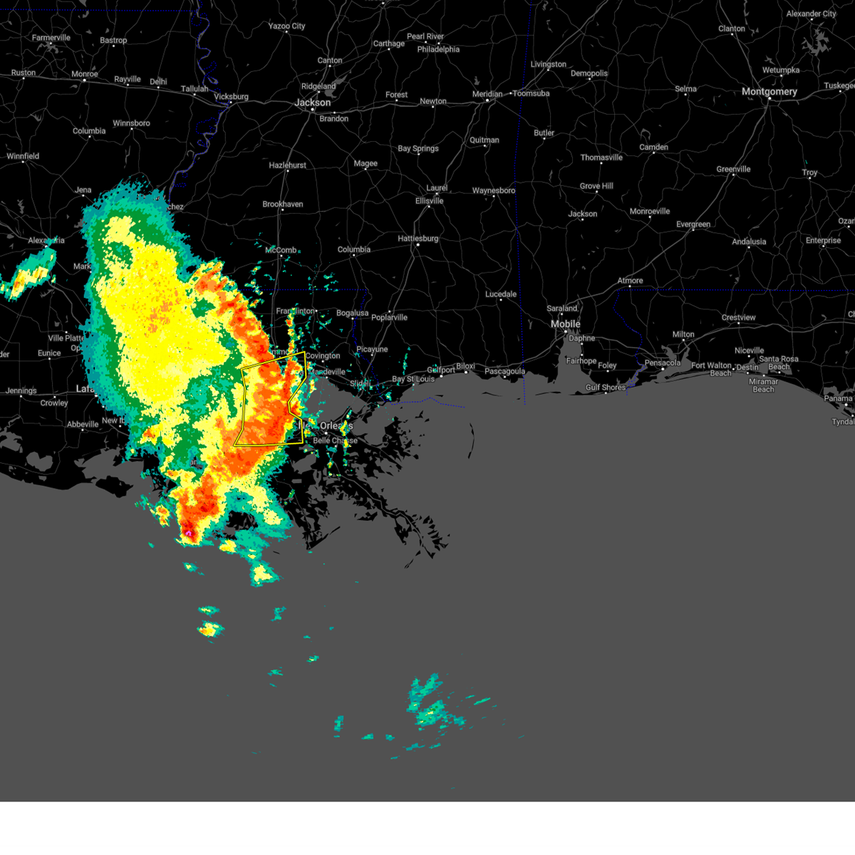 At 831 am cdt, severe thunderstorms were located along a line extending from near springfield to 9 miles south of ponchatoula to montz to 6 miles east of south vacherie, moving east at 45 mph (awos weather station. at 822 am cdt, 64 mph wind was reported at the aiport in reserve). Hazards include 70 mph wind gusts. Expect considerable tree damage. damage is likely to mobile homes, roofs, and outbuildings. locations impacted include, hammond, reserve, hahnville, laplace, ponchatoula, gramercy, lutcher, springfield, montz, luling, garyville, boutte, ama, chackbay, robert, destrehan, whitehall, st. rose, killona and norco. this includes the following interstates, interstate 10 in louisiana between mile markers 190 and 221. interstate 12 between mile markers 36 and 52. interstate 55 in louisiana between mile markers 1 and 30. interstate 310 between mile markers 1 and 11. thunderstorm damage threat, considerable hail threat, radar indicated max hail size, <. 75 in wind threat, observed max wind gust, 70 mph. At 831 am cdt, severe thunderstorms were located along a line extending from near springfield to 9 miles south of ponchatoula to montz to 6 miles east of south vacherie, moving east at 45 mph (awos weather station. at 822 am cdt, 64 mph wind was reported at the aiport in reserve). Hazards include 70 mph wind gusts. Expect considerable tree damage. damage is likely to mobile homes, roofs, and outbuildings. locations impacted include, hammond, reserve, hahnville, laplace, ponchatoula, gramercy, lutcher, springfield, montz, luling, garyville, boutte, ama, chackbay, robert, destrehan, whitehall, st. rose, killona and norco. this includes the following interstates, interstate 10 in louisiana between mile markers 190 and 221. interstate 12 between mile markers 36 and 52. interstate 55 in louisiana between mile markers 1 and 30. interstate 310 between mile markers 1 and 11. thunderstorm damage threat, considerable hail threat, radar indicated max hail size, <. 75 in wind threat, observed max wind gust, 70 mph.
|
| 5/6/2023 8:12 AM CDT | Trees down and damage to one camp from falling limbs in the town of maurepa in livingston county LA, 7.2 miles NE of Killian, LA |
| 5/6/2023 8:11 AM CDT |
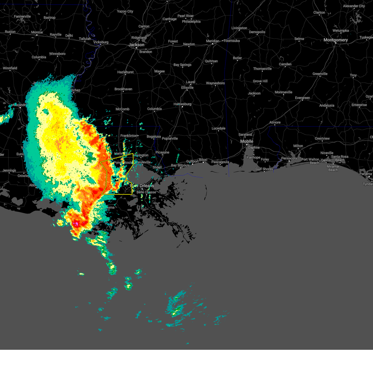 At 810 am cdt, severe thunderstorms were located along a line extending from near french settlement to near whitehall to north vacherie to near chackbay, moving east at 45 mph (radar indicated). Hazards include 70 mph wind gusts. Expect considerable tree damage. Damage is likely to mobile homes, roofs, and outbuildings. At 810 am cdt, severe thunderstorms were located along a line extending from near french settlement to near whitehall to north vacherie to near chackbay, moving east at 45 mph (radar indicated). Hazards include 70 mph wind gusts. Expect considerable tree damage. Damage is likely to mobile homes, roofs, and outbuildings.
|
| 5/6/2023 8:06 AM CDT |
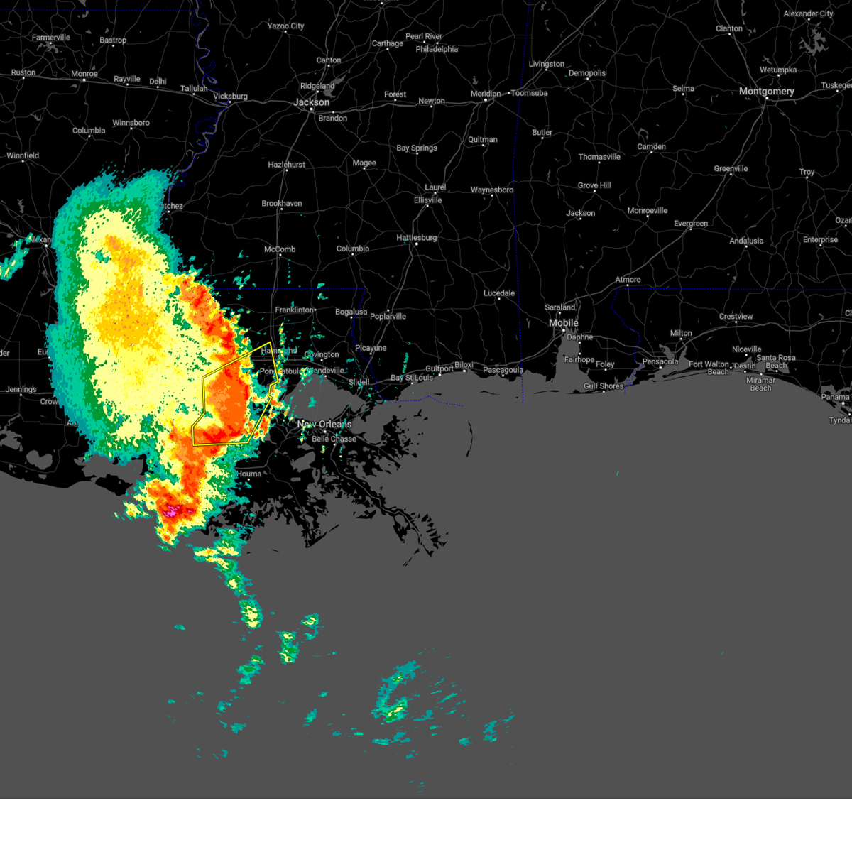 At 803 am cdt, severe thunderstorms were located along a line extending from near french settlement to near sorrento to 6 miles west of convent, moving east at 55 mph (radar indicated). Hazards include 60 mph wind gusts. Expect damage to roofs, siding, and trees. locations impacted include, gonzales, donaldsonville, napoleonville, oak hills place, st. gabriel, gramercy, lutcher, livingston, sorrento, french settlement, albany, port vincent, springfield, geismar, garyville, supreme, chackbay, whitehall, old jefferson and south vacherie. this includes the following interstates, interstate 10 in louisiana between mile markers 165 and 200. interstate 12 between mile markers 18 and 37. hail threat, radar indicated max hail size, <. 75 in wind threat, radar indicated max wind gust, 60 mph. At 803 am cdt, severe thunderstorms were located along a line extending from near french settlement to near sorrento to 6 miles west of convent, moving east at 55 mph (radar indicated). Hazards include 60 mph wind gusts. Expect damage to roofs, siding, and trees. locations impacted include, gonzales, donaldsonville, napoleonville, oak hills place, st. gabriel, gramercy, lutcher, livingston, sorrento, french settlement, albany, port vincent, springfield, geismar, garyville, supreme, chackbay, whitehall, old jefferson and south vacherie. this includes the following interstates, interstate 10 in louisiana between mile markers 165 and 200. interstate 12 between mile markers 18 and 37. hail threat, radar indicated max hail size, <. 75 in wind threat, radar indicated max wind gust, 60 mph.
|
| 5/6/2023 8:03 AM CDT |
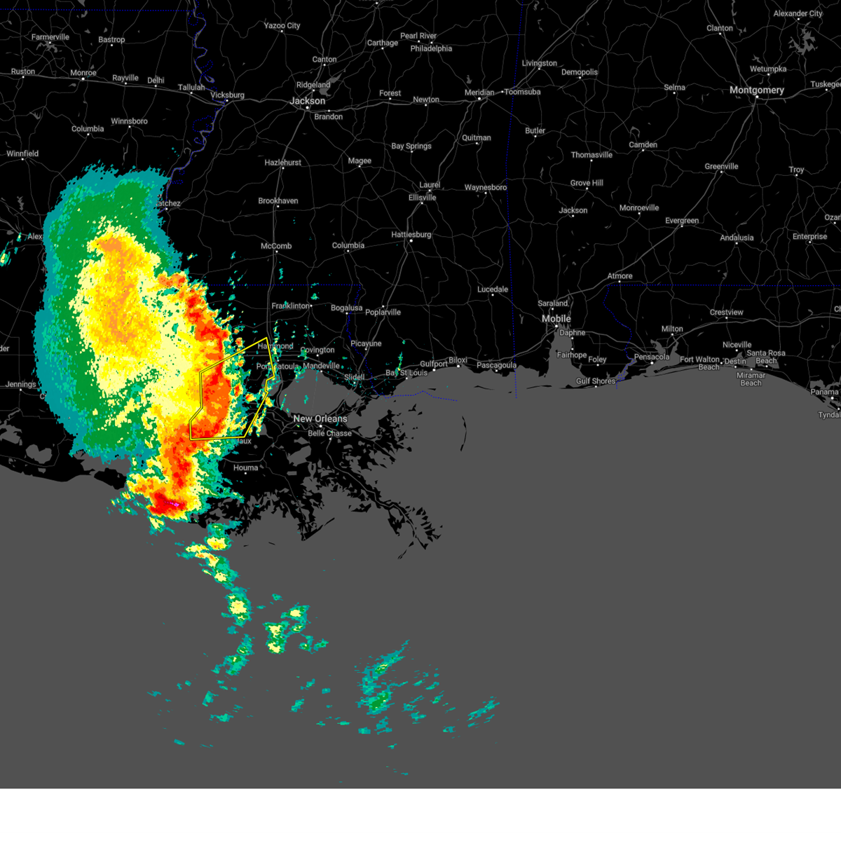 At 803 am cdt, severe thunderstorms were located along a line extending from near french settlement to near sorrento to 6 miles west of convent, moving east at 55 mph (radar indicated). Hazards include 60 mph wind gusts. Expect damage to roofs, siding, and trees. locations impacted include, gonzales, donaldsonville, napoleonville, oak hills place, st. gabriel, gramercy, lutcher, livingston, sorrento, french settlement, albany, port vincent, springfield, geismar, garyville, supreme, chackbay, whitehall, old jefferson and south vacherie. this includes the following interstates, interstate 10 in louisiana between mile markers 165 and 200. interstate 12 between mile markers 18 and 37. hail threat, radar indicated max hail size, <. 75 in wind threat, radar indicated max wind gust, 60 mph. At 803 am cdt, severe thunderstorms were located along a line extending from near french settlement to near sorrento to 6 miles west of convent, moving east at 55 mph (radar indicated). Hazards include 60 mph wind gusts. Expect damage to roofs, siding, and trees. locations impacted include, gonzales, donaldsonville, napoleonville, oak hills place, st. gabriel, gramercy, lutcher, livingston, sorrento, french settlement, albany, port vincent, springfield, geismar, garyville, supreme, chackbay, whitehall, old jefferson and south vacherie. this includes the following interstates, interstate 10 in louisiana between mile markers 165 and 200. interstate 12 between mile markers 18 and 37. hail threat, radar indicated max hail size, <. 75 in wind threat, radar indicated max wind gust, 60 mph.
|
| 5/6/2023 8:02 AM CDT |
 At 802 am cdt, severe thunderstorms were located along a line extending from french settlement to near sorrento to near paincourtville, moving east at 55 mph (radar indicated). Hazards include 60 mph wind gusts. Expect damage to roofs, siding, and trees. locations impacted include, gonzales, donaldsonville, napoleonville, oak hills place, st. gabriel, gramercy, lutcher, livingston, sorrento, french settlement, albany, port vincent, springfield, geismar, garyville, supreme, chackbay, whitehall, old jefferson and south vacherie. this includes the following interstates, interstate 10 in louisiana between mile markers 165 and 200. interstate 12 between mile markers 18 and 37. hail threat, radar indicated max hail size, <. 75 in wind threat, radar indicated max wind gust, 60 mph. At 802 am cdt, severe thunderstorms were located along a line extending from french settlement to near sorrento to near paincourtville, moving east at 55 mph (radar indicated). Hazards include 60 mph wind gusts. Expect damage to roofs, siding, and trees. locations impacted include, gonzales, donaldsonville, napoleonville, oak hills place, st. gabriel, gramercy, lutcher, livingston, sorrento, french settlement, albany, port vincent, springfield, geismar, garyville, supreme, chackbay, whitehall, old jefferson and south vacherie. this includes the following interstates, interstate 10 in louisiana between mile markers 165 and 200. interstate 12 between mile markers 18 and 37. hail threat, radar indicated max hail size, <. 75 in wind threat, radar indicated max wind gust, 60 mph.
|
| 5/6/2023 7:31 AM CDT |
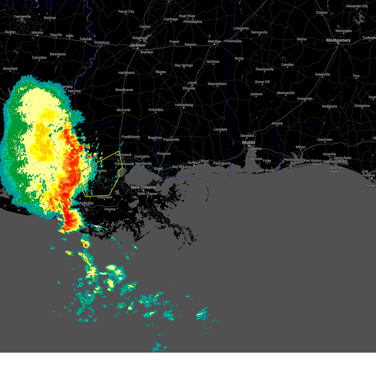 At 731 am cdt, severe thunderstorms were located along a line extending from near plaquemine to 6 miles southeast of bayou sorrel to 9 miles northeast of charenton, moving east at 55 mph (radar indicated). Hazards include 60 mph wind gusts. expect damage to roofs, siding, and trees At 731 am cdt, severe thunderstorms were located along a line extending from near plaquemine to 6 miles southeast of bayou sorrel to 9 miles northeast of charenton, moving east at 55 mph (radar indicated). Hazards include 60 mph wind gusts. expect damage to roofs, siding, and trees
|
| 5/6/2023 7:31 AM CDT |
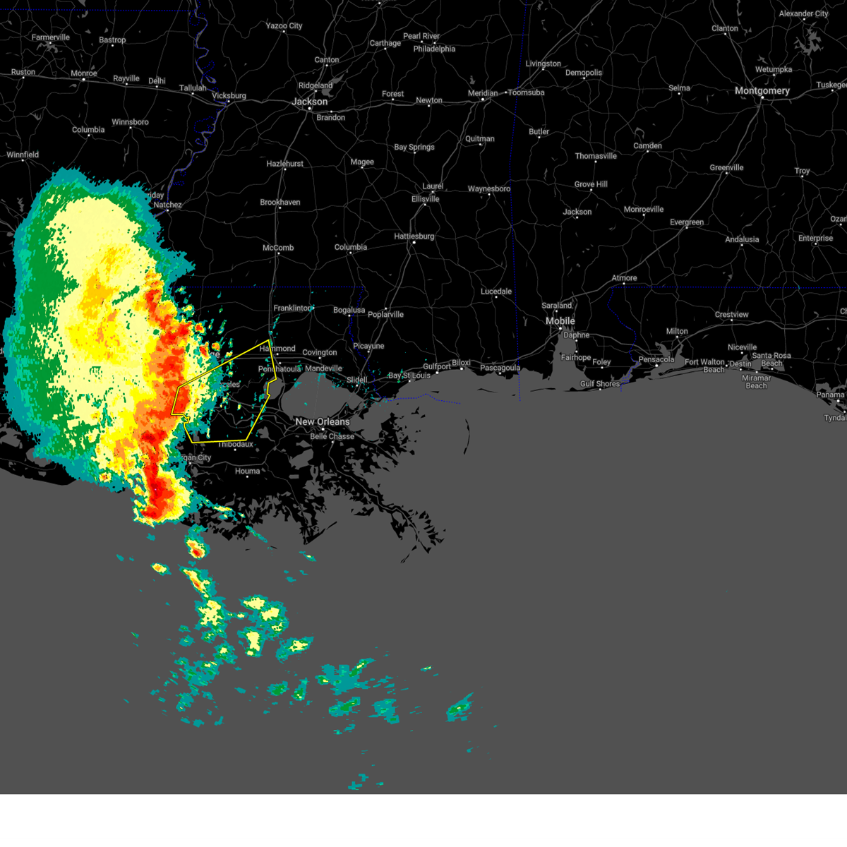 At 731 am cdt, severe thunderstorms were located along a line extending from near plaquemine to 6 miles southeast of bayou sorrel to 9 miles northeast of charenton, moving east at 55 mph (radar indicated). Hazards include 60 mph wind gusts. expect damage to roofs, siding, and trees At 731 am cdt, severe thunderstorms were located along a line extending from near plaquemine to 6 miles southeast of bayou sorrel to 9 miles northeast of charenton, moving east at 55 mph (radar indicated). Hazards include 60 mph wind gusts. expect damage to roofs, siding, and trees
|
| 1/24/2023 9:43 PM CST |
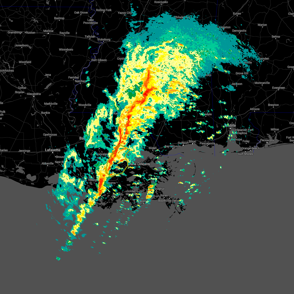 At 942 pm cst, severe thunderstorms were located along a line extending from 9 miles southeast of whitehall to near garyville to chackbay, moving northeast at 50 mph (radar indicated). Hazards include 60 mph wind gusts. expect damage to roofs, siding, and trees At 942 pm cst, severe thunderstorms were located along a line extending from 9 miles southeast of whitehall to near garyville to chackbay, moving northeast at 50 mph (radar indicated). Hazards include 60 mph wind gusts. expect damage to roofs, siding, and trees
|
| 1/24/2023 8:59 PM CST |
 At 859 pm cst, severe thunderstorms were located along a line extending from near walker to near paincourtville, moving northeast at 70 mph (radar indicated). Hazards include 60 mph wind gusts and penny size hail. expect damage to roofs, siding, and trees At 859 pm cst, severe thunderstorms were located along a line extending from near walker to near paincourtville, moving northeast at 70 mph (radar indicated). Hazards include 60 mph wind gusts and penny size hail. expect damage to roofs, siding, and trees
|
| 1/24/2023 8:35 PM CST |
 At 834 pm cst, severe thunderstorms capable of producing both tornadoes and straight line wind damage were located near white castle, or 7 miles south of plaquemine, moving northeast at 55 mph (radar indicated rotation). Hazards include tornado. Flying debris will be dangerous to those caught without shelter. mobile homes will be damaged or destroyed. damage to roofs, windows, and vehicles will occur. tree damage is likely. these dangerous storms will be near, st. gabriel, carville and geismar around 845 pm cst. village st. george around 850 pm cst. gonzales, prairieville, old jefferson and shenandoah around 855 pm cst. port vincent around 900 pm cst. french settlement around 905 pm cst. walker and livingston around 910 pm cst. other locations impacted by this tornadic thunderstorm include killian. this includes the following interstates, interstate 10 in louisiana between mile markers 166 and 177. Interstate 12 between mile markers 15 and 24. At 834 pm cst, severe thunderstorms capable of producing both tornadoes and straight line wind damage were located near white castle, or 7 miles south of plaquemine, moving northeast at 55 mph (radar indicated rotation). Hazards include tornado. Flying debris will be dangerous to those caught without shelter. mobile homes will be damaged or destroyed. damage to roofs, windows, and vehicles will occur. tree damage is likely. these dangerous storms will be near, st. gabriel, carville and geismar around 845 pm cst. village st. george around 850 pm cst. gonzales, prairieville, old jefferson and shenandoah around 855 pm cst. port vincent around 900 pm cst. french settlement around 905 pm cst. walker and livingston around 910 pm cst. other locations impacted by this tornadic thunderstorm include killian. this includes the following interstates, interstate 10 in louisiana between mile markers 166 and 177. Interstate 12 between mile markers 15 and 24.
|
| 12/14/2022 12:41 PM CST |
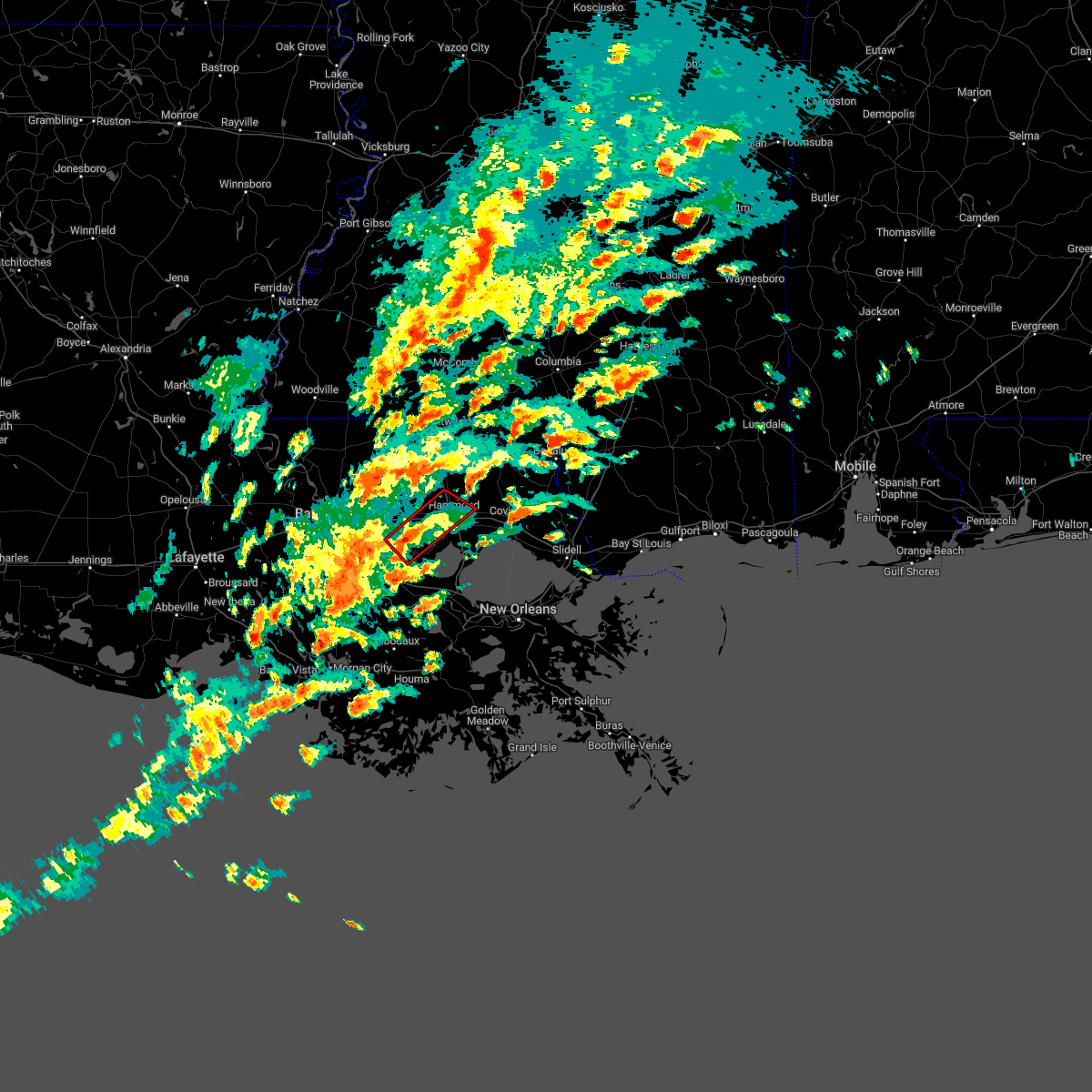 At 1240 pm cst, a severe thunderstorm capable of producing a tornado was located near french settlement, or 14 miles northeast of gonzales, moving northeast at 40 mph. this storm has a history of producing tornadoes on the ground! (radar indicated rotation). Hazards include tornado. Flying debris will be dangerous to those caught without shelter. mobile homes will be damaged or destroyed. damage to roofs, windows, and vehicles will occur. tree damage is likely. this dangerous storm will be near, albany and springfield around 100 pm cst. ponchatoula around 105 pm cst. natalbany around 110 pm cst. hammond and independence around 115 pm cst. other locations impacted by this tornadic thunderstorm include tickfaw and killian. this includes the following interstates, interstate 12 between mile markers 24 and 43. Interstate 55 in louisiana between mile markers 27 and 40. At 1240 pm cst, a severe thunderstorm capable of producing a tornado was located near french settlement, or 14 miles northeast of gonzales, moving northeast at 40 mph. this storm has a history of producing tornadoes on the ground! (radar indicated rotation). Hazards include tornado. Flying debris will be dangerous to those caught without shelter. mobile homes will be damaged or destroyed. damage to roofs, windows, and vehicles will occur. tree damage is likely. this dangerous storm will be near, albany and springfield around 100 pm cst. ponchatoula around 105 pm cst. natalbany around 110 pm cst. hammond and independence around 115 pm cst. other locations impacted by this tornadic thunderstorm include tickfaw and killian. this includes the following interstates, interstate 12 between mile markers 24 and 43. Interstate 55 in louisiana between mile markers 27 and 40.
|
| 6/10/2022 3:27 PM CDT |
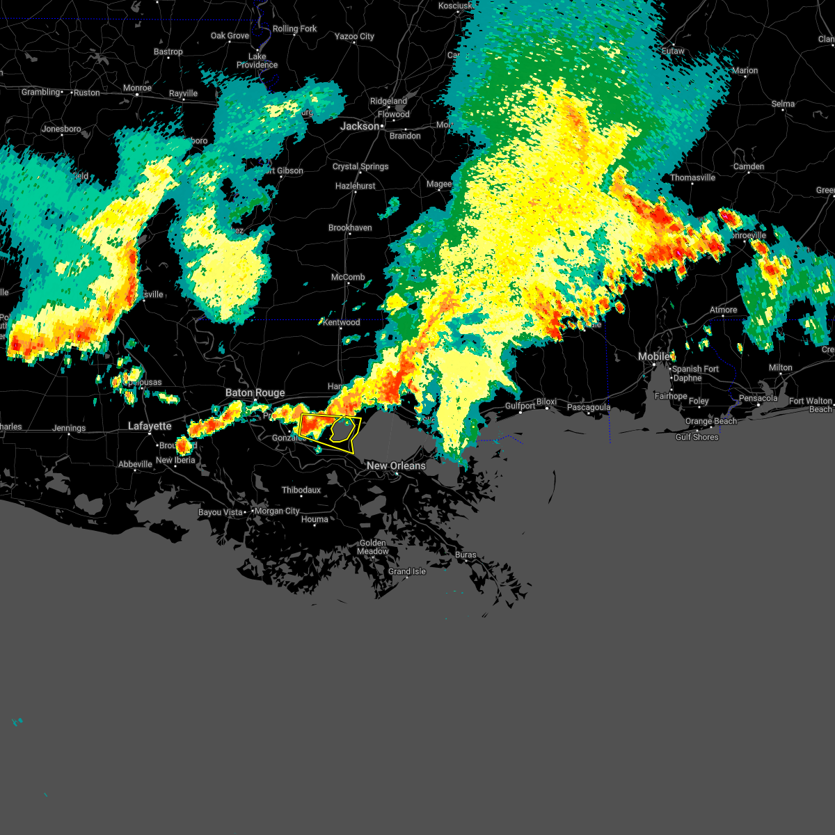 At 327 pm cdt, a severe thunderstorm was located near whitehall, or 11 miles east of gonzales, moving east at 40 mph (radar indicated). Hazards include 60 mph wind gusts and quarter size hail. Hail damage to vehicles is expected. Expect wind damage to roofs, siding, and trees. At 327 pm cdt, a severe thunderstorm was located near whitehall, or 11 miles east of gonzales, moving east at 40 mph (radar indicated). Hazards include 60 mph wind gusts and quarter size hail. Hail damage to vehicles is expected. Expect wind damage to roofs, siding, and trees.
|
| 5/13/2022 4:10 PM CDT |
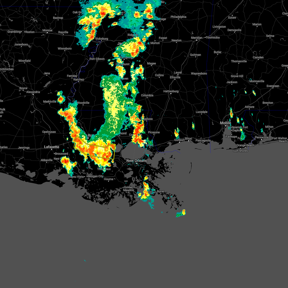 At 409 pm cdt, severe thunderstorms were located along a line extending from near whitehall to near st. gabriel to near grosse tete, moving south at 15 mph (broadcast media). Hazards include 60 mph wind gusts and quarter size hail. Hail damage to vehicles is expected. expect wind damage to roofs, siding, and trees. locations impacted include, gonzales, donaldsonville, plaquemine, reserve, st. gabriel, gramercy, addis, lutcher, white castle, sorrento, french settlement, rosedale, grosse tete, geismar, garyville, carville, whitehall, wallace, edgard and killian. this includes interstate 10 in louisiana between mile markers 137 and 144, and between mile markers 171 and 200. hail threat, observed max hail size, 1. 00 in wind threat, radar indicated max wind gust, 60 mph. At 409 pm cdt, severe thunderstorms were located along a line extending from near whitehall to near st. gabriel to near grosse tete, moving south at 15 mph (broadcast media). Hazards include 60 mph wind gusts and quarter size hail. Hail damage to vehicles is expected. expect wind damage to roofs, siding, and trees. locations impacted include, gonzales, donaldsonville, plaquemine, reserve, st. gabriel, gramercy, addis, lutcher, white castle, sorrento, french settlement, rosedale, grosse tete, geismar, garyville, carville, whitehall, wallace, edgard and killian. this includes interstate 10 in louisiana between mile markers 137 and 144, and between mile markers 171 and 200. hail threat, observed max hail size, 1. 00 in wind threat, radar indicated max wind gust, 60 mph.
|
| 5/13/2022 3:49 PM CDT |
 At 348 pm cdt, severe thunderstorms were located along a line extending from near whitehall to gardere to 6 miles east of grosse tete, moving south at 15 mph (broadcast media. at 345 pm, quarter-sized hail was reported in east baton rouge). Hazards include 60 mph wind gusts and quarter size hail. Hail damage to vehicles is expected. Expect wind damage to roofs, siding, and trees. At 348 pm cdt, severe thunderstorms were located along a line extending from near whitehall to gardere to 6 miles east of grosse tete, moving south at 15 mph (broadcast media. at 345 pm, quarter-sized hail was reported in east baton rouge). Hazards include 60 mph wind gusts and quarter size hail. Hail damage to vehicles is expected. Expect wind damage to roofs, siding, and trees.
|
| 3/30/2022 6:33 PM CDT |
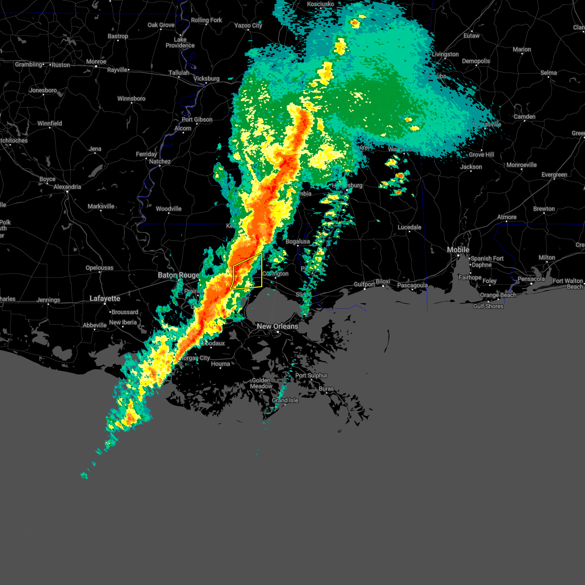 At 633 pm cdt, a severe thunderstorm was located over natalbany, or over hammond, moving east at 50 mph (radar indicated). Hazards include 60 mph wind gusts. Expect damage to roofs, siding, and trees. locations impacted include, hammond, ponchatoula, springfield, natalbany, robert, killian and tickfaw. this includes the following interstates, interstate 12 between mile markers 34 and 52. Interstate 55 in louisiana between mile markers 22 and 39. At 633 pm cdt, a severe thunderstorm was located over natalbany, or over hammond, moving east at 50 mph (radar indicated). Hazards include 60 mph wind gusts. Expect damage to roofs, siding, and trees. locations impacted include, hammond, ponchatoula, springfield, natalbany, robert, killian and tickfaw. this includes the following interstates, interstate 12 between mile markers 34 and 52. Interstate 55 in louisiana between mile markers 22 and 39.
|
| 3/30/2022 6:08 PM CDT |
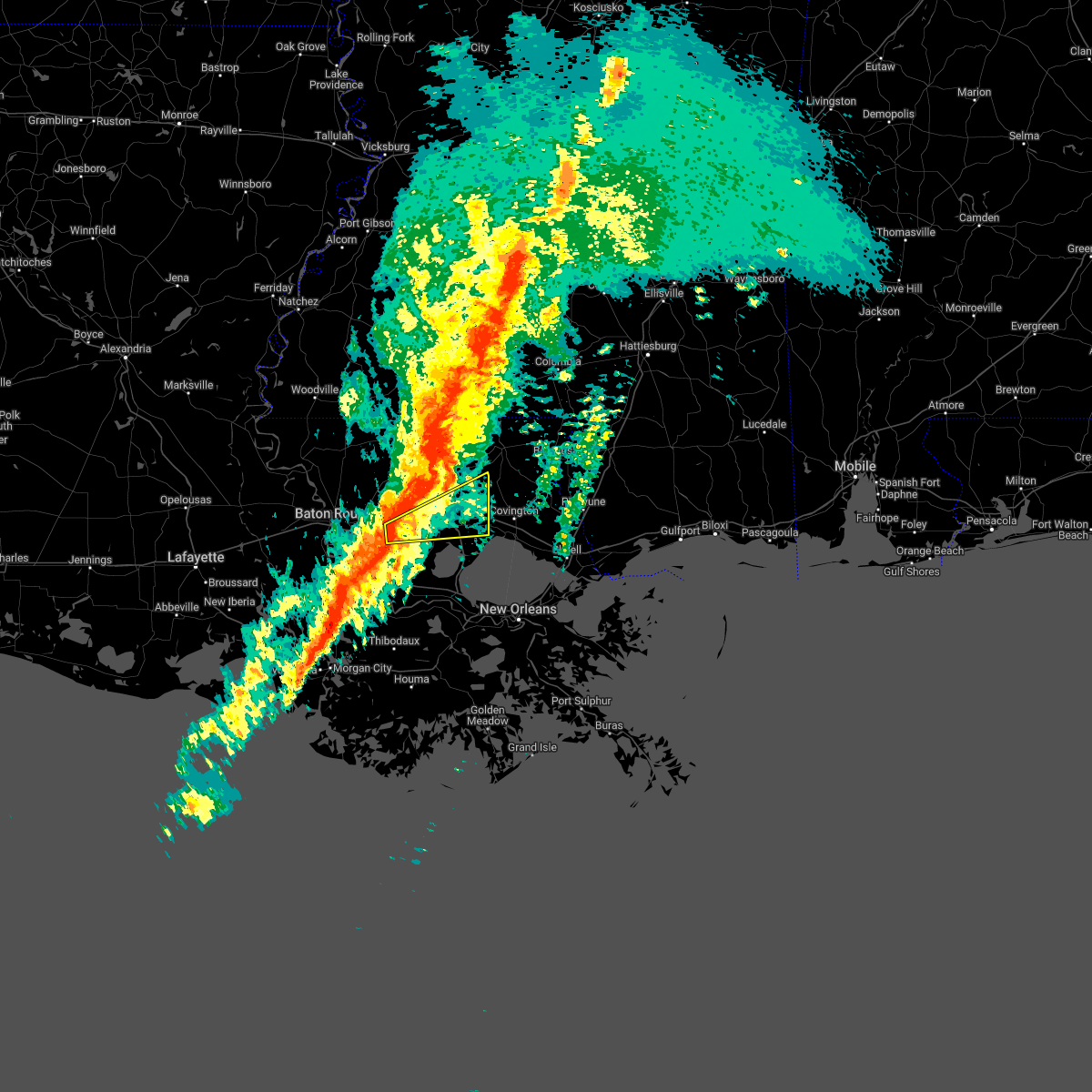 At 608 pm cdt, a severe thunderstorm was located near port vincent, or 8 miles southeast of denham springs, moving east at 50 mph (radar indicated). Hazards include 70 mph wind gusts. Expect considerable tree damage. Damage is likely to mobile homes, roofs, and outbuildings. At 608 pm cdt, a severe thunderstorm was located near port vincent, or 8 miles southeast of denham springs, moving east at 50 mph (radar indicated). Hazards include 70 mph wind gusts. Expect considerable tree damage. Damage is likely to mobile homes, roofs, and outbuildings.
|
| 3/15/2022 5:34 AM CDT |
 At 534 am cdt, severe thunderstorms were located along a line extending from independence to springfield, moving east at 45 mph (radar indicated). Hazards include 60 mph wind gusts and penny size hail. Expect damage to roofs, siding, and trees. locations impacted include, hammond, ponchatoula, amite city, independence, albany, springfield, montpelier, natalbany, robert, killian and tickfaw. this includes the following interstates, interstate 12 between mile markers 31 and 48. interstate 55 in louisiana between mile markers 19 and 46. hail threat, radar indicated max hail size, 0. 75 in wind threat, radar indicated max wind gust, 60 mph. At 534 am cdt, severe thunderstorms were located along a line extending from independence to springfield, moving east at 45 mph (radar indicated). Hazards include 60 mph wind gusts and penny size hail. Expect damage to roofs, siding, and trees. locations impacted include, hammond, ponchatoula, amite city, independence, albany, springfield, montpelier, natalbany, robert, killian and tickfaw. this includes the following interstates, interstate 12 between mile markers 31 and 48. interstate 55 in louisiana between mile markers 19 and 46. hail threat, radar indicated max hail size, 0. 75 in wind threat, radar indicated max wind gust, 60 mph.
|
| 3/15/2022 5:06 AM CDT |
 At 506 am cdt, severe thunderstorms were located along a line extending from near walker to port vincent, moving east at 45 mph (radar indicated). Hazards include 60 mph wind gusts and penny size hail. expect damage to roofs, siding, and trees At 506 am cdt, severe thunderstorms were located along a line extending from near walker to port vincent, moving east at 45 mph (radar indicated). Hazards include 60 mph wind gusts and penny size hail. expect damage to roofs, siding, and trees
|
| 12/6/2021 2:30 PM CST |
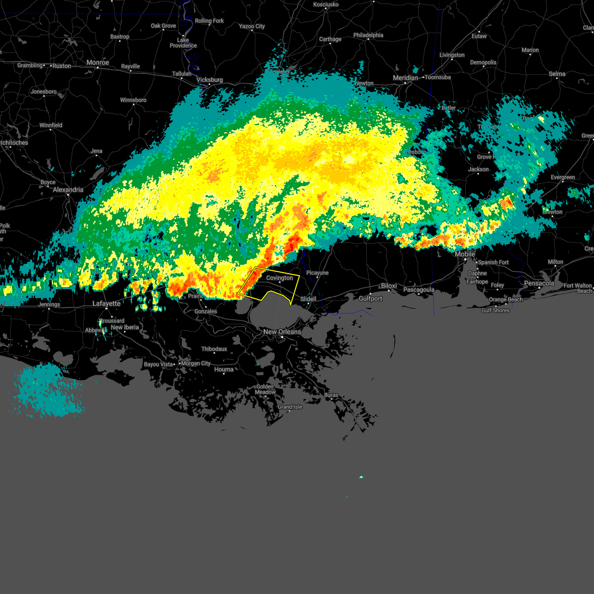 At 230 pm cst, a severe thunderstorm was located near ponchatoula, or near hammond, moving east at 50 mph (radar indicated). Hazards include 60 mph wind gusts. expect damage to roofs, siding, and trees At 230 pm cst, a severe thunderstorm was located near ponchatoula, or near hammond, moving east at 50 mph (radar indicated). Hazards include 60 mph wind gusts. expect damage to roofs, siding, and trees
|
| 10/27/2021 5:45 PM CDT |
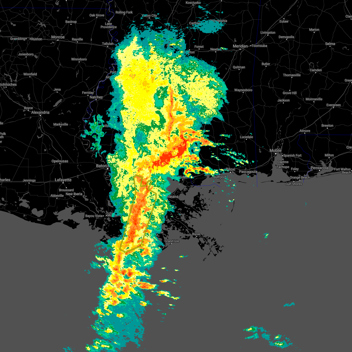 At 545 pm cdt, severe thunderstorms were located along a line extending from 7 miles east of whitehall to near laplace to 6 miles southwest of larose to near cocodrie, moving northeast at 50 mph (radar indicated). Hazards include 60 mph wind gusts. Expect damage to roofs, siding, and trees. locations impacted include, houma, reserve, hahnville, laplace, lockport, mathews, montz, chauvin, dulac, luling, garyville, boutte, raceland, ama, destrehan, montegut, bayou cane, cocodrie, st. rose and killona. this includes the following interstates, interstate 10 in louisiana between mile markers 196 and 221. interstate 55 in louisiana between mile markers 1 and 12. Interstate 310 between mile markers 1 and 11. At 545 pm cdt, severe thunderstorms were located along a line extending from 7 miles east of whitehall to near laplace to 6 miles southwest of larose to near cocodrie, moving northeast at 50 mph (radar indicated). Hazards include 60 mph wind gusts. Expect damage to roofs, siding, and trees. locations impacted include, houma, reserve, hahnville, laplace, lockport, mathews, montz, chauvin, dulac, luling, garyville, boutte, raceland, ama, destrehan, montegut, bayou cane, cocodrie, st. rose and killona. this includes the following interstates, interstate 10 in louisiana between mile markers 196 and 221. interstate 55 in louisiana between mile markers 1 and 12. Interstate 310 between mile markers 1 and 11.
|
| 10/27/2021 5:22 PM CDT |
 At 521 pm cdt, severe thunderstorms were located along a line extending from whitehall to wallace to 15 miles west of cocodrie, moving northeast at 45 mph (radar indicated). Hazards include 60 mph wind gusts. expect damage to roofs, siding, and trees At 521 pm cdt, severe thunderstorms were located along a line extending from whitehall to wallace to 15 miles west of cocodrie, moving northeast at 45 mph (radar indicated). Hazards include 60 mph wind gusts. expect damage to roofs, siding, and trees
|
| 10/27/2021 5:08 PM CDT |
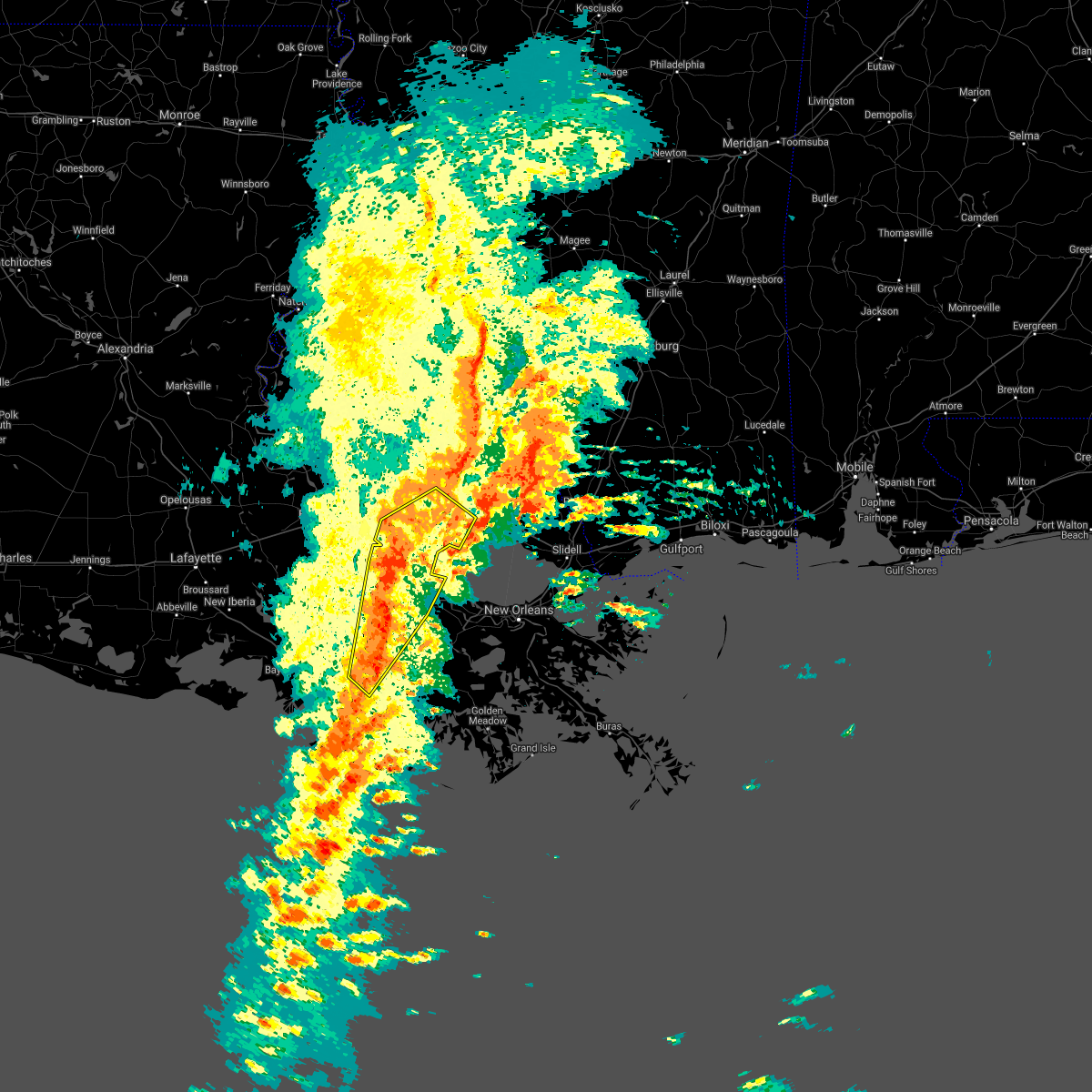 At 507 pm cdt, severe thunderstorms were located along a line extending from near port vincent to near french settlement to near convent to 7 miles southwest of schriever, moving northeast at 30 mph (radar indicated). Hazards include 60 mph wind gusts. Expect damage to roofs, siding, and trees. locations impacted include, hammond, thibodaux, gonzales, donaldsonville, napoleonville, reserve, ponchatoula, walker, gramercy, lutcher, livingston, sorrento, french settlement, albany, port vincent, springfield, schriever, garyville, supreme and natalbany. this includes the following interstates, interstate 10 in louisiana between mile markers 175 and 202. interstate 12 between mile markers 14 and 47. Interstate 55 in louisiana between mile markers 19 and 38. At 507 pm cdt, severe thunderstorms were located along a line extending from near port vincent to near french settlement to near convent to 7 miles southwest of schriever, moving northeast at 30 mph (radar indicated). Hazards include 60 mph wind gusts. Expect damage to roofs, siding, and trees. locations impacted include, hammond, thibodaux, gonzales, donaldsonville, napoleonville, reserve, ponchatoula, walker, gramercy, lutcher, livingston, sorrento, french settlement, albany, port vincent, springfield, schriever, garyville, supreme and natalbany. this includes the following interstates, interstate 10 in louisiana between mile markers 175 and 202. interstate 12 between mile markers 14 and 47. Interstate 55 in louisiana between mile markers 19 and 38.
|
| 10/27/2021 4:46 PM CDT |
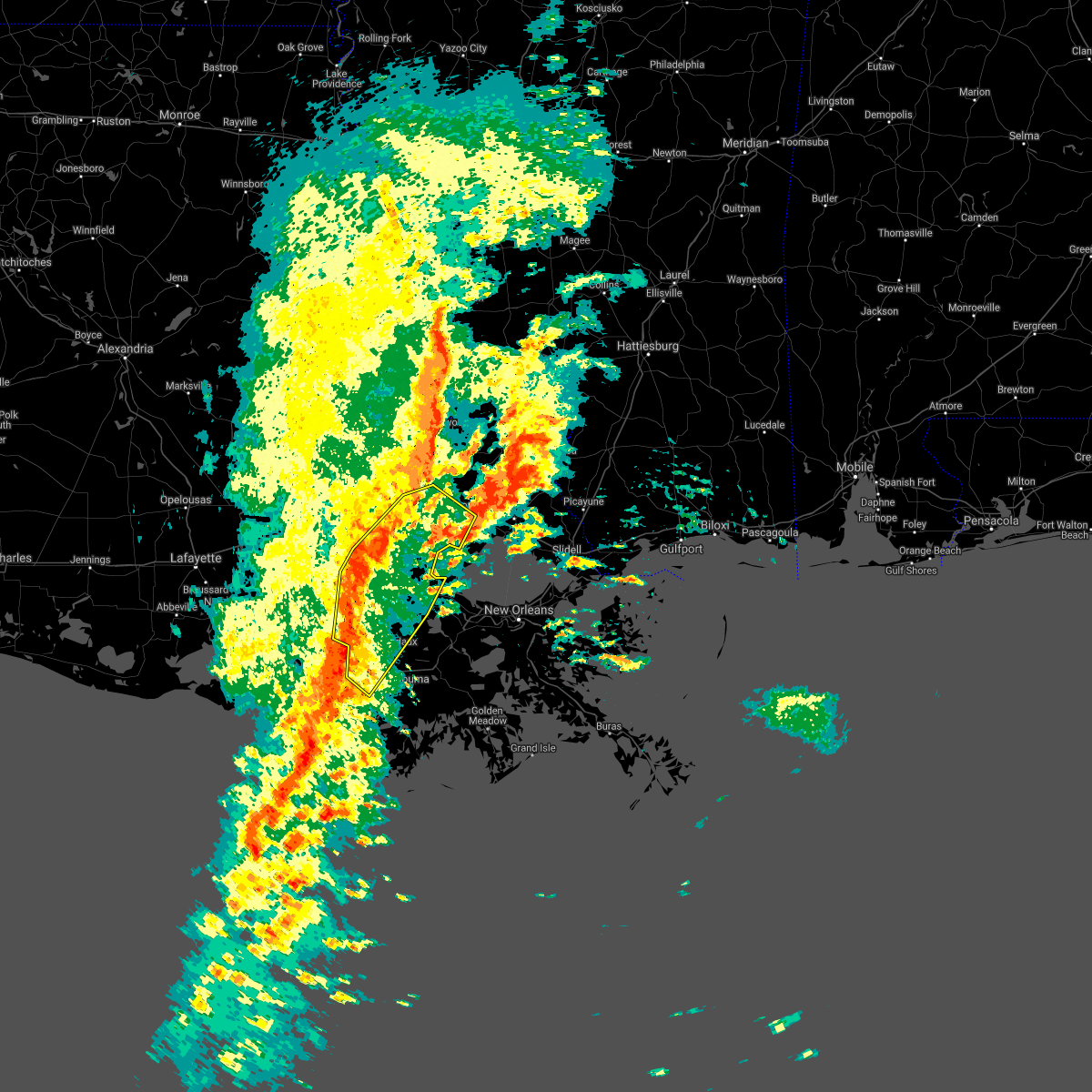 At 445 pm cdt, severe thunderstorms were located along a line extending from near denham springs to port vincent to near bayou geneve, moving northeast at 60 mph (radar indicated). Hazards include 60 mph wind gusts. expect damage to roofs, siding, and trees At 445 pm cdt, severe thunderstorms were located along a line extending from near denham springs to port vincent to near bayou geneve, moving northeast at 60 mph (radar indicated). Hazards include 60 mph wind gusts. expect damage to roofs, siding, and trees
|
| 10/27/2021 2:21 PM CDT |
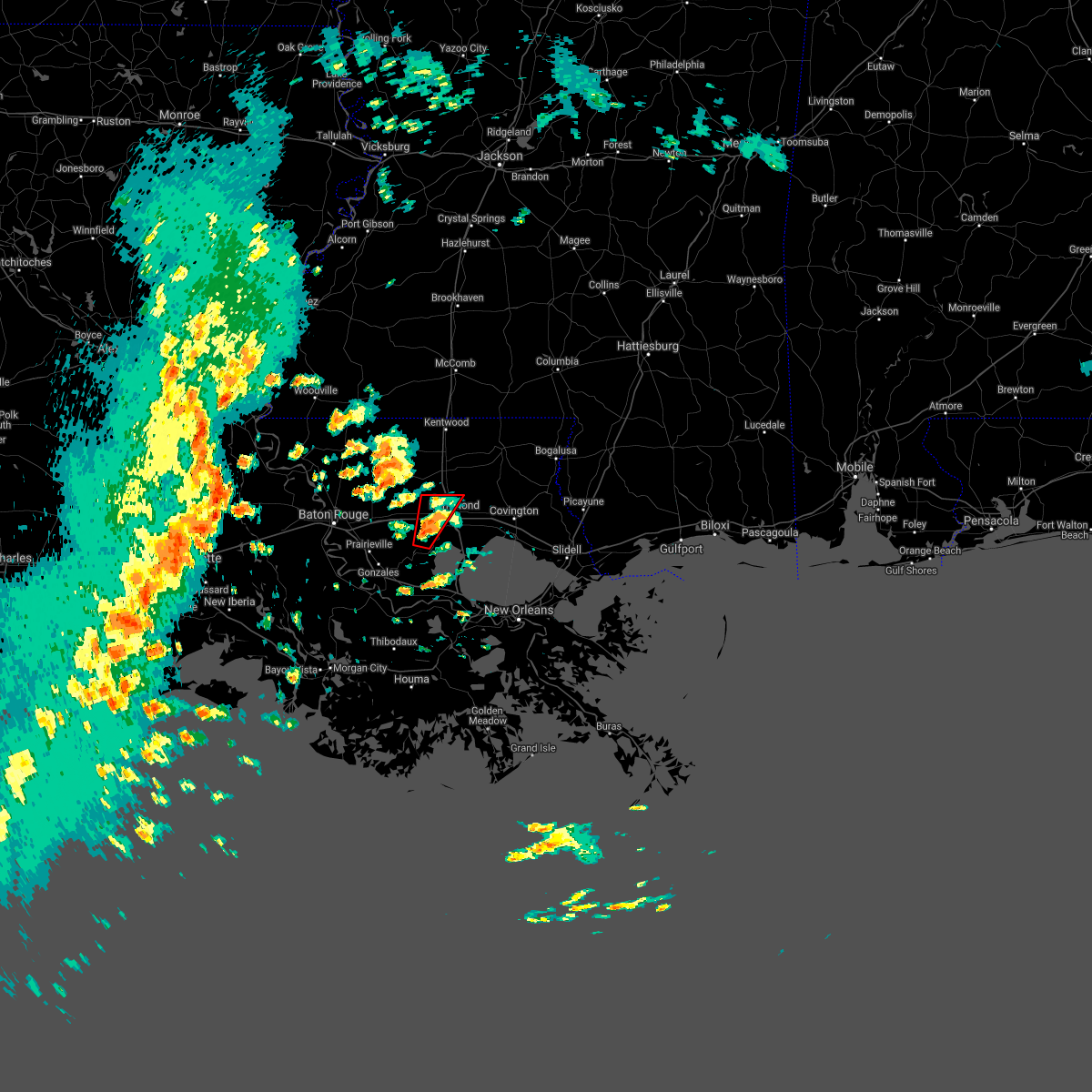 At 221 pm cdt, a severe thunderstorm capable of producing a tornado was located near springfield, or 12 miles southwest of hammond, moving north at 30 mph (radar indicated rotation). Hazards include tornado. Flying debris will be dangerous to those caught without shelter. mobile homes will be damaged or destroyed. damage to roofs, windows, and vehicles will occur. tree damage is likely. this dangerous storm will be near, springfield around 230 pm cdt. albany around 235 pm cdt. natalbany around 245 pm cdt. other locations impacted by this tornadic thunderstorm include tickfaw and killian. this includes the following interstates, interstate 12 between mile markers 28 and 38. Interstate 55 in louisiana between mile markers 30 and 38. At 221 pm cdt, a severe thunderstorm capable of producing a tornado was located near springfield, or 12 miles southwest of hammond, moving north at 30 mph (radar indicated rotation). Hazards include tornado. Flying debris will be dangerous to those caught without shelter. mobile homes will be damaged or destroyed. damage to roofs, windows, and vehicles will occur. tree damage is likely. this dangerous storm will be near, springfield around 230 pm cdt. albany around 235 pm cdt. natalbany around 245 pm cdt. other locations impacted by this tornadic thunderstorm include tickfaw and killian. this includes the following interstates, interstate 12 between mile markers 28 and 38. Interstate 55 in louisiana between mile markers 30 and 38.
|
| 10/27/2021 2:03 PM CDT |
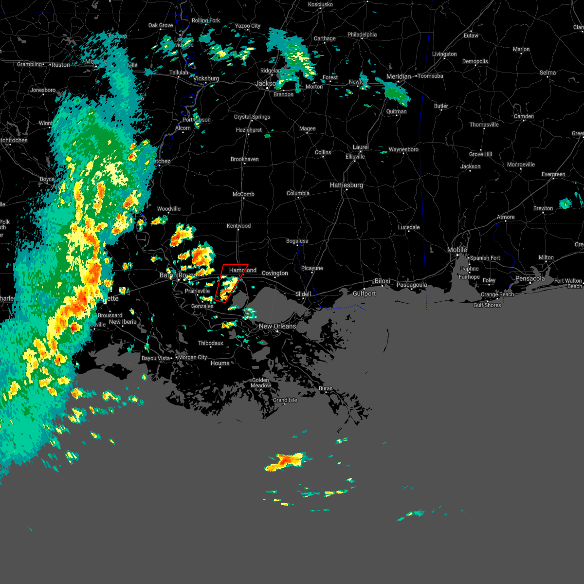 At 203 pm cdt, a severe thunderstorm capable of producing a tornado was located over whitehall, or 14 miles northeast of gonzales, moving north at 30 mph (radar indicated rotation). Hazards include tornado. Flying debris will be dangerous to those caught without shelter. mobile homes will be damaged or destroyed. damage to roofs, windows, and vehicles will occur. tree damage is likely. this dangerous storm will be near, springfield around 225 pm cdt. albany around 235 pm cdt. natalbany around 245 pm cdt. other locations impacted by this tornadic thunderstorm include killian and tickfaw. this includes the following interstates, interstate 12 between mile markers 26 and 38. Interstate 55 in louisiana between mile markers 30 and 38. At 203 pm cdt, a severe thunderstorm capable of producing a tornado was located over whitehall, or 14 miles northeast of gonzales, moving north at 30 mph (radar indicated rotation). Hazards include tornado. Flying debris will be dangerous to those caught without shelter. mobile homes will be damaged or destroyed. damage to roofs, windows, and vehicles will occur. tree damage is likely. this dangerous storm will be near, springfield around 225 pm cdt. albany around 235 pm cdt. natalbany around 245 pm cdt. other locations impacted by this tornadic thunderstorm include killian and tickfaw. this includes the following interstates, interstate 12 between mile markers 26 and 38. Interstate 55 in louisiana between mile markers 30 and 38.
|
| 6/15/2021 3:50 PM CDT |
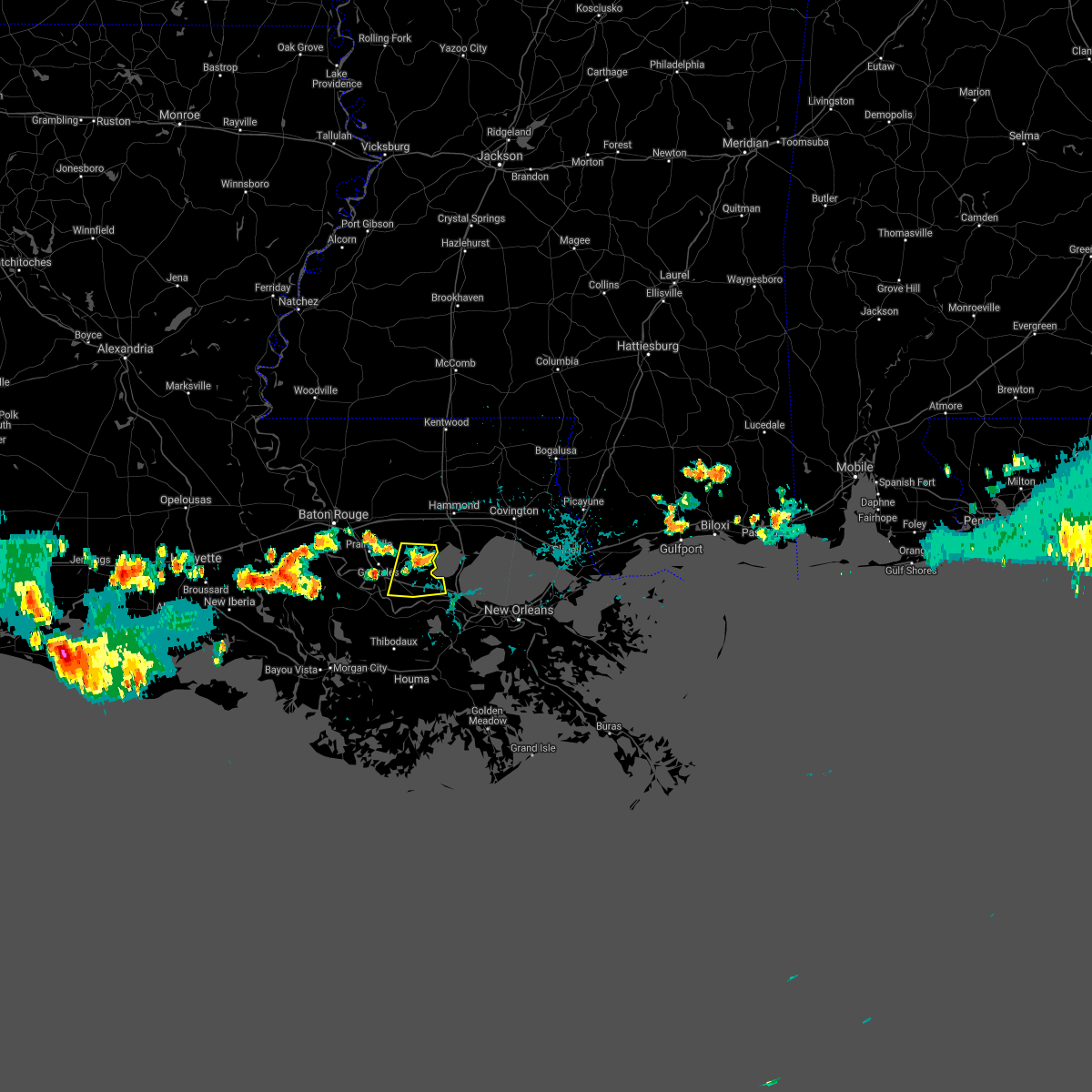 At 350 pm cdt, a severe thunderstorm was located over whitehall, or 14 miles northwest of reserve, moving south at 5 mph (radar indicated). Hazards include 60 mph wind gusts and nickel size hail. expect damage to roofs, siding, and trees At 350 pm cdt, a severe thunderstorm was located over whitehall, or 14 miles northwest of reserve, moving south at 5 mph (radar indicated). Hazards include 60 mph wind gusts and nickel size hail. expect damage to roofs, siding, and trees
|
| 6/6/2021 9:07 AM CDT |
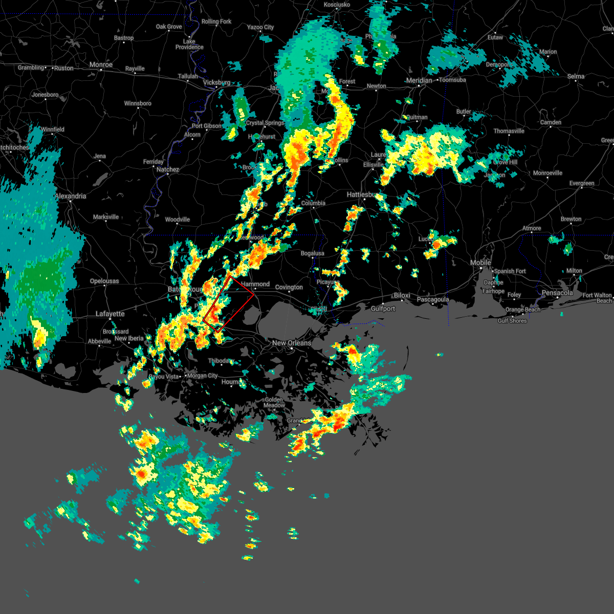 At 906 am cdt, a severe thunderstorm capable of producing a tornado was located over gonzales, moving northeast at 20 mph (radar indicated rotation). Hazards include tornado. Flying debris will be dangerous to those caught without shelter. mobile homes will be damaged or destroyed. damage to roofs, windows, and vehicles will occur. tree damage is likely. this dangerous storm will be near, french settlement, port vincent and whitehall around 935 am cdt. other locations impacted by this tornadic thunderstorm include killian. this includes the following interstates, interstate 10 in louisiana between mile markers 174 and 187. Interstate 12 between mile markers 18 and 36. At 906 am cdt, a severe thunderstorm capable of producing a tornado was located over gonzales, moving northeast at 20 mph (radar indicated rotation). Hazards include tornado. Flying debris will be dangerous to those caught without shelter. mobile homes will be damaged or destroyed. damage to roofs, windows, and vehicles will occur. tree damage is likely. this dangerous storm will be near, french settlement, port vincent and whitehall around 935 am cdt. other locations impacted by this tornadic thunderstorm include killian. this includes the following interstates, interstate 10 in louisiana between mile markers 174 and 187. Interstate 12 between mile markers 18 and 36.
|
| 5/10/2021 9:45 AM CDT |
 At 945 am cdt, severe thunderstorms were located along a line extending from 7 miles east of whitehall to convent, moving east at 45 mph (radar indicated). Hazards include 60 mph wind gusts. Expect damage to roofs, siding, and trees. locations impacted include, gonzales, donaldsonville, reserve, laplace, gramercy, lutcher, sorrento, french settlement, port vincent, south vacherie, geismar, convent, north vacherie, garyville, prairieville, wallace, whitehall, belle rose, edgard and killian. this includes the following interstates, interstate 10 in louisiana between mile markers 169 and 204. Interstate 55 in louisiana between mile markers 16 and 22. At 945 am cdt, severe thunderstorms were located along a line extending from 7 miles east of whitehall to convent, moving east at 45 mph (radar indicated). Hazards include 60 mph wind gusts. Expect damage to roofs, siding, and trees. locations impacted include, gonzales, donaldsonville, reserve, laplace, gramercy, lutcher, sorrento, french settlement, port vincent, south vacherie, geismar, convent, north vacherie, garyville, prairieville, wallace, whitehall, belle rose, edgard and killian. this includes the following interstates, interstate 10 in louisiana between mile markers 169 and 204. Interstate 55 in louisiana between mile markers 16 and 22.
|
| 5/10/2021 9:16 AM CDT |
 At 915 am cdt, severe thunderstorms were located along a line extending from near port vincent to 6 miles northeast of pierre part, moving east at 45 mph (radar indicated). Hazards include 60 mph wind gusts. expect damage to roofs, siding, and trees At 915 am cdt, severe thunderstorms were located along a line extending from near port vincent to 6 miles northeast of pierre part, moving east at 45 mph (radar indicated). Hazards include 60 mph wind gusts. expect damage to roofs, siding, and trees
|
| 5/4/2021 10:15 PM CDT |
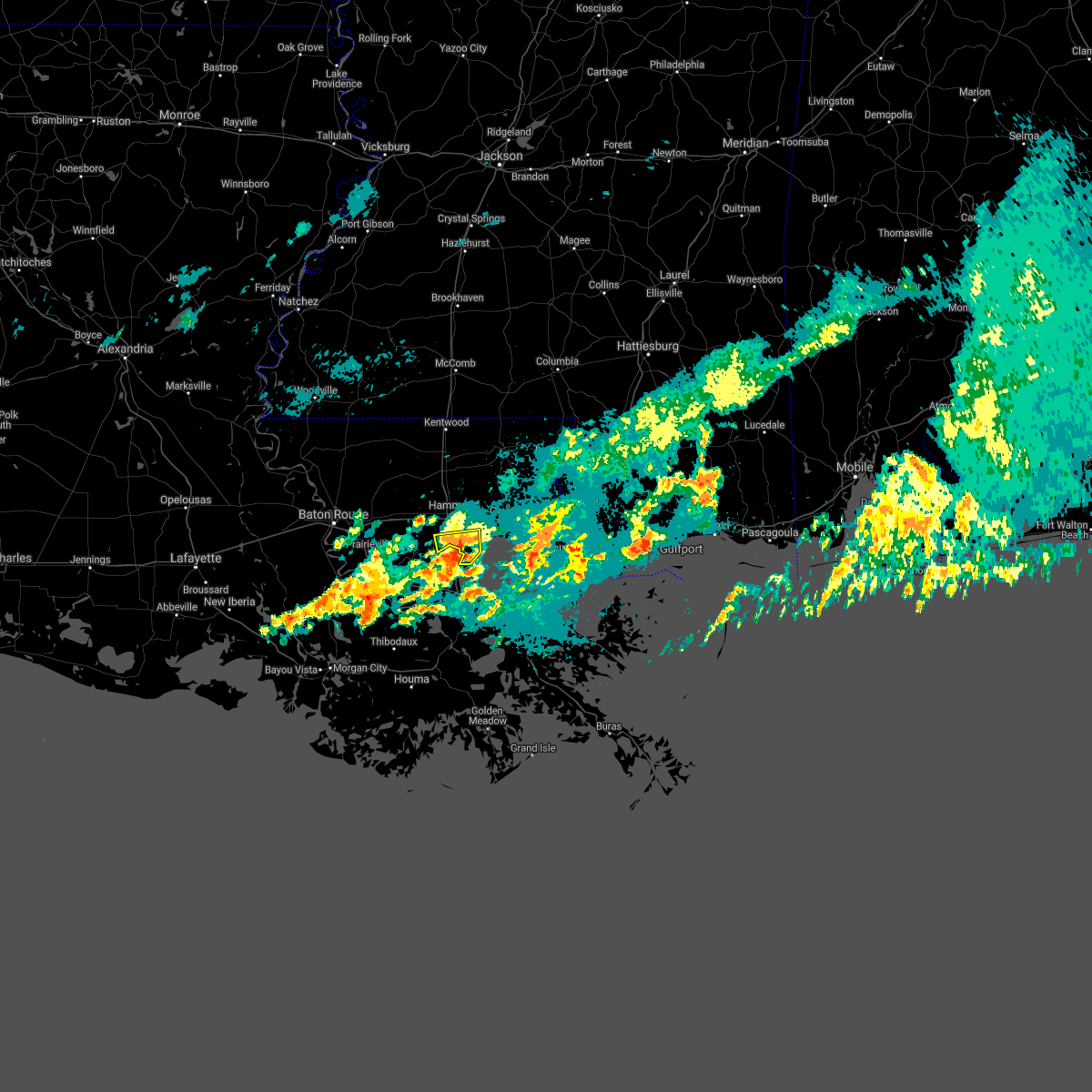 At 1014 pm cdt, a severe thunderstorm was located 9 miles east of whitehall, or 13 miles north of reserve, moving east at 25 mph (radar indicated). Hazards include 60 mph wind gusts and quarter size hail. Hail damage to vehicles is expected. expect wind damage to roofs, siding, and trees. locations impacted include, killian. This includes interstate 55 in louisiana between mile markers 12 and 23. At 1014 pm cdt, a severe thunderstorm was located 9 miles east of whitehall, or 13 miles north of reserve, moving east at 25 mph (radar indicated). Hazards include 60 mph wind gusts and quarter size hail. Hail damage to vehicles is expected. expect wind damage to roofs, siding, and trees. locations impacted include, killian. This includes interstate 55 in louisiana between mile markers 12 and 23.
|
| 5/4/2021 10:03 PM CDT |
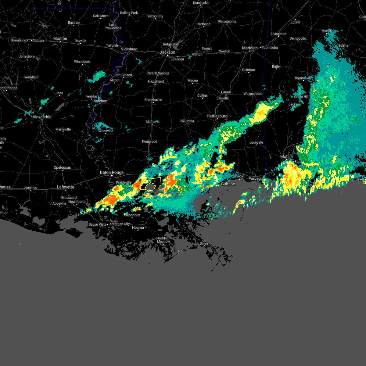 The national weather service in new orleans has issued a * severe thunderstorm warning for. northeastern st. john the baptist parish in southeastern louisiana. southeastern livingston parish in southeastern louisiana. South central tangipahoa parish in southeastern louisiana. The national weather service in new orleans has issued a * severe thunderstorm warning for. northeastern st. john the baptist parish in southeastern louisiana. southeastern livingston parish in southeastern louisiana. South central tangipahoa parish in southeastern louisiana.
|
| 4/24/2021 3:30 AM CDT |
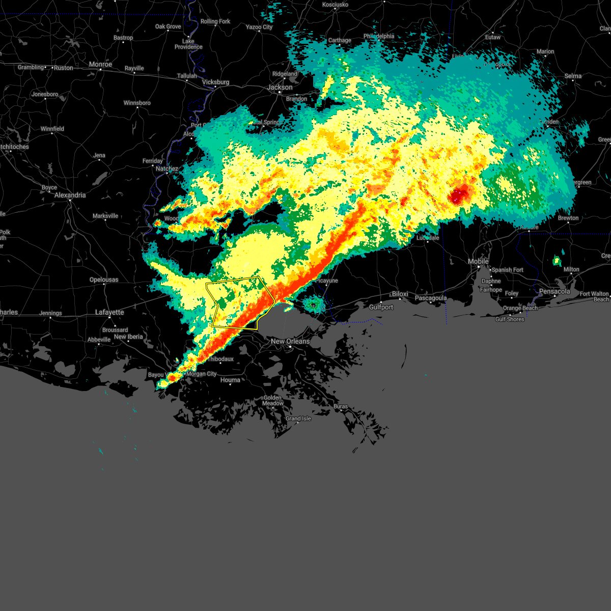 At 329 am cdt, strong winds in the wake of a line of thunderstorms were located from near walker to near french settlement to near sorrento, moving east at 60 mph (radar indicated). Hazards include 60 mph wind gusts. expect damage to roofs, siding, and trees At 329 am cdt, strong winds in the wake of a line of thunderstorms were located from near walker to near french settlement to near sorrento, moving east at 60 mph (radar indicated). Hazards include 60 mph wind gusts. expect damage to roofs, siding, and trees
|
| 4/23/2021 10:34 PM CDT |
 At 1034 pm cdt, a severe thunderstorm was located over merrydale, or near baton rouge, moving east at 45 mph (radar indicated). Hazards include 60 mph wind gusts and nickel size hail. expect damage to roofs, siding, and trees At 1034 pm cdt, a severe thunderstorm was located over merrydale, or near baton rouge, moving east at 45 mph (radar indicated). Hazards include 60 mph wind gusts and nickel size hail. expect damage to roofs, siding, and trees
|
| 4/8/2021 2:06 AM CDT |
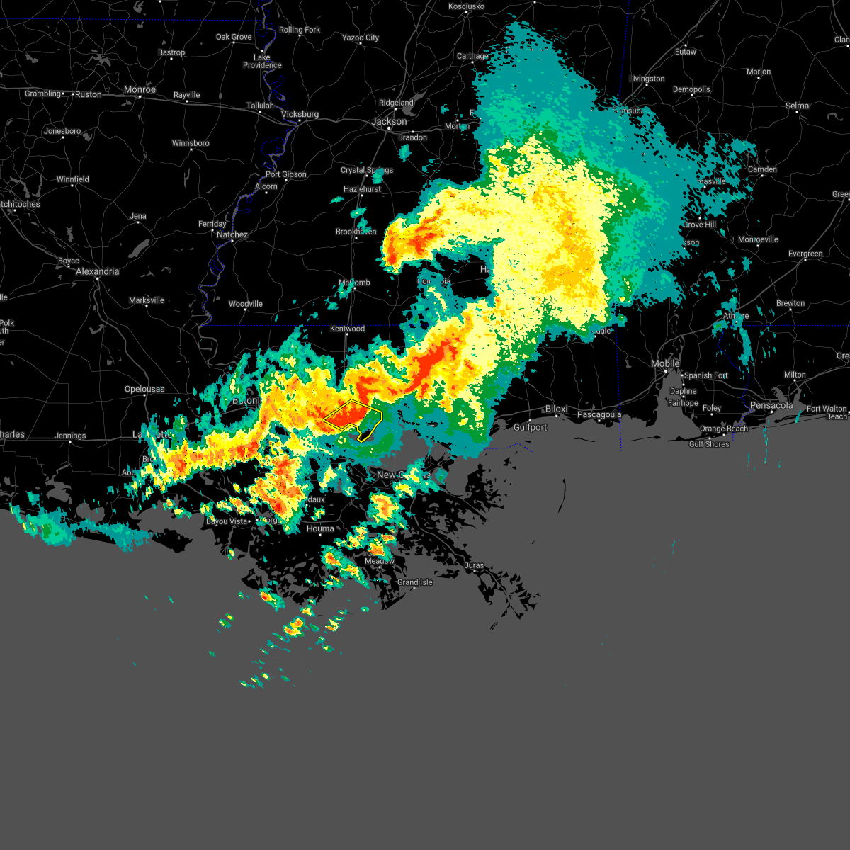 At 206 am cdt, a severe thunderstorm was located near ponchatoula, or 8 miles south of hammond, moving east at 50 mph (radar indicated). Hazards include 60 mph wind gusts. Expect damage to roofs, siding, and trees. Locations impacted include, hammond, ponchatoula, springfield and killian. At 206 am cdt, a severe thunderstorm was located near ponchatoula, or 8 miles south of hammond, moving east at 50 mph (radar indicated). Hazards include 60 mph wind gusts. Expect damage to roofs, siding, and trees. Locations impacted include, hammond, ponchatoula, springfield and killian.
|
| 4/8/2021 1:51 AM CDT |
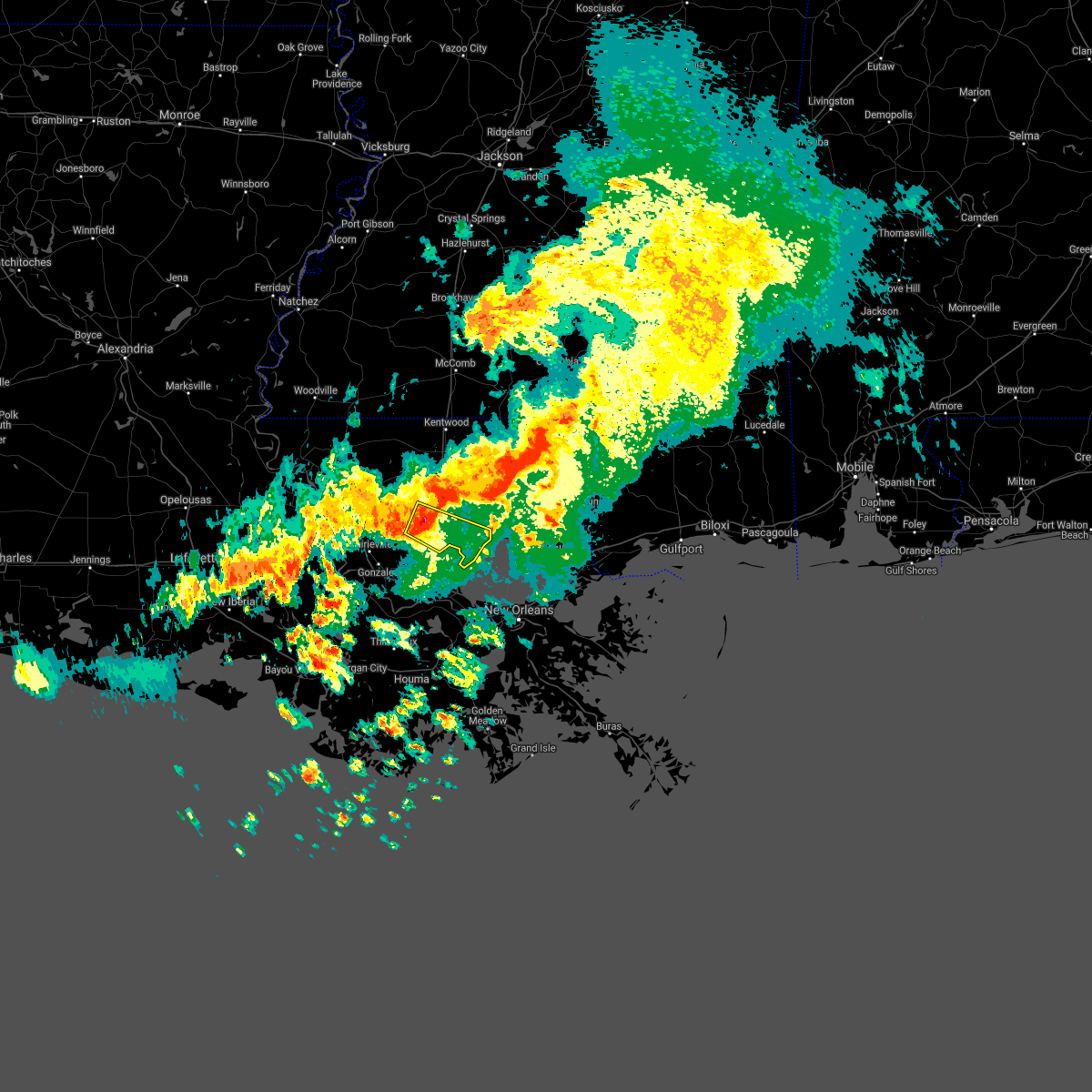 At 150 am cdt, a severe thunderstorm was located near albany, or 11 miles west of hammond, moving southeast at 35 mph (radar indicated). Hazards include 60 mph wind gusts. expect damage to roofs, siding, and trees At 150 am cdt, a severe thunderstorm was located near albany, or 11 miles west of hammond, moving southeast at 35 mph (radar indicated). Hazards include 60 mph wind gusts. expect damage to roofs, siding, and trees
|
| 3/17/2021 4:59 PM CDT |
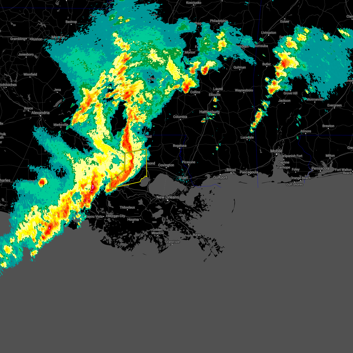 At 459 pm cdt, severe thunderstorms were located along a line extending from greensburg to near albany, moving northeast at 70 mph (radar indicated). Hazards include 60 mph wind gusts. Expect damage to roofs, siding, and trees. locations impacted include, hammond, gonzales, amite, st. Gabriel, walker, amite city, white castle, livingston, independence, sorrento, roseland, french settlement, albany, port vincent, springfield, montpelier, geismar, prairieville, natalbany and carville. At 459 pm cdt, severe thunderstorms were located along a line extending from greensburg to near albany, moving northeast at 70 mph (radar indicated). Hazards include 60 mph wind gusts. Expect damage to roofs, siding, and trees. locations impacted include, hammond, gonzales, amite, st. Gabriel, walker, amite city, white castle, livingston, independence, sorrento, roseland, french settlement, albany, port vincent, springfield, montpelier, geismar, prairieville, natalbany and carville.
|
| 3/17/2021 4:44 PM CDT |
 At 443 pm cdt, severe thunderstorms were located along a line extending from near pride to near shenandoah, moving northeast at 70 mph (radar indicated). Hazards include 60 mph wind gusts. expect damage to roofs, siding, and trees At 443 pm cdt, severe thunderstorms were located along a line extending from near pride to near shenandoah, moving northeast at 70 mph (radar indicated). Hazards include 60 mph wind gusts. expect damage to roofs, siding, and trees
|
| 6/25/2020 3:53 PM CDT |
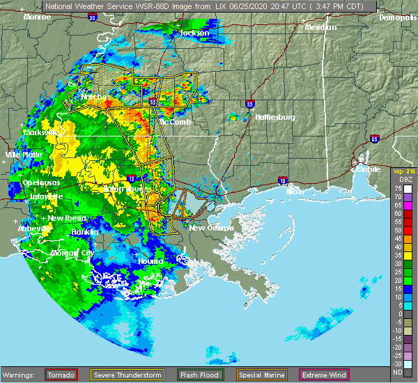 At 352 pm cdt, severe thunderstorms were located along a line extending from near independence to waggaman, moving east at 40 mph (radar indicated). Hazards include 60 mph wind gusts. Expect damage to roofs, siding, and trees. locations impacted include, hammond, reserve, hahnville, laplace, ponchatoula, independence, albany, springfield, montz, luling, boutte, natalbany, ama, robert, destrehan, st. Rose, killona, norco, paradis and edgard. At 352 pm cdt, severe thunderstorms were located along a line extending from near independence to waggaman, moving east at 40 mph (radar indicated). Hazards include 60 mph wind gusts. Expect damage to roofs, siding, and trees. locations impacted include, hammond, reserve, hahnville, laplace, ponchatoula, independence, albany, springfield, montz, luling, boutte, natalbany, ama, robert, destrehan, st. Rose, killona, norco, paradis and edgard.
|
| 6/25/2020 3:38 PM CDT |
 At 321 pm cdt, severe thunderstorms were located along a line extending from 6 miles north of livingston to 7 miles east of south vacherie, moving east at 40 mph (radar indicated). Hazards include 60 mph wind gusts. expect damage to roofs, siding, and trees At 321 pm cdt, severe thunderstorms were located along a line extending from 6 miles north of livingston to 7 miles east of south vacherie, moving east at 40 mph (radar indicated). Hazards include 60 mph wind gusts. expect damage to roofs, siding, and trees
|
| 6/25/2020 3:22 PM CDT |
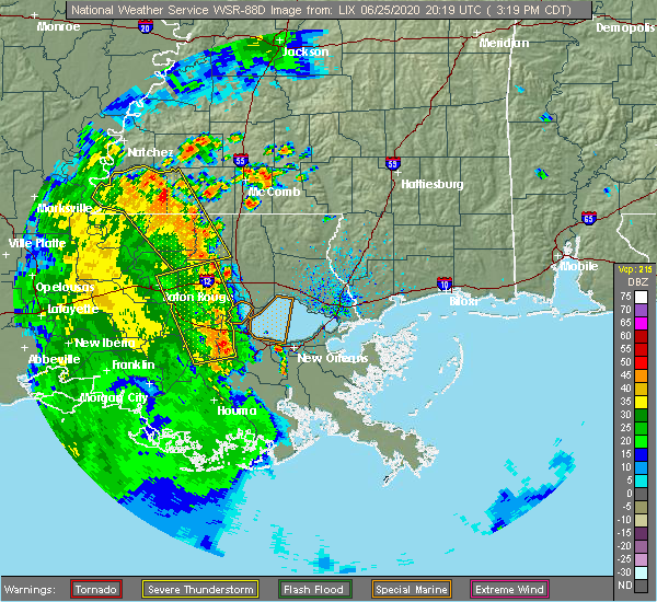 At 321 pm cdt, severe thunderstorms were located along a line extending from 6 miles north of livingston to 7 miles east of south vacherie, moving east at 40 mph (radar indicated). Hazards include 60 mph wind gusts. expect damage to roofs, siding, and trees At 321 pm cdt, severe thunderstorms were located along a line extending from 6 miles north of livingston to 7 miles east of south vacherie, moving east at 40 mph (radar indicated). Hazards include 60 mph wind gusts. expect damage to roofs, siding, and trees
|
| 6/25/2020 3:05 PM CDT |
 At 305 pm cdt, severe thunderstorms were located along a line extending from near greenwell spring to near convent, moving northeast at 30 mph (radar indicated). Hazards include 60 mph wind gusts. Expect damage to roofs, siding, and trees. Locations impacted include, baton rouge, denham springs, gonzales, reserve, oak hills place, walker, gramercy, lutcher, livingston, sorrento, french settlement, port vincent, watson, garyville, chackbay, shenandoah, whitehall, old jefferson, edgard and south vacherie. At 305 pm cdt, severe thunderstorms were located along a line extending from near greenwell spring to near convent, moving northeast at 30 mph (radar indicated). Hazards include 60 mph wind gusts. Expect damage to roofs, siding, and trees. Locations impacted include, baton rouge, denham springs, gonzales, reserve, oak hills place, walker, gramercy, lutcher, livingston, sorrento, french settlement, port vincent, watson, garyville, chackbay, shenandoah, whitehall, old jefferson, edgard and south vacherie.
|
| 6/25/2020 2:47 PM CDT |
 At 247 pm cdt, severe thunderstorms were located along a line extending from baton rouge to near convent, moving northeast at 30 mph (radar indicated). Hazards include 60 mph wind gusts. expect damage to roofs, siding, and trees At 247 pm cdt, severe thunderstorms were located along a line extending from baton rouge to near convent, moving northeast at 30 mph (radar indicated). Hazards include 60 mph wind gusts. expect damage to roofs, siding, and trees
|
| 4/23/2020 3:49 AM CDT |
 At 349 am cdt, a severe thunderstorm was located near livingston, or 13 miles west of hammond, moving east at 55 mph (radar indicated). Hazards include ping pong ball size hail and 60 mph wind gusts. People and animals outdoors will be injured. expect hail damage to roofs, siding, windows, and vehicles. Expect wind damage to roofs, siding, and trees. At 349 am cdt, a severe thunderstorm was located near livingston, or 13 miles west of hammond, moving east at 55 mph (radar indicated). Hazards include ping pong ball size hail and 60 mph wind gusts. People and animals outdoors will be injured. expect hail damage to roofs, siding, windows, and vehicles. Expect wind damage to roofs, siding, and trees.
|
| 4/23/2020 3:44 AM CDT |
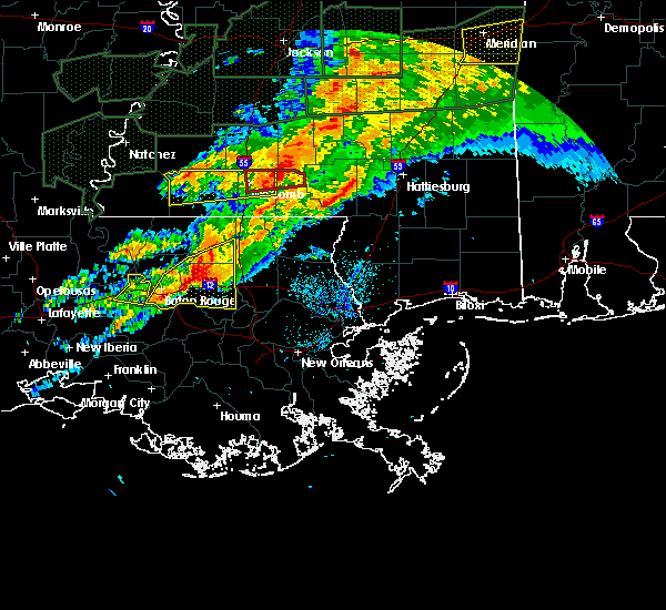 At 344 am cdt, a severe thunderstorm was located near livingston, or 11 miles northeast of denham springs, moving east at 55 mph (radar indicated). Hazards include 70 mph wind gusts and half dollar size hail. Hail damage to vehicles is expected. expect considerable tree damage. wind damage is also likely to mobile homes, roofs, and outbuildings. Locations impacted include, denham springs, walker, livingston, french settlement, albany, port vincent, montpelier, watson and killian. At 344 am cdt, a severe thunderstorm was located near livingston, or 11 miles northeast of denham springs, moving east at 55 mph (radar indicated). Hazards include 70 mph wind gusts and half dollar size hail. Hail damage to vehicles is expected. expect considerable tree damage. wind damage is also likely to mobile homes, roofs, and outbuildings. Locations impacted include, denham springs, walker, livingston, french settlement, albany, port vincent, montpelier, watson and killian.
|
| 4/23/2020 3:38 AM CDT |
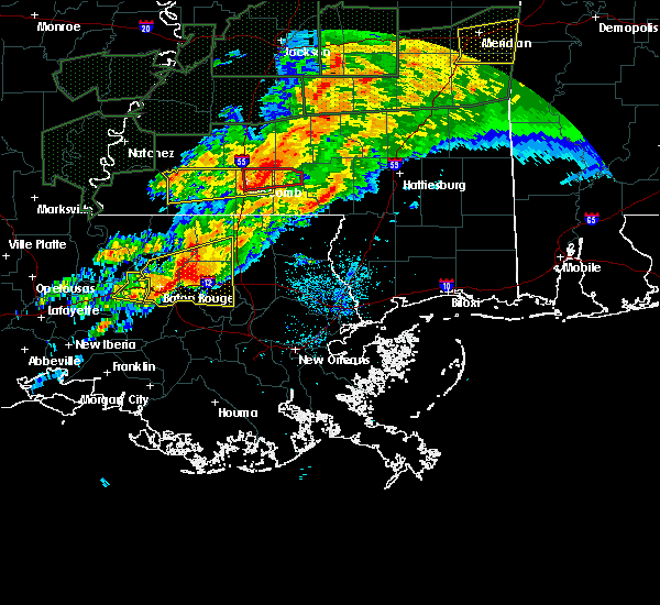 At 338 am cdt, a severe thunderstorm was located near walker, or near denham springs, moving east at 50 mph (radar indicated). Hazards include golf ball size hail and 70 mph wind gusts. People and animals outdoors will be injured. expect hail damage to roofs, siding, windows, and vehicles. expect considerable tree damage. wind damage is also likely to mobile homes, roofs, and outbuildings. locations impacted include, baton rouge, denham springs, oak hills place, walker, livingston, french settlement, albany, port vincent, montpelier, westminster, old jefferson, merrydale, inniswold, watson, village st. George, shenandoah, gardere, greenwell spring, brownfields and killian. At 338 am cdt, a severe thunderstorm was located near walker, or near denham springs, moving east at 50 mph (radar indicated). Hazards include golf ball size hail and 70 mph wind gusts. People and animals outdoors will be injured. expect hail damage to roofs, siding, windows, and vehicles. expect considerable tree damage. wind damage is also likely to mobile homes, roofs, and outbuildings. locations impacted include, baton rouge, denham springs, oak hills place, walker, livingston, french settlement, albany, port vincent, montpelier, westminster, old jefferson, merrydale, inniswold, watson, village st. George, shenandoah, gardere, greenwell spring, brownfields and killian.
|
| 4/23/2020 3:23 AM CDT |
 At 321 am cdt, a severe thunderstorm was located over merrydale, or near baton rouge, moving east at 50 mph (radar indicated). Hazards include two inch hail and 70 mph wind gusts. People and animals outdoors will be injured. expect hail damage to roofs, siding, windows, and vehicles. expect considerable tree damage. wind damage is also likely to mobile homes, roofs, and outbuildings. Locations impacted include, baton rouge, zachary, baker, denham springs, port allen, oak hills place, walker, livingston, french settlement, albany, port vincent, montpelier, westminster, watson, pride, shenandoah, greenwell spring, old jefferson, merrydale and inniswold. At 321 am cdt, a severe thunderstorm was located over merrydale, or near baton rouge, moving east at 50 mph (radar indicated). Hazards include two inch hail and 70 mph wind gusts. People and animals outdoors will be injured. expect hail damage to roofs, siding, windows, and vehicles. expect considerable tree damage. wind damage is also likely to mobile homes, roofs, and outbuildings. Locations impacted include, baton rouge, zachary, baker, denham springs, port allen, oak hills place, walker, livingston, french settlement, albany, port vincent, montpelier, westminster, watson, pride, shenandoah, greenwell spring, old jefferson, merrydale and inniswold.
|
| 4/23/2020 3:03 AM CDT |
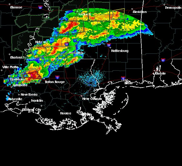 At 302 am cdt, a severe thunderstorm was located near erwinville, or 11 miles west of port allen, moving east at 50 mph (radar indicated). Hazards include two inch hail and 70 mph wind gusts. People and animals outdoors will be injured. expect hail damage to roofs, siding, windows, and vehicles. expect considerable tree damage. Wind damage is also likely to mobile homes, roofs, and outbuildings. At 302 am cdt, a severe thunderstorm was located near erwinville, or 11 miles west of port allen, moving east at 50 mph (radar indicated). Hazards include two inch hail and 70 mph wind gusts. People and animals outdoors will be injured. expect hail damage to roofs, siding, windows, and vehicles. expect considerable tree damage. Wind damage is also likely to mobile homes, roofs, and outbuildings.
|
| 4/19/2020 9:57 PM CDT |
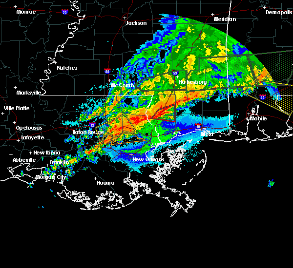 At 940 pm cdt, a severe thunderstorm was located near springfield, or 9 miles south of hammond, moving east at 40 mph (radar indicated). Hazards include 60 mph wind gusts and quarter size hail. Hail damage to vehicles is expected. Expect wind damage to roofs, siding, and trees. At 940 pm cdt, a severe thunderstorm was located near springfield, or 9 miles south of hammond, moving east at 40 mph (radar indicated). Hazards include 60 mph wind gusts and quarter size hail. Hail damage to vehicles is expected. Expect wind damage to roofs, siding, and trees.
|
| 4/19/2020 9:41 PM CDT |
 At 940 pm cdt, a severe thunderstorm was located near springfield, or 9 miles south of hammond, moving east at 40 mph (radar indicated). Hazards include 60 mph wind gusts and quarter size hail. Hail damage to vehicles is expected. Expect wind damage to roofs, siding, and trees. At 940 pm cdt, a severe thunderstorm was located near springfield, or 9 miles south of hammond, moving east at 40 mph (radar indicated). Hazards include 60 mph wind gusts and quarter size hail. Hail damage to vehicles is expected. Expect wind damage to roofs, siding, and trees.
|
| 4/12/2020 7:02 PM CDT |
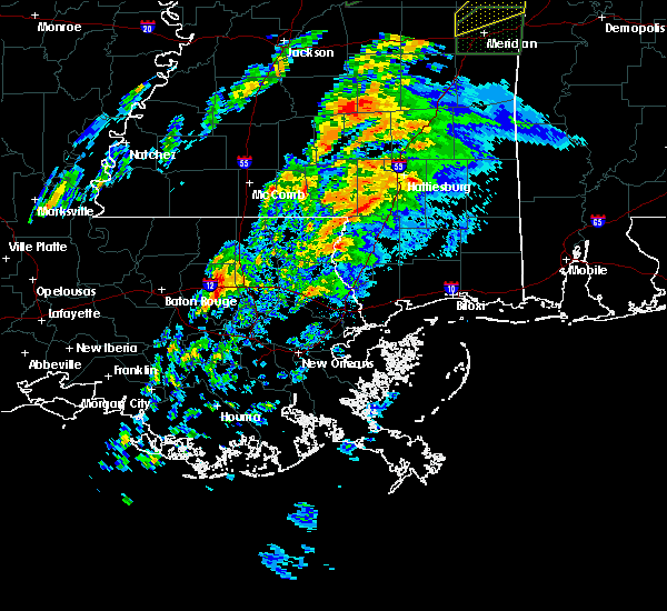 At 702 pm cdt, a severe thunderstorm was located 7 miles southeast of livingston, or 14 miles southwest of hammond, moving northeast at 70 mph (radar indicated). Hazards include 60 mph wind gusts and quarter size hail. Hail damage to vehicles is expected. Expect wind damage to roofs, siding, and trees. At 702 pm cdt, a severe thunderstorm was located 7 miles southeast of livingston, or 14 miles southwest of hammond, moving northeast at 70 mph (radar indicated). Hazards include 60 mph wind gusts and quarter size hail. Hail damage to vehicles is expected. Expect wind damage to roofs, siding, and trees.
|
| 4/12/2020 5:07 PM CDT |
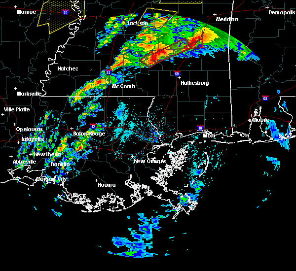 At 506 pm cdt, a severe thunderstorm was located over donaldsonville, moving northeast at 75 mph (radar indicated). Hazards include 60 mph wind gusts and half dollar size hail. Hail damage to vehicles is expected. expect wind damage to roofs, siding, and trees. locations impacted include, gonzales, donaldsonville, livingston, sorrento, french settlement, port vincent, whitehall, belle rose and killian. This storm is moving fast to the northeast. At 506 pm cdt, a severe thunderstorm was located over donaldsonville, moving northeast at 75 mph (radar indicated). Hazards include 60 mph wind gusts and half dollar size hail. Hail damage to vehicles is expected. expect wind damage to roofs, siding, and trees. locations impacted include, gonzales, donaldsonville, livingston, sorrento, french settlement, port vincent, whitehall, belle rose and killian. This storm is moving fast to the northeast.
|
| 4/12/2020 5:05 PM CDT |
 At 505 pm cdt, a severe thunderstorm was located over donaldsonville, moving northeast at 95 mph (radar indicated). Hazards include 60 mph wind gusts and half dollar size hail. Hail damage to vehicles is expected. Expect wind damage to roofs, siding, and trees. At 505 pm cdt, a severe thunderstorm was located over donaldsonville, moving northeast at 95 mph (radar indicated). Hazards include 60 mph wind gusts and half dollar size hail. Hail damage to vehicles is expected. Expect wind damage to roofs, siding, and trees.
|
| 4/9/2020 10:24 PM CDT |
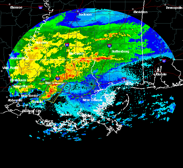 The severe thunderstorm warning for ascension, st. james, southern livingston, northwestern lafourche and northern assumption parishes will expire at 1030 pm cdt, the storms which prompted the warning have weakened below severe limits, and no longer pose an immediate threat to life or property. therefore, the warning will be allowed to expire. however small hail and gusty winds are still possible with these thunderstorms. to report severe weather, contact your nearest law enforcement agency. they will relay your report to the national weather service new orleans. remember, a severe thunderstorm warning still remains in effect until 10:30pm. The severe thunderstorm warning for ascension, st. james, southern livingston, northwestern lafourche and northern assumption parishes will expire at 1030 pm cdt, the storms which prompted the warning have weakened below severe limits, and no longer pose an immediate threat to life or property. therefore, the warning will be allowed to expire. however small hail and gusty winds are still possible with these thunderstorms. to report severe weather, contact your nearest law enforcement agency. they will relay your report to the national weather service new orleans. remember, a severe thunderstorm warning still remains in effect until 10:30pm.
|
| 4/9/2020 10:19 PM CDT |
 At 1018 pm cdt, severe thunderstorms were located along a line extending from near sorrento to near belle rose, moving east at 35 mph (radar indicated). Hazards include 60 mph wind gusts and quarter size hail. Hail damage to vehicles is expected. expect wind damage to roofs, siding, and trees. locations impacted include, gonzales, donaldsonville, napoleonville, st. Gabriel, gramercy, lutcher, sorrento, french settlement, port vincent, paincourtville, geismar, convent, prairieville, whitehall, belle rose, supreme, chackbay and killian. At 1018 pm cdt, severe thunderstorms were located along a line extending from near sorrento to near belle rose, moving east at 35 mph (radar indicated). Hazards include 60 mph wind gusts and quarter size hail. Hail damage to vehicles is expected. expect wind damage to roofs, siding, and trees. locations impacted include, gonzales, donaldsonville, napoleonville, st. Gabriel, gramercy, lutcher, sorrento, french settlement, port vincent, paincourtville, geismar, convent, prairieville, whitehall, belle rose, supreme, chackbay and killian.
|
| 4/9/2020 9:43 PM CDT |
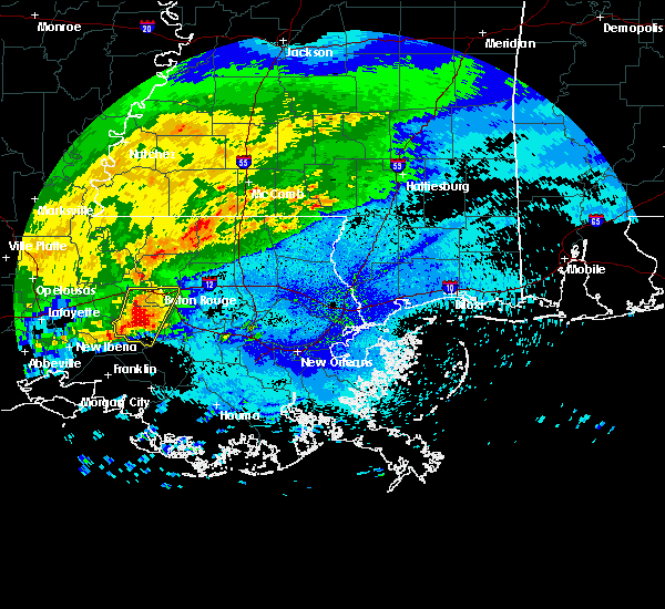 At 943 pm cdt, severe thunderstorms were located along a line extending from near plaquemine to near bayou sorrel, moving east at 35 mph (radar indicated). Hazards include 60 mph wind gusts and quarter size hail. Hail damage to vehicles is expected. Expect wind damage to roofs, siding, and trees. At 943 pm cdt, severe thunderstorms were located along a line extending from near plaquemine to near bayou sorrel, moving east at 35 mph (radar indicated). Hazards include 60 mph wind gusts and quarter size hail. Hail damage to vehicles is expected. Expect wind damage to roofs, siding, and trees.
|
| 6/25/2019 5:48 PM CDT |
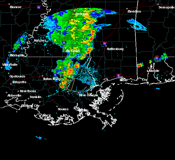 At 548 pm cdt, severe thunderstorms were located along a line extending from near folsom to near robert to 9 miles southeast of springfield, moving east at 25 mph (radar indicated). Hazards include 60 mph wind gusts and penny size hail. Expect damage to roofs, siding, and trees. Locations impacted include, ponchatoula, robert and killian. At 548 pm cdt, severe thunderstorms were located along a line extending from near folsom to near robert to 9 miles southeast of springfield, moving east at 25 mph (radar indicated). Hazards include 60 mph wind gusts and penny size hail. Expect damage to roofs, siding, and trees. Locations impacted include, ponchatoula, robert and killian.
|
| 6/25/2019 5:28 PM CDT |
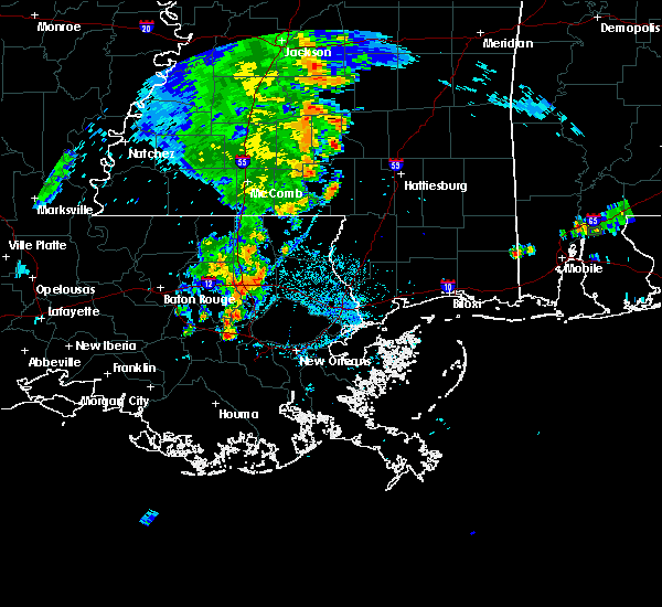 At 528 pm cdt, severe thunderstorms were located along a line extending from albany to near springfield, moving east at 25 mph (radar indicated). Hazards include 60 mph wind gusts. expect damage to roofs, siding, and trees At 528 pm cdt, severe thunderstorms were located along a line extending from albany to near springfield, moving east at 25 mph (radar indicated). Hazards include 60 mph wind gusts. expect damage to roofs, siding, and trees
|
| 6/17/2019 1:25 PM CDT |
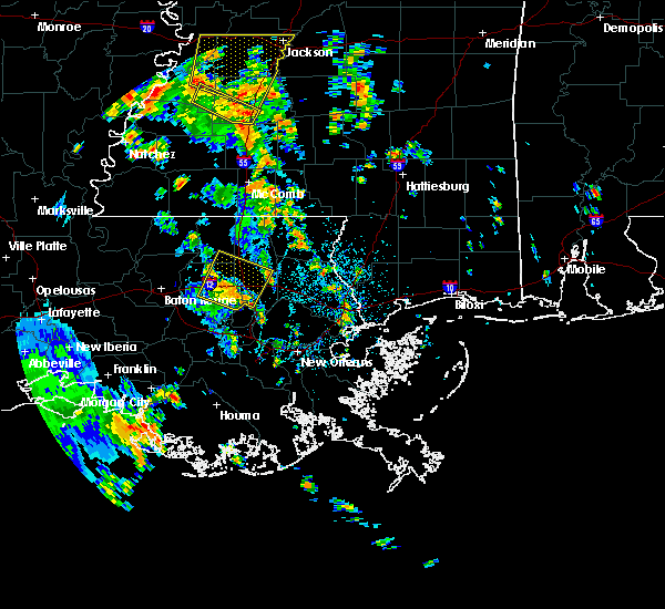 The severe thunderstorm warning for southeastern st. helena, northeastern livingston and southern tangipahoa parishes will expire at 130 pm cdt, the storm which prompted the warning has weakened below severe limits, and no longer poses an immediate threat to life or property. therefore, the warning will be allowed to expire. however gusty winds are still possible with this thunderstorm. The severe thunderstorm warning for southeastern st. helena, northeastern livingston and southern tangipahoa parishes will expire at 130 pm cdt, the storm which prompted the warning has weakened below severe limits, and no longer poses an immediate threat to life or property. therefore, the warning will be allowed to expire. however gusty winds are still possible with this thunderstorm.
|
| 6/17/2019 1:15 PM CDT |
 At 114 pm cdt, a severe thunderstorm was located over albany, or 9 miles west of hammond, moving north at 30 mph (radar indicated). Hazards include 60 mph wind gusts and nickel size hail. Expect damage to roofs, siding, and trees. Locations impacted include, hammond, ponchatoula, livingston, independence, albany, springfield, montpelier, natalbany, robert, killian and tickfaw. At 114 pm cdt, a severe thunderstorm was located over albany, or 9 miles west of hammond, moving north at 30 mph (radar indicated). Hazards include 60 mph wind gusts and nickel size hail. Expect damage to roofs, siding, and trees. Locations impacted include, hammond, ponchatoula, livingston, independence, albany, springfield, montpelier, natalbany, robert, killian and tickfaw.
|
| 6/17/2019 1:03 PM CDT |
 At 102 pm cdt, a severe thunderstorm was located near springfield, or 13 miles southwest of hammond, moving northeast at 30 mph (radar indicated). Hazards include 60 mph wind gusts and nickel size hail. expect damage to roofs, siding, and trees At 102 pm cdt, a severe thunderstorm was located near springfield, or 13 miles southwest of hammond, moving northeast at 30 mph (radar indicated). Hazards include 60 mph wind gusts and nickel size hail. expect damage to roofs, siding, and trees
|
| 6/6/2019 10:40 AM CDT |
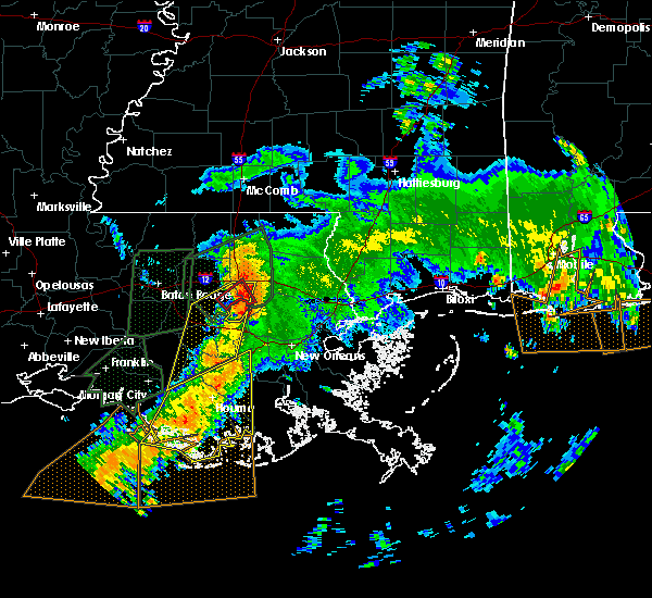 At 1039 am cdt, a severe thunderstorm was located over springfield, or near hammond, moving northeast at 30 mph (radar indicated). Hazards include 60 mph wind gusts. expect damage to roofs, siding, and trees At 1039 am cdt, a severe thunderstorm was located over springfield, or near hammond, moving northeast at 30 mph (radar indicated). Hazards include 60 mph wind gusts. expect damage to roofs, siding, and trees
|
| 6/6/2019 10:25 AM CDT |
 At 1025 am cdt, a confirmed tornado was located 9 miles south of springfield, or 14 miles north of reserve, moving northeast at 40 mph (radar confirmed tornado). Hazards include damaging tornado. Flying debris will be dangerous to those caught without shelter. mobile homes will be damaged or destroyed. damage to roofs, windows, and vehicles will occur. tree damage is likely. Locations impacted include, hammond, ponchatoula, springfield and killian. At 1025 am cdt, a confirmed tornado was located 9 miles south of springfield, or 14 miles north of reserve, moving northeast at 40 mph (radar confirmed tornado). Hazards include damaging tornado. Flying debris will be dangerous to those caught without shelter. mobile homes will be damaged or destroyed. damage to roofs, windows, and vehicles will occur. tree damage is likely. Locations impacted include, hammond, ponchatoula, springfield and killian.
|
| 6/6/2019 10:17 AM CDT |
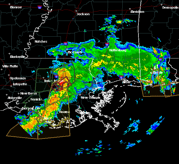 At 1016 am cdt, a confirmed tornado was located near whitehall, or 12 miles north of reserve, moving northeast at 40 mph (radar confirmed tornado). Hazards include damaging tornado. Flying debris will be dangerous to those caught without shelter. mobile homes will be damaged or destroyed. damage to roofs, windows, and vehicles will occur. tree damage is likely. Locations impacted include, hammond, ponchatoula, springfield, whitehall and killian. At 1016 am cdt, a confirmed tornado was located near whitehall, or 12 miles north of reserve, moving northeast at 40 mph (radar confirmed tornado). Hazards include damaging tornado. Flying debris will be dangerous to those caught without shelter. mobile homes will be damaged or destroyed. damage to roofs, windows, and vehicles will occur. tree damage is likely. Locations impacted include, hammond, ponchatoula, springfield, whitehall and killian.
|
| 6/6/2019 10:13 AM CDT |
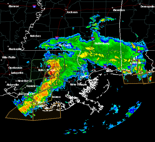 At 1013 am cdt, a severe thunderstorm capable of producing a tornado was located near whitehall, or 12 miles northwest of reserve, moving northeast at 40 mph (radar indicated rotation). Hazards include tornado. Flying debris will be dangerous to those caught without shelter. mobile homes will be damaged or destroyed. damage to roofs, windows, and vehicles will occur. tree damage is likely. this tornadic thunderstorm will remain over mainly rural areas of northern st. John the baptist, east central ascension, southeastern livingston and southwestern tangipahoa parishes, including the following locations, killian. At 1013 am cdt, a severe thunderstorm capable of producing a tornado was located near whitehall, or 12 miles northwest of reserve, moving northeast at 40 mph (radar indicated rotation). Hazards include tornado. Flying debris will be dangerous to those caught without shelter. mobile homes will be damaged or destroyed. damage to roofs, windows, and vehicles will occur. tree damage is likely. this tornadic thunderstorm will remain over mainly rural areas of northern st. John the baptist, east central ascension, southeastern livingston and southwestern tangipahoa parishes, including the following locations, killian.
|
| 6/6/2019 9:57 AM CDT |
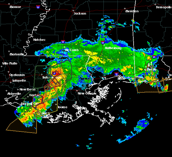 At 956 am cdt, severe thunderstorms were located along a line extending from near sorrento to 7 miles south of labadieville, moving northeast at 40 mph (radar indicated). Hazards include 60 mph wind gusts. expect damage to roofs, siding, and trees At 956 am cdt, severe thunderstorms were located along a line extending from near sorrento to 7 miles south of labadieville, moving northeast at 40 mph (radar indicated). Hazards include 60 mph wind gusts. expect damage to roofs, siding, and trees
|
| 6/6/2019 9:34 AM CDT |
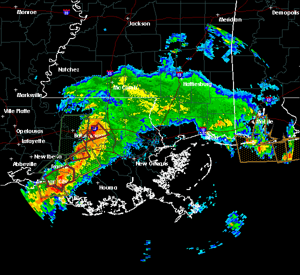 At 934 am cdt, a confirmed tornado was located near french settlement, or 14 miles southeast of denham springs, moving northeast at 30 mph (law enforcement confirmed tornado). Hazards include damaging tornado. Flying debris will be dangerous to those caught without shelter. mobile homes will be damaged or destroyed. damage to roofs, windows, and vehicles will occur. tree damage is likely. this tornado will be near, livingston around 940 am cdt. springfield around 955 am cdt. Other locations impacted by this tornadic thunderstorm include killian. At 934 am cdt, a confirmed tornado was located near french settlement, or 14 miles southeast of denham springs, moving northeast at 30 mph (law enforcement confirmed tornado). Hazards include damaging tornado. Flying debris will be dangerous to those caught without shelter. mobile homes will be damaged or destroyed. damage to roofs, windows, and vehicles will occur. tree damage is likely. this tornado will be near, livingston around 940 am cdt. springfield around 955 am cdt. Other locations impacted by this tornadic thunderstorm include killian.
|
| 6/6/2019 9:28 AM CDT |
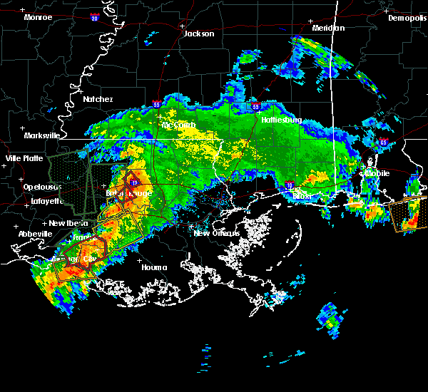 At 928 am cdt, a severe thunderstorm capable of producing a tornado was located near port vincent, or 12 miles southeast of denham springs, moving northeast at 30 mph (radar indicated rotation). Hazards include tornado. Flying debris will be dangerous to those caught without shelter. mobile homes will be damaged or destroyed. damage to roofs, windows, and vehicles will occur. tree damage is likely. this dangerous storm will be near, livingston around 940 am cdt. springfield around 955 am cdt. Other locations impacted by this tornadic thunderstorm include killian. At 928 am cdt, a severe thunderstorm capable of producing a tornado was located near port vincent, or 12 miles southeast of denham springs, moving northeast at 30 mph (radar indicated rotation). Hazards include tornado. Flying debris will be dangerous to those caught without shelter. mobile homes will be damaged or destroyed. damage to roofs, windows, and vehicles will occur. tree damage is likely. this dangerous storm will be near, livingston around 940 am cdt. springfield around 955 am cdt. Other locations impacted by this tornadic thunderstorm include killian.
|
| 5/9/2019 8:41 PM CDT |
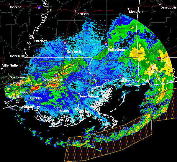 The national weather service in new orleans has issued a * severe thunderstorm warning for. northwestern st. john the baptist parish in southeastern louisiana. northeastern ascension parish in southeastern louisiana. northeastern st. James parish in southeastern louisiana. The national weather service in new orleans has issued a * severe thunderstorm warning for. northwestern st. john the baptist parish in southeastern louisiana. northeastern ascension parish in southeastern louisiana. northeastern st. James parish in southeastern louisiana.
|
| 4/18/2019 12:57 PM CDT |
 At 1256 pm cdt, a severe thunderstorm was located near albany, or 11 miles west of hammond, moving northeast at 60 mph (radar indicated). Hazards include 60 mph wind gusts and penny size hail. Expect damage to roofs, siding, and trees. Locations impacted include, hammond, amite, amite city, livingston, independence, roseland, albany, springfield, natalbany, killian and tickfaw. At 1256 pm cdt, a severe thunderstorm was located near albany, or 11 miles west of hammond, moving northeast at 60 mph (radar indicated). Hazards include 60 mph wind gusts and penny size hail. Expect damage to roofs, siding, and trees. Locations impacted include, hammond, amite, amite city, livingston, independence, roseland, albany, springfield, natalbany, killian and tickfaw.
|
| 4/18/2019 12:47 PM CDT |
 At 1246 pm cdt, a severe thunderstorm was located near french settlement, or 13 miles northeast of gonzales, moving northeast at 55 mph (radar indicated). Hazards include 60 mph wind gusts. expect damage to roofs, siding, and trees At 1246 pm cdt, a severe thunderstorm was located near french settlement, or 13 miles northeast of gonzales, moving northeast at 55 mph (radar indicated). Hazards include 60 mph wind gusts. expect damage to roofs, siding, and trees
|
| 4/7/2019 7:49 PM CDT |
 At 749 pm cdt, severe thunderstorms were located along a line extending from near darlington to near montpelier to near french settlement, moving northeast at 25 mph (radar indicated). Hazards include 70 mph wind gusts. Expect considerable tree damage. Damage is likely to mobile homes, roofs, and outbuildings. At 749 pm cdt, severe thunderstorms were located along a line extending from near darlington to near montpelier to near french settlement, moving northeast at 25 mph (radar indicated). Hazards include 70 mph wind gusts. Expect considerable tree damage. Damage is likely to mobile homes, roofs, and outbuildings.
|
| 4/7/2019 7:42 PM CDT |
 At 741 pm cdt, severe thunderstorms were located along a line extending from near convent to 8 miles west of leeville, moving east at 40 mph (radar indicated). Hazards include 60 mph wind gusts. expect damage to roofs, siding, and trees At 741 pm cdt, severe thunderstorms were located along a line extending from near convent to 8 miles west of leeville, moving east at 40 mph (radar indicated). Hazards include 60 mph wind gusts. expect damage to roofs, siding, and trees
|
| 4/7/2019 7:29 PM CDT |
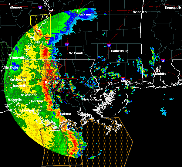 At 729 pm cdt, a severe thunderstorm capable of producing a tornado was located over donaldsonville, moving northeast at 60 mph (radar indicated rotation). Hazards include tornado. Flying debris will be dangerous to those caught without shelter. mobile homes will be damaged or destroyed. damage to roofs, windows, and vehicles will occur. tree damage is likely. this dangerous storm will be near, gonzales and sorrento around 740 pm cdt. french settlement and port vincent around 745 pm cdt. Other locations impacted by this tornadic thunderstorm include killian. At 729 pm cdt, a severe thunderstorm capable of producing a tornado was located over donaldsonville, moving northeast at 60 mph (radar indicated rotation). Hazards include tornado. Flying debris will be dangerous to those caught without shelter. mobile homes will be damaged or destroyed. damage to roofs, windows, and vehicles will occur. tree damage is likely. this dangerous storm will be near, gonzales and sorrento around 740 pm cdt. french settlement and port vincent around 745 pm cdt. Other locations impacted by this tornadic thunderstorm include killian.
|
| 11/1/2018 4:15 AM CDT |
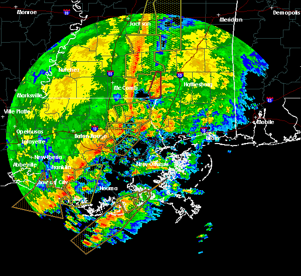 At 415 am cdt, severe thunderstorms were located along a line extending from near robert to 7 miles west of madisonville to 8 miles southeast of ponchatoula, moving east at 40 mph (radar indicated). Hazards include 70 mph wind gusts. Expect considerable tree damage. damage is likely to mobile homes, roofs, and outbuildings. locations impacted include, hammond, covington, ponchatoula, abita springs, madisonville, springfield, natalbany, robert, killian and tickfaw. A tornado watch remains in effect until 700 am cdt for southeastern louisiana. At 415 am cdt, severe thunderstorms were located along a line extending from near robert to 7 miles west of madisonville to 8 miles southeast of ponchatoula, moving east at 40 mph (radar indicated). Hazards include 70 mph wind gusts. Expect considerable tree damage. damage is likely to mobile homes, roofs, and outbuildings. locations impacted include, hammond, covington, ponchatoula, abita springs, madisonville, springfield, natalbany, robert, killian and tickfaw. A tornado watch remains in effect until 700 am cdt for southeastern louisiana.
|
| 11/1/2018 3:55 AM CDT |
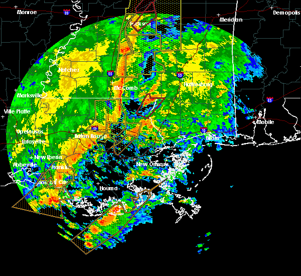 At 355 am cdt, severe thunderstorms were located along a line extending from hammond to near springfield to 8 miles northeast of whitehall, moving east at 40 mph (radar indicated). Hazards include 70 mph wind gusts. Expect considerable tree damage. Damage is likely to mobile homes, roofs, and outbuildings. At 355 am cdt, severe thunderstorms were located along a line extending from hammond to near springfield to 8 miles northeast of whitehall, moving east at 40 mph (radar indicated). Hazards include 70 mph wind gusts. Expect considerable tree damage. Damage is likely to mobile homes, roofs, and outbuildings.
|
| 6/11/2018 1:07 PM CDT |
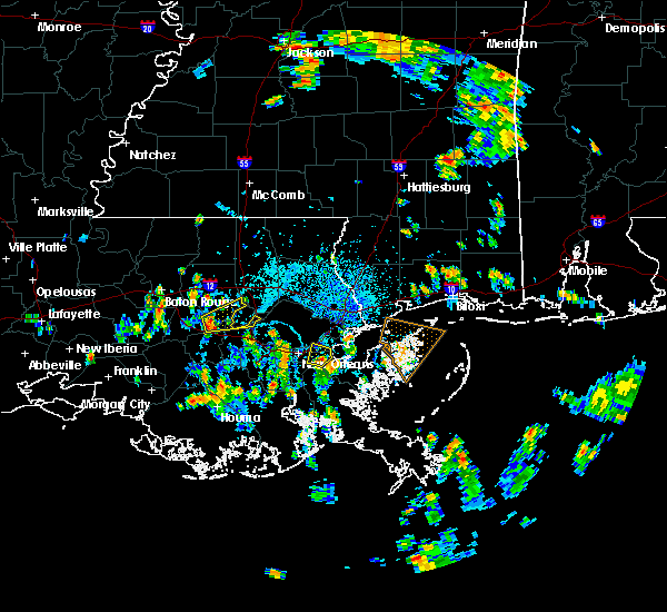 At 107 pm cdt, a severe thunderstorm was located near whitehall, or 12 miles northwest of reserve, moving east at 10 mph (radar indicated). Hazards include 60 mph wind gusts. expect damage to roofs, siding, and trees At 107 pm cdt, a severe thunderstorm was located near whitehall, or 12 miles northwest of reserve, moving east at 10 mph (radar indicated). Hazards include 60 mph wind gusts. expect damage to roofs, siding, and trees
|
| 6/4/2018 7:00 PM CDT |
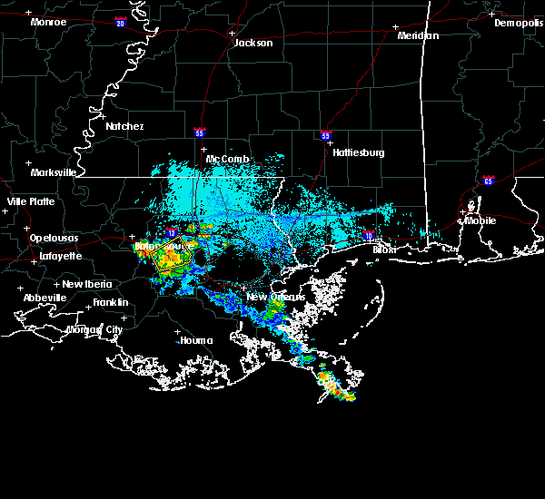 At 658 pm cdt, a severe thunderstorm was located over french settlement, or 12 miles northeast of gonzales, moving northeast at 20 mph (radar indicated). Hazards include 60 mph wind gusts. Expect damage to roofs, siding, and trees. Locations impacted include, french settlement, port vincent, whitehall and killian. At 658 pm cdt, a severe thunderstorm was located over french settlement, or 12 miles northeast of gonzales, moving northeast at 20 mph (radar indicated). Hazards include 60 mph wind gusts. Expect damage to roofs, siding, and trees. Locations impacted include, french settlement, port vincent, whitehall and killian.
|
| 6/4/2018 6:41 PM CDT |
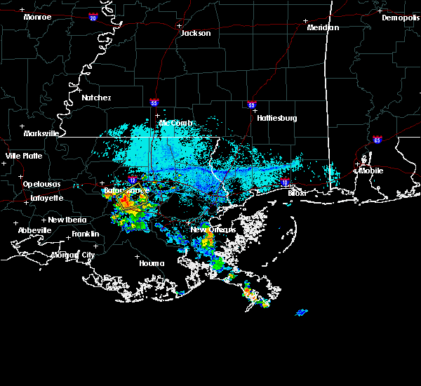 At 641 pm cdt, a severe thunderstorm was located near french settlement, or near gonzales, moving northeast at 15 mph (radar indicated). Hazards include 60 mph wind gusts. expect damage to roofs, siding, and trees At 641 pm cdt, a severe thunderstorm was located near french settlement, or near gonzales, moving northeast at 15 mph (radar indicated). Hazards include 60 mph wind gusts. expect damage to roofs, siding, and trees
|
| 5/18/2018 4:06 PM CDT |
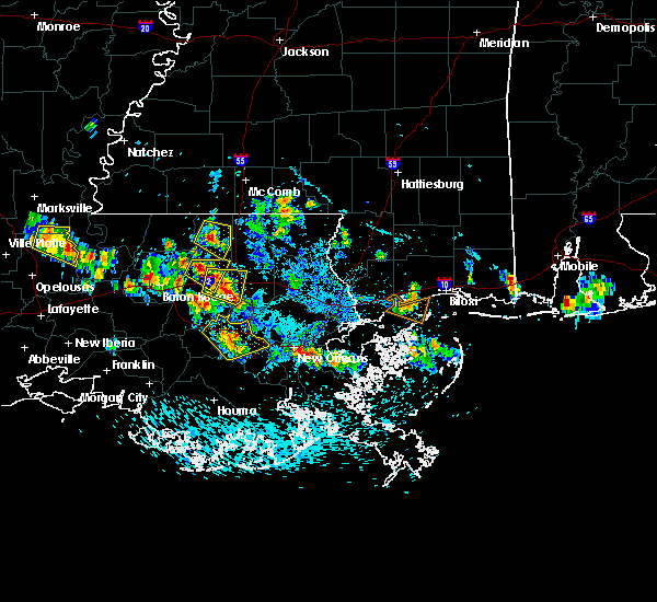 At 405 pm cdt, a severe thunderstorm was located near albany, or 11 miles west of hammond, moving east at 10 mph (radar indicated). Hazards include golf ball size hail and 60 mph wind gusts. People and animals outdoors will be injured. expect hail damage to roofs, siding, windows, and vehicles. expect wind damage to roofs, siding, and trees. Locations impacted include, hammond, livingston, albany, springfield, natalbany, killian and tickfaw. At 405 pm cdt, a severe thunderstorm was located near albany, or 11 miles west of hammond, moving east at 10 mph (radar indicated). Hazards include golf ball size hail and 60 mph wind gusts. People and animals outdoors will be injured. expect hail damage to roofs, siding, windows, and vehicles. expect wind damage to roofs, siding, and trees. Locations impacted include, hammond, livingston, albany, springfield, natalbany, killian and tickfaw.
|
| 5/18/2018 3:54 PM CDT |
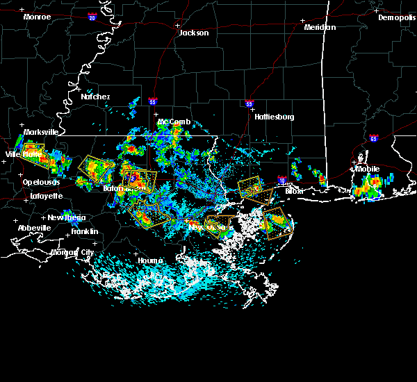 At 353 pm cdt, a severe thunderstorm was located near livingston, or 14 miles west of hammond, moving east at 10 mph (radar indicated). Hazards include golf ball size hail and 60 mph wind gusts. People and animals outdoors will be injured. expect hail damage to roofs, siding, windows, and vehicles. Expect wind damage to roofs, siding, and trees. At 353 pm cdt, a severe thunderstorm was located near livingston, or 14 miles west of hammond, moving east at 10 mph (radar indicated). Hazards include golf ball size hail and 60 mph wind gusts. People and animals outdoors will be injured. expect hail damage to roofs, siding, windows, and vehicles. Expect wind damage to roofs, siding, and trees.
|
| 5/18/2018 3:36 PM CDT |
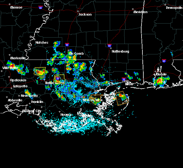 At 336 pm cdt, a severe thunderstorm was located over livingston, or 11 miles east of denham springs, moving east at 10 mph (radar indicated). Hazards include golf ball size hail and 60 mph wind gusts. People and animals outdoors will be injured. expect hail damage to roofs, siding, windows, and vehicles. Expect wind damage to roofs, siding, and trees. At 336 pm cdt, a severe thunderstorm was located over livingston, or 11 miles east of denham springs, moving east at 10 mph (radar indicated). Hazards include golf ball size hail and 60 mph wind gusts. People and animals outdoors will be injured. expect hail damage to roofs, siding, windows, and vehicles. Expect wind damage to roofs, siding, and trees.
|
| 4/14/2018 9:00 AM CDT |
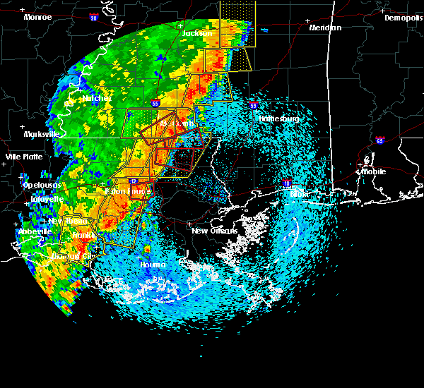 At 900 am cdt, severe thunderstorms were located along a line extending from near natalbany to near lutcher to near napoleonville, moving east at 45 mph (radar indicated). Hazards include 60 mph wind gusts. expect damage to roofs, siding, and trees At 900 am cdt, severe thunderstorms were located along a line extending from near natalbany to near lutcher to near napoleonville, moving east at 45 mph (radar indicated). Hazards include 60 mph wind gusts. expect damage to roofs, siding, and trees
|
| 4/14/2018 8:55 AM CDT |
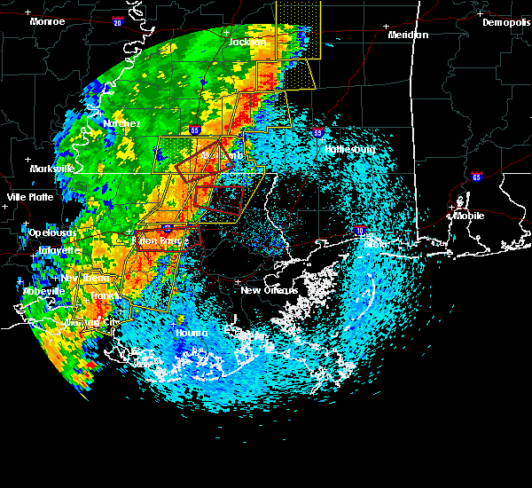 At 854 am cdt, a severe thunderstorm capable of producing a tornado was located near whitehall, or 14 miles northeast of gonzales, moving east at 35 mph (radar indicated rotation). Hazards include tornado. Flying debris will be dangerous to those caught without shelter. mobile homes will be damaged or destroyed. damage to roofs, windows, and vehicles will occur. tree damage is likely. This tornadic thunderstorm will remain over mainly rural areas of southeastern livingston and southwestern tangipahoa parishes, including the following locations, killian. At 854 am cdt, a severe thunderstorm capable of producing a tornado was located near whitehall, or 14 miles northeast of gonzales, moving east at 35 mph (radar indicated rotation). Hazards include tornado. Flying debris will be dangerous to those caught without shelter. mobile homes will be damaged or destroyed. damage to roofs, windows, and vehicles will occur. tree damage is likely. This tornadic thunderstorm will remain over mainly rural areas of southeastern livingston and southwestern tangipahoa parishes, including the following locations, killian.
|
| 4/14/2018 8:50 AM CDT |
 At 849 am cdt, severe thunderstorms were located along a line extending from livingston to donaldsonville to bayou geneve, moving southeast at 15 mph (radar indicated). Hazards include 60 mph wind gusts. Expect damage to roofs, siding, and trees. locations impacted include, thibodaux, denham springs, gonzales, donaldsonville, napoleonville, st. gabriel, walker, gramercy, lutcher, white castle, livingston, sorrento, french settlement, albany, port vincent, schriever, geismer, supreme, chackbay and shenandoah. A tornado watch remains in effect until 200 pm cdt for southeastern louisiana. At 849 am cdt, severe thunderstorms were located along a line extending from livingston to donaldsonville to bayou geneve, moving southeast at 15 mph (radar indicated). Hazards include 60 mph wind gusts. Expect damage to roofs, siding, and trees. locations impacted include, thibodaux, denham springs, gonzales, donaldsonville, napoleonville, st. gabriel, walker, gramercy, lutcher, white castle, livingston, sorrento, french settlement, albany, port vincent, schriever, geismer, supreme, chackbay and shenandoah. A tornado watch remains in effect until 200 pm cdt for southeastern louisiana.
|
| 4/14/2018 8:18 AM CDT |
 At 818 am cdt, a severe thunderstorm capable of producing a tornado was located over old jefferson, or 7 miles south of denham springs, moving east at 45 mph (radar indicated rotation). Hazards include tornado. Flying debris will be dangerous to those caught without shelter. mobile homes will be damaged or destroyed. damage to roofs, windows, and vehicles will occur. tree damage is likely. this dangerous storm will be near, french settlement and port vincent around 830 am cdt. livingston around 835 am cdt. whitehall around 840 am cdt. albany around 850 am cdt. springfield around 855 am cdt. ponchatoula around 900 am cdt. Other locations impacted by this tornadic thunderstorm include killian. At 818 am cdt, a severe thunderstorm capable of producing a tornado was located over old jefferson, or 7 miles south of denham springs, moving east at 45 mph (radar indicated rotation). Hazards include tornado. Flying debris will be dangerous to those caught without shelter. mobile homes will be damaged or destroyed. damage to roofs, windows, and vehicles will occur. tree damage is likely. this dangerous storm will be near, french settlement and port vincent around 830 am cdt. livingston around 835 am cdt. whitehall around 840 am cdt. albany around 850 am cdt. springfield around 855 am cdt. ponchatoula around 900 am cdt. Other locations impacted by this tornadic thunderstorm include killian.
|
| 4/14/2018 8:01 AM CDT |
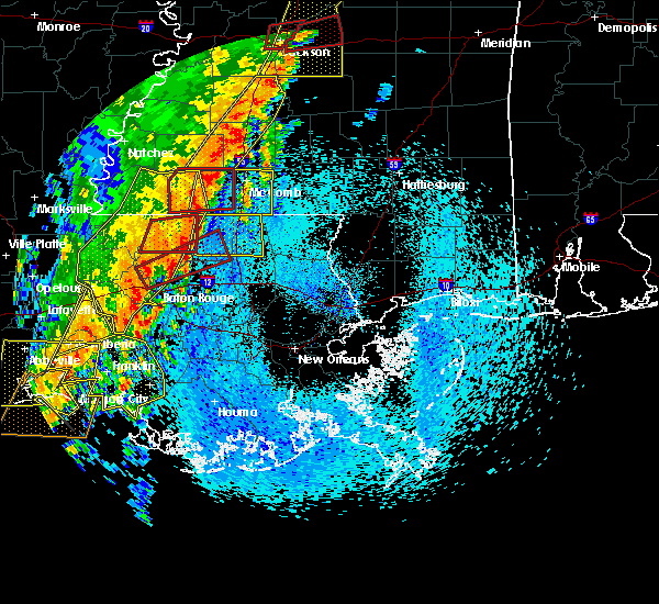 At 800 am cdt, severe thunderstorms were located along a line extending from port allen to 7 miles west of belle river, moving east at 25 mph (radar indicated). Hazards include 60 mph wind gusts. expect damage to roofs, siding, and trees At 800 am cdt, severe thunderstorms were located along a line extending from port allen to 7 miles west of belle river, moving east at 25 mph (radar indicated). Hazards include 60 mph wind gusts. expect damage to roofs, siding, and trees
|
| 8/30/2017 12:54 AM CDT |
 At 1254 am cdt, a severe thunderstorm was located 7 miles east of whitehall, or 15 miles southwest of hammond, moving north at 30 mph (radar indicated). Hazards include 60 mph wind gusts. expect damage to roofs, siding, and trees At 1254 am cdt, a severe thunderstorm was located 7 miles east of whitehall, or 15 miles southwest of hammond, moving north at 30 mph (radar indicated). Hazards include 60 mph wind gusts. expect damage to roofs, siding, and trees
|
| 8/19/2017 3:46 PM CDT |
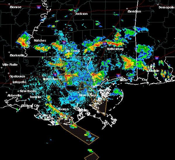 At 346 pm cdt, a severe thunderstorm was located near robert, or near hammond, moving southwest at 25 mph (radar indicated). Hazards include 60 mph wind gusts and quarter size hail. Hail damage to vehicles is expected. Expect wind damage to roofs, siding, and trees. At 346 pm cdt, a severe thunderstorm was located near robert, or near hammond, moving southwest at 25 mph (radar indicated). Hazards include 60 mph wind gusts and quarter size hail. Hail damage to vehicles is expected. Expect wind damage to roofs, siding, and trees.
|
| 7/9/2017 4:39 PM CDT |
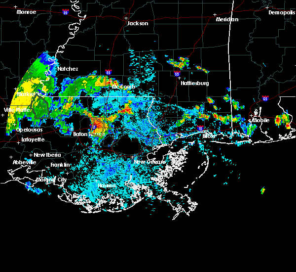 The severe thunderstorm warning for central livingston parish will expire at 445 pm cdt, the storm which prompted the warning has weakened below severe limits, and no longer poses an immediate threat to life or property. therefore the warning will be allowed to expire. however gusty winds are still possible with this thunderstorm. The severe thunderstorm warning for central livingston parish will expire at 445 pm cdt, the storm which prompted the warning has weakened below severe limits, and no longer poses an immediate threat to life or property. therefore the warning will be allowed to expire. however gusty winds are still possible with this thunderstorm.
|
| 7/9/2017 4:10 PM CDT |
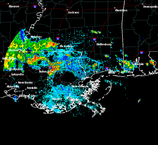 At 409 pm cdt, a severe thunderstorm was located near livingston, or 14 miles southwest of hammond, moving north at 15 mph (radar indicated). Hazards include 60 mph wind gusts and quarter size hail. Hail damage to vehicles is possible. Expect wind damage to roofs, siding, and trees. At 409 pm cdt, a severe thunderstorm was located near livingston, or 14 miles southwest of hammond, moving north at 15 mph (radar indicated). Hazards include 60 mph wind gusts and quarter size hail. Hail damage to vehicles is possible. Expect wind damage to roofs, siding, and trees.
|
| 6/21/2017 1:39 PM CDT |
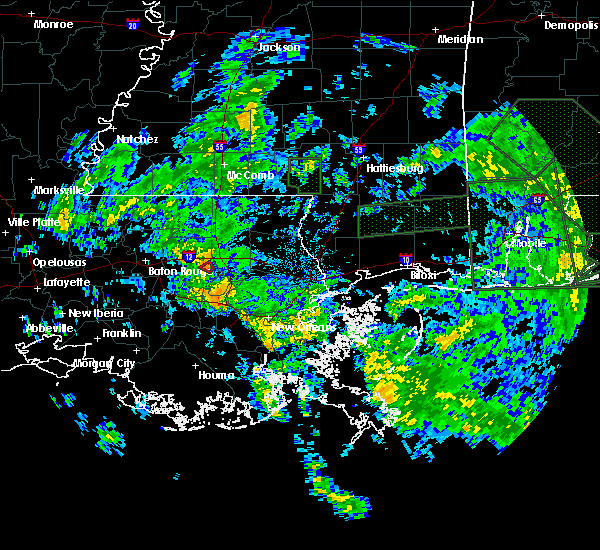 At 139 pm cdt, a severe thunderstorm capable of producing a tornado was located near springfield, or 10 miles southwest of hammond, moving northwest at 25 mph (radar indicated rotation). Hazards include tornado. Flying debris will be dangerous to those caught without shelter. mobile homes will be damaged or destroyed. damage to roofs, windows, and vehicles will occur. tree damage is likely. This tornadic thunderstorm will remain over mainly rural areas of east central livingston parish. At 139 pm cdt, a severe thunderstorm capable of producing a tornado was located near springfield, or 10 miles southwest of hammond, moving northwest at 25 mph (radar indicated rotation). Hazards include tornado. Flying debris will be dangerous to those caught without shelter. mobile homes will be damaged or destroyed. damage to roofs, windows, and vehicles will occur. tree damage is likely. This tornadic thunderstorm will remain over mainly rural areas of east central livingston parish.
|
| 6/21/2017 1:26 PM CDT |
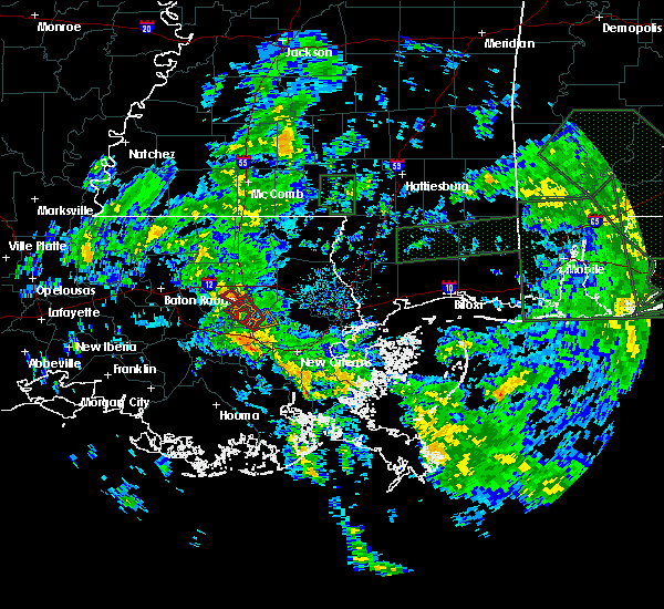 At 126 pm cdt, a severe thunderstorm capable of producing a tornado was located near springfield, or 11 miles southwest of hammond, moving northwest at 25 mph (radar indicated rotation). Hazards include tornado. Flying debris will be dangerous to those caught without shelter. mobile homes will be damaged or destroyed. damage to roofs, windows, and vehicles will occur. tree damage is likely. This tornadic thunderstorm will remain over mainly rural areas of east central livingston parish, including the following locations: killian. At 126 pm cdt, a severe thunderstorm capable of producing a tornado was located near springfield, or 11 miles southwest of hammond, moving northwest at 25 mph (radar indicated rotation). Hazards include tornado. Flying debris will be dangerous to those caught without shelter. mobile homes will be damaged or destroyed. damage to roofs, windows, and vehicles will occur. tree damage is likely. This tornadic thunderstorm will remain over mainly rural areas of east central livingston parish, including the following locations: killian.
|
| 6/21/2017 12:58 PM CDT |
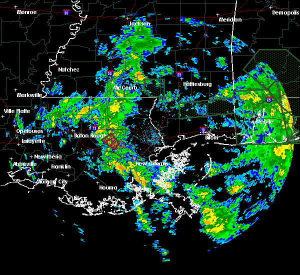 At 1258 pm cdt, a severe thunderstorm capable of producing a tornado was located 11 miles north of laplace, moving northwest at 25 mph (radar indicated rotation). Hazards include tornado. Flying debris will be dangerous to those caught without shelter. mobile homes will be damaged or destroyed. damage to roofs, windows, and vehicles will occur. tree damage is likely. Locations impacted include, killian. At 1258 pm cdt, a severe thunderstorm capable of producing a tornado was located 11 miles north of laplace, moving northwest at 25 mph (radar indicated rotation). Hazards include tornado. Flying debris will be dangerous to those caught without shelter. mobile homes will be damaged or destroyed. damage to roofs, windows, and vehicles will occur. tree damage is likely. Locations impacted include, killian.
|
| 6/21/2017 12:53 PM CDT |
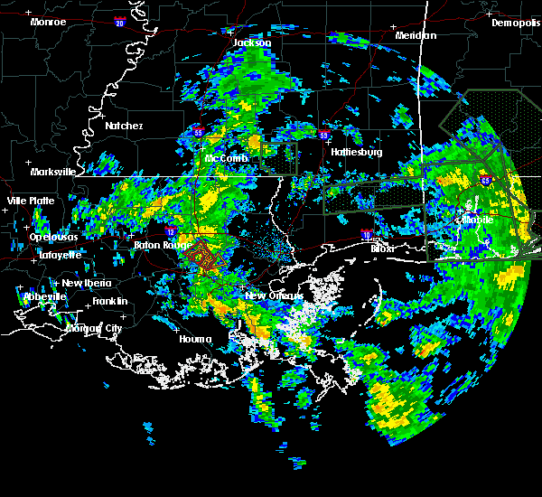 At 1253 pm cdt, a tornado was reported 10 miles northeast of laplace, moving northwest at 25 mph (radar indicated rotation). Hazards include tornado. Flying debris will be dangerous to those caught without shelter. mobile homes will be damaged or destroyed. damage to roofs, windows, and vehicles will occur. tree damage is likely. this tornadic thunderstorm will remain over mainly rural areas of northeastern st. John the baptist, southeastern livingston and south central tangipahoa parishes, including the following locations: killian. At 1253 pm cdt, a tornado was reported 10 miles northeast of laplace, moving northwest at 25 mph (radar indicated rotation). Hazards include tornado. Flying debris will be dangerous to those caught without shelter. mobile homes will be damaged or destroyed. damage to roofs, windows, and vehicles will occur. tree damage is likely. this tornadic thunderstorm will remain over mainly rural areas of northeastern st. John the baptist, southeastern livingston and south central tangipahoa parishes, including the following locations: killian.
|
| 6/18/2017 3:54 PM CDT |
 The severe thunderstorm warning for northwestern ascension, central livingston, east central iberville and south central east baton rouge parishes will expire at 400 pm cdt, the storms which prompted the warning have weakened below severe limits, and no longer pose an immediate threat to life or property. therefore the warning will be allowed to expire. however gusty winds around 40 mph are still possible with these thunderstorms. The severe thunderstorm warning for northwestern ascension, central livingston, east central iberville and south central east baton rouge parishes will expire at 400 pm cdt, the storms which prompted the warning have weakened below severe limits, and no longer pose an immediate threat to life or property. therefore the warning will be allowed to expire. however gusty winds around 40 mph are still possible with these thunderstorms.
|
| 6/18/2017 3:42 PM CDT |
 At 342 pm cdt, severe thunderstorms were located along a line extending from 7 miles northeast of whitehall to near st. gabriel, moving southeast at 25 mph (radar indicated). Hazards include 60 mph wind gusts and nickel size hail. Expect damage to roofs, siding, and trees. locations impacted include, gonzales, oak hills place, st. gabriel, white castle, livingston, french settlement, port vincent, geismer, old jefferson, prairieville, village st. George, gardere, carville, shenandoah and killian. At 342 pm cdt, severe thunderstorms were located along a line extending from 7 miles northeast of whitehall to near st. gabriel, moving southeast at 25 mph (radar indicated). Hazards include 60 mph wind gusts and nickel size hail. Expect damage to roofs, siding, and trees. locations impacted include, gonzales, oak hills place, st. gabriel, white castle, livingston, french settlement, port vincent, geismer, old jefferson, prairieville, village st. George, gardere, carville, shenandoah and killian.
|
| 6/18/2017 3:21 PM CDT |
 At 321 pm cdt, severe thunderstorms were located along a line extending from near walker to westminster, moving southeast at 10 mph (radar indicated). Hazards include 60 mph wind gusts and quarter size hail. Hail damage to vehicles is expected. Expect wind damage to roofs, siding, and trees. At 321 pm cdt, severe thunderstorms were located along a line extending from near walker to westminster, moving southeast at 10 mph (radar indicated). Hazards include 60 mph wind gusts and quarter size hail. Hail damage to vehicles is expected. Expect wind damage to roofs, siding, and trees.
|
| 5/12/2017 4:29 PM CDT |
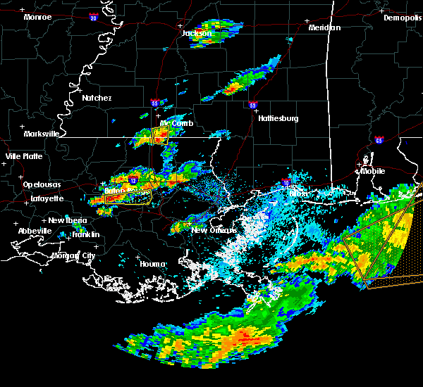 At 429 pm cdt, a severe thunderstorm was located near prairieville, or near gonzales, moving east at 45 mph (radar indicated). Hazards include ping pong ball size hail. People and animals outdoors will be injured. Expect damage to roofs, siding, windows, and vehicles. At 429 pm cdt, a severe thunderstorm was located near prairieville, or near gonzales, moving east at 45 mph (radar indicated). Hazards include ping pong ball size hail. People and animals outdoors will be injured. Expect damage to roofs, siding, windows, and vehicles.
|
| 4/30/2017 8:57 AM CDT |
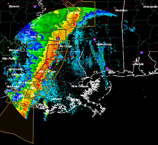 At 857 am cdt, severe thunderstorms were located along a line extending from near summit to montpelier to near stephensville, moving east at 25 mph (radar indicated). Hazards include 60 mph wind gusts. expect damage to roofs, siding, and trees At 857 am cdt, severe thunderstorms were located along a line extending from near summit to montpelier to near stephensville, moving east at 25 mph (radar indicated). Hazards include 60 mph wind gusts. expect damage to roofs, siding, and trees
|
| 4/3/2017 3:13 AM CDT |
 At 312 am cdt, severe thunderstorms were located along a line extending from near tylertown to near french settlement, moving east at 30 mph (radar indicated). Hazards include 60 mph wind gusts. expect damage to roofs, siding, and trees At 312 am cdt, severe thunderstorms were located along a line extending from near tylertown to near french settlement, moving east at 30 mph (radar indicated). Hazards include 60 mph wind gusts. expect damage to roofs, siding, and trees
|
| 4/3/2017 2:43 AM CDT |
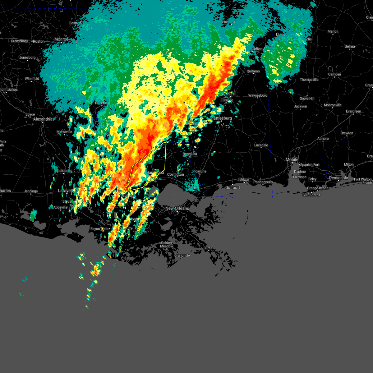 At 243 am cdt, severe thunderstorms were located along a line extending from near montpelier to near livingston to near geismer, moving northeast at 40 mph (radar indicated). Hazards include 60 mph wind gusts. expect damage to roofs, siding, and trees At 243 am cdt, severe thunderstorms were located along a line extending from near montpelier to near livingston to near geismer, moving northeast at 40 mph (radar indicated). Hazards include 60 mph wind gusts. expect damage to roofs, siding, and trees
|
| 4/2/2017 7:35 PM CDT |
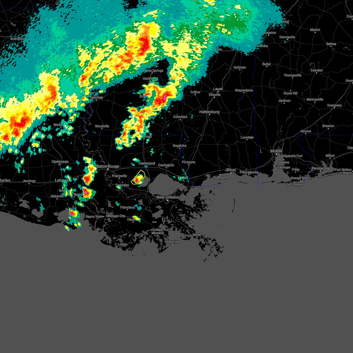 At 734 pm cdt, a severe thunderstorm was located near whitehall, or 13 miles northwest of reserve, moving northeast at 50 mph (radar indicated). Hazards include 60 mph wind gusts and quarter size hail. Hail damage to vehicles is expected. expect wind damage to roofs, siding, and trees. locations impacted include, springfield, whitehall and killian. A tornado watch remains in effect until 200 am cdt for southeastern louisiana. At 734 pm cdt, a severe thunderstorm was located near whitehall, or 13 miles northwest of reserve, moving northeast at 50 mph (radar indicated). Hazards include 60 mph wind gusts and quarter size hail. Hail damage to vehicles is expected. expect wind damage to roofs, siding, and trees. locations impacted include, springfield, whitehall and killian. A tornado watch remains in effect until 200 am cdt for southeastern louisiana.
|
| 4/2/2017 7:27 PM CDT |
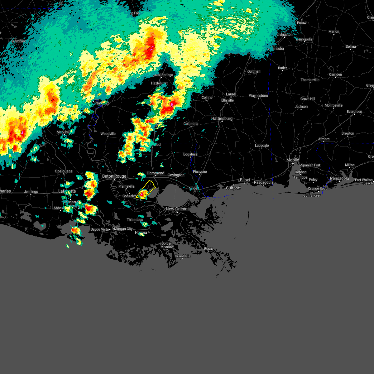 At 727 pm cdt, a severe thunderstorm was located near whitehall, or 12 miles east of gonzales, moving northeast at 40 mph (radar indicated). Hazards include 60 mph wind gusts and quarter size hail. Hail damage to vehicles is expected. Expect wind damage to roofs, siding, and trees. At 727 pm cdt, a severe thunderstorm was located near whitehall, or 12 miles east of gonzales, moving northeast at 40 mph (radar indicated). Hazards include 60 mph wind gusts and quarter size hail. Hail damage to vehicles is expected. Expect wind damage to roofs, siding, and trees.
|
| 3/25/2017 12:15 PM CDT |
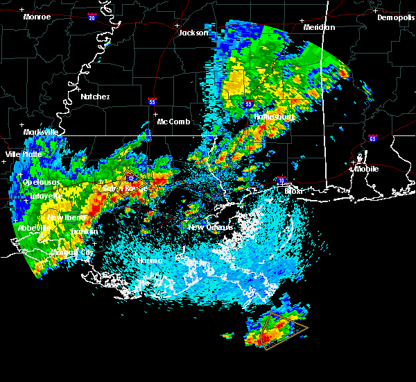 At 1214 pm cdt, a severe thunderstorm was located 10 miles south of springfield, or 14 miles north of laplace, moving northeast at 20 mph (radar indicated). Hazards include 60 mph wind gusts and quarter size hail. Hail damage to vehicles is expected. Expect wind damage to roofs, siding, and trees. At 1214 pm cdt, a severe thunderstorm was located 10 miles south of springfield, or 14 miles north of laplace, moving northeast at 20 mph (radar indicated). Hazards include 60 mph wind gusts and quarter size hail. Hail damage to vehicles is expected. Expect wind damage to roofs, siding, and trees.
|
| 2/7/2017 10:32 AM CST |
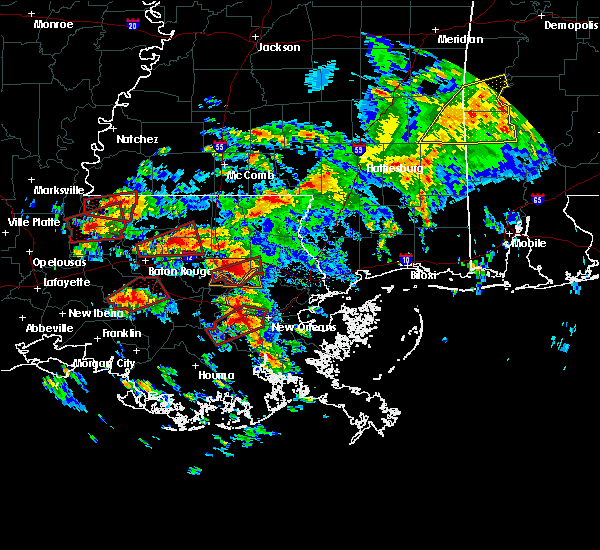 At 1032 am cst, a confirmed large and extremely dangerous tornado was located 8 miles southeast of springfield, or 12 miles south of hammond, moving east at 30 mph. this is a particularly dangerous situation. take cover now! (radar confirmed tornado). Hazards include damaging tornado. You are in a life-threatening situation. flying debris may be deadly to those caught without shelter. mobile homes will be destroyed. Considerable damage to homes, businesses, and vehicles is likely and complete destruction is possible. At 1032 am cst, a confirmed large and extremely dangerous tornado was located 8 miles southeast of springfield, or 12 miles south of hammond, moving east at 30 mph. this is a particularly dangerous situation. take cover now! (radar confirmed tornado). Hazards include damaging tornado. You are in a life-threatening situation. flying debris may be deadly to those caught without shelter. mobile homes will be destroyed. Considerable damage to homes, businesses, and vehicles is likely and complete destruction is possible.
|
| 2/7/2017 10:09 AM CST |
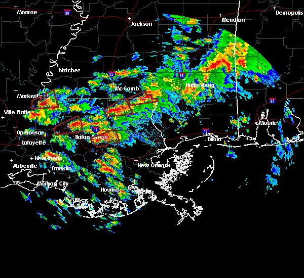 At 1008 am cst, a large and extremely dangerous tornado was radar indicted over whitehall, or 16 miles east of gonzales, moving east at 30 mph. this is a particularly dangerous situation. take cover now! (radar indicated rotation). Hazards include damaging tornado. You are in a life-threatening situation. flying debris may be deadly to those caught without shelter. mobile homes will be destroyed. considerable damage to homes, businesses, and vehicles is likely and complete destruction is possible. Locations impacted include, hammond, ponchatoula, french settlement, port vincent, springfield, whitehall and killian. At 1008 am cst, a large and extremely dangerous tornado was radar indicted over whitehall, or 16 miles east of gonzales, moving east at 30 mph. this is a particularly dangerous situation. take cover now! (radar indicated rotation). Hazards include damaging tornado. You are in a life-threatening situation. flying debris may be deadly to those caught without shelter. mobile homes will be destroyed. considerable damage to homes, businesses, and vehicles is likely and complete destruction is possible. Locations impacted include, hammond, ponchatoula, french settlement, port vincent, springfield, whitehall and killian.
|
| 2/7/2017 9:59 AM CST |
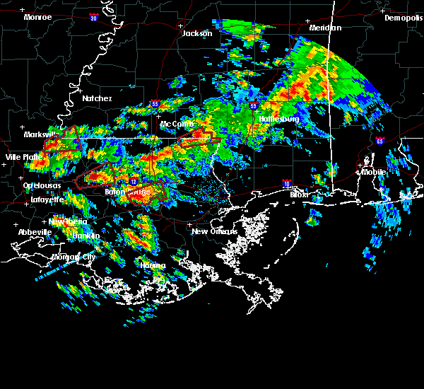 At 959 am cst, a severe thunderstorm capable of producing a tornado was located over whitehall, or 11 miles northeast of gonzales, moving east at 30 mph (radar indicated rotation). Hazards include tornado. Flying debris will be dangerous to those caught without shelter. mobile homes will be damaged or destroyed. damage to roofs, windows, and vehicles will occur. Tree damage is likely. At 959 am cst, a severe thunderstorm capable of producing a tornado was located over whitehall, or 11 miles northeast of gonzales, moving east at 30 mph (radar indicated rotation). Hazards include tornado. Flying debris will be dangerous to those caught without shelter. mobile homes will be damaged or destroyed. damage to roofs, windows, and vehicles will occur. Tree damage is likely.
|
| 2/7/2017 9:46 AM CST |
 At 946 am cst, a severe thunderstorm capable of producing a tornado was located near french settlement, or near gonzales, moving east at 35 mph (radar indicated rotation). Hazards include tornado and quarter size hail. Flying debris will be dangerous to those caught without shelter. mobile homes will be damaged or destroyed. damage to roofs, windows, and vehicles will occur. tree damage is likely. locations impacted include, gonzales, st. Gabriel, sorrento, french settlement, port vincent, prairieville, whitehall and geismer. At 946 am cst, a severe thunderstorm capable of producing a tornado was located near french settlement, or near gonzales, moving east at 35 mph (radar indicated rotation). Hazards include tornado and quarter size hail. Flying debris will be dangerous to those caught without shelter. mobile homes will be damaged or destroyed. damage to roofs, windows, and vehicles will occur. tree damage is likely. locations impacted include, gonzales, st. Gabriel, sorrento, french settlement, port vincent, prairieville, whitehall and geismer.
|
| 2/7/2017 9:26 AM CST |
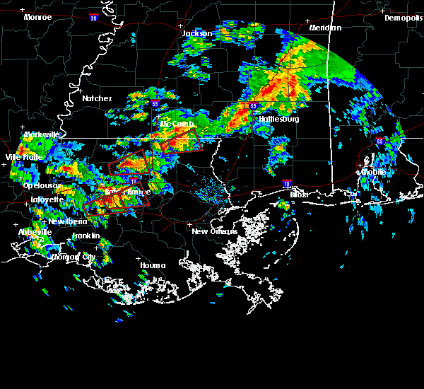 At 926 am cst, a severe thunderstorm capable of producing a tornado was located near geismer, or near gonzales, moving northeast at 40 mph (radar indicated rotation). Hazards include tornado and golf ball size hail. Flying debris will be dangerous to those caught without shelter. mobile homes will be damaged or destroyed. damage to roofs, windows, and vehicles will occur. Tree damage is likely. At 926 am cst, a severe thunderstorm capable of producing a tornado was located near geismer, or near gonzales, moving northeast at 40 mph (radar indicated rotation). Hazards include tornado and golf ball size hail. Flying debris will be dangerous to those caught without shelter. mobile homes will be damaged or destroyed. damage to roofs, windows, and vehicles will occur. Tree damage is likely.
|
| 1/2/2017 2:40 PM CST |
 The severe thunderstorm warning for washington, st. tammany, tangipahoa, livingston, northern st. john the baptist, southeastern st. helena and central ascension parishes, walthall and eastern pike counties will expire at 245 pm cst, the storms which prompted the warning have moved out of the area. therefore the warning will be allowed to expire. a tornado watch remains in effect until 800 pm cst for southeastern louisiana, and southern mississippi. remember, a severe thunderstorm warning still remains in effect for this line of storms to the east of your location. The severe thunderstorm warning for washington, st. tammany, tangipahoa, livingston, northern st. john the baptist, southeastern st. helena and central ascension parishes, walthall and eastern pike counties will expire at 245 pm cst, the storms which prompted the warning have moved out of the area. therefore the warning will be allowed to expire. a tornado watch remains in effect until 800 pm cst for southeastern louisiana, and southern mississippi. remember, a severe thunderstorm warning still remains in effect for this line of storms to the east of your location.
|
| 1/2/2017 2:40 PM CST |
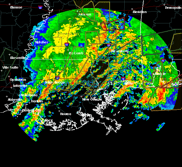 The severe thunderstorm warning for washington, st. tammany, tangipahoa, livingston, northern st. john the baptist, southeastern st. helena and central ascension parishes, walthall and eastern pike counties will expire at 245 pm cst, the storms which prompted the warning have moved out of the area. therefore the warning will be allowed to expire. a tornado watch remains in effect until 800 pm cst for southeastern louisiana, and southern mississippi. remember, a severe thunderstorm warning still remains in effect for this line of storms to the east of your location. The severe thunderstorm warning for washington, st. tammany, tangipahoa, livingston, northern st. john the baptist, southeastern st. helena and central ascension parishes, walthall and eastern pike counties will expire at 245 pm cst, the storms which prompted the warning have moved out of the area. therefore the warning will be allowed to expire. a tornado watch remains in effect until 800 pm cst for southeastern louisiana, and southern mississippi. remember, a severe thunderstorm warning still remains in effect for this line of storms to the east of your location.
|
| 1/2/2017 2:26 PM CST |
 At 226 pm cst, severe thunderstorms were located along a line extending from near improve to 7 miles west of bogalusa to 11 miles north of laplace, moving east at 55 mph (radar indicated). Hazards include 60 mph wind gusts. Expect damage to roofs, siding, and trees. locations impacted include, slidell, hammond, bogalusa, gonzales, covington, franklinton, amite, ponchatoula, amite city, pearl river, abita springs, livingston, independence, tylertown, varnado, sorrento, roseland, french settlement, albany and madisonville. A tornado watch remains in effect until 800 pm cst for southeastern louisiana, and southern mississippi. At 226 pm cst, severe thunderstorms were located along a line extending from near improve to 7 miles west of bogalusa to 11 miles north of laplace, moving east at 55 mph (radar indicated). Hazards include 60 mph wind gusts. Expect damage to roofs, siding, and trees. locations impacted include, slidell, hammond, bogalusa, gonzales, covington, franklinton, amite, ponchatoula, amite city, pearl river, abita springs, livingston, independence, tylertown, varnado, sorrento, roseland, french settlement, albany and madisonville. A tornado watch remains in effect until 800 pm cst for southeastern louisiana, and southern mississippi.
|
| 1/2/2017 1:52 PM CST |
 At 152 pm cst, severe thunderstorms were located along a line extending from jayess to near roseland to gonzales, moving east at 55 mph (radar indicated). Hazards include 60 mph wind gusts. expect damage to roofs, siding, and trees At 152 pm cst, severe thunderstorms were located along a line extending from jayess to near roseland to gonzales, moving east at 55 mph (radar indicated). Hazards include 60 mph wind gusts. expect damage to roofs, siding, and trees
|
| 1/2/2017 1:52 PM CST |
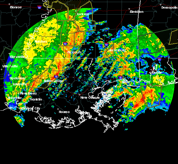 At 152 pm cst, severe thunderstorms were located along a line extending from jayess to near roseland to gonzales, moving east at 55 mph (radar indicated). Hazards include 60 mph wind gusts. expect damage to roofs, siding, and trees At 152 pm cst, severe thunderstorms were located along a line extending from jayess to near roseland to gonzales, moving east at 55 mph (radar indicated). Hazards include 60 mph wind gusts. expect damage to roofs, siding, and trees
|
| 8/4/2016 3:26 PM CDT |
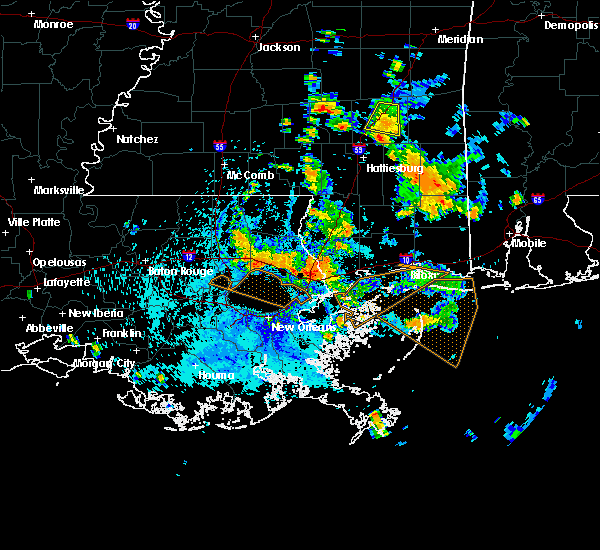 At 325 pm cdt, a severe thunderstorm was located near ponchatoula, or 10 miles southeast of hammond, moving southwest at 15 mph (radar indicated). Hazards include 60 mph wind gusts. Expect damage to roofs. siding. And trees. At 325 pm cdt, a severe thunderstorm was located near ponchatoula, or 10 miles southeast of hammond, moving southwest at 15 mph (radar indicated). Hazards include 60 mph wind gusts. Expect damage to roofs. siding. And trees.
|
| 6/4/2016 3:45 PM CDT |
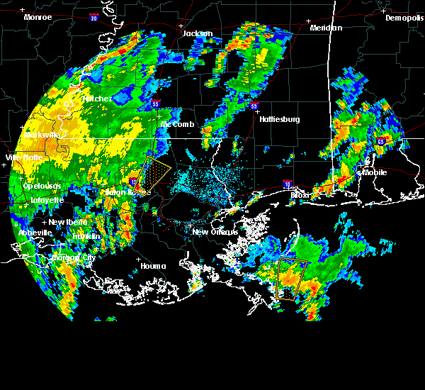 At 345 pm cdt, a severe thunderstorm was located near springfield, or 13 miles southwest of hammond, moving northeast at 25 mph (radar indicated). Hazards include 60 mph wind gusts and penny size hail. Expect damage to roofs. siding. and trees. this severe thunderstorm will be near, springfield around 355 pm cdt. albany around 405 pm cdt. natalbany around 420 pm cdt. amite, amite city and independence around 430 pm cdt. Other locations impacted by this severe thunderstorm include tickfaw and killian. At 345 pm cdt, a severe thunderstorm was located near springfield, or 13 miles southwest of hammond, moving northeast at 25 mph (radar indicated). Hazards include 60 mph wind gusts and penny size hail. Expect damage to roofs. siding. and trees. this severe thunderstorm will be near, springfield around 355 pm cdt. albany around 405 pm cdt. natalbany around 420 pm cdt. amite, amite city and independence around 430 pm cdt. Other locations impacted by this severe thunderstorm include tickfaw and killian.
|
| 6/4/2016 3:40 PM CDT |
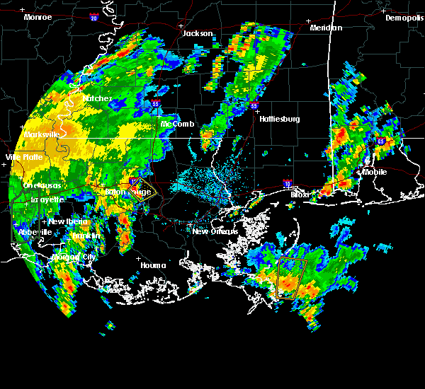 At 337 pm cdt, a severe thunderstorm was located near whitehall, or 15 miles southwest of hammond, moving northeast at 30 mph (radar indicated). Hazards include 60 mph wind gusts and penny size hail. Expect damage to roofs. siding. and trees. this severe storm will be near, springfield around 345 pm cdt. Other locations impacted by this severe thunderstorm include killian. At 337 pm cdt, a severe thunderstorm was located near whitehall, or 15 miles southwest of hammond, moving northeast at 30 mph (radar indicated). Hazards include 60 mph wind gusts and penny size hail. Expect damage to roofs. siding. and trees. this severe storm will be near, springfield around 345 pm cdt. Other locations impacted by this severe thunderstorm include killian.
|
| 6/4/2016 3:22 PM CDT |
 At 321 pm cdt, severe thunderstorms were located along a line extending from port vincent to near whitehall, moving northeast at 25 mph (radar indicated). Hazards include 60 mph wind gusts and penny size hail. Expect damage to roofs. siding. and trees. severe thunderstorms will be near, french settlement and port vincent around 325 pm cdt. whitehall around 335 pm cdt. walker and livingston around 345 pm cdt. Other locations impacted by these severe thunderstorms include killian. At 321 pm cdt, severe thunderstorms were located along a line extending from port vincent to near whitehall, moving northeast at 25 mph (radar indicated). Hazards include 60 mph wind gusts and penny size hail. Expect damage to roofs. siding. and trees. severe thunderstorms will be near, french settlement and port vincent around 325 pm cdt. whitehall around 335 pm cdt. walker and livingston around 345 pm cdt. Other locations impacted by these severe thunderstorms include killian.
|
| 5/19/2016 10:22 PM CDT |
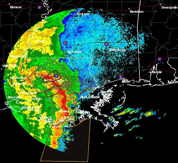 At 1022 pm cdt, severe thunderstorms were located along a line extending from brownfields to near port vincent to near whitehall, moving northeast at 40 mph (radar indicated). Hazards include 70 mph wind gusts and penny size hail. Expect considerable tree damage. Damage is likely to mobile homes, roofs, and outbuildings. At 1022 pm cdt, severe thunderstorms were located along a line extending from brownfields to near port vincent to near whitehall, moving northeast at 40 mph (radar indicated). Hazards include 70 mph wind gusts and penny size hail. Expect considerable tree damage. Damage is likely to mobile homes, roofs, and outbuildings.
|
| 5/1/2016 9:19 AM CDT |
 At 917 am cdt, a severe thunderstorm was located near french settlement, or near gonzales, moving northeast at 20 mph (radar indicated). Hazards include 60 mph wind gusts and quarter size hail. Hail damage to vehicles is expected. expect wind damage to roofs, siding, and trees. locations impacted include, denham springs, gonzales, donaldsonville, st. Gabriel, walker, livingston, sorrento, french settlement, albany, port vincent, springfield, geismer, prairieville, whitehall and killian. At 917 am cdt, a severe thunderstorm was located near french settlement, or near gonzales, moving northeast at 20 mph (radar indicated). Hazards include 60 mph wind gusts and quarter size hail. Hail damage to vehicles is expected. expect wind damage to roofs, siding, and trees. locations impacted include, denham springs, gonzales, donaldsonville, st. Gabriel, walker, livingston, sorrento, french settlement, albany, port vincent, springfield, geismer, prairieville, whitehall and killian.
|
| 5/1/2016 9:02 AM CDT |
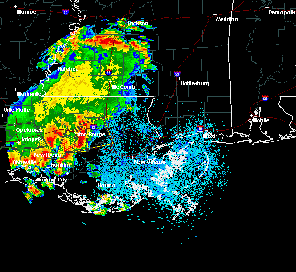 At 900 am cdt, a cluster of severe thunderstorms was located from walker to gonzales, moving east at 20 mph (radar indicated). Hazards include 60 mph wind gusts and quarter size hail. Hail damage to vehicles is expected. Expect wind damage to roofs and trees. At 900 am cdt, a cluster of severe thunderstorms was located from walker to gonzales, moving east at 20 mph (radar indicated). Hazards include 60 mph wind gusts and quarter size hail. Hail damage to vehicles is expected. Expect wind damage to roofs and trees.
|
| 4/30/2016 2:35 PM CDT |
 At 234 pm cdt, severe thunderstorms were located along a line extending from near salem to near whitehall, moving southeast at 50 mph (radar indicated). Hazards include 60 mph wind gusts. Expect damage to roofs. siding. and trees. Locations impacted include, hammond, bogalusa, covington, franklinton, amite, laplace, reserve, ponchatoula, amite city, abita springs, independence, tylertown, varnado, roseland, french settlement, albany, madisonville, folsom, springfield and sun. At 234 pm cdt, severe thunderstorms were located along a line extending from near salem to near whitehall, moving southeast at 50 mph (radar indicated). Hazards include 60 mph wind gusts. Expect damage to roofs. siding. and trees. Locations impacted include, hammond, bogalusa, covington, franklinton, amite, laplace, reserve, ponchatoula, amite city, abita springs, independence, tylertown, varnado, roseland, french settlement, albany, madisonville, folsom, springfield and sun.
|
| 4/30/2016 2:14 PM CDT |
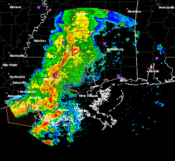 At 213 pm cdt, severe thunderstorms were located along a line extending from near jayess to whitehall, moving southeast at 30 mph (radar indicated). Hazards include 60 mph wind gusts. Expect damage to roofs. siding. And trees. At 213 pm cdt, severe thunderstorms were located along a line extending from near jayess to whitehall, moving southeast at 30 mph (radar indicated). Hazards include 60 mph wind gusts. Expect damage to roofs. siding. And trees.
|
| 3/17/2016 12:43 PM CDT |
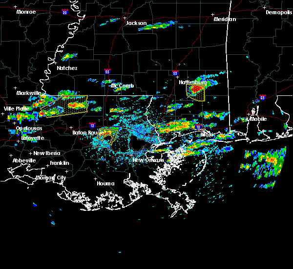 At 1243 pm cdt, a severe thunderstorm was located near springfield, or 13 miles southwest of hammond, moving east at 15 mph (radar indicated). Hazards include 60 mph wind gusts and half dollar size hail. Hail damage to vehicles is expected. Expect wind damage to roofs, siding and trees. At 1243 pm cdt, a severe thunderstorm was located near springfield, or 13 miles southwest of hammond, moving east at 15 mph (radar indicated). Hazards include 60 mph wind gusts and half dollar size hail. Hail damage to vehicles is expected. Expect wind damage to roofs, siding and trees.
|
| 3/11/2016 4:57 AM CST |
 At 456 am cst, severe thunderstorms were located along a line extending from 8 miles north of reserve to near waggaman to near barataria to 8 miles northeast of golden meadow, moving northeast at 50 mph (radar indicated). Hazards include 60 mph wind gusts. Expect damage to roofs. Siding and trees. At 456 am cst, severe thunderstorms were located along a line extending from 8 miles north of reserve to near waggaman to near barataria to 8 miles northeast of golden meadow, moving northeast at 50 mph (radar indicated). Hazards include 60 mph wind gusts. Expect damage to roofs. Siding and trees.
|
| 3/11/2016 4:45 AM CST |
 At 444 am cst, severe thunderstorms were located along a line extending from near sorrento to near destrehan to 10 miles south of lafitte, moving northeast at 60 mph (radar indicated). Hazards include 60 mph wind gusts. Expect damage to roofs. siding and trees. Locations impacted include, new orleans, hammond, hahnville, reserve, galliano, marrero, belle chasse, metairie, chalmette, harvey, cut off, laplace, avondale, timberlane, larose, jefferson, gretna, harahan, westwego and ponchatoula. At 444 am cst, severe thunderstorms were located along a line extending from near sorrento to near destrehan to 10 miles south of lafitte, moving northeast at 60 mph (radar indicated). Hazards include 60 mph wind gusts. Expect damage to roofs. siding and trees. Locations impacted include, new orleans, hammond, hahnville, reserve, galliano, marrero, belle chasse, metairie, chalmette, harvey, cut off, laplace, avondale, timberlane, larose, jefferson, gretna, harahan, westwego and ponchatoula.
|
| 3/11/2016 4:28 AM CST |
 The national weather service in new orleans has issued a * severe thunderstorm warning for. central lafourche parish in southeastern louisiana. st. charles parish in southeastern louisiana. southwestern orleans parish in southeastern louisiana. west central st. Bernard parish in southeastern louisiana. The national weather service in new orleans has issued a * severe thunderstorm warning for. central lafourche parish in southeastern louisiana. st. charles parish in southeastern louisiana. southwestern orleans parish in southeastern louisiana. west central st. Bernard parish in southeastern louisiana.
|
| 2/23/2016 2:57 PM CST | The severe thunderstorm warning for southwestern tangipahoa, southeastern livingston, northern st. james, northwestern st. john the baptist and central ascension parishes will expire at 300 pm cst, the storm which prompted the warning has weakened below severe limits and exited the warned area. therefore the warning will be allowed to expire. a tornado watch remains in effect until 500 pm cst for southeastern louisiana. a tornado watch also remains in effect until 1000 pm cst for southeastern louisiana. to report severe weather, contact your nearest law enforcement agency. they will relay your report to the national weather service new orleans. |
| 2/23/2016 2:35 PM CST |
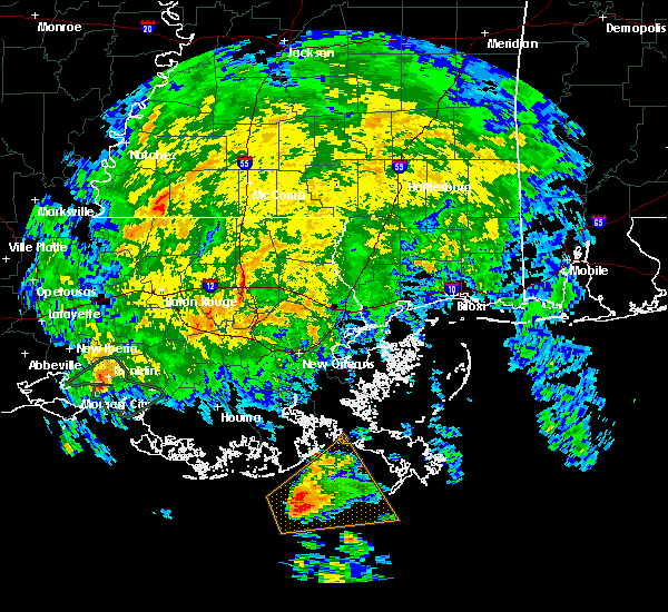 At 235 pm cst, a severe thunderstorm was located over sorrento, or near gonzales, moving northeast at 45 mph (radar indicated). Hazards include 60 mph wind gusts. Expect damage to roofs. Siding and trees. At 235 pm cst, a severe thunderstorm was located over sorrento, or near gonzales, moving northeast at 45 mph (radar indicated). Hazards include 60 mph wind gusts. Expect damage to roofs. Siding and trees.
|
| 12/28/2015 3:03 AM CST |
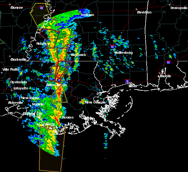 At 303 am cst, a severe thunderstorm was located near livingston, or 13 miles west of hammond, moving northeast at 55 mph (radar indicated). Hazards include 60 mph wind gusts. Expect damage to roofs. Siding and trees. At 303 am cst, a severe thunderstorm was located near livingston, or 13 miles west of hammond, moving northeast at 55 mph (radar indicated). Hazards include 60 mph wind gusts. Expect damage to roofs. Siding and trees.
|
| 7/30/2015 4:01 PM CDT |
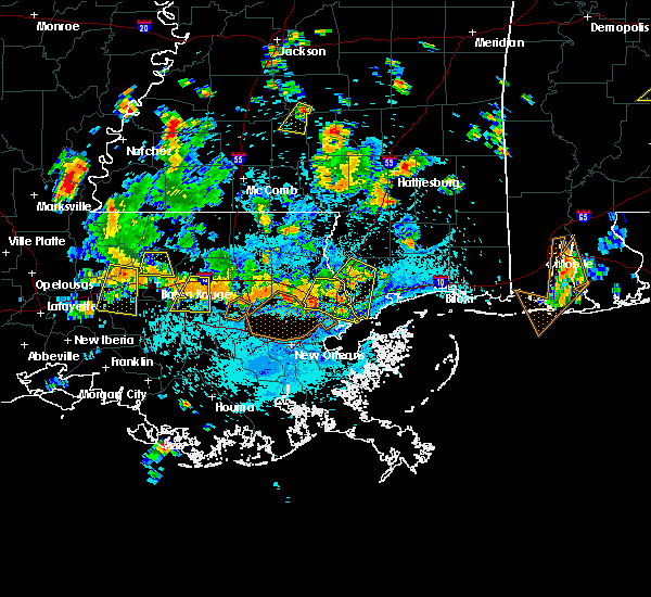 At 400 pm cdt, doppler radar indicated a severe thunderstorm capable of producing damaging winds in excess of 60 mph. this storm was located over whitehall, or 15 miles east of gonzales, and moving south at 35 mph. At 400 pm cdt, doppler radar indicated a severe thunderstorm capable of producing damaging winds in excess of 60 mph. this storm was located over whitehall, or 15 miles east of gonzales, and moving south at 35 mph.
|
| 6/27/2015 5:09 PM CDT |
 At 509 pm cdt, trained weather spotters reported a severe thunderstorm producing damaging winds in excess of 60 mph. this storm was located over livingston, or 11 miles east of denham springs, and moving east at 30 mph. At 509 pm cdt, trained weather spotters reported a severe thunderstorm producing damaging winds in excess of 60 mph. this storm was located over livingston, or 11 miles east of denham springs, and moving east at 30 mph.
|
| 4/27/2015 6:02 PM CDT | At 602 pm cdt, doppler radar indicated a line of severe thunderstorms capable of producing quarter size hail and damaging winds in excess of 60 mph. these storms were located along a line extending from zachary to near st. gabriel, and moving east at 45 mph. |
| 4/27/2015 9:53 AM CDT | At 953 am cdt, doppler radar indicated a severe thunderstorm capable of producing a tornado. this dangerous storm was located near springfield, or 13 miles southwest of hammond, and moving east at 60 mph. |
| 4/27/2015 9:49 AM CDT | At 948 am cdt, doppler radar indicated a line of severe thunderstorms capable of producing quarter size hail and destructive winds in excess of 70 mph. these storms were located along a line extending from 7 miles northeast of felps to near edgard, moving east at 60 mph. locations impacted include, baton rouge, hammond, zachary, baker, denham springs, gonzales, oak hills place, amite, st. gabriel, ponchatoula, walker, amite city, livingston, independence, roseland, french settlement, albany, slaughter, port vincent and springfield. a tornado watch remains in effect until 100 pm cdt for southeastern louisiana. |
| 4/27/2015 9:48 AM CDT | At 947 am cdt, doppler radar indicated a line of severe thunderstorms capable of producing quarter size hail and destructive winds in excess of 70 mph. these storms were located along a line extending from near montpelier to near whitehall, and moving east at 50 mph. |
| 4/27/2015 9:40 AM CDT | At 939 am cdt, doppler radar indicated a line of severe thunderstorms capable of producing quarter size hail and destructive winds in excess of 70 mph. these storms were located along a line extending from near felps to north vacherie. these storms were nearly stationary. locations impacted include, baton rouge, hammond, zachary, baker, denham springs, gonzales, plaquemine, port allen, jackson, clinton, greensburg, oak hills place, amite, st. gabriel, ponchatoula, walker, amite city, addis, brusly and kentwood. a tornado watch remains in effect until 100 pm cdt for southeastern louisiana. |
| 4/27/2015 9:17 AM CDT | The national weather service in new orleans has issued a * severe thunderstorm warning for. east central iberville parish in southeastern louisiana. northwestern washington parish in southeastern louisiana. tangipahoa parish in southeastern louisiana. East baton rouge parish in southeastern louisiana. |
| 4/27/2015 9:17 AM CDT | The national weather service in new orleans has issued a * severe thunderstorm warning for. east central iberville parish in southeastern louisiana. northwestern washington parish in southeastern louisiana. tangipahoa parish in southeastern louisiana. East baton rouge parish in southeastern louisiana. |
| 4/27/2015 9:17 AM CDT | At 917 am cdt, doppler radar indicated a line of severe thunderstorms capable of producing quarter size hail and destructive winds in excess of 70 mph. these storms were located along a line extending from near felps to north vacherie, and moving east at 60 mph. |
| 4/27/2015 9:17 AM CDT | At 917 am cdt, doppler radar indicated a line of severe thunderstorms capable of producing quarter size hail and destructive winds in excess of 70 mph. these storms were located along a line extending from near felps to north vacherie, and moving east at 60 mph. |
| 4/25/2015 1:09 PM CDT | At 108 pm cdt, doppler radar indicated a line of severe thunderstorms capable of producing destructive winds in excess of 70 mph. these storms were located along a line extending from near whitehall to 6 miles north of laplace to taft to 8 miles southeast of south vacherie, moving east at 65 mph. locations impacted include, hammond, hahnville, reserve, laplace, ponchatoula, french settlement, port vincent, springfield, taft, edgard, whitehall, wallace, montz, norco, killona, garyville, new sarpy, north vacherie, south vacherie and killian. |
| 4/25/2015 12:48 PM CDT | At 1247 pm cdt, doppler radar indicated a line of severe thunderstorms capable of producing damaging winds in excess of 60 mph. these storms were located along a line extending from gonzales to near convent to near chackbay to 6 miles southeast of bayou geneve, and moving east at 55 mph. |
| 4/25/2015 12:12 PM CDT | At 1212 pm cdt, doppler radar indicated a severe thunderstorm capable of producing quarter size hail and damaging winds in excess of 60 mph. this storm was located 8 miles southeast of springfield, or 13 miles south of hammond, and moving east at 55 mph. |
| 1/1/0001 12:00 AM | Entergy reported a power line down below warsaw landing with 111 customers without powe in livingston county LA, 1.4 miles NNE of Killian, LA |
Hail Maps for Killian, LA


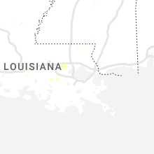
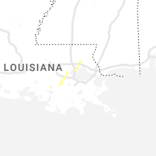
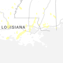


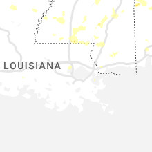

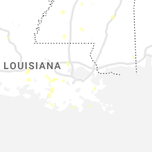
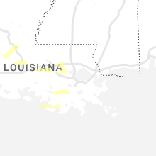
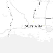
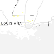


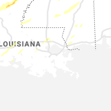
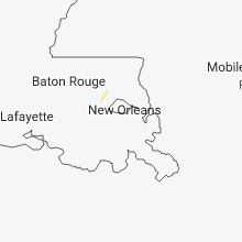
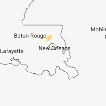


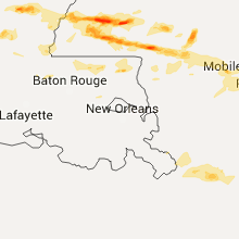
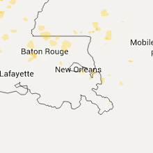


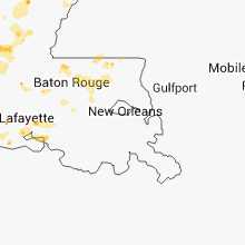
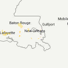
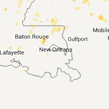


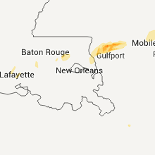
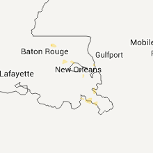

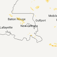

Connect with Interactive Hail Maps