

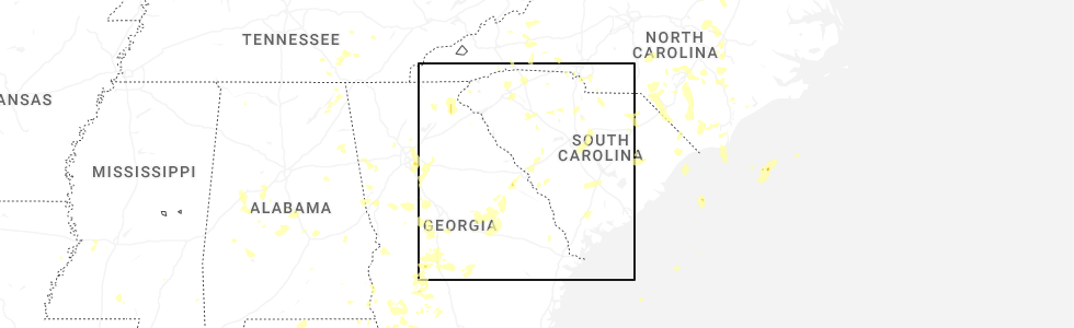
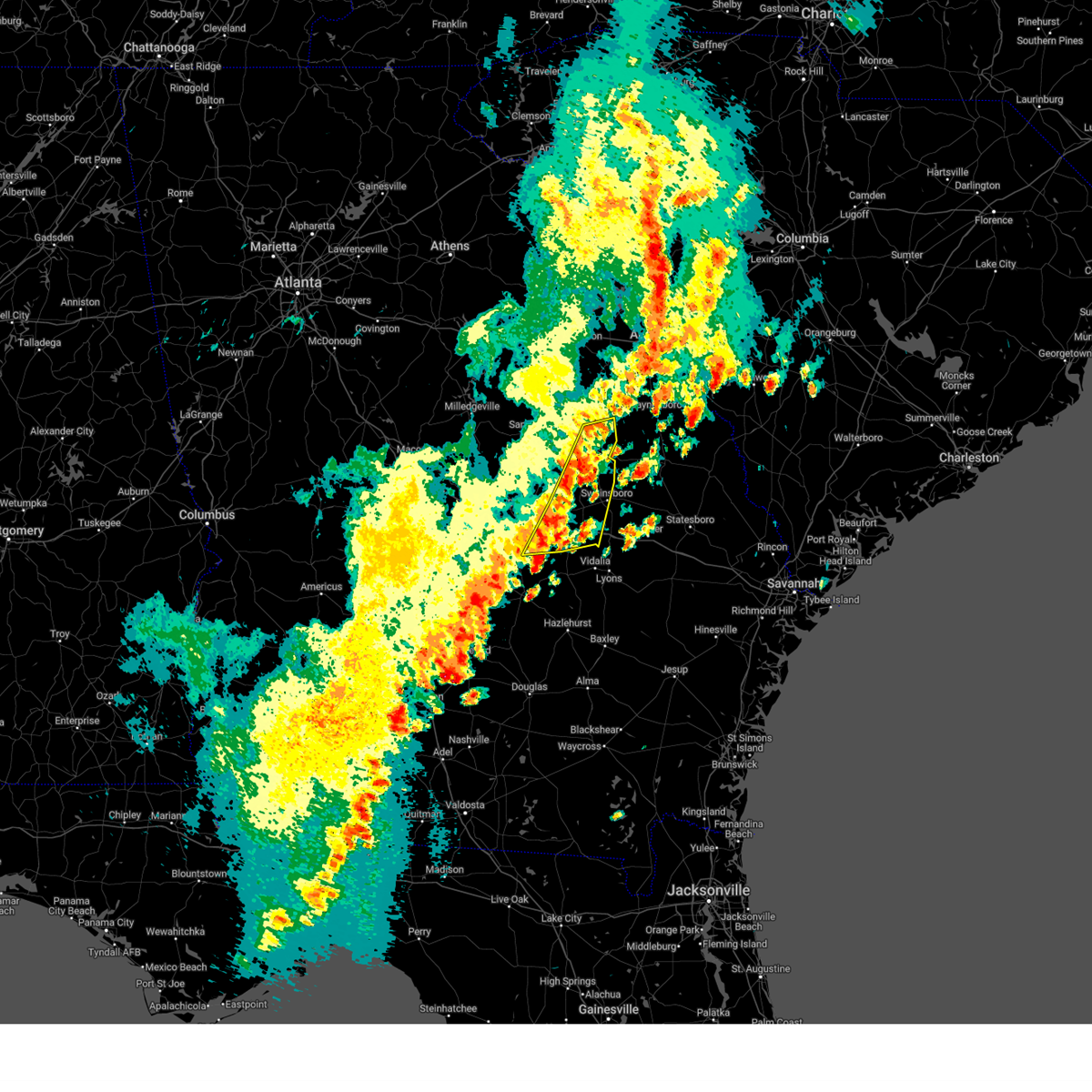
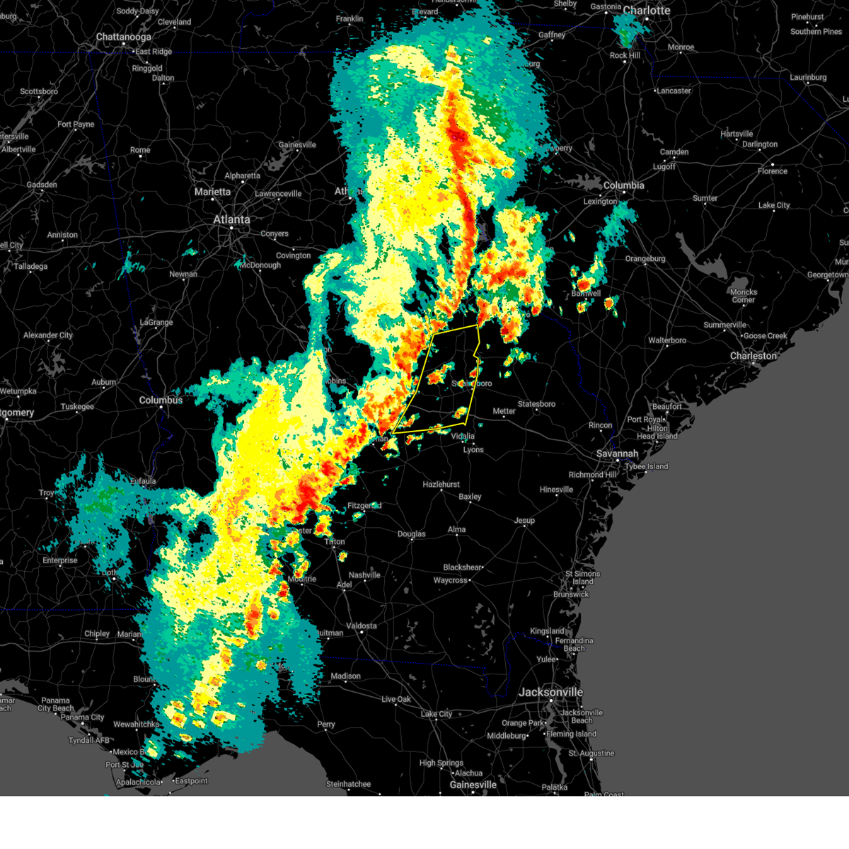
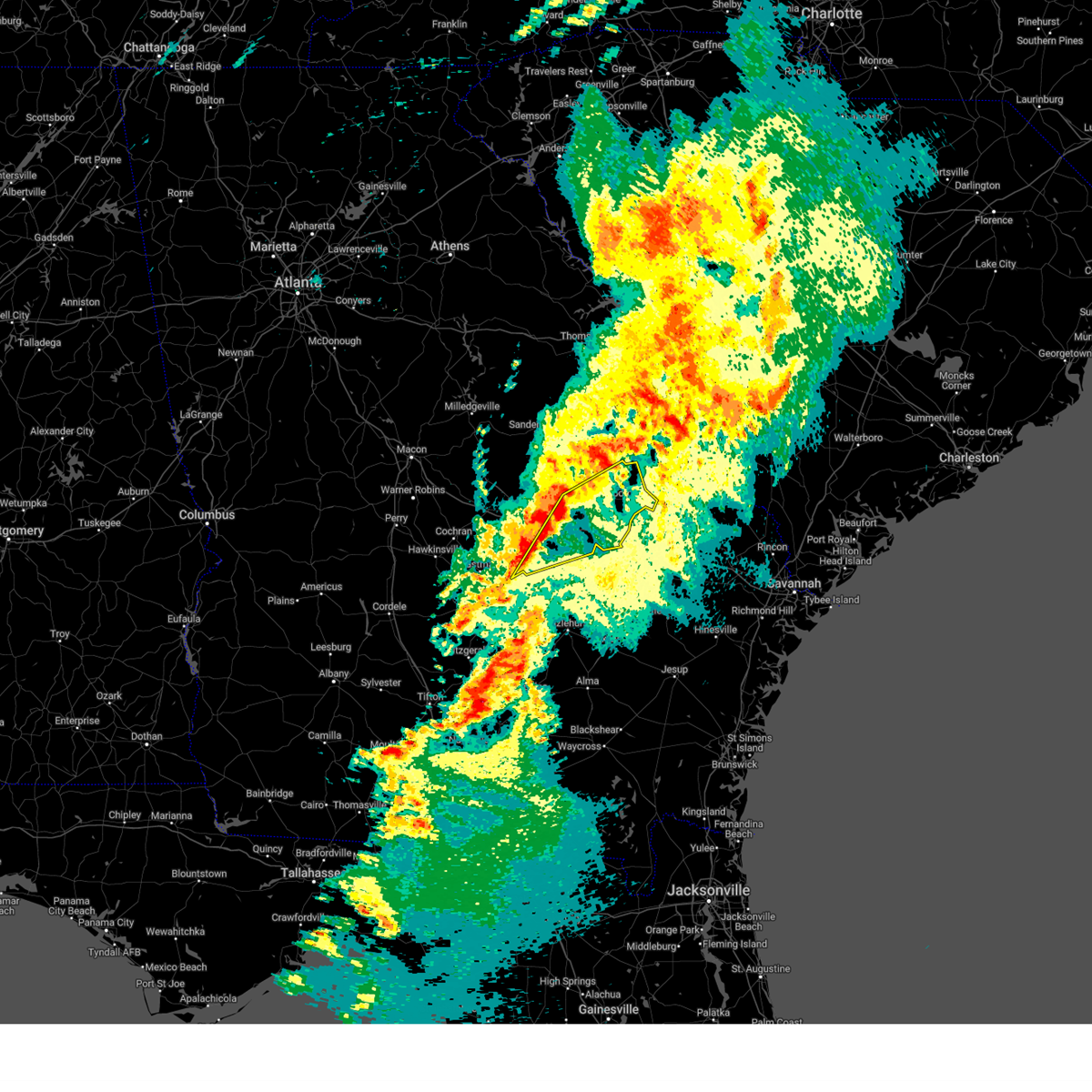
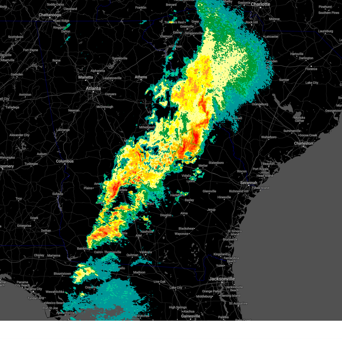
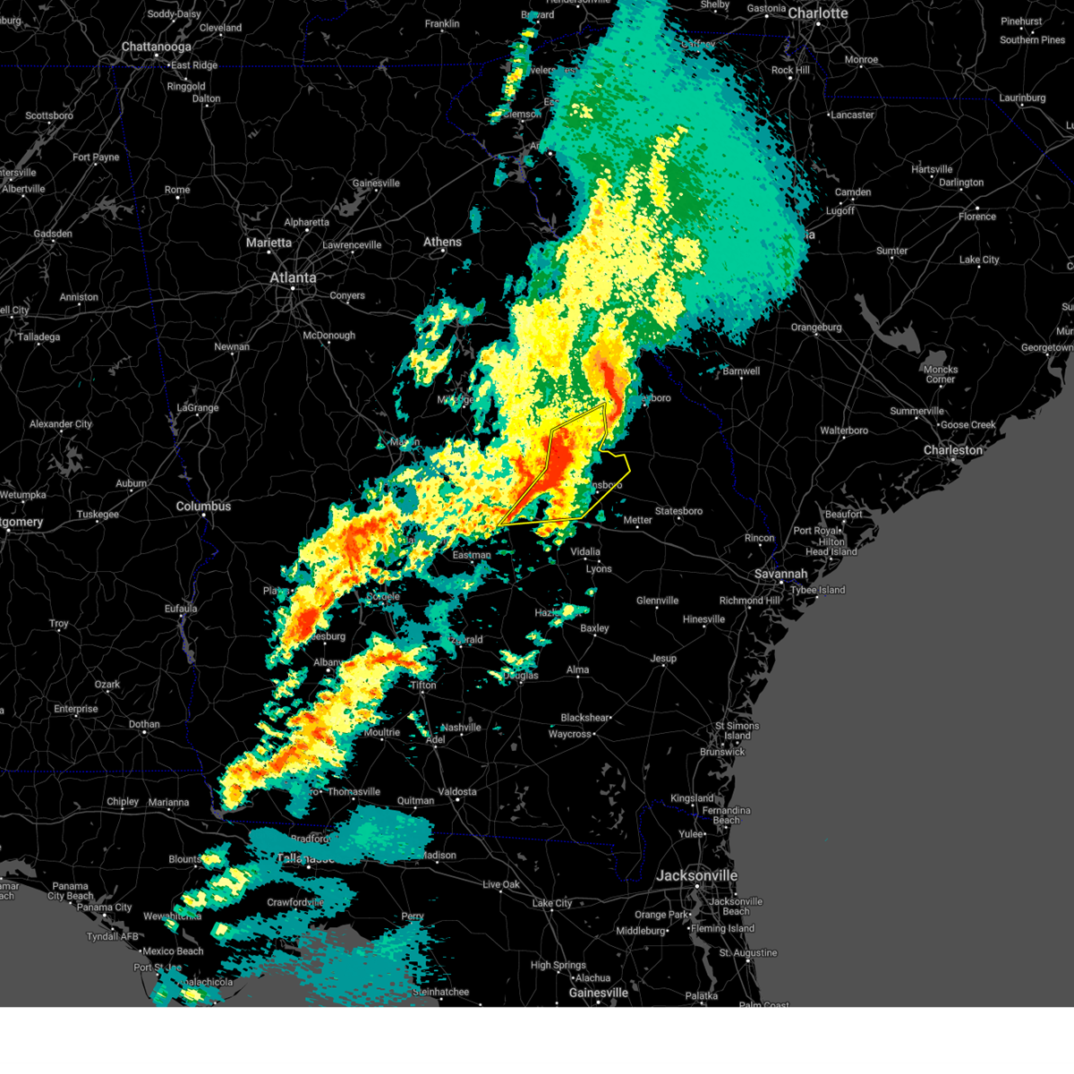
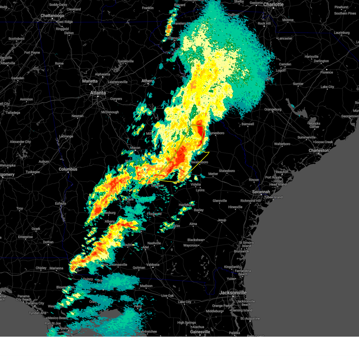
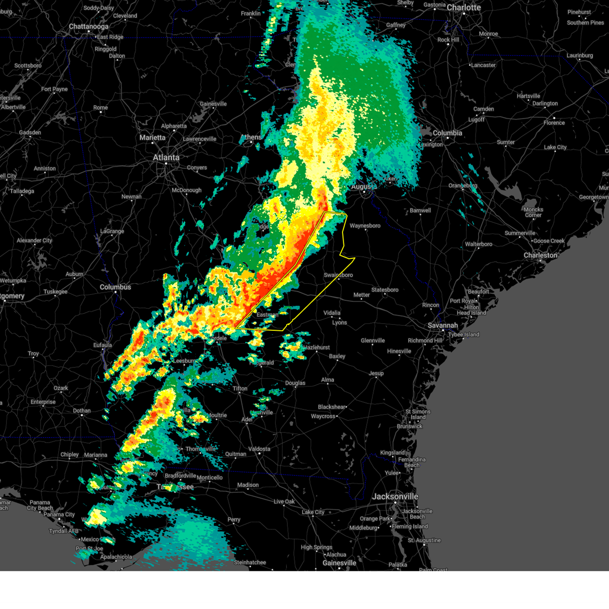
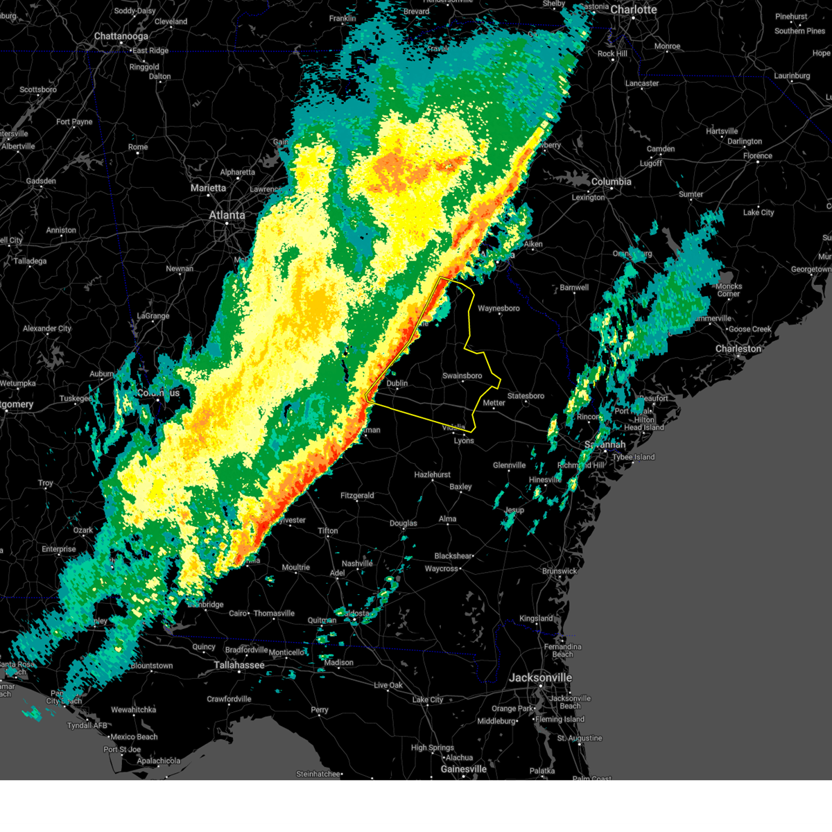
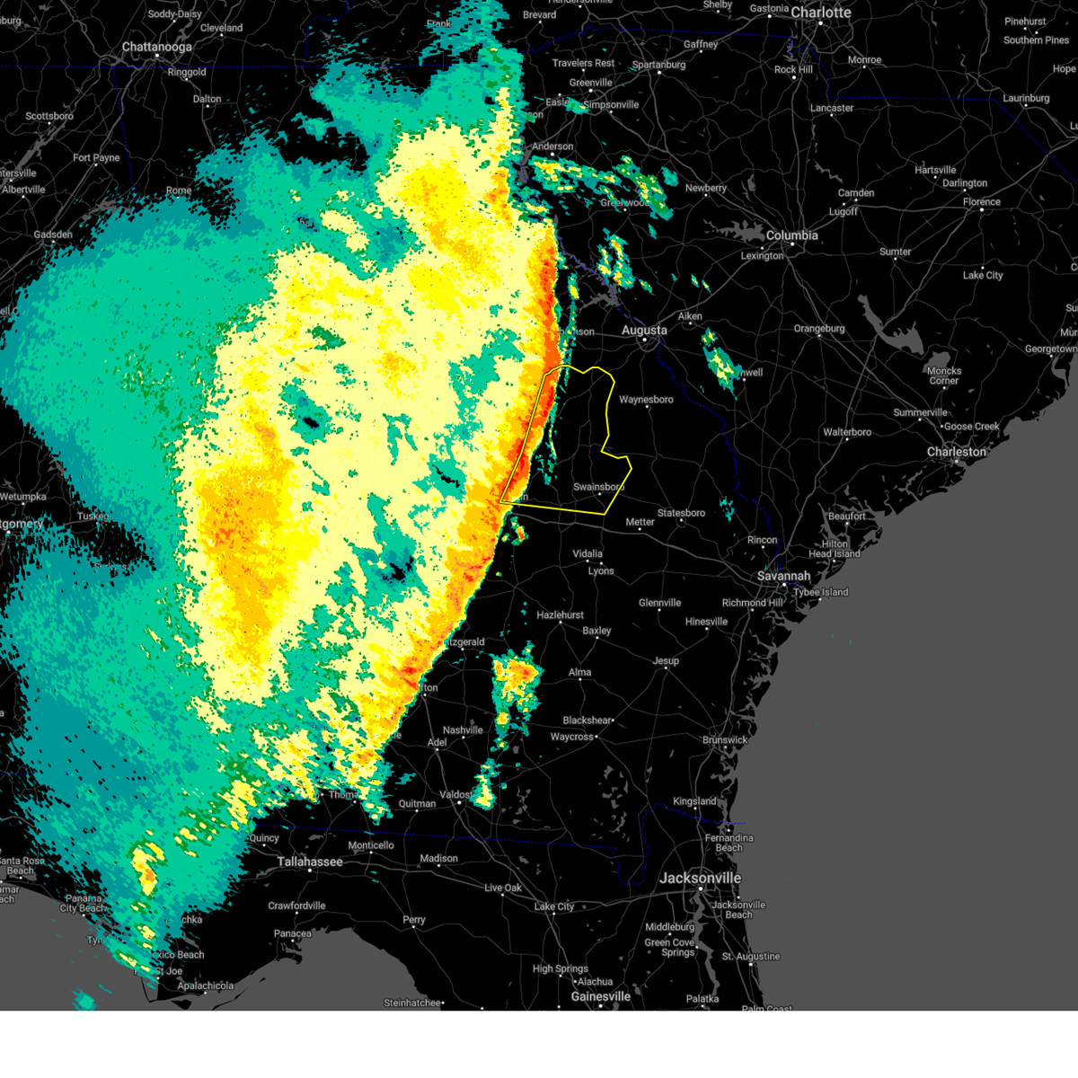
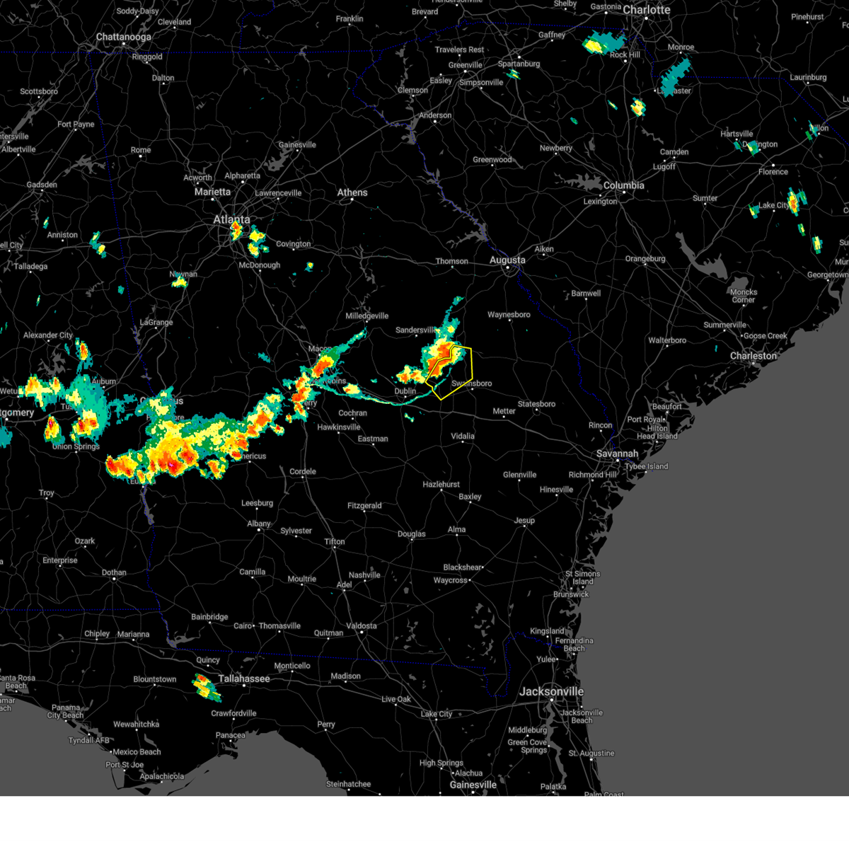
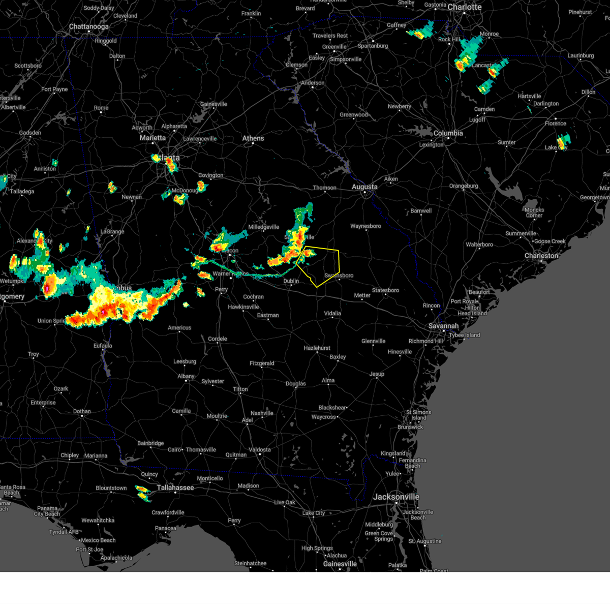
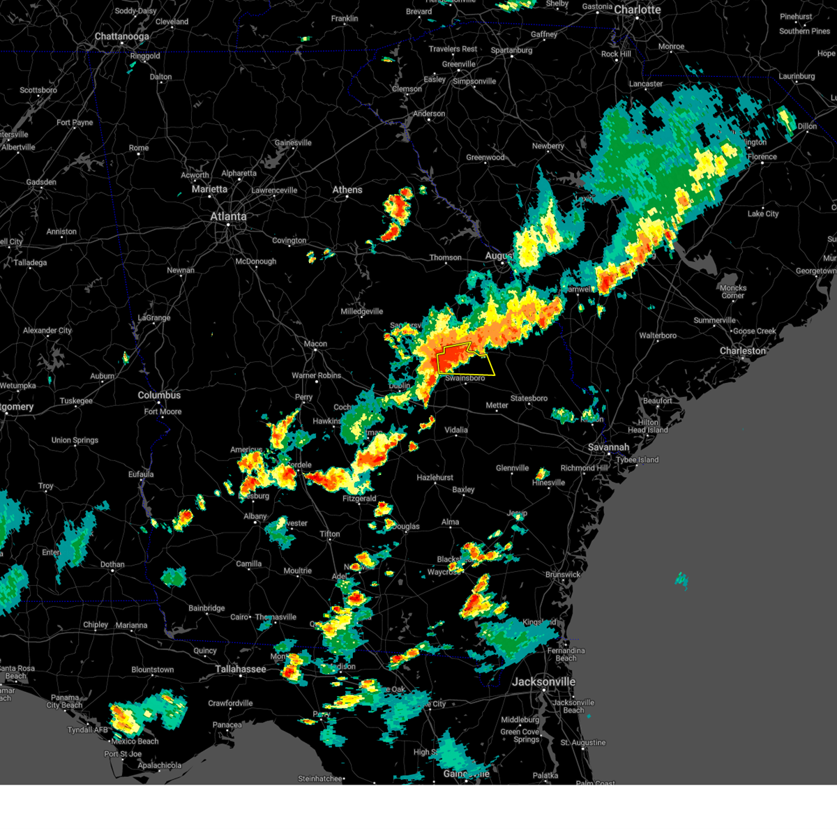
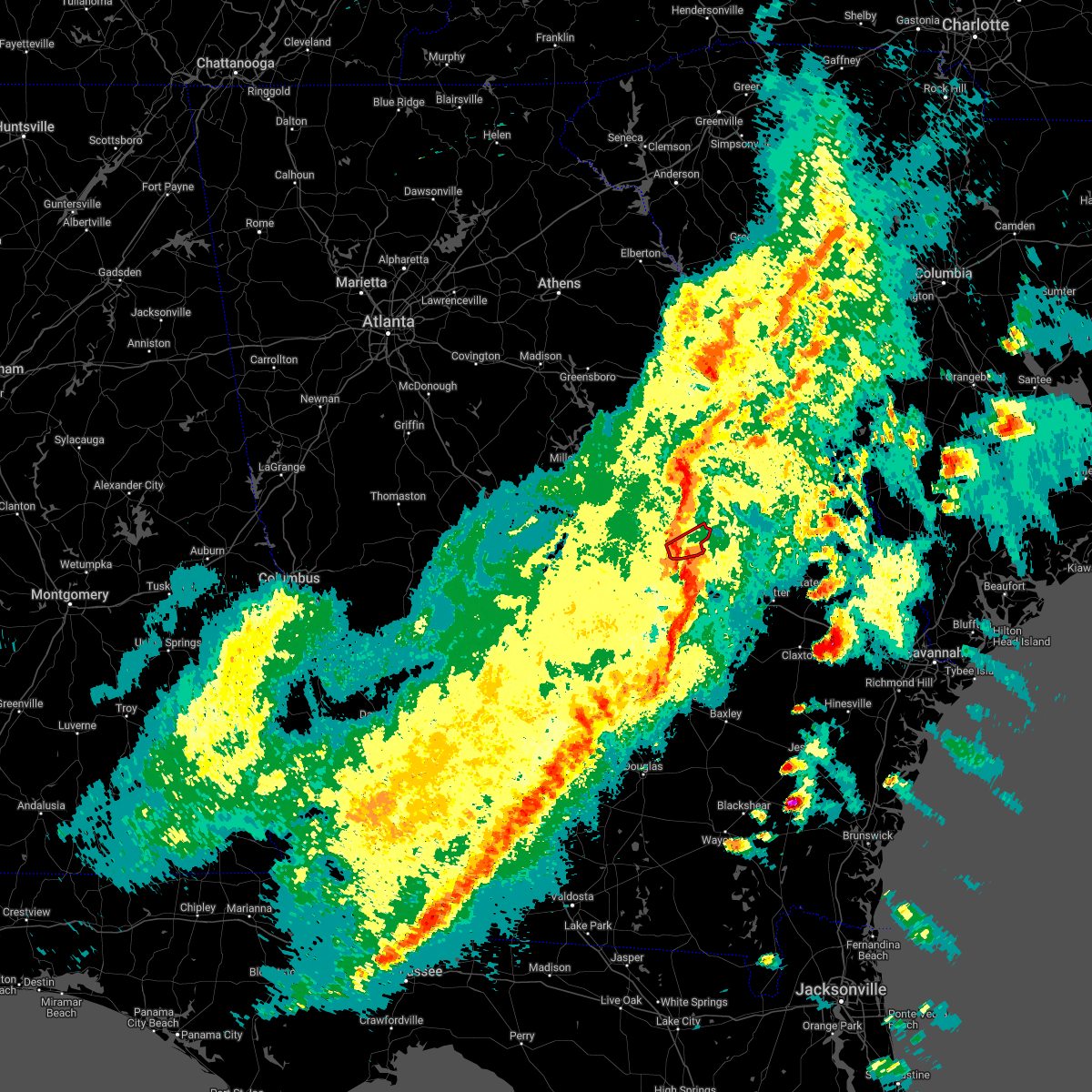
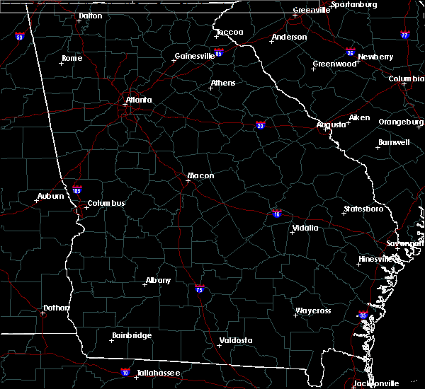
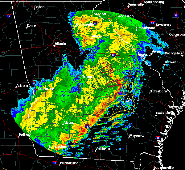
Hail Map for Kite, GA
The Kite, GA area has had 2 reports of on-the-ground hail by trained spotters, and has been under severe weather warnings 20 times during the past 12 months. Doppler radar has detected hail at or near Kite, GA on 37 occasions, including 3 occasions during the past year.
| Name: | Kite, GA |
| Where Located: | 62.4 miles SSW of Augusta, GA |
| Map: | Google Map for Kite, GA |
| Population: | 241 |
| Housing Units: | 143 |
| More Info: | Search Google for Kite, GA |
2
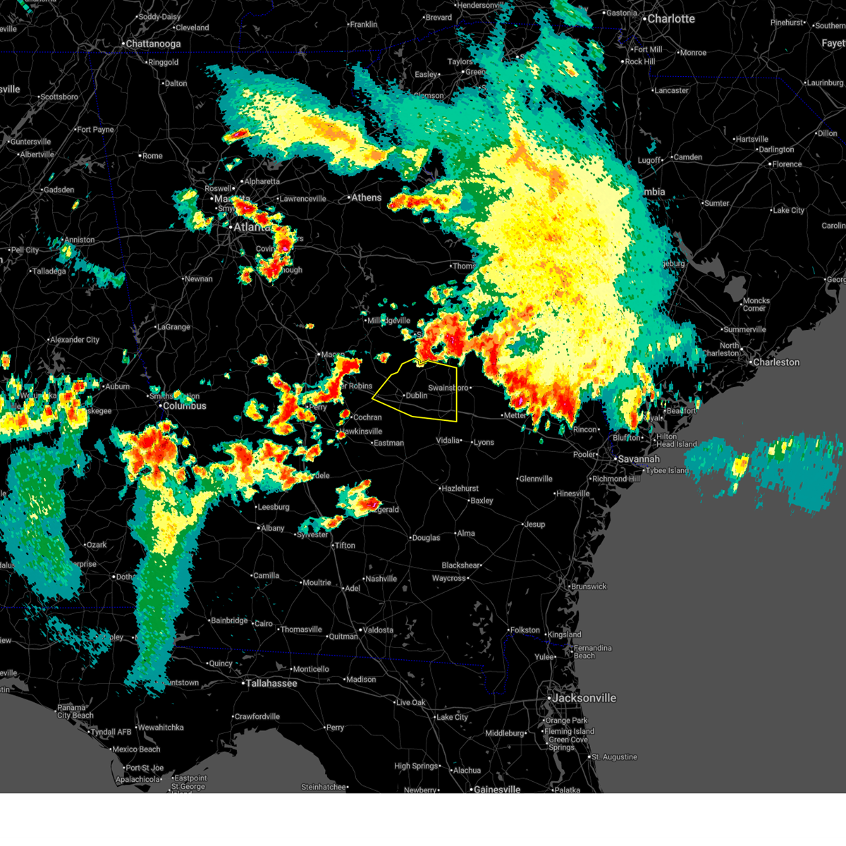
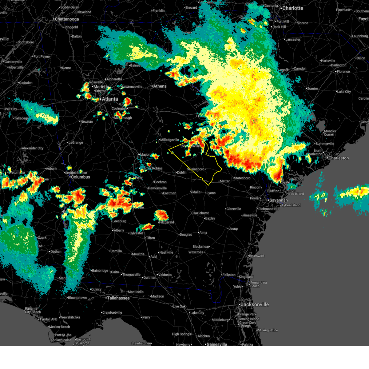
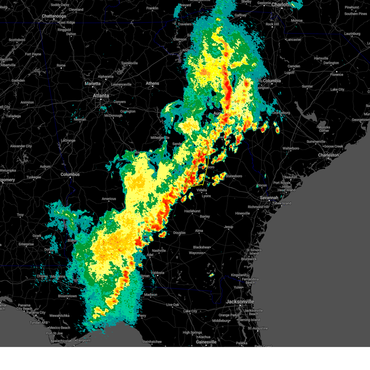
The Top Recent Hail Date for Kite, GA is Wednesday, June 25, 2025 (7th out of 37)
Hail and Wind Damage Spotted near Kite, GA
| Date / Time | Report Details |
|---|---|
| 6/25/2025 11:56 PM EDT |
 Svrffc the national weather service in peachtree city has issued a * severe thunderstorm warning for, northern laurens county in central georgia, northwestern emanuel county in east central georgia, treutlen county in east central georgia, johnson county in east central georgia, * until 1245 am edt. * at 1156 pm edt, severe thunderstorms were located along a line extending from near tuckers crossroad to near new home to near blundale, moving southwest at 20 mph (radar indicated). Hazards include 60 mph wind gusts and quarter size hail. Hail damage to vehicles is expected. Expect wind damage to roofs, siding, and trees. Svrffc the national weather service in peachtree city has issued a * severe thunderstorm warning for, northern laurens county in central georgia, northwestern emanuel county in east central georgia, treutlen county in east central georgia, johnson county in east central georgia, * until 1245 am edt. * at 1156 pm edt, severe thunderstorms were located along a line extending from near tuckers crossroad to near new home to near blundale, moving southwest at 20 mph (radar indicated). Hazards include 60 mph wind gusts and quarter size hail. Hail damage to vehicles is expected. Expect wind damage to roofs, siding, and trees.
|
| 6/25/2025 11:30 PM EDT |
 Svrffc the national weather service in peachtree city has issued a * severe thunderstorm warning for, emanuel county in east central georgia, southern washington county in east central georgia, johnson county in east central georgia, southern jefferson county in east central georgia, * until 1230 am edt. * at 1130 pm edt, severe thunderstorms were located along a line extending from near louisville to near magruder to four points, moving southwest at 25 mph (radar indicated). Hazards include 60 mph wind gusts and quarter size hail. Hail damage to vehicles is expected. Expect wind damage to roofs, siding, and trees. Svrffc the national weather service in peachtree city has issued a * severe thunderstorm warning for, emanuel county in east central georgia, southern washington county in east central georgia, johnson county in east central georgia, southern jefferson county in east central georgia, * until 1230 am edt. * at 1130 pm edt, severe thunderstorms were located along a line extending from near louisville to near magruder to four points, moving southwest at 25 mph (radar indicated). Hazards include 60 mph wind gusts and quarter size hail. Hail damage to vehicles is expected. Expect wind damage to roofs, siding, and trees.
|
| 3/31/2025 4:02 PM EDT |
 the severe thunderstorm warning has been cancelled and is no longer in effect the severe thunderstorm warning has been cancelled and is no longer in effect
|
| 3/31/2025 4:02 PM EDT |
 At 402 pm edt, severe thunderstorms were located along a line extending from vidette to dellwood to soperton, moving east at 40 mph (radar indicated). Hazards include 60 mph wind gusts. Expect damage to roofs, siding, and trees. Locations impacted include, lothair, covena, adrian, modoc, orland, soperton, blundale, swainsboro, orianna, kite, norristown, barnhill, norristown junction, dellwood, meeks, blackville, wadley, zaidee, gillis springs, and nunez. At 402 pm edt, severe thunderstorms were located along a line extending from vidette to dellwood to soperton, moving east at 40 mph (radar indicated). Hazards include 60 mph wind gusts. Expect damage to roofs, siding, and trees. Locations impacted include, lothair, covena, adrian, modoc, orland, soperton, blundale, swainsboro, orianna, kite, norristown, barnhill, norristown junction, dellwood, meeks, blackville, wadley, zaidee, gillis springs, and nunez.
|
| 3/31/2025 3:51 PM EDT |
 At 350 pm edt, severe thunderstorms were located along a line extending from louisville to near kite to near barnhill, moving east at 40 mph (radar indicated). Hazards include 60 mph wind gusts. Expect damage to roofs, siding, and trees. Locations impacted include, lothair, covena, adrian, modoc, louisville, rockledge, kite, norristown, barnhill, minter, moxley, dellwood, wadley, zaidee, gillis springs, bartow, orland, soperton, blundale, and swainsboro. At 350 pm edt, severe thunderstorms were located along a line extending from louisville to near kite to near barnhill, moving east at 40 mph (radar indicated). Hazards include 60 mph wind gusts. Expect damage to roofs, siding, and trees. Locations impacted include, lothair, covena, adrian, modoc, louisville, rockledge, kite, norristown, barnhill, minter, moxley, dellwood, wadley, zaidee, gillis springs, bartow, orland, soperton, blundale, and swainsboro.
|
| 3/31/2025 3:26 PM EDT |
 Svrffc the national weather service in peachtree city has issued a * severe thunderstorm warning for, northeastern laurens county in central georgia, western emanuel county in east central georgia, treutlen county in east central georgia, southeastern washington county in east central georgia, johnson county in east central georgia, southeastern jefferson county in east central georgia, * until 415 pm edt. * at 326 pm edt, severe thunderstorms were located along a line extending from near davisboro to lovett to near cadwell, moving east at 40 mph (radar indicated). Hazards include 60 mph wind gusts. expect damage to roofs, siding, and trees Svrffc the national weather service in peachtree city has issued a * severe thunderstorm warning for, northeastern laurens county in central georgia, western emanuel county in east central georgia, treutlen county in east central georgia, southeastern washington county in east central georgia, johnson county in east central georgia, southeastern jefferson county in east central georgia, * until 415 pm edt. * at 326 pm edt, severe thunderstorms were located along a line extending from near davisboro to lovett to near cadwell, moving east at 40 mph (radar indicated). Hazards include 60 mph wind gusts. expect damage to roofs, siding, and trees
|
| 3/16/2025 7:47 AM EDT |
 Svrffc the national weather service in peachtree city has issued a * severe thunderstorm warning for, southeastern laurens county in central georgia, emanuel county in east central georgia, treutlen county in east central georgia, southeastern johnson county in east central georgia, northwestern wheeler county in central georgia, northern montgomery county in central georgia, * until 830 am edt. * at 746 am edt, severe thunderstorms were located along a line extending from near meeks to near cedar grove, moving northeast at 45 mph (radar indicated). Hazards include 60 mph wind gusts. expect damage to roofs, siding, and trees Svrffc the national weather service in peachtree city has issued a * severe thunderstorm warning for, southeastern laurens county in central georgia, emanuel county in east central georgia, treutlen county in east central georgia, southeastern johnson county in east central georgia, northwestern wheeler county in central georgia, northern montgomery county in central georgia, * until 830 am edt. * at 746 am edt, severe thunderstorms were located along a line extending from near meeks to near cedar grove, moving northeast at 45 mph (radar indicated). Hazards include 60 mph wind gusts. expect damage to roofs, siding, and trees
|
| 3/16/2025 6:18 AM EDT |
 At 617 am edt, severe thunderstorms were located along a line extending from waynesboro to near herndon to near adrian, moving northeast at 60 mph (radar indicated). Hazards include 60 mph wind gusts. Expect damage to roofs, siding, and trees. Locations impacted include, bartow, modoc, canoochee, louisville, blundale, swainsboro, kite, three points, moxley, norristown junction, dellwood, summertown, meeks, colemans lake, and wadley. At 617 am edt, severe thunderstorms were located along a line extending from waynesboro to near herndon to near adrian, moving northeast at 60 mph (radar indicated). Hazards include 60 mph wind gusts. Expect damage to roofs, siding, and trees. Locations impacted include, bartow, modoc, canoochee, louisville, blundale, swainsboro, kite, three points, moxley, norristown junction, dellwood, summertown, meeks, colemans lake, and wadley.
|
| 3/16/2025 6:18 AM EDT |
 the severe thunderstorm warning has been cancelled and is no longer in effect the severe thunderstorm warning has been cancelled and is no longer in effect
|
| 3/16/2025 5:57 AM EDT |
 The storms which prompted the warning have moved out of the area. therefore, the warning will be allowed to expire. a tornado watch remains in effect until 1000 am edt for central and east central georgia. remember, a severe thunderstorm warning still remains in effect for laurens, emanuel, johnson, east washington, and south jefferson counties. The storms which prompted the warning have moved out of the area. therefore, the warning will be allowed to expire. a tornado watch remains in effect until 1000 am edt for central and east central georgia. remember, a severe thunderstorm warning still remains in effect for laurens, emanuel, johnson, east washington, and south jefferson counties.
|
| 3/16/2025 5:55 AM EDT |
 Svrffc the national weather service in peachtree city has issued a * severe thunderstorm warning for, northeastern laurens county in central georgia, northern emanuel county in east central georgia, northern treutlen county in east central georgia, southeastern washington county in east central georgia, johnson county in east central georgia, southeastern jefferson county in east central georgia, * until 645 am edt. * at 555 am edt, severe thunderstorms were located along a line extending from near moxley to near kite to near rentz, moving northeast at 60 mph (radar indicated). Hazards include 60 mph wind gusts. expect damage to roofs, siding, and trees Svrffc the national weather service in peachtree city has issued a * severe thunderstorm warning for, northeastern laurens county in central georgia, northern emanuel county in east central georgia, northern treutlen county in east central georgia, southeastern washington county in east central georgia, johnson county in east central georgia, southeastern jefferson county in east central georgia, * until 645 am edt. * at 555 am edt, severe thunderstorms were located along a line extending from near moxley to near kite to near rentz, moving northeast at 60 mph (radar indicated). Hazards include 60 mph wind gusts. expect damage to roofs, siding, and trees
|
| 3/16/2025 5:43 AM EDT |
 At 543 am edt, severe thunderstorms were located along a line extending from near mcbean to near blundale to near jay bird springs, moving east at 40 mph (radar indicated). Hazards include 60 mph wind gusts. Expect damage to roofs, siding, and trees. Locations impacted include, spann, dublin, rockledge, stapletons crossroads, pringle, lovett, avera, dellwood, dexter, donovan, bartow, yonkers, orland, tuckers crossroad, blundale, east dublin, chester, matthews, harrison, and three points. At 543 am edt, severe thunderstorms were located along a line extending from near mcbean to near blundale to near jay bird springs, moving east at 40 mph (radar indicated). Hazards include 60 mph wind gusts. Expect damage to roofs, siding, and trees. Locations impacted include, spann, dublin, rockledge, stapletons crossroads, pringle, lovett, avera, dellwood, dexter, donovan, bartow, yonkers, orland, tuckers crossroad, blundale, east dublin, chester, matthews, harrison, and three points.
|
| 3/16/2025 5:43 AM EDT |
 the severe thunderstorm warning has been cancelled and is no longer in effect the severe thunderstorm warning has been cancelled and is no longer in effect
|
| 3/16/2025 5:08 AM EDT |
 Svrffc the national weather service in peachtree city has issued a * severe thunderstorm warning for, laurens county in central georgia, dodge county in central georgia, northwestern emanuel county in east central georgia, southeastern pulaski county in central georgia, northwestern treutlen county in east central georgia, north central wilcox county in central georgia, southeastern bleckley county in central georgia, southeastern glascock county in east central georgia, southeastern washington county in east central georgia, johnson county in east central georgia, jefferson county in east central georgia, * until 600 am edt. * at 508 am edt, severe thunderstorms were located along a line extending from near stapleton to near wrightsville to near finleyson, moving east at 40 mph (radar indicated). Hazards include 60 mph wind gusts. expect damage to roofs, siding, and trees Svrffc the national weather service in peachtree city has issued a * severe thunderstorm warning for, laurens county in central georgia, dodge county in central georgia, northwestern emanuel county in east central georgia, southeastern pulaski county in central georgia, northwestern treutlen county in east central georgia, north central wilcox county in central georgia, southeastern bleckley county in central georgia, southeastern glascock county in east central georgia, southeastern washington county in east central georgia, johnson county in east central georgia, jefferson county in east central georgia, * until 600 am edt. * at 508 am edt, severe thunderstorms were located along a line extending from near stapleton to near wrightsville to near finleyson, moving east at 40 mph (radar indicated). Hazards include 60 mph wind gusts. expect damage to roofs, siding, and trees
|
| 2/16/2025 6:54 AM EST |
 Svrffc the national weather service in peachtree city has issued a * severe thunderstorm warning for, laurens county in central georgia, northern toombs county in southeastern georgia, emanuel county in east central georgia, southeastern warren county in east central georgia, treutlen county in east central georgia, central glascock county in east central georgia, southeastern washington county in east central georgia, johnson county in east central georgia, jefferson county in east central georgia, northeastern montgomery county in central georgia, * until 800 am est. * at 654 am est, severe thunderstorms were located along a line extending from near autney to near harrison to near rebie, moving east at 60 mph (radar indicated). Hazards include 60 mph wind gusts. expect damage to roofs, siding, and trees Svrffc the national weather service in peachtree city has issued a * severe thunderstorm warning for, laurens county in central georgia, northern toombs county in southeastern georgia, emanuel county in east central georgia, southeastern warren county in east central georgia, treutlen county in east central georgia, central glascock county in east central georgia, southeastern washington county in east central georgia, johnson county in east central georgia, jefferson county in east central georgia, northeastern montgomery county in central georgia, * until 800 am est. * at 654 am est, severe thunderstorms were located along a line extending from near autney to near harrison to near rebie, moving east at 60 mph (radar indicated). Hazards include 60 mph wind gusts. expect damage to roofs, siding, and trees
|
| 12/29/2024 6:54 AM EST |
 Svrffc the national weather service in peachtree city has issued a * severe thunderstorm warning for, northeastern laurens county in central georgia, northern emanuel county in east central georgia, glascock county in east central georgia, eastern washington county in east central georgia, johnson county in east central georgia, jefferson county in east central georgia, * until 800 am est. * at 654 am est, severe thunderstorms were located along a line extending from near gibson to donovan to near dublin, moving east at 35 mph (radar indicated). Hazards include 60 mph wind gusts. expect damage to roofs, siding, and trees Svrffc the national weather service in peachtree city has issued a * severe thunderstorm warning for, northeastern laurens county in central georgia, northern emanuel county in east central georgia, glascock county in east central georgia, eastern washington county in east central georgia, johnson county in east central georgia, jefferson county in east central georgia, * until 800 am est. * at 654 am est, severe thunderstorms were located along a line extending from near gibson to donovan to near dublin, moving east at 35 mph (radar indicated). Hazards include 60 mph wind gusts. expect damage to roofs, siding, and trees
|
| 8/18/2024 7:22 PM EDT |
 At 722 pm edt, severe thunderstorms were located along a line extending from wadley to near blundale to meeks, moving east at 45 mph (radar indicated). Hazards include 60 mph wind gusts. Expect damage to roofs, siding, and trees. Locations impacted include, wadley, adrian, bartow, kite, dellwood, new home, meeks, and blundale. At 722 pm edt, severe thunderstorms were located along a line extending from wadley to near blundale to meeks, moving east at 45 mph (radar indicated). Hazards include 60 mph wind gusts. Expect damage to roofs, siding, and trees. Locations impacted include, wadley, adrian, bartow, kite, dellwood, new home, meeks, and blundale.
|
| 8/18/2024 7:22 PM EDT |
 the severe thunderstorm warning has been cancelled and is no longer in effect the severe thunderstorm warning has been cancelled and is no longer in effect
|
| 8/18/2024 7:16 PM EDT | A tree was blown down on meeks road at meeks cemetery roa in johnson county GA, 3.7 miles NE of Kite, GA |
| 8/18/2024 6:58 PM EDT |
 Svrffc the national weather service in peachtree city has issued a * severe thunderstorm warning for, northwestern emanuel county in east central georgia, southeastern washington county in east central georgia, johnson county in east central georgia, south central jefferson county in east central georgia, * until 745 pm edt. * at 657 pm edt, a severe thunderstorm was located over harrison, or 8 miles north of wrightsville, moving southeast at 30 mph (radar indicated). Hazards include 60 mph wind gusts and penny size hail. expect damage to roofs, siding, and trees Svrffc the national weather service in peachtree city has issued a * severe thunderstorm warning for, northwestern emanuel county in east central georgia, southeastern washington county in east central georgia, johnson county in east central georgia, south central jefferson county in east central georgia, * until 745 pm edt. * at 657 pm edt, a severe thunderstorm was located over harrison, or 8 miles north of wrightsville, moving southeast at 30 mph (radar indicated). Hazards include 60 mph wind gusts and penny size hail. expect damage to roofs, siding, and trees
|
| 8/3/2024 6:35 PM EDT | One structure along us hwy 221 north of kite with some shingles off a modular hom in johnson county GA, 0.7 miles SE of Kite, GA |
| 8/3/2024 6:27 PM EDT |
 Svrffc the national weather service in peachtree city has issued a * severe thunderstorm warning for, northeastern emanuel county in east central georgia, northeastern johnson county in east central georgia, southeastern jefferson county in east central georgia, * until 715 pm edt. * at 626 pm edt, a severe thunderstorm was located near blundale, or 14 miles east of wrightsville, moving east at 30 mph (radar indicated). Hazards include 70 mph wind gusts and quarter size hail. Hail damage to vehicles is expected. expect considerable tree damage. Wind damage is also likely to mobile homes, roofs, and outbuildings. Svrffc the national weather service in peachtree city has issued a * severe thunderstorm warning for, northeastern emanuel county in east central georgia, northeastern johnson county in east central georgia, southeastern jefferson county in east central georgia, * until 715 pm edt. * at 626 pm edt, a severe thunderstorm was located near blundale, or 14 miles east of wrightsville, moving east at 30 mph (radar indicated). Hazards include 70 mph wind gusts and quarter size hail. Hail damage to vehicles is expected. expect considerable tree damage. Wind damage is also likely to mobile homes, roofs, and outbuildings.
|
| 1/9/2024 12:34 PM EST |
 At 1234 pm est, severe thunderstorms were located along a line extending from avera to near spann, moving east at 35 mph (radar indicated). Hazards include 60 mph wind gusts. Expect damage to roofs, siding, and trees. Locations impacted include, swainsboro, louisville, wrightsville, wrens, wadley, davisboro, harrison, stapleton, bartow, avera, summertown, riddleville, edge hill, edgehill, kite, spann, downs, modoc, grange, and stapletons crossroads. At 1234 pm est, severe thunderstorms were located along a line extending from avera to near spann, moving east at 35 mph (radar indicated). Hazards include 60 mph wind gusts. Expect damage to roofs, siding, and trees. Locations impacted include, swainsboro, louisville, wrightsville, wrens, wadley, davisboro, harrison, stapleton, bartow, avera, summertown, riddleville, edge hill, edgehill, kite, spann, downs, modoc, grange, and stapletons crossroads.
|
| 1/9/2024 12:13 PM EST |
 At 1213 pm est, severe thunderstorms were located along a line extending from gibson to near brewton, moving east at 40 mph (radar indicated). Hazards include 60 mph wind gusts. expect damage to roofs, siding, and trees At 1213 pm est, severe thunderstorms were located along a line extending from gibson to near brewton, moving east at 40 mph (radar indicated). Hazards include 60 mph wind gusts. expect damage to roofs, siding, and trees
|
| 9/7/2023 5:06 PM EDT |
 At 505 pm edt, a severe thunderstorm was located over swainsboro, moving east at 25 mph (radar indicated). Hazards include 60 mph wind gusts and quarter size hail. Hail damage to vehicles is expected. expect wind damage to roofs, siding, and trees. locations impacted include, swainsboro, soperton, adrian, nunez, kite, covena, modoc, orianna, norristown, norristown junction, dellwood, meeks, blackville, zaidee, gillis springs, and scott. hail threat, radar indicated max hail size, 1. 00 in wind threat, radar indicated max wind gust, 60 mph. At 505 pm edt, a severe thunderstorm was located over swainsboro, moving east at 25 mph (radar indicated). Hazards include 60 mph wind gusts and quarter size hail. Hail damage to vehicles is expected. expect wind damage to roofs, siding, and trees. locations impacted include, swainsboro, soperton, adrian, nunez, kite, covena, modoc, orianna, norristown, norristown junction, dellwood, meeks, blackville, zaidee, gillis springs, and scott. hail threat, radar indicated max hail size, 1. 00 in wind threat, radar indicated max wind gust, 60 mph.
|
| 9/7/2023 4:55 PM EDT |
 At 455 pm edt, a severe thunderstorm was located over norristown junction, or 7 miles west of swainsboro, moving east at 25 mph (radar indicated). Hazards include 60 mph wind gusts and quarter size hail. Hail damage to vehicles is expected. expect wind damage to roofs, siding, and trees. locations impacted include, swainsboro, soperton, wrightsville, adrian, oak park, nunez, kite, spann, covena, modoc, orland, rockledge, orianna, norristown, lovett, norristown junction, dellwood, meeks, lexsy, and blackville. hail threat, radar indicated max hail size, 1. 00 in wind threat, radar indicated max wind gust, 60 mph. At 455 pm edt, a severe thunderstorm was located over norristown junction, or 7 miles west of swainsboro, moving east at 25 mph (radar indicated). Hazards include 60 mph wind gusts and quarter size hail. Hail damage to vehicles is expected. expect wind damage to roofs, siding, and trees. locations impacted include, swainsboro, soperton, wrightsville, adrian, oak park, nunez, kite, spann, covena, modoc, orland, rockledge, orianna, norristown, lovett, norristown junction, dellwood, meeks, lexsy, and blackville. hail threat, radar indicated max hail size, 1. 00 in wind threat, radar indicated max wind gust, 60 mph.
|
| 9/7/2023 4:29 PM EDT |
 At 429 pm edt, a severe thunderstorm was located over scott, or 11 miles south of wrightsville, moving east at 25 mph (radar indicated). Hazards include 60 mph wind gusts and quarter size hail. Hail damage to vehicles is expected. Expect wind damage to roofs, siding, and trees. At 429 pm edt, a severe thunderstorm was located over scott, or 11 miles south of wrightsville, moving east at 25 mph (radar indicated). Hazards include 60 mph wind gusts and quarter size hail. Hail damage to vehicles is expected. Expect wind damage to roofs, siding, and trees.
|
| 8/7/2023 7:05 PM EDT |
 At 705 pm edt, a severe thunderstorm was located over kite, or 12 miles northwest of swainsboro, moving east at 40 mph (radar indicated). Hazards include 60 mph wind gusts. expect damage to roofs, siding, and trees At 705 pm edt, a severe thunderstorm was located over kite, or 12 miles northwest of swainsboro, moving east at 40 mph (radar indicated). Hazards include 60 mph wind gusts. expect damage to roofs, siding, and trees
|
| 8/6/2023 5:22 PM EDT |
 At 522 pm edt, severe thunderstorms were located along a line extending from near new home to near rockledge, moving southeast at 20 mph (radar indicated). Hazards include 60 mph wind gusts and quarter size hail. Hail damage to vehicles is expected. expect wind damage to roofs, siding, and trees. locations impacted include, wrightsville, adrian, kite, lovett, spann, norristown junction, new home, meeks, brewton, scott, and donovan. hail threat, radar indicated max hail size, 1. 00 in wind threat, radar indicated max wind gust, 60 mph. At 522 pm edt, severe thunderstorms were located along a line extending from near new home to near rockledge, moving southeast at 20 mph (radar indicated). Hazards include 60 mph wind gusts and quarter size hail. Hail damage to vehicles is expected. expect wind damage to roofs, siding, and trees. locations impacted include, wrightsville, adrian, kite, lovett, spann, norristown junction, new home, meeks, brewton, scott, and donovan. hail threat, radar indicated max hail size, 1. 00 in wind threat, radar indicated max wind gust, 60 mph.
|
| 8/6/2023 4:57 PM EDT |
 At 457 pm edt, a severe thunderstorm was located near donovan, or near wrightsville, moving southeast at 20 mph (radar indicated). Hazards include 60 mph wind gusts and penny size hail. expect damage to roofs, siding, and trees At 457 pm edt, a severe thunderstorm was located near donovan, or near wrightsville, moving southeast at 20 mph (radar indicated). Hazards include 60 mph wind gusts and penny size hail. expect damage to roofs, siding, and trees
|
| 8/3/2023 8:25 PM EDT |
 At 825 pm edt, severe thunderstorms were located along a line extending from near spann to orianna to near lowery to near eastman, moving southeast at 40 mph (radar indicated). Hazards include 60 mph wind gusts. expect damage to roofs, siding, and trees At 825 pm edt, severe thunderstorms were located along a line extending from near spann to orianna to near lowery to near eastman, moving southeast at 40 mph (radar indicated). Hazards include 60 mph wind gusts. expect damage to roofs, siding, and trees
|
| 7/30/2023 5:54 PM EDT |
 At 554 pm edt, a severe thunderstorm was located over meeks, or 11 miles southeast of wrightsville, moving east at 20 mph (radar indicated). Hazards include 60 mph wind gusts and quarter size hail. Hail damage to vehicles is expected. Expect wind damage to roofs, siding, and trees. At 554 pm edt, a severe thunderstorm was located over meeks, or 11 miles southeast of wrightsville, moving east at 20 mph (radar indicated). Hazards include 60 mph wind gusts and quarter size hail. Hail damage to vehicles is expected. Expect wind damage to roofs, siding, and trees.
|
| 7/21/2023 10:29 PM EDT |
 At 1029 pm edt, severe thunderstorms were located along a line extending from meeks to orianna to near minter, moving southeast at 50 mph (radar indicated). Hazards include 60 mph wind gusts and quarter size hail. Hail damage to vehicles is expected. Expect wind damage to roofs, siding, and trees. At 1029 pm edt, severe thunderstorms were located along a line extending from meeks to orianna to near minter, moving southeast at 50 mph (radar indicated). Hazards include 60 mph wind gusts and quarter size hail. Hail damage to vehicles is expected. Expect wind damage to roofs, siding, and trees.
|
| 4/7/2023 5:38 PM EDT |
 At 538 pm edt, a severe thunderstorm was located near tuckers crossroad, or near wrightsville, moving northeast at 15 mph (radar indicated). Hazards include 60 mph wind gusts. expect damage to roofs, siding, and trees At 538 pm edt, a severe thunderstorm was located near tuckers crossroad, or near wrightsville, moving northeast at 15 mph (radar indicated). Hazards include 60 mph wind gusts. expect damage to roofs, siding, and trees
|
| 3/27/2023 12:31 PM EDT |
 At 1230 pm edt, severe thunderstorms were located along a line extending from donovan to wrightsville to spann, moving east at 55 mph (radar indicated). Hazards include 60 mph wind gusts. Expect damage to roofs, siding, and trees. locations impacted include, swainsboro, wrightsville, kite, spann, dellwood, donovan, new home, meeks and blundale. hail threat, radar indicated max hail size, <. 75 in wind threat, radar indicated max wind gust, 60 mph. At 1230 pm edt, severe thunderstorms were located along a line extending from donovan to wrightsville to spann, moving east at 55 mph (radar indicated). Hazards include 60 mph wind gusts. Expect damage to roofs, siding, and trees. locations impacted include, swainsboro, wrightsville, kite, spann, dellwood, donovan, new home, meeks and blundale. hail threat, radar indicated max hail size, <. 75 in wind threat, radar indicated max wind gust, 60 mph.
|
| 3/27/2023 12:10 PM EDT |
 At 1210 pm edt, severe thunderstorms were located along a line extending from near toomsboro to near chappells mill to near montrose, moving east at 55 mph (radar indicated). Hazards include 60 mph wind gusts. expect damage to roofs, siding, and trees At 1210 pm edt, severe thunderstorms were located along a line extending from near toomsboro to near chappells mill to near montrose, moving east at 55 mph (radar indicated). Hazards include 60 mph wind gusts. expect damage to roofs, siding, and trees
|
| 3/27/2023 9:13 AM EDT |
 At 912 am edt, a severe thunderstorm was located over toomsboro, or near irwinton, moving east at 45 mph (radar indicated). Hazards include 60 mph wind gusts and quarter size hail. Hail damage to vehicles is expected. Expect wind damage to roofs, siding, and trees. At 912 am edt, a severe thunderstorm was located over toomsboro, or near irwinton, moving east at 45 mph (radar indicated). Hazards include 60 mph wind gusts and quarter size hail. Hail damage to vehicles is expected. Expect wind damage to roofs, siding, and trees.
|
| 7/3/2022 5:55 PM EDT |
 At 554 pm edt, a severe thunderstorm was located over swainsboro, and is nearly stationary (radar indicated). Hazards include 60 mph wind gusts and quarter size hail. Hail damage to vehicles is expected. Expect wind damage to roofs, siding, and trees. At 554 pm edt, a severe thunderstorm was located over swainsboro, and is nearly stationary (radar indicated). Hazards include 60 mph wind gusts and quarter size hail. Hail damage to vehicles is expected. Expect wind damage to roofs, siding, and trees.
|
| 5/6/2022 3:56 PM EDT |
 At 356 pm edt, severe thunderstorms were located along a line extending from near sandersville to swainsboro, moving northeast at 55 mph (radar indicated). Hazards include 60 mph wind gusts and quarter size hail. Hail damage to vehicles is expected. expect wind damage to roofs, siding, and trees. locations impacted include, swainsboro, sandersville, wadley, davisboro, bartow, summertown, riddleville, kite, downs, covena, modoc, blundale, pringle, norristown junction, dellwood and new home. hail threat, radar indicated max hail size, 1. 00 in wind threat, radar indicated max wind gust, 60 mph. At 356 pm edt, severe thunderstorms were located along a line extending from near sandersville to swainsboro, moving northeast at 55 mph (radar indicated). Hazards include 60 mph wind gusts and quarter size hail. Hail damage to vehicles is expected. expect wind damage to roofs, siding, and trees. locations impacted include, swainsboro, sandersville, wadley, davisboro, bartow, summertown, riddleville, kite, downs, covena, modoc, blundale, pringle, norristown junction, dellwood and new home. hail threat, radar indicated max hail size, 1. 00 in wind threat, radar indicated max wind gust, 60 mph.
|
| 5/6/2022 3:37 PM EDT |
 At 337 pm edt, severe thunderstorms were located along a line extending from near oconee to near zaidee, moving northeast at 55 mph (radar indicated). Hazards include 60 mph wind gusts and quarter size hail. Hail damage to vehicles is expected. Expect wind damage to roofs, siding, and trees. At 337 pm edt, severe thunderstorms were located along a line extending from near oconee to near zaidee, moving northeast at 55 mph (radar indicated). Hazards include 60 mph wind gusts and quarter size hail. Hail damage to vehicles is expected. Expect wind damage to roofs, siding, and trees.
|
| 4/6/2022 8:26 PM EDT |
 At 826 pm edt, another radar confirmed tornado was located near kite, or 11 miles east of wrightsville, moving east at 45 mph (radar confirmed tornado). Hazards include damaging tornado. Flying debris will be dangerous to those caught without shelter. mobile homes will be damaged or destroyed. damage to roofs, windows, and vehicles will occur. tree damage is likely. Locations impacted include, swainsboro, twin city, adrian, stillmore, nunez, kite, covena, modoc, norristown, norristown junction, dellwood, meeks and lexsy. At 826 pm edt, another radar confirmed tornado was located near kite, or 11 miles east of wrightsville, moving east at 45 mph (radar confirmed tornado). Hazards include damaging tornado. Flying debris will be dangerous to those caught without shelter. mobile homes will be damaged or destroyed. damage to roofs, windows, and vehicles will occur. tree damage is likely. Locations impacted include, swainsboro, twin city, adrian, stillmore, nunez, kite, covena, modoc, norristown, norristown junction, dellwood, meeks and lexsy.
|
| 4/6/2022 8:25 PM EDT |
 At 825 pm edt, a confirmed tornado was located about 3 miles north of adrian or 12 miles west of swainsboro, moving east at 50 mph (radar confirmed tornado). Hazards include damaging tornado. Flying debris will be dangerous to those caught without shelter. mobile homes will be damaged or destroyed. damage to roofs, windows, and vehicles will occur. tree damage is likely. Locations impacted include, swainsboro, twin city, adrian, stillmore, nunez, kite, covena, modoc, norristown, norristown junction, dellwood, meeks and lexsy. At 825 pm edt, a confirmed tornado was located about 3 miles north of adrian or 12 miles west of swainsboro, moving east at 50 mph (radar confirmed tornado). Hazards include damaging tornado. Flying debris will be dangerous to those caught without shelter. mobile homes will be damaged or destroyed. damage to roofs, windows, and vehicles will occur. tree damage is likely. Locations impacted include, swainsboro, twin city, adrian, stillmore, nunez, kite, covena, modoc, norristown, norristown junction, dellwood, meeks and lexsy.
|
| 4/6/2022 8:22 PM EDT |
 At 822 pm edt, a severe thunderstorm capable of producing a tornado was located near adrian, or 12 miles southeast of wrightsville, moving east at 50 mph (radar indicated rotation). Hazards include tornado. Flying debris will be dangerous to those caught without shelter. mobile homes will be damaged or destroyed. damage to roofs, windows, and vehicles will occur. Tree damage is likely. At 822 pm edt, a severe thunderstorm capable of producing a tornado was located near adrian, or 12 miles southeast of wrightsville, moving east at 50 mph (radar indicated rotation). Hazards include tornado. Flying debris will be dangerous to those caught without shelter. mobile homes will be damaged or destroyed. damage to roofs, windows, and vehicles will occur. Tree damage is likely.
|
| 4/6/2022 8:12 PM EDT |
 At 811 pm edt, severe thunderstorms were located along a line extending from near spann to near cedar grove to near jay bird springs, moving east at 65 mph (radar indicated). Hazards include 60 mph wind gusts. expect damage to roofs, siding, and trees At 811 pm edt, severe thunderstorms were located along a line extending from near spann to near cedar grove to near jay bird springs, moving east at 65 mph (radar indicated). Hazards include 60 mph wind gusts. expect damage to roofs, siding, and trees
|
| 4/5/2022 5:22 PM EDT |
 The tornado warning for east central johnson county will expire at 530 pm edt, the storm which prompted the warning has weakened below severe limits, and no longer appears capable of producing a tornado. therefore, the warning will be allowed to expire. however gusty winds are still possible with this thunderstorm. a tornado watch remains in effect until 700 pm edt for central and east central georgia. The tornado warning for east central johnson county will expire at 530 pm edt, the storm which prompted the warning has weakened below severe limits, and no longer appears capable of producing a tornado. therefore, the warning will be allowed to expire. however gusty winds are still possible with this thunderstorm. a tornado watch remains in effect until 700 pm edt for central and east central georgia.
|
| 4/5/2022 5:18 PM EDT |
 At 518 pm edt, severe thunderstorms were located along a line extending from near waynesboro to near canoochee to near higgston, moving northeast at 75 mph (radar indicated). Hazards include 60 mph wind gusts and penny size hail. Expect damage to roofs, siding, and trees. locations impacted include, swainsboro, mcrae, lyons, soperton, mount vernon, wrightsville, vidalia, wadley, twin city, glenwood, adrian, stillmore, oak park, ailey, scotland, higgston, garfield, santa claus, summertown and alston. hail threat, radar indicated max hail size, 0. 75 in wind threat, radar indicated max wind gust, 60 mph. At 518 pm edt, severe thunderstorms were located along a line extending from near waynesboro to near canoochee to near higgston, moving northeast at 75 mph (radar indicated). Hazards include 60 mph wind gusts and penny size hail. Expect damage to roofs, siding, and trees. locations impacted include, swainsboro, mcrae, lyons, soperton, mount vernon, wrightsville, vidalia, wadley, twin city, glenwood, adrian, stillmore, oak park, ailey, scotland, higgston, garfield, santa claus, summertown and alston. hail threat, radar indicated max hail size, 0. 75 in wind threat, radar indicated max wind gust, 60 mph.
|
| 4/5/2022 5:09 PM EDT |
 At 509 pm edt, a severe thunderstorm capable of producing a tornado was located 5 miles east of spann, or 6 miles southeast of wrightsville, moving east at 40 mph (radar indicated rotation). Hazards include tornado. Flying debris will be dangerous to those caught without shelter. mobile homes will be damaged or destroyed. damage to roofs, windows, and vehicles will occur. tree damage is likely. Locations impacted include, kite. At 509 pm edt, a severe thunderstorm capable of producing a tornado was located 5 miles east of spann, or 6 miles southeast of wrightsville, moving east at 40 mph (radar indicated rotation). Hazards include tornado. Flying debris will be dangerous to those caught without shelter. mobile homes will be damaged or destroyed. damage to roofs, windows, and vehicles will occur. tree damage is likely. Locations impacted include, kite.
|
| 4/5/2022 5:00 PM EDT |
 At 500 pm edt, a confirmed tornado was located over lovett, or near wrightsville, moving east at 35 mph (radar confirmed tornado). Hazards include damaging tornado. Flying debris will be dangerous to those caught without shelter. mobile homes will be damaged or destroyed. damage to roofs, windows, and vehicles will occur. tree damage is likely. Locations impacted include, wrightsville, kite, new home, lovett, spann and brewton. At 500 pm edt, a confirmed tornado was located over lovett, or near wrightsville, moving east at 35 mph (radar confirmed tornado). Hazards include damaging tornado. Flying debris will be dangerous to those caught without shelter. mobile homes will be damaged or destroyed. damage to roofs, windows, and vehicles will occur. tree damage is likely. Locations impacted include, wrightsville, kite, new home, lovett, spann and brewton.
|
| 4/5/2022 4:54 PM EDT |
 At 454 pm edt, a severe thunderstorm capable of producing a tornado was located over brewton, or 8 miles northeast of dublin, moving northeast at 45 mph (radar indicated rotation). Hazards include tornado. Flying debris will be dangerous to those caught without shelter. mobile homes will be damaged or destroyed. damage to roofs, windows, and vehicles will occur. Tree damage is likely. At 454 pm edt, a severe thunderstorm capable of producing a tornado was located over brewton, or 8 miles northeast of dublin, moving northeast at 45 mph (radar indicated rotation). Hazards include tornado. Flying debris will be dangerous to those caught without shelter. mobile homes will be damaged or destroyed. damage to roofs, windows, and vehicles will occur. Tree damage is likely.
|
| 4/5/2022 4:47 PM EDT |
 At 446 pm edt, severe thunderstorms were located along a line extending from donovan to lowery to near china hill, moving northeast at 60 mph (radar indicated). Hazards include 60 mph wind gusts and penny size hail. expect damage to roofs, siding, and trees At 446 pm edt, severe thunderstorms were located along a line extending from donovan to lowery to near china hill, moving northeast at 60 mph (radar indicated). Hazards include 60 mph wind gusts and penny size hail. expect damage to roofs, siding, and trees
|
| 12/30/2021 5:13 PM EST |
 At 512 pm est, a severe thunderstorm was located over meeks, or 10 miles southeast of wrightsville, moving east at 50 mph (radar indicated). Hazards include 60 mph wind gusts and nickel size hail. Expect damage to roofs, siding, and trees. Locations impacted include, wrightsville, kite, lovett, spann, donovan, new home, meeks, brewton and scott. At 512 pm est, a severe thunderstorm was located over meeks, or 10 miles southeast of wrightsville, moving east at 50 mph (radar indicated). Hazards include 60 mph wind gusts and nickel size hail. Expect damage to roofs, siding, and trees. Locations impacted include, wrightsville, kite, lovett, spann, donovan, new home, meeks, brewton and scott.
|
| 12/30/2021 4:47 PM EST |
 At 447 pm est, a severe thunderstorm was located near dublin, moving east at 50 mph (radar indicated). Hazards include 60 mph wind gusts and quarter size hail. Hail damage to vehicles is expected. Expect wind damage to roofs, siding, and trees. At 447 pm est, a severe thunderstorm was located near dublin, moving east at 50 mph (radar indicated). Hazards include 60 mph wind gusts and quarter size hail. Hail damage to vehicles is expected. Expect wind damage to roofs, siding, and trees.
|
| 3/28/2021 4:38 PM EDT |
 At 438 pm edt, severe thunderstorms were located along a line extending from near vidette to near blundale to blackville, moving east at 65 mph (radar indicated). Hazards include 60 mph wind gusts. Expect damage to roofs, siding, and trees. Locations impacted include, swainsboro, soperton, louisville, wadley, twin city, adrian, stillmore, oak park, bartow, garfield, summertown, nunez, kite, covena, modoc, canoochee, rockledge, norristown, stapletons crossroads and minter. At 438 pm edt, severe thunderstorms were located along a line extending from near vidette to near blundale to blackville, moving east at 65 mph (radar indicated). Hazards include 60 mph wind gusts. Expect damage to roofs, siding, and trees. Locations impacted include, swainsboro, soperton, louisville, wadley, twin city, adrian, stillmore, oak park, bartow, garfield, summertown, nunez, kite, covena, modoc, canoochee, rockledge, norristown, stapletons crossroads and minter.
|
| 3/28/2021 4:11 PM EDT |
 The national weather service in peachtree city has issued a * severe thunderstorm warning for. northeastern laurens county in central georgia. emanuel county in east central georgia. treutlen county in east central georgia. Southeastern washington county in east central georgia. The national weather service in peachtree city has issued a * severe thunderstorm warning for. northeastern laurens county in central georgia. emanuel county in east central georgia. treutlen county in east central georgia. Southeastern washington county in east central georgia.
|
| 2/15/2021 6:07 PM EST |
 The severe thunderstorm warning for northwestern emanuel and eastern johnson counties will expire at 615 pm est, the storm which prompted the warning has moved out of the area. therefore, the warning will be allowed to expire. however small hail and gusty winds are still possible with this thunderstorm. to report severe weather, contact your nearest law enforcement agency. they will relay your report to the national weather service peachtree city. The severe thunderstorm warning for northwestern emanuel and eastern johnson counties will expire at 615 pm est, the storm which prompted the warning has moved out of the area. therefore, the warning will be allowed to expire. however small hail and gusty winds are still possible with this thunderstorm. to report severe weather, contact your nearest law enforcement agency. they will relay your report to the national weather service peachtree city.
|
| 2/15/2021 5:53 PM EST |
 At 551 pm est, a severe thunderstorm was located over adrian, or 12 miles north of soperton, moving northeast at 65 mph (radar indicated). Hazards include 60 mph wind gusts and quarter size hail. Hail damage to vehicles is expected. expect wind damage to roofs, siding, and trees. Locations impacted include, swainsboro, adrian, kite, norristown junction, dellwood, covena, meeks, norristown and scott. At 551 pm est, a severe thunderstorm was located over adrian, or 12 miles north of soperton, moving northeast at 65 mph (radar indicated). Hazards include 60 mph wind gusts and quarter size hail. Hail damage to vehicles is expected. expect wind damage to roofs, siding, and trees. Locations impacted include, swainsboro, adrian, kite, norristown junction, dellwood, covena, meeks, norristown and scott.
|
| 2/15/2021 5:39 PM EST |
 At 539 pm est, a severe thunderstorm was located over lothair, or near soperton, moving northeast at 65 mph (radar indicated). Hazards include 60 mph wind gusts and quarter size hail. Hail damage to vehicles is expected. Expect wind damage to roofs, siding, and trees. At 539 pm est, a severe thunderstorm was located over lothair, or near soperton, moving northeast at 65 mph (radar indicated). Hazards include 60 mph wind gusts and quarter size hail. Hail damage to vehicles is expected. Expect wind damage to roofs, siding, and trees.
|
| 8/8/2020 3:02 PM EDT |
 At 301 pm edt, a severe thunderstorm was located over spann, moving north at 10 mph (radar indicated). Hazards include 60 mph wind gusts and nickel size hail. Expect damage to roofs, siding, and trees. Locations impacted include, dublin, wrightsville, east dublin, adrian, kite, lovett, spann, meeks, brewton, scott and minter. At 301 pm edt, a severe thunderstorm was located over spann, moving north at 10 mph (radar indicated). Hazards include 60 mph wind gusts and nickel size hail. Expect damage to roofs, siding, and trees. Locations impacted include, dublin, wrightsville, east dublin, adrian, kite, lovett, spann, meeks, brewton, scott and minter.
|
| 8/8/2020 2:50 PM EDT |
 At 250 pm edt, a severe thunderstorm was located near lovett, moving north at 10 mph (radar indicated). Hazards include 60 mph wind gusts and quarter size hail. Hail damage to vehicles is expected. expect wind damage to roofs, siding, and trees. Locations impacted include, dublin, soperton, wrightsville, east dublin, adrian, kite, spann, orland, rockledge, orianna, norristown, minter, lovett, norristown junction, meeks, brewton, blackville and scott. At 250 pm edt, a severe thunderstorm was located near lovett, moving north at 10 mph (radar indicated). Hazards include 60 mph wind gusts and quarter size hail. Hail damage to vehicles is expected. expect wind damage to roofs, siding, and trees. Locations impacted include, dublin, soperton, wrightsville, east dublin, adrian, kite, spann, orland, rockledge, orianna, norristown, minter, lovett, norristown junction, meeks, brewton, blackville and scott.
|
| 8/8/2020 2:28 PM EDT |
 At 228 pm edt, a severe thunderstorm was located near scott, moving north at 5 mph (radar indicated). Hazards include 60 mph wind gusts and quarter size hail. Hail damage to vehicles is expected. Expect wind damage to roofs, siding, and trees. At 228 pm edt, a severe thunderstorm was located near scott, moving north at 5 mph (radar indicated). Hazards include 60 mph wind gusts and quarter size hail. Hail damage to vehicles is expected. Expect wind damage to roofs, siding, and trees.
|
| 8/7/2020 5:51 PM EDT |
 At 550 pm edt, a severe thunderstorm was located near wadley, or 12 miles south of louisville, moving north at 15 mph (radar indicated). Hazards include 60 mph wind gusts and quarter size hail. Hail damage to vehicles is expected. Expect wind damage to roofs, siding, and trees. At 550 pm edt, a severe thunderstorm was located near wadley, or 12 miles south of louisville, moving north at 15 mph (radar indicated). Hazards include 60 mph wind gusts and quarter size hail. Hail damage to vehicles is expected. Expect wind damage to roofs, siding, and trees.
|
| 7/1/2020 2:56 PM EDT |
 At 256 pm edt, a severe thunderstorm was located near kite, or 11 miles east of wrightsville, moving east at 35 mph (radar indicated). Hazards include 60 mph wind gusts and nickel size hail. Expect damage to roofs, siding, and trees. Locations impacted include, wadley, summertown, kite, three points, dellwood, modoc, canoochee, new home, blundale and colemans lake. At 256 pm edt, a severe thunderstorm was located near kite, or 11 miles east of wrightsville, moving east at 35 mph (radar indicated). Hazards include 60 mph wind gusts and nickel size hail. Expect damage to roofs, siding, and trees. Locations impacted include, wadley, summertown, kite, three points, dellwood, modoc, canoochee, new home, blundale and colemans lake.
|
| 7/1/2020 2:38 PM EDT |
 At 238 pm edt, a severe thunderstorm was located over wrightsville, moving east at 35 mph (radar indicated). Hazards include 60 mph wind gusts and nickel size hail. expect damage to roofs, siding, and trees At 238 pm edt, a severe thunderstorm was located over wrightsville, moving east at 35 mph (radar indicated). Hazards include 60 mph wind gusts and nickel size hail. expect damage to roofs, siding, and trees
|
| 4/13/2020 4:32 AM EDT |
 At 432 am edt, severe thunderstorms were located along a line extending from wrens to near scott, moving east at 45 mph (radar indicated). Hazards include 60 mph wind gusts. Expect damage to roofs, siding, and trees. Locations impacted include, dublin, swainsboro, louisville, wrightsville, east dublin, wrens, wadley, davisboro, twin city, adrian, stillmore, harrison, oak park, stapleton, bartow, midville, avera, garfield, summertown and nunez. At 432 am edt, severe thunderstorms were located along a line extending from wrens to near scott, moving east at 45 mph (radar indicated). Hazards include 60 mph wind gusts. Expect damage to roofs, siding, and trees. Locations impacted include, dublin, swainsboro, louisville, wrightsville, east dublin, wrens, wadley, davisboro, twin city, adrian, stillmore, harrison, oak park, stapleton, bartow, midville, avera, garfield, summertown and nunez.
|
| 4/13/2020 4:10 AM EDT |
 At 410 am edt, severe thunderstorms were located along a line extending from mitchell to near harlow, moving east at 45 mph (radar indicated). Hazards include 60 mph wind gusts. expect damage to roofs, siding, and trees At 410 am edt, severe thunderstorms were located along a line extending from mitchell to near harlow, moving east at 45 mph (radar indicated). Hazards include 60 mph wind gusts. expect damage to roofs, siding, and trees
|
| 4/9/2020 7:15 AM EDT |
 At 715 am edt, a severe thunderstorm was located over kite, or 10 miles northwest of swainsboro, moving southeast at 50 mph (radar indicated). Hazards include 60 mph wind gusts and quarter size hail. Hail damage to vehicles is expected. expect wind damage to roofs, siding, and trees. Locations impacted include, swainsboro, twin city, adrian, stillmore, oak park, garfield, nunez, kite, covena, modoc, canoochee, norristown, norristown junction, dellwood, new home, meeks and lexsy. At 715 am edt, a severe thunderstorm was located over kite, or 10 miles northwest of swainsboro, moving southeast at 50 mph (radar indicated). Hazards include 60 mph wind gusts and quarter size hail. Hail damage to vehicles is expected. expect wind damage to roofs, siding, and trees. Locations impacted include, swainsboro, twin city, adrian, stillmore, oak park, garfield, nunez, kite, covena, modoc, canoochee, norristown, norristown junction, dellwood, new home, meeks and lexsy.
|
| 4/9/2020 6:54 AM EDT |
 At 653 am edt, a severe thunderstorm was located 4 miles west of wrightsville, moving east-southeast at 50 mph (radar indicated). Hazards include 60 mph wind gusts and quarter size hail. Hail damage to vehicles is expected. Expect wind damage to roofs, siding, and trees. At 653 am edt, a severe thunderstorm was located 4 miles west of wrightsville, moving east-southeast at 50 mph (radar indicated). Hazards include 60 mph wind gusts and quarter size hail. Hail damage to vehicles is expected. Expect wind damage to roofs, siding, and trees.
|
| 8/21/2019 4:28 PM EDT |
 At 427 pm edt, a severe thunderstorm was located near dellwood, or near swainsboro, and is nearly stationary (radar indicated). Hazards include 60 mph wind gusts and quarter size hail. Hail damage to vehicles is expected. Expect wind damage to roofs, siding, and trees. At 427 pm edt, a severe thunderstorm was located near dellwood, or near swainsboro, and is nearly stationary (radar indicated). Hazards include 60 mph wind gusts and quarter size hail. Hail damage to vehicles is expected. Expect wind damage to roofs, siding, and trees.
|
| 7/18/2019 6:33 PM EDT |
 At 633 pm edt, a severe thunderstorm was located near dellwood, or 7 miles northwest of swainsboro, moving east at 15 mph (radar indicated). Hazards include 60 mph wind gusts and quarter size hail. Hail damage to vehicles is expected. expect wind damage to roofs, siding, and trees. 22028 locations impacted include, swainsboro, summertown, kite, dellwood, modoc, meeks and blundale. At 633 pm edt, a severe thunderstorm was located near dellwood, or 7 miles northwest of swainsboro, moving east at 15 mph (radar indicated). Hazards include 60 mph wind gusts and quarter size hail. Hail damage to vehicles is expected. expect wind damage to roofs, siding, and trees. 22028 locations impacted include, swainsboro, summertown, kite, dellwood, modoc, meeks and blundale.
|
| 7/18/2019 6:21 PM EDT | Damage to the porches of a few residences along williams and price rd. also at least one powerline down and at least one tree down along this roa in johnson county GA, 1.7 miles SW of Kite, GA |
| 7/18/2019 6:21 PM EDT | Minor damage to a few residences along price williams rd (i.e. shingles blown off roof). tree toppled over next to a residenc in johnson county GA, 1.8 miles WSW of Kite, GA |
| 7/18/2019 6:18 PM EDT |
 At 618 pm edt, a severe thunderstorm was located over kite, or 10 miles northwest of swainsboro, moving east at 15 mph (radar indicated). Hazards include 60 mph wind gusts and quarter size hail. Hail damage to vehicles is expected. Expect wind damage to roofs, siding, and trees. At 618 pm edt, a severe thunderstorm was located over kite, or 10 miles northwest of swainsboro, moving east at 15 mph (radar indicated). Hazards include 60 mph wind gusts and quarter size hail. Hail damage to vehicles is expected. Expect wind damage to roofs, siding, and trees.
|
| 4/19/2019 11:39 AM EDT |
 At 1138 am edt, a severe thunderstorm capable of producing a tornado was located over bartow, or 11 miles southwest of louisville, moving north at 55 mph (radar indicated rotation). Hazards include tornado. Flying debris will be dangerous to those caught without shelter. mobile homes will be damaged or destroyed. damage to roofs, windows, and vehicles will occur. tree damage is likely. Locations impacted include, kite and new home. At 1138 am edt, a severe thunderstorm capable of producing a tornado was located over bartow, or 11 miles southwest of louisville, moving north at 55 mph (radar indicated rotation). Hazards include tornado. Flying debris will be dangerous to those caught without shelter. mobile homes will be damaged or destroyed. damage to roofs, windows, and vehicles will occur. tree damage is likely. Locations impacted include, kite and new home.
|
| 4/19/2019 11:19 AM EDT |
 At 1118 am edt, a severe thunderstorm capable of producing a tornado was located over adrian, or 11 miles north of soperton, moving north at 55 mph (radar indicated rotation). Hazards include tornado. Flying debris will be dangerous to those caught without shelter. mobile homes will be damaged or destroyed. damage to roofs, windows, and vehicles will occur. Tree damage is likely. At 1118 am edt, a severe thunderstorm capable of producing a tornado was located over adrian, or 11 miles north of soperton, moving north at 55 mph (radar indicated rotation). Hazards include tornado. Flying debris will be dangerous to those caught without shelter. mobile homes will be damaged or destroyed. damage to roofs, windows, and vehicles will occur. Tree damage is likely.
|
| 3/3/2019 2:52 PM EST |
 At 251 pm est, a severe thunderstorm was located over kite, moving northeast at 35 mph (radar indicated). Hazards include 60 mph wind gusts and quarter size hail. Hail damage to vehicles is expected. Expect wind damage to roofs, siding, and trees. At 251 pm est, a severe thunderstorm was located over kite, moving northeast at 35 mph (radar indicated). Hazards include 60 mph wind gusts and quarter size hail. Hail damage to vehicles is expected. Expect wind damage to roofs, siding, and trees.
|
| 8/9/2018 4:56 PM EDT |
 The severe thunderstorm warning for northeastern laurens, west central emanuel, treutlen and southeastern johnson counties will expire at 500 pm edt, the storm which prompted the warning has weakened below severe limits, and no longer poses an immediate threat to life or property. therefore, the warning will be allowed to expire. however gusty winds and heavy rain are still possible with this thunderstorm. The severe thunderstorm warning for northeastern laurens, west central emanuel, treutlen and southeastern johnson counties will expire at 500 pm edt, the storm which prompted the warning has weakened below severe limits, and no longer poses an immediate threat to life or property. therefore, the warning will be allowed to expire. however gusty winds and heavy rain are still possible with this thunderstorm.
|
| 8/9/2018 4:33 PM EDT |
 At 433 pm edt, a severe thunderstorm was located over scott, or 11 miles south of wrightsville, moving southeast at 20 mph (radar indicated). Hazards include 60 mph wind gusts and quarter size hail. Hail damage to vehicles is expected. Expect wind damage to roofs, siding, and trees. At 433 pm edt, a severe thunderstorm was located over scott, or 11 miles south of wrightsville, moving southeast at 20 mph (radar indicated). Hazards include 60 mph wind gusts and quarter size hail. Hail damage to vehicles is expected. Expect wind damage to roofs, siding, and trees.
|
| 7/30/2018 8:25 PM EDT |
 At 825 pm edt, a severe thunderstorm was located over new home, or 7 miles northeast of wrightsville, moving northeast at 20 mph (radar indicated). Hazards include 60 mph wind gusts and penny size hail. expect damage to roofs, siding, and trees At 825 pm edt, a severe thunderstorm was located over new home, or 7 miles northeast of wrightsville, moving northeast at 20 mph (radar indicated). Hazards include 60 mph wind gusts and penny size hail. expect damage to roofs, siding, and trees
|
| 4/23/2018 5:15 PM EDT |
 At 514 pm edt, a severe thunderstorm was located over meeks, or 12 miles southeast of wrightsville, moving northeast at 15 mph (radar indicated). Hazards include 60 mph wind gusts and nickel size hail. expect damage to roofs, siding, and trees At 514 pm edt, a severe thunderstorm was located over meeks, or 12 miles southeast of wrightsville, moving northeast at 15 mph (radar indicated). Hazards include 60 mph wind gusts and nickel size hail. expect damage to roofs, siding, and trees
|
| 3/20/2018 1:53 AM EDT |
 At 153 am edt, a severe thunderstorm was located over deepstep, or 9 miles west of sandersville, moving east at 45 mph (radar indicated). Hazards include ping pong ball size hail and 60 mph wind gusts. People and animals outdoors will be injured. expect hail damage to roofs, siding, windows, and vehicles. Expect wind damage to roofs, siding, and trees. At 153 am edt, a severe thunderstorm was located over deepstep, or 9 miles west of sandersville, moving east at 45 mph (radar indicated). Hazards include ping pong ball size hail and 60 mph wind gusts. People and animals outdoors will be injured. expect hail damage to roofs, siding, windows, and vehicles. Expect wind damage to roofs, siding, and trees.
|
| 9/21/2017 7:16 PM EDT |
 At 716 pm edt, severe thunderstorms were located along a line extending from near lovett to near dellwood, moving southwest at 15 mph (radar indicated). Hazards include 60 mph wind gusts and quarter size hail. Hail damage to vehicles is expected. expect wind damage to roofs, siding, and trees. Locations impacted include, swainsboro, wrightsville, adrian, summertown, kite, spann, modoc, blundale, three points, norristown junction, dellwood, new home, meeks and scott. At 716 pm edt, severe thunderstorms were located along a line extending from near lovett to near dellwood, moving southwest at 15 mph (radar indicated). Hazards include 60 mph wind gusts and quarter size hail. Hail damage to vehicles is expected. expect wind damage to roofs, siding, and trees. Locations impacted include, swainsboro, wrightsville, adrian, summertown, kite, spann, modoc, blundale, three points, norristown junction, dellwood, new home, meeks and scott.
|
| 9/21/2017 6:40 PM EDT |
 At 640 pm edt, severe thunderstorms were located along a line extending from near wrightsville to summertown, moving southwest at 15 mph (radar indicated). Hazards include 60 mph wind gusts and quarter size hail. Hail damage to vehicles is expected. Expect wind damage to roofs, siding, and trees. At 640 pm edt, severe thunderstorms were located along a line extending from near wrightsville to summertown, moving southwest at 15 mph (radar indicated). Hazards include 60 mph wind gusts and quarter size hail. Hail damage to vehicles is expected. Expect wind damage to roofs, siding, and trees.
|
| 7/16/2017 4:40 PM EDT |
 The severe thunderstorm warning for southeastern washington and johnson counties will expire at 445 pm edt, the storm which prompted the warning has weakened below severe limits, and no longer poses an immediate threat to life or property. therefore the warning will be allowed to expire. however gusty winds and heavy rain are still possible with this thunderstorm. The severe thunderstorm warning for southeastern washington and johnson counties will expire at 445 pm edt, the storm which prompted the warning has weakened below severe limits, and no longer poses an immediate threat to life or property. therefore the warning will be allowed to expire. however gusty winds and heavy rain are still possible with this thunderstorm.
|
| 7/16/2017 3:57 PM EDT |
 At 356 pm edt, a severe thunderstorm was located near wrightsville, moving east at 5 mph (radar indicated). Hazards include 60 mph wind gusts and half dollar size hail. Hail damage to vehicles is expected. Expect wind damage to roofs, siding, and trees. At 356 pm edt, a severe thunderstorm was located near wrightsville, moving east at 5 mph (radar indicated). Hazards include 60 mph wind gusts and half dollar size hail. Hail damage to vehicles is expected. Expect wind damage to roofs, siding, and trees.
|
| 4/5/2017 4:15 PM EDT |
 At 415 pm edt, severe thunderstorms were located along a line extending from near scott to near gillis springs to near mount vernon, moving east at 45 mph (radar indicated). Hazards include 60 mph wind gusts and quarter size hail. Hail damage to vehicles is expected. Expect wind damage to roofs, siding, and trees. At 415 pm edt, severe thunderstorms were located along a line extending from near scott to near gillis springs to near mount vernon, moving east at 45 mph (radar indicated). Hazards include 60 mph wind gusts and quarter size hail. Hail damage to vehicles is expected. Expect wind damage to roofs, siding, and trees.
|
| 4/3/2017 3:31 PM EDT |
 At 331 pm edt, a severe thunderstorm was located over kite, or 11 miles northwest of swainsboro, moving northeast at 50 mph (radar indicated). Hazards include 60 mph wind gusts and nickel size hail. expect damage to roofs, siding, and trees At 331 pm edt, a severe thunderstorm was located over kite, or 11 miles northwest of swainsboro, moving northeast at 50 mph (radar indicated). Hazards include 60 mph wind gusts and nickel size hail. expect damage to roofs, siding, and trees
|
| 4/3/2017 3:04 PM EDT | Quarter sized hail reported 3.2 miles NE of Kite, GA, quarter size hail along meeks road southwest of kite. |
| 4/3/2017 3:00 PM EDT |
 At 300 pm edt, severe thunderstorms were located along a line extending from near agricola to near brewton, moving east at 45 mph (radar indicated). Hazards include 60 mph wind gusts and quarter size hail. Hail damage to vehicles is expected. Expect wind damage to roofs, siding, and trees. At 300 pm edt, severe thunderstorms were located along a line extending from near agricola to near brewton, moving east at 45 mph (radar indicated). Hazards include 60 mph wind gusts and quarter size hail. Hail damage to vehicles is expected. Expect wind damage to roofs, siding, and trees.
|
| 1/21/2017 1:41 PM EST |
 At 141 pm est, a severe thunderstorm capable of producing a tornado was located near new home, or near wrightsville, moving northeast at 50 mph (radar indicated rotation). Hazards include tornado. Flying debris will be dangerous to those caught without shelter. mobile homes will be damaged or destroyed. damage to roofs, windows, and vehicles will occur. Tree damage is likely. At 141 pm est, a severe thunderstorm capable of producing a tornado was located near new home, or near wrightsville, moving northeast at 50 mph (radar indicated rotation). Hazards include tornado. Flying debris will be dangerous to those caught without shelter. mobile homes will be damaged or destroyed. damage to roofs, windows, and vehicles will occur. Tree damage is likely.
|
| 1/21/2017 1:24 PM EST |
 At 124 pm est, severe thunderstorms were located extending from brewton to near minter to near rentz, moving east at 50 mph (radar indicated). Hazards include 60 mph wind gusts. expect damage to roofs, siding, and trees At 124 pm est, severe thunderstorms were located extending from brewton to near minter to near rentz, moving east at 50 mph (radar indicated). Hazards include 60 mph wind gusts. expect damage to roofs, siding, and trees
|
| 4/1/2016 10:02 AM EDT |
 At 1002 am edt, a severe thunderstorm was located 7 miles east of wrightsville, moving east at 40 mph (radar indicated). Hazards include 60 mph wind gusts. Expect damage to roofs. siding. and trees. other locations in the warning include but are not limited to swainsboro, summertown, kite, modoc, blundale, dellwood, meeks and new home. A tornado watch remains in effect until 300 pm edt for east central georgia. At 1002 am edt, a severe thunderstorm was located 7 miles east of wrightsville, moving east at 40 mph (radar indicated). Hazards include 60 mph wind gusts. Expect damage to roofs. siding. and trees. other locations in the warning include but are not limited to swainsboro, summertown, kite, modoc, blundale, dellwood, meeks and new home. A tornado watch remains in effect until 300 pm edt for east central georgia.
|
| 8/23/2015 1:03 PM EDT |
 At 103 pm edt, severe thunderstorms were located extending from near bartow to 10 miles northwest of swainsboro, moving east at 40 mph (radar indicated). Hazards include 60 mph wind gusts. Expect damage to roofs. siding and trees. Other locations in the warning include but are not limited to swainsboro, louisville, wadley, davisboro, twin city, bartow, garfield, summertown, riddleville, kite, modoc, blundale, meeks, moxley, new home, canoochee, colemans lake, dellwood, three points and george l smith state park. At 103 pm edt, severe thunderstorms were located extending from near bartow to 10 miles northwest of swainsboro, moving east at 40 mph (radar indicated). Hazards include 60 mph wind gusts. Expect damage to roofs. siding and trees. Other locations in the warning include but are not limited to swainsboro, louisville, wadley, davisboro, twin city, bartow, garfield, summertown, riddleville, kite, modoc, blundale, meeks, moxley, new home, canoochee, colemans lake, dellwood, three points and george l smith state park.
|
| 8/23/2015 12:44 PM EDT |
 At 1244 pm edt, severe thunderstorms were located extending from near riddleville to near wrightsville, moving east at 40 mph (radar indicated). Hazards include 60 mph wind gusts. Expect damage to roofs. siding and trees. Other locations in the warning include but are not limited to swainsboro, sandersville, louisville, wrightsville, wadley, davisboro, twin city, harrison, bartow, garfield, summertown, riddleville, kite, modoc, blundale, meeks, donovan, moxley, canoochee and colemans lake. At 1244 pm edt, severe thunderstorms were located extending from near riddleville to near wrightsville, moving east at 40 mph (radar indicated). Hazards include 60 mph wind gusts. Expect damage to roofs. siding and trees. Other locations in the warning include but are not limited to swainsboro, sandersville, louisville, wrightsville, wadley, davisboro, twin city, harrison, bartow, garfield, summertown, riddleville, kite, modoc, blundale, meeks, donovan, moxley, canoochee and colemans lake.
|
| 8/6/2015 5:27 PM EDT |
 At 526 pm edt, a severe thunderstorm was located 7 miles northeast of adrian, or 9 miles west of swainsboro, moving east at 30 mph (radar indicated). Hazards include 60 mph wind gusts and penny size hail. Expect damage to roofs. siding and trees. Other locations in the warning include but are not limited to swainsboro, twin city, adrian, midville, garfield, summertown, nunez, kite, modoc, covena, blundale, meeks, norristown junction, canoochee, colemans lake, dellwood, three points, george l smith state park and norristown. At 526 pm edt, a severe thunderstorm was located 7 miles northeast of adrian, or 9 miles west of swainsboro, moving east at 30 mph (radar indicated). Hazards include 60 mph wind gusts and penny size hail. Expect damage to roofs. siding and trees. Other locations in the warning include but are not limited to swainsboro, twin city, adrian, midville, garfield, summertown, nunez, kite, modoc, covena, blundale, meeks, norristown junction, canoochee, colemans lake, dellwood, three points, george l smith state park and norristown.
|
| 7/10/2015 3:50 PM EDT | A johnson county official reported a few trees down in the northeast part of the count in johnson county GA, 5.3 miles S of Kite, GA |
| 4/25/2015 6:38 PM EDT | At 638 pm edt, a severe thunderstorm was located near dublin, moving east at 60 mph (trained weather spotters). Hazards include golf ball size hail and 75 mph wind gusts. People and animals outdoors will be injured. expect hail damage to roofs, siding, windows and vehicles. expect considerable tree damage. wind damage is also likely to mobile homes, roofs and outbuildings. other locations in the warning include but are not limited to dublin, soperton, wrightsville, east dublin, adrian, dexter, dudley, cadwell, rentz, montrose, tuckers crossroad, meeks, rockledge, barnhill, chappells mill, spann, orland, blackville, nicklesville and scott. 1. 75in. |
| 4/25/2015 6:33 PM EDT | At 632 pm edt, a severe thunderstorm was located near dublin, moving east at 60 mph (radar indicated). Hazards include 60 mph wind gusts and half dollar size hail. Hail damage to vehicles is expected. expect wind damage to roofs, siding and trees. other locations in the warning include but are not limited to dublin, soperton, wrightsville, east dublin, adrian, dexter, dudley, cadwell, rentz, montrose, tuckers crossroad, meeks, rockledge, barnhill, chappells mill, spann, orland, blackville, nicklesville and scott. 1. 25in. |
| 4/14/2015 10:00 PM EDT | Emergency manager reported 3 large trees down in the eastern portions of the county. radar estimated wind speeds around 35 knot in johnson county GA, 0.2 miles N of Kite, GA |
| 7/3/2012 3:49 PM EDT | Johnson county 911 reported at least ten trees down countywide from the storm in johnson county GA, 0.2 miles N of Kite, GA |
| 4/5/2012 5:15 PM EDT | Fire rescue reported one tree down along midas brantley roa in johnson county GA, 4.1 miles E of Kite, GA |
| 1/1/0001 12:00 AM | Golf Ball sized hail reported 0.2 miles N of Kite, GA |
Hail Maps for Kite, GA


Connect with Interactive Hail Maps