

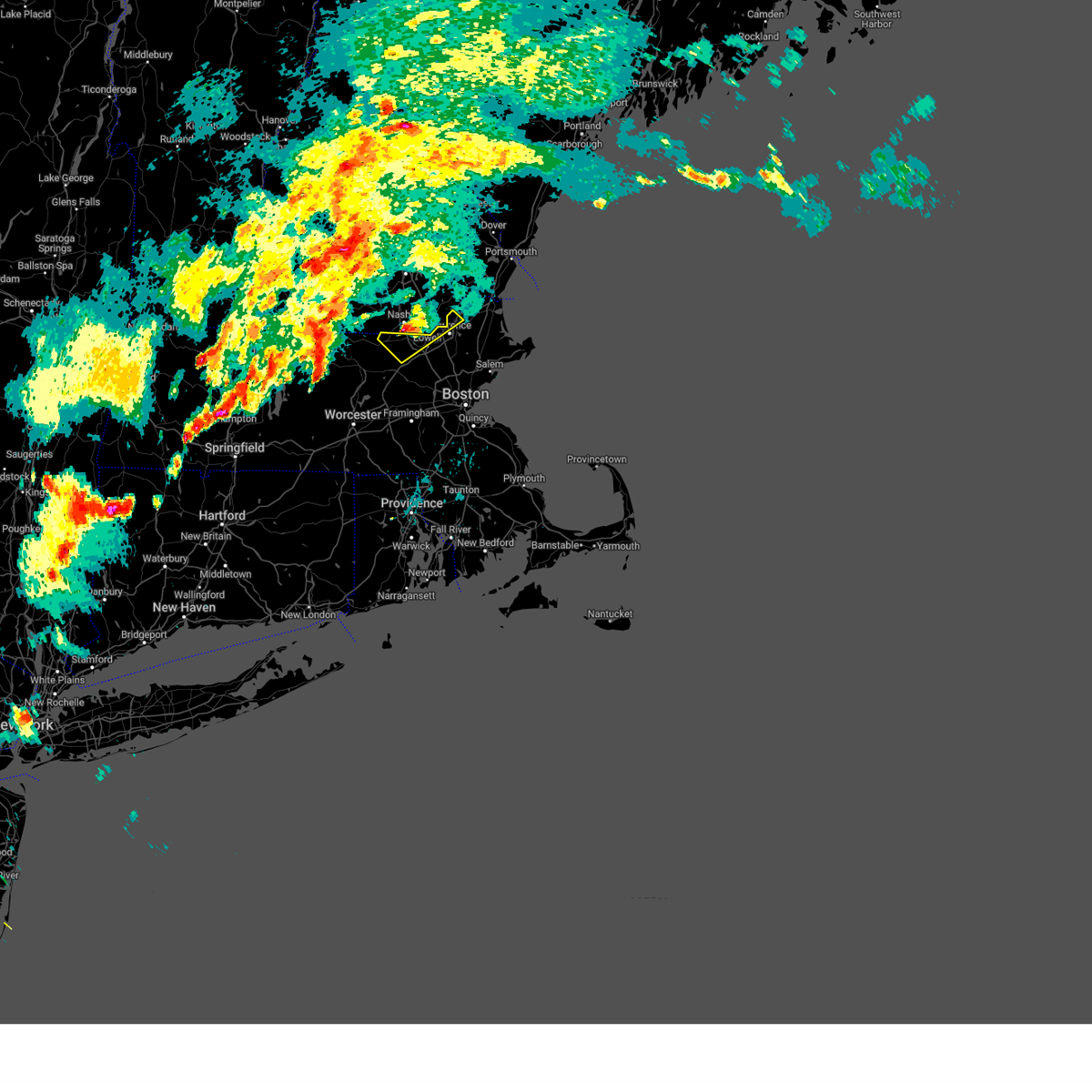
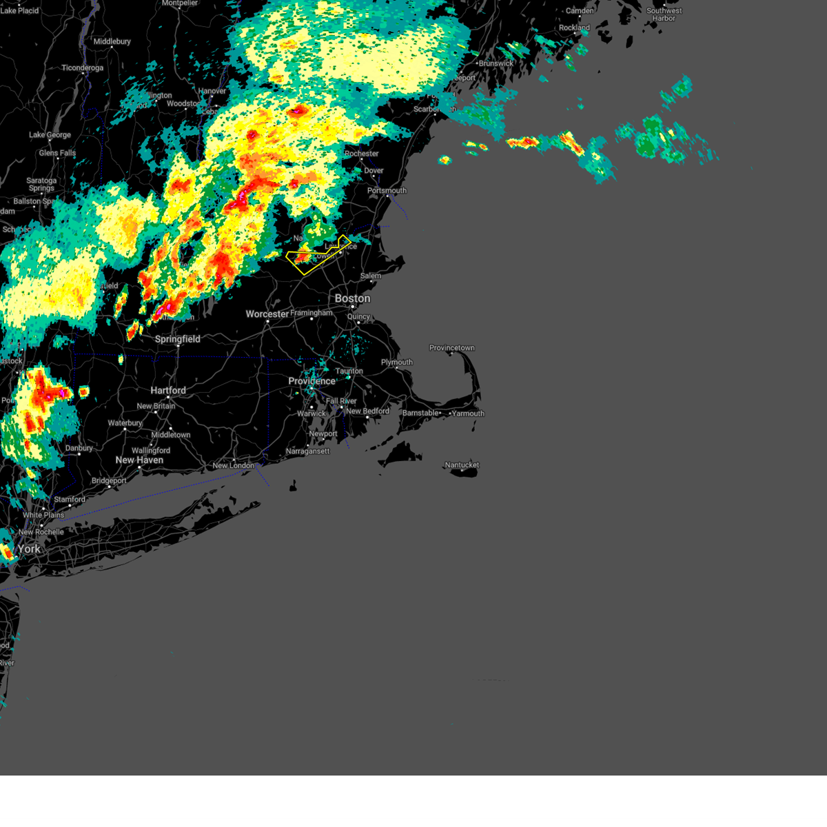
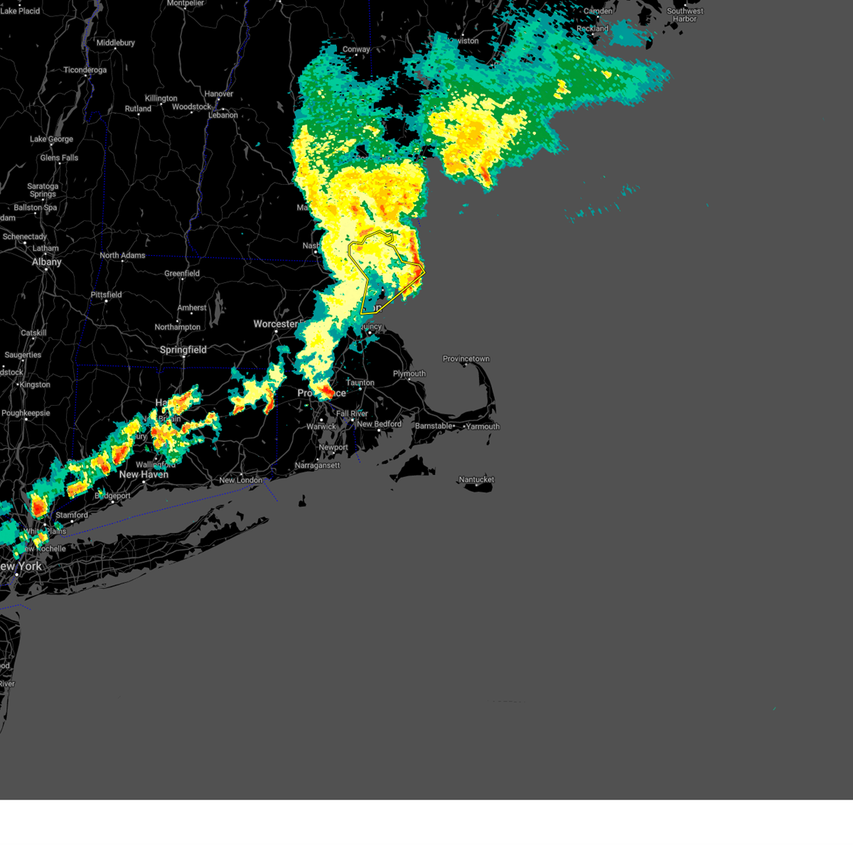
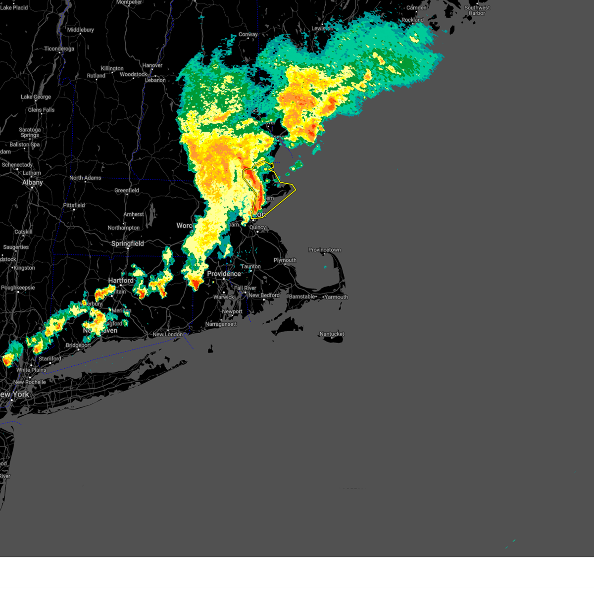
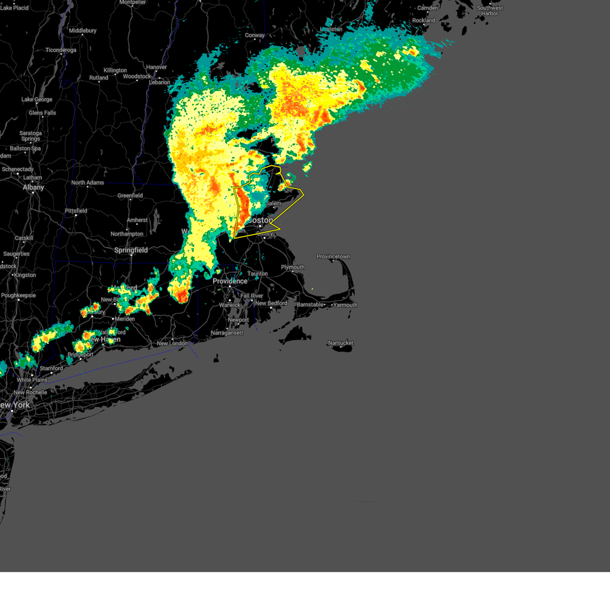
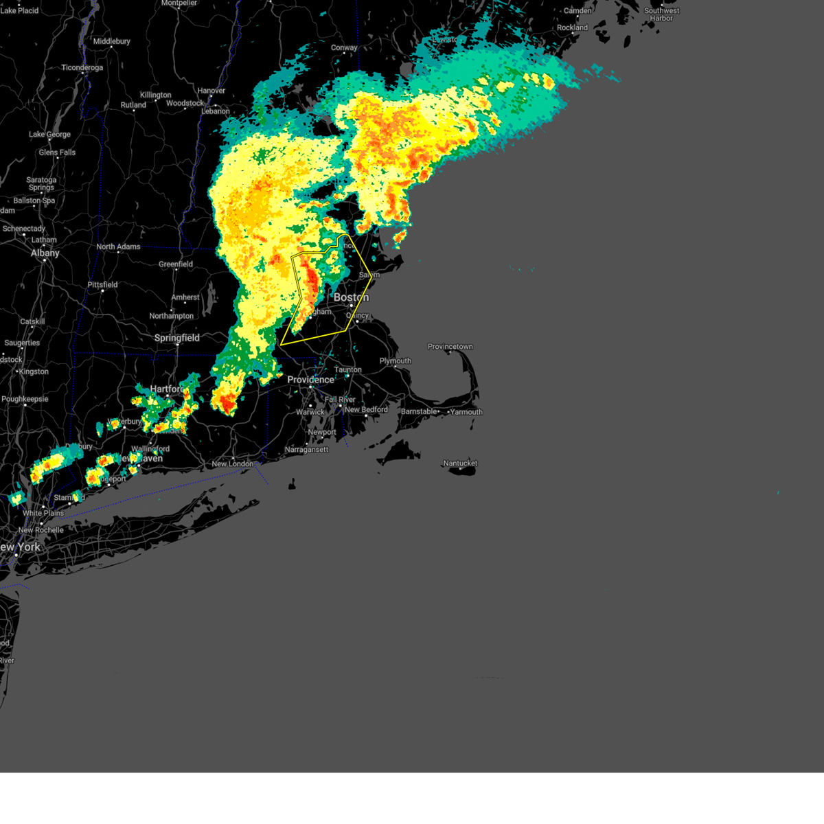
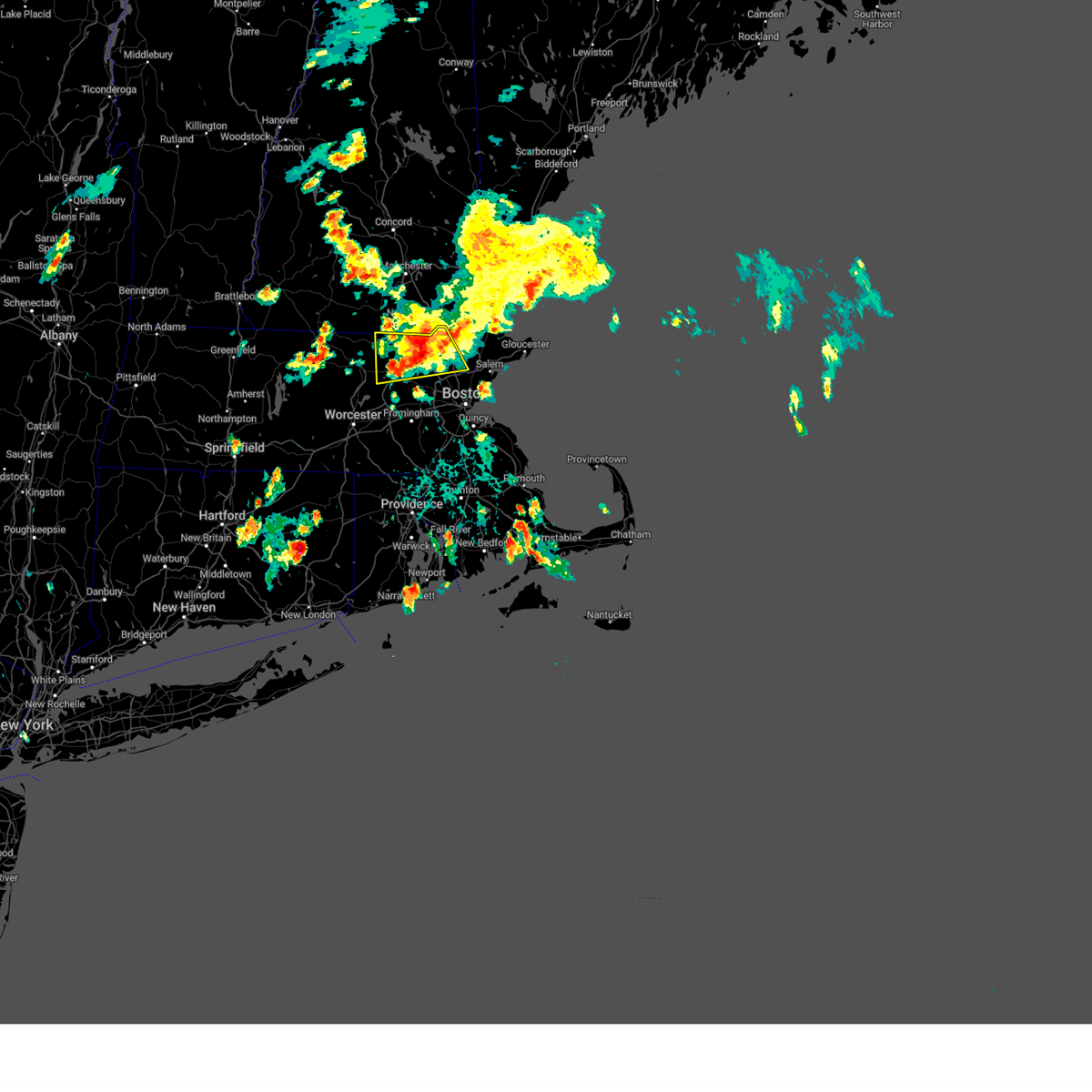
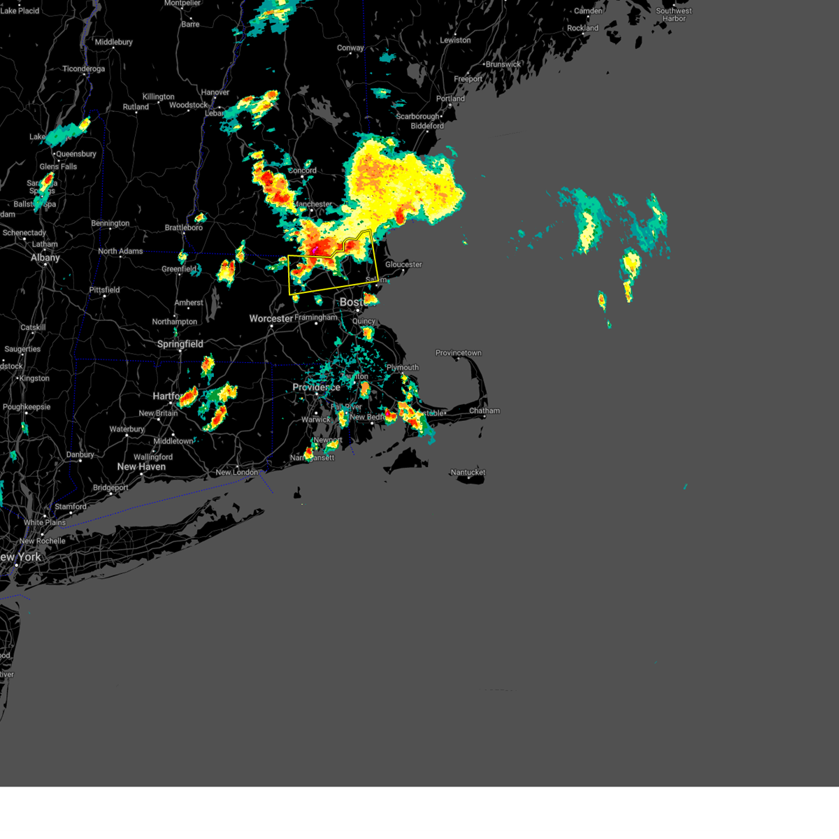
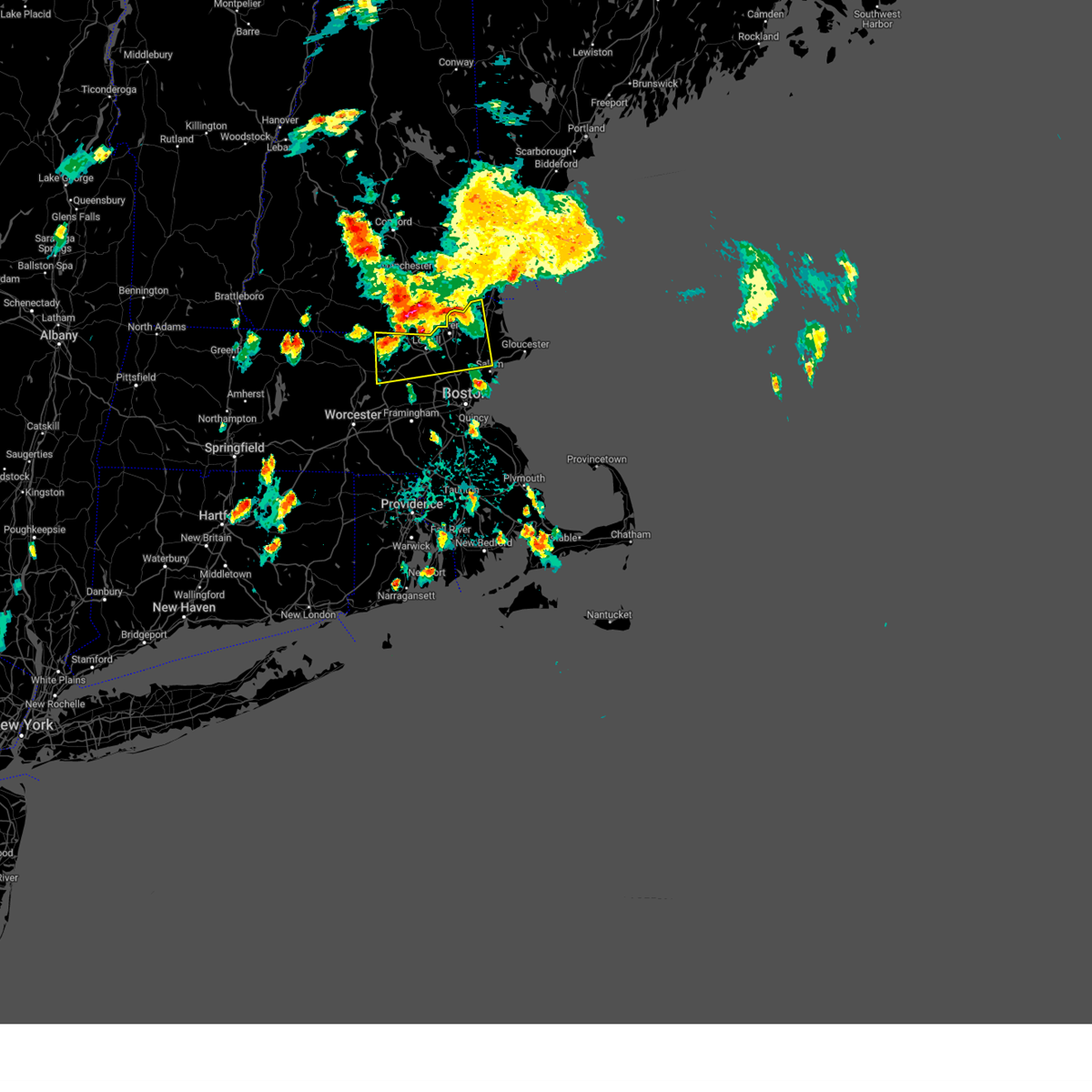
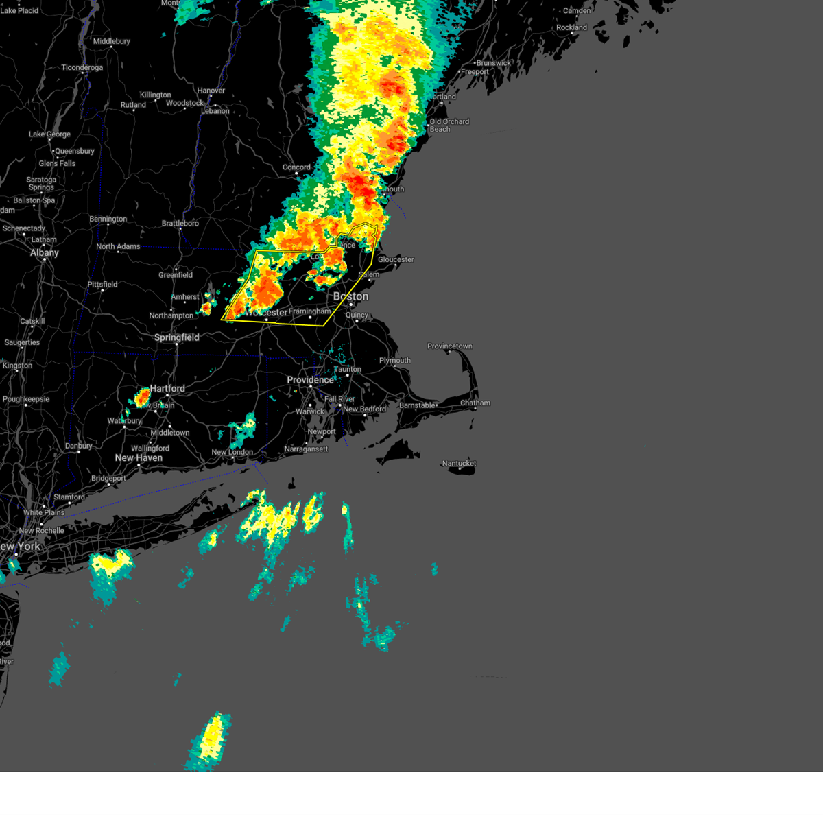
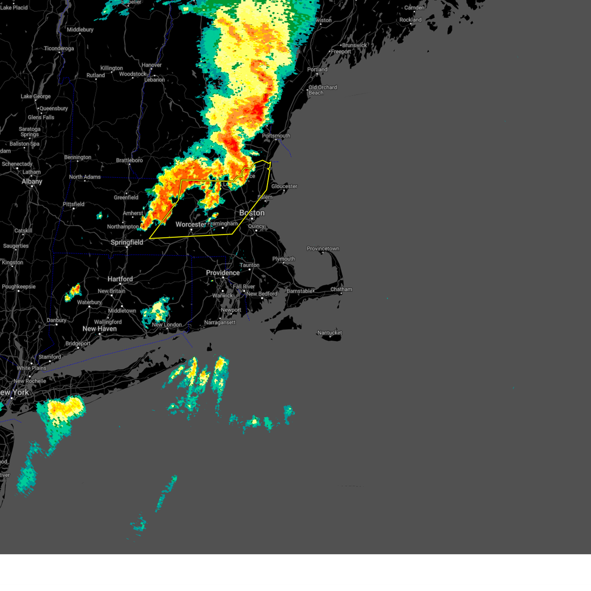
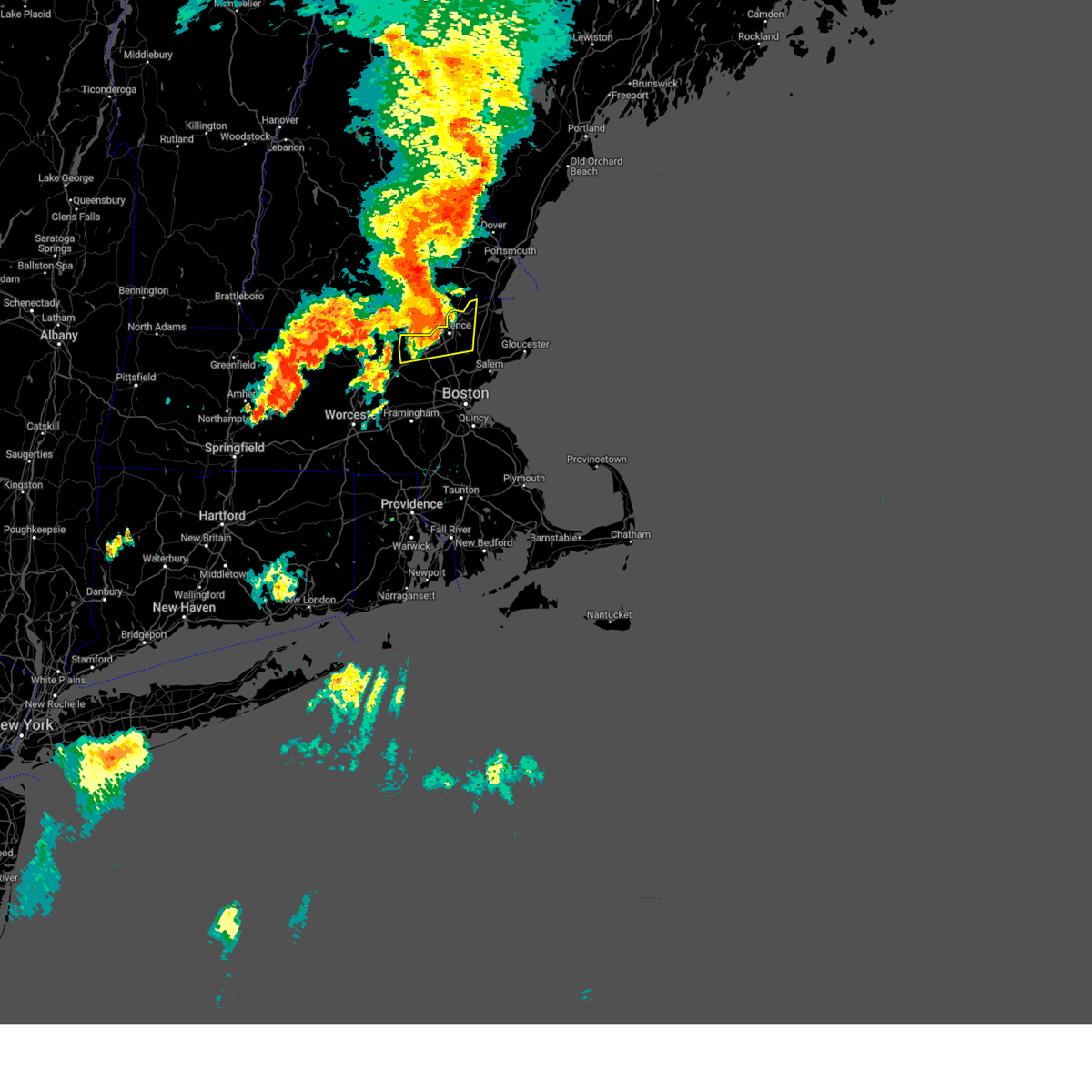
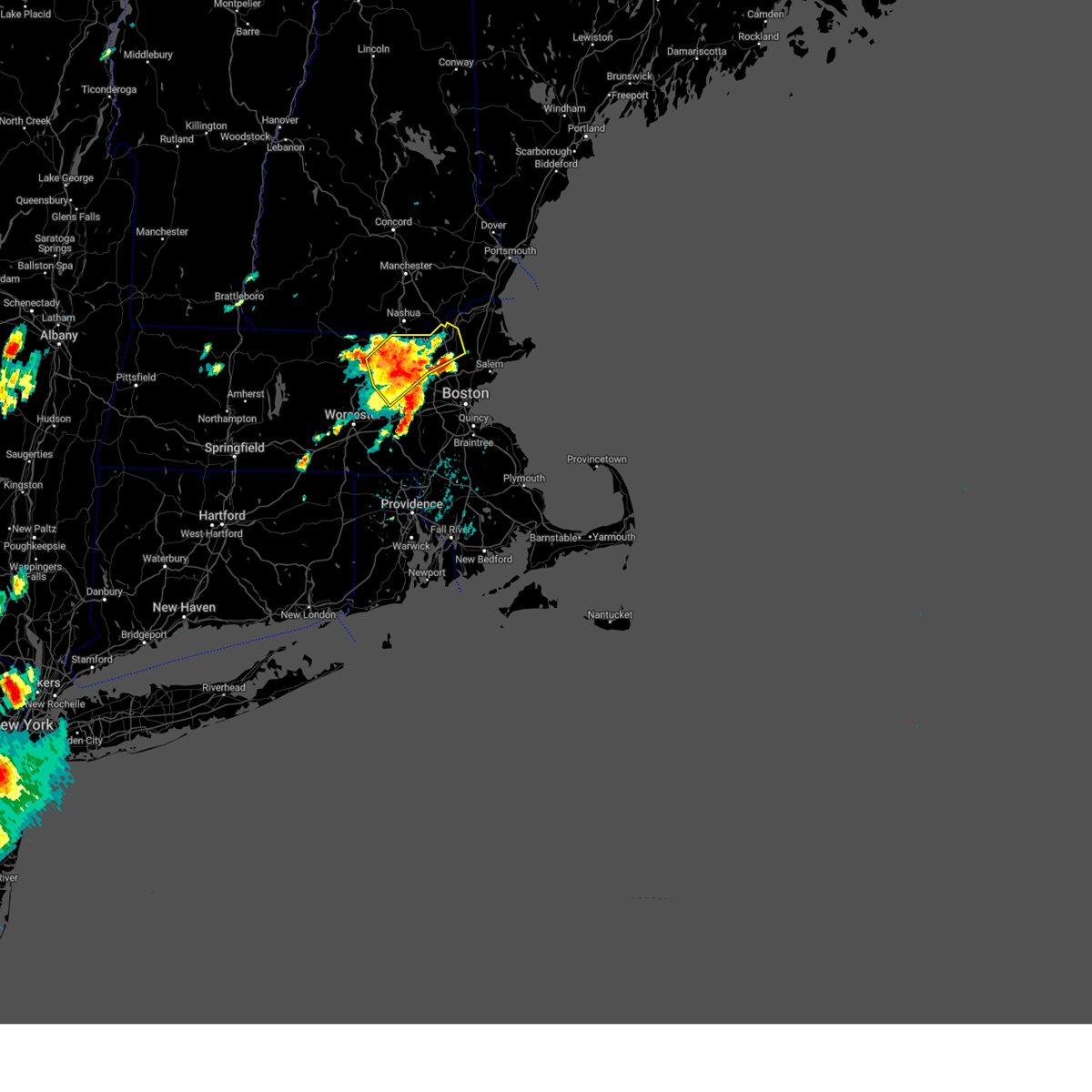
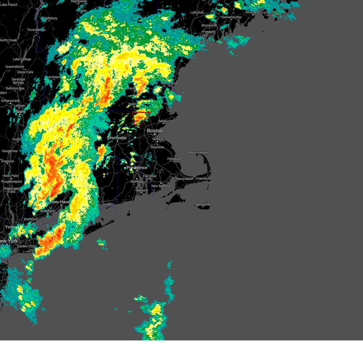
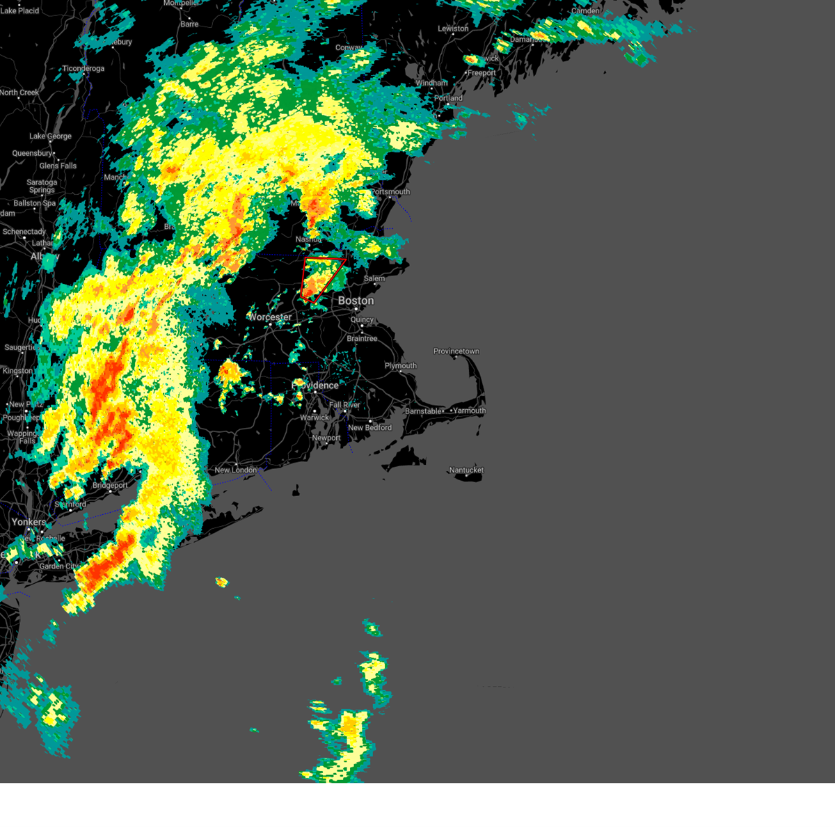
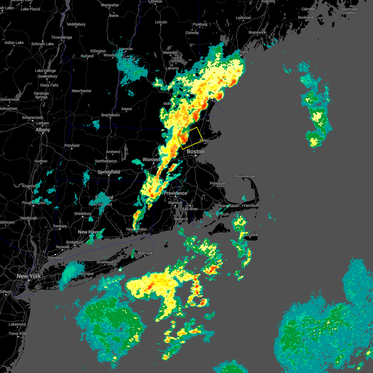
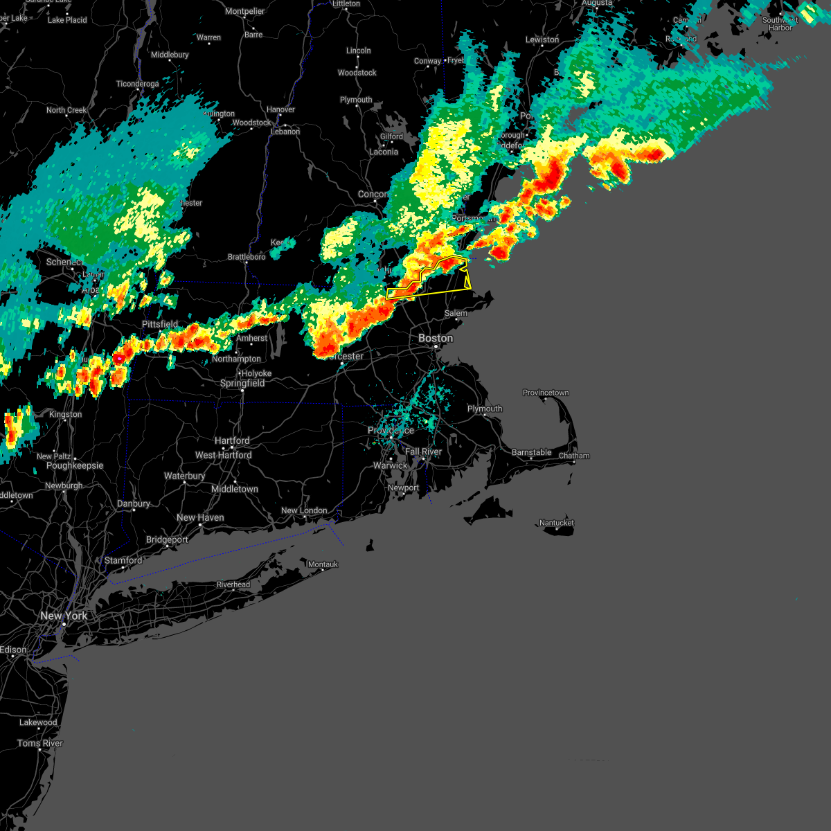
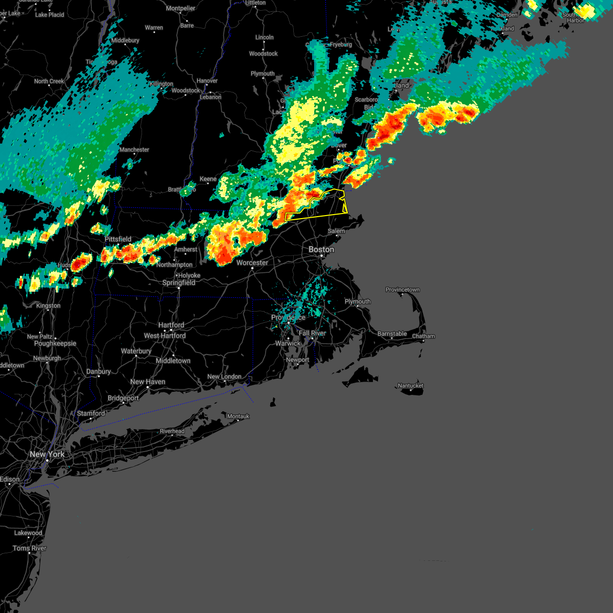
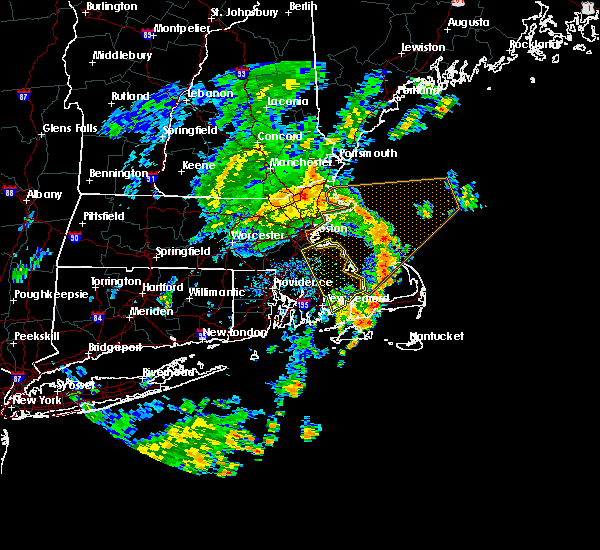
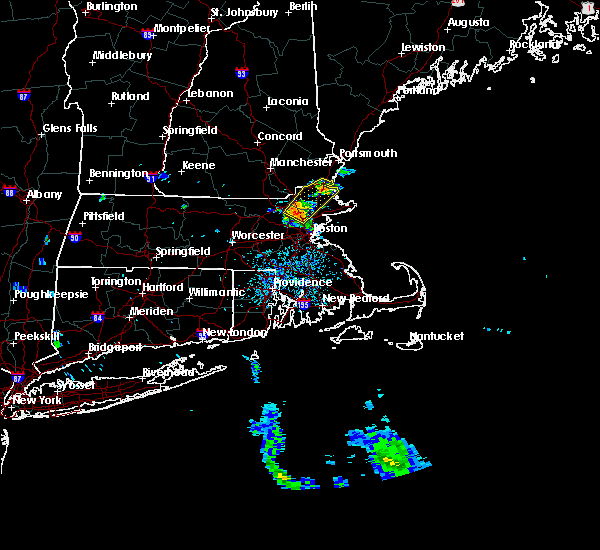
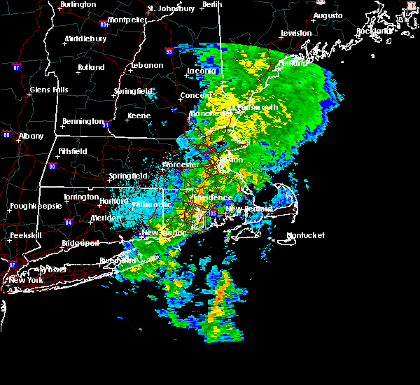
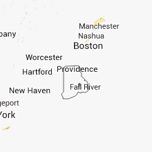
Hail Map for Lawrence, MA
The Lawrence, MA area has had 0 reports of on-the-ground hail by trained spotters, and has been under severe weather warnings 22 times during the past 12 months. Doppler radar has detected hail at or near Lawrence, MA on 13 occasions, including 1 occasion during the past year.
| Name: | Lawrence, MA |
| Where Located: | 61.9 miles NNE of Providence, RI |
| Map: | Google Map for Lawrence, MA |
| Population: | 76377 |
| Housing Units: | 27137 |
| More Info: | Search Google for Lawrence, MA |
0
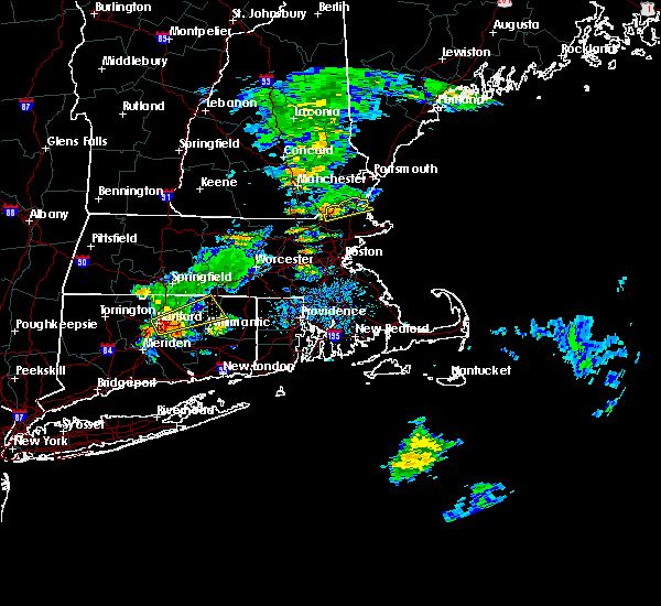
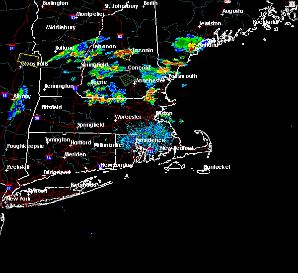
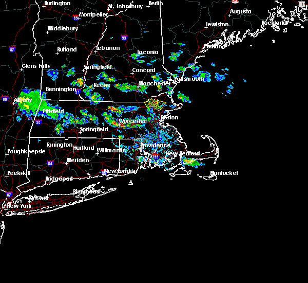
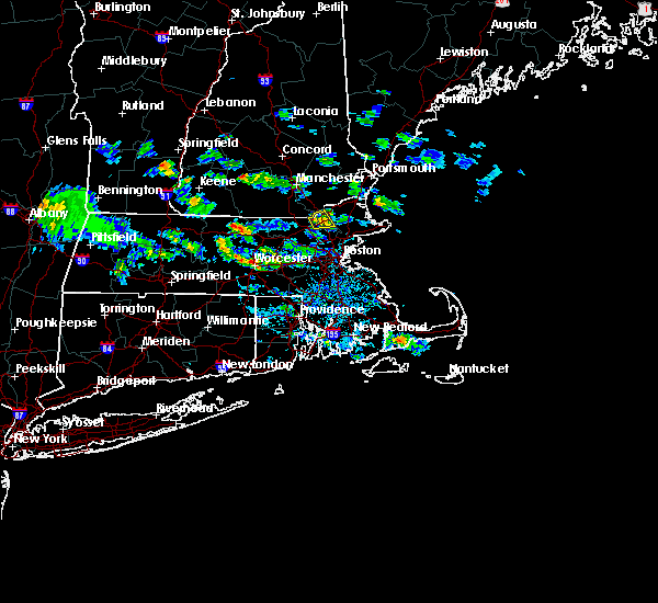
The Top Recent Hail Date for Lawrence, MA is Thursday, August 15, 2024 (13th out of 13)

Hail and Wind Damage Spotted near Lawrence, MA
| Date / Time | Report Details |
|---|---|
| 6/6/2025 5:45 PM EDT |
 the severe thunderstorm warning has been cancelled and is no longer in effect the severe thunderstorm warning has been cancelled and is no longer in effect
|
| 6/6/2025 5:32 PM EDT |
 Svrbox the national weather service in boston/norton has issued a * severe thunderstorm warning for, northwestern essex county in northeastern massachusetts, north central middlesex county in northeastern massachusetts, * until 615 pm edt. * at 532 pm edt, a severe thunderstorm was located over dunstable, or near nashua, moving northeast at 20 mph (radar indicated). Hazards include 60 mph wind gusts and quarter size hail. Hail damage to vehicles is expected. Expect wind damage to trees and power lines. Svrbox the national weather service in boston/norton has issued a * severe thunderstorm warning for, northwestern essex county in northeastern massachusetts, north central middlesex county in northeastern massachusetts, * until 615 pm edt. * at 532 pm edt, a severe thunderstorm was located over dunstable, or near nashua, moving northeast at 20 mph (radar indicated). Hazards include 60 mph wind gusts and quarter size hail. Hail damage to vehicles is expected. Expect wind damage to trees and power lines.
|
| 5/3/2025 6:20 PM EDT |
 The storms which prompted the warning have moved out of the area. therefore, the warning will be allowed to expire. The storms which prompted the warning have moved out of the area. therefore, the warning will be allowed to expire.
|
| 5/3/2025 6:00 PM EDT |
 the severe thunderstorm warning has been cancelled and is no longer in effect the severe thunderstorm warning has been cancelled and is no longer in effect
|
| 5/3/2025 6:00 PM EDT |
 At 559 pm edt, severe thunderstorms were located along a line extending from west newbury to wenham to winthrop, moving east at 45 mph (automated weather station reported. at 535 pm edt, a wind gust of 52 mph was reported at bedford hanscom field airport). Hazards include 60 mph wind gusts. Expect damage to trees and power lines. Locations impacted include, topsfield, marblehead, swampscott, revere, lynn, everett, beverly, salisbury, newburyport, ipswich, danvers, gloucester, hamilton, chelsea, middleton, salem, essex, amesbury, georgetown, and peabody. At 559 pm edt, severe thunderstorms were located along a line extending from west newbury to wenham to winthrop, moving east at 45 mph (automated weather station reported. at 535 pm edt, a wind gust of 52 mph was reported at bedford hanscom field airport). Hazards include 60 mph wind gusts. Expect damage to trees and power lines. Locations impacted include, topsfield, marblehead, swampscott, revere, lynn, everett, beverly, salisbury, newburyport, ipswich, danvers, gloucester, hamilton, chelsea, middleton, salem, essex, amesbury, georgetown, and peabody.
|
| 5/3/2025 5:43 PM EDT |
 Svrbox the national weather service in boston/norton has issued a * severe thunderstorm warning for, essex county in northeastern massachusetts, suffolk county in eastern massachusetts, north central norfolk county in eastern massachusetts, eastern middlesex county in northeastern massachusetts, * until 630 pm edt. * at 541 pm edt, severe thunderstorms were located along a line extending from near methuen to wilmington to newton, moving east at 45 mph (automated weather station reported. at 535 pm edt, a wind gust of 52 mph was reported at bedford hanscom field airport). Hazards include 60 mph wind gusts. expect damage to trees and power lines Svrbox the national weather service in boston/norton has issued a * severe thunderstorm warning for, essex county in northeastern massachusetts, suffolk county in eastern massachusetts, north central norfolk county in eastern massachusetts, eastern middlesex county in northeastern massachusetts, * until 630 pm edt. * at 541 pm edt, severe thunderstorms were located along a line extending from near methuen to wilmington to newton, moving east at 45 mph (automated weather station reported. at 535 pm edt, a wind gust of 52 mph was reported at bedford hanscom field airport). Hazards include 60 mph wind gusts. expect damage to trees and power lines
|
| 5/3/2025 5:29 PM EDT |
 At 528 pm edt, severe thunderstorms were located along a line extending from tyngsborough to near concord to hopedale, moving east at 40 mph (automated weather station reported. at 455 pm edt, a wind gust of 61 mph was reported at worcester airport). Hazards include 60 mph wind gusts. Expect damage to trees and power lines. Locations impacted include, sudbury, woburn, belmont, lynn, dunstable, everett, carlisle, cambridge, lexington, waltham, dracut, acton, north reading, dedham, hopedale, chelsea, wilmington, lincoln, arlington, and methuen. At 528 pm edt, severe thunderstorms were located along a line extending from tyngsborough to near concord to hopedale, moving east at 40 mph (automated weather station reported. at 455 pm edt, a wind gust of 61 mph was reported at worcester airport). Hazards include 60 mph wind gusts. Expect damage to trees and power lines. Locations impacted include, sudbury, woburn, belmont, lynn, dunstable, everett, carlisle, cambridge, lexington, waltham, dracut, acton, north reading, dedham, hopedale, chelsea, wilmington, lincoln, arlington, and methuen.
|
| 5/3/2025 5:29 PM EDT |
 the severe thunderstorm warning has been cancelled and is no longer in effect the severe thunderstorm warning has been cancelled and is no longer in effect
|
| 5/3/2025 5:06 PM EDT | Svrbox the national weather service in boston/norton has issued a * severe thunderstorm warning for, northeastern windham county in northern connecticut, western essex county in northeastern massachusetts, suffolk county in eastern massachusetts, eastern worcester county in central massachusetts, central norfolk county in eastern massachusetts, middlesex county in northeastern massachusetts, * until 545 pm edt. * at 505 pm edt, severe thunderstorms were located along a line extending from fitchburg to near berlin to webster, moving east at 40 mph (automated weather station reported. at 455 pm edt, a wind gust of 61 mph was reported at worcester airport). Hazards include 60 mph wind gusts. expect damage to trees and power lines |
| 8/15/2024 3:36 PM EDT |
 At 336 pm edt, a severe thunderstorm was located over chelmsford, moving southeast at 40 mph (radar indicated). Hazards include 60 mph wind gusts and quarter size hail. Hail damage to vehicles is expected. expect wind damage to trees and power lines. Locations impacted include, lowell, lawrence, methuen, billerica, woburn, chelmsford, andover, dracut, tewksbury, wakefield, reading, burlington, wilmington, westford, acton, concord, north reading, bedford, lynnfield, and pepperell. At 336 pm edt, a severe thunderstorm was located over chelmsford, moving southeast at 40 mph (radar indicated). Hazards include 60 mph wind gusts and quarter size hail. Hail damage to vehicles is expected. expect wind damage to trees and power lines. Locations impacted include, lowell, lawrence, methuen, billerica, woburn, chelmsford, andover, dracut, tewksbury, wakefield, reading, burlington, wilmington, westford, acton, concord, north reading, bedford, lynnfield, and pepperell.
|
| 8/15/2024 3:20 PM EDT |
 At 319 pm edt, a severe thunderstorm was located over pelham, or near dracut, moving south at 20 mph (radar indicated). Hazards include 60 mph wind gusts and quarter size hail. Hail damage to vehicles is expected. expect wind damage to trees and power lines. Locations impacted include, lowell, lawrence, haverhill, peabody, methuen, billerica, beverly, woburn, chelmsford, andover, dracut, tewksbury, north andover, danvers, reading, burlington, wilmington, westford, acton, and concord. At 319 pm edt, a severe thunderstorm was located over pelham, or near dracut, moving south at 20 mph (radar indicated). Hazards include 60 mph wind gusts and quarter size hail. Hail damage to vehicles is expected. expect wind damage to trees and power lines. Locations impacted include, lowell, lawrence, haverhill, peabody, methuen, billerica, beverly, woburn, chelmsford, andover, dracut, tewksbury, north andover, danvers, reading, burlington, wilmington, westford, acton, and concord.
|
| 8/15/2024 3:11 PM EDT |
 Svrbox the national weather service in boston/norton has issued a * severe thunderstorm warning for, northwestern essex county in northeastern massachusetts, east central worcester county in central massachusetts, northeastern middlesex county in northeastern massachusetts, * until 415 pm edt. * at 311 pm edt, a severe thunderstorm was located near hudson, or near salem, moving south at 20 mph (radar indicated). Hazards include 60 mph wind gusts and quarter size hail. Hail damage to vehicles is expected. Expect wind damage to trees and power lines. Svrbox the national weather service in boston/norton has issued a * severe thunderstorm warning for, northwestern essex county in northeastern massachusetts, east central worcester county in central massachusetts, northeastern middlesex county in northeastern massachusetts, * until 415 pm edt. * at 311 pm edt, a severe thunderstorm was located near hudson, or near salem, moving south at 20 mph (radar indicated). Hazards include 60 mph wind gusts and quarter size hail. Hail damage to vehicles is expected. Expect wind damage to trees and power lines.
|
| 7/17/2024 7:35 PM EDT |
 the severe thunderstorm warning has been cancelled and is no longer in effect the severe thunderstorm warning has been cancelled and is no longer in effect
|
| 7/17/2024 7:32 PM EDT |
 the severe thunderstorm warning has been cancelled and is no longer in effect the severe thunderstorm warning has been cancelled and is no longer in effect
|
| 7/17/2024 7:32 PM EDT |
 At 731 pm edt, severe thunderstorms were located along a line extending from near dracut to near wilmington to near weston, moving east at 35 mph (radar indicated). Hazards include 60 mph wind gusts. Expect damage to roofs, siding, and trees. Locations impacted include, lowell, lynn, lawrence, haverhill, waltham, malden, medford, revere, peabody, methuen, arlington, salem, billerica, beverly, woburn, chelmsford, andover, lexington, dracut, and tewksbury. At 731 pm edt, severe thunderstorms were located along a line extending from near dracut to near wilmington to near weston, moving east at 35 mph (radar indicated). Hazards include 60 mph wind gusts. Expect damage to roofs, siding, and trees. Locations impacted include, lowell, lynn, lawrence, haverhill, waltham, malden, medford, revere, peabody, methuen, arlington, salem, billerica, beverly, woburn, chelmsford, andover, lexington, dracut, and tewksbury.
|
| 7/17/2024 7:12 PM EDT |
 Svrbox the national weather service in boston/norton has issued a * severe thunderstorm warning for, essex county in northeastern massachusetts, east central worcester county in central massachusetts, north central suffolk county in eastern massachusetts, middlesex county in northeastern massachusetts, * until 815 pm edt. * at 711 pm edt, severe thunderstorms were located along a line extending from dunstable to near acton to marlborough, moving east at 35 mph (radar indicated). Hazards include 60 mph wind gusts. expect damage to roofs, siding, and trees Svrbox the national weather service in boston/norton has issued a * severe thunderstorm warning for, essex county in northeastern massachusetts, east central worcester county in central massachusetts, north central suffolk county in eastern massachusetts, middlesex county in northeastern massachusetts, * until 815 pm edt. * at 711 pm edt, severe thunderstorms were located along a line extending from dunstable to near acton to marlborough, moving east at 35 mph (radar indicated). Hazards include 60 mph wind gusts. expect damage to roofs, siding, and trees
|
| 7/16/2024 8:51 PM EDT |
 the severe thunderstorm warning has been cancelled and is no longer in effect the severe thunderstorm warning has been cancelled and is no longer in effect
|
| 7/16/2024 8:51 PM EDT |
 At 851 pm edt, severe thunderstorms were located along a line extending from near nashua to ayer to near worcester, moving east at 55 mph (radar indicated). Hazards include 60 mph wind gusts. Expect damage to roofs, siding, and trees. Locations impacted include, boston, worcester, lowell, cambridge, lynn, newton, lawrence, somerville, framingham, haverhill, waltham, malden, medford, peabody, methuen, arlington, leominster, fitchburg, billerica, and marlborough. At 851 pm edt, severe thunderstorms were located along a line extending from near nashua to ayer to near worcester, moving east at 55 mph (radar indicated). Hazards include 60 mph wind gusts. Expect damage to roofs, siding, and trees. Locations impacted include, boston, worcester, lowell, cambridge, lynn, newton, lawrence, somerville, framingham, haverhill, waltham, malden, medford, peabody, methuen, arlington, leominster, fitchburg, billerica, and marlborough.
|
| 7/16/2024 8:32 PM EDT |
 Svrbox the national weather service in boston/norton has issued a * severe thunderstorm warning for, essex county in northeastern massachusetts, central worcester county in central massachusetts, north central norfolk county in eastern massachusetts, northwestern suffolk county in eastern massachusetts, eastern hampshire county in western massachusetts, middlesex county in northeastern massachusetts, northeastern hampden county in western massachusetts, * until 915 pm edt. * at 830 pm edt, severe thunderstorms were located along a line extending from greenville to westminster to west brookfield, moving east at 45 mph (radar indicated). Hazards include 60 mph wind gusts. expect damage to roofs, siding, and trees Svrbox the national weather service in boston/norton has issued a * severe thunderstorm warning for, essex county in northeastern massachusetts, central worcester county in central massachusetts, north central norfolk county in eastern massachusetts, northwestern suffolk county in eastern massachusetts, eastern hampshire county in western massachusetts, middlesex county in northeastern massachusetts, northeastern hampden county in western massachusetts, * until 915 pm edt. * at 830 pm edt, severe thunderstorms were located along a line extending from greenville to westminster to west brookfield, moving east at 45 mph (radar indicated). Hazards include 60 mph wind gusts. expect damage to roofs, siding, and trees
|
| 7/16/2024 8:21 PM EDT |
 the severe thunderstorm warning has been cancelled and is no longer in effect the severe thunderstorm warning has been cancelled and is no longer in effect
|
| 7/16/2024 8:21 PM EDT |
 At 821 pm edt, severe thunderstorms were located along a line extending from salem to lowell to westford, moving east at 55 mph (trained weather spotters). Hazards include 60 mph wind gusts. Expect damage to roofs, siding, and trees. Locations impacted include, lowell, lawrence, haverhill, methuen, billerica, chelmsford, andover, dracut, tewksbury, north andover, wilmington, westford, amesbury, tyngsborough, groton, middleton, littleton, georgetown, boxford, and groveland. At 821 pm edt, severe thunderstorms were located along a line extending from salem to lowell to westford, moving east at 55 mph (trained weather spotters). Hazards include 60 mph wind gusts. Expect damage to roofs, siding, and trees. Locations impacted include, lowell, lawrence, haverhill, methuen, billerica, chelmsford, andover, dracut, tewksbury, north andover, wilmington, westford, amesbury, tyngsborough, groton, middleton, littleton, georgetown, boxford, and groveland.
|
| 7/16/2024 8:11 PM EDT | Svrbox the national weather service in boston/norton has issued a * severe thunderstorm warning for, northwestern essex county in northeastern massachusetts, east central worcester county in central massachusetts, northeastern middlesex county in northeastern massachusetts, * until 845 pm edt. * at 810 pm edt, severe thunderstorms were located along a line extending from hudson to near groton to shirley, moving east at 45 mph (trained weather spotters). Hazards include 60 mph wind gusts. expect damage to roofs, siding, and trees |
| 6/20/2024 8:13 PM EDT |
 At 813 pm edt, severe thunderstorms were located along a line extending from newburyport to boxford to near north reading, moving east at 30 mph (radar indicated). Hazards include 60 mph wind gusts. Expect damage to roofs, siding, and trees. Locations impacted include, lowell, lawrence, haverhill, methuen, salem, beverly, andover, dracut, tewksbury, gloucester, north andover, danvers, newburyport, amesbury, north reading, ipswich, middleton, salisbury, georgetown, and boxford. At 813 pm edt, severe thunderstorms were located along a line extending from newburyport to boxford to near north reading, moving east at 30 mph (radar indicated). Hazards include 60 mph wind gusts. Expect damage to roofs, siding, and trees. Locations impacted include, lowell, lawrence, haverhill, methuen, salem, beverly, andover, dracut, tewksbury, gloucester, north andover, danvers, newburyport, amesbury, north reading, ipswich, middleton, salisbury, georgetown, and boxford.
|
| 6/20/2024 7:42 PM EDT |
 Svrbox the national weather service in boston/norton has issued a * severe thunderstorm warning for, essex county in northeastern massachusetts, northeastern middlesex county in northeastern massachusetts, * until 845 pm edt. * at 742 pm edt, severe thunderstorms were located along a line extending from near merrimac to near salem to dracut, moving east at 20 mph (radar indicated). Hazards include 60 mph wind gusts. expect damage to roofs, siding, and trees Svrbox the national weather service in boston/norton has issued a * severe thunderstorm warning for, essex county in northeastern massachusetts, northeastern middlesex county in northeastern massachusetts, * until 845 pm edt. * at 742 pm edt, severe thunderstorms were located along a line extending from near merrimac to near salem to dracut, moving east at 20 mph (radar indicated). Hazards include 60 mph wind gusts. expect damage to roofs, siding, and trees
|
| 9/8/2023 3:10 PM EDT |
 At 310 pm edt, severe thunderstorms were located along a line extending from near pelham to north andover to near weston, moving northeast at 45 mph (trained weather spotters reported several trees downed in chelmsford and westford ma between 240 pm and 245 pm). Hazards include 60 mph wind gusts and quarter size hail. Hail damage to vehicles is expected. expect wind damage to roofs, siding, and trees. locations impacted include, boston, lowell, cambridge, quincy, lynn, newton, lawrence, somerville, haverhill, waltham, malden, brookline, medford, revere, peabody, methuen, arlington, everett, salem, and billerica. hail threat, radar indicated max hail size, 1. 00 in wind threat, radar indicated max wind gust, 60 mph. At 310 pm edt, severe thunderstorms were located along a line extending from near pelham to north andover to near weston, moving northeast at 45 mph (trained weather spotters reported several trees downed in chelmsford and westford ma between 240 pm and 245 pm). Hazards include 60 mph wind gusts and quarter size hail. Hail damage to vehicles is expected. expect wind damage to roofs, siding, and trees. locations impacted include, boston, lowell, cambridge, quincy, lynn, newton, lawrence, somerville, haverhill, waltham, malden, brookline, medford, revere, peabody, methuen, arlington, everett, salem, and billerica. hail threat, radar indicated max hail size, 1. 00 in wind threat, radar indicated max wind gust, 60 mph.
|
| 9/8/2023 2:56 PM EDT |
 At 256 pm edt, severe thunderstorms were located along a line extending from near tyngsborough to tewksbury to natick, moving northeast at 35 mph (radar indicated). Hazards include 60 mph wind gusts and quarter size hail. Hail damage to vehicles is expected. expect wind damage to roofs, siding, and trees. locations impacted include, lowell, lawrence, methuen, billerica, chelmsford, andover, dracut, tewksbury, north andover, wilmington, westford, acton, concord, north reading, bedford, pepperell, tyngsborough, groton, littleton, and ayer. hail threat, radar indicated max hail size, 1. 00 in wind threat, radar indicated max wind gust, 60 mph. At 256 pm edt, severe thunderstorms were located along a line extending from near tyngsborough to tewksbury to natick, moving northeast at 35 mph (radar indicated). Hazards include 60 mph wind gusts and quarter size hail. Hail damage to vehicles is expected. expect wind damage to roofs, siding, and trees. locations impacted include, lowell, lawrence, methuen, billerica, chelmsford, andover, dracut, tewksbury, north andover, wilmington, westford, acton, concord, north reading, bedford, pepperell, tyngsborough, groton, littleton, and ayer. hail threat, radar indicated max hail size, 1. 00 in wind threat, radar indicated max wind gust, 60 mph.
|
| 9/8/2023 2:52 PM EDT |
 At 252 pm edt, severe thunderstorms were located along a line extending from pepperell to carlisle to sherborn, moving northeast at 40 mph (radar indicated). Hazards include 60 mph wind gusts and quarter size hail. Hail damage to vehicles is expected. Expect wind damage to roofs, siding, and trees. At 252 pm edt, severe thunderstorms were located along a line extending from pepperell to carlisle to sherborn, moving northeast at 40 mph (radar indicated). Hazards include 60 mph wind gusts and quarter size hail. Hail damage to vehicles is expected. Expect wind damage to roofs, siding, and trees.
|
| 9/8/2023 2:40 PM EDT |
 At 240 pm edt, severe thunderstorms were located along a line extending from pepperell to near chelmsford to sudbury, moving northeast at 40 mph (radar indicated). Hazards include 60 mph wind gusts and quarter size hail. Hail damage to vehicles is expected. expect wind damage to roofs, siding, and trees. locations impacted include, lowell, lawrence, methuen, billerica, marlborough, chelmsford, andover, dracut, tewksbury, north andover, wilmington, westford, acton, hudson, concord, north reading, bedford, pepperell, tyngsborough, and groton. hail threat, radar indicated max hail size, 1. 00 in wind threat, radar indicated max wind gust, 60 mph. At 240 pm edt, severe thunderstorms were located along a line extending from pepperell to near chelmsford to sudbury, moving northeast at 40 mph (radar indicated). Hazards include 60 mph wind gusts and quarter size hail. Hail damage to vehicles is expected. expect wind damage to roofs, siding, and trees. locations impacted include, lowell, lawrence, methuen, billerica, marlborough, chelmsford, andover, dracut, tewksbury, north andover, wilmington, westford, acton, hudson, concord, north reading, bedford, pepperell, tyngsborough, and groton. hail threat, radar indicated max hail size, 1. 00 in wind threat, radar indicated max wind gust, 60 mph.
|
| 9/8/2023 2:25 PM EDT |
 At 225 pm edt, severe thunderstorms were located along a line extending from shirley to boxborough to northborough, moving northeast at 45 mph (radar indicated). Hazards include 60 mph wind gusts and quarter size hail. Hail damage to vehicles is expected. Expect wind damage to roofs, siding, and trees. At 225 pm edt, severe thunderstorms were located along a line extending from shirley to boxborough to northborough, moving northeast at 45 mph (radar indicated). Hazards include 60 mph wind gusts and quarter size hail. Hail damage to vehicles is expected. Expect wind damage to roofs, siding, and trees.
|
| 7/16/2023 8:32 AM EDT |
 At 832 am edt, a severe thunderstorm capable of producing a tornado was located over carlisle, or near chelmsford, moving northeast at 30 mph (radar indicated rotation). Hazards include tornado. Flying debris will be dangerous to those caught without shelter. mobile homes will be damaged or destroyed. damage to roofs, windows, and vehicles will occur. tree damage is likely. this dangerous storm will be near, lowell, methuen, billerica, chelmsford, andover, dracut, tewksbury, westford, tyngsborough and carlisle around 835 am edt. Lawrence around 840 am edt. At 832 am edt, a severe thunderstorm capable of producing a tornado was located over carlisle, or near chelmsford, moving northeast at 30 mph (radar indicated rotation). Hazards include tornado. Flying debris will be dangerous to those caught without shelter. mobile homes will be damaged or destroyed. damage to roofs, windows, and vehicles will occur. tree damage is likely. this dangerous storm will be near, lowell, methuen, billerica, chelmsford, andover, dracut, tewksbury, westford, tyngsborough and carlisle around 835 am edt. Lawrence around 840 am edt.
|
| 7/16/2023 8:17 AM EDT |
 At 817 am edt, a severe thunderstorm capable of producing a tornado was located over maynard, or 9 miles northeast of marlborough, moving northeast at 30 mph (radar indicated rotation). Hazards include tornado. Flying debris will be dangerous to those caught without shelter. mobile homes will be damaged or destroyed. damage to roofs, windows, and vehicles will occur. tree damage is likely. this dangerous storm will be near, lowell, billerica, chelmsford, westford, acton, concord, bedford, groton, littleton and carlisle around 825 am edt. Tyngsborough around 830 am edt. At 817 am edt, a severe thunderstorm capable of producing a tornado was located over maynard, or 9 miles northeast of marlborough, moving northeast at 30 mph (radar indicated rotation). Hazards include tornado. Flying debris will be dangerous to those caught without shelter. mobile homes will be damaged or destroyed. damage to roofs, windows, and vehicles will occur. tree damage is likely. this dangerous storm will be near, lowell, billerica, chelmsford, westford, acton, concord, bedford, groton, littleton and carlisle around 825 am edt. Tyngsborough around 830 am edt.
|
| 7/16/2023 8:15 AM EDT |
 At 814 am edt, a severe thunderstorm was located over maynard, or near marlborough, moving northeast at 30 mph (radar indicated). Hazards include 60 mph wind gusts. expect damage to trees and power lines At 814 am edt, a severe thunderstorm was located over maynard, or near marlborough, moving northeast at 30 mph (radar indicated). Hazards include 60 mph wind gusts. expect damage to trees and power lines
|
| 10/17/2022 11:28 PM EDT |
 At 1127 pm edt, a severe thunderstorm was located over billerica, moving northeast at 20 mph (radar indicated). Hazards include 60 mph wind gusts and penny size hail. expect damage to trees and power lines At 1127 pm edt, a severe thunderstorm was located over billerica, moving northeast at 20 mph (radar indicated). Hazards include 60 mph wind gusts and penny size hail. expect damage to trees and power lines
|
| 3/7/2022 10:16 PM EST |
 At 1015 pm est, severe thunderstorms were located along a line extending from near haverhill to near southbridge, moving east at 70 mph (radar indicated). Hazards include 60 mph wind gusts. expect damage to trees and power lines At 1015 pm est, severe thunderstorms were located along a line extending from near haverhill to near southbridge, moving east at 70 mph (radar indicated). Hazards include 60 mph wind gusts. expect damage to trees and power lines
|
| 9/13/2021 5:56 AM EDT |
 At 556 am edt, a severe thunderstorm was located over wenham, or near danvers, moving east at 60 mph (radar indicated). Hazards include 60 mph wind gusts. Expect damage to trees and power lines. locations impacted include, lynn, lawrence, peabody, salem, beverly, woburn, andover, tewksbury, gloucester, north andover, saugus, danvers, wakefield, reading, burlington, wilmington, marblehead, north reading, ipswich and lynnfield. hail threat, radar indicated max hail size, <. 75 in wind threat, radar indicated max wind gust, 60 mph. At 556 am edt, a severe thunderstorm was located over wenham, or near danvers, moving east at 60 mph (radar indicated). Hazards include 60 mph wind gusts. Expect damage to trees and power lines. locations impacted include, lynn, lawrence, peabody, salem, beverly, woburn, andover, tewksbury, gloucester, north andover, saugus, danvers, wakefield, reading, burlington, wilmington, marblehead, north reading, ipswich and lynnfield. hail threat, radar indicated max hail size, <. 75 in wind threat, radar indicated max wind gust, 60 mph.
|
| 9/13/2021 5:49 AM EDT |
 At 549 am edt, a severe thunderstorm was located over middleton, or near danvers, moving east at 65 mph (radar indicated). Hazards include 60 mph wind gusts and quarter size hail. Expect wind damage to trees and power lines. minor hail damage to vehicles is possible. locations impacted include, lowell, lynn, lawrence, peabody, methuen, salem, billerica, beverly, woburn, chelmsford, andover, dracut, tewksbury, gloucester, north andover, saugus, danvers, wakefield, reading and burlington. hail threat, radar indicated max hail size, 1. 00 in wind threat, radar indicated max wind gust, 60 mph. At 549 am edt, a severe thunderstorm was located over middleton, or near danvers, moving east at 65 mph (radar indicated). Hazards include 60 mph wind gusts and quarter size hail. Expect wind damage to trees and power lines. minor hail damage to vehicles is possible. locations impacted include, lowell, lynn, lawrence, peabody, methuen, salem, billerica, beverly, woburn, chelmsford, andover, dracut, tewksbury, gloucester, north andover, saugus, danvers, wakefield, reading and burlington. hail threat, radar indicated max hail size, 1. 00 in wind threat, radar indicated max wind gust, 60 mph.
|
| 9/13/2021 5:34 AM EDT |
 At 534 am edt, a severe thunderstorm was located over chelmsford, moving east at 50 mph (radar indicated). Hazards include 60 mph wind gusts and quarter size hail. Expect wind damage to trees and power lines. Minor hail damage to vehicles is possible. At 534 am edt, a severe thunderstorm was located over chelmsford, moving east at 50 mph (radar indicated). Hazards include 60 mph wind gusts and quarter size hail. Expect wind damage to trees and power lines. Minor hail damage to vehicles is possible.
|
| 7/7/2021 5:17 PM EDT |
 At 516 pm edt, a severe thunderstorm was located over middleton, or near danvers, moving southeast at 10 mph (trained weather spotters. quarter size hail was reported in methuen and trees were downed in dracut). Hazards include 60 mph wind gusts and nickel size hail. Expect damage to trees and power lines. Locations impacted include, lynn, lawrence, peabody, salem, beverly, andover, tewksbury, gloucester, north andover, danvers, wilmington, marblehead, north reading, swampscott, ipswich, lynnfield, middleton, georgetown, boxford and hamilton. At 516 pm edt, a severe thunderstorm was located over middleton, or near danvers, moving southeast at 10 mph (trained weather spotters. quarter size hail was reported in methuen and trees were downed in dracut). Hazards include 60 mph wind gusts and nickel size hail. Expect damage to trees and power lines. Locations impacted include, lynn, lawrence, peabody, salem, beverly, andover, tewksbury, gloucester, north andover, danvers, wilmington, marblehead, north reading, swampscott, ipswich, lynnfield, middleton, georgetown, boxford and hamilton.
|
| 7/7/2021 5:00 PM EDT | Tree and power lines down on leonard ave in essex county MA, 0.6 miles E of Lawrence, MA |
| 7/7/2021 4:57 PM EDT |
 At 456 pm edt, a severe thunderstorm was over andover, or near lawrence. another severe thunderstorm was located over wenham, or over danvers. each of these storms were moving southeast at 20 mph (trained weather spotters. one inch diameter hail was reported in methuen at 447 pm). Hazards include 60 mph wind gusts and quarter size hail. Expect wind damage to trees and power lines. minor hail damage to vehicles is possible. Locations impacted include, lynn, lawrence, haverhill, peabody, methuen, salem, beverly, andover, dracut, tewksbury, gloucester, north andover, danvers, wilmington, marblehead, north reading, swampscott, ipswich, lynnfield and middleton. At 456 pm edt, a severe thunderstorm was over andover, or near lawrence. another severe thunderstorm was located over wenham, or over danvers. each of these storms were moving southeast at 20 mph (trained weather spotters. one inch diameter hail was reported in methuen at 447 pm). Hazards include 60 mph wind gusts and quarter size hail. Expect wind damage to trees and power lines. minor hail damage to vehicles is possible. Locations impacted include, lynn, lawrence, haverhill, peabody, methuen, salem, beverly, andover, dracut, tewksbury, gloucester, north andover, danvers, wilmington, marblehead, north reading, swampscott, ipswich, lynnfield and middleton.
|
| 7/7/2021 4:33 PM EDT |
 At 433 pm edt, a severe thunderstorm was located over boxford, or near north andover, moving southeast at 20 mph (radar indicated). Hazards include 60 mph wind gusts and penny size hail. expect damage to trees and power lines At 433 pm edt, a severe thunderstorm was located over boxford, or near north andover, moving southeast at 20 mph (radar indicated). Hazards include 60 mph wind gusts and penny size hail. expect damage to trees and power lines
|
| 6/30/2021 5:39 PM EDT |
 At 538 pm edt, a severe thunderstorm was located near dracut, moving east at 30 mph (radar indicated). Hazards include 60 mph wind gusts and penny size hail. Expect damage to trees and power lines. Locations impacted include, lowell, lawrence, haverhill, methuen, chelmsford, andover, dracut, north andover, westford, newburyport, amesbury, ipswich, tyngsborough, salisbury, georgetown, boxford, newbury, groveland, merrimac and rowley. At 538 pm edt, a severe thunderstorm was located near dracut, moving east at 30 mph (radar indicated). Hazards include 60 mph wind gusts and penny size hail. Expect damage to trees and power lines. Locations impacted include, lowell, lawrence, haverhill, methuen, chelmsford, andover, dracut, north andover, westford, newburyport, amesbury, ipswich, tyngsborough, salisbury, georgetown, boxford, newbury, groveland, merrimac and rowley.
|
| 6/30/2021 5:25 PM EDT |
 At 525 pm edt, a severe thunderstorm was located near haverhill, moving east at 25 mph (radar indicated). Hazards include 60 mph wind gusts and quarter size hail. Expect wind damage to trees and power lines. Minor hail damage to vehicles is possible. At 525 pm edt, a severe thunderstorm was located near haverhill, moving east at 25 mph (radar indicated). Hazards include 60 mph wind gusts and quarter size hail. Expect wind damage to trees and power lines. Minor hail damage to vehicles is possible.
|
| 11/15/2020 10:48 PM EST |
 At 1047 pm est, severe thunderstorms were located along a line extending from litchfield to near littleton to near mendon, moving east at 50 mph (radar indicated). Hazards include 60 mph wind gusts. Expect damage to trees and power lines. Locations impacted include, boston, lowell, cambridge, brockton, quincy, lynn, newton, lawrence, somerville, framingham, haverhill, waltham, malden, brookline, medford, weymouth, revere, peabody, methuen and arlington. At 1047 pm est, severe thunderstorms were located along a line extending from litchfield to near littleton to near mendon, moving east at 50 mph (radar indicated). Hazards include 60 mph wind gusts. Expect damage to trees and power lines. Locations impacted include, boston, lowell, cambridge, brockton, quincy, lynn, newton, lawrence, somerville, framingham, haverhill, waltham, malden, brookline, medford, weymouth, revere, peabody, methuen and arlington.
|
| 11/15/2020 10:22 PM EST |
 At 1022 pm est, severe thunderstorms were located along a line extending from new ipswich to princeton to near woodstock, moving east at 50 mph (radar indicated). Hazards include 60 mph wind gusts. expect damage to trees and power lines At 1022 pm est, severe thunderstorms were located along a line extending from new ipswich to princeton to near woodstock, moving east at 50 mph (radar indicated). Hazards include 60 mph wind gusts. expect damage to trees and power lines
|
| 10/7/2020 6:08 PM EDT |
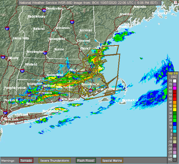 The severe thunderstorm warning for suffolk, northeastern norfolk, essex, southeastern worcester and eastern middlesex counties will expire at 615 pm edt, the storms which prompted the warning will move to east of the area. therefore, the warning will be allowed to expire. The severe thunderstorm warning for suffolk, northeastern norfolk, essex, southeastern worcester and eastern middlesex counties will expire at 615 pm edt, the storms which prompted the warning will move to east of the area. therefore, the warning will be allowed to expire.
|
| 10/7/2020 5:50 PM EDT |
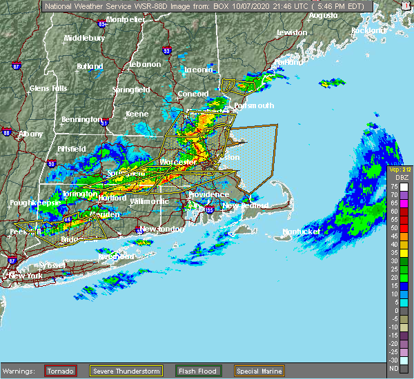 At 549 pm edt, severe thunderstorms were located along a line extending from methuen to lexington to southborough, moving east at 70 mph. these storms are prodcing widespread wind damage (radar indicated). Hazards include 70 mph wind gusts. Expect considerable damage to trees and power lines. damage is likely to mobile homes and outbuildings. Locations impacted include, boston, lowell, cambridge, quincy, lynn, newton, lawrence, somerville, framingham, haverhill, waltham, malden, brookline, medford, revere, peabody, methuen, arlington, everett and salem. At 549 pm edt, severe thunderstorms were located along a line extending from methuen to lexington to southborough, moving east at 70 mph. these storms are prodcing widespread wind damage (radar indicated). Hazards include 70 mph wind gusts. Expect considerable damage to trees and power lines. damage is likely to mobile homes and outbuildings. Locations impacted include, boston, lowell, cambridge, quincy, lynn, newton, lawrence, somerville, framingham, haverhill, waltham, malden, brookline, medford, revere, peabody, methuen, arlington, everett and salem.
|
| 10/7/2020 5:27 PM EDT |
 At 526 pm edt, severe thunderstorms were located along a line extending from brookline to near sterling to near spencer, moving east at 70 mph (radar indicated). Hazards include 70 mph wind gusts. Expect considerable damage to trees and power lines. Damage is likely to mobile homes and outbuildings. At 526 pm edt, severe thunderstorms were located along a line extending from brookline to near sterling to near spencer, moving east at 70 mph (radar indicated). Hazards include 70 mph wind gusts. Expect considerable damage to trees and power lines. Damage is likely to mobile homes and outbuildings.
|
| 8/23/2020 4:24 PM EDT | Tree down on car and blocking road on woodstock r in essex county MA, 1.5 miles W of Lawrence, MA |
| 8/23/2020 4:02 PM EDT |
 At 400 pm edt, a severe thunderstorm was located over north andover, moving east at 20 mph (radar indicated. this storm has a history of producing wind damage in orange, athol and fitchburg. currently, the biggest concern is in the lawrence, andover, and topfield areas in essex county). Hazards include 60 mph wind gusts and quarter size hail. Expect wind damage to trees and power lines. minor hail damage to vehicles is possible. Locations impacted include, lowell, lawrence, haverhill, peabody, methuen, leominster, fitchburg, billerica, beverly, woburn, chelmsford, andover, dracut, tewksbury, gloucester, north andover, danvers, orange, reading and burlington. At 400 pm edt, a severe thunderstorm was located over north andover, moving east at 20 mph (radar indicated. this storm has a history of producing wind damage in orange, athol and fitchburg. currently, the biggest concern is in the lawrence, andover, and topfield areas in essex county). Hazards include 60 mph wind gusts and quarter size hail. Expect wind damage to trees and power lines. minor hail damage to vehicles is possible. Locations impacted include, lowell, lawrence, haverhill, peabody, methuen, leominster, fitchburg, billerica, beverly, woburn, chelmsford, andover, dracut, tewksbury, gloucester, north andover, danvers, orange, reading and burlington.
|
| 8/23/2020 3:47 PM EDT |
 At 346 pm edt, a severe thunderstorm was located over phillipston, or 9 miles southeast of orange, moving east at 15 mph. there are also several other storms stretching into northeast ma that may result in pockets of wind damage (radar indicated). Hazards include 60 mph wind gusts and quarter size hail. Expect wind damage to trees and power lines. Minor hail damage to vehicles is possible. At 346 pm edt, a severe thunderstorm was located over phillipston, or 9 miles southeast of orange, moving east at 15 mph. there are also several other storms stretching into northeast ma that may result in pockets of wind damage (radar indicated). Hazards include 60 mph wind gusts and quarter size hail. Expect wind damage to trees and power lines. Minor hail damage to vehicles is possible.
|
| 8/22/2020 10:55 AM EDT |
 At 1053 am edt, a severe thunderstorm was located over chelmsford, moving east at 40 mph (trained weather spotters report multiple trees down in townsend and pepperell). Hazards include 60 mph wind gusts and quarter size hail. Expect wind damage to trees and power lines. minor hail damage to vehicles is possible. Locations impacted include, lowell, lawrence, methuen, billerica, chelmsford, andover, dracut, tewksbury, north andover, wilmington, westford, acton, concord, bedford, tyngsborough, groton, littleton, ayer, shirley and harvard. At 1053 am edt, a severe thunderstorm was located over chelmsford, moving east at 40 mph (trained weather spotters report multiple trees down in townsend and pepperell). Hazards include 60 mph wind gusts and quarter size hail. Expect wind damage to trees and power lines. minor hail damage to vehicles is possible. Locations impacted include, lowell, lawrence, methuen, billerica, chelmsford, andover, dracut, tewksbury, north andover, wilmington, westford, acton, concord, bedford, tyngsborough, groton, littleton, ayer, shirley and harvard.
|
| 8/22/2020 10:38 AM EDT |
 At 1038 am edt, a severe thunderstorm was located over pepperell, or 8 miles southwest of nashua, moving east at 40 mph (radar indicated). Hazards include 60 mph wind gusts and quarter size hail. Expect wind damage to trees and power lines. Minor hail damage to vehicles is possible. At 1038 am edt, a severe thunderstorm was located over pepperell, or 8 miles southwest of nashua, moving east at 40 mph (radar indicated). Hazards include 60 mph wind gusts and quarter size hail. Expect wind damage to trees and power lines. Minor hail damage to vehicles is possible.
|
| 7/23/2020 3:01 PM EDT |
 At 300 pm edt, a severe thunderstorm was located over north andover, moving east at 40 mph (radar indicated). Hazards include 60 mph wind gusts and quarter size hail. Expect wind damage to trees and power lines. Minor hail damage to vehicles is possible. At 300 pm edt, a severe thunderstorm was located over north andover, moving east at 40 mph (radar indicated). Hazards include 60 mph wind gusts and quarter size hail. Expect wind damage to trees and power lines. Minor hail damage to vehicles is possible.
|
| 7/13/2020 3:38 PM EDT | Large tree down blocking one lane on johnson stree in essex county MA, 1.5 miles W of Lawrence, MA |
| 5/15/2020 8:51 PM EDT |
 At 850 pm edt, a severe thunderstorm was located over reading, or near woburn, moving east at 45 mph (radar indicated. at 837 pm, two trees were downed in north chelmsford from these storms). Hazards include 60 mph wind gusts. Expect damage to trees and power lines. Locations impacted include, lowell, newton, lawrence, framingham, haverhill, waltham, methuen, arlington, billerica, marlborough, woburn, chelmsford, andover, lexington, dracut, tewksbury, north andover, wellesley, reading and belmont. At 850 pm edt, a severe thunderstorm was located over reading, or near woburn, moving east at 45 mph (radar indicated. at 837 pm, two trees were downed in north chelmsford from these storms). Hazards include 60 mph wind gusts. Expect damage to trees and power lines. Locations impacted include, lowell, newton, lawrence, framingham, haverhill, waltham, methuen, arlington, billerica, marlborough, woburn, chelmsford, andover, lexington, dracut, tewksbury, north andover, wellesley, reading and belmont.
|
| 5/15/2020 8:48 PM EDT |
 At 847 pm edt, severe thunderstorms were located along a line extending from near derry to lexington, moving east at 55 mph (radar indicated. at 837 pm, two trees were downed in north chelmsford from these storms). Hazards include 60 mph wind gusts. expect damage to trees and power lines At 847 pm edt, severe thunderstorms were located along a line extending from near derry to lexington, moving east at 55 mph (radar indicated. at 837 pm, two trees were downed in north chelmsford from these storms). Hazards include 60 mph wind gusts. expect damage to trees and power lines
|
| 5/15/2020 8:08 PM EDT |
 At 808 pm edt, a severe thunderstorm was located over townsend, or near fitchburg, moving east at 45 mph (radar indicated). Hazards include 60 mph wind gusts and quarter size hail. Expect wind damage to trees and power lines. Minor hail damage to vehicles is possible. At 808 pm edt, a severe thunderstorm was located over townsend, or near fitchburg, moving east at 45 mph (radar indicated). Hazards include 60 mph wind gusts and quarter size hail. Expect wind damage to trees and power lines. Minor hail damage to vehicles is possible.
|
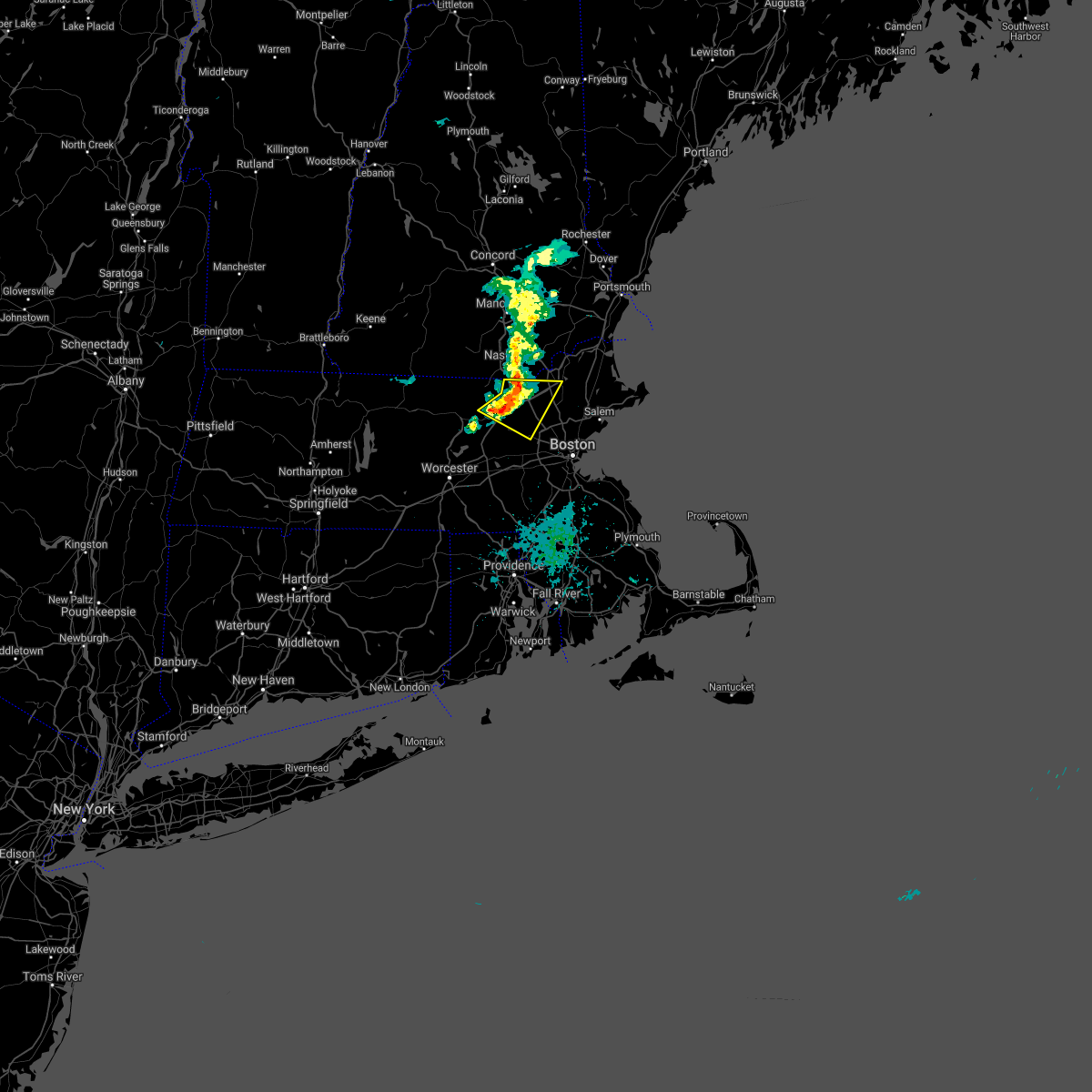
| 8/21/2019 3:04 PM EDT |
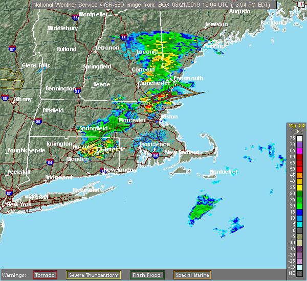 At 301 pm edt, a severe thunderstorm capable of producing a tornado was located over west newbury and groveland, moving east at 15 mph. a spotter in newbury has reported a funnel cloud with this storm (radar indicated rotation). Hazards include tornado and quarter size hail. Flying debris will be dangerous to those caught without shelter. mobile homes will be damaged or destroyed. damage to roofs, windows, and vehicles will occur. tree damage is likely. this dangerous storm will be near, newburyport, amesbury, salisbury, newbury and seabrook around 315 pm edt. Other locations impacted by this tornadic thunderstorm include south hampton and plaistow. At 301 pm edt, a severe thunderstorm capable of producing a tornado was located over west newbury and groveland, moving east at 15 mph. a spotter in newbury has reported a funnel cloud with this storm (radar indicated rotation). Hazards include tornado and quarter size hail. Flying debris will be dangerous to those caught without shelter. mobile homes will be damaged or destroyed. damage to roofs, windows, and vehicles will occur. tree damage is likely. this dangerous storm will be near, newburyport, amesbury, salisbury, newbury and seabrook around 315 pm edt. Other locations impacted by this tornadic thunderstorm include south hampton and plaistow.
|
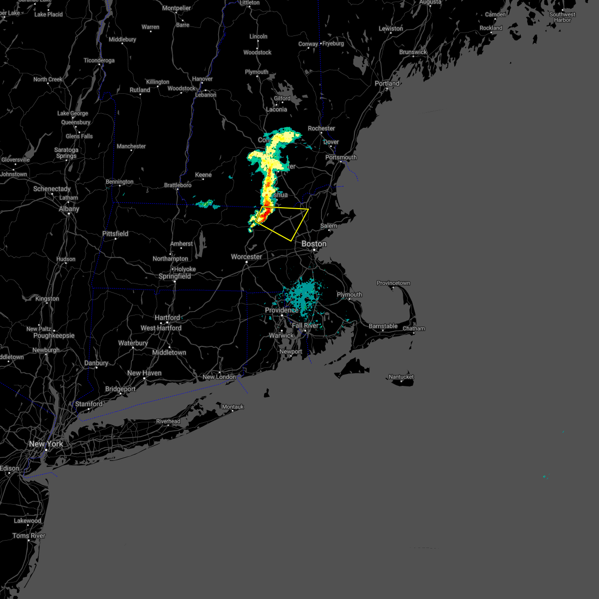
| 8/21/2019 2:49 PM EDT |
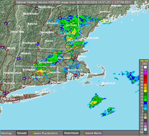 At 248 pm edt, a severe thunderstorm capable of producing a tornado was located over groveland, or over haverhill, moving northeast at 30 mph (radar indicated rotation). Hazards include tornado and quarter size hail. Flying debris will be dangerous to those caught without shelter. mobile homes will be damaged or destroyed. damage to roofs, windows, and vehicles will occur. tree damage is likely. this dangerous storm will be near, west newbury around 255 pm edt. amesbury, salisbury and newbury around 305 pm edt. newburyport around 310 pm edt. seabrook around 315 pm edt. Other locations impacted by this tornadic thunderstorm include south hampton and plaistow. At 248 pm edt, a severe thunderstorm capable of producing a tornado was located over groveland, or over haverhill, moving northeast at 30 mph (radar indicated rotation). Hazards include tornado and quarter size hail. Flying debris will be dangerous to those caught without shelter. mobile homes will be damaged or destroyed. damage to roofs, windows, and vehicles will occur. tree damage is likely. this dangerous storm will be near, west newbury around 255 pm edt. amesbury, salisbury and newbury around 305 pm edt. newburyport around 310 pm edt. seabrook around 315 pm edt. Other locations impacted by this tornadic thunderstorm include south hampton and plaistow.
|
| 8/21/2019 2:37 PM EDT |
 The national weather service in boston/norton has issued a * severe thunderstorm warning for. northwestern essex county in northeastern massachusetts. until 300 pm edt. At 236 pm edt, a severe thunderstorm was located over haverhill, moving northeast at 35 mph. The national weather service in boston/norton has issued a * severe thunderstorm warning for. northwestern essex county in northeastern massachusetts. until 300 pm edt. At 236 pm edt, a severe thunderstorm was located over haverhill, moving northeast at 35 mph.
|
| 6/30/2019 2:35 PM EDT |
 At 234 pm edt, a severe thunderstorm was located over topsfield, or near danvers, moving southeast at 15 mph (radar indicated). Hazards include 60 mph wind gusts and quarter size hail. Hail damage to vehicles is possible. Expect damage to trees and power lines. At 234 pm edt, a severe thunderstorm was located over topsfield, or near danvers, moving southeast at 15 mph (radar indicated). Hazards include 60 mph wind gusts and quarter size hail. Hail damage to vehicles is possible. Expect damage to trees and power lines.
|
| 6/30/2019 2:25 PM EDT | Trees and wiers down on great pond street in essex county MA, 1.5 miles W of Lawrence, MA |
| 7/17/2018 1:15 PM EDT |
 The national weather service in boston/norton has issued a * severe thunderstorm warning for. northern essex county in northeastern massachusetts. northeastern middlesex county in northeastern massachusetts. until 215 pm edt. At 114 pm edt, a severe thunderstorm was located over west newbury,. The national weather service in boston/norton has issued a * severe thunderstorm warning for. northern essex county in northeastern massachusetts. northeastern middlesex county in northeastern massachusetts. until 215 pm edt. At 114 pm edt, a severe thunderstorm was located over west newbury,.
|
| 6/18/2018 6:51 PM EDT | Wires down on johnson street in essex county MA, 1.5 miles W of Lawrence, MA |
| 6/18/2018 6:30 PM EDT | Multiple trees down across the city in essex county MA, 0.6 miles E of Lawrence, MA |
| 9/6/2017 11:46 AM EDT |
 At 1146 am edt, a severe thunderstorm was located over boxford, or near north andover, moving northeast at 45 mph (radar indicated). Hazards include 60 mph wind gusts. expect damage to trees and power lines At 1146 am edt, a severe thunderstorm was located over boxford, or near north andover, moving northeast at 45 mph (radar indicated). Hazards include 60 mph wind gusts. expect damage to trees and power lines
|
| 6/23/2017 2:10 PM EDT |
 At 207 pm edt, a severe thunderstorm was located over north reading, or near woburn, moving northeast at 45 mph (radar indicated). Hazards include 60 mph wind gusts. Expect damage to trees and power lines. Locations impacted include, lawrence, haverhill, peabody, methuen, billerica, woburn, andover, tewksbury, north andover, danvers, wakefield, reading, burlington, wilmington, stoneham, winchester, newburyport, amesbury, north reading and ipswich. At 207 pm edt, a severe thunderstorm was located over north reading, or near woburn, moving northeast at 45 mph (radar indicated). Hazards include 60 mph wind gusts. Expect damage to trees and power lines. Locations impacted include, lawrence, haverhill, peabody, methuen, billerica, woburn, andover, tewksbury, north andover, danvers, wakefield, reading, burlington, wilmington, stoneham, winchester, newburyport, amesbury, north reading and ipswich.
|
| 6/23/2017 1:56 PM EDT |
 At 156 pm edt, severe thunderstorms were located along a line extending from bedford to somerville, moving northeast at 45 mph (radar indicated). Hazards include 60 mph wind gusts. expect damage to trees and power lines At 156 pm edt, severe thunderstorms were located along a line extending from bedford to somerville, moving northeast at 45 mph (radar indicated). Hazards include 60 mph wind gusts. expect damage to trees and power lines
|
| 5/18/2017 10:55 PM EDT | Wires down on jeffferson street in essex county MA, 0.6 miles E of Lawrence, MA |
| 5/18/2017 9:43 PM EDT |
 At 942 pm edt, a severe thunderstorm was located near templeton, or 10 miles east of orange, moving east at 55 mph (radar indicated). Hazards include 60 mph wind gusts. expect damage to trees and power lines At 942 pm edt, a severe thunderstorm was located near templeton, or 10 miles east of orange, moving east at 55 mph (radar indicated). Hazards include 60 mph wind gusts. expect damage to trees and power lines
|
| 9/11/2016 10:14 AM EDT |
 At 1014 am edt, severe thunderstorms were located along a line extending from north andover to hopedale, moving east at 45 mph (radar indicated). Hazards include 60 mph wind gusts. Expect damage to roofs. siding. and trees. Locations impacted include, boston, cambridge, brockton, quincy, lynn, newton, lawrence, somerville, framingham, haverhill, waltham, malden, brookline, medford, weymouth, revere, peabody, methuen, arlington and everett. At 1014 am edt, severe thunderstorms were located along a line extending from north andover to hopedale, moving east at 45 mph (radar indicated). Hazards include 60 mph wind gusts. Expect damage to roofs. siding. and trees. Locations impacted include, boston, cambridge, brockton, quincy, lynn, newton, lawrence, somerville, framingham, haverhill, waltham, malden, brookline, medford, weymouth, revere, peabody, methuen, arlington and everett.
|
| 9/11/2016 10:10 AM EDT |
 The severe thunderstorm warning for northwestern essex, southeastern hampshire, southeastern hampden, worcester and middlesex counties will expire at 1015 am edt, the storms which prompted the warning have moved out of the area. therefore, the warning will be allowed to expire. The severe thunderstorm warning for northwestern essex, southeastern hampshire, southeastern hampden, worcester and middlesex counties will expire at 1015 am edt, the storms which prompted the warning have moved out of the area. therefore, the warning will be allowed to expire.
|
| 9/11/2016 9:53 AM EDT |
 At 952 am edt, severe thunderstorms were located along a line extending from tyngsborough to near oxford, moving east at 45 mph (radar indicated). Hazards include 60 mph wind gusts. Expect damage to roofs. siding. And trees. At 952 am edt, severe thunderstorms were located along a line extending from tyngsborough to near oxford, moving east at 45 mph (radar indicated). Hazards include 60 mph wind gusts. Expect damage to roofs. siding. And trees.
|
| 9/11/2016 9:23 AM EDT |
 At 922 am edt, severe thunderstorms were located along a line extending from near new boston to near westminster to north brookfield to west hartford, moving east at 45 mph (radar indicated). Hazards include 60 mph wind gusts. Expect damage to roofs. siding. And trees. At 922 am edt, severe thunderstorms were located along a line extending from near new boston to near westminster to north brookfield to west hartford, moving east at 45 mph (radar indicated). Hazards include 60 mph wind gusts. Expect damage to roofs. siding. And trees.
|
| 8/22/2016 3:51 AM EDT |
 At 351 am edt, a severe thunderstorm was located over wilmington, or near andover, moving northeast at 25 mph (radar indicated). Hazards include 60 mph wind gusts. Expect damage to roofs. siding. And trees. At 351 am edt, a severe thunderstorm was located over wilmington, or near andover, moving northeast at 25 mph (radar indicated). Hazards include 60 mph wind gusts. Expect damage to roofs. siding. And trees.
|
| 7/23/2016 7:29 PM EDT |
 At 728 pm edt, a cluster of strong thunderstorms was affecting northern massachusetts producing damaging wind gusts (radar indicated and spotters have reported wind damage with these storms). Hazards include 60 mph wind gusts. Expect damage to roofs. siding. And trees. At 728 pm edt, a cluster of strong thunderstorms was affecting northern massachusetts producing damaging wind gusts (radar indicated and spotters have reported wind damage with these storms). Hazards include 60 mph wind gusts. Expect damage to roofs. siding. And trees.
|
| 7/23/2016 6:38 PM EDT |
 At 636 pm edt, a line of severe thunderstorms in southern new hampshire will be dropping southeast into north central and northeast massachusetts through 730 pm (spotter reporting numerous reports of wind damage in southern new hampshire). Hazards include 60 mph wind gusts. Expect damage to roofs. siding. And trees. At 636 pm edt, a line of severe thunderstorms in southern new hampshire will be dropping southeast into north central and northeast massachusetts through 730 pm (spotter reporting numerous reports of wind damage in southern new hampshire). Hazards include 60 mph wind gusts. Expect damage to roofs. siding. And trees.
|
| 7/18/2016 3:17 PM EDT |
 At 317 pm edt, a severe thunderstorm was located over haverhill, moving east at 50 mph (radar indicated). Hazards include 60 mph wind gusts and quarter size hail. Hail damage to vehicles is expected. Expect wind damage to roofs, siding, and trees. At 317 pm edt, a severe thunderstorm was located over haverhill, moving east at 50 mph (radar indicated). Hazards include 60 mph wind gusts and quarter size hail. Hail damage to vehicles is expected. Expect wind damage to roofs, siding, and trees.
|
| 2/25/2016 3:21 AM EST |
 The severe thunderstorm warning for northwestern bristol, west central essex, western norfolk, southeastern worcester and middlesex counties will expire at 330 am est, the storm which prompted the warning has weakened below severe limits although strong winds may linger. The severe thunderstorm warning for northwestern bristol, west central essex, western norfolk, southeastern worcester and middlesex counties will expire at 330 am est, the storm which prompted the warning has weakened below severe limits although strong winds may linger.
|
| 2/25/2016 3:01 AM EST |
 At 301 am est, doppler radar indicated a severe thunderstorm capable of producing destructive winds in excess of 70 mph. this storm was located over dedham, or near brookline, and was moving northeast at 85 mph. At 301 am est, doppler radar indicated a severe thunderstorm capable of producing destructive winds in excess of 70 mph. this storm was located over dedham, or near brookline, and was moving northeast at 85 mph.
|
| 2/25/2016 2:40 AM EST |
 At 239 am est, doppler radar indicated a severe thunderstorm capable of producing destructive winds in excess of 70 mph. this storm was located over upton, or near milford, and was moving northeast at 115 mph. At 239 am est, doppler radar indicated a severe thunderstorm capable of producing destructive winds in excess of 70 mph. this storm was located over upton, or near milford, and was moving northeast at 115 mph.
|
| 8/15/2015 5:00 PM EDT |
 At 500 pm edt, doppler radar indicated a severe thunderstorm capable of producing quarter size hail and damaging winds in excess of 60 mph. this storm was located over lawrence, and was moving east at 20 mph. * some locations impacted include, lawrence, haverhill, methuen, beverly, andover, dracut, tewksbury, north andover, danvers, wilmington, newburyport, amesbury, north reading, ipswich, middleton, salisbury, georgetown, boxford, hamilton and newbury. At 500 pm edt, doppler radar indicated a severe thunderstorm capable of producing quarter size hail and damaging winds in excess of 60 mph. this storm was located over lawrence, and was moving east at 20 mph. * some locations impacted include, lawrence, haverhill, methuen, beverly, andover, dracut, tewksbury, north andover, danvers, wilmington, newburyport, amesbury, north reading, ipswich, middleton, salisbury, georgetown, boxford, hamilton and newbury.
|
| 7/24/2015 4:10 PM EDT |
 At 409 pm edt, doppler radar indicated a severe thunderstorm capable of producing quarter size hail. this storm was located over north andover, and was moving southeast at 20 mph. * some locations impacted include, lawrence, peabody, methuen, andover, north andover, reading, wilmington, north reading, ipswich, lynnfield, middleton, georgetown, boxford, topsfield and rowley. At 409 pm edt, doppler radar indicated a severe thunderstorm capable of producing quarter size hail. this storm was located over north andover, and was moving southeast at 20 mph. * some locations impacted include, lawrence, peabody, methuen, andover, north andover, reading, wilmington, north reading, ipswich, lynnfield, middleton, georgetown, boxford, topsfield and rowley.
|
| 7/24/2015 4:04 PM EDT |
 At 403 pm edt, doppler radar indicated a severe thunderstorm capable of producing quarter size hail. this storm was located over wilmington, or near billerica, moving southeast at 30 mph. locations impacted include, lowell, lawrence, methuen, andover, dracut, tewksbury, north andover and pelham. At 403 pm edt, doppler radar indicated a severe thunderstorm capable of producing quarter size hail. this storm was located over wilmington, or near billerica, moving southeast at 30 mph. locations impacted include, lowell, lawrence, methuen, andover, dracut, tewksbury, north andover and pelham.
|
| 7/24/2015 3:37 PM EDT |
 At 337 pm edt, doppler radar indicated a severe thunderstorm capable of producing quarter size hail. this storm was located over pelham, or near dracut, and was moving southeast at 30 mph. * some locations impacted include, lowell, lawrence, peabody, methuen, billerica, woburn, chelmsford, andover, dracut, tewksbury, north andover, reading, burlington, wilmington, north reading, bedford, pelham, lynnfield, tyngsborough and carlisle. At 337 pm edt, doppler radar indicated a severe thunderstorm capable of producing quarter size hail. this storm was located over pelham, or near dracut, and was moving southeast at 30 mph. * some locations impacted include, lowell, lawrence, peabody, methuen, billerica, woburn, chelmsford, andover, dracut, tewksbury, north andover, reading, burlington, wilmington, north reading, bedford, pelham, lynnfield, tyngsborough and carlisle.
|
| 5/28/2015 5:28 PM EDT | The severe thunderstorm warning for northwestern essex county will expire at 530 pm edt. as of 527 pm. the line of storms which prompted the warning were moving off the coast. therefore the warning will be allowed to expire. frequent lightning was occurring behind the storms. For your safety. |
| 5/28/2015 5:13 PM EDT | At 512 pm edt, doppler radar indicated a line of severe thunderstorms capable of producing quarter size hail and damaging winds in excess of 60 mph. these storms were located along a line extending from newburyport to boxford, moving east at 40 mph. winds recently gusted to 48 mph at lawrence airport. locations impacted include, lawrence, haverhill, methuen, north andover, newburyport, amesbury, ipswich, salisbury, georgetown, boxford, newbury, groveland, merrimac, rowley and west newbury. |
| 5/28/2015 4:45 PM EDT | At 445 pm edt, doppler radar indicated a line of severe thunderstorms capable of producing quarter size hail and damaging winds in excess of 60 mph. these storms were located along a line extending from near salem to tyngsborough, and was moving east at 45 mph. * some locations impacted include, lowell, lawrence, haverhill, methuen, chelmsford, andover, dracut, tewksbury, north andover, newburyport, amesbury, ipswich, pelham, tyngsborough, salisbury, georgetown, boxford, newbury, groveland and merrimac. |
| 9/6/2014 6:01 PM EDT | Trees and wires down on steven and greene street in essex county MA, 1.5 miles W of Lawrence, MA |
| 9/6/2014 5:20 PM EDT | Trees and wires down on house on beach ave in essex county MA, 1.5 miles W of Lawrence, MA |
| 9/6/2014 5:20 PM EDT | Tree and wires down on south union and kent street... also at baily street. tree down on car on dorchester stree in essex county MA, 0.6 miles E of Lawrence, MA |
| 9/6/2014 5:15 PM EDT | Trees and large branches down on osgood st...harkaway st and academy lan in essex county MA, 1.5 miles W of Lawrence, MA |
| 7/15/2014 5:20 PM EDT | Tree down on car on abbott stree in essex county MA, 1.5 miles W of Lawrence, MA |
| 7/15/2014 5:05 PM EDT | Ceiling collape of a 3 story wood frame building on bruce s in essex county MA, 0.6 miles E of Lawrence, MA |
| 7/3/2014 8:49 PM EDT | Tree down on vehicle on east street and greenfiel in essex county MA, 0.6 miles E of Lawrence, MA |
| 7/3/2014 6:43 PM EDT | Tree down blocking everett stree in essex county MA, 0.6 miles E of Lawrence, MA |
| 7/3/2014 6:31 PM EDT | Tree down blocking main stree in essex county MA, 1.5 miles W of Lawrence, MA |
| 7/3/2014 6:15 PM EDT | Tree down onto house on melvin stree in essex county MA, 0.6 miles E of Lawrence, MA |
| 7/3/2014 6:10 PM EDT | Large tree down on boston road and 114 in essex county MA, 1.5 miles W of Lawrence, MA |
| 7/3/2014 5:30 PM EDT | Tree into house on furber s in essex county MA, 0.6 miles E of Lawrence, MA |
| 6/23/2012 4:31 PM EDT | Tree and wires down on second and morris street... tree down on rte 114 eastbound. 2 large limbs down blocking autram road in essex county MA, 1.5 miles W of Lawrence, MA |
| 1/1/0001 12:00 AM | Trees and wires down on ashland street in essex county MA, 1.5 miles W of Lawrence, MA |
Hail Maps for Lawrence, MA


Connect with Interactive Hail Maps