

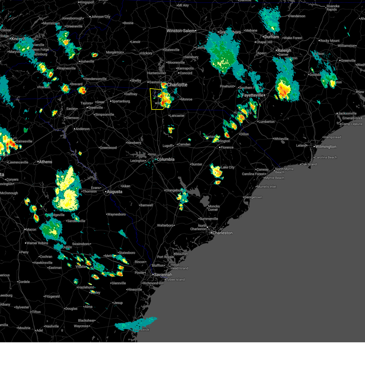
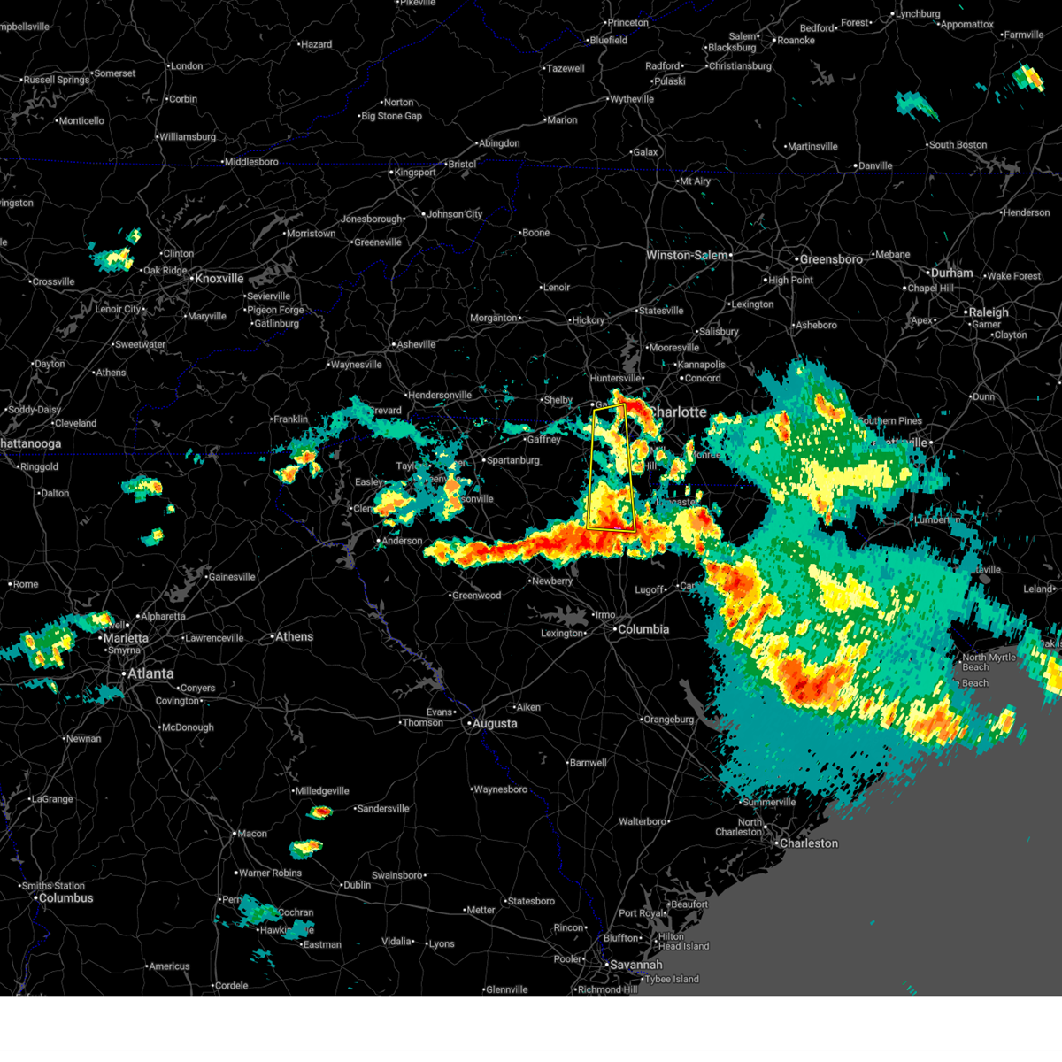
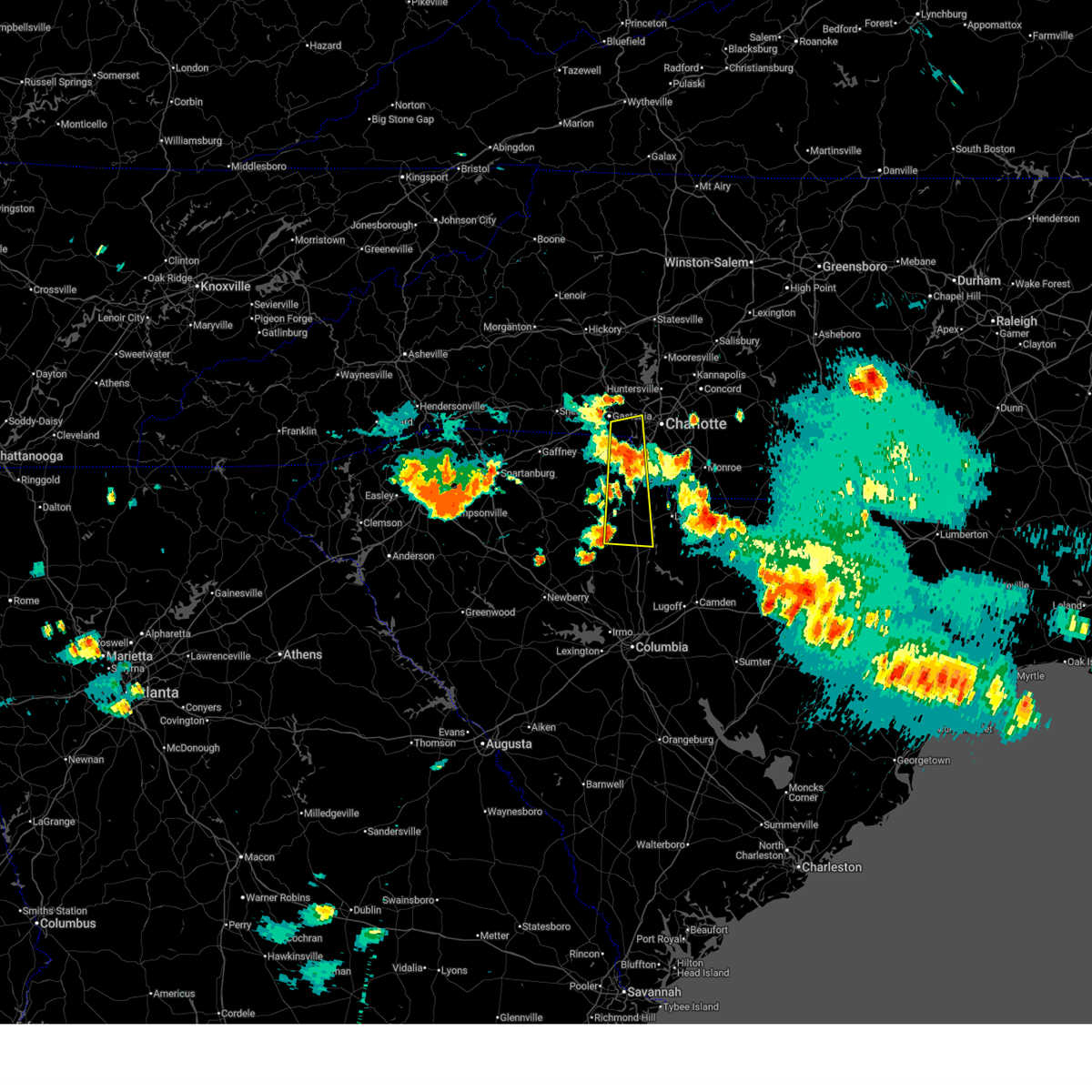
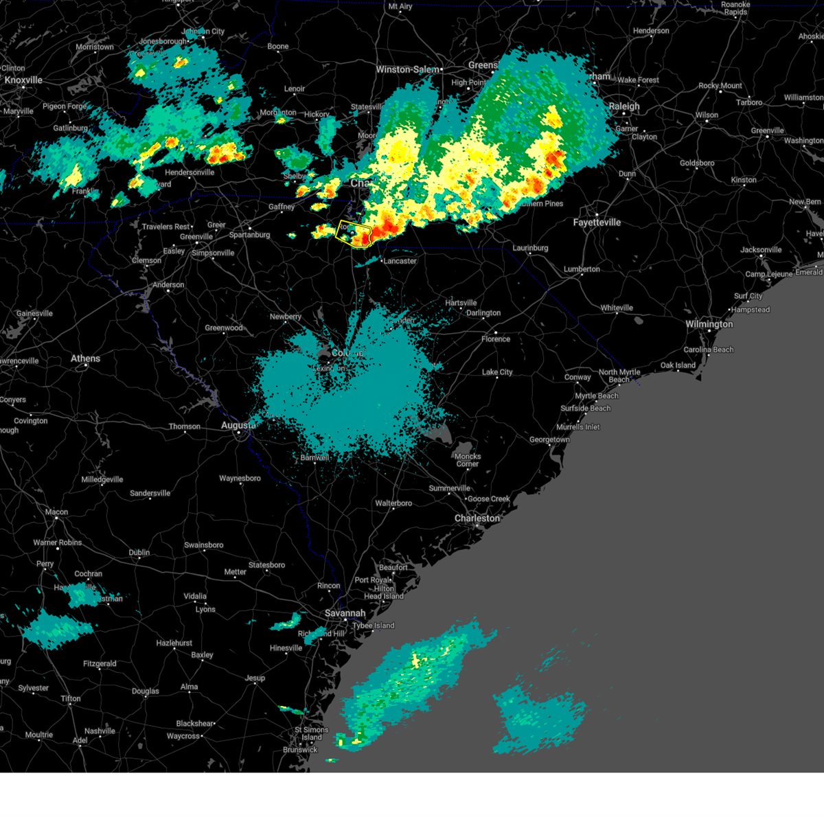
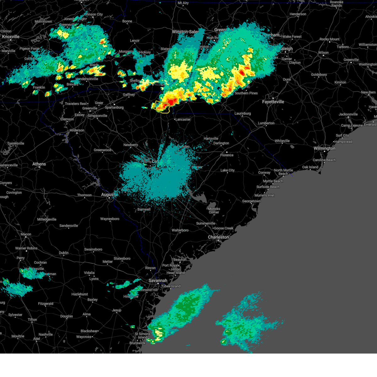
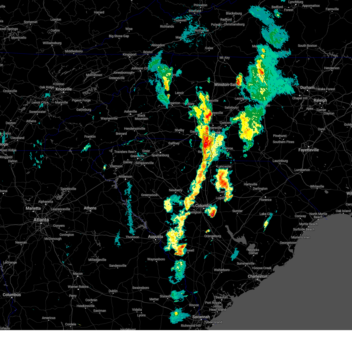
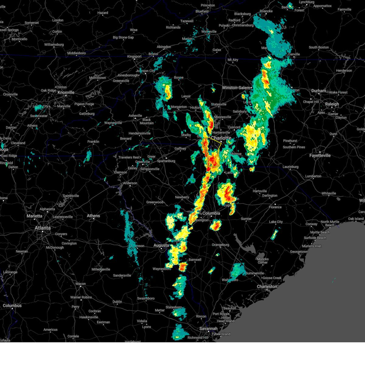
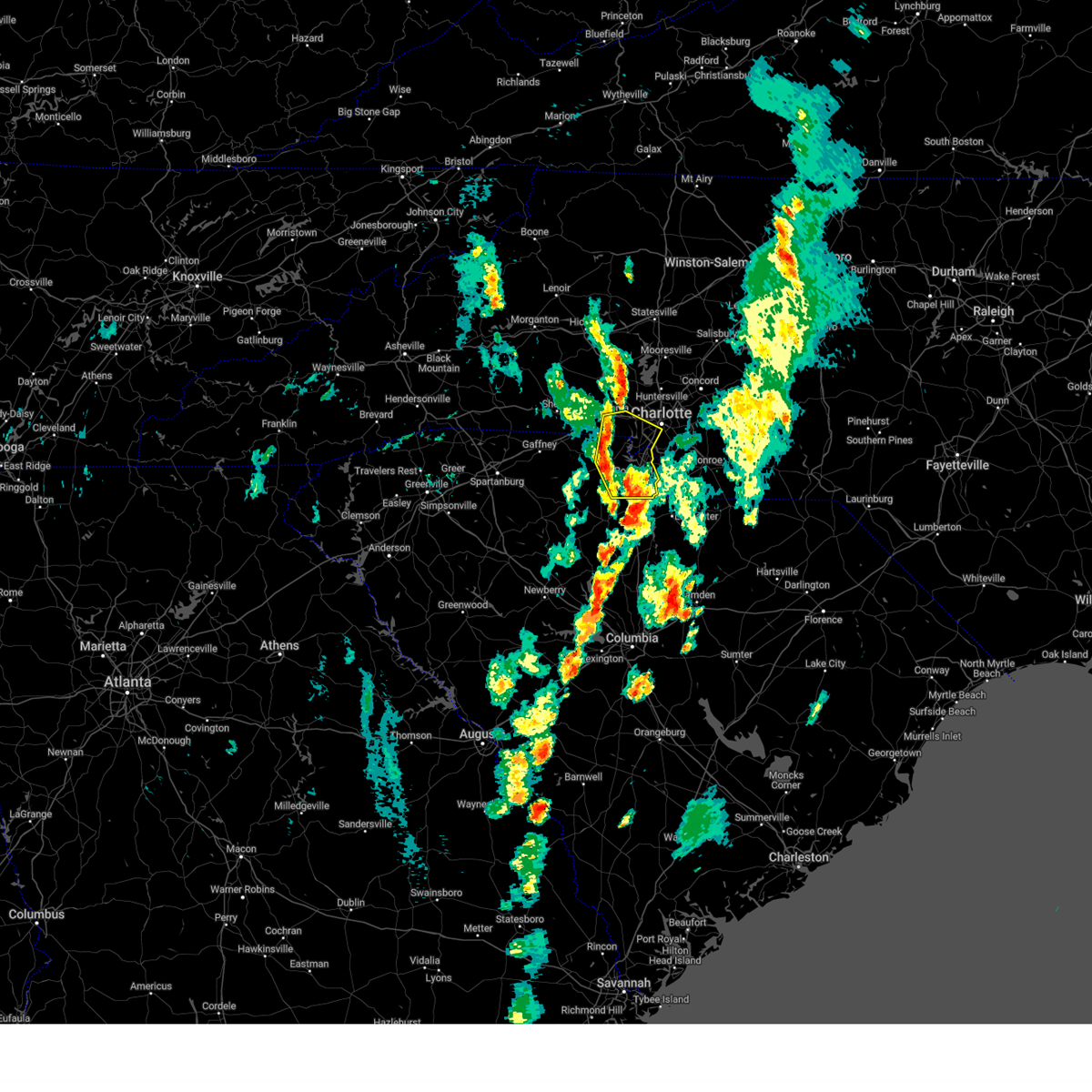
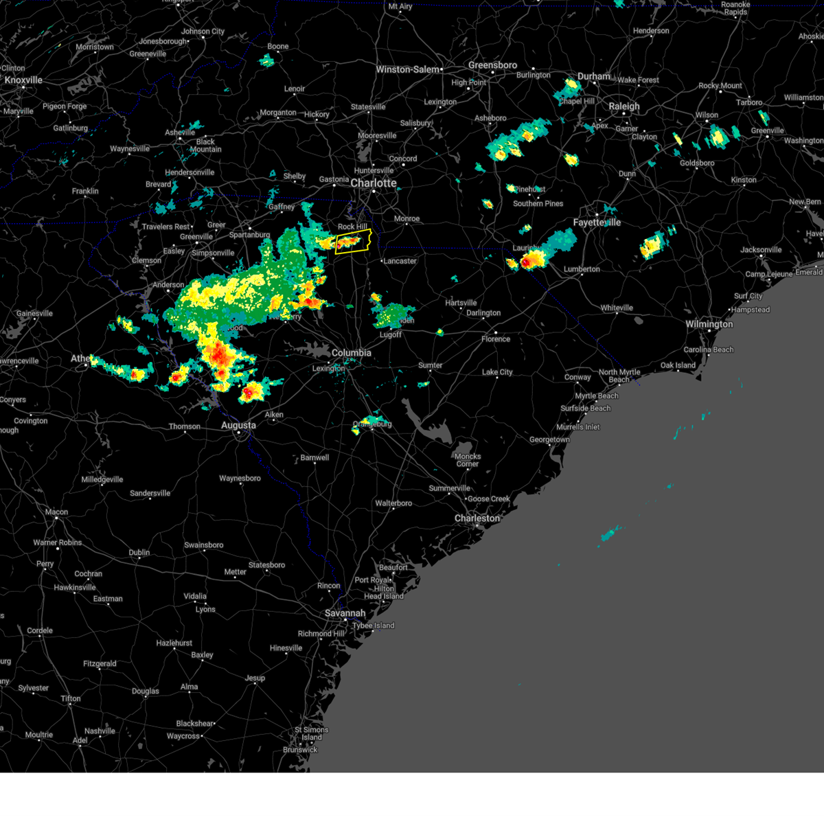
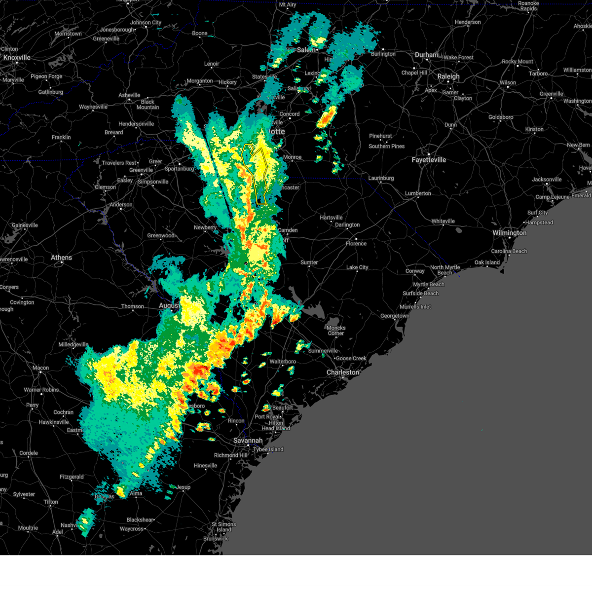
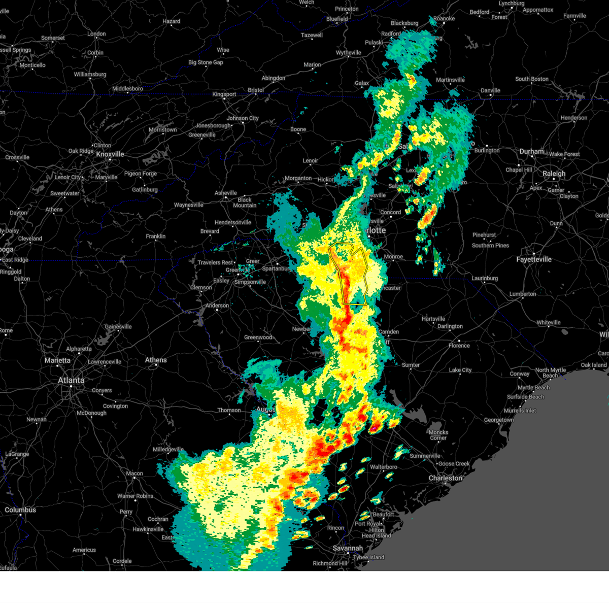
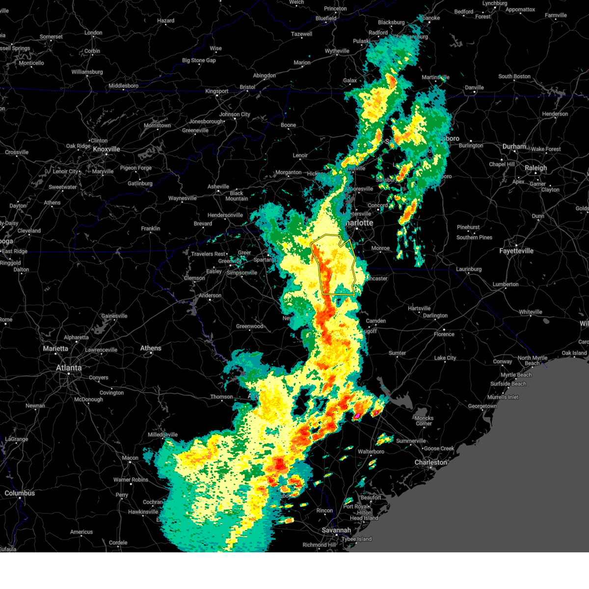
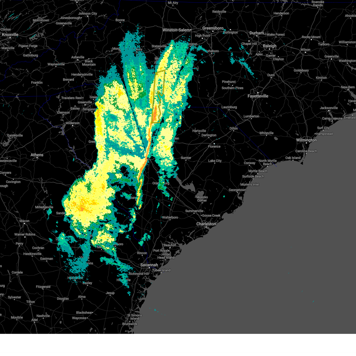
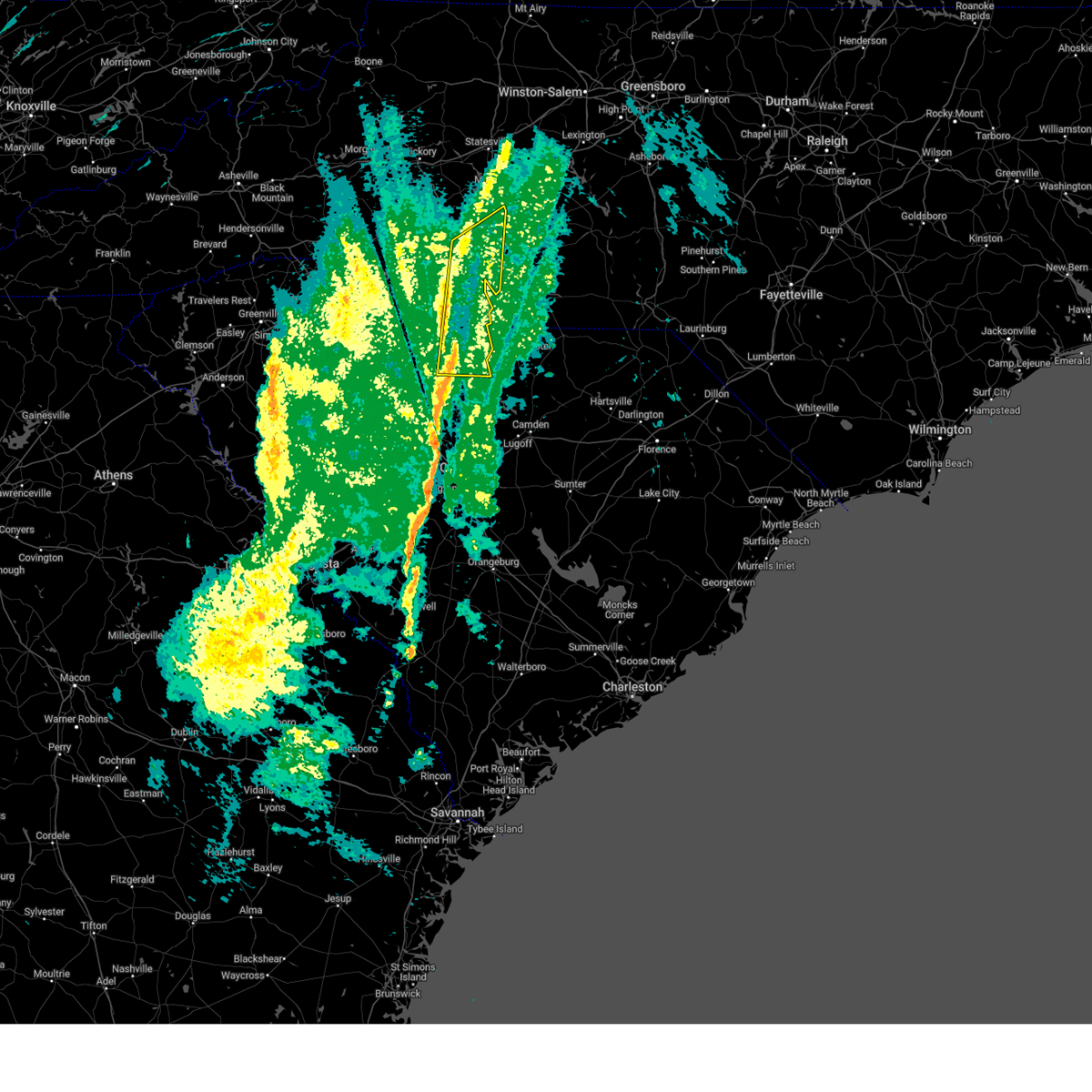
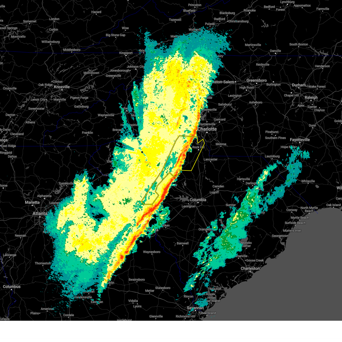
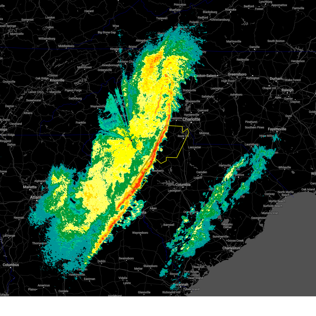
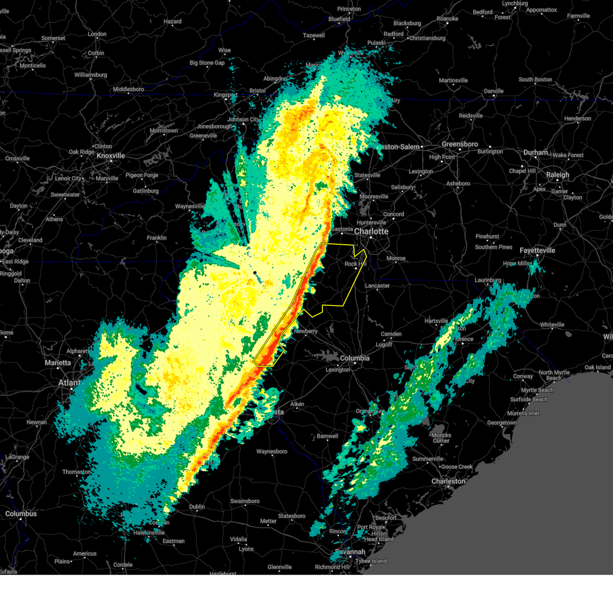
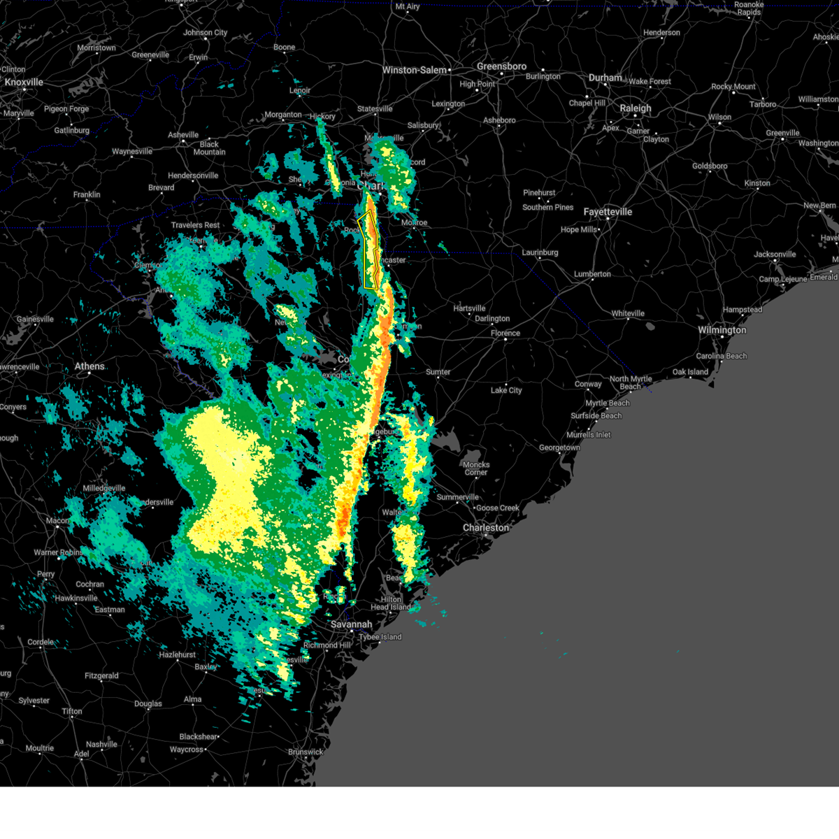
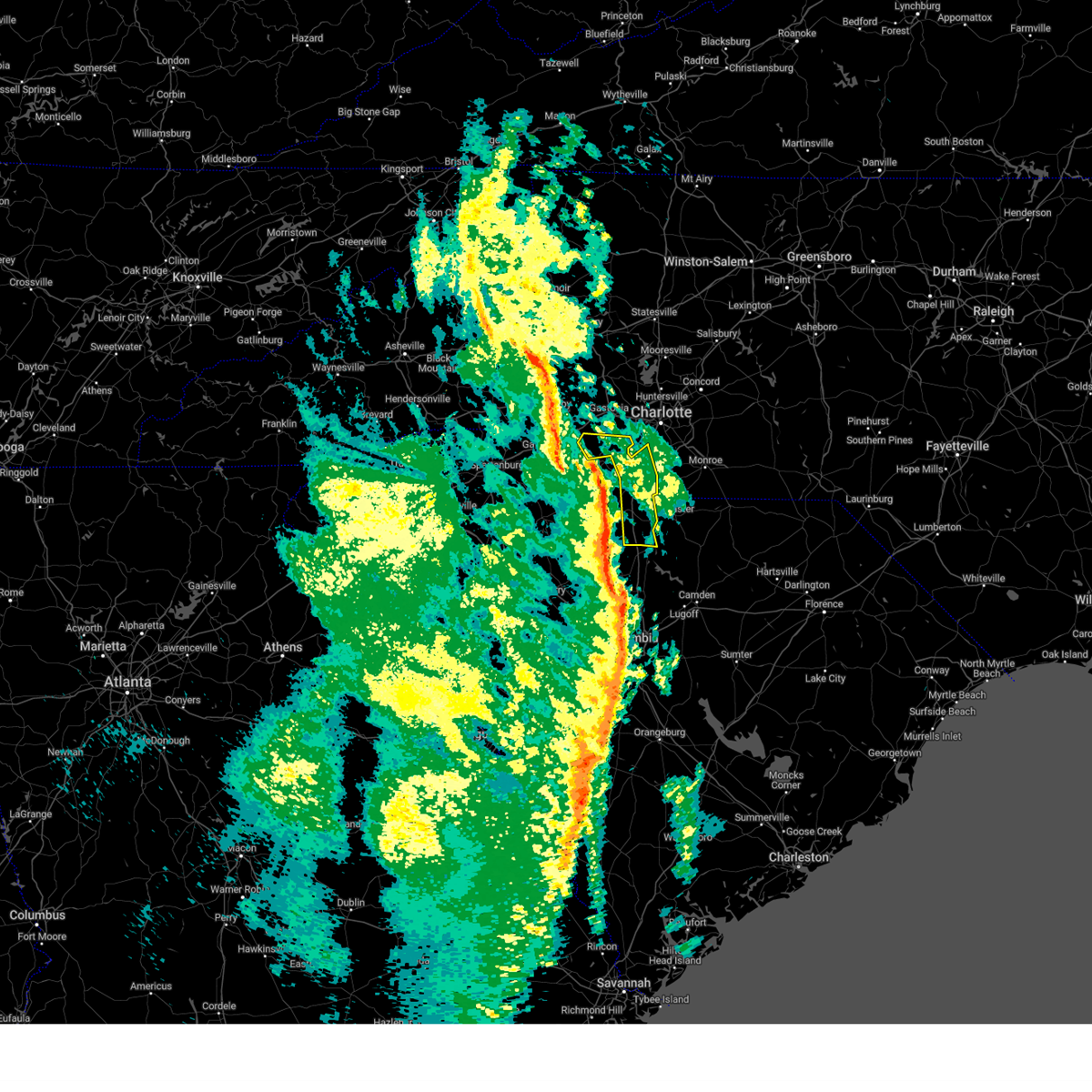
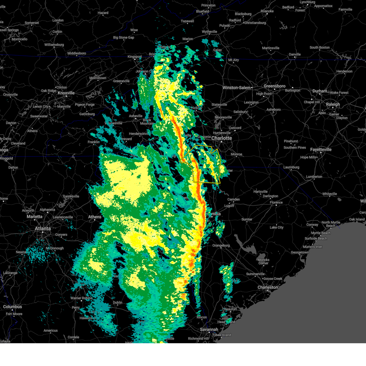
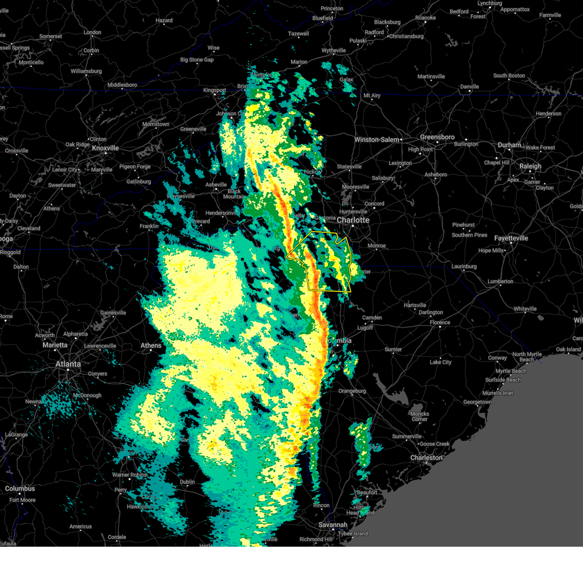
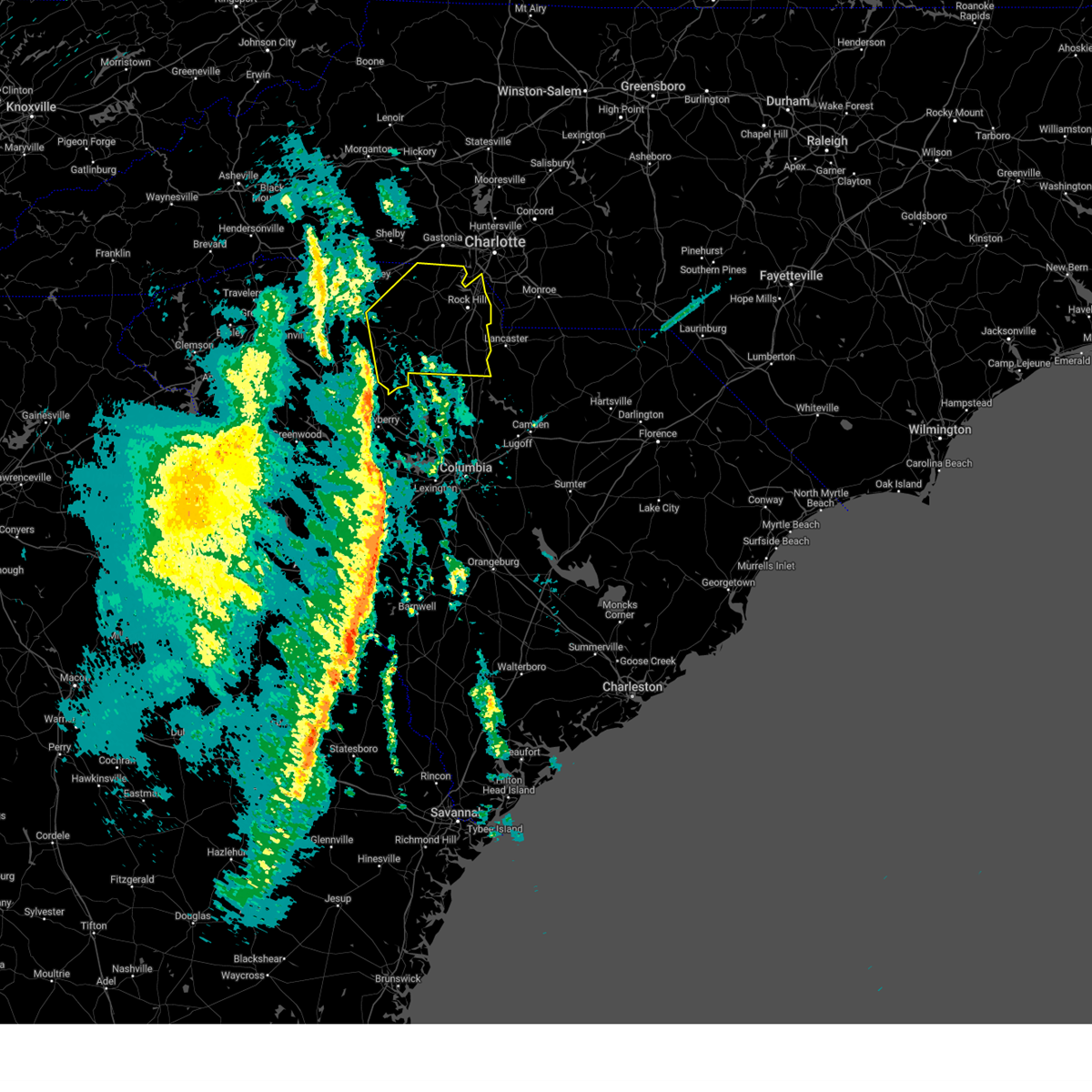
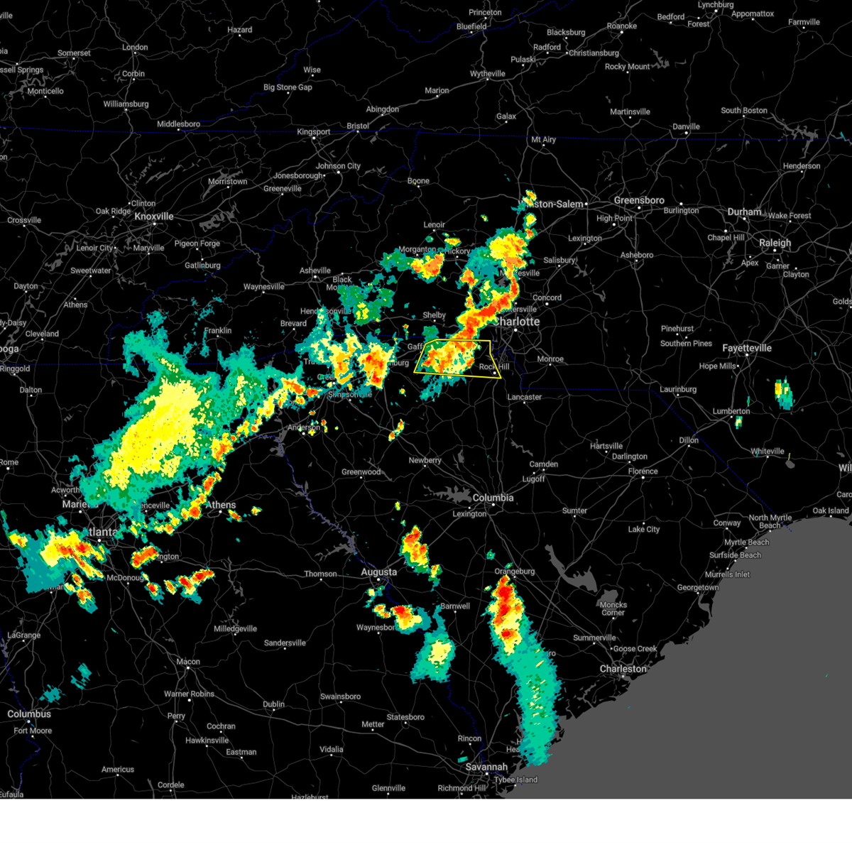
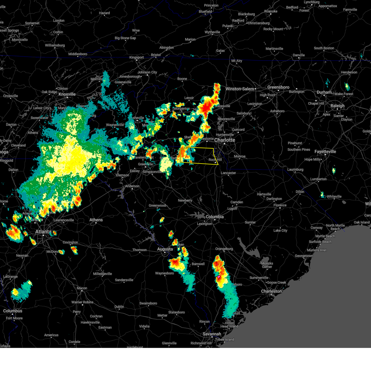
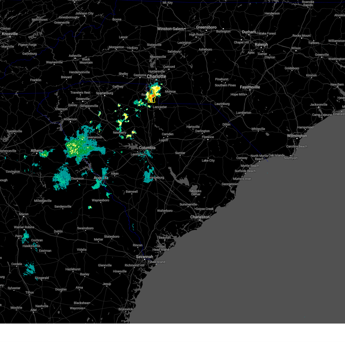
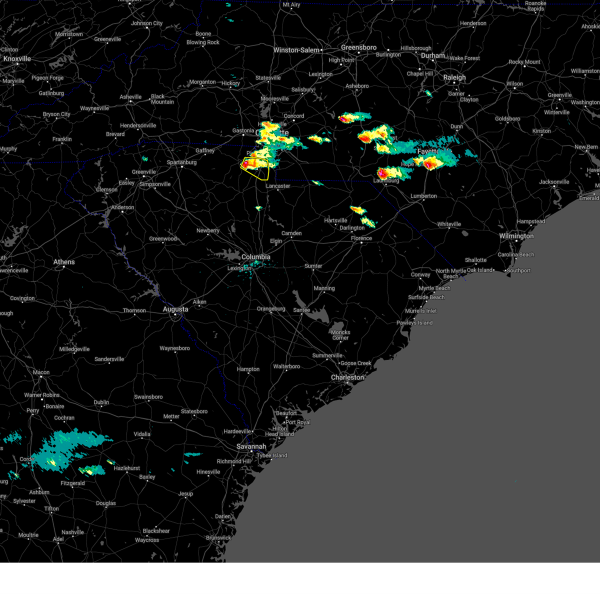
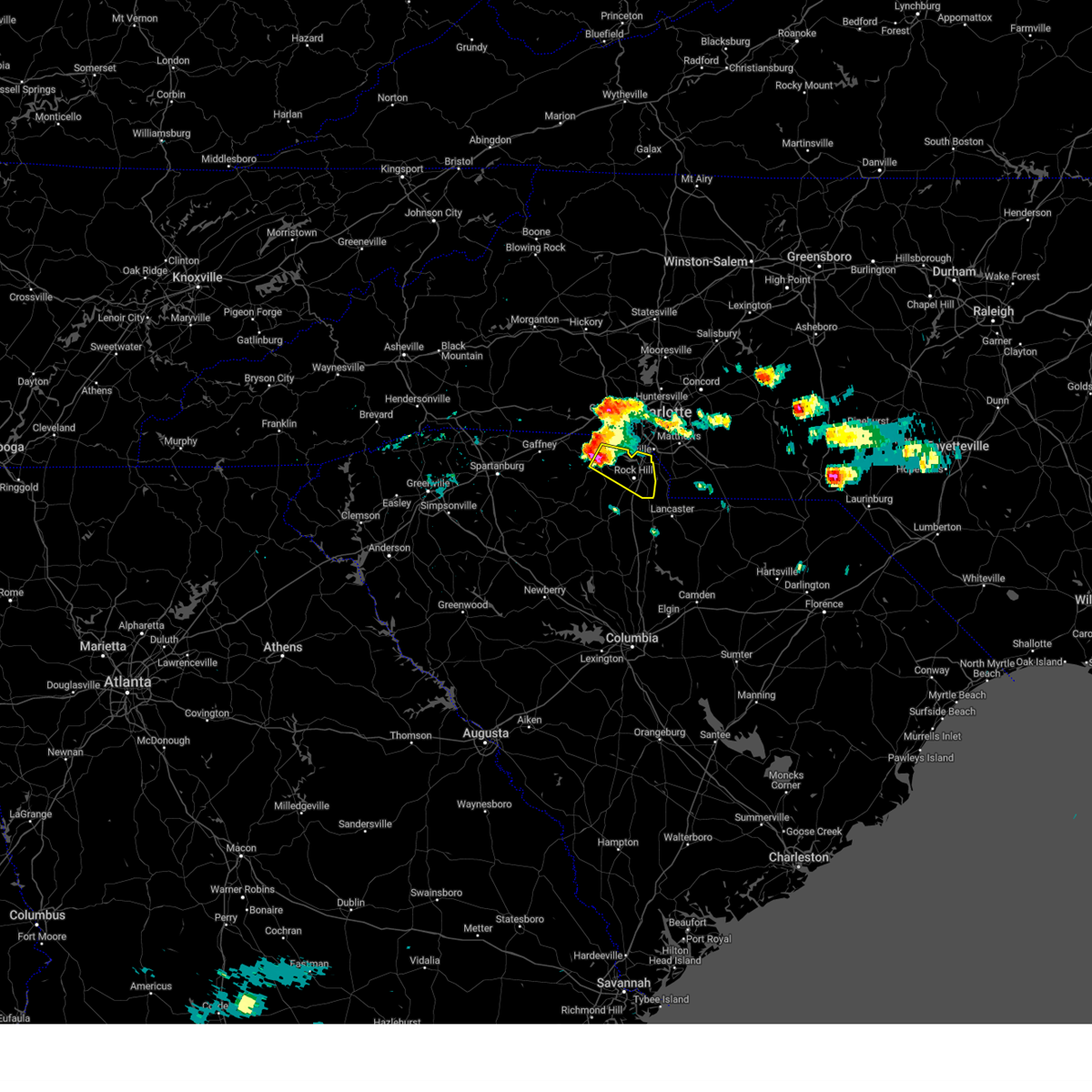
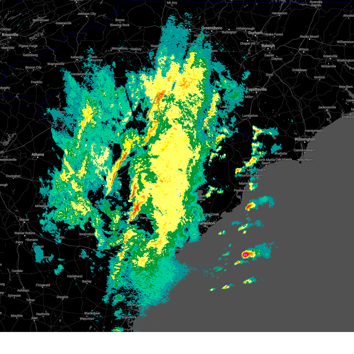
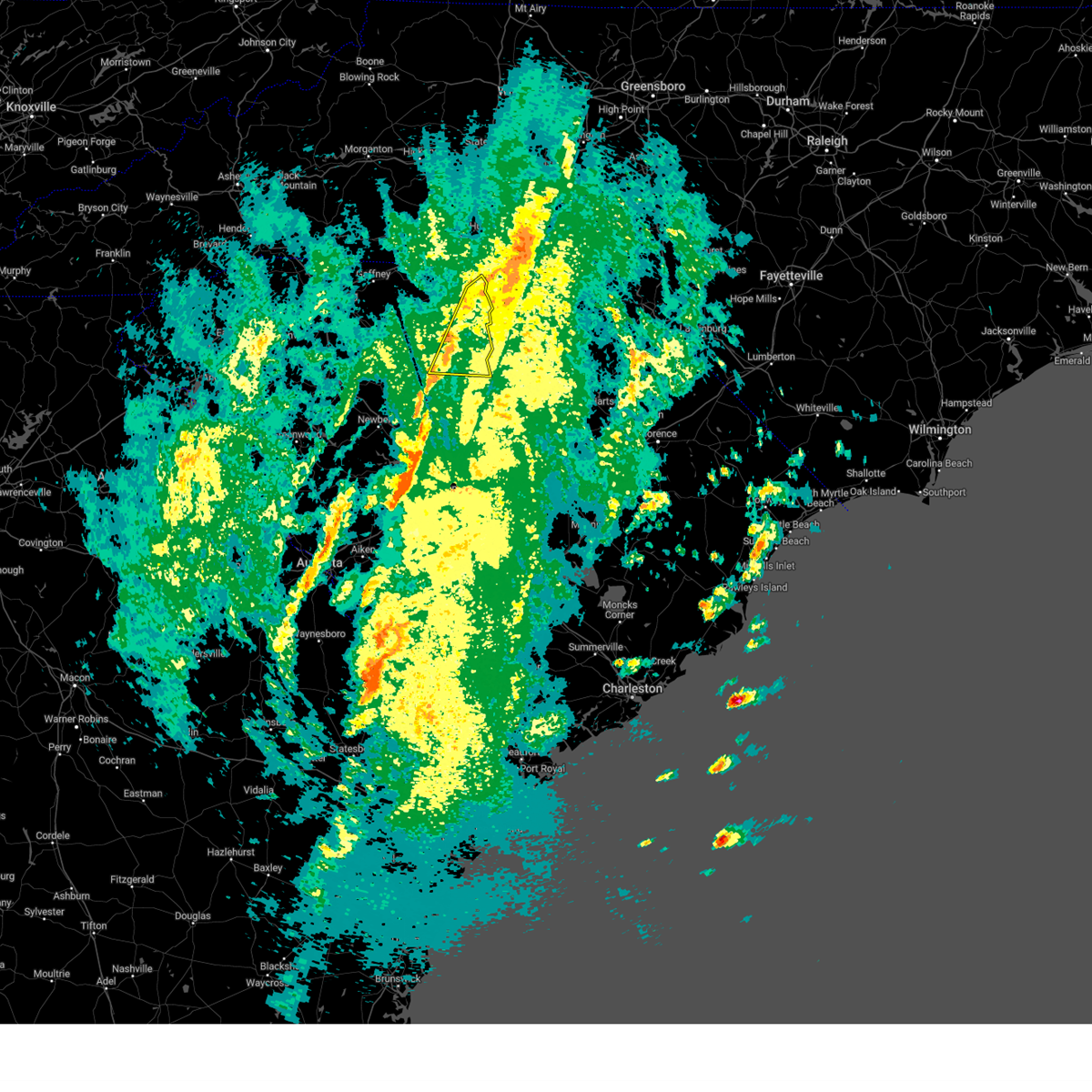
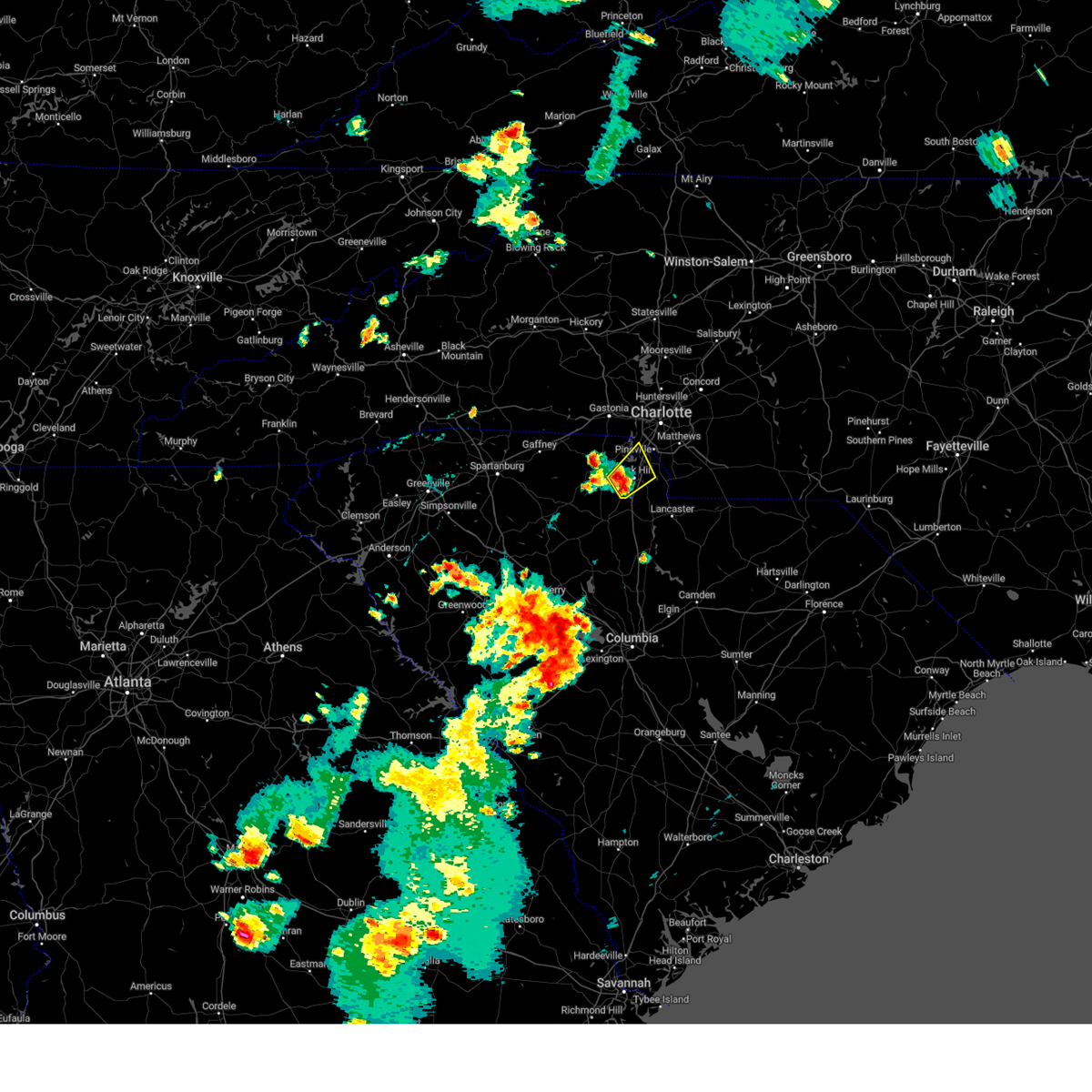
Hail Map for Lesslie, SC
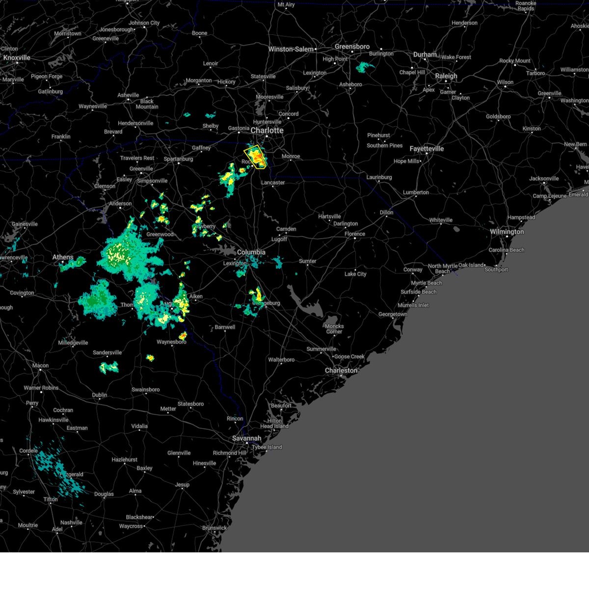
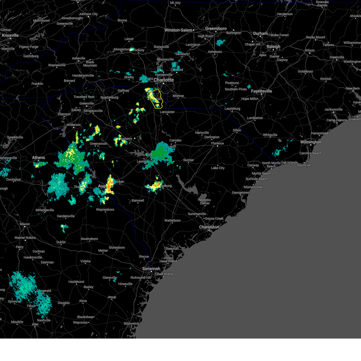
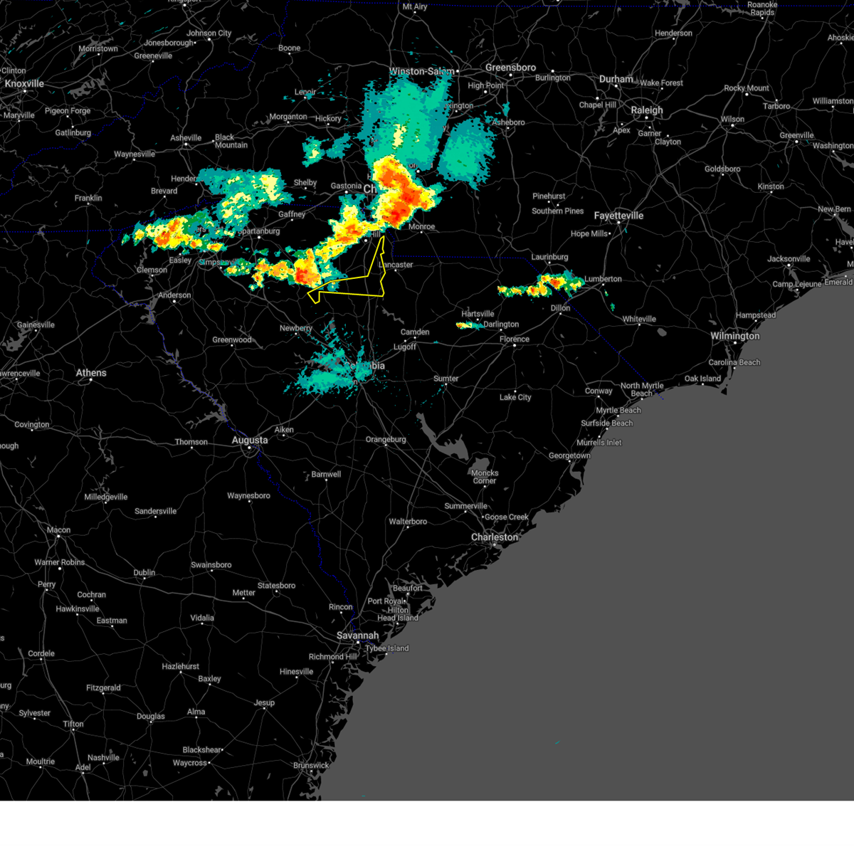
The Lesslie, SC area has had 0 reports of on-the-ground hail by trained spotters, and has been under severe weather warnings 43 times during the past 12 months. Doppler radar has detected hail at or near Lesslie, SC on 48 occasions, including 5 occasions during the past year.
| Name: | Lesslie, SC |
| Where Located: | 24 miles SSW of Charlotte, NC |
| Map: | Google Map for Lesslie, SC |
| Population: | 3112 |
| Housing Units: | 1248 |
| More Info: | Search Google for Lesslie, SC |
1
The Top Recent Hail Date for Lesslie, SC is Monday, July 15, 2024 (9th out of 48)

Hail and Wind Damage Spotted near Lesslie, SC
| Date / Time | Report Details |
|---|---|
| 7/9/2025 5:35 PM EDT | Svrgsp the national weather service in greenville-spartanburg has issued a * severe thunderstorm warning for, northeastern chester county in upstate south carolina, southeastern york county in upstate south carolina, * until 600 pm edt. * at 535 pm edt, a severe thunderstorm was located 6 miles southwest of rock hill, and is nearly stationary (radar indicated). Hazards include 60 mph wind gusts and quarter size hail. Minor hail damage to vehicles is expected. Expect wind damage to trees and power lines. |
| 6/27/2025 6:49 PM EDT |
 Svrgsp the national weather service in greenville-spartanburg has issued a * severe thunderstorm warning for, southwestern mecklenburg county in the piedmont of north carolina, eastern york county in upstate south carolina, * until 745 pm edt. * at 649 pm edt, severe thunderstorms were located along a line extending from 3 miles northwest of indian land to 8 miles east of rock hill, moving west at 10 mph (radar indicated). Hazards include 60 mph wind gusts and quarter size hail. Minor hail damage to vehicles is expected. Expect wind damage to trees and power lines. Svrgsp the national weather service in greenville-spartanburg has issued a * severe thunderstorm warning for, southwestern mecklenburg county in the piedmont of north carolina, eastern york county in upstate south carolina, * until 745 pm edt. * at 649 pm edt, severe thunderstorms were located along a line extending from 3 miles northwest of indian land to 8 miles east of rock hill, moving west at 10 mph (radar indicated). Hazards include 60 mph wind gusts and quarter size hail. Minor hail damage to vehicles is expected. Expect wind damage to trees and power lines.
|
| 6/25/2025 8:01 PM EDT |
 the severe thunderstorm warning has been cancelled and is no longer in effect the severe thunderstorm warning has been cancelled and is no longer in effect
|
| 6/25/2025 7:12 PM EDT |
 Svrgsp the national weather service in greenville-spartanburg has issued a * severe thunderstorm warning for, southwestern mecklenburg county in the piedmont of north carolina, southeastern gaston county in the piedmont of north carolina, eastern chester county in upstate south carolina, eastern york county in upstate south carolina, * until 815 pm edt. * at 712 pm edt, a severe thunderstorm was located near rock hill, moving south at 15 mph (radar indicated). Hazards include ping pong ball size hail and 60 mph wind gusts. People and animals outdoors will be injured. expect hail damage to roofs, siding, windows, and vehicles. Expect wind damage to trees and power lines. Svrgsp the national weather service in greenville-spartanburg has issued a * severe thunderstorm warning for, southwestern mecklenburg county in the piedmont of north carolina, southeastern gaston county in the piedmont of north carolina, eastern chester county in upstate south carolina, eastern york county in upstate south carolina, * until 815 pm edt. * at 712 pm edt, a severe thunderstorm was located near rock hill, moving south at 15 mph (radar indicated). Hazards include ping pong ball size hail and 60 mph wind gusts. People and animals outdoors will be injured. expect hail damage to roofs, siding, windows, and vehicles. Expect wind damage to trees and power lines.
|
| 6/17/2025 10:36 PM EDT | The storms which prompted the warning have weakened below severe limits, and no longer pose an immediate threat to life or property. therefore, the warning will be allowed to expire. however, gusty winds are still possible with these thunderstorms. |
| 6/17/2025 10:24 PM EDT |
 the severe thunderstorm warning has been cancelled and is no longer in effect the severe thunderstorm warning has been cancelled and is no longer in effect
|
| 6/17/2025 10:24 PM EDT |
 At 1024 pm edt, severe thunderstorms were located along a line extending from 7 miles east of morganton to 6 miles southwest of newton to 8 miles southwest of gastonia to near chester, moving northeast at 45 mph (radar indicated). Hazards include 60 mph wind gusts. Expect damage to trees and power lines. locations impacted include, gastonia, rock hill, hickory, morganton, newton, lincolnton, york, chester, mt holly, and st. Stephens. At 1024 pm edt, severe thunderstorms were located along a line extending from 7 miles east of morganton to 6 miles southwest of newton to 8 miles southwest of gastonia to near chester, moving northeast at 45 mph (radar indicated). Hazards include 60 mph wind gusts. Expect damage to trees and power lines. locations impacted include, gastonia, rock hill, hickory, morganton, newton, lincolnton, york, chester, mt holly, and st. Stephens.
|
| 6/17/2025 10:18 PM EDT |
 At 1018 pm edt, severe thunderstorms were located along a line extending from 4 miles southeast of morganton to 9 miles northwest of lincolnton to 9 miles northwest of york to 5 miles west of chester, moving east at 50 mph (radar indicated). Hazards include 60 mph wind gusts. Expect damage to trees and power lines. Locations impacted include, gastonia, rock hill, hickory, shelby, morganton, newton, gaffney, lincolnton, union, and york. At 1018 pm edt, severe thunderstorms were located along a line extending from 4 miles southeast of morganton to 9 miles northwest of lincolnton to 9 miles northwest of york to 5 miles west of chester, moving east at 50 mph (radar indicated). Hazards include 60 mph wind gusts. Expect damage to trees and power lines. Locations impacted include, gastonia, rock hill, hickory, shelby, morganton, newton, gaffney, lincolnton, union, and york.
|
| 6/17/2025 10:02 PM EDT | the severe thunderstorm warning has been cancelled and is no longer in effect |
| 6/17/2025 10:02 PM EDT | At 1002 pm edt, severe thunderstorms were located along a line extending from 9 miles southwest of morganton to 14 miles north of shelby to 11 miles east of gaffney to 11 miles southeast of union, moving east at 50 mph (radar indicated). Hazards include 60 mph wind gusts. Expect damage to trees and power lines. Locations impacted include, gastonia, rock hill, hickory, shelby, morganton, newton, gaffney, lincolnton, union, and york. |
| 6/17/2025 9:43 PM EDT |
 Svrgsp the national weather service in greenville-spartanburg has issued a * severe thunderstorm warning for, catawba county in the piedmont of north carolina, rutherford county in western north carolina, lincoln county in the piedmont of north carolina, gaston county in the piedmont of north carolina, southeastern mcdowell county in western north carolina, cleveland county in the piedmont of north carolina, southern burke county in western north carolina, southeastern laurens county in upstate south carolina, union county in upstate south carolina, chester county in upstate south carolina, york county in upstate south carolina, eastern spartanburg county in upstate south carolina, cherokee county in upstate south carolina, * until 1045 pm edt. * at 943 pm edt, severe thunderstorms were located along a line extending from 10 miles north of rutherfordton to 10 miles east of forest city to 9 miles south of gaffney to 13 miles south of union, moving northeast at 50 mph (radar indicated). Hazards include 60 mph wind gusts. expect damage to trees and power lines Svrgsp the national weather service in greenville-spartanburg has issued a * severe thunderstorm warning for, catawba county in the piedmont of north carolina, rutherford county in western north carolina, lincoln county in the piedmont of north carolina, gaston county in the piedmont of north carolina, southeastern mcdowell county in western north carolina, cleveland county in the piedmont of north carolina, southern burke county in western north carolina, southeastern laurens county in upstate south carolina, union county in upstate south carolina, chester county in upstate south carolina, york county in upstate south carolina, eastern spartanburg county in upstate south carolina, cherokee county in upstate south carolina, * until 1045 pm edt. * at 943 pm edt, severe thunderstorms were located along a line extending from 10 miles north of rutherfordton to 10 miles east of forest city to 9 miles south of gaffney to 13 miles south of union, moving northeast at 50 mph (radar indicated). Hazards include 60 mph wind gusts. expect damage to trees and power lines
|
| 5/8/2025 9:49 PM EDT |
 the severe thunderstorm warning has been cancelled and is no longer in effect the severe thunderstorm warning has been cancelled and is no longer in effect
|
| 5/8/2025 9:32 PM EDT |
 At 932 pm edt, a severe thunderstorm was located 6 miles southeast of rock hill, or near lesslie, moving east at 25 mph (radar indicated). Hazards include 60 mph wind gusts and penny size hail. Expect damage to trees and power lines. Locations impacted include, newport, lesslie, catawba, and rock hill. At 932 pm edt, a severe thunderstorm was located 6 miles southeast of rock hill, or near lesslie, moving east at 25 mph (radar indicated). Hazards include 60 mph wind gusts and penny size hail. Expect damage to trees and power lines. Locations impacted include, newport, lesslie, catawba, and rock hill.
|
| 5/8/2025 9:07 PM EDT | Svrgsp the national weather service in greenville-spartanburg has issued a * severe thunderstorm warning for, southeastern york county in upstate south carolina, * until 1000 pm edt. * at 907 pm edt, a severe thunderstorm was located 5 miles west of rock hill, or near newport, moving east at 25 mph (radar indicated). Hazards include ping pong ball size hail and 60 mph wind gusts. People and animals outdoors will be injured. expect hail damage to roofs, siding, windows, and vehicles. Expect wind damage to trees and power lines. |
| 5/3/2025 4:49 PM EDT |
 At 449 pm edt, a severe thunderstorm was located 9 miles southwest of uptown charlotte, or near steele creek, moving north at 30 mph (radar indicated). Hazards include 60 mph wind gusts and quarter size hail. Minor hail damage to vehicles is expected. expect wind damage to trees and power lines. Locations impacted include, freedom park, charlotte douglas airport, tega cay, belmont, central charlotte, fort mill, rock hill, steele creek, lesslie, and catawba. At 449 pm edt, a severe thunderstorm was located 9 miles southwest of uptown charlotte, or near steele creek, moving north at 30 mph (radar indicated). Hazards include 60 mph wind gusts and quarter size hail. Minor hail damage to vehicles is expected. expect wind damage to trees and power lines. Locations impacted include, freedom park, charlotte douglas airport, tega cay, belmont, central charlotte, fort mill, rock hill, steele creek, lesslie, and catawba.
|
| 5/3/2025 4:34 PM EDT |
 At 434 pm edt, a severe thunderstorm was located 5 miles northeast of rock hill, or near tega cay, moving northeast at 30 mph (radar indicated). Hazards include 60 mph wind gusts and quarter size hail. Minor hail damage to vehicles is expected. expect wind damage to trees and power lines. Locations impacted include, newport, freedom park, charlotte douglas airport, tega cay, belmont, central charlotte, fort mill, rock hill, steele creek, and gastonia. At 434 pm edt, a severe thunderstorm was located 5 miles northeast of rock hill, or near tega cay, moving northeast at 30 mph (radar indicated). Hazards include 60 mph wind gusts and quarter size hail. Minor hail damage to vehicles is expected. expect wind damage to trees and power lines. Locations impacted include, newport, freedom park, charlotte douglas airport, tega cay, belmont, central charlotte, fort mill, rock hill, steele creek, and gastonia.
|
| 5/3/2025 4:23 PM EDT |
 Svrgsp the national weather service in greenville-spartanburg has issued a * severe thunderstorm warning for, southwestern mecklenburg county in the piedmont of north carolina, southeastern gaston county in the piedmont of north carolina, york county in upstate south carolina, * until 530 pm edt. * at 423 pm edt, a severe thunderstorm was located over rock hill, moving northeast at 30 mph (radar indicated). Hazards include 60 mph wind gusts and quarter size hail. Minor hail damage to vehicles is expected. Expect wind damage to trees and power lines. Svrgsp the national weather service in greenville-spartanburg has issued a * severe thunderstorm warning for, southwestern mecklenburg county in the piedmont of north carolina, southeastern gaston county in the piedmont of north carolina, york county in upstate south carolina, * until 530 pm edt. * at 423 pm edt, a severe thunderstorm was located over rock hill, moving northeast at 30 mph (radar indicated). Hazards include 60 mph wind gusts and quarter size hail. Minor hail damage to vehicles is expected. Expect wind damage to trees and power lines.
|
| 5/2/2025 5:55 PM EDT | At 554 pm edt, a severe thunderstorm was located 4 miles southwest of indian land, or near fort mill, moving northeast at 25 mph (radar indicated). Hazards include 60 mph wind gusts and quarter size hail. Minor hail damage to vehicles is expected. expect wind damage to trees and power lines. Locations impacted include, lesslie, catawba, and rock hill. |
| 5/2/2025 5:55 PM EDT | the severe thunderstorm warning has been cancelled and is no longer in effect |
| 5/2/2025 5:29 PM EDT |
 Svrgsp the national weather service in greenville-spartanburg has issued a * severe thunderstorm warning for, northeastern chester county in upstate south carolina, southeastern york county in upstate south carolina, * until 615 pm edt. * at 528 pm edt, a severe thunderstorm was located 5 miles south of rock hill, moving northeast at 25 mph (radar indicated). Hazards include 60 mph wind gusts and quarter size hail. Minor hail damage to vehicles is expected. Expect wind damage to trees and power lines. Svrgsp the national weather service in greenville-spartanburg has issued a * severe thunderstorm warning for, northeastern chester county in upstate south carolina, southeastern york county in upstate south carolina, * until 615 pm edt. * at 528 pm edt, a severe thunderstorm was located 5 miles south of rock hill, moving northeast at 25 mph (radar indicated). Hazards include 60 mph wind gusts and quarter size hail. Minor hail damage to vehicles is expected. Expect wind damage to trees and power lines.
|
| 3/31/2025 5:04 PM EDT |
 At 503 pm edt, severe thunderstorms were located along a line extending from 10 miles southeast of gastonia to near indian land to 12 miles northeast of springdale, moving northeast at 60 mph (radar indicated). Hazards include 60 mph wind gusts. Expect damage to trees and power lines. Locations impacted include, newport, lesslie, catawba, edgemoor, tega cay, lake wylie, fort lawn, fort mill, great falls, and rock hill. At 503 pm edt, severe thunderstorms were located along a line extending from 10 miles southeast of gastonia to near indian land to 12 miles northeast of springdale, moving northeast at 60 mph (radar indicated). Hazards include 60 mph wind gusts. Expect damage to trees and power lines. Locations impacted include, newport, lesslie, catawba, edgemoor, tega cay, lake wylie, fort lawn, fort mill, great falls, and rock hill.
|
| 3/31/2025 4:52 PM EDT |
 At 451 pm edt, severe thunderstorms were located along a line extending from 4 miles north of york to near rock hill to 5 miles northeast of winnsboro, moving northeast at 60 mph (radar indicated). Hazards include 60 mph wind gusts. Expect damage to trees and power lines. Locations impacted include, newport, richburg, york, edgemoor, clover, tega cay, fort mill, great falls, rock hill, and lesslie. At 451 pm edt, severe thunderstorms were located along a line extending from 4 miles north of york to near rock hill to 5 miles northeast of winnsboro, moving northeast at 60 mph (radar indicated). Hazards include 60 mph wind gusts. Expect damage to trees and power lines. Locations impacted include, newport, richburg, york, edgemoor, clover, tega cay, fort mill, great falls, rock hill, and lesslie.
|
| 3/31/2025 4:44 PM EDT |
 At 444 pm edt, severe thunderstorms were located along a line extending from 17 miles east of gaffney to 7 miles southeast of york to 4 miles northwest of winnsboro, moving northeast at 55 mph (radar indicated). Hazards include 60 mph wind gusts. Expect damage to trees and power lines. Locations impacted include, newport, chester state park, richburg, york, cornwell, edgemoor, clover, tega cay, fort mill, and sharon. At 444 pm edt, severe thunderstorms were located along a line extending from 17 miles east of gaffney to 7 miles southeast of york to 4 miles northwest of winnsboro, moving northeast at 55 mph (radar indicated). Hazards include 60 mph wind gusts. Expect damage to trees and power lines. Locations impacted include, newport, chester state park, richburg, york, cornwell, edgemoor, clover, tega cay, fort mill, and sharon.
|
| 3/31/2025 4:23 PM EDT | Svrgsp the national weather service in greenville-spartanburg has issued a * severe thunderstorm warning for, chester county in upstate south carolina, york county in upstate south carolina, * until 515 pm edt. * at 422 pm edt, severe thunderstorms were located along a line extending from 7 miles south of gaffney to 11 miles northeast of union to 7 miles west of vc summer nuclear station, moving northeast at 60 mph (radar indicated). Hazards include 60 mph wind gusts. expect damage to trees and power lines |
| 3/5/2025 8:05 AM EST |
 At 804 am est, severe thunderstorms were located along a line extending from 3 miles southwest of huntersville to 13 miles southwest of lancaster, moving east at 40 mph (radar indicated). Hazards include 60 mph wind gusts. Expect damage to trees and power lines. Locations impacted include, charlotte, charlotte douglas airport, edgemoor, lesslie, freedom park, richburg, and the plaza. At 804 am est, severe thunderstorms were located along a line extending from 3 miles southwest of huntersville to 13 miles southwest of lancaster, moving east at 40 mph (radar indicated). Hazards include 60 mph wind gusts. Expect damage to trees and power lines. Locations impacted include, charlotte, charlotte douglas airport, edgemoor, lesslie, freedom park, richburg, and the plaza.
|
| 3/5/2025 8:05 AM EST |
 the severe thunderstorm warning has been cancelled and is no longer in effect the severe thunderstorm warning has been cancelled and is no longer in effect
|
| 3/5/2025 7:45 AM EST |
 Svrgsp the national weather service in greenville-spartanburg has issued a * severe thunderstorm warning for, western mecklenburg county in the piedmont of north carolina, southeastern gaston county in the piedmont of north carolina, eastern chester county in upstate south carolina, eastern york county in upstate south carolina, * until 815 am est. * at 745 am est, severe thunderstorms were located along a line extending from 7 miles east of gastonia to 5 miles southeast of chester, moving northeast at 40 mph (radar indicated). Hazards include 60 mph wind gusts. expect damage to trees and power lines Svrgsp the national weather service in greenville-spartanburg has issued a * severe thunderstorm warning for, western mecklenburg county in the piedmont of north carolina, southeastern gaston county in the piedmont of north carolina, eastern chester county in upstate south carolina, eastern york county in upstate south carolina, * until 815 am est. * at 745 am est, severe thunderstorms were located along a line extending from 7 miles east of gastonia to 5 miles southeast of chester, moving northeast at 40 mph (radar indicated). Hazards include 60 mph wind gusts. expect damage to trees and power lines
|
| 2/16/2025 6:56 AM EST |
 The storms which prompted the warning have weakened below severe limits, and no longer pose an immediate threat to life or property. therefore, the warning will be allowed to expire. The storms which prompted the warning have weakened below severe limits, and no longer pose an immediate threat to life or property. therefore, the warning will be allowed to expire.
|
| 2/16/2025 6:46 AM EST |
 At 646 am est, severe thunderstorms were located along a line extending from 11 miles northwest of york to 9 miles south of union to 16 miles south of greenwood, moving east at 65 mph (radar indicated). Hazards include 60 mph wind gusts. Expect damage to trees and power lines. Locations impacted include, rock hill, union, york, chester, fort mill, clinton, tega cay, clover, newport, and monarch mill. At 646 am est, severe thunderstorms were located along a line extending from 11 miles northwest of york to 9 miles south of union to 16 miles south of greenwood, moving east at 65 mph (radar indicated). Hazards include 60 mph wind gusts. Expect damage to trees and power lines. Locations impacted include, rock hill, union, york, chester, fort mill, clinton, tega cay, clover, newport, and monarch mill.
|
| 2/16/2025 6:46 AM EST |
 the severe thunderstorm warning has been cancelled and is no longer in effect the severe thunderstorm warning has been cancelled and is no longer in effect
|
| 2/16/2025 6:28 AM EST |
 Svrgsp the national weather service in greenville-spartanburg has issued a * severe thunderstorm warning for, laurens county in upstate south carolina, western chester county in upstate south carolina, york county in upstate south carolina, southeastern spartanburg county in upstate south carolina, cherokee county in upstate south carolina, southeastern abbeville county in upstate south carolina, union county in upstate south carolina, greenwood county in upstate south carolina, * until 700 am est. * at 628 am est, severe thunderstorms were located along a line extending from near gaffney to 14 miles southeast of abbeville, moving east at 80 mph (radar indicated). Hazards include 60 mph wind gusts. expect damage to trees and power lines Svrgsp the national weather service in greenville-spartanburg has issued a * severe thunderstorm warning for, laurens county in upstate south carolina, western chester county in upstate south carolina, york county in upstate south carolina, southeastern spartanburg county in upstate south carolina, cherokee county in upstate south carolina, southeastern abbeville county in upstate south carolina, union county in upstate south carolina, greenwood county in upstate south carolina, * until 700 am est. * at 628 am est, severe thunderstorms were located along a line extending from near gaffney to 14 miles southeast of abbeville, moving east at 80 mph (radar indicated). Hazards include 60 mph wind gusts. expect damage to trees and power lines
|
| 12/29/2024 9:19 AM EST |
 At 919 am est, severe thunderstorms were located along a line extending from 9 miles east of gastonia to 6 miles southwest of uptown charlotte to 8 miles northwest of lancaster, moving northeast at 60 mph (radar indicated). Hazards include 60 mph wind gusts. Expect damage to trees and power lines. Locations impacted include, fort mill, tega cay, lesslie, great falls, fort lawn, catawba, carowinds, fishing creek reservoir, rock hill, and lake wylie. At 919 am est, severe thunderstorms were located along a line extending from 9 miles east of gastonia to 6 miles southwest of uptown charlotte to 8 miles northwest of lancaster, moving northeast at 60 mph (radar indicated). Hazards include 60 mph wind gusts. Expect damage to trees and power lines. Locations impacted include, fort mill, tega cay, lesslie, great falls, fort lawn, catawba, carowinds, fishing creek reservoir, rock hill, and lake wylie.
|
| 12/29/2024 9:07 AM EST |
 At 907 am est, severe thunderstorms were located along a line extending from 7 miles south of gastonia to 6 miles north of rock hill to 12 miles west of lancaster, moving northeast at 60 mph (radar indicated). Hazards include 60 mph wind gusts. Expect damage to trees and power lines. Locations impacted include, rock hill, fort mill, tega cay, clover, newport, lesslie, great falls, fort lawn, richburg, and kings mountain state park. At 907 am est, severe thunderstorms were located along a line extending from 7 miles south of gastonia to 6 miles north of rock hill to 12 miles west of lancaster, moving northeast at 60 mph (radar indicated). Hazards include 60 mph wind gusts. Expect damage to trees and power lines. Locations impacted include, rock hill, fort mill, tega cay, clover, newport, lesslie, great falls, fort lawn, richburg, and kings mountain state park.
|
| 12/29/2024 9:07 AM EST |
 the severe thunderstorm warning has been cancelled and is no longer in effect the severe thunderstorm warning has been cancelled and is no longer in effect
|
| 12/29/2024 8:54 AM EST |
 At 854 am est, severe thunderstorms were located along a line extending from 3 miles northwest of york to 8 miles west of rock hill to 10 miles south of chester, moving northeast at 55 mph (radar indicated). Hazards include 60 mph wind gusts. Expect damage to trees and power lines. Locations impacted include, rock hill, york, chester, fort mill, tega cay, clover, newport, lesslie, great falls, and fort lawn. At 854 am est, severe thunderstorms were located along a line extending from 3 miles northwest of york to 8 miles west of rock hill to 10 miles south of chester, moving northeast at 55 mph (radar indicated). Hazards include 60 mph wind gusts. Expect damage to trees and power lines. Locations impacted include, rock hill, york, chester, fort mill, tega cay, clover, newport, lesslie, great falls, and fort lawn.
|
| 12/29/2024 8:45 AM EST |
 At 845 am est, severe thunderstorms were located along a line extending from 13 miles east of gaffney to 6 miles southwest of york to 9 miles southwest of chester, moving northeast at 60 mph (radar indicated). Hazards include 60 mph wind gusts. Expect damage to trees and power lines. Locations impacted include, rock hill, york, chester, fort mill, tega cay, clover, newport, lesslie, great falls, and fort lawn. At 845 am est, severe thunderstorms were located along a line extending from 13 miles east of gaffney to 6 miles southwest of york to 9 miles southwest of chester, moving northeast at 60 mph (radar indicated). Hazards include 60 mph wind gusts. Expect damage to trees and power lines. Locations impacted include, rock hill, york, chester, fort mill, tega cay, clover, newport, lesslie, great falls, and fort lawn.
|
| 12/29/2024 8:45 AM EST |
 the severe thunderstorm warning has been cancelled and is no longer in effect the severe thunderstorm warning has been cancelled and is no longer in effect
|
| 12/29/2024 8:17 AM EST |
 Svrgsp the national weather service in greenville-spartanburg has issued a * severe thunderstorm warning for, chester county in upstate south carolina, york county in upstate south carolina, southeastern cherokee county in upstate south carolina, union county in upstate south carolina, * until 930 am est. * at 817 am est, severe thunderstorms were located along a line extending from 16 miles southeast of spartanburg to 6 miles south of union to near newberry, moving northeast at 60 mph (radar indicated). Hazards include 60 mph wind gusts. expect damage to trees and power lines Svrgsp the national weather service in greenville-spartanburg has issued a * severe thunderstorm warning for, chester county in upstate south carolina, york county in upstate south carolina, southeastern cherokee county in upstate south carolina, union county in upstate south carolina, * until 930 am est. * at 817 am est, severe thunderstorms were located along a line extending from 16 miles southeast of spartanburg to 6 miles south of union to near newberry, moving northeast at 60 mph (radar indicated). Hazards include 60 mph wind gusts. expect damage to trees and power lines
|
| 7/30/2024 8:39 PM EDT |
 At 839 pm edt, a severe thunderstorm was located 8 miles west of york, or near smyrna, moving east at 30 mph (radar indicated). Hazards include 60 mph wind gusts. Expect damage to trees and power lines. Locations impacted include, rock hill, york, clover, newport, blacksburg, sharon, hickory grove, smyrna, kings mountain state park, and lake wylie. At 839 pm edt, a severe thunderstorm was located 8 miles west of york, or near smyrna, moving east at 30 mph (radar indicated). Hazards include 60 mph wind gusts. Expect damage to trees and power lines. Locations impacted include, rock hill, york, clover, newport, blacksburg, sharon, hickory grove, smyrna, kings mountain state park, and lake wylie.
|
| 7/30/2024 8:11 PM EDT |
 Svrgsp the national weather service in greenville-spartanburg has issued a * severe thunderstorm warning for, central york county in upstate south carolina, cherokee county in upstate south carolina, * until 900 pm edt. * at 810 pm edt, a severe thunderstorm was located near gaffney, moving east at 30 mph (radar indicated). Hazards include 60 mph wind gusts. expect damage to trees and power lines Svrgsp the national weather service in greenville-spartanburg has issued a * severe thunderstorm warning for, central york county in upstate south carolina, cherokee county in upstate south carolina, * until 900 pm edt. * at 810 pm edt, a severe thunderstorm was located near gaffney, moving east at 30 mph (radar indicated). Hazards include 60 mph wind gusts. expect damage to trees and power lines
|
| 7/15/2024 10:26 PM EDT |
 Svrgsp the national weather service in greenville-spartanburg has issued a * severe thunderstorm warning for, southeastern york county in upstate south carolina, * until 1100 pm edt. * at 1026 pm edt, a severe thunderstorm was located 4 miles southwest of indian land, moving east at 10 mph (radar indicated). Hazards include 60 mph wind gusts and quarter size hail. Minor hail damage to vehicles is expected. Expect wind damage to trees and power lines. Svrgsp the national weather service in greenville-spartanburg has issued a * severe thunderstorm warning for, southeastern york county in upstate south carolina, * until 1100 pm edt. * at 1026 pm edt, a severe thunderstorm was located 4 miles southwest of indian land, moving east at 10 mph (radar indicated). Hazards include 60 mph wind gusts and quarter size hail. Minor hail damage to vehicles is expected. Expect wind damage to trees and power lines.
|
| 7/15/2024 9:52 PM EDT |
 At 951 pm edt, severe thunderstorms were located along a line extending from 9 miles north of rock hill to 5 miles south of indian land, moving east at 15 mph (radar indicated). Hazards include 60 mph wind gusts and quarter size hail. Minor hail damage to vehicles is expected. expect wind damage to trees and power lines. Locations impacted include, fort mill, tega cay, carowinds, lake wylie, lesslie, steele creek, rock hill, and southwest charlotte. At 951 pm edt, severe thunderstorms were located along a line extending from 9 miles north of rock hill to 5 miles south of indian land, moving east at 15 mph (radar indicated). Hazards include 60 mph wind gusts and quarter size hail. Minor hail damage to vehicles is expected. expect wind damage to trees and power lines. Locations impacted include, fort mill, tega cay, carowinds, lake wylie, lesslie, steele creek, rock hill, and southwest charlotte.
|
| 7/15/2024 9:30 PM EDT |
 Svrgsp the national weather service in greenville-spartanburg has issued a * severe thunderstorm warning for, southwestern mecklenburg county in the piedmont of north carolina, eastern york county in upstate south carolina, * until 1015 pm edt. * at 930 pm edt, severe thunderstorms were located along a line extending from 8 miles northeast of york to 5 miles southeast of rock hill, moving east at 10 mph (radar indicated). Hazards include 60 mph wind gusts and quarter size hail. Minor hail damage to vehicles is expected. Expect wind damage to trees and power lines. Svrgsp the national weather service in greenville-spartanburg has issued a * severe thunderstorm warning for, southwestern mecklenburg county in the piedmont of north carolina, eastern york county in upstate south carolina, * until 1015 pm edt. * at 930 pm edt, severe thunderstorms were located along a line extending from 8 miles northeast of york to 5 miles southeast of rock hill, moving east at 10 mph (radar indicated). Hazards include 60 mph wind gusts and quarter size hail. Minor hail damage to vehicles is expected. Expect wind damage to trees and power lines.
|
| 5/26/2024 9:45 PM EDT |
 The storms which prompted the warning have weakened below severe limits, and no longer pose an immediate threat to life or property. therefore, the warning will be allowed to expire. however, gusty winds and heavy rain are still possible with these thunderstorms. a severe thunderstorm watch remains in effect until 1100 pm edt for the piedmont of north carolina. a severe thunderstorm watch also remains in effect until 1100 pm edt for the piedmont of north carolina, and upstate south carolina. The storms which prompted the warning have weakened below severe limits, and no longer pose an immediate threat to life or property. therefore, the warning will be allowed to expire. however, gusty winds and heavy rain are still possible with these thunderstorms. a severe thunderstorm watch remains in effect until 1100 pm edt for the piedmont of north carolina. a severe thunderstorm watch also remains in effect until 1100 pm edt for the piedmont of north carolina, and upstate south carolina.
|
| 5/26/2024 9:28 PM EDT |
 the severe thunderstorm warning has been cancelled and is no longer in effect the severe thunderstorm warning has been cancelled and is no longer in effect
|
| 5/26/2024 9:28 PM EDT |
 At 927 pm edt, severe thunderstorms were located along a line extending from 5 miles northwest of kannapolis to 4 miles north of gastonia, moving east at 40 mph (radar indicated). Hazards include 60 mph wind gusts. Expect damage to trees and power lines. Locations impacted include, gastonia, charlotte, huntersville, kannapolis, and concord. At 927 pm edt, severe thunderstorms were located along a line extending from 5 miles northwest of kannapolis to 4 miles north of gastonia, moving east at 40 mph (radar indicated). Hazards include 60 mph wind gusts. Expect damage to trees and power lines. Locations impacted include, gastonia, charlotte, huntersville, kannapolis, and concord.
|
| 5/26/2024 8:48 PM EDT |
 Svrgsp the national weather service in greenville-spartanburg has issued a * severe thunderstorm warning for, western cabarrus county in the piedmont of north carolina, southeastern catawba county in the piedmont of north carolina, lincoln county in the piedmont of north carolina, southeastern iredell county in the piedmont of north carolina, mecklenburg county in the piedmont of north carolina, southeastern cleveland county in the piedmont of north carolina, southwestern rowan county in the piedmont of north carolina, gaston county in the piedmont of north carolina, northeastern york county in upstate south carolina, * until 945 pm edt. * at 847 pm edt, a severe thunderstorm was located 11 miles north of shelby, or near fallston, moving southeast at 40 mph (radar indicated). Hazards include 60 mph wind gusts and penny size hail. expect damage to trees and power lines Svrgsp the national weather service in greenville-spartanburg has issued a * severe thunderstorm warning for, western cabarrus county in the piedmont of north carolina, southeastern catawba county in the piedmont of north carolina, lincoln county in the piedmont of north carolina, southeastern iredell county in the piedmont of north carolina, mecklenburg county in the piedmont of north carolina, southeastern cleveland county in the piedmont of north carolina, southwestern rowan county in the piedmont of north carolina, gaston county in the piedmont of north carolina, northeastern york county in upstate south carolina, * until 945 pm edt. * at 847 pm edt, a severe thunderstorm was located 11 miles north of shelby, or near fallston, moving southeast at 40 mph (radar indicated). Hazards include 60 mph wind gusts and penny size hail. expect damage to trees and power lines
|
| 5/15/2024 4:32 PM EDT |
 At 431 pm edt, a severe thunderstorm was located near indian land, or near fort mill, moving east at 25 mph (radar indicated). Hazards include 60 mph wind gusts and quarter size hail. Minor hail damage to vehicles is expected. expect wind damage to trees and power lines. Locations impacted include, rock hill, south charlotte, indian trail, weddington, fort mill, stallings, pineville, tega cay, waxhaw, and marvin. At 431 pm edt, a severe thunderstorm was located near indian land, or near fort mill, moving east at 25 mph (radar indicated). Hazards include 60 mph wind gusts and quarter size hail. Minor hail damage to vehicles is expected. expect wind damage to trees and power lines. Locations impacted include, rock hill, south charlotte, indian trail, weddington, fort mill, stallings, pineville, tega cay, waxhaw, and marvin.
|
| 5/15/2024 4:01 PM EDT |
 Svrgsp the national weather service in greenville-spartanburg has issued a * severe thunderstorm warning for, southwestern mecklenburg county in the piedmont of north carolina, southwestern union county in the piedmont of north carolina, northeastern york county in upstate south carolina, * until 445 pm edt. * at 401 pm edt, a severe thunderstorm was located 4 miles east of york, or near newport, moving east at 25 mph (radar indicated). Hazards include 60 mph wind gusts and quarter size hail. Minor hail damage to vehicles is expected. Expect wind damage to trees and power lines. Svrgsp the national weather service in greenville-spartanburg has issued a * severe thunderstorm warning for, southwestern mecklenburg county in the piedmont of north carolina, southwestern union county in the piedmont of north carolina, northeastern york county in upstate south carolina, * until 445 pm edt. * at 401 pm edt, a severe thunderstorm was located 4 miles east of york, or near newport, moving east at 25 mph (radar indicated). Hazards include 60 mph wind gusts and quarter size hail. Minor hail damage to vehicles is expected. Expect wind damage to trees and power lines.
|
| 5/10/2024 2:57 PM EDT |
 At 256 pm edt, a severe thunderstorm was located 7 miles northeast of chester, or 4 miles east of lowrys, moving east at 35 mph (radar indicated). Hazards include golf ball size hail and 60 mph wind gusts. People and animals outdoors will be injured. expect hail damage to roofs, siding, windows, and vehicles. expect wind damage to trees and power lines. Locations impacted include, chester, fort lawn, mcconnells, richburg, lowrys, catawba, edgemoor, bullock creek, fishing creek reservoir, and lesslie. At 256 pm edt, a severe thunderstorm was located 7 miles northeast of chester, or 4 miles east of lowrys, moving east at 35 mph (radar indicated). Hazards include golf ball size hail and 60 mph wind gusts. People and animals outdoors will be injured. expect hail damage to roofs, siding, windows, and vehicles. expect wind damage to trees and power lines. Locations impacted include, chester, fort lawn, mcconnells, richburg, lowrys, catawba, edgemoor, bullock creek, fishing creek reservoir, and lesslie.
|
| 5/10/2024 2:52 PM EDT |
 Svrgsp the national weather service in greenville-spartanburg has issued a * severe thunderstorm warning for, northern chester county in upstate south carolina, southern york county in upstate south carolina, * until 345 pm edt. * at 252 pm edt, a severe thunderstorm was located 7 miles north of chester, or near lowrys, moving east at 35 mph. another cell moving into york and chester counties from the west may also become severe (radar indicated). Hazards include 60 mph wind gusts and half dollar size hail. Minor hail damage to vehicles is expected. Expect wind damage to trees and power lines. Svrgsp the national weather service in greenville-spartanburg has issued a * severe thunderstorm warning for, northern chester county in upstate south carolina, southern york county in upstate south carolina, * until 345 pm edt. * at 252 pm edt, a severe thunderstorm was located 7 miles north of chester, or near lowrys, moving east at 35 mph. another cell moving into york and chester counties from the west may also become severe (radar indicated). Hazards include 60 mph wind gusts and half dollar size hail. Minor hail damage to vehicles is expected. Expect wind damage to trees and power lines.
|
| 5/8/2024 4:40 PM EDT |
 the severe thunderstorm warning has been cancelled and is no longer in effect the severe thunderstorm warning has been cancelled and is no longer in effect
|
| 5/8/2024 4:40 PM EDT |
 At 440 pm edt, severe thunderstorms were located along a line extending from 5 miles south of rock hill to 5 miles north of chester to 7 miles east of union, moving southeast at 30 mph (radar indicated). Hazards include 60 mph wind gusts and quarter size hail. Minor hail damage to vehicles is expected. expect wind damage to trees and power lines. Locations impacted include, rock hill, chester, newport, lesslie, mcconnells, richburg, lowrys, chester state park, edgemoor, and bullock creek. At 440 pm edt, severe thunderstorms were located along a line extending from 5 miles south of rock hill to 5 miles north of chester to 7 miles east of union, moving southeast at 30 mph (radar indicated). Hazards include 60 mph wind gusts and quarter size hail. Minor hail damage to vehicles is expected. expect wind damage to trees and power lines. Locations impacted include, rock hill, chester, newport, lesslie, mcconnells, richburg, lowrys, chester state park, edgemoor, and bullock creek.
|
| 5/8/2024 4:34 PM EDT |
 Svrgsp the national weather service in greenville-spartanburg has issued a * severe thunderstorm warning for, southeastern chester county in upstate south carolina, southeastern york county in upstate south carolina, eastern union county in upstate south carolina, * until 530 pm edt. * at 433 pm edt, severe thunderstorms were located along a line extending from 5 miles west of rock hill to 5 miles southeast of chester to 10 miles southeast of union, moving southeast at 45 mph (radar indicated). Hazards include golf ball size hail and 60 mph wind gusts. People and animals outdoors will be injured. expect hail damage to roofs, siding, windows, and vehicles. Expect wind damage to trees and power lines. Svrgsp the national weather service in greenville-spartanburg has issued a * severe thunderstorm warning for, southeastern chester county in upstate south carolina, southeastern york county in upstate south carolina, eastern union county in upstate south carolina, * until 530 pm edt. * at 433 pm edt, severe thunderstorms were located along a line extending from 5 miles west of rock hill to 5 miles southeast of chester to 10 miles southeast of union, moving southeast at 45 mph (radar indicated). Hazards include golf ball size hail and 60 mph wind gusts. People and animals outdoors will be injured. expect hail damage to roofs, siding, windows, and vehicles. Expect wind damage to trees and power lines.
|
| 5/8/2024 4:16 PM EDT |
 the severe thunderstorm warning has been cancelled and is no longer in effect the severe thunderstorm warning has been cancelled and is no longer in effect
|
| 5/8/2024 4:16 PM EDT |
 At 416 pm edt, severe thunderstorms were located along a line extending from 5 miles southeast of york to 13 miles northwest of chester to 7 miles north of union, moving southeast at 30 mph (radar indicated). Hazards include 60 mph wind gusts and quarter size hail. Minor hail damage to vehicles is expected. expect wind damage to trees and power lines. Locations impacted include, rock hill, york, chester, newport, lesslie, lockhart, sharon, hickory grove, mcconnells, and richburg. At 416 pm edt, severe thunderstorms were located along a line extending from 5 miles southeast of york to 13 miles northwest of chester to 7 miles north of union, moving southeast at 30 mph (radar indicated). Hazards include 60 mph wind gusts and quarter size hail. Minor hail damage to vehicles is expected. expect wind damage to trees and power lines. Locations impacted include, rock hill, york, chester, newport, lesslie, lockhart, sharon, hickory grove, mcconnells, and richburg.
|
| 5/8/2024 3:56 PM EDT |
 Svrgsp the national weather service in greenville-spartanburg has issued a * severe thunderstorm warning for, northern chester county in upstate south carolina, york county in upstate south carolina, east central spartanburg county in upstate south carolina, cherokee county in upstate south carolina, northeastern union county in upstate south carolina, * until 500 pm edt. * at 356 pm edt, severe thunderstorms were located along a line extending from 3 miles northwest of york to 13 miles southeast of gaffney to 8 miles east of spartanburg, moving southeast at 30 mph (radar indicated). Hazards include 60 mph wind gusts and quarter size hail. Minor hail damage to vehicles is expected. Expect wind damage to trees and power lines. Svrgsp the national weather service in greenville-spartanburg has issued a * severe thunderstorm warning for, northern chester county in upstate south carolina, york county in upstate south carolina, east central spartanburg county in upstate south carolina, cherokee county in upstate south carolina, northeastern union county in upstate south carolina, * until 500 pm edt. * at 356 pm edt, severe thunderstorms were located along a line extending from 3 miles northwest of york to 13 miles southeast of gaffney to 8 miles east of spartanburg, moving southeast at 30 mph (radar indicated). Hazards include 60 mph wind gusts and quarter size hail. Minor hail damage to vehicles is expected. Expect wind damage to trees and power lines.
|
| 4/20/2024 4:43 PM EDT |
 Svrgsp the national weather service in greenville-spartanburg has issued a * severe thunderstorm warning for, southwestern union county in the piedmont of north carolina, northeastern chester county in upstate south carolina, southeastern york county in upstate south carolina, * until 530 pm edt. * at 443 pm edt, a severe thunderstorm was located 8 miles north of lancaster, or near andrew jackson state park, moving southeast at 30 mph (radar indicated). Hazards include tennis ball size hail and 70 mph wind gusts. People and animals outdoors will be injured. expect hail damage to roofs, siding, windows, and vehicles. expect considerable tree damage. Wind damage is also likely to mobile homes, roofs, and outbuildings. Svrgsp the national weather service in greenville-spartanburg has issued a * severe thunderstorm warning for, southwestern union county in the piedmont of north carolina, northeastern chester county in upstate south carolina, southeastern york county in upstate south carolina, * until 530 pm edt. * at 443 pm edt, a severe thunderstorm was located 8 miles north of lancaster, or near andrew jackson state park, moving southeast at 30 mph (radar indicated). Hazards include tennis ball size hail and 70 mph wind gusts. People and animals outdoors will be injured. expect hail damage to roofs, siding, windows, and vehicles. expect considerable tree damage. Wind damage is also likely to mobile homes, roofs, and outbuildings.
|
| 4/20/2024 4:16 PM EDT |
 At 416 pm edt, a severe thunderstorm was located near rock hill, moving southeast at 35 mph (radar indicated). Hazards include two inch hail and 70 mph wind gusts. People and animals outdoors will be injured. expect hail damage to roofs, siding, windows, and vehicles. expect considerable tree damage. wind damage is also likely to mobile homes, roofs, and outbuildings. Locations impacted include, rock hill, fort mill, tega cay, newport, lesslie, catawba, and lake wylie. At 416 pm edt, a severe thunderstorm was located near rock hill, moving southeast at 35 mph (radar indicated). Hazards include two inch hail and 70 mph wind gusts. People and animals outdoors will be injured. expect hail damage to roofs, siding, windows, and vehicles. expect considerable tree damage. wind damage is also likely to mobile homes, roofs, and outbuildings. Locations impacted include, rock hill, fort mill, tega cay, newport, lesslie, catawba, and lake wylie.
|
| 4/20/2024 3:55 PM EDT |
 Svrgsp the national weather service in greenville-spartanburg has issued a * severe thunderstorm warning for, eastern york county in upstate south carolina, * until 445 pm edt. * at 355 pm edt, a severe thunderstorm was located near york, moving southeast at 35 mph (radar indicated). Hazards include ping pong ball size hail and 60 mph wind gusts. People and animals outdoors will be injured. expect hail damage to roofs, siding, windows, and vehicles. Expect wind damage to trees and power lines. Svrgsp the national weather service in greenville-spartanburg has issued a * severe thunderstorm warning for, eastern york county in upstate south carolina, * until 445 pm edt. * at 355 pm edt, a severe thunderstorm was located near york, moving southeast at 35 mph (radar indicated). Hazards include ping pong ball size hail and 60 mph wind gusts. People and animals outdoors will be injured. expect hail damage to roofs, siding, windows, and vehicles. Expect wind damage to trees and power lines.
|
| 2/28/2024 4:54 PM EST | The storms which prompted the warning have moved out of the area. therefore, the warning will be allowed to expire. however, gusty winds are still possible with these thunderstorms. to report severe weather to the national weather service greenville-spartanburg, call toll free, 1, 800, 2 6 7, 8 1 0 1, or post on our facebook page, or tweet it using hashtag nwsgsp. your message should describe the event and the specific location where it occurred. remember, a severe thunderstorm warning still remains in effect for for extreme southeastern union, most of chester, and eastern york counties in south carolina until 530 pm est. |
| 2/28/2024 4:52 PM EST | Svrgsp the national weather service in greenville-spartanburg has issued a * severe thunderstorm warning for, south central mecklenburg county in the piedmont of north carolina, union county in the piedmont of north carolina, chester county in upstate south carolina, southeastern york county in upstate south carolina, southeastern union county in upstate south carolina, * until 530 pm est. * at 452 pm est, severe thunderstorms were located along a line extending from 5 miles west of indian land to 15 miles north of newberry, moving east at 45 mph (radar indicated). Hazards include 60 mph wind gusts. expect damage to trees and power lines |
| 2/28/2024 4:28 PM EST | Svrgsp the national weather service in greenville-spartanburg has issued a * severe thunderstorm warning for, east central laurens county in upstate south carolina, chester county in upstate south carolina, southern york county in upstate south carolina, southeastern union county in upstate south carolina, * until 500 pm est. * at 428 pm est, severe thunderstorms were located along a line extending from 7 miles southwest of york to 5 miles southeast of laurens, moving east at 60 mph (radar indicated). Hazards include 60 mph wind gusts. expect damage to trees and power lines |
| 1/9/2024 2:20 PM EST |
 At 219 pm est, severe thunderstorms were located along a line extending from 9 miles northeast of indian land to 10 miles north of winnsboro, moving northeast at 45 mph (radar indicated). Hazards include 60 mph wind gusts. Expect damage to trees and power lines. Locations impacted include, lesslie, great falls, fort lawn, richburg, catawba, edgemoor, fishing creek reservoir, and blackstock. At 219 pm est, severe thunderstorms were located along a line extending from 9 miles northeast of indian land to 10 miles north of winnsboro, moving northeast at 45 mph (radar indicated). Hazards include 60 mph wind gusts. Expect damage to trees and power lines. Locations impacted include, lesslie, great falls, fort lawn, richburg, catawba, edgemoor, fishing creek reservoir, and blackstock.
|
| 1/9/2024 1:57 PM EST |
 At 157 pm est, severe thunderstorms were located along a line extending from 6 miles north of indian land to 10 miles northwest of winnsboro, moving northeast at 40 mph (radar indicated). Hazards include 60 mph wind gusts. expect damage to trees and power lines At 157 pm est, severe thunderstorms were located along a line extending from 6 miles north of indian land to 10 miles northwest of winnsboro, moving northeast at 40 mph (radar indicated). Hazards include 60 mph wind gusts. expect damage to trees and power lines
|
| 1/9/2024 1:30 PM EST |
 At 130 pm est, severe thunderstorms were located along a line extending from 7 miles northwest of indian land to 11 miles south of chester, moving northeast at 50 mph (radar indicated). Hazards include 60 mph wind gusts. Expect damage to trees and power lines. locations impacted include, rock hill, chester, fort mill, tega cay, newport, lesslie, great falls, fort lawn, richburg, and chester state park. hail threat, radar indicated max hail size, <. 75 in wind threat, radar indicated max wind gust, 60 mph. At 130 pm est, severe thunderstorms were located along a line extending from 7 miles northwest of indian land to 11 miles south of chester, moving northeast at 50 mph (radar indicated). Hazards include 60 mph wind gusts. Expect damage to trees and power lines. locations impacted include, rock hill, chester, fort mill, tega cay, newport, lesslie, great falls, fort lawn, richburg, and chester state park. hail threat, radar indicated max hail size, <. 75 in wind threat, radar indicated max wind gust, 60 mph.
|
| 1/9/2024 12:42 PM EST |
 At 1242 pm est, severe thunderstorms were located along a line extending from 6 miles west of york to 12 miles north of newberry, moving northeast at 50 mph (radar indicated). Hazards include 60 mph wind gusts. expect damage to trees and power lines At 1242 pm est, severe thunderstorms were located along a line extending from 6 miles west of york to 12 miles north of newberry, moving northeast at 50 mph (radar indicated). Hazards include 60 mph wind gusts. expect damage to trees and power lines
|
| 10/20/2023 4:03 PM EDT |
 At 403 pm edt, a severe thunderstorm was located 11 miles west of york, or near hickory grove, moving southeast at 35 mph (radar indicated). Hazards include 60 mph wind gusts and quarter size hail. Minor hail damage to vehicles is expected. Expect wind damage to trees and power lines. At 403 pm edt, a severe thunderstorm was located 11 miles west of york, or near hickory grove, moving southeast at 35 mph (radar indicated). Hazards include 60 mph wind gusts and quarter size hail. Minor hail damage to vehicles is expected. Expect wind damage to trees and power lines.
|
| 9/7/2023 5:29 PM EDT |
 At 529 pm edt, a severe thunderstorm was located near rock hill, moving northeast at 15 mph (radar indicated). Hazards include 60 mph wind gusts and quarter size hail. Minor hail damage to vehicles is expected. Expect wind damage to trees and power lines. At 529 pm edt, a severe thunderstorm was located near rock hill, moving northeast at 15 mph (radar indicated). Hazards include 60 mph wind gusts and quarter size hail. Minor hail damage to vehicles is expected. Expect wind damage to trees and power lines.
|
| 8/7/2023 6:29 PM EDT |
 The severe thunderstorm warning for eastern chester and southeastern york counties will expire at 630 pm edt, the storms which prompted the warning have moved out of the area. therefore, the warning will be allowed to expire. a severe thunderstorm watch remains in effect until 900 pm edt for upstate south carolina. The severe thunderstorm warning for eastern chester and southeastern york counties will expire at 630 pm edt, the storms which prompted the warning have moved out of the area. therefore, the warning will be allowed to expire. a severe thunderstorm watch remains in effect until 900 pm edt for upstate south carolina.
|
| 8/7/2023 6:19 PM EDT |
 At 618 pm edt, severe thunderstorms were located along a line extending from 5 miles northeast of rock hill to 10 miles west of lancaster to 13 miles south of chester, moving east at 45 mph (radar indicated). Hazards include 60 mph wind gusts and quarter size hail. Minor hail damage to vehicles is expected. expect wind damage to trees and power lines. locations impacted include, rock hill, newport, lesslie, great falls, fort lawn, richburg, catawba, blackstock, cornwell and edgemoor. hail threat, radar indicated max hail size, 1. 00 in wind threat, radar indicated max wind gust, 60 mph. At 618 pm edt, severe thunderstorms were located along a line extending from 5 miles northeast of rock hill to 10 miles west of lancaster to 13 miles south of chester, moving east at 45 mph (radar indicated). Hazards include 60 mph wind gusts and quarter size hail. Minor hail damage to vehicles is expected. expect wind damage to trees and power lines. locations impacted include, rock hill, newport, lesslie, great falls, fort lawn, richburg, catawba, blackstock, cornwell and edgemoor. hail threat, radar indicated max hail size, 1. 00 in wind threat, radar indicated max wind gust, 60 mph.
|
| 8/7/2023 5:37 PM EDT |
 At 537 pm edt, severe thunderstorms were located along a line extending from 10 miles west of york to 11 miles east of union to 16 miles east of laurens, moving east at 45 mph (radar indicated). Hazards include 60 mph wind gusts and quarter size hail. Minor hail damage to vehicles is expected. Expect wind damage to trees and power lines. At 537 pm edt, severe thunderstorms were located along a line extending from 10 miles west of york to 11 miles east of union to 16 miles east of laurens, moving east at 45 mph (radar indicated). Hazards include 60 mph wind gusts and quarter size hail. Minor hail damage to vehicles is expected. Expect wind damage to trees and power lines.
|
| 4/6/2023 4:12 PM EDT |
 The severe thunderstorm warning for southwestern mecklenburg, west central union, north central chester and southeastern york counties will expire at 415 pm edt, the storm which prompted the warning has weakened below severe limits, and no longer poses an immediate threat to life or property. therefore, the warning will be allowed to expire. to report severe weather to the national weather service greenville-spartanburg, call toll free, 1, 800, 2 6 7, 8 1 0 1, or post on our facebook page, or tweet it using hashtag nwsgsp. your message should describe the event and the specific location where it occurred. The severe thunderstorm warning for southwestern mecklenburg, west central union, north central chester and southeastern york counties will expire at 415 pm edt, the storm which prompted the warning has weakened below severe limits, and no longer poses an immediate threat to life or property. therefore, the warning will be allowed to expire. to report severe weather to the national weather service greenville-spartanburg, call toll free, 1, 800, 2 6 7, 8 1 0 1, or post on our facebook page, or tweet it using hashtag nwsgsp. your message should describe the event and the specific location where it occurred.
|
| 4/6/2023 3:40 PM EDT |
 At 340 pm edt, a severe thunderstorm was located 5 miles southwest of rock hill, moving northeast at 30 mph (radar indicated). Hazards include 60 mph wind gusts and quarter size hail. Minor hail damage to vehicles is expected. Expect wind damage to trees and power lines. At 340 pm edt, a severe thunderstorm was located 5 miles southwest of rock hill, moving northeast at 30 mph (radar indicated). Hazards include 60 mph wind gusts and quarter size hail. Minor hail damage to vehicles is expected. Expect wind damage to trees and power lines.
|
| 3/3/2023 8:23 PM EST |
 At 822 pm est, severe thunderstorms were located along a line extending from 5 miles east of york to 3 miles north of chester to 11 miles southeast of union, moving east at 55 mph (radar indicated). Hazards include 60 mph wind gusts. Expect damage to trees and power lines. Locations impacted include, rock hill, chester, fort mill, tega cay, newport, lesslie, fort lawn, carlisle, mcconnells and richburg. At 822 pm est, severe thunderstorms were located along a line extending from 5 miles east of york to 3 miles north of chester to 11 miles southeast of union, moving east at 55 mph (radar indicated). Hazards include 60 mph wind gusts. Expect damage to trees and power lines. Locations impacted include, rock hill, chester, fort mill, tega cay, newport, lesslie, fort lawn, carlisle, mcconnells and richburg.
|
| 3/3/2023 8:16 PM EST |
 At 816 pm est, severe thunderstorms were located along a line extending from 5 miles southeast of york to 3 miles northwest of chester to 11 miles southeast of union, moving east at 55 mph (radar indicated). Hazards include 60 mph wind gusts. Expect damage to trees and power lines. Locations impacted include, rock hill, york, chester, fort mill, tega cay, newport, lesslie, great falls, joanna and fort lawn. At 816 pm est, severe thunderstorms were located along a line extending from 5 miles southeast of york to 3 miles northwest of chester to 11 miles southeast of union, moving east at 55 mph (radar indicated). Hazards include 60 mph wind gusts. Expect damage to trees and power lines. Locations impacted include, rock hill, york, chester, fort mill, tega cay, newport, lesslie, great falls, joanna and fort lawn.
|
| 3/3/2023 7:51 PM EST |
 At 751 pm est, severe thunderstorms were located along a line extending from 12 miles south of gaffney to 5 miles southwest of union to 6 miles east of laurens, moving east at 55 mph (radar indicated). Hazards include 60 mph wind gusts. Expect damage to trees and power lines. Locations impacted include, rock hill, union, york, chester, fort mill, clinton, tega cay, newport, lesslie and great falls. At 751 pm est, severe thunderstorms were located along a line extending from 12 miles south of gaffney to 5 miles southwest of union to 6 miles east of laurens, moving east at 55 mph (radar indicated). Hazards include 60 mph wind gusts. Expect damage to trees and power lines. Locations impacted include, rock hill, union, york, chester, fort mill, clinton, tega cay, newport, lesslie and great falls.
|
| 3/3/2023 7:44 PM EST |
 At 744 pm est, severe thunderstorms were located along a line extending from 8 miles southeast of spartanburg to 16 miles west of union to 3 miles west of laurens, moving east at 55 mph (radar indicated). Hazards include 60 mph wind gusts. expect damage to trees and power lines At 744 pm est, severe thunderstorms were located along a line extending from 8 miles southeast of spartanburg to 16 miles west of union to 3 miles west of laurens, moving east at 55 mph (radar indicated). Hazards include 60 mph wind gusts. expect damage to trees and power lines
|
| 1/12/2023 6:52 PM EST |
 At 652 pm est, severe thunderstorms were located along a line extending from 4 miles northeast of uptown charlotte to near indian land to 9 miles southwest of rock hill, moving east at 50 mph (radar indicated). Hazards include 60 mph wind gusts. Expect damage to trees and power lines. locations impacted include, rock hill, uptown charlotte, central charlotte, south charlotte, southwest charlotte, east charlotte, matthews, mint hill, fort mill and pineville. hail threat, radar indicated max hail size, <. 75 in wind threat, radar indicated max wind gust, 60 mph. At 652 pm est, severe thunderstorms were located along a line extending from 4 miles northeast of uptown charlotte to near indian land to 9 miles southwest of rock hill, moving east at 50 mph (radar indicated). Hazards include 60 mph wind gusts. Expect damage to trees and power lines. locations impacted include, rock hill, uptown charlotte, central charlotte, south charlotte, southwest charlotte, east charlotte, matthews, mint hill, fort mill and pineville. hail threat, radar indicated max hail size, <. 75 in wind threat, radar indicated max wind gust, 60 mph.
|
| 1/12/2023 6:28 PM EST |
 At 628 pm est, severe thunderstorms were located along a line extending from 9 miles southwest of huntersville to 10 miles southwest of york, moving east at 40 mph (radar indicated). Hazards include 60 mph wind gusts. expect damage to trees and power lines At 628 pm est, severe thunderstorms were located along a line extending from 9 miles southwest of huntersville to 10 miles southwest of york, moving east at 40 mph (radar indicated). Hazards include 60 mph wind gusts. expect damage to trees and power lines
|
| 1/4/2023 9:10 AM EST | Trees and branches dow in chester county SC, 5.3 miles NNE of Lesslie, SC |
| 8/12/2022 7:02 PM EDT |
 At 702 pm edt, a severe thunderstorm was located 9 miles northwest of lancaster, or near catawba, moving south at 25 mph. the eastern edge of the storm may just clip the southwestern corner of union county, north carolina (radar indicated). Hazards include 60 mph wind gusts and nickel size hail. Expect damage to trees and power lines. locations impacted include, lesslie, great falls, fort lawn, catawba, jaars, carolina commons shopping center, fishing creek reservoir, waxhaw, edgemoor and marvin. hail threat, radar indicated max hail size, 0. 88 in wind threat, radar indicated max wind gust, 60 mph. At 702 pm edt, a severe thunderstorm was located 9 miles northwest of lancaster, or near catawba, moving south at 25 mph. the eastern edge of the storm may just clip the southwestern corner of union county, north carolina (radar indicated). Hazards include 60 mph wind gusts and nickel size hail. Expect damage to trees and power lines. locations impacted include, lesslie, great falls, fort lawn, catawba, jaars, carolina commons shopping center, fishing creek reservoir, waxhaw, edgemoor and marvin. hail threat, radar indicated max hail size, 0. 88 in wind threat, radar indicated max wind gust, 60 mph.
|
| 8/12/2022 6:40 PM EDT |
 At 640 pm edt, a severe thunderstorm was located 4 miles southwest of indian land, moving south at 30 mph (radar indicated). Hazards include 60 mph wind gusts. expect damage to trees and power lines At 640 pm edt, a severe thunderstorm was located 4 miles southwest of indian land, moving south at 30 mph (radar indicated). Hazards include 60 mph wind gusts. expect damage to trees and power lines
|
| 8/12/2022 6:26 PM EDT |
 At 626 pm edt, a severe thunderstorm was located 5 miles northwest of indian land, or near pineville, moving south at 25 mph (radar indicated). Hazards include 60 mph wind gusts and nickel size hail. Expect damage to trees and power lines. locations impacted include, south charlotte, southwest charlotte, weddington, fort mill, pineville, tega cay, wesley chapel, lesslie, marvin and the arboretum. hail threat, radar indicated max hail size, 0. 88 in wind threat, observed max wind gust, 60 mph. At 626 pm edt, a severe thunderstorm was located 5 miles northwest of indian land, or near pineville, moving south at 25 mph (radar indicated). Hazards include 60 mph wind gusts and nickel size hail. Expect damage to trees and power lines. locations impacted include, south charlotte, southwest charlotte, weddington, fort mill, pineville, tega cay, wesley chapel, lesslie, marvin and the arboretum. hail threat, radar indicated max hail size, 0. 88 in wind threat, observed max wind gust, 60 mph.
|
| 8/12/2022 6:12 PM EDT |
 At 612 pm edt, a severe thunderstorm was located 6 miles southwest of uptown charlotte, or near southwest charlotte, moving south at 25 mph (radar indicated). Hazards include 60 mph wind gusts and penny size hail. expect damage to trees and power lines At 612 pm edt, a severe thunderstorm was located 6 miles southwest of uptown charlotte, or near southwest charlotte, moving south at 25 mph (radar indicated). Hazards include 60 mph wind gusts and penny size hail. expect damage to trees and power lines
|
| 8/4/2022 5:54 PM EDT |
 At 554 pm edt, a severe thunderstorm was located 4 miles west of rock hill, or 4 miles south of newport, moving north at 10 mph (radar indicated). Hazards include 60 mph wind gusts and penny size hail. expect damage to trees and power lines At 554 pm edt, a severe thunderstorm was located 4 miles west of rock hill, or 4 miles south of newport, moving north at 10 mph (radar indicated). Hazards include 60 mph wind gusts and penny size hail. expect damage to trees and power lines
|
| 7/6/2022 7:28 PM EDT |
 The severe thunderstorm warning for chester, southeastern york and east central union counties will expire at 730 pm edt, the storms which prompted the warning have weakened below severe limits, and no longer pose an immediate threat to life or property. therefore, the warning will be allowed to expire. a severe thunderstorm watch remains in effect until 1100 pm edt for upstate south carolina. to report severe weather to the national weather service greenville-spartanburg, call toll free, 1, 800, 2 6 7, 8 1 0 1, or post on our facebook page, or tweet it using hashtag nwsgsp. your message should describe the event and the specific location where it occurred. The severe thunderstorm warning for chester, southeastern york and east central union counties will expire at 730 pm edt, the storms which prompted the warning have weakened below severe limits, and no longer pose an immediate threat to life or property. therefore, the warning will be allowed to expire. a severe thunderstorm watch remains in effect until 1100 pm edt for upstate south carolina. to report severe weather to the national weather service greenville-spartanburg, call toll free, 1, 800, 2 6 7, 8 1 0 1, or post on our facebook page, or tweet it using hashtag nwsgsp. your message should describe the event and the specific location where it occurred.
|
| 7/6/2022 6:52 PM EDT |
 At 652 pm edt, severe thunderstorms were located along a line extending from 6 miles west of rock hill to 8 miles northwest of chester to 6 miles east of union, moving southeast at 15 mph (radar indicated). Hazards include 60 mph wind gusts. expect damage to trees and power lines At 652 pm edt, severe thunderstorms were located along a line extending from 6 miles west of rock hill to 8 miles northwest of chester to 6 miles east of union, moving southeast at 15 mph (radar indicated). Hazards include 60 mph wind gusts. expect damage to trees and power lines
|
| 7/6/2022 6:42 PM EDT |
 At 639 pm edt, severe thunderstorms were located along a line extending from 6 miles southeast of gaffney to 3 miles southwest of york to 10 miles north of rock hill, moving southeast at 15 mph (radar indicated). Hazards include 60 mph wind gusts and penny size hail. Expect damage to trees and power lines. locations impacted include, rock hill, york, fort mill, tega cay, newport, lesslie, sharon, hickory grove, mcconnells and steele creek. hail threat, radar indicated max hail size, 0. 75 in wind threat, radar indicated max wind gust, 60 mph. At 639 pm edt, severe thunderstorms were located along a line extending from 6 miles southeast of gaffney to 3 miles southwest of york to 10 miles north of rock hill, moving southeast at 15 mph (radar indicated). Hazards include 60 mph wind gusts and penny size hail. Expect damage to trees and power lines. locations impacted include, rock hill, york, fort mill, tega cay, newport, lesslie, sharon, hickory grove, mcconnells and steele creek. hail threat, radar indicated max hail size, 0. 75 in wind threat, radar indicated max wind gust, 60 mph.
|
| 7/6/2022 6:00 PM EDT |
 At 559 pm edt, severe thunderstorms were located along a line extending from 4 miles northwest of gaffney to 11 miles northwest of york to 3 miles south of gastonia, moving southeast at 20 mph (radar indicated). Hazards include 60 mph wind gusts and quarter size hail. Minor hail damage to vehicles is expected. Expect wind damage to trees and power lines. At 559 pm edt, severe thunderstorms were located along a line extending from 4 miles northwest of gaffney to 11 miles northwest of york to 3 miles south of gastonia, moving southeast at 20 mph (radar indicated). Hazards include 60 mph wind gusts and quarter size hail. Minor hail damage to vehicles is expected. Expect wind damage to trees and power lines.
|
| 7/5/2022 8:05 PM EDT |
 At 804 pm edt, severe thunderstorms were located along a line extending from near shelby to 9 miles west of albemarle, moving southeast at 35 mph (radar indicated). Hazards include 60 mph wind gusts and penny size hail. expect damage to trees and power lines At 804 pm edt, severe thunderstorms were located along a line extending from near shelby to 9 miles west of albemarle, moving southeast at 35 mph (radar indicated). Hazards include 60 mph wind gusts and penny size hail. expect damage to trees and power lines
|
| 6/17/2022 5:57 PM EDT |
 At 556 pm edt, a severe thunderstorm was located 4 miles north of rock hill, or near tega cay, moving southeast at 20 mph (radar indicated). Hazards include 60 mph wind gusts and quarter size hail. Minor hail damage to vehicles is expected. Expect wind damage to trees and power lines. At 556 pm edt, a severe thunderstorm was located 4 miles north of rock hill, or near tega cay, moving southeast at 20 mph (radar indicated). Hazards include 60 mph wind gusts and quarter size hail. Minor hail damage to vehicles is expected. Expect wind damage to trees and power lines.
|
| 6/16/2022 4:45 PM EDT |
 At 445 pm edt, a severe thunderstorm was located 7 miles west of lancaster, or 4 miles north of fort lawn, moving east at 30 mph (radar indicated). Hazards include 60 mph wind gusts and quarter size hail. Minor hail damage to vehicles is expected. Expect wind damage to trees and power lines. At 445 pm edt, a severe thunderstorm was located 7 miles west of lancaster, or 4 miles north of fort lawn, moving east at 30 mph (radar indicated). Hazards include 60 mph wind gusts and quarter size hail. Minor hail damage to vehicles is expected. Expect wind damage to trees and power lines.
|
| 6/3/2022 3:32 PM EDT |
 At 332 pm edt, a severe thunderstorm was located 5 miles west of rock hill, or near newport, moving east at 15 mph (radar indicated). Hazards include 60 mph wind gusts and quarter size hail. Minor hail damage to vehicles is expected. expect wind damage to trees and power lines. locations impacted include, rock hill, fort mill, tega cay, newport, lesslie, catawba, edgemoor and lake wylie. hail threat, radar indicated max hail size, 1. 00 in wind threat, radar indicated max wind gust, 60 mph. At 332 pm edt, a severe thunderstorm was located 5 miles west of rock hill, or near newport, moving east at 15 mph (radar indicated). Hazards include 60 mph wind gusts and quarter size hail. Minor hail damage to vehicles is expected. expect wind damage to trees and power lines. locations impacted include, rock hill, fort mill, tega cay, newport, lesslie, catawba, edgemoor and lake wylie. hail threat, radar indicated max hail size, 1. 00 in wind threat, radar indicated max wind gust, 60 mph.
|
| 6/3/2022 3:00 PM EDT |
 At 259 pm edt, a severe thunderstorm was located near york, moving east at 20 mph (radar indicated). Hazards include 60 mph wind gusts and quarter size hail. Minor hail damage to vehicles is expected. Expect wind damage to trees and power lines. At 259 pm edt, a severe thunderstorm was located near york, moving east at 20 mph (radar indicated). Hazards include 60 mph wind gusts and quarter size hail. Minor hail damage to vehicles is expected. Expect wind damage to trees and power lines.
|
| 5/6/2022 6:28 PM EDT |
 At 627 pm edt, severe thunderstorms were located along a line extending from 6 miles northeast of lincolnton to 9 miles west of uptown charlotte to 4 miles south of rock hill, moving northeast at 35 mph (radar indicated). Hazards include 60 mph wind gusts and half dollar size hail. Minor hail damage to vehicles is expected. expect wind damage to trees and power lines. Locations impacted include, uptown charlotte, huntersville, statesville, central charlotte, south charlotte, northeast charlotte, southwest charlotte, east charlotte, northwest charlotte and west concord. At 627 pm edt, severe thunderstorms were located along a line extending from 6 miles northeast of lincolnton to 9 miles west of uptown charlotte to 4 miles south of rock hill, moving northeast at 35 mph (radar indicated). Hazards include 60 mph wind gusts and half dollar size hail. Minor hail damage to vehicles is expected. expect wind damage to trees and power lines. Locations impacted include, uptown charlotte, huntersville, statesville, central charlotte, south charlotte, northeast charlotte, southwest charlotte, east charlotte, northwest charlotte and west concord.
|
| 5/6/2022 6:08 PM EDT |
 At 607 pm edt, severe thunderstorms were located along a line extending from 4 miles west of lincolnton to 5 miles south of gastonia to 7 miles north of chester, moving northeast at 35 mph (radar indicated). Hazards include 60 mph wind gusts and half dollar size hail. Minor hail damage to vehicles is expected. Expect wind damage to trees and power lines. At 607 pm edt, severe thunderstorms were located along a line extending from 4 miles west of lincolnton to 5 miles south of gastonia to 7 miles north of chester, moving northeast at 35 mph (radar indicated). Hazards include 60 mph wind gusts and half dollar size hail. Minor hail damage to vehicles is expected. Expect wind damage to trees and power lines.
|
| 5/4/2022 5:51 PM EDT |
 At 551 pm edt, severe thunderstorms were located along a line extending from near uptown charlotte to 8 miles north of rock hill, moving southeast at 15 mph (radar indicated). Hazards include 60 mph wind gusts and quarter size hail. Minor hail damage to vehicles is expected. expect wind damage to trees and power lines. locations impacted include, uptown charlotte, central charlotte, south charlotte, southwest charlotte, east charlotte, matthews, mint hill, fort mill, stallings and pineville. hail threat, radar indicated max hail size, 1. 00 in wind threat, radar indicated max wind gust, 60 mph. At 551 pm edt, severe thunderstorms were located along a line extending from near uptown charlotte to 8 miles north of rock hill, moving southeast at 15 mph (radar indicated). Hazards include 60 mph wind gusts and quarter size hail. Minor hail damage to vehicles is expected. expect wind damage to trees and power lines. locations impacted include, uptown charlotte, central charlotte, south charlotte, southwest charlotte, east charlotte, matthews, mint hill, fort mill, stallings and pineville. hail threat, radar indicated max hail size, 1. 00 in wind threat, radar indicated max wind gust, 60 mph.
|
| 5/4/2022 5:43 PM EDT |
 At 543 pm edt, a severe thunderstorm was located 5 miles southwest of uptown charlotte, or near central charlotte, moving southeast at 10 mph (radar indicated). Hazards include 60 mph wind gusts and quarter size hail. Minor hail damage to vehicles is expected. Expect wind damage to trees and power lines. At 543 pm edt, a severe thunderstorm was located 5 miles southwest of uptown charlotte, or near central charlotte, moving southeast at 10 mph (radar indicated). Hazards include 60 mph wind gusts and quarter size hail. Minor hail damage to vehicles is expected. Expect wind damage to trees and power lines.
|
| 5/4/2022 5:28 PM EDT |
 At 528 pm edt, a severe thunderstorm was located 4 miles southwest of uptown charlotte, or near southwest charlotte, moving southeast at 20 mph (radar indicated). Hazards include 60 mph wind gusts and quarter size hail. Minor hail damage to vehicles is expected. expect wind damage to trees and power lines. locations impacted include, uptown charlotte, central charlotte, south charlotte, southwest charlotte, northwest charlotte, matthews, fort mill, belmont, pineville and tega cay. hail threat, radar indicated max hail size, 1. 00 in wind threat, radar indicated max wind gust, 60 mph. At 528 pm edt, a severe thunderstorm was located 4 miles southwest of uptown charlotte, or near southwest charlotte, moving southeast at 20 mph (radar indicated). Hazards include 60 mph wind gusts and quarter size hail. Minor hail damage to vehicles is expected. expect wind damage to trees and power lines. locations impacted include, uptown charlotte, central charlotte, south charlotte, southwest charlotte, northwest charlotte, matthews, fort mill, belmont, pineville and tega cay. hail threat, radar indicated max hail size, 1. 00 in wind threat, radar indicated max wind gust, 60 mph.
|
| 5/4/2022 5:06 PM EDT |
 At 505 pm edt, a severe thunderstorm was located 5 miles west of uptown charlotte, or over charlotte douglas airport, moving southeast at 20 mph (radar indicated). Hazards include 60 mph wind gusts and quarter size hail. Minor hail damage to vehicles is expected. Expect wind damage to trees and power lines. At 505 pm edt, a severe thunderstorm was located 5 miles west of uptown charlotte, or over charlotte douglas airport, moving southeast at 20 mph (radar indicated). Hazards include 60 mph wind gusts and quarter size hail. Minor hail damage to vehicles is expected. Expect wind damage to trees and power lines.
|
| 5/4/2022 5:00 PM EDT |
 At 500 pm edt, a severe thunderstorm was located 6 miles southwest of york, or over sharon, moving southeast at 20 mph (radar indicated). Hazards include 60 mph wind gusts and quarter size hail. Minor hail damage to vehicles is expected. Expect wind damage to trees and power lines. At 500 pm edt, a severe thunderstorm was located 6 miles southwest of york, or over sharon, moving southeast at 20 mph (radar indicated). Hazards include 60 mph wind gusts and quarter size hail. Minor hail damage to vehicles is expected. Expect wind damage to trees and power lines.
|
| 5/1/2022 4:57 PM EDT |
 The severe thunderstorm warning for northeastern chester and southeastern york counties will expire at 500 pm edt, the storm which prompted the warning has weakened below severe limits, and has exited the warned area. therefore, the warning will be allowed to expire. however small hail and heavy rain are still possible with this thunderstorm. The severe thunderstorm warning for northeastern chester and southeastern york counties will expire at 500 pm edt, the storm which prompted the warning has weakened below severe limits, and has exited the warned area. therefore, the warning will be allowed to expire. however small hail and heavy rain are still possible with this thunderstorm.
|
| 5/1/2022 4:43 PM EDT |
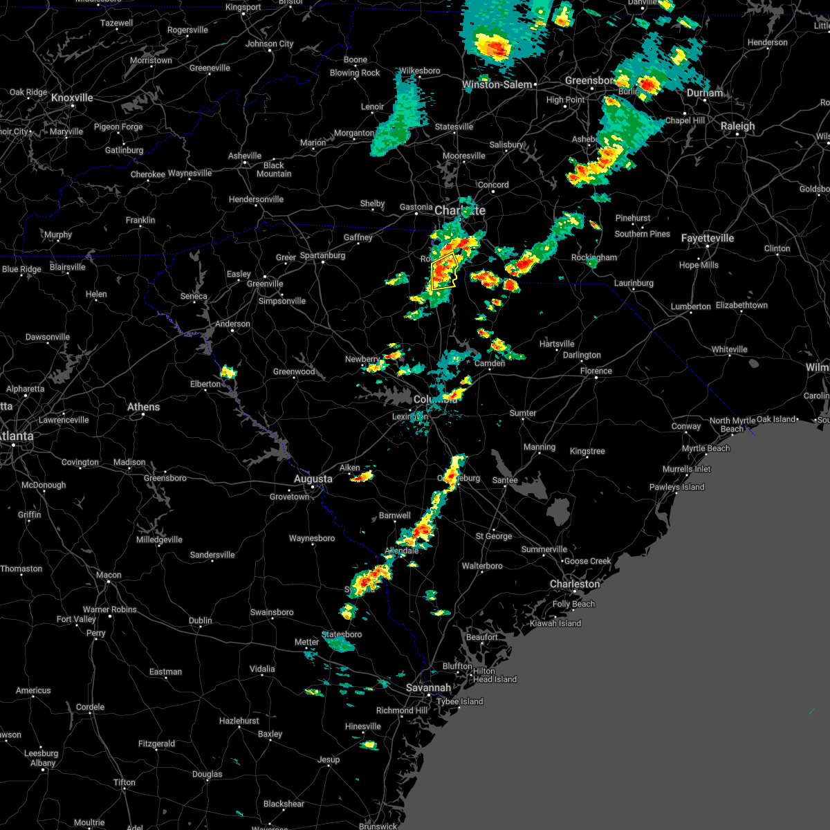 At 443 pm edt, a severe thunderstorm was located 6 miles southeast of rock hill, or near lesslie, moving east at 30 mph (radar indicated). Hazards include 60 mph wind gusts and quarter size hail. Minor hail damage to vehicles is expected. expect wind damage to trees and power lines. locations impacted include, rock hill, lesslie, catawba, edgemoor and fort mill. hail threat, radar indicated max hail size, 1. 00 in wind threat, radar indicated max wind gust, 60 mph. At 443 pm edt, a severe thunderstorm was located 6 miles southeast of rock hill, or near lesslie, moving east at 30 mph (radar indicated). Hazards include 60 mph wind gusts and quarter size hail. Minor hail damage to vehicles is expected. expect wind damage to trees and power lines. locations impacted include, rock hill, lesslie, catawba, edgemoor and fort mill. hail threat, radar indicated max hail size, 1. 00 in wind threat, radar indicated max wind gust, 60 mph.
|
| 5/1/2022 4:27 PM EDT |
 At 427 pm edt, a severe thunderstorm was located 7 miles south of rock hill, or 7 miles southwest of lesslie, moving east at 30 mph (radar indicated). Hazards include 60 mph wind gusts and quarter size hail. Minor hail damage to vehicles is expected. Expect wind damage to trees and power lines. At 427 pm edt, a severe thunderstorm was located 7 miles south of rock hill, or 7 miles southwest of lesslie, moving east at 30 mph (radar indicated). Hazards include 60 mph wind gusts and quarter size hail. Minor hail damage to vehicles is expected. Expect wind damage to trees and power lines.
|
| 3/31/2022 12:11 PM EDT |
 At 1211 pm edt, a severe thunderstorm capable of producing a tornado was located 10 miles east of chester, or near richburg, moving northeast at 45 mph (radar indicated rotation). Hazards include tornado. Flying debris will be dangerous to those caught without shelter. mobile homes will be damaged or destroyed. damage to roofs, windows, and vehicles will occur. tree damage is likely. this dangerous storm will be near, catawba around 1230 pm edt. Other locations impacted by this tornadic thunderstorm include edgemoor. At 1211 pm edt, a severe thunderstorm capable of producing a tornado was located 10 miles east of chester, or near richburg, moving northeast at 45 mph (radar indicated rotation). Hazards include tornado. Flying debris will be dangerous to those caught without shelter. mobile homes will be damaged or destroyed. damage to roofs, windows, and vehicles will occur. tree damage is likely. this dangerous storm will be near, catawba around 1230 pm edt. Other locations impacted by this tornadic thunderstorm include edgemoor.
|
| 3/31/2022 12:03 PM EDT |
 At 1203 pm edt, a severe thunderstorm capable of producing a tornado was located 5 miles southeast of chester, moving northeast at 40 mph (radar indicated rotation). Hazards include tornado. Flying debris will be dangerous to those caught without shelter. mobile homes will be damaged or destroyed. damage to roofs, windows, and vehicles will occur. tree damage is likely. this dangerous storm will be near, richburg around 1220 pm edt. catawba around 1230 pm edt. Other locations impacted by this dangerous thunderstorm include edgemoor. At 1203 pm edt, a severe thunderstorm capable of producing a tornado was located 5 miles southeast of chester, moving northeast at 40 mph (radar indicated rotation). Hazards include tornado. Flying debris will be dangerous to those caught without shelter. mobile homes will be damaged or destroyed. damage to roofs, windows, and vehicles will occur. tree damage is likely. this dangerous storm will be near, richburg around 1220 pm edt. catawba around 1230 pm edt. Other locations impacted by this dangerous thunderstorm include edgemoor.
|
| 8/14/2021 3:46 PM EDT |
 At 345 pm edt, a severe thunderstorm was located near rock hill, moving south at 15 mph (radar indicated). Hazards include 60 mph wind gusts and quarter size hail. Minor hail damage to vehicles is expected. expect wind damage to trees and power lines. locations impacted include, rock hill, fort mill, tega cay, newport, lesslie, lake wylie and carowinds. hail threat, radar indicated max hail size, 1. 00 in wind threat, radar indicated max wind gust, 60 mph. At 345 pm edt, a severe thunderstorm was located near rock hill, moving south at 15 mph (radar indicated). Hazards include 60 mph wind gusts and quarter size hail. Minor hail damage to vehicles is expected. expect wind damage to trees and power lines. locations impacted include, rock hill, fort mill, tega cay, newport, lesslie, lake wylie and carowinds. hail threat, radar indicated max hail size, 1. 00 in wind threat, radar indicated max wind gust, 60 mph.
|
| 8/14/2021 3:13 PM EDT |
 At 313 pm edt, a severe thunderstorm was located 7 miles northwest of indian land, or near tega cay, moving southwest at 10 mph (radar indicated). Hazards include 60 mph wind gusts and quarter size hail. Minor hail damage to vehicles is expected. Expect wind damage to trees and power lines. At 313 pm edt, a severe thunderstorm was located 7 miles northwest of indian land, or near tega cay, moving southwest at 10 mph (radar indicated). Hazards include 60 mph wind gusts and quarter size hail. Minor hail damage to vehicles is expected. Expect wind damage to trees and power lines.
|
| 5/4/2021 3:53 PM EDT |
 At 353 pm edt, a severe thunderstorm was located 6 miles southeast of rock hill, or near lesslie, moving east at 40 mph (radar indicated). Hazards include 70 mph wind gusts and penny size hail. Expect considerable tree damage. Damage is likely to mobile homes, roofs, and outbuildings. At 353 pm edt, a severe thunderstorm was located 6 miles southeast of rock hill, or near lesslie, moving east at 40 mph (radar indicated). Hazards include 70 mph wind gusts and penny size hail. Expect considerable tree damage. Damage is likely to mobile homes, roofs, and outbuildings.
|
| 7/24/2020 4:43 PM EDT |
 The severe thunderstorm warning for southwestern mecklenburg and eastern york counties will expire at 445 pm edt, the storm which prompted the warning has weakened below severe limits, and no longer poses an immediate threat to life or property. therefore, the warning will be allowed to expire. however, gusty winds are still possible with this thunderstorm. The severe thunderstorm warning for southwestern mecklenburg and eastern york counties will expire at 445 pm edt, the storm which prompted the warning has weakened below severe limits, and no longer poses an immediate threat to life or property. therefore, the warning will be allowed to expire. however, gusty winds are still possible with this thunderstorm.
|
| 7/24/2020 4:24 PM EDT |
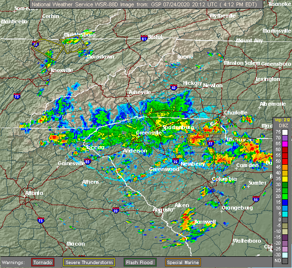 At 423 pm edt, a severe thunderstorm was located near rock hill, or near newport, moving east at 10 mph (radar indicated). Hazards include 60 mph wind gusts. Expect damage to trees and power lines. Locations impacted include, rock hill, york, fort mill, tega cay, newport, lesslie, steele creek, carowinds, lake wylie and southwest charlotte. At 423 pm edt, a severe thunderstorm was located near rock hill, or near newport, moving east at 10 mph (radar indicated). Hazards include 60 mph wind gusts. Expect damage to trees and power lines. Locations impacted include, rock hill, york, fort mill, tega cay, newport, lesslie, steele creek, carowinds, lake wylie and southwest charlotte.
|
| 7/24/2020 4:03 PM EDT |
 At 403 pm edt, a severe thunderstorm was located near york, moving east at 15 mph (radar indicated). Hazards include 60 mph wind gusts. expect damage to trees and power lines At 403 pm edt, a severe thunderstorm was located near york, moving east at 15 mph (radar indicated). Hazards include 60 mph wind gusts. expect damage to trees and power lines
|
| 7/24/2020 4:03 PM EDT |
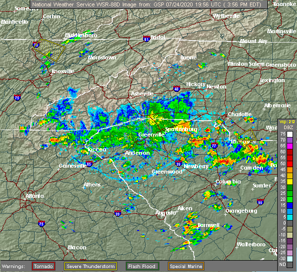 At 403 pm edt, a severe thunderstorm was located near york, moving east at 15 mph (radar indicated). Hazards include 60 mph wind gusts. expect damage to trees and power lines At 403 pm edt, a severe thunderstorm was located near york, moving east at 15 mph (radar indicated). Hazards include 60 mph wind gusts. expect damage to trees and power lines
|
| 5/29/2020 12:00 PM EDT |
 At 1200 pm edt, a severe thunderstorm was located 5 miles east of rock hill, or 4 miles north of lesslie, moving east at 20 mph (radar indicated). Hazards include 60 mph wind gusts and quarter size hail. Minor hail damage to vehicles is expected. expect wind damage to trees and power lines. Locations impacted include, fort mill, lesslie, catawba and rock hill. At 1200 pm edt, a severe thunderstorm was located 5 miles east of rock hill, or 4 miles north of lesslie, moving east at 20 mph (radar indicated). Hazards include 60 mph wind gusts and quarter size hail. Minor hail damage to vehicles is expected. expect wind damage to trees and power lines. Locations impacted include, fort mill, lesslie, catawba and rock hill.
|
| 5/29/2020 11:51 AM EDT |
 At 1151 am edt, a severe thunderstorm was located near rock hill, or near lesslie, moving east at 20 mph (radar indicated). Hazards include 60 mph wind gusts and quarter size hail. Minor hail damage to vehicles is expected. Expect wind damage to trees and power lines. At 1151 am edt, a severe thunderstorm was located near rock hill, or near lesslie, moving east at 20 mph (radar indicated). Hazards include 60 mph wind gusts and quarter size hail. Minor hail damage to vehicles is expected. Expect wind damage to trees and power lines.
|
| 5/28/2020 10:56 PM EDT |
 The severe thunderstorm warning for eastern york county will expire at 1100 pm edt, the storm which prompted the warning has weakened below severe limits, and no longer poses an immediate threat to life or property. therefore the warning will be allowed to expire. however gusty winds and heavy rain are still possible with this thunderstorm. The severe thunderstorm warning for eastern york county will expire at 1100 pm edt, the storm which prompted the warning has weakened below severe limits, and no longer poses an immediate threat to life or property. therefore the warning will be allowed to expire. however gusty winds and heavy rain are still possible with this thunderstorm.
|
| 5/28/2020 10:49 PM EDT |
 At 1048 pm edt, a severe thunderstorm was located 9 miles southwest of rock hill, or 4 miles east of mcconnells, moving northeast at 15 mph (radar indicated). Hazards include 60 mph wind gusts and quarter size hail. Minor hail damage to vehicles is expected. expect wind damage to trees and power lines. Locations impacted include, rock hill, newport, mcconnells, tega cay, lesslie and lake wylie. At 1048 pm edt, a severe thunderstorm was located 9 miles southwest of rock hill, or 4 miles east of mcconnells, moving northeast at 15 mph (radar indicated). Hazards include 60 mph wind gusts and quarter size hail. Minor hail damage to vehicles is expected. expect wind damage to trees and power lines. Locations impacted include, rock hill, newport, mcconnells, tega cay, lesslie and lake wylie.
|
| 5/28/2020 10:32 PM EDT |
 At 1032 pm edt, a severe thunderstorm was located 9 miles north of chester, or near mcconnells, moving northeast at 20 mph (radar indicated). Hazards include 60 mph wind gusts and quarter size hail. Minor hail damage to vehicles is expected. expect wind damage to trees and power lines. Locations impacted include, rock hill, york, chester, newport, mcconnells, lowrys, tega cay, bullock creek, lesslie and lake wylie. At 1032 pm edt, a severe thunderstorm was located 9 miles north of chester, or near mcconnells, moving northeast at 20 mph (radar indicated). Hazards include 60 mph wind gusts and quarter size hail. Minor hail damage to vehicles is expected. expect wind damage to trees and power lines. Locations impacted include, rock hill, york, chester, newport, mcconnells, lowrys, tega cay, bullock creek, lesslie and lake wylie.
|
| 5/28/2020 10:19 PM EDT |
 At 1018 pm edt, a severe thunderstorm was located 6 miles north of chester, or near lowrys, moving northeast at 20 mph (radar indicated). Hazards include 60 mph wind gusts and quarter size hail. Minor hail damage to vehicles is expected. Expect wind damage to trees and power lines. At 1018 pm edt, a severe thunderstorm was located 6 miles north of chester, or near lowrys, moving northeast at 20 mph (radar indicated). Hazards include 60 mph wind gusts and quarter size hail. Minor hail damage to vehicles is expected. Expect wind damage to trees and power lines.
|
| 5/28/2020 1:53 PM EDT |
 At 153 pm edt, a severe thunderstorm was located near rock hill, moving northeast at 15 mph (radar indicated). Hazards include 60 mph wind gusts and quarter size hail. Minor hail damage to vehicles is expected. expect wind damage to trees and power lines. Locations impacted include, rock hill, fort mill, lesslie, tega cay and lake wylie. At 153 pm edt, a severe thunderstorm was located near rock hill, moving northeast at 15 mph (radar indicated). Hazards include 60 mph wind gusts and quarter size hail. Minor hail damage to vehicles is expected. expect wind damage to trees and power lines. Locations impacted include, rock hill, fort mill, lesslie, tega cay and lake wylie.
|
| 5/28/2020 1:37 PM EDT |
 At 137 pm edt, a severe thunderstorm was located 5 miles southwest of rock hill, moving northeast at 15 mph (radar indicated). Hazards include 60 mph wind gusts and quarter size hail. Minor hail damage to vehicles is expected. Expect wind damage to trees and power lines. At 137 pm edt, a severe thunderstorm was located 5 miles southwest of rock hill, moving northeast at 15 mph (radar indicated). Hazards include 60 mph wind gusts and quarter size hail. Minor hail damage to vehicles is expected. Expect wind damage to trees and power lines.
|
| 5/5/2020 7:42 PM EDT |
 At 742 pm edt, a severe thunderstorm was located 10 miles southwest of york, or 5 miles west of mcconnells, moving east at 50 mph (radar indicated). Hazards include 60 mph wind gusts and quarter size hail. Minor hail damage to vehicles is expected. Expect wind damage to trees and power lines. At 742 pm edt, a severe thunderstorm was located 10 miles southwest of york, or 5 miles west of mcconnells, moving east at 50 mph (radar indicated). Hazards include 60 mph wind gusts and quarter size hail. Minor hail damage to vehicles is expected. Expect wind damage to trees and power lines.
|
| 5/5/2020 6:31 PM EDT |
 At 630 pm edt, a severe thunderstorm was located 7 miles northeast of chester, or 6 miles east of lowrys, moving east at 55 mph (radar indicated). Hazards include ping pong ball size hail and 60 mph wind gusts. People and animals outdoors will be injured. expect hail damage to roofs, siding, windows, and vehicles. expect wind damage to trees and power lines. Locations impacted include, chester, lesslie, great falls, fort lawn, mcconnells, richburg, lowrys, chester state park, catawba and edgemoor. At 630 pm edt, a severe thunderstorm was located 7 miles northeast of chester, or 6 miles east of lowrys, moving east at 55 mph (radar indicated). Hazards include ping pong ball size hail and 60 mph wind gusts. People and animals outdoors will be injured. expect hail damage to roofs, siding, windows, and vehicles. expect wind damage to trees and power lines. Locations impacted include, chester, lesslie, great falls, fort lawn, mcconnells, richburg, lowrys, chester state park, catawba and edgemoor.
|
| 5/5/2020 6:11 PM EDT |
 At 611 pm edt, a severe thunderstorm was located 10 miles east of union, or near lockhart, moving east at 55 mph (radar indicated). Hazards include ping pong ball size hail and 60 mph wind gusts. People and animals outdoors will be injured. expect hail damage to roofs, siding, windows, and vehicles. Expect wind damage to trees and power lines. At 611 pm edt, a severe thunderstorm was located 10 miles east of union, or near lockhart, moving east at 55 mph (radar indicated). Hazards include ping pong ball size hail and 60 mph wind gusts. People and animals outdoors will be injured. expect hail damage to roofs, siding, windows, and vehicles. Expect wind damage to trees and power lines.
|
| 5/5/2020 4:13 AM EDT |
 At 413 am edt, severe thunderstorms were located along a line extending from 11 miles northwest of indian land to 8 miles southeast of rock hill to 12 miles southeast of chester, moving east at 55 mph (radar indicated). Hazards include 60 mph wind gusts and quarter size hail. Minor hail damage to vehicles is expected. expect wind damage to trees and power lines. Locations impacted include, rock hill, york, chester, south charlotte, indian trail, weddington, fort mill, stallings, pineville and tega cay. At 413 am edt, severe thunderstorms were located along a line extending from 11 miles northwest of indian land to 8 miles southeast of rock hill to 12 miles southeast of chester, moving east at 55 mph (radar indicated). Hazards include 60 mph wind gusts and quarter size hail. Minor hail damage to vehicles is expected. expect wind damage to trees and power lines. Locations impacted include, rock hill, york, chester, south charlotte, indian trail, weddington, fort mill, stallings, pineville and tega cay.
|
| 5/5/2020 3:57 AM EDT |
 At 356 am edt, severe thunderstorms were located along a line extending from 6 miles north of york to 9 miles southwest of rock hill to 8 miles southwest of chester, moving east at 55 mph (radar indicated). Hazards include 60 mph wind gusts and quarter size hail. Minor hail damage to vehicles is expected. Expect wind damage to trees and power lines. At 356 am edt, severe thunderstorms were located along a line extending from 6 miles north of york to 9 miles southwest of rock hill to 8 miles southwest of chester, moving east at 55 mph (radar indicated). Hazards include 60 mph wind gusts and quarter size hail. Minor hail damage to vehicles is expected. Expect wind damage to trees and power lines.
|
| 5/4/2020 9:09 PM EDT |
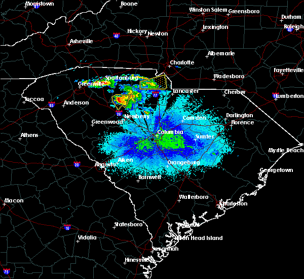 At 908 pm edt, a severe thunderstorm was located 4 miles southwest of rock hill, moving east at 35 mph (radar indicated). Hazards include 60 mph wind gusts and quarter size hail. Minor hail damage to vehicles is expected. expect wind damage to trees and power lines. Locations impacted include, rock hill, fort mill, newport, lesslie, catawba, tega cay and lake wylie. At 908 pm edt, a severe thunderstorm was located 4 miles southwest of rock hill, moving east at 35 mph (radar indicated). Hazards include 60 mph wind gusts and quarter size hail. Minor hail damage to vehicles is expected. expect wind damage to trees and power lines. Locations impacted include, rock hill, fort mill, newport, lesslie, catawba, tega cay and lake wylie.
|
| 5/4/2020 8:56 PM EDT |
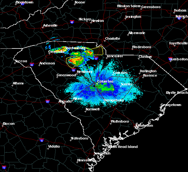 At 856 pm edt, a severe thunderstorm was located 7 miles south of york, or near mcconnells, moving east at 35 mph (radar indicated). Hazards include 60 mph wind gusts and quarter size hail. Minor hail damage to vehicles is expected. Expect wind damage to trees and power lines. At 856 pm edt, a severe thunderstorm was located 7 miles south of york, or near mcconnells, moving east at 35 mph (radar indicated). Hazards include 60 mph wind gusts and quarter size hail. Minor hail damage to vehicles is expected. Expect wind damage to trees and power lines.
|
| 4/25/2020 10:59 PM EDT |
 The national weather service in greenville-spartanburg has issued a * severe thunderstorm warning for. southern mecklenburg county in the piedmont of north carolina. union county in the piedmont of north carolina. northeastern york county in upstate south carolina. Until midnight edt. The national weather service in greenville-spartanburg has issued a * severe thunderstorm warning for. southern mecklenburg county in the piedmont of north carolina. union county in the piedmont of north carolina. northeastern york county in upstate south carolina. Until midnight edt.
|
| 4/25/2020 10:48 PM EDT |
 At 1048 pm edt, a severe thunderstorm capable of producing a tornado was located 6 miles northwest of rock hill, or near newport, moving east at 45 mph (radar indicated rotation). Hazards include tornado and quarter size hail. Flying debris will be dangerous to those caught without shelter. mobile homes will be damaged or destroyed. damage to roofs, windows, and vehicles will occur. tree damage is likely. this dangerous storm will be near, rock hill around 1050 pm edt. fort mill, tega cay, carowinds and steele creek around 1100 pm edt. Pineville around 1110 pm edt. At 1048 pm edt, a severe thunderstorm capable of producing a tornado was located 6 miles northwest of rock hill, or near newport, moving east at 45 mph (radar indicated rotation). Hazards include tornado and quarter size hail. Flying debris will be dangerous to those caught without shelter. mobile homes will be damaged or destroyed. damage to roofs, windows, and vehicles will occur. tree damage is likely. this dangerous storm will be near, rock hill around 1050 pm edt. fort mill, tega cay, carowinds and steele creek around 1100 pm edt. Pineville around 1110 pm edt.
|
| 4/25/2020 10:33 PM EDT |
 At 1032 pm edt, a severe thunderstorm capable of producing a tornado was located 4 miles southwest of york, or near sharon, moving east at 40 mph (radar indicated rotation). Hazards include tornado and quarter size hail. Flying debris will be dangerous to those caught without shelter. mobile homes will be damaged or destroyed. damage to roofs, windows, and vehicles will occur. tree damage is likely. this dangerous storm will be near, rock hill and newport around 1050 pm edt. Fort mill, tega cay, lesslie and carowinds around 1100 pm edt. At 1032 pm edt, a severe thunderstorm capable of producing a tornado was located 4 miles southwest of york, or near sharon, moving east at 40 mph (radar indicated rotation). Hazards include tornado and quarter size hail. Flying debris will be dangerous to those caught without shelter. mobile homes will be damaged or destroyed. damage to roofs, windows, and vehicles will occur. tree damage is likely. this dangerous storm will be near, rock hill and newport around 1050 pm edt. Fort mill, tega cay, lesslie and carowinds around 1100 pm edt.
|
| 4/13/2020 5:51 AM EDT |
 The severe thunderstorm warning for cabarrus, central davie, mecklenburg, rowan, union, chester and southeastern york counties will expire at 600 am edt, the storms which prompted the warning have moved out of the area. therefore the warning will be allowed to expire. a tornado watch remains in effect until 800 am edt for the piedmont of north carolina, and upstate south carolina. if you observed large hail or wind damage, please report it to the national weather service greenville-spartanburg by calling toll free, 1, 800, 2 6 7, 8 1 0 1, or by posting on our facebook page, or tweet it using hashtag nwsgsp. your message should describe the event and the specific location where it occurred. remember, a severe thunderstorm warning still remains in effect for central and eastern union county in north carolina until 630 am edt. The severe thunderstorm warning for cabarrus, central davie, mecklenburg, rowan, union, chester and southeastern york counties will expire at 600 am edt, the storms which prompted the warning have moved out of the area. therefore the warning will be allowed to expire. a tornado watch remains in effect until 800 am edt for the piedmont of north carolina, and upstate south carolina. if you observed large hail or wind damage, please report it to the national weather service greenville-spartanburg by calling toll free, 1, 800, 2 6 7, 8 1 0 1, or by posting on our facebook page, or tweet it using hashtag nwsgsp. your message should describe the event and the specific location where it occurred. remember, a severe thunderstorm warning still remains in effect for central and eastern union county in north carolina until 630 am edt.
|
| 4/13/2020 5:10 AM EDT |
 At 509 am edt, severe thunderstorms were located along a line extending from 5 miles east of mocksville to 9 miles southeast of chester, moving northeast at 60 mph (radar indicated). Hazards include 60 mph wind gusts. expect damage to trees and power lines At 509 am edt, severe thunderstorms were located along a line extending from 5 miles east of mocksville to 9 miles southeast of chester, moving northeast at 60 mph (radar indicated). Hazards include 60 mph wind gusts. expect damage to trees and power lines
|
| 4/8/2020 9:43 PM EDT |
 The severe thunderstorm warning for mecklenburg, cleveland, gaston, union, central york and northeastern cherokee counties will expire at 945 pm edt, the storms which prompted the warning have weakened below severe limits, and no longer pose an immediate threat to life or property. therefore the warning will be allowed to expire. however heavy rain is still possible with these thunderstorms. The severe thunderstorm warning for mecklenburg, cleveland, gaston, union, central york and northeastern cherokee counties will expire at 945 pm edt, the storms which prompted the warning have weakened below severe limits, and no longer pose an immediate threat to life or property. therefore the warning will be allowed to expire. however heavy rain is still possible with these thunderstorms.
|
| 4/8/2020 9:26 PM EDT |
 At 925 pm edt, severe thunderstorms were located along a line extending from 3 miles south of shelby to 10 miles east of monroe, moving southeast at 5 mph (radar indicated). Hazards include 60 mph wind gusts and quarter size hail. Minor hail damage to vehicles is expected. expect wind damage to trees and power lines. Locations impacted include, gastonia, rock hill, uptown charlotte, monroe, shelby, york, central charlotte, south charlotte, southwest charlotte and east charlotte. At 925 pm edt, severe thunderstorms were located along a line extending from 3 miles south of shelby to 10 miles east of monroe, moving southeast at 5 mph (radar indicated). Hazards include 60 mph wind gusts and quarter size hail. Minor hail damage to vehicles is expected. expect wind damage to trees and power lines. Locations impacted include, gastonia, rock hill, uptown charlotte, monroe, shelby, york, central charlotte, south charlotte, southwest charlotte and east charlotte.
|
| 4/8/2020 8:56 PM EDT |
 At 855 pm edt, severe thunderstorms were located along a line extending from 3 miles west of shelby to 8 miles east of monroe, moving southeast at 5 mph (radar indicated). Hazards include 60 mph wind gusts and quarter size hail. Minor hail damage to vehicles is expected. Expect wind damage to trees and power lines. At 855 pm edt, severe thunderstorms were located along a line extending from 3 miles west of shelby to 8 miles east of monroe, moving southeast at 5 mph (radar indicated). Hazards include 60 mph wind gusts and quarter size hail. Minor hail damage to vehicles is expected. Expect wind damage to trees and power lines.
|
| 2/13/2020 10:08 AM EST |
 At 1007 am est, severe thunderstorms were located along a line extending from near uptown charlotte to 6 miles northwest of indian land to 6 miles southwest of rock hill, moving east at 45 mph (radar indicated). Hazards include 60 mph wind gusts. Expect damage to trees and power lines. Locations impacted include, rock hill, uptown charlotte, downtown concord, central charlotte, south charlotte, northeast charlotte, southwest charlotte, east charlotte, northwest charlotte and west concord. At 1007 am est, severe thunderstorms were located along a line extending from near uptown charlotte to 6 miles northwest of indian land to 6 miles southwest of rock hill, moving east at 45 mph (radar indicated). Hazards include 60 mph wind gusts. Expect damage to trees and power lines. Locations impacted include, rock hill, uptown charlotte, downtown concord, central charlotte, south charlotte, northeast charlotte, southwest charlotte, east charlotte, northwest charlotte and west concord.
|
| 2/13/2020 9:47 AM EST |
 At 947 am est, severe thunderstorms were located along a line extending from 4 miles southeast of gastonia to 4 miles northeast of york to 15 miles northeast of union, moving east at 55 mph (radar indicated). Hazards include 60 mph wind gusts. expect damage to trees and power lines At 947 am est, severe thunderstorms were located along a line extending from 4 miles southeast of gastonia to 4 miles northeast of york to 15 miles northeast of union, moving east at 55 mph (radar indicated). Hazards include 60 mph wind gusts. expect damage to trees and power lines
|
| 2/6/2020 12:30 PM EST |
 At 1230 pm est, severe thunderstorms were located along a line extending from 3 miles west of downtown concord to 7 miles east of uptown charlotte to 6 miles northwest of indian land, moving east at 70 mph (radar indicated). Hazards include 60 mph wind gusts and quarter size hail. Minor hail damage to vehicles is expected. expect wind damage to trees and power lines. Locations impacted include, rock hill, kannapolis, downtown concord, monroe, south charlotte, east charlotte, west concord, matthews, mint hill and indian trail. At 1230 pm est, severe thunderstorms were located along a line extending from 3 miles west of downtown concord to 7 miles east of uptown charlotte to 6 miles northwest of indian land, moving east at 70 mph (radar indicated). Hazards include 60 mph wind gusts and quarter size hail. Minor hail damage to vehicles is expected. expect wind damage to trees and power lines. Locations impacted include, rock hill, kannapolis, downtown concord, monroe, south charlotte, east charlotte, west concord, matthews, mint hill and indian trail.
|
| 2/6/2020 12:02 PM EST |
 At 1202 pm est, severe thunderstorms were located along a line extending from near gastonia to near york to 15 miles northeast of union, moving east at 70 mph (radar indicated). Hazards include 60 mph wind gusts. expect damage to trees and power lines At 1202 pm est, severe thunderstorms were located along a line extending from near gastonia to near york to 15 miles northeast of union, moving east at 70 mph (radar indicated). Hazards include 60 mph wind gusts. expect damage to trees and power lines
|
| 1/11/2020 9:55 PM EST |
 At 955 pm est, severe thunderstorms were located along a line extending from 7 miles south of gastonia to 12 miles southeast of chester, moving east at 55 mph (radar indicated). Hazards include 60 mph wind gusts. expect damage to trees and power lines At 955 pm est, severe thunderstorms were located along a line extending from 7 miles south of gastonia to 12 miles southeast of chester, moving east at 55 mph (radar indicated). Hazards include 60 mph wind gusts. expect damage to trees and power lines
|
| 10/31/2019 6:11 PM EDT |
 The severe thunderstorm warning for eastern chester and southeastern york counties will expire at 615 pm edt, the severe thunderstorm which prompted the warning has weakened. therefore the warning will be allowed to expire. however heavy rain is still possible with this thunderstorm. a tornado watch remains in effect until 1100 pm edt for upstate south carolina. if you observed large hail or wind damage, please report it to the national weather service greenville-spartanburg by calling toll free, 1, 800, 2 6 7, 8 1 0 1, or by posting on our facebook page, or tweet it using hashtag nwsgsp. your message should describe the event and the specific location where it occurred. The severe thunderstorm warning for eastern chester and southeastern york counties will expire at 615 pm edt, the severe thunderstorm which prompted the warning has weakened. therefore the warning will be allowed to expire. however heavy rain is still possible with this thunderstorm. a tornado watch remains in effect until 1100 pm edt for upstate south carolina. if you observed large hail or wind damage, please report it to the national weather service greenville-spartanburg by calling toll free, 1, 800, 2 6 7, 8 1 0 1, or by posting on our facebook page, or tweet it using hashtag nwsgsp. your message should describe the event and the specific location where it occurred.
|
| 10/31/2019 5:39 PM EDT |
 The national weather service in greenville-spartanburg has issued a * severe thunderstorm warning for. eastern chester county in upstate south carolina. southeastern york county in upstate south carolina. until 615 pm edt. At 538 pm edt, a severe thunderstorm was located 14 miles southeast. The national weather service in greenville-spartanburg has issued a * severe thunderstorm warning for. eastern chester county in upstate south carolina. southeastern york county in upstate south carolina. until 615 pm edt. At 538 pm edt, a severe thunderstorm was located 14 miles southeast.
|
| 10/31/2019 5:31 PM EDT |
 At 531 pm edt, severe thunderstorms were located along a line extending from 7 miles northeast of huntersville to 3 miles south of uptown charlotte, moving northeast at 65 mph (radar indicated). Hazards include 60 mph wind gusts. Expect damage to trees and power lines. locations impacted include, rock hill, uptown charlotte, huntersville, kannapolis, downtown concord, salisbury, york, central charlotte, south charlotte and northeast charlotte. A tornado watch remains in effect until 1100 pm edt for the piedmont of north carolina, and upstate south carolina. At 531 pm edt, severe thunderstorms were located along a line extending from 7 miles northeast of huntersville to 3 miles south of uptown charlotte, moving northeast at 65 mph (radar indicated). Hazards include 60 mph wind gusts. Expect damage to trees and power lines. locations impacted include, rock hill, uptown charlotte, huntersville, kannapolis, downtown concord, salisbury, york, central charlotte, south charlotte and northeast charlotte. A tornado watch remains in effect until 1100 pm edt for the piedmont of north carolina, and upstate south carolina.
|
| 10/31/2019 5:10 PM EDT |
 At 509 pm edt, severe thunderstorms were located along a line extending from 5 miles east of gastonia to 13 miles north of rock hill to 4 miles east of york, moving northeast at 55 mph. another line of severe storms was located in southern iredell and northern mecklenburg counties, also moving northeast at 50-55 mph (radar indicated). Hazards include 60 mph wind gusts. Expect damage to trees and power lines. locations impacted include, gastonia, rock hill, uptown charlotte, huntersville, kannapolis, downtown concord, salisbury, york, central charlotte and south charlotte. A tornado watch remains in effect until 1100 pm edt for the piedmont of north carolina, and upstate south carolina. At 509 pm edt, severe thunderstorms were located along a line extending from 5 miles east of gastonia to 13 miles north of rock hill to 4 miles east of york, moving northeast at 55 mph. another line of severe storms was located in southern iredell and northern mecklenburg counties, also moving northeast at 50-55 mph (radar indicated). Hazards include 60 mph wind gusts. Expect damage to trees and power lines. locations impacted include, gastonia, rock hill, uptown charlotte, huntersville, kannapolis, downtown concord, salisbury, york, central charlotte and south charlotte. A tornado watch remains in effect until 1100 pm edt for the piedmont of north carolina, and upstate south carolina.
|
| 10/31/2019 4:58 PM EDT |
 At 457 pm edt, severe thunderstorms were located along a line extending from 10 miles east of lincolnton to 3 miles southeast of gastonia to 13 miles northwest of chester, moving northeast at 55 mph (radar indicated). Hazards include 60 mph wind gusts. expect damage to trees and power lines At 457 pm edt, severe thunderstorms were located along a line extending from 10 miles east of lincolnton to 3 miles southeast of gastonia to 13 miles northwest of chester, moving northeast at 55 mph (radar indicated). Hazards include 60 mph wind gusts. expect damage to trees and power lines
|
| 9/13/2019 3:38 PM EDT |
 At 338 pm edt, a severe thunderstorm was located 11 miles south of rock hill, or near richburg, moving southwest at 10 mph (radar indicated). Hazards include 60 mph wind gusts and penny size hail. expect damage to trees and power lines At 338 pm edt, a severe thunderstorm was located 11 miles south of rock hill, or near richburg, moving southwest at 10 mph (radar indicated). Hazards include 60 mph wind gusts and penny size hail. expect damage to trees and power lines
|
| 7/4/2019 2:55 PM EDT |
 The severe thunderstorm warning for central chester and southeastern york counties will expire at 300 pm edt, the storms which prompted the warning have weakened below severe limits, and no longer pose an immediate threat to life or property. therefore the warning will be allowed to expire. if you observed large hail or wind damage, please report it to the national weather service greenville-spartanburg by calling toll free, 1, 800, 2 6 7, 8 1 0 1, or by posting on our facebook page, or tweet it using hashtag nwsgsp. your message should describe the event and the specific location where it occurred. The severe thunderstorm warning for central chester and southeastern york counties will expire at 300 pm edt, the storms which prompted the warning have weakened below severe limits, and no longer pose an immediate threat to life or property. therefore the warning will be allowed to expire. if you observed large hail or wind damage, please report it to the national weather service greenville-spartanburg by calling toll free, 1, 800, 2 6 7, 8 1 0 1, or by posting on our facebook page, or tweet it using hashtag nwsgsp. your message should describe the event and the specific location where it occurred.
|
| 7/4/2019 2:30 PM EDT |
 At 230 pm edt, a severe thunderstorm was located near rock hill, moving northeast at 5 mph (radar indicated). Hazards include 60 mph wind gusts and penny size hail. Expect damage to trees and power lines. Locations impacted include, rock hill, fort mill and lesslie. At 230 pm edt, a severe thunderstorm was located near rock hill, moving northeast at 5 mph (radar indicated). Hazards include 60 mph wind gusts and penny size hail. Expect damage to trees and power lines. Locations impacted include, rock hill, fort mill and lesslie.
|
| 7/4/2019 2:12 PM EDT |
 At 211 pm edt, severe thunderstorms were located along a line extending from 7 miles southwest of rock hill to 3 miles south of chester, moving east at 10 mph (radar indicated). Hazards include 70 mph wind gusts and quarter size hail. Minor hail damage to vehicles is expected. expect considerable tree damage. Wind damage is also likely to mobile homes, roofs, and outbuildings. At 211 pm edt, severe thunderstorms were located along a line extending from 7 miles southwest of rock hill to 3 miles south of chester, moving east at 10 mph (radar indicated). Hazards include 70 mph wind gusts and quarter size hail. Minor hail damage to vehicles is expected. expect considerable tree damage. Wind damage is also likely to mobile homes, roofs, and outbuildings.
|
| 7/4/2019 2:04 PM EDT |
 At 203 pm edt, a severe thunderstorm was located near rock hill, and is nearly stationary (radar indicated). Hazards include 60 mph wind gusts and quarter size hail. Minor hail damage to vehicles is expected. Expect wind damage to trees and power lines. At 203 pm edt, a severe thunderstorm was located near rock hill, and is nearly stationary (radar indicated). Hazards include 60 mph wind gusts and quarter size hail. Minor hail damage to vehicles is expected. Expect wind damage to trees and power lines.
|
| 6/24/2019 10:03 PM EDT |
 At 1003 pm edt, severe thunderstorms were located along a line extending from 12 miles southwest of winston-salem to 5 miles southeast of mocksville to 12 miles south of lexington to near downtown concord to 16 miles southwest of albemarle to 11 miles southwest of monroe to 13 miles south of lancaster, moving east at 40 mph (radar indicated). Hazards include 60 mph wind gusts. Expect damage to trees and power lines. Locations impacted include, rock hill, kannapolis, downtown concord, monroe, salisbury, mocksville, central charlotte, south charlotte, southwest charlotte and east charlotte. At 1003 pm edt, severe thunderstorms were located along a line extending from 12 miles southwest of winston-salem to 5 miles southeast of mocksville to 12 miles south of lexington to near downtown concord to 16 miles southwest of albemarle to 11 miles southwest of monroe to 13 miles south of lancaster, moving east at 40 mph (radar indicated). Hazards include 60 mph wind gusts. Expect damage to trees and power lines. Locations impacted include, rock hill, kannapolis, downtown concord, monroe, salisbury, mocksville, central charlotte, south charlotte, southwest charlotte and east charlotte.
|
| 6/24/2019 9:48 PM EDT |
 At 948 pm edt, severe thunderstorms were located along a line extending from 7 miles south of yadkinville to 7 miles southwest of mocksville to 4 miles east of salisbury to 6 miles east of huntersville to 14 miles north of monroe to 8 miles south of indian land to 14 miles southwest of lancaster, moving east at 25 mph (radar indicated). Hazards include 60 mph wind gusts. Expect damage to trees and power lines. Locations impacted include, rock hill, uptown charlotte, huntersville, kannapolis, downtown concord, monroe, salisbury, chester, mocksville and central charlotte. At 948 pm edt, severe thunderstorms were located along a line extending from 7 miles south of yadkinville to 7 miles southwest of mocksville to 4 miles east of salisbury to 6 miles east of huntersville to 14 miles north of monroe to 8 miles south of indian land to 14 miles southwest of lancaster, moving east at 25 mph (radar indicated). Hazards include 60 mph wind gusts. Expect damage to trees and power lines. Locations impacted include, rock hill, uptown charlotte, huntersville, kannapolis, downtown concord, monroe, salisbury, chester, mocksville and central charlotte.
|
| 6/24/2019 9:27 PM EDT |
 At 927 pm edt, severe thunderstorms were located along a line extending from 6 miles south of yadkinville to 4 miles north of statesville to 8 miles north of kannapolis to near huntersville to 7 miles northeast of indian land to 4 miles southwest of rock hill to 11 miles north of winnsboro, moving east at 40 mph (radar indicated). Hazards include 70 mph wind gusts. Expect considerable tree damage. Damage is likely to mobile homes, roofs, and outbuildings. At 927 pm edt, severe thunderstorms were located along a line extending from 6 miles south of yadkinville to 4 miles north of statesville to 8 miles north of kannapolis to near huntersville to 7 miles northeast of indian land to 4 miles southwest of rock hill to 11 miles north of winnsboro, moving east at 40 mph (radar indicated). Hazards include 70 mph wind gusts. Expect considerable tree damage. Damage is likely to mobile homes, roofs, and outbuildings.
|
| 6/24/2019 9:16 PM EDT |
 At 916 pm edt, severe thunderstorms were located along a line extending from 15 miles east of taylorsville to 7 miles northwest of statesville to 14 miles northwest of kannapolis to 5 miles west of huntersville to 6 miles southwest of uptown charlotte to 7 miles south of york to 6 miles south of chester, moving northeast at 70 mph (radar indicated). Hazards include 70 mph wind gusts. Expect considerable tree damage. damage is likely to mobile homes, roofs, and outbuildings. Locations impacted include, gastonia, rock hill, uptown charlotte, huntersville, statesville, lincolnton, york, chester, mocksville and central charlotte. At 916 pm edt, severe thunderstorms were located along a line extending from 15 miles east of taylorsville to 7 miles northwest of statesville to 14 miles northwest of kannapolis to 5 miles west of huntersville to 6 miles southwest of uptown charlotte to 7 miles south of york to 6 miles south of chester, moving northeast at 70 mph (radar indicated). Hazards include 70 mph wind gusts. Expect considerable tree damage. damage is likely to mobile homes, roofs, and outbuildings. Locations impacted include, gastonia, rock hill, uptown charlotte, huntersville, statesville, lincolnton, york, chester, mocksville and central charlotte.
|
| 6/24/2019 9:00 PM EDT |
 At 859 pm edt, severe thunderstorms were located along a line extending from 4 miles southeast of taylorsville to 10 miles southwest of statesville to 7 miles southeast of lincolnton to 8 miles southeast of gastonia to 7 miles southwest of york to 16 miles southeast of union, moving northeast at 50 mph (radar indicated). Hazards include 70 mph wind gusts. Expect considerable tree damage. Damage is likely to mobile homes, roofs, and outbuildings. At 859 pm edt, severe thunderstorms were located along a line extending from 4 miles southeast of taylorsville to 10 miles southwest of statesville to 7 miles southeast of lincolnton to 8 miles southeast of gastonia to 7 miles southwest of york to 16 miles southeast of union, moving northeast at 50 mph (radar indicated). Hazards include 70 mph wind gusts. Expect considerable tree damage. Damage is likely to mobile homes, roofs, and outbuildings.
|
| 5/11/2019 5:05 PM EDT |
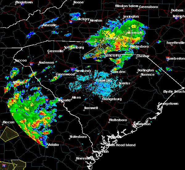 At 505 pm edt, a severe thunderstorm was located 5 miles southeast of rock hill, or near lesslie, moving northeast at 25 mph (radar indicated). Hazards include 60 mph wind gusts and quarter size hail. Minor hail damage to vehicles is expected. expect wind damage to trees and power lines. Locations impacted include, lesslie, edgemoor and rock hill. At 505 pm edt, a severe thunderstorm was located 5 miles southeast of rock hill, or near lesslie, moving northeast at 25 mph (radar indicated). Hazards include 60 mph wind gusts and quarter size hail. Minor hail damage to vehicles is expected. expect wind damage to trees and power lines. Locations impacted include, lesslie, edgemoor and rock hill.
|
| 5/11/2019 4:57 PM EDT |
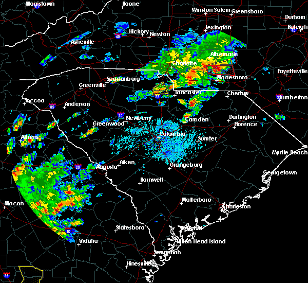 At 457 pm edt, a severe thunderstorm was located 5 miles south of rock hill, or 4 miles southwest of lesslie, moving northeast at 25 mph (radar indicated). Hazards include 60 mph wind gusts and quarter size hail. Minor hail damage to vehicles is expected. expect wind damage to trees and power lines. Locations impacted include, lesslie, edgemoor and rock hill. At 457 pm edt, a severe thunderstorm was located 5 miles south of rock hill, or 4 miles southwest of lesslie, moving northeast at 25 mph (radar indicated). Hazards include 60 mph wind gusts and quarter size hail. Minor hail damage to vehicles is expected. expect wind damage to trees and power lines. Locations impacted include, lesslie, edgemoor and rock hill.
|
| 5/11/2019 4:43 PM EDT |
 At 442 pm edt, a severe thunderstorm was located 8 miles northeast of chester, or 5 miles east of lowrys, moving northeast at 25 mph (radar indicated). Hazards include 60 mph wind gusts and quarter size hail. Minor hail damage to vehicles is expected. expect wind damage to trees and power lines. Locations impacted include, rock hill, lesslie, edgemoor and catawba. At 442 pm edt, a severe thunderstorm was located 8 miles northeast of chester, or 5 miles east of lowrys, moving northeast at 25 mph (radar indicated). Hazards include 60 mph wind gusts and quarter size hail. Minor hail damage to vehicles is expected. expect wind damage to trees and power lines. Locations impacted include, rock hill, lesslie, edgemoor and catawba.
|
| 5/11/2019 4:38 PM EDT |
 The severe thunderstorm warning for south central mecklenburg, west central union and east central york counties will expire at 445 pm edt, the storm which prompted the warning has weakened below severe limits, and no longer poses an immediate threat to life or property. therefore the warning will be allowed to expire. however small hail and gusty winds are still possible with this thunderstorm. The severe thunderstorm warning for south central mecklenburg, west central union and east central york counties will expire at 445 pm edt, the storm which prompted the warning has weakened below severe limits, and no longer poses an immediate threat to life or property. therefore the warning will be allowed to expire. however small hail and gusty winds are still possible with this thunderstorm.
|
| 5/11/2019 4:31 PM EDT |
 At 431 pm edt, a severe thunderstorm was located 5 miles north of chester, or near lowrys, moving northeast at 25 mph (radar indicated). Hazards include 60 mph wind gusts and quarter size hail. Minor hail damage to vehicles is expected. Expect wind damage to trees and power lines. At 431 pm edt, a severe thunderstorm was located 5 miles north of chester, or near lowrys, moving northeast at 25 mph (radar indicated). Hazards include 60 mph wind gusts and quarter size hail. Minor hail damage to vehicles is expected. Expect wind damage to trees and power lines.
|
| 5/11/2019 4:24 PM EDT |
 At 423 pm edt, a severe thunderstorm was located near indian land, or near marvin, moving northeast at 25 mph (radar indicated). Hazards include 60 mph wind gusts and quarter size hail. Minor hail damage to vehicles is expected. expect wind damage to trees and power lines. Locations impacted include, south charlotte, weddington, fort mill, pineville, wesley chapel, marvin, the arboretum, southpark mall, southwest charlotte and waxhaw. At 423 pm edt, a severe thunderstorm was located near indian land, or near marvin, moving northeast at 25 mph (radar indicated). Hazards include 60 mph wind gusts and quarter size hail. Minor hail damage to vehicles is expected. expect wind damage to trees and power lines. Locations impacted include, south charlotte, weddington, fort mill, pineville, wesley chapel, marvin, the arboretum, southpark mall, southwest charlotte and waxhaw.
|
| 5/11/2019 4:15 PM EDT |
 At 415 pm edt, a severe thunderstorm was located near indian land, moving northeast at 25 mph (radar indicated). Hazards include 60 mph wind gusts and quarter size hail. Minor hail damage to vehicles is expected. expect wind damage to trees and power lines. Locations impacted include, rock hill, south charlotte, southwest charlotte, weddington, fort mill, pineville, wesley chapel, marvin, the arboretum and carowinds. At 415 pm edt, a severe thunderstorm was located near indian land, moving northeast at 25 mph (radar indicated). Hazards include 60 mph wind gusts and quarter size hail. Minor hail damage to vehicles is expected. expect wind damage to trees and power lines. Locations impacted include, rock hill, south charlotte, southwest charlotte, weddington, fort mill, pineville, wesley chapel, marvin, the arboretum and carowinds.
|
| 5/11/2019 3:53 PM EDT |
 At 353 pm edt, a severe thunderstorm was located near rock hill, moving northeast at 25 mph (radar indicated). Hazards include 60 mph wind gusts and quarter size hail. Minor hail damage to vehicles is expected. Expect wind damage to trees and power lines. At 353 pm edt, a severe thunderstorm was located near rock hill, moving northeast at 25 mph (radar indicated). Hazards include 60 mph wind gusts and quarter size hail. Minor hail damage to vehicles is expected. Expect wind damage to trees and power lines.
|
| 7/6/2018 5:38 PM EDT |
 The severe thunderstorm warning for northern chester and southeastern york counties will expire at 545 pm edt, the storms which prompted the warning have weakened below severe limits, and have exited the warned area. therefore the warning will be allowed to expire. however gusty winds and heavy rain are still possible with these thunderstorms during the next hour. if you observed large hail or wind damage, please report it to the national weather service greenville-spartanburg by calling toll free, 1, 800, 2 6 7, 8 1 0 1, or by posting on our facebook page, or tweet it using hashtag nwsgsp. your message should describe the event and the specific location where it occurred. The severe thunderstorm warning for northern chester and southeastern york counties will expire at 545 pm edt, the storms which prompted the warning have weakened below severe limits, and have exited the warned area. therefore the warning will be allowed to expire. however gusty winds and heavy rain are still possible with these thunderstorms during the next hour. if you observed large hail or wind damage, please report it to the national weather service greenville-spartanburg by calling toll free, 1, 800, 2 6 7, 8 1 0 1, or by posting on our facebook page, or tweet it using hashtag nwsgsp. your message should describe the event and the specific location where it occurred.
|
| 7/6/2018 5:17 PM EDT |
 At 516 pm edt, severe thunderstorms were located along a line extending from 5 miles northwest of rock hill to 12 miles north of lancaster, moving south at 20 mph (radar indicated). Hazards include 60 mph wind gusts. Expect damage to trees and power lines. Locations impacted include, rock hill, fort mill, tega cay, lesslie, catawba, edgemoor and newport. At 516 pm edt, severe thunderstorms were located along a line extending from 5 miles northwest of rock hill to 12 miles north of lancaster, moving south at 20 mph (radar indicated). Hazards include 60 mph wind gusts. Expect damage to trees and power lines. Locations impacted include, rock hill, fort mill, tega cay, lesslie, catawba, edgemoor and newport.
|
| 7/6/2018 4:41 PM EDT |
 At 440 pm edt, severe thunderstorms were located along a line extending from near uptown charlotte to 11 miles north of lancaster, moving west at 5 mph (radar indicated). Hazards include 60 mph wind gusts and quarter size hail. Minor hail damage to vehicles is expected. Expect wind damage to trees and power lines. At 440 pm edt, severe thunderstorms were located along a line extending from near uptown charlotte to 11 miles north of lancaster, moving west at 5 mph (radar indicated). Hazards include 60 mph wind gusts and quarter size hail. Minor hail damage to vehicles is expected. Expect wind damage to trees and power lines.
|
| 7/6/2018 4:41 PM EDT |
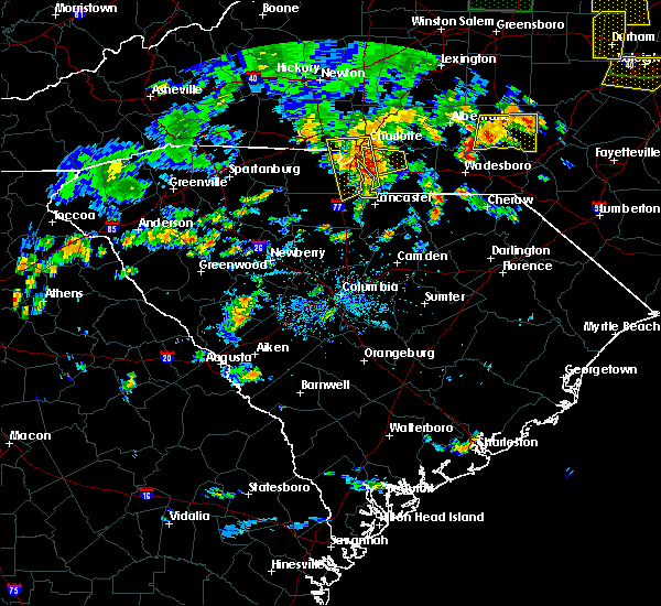 At 440 pm edt, severe thunderstorms were located along a line extending from near uptown charlotte to 11 miles north of lancaster, moving west at 5 mph (radar indicated). Hazards include 60 mph wind gusts and quarter size hail. Minor hail damage to vehicles is expected. Expect wind damage to trees and power lines. At 440 pm edt, severe thunderstorms were located along a line extending from near uptown charlotte to 11 miles north of lancaster, moving west at 5 mph (radar indicated). Hazards include 60 mph wind gusts and quarter size hail. Minor hail damage to vehicles is expected. Expect wind damage to trees and power lines.
|
| 6/27/2018 5:47 PM EDT |
 At 547 pm edt, severe thunderstorms were located along a line extending from 8 miles south of rock hill to 7 miles west of chester to 16 miles southeast of union to 13 miles north of newberry, moving southeast at 35 mph (radar indicated). Hazards include golf ball size hail and 60 mph wind gusts. People and animals outdoors will be injured. expect hail damage to roofs, siding, windows, and vehicles. Expect wind damage to trees and power lines. At 547 pm edt, severe thunderstorms were located along a line extending from 8 miles south of rock hill to 7 miles west of chester to 16 miles southeast of union to 13 miles north of newberry, moving southeast at 35 mph (radar indicated). Hazards include golf ball size hail and 60 mph wind gusts. People and animals outdoors will be injured. expect hail damage to roofs, siding, windows, and vehicles. Expect wind damage to trees and power lines.
|
| 6/27/2018 5:31 PM EDT |
 At 531 pm edt, a severe thunderstorm was located 9 miles north of chester, or near mcconnells, moving east at 25 mph (radar indicated). Hazards include golf ball size hail and 60 mph wind gusts. People and animals outdoors will be injured. expect hail damage to roofs, siding, windows, and vehicles. expect wind damage to trees and power lines. Locations impacted include, rock hill, chester, lesslie, fort lawn, sharon, mcconnells, richburg, lowrys, catawba and edgemoor. At 531 pm edt, a severe thunderstorm was located 9 miles north of chester, or near mcconnells, moving east at 25 mph (radar indicated). Hazards include golf ball size hail and 60 mph wind gusts. People and animals outdoors will be injured. expect hail damage to roofs, siding, windows, and vehicles. expect wind damage to trees and power lines. Locations impacted include, rock hill, chester, lesslie, fort lawn, sharon, mcconnells, richburg, lowrys, catawba and edgemoor.
|
| 6/27/2018 5:13 PM EDT |
 At 513 pm edt, a severe thunderstorm was located 7 miles south of york, or near mcconnells, moving east at 30 mph (radar indicated). Hazards include 60 mph wind gusts and quarter size hail. Minor hail damage to vehicles is expected. Expect wind damage to trees and power lines. At 513 pm edt, a severe thunderstorm was located 7 miles south of york, or near mcconnells, moving east at 30 mph (radar indicated). Hazards include 60 mph wind gusts and quarter size hail. Minor hail damage to vehicles is expected. Expect wind damage to trees and power lines.
|
| 6/25/2018 7:48 PM EDT |
 At 747 pm edt, severe thunderstorms were located along a line extending from 3 miles northeast of rock hill to 15 miles northwest of batesburg, moving east at 45 mph (radar indicated). Hazards include 60 mph wind gusts and quarter size hail. Minor hail damage to vehicles is expected. expect wind damage to trees and power lines. Locations impacted include, rock hill, chester, lesslie, great falls, monarch mill, fort lawn, lockhart, sharon, carlisle and mcconnells. At 747 pm edt, severe thunderstorms were located along a line extending from 3 miles northeast of rock hill to 15 miles northwest of batesburg, moving east at 45 mph (radar indicated). Hazards include 60 mph wind gusts and quarter size hail. Minor hail damage to vehicles is expected. expect wind damage to trees and power lines. Locations impacted include, rock hill, chester, lesslie, great falls, monarch mill, fort lawn, lockhart, sharon, carlisle and mcconnells.
|
| 6/25/2018 7:35 PM EDT |
 At 734 pm edt, severe thunderstorms were located along a line extending from 4 miles northwest of rock hill to 19 miles southeast of greenwood, moving east at 45 mph (radar indicated). Hazards include 60 mph wind gusts and quarter size hail. Minor hail damage to vehicles is expected. expect wind damage to trees and power lines. Locations impacted include, rock hill, greenwood, union, chester, clinton, lesslie, great falls, monarch mill, ninety six and joanna. At 734 pm edt, severe thunderstorms were located along a line extending from 4 miles northwest of rock hill to 19 miles southeast of greenwood, moving east at 45 mph (radar indicated). Hazards include 60 mph wind gusts and quarter size hail. Minor hail damage to vehicles is expected. expect wind damage to trees and power lines. Locations impacted include, rock hill, greenwood, union, chester, clinton, lesslie, great falls, monarch mill, ninety six and joanna.
|
| 6/25/2018 7:24 PM EDT |
 At 723 pm edt, severe thunderstorms were located along a line extending from near york to 12 miles southeast of greenwood, moving east at 45 mph (radar indicated). Hazards include 60 mph wind gusts and quarter size hail. Minor hail damage to vehicles is expected. expect wind damage to trees and power lines. Locations impacted include, rock hill, greenwood, laurens, union, york, chester, abbeville, clinton, newport and pacolet. At 723 pm edt, severe thunderstorms were located along a line extending from near york to 12 miles southeast of greenwood, moving east at 45 mph (radar indicated). Hazards include 60 mph wind gusts and quarter size hail. Minor hail damage to vehicles is expected. expect wind damage to trees and power lines. Locations impacted include, rock hill, greenwood, laurens, union, york, chester, abbeville, clinton, newport and pacolet.
|
| 6/25/2018 6:58 PM EDT |
 The national weather service in greenville-spartanburg has issued a * severe thunderstorm warning for. southeastern elbert county in northeastern georgia. laurens county in upstate south carolina. chester county in upstate south carolina. Southern york county in upstate south carolina. The national weather service in greenville-spartanburg has issued a * severe thunderstorm warning for. southeastern elbert county in northeastern georgia. laurens county in upstate south carolina. chester county in upstate south carolina. Southern york county in upstate south carolina.
|
| 6/25/2018 6:58 PM EDT |
 At 658 pm edt, severe thunderstorms were located along a line extending from 10 miles southeast of gaffney to 10 miles southeast of abbeville, moving east at 45 mph (radar indicated). Hazards include 60 mph wind gusts and quarter size hail. Minor hail damage to vehicles is expected. Expect wind damage to trees and power lines. At 658 pm edt, severe thunderstorms were located along a line extending from 10 miles southeast of gaffney to 10 miles southeast of abbeville, moving east at 45 mph (radar indicated). Hazards include 60 mph wind gusts and quarter size hail. Minor hail damage to vehicles is expected. Expect wind damage to trees and power lines.
|
| 6/2/2018 3:38 PM EDT |
 The severe thunderstorm warning for southeastern york county will expire at 345 pm edt, the storm which prompted the warning has weakened below severe limits, and no longer poses an immediate threat to life or property. therefore the warning will be allowed to expire. however gusty winds and heavy rain are still possible with this thunderstorm. if the storm reintensifies, the warning will be re-issued. The severe thunderstorm warning for southeastern york county will expire at 345 pm edt, the storm which prompted the warning has weakened below severe limits, and no longer poses an immediate threat to life or property. therefore the warning will be allowed to expire. however gusty winds and heavy rain are still possible with this thunderstorm. if the storm reintensifies, the warning will be re-issued.
|
| 6/2/2018 3:25 PM EDT |
 At 324 pm edt, a severe thunderstorm was located 6 miles northeast of rock hill, or near fort mill, moving southeast at 10 mph (radar indicated). Hazards include 60 mph wind gusts and quarter size hail. Minor hail damage to vehicles is expected. expect wind damage to trees and power lines. Locations impacted include, rock hill, fort mill, tega cay, newport, lesslie, catawba and carowinds. At 324 pm edt, a severe thunderstorm was located 6 miles northeast of rock hill, or near fort mill, moving southeast at 10 mph (radar indicated). Hazards include 60 mph wind gusts and quarter size hail. Minor hail damage to vehicles is expected. expect wind damage to trees and power lines. Locations impacted include, rock hill, fort mill, tega cay, newport, lesslie, catawba and carowinds.
|
| 6/2/2018 3:04 PM EDT |
 The national weather service in greenville-spartanburg has issued a * severe thunderstorm warning for. southwestern mecklenburg county in the piedmont of north carolina. eastern york county in upstate south carolina. Until 345 pm edt. The national weather service in greenville-spartanburg has issued a * severe thunderstorm warning for. southwestern mecklenburg county in the piedmont of north carolina. eastern york county in upstate south carolina. Until 345 pm edt.
|
| 6/2/2018 3:04 PM EDT |
 At 303 pm edt, a severe thunderstorm was located 6 miles northeast of rock hill, or near fort mill, moving southeast at 10 mph (radar indicated). Hazards include 60 mph wind gusts and quarter size hail. Minor hail damage to vehicles is expected. Expect wind damage to trees and power lines. At 303 pm edt, a severe thunderstorm was located 6 miles northeast of rock hill, or near fort mill, moving southeast at 10 mph (radar indicated). Hazards include 60 mph wind gusts and quarter size hail. Minor hail damage to vehicles is expected. Expect wind damage to trees and power lines.
|
| 6/1/2018 8:37 PM EDT |
 At 836 pm edt, a severe thunderstorm was located 8 miles east of rock hill, or near catawba, moving east at 20 mph (radar indicated). Hazards include 60 mph wind gusts. Expect damage to trees and power lines. Locations impacted include, rock hill, york, fort mill, tega cay, clover, newport, town of lake wylie, lesslie, smyrna and catawba. At 836 pm edt, a severe thunderstorm was located 8 miles east of rock hill, or near catawba, moving east at 20 mph (radar indicated). Hazards include 60 mph wind gusts. Expect damage to trees and power lines. Locations impacted include, rock hill, york, fort mill, tega cay, clover, newport, town of lake wylie, lesslie, smyrna and catawba.
|
| 6/1/2018 8:24 PM EDT |
 At 824 pm edt, a severe thunderstorm was located 4 miles southeast of rock hill, or over lesslie, moving east at 20 mph (radar indicated). Hazards include 60 mph wind gusts and quarter size hail. Minor hail damage to vehicles is expected. expect wind damage to trees and power lines. Locations impacted include, rock hill, york, fort mill, tega cay, clover, newport, town of lake wylie, lesslie, great falls and fort lawn. At 824 pm edt, a severe thunderstorm was located 4 miles southeast of rock hill, or over lesslie, moving east at 20 mph (radar indicated). Hazards include 60 mph wind gusts and quarter size hail. Minor hail damage to vehicles is expected. expect wind damage to trees and power lines. Locations impacted include, rock hill, york, fort mill, tega cay, clover, newport, town of lake wylie, lesslie, great falls and fort lawn.
|
| 6/1/2018 7:57 PM EDT |
 At 756 pm edt, a severe thunderstorm was located 6 miles west of rock hill, or 5 miles south of newport, moving east at 20 mph. severe thunderstorms extend from eastern cherokee county, all the way east across york county to the south of york and rock hill, and will develop into northeast chester county (radar indicated). Hazards include 60 mph wind gusts and quarter size hail. Minor hail damage to vehicles is expected. Expect wind damage to trees and power lines. At 756 pm edt, a severe thunderstorm was located 6 miles west of rock hill, or 5 miles south of newport, moving east at 20 mph. severe thunderstorms extend from eastern cherokee county, all the way east across york county to the south of york and rock hill, and will develop into northeast chester county (radar indicated). Hazards include 60 mph wind gusts and quarter size hail. Minor hail damage to vehicles is expected. Expect wind damage to trees and power lines.
|
| 6/1/2018 7:45 PM EDT |
 At 744 pm edt, a severe thunderstorm was located 5 miles southeast of york, or 4 miles northeast of mcconnells, moving east at 25 mph (radar indicated). Hazards include 60 mph wind gusts and quarter size hail. Minor hail damage to vehicles is expected. expect wind damage to trees and power lines. Locations impacted include, rock hill, union, york, tega cay, clover, newport, town of lake wylie, lesslie, monarch mill and blacksburg. At 744 pm edt, a severe thunderstorm was located 5 miles southeast of york, or 4 miles northeast of mcconnells, moving east at 25 mph (radar indicated). Hazards include 60 mph wind gusts and quarter size hail. Minor hail damage to vehicles is expected. expect wind damage to trees and power lines. Locations impacted include, rock hill, union, york, tega cay, clover, newport, town of lake wylie, lesslie, monarch mill and blacksburg.
|
| 6/1/2018 7:20 PM EDT |
 At 719 pm edt, a severe thunderstorm was located 11 miles southwest of york, or near hickory grove, moving east at 20 mph. other severe thunderstorms were located just southeast of york and near clover. additional severe thunderstorms are likely in the warned area (radar indicated). Hazards include 60 mph wind gusts and quarter size hail. Minor hail damage to vehicles is expected. Expect wind damage to trees and power lines. At 719 pm edt, a severe thunderstorm was located 11 miles southwest of york, or near hickory grove, moving east at 20 mph. other severe thunderstorms were located just southeast of york and near clover. additional severe thunderstorms are likely in the warned area (radar indicated). Hazards include 60 mph wind gusts and quarter size hail. Minor hail damage to vehicles is expected. Expect wind damage to trees and power lines.
|
| 4/15/2018 2:44 PM EDT |
 At 243 pm edt, a severe thunderstorm was located 10 miles northwest of chester, or 4 miles northwest of lowrys, moving north at 65 mph (radar indicated). Hazards include 60 mph wind gusts and quarter size hail. Minor hail damage to vehicles is expected. Expect wind damage to trees and power lines. At 243 pm edt, a severe thunderstorm was located 10 miles northwest of chester, or 4 miles northwest of lowrys, moving north at 65 mph (radar indicated). Hazards include 60 mph wind gusts and quarter size hail. Minor hail damage to vehicles is expected. Expect wind damage to trees and power lines.
|
| 9/1/2017 3:05 PM EDT |
 The severe thunderstorm warning for southeastern mecklenburg, western union and southeastern york counties will expire at 315 pm edt, the storm which prompted the warning has weakened below severe limits, and no longer poses an immediate threat to life or property. therefore the warning will be allowed to expire. a tornado watch remains in effect until 1000 pm edt for the piedmont of north carolina, and upstate south carolina. The severe thunderstorm warning for southeastern mecklenburg, western union and southeastern york counties will expire at 315 pm edt, the storm which prompted the warning has weakened below severe limits, and no longer poses an immediate threat to life or property. therefore the warning will be allowed to expire. a tornado watch remains in effect until 1000 pm edt for the piedmont of north carolina, and upstate south carolina.
|
| 9/1/2017 2:55 PM EDT |
 At 254 pm edt, a severe thunderstorm was located 13 miles east of rock hill, or near marvin, moving northeast at 45 mph (radar indicated). Hazards include 60 mph wind gusts and quarter size hail. Minor hail damage to vehicles is expected. expect wind damage to trees and power lines. locations impacted include, south charlotte, east charlotte, matthews, mint hill, indian trail, weddington, stallings, unionville, wesley chapel and waxhaw. A tornado watch remains in effect until 1000 pm edt for the piedmont of north carolina, and upstate south carolina. At 254 pm edt, a severe thunderstorm was located 13 miles east of rock hill, or near marvin, moving northeast at 45 mph (radar indicated). Hazards include 60 mph wind gusts and quarter size hail. Minor hail damage to vehicles is expected. expect wind damage to trees and power lines. locations impacted include, south charlotte, east charlotte, matthews, mint hill, indian trail, weddington, stallings, unionville, wesley chapel and waxhaw. A tornado watch remains in effect until 1000 pm edt for the piedmont of north carolina, and upstate south carolina.
|
| 9/1/2017 2:25 PM EDT |
 At 225 pm edt, a severe thunderstorm was located 10 miles east of chester, or near richburg, moving northeast at 45 mph (radar indicated). Hazards include 60 mph wind gusts and quarter size hail. Minor hail damage to vehicles is expected. Expect wind damage to trees and power lines. At 225 pm edt, a severe thunderstorm was located 10 miles east of chester, or near richburg, moving northeast at 45 mph (radar indicated). Hazards include 60 mph wind gusts and quarter size hail. Minor hail damage to vehicles is expected. Expect wind damage to trees and power lines.
|
| 7/28/2017 4:47 PM EDT |
 At 447 pm edt, severe thunderstorms were located along a line extending from 5 miles northwest of huntersville to 3 miles southwest of uptown charlotte to 6 miles northeast of lancaster, moving east at 30 mph (radar indicated). Hazards include 70 mph wind gusts. Expect considerable tree damage. damage is likely to mobile homes, roofs, and outbuildings. Locations impacted include, rock hill, uptown charlotte, huntersville, kannapolis, downtown concord, monroe, central charlotte, south charlotte, northeast charlotte and southwest charlotte. At 447 pm edt, severe thunderstorms were located along a line extending from 5 miles northwest of huntersville to 3 miles southwest of uptown charlotte to 6 miles northeast of lancaster, moving east at 30 mph (radar indicated). Hazards include 70 mph wind gusts. Expect considerable tree damage. damage is likely to mobile homes, roofs, and outbuildings. Locations impacted include, rock hill, uptown charlotte, huntersville, kannapolis, downtown concord, monroe, central charlotte, south charlotte, northeast charlotte and southwest charlotte.
|
| 7/28/2017 4:28 PM EDT |
 At 428 pm edt, severe thunderstorms were located along a line extending from 12 miles east of lincolnton to near gastonia to 4 miles southwest of lancaster, moving east at 25 mph (radar indicated). Hazards include 60 mph wind gusts. Expect damage to trees and power lines. Locations impacted include, gastonia, rock hill, lincolnton, york, mt holly, fort mill, belmont, bessemer city, south gastonia and tega cay. At 428 pm edt, severe thunderstorms were located along a line extending from 12 miles east of lincolnton to near gastonia to 4 miles southwest of lancaster, moving east at 25 mph (radar indicated). Hazards include 60 mph wind gusts. Expect damage to trees and power lines. Locations impacted include, gastonia, rock hill, lincolnton, york, mt holly, fort mill, belmont, bessemer city, south gastonia and tega cay.
|
| 7/28/2017 4:22 PM EDT |
 At 422 pm edt, severe thunderstorms were located along a line extending from 10 miles northeast of lincolnton to 9 miles southeast of gastonia to 8 miles south of rock hill, moving east at 30 mph (radar indicated). Hazards include 60 mph wind gusts. expect damage to trees and power lines At 422 pm edt, severe thunderstorms were located along a line extending from 10 miles northeast of lincolnton to 9 miles southeast of gastonia to 8 miles south of rock hill, moving east at 30 mph (radar indicated). Hazards include 60 mph wind gusts. expect damage to trees and power lines
|
| 7/28/2017 4:04 PM EDT |
 At 404 pm edt, severe thunderstorms were located along a line extending from 4 miles north of lincolnton to 10 miles west of gastonia to 9 miles east of chester, moving east at 15 mph (radar indicated). Hazards include 60 mph wind gusts. Expect damage to trees and power lines. Locations impacted include, gastonia, rock hill, shelby, gaffney, lincolnton, york, chester, kings mountain, mt holly and fort mill. At 404 pm edt, severe thunderstorms were located along a line extending from 4 miles north of lincolnton to 10 miles west of gastonia to 9 miles east of chester, moving east at 15 mph (radar indicated). Hazards include 60 mph wind gusts. Expect damage to trees and power lines. Locations impacted include, gastonia, rock hill, shelby, gaffney, lincolnton, york, chester, kings mountain, mt holly and fort mill.
|
| 7/28/2017 3:55 PM EDT |
 At 355 pm edt, severe thunderstorms were located along a line extending from 3 miles north of lincolnton to 9 miles southeast of shelby to 8 miles southeast of chester, moving northeast at 15 mph (radar indicated). Hazards include 60 mph wind gusts. expect damage to trees and power lines At 355 pm edt, severe thunderstorms were located along a line extending from 3 miles north of lincolnton to 9 miles southeast of shelby to 8 miles southeast of chester, moving northeast at 15 mph (radar indicated). Hazards include 60 mph wind gusts. expect damage to trees and power lines
|
| 7/23/2017 4:51 PM EDT |
 At 450 pm edt, severe thunderstorms were located along a line extending from 13 miles west of monroe to 12 miles southeast of union, moving east at 15 mph (radar indicated). Hazards include 60 mph wind gusts and quarter size hail. Minor hail damage to vehicles is expected. expect wind damage to trees and power lines. Locations impacted include, rock hill, chester, fort mill, waxhaw, mineral springs, lesslie, great falls, marvin, fort lawn and carlisle. At 450 pm edt, severe thunderstorms were located along a line extending from 13 miles west of monroe to 12 miles southeast of union, moving east at 15 mph (radar indicated). Hazards include 60 mph wind gusts and quarter size hail. Minor hail damage to vehicles is expected. expect wind damage to trees and power lines. Locations impacted include, rock hill, chester, fort mill, waxhaw, mineral springs, lesslie, great falls, marvin, fort lawn and carlisle.
|
| 7/23/2017 4:20 PM EDT |
 At 419 pm edt, severe thunderstorms were located along a line extending from 11 miles south of uptown charlotte to 6 miles south of union, moving east at 15 mph (radar indicated). Hazards include 60 mph wind gusts and quarter size hail. Minor hail damage to vehicles is expected. Expect wind damage to trees and power lines. At 419 pm edt, severe thunderstorms were located along a line extending from 11 miles south of uptown charlotte to 6 miles south of union, moving east at 15 mph (radar indicated). Hazards include 60 mph wind gusts and quarter size hail. Minor hail damage to vehicles is expected. Expect wind damage to trees and power lines.
|
| 7/19/2017 7:20 PM EDT |
 The severe thunderstorm warning for northeastern chester and southeastern york counties will expire at 730 pm edt, the storm which prompted the warning has weakened below severe limits, and no longer poses an immediate threat to life or property. therefore the warning will be allowed to expire. however gusty winds and heavy rain are still possible with this thunderstorm. The severe thunderstorm warning for northeastern chester and southeastern york counties will expire at 730 pm edt, the storm which prompted the warning has weakened below severe limits, and no longer poses an immediate threat to life or property. therefore the warning will be allowed to expire. however gusty winds and heavy rain are still possible with this thunderstorm.
|
| 7/19/2017 7:11 PM EDT |
 At 711 pm edt, a severe thunderstorm was located 6 miles south of rock hill, or 5 miles southwest of lesslie, moving south at 15 mph (radar indicated). Hazards include 60 mph wind gusts and quarter size hail. Minor hail damage to vehicles is expected. expect wind damage to trees and power lines. Locations impacted include, lesslie, catawba, edgemoor and rock hill. At 711 pm edt, a severe thunderstorm was located 6 miles south of rock hill, or 5 miles southwest of lesslie, moving south at 15 mph (radar indicated). Hazards include 60 mph wind gusts and quarter size hail. Minor hail damage to vehicles is expected. expect wind damage to trees and power lines. Locations impacted include, lesslie, catawba, edgemoor and rock hill.
|
| 7/19/2017 6:42 PM EDT |
 At 641 pm edt, a severe thunderstorm was located near rock hill, moving southwest at 15 mph (radar indicated). Hazards include 60 mph wind gusts and quarter size hail. Minor hail damage to vehicles is expected. expect wind damage to trees and power lines. Locations impacted include, rock hill, lesslie, lowrys, catawba and edgemoor. At 641 pm edt, a severe thunderstorm was located near rock hill, moving southwest at 15 mph (radar indicated). Hazards include 60 mph wind gusts and quarter size hail. Minor hail damage to vehicles is expected. expect wind damage to trees and power lines. Locations impacted include, rock hill, lesslie, lowrys, catawba and edgemoor.
|
| 7/19/2017 6:22 PM EDT |
 At 622 pm edt, a severe thunderstorm was located 6 miles northeast of rock hill, or near fort mill, moving south at 10 mph (radar indicated). Hazards include 60 mph wind gusts and quarter size hail. Minor hail damage to vehicles is expected. Expect wind damage to trees and power lines. At 622 pm edt, a severe thunderstorm was located 6 miles northeast of rock hill, or near fort mill, moving south at 10 mph (radar indicated). Hazards include 60 mph wind gusts and quarter size hail. Minor hail damage to vehicles is expected. Expect wind damage to trees and power lines.
|
| 4/3/2017 4:05 PM EDT |
 At 405 pm edt, severe thunderstorms were located along a line extending from 7 miles southwest of uptown charlotte to 5 miles northeast of rock hill, moving northeast at 55 mph (radar indicated). Hazards include 60 mph wind gusts. expect damage to trees and minor damage to roofs and siding At 405 pm edt, severe thunderstorms were located along a line extending from 7 miles southwest of uptown charlotte to 5 miles northeast of rock hill, moving northeast at 55 mph (radar indicated). Hazards include 60 mph wind gusts. expect damage to trees and minor damage to roofs and siding
|
| 4/3/2017 4:05 PM EDT |
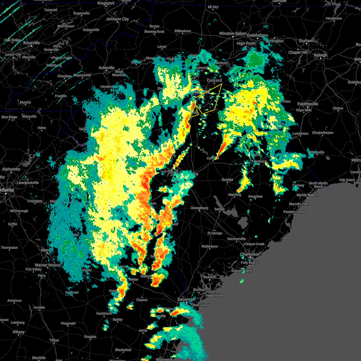 At 405 pm edt, severe thunderstorms were located along a line extending from 7 miles southwest of uptown charlotte to 5 miles northeast of rock hill, moving northeast at 55 mph (radar indicated). Hazards include 60 mph wind gusts. expect damage to trees and minor damage to roofs and siding At 405 pm edt, severe thunderstorms were located along a line extending from 7 miles southwest of uptown charlotte to 5 miles northeast of rock hill, moving northeast at 55 mph (radar indicated). Hazards include 60 mph wind gusts. expect damage to trees and minor damage to roofs and siding
|
| 4/3/2017 3:58 PM EDT |
 At 358 pm edt, severe thunderstorms were located along a line extending from 6 miles southeast of york to 7 miles northeast of chester to 15 miles north of winnsboro, moving northeast at 50 mph (radar indicated). Hazards include 60 mph wind gusts. Expect damage to trees and minor damage to roofs and siding. locations impacted include, rock hill, chester, fort mill, tega cay, newport, lesslie, great falls, fort lawn, richburg and chester state park. A tornado watch remains in effect until 900 pm edt for upstate south carolina. At 358 pm edt, severe thunderstorms were located along a line extending from 6 miles southeast of york to 7 miles northeast of chester to 15 miles north of winnsboro, moving northeast at 50 mph (radar indicated). Hazards include 60 mph wind gusts. Expect damage to trees and minor damage to roofs and siding. locations impacted include, rock hill, chester, fort mill, tega cay, newport, lesslie, great falls, fort lawn, richburg and chester state park. A tornado watch remains in effect until 900 pm edt for upstate south carolina.
|
| 4/3/2017 3:46 PM EDT |
 At 345 pm edt, severe thunderstorms were located along a line extending from 10 miles southwest of york to near chester to 19 miles northwest of winnsboro, moving northeast at 50 mph (radar indicated). Hazards include 60 mph wind gusts. expect damage to trees and minor damage to roofs and siding At 345 pm edt, severe thunderstorms were located along a line extending from 10 miles southwest of york to near chester to 19 miles northwest of winnsboro, moving northeast at 50 mph (radar indicated). Hazards include 60 mph wind gusts. expect damage to trees and minor damage to roofs and siding
|
| 3/1/2017 8:21 PM EST |
 At 820 pm est, severe thunderstorms were located along a line extending from 9 miles east of uptown charlotte to 3 miles south of rock hill to 16 miles southwest of chester, moving east at 60 mph. several of these storms have already produced damaging winds and large hail (indicated by radar and public reports). Hazards include 60 mph wind gusts and quarter size hail. Hail damage to vehicles is expected. expect wind damage to roofs, siding and trees. Locations impacted include, rock hill, uptown charlotte, monroe, chester, central charlotte, south charlotte, southwest charlotte, east charlotte, matthews and mint hill. At 820 pm est, severe thunderstorms were located along a line extending from 9 miles east of uptown charlotte to 3 miles south of rock hill to 16 miles southwest of chester, moving east at 60 mph. several of these storms have already produced damaging winds and large hail (indicated by radar and public reports). Hazards include 60 mph wind gusts and quarter size hail. Hail damage to vehicles is expected. expect wind damage to roofs, siding and trees. Locations impacted include, rock hill, uptown charlotte, monroe, chester, central charlotte, south charlotte, southwest charlotte, east charlotte, matthews and mint hill.
|
| 3/1/2017 7:45 PM EST |
 At 745 pm est, severe thunderstorms were located along a line extending from 11 miles northwest of york to 10 miles northeast of union to 18 miles northeast of newberry, moving east at 55 mph (radar indicated). Hazards include 60 mph wind gusts and quarter size hail. Hail damage to vehicles is expected. Expect wind damage to roofs, siding and trees. At 745 pm est, severe thunderstorms were located along a line extending from 11 miles northwest of york to 10 miles northeast of union to 18 miles northeast of newberry, moving east at 55 mph (radar indicated). Hazards include 60 mph wind gusts and quarter size hail. Hail damage to vehicles is expected. Expect wind damage to roofs, siding and trees.
|
| 11/30/2016 6:15 PM EST |
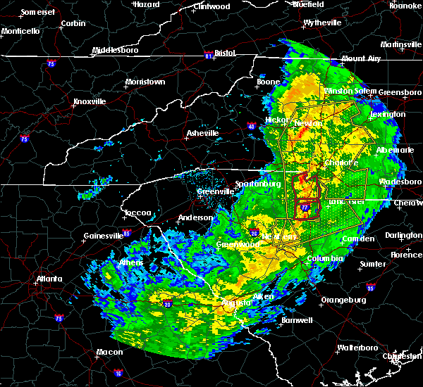 At 615 pm est, a severe thunderstorm capable of producing a tornado was located 5 miles northwest of rock hill, or near newport, moving east at 55 mph (radar indicated rotation). Hazards include tornado. Flying debris will be dangerous to those caught without shelter. mobile homes will be damaged or destroyed. damage to roofs, windows and vehicles will occur. tree damage is likely. this dangerous storm will be near, lesslie and carowinds around 620 pm est. fort mill around 630 pm est. Other locations impacted by this dangerous storm include edgemoor. At 615 pm est, a severe thunderstorm capable of producing a tornado was located 5 miles northwest of rock hill, or near newport, moving east at 55 mph (radar indicated rotation). Hazards include tornado. Flying debris will be dangerous to those caught without shelter. mobile homes will be damaged or destroyed. damage to roofs, windows and vehicles will occur. tree damage is likely. this dangerous storm will be near, lesslie and carowinds around 620 pm est. fort mill around 630 pm est. Other locations impacted by this dangerous storm include edgemoor.
|
| 11/30/2016 6:13 PM EST |
 At 613 pm est, severe thunderstorms were located along a line extending from 6 miles north of mocksville to 9 miles southwest of statesville to 10 miles northeast of lincolnton to 9 miles north of winnsboro, moving east at 35 mph (radar indicated). Hazards include 60 mph wind gusts. Expect damage to roofs. Siding and trees. At 613 pm est, severe thunderstorms were located along a line extending from 6 miles north of mocksville to 9 miles southwest of statesville to 10 miles northeast of lincolnton to 9 miles north of winnsboro, moving east at 35 mph (radar indicated). Hazards include 60 mph wind gusts. Expect damage to roofs. Siding and trees.
|
| 11/30/2016 6:07 PM EST |
 At 606 pm est, severe thunderstorms were located along a line extending from near east bend to 7 miles southwest of statesville to near lincolnton to 6 miles southwest of rock hill to 12 miles south of chester, moving northeast at 55 mph (radar indicated). Hazards include 60 mph wind gusts. Expect damage to roofs. siding and trees. Locations impacted include, gastonia, rock hill, hickory, statesville, newton, lincolnton, york, chester, taylorsville and mt holly. At 606 pm est, severe thunderstorms were located along a line extending from near east bend to 7 miles southwest of statesville to near lincolnton to 6 miles southwest of rock hill to 12 miles south of chester, moving northeast at 55 mph (radar indicated). Hazards include 60 mph wind gusts. Expect damage to roofs. siding and trees. Locations impacted include, gastonia, rock hill, hickory, statesville, newton, lincolnton, york, chester, taylorsville and mt holly.
|
| 11/30/2016 6:03 PM EST |
 At 602 pm est, a confirmed tornado was located 4 miles southwest of york, or near sharon, moving northeast at 40 mph (radar confirmed tornado). Hazards include damaging tornado. Flying debris will be dangerous to those caught without shelter. mobile homes will be damaged or destroyed. damage to roofs, windows and vehicles will occur. tree damage is likely. this tornado will be near, rock hill and newport around 620 pm est. tega cay, carowinds, town of lake wylie and fort mill around 630 pm est. Other locations impacted by this dangerous storm include bullock creek and edgemoor. At 602 pm est, a confirmed tornado was located 4 miles southwest of york, or near sharon, moving northeast at 40 mph (radar confirmed tornado). Hazards include damaging tornado. Flying debris will be dangerous to those caught without shelter. mobile homes will be damaged or destroyed. damage to roofs, windows and vehicles will occur. tree damage is likely. this tornado will be near, rock hill and newport around 620 pm est. tega cay, carowinds, town of lake wylie and fort mill around 630 pm est. Other locations impacted by this dangerous storm include bullock creek and edgemoor.
|
| 11/30/2016 5:53 PM EST |
 At 552 pm est, a severe thunderstorm capable of producing a tornado was located 10 miles southwest of york, or near sharon, moving east at 55 mph (radar indicated rotation). Hazards include tornado. Flying debris will be dangerous to those caught without shelter. mobile homes will be damaged or destroyed. damage to roofs, windows and vehicles will occur. tree damage is likely. this dangerous storm will be near, york and mcconnells around 600 pm est. rock hill and newport around 610 pm est. tega cay, fort mill, carowinds and town of lake wylie around 620 pm est. Other locations impacted by this dangerous thunderstorm include bullock creek and edgemoor. At 552 pm est, a severe thunderstorm capable of producing a tornado was located 10 miles southwest of york, or near sharon, moving east at 55 mph (radar indicated rotation). Hazards include tornado. Flying debris will be dangerous to those caught without shelter. mobile homes will be damaged or destroyed. damage to roofs, windows and vehicles will occur. tree damage is likely. this dangerous storm will be near, york and mcconnells around 600 pm est. rock hill and newport around 610 pm est. tega cay, fort mill, carowinds and town of lake wylie around 620 pm est. Other locations impacted by this dangerous thunderstorm include bullock creek and edgemoor.
|
| 11/30/2016 5:42 PM EST |
 At 542 pm est, severe thunderstorms were located along a line extending from 11 miles southwest of yadkinville to 8 miles southwest of newton to 3 miles northwest of shelby to 10 miles east of union to 6 miles north of newberry, moving northeast at 55 mph (radar indicated). Hazards include 60 mph wind gusts. Expect damage to roofs. siding and trees. Locations impacted include, gastonia, rock hill, hickory, statesville, shelby, newton, gaffney, lincolnton, union and york. At 542 pm est, severe thunderstorms were located along a line extending from 11 miles southwest of yadkinville to 8 miles southwest of newton to 3 miles northwest of shelby to 10 miles east of union to 6 miles north of newberry, moving northeast at 55 mph (radar indicated). Hazards include 60 mph wind gusts. Expect damage to roofs. siding and trees. Locations impacted include, gastonia, rock hill, hickory, statesville, shelby, newton, gaffney, lincolnton, union and york.
|
| 11/30/2016 5:26 PM EST |
 At 526 pm est, severe thunderstorms were located along a line extending from 8 miles east of taylorsville to 14 miles north of shelby to 8 miles southeast of forest city to 5 miles south of union to 8 miles west of newberry, moving northeast at 55 mph (radar indicated). Hazards include 60 mph wind gusts. Expect damage to roofs. Siding and trees. At 526 pm est, severe thunderstorms were located along a line extending from 8 miles east of taylorsville to 14 miles north of shelby to 8 miles southeast of forest city to 5 miles south of union to 8 miles west of newberry, moving northeast at 55 mph (radar indicated). Hazards include 60 mph wind gusts. Expect damage to roofs. Siding and trees.
|
| 7/15/2016 6:23 PM EDT |
 At 623 pm edt, a severe thunderstorm was located 5 miles northeast of rock hill, or over fort mill, moving northeast at 20 mph (radar indicated). Hazards include ping pong ball size hail and 60 mph wind gusts. People and animals outdoors will be injured. expect hail damage to roofs, siding, windows and vehicles. expect wind damage to roofs, siding and trees. Locations impacted include, rock hill, fort mill, tega cay, lesslie, catawba, newport and lake wylie. At 623 pm edt, a severe thunderstorm was located 5 miles northeast of rock hill, or over fort mill, moving northeast at 20 mph (radar indicated). Hazards include ping pong ball size hail and 60 mph wind gusts. People and animals outdoors will be injured. expect hail damage to roofs, siding, windows and vehicles. expect wind damage to roofs, siding and trees. Locations impacted include, rock hill, fort mill, tega cay, lesslie, catawba, newport and lake wylie.
|
| 7/15/2016 6:03 PM EDT |
 At 603 pm edt, severe thunderstorms were located along a line extending from 3 miles northwest of rock hill to 9 miles north of chester, moving east at 15 mph (radar indicated). Hazards include 60 mph wind gusts and nickel size hail. Expect damage to roofs. siding and trees. Locations impacted include, rock hill, fort mill, tega cay, newport, lesslie, mcconnells, catawba and lake wylie. At 603 pm edt, severe thunderstorms were located along a line extending from 3 miles northwest of rock hill to 9 miles north of chester, moving east at 15 mph (radar indicated). Hazards include 60 mph wind gusts and nickel size hail. Expect damage to roofs. siding and trees. Locations impacted include, rock hill, fort mill, tega cay, newport, lesslie, mcconnells, catawba and lake wylie.
|
| 7/15/2016 5:49 PM EDT |
 At 548 pm edt, a severe thunderstorm was located 7 miles south of york, or near mcconnells, moving east at 30 mph (radar indicated). Hazards include 60 mph wind gusts and quarter size hail. Hail damage to vehicles is expected. Expect wind damage to roofs, siding and trees. At 548 pm edt, a severe thunderstorm was located 7 miles south of york, or near mcconnells, moving east at 30 mph (radar indicated). Hazards include 60 mph wind gusts and quarter size hail. Hail damage to vehicles is expected. Expect wind damage to roofs, siding and trees.
|
| 7/8/2016 9:22 PM EDT |
 The severe thunderstorm warning for central york county will expire at 930 pm edt, the storm which prompted the warning has weakened below severe limits, and no longer poses an immediate threat to life or property. therefore the warning will be allowed to expire. however small hail and gusty winds are still possible with this thunderstorm. a severe thunderstorm watch remains in effect until midnight edt for the piedmont of north carolina, and upstate south carolina. The severe thunderstorm warning for central york county will expire at 930 pm edt, the storm which prompted the warning has weakened below severe limits, and no longer poses an immediate threat to life or property. therefore the warning will be allowed to expire. however small hail and gusty winds are still possible with this thunderstorm. a severe thunderstorm watch remains in effect until midnight edt for the piedmont of north carolina, and upstate south carolina.
|
| 7/8/2016 8:55 PM EDT |
 At 854 pm edt, a severe thunderstorm was located over york, moving east at 25 mph (radar indicated). Hazards include 60 mph wind gusts and quarter size hail. Hail damage to vehicles is expected. Expect wind damage to roofs, siding and trees. At 854 pm edt, a severe thunderstorm was located over york, moving east at 25 mph (radar indicated). Hazards include 60 mph wind gusts and quarter size hail. Hail damage to vehicles is expected. Expect wind damage to roofs, siding and trees.
|
| 7/5/2016 4:44 PM EDT |
 At 443 pm edt, the leading edge of very strong winds associated with severe thunderstorms were located along a line extending from 11 miles west of albemarle to 7 miles northwest of monroe to 4 miles south of rock hill, moving east at 35 mph (radar indicated). Hazards include 60 mph wind gusts. Expect damage to roofs. Siding and trees. At 443 pm edt, the leading edge of very strong winds associated with severe thunderstorms were located along a line extending from 11 miles west of albemarle to 7 miles northwest of monroe to 4 miles south of rock hill, moving east at 35 mph (radar indicated). Hazards include 60 mph wind gusts. Expect damage to roofs. Siding and trees.
|
| 6/14/2016 6:43 PM EDT |
 At 643 pm edt, severe thunderstorms were located along a line extending from 11 miles east of union to 5 miles north of chester to 13 miles west of lancaster, moving northeast at 10 mph (radar indicated). Hazards include 60 mph wind gusts. Expect damage to roofs. siding and trees. Locations impacted include, chester, lockhart, mcconnells, richburg, lowrys, catawba, edgemoor, bullock creek, lesslie and chester state park. At 643 pm edt, severe thunderstorms were located along a line extending from 11 miles east of union to 5 miles north of chester to 13 miles west of lancaster, moving northeast at 10 mph (radar indicated). Hazards include 60 mph wind gusts. Expect damage to roofs. siding and trees. Locations impacted include, chester, lockhart, mcconnells, richburg, lowrys, catawba, edgemoor, bullock creek, lesslie and chester state park.
|
| 6/14/2016 6:16 PM EDT |
 At 616 pm edt, severe thunderstorms were located along a line extending from 7 miles east of union to near chester to 9 miles southwest of lancaster, moving northeast at 15 mph (radar indicated). Hazards include 60 mph wind gusts and quarter size hail. Hail damage to vehicles is expected. Expect wind damage to roofs, siding and trees. At 616 pm edt, severe thunderstorms were located along a line extending from 7 miles east of union to near chester to 9 miles southwest of lancaster, moving northeast at 15 mph (radar indicated). Hazards include 60 mph wind gusts and quarter size hail. Hail damage to vehicles is expected. Expect wind damage to roofs, siding and trees.
|
| 5/2/2016 3:32 PM EDT |
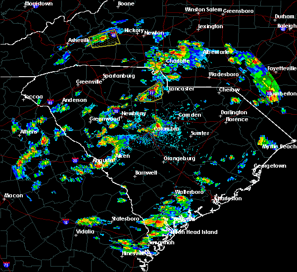 At 332 pm edt, a severe thunderstorm was located 6 miles south of chester, or 4 miles northwest of blackstock, moving northeast at 25 mph (radar indicated). Hazards include 60 mph wind gusts and quarter size hail. Hail damage to vehicles is expected. Expect wind damage to roofs, siding and trees. At 332 pm edt, a severe thunderstorm was located 6 miles south of chester, or 4 miles northwest of blackstock, moving northeast at 25 mph (radar indicated). Hazards include 60 mph wind gusts and quarter size hail. Hail damage to vehicles is expected. Expect wind damage to roofs, siding and trees.
|
| 3/14/2016 9:41 PM EDT |
 The severe thunderstorm warning for southern union, southeastern york and chester counties will expire at 945 pm edt, the line of storms which prompted the warning have moved out of the area. therefore the warning will be allowed to expire. however gusty winds are still possible with these thunderstorms. The severe thunderstorm warning for southern union, southeastern york and chester counties will expire at 945 pm edt, the line of storms which prompted the warning have moved out of the area. therefore the warning will be allowed to expire. however gusty winds are still possible with these thunderstorms.
|
| 3/14/2016 9:11 PM EDT |
 At 911 pm edt, doppler radar indicated a line of severe thunderstorms capable of producing quarter size hail and damaging winds in excess of 60 mph. these storms were located along a line extending from 8 miles east of rock hill to 13 miles southwest of union, moving east at 25 mph. locations impacted include, chester, lesslie, great falls, monarch mill, fort lawn, lockhart, carlisle, richburg, lowrys and chester state park. At 911 pm edt, doppler radar indicated a line of severe thunderstorms capable of producing quarter size hail and damaging winds in excess of 60 mph. these storms were located along a line extending from 8 miles east of rock hill to 13 miles southwest of union, moving east at 25 mph. locations impacted include, chester, lesslie, great falls, monarch mill, fort lawn, lockhart, carlisle, richburg, lowrys and chester state park.
|
| 3/14/2016 8:40 PM EDT |
 At 839 pm edt, doppler radar indicated a line of severe thunderstorms capable of producing quarter size hail and damaging winds in excess of 60 mph. these storms were located along a line extending from 9 miles south of york to 8 miles south of union, and moving east at 30 mph. * locations in the warning include, rock hill, chester, lesslie, great falls, monarch mill, fort lawn, lockhart, carlisle, mcconnells and richburg. At 839 pm edt, doppler radar indicated a line of severe thunderstorms capable of producing quarter size hail and damaging winds in excess of 60 mph. these storms were located along a line extending from 9 miles south of york to 8 miles south of union, and moving east at 30 mph. * locations in the warning include, rock hill, chester, lesslie, great falls, monarch mill, fort lawn, lockhart, carlisle, mcconnells and richburg.
|
| 3/14/2016 8:10 PM EDT | At 810 pm edt, doppler radar indicated a severe thunderstorm capable of producing quarter size hail and damaging winds in excess of 60 mph. this storm was located 8 miles southwest of rock hill, or 4 miles east of mcconnells, and moving east at 30 mph. * locations in the warning include, rock hill, lesslie, mcconnells, lowrys, catawba, edgemoor, fort mill and newport. |
| 3/14/2016 7:31 PM EDT | At 730 pm edt, doppler radar indicated a severe thunderstorm capable of producing quarter size hail and damaging winds in excess of 60 mph. this storm was located 11 miles northeast of union, or 5 miles northwest of lockhart, and moving east at 35 mph. * locations in the warning include, rock hill, york, fort mill, newport, lesslie, lockhart, sharon, hickory grove, mcconnells and lowrys. |
| 2/24/2016 12:55 PM EST |
 At 1255 pm est, doppler radar indicated a line of severe thunderstorms capable of producing damaging winds in excess of 60 mph. these storms were located along a line extending from 4 miles southeast of mocksville to near downtown concord to 7 miles southeast of rock hill, moving northeast at 70 mph. locations impacted include, rock hill, uptown charlotte, huntersville, kannapolis, downtown concord, monroe, salisbury, york, chester and mocksville. a tornado watch remains in effect until 700 pm est for central north carolina and central south carolina. At 1255 pm est, doppler radar indicated a line of severe thunderstorms capable of producing damaging winds in excess of 60 mph. these storms were located along a line extending from 4 miles southeast of mocksville to near downtown concord to 7 miles southeast of rock hill, moving northeast at 70 mph. locations impacted include, rock hill, uptown charlotte, huntersville, kannapolis, downtown concord, monroe, salisbury, york, chester and mocksville. a tornado watch remains in effect until 700 pm est for central north carolina and central south carolina.
|
| 2/24/2016 12:13 PM EST |
 At 1212 pm est, doppler radar indicated a line of severe thunderstorms capable of producing damaging winds in excess of 60 mph. these storms were located along a line extending from 8 miles east of gastonia to 15 miles west of winnsboro, and moving northeast at 85 mph. * locations in the warning include, rock hill, uptown charlotte, huntersville, kannapolis, downtown concord, monroe, salisbury, york, chester and mocksville. At 1212 pm est, doppler radar indicated a line of severe thunderstorms capable of producing damaging winds in excess of 60 mph. these storms were located along a line extending from 8 miles east of gastonia to 15 miles west of winnsboro, and moving northeast at 85 mph. * locations in the warning include, rock hill, uptown charlotte, huntersville, kannapolis, downtown concord, monroe, salisbury, york, chester and mocksville.
|
| 8/6/2015 5:02 PM EDT |
 At 501 pm edt, doppler radar indicated a line of severe thunderstorms with a history of producing damaging winds in excess of 60 mph. these storms were located along a line extending from 8 miles northwest of york to 11 miles north of chester to 14 miles southeast of union, moving east at 35 mph. penny size hail may also accompany the damaging winds. locations impacted include, rock hill, york, chester, fort mill, tega cay, clover, newport, town of lake wylie, lesslie and great falls. At 501 pm edt, doppler radar indicated a line of severe thunderstorms with a history of producing damaging winds in excess of 60 mph. these storms were located along a line extending from 8 miles northwest of york to 11 miles north of chester to 14 miles southeast of union, moving east at 35 mph. penny size hail may also accompany the damaging winds. locations impacted include, rock hill, york, chester, fort mill, tega cay, clover, newport, town of lake wylie, lesslie and great falls.
|
| 8/6/2015 4:34 PM EDT |
 At 434 pm edt, doppler radar indicated a line of severe thunderstorms with a history of producing quarter size hail and damaging winds in excess of 60 mph. these storms were located along a line extending from 5 miles northeast of gaffney to 9 miles southwest of union, and moving east at 35 mph. * locations in the warning include, rock hill, york, chester, fort mill, tega cay, clover, newport, town of lake wylie, lesslie and great falls. At 434 pm edt, doppler radar indicated a line of severe thunderstorms with a history of producing quarter size hail and damaging winds in excess of 60 mph. these storms were located along a line extending from 5 miles northeast of gaffney to 9 miles southwest of union, and moving east at 35 mph. * locations in the warning include, rock hill, york, chester, fort mill, tega cay, clover, newport, town of lake wylie, lesslie and great falls.
|
| 7/13/2015 9:54 PM EDT |
 At 952 pm edt, doppler radar indicated a line of severe thunderstorms capable of producing damaging winds in excess of 60 mph. the leading edge of these storms were located along a line extending from 5 miles south of monroe to 8 miles west of lancaster to 13 miles southwest of union to 14 miles northeast of laurens, moving southeast at 40 mph. penny size hail may also accompany the damaging winds. locations impacted include, rock hill, union, weddington, waxhaw, mineral springs, lesslie, great falls, monarch mill, marvin and buffalo. At 952 pm edt, doppler radar indicated a line of severe thunderstorms capable of producing damaging winds in excess of 60 mph. the leading edge of these storms were located along a line extending from 5 miles south of monroe to 8 miles west of lancaster to 13 miles southwest of union to 14 miles northeast of laurens, moving southeast at 40 mph. penny size hail may also accompany the damaging winds. locations impacted include, rock hill, union, weddington, waxhaw, mineral springs, lesslie, great falls, monarch mill, marvin and buffalo.
|
| 7/13/2015 9:44 PM EDT |
 At 943 pm edt, doppler radar indicated a line of severe thunderstorms capable of producing damaging winds in excess of 60 mph. these storms were located along a line extending from 4 miles southwest of monroe to 7 miles northeast of chester to 13 miles southwest of union to 15 miles north of laurens, moving southeast at 20 mph. penny size hail may also accompany the damaging winds. locations impacted include, rock hill, union, chester, weddington, waxhaw, mineral springs, lesslie, great falls, monarch mill and marvin. At 943 pm edt, doppler radar indicated a line of severe thunderstorms capable of producing damaging winds in excess of 60 mph. these storms were located along a line extending from 4 miles southwest of monroe to 7 miles northeast of chester to 13 miles southwest of union to 15 miles north of laurens, moving southeast at 20 mph. penny size hail may also accompany the damaging winds. locations impacted include, rock hill, union, chester, weddington, waxhaw, mineral springs, lesslie, great falls, monarch mill and marvin.
|
| 7/13/2015 9:24 PM EDT |
 At 923 pm edt, doppler radar indicated a line of severe thunderstorms capable of producing quarter size hail and damaging winds in excess of 60 mph. these storms were located along a line extending from 13 miles west of monroe to 6 miles southwest of york to 4 miles southwest of union to 15 miles south of spartanburg, and moving southeast at 25 mph. At 923 pm edt, doppler radar indicated a line of severe thunderstorms capable of producing quarter size hail and damaging winds in excess of 60 mph. these storms were located along a line extending from 13 miles west of monroe to 6 miles southwest of york to 4 miles southwest of union to 15 miles south of spartanburg, and moving southeast at 25 mph.
|
| 7/13/2015 8:08 PM EDT |
 At 808 pm edt, doppler radar indicated a severe thunderstorm capable of producing quarter size hail and damaging winds in excess of 60 mph. this storm was located near rock hill, or near fort mill, and moving southeast at 15 mph. At 808 pm edt, doppler radar indicated a severe thunderstorm capable of producing quarter size hail and damaging winds in excess of 60 mph. this storm was located near rock hill, or near fort mill, and moving southeast at 15 mph.
|
| 6/24/2015 7:42 PM EDT | The severe thunderstorm warning for eastern york county will expire at 745 pm edt, the storm which prompted the warning has weakened below severe limits, and no longer poses an immediate threat to life or property. therefore the warning will be allowed to expire. however gusty winds and heavy rain are still possible with this thunderstorm. |
| 6/24/2015 7:04 PM EDT |
 At 703 pm edt, the public reported a severe thunderstorm producing large hail up to ping pong ball size and damaging winds in excess of 60 mph. this storm was located 8 miles northwest of rock hill, or 4 miles southwest of town of lake wylie, moving southeast at 15 mph. locations impacted include, rock hill, fort mill, tega cay, newport, town of lake wylie, lesslie, catawba, carowinds and york. At 703 pm edt, the public reported a severe thunderstorm producing large hail up to ping pong ball size and damaging winds in excess of 60 mph. this storm was located 8 miles northwest of rock hill, or 4 miles southwest of town of lake wylie, moving southeast at 15 mph. locations impacted include, rock hill, fort mill, tega cay, newport, town of lake wylie, lesslie, catawba, carowinds and york.
|
| 6/24/2015 6:42 PM EDT |
 At 641 pm edt, doppler radar indicated a severe thunderstorm capable of producing damaging winds in excess of 60 mph. this storm was located 5 miles east of york, or near newport, and moving southeast at 15 mph. penny size hail may also accompany the damaging winds. At 641 pm edt, doppler radar indicated a severe thunderstorm capable of producing damaging winds in excess of 60 mph. this storm was located 5 miles east of york, or near newport, and moving southeast at 15 mph. penny size hail may also accompany the damaging winds.
|
| 6/18/2015 7:50 PM EDT | Tree down on roadway at winter road and hall spencer road. another tree down along saluda road which is west of interstate 7 in york county SC, 3.4 miles NNE of Lesslie, SC |
| 6/18/2015 7:47 PM EDT | At 747 pm edt, doppler radar indicated a severe thunderstorm capable of producing quarter size hail and damaging winds in excess of 60 mph. this storm was located 7 miles southwest of rock hill, or 6 miles east of mcconnells, moving east at 10 mph. locations impacted include, rock hill, lesslie, mcconnells and catawba. |
| 6/18/2015 7:30 PM EDT | At 730 pm edt, doppler radar indicated a severe thunderstorm capable of producing quarter size hail and damaging winds in excess of 60 mph. this storm was located 6 miles south of york, or near mcconnells, moving east at 10 mph. locations impacted include, rock hill, york, fort mill, tega cay, newport, lesslie, sharon, mcconnells, catawba and carowinds. |
| 6/18/2015 7:19 PM EDT | At 718 pm edt, doppler radar indicated a severe thunderstorm capable of producing quarter size hail and damaging winds in excess of 60 mph. this storm was located 6 miles south of york, or near mcconnells, and moving east at 10 mph. |
| 4/20/2015 6:15 PM EDT | At 614 pm edt, national weather service doppler radar continued to indicate a severe thunderstorm capable of producing quarter size. |
| 4/20/2015 6:02 PM EDT | At 602 pm edt, national weather service doppler radar indicated a severe thunderstorm capable of producing a tornado near lowrys, or 6 miles north of chester, moving east at 45 mph. * the tornado will be near, richburg by 615 pm edt, catawba and 7 miles north of fort lawn by 620 pm edt,. |
| 4/20/2015 5:39 PM EDT | At 538 pm edt, national weather service doppler radar indicated a severe thunderstorm capable of producing quarter size hail, and destructive winds in excess of 70 mph. this storm was located near lockhart, or 9 miles east of union, and moving east at 45 mph. * the severe thunderstorm will be near, lowrys, mcconnells and 6 miles north of chester by 555 pm edt, 8 miles north of richburg by 610 pm edt, 8 miles south of rock hill by 615 pm edt, catawba by 620 pm edt,. |
| 1/1/0001 12:00 AM | A couple trees down on catawba church road in york county SC, 1.5 miles NW of Lesslie, SC |
Hail Maps for Lesslie, SC
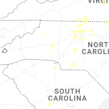


Connect with Interactive Hail Maps