

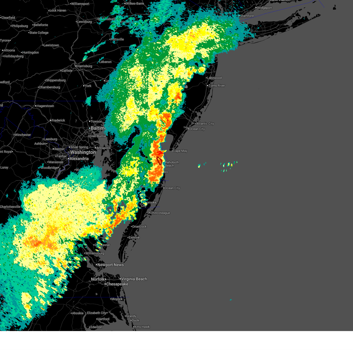
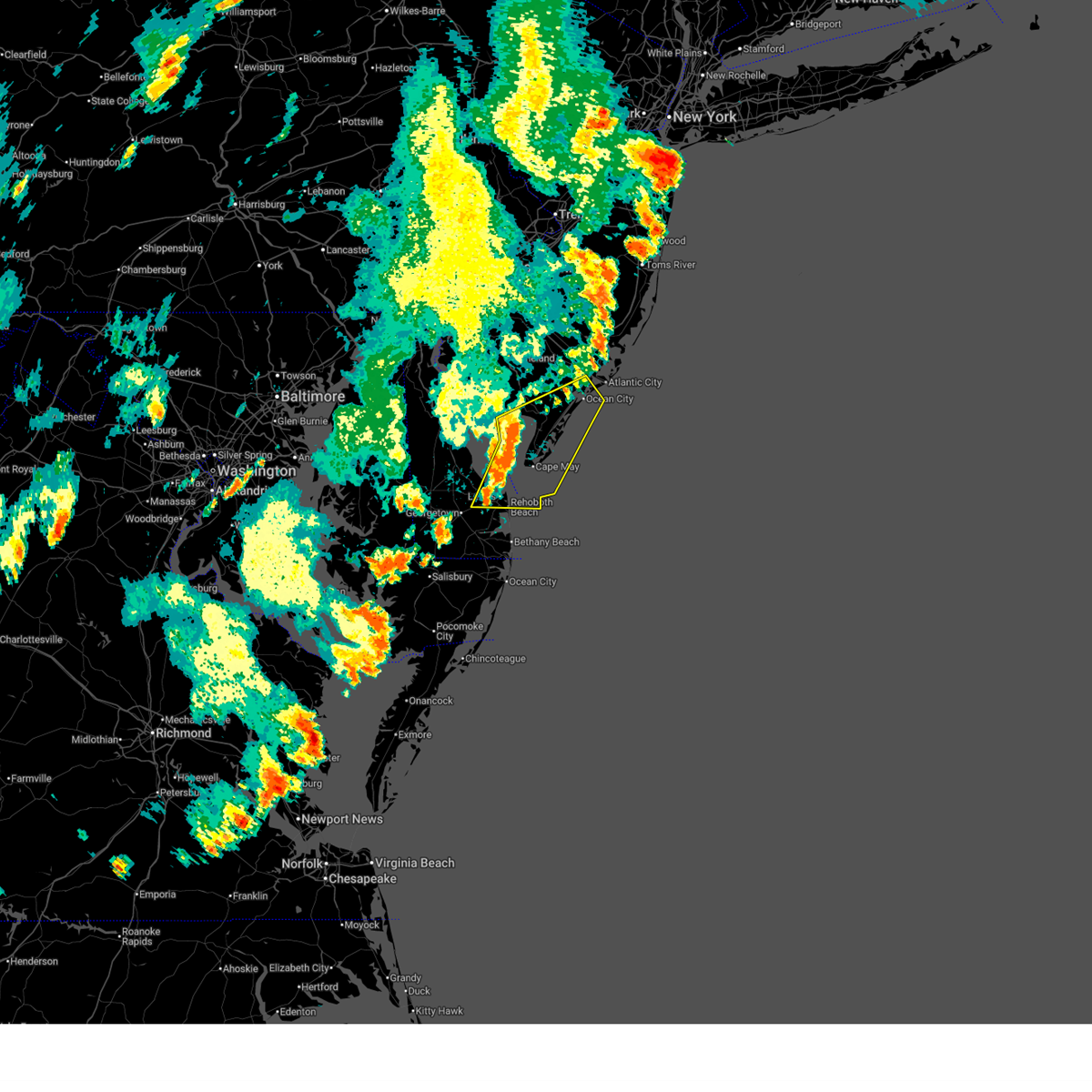
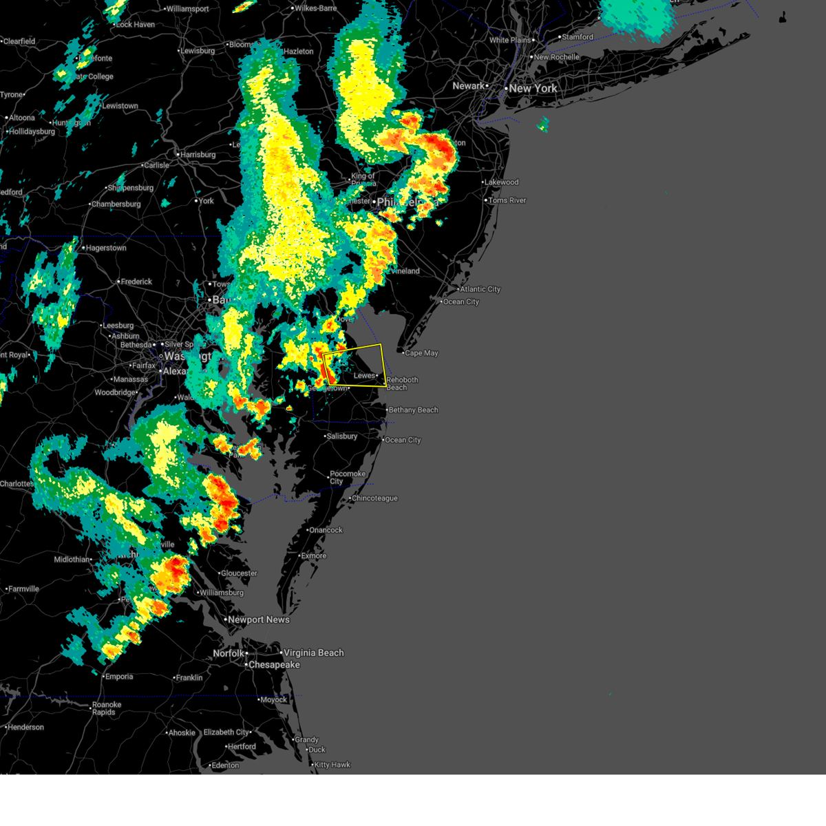
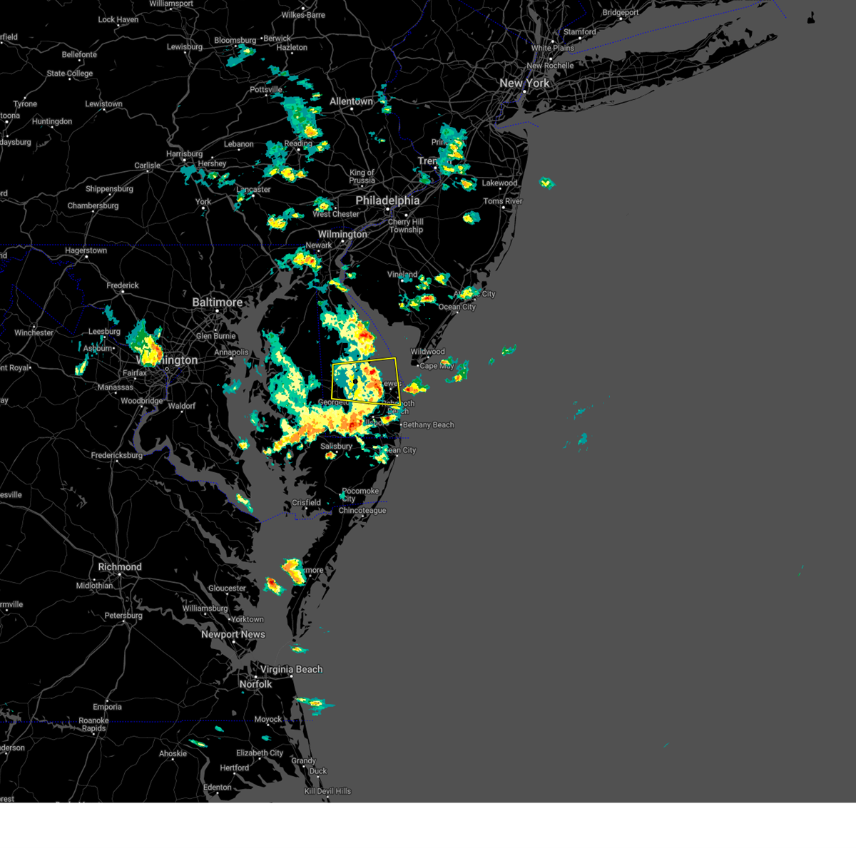
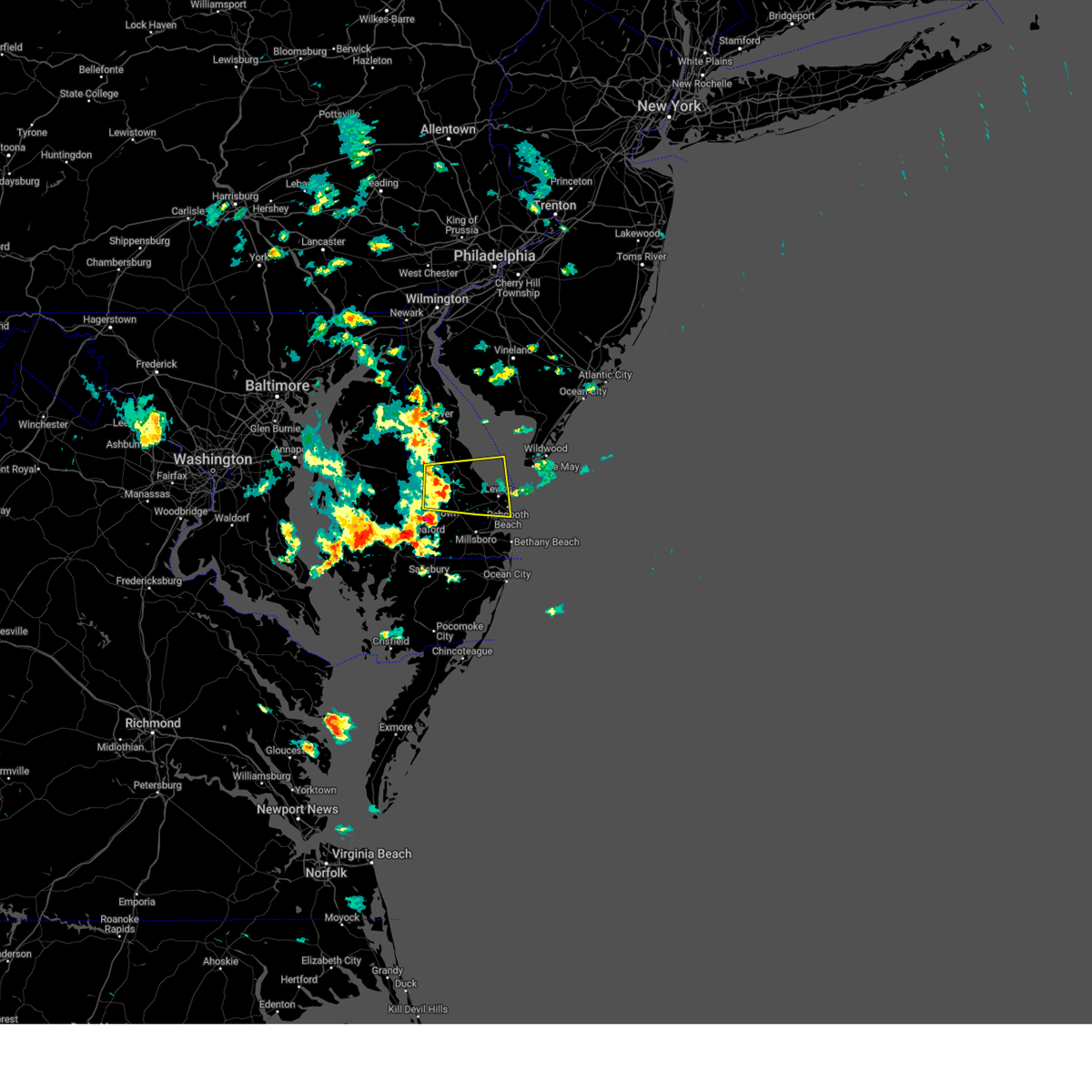
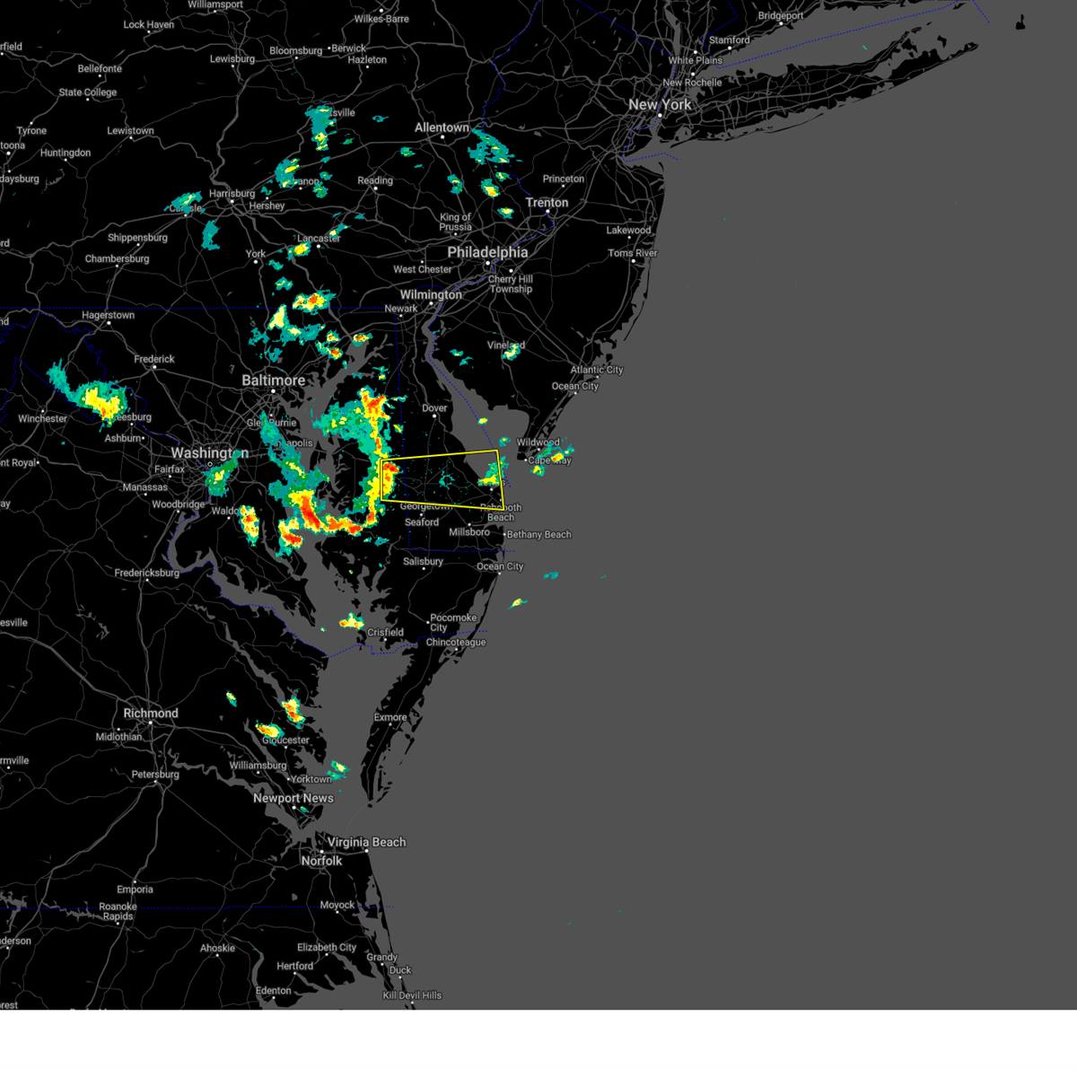
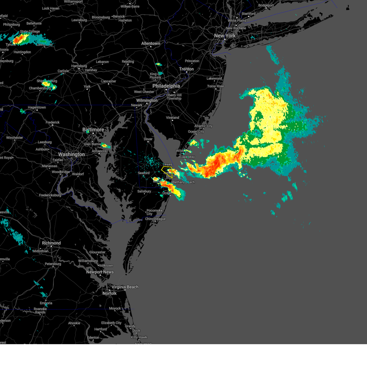
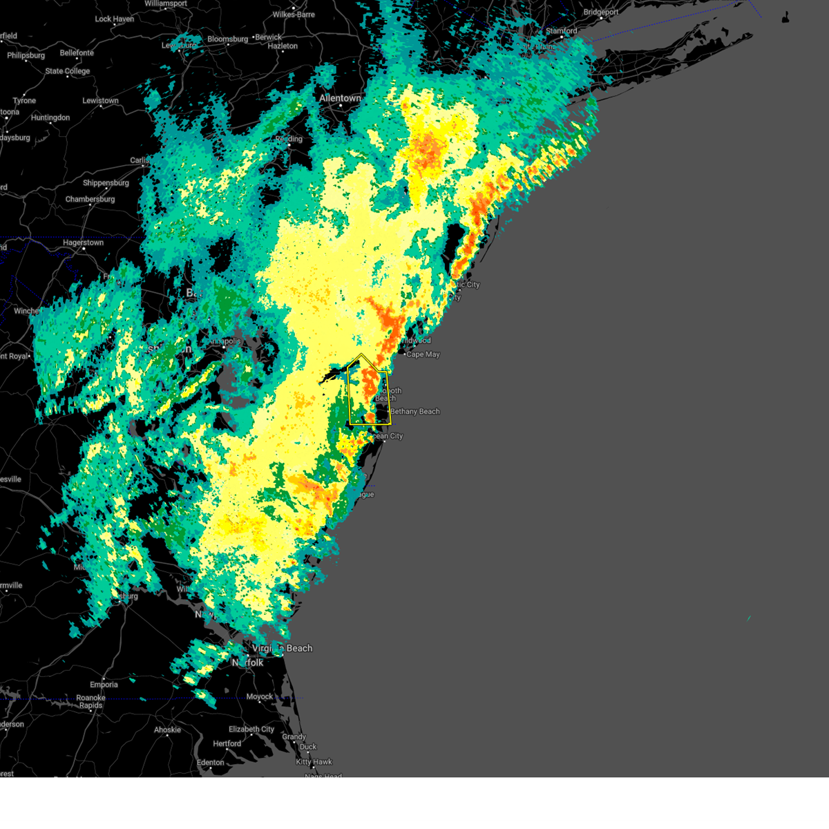
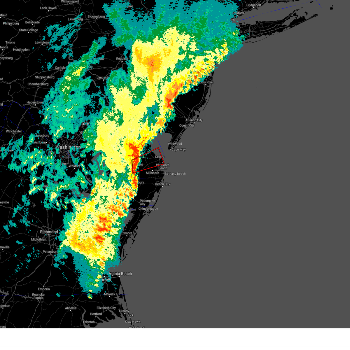
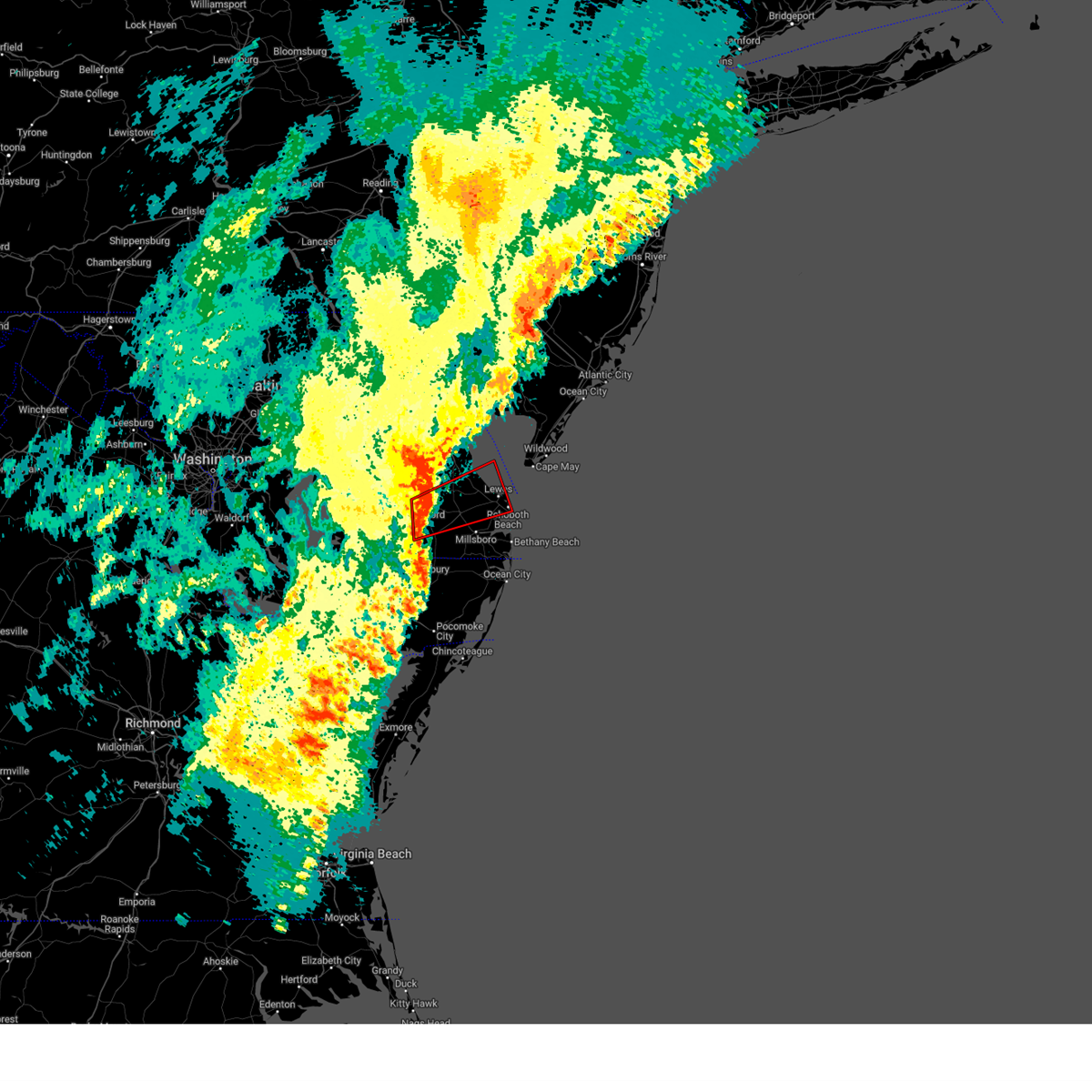
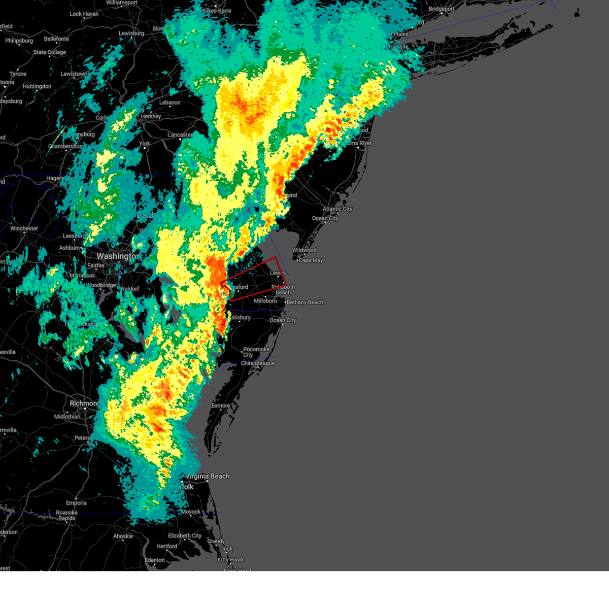
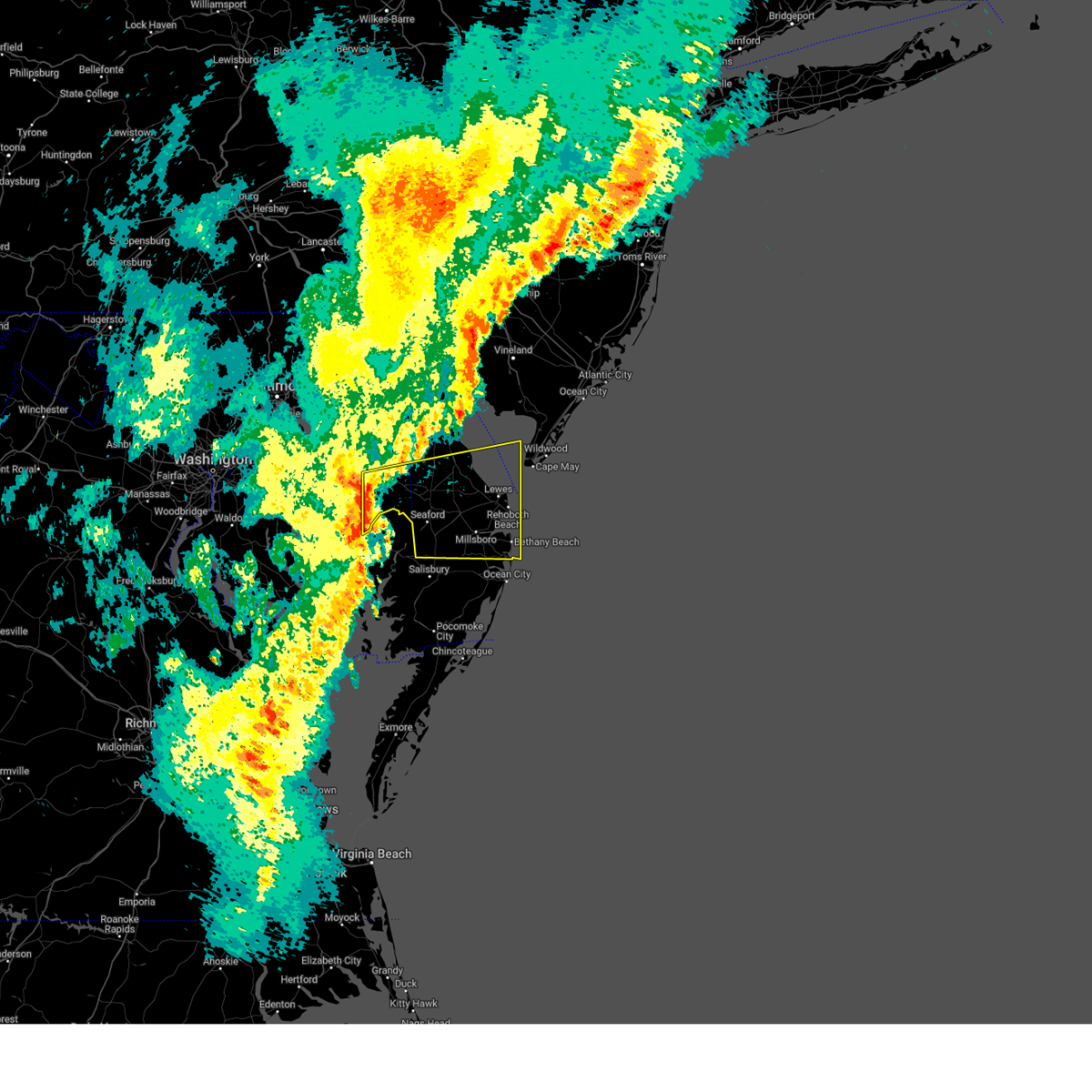
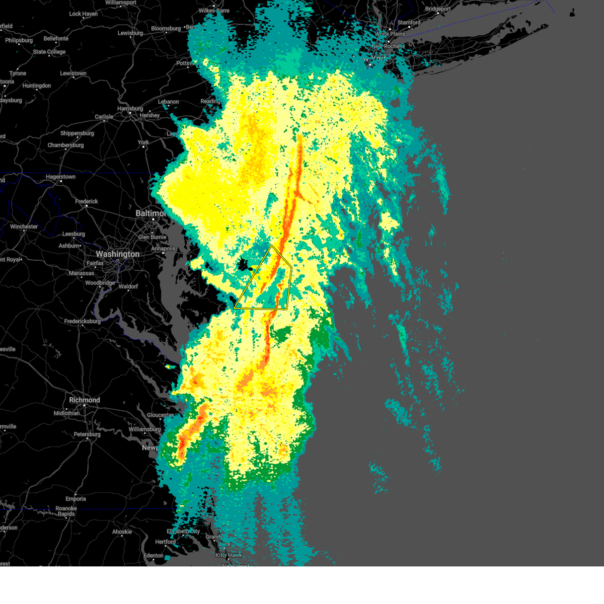
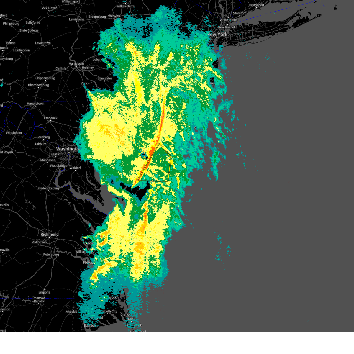
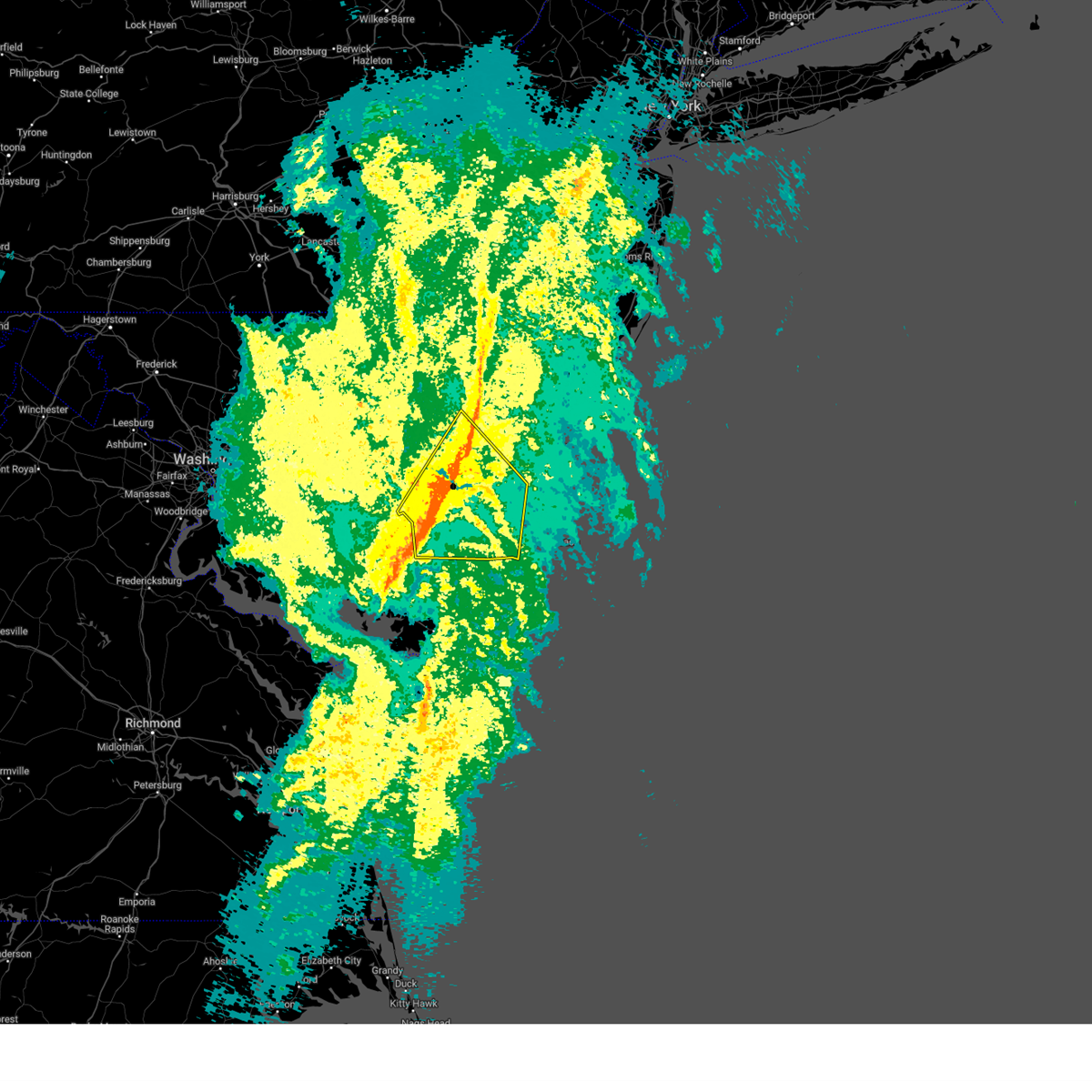
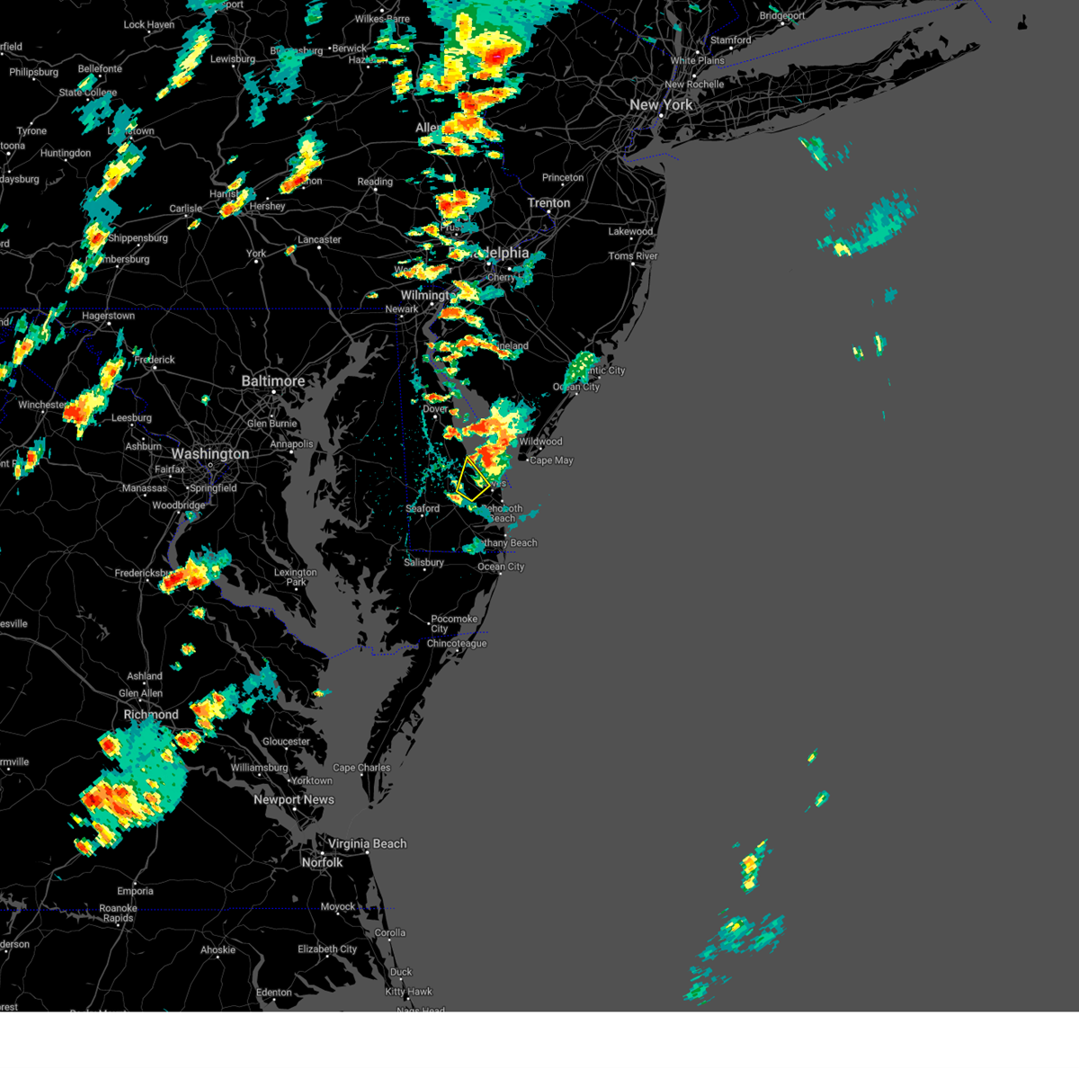
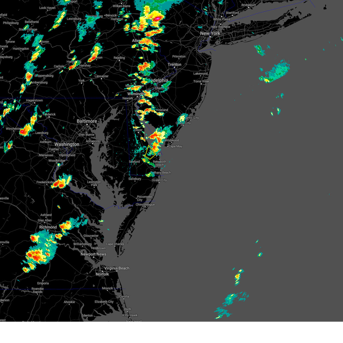
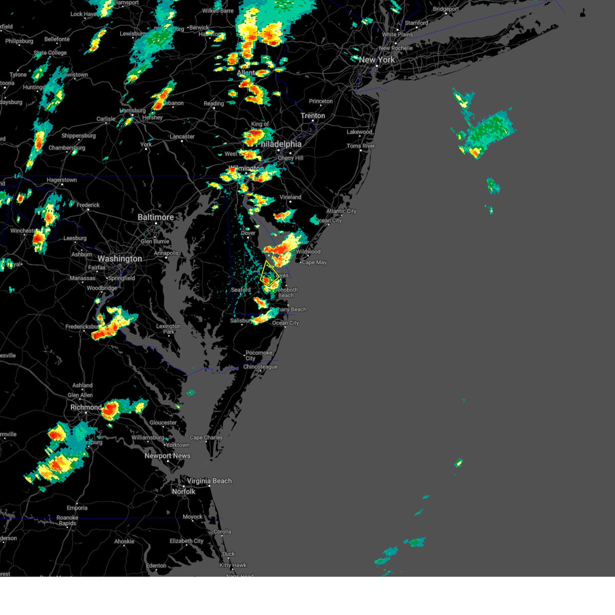
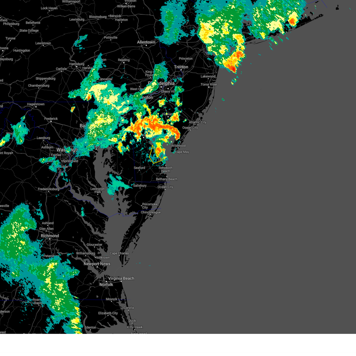
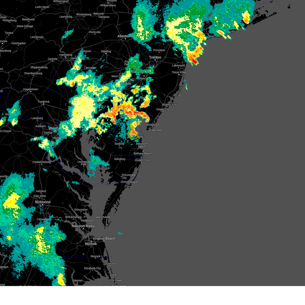
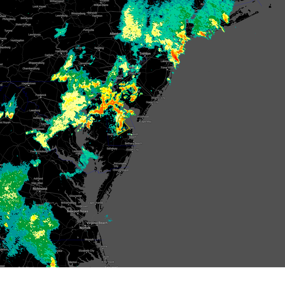
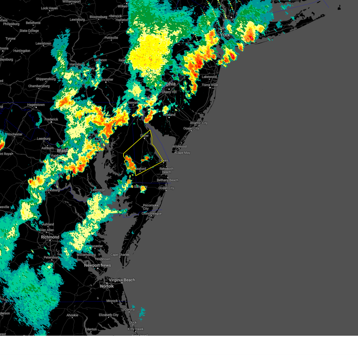
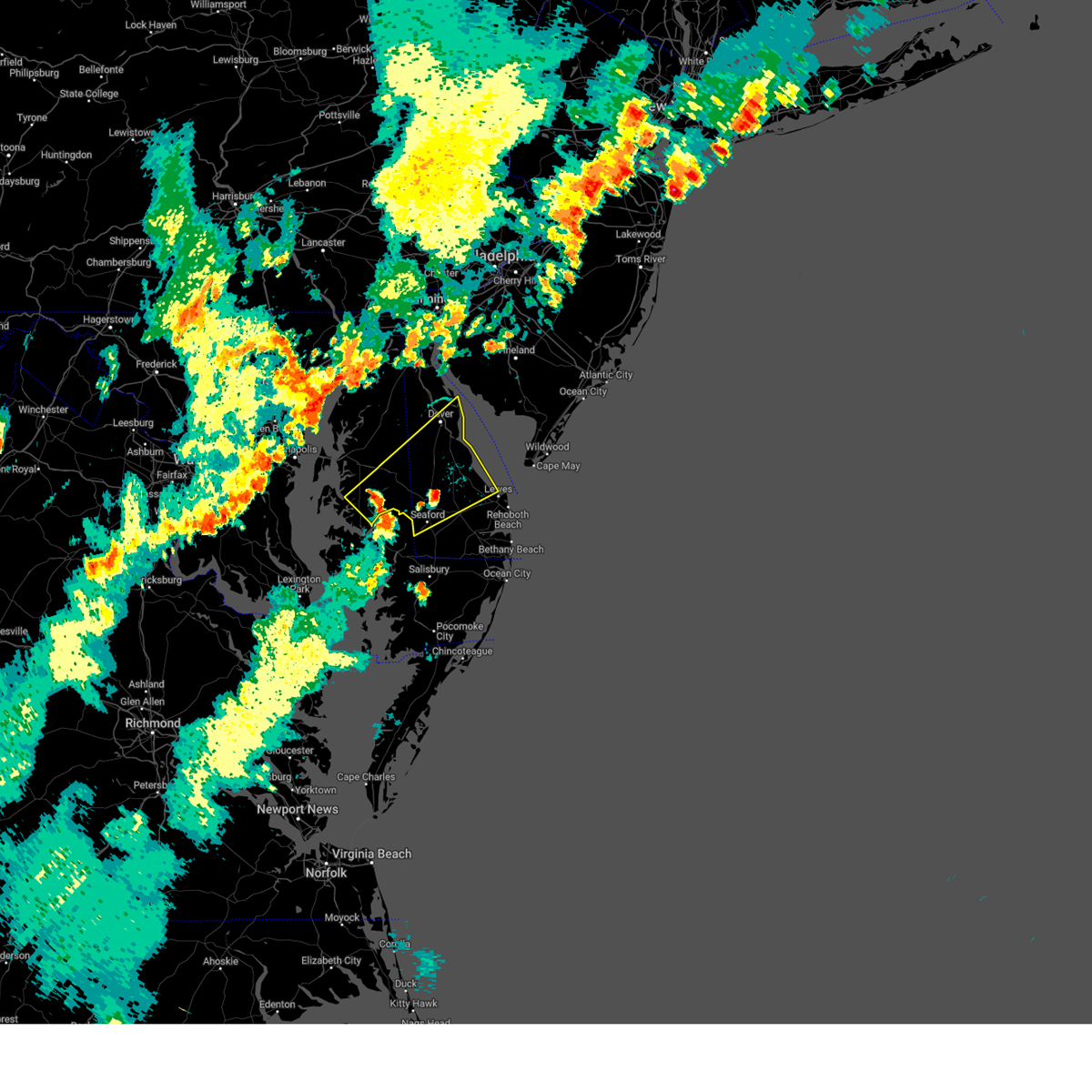
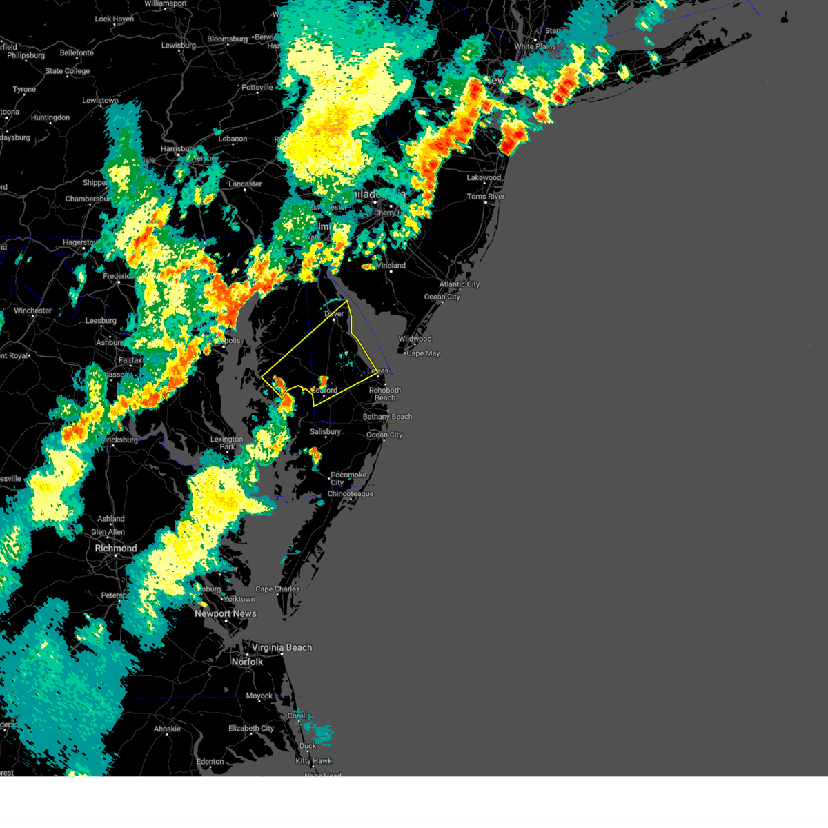
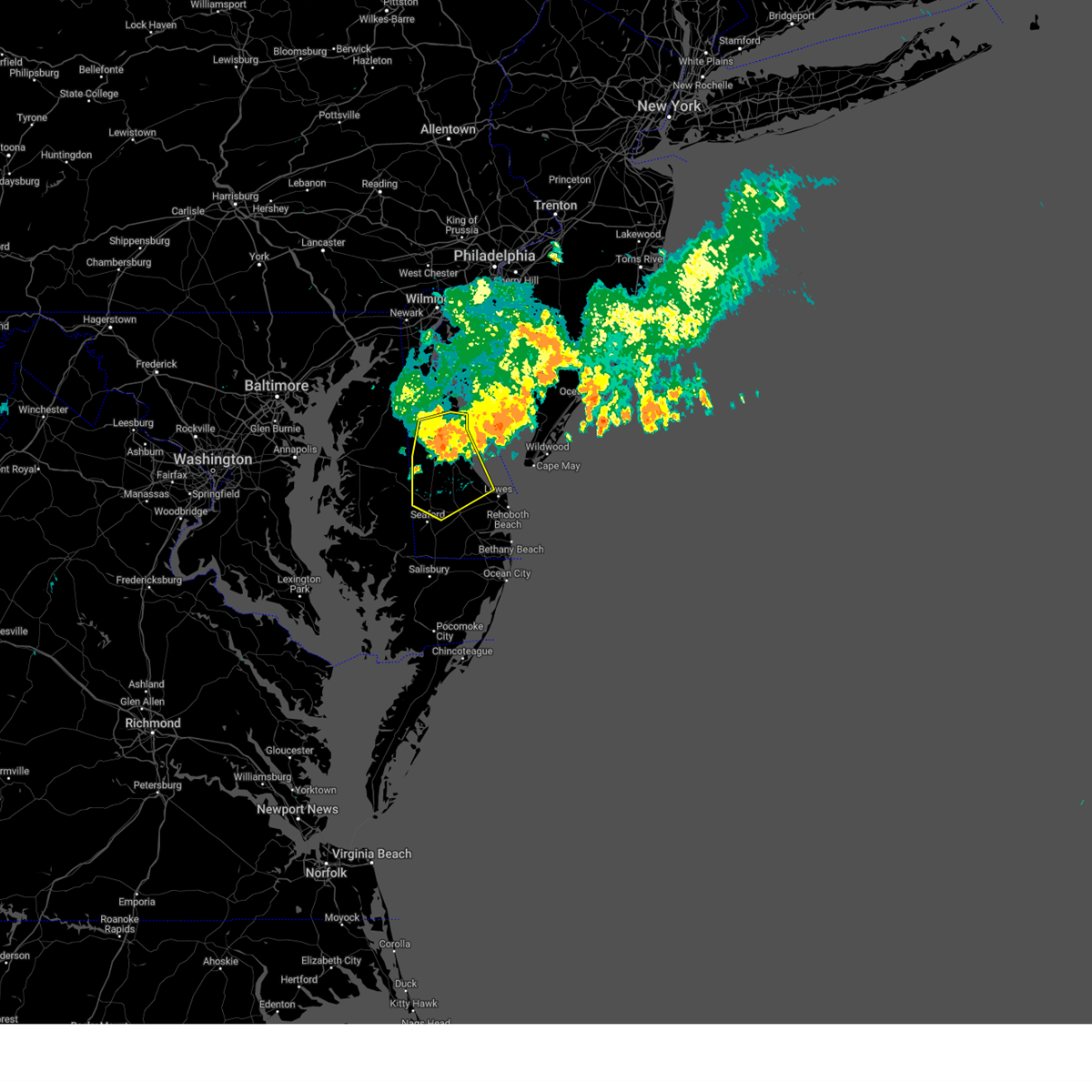
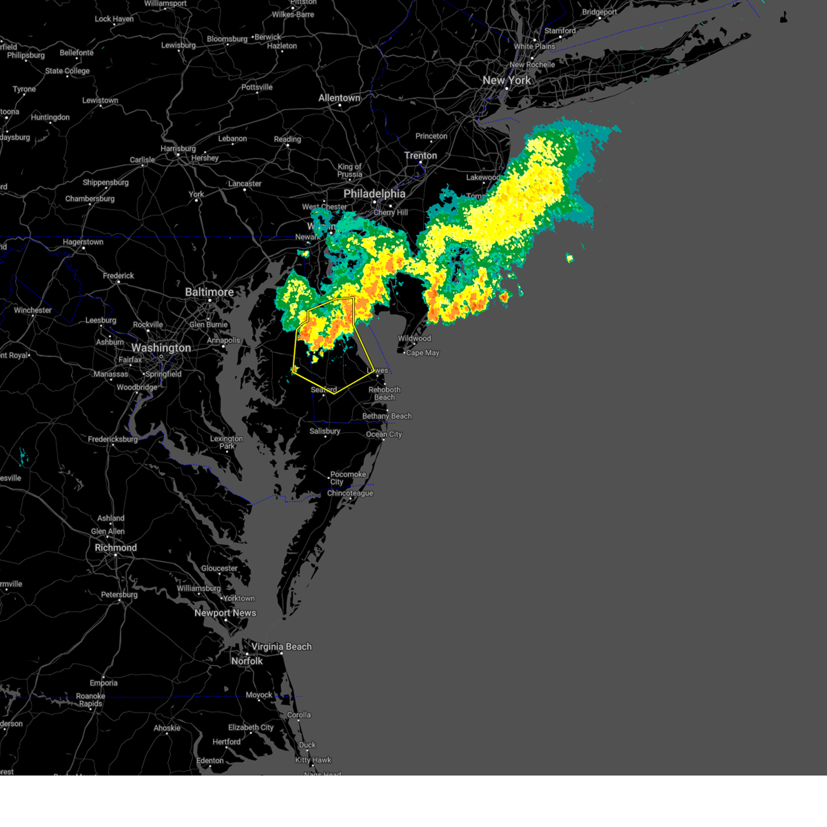
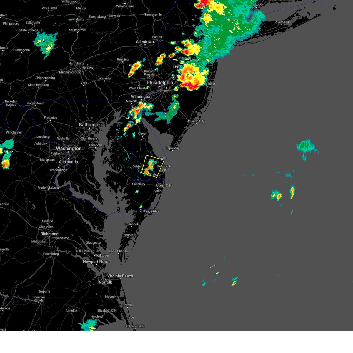
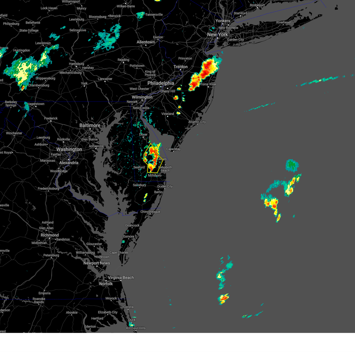
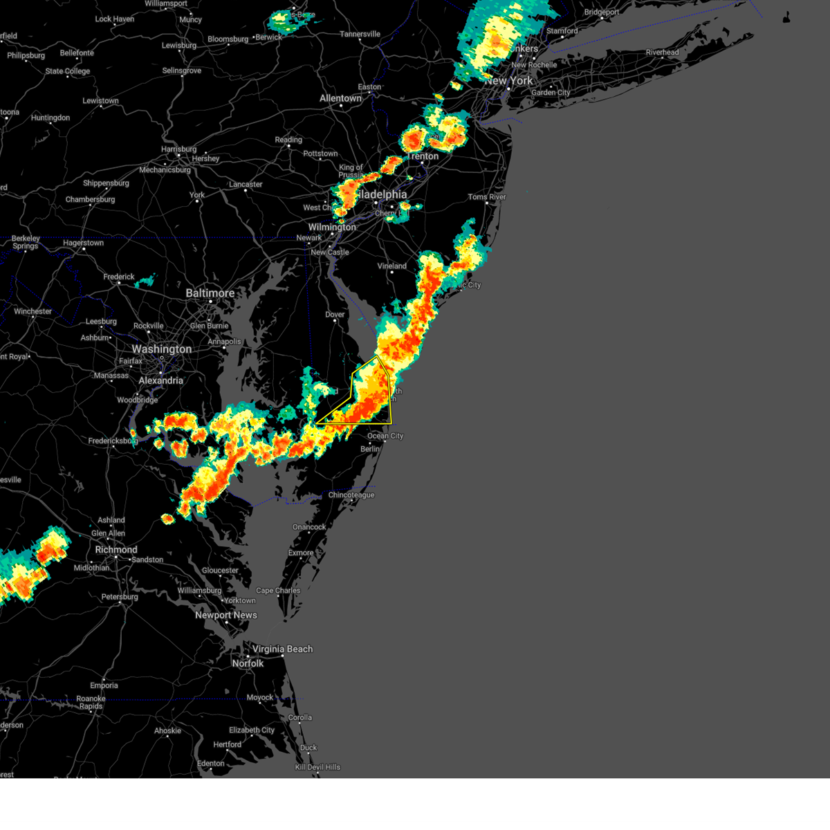
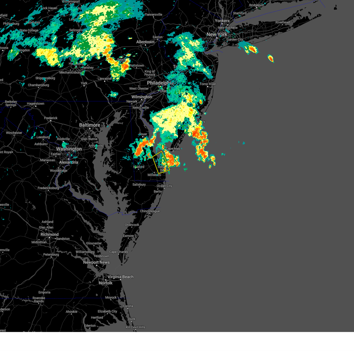
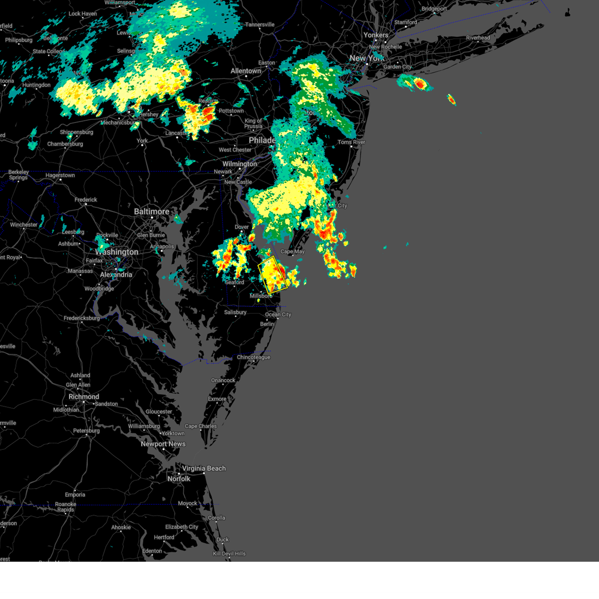
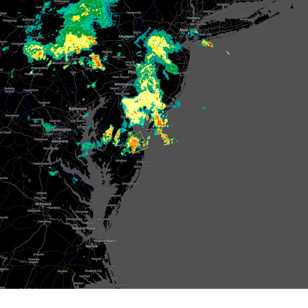
Hail Map for Lewes, DE
The Lewes, DE area has had 0 reports of on-the-ground hail by trained spotters, and has been under severe weather warnings 60 times during the past 12 months. Doppler radar has detected hail at or near Lewes, DE on 21 occasions, including 1 occasion during the past year.
| Name: | Lewes, DE |
| Where Located: | 30.8 miles N of Ocean City, MD |
| Map: | Google Map for Lewes, DE |
| Population: | 2747 |
| Housing Units: | 2638 |
| More Info: | Search Google for Lewes, DE |
0
The Top Recent Hail Date for Lewes, DE is Tuesday, December 31, 2024 (21st out of 21)

Hail and Wind Damage Spotted near Lewes, DE
| Date / Time | Report Details |
|---|---|
| 7/9/2025 9:49 PM EDT |
 The storm which prompted the warning has moved offshore over delaware bay. therefore, the warning has been allowed to expire. a severe thunderstorm watch remains in effect until midnight edt for southern delaware. to report severe weather, contact your nearest law enforcement agency. they will relay your report to the national weather service mount holly nj. The storm which prompted the warning has moved offshore over delaware bay. therefore, the warning has been allowed to expire. a severe thunderstorm watch remains in effect until midnight edt for southern delaware. to report severe weather, contact your nearest law enforcement agency. they will relay your report to the national weather service mount holly nj.
|
| 7/9/2025 9:37 PM EDT |
 At 937 pm edt, a severe thunderstorm capable of producing a tornado was located over lewes, or 13 miles northeast of georgetown, moving northeast at 35 mph (radar indicated rotation). Hazards include tornado. Flying debris will be dangerous to those caught without shelter. mobile homes will be damaged or destroyed. damage to roofs, windows, and vehicles will occur. tree damage is likely. Locations impacted include, lewes. At 937 pm edt, a severe thunderstorm capable of producing a tornado was located over lewes, or 13 miles northeast of georgetown, moving northeast at 35 mph (radar indicated rotation). Hazards include tornado. Flying debris will be dangerous to those caught without shelter. mobile homes will be damaged or destroyed. damage to roofs, windows, and vehicles will occur. tree damage is likely. Locations impacted include, lewes.
|
| 7/9/2025 9:30 PM EDT |
 At 930 pm edt, a severe thunderstorm capable of producing a tornado was located near lewes, or 9 miles east of georgetown, moving northeast at 35 mph (radar indicated rotation). Hazards include tornado. Flying debris will be dangerous to those caught without shelter. mobile homes will be damaged or destroyed. damage to roofs, windows, and vehicles will occur. tree damage is likely. Locations impacted include, lewes. At 930 pm edt, a severe thunderstorm capable of producing a tornado was located near lewes, or 9 miles east of georgetown, moving northeast at 35 mph (radar indicated rotation). Hazards include tornado. Flying debris will be dangerous to those caught without shelter. mobile homes will be damaged or destroyed. damage to roofs, windows, and vehicles will occur. tree damage is likely. Locations impacted include, lewes.
|
| 7/9/2025 9:20 PM EDT |
 At 920 pm edt, a severe thunderstorm capable of producing a tornado was located near georgetown, moving east at 35 mph (radar indicated rotation). Hazards include tornado. Flying debris will be dangerous to those caught without shelter. mobile homes will be damaged or destroyed. damage to roofs, windows, and vehicles will occur. tree damage is likely. Locations impacted include, lewes. At 920 pm edt, a severe thunderstorm capable of producing a tornado was located near georgetown, moving east at 35 mph (radar indicated rotation). Hazards include tornado. Flying debris will be dangerous to those caught without shelter. mobile homes will be damaged or destroyed. damage to roofs, windows, and vehicles will occur. tree damage is likely. Locations impacted include, lewes.
|
| 7/9/2025 9:13 PM EDT | Torphi the national weather service in mount holly nj has issued a * tornado warning for, east central sussex county in southern delaware, * until 945 pm edt. * at 912 pm edt, a severe thunderstorm capable of producing a tornado was located over georgetown, moving northeast at 35 mph (radar indicated rotation). Hazards include tornado. Flying debris will be dangerous to those caught without shelter. mobile homes will be damaged or destroyed. damage to roofs, windows, and vehicles will occur. Tree damage is likely. |
| 6/30/2025 1:39 PM EDT | At 139 pm edt, a severe thunderstorm was located over millville, or 15 miles southeast of georgetown, moving northeast at 5 mph (radar indicated). Hazards include 60 mph wind gusts. Damage to roofs, siding, trees, and power lines is possible. Locations impacted include, millsboro, dagsboro, millville, henlopen acres, long neck, ocean view, frankford, south bethany, and dewey beach. |
| 6/30/2025 1:16 PM EDT | Svrphi the national weather service in mount holly nj has issued a * severe thunderstorm warning for, southeastern sussex county in southern delaware, * until 200 pm edt. * at 116 pm edt, a severe thunderstorm was located over millville, or 14 miles north of ocean city, moving north at 10 mph (radar indicated). Hazards include 60 mph wind gusts. damage to roofs, siding, trees, and power lines is possible |
| 6/19/2025 6:55 PM EDT |
 Svrphi the national weather service in mount holly nj has issued a * severe thunderstorm warning for, northeastern sussex county in southern delaware, south central atlantic county in southern new jersey, southeastern cumberland county in southern new jersey, cape may county in southern new jersey, * until 745 pm edt. * at 655 pm edt, severe thunderstorms were located along a line extending from near bivalve to near green creek to near milton, moving east at 40 mph (radar indicated). Hazards include 60 mph wind gusts. damage to roofs, siding, trees, and power lines is possible Svrphi the national weather service in mount holly nj has issued a * severe thunderstorm warning for, northeastern sussex county in southern delaware, south central atlantic county in southern new jersey, southeastern cumberland county in southern new jersey, cape may county in southern new jersey, * until 745 pm edt. * at 655 pm edt, severe thunderstorms were located along a line extending from near bivalve to near green creek to near milton, moving east at 40 mph (radar indicated). Hazards include 60 mph wind gusts. damage to roofs, siding, trees, and power lines is possible
|
| 6/19/2025 6:50 PM EDT | the severe thunderstorm warning has been cancelled and is no longer in effect |
| 6/19/2025 6:50 PM EDT | At 649 pm edt, severe thunderstorms were located along a line extending from 6 miles southeast of fortesque to 8 miles northwest of north cape may to near georgetown, moving east at 45 mph (radar indicated). Hazards include 60 mph wind gusts. Damage to roofs, siding, trees, and power lines is possible. Locations impacted include, lewes, milton, henlopen acres, cape henlopen state park, and dewey beach. |
| 6/19/2025 6:28 PM EDT |
 At 628 pm edt, a severe thunderstorm was located over ellendale, or 7 miles north of georgetown, moving east at 55 mph (radar indicated). Hazards include 60 mph wind gusts. Damage to roofs, siding, trees, and power lines is possible. Locations impacted include, georgetown, milford, harrington, lewes, milton, ellendale, henlopen acres, cape henlopen state park, greenwood, houston, dewey beach, and farmington. At 628 pm edt, a severe thunderstorm was located over ellendale, or 7 miles north of georgetown, moving east at 55 mph (radar indicated). Hazards include 60 mph wind gusts. Damage to roofs, siding, trees, and power lines is possible. Locations impacted include, georgetown, milford, harrington, lewes, milton, ellendale, henlopen acres, cape henlopen state park, greenwood, houston, dewey beach, and farmington.
|
| 6/19/2025 6:28 PM EDT |
 the severe thunderstorm warning has been cancelled and is no longer in effect the severe thunderstorm warning has been cancelled and is no longer in effect
|
| 6/19/2025 6:14 PM EDT | Svrphi the national weather service in mount holly nj has issued a * severe thunderstorm warning for, northern sussex county in southern delaware, southern kent county in central delaware, southeastern caroline county in eastern maryland, * until 700 pm edt. * at 614 pm edt, a severe thunderstorm was located near bridgeville, or 13 miles northeast of hurlock, moving east at 45 mph (radar indicated). Hazards include 60 mph wind gusts. damage to roofs, siding, trees, and power lines is possible |
| 5/31/2025 2:38 PM EDT |
 The storm which prompted the warning is moving out of the area. therefore, the warning will be allowed to expire. The storm which prompted the warning is moving out of the area. therefore, the warning will be allowed to expire.
|
| 5/31/2025 2:19 PM EDT |
 At 219 pm edt, a severe thunderstorm was located over ellendale, or 9 miles northwest of georgetown, moving east at 40 mph (radar indicated). Hazards include 60 mph wind gusts. Damage to roofs, siding, trees, and power lines is possible. Locations impacted include, georgetown, milford, harrington, lewes, milton, bridgeville, ellendale, henlopen acres, cape henlopen state park, greenwood, houston, dewey beach, and farmington. At 219 pm edt, a severe thunderstorm was located over ellendale, or 9 miles northwest of georgetown, moving east at 40 mph (radar indicated). Hazards include 60 mph wind gusts. Damage to roofs, siding, trees, and power lines is possible. Locations impacted include, georgetown, milford, harrington, lewes, milton, bridgeville, ellendale, henlopen acres, cape henlopen state park, greenwood, houston, dewey beach, and farmington.
|
| 5/31/2025 2:19 PM EDT |
 the severe thunderstorm warning has been cancelled and is no longer in effect the severe thunderstorm warning has been cancelled and is no longer in effect
|
| 5/31/2025 2:00 PM EDT |
 Svrphi the national weather service in mount holly nj has issued a * severe thunderstorm warning for, northern sussex county in southern delaware, southern kent county in central delaware, southeastern caroline county in eastern maryland, * until 245 pm edt. * at 200 pm edt, a severe thunderstorm was located near andrewsville, or 17 miles northeast of hurlock, moving east at 35 mph (radar indicated). Hazards include 60 mph wind gusts. damage to roofs, siding, trees, and power lines is possible Svrphi the national weather service in mount holly nj has issued a * severe thunderstorm warning for, northern sussex county in southern delaware, southern kent county in central delaware, southeastern caroline county in eastern maryland, * until 245 pm edt. * at 200 pm edt, a severe thunderstorm was located near andrewsville, or 17 miles northeast of hurlock, moving east at 35 mph (radar indicated). Hazards include 60 mph wind gusts. damage to roofs, siding, trees, and power lines is possible
|
| 5/16/2025 7:36 PM EDT |
 The storms which prompted the warning have weakened below severe limits, and no longer pose an immediate threat to life or property. therefore, the warning will be allowed to expire. however gusty winds and heavy rain are still possible with these thunderstorms. a severe thunderstorm watch remains in effect until midnight edt for central and southern delaware. to report severe weather, contact your nearest law enforcement agency. they will relay your report to the national weather service mount holly nj. The storms which prompted the warning have weakened below severe limits, and no longer pose an immediate threat to life or property. therefore, the warning will be allowed to expire. however gusty winds and heavy rain are still possible with these thunderstorms. a severe thunderstorm watch remains in effect until midnight edt for central and southern delaware. to report severe weather, contact your nearest law enforcement agency. they will relay your report to the national weather service mount holly nj.
|
| 5/16/2025 7:29 PM EDT | the severe thunderstorm warning has been cancelled and is no longer in effect |
| 5/16/2025 7:29 PM EDT | At 728 pm edt, severe thunderstorms were located along a line extending from near big stone beach to near georgetown to near millville, moving east at 45 mph (radar indicated). Hazards include 60 mph wind gusts and quarter size hail. Minor damage to vehicles is possible. wind damage to roofs, siding, trees, and power lines is possible. Locations impacted include, georgetown, milford, seaford, millsboro, laurel, harrington, lewes, milton, selbyville, dagsboro, millville, ellendale, bowers, henlopen acres, gumboro, cape henlopen state park, sycamore, big stone beach, long neck, and ocean view. |
| 5/16/2025 7:17 PM EDT |
 the severe thunderstorm warning has been cancelled and is no longer in effect the severe thunderstorm warning has been cancelled and is no longer in effect
|
| 5/16/2025 7:17 PM EDT |
 At 717 pm edt, severe thunderstorms were located along a line extending from near quinton to 7 miles southwest of fortesque to harrington to sycamore, moving southeast at 60 mph (trained weather spotters). Hazards include 60 mph wind gusts and quarter size hail. Minor damage to vehicles is possible. wind damage to roofs, siding, trees, and power lines is possible. Locations impacted include, vineland, dover, millville, bridgeton, georgetown, cumberland, milford, seaford, salem, millsboro, laurel lake, laurel, harrington, alloway, camden, lewes, quinton, milton, selbyville, and bridgeville. At 717 pm edt, severe thunderstorms were located along a line extending from near quinton to 7 miles southwest of fortesque to harrington to sycamore, moving southeast at 60 mph (trained weather spotters). Hazards include 60 mph wind gusts and quarter size hail. Minor damage to vehicles is possible. wind damage to roofs, siding, trees, and power lines is possible. Locations impacted include, vineland, dover, millville, bridgeton, georgetown, cumberland, milford, seaford, salem, millsboro, laurel lake, laurel, harrington, alloway, camden, lewes, quinton, milton, selbyville, and bridgeville.
|
| 5/16/2025 6:59 PM EDT |
 At 658 pm edt, severe thunderstorms were located along a line extending from saint georges to near woodland beach to near greensboro to sharptown, moving east at 50 mph. these storms have a history of producing damaging winds across a eastern maryland (trained weather spotters). Hazards include 70 mph wind gusts and ping pong ball size hail. People and animals outdoors will be injured. expect hail damage to roofs, siding, windows, and vehicles. expect considerable tree damage. wind damage is also likely to mobile homes, roofs, and outbuildings. Locations impacted include, wilmington, vineland, dover, newark, millville, bridgeton, middletown, georgetown, cumberland, glassboro, pennsville, smyrna, milford, pitman, carneys point, seaford, elsmere, new castle, penns grove, and salem. At 658 pm edt, severe thunderstorms were located along a line extending from saint georges to near woodland beach to near greensboro to sharptown, moving east at 50 mph. these storms have a history of producing damaging winds across a eastern maryland (trained weather spotters). Hazards include 70 mph wind gusts and ping pong ball size hail. People and animals outdoors will be injured. expect hail damage to roofs, siding, windows, and vehicles. expect considerable tree damage. wind damage is also likely to mobile homes, roofs, and outbuildings. Locations impacted include, wilmington, vineland, dover, newark, millville, bridgeton, middletown, georgetown, cumberland, glassboro, pennsville, smyrna, milford, pitman, carneys point, seaford, elsmere, new castle, penns grove, and salem.
|
| 5/16/2025 6:35 PM EDT | Svrphi the national weather service in mount holly nj has issued a * severe thunderstorm warning for, sussex county in southern delaware, new castle county in northern delaware, kent county in central delaware, cumberland county in southern new jersey, salem county in southern new jersey, gloucester county in southern new jersey, northwestern cape may county in southern new jersey, * until 745 pm edt. * at 635 pm edt, severe thunderstorms were located along a line extending from north east to cecilton to near starr to near cambridge, moving east at 45 mph (radar indicated). Hazards include 70 mph wind gusts and ping pong ball size hail. People and animals outdoors will be injured. expect hail damage to roofs, siding, windows, and vehicles. expect considerable tree damage. Wind damage is also likely to mobile homes, roofs, and outbuildings. |
| 5/16/2025 2:57 PM EDT |
 The storm which prompted the warning has weakened below severe limits, and are moving offshore. therefore, the warning will be allowed to expire. a severe thunderstorm watch remains in effect until 500 pm edt for southern delaware. to report severe weather, contact your nearest law enforcement agency. they will relay your report to the national weather service mount holly nj. The storm which prompted the warning has weakened below severe limits, and are moving offshore. therefore, the warning will be allowed to expire. a severe thunderstorm watch remains in effect until 500 pm edt for southern delaware. to report severe weather, contact your nearest law enforcement agency. they will relay your report to the national weather service mount holly nj.
|
| 5/16/2025 2:45 PM EDT |
 At 245 pm edt, a severe thunderstorm was located over henlopen acres, or 13 miles east of georgetown, moving southeast at 15 mph (radar indicated). Hazards include ping pong ball size hail and 60 mph wind gusts. People and animals outdoors will be injured. expect hail damage to roofs, siding, windows, and vehicles. wind damage to roofs, siding, trees, and power lines is possible. Locations impacted include, lewes, henlopen acres, and dewey beach. At 245 pm edt, a severe thunderstorm was located over henlopen acres, or 13 miles east of georgetown, moving southeast at 15 mph (radar indicated). Hazards include ping pong ball size hail and 60 mph wind gusts. People and animals outdoors will be injured. expect hail damage to roofs, siding, windows, and vehicles. wind damage to roofs, siding, trees, and power lines is possible. Locations impacted include, lewes, henlopen acres, and dewey beach.
|
| 5/16/2025 2:30 PM EDT |
 At 229 pm edt, a severe thunderstorm was located over lewes, or 14 miles east of georgetown, moving southeast at 20 mph (radar indicated). Hazards include ping pong ball size hail and 60 mph wind gusts. People and animals outdoors will be injured. expect hail damage to roofs, siding, windows, and vehicles. wind damage to roofs, siding, trees, and power lines is possible. Locations impacted include, lewes, milton, henlopen acres, cape henlopen state park, and dewey beach. At 229 pm edt, a severe thunderstorm was located over lewes, or 14 miles east of georgetown, moving southeast at 20 mph (radar indicated). Hazards include ping pong ball size hail and 60 mph wind gusts. People and animals outdoors will be injured. expect hail damage to roofs, siding, windows, and vehicles. wind damage to roofs, siding, trees, and power lines is possible. Locations impacted include, lewes, milton, henlopen acres, cape henlopen state park, and dewey beach.
|
| 5/16/2025 2:18 PM EDT |
 Svrphi the national weather service in mount holly nj has issued a * severe thunderstorm warning for, northeastern sussex county in southern delaware, * until 300 pm edt. * at 218 pm edt, a severe thunderstorm was located over lewes, or 12 miles northeast of georgetown, moving southeast at 20 mph (radar indicated). Hazards include ping pong ball size hail and 60 mph wind gusts. People and animals outdoors will be injured. expect hail damage to roofs, siding, windows, and vehicles. Wind damage to roofs, siding, trees, and power lines is possible. Svrphi the national weather service in mount holly nj has issued a * severe thunderstorm warning for, northeastern sussex county in southern delaware, * until 300 pm edt. * at 218 pm edt, a severe thunderstorm was located over lewes, or 12 miles northeast of georgetown, moving southeast at 20 mph (radar indicated). Hazards include ping pong ball size hail and 60 mph wind gusts. People and animals outdoors will be injured. expect hail damage to roofs, siding, windows, and vehicles. Wind damage to roofs, siding, trees, and power lines is possible.
|
| 3/31/2025 10:53 PM EDT |
 The storms which prompted the warning have weakened below severe limits, and will be moving offshore through 1115 pm edt. therefore, the warning will be allowed to expire. however heavy rain is still possible with these thunderstorms. The storms which prompted the warning have weakened below severe limits, and will be moving offshore through 1115 pm edt. therefore, the warning will be allowed to expire. however heavy rain is still possible with these thunderstorms.
|
| 3/31/2025 10:41 PM EDT |
 At 1041 pm edt, severe thunderstorms were located along a line extending from 7 miles north of lewes to millsboro, moving east at 40 mph (radar indicated). Hazards include 60 mph wind gusts. Damage to roofs, siding, trees, and power lines is possible. Locations impacted include, dagsboro, gumboro, long neck, south bethany, frankford, cape henlopen state park, henlopen acres, dewey beach, lewes, ocean view, selbyville, millville, milton, georgetown, and millsboro. At 1041 pm edt, severe thunderstorms were located along a line extending from 7 miles north of lewes to millsboro, moving east at 40 mph (radar indicated). Hazards include 60 mph wind gusts. Damage to roofs, siding, trees, and power lines is possible. Locations impacted include, dagsboro, gumboro, long neck, south bethany, frankford, cape henlopen state park, henlopen acres, dewey beach, lewes, ocean view, selbyville, millville, milton, georgetown, and millsboro.
|
| 3/31/2025 10:22 PM EDT |
 Svrphi the national weather service in mount holly nj has issued a * severe thunderstorm warning for, sussex county in southern delaware, * until 1100 pm edt. * at 1022 pm edt, severe thunderstorms were located along a line extending from near milford to 6 miles southeast of fruitland, moving east at 45 mph (radar indicated). Hazards include 60 mph wind gusts. damage to roofs, siding, trees, and power lines is possible Svrphi the national weather service in mount holly nj has issued a * severe thunderstorm warning for, sussex county in southern delaware, * until 1100 pm edt. * at 1022 pm edt, severe thunderstorms were located along a line extending from near milford to 6 miles southeast of fruitland, moving east at 45 mph (radar indicated). Hazards include 60 mph wind gusts. damage to roofs, siding, trees, and power lines is possible
|
| 3/31/2025 10:21 PM EDT |
 The storm which prompted the warning has weakened below severe limits, and no longer appears capable of producing a tornado. therefore, the warning will be allowed to expire. however gusty winds are still possible with this thunderstorm. The storm which prompted the warning has weakened below severe limits, and no longer appears capable of producing a tornado. therefore, the warning will be allowed to expire. however gusty winds are still possible with this thunderstorm.
|
| 3/31/2025 10:14 PM EDT |
 At 1014 pm edt, a severe thunderstorm capable of producing a tornado was located near seaford, or 9 miles west of georgetown, moving northeast at 55 mph (radar indicated rotation). Hazards include tornado. Flying debris will be dangerous to those caught without shelter. mobile homes will be damaged or destroyed. damage to roofs, windows, and vehicles will occur. tree damage is likely. Locations impacted include, dewey beach, lewes, bridgeville, blades, bethel, ellendale, milton, georgetown, henlopen acres, seaford, and greenwood. At 1014 pm edt, a severe thunderstorm capable of producing a tornado was located near seaford, or 9 miles west of georgetown, moving northeast at 55 mph (radar indicated rotation). Hazards include tornado. Flying debris will be dangerous to those caught without shelter. mobile homes will be damaged or destroyed. damage to roofs, windows, and vehicles will occur. tree damage is likely. Locations impacted include, dewey beach, lewes, bridgeville, blades, bethel, ellendale, milton, georgetown, henlopen acres, seaford, and greenwood.
|
| 3/31/2025 10:14 PM EDT |
 the tornado warning has been cancelled and is no longer in effect the tornado warning has been cancelled and is no longer in effect
|
| 3/31/2025 10:13 PM EDT |
 the severe thunderstorm warning has been cancelled and is no longer in effect the severe thunderstorm warning has been cancelled and is no longer in effect
|
| 3/31/2025 10:13 PM EDT |
 At 1013 pm edt, severe thunderstorms were located along a line extending from andrewsville to near university of maryland eastern shore, moving east at 45 mph (radar indicated). Hazards include 60 mph wind gusts and penny size hail. Damage to roofs, siding, trees, and power lines is possible. Locations impacted include, dagsboro, blades, gumboro, harrington, long neck, south bethany, ellendale, cape henlopen state park, dewey beach, ocean view, bridgeville, delmar, bethel, millville, georgetown, millsboro, andrewsville, greenwood, milford, and laurel. At 1013 pm edt, severe thunderstorms were located along a line extending from andrewsville to near university of maryland eastern shore, moving east at 45 mph (radar indicated). Hazards include 60 mph wind gusts and penny size hail. Damage to roofs, siding, trees, and power lines is possible. Locations impacted include, dagsboro, blades, gumboro, harrington, long neck, south bethany, ellendale, cape henlopen state park, dewey beach, ocean view, bridgeville, delmar, bethel, millville, georgetown, millsboro, andrewsville, greenwood, milford, and laurel.
|
| 3/31/2025 10:03 PM EDT |
 Torphi the national weather service in mount holly nj has issued a * tornado warning for, central sussex county in southern delaware, southeastern caroline county in eastern maryland, * until 1030 pm edt. * at 1002 pm edt, a severe thunderstorm capable of producing a tornado was located near federalsburg, or 9 miles east of hurlock, moving east at 55 mph (radar indicated rotation). Hazards include tornado. Flying debris will be dangerous to those caught without shelter. mobile homes will be damaged or destroyed. damage to roofs, windows, and vehicles will occur. Tree damage is likely. Torphi the national weather service in mount holly nj has issued a * tornado warning for, central sussex county in southern delaware, southeastern caroline county in eastern maryland, * until 1030 pm edt. * at 1002 pm edt, a severe thunderstorm capable of producing a tornado was located near federalsburg, or 9 miles east of hurlock, moving east at 55 mph (radar indicated rotation). Hazards include tornado. Flying debris will be dangerous to those caught without shelter. mobile homes will be damaged or destroyed. damage to roofs, windows, and vehicles will occur. Tree damage is likely.
|
| 3/31/2025 9:48 PM EDT |
 Svrphi the national weather service in mount holly nj has issued a * severe thunderstorm warning for, sussex county in southern delaware, southern kent county in central delaware, eastern talbot county in eastern maryland, caroline county in eastern maryland, * until 1030 pm edt. * at 947 pm edt, severe thunderstorms were located along a line extending from near cordova to near deal island, moving east at 45 mph (radar indicated). Hazards include 60 mph wind gusts and penny size hail. damage to roofs, siding, trees, and power lines is possible Svrphi the national weather service in mount holly nj has issued a * severe thunderstorm warning for, sussex county in southern delaware, southern kent county in central delaware, eastern talbot county in eastern maryland, caroline county in eastern maryland, * until 1030 pm edt. * at 947 pm edt, severe thunderstorms were located along a line extending from near cordova to near deal island, moving east at 45 mph (radar indicated). Hazards include 60 mph wind gusts and penny size hail. damage to roofs, siding, trees, and power lines is possible
|
| 3/5/2025 5:20 PM EST |
 The storms which prompted the warning have weakened below severe limits, and no longer pose an immediate threat to life or property. therefore, the warning will be allowed to expire. however, gusty winds and heavy rain are still possible with these thunderstorms. to report severe weather, contact your nearest law enforcement agency. they will relay your report to the national weather service mount holly nj. The storms which prompted the warning have weakened below severe limits, and no longer pose an immediate threat to life or property. therefore, the warning will be allowed to expire. however, gusty winds and heavy rain are still possible with these thunderstorms. to report severe weather, contact your nearest law enforcement agency. they will relay your report to the national weather service mount holly nj.
|
| 3/5/2025 5:07 PM EST |
 At 507 pm est, severe thunderstorms were located along a line extending from 9 miles east of big stone beach to fruitland, moving east at 25 mph (radar indicated). Hazards include 60 mph wind gusts. Damage to roofs, siding, trees, and power lines is possible. Locations impacted include, georgetown, millsboro, laurel, lewes, milton, selbyville, delmar, dagsboro, millville, henlopen acres, gumboro, cape henlopen state park, sycamore, long neck, ocean view, frankford, south bethany, and dewey beach. At 507 pm est, severe thunderstorms were located along a line extending from 9 miles east of big stone beach to fruitland, moving east at 25 mph (radar indicated). Hazards include 60 mph wind gusts. Damage to roofs, siding, trees, and power lines is possible. Locations impacted include, georgetown, millsboro, laurel, lewes, milton, selbyville, delmar, dagsboro, millville, henlopen acres, gumboro, cape henlopen state park, sycamore, long neck, ocean view, frankford, south bethany, and dewey beach.
|
| 3/5/2025 5:07 PM EST |
 the severe thunderstorm warning has been cancelled and is no longer in effect the severe thunderstorm warning has been cancelled and is no longer in effect
|
| 3/5/2025 4:43 PM EST |
 Svrphi the national weather service in mount holly nj has issued a * severe thunderstorm warning for, sussex county in southern delaware, southeastern kent county in central delaware, southeastern caroline county in eastern maryland, * until 530 pm est. * at 442 pm est, severe thunderstorms were located along a line extending from near milford to 6 miles north of deal island, moving southeast at 20 mph (radar indicated). Hazards include 60 mph wind gusts. damage to roofs, siding, trees, and power lines is possible Svrphi the national weather service in mount holly nj has issued a * severe thunderstorm warning for, sussex county in southern delaware, southeastern kent county in central delaware, southeastern caroline county in eastern maryland, * until 530 pm est. * at 442 pm est, severe thunderstorms were located along a line extending from near milford to 6 miles north of deal island, moving southeast at 20 mph (radar indicated). Hazards include 60 mph wind gusts. damage to roofs, siding, trees, and power lines is possible
|
| 8/18/2024 4:15 PM EDT |
 the severe thunderstorm warning has been cancelled and is no longer in effect the severe thunderstorm warning has been cancelled and is no longer in effect
|
| 8/18/2024 4:08 PM EDT |
 At 407 pm edt, a severe thunderstorm was located 7 miles northeast of milton, or 14 miles northeast of georgetown, moving northeast at 25 mph (radar indicated). Hazards include 60 mph wind gusts and quarter size hail. Minor damage to vehicles is possible. wind damage to roofs, siding, trees, and power lines is possible. Locations impacted include, lewes and milton. At 407 pm edt, a severe thunderstorm was located 7 miles northeast of milton, or 14 miles northeast of georgetown, moving northeast at 25 mph (radar indicated). Hazards include 60 mph wind gusts and quarter size hail. Minor damage to vehicles is possible. wind damage to roofs, siding, trees, and power lines is possible. Locations impacted include, lewes and milton.
|
| 8/18/2024 3:52 PM EDT |
 Svrphi the national weather service in mount holly nj has issued a * severe thunderstorm warning for, northeastern sussex county in southern delaware, * until 430 pm edt. * at 352 pm edt, a severe thunderstorm was located over milton, or 9 miles northeast of georgetown, moving northeast at 25 mph (radar indicated). Hazards include 60 mph wind gusts and quarter size hail. Minor damage to vehicles is possible. Wind damage to roofs, siding, trees, and power lines is possible. Svrphi the national weather service in mount holly nj has issued a * severe thunderstorm warning for, northeastern sussex county in southern delaware, * until 430 pm edt. * at 352 pm edt, a severe thunderstorm was located over milton, or 9 miles northeast of georgetown, moving northeast at 25 mph (radar indicated). Hazards include 60 mph wind gusts and quarter size hail. Minor damage to vehicles is possible. Wind damage to roofs, siding, trees, and power lines is possible.
|
| 8/3/2024 8:36 PM EDT |
 The storms which prompted the warning have moved out of the warned area and over delaware bay. therefore, the warning will be allowed to expire. a severe thunderstorm watch remains in effect until 900 pm edt for central and southern delaware. to report severe weather, contact your nearest law enforcement agency. they will relay your report to the national weather service mount holly nj. The storms which prompted the warning have moved out of the warned area and over delaware bay. therefore, the warning will be allowed to expire. a severe thunderstorm watch remains in effect until 900 pm edt for central and southern delaware. to report severe weather, contact your nearest law enforcement agency. they will relay your report to the national weather service mount holly nj.
|
| 8/3/2024 8:26 PM EDT |
 At 826 pm edt, severe thunderstorms were located along a line extending from big stone beach to near milton, moving northeast at 35 mph (radar indicated). Hazards include 60 mph wind gusts. Damage to roofs, siding, trees, and power lines is possible. Locations impacted include, lewes, milton, and big stone beach. At 826 pm edt, severe thunderstorms were located along a line extending from big stone beach to near milton, moving northeast at 35 mph (radar indicated). Hazards include 60 mph wind gusts. Damage to roofs, siding, trees, and power lines is possible. Locations impacted include, lewes, milton, and big stone beach.
|
| 8/3/2024 8:15 PM EDT |
 Svrphi the national weather service in mount holly nj has issued a * severe thunderstorm warning for, northeastern sussex county in southern delaware, southeastern kent county in central delaware, * until 845 pm edt. * at 815 pm edt, severe thunderstorms were located along a line extending from big stone beach to near ellendale, moving northeast at 40 mph (radar indicated). Hazards include 60 mph wind gusts. damage to roofs, siding, trees, and power lines is possible Svrphi the national weather service in mount holly nj has issued a * severe thunderstorm warning for, northeastern sussex county in southern delaware, southeastern kent county in central delaware, * until 845 pm edt. * at 815 pm edt, severe thunderstorms were located along a line extending from big stone beach to near ellendale, moving northeast at 40 mph (radar indicated). Hazards include 60 mph wind gusts. damage to roofs, siding, trees, and power lines is possible
|
| 8/3/2024 8:06 PM EDT |
 At 806 pm edt, severe thunderstorms were located along a line extending from near camden to big stone beach to near ellendale, moving northeast at 45 mph (radar indicated). Hazards include 60 mph wind gusts. Damage to roofs, siding, trees, and power lines is possible. Locations impacted include, dover, georgetown, milford, camden, lewes, milton, ellendale, bowers, woodside, viola, rising sun-lebanon, hazlettville, dover base housing, dover speedway, rising sun, big stone beach, wyoming, felton, frederica, and houston. At 806 pm edt, severe thunderstorms were located along a line extending from near camden to big stone beach to near ellendale, moving northeast at 45 mph (radar indicated). Hazards include 60 mph wind gusts. Damage to roofs, siding, trees, and power lines is possible. Locations impacted include, dover, georgetown, milford, camden, lewes, milton, ellendale, bowers, woodside, viola, rising sun-lebanon, hazlettville, dover base housing, dover speedway, rising sun, big stone beach, wyoming, felton, frederica, and houston.
|
| 8/3/2024 7:54 PM EDT |
 At 753 pm edt, severe thunderstorms were located along a line extending from near sandtown to near milford to near ellendale, moving northeast at 50 mph (radar indicated). Hazards include 60 mph wind gusts and quarter size hail. Minor damage to vehicles is possible. wind damage to roofs, siding, trees, and power lines is possible. Locations impacted include, dover, georgetown, milford, seaford, harrington, camden, lewes, milton, bridgeville, ellendale, bowers, woodside, viola, rising sun-lebanon, hazlettville, dover base housing, dover speedway, sandtown, andrewsville, and rising sun. At 753 pm edt, severe thunderstorms were located along a line extending from near sandtown to near milford to near ellendale, moving northeast at 50 mph (radar indicated). Hazards include 60 mph wind gusts and quarter size hail. Minor damage to vehicles is possible. wind damage to roofs, siding, trees, and power lines is possible. Locations impacted include, dover, georgetown, milford, seaford, harrington, camden, lewes, milton, bridgeville, ellendale, bowers, woodside, viola, rising sun-lebanon, hazlettville, dover base housing, dover speedway, sandtown, andrewsville, and rising sun.
|
| 8/3/2024 7:54 PM EDT |
 the severe thunderstorm warning has been cancelled and is no longer in effect the severe thunderstorm warning has been cancelled and is no longer in effect
|
| 8/3/2024 7:34 PM EDT |
 the severe thunderstorm warning has been cancelled and is no longer in effect the severe thunderstorm warning has been cancelled and is no longer in effect
|
| 8/3/2024 7:34 PM EDT |
 At 733 pm edt, severe thunderstorms were located along a line extending from denton to smithville to near federalsburg, moving northeast at 45 mph. a 58 mph gust was measured at cambridge, maryland at 705 pm edt (radar indicated). Hazards include 70 mph wind gusts and quarter size hail. Minor damage to vehicles is possible. expect considerable tree damage. wind damage is also likely to mobile homes, roofs, and outbuildings. Locations impacted include, dover, georgetown, milford, seaford, denton, harrington, camden, lewes, federalsburg, milton, bridgeville, greensboro, ridgely, ellendale, bowers, goldsboro, queen anne, woodside, viola, and smithville. At 733 pm edt, severe thunderstorms were located along a line extending from denton to smithville to near federalsburg, moving northeast at 45 mph. a 58 mph gust was measured at cambridge, maryland at 705 pm edt (radar indicated). Hazards include 70 mph wind gusts and quarter size hail. Minor damage to vehicles is possible. expect considerable tree damage. wind damage is also likely to mobile homes, roofs, and outbuildings. Locations impacted include, dover, georgetown, milford, seaford, denton, harrington, camden, lewes, federalsburg, milton, bridgeville, greensboro, ridgely, ellendale, bowers, goldsboro, queen anne, woodside, viola, and smithville.
|
| 8/3/2024 7:19 PM EDT |
 At 718 pm edt, severe thunderstorms were located along a line extending from near tanyard to preston to near hurlock, moving northeast at 45 mph. a 58 mph gust was measured at cambridge, maryland at 705 pm edt (radar indicated). Hazards include 60 mph wind gusts and quarter size hail. Minor damage to vehicles is possible. wind damage to roofs, siding, trees, and power lines is possible. Locations impacted include, dover, easton, georgetown, milford, seaford, denton, harrington, camden, lewes, federalsburg, milton, bridgeville, greensboro, ridgely, preston, ellendale, bowers, woodside, viola, and smithville. At 718 pm edt, severe thunderstorms were located along a line extending from near tanyard to preston to near hurlock, moving northeast at 45 mph. a 58 mph gust was measured at cambridge, maryland at 705 pm edt (radar indicated). Hazards include 60 mph wind gusts and quarter size hail. Minor damage to vehicles is possible. wind damage to roofs, siding, trees, and power lines is possible. Locations impacted include, dover, easton, georgetown, milford, seaford, denton, harrington, camden, lewes, federalsburg, milton, bridgeville, greensboro, ridgely, preston, ellendale, bowers, woodside, viola, and smithville.
|
| 8/3/2024 7:15 PM EDT |
 Svrphi the national weather service in mount holly nj has issued a * severe thunderstorm warning for, northern sussex county in southern delaware, kent county in central delaware, eastern talbot county in eastern maryland, caroline county in eastern maryland, * until 815 pm edt. * at 715 pm edt, severe thunderstorms were located along a line extending from near easton to preston to near hurlock, moving northeast at 45 mph (radar indicated). Hazards include 60 mph wind gusts and quarter size hail. Minor damage to vehicles is possible. Wind damage to roofs, siding, trees, and power lines is possible. Svrphi the national weather service in mount holly nj has issued a * severe thunderstorm warning for, northern sussex county in southern delaware, kent county in central delaware, eastern talbot county in eastern maryland, caroline county in eastern maryland, * until 815 pm edt. * at 715 pm edt, severe thunderstorms were located along a line extending from near easton to preston to near hurlock, moving northeast at 45 mph (radar indicated). Hazards include 60 mph wind gusts and quarter size hail. Minor damage to vehicles is possible. Wind damage to roofs, siding, trees, and power lines is possible.
|
| 7/17/2024 12:02 AM EDT |
 At 1202 am edt, severe thunderstorms were located along a line extending from 11 miles east of bowers to near big stone beach to 6 miles southeast of andrewsville, moving east at 35 mph (radar indicated). Hazards include 60 mph wind gusts. Damage to roofs, siding, trees, and power lines is possible. Locations impacted include, dover, georgetown, milford, harrington, camden, lewes, milton, bridgeville, ellendale, bowers, woodside, viola, rising sun-lebanon, hazlettville, dover base housing, dover speedway, andrewsville, rising sun, big stone beach, and wyoming. At 1202 am edt, severe thunderstorms were located along a line extending from 11 miles east of bowers to near big stone beach to 6 miles southeast of andrewsville, moving east at 35 mph (radar indicated). Hazards include 60 mph wind gusts. Damage to roofs, siding, trees, and power lines is possible. Locations impacted include, dover, georgetown, milford, harrington, camden, lewes, milton, bridgeville, ellendale, bowers, woodside, viola, rising sun-lebanon, hazlettville, dover base housing, dover speedway, andrewsville, rising sun, big stone beach, and wyoming.
|
| 7/17/2024 12:02 AM EDT |
 the severe thunderstorm warning has been cancelled and is no longer in effect the severe thunderstorm warning has been cancelled and is no longer in effect
|
| 7/16/2024 11:41 PM EDT |
 the severe thunderstorm warning has been cancelled and is no longer in effect the severe thunderstorm warning has been cancelled and is no longer in effect
|
| 7/16/2024 11:41 PM EDT |
 At 1140 pm edt, severe thunderstorms were located along a line extending from 8 miles northeast of bowers to near milford to near smithville, moving east at 35 mph (radar indicated). Hazards include 60 mph wind gusts. Damage to roofs, siding, trees, and power lines is possible. Locations impacted include, dover, georgetown, milford, denton, harrington, camden, lewes, milton, bridgeville, greensboro, cheswold, ellendale, bowers, goldsboro, woodside, viola, hartly, smithville, rising sun-lebanon, and hazlettville. At 1140 pm edt, severe thunderstorms were located along a line extending from 8 miles northeast of bowers to near milford to near smithville, moving east at 35 mph (radar indicated). Hazards include 60 mph wind gusts. Damage to roofs, siding, trees, and power lines is possible. Locations impacted include, dover, georgetown, milford, denton, harrington, camden, lewes, milton, bridgeville, greensboro, cheswold, ellendale, bowers, goldsboro, woodside, viola, hartly, smithville, rising sun-lebanon, and hazlettville.
|
| 7/16/2024 11:08 PM EDT |
 Svrphi the national weather service in mount holly nj has issued a * severe thunderstorm warning for, northern sussex county in southern delaware, southwestern new castle county in northern delaware, kent county in central delaware, northeastern talbot county in eastern maryland, eastern queen anne's county in northeastern maryland, caroline county in eastern maryland, * until 1215 am edt. * at 1108 pm edt, severe thunderstorms were located along a line extending from near smyrna to near sandtown to queen anne, moving east at 35 mph (radar indicated). Hazards include 60 mph wind gusts. damage to roofs, siding, trees, and power lines is possible Svrphi the national weather service in mount holly nj has issued a * severe thunderstorm warning for, northern sussex county in southern delaware, southwestern new castle county in northern delaware, kent county in central delaware, northeastern talbot county in eastern maryland, eastern queen anne's county in northeastern maryland, caroline county in eastern maryland, * until 1215 am edt. * at 1108 pm edt, severe thunderstorms were located along a line extending from near smyrna to near sandtown to queen anne, moving east at 35 mph (radar indicated). Hazards include 60 mph wind gusts. damage to roofs, siding, trees, and power lines is possible
|
| 6/26/2024 11:35 PM EDT |
 The storm which prompted the warning has weakened below severe limits, and no longer poses an immediate threat to life or property. therefore, the warning will be allowed to expire. however gusty winds and heavy rain are still possible with this thunderstorm. The storm which prompted the warning has weakened below severe limits, and no longer poses an immediate threat to life or property. therefore, the warning will be allowed to expire. however gusty winds and heavy rain are still possible with this thunderstorm.
|
| 6/26/2024 11:00 PM EDT |
 Svrphi the national weather service in mount holly nj has issued a * severe thunderstorm warning for, southern sussex county in southern delaware, * until 1145 pm edt. * at 1100 pm edt, a severe thunderstorm was located near delmar, or 10 miles northeast of salisbury, moving northeast at 30 mph (radar indicated). Hazards include 60 mph wind gusts. damage to roofs, siding, trees, and power lines is possible Svrphi the national weather service in mount holly nj has issued a * severe thunderstorm warning for, southern sussex county in southern delaware, * until 1145 pm edt. * at 1100 pm edt, a severe thunderstorm was located near delmar, or 10 miles northeast of salisbury, moving northeast at 30 mph (radar indicated). Hazards include 60 mph wind gusts. damage to roofs, siding, trees, and power lines is possible
|
| 4/3/2024 5:45 PM EDT |
 The storms which prompted the warning have weakened below severe limits, and no longer pose an immediate threat to life or property. therefore, the warning will be allowed to expire. a tornado watch remains in effect until 700 pm edt for central and southern delaware. The storms which prompted the warning have weakened below severe limits, and no longer pose an immediate threat to life or property. therefore, the warning will be allowed to expire. a tornado watch remains in effect until 700 pm edt for central and southern delaware.
|
| 4/3/2024 5:34 PM EDT |
 the severe thunderstorm warning has been cancelled and is no longer in effect the severe thunderstorm warning has been cancelled and is no longer in effect
|
| 4/3/2024 5:34 PM EDT |
 At 534 pm edt, severe thunderstorms were located along a line extending from near viola to near seaford, moving northeast at 55 mph (radar indicated). Hazards include 60 mph wind gusts and quarter size hail. Minor damage to vehicles is possible. wind damage to roofs, siding, trees, and power lines is possible. Locations impacted include, georgetown, milford, seaford, harrington, camden, lewes, milton, bridgeville, ellendale, woodside, viola, andrewsville, felton, blades, greenwood, frederica, houston, farmington, riverview, and woodside east. At 534 pm edt, severe thunderstorms were located along a line extending from near viola to near seaford, moving northeast at 55 mph (radar indicated). Hazards include 60 mph wind gusts and quarter size hail. Minor damage to vehicles is possible. wind damage to roofs, siding, trees, and power lines is possible. Locations impacted include, georgetown, milford, seaford, harrington, camden, lewes, milton, bridgeville, ellendale, woodside, viola, andrewsville, felton, blades, greenwood, frederica, houston, farmington, riverview, and woodside east.
|
| 4/3/2024 5:19 PM EDT |
 At 519 pm edt, a severe thunderstorm was located over federalsburg, or 7 miles northeast of hurlock, moving northeast at 55 mph (radar indicated). Hazards include 60 mph wind gusts and quarter size hail. Minor damage to vehicles is possible. wind damage to roofs, siding, trees, and power lines is possible. Locations impacted include, georgetown, milford, seaford, denton, harrington, camden, lewes, federalsburg, milton, bridgeville, preston, ellendale, woodside, viola, smithville, agner, andrewsville, harmony, felton, and blades. At 519 pm edt, a severe thunderstorm was located over federalsburg, or 7 miles northeast of hurlock, moving northeast at 55 mph (radar indicated). Hazards include 60 mph wind gusts and quarter size hail. Minor damage to vehicles is possible. wind damage to roofs, siding, trees, and power lines is possible. Locations impacted include, georgetown, milford, seaford, denton, harrington, camden, lewes, federalsburg, milton, bridgeville, preston, ellendale, woodside, viola, smithville, agner, andrewsville, harmony, felton, and blades.
|
| 4/3/2024 5:19 PM EDT |
 the severe thunderstorm warning has been cancelled and is no longer in effect the severe thunderstorm warning has been cancelled and is no longer in effect
|
| 4/3/2024 5:03 PM EDT |
 Svrphi the national weather service in mount holly nj has issued a * severe thunderstorm warning for, northern sussex county in southern delaware, southern kent county in central delaware, southeastern talbot county in eastern maryland, southern caroline county in eastern maryland, * until 545 pm edt. * at 503 pm edt, a severe thunderstorm was located over secretary, or near cambridge, moving northeast at 55 mph (radar indicated). Hazards include 60 mph wind gusts and penny size hail. damage to roofs, siding, trees, and power lines is possible Svrphi the national weather service in mount holly nj has issued a * severe thunderstorm warning for, northern sussex county in southern delaware, southern kent county in central delaware, southeastern talbot county in eastern maryland, southern caroline county in eastern maryland, * until 545 pm edt. * at 503 pm edt, a severe thunderstorm was located over secretary, or near cambridge, moving northeast at 55 mph (radar indicated). Hazards include 60 mph wind gusts and penny size hail. damage to roofs, siding, trees, and power lines is possible
|
| 9/8/2023 4:11 PM EDT |
 The severe thunderstorm warning for central sussex county will expire at 415 pm edt, the storm which prompted the warning has weakened below severe limits, and no longer poses an immediate threat to life or property. therefore, the warning will be allowed to expire. however gusty winds and heavy rain are still possible with this thunderstorm. a severe thunderstorm watch remains in effect until 1100 pm edt for southern delaware. to report severe weather, contact your nearest law enforcement agency. they will relay your report to the national weather service mount holly nj. The severe thunderstorm warning for central sussex county will expire at 415 pm edt, the storm which prompted the warning has weakened below severe limits, and no longer poses an immediate threat to life or property. therefore, the warning will be allowed to expire. however gusty winds and heavy rain are still possible with this thunderstorm. a severe thunderstorm watch remains in effect until 1100 pm edt for southern delaware. to report severe weather, contact your nearest law enforcement agency. they will relay your report to the national weather service mount holly nj.
|
| 9/8/2023 3:52 PM EDT |
 At 351 pm edt, a severe thunderstorm was located near georgetown, moving north at 10 mph (radar indicated). Hazards include 60 mph wind gusts and nickel size hail. Damage to roofs, siding, trees, and power lines is possible. locations impacted include, georgetown, millsboro, lewes, milton, dagsboro, ellendale, sycamore, long neck and frankford. hail threat, radar indicated max hail size, 0. 88 in wind threat, radar indicated max wind gust, 60 mph. At 351 pm edt, a severe thunderstorm was located near georgetown, moving north at 10 mph (radar indicated). Hazards include 60 mph wind gusts and nickel size hail. Damage to roofs, siding, trees, and power lines is possible. locations impacted include, georgetown, millsboro, lewes, milton, dagsboro, ellendale, sycamore, long neck and frankford. hail threat, radar indicated max hail size, 0. 88 in wind threat, radar indicated max wind gust, 60 mph.
|
| 9/8/2023 3:32 PM EDT |
 At 332 pm edt, a severe thunderstorm was located near millsboro, or near georgetown, moving north at 15 mph (radar indicated). Hazards include 60 mph wind gusts and nickel size hail. damage to roofs, siding, trees, and power lines is possible At 332 pm edt, a severe thunderstorm was located near millsboro, or near georgetown, moving north at 15 mph (radar indicated). Hazards include 60 mph wind gusts and nickel size hail. damage to roofs, siding, trees, and power lines is possible
|
| 9/8/2023 2:28 PM EDT |
 At 228 pm edt, severe thunderstorms were located along a line extending from 7 miles southeast of big stone beach to near lewes to near georgetown, moving northeast at 15 mph (trained weather spotters. at 2:26 pm, quarter size hail was reported in milton, de). Hazards include 60 mph wind gusts and quarter size hail. Minor damage to vehicles is possible. wind damage to roofs, siding, trees, and power lines is possible. locations impacted include, georgetown, milford, millsboro, lewes, milton, ellendale and big stone beach. hail threat, observed max hail size, 1. 00 in wind threat, radar indicated max wind gust, 60 mph. At 228 pm edt, severe thunderstorms were located along a line extending from 7 miles southeast of big stone beach to near lewes to near georgetown, moving northeast at 15 mph (trained weather spotters. at 2:26 pm, quarter size hail was reported in milton, de). Hazards include 60 mph wind gusts and quarter size hail. Minor damage to vehicles is possible. wind damage to roofs, siding, trees, and power lines is possible. locations impacted include, georgetown, milford, millsboro, lewes, milton, ellendale and big stone beach. hail threat, observed max hail size, 1. 00 in wind threat, radar indicated max wind gust, 60 mph.
|
| 9/8/2023 2:24 PM EDT |
 At 223 pm edt, severe thunderstorms were located along a line extending from 7 miles southeast of big stone beach to near lewes to near georgetown, moving northeast at 15 mph (radar indicated). Hazards include 60 mph wind gusts and quarter size hail. Minor damage to vehicles is possible. wind damage to roofs, siding, trees, and power lines is possible. locations impacted include, georgetown, milford, millsboro, lewes, milton, ellendale and big stone beach. hail threat, radar indicated max hail size, 1. 00 in wind threat, radar indicated max wind gust, 60 mph. At 223 pm edt, severe thunderstorms were located along a line extending from 7 miles southeast of big stone beach to near lewes to near georgetown, moving northeast at 15 mph (radar indicated). Hazards include 60 mph wind gusts and quarter size hail. Minor damage to vehicles is possible. wind damage to roofs, siding, trees, and power lines is possible. locations impacted include, georgetown, milford, millsboro, lewes, milton, ellendale and big stone beach. hail threat, radar indicated max hail size, 1. 00 in wind threat, radar indicated max wind gust, 60 mph.
|
| 9/8/2023 2:05 PM EDT |
 At 205 pm edt, severe thunderstorms were located along a line extending from 7 miles south of big stone beach to near milton to near georgetown, moving northeast at 15 mph (radar indicated). Hazards include 60 mph wind gusts and quarter size hail. Minor damage to vehicles is possible. Wind damage to roofs, siding, trees, and power lines is possible. At 205 pm edt, severe thunderstorms were located along a line extending from 7 miles south of big stone beach to near milton to near georgetown, moving northeast at 15 mph (radar indicated). Hazards include 60 mph wind gusts and quarter size hail. Minor damage to vehicles is possible. Wind damage to roofs, siding, trees, and power lines is possible.
|
| 8/15/2023 6:56 PM EDT |
 The severe thunderstorm warning for northeastern sussex county will expire at 700 pm edt, the storm which prompted the warning has moved out of the area. therefore, the warning will be allowed to expire. a severe thunderstorm watch remains in effect until 900 pm edt for southern delaware. to report severe weather, contact your nearest law enforcement agency. they will relay your report to the national weather service mount holly nj. The severe thunderstorm warning for northeastern sussex county will expire at 700 pm edt, the storm which prompted the warning has moved out of the area. therefore, the warning will be allowed to expire. a severe thunderstorm watch remains in effect until 900 pm edt for southern delaware. to report severe weather, contact your nearest law enforcement agency. they will relay your report to the national weather service mount holly nj.
|
| 8/15/2023 6:45 PM EDT |
 At 645 pm edt, a severe thunderstorm was located near lewes, or 13 miles northeast of georgetown, moving east at 40 mph (radar indicated). Hazards include 60 mph wind gusts. Damage to roofs, siding, trees, and power lines is possible. locations impacted include, lewes, milton, henlopen acres and cape henlopen state park. hail threat, radar indicated max hail size, <. 75 in wind threat, radar indicated max wind gust, 60 mph. At 645 pm edt, a severe thunderstorm was located near lewes, or 13 miles northeast of georgetown, moving east at 40 mph (radar indicated). Hazards include 60 mph wind gusts. Damage to roofs, siding, trees, and power lines is possible. locations impacted include, lewes, milton, henlopen acres and cape henlopen state park. hail threat, radar indicated max hail size, <. 75 in wind threat, radar indicated max wind gust, 60 mph.
|
| 8/15/2023 6:33 PM EDT |
 At 633 pm edt, a severe thunderstorm was located near milton, or 9 miles north of georgetown, moving east at 40 mph (radar indicated). Hazards include 60 mph wind gusts. damage to roofs, siding, trees, and power lines is possible At 633 pm edt, a severe thunderstorm was located near milton, or 9 miles north of georgetown, moving east at 40 mph (radar indicated). Hazards include 60 mph wind gusts. damage to roofs, siding, trees, and power lines is possible
|
| 8/7/2023 9:14 PM EDT |
 At 914 pm edt, a severe thunderstorm was located over seaford, or 12 miles southwest of georgetown, moving east at 55 mph (radar indicated). Hazards include 60 mph wind gusts. damage to roofs, siding, trees, and power lines is possible At 914 pm edt, a severe thunderstorm was located over seaford, or 12 miles southwest of georgetown, moving east at 55 mph (radar indicated). Hazards include 60 mph wind gusts. damage to roofs, siding, trees, and power lines is possible
|
| 7/29/2023 7:01 PM EDT |
 At 701 pm edt, severe thunderstorms were located along a line extending from near cape henlopen state park to 7 miles southeast of henlopen acres to near gumboro, moving east at 40 mph (radar indicated). Hazards include 70 mph wind gusts and penny size hail. Expect considerable tree damage. damage is likely to mobile homes, roofs, and outbuildings. Locations impacted include, georgetown, millsboro, lewes, milton, dagsboro, millville, henlopen acres, gumboro, cape henlopen state park, long neck, ocean view, frankford, south bethany and dewey beach. At 701 pm edt, severe thunderstorms were located along a line extending from near cape henlopen state park to 7 miles southeast of henlopen acres to near gumboro, moving east at 40 mph (radar indicated). Hazards include 70 mph wind gusts and penny size hail. Expect considerable tree damage. damage is likely to mobile homes, roofs, and outbuildings. Locations impacted include, georgetown, millsboro, lewes, milton, dagsboro, millville, henlopen acres, gumboro, cape henlopen state park, long neck, ocean view, frankford, south bethany and dewey beach.
|
| 7/29/2023 6:41 PM EDT |
 At 641 pm edt, severe thunderstorms were located along a line extending from 9 miles west of north cape may to near milton to near sycamore, moving east at 40 mph (radar indicated). Hazards include 70 mph wind gusts and penny size hail. Expect considerable tree damage. damage is likely to mobile homes, roofs, and outbuildings. Locations impacted include, georgetown, milford, seaford, millsboro, laurel, lewes, milton, dagsboro, millville, ellendale, bowers, henlopen acres, gumboro, cape henlopen state park, sycamore, big stone beach, long neck, ocean view, blades and frankford. At 641 pm edt, severe thunderstorms were located along a line extending from 9 miles west of north cape may to near milton to near sycamore, moving east at 40 mph (radar indicated). Hazards include 70 mph wind gusts and penny size hail. Expect considerable tree damage. damage is likely to mobile homes, roofs, and outbuildings. Locations impacted include, georgetown, milford, seaford, millsboro, laurel, lewes, milton, dagsboro, millville, ellendale, bowers, henlopen acres, gumboro, cape henlopen state park, sycamore, big stone beach, long neck, ocean view, blades and frankford.
|
| 7/29/2023 6:28 PM EDT |
 At 628 pm edt, severe thunderstorms were located along a line extending from big stone beach to ellendale to near laurel, moving east at 40 mph (radar indicated). Hazards include 70 mph wind gusts and penny size hail. Expect considerable tree damage. damage is likely to mobile homes, roofs, and outbuildings. locations impacted include, dover, georgetown, milford, seaford, millsboro, laurel, harrington, camden, lewes, milton, selbyville, bridgeville, delmar, dagsboro, millville, ellendale, bowers, henlopen acres, gumboro and rising sun-lebanon. People at the delaware state fair should seek safe shelter immediately!. At 628 pm edt, severe thunderstorms were located along a line extending from big stone beach to ellendale to near laurel, moving east at 40 mph (radar indicated). Hazards include 70 mph wind gusts and penny size hail. Expect considerable tree damage. damage is likely to mobile homes, roofs, and outbuildings. locations impacted include, dover, georgetown, milford, seaford, millsboro, laurel, harrington, camden, lewes, milton, selbyville, bridgeville, delmar, dagsboro, millville, ellendale, bowers, henlopen acres, gumboro and rising sun-lebanon. People at the delaware state fair should seek safe shelter immediately!.
|
| 7/29/2023 6:15 PM EDT |
 At 615 pm edt, severe thunderstorms were located along a line extending from viola to near andrewsville to near seaford, moving east at 40 mph (radar indicated). Hazards include 70 mph wind gusts and penny size hail. Expect considerable tree damage. damage is likely to mobile homes, roofs, and outbuildings. locations impacted include, dover, georgetown, milford, seaford, denton, millsboro, laurel, harrington, camden, lewes, federalsburg, milton, selbyville, bridgeville, delmar, dagsboro, preston, millville, ellendale and bowers. people at the delaware state fair should seek safe shelter immediately! thunderstorm damage threat, considerable hail threat, radar indicated max hail size, 0. 75 in wind threat, radar indicated max wind gust, 70 mph. At 615 pm edt, severe thunderstorms were located along a line extending from viola to near andrewsville to near seaford, moving east at 40 mph (radar indicated). Hazards include 70 mph wind gusts and penny size hail. Expect considerable tree damage. damage is likely to mobile homes, roofs, and outbuildings. locations impacted include, dover, georgetown, milford, seaford, denton, millsboro, laurel, harrington, camden, lewes, federalsburg, milton, selbyville, bridgeville, delmar, dagsboro, preston, millville, ellendale and bowers. people at the delaware state fair should seek safe shelter immediately! thunderstorm damage threat, considerable hail threat, radar indicated max hail size, 0. 75 in wind threat, radar indicated max wind gust, 70 mph.
|
| 7/29/2023 6:00 PM EDT |
 At 559 pm edt, severe thunderstorms were located along a line extending from goldsboro to near denton to near federalsburg, moving east at 40 mph. this storm has a history of producing measured wind gusts near 60 mph across the eastern shore of maryland (radar indicated). Hazards include 70 mph wind gusts and penny size hail. Expect considerable tree damage. Damage is likely to mobile homes, roofs, and outbuildings. At 559 pm edt, severe thunderstorms were located along a line extending from goldsboro to near denton to near federalsburg, moving east at 40 mph. this storm has a history of producing measured wind gusts near 60 mph across the eastern shore of maryland (radar indicated). Hazards include 70 mph wind gusts and penny size hail. Expect considerable tree damage. Damage is likely to mobile homes, roofs, and outbuildings.
|
| 7/29/2023 12:23 AM EDT |
 The severe thunderstorm warning for northeastern sussex county will expire at 1230 am edt, the storm which prompted the warning has moved out of the area. therefore, the warning will be allowed to expire. to report severe weather, contact your nearest law enforcement agency. they will relay your report to the national weather service mount holly nj. The severe thunderstorm warning for northeastern sussex county will expire at 1230 am edt, the storm which prompted the warning has moved out of the area. therefore, the warning will be allowed to expire. to report severe weather, contact your nearest law enforcement agency. they will relay your report to the national weather service mount holly nj.
|
| 7/29/2023 12:12 AM EDT |
 At 1212 am edt, a severe thunderstorm was located over cape henlopen state park, or 13 miles southwest of cape may, moving northeast at 40 mph (radar indicated). Hazards include 60 mph wind gusts. Damage to roofs, siding, trees, and power lines is possible. locations impacted include, lewes, henlopen acres, cape henlopen state park, long neck and dewey beach. hail threat, radar indicated max hail size, <. 75 in wind threat, radar indicated max wind gust, 60 mph. At 1212 am edt, a severe thunderstorm was located over cape henlopen state park, or 13 miles southwest of cape may, moving northeast at 40 mph (radar indicated). Hazards include 60 mph wind gusts. Damage to roofs, siding, trees, and power lines is possible. locations impacted include, lewes, henlopen acres, cape henlopen state park, long neck and dewey beach. hail threat, radar indicated max hail size, <. 75 in wind threat, radar indicated max wind gust, 60 mph.
|
| 7/28/2023 11:59 PM EDT |
 At 1159 pm edt, a severe thunderstorm was located near lewes, or 9 miles northeast of georgetown, moving northeast at 40 mph (radar indicated). Hazards include 60 mph wind gusts. damage to roofs, siding, trees, and power lines is possible At 1159 pm edt, a severe thunderstorm was located near lewes, or 9 miles northeast of georgetown, moving northeast at 40 mph (radar indicated). Hazards include 60 mph wind gusts. damage to roofs, siding, trees, and power lines is possible
|
| 7/28/2023 11:36 PM EDT |
 At 1136 pm edt, a severe thunderstorm was located over ellendale, or 8 miles north of georgetown, moving northeast at 45 mph (radar indicated). Hazards include 60 mph wind gusts and penny size hail. Damage to roofs, siding, trees, and power lines is possible. locations impacted include, georgetown, milford, seaford, millsboro, laurel, lewes, federalsburg, milton, bridgeville, delmar, ellendale, henlopen acres, smithville, cape henlopen state park, agner, sycamore, big stone beach, long neck, blades and greenwood. hail threat, radar indicated max hail size, 0. 75 in wind threat, radar indicated max wind gust, 60 mph. At 1136 pm edt, a severe thunderstorm was located over ellendale, or 8 miles north of georgetown, moving northeast at 45 mph (radar indicated). Hazards include 60 mph wind gusts and penny size hail. Damage to roofs, siding, trees, and power lines is possible. locations impacted include, georgetown, milford, seaford, millsboro, laurel, lewes, federalsburg, milton, bridgeville, delmar, ellendale, henlopen acres, smithville, cape henlopen state park, agner, sycamore, big stone beach, long neck, blades and greenwood. hail threat, radar indicated max hail size, 0. 75 in wind threat, radar indicated max wind gust, 60 mph.
|
| 7/28/2023 11:16 PM EDT |
 At 1116 pm edt, a severe thunderstorm was located near bridgeville, or 11 miles west of georgetown, moving northeast at 45 mph (radar indicated). Hazards include 70 mph wind gusts and penny size hail. Expect considerable tree damage. damage is likely to mobile homes, roofs, and outbuildings. locations impacted include, georgetown, milford, seaford, millsboro, laurel, lewes, federalsburg, milton, bridgeville, delmar, ellendale, henlopen acres, smithville, cape henlopen state park, agner, sycamore, big stone beach, long neck, blades and greenwood. thunderstorm damage threat, considerable hail threat, radar indicated max hail size, 0. 75 in wind threat, radar indicated max wind gust, 70 mph. At 1116 pm edt, a severe thunderstorm was located near bridgeville, or 11 miles west of georgetown, moving northeast at 45 mph (radar indicated). Hazards include 70 mph wind gusts and penny size hail. Expect considerable tree damage. damage is likely to mobile homes, roofs, and outbuildings. locations impacted include, georgetown, milford, seaford, millsboro, laurel, lewes, federalsburg, milton, bridgeville, delmar, ellendale, henlopen acres, smithville, cape henlopen state park, agner, sycamore, big stone beach, long neck, blades and greenwood. thunderstorm damage threat, considerable hail threat, radar indicated max hail size, 0. 75 in wind threat, radar indicated max wind gust, 70 mph.
|
| 7/28/2023 11:00 PM EDT |
 At 1100 pm edt, a severe thunderstorm was located near hurlock, moving northeast at 40 mph (radar indicated). Hazards include 60 mph wind gusts and penny size hail. damage to roofs, siding, trees, and power lines is possible At 1100 pm edt, a severe thunderstorm was located near hurlock, moving northeast at 40 mph (radar indicated). Hazards include 60 mph wind gusts and penny size hail. damage to roofs, siding, trees, and power lines is possible
|
| 7/25/2023 4:34 PM EDT |
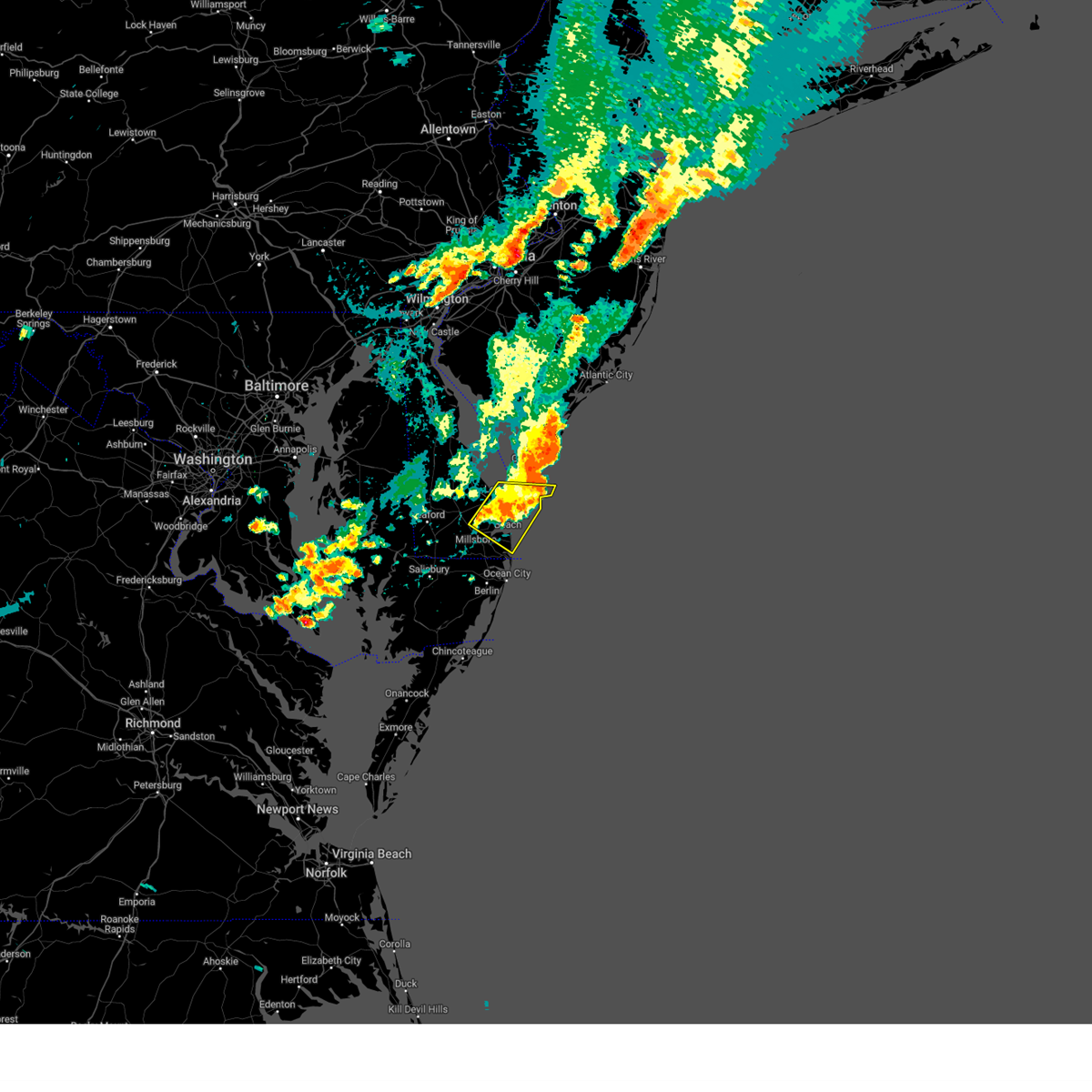 At 434 pm edt, severe thunderstorms were located along a line extending from 12 miles south of cape may to near henlopen acres to near millsboro, moving east at 30 mph (radar indicated). Hazards include 60 mph wind gusts. Damage to roofs, siding, trees, and power lines is possible. locations impacted include, lewes, millville, henlopen acres, cape henlopen state park, long neck, ocean view, south bethany and dewey beach. hail threat, radar indicated max hail size, <. 75 in wind threat, radar indicated max wind gust, 60 mph. At 434 pm edt, severe thunderstorms were located along a line extending from 12 miles south of cape may to near henlopen acres to near millsboro, moving east at 30 mph (radar indicated). Hazards include 60 mph wind gusts. Damage to roofs, siding, trees, and power lines is possible. locations impacted include, lewes, millville, henlopen acres, cape henlopen state park, long neck, ocean view, south bethany and dewey beach. hail threat, radar indicated max hail size, <. 75 in wind threat, radar indicated max wind gust, 60 mph.
|
| 7/25/2023 4:19 PM EDT |
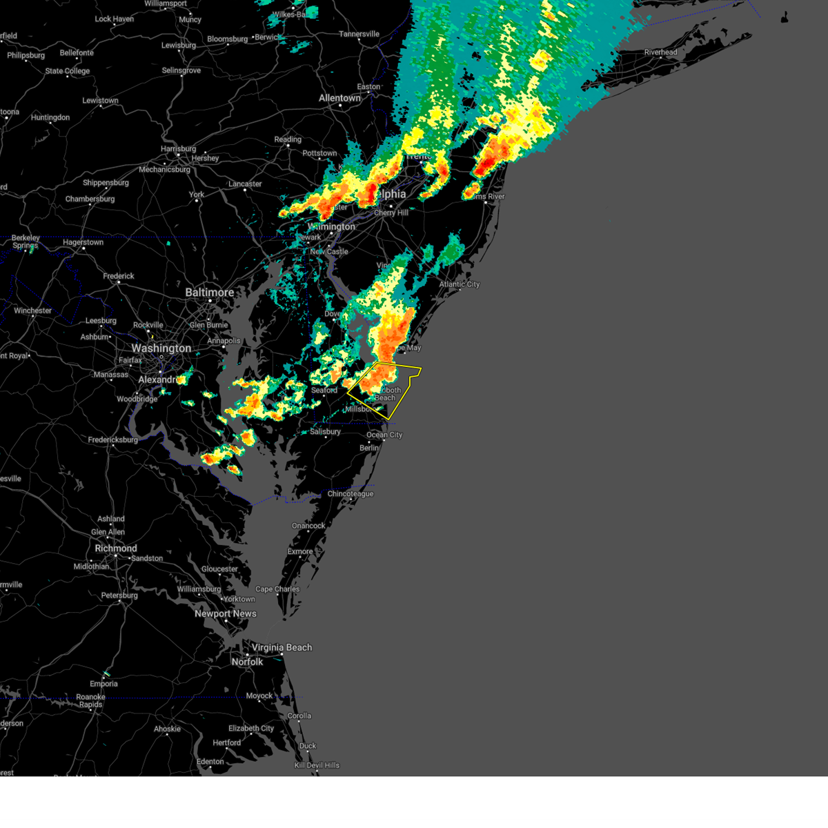 At 418 pm edt, severe thunderstorms were located along a line extending from 6 miles east of cape henlopen state park to near henlopen acres to near georgetown, moving east at 30 mph (radar indicated). Hazards include 60 mph wind gusts. Damage to roofs, siding, trees, and power lines is possible. locations impacted include, georgetown, millsboro, lewes, millville, henlopen acres, cape henlopen state park, long neck, ocean view, south bethany and dewey beach. hail threat, radar indicated max hail size, <. 75 in wind threat, radar indicated max wind gust, 60 mph. At 418 pm edt, severe thunderstorms were located along a line extending from 6 miles east of cape henlopen state park to near henlopen acres to near georgetown, moving east at 30 mph (radar indicated). Hazards include 60 mph wind gusts. Damage to roofs, siding, trees, and power lines is possible. locations impacted include, georgetown, millsboro, lewes, millville, henlopen acres, cape henlopen state park, long neck, ocean view, south bethany and dewey beach. hail threat, radar indicated max hail size, <. 75 in wind threat, radar indicated max wind gust, 60 mph.
|
| 7/25/2023 4:01 PM EDT |
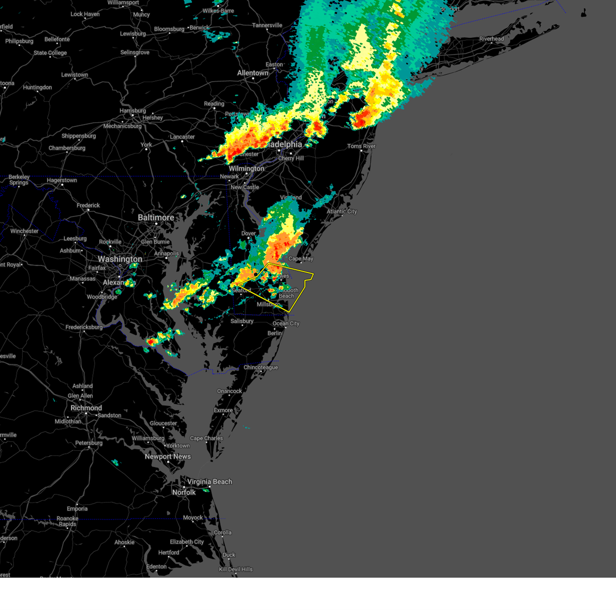 At 400 pm edt, severe thunderstorms were located along a line extending from lewes to near georgetown to near seaford, moving east at 30 mph (radar indicated). Hazards include 60 mph wind gusts. damage to roofs, siding, trees, and power lines is possible At 400 pm edt, severe thunderstorms were located along a line extending from lewes to near georgetown to near seaford, moving east at 30 mph (radar indicated). Hazards include 60 mph wind gusts. damage to roofs, siding, trees, and power lines is possible
|
| 7/25/2023 3:44 PM EDT |
 At 343 pm edt, severe thunderstorms were located along a line extending from 8 miles west of fortesque to near big stone beach to near bridgeville, moving east at 30 mph (radar indicated). Hazards include 60 mph wind gusts. Damage to roofs, siding, trees, and power lines is possible. locations impacted include, dover, milford, harrington, camden, lewes, milton, bridgeville, ellendale, bowers, smithville, rising sun-lebanon, agner, dover base housing, andrewsville, rising sun, big stone beach, greenwood, frederica, houston and magnolia. people at the delaware state fair should seek safe shelter immediately! hail threat, radar indicated max hail size, <. 75 in wind threat, radar indicated max wind gust, 60 mph. At 343 pm edt, severe thunderstorms were located along a line extending from 8 miles west of fortesque to near big stone beach to near bridgeville, moving east at 30 mph (radar indicated). Hazards include 60 mph wind gusts. Damage to roofs, siding, trees, and power lines is possible. locations impacted include, dover, milford, harrington, camden, lewes, milton, bridgeville, ellendale, bowers, smithville, rising sun-lebanon, agner, dover base housing, andrewsville, rising sun, big stone beach, greenwood, frederica, houston and magnolia. people at the delaware state fair should seek safe shelter immediately! hail threat, radar indicated max hail size, <. 75 in wind threat, radar indicated max wind gust, 60 mph.
|
| 7/25/2023 3:44 PM EDT |
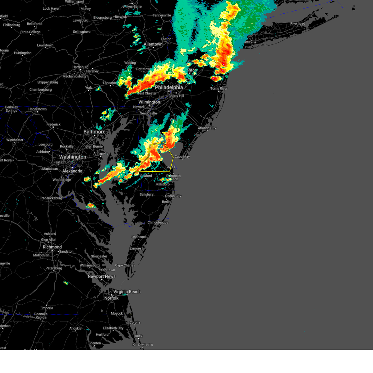 At 343 pm edt, severe thunderstorms were located along a line extending from 8 miles west of fortesque to near big stone beach to near bridgeville, moving east at 30 mph (radar indicated). Hazards include 60 mph wind gusts. Damage to roofs, siding, trees, and power lines is possible. locations impacted include, dover, milford, harrington, camden, lewes, milton, bridgeville, ellendale, bowers, smithville, rising sun-lebanon, agner, dover base housing, andrewsville, rising sun, big stone beach, greenwood, frederica, houston and magnolia. people at the delaware state fair should seek safe shelter immediately! hail threat, radar indicated max hail size, <. 75 in wind threat, radar indicated max wind gust, 60 mph. At 343 pm edt, severe thunderstorms were located along a line extending from 8 miles west of fortesque to near big stone beach to near bridgeville, moving east at 30 mph (radar indicated). Hazards include 60 mph wind gusts. Damage to roofs, siding, trees, and power lines is possible. locations impacted include, dover, milford, harrington, camden, lewes, milton, bridgeville, ellendale, bowers, smithville, rising sun-lebanon, agner, dover base housing, andrewsville, rising sun, big stone beach, greenwood, frederica, houston and magnolia. people at the delaware state fair should seek safe shelter immediately! hail threat, radar indicated max hail size, <. 75 in wind threat, radar indicated max wind gust, 60 mph.
|
| 7/25/2023 3:21 PM EDT |
 At 321 pm edt, severe thunderstorms were located along a line extending from dover speedway to near milford to smithville, moving east at 25 mph (radar indicated). Hazards include 60 mph wind gusts. damage to roofs, siding, trees, and power lines is possible At 321 pm edt, severe thunderstorms were located along a line extending from dover speedway to near milford to smithville, moving east at 25 mph (radar indicated). Hazards include 60 mph wind gusts. damage to roofs, siding, trees, and power lines is possible
|
| 7/25/2023 3:21 PM EDT |
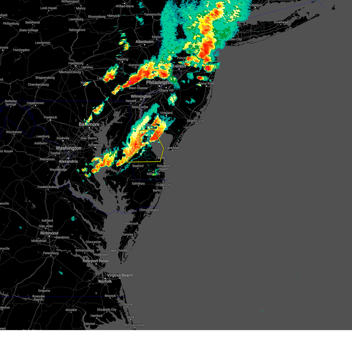 At 321 pm edt, severe thunderstorms were located along a line extending from dover speedway to near milford to smithville, moving east at 25 mph (radar indicated). Hazards include 60 mph wind gusts. damage to roofs, siding, trees, and power lines is possible At 321 pm edt, severe thunderstorms were located along a line extending from dover speedway to near milford to smithville, moving east at 25 mph (radar indicated). Hazards include 60 mph wind gusts. damage to roofs, siding, trees, and power lines is possible
|
| 6/27/2023 8:55 PM EDT |
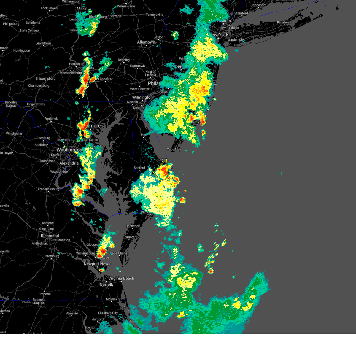 The severe thunderstorm warning for southeastern sussex county will expire at 900 pm edt, the storm which prompted the warning has weakened below severe limits, and no longer poses an immediate threat to life or property. therefore, the warning will be allowed to expire. however heavy rain is still possible with this thunderstorm. The severe thunderstorm warning for southeastern sussex county will expire at 900 pm edt, the storm which prompted the warning has weakened below severe limits, and no longer poses an immediate threat to life or property. therefore, the warning will be allowed to expire. however heavy rain is still possible with this thunderstorm.
|
| 6/27/2023 8:35 PM EDT |
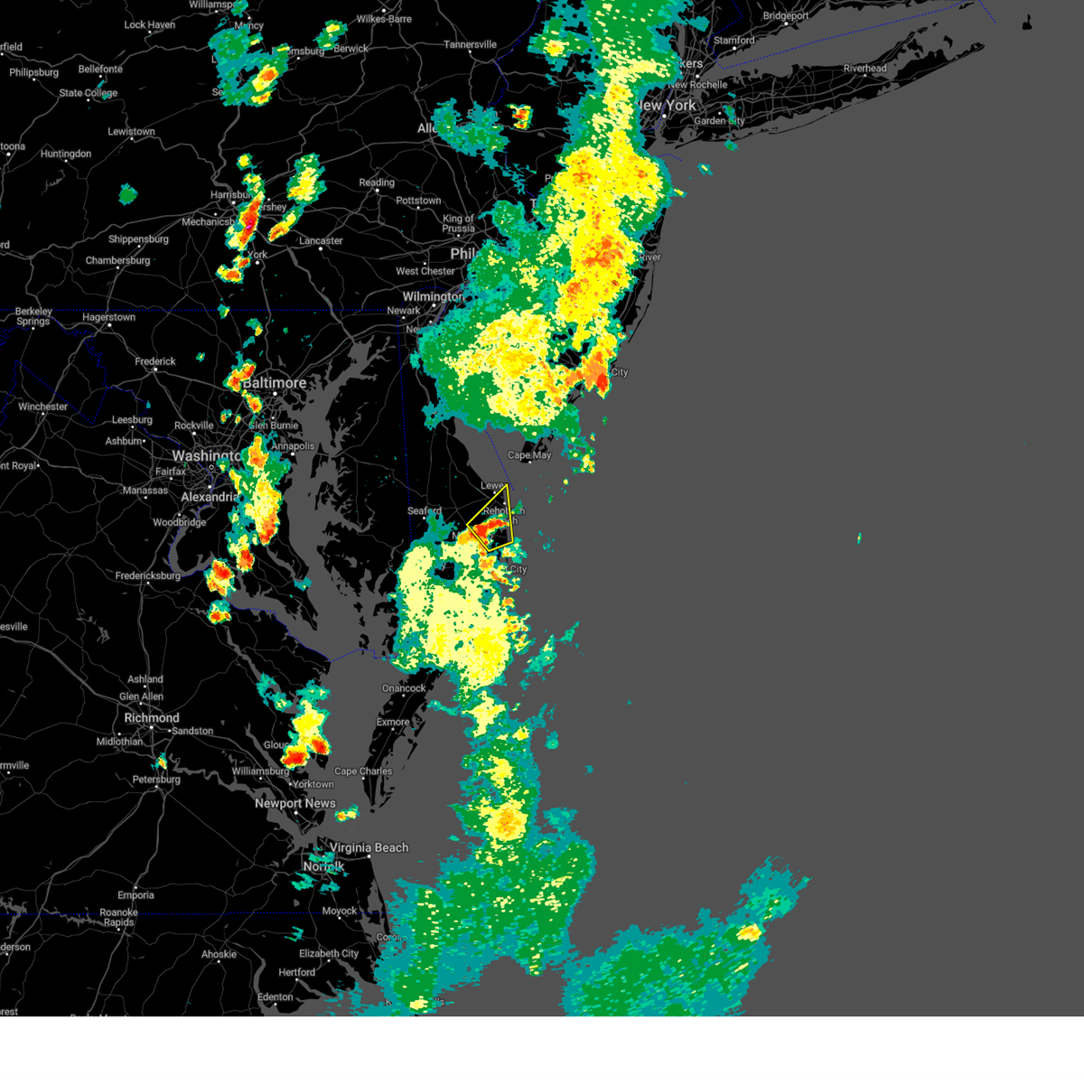 At 834 pm edt, a severe thunderstorm was located near dagsboro, or 12 miles southeast of georgetown, moving northeast at 30 mph (radar indicated). Hazards include 60 mph wind gusts and quarter size hail. Minor damage to vehicles is possible. Wind damage to roofs, siding, trees, and power lines is possible. At 834 pm edt, a severe thunderstorm was located near dagsboro, or 12 miles southeast of georgetown, moving northeast at 30 mph (radar indicated). Hazards include 60 mph wind gusts and quarter size hail. Minor damage to vehicles is possible. Wind damage to roofs, siding, trees, and power lines is possible.
|
| 6/16/2023 1:02 PM EDT |
 At 101 pm edt, severe thunderstorms were located along a line extending from 9 miles east of big stone beach to 6 miles north of milton, moving east at 25 mph (radar indicated). Hazards include 60 mph wind gusts and quarter size hail. Minor damage to vehicles is possible. wind damage to roofs, siding, trees, and power lines is possible. locations impacted include, lewes, milton and ellendale. hail threat, radar indicated max hail size, 1. 00 in wind threat, radar indicated max wind gust, 60 mph. At 101 pm edt, severe thunderstorms were located along a line extending from 9 miles east of big stone beach to 6 miles north of milton, moving east at 25 mph (radar indicated). Hazards include 60 mph wind gusts and quarter size hail. Minor damage to vehicles is possible. wind damage to roofs, siding, trees, and power lines is possible. locations impacted include, lewes, milton and ellendale. hail threat, radar indicated max hail size, 1. 00 in wind threat, radar indicated max wind gust, 60 mph.
|
| 6/16/2023 12:28 PM EDT |
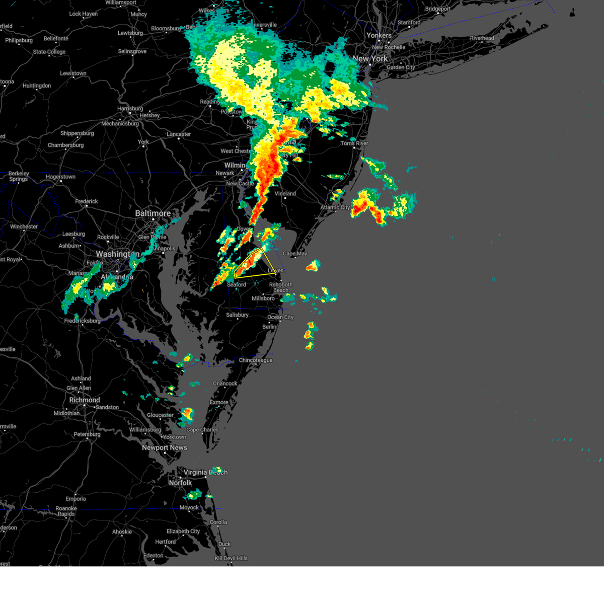 At 1228 pm edt, severe thunderstorms were located along a line extending from milford to near bridgeville, moving east at 25 mph (radar indicated). Hazards include 60 mph wind gusts and quarter size hail. Minor damage to vehicles is possible. Wind damage to roofs, siding, trees, and power lines is possible. At 1228 pm edt, severe thunderstorms were located along a line extending from milford to near bridgeville, moving east at 25 mph (radar indicated). Hazards include 60 mph wind gusts and quarter size hail. Minor damage to vehicles is possible. Wind damage to roofs, siding, trees, and power lines is possible.
|
| 4/22/2023 6:03 PM EDT |
 At 603 pm edt, severe thunderstorms were located along a line extending from near seaford to near georgetown, moving northeast at 50 mph (radar indicated). Hazards include 60 mph wind gusts and quarter size hail. Minor damage to vehicles is possible. wind damage to roofs, siding, trees, and power lines is possible. locations impacted include, georgetown, seaford, millsboro, laurel, harrington, lewes, milton, bridgeville, dagsboro, ellendale, gumboro, sycamore, andrewsville, blades, greenwood and farmington. hail threat, radar indicated max hail size, 1. 00 in wind threat, radar indicated max wind gust, 60 mph. At 603 pm edt, severe thunderstorms were located along a line extending from near seaford to near georgetown, moving northeast at 50 mph (radar indicated). Hazards include 60 mph wind gusts and quarter size hail. Minor damage to vehicles is possible. wind damage to roofs, siding, trees, and power lines is possible. locations impacted include, georgetown, seaford, millsboro, laurel, harrington, lewes, milton, bridgeville, dagsboro, ellendale, gumboro, sycamore, andrewsville, blades, greenwood and farmington. hail threat, radar indicated max hail size, 1. 00 in wind threat, radar indicated max wind gust, 60 mph.
|
| 4/22/2023 5:23 PM EDT |
 At 523 pm edt, severe thunderstorms were located along a line extending from 8 miles northeast of deal island to university of maryland eastern shore, moving northeast at 50 mph (radar indicated). Hazards include 60 mph wind gusts and quarter size hail. Minor damage to vehicles is possible. Wind damage to roofs, siding, trees, and power lines is possible. At 523 pm edt, severe thunderstorms were located along a line extending from 8 miles northeast of deal island to university of maryland eastern shore, moving northeast at 50 mph (radar indicated). Hazards include 60 mph wind gusts and quarter size hail. Minor damage to vehicles is possible. Wind damage to roofs, siding, trees, and power lines is possible.
|
| 4/1/2023 9:06 PM EDT |
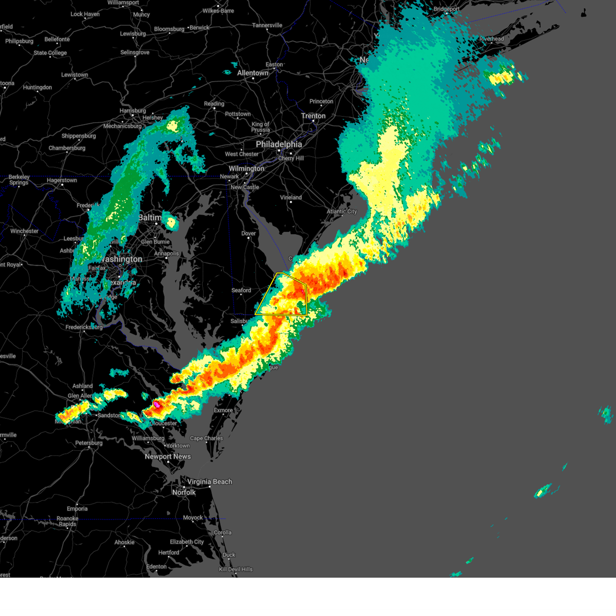 The severe thunderstorm warning for southeastern sussex county will expire at 915 pm edt, the storms which prompted the warning have moved out of the area. therefore, the warning will be allowed to expire. a tornado watch remains in effect until 1000 pm edt for southern delaware. to report severe weather, contact your nearest law enforcement agency. they will relay your report to the national weather service mount holly nj. The severe thunderstorm warning for southeastern sussex county will expire at 915 pm edt, the storms which prompted the warning have moved out of the area. therefore, the warning will be allowed to expire. a tornado watch remains in effect until 1000 pm edt for southern delaware. to report severe weather, contact your nearest law enforcement agency. they will relay your report to the national weather service mount holly nj.
|
| 4/1/2023 8:56 PM EDT |
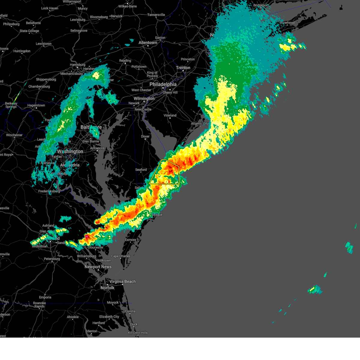 At 855 pm edt, severe thunderstorms were located along a line extending from 24 miles southeast of henlopen acres to 16 miles east of millville to near berlin, moving southeast at 55 mph (radar indicated). Hazards include 60 mph wind gusts. Damage to roofs, siding, trees, and power lines is possible. locations impacted include, millsboro, lewes, selbyville, dagsboro, millville, henlopen acres, gumboro, cape henlopen state park, long neck, ocean view, frankford, south bethany and dewey beach. hail threat, radar indicated max hail size, <. 75 in wind threat, radar indicated max wind gust, 60 mph. At 855 pm edt, severe thunderstorms were located along a line extending from 24 miles southeast of henlopen acres to 16 miles east of millville to near berlin, moving southeast at 55 mph (radar indicated). Hazards include 60 mph wind gusts. Damage to roofs, siding, trees, and power lines is possible. locations impacted include, millsboro, lewes, selbyville, dagsboro, millville, henlopen acres, gumboro, cape henlopen state park, long neck, ocean view, frankford, south bethany and dewey beach. hail threat, radar indicated max hail size, <. 75 in wind threat, radar indicated max wind gust, 60 mph.
|
| 4/1/2023 8:42 PM EDT |
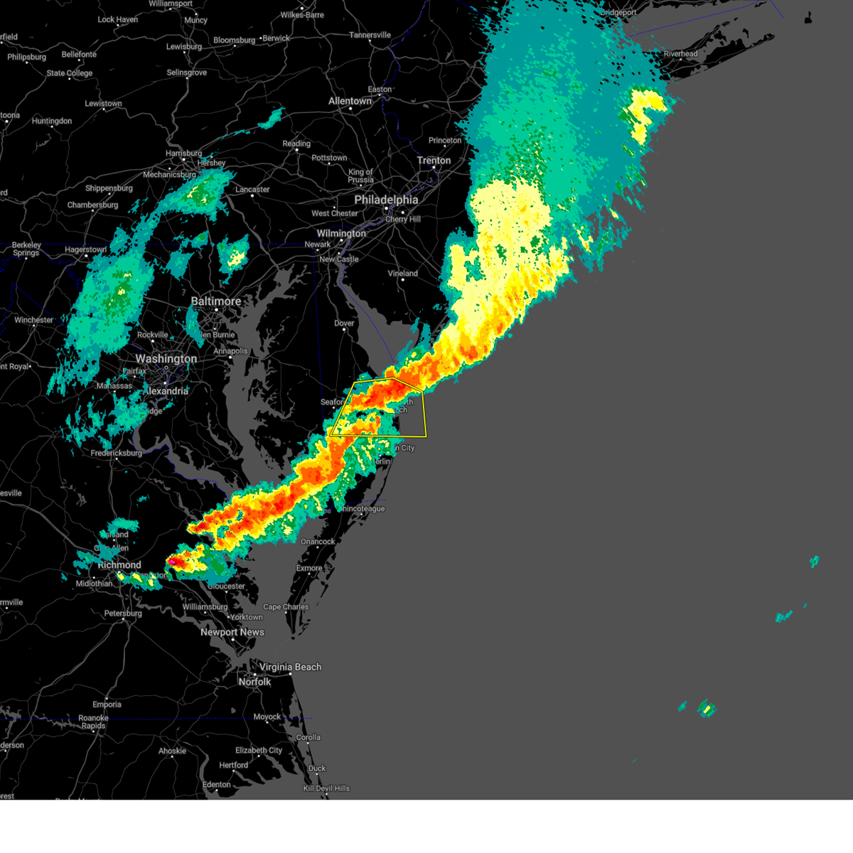 At 841 pm edt, severe thunderstorms were located along a line extending from 10 miles east of henlopen acres to near millville to near gumboro, moving southeast at 60 mph (radar indicated). Hazards include 60 mph wind gusts and nickel size hail. Damage to roofs, siding, trees, and power lines is possible. locations impacted include, georgetown, millsboro, laurel, lewes, milton, selbyville, delmar, dagsboro, millville, ellendale, henlopen acres, gumboro, cape henlopen state park, sycamore, long neck, ocean view, frankford, south bethany and dewey beach. hail threat, radar indicated max hail size, 0. 88 in wind threat, radar indicated max wind gust, 60 mph. At 841 pm edt, severe thunderstorms were located along a line extending from 10 miles east of henlopen acres to near millville to near gumboro, moving southeast at 60 mph (radar indicated). Hazards include 60 mph wind gusts and nickel size hail. Damage to roofs, siding, trees, and power lines is possible. locations impacted include, georgetown, millsboro, laurel, lewes, milton, selbyville, delmar, dagsboro, millville, ellendale, henlopen acres, gumboro, cape henlopen state park, sycamore, long neck, ocean view, frankford, south bethany and dewey beach. hail threat, radar indicated max hail size, 0. 88 in wind threat, radar indicated max wind gust, 60 mph.
|
| 4/1/2023 8:28 PM EDT |
 At 827 pm edt, severe thunderstorms were located along a line extending from lewes to 6 miles southeast of milton to near laurel, moving southeast at 60 mph (radar indicated). Hazards include 60 mph wind gusts and quarter size hail. Minor damage to vehicles is possible. Wind damage to roofs, siding, trees, and power lines is possible. At 827 pm edt, severe thunderstorms were located along a line extending from lewes to 6 miles southeast of milton to near laurel, moving southeast at 60 mph (radar indicated). Hazards include 60 mph wind gusts and quarter size hail. Minor damage to vehicles is possible. Wind damage to roofs, siding, trees, and power lines is possible.
|
| 4/1/2023 8:17 PM EDT |
 At 817 pm edt, severe thunderstorms were located along a line extending from ridgely to agner to 7 miles west of vienna, moving east at 35 mph (radar indicated). Hazards include 60 mph wind gusts and quarter size hail. Minor damage to vehicles is possible. wind damage to roofs, siding, trees, and power lines is possible. locations impacted include, georgetown, milford, seaford, millsboro, laurel, harrington, lewes, federalsburg, milton, selbyville, bridgeville, delmar, dagsboro, preston, millville, ellendale, henlopen acres, smithville, gumboro and cape henlopen state park. hail threat, radar indicated max hail size, 1. 00 in wind threat, radar indicated max wind gust, 60 mph. At 817 pm edt, severe thunderstorms were located along a line extending from ridgely to agner to 7 miles west of vienna, moving east at 35 mph (radar indicated). Hazards include 60 mph wind gusts and quarter size hail. Minor damage to vehicles is possible. wind damage to roofs, siding, trees, and power lines is possible. locations impacted include, georgetown, milford, seaford, millsboro, laurel, harrington, lewes, federalsburg, milton, selbyville, bridgeville, delmar, dagsboro, preston, millville, ellendale, henlopen acres, smithville, gumboro and cape henlopen state park. hail threat, radar indicated max hail size, 1. 00 in wind threat, radar indicated max wind gust, 60 mph.
|
| 4/1/2023 7:50 PM EDT |
 At 749 pm edt, severe thunderstorms were located along a line extending from near wye mills to hambleton to near taylors island, moving east at 35 mph (radar indicated). Hazards include 60 mph wind gusts and quarter size hail. Minor damage to vehicles is possible. wind damage to roofs, siding, trees, and power lines is possible. These storms will impact recovery effort across sussex county. At 749 pm edt, severe thunderstorms were located along a line extending from near wye mills to hambleton to near taylors island, moving east at 35 mph (radar indicated). Hazards include 60 mph wind gusts and quarter size hail. Minor damage to vehicles is possible. wind damage to roofs, siding, trees, and power lines is possible. These storms will impact recovery effort across sussex county.
|
| 9/13/2022 5:20 AM EDT |
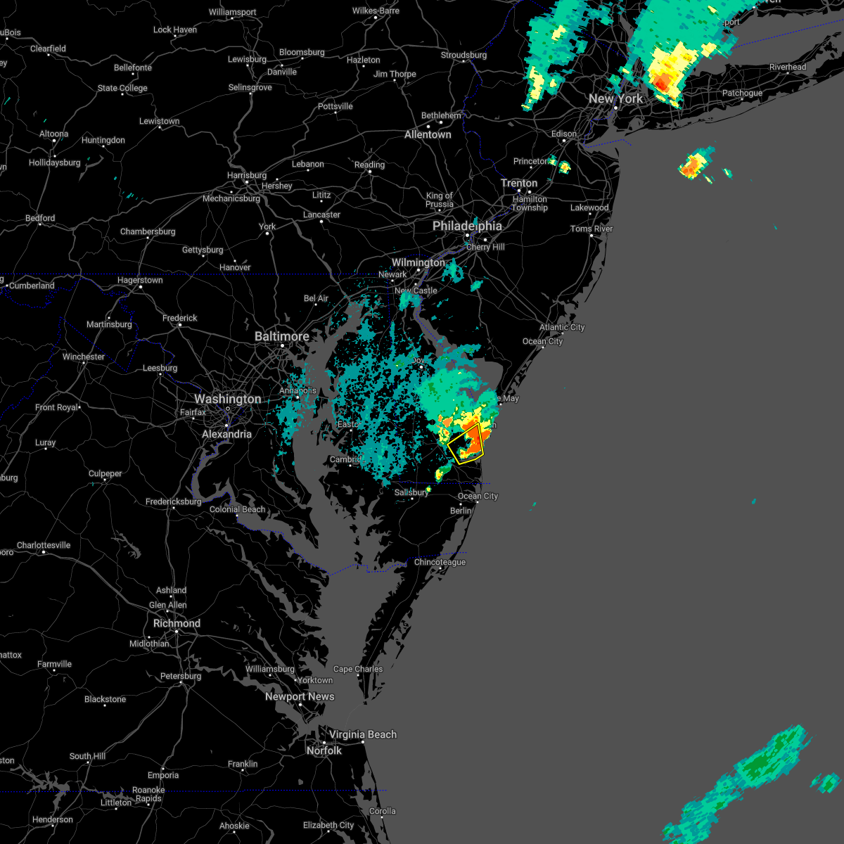 The severe thunderstorm warning for east central sussex county will expire at 530 am edt, the storm which prompted the warning has moved out of the area. therefore, the warning will be allowed to expire. The severe thunderstorm warning for east central sussex county will expire at 530 am edt, the storm which prompted the warning has moved out of the area. therefore, the warning will be allowed to expire.
|
| 9/13/2022 5:05 AM EDT |
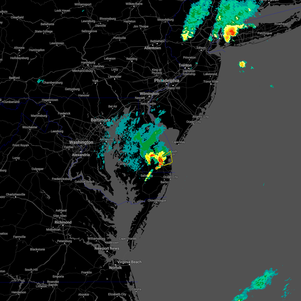 At 505 am edt, a severe thunderstorm was located near henlopen acres, or 11 miles east of georgetown, moving northeast at 35 mph (radar indicated). Hazards include 60 mph wind gusts and penny size hail. Damage to roofs, siding, trees, and power lines is possible. locations impacted include, lewes, henlopen acres, cape henlopen state park, long neck and dewey beach. hail threat, radar indicated max hail size, 0. 75 in wind threat, radar indicated max wind gust, 60 mph. At 505 am edt, a severe thunderstorm was located near henlopen acres, or 11 miles east of georgetown, moving northeast at 35 mph (radar indicated). Hazards include 60 mph wind gusts and penny size hail. Damage to roofs, siding, trees, and power lines is possible. locations impacted include, lewes, henlopen acres, cape henlopen state park, long neck and dewey beach. hail threat, radar indicated max hail size, 0. 75 in wind threat, radar indicated max wind gust, 60 mph.
|
| 9/13/2022 4:47 AM EDT |
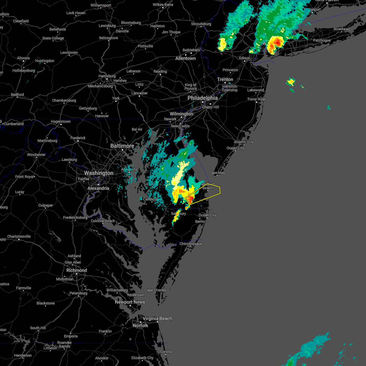 At 447 am edt, a severe thunderstorm was located near millsboro, or near georgetown, moving northeast at 35 mph (radar indicated). Hazards include 60 mph wind gusts and penny size hail. damage to roofs, siding, trees, and power lines is possible At 447 am edt, a severe thunderstorm was located near millsboro, or near georgetown, moving northeast at 35 mph (radar indicated). Hazards include 60 mph wind gusts and penny size hail. damage to roofs, siding, trees, and power lines is possible
|
| 8/10/2022 9:25 PM EDT |
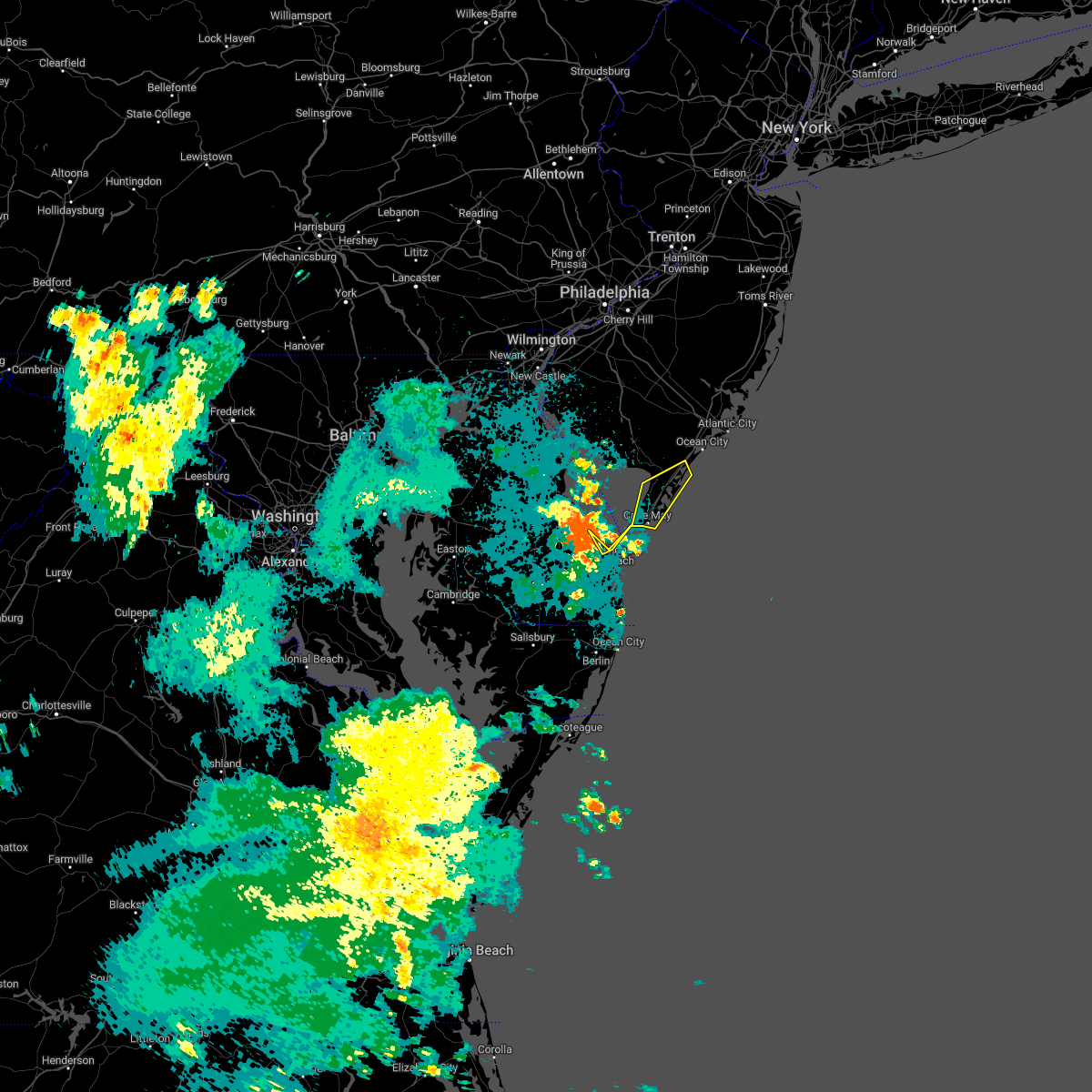 At 924 pm edt, a severe thunderstorm was located 8 miles northwest of cape henlopen state park, or 13 miles west of cape may, moving northeast at 25 mph (radar indicated). Hazards include 60 mph wind gusts. damage to roofs, siding, trees, and power lines is possible At 924 pm edt, a severe thunderstorm was located 8 miles northwest of cape henlopen state park, or 13 miles west of cape may, moving northeast at 25 mph (radar indicated). Hazards include 60 mph wind gusts. damage to roofs, siding, trees, and power lines is possible
|
| 8/4/2022 9:12 PM EDT |
 The severe thunderstorm warning for sussex, southeastern kent and southeastern caroline counties will expire at 915 pm edt, the storms which prompted the warning have weakened below severe limits, and no longer pose an immediate threat to life or property. therefore, the warning will be allowed to expire. however gusty winds and heavy rain are still possible with these thunderstorms. to report severe weather, contact your nearest law enforcement agency. they will relay your report to the national weather service mount holly nj. The severe thunderstorm warning for sussex, southeastern kent and southeastern caroline counties will expire at 915 pm edt, the storms which prompted the warning have weakened below severe limits, and no longer pose an immediate threat to life or property. therefore, the warning will be allowed to expire. however gusty winds and heavy rain are still possible with these thunderstorms. to report severe weather, contact your nearest law enforcement agency. they will relay your report to the national weather service mount holly nj.
|
| 8/4/2022 8:37 PM EDT |
 At 837 pm edt, severe thunderstorms were located along a line extending from bowers to near andrewsville to 6 miles southeast of cambridge, moving southeast at 25 mph (radar indicated). Hazards include 60 mph wind gusts and penny size hail. damage to roofs, siding, trees, and power lines is possible At 837 pm edt, severe thunderstorms were located along a line extending from bowers to near andrewsville to 6 miles southeast of cambridge, moving southeast at 25 mph (radar indicated). Hazards include 60 mph wind gusts and penny size hail. damage to roofs, siding, trees, and power lines is possible
|
| 7/21/2022 5:24 PM EDT |
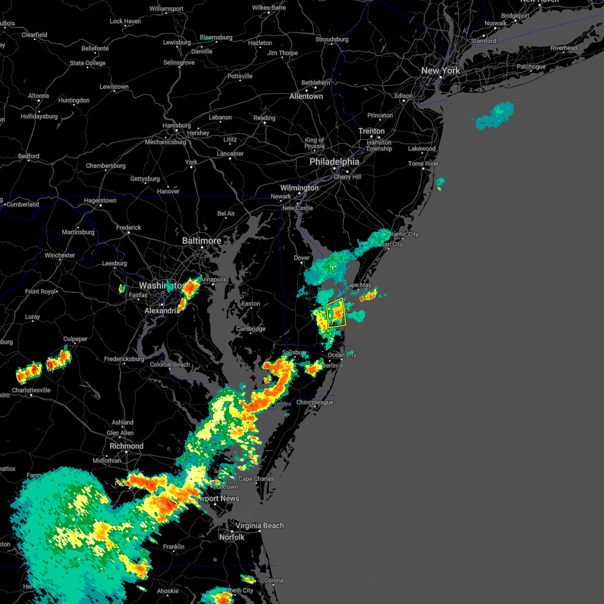 At 523 pm edt, a severe thunderstorm was located over henlopen acres, or 14 miles east of georgetown, moving east at 25 mph (radar indicated). Hazards include 60 mph wind gusts. Damage to roofs, siding, trees, and power lines is possible. locations impacted include, lewes, henlopen acres, cape henlopen state park, long neck and dewey beach. hail threat, radar indicated max hail size, <. 75 in wind threat, radar indicated max wind gust, 60 mph. At 523 pm edt, a severe thunderstorm was located over henlopen acres, or 14 miles east of georgetown, moving east at 25 mph (radar indicated). Hazards include 60 mph wind gusts. Damage to roofs, siding, trees, and power lines is possible. locations impacted include, lewes, henlopen acres, cape henlopen state park, long neck and dewey beach. hail threat, radar indicated max hail size, <. 75 in wind threat, radar indicated max wind gust, 60 mph.
|
| 7/21/2022 5:16 PM EDT |
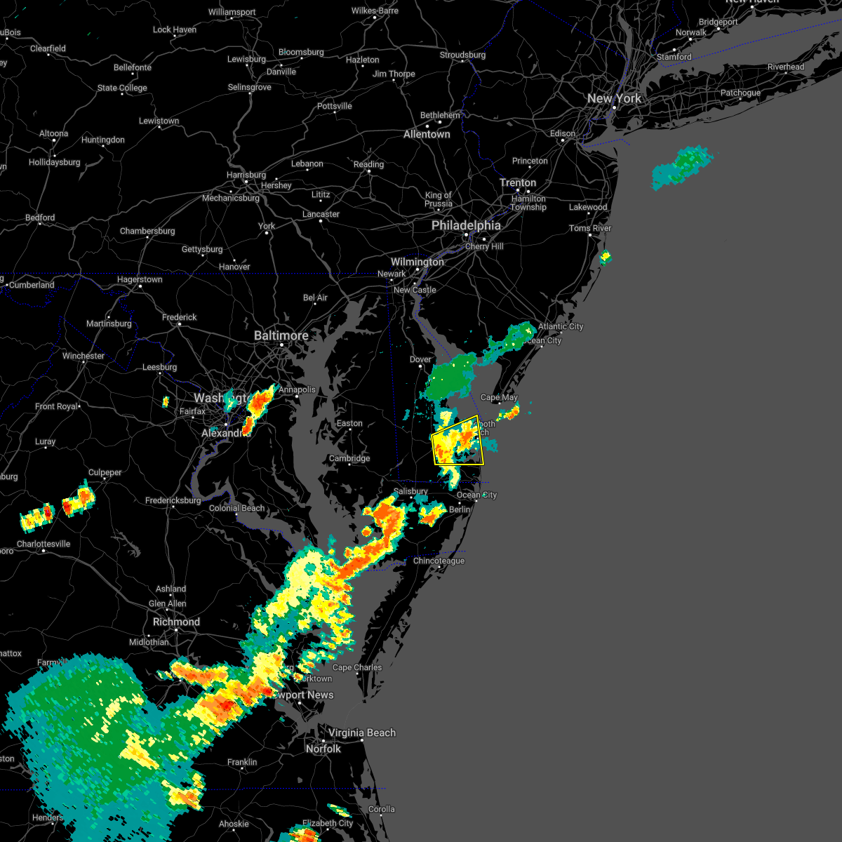 At 516 pm edt, severe thunderstorms were located along a line extending from near lewes to near millsboro, moving east at 30 mph (radar indicated). Hazards include 60 mph wind gusts. Damage to roofs, siding, trees, and power lines is possible. locations impacted include, georgetown, millsboro, lewes, milton, henlopen acres, cape henlopen state park, long neck and dewey beach. hail threat, radar indicated max hail size, <. 75 in wind threat, radar indicated max wind gust, 60 mph. At 516 pm edt, severe thunderstorms were located along a line extending from near lewes to near millsboro, moving east at 30 mph (radar indicated). Hazards include 60 mph wind gusts. Damage to roofs, siding, trees, and power lines is possible. locations impacted include, georgetown, millsboro, lewes, milton, henlopen acres, cape henlopen state park, long neck and dewey beach. hail threat, radar indicated max hail size, <. 75 in wind threat, radar indicated max wind gust, 60 mph.
|
| 7/21/2022 4:58 PM EDT |
 At 457 pm edt, a severe thunderstorm was located over sycamore, or 8 miles southwest of georgetown, moving east at 35 mph. an additional severe thunderstorm just east of georgetown, was also moving east at 35 mph (radar indicated). Hazards include 60 mph wind gusts and quarter size hail. Minor damage to vehicles is possible. wind damage to roofs, siding, trees, and power lines is possible. locations impacted include, georgetown, millsboro, laurel, lewes, milton, henlopen acres, sycamore, cape henlopen state park, long neck and dewey beach. hail threat, radar indicated max hail size, 1. 00 in wind threat, radar indicated max wind gust, 60 mph. At 457 pm edt, a severe thunderstorm was located over sycamore, or 8 miles southwest of georgetown, moving east at 35 mph. an additional severe thunderstorm just east of georgetown, was also moving east at 35 mph (radar indicated). Hazards include 60 mph wind gusts and quarter size hail. Minor damage to vehicles is possible. wind damage to roofs, siding, trees, and power lines is possible. locations impacted include, georgetown, millsboro, laurel, lewes, milton, henlopen acres, sycamore, cape henlopen state park, long neck and dewey beach. hail threat, radar indicated max hail size, 1. 00 in wind threat, radar indicated max wind gust, 60 mph.
|
| 7/21/2022 4:37 PM EDT |
 At 437 pm edt, a severe thunderstorm was located near seaford, or 10 miles east of hurlock, moving east at 40 mph (radar indicated). Hazards include 60 mph wind gusts and quarter size hail. Minor damage to vehicles is possible. Wind damage to roofs, siding, trees, and power lines is possible. At 437 pm edt, a severe thunderstorm was located near seaford, or 10 miles east of hurlock, moving east at 40 mph (radar indicated). Hazards include 60 mph wind gusts and quarter size hail. Minor damage to vehicles is possible. Wind damage to roofs, siding, trees, and power lines is possible.
|
| 7/12/2022 8:09 PM EDT |
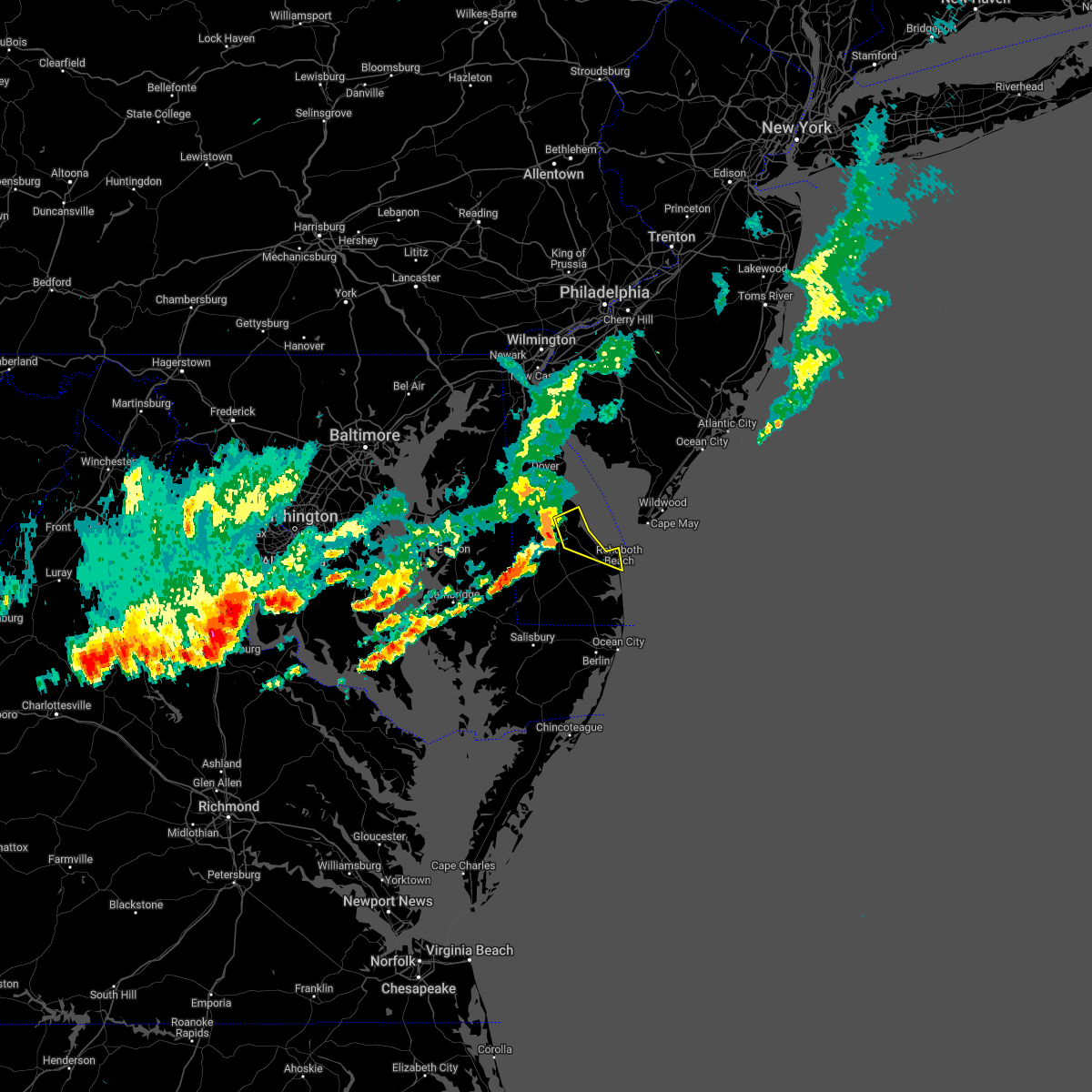 At 808 pm edt, a severe thunderstorm was located near milford, or 14 miles north of georgetown, moving east at 40 mph (radar indicated). Hazards include 60 mph wind gusts and quarter size hail. Minor damage to vehicles is possible. wind damage to roofs, siding, trees, and power lines is possible. locations impacted include, milford, lewes, milton, henlopen acres, big stone beach and cape henlopen state park. hail threat, radar indicated max hail size, 1. 00 in wind threat, radar indicated max wind gust, 60 mph. At 808 pm edt, a severe thunderstorm was located near milford, or 14 miles north of georgetown, moving east at 40 mph (radar indicated). Hazards include 60 mph wind gusts and quarter size hail. Minor damage to vehicles is possible. wind damage to roofs, siding, trees, and power lines is possible. locations impacted include, milford, lewes, milton, henlopen acres, big stone beach and cape henlopen state park. hail threat, radar indicated max hail size, 1. 00 in wind threat, radar indicated max wind gust, 60 mph.
|
| 7/12/2022 7:54 PM EDT |
 At 753 pm edt, a severe thunderstorm was located near harrington, or 13 miles northwest of georgetown, moving east at 40 mph. this storm has a history of significant wind damage near denton, maryland (radar indicated). Hazards include 60 mph wind gusts and quarter size hail. Minor damage to vehicles is possible. Wind damage to roofs, siding, trees, and power lines is possible. At 753 pm edt, a severe thunderstorm was located near harrington, or 13 miles northwest of georgetown, moving east at 40 mph. this storm has a history of significant wind damage near denton, maryland (radar indicated). Hazards include 60 mph wind gusts and quarter size hail. Minor damage to vehicles is possible. Wind damage to roofs, siding, trees, and power lines is possible.
|
| 7/5/2022 7:55 PM EDT |
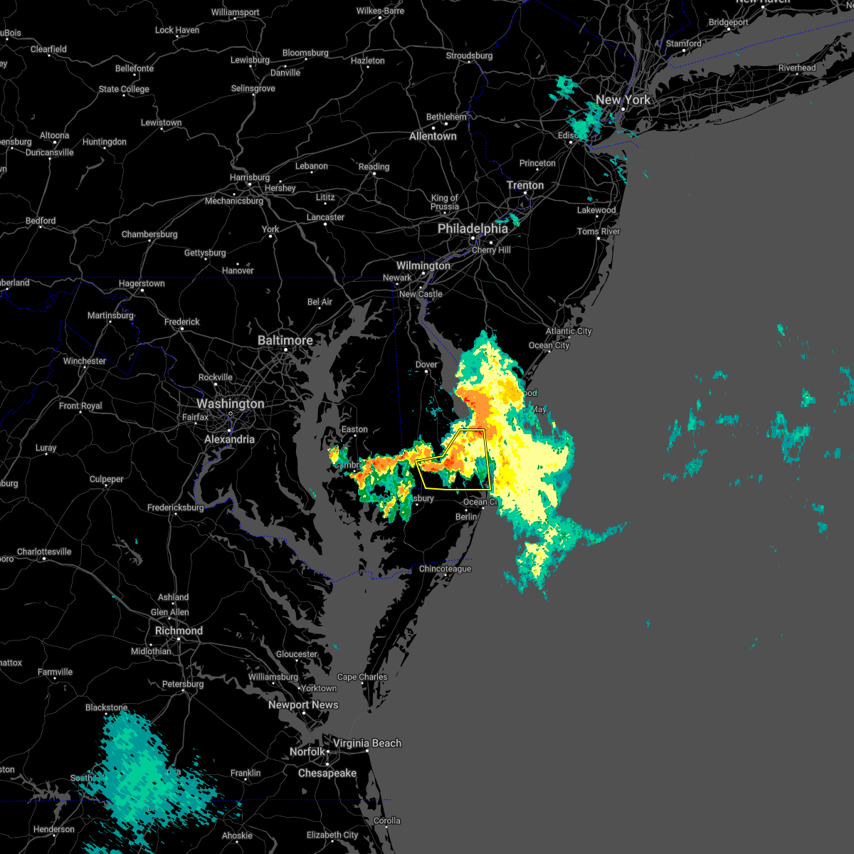 At 755 pm edt, severe thunderstorms were located along a line extending from 6 miles southwest of lewes to millsboro to near sycamore, moving southeast at 30 mph (radar indicated). Hazards include 60 mph wind gusts. damage to roofs, siding, trees, and power lines is possible At 755 pm edt, severe thunderstorms were located along a line extending from 6 miles southwest of lewes to millsboro to near sycamore, moving southeast at 30 mph (radar indicated). Hazards include 60 mph wind gusts. damage to roofs, siding, trees, and power lines is possible
|
| 6/2/2022 7:04 PM EDT |
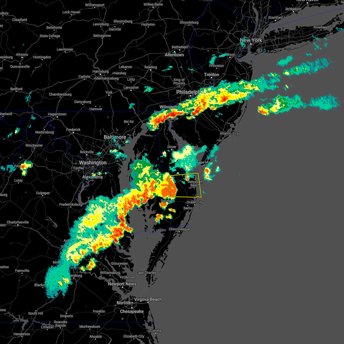 At 704 pm edt, severe thunderstorms were located along a line extending from near milton to near gumboro, moving east at 40 mph (radar indicated). Hazards include 70 mph wind gusts and quarter size hail. Minor damage to vehicles is possible. expect considerable tree damage. wind damage is also likely to mobile homes, roofs, and outbuildings. locations impacted include, georgetown, millsboro, laurel, lewes, milton, selbyville, dagsboro, millville, henlopen acres, gumboro, cape henlopen state park, sycamore, long neck, ocean view, frankford, south bethany and dewey beach. thunderstorm damage threat, considerable hail threat, radar indicated max hail size, 1. 00 in wind threat, radar indicated max wind gust, 70 mph. At 704 pm edt, severe thunderstorms were located along a line extending from near milton to near gumboro, moving east at 40 mph (radar indicated). Hazards include 70 mph wind gusts and quarter size hail. Minor damage to vehicles is possible. expect considerable tree damage. wind damage is also likely to mobile homes, roofs, and outbuildings. locations impacted include, georgetown, millsboro, laurel, lewes, milton, selbyville, dagsboro, millville, henlopen acres, gumboro, cape henlopen state park, sycamore, long neck, ocean view, frankford, south bethany and dewey beach. thunderstorm damage threat, considerable hail threat, radar indicated max hail size, 1. 00 in wind threat, radar indicated max wind gust, 70 mph.
|
| 6/2/2022 6:44 PM EDT |
 At 644 pm edt, severe thunderstorms were located along a line extending from near bridgeville to near delmar, moving east at 35 mph (radar indicated). Hazards include 60 mph wind gusts and quarter size hail. Minor damage to vehicles is possible. Wind damage to roofs, siding, trees, and power lines is possible. At 644 pm edt, severe thunderstorms were located along a line extending from near bridgeville to near delmar, moving east at 35 mph (radar indicated). Hazards include 60 mph wind gusts and quarter size hail. Minor damage to vehicles is possible. Wind damage to roofs, siding, trees, and power lines is possible.
|
| 6/2/2022 6:29 PM EDT |
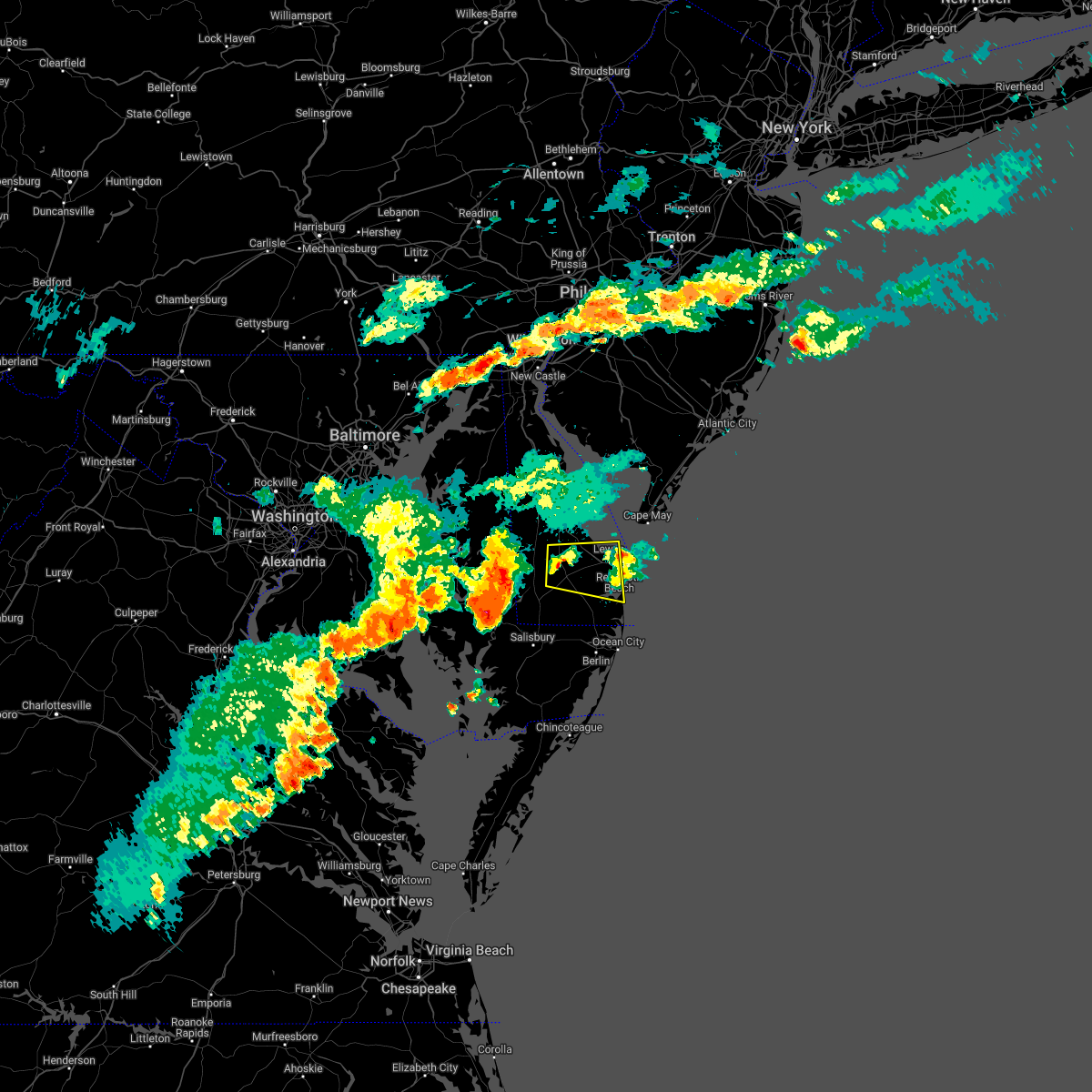 At 629 pm edt, a severe thunderstorm was located near georgetown, moving east at 25 mph (radar indicated). Hazards include 60 mph wind gusts and quarter size hail. Minor damage to vehicles is possible. wind damage to roofs, siding, trees, and power lines is possible. locations impacted include, georgetown, millsboro, lewes, milton, ellendale, henlopen acres, cape henlopen state park, long neck and dewey beach. hail threat, radar indicated max hail size, 1. 00 in wind threat, radar indicated max wind gust, 60 mph. At 629 pm edt, a severe thunderstorm was located near georgetown, moving east at 25 mph (radar indicated). Hazards include 60 mph wind gusts and quarter size hail. Minor damage to vehicles is possible. wind damage to roofs, siding, trees, and power lines is possible. locations impacted include, georgetown, millsboro, lewes, milton, ellendale, henlopen acres, cape henlopen state park, long neck and dewey beach. hail threat, radar indicated max hail size, 1. 00 in wind threat, radar indicated max wind gust, 60 mph.
|
| 6/2/2022 6:10 PM EDT |
 At 610 pm edt, a severe thunderstorm was located over bridgeville, or 11 miles northwest of georgetown, moving east at 25 mph (radar indicated). Hazards include ping pong ball size hail and 60 mph wind gusts. People and animals outdoors will be injured. expect hail damage to roofs, siding, windows, and vehicles. Wind damage to roofs, siding, trees, and power lines is possible. At 610 pm edt, a severe thunderstorm was located over bridgeville, or 11 miles northwest of georgetown, moving east at 25 mph (radar indicated). Hazards include ping pong ball size hail and 60 mph wind gusts. People and animals outdoors will be injured. expect hail damage to roofs, siding, windows, and vehicles. Wind damage to roofs, siding, trees, and power lines is possible.
|
| 5/27/2022 3:09 PM EDT |
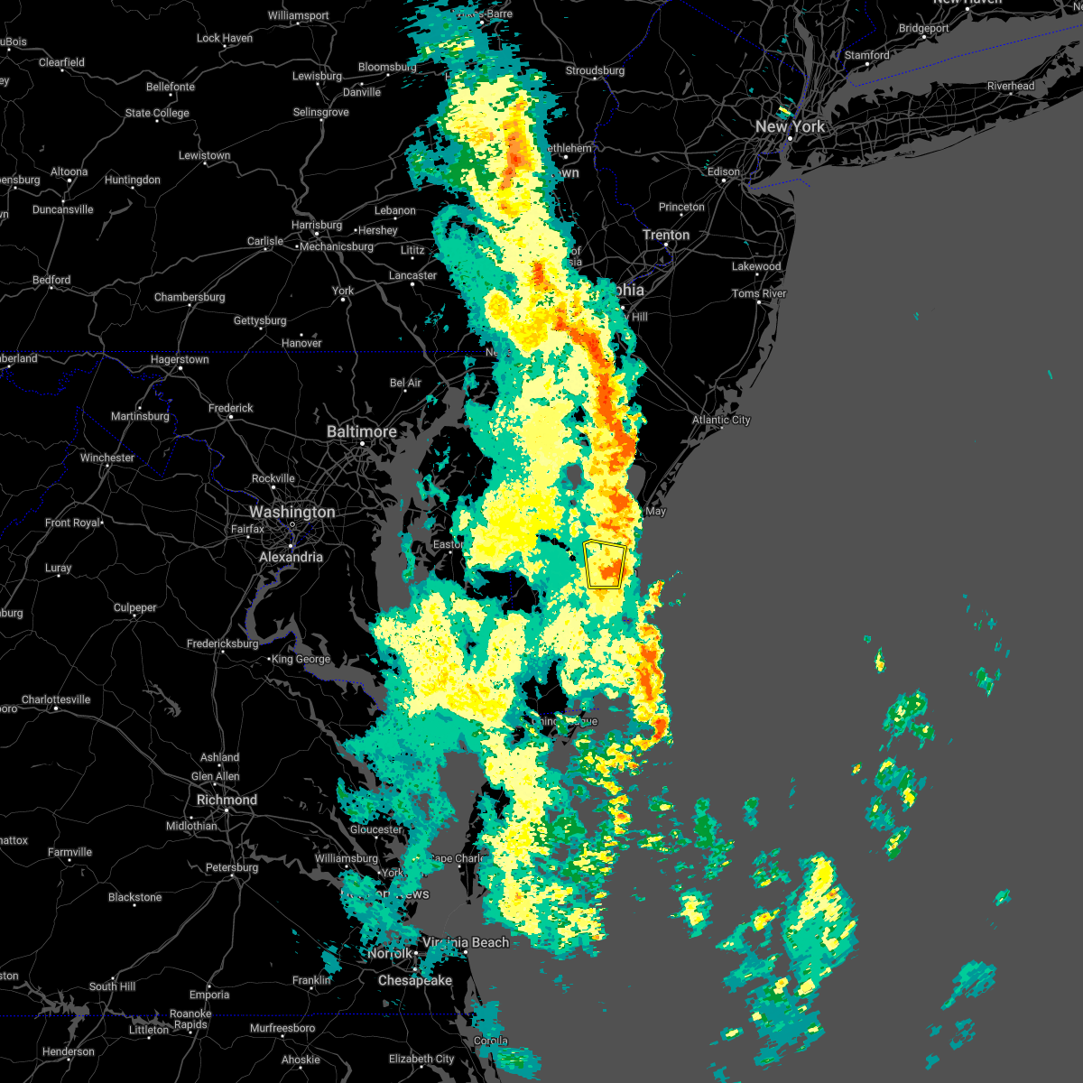 The severe thunderstorm warning for east central sussex county will expire at 315 pm edt, the storm which prompted the warning has weakened below severe limits, and no longer poses an immediate threat to life or property. therefore, the warning will be allowed to expire. a severe thunderstorm watch remains in effect until 700 pm edt for southern delaware. The severe thunderstorm warning for east central sussex county will expire at 315 pm edt, the storm which prompted the warning has weakened below severe limits, and no longer poses an immediate threat to life or property. therefore, the warning will be allowed to expire. a severe thunderstorm watch remains in effect until 700 pm edt for southern delaware.
|
| 5/27/2022 2:58 PM EDT |
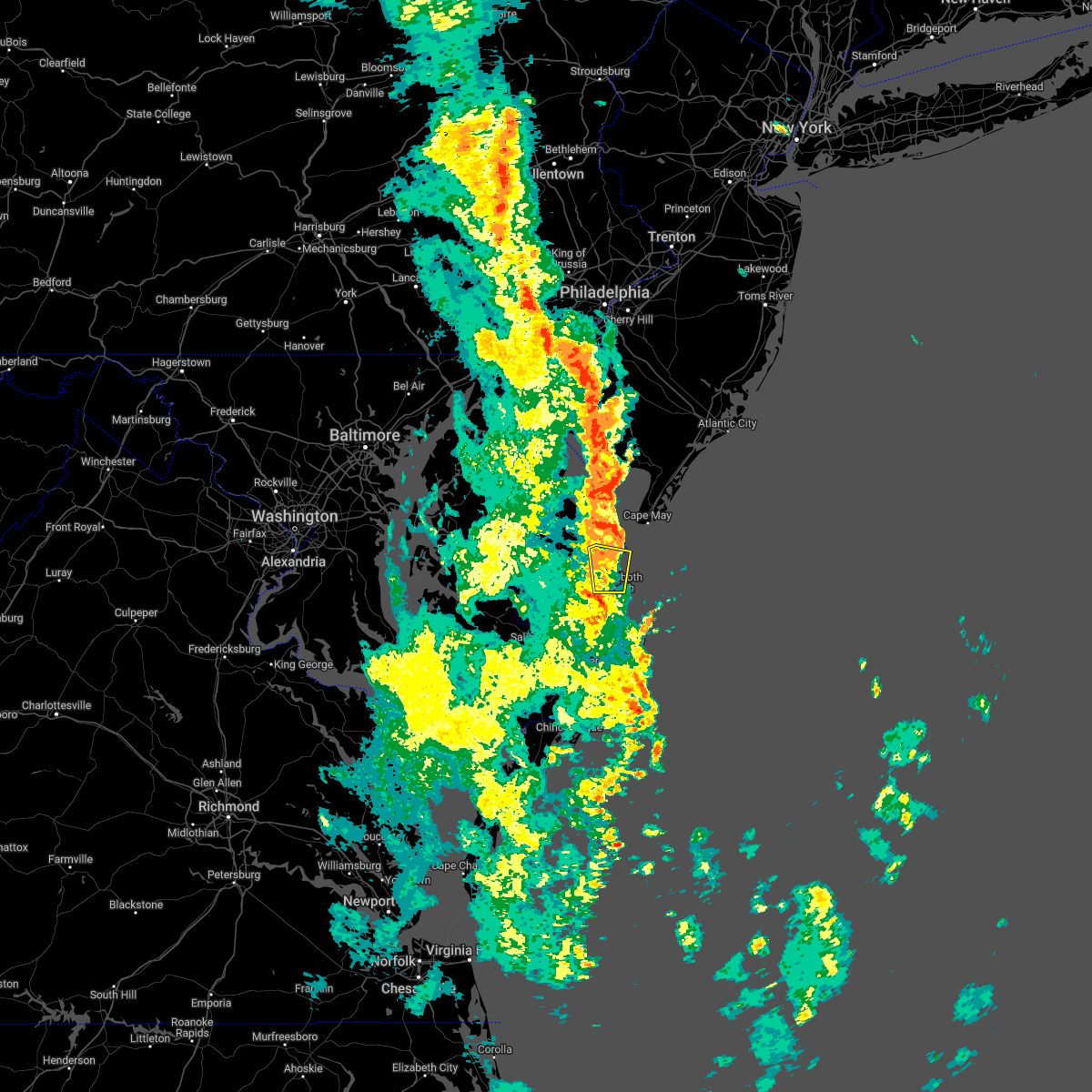 At 258 pm edt, a severe thunderstorm was located over west cape may, or near cape may, moving northeast at 50 mph (radar indicated). Hazards include 60 mph wind gusts and penny size hail. Damage to roofs, siding, trees, and power lines is possible. locations impacted include, lewes, henlopen acres, cape henlopen state park, long neck and dewey beach. hail threat, radar indicated max hail size, 0. 75 in wind threat, radar indicated max wind gust, 60 mph. At 258 pm edt, a severe thunderstorm was located over west cape may, or near cape may, moving northeast at 50 mph (radar indicated). Hazards include 60 mph wind gusts and penny size hail. Damage to roofs, siding, trees, and power lines is possible. locations impacted include, lewes, henlopen acres, cape henlopen state park, long neck and dewey beach. hail threat, radar indicated max hail size, 0. 75 in wind threat, radar indicated max wind gust, 60 mph.
|
| 5/27/2022 2:45 PM EDT |
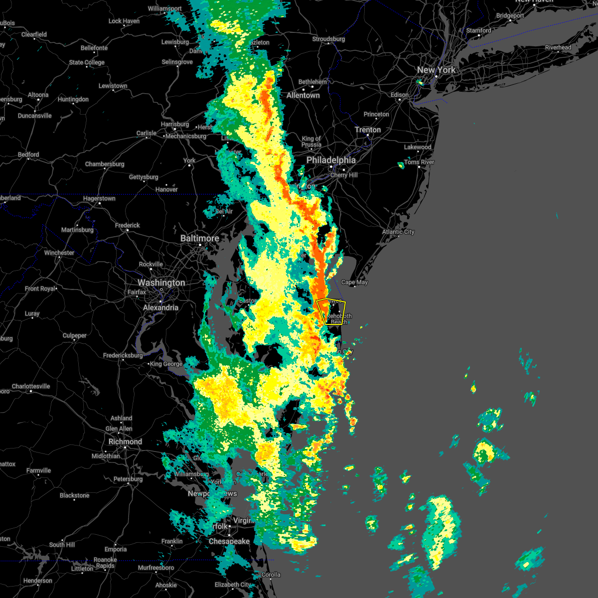 At 244 pm edt, a severe thunderstorm was located over lewes, or 12 miles northeast of georgetown, moving northeast at 50 mph (radar indicated). Hazards include 60 mph wind gusts and penny size hail. damage to roofs, siding, trees, and power lines is possible At 244 pm edt, a severe thunderstorm was located over lewes, or 12 miles northeast of georgetown, moving northeast at 50 mph (radar indicated). Hazards include 60 mph wind gusts and penny size hail. damage to roofs, siding, trees, and power lines is possible
|
| 3/26/2022 4:25 PM EDT | Weatherflow site xle in sussex county DE, 0.9 miles SSE of Lewes, DE |
| 9/1/2021 7:37 PM EDT |
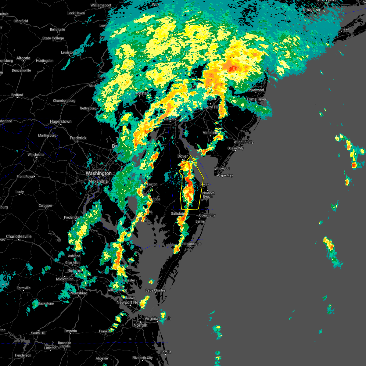 At 737 pm edt, severe thunderstorms were located along a line extending from bowers to near ellendale to near georgetown, moving northeast at 45 mph (radar indicated). Hazards include 60 mph wind gusts. Damage to roofs, siding, trees, and power lines is possible. Locations impacted include, dover, georgetown, milford, millsboro, lewes, milton, dagsboro, ellendale, bowers, gumboro, sycamore, big stone beach, rising sun-lebanon, felton, frankford, frederica, houston, magnolia and riverview. At 737 pm edt, severe thunderstorms were located along a line extending from bowers to near ellendale to near georgetown, moving northeast at 45 mph (radar indicated). Hazards include 60 mph wind gusts. Damage to roofs, siding, trees, and power lines is possible. Locations impacted include, dover, georgetown, milford, millsboro, lewes, milton, dagsboro, ellendale, bowers, gumboro, sycamore, big stone beach, rising sun-lebanon, felton, frankford, frederica, houston, magnolia and riverview.
|
| 9/1/2021 7:16 PM EDT |
 At 716 pm edt, severe thunderstorms were located along a line extending from near andrewsville to near bridgeville to near delmar, moving northeast at 45 mph (radar indicated). Hazards include 60 mph wind gusts. Damage to roofs, siding, trees, and power lines is possible. Locations impacted include, dover, georgetown, milford, seaford, millsboro, laurel, harrington, lewes, milton, bridgeville, delmar, dagsboro, ellendale, bowers, smithville, gumboro, andrewsville, sycamore, big stone beach and rising sun-lebanon. At 716 pm edt, severe thunderstorms were located along a line extending from near andrewsville to near bridgeville to near delmar, moving northeast at 45 mph (radar indicated). Hazards include 60 mph wind gusts. Damage to roofs, siding, trees, and power lines is possible. Locations impacted include, dover, georgetown, milford, seaford, millsboro, laurel, harrington, lewes, milton, bridgeville, delmar, dagsboro, ellendale, bowers, smithville, gumboro, andrewsville, sycamore, big stone beach and rising sun-lebanon.
|
| 9/1/2021 6:57 PM EDT |
 At 656 pm edt, severe thunderstorms were located along a line extending from near hurlock to sharptown to near princess anne, moving northeast at 45 mph (radar indicated). Hazards include 60 mph wind gusts. damage to roofs, siding, trees, and power lines is possible At 656 pm edt, severe thunderstorms were located along a line extending from near hurlock to sharptown to near princess anne, moving northeast at 45 mph (radar indicated). Hazards include 60 mph wind gusts. damage to roofs, siding, trees, and power lines is possible
|
| 7/29/2021 2:52 PM EDT |
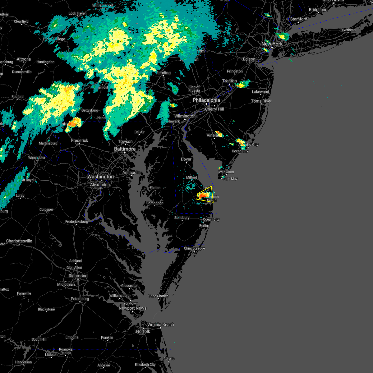 At 252 pm edt, a severe thunderstorm was located near milton, or 7 miles east of georgetown, moving east at 15 mph (radar indicated). Hazards include 60 mph wind gusts and quarter size hail. Minor damage to vehicles is possible. wind damage to roofs, siding, trees, and power lines is possible. Locations impacted include, lewes, henlopen acres, cape henlopen state park, long neck and dewey beach. At 252 pm edt, a severe thunderstorm was located near milton, or 7 miles east of georgetown, moving east at 15 mph (radar indicated). Hazards include 60 mph wind gusts and quarter size hail. Minor damage to vehicles is possible. wind damage to roofs, siding, trees, and power lines is possible. Locations impacted include, lewes, henlopen acres, cape henlopen state park, long neck and dewey beach.
|
| 7/29/2021 2:43 PM EDT |
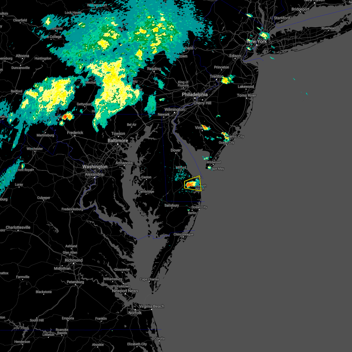 At 243 pm edt, a severe thunderstorm was located near milton, or near georgetown, moving east at 15 mph (radar indicated). Hazards include 60 mph wind gusts and quarter size hail. Minor damage to vehicles is possible. Wind damage to roofs, siding, trees, and power lines is possible. At 243 pm edt, a severe thunderstorm was located near milton, or near georgetown, moving east at 15 mph (radar indicated). Hazards include 60 mph wind gusts and quarter size hail. Minor damage to vehicles is possible. Wind damage to roofs, siding, trees, and power lines is possible.
|
| 7/9/2021 12:21 AM EDT |
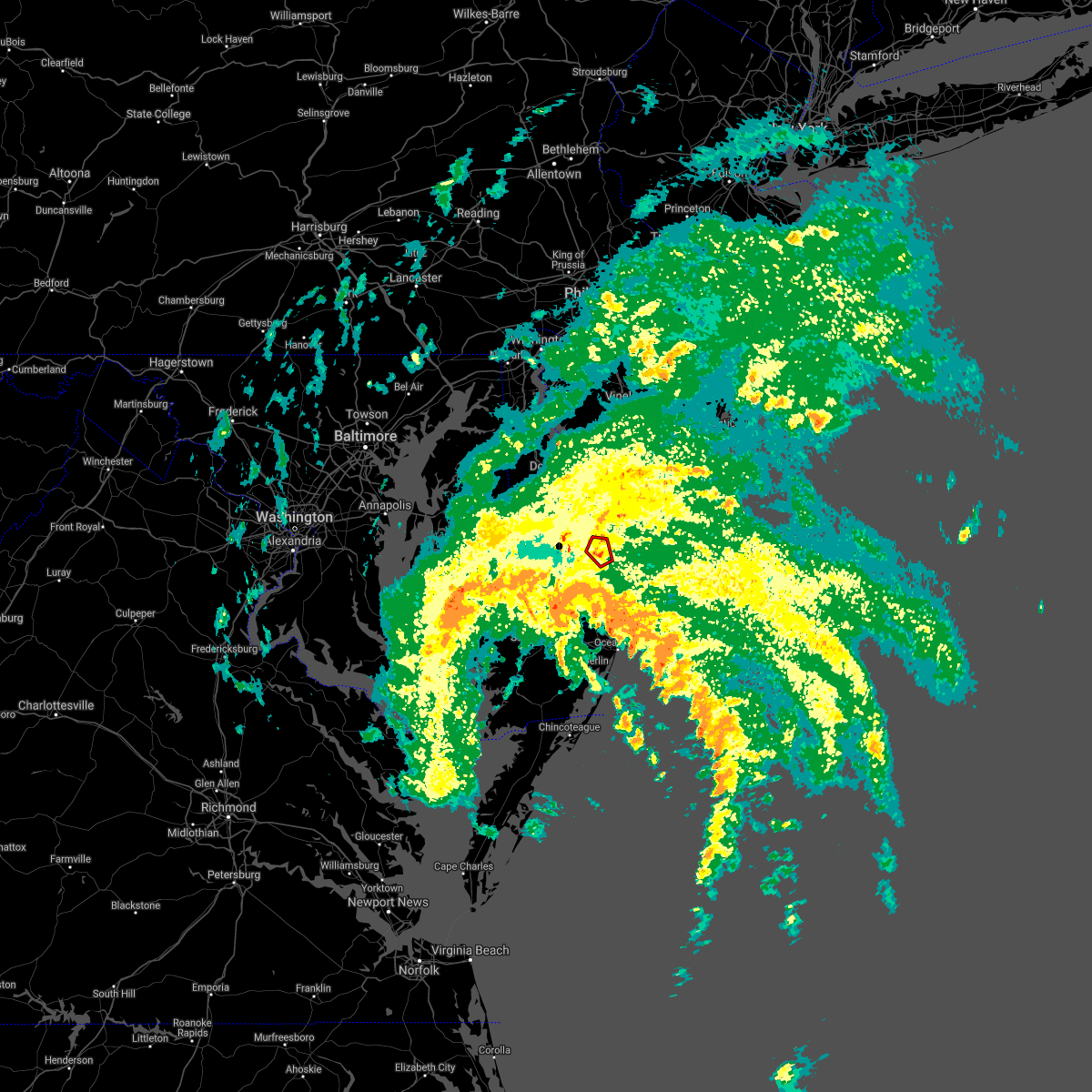 At 1221 am edt, a severe thunderstorm capable of producing a tornado was located over lewes, or 12 miles northeast of georgetown, moving northwest at 35 mph (radar indicated rotation). Hazards include tornado. Flying debris will be dangerous to those caught without shelter. mobile homes will be damaged or destroyed. damage to roofs, windows, and vehicles will occur. tree damage is likely. Locations impacted include, lewes. At 1221 am edt, a severe thunderstorm capable of producing a tornado was located over lewes, or 12 miles northeast of georgetown, moving northwest at 35 mph (radar indicated rotation). Hazards include tornado. Flying debris will be dangerous to those caught without shelter. mobile homes will be damaged or destroyed. damage to roofs, windows, and vehicles will occur. tree damage is likely. Locations impacted include, lewes.
|
| 7/9/2021 12:13 AM EDT |
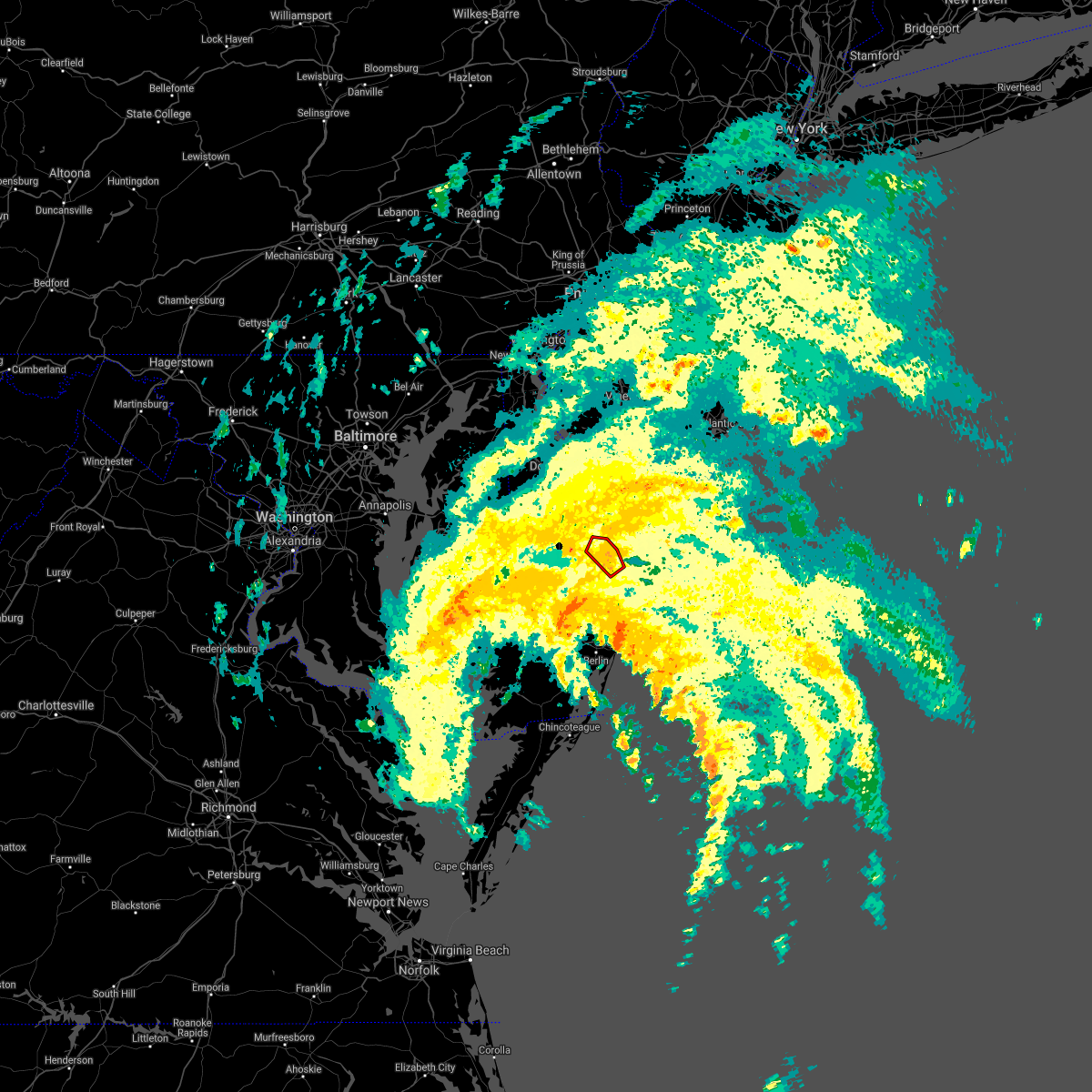 At 1213 am edt, a severe thunderstorm capable of producing a tornado was located over lewes, or 13 miles east of georgetown, moving northwest at 40 mph (radar indicated rotation). Hazards include tornado. Flying debris will be dangerous to those caught without shelter. mobile homes will be damaged or destroyed. damage to roofs, windows, and vehicles will occur. tree damage is likely. Locations impacted include, lewes, henlopen acres and cape henlopen state park. At 1213 am edt, a severe thunderstorm capable of producing a tornado was located over lewes, or 13 miles east of georgetown, moving northwest at 40 mph (radar indicated rotation). Hazards include tornado. Flying debris will be dangerous to those caught without shelter. mobile homes will be damaged or destroyed. damage to roofs, windows, and vehicles will occur. tree damage is likely. Locations impacted include, lewes, henlopen acres and cape henlopen state park.
|
| 7/9/2021 12:04 AM EDT |
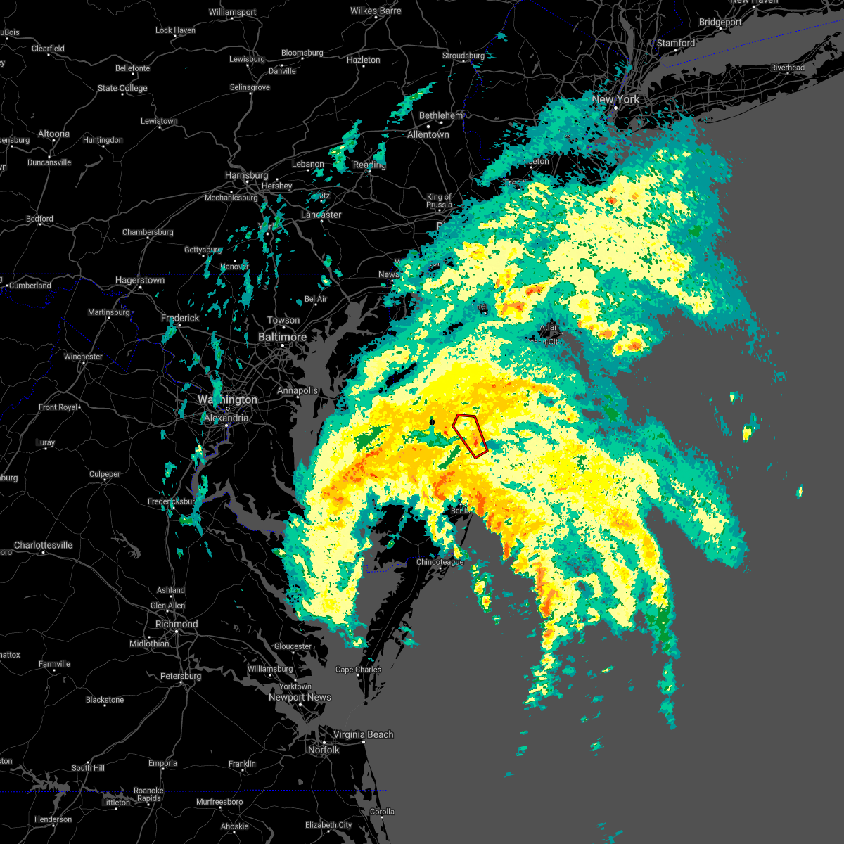 At 1203 am edt, a severe thunderstorm capable of producing a tornado was located near henlopen acres, or 16 miles east of georgetown, moving northwest at 45 mph (radar indicated rotation). Hazards include tornado. Flying debris will be dangerous to those caught without shelter. mobile homes will be damaged or destroyed. damage to roofs, windows, and vehicles will occur. Tree damage is likely. At 1203 am edt, a severe thunderstorm capable of producing a tornado was located near henlopen acres, or 16 miles east of georgetown, moving northwest at 45 mph (radar indicated rotation). Hazards include tornado. Flying debris will be dangerous to those caught without shelter. mobile homes will be damaged or destroyed. damage to roofs, windows, and vehicles will occur. Tree damage is likely.
|
| 7/8/2021 11:44 PM EDT |
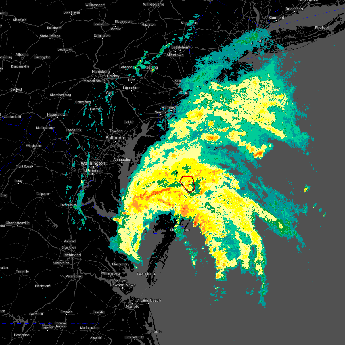 At 1143 pm edt, a severe thunderstorm capable of producing a tornado was located near dagsboro, or 13 miles southeast of georgetown, moving northwest at 35 mph (radar indicated rotation). Hazards include tornado. Flying debris will be dangerous to those caught without shelter. mobile homes will be damaged or destroyed. damage to roofs, windows, and vehicles will occur. tree damage is likely. Locations impacted include, georgetown, lewes, milton and long neck. At 1143 pm edt, a severe thunderstorm capable of producing a tornado was located near dagsboro, or 13 miles southeast of georgetown, moving northwest at 35 mph (radar indicated rotation). Hazards include tornado. Flying debris will be dangerous to those caught without shelter. mobile homes will be damaged or destroyed. damage to roofs, windows, and vehicles will occur. tree damage is likely. Locations impacted include, georgetown, lewes, milton and long neck.
|
| 7/8/2021 11:37 PM EDT |
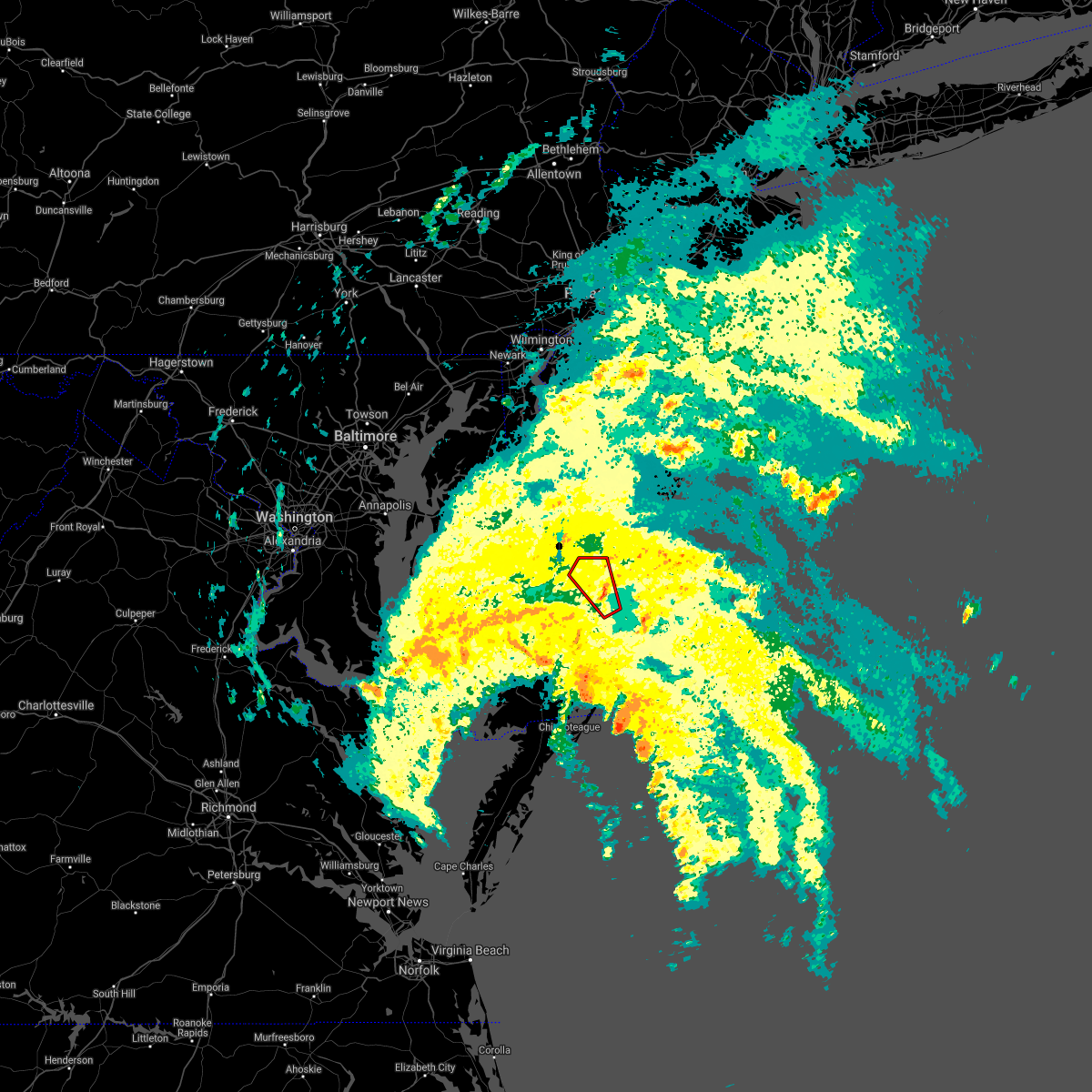 At 1136 pm edt, a severe thunderstorm capable of producing a tornado was located over millville, or 13 miles north of ocean city, moving northwest at 40 mph (radar indicated rotation). Hazards include tornado. Flying debris will be dangerous to those caught without shelter. mobile homes will be damaged or destroyed. damage to roofs, windows, and vehicles will occur. Tree damage is likely. At 1136 pm edt, a severe thunderstorm capable of producing a tornado was located over millville, or 13 miles north of ocean city, moving northwest at 40 mph (radar indicated rotation). Hazards include tornado. Flying debris will be dangerous to those caught without shelter. mobile homes will be damaged or destroyed. damage to roofs, windows, and vehicles will occur. Tree damage is likely.
|
| 7/1/2021 5:52 PM EDT |
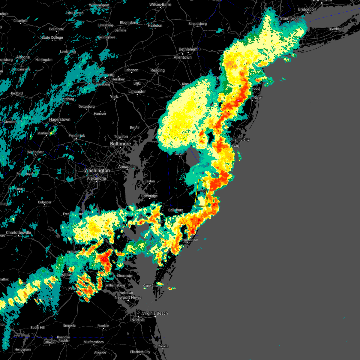 The severe thunderstorm warning for southeastern sussex county will expire at 600 pm edt, the storms which prompted the warning have moved out of the area. therefore, the warning will be allowed to expire. however, gusty winds are still possible with these thunderstorms. a severe thunderstorm watch remains in effect until 800 pm edt for southern delaware. The severe thunderstorm warning for southeastern sussex county will expire at 600 pm edt, the storms which prompted the warning have moved out of the area. therefore, the warning will be allowed to expire. however, gusty winds are still possible with these thunderstorms. a severe thunderstorm watch remains in effect until 800 pm edt for southern delaware.
|
| 7/1/2021 5:43 PM EDT |
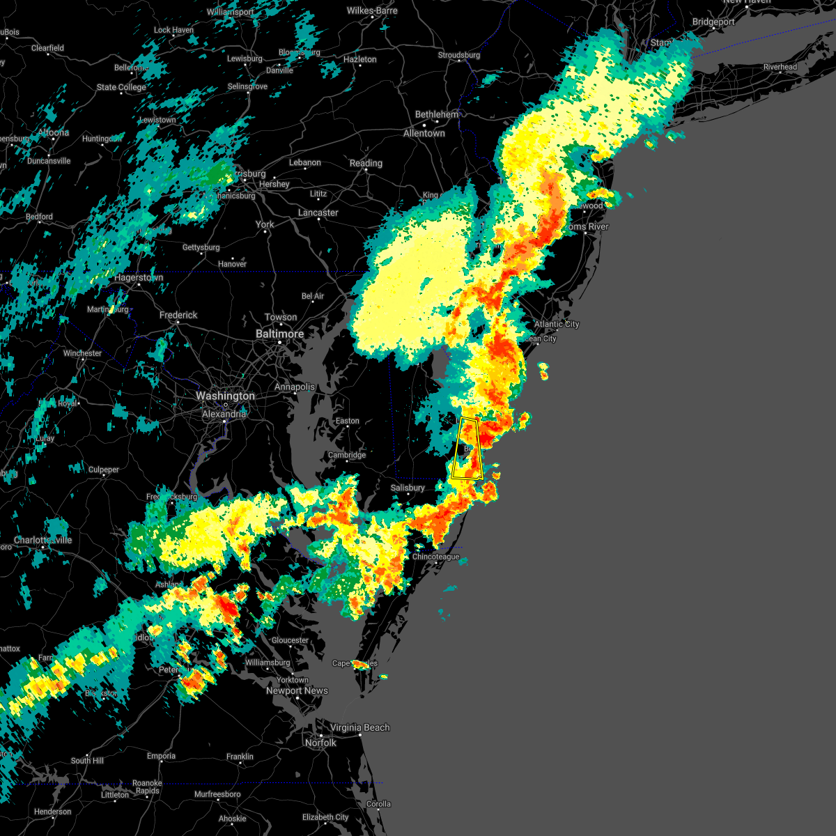 At 542 pm edt, severe thunderstorms were located along a line extending from green creek to near ocean city, moving east at 35 mph (law enforcement. a 60 mph wind gust occurred in lewes with these storms). Hazards include 70 mph wind gusts. Expect considerable tree damage. damage is likely to mobile homes, roofs, and outbuildings. Locations impacted include, lewes, selbyville, dagsboro, millville, henlopen acres, cape henlopen state park, long neck, ocean view, frankford, south bethany and dewey beach. At 542 pm edt, severe thunderstorms were located along a line extending from green creek to near ocean city, moving east at 35 mph (law enforcement. a 60 mph wind gust occurred in lewes with these storms). Hazards include 70 mph wind gusts. Expect considerable tree damage. damage is likely to mobile homes, roofs, and outbuildings. Locations impacted include, lewes, selbyville, dagsboro, millville, henlopen acres, cape henlopen state park, long neck, ocean view, frankford, south bethany and dewey beach.
|
| 7/1/2021 5:24 PM EDT | Nos gauge lwsd in sussex county DE, 1.9 miles W of Lewes, DE |
| 7/1/2021 5:18 PM EDT | Nos gauge lwsd in sussex county DE, 1.9 miles W of Lewes, DE |
| 7/1/2021 5:12 PM EDT |
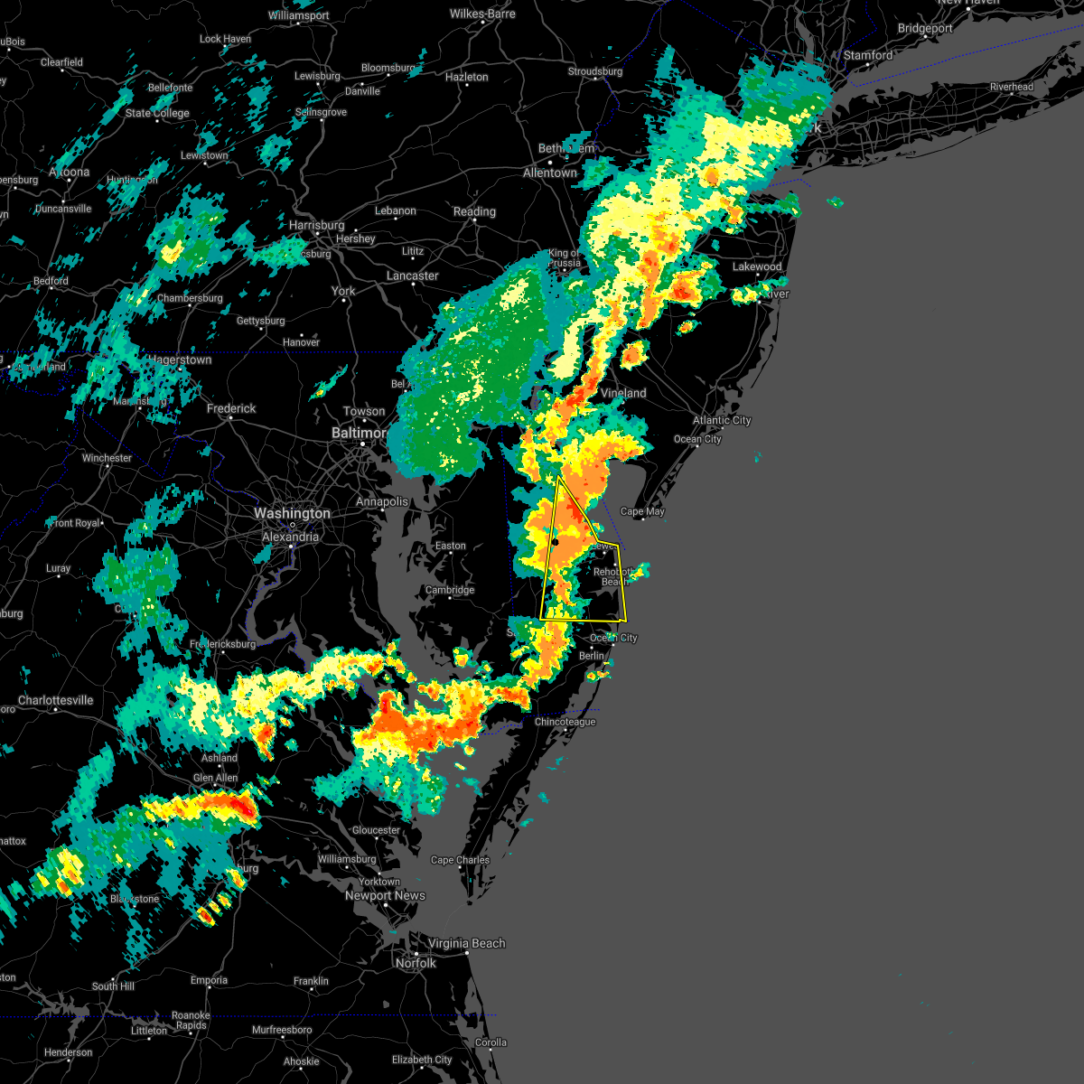 At 511 pm edt, severe thunderstorms were located along a line extending from 8 miles northeast of bowers to gumboro, moving east at 35 mph (law enforcement. several reports of wind damage have been received from kent and sussex counties). Hazards include 70 mph wind gusts. Expect considerable tree damage. Damage is likely to mobile homes, roofs, and outbuildings. At 511 pm edt, severe thunderstorms were located along a line extending from 8 miles northeast of bowers to gumboro, moving east at 35 mph (law enforcement. several reports of wind damage have been received from kent and sussex counties). Hazards include 70 mph wind gusts. Expect considerable tree damage. Damage is likely to mobile homes, roofs, and outbuildings.
|
| 7/1/2021 4:32 PM EDT |
 At 431 pm edt, severe thunderstorms were located along a line extending from near old town to greensboro to federalsburg to near sharptown, moving east at 45 mph (radar indicated). Hazards include 70 mph wind gusts and quarter size hail. Minor damage to vehicles is possible. expect considerable tree damage. Wind damage is also likely to mobile homes, roofs, and outbuildings. At 431 pm edt, severe thunderstorms were located along a line extending from near old town to greensboro to federalsburg to near sharptown, moving east at 45 mph (radar indicated). Hazards include 70 mph wind gusts and quarter size hail. Minor damage to vehicles is possible. expect considerable tree damage. Wind damage is also likely to mobile homes, roofs, and outbuildings.
|
| 6/21/2021 8:23 PM EDT |
 The severe thunderstorm warning for northern sussex, kent, southeastern queen anne`s, northeastern caroline, eastern kent and southwestern cumberland counties will expire at 830 pm edt, the storm which prompted the warning has weakened below severe limits, and has exited the warned area. therefore, the warning will be allowed to expire. however gusty winds are still possible with this thunderstorm. a severe thunderstorm watch remains in effect until midnight edt for central, northern and southern delaware, eastern and northeastern maryland, and southern new jersey. to report severe weather, contact your nearest law enforcement agency. they will relay your report to the national weather service mount holly nj. The severe thunderstorm warning for northern sussex, kent, southeastern queen anne`s, northeastern caroline, eastern kent and southwestern cumberland counties will expire at 830 pm edt, the storm which prompted the warning has weakened below severe limits, and has exited the warned area. therefore, the warning will be allowed to expire. however gusty winds are still possible with this thunderstorm. a severe thunderstorm watch remains in effect until midnight edt for central, northern and southern delaware, eastern and northeastern maryland, and southern new jersey. to report severe weather, contact your nearest law enforcement agency. they will relay your report to the national weather service mount holly nj.
|
| 6/21/2021 8:23 PM EDT |
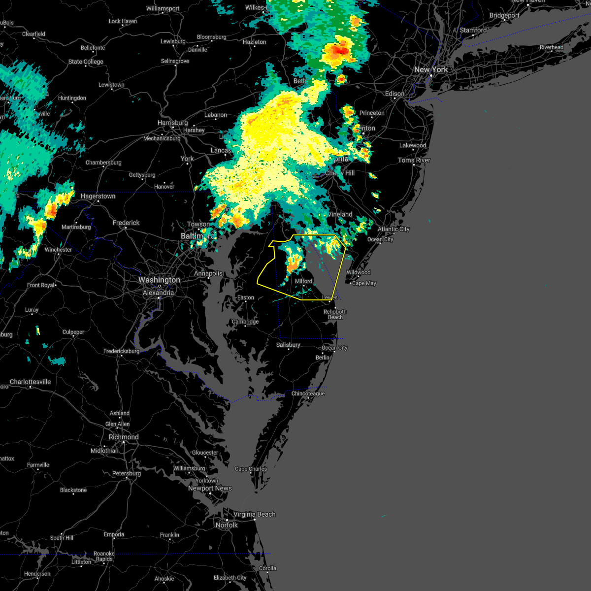 The severe thunderstorm warning for northern sussex, kent, southeastern queen anne`s, northeastern caroline, eastern kent and southwestern cumberland counties will expire at 830 pm edt, the storm which prompted the warning has weakened below severe limits, and has exited the warned area. therefore, the warning will be allowed to expire. however gusty winds are still possible with this thunderstorm. a severe thunderstorm watch remains in effect until midnight edt for central, northern and southern delaware, eastern and northeastern maryland, and southern new jersey. to report severe weather, contact your nearest law enforcement agency. they will relay your report to the national weather service mount holly nj. The severe thunderstorm warning for northern sussex, kent, southeastern queen anne`s, northeastern caroline, eastern kent and southwestern cumberland counties will expire at 830 pm edt, the storm which prompted the warning has weakened below severe limits, and has exited the warned area. therefore, the warning will be allowed to expire. however gusty winds are still possible with this thunderstorm. a severe thunderstorm watch remains in effect until midnight edt for central, northern and southern delaware, eastern and northeastern maryland, and southern new jersey. to report severe weather, contact your nearest law enforcement agency. they will relay your report to the national weather service mount holly nj.
|
| 6/21/2021 8:15 PM EDT |
 At 814 pm edt, a cluser of severe thunderstorms were located 8 miles northeast of dover base housing, or 8 miles east of dover, moving east at 45 mph (radar indicated). Hazards include 60 mph wind gusts. Damage to roofs, siding, trees, and power lines is possible. Locations impacted include, dover, smyrna, milford, denton, harrington, camden, clayton, lewes, greensboro, oakland, ridgely, cheswold, ellendale, bowers, goldsboro, woodside, viola, hartly, hazlettville and dover speedway. At 814 pm edt, a cluser of severe thunderstorms were located 8 miles northeast of dover base housing, or 8 miles east of dover, moving east at 45 mph (radar indicated). Hazards include 60 mph wind gusts. Damage to roofs, siding, trees, and power lines is possible. Locations impacted include, dover, smyrna, milford, denton, harrington, camden, clayton, lewes, greensboro, oakland, ridgely, cheswold, ellendale, bowers, goldsboro, woodside, viola, hartly, hazlettville and dover speedway.
|
| 6/21/2021 8:15 PM EDT |
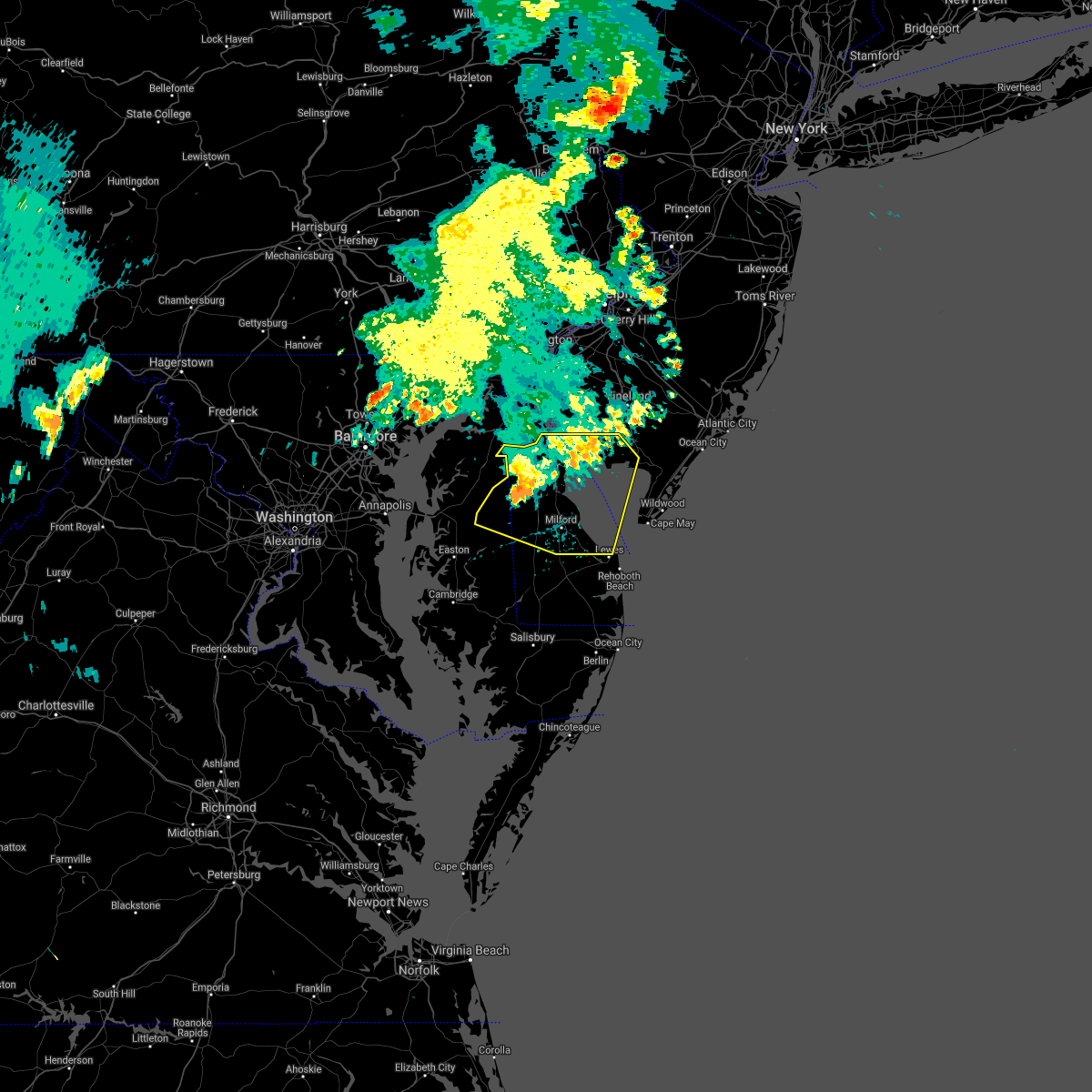 At 814 pm edt, a cluser of severe thunderstorms were located 8 miles northeast of dover base housing, or 8 miles east of dover, moving east at 45 mph (radar indicated). Hazards include 60 mph wind gusts. Damage to roofs, siding, trees, and power lines is possible. Locations impacted include, dover, smyrna, milford, denton, harrington, camden, clayton, lewes, greensboro, oakland, ridgely, cheswold, ellendale, bowers, goldsboro, woodside, viola, hartly, hazlettville and dover speedway. At 814 pm edt, a cluser of severe thunderstorms were located 8 miles northeast of dover base housing, or 8 miles east of dover, moving east at 45 mph (radar indicated). Hazards include 60 mph wind gusts. Damage to roofs, siding, trees, and power lines is possible. Locations impacted include, dover, smyrna, milford, denton, harrington, camden, clayton, lewes, greensboro, oakland, ridgely, cheswold, ellendale, bowers, goldsboro, woodside, viola, hartly, hazlettville and dover speedway.
|
| 6/21/2021 7:43 PM EDT |
 At 743 pm edt, a cluser of severe thunderstorms were located over sudlersville, or 16 miles west of dover, moving east at 40 mph (radar indicated). Hazards include 60 mph wind gusts. damage to roofs, siding, trees, and power lines is possible At 743 pm edt, a cluser of severe thunderstorms were located over sudlersville, or 16 miles west of dover, moving east at 40 mph (radar indicated). Hazards include 60 mph wind gusts. damage to roofs, siding, trees, and power lines is possible
|
| 6/9/2021 3:23 PM EDT |
 The severe thunderstorm warning for east central sussex county will expire at 330 pm edt, the storm which prompted the warning is moving out of the area. therefore, this warning will be allowed to expire. another warning continues just to the south. The severe thunderstorm warning for east central sussex county will expire at 330 pm edt, the storm which prompted the warning is moving out of the area. therefore, this warning will be allowed to expire. another warning continues just to the south.
|
| 6/9/2021 2:46 PM EDT |
 At 245 pm edt, a severe thunderstorm was located near lewes, or 11 miles east of georgetown, moving east at 5 mph (radar indicated). Hazards include 60 mph wind gusts and penny size hail. Damage to roofs, siding, trees, and power lines is possible. Locations impacted include, lewes and milton. At 245 pm edt, a severe thunderstorm was located near lewes, or 11 miles east of georgetown, moving east at 5 mph (radar indicated). Hazards include 60 mph wind gusts and penny size hail. Damage to roofs, siding, trees, and power lines is possible. Locations impacted include, lewes and milton.
|
| 6/9/2021 2:28 PM EDT |
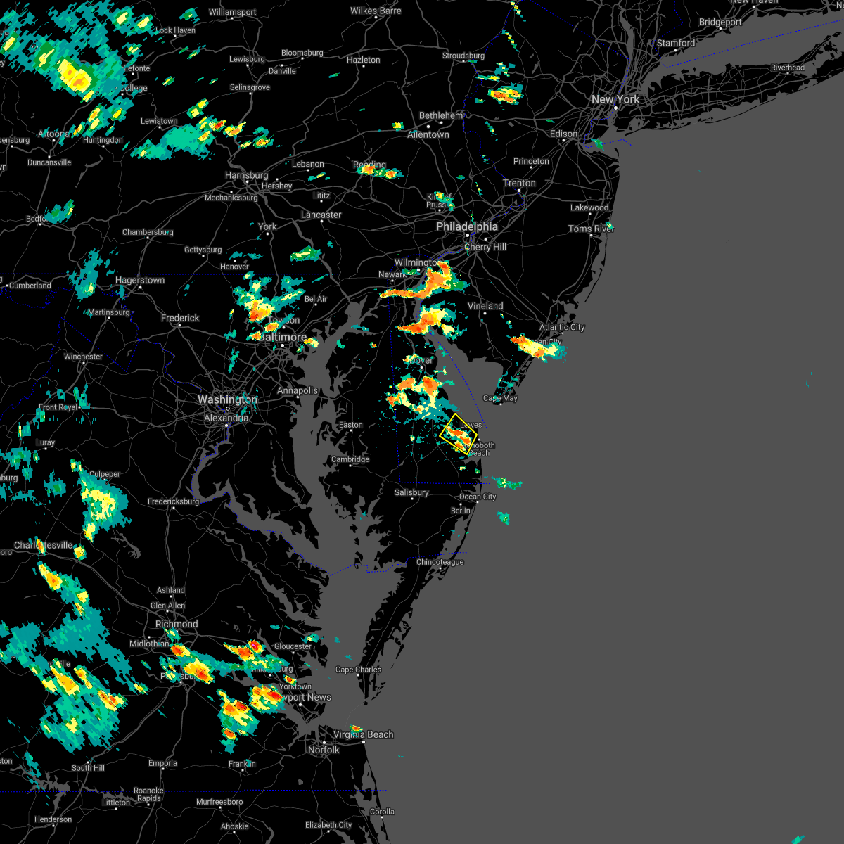 At 228 pm edt, a severe thunderstorm was located near milton, or 9 miles northeast of georgetown, and is nearly stationary (radar indicated). Hazards include 60 mph wind gusts and penny size hail. damage to roofs, siding, trees, and power lines is possible At 228 pm edt, a severe thunderstorm was located near milton, or 9 miles northeast of georgetown, and is nearly stationary (radar indicated). Hazards include 60 mph wind gusts and penny size hail. damage to roofs, siding, trees, and power lines is possible
|
| 5/4/2021 7:51 PM EDT |
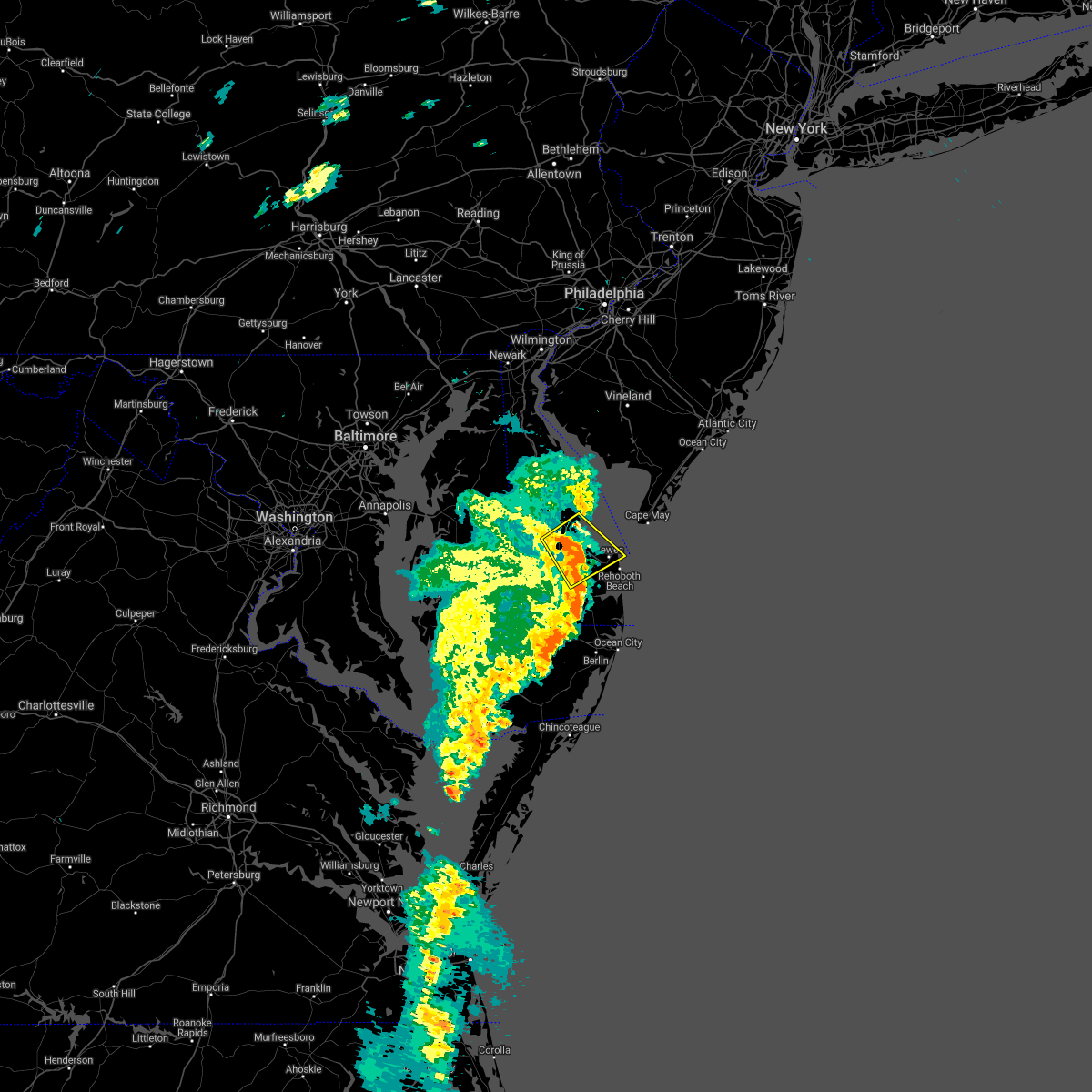 At 750 pm edt, severe thunderstorms were located along a line extending from near harrington to georgetown, moving northeast at 30 mph (radar indicated). Hazards include 60 mph wind gusts. Damage to roofs, siding, trees, and power lines is possible. Locations impacted include, georgetown, milford, lewes, milton, ellendale and cape henlopen state park. At 750 pm edt, severe thunderstorms were located along a line extending from near harrington to georgetown, moving northeast at 30 mph (radar indicated). Hazards include 60 mph wind gusts. Damage to roofs, siding, trees, and power lines is possible. Locations impacted include, georgetown, milford, lewes, milton, ellendale and cape henlopen state park.
|
| 5/4/2021 7:38 PM EDT |
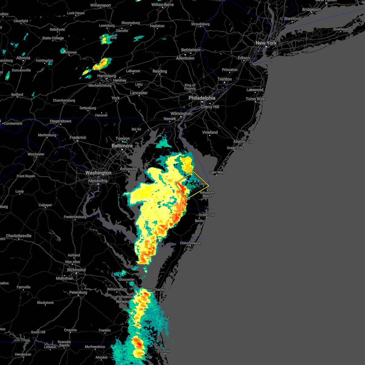 At 737 pm edt, severe thunderstorms were located along a line extending from near andrewsville to near sycamore, moving northeast at 30 mph (radar indicated). Hazards include 60 mph wind gusts and penny size hail. damage to roofs, siding, trees, and power lines is possible At 737 pm edt, severe thunderstorms were located along a line extending from near andrewsville to near sycamore, moving northeast at 30 mph (radar indicated). Hazards include 60 mph wind gusts and penny size hail. damage to roofs, siding, trees, and power lines is possible
|
| 4/21/2021 2:52 PM EDT |
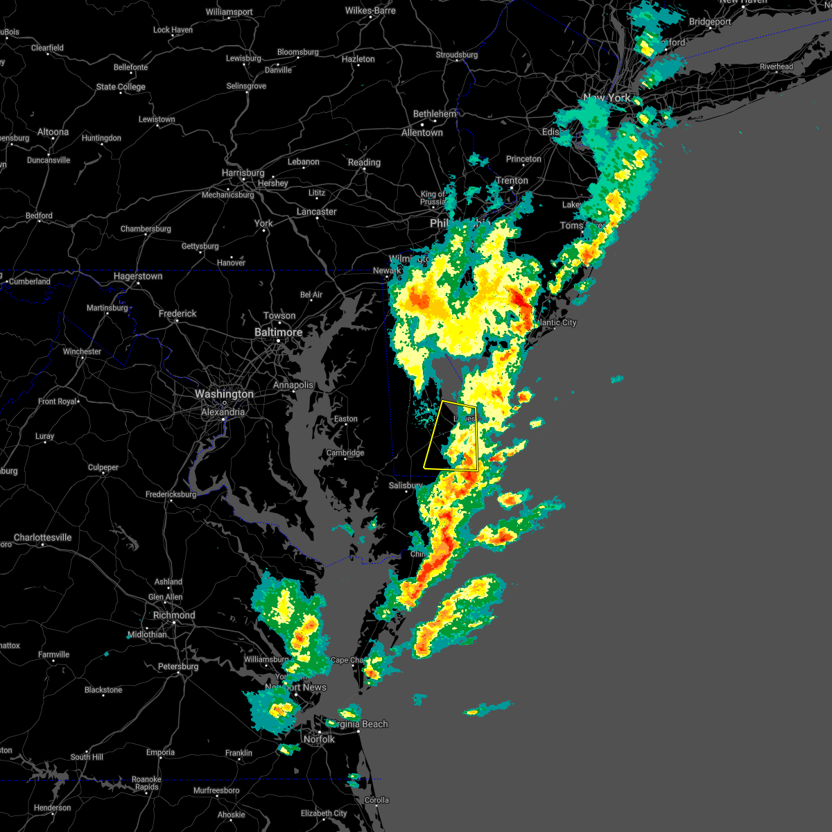 The severe thunderstorm warning for eastern sussex county will expire at 300 pm edt, the storms which prompted the warning have moved out of the area and offshore. therefore, the warning will be allowed to expire. a severe thunderstorm watch remains in effect until 600 pm edt for southern delaware. The severe thunderstorm warning for eastern sussex county will expire at 300 pm edt, the storms which prompted the warning have moved out of the area and offshore. therefore, the warning will be allowed to expire. a severe thunderstorm watch remains in effect until 600 pm edt for southern delaware.
|
| 4/21/2021 2:35 PM EDT | Storm damage reported in sussex county DE, 0.3 miles ESE of Lewes, DE |
| 4/21/2021 2:33 PM EDT |
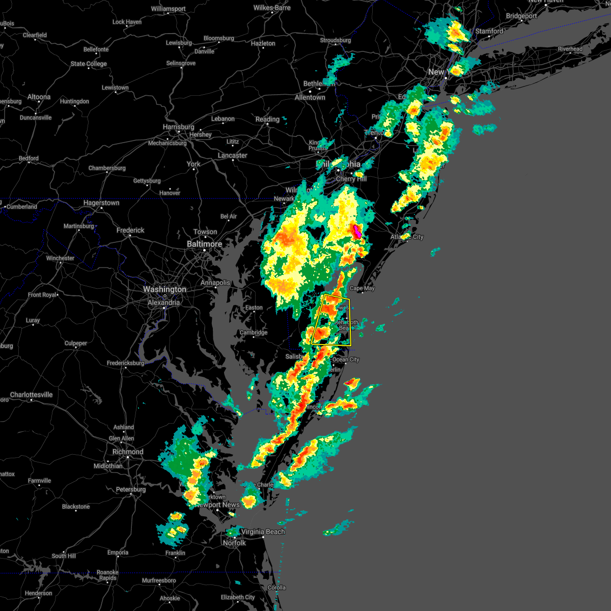 At 233 pm edt, severe thunderstorms were located along a line extending from 9 miles southeast of big stone beach to near georgetown, moving east at 40 mph (radar indicated. radar strongly indicates that severe wind is occurring with this storm). Hazards include 70 mph wind gusts and quarter size hail. Minor damage to vehicles is possible. expect considerable tree damage. wind damage is also likely to mobile homes, roofs, and outbuildings. Locations impacted include, georgetown, millsboro, lewes, milton, dagsboro, millville, henlopen acres, cape henlopen state park, long neck, ocean view, frankford, south bethany and dewey beach. At 233 pm edt, severe thunderstorms were located along a line extending from 9 miles southeast of big stone beach to near georgetown, moving east at 40 mph (radar indicated. radar strongly indicates that severe wind is occurring with this storm). Hazards include 70 mph wind gusts and quarter size hail. Minor damage to vehicles is possible. expect considerable tree damage. wind damage is also likely to mobile homes, roofs, and outbuildings. Locations impacted include, georgetown, millsboro, lewes, milton, dagsboro, millville, henlopen acres, cape henlopen state park, long neck, ocean view, frankford, south bethany and dewey beach.
|
| 4/21/2021 2:27 PM EDT |
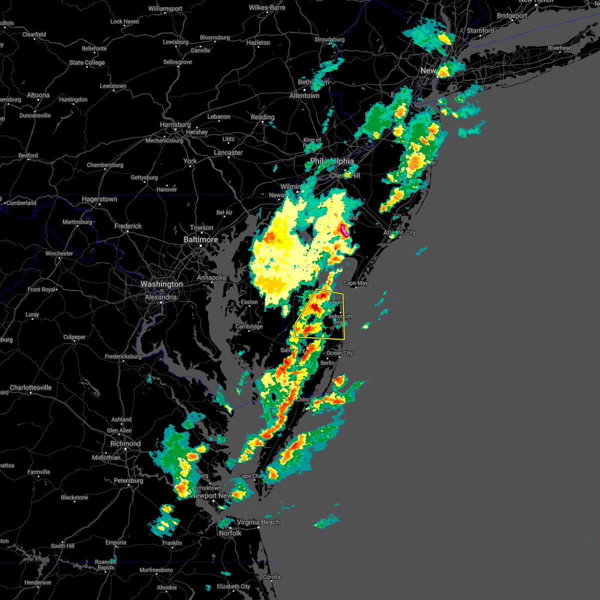 At 226 pm edt, severe thunderstorms were located along a line extending from 7 miles southeast of big stone beach to near sycamore, moving east at 40 mph (radar indicated). Hazards include 60 mph wind gusts and quarter size hail. Minor damage to vehicles is possible. wind damage to roofs, siding, trees, and power lines is possible. Locations impacted include, georgetown, millsboro, laurel, lewes, milton, dagsboro, millville, ellendale, henlopen acres, cape henlopen state park, sycamore, long neck, ocean view, frankford, south bethany and dewey beach. At 226 pm edt, severe thunderstorms were located along a line extending from 7 miles southeast of big stone beach to near sycamore, moving east at 40 mph (radar indicated). Hazards include 60 mph wind gusts and quarter size hail. Minor damage to vehicles is possible. wind damage to roofs, siding, trees, and power lines is possible. Locations impacted include, georgetown, millsboro, laurel, lewes, milton, dagsboro, millville, ellendale, henlopen acres, cape henlopen state park, sycamore, long neck, ocean view, frankford, south bethany and dewey beach.
|
| 4/21/2021 2:18 PM EDT |
 At 218 pm edt, severe thunderstorms were located along a line extending from near milford to seaford, moving east at 40 mph (radar indicated). Hazards include 60 mph wind gusts and quarter size hail. Minor damage to vehicles is possible. Wind damage to roofs, siding, trees, and power lines is possible. At 218 pm edt, severe thunderstorms were located along a line extending from near milford to seaford, moving east at 40 mph (radar indicated). Hazards include 60 mph wind gusts and quarter size hail. Minor damage to vehicles is possible. Wind damage to roofs, siding, trees, and power lines is possible.
|
| 11/15/2020 9:55 PM EST |
 The severe thunderstorm warning for sussex county will expire at 1000 pm est, the storms which prompted the warning have weakened below severe limits, and no longer pose an immediate threat to life or property. therefore, the warning will be allowed to expire. however gusty winds are still possible with these thunderstorms. a severe thunderstorm watch remains in effect until 1100 pm est for central and southern delaware. to report severe weather, contact your nearest law enforcement agency. they will relay your report to the national weather service mount holly nj. The severe thunderstorm warning for sussex county will expire at 1000 pm est, the storms which prompted the warning have weakened below severe limits, and no longer pose an immediate threat to life or property. therefore, the warning will be allowed to expire. however gusty winds are still possible with these thunderstorms. a severe thunderstorm watch remains in effect until 1100 pm est for central and southern delaware. to report severe weather, contact your nearest law enforcement agency. they will relay your report to the national weather service mount holly nj.
|
| 11/15/2020 9:39 PM EST |
 At 938 pm est, severe thunderstorms were located along a line extending from 7 miles north of cape henlopen state park to near seaford to near saint inigoes creek, moving south at 35 mph (radar indicated). Hazards include 60 mph wind gusts. Damage to roofs, siding, trees, and power lines is possible. Locations impacted include, georgetown, milford, seaford, millsboro, laurel, lewes, milton, selbyville, bridgeville, delmar, dagsboro, millville, ellendale, bowers, henlopen acres, gumboro, cape henlopen state park, sycamore, long neck and ocean view. At 938 pm est, severe thunderstorms were located along a line extending from 7 miles north of cape henlopen state park to near seaford to near saint inigoes creek, moving south at 35 mph (radar indicated). Hazards include 60 mph wind gusts. Damage to roofs, siding, trees, and power lines is possible. Locations impacted include, georgetown, milford, seaford, millsboro, laurel, lewes, milton, selbyville, bridgeville, delmar, dagsboro, millville, ellendale, bowers, henlopen acres, gumboro, cape henlopen state park, sycamore, long neck and ocean view.
|
| 11/15/2020 8:57 PM EST |
 At 856 pm est, severe thunderstorms were located along a line extending from near fortesque to near denton to greenwell state park, moving southeast at 35 mph (radar indicated). Hazards include 60 mph wind gusts. damage to roofs, siding, trees, and power lines is possible At 856 pm est, severe thunderstorms were located along a line extending from near fortesque to near denton to greenwell state park, moving southeast at 35 mph (radar indicated). Hazards include 60 mph wind gusts. damage to roofs, siding, trees, and power lines is possible
|
| 11/15/2020 8:33 PM EST |
 At 832 pm est, severe thunderstorms were located along a line extending from 29 miles southeast of diamond beach to 10 miles south of tangier, moving southeast at 65 mph (radar indicated). Hazards include 60 mph wind gusts. Damage to roofs, siding, trees, and power lines is possible. Locations impacted include, dover, middletown, easton, georgetown, centerville, talbot, smyrna, milford, seaford, chestertown, denton, centreville, millsboro, laurel, harrington, camden, clayton, lewes, federalsburg and milton. At 832 pm est, severe thunderstorms were located along a line extending from 29 miles southeast of diamond beach to 10 miles south of tangier, moving southeast at 65 mph (radar indicated). Hazards include 60 mph wind gusts. Damage to roofs, siding, trees, and power lines is possible. Locations impacted include, dover, middletown, easton, georgetown, centerville, talbot, smyrna, milford, seaford, chestertown, denton, centreville, millsboro, laurel, harrington, camden, clayton, lewes, federalsburg and milton.
|
| 11/15/2020 7:40 PM EST |
 At 738 pm est, severe thunderstorms were located along a line extending from near salem to near la plata, moving southeast at 95 mph (radar indicated). Hazards include 60 mph wind gusts. damage to roofs, siding, trees, and power lines is possible At 738 pm est, severe thunderstorms were located along a line extending from near salem to near la plata, moving southeast at 95 mph (radar indicated). Hazards include 60 mph wind gusts. damage to roofs, siding, trees, and power lines is possible
|
| 9/3/2020 11:10 PM EDT |
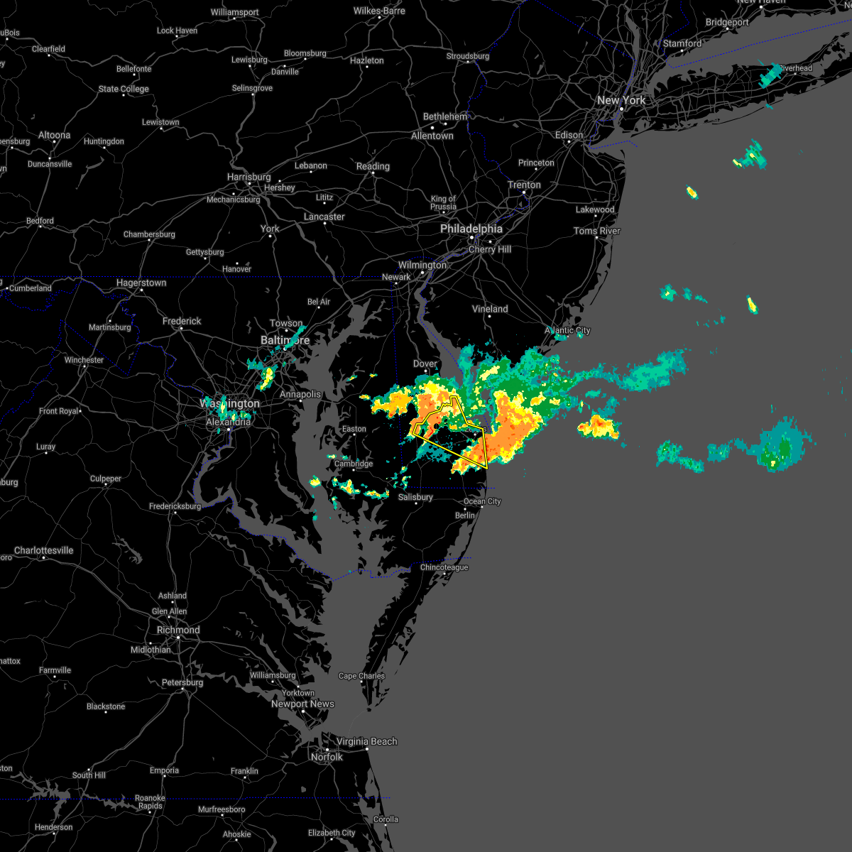 The severe thunderstorm warning for central sussex county will expire at 1115 pm edt, the storms which prompted the warning have weakened below severe limits, and have exited the warned area. therefore, the warning will be allowed to expire. however gusty winds and heavy rain are still possible with these thunderstorms. to report severe weather, contact your nearest law enforcement agency. they will relay your report to the national weather service mount holly nj. The severe thunderstorm warning for central sussex county will expire at 1115 pm edt, the storms which prompted the warning have weakened below severe limits, and have exited the warned area. therefore, the warning will be allowed to expire. however gusty winds and heavy rain are still possible with these thunderstorms. to report severe weather, contact your nearest law enforcement agency. they will relay your report to the national weather service mount holly nj.
|
| 9/3/2020 10:59 PM EDT |
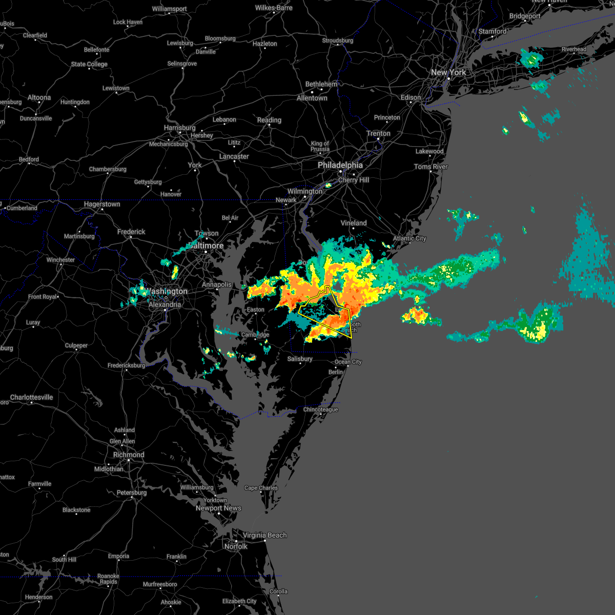 A severe thunderstorm warning remains in effect until 1115 pm edt for central sussex county. at 1059 pm edt, severe thunderstorms were located along a line extending from near cape henlopen state park to henlopen acres to 6 miles northeast of millsboro, moving east at 25 mph. hazard. 60 mph wind gusts and penny size hail. A severe thunderstorm warning remains in effect until 1115 pm edt for central sussex county. at 1059 pm edt, severe thunderstorms were located along a line extending from near cape henlopen state park to henlopen acres to 6 miles northeast of millsboro, moving east at 25 mph. hazard. 60 mph wind gusts and penny size hail.
|
| 9/3/2020 10:34 PM EDT |
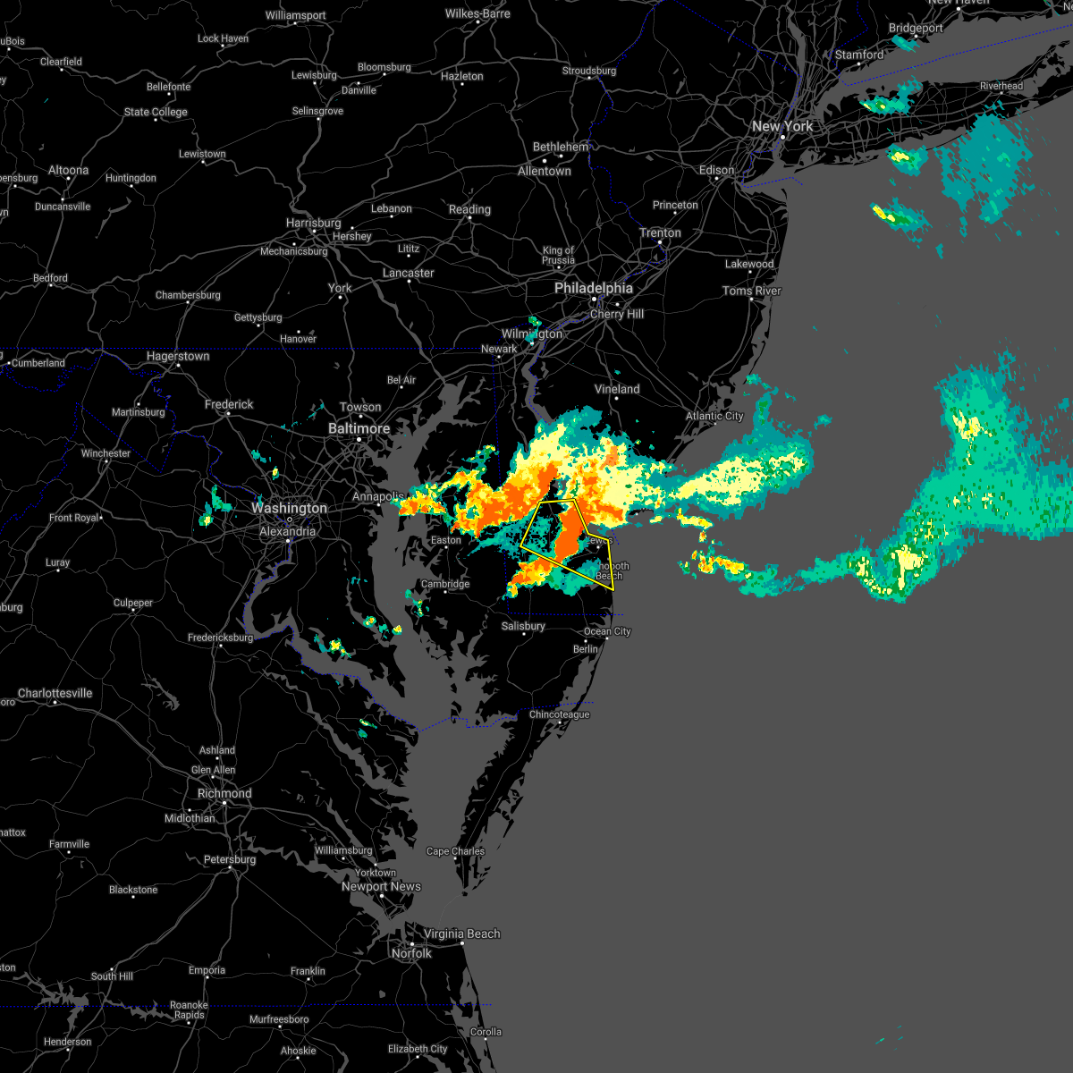 At 1033 pm edt, severe thunderstorms were located along a line extending from 8 miles north of lewes to near milton to georgetown, moving southeast at 30 mph. another line of storms is also approaching the warned area from the northwest (radar indicated). Hazards include 60 mph wind gusts and penny size hail. Damage to roofs, siding, trees, and power lines is possible. Locations impacted include, georgetown, milford, lewes, milton, ellendale, henlopen acres, cape henlopen state park, long neck, greenwood, houston and dewey beach. At 1033 pm edt, severe thunderstorms were located along a line extending from 8 miles north of lewes to near milton to georgetown, moving southeast at 30 mph. another line of storms is also approaching the warned area from the northwest (radar indicated). Hazards include 60 mph wind gusts and penny size hail. Damage to roofs, siding, trees, and power lines is possible. Locations impacted include, georgetown, milford, lewes, milton, ellendale, henlopen acres, cape henlopen state park, long neck, greenwood, houston and dewey beach.
|
| 9/3/2020 10:14 PM EDT |
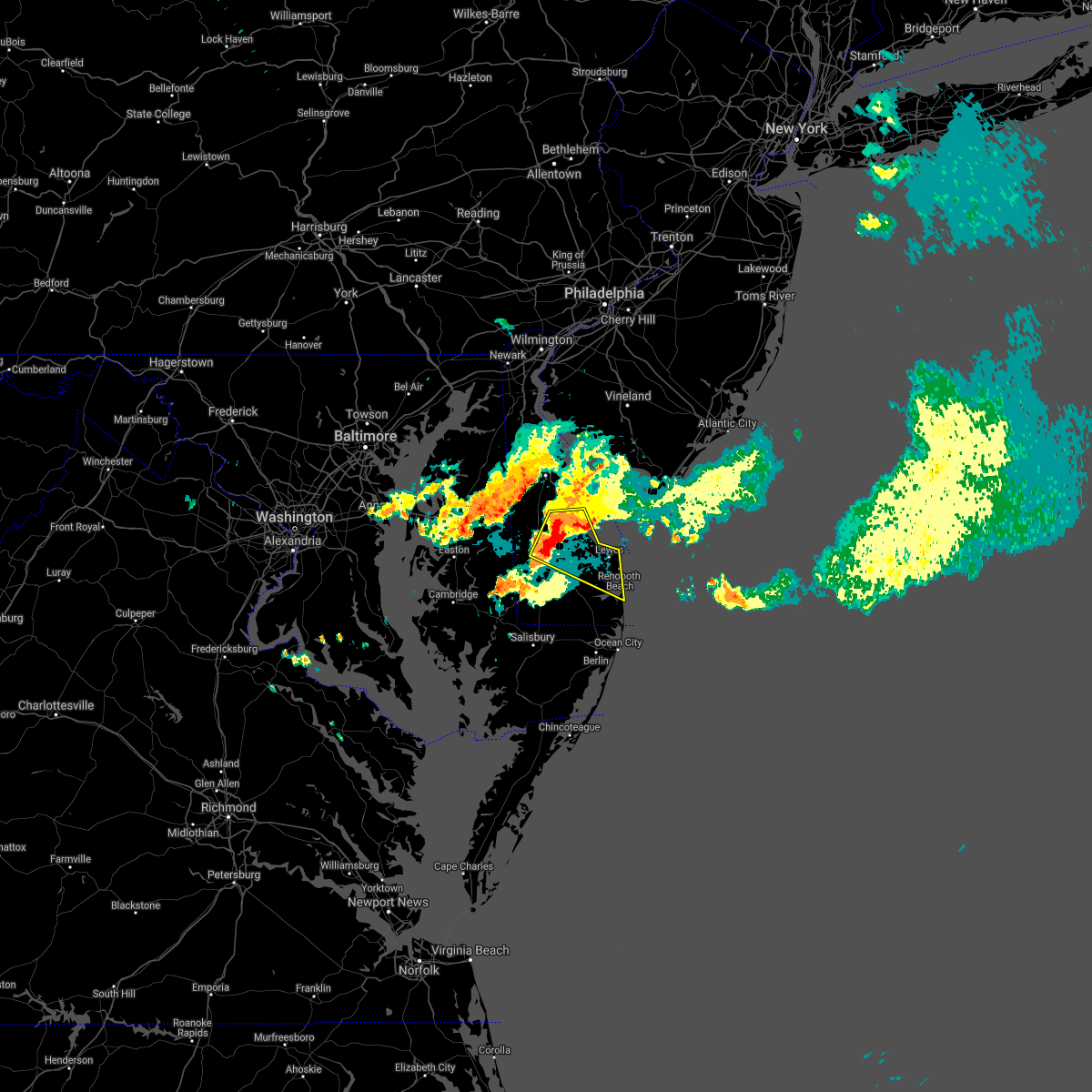 At 1014 pm edt, a severe thunderstorm was located over milford, or 14 miles north of georgetown, moving east at 25 mph (radar indicated). Hazards include 60 mph wind gusts and penny size hail. damage to roofs, siding, trees, and power lines is possible At 1014 pm edt, a severe thunderstorm was located over milford, or 14 miles north of georgetown, moving east at 25 mph (radar indicated). Hazards include 60 mph wind gusts and penny size hail. damage to roofs, siding, trees, and power lines is possible
|
| 9/3/2020 8:06 PM EDT |
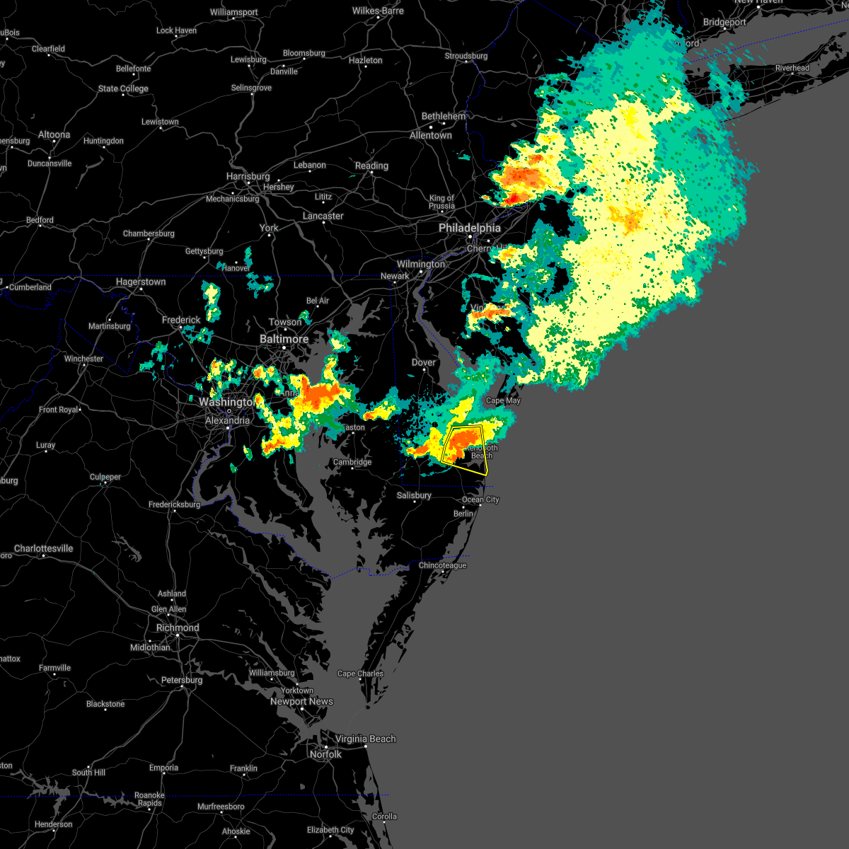 At 805 pm edt, severe thunderstorms were located along a line extending from near lewes to 7 miles southeast of milton to near millsboro, moving east at 40 mph (radar indicated). Hazards include 60 mph wind gusts and quarter size hail. Minor damage to vehicles is possible. wind damage to roofs, siding, trees, and power lines is possible. Locations impacted include, millsboro, lewes, milton, millville, henlopen acres, cape henlopen state park, long neck, ocean view and dewey beach. At 805 pm edt, severe thunderstorms were located along a line extending from near lewes to 7 miles southeast of milton to near millsboro, moving east at 40 mph (radar indicated). Hazards include 60 mph wind gusts and quarter size hail. Minor damage to vehicles is possible. wind damage to roofs, siding, trees, and power lines is possible. Locations impacted include, millsboro, lewes, milton, millville, henlopen acres, cape henlopen state park, long neck, ocean view and dewey beach.
|
| 9/3/2020 7:40 PM EDT |
 At 739 pm edt, severe thunderstorms were located along a line extending from near ellendale to near bridgeville to seaford, moving east at 45 mph (radar indicated). Hazards include 70 mph wind gusts and penny size hail. Expect considerable tree damage. Damage is likely to mobile homes, roofs, and outbuildings. At 739 pm edt, severe thunderstorms were located along a line extending from near ellendale to near bridgeville to seaford, moving east at 45 mph (radar indicated). Hazards include 70 mph wind gusts and penny size hail. Expect considerable tree damage. Damage is likely to mobile homes, roofs, and outbuildings.
|
| 9/3/2020 7:36 PM EDT |
 At 735 pm edt, severe thunderstorms were located along a line extending from near andrewsville to near bridgeville to seaford, moving east at 45 mph (radar indicated). Hazards include 70 mph wind gusts and quarter size hail. Minor damage to vehicles is possible. expect considerable tree damage. wind damage is also likely to mobile homes, roofs, and outbuildings. Locations impacted include, georgetown, milford, seaford, lewes, milton, bridgeville, ellendale, andrewsville, blades, greenwood and farmington. At 735 pm edt, severe thunderstorms were located along a line extending from near andrewsville to near bridgeville to seaford, moving east at 45 mph (radar indicated). Hazards include 70 mph wind gusts and quarter size hail. Minor damage to vehicles is possible. expect considerable tree damage. wind damage is also likely to mobile homes, roofs, and outbuildings. Locations impacted include, georgetown, milford, seaford, lewes, milton, bridgeville, ellendale, andrewsville, blades, greenwood and farmington.
|
| 9/3/2020 7:20 PM EDT |
 At 720 pm edt, severe thunderstorms were located along a line extending from near smithville to near agner to near federalsburg, moving east at 35 mph (radar indicated). Hazards include 70 mph wind gusts and quarter size hail. Minor damage to vehicles is possible. expect considerable tree damage. wind damage is also likely to mobile homes, roofs, and outbuildings. Locations impacted include, georgetown, milford, seaford, denton, harrington, lewes, federalsburg, milton, bridgeville, preston, ellendale, harmony, smithville, agner, andrewsville, blades, greenwood, houston and farmington. At 720 pm edt, severe thunderstorms were located along a line extending from near smithville to near agner to near federalsburg, moving east at 35 mph (radar indicated). Hazards include 70 mph wind gusts and quarter size hail. Minor damage to vehicles is possible. expect considerable tree damage. wind damage is also likely to mobile homes, roofs, and outbuildings. Locations impacted include, georgetown, milford, seaford, denton, harrington, lewes, federalsburg, milton, bridgeville, preston, ellendale, harmony, smithville, agner, andrewsville, blades, greenwood, houston and farmington.
|
| 9/3/2020 6:48 PM EDT |
 At 647 pm edt, severe thunderstorms were located along a line extending from near ridgely to near easton to talbot, moving east at 40 mph (radar indicated). Hazards include 70 mph wind gusts and quarter size hail. Minor damage to vehicles is possible. expect considerable tree damage. Wind damage is also likely to mobile homes, roofs, and outbuildings. At 647 pm edt, severe thunderstorms were located along a line extending from near ridgely to near easton to talbot, moving east at 40 mph (radar indicated). Hazards include 70 mph wind gusts and quarter size hail. Minor damage to vehicles is possible. expect considerable tree damage. Wind damage is also likely to mobile homes, roofs, and outbuildings.
|
| 8/27/2020 7:57 PM EDT |
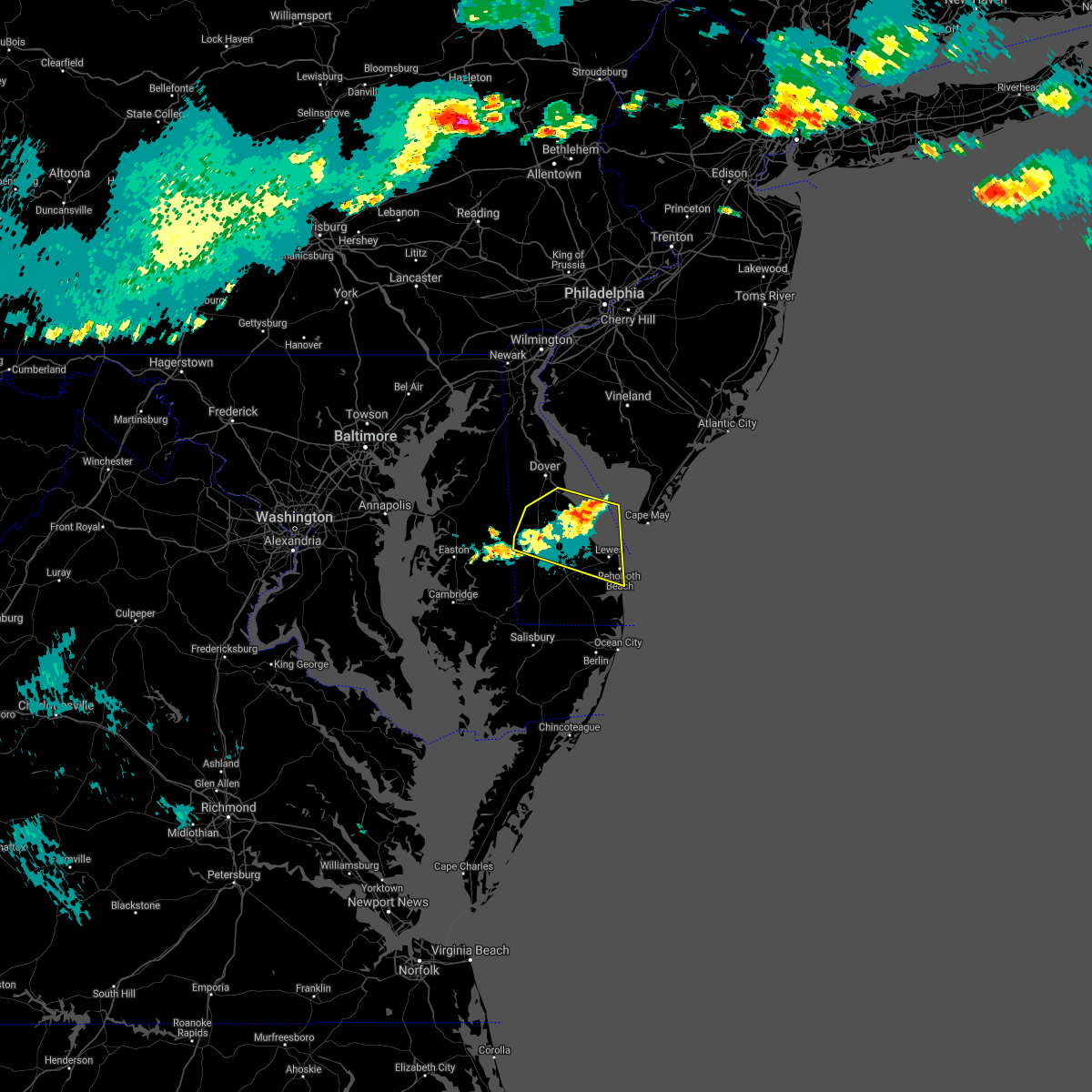 The severe thunderstorm warning for northern sussex and southern kent counties will expire at 800 pm edt, the storm which prompted the warning has moved out of the area. therefore, the warning will be allowed to expire. however gusty winds are still possible with this thunderstorm. to report severe weather, contact your nearest law enforcement agency. they will relay your report to the national weather service mount holly nj. The severe thunderstorm warning for northern sussex and southern kent counties will expire at 800 pm edt, the storm which prompted the warning has moved out of the area. therefore, the warning will be allowed to expire. however gusty winds are still possible with this thunderstorm. to report severe weather, contact your nearest law enforcement agency. they will relay your report to the national weather service mount holly nj.
|
| 8/27/2020 7:41 PM EDT |
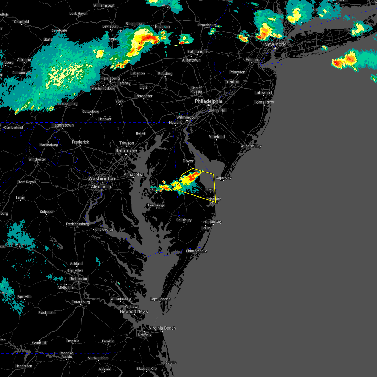 At 741 pm edt, a severe thunderstorm was located near milford, or 12 miles south of dover, moving east at 45 mph (radar indicated). Hazards include 60 mph wind gusts. Damage to roofs, siding, trees, and power lines is possible. Locations impacted include, milford, harrington, lewes, milton, ellendale, bowers, viola, henlopen acres, cape henlopen state park, big stone beach, andrewsville, felton, greenwood, frederica, houston, dewey beach, magnolia, farmington and riverview. At 741 pm edt, a severe thunderstorm was located near milford, or 12 miles south of dover, moving east at 45 mph (radar indicated). Hazards include 60 mph wind gusts. Damage to roofs, siding, trees, and power lines is possible. Locations impacted include, milford, harrington, lewes, milton, ellendale, bowers, viola, henlopen acres, cape henlopen state park, big stone beach, andrewsville, felton, greenwood, frederica, houston, dewey beach, magnolia, farmington and riverview.
|
| 8/27/2020 7:25 PM EDT |
 At 724 pm edt, a cluster of severe thunderstorms were located near sandtown, or 14 miles southwest of dover, moving east at 45 mph (radar indicated). Hazards include 60 mph wind gusts. damage to roofs, siding, trees, and power lines is possible At 724 pm edt, a cluster of severe thunderstorms were located near sandtown, or 14 miles southwest of dover, moving east at 45 mph (radar indicated). Hazards include 60 mph wind gusts. damage to roofs, siding, trees, and power lines is possible
|
| 8/6/2020 8:30 AM EDT | A few reports of downed tree limbs and power lines in the angola and millsboro areas. time estimated from rada in sussex county DE, 8.2 miles N of Lewes, DE |
| 8/6/2020 8:16 AM EDT |
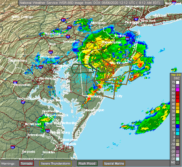 At 816 am edt, severe thunderstorms were located along a line extending from near cape henlopen state park to gumboro, moving east at 30 mph (radar indicated). Hazards include 60 mph wind gusts and penny size hail. damage to roofs, siding, trees, and power lines is possible At 816 am edt, severe thunderstorms were located along a line extending from near cape henlopen state park to gumboro, moving east at 30 mph (radar indicated). Hazards include 60 mph wind gusts and penny size hail. damage to roofs, siding, trees, and power lines is possible
|
| 8/6/2020 7:40 AM EDT |
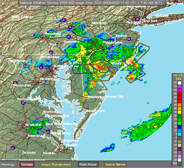 At 740 am edt, a severe thunderstorm was located over ellendale, or 9 miles north of georgetown, moving east at 25 mph (law enforcement. reports of power lines down have been received from greenwood). Hazards include 70 mph wind gusts. Expect considerable tree damage. damage is likely to mobile homes, roofs, and outbuildings. Locations impacted include, georgetown, milford, lewes, milton, ellendale, henlopen acres, cape henlopen state park, houston and dewey beach. At 740 am edt, a severe thunderstorm was located over ellendale, or 9 miles north of georgetown, moving east at 25 mph (law enforcement. reports of power lines down have been received from greenwood). Hazards include 70 mph wind gusts. Expect considerable tree damage. damage is likely to mobile homes, roofs, and outbuildings. Locations impacted include, georgetown, milford, lewes, milton, ellendale, henlopen acres, cape henlopen state park, houston and dewey beach.
|
| 8/6/2020 7:28 AM EDT |
 At 727 am edt, a severe thunderstorm was located near ellendale, or 11 miles northwest of georgetown, moving east at 25 mph (radar indicated). Hazards include 70 mph wind gusts. Expect considerable tree damage. damage is likely to mobile homes, roofs, and outbuildings. Locations impacted include, georgetown, milford, harrington, lewes, milton, bridgeville, ellendale, henlopen acres, cape henlopen state park, andrewsville, greenwood, houston, dewey beach and farmington. At 727 am edt, a severe thunderstorm was located near ellendale, or 11 miles northwest of georgetown, moving east at 25 mph (radar indicated). Hazards include 70 mph wind gusts. Expect considerable tree damage. damage is likely to mobile homes, roofs, and outbuildings. Locations impacted include, georgetown, milford, harrington, lewes, milton, bridgeville, ellendale, henlopen acres, cape henlopen state park, andrewsville, greenwood, houston, dewey beach and farmington.
|
| 8/6/2020 7:13 AM EDT |
 At 712 am edt, a severe thunderstorm was located near andrewsville, or 14 miles northwest of georgetown, moving east at 25 mph (radar indicated). Hazards include 70 mph wind gusts. Expect considerable tree damage. Damage is likely to mobile homes, roofs, and outbuildings. At 712 am edt, a severe thunderstorm was located near andrewsville, or 14 miles northwest of georgetown, moving east at 25 mph (radar indicated). Hazards include 70 mph wind gusts. Expect considerable tree damage. Damage is likely to mobile homes, roofs, and outbuildings.
|
| 8/4/2020 8:42 AM EDT |
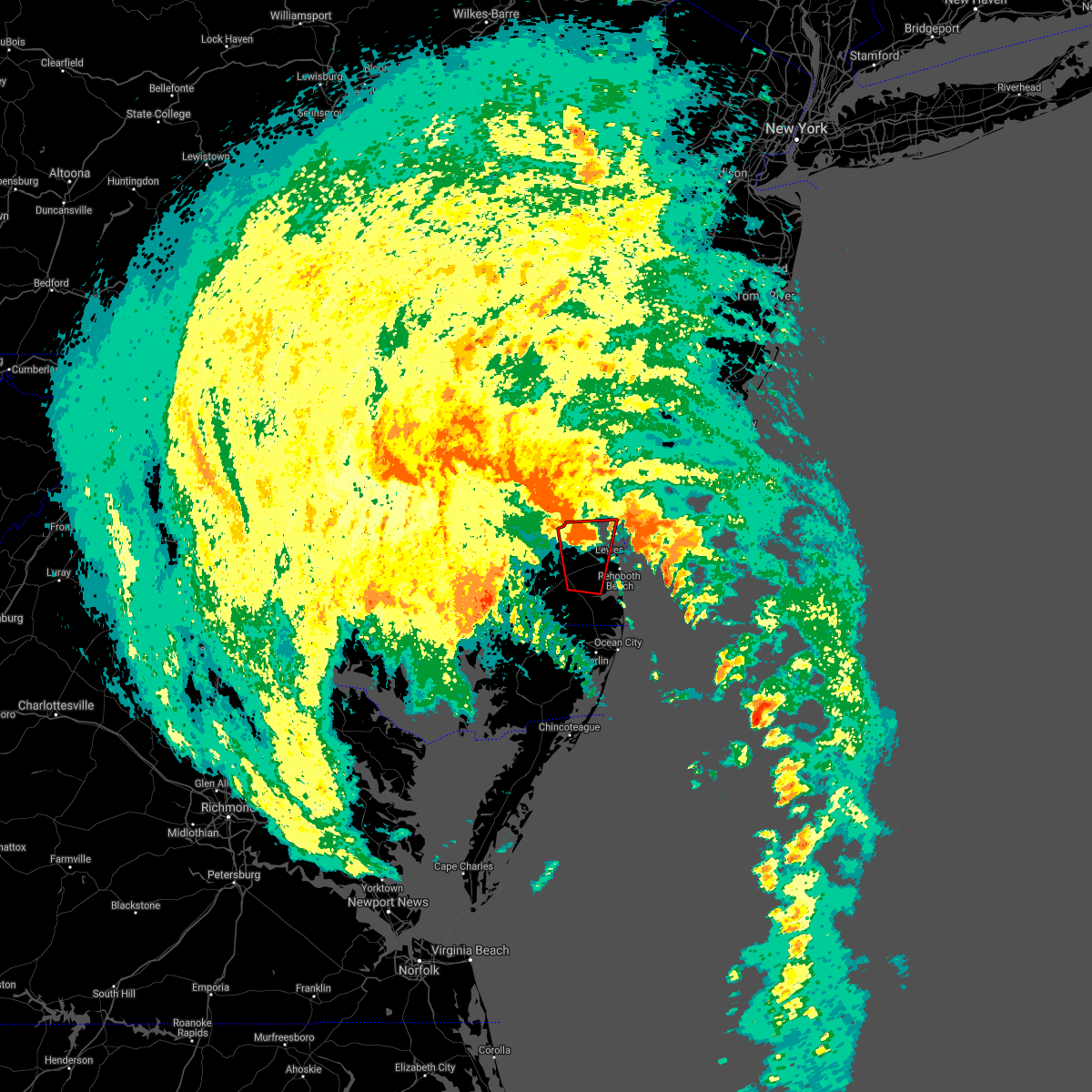 The tornado warning for central sussex county will expire at 845 am edt, the storm which prompted the warning has weakened below severe limits, and no longer appears capable of producing a tornado. therefore, the warning will be allowed to expire. a tornado watch remains in effect until noon edt for central and southern delaware. The tornado warning for central sussex county will expire at 845 am edt, the storm which prompted the warning has weakened below severe limits, and no longer appears capable of producing a tornado. therefore, the warning will be allowed to expire. a tornado watch remains in effect until noon edt for central and southern delaware.
|
| 8/4/2020 8:30 AM EDT |
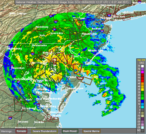 At 829 am edt, a severe thunderstorm capable of producing a tornado was located near milton, or 10 miles northeast of georgetown, moving north at 60 mph (radar indicated rotation). Hazards include tornado. Flying debris will be dangerous to those caught without shelter. mobile homes will be damaged or destroyed. damage to roofs, windows, and vehicles will occur. tree damage is likely. Locations impacted include, georgetown, milford, lewes, milton and ellendale. At 829 am edt, a severe thunderstorm capable of producing a tornado was located near milton, or 10 miles northeast of georgetown, moving north at 60 mph (radar indicated rotation). Hazards include tornado. Flying debris will be dangerous to those caught without shelter. mobile homes will be damaged or destroyed. damage to roofs, windows, and vehicles will occur. tree damage is likely. Locations impacted include, georgetown, milford, lewes, milton and ellendale.
|
| 8/4/2020 8:18 AM EDT |
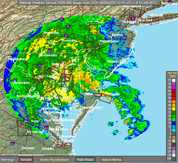 At 818 am edt, a severe thunderstorm capable of producing a tornado was located over millsboro, or 8 miles southeast of georgetown, moving north at 60 mph (radar indicated rotation). Hazards include tornado. Flying debris will be dangerous to those caught without shelter. mobile homes will be damaged or destroyed. damage to roofs, windows, and vehicles will occur. Tree damage is likely. At 818 am edt, a severe thunderstorm capable of producing a tornado was located over millsboro, or 8 miles southeast of georgetown, moving north at 60 mph (radar indicated rotation). Hazards include tornado. Flying debris will be dangerous to those caught without shelter. mobile homes will be damaged or destroyed. damage to roofs, windows, and vehicles will occur. Tree damage is likely.
|
| 8/4/2020 8:00 AM EDT |
 At 800 am edt, a severe thunderstorm capable of producing a tornado was located over millsboro, or 9 miles southeast of georgetown, moving north at 55 mph (radar indicated rotation). Hazards include tornado. Flying debris will be dangerous to those caught without shelter. mobile homes will be damaged or destroyed. damage to roofs, windows, and vehicles will occur. tree damage is likely. Locations impacted include, georgetown, millsboro, lewes, milton, dagsboro and frankford. At 800 am edt, a severe thunderstorm capable of producing a tornado was located over millsboro, or 9 miles southeast of georgetown, moving north at 55 mph (radar indicated rotation). Hazards include tornado. Flying debris will be dangerous to those caught without shelter. mobile homes will be damaged or destroyed. damage to roofs, windows, and vehicles will occur. tree damage is likely. Locations impacted include, georgetown, millsboro, lewes, milton, dagsboro and frankford.
|
| 8/4/2020 7:51 AM EDT |
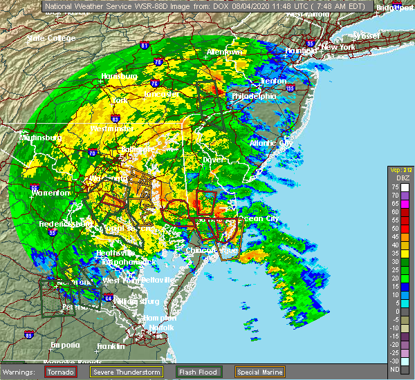 At 751 am edt, a severe thunderstorm capable of producing a tornado was located near selbyville, or 13 miles northwest of ocean city, moving north at 55 mph (radar indicated rotation). Hazards include tornado. Flying debris will be dangerous to those caught without shelter. mobile homes will be damaged or destroyed. damage to roofs, windows, and vehicles will occur. Tree damage is likely. At 751 am edt, a severe thunderstorm capable of producing a tornado was located near selbyville, or 13 miles northwest of ocean city, moving north at 55 mph (radar indicated rotation). Hazards include tornado. Flying debris will be dangerous to those caught without shelter. mobile homes will be damaged or destroyed. damage to roofs, windows, and vehicles will occur. Tree damage is likely.
|
| 7/6/2020 9:25 PM EDT |
 At 923 pm edt, severe thunderstorms were located along a line extending from near milford to milton to delmar, moving southeast at 20 mph (radar indicated). Hazards include 60 mph wind gusts. damage to roofs, siding, trees, and power lines is possible At 923 pm edt, severe thunderstorms were located along a line extending from near milford to milton to delmar, moving southeast at 20 mph (radar indicated). Hazards include 60 mph wind gusts. damage to roofs, siding, trees, and power lines is possible
|
| 7/6/2020 9:11 PM EDT |
 At 909 pm edt, severe thunderstorms were located along a line extending from near milford to milton to delmar, moving southeast at 25 mph (radar indicated). Hazards include 60 mph wind gusts. Damage to roofs, siding, trees, and power lines is possible. Locations impacted include, georgetown, milford, seaford, millsboro, laurel, harrington, lewes, milton, bridgeville, delmar, dagsboro, millville, ellendale, gumboro, sycamore, big stone beach, long neck, felton, blades and greenwood. At 909 pm edt, severe thunderstorms were located along a line extending from near milford to milton to delmar, moving southeast at 25 mph (radar indicated). Hazards include 60 mph wind gusts. Damage to roofs, siding, trees, and power lines is possible. Locations impacted include, georgetown, milford, seaford, millsboro, laurel, harrington, lewes, milton, bridgeville, delmar, dagsboro, millville, ellendale, gumboro, sycamore, big stone beach, long neck, felton, blades and greenwood.
|
| 7/6/2020 8:53 PM EDT |
 At 851 pm edt, severe thunderstorms were located along a line extending from near viola to near ellendale to near sharptown, moving southeast at 30 mph (radar indicated). Hazards include 60 mph wind gusts. damage to roofs, siding, trees, and power lines is possible At 851 pm edt, severe thunderstorms were located along a line extending from near viola to near ellendale to near sharptown, moving southeast at 30 mph (radar indicated). Hazards include 60 mph wind gusts. damage to roofs, siding, trees, and power lines is possible
|
| 7/1/2020 1:25 PM EDT |
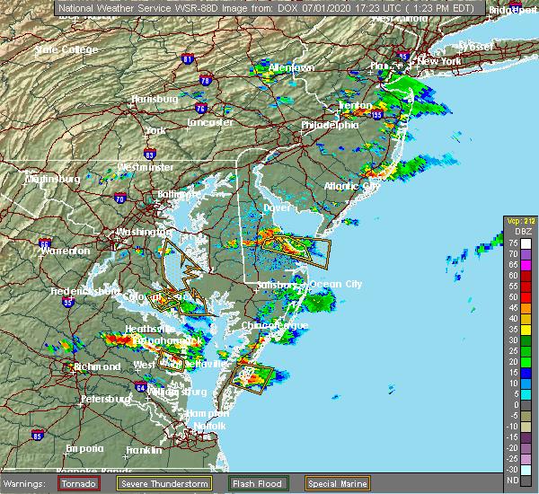 The severe thunderstorm warning for northeastern sussex county will expire at 130 pm edt, the storm which prompted the warning has weakened below severe limits, and no longer poses an immediate threat to life or property. therefore, the warning will be allowed to expire. however gusty winds are possible and very heavy rain will occur with this thunderstorm. The severe thunderstorm warning for northeastern sussex county will expire at 130 pm edt, the storm which prompted the warning has weakened below severe limits, and no longer poses an immediate threat to life or property. therefore, the warning will be allowed to expire. however gusty winds are possible and very heavy rain will occur with this thunderstorm.
|
| 7/1/2020 12:57 PM EDT |
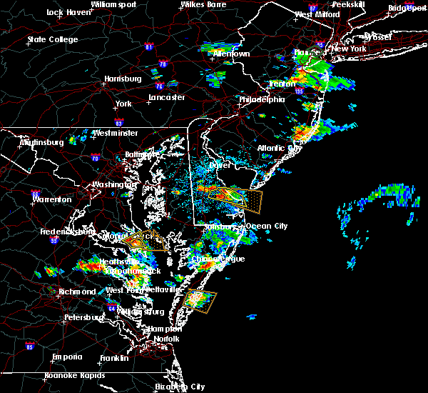 At 1256 pm edt, a severe thunderstorm was located near milton, or 12 miles northeast of georgetown, moving east at 15 mph. radar data shows a more focused area of potentially damaging winds near the slaughter beach area (radar indicated). Hazards include 60 mph wind gusts and quarter size hail. Minor damage to vehicles is possible. wind damage to roofs, siding, trees, and power lines is possible. Locations impacted include, milford, lewes, milton, ellendale, henlopen acres and cape henlopen state park. At 1256 pm edt, a severe thunderstorm was located near milton, or 12 miles northeast of georgetown, moving east at 15 mph. radar data shows a more focused area of potentially damaging winds near the slaughter beach area (radar indicated). Hazards include 60 mph wind gusts and quarter size hail. Minor damage to vehicles is possible. wind damage to roofs, siding, trees, and power lines is possible. Locations impacted include, milford, lewes, milton, ellendale, henlopen acres and cape henlopen state park.
|
| 7/1/2020 12:36 PM EDT |
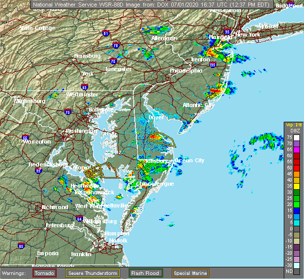 At 1236 pm edt, a severe thunderstorm was located near ellendale, or 11 miles north of georgetown, moving east at 20 mph (radar indicated). Hazards include 60 mph wind gusts and quarter size hail. Minor damage to vehicles is possible. Wind damage to roofs, siding, trees, and power lines is possible. At 1236 pm edt, a severe thunderstorm was located near ellendale, or 11 miles north of georgetown, moving east at 20 mph (radar indicated). Hazards include 60 mph wind gusts and quarter size hail. Minor damage to vehicles is possible. Wind damage to roofs, siding, trees, and power lines is possible.
|
| 6/22/2020 7:08 PM EDT |
 At 707 pm edt, a severe thunderstorm was located near ellendale, or near georgetown, moving northeast at 20 mph (radar indicated). Hazards include 60 mph wind gusts. damage to roofs, siding, trees, and power lines is possible At 707 pm edt, a severe thunderstorm was located near ellendale, or near georgetown, moving northeast at 20 mph (radar indicated). Hazards include 60 mph wind gusts. damage to roofs, siding, trees, and power lines is possible
|
| 5/3/2020 11:55 PM EDT |
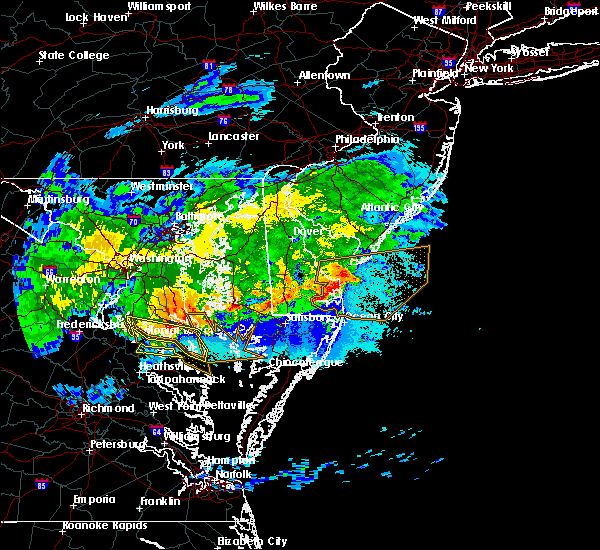 At 1155 pm edt, severe thunderstorms were located along a line extending from cape henlopen state park to near henlopen acres to millsboro, moving east at 35 mph (radar indicated). Hazards include 60 mph wind gusts. damage to roofs, siding, trees, and power lines is possible At 1155 pm edt, severe thunderstorms were located along a line extending from cape henlopen state park to near henlopen acres to millsboro, moving east at 35 mph (radar indicated). Hazards include 60 mph wind gusts. damage to roofs, siding, trees, and power lines is possible
|
| 4/21/2020 3:55 PM EDT |
 The severe thunderstorm warning for southern sussex county will expire at 400 pm edt, the storms which prompted the warning have moved out of the area. therefore, the warning will be allowed to expire. The severe thunderstorm warning for southern sussex county will expire at 400 pm edt, the storms which prompted the warning have moved out of the area. therefore, the warning will be allowed to expire.
|
| 4/21/2020 3:39 PM EDT |
 At 339 pm edt, severe thunderstorms were located along a line extending from weymouth to 8 miles northwest of north cape may to near bridgeville, moving east at 40 mph (radar indicated). Hazards include 60 mph wind gusts and penny size hail. Damage to roofs, siding, trees, and power lines is possible. Locations impacted include, millsboro, laurel, lewes, selbyville, delmar, dagsboro, millville, henlopen acres, gumboro, cape henlopen state park, long neck, ocean view, frankford, south bethany and dewey beach. At 339 pm edt, severe thunderstorms were located along a line extending from weymouth to 8 miles northwest of north cape may to near bridgeville, moving east at 40 mph (radar indicated). Hazards include 60 mph wind gusts and penny size hail. Damage to roofs, siding, trees, and power lines is possible. Locations impacted include, millsboro, laurel, lewes, selbyville, delmar, dagsboro, millville, henlopen acres, gumboro, cape henlopen state park, long neck, ocean view, frankford, south bethany and dewey beach.
|
| 4/21/2020 3:30 PM EDT | Storm damage reported in sussex county DE, 1.9 miles W of Lewes, DE |
| 4/21/2020 3:27 PM EDT |
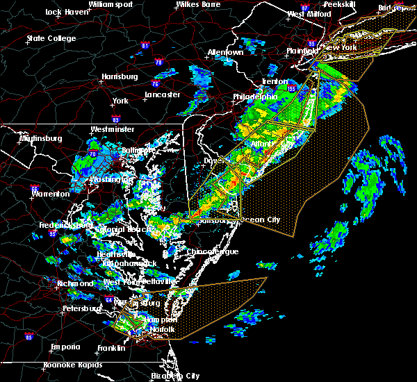 At 324 pm edt, severe thunderstorms were located along a line extending from near buena to near big stone beach to near federalsburg, moving east at 40 mph (radar indicated). Hazards include 60 mph wind gusts and penny size hail. Damage to roofs, siding, trees, and power lines is possible. Locations impacted include, georgetown, millsboro, laurel, lewes, milton, selbyville, delmar, dagsboro, millville, ellendale, henlopen acres, gumboro, cape henlopen state park, sycamore, long neck, ocean view, frankford, south bethany, dewey beach and bethel. At 324 pm edt, severe thunderstorms were located along a line extending from near buena to near big stone beach to near federalsburg, moving east at 40 mph (radar indicated). Hazards include 60 mph wind gusts and penny size hail. Damage to roofs, siding, trees, and power lines is possible. Locations impacted include, georgetown, millsboro, laurel, lewes, milton, selbyville, delmar, dagsboro, millville, ellendale, henlopen acres, gumboro, cape henlopen state park, sycamore, long neck, ocean view, frankford, south bethany, dewey beach and bethel.
|
| 4/21/2020 3:13 PM EDT |
 At 311 pm edt, severe thunderstorms were located along a line extending from near millville to milford to hurlock, moving east at 40 mph (radar indicated. a measured wind gust to 56 mph occurred at dover at 2:45 pm). Hazards include 60 mph wind gusts and penny size hail. Damage to roofs, siding, trees, and power lines is possible. Locations impacted include, georgetown, milford, seaford, millsboro, laurel, lewes, milton, selbyville, bridgeville, delmar, dagsboro, millville, ellendale, bowers, henlopen acres, gumboro, cape henlopen state park, sycamore, big stone beach and long neck. At 311 pm edt, severe thunderstorms were located along a line extending from near millville to milford to hurlock, moving east at 40 mph (radar indicated. a measured wind gust to 56 mph occurred at dover at 2:45 pm). Hazards include 60 mph wind gusts and penny size hail. Damage to roofs, siding, trees, and power lines is possible. Locations impacted include, georgetown, milford, seaford, millsboro, laurel, lewes, milton, selbyville, bridgeville, delmar, dagsboro, millville, ellendale, bowers, henlopen acres, gumboro, cape henlopen state park, sycamore, big stone beach and long neck.
|
| 4/21/2020 2:46 PM EDT |
 At 246 pm edt, severe thunderstorms were located along a line extending from near greenwich to near andrewsville to near university of maryland center for environmental studies, moving east at 40 mph (radar indicated). Hazards include 60 mph wind gusts and penny size hail. damage to roofs, siding, trees, and power lines is possible At 246 pm edt, severe thunderstorms were located along a line extending from near greenwich to near andrewsville to near university of maryland center for environmental studies, moving east at 40 mph (radar indicated). Hazards include 60 mph wind gusts and penny size hail. damage to roofs, siding, trees, and power lines is possible
|
| 4/13/2020 3:57 PM EDT |
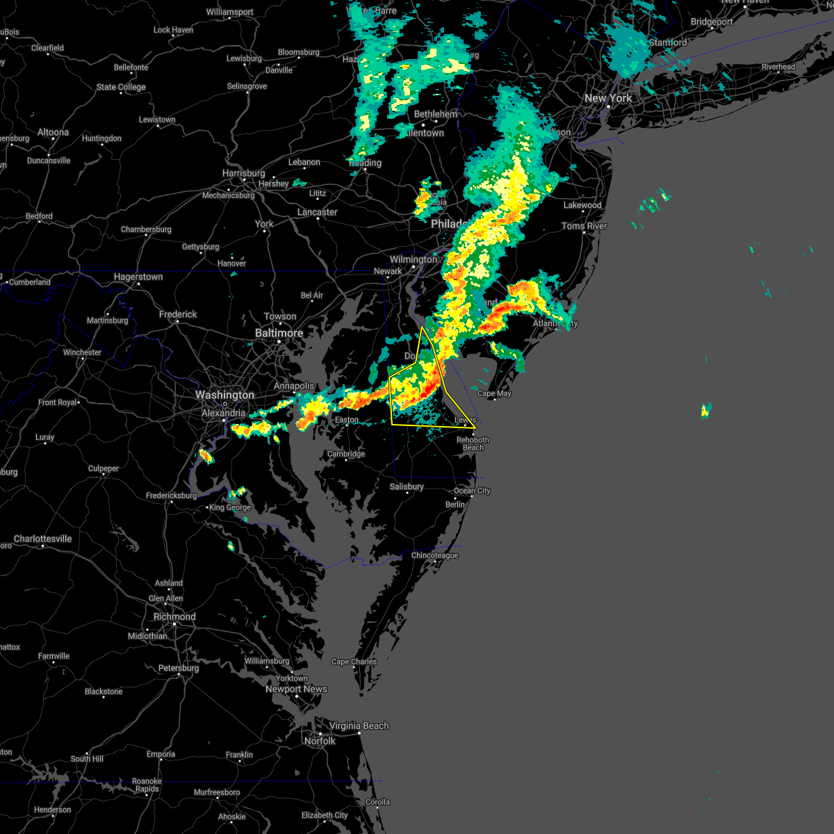 The severe thunderstorm warning for northern sussex and kent counties will expire at 400 pm edt, the storms which prompted the warning have weakened below severe limits, and no longer pose an immediate threat to life or property. therefore, the warning will be allowed to expire. however gusty winds and heavy rain are still possible with these thunderstorms. a tornado watch remains in effect until 600 pm edt for central and southern delaware, and eastern maryland. The severe thunderstorm warning for northern sussex and kent counties will expire at 400 pm edt, the storms which prompted the warning have weakened below severe limits, and no longer pose an immediate threat to life or property. therefore, the warning will be allowed to expire. however gusty winds and heavy rain are still possible with these thunderstorms. a tornado watch remains in effect until 600 pm edt for central and southern delaware, and eastern maryland.
|
| 4/13/2020 3:51 PM EDT |
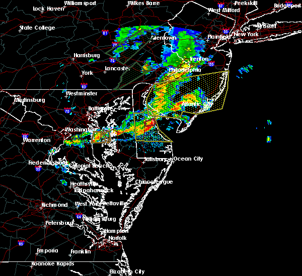 At 351 pm edt, severe thunderstorms were located along a line extending from near greenwich to bowers to near denton, moving east at 45 mph (radar indicated). Hazards include 70 mph wind gusts and penny size hail. Expect considerable tree damage. damage is likely to mobile homes, roofs, and outbuildings. Locations impacted include, dover, milford, harrington, camden, lewes, milton, ellendale, bowers, woodside, viola, rising sun-lebanon, woodland beach, dover base housing, sandtown, andrewsville, rising sun, big stone beach, wyoming, felton and greenwood. At 351 pm edt, severe thunderstorms were located along a line extending from near greenwich to bowers to near denton, moving east at 45 mph (radar indicated). Hazards include 70 mph wind gusts and penny size hail. Expect considerable tree damage. damage is likely to mobile homes, roofs, and outbuildings. Locations impacted include, dover, milford, harrington, camden, lewes, milton, ellendale, bowers, woodside, viola, rising sun-lebanon, woodland beach, dover base housing, sandtown, andrewsville, rising sun, big stone beach, wyoming, felton and greenwood.
|
| 4/13/2020 3:22 PM EDT |
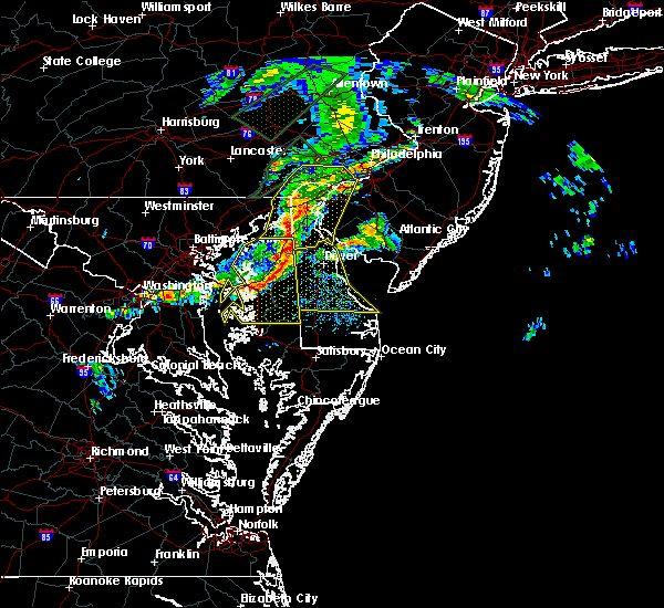 At 321 pm edt, severe thunderstorms were located along a line extending from bohemias mills to near sudlersville to near grasonville, moving east at 55 mph (radar and surface observations. several gusts of 60 to 70 mph have been reported in eastern maryland as these storms have moved through). Hazards include 70 mph wind gusts and penny size hail. Expect considerable tree damage. Damage is likely to mobile homes, roofs, and outbuildings. At 321 pm edt, severe thunderstorms were located along a line extending from bohemias mills to near sudlersville to near grasonville, moving east at 55 mph (radar and surface observations. several gusts of 60 to 70 mph have been reported in eastern maryland as these storms have moved through). Hazards include 70 mph wind gusts and penny size hail. Expect considerable tree damage. Damage is likely to mobile homes, roofs, and outbuildings.
|
| 4/8/2020 12:08 AM EDT |
 The severe thunderstorm warning for central sussex county will expire at 1215 am edt, the storm which prompted the warning has weakened below severe limits, and no longer poses an immediate threat to life or property. therefore, the warning will be allowed to expire. however small hail is still possible with this thunderstorm. to report severe weather, contact your nearest law enforcement agency. they will relay your report to the national weather service mount holly nj. The severe thunderstorm warning for central sussex county will expire at 1215 am edt, the storm which prompted the warning has weakened below severe limits, and no longer poses an immediate threat to life or property. therefore, the warning will be allowed to expire. however small hail is still possible with this thunderstorm. to report severe weather, contact your nearest law enforcement agency. they will relay your report to the national weather service mount holly nj.
|
| 4/7/2020 11:48 PM EDT |
 At 1147 pm edt, a severe thunderstorm was located near bridgeville, or 13 miles northeast of hurlock, moving east at 45 mph (radar indicated). Hazards include quarter size hail. minor damage to vehicles is possible At 1147 pm edt, a severe thunderstorm was located near bridgeville, or 13 miles northeast of hurlock, moving east at 45 mph (radar indicated). Hazards include quarter size hail. minor damage to vehicles is possible
|
| 2/7/2020 10:26 AM EST | Weatherflow site xle in sussex county DE, 0.9 miles SSE of Lewes, DE |
| 2/7/2020 10:24 AM EST |
 The severe thunderstorm warning for sussex, southwestern new castle, kent and east central caroline counties will expire at 1030 am est, the storms which prompted the warning have moved out of the area. therefore, the warning will be allowed to expire. however gusty winds are still possible behind these thunderstorms. to report severe weather, contact your nearest law enforcement agency. they will relay your report to the national weather service mount holly nj. The severe thunderstorm warning for sussex, southwestern new castle, kent and east central caroline counties will expire at 1030 am est, the storms which prompted the warning have moved out of the area. therefore, the warning will be allowed to expire. however gusty winds are still possible behind these thunderstorms. to report severe weather, contact your nearest law enforcement agency. they will relay your report to the national weather service mount holly nj.
|
| 2/7/2020 9:24 AM EST |
 At 924 am est, severe thunderstorms were located along a line extending from near goldsboro to near tanyard to 6 miles south of cambridge, moving northeast at 70 mph (radar indicated). Hazards include 60 mph wind gusts and penny size hail. damage to roofs, siding, trees, and power lines is possible At 924 am est, severe thunderstorms were located along a line extending from near goldsboro to near tanyard to 6 miles south of cambridge, moving northeast at 70 mph (radar indicated). Hazards include 60 mph wind gusts and penny size hail. damage to roofs, siding, trees, and power lines is possible
|
| 11/1/2019 12:52 AM EDT |
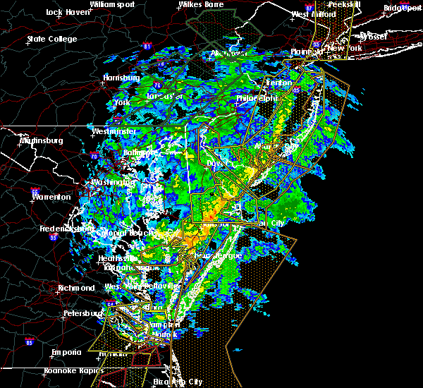 At 1251 am edt, severe thunderstorms were located along a line extending from 6 miles northwest of north cape may to near parsonsburg, moving northeast at 55 mph (radar indicated). Hazards include 60 mph wind gusts. Damage to roofs, siding, trees, and power lines is possible. Locations impacted include, georgetown, millsboro, lewes, milton, selbyville, delmar, dagsboro, millville, henlopen acres, gumboro, cape henlopen state park, sycamore, long neck, ocean view, frankford, south bethany and dewey beach. At 1251 am edt, severe thunderstorms were located along a line extending from 6 miles northwest of north cape may to near parsonsburg, moving northeast at 55 mph (radar indicated). Hazards include 60 mph wind gusts. Damage to roofs, siding, trees, and power lines is possible. Locations impacted include, georgetown, millsboro, lewes, milton, selbyville, delmar, dagsboro, millville, henlopen acres, gumboro, cape henlopen state park, sycamore, long neck, ocean view, frankford, south bethany and dewey beach.
|
| 11/1/2019 12:10 AM EDT |
 At 1210 am edt, severe thunderstorms were located along a line extending from near viola to 9 miles southwest of vienna, moving northeast at 65 mph (radar indicated). Hazards include 60 mph wind gusts. damage to roofs, siding, trees, and power lines is possible At 1210 am edt, severe thunderstorms were located along a line extending from near viola to 9 miles southwest of vienna, moving northeast at 65 mph (radar indicated). Hazards include 60 mph wind gusts. damage to roofs, siding, trees, and power lines is possible
|
| 8/19/2019 3:39 PM EDT |
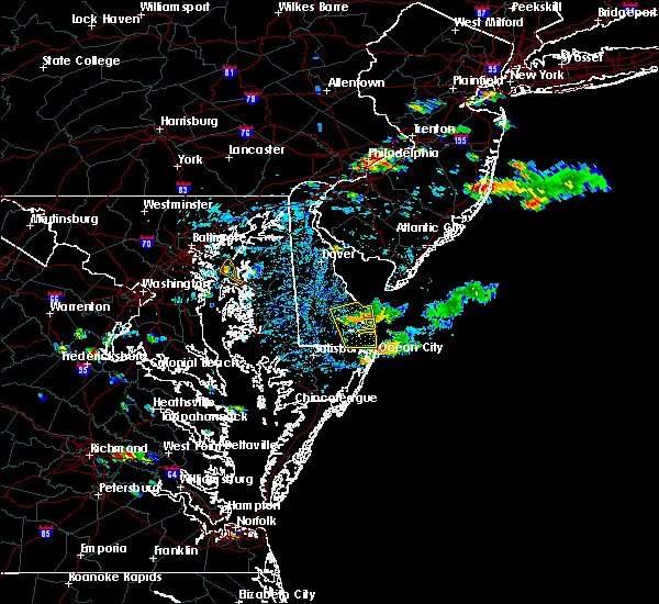 The severe thunderstorm warning for southeastern sussex county will expire at 345 pm edt, the storm which prompted the warning has weakened below severe limits, and no longer poses an immediate threat to life or property. therefore, the warning will be allowed to expire. however small hail and gusty winds are still possible with this thunderstorm. The severe thunderstorm warning for southeastern sussex county will expire at 345 pm edt, the storm which prompted the warning has weakened below severe limits, and no longer poses an immediate threat to life or property. therefore, the warning will be allowed to expire. however small hail and gusty winds are still possible with this thunderstorm.
|
| 8/19/2019 3:31 PM EDT |
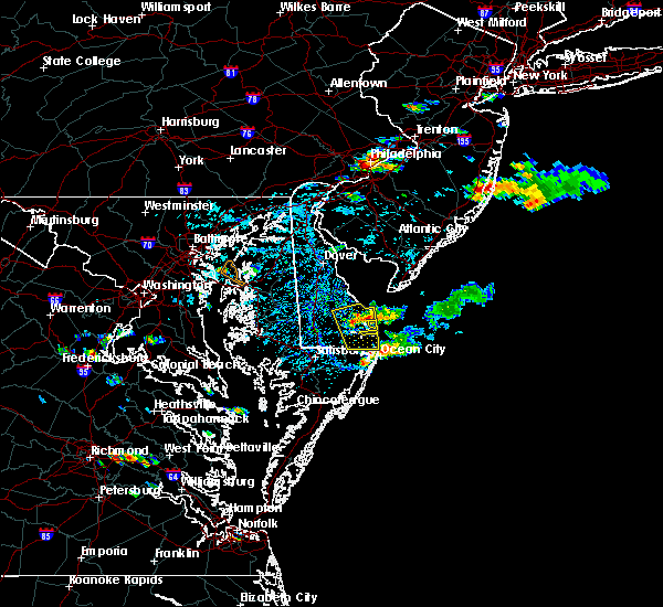 At 330 pm edt, a severe thunderstorm was located 7 miles northeast of ocean city, moving southeast at 20 mph (radar indicated). Hazards include 60 mph wind gusts and quarter size hail. Minor damage to vehicles is possible. wind damage to roofs, siding, trees, and power lines is possible. Locations impacted include, millsboro, lewes, selbyville, dagsboro, millville, henlopen acres, cape henlopen state park, long neck, ocean view, frankford, south bethany and dewey beach. At 330 pm edt, a severe thunderstorm was located 7 miles northeast of ocean city, moving southeast at 20 mph (radar indicated). Hazards include 60 mph wind gusts and quarter size hail. Minor damage to vehicles is possible. wind damage to roofs, siding, trees, and power lines is possible. Locations impacted include, millsboro, lewes, selbyville, dagsboro, millville, henlopen acres, cape henlopen state park, long neck, ocean view, frankford, south bethany and dewey beach.
|
| 8/19/2019 3:00 PM EDT |
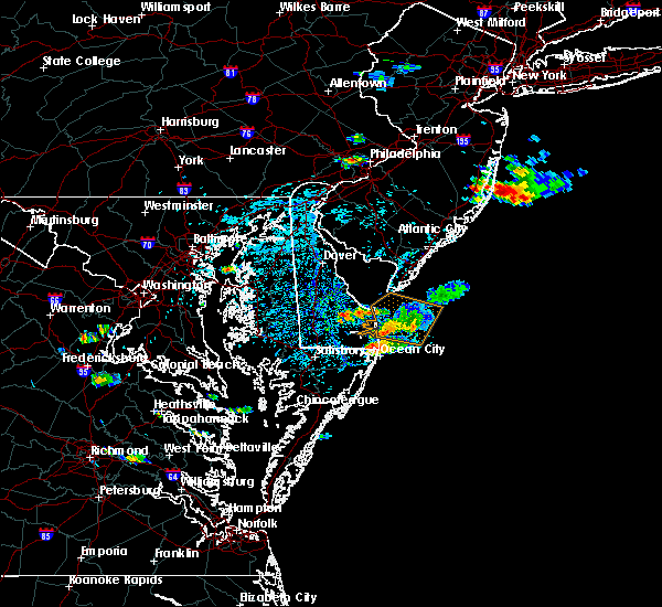 At 259 pm edt, a cluster of severe thunderstorms was over eastern sussex county and is moving southeast at 20 mph (radar indicated). Hazards include 60 mph wind gusts and quarter size hail. Minor damage to vehicles is possible. Wind damage to roofs, siding, trees, and power lines is possible. At 259 pm edt, a cluster of severe thunderstorms was over eastern sussex county and is moving southeast at 20 mph (radar indicated). Hazards include 60 mph wind gusts and quarter size hail. Minor damage to vehicles is possible. Wind damage to roofs, siding, trees, and power lines is possible.
|
| 8/19/2019 2:42 PM EDT |
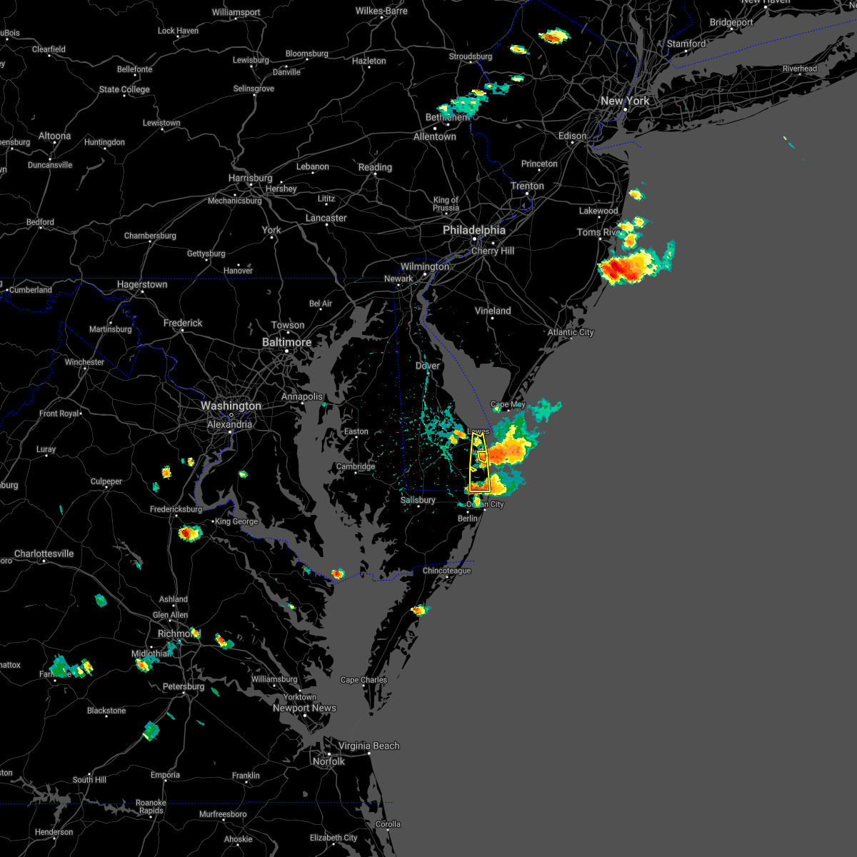 At 227 pm edt, severe thunderstorms were located along a line extending from 9 miles east of cape henlopen state park to 10 miles northeast of ocean city, moving east at 20 mph (reports of wind gusts near 60 mph at dewey beach). Hazards include 60 mph wind gusts and quarter size hail. Minor damage to vehicles is possible. wind damage to roofs, siding, trees, and power lines is possible. Locations impacted include, lewes, millville, henlopen acres, long neck, ocean view, south bethany and dewey beach. At 227 pm edt, severe thunderstorms were located along a line extending from 9 miles east of cape henlopen state park to 10 miles northeast of ocean city, moving east at 20 mph (reports of wind gusts near 60 mph at dewey beach). Hazards include 60 mph wind gusts and quarter size hail. Minor damage to vehicles is possible. wind damage to roofs, siding, trees, and power lines is possible. Locations impacted include, lewes, millville, henlopen acres, long neck, ocean view, south bethany and dewey beach.
|
| 8/19/2019 2:29 PM EDT |
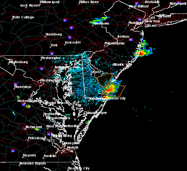 At 227 pm edt, severe thunderstorms were located along a line extending from 9 miles east of cape henlopen state park to 10 miles northeast of ocean city, moving east at 20 mph (reports of wind gusts near 60 mph at dewey beach). Hazards include 60 mph wind gusts and quarter size hail. Minor damage to vehicles is possible. wind damage to roofs, siding, trees, and power lines is possible. Locations impacted include, lewes, millville, henlopen acres, long neck, ocean view, south bethany and dewey beach. At 227 pm edt, severe thunderstorms were located along a line extending from 9 miles east of cape henlopen state park to 10 miles northeast of ocean city, moving east at 20 mph (reports of wind gusts near 60 mph at dewey beach). Hazards include 60 mph wind gusts and quarter size hail. Minor damage to vehicles is possible. wind damage to roofs, siding, trees, and power lines is possible. Locations impacted include, lewes, millville, henlopen acres, long neck, ocean view, south bethany and dewey beach.
|
| 8/19/2019 1:57 PM EDT | Several social media reports of downed trees across town. time based on social media reports and rada in sussex county DE, 1.4 miles W of Lewes, DE |
| 8/19/2019 1:56 PM EDT |
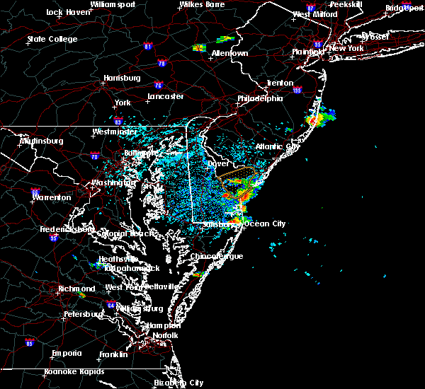 At 156 pm edt, severe thunderstorms were located along a line extending from lewes to near ocean pines, moving east at 20 mph (radar indicated). Hazards include 60 mph wind gusts and quarter size hail. Minor damage to vehicles is possible. Wind damage to roofs, siding, trees, and power lines is possible. At 156 pm edt, severe thunderstorms were located along a line extending from lewes to near ocean pines, moving east at 20 mph (radar indicated). Hazards include 60 mph wind gusts and quarter size hail. Minor damage to vehicles is possible. Wind damage to roofs, siding, trees, and power lines is possible.
|
| 8/19/2019 1:48 PM EDT | 65 knot gust at the lewes buo in anz431 county DE, 1.9 miles W of Lewes, DE |
| 8/7/2019 2:25 PM EDT |
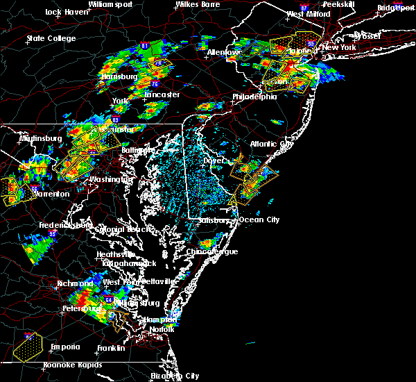 The severe thunderstorm warning for east central sussex county will expire at 230 pm edt, the storm which prompted the warning has moved out of the area. therefore, the warning will be allowed to expire. a severe thunderstorm watch remains in effect until 900 pm edt for southern delaware. to report severe weather, contact your nearest law enforcement agency. they will relay your report to the national weather service mount holly nj. The severe thunderstorm warning for east central sussex county will expire at 230 pm edt, the storm which prompted the warning has moved out of the area. therefore, the warning will be allowed to expire. a severe thunderstorm watch remains in effect until 900 pm edt for southern delaware. to report severe weather, contact your nearest law enforcement agency. they will relay your report to the national weather service mount holly nj.
|
| 8/7/2019 2:12 PM EDT |
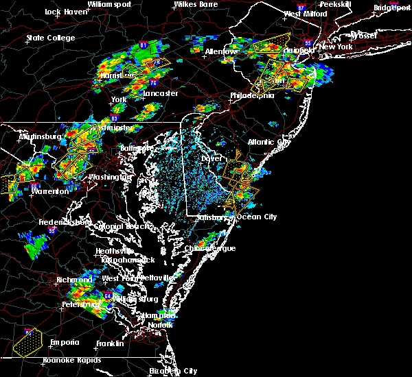 At 212 pm edt, a severe thunderstorm was located over henlopen acres, or 16 miles east of georgetown, moving north at 30 mph (radar indicated). Hazards include 60 mph wind gusts and quarter size hail. Minor damage to vehicles is possible. wind damage to roofs, siding, trees, and power lines is possible. Locations impacted include, henlopen acres and dewey beach. At 212 pm edt, a severe thunderstorm was located over henlopen acres, or 16 miles east of georgetown, moving north at 30 mph (radar indicated). Hazards include 60 mph wind gusts and quarter size hail. Minor damage to vehicles is possible. wind damage to roofs, siding, trees, and power lines is possible. Locations impacted include, henlopen acres and dewey beach.
|
| 8/7/2019 1:49 PM EDT |
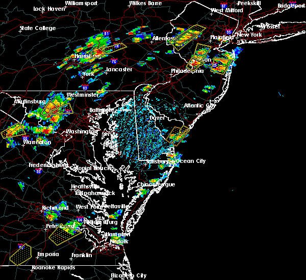 At 149 pm edt, a severe thunderstorm was located over millville, or 14 miles north of ocean city, moving northeast at 30 mph (radar indicated). Hazards include 60 mph wind gusts and quarter size hail. Minor damage to vehicles is possible. Wind damage to roofs, siding, trees, and power lines is possible. At 149 pm edt, a severe thunderstorm was located over millville, or 14 miles north of ocean city, moving northeast at 30 mph (radar indicated). Hazards include 60 mph wind gusts and quarter size hail. Minor damage to vehicles is possible. Wind damage to roofs, siding, trees, and power lines is possible.
|
| 7/31/2019 4:33 PM EDT |
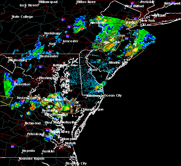 The national weather service in mount holly nj has issued a * severe thunderstorm warning for. southeastern sussex county in southern delaware. until 515 pm edt. At 433 pm edt, a severe thunderstorm was located near millsboro, or near georgetown, moving east at 10 mph. The national weather service in mount holly nj has issued a * severe thunderstorm warning for. southeastern sussex county in southern delaware. until 515 pm edt. At 433 pm edt, a severe thunderstorm was located near millsboro, or near georgetown, moving east at 10 mph.
|
| 7/23/2019 1:12 AM EDT |
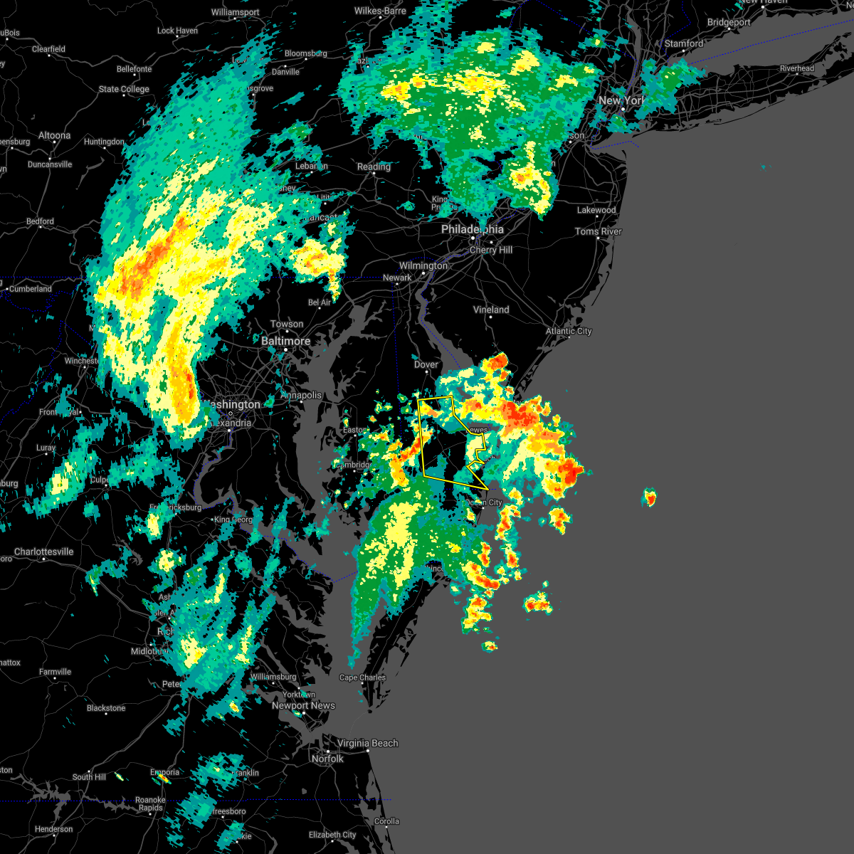 The severe thunderstorm warning for sussex and southeastern kent counties will expire at 115 am edt, the stormd which prompted the warning have moved out of the area. therefore, the warning will be allowed to expire. however gusty winds and heavy rain are still possible with additional thunderstorms tonight. to report severe weather, contact your nearest law enforcement agency. they will relay your report to the national weather service mount holly nj. The severe thunderstorm warning for sussex and southeastern kent counties will expire at 115 am edt, the stormd which prompted the warning have moved out of the area. therefore, the warning will be allowed to expire. however gusty winds and heavy rain are still possible with additional thunderstorms tonight. to report severe weather, contact your nearest law enforcement agency. they will relay your report to the national weather service mount holly nj.
|
| 7/23/2019 12:44 AM EDT |
 At 1244 am edt, a severe thunderstorm was located near lewes, or 14 miles northeast of georgetown, moving northeast at 50 mph (radar indicated). Hazards include 60 mph wind gusts. damage to roofs, siding, trees, and power lines is possible At 1244 am edt, a severe thunderstorm was located near lewes, or 14 miles northeast of georgetown, moving northeast at 50 mph (radar indicated). Hazards include 60 mph wind gusts. damage to roofs, siding, trees, and power lines is possible
|
| 7/23/2019 12:29 AM EDT |
 At 1229 am edt, a severe thunderstorm was located 7 miles southwest of lewes, or 9 miles east of georgetown, moving northeast at 55 mph (radar indicated). Hazards include 60 mph wind gusts. Damage to roofs, siding, trees, and power lines is possible. Locations impacted include, georgetown, milford, seaford, millsboro, laurel, harrington, lewes, milton, selbyville, bridgeville, delmar, dagsboro, millville, ellendale, gumboro, andrewsville, sycamore, long neck, ocean view and blades. At 1229 am edt, a severe thunderstorm was located 7 miles southwest of lewes, or 9 miles east of georgetown, moving northeast at 55 mph (radar indicated). Hazards include 60 mph wind gusts. Damage to roofs, siding, trees, and power lines is possible. Locations impacted include, georgetown, milford, seaford, millsboro, laurel, harrington, lewes, milton, selbyville, bridgeville, delmar, dagsboro, millville, ellendale, gumboro, andrewsville, sycamore, long neck, ocean view and blades.
|
| 7/22/2019 11:58 PM EDT |
 At 1157 pm edt, a severe thunderstorm was located over salisbury, moving northeast at 45 mph (radar indicated). Hazards include 60 mph wind gusts. damage to roofs, siding, trees, and power lines is possible At 1157 pm edt, a severe thunderstorm was located over salisbury, moving northeast at 45 mph (radar indicated). Hazards include 60 mph wind gusts. damage to roofs, siding, trees, and power lines is possible
|
| 7/17/2019 9:09 PM EDT |
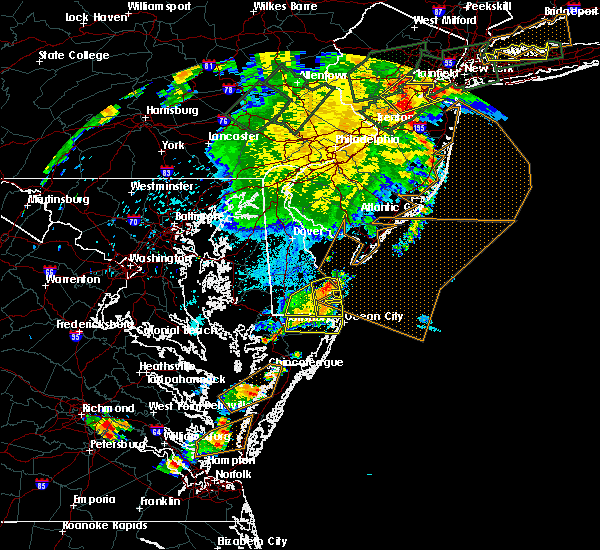 At 909 pm edt, a severe thunderstorm was located near henlopen acres, or 11 miles east of georgetown, moving east at 20 mph (radar indicated). Hazards include 60 mph wind gusts. Damage to roofs, siding, trees, and power lines is possible. Locations impacted include, millsboro, lewes, milton, selbyville, dagsboro, millville, henlopen acres, long neck, ocean view, frankford, south bethany and dewey beach. At 909 pm edt, a severe thunderstorm was located near henlopen acres, or 11 miles east of georgetown, moving east at 20 mph (radar indicated). Hazards include 60 mph wind gusts. Damage to roofs, siding, trees, and power lines is possible. Locations impacted include, millsboro, lewes, milton, selbyville, dagsboro, millville, henlopen acres, long neck, ocean view, frankford, south bethany and dewey beach.
|
| 7/17/2019 8:54 PM EDT |
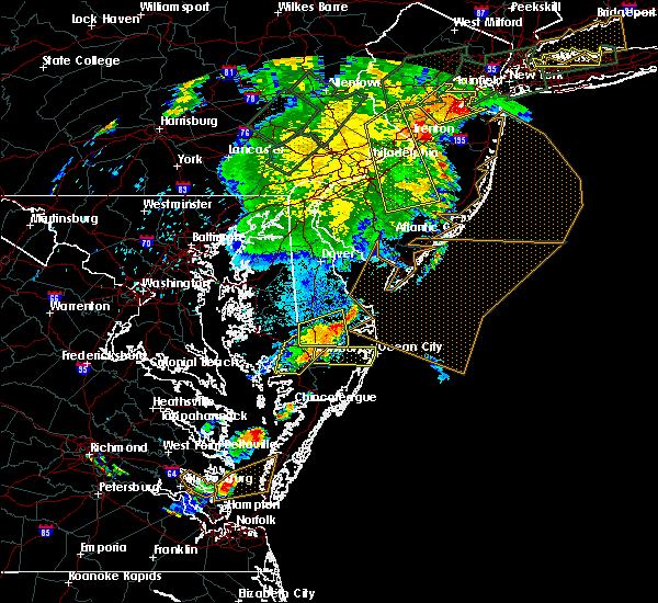 At 853 pm edt, a severe thunderstorm was located near milton, or near georgetown, moving east at 20 mph (radar indicated). Hazards include 60 mph wind gusts. damage to roofs, siding, trees, and power lines is possible At 853 pm edt, a severe thunderstorm was located near milton, or near georgetown, moving east at 20 mph (radar indicated). Hazards include 60 mph wind gusts. damage to roofs, siding, trees, and power lines is possible
|
| 6/29/2019 5:51 PM EDT |
 At 550 pm edt, severe thunderstorms were located along a line extending from 9 miles east of big stone beach to near st. michaels, moving east at 35 mph (radar indicated). Hazards include 60 mph wind gusts and quarter size hail. Minor damage to vehicles is possible. wind damage to roofs, siding, trees, and power lines is possible. locations impacted include, easton, georgetown, talbot, milford, seaford, denton, millsboro, laurel, harrington, lewes, federalsburg, milton, selbyville, bridgeville, ridgely, delmar, trappe, st. Michaels, dagsboro and preston. At 550 pm edt, severe thunderstorms were located along a line extending from 9 miles east of big stone beach to near st. michaels, moving east at 35 mph (radar indicated). Hazards include 60 mph wind gusts and quarter size hail. Minor damage to vehicles is possible. wind damage to roofs, siding, trees, and power lines is possible. locations impacted include, easton, georgetown, talbot, milford, seaford, denton, millsboro, laurel, harrington, lewes, federalsburg, milton, selbyville, bridgeville, ridgely, delmar, trappe, st. Michaels, dagsboro and preston.
|
| 6/29/2019 5:26 PM EDT |
 At 525 pm edt, severe thunderstorms were located along a line extending from near bowers to near romancoke, moving southeast at 35 mph (radar indicated). Hazards include 70 mph wind gusts and quarter size hail. Minor damage to vehicles is possible. expect considerable tree damage. Wind damage is also likely to mobile homes, roofs, and outbuildings. At 525 pm edt, severe thunderstorms were located along a line extending from near bowers to near romancoke, moving southeast at 35 mph (radar indicated). Hazards include 70 mph wind gusts and quarter size hail. Minor damage to vehicles is possible. expect considerable tree damage. Wind damage is also likely to mobile homes, roofs, and outbuildings.
|
| 6/18/2019 9:51 PM EDT |
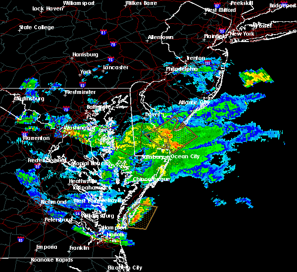 The severe thunderstorm warning for northeastern sussex county will expire at 1000 pm edt, the storm which prompted the warning has weakened below severe limits, and is exiting the warned area. therefore, the warning will be allowed to expire. however heavy rain is still possible for a little while longer with this thunderstorm. The severe thunderstorm warning for northeastern sussex county will expire at 1000 pm edt, the storm which prompted the warning has weakened below severe limits, and is exiting the warned area. therefore, the warning will be allowed to expire. however heavy rain is still possible for a little while longer with this thunderstorm.
|
| 6/18/2019 9:35 PM EDT |
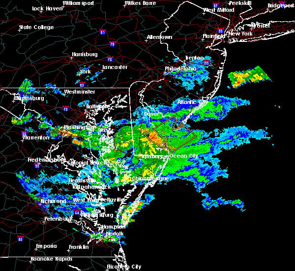 At 935 pm edt, a severe thunderstorm was located near milton, or 11 miles northeast of georgetown, moving east at 45 mph (radar indicated). Hazards include 60 mph wind gusts. Damage to roofs, siding, trees, and power lines is possible. Locations impacted include, lewes, milton, ellendale, henlopen acres, cape henlopen state park, long neck and dewey beach. At 935 pm edt, a severe thunderstorm was located near milton, or 11 miles northeast of georgetown, moving east at 45 mph (radar indicated). Hazards include 60 mph wind gusts. Damage to roofs, siding, trees, and power lines is possible. Locations impacted include, lewes, milton, ellendale, henlopen acres, cape henlopen state park, long neck and dewey beach.
|
| 6/18/2019 9:19 PM EDT |
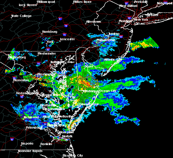 At 917 pm edt, a severe thunderstorm was located near bridgeville, or 8 miles northwest of georgetown, moving east at 35 mph. radar indicated the strongest winds are near the bridgeville area and moving eastward (radar indicated). Hazards include 60 mph wind gusts. damage to roofs, siding, trees, and power lines is possible At 917 pm edt, a severe thunderstorm was located near bridgeville, or 8 miles northwest of georgetown, moving east at 35 mph. radar indicated the strongest winds are near the bridgeville area and moving eastward (radar indicated). Hazards include 60 mph wind gusts. damage to roofs, siding, trees, and power lines is possible
|
| 5/30/2019 5:38 PM EDT | Several downed trees in lewes. time estimated from rada in sussex county DE, 1.4 miles W of Lewes, DE |
| 5/30/2019 5:38 PM EDT |
 At 537 pm edt, a severe thunderstorm was located 8 miles north of cape henlopen state park, or 10 miles west of cape may, moving east at 40 mph (radar indicated). Hazards include 60 mph wind gusts and penny size hail. Damage to roofs, siding, trees, and power lines is possible. Locations impacted include, georgetown, seaford, millsboro, laurel, lewes, milton, bridgeville, dagsboro, millville, ellendale, henlopen acres, gumboro, cape henlopen state park, sycamore, long neck, ocean view, blades, greenwood, frankford and dewey beach. At 537 pm edt, a severe thunderstorm was located 8 miles north of cape henlopen state park, or 10 miles west of cape may, moving east at 40 mph (radar indicated). Hazards include 60 mph wind gusts and penny size hail. Damage to roofs, siding, trees, and power lines is possible. Locations impacted include, georgetown, seaford, millsboro, laurel, lewes, milton, bridgeville, dagsboro, millville, ellendale, henlopen acres, gumboro, cape henlopen state park, sycamore, long neck, ocean view, blades, greenwood, frankford and dewey beach.
|
| 5/30/2019 5:09 PM EDT |
 At 509 pm edt, a severe thunderstorm was located over milford, or 15 miles south of dover, moving east at 40 mph (radar indicated). Hazards include 60 mph wind gusts and quarter size hail. Minor damage to vehicles is possible. Wind damage to roofs, siding, trees, and power lines is possible. At 509 pm edt, a severe thunderstorm was located over milford, or 15 miles south of dover, moving east at 40 mph (radar indicated). Hazards include 60 mph wind gusts and quarter size hail. Minor damage to vehicles is possible. Wind damage to roofs, siding, trees, and power lines is possible.
|
| 5/29/2019 8:45 PM EDT | Storm damage reported in anz431 county DE, 1.4 miles W of Lewes, DE |
| 5/28/2019 9:53 AM EDT |
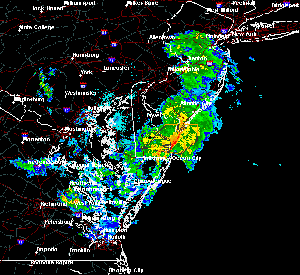 At 928 am edt, severe thunderstorms were located along a line extending from 8 miles east of big stone beach to lewes to sycamore, moving east at 40 mph (radar indicated). Hazards include 60 mph wind gusts. Damage to roofs, siding, trees, and power lines is possible. Locations impacted include, georgetown, lewes, milton, henlopen acres, long neck and dewey beach. At 928 am edt, severe thunderstorms were located along a line extending from 8 miles east of big stone beach to lewes to sycamore, moving east at 40 mph (radar indicated). Hazards include 60 mph wind gusts. Damage to roofs, siding, trees, and power lines is possible. Locations impacted include, georgetown, lewes, milton, henlopen acres, long neck and dewey beach.
|
| 5/28/2019 9:28 AM EDT |
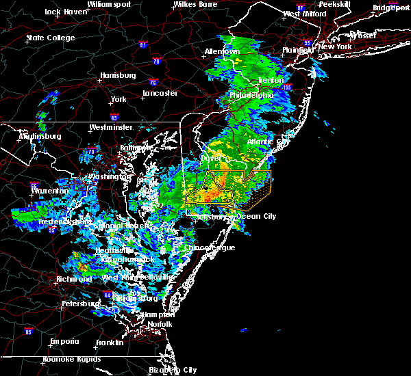 At 928 am edt, severe thunderstorms were located along a line extending from 8 miles east of big stone beach to lewes to sycamore, moving east at 40 mph (radar indicated). Hazards include 60 mph wind gusts. Damage to roofs, siding, trees, and power lines is possible. Locations impacted include, georgetown, lewes, milton, henlopen acres, long neck and dewey beach. At 928 am edt, severe thunderstorms were located along a line extending from 8 miles east of big stone beach to lewes to sycamore, moving east at 40 mph (radar indicated). Hazards include 60 mph wind gusts. Damage to roofs, siding, trees, and power lines is possible. Locations impacted include, georgetown, lewes, milton, henlopen acres, long neck and dewey beach.
|
| 5/28/2019 9:13 AM EDT |
 At 912 am edt, severe thunderstorms were located along a line extending from bowers to near ellendale to near seaford, moving east at 45 mph (radar indicated). Hazards include 60 mph wind gusts. damage to roofs, siding, trees, and power lines is possible At 912 am edt, severe thunderstorms were located along a line extending from bowers to near ellendale to near seaford, moving east at 45 mph (radar indicated). Hazards include 60 mph wind gusts. damage to roofs, siding, trees, and power lines is possible
|
| 5/26/2019 10:09 PM EDT |
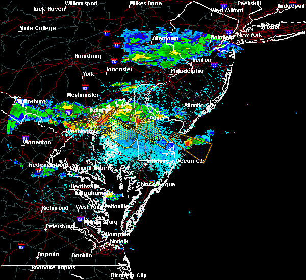 At 1008 pm edt, a severe thunderstorm was located over hazlettville, or 8 miles southwest of dover, moving southeast at 35 mph (radar indicated). Hazards include 60 mph wind gusts and quarter size hail. Minor damage to vehicles is possible. Wind damage to roofs, siding, trees, and power lines is possible. At 1008 pm edt, a severe thunderstorm was located over hazlettville, or 8 miles southwest of dover, moving southeast at 35 mph (radar indicated). Hazards include 60 mph wind gusts and quarter size hail. Minor damage to vehicles is possible. Wind damage to roofs, siding, trees, and power lines is possible.
|
| 5/20/2019 5:57 PM EDT |
 At 556 pm edt, a severe thunderstorm was located over sharptown, or 11 miles northwest of salisbury, moving east at 40 mph (radar indicated). Hazards include 60 mph wind gusts and nickel size hail. damage to roofs, siding, trees, and power lines is possible At 556 pm edt, a severe thunderstorm was located over sharptown, or 11 miles northwest of salisbury, moving east at 40 mph (radar indicated). Hazards include 60 mph wind gusts and nickel size hail. damage to roofs, siding, trees, and power lines is possible
|
| 4/26/2019 5:41 PM EDT |
 The severe thunderstorm warning for central sussex, eastern kent, cumberland, salem, northwestern camden and gloucester counties will expire at 545 pm edt, the storms which prompted the warning have moved out of the area. therefore, the warning will be allowed to expire. new severe thunderstorm warnings are in effect for parts of southern new jersey and for southern delaware. a tornado watch remains in effect until 900 pm edt for central, northern and southern delaware, southern new jersey, and southeastern pennsylvania. to report severe weather, contact your nearest law enforcement agency. they will relay your report to the national weather service in mount holly nj. The severe thunderstorm warning for central sussex, eastern kent, cumberland, salem, northwestern camden and gloucester counties will expire at 545 pm edt, the storms which prompted the warning have moved out of the area. therefore, the warning will be allowed to expire. new severe thunderstorm warnings are in effect for parts of southern new jersey and for southern delaware. a tornado watch remains in effect until 900 pm edt for central, northern and southern delaware, southern new jersey, and southeastern pennsylvania. to report severe weather, contact your nearest law enforcement agency. they will relay your report to the national weather service in mount holly nj.
|
| 4/26/2019 5:39 PM EDT |
 At 539 pm edt, severe thunderstorms were located along a line extending from bowers to milton to parsonsburg, moving east at 35 mph (radar indicated). Hazards include 60 mph wind gusts. damage to roofs, siding, trees, and power lines is possible At 539 pm edt, severe thunderstorms were located along a line extending from bowers to milton to parsonsburg, moving east at 35 mph (radar indicated). Hazards include 60 mph wind gusts. damage to roofs, siding, trees, and power lines is possible
|
| 4/26/2019 5:27 PM EDT |
 At 526 pm edt, severe thunderstorms were located along a line extending from nether providence township to fairton to near milford to near laurel, moving northeast at 70 mph (radar indicated). Hazards include 60 mph wind gusts and penny size hail. Damage to roofs, siding, trees, and power lines is possible. locations impacted include, philadelphia, vineland, dover, millville, bridgeton, gloucester city, georgetown, deptford, west deptford, glassboro, bellmawr, woodbury, milford, pitman, clayton, seaford, paulsboro, salem, magnolia and westville. A tornado watch remains in effect until 900 pm edt for central, northern and southern delaware, southern new jersey, and southeastern pennsylvania. At 526 pm edt, severe thunderstorms were located along a line extending from nether providence township to fairton to near milford to near laurel, moving northeast at 70 mph (radar indicated). Hazards include 60 mph wind gusts and penny size hail. Damage to roofs, siding, trees, and power lines is possible. locations impacted include, philadelphia, vineland, dover, millville, bridgeton, gloucester city, georgetown, deptford, west deptford, glassboro, bellmawr, woodbury, milford, pitman, clayton, seaford, paulsboro, salem, magnolia and westville. A tornado watch remains in effect until 900 pm edt for central, northern and southern delaware, southern new jersey, and southeastern pennsylvania.
|
| 4/26/2019 5:07 PM EDT |
 At 507 pm edt, severe thunderstorms were located along a line extending from elam to cheswold to near federalsburg, moving east at 35 mph (radar indicated). Hazards include 60 mph wind gusts and penny size hail. damage to roofs, siding, trees, and power lines is possible At 507 pm edt, severe thunderstorms were located along a line extending from elam to cheswold to near federalsburg, moving east at 35 mph (radar indicated). Hazards include 60 mph wind gusts and penny size hail. damage to roofs, siding, trees, and power lines is possible
|
| 4/15/2019 4:11 AM EDT |
 At 411 am edt, severe thunderstorms were located along a line extending from near tabernacle to near woodbine to cape henlopen state park, moving east at 65 mph (radar indicated). Hazards include 60 mph wind gusts. Damage to roofs, siding, trees, and power lines is possible. locations impacted include, toms river, vineland, atlantic city, millville, ocean city, georgetown, cape may, cumberland, barnegat, pleasantville, hammonton, beachwood, somers point, ventnor city, brigantine, northfield, absecon, tabernacle, shamong and margate city. A tornado watch remains in effect until 700 am edt for southern delaware, and southern new jersey. At 411 am edt, severe thunderstorms were located along a line extending from near tabernacle to near woodbine to cape henlopen state park, moving east at 65 mph (radar indicated). Hazards include 60 mph wind gusts. Damage to roofs, siding, trees, and power lines is possible. locations impacted include, toms river, vineland, atlantic city, millville, ocean city, georgetown, cape may, cumberland, barnegat, pleasantville, hammonton, beachwood, somers point, ventnor city, brigantine, northfield, absecon, tabernacle, shamong and margate city. A tornado watch remains in effect until 700 am edt for southern delaware, and southern new jersey.
|
| 4/15/2019 4:06 AM EDT |
 The severe thunderstorm warning for sussex county will expire at 415 am edt, the storm which prompted the warning has moved out of the area. therefore, the warning will be allowed to expire. however gusty winds and heavy rain are still possible with this thunderstorm. a tornado watch remains in effect until 700 am edt for central and southern delaware. to report severe weather, contact your nearest law enforcement agency. they will relay your report to the national weather service in mount holly nj. The severe thunderstorm warning for sussex county will expire at 415 am edt, the storm which prompted the warning has moved out of the area. therefore, the warning will be allowed to expire. however gusty winds and heavy rain are still possible with this thunderstorm. a tornado watch remains in effect until 700 am edt for central and southern delaware. to report severe weather, contact your nearest law enforcement agency. they will relay your report to the national weather service in mount holly nj.
|
| 4/15/2019 3:55 AM EDT |
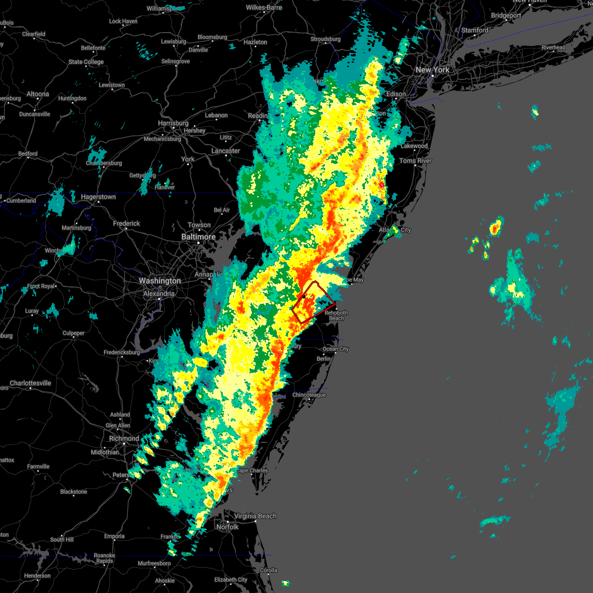 The tornado warning for central sussex county will expire at 400 am edt, the storm which prompted the warning has moved out of the area. therefore, the warning will be allowed to expire. however gusty winds and heavy rain are still possible with this thunderstorm. a tornado watch remains in effect until 700 am edt for central and southern delaware. to report severe weather, contact your nearest law enforcement agency. they will relay your report to the national weather service in mount holly nj. remember, a severe thunderstorm warning still remains in effect for sussex county until 4:15 am. The tornado warning for central sussex county will expire at 400 am edt, the storm which prompted the warning has moved out of the area. therefore, the warning will be allowed to expire. however gusty winds and heavy rain are still possible with this thunderstorm. a tornado watch remains in effect until 700 am edt for central and southern delaware. to report severe weather, contact your nearest law enforcement agency. they will relay your report to the national weather service in mount holly nj. remember, a severe thunderstorm warning still remains in effect for sussex county until 4:15 am.
|
| 4/15/2019 3:49 AM EDT |
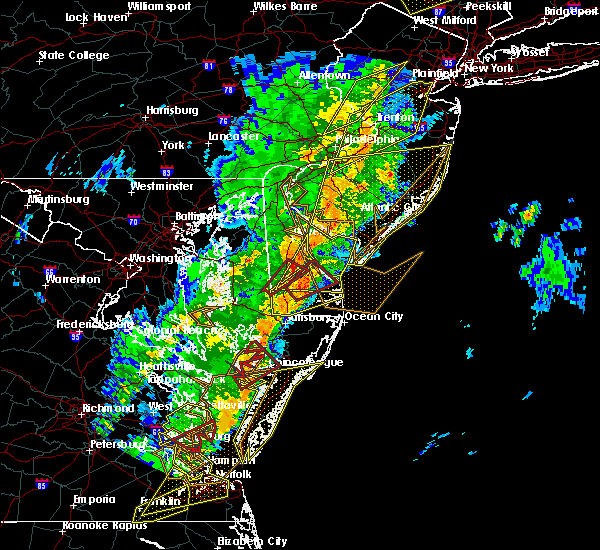 At 349 am edt, a severe thunderstorm capable of producing a tornado was located near georgetown, moving northeast at 55 mph (radar indicated rotation). Hazards include tornado. Flying debris will be dangerous to those caught without shelter. mobile homes will be damaged or destroyed. damage to roofs, windows, and vehicles will occur. tree damage is likely. Locations impacted include, georgetown, lewes, milton and ellendale. At 349 am edt, a severe thunderstorm capable of producing a tornado was located near georgetown, moving northeast at 55 mph (radar indicated rotation). Hazards include tornado. Flying debris will be dangerous to those caught without shelter. mobile homes will be damaged or destroyed. damage to roofs, windows, and vehicles will occur. tree damage is likely. Locations impacted include, georgetown, lewes, milton and ellendale.
|
| 4/15/2019 3:41 AM EDT |
 At 340 am edt, severe thunderstorms were located along a line extending from deptford to 6 miles west of fortesque to bridgeville, moving east at 55 mph (radar indicated). Hazards include 60 mph wind gusts. damage to roofs, siding, trees, and power lines is possible At 340 am edt, severe thunderstorms were located along a line extending from deptford to 6 miles west of fortesque to bridgeville, moving east at 55 mph (radar indicated). Hazards include 60 mph wind gusts. damage to roofs, siding, trees, and power lines is possible
|
| 4/15/2019 3:31 AM EDT |
 At 331 am edt, a severe thunderstorm capable of producing a tornado was located near sharptown, or 11 miles southeast of hurlock, moving northeast at 50 mph (radar indicated rotation). Hazards include tornado. Flying debris will be dangerous to those caught without shelter. mobile homes will be damaged or destroyed. damage to roofs, windows, and vehicles will occur. Tree damage is likely. At 331 am edt, a severe thunderstorm capable of producing a tornado was located near sharptown, or 11 miles southeast of hurlock, moving northeast at 50 mph (radar indicated rotation). Hazards include tornado. Flying debris will be dangerous to those caught without shelter. mobile homes will be damaged or destroyed. damage to roofs, windows, and vehicles will occur. Tree damage is likely.
|
| 4/15/2019 3:28 AM EDT |
 At 328 am edt, a severe thunderstorm was located over sharptown, or 10 miles southeast of hurlock, moving northeast at 50 mph (radar indicated). Hazards include 60 mph wind gusts. damage to roofs, siding, trees, and power lines is possible At 328 am edt, a severe thunderstorm was located over sharptown, or 10 miles southeast of hurlock, moving northeast at 50 mph (radar indicated). Hazards include 60 mph wind gusts. damage to roofs, siding, trees, and power lines is possible
|
| 8/31/2018 1:50 PM EDT |
 At 149 pm edt, a severe thunderstorm was located near ellendale, or near georgetown, moving south at 10 mph (radar indicated). Hazards include 60 mph wind gusts. Damage to roofs, siding, trees, and power lines is possible. this severe storm will be near, milton around 155 pm edt. Georgetown around 200 pm edt. At 149 pm edt, a severe thunderstorm was located near ellendale, or near georgetown, moving south at 10 mph (radar indicated). Hazards include 60 mph wind gusts. Damage to roofs, siding, trees, and power lines is possible. this severe storm will be near, milton around 155 pm edt. Georgetown around 200 pm edt.
|
| 8/31/2018 1:28 PM EDT |
 At 127 pm edt, a severe thunderstorm was located over ellendale, or near georgetown, moving southeast at 10 mph (radar indicated). Hazards include 60 mph wind gusts and penny size hail. Damage to roofs, siding, trees, and power lines is possible. this severe storm will be near, milton around 145 pm edt. georgetown around 200 pm edt. Other locations impacted by this severe thunderstorm include blades. At 127 pm edt, a severe thunderstorm was located over ellendale, or near georgetown, moving southeast at 10 mph (radar indicated). Hazards include 60 mph wind gusts and penny size hail. Damage to roofs, siding, trees, and power lines is possible. this severe storm will be near, milton around 145 pm edt. georgetown around 200 pm edt. Other locations impacted by this severe thunderstorm include blades.
|
| 8/31/2018 1:09 PM EDT |
 At 108 pm edt, a severe thunderstorm was located over ellendale, or 8 miles northwest of georgetown, moving south at 10 mph (radar indicated). Hazards include 60 mph wind gusts and penny size hail. damage to roofs, siding, trees, and power lines is possible At 108 pm edt, a severe thunderstorm was located over ellendale, or 8 miles northwest of georgetown, moving south at 10 mph (radar indicated). Hazards include 60 mph wind gusts and penny size hail. damage to roofs, siding, trees, and power lines is possible
|
| 8/31/2018 1:04 PM EDT |
 At 104 pm edt, a severe thunderstorm was located over ellendale, or 8 miles north of georgetown, moving southeast at 10 mph (radar indicated). Hazards include 60 mph wind gusts and penny size hail. Damage to roofs, siding, trees, and power lines is possible. This severe storm will be near, georgetown and milton around 115 pm edt. At 104 pm edt, a severe thunderstorm was located over ellendale, or 8 miles north of georgetown, moving southeast at 10 mph (radar indicated). Hazards include 60 mph wind gusts and penny size hail. Damage to roofs, siding, trees, and power lines is possible. This severe storm will be near, georgetown and milton around 115 pm edt.
|
| 8/31/2018 12:54 PM EDT |
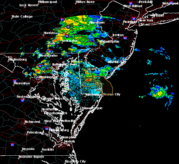 At 1253 pm edt, a severe thunderstorm was located over ellendale, or 10 miles northwest of georgetown, moving southeast at 10 mph (radar indicated). Hazards include 60 mph wind gusts and penny size hail. Damage to roofs, siding, trees, and power lines is possible. this severe storm will be near, ellendale around 110 pm edt. georgetown and milton around 115 pm edt. Other locations impacted by this severe thunderstorm include greenwood and houston. At 1253 pm edt, a severe thunderstorm was located over ellendale, or 10 miles northwest of georgetown, moving southeast at 10 mph (radar indicated). Hazards include 60 mph wind gusts and penny size hail. Damage to roofs, siding, trees, and power lines is possible. this severe storm will be near, ellendale around 110 pm edt. georgetown and milton around 115 pm edt. Other locations impacted by this severe thunderstorm include greenwood and houston.
|
| 8/31/2018 12:35 PM EDT |
 At 1234 pm edt, a severe thunderstorm was located over milton, or 9 miles northeast of georgetown, moving southeast at 25 mph (radar indicated). Hazards include 60 mph wind gusts. damage to roofs, siding, trees, and power lines is possible At 1234 pm edt, a severe thunderstorm was located over milton, or 9 miles northeast of georgetown, moving southeast at 25 mph (radar indicated). Hazards include 60 mph wind gusts. damage to roofs, siding, trees, and power lines is possible
|
| 8/11/2018 1:23 PM EDT |
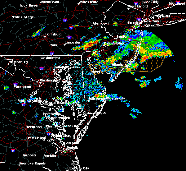 The national weather service in mount holly nj has issued a * severe thunderstorm warning for. eastern sussex county in southern delaware. until 215 pm edt. At 122 pm edt, a severe thunderstorm was located over millsboro, or 10 miles southeast of georgetown, moving northeast at 20 mph. The national weather service in mount holly nj has issued a * severe thunderstorm warning for. eastern sussex county in southern delaware. until 215 pm edt. At 122 pm edt, a severe thunderstorm was located over millsboro, or 10 miles southeast of georgetown, moving northeast at 20 mph.
|
| 5/12/2018 9:48 PM EDT |
 At 947 pm edt, severe thunderstorms were located along a line extending from near ellendale to easton, moving east at 40 mph (radar indicated). Hazards include 60 mph wind gusts. Damage to roofs, siding, trees, and power lines is possible. locations impacted include, easton, georgetown, seaford, millsboro, laurel, lewes, federalsburg, milton, bridgeville, trappe, dagsboro, preston, millville, ellendale, henlopen acres, smithville, gumboro, copperville, agner and choptank. A tornado watch remains in effect until 100 am edt for southern delaware, and eastern maryland. At 947 pm edt, severe thunderstorms were located along a line extending from near ellendale to easton, moving east at 40 mph (radar indicated). Hazards include 60 mph wind gusts. Damage to roofs, siding, trees, and power lines is possible. locations impacted include, easton, georgetown, seaford, millsboro, laurel, lewes, federalsburg, milton, bridgeville, trappe, dagsboro, preston, millville, ellendale, henlopen acres, smithville, gumboro, copperville, agner and choptank. A tornado watch remains in effect until 100 am edt for southern delaware, and eastern maryland.
|
| 5/12/2018 9:27 PM EDT |
 At 926 pm edt, severe thunderstorms were located along a line extending from near smithville to talbot, moving east at 45 mph (radar indicated). Hazards include 60 mph wind gusts and quarter size hail. Minor damage to vehicles is possible. Wind damage to roofs, siding, trees, and power lines is possible. At 926 pm edt, severe thunderstorms were located along a line extending from near smithville to talbot, moving east at 45 mph (radar indicated). Hazards include 60 mph wind gusts and quarter size hail. Minor damage to vehicles is possible. Wind damage to roofs, siding, trees, and power lines is possible.
|
| 5/12/2018 9:27 PM EDT |
 The national weather service in mount holly nj has issued a * severe thunderstorm warning for. sussex county in southern delaware. southwestern kent county in central delaware. talbot county in eastern maryland. Southwestern queen anne`s county in northeastern maryland. The national weather service in mount holly nj has issued a * severe thunderstorm warning for. sussex county in southern delaware. southwestern kent county in central delaware. talbot county in eastern maryland. Southwestern queen anne`s county in northeastern maryland.
|
| 8/18/2017 8:16 PM EDT |
 At 815 pm edt, severe thunderstorms were located along a line extending from near hambleton to 7 miles south of big stone beach, moving southeast at 15 mph (radar indicated). Hazards include 60 mph wind gusts and nickel size hail. Expect damage to trees and power lines. locations impacted include, easton, georgetown, talbot, milford, seaford, denton, millsboro, laurel, harrington, lewes, federalsburg, milton, bridgeville, trappe, st. Michaels, preston, ellendale, queen anne, henlopen acres and smithville. At 815 pm edt, severe thunderstorms were located along a line extending from near hambleton to 7 miles south of big stone beach, moving southeast at 15 mph (radar indicated). Hazards include 60 mph wind gusts and nickel size hail. Expect damage to trees and power lines. locations impacted include, easton, georgetown, talbot, milford, seaford, denton, millsboro, laurel, harrington, lewes, federalsburg, milton, bridgeville, trappe, st. Michaels, preston, ellendale, queen anne, henlopen acres and smithville.
|
| 8/18/2017 7:53 PM EDT |
 At 752 pm edt, severe thunderstorms were located along a line extending from near st. michaels to near big stone beach, moving southeast at 15 mph (radar indicated). Hazards include 60 mph wind gusts and quarter size hail. Minor damage to vehicles is possible. Expect damage to trees and power lines. At 752 pm edt, severe thunderstorms were located along a line extending from near st. michaels to near big stone beach, moving southeast at 15 mph (radar indicated). Hazards include 60 mph wind gusts and quarter size hail. Minor damage to vehicles is possible. Expect damage to trees and power lines.
|
| 8/18/2017 7:40 PM EDT |
 At 740 pm edt, severe thunderstorms were located along a line extending from 7 miles north of bowers to andrewsville to near st. michaels, moving east at 25 mph (radar indicated). Hazards include 60 mph wind gusts and quarter size hail. Minor damage to vehicles is possible. expect damage to trees and power lines. Locations impacted include, dover, easton, georgetown, centerville, talbot, smyrna, milford, seaford, denton, centreville, laurel, harrington, romancoke, camden, clayton, lewes, federalsburg, milton, bridgeville and greensboro. At 740 pm edt, severe thunderstorms were located along a line extending from 7 miles north of bowers to andrewsville to near st. michaels, moving east at 25 mph (radar indicated). Hazards include 60 mph wind gusts and quarter size hail. Minor damage to vehicles is possible. expect damage to trees and power lines. Locations impacted include, dover, easton, georgetown, centerville, talbot, smyrna, milford, seaford, denton, centreville, laurel, harrington, romancoke, camden, clayton, lewes, federalsburg, milton, bridgeville and greensboro.
|
| 8/18/2017 7:07 PM EDT |
 At 706 pm edt, severe thunderstorms were located along a line extending from near smyrna to oakland to romancoke, moving south at 35 mph (radar indicated). Hazards include 60 mph wind gusts and quarter size hail. Minor damage to vehicles is possible. Expect damage to trees and power lines. At 706 pm edt, severe thunderstorms were located along a line extending from near smyrna to oakland to romancoke, moving south at 35 mph (radar indicated). Hazards include 60 mph wind gusts and quarter size hail. Minor damage to vehicles is possible. Expect damage to trees and power lines.
|
| 8/7/2017 3:10 PM EDT |
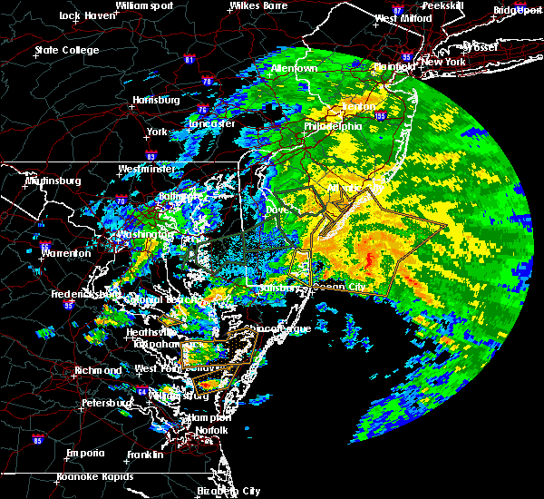 The severe thunderstorm warning for southeastern sussex county will expire at 315 pm edt, the storm which prompted the warning has weakened below severe limits, and no longer poses an immediate threat to life or property. therefore the warning will be allowed to expire. however gusty winds and heavy rain are still possible with this thunderstorm. The severe thunderstorm warning for southeastern sussex county will expire at 315 pm edt, the storm which prompted the warning has weakened below severe limits, and no longer poses an immediate threat to life or property. therefore the warning will be allowed to expire. however gusty winds and heavy rain are still possible with this thunderstorm.
|
| 8/7/2017 2:57 PM EDT |
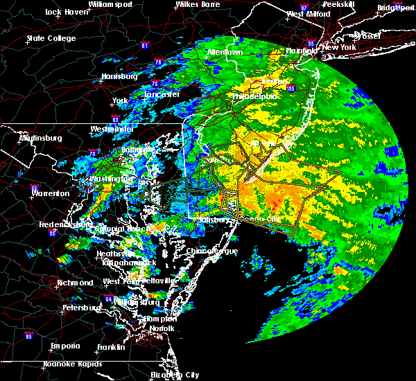 At 257 pm edt, a severe thunderstorm was located 7 miles southeast of milton, or 7 miles east of georgetown, moving northeast at 35 mph (radar indicated). Hazards include 60 mph wind gusts. Expect damage to trees and power lines. Locations impacted include, lewes, dagsboro, millville, henlopen acres, cape henlopen state park, long neck, ocean view, south bethany and dewey beach. At 257 pm edt, a severe thunderstorm was located 7 miles southeast of milton, or 7 miles east of georgetown, moving northeast at 35 mph (radar indicated). Hazards include 60 mph wind gusts. Expect damage to trees and power lines. Locations impacted include, lewes, dagsboro, millville, henlopen acres, cape henlopen state park, long neck, ocean view, south bethany and dewey beach.
|
| 8/7/2017 2:41 PM EDT |
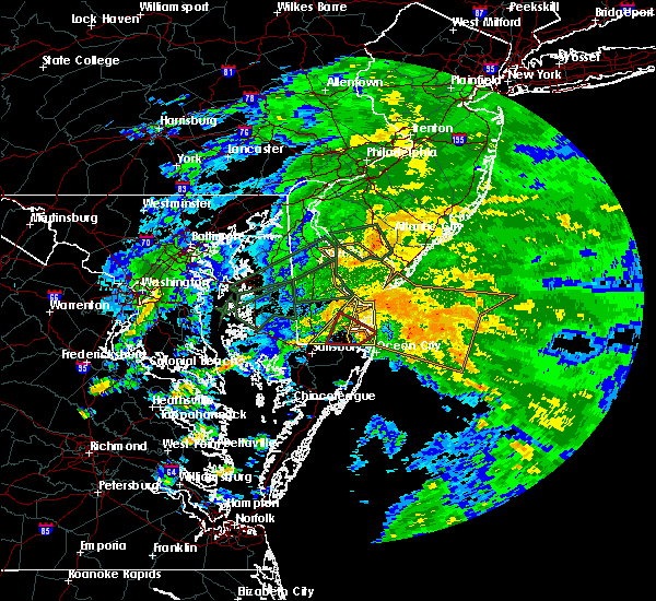 At 241 pm edt, a severe thunderstorm was located near selbyville, or 9 miles northwest of ocean city, moving east at 40 mph (radar indicated). Hazards include 60 mph wind gusts. expect damage to trees and power lines At 241 pm edt, a severe thunderstorm was located near selbyville, or 9 miles northwest of ocean city, moving east at 40 mph (radar indicated). Hazards include 60 mph wind gusts. expect damage to trees and power lines
|
| 8/7/2017 1:58 PM EDT |
 At 157 pm edt, a severe thunderstorm was located over gumboro, or 14 miles northeast of salisbury, moving northeast at 55 mph (radar indicated). Hazards include 60 mph wind gusts. expect damage to trees and power lines At 157 pm edt, a severe thunderstorm was located over gumboro, or 14 miles northeast of salisbury, moving northeast at 55 mph (radar indicated). Hazards include 60 mph wind gusts. expect damage to trees and power lines
|
| 8/3/2017 2:56 PM EDT |
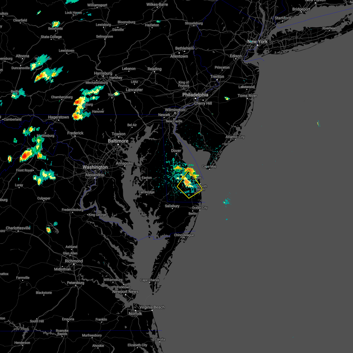 The severe thunderstorm warning for central sussex county will expire at 300 pm edt, the storm which prompted the warning has weakened below severe limits, and no longer poses an immediate threat to life or property. therefore the warning will be allowed to expire. however gusty winds and heavy rain are still possible with this thunderstorm. The severe thunderstorm warning for central sussex county will expire at 300 pm edt, the storm which prompted the warning has weakened below severe limits, and no longer poses an immediate threat to life or property. therefore the warning will be allowed to expire. however gusty winds and heavy rain are still possible with this thunderstorm.
|
| 8/3/2017 2:36 PM EDT |
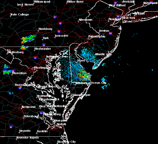 At 235 pm edt, a severe thunderstorm was located near and just southeast of georgetown, and is nearly stationary (radar indicated). Hazards include 60 mph wind gusts and quarter size hail. Minor damage to vehicles is possible. expect damage to trees and power lines. Locations impacted include, georgetown, millsboro, lewes, milton, dagsboro and long neck. At 235 pm edt, a severe thunderstorm was located near and just southeast of georgetown, and is nearly stationary (radar indicated). Hazards include 60 mph wind gusts and quarter size hail. Minor damage to vehicles is possible. expect damage to trees and power lines. Locations impacted include, georgetown, millsboro, lewes, milton, dagsboro and long neck.
|
| 8/3/2017 2:15 PM EDT |
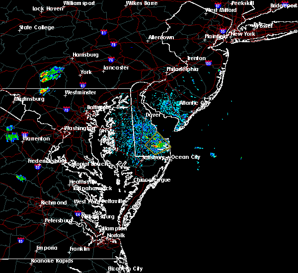 At 215 pm edt, a severe thunderstorm was located near georgetown, and is nearly stationary (radar indicated). Hazards include 60 mph wind gusts and quarter size hail. Minor damage to vehicles is possible. Expect damage to trees and power lines. At 215 pm edt, a severe thunderstorm was located near georgetown, and is nearly stationary (radar indicated). Hazards include 60 mph wind gusts and quarter size hail. Minor damage to vehicles is possible. Expect damage to trees and power lines.
|
| 7/25/2017 12:54 AM EDT |
 At 1253 am edt, severe thunderstorms were located along a line extending from near ellendale to near laurel to sharptown, moving southeast at 25 mph (radar indicated). Hazards include 60 mph wind gusts. Expect damage to trees and power lines. Locations impacted include, georgetown, seaford, millsboro, laurel, lewes, milton, selbyville, bridgeville, dagsboro, millville, ellendale, henlopen acres, gumboro, sycamore, long neck, ocean view, blades, frankford, south bethany and dewey beach. At 1253 am edt, severe thunderstorms were located along a line extending from near ellendale to near laurel to sharptown, moving southeast at 25 mph (radar indicated). Hazards include 60 mph wind gusts. Expect damage to trees and power lines. Locations impacted include, georgetown, seaford, millsboro, laurel, lewes, milton, selbyville, bridgeville, dagsboro, millville, ellendale, henlopen acres, gumboro, sycamore, long neck, ocean view, blades, frankford, south bethany and dewey beach.
|
| 7/25/2017 12:34 AM EDT |
 At 1234 am edt, a severe thunderstorm was located near bridgeville, or 13 miles northeast of hurlock, moving east at 30 mph (radar indicated). Hazards include 60 mph wind gusts and penny size hail. expect damage to trees and power lines At 1234 am edt, a severe thunderstorm was located near bridgeville, or 13 miles northeast of hurlock, moving east at 30 mph (radar indicated). Hazards include 60 mph wind gusts and penny size hail. expect damage to trees and power lines
|
| 7/14/2017 7:31 PM EDT |
 At 731 pm edt, severe thunderstorms were located along a line extending from lewes to near dagsboro to near gumboro, moving east at 25 mph (radar indicated). Hazards include 60 mph wind gusts and quarter size hail. Minor damage to vehicles is possible. expect damage to trees and power lines. these severe storms will be near, lewes around 735 pm edt. millville, henlopen acres and cape henlopen state park around 740 pm edt. Other locations impacted by these severe thunderstorms include long neck, dewey beach, ocean view, south bethany and frankford. At 731 pm edt, severe thunderstorms were located along a line extending from lewes to near dagsboro to near gumboro, moving east at 25 mph (radar indicated). Hazards include 60 mph wind gusts and quarter size hail. Minor damage to vehicles is possible. expect damage to trees and power lines. these severe storms will be near, lewes around 735 pm edt. millville, henlopen acres and cape henlopen state park around 740 pm edt. Other locations impacted by these severe thunderstorms include long neck, dewey beach, ocean view, south bethany and frankford.
|
| 7/14/2017 7:15 PM EDT |
 At 714 pm edt, severe thunderstorms were located along a line extending from near milton to near millsboro to near parsonsburg, moving east at 25 mph (radar indicated). Hazards include 60 mph wind gusts and quarter size hail. Minor damage to vehicles is possible. expect damage to trees and power lines. severe thunderstorms will be near, lewes around 720 pm edt. dagsboro around 725 pm edt. henlopen acres and cape henlopen state park around 735 pm edt. selbyville and millville around 740 pm edt. Other locations impacted by these severe thunderstorms include long neck, dewey beach, ocean view, south bethany and frankford. At 714 pm edt, severe thunderstorms were located along a line extending from near milton to near millsboro to near parsonsburg, moving east at 25 mph (radar indicated). Hazards include 60 mph wind gusts and quarter size hail. Minor damage to vehicles is possible. expect damage to trees and power lines. severe thunderstorms will be near, lewes around 720 pm edt. dagsboro around 725 pm edt. henlopen acres and cape henlopen state park around 735 pm edt. selbyville and millville around 740 pm edt. Other locations impacted by these severe thunderstorms include long neck, dewey beach, ocean view, south bethany and frankford.
|
| 7/13/2017 11:21 PM EDT |
 At 1120 pm edt, a severe thunderstorm was located over henlopen acres, or 15 miles east of georgetown, moving east at 30 mph (radar indicated). Hazards include 60 mph wind gusts. Expect damage to trees and power lines. Locations impacted include, lewes, henlopen acres and cape henlopen state park. At 1120 pm edt, a severe thunderstorm was located over henlopen acres, or 15 miles east of georgetown, moving east at 30 mph (radar indicated). Hazards include 60 mph wind gusts. Expect damage to trees and power lines. Locations impacted include, lewes, henlopen acres and cape henlopen state park.
|
| 7/13/2017 10:39 PM EDT |
 At 1038 pm edt, a severe thunderstorm was located near bridgeville, or 10 miles northwest of georgetown, moving east at 25 mph (radar indicated). Hazards include 60 mph wind gusts. expect damage to trees and power lines At 1038 pm edt, a severe thunderstorm was located near bridgeville, or 10 miles northwest of georgetown, moving east at 25 mph (radar indicated). Hazards include 60 mph wind gusts. expect damage to trees and power lines
|
| 6/19/2017 8:40 PM EDT | Storm damage reported in sussex county DE, 0.3 miles WSW of Lewes, DE |
| 6/19/2017 7:30 PM EDT |
 At 729 pm edt, severe thunderstorms were located along a line extending from gumboro to 6 miles north of millville, moving east at 15 mph (radar indicated). Hazards include 60 mph wind gusts. Expect damage to trees and power lines. severe thunderstorms will be near, henlopen acres around 755 pm edt. millville around 815 pm edt. Other locations impacted by these severe thunderstorms include long neck, dewey beach, ocean view, south bethany and frankford. At 729 pm edt, severe thunderstorms were located along a line extending from gumboro to 6 miles north of millville, moving east at 15 mph (radar indicated). Hazards include 60 mph wind gusts. Expect damage to trees and power lines. severe thunderstorms will be near, henlopen acres around 755 pm edt. millville around 815 pm edt. Other locations impacted by these severe thunderstorms include long neck, dewey beach, ocean view, south bethany and frankford.
|
| 3/1/2017 3:42 PM EST |
 The severe thunderstorm warning for southeastern sussex, southwestern atlantic, east central cumberland and cape may counties will expire at 345 pm est, the storms which prompted the warning are moving out of the area. therefore the warning will be allowed to expire. however gusty winds are still possible with these thunderstorms. a severe thunderstorm watch remains in effect until 700 pm est for southern delaware, and southern new jersey. The severe thunderstorm warning for southeastern sussex, southwestern atlantic, east central cumberland and cape may counties will expire at 345 pm est, the storms which prompted the warning are moving out of the area. therefore the warning will be allowed to expire. however gusty winds are still possible with these thunderstorms. a severe thunderstorm watch remains in effect until 700 pm est for southern delaware, and southern new jersey.
|
| 3/1/2017 3:36 PM EST |
 At 335 pm est, severe thunderstorms were located along a line extending from longport to 6 miles southeast of sea isle city to 7 miles southeast of north wildwood to 11 miles east of henlopen acres, moving east at 60 mph (radar indicated). Hazards include 70 mph wind gusts and penny size hail. Expect considerable tree damage. damage is likely to mobile homes, roofs, and outbuildings. Locations impacted include, vineland, atlantic city, ocean city, cape may, cumberland, pleasantville, somers point, ventnor city, northfield, absecon, margate city, north wildwood, millsboro, wildwood crest, lewes, woodbine, sea isle city, estell manor, avalon and port republic. At 335 pm est, severe thunderstorms were located along a line extending from longport to 6 miles southeast of sea isle city to 7 miles southeast of north wildwood to 11 miles east of henlopen acres, moving east at 60 mph (radar indicated). Hazards include 70 mph wind gusts and penny size hail. Expect considerable tree damage. damage is likely to mobile homes, roofs, and outbuildings. Locations impacted include, vineland, atlantic city, ocean city, cape may, cumberland, pleasantville, somers point, ventnor city, northfield, absecon, margate city, north wildwood, millsboro, wildwood crest, lewes, woodbine, sea isle city, estell manor, avalon and port republic.
|
| 3/1/2017 3:19 PM EST |
 At 318 pm est, severe thunderstorms were located along a line extending from near belleplain forest to near green creek to near north cape may to near lewes, moving east at 60 mph (radar indicated). Hazards include 70 mph wind gusts and penny size hail. Expect considerable tree damage. damage is likely to mobile homes, roofs, and outbuildings. Locations impacted include, vineland, atlantic city, millville, ocean city, georgetown, cape may, cumberland, pleasantville, somers point, ventnor city, northfield, absecon, margate city, north wildwood, millsboro, laurel lake, laurel, wildwood crest, lewes and milton. At 318 pm est, severe thunderstorms were located along a line extending from near belleplain forest to near green creek to near north cape may to near lewes, moving east at 60 mph (radar indicated). Hazards include 70 mph wind gusts and penny size hail. Expect considerable tree damage. damage is likely to mobile homes, roofs, and outbuildings. Locations impacted include, vineland, atlantic city, millville, ocean city, georgetown, cape may, cumberland, pleasantville, somers point, ventnor city, northfield, absecon, margate city, north wildwood, millsboro, laurel lake, laurel, wildwood crest, lewes and milton.
|
| 3/1/2017 3:07 PM EST |
 At 305 pm est, severe thunderstorms were located along a line extending from newport to 8 miles east of bowers to near big stone beach to near bridgeville, moving east at 60 mph (radar indicated). Hazards include 70 mph wind gusts and penny size hail. Expect considerable tree damage. damage is likely to mobile homes, roofs, and outbuildings. Locations impacted include, vineland, atlantic city, dover, millville, bridgeton, ocean city, georgetown, cape may, cumberland, pleasantville, somers point, ventnor city, milford, northfield, absecon, seaford, margate city, north wildwood, millsboro and laurel lake. At 305 pm est, severe thunderstorms were located along a line extending from newport to 8 miles east of bowers to near big stone beach to near bridgeville, moving east at 60 mph (radar indicated). Hazards include 70 mph wind gusts and penny size hail. Expect considerable tree damage. damage is likely to mobile homes, roofs, and outbuildings. Locations impacted include, vineland, atlantic city, dover, millville, bridgeton, ocean city, georgetown, cape may, cumberland, pleasantville, somers point, ventnor city, milford, northfield, absecon, seaford, margate city, north wildwood, millsboro and laurel lake.
|
| 3/1/2017 2:45 PM EST |
 At 244 pm est, severe thunderstorms were located along a line extending from clayton to near sandtown to near denton to windyhill, moving east at 60 mph (radar indicated). Hazards include 70 mph wind gusts and penny size hail. Expect considerable tree damage. Damage is likely to mobile homes, roofs, and outbuildings. At 244 pm est, severe thunderstorms were located along a line extending from clayton to near sandtown to near denton to windyhill, moving east at 60 mph (radar indicated). Hazards include 70 mph wind gusts and penny size hail. Expect considerable tree damage. Damage is likely to mobile homes, roofs, and outbuildings.
|
| 3/1/2017 2:45 PM EST |
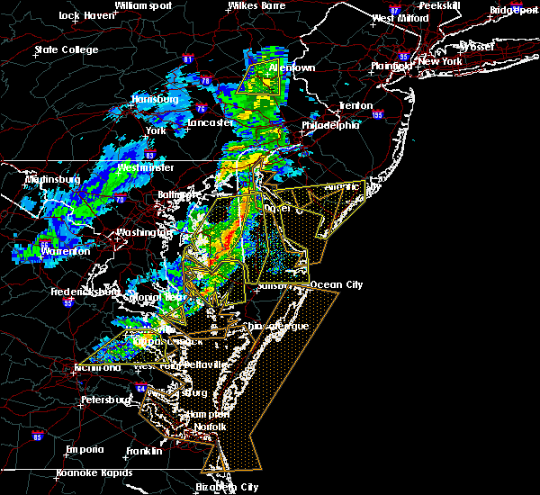 At 244 pm est, severe thunderstorms were located along a line extending from clayton to near sandtown to near denton to windyhill, moving east at 60 mph (radar indicated). Hazards include 70 mph wind gusts and penny size hail. Expect considerable tree damage. Damage is likely to mobile homes, roofs, and outbuildings. At 244 pm est, severe thunderstorms were located along a line extending from clayton to near sandtown to near denton to windyhill, moving east at 60 mph (radar indicated). Hazards include 70 mph wind gusts and penny size hail. Expect considerable tree damage. Damage is likely to mobile homes, roofs, and outbuildings.
|
| 2/13/2017 12:38 AM EST |
 At 1236 am est, severe thunderstorms were located along a line extending from 9 miles west of north cape may to near sharptown, moving southeast at 55 mph (radar indicated. wind gusts just below 60 mph have been reported so far with this line when it moved through eastern maryland and central delaware). Hazards include 60 mph wind gusts. Expect damage to roofs, siding, and trees. Locations impacted include, georgetown, seaford, millsboro, laurel, lewes, milton, selbyville, dagsboro, millville, ellendale, henlopen acres, gumboro, cape henlopen state park, sycamore, long neck, ocean view, blades, frankford, south bethany and dewey beach. At 1236 am est, severe thunderstorms were located along a line extending from 9 miles west of north cape may to near sharptown, moving southeast at 55 mph (radar indicated. wind gusts just below 60 mph have been reported so far with this line when it moved through eastern maryland and central delaware). Hazards include 60 mph wind gusts. Expect damage to roofs, siding, and trees. Locations impacted include, georgetown, seaford, millsboro, laurel, lewes, milton, selbyville, dagsboro, millville, ellendale, henlopen acres, gumboro, cape henlopen state park, sycamore, long neck, ocean view, blades, frankford, south bethany and dewey beach.
|
| 2/13/2017 12:17 AM EST |
 At 1215 am est, severe thunderstorms were located along a line extending from near wharton state forest to near pomona to viola to hambleton, moving east at 65 mph (radar indicated. this line also has a history of producing wind damage and gusts in excess of 60 mph across southern pennsylvania and central and southern maryland). Hazards include 60 mph wind gusts. Expect damage to roofs, siding, and trees. Locations impacted include, vineland, atlantic city, dover, millville, easton, ocean city, georgetown, cumberland, barnegat, pleasantville, hammonton, somers point, ventnor city, milford, northfield, absecon, seaford, margate city, buena and denton. At 1215 am est, severe thunderstorms were located along a line extending from near wharton state forest to near pomona to viola to hambleton, moving east at 65 mph (radar indicated. this line also has a history of producing wind damage and gusts in excess of 60 mph across southern pennsylvania and central and southern maryland). Hazards include 60 mph wind gusts. Expect damage to roofs, siding, and trees. Locations impacted include, vineland, atlantic city, dover, millville, easton, ocean city, georgetown, cumberland, barnegat, pleasantville, hammonton, somers point, ventnor city, milford, northfield, absecon, seaford, margate city, buena and denton.
|
| 2/12/2017 11:53 PM EST |
 At 1151 pm est, severe thunderstorms were located along a line extending from near shamong to near bridgeton to near hartly to talbot, moving east at 60 mph (radar indicated. this line also has a history of producing wind damage and gusts near 60 mph across southern pennsylvania and central and southern maryland). Hazards include 60 mph wind gusts. expect damage to roofs, siding, and trees At 1151 pm est, severe thunderstorms were located along a line extending from near shamong to near bridgeton to near hartly to talbot, moving east at 60 mph (radar indicated. this line also has a history of producing wind damage and gusts near 60 mph across southern pennsylvania and central and southern maryland). Hazards include 60 mph wind gusts. expect damage to roofs, siding, and trees
|
| 8/17/2016 11:20 PM EDT |
 At 1119 pm edt, severe thunderstorms were located along a line extending from griffin to 6 miles southeast of newark, moving northeast at 45 mph (radar indicated). Hazards include 60 mph wind gusts. Expect damage to roofs. siding. and trees. Locations impacted include, georgetown, milford, seaford, denton, millsboro, laurel, harrington, lewes, federalsburg, milton, bridgeville, greensboro, oakland, ridgely, dagsboro, millville, ellendale, bowers, queen anne and viola. At 1119 pm edt, severe thunderstorms were located along a line extending from griffin to 6 miles southeast of newark, moving northeast at 45 mph (radar indicated). Hazards include 60 mph wind gusts. Expect damage to roofs. siding. and trees. Locations impacted include, georgetown, milford, seaford, denton, millsboro, laurel, harrington, lewes, federalsburg, milton, bridgeville, greensboro, oakland, ridgely, dagsboro, millville, ellendale, bowers, queen anne and viola.
|
| 8/17/2016 10:44 PM EDT |
 At 1043 pm edt, severe thunderstorms were located along a line extending from near tilghman island to near pocomoke city, moving northeast at 45 mph (radar indicated). Hazards include 60 mph wind gusts. Expect damage to roofs. siding. And trees. At 1043 pm edt, severe thunderstorms were located along a line extending from near tilghman island to near pocomoke city, moving northeast at 45 mph (radar indicated). Hazards include 60 mph wind gusts. Expect damage to roofs. siding. And trees.
|
| 8/14/2016 10:17 PM EDT |
 At 1016 pm edt, severe thunderstorms were located along a line extending from near bowers to near bridgeville, moving east at 40 mph (radar indicated). Hazards include 60 mph wind gusts. Expect damage to roofs. siding. and trees. Locations impacted include, dover, milford, harrington, camden, lewes, milton, ellendale, bowers, woodside, viola, hartly, andrewsville, rising sun, hazlettville, dover speedway, dover base housing, sandtown, rising sun-lebanon, wyoming and felton. At 1016 pm edt, severe thunderstorms were located along a line extending from near bowers to near bridgeville, moving east at 40 mph (radar indicated). Hazards include 60 mph wind gusts. Expect damage to roofs. siding. and trees. Locations impacted include, dover, milford, harrington, camden, lewes, milton, ellendale, bowers, woodside, viola, hartly, andrewsville, rising sun, hazlettville, dover speedway, dover base housing, sandtown, rising sun-lebanon, wyoming and felton.
|
| 8/14/2016 9:42 PM EDT |
 At 941 pm edt, severe thunderstorms were located along a line extending from millington to harmony, moving east at 45 mph. a gust front will extend well out ahead of the thunderstorms (wind gusts of 50-60 mph have been measured along this line of storms). Hazards include 60 mph wind gusts. Expect damage to roofs. siding. And trees. At 941 pm edt, severe thunderstorms were located along a line extending from millington to harmony, moving east at 45 mph. a gust front will extend well out ahead of the thunderstorms (wind gusts of 50-60 mph have been measured along this line of storms). Hazards include 60 mph wind gusts. Expect damage to roofs. siding. And trees.
|
| 8/14/2016 9:42 PM EDT |
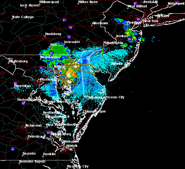 At 941 pm edt, severe thunderstorms were located along a line extending from millington to harmony, moving east at 45 mph. a gust front will extend well out ahead of the thunderstorms (wind gusts of 50-60 mph have been measured along this line of storms). Hazards include 60 mph wind gusts. Expect damage to roofs. siding. And trees. At 941 pm edt, severe thunderstorms were located along a line extending from millington to harmony, moving east at 45 mph. a gust front will extend well out ahead of the thunderstorms (wind gusts of 50-60 mph have been measured along this line of storms). Hazards include 60 mph wind gusts. Expect damage to roofs. siding. And trees.
|
| 7/28/2016 7:23 PM EDT |
 The severe thunderstorm warning for sussex and southeastern caroline counties will expire at 730 pm edt, the storms which prompted the warning have weakened below severe limits, and no longer pose an immediate threat to life or property. therefore the warning will be allowed to expire and has been replaced by a special weather statement gusty winds and heavy rain are still possible with these thunderstorms. a severe thunderstorm watch remains in effect until midnight edt for southern and central delaware, and eastern maryland. The severe thunderstorm warning for sussex and southeastern caroline counties will expire at 730 pm edt, the storms which prompted the warning have weakened below severe limits, and no longer pose an immediate threat to life or property. therefore the warning will be allowed to expire and has been replaced by a special weather statement gusty winds and heavy rain are still possible with these thunderstorms. a severe thunderstorm watch remains in effect until midnight edt for southern and central delaware, and eastern maryland.
|
| 7/28/2016 7:04 PM EDT |
 At 704 pm edt, severe thunderstorms were located along a line extending from 8 miles southeast of big stone beach to near ellendale to near seaford, moving southeast at 25 mph (radar indicated). Hazards include 60 mph wind gusts and quarter size hail. Hail damage to vehicles is expected. expect wind damage to roofs, siding, and trees. Locations impacted include, georgetown, seaford, millsboro, laurel, lewes, milton, bridgeville, delmar, ellendale, sycamore, cape henlopen state park, blades and bethel. At 704 pm edt, severe thunderstorms were located along a line extending from 8 miles southeast of big stone beach to near ellendale to near seaford, moving southeast at 25 mph (radar indicated). Hazards include 60 mph wind gusts and quarter size hail. Hail damage to vehicles is expected. expect wind damage to roofs, siding, and trees. Locations impacted include, georgetown, seaford, millsboro, laurel, lewes, milton, bridgeville, delmar, ellendale, sycamore, cape henlopen state park, blades and bethel.
|
| 7/28/2016 6:25 PM EDT |
 At 625 pm edt, severe thunderstorms were located along a line extending from near bowers to near harrington to agner, moving southeast at 25 mph (radar indicated). Hazards include 60 mph wind gusts and quarter size hail. Hail damage to vehicles is expected. Expect wind damage to roofs, siding, and trees. At 625 pm edt, severe thunderstorms were located along a line extending from near bowers to near harrington to agner, moving southeast at 25 mph (radar indicated). Hazards include 60 mph wind gusts and quarter size hail. Hail damage to vehicles is expected. Expect wind damage to roofs, siding, and trees.
|
| 7/28/2016 1:47 PM EDT |
 At 145 pm edt, several severe thunderstorm were located over sussexcounty delaware, moving east at 35 mph. one such thunderstorm was located near georgetown (radar indicated). Hazards include 60 mph wind gusts. Expect damage to roofs. siding. and trees. Locations impacted include, georgetown, milford, seaford, millsboro, laurel, lewes, milton, bridgeville, dagsboro, millville, ellendale, henlopen acres, sycamore, gumboro, cape henlopen state park, long neck, ocean view, blades, greenwood and frankford. At 145 pm edt, several severe thunderstorm were located over sussexcounty delaware, moving east at 35 mph. one such thunderstorm was located near georgetown (radar indicated). Hazards include 60 mph wind gusts. Expect damage to roofs. siding. and trees. Locations impacted include, georgetown, milford, seaford, millsboro, laurel, lewes, milton, bridgeville, dagsboro, millville, ellendale, henlopen acres, sycamore, gumboro, cape henlopen state park, long neck, ocean view, blades, greenwood and frankford.
|
| 7/28/2016 1:31 PM EDT |
 At 129 pm edt, several severe thunderstorms were located over central caroline county in maryland and central and southern sussex county in delaware. these thunderstorms were moving generally to the northeast at 40 mph (radar indicated). Hazards include 60 mph wind gusts. Expect damage to roofs. siding. and trees in the vicinity of the strongest winds. Locations impacted include, georgetown, milford, seaford, denton, millsboro, laurel, harrington, lewes, federalsburg, milton, bridgeville, ridgely, dagsboro, millville, ellendale, bowers, queen anne, henlopen acres, harmony and andrewsville. At 129 pm edt, several severe thunderstorms were located over central caroline county in maryland and central and southern sussex county in delaware. these thunderstorms were moving generally to the northeast at 40 mph (radar indicated). Hazards include 60 mph wind gusts. Expect damage to roofs. siding. and trees in the vicinity of the strongest winds. Locations impacted include, georgetown, milford, seaford, denton, millsboro, laurel, harrington, lewes, federalsburg, milton, bridgeville, ridgely, dagsboro, millville, ellendale, bowers, queen anne, henlopen acres, harmony and andrewsville.
|
| 7/28/2016 1:20 PM EDT |
 At 120 pm edt, a severe thunderstorm was located over andrewsville, or 16 miles northwest of georgetown, moving northeast at 45 mph (radar indicated). Hazards include 60 mph wind gusts. Expect damage to roofs. siding. And trees. At 120 pm edt, a severe thunderstorm was located over andrewsville, or 16 miles northwest of georgetown, moving northeast at 45 mph (radar indicated). Hazards include 60 mph wind gusts. Expect damage to roofs. siding. And trees.
|
| 6/21/2016 7:45 PM EDT |
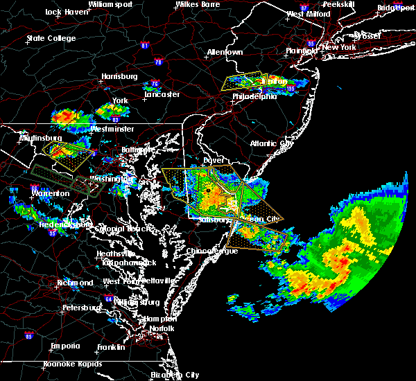 At 744 pm edt, severe thunderstorms were located along a line extending from camden to near milford to near millville, moving east at 50 mph (radar indicated). Hazards include 60 mph wind gusts and quarter size hail. Hail damage to vehicles is expected. expect wind damage to roofs, siding, and trees. Locations impacted include, dover, milford, camden, lewes, milton, millville, bowers, woodside, henlopen acres, dover base housing, rising sun-lebanon, cape henlopen state park, rising sun, long neck, ocean view, wyoming, frederica, south bethany, dewey beach and magnolia. At 744 pm edt, severe thunderstorms were located along a line extending from camden to near milford to near millville, moving east at 50 mph (radar indicated). Hazards include 60 mph wind gusts and quarter size hail. Hail damage to vehicles is expected. expect wind damage to roofs, siding, and trees. Locations impacted include, dover, milford, camden, lewes, milton, millville, bowers, woodside, henlopen acres, dover base housing, rising sun-lebanon, cape henlopen state park, rising sun, long neck, ocean view, wyoming, frederica, south bethany, dewey beach and magnolia.
|
| 6/21/2016 7:20 PM EDT |
 At 719 pm edt, severe thunderstorms were located along a line extending from near church hill to greensboro to near gumboro, moving east at 50 mph (radar indicated). Hazards include 60 mph wind gusts and quarter size hail. Hail damage to vehicles is expected. Expect wind damage to roofs, siding, and trees. At 719 pm edt, severe thunderstorms were located along a line extending from near church hill to greensboro to near gumboro, moving east at 50 mph (radar indicated). Hazards include 60 mph wind gusts and quarter size hail. Hail damage to vehicles is expected. Expect wind damage to roofs, siding, and trees.
|
| 6/21/2016 4:00 PM EDT |
 At 400 pm edt, severe thunderstorms were located along a line extending from 8 miles northeast of big stone beach to near cape henlopen state park to near gumboro, moving east at 60 mph (radar indicated). Hazards include 70 mph wind gusts and quarter size hail. Hail damage to vehicles is expected. expect considerable tree damage. wind damage is also likely to mobile homes, roofs, and outbuildings. Locations impacted include, georgetown, cape may, milford, seaford, north wildwood, millsboro, laurel, harrington, wildwood crest, lewes, federalsburg, milton, woodbine, selbyville, sea isle city, bridgeville, delmar, avalon, west cape may and stone harbor. At 400 pm edt, severe thunderstorms were located along a line extending from 8 miles northeast of big stone beach to near cape henlopen state park to near gumboro, moving east at 60 mph (radar indicated). Hazards include 70 mph wind gusts and quarter size hail. Hail damage to vehicles is expected. expect considerable tree damage. wind damage is also likely to mobile homes, roofs, and outbuildings. Locations impacted include, georgetown, cape may, milford, seaford, north wildwood, millsboro, laurel, harrington, wildwood crest, lewes, federalsburg, milton, woodbine, selbyville, sea isle city, bridgeville, delmar, avalon, west cape may and stone harbor.
|
| 6/21/2016 3:36 PM EDT |
 At 334 pm edt, severe thunderstorms were located along a line extending from hazlettville to near harrington to hurlock, moving east at 50 mph. another severe thunderstorm is moving into southern new jersey as well in addition to the storm in southern delaware (radar indicated). Hazards include 70 mph wind gusts and quarter size hail. Hail damage to vehicles is expected. expect considerable tree damage. Wind damage is also likely to mobile homes, roofs, and outbuildings. At 334 pm edt, severe thunderstorms were located along a line extending from hazlettville to near harrington to hurlock, moving east at 50 mph. another severe thunderstorm is moving into southern new jersey as well in addition to the storm in southern delaware (radar indicated). Hazards include 70 mph wind gusts and quarter size hail. Hail damage to vehicles is expected. expect considerable tree damage. Wind damage is also likely to mobile homes, roofs, and outbuildings.
|
| 5/14/2016 6:29 PM EDT |
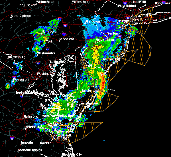 At 629 pm edt, a severe thunderstorm was located 11 miles southeast of henlopen acres, or 20 miles northeast of ocean city, moving northeast at 55 mph (radar indicated). Hazards include 60 mph wind gusts. Expect damage to roofs. siding. and trees. Locations impacted include, lewes, millville, henlopen acres, cape henlopen state park, long neck, ocean view, south bethany and dewey beach. At 629 pm edt, a severe thunderstorm was located 11 miles southeast of henlopen acres, or 20 miles northeast of ocean city, moving northeast at 55 mph (radar indicated). Hazards include 60 mph wind gusts. Expect damage to roofs. siding. and trees. Locations impacted include, lewes, millville, henlopen acres, cape henlopen state park, long neck, ocean view, south bethany and dewey beach.
|
| 5/14/2016 6:11 PM EDT |
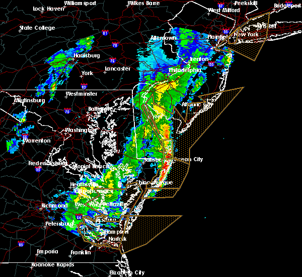 At 611 pm edt, a severe thunderstorm was located near millville, or 10 miles northwest of ocean city, moving northeast at 55 mph (radar indicated). Hazards include 60 mph wind gusts. Expect damage to roofs. siding. And trees. At 611 pm edt, a severe thunderstorm was located near millville, or 10 miles northwest of ocean city, moving northeast at 55 mph (radar indicated). Hazards include 60 mph wind gusts. Expect damage to roofs. siding. And trees.
|
| 5/2/2016 10:59 PM EDT |
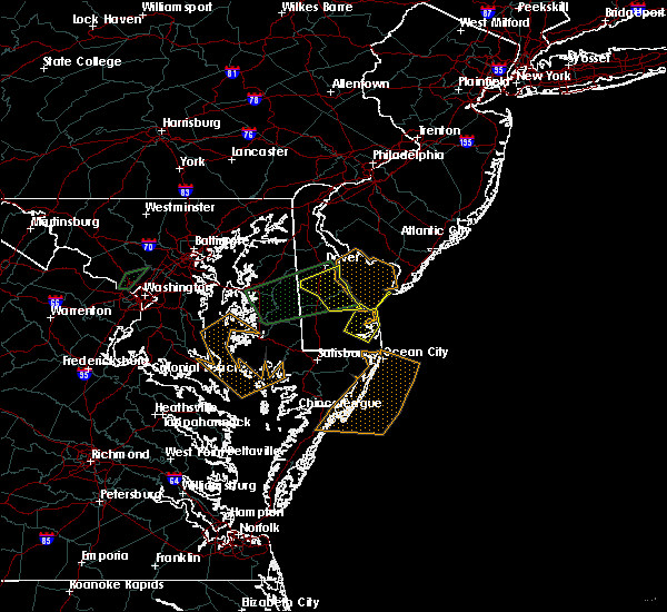 At 1059 pm edt, a severe thunderstorm was located 7 miles northeast of millsboro, or 10 miles east of georgetown, moving northeast at 45 mph (radar indicated). Hazards include 60 mph wind gusts and half dollar size hail. Hail damage to vehicles is expected. Expect wind damage to roofs, siding, and trees. At 1059 pm edt, a severe thunderstorm was located 7 miles northeast of millsboro, or 10 miles east of georgetown, moving northeast at 45 mph (radar indicated). Hazards include 60 mph wind gusts and half dollar size hail. Hail damage to vehicles is expected. Expect wind damage to roofs, siding, and trees.
|
| 5/2/2016 10:15 PM EDT |
 At 1014 pm edt, a severe thunderstorm was located over denton, or 15 miles northeast of easton, moving east at 35 mph (radar indicated). Hazards include ping pong ball size hail and 60 mph wind gusts. Hail damage to vehicles is expected. Expect wind damage to roofs, siding, and trees. At 1014 pm edt, a severe thunderstorm was located over denton, or 15 miles northeast of easton, moving east at 35 mph (radar indicated). Hazards include ping pong ball size hail and 60 mph wind gusts. Hail damage to vehicles is expected. Expect wind damage to roofs, siding, and trees.
|
| 4/7/2016 6:53 PM EDT |
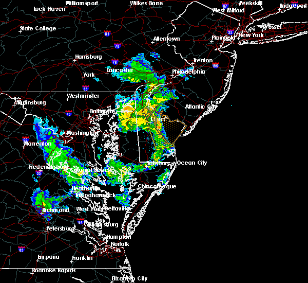 At 652 pm edt, doppler radar indicated a line of severe thunderstorms capable of producing areas of damaging winds in excess of 60 mph. these storms were located along a line extending from smyrna to near dover speedway to near bowers to near ellendale, moving northeast at 55 mph. hail up to the size of pennies may also accompany the damaging winds. locations impacted include, dover, georgetown, smyrna, milford, camden, lewes, milton, cheswold, ellendale, bowers, dover speedway, dover base housing, rising sun-lebanon, rising sun, wyoming, frederica, magnolia, little creek, leipsic and riverview. At 652 pm edt, doppler radar indicated a line of severe thunderstorms capable of producing areas of damaging winds in excess of 60 mph. these storms were located along a line extending from smyrna to near dover speedway to near bowers to near ellendale, moving northeast at 55 mph. hail up to the size of pennies may also accompany the damaging winds. locations impacted include, dover, georgetown, smyrna, milford, camden, lewes, milton, cheswold, ellendale, bowers, dover speedway, dover base housing, rising sun-lebanon, rising sun, wyoming, frederica, magnolia, little creek, leipsic and riverview.
|
| 4/7/2016 6:37 PM EDT |
 At 636 pm edt, doppler radar indicated a line of severe thunderstorms capable of producing areas of damaging winds in excess of 60 mph. these storms were located along a line extending from near hartly to near harrington to bridgeville, and moving northeast at 50 mph. penny size hail may also accompany the damaging winds. At 636 pm edt, doppler radar indicated a line of severe thunderstorms capable of producing areas of damaging winds in excess of 60 mph. these storms were located along a line extending from near hartly to near harrington to bridgeville, and moving northeast at 50 mph. penny size hail may also accompany the damaging winds.
|
| 2/24/2016 6:00 PM EST |
 At 558 pm est, doppler radar indicated a severe thunderstorm capable of producing destructive winds in excess of 70 mph. this storm was located near bowers, or 9 miles southeast of dover, moving north at 65 mph. wind gusts around 50 mph have been reported with this storm. a tornado watch remains in effect until 1100 pm est for southern delaware. At 558 pm est, doppler radar indicated a severe thunderstorm capable of producing destructive winds in excess of 70 mph. this storm was located near bowers, or 9 miles southeast of dover, moving north at 65 mph. wind gusts around 50 mph have been reported with this storm. a tornado watch remains in effect until 1100 pm est for southern delaware.
|
| 2/24/2016 5:45 PM EST |
 At 544 pm est, doppler radar indicated a severe thunderstorm capable of producing destructive winds in excess of 70 mph. this storm was located over milford, or 13 miles north of georgetown, and moving north at 65 mph. a tornado watch remains in effect until 1100 pm est for southern delaware. At 544 pm est, doppler radar indicated a severe thunderstorm capable of producing destructive winds in excess of 70 mph. this storm was located over milford, or 13 miles north of georgetown, and moving north at 65 mph. a tornado watch remains in effect until 1100 pm est for southern delaware.
|
| 2/24/2016 5:39 PM EST |
 At 539 pm est, doppler radar indicated a severe thunderstorm capable of producing destructive winds in excess of 70 mph. this storm was located over ellendale, or 9 miles north of georgetown, moving north at 50 mph. locations impacted include, georgetown, milford, seaford, millsboro, laurel, lewes, milton, selbyville, bridgeville, delmar, dagsboro, millville, ellendale, henlopen acres, sycamore, gumboro, cape henlopen state park, long neck, ocean view and blades. a tornado watch remains in effect until 1100 pm est for southern delaware. At 539 pm est, doppler radar indicated a severe thunderstorm capable of producing destructive winds in excess of 70 mph. this storm was located over ellendale, or 9 miles north of georgetown, moving north at 50 mph. locations impacted include, georgetown, milford, seaford, millsboro, laurel, lewes, milton, selbyville, bridgeville, delmar, dagsboro, millville, ellendale, henlopen acres, sycamore, gumboro, cape henlopen state park, long neck, ocean view and blades. a tornado watch remains in effect until 1100 pm est for southern delaware.
|
| 2/24/2016 5:20 PM EST |
 At 520 pm est, doppler radar indicated a severe thunderstorm capable of producing destructive winds in excess of 70 mph. this storm was located over delmar, or 7 miles north of salisbury, and moving northeast at 65 mph. At 520 pm est, doppler radar indicated a severe thunderstorm capable of producing destructive winds in excess of 70 mph. this storm was located over delmar, or 7 miles north of salisbury, and moving northeast at 65 mph.
|
| 7/9/2015 9:01 PM EDT |
 At 900 pm edt, doppler radar indicated a line of severe thunderstorms capable of producing damaging winds in excess of 60 mph. these storms were located along a line extending from cedarville to near laurel, and moving east at 55 mph. At 900 pm edt, doppler radar indicated a line of severe thunderstorms capable of producing damaging winds in excess of 60 mph. these storms were located along a line extending from cedarville to near laurel, and moving east at 55 mph.
|
| 6/23/2015 8:25 PM EDT |
 At 824 pm edt, doppler radar indicated a line of severe thunderstorms capable of producing damaging winds in excess of 60 mph. these storms were located along a line extending from 6 miles east of cape henlopen state park to near trappe, moving southeast at 30 mph. locations impacted include, georgetown, seaford, millsboro, laurel, lewes, milton, selbyville, delmar, dagsboro, millville, henlopen acres, sycamore, gumboro, cape henlopen state park, long neck, ocean view, blades, frankford, south bethany and dewey beach. At 824 pm edt, doppler radar indicated a line of severe thunderstorms capable of producing damaging winds in excess of 60 mph. these storms were located along a line extending from 6 miles east of cape henlopen state park to near trappe, moving southeast at 30 mph. locations impacted include, georgetown, seaford, millsboro, laurel, lewes, milton, selbyville, delmar, dagsboro, millville, henlopen acres, sycamore, gumboro, cape henlopen state park, long neck, ocean view, blades, frankford, south bethany and dewey beach.
|
| 6/23/2015 7:41 PM EDT |
 At 740 pm edt, doppler radar indicated a line of severe thunderstorms capable of producing damaging winds in excess of 60 mph. these storms were located along a line extending from 6 miles southeast of big stone beach to near talbot. the line is moving southeast at 30 mph. At 740 pm edt, doppler radar indicated a line of severe thunderstorms capable of producing damaging winds in excess of 60 mph. these storms were located along a line extending from 6 miles southeast of big stone beach to near talbot. the line is moving southeast at 30 mph.
|
| 6/21/2015 1:25 AM EDT |
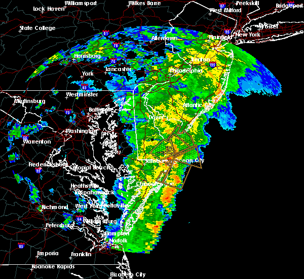 The severe thunderstorm warning for southeastern sussex county will expire at 130 am edt, the storm which prompted the warning has moved out of the area. therefore the warning will be allowed to expire. however heavy rain is still possible with this thunderstorm. The severe thunderstorm warning for southeastern sussex county will expire at 130 am edt, the storm which prompted the warning has moved out of the area. therefore the warning will be allowed to expire. however heavy rain is still possible with this thunderstorm.
|
| 6/21/2015 12:57 AM EDT |
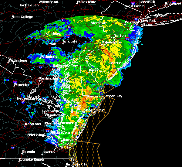 At 1257 am edt, doppler radar indicated a severe thunderstorm capable of producing damaging winds in excess of 60 mph. this storm was located near millsboro, or 9 miles southeast of georgetown, moving northeast at 30 mph. locations impacted include, georgetown, millsboro, lewes, dagsboro, millville, henlopen acres, cape henlopen state park, long neck, ocean view, frankford and dewey beach. At 1257 am edt, doppler radar indicated a severe thunderstorm capable of producing damaging winds in excess of 60 mph. this storm was located near millsboro, or 9 miles southeast of georgetown, moving northeast at 30 mph. locations impacted include, georgetown, millsboro, lewes, dagsboro, millville, henlopen acres, cape henlopen state park, long neck, ocean view, frankford and dewey beach.
|
| 6/21/2015 12:35 AM EDT |
 At 1235 am edt, doppler radar indicated a severe thunderstorm capable of producing damaging winds in excess of 60 mph. this storm was located near gumboro, or 11 miles south of georgetown, and moving northeast at 25 mph. At 1235 am edt, doppler radar indicated a severe thunderstorm capable of producing damaging winds in excess of 60 mph. this storm was located near gumboro, or 11 miles south of georgetown, and moving northeast at 25 mph.
|
| 6/20/2015 11:04 PM EDT |
 At 1102 pm edt, doppler radar indicated a line of severe thunderstorms capable of producing damaging winds in excess of 60 mph. these storms were located along a line extending from woodside to near ellendale to near laurel, moving northeast at 35 mph. locations impacted include, dover, georgetown, milford, seaford, millsboro, laurel, harrington, camden, lewes, milton, selbyville, bridgeville, delmar, dagsboro, millville, ellendale, bowers, woodside, viola and henlopen acres. At 1102 pm edt, doppler radar indicated a line of severe thunderstorms capable of producing damaging winds in excess of 60 mph. these storms were located along a line extending from woodside to near ellendale to near laurel, moving northeast at 35 mph. locations impacted include, dover, georgetown, milford, seaford, millsboro, laurel, harrington, camden, lewes, milton, selbyville, bridgeville, delmar, dagsboro, millville, ellendale, bowers, woodside, viola and henlopen acres.
|
| 6/20/2015 10:53 PM EDT |
 At 1053 pm edt, doppler radar indicated a line of severe thunderstorms capable of producing damaging winds in excess of 60 mph. these storms were located along a line extending from near sandtown to near bridgeville to near delmar, moving northeast at 40 mph. locations impacted include, dover, georgetown, milford, seaford, denton, millsboro, laurel, harrington, camden, lewes, federalsburg, milton, selbyville, bridgeville, greensboro, ridgely, delmar, dagsboro, millville and ellendale. At 1053 pm edt, doppler radar indicated a line of severe thunderstorms capable of producing damaging winds in excess of 60 mph. these storms were located along a line extending from near sandtown to near bridgeville to near delmar, moving northeast at 40 mph. locations impacted include, dover, georgetown, milford, seaford, denton, millsboro, laurel, harrington, camden, lewes, federalsburg, milton, selbyville, bridgeville, greensboro, ridgely, delmar, dagsboro, millville and ellendale.
|
| 6/20/2015 10:32 PM EDT |
 At 1031 pm edt, doppler radar indicated a line of severe thunderstorms capable of producing damaging winds in excess of 60 mph. these storms were located along a line extending from near griffin to near hurlock to 8 miles south of vienna, and moving northeast at 35 mph. At 1031 pm edt, doppler radar indicated a line of severe thunderstorms capable of producing damaging winds in excess of 60 mph. these storms were located along a line extending from near griffin to near hurlock to 8 miles south of vienna, and moving northeast at 35 mph.
|
| 4/22/2015 4:05 PM EDT | At 404 pm edt, doppler radar indicated a line of severe thunderstorms capable of producing damaging winds in excess of 60 mph. these storms were located along a line extending from 7 miles northwest of lewes to near seaford, and moving east at 40 mph. |
| 4/22/2015 4:05 PM EDT | At 404 pm edt, doppler radar indicated a line of severe thunderstorms capable of producing damaging winds in excess of 60 mph. these storms were located along a line extending from 7 miles northwest of lewes to near seaford, and moving east at 40 mph. |
| 8/9/2012 1:55 PM EDT | Trees down in sussex county DE, 0.3 miles WSW of Lewes, DE |
| 6/30/2012 12:15 AM EDT | Large limbs broke in sussex county DE, 0.3 miles WSW of Lewes, DE |
| 6/25/2012 12:47 PM EDT | 68 mph gust measured at lewes in sussex county DE, 0.3 miles WSW of Lewes, DE |
| 1/1/0001 12:00 AM | Also wires down along coastal roadwa in sussex county DE, 0.3 miles WSW of Lewes, DE |
| 1/1/0001 12:00 AM | Tree down near lewes in sussex county DE, 0.3 miles WSW of Lewes, DE |
Hail Maps for Lewes, DE
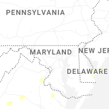


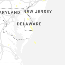
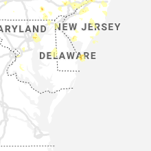
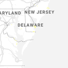


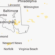


Connect with Interactive Hail Maps