

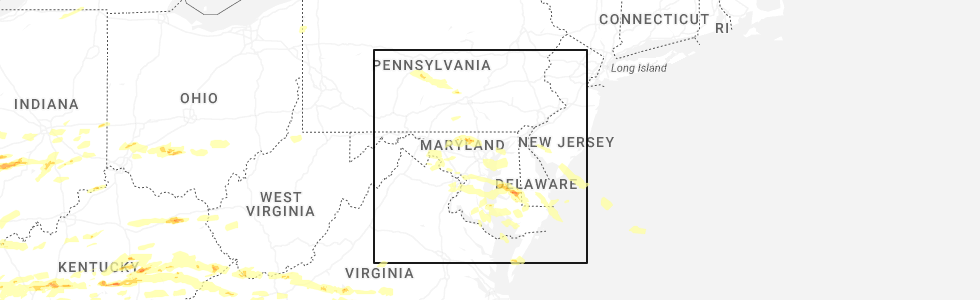
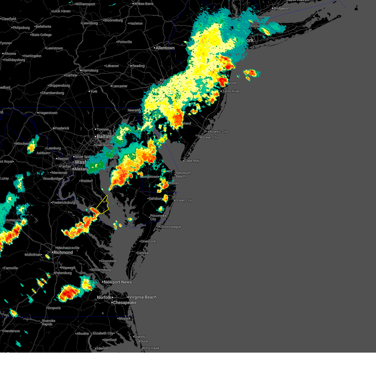
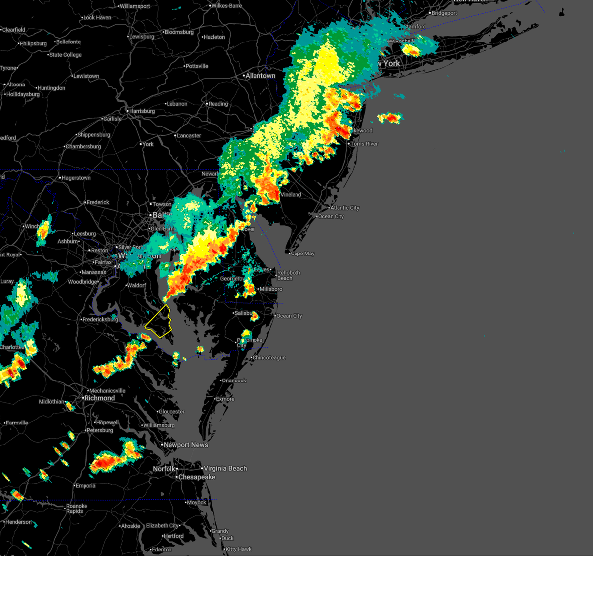
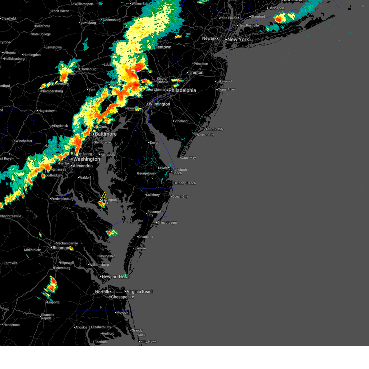
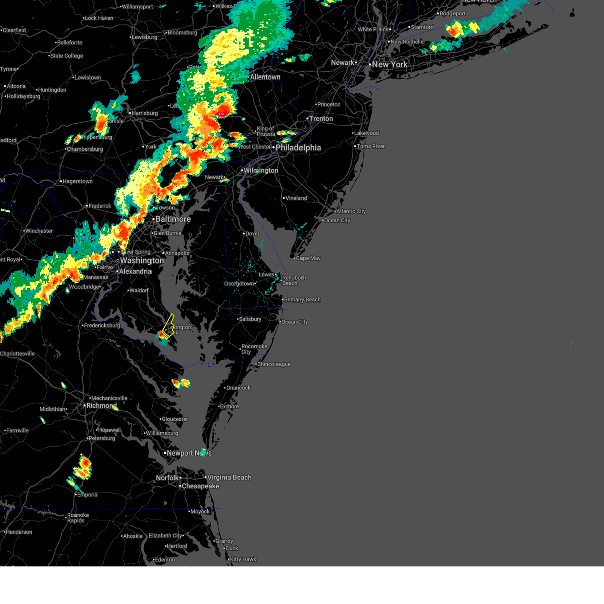
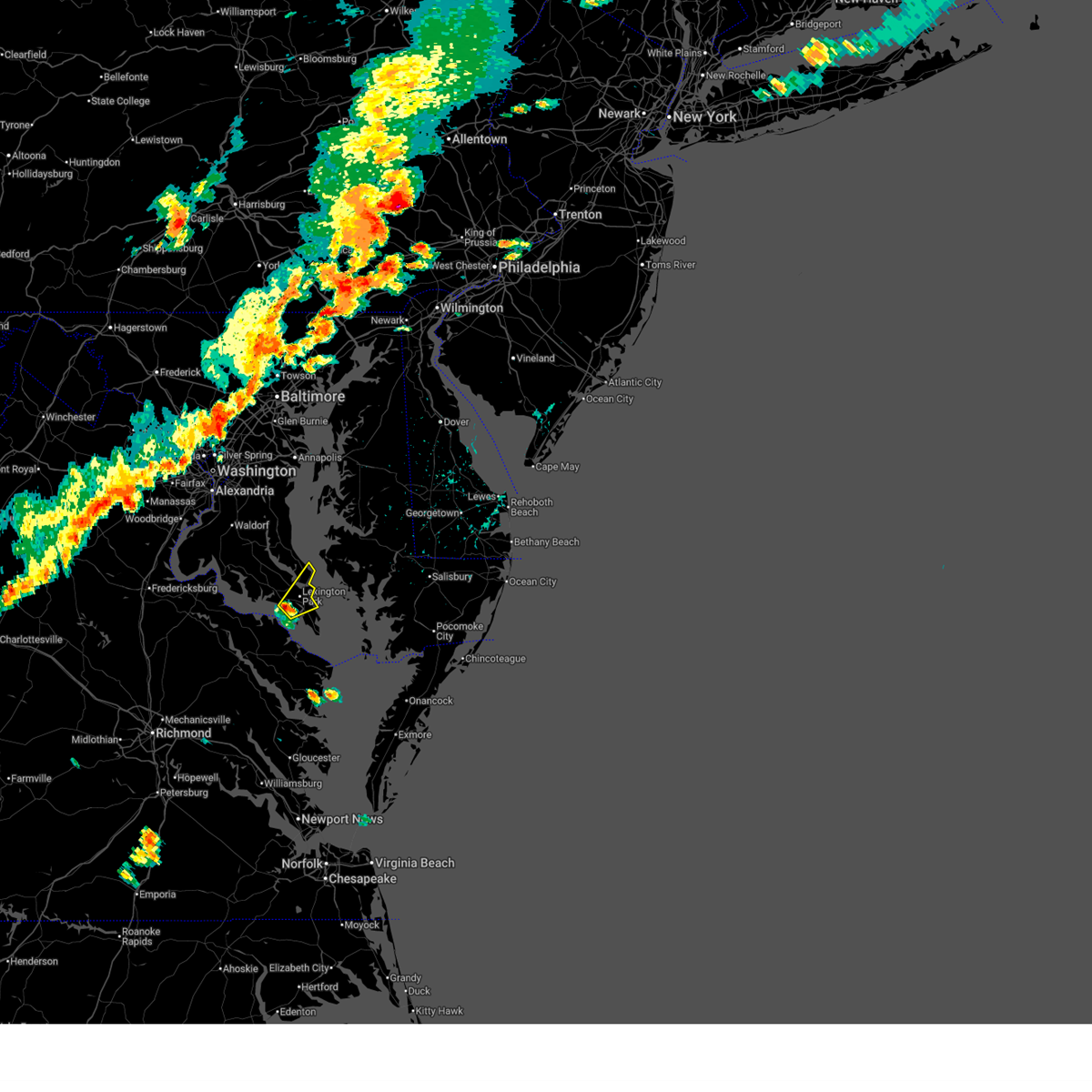
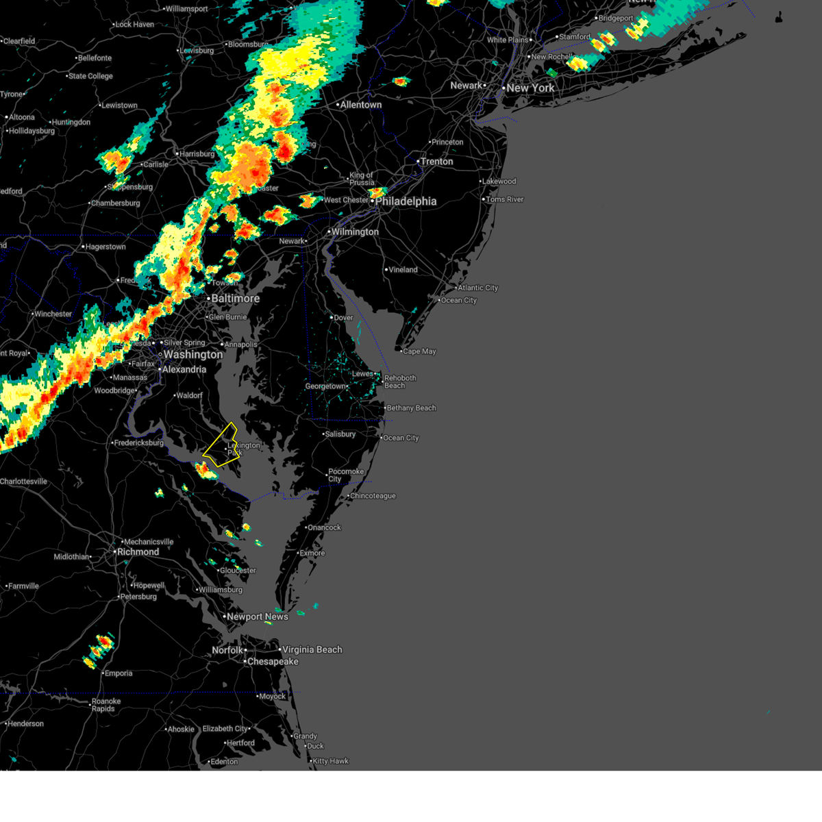
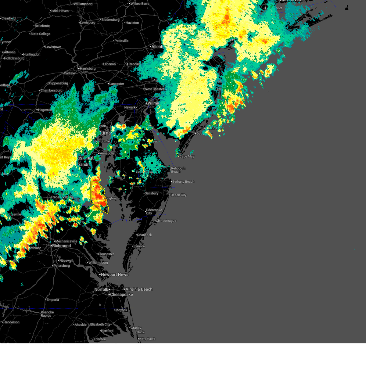
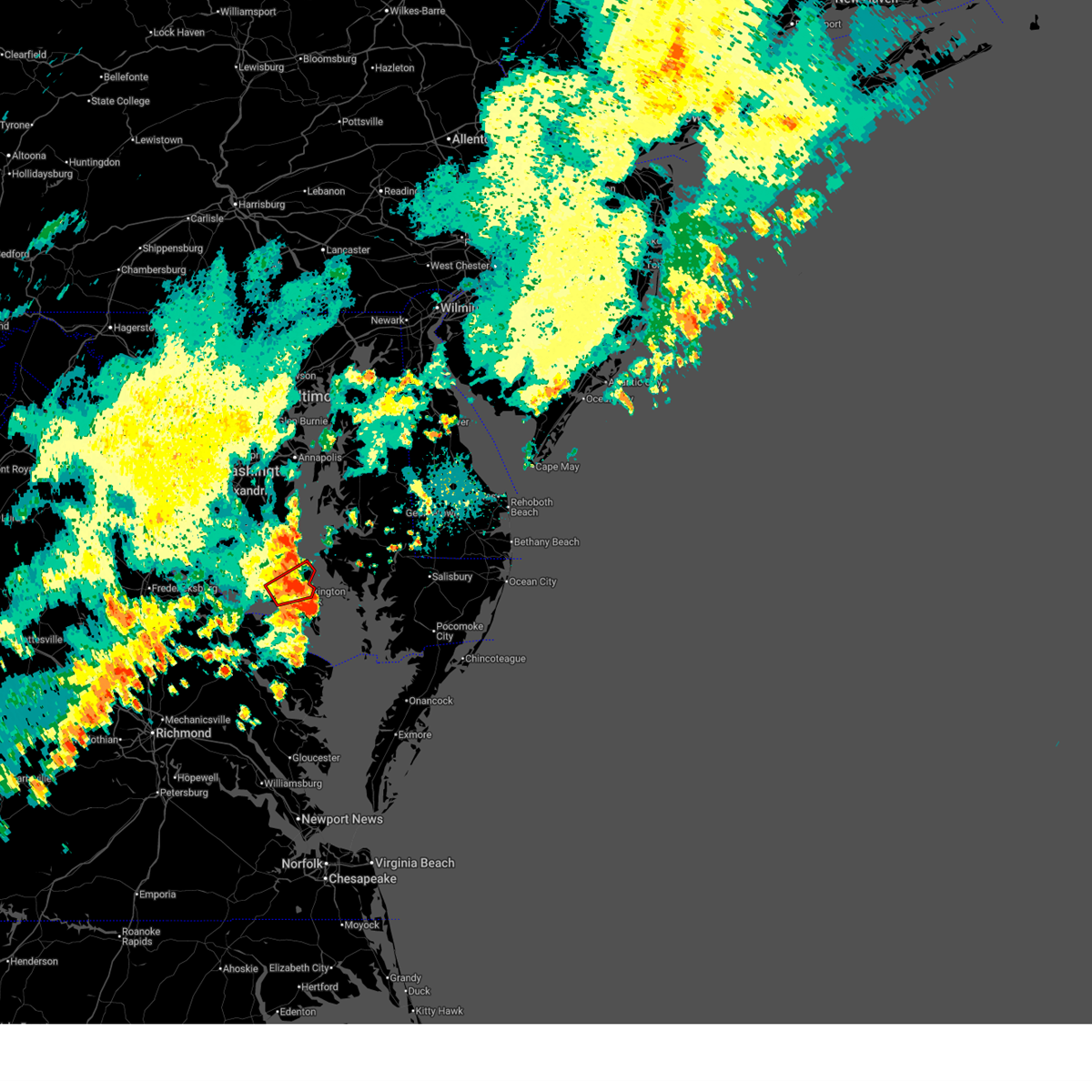
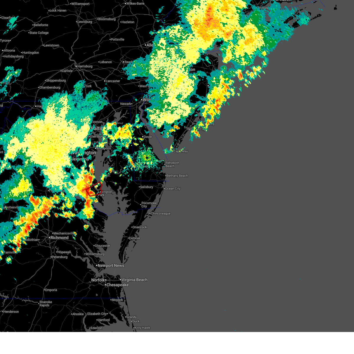
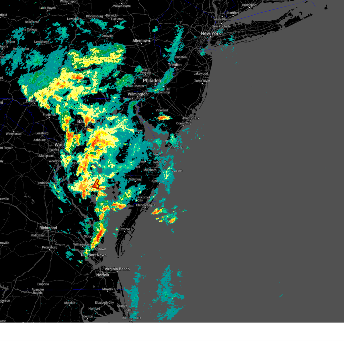
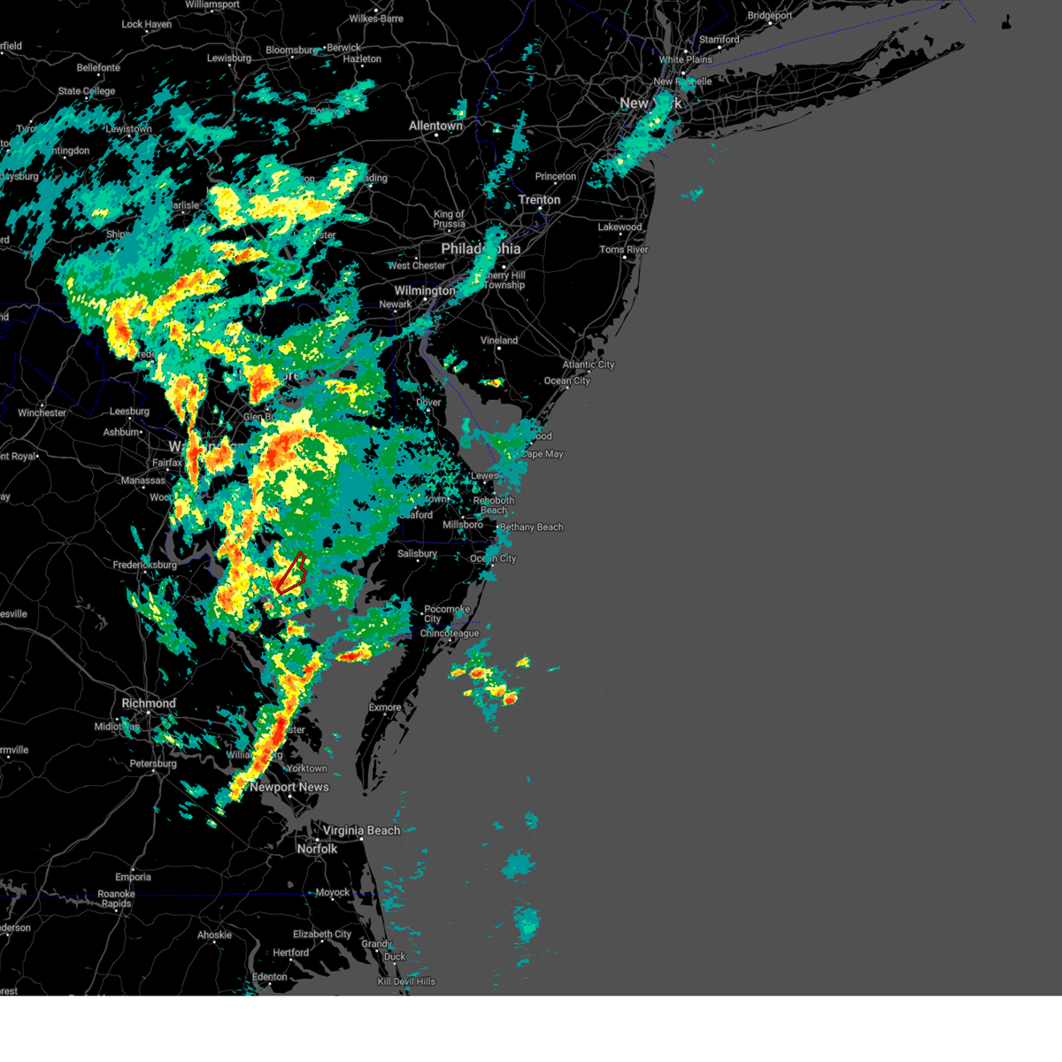
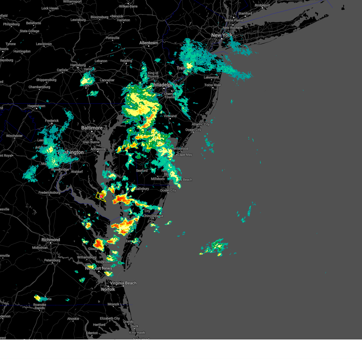
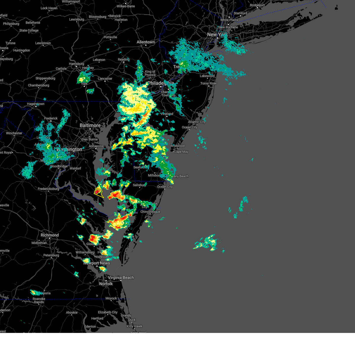
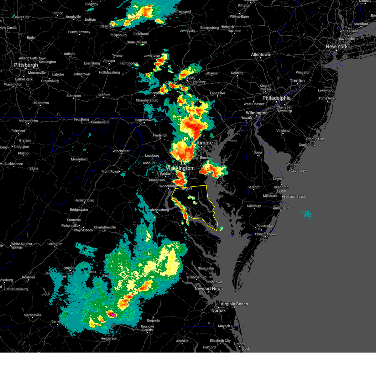
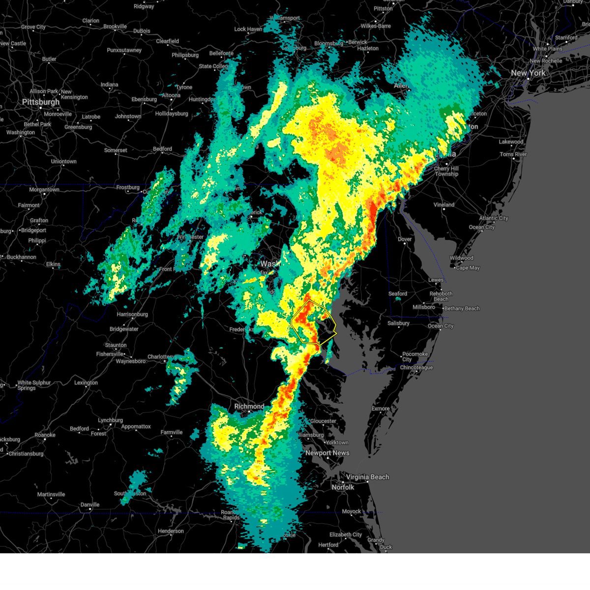
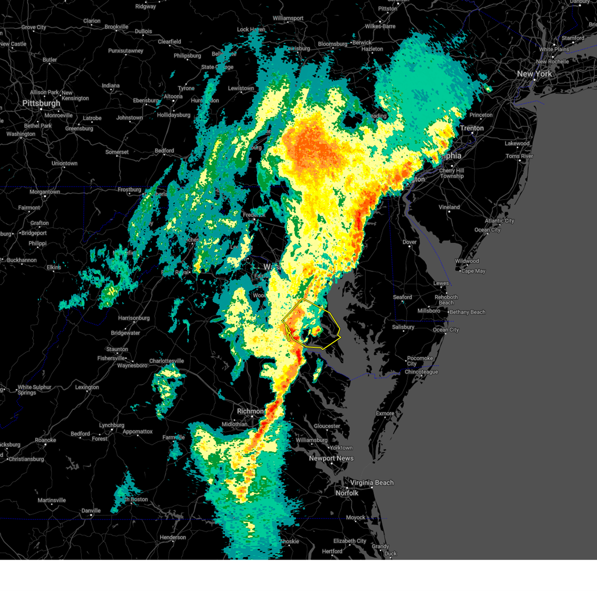
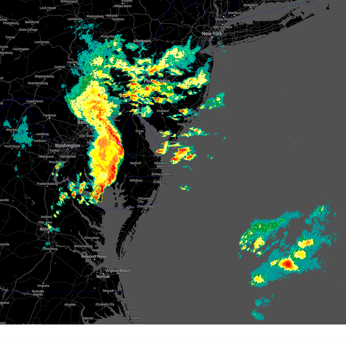
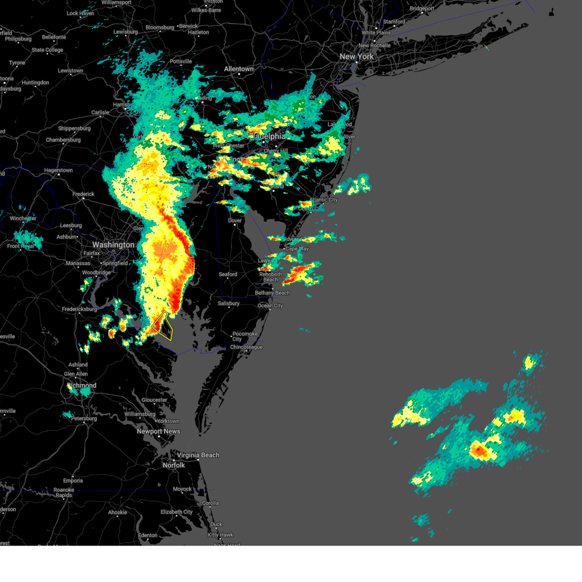
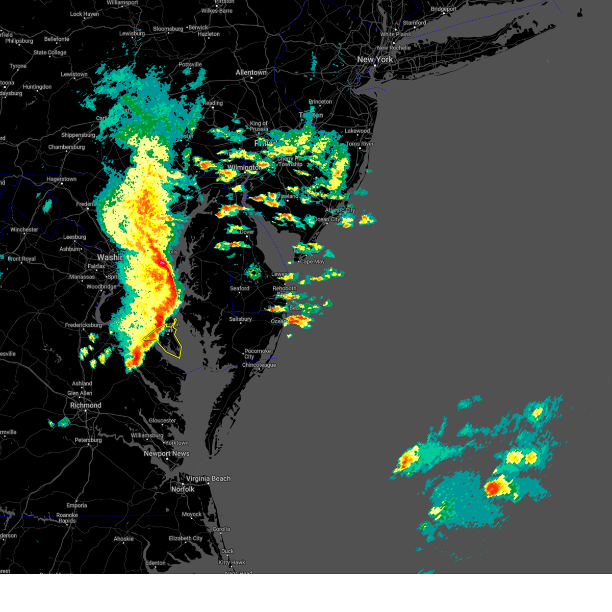
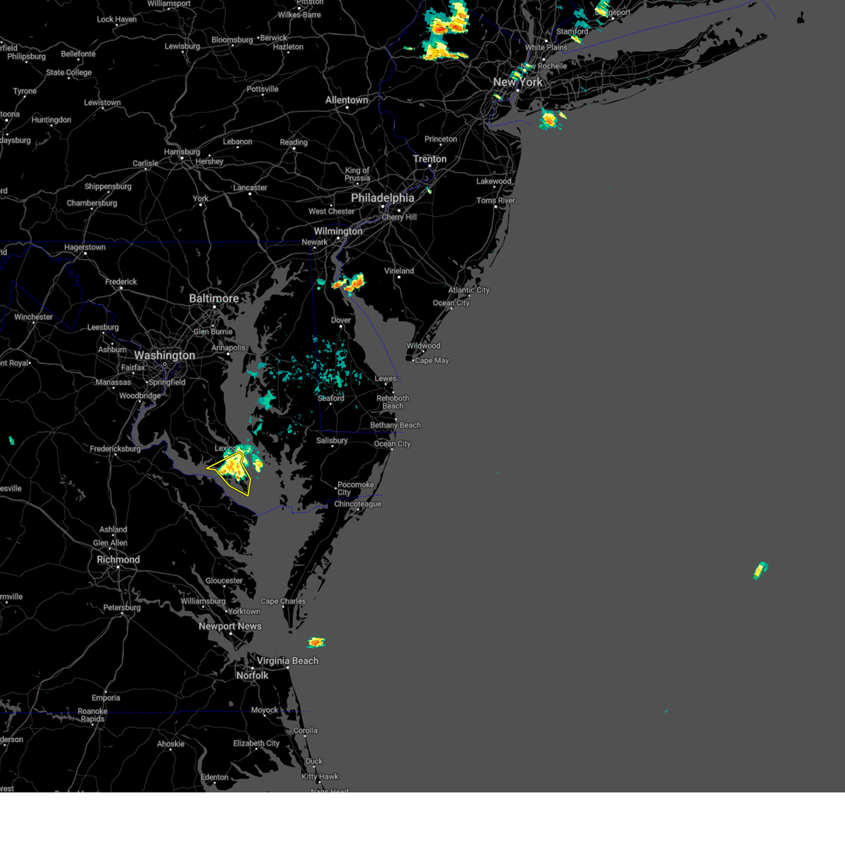
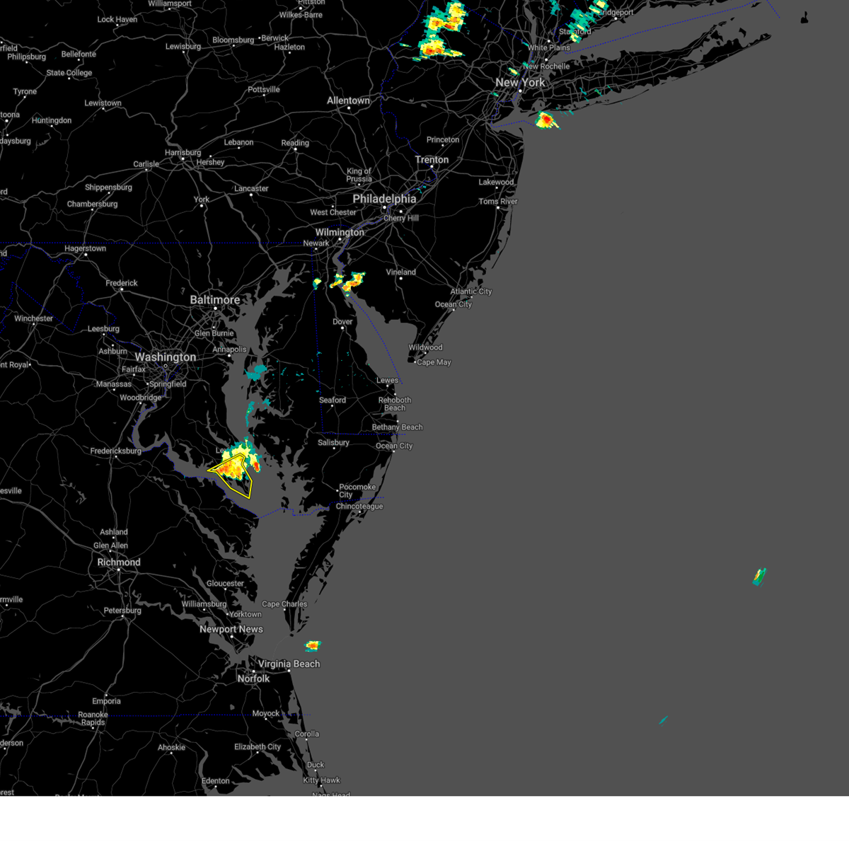
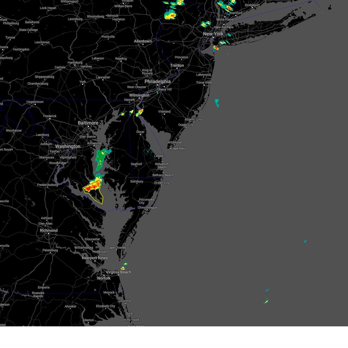
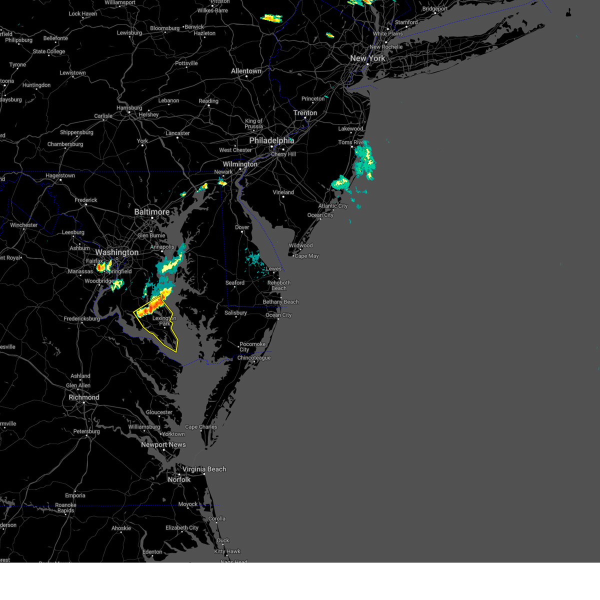
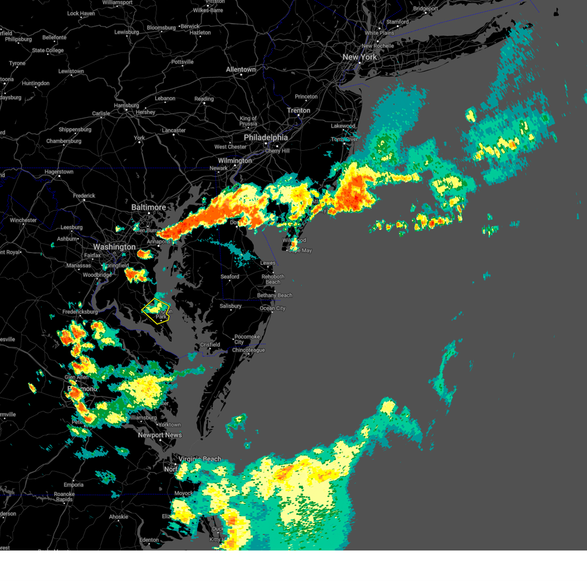
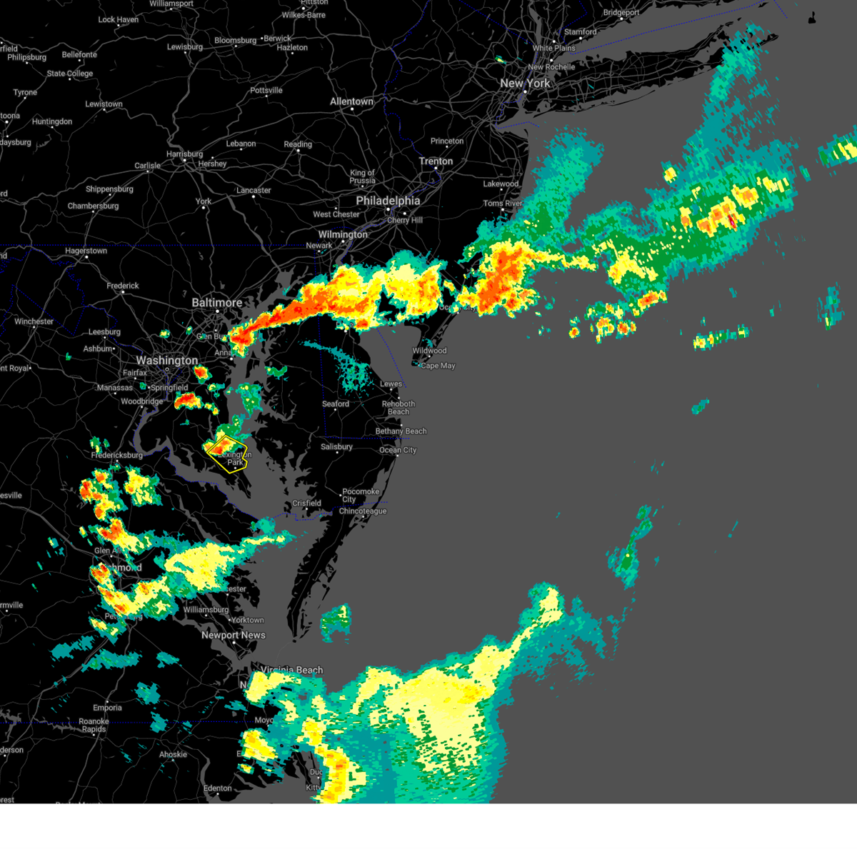
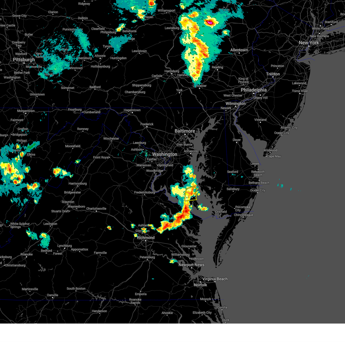
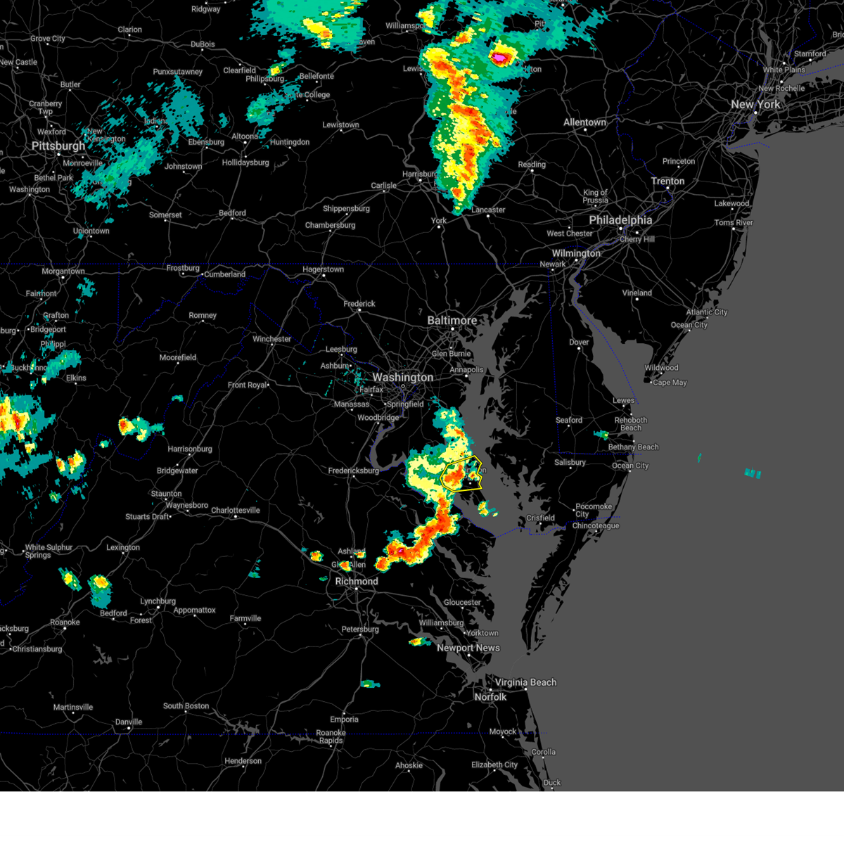
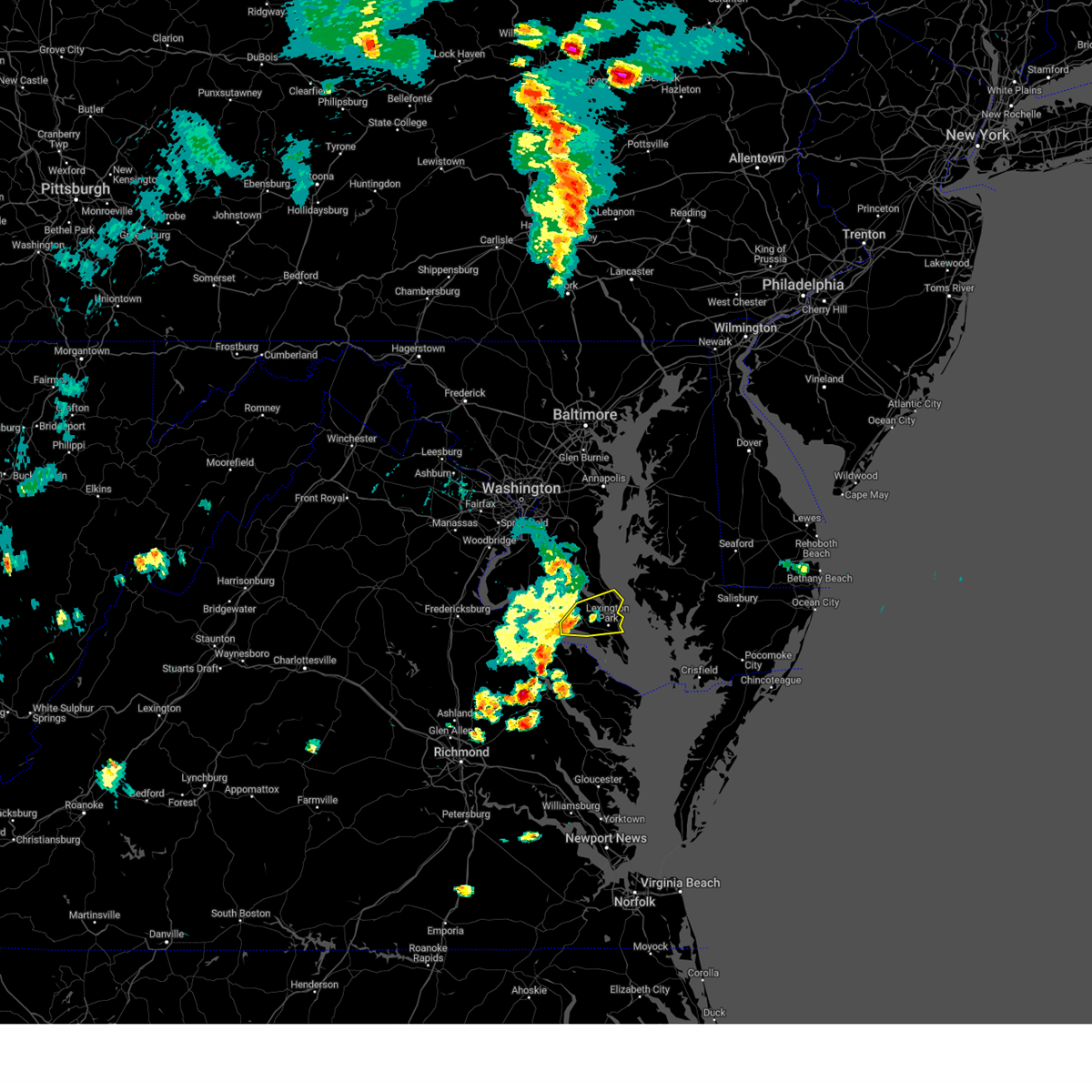
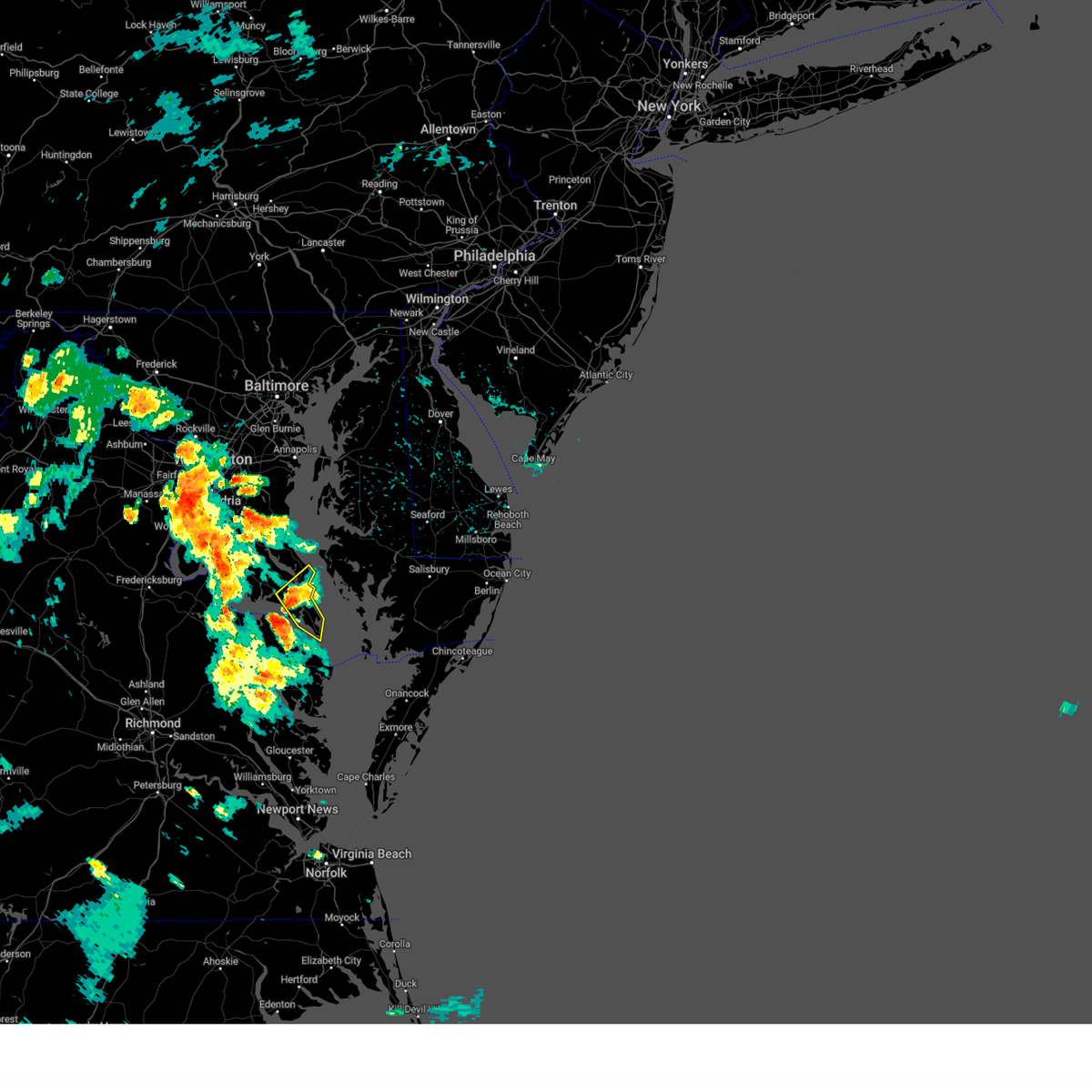
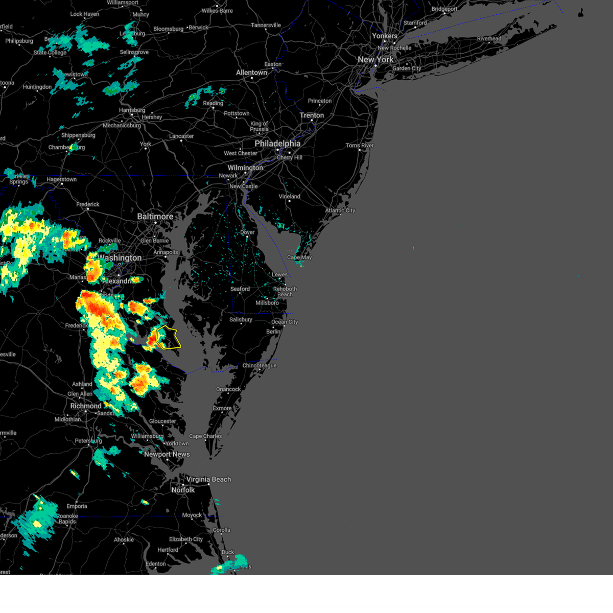
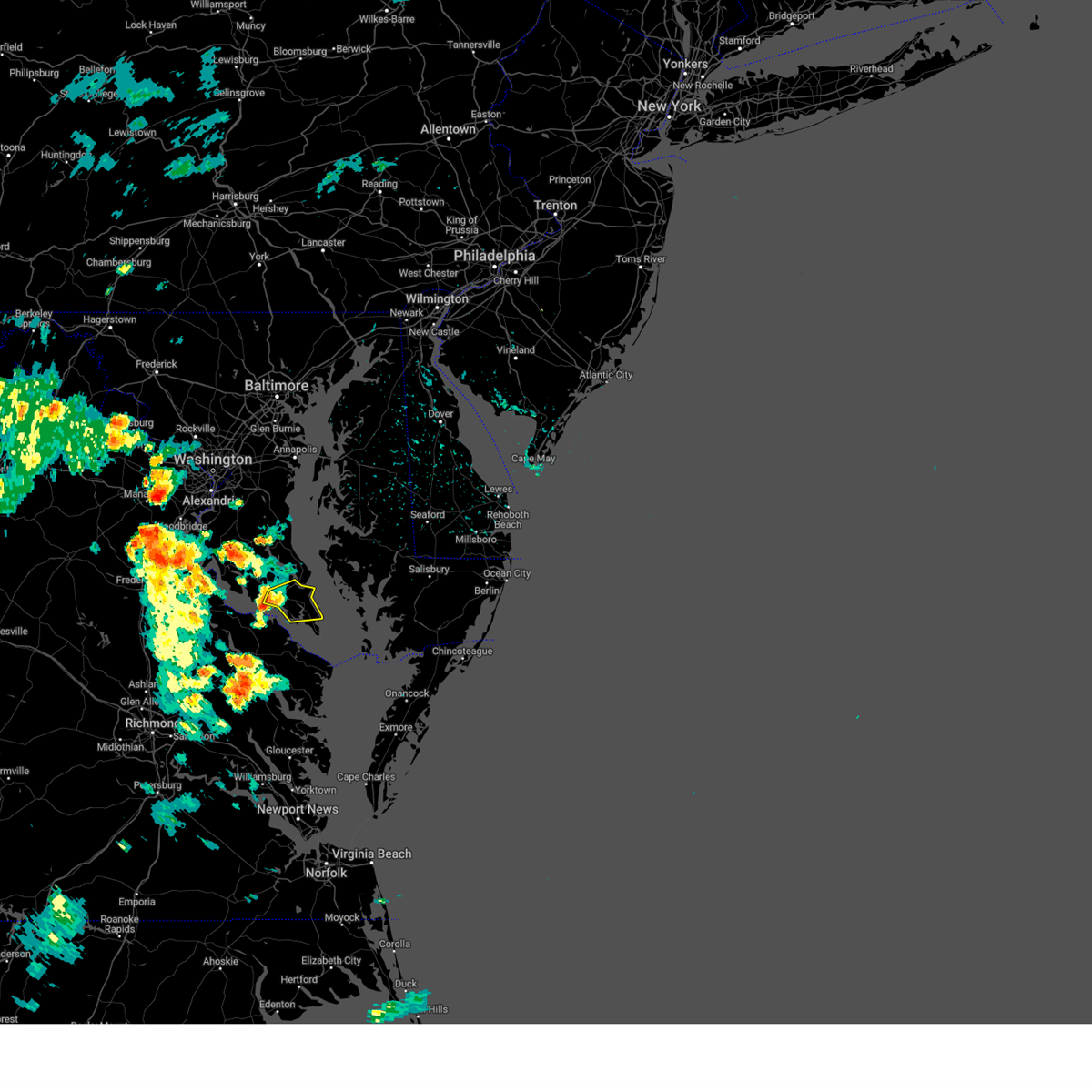
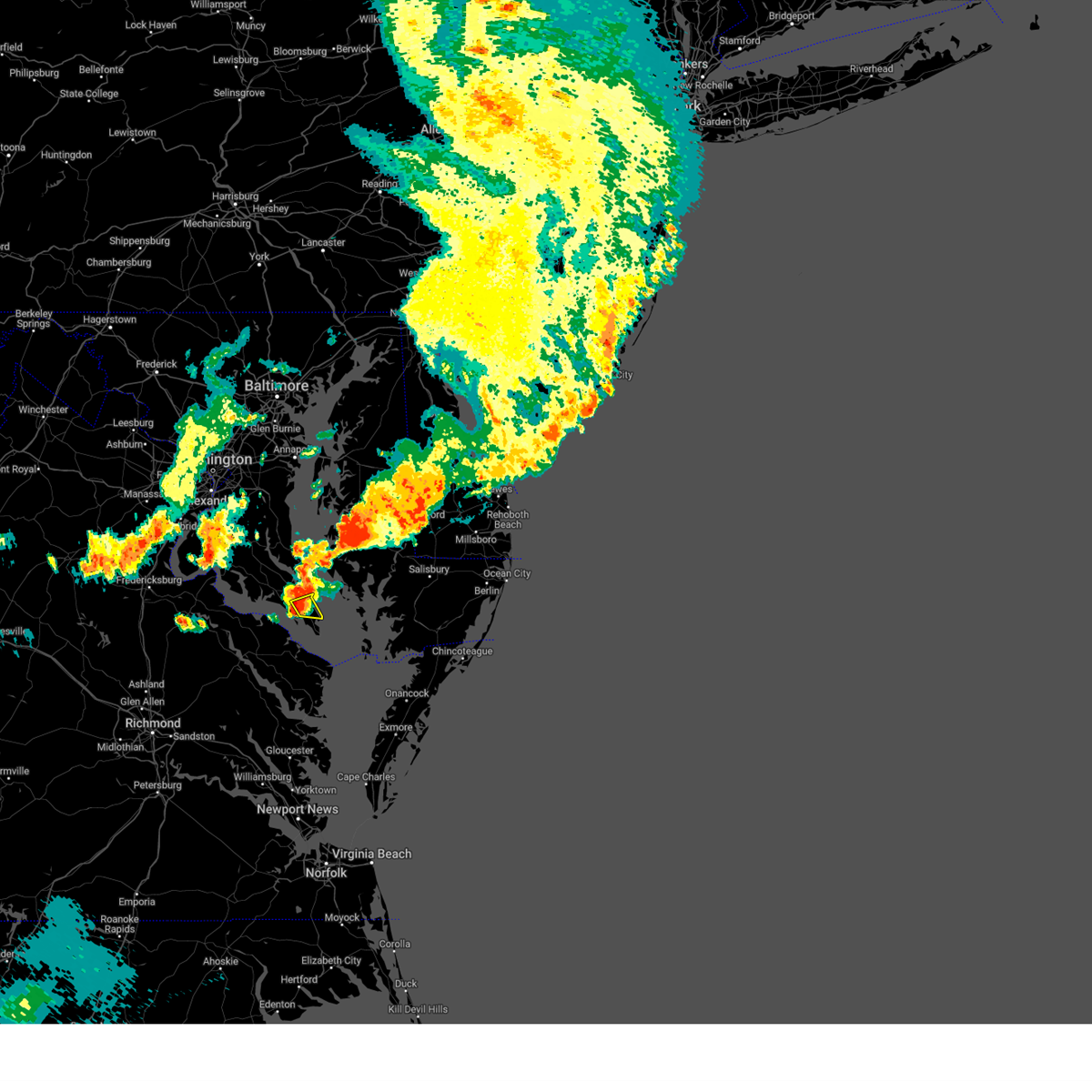
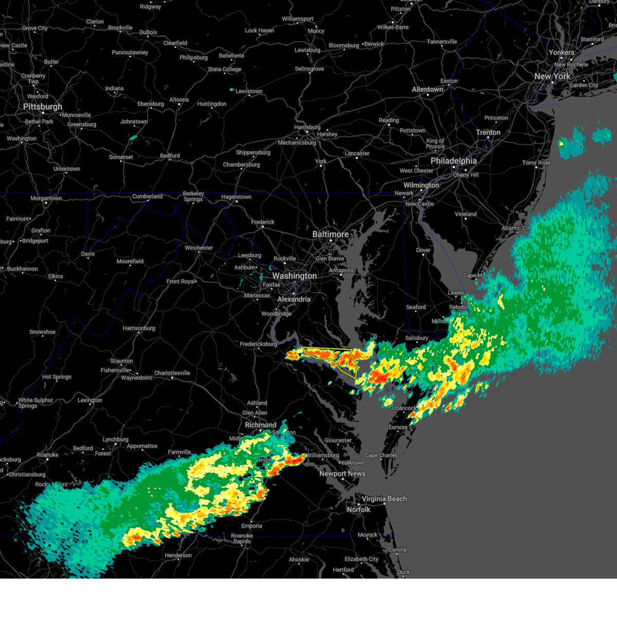
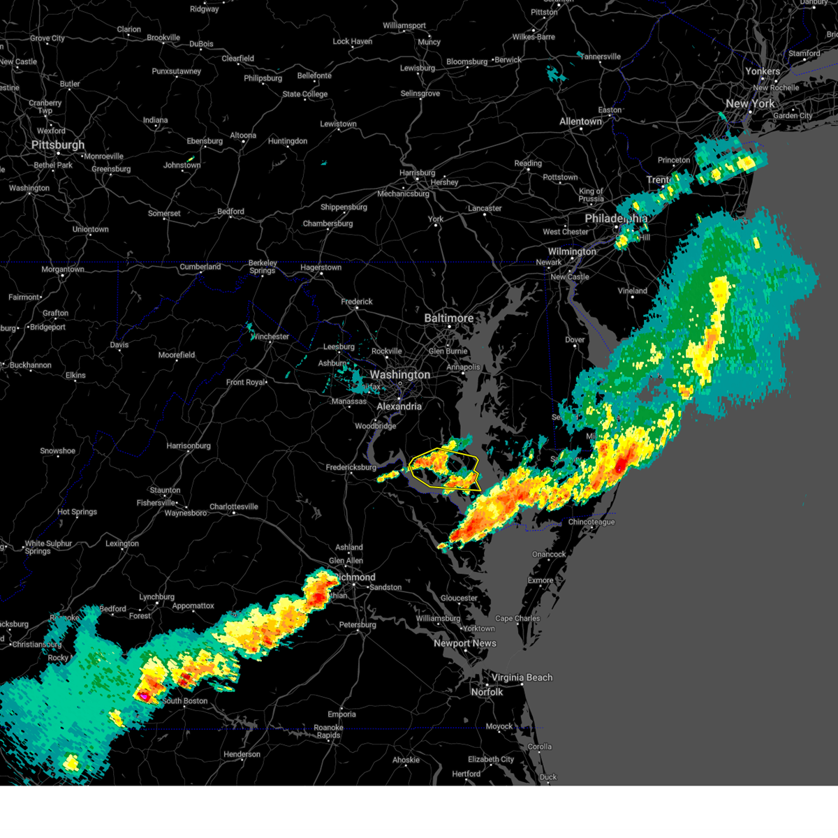
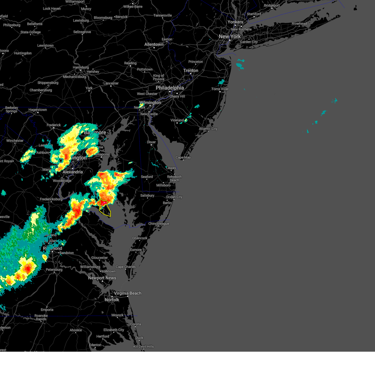
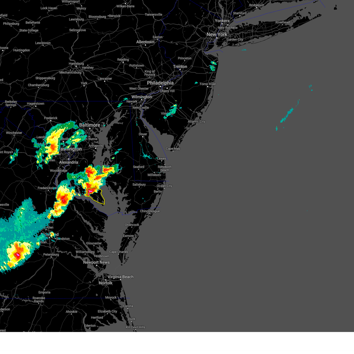
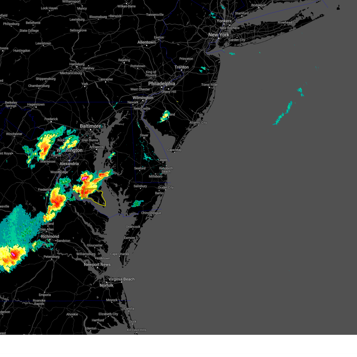
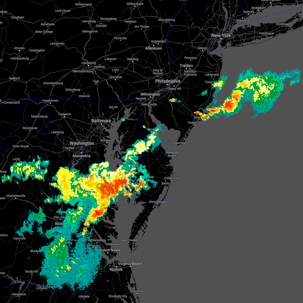
Hail Map for Lexington Park, MD
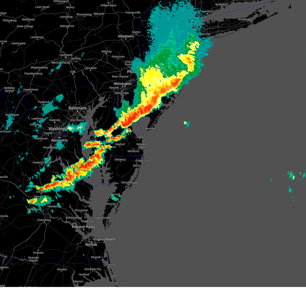
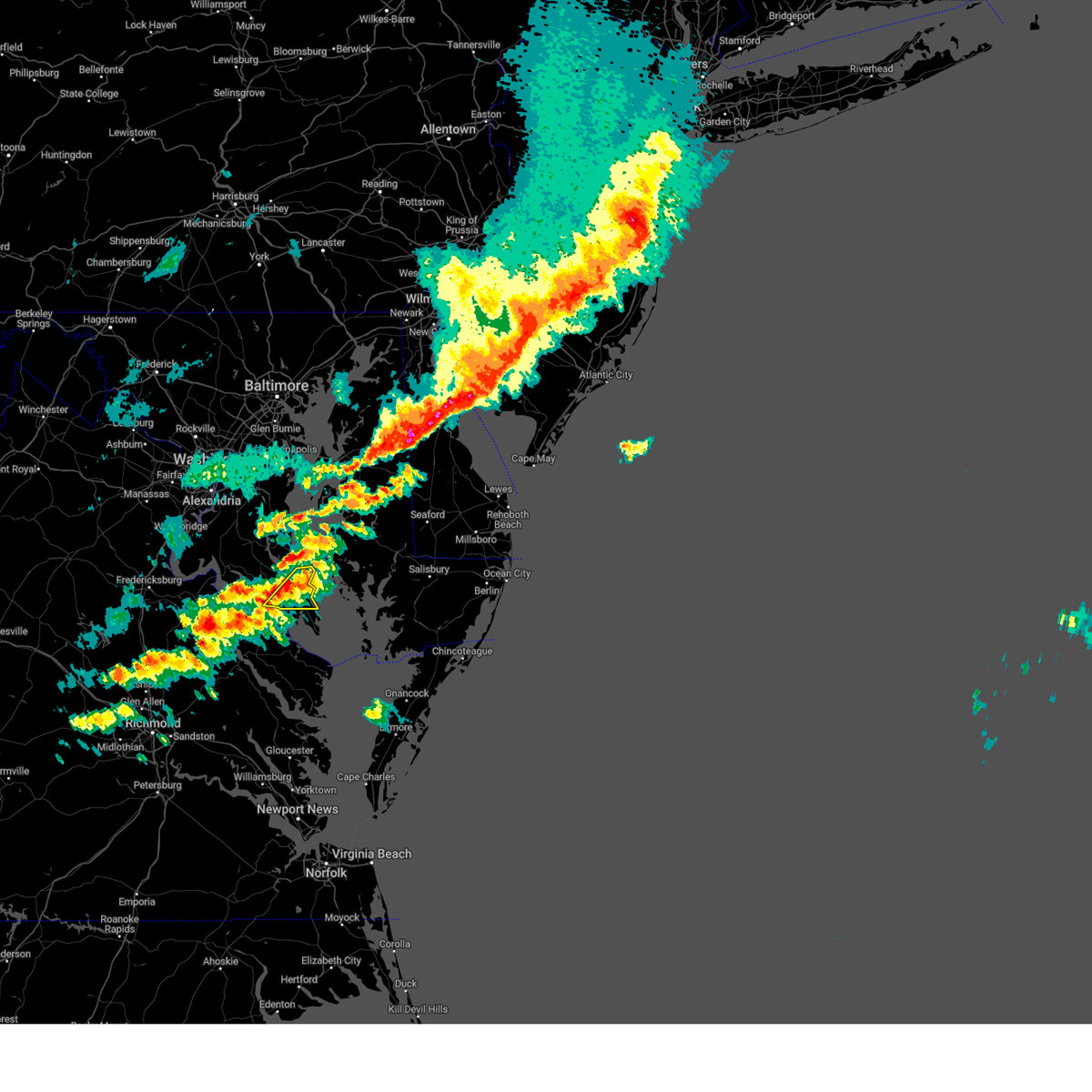
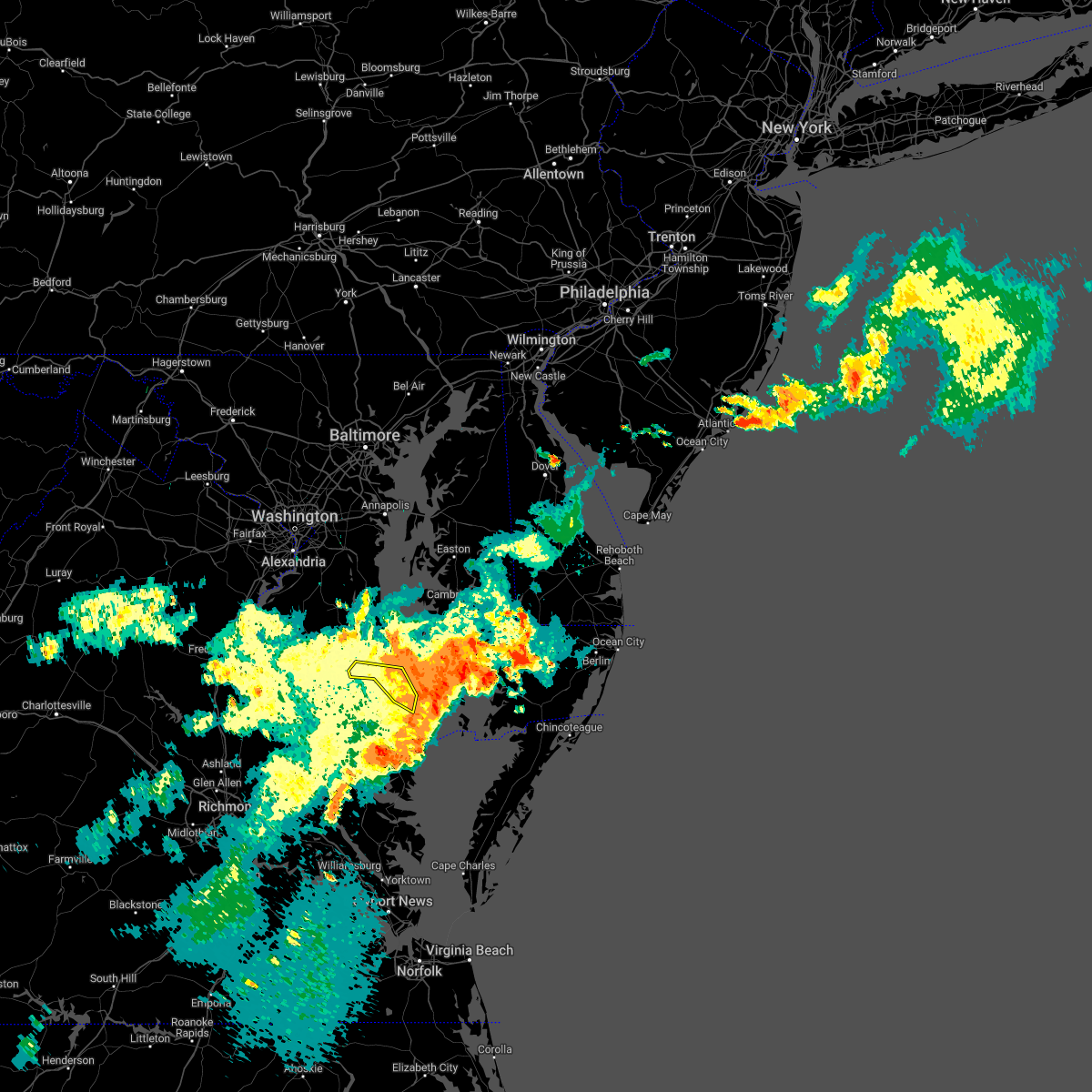
The Lexington Park, MD area has had 7 reports of on-the-ground hail by trained spotters, and has been under severe weather warnings 37 times during the past 12 months. Doppler radar has detected hail at or near Lexington Park, MD on 36 occasions, including 3 occasions during the past year.
| Name: | Lexington Park, MD |
| Where Located: | 72.2 miles S of Baltimore, MD |
| Map: | Google Map for Lexington Park, MD |
| Population: | 11626 |
| Housing Units: | 5124 |
| More Info: | Search Google for Lexington Park, MD |
5
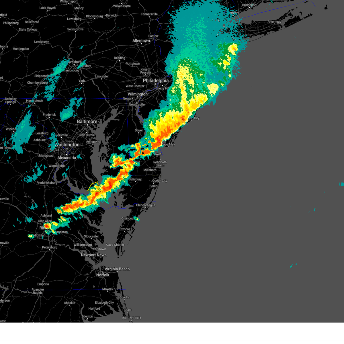
The Top Recent Hail Date for Lexington Park, MD is Friday, May 16, 2025 (5th out of 36)
Hail and Wind Damage Spotted near Lexington Park, MD
| Date / Time | Report Details |
|---|---|
| 7/9/2025 8:18 PM EDT |
 the severe thunderstorm warning has been cancelled and is no longer in effect the severe thunderstorm warning has been cancelled and is no longer in effect
|
| 7/9/2025 8:11 PM EDT |
 At 810 pm edt, a severe thunderstorm was located over saint marys city, moving northeast at 20 mph (radar indicated). Hazards include 60 mph wind gusts. Damaging winds will cause some trees and large branches to fall. this could injure those outdoors, as well as damage homes and vehicles. roadways may become blocked by downed trees. localized power outages are possible. unsecured light objects may become projectiles. Locations impacted include, lexington park, chesapeake ranch estates, piney point, tall timbers, saint inigoes creek, saint marys city, saint george island, saint marys river, california, lusby, patuxent river naval air station, drum point, dameron, valley lee, scotland, point lookout, great mills, drayden, saint inigoes, and park hall. At 810 pm edt, a severe thunderstorm was located over saint marys city, moving northeast at 20 mph (radar indicated). Hazards include 60 mph wind gusts. Damaging winds will cause some trees and large branches to fall. this could injure those outdoors, as well as damage homes and vehicles. roadways may become blocked by downed trees. localized power outages are possible. unsecured light objects may become projectiles. Locations impacted include, lexington park, chesapeake ranch estates, piney point, tall timbers, saint inigoes creek, saint marys city, saint george island, saint marys river, california, lusby, patuxent river naval air station, drum point, dameron, valley lee, scotland, point lookout, great mills, drayden, saint inigoes, and park hall.
|
| 7/9/2025 7:53 PM EDT | Two trees down between park hall and lexington par in st. marys county MD, 1.9 miles NNE of Lexington Park, MD |
| 7/9/2025 7:45 PM EDT |
 Svrlwx the national weather service in sterling virginia has issued a * severe thunderstorm warning for, southeastern st. marys county in southern maryland, southeastern calvert county in southern maryland, * until 830 pm edt. * at 744 pm edt, a severe thunderstorm was located over piney point, moving northeast at 35 mph (radar indicated). Hazards include 60 mph wind gusts. Damaging winds will cause some trees and large branches to fall. this could injure those outdoors, as well as damage homes and vehicles. roadways may become blocked by downed trees. localized power outages are possible. Unsecured light objects may become projectiles. Svrlwx the national weather service in sterling virginia has issued a * severe thunderstorm warning for, southeastern st. marys county in southern maryland, southeastern calvert county in southern maryland, * until 830 pm edt. * at 744 pm edt, a severe thunderstorm was located over piney point, moving northeast at 35 mph (radar indicated). Hazards include 60 mph wind gusts. Damaging winds will cause some trees and large branches to fall. this could injure those outdoors, as well as damage homes and vehicles. roadways may become blocked by downed trees. localized power outages are possible. Unsecured light objects may become projectiles.
|
| 7/8/2025 8:07 PM EDT | The storm which prompted the warning has moved out of the area. therefore, the warning will be allowed to expire. however, gusty winds and heavy rain are still possible with this thunderstorm. a severe thunderstorm watch remains in effect until 900 pm edt for southern maryland. to report severe weather, contact your nearest law enforcement agency. they will relay your report to the national weather service sterling virginia. |
| 7/8/2025 7:38 PM EDT |
 At 738 pm edt, a severe thunderstorm was located near tall timbers, moving northeast at 20 mph (radar indicated). Hazards include 60 mph wind gusts. Damaging winds will cause some trees and large branches to fall. this could injure those outdoors, as well as damage homes and vehicles. roadways may become blocked by downed trees. localized power outages are possible. unsecured light objects may become projectiles. Locations impacted include, lexington park, chesapeake ranch estates, piney point, tall timbers, town creek, saint marys city, saint marys river, california, lusby, patuxent river naval air station, drum point, valley lee, great mills, drayden, park hall, and callaway. At 738 pm edt, a severe thunderstorm was located near tall timbers, moving northeast at 20 mph (radar indicated). Hazards include 60 mph wind gusts. Damaging winds will cause some trees and large branches to fall. this could injure those outdoors, as well as damage homes and vehicles. roadways may become blocked by downed trees. localized power outages are possible. unsecured light objects may become projectiles. Locations impacted include, lexington park, chesapeake ranch estates, piney point, tall timbers, town creek, saint marys city, saint marys river, california, lusby, patuxent river naval air station, drum point, valley lee, great mills, drayden, park hall, and callaway.
|
| 7/8/2025 7:28 PM EDT |
 Svrlwx the national weather service in sterling virginia has issued a * severe thunderstorm warning for, southeastern st. marys county in southern maryland, southeastern calvert county in southern maryland, * until 815 pm edt. * at 727 pm edt, a severe thunderstorm was located over tall timbers, moving northeast at 20 mph (radar indicated). Hazards include 60 mph wind gusts. Damaging winds will cause some trees and large branches to fall. this could injure those outdoors, as well as damage homes and vehicles. roadways may become blocked by downed trees. localized power outages are possible. Unsecured light objects may become projectiles. Svrlwx the national weather service in sterling virginia has issued a * severe thunderstorm warning for, southeastern st. marys county in southern maryland, southeastern calvert county in southern maryland, * until 815 pm edt. * at 727 pm edt, a severe thunderstorm was located over tall timbers, moving northeast at 20 mph (radar indicated). Hazards include 60 mph wind gusts. Damaging winds will cause some trees and large branches to fall. this could injure those outdoors, as well as damage homes and vehicles. roadways may become blocked by downed trees. localized power outages are possible. Unsecured light objects may become projectiles.
|
| 7/8/2025 5:13 PM EDT |
 The storm which prompted the warning has moved out of the area. therefore, the warning will be allowed to expire. however, gusty winds and heavy rain are still possible with this thunderstorm. a severe thunderstorm watch remains in effect until 900 pm edt for southern maryland. to report severe weather, contact your nearest law enforcement agency. they will relay your report to the national weather service sterling virginia. The storm which prompted the warning has moved out of the area. therefore, the warning will be allowed to expire. however, gusty winds and heavy rain are still possible with this thunderstorm. a severe thunderstorm watch remains in effect until 900 pm edt for southern maryland. to report severe weather, contact your nearest law enforcement agency. they will relay your report to the national weather service sterling virginia.
|
| 7/8/2025 5:02 PM EDT | Wind gust to 77 mph measured at patuxent naval air station aso in st. marys county MD, 2.2 miles SW of Lexington Park, MD |
| 7/8/2025 5:01 PM EDT |
 At 501 pm edt, a severe thunderstorm was located over lexington park, moving northeast at 35 mph (radar indicated). Hazards include 60 mph wind gusts. Damaging winds will cause some trees and large branches to fall. this could injure those outdoors, as well as damage homes and vehicles. roadways may become blocked by downed trees. localized power outages are possible. unsecured light objects may become projectiles. Locations impacted include, lexington park, chesapeake ranch estates, saint marys city, california, lusby, patuxent river naval air station, drum point, great mills, and park hall. At 501 pm edt, a severe thunderstorm was located over lexington park, moving northeast at 35 mph (radar indicated). Hazards include 60 mph wind gusts. Damaging winds will cause some trees and large branches to fall. this could injure those outdoors, as well as damage homes and vehicles. roadways may become blocked by downed trees. localized power outages are possible. unsecured light objects may become projectiles. Locations impacted include, lexington park, chesapeake ranch estates, saint marys city, california, lusby, patuxent river naval air station, drum point, great mills, and park hall.
|
| 7/8/2025 4:56 PM EDT | Multiple reports of trees down in lexington par in st. marys county MD, 1 miles ESE of Lexington Park, MD |
| 7/8/2025 4:51 PM EDT |
 At 451 pm edt, a severe thunderstorm was located near lexington park, moving northeast at 35 mph (radar indicated). Hazards include 60 mph wind gusts. Damaging winds will cause some trees and large branches to fall. this could injure those outdoors, as well as damage homes and vehicles. roadways may become blocked by downed trees. localized power outages are possible. unsecured light objects may become projectiles. Locations impacted include, lexington park, chesapeake ranch estates, piney point, tall timbers, cuckold creek, town creek, saint marys city, saint marys river, california, lusby, patuxent river naval air station, drum point, dowell, valley lee, great mills, drayden, park hall, and callaway. At 451 pm edt, a severe thunderstorm was located near lexington park, moving northeast at 35 mph (radar indicated). Hazards include 60 mph wind gusts. Damaging winds will cause some trees and large branches to fall. this could injure those outdoors, as well as damage homes and vehicles. roadways may become blocked by downed trees. localized power outages are possible. unsecured light objects may become projectiles. Locations impacted include, lexington park, chesapeake ranch estates, piney point, tall timbers, cuckold creek, town creek, saint marys city, saint marys river, california, lusby, patuxent river naval air station, drum point, dowell, valley lee, great mills, drayden, park hall, and callaway.
|
| 7/8/2025 4:36 PM EDT |
 Svrlwx the national weather service in sterling virginia has issued a * severe thunderstorm warning for, southeastern st. marys county in southern maryland, southeastern calvert county in southern maryland, * until 515 pm edt. * at 436 pm edt, a severe thunderstorm was located over tall timbers, moving northeast at 35 mph (radar indicated). Hazards include 60 mph wind gusts. Damaging winds will cause some trees and large branches to fall. this could injure those outdoors, as well as damage homes and vehicles. roadways may become blocked by downed trees. localized power outages are possible. Unsecured light objects may become projectiles. Svrlwx the national weather service in sterling virginia has issued a * severe thunderstorm warning for, southeastern st. marys county in southern maryland, southeastern calvert county in southern maryland, * until 515 pm edt. * at 436 pm edt, a severe thunderstorm was located over tall timbers, moving northeast at 35 mph (radar indicated). Hazards include 60 mph wind gusts. Damaging winds will cause some trees and large branches to fall. this could injure those outdoors, as well as damage homes and vehicles. roadways may become blocked by downed trees. localized power outages are possible. Unsecured light objects may become projectiles.
|
| 7/1/2025 8:12 PM EDT |
 the severe thunderstorm warning has been cancelled and is no longer in effect the severe thunderstorm warning has been cancelled and is no longer in effect
|
| 7/1/2025 8:03 PM EDT |
 At 803 pm edt, a severe thunderstorm was located over california, or near town creek, moving east at 30 mph (radar indicated). Hazards include 60 mph wind gusts. Damaging winds will cause some trees and large branches to fall. this could injure those outdoors, as well as damage homes and vehicles. roadways may become blocked by downed trees. localized power outages are possible. unsecured light objects may become projectiles. Locations impacted include, lexington park, chesapeake ranch estates, leonardtown, prince frederick, piney point, tall timbers, saint inigoes creek, cuckold creek, saint marys city, saint george island, sheridan point, calvert cliffs, greenwell state park, saint leonard creek, town creek, flag harbor, saint marys river, white point beach, california, and lusby. At 803 pm edt, a severe thunderstorm was located over california, or near town creek, moving east at 30 mph (radar indicated). Hazards include 60 mph wind gusts. Damaging winds will cause some trees and large branches to fall. this could injure those outdoors, as well as damage homes and vehicles. roadways may become blocked by downed trees. localized power outages are possible. unsecured light objects may become projectiles. Locations impacted include, lexington park, chesapeake ranch estates, leonardtown, prince frederick, piney point, tall timbers, saint inigoes creek, cuckold creek, saint marys city, saint george island, sheridan point, calvert cliffs, greenwell state park, saint leonard creek, town creek, flag harbor, saint marys river, white point beach, california, and lusby.
|
| 7/1/2025 8:03 PM EDT |
 the severe thunderstorm warning has been cancelled and is no longer in effect the severe thunderstorm warning has been cancelled and is no longer in effect
|
| 7/1/2025 8:02 PM EDT |
 the tornado warning has been cancelled and is no longer in effect the tornado warning has been cancelled and is no longer in effect
|
| 7/1/2025 7:51 PM EDT | A couple calls for trees down on willows road near point lookout roa in st. marys county MD, 2.2 miles NE of Lexington Park, MD |
| 7/1/2025 7:49 PM EDT | Tree onto a residence on winding wa in st. marys county MD, 3.1 miles E of Lexington Park, MD |
| 7/1/2025 7:45 PM EDT |
 Torlwx the national weather service in sterling virginia has issued a * tornado warning for, central st. marys county in southern maryland, southeastern calvert county in southern maryland, * until 815 pm edt. * at 745 pm edt, a severe thunderstorm capable of producing a tornado was located near california, or near town creek, moving east at 45 mph (radar indicated rotation). Hazards include tornado. For those in the direct path of a tornado touchdown, flying debris will be dangerous to those caught without shelter. damage to roofs, siding, and windows may occur. mobile homes may be damaged or destroyed. tree damage is likely. this dangerous storm will be near, lexington park, chesapeake ranch estates, cuckold creek, town creek, greenwell state park, saint leonard creek, california, lusby, and patuxent river naval air station around 750 pm edt. Other locations impacted by this tornadic thunderstorm include drum point, tintop hill, great mills, dowell, redgate, callaway, and sotterley. Torlwx the national weather service in sterling virginia has issued a * tornado warning for, central st. marys county in southern maryland, southeastern calvert county in southern maryland, * until 815 pm edt. * at 745 pm edt, a severe thunderstorm capable of producing a tornado was located near california, or near town creek, moving east at 45 mph (radar indicated rotation). Hazards include tornado. For those in the direct path of a tornado touchdown, flying debris will be dangerous to those caught without shelter. damage to roofs, siding, and windows may occur. mobile homes may be damaged or destroyed. tree damage is likely. this dangerous storm will be near, lexington park, chesapeake ranch estates, cuckold creek, town creek, greenwell state park, saint leonard creek, california, lusby, and patuxent river naval air station around 750 pm edt. Other locations impacted by this tornadic thunderstorm include drum point, tintop hill, great mills, dowell, redgate, callaway, and sotterley.
|
| 7/1/2025 7:23 PM EDT | Svrlwx the national weather service in sterling virginia has issued a * severe thunderstorm warning for, st. marys county in southern maryland, southern calvert county in southern maryland, southeastern charles county in southern maryland, * until 830 pm edt. * at 723 pm edt, a severe thunderstorm was located near colonial beach, moving east at 25 mph (radar indicated). Hazards include 60 mph wind gusts. Damaging winds will cause some trees and large branches to fall. this could injure those outdoors, as well as damage homes and vehicles. roadways may become blocked by downed trees. localized power outages are possible. Unsecured light objects may become projectiles. |
| 6/19/2025 6:09 PM EDT | Svrlwx the national weather service in sterling virginia has issued a * severe thunderstorm warning for, southeastern st. marys county in southern maryland, * until 645 pm edt. * at 608 pm edt, a severe thunderstorm was located over callao, moving east at 50 mph (radar indicated). Hazards include 60 mph wind gusts. Damaging winds will cause some trees and large branches to fall. this could injure those outdoors, as well as damage homes and vehicles. roadways may become blocked by downed trees. localized power outages are possible. Unsecured light objects may become projectiles. |
| 5/30/2025 8:52 PM EDT |
 At 852 pm edt, a severe thunderstorm capable of producing a tornado was located over patuxent river naval air station, or over lexington park, moving northeast at 10 mph (radar indicated rotation). Hazards include tornado. For those in the direct path of a tornado touchdown, flying debris will be dangerous to those caught without shelter. damage to roofs, siding, and windows may occur. mobile homes may be damaged or destroyed. tree damage is likely. this dangerous storm will be near, chesapeake ranch estates, patuxent river naval air station, lusby, and california around 855 pm edt. Other locations impacted by this tornadic thunderstorm include drum point. At 852 pm edt, a severe thunderstorm capable of producing a tornado was located over patuxent river naval air station, or over lexington park, moving northeast at 10 mph (radar indicated rotation). Hazards include tornado. For those in the direct path of a tornado touchdown, flying debris will be dangerous to those caught without shelter. damage to roofs, siding, and windows may occur. mobile homes may be damaged or destroyed. tree damage is likely. this dangerous storm will be near, chesapeake ranch estates, patuxent river naval air station, lusby, and california around 855 pm edt. Other locations impacted by this tornadic thunderstorm include drum point.
|
| 5/30/2025 8:32 PM EDT |
 Torlwx the national weather service in sterling virginia has issued a * tornado warning for, east central st. marys county in southern maryland, southeastern calvert county in southern maryland, * until 900 pm edt. * at 832 pm edt, a severe thunderstorm capable of producing a tornado was located near tall timbers, moving northeast at 30 mph (radar indicated rotation). Hazards include tornado. For those in the direct path of a tornado touchdown, flying debris will be dangerous to those caught without shelter. damage to roofs, siding, and windows may occur. mobile homes may be damaged or destroyed. tree damage is likely. this dangerous storm will be near, lexington park, chesapeake ranch estates, patuxent river naval air station, lusby, and california around 835 pm edt. Other locations impacted by this tornadic thunderstorm include callaway, drum point, great mills, and valley lee. Torlwx the national weather service in sterling virginia has issued a * tornado warning for, east central st. marys county in southern maryland, southeastern calvert county in southern maryland, * until 900 pm edt. * at 832 pm edt, a severe thunderstorm capable of producing a tornado was located near tall timbers, moving northeast at 30 mph (radar indicated rotation). Hazards include tornado. For those in the direct path of a tornado touchdown, flying debris will be dangerous to those caught without shelter. damage to roofs, siding, and windows may occur. mobile homes may be damaged or destroyed. tree damage is likely. this dangerous storm will be near, lexington park, chesapeake ranch estates, patuxent river naval air station, lusby, and california around 835 pm edt. Other locations impacted by this tornadic thunderstorm include callaway, drum point, great mills, and valley lee.
|
| 5/22/2025 7:04 PM EDT |
 the severe thunderstorm warning has been cancelled and is no longer in effect the severe thunderstorm warning has been cancelled and is no longer in effect
|
| 5/22/2025 6:56 PM EDT | Quarter sized hail reported 1 miles NNE of Lexington Park, MD |
| 5/22/2025 6:50 PM EDT | Half Dollar sized hail reported 3.6 miles SE of Lexington Park, MD |
| 5/22/2025 6:50 PM EDT |
 Svrlwx the national weather service in sterling virginia has issued a * severe thunderstorm warning for, east central st. marys county in southern maryland, * until 715 pm edt. * at 649 pm edt, a severe thunderstorm was located over lexington park, moving southeast at 25 mph (trained weather spotters reported up to quarter size hail near great mills). Hazards include 60 mph wind gusts and quarter size hail. Damaging winds will cause some trees and large branches to fall. this could injure those outdoors, as well as damage homes and vehicles. roadways may become blocked by downed trees. localized power outages are possible. Unsecured light objects may become projectiles. Svrlwx the national weather service in sterling virginia has issued a * severe thunderstorm warning for, east central st. marys county in southern maryland, * until 715 pm edt. * at 649 pm edt, a severe thunderstorm was located over lexington park, moving southeast at 25 mph (trained weather spotters reported up to quarter size hail near great mills). Hazards include 60 mph wind gusts and quarter size hail. Damaging winds will cause some trees and large branches to fall. this could injure those outdoors, as well as damage homes and vehicles. roadways may become blocked by downed trees. localized power outages are possible. Unsecured light objects may become projectiles.
|
| 5/16/2025 6:26 PM EDT | The storms which prompted the warning have moved out of the area. therefore, the warning will be allowed to expire. a severe thunderstorm watch remains in effect until 1000 pm edt for southern and central maryland. |
| 5/16/2025 6:14 PM EDT | Storm damage reported in st. marys county MD, 2.2 miles SW of Lexington Park, MD |
| 5/16/2025 6:10 PM EDT | At 610 pm edt, severe thunderstorms were located along a line extending from near dunkirk to near greenwell state park to piney point, moving east at 50 mph (radar indicated). Hazards include 70 mph wind gusts and quarter size hail. Damaging winds will cause some trees and large branches to fall. this could injure those outdoors, as well as damage homes and vehicles. roadways may become blocked by downed trees. localized power outages are possible. unsecured light objects may become projectiles. Locations impacted include, baden, valley lee, saint inigoes creek, sandgates, sotterley, chesapeake ranch estates, patuxent river naval air station, eagle harbor, great mills, lexington park, saint marys city, park hall, loveville, greenwell state park, barstow, hallowing point, saint leonard creek, lusby, aquasco, and dowell. |
| 5/16/2025 6:05 PM EDT | Several trees downed in piney point are in st. marys county MD, 8.9 miles NNE of Lexington Park, MD |
| 5/16/2025 5:58 PM EDT | At 557 pm edt, severe thunderstorms were located along a line extending from near la plata to near saint clements bay to near coles point, moving east at 45 mph (radar indicated). Hazards include 70 mph wind gusts and quarter size hail. Damaging winds will cause some trees and large branches to fall. this could injure those outdoors, as well as damage homes and vehicles. roadways may become blocked by downed trees. localized power outages are possible. unsecured light objects may become projectiles. Locations impacted include, baden, charlotte hall, abell, valley lee, saint inigoes creek, sandgates, sotterley, bryantown, chesapeake ranch estates, patuxent river naval air station, saint charles, eagle harbor, great mills, lexington park, saint marys city, park hall, loveville, oakley, greenwell state park, and barstow. |
| 5/16/2025 5:58 PM EDT | the severe thunderstorm warning has been cancelled and is no longer in effect |
| 5/16/2025 5:43 PM EDT |
 Svrlwx the national weather service in sterling virginia has issued a * severe thunderstorm warning for, st. marys county in southern maryland, calvert county in southern maryland, southern prince georges county in central maryland, charles county in southern maryland, northeastern king george county in central virginia, southeastern fairfax county in northern virginia, * until 630 pm edt. * at 543 pm edt, severe thunderstorms were located along a line extending from near port tobacco river to near wicomico river to near montross, moving east at 45 mph (radar indicated). Hazards include 60 mph wind gusts and quarter size hail. Damaging winds will cause some trees and large branches to fall. this could injure those outdoors, as well as damage homes and vehicles. roadways may become blocked by downed trees. localized power outages are possible. Unsecured light objects may become projectiles. Svrlwx the national weather service in sterling virginia has issued a * severe thunderstorm warning for, st. marys county in southern maryland, calvert county in southern maryland, southern prince georges county in central maryland, charles county in southern maryland, northeastern king george county in central virginia, southeastern fairfax county in northern virginia, * until 630 pm edt. * at 543 pm edt, severe thunderstorms were located along a line extending from near port tobacco river to near wicomico river to near montross, moving east at 45 mph (radar indicated). Hazards include 60 mph wind gusts and quarter size hail. Damaging winds will cause some trees and large branches to fall. this could injure those outdoors, as well as damage homes and vehicles. roadways may become blocked by downed trees. localized power outages are possible. Unsecured light objects may become projectiles.
|
| 3/31/2025 9:04 PM EDT | Tree reported down in the great mills area in st. marys county MD, 2.6 miles NE of Lexington Park, MD |
| 3/31/2025 8:56 PM EDT |
 At 855 pm edt, severe thunderstorms were located along a line extending from 6 miles east of waldorf to near leonardtown to near coles point, moving east at 55 mph (automated weather observations). Hazards include 60 mph wind gusts. Damaging winds will cause some trees and large branches to fall. this could injure those outdoors, as well as damage homes and vehicles. roadways may become blocked by downed trees. localized power outages are possible. unsecured light objects may become projectiles. Locations impacted include, charlotte hall, abell, sandgates, sotterley, chesapeake ranch estates, patuxent river naval air station, eagle harbor, great mills, lexington park, loveville, oakley, greenwell state park, barstow, hallowing point, saint leonard creek, compton, lusby, aquasco, dowell, and hillville. At 855 pm edt, severe thunderstorms were located along a line extending from 6 miles east of waldorf to near leonardtown to near coles point, moving east at 55 mph (automated weather observations). Hazards include 60 mph wind gusts. Damaging winds will cause some trees and large branches to fall. this could injure those outdoors, as well as damage homes and vehicles. roadways may become blocked by downed trees. localized power outages are possible. unsecured light objects may become projectiles. Locations impacted include, charlotte hall, abell, sandgates, sotterley, chesapeake ranch estates, patuxent river naval air station, eagle harbor, great mills, lexington park, loveville, oakley, greenwell state park, barstow, hallowing point, saint leonard creek, compton, lusby, aquasco, dowell, and hillville.
|
| 3/31/2025 8:56 PM EDT |
 the severe thunderstorm warning has been cancelled and is no longer in effect the severe thunderstorm warning has been cancelled and is no longer in effect
|
| 3/31/2025 8:38 PM EDT |
 Svrlwx the national weather service in sterling virginia has issued a * severe thunderstorm warning for, st. marys county in southern maryland, southern calvert county in southern maryland, southeastern prince georges county in central maryland, eastern charles county in southern maryland, eastern king george county in central virginia, * until 915 pm edt. * at 838 pm edt, severe thunderstorms were located along a line extending from near port tobacco river to near wicomico river to newland, moving northeast at 55 mph (surface observations). Hazards include 60 mph wind gusts. Damaging winds will cause some trees and large branches to fall. this could injure those outdoors, as well as damage homes and vehicles. roadways may become blocked by downed trees. localized power outages are possible. Unsecured light objects may become projectiles. Svrlwx the national weather service in sterling virginia has issued a * severe thunderstorm warning for, st. marys county in southern maryland, southern calvert county in southern maryland, southeastern prince georges county in central maryland, eastern charles county in southern maryland, eastern king george county in central virginia, * until 915 pm edt. * at 838 pm edt, severe thunderstorms were located along a line extending from near port tobacco river to near wicomico river to newland, moving northeast at 55 mph (surface observations). Hazards include 60 mph wind gusts. Damaging winds will cause some trees and large branches to fall. this could injure those outdoors, as well as damage homes and vehicles. roadways may become blocked by downed trees. localized power outages are possible. Unsecured light objects may become projectiles.
|
| 12/31/2024 7:13 PM EST |
 The storm which prompted the warning has moved out of the area. therefore, the warning will be allowed to expire. The storm which prompted the warning has moved out of the area. therefore, the warning will be allowed to expire.
|
| 12/31/2024 7:04 PM EST |
 At 703 pm est, a severe thunderstorm was located near patuxent river naval air station, or near lexington park, moving northeast at 45 mph (radar indicated). Hazards include 60 mph wind gusts and quarter size hail. Damaging winds will cause some trees and large branches to fall. this could injure those outdoors, as well as damage homes and vehicles. roadways may become blocked by downed trees. localized power outages are possible. unsecured light objects may become projectiles. Locations impacted include, lexington park, piney point, tall timbers, saint inigoes creek, saint marys city, saint marys river, patuxent river naval air station, dameron, valley lee, scotland, point lookout, drayden, saint inigoes, park hall, and ridge. At 703 pm est, a severe thunderstorm was located near patuxent river naval air station, or near lexington park, moving northeast at 45 mph (radar indicated). Hazards include 60 mph wind gusts and quarter size hail. Damaging winds will cause some trees and large branches to fall. this could injure those outdoors, as well as damage homes and vehicles. roadways may become blocked by downed trees. localized power outages are possible. unsecured light objects may become projectiles. Locations impacted include, lexington park, piney point, tall timbers, saint inigoes creek, saint marys city, saint marys river, patuxent river naval air station, dameron, valley lee, scotland, point lookout, drayden, saint inigoes, park hall, and ridge.
|
| 12/31/2024 6:32 PM EST |
 Svrlwx the national weather service in sterling virginia has issued a * severe thunderstorm warning for, southeastern st. marys county in southern maryland, * until 715 pm est. * at 631 pm est, a severe thunderstorm was located near montross, moving northeast at 45 mph (radar indicated). Hazards include 60 mph wind gusts and quarter size hail. Damaging winds will cause some trees and large branches to fall. this could injure those outdoors, as well as damage homes and vehicles. roadways may become blocked by downed trees. localized power outages are possible. Unsecured light objects may become projectiles. Svrlwx the national weather service in sterling virginia has issued a * severe thunderstorm warning for, southeastern st. marys county in southern maryland, * until 715 pm est. * at 631 pm est, a severe thunderstorm was located near montross, moving northeast at 45 mph (radar indicated). Hazards include 60 mph wind gusts and quarter size hail. Damaging winds will cause some trees and large branches to fall. this could injure those outdoors, as well as damage homes and vehicles. roadways may become blocked by downed trees. localized power outages are possible. Unsecured light objects may become projectiles.
|
| 7/31/2024 8:29 PM EDT |
 the severe thunderstorm warning has been cancelled and is no longer in effect the severe thunderstorm warning has been cancelled and is no longer in effect
|
| 7/31/2024 8:23 PM EDT |
 At 822 pm edt, a severe thunderstorm was located over saint marys river, moving southeast at 25 mph (radar indicated). Hazards include 60 mph wind gusts and quarter size hail. Damaging winds will cause some trees and large branches to fall. this could injure those outdoors, as well as damage homes and vehicles. roadways may become blocked by downed trees. localized power outages are possible. unsecured light objects may become projectiles. Locations impacted include, lexington park, piney point, tall timbers, saint inigoes creek, saint marys city, saint george island, saint marys river, white point beach, california, patuxent river naval air station, dameron, valley lee, scotland, point lookout, great mills, drayden, saint inigoes, park hall, callaway, and ridge. At 822 pm edt, a severe thunderstorm was located over saint marys river, moving southeast at 25 mph (radar indicated). Hazards include 60 mph wind gusts and quarter size hail. Damaging winds will cause some trees and large branches to fall. this could injure those outdoors, as well as damage homes and vehicles. roadways may become blocked by downed trees. localized power outages are possible. unsecured light objects may become projectiles. Locations impacted include, lexington park, piney point, tall timbers, saint inigoes creek, saint marys city, saint george island, saint marys river, white point beach, california, patuxent river naval air station, dameron, valley lee, scotland, point lookout, great mills, drayden, saint inigoes, park hall, callaway, and ridge.
|
| 7/31/2024 8:23 PM EDT |
 the severe thunderstorm warning has been cancelled and is no longer in effect the severe thunderstorm warning has been cancelled and is no longer in effect
|
| 7/31/2024 7:59 PM EDT |
 Svrlwx the national weather service in sterling virginia has issued a * severe thunderstorm warning for, southeastern st. marys county in southern maryland, southeastern calvert county in southern maryland, * until 845 pm edt. * at 758 pm edt, a severe thunderstorm was located near white point beach, moving southeast at 25 mph (radar indicated). Hazards include 60 mph wind gusts and quarter size hail. Damaging winds will cause some trees and large branches to fall. this could injure those outdoors, as well as damage homes and vehicles. roadways may become blocked by downed trees. localized power outages are possible. Unsecured light objects may become projectiles. Svrlwx the national weather service in sterling virginia has issued a * severe thunderstorm warning for, southeastern st. marys county in southern maryland, southeastern calvert county in southern maryland, * until 845 pm edt. * at 758 pm edt, a severe thunderstorm was located near white point beach, moving southeast at 25 mph (radar indicated). Hazards include 60 mph wind gusts and quarter size hail. Damaging winds will cause some trees and large branches to fall. this could injure those outdoors, as well as damage homes and vehicles. roadways may become blocked by downed trees. localized power outages are possible. Unsecured light objects may become projectiles.
|
| 7/31/2024 7:53 PM EDT | Multiple reports of trees down in californi in st. marys county MD, 4.9 miles SE of Lexington Park, MD |
| 7/31/2024 7:19 PM EDT |
 Svrlwx the national weather service in sterling virginia has issued a * severe thunderstorm warning for, st. marys county in southern maryland, southern calvert county in southern maryland, * until 800 pm edt. * at 718 pm edt, a severe thunderstorm was located over saint leonard, or near flag harbor, moving southeast at 25 mph (radar indicated). Hazards include 60 mph wind gusts and quarter size hail. Damaging winds will cause some trees and large branches to fall. this could injure those outdoors, as well as damage homes and vehicles. roadways may become blocked by downed trees. localized power outages are possible. Unsecured light objects may become projectiles. Svrlwx the national weather service in sterling virginia has issued a * severe thunderstorm warning for, st. marys county in southern maryland, southern calvert county in southern maryland, * until 800 pm edt. * at 718 pm edt, a severe thunderstorm was located over saint leonard, or near flag harbor, moving southeast at 25 mph (radar indicated). Hazards include 60 mph wind gusts and quarter size hail. Damaging winds will cause some trees and large branches to fall. this could injure those outdoors, as well as damage homes and vehicles. roadways may become blocked by downed trees. localized power outages are possible. Unsecured light objects may become projectiles.
|
| 6/30/2024 9:35 PM EDT |
 the severe thunderstorm warning has been cancelled and is no longer in effect the severe thunderstorm warning has been cancelled and is no longer in effect
|
| 6/30/2024 9:24 PM EDT |
 At 923 pm edt, a severe thunderstorm was located over greenwell state park, moving southeast at 30 mph (radar indicated). Hazards include 60 mph wind gusts. Damaging winds will cause some trees and large branches to fall. this could injure those outdoors, as well as damage homes and vehicles. roadways may become blocked by downed trees. localized power outages are possible. unsecured light objects may become projectiles. Locations impacted include, lexington park, chesapeake ranch estates, leonardtown, greenwell state park, saint leonard creek, cuckold creek, town creek, california, lusby, patuxent river naval air station, hollywood, saint leonard, drum point, dowell, hillville, sandgates, sotterley, tintop hill, great mills, and oakville. At 923 pm edt, a severe thunderstorm was located over greenwell state park, moving southeast at 30 mph (radar indicated). Hazards include 60 mph wind gusts. Damaging winds will cause some trees and large branches to fall. this could injure those outdoors, as well as damage homes and vehicles. roadways may become blocked by downed trees. localized power outages are possible. unsecured light objects may become projectiles. Locations impacted include, lexington park, chesapeake ranch estates, leonardtown, greenwell state park, saint leonard creek, cuckold creek, town creek, california, lusby, patuxent river naval air station, hollywood, saint leonard, drum point, dowell, hillville, sandgates, sotterley, tintop hill, great mills, and oakville.
|
| 6/30/2024 9:24 PM EDT |
 the severe thunderstorm warning has been cancelled and is no longer in effect the severe thunderstorm warning has been cancelled and is no longer in effect
|
| 6/30/2024 8:58 PM EDT |
 Svrlwx the national weather service in sterling virginia has issued a * severe thunderstorm warning for, st. marys county in southern maryland, southern calvert county in southern maryland, central charles county in southern maryland, * until 1000 pm edt. * at 858 pm edt, a severe thunderstorm was located near sheridan point, moving southeast at 35 mph (radar indicated). Hazards include 60 mph wind gusts and quarter size hail. Damaging winds will cause some trees and large branches to fall. this could injure those outdoors, as well as damage homes and vehicles. roadways may become blocked by downed trees. localized power outages are possible. Unsecured light objects may become projectiles. Svrlwx the national weather service in sterling virginia has issued a * severe thunderstorm warning for, st. marys county in southern maryland, southern calvert county in southern maryland, central charles county in southern maryland, * until 1000 pm edt. * at 858 pm edt, a severe thunderstorm was located near sheridan point, moving southeast at 35 mph (radar indicated). Hazards include 60 mph wind gusts and quarter size hail. Damaging winds will cause some trees and large branches to fall. this could injure those outdoors, as well as damage homes and vehicles. roadways may become blocked by downed trees. localized power outages are possible. Unsecured light objects may become projectiles.
|
| 6/26/2024 6:10 PM EDT | Patuxent nas asos knhk measured a peak wind gust of 53 knots / 61 mp in st. marys county MD, 2.2 miles SW of Lexington Park, MD |
| 6/26/2024 6:08 PM EDT |
 At 608 pm edt, a severe thunderstorm was located over lusby, or over chesapeake ranch estates, moving east at 30 mph (radar indicated). Hazards include 60 mph wind gusts. Damaging winds will cause some trees and large branches to fall. this could injure those outdoors, as well as damage homes and vehicles. roadways may become blocked by downed trees. localized power outages are possible. unsecured light objects may become projectiles. Locations impacted include, lexington park, chesapeake ranch estates, greenwell state park, saint leonard creek, cuckold creek, town creek, calvert cliffs, california, lusby, patuxent river naval air station, hollywood, drum point, dowell, sotterley, great mills, redgate, park hall, and callaway. At 608 pm edt, a severe thunderstorm was located over lusby, or over chesapeake ranch estates, moving east at 30 mph (radar indicated). Hazards include 60 mph wind gusts. Damaging winds will cause some trees and large branches to fall. this could injure those outdoors, as well as damage homes and vehicles. roadways may become blocked by downed trees. localized power outages are possible. unsecured light objects may become projectiles. Locations impacted include, lexington park, chesapeake ranch estates, greenwell state park, saint leonard creek, cuckold creek, town creek, calvert cliffs, california, lusby, patuxent river naval air station, hollywood, drum point, dowell, sotterley, great mills, redgate, park hall, and callaway.
|
| 6/26/2024 5:58 PM EDT |
 At 557 pm edt, a severe thunderstorm was located over california, or over town creek, moving east at 30 mph (radar indicated). Hazards include 60 mph wind gusts. Damaging winds will cause some trees and large branches to fall. this could injure those outdoors, as well as damage homes and vehicles. roadways may become blocked by downed trees. localized power outages are possible. unsecured light objects may become projectiles. Locations impacted include, lexington park, chesapeake ranch estates, leonardtown, greenwell state park, saint leonard creek, cuckold creek, town creek, calvert cliffs, white point beach, california, lusby, patuxent river naval air station, hollywood, drum point, compton, dowell, hillville, sotterley, tintop hill, and great mills. At 557 pm edt, a severe thunderstorm was located over california, or over town creek, moving east at 30 mph (radar indicated). Hazards include 60 mph wind gusts. Damaging winds will cause some trees and large branches to fall. this could injure those outdoors, as well as damage homes and vehicles. roadways may become blocked by downed trees. localized power outages are possible. unsecured light objects may become projectiles. Locations impacted include, lexington park, chesapeake ranch estates, leonardtown, greenwell state park, saint leonard creek, cuckold creek, town creek, calvert cliffs, white point beach, california, lusby, patuxent river naval air station, hollywood, drum point, compton, dowell, hillville, sotterley, tintop hill, and great mills.
|
| 6/26/2024 5:47 PM EDT |
 Svrlwx the national weather service in sterling virginia has issued a * severe thunderstorm warning for, central st. marys county in southern maryland, southeastern calvert county in southern maryland, * until 630 pm edt. * at 546 pm edt, a severe thunderstorm was located over leonardtown, moving east at 30 mph (radar indicated). Hazards include 60 mph wind gusts. Damaging winds will cause some trees and large branches to fall. this could injure those outdoors, as well as damage homes and vehicles. roadways may become blocked by downed trees. localized power outages are possible. Unsecured light objects may become projectiles. Svrlwx the national weather service in sterling virginia has issued a * severe thunderstorm warning for, central st. marys county in southern maryland, southeastern calvert county in southern maryland, * until 630 pm edt. * at 546 pm edt, a severe thunderstorm was located over leonardtown, moving east at 30 mph (radar indicated). Hazards include 60 mph wind gusts. Damaging winds will cause some trees and large branches to fall. this could injure those outdoors, as well as damage homes and vehicles. roadways may become blocked by downed trees. localized power outages are possible. Unsecured light objects may become projectiles.
|
| 4/15/2024 5:37 PM EDT |
 the severe thunderstorm warning has been cancelled and is no longer in effect the severe thunderstorm warning has been cancelled and is no longer in effect
|
| 4/15/2024 5:37 PM EDT |
 At 537 pm edt, a severe thunderstorm was located over coles point, or near tall timbers, moving east at 35 mph (radar indicated). Hazards include 60 mph wind gusts and quarter size hail. Damaging winds will cause some trees and large branches to fall. this could injure those outdoors, as well as damage homes and vehicles. roadways may become blocked by downed trees. localized power outages are possible. unsecured light objects may become projectiles. Locations impacted include, lexington park, piney point, tall timbers, saint clements bay, saint inigoes creek, saint marys city, saint george island, saint marys river, white point beach, california, dameron, valley lee, scotland, point lookout, great mills, redgate, drayden, saint inigoes, park hall, and callaway. At 537 pm edt, a severe thunderstorm was located over coles point, or near tall timbers, moving east at 35 mph (radar indicated). Hazards include 60 mph wind gusts and quarter size hail. Damaging winds will cause some trees and large branches to fall. this could injure those outdoors, as well as damage homes and vehicles. roadways may become blocked by downed trees. localized power outages are possible. unsecured light objects may become projectiles. Locations impacted include, lexington park, piney point, tall timbers, saint clements bay, saint inigoes creek, saint marys city, saint george island, saint marys river, white point beach, california, dameron, valley lee, scotland, point lookout, great mills, redgate, drayden, saint inigoes, park hall, and callaway.
|
| 4/15/2024 5:26 PM EDT |
 At 525 pm edt, a severe thunderstorm was located near saint clements bay, moving southeast at 35 mph (radar indicated). Hazards include 60 mph wind gusts and quarter size hail. Damaging winds will cause some trees and large branches to fall. this could injure those outdoors, as well as damage homes and vehicles. roadways may become blocked by downed trees. localized power outages are possible. unsecured light objects may become projectiles. Locations impacted include, lexington park, leonardtown, dahlgren, piney point, tall timbers, saint inigoes creek, saint marys city, saint george island, popes creek, saint clements bay, wicomico river, saint marys river, white point beach, california, patuxent river naval air station, cobb island, rock point, bushwood, clements, and issue. At 525 pm edt, a severe thunderstorm was located near saint clements bay, moving southeast at 35 mph (radar indicated). Hazards include 60 mph wind gusts and quarter size hail. Damaging winds will cause some trees and large branches to fall. this could injure those outdoors, as well as damage homes and vehicles. roadways may become blocked by downed trees. localized power outages are possible. unsecured light objects may become projectiles. Locations impacted include, lexington park, leonardtown, dahlgren, piney point, tall timbers, saint inigoes creek, saint marys city, saint george island, popes creek, saint clements bay, wicomico river, saint marys river, white point beach, california, patuxent river naval air station, cobb island, rock point, bushwood, clements, and issue.
|
| 4/15/2024 4:55 PM EDT |
 Svrlwx the national weather service in sterling virginia has issued a * severe thunderstorm warning for, st. marys county in southern maryland, south central charles county in southern maryland, east central king george county in central virginia, * until 600 pm edt. * at 454 pm edt, a severe thunderstorm was located near popes creek, moving east at 35 mph (radar indicated). Hazards include 60 mph wind gusts and quarter size hail. Damaging winds will cause some trees and large branches to fall. this could injure those outdoors, as well as damage homes and vehicles. roadways may become blocked by downed trees. localized power outages are possible. Unsecured light objects may become projectiles. Svrlwx the national weather service in sterling virginia has issued a * severe thunderstorm warning for, st. marys county in southern maryland, south central charles county in southern maryland, east central king george county in central virginia, * until 600 pm edt. * at 454 pm edt, a severe thunderstorm was located near popes creek, moving east at 35 mph (radar indicated). Hazards include 60 mph wind gusts and quarter size hail. Damaging winds will cause some trees and large branches to fall. this could injure those outdoors, as well as damage homes and vehicles. roadways may become blocked by downed trees. localized power outages are possible. Unsecured light objects may become projectiles.
|
| 8/14/2023 4:48 PM EDT |
 At 448 pm edt, a severe thunderstorm was located near patuxent river naval air station, or near lexington park, moving northeast at 20 mph (radar indicated). Hazards include 60 mph wind gusts. Damaging winds will cause some trees and large branches to fall. this could injure those outdoors, as well as damage homes and vehicles. roadways may become blocked by downed trees. localized power outages are possible. unsecured light objects may become projectiles. Locations impacted include, lexington park, chesapeake ranch estates, saint inigoes creek, cuckold creek, town creek, saint marys city, california, lusby, patuxent river naval air station, drum point, dameron, dowell, scotland, point lookout, saint inigoes, park hall, and ridge. At 448 pm edt, a severe thunderstorm was located near patuxent river naval air station, or near lexington park, moving northeast at 20 mph (radar indicated). Hazards include 60 mph wind gusts. Damaging winds will cause some trees and large branches to fall. this could injure those outdoors, as well as damage homes and vehicles. roadways may become blocked by downed trees. localized power outages are possible. unsecured light objects may become projectiles. Locations impacted include, lexington park, chesapeake ranch estates, saint inigoes creek, cuckold creek, town creek, saint marys city, california, lusby, patuxent river naval air station, drum point, dameron, dowell, scotland, point lookout, saint inigoes, park hall, and ridge.
|
| 8/14/2023 4:31 PM EDT |
 At 431 pm edt, a severe thunderstorm was located over lexington park, moving northeast at 25 mph (radar indicated). Hazards include 60 mph wind gusts. Damaging winds will cause some trees and large branches to fall. this could injure those outdoors, as well as damage homes and vehicles. roadways may become blocked by downed trees. localized power outages are possible. Unsecured light objects may become projectiles. At 431 pm edt, a severe thunderstorm was located over lexington park, moving northeast at 25 mph (radar indicated). Hazards include 60 mph wind gusts. Damaging winds will cause some trees and large branches to fall. this could injure those outdoors, as well as damage homes and vehicles. roadways may become blocked by downed trees. localized power outages are possible. Unsecured light objects may become projectiles.
|
| 8/14/2023 4:08 PM EDT |
 At 408 pm edt, a severe thunderstorm was located near california, or near lexington park, moving east at 15 mph (radar indicated). Hazards include 60 mph wind gusts. Damaging winds will cause some trees and large branches to fall. this could injure those outdoors, as well as damage homes and vehicles. roadways may become blocked by downed trees. localized power outages are possible. unsecured light objects may become projectiles. locations impacted include, lexington park, piney point, tall timbers, town creek, saint marys city, saint marys river, california, patuxent river naval air station, dameron, valley lee, great mills, drayden, saint inigoes, park hall, and callaway. hail threat, radar indicated max hail size, <. 75 in wind threat, radar indicated max wind gust, 60 mph. At 408 pm edt, a severe thunderstorm was located near california, or near lexington park, moving east at 15 mph (radar indicated). Hazards include 60 mph wind gusts. Damaging winds will cause some trees and large branches to fall. this could injure those outdoors, as well as damage homes and vehicles. roadways may become blocked by downed trees. localized power outages are possible. unsecured light objects may become projectiles. locations impacted include, lexington park, piney point, tall timbers, town creek, saint marys city, saint marys river, california, patuxent river naval air station, dameron, valley lee, great mills, drayden, saint inigoes, park hall, and callaway. hail threat, radar indicated max hail size, <. 75 in wind threat, radar indicated max wind gust, 60 mph.
|
| 8/14/2023 3:47 PM EDT |
 At 347 pm edt, a severe thunderstorm was located over white point beach, moving east at 20 mph (radar indicated). Hazards include 60 mph wind gusts. Damaging winds will cause some trees and large branches to fall. this could injure those outdoors, as well as damage homes and vehicles. roadways may become blocked by downed trees. localized power outages are possible. Unsecured light objects may become projectiles. At 347 pm edt, a severe thunderstorm was located over white point beach, moving east at 20 mph (radar indicated). Hazards include 60 mph wind gusts. Damaging winds will cause some trees and large branches to fall. this could injure those outdoors, as well as damage homes and vehicles. roadways may become blocked by downed trees. localized power outages are possible. Unsecured light objects may become projectiles.
|
| 8/7/2023 8:22 PM EDT |
 At 822 pm edt, a severe thunderstorm was located over saint marys city, moving east at 25 mph (radar indicated). Hazards include 60 mph wind gusts and quarter size hail. Damaging winds will cause some trees and large branches to fall. this could injure those outdoors, as well as damage homes and vehicles. roadways may become blocked by downed trees. localized power outages are possible. Unsecured light objects may become projectiles. At 822 pm edt, a severe thunderstorm was located over saint marys city, moving east at 25 mph (radar indicated). Hazards include 60 mph wind gusts and quarter size hail. Damaging winds will cause some trees and large branches to fall. this could injure those outdoors, as well as damage homes and vehicles. roadways may become blocked by downed trees. localized power outages are possible. Unsecured light objects may become projectiles.
|
| 7/29/2023 9:25 PM EDT | Tempest station at trinity church rd measured a peak wind gust of 60kt/69mp in st. marys county MD, 4.4 miles N of Lexington Park, MD |
| 7/29/2023 8:41 PM EDT | Tree down across point lookout rd. near bauer r in st. marys county MD, 5.1 miles N of Lexington Park, MD |
| 7/29/2023 8:39 PM EDT |
 At 838 pm edt, a severe thunderstorm was located over saint clements bay, moving east at 30 mph (radar indicated). Hazards include 60 mph wind gusts. Damaging winds will cause some trees and large branches to fall. this could injure those outdoors, as well as damage homes and vehicles. roadways may become blocked by downed trees. localized power outages are possible. Unsecured light objects may become projectiles. At 838 pm edt, a severe thunderstorm was located over saint clements bay, moving east at 30 mph (radar indicated). Hazards include 60 mph wind gusts. Damaging winds will cause some trees and large branches to fall. this could injure those outdoors, as well as damage homes and vehicles. roadways may become blocked by downed trees. localized power outages are possible. Unsecured light objects may become projectiles.
|
| 7/29/2023 8:15 PM EDT | A wind gust of 52 knots (60 mph) was measured by the asos at patuxent river naval air station (knhk in st. marys county MD, 2.2 miles SW of Lexington Park, MD |
| 7/29/2023 8:13 PM EDT | Wind gusts of up to 52 knots (60 mph) were measured by the asos at patuxent river naval air station (knhk) between 8:13 and 8:15 p in st. marys county MD, 2.2 miles SW of Lexington Park, MD |
| 7/29/2023 8:06 PM EDT |
 At 806 pm edt, a severe thunderstorm was located over california, or near town creek, moving east at 20 mph (radar indicated). Hazards include 60 mph wind gusts. Damaging winds will cause some trees and large branches to fall. this could injure those outdoors, as well as damage homes and vehicles. roadways may become blocked by downed trees. localized power outages are possible. unsecured light objects may become projectiles. locations impacted include, lexington park, chesapeake ranch estates, leonardtown, town creek, saint marys city, california, lusby, patuxent river naval air station, drum point, valley lee, great mills, redgate, park hall and callaway. hail threat, radar indicated max hail size, <. 75 in wind threat, radar indicated max wind gust, 60 mph. At 806 pm edt, a severe thunderstorm was located over california, or near town creek, moving east at 20 mph (radar indicated). Hazards include 60 mph wind gusts. Damaging winds will cause some trees and large branches to fall. this could injure those outdoors, as well as damage homes and vehicles. roadways may become blocked by downed trees. localized power outages are possible. unsecured light objects may become projectiles. locations impacted include, lexington park, chesapeake ranch estates, leonardtown, town creek, saint marys city, california, lusby, patuxent river naval air station, drum point, valley lee, great mills, redgate, park hall and callaway. hail threat, radar indicated max hail size, <. 75 in wind threat, radar indicated max wind gust, 60 mph.
|
| 7/29/2023 7:59 PM EDT |
 At 759 pm edt, severe thunderstorms were located along a line extending from patuxent river naval air station to near california to saint clements bay, moving southeast at 25 mph (radar indicated). Hazards include 60 mph wind gusts. Damaging winds will cause some trees and large branches to fall. this could injure those outdoors, as well as damage homes and vehicles. roadways may become blocked by downed trees. localized power outages are possible. unsecured light objects may become projectiles. locations impacted include, lexington park, chesapeake ranch estates, leonardtown, cuckold creek, saint marys city, saint clements bay, town creek, wicomico river, white point beach, california, lusby, patuxent river naval air station, hollywood, drum point, cobb island, abell, valley lee, great mills, avenue and park hall. hail threat, radar indicated max hail size, <. 75 in wind threat, radar indicated max wind gust, 60 mph. At 759 pm edt, severe thunderstorms were located along a line extending from patuxent river naval air station to near california to saint clements bay, moving southeast at 25 mph (radar indicated). Hazards include 60 mph wind gusts. Damaging winds will cause some trees and large branches to fall. this could injure those outdoors, as well as damage homes and vehicles. roadways may become blocked by downed trees. localized power outages are possible. unsecured light objects may become projectiles. locations impacted include, lexington park, chesapeake ranch estates, leonardtown, cuckold creek, saint marys city, saint clements bay, town creek, wicomico river, white point beach, california, lusby, patuxent river naval air station, hollywood, drum point, cobb island, abell, valley lee, great mills, avenue and park hall. hail threat, radar indicated max hail size, <. 75 in wind threat, radar indicated max wind gust, 60 mph.
|
| 7/29/2023 7:54 PM EDT | Three reports of downed trees in the california area in st. marys county MD, 4.5 miles SE of Lexington Park, MD |
| 7/29/2023 7:43 PM EDT |
 At 743 pm edt, severe thunderstorms were located along a line extending from hollywood to near leonardtown to near wicomico river, moving southeast at 25 mph (radar indicated). Hazards include 60 mph wind gusts. Damaging winds will cause some trees and large branches to fall. this could injure those outdoors, as well as damage homes and vehicles. roadways may become blocked by downed trees. localized power outages are possible. unsecured light objects may become projectiles. locations impacted include, lexington park, chesapeake ranch estates, leonardtown, cuckold creek, saint marys city, greenwell state park, saint clements bay, town creek, wicomico river, white point beach, california, lusby, patuxent river naval air station, hollywood, drum point, cobb island, rock point, bushwood, clements and issue. hail threat, radar indicated max hail size, <. 75 in wind threat, radar indicated max wind gust, 60 mph. At 743 pm edt, severe thunderstorms were located along a line extending from hollywood to near leonardtown to near wicomico river, moving southeast at 25 mph (radar indicated). Hazards include 60 mph wind gusts. Damaging winds will cause some trees and large branches to fall. this could injure those outdoors, as well as damage homes and vehicles. roadways may become blocked by downed trees. localized power outages are possible. unsecured light objects may become projectiles. locations impacted include, lexington park, chesapeake ranch estates, leonardtown, cuckold creek, saint marys city, greenwell state park, saint clements bay, town creek, wicomico river, white point beach, california, lusby, patuxent river naval air station, hollywood, drum point, cobb island, rock point, bushwood, clements and issue. hail threat, radar indicated max hail size, <. 75 in wind threat, radar indicated max wind gust, 60 mph.
|
| 7/29/2023 7:30 PM EDT |
 At 730 pm edt, severe thunderstorms were located along a line extending from near hollywood to near leonardtown to 6 miles southeast of popes creek, moving southeast at 20 mph (radar indicated). Hazards include 60 mph wind gusts. Damaging winds will cause some trees and large branches to fall. this could injure those outdoors, as well as damage homes and vehicles. roadways may become blocked by downed trees. localized power outages are possible. Unsecured light objects may become projectiles. At 730 pm edt, severe thunderstorms were located along a line extending from near hollywood to near leonardtown to 6 miles southeast of popes creek, moving southeast at 20 mph (radar indicated). Hazards include 60 mph wind gusts. Damaging winds will cause some trees and large branches to fall. this could injure those outdoors, as well as damage homes and vehicles. roadways may become blocked by downed trees. localized power outages are possible. Unsecured light objects may become projectiles.
|
| 7/29/2023 6:49 PM EDT |
 At 648 pm edt, a severe thunderstorm was located over greenwell state park, moving southeast at 30 mph (radar indicated). Hazards include 70 mph wind gusts and quarter size hail. Damaging winds will cause some trees and large branches to fall. this could injure those outdoors, as well as damage homes and vehicles. roadways may become blocked by downed trees. localized power outages are possible. unsecured light objects may become projectiles. locations impacted include, lexington park, chesapeake ranch estates, la plata, leonardtown, prince frederick, piney point, tall timbers, saint inigoes creek, saint marys city, popes creek, greenwell state park, hallowing point, saint leonard creek, town creek, wicomico river, saint marys river, white point beach, cuckold creek, saint george island and sheridan point. thunderstorm damage threat, considerable hail threat, radar indicated max hail size, 1. 00 in wind threat, radar indicated max wind gust, 70 mph. At 648 pm edt, a severe thunderstorm was located over greenwell state park, moving southeast at 30 mph (radar indicated). Hazards include 70 mph wind gusts and quarter size hail. Damaging winds will cause some trees and large branches to fall. this could injure those outdoors, as well as damage homes and vehicles. roadways may become blocked by downed trees. localized power outages are possible. unsecured light objects may become projectiles. locations impacted include, lexington park, chesapeake ranch estates, la plata, leonardtown, prince frederick, piney point, tall timbers, saint inigoes creek, saint marys city, popes creek, greenwell state park, hallowing point, saint leonard creek, town creek, wicomico river, saint marys river, white point beach, cuckold creek, saint george island and sheridan point. thunderstorm damage threat, considerable hail threat, radar indicated max hail size, 1. 00 in wind threat, radar indicated max wind gust, 70 mph.
|
| 7/29/2023 6:29 PM EDT |
 At 629 pm edt, a severe thunderstorm was located near golden beach, or near hallowing point, moving southeast at 30 mph (radar indicated). Hazards include 70 mph wind gusts and quarter size hail. Damaging winds will cause some trees and large branches to fall. this could injure those outdoors, as well as damage homes and vehicles. roadways may become blocked by downed trees. localized power outages are possible. Unsecured light objects may become projectiles. At 629 pm edt, a severe thunderstorm was located near golden beach, or near hallowing point, moving southeast at 30 mph (radar indicated). Hazards include 70 mph wind gusts and quarter size hail. Damaging winds will cause some trees and large branches to fall. this could injure those outdoors, as well as damage homes and vehicles. roadways may become blocked by downed trees. localized power outages are possible. Unsecured light objects may become projectiles.
|
| 4/6/2023 6:29 PM EDT | Storm damage reported in st. marys county MD, 2.2 miles SW of Lexington Park, MD |
| 4/6/2023 6:27 PM EDT |
 At 627 pm edt, a severe thunderstorm was located near patuxent river naval air station, or near lexington park, moving east at 35 mph (radar indicated). Hazards include 60 mph wind gusts and quarter size hail. Damaging winds will cause some trees and large branches to fall. this could injure those outdoors, as well as damage homes and vehicles. roadways may become blocked by downed trees. localized power outages are possible. unsecured light objects may become projectiles. locations impacted include, lexington park, tall timbers, saint inigoes creek, town creek, saint marys city, saint marys river, california, patuxent river naval air station, dameron, valley lee, great mills, drayden, saint inigoes, park hall, callaway and ridge. hail threat, radar indicated max hail size, 1. 00 in wind threat, radar indicated max wind gust, 60 mph. At 627 pm edt, a severe thunderstorm was located near patuxent river naval air station, or near lexington park, moving east at 35 mph (radar indicated). Hazards include 60 mph wind gusts and quarter size hail. Damaging winds will cause some trees and large branches to fall. this could injure those outdoors, as well as damage homes and vehicles. roadways may become blocked by downed trees. localized power outages are possible. unsecured light objects may become projectiles. locations impacted include, lexington park, tall timbers, saint inigoes creek, town creek, saint marys city, saint marys river, california, patuxent river naval air station, dameron, valley lee, great mills, drayden, saint inigoes, park hall, callaway and ridge. hail threat, radar indicated max hail size, 1. 00 in wind threat, radar indicated max wind gust, 60 mph.
|
| 4/6/2023 6:11 PM EDT |
 At 611 pm edt, a severe thunderstorm was located over california, or near lexington park, moving east at 35 mph (radar indicated). Hazards include golf ball size hail and 60 mph wind gusts. Expect wind damage to trees and power lines. hail is large enough to dent and damage vehicles. some hail damage to roofs, siding, and windows is possible. locations impacted include, lexington park, leonardtown, piney point, tall timbers, saint inigoes creek, town creek, saint marys city, saint marys river, white point beach, california, patuxent river naval air station, dameron, valley lee, tintop hill, great mills, redgate, drayden, saint inigoes, park hall and callaway. thunderstorm damage threat, considerable hail threat, radar indicated max hail size, 1. 75 in wind threat, radar indicated max wind gust, 60 mph. At 611 pm edt, a severe thunderstorm was located over california, or near lexington park, moving east at 35 mph (radar indicated). Hazards include golf ball size hail and 60 mph wind gusts. Expect wind damage to trees and power lines. hail is large enough to dent and damage vehicles. some hail damage to roofs, siding, and windows is possible. locations impacted include, lexington park, leonardtown, piney point, tall timbers, saint inigoes creek, town creek, saint marys city, saint marys river, white point beach, california, patuxent river naval air station, dameron, valley lee, tintop hill, great mills, redgate, drayden, saint inigoes, park hall and callaway. thunderstorm damage threat, considerable hail threat, radar indicated max hail size, 1. 75 in wind threat, radar indicated max wind gust, 60 mph.
|
| 4/6/2023 6:02 PM EDT |
 At 601 pm edt, a severe thunderstorm was located over leonardtown, moving east at 35 mph (radar indicated). Hazards include 60 mph wind gusts and quarter size hail. Damaging winds will cause some trees and large branches to fall. this could injure those outdoors, as well as damage homes and vehicles. roadways may become blocked by downed trees. localized power outages are possible. Unsecured light objects may become projectiles. At 601 pm edt, a severe thunderstorm was located over leonardtown, moving east at 35 mph (radar indicated). Hazards include 60 mph wind gusts and quarter size hail. Damaging winds will cause some trees and large branches to fall. this could injure those outdoors, as well as damage homes and vehicles. roadways may become blocked by downed trees. localized power outages are possible. Unsecured light objects may become projectiles.
|
| 4/1/2023 8:14 PM EDT | Storm damage reported in st. marys county MD, 7.2 miles N of Lexington Park, MD |
| 4/1/2023 8:12 PM EDT |
 The severe thunderstorm warning for east central st. marys and southeastern calvert counties will expire at 815 pm edt, the storm which prompted the warning has moved out of the area. therefore, the warning will be allowed to expire. to report severe weather, contact your nearest law enforcement agency. they will relay your report to the national weather service sterling virginia. remember, a severe thunderstorm warning still remains in effect for southeastern st. marys county until 830 pm. The severe thunderstorm warning for east central st. marys and southeastern calvert counties will expire at 815 pm edt, the storm which prompted the warning has moved out of the area. therefore, the warning will be allowed to expire. to report severe weather, contact your nearest law enforcement agency. they will relay your report to the national weather service sterling virginia. remember, a severe thunderstorm warning still remains in effect for southeastern st. marys county until 830 pm.
|
| 4/1/2023 7:52 PM EDT |
 At 752 pm edt, a severe thunderstorm was located over patuxent river naval air station, or over lexington park, moving east at 40 mph (trained weather spotter reported trees down in southern calvert county). Hazards include 60 mph wind gusts and quarter size hail. Damaging winds will cause some trees and large branches to fall. this could injure those outdoors, as well as damage homes and vehicles. roadways may become blocked by downed trees. localized power outages are possible. unsecured light objects may become projectiles. locations impacted include, lexington park, chesapeake ranch estates, town creek, california, lusby, patuxent river naval air station, drum point, great mills, park hall and callaway. hail threat, radar indicated max hail size, 1. 00 in wind threat, observed max wind gust, 60 mph. At 752 pm edt, a severe thunderstorm was located over patuxent river naval air station, or over lexington park, moving east at 40 mph (trained weather spotter reported trees down in southern calvert county). Hazards include 60 mph wind gusts and quarter size hail. Damaging winds will cause some trees and large branches to fall. this could injure those outdoors, as well as damage homes and vehicles. roadways may become blocked by downed trees. localized power outages are possible. unsecured light objects may become projectiles. locations impacted include, lexington park, chesapeake ranch estates, town creek, california, lusby, patuxent river naval air station, drum point, great mills, park hall and callaway. hail threat, radar indicated max hail size, 1. 00 in wind threat, observed max wind gust, 60 mph.
|
| 4/1/2023 7:50 PM EDT | Storm damage reported in st. marys county MD, 2.2 miles SW of Lexington Park, MD |
| 4/1/2023 7:40 PM EDT |
 At 740 pm edt, a severe thunderstorm was located over california, or near town creek, moving east at 55 mph (radar indicated). Hazards include 60 mph wind gusts and quarter size hail. Damaging winds will cause some trees and large branches to fall. this could injure those outdoors, as well as damage homes and vehicles. roadways may become blocked by downed trees. localized power outages are possible. Unsecured light objects may become projectiles. At 740 pm edt, a severe thunderstorm was located over california, or near town creek, moving east at 55 mph (radar indicated). Hazards include 60 mph wind gusts and quarter size hail. Damaging winds will cause some trees and large branches to fall. this could injure those outdoors, as well as damage homes and vehicles. roadways may become blocked by downed trees. localized power outages are possible. Unsecured light objects may become projectiles.
|
| 8/10/2022 6:44 PM EDT | Tree down near intersection of drayden rd and cherryfield rd in st. marys county MD, 5.7 miles NNE of Lexington Park, MD |
| 7/25/2022 6:52 PM EDT |
 The severe thunderstorm warning for southeastern st. marys county will expire at 700 pm edt, the storms which prompted the warning have moved out of the area. therefore, the warning will be allowed to expire. a severe thunderstorm watch remains in effect until 1000 pm edt for southern maryland. The severe thunderstorm warning for southeastern st. marys county will expire at 700 pm edt, the storms which prompted the warning have moved out of the area. therefore, the warning will be allowed to expire. a severe thunderstorm watch remains in effect until 1000 pm edt for southern maryland.
|
| 7/25/2022 6:31 PM EDT |
 At 630 pm edt, severe thunderstorms were located along a line extending from near lexington park to near lewisetta to near heathsville, moving east at 35 mph (radar indicated). Hazards include 60 mph wind gusts and quarter size hail. Damaging winds will cause some trees and large branches to fall. this could injure those outdoors, as well as damage homes and vehicles. roadways may become blocked by downed trees. localized power outages are possible. unsecured light objects may become projectiles. locations impacted include, lexington park, tall timbers, saint inigoes creek, saint marys city, saint marys river, white point beach, california, dameron, valley lee, scotland, great mills, redgate, drayden, saint inigoes, park hall, callaway, ridge and point lookout. hail threat, radar indicated max hail size, 1. 00 in wind threat, radar indicated max wind gust, 60 mph. At 630 pm edt, severe thunderstorms were located along a line extending from near lexington park to near lewisetta to near heathsville, moving east at 35 mph (radar indicated). Hazards include 60 mph wind gusts and quarter size hail. Damaging winds will cause some trees and large branches to fall. this could injure those outdoors, as well as damage homes and vehicles. roadways may become blocked by downed trees. localized power outages are possible. unsecured light objects may become projectiles. locations impacted include, lexington park, tall timbers, saint inigoes creek, saint marys city, saint marys river, white point beach, california, dameron, valley lee, scotland, great mills, redgate, drayden, saint inigoes, park hall, callaway, ridge and point lookout. hail threat, radar indicated max hail size, 1. 00 in wind threat, radar indicated max wind gust, 60 mph.
|
| 7/25/2022 6:25 PM EDT | A wind gust of 52 knots (60 mph) was measured by a mesonet on trinity church roa in st. marys county MD, 4.4 miles N of Lexington Park, MD |
| 7/25/2022 6:20 PM EDT | Tree down on heritage hill lan in st. marys county MD, 6 miles NNW of Lexington Park, MD |
| 7/25/2022 6:15 PM EDT | Numerous trees blew down in the great mills and callaway are in st. marys county MD, 3.1 miles E of Lexington Park, MD |
| 7/25/2022 6:12 PM EDT | Numerous trees blew down around lexington par in st. marys county MD, 1 miles ESE of Lexington Park, MD |
| 7/25/2022 6:10 PM EDT | Tree damage was reported in california... including three trees that blew down along town creek driv in st. marys county MD, 5 miles SE of Lexington Park, MD |
| 7/25/2022 5:56 PM EDT |
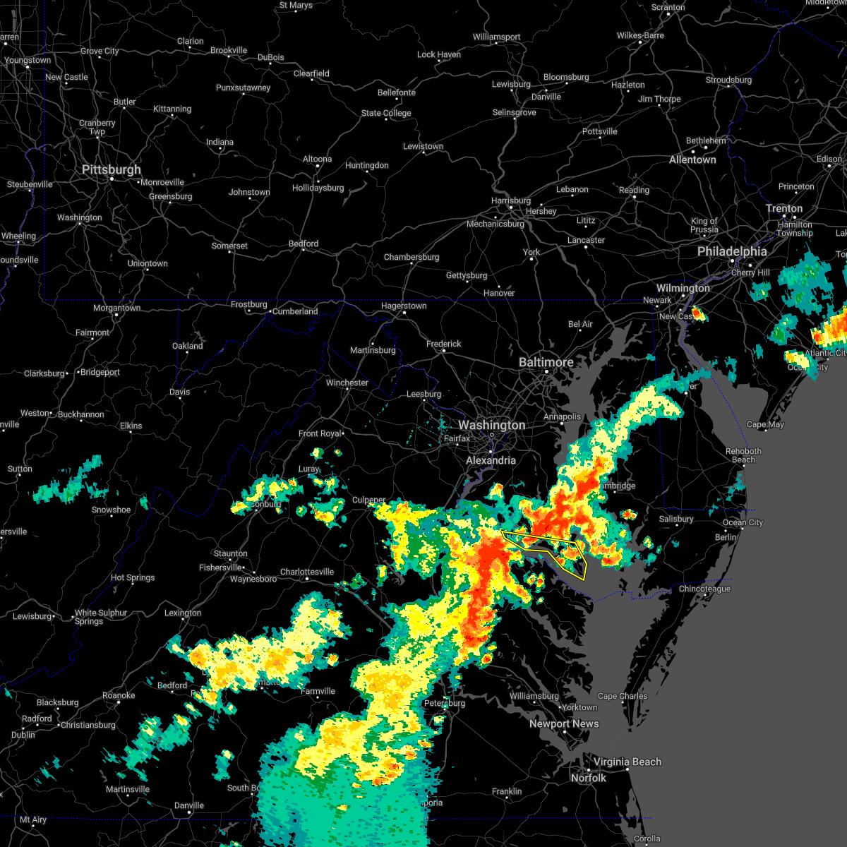 At 556 pm edt, severe thunderstorms were located along a line extending from near colonial beach to near warsaw, moving east at 35 mph (radar indicated). Hazards include 60 mph wind gusts and quarter size hail. Damaging winds will cause some trees and large branches to fall. this could injure those outdoors, as well as damage homes and vehicles. roadways may become blocked by downed trees. localized power outages are possible. Unsecured light objects may become projectiles. At 556 pm edt, severe thunderstorms were located along a line extending from near colonial beach to near warsaw, moving east at 35 mph (radar indicated). Hazards include 60 mph wind gusts and quarter size hail. Damaging winds will cause some trees and large branches to fall. this could injure those outdoors, as well as damage homes and vehicles. roadways may become blocked by downed trees. localized power outages are possible. Unsecured light objects may become projectiles.
|
| 7/25/2022 5:51 PM EDT |
 At 550 pm edt, a severe thunderstorm was located near sheridan point, moving east at 25 mph (radar indicated). Hazards include 60 mph wind gusts and quarter size hail. Damaging winds will cause some trees and large branches to fall. this could injure those outdoors, as well as damage homes and vehicles. roadways may become blocked by downed trees. localized power outages are possible. unsecured light objects may become projectiles. locations impacted include, lexington park, chesapeake ranch estates, leonardtown, cuckold creek, sheridan point, calvert cliffs, greenwell state park, saint leonard creek, town creek, flag harbor, california, golden beach, lusby, patuxent river naval air station, saint leonard, hollywood, drum point, long beach, mechanicsville and charlotte hall. hail threat, radar indicated max hail size, 1. 00 in wind threat, observed max wind gust, 60 mph. At 550 pm edt, a severe thunderstorm was located near sheridan point, moving east at 25 mph (radar indicated). Hazards include 60 mph wind gusts and quarter size hail. Damaging winds will cause some trees and large branches to fall. this could injure those outdoors, as well as damage homes and vehicles. roadways may become blocked by downed trees. localized power outages are possible. unsecured light objects may become projectiles. locations impacted include, lexington park, chesapeake ranch estates, leonardtown, cuckold creek, sheridan point, calvert cliffs, greenwell state park, saint leonard creek, town creek, flag harbor, california, golden beach, lusby, patuxent river naval air station, saint leonard, hollywood, drum point, long beach, mechanicsville and charlotte hall. hail threat, radar indicated max hail size, 1. 00 in wind threat, observed max wind gust, 60 mph.
|
| 7/25/2022 5:33 PM EDT |
 At 533 pm edt, a severe thunderstorm was located 8 miles southwest of golden beach, or 9 miles east of popes creek, moving east at 25 mph (radar indicated). Hazards include 60 mph wind gusts and quarter size hail. Damaging winds will cause some trees and large branches to fall. this could injure those outdoors, as well as damage homes and vehicles. roadways may become blocked by downed trees. localized power outages are possible. unsecured light objects may become projectiles. locations impacted include, lexington park, chesapeake ranch estates, leonardtown, prince frederick, cuckold creek, sheridan point, calvert cliffs, greenwell state park, hallowing point, saint leonard creek, town creek, flag harbor, california, golden beach, lusby, patuxent river naval air station, saint leonard, hollywood, wicomico and drum point. hail threat, radar indicated max hail size, 1. 00 in wind threat, radar indicated max wind gust, 60 mph. At 533 pm edt, a severe thunderstorm was located 8 miles southwest of golden beach, or 9 miles east of popes creek, moving east at 25 mph (radar indicated). Hazards include 60 mph wind gusts and quarter size hail. Damaging winds will cause some trees and large branches to fall. this could injure those outdoors, as well as damage homes and vehicles. roadways may become blocked by downed trees. localized power outages are possible. unsecured light objects may become projectiles. locations impacted include, lexington park, chesapeake ranch estates, leonardtown, prince frederick, cuckold creek, sheridan point, calvert cliffs, greenwell state park, hallowing point, saint leonard creek, town creek, flag harbor, california, golden beach, lusby, patuxent river naval air station, saint leonard, hollywood, wicomico and drum point. hail threat, radar indicated max hail size, 1. 00 in wind threat, radar indicated max wind gust, 60 mph.
|
| 7/25/2022 5:15 PM EDT |
 At 515 pm edt, a severe thunderstorm was located near popes creek, moving east at 25 mph (radar indicated). Hazards include 60 mph wind gusts and quarter size hail. Damaging winds will cause some trees and large branches to fall. this could injure those outdoors, as well as damage homes and vehicles. roadways may become blocked by downed trees. localized power outages are possible. Unsecured light objects may become projectiles. At 515 pm edt, a severe thunderstorm was located near popes creek, moving east at 25 mph (radar indicated). Hazards include 60 mph wind gusts and quarter size hail. Damaging winds will cause some trees and large branches to fall. this could injure those outdoors, as well as damage homes and vehicles. roadways may become blocked by downed trees. localized power outages are possible. Unsecured light objects may become projectiles.
|
| 7/13/2022 1:08 AM EDT |
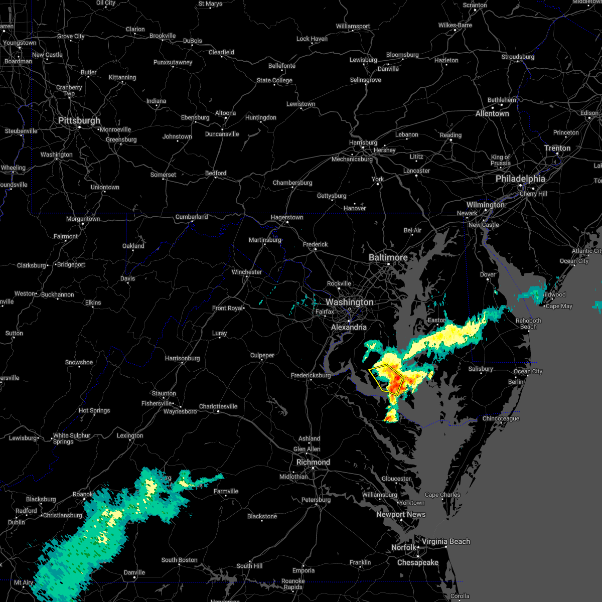 The severe thunderstorm warning for central st. marys and southeastern calvert counties will expire at 115 am edt, the storm which prompted the warning has weakened below severe limits, and has exited the warned area. therefore, the warning will be allowed to expire. The severe thunderstorm warning for central st. marys and southeastern calvert counties will expire at 115 am edt, the storm which prompted the warning has weakened below severe limits, and has exited the warned area. therefore, the warning will be allowed to expire.
|
| 7/13/2022 12:55 AM EDT |
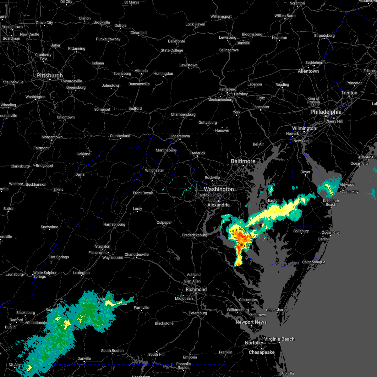 At 1255 am edt, a severe thunderstorm was located over chesapeake ranch estates, moving east at 55 mph (radar indicated). Hazards include 60 mph wind gusts. Damaging winds will cause some trees and large branches to fall. this could injure those outdoors, as well as damage homes and vehicles. roadways may become blocked by downed trees. localized power outages are possible. unsecured light objects may become projectiles. locations impacted include, lexington park, leonardtown, tall timbers, town creek, white point beach, california, hollywood, clements, morganza, compton, hillville, valley lee, chaptico, sandgates, tintop hill, great mills, redgate, oakville, callaway and loveville. hail threat, radar indicated max hail size, <. 75 in wind threat, radar indicated max wind gust, 60 mph. At 1255 am edt, a severe thunderstorm was located over chesapeake ranch estates, moving east at 55 mph (radar indicated). Hazards include 60 mph wind gusts. Damaging winds will cause some trees and large branches to fall. this could injure those outdoors, as well as damage homes and vehicles. roadways may become blocked by downed trees. localized power outages are possible. unsecured light objects may become projectiles. locations impacted include, lexington park, leonardtown, tall timbers, town creek, white point beach, california, hollywood, clements, morganza, compton, hillville, valley lee, chaptico, sandgates, tintop hill, great mills, redgate, oakville, callaway and loveville. hail threat, radar indicated max hail size, <. 75 in wind threat, radar indicated max wind gust, 60 mph.
|
| 7/13/2022 12:26 AM EDT |
 At 1225 am edt, a severe thunderstorm was located near colonial beach, moving east at 55 mph (radar indicated). Hazards include 60 mph wind gusts. Damaging winds will cause some trees and large branches to fall. this could injure those outdoors, as well as damage homes and vehicles. roadways may become blocked by downed trees. localized power outages are possible. Unsecured light objects may become projectiles. At 1225 am edt, a severe thunderstorm was located near colonial beach, moving east at 55 mph (radar indicated). Hazards include 60 mph wind gusts. Damaging winds will cause some trees and large branches to fall. this could injure those outdoors, as well as damage homes and vehicles. roadways may become blocked by downed trees. localized power outages are possible. Unsecured light objects may become projectiles.
|
| 7/12/2022 9:03 PM EDT |
 At 903 pm edt, severe thunderstorms were located along a line extending from california to near saint marys river to near saint george island, moving east at 55 mph (radar indicated). Hazards include 60 mph wind gusts and quarter size hail. Damaging winds will cause some trees and large branches to fall. this could injure those outdoors, as well as damage homes and vehicles. roadways may become blocked by downed trees. localized power outages are possible. Unsecured light objects may become projectiles. At 903 pm edt, severe thunderstorms were located along a line extending from california to near saint marys river to near saint george island, moving east at 55 mph (radar indicated). Hazards include 60 mph wind gusts and quarter size hail. Damaging winds will cause some trees and large branches to fall. this could injure those outdoors, as well as damage homes and vehicles. roadways may become blocked by downed trees. localized power outages are possible. Unsecured light objects may become projectiles.
|
| 7/5/2022 3:26 PM EDT |
 The severe thunderstorm warning for southeastern st. marys county will expire at 330 pm edt, the storm which prompted the warning has weakened below severe limits, and no longer poses an immediate threat to life or property. therefore, the warning will be allowed to expire. however gusty winds are still possible with this thunderstorm over the southern tip of st. marys county. to report severe weather, contact your nearest law enforcement agency. they will relay your report to the national weather service sterling virginia. The severe thunderstorm warning for southeastern st. marys county will expire at 330 pm edt, the storm which prompted the warning has weakened below severe limits, and no longer poses an immediate threat to life or property. therefore, the warning will be allowed to expire. however gusty winds are still possible with this thunderstorm over the southern tip of st. marys county. to report severe weather, contact your nearest law enforcement agency. they will relay your report to the national weather service sterling virginia.
|
| 7/5/2022 3:14 PM EDT |
 At 313 pm edt, a severe thunderstorm was located over saint marys city, moving east at 30 mph (radar indicated). Hazards include 60 mph wind gusts. Damaging winds will cause some trees and large branches to fall. this could injure those outdoors, as well as damage homes and vehicles. roadways may become blocked by downed trees. localized power outages are possible. unsecured light objects may become projectiles. locations impacted include, lexington park, piney point, tall timbers, saint inigoes creek, saint marys city, saint george island, saint marys river, california, patuxent river naval air station, dameron, valley lee, scotland, point lookout, great mills, drayden, saint inigoes, park hall, callaway and ridge. hail threat, radar indicated max hail size, <. 75 in wind threat, radar indicated max wind gust, 60 mph. At 313 pm edt, a severe thunderstorm was located over saint marys city, moving east at 30 mph (radar indicated). Hazards include 60 mph wind gusts. Damaging winds will cause some trees and large branches to fall. this could injure those outdoors, as well as damage homes and vehicles. roadways may become blocked by downed trees. localized power outages are possible. unsecured light objects may become projectiles. locations impacted include, lexington park, piney point, tall timbers, saint inigoes creek, saint marys city, saint george island, saint marys river, california, patuxent river naval air station, dameron, valley lee, scotland, point lookout, great mills, drayden, saint inigoes, park hall, callaway and ridge. hail threat, radar indicated max hail size, <. 75 in wind threat, radar indicated max wind gust, 60 mph.
|
| 7/5/2022 2:55 PM EDT |
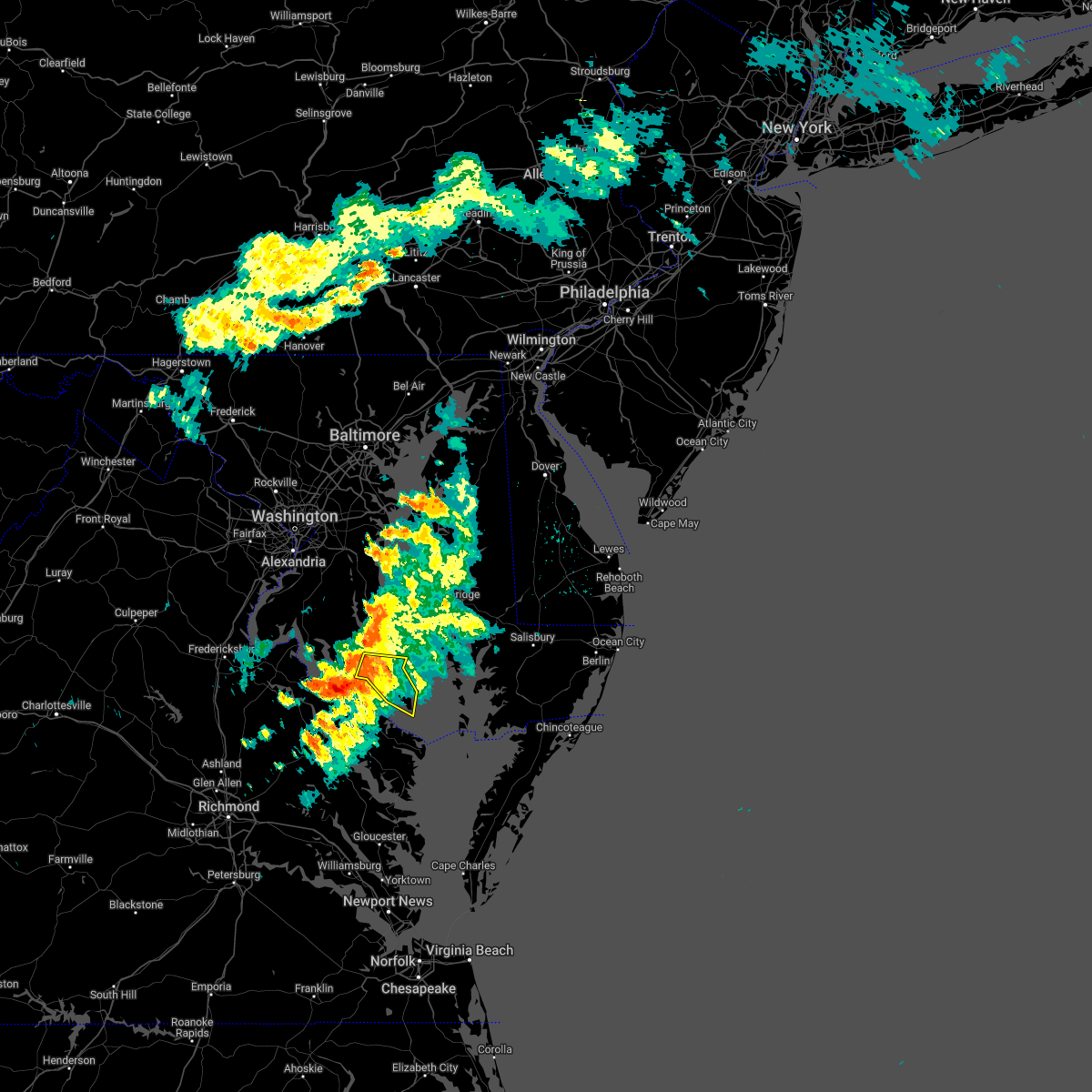 At 254 pm edt, a severe thunderstorm was located near white point beach, moving east at 35 mph (radar indicated). Hazards include 60 mph wind gusts. Damaging winds will cause some trees and large branches to fall. this could injure those outdoors, as well as damage homes and vehicles. roadways may become blocked by downed trees. localized power outages are possible. unsecured light objects may become projectiles. locations impacted include, lexington park, leonardtown, piney point, tall timbers, saint inigoes creek, saint marys city, saint george island, saint marys river, white point beach, california, patuxent river naval air station, dameron, valley lee, scotland, point lookout, great mills, redgate, drayden, saint inigoes and park hall. hail threat, radar indicated max hail size, <. 75 in wind threat, radar indicated max wind gust, 60 mph. At 254 pm edt, a severe thunderstorm was located near white point beach, moving east at 35 mph (radar indicated). Hazards include 60 mph wind gusts. Damaging winds will cause some trees and large branches to fall. this could injure those outdoors, as well as damage homes and vehicles. roadways may become blocked by downed trees. localized power outages are possible. unsecured light objects may become projectiles. locations impacted include, lexington park, leonardtown, piney point, tall timbers, saint inigoes creek, saint marys city, saint george island, saint marys river, white point beach, california, patuxent river naval air station, dameron, valley lee, scotland, point lookout, great mills, redgate, drayden, saint inigoes and park hall. hail threat, radar indicated max hail size, <. 75 in wind threat, radar indicated max wind gust, 60 mph.
|
| 7/5/2022 2:33 PM EDT |
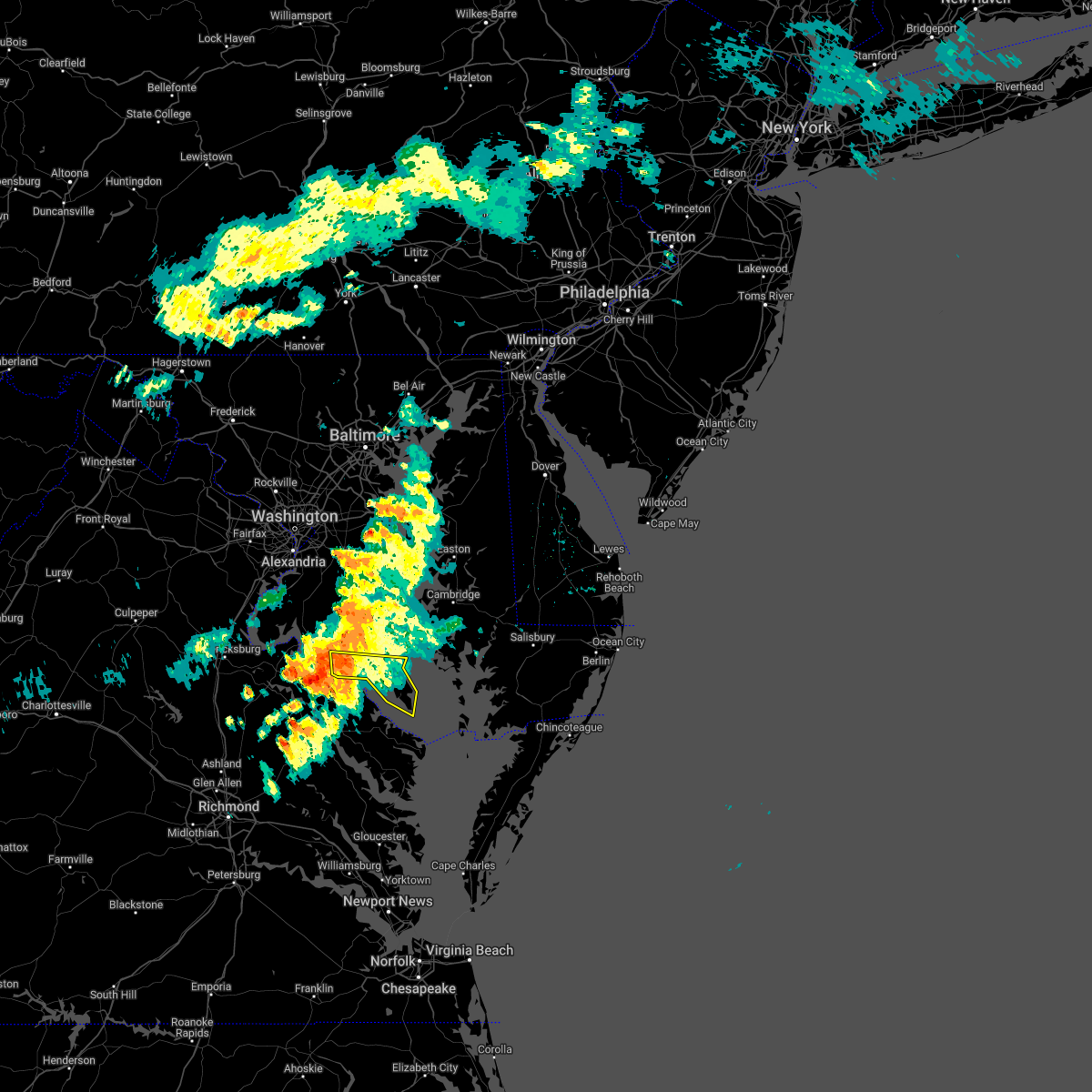 At 232 pm edt, a severe thunderstorm was located over wicomico river, moving east at 30 mph (radar indicated). Hazards include 60 mph wind gusts. Damaging winds will cause some trees and large branches to fall. this could injure those outdoors, as well as damage homes and vehicles. roadways may become blocked by downed trees. localized power outages are possible. Unsecured light objects may become projectiles. At 232 pm edt, a severe thunderstorm was located over wicomico river, moving east at 30 mph (radar indicated). Hazards include 60 mph wind gusts. Damaging winds will cause some trees and large branches to fall. this could injure those outdoors, as well as damage homes and vehicles. roadways may become blocked by downed trees. localized power outages are possible. Unsecured light objects may become projectiles.
|
| 6/17/2022 6:14 PM EDT |
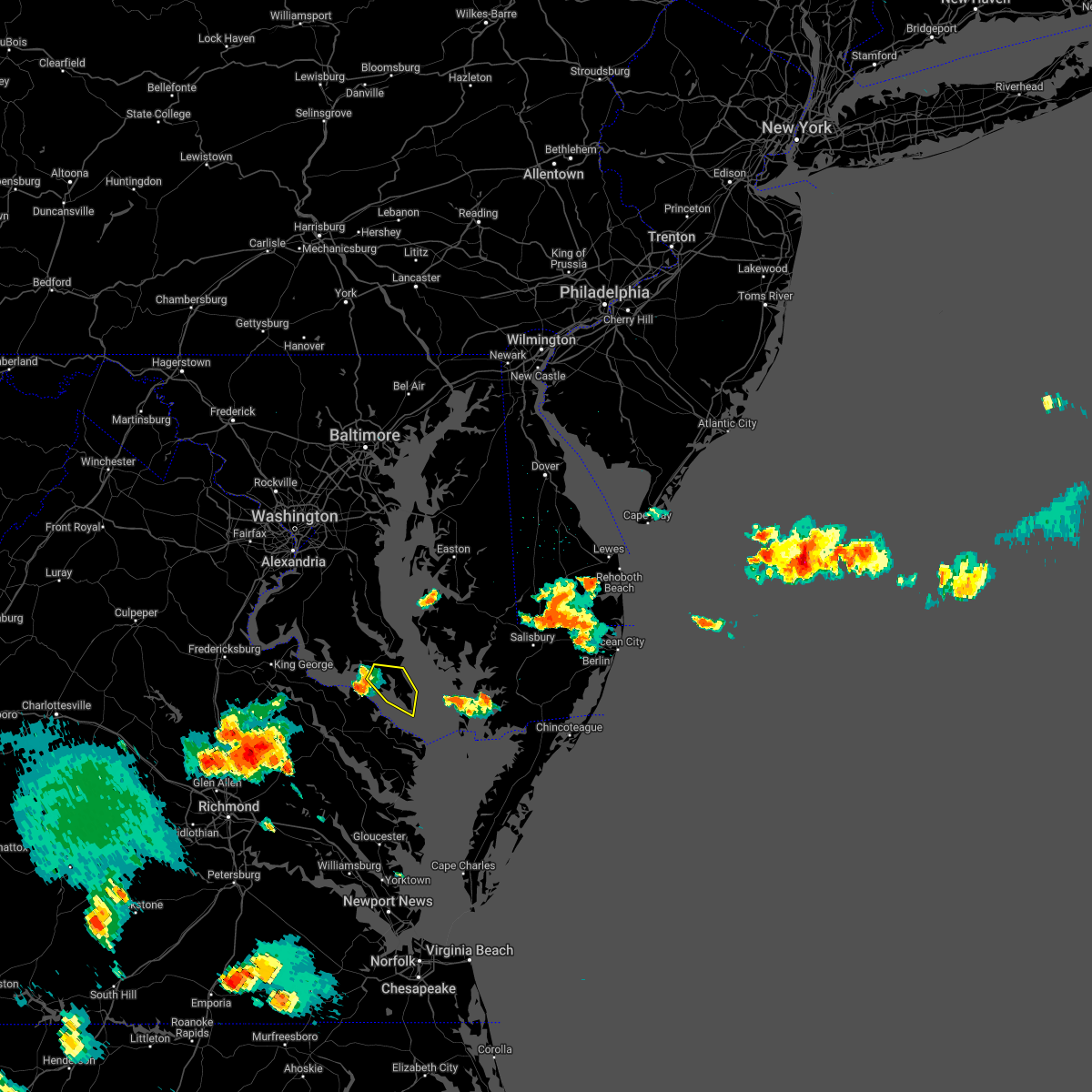 At 613 pm edt, a severe thunderstorm was located over tall timbers, moving east at 35 mph (wind gust of 58 mph at cobb point buoy). Hazards include 60 mph wind gusts. Damaging winds will cause some trees and large branches to fall. this could injure those outdoors, as well as damage homes and vehicles. roadways may become blocked by downed trees. localized power outages are possible. unsecured light objects may become projectiles. locations impacted include, lexington park, piney point, tall timbers, saint inigoes creek, saint marys city, saint george island, saint marys river, california, dameron, valley lee, scotland, point lookout, great mills, drayden, saint inigoes, park hall, callaway and ridge. hail threat, radar indicated max hail size, <. 75 in wind threat, observed max wind gust, 60 mph. At 613 pm edt, a severe thunderstorm was located over tall timbers, moving east at 35 mph (wind gust of 58 mph at cobb point buoy). Hazards include 60 mph wind gusts. Damaging winds will cause some trees and large branches to fall. this could injure those outdoors, as well as damage homes and vehicles. roadways may become blocked by downed trees. localized power outages are possible. unsecured light objects may become projectiles. locations impacted include, lexington park, piney point, tall timbers, saint inigoes creek, saint marys city, saint george island, saint marys river, california, dameron, valley lee, scotland, point lookout, great mills, drayden, saint inigoes, park hall, callaway and ridge. hail threat, radar indicated max hail size, <. 75 in wind threat, observed max wind gust, 60 mph.
|
| 6/17/2022 6:01 PM EDT |
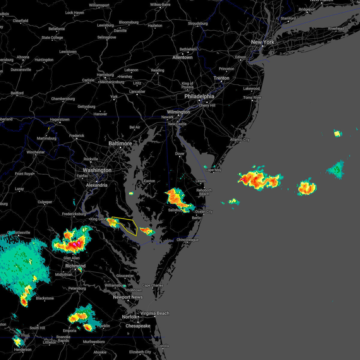 At 600 pm edt, a severe thunderstorm was located over saint clements bay, moving east at 30 mph (a wind gust to 67 mph was measured at cobb point buoy). Hazards include 60 mph wind gusts. Damaging winds will cause some trees and large branches to fall. this could injure those outdoors, as well as damage homes and vehicles. roadways may become blocked by downed trees. localized power outages are possible. Unsecured light objects may become projectiles. At 600 pm edt, a severe thunderstorm was located over saint clements bay, moving east at 30 mph (a wind gust to 67 mph was measured at cobb point buoy). Hazards include 60 mph wind gusts. Damaging winds will cause some trees and large branches to fall. this could injure those outdoors, as well as damage homes and vehicles. roadways may become blocked by downed trees. localized power outages are possible. Unsecured light objects may become projectiles.
|
| 6/2/2022 7:00 PM EDT |
 At 700 pm edt, severe thunderstorms were located along a line extending from near lexington park to near lewisetta, moving east at 45 mph (radar indicated). Hazards include 60 mph wind gusts. Damaging winds will cause some trees and large branches to fall. this could injure those outdoors, as well as damage homes and vehicles. roadways may become blocked by downed trees. localized power outages are possible. unsecured light objects may become projectiles. locations impacted include, lexington park, saint inigoes creek, saint marys city, saint george island, saint marys river, patuxent river naval air station, drum point, dameron, scotland, point lookout, drayden, saint inigoes, park hall and ridge. hail threat, radar indicated max hail size, <. 75 in wind threat, radar indicated max wind gust, 60 mph. At 700 pm edt, severe thunderstorms were located along a line extending from near lexington park to near lewisetta, moving east at 45 mph (radar indicated). Hazards include 60 mph wind gusts. Damaging winds will cause some trees and large branches to fall. this could injure those outdoors, as well as damage homes and vehicles. roadways may become blocked by downed trees. localized power outages are possible. unsecured light objects may become projectiles. locations impacted include, lexington park, saint inigoes creek, saint marys city, saint george island, saint marys river, patuxent river naval air station, drum point, dameron, scotland, point lookout, drayden, saint inigoes, park hall and ridge. hail threat, radar indicated max hail size, <. 75 in wind threat, radar indicated max wind gust, 60 mph.
|
| 6/2/2022 6:44 PM EDT |
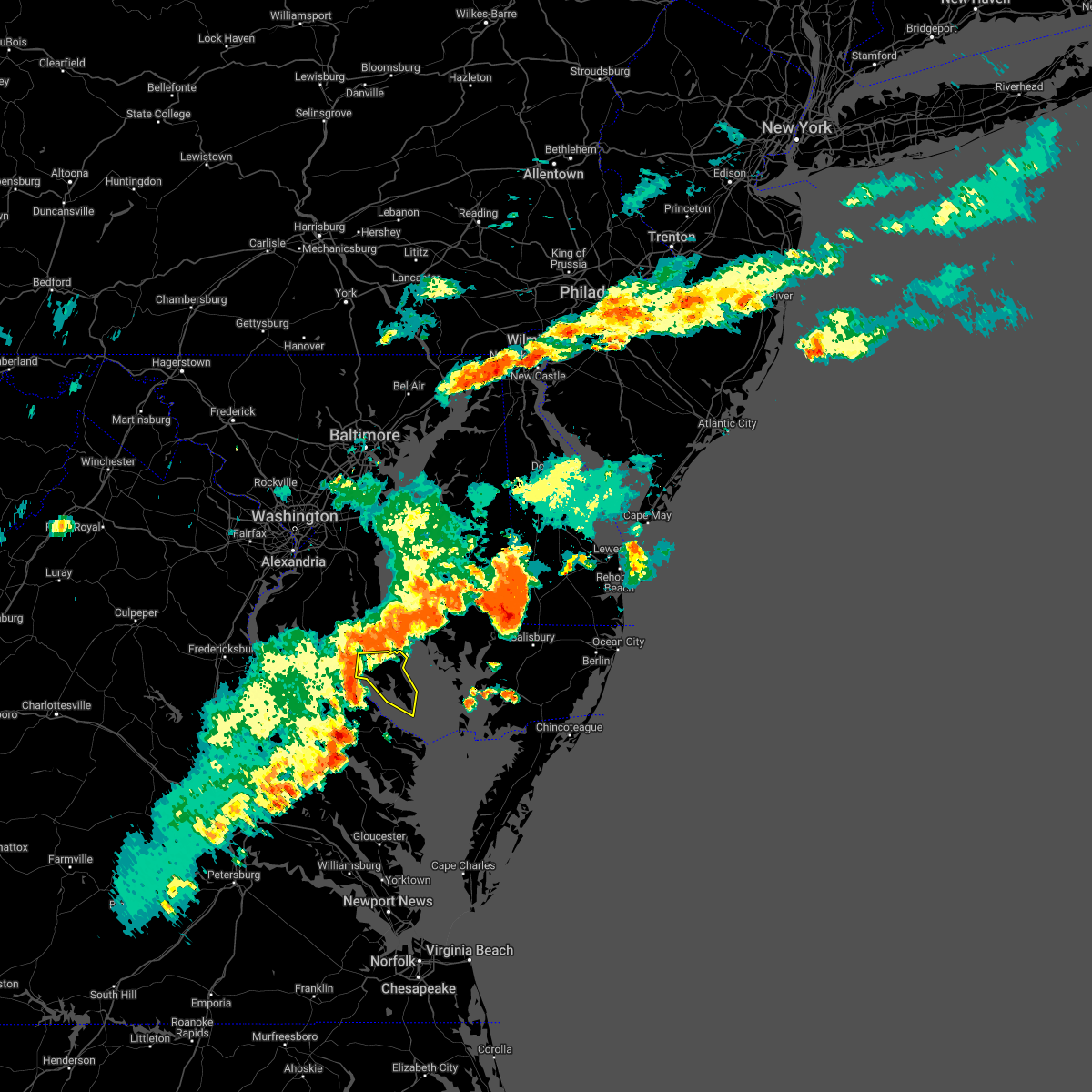 At 644 pm edt, severe thunderstorms were located along a line extending from near chesapeake ranch estates to near hague, moving east at 45 mph (radar indicated). Hazards include 60 mph wind gusts. Damaging winds will cause some trees and large branches to fall. this could injure those outdoors, as well as damage homes and vehicles. roadways may become blocked by downed trees. localized power outages are possible. Unsecured light objects may become projectiles. At 644 pm edt, severe thunderstorms were located along a line extending from near chesapeake ranch estates to near hague, moving east at 45 mph (radar indicated). Hazards include 60 mph wind gusts. Damaging winds will cause some trees and large branches to fall. this could injure those outdoors, as well as damage homes and vehicles. roadways may become blocked by downed trees. localized power outages are possible. Unsecured light objects may become projectiles.
|
| 5/27/2022 1:20 PM EDT |
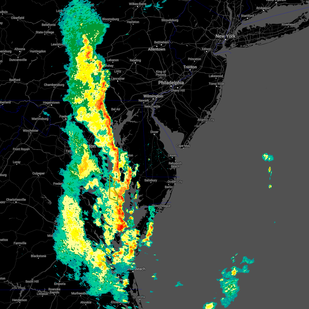 The severe thunderstorm warning for southeastern st. marys and southeastern calvert counties will expire at 130 pm edt, the storms which prompted the warning have moved out of the area. therefore, the warning will be allowed to expire. a tornado watch remains in effect until 200 pm edt for southern maryland. The severe thunderstorm warning for southeastern st. marys and southeastern calvert counties will expire at 130 pm edt, the storms which prompted the warning have moved out of the area. therefore, the warning will be allowed to expire. a tornado watch remains in effect until 200 pm edt for southern maryland.
|
| 5/27/2022 1:08 PM EDT |
 At 108 pm edt, severe thunderstorms were located along a line extending from near calvert cliffs to near patuxent river naval air station to near lewisetta, moving northeast at 50 mph (radar indicated). Hazards include 60 mph wind gusts. Damaging winds will cause some trees and large branches to fall. this could injure those outdoors, as well as damage homes and vehicles. roadways may become blocked by downed trees. localized power outages are possible. unsecured light objects may become projectiles. Locations impacted include, lexington park, chesapeake ranch estates, saint inigoes creek, saint marys city, saint george island, calvert cliffs, saint marys river, california, lusby, patuxent river naval air station, drum point, long beach, dameron, dowell, scotland, saint inigoes, park hall and ridge. At 108 pm edt, severe thunderstorms were located along a line extending from near calvert cliffs to near patuxent river naval air station to near lewisetta, moving northeast at 50 mph (radar indicated). Hazards include 60 mph wind gusts. Damaging winds will cause some trees and large branches to fall. this could injure those outdoors, as well as damage homes and vehicles. roadways may become blocked by downed trees. localized power outages are possible. unsecured light objects may become projectiles. Locations impacted include, lexington park, chesapeake ranch estates, saint inigoes creek, saint marys city, saint george island, calvert cliffs, saint marys river, california, lusby, patuxent river naval air station, drum point, long beach, dameron, dowell, scotland, saint inigoes, park hall and ridge.
|
| 5/27/2022 12:45 PM EDT |
 At 1245 pm edt, severe thunderstorms were located along a line extending from near prince frederick to near sheridan point to coles point, moving northeast at 45 mph (radar indicated). Hazards include 60 mph wind gusts. Damaging winds will cause some trees and large branches to fall. this could injure those outdoors, as well as damage homes and vehicles. roadways may become blocked by downed trees. localized power outages are possible. Unsecured light objects may become projectiles. At 1245 pm edt, severe thunderstorms were located along a line extending from near prince frederick to near sheridan point to coles point, moving northeast at 45 mph (radar indicated). Hazards include 60 mph wind gusts. Damaging winds will cause some trees and large branches to fall. this could injure those outdoors, as well as damage homes and vehicles. roadways may become blocked by downed trees. localized power outages are possible. Unsecured light objects may become projectiles.
|
| 5/22/2022 8:46 PM EDT |
 At 845 pm edt, a severe thunderstorm was located near taylors island, moving east at 40 mph (radar indicated). Hazards include 60 mph wind gusts. Damaging winds will cause some trees and large branches to fall. this could injure those outdoors, as well as damage homes and vehicles. roadways may become blocked by downed trees. localized power outages are possible. unsecured light objects may become projectiles. locations impacted include, lexington park, chesapeake ranch estates, leonardtown, cuckold creek, calvert cliffs, greenwell state park, saint leonard creek, town creek, flag harbor, white point beach, california, lusby, patuxent river naval air station, saint leonard, hollywood, drum point, long beach, calvert beach, abell and sandgates. hail threat, radar indicated max hail size, <. 75 in wind threat, radar indicated max wind gust, 60 mph. At 845 pm edt, a severe thunderstorm was located near taylors island, moving east at 40 mph (radar indicated). Hazards include 60 mph wind gusts. Damaging winds will cause some trees and large branches to fall. this could injure those outdoors, as well as damage homes and vehicles. roadways may become blocked by downed trees. localized power outages are possible. unsecured light objects may become projectiles. locations impacted include, lexington park, chesapeake ranch estates, leonardtown, cuckold creek, calvert cliffs, greenwell state park, saint leonard creek, town creek, flag harbor, white point beach, california, lusby, patuxent river naval air station, saint leonard, hollywood, drum point, long beach, calvert beach, abell and sandgates. hail threat, radar indicated max hail size, <. 75 in wind threat, radar indicated max wind gust, 60 mph.
|
| 5/22/2022 8:28 PM EDT |
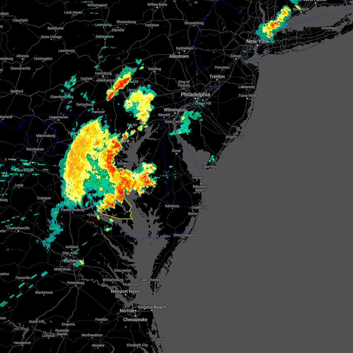 At 828 pm edt, a severe thunderstorm was located over greenwell state park, moving east at 40 mph (radar indicated). Hazards include 60 mph wind gusts. Damaging winds will cause some trees and large branches to fall. this could injure those outdoors, as well as damage homes and vehicles. roadways may become blocked by downed trees. localized power outages are possible. Unsecured light objects may become projectiles. At 828 pm edt, a severe thunderstorm was located over greenwell state park, moving east at 40 mph (radar indicated). Hazards include 60 mph wind gusts. Damaging winds will cause some trees and large branches to fall. this could injure those outdoors, as well as damage homes and vehicles. roadways may become blocked by downed trees. localized power outages are possible. Unsecured light objects may become projectiles.
|
| 3/26/2022 5:24 PM EDT | Storm damage reported in anz537 county MD, 10 miles NNE of Lexington Park, MD |
| 3/7/2022 8:28 PM EST | Storm damage reported in st. marys county MD, 2.1 miles WSW of Lexington Park, MD |
| 8/30/2021 7:31 PM EDT | Tree down on elizabeth driv in st. marys county MD, 8.2 miles NNW of Lexington Park, MD |
| 8/30/2021 7:06 PM EDT | Storm damage reported in anz537 county MD, 10 miles NNE of Lexington Park, MD |
| 8/22/2021 2:26 PM EDT |
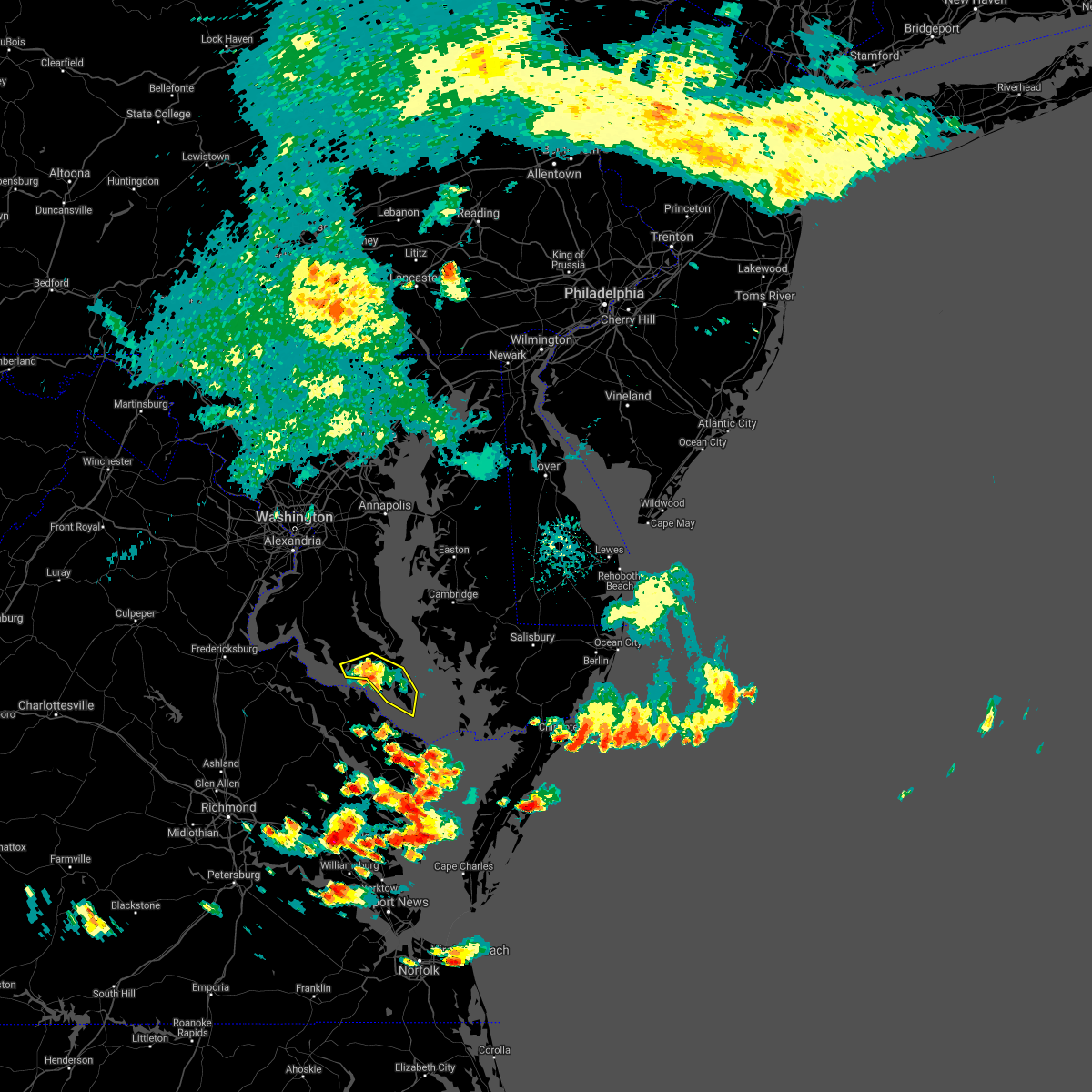 The severe thunderstorm warning for southern st. marys county will expire at 230 pm edt, the storms which prompted the warning have weakened below severe limits, and no longer pose an immediate threat to life or property. therefore, the warning will be allowed to expire. to report severe weather, contact your nearest law enforcement agency. they will relay your report to the national weather service sterling virginia. The severe thunderstorm warning for southern st. marys county will expire at 230 pm edt, the storms which prompted the warning have weakened below severe limits, and no longer pose an immediate threat to life or property. therefore, the warning will be allowed to expire. to report severe weather, contact your nearest law enforcement agency. they will relay your report to the national weather service sterling virginia.
|
| 8/22/2021 2:15 PM EDT |
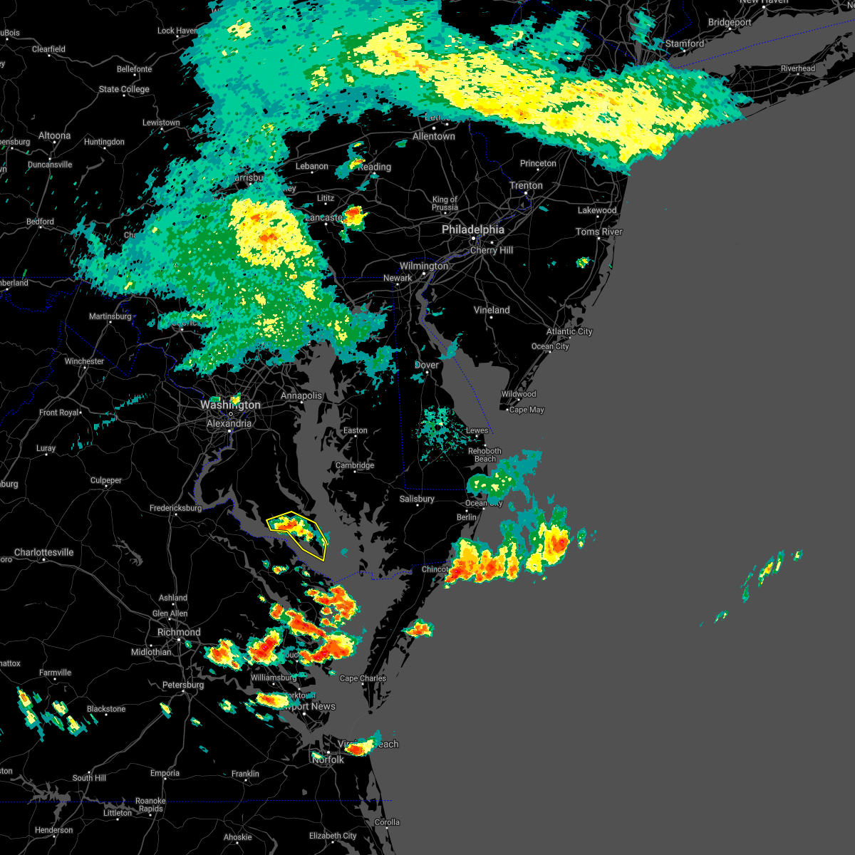 At 215 pm edt, severe thunderstorms were located along a line extending from white point beach to near saint inigoes creek, moving southeast at 10 mph (radar indicated). Hazards include 60 mph wind gusts and quarter size hail. Damaging winds will cause some trees and large branches to fall. this could injure those outdoors, as well as damage homes and vehicles. roadways may become blocked by downed trees. localized power outages are possible. unsecured light objects may become projectiles. locations impacted include, lexington park, leonardtown, piney point, tall timbers, saint inigoes creek, saint marys city, saint george island, saint clements bay, saint marys river, white point beach, california, abell, valley lee, scotland, great mills, drayden, saint inigoes, park hall, oakley and dameron. hail threat, radar indicated max hail size, 1. 00 in wind threat, radar indicated max wind gust, 60 mph. At 215 pm edt, severe thunderstorms were located along a line extending from white point beach to near saint inigoes creek, moving southeast at 10 mph (radar indicated). Hazards include 60 mph wind gusts and quarter size hail. Damaging winds will cause some trees and large branches to fall. this could injure those outdoors, as well as damage homes and vehicles. roadways may become blocked by downed trees. localized power outages are possible. unsecured light objects may become projectiles. locations impacted include, lexington park, leonardtown, piney point, tall timbers, saint inigoes creek, saint marys city, saint george island, saint clements bay, saint marys river, white point beach, california, abell, valley lee, scotland, great mills, drayden, saint inigoes, park hall, oakley and dameron. hail threat, radar indicated max hail size, 1. 00 in wind threat, radar indicated max wind gust, 60 mph.
|
| 8/22/2021 1:51 PM EDT |
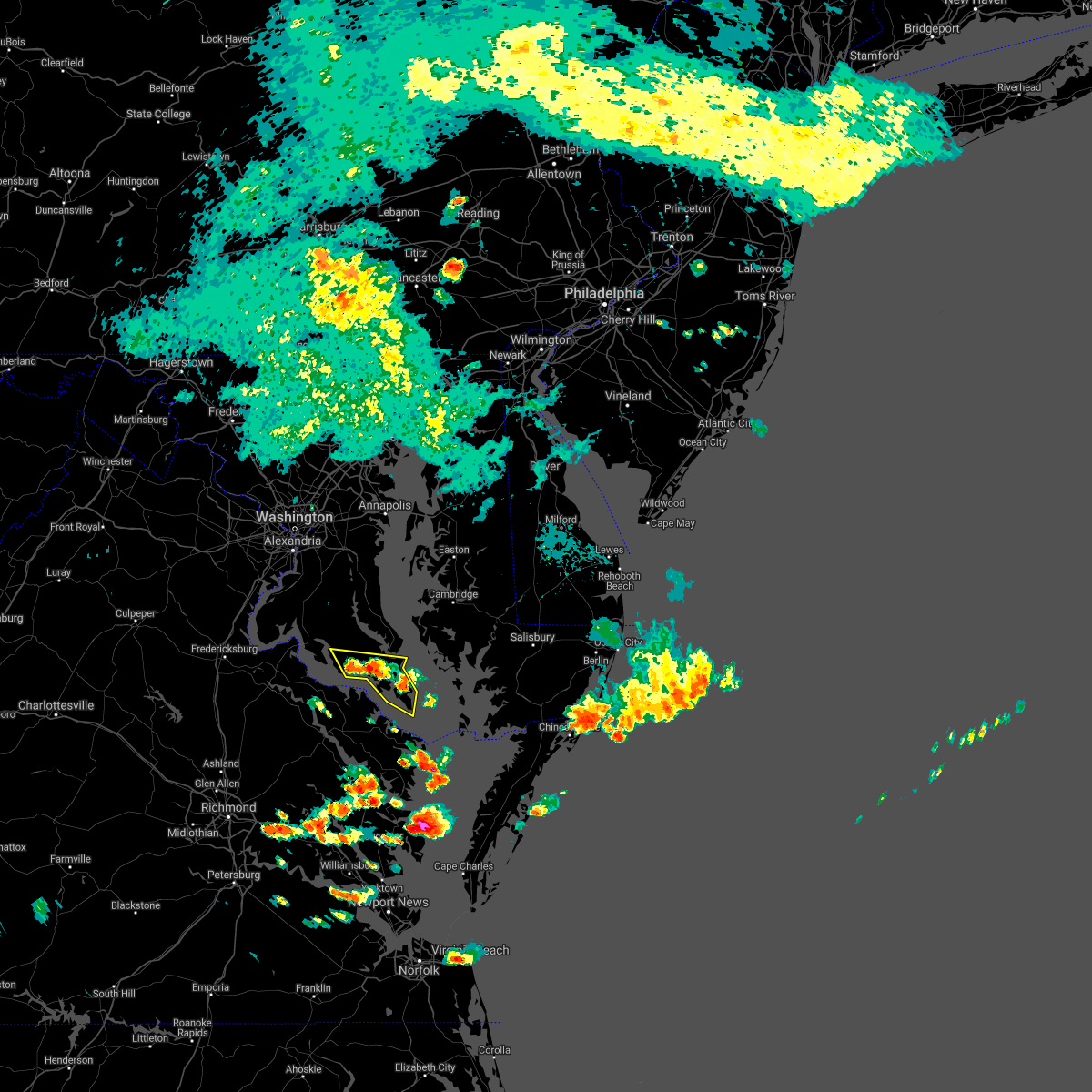 At 151 pm edt, severe thunderstorms were located along a line extending from near saint clements bay to near saint inigoes creek, moving southeast at 10 mph (radar indicated). Hazards include 60 mph wind gusts and quarter size hail. Damaging winds will cause some trees and large branches to fall. this could injure those outdoors, as well as damage homes and vehicles. roadways may become blocked by downed trees. localized power outages are possible. Unsecured light objects may become projectiles. At 151 pm edt, severe thunderstorms were located along a line extending from near saint clements bay to near saint inigoes creek, moving southeast at 10 mph (radar indicated). Hazards include 60 mph wind gusts and quarter size hail. Damaging winds will cause some trees and large branches to fall. this could injure those outdoors, as well as damage homes and vehicles. roadways may become blocked by downed trees. localized power outages are possible. Unsecured light objects may become projectiles.
|
| 8/22/2021 1:35 PM EDT |
 At 135 pm edt, a severe thunderstorm was located over saint marys city, and is nearly stationary (radar indicated). Hazards include 60 mph wind gusts and quarter size hail. Damaging winds will cause some trees and large branches to fall. this could injure those outdoors, as well as damage homes and vehicles. roadways may become blocked by downed trees. localized power outages are possible. unsecured light objects may become projectiles. locations impacted include, lexington park, saint marys city, saint inigoes creek, saint marys river, dameron, valley lee, drayden, saint inigoes, park hall and ridge. hail threat, radar indicated max hail size, 1. 00 in wind threat, radar indicated max wind gust, 60 mph. At 135 pm edt, a severe thunderstorm was located over saint marys city, and is nearly stationary (radar indicated). Hazards include 60 mph wind gusts and quarter size hail. Damaging winds will cause some trees and large branches to fall. this could injure those outdoors, as well as damage homes and vehicles. roadways may become blocked by downed trees. localized power outages are possible. unsecured light objects may become projectiles. locations impacted include, lexington park, saint marys city, saint inigoes creek, saint marys river, dameron, valley lee, drayden, saint inigoes, park hall and ridge. hail threat, radar indicated max hail size, 1. 00 in wind threat, radar indicated max wind gust, 60 mph.
|
| 8/22/2021 1:14 PM EDT |
 At 114 pm edt, a severe thunderstorm was located over saint marys city, and is nearly stationary (radar indicated). Hazards include 60 mph wind gusts and quarter size hail. Damaging winds will cause some trees and large branches to fall. this could injure those outdoors, as well as damage homes and vehicles. roadways may become blocked by downed trees. localized power outages are possible. Unsecured light objects may become projectiles. At 114 pm edt, a severe thunderstorm was located over saint marys city, and is nearly stationary (radar indicated). Hazards include 60 mph wind gusts and quarter size hail. Damaging winds will cause some trees and large branches to fall. this could injure those outdoors, as well as damage homes and vehicles. roadways may become blocked by downed trees. localized power outages are possible. Unsecured light objects may become projectiles.
|
| 8/13/2021 7:41 PM EDT |
 At 741 pm edt, severe thunderstorms were located along a line extending from california to near saint george island, moving east at 30 mph (radar indicated). Hazards include 60 mph wind gusts. Damaging winds will cause some trees and large branches to fall. this could injure those outdoors, as well as damage homes and vehicles. roadways may become blocked by downed trees. localized power outages are possible. Unsecured light objects may become projectiles. At 741 pm edt, severe thunderstorms were located along a line extending from california to near saint george island, moving east at 30 mph (radar indicated). Hazards include 60 mph wind gusts. Damaging winds will cause some trees and large branches to fall. this could injure those outdoors, as well as damage homes and vehicles. roadways may become blocked by downed trees. localized power outages are possible. Unsecured light objects may become projectiles.
|
| 7/28/2021 5:35 PM EDT |
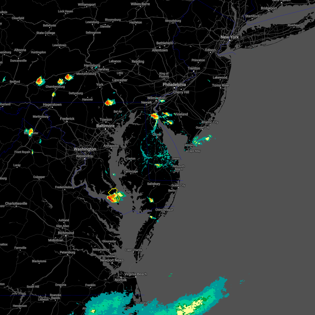 The severe thunderstorm warning for east central st. marys county will expire at 545 pm edt, the storm which prompted the warning is moving out of the area. therefore, the warning will be allowed to expire. to report severe weather, contact your nearest law enforcement agency. they will relay your report to the national weather service sterling virginia. The severe thunderstorm warning for east central st. marys county will expire at 545 pm edt, the storm which prompted the warning is moving out of the area. therefore, the warning will be allowed to expire. to report severe weather, contact your nearest law enforcement agency. they will relay your report to the national weather service sterling virginia.
|
| 7/28/2021 5:25 PM EDT |
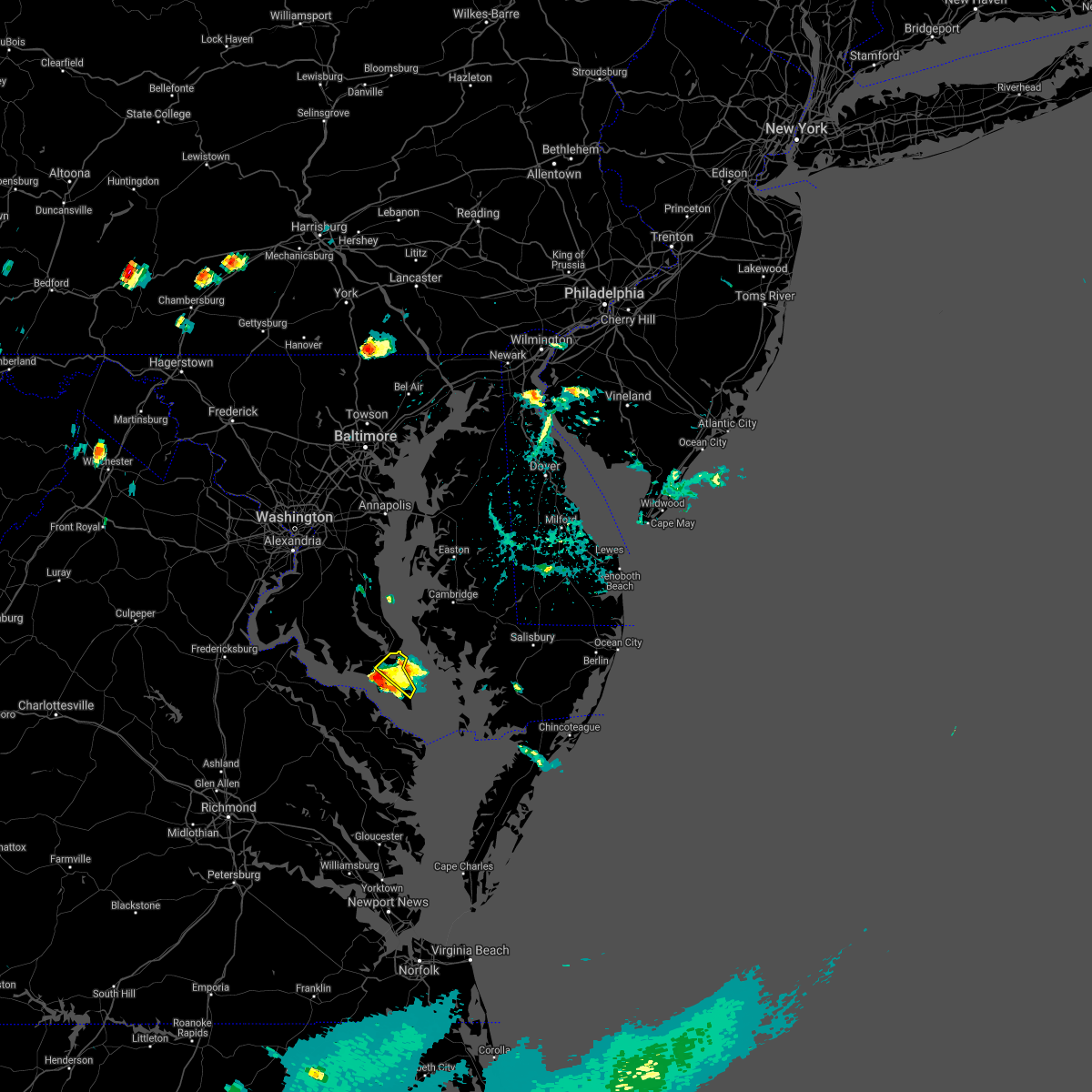 At 525 pm edt, a severe thunderstorm was located over patuxent river naval air station, or over lexington park, moving southeast at 20 mph (radar indicated). Hazards include 60 mph wind gusts. Damaging winds will cause some trees and large branches to fall. this could injure those outdoors, as well as damage homes and vehicles. roadways may become blocked by downed trees. localized power outages are possible. unsecured light objects may become projectiles. Locations impacted include, lexington park, saint marys city, california, patuxent river naval air station, dameron, great mills, saint inigoes, park hall and callaway. At 525 pm edt, a severe thunderstorm was located over patuxent river naval air station, or over lexington park, moving southeast at 20 mph (radar indicated). Hazards include 60 mph wind gusts. Damaging winds will cause some trees and large branches to fall. this could injure those outdoors, as well as damage homes and vehicles. roadways may become blocked by downed trees. localized power outages are possible. unsecured light objects may become projectiles. Locations impacted include, lexington park, saint marys city, california, patuxent river naval air station, dameron, great mills, saint inigoes, park hall and callaway.
|
| 7/28/2021 5:10 PM EDT | Quarter sized hail reported 3 miles ENE of Lexington Park, MD |
| 7/28/2021 5:07 PM EDT |
 At 507 pm edt, a severe thunderstorm was located over town creek, moving southeast at 20 mph (radar indicated and trained spotters. quarter size hail was reported in california). Hazards include 60 mph wind gusts and quarter size hail. Damaging winds will cause some trees and large branches to fall. this could injure those outdoors, as well as damage homes and vehicles. roadways may become blocked by downed trees. localized power outages are possible. unsecured light objects may become projectiles. Locations impacted include, lexington park, cuckold creek, town creek, saint marys city, california, patuxent river naval air station, dameron, great mills, saint inigoes, park hall and callaway. At 507 pm edt, a severe thunderstorm was located over town creek, moving southeast at 20 mph (radar indicated and trained spotters. quarter size hail was reported in california). Hazards include 60 mph wind gusts and quarter size hail. Damaging winds will cause some trees and large branches to fall. this could injure those outdoors, as well as damage homes and vehicles. roadways may become blocked by downed trees. localized power outages are possible. unsecured light objects may become projectiles. Locations impacted include, lexington park, cuckold creek, town creek, saint marys city, california, patuxent river naval air station, dameron, great mills, saint inigoes, park hall and callaway.
|
| 7/28/2021 5:06 PM EDT |
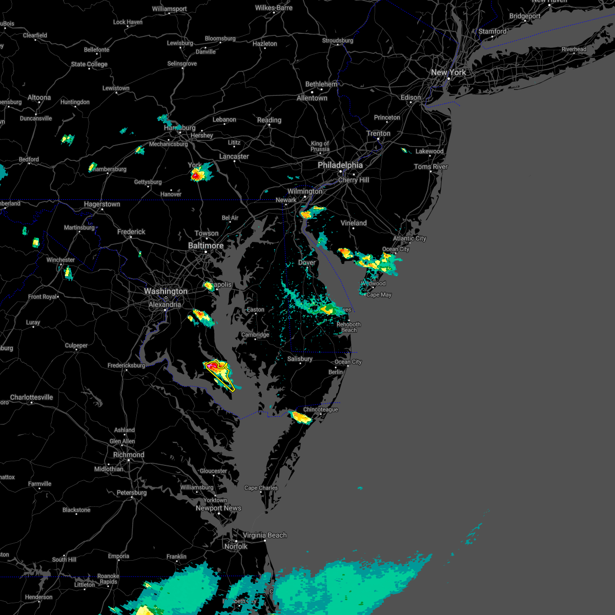 At 506 pm edt, a severe thunderstorm was located over town creek, moving southeast at 20 mph (radar indicated and trained spotters. quarter size hail was observed in california). Hazards include 60 mph wind gusts and quarter size hail. Damaging winds will cause some trees and large branches to fall. this could injure those outdoors, as well as damage homes and vehicles. roadways may become blocked by downed trees. localized power outages are possible. unsecured light objects may become projectiles. Locations impacted include, lexington park, chesapeake ranch estates, cuckold creek, town creek, california, patuxent river naval air station, hollywood and park hall. At 506 pm edt, a severe thunderstorm was located over town creek, moving southeast at 20 mph (radar indicated and trained spotters. quarter size hail was observed in california). Hazards include 60 mph wind gusts and quarter size hail. Damaging winds will cause some trees and large branches to fall. this could injure those outdoors, as well as damage homes and vehicles. roadways may become blocked by downed trees. localized power outages are possible. unsecured light objects may become projectiles. Locations impacted include, lexington park, chesapeake ranch estates, cuckold creek, town creek, california, patuxent river naval air station, hollywood and park hall.
|
| 7/28/2021 5:05 PM EDT |
 At 505 pm edt, a severe thunderstorm was located over california, or over town creek, moving southeast at 20 mph (radar indicated). Hazards include 60 mph wind gusts and quarter size hail. Damaging winds will cause some trees and large branches to fall. this could injure those outdoors, as well as damage homes and vehicles. roadways may become blocked by downed trees. localized power outages are possible. Unsecured light objects may become projectiles. At 505 pm edt, a severe thunderstorm was located over california, or over town creek, moving southeast at 20 mph (radar indicated). Hazards include 60 mph wind gusts and quarter size hail. Damaging winds will cause some trees and large branches to fall. this could injure those outdoors, as well as damage homes and vehicles. roadways may become blocked by downed trees. localized power outages are possible. Unsecured light objects may become projectiles.
|
| 7/28/2021 5:00 PM EDT |
 At 459 pm edt, a severe thunderstorm was located over town creek, moving east at 25 mph (radar indicated). Hazards include 60 mph wind gusts and quarter size hail. Damaging winds will cause some trees and large branches to fall. this could injure those outdoors, as well as damage homes and vehicles. roadways may become blocked by downed trees. localized power outages are possible. unsecured light objects may become projectiles. Locations impacted include, lexington park, chesapeake ranch estates, cuckold creek, greenwell state park, town creek, california, patuxent river naval air station, hollywood, drum point, park hall and sotterley. At 459 pm edt, a severe thunderstorm was located over town creek, moving east at 25 mph (radar indicated). Hazards include 60 mph wind gusts and quarter size hail. Damaging winds will cause some trees and large branches to fall. this could injure those outdoors, as well as damage homes and vehicles. roadways may become blocked by downed trees. localized power outages are possible. unsecured light objects may become projectiles. Locations impacted include, lexington park, chesapeake ranch estates, cuckold creek, greenwell state park, town creek, california, patuxent river naval air station, hollywood, drum point, park hall and sotterley.
|
| 7/28/2021 4:50 PM EDT |
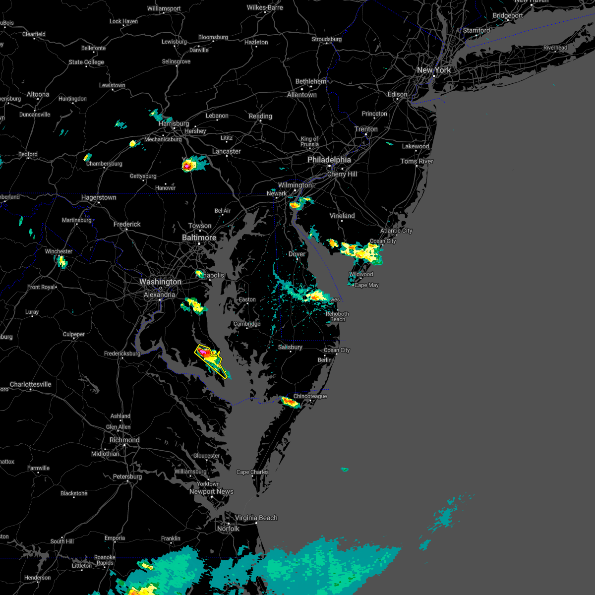 At 450 pm edt, a severe thunderstorm was located over greenwell state park, moving east at 25 mph (radar indicated). Hazards include 70 mph wind gusts and half dollar size hail. Damaging winds will cause some trees and large branches to fall. this could injure those outdoors, as well as damage homes and vehicles. roadways may become blocked by downed trees. localized power outages are possible. unsecured light objects may become projectiles. Locations impacted include, lexington park, chesapeake ranch estates, greenwell state park, cuckold creek, town creek, california, patuxent river naval air station, hollywood, drum point, hillville, sotterley, park hall, tintop hill, sandgates and dameron. At 450 pm edt, a severe thunderstorm was located over greenwell state park, moving east at 25 mph (radar indicated). Hazards include 70 mph wind gusts and half dollar size hail. Damaging winds will cause some trees and large branches to fall. this could injure those outdoors, as well as damage homes and vehicles. roadways may become blocked by downed trees. localized power outages are possible. unsecured light objects may become projectiles. Locations impacted include, lexington park, chesapeake ranch estates, greenwell state park, cuckold creek, town creek, california, patuxent river naval air station, hollywood, drum point, hillville, sotterley, park hall, tintop hill, sandgates and dameron.
|
| 7/28/2021 4:42 PM EDT |
 At 442 pm edt, a severe thunderstorm was located over hollywood, or over greenwell state park, moving southeast at 10 mph (radar indicated). Hazards include 60 mph wind gusts and quarter size hail. Damaging winds will cause some trees and large branches to fall. this could injure those outdoors, as well as damage homes and vehicles. roadways may become blocked by downed trees. localized power outages are possible. unsecured light objects may become projectiles. Locations impacted include, lexington park, chesapeake ranch estates, greenwell state park, cuckold creek, town creek, california, patuxent river naval air station, hollywood, drum point, hillville, sotterley, park hall, tintop hill, sandgates and dameron. At 442 pm edt, a severe thunderstorm was located over hollywood, or over greenwell state park, moving southeast at 10 mph (radar indicated). Hazards include 60 mph wind gusts and quarter size hail. Damaging winds will cause some trees and large branches to fall. this could injure those outdoors, as well as damage homes and vehicles. roadways may become blocked by downed trees. localized power outages are possible. unsecured light objects may become projectiles. Locations impacted include, lexington park, chesapeake ranch estates, greenwell state park, cuckold creek, town creek, california, patuxent river naval air station, hollywood, drum point, hillville, sotterley, park hall, tintop hill, sandgates and dameron.
|
| 7/28/2021 4:37 PM EDT |
 At 437 pm edt, a severe thunderstorm was located over hollywood, or over greenwell state park, moving east at 25 mph (radar indicated). Hazards include 60 mph wind gusts. Damaging winds will cause some trees and large branches to fall. this could injure those outdoors, as well as damage homes and vehicles. roadways may become blocked by downed trees. localized power outages are possible. Unsecured light objects may become projectiles. At 437 pm edt, a severe thunderstorm was located over hollywood, or over greenwell state park, moving east at 25 mph (radar indicated). Hazards include 60 mph wind gusts. Damaging winds will cause some trees and large branches to fall. this could injure those outdoors, as well as damage homes and vehicles. roadways may become blocked by downed trees. localized power outages are possible. Unsecured light objects may become projectiles.
|
| 7/21/2021 3:46 PM EDT | Tree blew down on east run driv in st. marys county MD, 3.1 miles E of Lexington Park, MD |
| 7/21/2021 3:46 PM EDT |
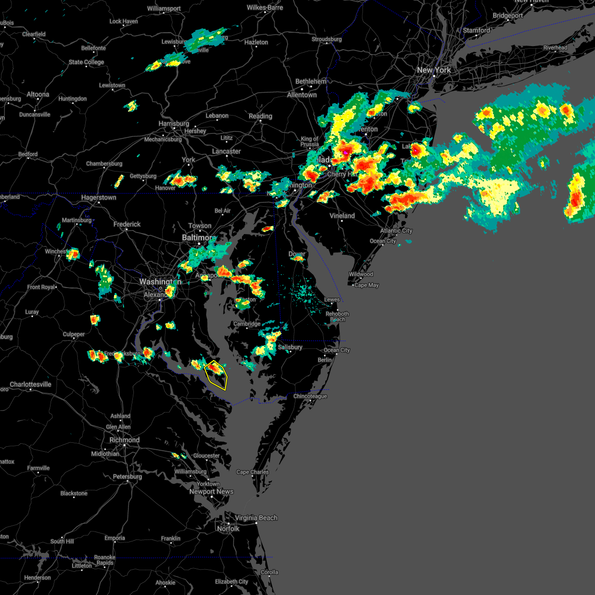 At 346 pm edt, a severe thunderstorm was located over saint marys city, moving southeast at 25 mph (radar indicated). Hazards include 60 mph wind gusts and quarter size hail. Damaging winds will cause some trees and large branches to fall. this could injure those outdoors, as well as damage homes and vehicles. roadways may become blocked by downed trees. localized power outages are possible. Unsecured light objects may become projectiles. At 346 pm edt, a severe thunderstorm was located over saint marys city, moving southeast at 25 mph (radar indicated). Hazards include 60 mph wind gusts and quarter size hail. Damaging winds will cause some trees and large branches to fall. this could injure those outdoors, as well as damage homes and vehicles. roadways may become blocked by downed trees. localized power outages are possible. Unsecured light objects may become projectiles.
|
| 7/14/2021 6:49 PM EDT |
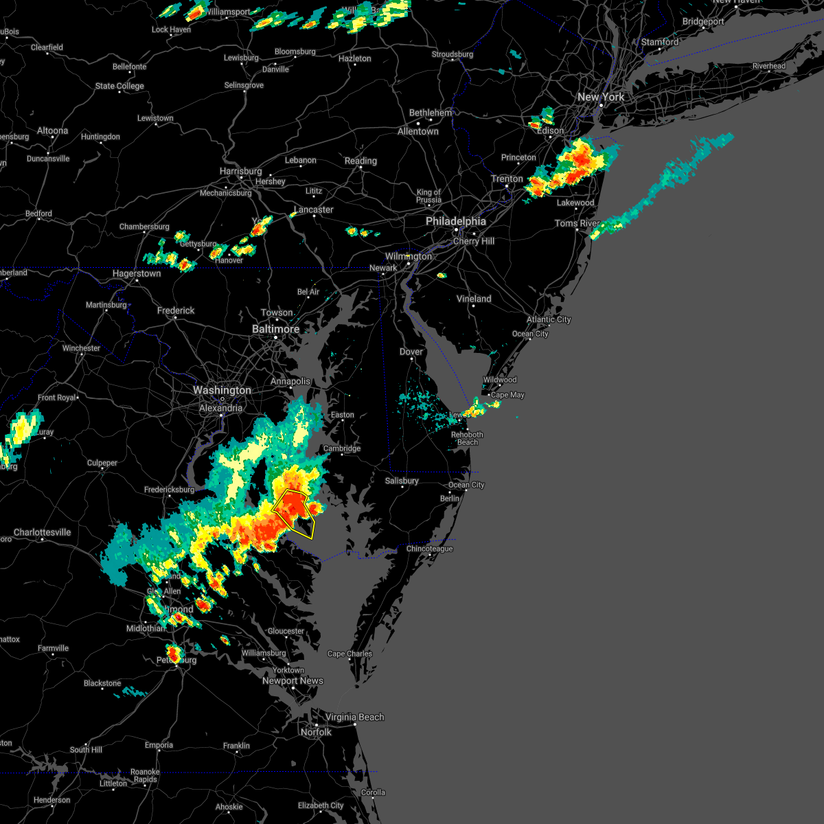 At 648 pm edt, severe thunderstorms were located along a line extending from near chesapeake ranch estates to near haynesville, moving east at 25 mph (radar indicated). Hazards include 60 mph wind gusts. Damaging winds will cause some trees and large branches to fall. this could injure those outdoors, as well as damage homes and vehicles. roadways may become blocked by downed trees. localized power outages are possible. unsecured light objects may become projectiles. Locations impacted include, lexington park, piney point, tall timbers, saint inigoes creek, town creek, saint marys city, saint george island, saint marys river, white point beach, california, patuxent river naval air station, drum point, dameron, valley lee, scotland, point lookout, great mills, drayden, saint inigoes and park hall. At 648 pm edt, severe thunderstorms were located along a line extending from near chesapeake ranch estates to near haynesville, moving east at 25 mph (radar indicated). Hazards include 60 mph wind gusts. Damaging winds will cause some trees and large branches to fall. this could injure those outdoors, as well as damage homes and vehicles. roadways may become blocked by downed trees. localized power outages are possible. unsecured light objects may become projectiles. Locations impacted include, lexington park, piney point, tall timbers, saint inigoes creek, town creek, saint marys city, saint george island, saint marys river, white point beach, california, patuxent river naval air station, drum point, dameron, valley lee, scotland, point lookout, great mills, drayden, saint inigoes and park hall.
|
| 7/14/2021 6:42 PM EDT | Storm damage reported in anz537 county MD, 10 miles NNE of Lexington Park, MD |
| 7/14/2021 6:33 PM EDT | Numerous trees down on three notch road between first colony blvd and chancellors run roa in st. marys county MD, 4.9 miles SE of Lexington Park, MD |
| 7/14/2021 6:30 PM EDT | Storm damage reported in anz537 county MD, 10 miles NNE of Lexington Park, MD |
| 7/14/2021 6:19 PM EDT |
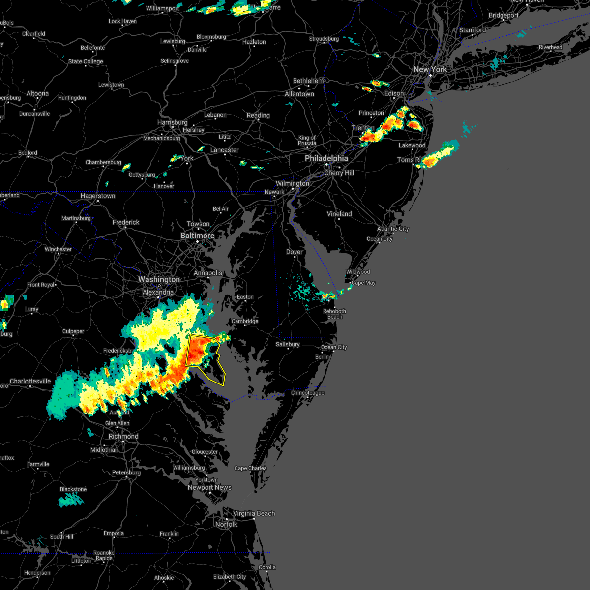 At 619 pm edt, severe thunderstorms were located along a line extending from saint leonard to montross, moving east at 25 mph (radar indicated). Hazards include 60 mph wind gusts. Damaging winds will cause some trees and large branches to fall. this could injure those outdoors, as well as damage homes and vehicles. roadways may become blocked by downed trees. localized power outages are possible. unsecured light objects may become projectiles. Locations impacted include, lexington park, chesapeake ranch estates, leonardtown, piney point, tall timbers, saint inigoes creek, cuckold creek, saint marys city, saint george island, sheridan point, calvert cliffs, greenwell state park, saint leonard creek, saint clements bay, town creek, saint marys river, white point beach, california, lusby and patuxent river naval air station. At 619 pm edt, severe thunderstorms were located along a line extending from saint leonard to montross, moving east at 25 mph (radar indicated). Hazards include 60 mph wind gusts. Damaging winds will cause some trees and large branches to fall. this could injure those outdoors, as well as damage homes and vehicles. roadways may become blocked by downed trees. localized power outages are possible. unsecured light objects may become projectiles. Locations impacted include, lexington park, chesapeake ranch estates, leonardtown, piney point, tall timbers, saint inigoes creek, cuckold creek, saint marys city, saint george island, sheridan point, calvert cliffs, greenwell state park, saint leonard creek, saint clements bay, town creek, saint marys river, white point beach, california, lusby and patuxent river naval air station.
|
| 7/14/2021 6:03 PM EDT |
 At 603 pm edt, severe thunderstorms were located along a line extending from near golden beach to saint clements bay, moving east at 25 mph (radar indicated). Hazards include 60 mph wind gusts. Damaging winds will cause some trees and large branches to fall. this could injure those outdoors, as well as damage homes and vehicles. roadways may become blocked by downed trees. localized power outages are possible. Unsecured light objects may become projectiles. At 603 pm edt, severe thunderstorms were located along a line extending from near golden beach to saint clements bay, moving east at 25 mph (radar indicated). Hazards include 60 mph wind gusts. Damaging winds will cause some trees and large branches to fall. this could injure those outdoors, as well as damage homes and vehicles. roadways may become blocked by downed trees. localized power outages are possible. Unsecured light objects may become projectiles.
|
| 7/8/2021 11:13 PM EDT |
 At 1112 pm edt, a severe thunderstorm capable of producing a tornado was located near patuxent river naval air station, or near lexington park, moving northwest at 30 mph (radar indicated rotation). Hazards include tornado. For those in the direct path of a tornado touchdown, flying debris will be dangerous to those caught without shelter. damage to roofs, siding, and windows may occur. mobile homes may be damaged or destroyed. Tree damage is likely. At 1112 pm edt, a severe thunderstorm capable of producing a tornado was located near patuxent river naval air station, or near lexington park, moving northwest at 30 mph (radar indicated rotation). Hazards include tornado. For those in the direct path of a tornado touchdown, flying debris will be dangerous to those caught without shelter. damage to roofs, siding, and windows may occur. mobile homes may be damaged or destroyed. Tree damage is likely.
|
| 7/8/2021 10:42 PM EDT |
 At 1042 pm edt, a severe thunderstorm capable of producing a tornado was located over saint marys river, moving northwest at 35 mph (radar indicated rotation). Hazards include tornado. For those in the direct path of a tornado touchdown, flying debris will be dangerous to those caught without shelter. damage to roofs, siding, and windows may occur. mobile homes may be damaged or destroyed. tree damage is likely. this tornadic thunderstorm will remain over mainly rural areas of southeastern st. Marys county, including the following locations, dameron, great mills, valley lee, drayden, saint inigoes, park hall, callaway and ridge. At 1042 pm edt, a severe thunderstorm capable of producing a tornado was located over saint marys river, moving northwest at 35 mph (radar indicated rotation). Hazards include tornado. For those in the direct path of a tornado touchdown, flying debris will be dangerous to those caught without shelter. damage to roofs, siding, and windows may occur. mobile homes may be damaged or destroyed. tree damage is likely. this tornadic thunderstorm will remain over mainly rural areas of southeastern st. Marys county, including the following locations, dameron, great mills, valley lee, drayden, saint inigoes, park hall, callaway and ridge.
|
| 7/8/2021 10:31 PM EDT |
 At 1031 pm edt, a severe thunderstorm capable of producing a tornado was located over saint inigoes creek, moving northwest at 35 mph (radar indicated rotation). Hazards include tornado. For those in the direct path of a tornado touchdown, flying debris will be dangerous to those caught without shelter. damage to roofs, siding, and windows may occur. mobile homes may be damaged or destroyed. tree damage is likely. this dangerous storm will be near, saint george island around 1035 pm edt. saint marys river and saint marys city around 1040 pm edt. lexington park, piney point and tall timbers around 1045 pm edt. white point beach around 1055 pm edt. Other locations impacted by this tornadic thunderstorm include point lookout, dameron, great mills, redgate, valley lee, drayden, scotland, saint inigoes, park hall and callaway. At 1031 pm edt, a severe thunderstorm capable of producing a tornado was located over saint inigoes creek, moving northwest at 35 mph (radar indicated rotation). Hazards include tornado. For those in the direct path of a tornado touchdown, flying debris will be dangerous to those caught without shelter. damage to roofs, siding, and windows may occur. mobile homes may be damaged or destroyed. tree damage is likely. this dangerous storm will be near, saint george island around 1035 pm edt. saint marys river and saint marys city around 1040 pm edt. lexington park, piney point and tall timbers around 1045 pm edt. white point beach around 1055 pm edt. Other locations impacted by this tornadic thunderstorm include point lookout, dameron, great mills, redgate, valley lee, drayden, scotland, saint inigoes, park hall and callaway.
|
| 6/9/2021 6:24 PM EDT | Tree damage was reported north of piney point... including a tree blown down in the roadway near the intersection of drayden road and cherryfield road. another tree ble in st. marys county MD, 5.7 miles NNE of Lexington Park, MD |
| 6/9/2021 6:09 PM EDT |
 At 609 pm edt, a severe thunderstorm was located over saint marys city, moving southeast at 5 mph (radar indicated). Hazards include 60 mph wind gusts and quarter size hail. Damaging winds will cause some trees and large branches to fall. this could injure those outdoors, as well as damage homes and vehicles. roadways may become blocked by downed trees. localized power outages are possible. Unsecured light objects may become projectiles. At 609 pm edt, a severe thunderstorm was located over saint marys city, moving southeast at 5 mph (radar indicated). Hazards include 60 mph wind gusts and quarter size hail. Damaging winds will cause some trees and large branches to fall. this could injure those outdoors, as well as damage homes and vehicles. roadways may become blocked by downed trees. localized power outages are possible. Unsecured light objects may become projectiles.
|
| 6/4/2021 3:54 PM EDT |
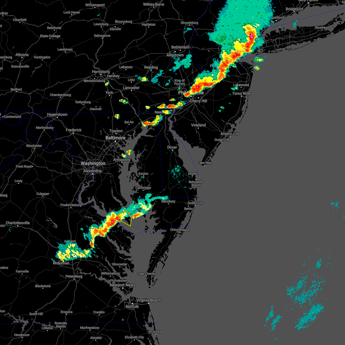 At 354 pm edt, a severe thunderstorm was located over piney point, moving east at 20 mph (radar indicated). Hazards include 60 mph wind gusts and quarter size hail. Damaging winds will cause some trees and large branches to fall. this could injure those outdoors, as well as damage homes and vehicles. roadways may become blocked by downed trees. localized power outages are possible. Unsecured light objects may become projectiles. At 354 pm edt, a severe thunderstorm was located over piney point, moving east at 20 mph (radar indicated). Hazards include 60 mph wind gusts and quarter size hail. Damaging winds will cause some trees and large branches to fall. this could injure those outdoors, as well as damage homes and vehicles. roadways may become blocked by downed trees. localized power outages are possible. Unsecured light objects may become projectiles.
|
| 6/4/2021 3:53 PM EDT |
 At 353 pm edt, a severe thunderstorm was located over piney point, moving east at 20 mph (radar indicated). Hazards include 60 mph wind gusts and quarter size hail. Damaging winds will cause some trees and large branches to fall. this could injure those outdoors, as well as damage homes and vehicles. roadways may become blocked by downed trees. localized power outages are possible. unsecured light objects may become projectiles. Locations impacted include, lexington park, piney point, tall timbers, saint marys city, saint george island, saint marys river, dameron, valley lee, drayden, saint inigoes and park hall. At 353 pm edt, a severe thunderstorm was located over piney point, moving east at 20 mph (radar indicated). Hazards include 60 mph wind gusts and quarter size hail. Damaging winds will cause some trees and large branches to fall. this could injure those outdoors, as well as damage homes and vehicles. roadways may become blocked by downed trees. localized power outages are possible. unsecured light objects may become projectiles. Locations impacted include, lexington park, piney point, tall timbers, saint marys city, saint george island, saint marys river, dameron, valley lee, drayden, saint inigoes and park hall.
|
| 6/4/2021 3:27 PM EDT |
 At 327 pm edt, a severe thunderstorm was located over white point beach, moving east at 20 mph (radar indicated). Hazards include 60 mph wind gusts and quarter size hail. Damaging winds will cause some trees and large branches to fall. this could injure those outdoors, as well as damage homes and vehicles. roadways may become blocked by downed trees. localized power outages are possible. unsecured light objects may become projectiles. Locations impacted include, lexington park, piney point, tall timbers, saint marys city, saint george island, saint marys river, white point beach, california, dameron, valley lee, great mills, drayden, saint inigoes, park hall and callaway. At 327 pm edt, a severe thunderstorm was located over white point beach, moving east at 20 mph (radar indicated). Hazards include 60 mph wind gusts and quarter size hail. Damaging winds will cause some trees and large branches to fall. this could injure those outdoors, as well as damage homes and vehicles. roadways may become blocked by downed trees. localized power outages are possible. unsecured light objects may become projectiles. Locations impacted include, lexington park, piney point, tall timbers, saint marys city, saint george island, saint marys river, white point beach, california, dameron, valley lee, great mills, drayden, saint inigoes, park hall and callaway.
|
| 6/4/2021 3:19 PM EDT |
 At 319 pm edt, a severe thunderstorm was located over saint clements bay, moving southeast at 20 mph (radar indicated). Hazards include 60 mph wind gusts and quarter size hail. Damaging winds will cause some trees and large branches to fall. this could injure those outdoors, as well as damage homes and vehicles. roadways may become blocked by downed trees. localized power outages are possible. Unsecured light objects may become projectiles. At 319 pm edt, a severe thunderstorm was located over saint clements bay, moving southeast at 20 mph (radar indicated). Hazards include 60 mph wind gusts and quarter size hail. Damaging winds will cause some trees and large branches to fall. this could injure those outdoors, as well as damage homes and vehicles. roadways may become blocked by downed trees. localized power outages are possible. Unsecured light objects may become projectiles.
|
| 6/4/2021 3:17 PM EDT |
 At 317 pm edt, severe thunderstorms were located along a line extending from near taylors island to wicomico river, moving east at 20 mph (radar indicated). Hazards include 60 mph wind gusts and quarter size hail. Damaging winds will cause some trees and large branches to fall. this could injure those outdoors, as well as damage homes and vehicles. roadways may become blocked by downed trees. localized power outages are possible. unsecured light objects may become projectiles. Locations impacted include, lexington park, chesapeake ranch estates, leonardtown, saint clements bay, cuckold creek, town creek, white point beach, california, lusby, patuxent river naval air station, drum point, compton, dowell, abell, great mills, redgate, avenue, callaway, oakley and tintop hill. At 317 pm edt, severe thunderstorms were located along a line extending from near taylors island to wicomico river, moving east at 20 mph (radar indicated). Hazards include 60 mph wind gusts and quarter size hail. Damaging winds will cause some trees and large branches to fall. this could injure those outdoors, as well as damage homes and vehicles. roadways may become blocked by downed trees. localized power outages are possible. unsecured light objects may become projectiles. Locations impacted include, lexington park, chesapeake ranch estates, leonardtown, saint clements bay, cuckold creek, town creek, white point beach, california, lusby, patuxent river naval air station, drum point, compton, dowell, abell, great mills, redgate, avenue, callaway, oakley and tintop hill.
|
| 6/4/2021 2:57 PM EDT |
 At 250 pm edt, severe thunderstorms were located along a line extending from saint leonard to colonial beach, moving east at 20 mph (radar indicated). Hazards include 60 mph wind gusts and quarter size hail. Damaging winds will cause some trees and large branches to fall. this could injure those outdoors, as well as damage homes and vehicles. roadways may become blocked by downed trees. localized power outages are possible. Unsecured light objects may become projectiles. At 250 pm edt, severe thunderstorms were located along a line extending from saint leonard to colonial beach, moving east at 20 mph (radar indicated). Hazards include 60 mph wind gusts and quarter size hail. Damaging winds will cause some trees and large branches to fall. this could injure those outdoors, as well as damage homes and vehicles. roadways may become blocked by downed trees. localized power outages are possible. Unsecured light objects may become projectiles.
|
| 6/4/2021 2:50 PM EDT |
 At 250 pm edt, severe thunderstorms were located along a line extending from saint leonard to colonial beach, moving east at 20 mph (radar indicated). Hazards include 60 mph wind gusts and quarter size hail. Damaging winds will cause some trees and large branches to fall. this could injure those outdoors, as well as damage homes and vehicles. roadways may become blocked by downed trees. localized power outages are possible. Unsecured light objects may become projectiles. At 250 pm edt, severe thunderstorms were located along a line extending from saint leonard to colonial beach, moving east at 20 mph (radar indicated). Hazards include 60 mph wind gusts and quarter size hail. Damaging winds will cause some trees and large branches to fall. this could injure those outdoors, as well as damage homes and vehicles. roadways may become blocked by downed trees. localized power outages are possible. Unsecured light objects may become projectiles.
|
| 5/4/2021 6:30 PM EDT |
 At 630 pm edt, severe thunderstorms were located along a line extending from near flag harbor to saint inigoes creek, moving east at 55 mph (radar indicated). Hazards include 60 mph wind gusts. Damaging winds will cause some trees and large branches to fall. this could injure those outdoors, as well as damage homes and vehicles. roadways may become blocked by downed trees. localized power outages are possible. unsecured light objects may become projectiles. Locations impacted include, lexington park, chesapeake ranch estates, saint inigoes creek, cuckold creek, saint marys city, saint george island, calvert cliffs, saint leonard creek, town creek, flag harbor, saint marys river, california, lusby, patuxent river naval air station, saint leonard, drum point, long beach, calvert beach, scotland and drayden. At 630 pm edt, severe thunderstorms were located along a line extending from near flag harbor to saint inigoes creek, moving east at 55 mph (radar indicated). Hazards include 60 mph wind gusts. Damaging winds will cause some trees and large branches to fall. this could injure those outdoors, as well as damage homes and vehicles. roadways may become blocked by downed trees. localized power outages are possible. unsecured light objects may become projectiles. Locations impacted include, lexington park, chesapeake ranch estates, saint inigoes creek, cuckold creek, saint marys city, saint george island, calvert cliffs, saint leonard creek, town creek, flag harbor, saint marys river, california, lusby, patuxent river naval air station, saint leonard, drum point, long beach, calvert beach, scotland and drayden.
|
| 5/4/2021 6:19 PM EDT |
 At 619 pm edt, severe thunderstorms were located along a line extending from hallowing point to near coles point, moving east at 50 mph (radar indicated). Hazards include 60 mph wind gusts. Damaging winds will cause some trees and large branches to fall. this could injure those outdoors, as well as damage homes and vehicles. roadways may become blocked by downed trees. localized power outages are possible. unsecured light objects may become projectiles. Locations impacted include, lexington park, chesapeake ranch estates, leonardtown, prince frederick, piney point, tall timbers, saint inigoes creek, saint marys city, greenwell state park, hallowing point, saint leonard creek, town creek, saint marys river, white point beach, cuckold creek, saint george island, sheridan point, calvert cliffs, saint clements bay and flag harbor. At 619 pm edt, severe thunderstorms were located along a line extending from hallowing point to near coles point, moving east at 50 mph (radar indicated). Hazards include 60 mph wind gusts. Damaging winds will cause some trees and large branches to fall. this could injure those outdoors, as well as damage homes and vehicles. roadways may become blocked by downed trees. localized power outages are possible. unsecured light objects may become projectiles. Locations impacted include, lexington park, chesapeake ranch estates, leonardtown, prince frederick, piney point, tall timbers, saint inigoes creek, saint marys city, greenwell state park, hallowing point, saint leonard creek, town creek, saint marys river, white point beach, cuckold creek, saint george island, sheridan point, calvert cliffs, saint clements bay and flag harbor.
|
| 5/4/2021 6:02 PM EDT |
 At 600 pm edt, severe thunderstorms were located along a line extending from near la plata to near wicomico river, moving east at 50 mph (radar indicated. a wind gust was recorded to 70 mph at monroe creek near the potomac river). Hazards include 70 mph wind gusts. Damaging winds will cause some trees and large branches to fall. this could injure those outdoors, as well as damage homes and vehicles. roadways may become blocked by downed trees. localized power outages are possible. unsecured light objects may become projectiles. Locations impacted include, lexington park, chesapeake ranch estates, la plata, leonardtown, prince frederick, piney point, tall timbers, saint inigoes creek, saint marys city, popes creek, greenwell state park, hallowing point, saint leonard creek, town creek, saint marys river, white point beach, cuckold creek, saint george island, sheridan point and calvert cliffs. At 600 pm edt, severe thunderstorms were located along a line extending from near la plata to near wicomico river, moving east at 50 mph (radar indicated. a wind gust was recorded to 70 mph at monroe creek near the potomac river). Hazards include 70 mph wind gusts. Damaging winds will cause some trees and large branches to fall. this could injure those outdoors, as well as damage homes and vehicles. roadways may become blocked by downed trees. localized power outages are possible. unsecured light objects may become projectiles. Locations impacted include, lexington park, chesapeake ranch estates, la plata, leonardtown, prince frederick, piney point, tall timbers, saint inigoes creek, saint marys city, popes creek, greenwell state park, hallowing point, saint leonard creek, town creek, saint marys river, white point beach, cuckold creek, saint george island, sheridan point and calvert cliffs.
|
| 5/4/2021 5:49 PM EDT |
 At 548 pm edt, severe thunderstorms were located along a line extending from 6 miles southeast of quantico to near leedstown, moving east at 50 mph (radar indicated). Hazards include 60 mph wind gusts. Damaging winds will cause some trees and large branches to fall. this could injure those outdoors, as well as damage homes and vehicles. roadways may become blocked by downed trees. localized power outages are possible. Unsecured light objects may become projectiles. At 548 pm edt, severe thunderstorms were located along a line extending from 6 miles southeast of quantico to near leedstown, moving east at 50 mph (radar indicated). Hazards include 60 mph wind gusts. Damaging winds will cause some trees and large branches to fall. this could injure those outdoors, as well as damage homes and vehicles. roadways may become blocked by downed trees. localized power outages are possible. Unsecured light objects may become projectiles.
|
| 3/28/2021 7:49 PM EDT |
 At 749 pm edt, severe thunderstorms were located along a line extending from saint leonard creek to white point beach, moving east at 45 mph (radar indicated). Hazards include 60 mph wind gusts. Damaging winds will cause some trees and large branches to fall. this could injure those outdoors, as well as damage homes and vehicles. roadways may become blocked by downed trees. localized power outages are possible. unsecured light objects may become projectiles. Locations impacted include, lexington park, chesapeake ranch estates, leonardtown, piney point, tall timbers, cuckold creek, saint marys city, saint george island, calvert cliffs, greenwell state park, saint leonard creek, saint clements bay, town creek, flag harbor, saint marys river, white point beach, california, lusby, patuxent river naval air station and saint leonard. At 749 pm edt, severe thunderstorms were located along a line extending from saint leonard creek to white point beach, moving east at 45 mph (radar indicated). Hazards include 60 mph wind gusts. Damaging winds will cause some trees and large branches to fall. this could injure those outdoors, as well as damage homes and vehicles. roadways may become blocked by downed trees. localized power outages are possible. unsecured light objects may become projectiles. Locations impacted include, lexington park, chesapeake ranch estates, leonardtown, piney point, tall timbers, cuckold creek, saint marys city, saint george island, calvert cliffs, greenwell state park, saint leonard creek, saint clements bay, town creek, flag harbor, saint marys river, white point beach, california, lusby, patuxent river naval air station and saint leonard.
|
| 3/28/2021 7:32 PM EDT |
 At 732 pm edt, severe thunderstorms were located along a line extending from near chesapeake beach to near saint clements bay, moving east at 45 mph (radar indicated). Hazards include 60 mph wind gusts. Damaging winds will cause some trees and large branches to fall. this could injure those outdoors, as well as damage homes and vehicles. roadways may become blocked by downed trees. localized power outages are possible. unsecured light objects may become projectiles. Locations impacted include, lexington park, chesapeake ranch estates, leonardtown, prince frederick, piney point, tall timbers, saint marys city, greenwell state park, hallowing point, saint leonard creek, town creek, wicomico river, saint marys river, white point beach, cuckold creek, saint george island, sheridan point, calvert cliffs, saint clements bay and flag harbor. At 732 pm edt, severe thunderstorms were located along a line extending from near chesapeake beach to near saint clements bay, moving east at 45 mph (radar indicated). Hazards include 60 mph wind gusts. Damaging winds will cause some trees and large branches to fall. this could injure those outdoors, as well as damage homes and vehicles. roadways may become blocked by downed trees. localized power outages are possible. unsecured light objects may become projectiles. Locations impacted include, lexington park, chesapeake ranch estates, leonardtown, prince frederick, piney point, tall timbers, saint marys city, greenwell state park, hallowing point, saint leonard creek, town creek, wicomico river, saint marys river, white point beach, cuckold creek, saint george island, sheridan point, calvert cliffs, saint clements bay and flag harbor.
|
| 3/28/2021 7:19 PM EDT |
 At 719 pm edt, severe thunderstorms were located along a line extending from dunkirk to near colonial beach, moving east at 45 mph (radar indicated). Hazards include 65 mph wind gusts. Damaging winds will cause some trees and large branches to fall. this could injure those outdoors, as well as damage homes and vehicles. roadways may become blocked by downed trees. localized power outages are possible. unsecured light objects may become projectiles. Locations impacted include, lexington park, chesapeake ranch estates, leonardtown, prince frederick, piney point, tall timbers, saint inigoes creek, saint marys city, popes creek, greenwell state park, hallowing point, saint leonard creek, town creek, wicomico river, saint marys river, white point beach, cuckold creek, saint george island, sheridan point and calvert cliffs. At 719 pm edt, severe thunderstorms were located along a line extending from dunkirk to near colonial beach, moving east at 45 mph (radar indicated). Hazards include 65 mph wind gusts. Damaging winds will cause some trees and large branches to fall. this could injure those outdoors, as well as damage homes and vehicles. roadways may become blocked by downed trees. localized power outages are possible. unsecured light objects may become projectiles. Locations impacted include, lexington park, chesapeake ranch estates, leonardtown, prince frederick, piney point, tall timbers, saint inigoes creek, saint marys city, popes creek, greenwell state park, hallowing point, saint leonard creek, town creek, wicomico river, saint marys river, white point beach, cuckold creek, saint george island, sheridan point and calvert cliffs.
|
| 3/28/2021 7:05 PM EDT |
 At 705 pm edt, severe thunderstorms were located along a line extending from near waldorf to near colonial beach, moving east at 45 mph (radar indicated). Hazards include 60 mph wind gusts. Damaging winds will cause some trees and large branches to fall. this could injure those outdoors, as well as damage homes and vehicles. roadways may become blocked by downed trees. localized power outages are possible. Unsecured light objects may become projectiles. At 705 pm edt, severe thunderstorms were located along a line extending from near waldorf to near colonial beach, moving east at 45 mph (radar indicated). Hazards include 60 mph wind gusts. Damaging winds will cause some trees and large branches to fall. this could injure those outdoors, as well as damage homes and vehicles. roadways may become blocked by downed trees. localized power outages are possible. Unsecured light objects may become projectiles.
|
| 8/28/2020 8:36 PM EDT |
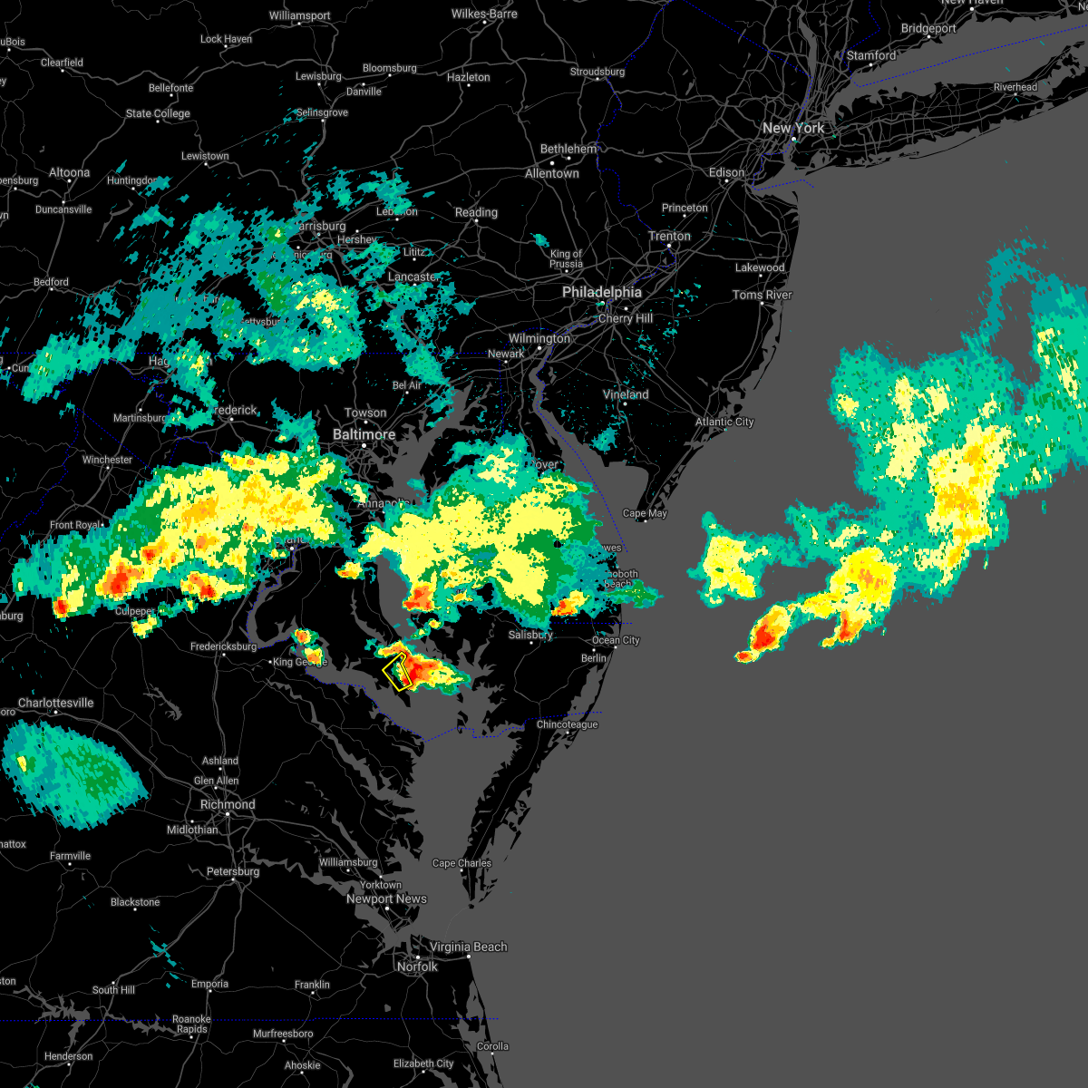 The severe thunderstorm warning for east central st. marys county will expire at 845 pm edt, the storm which prompted the warning is moving out of the area. therefore, the warning will be allowed to expire. The severe thunderstorm warning for east central st. marys county will expire at 845 pm edt, the storm which prompted the warning is moving out of the area. therefore, the warning will be allowed to expire.
|
| 8/28/2020 8:19 PM EDT |
 At 819 pm edt, a severe thunderstorm was located over saint marys city, moving northeast at 20 mph (radar indicated). Hazards include 60 mph wind gusts and quarter size hail. Damaging winds will cause some trees and large branches to fall. this could injure those outdoors, as well as damage homes and vehicles. roadways may become blocked by downed trees. localized power outages are possible. Unsecured light objects may become projectiles. At 819 pm edt, a severe thunderstorm was located over saint marys city, moving northeast at 20 mph (radar indicated). Hazards include 60 mph wind gusts and quarter size hail. Damaging winds will cause some trees and large branches to fall. this could injure those outdoors, as well as damage homes and vehicles. roadways may become blocked by downed trees. localized power outages are possible. Unsecured light objects may become projectiles.
|
| 8/4/2020 6:44 AM EDT |
 At 644 am edt, a severe thunderstorm capable of producing a tornado was located over patuxent river naval air station, or near town creek, moving northwest at 20 mph (radar indicated rotation). Hazards include tornado. For those in the direct path of a tornado touchdown, flying debris will be dangerous to those caught without shelter. damage to roofs, siding, and windows may occur. mobile homes may be damaged or destroyed. tree damage is likely. this dangerous storm will be near, town creek around 650 am edt. cuckold creek, california and lusby around 655 am edt. saint leonard creek, greenwell state park and calvert cliffs around 705 am edt. sheridan point, flag harbor and saint leonard around 715 am edt. Other locations impacted by this tornadic thunderstorm include port republic, drum point, dowell, long beach, hillville, calvert beach, sandgates, dares beach and sotterley. At 644 am edt, a severe thunderstorm capable of producing a tornado was located over patuxent river naval air station, or near town creek, moving northwest at 20 mph (radar indicated rotation). Hazards include tornado. For those in the direct path of a tornado touchdown, flying debris will be dangerous to those caught without shelter. damage to roofs, siding, and windows may occur. mobile homes may be damaged or destroyed. tree damage is likely. this dangerous storm will be near, town creek around 650 am edt. cuckold creek, california and lusby around 655 am edt. saint leonard creek, greenwell state park and calvert cliffs around 705 am edt. sheridan point, flag harbor and saint leonard around 715 am edt. Other locations impacted by this tornadic thunderstorm include port republic, drum point, dowell, long beach, hillville, calvert beach, sandgates, dares beach and sotterley.
|
| 7/28/2020 5:57 PM EDT |
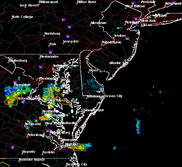 At 557 pm edt, a severe thunderstorm was located over greenwell state park, moving east at 15 mph (radar indicated). Hazards include 60 mph wind gusts. Damaging winds will cause some trees and large branches to fall. this could injure those outdoors, as well as damage homes and vehicles. roadways may become blocked by downed trees. localized power outages are possible. Unsecured light objects may become projectiles. At 557 pm edt, a severe thunderstorm was located over greenwell state park, moving east at 15 mph (radar indicated). Hazards include 60 mph wind gusts. Damaging winds will cause some trees and large branches to fall. this could injure those outdoors, as well as damage homes and vehicles. roadways may become blocked by downed trees. localized power outages are possible. Unsecured light objects may become projectiles.
|
| 7/1/2020 1:07 PM EDT |
 At 107 pm edt, a severe thunderstorm was located over hollywood, or over leonardtown, moving southeast at 10 mph (radar indicated). Hazards include 60 mph wind gusts and quarter size hail. Damaging winds will cause some trees and large branches to fall. this could injure those outdoors, as well as damage homes and vehicles. roadways may become blocked by downed trees. localized power outages are possible. Unsecured light objects may become projectiles. At 107 pm edt, a severe thunderstorm was located over hollywood, or over leonardtown, moving southeast at 10 mph (radar indicated). Hazards include 60 mph wind gusts and quarter size hail. Damaging winds will cause some trees and large branches to fall. this could injure those outdoors, as well as damage homes and vehicles. roadways may become blocked by downed trees. localized power outages are possible. Unsecured light objects may become projectiles.
|
| 7/1/2020 12:50 PM EDT |
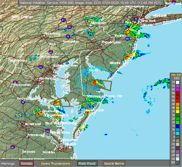 At 1250 pm edt, a severe thunderstorm was located near lexington park, moving east at 15 mph (radar indicated). Hazards include 60 mph wind gusts and quarter size hail. Damaging winds will cause some trees and large branches to fall. this could injure those outdoors, as well as damage homes and vehicles. roadways may become blocked by downed trees. localized power outages are possible. unsecured light objects may become projectiles. Locations impacted include, lexington park, chesapeake ranch estates, town creek, saint marys city, california, lusby, patuxent river naval air station, drum point, dowell, valley lee, great mills, redgate, drayden, park hall and callaway. At 1250 pm edt, a severe thunderstorm was located near lexington park, moving east at 15 mph (radar indicated). Hazards include 60 mph wind gusts and quarter size hail. Damaging winds will cause some trees and large branches to fall. this could injure those outdoors, as well as damage homes and vehicles. roadways may become blocked by downed trees. localized power outages are possible. unsecured light objects may become projectiles. Locations impacted include, lexington park, chesapeake ranch estates, town creek, saint marys city, california, lusby, patuxent river naval air station, drum point, dowell, valley lee, great mills, redgate, drayden, park hall and callaway.
|
| 7/1/2020 12:29 PM EDT |
 At 1229 pm edt, a severe thunderstorm was located over white point beach, moving east at 15 mph (radar indicated). Hazards include 60 mph wind gusts and quarter size hail. Damaging winds will cause some trees and large branches to fall. this could injure those outdoors, as well as damage homes and vehicles. roadways may become blocked by downed trees. localized power outages are possible. Unsecured light objects may become projectiles. At 1229 pm edt, a severe thunderstorm was located over white point beach, moving east at 15 mph (radar indicated). Hazards include 60 mph wind gusts and quarter size hail. Damaging winds will cause some trees and large branches to fall. this could injure those outdoors, as well as damage homes and vehicles. roadways may become blocked by downed trees. localized power outages are possible. Unsecured light objects may become projectiles.
|
| 6/22/2020 4:31 PM EDT |
 At 431 pm edt, severe thunderstorms were located along a line extending from near saint clements bay to tall timbers to near saint george island, moving northeast at 30 mph (radar indicated). Hazards include 60 mph wind gusts and quarter size hail. Damaging winds will cause some trees and large branches to fall. this could injure those outdoors, as well as damage homes and vehicles. roadways may become blocked by downed trees. localized power outages are possible. Unsecured light objects may become projectiles. At 431 pm edt, severe thunderstorms were located along a line extending from near saint clements bay to tall timbers to near saint george island, moving northeast at 30 mph (radar indicated). Hazards include 60 mph wind gusts and quarter size hail. Damaging winds will cause some trees and large branches to fall. this could injure those outdoors, as well as damage homes and vehicles. roadways may become blocked by downed trees. localized power outages are possible. Unsecured light objects may become projectiles.
|
| 5/3/2020 11:32 PM EDT |
 At 1132 pm edt, a severe thunderstorm was located near colonial beach, moving east at 45 mph (radar indicated). Hazards include 60 mph wind gusts. Damaging winds will cause some trees and large branches to fall. this could injure those outdoors, as well as damage homes and vehicles. roadways may become blocked by downed trees. localized power outages are possible. unsecured light objects may become projectiles. Locations impacted include, lexington park, leonardtown, piney point, tall timbers, saint inigoes creek, saint marys city, town creek, wicomico river, saint marys river, cuckold creek, saint george island, saint clements bay, port tobacco river, popes creek, white point beach, california, lusby, patuxent river naval air station, hollywood and wicomico. At 1132 pm edt, a severe thunderstorm was located near colonial beach, moving east at 45 mph (radar indicated). Hazards include 60 mph wind gusts. Damaging winds will cause some trees and large branches to fall. this could injure those outdoors, as well as damage homes and vehicles. roadways may become blocked by downed trees. localized power outages are possible. unsecured light objects may become projectiles. Locations impacted include, lexington park, leonardtown, piney point, tall timbers, saint inigoes creek, saint marys city, town creek, wicomico river, saint marys river, cuckold creek, saint george island, saint clements bay, port tobacco river, popes creek, white point beach, california, lusby, patuxent river naval air station, hollywood and wicomico.
|
| 5/3/2020 11:17 PM EDT |
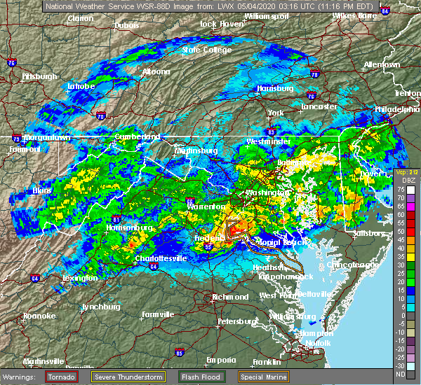 At 1117 pm edt, a severe thunderstorm was located over king george, moving east at 45 mph (radar indicated). Hazards include 60 mph wind gusts. Damaging winds will cause some trees and large branches to fall. this could injure those outdoors, as well as damage homes and vehicles. roadways may become blocked by downed trees. localized power outages are possible. Unsecured light objects may become projectiles. At 1117 pm edt, a severe thunderstorm was located over king george, moving east at 45 mph (radar indicated). Hazards include 60 mph wind gusts. Damaging winds will cause some trees and large branches to fall. this could injure those outdoors, as well as damage homes and vehicles. roadways may become blocked by downed trees. localized power outages are possible. Unsecured light objects may become projectiles.
|
| 4/7/2020 4:30 PM EDT |
 At 430 pm edt, severe thunderstorms were located along a line extending from lusby to near coles point to near newtown, moving southeast at 40 mph (radar indicated). Hazards include 60 mph wind gusts and quarter size hail. Minor damage to vehicles is possible. expect wind damage to trees and powerlines. severe thunderstorms will be near, lexington park and coles point around 435 pm edt. piney point and hague around 440 pm edt. saint george island and kinsale around 445 pm edt. tappahannock and callao around 450 pm edt. lewisetta and millers tavern around 455 pm edt. dunnsville, heathsville and stevensville around 500 pm edt. center cross around 505 pm edt. sharps around 510 pm edt. other locations impacted by these severe thunderstorms include beazley, currioman landing, lottsburg, threeway, valley lee, avalon, brook vale, bertrand, reedville and belle isle state park. People at rappahannock general hospital should seek safe shelter immediately!. At 430 pm edt, severe thunderstorms were located along a line extending from lusby to near coles point to near newtown, moving southeast at 40 mph (radar indicated). Hazards include 60 mph wind gusts and quarter size hail. Minor damage to vehicles is possible. expect wind damage to trees and powerlines. severe thunderstorms will be near, lexington park and coles point around 435 pm edt. piney point and hague around 440 pm edt. saint george island and kinsale around 445 pm edt. tappahannock and callao around 450 pm edt. lewisetta and millers tavern around 455 pm edt. dunnsville, heathsville and stevensville around 500 pm edt. center cross around 505 pm edt. sharps around 510 pm edt. other locations impacted by these severe thunderstorms include beazley, currioman landing, lottsburg, threeway, valley lee, avalon, brook vale, bertrand, reedville and belle isle state park. People at rappahannock general hospital should seek safe shelter immediately!.
|
| 4/7/2020 4:30 PM EDT |
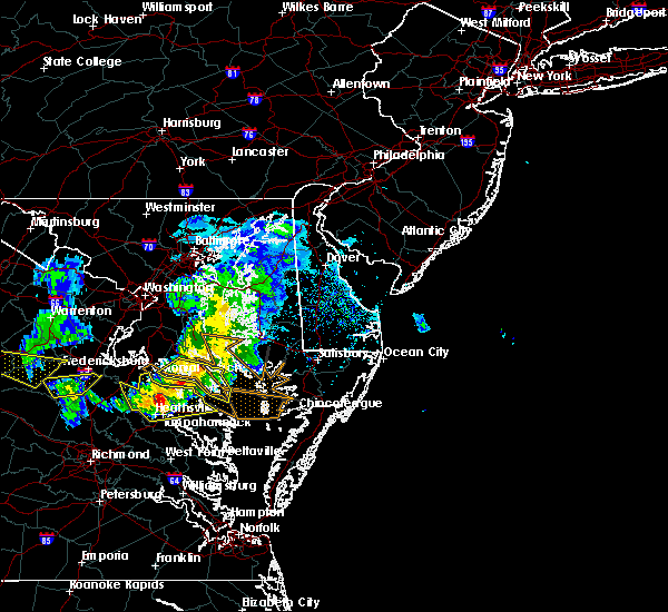 At 430 pm edt, severe thunderstorms were located along a line extending from lusby to near coles point to near newtown, moving southeast at 40 mph (radar indicated). Hazards include 60 mph wind gusts and quarter size hail. Minor damage to vehicles is possible. expect wind damage to trees and powerlines. severe thunderstorms will be near, lexington park and coles point around 435 pm edt. piney point and hague around 440 pm edt. saint george island and kinsale around 445 pm edt. tappahannock and callao around 450 pm edt. lewisetta and millers tavern around 455 pm edt. dunnsville, heathsville and stevensville around 500 pm edt. center cross around 505 pm edt. sharps around 510 pm edt. other locations impacted by these severe thunderstorms include beazley, currioman landing, lottsburg, threeway, valley lee, avalon, brook vale, bertrand, reedville and belle isle state park. People at rappahannock general hospital should seek safe shelter immediately!. At 430 pm edt, severe thunderstorms were located along a line extending from lusby to near coles point to near newtown, moving southeast at 40 mph (radar indicated). Hazards include 60 mph wind gusts and quarter size hail. Minor damage to vehicles is possible. expect wind damage to trees and powerlines. severe thunderstorms will be near, lexington park and coles point around 435 pm edt. piney point and hague around 440 pm edt. saint george island and kinsale around 445 pm edt. tappahannock and callao around 450 pm edt. lewisetta and millers tavern around 455 pm edt. dunnsville, heathsville and stevensville around 500 pm edt. center cross around 505 pm edt. sharps around 510 pm edt. other locations impacted by these severe thunderstorms include beazley, currioman landing, lottsburg, threeway, valley lee, avalon, brook vale, bertrand, reedville and belle isle state park. People at rappahannock general hospital should seek safe shelter immediately!.
|
| 4/7/2020 4:30 PM EDT |
 At 430 pm edt, a severe thunderstorm was located over patuxent river naval air station, or over lexington park, moving east at 45 mph (observed wind and radar indicated. a wind gust to 58 mph was measured at cobb point). Hazards include 60 mph wind gusts. Damaging winds will cause some trees and large branches to fall. this could injure those outdoors, as well as damage homes and vehicles. roadways may become blocked by downed trees. localized power outages are possible. unsecured light objects may become projectiles. Locations impacted include, lexington park, leonardtown, piney point, tall timbers, saint inigoes creek, saint marys city, saint george island, saint clements bay, town creek, saint marys river, white point beach, california, patuxent river naval air station, hollywood, valley lee, scotland, great mills, drayden, saint inigoes and park hall. At 430 pm edt, a severe thunderstorm was located over patuxent river naval air station, or over lexington park, moving east at 45 mph (observed wind and radar indicated. a wind gust to 58 mph was measured at cobb point). Hazards include 60 mph wind gusts. Damaging winds will cause some trees and large branches to fall. this could injure those outdoors, as well as damage homes and vehicles. roadways may become blocked by downed trees. localized power outages are possible. unsecured light objects may become projectiles. Locations impacted include, lexington park, leonardtown, piney point, tall timbers, saint inigoes creek, saint marys city, saint george island, saint clements bay, town creek, saint marys river, white point beach, california, patuxent river naval air station, hollywood, valley lee, scotland, great mills, drayden, saint inigoes and park hall.
|
| 4/7/2020 4:18 PM EDT |
 At 418 pm edt, a severe thunderstorm was located over leonardtown, moving east at 45 mph (observedf wind and radar indicated. cobb point measured a wind gust of 58 mph). Hazards include 60 mph wind gusts. Damaging winds will cause some trees and large branches to fall. this could injure those outdoors, as well as damage homes and vehicles. roadways may become blocked by downed trees. localized power outages are possible. unsecured light objects may become projectiles. Locations impacted include, lexington park, leonardtown, piney point, tall timbers, saint inigoes creek, saint marys city, saint george island, saint clements bay, town creek, wicomico river, saint marys river, white point beach, california, patuxent river naval air station, hollywood, cobb island, rock point, bushwood, clements and issue. At 418 pm edt, a severe thunderstorm was located over leonardtown, moving east at 45 mph (observedf wind and radar indicated. cobb point measured a wind gust of 58 mph). Hazards include 60 mph wind gusts. Damaging winds will cause some trees and large branches to fall. this could injure those outdoors, as well as damage homes and vehicles. roadways may become blocked by downed trees. localized power outages are possible. unsecured light objects may become projectiles. Locations impacted include, lexington park, leonardtown, piney point, tall timbers, saint inigoes creek, saint marys city, saint george island, saint clements bay, town creek, wicomico river, saint marys river, white point beach, california, patuxent river naval air station, hollywood, cobb island, rock point, bushwood, clements and issue.
|
| 4/7/2020 4:04 PM EDT |
 At 404 pm edt, a severe thunderstorm was located near wicomico river, moving east at 45 mph (radar indicated). Hazards include 60 mph wind gusts. Damaging winds will cause some trees and large branches to fall. this could injure those outdoors, as well as damage homes and vehicles. roadways may become blocked by downed trees. localized power outages are possible. Unsecured light objects may become projectiles. At 404 pm edt, a severe thunderstorm was located near wicomico river, moving east at 45 mph (radar indicated). Hazards include 60 mph wind gusts. Damaging winds will cause some trees and large branches to fall. this could injure those outdoors, as well as damage homes and vehicles. roadways may become blocked by downed trees. localized power outages are possible. Unsecured light objects may become projectiles.
|
| 2/7/2020 9:21 AM EST |
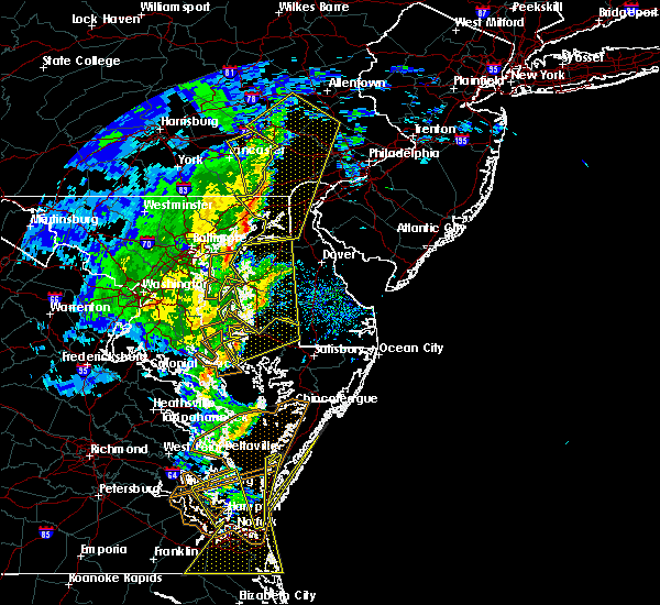 At 921 am est, a severe thunderstorm was located near lexington park, moving east at 50 mph (radar indicated). Hazards include 60 mph wind gusts. Damaging winds will cause some trees and large branches to fall. this could injure those outdoors, as well as damage homes and vehicles. roadways may become blocked by downed trees. localized power outages are possible. unsecured light objects may become projectiles. Locations impacted include, lexington park, chesapeake ranch estates, saint inigoes creek, saint marys city, saint george island, saint marys river, california, patuxent river naval air station, drum point, dameron, drayden, saint inigoes, park hall and ridge. At 921 am est, a severe thunderstorm was located near lexington park, moving east at 50 mph (radar indicated). Hazards include 60 mph wind gusts. Damaging winds will cause some trees and large branches to fall. this could injure those outdoors, as well as damage homes and vehicles. roadways may become blocked by downed trees. localized power outages are possible. unsecured light objects may become projectiles. Locations impacted include, lexington park, chesapeake ranch estates, saint inigoes creek, saint marys city, saint george island, saint marys river, california, patuxent river naval air station, drum point, dameron, drayden, saint inigoes, park hall and ridge.
|
| 2/7/2020 9:17 AM EST | Storm damage reported in st. marys county MD, 2.2 miles SW of Lexington Park, MD |
| 2/7/2020 9:16 AM EST | Storm damage reported in st. marys county MD, 2.2 miles SW of Lexington Park, MD |
| 2/7/2020 9:16 AM EST |
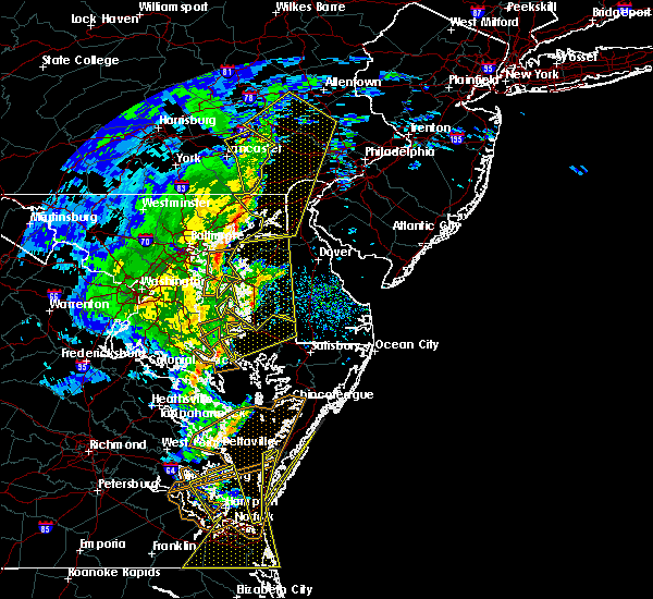 At 916 am est, a severe thunderstorm was located over lexington park, moving east at 50 mph (radar indicated). Hazards include 60 mph wind gusts. Damaging winds will cause some trees and large branches to fall. this could injure those outdoors, as well as damage homes and vehicles. roadways may become blocked by downed trees. localized power outages are possible. Unsecured light objects may become projectiles. At 916 am est, a severe thunderstorm was located over lexington park, moving east at 50 mph (radar indicated). Hazards include 60 mph wind gusts. Damaging winds will cause some trees and large branches to fall. this could injure those outdoors, as well as damage homes and vehicles. roadways may become blocked by downed trees. localized power outages are possible. Unsecured light objects may become projectiles.
|
| 2/7/2020 9:12 AM EST | Large tree splintered down the middl in st. marys county MD, 2.7 miles SE of Lexington Park, MD |
| 2/7/2020 9:02 AM EST |
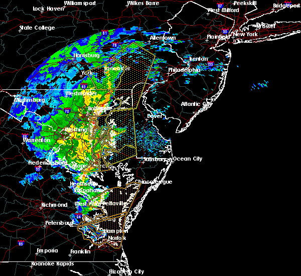 At 902 am est, severe thunderstorms were located along a line extending from near flag harbor to cuckold creek to white point beach, moving northeast at 60 mph (radar indicated). Hazards include 60 mph wind gusts. Damaging winds will cause some trees and large branches to fall. this could injure those outdoors, as well as damage homes and vehicles. roadways may become blocked by downed trees. localized power outages are possible. unsecured light objects may become projectiles. Locations impacted include, lexington park, chesapeake ranch estates, leonardtown, greenwell state park, saint leonard creek, cuckold creek, town creek, flag harbor, calvert cliffs, white point beach, california, lusby, saint leonard, patuxent river naval air station, drum point, long beach, calvert beach, dowell, sotterley and great mills. At 902 am est, severe thunderstorms were located along a line extending from near flag harbor to cuckold creek to white point beach, moving northeast at 60 mph (radar indicated). Hazards include 60 mph wind gusts. Damaging winds will cause some trees and large branches to fall. this could injure those outdoors, as well as damage homes and vehicles. roadways may become blocked by downed trees. localized power outages are possible. unsecured light objects may become projectiles. Locations impacted include, lexington park, chesapeake ranch estates, leonardtown, greenwell state park, saint leonard creek, cuckold creek, town creek, flag harbor, calvert cliffs, white point beach, california, lusby, saint leonard, patuxent river naval air station, drum point, long beach, calvert beach, dowell, sotterley and great mills.
|
| 2/7/2020 8:56 AM EST |
 At 856 am est, a severe thunderstorm was located near greenwell state park, moving northeast at 60 mph (radar indicated). Hazards include 60 mph wind gusts. Damaging winds will cause some trees and large branches to fall. this could injure those outdoors, as well as damage homes and vehicles. roadways may become blocked by downed trees. localized power outages are possible. unsecured light objects may become projectiles. Locations impacted include, lexington park, chesapeake ranch estates, leonardtown, cuckold creek, sheridan point, calvert cliffs, greenwell state park, saint leonard creek, town creek, flag harbor, white point beach, california, lusby, patuxent river naval air station, saint leonard, hollywood, drum point, long beach, calvert beach and port republic. At 856 am est, a severe thunderstorm was located near greenwell state park, moving northeast at 60 mph (radar indicated). Hazards include 60 mph wind gusts. Damaging winds will cause some trees and large branches to fall. this could injure those outdoors, as well as damage homes and vehicles. roadways may become blocked by downed trees. localized power outages are possible. unsecured light objects may become projectiles. Locations impacted include, lexington park, chesapeake ranch estates, leonardtown, cuckold creek, sheridan point, calvert cliffs, greenwell state park, saint leonard creek, town creek, flag harbor, white point beach, california, lusby, patuxent river naval air station, saint leonard, hollywood, drum point, long beach, calvert beach and port republic.
|
| 2/7/2020 8:48 AM EST |
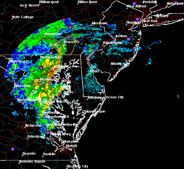 At 848 am est, a severe thunderstorm was located near leonardtown, moving northeast at 60 mph (radar indicated). Hazards include 60 mph wind gusts. Damaging winds will cause some trees and large branches to fall. this could injure those outdoors, as well as damage homes and vehicles. roadways may become blocked by downed trees. localized power outages are possible. Unsecured light objects may become projectiles. At 848 am est, a severe thunderstorm was located near leonardtown, moving northeast at 60 mph (radar indicated). Hazards include 60 mph wind gusts. Damaging winds will cause some trees and large branches to fall. this could injure those outdoors, as well as damage homes and vehicles. roadways may become blocked by downed trees. localized power outages are possible. Unsecured light objects may become projectiles.
|
| 10/31/2019 11:55 PM EDT |
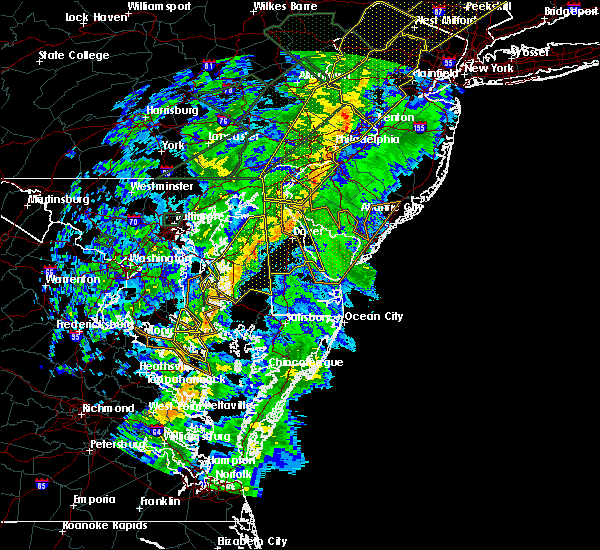 At 1140 pm edt, severe thunderstorms were located along a line extending from calvert cliffs to california, moving northeast at 60 mph (radar indicated). Hazards include 60 mph wind gusts. Damaging winds will cause some trees and large branches to fall. this could injure those outdoors, as well as damage homes and vehicles. roadways may become blocked by downed trees. localized power outages are possible. unsecured light objects may become projectiles. Locations impacted include, lexington park, piney point, tall timbers, saint inigoes creek, saint marys city, saint george island, saint marys river, california, patuxent river naval air station, dameron, valley lee, scotland, point lookout, great mills, redgate, drayden, saint inigoes, park hall, callaway and ridge. At 1140 pm edt, severe thunderstorms were located along a line extending from calvert cliffs to california, moving northeast at 60 mph (radar indicated). Hazards include 60 mph wind gusts. Damaging winds will cause some trees and large branches to fall. this could injure those outdoors, as well as damage homes and vehicles. roadways may become blocked by downed trees. localized power outages are possible. unsecured light objects may become projectiles. Locations impacted include, lexington park, piney point, tall timbers, saint inigoes creek, saint marys city, saint george island, saint marys river, california, patuxent river naval air station, dameron, valley lee, scotland, point lookout, great mills, redgate, drayden, saint inigoes, park hall, callaway and ridge.
|
| 10/31/2019 11:40 PM EDT |
 At 1140 pm edt, severe thunderstorms were located along a line extending from calvert cliffs to california, moving northeast at 60 mph (radar indicated). Hazards include 60 mph wind gusts. Damaging winds will cause some trees and large branches to fall. this could injure those outdoors, as well as damage homes and vehicles. roadways may become blocked by downed trees. localized power outages are possible. unsecured light objects may become projectiles. Locations impacted include, lexington park, piney point, tall timbers, saint inigoes creek, saint marys city, saint george island, saint marys river, california, patuxent river naval air station, dameron, valley lee, scotland, point lookout, great mills, redgate, drayden, saint inigoes, park hall, callaway and ridge. At 1140 pm edt, severe thunderstorms were located along a line extending from calvert cliffs to california, moving northeast at 60 mph (radar indicated). Hazards include 60 mph wind gusts. Damaging winds will cause some trees and large branches to fall. this could injure those outdoors, as well as damage homes and vehicles. roadways may become blocked by downed trees. localized power outages are possible. unsecured light objects may become projectiles. Locations impacted include, lexington park, piney point, tall timbers, saint inigoes creek, saint marys city, saint george island, saint marys river, california, patuxent river naval air station, dameron, valley lee, scotland, point lookout, great mills, redgate, drayden, saint inigoes, park hall, callaway and ridge.
|
| 10/31/2019 11:22 PM EDT |
 At 1122 pm edt, severe thunderstorms were located along a line extending from near leonardtown to near saint clements bay, moving northeast at 60 mph (radar indicated. a mesonet at cobb point gusted over 60 mph). Hazards include 60 mph wind gusts. Damaging winds will cause some trees and large branches to fall. this could injure those outdoors, as well as damage homes and vehicles. roadways may become blocked by downed trees. localized power outages are possible. Unsecured light objects may become projectiles. At 1122 pm edt, severe thunderstorms were located along a line extending from near leonardtown to near saint clements bay, moving northeast at 60 mph (radar indicated. a mesonet at cobb point gusted over 60 mph). Hazards include 60 mph wind gusts. Damaging winds will cause some trees and large branches to fall. this could injure those outdoors, as well as damage homes and vehicles. roadways may become blocked by downed trees. localized power outages are possible. Unsecured light objects may become projectiles.
|
| 8/19/2019 6:30 PM EDT | Storm damage reported in anz537 county MD, 10 miles NNE of Lexington Park, MD |
| 7/31/2019 6:18 PM EDT |
 At 618 pm edt, a severe thunderstorm was located over piney point, moving east at 20 mph (radar indicated). Hazards include 60 mph wind gusts. Damaging winds will cause some trees and large branches to fall. this could injure those outdoors, as well as damage homes and vehicles. roadways may become blocked by downed trees. localized power outages are possible. unsecured light objects may become projectiles. Locations impacted include, lexington park, piney point, tall timbers, saint inigoes creek, saint marys city, saint george island, saint marys river, dameron, valley lee, scotland, drayden, saint inigoes, park hall and ridge. At 618 pm edt, a severe thunderstorm was located over piney point, moving east at 20 mph (radar indicated). Hazards include 60 mph wind gusts. Damaging winds will cause some trees and large branches to fall. this could injure those outdoors, as well as damage homes and vehicles. roadways may become blocked by downed trees. localized power outages are possible. unsecured light objects may become projectiles. Locations impacted include, lexington park, piney point, tall timbers, saint inigoes creek, saint marys city, saint george island, saint marys river, dameron, valley lee, scotland, drayden, saint inigoes, park hall and ridge.
|
| 7/31/2019 5:58 PM EDT |
 At 558 pm edt, a severe thunderstorm was located over coles point, or near tall timbers, moving northeast at 20 mph (radar indicated). Hazards include 60 mph wind gusts and quarter size hail. Damaging winds will cause some trees and large branches to fall. this could injure those outdoors, as well as damage homes and vehicles. roadways may become blocked by downed trees. localized power outages are possible. Unsecured light objects may become projectiles. At 558 pm edt, a severe thunderstorm was located over coles point, or near tall timbers, moving northeast at 20 mph (radar indicated). Hazards include 60 mph wind gusts and quarter size hail. Damaging winds will cause some trees and large branches to fall. this could injure those outdoors, as well as damage homes and vehicles. roadways may become blocked by downed trees. localized power outages are possible. Unsecured light objects may become projectiles.
|
| 7/11/2019 7:30 PM EDT |
 At 729 pm edt, severe thunderstorms were located along a line extending from near piney point to callao, moving northeast at 35 mph (radar indicated). Hazards include 60 mph wind gusts. Damaging winds will cause some trees and large branches to fall. this could injure those outdoors, as well as damage homes and vehicles. roadways may become blocked by downed trees. localized power outages are possible. Unsecured light objects may become projectiles. At 729 pm edt, severe thunderstorms were located along a line extending from near piney point to callao, moving northeast at 35 mph (radar indicated). Hazards include 60 mph wind gusts. Damaging winds will cause some trees and large branches to fall. this could injure those outdoors, as well as damage homes and vehicles. roadways may become blocked by downed trees. localized power outages are possible. Unsecured light objects may become projectiles.
|
| 7/8/2019 11:51 AM EDT |
 The severe thunderstorm warning for southern st. marys county will expire at noon edt, the storm which prompted the warning has weakened below severe limits, and has exited the warned area. therefore, the warning will be allowed to expire. however gusty winds are still possible with this thunderstorm. The severe thunderstorm warning for southern st. marys county will expire at noon edt, the storm which prompted the warning has weakened below severe limits, and has exited the warned area. therefore, the warning will be allowed to expire. however gusty winds are still possible with this thunderstorm.
|
| 7/8/2019 11:37 AM EDT |
 At 1137 am edt, a severe thunderstorm was located over leonardtown, moving southeast at 25 mph (radar indicated). Hazards include 60 mph wind gusts. Damaging winds will cause some trees and large branches to fall. this could injure those outdoors, as well as damage homes and vehicles. roadways may become blocked by downed trees. localized power outages are possible. unsecured light objects may become projectiles. Locations impacted include, lexington park, leonardtown, piney point, tall timbers, saint inigoes creek, saint marys city, saint george island, saint marys river, white point beach, california, dameron, compton, abell, valley lee, scotland, tintop hill, great mills, redgate, drayden and saint inigoes. At 1137 am edt, a severe thunderstorm was located over leonardtown, moving southeast at 25 mph (radar indicated). Hazards include 60 mph wind gusts. Damaging winds will cause some trees and large branches to fall. this could injure those outdoors, as well as damage homes and vehicles. roadways may become blocked by downed trees. localized power outages are possible. unsecured light objects may become projectiles. Locations impacted include, lexington park, leonardtown, piney point, tall timbers, saint inigoes creek, saint marys city, saint george island, saint marys river, white point beach, california, dameron, compton, abell, valley lee, scotland, tintop hill, great mills, redgate, drayden and saint inigoes.
|
| 7/8/2019 11:18 AM EDT |
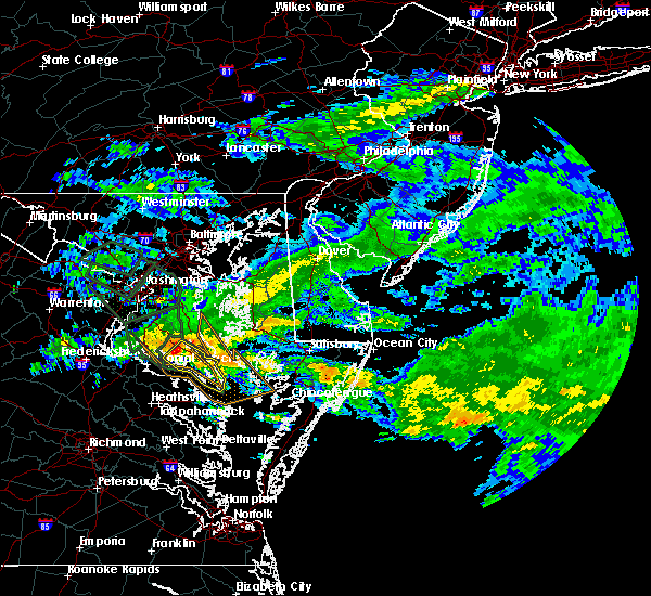 At 1118 am edt, a severe thunderstorm was located near leonardtown, moving southeast at 30 mph (radar indicated). Hazards include 60 mph wind gusts. Damaging winds will cause some trees and large branches to fall. this could injure those outdoors, as well as damage homes and vehicles. roadways may become blocked by downed trees. localized power outages are possible. Unsecured light objects may become projectiles. At 1118 am edt, a severe thunderstorm was located near leonardtown, moving southeast at 30 mph (radar indicated). Hazards include 60 mph wind gusts. Damaging winds will cause some trees and large branches to fall. this could injure those outdoors, as well as damage homes and vehicles. roadways may become blocked by downed trees. localized power outages are possible. Unsecured light objects may become projectiles.
|
| 6/17/2019 5:35 PM EDT |
 The severe thunderstorm warning for southeastern st. marys county will expire at 545 pm edt, the storm which prompted the warning has moved out of the area. therefore, the warning will be allowed to expire. a severe thunderstorm watch remains in effect until 1100 pm edt for southern maryland. to report severe weather, contact your nearest law enforcement agency. they will relay your report to the national weather service sterling virginia. The severe thunderstorm warning for southeastern st. marys county will expire at 545 pm edt, the storm which prompted the warning has moved out of the area. therefore, the warning will be allowed to expire. a severe thunderstorm watch remains in effect until 1100 pm edt for southern maryland. to report severe weather, contact your nearest law enforcement agency. they will relay your report to the national weather service sterling virginia.
|
| 6/17/2019 5:13 PM EDT |
 At 513 pm edt, a severe thunderstorm was located over lexington park, moving east at 20 mph (radar indicated). Hazards include 60 mph wind gusts and half dollar size hail. Damaging winds will cause some trees and large branches to fall. this could injure those outdoors, as well as damage homes and vehicles. roadways may become blocked by downed trees. localized power outages are possible. Unsecured light objects may become projectiles. At 513 pm edt, a severe thunderstorm was located over lexington park, moving east at 20 mph (radar indicated). Hazards include 60 mph wind gusts and half dollar size hail. Damaging winds will cause some trees and large branches to fall. this could injure those outdoors, as well as damage homes and vehicles. roadways may become blocked by downed trees. localized power outages are possible. Unsecured light objects may become projectiles.
|
| 6/17/2019 4:57 PM EDT |
 At 456 pm edt, a severe thunderstorm was located over california, or near lexington park, moving east at 20 mph (radar indicated). Hazards include ping pong ball size hail and 60 mph wind gusts. Damaging winds will cause some trees and large branches to fall. this could injure those outdoors, as well as damage homes and vehicles. roadways may become blocked by downed trees. localized power outages are possible. unsecured light objects may become projectiles. Locations impacted include, lexington park, chesapeake ranch estates, town creek, saint marys city, saint marys river, california, lusby, patuxent river naval air station, drum point, dameron, valley lee, great mills, redgate, drayden, park hall and callaway. At 456 pm edt, a severe thunderstorm was located over california, or near lexington park, moving east at 20 mph (radar indicated). Hazards include ping pong ball size hail and 60 mph wind gusts. Damaging winds will cause some trees and large branches to fall. this could injure those outdoors, as well as damage homes and vehicles. roadways may become blocked by downed trees. localized power outages are possible. unsecured light objects may become projectiles. Locations impacted include, lexington park, chesapeake ranch estates, town creek, saint marys city, saint marys river, california, lusby, patuxent river naval air station, drum point, dameron, valley lee, great mills, redgate, drayden, park hall and callaway.
|
| 6/17/2019 4:38 PM EDT |
 At 438 pm edt, a severe thunderstorm was located over leonardtown, moving east at 20 mph (radar indicated). Hazards include 60 mph wind gusts and quarter size hail. Damaging winds will cause some trees and large branches to fall. this could injure those outdoors, as well as damage homes and vehicles. roadways may become blocked by downed trees. localized power outages are possible. Unsecured light objects may become projectiles. At 438 pm edt, a severe thunderstorm was located over leonardtown, moving east at 20 mph (radar indicated). Hazards include 60 mph wind gusts and quarter size hail. Damaging winds will cause some trees and large branches to fall. this could injure those outdoors, as well as damage homes and vehicles. roadways may become blocked by downed trees. localized power outages are possible. Unsecured light objects may become projectiles.
|
| 5/30/2019 4:55 PM EDT |
 The severe thunderstorm warning for st. marys, calvert, southeastern prince georges and southeastern charles counties will expire at 500 pm edt, the storms which prompted the warning have weakened below severe limits, and no longer pose an immediate threat to life or property. therefore, the warning will be allowed to expire. a severe thunderstorm watch remains in effect until 900 pm edt for southern and central maryland. The severe thunderstorm warning for st. marys, calvert, southeastern prince georges and southeastern charles counties will expire at 500 pm edt, the storms which prompted the warning have weakened below severe limits, and no longer pose an immediate threat to life or property. therefore, the warning will be allowed to expire. a severe thunderstorm watch remains in effect until 900 pm edt for southern and central maryland.
|
| 5/30/2019 4:40 PM EDT |
 At 440 pm edt, severe thunderstorms were located along a line extending from near tilghman island to 7 miles east of popes creek, moving east at 45 mph (radar indicated). Hazards include 60 mph wind gusts. Damaging winds will cause some trees and large branches to fall. this could injure those outdoors, as well as damage homes and vehicles. roadways may become blocked by downed trees. localized power outages are possible. unsecured light objects may become projectiles. Locations impacted include, lexington park, chesapeake ranch estates, chesapeake beach, leonardtown, prince frederick, hallowing point, saint leonard creek, sheridan point, calvert cliffs, flag harbor, california, golden beach, lusby, patuxent river naval air station, hollywood, saint leonard, wicomico, huntingtown, drum point and hughesville. At 440 pm edt, severe thunderstorms were located along a line extending from near tilghman island to 7 miles east of popes creek, moving east at 45 mph (radar indicated). Hazards include 60 mph wind gusts. Damaging winds will cause some trees and large branches to fall. this could injure those outdoors, as well as damage homes and vehicles. roadways may become blocked by downed trees. localized power outages are possible. unsecured light objects may become projectiles. Locations impacted include, lexington park, chesapeake ranch estates, chesapeake beach, leonardtown, prince frederick, hallowing point, saint leonard creek, sheridan point, calvert cliffs, flag harbor, california, golden beach, lusby, patuxent river naval air station, hollywood, saint leonard, wicomico, huntingtown, drum point and hughesville.
|
| 5/30/2019 4:19 PM EDT |
 At 419 pm edt, severe thunderstorms were located along a line extending from near dunkirk to near nanjemoy creek, moving east at 45 mph (radar indicated). Hazards include 60 mph wind gusts. Damaging winds will cause some trees and large branches to fall. this could injure those outdoors, as well as damage homes and vehicles. roadways may become blocked by downed trees. localized power outages are possible. Unsecured light objects may become projectiles. At 419 pm edt, severe thunderstorms were located along a line extending from near dunkirk to near nanjemoy creek, moving east at 45 mph (radar indicated). Hazards include 60 mph wind gusts. Damaging winds will cause some trees and large branches to fall. this could injure those outdoors, as well as damage homes and vehicles. roadways may become blocked by downed trees. localized power outages are possible. Unsecured light objects may become projectiles.
|
| 5/23/2019 5:42 PM EDT |
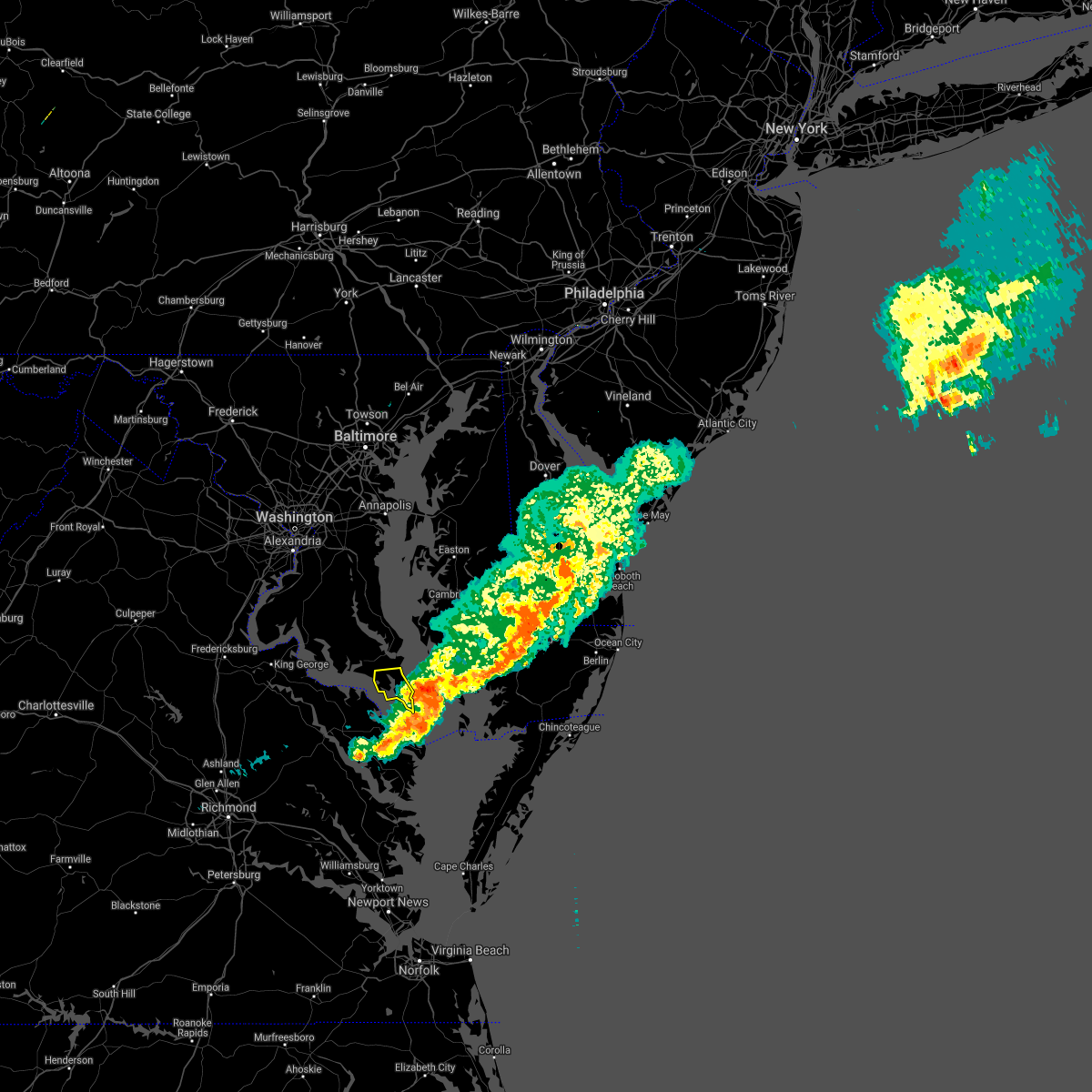 The severe thunderstorm warning for southeastern st. marys county will expire at 545 pm edt, the storm which prompted the warning has moved out of the area. therefore, the warning will be allowed to expire. a severe thunderstorm watch remains in effect until 800 pm edt for southern maryland. The severe thunderstorm warning for southeastern st. marys county will expire at 545 pm edt, the storm which prompted the warning has moved out of the area. therefore, the warning will be allowed to expire. a severe thunderstorm watch remains in effect until 800 pm edt for southern maryland.
|
| 5/23/2019 5:27 PM EDT |
 At 527 pm edt, a severe thunderstorm was located over saint inigoes creek, moving east at 60 mph (radar indicated). Hazards include 60 mph wind gusts. Damaging winds will cause some trees and large branches to fall. this could injure those outdoors, as well as damage homes and vehicles. roadways may become blocked by downed trees. localized power outages are possible. Unsecured light objects may become projectiles. At 527 pm edt, a severe thunderstorm was located over saint inigoes creek, moving east at 60 mph (radar indicated). Hazards include 60 mph wind gusts. Damaging winds will cause some trees and large branches to fall. this could injure those outdoors, as well as damage homes and vehicles. roadways may become blocked by downed trees. localized power outages are possible. Unsecured light objects may become projectiles.
|
| 5/23/2019 5:24 PM EDT |
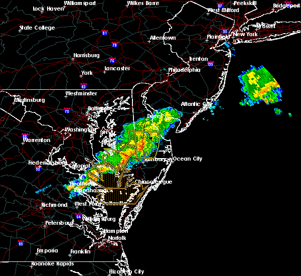 At 524 pm edt, severe thunderstorms were located along a line extending from near hebron to heathsville, moving east at 60 mph (radar indicated). Hazards include 70 mph wind gusts and quarter size hail. Damaging winds will cause some trees and large branches to fall. this could injure those outdoors, as well as damage homes and vehicles. roadways may become blocked by downed trees. localized power outages are possible. unsecured light objects may become projectiles. Locations impacted include, lexington park, piney point, tall timbers, saint inigoes creek, saint marys city, saint marys river, town creek, california, dameron, valley lee, scotland, great mills, drayden, saint inigoes, park hall, callaway and ridge. At 524 pm edt, severe thunderstorms were located along a line extending from near hebron to heathsville, moving east at 60 mph (radar indicated). Hazards include 70 mph wind gusts and quarter size hail. Damaging winds will cause some trees and large branches to fall. this could injure those outdoors, as well as damage homes and vehicles. roadways may become blocked by downed trees. localized power outages are possible. unsecured light objects may become projectiles. Locations impacted include, lexington park, piney point, tall timbers, saint inigoes creek, saint marys city, saint marys river, town creek, california, dameron, valley lee, scotland, great mills, drayden, saint inigoes, park hall, callaway and ridge.
|
| 5/23/2019 5:18 PM EDT |
 At 518 pm edt, severe thunderstorms were located along a line extending from near callaway into the northern neck of virginia, moving east at 55 mph (radar indicated). Hazards include 70 mph wind gusts and quarter size hail. Damaging winds will cause some trees and large branches to fall. this could injure those outdoors, as well as damage homes and vehicles. roadways may become blocked by downed trees. localized power outages are possible. unsecured light objects may become projectiles. Locations impacted include, lexington park, leonardtown, piney point, tall timbers, saint clements bay, saint inigoes creek, saint marys city, saint marys river, town creek, white point beach, california, dameron, valley lee, scotland, great mills, redgate, drayden, saint inigoes, park hall and callaway. At 518 pm edt, severe thunderstorms were located along a line extending from near callaway into the northern neck of virginia, moving east at 55 mph (radar indicated). Hazards include 70 mph wind gusts and quarter size hail. Damaging winds will cause some trees and large branches to fall. this could injure those outdoors, as well as damage homes and vehicles. roadways may become blocked by downed trees. localized power outages are possible. unsecured light objects may become projectiles. Locations impacted include, lexington park, leonardtown, piney point, tall timbers, saint clements bay, saint inigoes creek, saint marys city, saint marys river, town creek, white point beach, california, dameron, valley lee, scotland, great mills, redgate, drayden, saint inigoes, park hall and callaway.
|
| 5/23/2019 4:58 PM EDT | Medium sized branches down in st. marys county MD, 2.7 miles SE of Lexington Park, MD |
| 5/23/2019 4:42 PM EDT |
 At 441 pm edt, severe thunderstorms were located along a line extending from 7 miles east of breezy point to near port royal, moving east at 60 mph (radar indicated). Hazards include two inch hail and 70 mph wind gusts. Expect wind damage to trees and power lines. hail is large enough to dent and damage vehicles. Some hail damage to roofs, siding, and windows is possible. At 441 pm edt, severe thunderstorms were located along a line extending from 7 miles east of breezy point to near port royal, moving east at 60 mph (radar indicated). Hazards include two inch hail and 70 mph wind gusts. Expect wind damage to trees and power lines. hail is large enough to dent and damage vehicles. Some hail damage to roofs, siding, and windows is possible.
|
| 5/2/2019 7:11 PM EDT |
 The severe thunderstorm warning for central st. marys and southeastern calvert counties will expire at 715 pm edt, the storms which prompted the warning have weakened below severe limits, and no longer pose an immediate threat to life or property. therefore, the warning will be allowed to expire. however gusty winds and heavy rain are still possible with these thunderstorms. to report severe weather, contact your nearest law enforcement agency. they will relay your report to the national weather service sterling virginia. The severe thunderstorm warning for central st. marys and southeastern calvert counties will expire at 715 pm edt, the storms which prompted the warning have weakened below severe limits, and no longer pose an immediate threat to life or property. therefore, the warning will be allowed to expire. however gusty winds and heavy rain are still possible with these thunderstorms. to report severe weather, contact your nearest law enforcement agency. they will relay your report to the national weather service sterling virginia.
|
| 5/2/2019 6:52 PM EDT |
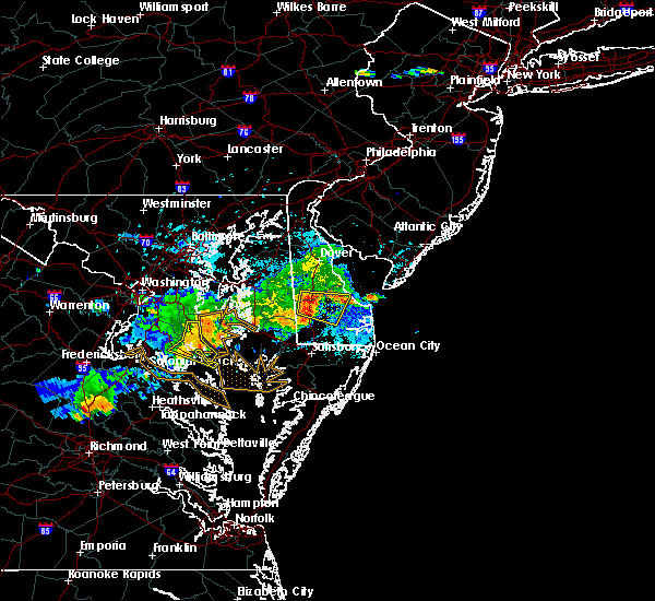 At 652 pm edt, severe thunderstorms were located along a line extending from near calvert cliffs to hollywood, moving east at 35 mph (radar indicated). Hazards include 60 mph wind gusts. Damaging winds will cause some trees and large branches to fall. this could injure those outdoors, as well as damage homes and vehicles. roadways may become blocked by downed trees. localized power outages are possible. unsecured light objects may become projectiles. Locations impacted include, lexington park, chesapeake ranch estates, saint leonard creek, town creek, flag harbor, california, lusby, saint leonard, patuxent river naval air station, hollywood, drum point, long beach, calvert beach, port republic, dowell, hillville and sandgates. At 652 pm edt, severe thunderstorms were located along a line extending from near calvert cliffs to hollywood, moving east at 35 mph (radar indicated). Hazards include 60 mph wind gusts. Damaging winds will cause some trees and large branches to fall. this could injure those outdoors, as well as damage homes and vehicles. roadways may become blocked by downed trees. localized power outages are possible. unsecured light objects may become projectiles. Locations impacted include, lexington park, chesapeake ranch estates, saint leonard creek, town creek, flag harbor, california, lusby, saint leonard, patuxent river naval air station, hollywood, drum point, long beach, calvert beach, port republic, dowell, hillville and sandgates.
|
| 5/2/2019 6:35 PM EDT |
 The national weather service in sterling virginia has issued a * severe thunderstorm warning for. northern st. marys county in southern maryland. calvert county in southern maryland. until 715 pm edt. At 635 pm edt, severe thunderstorms were located along a line. The national weather service in sterling virginia has issued a * severe thunderstorm warning for. northern st. marys county in southern maryland. calvert county in southern maryland. until 715 pm edt. At 635 pm edt, severe thunderstorms were located along a line.
|
| 4/26/2019 4:26 PM EDT |
 The severe thunderstorm warning for southeastern st. marys county will expire at 430 pm edt, the storms which prompted the warning have moved out of the area. therefore, the warning will be allowed to expire. a tornado watch remains in effect until 900 pm edt for southern maryland. to report severe weather, contact your nearest law enforcement agency. they will relay your report to the national weather service sterling virginia. The severe thunderstorm warning for southeastern st. marys county will expire at 430 pm edt, the storms which prompted the warning have moved out of the area. therefore, the warning will be allowed to expire. a tornado watch remains in effect until 900 pm edt for southern maryland. to report severe weather, contact your nearest law enforcement agency. they will relay your report to the national weather service sterling virginia.
|
| 4/26/2019 4:18 PM EDT |
 At 417 pm edt, severe thunderstorms were located along a line extending from near gibson island to saint leonard creek, moving east at 35 mph (radar indicated). Hazards include 60 mph wind gusts. Damaging winds will cause some trees and large branches to fall. this could injure those outdoors, as well as damage homes and vehicles. roadways may become blocked by downed trees. localized power outages are possible. unsecured light objects may become projectiles. Locations impacted include, lexington park, piney point, saint inigoes creek, saint marys city, saint marys river, patuxent river naval air station, dameron, scotland, drayden, saint inigoes, park hall, ridge and point lookout. At 417 pm edt, severe thunderstorms were located along a line extending from near gibson island to saint leonard creek, moving east at 35 mph (radar indicated). Hazards include 60 mph wind gusts. Damaging winds will cause some trees and large branches to fall. this could injure those outdoors, as well as damage homes and vehicles. roadways may become blocked by downed trees. localized power outages are possible. unsecured light objects may become projectiles. Locations impacted include, lexington park, piney point, saint inigoes creek, saint marys city, saint marys river, patuxent river naval air station, dameron, scotland, drayden, saint inigoes, park hall, ridge and point lookout.
|
| 4/26/2019 4:11 PM EDT |
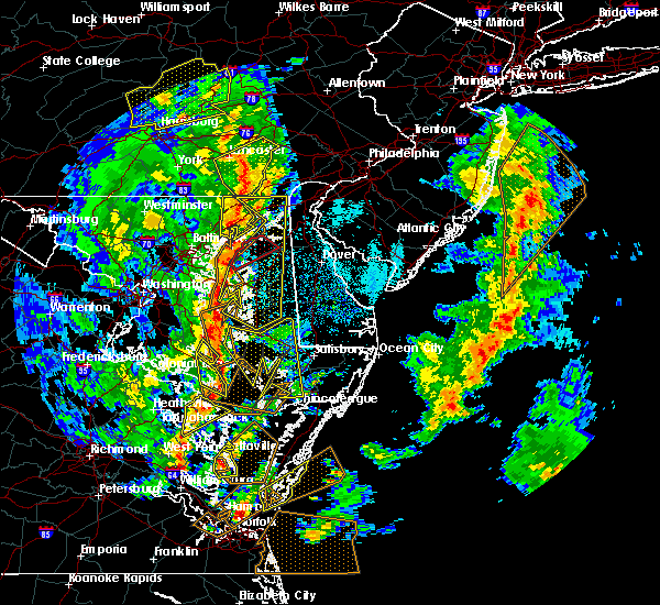 At 410 pm edt, severe thunderstorms were located along a line extending from severn river to greenwell state park, moving east at 35 mph (radar indicated and observed wind. patuxent river naval air station gusted to 63 mph). Hazards include 70 mph wind gusts. Damaging winds will cause some trees and large branches to fall. this could injure those outdoors, as well as damage homes and vehicles. roadways may become blocked by downed trees. localized power outages are possible. unsecured light objects may become projectiles. Locations impacted include, lexington park, chesapeake ranch estates, piney point, tall timbers, saint inigoes creek, saint marys city, calvert cliffs, saint leonard creek, town creek, flag harbor, saint marys river, california, lusby, patuxent river naval air station, saint leonard, drum point, long beach, calvert beach, valley lee and scotland. At 410 pm edt, severe thunderstorms were located along a line extending from severn river to greenwell state park, moving east at 35 mph (radar indicated and observed wind. patuxent river naval air station gusted to 63 mph). Hazards include 70 mph wind gusts. Damaging winds will cause some trees and large branches to fall. this could injure those outdoors, as well as damage homes and vehicles. roadways may become blocked by downed trees. localized power outages are possible. unsecured light objects may become projectiles. Locations impacted include, lexington park, chesapeake ranch estates, piney point, tall timbers, saint inigoes creek, saint marys city, calvert cliffs, saint leonard creek, town creek, flag harbor, saint marys river, california, lusby, patuxent river naval air station, saint leonard, drum point, long beach, calvert beach, valley lee and scotland.
|
| 4/26/2019 4:05 PM EDT |
 At 404 pm edt, severe thunderstorms were located along a line extending from naval academy to hollywood, moving east at 35 mph (radar indicated). Hazards include 60 mph wind gusts. Damaging winds will cause some trees and large branches to fall. this could injure those outdoors, as well as damage homes and vehicles. roadways may become blocked by downed trees. localized power outages are possible. unsecured light objects may become projectiles. Locations impacted include, lexington park, chesapeake ranch estates, chesapeake beach, prince frederick, piney point, tall timbers, saint inigoes creek, cuckold creek, saint marys city, sheridan point, calvert cliffs, hallowing point, saint leonard creek, town creek, flag harbor, saint marys river, california, lusby, patuxent river naval air station and saint leonard. At 404 pm edt, severe thunderstorms were located along a line extending from naval academy to hollywood, moving east at 35 mph (radar indicated). Hazards include 60 mph wind gusts. Damaging winds will cause some trees and large branches to fall. this could injure those outdoors, as well as damage homes and vehicles. roadways may become blocked by downed trees. localized power outages are possible. unsecured light objects may become projectiles. Locations impacted include, lexington park, chesapeake ranch estates, chesapeake beach, prince frederick, piney point, tall timbers, saint inigoes creek, cuckold creek, saint marys city, sheridan point, calvert cliffs, hallowing point, saint leonard creek, town creek, flag harbor, saint marys river, california, lusby, patuxent river naval air station and saint leonard.
|
| 4/26/2019 4:04 PM EDT | Storm damage reported in st. marys county MD, 2.2 miles SW of Lexington Park, MD |
| 4/26/2019 3:53 PM EDT |
 At 353 pm edt, severe thunderstorms were located along a line extending from near londontowne to near leonardtown, moving northeast at 35 mph (radar indicated). Hazards include 60 mph wind gusts. Damaging winds will cause some trees and large branches to fall. this could injure those outdoors, as well as damage homes and vehicles. roadways may become blocked by downed trees. localized power outages are possible. unsecured light objects may become projectiles. Locations impacted include, annapolis, lexington park, chesapeake ranch estates, mayo, shady side, chesapeake beach, deale, naval academy, leonardtown, prince frederick, piney point, tall timbers, saint inigoes creek, saint marys city, severn river, south river, hallowing point, saint leonard creek, town creek and rhode river. At 353 pm edt, severe thunderstorms were located along a line extending from near londontowne to near leonardtown, moving northeast at 35 mph (radar indicated). Hazards include 60 mph wind gusts. Damaging winds will cause some trees and large branches to fall. this could injure those outdoors, as well as damage homes and vehicles. roadways may become blocked by downed trees. localized power outages are possible. unsecured light objects may become projectiles. Locations impacted include, annapolis, lexington park, chesapeake ranch estates, mayo, shady side, chesapeake beach, deale, naval academy, leonardtown, prince frederick, piney point, tall timbers, saint inigoes creek, saint marys city, severn river, south river, hallowing point, saint leonard creek, town creek and rhode river.
|
| 4/26/2019 3:23 PM EDT |
 At 323 pm edt, severe thunderstorms were located along a line extending from forestville to near colonial beach, moving northeast at 35 mph (radar indicated). Hazards include 60 mph wind gusts. Damaging winds will cause some trees and large branches to fall. this could injure those outdoors, as well as damage homes and vehicles. roadways may become blocked by downed trees. localized power outages are possible. Unsecured light objects may become projectiles. At 323 pm edt, severe thunderstorms were located along a line extending from forestville to near colonial beach, moving northeast at 35 mph (radar indicated). Hazards include 60 mph wind gusts. Damaging winds will cause some trees and large branches to fall. this could injure those outdoors, as well as damage homes and vehicles. roadways may become blocked by downed trees. localized power outages are possible. Unsecured light objects may become projectiles.
|
| 4/19/2019 8:34 PM EDT |
 At 834 pm edt, severe thunderstorms were located along a line extending from white point beach to kinsale to near lancaster, moving northeast at 50 mph (radar indicated). Hazards include 60 mph wind gusts. Damaging winds will cause some trees and large branches to fall. this could injure those outdoors, as well as damage homes and vehicles. roadways may become blocked by downed trees. localized power outages are possible. Unsecured light objects may become projectiles. At 834 pm edt, severe thunderstorms were located along a line extending from white point beach to kinsale to near lancaster, moving northeast at 50 mph (radar indicated). Hazards include 60 mph wind gusts. Damaging winds will cause some trees and large branches to fall. this could injure those outdoors, as well as damage homes and vehicles. roadways may become blocked by downed trees. localized power outages are possible. Unsecured light objects may become projectiles.
|
| 4/15/2019 2:38 AM EDT |
 At 238 am edt, a severe thunderstorm was located near lewisetta, or near saint inigoes creek, moving northeast at 35 mph (radar indicated). Hazards include 60 mph wind gusts. Damaging winds will cause some trees and large branches to fall. this could injure those outdoors, as well as damage homes and vehicles. roadways may become blocked by downed trees. localized power outages are possible. Unsecured light objects may become projectiles. At 238 am edt, a severe thunderstorm was located near lewisetta, or near saint inigoes creek, moving northeast at 35 mph (radar indicated). Hazards include 60 mph wind gusts. Damaging winds will cause some trees and large branches to fall. this could injure those outdoors, as well as damage homes and vehicles. roadways may become blocked by downed trees. localized power outages are possible. Unsecured light objects may become projectiles.
|
| 4/15/2019 2:18 AM EDT |
 At 218 am edt, a severe thunderstorm was located over white point beach, moving northeast at 55 mph (radar indicated). Hazards include 60 mph wind gusts and quarter size hail. Damaging winds will cause some trees and large branches to fall. this could injure those outdoors, as well as damage homes and vehicles. roadways may become blocked by downed trees. localized power outages are possible. Unsecured light objects may become projectiles. At 218 am edt, a severe thunderstorm was located over white point beach, moving northeast at 55 mph (radar indicated). Hazards include 60 mph wind gusts and quarter size hail. Damaging winds will cause some trees and large branches to fall. this could injure those outdoors, as well as damage homes and vehicles. roadways may become blocked by downed trees. localized power outages are possible. Unsecured light objects may become projectiles.
|
| 4/8/2019 6:52 PM EDT |
 The severe thunderstorm warning for st. marys and southern calvert counties will expire at 700 pm edt, the storms which prompted the warning are moving out of the area. therefore, the warning will be allowed to expire. to report severe weather, contact your nearest law enforcement agency. they will relay your report to the national weather service sterling virginia. The severe thunderstorm warning for st. marys and southern calvert counties will expire at 700 pm edt, the storms which prompted the warning are moving out of the area. therefore, the warning will be allowed to expire. to report severe weather, contact your nearest law enforcement agency. they will relay your report to the national weather service sterling virginia.
|
| 4/8/2019 6:33 PM EDT |
 At 632 pm edt, severe thunderstorms were located along a line extending from near tilghman island to 8 miles northeast of breezy point, moving east at 50 mph (observed wind. the buoy at cobb point gusted to 60 mph at 5:54 pm). Hazards include 60 mph wind gusts. Damaging winds will cause some trees and large branches to fall. this could injure those outdoors, as well as damage homes and vehicles. roadways may become blocked by downed trees. localized power outages are possible. unsecured light objects may become projectiles. Locations impacted include, lexington park, chesapeake ranch estates, leonardtown, prince frederick, piney point, tall timbers, saint inigoes creek, saint marys city, greenwell state park, hallowing point, saint leonard creek, town creek, saint marys river, white point beach, cuckold creek, saint george island, sheridan point, calvert cliffs, flag harbor and california. At 632 pm edt, severe thunderstorms were located along a line extending from near tilghman island to 8 miles northeast of breezy point, moving east at 50 mph (observed wind. the buoy at cobb point gusted to 60 mph at 5:54 pm). Hazards include 60 mph wind gusts. Damaging winds will cause some trees and large branches to fall. this could injure those outdoors, as well as damage homes and vehicles. roadways may become blocked by downed trees. localized power outages are possible. unsecured light objects may become projectiles. Locations impacted include, lexington park, chesapeake ranch estates, leonardtown, prince frederick, piney point, tall timbers, saint inigoes creek, saint marys city, greenwell state park, hallowing point, saint leonard creek, town creek, saint marys river, white point beach, cuckold creek, saint george island, sheridan point, calvert cliffs, flag harbor and california.
|
| 4/8/2019 6:21 PM EDT |
 At 620 pm edt, severe thunderstorms were located along a line extending from near deale to breezy point, moving east at 50 mph. the buoy at cobb point gusted to 60 mph at 5:54 pm (observed wind). Hazards include 60 mph wind gusts. Damaging winds will cause some trees and large branches to fall. this could injure those outdoors, as well as damage homes and vehicles. roadways may become blocked by downed trees. localized power outages are possible. unsecured light objects may become projectiles. Locations impacted include, lexington park, chesapeake ranch estates, chesapeake beach, leonardtown, prince frederick, piney point, tall timbers, saint inigoes creek, saint marys city, greenwell state park, hallowing point, saint leonard creek, breezy point, town creek, wicomico river, saint marys river, white point beach, cuckold creek, saint george island and sheridan point. At 620 pm edt, severe thunderstorms were located along a line extending from near deale to breezy point, moving east at 50 mph. the buoy at cobb point gusted to 60 mph at 5:54 pm (observed wind). Hazards include 60 mph wind gusts. Damaging winds will cause some trees and large branches to fall. this could injure those outdoors, as well as damage homes and vehicles. roadways may become blocked by downed trees. localized power outages are possible. unsecured light objects may become projectiles. Locations impacted include, lexington park, chesapeake ranch estates, chesapeake beach, leonardtown, prince frederick, piney point, tall timbers, saint inigoes creek, saint marys city, greenwell state park, hallowing point, saint leonard creek, breezy point, town creek, wicomico river, saint marys river, white point beach, cuckold creek, saint george island and sheridan point.
|
| 4/8/2019 6:07 PM EDT |
 At 606 pm edt, severe thunderstorms were located along a line extending from dunkirk to 6 miles north of hallowing point, moving east at 50 mph. the buoy at cobb point gusted to 59 mph at 5:47 pm (observed wind). Hazards include 60 mph wind gusts. Damaging winds will cause some trees and large branches to fall. this could injure those outdoors, as well as damage homes and vehicles. roadways may become blocked by downed trees. localized power outages are possible. unsecured light objects may become projectiles. Locations impacted include, waldorf, lexington park, chesapeake ranch estates, la plata, chesapeake beach, deale, king george, leonardtown, dahlgren, prince frederick, piney point, tall timbers, saint inigoes creek, popes creek, hallowing point, saint leonard creek, town creek, sheridan point, saint clements bay and nanjemoy creek. At 606 pm edt, severe thunderstorms were located along a line extending from dunkirk to 6 miles north of hallowing point, moving east at 50 mph. the buoy at cobb point gusted to 59 mph at 5:47 pm (observed wind). Hazards include 60 mph wind gusts. Damaging winds will cause some trees and large branches to fall. this could injure those outdoors, as well as damage homes and vehicles. roadways may become blocked by downed trees. localized power outages are possible. unsecured light objects may become projectiles. Locations impacted include, waldorf, lexington park, chesapeake ranch estates, la plata, chesapeake beach, deale, king george, leonardtown, dahlgren, prince frederick, piney point, tall timbers, saint inigoes creek, popes creek, hallowing point, saint leonard creek, town creek, sheridan point, saint clements bay and nanjemoy creek.
|
| 4/8/2019 5:53 PM EDT |
 At 552 pm edt, severe thunderstorms were located along a line extending from near clinton to near waldorf, moving east at 50 mph. the buoy at cobb point gusted to 59 mph at 5:47 pm (measured gusts). Hazards include 60 mph wind gusts. Damaging winds will cause some trees and large branches to fall. this could injure those outdoors, as well as damage homes and vehicles. roadways may become blocked by downed trees. localized power outages are possible. unsecured light objects may become projectiles. Locations impacted include, waldorf, clinton, fort washington, lexington park, chesapeake ranch estates, la plata, chesapeake beach, deale, king george, leonardtown, dahlgren, prince frederick, piney point, tall timbers, saint inigoes creek, popes creek, hallowing point, saint leonard creek, town creek and sheridan point. At 552 pm edt, severe thunderstorms were located along a line extending from near clinton to near waldorf, moving east at 50 mph. the buoy at cobb point gusted to 59 mph at 5:47 pm (measured gusts). Hazards include 60 mph wind gusts. Damaging winds will cause some trees and large branches to fall. this could injure those outdoors, as well as damage homes and vehicles. roadways may become blocked by downed trees. localized power outages are possible. unsecured light objects may become projectiles. Locations impacted include, waldorf, clinton, fort washington, lexington park, chesapeake ranch estates, la plata, chesapeake beach, deale, king george, leonardtown, dahlgren, prince frederick, piney point, tall timbers, saint inigoes creek, popes creek, hallowing point, saint leonard creek, town creek and sheridan point.
|
| 4/8/2019 5:46 PM EDT |
 At 546 pm edt, severe thunderstorms were located along a line extending from near saint charles to near waldorf, moving east at 50 mph (radar indicated). Hazards include 60 mph wind gusts. Damaging winds will cause some trees and large branches to fall. this could injure those outdoors, as well as damage homes and vehicles. roadways may become blocked by downed trees. localized power outages are possible. Unsecured light objects may become projectiles. At 546 pm edt, severe thunderstorms were located along a line extending from near saint charles to near waldorf, moving east at 50 mph (radar indicated). Hazards include 60 mph wind gusts. Damaging winds will cause some trees and large branches to fall. this could injure those outdoors, as well as damage homes and vehicles. roadways may become blocked by downed trees. localized power outages are possible. Unsecured light objects may become projectiles.
|
| 3/22/2019 4:46 PM EDT |
 At 445 pm edt, a severe thunderstorm with a history of producing 60 mph wind gusts and wind damage was located near dunkirk, or 9 miles west of chesapeake beach, moving east at 40 mph (trained weather spotters, emergency management and measured wind gusts). Hazards include 60 mph wind gusts. Damaging winds will cause some trees and large branches to fall. this could injure those outdoors, as well as damage homes and vehicles. roadways may become blocked by downed trees. localized power outages are possible. unsecured light objects may become projectiles. Locations impacted include, waldorf, dale city, lexington park, chesapeake ranch estates, la plata, mayo, shady side, chesapeake beach, deale, leonardtown, prince frederick, piney point, quantico, tall timbers, saint inigoes creek, hallowing point, saint leonard creek, town creek, sheridan point and saint clements bay. At 445 pm edt, a severe thunderstorm with a history of producing 60 mph wind gusts and wind damage was located near dunkirk, or 9 miles west of chesapeake beach, moving east at 40 mph (trained weather spotters, emergency management and measured wind gusts). Hazards include 60 mph wind gusts. Damaging winds will cause some trees and large branches to fall. this could injure those outdoors, as well as damage homes and vehicles. roadways may become blocked by downed trees. localized power outages are possible. unsecured light objects may become projectiles. Locations impacted include, waldorf, dale city, lexington park, chesapeake ranch estates, la plata, mayo, shady side, chesapeake beach, deale, leonardtown, prince frederick, piney point, quantico, tall timbers, saint inigoes creek, hallowing point, saint leonard creek, town creek, sheridan point and saint clements bay.
|
| 3/22/2019 4:21 PM EDT |
 At 421 pm edt, a severe thunderstorm was located over fort washington, moving southeast at 40 mph (emergency management, spotters and measured wind gusts). Hazards include 60 mph wind gusts. Damaging winds will cause some trees and large branches to fall. this could injure those outdoors, as well as damage homes and vehicles. roadways may become blocked by downed trees. localized power outages are possible. Unsecured light objects may become projectiles. At 421 pm edt, a severe thunderstorm was located over fort washington, moving southeast at 40 mph (emergency management, spotters and measured wind gusts). Hazards include 60 mph wind gusts. Damaging winds will cause some trees and large branches to fall. this could injure those outdoors, as well as damage homes and vehicles. roadways may become blocked by downed trees. localized power outages are possible. Unsecured light objects may become projectiles.
|
| 11/6/2018 12:26 PM EST |
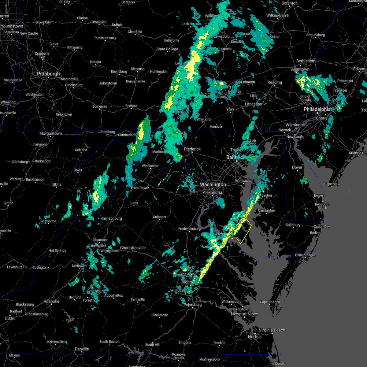 The severe thunderstorm warning for central st. marys and southeastern calvert counties will expire at 1230 pm est, the storms which prompted the warning have weakened below severe limits, and no longer pose an immediate threat to life or property. therefore the warning will be allowed to expire. however gusty winds are still possible with these thunderstorms. The severe thunderstorm warning for central st. marys and southeastern calvert counties will expire at 1230 pm est, the storms which prompted the warning have weakened below severe limits, and no longer pose an immediate threat to life or property. therefore the warning will be allowed to expire. however gusty winds are still possible with these thunderstorms.
|
| 11/6/2018 12:23 PM EST |
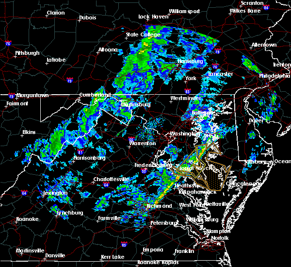 At 1223 pm est, severe thunderstorms were located along a line extending from near grasonville to near greenwell state park, moving northeast at 75 mph (radar indicated). Hazards include 60 mph wind gusts. Damaging winds will cause some trees and large branches to fall. this could injure those outdoors, as well as damage homes and vehicles. roadways may become blocked by downed trees. localized power outages are possible. unsecured light objects may become projectiles. Locations impacted include, lexington park, chesapeake ranch estates, leonardtown, piney point, tall timbers, cuckold creek, calvert cliffs, greenwell state park, saint leonard creek, saint clements bay, town creek, flag harbor, white point beach, california, lusby, patuxent river naval air station, saint leonard, hollywood, drum point and long beach. At 1223 pm est, severe thunderstorms were located along a line extending from near grasonville to near greenwell state park, moving northeast at 75 mph (radar indicated). Hazards include 60 mph wind gusts. Damaging winds will cause some trees and large branches to fall. this could injure those outdoors, as well as damage homes and vehicles. roadways may become blocked by downed trees. localized power outages are possible. unsecured light objects may become projectiles. Locations impacted include, lexington park, chesapeake ranch estates, leonardtown, piney point, tall timbers, cuckold creek, calvert cliffs, greenwell state park, saint leonard creek, saint clements bay, town creek, flag harbor, white point beach, california, lusby, patuxent river naval air station, saint leonard, hollywood, drum point and long beach.
|
| 11/6/2018 12:08 PM EST |
 At 1207 pm est, severe thunderstorms were located along a line extending from kent point to wicomico river, moving northeast at 75 mph (radar indicated). Hazards include 60 mph wind gusts. Damaging winds will cause some trees and large branches to fall. this could injure those outdoors, as well as damage homes and vehicles. roadways may become blocked by downed trees. localized power outages are possible. unsecured light objects may become projectiles. Locations impacted include, lexington park, chesapeake ranch estates, chesapeake beach, leonardtown, prince frederick, piney point, tall timbers, greenwell state park, hallowing point, saint leonard creek, breezy point, town creek, wicomico river, white point beach, cuckold creek, sheridan point, calvert cliffs, saint clements bay, flag harbor and california. At 1207 pm est, severe thunderstorms were located along a line extending from kent point to wicomico river, moving northeast at 75 mph (radar indicated). Hazards include 60 mph wind gusts. Damaging winds will cause some trees and large branches to fall. this could injure those outdoors, as well as damage homes and vehicles. roadways may become blocked by downed trees. localized power outages are possible. unsecured light objects may become projectiles. Locations impacted include, lexington park, chesapeake ranch estates, chesapeake beach, leonardtown, prince frederick, piney point, tall timbers, greenwell state park, hallowing point, saint leonard creek, breezy point, town creek, wicomico river, white point beach, cuckold creek, sheridan point, calvert cliffs, saint clements bay, flag harbor and california.
|
| 11/6/2018 11:52 AM EST |
 At 1152 am est, severe thunderstorms were located along a line extending from near dunkirk to near loretto, moving northeast at 75 mph (radar indicated). Hazards include 60 mph wind gusts. Damaging winds will cause some trees and large branches to fall. this could injure those outdoors, as well as damage homes and vehicles. roadways may become blocked by downed trees. localized power outages are possible. Unsecured light objects may become projectiles. At 1152 am est, severe thunderstorms were located along a line extending from near dunkirk to near loretto, moving northeast at 75 mph (radar indicated). Hazards include 60 mph wind gusts. Damaging winds will cause some trees and large branches to fall. this could injure those outdoors, as well as damage homes and vehicles. roadways may become blocked by downed trees. localized power outages are possible. Unsecured light objects may become projectiles.
|
| 6/23/2018 7:58 PM EDT |
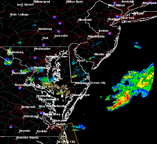 At 758 pm edt, a severe thunderstorm was located near hollywood, or near leonardtown, moving east at 25 mph (radar indicated). Hazards include 60 mph wind gusts and quarter size hail. Damaging winds will cause some trees and large branches to fall. this could injure those outdoors, as well as damage homes and vehicles. roadways may become blocked by downed trees. localized power outages are possible. unsecured light objects may become projectiles. Locations impacted include, lexington park, chesapeake ranch estates, leonardtown, greenwell state park, saint leonard creek, cuckold creek, town creek, calvert cliffs, california, lusby, patuxent river naval air station, hollywood, drum point, dowell, hillville, sandgates, sotterley, tintop hill, great mills and oakville. At 758 pm edt, a severe thunderstorm was located near hollywood, or near leonardtown, moving east at 25 mph (radar indicated). Hazards include 60 mph wind gusts and quarter size hail. Damaging winds will cause some trees and large branches to fall. this could injure those outdoors, as well as damage homes and vehicles. roadways may become blocked by downed trees. localized power outages are possible. unsecured light objects may become projectiles. Locations impacted include, lexington park, chesapeake ranch estates, leonardtown, greenwell state park, saint leonard creek, cuckold creek, town creek, calvert cliffs, california, lusby, patuxent river naval air station, hollywood, drum point, dowell, hillville, sandgates, sotterley, tintop hill, great mills and oakville.
|
| 6/23/2018 7:39 PM EDT |
 At 739 pm edt, a severe thunderstorm was located near golden beach, or 7 miles southwest of sheridan point, moving southeast at 25 mph (radar indicated). Hazards include 60 mph wind gusts and quarter size hail. Damaging winds will cause some trees and large branches to fall. this could injure those outdoors, as well as damage homes and vehicles. roadways may become blocked by downed trees. localized power outages are possible. Unsecured light objects may become projectiles. At 739 pm edt, a severe thunderstorm was located near golden beach, or 7 miles southwest of sheridan point, moving southeast at 25 mph (radar indicated). Hazards include 60 mph wind gusts and quarter size hail. Damaging winds will cause some trees and large branches to fall. this could injure those outdoors, as well as damage homes and vehicles. roadways may become blocked by downed trees. localized power outages are possible. Unsecured light objects may become projectiles.
|
| 6/10/2018 7:44 PM EDT |
 At 744 pm edt, severe thunderstorms were located along a line extending from sheridan point to near cuckold creek to near saint inigoes creek, moving northeast at 25 mph (radar indicated). Hazards include 60 mph wind gusts and quarter size hail. Damaging winds will cause some trees and large branches to fall. this could injure those outdoors, as well as damage homes and vehicles. roadways may become blocked by downed trees. localized power outages are possible. unsecured light objects may become projectiles. Locations impacted include, lexington park, chesapeake ranch estates, prince frederick, saint inigoes creek, cuckold creek, saint marys city, sheridan point, calvert cliffs, greenwell state park, hallowing point, saint leonard creek, breezy point, town creek, flag harbor, saint marys river, california, golden beach, lusby, patuxent river naval air station and saint leonard. At 744 pm edt, severe thunderstorms were located along a line extending from sheridan point to near cuckold creek to near saint inigoes creek, moving northeast at 25 mph (radar indicated). Hazards include 60 mph wind gusts and quarter size hail. Damaging winds will cause some trees and large branches to fall. this could injure those outdoors, as well as damage homes and vehicles. roadways may become blocked by downed trees. localized power outages are possible. unsecured light objects may become projectiles. Locations impacted include, lexington park, chesapeake ranch estates, prince frederick, saint inigoes creek, cuckold creek, saint marys city, sheridan point, calvert cliffs, greenwell state park, hallowing point, saint leonard creek, breezy point, town creek, flag harbor, saint marys river, california, golden beach, lusby, patuxent river naval air station and saint leonard.
|
| 6/10/2018 7:37 PM EDT |
 At 737 pm edt, severe thunderstorms were located along a line extending from near sheridan point to california to near saint inigoes creek, moving northeast at 20 mph (radar indicated). Hazards include 60 mph wind gusts and quarter size hail. Damaging winds will cause some trees and large branches to fall. this could injure those outdoors, as well as damage homes and vehicles. roadways may become blocked by downed trees. localized power outages are possible. unsecured light objects may become projectiles. Locations impacted include, lexington park, chesapeake ranch estates, leonardtown, prince frederick, piney point, tall timbers, saint inigoes creek, saint marys city, greenwell state park, hallowing point, saint leonard creek, breezy point, town creek, saint marys river, cuckold creek, saint george island, sheridan point, calvert cliffs, flag harbor and california. At 737 pm edt, severe thunderstorms were located along a line extending from near sheridan point to california to near saint inigoes creek, moving northeast at 20 mph (radar indicated). Hazards include 60 mph wind gusts and quarter size hail. Damaging winds will cause some trees and large branches to fall. this could injure those outdoors, as well as damage homes and vehicles. roadways may become blocked by downed trees. localized power outages are possible. unsecured light objects may become projectiles. Locations impacted include, lexington park, chesapeake ranch estates, leonardtown, prince frederick, piney point, tall timbers, saint inigoes creek, saint marys city, greenwell state park, hallowing point, saint leonard creek, breezy point, town creek, saint marys river, cuckold creek, saint george island, sheridan point, calvert cliffs, flag harbor and california.
|
| 6/10/2018 7:09 PM EDT |
 At 709 pm edt, severe thunderstorms were located along a line extending from 7 miles north of wicomico river to near saint clements bay to lewisetta, moving northeast at 25 mph (radar indicated). Hazards include 60 mph wind gusts and quarter size hail. Damaging winds will cause some trees and large branches to fall. this could injure those outdoors, as well as damage homes and vehicles. roadways may become blocked by downed trees. localized power outages are possible. Unsecured light objects may become projectiles. At 709 pm edt, severe thunderstorms were located along a line extending from 7 miles north of wicomico river to near saint clements bay to lewisetta, moving northeast at 25 mph (radar indicated). Hazards include 60 mph wind gusts and quarter size hail. Damaging winds will cause some trees and large branches to fall. this could injure those outdoors, as well as damage homes and vehicles. roadways may become blocked by downed trees. localized power outages are possible. Unsecured light objects may become projectiles.
|
| 5/14/2018 7:50 PM EDT |
 At 750 pm edt, severe thunderstorms with a history of producing damaging winds and hail were located along a line extending from near deale to flag harbor to near hague, moving southeast at 40 mph (radar indicated). Hazards include 70 mph wind gusts and quarter size hail. Damaging winds will cause some trees and large branches to fall. this could injure those outdoors, as well as damage homes and vehicles. roadways may become blocked by downed trees. localized power outages are possible. unsecured light objects may become projectiles. Locations impacted include, annapolis, lexington park, chesapeake ranch estates, mayo, shady side, chesapeake beach, deale, leonardtown, prince frederick, piney point, tall timbers, saint inigoes creek, saint marys city, south river, greenwell state park, hallowing point, saint leonard creek, breezy point, town creek and rhode river. At 750 pm edt, severe thunderstorms with a history of producing damaging winds and hail were located along a line extending from near deale to flag harbor to near hague, moving southeast at 40 mph (radar indicated). Hazards include 70 mph wind gusts and quarter size hail. Damaging winds will cause some trees and large branches to fall. this could injure those outdoors, as well as damage homes and vehicles. roadways may become blocked by downed trees. localized power outages are possible. unsecured light objects may become projectiles. Locations impacted include, annapolis, lexington park, chesapeake ranch estates, mayo, shady side, chesapeake beach, deale, leonardtown, prince frederick, piney point, tall timbers, saint inigoes creek, saint marys city, south river, greenwell state park, hallowing point, saint leonard creek, breezy point, town creek and rhode river.
|
| 5/14/2018 7:37 PM EDT |
 At 737 pm edt, severe thunderstorms with a history of producing damaging winds and hail were located along a line extending from near deale to prince frederick to near saint clements bay, moving southeast at 40 mph (radar indicated). Hazards include 70 mph wind gusts and quarter size hail. Damaging winds will cause some trees and large branches to fall. this could injure those outdoors, as well as damage homes and vehicles. roadways may become blocked by downed trees. localized power outages are possible. unsecured light objects may become projectiles. Locations impacted include, waldorf, bowie, annapolis, lexington park, largo, chesapeake ranch estates, mayo, shady side, chesapeake beach, deale, leonardtown, prince frederick, piney point, upper marlboro, tall timbers, saint inigoes creek, hallowing point, saint leonard creek, town creek and sheridan point. At 737 pm edt, severe thunderstorms with a history of producing damaging winds and hail were located along a line extending from near deale to prince frederick to near saint clements bay, moving southeast at 40 mph (radar indicated). Hazards include 70 mph wind gusts and quarter size hail. Damaging winds will cause some trees and large branches to fall. this could injure those outdoors, as well as damage homes and vehicles. roadways may become blocked by downed trees. localized power outages are possible. unsecured light objects may become projectiles. Locations impacted include, waldorf, bowie, annapolis, lexington park, largo, chesapeake ranch estates, mayo, shady side, chesapeake beach, deale, leonardtown, prince frederick, piney point, upper marlboro, tall timbers, saint inigoes creek, hallowing point, saint leonard creek, town creek and sheridan point.
|
| 5/14/2018 7:12 PM EDT |
 At 712 pm edt, severe thunderstorms were located along a line extending from mitchellville to near waldorf to near colonial beach, moving southeast at 40 mph (radar indicated). Hazards include 70 mph wind gusts and quarter size hail. Damaging winds will cause some trees and large branches to fall. this could injure those outdoors, as well as damage homes and vehicles. roadways may become blocked by downed trees. localized power outages are possible. Unsecured light objects may become projectiles. At 712 pm edt, severe thunderstorms were located along a line extending from mitchellville to near waldorf to near colonial beach, moving southeast at 40 mph (radar indicated). Hazards include 70 mph wind gusts and quarter size hail. Damaging winds will cause some trees and large branches to fall. this could injure those outdoors, as well as damage homes and vehicles. roadways may become blocked by downed trees. localized power outages are possible. Unsecured light objects may become projectiles.
|
| 5/12/2018 10:07 PM EDT |
 At 1007 pm edt, severe thunderstorms were located along a line extending from tall timbers to near newland, moving south at 35 mph (radar indicated). Hazards include 60 mph wind gusts and quarter size hail. Damaging winds will cause some trees and large branches to fall. this could injure those outdoors, as well as damage homes and vehicles. roadways may become blocked by downed trees. localized power outages are possible. unsecured light objects may become projectiles. Locations impacted include, lexington park, chesapeake ranch estates, leonardtown, prince frederick, piney point, tall timbers, saint inigoes creek, saint marys city, greenwell state park, hallowing point, saint leonard creek, town creek, saint marys river, white point beach, cuckold creek, saint george island, sheridan point, calvert cliffs, saint clements bay and flag harbor. At 1007 pm edt, severe thunderstorms were located along a line extending from tall timbers to near newland, moving south at 35 mph (radar indicated). Hazards include 60 mph wind gusts and quarter size hail. Damaging winds will cause some trees and large branches to fall. this could injure those outdoors, as well as damage homes and vehicles. roadways may become blocked by downed trees. localized power outages are possible. unsecured light objects may become projectiles. Locations impacted include, lexington park, chesapeake ranch estates, leonardtown, prince frederick, piney point, tall timbers, saint inigoes creek, saint marys city, greenwell state park, hallowing point, saint leonard creek, town creek, saint marys river, white point beach, cuckold creek, saint george island, sheridan point, calvert cliffs, saint clements bay and flag harbor.
|
| 5/12/2018 9:55 PM EDT |
 At 954 pm edt, severe thunderstorms were located near la plata, moving southeast at 35 mph (radar indicated). Hazards include 60 mph wind gusts and quarter to golf ball size hail. Damaging winds will cause some trees and large branches to fall. this could injure those outdoors, as well as damage homes and vehicles. roadways may become blocked by downed trees. localized power outages are possible. unsecured light objects may become projectiles. Locations impacted include, waldorf, lexington park, chesapeake ranch estates, la plata, leonardtown, prince frederick, piney point, tall timbers, saint inigoes creek, saint marys city, greenwell state park, hallowing point, saint leonard creek, town creek, wicomico river, saint marys river, white point beach, cuckold creek, saint george island and sheridan point. At 954 pm edt, severe thunderstorms were located near la plata, moving southeast at 35 mph (radar indicated). Hazards include 60 mph wind gusts and quarter to golf ball size hail. Damaging winds will cause some trees and large branches to fall. this could injure those outdoors, as well as damage homes and vehicles. roadways may become blocked by downed trees. localized power outages are possible. unsecured light objects may become projectiles. Locations impacted include, waldorf, lexington park, chesapeake ranch estates, la plata, leonardtown, prince frederick, piney point, tall timbers, saint inigoes creek, saint marys city, greenwell state park, hallowing point, saint leonard creek, town creek, wicomico river, saint marys river, white point beach, cuckold creek, saint george island and sheridan point.
|
| 5/12/2018 9:37 PM EDT |
 At 936 pm edt, severe thunderstorms were located along a line extending from near leonardtown to near colonial beach, moving south at 35 mph (radar indicated). Hazards include 60 mph wind gusts and quarter size hail. Damaging winds will cause some trees and large branches to fall. this could injure those outdoors, as well as damage homes and vehicles. roadways may become blocked by downed trees. localized power outages are possible. unsecured light objects may become projectiles. Locations impacted include, waldorf, lexington park, chesapeake ranch estates, la plata, leonardtown, prince frederick, piney point, tall timbers, saint inigoes creek, hallowing point, saint leonard creek, town creek, sheridan point, saint clements bay, saint marys city, greenwell state park, wicomico river, saint marys river, white point beach and cuckold creek. At 936 pm edt, severe thunderstorms were located along a line extending from near leonardtown to near colonial beach, moving south at 35 mph (radar indicated). Hazards include 60 mph wind gusts and quarter size hail. Damaging winds will cause some trees and large branches to fall. this could injure those outdoors, as well as damage homes and vehicles. roadways may become blocked by downed trees. localized power outages are possible. unsecured light objects may become projectiles. Locations impacted include, waldorf, lexington park, chesapeake ranch estates, la plata, leonardtown, prince frederick, piney point, tall timbers, saint inigoes creek, hallowing point, saint leonard creek, town creek, sheridan point, saint clements bay, saint marys city, greenwell state park, wicomico river, saint marys river, white point beach and cuckold creek.
|
| 5/12/2018 8:47 PM EDT |
 At 847 pm edt, severe thunderstorms were located along a line extending from near rosaryville to 8 miles west of la plata, moving south at 35 mph (radar indicated). Hazards include 60 mph wind gusts and quarter to golf ball size hail. Damaging winds will cause some trees and large branches to fall. this could injure those outdoors, as well as damage homes and vehicles. roadways may become blocked by downed trees. localized power outages are possible. Unsecured light objects may become projectiles. At 847 pm edt, severe thunderstorms were located along a line extending from near rosaryville to 8 miles west of la plata, moving south at 35 mph (radar indicated). Hazards include 60 mph wind gusts and quarter to golf ball size hail. Damaging winds will cause some trees and large branches to fall. this could injure those outdoors, as well as damage homes and vehicles. roadways may become blocked by downed trees. localized power outages are possible. Unsecured light objects may become projectiles.
|
| 8/21/2017 5:43 PM EDT |
 At 543 pm edt, a severe thunderstorm was located over leonardtown, moving southeast at 20 mph (radar indicated). Hazards include 60 mph wind gusts and quarter size hail. Damaging winds will cause some trees and large branches to fall. this could injure those outdoors, as well as damage homes and vehicles. roadways may become blocked by downed trees. localized power outages are possible. unsecured light objects may become projectiles. Locations impacted include, lexington park, leonardtown, piney point, tall timbers, saint clements bay, saint marys city, saint george island, saint marys river, white point beach, california, compton, abell, valley lee, tintop hill, great mills, redgate, drayden, park hall, callaway and oakley. At 543 pm edt, a severe thunderstorm was located over leonardtown, moving southeast at 20 mph (radar indicated). Hazards include 60 mph wind gusts and quarter size hail. Damaging winds will cause some trees and large branches to fall. this could injure those outdoors, as well as damage homes and vehicles. roadways may become blocked by downed trees. localized power outages are possible. unsecured light objects may become projectiles. Locations impacted include, lexington park, leonardtown, piney point, tall timbers, saint clements bay, saint marys city, saint george island, saint marys river, white point beach, california, compton, abell, valley lee, tintop hill, great mills, redgate, drayden, park hall, callaway and oakley.
|
| 8/21/2017 5:29 PM EDT |
 At 529 pm edt, a severe thunderstorm was located near leonardtown, moving southeast at 20 mph (radar indicated). Hazards include 60 mph wind gusts and quarter size hail. Damaging winds will cause some trees and large branches to fall. this could injure those outdoors, as well as damage homes and vehicles. roadways may become blocked by downed trees. localized power outages are possible. Unsecured light objects may become projectiles. At 529 pm edt, a severe thunderstorm was located near leonardtown, moving southeast at 20 mph (radar indicated). Hazards include 60 mph wind gusts and quarter size hail. Damaging winds will cause some trees and large branches to fall. this could injure those outdoors, as well as damage homes and vehicles. roadways may become blocked by downed trees. localized power outages are possible. Unsecured light objects may become projectiles.
|
| 8/18/2017 9:05 PM EDT |
 The severe thunderstorm warning for southeastern st. marys county will expire at 915 pm edt, the storms which prompted the warning have moved out of the area. therefore the warning will be allowed to expire. a severe thunderstorm watch remains in effect until 1100 pm edt for southern maryland. The severe thunderstorm warning for southeastern st. marys county will expire at 915 pm edt, the storms which prompted the warning have moved out of the area. therefore the warning will be allowed to expire. a severe thunderstorm watch remains in effect until 1100 pm edt for southern maryland.
|
| 8/18/2017 8:56 PM EDT |
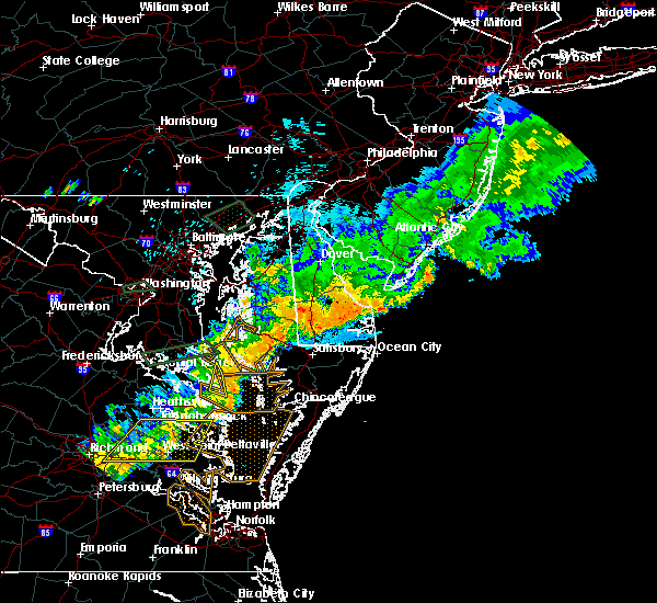 At 855 pm edt, severe thunderstorms were located along a line extending from near patuxent river naval air station to near lewisetta, moving east at 35 mph (radar indicated). Hazards include 60 mph wind gusts. Damaging winds will cause some trees and large branches to fall. this could injure those outdoors, as well as damage homes and vehicles. roadways may become blocked by downed trees. localized power outages are possible. unsecured light objects may become projectiles. Locations impacted include, lexington park, saint inigoes creek, point lookout, dameron, scotland, saint inigoes and ridge. At 855 pm edt, severe thunderstorms were located along a line extending from near patuxent river naval air station to near lewisetta, moving east at 35 mph (radar indicated). Hazards include 60 mph wind gusts. Damaging winds will cause some trees and large branches to fall. this could injure those outdoors, as well as damage homes and vehicles. roadways may become blocked by downed trees. localized power outages are possible. unsecured light objects may become projectiles. Locations impacted include, lexington park, saint inigoes creek, point lookout, dameron, scotland, saint inigoes and ridge.
|
| 8/18/2017 8:39 PM EDT |
 At 839 pm edt, severe thunderstorms were located along a line extending from near patuxent river naval air station to near lewisetta, moving east at 20 mph (radar indicated). Hazards include 60 mph wind gusts. Damaging winds will cause some trees and large branches to fall. this could injure those outdoors, as well as damage homes and vehicles. roadways may become blocked by downed trees. localized power outages are possible. unsecured light objects may become projectiles. Locations impacted include, lexington park, chesapeake ranch estates, piney point, tall timbers, saint inigoes creek, cuckold creek, saint marys city, saint george island, town creek, saint marys river, california, lusby, patuxent river naval air station, drum point, valley lee, scotland, great mills, drayden, saint inigoes and park hall. At 839 pm edt, severe thunderstorms were located along a line extending from near patuxent river naval air station to near lewisetta, moving east at 20 mph (radar indicated). Hazards include 60 mph wind gusts. Damaging winds will cause some trees and large branches to fall. this could injure those outdoors, as well as damage homes and vehicles. roadways may become blocked by downed trees. localized power outages are possible. unsecured light objects may become projectiles. Locations impacted include, lexington park, chesapeake ranch estates, piney point, tall timbers, saint inigoes creek, cuckold creek, saint marys city, saint george island, town creek, saint marys river, california, lusby, patuxent river naval air station, drum point, valley lee, scotland, great mills, drayden, saint inigoes and park hall.
|
| 8/18/2017 8:15 PM EDT |
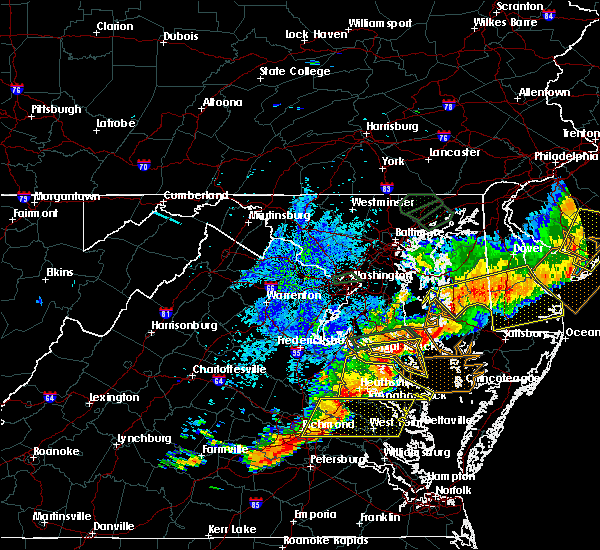 At 815 pm edt, severe thunderstorms were located along a line extending from near saint clements bay to warsaw, moving east at 35 mph (radar indicated). Hazards include 60 mph wind gusts. Damaging winds will cause some trees and large branches to fall. this could injure those outdoors, as well as damage homes and vehicles. roadways may become blocked by downed trees. localized power outages are possible. unsecured light objects may become projectiles. Locations impacted include, lexington park, chesapeake ranch estates, leonardtown, piney point, tall timbers, saint inigoes creek, cuckold creek, saint marys city, saint george island, saint clements bay, town creek, saint marys river, white point beach, wicomico river, california, lusby, patuxent river naval air station, hollywood, drum point and bushwood. At 815 pm edt, severe thunderstorms were located along a line extending from near saint clements bay to warsaw, moving east at 35 mph (radar indicated). Hazards include 60 mph wind gusts. Damaging winds will cause some trees and large branches to fall. this could injure those outdoors, as well as damage homes and vehicles. roadways may become blocked by downed trees. localized power outages are possible. unsecured light objects may become projectiles. Locations impacted include, lexington park, chesapeake ranch estates, leonardtown, piney point, tall timbers, saint inigoes creek, cuckold creek, saint marys city, saint george island, saint clements bay, town creek, saint marys river, white point beach, wicomico river, california, lusby, patuxent river naval air station, hollywood, drum point and bushwood.
|
| 8/18/2017 7:51 PM EDT |
 At 751 pm edt, severe thunderstorms were located along a line extending from near wicomico river to near tappahannock, moving east at 40 mph (radar indicated). Hazards include 60 mph wind gusts. Damaging winds will cause some trees and large branches to fall. this could injure those outdoors, as well as damage homes and vehicles. roadways may become blocked by downed trees. localized power outages are possible. Unsecured light objects may become projectiles. At 751 pm edt, severe thunderstorms were located along a line extending from near wicomico river to near tappahannock, moving east at 40 mph (radar indicated). Hazards include 60 mph wind gusts. Damaging winds will cause some trees and large branches to fall. this could injure those outdoors, as well as damage homes and vehicles. roadways may become blocked by downed trees. localized power outages are possible. Unsecured light objects may become projectiles.
|
| 7/1/2017 7:51 PM EDT |
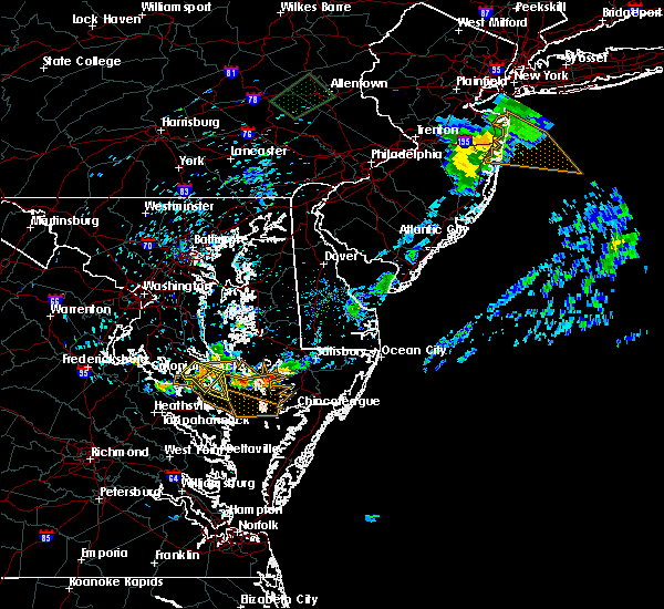 At 751 pm edt, a severe thunderstorm was located over saint marys city, moving southeast at 15 mph (radar indicated). Hazards include 60 mph wind gusts and quarter size hail. Damaging winds will cause some trees and large branches to fall. this could injure those outdoors, as well as damage homes and vehicles. roadways may become blocked by downed trees. localized power outages are possible. Unsecured light objects may become projectiles. At 751 pm edt, a severe thunderstorm was located over saint marys city, moving southeast at 15 mph (radar indicated). Hazards include 60 mph wind gusts and quarter size hail. Damaging winds will cause some trees and large branches to fall. this could injure those outdoors, as well as damage homes and vehicles. roadways may become blocked by downed trees. localized power outages are possible. Unsecured light objects may become projectiles.
|
| 7/1/2017 7:32 PM EDT |
 At 731 pm edt, a severe thunderstorm was located near california, or near leonardtown, moving southeast at 15 mph (trained weather spotter reported quarter size hail in leonardtown). Hazards include 60 mph wind gusts and quarter size hail. Damaging winds will cause some trees and large branches to fall. this could injure those outdoors, as well as damage homes and vehicles. roadways may become blocked by downed trees. localized power outages are possible. unsecured light objects may become projectiles. Locations impacted include, lexington park, leonardtown, piney point, tall timbers, saint marys city, saint marys river, white point beach, california, patuxent river naval air station, valley lee, tintop hill, great mills, redgate, drayden, park hall and callaway. At 731 pm edt, a severe thunderstorm was located near california, or near leonardtown, moving southeast at 15 mph (trained weather spotter reported quarter size hail in leonardtown). Hazards include 60 mph wind gusts and quarter size hail. Damaging winds will cause some trees and large branches to fall. this could injure those outdoors, as well as damage homes and vehicles. roadways may become blocked by downed trees. localized power outages are possible. unsecured light objects may become projectiles. Locations impacted include, lexington park, leonardtown, piney point, tall timbers, saint marys city, saint marys river, white point beach, california, patuxent river naval air station, valley lee, tintop hill, great mills, redgate, drayden, park hall and callaway.
|
| 7/1/2017 7:22 PM EDT |
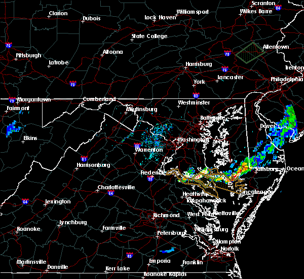 At 721 pm edt, a severe thunderstorm was located over leonardtown, moving southeast at 20 mph (radar indicated). Hazards include 60 mph wind gusts. Damaging winds will cause some trees and large branches to fall. this could injure those outdoors, as well as damage homes and vehicles. roadways may become blocked by downed trees. localized power outages are possible. Unsecured light objects may become projectiles. At 721 pm edt, a severe thunderstorm was located over leonardtown, moving southeast at 20 mph (radar indicated). Hazards include 60 mph wind gusts. Damaging winds will cause some trees and large branches to fall. this could injure those outdoors, as well as damage homes and vehicles. roadways may become blocked by downed trees. localized power outages are possible. Unsecured light objects may become projectiles.
|
| 6/19/2017 5:31 PM EDT | Pine tree snapped in half at three notch road and wickshire court in st. marys county MD, 1.5 miles NW of Lexington Park, MD |
| 6/19/2017 4:49 PM EDT |
 At 448 pm edt, a severe thunderstorm was located near wicomico river, moving east at 45 mph (radar indicated). Hazards include 60 mph wind gusts. Damaging winds will cause some trees and large branches to fall. this could injure those outdoors, as well as damage homes and vehicles. roadways may become blocked by downed trees. localized power outages are possible. Unsecured light objects may become projectiles. At 448 pm edt, a severe thunderstorm was located near wicomico river, moving east at 45 mph (radar indicated). Hazards include 60 mph wind gusts. Damaging winds will cause some trees and large branches to fall. this could injure those outdoors, as well as damage homes and vehicles. roadways may become blocked by downed trees. localized power outages are possible. Unsecured light objects may become projectiles.
|
| 5/5/2017 9:21 AM EDT |
 At 920 am edt, severe thunderstorms were located along a line extending from kent point to 10 miles east of patuxent river naval air station, moving northeast at 50 mph (radar indicated). Hazards include 60 mph wind gusts. Damaging winds will cause some trees and large branches to fall. this could injure those outdoors, as well as damage homes and vehicles. roadways may become blocked by downed trees. localized power outages are possible. unsecured light objects may become projectiles. Locations impacted include, lexington park, chesapeake ranch estates, chesapeake beach, piney point, tall timbers, saint inigoes creek, cuckold creek, saint marys city, saint george island, calvert cliffs, greenwell state park, saint leonard creek, breezy point, town creek, flag harbor, saint marys river, california, lusby, patuxent river naval air station and saint leonard. At 920 am edt, severe thunderstorms were located along a line extending from kent point to 10 miles east of patuxent river naval air station, moving northeast at 50 mph (radar indicated). Hazards include 60 mph wind gusts. Damaging winds will cause some trees and large branches to fall. this could injure those outdoors, as well as damage homes and vehicles. roadways may become blocked by downed trees. localized power outages are possible. unsecured light objects may become projectiles. Locations impacted include, lexington park, chesapeake ranch estates, chesapeake beach, piney point, tall timbers, saint inigoes creek, cuckold creek, saint marys city, saint george island, calvert cliffs, greenwell state park, saint leonard creek, breezy point, town creek, flag harbor, saint marys river, california, lusby, patuxent river naval air station and saint leonard.
|
| 5/5/2017 9:07 AM EDT |
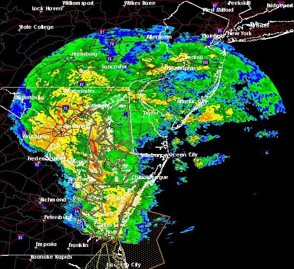 At 907 am edt, severe thunderstorms were located along a line extending from near chesapeake beach to saint inigoes creek, moving northeast at 45 mph (radar indicated). Hazards include 60 mph wind gusts. Damaging winds will cause some trees and large branches to fall. this could injure those outdoors, as well as damage homes and vehicles. roadways may become blocked by downed trees. localized power outages are possible. unsecured light objects may become projectiles. Locations impacted include, lexington park, chesapeake ranch estates, chesapeake beach, piney point, tall timbers, saint inigoes creek, cuckold creek, saint marys city, saint george island, calvert cliffs, greenwell state park, saint leonard creek, breezy point, town creek, flag harbor, saint marys river, california, lusby, patuxent river naval air station and saint leonard. At 907 am edt, severe thunderstorms were located along a line extending from near chesapeake beach to saint inigoes creek, moving northeast at 45 mph (radar indicated). Hazards include 60 mph wind gusts. Damaging winds will cause some trees and large branches to fall. this could injure those outdoors, as well as damage homes and vehicles. roadways may become blocked by downed trees. localized power outages are possible. unsecured light objects may become projectiles. Locations impacted include, lexington park, chesapeake ranch estates, chesapeake beach, piney point, tall timbers, saint inigoes creek, cuckold creek, saint marys city, saint george island, calvert cliffs, greenwell state park, saint leonard creek, breezy point, town creek, flag harbor, saint marys river, california, lusby, patuxent river naval air station and saint leonard.
|
| 5/5/2017 8:51 AM EDT |
 At 850 am edt, severe thunderstorms were located along a line extending from near dunkirk to near saint george island, moving northeast at 50 mph (radar indicated. this thunderstorm has a history of producing damaging wind). Hazards include 60 mph wind gusts. Damaging winds will cause some trees and large branches to fall. this could injure those outdoors, as well as damage homes and vehicles. roadways may become blocked by downed trees. localized power outages are possible. unsecured light objects may become projectiles. Locations impacted include, lexington park, chesapeake ranch estates, chesapeake beach, leonardtown, prince frederick, piney point, tall timbers, saint inigoes creek, saint marys city, greenwell state park, hallowing point, saint leonard creek, breezy point, town creek, saint marys river, white point beach, cuckold creek, saint george island, sheridan point and calvert cliffs. At 850 am edt, severe thunderstorms were located along a line extending from near dunkirk to near saint george island, moving northeast at 50 mph (radar indicated. this thunderstorm has a history of producing damaging wind). Hazards include 60 mph wind gusts. Damaging winds will cause some trees and large branches to fall. this could injure those outdoors, as well as damage homes and vehicles. roadways may become blocked by downed trees. localized power outages are possible. unsecured light objects may become projectiles. Locations impacted include, lexington park, chesapeake ranch estates, chesapeake beach, leonardtown, prince frederick, piney point, tall timbers, saint inigoes creek, saint marys city, greenwell state park, hallowing point, saint leonard creek, breezy point, town creek, saint marys river, white point beach, cuckold creek, saint george island, sheridan point and calvert cliffs.
|
| 5/5/2017 8:29 AM EDT |
 At 829 am edt, severe thunderstorms were located along a line extending from near golden beach to near hague, moving northeast at 50 mph (radar indicated). Hazards include 60 mph wind gusts. Damaging winds will cause some trees and large branches to fall. this could injure those outdoors, as well as damage homes and vehicles. roadways may become blocked by downed trees. localized power outages are possible. Unsecured light objects may become projectiles. At 829 am edt, severe thunderstorms were located along a line extending from near golden beach to near hague, moving northeast at 50 mph (radar indicated). Hazards include 60 mph wind gusts. Damaging winds will cause some trees and large branches to fall. this could injure those outdoors, as well as damage homes and vehicles. roadways may become blocked by downed trees. localized power outages are possible. Unsecured light objects may become projectiles.
|
| 3/1/2017 2:34 PM EST |
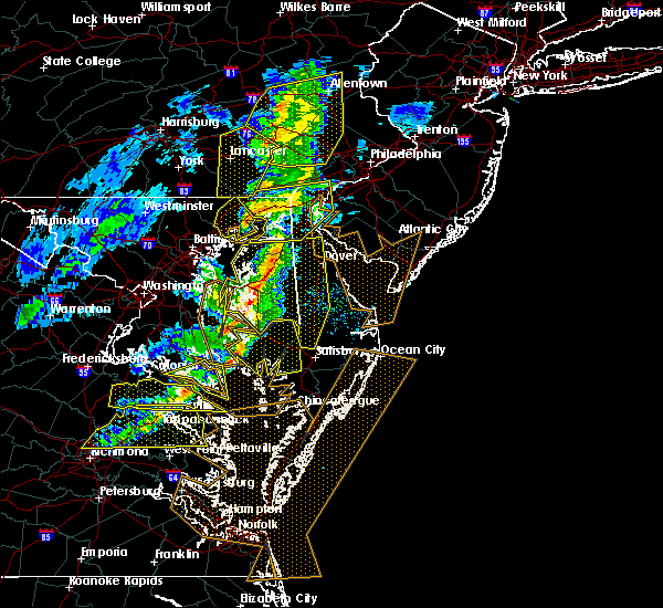 At 234 pm est, a severe thunderstorm was located over piney point, moving east at 55 mph (radar indicated). Hazards include 60 mph wind gusts. Damaging winds will cause some trees and large branches to fall. this could injure those outdoors, as well as damage homes and vehicles. roadways may become blocked by downed trees. localized power outages are possible. unsecured light objects may become projectiles. Locations impacted include, lexington park, piney point, tall timbers, saint inigoes creek, saint marys city, saint george island, saint marys river, dameron, valley lee, scotland, point lookout, great mills, drayden, park hall, saint inigoes, callaway and ridge. At 234 pm est, a severe thunderstorm was located over piney point, moving east at 55 mph (radar indicated). Hazards include 60 mph wind gusts. Damaging winds will cause some trees and large branches to fall. this could injure those outdoors, as well as damage homes and vehicles. roadways may become blocked by downed trees. localized power outages are possible. unsecured light objects may become projectiles. Locations impacted include, lexington park, piney point, tall timbers, saint inigoes creek, saint marys city, saint george island, saint marys river, dameron, valley lee, scotland, point lookout, great mills, drayden, park hall, saint inigoes, callaway and ridge.
|
| 3/1/2017 2:23 PM EST |
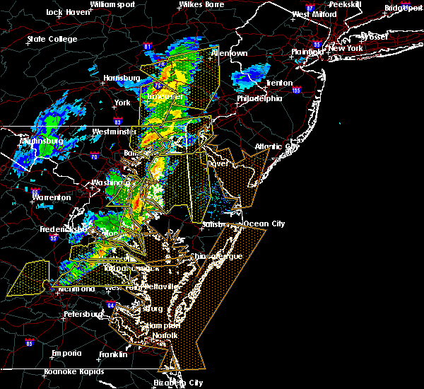 At 222 pm est, severe thunderstorms were located along a line extending from breezy point to near calvert cliffs to white point beach, moving east at 50 mph (radar indicated). Hazards include 60 mph wind gusts. Damaging winds will cause some trees and large branches to fall. this could injure those outdoors, as well as damage homes and vehicles. roadways may become blocked by downed trees. localized power outages are possible. unsecured light objects may become projectiles. Locations impacted include, lexington park, chesapeake ranch estates, chesapeake beach, leonardtown, prince frederick, piney point, tall timbers, saint inigoes creek, saint marys city, greenwell state park, saint leonard creek, breezy point, town creek, saint marys river, white point beach, cuckold creek, saint george island, sheridan point, calvert cliffs and saint clements bay. At 222 pm est, severe thunderstorms were located along a line extending from breezy point to near calvert cliffs to white point beach, moving east at 50 mph (radar indicated). Hazards include 60 mph wind gusts. Damaging winds will cause some trees and large branches to fall. this could injure those outdoors, as well as damage homes and vehicles. roadways may become blocked by downed trees. localized power outages are possible. unsecured light objects may become projectiles. Locations impacted include, lexington park, chesapeake ranch estates, chesapeake beach, leonardtown, prince frederick, piney point, tall timbers, saint inigoes creek, saint marys city, greenwell state park, saint leonard creek, breezy point, town creek, saint marys river, white point beach, cuckold creek, saint george island, sheridan point, calvert cliffs and saint clements bay.
|
| 3/1/2017 2:21 PM EST |
 At 221 pm est, a severe thunderstorm was located over montross, moving east at 65 mph (radar indicated). Hazards include 60 mph wind gusts. Damaging winds will cause some trees and large branches to fall. this could injure those outdoors, as well as damage homes and vehicles. roadways may become blocked by downed trees. localized power outages are possible. Unsecured light objects may become projectiles. At 221 pm est, a severe thunderstorm was located over montross, moving east at 65 mph (radar indicated). Hazards include 60 mph wind gusts. Damaging winds will cause some trees and large branches to fall. this could injure those outdoors, as well as damage homes and vehicles. roadways may become blocked by downed trees. localized power outages are possible. Unsecured light objects may become projectiles.
|
| 3/1/2017 2:17 PM EST |
 At 216 pm est, severe thunderstorms were located along a line extending from near chesapeake beach to saint leonard creek to near saint clements bay, moving east at 70 mph (radar indicated). Hazards include 70 mph wind gusts. Damaging winds will cause some trees and large branches to fall. this could injure those outdoors, as well as damage homes and vehicles. roadways may become blocked by downed trees. localized power outages are possible. unsecured light objects may become projectiles. Locations impacted include, lexington park, chesapeake ranch estates, chesapeake beach, leonardtown, prince frederick, piney point, tall timbers, saint inigoes creek, saint marys city, greenwell state park, hallowing point, saint leonard creek, breezy point, town creek, wicomico river, saint marys river, white point beach, cuckold creek, saint george island and sheridan point. At 216 pm est, severe thunderstorms were located along a line extending from near chesapeake beach to saint leonard creek to near saint clements bay, moving east at 70 mph (radar indicated). Hazards include 70 mph wind gusts. Damaging winds will cause some trees and large branches to fall. this could injure those outdoors, as well as damage homes and vehicles. roadways may become blocked by downed trees. localized power outages are possible. unsecured light objects may become projectiles. Locations impacted include, lexington park, chesapeake ranch estates, chesapeake beach, leonardtown, prince frederick, piney point, tall timbers, saint inigoes creek, saint marys city, greenwell state park, hallowing point, saint leonard creek, breezy point, town creek, wicomico river, saint marys river, white point beach, cuckold creek, saint george island and sheridan point.
|
| 3/1/2017 2:06 PM EST |
 At 206 pm est, severe thunderstorms were located along a line extending from near waldorf to 8 miles southwest of golden beach to near colonial beach, moving east at 70 mph (radar indicated). Hazards include 70 mph wind gusts. Damaging winds will cause some trees and large branches to fall. this could injure those outdoors, as well as damage homes and vehicles. roadways may become blocked by downed trees. localized power outages are possible. unsecured light objects may become projectiles. Locations impacted include, waldorf, lexington park, chesapeake ranch estates, la plata, chesapeake beach, leonardtown, prince frederick, piney point, tall timbers, saint inigoes creek, saint marys city, greenwell state park, hallowing point, saint leonard creek, breezy point, town creek, wicomico river, saint marys river, white point beach and cuckold creek. At 206 pm est, severe thunderstorms were located along a line extending from near waldorf to 8 miles southwest of golden beach to near colonial beach, moving east at 70 mph (radar indicated). Hazards include 70 mph wind gusts. Damaging winds will cause some trees and large branches to fall. this could injure those outdoors, as well as damage homes and vehicles. roadways may become blocked by downed trees. localized power outages are possible. unsecured light objects may become projectiles. Locations impacted include, waldorf, lexington park, chesapeake ranch estates, la plata, chesapeake beach, leonardtown, prince frederick, piney point, tall timbers, saint inigoes creek, saint marys city, greenwell state park, hallowing point, saint leonard creek, breezy point, town creek, wicomico river, saint marys river, white point beach and cuckold creek.
|
| 3/1/2017 1:56 PM EST |
 At 156 pm est, severe thunderstorms were located along a line extending from 6 miles southeast of fort belvoir to popes creek to near port royal, moving east at 65 mph (radar indicated). Hazards include 70 mph wind gusts. Damaging winds will cause some trees and large branches to fall. this could injure those outdoors, as well as damage homes and vehicles. roadways may become blocked by downed trees. localized power outages are possible. unsecured light objects may become projectiles. Locations impacted include, waldorf, lexington park, chesapeake ranch estates, la plata, chesapeake beach, king george, leonardtown, dahlgren, prince frederick, piney point, tall timbers, fairview beach, saint inigoes creek, popes creek, hallowing point, saint leonard creek, town creek, sheridan point, saint clements bay and nanjemoy creek. At 156 pm est, severe thunderstorms were located along a line extending from 6 miles southeast of fort belvoir to popes creek to near port royal, moving east at 65 mph (radar indicated). Hazards include 70 mph wind gusts. Damaging winds will cause some trees and large branches to fall. this could injure those outdoors, as well as damage homes and vehicles. roadways may become blocked by downed trees. localized power outages are possible. unsecured light objects may become projectiles. Locations impacted include, waldorf, lexington park, chesapeake ranch estates, la plata, chesapeake beach, king george, leonardtown, dahlgren, prince frederick, piney point, tall timbers, fairview beach, saint inigoes creek, popes creek, hallowing point, saint leonard creek, town creek, sheridan point, saint clements bay and nanjemoy creek.
|
| 3/1/2017 1:36 PM EST |
 At 135 pm est, severe thunderstorms were located along a line extending from near montclair to near aquia creek to 6 miles northwest of ladysmith, moving east at 70 mph (radar indicated). Hazards include 70 mph wind gusts. Damaging winds will cause some trees and large branches to fall. this could injure those outdoors, as well as damage homes and vehicles. roadways may become blocked by downed trees. localized power outages are possible. Unsecured light objects may become projectiles. At 135 pm est, severe thunderstorms were located along a line extending from near montclair to near aquia creek to 6 miles northwest of ladysmith, moving east at 70 mph (radar indicated). Hazards include 70 mph wind gusts. Damaging winds will cause some trees and large branches to fall. this could injure those outdoors, as well as damage homes and vehicles. roadways may become blocked by downed trees. localized power outages are possible. Unsecured light objects may become projectiles.
|
| 2/25/2017 4:38 PM EST |
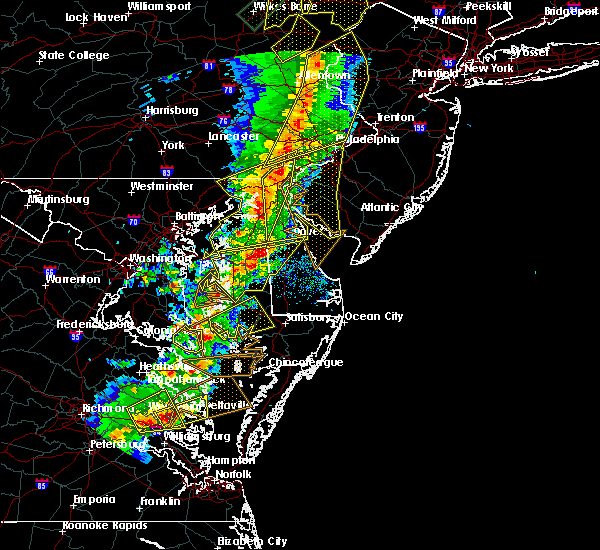 The severe thunderstorm warning for southeastern st. marys county will expire at 445 pm est, the storm which prompted the warning has moved out of the area. therefore the warning will be allowed to expire. a severe thunderstorm watch remains in effect until 800 pm est for southern maryland. The severe thunderstorm warning for southeastern st. marys county will expire at 445 pm est, the storm which prompted the warning has moved out of the area. therefore the warning will be allowed to expire. a severe thunderstorm watch remains in effect until 800 pm est for southern maryland.
|
| 2/25/2017 4:28 PM EST |
 At 427 pm est, a severe thunderstorm was located near white point beach, moving northeast at 35 mph (radar indicated). Hazards include 60 mph wind gusts and quarter size hail. Damaging winds will cause some trees and large branches to fall. this could injure those outdoors, as well as damage homes and vehicles. roadways may become blocked by downed trees. localized power outages are possible. unsecured light objects may become projectiles. Locations impacted include, lexington park, piney point, tall timbers, saint inigoes creek, town creek, saint marys city, saint marys river, california, patuxent river naval air station, drum point, dameron, valley lee, great mills, redgate, drayden, park hall, saint inigoes and callaway. At 427 pm est, a severe thunderstorm was located near white point beach, moving northeast at 35 mph (radar indicated). Hazards include 60 mph wind gusts and quarter size hail. Damaging winds will cause some trees and large branches to fall. this could injure those outdoors, as well as damage homes and vehicles. roadways may become blocked by downed trees. localized power outages are possible. unsecured light objects may become projectiles. Locations impacted include, lexington park, piney point, tall timbers, saint inigoes creek, town creek, saint marys city, saint marys river, california, patuxent river naval air station, drum point, dameron, valley lee, great mills, redgate, drayden, park hall, saint inigoes and callaway.
|
| 2/25/2017 4:18 PM EST |
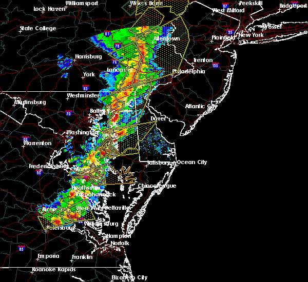 At 418 pm est, a severe thunderstorm was located over white point beach, moving northeast at 35 mph (radar indicated). Hazards include ping pong ball size hail and 60 mph wind gusts. Damaging winds will cause some trees and large branches to fall. this could injure those outdoors, as well as damage homes and vehicles. roadways may become blocked by downed trees. localized power outages are possible. unsecured light objects may become projectiles. Locations impacted include, lexington park, leonardtown, piney point, tall timbers, saint inigoes creek, saint marys city, saint george island, saint clements bay, town creek, saint marys river, white point beach, california, patuxent river naval air station, drum point, abell, valley lee, scotland, great mills, drayden and park hall. At 418 pm est, a severe thunderstorm was located over white point beach, moving northeast at 35 mph (radar indicated). Hazards include ping pong ball size hail and 60 mph wind gusts. Damaging winds will cause some trees and large branches to fall. this could injure those outdoors, as well as damage homes and vehicles. roadways may become blocked by downed trees. localized power outages are possible. unsecured light objects may become projectiles. Locations impacted include, lexington park, leonardtown, piney point, tall timbers, saint inigoes creek, saint marys city, saint george island, saint clements bay, town creek, saint marys river, white point beach, california, patuxent river naval air station, drum point, abell, valley lee, scotland, great mills, drayden and park hall.
|
| 2/25/2017 4:14 PM EST |
 At 413 pm est, a severe thunderstorm was located near saint clements bay, moving northeast at 35 mph (radar indicated). Hazards include 60 mph wind gusts and quarter size hail. Damaging winds will cause some trees and large branches to fall. this could injure those outdoors, as well as damage homes and vehicles. roadways may become blocked by downed trees. localized power outages are possible. unsecured light objects may become projectiles. Locations impacted include, lexington park, leonardtown, piney point, tall timbers, saint inigoes creek, saint marys city, saint george island, saint clements bay, town creek, saint marys river, white point beach, california, patuxent river naval air station, drum point, abell, valley lee, scotland, great mills, drayden and park hall. At 413 pm est, a severe thunderstorm was located near saint clements bay, moving northeast at 35 mph (radar indicated). Hazards include 60 mph wind gusts and quarter size hail. Damaging winds will cause some trees and large branches to fall. this could injure those outdoors, as well as damage homes and vehicles. roadways may become blocked by downed trees. localized power outages are possible. unsecured light objects may become projectiles. Locations impacted include, lexington park, leonardtown, piney point, tall timbers, saint inigoes creek, saint marys city, saint george island, saint clements bay, town creek, saint marys river, white point beach, california, patuxent river naval air station, drum point, abell, valley lee, scotland, great mills, drayden and park hall.
|
| 2/25/2017 4:00 PM EST |
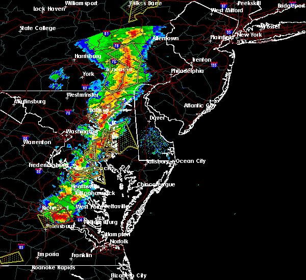 At 400 pm est, a severe thunderstorm was located near montross, moving northeast at 35 mph (radar indicated). Hazards include 60 mph wind gusts and quarter size hail. Damaging winds will cause some trees and large branches to fall. this could injure those outdoors, as well as damage homes and vehicles. roadways may become blocked by downed trees. localized power outages are possible. Unsecured light objects may become projectiles. At 400 pm est, a severe thunderstorm was located near montross, moving northeast at 35 mph (radar indicated). Hazards include 60 mph wind gusts and quarter size hail. Damaging winds will cause some trees and large branches to fall. this could injure those outdoors, as well as damage homes and vehicles. roadways may become blocked by downed trees. localized power outages are possible. Unsecured light objects may become projectiles.
|
| 6/16/2016 9:50 PM EDT |
 At 950 pm edt, severe thunderstorms were located along a line extending from near port tobacco river to near popes creek to near wicomico river to near colonial beach, moving southeast at 35 mph (radar indicated). Hazards include 60 mph wind gusts. Damaging winds will cause some trees and large branches to fall. this could injure those outdoors, as well as damage homes and vehicles. roadways may become blocked by downed trees. localized power outages are possible. Locations impacted include, waldorf, lexington park, la plata, leonardtown, saint inigoes creek, saint marys city, saint marys river, california, golden beach, patuxent river naval air station, hollywood, wicomico, bryans road, hughesville, mechanicsville, charlotte hall, bryantown, pomfret, port tobacco village and morganza. At 950 pm edt, severe thunderstorms were located along a line extending from near port tobacco river to near popes creek to near wicomico river to near colonial beach, moving southeast at 35 mph (radar indicated). Hazards include 60 mph wind gusts. Damaging winds will cause some trees and large branches to fall. this could injure those outdoors, as well as damage homes and vehicles. roadways may become blocked by downed trees. localized power outages are possible. Locations impacted include, waldorf, lexington park, la plata, leonardtown, saint inigoes creek, saint marys city, saint marys river, california, golden beach, patuxent river naval air station, hollywood, wicomico, bryans road, hughesville, mechanicsville, charlotte hall, bryantown, pomfret, port tobacco village and morganza.
|
| 6/16/2016 9:09 PM EDT |
 At 909 pm edt, severe thunderstorms were located along a line extending from alexandria to near quantico to near fredericksburg, moving east at 35 mph (radar indicated). Hazards include 60 mph wind gusts. Damaging winds will cause some trees and large branches to fall. this could injure those outdoors, as well as damage homes and vehicles. roadways may become blocked by downed trees. localized power outages are possible. unsecured light objects may become projectiles. Locations impacted include, waldorf, lexington park, la plata, leonardtown, saint inigoes creek, saint marys city, saint marys river, california, golden beach, patuxent river naval air station, hollywood, saint charles, wicomico, bryans road, hughesville, mechanicsville, charlotte hall, potomac heights, bryantown and pomfret. At 909 pm edt, severe thunderstorms were located along a line extending from alexandria to near quantico to near fredericksburg, moving east at 35 mph (radar indicated). Hazards include 60 mph wind gusts. Damaging winds will cause some trees and large branches to fall. this could injure those outdoors, as well as damage homes and vehicles. roadways may become blocked by downed trees. localized power outages are possible. unsecured light objects may become projectiles. Locations impacted include, waldorf, lexington park, la plata, leonardtown, saint inigoes creek, saint marys city, saint marys river, california, golden beach, patuxent river naval air station, hollywood, saint charles, wicomico, bryans road, hughesville, mechanicsville, charlotte hall, potomac heights, bryantown and pomfret.
|
| 6/16/2016 8:51 PM EDT |
 At 851 pm edt, severe thunderstorms were located along a line extending from near poolesville to near lake ridge to near stafford to 11 miles west of spotsylvania, moving east at 35 mph (radar indicated). Hazards include 60 mph wind gusts. Damaging winds will cause some trees and large branches to fall. this could injure those outdoors, as well as damage homes and vehicles. roadways may become blocked by downed trees. localized power outages are possible. Unsecured light objects may become projectiles. At 851 pm edt, severe thunderstorms were located along a line extending from near poolesville to near lake ridge to near stafford to 11 miles west of spotsylvania, moving east at 35 mph (radar indicated). Hazards include 60 mph wind gusts. Damaging winds will cause some trees and large branches to fall. this could injure those outdoors, as well as damage homes and vehicles. roadways may become blocked by downed trees. localized power outages are possible. Unsecured light objects may become projectiles.
|
| 2/24/2016 8:20 PM EST |
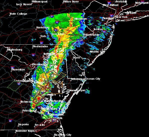 At 820 pm est, doppler radar indicated a severe thunderstorm capable of producing a tornado. this dangerous storm was located over saint george island, and moving northeast at 45 mph. At 820 pm est, doppler radar indicated a severe thunderstorm capable of producing a tornado. this dangerous storm was located over saint george island, and moving northeast at 45 mph.
|
| 2/24/2016 8:04 PM EST |
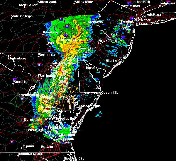 At 803 pm est, doppler radar indicated a severe thunderstorm capable of producing damaging winds in excess of 60 mph. the original warned thunderstorm has exited the area, but another storm was located over haynesville, or near warsaw, moving northeast at 60 mph. locations impacted include, saint inigoes creek, lexington park, saint george island, town creek, saint marys city, saint marys river, chesapeake ranch estates, california, patuxent river naval air station, park hall, dowell, valley lee, dameron, saint inigoes, ridge, scotland, callaway, drayden and great mills. a tornado watch remains in effect until 1100 pm est for southern maryland. At 803 pm est, doppler radar indicated a severe thunderstorm capable of producing damaging winds in excess of 60 mph. the original warned thunderstorm has exited the area, but another storm was located over haynesville, or near warsaw, moving northeast at 60 mph. locations impacted include, saint inigoes creek, lexington park, saint george island, town creek, saint marys city, saint marys river, chesapeake ranch estates, california, patuxent river naval air station, park hall, dowell, valley lee, dameron, saint inigoes, ridge, scotland, callaway, drayden and great mills. a tornado watch remains in effect until 1100 pm est for southern maryland.
|
| 2/24/2016 7:56 PM EST |
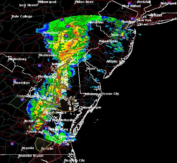 At 756 pm est, doppler radar indicated a severe thunderstorm capable of producing a tornado. this dangerous storm was located near lexington park, moving northeast at 55 mph. take cover now. locations impacted include, saint marys city, saint marys river, lexington park, patuxent river naval air station, park hall and drayden. At 756 pm est, doppler radar indicated a severe thunderstorm capable of producing a tornado. this dangerous storm was located near lexington park, moving northeast at 55 mph. take cover now. locations impacted include, saint marys city, saint marys river, lexington park, patuxent river naval air station, park hall and drayden.
|
| 2/24/2016 7:43 PM EST |
 At 743 pm est, doppler radar indicated a severe thunderstorm capable of producing a tornado. this dangerous storm was located over piney point, and moving northeast at 65 mph. At 743 pm est, doppler radar indicated a severe thunderstorm capable of producing a tornado. this dangerous storm was located over piney point, and moving northeast at 65 mph.
|
| 2/24/2016 7:39 PM EST |
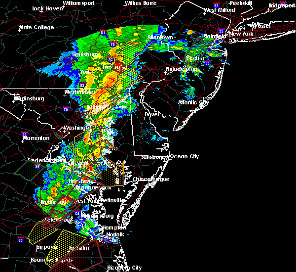 At 738 pm est, doppler radar indicated a severe thunderstorm capable of producing damaging winds in excess of 60 mph. this storm was located over kinsale, or near callao, and moving northeast at 50 mph. At 738 pm est, doppler radar indicated a severe thunderstorm capable of producing damaging winds in excess of 60 mph. this storm was located over kinsale, or near callao, and moving northeast at 50 mph.
|
| 2/24/2016 7:21 PM EST |
 At 721 pm est, doppler radar indicated a line of severe thunderstorms capable of producing damaging winds in excess of 60 mph. these storms were located along a line extending from greenwell state park to hague, moving northeast at 35 mph. a tornado warning is also in effect for portions of these coutnies. locations impacted include, leonardtown, saint inigoes creek, flag harbor, saint leonard creek, lexington park, saint marys city, saint marys river, chesapeake ranch estates, cuckold creek, calvert cliffs, saint leonard, california, patuxent river naval air station, lusby, hollywood, tintop hill, dameron, redgate, saint inigoes and ridge. a tornado watch remains in effect until 1100 pm est for southern maryland. At 721 pm est, doppler radar indicated a line of severe thunderstorms capable of producing damaging winds in excess of 60 mph. these storms were located along a line extending from greenwell state park to hague, moving northeast at 35 mph. a tornado warning is also in effect for portions of these coutnies. locations impacted include, leonardtown, saint inigoes creek, flag harbor, saint leonard creek, lexington park, saint marys city, saint marys river, chesapeake ranch estates, cuckold creek, calvert cliffs, saint leonard, california, patuxent river naval air station, lusby, hollywood, tintop hill, dameron, redgate, saint inigoes and ridge. a tornado watch remains in effect until 1100 pm est for southern maryland.
|
| 2/24/2016 7:19 PM EST |
 At 718 pm est, doppler radar indicated a severe thunderstorm capable of producing a tornado. this dangerous storm was located over california, or over town creek, moving northeast at 60 mph. locations impacted include, leonardtown, flag harbor, lexington park, saint leonard creek, chesapeake ranch estates, calvert cliffs, lusby, hollywood, california, patuxent river naval air station, saint leonard, dowell, tintop hill, redgate, long beach, callaway, calvert beach and great mills. At 718 pm est, doppler radar indicated a severe thunderstorm capable of producing a tornado. this dangerous storm was located over california, or over town creek, moving northeast at 60 mph. locations impacted include, leonardtown, flag harbor, lexington park, saint leonard creek, chesapeake ranch estates, calvert cliffs, lusby, hollywood, california, patuxent river naval air station, saint leonard, dowell, tintop hill, redgate, long beach, callaway, calvert beach and great mills.
|
| 2/24/2016 7:06 PM EST |
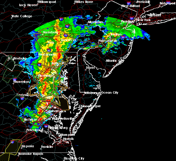 At 706 pm est, doppler radar indicated a severe thunderstorm capable of producing a tornado. this dangerous storm was located over coles point, or near tall timbers, and moving northeast at 60 mph. At 706 pm est, doppler radar indicated a severe thunderstorm capable of producing a tornado. this dangerous storm was located over coles point, or near tall timbers, and moving northeast at 60 mph.
|
| 2/24/2016 6:42 PM EST |
 At 641 pm est, doppler radar indicated a severe thunderstorm capable of producing damaging winds in excess of 60 mph. this storm was located over tappahannock, and moving northeast at 55 mph. At 641 pm est, doppler radar indicated a severe thunderstorm capable of producing damaging winds in excess of 60 mph. this storm was located over tappahannock, and moving northeast at 55 mph.
|
| 9/12/2015 11:23 AM EDT |
 The severe thunderstorm warning for southeastern st. marys county will expire at 1130 am edt, the storm which prompted the warning has moved out of the area. therefore the warning will be allowed to expire. The severe thunderstorm warning for southeastern st. marys county will expire at 1130 am edt, the storm which prompted the warning has moved out of the area. therefore the warning will be allowed to expire.
|
| 9/12/2015 11:09 AM EDT |
 At 1108 am edt, doppler radar indicated a severe thunderstorm capable of producing damaging winds in excess of 60 mph. this storm was located 7 miles northeast of saint inigoes creek, moving northeast at 25 mph. locations impacted include, saint inigoes creek, saint marys city, park hall, dameron, saint inigoes and ridge. At 1108 am edt, doppler radar indicated a severe thunderstorm capable of producing damaging winds in excess of 60 mph. this storm was located 7 miles northeast of saint inigoes creek, moving northeast at 25 mph. locations impacted include, saint inigoes creek, saint marys city, park hall, dameron, saint inigoes and ridge.
|
| 9/12/2015 10:45 AM EDT |
 At 1044 am edt, doppler radar indicated a severe thunderstorm capable of producing damaging winds in excess of 60 mph. this storm was located over saint george island, and moving northeast at 25 mph. At 1044 am edt, doppler radar indicated a severe thunderstorm capable of producing damaging winds in excess of 60 mph. this storm was located over saint george island, and moving northeast at 25 mph.
|
| 8/4/2015 6:11 PM EDT |
 At 611 pm edt, doppler radar indicated a line of severe thunderstorms capable of producing large hail up to ping pong ball size and damaging winds in excess of 60 mph. these storms were located along a line extending from near saint marys river to near saint inigoes creek, moving northeast at 35 mph. locations impacted include, saint inigoes creek, lexington park, saint george island, saint marys city, saint marys river, park hall, scotland, drayden, dameron, saint inigoes and ridge. At 611 pm edt, doppler radar indicated a line of severe thunderstorms capable of producing large hail up to ping pong ball size and damaging winds in excess of 60 mph. these storms were located along a line extending from near saint marys river to near saint inigoes creek, moving northeast at 35 mph. locations impacted include, saint inigoes creek, lexington park, saint george island, saint marys city, saint marys river, park hall, scotland, drayden, dameron, saint inigoes and ridge.
|
| 8/4/2015 6:02 PM EDT |
 At 602 pm edt, doppler radar indicated a severe thunderstorm capable of producing quarter size hail and damaging winds in excess of 60 mph. this storm was located over piney point, and moving northeast at 35 mph. At 602 pm edt, doppler radar indicated a severe thunderstorm capable of producing quarter size hail and damaging winds in excess of 60 mph. this storm was located over piney point, and moving northeast at 35 mph.
|
| 6/23/2015 10:12 PM EDT | The severe thunderstorm warning for south central charles, st. marys and southeastern calvert counties will expire at 1015 pm edt, the storm which prompted the warning has weakened below severe limits, and no longer poses an immediate threat to life or property. therefore the warning will be allowed to expire. however gusty winds are still possible with this thunderstorm. |
| 6/23/2015 10:04 PM EDT |
 At 1003 pm edt, doppler radar indicated a severe thunderstorm capable of producing damaging winds in excess of 60 mph. this storm was located over chesapeake ranch estates, moving east at 35 mph. locations impacted include, leonardtown, flag harbor, saint leonard creek, wicomico river, saint clements bay, lexington park, town creek, saint marys city, chesapeake ranch estates, calvert cliffs, greenwell state park, saint leonard, california, patuxent river naval air station, lusby, hollywood, wicomico, morganza, tintop hill and redgate. At 1003 pm edt, doppler radar indicated a severe thunderstorm capable of producing damaging winds in excess of 60 mph. this storm was located over chesapeake ranch estates, moving east at 35 mph. locations impacted include, leonardtown, flag harbor, saint leonard creek, wicomico river, saint clements bay, lexington park, town creek, saint marys city, chesapeake ranch estates, calvert cliffs, greenwell state park, saint leonard, california, patuxent river naval air station, lusby, hollywood, wicomico, morganza, tintop hill and redgate.
|
| 6/23/2015 9:29 PM EDT |
 The national weather service in sterling virginia has issued a * severe thunderstorm warning for. southeastern charles county in southern maryland. southeastern prince georges county in central maryland. st. marys county in southern maryland. Southern calvert county in southern maryland. The national weather service in sterling virginia has issued a * severe thunderstorm warning for. southeastern charles county in southern maryland. southeastern prince georges county in central maryland. st. marys county in southern maryland. Southern calvert county in southern maryland.
|
| 6/23/2015 9:03 PM EDT |
 At 903 pm edt, doppler radar indicated a line of severe thunderstorms capable of producing quarter size hail and damaging winds in excess of 60 mph. these storms were located along a line extending from 12 miles southeast of taylors island to near wicomico river, moving southeast at 45 mph. locations impacted include, la plata, leonardtown, saint inigoes creek, flag harbor, hallowing point, saint marys city, prince frederick, saint leonard creek, wicomico river, sheridan point, saint clements bay, lexington park, saint marys river, port tobacco river, chesapeake ranch estates, calvert cliffs, golden beach, california, patuxent river naval air station and lusby. At 903 pm edt, doppler radar indicated a line of severe thunderstorms capable of producing quarter size hail and damaging winds in excess of 60 mph. these storms were located along a line extending from 12 miles southeast of taylors island to near wicomico river, moving southeast at 45 mph. locations impacted include, la plata, leonardtown, saint inigoes creek, flag harbor, hallowing point, saint marys city, prince frederick, saint leonard creek, wicomico river, sheridan point, saint clements bay, lexington park, saint marys river, port tobacco river, chesapeake ranch estates, calvert cliffs, golden beach, california, patuxent river naval air station and lusby.
|
| 6/23/2015 8:30 PM EDT |
 At 830 pm edt, doppler radar indicated a line of severe thunderstorms capable of producing quarter size hail and damaging winds in excess of 60 mph. these storms were located along a line extending from near saint leonard to nanjemoy creek, and moving southeast at 40 mph. At 830 pm edt, doppler radar indicated a line of severe thunderstorms capable of producing quarter size hail and damaging winds in excess of 60 mph. these storms were located along a line extending from near saint leonard to nanjemoy creek, and moving southeast at 40 mph.
|
| 6/23/2015 8:00 PM EDT |
 At 800 pm edt, doppler radar indicated a line of severe thunderstorms capable of producing quarter size hail and damaging winds in excess of 60 mph. these storms were located along a line extending from 6 miles south of tilghman island to 8 miles west of stafford, and moving southeast at 30 mph. At 800 pm edt, doppler radar indicated a line of severe thunderstorms capable of producing quarter size hail and damaging winds in excess of 60 mph. these storms were located along a line extending from 6 miles south of tilghman island to 8 miles west of stafford, and moving southeast at 30 mph.
|
| 6/20/2015 9:52 PM EDT |
 At 952 pm edt, doppler radar indicated a line of severe thunderstorms capable of producing damaging winds in excess of 60 mph. these storms were located along a line extending from near tilghman island to near chesapeake ranch estates to near haynesville, and moving east at 30 mph. At 952 pm edt, doppler radar indicated a line of severe thunderstorms capable of producing damaging winds in excess of 60 mph. these storms were located along a line extending from near tilghman island to near chesapeake ranch estates to near haynesville, and moving east at 30 mph.
|
| 6/20/2015 9:31 PM EDT |
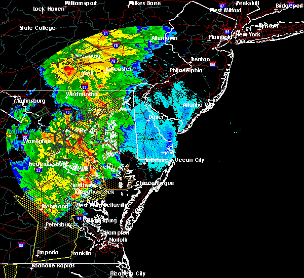 At 930 pm edt, emergency management reported a line of severe thunderstorms producing damaging winds in excess of 60 mph. these storms were located along a line extending from saint leonard to near saint marys river to near hague, moving east at 40 mph. locations impacted include, saint inigoes creek, flag harbor, calvert cliffs, saint leonard creek, lexington park, saint marys city, saint marys river, chesapeake ranch estates, cuckold creek, saint leonard, california, patuxent river naval air station, lusby, hollywood, dameron, saint inigoes, ridge, port republic, drayden and park hall. At 930 pm edt, emergency management reported a line of severe thunderstorms producing damaging winds in excess of 60 mph. these storms were located along a line extending from saint leonard to near saint marys river to near hague, moving east at 40 mph. locations impacted include, saint inigoes creek, flag harbor, calvert cliffs, saint leonard creek, lexington park, saint marys city, saint marys river, chesapeake ranch estates, cuckold creek, saint leonard, california, patuxent river naval air station, lusby, hollywood, dameron, saint inigoes, ridge, port republic, drayden and park hall.
|
| 6/20/2015 9:07 PM EDT |
 At 906 pm edt, doppler radar indicated a line of severe thunderstorms capable of producing damaging winds in excess of 60 mph. these storms were located along a line extending from 8 miles north of wicomico river to near montross to near king william, and moving east at 30 mph. At 906 pm edt, doppler radar indicated a line of severe thunderstorms capable of producing damaging winds in excess of 60 mph. these storms were located along a line extending from 8 miles north of wicomico river to near montross to near king william, and moving east at 30 mph.
|
| 6/18/2015 6:50 PM EDT | The severe thunderstorm warning for northeastern st. marys and southeastern calvert counties will expire at 700 pm edt, the storms which prompted the warning have weakened below severe limits, and no longer poses an immediate threat to life or property. therefore the warning will be allowed to expire. |
| 6/18/2015 6:43 PM EDT | At 642 pm edt, doppler radar indicated a line of severe thunderstorms capable of producing damaging winds in excess of 60 mph. these storms were located along a line extending from near chesapeake ranch estates to near leonardtown, moving southeast at 25 mph. locations impacted include, saint leonard creek, town creek, chesapeake ranch estates, greenwell state park, california, lusby, hollywood, patuxent river naval air station, dowell, tintop hill, redgate and hillville. |
| 6/18/2015 6:21 PM EDT | At 621 pm edt, doppler radar indicated a line of severe thunderstorms capable of producing quarter size hail and destructive winds in excess of 70 mph. these storms were located along a line extending from near prince frederick to near golden beach, moving southeast at 30 mph. locations impacted include, leonardtown, flag harbor, saint leonard creek, sheridan point, town creek, chesapeake ranch estates, calvert cliffs, greenwell state park, prince frederick, saint leonard, california, patuxent river naval air station, lusby, hollywood, morganza, tintop hill, redgate, loveville, hillville and port republic. |
| 6/18/2015 6:07 PM EDT | At 607 pm edt, doppler radar indicated a line of severe thunderstorms capable of producing quarter size hail and damaging winds in excess of 60 mph. these storms were located along a line extending from near plum point to near golden beach, and moving southeast at 30 mph. |
| 6/15/2015 8:36 PM EDT |
 The severe thunderstorm warning for southeastern st. marys county will expire at 845 pm edt, the storms which prompted the warning have moved out of the area. therefore the warning will be allowed to expire. to report severe weather, contact your nearest law enforcement agency. they will relay your report to the national weather service sterling virginia. The severe thunderstorm warning for southeastern st. marys county will expire at 845 pm edt, the storms which prompted the warning have moved out of the area. therefore the warning will be allowed to expire. to report severe weather, contact your nearest law enforcement agency. they will relay your report to the national weather service sterling virginia.
|
| 6/15/2015 8:20 PM EDT |
 At 819 pm edt, doppler radar indicated a line of severe thunderstorms capable of producing quarter size hail and damaging winds in excess of 60 mph. these storms were located along a line extending from 9 miles northwest of deal island to callao, moving southeast at 30 mph. locations impacted include, saint inigoes creek, saint george island, saint marys city, saint marys river, park hall, scotland, drayden, dameron, saint inigoes and ridge. At 819 pm edt, doppler radar indicated a line of severe thunderstorms capable of producing quarter size hail and damaging winds in excess of 60 mph. these storms were located along a line extending from 9 miles northwest of deal island to callao, moving southeast at 30 mph. locations impacted include, saint inigoes creek, saint george island, saint marys city, saint marys river, park hall, scotland, drayden, dameron, saint inigoes and ridge.
|
| 6/15/2015 8:05 PM EDT |
 At 805 pm edt, doppler radar indicated a line of severe thunderstorms capable of producing quarter size hail and damaging winds in excess of 60 mph. these storms were located along a line extending from 8 miles east of chesapeake ranch estates to hague, and moving southeast at 25 mph. At 805 pm edt, doppler radar indicated a line of severe thunderstorms capable of producing quarter size hail and damaging winds in excess of 60 mph. these storms were located along a line extending from 8 miles east of chesapeake ranch estates to hague, and moving southeast at 25 mph.
|
| 6/14/2015 9:09 PM EDT | Quarter sized hail reported 1 miles ESE of Lexington Park, MD |
| 6/14/2015 9:05 PM EDT | Quarter sized hail reported 1 miles ESE of Lexington Park, MD |
| 6/14/2015 9:04 PM EDT |
 At 903 pm edt, doppler radar indicated a severe thunderstorm capable of producing quarter size hail and damaging winds in excess of 60 mph. this storm was located over lexington park, moving east at 25 mph. locations impacted include, lexington park, saint marys city, saint marys river, california, patuxent river naval air station, park hall, callaway, drayden, valley lee, great mills, dameron and saint inigoes. At 903 pm edt, doppler radar indicated a severe thunderstorm capable of producing quarter size hail and damaging winds in excess of 60 mph. this storm was located over lexington park, moving east at 25 mph. locations impacted include, lexington park, saint marys city, saint marys river, california, patuxent river naval air station, park hall, callaway, drayden, valley lee, great mills, dameron and saint inigoes.
|
| 6/14/2015 8:48 PM EDT |
 At 847 pm edt, doppler radar indicated a severe thunderstorm capable of producing damaging winds in excess of 60 mph. this storm was located near white point beach, and moving east at 25 mph. At 847 pm edt, doppler radar indicated a severe thunderstorm capable of producing damaging winds in excess of 60 mph. this storm was located near white point beach, and moving east at 25 mph.
|
| 6/1/2015 3:27 PM EDT | At 327 pm edt, doppler radar indicated a line of severe thunderstorms capable of producing quarter size hail and damaging winds in excess of 60 mph. these storms were located along a line extending from near california to near saint marys river, moving east at 15 mph. locations impacted include, saint inigoes creek, lexington park, saint george island, saint marys city, saint marys river, patuxent river naval air station, park hall, valley lee, dameron, saint inigoes, ridge, scotland, callaway, drayden, great mills and point lookout. |
| 6/1/2015 3:22 PM EDT | A tree was reported down on quatman road near great mills roa in st. marys county MD, 2.6 miles E of Lexington Park, MD |
| 6/1/2015 3:13 PM EDT | At 313 pm edt, doppler radar indicated a line of severe thunderstorms capable of producing quarter size hail and damaging winds in excess of 60 mph. these storms were located along a line extending from near white point beach to near saint marys river, moving east at 20 mph. locations impacted include, saint inigoes creek, lexington park, saint george island, saint marys city, saint marys river, patuxent river naval air station, park hall, valley lee, dameron, redgate, saint inigoes, ridge, scotland, callaway, drayden, great mills and point lookout. |
| 6/1/2015 2:59 PM EDT | At 259 pm edt, doppler radar indicated a severe thunderstorm capable of producing quarter size hail and damaging winds in excess of 60 mph. this storm was located over white point beach, and moving east at 20 mph. |
| 7/9/2014 7:08 PM EDT | Estimated 50 mph winds and large limbs down on patuxent river naval air statio in st. marys county MD, 1.8 miles S of Lexington Park, MD |
| 7/2/2014 5:26 PM EDT | Storm damage reported in st. marys county MD, 2.2 miles SW of Lexington Park, MD |
| 2/21/2014 12:54 PM EST | Tree down on trapp road in st. marys county MD, 7.7 miles NNW of Lexington Park, MD |
| 6/24/2013 6:18 PM EDT | Quarter sized hail reported 7.9 miles NNW of Lexington Park, MD |
| 6/13/2013 3:45 PM EDT | Knui in st. marys county MD, 7.8 miles N of Lexington Park, MD |
| 6/13/2013 3:43 PM EDT | Storm damage reported in st. marys county MD, 7.8 miles N of Lexington Park, MD |
| 7/2/2012 4:13 AM EDT | Storm damage reported in st. marys county MD, 2.2 miles SW of Lexington Park, MD |
| 6/29/2012 11:38 PM EDT | Trees down across st. james church rd in st. marys county MD, 4.7 miles NW of Lexington Park, MD |
| 6/29/2012 11:34 PM EDT | Storm damage reported in st. marys county MD, 2.2 miles SW of Lexington Park, MD |
| 6/29/2012 11:30 PM EDT | Storm damage reported in st. marys county MD, 7.8 miles N of Lexington Park, MD |
| 6/1/2012 5:29 PM EDT | Tree down near intersection of baur road and smithfield driv in st. marys county MD, 5.8 miles N of Lexington Park, MD |
| 1/1/0001 12:00 AM | Quarter sized hail reported 1.9 miles SSW of Lexington Park, MD |
| 1/1/0001 12:00 AM | Several trees down in the lexington park are in st. marys county MD, 1.5 miles SE of Lexington Park, MD |
Hail Maps for Lexington Park, MD


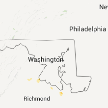


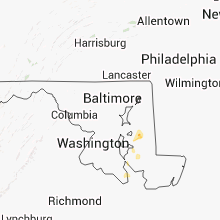


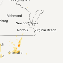
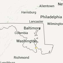


Connect with Interactive Hail Maps