

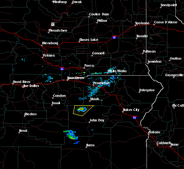
Hail Map for Long Creek, OR
The Long Creek, OR area has had 0 reports of on-the-ground hail by trained spotters, and has been under severe weather warnings 0 times during the past 12 months. Doppler radar has detected hail at or near Long Creek, OR on 2 occasions.
| Name: | Long Creek, OR |
| Where Located: | 78 miles N of Burns, OR |
| Map: | Google Map for Long Creek, OR |
| Population: | 197 |
| Housing Units: | 112 |
| More Info: | Search Google for Long Creek, OR |
0
The Top Recent Hail Date for Long Creek, OR is Saturday, July 2, 2022 (2nd out of 2)

Hail and Wind Damage Spotted near Long Creek, OR
| Date / Time | Report Details |
|---|---|
| 5/1/2023 5:57 PM PDT |
 At 554 pm pdt, a severe thunderstorm was located 19 miles east of silvies, or 30 miles southeast of john day, moving north at 45 mph (radar indicated). Hazards include 60 mph wind gusts and quarter size hail. Hail damage to vehicles is expected. Expect wind damage to roofs, siding, and trees. At 554 pm pdt, a severe thunderstorm was located 19 miles east of silvies, or 30 miles southeast of john day, moving north at 45 mph (radar indicated). Hazards include 60 mph wind gusts and quarter size hail. Hail damage to vehicles is expected. Expect wind damage to roofs, siding, and trees.
|
| 5/28/2020 7:47 PM PDT |
 At 747 pm pdt, a severe thunderstorm was located over ritter, or 34 miles north of john day, moving northeast at 30 mph (radar indicated). Hazards include 60 mph wind gusts and quarter size hail. Hail damage to vehicles is expected. expect wind damage to roofs, siding, and trees. Locations impacted include, monument, dale, ritter and hamilton. At 747 pm pdt, a severe thunderstorm was located over ritter, or 34 miles north of john day, moving northeast at 30 mph (radar indicated). Hazards include 60 mph wind gusts and quarter size hail. Hail damage to vehicles is expected. expect wind damage to roofs, siding, and trees. Locations impacted include, monument, dale, ritter and hamilton.
|
| 5/28/2020 7:29 PM PDT |
 At 729 pm pdt, a severe thunderstorm was located near hamilton, or 30 miles northwest of john day, moving northeast at 30 mph (radar indicated). Hazards include 60 mph wind gusts and quarter size hail. Hail damage to vehicles is expected. Expect wind damage to roofs, siding, and trees. At 729 pm pdt, a severe thunderstorm was located near hamilton, or 30 miles northwest of john day, moving northeast at 30 mph (radar indicated). Hazards include 60 mph wind gusts and quarter size hail. Hail damage to vehicles is expected. Expect wind damage to roofs, siding, and trees.
|
| 5/28/2020 7:07 PM PDT |
 At 706 pm pdt, a severe thunderstorm was located 7 miles southwest of hamilton, or 27 miles northwest of john day, moving northeast at 30 mph (radar indicated). Hazards include 60 mph wind gusts and quarter size hail. Hail damage to vehicles is expected. Expect wind damage to roofs, siding, and trees. At 706 pm pdt, a severe thunderstorm was located 7 miles southwest of hamilton, or 27 miles northwest of john day, moving northeast at 30 mph (radar indicated). Hazards include 60 mph wind gusts and quarter size hail. Hail damage to vehicles is expected. Expect wind damage to roofs, siding, and trees.
|
| 4/29/2020 4:25 PM PDT |
 At 425 pm pdt, a severe thunderstorm was located 12 miles southwest of mount vernon, or 19 miles southwest of john day, moving northeast at 40 mph (radar indicated). Hazards include 60 mph wind gusts and nickel size hail. expect damage to roofs, siding, and trees At 425 pm pdt, a severe thunderstorm was located 12 miles southwest of mount vernon, or 19 miles southwest of john day, moving northeast at 40 mph (radar indicated). Hazards include 60 mph wind gusts and nickel size hail. expect damage to roofs, siding, and trees
|
| 8/12/2014 1:44 PM PDT | Storm damage reported in grant county OR, 0.5 miles NW of Long Creek, OR |
Hail Maps for Long Creek, OR


Connect with Interactive Hail Maps