

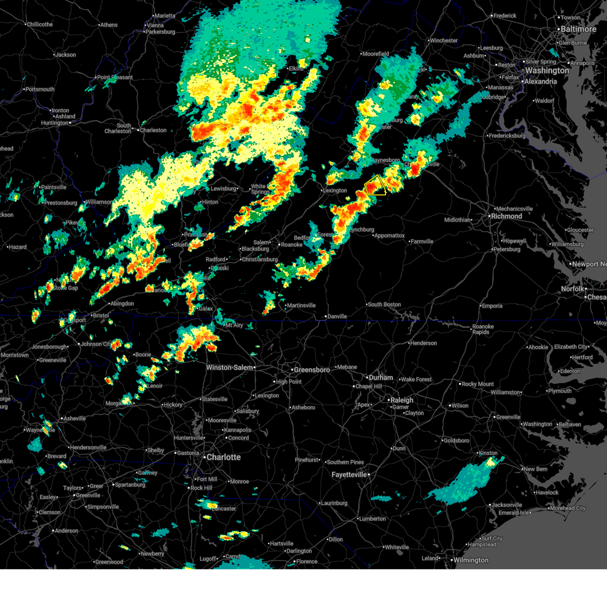
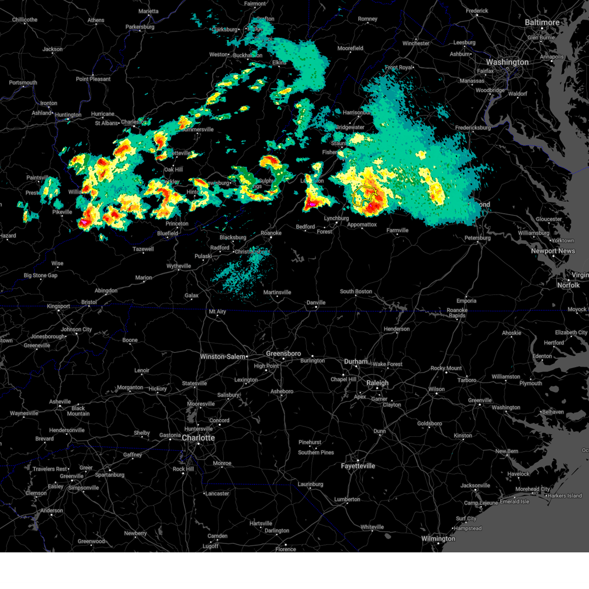
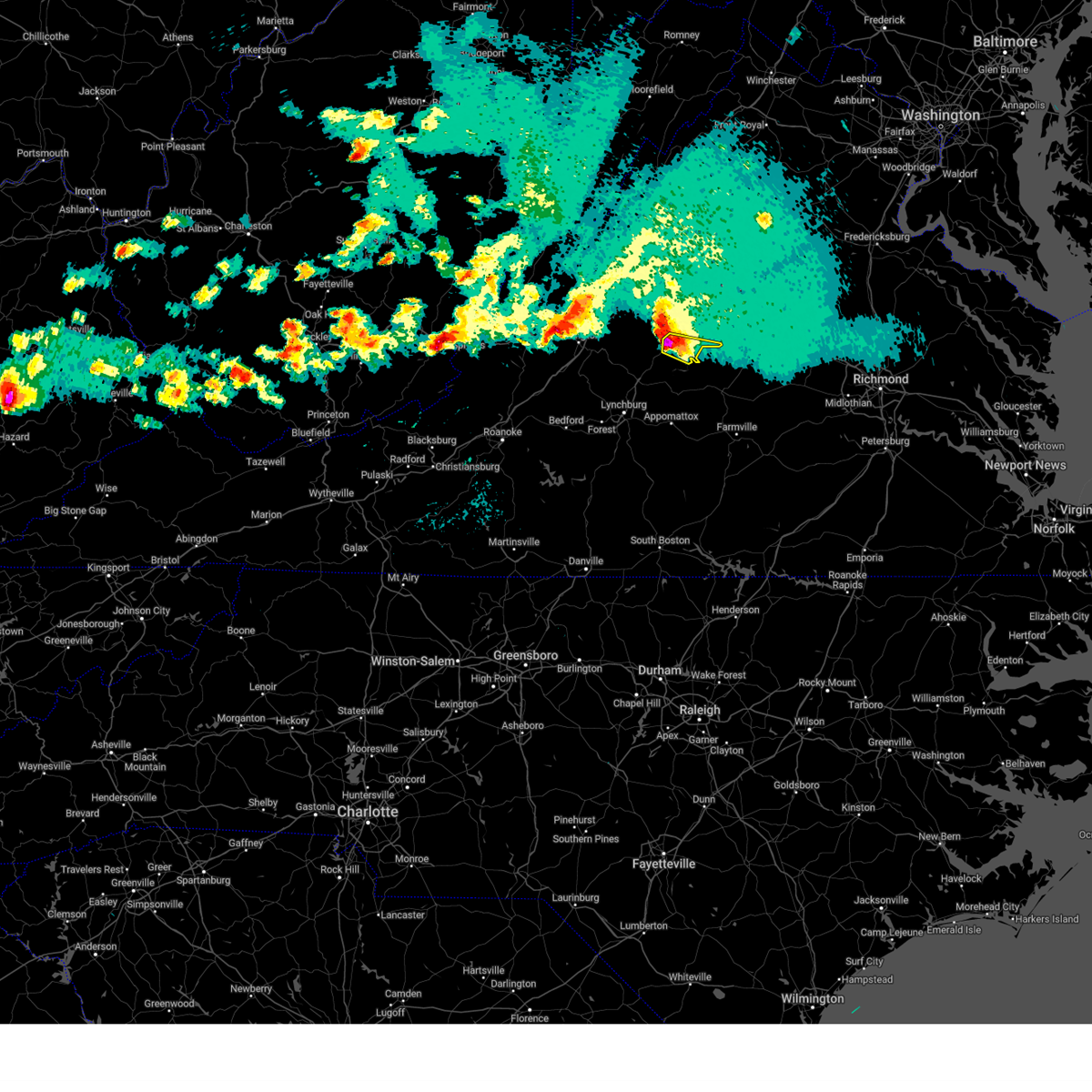
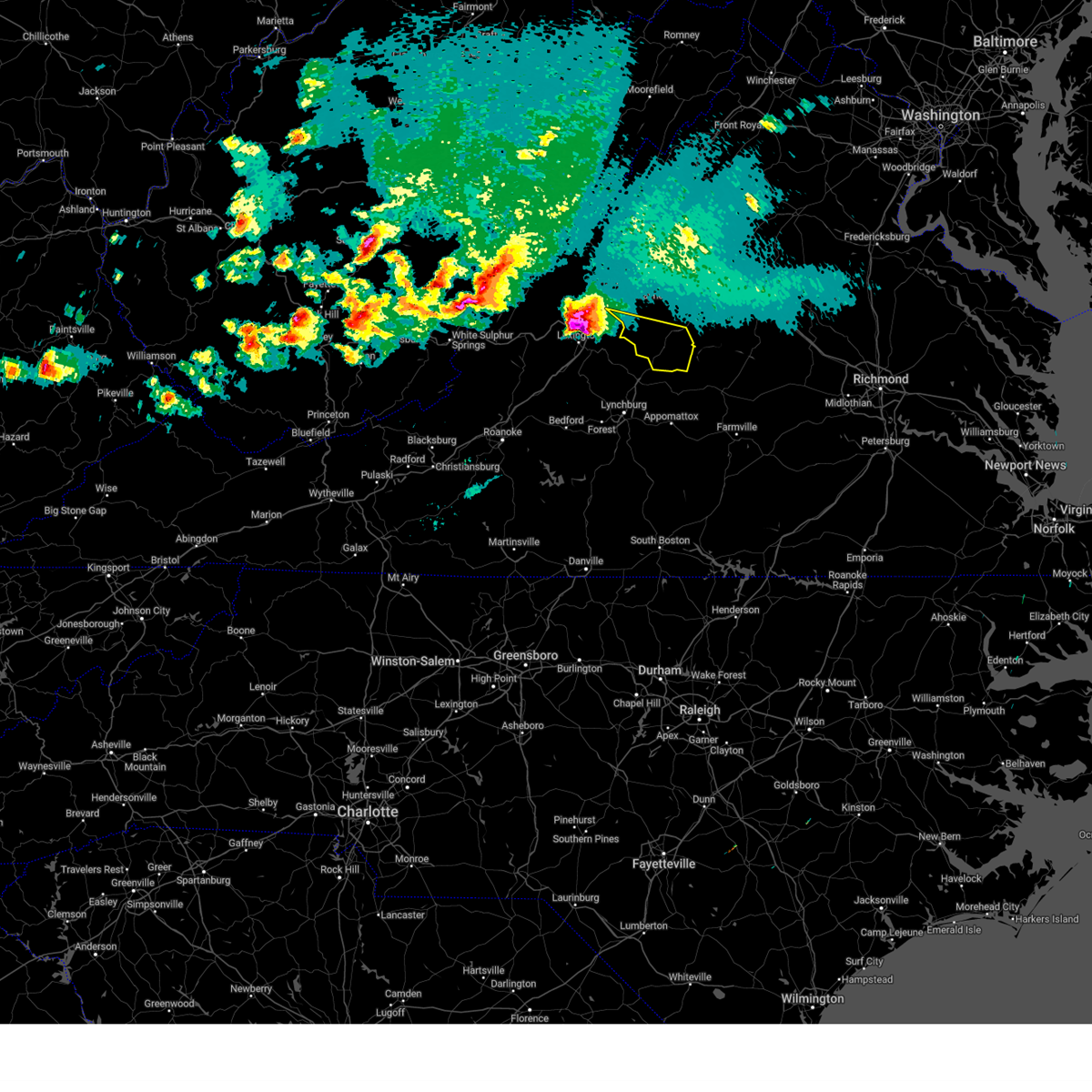
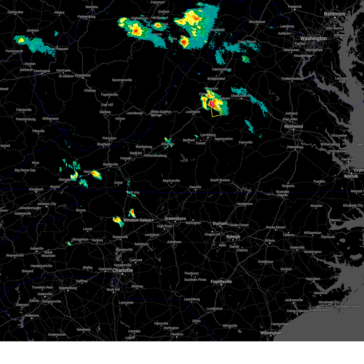
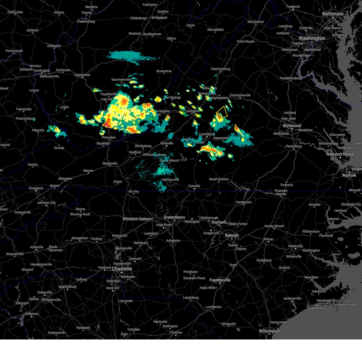
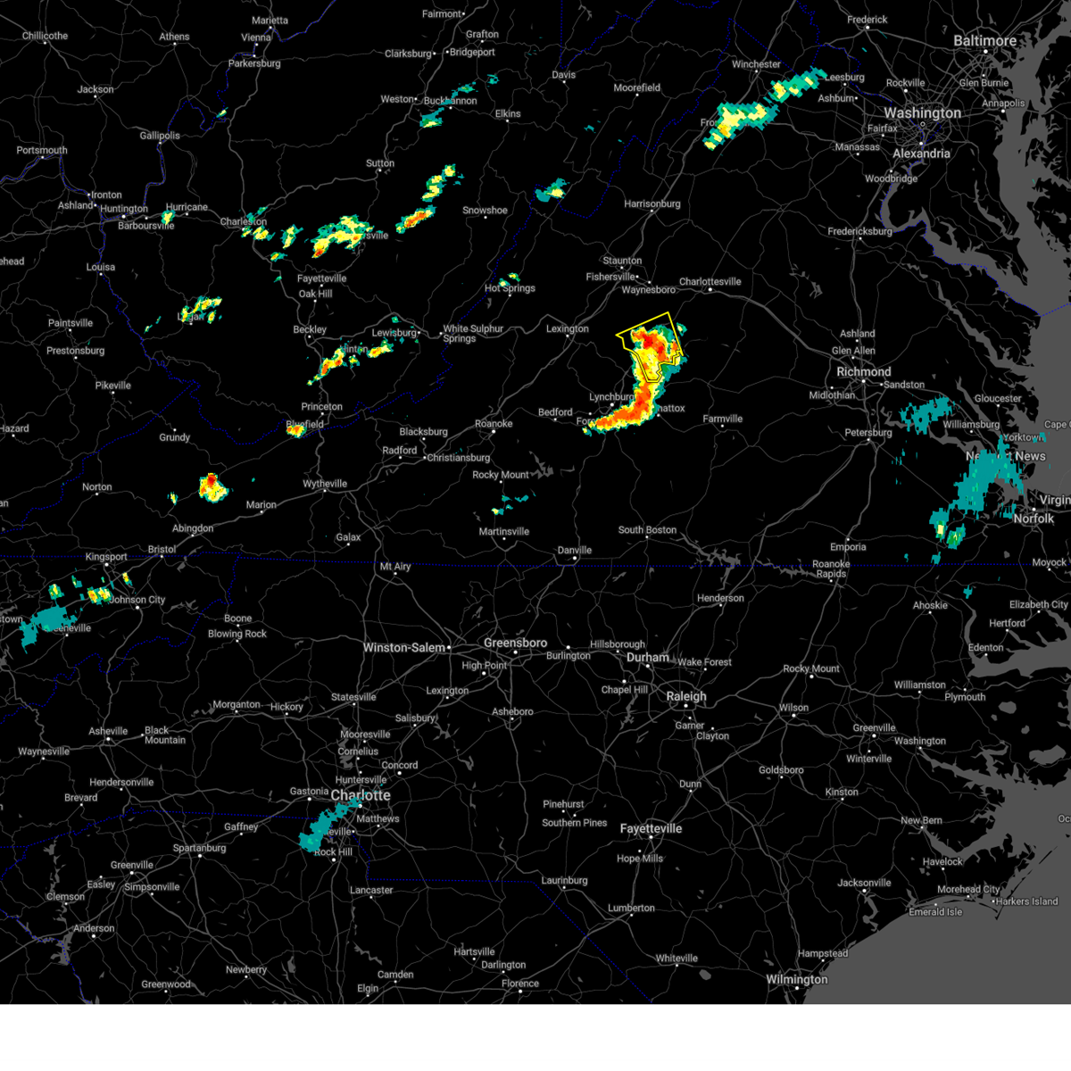
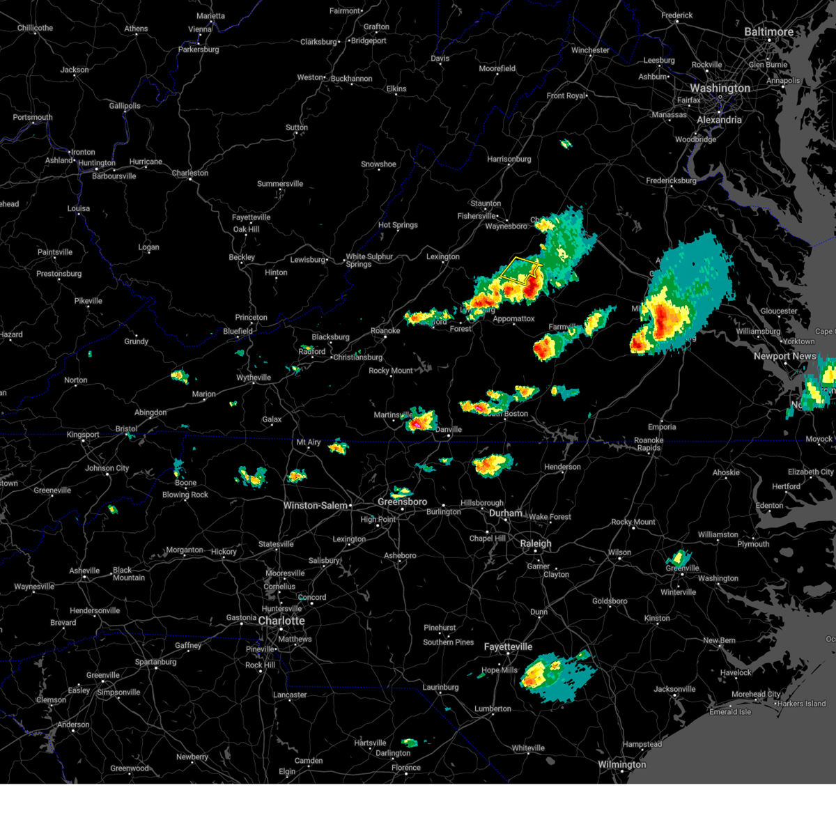
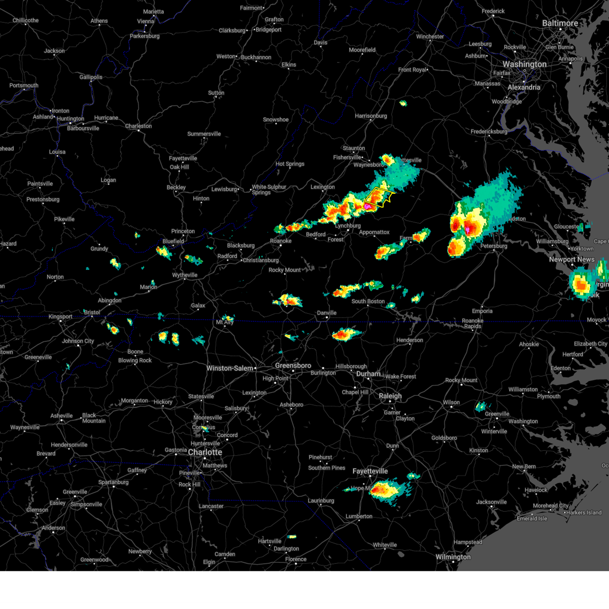
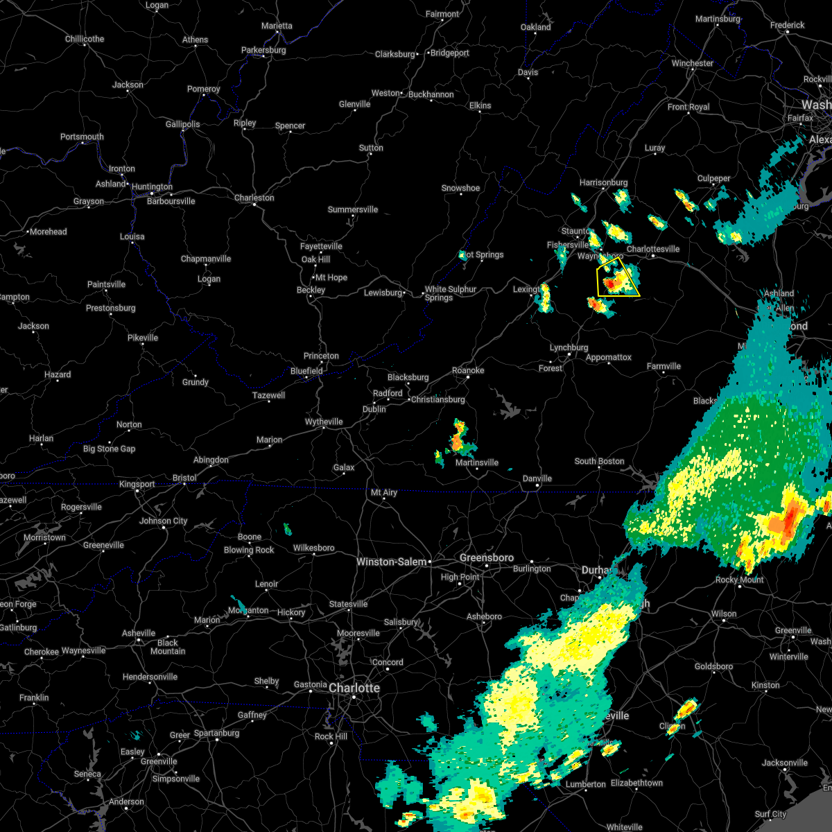
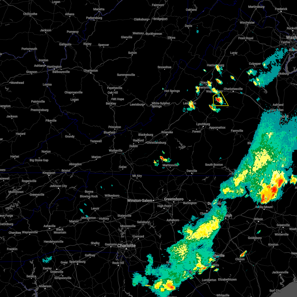
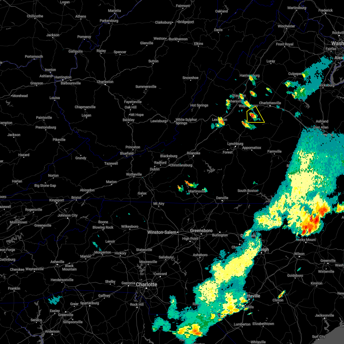
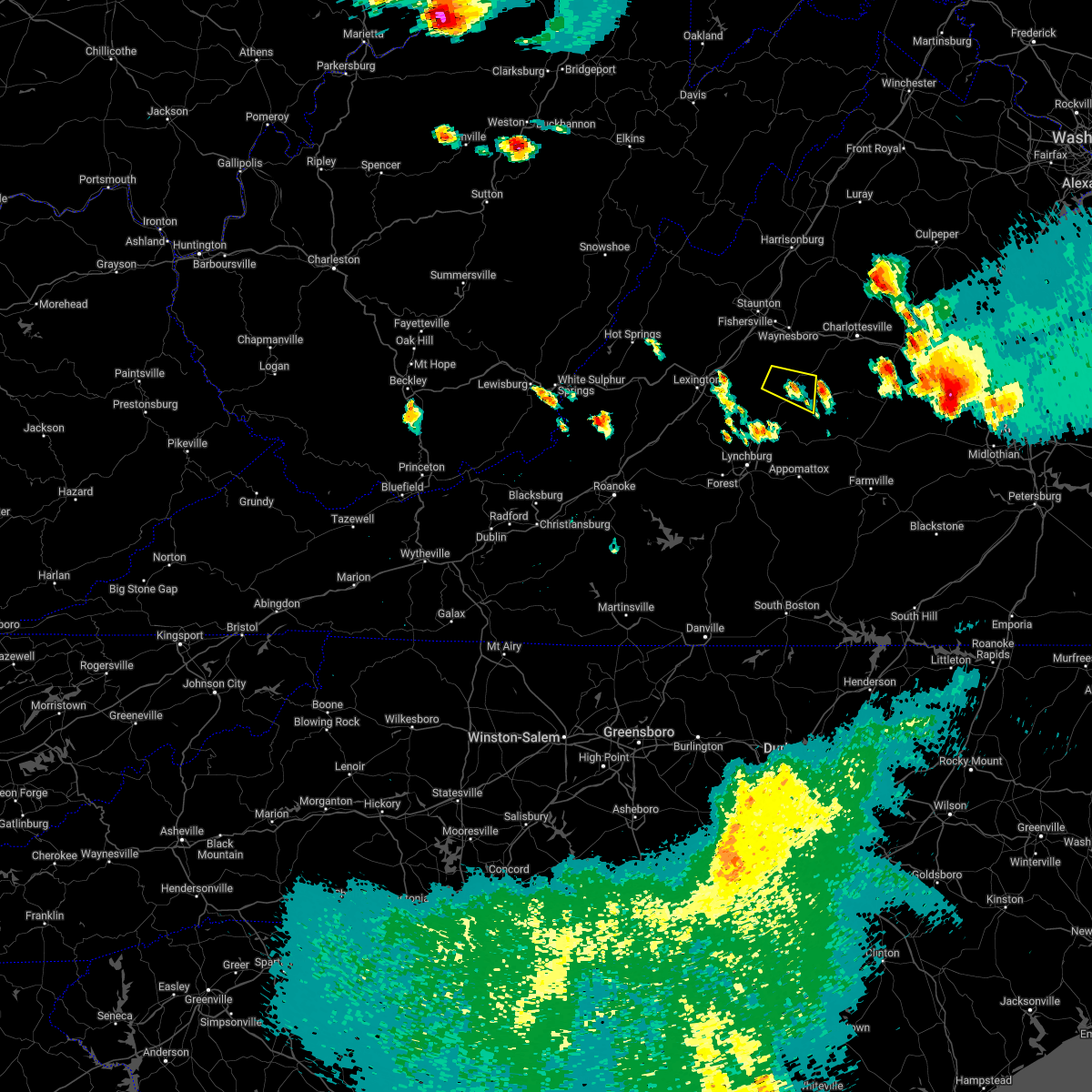
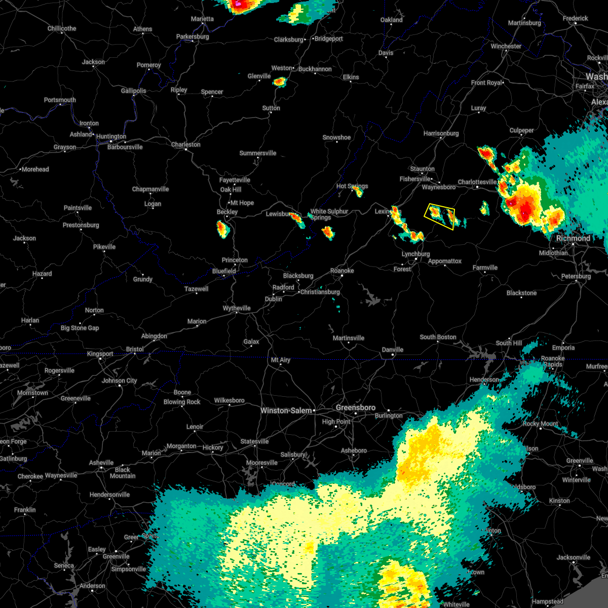
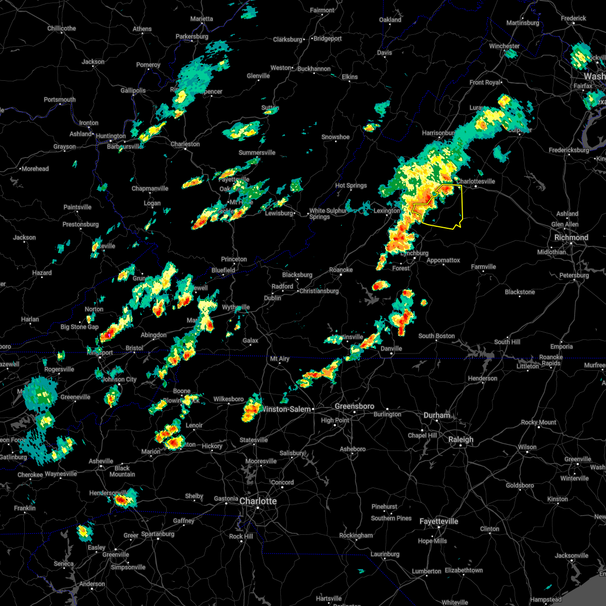
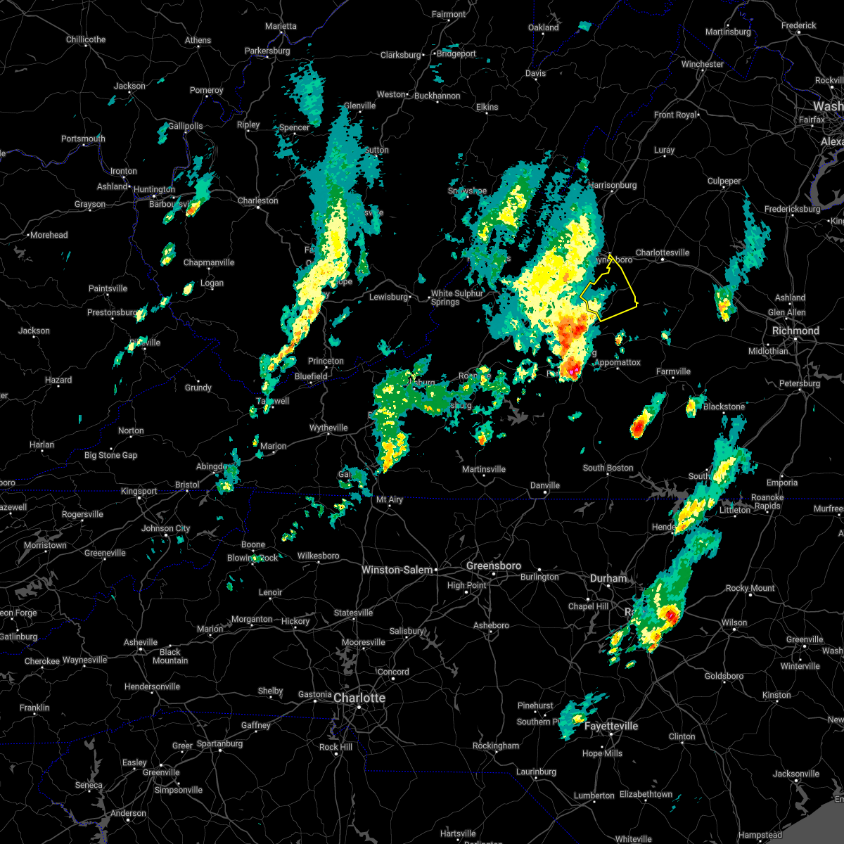
Hail Map for Lovingston, VA
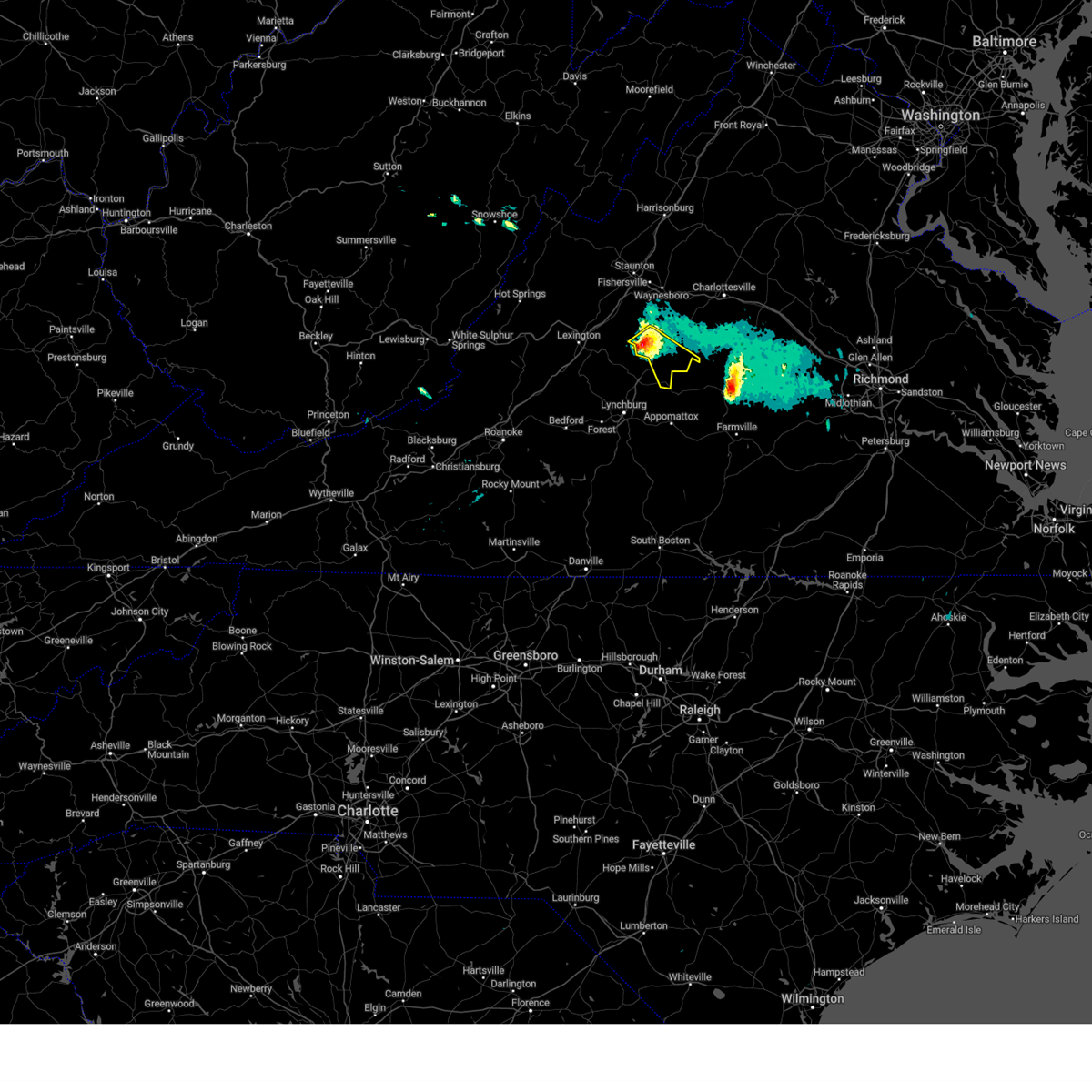
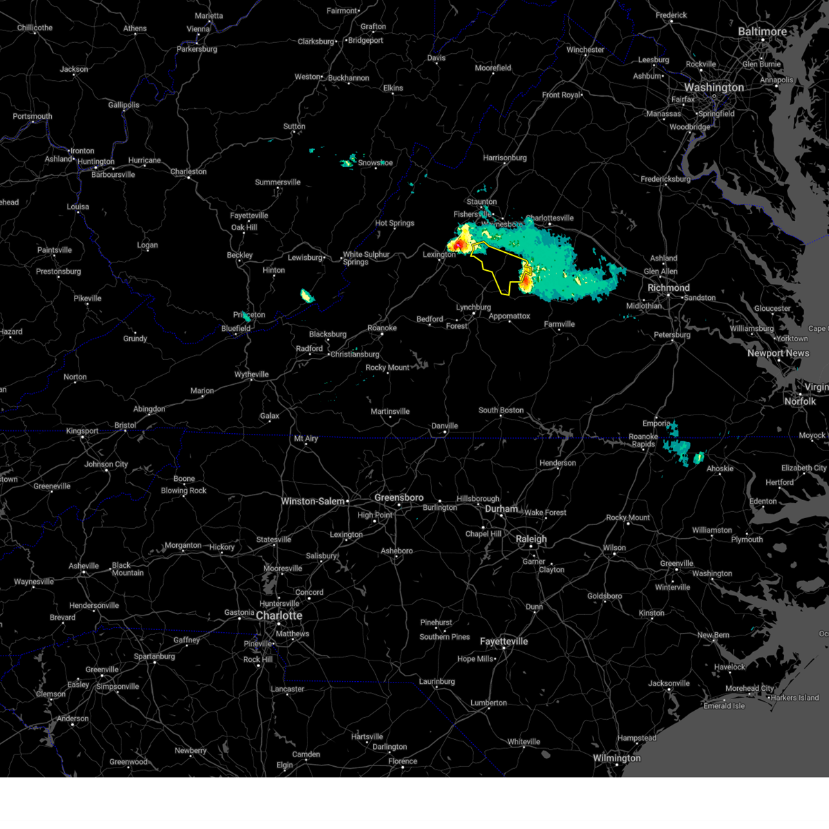
The Lovingston, VA area has had 5 reports of on-the-ground hail by trained spotters, and has been under severe weather warnings 20 times during the past 12 months. Doppler radar has detected hail at or near Lovingston, VA on 41 occasions, including 4 occasions during the past year.
| Name: | Lovingston, VA |
| Where Located: | 67.6 miles ENE of Roanoke, VA |
| Map: | Google Map for Lovingston, VA |
| Population: | 520 |
| Housing Units: | 262 |
| More Info: | Search Google for Lovingston, VA |
3
The Top Recent Hail Date for Lovingston, VA is Tuesday, December 31, 2024 (4th out of 41)

Hail and Wind Damage Spotted near Lovingston, VA
| Date / Time | Report Details |
|---|---|
| 7/9/2025 3:36 PM EDT | Tree down on stagebridge road at wild cherry lan in nelson county VA, 3.1 miles SSW of Lovingston, VA |
| 7/9/2025 3:29 PM EDT |
 Svrlwx the national weather service in sterling virginia has issued a * severe thunderstorm warning for, east central nelson county in central virginia, * until 400 pm edt. * at 329 pm edt, a severe thunderstorm was located near shipman, or 14 miles northeast of clifford, moving east at 10 mph (radar indicated). Hazards include 60 mph wind gusts and quarter size hail. Damaging winds will cause some trees and large branches to fall. this could injure those outdoors, as well as damage homes and vehicles. roadways may become blocked by downed trees. localized power outages are possible. Unsecured light objects may become projectiles. Svrlwx the national weather service in sterling virginia has issued a * severe thunderstorm warning for, east central nelson county in central virginia, * until 400 pm edt. * at 329 pm edt, a severe thunderstorm was located near shipman, or 14 miles northeast of clifford, moving east at 10 mph (radar indicated). Hazards include 60 mph wind gusts and quarter size hail. Damaging winds will cause some trees and large branches to fall. this could injure those outdoors, as well as damage homes and vehicles. roadways may become blocked by downed trees. localized power outages are possible. Unsecured light objects may become projectiles.
|
| 6/28/2025 5:32 PM EDT |
 the severe thunderstorm warning has been cancelled and is no longer in effect the severe thunderstorm warning has been cancelled and is no longer in effect
|
| 6/28/2025 5:25 PM EDT |
 At 524 pm edt, a severe thunderstorm was located near lowesville, or near clifford, moving east at 10 mph (radar indicated). Hazards include 60 mph wind gusts and quarter size hail. Damaging winds will cause some trees and large branches to fall. this could injure those outdoors, as well as damage homes and vehicles. roadways may become blocked by downed trees. localized power outages are possible. unsecured light objects may become projectiles. Locations impacted include, shipman, arrington, lovingston, jonesboro, roseland, massies mill, and piney river. At 524 pm edt, a severe thunderstorm was located near lowesville, or near clifford, moving east at 10 mph (radar indicated). Hazards include 60 mph wind gusts and quarter size hail. Damaging winds will cause some trees and large branches to fall. this could injure those outdoors, as well as damage homes and vehicles. roadways may become blocked by downed trees. localized power outages are possible. unsecured light objects may become projectiles. Locations impacted include, shipman, arrington, lovingston, jonesboro, roseland, massies mill, and piney river.
|
| 6/28/2025 5:09 PM EDT | Tree reported down on the 100 block of jonesboro roa in nelson county VA, 7.1 miles ESE of Lovingston, VA |
| 6/28/2025 4:58 PM EDT |
 Svrlwx the national weather service in sterling virginia has issued a * severe thunderstorm warning for, central nelson county in central virginia, * until 545 pm edt. * at 457 pm edt, a severe thunderstorm was located near lowesville, or 8 miles north of clifford, moving east at 10 mph (radar indicated). Hazards include 60 mph wind gusts and quarter size hail. Damaging winds will cause some trees and large branches to fall. this could injure those outdoors, as well as damage homes and vehicles. roadways may become blocked by downed trees. localized power outages are possible. Unsecured light objects may become projectiles. Svrlwx the national weather service in sterling virginia has issued a * severe thunderstorm warning for, central nelson county in central virginia, * until 545 pm edt. * at 457 pm edt, a severe thunderstorm was located near lowesville, or 8 miles north of clifford, moving east at 10 mph (radar indicated). Hazards include 60 mph wind gusts and quarter size hail. Damaging winds will cause some trees and large branches to fall. this could injure those outdoors, as well as damage homes and vehicles. roadways may become blocked by downed trees. localized power outages are possible. Unsecured light objects may become projectiles.
|
| 4/14/2025 9:35 PM EDT |
 the severe thunderstorm warning has been cancelled and is no longer in effect the severe thunderstorm warning has been cancelled and is no longer in effect
|
| 4/14/2025 9:27 PM EDT |
 At 926 pm edt, a severe thunderstorm was located near wingina, or 9 miles northeast of bent creek, moving east at 55 mph (radar indicated). Hazards include quarter size hail. Some hail damage to agriculture is expected. Locations impacted include, norwood, five forks, shipman, wingina, elma, arrington, buffalo springs, and lovingston. At 926 pm edt, a severe thunderstorm was located near wingina, or 9 miles northeast of bent creek, moving east at 55 mph (radar indicated). Hazards include quarter size hail. Some hail damage to agriculture is expected. Locations impacted include, norwood, five forks, shipman, wingina, elma, arrington, buffalo springs, and lovingston.
|
| 4/14/2025 9:17 PM EDT |
 At 917 pm edt, a severe thunderstorm was located near shipman, or near clifford, moving east at 55 mph (radar indicated). Hazards include quarter size hail. Some hail damage to agriculture is expected. Locations impacted include, norwood, five forks, tye river, jonesboro, lovingston, shipman, wingina, roseland, elma, arrington, buffalo springs, and massies mill. At 917 pm edt, a severe thunderstorm was located near shipman, or near clifford, moving east at 55 mph (radar indicated). Hazards include quarter size hail. Some hail damage to agriculture is expected. Locations impacted include, norwood, five forks, tye river, jonesboro, lovingston, shipman, wingina, roseland, elma, arrington, buffalo springs, and massies mill.
|
| 4/14/2025 9:01 PM EDT |
 Svrlwx the national weather service in sterling virginia has issued a * severe thunderstorm warning for, southern nelson county in central virginia, * until 945 pm edt. * at 901 pm edt, a severe thunderstorm was located over alto, or near forks of buffalo, moving east at 55 mph (radar indicated). Hazards include 60 mph wind gusts and half dollar size hail. Damaging winds will cause some trees and large branches to fall. this could injure those outdoors, as well as damage homes and vehicles. roadways may become blocked by downed trees. localized power outages are possible. Unsecured light objects may become projectiles. Svrlwx the national weather service in sterling virginia has issued a * severe thunderstorm warning for, southern nelson county in central virginia, * until 945 pm edt. * at 901 pm edt, a severe thunderstorm was located over alto, or near forks of buffalo, moving east at 55 mph (radar indicated). Hazards include 60 mph wind gusts and half dollar size hail. Damaging winds will cause some trees and large branches to fall. this could injure those outdoors, as well as damage homes and vehicles. roadways may become blocked by downed trees. localized power outages are possible. Unsecured light objects may become projectiles.
|
| 4/14/2025 8:39 PM EDT |
 Svrlwx the national weather service in sterling virginia has issued a * severe thunderstorm warning for, east central nelson county in central virginia, south central albemarle county in central virginia, * until 915 pm edt. * at 839 pm edt, a severe thunderstorm was located near shipman, or 15 miles northeast of clifford, moving east at 60 mph (radar indicated). Hazards include ping pong ball size hail and 60 mph wind gusts. Damaging winds will cause some trees and large branches to fall. this could injure those outdoors, as well as damage homes and vehicles. roadways may become blocked by downed trees. localized power outages are possible. Unsecured light objects may become projectiles. Svrlwx the national weather service in sterling virginia has issued a * severe thunderstorm warning for, east central nelson county in central virginia, south central albemarle county in central virginia, * until 915 pm edt. * at 839 pm edt, a severe thunderstorm was located near shipman, or 15 miles northeast of clifford, moving east at 60 mph (radar indicated). Hazards include ping pong ball size hail and 60 mph wind gusts. Damaging winds will cause some trees and large branches to fall. this could injure those outdoors, as well as damage homes and vehicles. roadways may become blocked by downed trees. localized power outages are possible. Unsecured light objects may become projectiles.
|
| 4/14/2025 8:37 PM EDT |
 At 836 pm edt, a severe thunderstorm was located near shipman, or 14 miles northeast of clifford, moving east at 55 mph (radar indicated). Hazards include ping pong ball size hail and 60 mph wind gusts. Damaging winds will cause some trees and large branches to fall. this could injure those outdoors, as well as damage homes and vehicles. roadways may become blocked by downed trees. localized power outages are possible. unsecured light objects may become projectiles. Locations impacted include, bryant, jonesboro, lovingston, schuyler, shipman, roseland, elma, rockfish, and arrington. At 836 pm edt, a severe thunderstorm was located near shipman, or 14 miles northeast of clifford, moving east at 55 mph (radar indicated). Hazards include ping pong ball size hail and 60 mph wind gusts. Damaging winds will cause some trees and large branches to fall. this could injure those outdoors, as well as damage homes and vehicles. roadways may become blocked by downed trees. localized power outages are possible. unsecured light objects may become projectiles. Locations impacted include, bryant, jonesboro, lovingston, schuyler, shipman, roseland, elma, rockfish, and arrington.
|
| 4/14/2025 8:32 PM EDT | Quarter sized hail reported 1.5 miles SSE of Lovingston, VA |
| 4/14/2025 8:30 PM EDT |
 the severe thunderstorm warning has been cancelled and is no longer in effect the severe thunderstorm warning has been cancelled and is no longer in effect
|
| 4/14/2025 8:30 PM EDT |
 At 830 pm edt, a severe thunderstorm was located near shipman, or 10 miles northeast of clifford, moving east at 45 mph (radar indicated). Hazards include ping pong ball size hail and 60 mph wind gusts. Damaging winds will cause some trees and large branches to fall. this could injure those outdoors, as well as damage homes and vehicles. roadways may become blocked by downed trees. localized power outages are possible. unsecured light objects may become projectiles. Locations impacted include, bryant, lovingston, shipman, roseland, tyro, rockfish, jonesboro, schuyler, elma, faber, massies mill, wintergreen, arrington, and nellysford. At 830 pm edt, a severe thunderstorm was located near shipman, or 10 miles northeast of clifford, moving east at 45 mph (radar indicated). Hazards include ping pong ball size hail and 60 mph wind gusts. Damaging winds will cause some trees and large branches to fall. this could injure those outdoors, as well as damage homes and vehicles. roadways may become blocked by downed trees. localized power outages are possible. unsecured light objects may become projectiles. Locations impacted include, bryant, lovingston, shipman, roseland, tyro, rockfish, jonesboro, schuyler, elma, faber, massies mill, wintergreen, arrington, and nellysford.
|
| 4/14/2025 8:13 PM EDT |
 At 813 pm edt, a severe thunderstorm was located near montebello, or 9 miles north of forks of buffalo, moving east at 55 mph (radar indicated). Hazards include ping pong ball size hail and 60 mph wind gusts. Damaging winds will cause some trees and large branches to fall. this could injure those outdoors, as well as damage homes and vehicles. roadways may become blocked by downed trees. localized power outages are possible. unsecured light objects may become projectiles. Locations impacted include, bryant, tye river, lovingston, shipman, roseland, montebello, arrington, tyro, rockfish, norwood, jonesboro, schuyler, wingina, elma, faber, massies mill, wintergreen, and nellysford. At 813 pm edt, a severe thunderstorm was located near montebello, or 9 miles north of forks of buffalo, moving east at 55 mph (radar indicated). Hazards include ping pong ball size hail and 60 mph wind gusts. Damaging winds will cause some trees and large branches to fall. this could injure those outdoors, as well as damage homes and vehicles. roadways may become blocked by downed trees. localized power outages are possible. unsecured light objects may become projectiles. Locations impacted include, bryant, tye river, lovingston, shipman, roseland, montebello, arrington, tyro, rockfish, norwood, jonesboro, schuyler, wingina, elma, faber, massies mill, wintergreen, and nellysford.
|
| 4/14/2025 7:59 PM EDT |
 Svrlwx the national weather service in sterling virginia has issued a * severe thunderstorm warning for, nelson county in central virginia, south central augusta county in western virginia, * until 845 pm edt. * at 759 pm edt, a severe thunderstorm was located near rockbridge baths, moving east at 55 mph (radar indicated). Hazards include ping pong ball size hail and 60 mph wind gusts. Damaging winds will cause some trees and large branches to fall. this could injure those outdoors, as well as damage homes and vehicles. roadways may become blocked by downed trees. localized power outages are possible. Unsecured light objects may become projectiles. Svrlwx the national weather service in sterling virginia has issued a * severe thunderstorm warning for, nelson county in central virginia, south central augusta county in western virginia, * until 845 pm edt. * at 759 pm edt, a severe thunderstorm was located near rockbridge baths, moving east at 55 mph (radar indicated). Hazards include ping pong ball size hail and 60 mph wind gusts. Damaging winds will cause some trees and large branches to fall. this could injure those outdoors, as well as damage homes and vehicles. roadways may become blocked by downed trees. localized power outages are possible. Unsecured light objects may become projectiles.
|
| 12/31/2024 3:14 PM EST |
 At 314 pm est, a severe thunderstorm was located near schuyler, or 16 miles north of bent creek, moving northeast at 45 mph (radar indicated). Hazards include 60 mph wind gusts and quarter size hail. Damaging winds will cause some trees and large branches to fall. this could injure those outdoors, as well as damage homes and vehicles. roadways may become blocked by downed trees. localized power outages are possible. unsecured light objects may become projectiles. Locations impacted include, shipman, schuyler, nellysford, ivy, scottsville, esmont, lovingston, damon, north garden, batesville, covesville, rockfish, greenfield, norwood, glendower, keene, alberene, wingina, elma, and faber. At 314 pm est, a severe thunderstorm was located near schuyler, or 16 miles north of bent creek, moving northeast at 45 mph (radar indicated). Hazards include 60 mph wind gusts and quarter size hail. Damaging winds will cause some trees and large branches to fall. this could injure those outdoors, as well as damage homes and vehicles. roadways may become blocked by downed trees. localized power outages are possible. unsecured light objects may become projectiles. Locations impacted include, shipman, schuyler, nellysford, ivy, scottsville, esmont, lovingston, damon, north garden, batesville, covesville, rockfish, greenfield, norwood, glendower, keene, alberene, wingina, elma, and faber.
|
| 12/31/2024 2:58 PM EST |
 Svrlwx the national weather service in sterling virginia has issued a * severe thunderstorm warning for, nelson county in central virginia, southwestern albemarle county in central virginia, * until 345 pm est. * at 258 pm est, a severe thunderstorm was located over clifford, moving northeast at 40 mph (radar indicated). Hazards include 60 mph wind gusts and quarter size hail. Damaging winds will cause some trees and large branches to fall. this could injure those outdoors, as well as damage homes and vehicles. roadways may become blocked by downed trees. localized power outages are possible. Unsecured light objects may become projectiles. Svrlwx the national weather service in sterling virginia has issued a * severe thunderstorm warning for, nelson county in central virginia, southwestern albemarle county in central virginia, * until 345 pm est. * at 258 pm est, a severe thunderstorm was located over clifford, moving northeast at 40 mph (radar indicated). Hazards include 60 mph wind gusts and quarter size hail. Damaging winds will cause some trees and large branches to fall. this could injure those outdoors, as well as damage homes and vehicles. roadways may become blocked by downed trees. localized power outages are possible. Unsecured light objects may become projectiles.
|
| 9/21/2024 4:59 PM EDT |
 the severe thunderstorm warning has been cancelled and is no longer in effect the severe thunderstorm warning has been cancelled and is no longer in effect
|
| 9/21/2024 4:37 PM EDT |
 Svrlwx the national weather service in sterling virginia has issued a * severe thunderstorm warning for, west central nelson county in central virginia, southeastern augusta county in western virginia, * until 515 pm edt. * at 437 pm edt, a severe thunderstorm was located near wintergreen, or 13 miles southwest of waynesboro, moving southeast at 20 mph (radar indicated). Hazards include 60 mph wind gusts and quarter size hail. Damaging winds will cause some trees and large branches to fall. this could injure those outdoors, as well as damage homes and vehicles. roadways may become blocked by downed trees. localized power outages are possible. Unsecured light objects may become projectiles. Svrlwx the national weather service in sterling virginia has issued a * severe thunderstorm warning for, west central nelson county in central virginia, southeastern augusta county in western virginia, * until 515 pm edt. * at 437 pm edt, a severe thunderstorm was located near wintergreen, or 13 miles southwest of waynesboro, moving southeast at 20 mph (radar indicated). Hazards include 60 mph wind gusts and quarter size hail. Damaging winds will cause some trees and large branches to fall. this could injure those outdoors, as well as damage homes and vehicles. roadways may become blocked by downed trees. localized power outages are possible. Unsecured light objects may become projectiles.
|
| 8/31/2024 6:56 PM EDT |
 At 656 pm edt, a severe thunderstorm was located near wintergreen, or 9 miles south of waynesboro, moving southeast at 25 mph (radar indicated). Hazards include 60 mph wind gusts. Damaging winds will cause some trees and large branches to fall. this could injure those outdoors, as well as damage homes and vehicles. roadways may become blocked by downed trees. localized power outages are possible. unsecured light objects may become projectiles. Locations impacted include, waynesboro, crozet, crimora, sherando, wintergreen, montebello, afton, lyndhurst, nellysford, lovingston, bryant, greenwood, north garden, batesville, covesville, yancey mills, tyro, greenfield, jonesboro, and afton mountain. At 656 pm edt, a severe thunderstorm was located near wintergreen, or 9 miles south of waynesboro, moving southeast at 25 mph (radar indicated). Hazards include 60 mph wind gusts. Damaging winds will cause some trees and large branches to fall. this could injure those outdoors, as well as damage homes and vehicles. roadways may become blocked by downed trees. localized power outages are possible. unsecured light objects may become projectiles. Locations impacted include, waynesboro, crozet, crimora, sherando, wintergreen, montebello, afton, lyndhurst, nellysford, lovingston, bryant, greenwood, north garden, batesville, covesville, yancey mills, tyro, greenfield, jonesboro, and afton mountain.
|
| 8/31/2024 6:44 PM EDT |
 Svrlwx the national weather service in sterling virginia has issued a * severe thunderstorm warning for, central nelson county in central virginia, west central albemarle county in central virginia, southeastern augusta county in western virginia, the city of waynesboro in western virginia, * until 715 pm edt. * at 644 pm edt, a severe thunderstorm was located over afton, or near waynesboro, moving southeast at 20 mph (radar indicated). Hazards include 60 mph wind gusts. Damaging winds will cause some trees and large branches to fall. this could injure those outdoors, as well as damage homes and vehicles. roadways may become blocked by downed trees. localized power outages are possible. Unsecured light objects may become projectiles. Svrlwx the national weather service in sterling virginia has issued a * severe thunderstorm warning for, central nelson county in central virginia, west central albemarle county in central virginia, southeastern augusta county in western virginia, the city of waynesboro in western virginia, * until 715 pm edt. * at 644 pm edt, a severe thunderstorm was located over afton, or near waynesboro, moving southeast at 20 mph (radar indicated). Hazards include 60 mph wind gusts. Damaging winds will cause some trees and large branches to fall. this could injure those outdoors, as well as damage homes and vehicles. roadways may become blocked by downed trees. localized power outages are possible. Unsecured light objects may become projectiles.
|
| 5/26/2024 8:12 PM EDT |
 the severe thunderstorm warning has been cancelled and is no longer in effect the severe thunderstorm warning has been cancelled and is no longer in effect
|
| 5/26/2024 8:12 PM EDT |
 At 811 pm edt, severe thunderstorms were located along a line extending from 9 miles southwest of petersburg to 6 miles south of brandywine to near afton to near tower hill, moving east at 45 mph (radar indicated). Hazards include 60 mph wind gusts and quarter size hail. Damaging winds will cause some trees and large branches to fall. this could injure those outdoors, as well as damage homes and vehicles. roadways may become blocked by downed trees. localized power outages are possible. unsecured light objects may become projectiles. Locations impacted include, harrisonburg, staunton, waynesboro, franklin, stuarts draft, bridgewater, crozet, broadway, grottoes, timberville, massanutten, crimora, sherando, shipman, schuyler, wintergreen, afton, dale enterprise, fishersville, and verona. At 811 pm edt, severe thunderstorms were located along a line extending from 9 miles southwest of petersburg to 6 miles south of brandywine to near afton to near tower hill, moving east at 45 mph (radar indicated). Hazards include 60 mph wind gusts and quarter size hail. Damaging winds will cause some trees and large branches to fall. this could injure those outdoors, as well as damage homes and vehicles. roadways may become blocked by downed trees. localized power outages are possible. unsecured light objects may become projectiles. Locations impacted include, harrisonburg, staunton, waynesboro, franklin, stuarts draft, bridgewater, crozet, broadway, grottoes, timberville, massanutten, crimora, sherando, shipman, schuyler, wintergreen, afton, dale enterprise, fishersville, and verona.
|
| 5/26/2024 8:00 PM EDT | Multiple trees down along oak ridge road around lovingston... v in nelson county VA, 0.8 miles SSE of Lovingston, VA |
| 5/26/2024 7:45 PM EDT | Several trees down on lowesville road... and surrounding nearby street in nelson county VA, 0.8 miles SSE of Lovingston, VA |
| 5/26/2024 7:42 PM EDT |
 Svrlwx the national weather service in sterling virginia has issued a * severe thunderstorm warning for, nelson county in central virginia, rockingham county in western virginia, western albemarle county in central virginia, western greene county in central virginia, augusta county in western virginia, the city of staunton in western virginia, the city of harrisonburg in western virginia, the city of waynesboro in western virginia, eastern highland county in western virginia, pendleton county in eastern west virginia, southwestern hardy county in eastern west virginia, * until 845 pm edt. * at 742 pm edt, severe thunderstorms were located along a line extending from 13 miles southeast of elkins to monterey to near fairfield to near evington, moving east at 40 mph (radar indicated). Hazards include 60 mph wind gusts. Damaging winds will cause some trees and large branches to fall. this could injure those outdoors, as well as damage homes and vehicles. roadways may become blocked by downed trees. localized power outages are possible. Unsecured light objects may become projectiles. Svrlwx the national weather service in sterling virginia has issued a * severe thunderstorm warning for, nelson county in central virginia, rockingham county in western virginia, western albemarle county in central virginia, western greene county in central virginia, augusta county in western virginia, the city of staunton in western virginia, the city of harrisonburg in western virginia, the city of waynesboro in western virginia, eastern highland county in western virginia, pendleton county in eastern west virginia, southwestern hardy county in eastern west virginia, * until 845 pm edt. * at 742 pm edt, severe thunderstorms were located along a line extending from 13 miles southeast of elkins to monterey to near fairfield to near evington, moving east at 40 mph (radar indicated). Hazards include 60 mph wind gusts. Damaging winds will cause some trees and large branches to fall. this could injure those outdoors, as well as damage homes and vehicles. roadways may become blocked by downed trees. localized power outages are possible. Unsecured light objects may become projectiles.
|
| 5/26/2024 7:10 PM EDT |
 At 710 pm edt, severe thunderstorms were located along a line extending from near dailey to 6 miles northwest of greenbank to 7 miles north of mountain grove to near collierstown, moving east at 45 mph (radar indicated). Hazards include 60 mph wind gusts. Damaging winds will cause some trees and large branches to fall. this could injure those outdoors, as well as damage homes and vehicles. roadways may become blocked by downed trees. localized power outages are possible. unsecured light objects may become projectiles. Locations impacted include, staunton, franklin, monterey, stuarts draft, sherando, shipman, wintergreen, montebello, fishersville, verona, lyndhurst, nellysford, craigsville, greenville, arrington, lovingston, augusta springs, middlebrook, churchville, and deerfield. At 710 pm edt, severe thunderstorms were located along a line extending from near dailey to 6 miles northwest of greenbank to 7 miles north of mountain grove to near collierstown, moving east at 45 mph (radar indicated). Hazards include 60 mph wind gusts. Damaging winds will cause some trees and large branches to fall. this could injure those outdoors, as well as damage homes and vehicles. roadways may become blocked by downed trees. localized power outages are possible. unsecured light objects may become projectiles. Locations impacted include, staunton, franklin, monterey, stuarts draft, sherando, shipman, wintergreen, montebello, fishersville, verona, lyndhurst, nellysford, craigsville, greenville, arrington, lovingston, augusta springs, middlebrook, churchville, and deerfield.
|
| 5/26/2024 6:44 PM EDT |
 Svrlwx the national weather service in sterling virginia has issued a * severe thunderstorm warning for, central nelson county in central virginia, augusta county in western virginia, the city of staunton in western virginia, highland county in western virginia, pendleton county in eastern west virginia, * until 745 pm edt. * at 644 pm edt, severe thunderstorms were located along a line extending from 6 miles southeast of rock cave to 10 miles west of snowshoe to near marlinton to near low moor, moving east at 45 mph (radar indicated). Hazards include 60 mph wind gusts and quarter size hail. Damaging winds will cause some trees and large branches to fall. this could injure those outdoors, as well as damage homes and vehicles. roadways may become blocked by downed trees. localized power outages are possible. Unsecured light objects may become projectiles. Svrlwx the national weather service in sterling virginia has issued a * severe thunderstorm warning for, central nelson county in central virginia, augusta county in western virginia, the city of staunton in western virginia, highland county in western virginia, pendleton county in eastern west virginia, * until 745 pm edt. * at 644 pm edt, severe thunderstorms were located along a line extending from 6 miles southeast of rock cave to 10 miles west of snowshoe to near marlinton to near low moor, moving east at 45 mph (radar indicated). Hazards include 60 mph wind gusts and quarter size hail. Damaging winds will cause some trees and large branches to fall. this could injure those outdoors, as well as damage homes and vehicles. roadways may become blocked by downed trees. localized power outages are possible. Unsecured light objects may become projectiles.
|
| 4/1/2024 9:21 PM EDT |
 The storm which prompted the warning has weakened below severe limits, and no longer poses an immediate threat to life or property. therefore, the warning will be allowed to expire. however, small hail and heavy rain are still possible with this thunderstorm. The storm which prompted the warning has weakened below severe limits, and no longer poses an immediate threat to life or property. therefore, the warning will be allowed to expire. however, small hail and heavy rain are still possible with this thunderstorm.
|
| 4/1/2024 9:15 PM EDT |
 At 915 pm edt, a severe thunderstorm was located near shipman, or 12 miles northeast of clifford, moving east at 30 mph (radar indicated). Hazards include 60 mph wind gusts and quarter size hail. Damaging winds will cause some trees and large branches to fall. this could injure those outdoors, as well as damage homes and vehicles. roadways may become blocked by downed trees. localized power outages are possible. unsecured light objects may become projectiles. Locations impacted include, shipman, lovingston, elma, and rockfish. At 915 pm edt, a severe thunderstorm was located near shipman, or 12 miles northeast of clifford, moving east at 30 mph (radar indicated). Hazards include 60 mph wind gusts and quarter size hail. Damaging winds will cause some trees and large branches to fall. this could injure those outdoors, as well as damage homes and vehicles. roadways may become blocked by downed trees. localized power outages are possible. unsecured light objects may become projectiles. Locations impacted include, shipman, lovingston, elma, and rockfish.
|
| 4/1/2024 8:54 PM EDT |
 Svrlwx the national weather service in sterling virginia has issued a * severe thunderstorm warning for, central nelson county in central virginia, * until 930 pm edt. * at 854 pm edt, a severe thunderstorm was located over lowesville, or near clifford, moving east at 40 mph (radar indicated). Hazards include 60 mph wind gusts and quarter size hail. Damaging winds will cause some trees and large branches to fall. this could injure those outdoors, as well as damage homes and vehicles. roadways may become blocked by downed trees. localized power outages are possible. Unsecured light objects may become projectiles. Svrlwx the national weather service in sterling virginia has issued a * severe thunderstorm warning for, central nelson county in central virginia, * until 930 pm edt. * at 854 pm edt, a severe thunderstorm was located over lowesville, or near clifford, moving east at 40 mph (radar indicated). Hazards include 60 mph wind gusts and quarter size hail. Damaging winds will cause some trees and large branches to fall. this could injure those outdoors, as well as damage homes and vehicles. roadways may become blocked by downed trees. localized power outages are possible. Unsecured light objects may become projectiles.
|
| 3/31/2024 6:50 PM EDT |
 The storm which prompted the warning has moved out of the area. therefore, the warning will be allowed to expire. to report severe weather, contact your nearest law enforcement agency. they will relay your report to the national weather service sterling virginia. The storm which prompted the warning has moved out of the area. therefore, the warning will be allowed to expire. to report severe weather, contact your nearest law enforcement agency. they will relay your report to the national weather service sterling virginia.
|
| 3/31/2024 6:32 PM EDT |
 At 632 pm edt, a severe thunderstorm was located near shipman, or 11 miles north of bent creek, moving east at 50 mph (radar indicated). Hazards include 60 mph wind gusts and quarter size hail. Damaging winds will cause some trees and large branches to fall. this could injure those outdoors, as well as damage homes and vehicles. roadways may become blocked by downed trees. localized power outages are possible. unsecured light objects may become projectiles. Locations impacted include, shipman, arrington, lovingston, norwood, tye river, wingina, elma, and buffalo springs. At 632 pm edt, a severe thunderstorm was located near shipman, or 11 miles north of bent creek, moving east at 50 mph (radar indicated). Hazards include 60 mph wind gusts and quarter size hail. Damaging winds will cause some trees and large branches to fall. this could injure those outdoors, as well as damage homes and vehicles. roadways may become blocked by downed trees. localized power outages are possible. unsecured light objects may become projectiles. Locations impacted include, shipman, arrington, lovingston, norwood, tye river, wingina, elma, and buffalo springs.
|
| 3/31/2024 6:21 PM EDT |
 At 620 pm edt, a severe thunderstorm was located near shipman, or near clifford, moving southeast at 50 mph (radar indicated). Hazards include 60 mph wind gusts and quarter size hail. Damaging winds will cause some trees and large branches to fall. this could injure those outdoors, as well as damage homes and vehicles. roadways may become blocked by downed trees. localized power outages are possible. unsecured light objects may become projectiles. Locations impacted include, shipman, arrington, lovingston, bryant, tye river, allens creek, roseland, tyro, buffalo springs, norwood, five forks, jonesboro, wingina, gladstone, elma, and massies mill. At 620 pm edt, a severe thunderstorm was located near shipman, or near clifford, moving southeast at 50 mph (radar indicated). Hazards include 60 mph wind gusts and quarter size hail. Damaging winds will cause some trees and large branches to fall. this could injure those outdoors, as well as damage homes and vehicles. roadways may become blocked by downed trees. localized power outages are possible. unsecured light objects may become projectiles. Locations impacted include, shipman, arrington, lovingston, bryant, tye river, allens creek, roseland, tyro, buffalo springs, norwood, five forks, jonesboro, wingina, gladstone, elma, and massies mill.
|
| 3/31/2024 5:58 PM EDT |
 Svrlwx the national weather service in sterling virginia has issued a * severe thunderstorm warning for, nelson county in central virginia, * until 700 pm edt. * at 558 pm edt, a severe thunderstorm was located over vesuvius, or 10 miles east of rockbridge baths, moving east at 55 mph (radar indicated). Hazards include 60 mph wind gusts and quarter size hail. Damaging winds will cause some trees and large branches to fall. this could injure those outdoors, as well as damage homes and vehicles. roadways may become blocked by downed trees. localized power outages are possible. Unsecured light objects may become projectiles. Svrlwx the national weather service in sterling virginia has issued a * severe thunderstorm warning for, nelson county in central virginia, * until 700 pm edt. * at 558 pm edt, a severe thunderstorm was located over vesuvius, or 10 miles east of rockbridge baths, moving east at 55 mph (radar indicated). Hazards include 60 mph wind gusts and quarter size hail. Damaging winds will cause some trees and large branches to fall. this could injure those outdoors, as well as damage homes and vehicles. roadways may become blocked by downed trees. localized power outages are possible. Unsecured light objects may become projectiles.
|
| 7/28/2023 7:17 PM EDT |
 At 716 pm edt, severe thunderstorms were located along a line extending from 6 miles east of timberville to near clifford, moving east at 30 mph (law enforcement). Hazards include 60 mph wind gusts. Damaging winds will cause some trees and large branches to fall. this could injure those outdoors, as well as damage homes and vehicles. roadways may become blocked by downed trees. localized power outages are possible. unsecured light objects may become projectiles. locations impacted include, waynesboro, stuarts draft, crozet, grottoes, shenandoah, massanutten, crimora, stanley, sherando, shipman, schuyler, free union, wintergreen, afton, big meadows, fishersville, elkton, weyers cave, new market and lyndhurst. hail threat, radar indicated max hail size, <. 75 in wind threat, observed max wind gust, 60 mph. At 716 pm edt, severe thunderstorms were located along a line extending from 6 miles east of timberville to near clifford, moving east at 30 mph (law enforcement). Hazards include 60 mph wind gusts. Damaging winds will cause some trees and large branches to fall. this could injure those outdoors, as well as damage homes and vehicles. roadways may become blocked by downed trees. localized power outages are possible. unsecured light objects may become projectiles. locations impacted include, waynesboro, stuarts draft, crozet, grottoes, shenandoah, massanutten, crimora, stanley, sherando, shipman, schuyler, free union, wintergreen, afton, big meadows, fishersville, elkton, weyers cave, new market and lyndhurst. hail threat, radar indicated max hail size, <. 75 in wind threat, observed max wind gust, 60 mph.
|
| 7/28/2023 7:15 PM EDT | Multiple roads closed west of lovingstown toward wintergreen due to downed tree in nelson county VA, 3.8 miles SE of Lovingston, VA |
| 7/28/2023 6:29 PM EDT |
 At 628 pm edt, severe thunderstorms were located along a line extending from 10 miles east of brandywine to near glasgow, moving east at 30 mph (radar indicated). Hazards include 60 mph wind gusts. Damaging winds will cause some trees and large branches to fall. this could injure those outdoors, as well as damage homes and vehicles. roadways may become blocked by downed trees. localized power outages are possible. Unsecured light objects may become projectiles. At 628 pm edt, severe thunderstorms were located along a line extending from 10 miles east of brandywine to near glasgow, moving east at 30 mph (radar indicated). Hazards include 60 mph wind gusts. Damaging winds will cause some trees and large branches to fall. this could injure those outdoors, as well as damage homes and vehicles. roadways may become blocked by downed trees. localized power outages are possible. Unsecured light objects may become projectiles.
|
| 7/24/2023 4:12 PM EDT |
 At 412 pm edt, a severe thunderstorm was located over shipman, or 13 miles north of bent creek, moving southeast at 5 mph (radar indicated). Hazards include 60 mph wind gusts. Damaging winds will cause some trees and large branches to fall. this could injure those outdoors, as well as damage homes and vehicles. roadways may become blocked by downed trees. localized power outages are possible. Unsecured light objects may become projectiles. At 412 pm edt, a severe thunderstorm was located over shipman, or 13 miles north of bent creek, moving southeast at 5 mph (radar indicated). Hazards include 60 mph wind gusts. Damaging winds will cause some trees and large branches to fall. this could injure those outdoors, as well as damage homes and vehicles. roadways may become blocked by downed trees. localized power outages are possible. Unsecured light objects may become projectiles.
|
| 7/3/2023 8:38 PM EDT | Multiple trees down on old ridge road near woods mill. trees also down near ridgecrest baptist church on us-2 in nelson county VA, 5.4 miles SSW of Lovingston, VA |
| 7/3/2023 8:34 PM EDT |
 At 834 pm edt, a severe thunderstorm was located near shipman, or 14 miles northeast of clifford, moving east at 25 mph (radar indicated). Hazards include 60 mph wind gusts. Damaging winds will cause some trees and large branches to fall. this could injure those outdoors, as well as damage homes and vehicles. roadways may become blocked by downed trees. localized power outages are possible. unsecured light objects may become projectiles. locations impacted include, shipman, schuyler, arrington, lovingston, allens creek, rockfish, buffalo springs, norwood, five forks, gladstone, wingina, elma and faber. hail threat, radar indicated max hail size, <. 75 in wind threat, radar indicated max wind gust, 60 mph. At 834 pm edt, a severe thunderstorm was located near shipman, or 14 miles northeast of clifford, moving east at 25 mph (radar indicated). Hazards include 60 mph wind gusts. Damaging winds will cause some trees and large branches to fall. this could injure those outdoors, as well as damage homes and vehicles. roadways may become blocked by downed trees. localized power outages are possible. unsecured light objects may become projectiles. locations impacted include, shipman, schuyler, arrington, lovingston, allens creek, rockfish, buffalo springs, norwood, five forks, gladstone, wingina, elma and faber. hail threat, radar indicated max hail size, <. 75 in wind threat, radar indicated max wind gust, 60 mph.
|
| 7/3/2023 8:28 PM EDT |
 At 828 pm edt, a severe thunderstorm was located over shipman, or 12 miles northeast of clifford, moving east at 25 mph (radar indicated). Hazards include 60 mph wind gusts. Damaging winds will cause some trees and large branches to fall. this could injure those outdoors, as well as damage homes and vehicles. roadways may become blocked by downed trees. localized power outages are possible. unsecured light objects may become projectiles. locations impacted include, shipman, schuyler, arrington, lovingston, bryant, tye river, allens creek, roseland, rockfish, tyro, buffalo springs, norwood, five forks, jonesboro, gladstone, wingina, elma, faber and massies mill. hail threat, radar indicated max hail size, <. 75 in wind threat, radar indicated max wind gust, 60 mph. At 828 pm edt, a severe thunderstorm was located over shipman, or 12 miles northeast of clifford, moving east at 25 mph (radar indicated). Hazards include 60 mph wind gusts. Damaging winds will cause some trees and large branches to fall. this could injure those outdoors, as well as damage homes and vehicles. roadways may become blocked by downed trees. localized power outages are possible. unsecured light objects may become projectiles. locations impacted include, shipman, schuyler, arrington, lovingston, bryant, tye river, allens creek, roseland, rockfish, tyro, buffalo springs, norwood, five forks, jonesboro, gladstone, wingina, elma, faber and massies mill. hail threat, radar indicated max hail size, <. 75 in wind threat, radar indicated max wind gust, 60 mph.
|
| 7/3/2023 8:24 PM EDT | Multiple trees blew down on us-29 and adjoining roads near lovingsto in nelson county VA, 0.8 miles SSE of Lovingston, VA |
| 7/3/2023 8:02 PM EDT |
 At 802 pm edt, a severe thunderstorm was located over clifford, moving east at 25 mph (radar indicated). Hazards include 60 mph wind gusts. Damaging winds will cause some trees and large branches to fall. this could injure those outdoors, as well as damage homes and vehicles. roadways may become blocked by downed trees. localized power outages are possible. Unsecured light objects may become projectiles. At 802 pm edt, a severe thunderstorm was located over clifford, moving east at 25 mph (radar indicated). Hazards include 60 mph wind gusts. Damaging winds will cause some trees and large branches to fall. this could injure those outdoors, as well as damage homes and vehicles. roadways may become blocked by downed trees. localized power outages are possible. Unsecured light objects may become projectiles.
|
| 7/3/2023 4:08 PM EDT |
 The severe thunderstorm warning for northeastern nelson and central albemarle counties and the city of charlottesville will expire at 415 pm edt, the storms which prompted the warning have weakened below severe limits, and no longer pose an immediate threat to life or property. therefore, the warning will be allowed to expire. a severe thunderstorm watch remains in effect until 1000 pm edt for central virginia. The severe thunderstorm warning for northeastern nelson and central albemarle counties and the city of charlottesville will expire at 415 pm edt, the storms which prompted the warning have weakened below severe limits, and no longer pose an immediate threat to life or property. therefore, the warning will be allowed to expire. a severe thunderstorm watch remains in effect until 1000 pm edt for central virginia.
|
| 7/3/2023 3:39 PM EDT |
 At 339 pm edt, severe thunderstorms were located along a line extending from 7 miles south of wintergreen to 8 miles north of schuyler to 7 miles southwest of lake monticello, moving northeast at 30 mph (radar indicated). Hazards include 60 mph wind gusts. Damaging winds will cause some trees and large branches to fall. this could injure those outdoors, as well as damage homes and vehicles. roadways may become blocked by downed trees. localized power outages are possible. unsecured light objects may become projectiles. locations impacted include, charlottesville, crozet, shipman, schuyler, wintergreen, nellysford, ivy, scottsville, esmont, lovingston, north garden, covesville, yancey mills, tyro, flordon, jonesboro, scott stadium, faber, massies mill and bryant. hail threat, radar indicated max hail size, <. 75 in wind threat, radar indicated max wind gust, 60 mph. At 339 pm edt, severe thunderstorms were located along a line extending from 7 miles south of wintergreen to 8 miles north of schuyler to 7 miles southwest of lake monticello, moving northeast at 30 mph (radar indicated). Hazards include 60 mph wind gusts. Damaging winds will cause some trees and large branches to fall. this could injure those outdoors, as well as damage homes and vehicles. roadways may become blocked by downed trees. localized power outages are possible. unsecured light objects may become projectiles. locations impacted include, charlottesville, crozet, shipman, schuyler, wintergreen, nellysford, ivy, scottsville, esmont, lovingston, north garden, covesville, yancey mills, tyro, flordon, jonesboro, scott stadium, faber, massies mill and bryant. hail threat, radar indicated max hail size, <. 75 in wind threat, radar indicated max wind gust, 60 mph.
|
| 7/3/2023 3:27 PM EDT |
 At 327 pm edt, severe thunderstorms were located along a line extending from near lowesville to 8 miles northwest of schuyler to 8 miles north of centenary, moving northeast at 30 mph (radar indicated). Hazards include 60 mph wind gusts. Damaging winds will cause some trees and large branches to fall. this could injure those outdoors, as well as damage homes and vehicles. roadways may become blocked by downed trees. localized power outages are possible. Unsecured light objects may become projectiles. At 327 pm edt, severe thunderstorms were located along a line extending from near lowesville to 8 miles northwest of schuyler to 8 miles north of centenary, moving northeast at 30 mph (radar indicated). Hazards include 60 mph wind gusts. Damaging winds will cause some trees and large branches to fall. this could injure those outdoors, as well as damage homes and vehicles. roadways may become blocked by downed trees. localized power outages are possible. Unsecured light objects may become projectiles.
|
| 7/3/2023 3:05 PM EDT |
 At 305 pm edt, severe thunderstorms were located along a line extending from 6 miles northwest of shipman to near schuyler, moving northeast at 25 mph (radar indicated). Hazards include 60 mph wind gusts. Damaging winds will cause some trees and large branches to fall. this could injure those outdoors, as well as damage homes and vehicles. roadways may become blocked by downed trees. localized power outages are possible. Unsecured light objects may become projectiles. At 305 pm edt, severe thunderstorms were located along a line extending from 6 miles northwest of shipman to near schuyler, moving northeast at 25 mph (radar indicated). Hazards include 60 mph wind gusts. Damaging winds will cause some trees and large branches to fall. this could injure those outdoors, as well as damage homes and vehicles. roadways may become blocked by downed trees. localized power outages are possible. Unsecured light objects may become projectiles.
|
| 6/26/2023 5:14 PM EDT |
 At 514 pm edt, a severe thunderstorm was located near shipman, or 15 miles north of bent creek, moving east at 20 mph (radar indicated). Hazards include 60 mph wind gusts and quarter size hail. Damaging winds will cause some trees and large branches to fall. this could injure those outdoors, as well as damage homes and vehicles. roadways may become blocked by downed trees. localized power outages are possible. unsecured light objects may become projectiles. locations impacted include, shipman, schuyler, lovingston, damon, elma, rockfish and faber. hail threat, radar indicated max hail size, 1. 00 in wind threat, radar indicated max wind gust, 60 mph. At 514 pm edt, a severe thunderstorm was located near shipman, or 15 miles north of bent creek, moving east at 20 mph (radar indicated). Hazards include 60 mph wind gusts and quarter size hail. Damaging winds will cause some trees and large branches to fall. this could injure those outdoors, as well as damage homes and vehicles. roadways may become blocked by downed trees. localized power outages are possible. unsecured light objects may become projectiles. locations impacted include, shipman, schuyler, lovingston, damon, elma, rockfish and faber. hail threat, radar indicated max hail size, 1. 00 in wind threat, radar indicated max wind gust, 60 mph.
|
| 6/26/2023 4:55 PM EDT |
 At 455 pm edt, a severe thunderstorm was located near shipman, or 10 miles northeast of clifford, moving east at 20 mph (radar indicated). Hazards include 60 mph wind gusts and quarter size hail. Damaging winds will cause some trees and large branches to fall. this could injure those outdoors, as well as damage homes and vehicles. roadways may become blocked by downed trees. localized power outages are possible. Unsecured light objects may become projectiles. At 455 pm edt, a severe thunderstorm was located near shipman, or 10 miles northeast of clifford, moving east at 20 mph (radar indicated). Hazards include 60 mph wind gusts and quarter size hail. Damaging winds will cause some trees and large branches to fall. this could injure those outdoors, as well as damage homes and vehicles. roadways may become blocked by downed trees. localized power outages are possible. Unsecured light objects may become projectiles.
|
| 6/26/2023 4:54 PM EDT | A tree was reported down near front st on us-29 in lovingsto in nelson county VA, 0.7 miles NNE of Lovingston, VA |
| 6/16/2023 2:57 PM EDT |
 The severe thunderstorm warning for southeastern nelson and south central albemarle counties will expire at 300 pm edt, the storms which prompted the warning have moved out of the area. therefore, the warning will be allowed to expire. to report severe weather, contact your nearest law enforcement agency. they will relay your report to the national weather service sterling virginia. The severe thunderstorm warning for southeastern nelson and south central albemarle counties will expire at 300 pm edt, the storms which prompted the warning have moved out of the area. therefore, the warning will be allowed to expire. to report severe weather, contact your nearest law enforcement agency. they will relay your report to the national weather service sterling virginia.
|
| 6/16/2023 2:41 PM EDT |
 At 240 pm edt, severe thunderstorms were located along a line extending from near schuyler to near new glasgow, moving southeast at 30 mph (radar indicated). Hazards include 60 mph wind gusts and quarter size hail. Damaging winds will cause some trees and large branches to fall. this could injure those outdoors, as well as damage homes and vehicles. roadways may become blocked by downed trees. localized power outages are possible. unsecured light objects may become projectiles. locations impacted include, shipman, schuyler, arrington, lovingston, wingina, elma and rockfish. hail threat, radar indicated max hail size, 1. 00 in wind threat, radar indicated max wind gust, 60 mph. At 240 pm edt, severe thunderstorms were located along a line extending from near schuyler to near new glasgow, moving southeast at 30 mph (radar indicated). Hazards include 60 mph wind gusts and quarter size hail. Damaging winds will cause some trees and large branches to fall. this could injure those outdoors, as well as damage homes and vehicles. roadways may become blocked by downed trees. localized power outages are possible. unsecured light objects may become projectiles. locations impacted include, shipman, schuyler, arrington, lovingston, wingina, elma and rockfish. hail threat, radar indicated max hail size, 1. 00 in wind threat, radar indicated max wind gust, 60 mph.
|
| 6/16/2023 2:20 PM EDT |
 At 220 pm edt, severe thunderstorms were located along a line extending from near wintergreen to lowesville, moving southeast at 30 mph (radar indicated). Hazards include 60 mph wind gusts and quarter size hail. Damaging winds will cause some trees and large branches to fall. this could injure those outdoors, as well as damage homes and vehicles. roadways may become blocked by downed trees. localized power outages are possible. unsecured light objects may become projectiles. locations impacted include, shipman, schuyler, nellysford, arrington, scottsville, esmont, lovingston, bryant, damon, covesville, roseland, rockfish, tyro, glendower, jonesboro, wingina, elma, faber and massies mill. hail threat, radar indicated max hail size, 1. 00 in wind threat, radar indicated max wind gust, 60 mph. At 220 pm edt, severe thunderstorms were located along a line extending from near wintergreen to lowesville, moving southeast at 30 mph (radar indicated). Hazards include 60 mph wind gusts and quarter size hail. Damaging winds will cause some trees and large branches to fall. this could injure those outdoors, as well as damage homes and vehicles. roadways may become blocked by downed trees. localized power outages are possible. unsecured light objects may become projectiles. locations impacted include, shipman, schuyler, nellysford, arrington, scottsville, esmont, lovingston, bryant, damon, covesville, roseland, rockfish, tyro, glendower, jonesboro, wingina, elma, faber and massies mill. hail threat, radar indicated max hail size, 1. 00 in wind threat, radar indicated max wind gust, 60 mph.
|
| 6/16/2023 2:09 PM EDT |
 At 208 pm edt, severe thunderstorms were located along a line extending from near wintergreen to near alto, moving southeast at 30 mph (radar indicated). Hazards include 60 mph wind gusts and quarter size hail. Damaging winds will cause some trees and large branches to fall. this could injure those outdoors, as well as damage homes and vehicles. roadways may become blocked by downed trees. localized power outages are possible. Unsecured light objects may become projectiles. At 208 pm edt, severe thunderstorms were located along a line extending from near wintergreen to near alto, moving southeast at 30 mph (radar indicated). Hazards include 60 mph wind gusts and quarter size hail. Damaging winds will cause some trees and large branches to fall. this could injure those outdoors, as well as damage homes and vehicles. roadways may become blocked by downed trees. localized power outages are possible. Unsecured light objects may become projectiles.
|
| 7/25/2022 3:31 PM EDT |
 At 330 pm edt, a severe thunderstorm was located over shipman, or 12 miles northeast of clifford, moving east at 20 mph (radar indicated). Hazards include 60 mph wind gusts. Damaging winds will cause some trees and large branches to fall. this could injure those outdoors, as well as damage homes and vehicles. roadways may become blocked by downed trees. localized power outages are possible. unsecured light objects may become projectiles. locations impacted include, shipman, lovingston, bryant, roseland, elma and jonesboro. hail threat, radar indicated max hail size, <. 75 in wind threat, radar indicated max wind gust, 60 mph. At 330 pm edt, a severe thunderstorm was located over shipman, or 12 miles northeast of clifford, moving east at 20 mph (radar indicated). Hazards include 60 mph wind gusts. Damaging winds will cause some trees and large branches to fall. this could injure those outdoors, as well as damage homes and vehicles. roadways may become blocked by downed trees. localized power outages are possible. unsecured light objects may become projectiles. locations impacted include, shipman, lovingston, bryant, roseland, elma and jonesboro. hail threat, radar indicated max hail size, <. 75 in wind threat, radar indicated max wind gust, 60 mph.
|
| 7/25/2022 3:09 PM EDT |
 At 309 pm edt, a severe thunderstorm was located near lowesville, or 7 miles north of clifford, moving east at 20 mph (radar indicated). Hazards include 60 mph wind gusts. Damaging winds will cause some trees and large branches to fall. this could injure those outdoors, as well as damage homes and vehicles. roadways may become blocked by downed trees. localized power outages are possible. Unsecured light objects may become projectiles. At 309 pm edt, a severe thunderstorm was located near lowesville, or 7 miles north of clifford, moving east at 20 mph (radar indicated). Hazards include 60 mph wind gusts. Damaging winds will cause some trees and large branches to fall. this could injure those outdoors, as well as damage homes and vehicles. roadways may become blocked by downed trees. localized power outages are possible. Unsecured light objects may become projectiles.
|
| 7/21/2022 5:45 PM EDT |
 At 545 pm edt, a severe thunderstorm was located near shipman, or 15 miles northeast of clifford, moving east at 20 mph (radar indicated). Hazards include 60 mph wind gusts. Damaging winds will cause some trees and large branches to fall. this could injure those outdoors, as well as damage homes and vehicles. roadways may become blocked by downed trees. localized power outages are possible. Unsecured light objects may become projectiles. At 545 pm edt, a severe thunderstorm was located near shipman, or 15 miles northeast of clifford, moving east at 20 mph (radar indicated). Hazards include 60 mph wind gusts. Damaging winds will cause some trees and large branches to fall. this could injure those outdoors, as well as damage homes and vehicles. roadways may become blocked by downed trees. localized power outages are possible. Unsecured light objects may become projectiles.
|
| 7/16/2022 6:52 PM EDT |
 At 652 pm edt, a severe thunderstorm was located 7 miles east of wintergreen, or 14 miles south of waynesboro, and is nearly stationary (radar indicated). Hazards include 60 mph wind gusts. Damaging winds will cause some trees and large branches to fall. this could injure those outdoors, as well as damage homes and vehicles. roadways may become blocked by downed trees. localized power outages are possible. unsecured light objects may become projectiles. locations impacted include, schuyler, wintergreen, nellysford, esmont, lovingston, greenfield, damon, covesville, rockfish and faber. hail threat, radar indicated max hail size, <. 75 in wind threat, radar indicated max wind gust, 60 mph. At 652 pm edt, a severe thunderstorm was located 7 miles east of wintergreen, or 14 miles south of waynesboro, and is nearly stationary (radar indicated). Hazards include 60 mph wind gusts. Damaging winds will cause some trees and large branches to fall. this could injure those outdoors, as well as damage homes and vehicles. roadways may become blocked by downed trees. localized power outages are possible. unsecured light objects may become projectiles. locations impacted include, schuyler, wintergreen, nellysford, esmont, lovingston, greenfield, damon, covesville, rockfish and faber. hail threat, radar indicated max hail size, <. 75 in wind threat, radar indicated max wind gust, 60 mph.
|
| 7/16/2022 6:37 PM EDT |
 At 637 pm edt, a severe thunderstorm was located near wintergreen, or 13 miles south of waynesboro, and is nearly stationary (radar indicated). Hazards include 70 mph wind gusts and quarter size hail. Damaging winds will cause some trees and large branches to fall. this could injure those outdoors, as well as damage homes and vehicles. roadways may become blocked by downed trees. localized power outages are possible. unsecured light objects may become projectiles. locations impacted include, schuyler, wintergreen, nellysford, esmont, lovingston, greenfield, damon, covesville, rockfish and faber. thunderstorm damage threat, considerable hail threat, radar indicated max hail size, 1. 00 in wind threat, radar indicated max wind gust, 70 mph. At 637 pm edt, a severe thunderstorm was located near wintergreen, or 13 miles south of waynesboro, and is nearly stationary (radar indicated). Hazards include 70 mph wind gusts and quarter size hail. Damaging winds will cause some trees and large branches to fall. this could injure those outdoors, as well as damage homes and vehicles. roadways may become blocked by downed trees. localized power outages are possible. unsecured light objects may become projectiles. locations impacted include, schuyler, wintergreen, nellysford, esmont, lovingston, greenfield, damon, covesville, rockfish and faber. thunderstorm damage threat, considerable hail threat, radar indicated max hail size, 1. 00 in wind threat, radar indicated max wind gust, 70 mph.
|
| 7/16/2022 6:32 PM EDT |
 At 632 pm edt, a severe thunderstorm was located near wintergreen, or 13 miles south of waynesboro, and is nearly stationary (radar indicated). Hazards include 60 mph wind gusts and quarter size hail. Damaging winds will cause some trees and large branches to fall. this could injure those outdoors, as well as damage homes and vehicles. roadways may become blocked by downed trees. localized power outages are possible. Unsecured light objects may become projectiles. At 632 pm edt, a severe thunderstorm was located near wintergreen, or 13 miles south of waynesboro, and is nearly stationary (radar indicated). Hazards include 60 mph wind gusts and quarter size hail. Damaging winds will cause some trees and large branches to fall. this could injure those outdoors, as well as damage homes and vehicles. roadways may become blocked by downed trees. localized power outages are possible. Unsecured light objects may become projectiles.
|
| 7/6/2022 5:01 PM EDT |
 At 500 pm edt, severe thunderstorms were located along a line extending from 6 miles north of schuyler to near shipman, moving southeast at 25 mph (radar indicated). Hazards include 60 mph wind gusts. Damaging winds will cause some trees and large branches to fall. this could injure those outdoors, as well as damage homes and vehicles. roadways may become blocked by downed trees. localized power outages are possible. Unsecured light objects may become projectiles. At 500 pm edt, severe thunderstorms were located along a line extending from 6 miles north of schuyler to near shipman, moving southeast at 25 mph (radar indicated). Hazards include 60 mph wind gusts. Damaging winds will cause some trees and large branches to fall. this could injure those outdoors, as well as damage homes and vehicles. roadways may become blocked by downed trees. localized power outages are possible. Unsecured light objects may become projectiles.
|
| 6/17/2022 5:56 PM EDT | A couple of trees down in the area of massies mill... v in nelson county VA, 7.1 miles ESE of Lovingston, VA |
| 6/17/2022 5:12 PM EDT |
 At 512 pm edt, severe thunderstorms were located along a line extending from 6 miles southeast of wintergreen to oakville, moving east at 50 mph (radar indicated). Hazards include 60 mph wind gusts. Damaging winds will cause some trees and large branches to fall. this could injure those outdoors, as well as damage homes and vehicles. roadways may become blocked by downed trees. localized power outages are possible. Unsecured light objects may become projectiles. At 512 pm edt, severe thunderstorms were located along a line extending from 6 miles southeast of wintergreen to oakville, moving east at 50 mph (radar indicated). Hazards include 60 mph wind gusts. Damaging winds will cause some trees and large branches to fall. this could injure those outdoors, as well as damage homes and vehicles. roadways may become blocked by downed trees. localized power outages are possible. Unsecured light objects may become projectiles.
|
| 6/17/2022 5:05 PM EDT | Tree down at the intersection of creekview ln. thomas nelson hw in nelson county VA, 2.1 miles S of Lovingston, VA |
| 6/17/2022 5:01 PM EDT |
 At 459 pm edt, severe thunderstorms were located near montebello, moving east at 45 mph (radar indicated). Hazards include 60 mph wind gusts. Damaging winds will cause some trees and large branches to fall. this could injure those outdoors, as well as damage homes and vehicles. roadways may become blocked by downed trees. localized power outages are possible. unsecured light objects may become projectiles. these severe storms will be near, sherando, lovingston, greenfield, and wintergreen around 515 pm edt. other locations impacted by these severe thunderstorms include allens creek, lovingston, north garden, covesville, tyro, buffalo springs, norwood, nellysford, jonesboro and gladstone. hail threat, radar indicated max hail size, <. 75 in wind threat, radar indicated max wind gust, 60 mph. At 459 pm edt, severe thunderstorms were located near montebello, moving east at 45 mph (radar indicated). Hazards include 60 mph wind gusts. Damaging winds will cause some trees and large branches to fall. this could injure those outdoors, as well as damage homes and vehicles. roadways may become blocked by downed trees. localized power outages are possible. unsecured light objects may become projectiles. these severe storms will be near, sherando, lovingston, greenfield, and wintergreen around 515 pm edt. other locations impacted by these severe thunderstorms include allens creek, lovingston, north garden, covesville, tyro, buffalo springs, norwood, nellysford, jonesboro and gladstone. hail threat, radar indicated max hail size, <. 75 in wind threat, radar indicated max wind gust, 60 mph.
|
| 6/17/2022 4:24 PM EDT |
 At 424 pm edt, severe thunderstorms were located along a line extending from near bells valley to collierstown to near snowden, moving southeast at 45 mph (trained weather spotters). Hazards include 60 mph wind gusts. Damaging winds will cause some trees and large branches to fall. this could injure those outdoors, as well as damage homes and vehicles. roadways may become blocked by downed trees. localized power outages are possible. Unsecured light objects may become projectiles. At 424 pm edt, severe thunderstorms were located along a line extending from near bells valley to collierstown to near snowden, moving southeast at 45 mph (trained weather spotters). Hazards include 60 mph wind gusts. Damaging winds will cause some trees and large branches to fall. this could injure those outdoors, as well as damage homes and vehicles. roadways may become blocked by downed trees. localized power outages are possible. Unsecured light objects may become projectiles.
|
| 6/16/2022 7:54 PM EDT |
 The severe thunderstorm warning for central nelson county will expire at 800 pm edt, the storm which prompted the warning has weakened below severe limits, and has exited the warned area. therefore, the warning will be allowed to expire. a severe thunderstorm watch remains in effect until midnight edt for central virginia. to report severe weather, contact your nearest law enforcement agency. they will relay your report to the national weather service sterling virginia. The severe thunderstorm warning for central nelson county will expire at 800 pm edt, the storm which prompted the warning has weakened below severe limits, and has exited the warned area. therefore, the warning will be allowed to expire. a severe thunderstorm watch remains in effect until midnight edt for central virginia. to report severe weather, contact your nearest law enforcement agency. they will relay your report to the national weather service sterling virginia.
|
| 6/16/2022 7:44 PM EDT |
 At 743 pm edt, a severe thunderstorm was located near wintergreen, or 14 miles north of clifford, moving east at 25 mph (radar indicated). Hazards include quarter size hail. Some hail damage to agriculture is expected. locations impacted include, shipman, lovingston, bryant, jonesboro, elma, tyro, rockfish, faber and massies mill. hail threat, radar indicated max hail size, 1. 00 in wind threat, radar indicated max wind gust, <50 mph. At 743 pm edt, a severe thunderstorm was located near wintergreen, or 14 miles north of clifford, moving east at 25 mph (radar indicated). Hazards include quarter size hail. Some hail damage to agriculture is expected. locations impacted include, shipman, lovingston, bryant, jonesboro, elma, tyro, rockfish, faber and massies mill. hail threat, radar indicated max hail size, 1. 00 in wind threat, radar indicated max wind gust, <50 mph.
|
| 6/16/2022 7:19 PM EDT |
 At 719 pm edt, a severe thunderstorm was located over montebello, or 14 miles north of forks of buffalo, moving east at 25 mph (radar indicated). Hazards include quarter size hail. some hail damage to agriculture is expected At 719 pm edt, a severe thunderstorm was located over montebello, or 14 miles north of forks of buffalo, moving east at 25 mph (radar indicated). Hazards include quarter size hail. some hail damage to agriculture is expected
|
| 6/2/2022 3:58 PM EDT |
 At 358 pm edt, severe thunderstorms were located along a line extending from near afton to near lowesville, moving east at 45 mph (radar indicated). Hazards include 60 mph wind gusts. Damaging winds will cause some trees and large branches to fall. this could injure those outdoors, as well as damage homes and vehicles. roadways may become blocked by downed trees. localized power outages are possible. unsecured light objects may become projectiles. locations impacted include, shipman, schuyler, wintergreen, montebello, afton, nellysford, arrington, lovingston, bryant, damon, north garden, batesville, covesville, roseland, tyro, rockfish, greenfield, jonesboro, elma and faber. hail threat, radar indicated max hail size, <. 75 in wind threat, radar indicated max wind gust, 60 mph. At 358 pm edt, severe thunderstorms were located along a line extending from near afton to near lowesville, moving east at 45 mph (radar indicated). Hazards include 60 mph wind gusts. Damaging winds will cause some trees and large branches to fall. this could injure those outdoors, as well as damage homes and vehicles. roadways may become blocked by downed trees. localized power outages are possible. unsecured light objects may become projectiles. locations impacted include, shipman, schuyler, wintergreen, montebello, afton, nellysford, arrington, lovingston, bryant, damon, north garden, batesville, covesville, roseland, tyro, rockfish, greenfield, jonesboro, elma and faber. hail threat, radar indicated max hail size, <. 75 in wind threat, radar indicated max wind gust, 60 mph.
|
| 6/2/2022 3:36 PM EDT |
 At 336 pm edt, a severe thunderstorm was located over cornwall, or 7 miles northeast of buena vista, moving east at 40 mph (radar indicated). Hazards include 60 mph wind gusts and quarter size hail. Damaging winds will cause some trees and large branches to fall. this could injure those outdoors, as well as damage homes and vehicles. roadways may become blocked by downed trees. localized power outages are possible. Unsecured light objects may become projectiles. At 336 pm edt, a severe thunderstorm was located over cornwall, or 7 miles northeast of buena vista, moving east at 40 mph (radar indicated). Hazards include 60 mph wind gusts and quarter size hail. Damaging winds will cause some trees and large branches to fall. this could injure those outdoors, as well as damage homes and vehicles. roadways may become blocked by downed trees. localized power outages are possible. Unsecured light objects may become projectiles.
|
| 5/27/2022 6:31 PM EDT |
 At 631 pm edt, a severe thunderstorm capable of producing a tornado was located over shipman, moving northeast at 35 mph (radar indicated rotation). Hazards include tornado and quarter size hail. For those in the direct path of a tornado touchdown, flying debris will be dangerous to those caught without shelter. damage to roofs, siding, and windows may occur. mobile homes may be damaged or destroyed. tree damage is likely. this dangerous storm will be near, schuyler around 645 pm edt. Other locations impacted by this tornadic thunderstorm include norwood, elma, rockfish, faber, lovingston and arrington. At 631 pm edt, a severe thunderstorm capable of producing a tornado was located over shipman, moving northeast at 35 mph (radar indicated rotation). Hazards include tornado and quarter size hail. For those in the direct path of a tornado touchdown, flying debris will be dangerous to those caught without shelter. damage to roofs, siding, and windows may occur. mobile homes may be damaged or destroyed. tree damage is likely. this dangerous storm will be near, schuyler around 645 pm edt. Other locations impacted by this tornadic thunderstorm include norwood, elma, rockfish, faber, lovingston and arrington.
|
| 5/27/2022 6:17 PM EDT |
 At 616 pm edt, a severe thunderstorm was located near shipman, or 12 miles northeast of clifford, moving northeast at 30 mph (radar indicated). Hazards include 60 mph wind gusts and quarter size hail. Damaging winds will cause some trees and large branches to fall. this could injure those outdoors, as well as damage homes and vehicles. roadways may become blocked by downed trees. localized power outages are possible. unsecured light objects may become projectiles. Locations impacted include, shipman, schuyler, nellysford, arrington, lovingston, bryant, roseland, rockfish, greenfield, jonesboro, elma, faber and massies mill. At 616 pm edt, a severe thunderstorm was located near shipman, or 12 miles northeast of clifford, moving northeast at 30 mph (radar indicated). Hazards include 60 mph wind gusts and quarter size hail. Damaging winds will cause some trees and large branches to fall. this could injure those outdoors, as well as damage homes and vehicles. roadways may become blocked by downed trees. localized power outages are possible. unsecured light objects may become projectiles. Locations impacted include, shipman, schuyler, nellysford, arrington, lovingston, bryant, roseland, rockfish, greenfield, jonesboro, elma, faber and massies mill.
|
| 5/27/2022 6:11 PM EDT |
 At 610 pm edt, a severe thunderstorm capable of producing a tornado was located over new glasgow, or near clifford, moving northeast at 40 mph (radar indicated rotation). Hazards include tornado and quarter size hail. For those in the direct path of a tornado touchdown, flying debris will be dangerous to those caught without shelter. damage to roofs, siding, and windows may occur. mobile homes may be damaged or destroyed. tree damage is likely. this dangerous storm will be near, shipman around 630 pm edt. schuyler around 640 pm edt. Other locations impacted by this tornadic thunderstorm include norwood, tye river, lovingston, elma, arrington, rockfish, buffalo springs, faber and piney river. At 610 pm edt, a severe thunderstorm capable of producing a tornado was located over new glasgow, or near clifford, moving northeast at 40 mph (radar indicated rotation). Hazards include tornado and quarter size hail. For those in the direct path of a tornado touchdown, flying debris will be dangerous to those caught without shelter. damage to roofs, siding, and windows may occur. mobile homes may be damaged or destroyed. tree damage is likely. this dangerous storm will be near, shipman around 630 pm edt. schuyler around 640 pm edt. Other locations impacted by this tornadic thunderstorm include norwood, tye river, lovingston, elma, arrington, rockfish, buffalo springs, faber and piney river.
|
| 5/27/2022 5:55 PM EDT |
 At 554 pm edt, a severe thunderstorm was located over clifford, moving northeast at 30 mph (radar indicated). Hazards include 60 mph wind gusts and quarter size hail. Damaging winds will cause some trees and large branches to fall. this could injure those outdoors, as well as damage homes and vehicles. roadways may become blocked by downed trees. localized power outages are possible. Unsecured light objects may become projectiles. At 554 pm edt, a severe thunderstorm was located over clifford, moving northeast at 30 mph (radar indicated). Hazards include 60 mph wind gusts and quarter size hail. Damaging winds will cause some trees and large branches to fall. this could injure those outdoors, as well as damage homes and vehicles. roadways may become blocked by downed trees. localized power outages are possible. Unsecured light objects may become projectiles.
|
| 5/27/2022 9:06 AM EDT |
 At 905 am edt, severe thunderstorms were located along a line extending from 6 miles south of afton to near spout spring, moving northeast at 45 mph (radar indicated). Hazards include 60 mph wind gusts. Damaging winds will cause some trees and large branches to fall. this could injure those outdoors, as well as damage homes and vehicles. roadways may become blocked by downed trees. localized power outages are possible. Unsecured light objects may become projectiles. At 905 am edt, severe thunderstorms were located along a line extending from 6 miles south of afton to near spout spring, moving northeast at 45 mph (radar indicated). Hazards include 60 mph wind gusts. Damaging winds will cause some trees and large branches to fall. this could injure those outdoors, as well as damage homes and vehicles. roadways may become blocked by downed trees. localized power outages are possible. Unsecured light objects may become projectiles.
|
| 5/27/2022 8:34 AM EDT |
 At 833 am edt, a severe thunderstorm was located near lowesville, or 10 miles north of clifford, moving northeast at 40 mph (radar indicated). Hazards include 60 mph wind gusts and quarter size hail. Damaging winds will cause some trees and large branches to fall. this could injure those outdoors, as well as damage homes and vehicles. roadways may become blocked by downed trees. localized power outages are possible. unsecured light objects may become projectiles. Locations impacted include, waynesboro, stuarts draft, crimora, sherando, shipman, schuyler, wintergreen, afton, fishersville, lyndhurst, nellysford, arrington, esmont, lovingston, piney river, north garden, covesville, yancey mills, tyro and jonesboro. At 833 am edt, a severe thunderstorm was located near lowesville, or 10 miles north of clifford, moving northeast at 40 mph (radar indicated). Hazards include 60 mph wind gusts and quarter size hail. Damaging winds will cause some trees and large branches to fall. this could injure those outdoors, as well as damage homes and vehicles. roadways may become blocked by downed trees. localized power outages are possible. unsecured light objects may become projectiles. Locations impacted include, waynesboro, stuarts draft, crimora, sherando, shipman, schuyler, wintergreen, afton, fishersville, lyndhurst, nellysford, arrington, esmont, lovingston, piney river, north garden, covesville, yancey mills, tyro and jonesboro.
|
| 5/27/2022 8:10 AM EDT |
 At 810 am edt, a severe thunderstorm was located over lowesville, or near clifford, moving northeast at 40 mph (radar indicated). Hazards include 60 mph wind gusts. Damaging winds will cause some trees and large branches to fall. this could injure those outdoors, as well as damage homes and vehicles. roadways may become blocked by downed trees. localized power outages are possible. unsecured light objects may become projectiles. Locations impacted include, waynesboro, stuarts draft, crimora, sherando, shipman, schuyler, wintergreen, afton, fishersville, lyndhurst, nellysford, arrington, esmont, lovingston, piney river, north garden, covesville, yancey mills, tyro and jonesboro. At 810 am edt, a severe thunderstorm was located over lowesville, or near clifford, moving northeast at 40 mph (radar indicated). Hazards include 60 mph wind gusts. Damaging winds will cause some trees and large branches to fall. this could injure those outdoors, as well as damage homes and vehicles. roadways may become blocked by downed trees. localized power outages are possible. unsecured light objects may become projectiles. Locations impacted include, waynesboro, stuarts draft, crimora, sherando, shipman, schuyler, wintergreen, afton, fishersville, lyndhurst, nellysford, arrington, esmont, lovingston, piney river, north garden, covesville, yancey mills, tyro and jonesboro.
|
| 5/27/2022 7:54 AM EDT |
 At 753 am edt, a severe thunderstorm was located near pleasant view, or 7 miles south of forks of buffalo, moving northeast at 45 mph (radar indicated). Hazards include 60 mph wind gusts. Damaging winds will cause some trees and large branches to fall. this could injure those outdoors, as well as damage homes and vehicles. roadways may become blocked by downed trees. localized power outages are possible. Unsecured light objects may become projectiles. At 753 am edt, a severe thunderstorm was located near pleasant view, or 7 miles south of forks of buffalo, moving northeast at 45 mph (radar indicated). Hazards include 60 mph wind gusts. Damaging winds will cause some trees and large branches to fall. this could injure those outdoors, as well as damage homes and vehicles. roadways may become blocked by downed trees. localized power outages are possible. Unsecured light objects may become projectiles.
|
| 5/22/2022 5:39 PM EDT | Numerous trees down throughout the county per 911 center in nelson county VA, 1.4 miles S of Lovingston, VA |
| 5/22/2022 5:20 PM EDT |
 At 520 pm edt, severe thunderstorms were located along a line extending from afton to near lowesville to near amherst, moving east at 30 mph (radar indicated). Hazards include 60 mph wind gusts and quarter size hail. Damaging winds will cause some trees and large branches to fall. this could injure those outdoors, as well as damage homes and vehicles. roadways may become blocked by downed trees. localized power outages are possible. unsecured light objects may become projectiles. locations impacted include, sherando, shipman, schuyler, wintergreen, nellysford, arrington, scottsville, esmont, lovingston, allens creek, north garden, covesville, tyro, buffalo springs, norwood, jonesboro, gladstone, faber, massies mill and bryant. hail threat, radar indicated max hail size, 1. 00 in wind threat, radar indicated max wind gust, 60 mph. At 520 pm edt, severe thunderstorms were located along a line extending from afton to near lowesville to near amherst, moving east at 30 mph (radar indicated). Hazards include 60 mph wind gusts and quarter size hail. Damaging winds will cause some trees and large branches to fall. this could injure those outdoors, as well as damage homes and vehicles. roadways may become blocked by downed trees. localized power outages are possible. unsecured light objects may become projectiles. locations impacted include, sherando, shipman, schuyler, wintergreen, nellysford, arrington, scottsville, esmont, lovingston, allens creek, north garden, covesville, tyro, buffalo springs, norwood, jonesboro, gladstone, faber, massies mill and bryant. hail threat, radar indicated max hail size, 1. 00 in wind threat, radar indicated max wind gust, 60 mph.
|
| 5/22/2022 5:03 PM EDT |
 At 503 pm edt, severe thunderstorms were located along a line extending from stuarts draft to near lowesville to near pleasant view, moving east at 40 mph (radar indicated). Hazards include 60 mph wind gusts and quarter size hail. Damaging winds will cause some trees and large branches to fall. this could injure those outdoors, as well as damage homes and vehicles. roadways may become blocked by downed trees. localized power outages are possible. Unsecured light objects may become projectiles. At 503 pm edt, severe thunderstorms were located along a line extending from stuarts draft to near lowesville to near pleasant view, moving east at 40 mph (radar indicated). Hazards include 60 mph wind gusts and quarter size hail. Damaging winds will cause some trees and large branches to fall. this could injure those outdoors, as well as damage homes and vehicles. roadways may become blocked by downed trees. localized power outages are possible. Unsecured light objects may become projectiles.
|
| 5/21/2022 9:25 PM EDT |
 At 924 pm edt, a severe thunderstorm was located near shipman, or 14 miles northeast of clifford, moving northeast at 25 mph (emergency management. trees were reported down in far southern nelson county). Hazards include 60 mph wind gusts. Damaging winds will cause some trees and large branches to fall. this could injure those outdoors, as well as damage homes and vehicles. roadways may become blocked by downed trees. localized power outages are possible. Unsecured light objects may become projectiles. At 924 pm edt, a severe thunderstorm was located near shipman, or 14 miles northeast of clifford, moving northeast at 25 mph (emergency management. trees were reported down in far southern nelson county). Hazards include 60 mph wind gusts. Damaging winds will cause some trees and large branches to fall. this could injure those outdoors, as well as damage homes and vehicles. roadways may become blocked by downed trees. localized power outages are possible. Unsecured light objects may become projectiles.
|
| 5/21/2022 9:10 PM EDT |
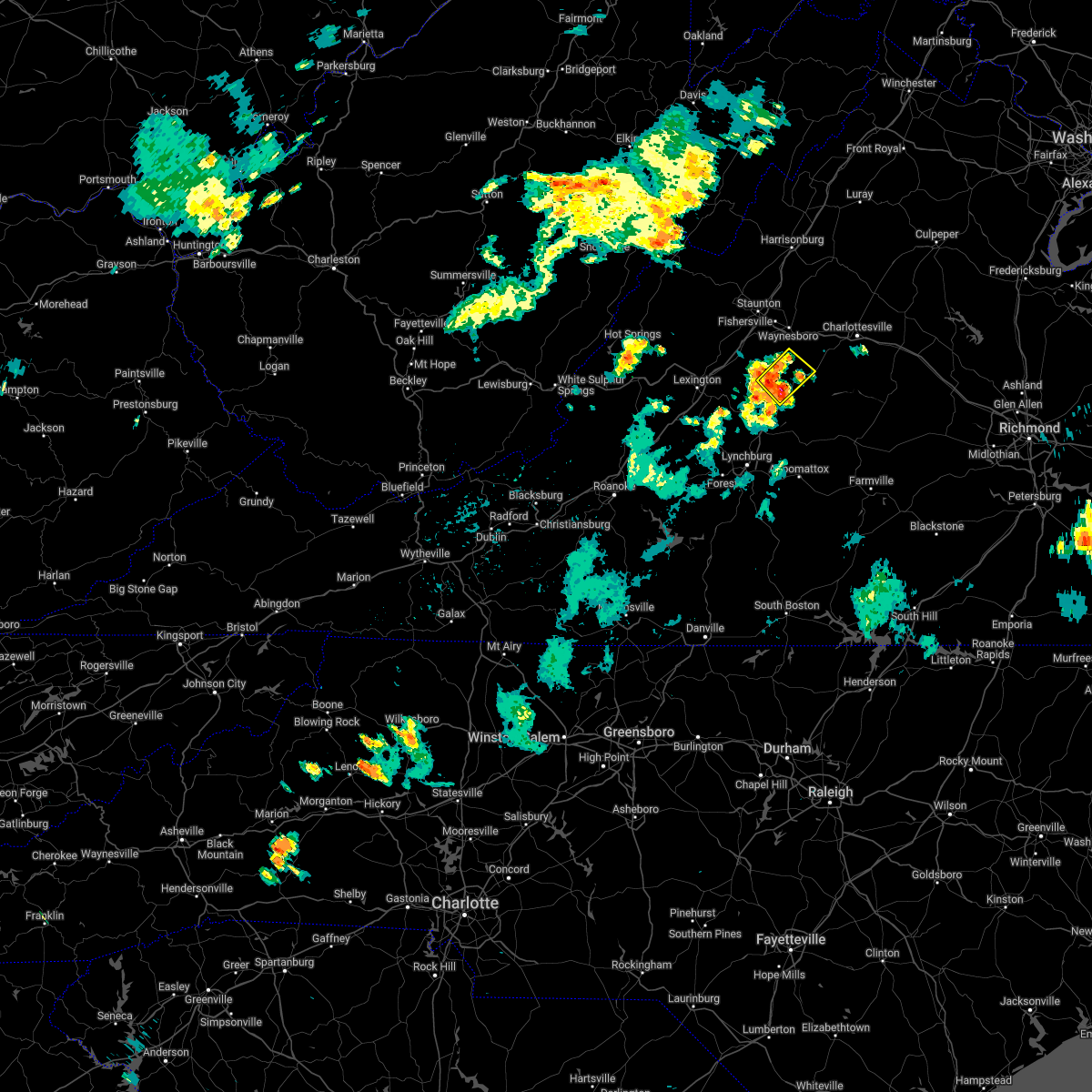 At 910 pm edt, a severe thunderstorm was located near shipman, or 10 miles northeast of clifford, moving northeast at 30 mph (radar indicated). Hazards include 60 mph wind gusts and quarter size hail. Damaging winds will cause some trees and large branches to fall. this could injure those outdoors, as well as damage homes and vehicles. roadways may become blocked by downed trees. localized power outages are possible. unsecured light objects may become projectiles. locations impacted include, wintergreen, nellysford, lovingston, bryant, greenfield, jonesboro, roseland, tyro and massies mill. hail threat, radar indicated max hail size, 1. 00 in wind threat, radar indicated max wind gust, 60 mph. At 910 pm edt, a severe thunderstorm was located near shipman, or 10 miles northeast of clifford, moving northeast at 30 mph (radar indicated). Hazards include 60 mph wind gusts and quarter size hail. Damaging winds will cause some trees and large branches to fall. this could injure those outdoors, as well as damage homes and vehicles. roadways may become blocked by downed trees. localized power outages are possible. unsecured light objects may become projectiles. locations impacted include, wintergreen, nellysford, lovingston, bryant, greenfield, jonesboro, roseland, tyro and massies mill. hail threat, radar indicated max hail size, 1. 00 in wind threat, radar indicated max wind gust, 60 mph.
|
| 5/21/2022 8:51 PM EDT |
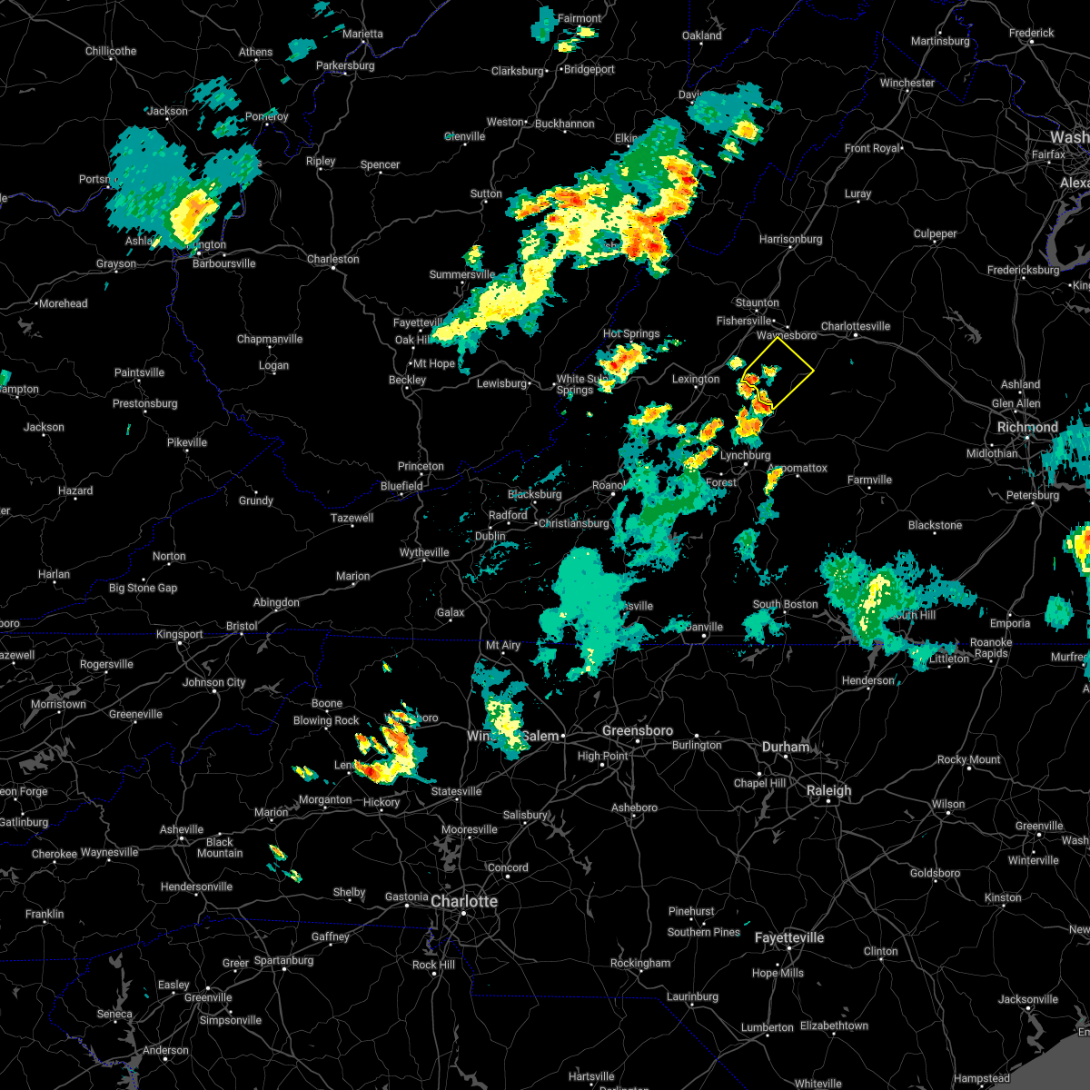 At 851 pm edt, a severe thunderstorm was located over lowesville, or near clifford, moving northeast at 20 mph (radar indicated). Hazards include 60 mph wind gusts and quarter size hail. Damaging winds will cause some trees and large branches to fall. this could injure those outdoors, as well as damage homes and vehicles. roadways may become blocked by downed trees. localized power outages are possible. Unsecured light objects may become projectiles. At 851 pm edt, a severe thunderstorm was located over lowesville, or near clifford, moving northeast at 20 mph (radar indicated). Hazards include 60 mph wind gusts and quarter size hail. Damaging winds will cause some trees and large branches to fall. this could injure those outdoors, as well as damage homes and vehicles. roadways may become blocked by downed trees. localized power outages are possible. Unsecured light objects may become projectiles.
|
| 5/6/2022 9:28 PM EDT |
 At 928 pm edt, severe thunderstorms were located along a line extending from near crimora to 8 miles south of crozet to near shipman, moving east at 40 mph (radar indicated). Hazards include 60 mph wind gusts. Damaging winds will cause some trees and large branches to fall. this could injure those outdoors, as well as damage homes and vehicles. roadways may become blocked by downed trees. localized power outages are possible. unsecured light objects may become projectiles. Locations impacted include, charlottesville, crozet, shipman, schuyler, campbell, westmoreland, hollymead, ivy, arrington, scottsville, esmont, allens creek, north garden, covesville, yancey mills, stony point, buffalo springs, flordon, norwood and scott stadium. At 928 pm edt, severe thunderstorms were located along a line extending from near crimora to 8 miles south of crozet to near shipman, moving east at 40 mph (radar indicated). Hazards include 60 mph wind gusts. Damaging winds will cause some trees and large branches to fall. this could injure those outdoors, as well as damage homes and vehicles. roadways may become blocked by downed trees. localized power outages are possible. unsecured light objects may become projectiles. Locations impacted include, charlottesville, crozet, shipman, schuyler, campbell, westmoreland, hollymead, ivy, arrington, scottsville, esmont, allens creek, north garden, covesville, yancey mills, stony point, buffalo springs, flordon, norwood and scott stadium.
|
| 5/6/2022 9:16 PM EDT |
 At 916 pm edt, severe thunderstorms were located along a line extending from near stuarts draft to near wintergreen to near new glasgow, moving east at 45 mph (radar indicated). Hazards include 60 mph wind gusts. Damaging winds will cause some trees and large branches to fall. this could injure those outdoors, as well as damage homes and vehicles. roadways may become blocked by downed trees. localized power outages are possible. unsecured light objects may become projectiles. locations impacted include, waynesboro, stuarts draft, sherando, shipman, wintergreen, afton, fishersville, lyndhurst, nellysford, arrington, lovingston, bryant, tye river, roseland, greenfield and afton mountain. hail threat, radar indicated max hail size, <. 75 in wind threat, radar indicated max wind gust, 60 mph. At 916 pm edt, severe thunderstorms were located along a line extending from near stuarts draft to near wintergreen to near new glasgow, moving east at 45 mph (radar indicated). Hazards include 60 mph wind gusts. Damaging winds will cause some trees and large branches to fall. this could injure those outdoors, as well as damage homes and vehicles. roadways may become blocked by downed trees. localized power outages are possible. unsecured light objects may become projectiles. locations impacted include, waynesboro, stuarts draft, sherando, shipman, wintergreen, afton, fishersville, lyndhurst, nellysford, arrington, lovingston, bryant, tye river, roseland, greenfield and afton mountain. hail threat, radar indicated max hail size, <. 75 in wind threat, radar indicated max wind gust, 60 mph.
|
| 5/6/2022 9:07 PM EDT |
 At 907 pm edt, a severe thunderstorm capable of producing a tornado was located near new glasgow, or near clifford, moving east at 35 mph (radar indicated rotation). Hazards include tornado. For those in the direct path of a tornado touchdown, flying debris will be dangerous to those caught without shelter. damage to roofs, siding, and windows may occur. mobile homes may be damaged or destroyed. tree damage is likely. this dangerous storm will be near, shipman around 925 pm edt. schuyler around 930 pm edt. Other locations impacted by this tornadic thunderstorm include norwood, tye river, lovingston, wingina, roseland, elma, arrington, buffalo springs, scottsville and esmont. At 907 pm edt, a severe thunderstorm capable of producing a tornado was located near new glasgow, or near clifford, moving east at 35 mph (radar indicated rotation). Hazards include tornado. For those in the direct path of a tornado touchdown, flying debris will be dangerous to those caught without shelter. damage to roofs, siding, and windows may occur. mobile homes may be damaged or destroyed. tree damage is likely. this dangerous storm will be near, shipman around 925 pm edt. schuyler around 930 pm edt. Other locations impacted by this tornadic thunderstorm include norwood, tye river, lovingston, wingina, roseland, elma, arrington, buffalo springs, scottsville and esmont.
|
| 5/6/2022 9:06 PM EDT |
 At 906 pm edt, severe thunderstorms were located along a line extending from stuarts draft to near wintergreen to new glasgow, moving east at 45 mph (radar indicated). Hazards include 60 mph wind gusts. Damaging winds will cause some trees and large branches to fall. this could injure those outdoors, as well as damage homes and vehicles. roadways may become blocked by downed trees. localized power outages are possible. Unsecured light objects may become projectiles. At 906 pm edt, severe thunderstorms were located along a line extending from stuarts draft to near wintergreen to new glasgow, moving east at 45 mph (radar indicated). Hazards include 60 mph wind gusts. Damaging winds will cause some trees and large branches to fall. this could injure those outdoors, as well as damage homes and vehicles. roadways may become blocked by downed trees. localized power outages are possible. Unsecured light objects may become projectiles.
|
| 5/6/2022 9:02 PM EDT |
 At 902 pm edt, a severe thunderstorm capable of producing a tornado was located over clifford, moving east at 35 mph (radar indicated rotation). Hazards include tornado. For those in the direct path of a tornado touchdown, flying debris will be dangerous to those caught without shelter. damage to roofs, siding, and windows may occur. mobile homes may be damaged or destroyed. tree damage is likely. this dangerous storm will be near, shipman around 925 pm edt. schuyler around 930 pm edt. Other locations impacted by this tornadic thunderstorm include norwood, tye river, lovingston, wingina, roseland, elma, arrington, buffalo springs, scottsville and esmont. At 902 pm edt, a severe thunderstorm capable of producing a tornado was located over clifford, moving east at 35 mph (radar indicated rotation). Hazards include tornado. For those in the direct path of a tornado touchdown, flying debris will be dangerous to those caught without shelter. damage to roofs, siding, and windows may occur. mobile homes may be damaged or destroyed. tree damage is likely. this dangerous storm will be near, shipman around 925 pm edt. schuyler around 930 pm edt. Other locations impacted by this tornadic thunderstorm include norwood, tye river, lovingston, wingina, roseland, elma, arrington, buffalo springs, scottsville and esmont.
|
| 5/6/2022 8:42 PM EDT |
 At 842 pm edt, severe thunderstorms were located along a line extending from near goshen to cornwall to near naola, moving east at 30 mph (radar indicated). Hazards include 60 mph wind gusts. Damaging winds will cause some trees and large branches to fall. this could injure those outdoors, as well as damage homes and vehicles. roadways may become blocked by downed trees. localized power outages are possible. Unsecured light objects may become projectiles. At 842 pm edt, severe thunderstorms were located along a line extending from near goshen to cornwall to near naola, moving east at 30 mph (radar indicated). Hazards include 60 mph wind gusts. Damaging winds will cause some trees and large branches to fall. this could injure those outdoors, as well as damage homes and vehicles. roadways may become blocked by downed trees. localized power outages are possible. Unsecured light objects may become projectiles.
|
| 4/26/2022 1:57 PM EDT |
 At 157 pm edt, a severe thunderstorm was located near shipman, or 14 miles northeast of clifford, moving northeast at 35 mph (radar indicated). Hazards include 60 mph wind gusts and quarter size hail. Damaging winds will cause some trees and large branches to fall. this could injure those outdoors, as well as damage homes and vehicles. roadways may become blocked by downed trees. localized power outages are possible. Unsecured light objects may become projectiles. At 157 pm edt, a severe thunderstorm was located near shipman, or 14 miles northeast of clifford, moving northeast at 35 mph (radar indicated). Hazards include 60 mph wind gusts and quarter size hail. Damaging winds will cause some trees and large branches to fall. this could injure those outdoors, as well as damage homes and vehicles. roadways may become blocked by downed trees. localized power outages are possible. Unsecured light objects may become projectiles.
|
| 8/14/2021 7:32 PM EDT |
 At 731 pm edt, a severe thunderstorm with a history of producing wind damage was located 8 miles north of schuyler, or 13 miles southwest of charlottesville, moving southeast at 10 mph (emergency management). Hazards include 60 mph wind gusts. Damaging winds will cause some trees and large branches to fall. this could injure those outdoors, as well as damage homes and vehicles. roadways may become blocked by downed trees. localized power outages are possible. unsecured light objects may become projectiles. locations impacted include, schuyler, nellysford, esmont, lovingston, alberene, damon, north garden, covesville, rockfish and faber. hail threat, radar indicated max hail size, <. 75 in wind threat, observed max wind gust, 60 mph. At 731 pm edt, a severe thunderstorm with a history of producing wind damage was located 8 miles north of schuyler, or 13 miles southwest of charlottesville, moving southeast at 10 mph (emergency management). Hazards include 60 mph wind gusts. Damaging winds will cause some trees and large branches to fall. this could injure those outdoors, as well as damage homes and vehicles. roadways may become blocked by downed trees. localized power outages are possible. unsecured light objects may become projectiles. locations impacted include, schuyler, nellysford, esmont, lovingston, alberene, damon, north garden, covesville, rockfish and faber. hail threat, radar indicated max hail size, <. 75 in wind threat, observed max wind gust, 60 mph.
|
| 8/14/2021 7:13 PM EDT |
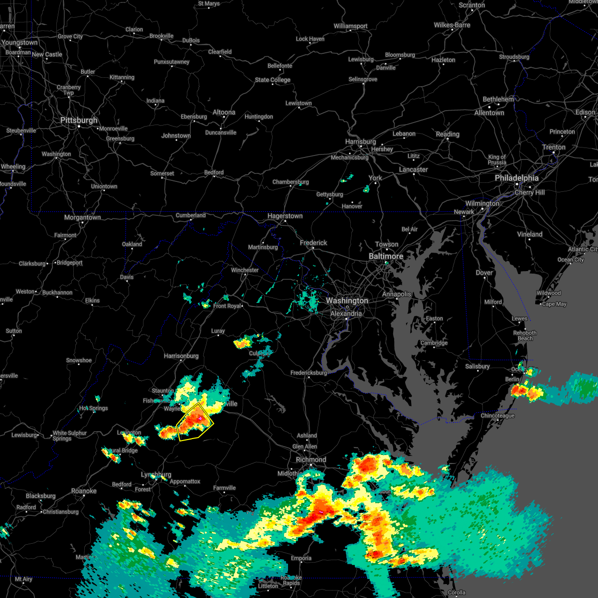 At 712 pm edt, a severe thunderstorm with a history of producing wind damage and hail was located 7 miles south of crozet, or 13 miles southwest of charlottesville, moving southeast at 10 mph (emergency management. wind damage and hail were reported near crozet). Hazards include 60 mph wind gusts and quarter size hail. Damaging winds will cause some trees and large branches to fall. this could injure those outdoors, as well as damage homes and vehicles. roadways may become blocked by downed trees. localized power outages are possible. unsecured light objects may become projectiles. locations impacted include, crozet, schuyler, nellysford, esmont, lovingston, damon, north garden, batesville, covesville, yancey mills, rockfish, greenfield, alberene and faber. hail threat, radar indicated max hail size, 1. 00 in wind threat, observed max wind gust, 60 mph. At 712 pm edt, a severe thunderstorm with a history of producing wind damage and hail was located 7 miles south of crozet, or 13 miles southwest of charlottesville, moving southeast at 10 mph (emergency management. wind damage and hail were reported near crozet). Hazards include 60 mph wind gusts and quarter size hail. Damaging winds will cause some trees and large branches to fall. this could injure those outdoors, as well as damage homes and vehicles. roadways may become blocked by downed trees. localized power outages are possible. unsecured light objects may become projectiles. locations impacted include, crozet, schuyler, nellysford, esmont, lovingston, damon, north garden, batesville, covesville, yancey mills, rockfish, greenfield, alberene and faber. hail threat, radar indicated max hail size, 1. 00 in wind threat, observed max wind gust, 60 mph.
|
| 8/14/2021 7:08 PM EDT |
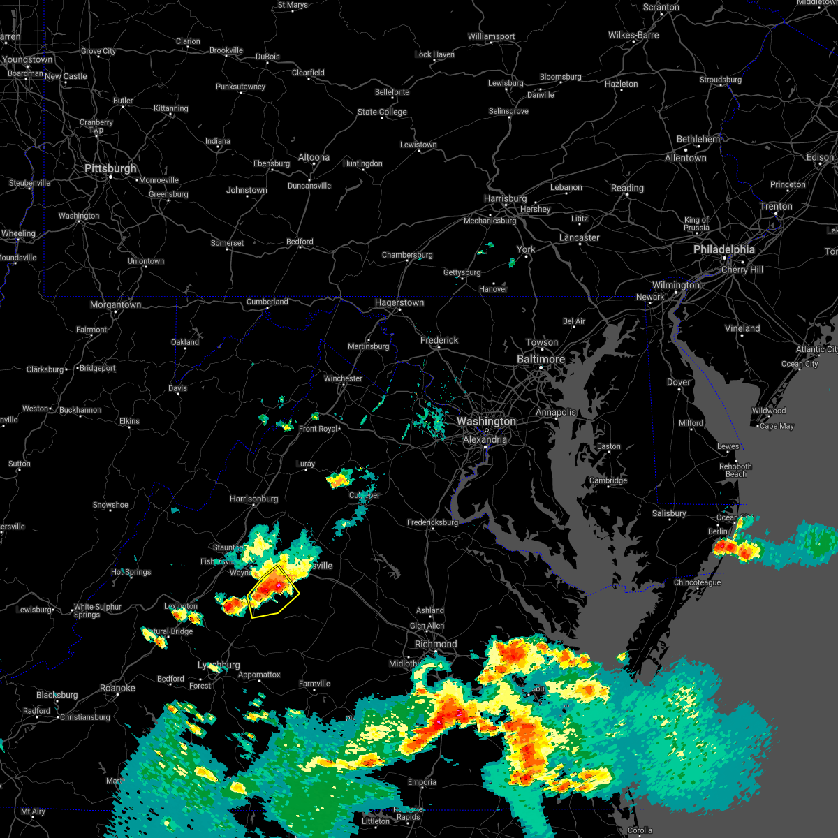 At 707 pm edt, a severe thunderstorm was located 7 miles south of crozet, or 12 miles southeast of waynesboro, moving southeast at 10 mph (radar indicated). Hazards include 60 mph wind gusts and quarter size hail. Damaging winds will cause some trees and large branches to fall. this could injure those outdoors, as well as damage homes and vehicles. roadways may become blocked by downed trees. localized power outages are possible. unsecured light objects may become projectiles. locations impacted include, crozet, schuyler, nellysford, esmont, lovingston, damon, north garden, batesville, covesville, yancey mills, rockfish, greenfield, alberene and faber. hail threat, radar indicated max hail size, 1. 00 in wind threat, radar indicated max wind gust, 60 mph. At 707 pm edt, a severe thunderstorm was located 7 miles south of crozet, or 12 miles southeast of waynesboro, moving southeast at 10 mph (radar indicated). Hazards include 60 mph wind gusts and quarter size hail. Damaging winds will cause some trees and large branches to fall. this could injure those outdoors, as well as damage homes and vehicles. roadways may become blocked by downed trees. localized power outages are possible. unsecured light objects may become projectiles. locations impacted include, crozet, schuyler, nellysford, esmont, lovingston, damon, north garden, batesville, covesville, yancey mills, rockfish, greenfield, alberene and faber. hail threat, radar indicated max hail size, 1. 00 in wind threat, radar indicated max wind gust, 60 mph.
|
| 8/14/2021 6:57 PM EDT |
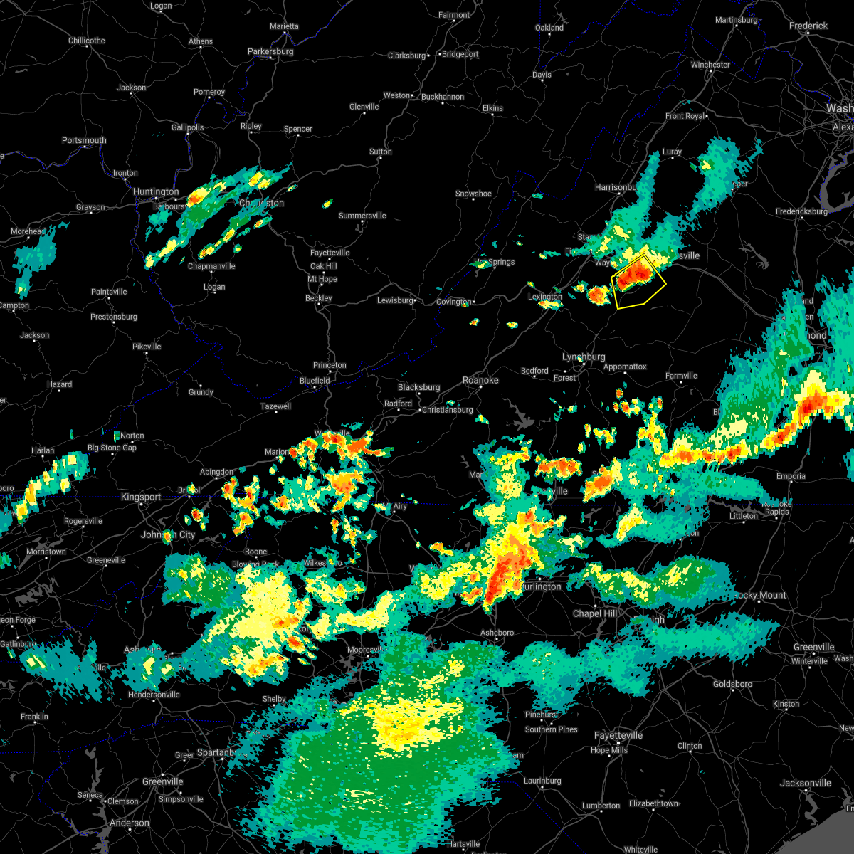 At 657 pm edt, a severe thunderstorm was located near crozet, or 11 miles southeast of waynesboro, moving southeast at 10 mph (radar indicated). Hazards include golf ball size hail and 70 mph wind gusts. Expect wind damage to trees and power lines. hail is large enough to dent and damage vehicles. Some hail damage to roofs, siding, and windows is possible. At 657 pm edt, a severe thunderstorm was located near crozet, or 11 miles southeast of waynesboro, moving southeast at 10 mph (radar indicated). Hazards include golf ball size hail and 70 mph wind gusts. Expect wind damage to trees and power lines. hail is large enough to dent and damage vehicles. Some hail damage to roofs, siding, and windows is possible.
|
| 8/14/2021 2:11 PM EDT |
 At 210 pm edt, a severe thunderstorm was located near schuyler, or 14 miles north of buckingham, moving east at 20 mph (radar indicated). Hazards include 60 mph wind gusts. Damaging winds will cause some trees and large branches to fall. this could injure those outdoors, as well as damage homes and vehicles. roadways may become blocked by downed trees. localized power outages are possible. unsecured light objects may become projectiles. locations impacted include, shipman, schuyler, scottsville, esmont, lovingston, glendower, damon, elma, rockfish and faber. hail threat, radar indicated max hail size, <. 75 in wind threat, radar indicated max wind gust, 60 mph. At 210 pm edt, a severe thunderstorm was located near schuyler, or 14 miles north of buckingham, moving east at 20 mph (radar indicated). Hazards include 60 mph wind gusts. Damaging winds will cause some trees and large branches to fall. this could injure those outdoors, as well as damage homes and vehicles. roadways may become blocked by downed trees. localized power outages are possible. unsecured light objects may become projectiles. locations impacted include, shipman, schuyler, scottsville, esmont, lovingston, glendower, damon, elma, rockfish and faber. hail threat, radar indicated max hail size, <. 75 in wind threat, radar indicated max wind gust, 60 mph.
|
| 8/14/2021 1:57 PM EDT |
 At 157 pm edt, a severe thunderstorm was located near schuyler, or 16 miles north of bent creek, moving east at 20 mph (radar indicated). Hazards include 60 mph wind gusts. Damaging winds will cause some trees and large branches to fall. this could injure those outdoors, as well as damage homes and vehicles. roadways may become blocked by downed trees. localized power outages are possible. Unsecured light objects may become projectiles. At 157 pm edt, a severe thunderstorm was located near schuyler, or 16 miles north of bent creek, moving east at 20 mph (radar indicated). Hazards include 60 mph wind gusts. Damaging winds will cause some trees and large branches to fall. this could injure those outdoors, as well as damage homes and vehicles. roadways may become blocked by downed trees. localized power outages are possible. Unsecured light objects may become projectiles.
|
| 8/13/2021 4:02 PM EDT |
 At 402 pm edt, severe thunderstorms were located along a line extending from near schuyler to near bent creek, moving east at 15 mph (radar indicated). Hazards include 60 mph wind gusts and quarter size hail. Damaging winds will cause some trees and large branches to fall. this could injure those outdoors, as well as damage homes and vehicles. roadways may become blocked by downed trees. localized power outages are possible. Unsecured light objects may become projectiles. At 402 pm edt, severe thunderstorms were located along a line extending from near schuyler to near bent creek, moving east at 15 mph (radar indicated). Hazards include 60 mph wind gusts and quarter size hail. Damaging winds will cause some trees and large branches to fall. this could injure those outdoors, as well as damage homes and vehicles. roadways may become blocked by downed trees. localized power outages are possible. Unsecured light objects may become projectiles.
|
| 8/13/2021 3:35 PM EDT | Tree and powerline down near the intersection of stage road and us-29. about a half dozen other trees down in the are in nelson county VA, 0.8 miles SSE of Lovingston, VA |
| 7/27/2021 11:55 PM EDT |
 At 1155 pm edt, severe thunderstorms were located along a line extending from 7 miles east of wintergreen to near lowesville, moving east at 25 mph (radar indicated). Hazards include 60 mph wind gusts and quarter size hail. Damaging winds will cause some trees and large branches to fall. this could injure those outdoors, as well as damage homes and vehicles. roadways may become blocked by downed trees. localized power outages are possible. unsecured light objects may become projectiles. Locations impacted include, shipman, schuyler, nellysford, arrington, lovingston, bryant, tye river, roseland, tyro, rockfish, buffalo springs, norwood, jonesboro, elma, faber and massies mill. At 1155 pm edt, severe thunderstorms were located along a line extending from 7 miles east of wintergreen to near lowesville, moving east at 25 mph (radar indicated). Hazards include 60 mph wind gusts and quarter size hail. Damaging winds will cause some trees and large branches to fall. this could injure those outdoors, as well as damage homes and vehicles. roadways may become blocked by downed trees. localized power outages are possible. unsecured light objects may become projectiles. Locations impacted include, shipman, schuyler, nellysford, arrington, lovingston, bryant, tye river, roseland, tyro, rockfish, buffalo springs, norwood, jonesboro, elma, faber and massies mill.
|
| 7/27/2021 11:33 PM EDT |
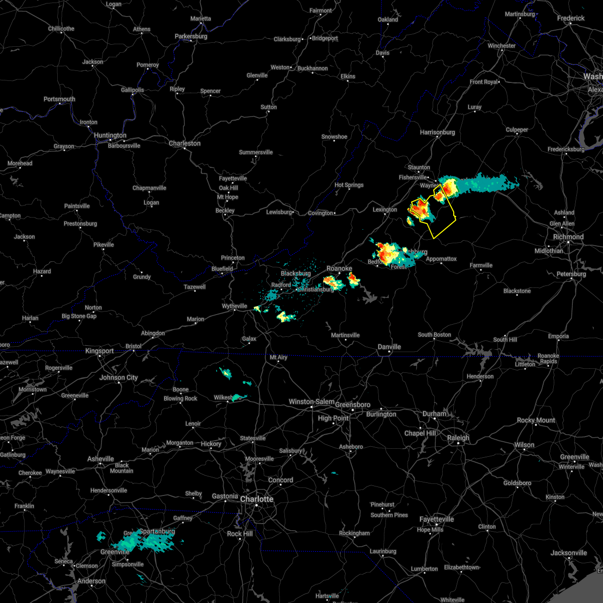 At 1133 pm edt, a severe thunderstorm was located over montebello, or 11 miles north of forks of buffalo, moving northeast at 20 mph (radar indicated). Hazards include 60 mph wind gusts and quarter size hail. Damaging winds will cause some trees and large branches to fall. this could injure those outdoors, as well as damage homes and vehicles. roadways may become blocked by downed trees. localized power outages are possible. Unsecured light objects may become projectiles. At 1133 pm edt, a severe thunderstorm was located over montebello, or 11 miles north of forks of buffalo, moving northeast at 20 mph (radar indicated). Hazards include 60 mph wind gusts and quarter size hail. Damaging winds will cause some trees and large branches to fall. this could injure those outdoors, as well as damage homes and vehicles. roadways may become blocked by downed trees. localized power outages are possible. Unsecured light objects may become projectiles.
|
| 7/26/2021 3:54 PM EDT |
 At 353 pm edt, a severe thunderstorm was located near shipman, or near clifford, moving south at 15 mph (radar indicated). Hazards include 60 mph wind gusts and quarter size hail. Damaging winds will cause some trees and large branches to fall. this could injure those outdoors, as well as damage homes and vehicles. roadways may become blocked by downed trees. localized power outages are possible. unsecured light objects may become projectiles. Locations impacted include, shipman, arrington, lovingston, tye river, roseland, buffalo springs, norwood, five forks, jonesboro, wingina, elma, massies mill and allens creek. At 353 pm edt, a severe thunderstorm was located near shipman, or near clifford, moving south at 15 mph (radar indicated). Hazards include 60 mph wind gusts and quarter size hail. Damaging winds will cause some trees and large branches to fall. this could injure those outdoors, as well as damage homes and vehicles. roadways may become blocked by downed trees. localized power outages are possible. unsecured light objects may become projectiles. Locations impacted include, shipman, arrington, lovingston, tye river, roseland, buffalo springs, norwood, five forks, jonesboro, wingina, elma, massies mill and allens creek.
|
| 7/26/2021 3:38 PM EDT |
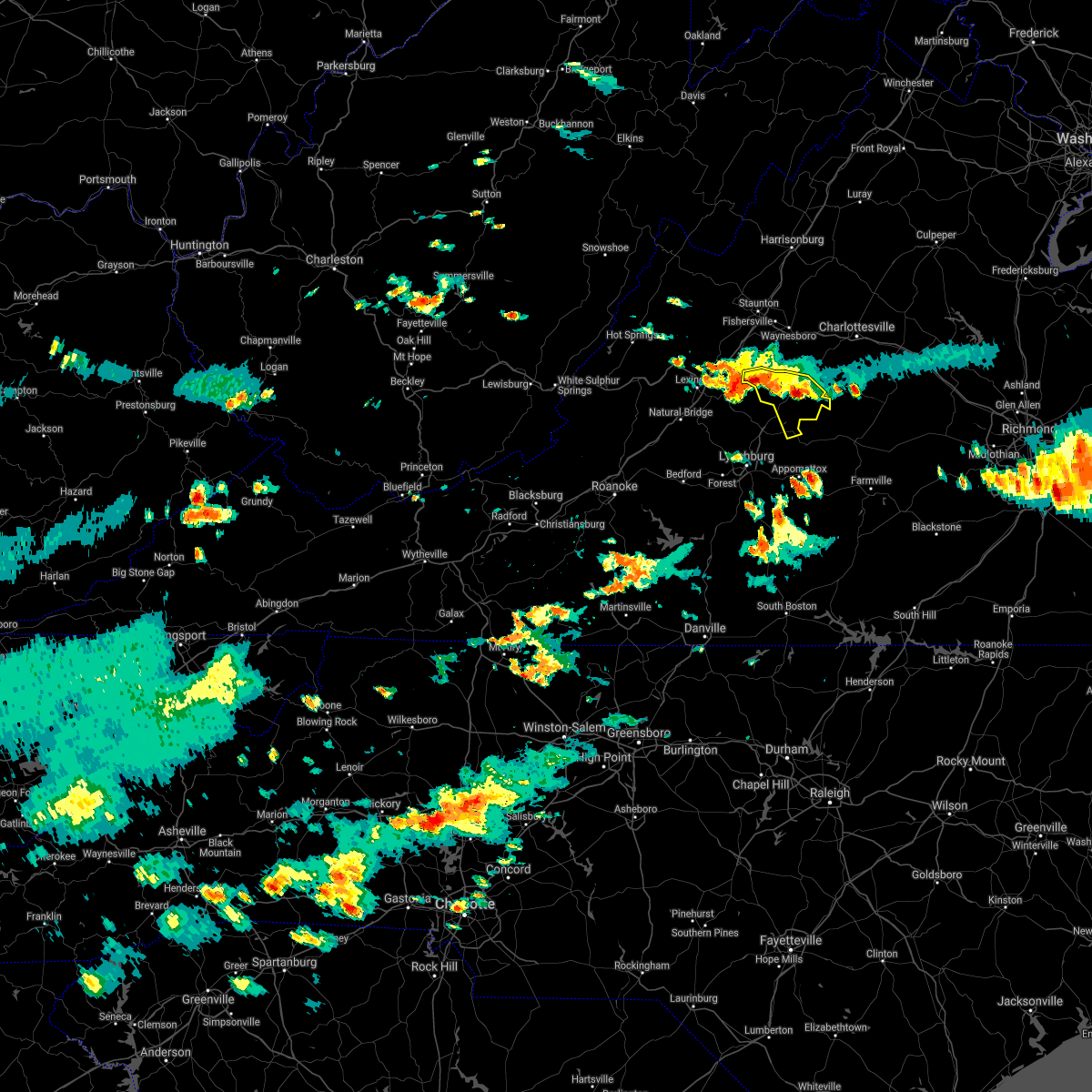 At 338 pm edt, a severe thunderstorm was located near shipman, or 8 miles northeast of clifford, moving south at 15 mph (radar indicated). Hazards include 60 mph wind gusts and quarter size hail. Damaging winds will cause some trees and large branches to fall. this could injure those outdoors, as well as damage homes and vehicles. roadways may become blocked by downed trees. localized power outages are possible. unsecured light objects may become projectiles. Locations impacted include, shipman, schuyler, montebello, arrington, lovingston, bryant, tye river, roseland, tyro, rockfish, buffalo springs, norwood, five forks, jonesboro, wingina, elma, massies mill and allens creek. At 338 pm edt, a severe thunderstorm was located near shipman, or 8 miles northeast of clifford, moving south at 15 mph (radar indicated). Hazards include 60 mph wind gusts and quarter size hail. Damaging winds will cause some trees and large branches to fall. this could injure those outdoors, as well as damage homes and vehicles. roadways may become blocked by downed trees. localized power outages are possible. unsecured light objects may become projectiles. Locations impacted include, shipman, schuyler, montebello, arrington, lovingston, bryant, tye river, roseland, tyro, rockfish, buffalo springs, norwood, five forks, jonesboro, wingina, elma, massies mill and allens creek.
|
| 7/26/2021 3:14 PM EDT |
 At 314 pm edt, a severe thunderstorm was located near wintergreen, or 14 miles north of clifford, moving south at 15 mph (radar indicated). Hazards include 60 mph wind gusts and half dollar size hail. Damaging winds will cause some trees and large branches to fall. this could injure those outdoors, as well as damage homes and vehicles. roadways may become blocked by downed trees. localized power outages are possible. Unsecured light objects may become projectiles. At 314 pm edt, a severe thunderstorm was located near wintergreen, or 14 miles north of clifford, moving south at 15 mph (radar indicated). Hazards include 60 mph wind gusts and half dollar size hail. Damaging winds will cause some trees and large branches to fall. this could injure those outdoors, as well as damage homes and vehicles. roadways may become blocked by downed trees. localized power outages are possible. Unsecured light objects may become projectiles.
|
| 7/26/2021 3:04 PM EDT |
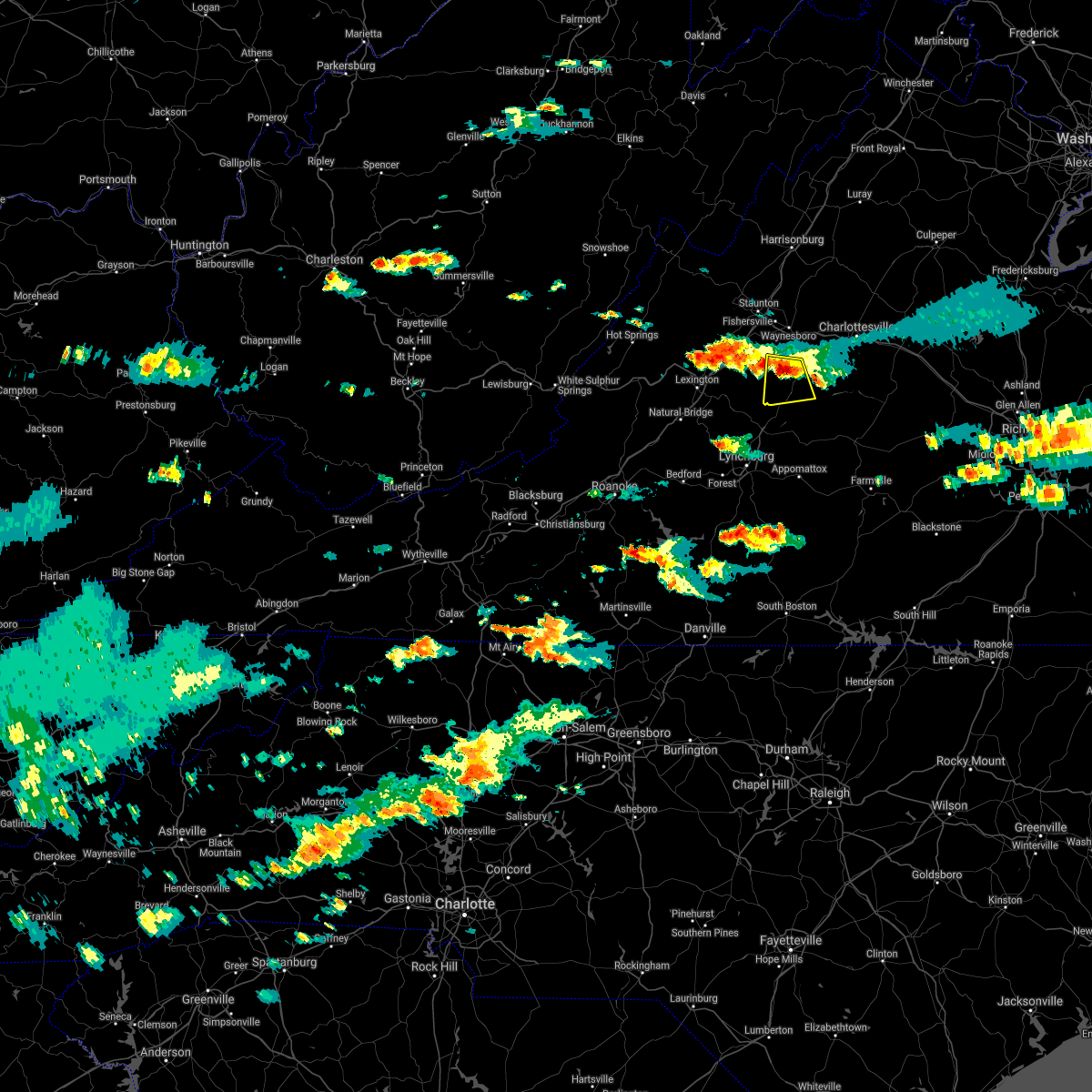 At 304 pm edt, a severe thunderstorm was located near wintergreen, or 14 miles northeast of clifford, moving south at 20 mph (radar indicated). Hazards include 60 mph wind gusts and quarter size hail. Damaging winds will cause some trees and large branches to fall. this could injure those outdoors, as well as damage homes and vehicles. roadways may become blocked by downed trees. localized power outages are possible. unsecured light objects may become projectiles. Locations impacted include, shipman, wintergreen, nellysford, lovingston, bryant, jonesboro, roseland, elma, tyro, massies mill and piney river. At 304 pm edt, a severe thunderstorm was located near wintergreen, or 14 miles northeast of clifford, moving south at 20 mph (radar indicated). Hazards include 60 mph wind gusts and quarter size hail. Damaging winds will cause some trees and large branches to fall. this could injure those outdoors, as well as damage homes and vehicles. roadways may become blocked by downed trees. localized power outages are possible. unsecured light objects may become projectiles. Locations impacted include, shipman, wintergreen, nellysford, lovingston, bryant, jonesboro, roseland, elma, tyro, massies mill and piney river.
|
| 7/26/2021 2:47 PM EDT |
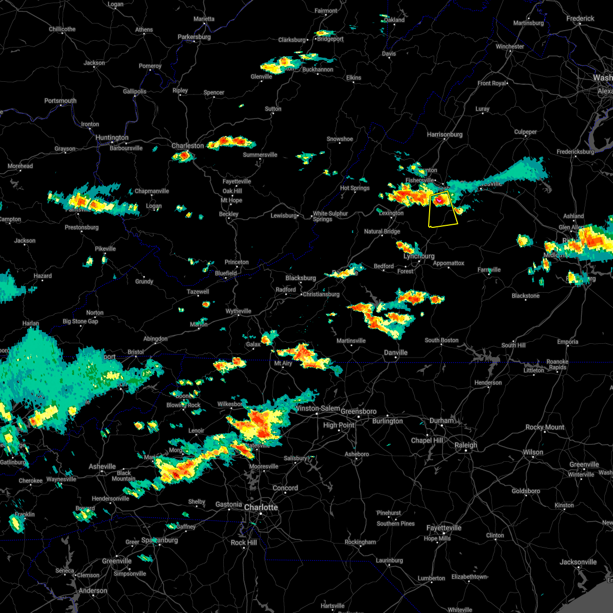 At 246 pm edt, a severe thunderstorm was located over wintergreen, or 10 miles south of waynesboro, moving south at 20 mph (radar indicated). Hazards include 60 mph wind gusts and quarter size hail. Damaging winds will cause some trees and large branches to fall. this could injure those outdoors, as well as damage homes and vehicles. roadways may become blocked by downed trees. localized power outages are possible. Unsecured light objects may become projectiles. At 246 pm edt, a severe thunderstorm was located over wintergreen, or 10 miles south of waynesboro, moving south at 20 mph (radar indicated). Hazards include 60 mph wind gusts and quarter size hail. Damaging winds will cause some trees and large branches to fall. this could injure those outdoors, as well as damage homes and vehicles. roadways may become blocked by downed trees. localized power outages are possible. Unsecured light objects may become projectiles.
|
| 7/14/2021 4:45 PM EDT | Tree down in 14000 block of thomas nelson hwy blocking sb lanes in nelson county VA, 4.6 miles SSW of Lovingston, VA |
| 7/14/2021 4:29 PM EDT |
 At 428 pm edt, a severe thunderstorm was located 7 miles northwest of schuyler, or 15 miles south of waynesboro, moving east at 15 mph (radar indicated). Hazards include 60 mph wind gusts and quarter size hail. Damaging winds will cause some trees and large branches to fall. this could injure those outdoors, as well as damage homes and vehicles. roadways may become blocked by downed trees. localized power outages are possible. Unsecured light objects may become projectiles. At 428 pm edt, a severe thunderstorm was located 7 miles northwest of schuyler, or 15 miles south of waynesboro, moving east at 15 mph (radar indicated). Hazards include 60 mph wind gusts and quarter size hail. Damaging winds will cause some trees and large branches to fall. this could injure those outdoors, as well as damage homes and vehicles. roadways may become blocked by downed trees. localized power outages are possible. Unsecured light objects may become projectiles.
|
| 6/9/2021 4:45 PM EDT | A large tree blew down on va-776 grape lawn drive near us-29 thomas nelson highway. large tree limbs blew down near the intersection of wheelers cove road and va-620 st in nelson county VA, 6 miles SSW of Lovingston, VA |
| 6/9/2021 4:42 PM EDT |
 At 442 pm edt, a severe thunderstorm was located 7 miles northwest of schuyler, or 15 miles south of waynesboro, moving south at 15 mph (radar indicated). Hazards include 60 mph wind gusts and quarter size hail. Damaging winds will cause some trees and large branches to fall. this could injure those outdoors, as well as damage homes and vehicles. roadways may become blocked by downed trees. localized power outages are possible. Unsecured light objects may become projectiles. At 442 pm edt, a severe thunderstorm was located 7 miles northwest of schuyler, or 15 miles south of waynesboro, moving south at 15 mph (radar indicated). Hazards include 60 mph wind gusts and quarter size hail. Damaging winds will cause some trees and large branches to fall. this could injure those outdoors, as well as damage homes and vehicles. roadways may become blocked by downed trees. localized power outages are possible. Unsecured light objects may become projectiles.
|
| 5/4/2021 4:02 PM EDT |
 At 401 pm edt, severe thunderstorms were located along a line extending from 6 miles south of afton to near wingina, moving northeast at 45 mph (law enforcement. numerous trees have been downed in nelson county). Hazards include 60 mph wind gusts. Damaging winds will cause some trees and large branches to fall. this could injure those outdoors, as well as damage homes and vehicles. roadways may become blocked by downed trees. localized power outages are possible. unsecured light objects may become projectiles. Locations impacted include, crozet, shipman, schuyler, wintergreen, afton, nellysford, arrington, scottsville, esmont, lovingston, allens creek, north garden, covesville, yancey mills, buffalo springs, norwood, gladstone, faber, damon and greenwood. At 401 pm edt, severe thunderstorms were located along a line extending from 6 miles south of afton to near wingina, moving northeast at 45 mph (law enforcement. numerous trees have been downed in nelson county). Hazards include 60 mph wind gusts. Damaging winds will cause some trees and large branches to fall. this could injure those outdoors, as well as damage homes and vehicles. roadways may become blocked by downed trees. localized power outages are possible. unsecured light objects may become projectiles. Locations impacted include, crozet, shipman, schuyler, wintergreen, afton, nellysford, arrington, scottsville, esmont, lovingston, allens creek, north garden, covesville, yancey mills, buffalo springs, norwood, gladstone, faber, damon and greenwood.
|
| 5/4/2021 3:49 PM EDT | Multiple trees down on route 29 in lovingsto in nelson county VA, 0.8 miles SSE of Lovingston, VA |
| 5/4/2021 3:36 PM EDT |
 At 336 pm edt, severe thunderstorms were located along a line extending from near montebello to near amherst, moving northeast at 45 mph (radar indicated). Hazards include 60 mph wind gusts. Damaging winds will cause some trees and large branches to fall. this could injure those outdoors, as well as damage homes and vehicles. roadways may become blocked by downed trees. localized power outages are possible. Unsecured light objects may become projectiles. At 336 pm edt, severe thunderstorms were located along a line extending from near montebello to near amherst, moving northeast at 45 mph (radar indicated). Hazards include 60 mph wind gusts. Damaging winds will cause some trees and large branches to fall. this could injure those outdoors, as well as damage homes and vehicles. roadways may become blocked by downed trees. localized power outages are possible. Unsecured light objects may become projectiles.
|
| 5/4/2021 3:24 PM EDT | Multiple trees blew down on crabtree falls highwa in nelson county VA, 0.8 miles SSE of Lovingston, VA |
| 7/10/2020 6:08 PM EDT |
 At 608 pm edt, a severe thunderstorm was located near schuyler, or 16 miles southeast of waynesboro, moving east at 20 mph (radar indicated). Hazards include 60 mph wind gusts and quarter size hail. Damaging winds will cause some trees and large branches to fall. this could injure those outdoors, as well as damage homes and vehicles. roadways may become blocked by downed trees. localized power outages are possible. unsecured light objects may become projectiles. Locations impacted include, shipman, schuyler, scottsville, esmont, lovingston, damon, north garden, covesville, rockfish, keene, glendower, alberene, elma and faber. At 608 pm edt, a severe thunderstorm was located near schuyler, or 16 miles southeast of waynesboro, moving east at 20 mph (radar indicated). Hazards include 60 mph wind gusts and quarter size hail. Damaging winds will cause some trees and large branches to fall. this could injure those outdoors, as well as damage homes and vehicles. roadways may become blocked by downed trees. localized power outages are possible. unsecured light objects may become projectiles. Locations impacted include, shipman, schuyler, scottsville, esmont, lovingston, damon, north garden, covesville, rockfish, keene, glendower, alberene, elma and faber.
|
| 7/10/2020 6:04 PM EDT | Tree down in the 170 block of roseland r in nelson county VA, 5.9 miles E of Lovingston, VA |
| 7/10/2020 5:47 PM EDT |
 At 547 pm edt, a severe thunderstorm was located near wintergreen, or 14 miles south of waynesboro, moving east at 20 mph (radar indicated). Hazards include 60 mph wind gusts and quarter size hail. Damaging winds will cause some trees and large branches to fall. this could injure those outdoors, as well as damage homes and vehicles. roadways may become blocked by downed trees. localized power outages are possible. Unsecured light objects may become projectiles. At 547 pm edt, a severe thunderstorm was located near wintergreen, or 14 miles south of waynesboro, moving east at 20 mph (radar indicated). Hazards include 60 mph wind gusts and quarter size hail. Damaging winds will cause some trees and large branches to fall. this could injure those outdoors, as well as damage homes and vehicles. roadways may become blocked by downed trees. localized power outages are possible. Unsecured light objects may become projectiles.
|
| 6/4/2020 4:17 PM EDT |
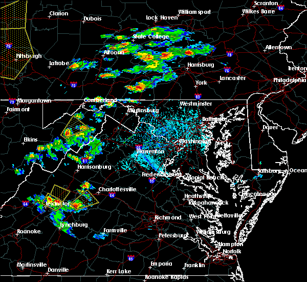 At 417 pm edt, a severe thunderstorm was located near wintergreen, or 14 miles northeast of clifford, moving northeast at 20 mph (radar indicated). Hazards include 60 mph wind gusts and quarter size hail. Damaging winds will cause some trees and large branches to fall. this could injure those outdoors, as well as damage homes and vehicles. roadways may become blocked by downed trees. localized power outages are possible. Unsecured light objects may become projectiles. At 417 pm edt, a severe thunderstorm was located near wintergreen, or 14 miles northeast of clifford, moving northeast at 20 mph (radar indicated). Hazards include 60 mph wind gusts and quarter size hail. Damaging winds will cause some trees and large branches to fall. this could injure those outdoors, as well as damage homes and vehicles. roadways may become blocked by downed trees. localized power outages are possible. Unsecured light objects may become projectiles.
|
| 4/8/2020 6:21 AM EDT |
 At 621 am edt, severe thunderstorms were located along a line extending from 7 miles southeast of crozet to 6 miles west of schuyler to lowesville, moving southeast at 65 mph (radar indicated). Hazards include 60 mph wind gusts. Damaging winds will cause some trees and large branches to fall. this could injure those outdoors, as well as damage homes and vehicles. roadways may become blocked by downed trees. localized power outages are possible. unsecured light objects may become projectiles. Locations impacted include, shipman, schuyler, arrington, scottsville, esmont, lovingston, piney river, allens creek, north garden, covesville, buffalo springs, norwood, jonesboro, gladstone, faber, massies mill, bryant, tye river, damon and roseland. At 621 am edt, severe thunderstorms were located along a line extending from 7 miles southeast of crozet to 6 miles west of schuyler to lowesville, moving southeast at 65 mph (radar indicated). Hazards include 60 mph wind gusts. Damaging winds will cause some trees and large branches to fall. this could injure those outdoors, as well as damage homes and vehicles. roadways may become blocked by downed trees. localized power outages are possible. unsecured light objects may become projectiles. Locations impacted include, shipman, schuyler, arrington, scottsville, esmont, lovingston, piney river, allens creek, north garden, covesville, buffalo springs, norwood, jonesboro, gladstone, faber, massies mill, bryant, tye river, damon and roseland.
|
| 4/8/2020 6:00 AM EDT |
 At 600 am edt, severe thunderstorms were located along a line extending from near staunton to near stuarts draft to near rockbridge baths, moving southeast at 55 mph (radar indicated). Hazards include 60 mph wind gusts and quarter size hail. Damaging winds will cause some trees and large branches to fall. this could injure those outdoors, as well as damage homes and vehicles. roadways may become blocked by downed trees. localized power outages are possible. Unsecured light objects may become projectiles. At 600 am edt, severe thunderstorms were located along a line extending from near staunton to near stuarts draft to near rockbridge baths, moving southeast at 55 mph (radar indicated). Hazards include 60 mph wind gusts and quarter size hail. Damaging winds will cause some trees and large branches to fall. this could injure those outdoors, as well as damage homes and vehicles. roadways may become blocked by downed trees. localized power outages are possible. Unsecured light objects may become projectiles.
|
| 4/7/2020 10:46 PM EDT |
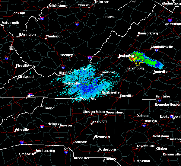 At 1046 pm edt, a severe thunderstorm was located over lowesville, or near clifford, moving southeast at 40 mph (radar indicated). Hazards include 60 mph wind gusts and quarter size hail. Damaging winds will cause some trees and large branches to fall. this could injure those outdoors, as well as damage homes and vehicles. roadways may become blocked by downed trees. localized power outages are possible. unsecured light objects may become projectiles. Locations impacted include, shipman, arrington, lovingston, bryant, tye river, allens creek, roseland, tyro, buffalo springs, norwood, five forks, jonesboro, wingina, gladstone and massies mill. At 1046 pm edt, a severe thunderstorm was located over lowesville, or near clifford, moving southeast at 40 mph (radar indicated). Hazards include 60 mph wind gusts and quarter size hail. Damaging winds will cause some trees and large branches to fall. this could injure those outdoors, as well as damage homes and vehicles. roadways may become blocked by downed trees. localized power outages are possible. unsecured light objects may become projectiles. Locations impacted include, shipman, arrington, lovingston, bryant, tye river, allens creek, roseland, tyro, buffalo springs, norwood, five forks, jonesboro, wingina, gladstone and massies mill.
|
| 4/7/2020 10:21 PM EDT |
 At 1020 pm edt, a severe thunderstorm was located over vesuvius, or 12 miles east of rockbridge baths, moving southeast at 35 mph (radar indicated). Hazards include 60 mph wind gusts and quarter size hail. Damaging winds will cause some trees and large branches to fall. this could injure those outdoors, as well as damage homes and vehicles. roadways may become blocked by downed trees. localized power outages are possible. Unsecured light objects may become projectiles. At 1020 pm edt, a severe thunderstorm was located over vesuvius, or 12 miles east of rockbridge baths, moving southeast at 35 mph (radar indicated). Hazards include 60 mph wind gusts and quarter size hail. Damaging winds will cause some trees and large branches to fall. this could injure those outdoors, as well as damage homes and vehicles. roadways may become blocked by downed trees. localized power outages are possible. Unsecured light objects may become projectiles.
|
| 9/28/2019 2:55 PM EDT |
 At 254 pm edt, a severe thunderstorm was located near alto, or 7 miles north of forks of buffalo, moving southeast at 25 mph (radar indicated). Hazards include 60 mph wind gusts. Damaging winds will cause some trees and large branches to fall. this could injure those outdoors, as well as damage homes and vehicles. roadways may become blocked by downed trees. localized power outages are possible. Unsecured light objects may become projectiles. At 254 pm edt, a severe thunderstorm was located near alto, or 7 miles north of forks of buffalo, moving southeast at 25 mph (radar indicated). Hazards include 60 mph wind gusts. Damaging winds will cause some trees and large branches to fall. this could injure those outdoors, as well as damage homes and vehicles. roadways may become blocked by downed trees. localized power outages are possible. Unsecured light objects may become projectiles.
|
| 9/11/2019 5:08 PM EDT |
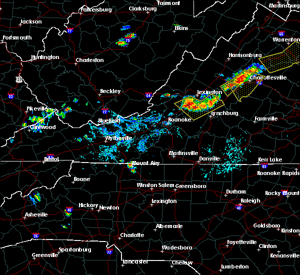 The severe thunderstorm warning for northeastern nelson, west central albemarle and southeastern augusta counties will expire at 515 pm edt, the storm which prompted the warning has weakened below severe limits, and no longer poses an immediate threat to life or property. therefore, the warning will be allowed to expire. however gusty winds are still possible with this thunderstorm. The severe thunderstorm warning for northeastern nelson, west central albemarle and southeastern augusta counties will expire at 515 pm edt, the storm which prompted the warning has weakened below severe limits, and no longer poses an immediate threat to life or property. therefore, the warning will be allowed to expire. however gusty winds are still possible with this thunderstorm.
|
| 9/11/2019 4:56 PM EDT |
 At 456 pm edt, a severe thunderstorm was located over sherando, or near waynesboro, moving southeast at 15 mph (radar indicated). Hazards include 60 mph wind gusts and quarter size hail. Damaging winds will cause some trees and large branches to fall. this could injure those outdoors, as well as damage homes and vehicles. roadways may become blocked by downed trees. localized power outages are possible. unsecured light objects may become projectiles. Locations impacted include, sherando, wintergreen, nellysford, greenfield and afton mountain. At 456 pm edt, a severe thunderstorm was located over sherando, or near waynesboro, moving southeast at 15 mph (radar indicated). Hazards include 60 mph wind gusts and quarter size hail. Damaging winds will cause some trees and large branches to fall. this could injure those outdoors, as well as damage homes and vehicles. roadways may become blocked by downed trees. localized power outages are possible. unsecured light objects may become projectiles. Locations impacted include, sherando, wintergreen, nellysford, greenfield and afton mountain.
|
| 9/11/2019 4:36 PM EDT |
 At 436 pm edt, a severe thunderstorm was located over stuarts draft, or 7 miles southwest of waynesboro, moving southeast at 20 mph (radar indicated). Hazards include 60 mph wind gusts and quarter size hail. Damaging winds will cause some trees and large branches to fall. this could injure those outdoors, as well as damage homes and vehicles. roadways may become blocked by downed trees. localized power outages are possible. Unsecured light objects may become projectiles. At 436 pm edt, a severe thunderstorm was located over stuarts draft, or 7 miles southwest of waynesboro, moving southeast at 20 mph (radar indicated). Hazards include 60 mph wind gusts and quarter size hail. Damaging winds will cause some trees and large branches to fall. this could injure those outdoors, as well as damage homes and vehicles. roadways may become blocked by downed trees. localized power outages are possible. Unsecured light objects may become projectiles.
|
| 9/9/2019 5:34 PM EDT |
 At 534 pm edt, a severe thunderstorm was located near new glasgow, or 7 miles east of clifford, moving southeast at 20 mph (radar indicated). Hazards include 60 mph wind gusts and quarter size hail. Damaging winds will cause some trees and large branches to fall. this could injure those outdoors, as well as damage homes and vehicles. roadways may become blocked by downed trees. localized power outages are possible. unsecured light objects may become projectiles. Locations impacted include, shipman, arrington, lovingston, norwood, five forks, tye river, gladstone and buffalo springs. At 534 pm edt, a severe thunderstorm was located near new glasgow, or 7 miles east of clifford, moving southeast at 20 mph (radar indicated). Hazards include 60 mph wind gusts and quarter size hail. Damaging winds will cause some trees and large branches to fall. this could injure those outdoors, as well as damage homes and vehicles. roadways may become blocked by downed trees. localized power outages are possible. unsecured light objects may become projectiles. Locations impacted include, shipman, arrington, lovingston, norwood, five forks, tye river, gladstone and buffalo springs.
|
| 9/9/2019 5:15 PM EDT |
 At 515 pm edt, a severe thunderstorm was located near shipman, or 9 miles northeast of clifford, moving southeast at 25 mph (radar indicated). Hazards include 60 mph wind gusts and quarter size hail. Damaging winds will cause some trees and large branches to fall. this could injure those outdoors, as well as damage homes and vehicles. roadways may become blocked by downed trees. localized power outages are possible. Unsecured light objects may become projectiles. At 515 pm edt, a severe thunderstorm was located near shipman, or 9 miles northeast of clifford, moving southeast at 25 mph (radar indicated). Hazards include 60 mph wind gusts and quarter size hail. Damaging winds will cause some trees and large branches to fall. this could injure those outdoors, as well as damage homes and vehicles. roadways may become blocked by downed trees. localized power outages are possible. Unsecured light objects may become projectiles.
|
| 9/9/2019 5:08 PM EDT |
 At 507 pm edt, a severe thunderstorm was located near wintergreen, or 12 miles north of clifford, moving southeast at 25 mph (radar indicated). Hazards include 60 mph wind gusts and half dollar size hail. Damaging winds will cause some trees and large branches to fall. this could injure those outdoors, as well as damage homes and vehicles. roadways may become blocked by downed trees. localized power outages are possible. unsecured light objects may become projectiles. Locations impacted include, wintergreen, nellysford, lovingston, bryant, piney river, jonesboro, roseland, tyro and massies mill. At 507 pm edt, a severe thunderstorm was located near wintergreen, or 12 miles north of clifford, moving southeast at 25 mph (radar indicated). Hazards include 60 mph wind gusts and half dollar size hail. Damaging winds will cause some trees and large branches to fall. this could injure those outdoors, as well as damage homes and vehicles. roadways may become blocked by downed trees. localized power outages are possible. unsecured light objects may become projectiles. Locations impacted include, wintergreen, nellysford, lovingston, bryant, piney river, jonesboro, roseland, tyro and massies mill.
|
| 9/9/2019 4:54 PM EDT |
 At 454 pm edt, a severe thunderstorm was located near wintergreen, or 12 miles southwest of waynesboro, moving southeast at 25 mph (radar indicated). Hazards include 60 mph wind gusts and half dollar size hail. Damaging winds will cause some trees and large branches to fall. this could injure those outdoors, as well as damage homes and vehicles. roadways may become blocked by downed trees. localized power outages are possible. unsecured light objects may become projectiles. Locations impacted include, stuarts draft, sherando, wintergreen, lyndhurst, nellysford, lovingston, bryant, piney river, roseland, rockfish, tyro, greenfield, jonesboro, faber and massies mill. At 454 pm edt, a severe thunderstorm was located near wintergreen, or 12 miles southwest of waynesboro, moving southeast at 25 mph (radar indicated). Hazards include 60 mph wind gusts and half dollar size hail. Damaging winds will cause some trees and large branches to fall. this could injure those outdoors, as well as damage homes and vehicles. roadways may become blocked by downed trees. localized power outages are possible. unsecured light objects may become projectiles. Locations impacted include, stuarts draft, sherando, wintergreen, lyndhurst, nellysford, lovingston, bryant, piney river, roseland, rockfish, tyro, greenfield, jonesboro, faber and massies mill.
|
| 9/9/2019 4:38 PM EDT |
 At 438 pm edt, a severe thunderstorm was located near stuarts draft, or 11 miles southwest of waynesboro, moving southeast at 25 mph (radar indicated). Hazards include 60 mph wind gusts and quarter size hail. Damaging winds will cause some trees and large branches to fall. this could injure those outdoors, as well as damage homes and vehicles. roadways may become blocked by downed trees. localized power outages are possible. Unsecured light objects may become projectiles. At 438 pm edt, a severe thunderstorm was located near stuarts draft, or 11 miles southwest of waynesboro, moving southeast at 25 mph (radar indicated). Hazards include 60 mph wind gusts and quarter size hail. Damaging winds will cause some trees and large branches to fall. this could injure those outdoors, as well as damage homes and vehicles. roadways may become blocked by downed trees. localized power outages are possible. Unsecured light objects may become projectiles.
|
| 8/22/2019 3:15 PM EDT |
 At 314 pm edt, a severe thunderstorm was located near shipman, or 8 miles northeast of clifford, moving east at 15 mph (radar indicated). Hazards include 60 mph wind gusts. Damaging winds will cause some trees and large branches to fall. this could injure those outdoors, as well as damage homes and vehicles. roadways may become blocked by downed trees. localized power outages are possible. unsecured light objects may become projectiles. Locations impacted include, shipman, arrington, lovingston, bryant, norwood, piney river, jonesboro, roseland and elma. At 314 pm edt, a severe thunderstorm was located near shipman, or 8 miles northeast of clifford, moving east at 15 mph (radar indicated). Hazards include 60 mph wind gusts. Damaging winds will cause some trees and large branches to fall. this could injure those outdoors, as well as damage homes and vehicles. roadways may become blocked by downed trees. localized power outages are possible. unsecured light objects may become projectiles. Locations impacted include, shipman, arrington, lovingston, bryant, norwood, piney river, jonesboro, roseland and elma.
|
| 8/22/2019 3:00 PM EDT |
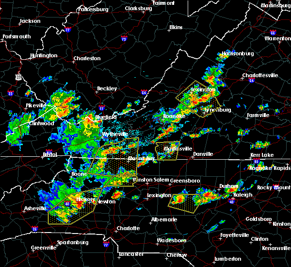 At 300 pm edt, a severe thunderstorm was located near lowesville, or 7 miles north of clifford, moving east at 15 mph (radar indicated). Hazards include 60 mph wind gusts. Damaging winds will cause some trees and large branches to fall. this could injure those outdoors, as well as damage homes and vehicles. roadways may become blocked by downed trees. localized power outages are possible. Unsecured light objects may become projectiles. At 300 pm edt, a severe thunderstorm was located near lowesville, or 7 miles north of clifford, moving east at 15 mph (radar indicated). Hazards include 60 mph wind gusts. Damaging winds will cause some trees and large branches to fall. this could injure those outdoors, as well as damage homes and vehicles. roadways may become blocked by downed trees. localized power outages are possible. Unsecured light objects may become projectiles.
|
| 7/22/2019 6:07 PM EDT |
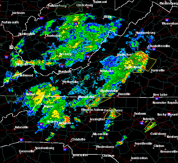 The severe thunderstorm warning for southeastern nelson and southwestern albemarle counties will expire at 615 pm edt, the storms which prompted the warning have moved out of the area. therefore, the warning will be allowed to expire. a severe thunderstorm watch remains in effect until 1000 pm edt for central virginia. remember, a severe thunderstorm warning still remains in effect for much of central and eastern albemarle county until 7 pm. The severe thunderstorm warning for southeastern nelson and southwestern albemarle counties will expire at 615 pm edt, the storms which prompted the warning have moved out of the area. therefore, the warning will be allowed to expire. a severe thunderstorm watch remains in effect until 1000 pm edt for central virginia. remember, a severe thunderstorm warning still remains in effect for much of central and eastern albemarle county until 7 pm.
|
| 7/22/2019 5:57 PM EDT |
 At 557 pm edt, severe thunderstorms were located along a line extending from near wintergreen to near schuyler to near wingina, moving northeast at 35 mph (radar indicated. several downed trees were reported by broadcast media). Hazards include 60 mph wind gusts. Damaging winds will cause some trees and large branches to fall. this could injure those outdoors, as well as damage homes and vehicles. roadways may become blocked by downed trees. localized power outages are possible. unsecured light objects may become projectiles. Locations impacted include, shipman, schuyler, nellysford, lovingston, bryant, damon, covesville, elma, rockfish, tyro, faber and wingina. At 557 pm edt, severe thunderstorms were located along a line extending from near wintergreen to near schuyler to near wingina, moving northeast at 35 mph (radar indicated. several downed trees were reported by broadcast media). Hazards include 60 mph wind gusts. Damaging winds will cause some trees and large branches to fall. this could injure those outdoors, as well as damage homes and vehicles. roadways may become blocked by downed trees. localized power outages are possible. unsecured light objects may become projectiles. Locations impacted include, shipman, schuyler, nellysford, lovingston, bryant, damon, covesville, elma, rockfish, tyro, faber and wingina.
|
| 7/22/2019 5:50 PM EDT | Several trees down along rt 29 in various locations north of lovingsto in nelson county VA, 4.6 miles SSW of Lovingston, VA |
| 7/22/2019 5:37 PM EDT |
 At 537 pm edt, a severe thunderstorm was located near bent creek, moving northeast at 35 mph (radar indicated). Hazards include 60 mph wind gusts. Damaging winds will cause some trees and large branches to fall. this could injure those outdoors, as well as damage homes and vehicles. roadways may become blocked by downed trees. localized power outages are possible. Unsecured light objects may become projectiles. At 537 pm edt, a severe thunderstorm was located near bent creek, moving northeast at 35 mph (radar indicated). Hazards include 60 mph wind gusts. Damaging winds will cause some trees and large branches to fall. this could injure those outdoors, as well as damage homes and vehicles. roadways may become blocked by downed trees. localized power outages are possible. Unsecured light objects may become projectiles.
|
| 7/15/2019 4:08 PM EDT |
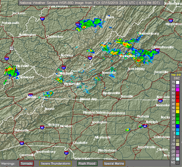 At 407 pm edt, a severe thunderstorm was located near shipman, or 7 miles northeast of clifford, moving south at 15 mph (radar indicated). Hazards include 60 mph wind gusts and quarter size hail. Damaging winds will cause some trees and large branches to fall. this could injure those outdoors, as well as damage homes and vehicles. roadways may become blocked by downed trees. localized power outages are possible. Unsecured light objects may become projectiles. At 407 pm edt, a severe thunderstorm was located near shipman, or 7 miles northeast of clifford, moving south at 15 mph (radar indicated). Hazards include 60 mph wind gusts and quarter size hail. Damaging winds will cause some trees and large branches to fall. this could injure those outdoors, as well as damage homes and vehicles. roadways may become blocked by downed trees. localized power outages are possible. Unsecured light objects may become projectiles.
|
| 7/15/2019 3:53 PM EDT |
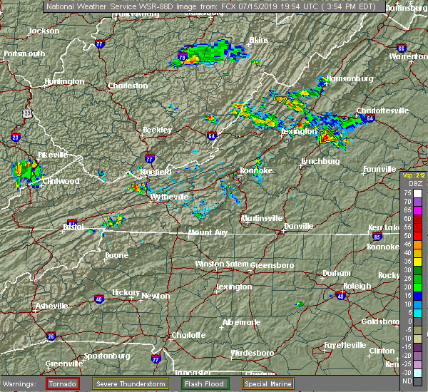 The severe thunderstorm warning for central nelson county will expire at 400 pm edt, the storm which prompted the warning has weakened below severe limits, and has exited the warned area. therefore, the warning will be allowed to expire. however gusty winds and heavy rain are still possible with this thunderstorm. The severe thunderstorm warning for central nelson county will expire at 400 pm edt, the storm which prompted the warning has weakened below severe limits, and has exited the warned area. therefore, the warning will be allowed to expire. however gusty winds and heavy rain are still possible with this thunderstorm.
|
| 7/15/2019 3:52 PM EDT | Tree blocking portion of rt 29 just north of lovingston in nelson county VA, 1.4 miles S of Lovingston, VA |
| 7/15/2019 3:45 PM EDT | Tree down on ridge ln. near the intersection with hwy. 29 in nelson county VA, 0.4 miles E of Lovingston, VA |
| 7/15/2019 3:40 PM EDT |
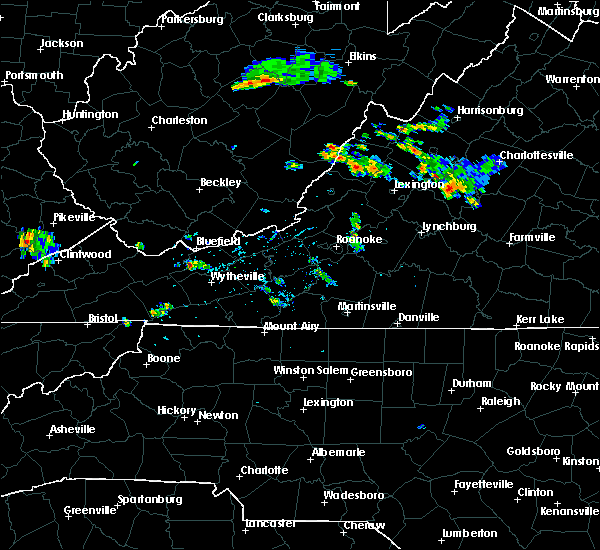 At 339 pm edt, a severe thunderstorm was located near shipman, or 11 miles northeast of clifford, moving southeast at 20 mph (radar indicated). Hazards include 60 mph wind gusts. Damaging winds will cause some trees and large branches to fall. this could injure those outdoors, as well as damage homes and vehicles. roadways may become blocked by downed trees. localized power outages are possible. unsecured light objects may become projectiles. Locations impacted include, shipman, arrington, lovingston and elma. At 339 pm edt, a severe thunderstorm was located near shipman, or 11 miles northeast of clifford, moving southeast at 20 mph (radar indicated). Hazards include 60 mph wind gusts. Damaging winds will cause some trees and large branches to fall. this could injure those outdoors, as well as damage homes and vehicles. roadways may become blocked by downed trees. localized power outages are possible. unsecured light objects may become projectiles. Locations impacted include, shipman, arrington, lovingston and elma.
|
| 7/15/2019 3:12 PM EDT |
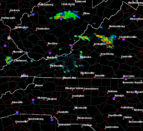 At 311 pm edt, a severe thunderstorm was located near wintergreen, or 13 miles south of waynesboro, moving south at 15 mph (radar indicated). Hazards include 60 mph wind gusts and quarter size hail. Damaging winds will cause some trees and large branches to fall. this could injure those outdoors, as well as damage homes and vehicles. roadways may become blocked by downed trees. localized power outages are possible. Unsecured light objects may become projectiles. At 311 pm edt, a severe thunderstorm was located near wintergreen, or 13 miles south of waynesboro, moving south at 15 mph (radar indicated). Hazards include 60 mph wind gusts and quarter size hail. Damaging winds will cause some trees and large branches to fall. this could injure those outdoors, as well as damage homes and vehicles. roadways may become blocked by downed trees. localized power outages are possible. Unsecured light objects may become projectiles.
|
| 7/6/2019 10:48 PM EDT |
 At 1047 pm edt, severe thunderstorms were located along a line extending from 7 miles northeast of schuyler to near shipman to 6 miles northeast of lowesville, moving southeast at 15 mph (radar indicated). Hazards include 60 mph wind gusts. Damaging winds will cause some trees and large branches to fall. this could injure those outdoors, as well as damage homes and vehicles. roadways may become blocked by downed trees. localized power outages are possible. unsecured light objects may become projectiles. Locations impacted include, shipman, schuyler, arrington, scottsville, esmont, lovingston, bryant, tye river, damon, covesville, roseland, tyro, rockfish, keene, glendower, alberene, jonesboro, elma, faber and massies mill. At 1047 pm edt, severe thunderstorms were located along a line extending from 7 miles northeast of schuyler to near shipman to 6 miles northeast of lowesville, moving southeast at 15 mph (radar indicated). Hazards include 60 mph wind gusts. Damaging winds will cause some trees and large branches to fall. this could injure those outdoors, as well as damage homes and vehicles. roadways may become blocked by downed trees. localized power outages are possible. unsecured light objects may become projectiles. Locations impacted include, shipman, schuyler, arrington, scottsville, esmont, lovingston, bryant, tye river, damon, covesville, roseland, tyro, rockfish, keene, glendower, alberene, jonesboro, elma, faber and massies mill.
|
| 7/6/2019 10:30 PM EDT |
 At 1030 pm edt, severe thunderstorms were located along a line extending from 7 miles north of schuyler to near shipman to near lowesville, moving southeast at 15 mph (radar indicated). Hazards include 60 mph wind gusts. Damaging winds will cause some trees and large branches to fall. this could injure those outdoors, as well as damage homes and vehicles. roadways may become blocked by downed trees. localized power outages are possible. unsecured light objects may become projectiles. Locations impacted include, shipman, schuyler, arrington, scottsville, esmont, lovingston, bryant, tye river, damon, north garden, covesville, roseland, woodridge, tyro, rockfish, keene, glendower, alberene, jonesboro and elma. At 1030 pm edt, severe thunderstorms were located along a line extending from 7 miles north of schuyler to near shipman to near lowesville, moving southeast at 15 mph (radar indicated). Hazards include 60 mph wind gusts. Damaging winds will cause some trees and large branches to fall. this could injure those outdoors, as well as damage homes and vehicles. roadways may become blocked by downed trees. localized power outages are possible. unsecured light objects may become projectiles. Locations impacted include, shipman, schuyler, arrington, scottsville, esmont, lovingston, bryant, tye river, damon, north garden, covesville, roseland, woodridge, tyro, rockfish, keene, glendower, alberene, jonesboro and elma.
|
| 7/6/2019 10:07 PM EDT |
 At 1007 pm edt, severe thunderstorms were located along a line extending from 7 miles southeast of afton to 6 miles southeast of wintergreen to near montebello, moving southeast at 15 mph (radar indicated). Hazards include 60 mph wind gusts. Damaging winds will cause some trees and large branches to fall. this could injure those outdoors, as well as damage homes and vehicles. roadways may become blocked by downed trees. localized power outages are possible. Unsecured light objects may become projectiles. At 1007 pm edt, severe thunderstorms were located along a line extending from 7 miles southeast of afton to 6 miles southeast of wintergreen to near montebello, moving southeast at 15 mph (radar indicated). Hazards include 60 mph wind gusts. Damaging winds will cause some trees and large branches to fall. this could injure those outdoors, as well as damage homes and vehicles. roadways may become blocked by downed trees. localized power outages are possible. Unsecured light objects may become projectiles.
|
| 6/29/2019 3:40 PM EDT |
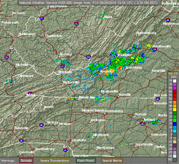 The severe thunderstorm warning for nelson county will expire at 345 pm edt, the storm which prompted the warning has weakened below severe limits, and has exited the warned area. therefore, the warning will be allowed to expire. to report severe weather, contact your nearest law enforcement agency. they will relay your report to the national weather service sterling virginia. The severe thunderstorm warning for nelson county will expire at 345 pm edt, the storm which prompted the warning has weakened below severe limits, and has exited the warned area. therefore, the warning will be allowed to expire. to report severe weather, contact your nearest law enforcement agency. they will relay your report to the national weather service sterling virginia.
|
| 6/29/2019 3:10 PM EDT |
 At 309 pm edt, a severe thunderstorm was located near shipman, or 12 miles northeast of clifford, moving southeast at 15 mph (radar indicated). Hazards include 60 mph wind gusts and quarter size hail. Damaging winds will cause some trees and large branches to fall. this could injure those outdoors, as well as damage homes and vehicles. roadways may become blocked by downed trees. localized power outages are possible. unsecured light objects may become projectiles. Locations impacted include, shipman, nellysford, arrington, lovingston, bryant, piney river, tye river, allens creek, roseland, rockfish, buffalo springs, norwood, five forks, jonesboro, gladstone, elma, massies mill and wingina. At 309 pm edt, a severe thunderstorm was located near shipman, or 12 miles northeast of clifford, moving southeast at 15 mph (radar indicated). Hazards include 60 mph wind gusts and quarter size hail. Damaging winds will cause some trees and large branches to fall. this could injure those outdoors, as well as damage homes and vehicles. roadways may become blocked by downed trees. localized power outages are possible. unsecured light objects may become projectiles. Locations impacted include, shipman, nellysford, arrington, lovingston, bryant, piney river, tye river, allens creek, roseland, rockfish, buffalo springs, norwood, five forks, jonesboro, gladstone, elma, massies mill and wingina.
|
| 6/29/2019 2:55 PM EDT |
 At 255 pm edt, a severe thunderstorm was located near wintergreen, or 13 miles north of clifford, moving southeast at 15 mph (radar indicated). Hazards include 60 mph wind gusts. Damaging winds will cause some trees and large branches to fall. this could injure those outdoors, as well as damage homes and vehicles. roadways may become blocked by downed trees. localized power outages are possible. Unsecured light objects may become projectiles. At 255 pm edt, a severe thunderstorm was located near wintergreen, or 13 miles north of clifford, moving southeast at 15 mph (radar indicated). Hazards include 60 mph wind gusts. Damaging winds will cause some trees and large branches to fall. this could injure those outdoors, as well as damage homes and vehicles. roadways may become blocked by downed trees. localized power outages are possible. Unsecured light objects may become projectiles.
|
| 6/28/2019 5:03 PM EDT |
 At 503 pm edt, a severe thunderstorm was located 7 miles northwest of schuyler, or 14 miles southeast of waynesboro, moving east at 10 mph (radar indicated). Hazards include 70 mph wind gusts and ping pong ball size hail. Damaging winds will cause some trees and large branches to fall. this could injure those outdoors, as well as damage homes and vehicles. roadways may become blocked by downed trees. localized power outages are possible. unsecured light objects may become projectiles. Locations impacted include, wintergreen, nellysford, lovingston, greenfield, rockfish and batesville. At 503 pm edt, a severe thunderstorm was located 7 miles northwest of schuyler, or 14 miles southeast of waynesboro, moving east at 10 mph (radar indicated). Hazards include 70 mph wind gusts and ping pong ball size hail. Damaging winds will cause some trees and large branches to fall. this could injure those outdoors, as well as damage homes and vehicles. roadways may become blocked by downed trees. localized power outages are possible. unsecured light objects may become projectiles. Locations impacted include, wintergreen, nellysford, lovingston, greenfield, rockfish and batesville.
|
| 6/28/2019 4:47 PM EDT |
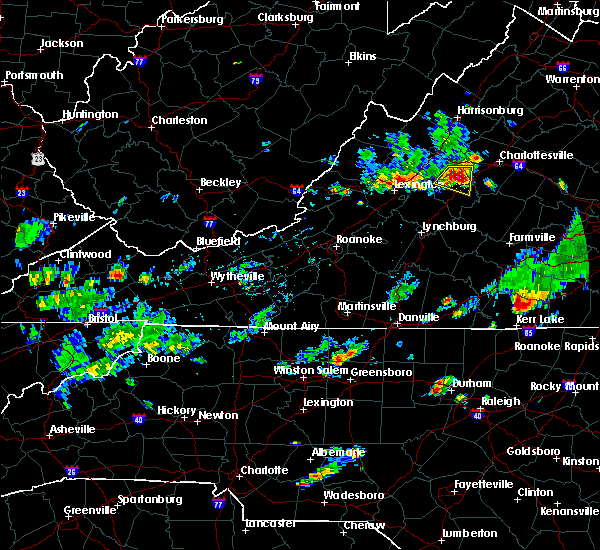 At 446 pm edt, a dangerous thunderstorm was located near wintergreen, or 13 miles south of waynesboro, moving east at 10 mph (radar indicated). Hazards include 70 mph wind gusts and ping pong ball size hail. Damaging winds will cause some trees and large branches to fall. this could injure those outdoors, as well as damage homes and vehicles. roadways may become blocked by downed trees. localized power outages are possible. unsecured light objects may become projectiles. Locations impacted include, sherando, wintergreen, nellysford, lovingston, greenfield, batesville and rockfish. At 446 pm edt, a dangerous thunderstorm was located near wintergreen, or 13 miles south of waynesboro, moving east at 10 mph (radar indicated). Hazards include 70 mph wind gusts and ping pong ball size hail. Damaging winds will cause some trees and large branches to fall. this could injure those outdoors, as well as damage homes and vehicles. roadways may become blocked by downed trees. localized power outages are possible. unsecured light objects may become projectiles. Locations impacted include, sherando, wintergreen, nellysford, lovingston, greenfield, batesville and rockfish.
|
| 6/28/2019 4:30 PM EDT |
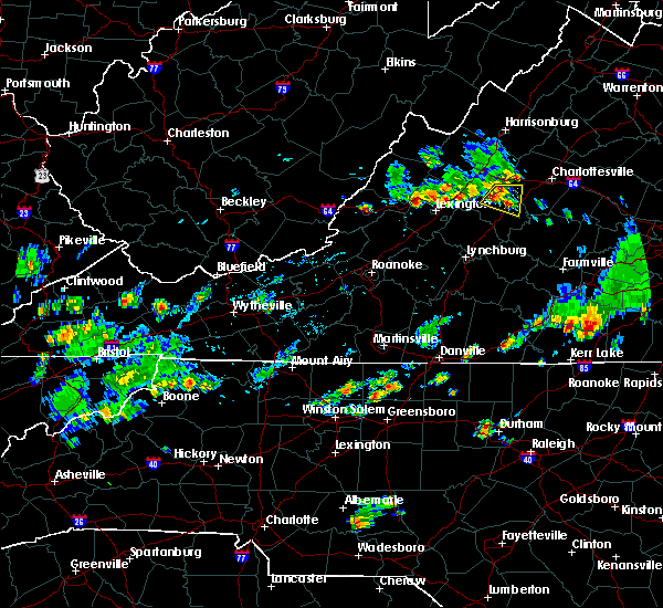 At 430 pm edt, a severe thunderstorm was located near wintergreen, or 12 miles south of waynesboro, moving east at 10 mph (radar indicated). Hazards include 60 mph wind gusts and quarter size hail. Damaging winds will cause some trees and large branches to fall. this could injure those outdoors, as well as damage homes and vehicles. roadways may become blocked by downed trees. localized power outages are possible. Unsecured light objects may become projectiles. At 430 pm edt, a severe thunderstorm was located near wintergreen, or 12 miles south of waynesboro, moving east at 10 mph (radar indicated). Hazards include 60 mph wind gusts and quarter size hail. Damaging winds will cause some trees and large branches to fall. this could injure those outdoors, as well as damage homes and vehicles. roadways may become blocked by downed trees. localized power outages are possible. Unsecured light objects may become projectiles.
|
| 6/17/2019 4:42 PM EDT | Numerous trees reported down in vicinity of stagebridge rd and pine ln in nelson county VA, 2.9 miles SSW of Lovingston, VA |
| 5/25/2019 6:59 PM EDT |
 The national weather service in sterling virginia has issued a * severe thunderstorm warning for. northwestern nelson county in central virginia. south central augusta county in western virginia. until 800 pm edt. At 659 pm edt, a severe thunderstorm was located over fairfield, or. The national weather service in sterling virginia has issued a * severe thunderstorm warning for. northwestern nelson county in central virginia. south central augusta county in western virginia. until 800 pm edt. At 659 pm edt, a severe thunderstorm was located over fairfield, or.
|
| 4/19/2019 5:42 PM EDT | Tree down on the 17000 block of james river roa in nelson county VA, 0.2 miles WSW of Lovingston, VA |
| 4/19/2019 5:27 PM EDT |
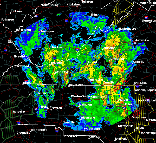 At 526 pm edt, a severe thunderstorm was located over shipman, or 12 miles north of bent creek, moving northeast at 50 mph (radar indicated). Hazards include 60 mph wind gusts. Damaging winds will cause some trees and large branches to fall. this could injure those outdoors, as well as damage homes and vehicles. roadways may become blocked by downed trees. localized power outages are possible. unsecured light objects may become projectiles. Locations impacted include, crozet, shipman, schuyler, nellysford, arrington, esmont, lovingston, damon, north garden, batesville, covesville, yancey mills, woodridge, rockfish, keene, glendower, overton, alberene, elma and faber. At 526 pm edt, a severe thunderstorm was located over shipman, or 12 miles north of bent creek, moving northeast at 50 mph (radar indicated). Hazards include 60 mph wind gusts. Damaging winds will cause some trees and large branches to fall. this could injure those outdoors, as well as damage homes and vehicles. roadways may become blocked by downed trees. localized power outages are possible. unsecured light objects may become projectiles. Locations impacted include, crozet, shipman, schuyler, nellysford, arrington, esmont, lovingston, damon, north garden, batesville, covesville, yancey mills, woodridge, rockfish, keene, glendower, overton, alberene, elma and faber.
|
| 4/19/2019 5:10 PM EDT |
 At 510 pm edt, a severe thunderstorm was located over riverville, or near bent creek, moving northeast at 55 mph (radar indicated). Hazards include 60 mph wind gusts. Damaging winds will cause some trees and large branches to fall. this could injure those outdoors, as well as damage homes and vehicles. roadways may become blocked by downed trees. localized power outages are possible. Unsecured light objects may become projectiles. At 510 pm edt, a severe thunderstorm was located over riverville, or near bent creek, moving northeast at 55 mph (radar indicated). Hazards include 60 mph wind gusts. Damaging winds will cause some trees and large branches to fall. this could injure those outdoors, as well as damage homes and vehicles. roadways may become blocked by downed trees. localized power outages are possible. Unsecured light objects may become projectiles.
|
| 4/14/2019 6:28 PM EDT |
 The severe thunderstorm warning for nelson and southeastern augusta counties will expire at 630 pm edt. the storm which prompted the warning is moving out of the area. therefore, the warning will be allowed to expire. A tornado watch remains in effect until 300 am edt for central and western virginia. The severe thunderstorm warning for nelson and southeastern augusta counties will expire at 630 pm edt. the storm which prompted the warning is moving out of the area. therefore, the warning will be allowed to expire. A tornado watch remains in effect until 300 am edt for central and western virginia.
|
| 4/14/2019 5:57 PM EDT |
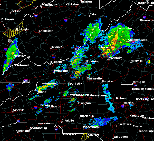 At 557 pm edt, a severe thunderstorm capable of producing a tornado was located near lowesville, or 9 miles north of clifford, moving northeast at 45 mph (radar indicated rotation). Hazards include tornado and quarter size hail. For those in the direct path of a tornado touchdown, flying debris will be dangerous to those caught without shelter. damage to roofs, siding, and windows may occur. mobile homes may be damaged or destroyed. tree damage is likely. this dangerous storm will be near, wintergreen around 615 pm edt. afton around 625 pm edt. crozet around 630 pm edt. Other locations impacted by this tornadic thunderstorm include greenfield, yancey mills, nellysford, greenwood and batesville. At 557 pm edt, a severe thunderstorm capable of producing a tornado was located near lowesville, or 9 miles north of clifford, moving northeast at 45 mph (radar indicated rotation). Hazards include tornado and quarter size hail. For those in the direct path of a tornado touchdown, flying debris will be dangerous to those caught without shelter. damage to roofs, siding, and windows may occur. mobile homes may be damaged or destroyed. tree damage is likely. this dangerous storm will be near, wintergreen around 615 pm edt. afton around 625 pm edt. crozet around 630 pm edt. Other locations impacted by this tornadic thunderstorm include greenfield, yancey mills, nellysford, greenwood and batesville.
|
| 4/14/2019 5:53 PM EDT |
 At 553 pm edt, a severe thunderstorm capable of producing a tornado was located near lowesville, or 8 miles north of clifford, moving northeast at 45 mph (radar indicated rotation). Hazards include tornado and quarter size hail. For those in the direct path of a tornado touchdown, flying debris will be dangerous to those caught without shelter. damage to roofs, siding, and windows may occur. mobile homes may be damaged or destroyed. tree damage is likely. Locations impacted include, lovingston, bryant, piney river, jonesboro, roseland, tyro and massies mill. At 553 pm edt, a severe thunderstorm capable of producing a tornado was located near lowesville, or 8 miles north of clifford, moving northeast at 45 mph (radar indicated rotation). Hazards include tornado and quarter size hail. For those in the direct path of a tornado touchdown, flying debris will be dangerous to those caught without shelter. damage to roofs, siding, and windows may occur. mobile homes may be damaged or destroyed. tree damage is likely. Locations impacted include, lovingston, bryant, piney river, jonesboro, roseland, tyro and massies mill.
|
| 4/14/2019 5:50 PM EDT |
 At 550 pm edt, a severe thunderstorm was located over lowesville, or near forks of buffalo, moving northeast at 45 mph (radar indicated). Hazards include 60 mph wind gusts. Damaging winds will cause some trees and large branches to fall. this could injure those outdoors, as well as damage homes and vehicles. roadways may become blocked by downed trees. localized power outages are possible. unsecured light objects may become projectiles. Locations impacted include, stuarts draft, sherando, wintergreen, montebello, lyndhurst, nellysford, arrington, lovingston, bryant, piney river, roseland, tyro, rockfish, greenfield, jonesboro, faber and massies mill. At 550 pm edt, a severe thunderstorm was located over lowesville, or near forks of buffalo, moving northeast at 45 mph (radar indicated). Hazards include 60 mph wind gusts. Damaging winds will cause some trees and large branches to fall. this could injure those outdoors, as well as damage homes and vehicles. roadways may become blocked by downed trees. localized power outages are possible. unsecured light objects may become projectiles. Locations impacted include, stuarts draft, sherando, wintergreen, montebello, lyndhurst, nellysford, arrington, lovingston, bryant, piney river, roseland, tyro, rockfish, greenfield, jonesboro, faber and massies mill.
|
| 4/14/2019 5:48 PM EDT |
 At 548 pm edt, a severe thunderstorm capable of producing a tornado was located over lowesville, or near forks of buffalo, moving northeast at 45 mph (radar indicated rotation). Hazards include tornado and quarter size hail. For those in the direct path of a tornado touchdown, flying debris will be dangerous to those caught without shelter. damage to roofs, siding, and windows may occur. mobile homes may be damaged or destroyed. tree damage is likely. Locations impacted include, lovingston, bryant, piney river, jonesboro, roseland, tyro and massies mill. At 548 pm edt, a severe thunderstorm capable of producing a tornado was located over lowesville, or near forks of buffalo, moving northeast at 45 mph (radar indicated rotation). Hazards include tornado and quarter size hail. For those in the direct path of a tornado touchdown, flying debris will be dangerous to those caught without shelter. damage to roofs, siding, and windows may occur. mobile homes may be damaged or destroyed. tree damage is likely. Locations impacted include, lovingston, bryant, piney river, jonesboro, roseland, tyro and massies mill.
|
| 4/14/2019 5:42 PM EDT |
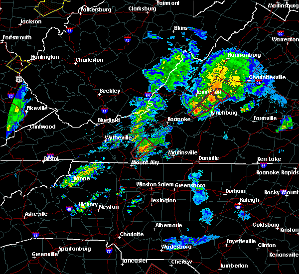 At 541 pm edt, a severe thunderstorm capable of producing a tornado was located over forks of buffalo, moving northeast at 45 mph (radar indicated rotation). Hazards include tornado and quarter size hail. For those in the direct path of a tornado touchdown, flying debris will be dangerous to those caught without shelter. damage to roofs, siding, and windows may occur. mobile homes may be damaged or destroyed. tree damage is likely. This tornadic thunderstorm will remain over mainly rural areas of west central nelson county, including the following locations, bryant, piney river, jonesboro, lovingston, roseland, tyro and massies mill. At 541 pm edt, a severe thunderstorm capable of producing a tornado was located over forks of buffalo, moving northeast at 45 mph (radar indicated rotation). Hazards include tornado and quarter size hail. For those in the direct path of a tornado touchdown, flying debris will be dangerous to those caught without shelter. damage to roofs, siding, and windows may occur. mobile homes may be damaged or destroyed. tree damage is likely. This tornadic thunderstorm will remain over mainly rural areas of west central nelson county, including the following locations, bryant, piney river, jonesboro, lovingston, roseland, tyro and massies mill.
|
| 4/14/2019 5:38 PM EDT |
 At 538 pm edt, a severe thunderstorm was located over pleasant view, or near forks of buffalo, moving northeast at 45 mph (radar indicated). Hazards include 60 mph wind gusts. Damaging winds will cause some trees and large branches to fall. this could injure those outdoors, as well as damage homes and vehicles. roadways may become blocked by downed trees. localized power outages are possible. Unsecured light objects may become projectiles. At 538 pm edt, a severe thunderstorm was located over pleasant view, or near forks of buffalo, moving northeast at 45 mph (radar indicated). Hazards include 60 mph wind gusts. Damaging winds will cause some trees and large branches to fall. this could injure those outdoors, as well as damage homes and vehicles. roadways may become blocked by downed trees. localized power outages are possible. Unsecured light objects may become projectiles.
|
| 4/8/2019 4:46 PM EDT |
 At 445 pm edt, a severe thunderstorm was located over new glasgow, or near clifford, moving east at 30 mph (trained weather spotters). Hazards include quarter to golf ball size hail and 60 mph wind gusts. Expect wind damage to trees and power lines. hail is large enough to dent and damage vehicles. some hail damage to roofs, siding, and windows is possible. Locations impacted include, shipman, schuyler, arrington, scottsville, esmont, lovingston, tye river, damon, allens creek, rockfish, buffalo springs, norwood, glendower, five forks, gladstone, elma, faber and wingina. At 445 pm edt, a severe thunderstorm was located over new glasgow, or near clifford, moving east at 30 mph (trained weather spotters). Hazards include quarter to golf ball size hail and 60 mph wind gusts. Expect wind damage to trees and power lines. hail is large enough to dent and damage vehicles. some hail damage to roofs, siding, and windows is possible. Locations impacted include, shipman, schuyler, arrington, scottsville, esmont, lovingston, tye river, damon, allens creek, rockfish, buffalo springs, norwood, glendower, five forks, gladstone, elma, faber and wingina.
|
| 4/8/2019 4:36 PM EDT |
 At 435 pm edt, a severe thunderstorm was located over clifford, moving east at 30 mph (trained weather spotters). Hazards include 60 mph wind gusts and quarter size hail. Damaging winds will cause some trees and large branches to fall. this could injure those outdoors, as well as damage homes and vehicles. roadways may become blocked by downed trees. localized power outages are possible. unsecured light objects may become projectiles. Locations impacted include, shipman, schuyler, arrington, scottsville, esmont, lovingston, tye river, damon, allens creek, roseland, rockfish, buffalo springs, norwood, keene, glendower, five forks, gladstone, elma, faber and wingina. At 435 pm edt, a severe thunderstorm was located over clifford, moving east at 30 mph (trained weather spotters). Hazards include 60 mph wind gusts and quarter size hail. Damaging winds will cause some trees and large branches to fall. this could injure those outdoors, as well as damage homes and vehicles. roadways may become blocked by downed trees. localized power outages are possible. unsecured light objects may become projectiles. Locations impacted include, shipman, schuyler, arrington, scottsville, esmont, lovingston, tye river, damon, allens creek, roseland, rockfish, buffalo springs, norwood, keene, glendower, five forks, gladstone, elma, faber and wingina.
|
| 4/8/2019 4:20 PM EDT |
 At 417 pm edt, a severe thunderstorm was located over pleasant view, or near forks of buffalo, moving east at 30 mph. additional thunderstorms were developing just west of wingina, and may produce gusty winds and hail (trained spotters and county 911 centers). Hazards include 60 mph wind gusts and quarter size hail. Damaging winds will cause some trees and large branches to fall. this could injure those outdoors, as well as damage homes and vehicles. roadways may become blocked by downed trees. localized power outages are possible. Unsecured light objects may become projectiles. At 417 pm edt, a severe thunderstorm was located over pleasant view, or near forks of buffalo, moving east at 30 mph. additional thunderstorms were developing just west of wingina, and may produce gusty winds and hail (trained spotters and county 911 centers). Hazards include 60 mph wind gusts and quarter size hail. Damaging winds will cause some trees and large branches to fall. this could injure those outdoors, as well as damage homes and vehicles. roadways may become blocked by downed trees. localized power outages are possible. Unsecured light objects may become projectiles.
|
| 8/8/2018 7:20 PM EDT |
 At 720 pm edt, severe thunderstorms were located along a line extending from near lake monticello to near schuyler to near new glasgow, moving east at 15 mph (radar indicated). Hazards include 60 mph wind gusts and quarter size hail. Damaging winds will cause some trees and large branches to fall. this could injure those outdoors, as well as damage homes and vehicles. roadways may become blocked by downed trees. localized power outages are possible. unsecured light objects may become projectiles. Locations impacted include, shipman, schuyler, arrington, scottsville, esmont, lovingston, piney river, allens creek, north garden, covesville, buffalo springs, norwood, gladstone, faber, tye river, damon, boyd tavern, roseland, woodridge and rockfish. At 720 pm edt, severe thunderstorms were located along a line extending from near lake monticello to near schuyler to near new glasgow, moving east at 15 mph (radar indicated). Hazards include 60 mph wind gusts and quarter size hail. Damaging winds will cause some trees and large branches to fall. this could injure those outdoors, as well as damage homes and vehicles. roadways may become blocked by downed trees. localized power outages are possible. unsecured light objects may become projectiles. Locations impacted include, shipman, schuyler, arrington, scottsville, esmont, lovingston, piney river, allens creek, north garden, covesville, buffalo springs, norwood, gladstone, faber, tye river, damon, boyd tavern, roseland, woodridge and rockfish.
|
| 8/8/2018 7:00 PM EDT |
 At 659 pm edt, severe thunderstorms were located along a line extending from 6 miles south of charlottesville to near shipman to clifford, moving east at 20 mph (radar indicated). Hazards include 60 mph wind gusts and quarter size hail. Damaging winds will cause some trees and large branches to fall. this could injure those outdoors, as well as damage homes and vehicles. roadways may become blocked by downed trees. localized power outages are possible. Unsecured light objects may become projectiles. At 659 pm edt, severe thunderstorms were located along a line extending from 6 miles south of charlottesville to near shipman to clifford, moving east at 20 mph (radar indicated). Hazards include 60 mph wind gusts and quarter size hail. Damaging winds will cause some trees and large branches to fall. this could injure those outdoors, as well as damage homes and vehicles. roadways may become blocked by downed trees. localized power outages are possible. Unsecured light objects may become projectiles.
|
| 8/5/2018 1:29 PM EDT |
 At 129 pm edt, a severe thunderstorm was located near lowesville, or 8 miles north of clifford, moving southwest at 5 mph (radar indicated). Hazards include 60 mph wind gusts and quarter size hail. Damaging winds will cause some trees and large branches to fall. this could injure those outdoors, as well as damage homes and vehicles. roadways may become blocked by downed trees. localized power outages are possible. Unsecured light objects may become projectiles. At 129 pm edt, a severe thunderstorm was located near lowesville, or 8 miles north of clifford, moving southwest at 5 mph (radar indicated). Hazards include 60 mph wind gusts and quarter size hail. Damaging winds will cause some trees and large branches to fall. this could injure those outdoors, as well as damage homes and vehicles. roadways may become blocked by downed trees. localized power outages are possible. Unsecured light objects may become projectiles.
|
| 7/11/2018 3:15 PM EDT |
 At 314 pm edt, a severe thunderstorm was located near shipman, or 11 miles northeast of clifford, moving south at 10 mph (radar indicated). Hazards include half dollar size hail. some hail damage to agriculture is expected At 314 pm edt, a severe thunderstorm was located near shipman, or 11 miles northeast of clifford, moving south at 10 mph (radar indicated). Hazards include half dollar size hail. some hail damage to agriculture is expected
|
| 5/14/2018 7:20 PM EDT | Quarter sized hail reported 0.8 miles SSE of Lovingston, VA, will stafford from wset reported quarter sized hail near lovingston... va |
| 5/14/2018 7:20 PM EDT |
 At 719 pm edt, severe thunderstorms were located along a line extending from near bumpass to near centenary, moving southeast at 40 mph (radar indicated). Hazards include 60 mph wind gusts and quarter size hail. Damaging winds will cause some trees and large branches to fall. this could injure those outdoors, as well as damage homes and vehicles. roadways may become blocked by downed trees. localized power outages are possible. unsecured light objects may become projectiles. Locations impacted include, shipman, schuyler, montebello, nellysford, arrington, scottsville, esmont, lovingston, allens creek, covesville, tyro, buffalo springs, norwood, jonesboro, gladstone, faber, massies mill, bryant, tye river and damon. At 719 pm edt, severe thunderstorms were located along a line extending from near bumpass to near centenary, moving southeast at 40 mph (radar indicated). Hazards include 60 mph wind gusts and quarter size hail. Damaging winds will cause some trees and large branches to fall. this could injure those outdoors, as well as damage homes and vehicles. roadways may become blocked by downed trees. localized power outages are possible. unsecured light objects may become projectiles. Locations impacted include, shipman, schuyler, montebello, nellysford, arrington, scottsville, esmont, lovingston, allens creek, covesville, tyro, buffalo springs, norwood, jonesboro, gladstone, faber, massies mill, bryant, tye river and damon.
|
| 5/14/2018 7:08 PM EDT |
 At 708 pm edt, severe thunderstorms with a history of producing damaging winds and hail were located along a line extending from near mineral to near centenary, moving southeast at 40 mph (radar indicated). Hazards include 60 mph wind gusts and quarter size hail. Damaging winds will cause some trees and large branches to fall. this could injure those outdoors, as well as damage homes and vehicles. roadways may become blocked by downed trees. localized power outages are possible. unsecured light objects may become projectiles. Locations impacted include, charlottesville, shipman, schuyler, wintergreen, montebello, campbell, westmoreland, hollymead, nellysford, ivy, arrington, scottsville, esmont, lovingston, allens creek, north garden, stony point, tyro, buffalo springs and gladstone. At 708 pm edt, severe thunderstorms with a history of producing damaging winds and hail were located along a line extending from near mineral to near centenary, moving southeast at 40 mph (radar indicated). Hazards include 60 mph wind gusts and quarter size hail. Damaging winds will cause some trees and large branches to fall. this could injure those outdoors, as well as damage homes and vehicles. roadways may become blocked by downed trees. localized power outages are possible. unsecured light objects may become projectiles. Locations impacted include, charlottesville, shipman, schuyler, wintergreen, montebello, campbell, westmoreland, hollymead, nellysford, ivy, arrington, scottsville, esmont, lovingston, allens creek, north garden, stony point, tyro, buffalo springs and gladstone.
|
| 5/14/2018 6:49 PM EDT |
 At 649 pm edt, severe thunderstorms with a history of producing damaging winds and hail were located along a line extending from near louisa to near shipman, moving southeast at 40 mph (radar indicated). Hazards include 60 mph wind gusts and quarter size hail. Damaging winds will cause some trees and large branches to fall. this could injure those outdoors, as well as damage homes and vehicles. roadways may become blocked by downed trees. localized power outages are possible. unsecured light objects may become projectiles. Locations impacted include, charlottesville, crozet, shipman, schuyler, free union, wintergreen, afton, montebello, campbell, westmoreland, hollymead, nellysford, ivy, arrington, scottsville, esmont, lovingston, allens creek, north garden and yancey mills. At 649 pm edt, severe thunderstorms with a history of producing damaging winds and hail were located along a line extending from near louisa to near shipman, moving southeast at 40 mph (radar indicated). Hazards include 60 mph wind gusts and quarter size hail. Damaging winds will cause some trees and large branches to fall. this could injure those outdoors, as well as damage homes and vehicles. roadways may become blocked by downed trees. localized power outages are possible. unsecured light objects may become projectiles. Locations impacted include, charlottesville, crozet, shipman, schuyler, free union, wintergreen, afton, montebello, campbell, westmoreland, hollymead, nellysford, ivy, arrington, scottsville, esmont, lovingston, allens creek, north garden and yancey mills.
|
| 5/14/2018 6:33 PM EDT |
 At 633 pm edt, severe thunderstorms were located along a line extending from near boswells tavern to near wintergreen, moving southeast at 40 mph (radar indicated). Hazards include 60 mph wind gusts and quarter size hail. Damaging winds will cause some trees and large branches to fall. this could injure those outdoors, as well as damage homes and vehicles. roadways may become blocked by downed trees. localized power outages are possible. unsecured light objects may become projectiles. Locations impacted include, charlottesville, crozet, shipman, schuyler, free union, wintergreen, afton, montebello, campbell, westmoreland, hollymead, nellysford, ivy, arrington, scottsville, esmont, lovingston, allens creek, north garden and yancey mills. At 633 pm edt, severe thunderstorms were located along a line extending from near boswells tavern to near wintergreen, moving southeast at 40 mph (radar indicated). Hazards include 60 mph wind gusts and quarter size hail. Damaging winds will cause some trees and large branches to fall. this could injure those outdoors, as well as damage homes and vehicles. roadways may become blocked by downed trees. localized power outages are possible. unsecured light objects may become projectiles. Locations impacted include, charlottesville, crozet, shipman, schuyler, free union, wintergreen, afton, montebello, campbell, westmoreland, hollymead, nellysford, ivy, arrington, scottsville, esmont, lovingston, allens creek, north garden and yancey mills.
|
| 5/14/2018 6:14 PM EDT |
 At 613 pm edt, severe thunderstorms were located along a line extending from 6 miles south of stanardsville to near vesuvius, moving southeast at 40 mph (radar indicated). Hazards include 60 mph wind gusts and quarter size hail. Damaging winds will cause some trees and large branches to fall. this could injure those outdoors, as well as damage homes and vehicles. roadways may become blocked by downed trees. localized power outages are possible. Unsecured light objects may become projectiles. At 613 pm edt, severe thunderstorms were located along a line extending from 6 miles south of stanardsville to near vesuvius, moving southeast at 40 mph (radar indicated). Hazards include 60 mph wind gusts and quarter size hail. Damaging winds will cause some trees and large branches to fall. this could injure those outdoors, as well as damage homes and vehicles. roadways may become blocked by downed trees. localized power outages are possible. Unsecured light objects may become projectiles.
|
| 5/14/2018 5:37 PM EDT |
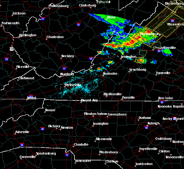 At 537 pm edt, a severe thunderstorm was located near shipman, or 8 miles northeast of clifford, and is nearly stationary (radar indicated). Hazards include 60 mph wind gusts and quarter size hail. Damaging winds will cause some trees and large branches to fall. this could injure those outdoors, as well as damage homes and vehicles. roadways may become blocked by downed trees. localized power outages are possible. unsecured light objects may become projectiles. Locations impacted include, shipman, arrington, lovingston, bryant, piney river, jonesboro, roseland and elma. At 537 pm edt, a severe thunderstorm was located near shipman, or 8 miles northeast of clifford, and is nearly stationary (radar indicated). Hazards include 60 mph wind gusts and quarter size hail. Damaging winds will cause some trees and large branches to fall. this could injure those outdoors, as well as damage homes and vehicles. roadways may become blocked by downed trees. localized power outages are possible. unsecured light objects may become projectiles. Locations impacted include, shipman, arrington, lovingston, bryant, piney river, jonesboro, roseland and elma.
|
| 5/14/2018 5:11 PM EDT |
 At 511 pm edt, a severe thunderstorm was located near lowesville, or 7 miles north of clifford, moving east at 5 mph (radar indicated). Hazards include 60 mph wind gusts and quarter size hail. Damaging winds will cause some trees and large branches to fall. this could injure those outdoors, as well as damage homes and vehicles. roadways may become blocked by downed trees. localized power outages are possible. Unsecured light objects may become projectiles. At 511 pm edt, a severe thunderstorm was located near lowesville, or 7 miles north of clifford, moving east at 5 mph (radar indicated). Hazards include 60 mph wind gusts and quarter size hail. Damaging winds will cause some trees and large branches to fall. this could injure those outdoors, as well as damage homes and vehicles. roadways may become blocked by downed trees. localized power outages are possible. Unsecured light objects may become projectiles.
|
| 5/10/2018 2:43 PM EDT |
 At 240 pm edt, severe thunderstorms were located along a line extending from near schuyler to near falconerville, moving east at 40 mph (radar indicated). Hazards include 60 mph wind gusts and quarter size hail. penny size hail was reported near greenfield. Damaging winds will cause some trees and large branches to fall. this could injure those outdoors, as well as damage homes and vehicles. roadways may become blocked by downed trees. localized power outages are possible. unsecured light objects may become projectiles. Locations impacted include, shipman, schuyler, arrington, scottsville, esmont, lovingston, tye river, damon, allens creek, covesville, rockfish, buffalo springs, norwood, glendower, keene, five forks, alberene, gladstone, elma and faber. At 240 pm edt, severe thunderstorms were located along a line extending from near schuyler to near falconerville, moving east at 40 mph (radar indicated). Hazards include 60 mph wind gusts and quarter size hail. penny size hail was reported near greenfield. Damaging winds will cause some trees and large branches to fall. this could injure those outdoors, as well as damage homes and vehicles. roadways may become blocked by downed trees. localized power outages are possible. unsecured light objects may become projectiles. Locations impacted include, shipman, schuyler, arrington, scottsville, esmont, lovingston, tye river, damon, allens creek, covesville, rockfish, buffalo springs, norwood, glendower, keene, five forks, alberene, gladstone, elma and faber.
|
| 5/10/2018 2:35 PM EDT |
 At 234 pm edt, severe thunderstorms were located along a line extending from 6 miles north of schuyler to near pleasant view, moving east at 40 mph (radar indicated). Hazards include 60 mph wind gusts. Damaging winds will cause some trees and large branches to fall. this could injure those outdoors, as well as damage homes and vehicles. roadways may become blocked by downed trees. localized power outages are possible. Unsecured light objects may become projectiles. At 234 pm edt, severe thunderstorms were located along a line extending from 6 miles north of schuyler to near pleasant view, moving east at 40 mph (radar indicated). Hazards include 60 mph wind gusts. Damaging winds will cause some trees and large branches to fall. this could injure those outdoors, as well as damage homes and vehicles. roadways may become blocked by downed trees. localized power outages are possible. Unsecured light objects may become projectiles.
|
| 4/15/2018 7:50 PM EDT |
 At 749 pm edt, a line of severe thunderstorms were located along a line extending from 14 miles southeast of monterey to 7 miles southwest of staunton to near lowesville, moving north at 40 mph (radar indicated). Hazards include 60 mph wind gusts and quarter size hail. Damaging winds will cause some trees and large branches to fall. this could injure those outdoors, as well as damage homes and vehicles. roadways may become blocked by downed trees. localized power outages are possible. unsecured light objects may become projectiles. Locations impacted include, staunton, waynesboro, stuarts draft, sherando, shipman, schuyler, wintergreen, montebello, fishersville, verona, lyndhurst, nellysford, craigsville, greenville, arrington, lovingston, augusta springs, middlebrook, churchville and deerfield. At 749 pm edt, a line of severe thunderstorms were located along a line extending from 14 miles southeast of monterey to 7 miles southwest of staunton to near lowesville, moving north at 40 mph (radar indicated). Hazards include 60 mph wind gusts and quarter size hail. Damaging winds will cause some trees and large branches to fall. this could injure those outdoors, as well as damage homes and vehicles. roadways may become blocked by downed trees. localized power outages are possible. unsecured light objects may become projectiles. Locations impacted include, staunton, waynesboro, stuarts draft, sherando, shipman, schuyler, wintergreen, montebello, fishersville, verona, lyndhurst, nellysford, craigsville, greenville, arrington, lovingston, augusta springs, middlebrook, churchville and deerfield.
|
| 4/15/2018 7:10 PM EDT |
 At 708 pm edt, a line of severe thunderstorms were located along a line extending from near goshen to cornwall to near madison heights, moving north at 50 mph (radar indicated). Hazards include 60 mph wind gusts and quarter size hail. Damaging winds will cause some trees and large branches to fall. this could injure those outdoors, as well as damage homes and vehicles. roadways may become blocked by downed trees. localized power outages are possible. Unsecured light objects may become projectiles. At 708 pm edt, a line of severe thunderstorms were located along a line extending from near goshen to cornwall to near madison heights, moving north at 50 mph (radar indicated). Hazards include 60 mph wind gusts and quarter size hail. Damaging winds will cause some trees and large branches to fall. this could injure those outdoors, as well as damage homes and vehicles. roadways may become blocked by downed trees. localized power outages are possible. Unsecured light objects may become projectiles.
|
| 9/5/2017 4:56 PM EDT |
 The severe thunderstorm warning for southeastern nelson, southeastern madison, southwestern orange, albemarle and southeastern greene counties and the city of charlottesville will expire at 500 pm edt, the storms which prompted the warning have weakened below severe limits, and no longer pose an immediate threat to life or property. therefore the warning will be allowed to expire. however gusty winds and heavy rain are still possible with these thunderstorms. to report severe weather, contact your nearest law enforcement agency. they will relay your report to the national weather service sterling virginia. The severe thunderstorm warning for southeastern nelson, southeastern madison, southwestern orange, albemarle and southeastern greene counties and the city of charlottesville will expire at 500 pm edt, the storms which prompted the warning have weakened below severe limits, and no longer pose an immediate threat to life or property. therefore the warning will be allowed to expire. however gusty winds and heavy rain are still possible with these thunderstorms. to report severe weather, contact your nearest law enforcement agency. they will relay your report to the national weather service sterling virginia.
|
| 9/5/2017 4:44 PM EDT |
 At 444 pm edt, severe thunderstorms were located along a line extending from 6 miles east of stanardsville to near schuyler, moving east at 35 mph (radar indicated). Hazards include 60 mph wind gusts. Damaging winds will cause some trees and large branches to fall. this could injure those outdoors, as well as damage homes and vehicles. roadways may become blocked by downed trees. localized power outages are possible. unsecured light objects may become projectiles. Locations impacted include, charlottesville, shipman, schuyler, free union, westmoreland, hollymead, ruckersville, ivy, arrington, scottsville, esmont, lovingston, quinque, north garden, eheart, covesville, barboursville, stony point, flordon and montpelier station. At 444 pm edt, severe thunderstorms were located along a line extending from 6 miles east of stanardsville to near schuyler, moving east at 35 mph (radar indicated). Hazards include 60 mph wind gusts. Damaging winds will cause some trees and large branches to fall. this could injure those outdoors, as well as damage homes and vehicles. roadways may become blocked by downed trees. localized power outages are possible. unsecured light objects may become projectiles. Locations impacted include, charlottesville, shipman, schuyler, free union, westmoreland, hollymead, ruckersville, ivy, arrington, scottsville, esmont, lovingston, quinque, north garden, eheart, covesville, barboursville, stony point, flordon and montpelier station.
|
| 9/5/2017 4:34 PM EDT |
 At 432 pm edt, severe thunderstorms were located along a line extending from near stanardsville to schuyler, moving east at 35 mph (radar indicated). Hazards include 60 mph wind gusts. Damaging winds will cause some trees and large branches to fall. this could injure those outdoors, as well as damage homes and vehicles. roadways may become blocked by downed trees. localized power outages are possible. unsecured light objects may become projectiles. Locations impacted include, charlottesville, orange, crozet, shipman, schuyler, free union, campbell, westmoreland, hollymead, ruckersville, nellysford, ivy, arrington, scottsville, esmont, lovingston, north garden, eheart, barboursville and yancey mills. At 432 pm edt, severe thunderstorms were located along a line extending from near stanardsville to schuyler, moving east at 35 mph (radar indicated). Hazards include 60 mph wind gusts. Damaging winds will cause some trees and large branches to fall. this could injure those outdoors, as well as damage homes and vehicles. roadways may become blocked by downed trees. localized power outages are possible. unsecured light objects may become projectiles. Locations impacted include, charlottesville, orange, crozet, shipman, schuyler, free union, campbell, westmoreland, hollymead, ruckersville, nellysford, ivy, arrington, scottsville, esmont, lovingston, north garden, eheart, barboursville and yancey mills.
|
| 9/5/2017 4:12 PM EDT |
 At 411 pm edt, severe thunderstorms were located along a line extending from near free union to near shipman, moving east at 35 mph (radar indicated). Hazards include 60 mph wind gusts. Damaging winds will cause some trees and large branches to fall. this could injure those outdoors, as well as damage homes and vehicles. roadways may become blocked by downed trees. localized power outages are possible. Unsecured light objects may become projectiles. At 411 pm edt, severe thunderstorms were located along a line extending from near free union to near shipman, moving east at 35 mph (radar indicated). Hazards include 60 mph wind gusts. Damaging winds will cause some trees and large branches to fall. this could injure those outdoors, as well as damage homes and vehicles. roadways may become blocked by downed trees. localized power outages are possible. Unsecured light objects may become projectiles.
|
| 8/17/2017 8:06 PM EDT |
 The severe thunderstorm warning for southeastern nelson and southwestern albemarle counties will expire at 815 pm edt, the storm which prompted the warning has weakened below severe limits, and no longer pose an immediate threat to life or property. therefore the warning will be allowed to expire. however gusty winds are still possible with this thunderstorm. The severe thunderstorm warning for southeastern nelson and southwestern albemarle counties will expire at 815 pm edt, the storm which prompted the warning has weakened below severe limits, and no longer pose an immediate threat to life or property. therefore the warning will be allowed to expire. however gusty winds are still possible with this thunderstorm.
|
| 8/17/2017 7:47 PM EDT |
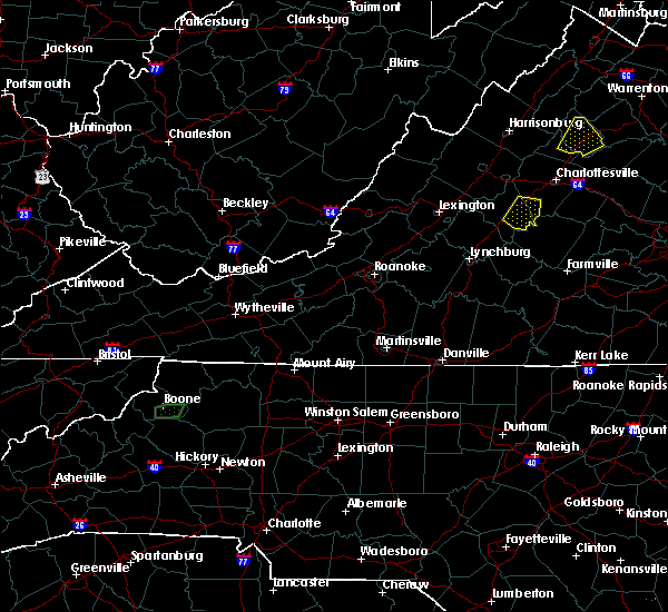 At 746 pm edt, a severe thunderstorm was located over shipman, or 13 miles north of bent creek, moving southeast at 20 mph (radar indicated). Hazards include 60 mph wind gusts and quarter size hail. Damaging winds will cause some trees and large branches to fall. this could injure those outdoors, as well as damage homes and vehicles. roadways may become blocked by downed trees. localized power outages are possible. unsecured light objects may become projectiles. Locations impacted include, shipman, schuyler, esmont, lovingston, damon, covesville, elma, rockfish, faber and wingina. At 746 pm edt, a severe thunderstorm was located over shipman, or 13 miles north of bent creek, moving southeast at 20 mph (radar indicated). Hazards include 60 mph wind gusts and quarter size hail. Damaging winds will cause some trees and large branches to fall. this could injure those outdoors, as well as damage homes and vehicles. roadways may become blocked by downed trees. localized power outages are possible. unsecured light objects may become projectiles. Locations impacted include, shipman, schuyler, esmont, lovingston, damon, covesville, elma, rockfish, faber and wingina.
|
| 8/17/2017 7:34 PM EDT |
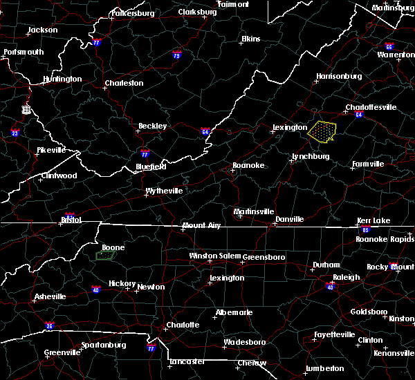 At 733 pm edt, a severe thunderstorm was located near shipman, or 12 miles northeast of clifford, moving east at 15 mph (radar indicated). Hazards include 60 mph wind gusts and quarter size hail. Damaging winds will cause some trees and large branches to fall. this could injure those outdoors, as well as damage homes and vehicles. roadways may become blocked by downed trees. localized power outages are possible. Unsecured light objects may become projectiles. At 733 pm edt, a severe thunderstorm was located near shipman, or 12 miles northeast of clifford, moving east at 15 mph (radar indicated). Hazards include 60 mph wind gusts and quarter size hail. Damaging winds will cause some trees and large branches to fall. this could injure those outdoors, as well as damage homes and vehicles. roadways may become blocked by downed trees. localized power outages are possible. Unsecured light objects may become projectiles.
|
| 6/15/2017 7:17 PM EDT | Tree on a power line just south of roselan in nelson county VA, 5.3 miles E of Lovingston, VA |
| 5/5/2017 5:30 AM EDT | Tree down on james river road near route 64 in nelson county VA, 0.7 miles NNW of Lovingston, VA |
| 5/5/2017 5:29 AM EDT |
 At 529 am edt, a severe thunderstorm was located near shipman, or 9 miles north of bent creek, moving northeast at 45 mph (radar indicated). Hazards include 60 mph wind gusts. Damaging winds will cause some trees and large branches to fall. this could injure those outdoors, as well as damage homes and vehicles. roadways may become blocked by downed trees. localized power outages are possible. Unsecured light objects may become projectiles. At 529 am edt, a severe thunderstorm was located near shipman, or 9 miles north of bent creek, moving northeast at 45 mph (radar indicated). Hazards include 60 mph wind gusts. Damaging winds will cause some trees and large branches to fall. this could injure those outdoors, as well as damage homes and vehicles. roadways may become blocked by downed trees. localized power outages are possible. Unsecured light objects may become projectiles.
|
| 3/1/2017 12:56 PM EST |
 At 1255 pm est, severe thunderstorms were located along a line extending from 7 miles south of madison to near schuyler, moving east at 50 mph (radar indicated). Hazards include 60 mph wind gusts. Damaging winds will cause some trees and large branches to fall. this could injure those outdoors, as well as damage homes and vehicles. roadways may become blocked by downed trees. localized power outages are possible. unsecured light objects may become projectiles. Locations impacted include, charlottesville, orange, shipman, schuyler, campbell, westmoreland, hollymead, gordonsville, ruckersville, ivy, arrington, scottsville, esmont, lovingston, allens creek, eheart, north garden, barboursville, stony point and verdiersville. At 1255 pm est, severe thunderstorms were located along a line extending from 7 miles south of madison to near schuyler, moving east at 50 mph (radar indicated). Hazards include 60 mph wind gusts. Damaging winds will cause some trees and large branches to fall. this could injure those outdoors, as well as damage homes and vehicles. roadways may become blocked by downed trees. localized power outages are possible. unsecured light objects may become projectiles. Locations impacted include, charlottesville, orange, shipman, schuyler, campbell, westmoreland, hollymead, gordonsville, ruckersville, ivy, arrington, scottsville, esmont, lovingston, allens creek, eheart, north garden, barboursville, stony point and verdiersville.
|
| 3/1/2017 12:32 PM EST |
 At 1232 pm est, severe thunderstorms were located along a line extending from 10 miles southeast of massanutten to near lowesville, moving east at 50 mph (radar indicated). Hazards include 60 mph wind gusts. Damaging winds will cause some trees and large branches to fall. this could injure those outdoors, as well as damage homes and vehicles. roadways may become blocked by downed trees. localized power outages are possible. Unsecured light objects may become projectiles. At 1232 pm est, severe thunderstorms were located along a line extending from 10 miles southeast of massanutten to near lowesville, moving east at 50 mph (radar indicated). Hazards include 60 mph wind gusts. Damaging winds will cause some trees and large branches to fall. this could injure those outdoors, as well as damage homes and vehicles. roadways may become blocked by downed trees. localized power outages are possible. Unsecured light objects may become projectiles.
|
| 8/6/2016 5:40 PM EDT |
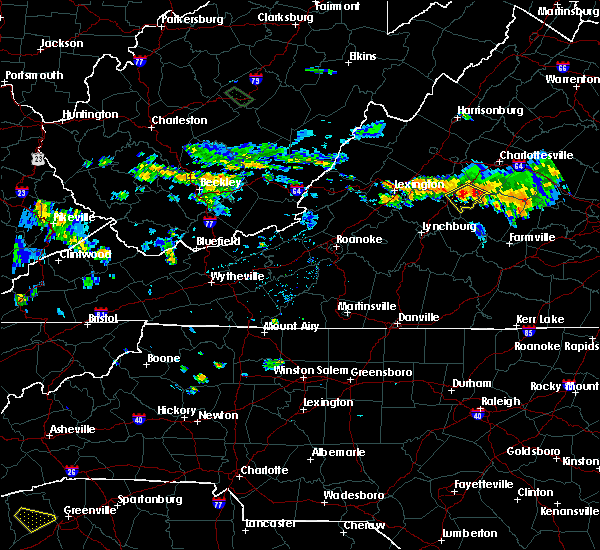 At 539 pm edt, a severe thunderstorm was located over shipman, or 13 miles northeast of clifford, moving southeast at 20 mph (radar indicated). Hazards include 60 mph wind gusts. Damaging winds will cause some trees and large branches to fall. this could injure those outdoors, as well as damage homes and vehicles. roadways may become blocked by downed trees. localized power outages are possible. Unsecured light objects may become projectiles. At 539 pm edt, a severe thunderstorm was located over shipman, or 13 miles northeast of clifford, moving southeast at 20 mph (radar indicated). Hazards include 60 mph wind gusts. Damaging winds will cause some trees and large branches to fall. this could injure those outdoors, as well as damage homes and vehicles. roadways may become blocked by downed trees. localized power outages are possible. Unsecured light objects may become projectiles.
|
| 7/19/2016 4:50 PM EDT |
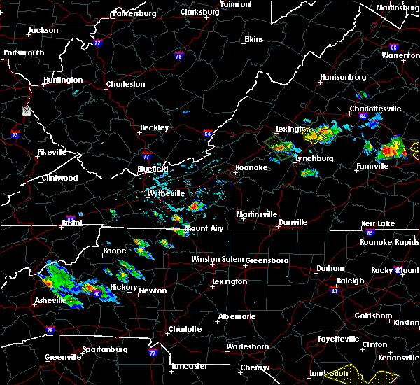 At 450 pm edt, a severe thunderstorm was located near shipman, or 7 miles northeast of clifford, moving southeast at 20 mph (radar indicated). Hazards include 60 mph wind gusts. Damaging winds will cause some trees and large branches to fall. Locations impacted include, shipman, arrington, lovingston and roseland. At 450 pm edt, a severe thunderstorm was located near shipman, or 7 miles northeast of clifford, moving southeast at 20 mph (radar indicated). Hazards include 60 mph wind gusts. Damaging winds will cause some trees and large branches to fall. Locations impacted include, shipman, arrington, lovingston and roseland.
|
| 7/19/2016 4:32 PM EDT |
 At 432 pm edt, a severe thunderstorm was located near lowesville, or 10 miles north of clifford, moving southeast at 15 mph (radar indicated). Hazards include 60 mph wind gusts and quarter size hail. Damaging winds will cause some trees and large branches to fall. this could injure those outdoors, as well as damage homes and vehicles. roadways may become blocked by downed trees. localized power outages are possible. Unsecured light objects may become projectiles. At 432 pm edt, a severe thunderstorm was located near lowesville, or 10 miles north of clifford, moving southeast at 15 mph (radar indicated). Hazards include 60 mph wind gusts and quarter size hail. Damaging winds will cause some trees and large branches to fall. this could injure those outdoors, as well as damage homes and vehicles. roadways may become blocked by downed trees. localized power outages are possible. Unsecured light objects may become projectiles.
|
| 6/23/2016 5:02 AM EDT |
 At 502 am edt, a severe thunderstorm was located near shipman, or 10 miles northeast of clifford, moving east at 40 mph (radar indicated). Hazards include 60 mph wind gusts. Damaging winds will cause some trees and large branches to fall. this could injure those outdoors, as well as damage homes and vehicles. roadways may become blocked by downed trees. localized power outages are possible. unsecured light objects may become projectiles. Locations impacted include, sherando, shipman, wintergreen, nellysford, arrington, lovingston, gladstone, buffalo springs, bryant, tye river, elma, allens creek, greenfield, wingina, faber, roseland, massies mill, tyro, norwood and rockfish. At 502 am edt, a severe thunderstorm was located near shipman, or 10 miles northeast of clifford, moving east at 40 mph (radar indicated). Hazards include 60 mph wind gusts. Damaging winds will cause some trees and large branches to fall. this could injure those outdoors, as well as damage homes and vehicles. roadways may become blocked by downed trees. localized power outages are possible. unsecured light objects may become projectiles. Locations impacted include, sherando, shipman, wintergreen, nellysford, arrington, lovingston, gladstone, buffalo springs, bryant, tye river, elma, allens creek, greenfield, wingina, faber, roseland, massies mill, tyro, norwood and rockfish.
|
| 6/23/2016 4:42 AM EDT |
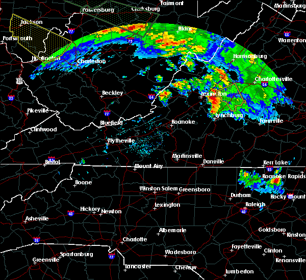 At 441 am edt, a severe thunderstorm was located over alto, or near forks of buffalo, moving east at 50 mph (radar indicated). Hazards include 60 mph wind gusts. Damaging winds will cause some trees and large branches to fall. this could injure those outdoors, as well as damage homes and vehicles. roadways may become blocked by downed trees. localized power outages are possible. Unsecured light objects may become projectiles. At 441 am edt, a severe thunderstorm was located over alto, or near forks of buffalo, moving east at 50 mph (radar indicated). Hazards include 60 mph wind gusts. Damaging winds will cause some trees and large branches to fall. this could injure those outdoors, as well as damage homes and vehicles. roadways may become blocked by downed trees. localized power outages are possible. Unsecured light objects may become projectiles.
|
| 6/16/2016 8:42 PM EDT |
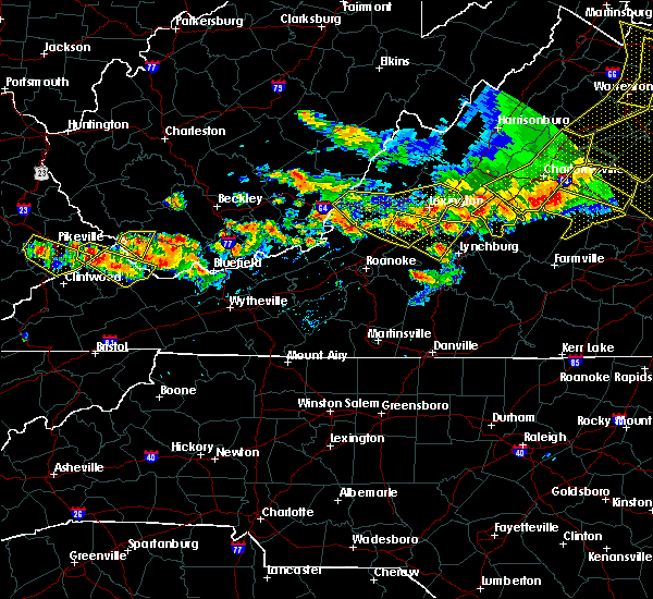 At 842 pm edt, severe thunderstorms were located along a line extending from 6 miles northwest of shipman to near lowesville, moving southeast at 20 mph (radar indicated). Hazards include 60 mph wind gusts. Damaging winds will cause some trees and large branches to fall. this could injure those outdoors, as well as damage homes and vehicles. roadways may become blocked by downed trees. localized power outages are possible. Unsecured light objects may become projectiles. At 842 pm edt, severe thunderstorms were located along a line extending from 6 miles northwest of shipman to near lowesville, moving southeast at 20 mph (radar indicated). Hazards include 60 mph wind gusts. Damaging winds will cause some trees and large branches to fall. this could injure those outdoors, as well as damage homes and vehicles. roadways may become blocked by downed trees. localized power outages are possible. Unsecured light objects may become projectiles.
|
| 6/5/2016 4:30 PM EDT |
 At 430 pm edt, a severe thunderstorm was located over amherst, moving northeast at 50 mph (radar indicated). Hazards include 60 mph wind gusts. Damaging winds will cause some trees and large branches to fall. this could injure those outdoors, as well as damage homes and vehicles. roadways may become blocked by downed trees. localized power outages are possible. Unsecured light objects may become projectiles. At 430 pm edt, a severe thunderstorm was located over amherst, moving northeast at 50 mph (radar indicated). Hazards include 60 mph wind gusts. Damaging winds will cause some trees and large branches to fall. this could injure those outdoors, as well as damage homes and vehicles. roadways may become blocked by downed trees. localized power outages are possible. Unsecured light objects may become projectiles.
|
| 6/4/2016 10:43 PM EDT |
 At 1043 pm edt, a severe thunderstorm was located near schuyler, or 14 miles southwest of charlottesville, moving northeast at 15 mph (radar indicated). Hazards include 60 mph wind gusts. Damaging winds will cause some trees and large branches to fall. this could injure those outdoors, as well as damage homes and vehicles. roadways may become blocked by downed trees. localized power outages are possible. unsecured light objects may become projectiles. Locations impacted include, charlottesville, shipman, schuyler, westmoreland, hollymead, nellysford, ivy, scottsville, esmont, lovingston, bryant, keene, keswick, faber, flordon, woodridge, scott stadium, glendower, monticello and covesville. At 1043 pm edt, a severe thunderstorm was located near schuyler, or 14 miles southwest of charlottesville, moving northeast at 15 mph (radar indicated). Hazards include 60 mph wind gusts. Damaging winds will cause some trees and large branches to fall. this could injure those outdoors, as well as damage homes and vehicles. roadways may become blocked by downed trees. localized power outages are possible. unsecured light objects may become projectiles. Locations impacted include, charlottesville, shipman, schuyler, westmoreland, hollymead, nellysford, ivy, scottsville, esmont, lovingston, bryant, keene, keswick, faber, flordon, woodridge, scott stadium, glendower, monticello and covesville.
|
| 6/4/2016 10:24 PM EDT | Tree down on front street at ridge stree in nelson county VA, 0.2 miles WSW of Lovingston, VA |
| 6/4/2016 10:16 PM EDT |
 At 1014 pm edt, numerous showers and thunderstorms were affecting nelson and albermarle counties. the strongest storm was located over schuyler, or 19 miles north of bent creek, moving northeast at 15 mph. widespread wind damage and torrential downpours can be expected with these storms (radar indicated). Hazards include 60 mph wind gusts. Damaging winds will cause some trees and large branches to fall. this could injure those outdoors, as well as damage homes and vehicles. roadways may become blocked by downed trees. localized power outages are possible. Unsecured light objects may become projectiles. At 1014 pm edt, numerous showers and thunderstorms were affecting nelson and albermarle counties. the strongest storm was located over schuyler, or 19 miles north of bent creek, moving northeast at 15 mph. widespread wind damage and torrential downpours can be expected with these storms (radar indicated). Hazards include 60 mph wind gusts. Damaging winds will cause some trees and large branches to fall. this could injure those outdoors, as well as damage homes and vehicles. roadways may become blocked by downed trees. localized power outages are possible. Unsecured light objects may become projectiles.
|
| 5/2/2016 5:15 PM EDT | Golf Ball sized hail reported 0.8 miles SSE of Lovingston, VA, golf ball size hail |
| 5/2/2016 5:10 PM EDT |
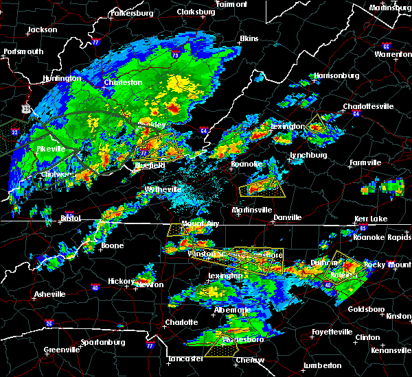 At 509 pm edt, a severe thunderstorm was located near wintergreen, or 14 miles northeast of clifford, moving northeast at 30 mph (radar indicated). Hazards include ping pong ball size hail and 60 mph wind gusts. Hail damage to vehicles may occur along with damging wind gusts to trees. Locations impacted include, nellysford, lovingston, rockfish, greenfield and faber. At 509 pm edt, a severe thunderstorm was located near wintergreen, or 14 miles northeast of clifford, moving northeast at 30 mph (radar indicated). Hazards include ping pong ball size hail and 60 mph wind gusts. Hail damage to vehicles may occur along with damging wind gusts to trees. Locations impacted include, nellysford, lovingston, rockfish, greenfield and faber.
|
| 5/2/2016 4:57 PM EDT |
 At 456 pm edt, a severe thunderstorm was located near shipman, or 8 miles northeast of clifford, moving northeast at 30 mph (radar indicated). Hazards include ping pong ball size hail and 60 mph wind gusts. Hail damage to vehicles may occur along with damging wind gusts to trees. Locations impacted include, shipman, schuyler, nellysford, arrington, lovingston, rockfish, bryant, elma, greenfield, faber, jonesboro, roseland and massies mill. At 456 pm edt, a severe thunderstorm was located near shipman, or 8 miles northeast of clifford, moving northeast at 30 mph (radar indicated). Hazards include ping pong ball size hail and 60 mph wind gusts. Hail damage to vehicles may occur along with damging wind gusts to trees. Locations impacted include, shipman, schuyler, nellysford, arrington, lovingston, rockfish, bryant, elma, greenfield, faber, jonesboro, roseland and massies mill.
|
| 5/2/2016 4:50 PM EDT |
 At 449 pm edt, a severe thunderstorm was located near lowesville, or near clifford, moving northeast at 30 mph (radar indicated). Hazards include 60 mph wind gusts and quarter size hail. Hail damage to vehicles is possible. Expect wind damage to roofs, siding, and trees. At 449 pm edt, a severe thunderstorm was located near lowesville, or near clifford, moving northeast at 30 mph (radar indicated). Hazards include 60 mph wind gusts and quarter size hail. Hail damage to vehicles is possible. Expect wind damage to roofs, siding, and trees.
|
| 4/1/2016 4:07 PM EDT |
 At 407 pm edt, doppler radar indicated a severe thunderstorm capable of producing quarter size hail and damaging winds in excess of 60 mph. this storm was located near schuyler, or 16 miles southeast of waynesboro, moving east at 30 mph. locations impacted include, charlottesville, shipman, schuyler, wintergreen, nellysford, scottsville, esmont, lovingston, keene, keswick, faber, woodridge, scott stadium, glendower, monticello, covesville, boyd tavern, elma, greenfield and newcomb hall. At 407 pm edt, doppler radar indicated a severe thunderstorm capable of producing quarter size hail and damaging winds in excess of 60 mph. this storm was located near schuyler, or 16 miles southeast of waynesboro, moving east at 30 mph. locations impacted include, charlottesville, shipman, schuyler, wintergreen, nellysford, scottsville, esmont, lovingston, keene, keswick, faber, woodridge, scott stadium, glendower, monticello, covesville, boyd tavern, elma, greenfield and newcomb hall.
|
| 4/1/2016 4:01 PM EDT |
 At 401 pm edt, doppler radar indicated a severe thunderstorm capable of producing damaging winds in excess of 60 mph. this storm was located near wintergreen, or 16 miles south of waynesboro, and moving east at 30 mph. At 401 pm edt, doppler radar indicated a severe thunderstorm capable of producing damaging winds in excess of 60 mph. this storm was located near wintergreen, or 16 miles south of waynesboro, and moving east at 30 mph.
|
| 9/9/2015 5:19 PM EDT |
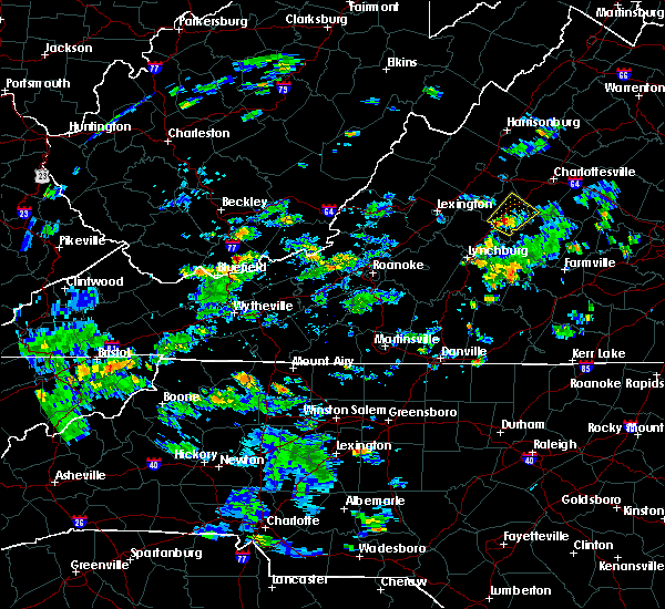 At 519 pm edt, doppler radar indicated a severe thunderstorm capable of producing quarter size hail. this storm was located over shipman, or 9 miles northeast of clifford, and moving northeast at 20 mph. At 519 pm edt, doppler radar indicated a severe thunderstorm capable of producing quarter size hail. this storm was located over shipman, or 9 miles northeast of clifford, and moving northeast at 20 mph.
|
| 8/4/2015 4:48 PM EDT |
 At 447 pm edt, doppler radar indicated a severe thunderstorm capable of producing quarter size hail and damaging winds in excess of 60 mph. this storm was located over shipman, or 12 miles northeast of clifford, and moving northeast at 35 mph. At 447 pm edt, doppler radar indicated a severe thunderstorm capable of producing quarter size hail and damaging winds in excess of 60 mph. this storm was located over shipman, or 12 miles northeast of clifford, and moving northeast at 35 mph.
|
| 7/14/2015 8:15 PM EDT |
 At 815 pm edt, doppler radar indicated a severe thunderstorm capable of producing quarter size hail and damaging winds in excess of 60 mph. this storm was located near shipman, or 10 miles north of bent creek, and moving east at 30 mph. At 815 pm edt, doppler radar indicated a severe thunderstorm capable of producing quarter size hail and damaging winds in excess of 60 mph. this storm was located near shipman, or 10 miles north of bent creek, and moving east at 30 mph.
|
| 7/13/2015 9:37 PM EDT |
 At 936 pm edt, doppler radar indicated a line of severe thunderstorms capable of producing damaging winds in excess of 60 mph. these storms were located along a line extending from near wintergreen to near amherst, moving east at 40 mph. locations impacted include, shipman, gladstone, buffalo springs, bryant, lovingston, elma, tye river, allens creek, wingina, faber, roseland, massies mill, tyro, norwood, rockfish, five forks, arrington and jonesboro. At 936 pm edt, doppler radar indicated a line of severe thunderstorms capable of producing damaging winds in excess of 60 mph. these storms were located along a line extending from near wintergreen to near amherst, moving east at 40 mph. locations impacted include, shipman, gladstone, buffalo springs, bryant, lovingston, elma, tye river, allens creek, wingina, faber, roseland, massies mill, tyro, norwood, rockfish, five forks, arrington and jonesboro.
|
| 7/13/2015 9:19 PM EDT |
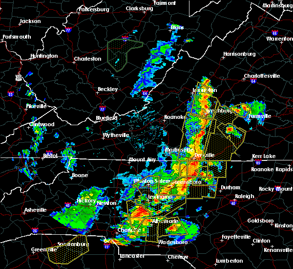 At 919 pm edt, doppler radar indicated a line of severe thunderstorms capable of producing damaging winds in excess of 60 mph. these storms were located along a line extending from near montebello to near falconerville, and moving east at 40 mph. At 919 pm edt, doppler radar indicated a line of severe thunderstorms capable of producing damaging winds in excess of 60 mph. these storms were located along a line extending from near montebello to near falconerville, and moving east at 40 mph.
|
| 6/30/2015 10:28 PM EDT |
 At 1028 pm edt, doppler radar indicated a line of severe thunderstorms capable of producing damaging winds in excess of 60 mph. these storms were located along a line extending from near schuyler to 6 miles east of wingina, and moving northeast at 40 mph. At 1028 pm edt, doppler radar indicated a line of severe thunderstorms capable of producing damaging winds in excess of 60 mph. these storms were located along a line extending from near schuyler to 6 miles east of wingina, and moving northeast at 40 mph.
|
| 6/25/2015 9:36 PM EDT |
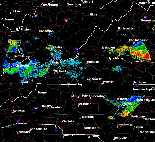 At 935 pm edt, doppler radar indicated a severe thunderstorm capable of producing quarter size hail and damaging winds in excess of 60 mph. this storm was located over shipman, or 11 miles north of bent creek, moving southeast at 30 mph. locations impacted include, shipman, schuyler, norwood, rockfish, buffalo springs, lovingston, elma, tye river, five forks, arrington, faber and wingina. At 935 pm edt, doppler radar indicated a severe thunderstorm capable of producing quarter size hail and damaging winds in excess of 60 mph. this storm was located over shipman, or 11 miles north of bent creek, moving southeast at 30 mph. locations impacted include, shipman, schuyler, norwood, rockfish, buffalo springs, lovingston, elma, tye river, five forks, arrington, faber and wingina.
|
| 6/25/2015 9:24 PM EDT |
 At 923 pm edt, doppler radar indicated a severe thunderstorm capable of producing quarter size hail and damaging winds in excess of 60 mph. this storm was located near shipman, or 9 miles northeast of clifford, and moving southeast at 30 mph. At 923 pm edt, doppler radar indicated a severe thunderstorm capable of producing quarter size hail and damaging winds in excess of 60 mph. this storm was located near shipman, or 9 miles northeast of clifford, and moving southeast at 30 mph.
|
| 7/4/2012 6:34 PM EDT | Trees down near james river road and front street in nelson county VA, 0.2 miles WSW of Lovingston, VA |
| 6/29/2012 9:22 PM EDT | Large tree down in nelson county VA, 0.8 miles SSE of Lovingston, VA |
| 6/1/2012 2:20 PM EDT | Structural damage and trees down in nelson county VA, 5.9 miles E of Lovingston, VA |
| 6/1/2012 2:20 PM EDT | Half Dollar sized hail reported 5.9 miles E of Lovingston, VA |
| 6/1/2012 2:14 PM EDT | Golf Ball sized hail reported 8.7 miles E of Lovingston, VA, reported by nssl |
| 6/1/2012 2:14 PM EDT | Large limbs down from thunderstorm wind in nelson county VA, 7.5 miles E of Lovingston, VA |
| 6/1/2012 2:14 PM EDT | Half dozen 6 inch diameter hardwood trees dow in nelson county VA, 7.5 miles E of Lovingston, VA |
Hail Maps for Lovingston, VA


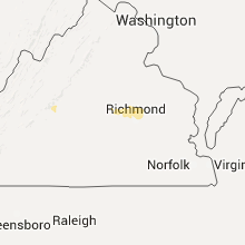


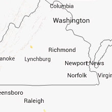


Connect with Interactive Hail Maps