

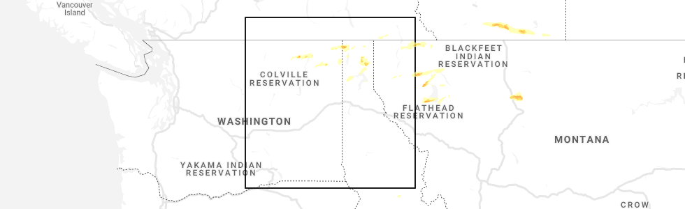
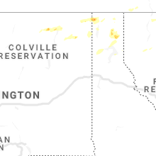
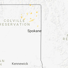
Hail Map for Marcus, WA
The Marcus, WA area has had 0 reports of on-the-ground hail by trained spotters, and has been under severe weather warnings 0 times during the past 12 months. Doppler radar has detected hail at or near Marcus, WA on 4 occasions.
| Name: | Marcus, WA |
| Where Located: | 69.5 miles ENE of Omak, WA |
| Map: | Google Map for Marcus, WA |
| Population: | 183 |
| Housing Units: | 82 |
| More Info: | Search Google for Marcus, WA |
5
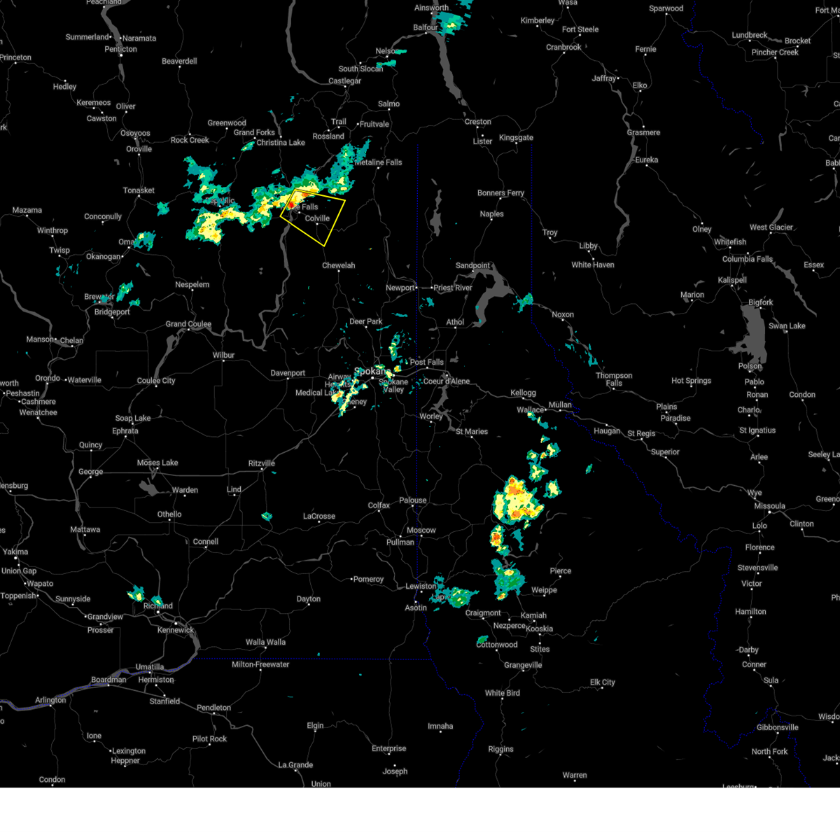
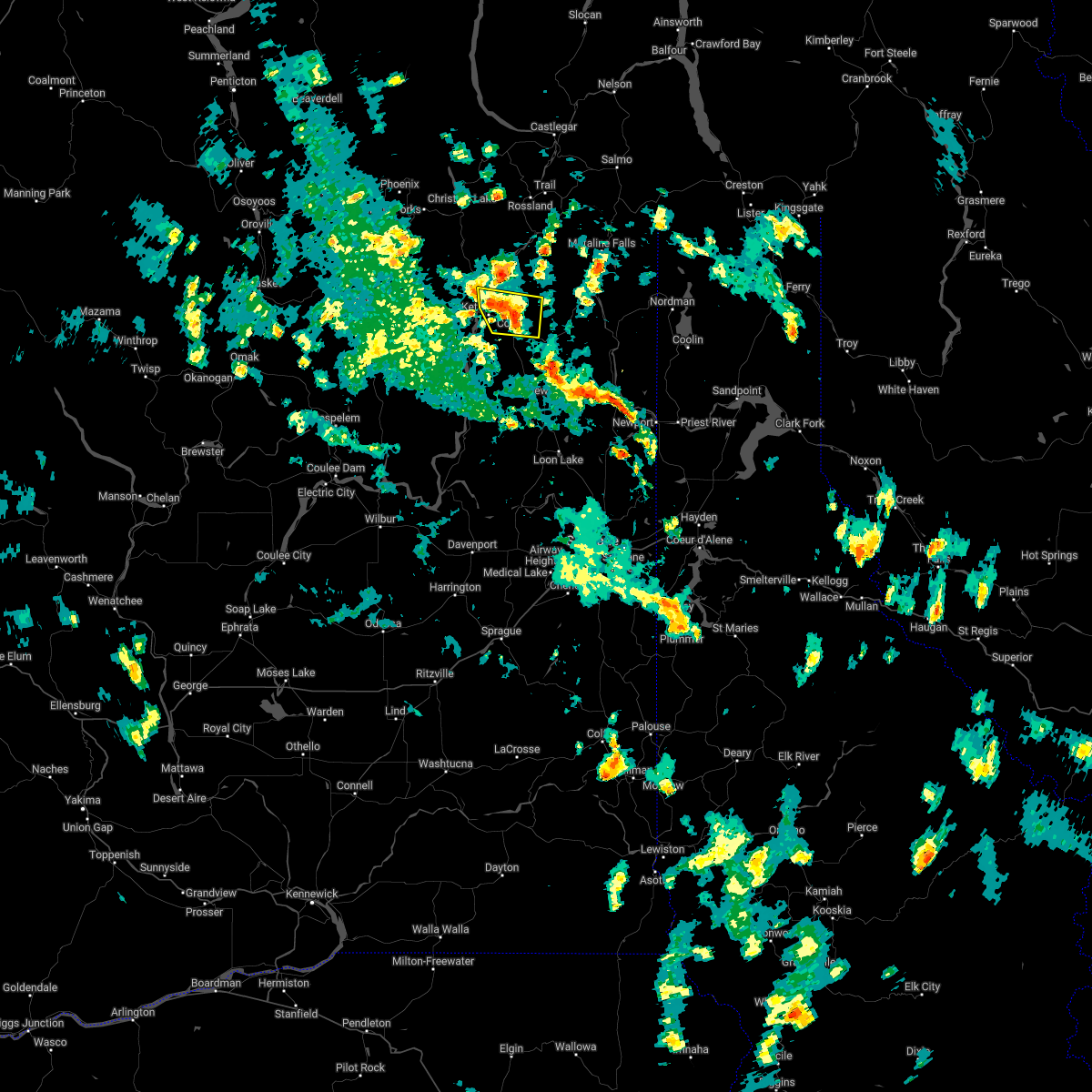
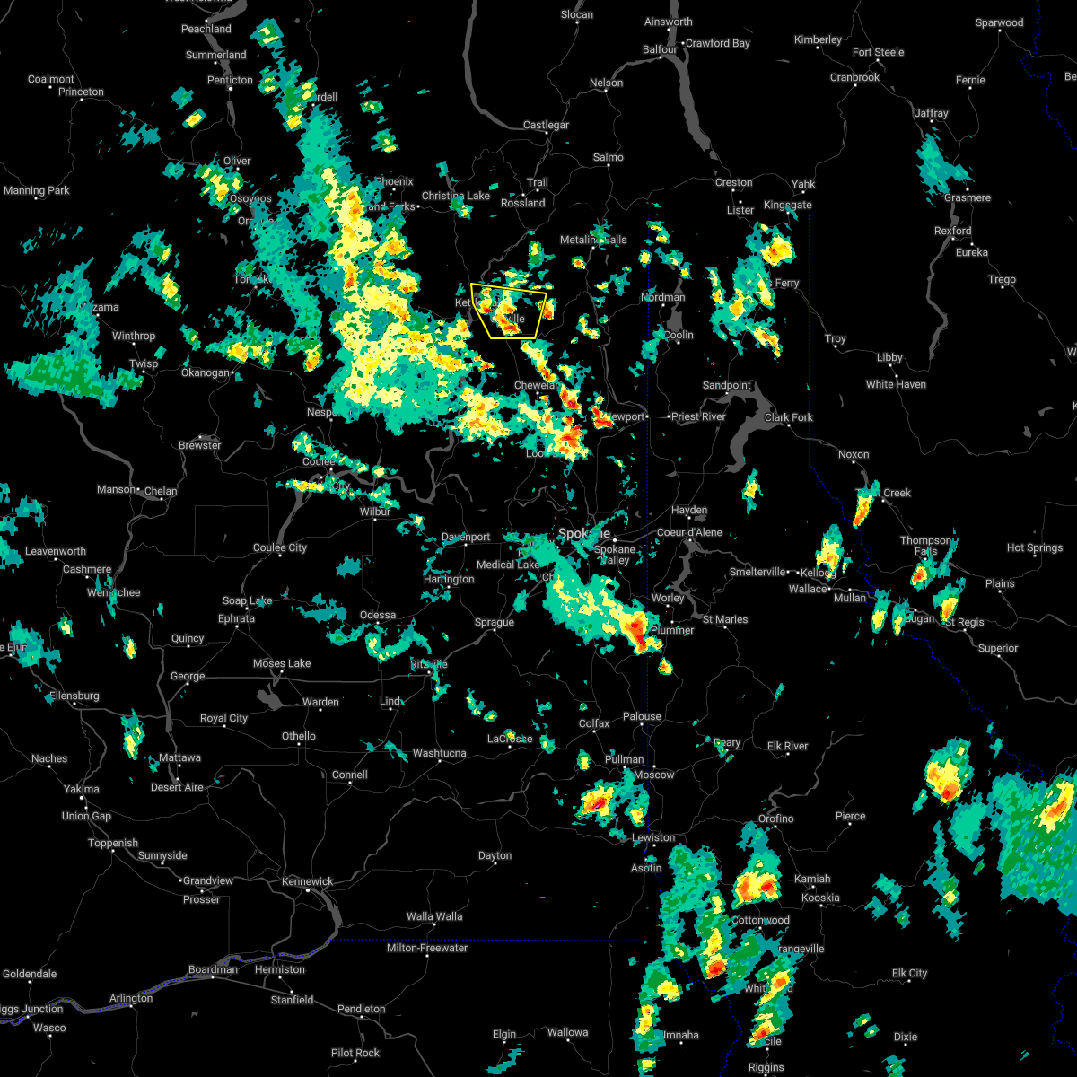
The Top Recent Hail Date for Marcus, WA is Wednesday, June 24, 2020 (1st out of 4)
Hail and Wind Damage Spotted near Marcus, WA
| Date / Time | Report Details |
|---|---|
| 9/3/2023 6:03 PM PDT |
 At 602 pm pdt, a severe thunderstorm was located 9 miles northwest of colville, or 61 miles northwest of priest river, moving southeast at 15 mph (radar indicated). Hazards include 60 mph wind gusts and quarter size hail. Hail damage to vehicles is expected. expect wind damage to roofs, siding, and trees. Gusty conditions on area lakes. At 602 pm pdt, a severe thunderstorm was located 9 miles northwest of colville, or 61 miles northwest of priest river, moving southeast at 15 mph (radar indicated). Hazards include 60 mph wind gusts and quarter size hail. Hail damage to vehicles is expected. expect wind damage to roofs, siding, and trees. Gusty conditions on area lakes.
|
| 7/3/2022 2:27 PM PDT |
 At 226 pm pdt, a severe thunderstorm was located just north of colville, moving north at 10 mph (radar indicated). Hazards include 60 mph wind gusts and quarter size hail. Hail damage to vehicles is expected. expect wind damage to roofs, siding, and trees. locations impacted include, colville, kettle falls, marcus and evans. hail threat, radar indicated max hail size, 1. 00 in wind threat, radar indicated max wind gust, 60 mph. At 226 pm pdt, a severe thunderstorm was located just north of colville, moving north at 10 mph (radar indicated). Hazards include 60 mph wind gusts and quarter size hail. Hail damage to vehicles is expected. expect wind damage to roofs, siding, and trees. locations impacted include, colville, kettle falls, marcus and evans. hail threat, radar indicated max hail size, 1. 00 in wind threat, radar indicated max wind gust, 60 mph.
|
| 7/3/2022 2:03 PM PDT |
 At 202 pm pdt, a severe thunderstorm was located over colville, or 51 miles northwest of priest river, moving north at 5 mph (radar indicated). Hazards include 60 mph wind gusts and half dollar size hail. Hail damage to vehicles is expected. Expect wind damage to roofs, siding, and trees. At 202 pm pdt, a severe thunderstorm was located over colville, or 51 miles northwest of priest river, moving north at 5 mph (radar indicated). Hazards include 60 mph wind gusts and half dollar size hail. Hail damage to vehicles is expected. Expect wind damage to roofs, siding, and trees.
|
| 6/24/2020 1:56 PM PDT |
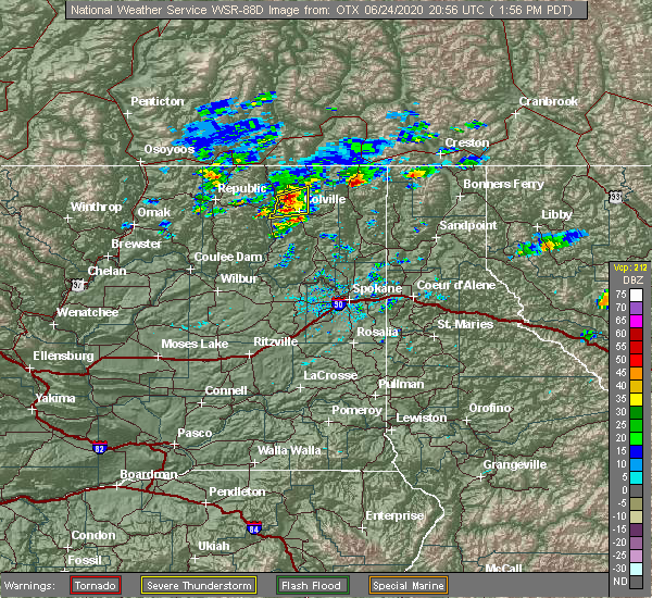 At 155 pm pdt, a severe thunderstorm was located 10 miles northwest of colville, or 60 miles northwest of priest river, moving east at 15 mph (radar indicated). Hazards include ping pong ball size hail and 60 mph wind gusts. People and animals outdoors will be injured. expect hail damage to roofs, siding, windows, and vehicles. expect wind damage to roofs, siding, and trees. Locations impacted include, colville, kettle falls, marcus and evans. At 155 pm pdt, a severe thunderstorm was located 10 miles northwest of colville, or 60 miles northwest of priest river, moving east at 15 mph (radar indicated). Hazards include ping pong ball size hail and 60 mph wind gusts. People and animals outdoors will be injured. expect hail damage to roofs, siding, windows, and vehicles. expect wind damage to roofs, siding, and trees. Locations impacted include, colville, kettle falls, marcus and evans.
|
| 6/24/2020 1:45 PM PDT |
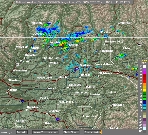 At 144 pm pdt, a severe thunderstorms were located over lake roosevelt around marcus and evens or 12 miles northwest of colville, moving east at 15 mph (radar indicated). Hazards include ping pong ball size hail and 60 mph wind gusts. People and animals outdoors will be injured. expect hail damage to roofs, siding, windows, and vehicles. Expect wind damage to roofs, siding, and trees. At 144 pm pdt, a severe thunderstorms were located over lake roosevelt around marcus and evens or 12 miles northwest of colville, moving east at 15 mph (radar indicated). Hazards include ping pong ball size hail and 60 mph wind gusts. People and animals outdoors will be injured. expect hail damage to roofs, siding, windows, and vehicles. Expect wind damage to roofs, siding, and trees.
|
| 5/29/2015 3:52 PM PDT | At 350 pm pdt, doppler radar indicated a severe thunderstorm capable of producing quarter size hail. this storm was located 13 miles northwest of colville, or 64 miles northwest of priest river, moving east at 15 mph. locations impacted include, kettle falls, marcus, boyds and evans. |
| 5/29/2015 3:33 PM PDT | At 332 pm pdt, doppler radar indicated a severe thunderstorm capable of producing quarter size hail. this storm was located 13 miles east of sherman pass, or 63 miles east of omak, and moving east at 15 mph. |
| 7/20/2012 4:26 PM PDT | Downed trees and power lines temporarily blocking sr 39 in stevens county WA, 1.8 miles S of Marcus, WA |
Hail Maps for Marcus, WA


Connect with Interactive Hail Maps