

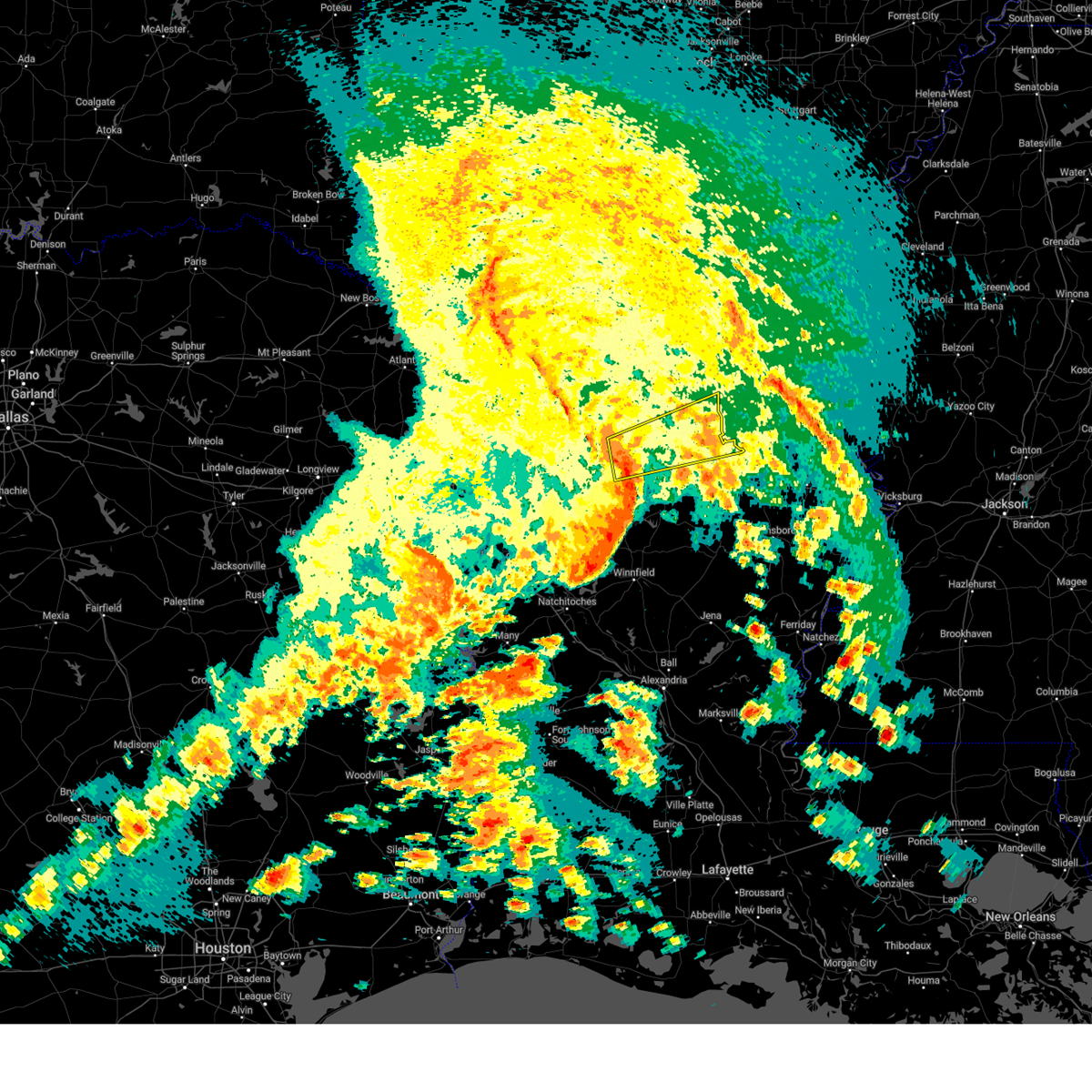
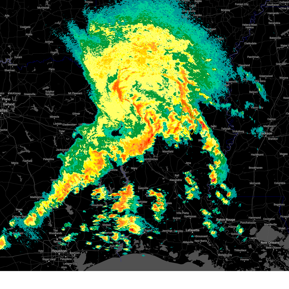
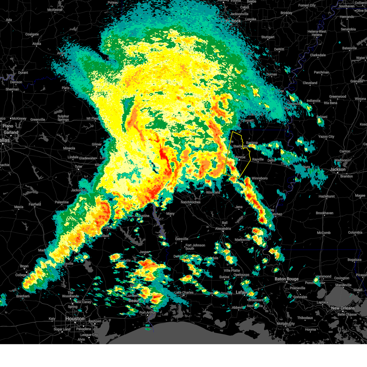
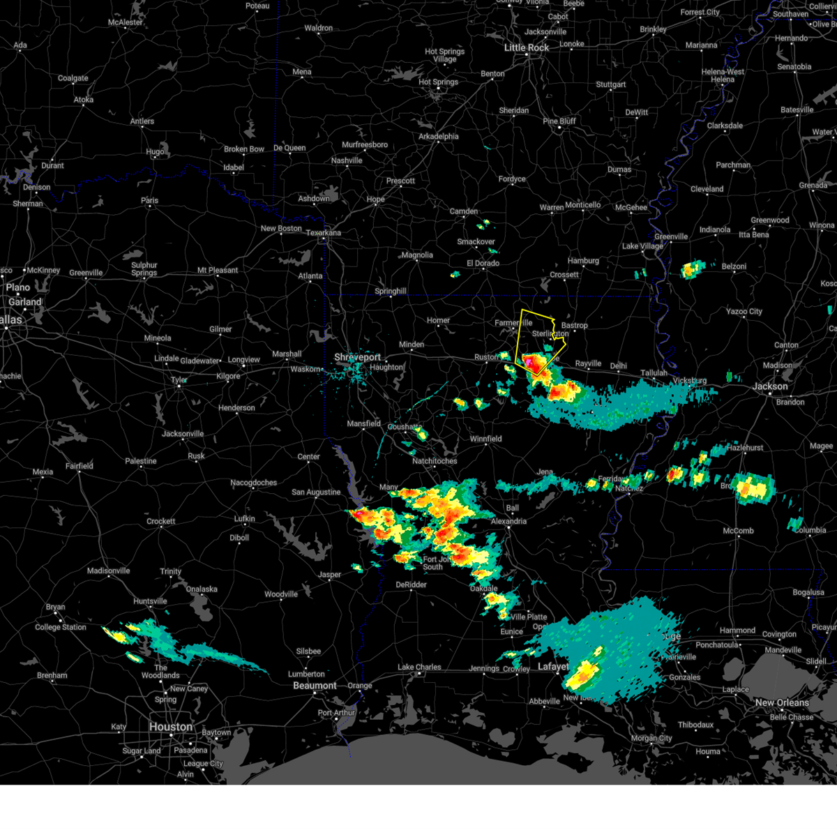
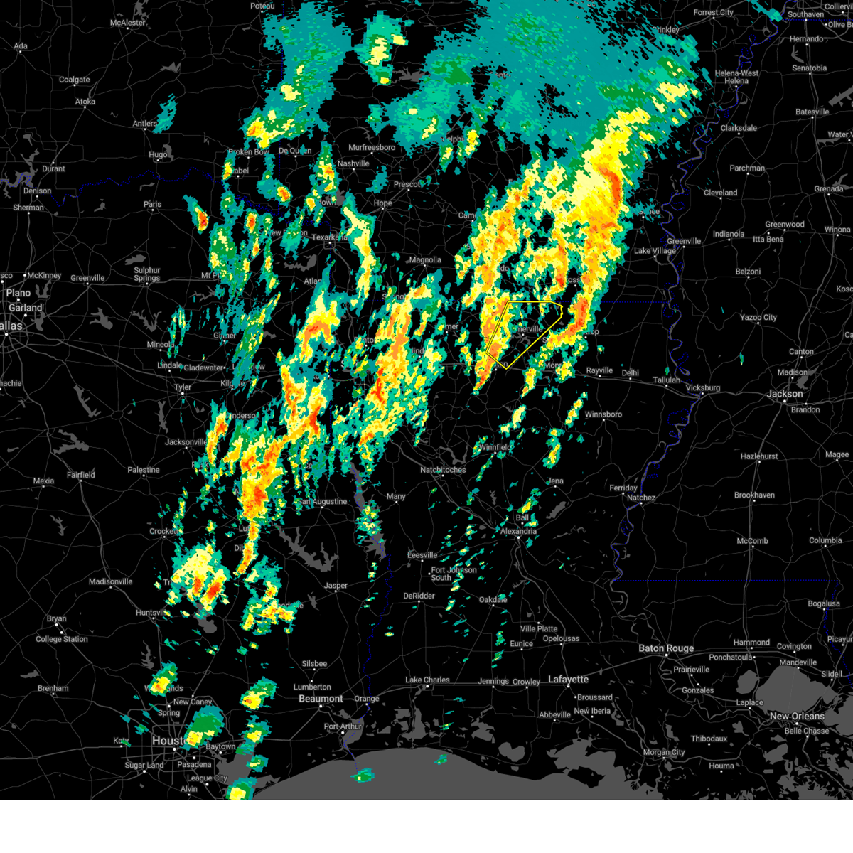
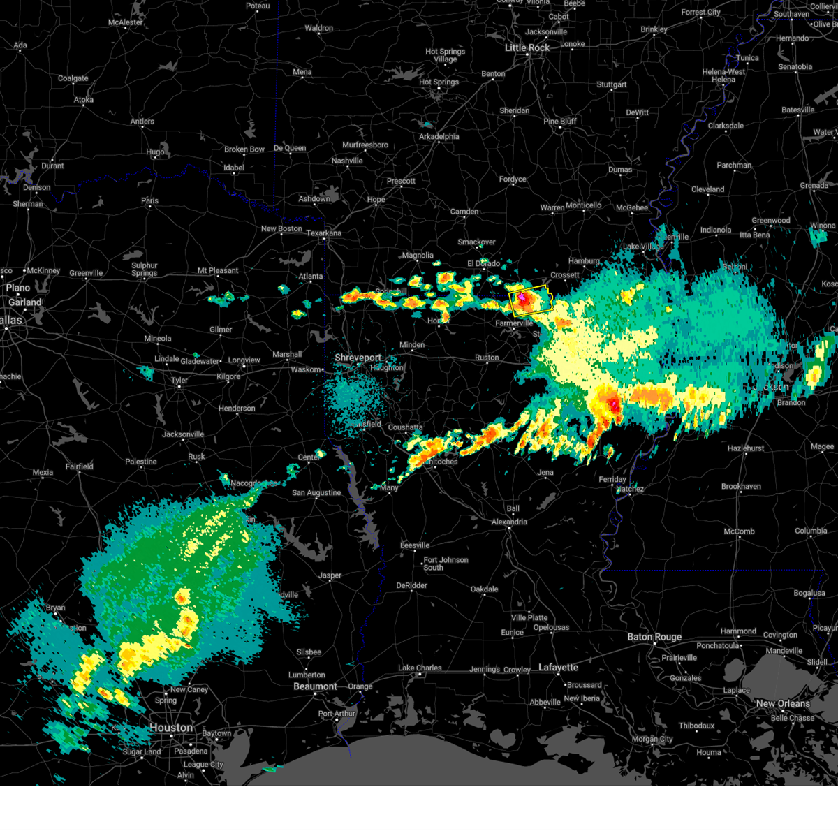
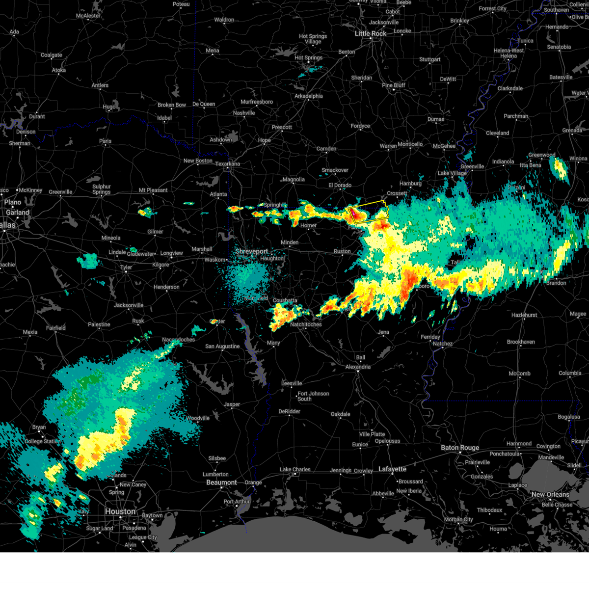
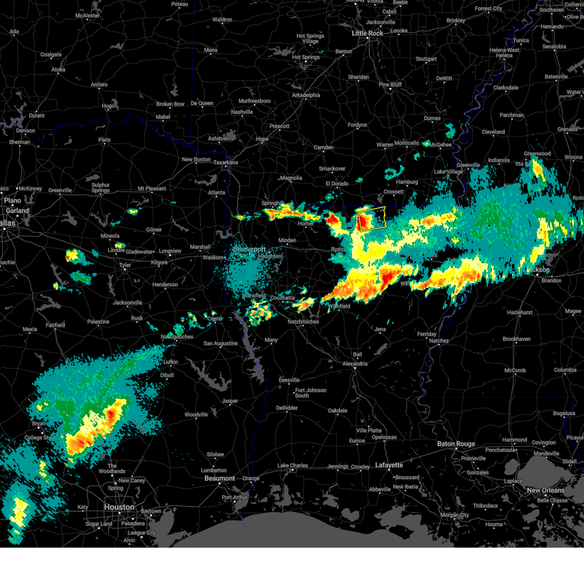
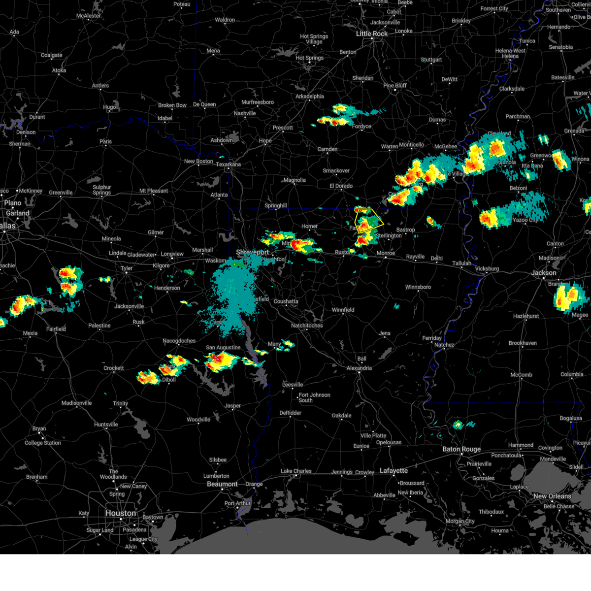
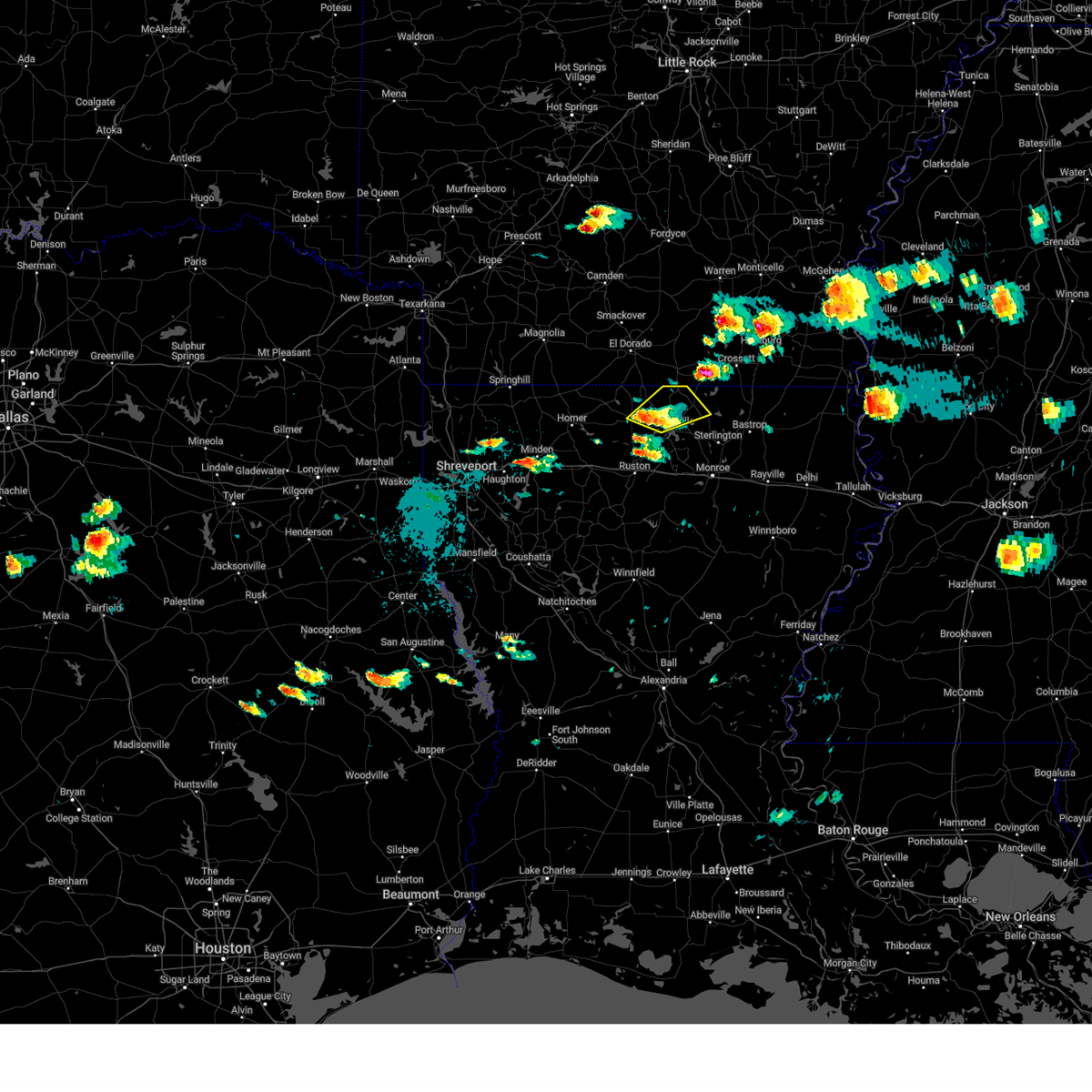
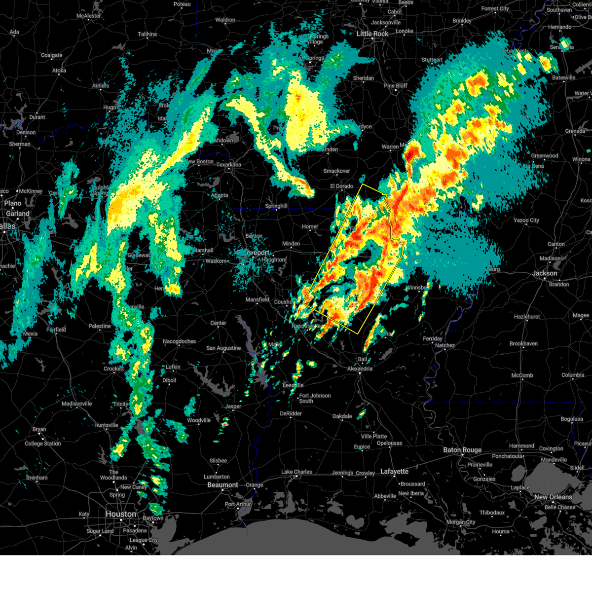
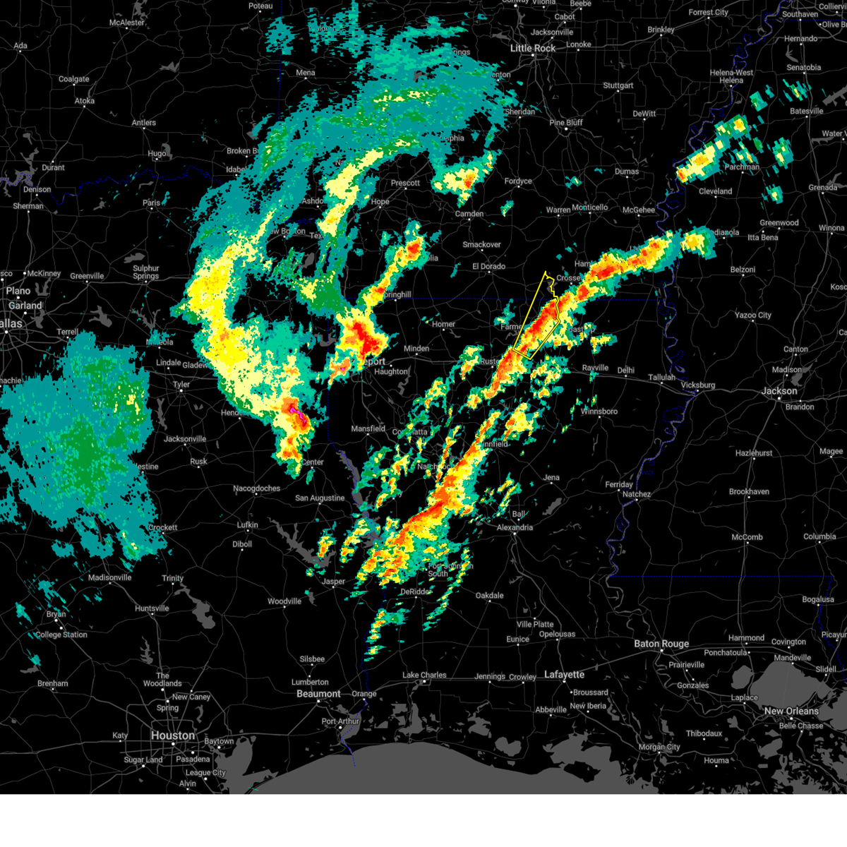
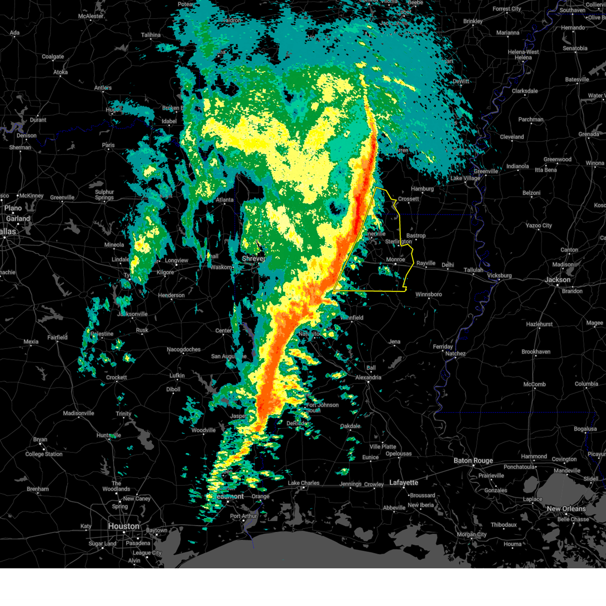
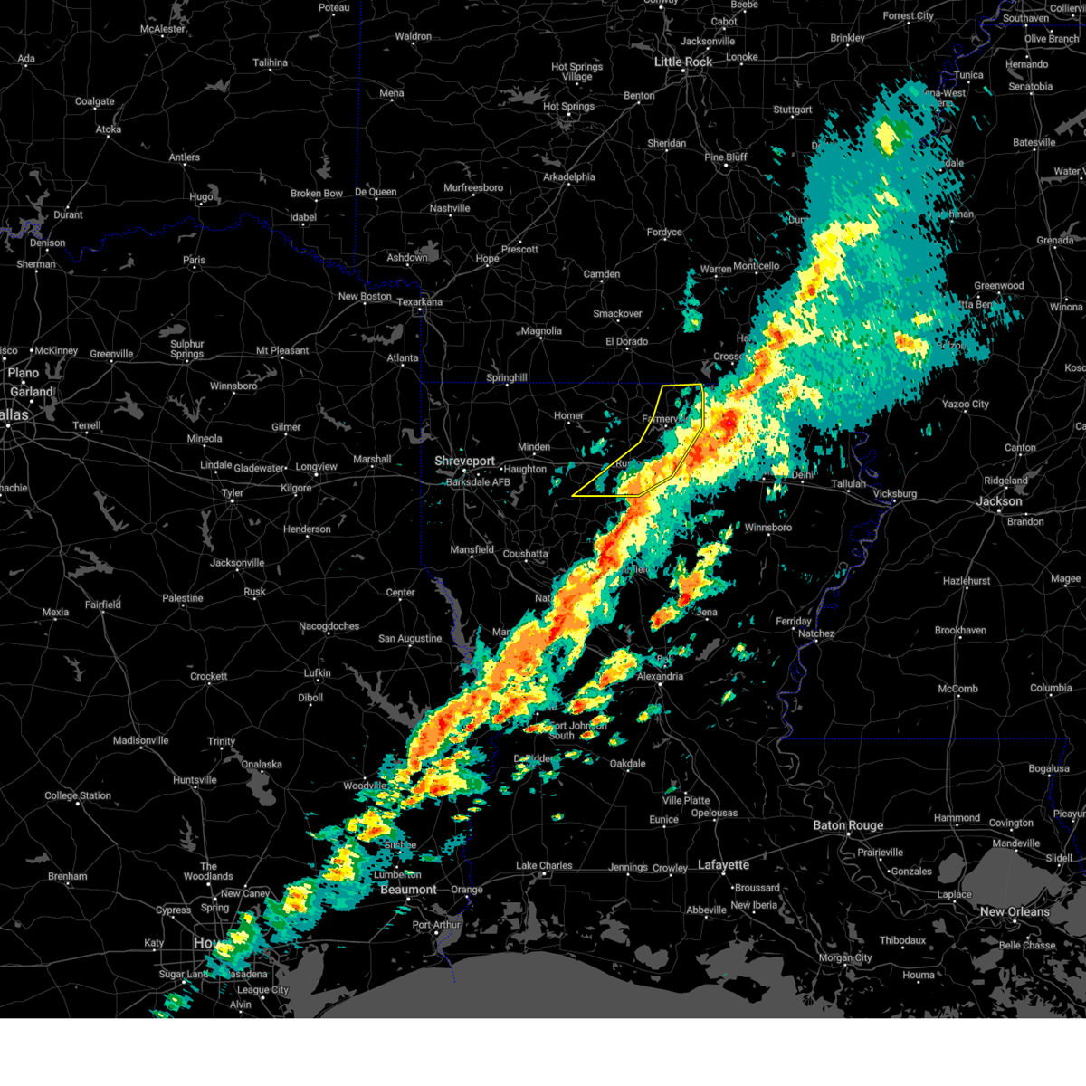
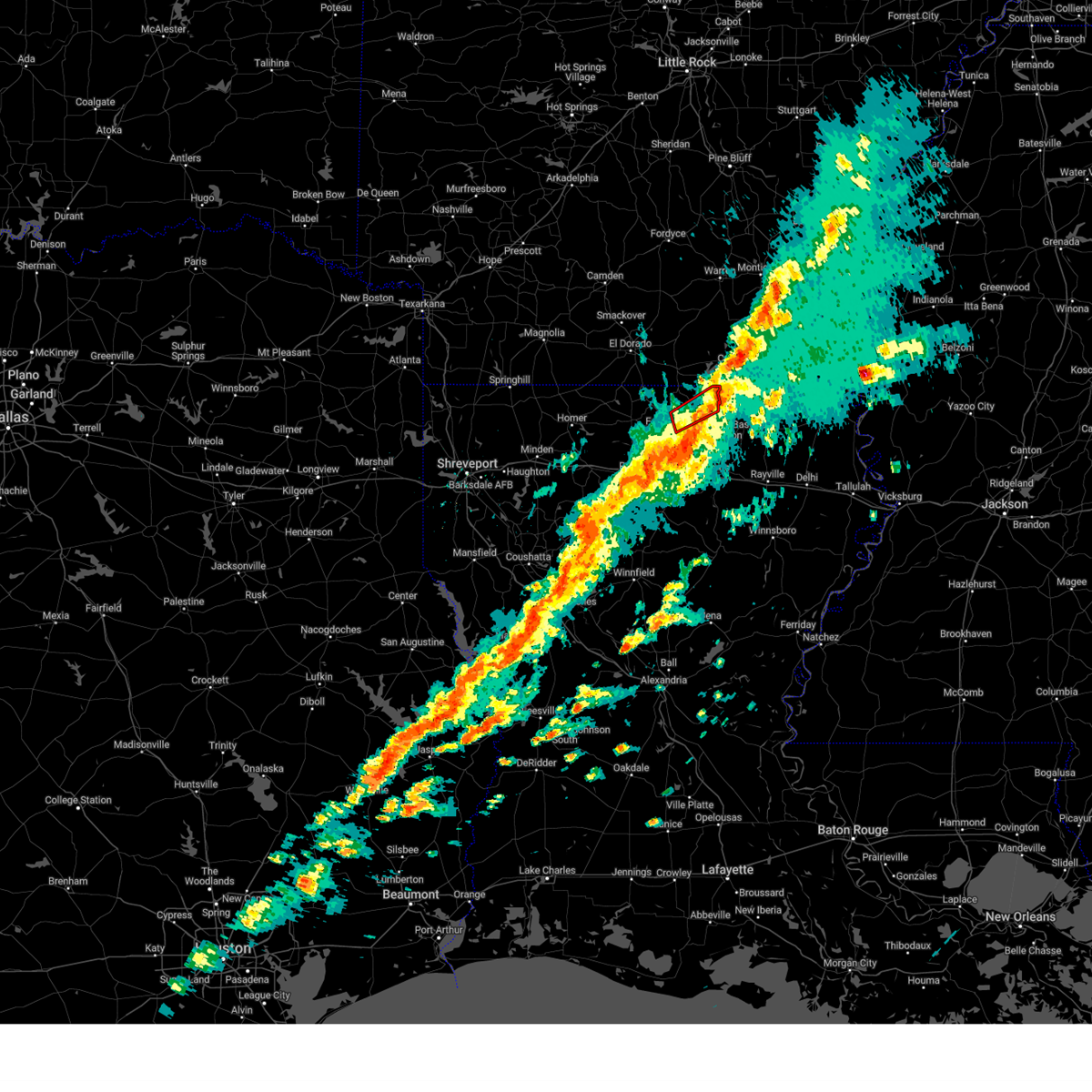
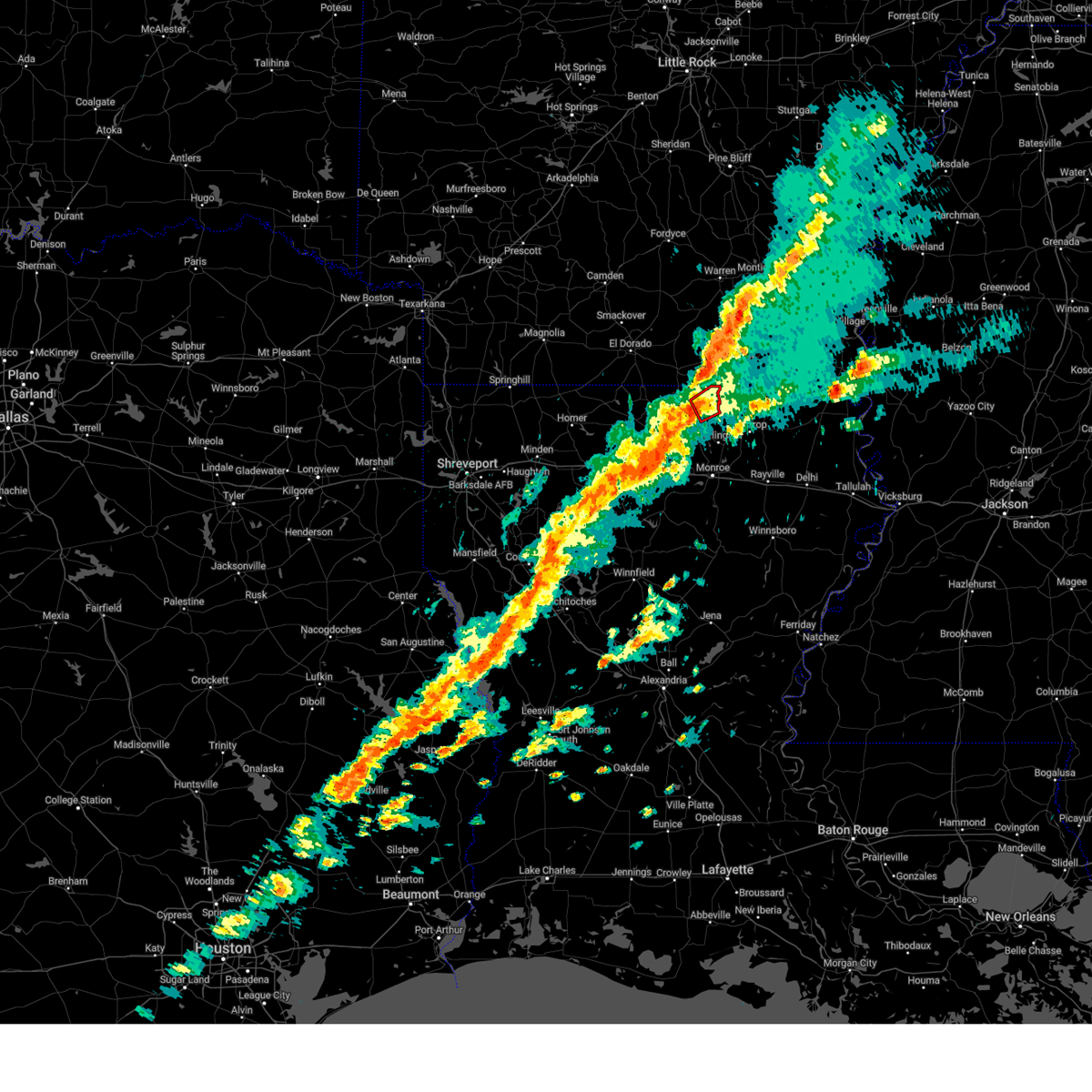
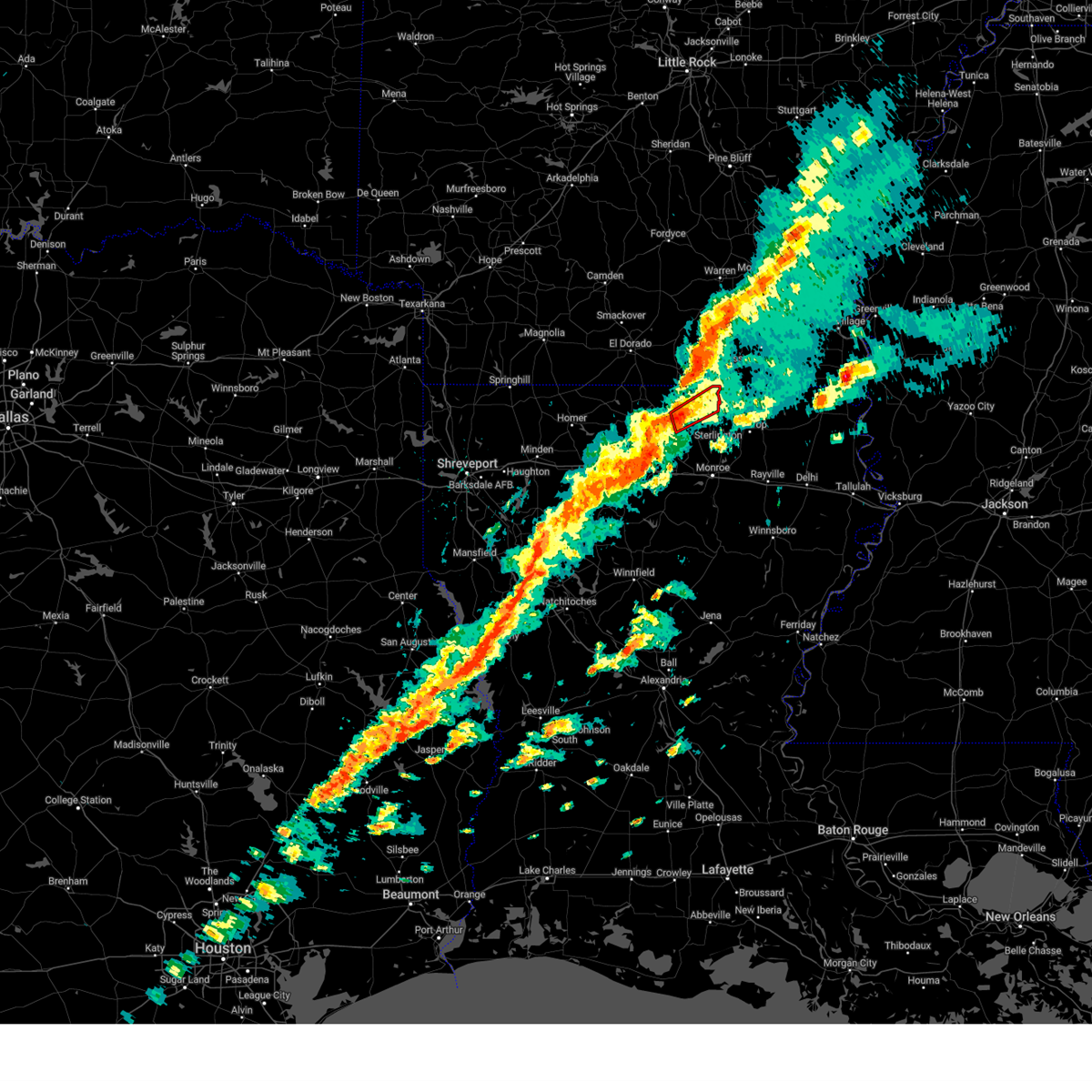
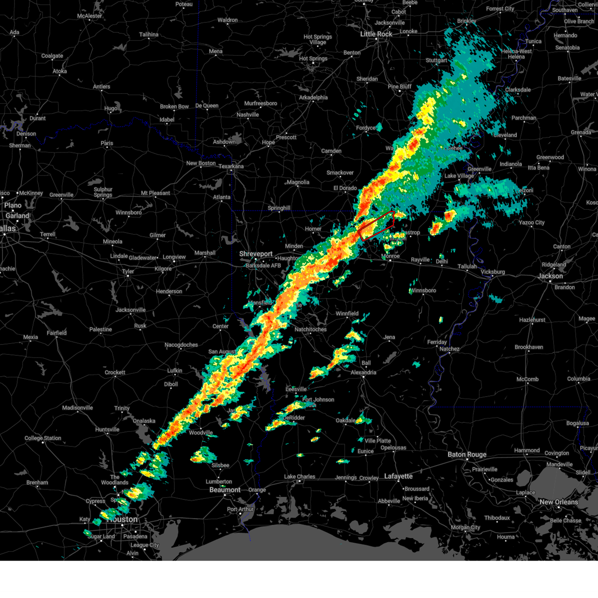
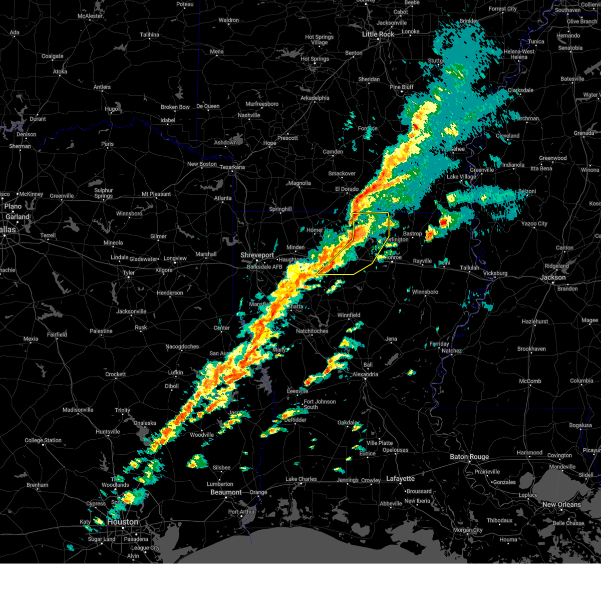
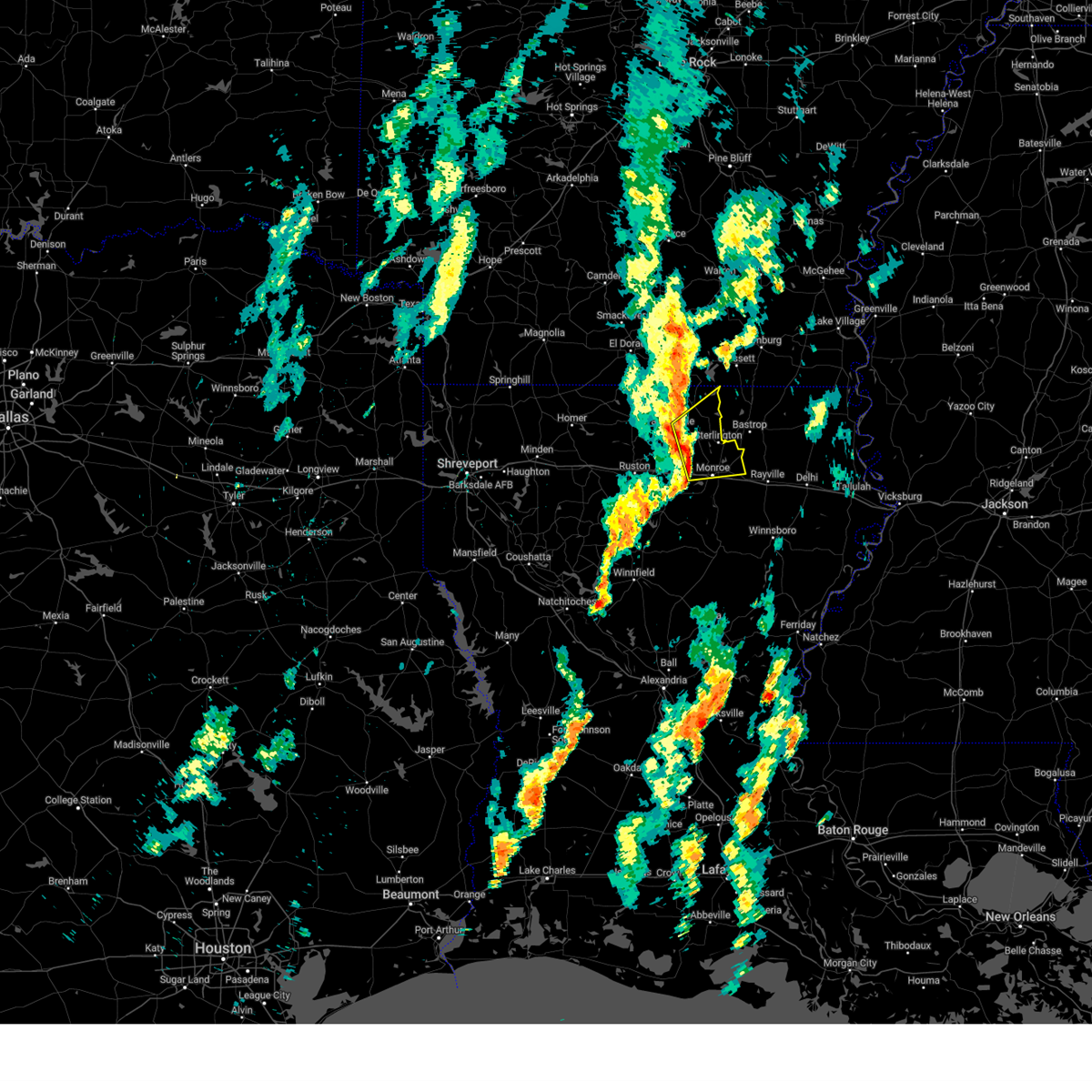
Hail Map for Marion, LA
The Marion, LA area has had 7 reports of on-the-ground hail by trained spotters, and has been under severe weather warnings 34 times during the past 12 months. Doppler radar has detected hail at or near Marion, LA on 51 occasions, including 2 occasions during the past year.
| Name: | Marion, LA |
| Where Located: | 20.7 miles WNW of Bastrop, LA |
| Map: | Google Map for Marion, LA |
| Population: | 765 |
| Housing Units: | 391 |
| More Info: | Search Google for Marion, LA |
0
The Top Recent Hail Date for Marion, LA is Friday, July 11, 2025 (42nd out of 51)

Hail and Wind Damage Spotted near Marion, LA
| Date / Time | Report Details |
|---|---|
| 7/11/2025 6:46 PM CDT | Svrshv the national weather service in shreveport has issued a * severe thunderstorm warning for, southeastern union county in south central arkansas, northeastern union parish in north central louisiana, * until 715 pm cdt. * at 635 pm cdt, a severe thunderstorm was located 8 miles north of farmerville, or 15 miles southwest of huttig, moving northeast at 20 mph (radar indicated). Hazards include 60 mph wind gusts. expect damage to roofs, siding, and trees |
| 5/25/2025 8:57 PM CDT | Svrshv the national weather service in shreveport has issued a * severe thunderstorm warning for, southern union county in south central arkansas, southeastern columbia county in southwestern arkansas, north central webster parish in northwestern louisiana, union parish in north central louisiana, northern ouachita parish in north central louisiana, claiborne parish in northwestern louisiana, lincoln parish in north central louisiana, * until 1000 pm cdt. * at 856 pm cdt, severe thunderstorms were located along a line extending from 10 miles northwest of bastrop to bernice to 7 miles east of taylor, moving south at 30 mph (radar indicated). Hazards include 60 mph wind gusts and quarter size hail. Hail damage to vehicles is expected. Expect wind damage to roofs, siding, and trees. |
| 5/6/2025 4:52 PM CDT |
 Svrshv the national weather service in shreveport has issued a * severe thunderstorm warning for, central union parish in north central louisiana, northern ouachita parish in north central louisiana, lincoln parish in north central louisiana, * until 545 pm cdt. * at 452 pm cdt, severe thunderstorms were located along a line extending from 10 miles north of grambling to 7 miles south of ruston, moving east at 55 mph (radar indicated). Hazards include 60 mph wind gusts. expect damage to roofs, siding, and trees Svrshv the national weather service in shreveport has issued a * severe thunderstorm warning for, central union parish in north central louisiana, northern ouachita parish in north central louisiana, lincoln parish in north central louisiana, * until 545 pm cdt. * at 452 pm cdt, severe thunderstorms were located along a line extending from 10 miles north of grambling to 7 miles south of ruston, moving east at 55 mph (radar indicated). Hazards include 60 mph wind gusts. expect damage to roofs, siding, and trees
|
| 5/6/2025 4:21 PM CDT |
 At 421 pm cdt, a severe thunderstorm was located 7 miles southwest of beekman, or 8 miles northwest of bastrop, moving north at 80 mph (radar indicated). Hazards include quarter size hail. Damage to vehicles is expected. Locations impacted include, drew, claiborne, fairbanks, perryville, loch lomon, richwood, swartz, monroe, spencer, haile, linville, millhaven, brownsville-bawcom, sterlington, brownsville-bawcomville, rocky branch, pine grove, west monroe, guthrie, and deshard. At 421 pm cdt, a severe thunderstorm was located 7 miles southwest of beekman, or 8 miles northwest of bastrop, moving north at 80 mph (radar indicated). Hazards include quarter size hail. Damage to vehicles is expected. Locations impacted include, drew, claiborne, fairbanks, perryville, loch lomon, richwood, swartz, monroe, spencer, haile, linville, millhaven, brownsville-bawcom, sterlington, brownsville-bawcomville, rocky branch, pine grove, west monroe, guthrie, and deshard.
|
| 5/6/2025 4:21 PM CDT |
 the severe thunderstorm warning has been cancelled and is no longer in effect the severe thunderstorm warning has been cancelled and is no longer in effect
|
| 5/6/2025 4:00 PM CDT |
 Svrshv the national weather service in shreveport has issued a * severe thunderstorm warning for, northwestern caldwell parish in north central louisiana, east central jackson parish in north central louisiana, eastern union parish in north central louisiana, ouachita parish in north central louisiana, * until 445 pm cdt. * at 359 pm cdt, a severe thunderstorm was located over brownsville-bawcomville, moving north at 80 mph (radar indicated). Hazards include quarter size hail. damage to vehicles is expected Svrshv the national weather service in shreveport has issued a * severe thunderstorm warning for, northwestern caldwell parish in north central louisiana, east central jackson parish in north central louisiana, eastern union parish in north central louisiana, ouachita parish in north central louisiana, * until 445 pm cdt. * at 359 pm cdt, a severe thunderstorm was located over brownsville-bawcomville, moving north at 80 mph (radar indicated). Hazards include quarter size hail. damage to vehicles is expected
|
| 4/22/2025 7:24 PM CDT |
 Svrshv the national weather service in shreveport has issued a * severe thunderstorm warning for, southeastern union parish in north central louisiana, northern ouachita parish in north central louisiana, * until 815 pm cdt. * at 723 pm cdt, a severe thunderstorm was located near claiborne, moving northeast at 30 mph (radar indicated). Hazards include half dollar size hail. damage to vehicles is expected Svrshv the national weather service in shreveport has issued a * severe thunderstorm warning for, southeastern union parish in north central louisiana, northern ouachita parish in north central louisiana, * until 815 pm cdt. * at 723 pm cdt, a severe thunderstorm was located near claiborne, moving northeast at 30 mph (radar indicated). Hazards include half dollar size hail. damage to vehicles is expected
|
| 4/5/2025 2:40 PM CDT | the severe thunderstorm warning has been cancelled and is no longer in effect |
| 4/5/2025 2:13 PM CDT |
 Svrshv the national weather service in shreveport has issued a * severe thunderstorm warning for, union parish in north central louisiana, northeastern lincoln parish in north central louisiana, * until 300 pm cdt. * at 213 pm cdt, a severe thunderstorm was located 9 miles north of ruston, moving northeast at 40 mph (radar indicated). Hazards include 60 mph wind gusts and quarter size hail. Hail damage to vehicles is expected. Expect wind damage to roofs, siding, and trees. Svrshv the national weather service in shreveport has issued a * severe thunderstorm warning for, union parish in north central louisiana, northeastern lincoln parish in north central louisiana, * until 300 pm cdt. * at 213 pm cdt, a severe thunderstorm was located 9 miles north of ruston, moving northeast at 40 mph (radar indicated). Hazards include 60 mph wind gusts and quarter size hail. Hail damage to vehicles is expected. Expect wind damage to roofs, siding, and trees.
|
| 4/5/2025 1:47 PM CDT |
 the severe thunderstorm warning has been cancelled and is no longer in effect the severe thunderstorm warning has been cancelled and is no longer in effect
|
| 4/5/2025 1:27 PM CDT |
 the severe thunderstorm warning has been cancelled and is no longer in effect the severe thunderstorm warning has been cancelled and is no longer in effect
|
| 4/5/2025 1:27 PM CDT |
 At 126 pm cdt, a severe thunderstorm was located 10 miles north of farmerville, or 13 miles southwest of huttig, moving northeast at 40 mph (radar indicated). Hazards include 60 mph wind gusts and quarter size hail. Hail damage to vehicles is expected. expect wind damage to roofs, siding, and trees. Locations impacted include, marion, cecil, oakland, litroe, and farmerville. At 126 pm cdt, a severe thunderstorm was located 10 miles north of farmerville, or 13 miles southwest of huttig, moving northeast at 40 mph (radar indicated). Hazards include 60 mph wind gusts and quarter size hail. Hail damage to vehicles is expected. expect wind damage to roofs, siding, and trees. Locations impacted include, marion, cecil, oakland, litroe, and farmerville.
|
| 4/5/2025 1:25 PM CDT |
 At 124 pm cdt, a severe thunderstorm capable of producing a tornado was located near farmerville, or 16 miles southwest of huttig, moving northeast at 55 mph (radar indicated rotation). Hazards include tornado and quarter size hail. Flying debris will be dangerous to those caught without shelter. mobile homes will be damaged or destroyed. damage to roofs, windows, and vehicles will occur. tree damage is likely. Locations impacted include, marion, cecil, oakland, litroe, and farmerville. At 124 pm cdt, a severe thunderstorm capable of producing a tornado was located near farmerville, or 16 miles southwest of huttig, moving northeast at 55 mph (radar indicated rotation). Hazards include tornado and quarter size hail. Flying debris will be dangerous to those caught without shelter. mobile homes will be damaged or destroyed. damage to roofs, windows, and vehicles will occur. tree damage is likely. Locations impacted include, marion, cecil, oakland, litroe, and farmerville.
|
| 4/5/2025 1:01 PM CDT |
 Torshv the national weather service in shreveport has issued a * tornado warning for, northern union parish in north central louisiana, * until 145 pm cdt. * at 100 pm cdt, a severe thunderstorm capable of producing a tornado was located 7 miles southeast of cooley, or 18 miles southeast of junction city, moving northeast at 40 mph (radar indicated rotation). Hazards include tornado and quarter size hail. Flying debris will be dangerous to those caught without shelter. mobile homes will be damaged or destroyed. damage to roofs, windows, and vehicles will occur. tree damage is likely. This tornadic thunderstorm will remain over mainly rural areas of northern union parish, including the following locations, marion, cecil, shiloh, oakland, and litroe. Torshv the national weather service in shreveport has issued a * tornado warning for, northern union parish in north central louisiana, * until 145 pm cdt. * at 100 pm cdt, a severe thunderstorm capable of producing a tornado was located 7 miles southeast of cooley, or 18 miles southeast of junction city, moving northeast at 40 mph (radar indicated rotation). Hazards include tornado and quarter size hail. Flying debris will be dangerous to those caught without shelter. mobile homes will be damaged or destroyed. damage to roofs, windows, and vehicles will occur. tree damage is likely. This tornadic thunderstorm will remain over mainly rural areas of northern union parish, including the following locations, marion, cecil, shiloh, oakland, and litroe.
|
| 4/5/2025 12:58 PM CDT |
 Svrshv the national weather service in shreveport has issued a * severe thunderstorm warning for, central union parish in north central louisiana, central lincoln parish in north central louisiana, * until 200 pm cdt. * at 1258 pm cdt, severe thunderstorms were located along a line extending from 7 miles east of cooley to near ruston, moving northeast at 40 mph (radar indicated). Hazards include 60 mph wind gusts and quarter size hail. Hail damage to vehicles is expected. Expect wind damage to roofs, siding, and trees. Svrshv the national weather service in shreveport has issued a * severe thunderstorm warning for, central union parish in north central louisiana, central lincoln parish in north central louisiana, * until 200 pm cdt. * at 1258 pm cdt, severe thunderstorms were located along a line extending from 7 miles east of cooley to near ruston, moving northeast at 40 mph (radar indicated). Hazards include 60 mph wind gusts and quarter size hail. Hail damage to vehicles is expected. Expect wind damage to roofs, siding, and trees.
|
| 3/24/2025 1:32 AM CDT |
 At 132 am cdt, a severe thunderstorm was located 11 miles southwest of huttig, moving east at 35 mph (radar indicated). Hazards include 60 mph wind gusts and half dollar size hail. Hail damage to vehicles is expected. expect wind damage to roofs, siding, and trees. Locations impacted include, huttig, marion, felsenthal, cecil, litroe and oakland. At 132 am cdt, a severe thunderstorm was located 11 miles southwest of huttig, moving east at 35 mph (radar indicated). Hazards include 60 mph wind gusts and half dollar size hail. Hail damage to vehicles is expected. expect wind damage to roofs, siding, and trees. Locations impacted include, huttig, marion, felsenthal, cecil, litroe and oakland.
|
| 3/24/2025 1:17 AM CDT |
 At 117 am cdt, a severe thunderstorm was located 10 miles north of farmerville, or 18 miles southwest of huttig, moving east at 35 mph (radar indicated). Hazards include 60 mph wind gusts and half dollar size hail. Hail damage to vehicles is expected. expect wind damage to roofs, siding, and trees. Locations impacted include, huttig, marion, felsenthal, oakland, cecil and litroe. At 117 am cdt, a severe thunderstorm was located 10 miles north of farmerville, or 18 miles southwest of huttig, moving east at 35 mph (radar indicated). Hazards include 60 mph wind gusts and half dollar size hail. Hail damage to vehicles is expected. expect wind damage to roofs, siding, and trees. Locations impacted include, huttig, marion, felsenthal, oakland, cecil and litroe.
|
| 3/24/2025 12:56 AM CDT |
 Svrshv the national weather service in shreveport has issued a * severe thunderstorm warning for, southeastern union county in south central arkansas, northern union parish in north central louisiana, * until 200 am cdt. * at 1256 am cdt, a severe thunderstorm was located over cooley, or 11 miles southeast of junction city, moving east at 35 mph (radar indicated). Hazards include 60 mph wind gusts and half dollar size hail. Hail damage to vehicles is expected. Expect wind damage to roofs, siding, and trees. Svrshv the national weather service in shreveport has issued a * severe thunderstorm warning for, southeastern union county in south central arkansas, northern union parish in north central louisiana, * until 200 am cdt. * at 1256 am cdt, a severe thunderstorm was located over cooley, or 11 miles southeast of junction city, moving east at 35 mph (radar indicated). Hazards include 60 mph wind gusts and half dollar size hail. Hail damage to vehicles is expected. Expect wind damage to roofs, siding, and trees.
|
| 3/24/2025 12:53 AM CDT | Golf Ball sized hail reported 7.5 miles E of Marion, LA, golfball size hail fell in the conway community north of farmerville. |
| 3/24/2025 12:52 AM CDT |
 Svrshv the national weather service in shreveport has issued a * severe thunderstorm warning for, northeastern union parish in north central louisiana, * until 130 am cdt. * at 1252 am cdt, a severe thunderstorm was located 9 miles northeast of farmerville, or 14 miles southwest of huttig, moving east at 35 mph (radar indicated). Hazards include golf ball size hail and 60 mph wind gusts. People and animals outdoors will be injured. expect hail damage to roofs, siding, windows, and vehicles. Expect wind damage to roofs, siding, and trees. Svrshv the national weather service in shreveport has issued a * severe thunderstorm warning for, northeastern union parish in north central louisiana, * until 130 am cdt. * at 1252 am cdt, a severe thunderstorm was located 9 miles northeast of farmerville, or 14 miles southwest of huttig, moving east at 35 mph (radar indicated). Hazards include golf ball size hail and 60 mph wind gusts. People and animals outdoors will be injured. expect hail damage to roofs, siding, windows, and vehicles. Expect wind damage to roofs, siding, and trees.
|
| 3/23/2025 7:38 PM CDT | the severe thunderstorm warning has been cancelled and is no longer in effect |
| 3/23/2025 7:19 PM CDT |
 At 719 pm cdt, a severe thunderstorm was located 5 miles north of farmerville, or 17 miles southwest of huttig, moving northeast at 25 mph (radar indicated). Hazards include 60 mph wind gusts and quarter size hail. Hail damage to vehicles is expected. expect wind damage to roofs, siding, and trees. Locations impacted include, farmerville, marion and oakland. At 719 pm cdt, a severe thunderstorm was located 5 miles north of farmerville, or 17 miles southwest of huttig, moving northeast at 25 mph (radar indicated). Hazards include 60 mph wind gusts and quarter size hail. Hail damage to vehicles is expected. expect wind damage to roofs, siding, and trees. Locations impacted include, farmerville, marion and oakland.
|
| 3/23/2025 6:56 PM CDT |
 Svrshv the national weather service in shreveport has issued a * severe thunderstorm warning for, northern union parish in north central louisiana, * until 745 pm cdt. * at 656 pm cdt, a severe thunderstorm was located 5 miles southeast of cooley, or 16 miles southeast of junction city, moving northeast at 25 mph (radar indicated). Hazards include 60 mph wind gusts and quarter size hail. Hail damage to vehicles is expected. Expect wind damage to roofs, siding, and trees. Svrshv the national weather service in shreveport has issued a * severe thunderstorm warning for, northern union parish in north central louisiana, * until 745 pm cdt. * at 656 pm cdt, a severe thunderstorm was located 5 miles southeast of cooley, or 16 miles southeast of junction city, moving northeast at 25 mph (radar indicated). Hazards include 60 mph wind gusts and quarter size hail. Hail damage to vehicles is expected. Expect wind damage to roofs, siding, and trees.
|
| 3/15/2025 7:49 AM CDT |
 Svrshv the national weather service in shreveport has issued a * severe thunderstorm warning for, southeastern union county in south central arkansas, northwestern caldwell parish in north central louisiana, north central grant parish in north central louisiana, jackson parish in north central louisiana, lincoln parish in north central louisiana, ouachita parish in north central louisiana, union parish in north central louisiana, winn parish in north central louisiana, southeastern bienville parish in northwestern louisiana, northeastern natchitoches parish in northwestern louisiana, * until 845 am cdt. * at 749 am cdt, a severe thunderstorm was located 6 miles southeast of jonesboro, moving northeast at 50 mph (radar indicated). Hazards include 60 mph wind gusts and quarter size hail. Hail damage to vehicles is expected. Expect wind damage to roofs, siding, and trees. Svrshv the national weather service in shreveport has issued a * severe thunderstorm warning for, southeastern union county in south central arkansas, northwestern caldwell parish in north central louisiana, north central grant parish in north central louisiana, jackson parish in north central louisiana, lincoln parish in north central louisiana, ouachita parish in north central louisiana, union parish in north central louisiana, winn parish in north central louisiana, southeastern bienville parish in northwestern louisiana, northeastern natchitoches parish in northwestern louisiana, * until 845 am cdt. * at 749 am cdt, a severe thunderstorm was located 6 miles southeast of jonesboro, moving northeast at 50 mph (radar indicated). Hazards include 60 mph wind gusts and quarter size hail. Hail damage to vehicles is expected. Expect wind damage to roofs, siding, and trees.
|
| 3/15/2025 7:02 AM CDT | Svrshv the national weather service in shreveport has issued a * severe thunderstorm warning for, southeastern union county in south central arkansas, northeastern lincoln parish in north central louisiana, northeastern ouachita parish in north central louisiana, union parish in north central louisiana, * until 745 am cdt. * at 702 am cdt, a severe thunderstorm was located 10 miles north of claiborne, moving northeast at 40 mph (radar indicated). Hazards include 60 mph wind gusts and quarter size hail. Hail damage to vehicles is expected. Expect wind damage to roofs, siding, and trees. |
| 3/15/2025 6:11 AM CDT |
 Svrshv the national weather service in shreveport has issued a * severe thunderstorm warning for, southeastern union county in south central arkansas, east central lincoln parish in north central louisiana, eastern union parish in north central louisiana, * until 700 am cdt. * at 611 am cdt, a severe thunderstorm was located 6 miles southeast of farmerville, or 14 miles northwest of claiborne, moving northeast at 50 mph (radar indicated). Hazards include 60 mph wind gusts and quarter size hail. Hail damage to vehicles is expected. Expect wind damage to roofs, siding, and trees. Svrshv the national weather service in shreveport has issued a * severe thunderstorm warning for, southeastern union county in south central arkansas, east central lincoln parish in north central louisiana, eastern union parish in north central louisiana, * until 700 am cdt. * at 611 am cdt, a severe thunderstorm was located 6 miles southeast of farmerville, or 14 miles northwest of claiborne, moving northeast at 50 mph (radar indicated). Hazards include 60 mph wind gusts and quarter size hail. Hail damage to vehicles is expected. Expect wind damage to roofs, siding, and trees.
|
| 3/4/2025 10:47 AM CST |
 Svrshv the national weather service in shreveport has issued a * severe thunderstorm warning for, southeastern union county in south central arkansas, northwestern caldwell parish in north central louisiana, jackson parish in north central louisiana, eastern lincoln parish in north central louisiana, ouachita parish in north central louisiana, union parish in north central louisiana, east central bienville parish in northwestern louisiana, * until noon cst. * at 1047 am cst, severe thunderstorms were located along a line from 7 miles northeast of lawson to 9 miles west of jonesboro, or along a line from 14 miles east of norphlet to 9 miles west of jonesboro, moving east at 45 mph (radar indicated). Hazards include 70 mph wind gusts and small hail. Expect considerable tree damage. Damage is likely to mobile homes, roofs, and outbuildings. Svrshv the national weather service in shreveport has issued a * severe thunderstorm warning for, southeastern union county in south central arkansas, northwestern caldwell parish in north central louisiana, jackson parish in north central louisiana, eastern lincoln parish in north central louisiana, ouachita parish in north central louisiana, union parish in north central louisiana, east central bienville parish in northwestern louisiana, * until noon cst. * at 1047 am cst, severe thunderstorms were located along a line from 7 miles northeast of lawson to 9 miles west of jonesboro, or along a line from 14 miles east of norphlet to 9 miles west of jonesboro, moving east at 45 mph (radar indicated). Hazards include 70 mph wind gusts and small hail. Expect considerable tree damage. Damage is likely to mobile homes, roofs, and outbuildings.
|
| 1/5/2025 2:57 PM CST |
 The storms which prompted the warning have moved out of the area. therefore, the warning will be allowed to expire. a tornado watch remains in effect until 600 pm cst for portions of north central and northwest louisiana. The storms which prompted the warning have moved out of the area. therefore, the warning will be allowed to expire. a tornado watch remains in effect until 600 pm cst for portions of north central and northwest louisiana.
|
| 1/5/2025 2:36 PM CST |
 The storm which prompted the warning has moved out of the area. therefore, the warning has been allowed to expire. a tornado watch remains in effect until 600 pm cst for a portion of north central louisiana. The storm which prompted the warning has moved out of the area. therefore, the warning has been allowed to expire. a tornado watch remains in effect until 600 pm cst for a portion of north central louisiana.
|
| 1/5/2025 2:25 PM CST | Fd report of a house and shop with damage... multiple trees down. time estimated by radar. tornado possibl in union county LA, 5.3 miles W of Marion, LA |
| 1/5/2025 2:24 PM CST |
 Torshv the national weather service in shreveport has issued a * tornado warning for, northeastern union parish in north central louisiana, * until 245 pm cst. * at 224 pm cst, a severe thunderstorm capable of producing a tornado was located 10 miles south of huttig, moving northeast at 50 mph (radar indicated rotation). Hazards include tornado. Flying debris will be dangerous to those caught without shelter. mobile homes will be damaged or destroyed. damage to roofs, windows and vehicles will occur. Tree damage is likely. Torshv the national weather service in shreveport has issued a * tornado warning for, northeastern union parish in north central louisiana, * until 245 pm cst. * at 224 pm cst, a severe thunderstorm capable of producing a tornado was located 10 miles south of huttig, moving northeast at 50 mph (radar indicated rotation). Hazards include tornado. Flying debris will be dangerous to those caught without shelter. mobile homes will be damaged or destroyed. damage to roofs, windows and vehicles will occur. Tree damage is likely.
|
| 1/5/2025 2:19 PM CST |
 At 219 pm cst, severe thunderstorms were located along a line from over huttig to 11 miles north of jonesboro, moving east at 10 mph (radar indicated). Hazards include 60 mph wind gusts. Expect damage to roofs, siding, and trees. Locations impacted include, ruston, grambling, farmerville, choudrant, simsboro, marion, vienna, bienville, downsville, d arbonne, bayou d arbonne lake, eureka, calhoun, linville, oakland, cecil and litroe. At 219 pm cst, severe thunderstorms were located along a line from over huttig to 11 miles north of jonesboro, moving east at 10 mph (radar indicated). Hazards include 60 mph wind gusts. Expect damage to roofs, siding, and trees. Locations impacted include, ruston, grambling, farmerville, choudrant, simsboro, marion, vienna, bienville, downsville, d arbonne, bayou d arbonne lake, eureka, calhoun, linville, oakland, cecil and litroe.
|
| 1/5/2025 2:13 PM CST |
 At 213 pm cst, a severe thunderstorm capable of producing a tornado was located 7 miles northeast of farmerville, or 16 miles southwest of huttig, moving northeast at 50 mph (radar indicated rotation). Hazards include tornado. Flying debris will be dangerous to those caught without shelter. mobile homes will be damaged or destroyed. damage to roofs, windows and vehicles will occur. tree damage is likely. Locations impacted include, marion and linville. At 213 pm cst, a severe thunderstorm capable of producing a tornado was located 7 miles northeast of farmerville, or 16 miles southwest of huttig, moving northeast at 50 mph (radar indicated rotation). Hazards include tornado. Flying debris will be dangerous to those caught without shelter. mobile homes will be damaged or destroyed. damage to roofs, windows and vehicles will occur. tree damage is likely. Locations impacted include, marion and linville.
|
| 1/5/2025 2:04 PM CST |
 Torshv the national weather service in shreveport has issued a * tornado warning for, northeastern union parish in north central louisiana, * until 230 pm cst. * at 204 pm cst, a severe thunderstorm capable of producing a tornado was located over farmerville, or 21 miles northeast of ruston, moving northeast at 50 mph (radar indicated rotation). Hazards include tornado. Flying debris will be dangerous to those caught without shelter. mobile homes will be damaged or destroyed. damage to roofs, windows and vehicles will occur. Tree damage is likely. Torshv the national weather service in shreveport has issued a * tornado warning for, northeastern union parish in north central louisiana, * until 230 pm cst. * at 204 pm cst, a severe thunderstorm capable of producing a tornado was located over farmerville, or 21 miles northeast of ruston, moving northeast at 50 mph (radar indicated rotation). Hazards include tornado. Flying debris will be dangerous to those caught without shelter. mobile homes will be damaged or destroyed. damage to roofs, windows and vehicles will occur. Tree damage is likely.
|
| 1/5/2025 1:54 PM CST |
 Svrshv the national weather service in shreveport has issued a * severe thunderstorm warning for, northwestern jackson parish in north central louisiana, lincoln parish in north central louisiana, west central ouachita parish in north central louisiana, union parish in north central louisiana, east central bienville parish in northwestern louisiana, * until 300 pm cst. * at 154 pm cst, severe thunderstorms were located along a line from 9 miles southwest of strong to 13 miles south of arcadia, or along a line from 16 miles west of huttig to 17 miles northwest of jonesboro, moving east at 10 mph (radar indicated). Hazards include 60 mph wind gusts. expect damage to roofs, siding, and trees Svrshv the national weather service in shreveport has issued a * severe thunderstorm warning for, northwestern jackson parish in north central louisiana, lincoln parish in north central louisiana, west central ouachita parish in north central louisiana, union parish in north central louisiana, east central bienville parish in northwestern louisiana, * until 300 pm cst. * at 154 pm cst, severe thunderstorms were located along a line from 9 miles southwest of strong to 13 miles south of arcadia, or along a line from 16 miles west of huttig to 17 miles northwest of jonesboro, moving east at 10 mph (radar indicated). Hazards include 60 mph wind gusts. expect damage to roofs, siding, and trees
|
| 11/5/2024 11:29 AM CST |
 Svrshv the national weather service in shreveport has issued a * severe thunderstorm warning for, northern ouachita parish in north central louisiana, eastern union parish in north central louisiana, * until 1215 pm cst. * at 1129 am cst, a severe thunderstorm was located 9 miles east of farmerville, or 15 miles north of claiborne, moving northeast at 40 mph (radar indicated). Hazards include 60 mph wind gusts. expect damage to roofs, siding, and trees Svrshv the national weather service in shreveport has issued a * severe thunderstorm warning for, northern ouachita parish in north central louisiana, eastern union parish in north central louisiana, * until 1215 pm cst. * at 1129 am cst, a severe thunderstorm was located 9 miles east of farmerville, or 15 miles north of claiborne, moving northeast at 40 mph (radar indicated). Hazards include 60 mph wind gusts. expect damage to roofs, siding, and trees
|
| 8/18/2024 10:55 PM CDT | Tree down sw of marion louisian in union county LA, 5.7 miles NE of Marion, LA |
| 6/26/2024 2:10 PM CDT |
 Svrshv the national weather service in shreveport has issued a * severe thunderstorm warning for, eastern union county in south central arkansas, northwestern caldwell parish in north central louisiana, jackson parish in north central louisiana, union parish in north central louisiana, western ouachita parish in north central louisiana, southeastern bienville parish in northwestern louisiana, central lincoln parish in north central louisiana, * until 315 pm cdt. * at 209 pm cdt, severe thunderstorms were located along a line extending from 7 miles southeast of hilo to near bernice to 12 miles east of ringgold, moving east at 45 mph (radar indicated). Hazards include 60 mph wind gusts. expect damage to roofs, siding, and trees Svrshv the national weather service in shreveport has issued a * severe thunderstorm warning for, eastern union county in south central arkansas, northwestern caldwell parish in north central louisiana, jackson parish in north central louisiana, union parish in north central louisiana, western ouachita parish in north central louisiana, southeastern bienville parish in northwestern louisiana, central lincoln parish in north central louisiana, * until 315 pm cdt. * at 209 pm cdt, severe thunderstorms were located along a line extending from 7 miles southeast of hilo to near bernice to 12 miles east of ringgold, moving east at 45 mph (radar indicated). Hazards include 60 mph wind gusts. expect damage to roofs, siding, and trees
|
| 6/3/2024 7:17 PM CDT |
 Svrshv the national weather service in shreveport has issued a * severe thunderstorm warning for, southeastern webster parish in northwestern louisiana, jackson parish in north central louisiana, union parish in north central louisiana, northeastern red river parish in northwestern louisiana, north central natchitoches parish in northwestern louisiana, ouachita parish in north central louisiana, southeastern claiborne parish in northwestern louisiana, bienville parish in northwestern louisiana, lincoln parish in north central louisiana, northwestern winn parish in north central louisiana, * until 815 pm cdt. * at 717 pm cdt, severe thunderstorms were located along a line extending from near heflin to 9 miles southwest of bernice to 11 miles south of huttig, moving southeast at 35 mph (radar indicated. numerous trees and power lines have been downed from these storms across extreme northern louisiana). Hazards include 60 mph wind gusts and quarter size hail. Hail damage to vehicles is expected. Expect wind damage to roofs, siding, and trees. Svrshv the national weather service in shreveport has issued a * severe thunderstorm warning for, southeastern webster parish in northwestern louisiana, jackson parish in north central louisiana, union parish in north central louisiana, northeastern red river parish in northwestern louisiana, north central natchitoches parish in northwestern louisiana, ouachita parish in north central louisiana, southeastern claiborne parish in northwestern louisiana, bienville parish in northwestern louisiana, lincoln parish in north central louisiana, northwestern winn parish in north central louisiana, * until 815 pm cdt. * at 717 pm cdt, severe thunderstorms were located along a line extending from near heflin to 9 miles southwest of bernice to 11 miles south of huttig, moving southeast at 35 mph (radar indicated. numerous trees and power lines have been downed from these storms across extreme northern louisiana). Hazards include 60 mph wind gusts and quarter size hail. Hail damage to vehicles is expected. Expect wind damage to roofs, siding, and trees.
|
| 6/3/2024 6:30 PM CDT |
 Svrshv the national weather service in shreveport has issued a * severe thunderstorm warning for, union county in south central arkansas, southeastern columbia county in southwestern arkansas, northeastern webster parish in northwestern louisiana, union parish in north central louisiana, claiborne parish in northwestern louisiana, northwestern lincoln parish in north central louisiana, * until 730 pm cdt. * at 630 pm cdt, severe thunderstorms were located along a line extending from near calion to near junction city to near shongaloo, moving east at 30 mph (radar indicated. numerous trees and power lines have been downed from these storms over southwest arkansas). Hazards include 60 mph wind gusts and quarter size hail. Hail damage to vehicles is expected. Expect wind damage to roofs, siding, and trees. Svrshv the national weather service in shreveport has issued a * severe thunderstorm warning for, union county in south central arkansas, southeastern columbia county in southwestern arkansas, northeastern webster parish in northwestern louisiana, union parish in north central louisiana, claiborne parish in northwestern louisiana, northwestern lincoln parish in north central louisiana, * until 730 pm cdt. * at 630 pm cdt, severe thunderstorms were located along a line extending from near calion to near junction city to near shongaloo, moving east at 30 mph (radar indicated. numerous trees and power lines have been downed from these storms over southwest arkansas). Hazards include 60 mph wind gusts and quarter size hail. Hail damage to vehicles is expected. Expect wind damage to roofs, siding, and trees.
|
| 4/28/2024 7:57 PM CDT |
 Svrshv the national weather service in shreveport has issued a * severe thunderstorm warning for, southeastern lafayette county in southwestern arkansas, union county in south central arkansas, southeastern nevada county in southwestern arkansas, columbia county in southwestern arkansas, webster parish in northwestern louisiana, union parish in north central louisiana, northeastern red river parish in northwestern louisiana, ouachita parish in north central louisiana, northwestern caldwell parish in north central louisiana, jackson parish in north central louisiana, claiborne parish in northwestern louisiana, bienville parish in northwestern louisiana, eastern bossier parish in northwestern louisiana, lincoln parish in north central louisiana, * until 900 pm cdt. * at 756 pm cdt, severe thunderstorms were located along a line extending from stamps to 16 miles northwest of winnfield, moving east at 50 mph (radar indicated). Hazards include 70 mph wind gusts and nickel size hail. Expect considerable tree damage. Damage is likely to mobile homes, roofs, and outbuildings. Svrshv the national weather service in shreveport has issued a * severe thunderstorm warning for, southeastern lafayette county in southwestern arkansas, union county in south central arkansas, southeastern nevada county in southwestern arkansas, columbia county in southwestern arkansas, webster parish in northwestern louisiana, union parish in north central louisiana, northeastern red river parish in northwestern louisiana, ouachita parish in north central louisiana, northwestern caldwell parish in north central louisiana, jackson parish in north central louisiana, claiborne parish in northwestern louisiana, bienville parish in northwestern louisiana, eastern bossier parish in northwestern louisiana, lincoln parish in north central louisiana, * until 900 pm cdt. * at 756 pm cdt, severe thunderstorms were located along a line extending from stamps to 16 miles northwest of winnfield, moving east at 50 mph (radar indicated). Hazards include 70 mph wind gusts and nickel size hail. Expect considerable tree damage. Damage is likely to mobile homes, roofs, and outbuildings.
|
| 2/11/2024 11:18 AM CST | Ping Pong Ball sized hail reported 7.1 miles NW of Marion, LA, report from em with supporting picture. |
| 2/11/2024 11:00 AM CST |
 At 1100 am cst, severe thunderstorms were located along a line extending from 10 miles northeast of cooley to 7 miles north of farmerville to 14 miles northeast of ruston, moving northeast at 45 mph (radar indicated). Hazards include 60 mph wind gusts and quarter size hail. Hail damage to vehicles is expected. Expect wind damage to roofs, siding, and trees. At 1100 am cst, severe thunderstorms were located along a line extending from 10 miles northeast of cooley to 7 miles north of farmerville to 14 miles northeast of ruston, moving northeast at 45 mph (radar indicated). Hazards include 60 mph wind gusts and quarter size hail. Hail damage to vehicles is expected. Expect wind damage to roofs, siding, and trees.
|
| 2/11/2024 10:34 AM CST |
 At 1033 am cst, severe thunderstorms were located along a line extending from 9 miles southwest of bernice to 11 miles northwest of ruston to near grambling, moving east at 40 mph (radar indicated). Hazards include 60 mph wind gusts and quarter size hail. Hail damage to vehicles is expected. Expect wind damage to roofs, siding, and trees. At 1033 am cst, severe thunderstorms were located along a line extending from 9 miles southwest of bernice to 11 miles northwest of ruston to near grambling, moving east at 40 mph (radar indicated). Hazards include 60 mph wind gusts and quarter size hail. Hail damage to vehicles is expected. Expect wind damage to roofs, siding, and trees.
|
| 7/16/2023 4:56 PM CDT |
 The severe thunderstorm warning for northern caldwell, eastern union and ouachita parishes will expire at 500 pm cdt, the storms which prompted the warning have moved out of the area. therefore, the warning will be allowed to expire. a severe thunderstorm watch remains in effect until 800 pm cdt for south central arkansas, and north central louisiana. to report severe weather, contact your nearest law enforcement agency. they will relay your report to the national weather service shreveport. The severe thunderstorm warning for northern caldwell, eastern union and ouachita parishes will expire at 500 pm cdt, the storms which prompted the warning have moved out of the area. therefore, the warning will be allowed to expire. a severe thunderstorm watch remains in effect until 800 pm cdt for south central arkansas, and north central louisiana. to report severe weather, contact your nearest law enforcement agency. they will relay your report to the national weather service shreveport.
|
| 7/16/2023 4:37 PM CDT |
 At 437 pm cdt, severe thunderstorms were located along a line extending from near huttig to swartz to 8 miles north of columbia, moving east at 40 mph (radar indicated. multiple trees and power lines have been blown down across north louisiana from these storms). Hazards include 60 mph wind gusts. Expect damage to roofs, siding, and trees. locations impacted include, monroe, claiborne, west monroe, swartz, brownsville-bawcom, brownsville-bawcomville, richwood, sterlington, marion, fondale, vixen, bosco, riverton, haile, millhaven, rocky branch, guthrie, deshard, cecil and litroe. hail threat, radar indicated max hail size, <. 75 in wind threat, radar indicated max wind gust, 60 mph. At 437 pm cdt, severe thunderstorms were located along a line extending from near huttig to swartz to 8 miles north of columbia, moving east at 40 mph (radar indicated. multiple trees and power lines have been blown down across north louisiana from these storms). Hazards include 60 mph wind gusts. Expect damage to roofs, siding, and trees. locations impacted include, monroe, claiborne, west monroe, swartz, brownsville-bawcom, brownsville-bawcomville, richwood, sterlington, marion, fondale, vixen, bosco, riverton, haile, millhaven, rocky branch, guthrie, deshard, cecil and litroe. hail threat, radar indicated max hail size, <. 75 in wind threat, radar indicated max wind gust, 60 mph.
|
| 7/16/2023 3:58 PM CDT |
 At 357 pm cdt, severe thunderstorms were located along a line extending from 11 miles northeast of cooley to 10 miles south of farmerville to near jonesboro, moving east at 35 mph (radar indicated. multiple trees and power lines have been downed across north louisiana from these storms). Hazards include 60 mph wind gusts. expect damage to roofs, siding, and trees At 357 pm cdt, severe thunderstorms were located along a line extending from 11 miles northeast of cooley to 10 miles south of farmerville to near jonesboro, moving east at 35 mph (radar indicated. multiple trees and power lines have been downed across north louisiana from these storms). Hazards include 60 mph wind gusts. expect damage to roofs, siding, and trees
|
| 7/16/2023 3:35 PM CDT |
 At 335 pm cdt, severe thunderstorms were located along a line extending from near junction city to 8 miles northeast of ruston to 8 miles northwest of jonesboro, moving east at 65 mph (radar indicated. multiple trees and power lines have been downed across northwest louisiana from these storms). Hazards include 60 mph wind gusts. Expect damage to roofs, siding, and trees. locations impacted include, ruston, claiborne, grambling, jonesboro, farmerville, arcadia, bernice, gibsland, cooley, dubach, choudrant, simsboro, marion, junction city, chatham, hodge, north hodge, vienna, east hodge and saline. hail threat, radar indicated max hail size, <. 75 in wind threat, radar indicated max wind gust, 60 mph. At 335 pm cdt, severe thunderstorms were located along a line extending from near junction city to 8 miles northeast of ruston to 8 miles northwest of jonesboro, moving east at 65 mph (radar indicated. multiple trees and power lines have been downed across northwest louisiana from these storms). Hazards include 60 mph wind gusts. Expect damage to roofs, siding, and trees. locations impacted include, ruston, claiborne, grambling, jonesboro, farmerville, arcadia, bernice, gibsland, cooley, dubach, choudrant, simsboro, marion, junction city, chatham, hodge, north hodge, vienna, east hodge and saline. hail threat, radar indicated max hail size, <. 75 in wind threat, radar indicated max wind gust, 60 mph.
|
| 7/16/2023 3:14 PM CDT |
 At 314 pm cdt, severe thunderstorms were located along a line extending from 9 miles southeast of atlanta to 9 miles southeast of homer to 12 miles east of ringgold, moving east at 60 mph (radar indicated. numerous trees and power lines have been downed across northwest louisiana from these storms). Hazards include 60 mph wind gusts. expect damage to roofs, siding, and trees At 314 pm cdt, severe thunderstorms were located along a line extending from 9 miles southeast of atlanta to 9 miles southeast of homer to 12 miles east of ringgold, moving east at 60 mph (radar indicated. numerous trees and power lines have been downed across northwest louisiana from these storms). Hazards include 60 mph wind gusts. expect damage to roofs, siding, and trees
|
| 6/27/2023 5:00 PM CDT | Tree down across defee lankford road near highway 14 in union county LA, 4.1 miles NW of Marion, LA |
| 6/18/2023 9:43 PM CDT |
 At 943 pm cdt, severe thunderstorms were located along a line extending from near cooley to near homer, moving southeast at 20 mph (radar indicated). Hazards include 60 mph wind gusts and quarter size hail. Hail damage to vehicles is expected. Expect wind damage to roofs, siding, and trees. At 943 pm cdt, severe thunderstorms were located along a line extending from near cooley to near homer, moving southeast at 20 mph (radar indicated). Hazards include 60 mph wind gusts and quarter size hail. Hail damage to vehicles is expected. Expect wind damage to roofs, siding, and trees.
|
| 6/18/2023 9:17 PM CDT |
 At 917 pm cdt, severe thunderstorms were located along a line extending from 10 miles north of farmerville to 12 miles west of bernice, moving southeast at 40 mph (radar indicated). Hazards include 60 mph wind gusts and half dollar size hail. Hail damage to vehicles is expected. expect wind damage to roofs, siding, and trees. Locations impacted include, farmerville, bernice, cooley, marion, junction city, lisbon, spearsville, lillie, antioch, oakland, haile, linville, taylorville, summerfield, corney lake, lake clairborne and cecil. At 917 pm cdt, severe thunderstorms were located along a line extending from 10 miles north of farmerville to 12 miles west of bernice, moving southeast at 40 mph (radar indicated). Hazards include 60 mph wind gusts and half dollar size hail. Hail damage to vehicles is expected. expect wind damage to roofs, siding, and trees. Locations impacted include, farmerville, bernice, cooley, marion, junction city, lisbon, spearsville, lillie, antioch, oakland, haile, linville, taylorville, summerfield, corney lake, lake clairborne and cecil.
|
| 6/18/2023 8:55 PM CDT |
 At 855 pm cdt, severe thunderstorms were located along a line extending from near junction city to near haynesville, moving southeast at 40 mph (radar indicated). Hazards include 60 mph wind gusts and half dollar size hail. Hail damage to vehicles is expected. Expect wind damage to roofs, siding, and trees. At 855 pm cdt, severe thunderstorms were located along a line extending from near junction city to near haynesville, moving southeast at 40 mph (radar indicated). Hazards include 60 mph wind gusts and half dollar size hail. Hail damage to vehicles is expected. Expect wind damage to roofs, siding, and trees.
|
| 6/18/2023 7:13 AM CDT |
 At 713 am cdt, severe thunderstorms were located along a line extending from near huttig to 10 miles northwest of sterlington to 9 miles north of claiborne, moving east at 50 mph (radar indicated). Hazards include 60 mph wind gusts and quarter size hail. Hail damage to vehicles is expected. expect wind damage to roofs, siding, and trees. locations impacted include, marion, rocky branch, loch lomon, cecil, spencer, haile, linville and litroe. hail threat, radar indicated max hail size, 1. 00 in wind threat, radar indicated max wind gust, 60 mph. At 713 am cdt, severe thunderstorms were located along a line extending from near huttig to 10 miles northwest of sterlington to 9 miles north of claiborne, moving east at 50 mph (radar indicated). Hazards include 60 mph wind gusts and quarter size hail. Hail damage to vehicles is expected. expect wind damage to roofs, siding, and trees. locations impacted include, marion, rocky branch, loch lomon, cecil, spencer, haile, linville and litroe. hail threat, radar indicated max hail size, 1. 00 in wind threat, radar indicated max wind gust, 60 mph.
|
| 6/18/2023 7:10 AM CDT | Trees down across dean haile roa in union county LA, 5.3 miles W of Marion, LA |
| 6/18/2023 6:57 AM CDT |
 At 656 am cdt, severe thunderstorms were located along a line extending from 11 miles northeast of cooley to near farmerville to 9 miles southeast of bernice, moving east at 55 mph (radar indicated). Hazards include 60 mph wind gusts and quarter size hail. Hail damage to vehicles is expected. expect wind damage to roofs, siding, and trees. locations impacted include, farmerville, dubach, marion, spearsville, d arbonne, loch lomon, spencer, oakland, haile, linville, taylorville, bayou d arbonne lake, rocky branch, cecil, shiloh, unionville and litroe. hail threat, radar indicated max hail size, 1. 00 in wind threat, radar indicated max wind gust, 60 mph. At 656 am cdt, severe thunderstorms were located along a line extending from 11 miles northeast of cooley to near farmerville to 9 miles southeast of bernice, moving east at 55 mph (radar indicated). Hazards include 60 mph wind gusts and quarter size hail. Hail damage to vehicles is expected. expect wind damage to roofs, siding, and trees. locations impacted include, farmerville, dubach, marion, spearsville, d arbonne, loch lomon, spencer, oakland, haile, linville, taylorville, bayou d arbonne lake, rocky branch, cecil, shiloh, unionville and litroe. hail threat, radar indicated max hail size, 1. 00 in wind threat, radar indicated max wind gust, 60 mph.
|
| 6/18/2023 6:24 AM CDT |
 At 624 am cdt, severe thunderstorms were located along a line extending from 8 miles southeast of atlanta to 13 miles west of bernice to 7 miles east of homer, moving east at 50 mph (radar indicated). Hazards include 60 mph wind gusts and quarter size hail. Hail damage to vehicles is expected. Expect wind damage to roofs, siding, and trees. At 624 am cdt, severe thunderstorms were located along a line extending from 8 miles southeast of atlanta to 13 miles west of bernice to 7 miles east of homer, moving east at 50 mph (radar indicated). Hazards include 60 mph wind gusts and quarter size hail. Hail damage to vehicles is expected. Expect wind damage to roofs, siding, and trees.
|
| 6/18/2023 3:12 AM CDT |
 At 311 am cdt, severe thunderstorms were located along a line extending from 6 miles northwest of west crossett to lapile to near urbana, moving southeast at 70 mph (radar indicated). Hazards include 60 mph wind gusts and penny size hail. expect damage to roofs, siding, and trees At 311 am cdt, severe thunderstorms were located along a line extending from 6 miles northwest of west crossett to lapile to near urbana, moving southeast at 70 mph (radar indicated). Hazards include 60 mph wind gusts and penny size hail. expect damage to roofs, siding, and trees
|
| 6/16/2023 3:28 AM CDT |
 At 328 am cdt, severe thunderstorms were located along a line extending from 13 miles east of cooley to near farmerville to 7 miles west of claiborne, moving east at 45 mph (radar indicated). Hazards include 60 mph wind gusts and quarter size hail. Hail damage to vehicles is expected. Expect wind damage to roofs, siding, and trees. At 328 am cdt, severe thunderstorms were located along a line extending from 13 miles east of cooley to near farmerville to 7 miles west of claiborne, moving east at 45 mph (radar indicated). Hazards include 60 mph wind gusts and quarter size hail. Hail damage to vehicles is expected. Expect wind damage to roofs, siding, and trees.
|
| 6/14/2023 2:28 AM CDT |
 At 228 am cdt, severe thunderstorms were located along a line extending from near junction city to 9 miles northwest of cooley to 10 miles east of homer, moving southeast at 40 mph (radar indicated). Hazards include 60 mph wind gusts and quarter size hail. Hail damage to vehicles is expected. expect wind damage to roofs, siding, and trees. locations impacted include, junction city, farmerville, bernice, cooley, marion, spearsville, lillie, antioch, linville, taylorville, summerfield, corney lake, lockhart and shiloh. hail threat, radar indicated max hail size, 1. 00 in wind threat, radar indicated max wind gust, 60 mph. At 228 am cdt, severe thunderstorms were located along a line extending from near junction city to 9 miles northwest of cooley to 10 miles east of homer, moving southeast at 40 mph (radar indicated). Hazards include 60 mph wind gusts and quarter size hail. Hail damage to vehicles is expected. expect wind damage to roofs, siding, and trees. locations impacted include, junction city, farmerville, bernice, cooley, marion, spearsville, lillie, antioch, linville, taylorville, summerfield, corney lake, lockhart and shiloh. hail threat, radar indicated max hail size, 1. 00 in wind threat, radar indicated max wind gust, 60 mph.
|
| 6/14/2023 1:38 AM CDT |
 At 138 am cdt, a severe thunderstorm was located 8 miles southwest of junction city, moving east southeast at 35 mph (radar indicated). Hazards include two inch hail and 60 mph wind gusts. People and animals outdoors will be injured. expect hail damage to roofs, siding, windows, and vehicles. Expect wind damage to roofs, siding, and trees. At 138 am cdt, a severe thunderstorm was located 8 miles southwest of junction city, moving east southeast at 35 mph (radar indicated). Hazards include two inch hail and 60 mph wind gusts. People and animals outdoors will be injured. expect hail damage to roofs, siding, windows, and vehicles. Expect wind damage to roofs, siding, and trees.
|
| 6/13/2023 11:15 PM CDT |
 At 1115 pm cdt, a severe thunderstorm was located over farmerville, or 20 miles northeast of ruston, moving east at 30 mph (radar indicated). Hazards include quarter size hail. Damage to vehicles is expected. locations impacted include, farmerville, marion and bayou d arbonne lake. hail threat, radar indicated max hail size, 1. 00 in wind threat, radar indicated max wind gust, <50 mph. At 1115 pm cdt, a severe thunderstorm was located over farmerville, or 20 miles northeast of ruston, moving east at 30 mph (radar indicated). Hazards include quarter size hail. Damage to vehicles is expected. locations impacted include, farmerville, marion and bayou d arbonne lake. hail threat, radar indicated max hail size, 1. 00 in wind threat, radar indicated max wind gust, <50 mph.
|
| 6/13/2023 10:25 PM CDT |
 At 1025 pm cdt, a severe thunderstorm was located 9 miles east of homer, moving east at 35 mph (radar indicated. quarter size hail fell earlier near homer from this storm. this storm has since strengthened). Hazards include ping pong ball size hail and 60 mph wind gusts. People and animals outdoors will be injured. expect hail damage to roofs, siding, windows, and vehicles. Expect wind damage to roofs, siding, and trees. At 1025 pm cdt, a severe thunderstorm was located 9 miles east of homer, moving east at 35 mph (radar indicated. quarter size hail fell earlier near homer from this storm. this storm has since strengthened). Hazards include ping pong ball size hail and 60 mph wind gusts. People and animals outdoors will be injured. expect hail damage to roofs, siding, windows, and vehicles. Expect wind damage to roofs, siding, and trees.
|
| 3/24/2023 5:21 PM CDT |
 At 521 pm cdt, severe thunderstorms were located along a line extending from near west crossett to 9 miles southeast of huttig to near farmerville, moving northeast at 50 mph (radar indicated). Hazards include 60 mph wind gusts and penny size hail. Expect damage to roofs, siding, and trees. locations impacted include, huttig, farmerville, marion, felsenthal, bayou d arbonne lake, cecil, spencer, haile, linville and litroe. hail threat, radar indicated max hail size, 0. 75 in wind threat, radar indicated max wind gust, 60 mph. At 521 pm cdt, severe thunderstorms were located along a line extending from near west crossett to 9 miles southeast of huttig to near farmerville, moving northeast at 50 mph (radar indicated). Hazards include 60 mph wind gusts and penny size hail. Expect damage to roofs, siding, and trees. locations impacted include, huttig, farmerville, marion, felsenthal, bayou d arbonne lake, cecil, spencer, haile, linville and litroe. hail threat, radar indicated max hail size, 0. 75 in wind threat, radar indicated max wind gust, 60 mph.
|
| 3/24/2023 5:01 PM CDT |
 At 501 pm cdt, severe thunderstorms were located along a line extending from near strong to near farmerville to 8 miles northeast of ruston, moving northeast at 70 mph (radar indicated). Hazards include 60 mph wind gusts and penny size hail. expect damage to roofs, siding, and trees At 501 pm cdt, severe thunderstorms were located along a line extending from near strong to near farmerville to 8 miles northeast of ruston, moving northeast at 70 mph (radar indicated). Hazards include 60 mph wind gusts and penny size hail. expect damage to roofs, siding, and trees
|
| 3/3/2023 1:34 AM CST |
 At 134 am cst, severe thunderstorms were located along a line extending from near calion to 6 miles west of farmerville to 6 miles south of grambling, moving east at 35 mph (radar indicated). Hazards include 60 mph wind gusts. Expect damage to roofs, siding, and trees. Locations impacted include, ruston, grambling, huttig, farmerville, bernice, strong, urbana, lawson, cooley, lapile, dubach, choudrant, simsboro, marion, vienna, eros, felsenthal, downsville, spearsville and d arbonne. At 134 am cst, severe thunderstorms were located along a line extending from near calion to 6 miles west of farmerville to 6 miles south of grambling, moving east at 35 mph (radar indicated). Hazards include 60 mph wind gusts. Expect damage to roofs, siding, and trees. Locations impacted include, ruston, grambling, huttig, farmerville, bernice, strong, urbana, lawson, cooley, lapile, dubach, choudrant, simsboro, marion, vienna, eros, felsenthal, downsville, spearsville and d arbonne.
|
| 3/3/2023 1:04 AM CST |
 At 104 am cst, severe thunderstorms were located along a line extending from norphlet to 8 miles northwest of bernice to near arcadia, moving east at 45 mph (radar indicated). Hazards include 60 mph wind gusts and penny size hail. expect damage to roofs, siding, and trees At 104 am cst, severe thunderstorms were located along a line extending from norphlet to 8 miles northwest of bernice to near arcadia, moving east at 45 mph (radar indicated). Hazards include 60 mph wind gusts and penny size hail. expect damage to roofs, siding, and trees
|
| 1/2/2023 6:24 PM CST | Tree down on alabama-landing r in union county LA, 5.4 miles WNW of Marion, LA |
| 1/2/2023 6:23 PM CST |
 At 622 pm cst, a severe squall line capable of producing both tornadoes and extensive straight line wind damage was located 11 miles north of sterlington, or 13 miles south of huttig, moving northeast at 40 mph (radar indicated rotation). Hazards include tornado. Flying debris will be dangerous to those caught without shelter. mobile homes will be damaged or destroyed. damage to roofs, windows, and vehicles will occur. tree damage is likely. Locations impacted include, huttig, marion, felsenthal, cecil, haile, linville and litroe. At 622 pm cst, a severe squall line capable of producing both tornadoes and extensive straight line wind damage was located 11 miles north of sterlington, or 13 miles south of huttig, moving northeast at 40 mph (radar indicated rotation). Hazards include tornado. Flying debris will be dangerous to those caught without shelter. mobile homes will be damaged or destroyed. damage to roofs, windows, and vehicles will occur. tree damage is likely. Locations impacted include, huttig, marion, felsenthal, cecil, haile, linville and litroe.
|
| 1/2/2023 6:22 PM CST | Transmission towers damaged in the haile communit in union county LA, 4.1 miles NW of Marion, LA |
| 1/2/2023 6:11 PM CST |
 At 610 pm cst, a severe squall line capable of producing both tornadoes and extensive straight line wind damage was located 8 miles east of farmerville, or 16 miles north of claiborne, moving northeast at 30 mph. a secondary area of rotation was located 3 miles west southwest of spencer, moving northeast at 30 mph (radar indicated rotation). Hazards include tornado. Flying debris will be dangerous to those caught without shelter. mobile homes will be damaged or destroyed. damage to roofs, windows, and vehicles will occur. tree damage is likely. Locations impacted include, huttig, marion, felsenthal, rocky branch, cecil, spencer, haile, linville and litroe. At 610 pm cst, a severe squall line capable of producing both tornadoes and extensive straight line wind damage was located 8 miles east of farmerville, or 16 miles north of claiborne, moving northeast at 30 mph. a secondary area of rotation was located 3 miles west southwest of spencer, moving northeast at 30 mph (radar indicated rotation). Hazards include tornado. Flying debris will be dangerous to those caught without shelter. mobile homes will be damaged or destroyed. damage to roofs, windows, and vehicles will occur. tree damage is likely. Locations impacted include, huttig, marion, felsenthal, rocky branch, cecil, spencer, haile, linville and litroe.
|
| 1/2/2023 5:53 PM CST |
 At 552 pm cst, a severe thunderstorm capable of producing a tornado was located 8 miles southeast of farmerville, or 11 miles northwest of claiborne, moving northeast at 40 mph (radar indicated rotation). Hazards include tornado. Flying debris will be dangerous to those caught without shelter. mobile homes will be damaged or destroyed. damage to roofs, windows, and vehicles will occur. tree damage is likely. This tornadic thunderstorm will remain over mainly rural areas of southeastern union county in south central arkansas and eastern union parishes, including the following locations, felsenthal, downsville, rocky branch, marion, cecil, spencer, haile, linville and litroe. At 552 pm cst, a severe thunderstorm capable of producing a tornado was located 8 miles southeast of farmerville, or 11 miles northwest of claiborne, moving northeast at 40 mph (radar indicated rotation). Hazards include tornado. Flying debris will be dangerous to those caught without shelter. mobile homes will be damaged or destroyed. damage to roofs, windows, and vehicles will occur. tree damage is likely. This tornadic thunderstorm will remain over mainly rural areas of southeastern union county in south central arkansas and eastern union parishes, including the following locations, felsenthal, downsville, rocky branch, marion, cecil, spencer, haile, linville and litroe.
|
| 1/2/2023 5:47 PM CST |
 At 547 pm cst, severe thunderstorms were located along a line extending from near farmerville to 8 miles northwest of claiborne to 10 miles west of brownsville-bawcomville to 18 miles southwest of brownsville-bawcom to 12 miles east of jonesboro, moving northeast at 25 mph (radar indicated). Hazards include 60 mph wind gusts and penny size hail. expect damage to roofs, siding, and trees At 547 pm cst, severe thunderstorms were located along a line extending from near farmerville to 8 miles northwest of claiborne to 10 miles west of brownsville-bawcomville to 18 miles southwest of brownsville-bawcom to 12 miles east of jonesboro, moving northeast at 25 mph (radar indicated). Hazards include 60 mph wind gusts and penny size hail. expect damage to roofs, siding, and trees
|
| 12/13/2022 8:48 PM CST |
 At 847 pm cst, a severe thunderstorm capable of producing a tornado was located 8 miles south of huttig, moving northeast at 45 mph (radar indicated rotation. numerous reports of trees and power lines downed with some mobile homes destroyed have been received near farmerville with this storm). Hazards include tornado. Flying debris will be dangerous to those caught without shelter. mobile homes will be damaged or destroyed. damage to roofs, windows, and vehicles will occur. tree damage is likely. Locations impacted include, marion, haile and linville. At 847 pm cst, a severe thunderstorm capable of producing a tornado was located 8 miles south of huttig, moving northeast at 45 mph (radar indicated rotation. numerous reports of trees and power lines downed with some mobile homes destroyed have been received near farmerville with this storm). Hazards include tornado. Flying debris will be dangerous to those caught without shelter. mobile homes will be damaged or destroyed. damage to roofs, windows, and vehicles will occur. tree damage is likely. Locations impacted include, marion, haile and linville.
|
| 12/13/2022 8:29 PM CST |
 At 828 pm cst, a confirmed tornado was located 2 miles north of farmerville, or 18 miles southwest of huttig, moving northeast at 40 mph (radar confirmed tornado). Hazards include damaging tornado. Flying debris will be dangerous to those caught without shelter. mobile homes will be damaged or destroyed. damage to roofs, windows, and vehicles will occur. tree damage is likely. This tornadic thunderstorm will remain over mainly rural areas of northeastern union parish, including the following locations, haile, linville and marion. At 828 pm cst, a confirmed tornado was located 2 miles north of farmerville, or 18 miles southwest of huttig, moving northeast at 40 mph (radar confirmed tornado). Hazards include damaging tornado. Flying debris will be dangerous to those caught without shelter. mobile homes will be damaged or destroyed. damage to roofs, windows, and vehicles will occur. tree damage is likely. This tornadic thunderstorm will remain over mainly rural areas of northeastern union parish, including the following locations, haile, linville and marion.
|
| 12/13/2022 8:22 PM CST |
 At 822 pm cst, a severe thunderstorm capable of producing a tornado was located just west of farmerville, or 21 miles northeast of ruston, moving east at 40 mph (radar indicated rotation). Hazards include tornado. Flying debris will be dangerous to those caught without shelter. mobile homes will be damaged or destroyed. damage to roofs, windows, and vehicles will occur. tree damage is likely. this dangerous storm will be near, farmerville around 825 pm cst. Other locations impacted by this tornadic thunderstorm include marion, bayou d arbonne lake, haile and linville. At 822 pm cst, a severe thunderstorm capable of producing a tornado was located just west of farmerville, or 21 miles northeast of ruston, moving east at 40 mph (radar indicated rotation). Hazards include tornado. Flying debris will be dangerous to those caught without shelter. mobile homes will be damaged or destroyed. damage to roofs, windows, and vehicles will occur. tree damage is likely. this dangerous storm will be near, farmerville around 825 pm cst. Other locations impacted by this tornadic thunderstorm include marion, bayou d arbonne lake, haile and linville.
|
| 11/5/2022 12:34 AM CDT |
 At 1233 am cdt, severe thunderstorms were located along a line extending from near lapile to near farmerville to near ruston, moving east at 20 mph (radar indicated). Hazards include 60 mph wind gusts. Expect damage to roofs, siding, and trees. locations impacted include, ruston, farmerville, choudrant, marion, downsville, d arbonne, bayou d arbonne lake, cecil, oakland, litroe and linville. hail threat, radar indicated max hail size, <. 75 in wind threat, radar indicated max wind gust, 60 mph. At 1233 am cdt, severe thunderstorms were located along a line extending from near lapile to near farmerville to near ruston, moving east at 20 mph (radar indicated). Hazards include 60 mph wind gusts. Expect damage to roofs, siding, and trees. locations impacted include, ruston, farmerville, choudrant, marion, downsville, d arbonne, bayou d arbonne lake, cecil, oakland, litroe and linville. hail threat, radar indicated max hail size, <. 75 in wind threat, radar indicated max wind gust, 60 mph.
|
| 11/5/2022 12:24 AM CDT |
 At 1223 am cdt, severe thunderstorms were located along a line extending from 6 miles west of west crossett to 6 miles east of farmerville to 12 miles southeast of ruston, moving east at 60 mph (radar indicated). Hazards include 60 mph wind gusts. expect damage to roofs, siding, and trees At 1223 am cdt, severe thunderstorms were located along a line extending from 6 miles west of west crossett to 6 miles east of farmerville to 12 miles southeast of ruston, moving east at 60 mph (radar indicated). Hazards include 60 mph wind gusts. expect damage to roofs, siding, and trees
|
| 11/4/2022 11:43 PM CDT |
 At 1143 pm cdt, severe thunderstorms were located along a line extending from 10 miles east of junction city to bernice to near arcadia, moving east at 20 mph (radar indicated). Hazards include 60 mph wind gusts. expect damage to roofs, siding, and trees At 1143 pm cdt, severe thunderstorms were located along a line extending from 10 miles east of junction city to bernice to near arcadia, moving east at 20 mph (radar indicated). Hazards include 60 mph wind gusts. expect damage to roofs, siding, and trees
|
| 6/10/2022 9:26 AM CDT |
 At 924 am cdt, severe thunderstorms were located along a line extending from near beekman to 11 miles northwest of bastrop to near farmerville to near cooley to 7 miles southwest of wesson, moving south at 40 mph. downed trees were reported earlier with this line of storms (radar indicated). Hazards include 60 mph wind gusts. expect damage to roofs, siding, and trees At 924 am cdt, severe thunderstorms were located along a line extending from near beekman to 11 miles northwest of bastrop to near farmerville to near cooley to 7 miles southwest of wesson, moving south at 40 mph. downed trees were reported earlier with this line of storms (radar indicated). Hazards include 60 mph wind gusts. expect damage to roofs, siding, and trees
|
| 6/10/2022 8:52 AM CDT |
 At 851 am cdt, severe thunderstorms were located along a line extending from near lisbon to near wesson to 6 miles southwest of lawson to near moro bay state park to near ingalls, moving southeast at 50 mph. downed trees were reported earlier with this line of storms (radar indicated). Hazards include 60 mph wind gusts and penny size hail. expect damage to roofs, siding, and trees At 851 am cdt, severe thunderstorms were located along a line extending from near lisbon to near wesson to 6 miles southwest of lawson to near moro bay state park to near ingalls, moving southeast at 50 mph. downed trees were reported earlier with this line of storms (radar indicated). Hazards include 60 mph wind gusts and penny size hail. expect damage to roofs, siding, and trees
|
| 4/30/2022 11:17 PM CDT |
 At 1117 pm cdt, a severe thunderstorm was located 11 miles south of huttig, moving southeast at 30 mph (radar indicated). Hazards include 60 mph wind gusts and quarter size hail. Hail damage to vehicles is expected. Expect wind damage to roofs, siding, and trees. At 1117 pm cdt, a severe thunderstorm was located 11 miles south of huttig, moving southeast at 30 mph (radar indicated). Hazards include 60 mph wind gusts and quarter size hail. Hail damage to vehicles is expected. Expect wind damage to roofs, siding, and trees.
|
| 4/13/2022 5:09 AM CDT |
 At 508 am cdt, a severe thunderstorm was located 8 miles south of huttig, moving northeast at 15 mph (radar indicated). Hazards include 60 mph wind gusts and half dollar size hail. Hail damage to vehicles is expected. Expect wind damage to roofs, siding, and trees. At 508 am cdt, a severe thunderstorm was located 8 miles south of huttig, moving northeast at 15 mph (radar indicated). Hazards include 60 mph wind gusts and half dollar size hail. Hail damage to vehicles is expected. Expect wind damage to roofs, siding, and trees.
|
| 4/13/2022 5:05 AM CDT |
 At 505 am cdt, a severe thunderstorm was located 8 miles south of strong, or 13 miles west of huttig, moving northeast at 15 mph (radar indicated). Hazards include 60 mph wind gusts and half dollar size hail. Hail damage to vehicles is expected. expect wind damage to roofs, siding, and trees. locations impacted include, huttig, lapile, felsenthal, cecil, oakland and litroe. hail threat, radar indicated max hail size, 1. 25 in wind threat, radar indicated max wind gust, 60 mph. At 505 am cdt, a severe thunderstorm was located 8 miles south of strong, or 13 miles west of huttig, moving northeast at 15 mph (radar indicated). Hazards include 60 mph wind gusts and half dollar size hail. Hail damage to vehicles is expected. expect wind damage to roofs, siding, and trees. locations impacted include, huttig, lapile, felsenthal, cecil, oakland and litroe. hail threat, radar indicated max hail size, 1. 25 in wind threat, radar indicated max wind gust, 60 mph.
|
| 4/13/2022 4:50 AM CDT |
 At 450 am cdt, a severe thunderstorm was located 11 miles north of farmerville, or 16 miles southwest of huttig, moving northeast at 15 mph (radar indicated). Hazards include 60 mph wind gusts and half dollar size hail. Hail damage to vehicles is expected. expect wind damage to roofs, siding, and trees. locations impacted include, huttig, strong, marion, felsenthal, cecil, oakland and litroe. hail threat, radar indicated max hail size, 1. 25 in wind threat, radar indicated max wind gust, 60 mph. At 450 am cdt, a severe thunderstorm was located 11 miles north of farmerville, or 16 miles southwest of huttig, moving northeast at 15 mph (radar indicated). Hazards include 60 mph wind gusts and half dollar size hail. Hail damage to vehicles is expected. expect wind damage to roofs, siding, and trees. locations impacted include, huttig, strong, marion, felsenthal, cecil, oakland and litroe. hail threat, radar indicated max hail size, 1. 25 in wind threat, radar indicated max wind gust, 60 mph.
|
| 4/13/2022 4:29 AM CDT |
 At 429 am cdt, a severe thunderstorm was located 8 miles northwest of farmerville, or 17 miles southeast of junction city, moving northeast at 15 mph (radar indicated). Hazards include 60 mph wind gusts and half dollar size hail. Hail damage to vehicles is expected. Expect wind damage to roofs, siding, and trees. At 429 am cdt, a severe thunderstorm was located 8 miles northwest of farmerville, or 17 miles southeast of junction city, moving northeast at 15 mph (radar indicated). Hazards include 60 mph wind gusts and half dollar size hail. Hail damage to vehicles is expected. Expect wind damage to roofs, siding, and trees.
|
| 4/12/2022 11:52 PM CDT |
 At 1151 pm cdt, severe thunderstorms were located along a line extending from near lapile to 10 miles northwest of columbia, moving east at 55 mph (radar indicated). Hazards include 60 mph wind gusts and penny size hail. Expect damage to roofs, siding, and trees. Locations impacted include, monroe, west monroe, columbia, swartz, brownsville-bawcomville, richwood, sterlington, marion, fondale, fairbanks, vixen, perryville, bosco, loch lomon, riverton, spencer, linville, haile, millhaven and pine grove. At 1151 pm cdt, severe thunderstorms were located along a line extending from near lapile to 10 miles northwest of columbia, moving east at 55 mph (radar indicated). Hazards include 60 mph wind gusts and penny size hail. Expect damage to roofs, siding, and trees. Locations impacted include, monroe, west monroe, columbia, swartz, brownsville-bawcomville, richwood, sterlington, marion, fondale, fairbanks, vixen, perryville, bosco, loch lomon, riverton, spencer, linville, haile, millhaven and pine grove.
|
| 4/12/2022 11:26 PM CDT |
 At 1125 pm cdt, severe thunderstorms were located along a line extending from 8 miles northeast of cooley to 11 miles northeast of winnfield, moving northeast at 55 mph (radar indicated). Hazards include 60 mph wind gusts and penny size hail. expect damage to roofs, siding, and trees At 1125 pm cdt, severe thunderstorms were located along a line extending from 8 miles northeast of cooley to 11 miles northeast of winnfield, moving northeast at 55 mph (radar indicated). Hazards include 60 mph wind gusts and penny size hail. expect damage to roofs, siding, and trees
|
| 4/5/2022 4:01 AM CDT |
 At 401 am cdt, severe thunderstorms were located along a line extending from near ingalls to 9 miles southeast of hilo to 6 miles southwest of huttig to near farmerville to 9 miles northeast of ruston to 6 miles south of grambling, moving east at 45 mph (radar indicated). Hazards include 60 mph wind gusts and quarter size hail. Hail damage to vehicles is expected. expect wind damage to roofs, siding, and trees. locations impacted include, ruston, claiborne, huttig, farmerville, choudrant, marion, felsenthal, downsville, d arbonne, calhoun, loch lomon, spencer, linville, haile, folksville, cheniere, rocky branch, mineral springs, caderville and cecil. hail threat, radar indicated max hail size, 1. 00 in wind threat, radar indicated max wind gust, 60 mph. At 401 am cdt, severe thunderstorms were located along a line extending from near ingalls to 9 miles southeast of hilo to 6 miles southwest of huttig to near farmerville to 9 miles northeast of ruston to 6 miles south of grambling, moving east at 45 mph (radar indicated). Hazards include 60 mph wind gusts and quarter size hail. Hail damage to vehicles is expected. expect wind damage to roofs, siding, and trees. locations impacted include, ruston, claiborne, huttig, farmerville, choudrant, marion, felsenthal, downsville, d arbonne, calhoun, loch lomon, spencer, linville, haile, folksville, cheniere, rocky branch, mineral springs, caderville and cecil. hail threat, radar indicated max hail size, 1. 00 in wind threat, radar indicated max wind gust, 60 mph.
|
| 4/5/2022 3:29 AM CDT |
 At 328 am cdt, severe thunderstorms were located along a line extending from near calion to near el dorado to near junction city to 9 miles west of bernice to near arcadia to 7 miles east of heflin, moving east at 45 mph (radar indicated). Hazards include 60 mph wind gusts and quarter size hail. Hail damage to vehicles is expected. Expect wind damage to roofs, siding, and trees. At 328 am cdt, severe thunderstorms were located along a line extending from near calion to near el dorado to near junction city to 9 miles west of bernice to near arcadia to 7 miles east of heflin, moving east at 45 mph (radar indicated). Hazards include 60 mph wind gusts and quarter size hail. Hail damage to vehicles is expected. Expect wind damage to roofs, siding, and trees.
|
| 3/30/2022 1:39 PM CDT |
 The tornado warning for eastern union and northern ouachita parishes will expire at 145 pm cdt, the storm which prompted the warning has moved out of the area. therefore, the warning will be allowed to expire. a tornado watch remains in effect until 800 pm cdt for north central louisiana. The tornado warning for eastern union and northern ouachita parishes will expire at 145 pm cdt, the storm which prompted the warning has moved out of the area. therefore, the warning will be allowed to expire. a tornado watch remains in effect until 800 pm cdt for north central louisiana.
|
| 3/30/2022 1:24 PM CDT |
 At 124 pm cdt, severe thunderstorms were located along a line extending from near huttig to near swartz to 7 miles west of buckner, moving east at 65 mph (radar indicated). Hazards include 60 mph wind gusts and penny size hail. Expect damage to roofs, siding, and trees. Locations impacted include, monroe, claiborne, west monroe, huttig, swartz, brownsville-bawcom, brownsville-bawcomville, farmerville, richwood, sterlington, marion, felsenthal, drew, fondale, vixen, bosco, oakland, haile, millhaven and folksville. At 124 pm cdt, severe thunderstorms were located along a line extending from near huttig to near swartz to 7 miles west of buckner, moving east at 65 mph (radar indicated). Hazards include 60 mph wind gusts and penny size hail. Expect damage to roofs, siding, and trees. Locations impacted include, monroe, claiborne, west monroe, huttig, swartz, brownsville-bawcom, brownsville-bawcomville, farmerville, richwood, sterlington, marion, felsenthal, drew, fondale, vixen, bosco, oakland, haile, millhaven and folksville.
|
| 3/30/2022 1:08 PM CDT |
 At 107 pm cdt, a severe thunderstorm capable of producing a tornado was located 8 miles northwest of claiborne, moving northeast at 45 mph (radar indicated rotation). Hazards include tornado. Flying debris will be dangerous to those caught without shelter. mobile homes will be damaged or destroyed. damage to roofs, windows, and vehicles will occur. tree damage is likely. Locations impacted include, claiborne, swartz, sterlington, marion, drew, fairbanks, perryville, loch lomon, spencer, linville, haile, rocky branch, guthrie, deshard and eureka. At 107 pm cdt, a severe thunderstorm capable of producing a tornado was located 8 miles northwest of claiborne, moving northeast at 45 mph (radar indicated rotation). Hazards include tornado. Flying debris will be dangerous to those caught without shelter. mobile homes will be damaged or destroyed. damage to roofs, windows, and vehicles will occur. tree damage is likely. Locations impacted include, claiborne, swartz, sterlington, marion, drew, fairbanks, perryville, loch lomon, spencer, linville, haile, rocky branch, guthrie, deshard and eureka.
|
| 3/30/2022 12:54 PM CDT |
 At 1254 pm cdt, a severe thunderstorm capable of producing a tornado was located 12 miles east of ruston, moving northeast at 45 mph (radar indicated rotation). Hazards include tornado. Flying debris will be dangerous to those caught without shelter. mobile homes will be damaged or destroyed. damage to roofs, windows, and vehicles will occur. tree damage is likely. this dangerous storm will be near, claiborne around 110 pm cdt. sterlington around 125 pm cdt. Other locations impacted by this tornadic thunderstorm include drew, fairbanks, d arbonne, perryville, calhoun, loch lomon, spencer, linville, haile and folksville. At 1254 pm cdt, a severe thunderstorm capable of producing a tornado was located 12 miles east of ruston, moving northeast at 45 mph (radar indicated rotation). Hazards include tornado. Flying debris will be dangerous to those caught without shelter. mobile homes will be damaged or destroyed. damage to roofs, windows, and vehicles will occur. tree damage is likely. this dangerous storm will be near, claiborne around 110 pm cdt. sterlington around 125 pm cdt. Other locations impacted by this tornadic thunderstorm include drew, fairbanks, d arbonne, perryville, calhoun, loch lomon, spencer, linville, haile and folksville.
|
| 3/30/2022 12:48 PM CDT |
 At 1248 pm cdt, severe thunderstorms were located along a line extending from cooley to near ruston to 8 miles east of jonesboro, moving east at 65 mph. a tornado warning is also currently in effect for some parishes in this severe thunderstorm warning (radar indicated). Hazards include 60 mph wind gusts and quarter size hail. Hail damage to vehicles is expected. Expect wind damage to roofs, siding, and trees. At 1248 pm cdt, severe thunderstorms were located along a line extending from cooley to near ruston to 8 miles east of jonesboro, moving east at 65 mph. a tornado warning is also currently in effect for some parishes in this severe thunderstorm warning (radar indicated). Hazards include 60 mph wind gusts and quarter size hail. Hail damage to vehicles is expected. Expect wind damage to roofs, siding, and trees.
|
| 6/7/2021 5:31 PM CDT |
 At 530 pm cdt, severe thunderstorms were located along a line extending from 9 miles west of beekman to 19 miles southwest of brownsville-bawcom, moving east at 30 mph (radar indicated). Hazards include 60 mph wind gusts and penny size hail. Expect damage to roofs, siding, and trees. Locations impacted include, monroe, claiborne, west monroe, huttig, swartz, brownsville-bawcom, brownsville-bawcomville, richwood, sterlington, marion, chatham, eros, felsenthal, drew, fondale, vixen, bosco, riverton, haile and millhaven. At 530 pm cdt, severe thunderstorms were located along a line extending from 9 miles west of beekman to 19 miles southwest of brownsville-bawcom, moving east at 30 mph (radar indicated). Hazards include 60 mph wind gusts and penny size hail. Expect damage to roofs, siding, and trees. Locations impacted include, monroe, claiborne, west monroe, huttig, swartz, brownsville-bawcom, brownsville-bawcomville, richwood, sterlington, marion, chatham, eros, felsenthal, drew, fondale, vixen, bosco, riverton, haile and millhaven.
|
| 6/7/2021 5:14 PM CDT |
 At 513 pm cdt, severe thunderstorms were located along a line extending from 8 miles south of huttig to 11 miles east of jonesboro, moving east at 30 mph (radar indicated). Hazards include 60 mph wind gusts and penny size hail. Expect damage to roofs, siding, and trees. Locations impacted include, monroe, ruston, claiborne, west monroe, jonesboro, huttig, swartz, brownsville-bawcom, brownsville-bawcomville, farmerville, richwood, sterlington, strong, lapile, choudrant, marion, chatham, eros, felsenthal and downsville. At 513 pm cdt, severe thunderstorms were located along a line extending from 8 miles south of huttig to 11 miles east of jonesboro, moving east at 30 mph (radar indicated). Hazards include 60 mph wind gusts and penny size hail. Expect damage to roofs, siding, and trees. Locations impacted include, monroe, ruston, claiborne, west monroe, jonesboro, huttig, swartz, brownsville-bawcom, brownsville-bawcomville, farmerville, richwood, sterlington, strong, lapile, choudrant, marion, chatham, eros, felsenthal and downsville.
|
| 6/7/2021 5:03 PM CDT |
 At 503 pm cdt, severe thunderstorms were located along a line extending from near moro bay to near lapile to 10 miles north of farmerville, moving east at 40 mph (radar indicated. trees have been downed across various sections of union county arkansas with these storms). Hazards include 60 mph wind gusts. Expect damage to roofs, siding, and trees. Locations impacted include, huttig, strong, urbana, lawson, lapile, marion, spearsville, new london, aurelle, oakland, taylorville, pigeon hill, hillsboro, lockhart, cecil and litroe. At 503 pm cdt, severe thunderstorms were located along a line extending from near moro bay to near lapile to 10 miles north of farmerville, moving east at 40 mph (radar indicated. trees have been downed across various sections of union county arkansas with these storms). Hazards include 60 mph wind gusts. Expect damage to roofs, siding, and trees. Locations impacted include, huttig, strong, urbana, lawson, lapile, marion, spearsville, new london, aurelle, oakland, taylorville, pigeon hill, hillsboro, lockhart, cecil and litroe.
|
| 6/7/2021 4:45 PM CDT |
 At 445 pm cdt, severe thunderstorms were located along a line extending from 9 miles north of farmerville to near jonesboro, moving east at 35 mph (radar indicated). Hazards include 60 mph wind gusts and penny size hail. expect damage to roofs, siding, and trees At 445 pm cdt, severe thunderstorms were located along a line extending from 9 miles north of farmerville to near jonesboro, moving east at 35 mph (radar indicated). Hazards include 60 mph wind gusts and penny size hail. expect damage to roofs, siding, and trees
|
| 6/7/2021 4:21 PM CDT |
 At 420 pm cdt, severe thunderstorms were located along a line extending from 6 miles west of louann to near wesson to 12 miles northeast of homer, moving northeast at 40 mph (radar indicated). Hazards include 60 mph wind gusts. expect damage to roofs, siding, and trees At 420 pm cdt, severe thunderstorms were located along a line extending from 6 miles west of louann to near wesson to 12 miles northeast of homer, moving northeast at 40 mph (radar indicated). Hazards include 60 mph wind gusts. expect damage to roofs, siding, and trees
|
| 5/28/2021 3:48 AM CDT |
 At 347 am cdt, severe thunderstorms were located along a line extending from 11 miles north of farmerville to grambling to 9 miles north of coushatta, moving east at 45 mph (radar indicated). Hazards include 60 mph wind gusts and penny size hail. Expect damage to roofs, siding, and trees. Locations impacted include, ruston, grambling, farmerville, dubach, choudrant, simsboro, marion, martin, vienna, hall summit, saline, lucky, ashland, castor, bienville, quitman, downsville, bryceland, d arbonne and brice. At 347 am cdt, severe thunderstorms were located along a line extending from 11 miles north of farmerville to grambling to 9 miles north of coushatta, moving east at 45 mph (radar indicated). Hazards include 60 mph wind gusts and penny size hail. Expect damage to roofs, siding, and trees. Locations impacted include, ruston, grambling, farmerville, dubach, choudrant, simsboro, marion, martin, vienna, hall summit, saline, lucky, ashland, castor, bienville, quitman, downsville, bryceland, d arbonne and brice.
|
| 5/28/2021 3:38 AM CDT |
 At 337 am cdt, severe thunderstorms were located along a line extending from 9 miles northeast of cooley to near grambling to 11 miles northwest of coushatta, moving east at 45 mph (radar indicated). Hazards include 60 mph wind gusts and penny size hail. Expect damage to roofs, siding, and trees. Locations impacted include, ruston, grambling, farmerville, arcadia, bernice, ringgold, cooley, dubach, choudrant, simsboro, marion, martin, vienna, hall summit, saline, lucky, ashland, castor, bienville and lisbon. At 337 am cdt, severe thunderstorms were located along a line extending from 9 miles northeast of cooley to near grambling to 11 miles northwest of coushatta, moving east at 45 mph (radar indicated). Hazards include 60 mph wind gusts and penny size hail. Expect damage to roofs, siding, and trees. Locations impacted include, ruston, grambling, farmerville, arcadia, bernice, ringgold, cooley, dubach, choudrant, simsboro, marion, martin, vienna, hall summit, saline, lucky, ashland, castor, bienville and lisbon.
|
| 5/28/2021 3:15 AM CDT |
 At 314 am cdt, severe thunderstorms were located along a line extending from junction city to near gibsland to 9 miles east of stonewall, moving east at 50 mph (radar indicated). Hazards include 60 mph wind gusts and penny size hail. expect damage to roofs, siding, and trees At 314 am cdt, severe thunderstorms were located along a line extending from junction city to near gibsland to 9 miles east of stonewall, moving east at 50 mph (radar indicated). Hazards include 60 mph wind gusts and penny size hail. expect damage to roofs, siding, and trees
|
| 5/4/2021 12:28 PM CDT |
 At 1228 pm cdt, severe thunderstorms were located along a line extending from 6 miles southwest of lapile to near claiborne to 15 miles northwest of clarks, moving east at 35 mph (radar indicated). Hazards include 60 mph wind gusts and quarter size hail. Hail damage to vehicles is expected. Expect wind damage to roofs, siding, and trees. At 1228 pm cdt, severe thunderstorms were located along a line extending from 6 miles southwest of lapile to near claiborne to 15 miles northwest of clarks, moving east at 35 mph (radar indicated). Hazards include 60 mph wind gusts and quarter size hail. Hail damage to vehicles is expected. Expect wind damage to roofs, siding, and trees.
|
| 4/9/2021 5:58 PM CDT |
 At 558 pm cdt, a severe thunderstorm was located 7 miles northwest of sterlington, or 15 miles north of claiborne, moving northeast at 50 mph (radar indicated). Hazards include 60 mph wind gusts and quarter size hail. Hail damage to vehicles is expected. Expect wind damage to roofs, siding, and trees. At 558 pm cdt, a severe thunderstorm was located 7 miles northwest of sterlington, or 15 miles north of claiborne, moving northeast at 50 mph (radar indicated). Hazards include 60 mph wind gusts and quarter size hail. Hail damage to vehicles is expected. Expect wind damage to roofs, siding, and trees.
|
| 4/9/2021 5:01 PM CDT |
 At 501 pm cdt, a severe thunderstorm was located 9 miles south of huttig, moving northeast at 30 mph (radar indicated). Hazards include 60 mph wind gusts and half dollar size hail. Hail damage to vehicles is expected. Expect wind damage to roofs, siding, and trees. At 501 pm cdt, a severe thunderstorm was located 9 miles south of huttig, moving northeast at 30 mph (radar indicated). Hazards include 60 mph wind gusts and half dollar size hail. Hail damage to vehicles is expected. Expect wind damage to roofs, siding, and trees.
|
| 3/30/2021 9:15 PM CDT |
 At 915 pm cdt, a severe thunderstorm was located 10 miles northwest of bastrop, moving northeast at 30 mph (radar indicated). Hazards include 60 mph wind gusts and penny size hail. Expect damage to roofs, siding, and trees. Locations impacted include, marion, spencer, linville and haile. At 915 pm cdt, a severe thunderstorm was located 10 miles northwest of bastrop, moving northeast at 30 mph (radar indicated). Hazards include 60 mph wind gusts and penny size hail. Expect damage to roofs, siding, and trees. Locations impacted include, marion, spencer, linville and haile.
|
| 3/30/2021 8:54 PM CDT |
 At 853 pm cdt, a severe thunderstorm was located 9 miles east of farmerville, or 15 miles north of claiborne, moving northeast at 30 mph (radar indicated). Hazards include 60 mph wind gusts and penny size hail. expect damage to roofs, siding, and trees At 853 pm cdt, a severe thunderstorm was located 9 miles east of farmerville, or 15 miles north of claiborne, moving northeast at 30 mph (radar indicated). Hazards include 60 mph wind gusts and penny size hail. expect damage to roofs, siding, and trees
|
| 3/27/2021 11:24 PM CDT |
 The severe thunderstorm warning for southeastern union county, northern union and eastern claiborne parishes will expire at 1130 pm cdt, the storms which prompted the warning will be exiting the warned area shortly. therefore, the warning will be allowed to expire. however gusty winds and heavy rain are still possible with these thunderstorms. a tornado watch remains in effect until 100 am cdt for south central arkansas, and north central and northwestern louisiana. to report severe weather, contact your nearest law enforcement agency. they will relay your report to the national weather service shreveport. The severe thunderstorm warning for southeastern union county, northern union and eastern claiborne parishes will expire at 1130 pm cdt, the storms which prompted the warning will be exiting the warned area shortly. therefore, the warning will be allowed to expire. however gusty winds and heavy rain are still possible with these thunderstorms. a tornado watch remains in effect until 100 am cdt for south central arkansas, and north central and northwestern louisiana. to report severe weather, contact your nearest law enforcement agency. they will relay your report to the national weather service shreveport.
|
| 3/27/2021 11:04 PM CDT |
 At 1103 pm cdt, severe thunderstorms were located along a line extending from near moro bay state park to near strong to near cooley, moving east at 45 mph (radar indicated). Hazards include 60 mph wind gusts and quarter size hail. Hail damage to vehicles is expected. expect wind damage to roofs, siding, and trees. Locations impacted include, huttig, bernice, strong, urbana, lawson, cooley, lapile, marion, felsenthal, spearsville, lillie, new london, aurelle, oakland, taylorville, hillsboro, lockhart, cecil and litroe. At 1103 pm cdt, severe thunderstorms were located along a line extending from near moro bay state park to near strong to near cooley, moving east at 45 mph (radar indicated). Hazards include 60 mph wind gusts and quarter size hail. Hail damage to vehicles is expected. expect wind damage to roofs, siding, and trees. Locations impacted include, huttig, bernice, strong, urbana, lawson, cooley, lapile, marion, felsenthal, spearsville, lillie, new london, aurelle, oakland, taylorville, hillsboro, lockhart, cecil and litroe.
|
| 3/27/2021 10:23 PM CDT |
 At 1023 pm cdt, severe thunderstorms were located along a line extending from 8 miles southwest of wesson to 10 miles southwest of junction city to near homer, moving east northeast at 45 mph (radar indicated). Hazards include 60 mph wind gusts and quarter size hail. Hail damage to vehicles is expected. Expect wind damage to roofs, siding, and trees. At 1023 pm cdt, severe thunderstorms were located along a line extending from 8 miles southwest of wesson to 10 miles southwest of junction city to near homer, moving east northeast at 45 mph (radar indicated). Hazards include 60 mph wind gusts and quarter size hail. Hail damage to vehicles is expected. Expect wind damage to roofs, siding, and trees.
|
| 3/17/2021 3:34 PM CDT |
 At 333 pm cdt, a severe thunderstorm capable of producing a tornado was located 11 miles north of sterlington, or 13 miles west of bastrop, moving northeast at 40 mph (radar indicated rotation). Hazards include tornado. Flying debris will be dangerous to those caught without shelter. mobile homes will be damaged or destroyed. damage to roofs, windows, and vehicles will occur. tree damage is likely. This tornadic thunderstorm will remain over mainly rural areas of northeastern union parish, including the following locations, spencer, linville, haile and marion. At 333 pm cdt, a severe thunderstorm capable of producing a tornado was located 11 miles north of sterlington, or 13 miles west of bastrop, moving northeast at 40 mph (radar indicated rotation). Hazards include tornado. Flying debris will be dangerous to those caught without shelter. mobile homes will be damaged or destroyed. damage to roofs, windows, and vehicles will occur. tree damage is likely. This tornadic thunderstorm will remain over mainly rural areas of northeastern union parish, including the following locations, spencer, linville, haile and marion.
|
| 3/17/2021 2:59 PM CDT |
 At 259 pm cdt, a severe thunderstorm capable of producing a tornado was located 7 miles south of huttig, moving northeast at 35 mph (radar indicated rotation). Hazards include tornado and quarter size hail. Flying debris will be dangerous to those caught without shelter. mobile homes will be damaged or destroyed. damage to roofs, windows, and vehicles will occur. tree damage is likely. this dangerous storm will be near, huttig around 310 pm cdt. Other locations impacted by this tornadic thunderstorm include felsenthal, marion, cecil, oakland, linville, haile and litroe. At 259 pm cdt, a severe thunderstorm capable of producing a tornado was located 7 miles south of huttig, moving northeast at 35 mph (radar indicated rotation). Hazards include tornado and quarter size hail. Flying debris will be dangerous to those caught without shelter. mobile homes will be damaged or destroyed. damage to roofs, windows, and vehicles will occur. tree damage is likely. this dangerous storm will be near, huttig around 310 pm cdt. Other locations impacted by this tornadic thunderstorm include felsenthal, marion, cecil, oakland, linville, haile and litroe.
|
| 3/17/2021 2:32 PM CDT |
 At 232 pm cdt, a severe thunderstorm capable of producing a tornado was located near farmerville, or 21 miles northeast of ruston, moving northeast at 35 mph (radar indicated rotation). Hazards include tornado and quarter size hail. Flying debris will be dangerous to those caught without shelter. mobile homes will be damaged or destroyed. damage to roofs, windows, and vehicles will occur. tree damage is likely. this dangerous storm will be near, farmerville around 235 pm cdt. huttig around 310 pm cdt. Other locations impacted by this tornadic thunderstorm include felsenthal, bayou d arbonne lake, marion, cecil, oakland, linville, haile and litroe. At 232 pm cdt, a severe thunderstorm capable of producing a tornado was located near farmerville, or 21 miles northeast of ruston, moving northeast at 35 mph (radar indicated rotation). Hazards include tornado and quarter size hail. Flying debris will be dangerous to those caught without shelter. mobile homes will be damaged or destroyed. damage to roofs, windows, and vehicles will occur. tree damage is likely. this dangerous storm will be near, farmerville around 235 pm cdt. huttig around 310 pm cdt. Other locations impacted by this tornadic thunderstorm include felsenthal, bayou d arbonne lake, marion, cecil, oakland, linville, haile and litroe.
|
| 3/17/2021 2:16 PM CDT |
 At 216 pm cdt, a severe thunderstorm was located near bernice, or 14 miles north of ruston, moving northeast at 45 mph (radar indicated). Hazards include 60 mph wind gusts and quarter size hail. Hail damage to vehicles is expected. Expect wind damage to roofs, siding, and trees. At 216 pm cdt, a severe thunderstorm was located near bernice, or 14 miles north of ruston, moving northeast at 45 mph (radar indicated). Hazards include 60 mph wind gusts and quarter size hail. Hail damage to vehicles is expected. Expect wind damage to roofs, siding, and trees.
|
| 5/8/2020 6:24 AM CDT |
 At 623 am cdt, severe thunderstorms were located along a line extending from 6 miles northwest of bernice to 10 miles southwest of cooley to 8 miles northwest of grambling to arcadia to near gibsland, moving east at 55 mph (radar indicated). Hazards include 60 mph wind gusts and penny size hail. expect damage to roofs, siding, and trees At 623 am cdt, severe thunderstorms were located along a line extending from 6 miles northwest of bernice to 10 miles southwest of cooley to 8 miles northwest of grambling to arcadia to near gibsland, moving east at 55 mph (radar indicated). Hazards include 60 mph wind gusts and penny size hail. expect damage to roofs, siding, and trees
|
| 4/29/2020 1:30 AM CDT |
 At 130 am cdt, severe thunderstorms were located along a line extending from near north crossett to 10 miles south of huttig to 10 miles southeast of bernice, moving southeast at 45 mph (radar indicated). Hazards include 60 mph wind gusts and quarter size hail. Hail damage to vehicles is expected. expect wind damage to roofs, siding, and trees. Locations impacted include, huttig, farmerville, bernice, cooley, dubach, choudrant, marion, felsenthal, downsville, d arbonne, spencer, oakland, linville, haile, bayou d arbonne lake, cecil, shiloh, unionville and litroe. At 130 am cdt, severe thunderstorms were located along a line extending from near north crossett to 10 miles south of huttig to 10 miles southeast of bernice, moving southeast at 45 mph (radar indicated). Hazards include 60 mph wind gusts and quarter size hail. Hail damage to vehicles is expected. expect wind damage to roofs, siding, and trees. Locations impacted include, huttig, farmerville, bernice, cooley, dubach, choudrant, marion, felsenthal, downsville, d arbonne, spencer, oakland, linville, haile, bayou d arbonne lake, cecil, shiloh, unionville and litroe.
|
| 4/29/2020 12:51 AM CDT |
 At 1250 am cdt, severe thunderstorms were located along a line extending from near harrell to 8 miles southeast of el dorado to 7 miles southeast of haynesville, moving southeast at 45 mph (radar indicated). Hazards include 60 mph wind gusts and quarter size hail. Hail damage to vehicles is expected. Expect wind damage to roofs, siding, and trees. At 1250 am cdt, severe thunderstorms were located along a line extending from near harrell to 8 miles southeast of el dorado to 7 miles southeast of haynesville, moving southeast at 45 mph (radar indicated). Hazards include 60 mph wind gusts and quarter size hail. Hail damage to vehicles is expected. Expect wind damage to roofs, siding, and trees.
|
| 4/12/2020 8:25 PM CDT |
 At 824 pm cdt, a severe thunderstorm was located over sterlington, moving east at 40 mph (radar indicated). Hazards include 60 mph wind gusts and quarter size hail. Hail damage to vehicles is expected. expect wind damage to roofs, siding, and trees. Locations impacted include, monroe, swartz, sterlington, marion, fairbanks, perryville, loch lomon, guthrie, deshard, spencer, linville and haile. At 824 pm cdt, a severe thunderstorm was located over sterlington, moving east at 40 mph (radar indicated). Hazards include 60 mph wind gusts and quarter size hail. Hail damage to vehicles is expected. expect wind damage to roofs, siding, and trees. Locations impacted include, monroe, swartz, sterlington, marion, fairbanks, perryville, loch lomon, guthrie, deshard, spencer, linville and haile.
|
| 4/12/2020 8:04 PM CDT |
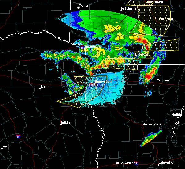 At 803 pm cdt, a severe thunderstorm was located near claiborne, moving east at 40 mph (radar indicated). Hazards include 60 mph wind gusts and quarter size hail. Hail damage to vehicles is expected. Expect wind damage to roofs, siding, and trees. At 803 pm cdt, a severe thunderstorm was located near claiborne, moving east at 40 mph (radar indicated). Hazards include 60 mph wind gusts and quarter size hail. Hail damage to vehicles is expected. Expect wind damage to roofs, siding, and trees.
|
| 4/12/2020 11:35 AM CDT |
 At 1135 am cdt, severe thunderstorms were located along a line extending from 6 miles north of lapile to 10 miles northwest of sterlington to west monroe to 8 miles south of brownsville-bawcom to 21 miles southeast of ruston to 7 miles south of jonesboro, moving northeast at 60 mph (radar indicated). Hazards include 70 mph wind gusts and penny size hail. Expect considerable tree damage. damage is likely to mobile homes, roofs, and outbuildings. Locations impacted include, monroe, claiborne, west monroe, jonesboro, huttig, swartz, brownsville-bawcom, brownsville-bawcomville, richwood, sterlington, strong, lapile, marion, chatham, eros, felsenthal, drew, new london, oakland and haile. At 1135 am cdt, severe thunderstorms were located along a line extending from 6 miles north of lapile to 10 miles northwest of sterlington to west monroe to 8 miles south of brownsville-bawcom to 21 miles southeast of ruston to 7 miles south of jonesboro, moving northeast at 60 mph (radar indicated). Hazards include 70 mph wind gusts and penny size hail. Expect considerable tree damage. damage is likely to mobile homes, roofs, and outbuildings. Locations impacted include, monroe, claiborne, west monroe, jonesboro, huttig, swartz, brownsville-bawcom, brownsville-bawcomville, richwood, sterlington, strong, lapile, marion, chatham, eros, felsenthal, drew, new london, oakland and haile.
|
| 4/12/2020 10:47 AM CDT |
 At 1047 am cdt, severe thunderstorms were located along a line extending from 7 miles west of junction city to 13 miles southwest of jonesboro, moving northeast at 60 mph (radar indicated). Hazards include 60 mph wind gusts and penny size hail. expect damage to roofs, siding, and trees At 1047 am cdt, severe thunderstorms were located along a line extending from 7 miles west of junction city to 13 miles southwest of jonesboro, moving northeast at 60 mph (radar indicated). Hazards include 60 mph wind gusts and penny size hail. expect damage to roofs, siding, and trees
|
| 1/11/2020 3:12 AM CST |
 The tornado warning for northern union parish will expire at 315 am cst, the storm which prompted the warning has moved out of the area. therefore, the warning will be allowed to expire. a tornado watch remains in effect until 600 am cst for south central arkansas. a tornado watch also remains in effect until 800 am cst for south central arkansas, and north central louisiana. remember, a severe thunderstorm warning still remains in effect for union county until 315 am. The tornado warning for northern union parish will expire at 315 am cst, the storm which prompted the warning has moved out of the area. therefore, the warning will be allowed to expire. a tornado watch remains in effect until 600 am cst for south central arkansas. a tornado watch also remains in effect until 800 am cst for south central arkansas, and north central louisiana. remember, a severe thunderstorm warning still remains in effect for union county until 315 am.
|
| 1/11/2020 3:10 AM CST |
 At 309 am cst, severe thunderstorms were located along a line extending from near west crossett to near bastrop to 10 miles southwest of claiborne, moving southeast at 60 mph (radar indicated). Hazards include 60 mph wind gusts. Expect damage to roofs, siding, and trees. Locations impacted include, monroe, ruston, claiborne, west monroe, grambling, huttig, brownsville-bawcom, brownsville-bawcomville, swartz, farmerville, richwood, sterlington, choudrant, marion, vienna, felsenthal, downsville, drew, d arbonne and haile. At 309 am cst, severe thunderstorms were located along a line extending from near west crossett to near bastrop to 10 miles southwest of claiborne, moving southeast at 60 mph (radar indicated). Hazards include 60 mph wind gusts. Expect damage to roofs, siding, and trees. Locations impacted include, monroe, ruston, claiborne, west monroe, grambling, huttig, brownsville-bawcom, brownsville-bawcomville, swartz, farmerville, richwood, sterlington, choudrant, marion, vienna, felsenthal, downsville, drew, d arbonne and haile.
|
| 1/11/2020 2:55 AM CST | Union parish sheriff reports multiple trees down on la hwy 33 between farmerville and marion. highway blocked in several places by both trees and power line in union county LA, 5.7 miles NE of Marion, LA |
| 1/11/2020 2:34 AM CST |
 At 233 am cst, a severe thunderstorm capable of producing a tornado was located 7 miles north of farmerville, or 15 miles southwest of huttig, moving east at 50 mph (radar indicated rotation). Hazards include tornado. Flying debris will be dangerous to those caught without shelter. mobile homes will be damaged or destroyed. damage to roofs, windows, and vehicles will occur. tree damage is likely. This tornadic thunderstorm will remain over mainly rural areas of northern union parish, including the following locations, marion, cecil, linville, haile and litroe. At 233 am cst, a severe thunderstorm capable of producing a tornado was located 7 miles north of farmerville, or 15 miles southwest of huttig, moving east at 50 mph (radar indicated rotation). Hazards include tornado. Flying debris will be dangerous to those caught without shelter. mobile homes will be damaged or destroyed. damage to roofs, windows, and vehicles will occur. tree damage is likely. This tornadic thunderstorm will remain over mainly rural areas of northern union parish, including the following locations, marion, cecil, linville, haile and litroe.
|
| 1/11/2020 2:16 AM CST |
 At 216 am cst, severe thunderstorms were located along a line extending from norphlet to 9 miles east of junction city to near grambling, moving east at 40 mph (radar indicated). Hazards include 60 mph wind gusts. expect damage to roofs, siding, and trees At 216 am cst, severe thunderstorms were located along a line extending from norphlet to 9 miles east of junction city to near grambling, moving east at 40 mph (radar indicated). Hazards include 60 mph wind gusts. expect damage to roofs, siding, and trees
|
| 12/16/2019 1:17 PM CST |
 At 116 pm cst, severe thunderstorms were located along a line extending from 6 miles northeast of farmerville to near jonesboro, moving east at 30 mph (radar indicated). Hazards include 60 mph wind gusts and quarter size hail. Hail damage to vehicles is expected. Expect wind damage to roofs, siding, and trees. At 116 pm cst, severe thunderstorms were located along a line extending from 6 miles northeast of farmerville to near jonesboro, moving east at 30 mph (radar indicated). Hazards include 60 mph wind gusts and quarter size hail. Hail damage to vehicles is expected. Expect wind damage to roofs, siding, and trees.
|
| 6/20/2019 12:27 AM CDT |
 At 1227 am cdt, severe thunderstorms were located along a line extending from lawson to 10 miles southwest of huttig to 6 miles southwest of farmerville, moving east at 45 mph (radar indicated). Hazards include 60 mph wind gusts and quarter size hail. Hail damage to vehicles is expected. expect wind damage to roofs, siding, and trees. Locations impacted include, huttig, farmerville, strong, urbana, lawson, lapile, marion, felsenthal, new london, spencer, aurelle, oakland, linville, haile, pigeon hill, bayou d arbonne lake, hillsboro, cecil and litroe. At 1227 am cdt, severe thunderstorms were located along a line extending from lawson to 10 miles southwest of huttig to 6 miles southwest of farmerville, moving east at 45 mph (radar indicated). Hazards include 60 mph wind gusts and quarter size hail. Hail damage to vehicles is expected. expect wind damage to roofs, siding, and trees. Locations impacted include, huttig, farmerville, strong, urbana, lawson, lapile, marion, felsenthal, new london, spencer, aurelle, oakland, linville, haile, pigeon hill, bayou d arbonne lake, hillsboro, cecil and litroe.
|
| 6/20/2019 12:15 AM CDT |
 At 1215 am cdt, severe thunderstorms were located along a line extending from el dorado to 10 miles northeast of cooley to 9 miles south of bernice, moving east at 45 mph (radar indicated). Hazards include 60 mph wind gusts and quarter size hail. Hail damage to vehicles is expected. expect wind damage to roofs, siding, and trees. Locations impacted include, el dorado, huttig, junction city, farmerville, bernice, strong, wesson, lisbon, urbana, lawson, cooley, lapile, dubach, marion, felsenthal, spearsville, lillie, newell, new london and oakland. At 1215 am cdt, severe thunderstorms were located along a line extending from el dorado to 10 miles northeast of cooley to 9 miles south of bernice, moving east at 45 mph (radar indicated). Hazards include 60 mph wind gusts and quarter size hail. Hail damage to vehicles is expected. expect wind damage to roofs, siding, and trees. Locations impacted include, el dorado, huttig, junction city, farmerville, bernice, strong, wesson, lisbon, urbana, lawson, cooley, lapile, dubach, marion, felsenthal, spearsville, lillie, newell, new london and oakland.
|
| 6/19/2019 11:51 PM CDT |
 At 1151 pm cdt, severe thunderstorms were located along a line extending from near lisbon to 10 miles northeast of arcadia, moving east at 45 mph (radar indicated). Hazards include 60 mph wind gusts and quarter size hail. Hail damage to vehicles is expected. Expect wind damage to roofs, siding, and trees. At 1151 pm cdt, severe thunderstorms were located along a line extending from near lisbon to 10 miles northeast of arcadia, moving east at 45 mph (radar indicated). Hazards include 60 mph wind gusts and quarter size hail. Hail damage to vehicles is expected. Expect wind damage to roofs, siding, and trees.
|
| 5/8/2019 6:17 PM CDT |
 At 616 pm cdt, severe thunderstorms were located along a line extending from near farmerville to 8 miles north of claiborne to near brownsville-bawcom to 12 miles northwest of columbia, moving east at 55 mph (radar indicated). Hazards include 60 mph wind gusts and penny size hail. expect damage to roofs, siding, and trees At 616 pm cdt, severe thunderstorms were located along a line extending from near farmerville to 8 miles north of claiborne to near brownsville-bawcom to 12 miles northwest of columbia, moving east at 55 mph (radar indicated). Hazards include 60 mph wind gusts and penny size hail. expect damage to roofs, siding, and trees
|
| 5/8/2019 6:11 PM CDT |
 At 610 pm cdt, severe thunderstorms were located along a line extending from farmerville to 10 miles west of claiborne to 12 miles west of brownsville-bawcom to 17 miles southwest of brownsville-bawcomville to 18 miles northwest of clarks, moving east at 45 mph (radar indicated). Hazards include 60 mph wind gusts and penny size hail. Expect damage to roofs, siding, and trees. Locations impacted include, monroe, ruston, claiborne, west monroe, grambling, brownsville-bawcom, brownsville-bawcomville, farmerville, richwood, bernice, dubach, choudrant, marion, chatham, vienna, eros, downsville, drew, fondale and d arbonne. At 610 pm cdt, severe thunderstorms were located along a line extending from farmerville to 10 miles west of claiborne to 12 miles west of brownsville-bawcom to 17 miles southwest of brownsville-bawcomville to 18 miles northwest of clarks, moving east at 45 mph (radar indicated). Hazards include 60 mph wind gusts and penny size hail. Expect damage to roofs, siding, and trees. Locations impacted include, monroe, ruston, claiborne, west monroe, grambling, brownsville-bawcom, brownsville-bawcomville, farmerville, richwood, bernice, dubach, choudrant, marion, chatham, vienna, eros, downsville, drew, fondale and d arbonne.
|
| 5/8/2019 5:53 PM CDT |
 At 552 pm cdt, a severe thunderstorm capable of producing a tornado was located over ruston, moving northeast at 45 mph (radar indicated rotation). Hazards include tornado. Flying debris will be dangerous to those caught without shelter. mobile homes will be damaged or destroyed. damage to roofs, windows, and vehicles will occur. tree damage is likely. this dangerous storm will be near, sterlington around 640 pm cdt. Other locations impacted by this tornadic thunderstorm include d arbonne, calhoun, loch lomon, spencer, linville, haile, bayou d arbonne lake, downsville, rocky branch and vienna. At 552 pm cdt, a severe thunderstorm capable of producing a tornado was located over ruston, moving northeast at 45 mph (radar indicated rotation). Hazards include tornado. Flying debris will be dangerous to those caught without shelter. mobile homes will be damaged or destroyed. damage to roofs, windows, and vehicles will occur. tree damage is likely. this dangerous storm will be near, sterlington around 640 pm cdt. Other locations impacted by this tornadic thunderstorm include d arbonne, calhoun, loch lomon, spencer, linville, haile, bayou d arbonne lake, downsville, rocky branch and vienna.
|
| 5/8/2019 5:30 PM CDT |
 At 530 pm cdt, severe thunderstorms were located along a line extending from 10 miles east of homer to near arcadia to 11 miles southwest of grambling to 10 miles west of jonesboro to 22 miles northeast of campti, moving east at 45 mph (radar indicated). Hazards include 60 mph wind gusts and penny size hail. expect damage to roofs, siding, and trees At 530 pm cdt, severe thunderstorms were located along a line extending from 10 miles east of homer to near arcadia to 11 miles southwest of grambling to 10 miles west of jonesboro to 22 miles northeast of campti, moving east at 45 mph (radar indicated). Hazards include 60 mph wind gusts and penny size hail. expect damage to roofs, siding, and trees
|
| 4/25/2019 2:38 AM CDT |
 At 238 am cdt, a severe thunderstorm capable of producing a tornado was located 11 miles south of huttig, or near the haile community, moving northeast at 50 mph. damage has been reported near downsville with this storm (radar indicated rotation). Hazards include tornado. Flying debris will be dangerous to those caught without shelter. mobile homes will be damaged or destroyed. damage to roofs, windows, and vehicles will occur. tree damage is likely. Locations impacted include, marion and haile. At 238 am cdt, a severe thunderstorm capable of producing a tornado was located 11 miles south of huttig, or near the haile community, moving northeast at 50 mph. damage has been reported near downsville with this storm (radar indicated rotation). Hazards include tornado. Flying debris will be dangerous to those caught without shelter. mobile homes will be damaged or destroyed. damage to roofs, windows, and vehicles will occur. tree damage is likely. Locations impacted include, marion and haile.
|
| 4/25/2019 2:30 AM CDT | Numerous trees down in the linville community. trees down on homes... with a resident trapped in their home. possible tornad in union county LA, 5 miles NW of Marion, LA |
| 4/25/2019 2:14 AM CDT |
 At 214 am cdt, a severe thunderstorm capable of producing a tornado was located 5 miles south of farmerville, or 16 miles northwest of claiborne, moving northeast at 40 mph (radar indicated rotation. around 2 am, damage was reported across ruston including the louisiana tech campus from a likely tornado). Hazards include tornado. Flying debris will be dangerous to those caught without shelter. mobile homes will be damaged or destroyed. damage to roofs, windows, and vehicles will occur. tree damage is likely. This tornadic thunderstorm will remain over mainly rural areas of eastern union parish, including the following locations, marion, bayou d arbonne lake, spencer, linville, haile and rocky branch. At 214 am cdt, a severe thunderstorm capable of producing a tornado was located 5 miles south of farmerville, or 16 miles northwest of claiborne, moving northeast at 40 mph (radar indicated rotation. around 2 am, damage was reported across ruston including the louisiana tech campus from a likely tornado). Hazards include tornado. Flying debris will be dangerous to those caught without shelter. mobile homes will be damaged or destroyed. damage to roofs, windows, and vehicles will occur. tree damage is likely. This tornadic thunderstorm will remain over mainly rural areas of eastern union parish, including the following locations, marion, bayou d arbonne lake, spencer, linville, haile and rocky branch.
|
| 4/13/2019 2:47 PM CDT |
 At 247 pm cdt, severe thunderstorms were located along a line extending from near huttig to 6 miles southwest of brownsville-bawcom, moving east at 60 mph (radar indicated). Hazards include 60 mph wind gusts and quarter size hail. Hail damage to vehicles is expected. Expect wind damage to roofs, siding, and trees. At 247 pm cdt, severe thunderstorms were located along a line extending from near huttig to 6 miles southwest of brownsville-bawcom, moving east at 60 mph (radar indicated). Hazards include 60 mph wind gusts and quarter size hail. Hail damage to vehicles is expected. Expect wind damage to roofs, siding, and trees.
|
| 4/13/2019 1:47 PM CDT |
 At 145 pm cdt, severe thunderstorms were located along a line extending from 11 miles north of grambling to 7 miles west of jonesboro, moving east at 40 mph. these are very dangerous storms (radar indicated). Hazards include 80 mph wind gusts and half dollar size hail. Flying debris will be dangerous to those caught without shelter. mobile homes will be heavily damaged. expect considerable damage to roofs, windows, and vehicles. Extensive tree damage and power outages are likely. At 145 pm cdt, severe thunderstorms were located along a line extending from 11 miles north of grambling to 7 miles west of jonesboro, moving east at 40 mph. these are very dangerous storms (radar indicated). Hazards include 80 mph wind gusts and half dollar size hail. Flying debris will be dangerous to those caught without shelter. mobile homes will be heavily damaged. expect considerable damage to roofs, windows, and vehicles. Extensive tree damage and power outages are likely.
|
| 4/7/2019 2:10 PM CDT | Quarter sized hail reported 10.7 miles ESE of Marion, LA, corrects previous hail report from 11 ssw strong. corrects previous hail report from 11 ssw strong. public posts photo of hail covering the ground in the truxno communi |
| 3/13/2019 7:32 PM CDT |
 At 731 pm cdt, severe thunderstorms were located along a line extending from 8 miles southwest of strong to 9 miles north of farmerville, moving northeast at 70 mph (radar indicated). Hazards include 60 mph wind gusts. Expect damage to roofs, siding, and trees. Locations impacted include, huttig, strong, lapile, marion, felsenthal, new london, cecil, aurelle, oakland and litroe. At 731 pm cdt, severe thunderstorms were located along a line extending from 8 miles southwest of strong to 9 miles north of farmerville, moving northeast at 70 mph (radar indicated). Hazards include 60 mph wind gusts. Expect damage to roofs, siding, and trees. Locations impacted include, huttig, strong, lapile, marion, felsenthal, new london, cecil, aurelle, oakland and litroe.
|
| 3/13/2019 7:23 PM CDT |
 At 722 pm cdt, severe thunderstorms were located along a line extending from near strong to near marion, moving northeast near 70 mph. another severe thunderstorm was located south and east of spearsville to just northwest of farmerville. this storm was moving northeast at near 70 mph as well (radar indicated). Hazards include 60 mph wind gusts. Expect damage to roofs, siding, and trees. Locations impacted include, huttig, farmerville, strong, lapile, marion, felsenthal, spearsville, new london, aurelle, oakland, linville, haile, bayou d arbonne lake, cecil and litroe. At 722 pm cdt, severe thunderstorms were located along a line extending from near strong to near marion, moving northeast near 70 mph. another severe thunderstorm was located south and east of spearsville to just northwest of farmerville. this storm was moving northeast at near 70 mph as well (radar indicated). Hazards include 60 mph wind gusts. Expect damage to roofs, siding, and trees. Locations impacted include, huttig, farmerville, strong, lapile, marion, felsenthal, spearsville, new london, aurelle, oakland, linville, haile, bayou d arbonne lake, cecil and litroe.
|
| 3/13/2019 7:11 PM CDT |
 At 711 pm cdt, severe thunderstorms were located along a line extending from 6 miles northeast of cooley to near farmerville, moving northeast at 60 mph (radar indicated). Hazards include 60 mph wind gusts. expect damage to roofs, siding, and trees At 711 pm cdt, severe thunderstorms were located along a line extending from 6 miles northeast of cooley to near farmerville, moving northeast at 60 mph (radar indicated). Hazards include 60 mph wind gusts. expect damage to roofs, siding, and trees
|
| 3/13/2019 6:50 PM CDT |
 At 649 pm cdt, severe thunderstorms were located along a line extending from 6 miles southwest of huttig to 7 miles northeast of farmerville, moving northeast at 55 mph (radar indicated). Hazards include 60 mph wind gusts. Expect damage to roofs, siding, and trees. Locations impacted include, marion, litroe and cecil. At 649 pm cdt, severe thunderstorms were located along a line extending from 6 miles southwest of huttig to 7 miles northeast of farmerville, moving northeast at 55 mph (radar indicated). Hazards include 60 mph wind gusts. Expect damage to roofs, siding, and trees. Locations impacted include, marion, litroe and cecil.
|
| 3/13/2019 6:27 PM CDT |
 At 626 pm cdt, severe thunderstorms were located along a line extending from 9 miles northeast of farmerville to 7 miles northwest of claiborne, moving northeast at 35 mph (radar indicated). Hazards include 60 mph wind gusts. expect damage to roofs, siding, and trees At 626 pm cdt, severe thunderstorms were located along a line extending from 9 miles northeast of farmerville to 7 miles northwest of claiborne, moving northeast at 35 mph (radar indicated). Hazards include 60 mph wind gusts. expect damage to roofs, siding, and trees
|
| 3/9/2019 1:47 PM CST |
 At 147 pm cst, a severe thunderstorm was located 11 miles northwest of sterlington, or 13 miles south of huttig, moving east at 60 mph (radar indicated). Hazards include 60 mph wind gusts and quarter size hail. Hail damage to vehicles is expected. expect wind damage to roofs, siding, and trees. Locations impacted include, marion, spencer, linville and haile. At 147 pm cst, a severe thunderstorm was located 11 miles northwest of sterlington, or 13 miles south of huttig, moving east at 60 mph (radar indicated). Hazards include 60 mph wind gusts and quarter size hail. Hail damage to vehicles is expected. expect wind damage to roofs, siding, and trees. Locations impacted include, marion, spencer, linville and haile.
|
| 3/9/2019 1:28 PM CST |
 At 128 pm cst, a severe thunderstorm was located near farmerville, or 19 miles northeast of ruston, moving east at 60 mph (radar indicated). Hazards include 60 mph wind gusts and quarter size hail. Hail damage to vehicles is expected. Expect wind damage to roofs, siding, and trees. At 128 pm cst, a severe thunderstorm was located near farmerville, or 19 miles northeast of ruston, moving east at 60 mph (radar indicated). Hazards include 60 mph wind gusts and quarter size hail. Hail damage to vehicles is expected. Expect wind damage to roofs, siding, and trees.
|
| 7/29/2018 3:32 PM CDT |
 At 332 pm cdt, severe thunderstorms were located along a line extending from 7 miles east of huttig to 14 miles southeast of ruston, moving southeast at 30 mph (radar indicated). Hazards include 60 mph wind gusts and penny size hail. expect damage to roofs, siding, and trees At 332 pm cdt, severe thunderstorms were located along a line extending from 7 miles east of huttig to 14 miles southeast of ruston, moving southeast at 30 mph (radar indicated). Hazards include 60 mph wind gusts and penny size hail. expect damage to roofs, siding, and trees
|
| 6/22/2018 10:12 AM CDT |
 The severe thunderstorm warning for eastern union county in south central arkansas and northeastern union parishes will expire at 1015 am cdt, the storm which prompted the warning has moved out of the area. therefore, the warning will be allowed to expire. however gusty winds and heavy rain are still possible with these thunderstorms. to report severe weather, contact your nearest law enforcement agency. they will relay your report to the national weather service shreveport. The severe thunderstorm warning for eastern union county in south central arkansas and northeastern union parishes will expire at 1015 am cdt, the storm which prompted the warning has moved out of the area. therefore, the warning will be allowed to expire. however gusty winds and heavy rain are still possible with these thunderstorms. to report severe weather, contact your nearest law enforcement agency. they will relay your report to the national weather service shreveport.
|
| 6/22/2018 9:49 AM CDT |
 At 949 am cdt, a severe thunderstorm was located over huttig, moving south southeast at 30 mph (radar indicated). Hazards include 60 mph wind gusts and quarter size hail. Hail damage to vehicles is expected. expect wind damage to roofs, siding, and trees. Locations impacted include, huttig, strong, urbana, lapile, marion, felsenthal, new london, oakland, haile, pigeon hill, cecil, litroe and linville. At 949 am cdt, a severe thunderstorm was located over huttig, moving south southeast at 30 mph (radar indicated). Hazards include 60 mph wind gusts and quarter size hail. Hail damage to vehicles is expected. expect wind damage to roofs, siding, and trees. Locations impacted include, huttig, strong, urbana, lapile, marion, felsenthal, new london, oakland, haile, pigeon hill, cecil, litroe and linville.
|
| 6/22/2018 9:15 AM CDT |
 At 915 am cdt, a severe thunderstorm was located near lapile, or 12 miles northwest of huttig, moving southeast at 35 mph (radar indicated). Hazards include 60 mph wind gusts and nickel size hail. expect damage to roofs, siding, and trees At 915 am cdt, a severe thunderstorm was located near lapile, or 12 miles northwest of huttig, moving southeast at 35 mph (radar indicated). Hazards include 60 mph wind gusts and nickel size hail. expect damage to roofs, siding, and trees
|
| 4/14/2018 2:49 AM CDT |
 At 249 am cdt, severe thunderstorms were located along a line extending from near hamburg to berlin to 7 miles west of jones to near bastrop to near swartz to 7 miles west of buckner to 9 miles north of columbia, moving east at 50 mph (radar indicated). Hazards include 60 mph wind gusts and penny size hail. Expect damage to roofs, siding, and trees. locations impacted include, monroe, claiborne, west monroe, huttig, swartz, brownsville-bawcom, brownsville-bawcomville, farmerville, richwood, sterlington, marion, chatham, eros, felsenthal, downsville, drew, fondale, vixen, bosco and riverton. A tornado watch remains in effect until 600 am cdt for south central arkansas, and north central louisiana. At 249 am cdt, severe thunderstorms were located along a line extending from near hamburg to berlin to 7 miles west of jones to near bastrop to near swartz to 7 miles west of buckner to 9 miles north of columbia, moving east at 50 mph (radar indicated). Hazards include 60 mph wind gusts and penny size hail. Expect damage to roofs, siding, and trees. locations impacted include, monroe, claiborne, west monroe, huttig, swartz, brownsville-bawcom, brownsville-bawcomville, farmerville, richwood, sterlington, marion, chatham, eros, felsenthal, downsville, drew, fondale, vixen, bosco and riverton. A tornado watch remains in effect until 600 am cdt for south central arkansas, and north central louisiana.
|
| 4/14/2018 2:34 AM CDT |
 At 233 am cdt, severe thunderstorms were located along a line extending from west crossett to near crossett to 7 miles northwest of beekman to 8 miles west of bastrop to near sterlington to near brownsville-bawcom to 13 miles southwest of brownsville-bawcomville to 17 miles northwest of clarks, moving east at 50 mph (radar indicated). Hazards include 60 mph wind gusts and penny size hail. Expect damage to roofs, siding, and trees. locations impacted include, monroe, ruston, claiborne, west monroe, jonesboro, huttig, swartz, brownsville-bawcom, brownsville-bawcomville, farmerville, richwood, sterlington, strong, lapile, choudrant, marion, chatham, hodge, north hodge and east hodge. A tornado watch remains in effect until 600 am cdt for south central arkansas, and north central and northwestern louisiana. At 233 am cdt, severe thunderstorms were located along a line extending from west crossett to near crossett to 7 miles northwest of beekman to 8 miles west of bastrop to near sterlington to near brownsville-bawcom to 13 miles southwest of brownsville-bawcomville to 17 miles northwest of clarks, moving east at 50 mph (radar indicated). Hazards include 60 mph wind gusts and penny size hail. Expect damage to roofs, siding, and trees. locations impacted include, monroe, ruston, claiborne, west monroe, jonesboro, huttig, swartz, brownsville-bawcom, brownsville-bawcomville, farmerville, richwood, sterlington, strong, lapile, choudrant, marion, chatham, hodge, north hodge and east hodge. A tornado watch remains in effect until 600 am cdt for south central arkansas, and north central and northwestern louisiana.
|
| 4/14/2018 2:16 AM CDT |
 At 215 am cdt, severe thunderstorms were located along a line extending from near lapile to near huttig to near farmerville to 11 miles northwest of claiborne to 11 miles southeast of ruston to near jonesboro, moving east at 50 mph (radar indicated). Hazards include 60 mph wind gusts and penny size hail. Expect damage to roofs, siding, and trees. locations impacted include, monroe, ruston, claiborne, west monroe, grambling, jonesboro, huttig, swartz, brownsville-bawcom, brownsville-bawcomville, farmerville, richwood, bernice, sterlington, strong, calion, urbana, lawson, cooley and lapile. A tornado watch remains in effect until 600 am cdt for south central arkansas, and north central and northwestern louisiana. At 215 am cdt, severe thunderstorms were located along a line extending from near lapile to near huttig to near farmerville to 11 miles northwest of claiborne to 11 miles southeast of ruston to near jonesboro, moving east at 50 mph (radar indicated). Hazards include 60 mph wind gusts and penny size hail. Expect damage to roofs, siding, and trees. locations impacted include, monroe, ruston, claiborne, west monroe, grambling, jonesboro, huttig, swartz, brownsville-bawcom, brownsville-bawcomville, farmerville, richwood, bernice, sterlington, strong, calion, urbana, lawson, cooley and lapile. A tornado watch remains in effect until 600 am cdt for south central arkansas, and north central and northwestern louisiana.
|
| 4/14/2018 1:45 AM CDT |
 At 144 am cdt, severe thunderstorms were located along a line extending from near wesson to junction city to near cooley to 8 miles southwest of bernice to near arcadia to 12 miles southeast of gibsland to 16 miles west of jonesboro to 16 miles southeast of ringgold, moving east at 50 mph (radar indicated). Hazards include 60 mph wind gusts and penny size hail. expect damage to roofs, siding, and trees At 144 am cdt, severe thunderstorms were located along a line extending from near wesson to junction city to near cooley to 8 miles southwest of bernice to near arcadia to 12 miles southeast of gibsland to 16 miles west of jonesboro to 16 miles southeast of ringgold, moving east at 50 mph (radar indicated). Hazards include 60 mph wind gusts and penny size hail. expect damage to roofs, siding, and trees
|
| 4/13/2018 7:20 PM CDT | Large tree and large branches down reported in haile... l in union county LA, 7.1 miles NW of Marion, LA |
| 4/6/2018 4:45 PM CDT |
 At 444 pm cdt, a severe thunderstorm capable of producing a tornado was located 10 miles northeast of farmerville, or near marion, moving east at 20 mph (radar indicated rotation). Hazards include tornado and golf ball size hail. Flying debris will be dangerous to those caught without shelter. mobile homes will be damaged or destroyed. damage to roofs, windows, and vehicles will occur. tree damage is likely. This tornadic thunderstorm will remain over mainly rural areas of northeastern union parish, including the following locations: cecil, marion, linville, haile and litroe. At 444 pm cdt, a severe thunderstorm capable of producing a tornado was located 10 miles northeast of farmerville, or near marion, moving east at 20 mph (radar indicated rotation). Hazards include tornado and golf ball size hail. Flying debris will be dangerous to those caught without shelter. mobile homes will be damaged or destroyed. damage to roofs, windows, and vehicles will occur. tree damage is likely. This tornadic thunderstorm will remain over mainly rural areas of northeastern union parish, including the following locations: cecil, marion, linville, haile and litroe.
|
| 4/6/2018 4:35 PM CDT |
 At 435 pm cdt, a severe thunderstorm was located 10 miles southwest of huttig, moving east northeast at 40 mph (radar indicated). Hazards include 60 mph wind gusts and quarter size hail. Hail damage to vehicles is expected. Expect wind damage to roofs, siding, and trees. At 435 pm cdt, a severe thunderstorm was located 10 miles southwest of huttig, moving east northeast at 40 mph (radar indicated). Hazards include 60 mph wind gusts and quarter size hail. Hail damage to vehicles is expected. Expect wind damage to roofs, siding, and trees.
|
| 4/3/2018 5:16 PM CDT |
 At 515 pm cdt, severe thunderstorms were located along a line extending from just southwest of el dorado to cooley to 9 miles north of grambling to 11 miles west of jonesboro, moving east at 60 mph (radar indicated. trees were reported down in webster parish from these storms). Hazards include 60 mph wind gusts. expect damage to roofs, siding, and trees At 515 pm cdt, severe thunderstorms were located along a line extending from just southwest of el dorado to cooley to 9 miles north of grambling to 11 miles west of jonesboro, moving east at 60 mph (radar indicated. trees were reported down in webster parish from these storms). Hazards include 60 mph wind gusts. expect damage to roofs, siding, and trees
|
| 9/5/2017 5:46 PM CDT |
 At 545 pm cdt, a severe thunderstorm was located 7 miles southwest of huttig, moving southeast at 25 mph (radar indicated). Hazards include 60 mph wind gusts and quarter size hail. Hail damage to vehicles is expected. Expect wind damage to roofs, siding, and trees. At 545 pm cdt, a severe thunderstorm was located 7 miles southwest of huttig, moving southeast at 25 mph (radar indicated). Hazards include 60 mph wind gusts and quarter size hail. Hail damage to vehicles is expected. Expect wind damage to roofs, siding, and trees.
|
| 7/1/2017 5:12 PM CDT |
 At 512 pm cdt, a severe thunderstorm was located over lapile, or 9 miles northwest of huttig, moving northeast at 45 mph (radar indicated). Hazards include 60 mph wind gusts and quarter size hail. Hail damage to vehicles is expected. Expect wind damage to roofs, siding, and trees. At 512 pm cdt, a severe thunderstorm was located over lapile, or 9 miles northwest of huttig, moving northeast at 45 mph (radar indicated). Hazards include 60 mph wind gusts and quarter size hail. Hail damage to vehicles is expected. Expect wind damage to roofs, siding, and trees.
|
| 7/1/2017 4:48 PM CDT |
 At 448 pm cdt, a severe thunderstorm was located near junction city, moving northeast at 40 mph (radar indicated). Hazards include 60 mph wind gusts and quarter size hail. Hail damage to vehicles is expected. expect wind damage to roofs, siding, and trees. Locations impacted include, el dorado, smackover, norphlet, huttig, junction city, farmerville, bernice, strong, calion, mount holly, wesson, lisbon, urbana, lawson, cooley, lapile, marion, felsenthal, spearsville and lillie. At 448 pm cdt, a severe thunderstorm was located near junction city, moving northeast at 40 mph (radar indicated). Hazards include 60 mph wind gusts and quarter size hail. Hail damage to vehicles is expected. expect wind damage to roofs, siding, and trees. Locations impacted include, el dorado, smackover, norphlet, huttig, junction city, farmerville, bernice, strong, calion, mount holly, wesson, lisbon, urbana, lawson, cooley, lapile, marion, felsenthal, spearsville and lillie.
|
| 7/1/2017 4:11 PM CDT |
 At 410 pm cdt, a cluster of severe thunderstorm was located near atlanta, or 14 miles southeast of magnolia, moving northeast at 40 mph (radar indicated). Hazards include 60 mph wind gusts and quarter size hail. Hail damage to vehicles is expected. Expect wind damage to roofs, siding, and trees. At 410 pm cdt, a cluster of severe thunderstorm was located near atlanta, or 14 miles southeast of magnolia, moving northeast at 40 mph (radar indicated). Hazards include 60 mph wind gusts and quarter size hail. Hail damage to vehicles is expected. Expect wind damage to roofs, siding, and trees.
|
| 6/23/2017 10:53 AM CDT |
 At 1053 am cdt, a severe thunderstorm was located near cooley, or 11 miles southeast of junction city, moving east at 10 mph (radar indicated). Hazards include 60 mph wind gusts. expect damage to roofs, siding, and trees At 1053 am cdt, a severe thunderstorm was located near cooley, or 11 miles southeast of junction city, moving east at 10 mph (radar indicated). Hazards include 60 mph wind gusts. expect damage to roofs, siding, and trees
|
| 6/6/2017 9:18 PM CDT | Union parish 911 dispatch center report large tree fell on vehicle and took down powerlines on mlk driv in union county LA, 0.2 miles SSW of Marion, LA |
| 4/2/2017 3:44 PM CDT |
 At 344 pm cdt, severe thunderstorms were located along a line extending from near lisbon to 6 miles northeast of junction city to 6 miles east of cooley to near ruston to near jonesboro, moving east at 60 mph (radar indicated). Hazards include 70 mph wind gusts and quarter size hail. Hail damage to vehicles is expected. expect considerable tree damage. wind damage is also likely to mobile homes, roofs, and outbuildings. locations impacted include, monroe, ruston, el dorado, claiborne, west monroe, grambling, jonesboro, norphlet, huttig, junction city, swartz, brownsville-bawcom, brownsville-bawcomville, farmerville, richwood, bernice, sterlington, strong, calion and wesson. A tornado watch remains in effect until 900 pm cdt for north central and northwestern louisiana. At 344 pm cdt, severe thunderstorms were located along a line extending from near lisbon to 6 miles northeast of junction city to 6 miles east of cooley to near ruston to near jonesboro, moving east at 60 mph (radar indicated). Hazards include 70 mph wind gusts and quarter size hail. Hail damage to vehicles is expected. expect considerable tree damage. wind damage is also likely to mobile homes, roofs, and outbuildings. locations impacted include, monroe, ruston, el dorado, claiborne, west monroe, grambling, jonesboro, norphlet, huttig, junction city, swartz, brownsville-bawcom, brownsville-bawcomville, farmerville, richwood, bernice, sterlington, strong, calion and wesson. A tornado watch remains in effect until 900 pm cdt for north central and northwestern louisiana.
|
| 4/2/2017 3:20 PM CDT |
 At 319 pm cdt, severe thunderstorms were located along a line extending from near macedonia to near atlanta to 7 miles east of homer to near arcadia to 16 miles southeast of ringgold, moving east at 60 mph (radar indicated). Hazards include 70 mph wind gusts and quarter size hail. Hail damage to vehicles is expected. expect considerable tree damage. Wind damage is also likely to mobile homes, roofs, and outbuildings. At 319 pm cdt, severe thunderstorms were located along a line extending from near macedonia to near atlanta to 7 miles east of homer to near arcadia to 16 miles southeast of ringgold, moving east at 60 mph (radar indicated). Hazards include 70 mph wind gusts and quarter size hail. Hail damage to vehicles is expected. expect considerable tree damage. Wind damage is also likely to mobile homes, roofs, and outbuildings.
|
| 1/21/2017 8:47 PM CST |
 At 847 pm cst, a severe thunderstorm capable of producing a tornado was located 7 miles west of farmerville, or 16 miles northeast of ruston, moving northeast at 40 mph (radar indicated rotation). Hazards include tornado and quarter size hail. Flying debris will be dangerous to those caught without shelter. mobile homes will be damaged or destroyed. damage to roofs, windows, and vehicles will occur. Tree damage is likely. At 847 pm cst, a severe thunderstorm capable of producing a tornado was located 7 miles west of farmerville, or 16 miles northeast of ruston, moving northeast at 40 mph (radar indicated rotation). Hazards include tornado and quarter size hail. Flying debris will be dangerous to those caught without shelter. mobile homes will be damaged or destroyed. damage to roofs, windows, and vehicles will occur. Tree damage is likely.
|
| 1/21/2017 8:21 PM CST |
 At 819 pm cst, a severe thunderstorm capable of producing a tornado was located just west of farmerville, or 21 miles southeast of junction city, moving northeast at 55 mph. elsewhere, another severe thunderstorm capable of producing a tornado was located northeast of marion, moving northeast near 50 mph (radar indicated rotation). Hazards include tornado and golf ball size hail. Flying debris will be dangerous to those caught without shelter. mobile homes will be damaged or destroyed. damage to roofs, windows, and vehicles will occur. tree damage is likely. this dangerous storm will be near, huttig around 845 pm cst. Other locations impacted by this tornadic thunderstorm include felsenthal, marion, cecil, bayou d arbonne lake, oakland and litroe. At 819 pm cst, a severe thunderstorm capable of producing a tornado was located just west of farmerville, or 21 miles southeast of junction city, moving northeast at 55 mph. elsewhere, another severe thunderstorm capable of producing a tornado was located northeast of marion, moving northeast near 50 mph (radar indicated rotation). Hazards include tornado and golf ball size hail. Flying debris will be dangerous to those caught without shelter. mobile homes will be damaged or destroyed. damage to roofs, windows, and vehicles will occur. tree damage is likely. this dangerous storm will be near, huttig around 845 pm cst. Other locations impacted by this tornadic thunderstorm include felsenthal, marion, cecil, bayou d arbonne lake, oakland and litroe.
|
| 1/21/2017 7:50 PM CST | Trees snapped and uproote in union county LA, 10.2 miles ESE of Marion, LA |
| 1/21/2017 7:39 PM CST |
 At 738 pm cst, a severe thunderstorm capable of producing a tornado was located 7 miles northwest of farmerville, or 18 miles southeast of junction city, moving northeast at 40 mph (radar indicated rotation). Hazards include tornado and half dollar size hail. Flying debris will be dangerous to those caught without shelter. mobile homes will be damaged or destroyed. damage to roofs, windows, and vehicles will occur. tree damage is likely. this dangerous storm will be near, huttig and lapile around 810 pm cst. Other locations impacted by this tornadic thunderstorm include felsenthal, marion, cecil, oakland and litroe. At 738 pm cst, a severe thunderstorm capable of producing a tornado was located 7 miles northwest of farmerville, or 18 miles southeast of junction city, moving northeast at 40 mph (radar indicated rotation). Hazards include tornado and half dollar size hail. Flying debris will be dangerous to those caught without shelter. mobile homes will be damaged or destroyed. damage to roofs, windows, and vehicles will occur. tree damage is likely. this dangerous storm will be near, huttig and lapile around 810 pm cst. Other locations impacted by this tornadic thunderstorm include felsenthal, marion, cecil, oakland and litroe.
|
| 1/21/2017 7:34 PM CST |
 At 734 pm cst, a severe thunderstorm was located 8 miles northwest of farmerville, or 17 miles southeast of junction city, moving east at 30 mph (radar indicated). Hazards include 60 mph wind gusts and quarter size hail. Hail damage to vehicles is expected. Expect wind damage to roofs, siding, and trees. At 734 pm cst, a severe thunderstorm was located 8 miles northwest of farmerville, or 17 miles southeast of junction city, moving east at 30 mph (radar indicated). Hazards include 60 mph wind gusts and quarter size hail. Hail damage to vehicles is expected. Expect wind damage to roofs, siding, and trees.
|
| 11/29/2016 3:49 PM CST |
 At 349 pm cst, a severe thunderstorm was located 11 miles northwest of sterlington, or 14 miles south of huttig, moving northeast at 55 mph (radar indicated). Hazards include 60 mph wind gusts and quarter size hail. Hail damage to vehicles is expected. Expect wind damage to roofs, siding, and trees. At 349 pm cst, a severe thunderstorm was located 11 miles northwest of sterlington, or 14 miles south of huttig, moving northeast at 55 mph (radar indicated). Hazards include 60 mph wind gusts and quarter size hail. Hail damage to vehicles is expected. Expect wind damage to roofs, siding, and trees.
|
| 11/29/2016 1:28 PM CST |
 At 127 pm cst, a severe thunderstorm was located 11 miles northwest of sterlington, or 13 miles south of huttig, moving northeast at 45 mph (radar indicated). Hazards include 60 mph wind gusts and quarter size hail. Hail damage to vehicles is expected. Expect wind damage to roofs, siding, and trees. At 127 pm cst, a severe thunderstorm was located 11 miles northwest of sterlington, or 13 miles south of huttig, moving northeast at 45 mph (radar indicated). Hazards include 60 mph wind gusts and quarter size hail. Hail damage to vehicles is expected. Expect wind damage to roofs, siding, and trees.
|
| 7/14/2016 7:50 PM CDT | Roof blown off car wash in marion in union county LA, 0.2 miles SSW of Marion, LA |
| 7/14/2016 7:40 PM CDT |
 At 740 pm cdt, a strong gust front was located along a line extending from 6 miles north of dixie inn to 7 miles southeast of huttig, moving south southeast at 35 mph. strong to severe thunderstorms were also noted behind this boundary extending from just north of cotton valley to haynesville, to spearsville and just southeast of strong, also moving south southeast at 35 mph (radar indicated). Hazards include 60 mph wind gusts. Expect damage to roofs. siding. And trees. At 740 pm cdt, a strong gust front was located along a line extending from 6 miles north of dixie inn to 7 miles southeast of huttig, moving south southeast at 35 mph. strong to severe thunderstorms were also noted behind this boundary extending from just north of cotton valley to haynesville, to spearsville and just southeast of strong, also moving south southeast at 35 mph (radar indicated). Hazards include 60 mph wind gusts. Expect damage to roofs. siding. And trees.
|
| 7/10/2016 7:25 PM CDT | Trees down 2 miles ne of marion in union county LA, 0.2 miles SSW of Marion, LA |
| 7/10/2016 7:20 PM CDT | Trees down on highway 33 north of marion in union county LA, 0.2 miles SSW of Marion, LA |
| 7/10/2016 7:08 PM CDT |
 At 707 pm cdt, a severe thunderstorm was located near marion , moving southeast at 5 mph (radar indicated). Hazards include 60 mph wind gusts. Expect damage to roofs. siding. And trees. At 707 pm cdt, a severe thunderstorm was located near marion , moving southeast at 5 mph (radar indicated). Hazards include 60 mph wind gusts. Expect damage to roofs. siding. And trees.
|
| 5/25/2016 6:50 PM CDT |
 At 649 pm cdt, a severe thunderstorm was located near farmerville, or 18 miles southwest of huttig, moving east at 10 mph (radar indicated). Hazards include 60 mph wind gusts and quarter size hail. Hail damage to vehicles is expected. expect wind damage to roofs, siding, and trees. Locations impacted include, farmerville, marion, linville and haile. At 649 pm cdt, a severe thunderstorm was located near farmerville, or 18 miles southwest of huttig, moving east at 10 mph (radar indicated). Hazards include 60 mph wind gusts and quarter size hail. Hail damage to vehicles is expected. expect wind damage to roofs, siding, and trees. Locations impacted include, farmerville, marion, linville and haile.
|
| 5/25/2016 6:21 PM CDT |
 At 621 pm cdt, a severe thunderstorm was located near farmerville, or 18 miles southwest of huttig, moving east at 15 mph (radar indicated). Hazards include 60 mph wind gusts and quarter size hail. Hail damage to vehicles is expected. Expect wind damage to roofs, siding, and trees. At 621 pm cdt, a severe thunderstorm was located near farmerville, or 18 miles southwest of huttig, moving east at 15 mph (radar indicated). Hazards include 60 mph wind gusts and quarter size hail. Hail damage to vehicles is expected. Expect wind damage to roofs, siding, and trees.
|
| 4/29/2016 12:53 PM CDT |
 At 1253 pm cdt, a severe thunderstorm was located 7 miles south of bernice, or 13 miles north of ruston, moving northeast at 40 mph (radar indicated). Hazards include 60 mph wind gusts and quarter size hail. Hail damage to vehicles is expected. Expect wind damage to roofs, siding, and trees. At 1253 pm cdt, a severe thunderstorm was located 7 miles south of bernice, or 13 miles north of ruston, moving northeast at 40 mph (radar indicated). Hazards include 60 mph wind gusts and quarter size hail. Hail damage to vehicles is expected. Expect wind damage to roofs, siding, and trees.
|
| 4/14/2016 6:28 AM CDT |
 At 627 am cdt, a severe thunderstorm was located 10 miles northeast of farmerville, or 12 miles southwest of huttig, moving northeast at 35 mph (law enforcement). Hazards include half dollar to golf ball size hail. damage to vehicles is expected At 627 am cdt, a severe thunderstorm was located 10 miles northeast of farmerville, or 12 miles southwest of huttig, moving northeast at 35 mph (law enforcement). Hazards include half dollar to golf ball size hail. damage to vehicles is expected
|
| 4/11/2016 5:35 PM CDT |
 At 534 pm cdt, a severe thunderstorm was located 10 miles southeast of bernice, or 11 miles north of ruston, moving northeast at 50 mph (radar indicated). Hazards include 60 mph wind gusts and quarter size hail. Hail damage to vehicles is expected. Expect wind damage to roofs, siding, and trees. At 534 pm cdt, a severe thunderstorm was located 10 miles southeast of bernice, or 11 miles north of ruston, moving northeast at 50 mph (radar indicated). Hazards include 60 mph wind gusts and quarter size hail. Hail damage to vehicles is expected. Expect wind damage to roofs, siding, and trees.
|
| 3/24/2016 5:38 AM CDT |
 The severe thunderstorm warning for eastern union county in south central arkansas and northeastern union parishes will expire at 545 am cdt, the storms which prompted the warning have weakened below severe limits, and will be exiting the area shortly. therefore the warning will be allowed to expire. The severe thunderstorm warning for eastern union county in south central arkansas and northeastern union parishes will expire at 545 am cdt, the storms which prompted the warning have weakened below severe limits, and will be exiting the area shortly. therefore the warning will be allowed to expire.
|
| 3/24/2016 5:11 AM CDT |
 At 511 am cdt, severe thunderstorms were located along a line extending from near hilo to near huttig to near farmerville, moving east at 35 mph (radar indicated). Hazards include 60 mph wind gusts. Expect damage to roofs. siding. and trees. Locations impacted include, huttig, farmerville, strong, lapile, moro bay state park, marion, felsenthal, haile, aurelle, new london, spencer, litroe, cecil, oakland, linville, pigeon hill and bayou d arbonne lake. At 511 am cdt, severe thunderstorms were located along a line extending from near hilo to near huttig to near farmerville, moving east at 35 mph (radar indicated). Hazards include 60 mph wind gusts. Expect damage to roofs. siding. and trees. Locations impacted include, huttig, farmerville, strong, lapile, moro bay state park, marion, felsenthal, haile, aurelle, new london, spencer, litroe, cecil, oakland, linville, pigeon hill and bayou d arbonne lake.
|
| 3/24/2016 4:44 AM CDT |
 At 444 am cdt, severe thunderstorms were located along a line extending from near calion to 9 miles southwest of urbana to near bernice, moving east at 35 mph (radar indicated). Hazards include 60 mph wind gusts. Expect damage to roofs. siding. And trees. At 444 am cdt, severe thunderstorms were located along a line extending from near calion to 9 miles southwest of urbana to near bernice, moving east at 35 mph (radar indicated). Hazards include 60 mph wind gusts. Expect damage to roofs. siding. And trees.
|
| 3/13/2016 8:16 PM CDT |
 At 815 pm cdt, a severe thunderstorm was located near huttig, moving northeast at 40 mph (radar indicated). Hazards include 60 mph wind gusts and quarter size hail. Hail damage to vehicles is expected. Expect wind damage to roofs, siding, and trees. At 815 pm cdt, a severe thunderstorm was located near huttig, moving northeast at 40 mph (radar indicated). Hazards include 60 mph wind gusts and quarter size hail. Hail damage to vehicles is expected. Expect wind damage to roofs, siding, and trees.
|
| 12/28/2015 1:44 AM CST |
 At 143 am cst, severe thunderstorms were located along a line extending from 6 miles southeast of hilo , to the twin cities of monroe and west monroe to 7 miles west of buckner, moving east at 45 mph (radar indicated). Hazards include 60 mph wind gusts. Expect damage to roofs. siding. and trees. locations impacted include, monroe, claiborne, west monroe, huttig, brownsville-bawcomville, brownsville-bawcom, swartz, richwood, sterlington, strong, lapile, moro bay state park, marion, felsenthal, loch lomon, spencer, deshard, litroe, drew and cecil. A tornado watch remains in effect until 500 am cst for south central arkansas and north central louisiana. At 143 am cst, severe thunderstorms were located along a line extending from 6 miles southeast of hilo , to the twin cities of monroe and west monroe to 7 miles west of buckner, moving east at 45 mph (radar indicated). Hazards include 60 mph wind gusts. Expect damage to roofs. siding. and trees. locations impacted include, monroe, claiborne, west monroe, huttig, brownsville-bawcomville, brownsville-bawcom, swartz, richwood, sterlington, strong, lapile, moro bay state park, marion, felsenthal, loch lomon, spencer, deshard, litroe, drew and cecil. A tornado watch remains in effect until 500 am cst for south central arkansas and north central louisiana.
|
| 12/28/2015 1:30 AM CST |
 At 129 am cst, severe thunderstorms were located along a line extending from near urbana to 11 miles northwest of columbia, moving northeast at 45 mph (radar indicated). Hazards include 60 mph wind gusts. Expect damage to roofs. siding. And trees. At 129 am cst, severe thunderstorms were located along a line extending from near urbana to 11 miles northwest of columbia, moving northeast at 45 mph (radar indicated). Hazards include 60 mph wind gusts. Expect damage to roofs. siding. And trees.
|
| 12/27/2015 4:10 PM CST |
 At 410 pm cst, a severe thunderstorm capable of producing a tornado was located near huttig, moving north at 30 mph (radar indicated rotation). Hazards include tornado. Flying debris will be dangerous to those caught without shelter. mobile homes will be damaged or destroyed. damage to roofs, windows, and vehicles will occur. Tree damage is likely. At 410 pm cst, a severe thunderstorm capable of producing a tornado was located near huttig, moving north at 30 mph (radar indicated rotation). Hazards include tornado. Flying debris will be dangerous to those caught without shelter. mobile homes will be damaged or destroyed. damage to roofs, windows, and vehicles will occur. Tree damage is likely.
|
| 12/27/2015 3:40 PM CST |
 At 340 pm cst, a severe thunderstorm capable of producing a tornado was located over farmerville, or 19 miles northwest of claiborne, moving north at 40 mph (radar indicated rotation). Hazards include tornado. Flying debris will be dangerous to those caught without shelter. mobile homes will be damaged or destroyed. damage to roofs, windows, and vehicles will occur. tree damage is likely. this dangerous storm will be near, huttig around 415 pm cst. Other locations impacted by this tornadic thunderstorm include oakland, marion, bayou d arbonne lake, litroe and cecil. At 340 pm cst, a severe thunderstorm capable of producing a tornado was located over farmerville, or 19 miles northwest of claiborne, moving north at 40 mph (radar indicated rotation). Hazards include tornado. Flying debris will be dangerous to those caught without shelter. mobile homes will be damaged or destroyed. damage to roofs, windows, and vehicles will occur. tree damage is likely. this dangerous storm will be near, huttig around 415 pm cst. Other locations impacted by this tornadic thunderstorm include oakland, marion, bayou d arbonne lake, litroe and cecil.
|
| 11/17/2015 2:28 PM CST |
 At 226 pm cst, a severe thunderstorm was located 7 miles northeast of farmerville, or 14 miles southwest of huttig, moving northeast at 50 mph (radar indicated). Hazards include 60 mph wind gusts. Expect damage to roofs. siding. and trees. A tornado watch remains in effect until 400 pm cst for south central arkansas and north central louisiana. At 226 pm cst, a severe thunderstorm was located 7 miles northeast of farmerville, or 14 miles southwest of huttig, moving northeast at 50 mph (radar indicated). Hazards include 60 mph wind gusts. Expect damage to roofs. siding. and trees. A tornado watch remains in effect until 400 pm cst for south central arkansas and north central louisiana.
|
| 11/17/2015 2:13 PM CST |
 At 213 pm cst, a severe thunderstorm was located near farmerville, or 17 miles northeast of ruston, moving northeast at 55 mph (radar indicated). Hazards include 60 mph wind gusts. Expect damage to roofs. siding. and trees. A tornado watch remains in effect until 400 pm cst for south central arkansas and north central louisiana. At 213 pm cst, a severe thunderstorm was located near farmerville, or 17 miles northeast of ruston, moving northeast at 55 mph (radar indicated). Hazards include 60 mph wind gusts. Expect damage to roofs. siding. and trees. A tornado watch remains in effect until 400 pm cst for south central arkansas and north central louisiana.
|
| 11/17/2015 1:58 PM CST |
 At 158 pm cst, a severe thunderstorm was located near ruston, moving northeast at 50 mph (radar indicated). Hazards include 60 mph wind gusts. expect damage to roofs, siding, and trees At 158 pm cst, a severe thunderstorm was located near ruston, moving northeast at 50 mph (radar indicated). Hazards include 60 mph wind gusts. expect damage to roofs, siding, and trees
|
| 5/25/2015 10:05 PM CDT | At 1004 pm cdt, severe thunderstorms were located along a line extending from 11 miles southwest of huttig to 6 miles south of farmerville to 10 miles southeast of ruston to 10 miles east of jonesboro to 6 miles north of winnfield, moving east at 45 mph (radar indicated). Hazards include 60 mph wind gusts and quarter size hail. Hail damage to vehicles is expected. Expect wind damage to roofs, siding and trees. |
| 5/25/2015 9:52 PM CDT | At 952 pm cdt, severe thunderstorms were located along a line extending from 12 miles southwest of huttig to near farmerville to 6 miles southeast of ruston to near jonesboro to 7 miles northwest of winnfield, moving east at 65 mph (radar indicated). Hazards include 60 mph wind gusts and quarter size hail. Hail damage to vehicles is expected. expect wind damage to roofs, siding and trees. locations impacted include, monroe, ruston, claiborne, west monroe, grambling, winnfield, jonesboro, brownsville-bawcomville, brownsville-bawcom, farmerville, richwood, bernice, sterlington, cooley, dubach, choudrant, simsboro, marion, chatham and hodge. A tornado watch remains in effect until 200 am cdt for northwestern louisiana. |
| 5/25/2015 9:22 PM CDT | At 922 pm cdt, severe thunderstorms were located along a line extending from near junction city to 9 miles southwest of bernice to arcadia to 14 miles south of gibsland to 13 miles north of campti, moving east at 50 mph (radar indicated). Hazards include 60 mph wind gusts and quarter size hail. Hail damage to vehicles is expected. Expect wind damage to roofs, siding and trees. |
| 5/25/2015 5:59 PM CDT | At 558 pm cdt, a severe thunderstorm was located 11 miles north of farmerville, or 12 miles southwest of huttig, moving north at 40 mph (radar indicated). Hazards include 60 mph wind gusts and quarter size hail. Hail damage to vehicles is expected. Expect wind damage to roofs, siding and trees. |
| 5/25/2015 5:59 PM CDT | At 558 pm cdt, a severe thunderstorm was located 11 miles north of farmerville, or 12 miles southwest of huttig, moving north at 40 mph (radar indicated). Hazards include 60 mph wind gusts and quarter size hail. Hail damage to vehicles is expected. Expect wind damage to roofs, siding and trees. |
| 5/24/2015 3:14 PM CDT | At 314 pm cdt, a severe thunderstorm was located near moro bay state park, or 16 miles northwest of huttig, moving northeast at 50 mph (radar indicated). Hazards include 60 mph wind gusts. Expect damage to roofs. siding and trees. locations impacted include, huttig, strong, calion, lapile, marion, felsenthal, new london, litroe, cecil and pigeon hill. 13. |
| 5/24/2015 3:14 PM CDT | At 314 pm cdt, a severe thunderstorm was located near moro bay state park, or 16 miles northwest of huttig, moving northeast at 50 mph (radar indicated). Hazards include 60 mph wind gusts. Expect damage to roofs. siding and trees. locations impacted include, huttig, strong, calion, lapile, marion, felsenthal, new london, litroe, cecil and pigeon hill. 13. |
| 5/24/2015 3:13 PM CDT | At 312 pm cdt, severe thunderstorms were located along a line extending from 6 miles east of farmerville to 9 miles southwest of brownsville-bawcom to near columbia, moving north at 35 mph (radar indicated). Hazards include 60 mph wind gusts. Expect damage to roofs. Siding and trees. |
| 5/24/2015 2:54 PM CDT | At 253 pm cdt, a severe thunderstorm was located 8 miles southwest of strong, or 14 miles west of huttig, moving northeast at 50 mph (radar indicated). Hazards include 60 mph wind gusts. Expect damage to roofs. siding and trees. Locations impacted include, el dorado, norphlet, huttig, farmerville, strong, calion, lawson, lapile, urbana, marion, felsenthal, lockhart, aurelle, new london, litroe, cecil, oakland, hillsboro and pigeon hill. |
| 5/24/2015 2:54 PM CDT | At 253 pm cdt, a severe thunderstorm was located 8 miles southwest of strong, or 14 miles west of huttig, moving northeast at 50 mph (radar indicated). Hazards include 60 mph wind gusts. Expect damage to roofs. siding and trees. Locations impacted include, el dorado, norphlet, huttig, farmerville, strong, calion, lawson, lapile, urbana, marion, felsenthal, lockhart, aurelle, new london, litroe, cecil, oakland, hillsboro and pigeon hill. |
| 5/24/2015 2:39 PM CDT | At 238 pm cdt, a severe thunderstorm was located 7 miles east of cooley, or 17 miles southeast of junction city, moving northeast at 50 mph (radar indicated). Hazards include 60 mph wind gusts. Expect damage to roofs. Siding and trees. |
| 5/24/2015 2:39 PM CDT | At 238 pm cdt, a severe thunderstorm was located 7 miles east of cooley, or 17 miles southeast of junction city, moving northeast at 50 mph (radar indicated). Hazards include 60 mph wind gusts. Expect damage to roofs. Siding and trees. |
| 4/24/2015 10:52 PM CDT | At 1052 pm cdt, a severe thunderstorm was located near junction city, moving east at 50 mph (radar indicated). Hazards include 70 mph wind gusts and quarter size hail. Hail damage to vehicles is expected. expect considerable tree damage. Wind damage is also likely to mobile homes, roofs and outbuildings. |
| 4/24/2015 10:52 PM CDT | At 1052 pm cdt, a severe thunderstorm was located near junction city, moving east at 50 mph (radar indicated). Hazards include 70 mph wind gusts and quarter size hail. Hail damage to vehicles is expected. expect considerable tree damage. Wind damage is also likely to mobile homes, roofs and outbuildings. |
| 4/22/2015 4:17 PM CDT | Golf Ball sized hail reported 0.2 miles SSW of Marion, LA, golfball sized hail |
| 4/22/2015 4:15 PM CDT | At 412 pm cdt, a severe thunderstorm was located 7 miles north of farmerville, or 15 miles southwest of huttig, moving southeast at 40 mph (law enforcement). Hazards include 60 mph wind gusts and quarter size hail. numerous downed trees and quarter size hail has been reported with this storm !!. Hail damage to vehicles is expected. expect wind damage to roofs, siding and trees. locations impacted include, farmerville, marion, loch lomon, spencer, haile, rocky branch and linville. the strongest portion of this storm will pass between farmerville and marion. 1. 00in. |
| 4/22/2015 3:48 PM CDT | At 348 pm cdt, a severe thunderstorm was located 7 miles north of cooley, or 8 miles east of junction city, moving southeast at 40 mph (radar indicated). Hazards include 60 mph wind gusts and quarter size hail. Hail damage to vehicles is expected. Expect wind damage to roofs, siding and trees. |
| 4/22/2015 3:48 PM CDT | At 348 pm cdt, a severe thunderstorm was located 7 miles north of cooley, or 8 miles east of junction city, moving southeast at 40 mph (radar indicated). Hazards include 60 mph wind gusts and quarter size hail. Hail damage to vehicles is expected. Expect wind damage to roofs, siding and trees. |
| 4/22/2015 3:27 PM CDT | At 326 pm cdt, a severe thunderstorm was located over wesson, or 7 miles northwest of junction city, moving east at 35 mph (radar indicated). Hazards include 60 mph wind gusts and quarter size hail. Hail damage to vehicles is expected. expect wind damage to roofs, siding and trees. locations impacted include, el dorado, huttig, junction city, strong, wesson, lawson, lapile, urbana, marion, felsenthal, lockhart, aurelle, new london, litroe, cecil, oakland, catesville, hillsboro and newell. 1. 00in. |
| 4/22/2015 3:27 PM CDT | At 326 pm cdt, a severe thunderstorm was located over wesson, or 7 miles northwest of junction city, moving east at 35 mph (radar indicated). Hazards include 60 mph wind gusts and quarter size hail. Hail damage to vehicles is expected. expect wind damage to roofs, siding and trees. locations impacted include, el dorado, huttig, junction city, strong, wesson, lawson, lapile, urbana, marion, felsenthal, lockhart, aurelle, new london, litroe, cecil, oakland, catesville, hillsboro and newell. 1. 00in. |
| 4/22/2015 3:07 PM CDT | At 307 pm cdt, a severe thunderstorm was located 8 miles west of wesson, or 14 miles northwest of junction city, moving east at 55 mph (radar indicated). Hazards include 60 mph wind gusts and quarter size hail. Hail damage to vehicles is expected. Expect wind damage to roofs, siding and trees. |
| 4/22/2015 3:07 PM CDT | At 307 pm cdt, a severe thunderstorm was located 8 miles west of wesson, or 14 miles northwest of junction city, moving east at 55 mph (radar indicated). Hazards include 60 mph wind gusts and quarter size hail. Hail damage to vehicles is expected. Expect wind damage to roofs, siding and trees. |
| 4/19/2015 4:10 AM CDT | At 408 am cdt, severe thunderstorms were located along a line extending from 9 miles south of huttig to near swartz to 6 miles northeast of wallace ridge, moving east at 45 mph (radar indicated). Hazards include 60 mph wind gusts. Expect damage to roofs. siding and trees. locations impacted include, monroe, claiborne, west monroe, brownsville-bawcom, brownsville-bawcomville, swartz, farmerville, richwood, sterlington, marion, loch lomon, haile, pine grove, guthrie, spencer, deshard, litroe, drew, fairbanks and cecil. 75in. |
| 4/19/2015 4:06 AM CDT | Tree down on highway 143s in union county LA, 1.7 miles NW of Marion, LA |
| 4/19/2015 3:34 AM CDT | At 333 am cdt, severe thunderstorms were located along a line extending from 6 miles northwest of farmerville to 12 miles southwest of brownsville-bawcom to jena, moving east at 45 mph (radar indicated). Hazards include 60 mph wind gusts. Expect damage to roofs. Siding and trees. |
| 3/28/2014 8:00 PM CDT | Golf Ball sized hail reported 0.2 miles SSW of Marion, LA |
| 8/6/2012 5:50 PM CDT | Power lines down on deloutre switch road in union county LA, 5.6 miles NNE of Marion, LA |
| 3/20/2012 3:45 PM CDT | Tree down on hwy 143 near rocky branch blocking both lane in union county LA, 1.7 miles NW of Marion, LA |
| 1/1/0001 12:00 AM | Numerous trees down near marion in union county LA, 0.2 miles SSW of Marion, LA |
| 1/1/0001 12:00 AM | Trees down in mario in union county LA, 0.2 miles SSW of Marion, LA |
| 1/1/0001 12:00 AM | Golf Ball sized hail reported 2.6 miles ENE of Marion, LA |
| 1/1/0001 12:00 AM | Quarter sized hail reported 0.2 miles SSW of Marion, LA |
Hail Maps for Marion, LA
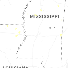


Connect with Interactive Hail Maps