

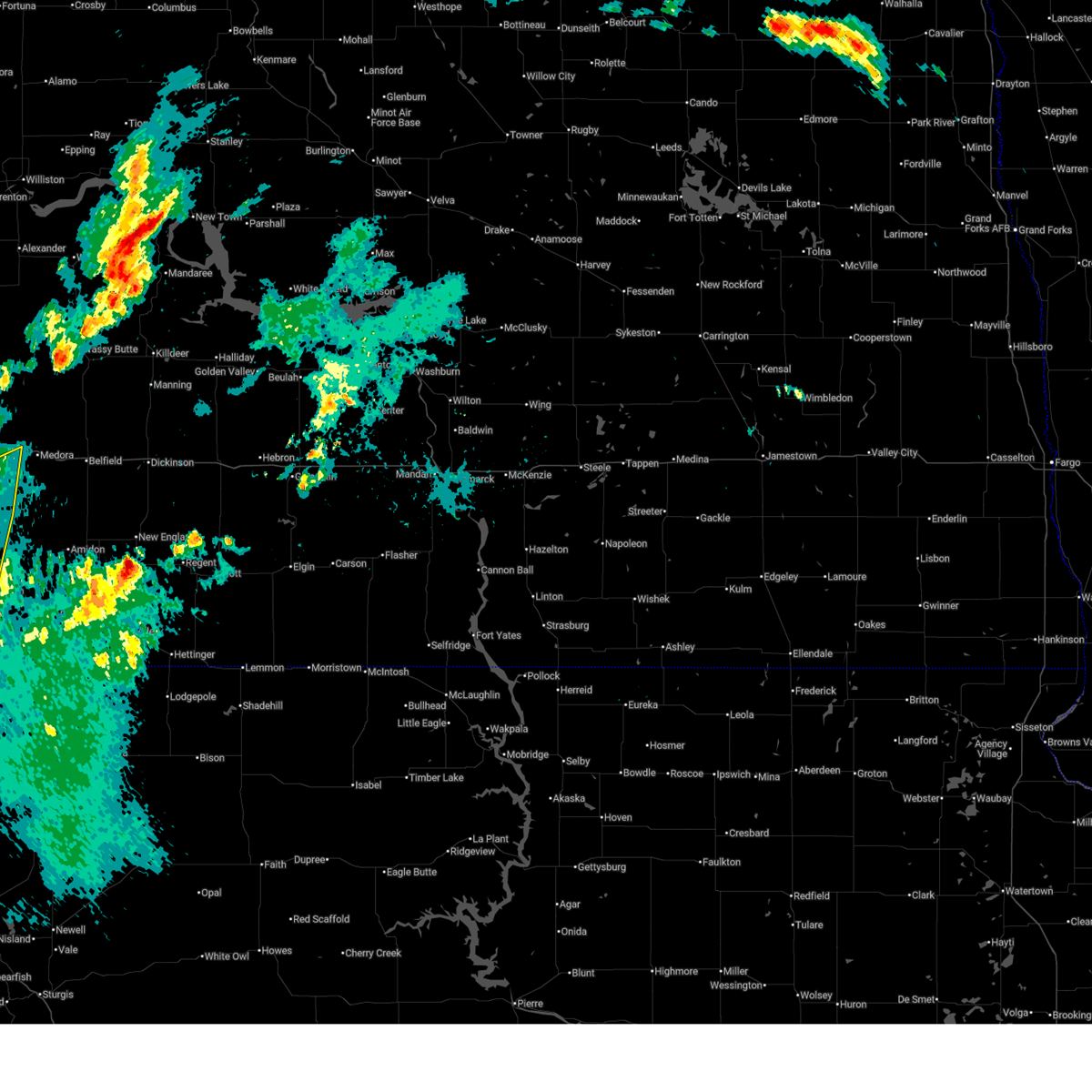
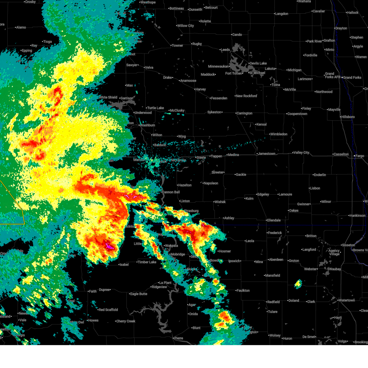
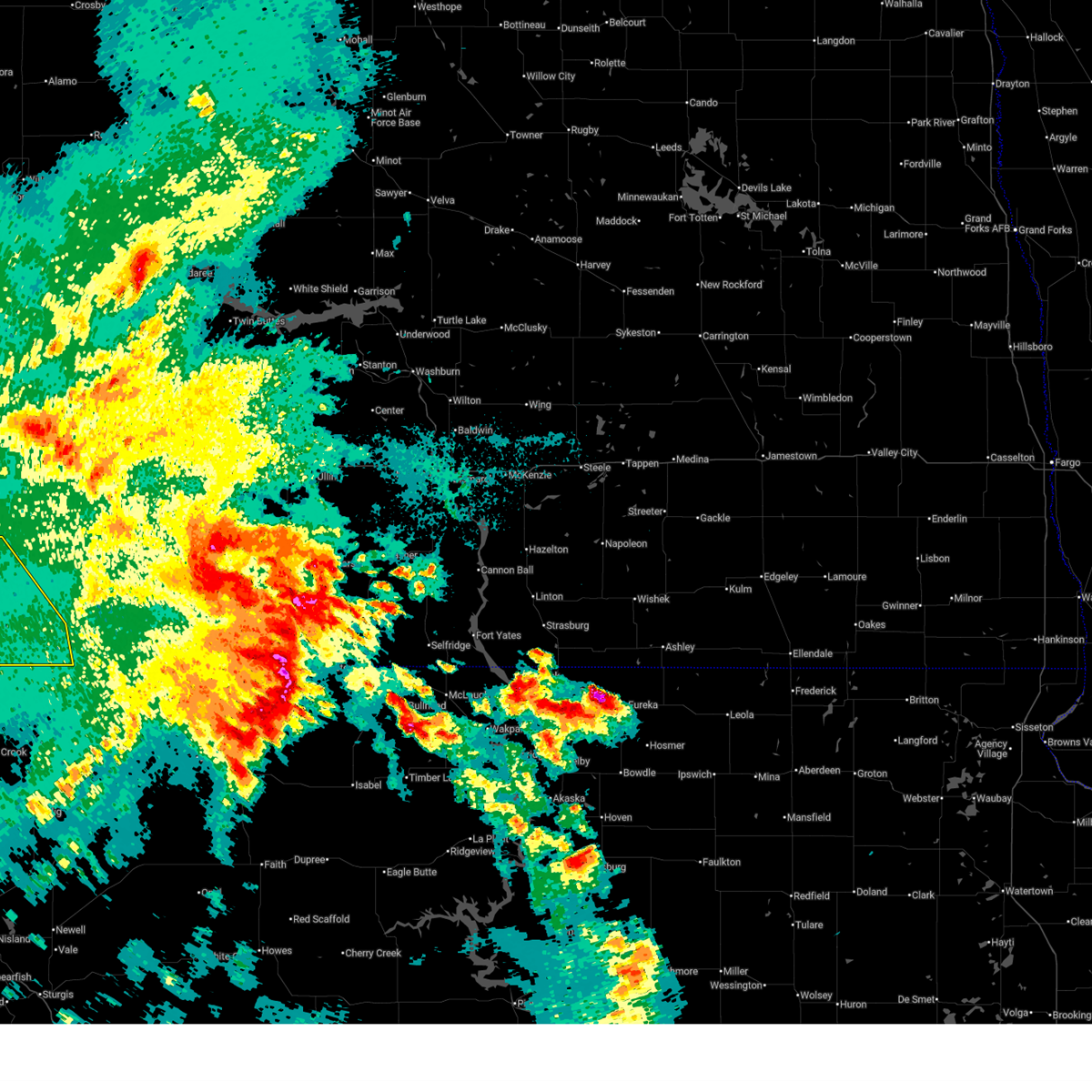
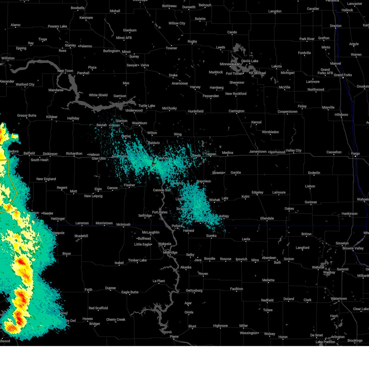
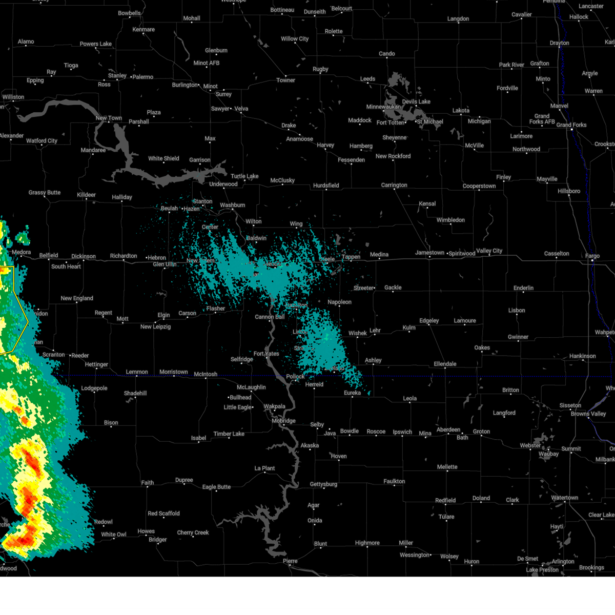
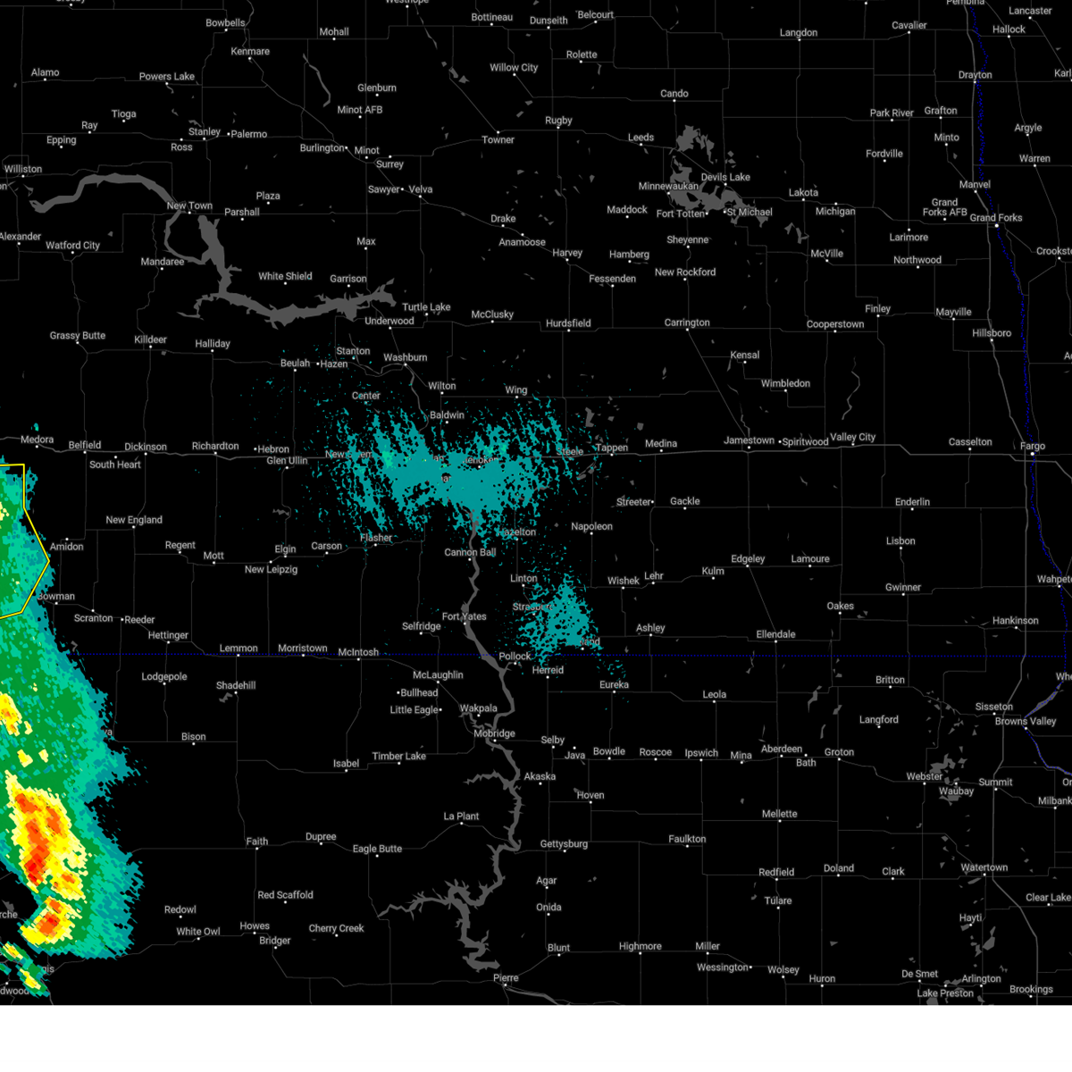
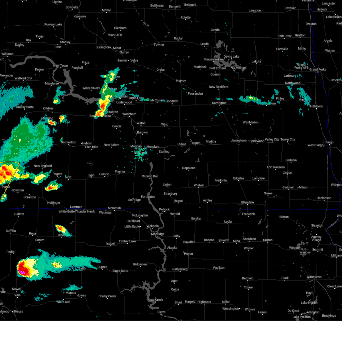
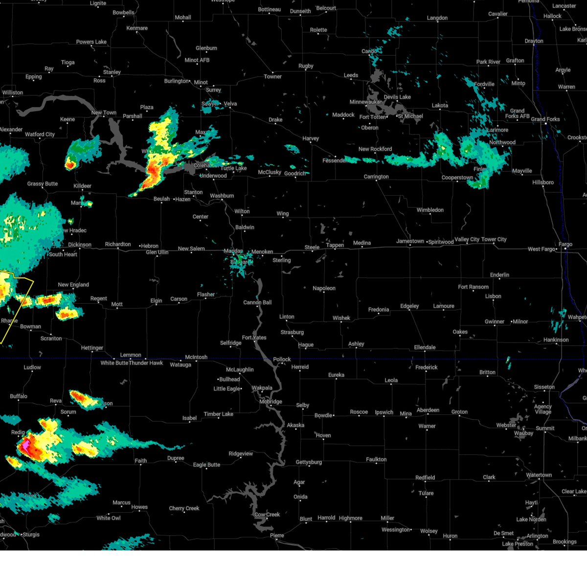
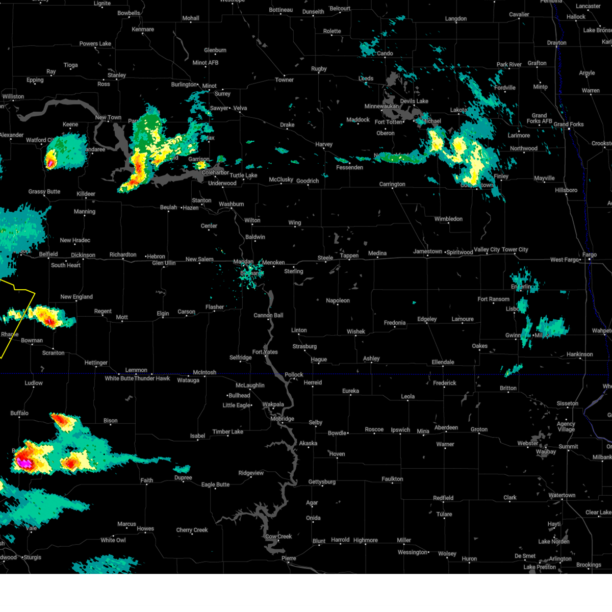
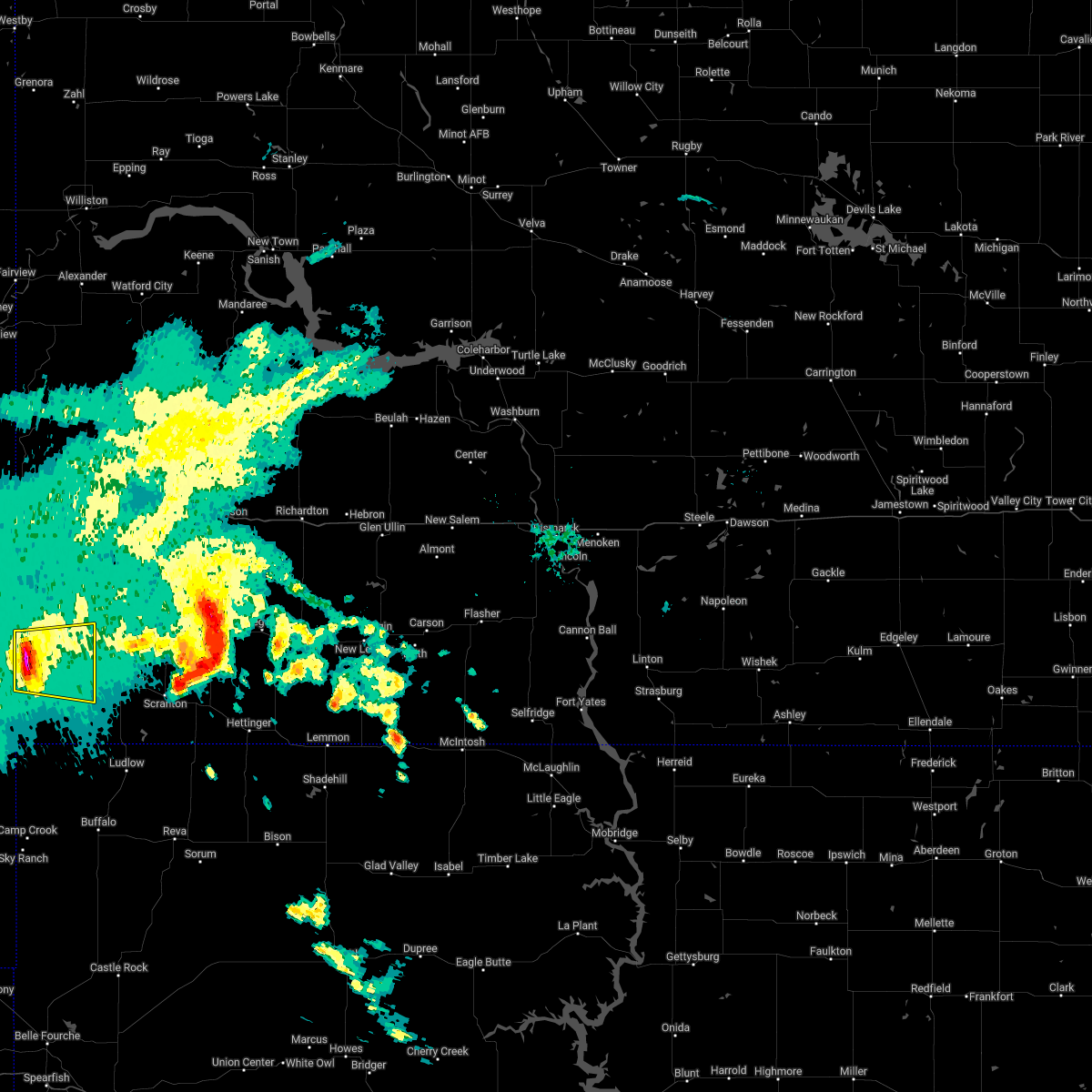
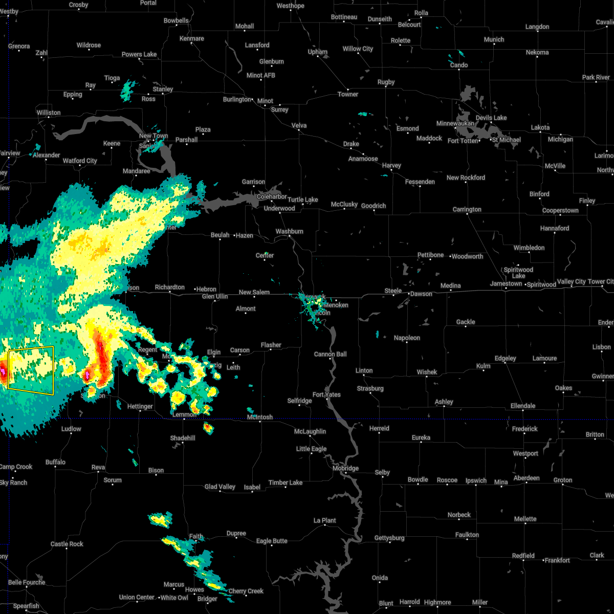
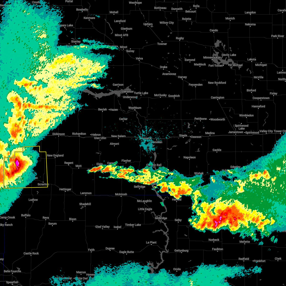
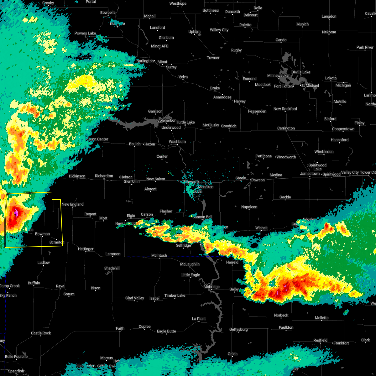
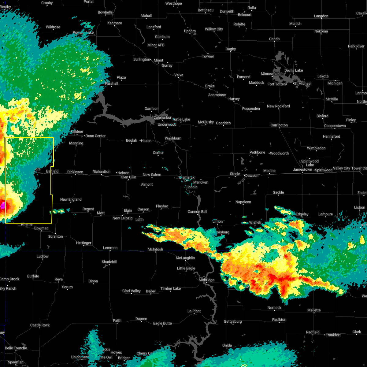
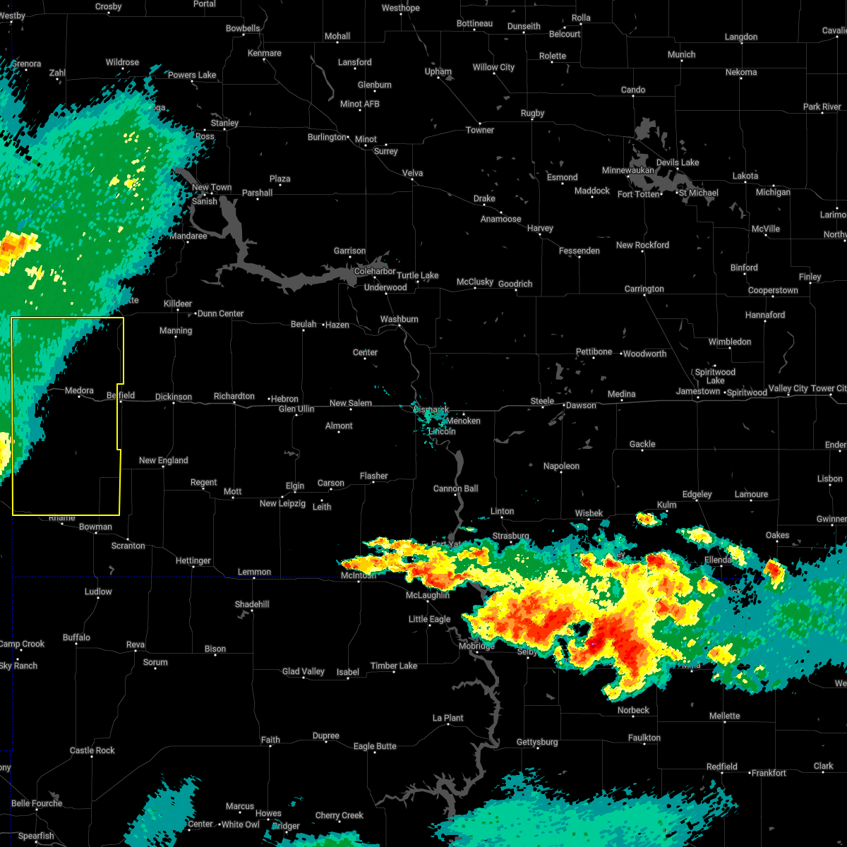
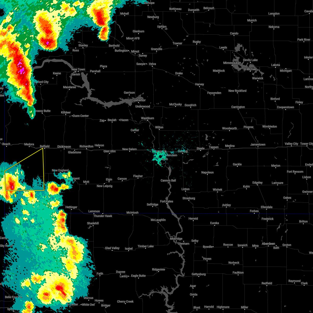
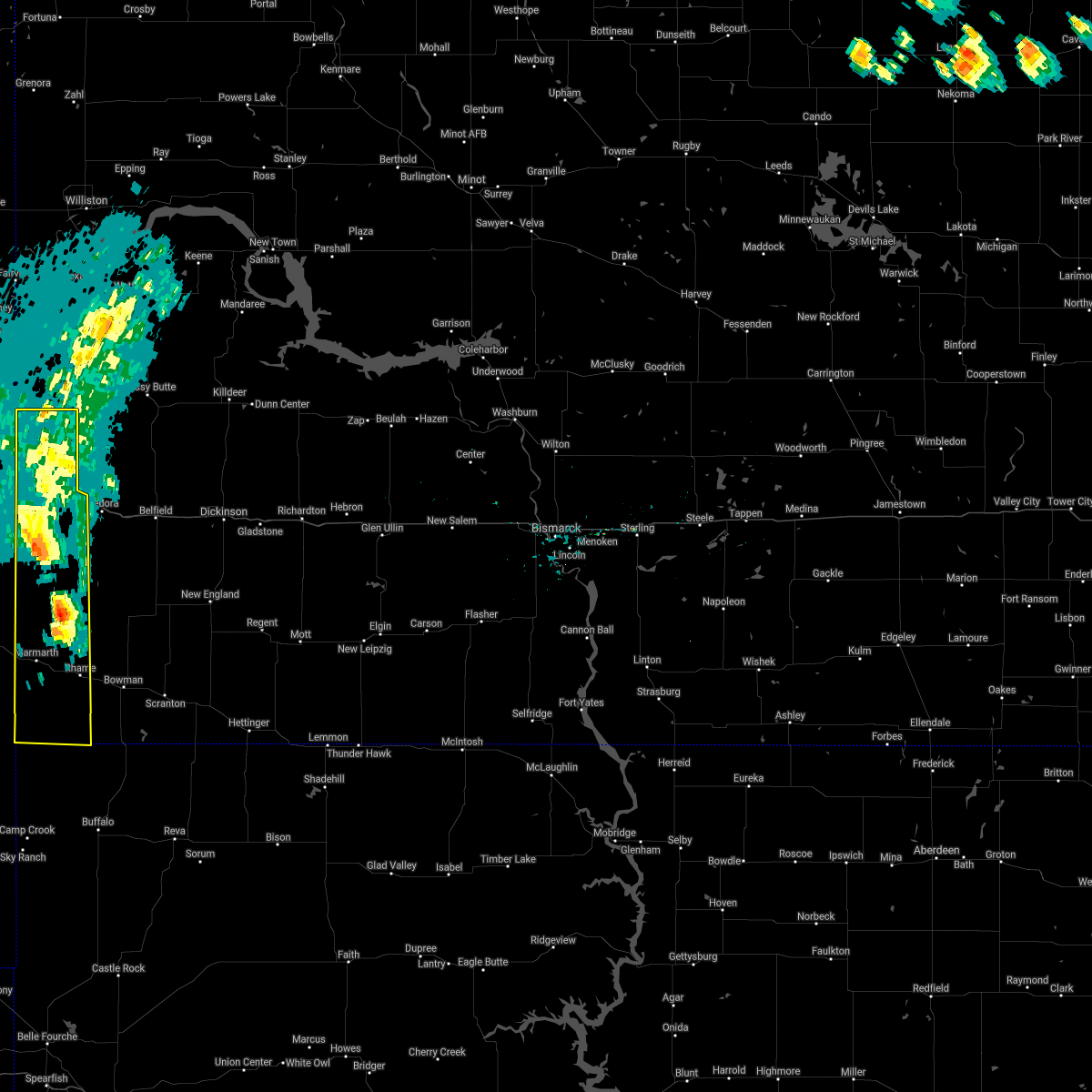
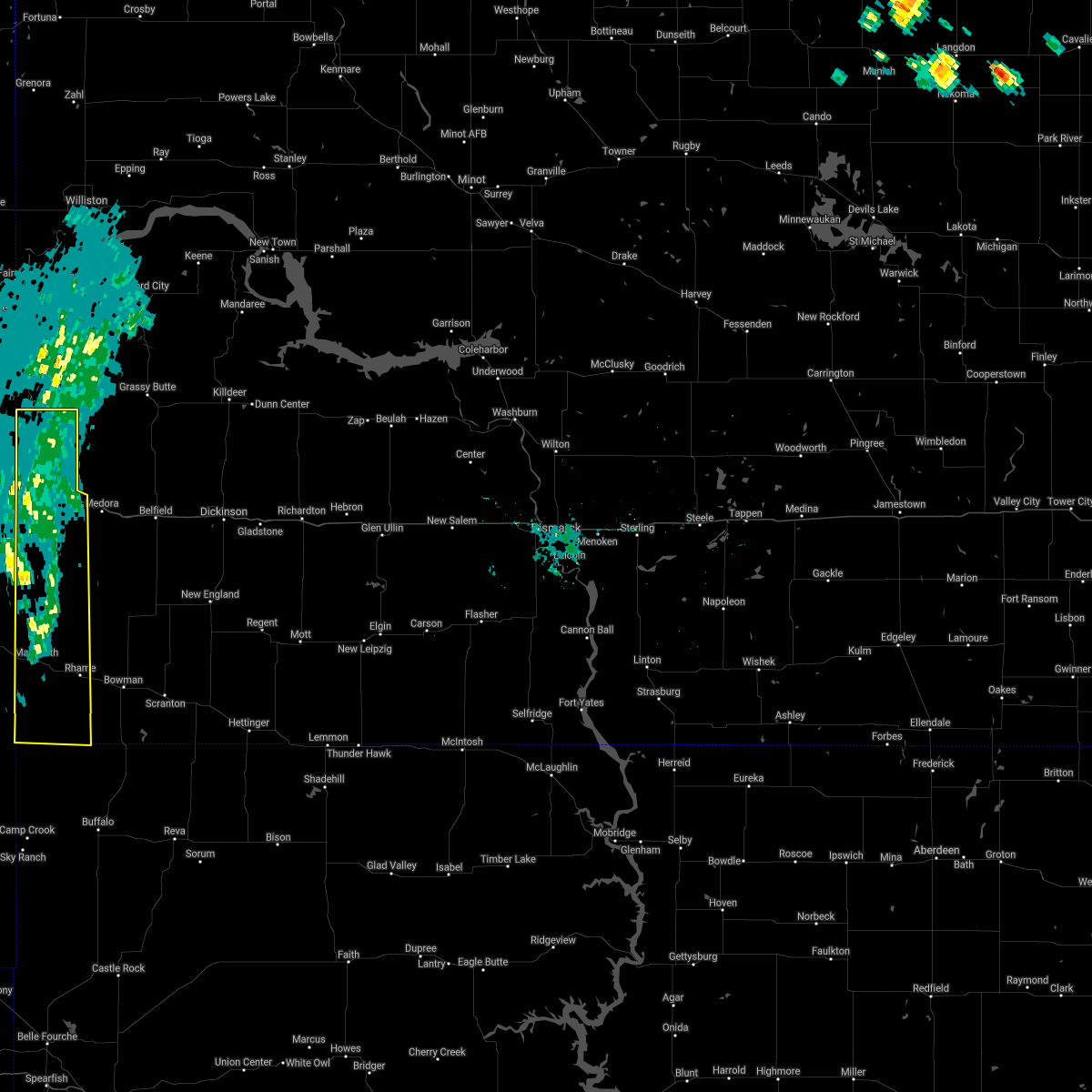
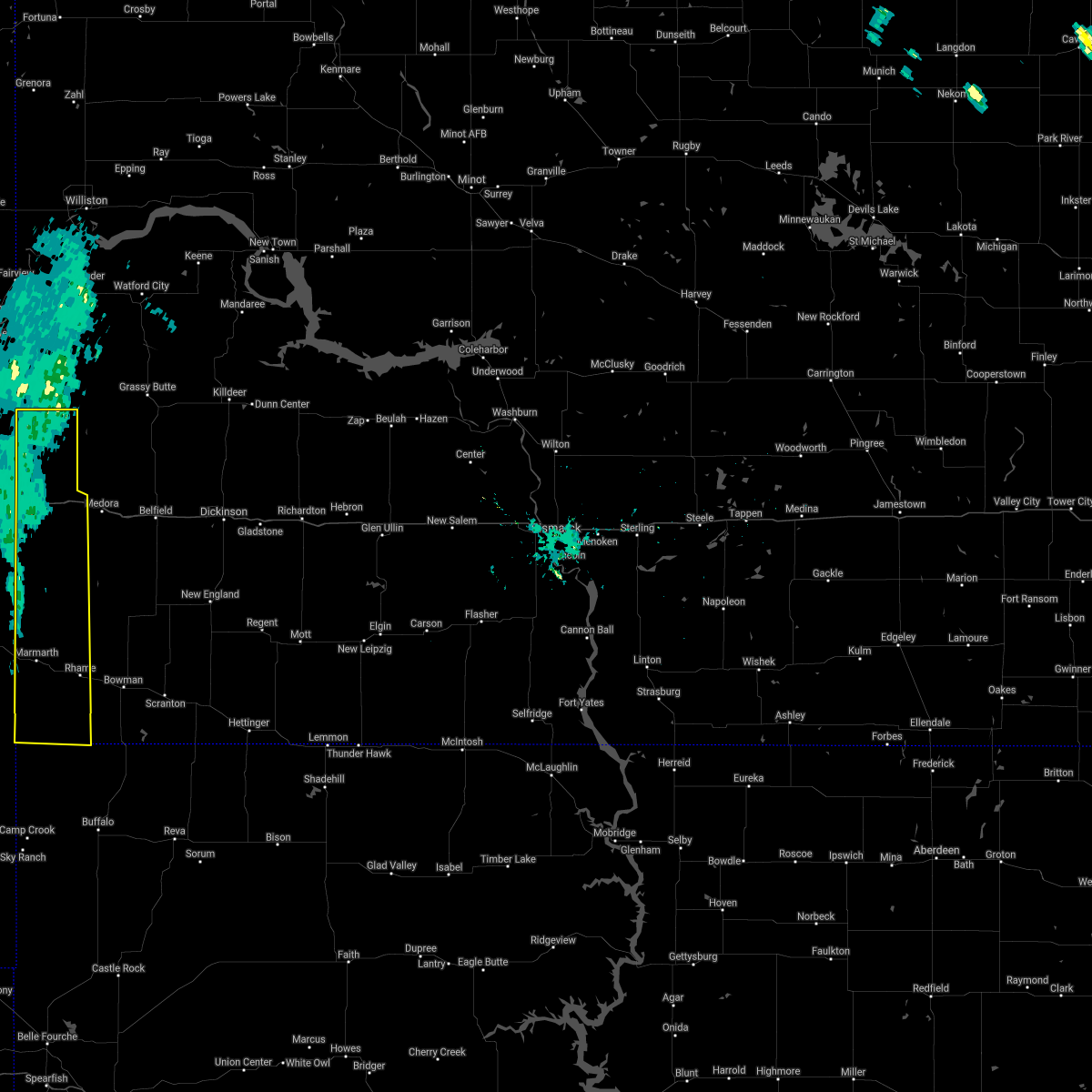
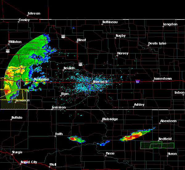
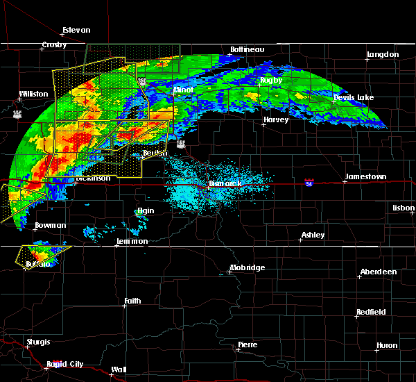
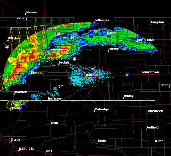
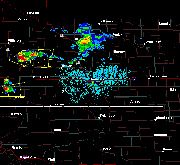
Hail Map for Marmarth, ND
The Marmarth, ND area has had 11 reports of on-the-ground hail by trained spotters, and has been under severe weather warnings 9 times during the past 12 months. Doppler radar has detected hail at or near Marmarth, ND on 1 occasion.
| Name: | Marmarth, ND |
| Where Located: | 92.3 miles E of Miles City, MT |
| Map: | Google Map for Marmarth, ND |
| Population: | 136 |
| Housing Units: | 93 |
| More Info: | Search Google for Marmarth, ND |
5
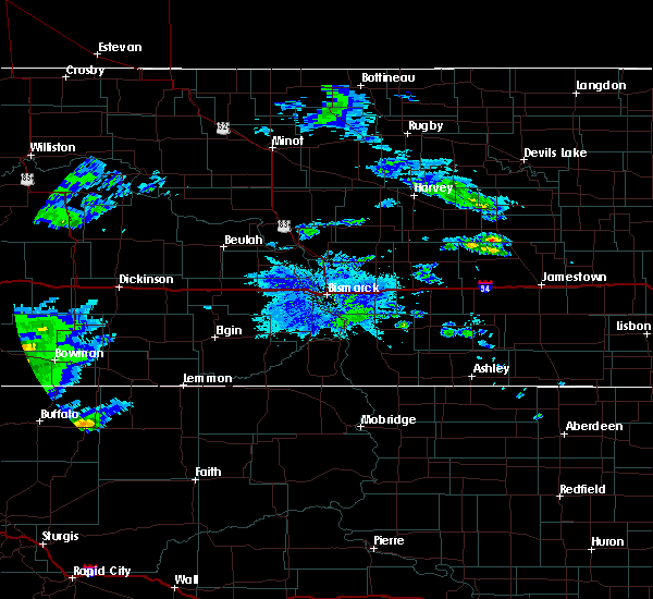
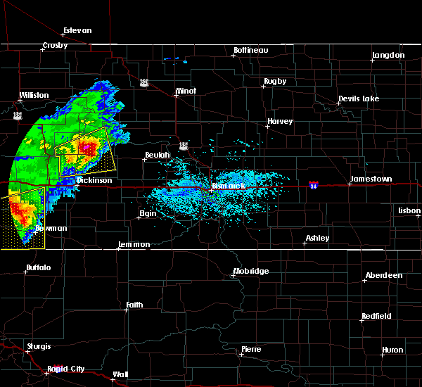
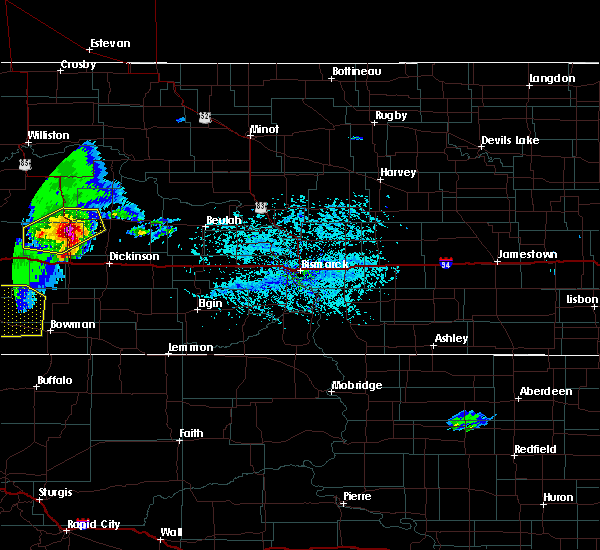
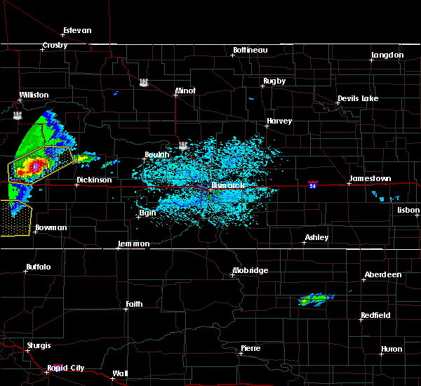
The Top Recent Hail Date for Marmarth, ND is Tuesday, July 11, 2023 (1st out of 1)

Hail and Wind Damage Spotted near Marmarth, ND
| Date / Time | Report Details |
|---|---|
| 7/3/2025 10:40 PM MDT |
 The storms which prompted the warning have weakened below severe limits, and no longer pose an immediate threat to life or property. therefore, the warning will be allowed to expire. a severe thunderstorm watch remains in effect until 100 am mdt for southwestern north dakota. The storms which prompted the warning have weakened below severe limits, and no longer pose an immediate threat to life or property. therefore, the warning will be allowed to expire. a severe thunderstorm watch remains in effect until 100 am mdt for southwestern north dakota.
|
| 7/3/2025 10:19 PM MDT |
 the severe thunderstorm warning has been cancelled and is no longer in effect the severe thunderstorm warning has been cancelled and is no longer in effect
|
| 7/3/2025 10:19 PM MDT |
 At 1019 pm mdt, severe thunderstorms were located along a line extending from near sentinel butte to 8 miles southeast of golva to 5 miles northwest of marmarth, moving east at 20 mph (radar indicated). Hazards include 60 mph wind gusts and penny size hail. Expect damage to roofs, siding, and trees. Locations impacted include, marmarth, golva, alpha, sentinel butte state nature preserve, three v crossing, and pretty butte. At 1019 pm mdt, severe thunderstorms were located along a line extending from near sentinel butte to 8 miles southeast of golva to 5 miles northwest of marmarth, moving east at 20 mph (radar indicated). Hazards include 60 mph wind gusts and penny size hail. Expect damage to roofs, siding, and trees. Locations impacted include, marmarth, golva, alpha, sentinel butte state nature preserve, three v crossing, and pretty butte.
|
| 7/3/2025 9:56 PM MDT |
 Svrbis the national weather service in bismarck has issued a * severe thunderstorm warning for, southern golden valley county in southwestern north dakota, northwestern bowman county in southwestern north dakota, western slope county in southwestern north dakota, * until 1045 pm mdt. * at 955 pm mdt, severe thunderstorms were located along a line extending from 4 miles north of golva to 6 miles south of carlyle to 7 miles south of baker, moving northeast at 15 mph (radar indicated). Hazards include 70 mph wind gusts and penny size hail. Expect considerable tree damage. Damage is likely to mobile homes, roofs, and outbuildings. Svrbis the national weather service in bismarck has issued a * severe thunderstorm warning for, southern golden valley county in southwestern north dakota, northwestern bowman county in southwestern north dakota, western slope county in southwestern north dakota, * until 1045 pm mdt. * at 955 pm mdt, severe thunderstorms were located along a line extending from 4 miles north of golva to 6 miles south of carlyle to 7 miles south of baker, moving northeast at 15 mph (radar indicated). Hazards include 70 mph wind gusts and penny size hail. Expect considerable tree damage. Damage is likely to mobile homes, roofs, and outbuildings.
|
| 6/16/2025 1:39 AM MDT |
 The storms which prompted the warning have weakened below severe limits, and no longer pose an immediate threat to life or property. therefore, the warning will be allowed to expire. however, gusty winds are still possible with these thunderstorms. a severe thunderstorm watch remains in effect until 400 am mdt for southwestern north dakota. The storms which prompted the warning have weakened below severe limits, and no longer pose an immediate threat to life or property. therefore, the warning will be allowed to expire. however, gusty winds are still possible with these thunderstorms. a severe thunderstorm watch remains in effect until 400 am mdt for southwestern north dakota.
|
| 6/16/2025 1:26 AM MDT |
 At 126 am mdt, severe thunderstorms were located along a line extending from 7 miles northeast of marmarth to 7 miles south of rhame to 6 miles northeast of table mountain, moving east at 40 mph (radar indicated). Hazards include 60 mph wind gusts. Expect damage to roofs, siding, and trees. Locations impacted include, bowman, rhame, marmarth, mud buttes, griffin, sunset butte, and pretty butte. At 126 am mdt, severe thunderstorms were located along a line extending from 7 miles northeast of marmarth to 7 miles south of rhame to 6 miles northeast of table mountain, moving east at 40 mph (radar indicated). Hazards include 60 mph wind gusts. Expect damage to roofs, siding, and trees. Locations impacted include, bowman, rhame, marmarth, mud buttes, griffin, sunset butte, and pretty butte.
|
| 6/16/2025 12:56 AM MDT |
 Svrbis the national weather service in bismarck has issued a * severe thunderstorm warning for, bowman county in southwestern north dakota, southwestern slope county in southwestern north dakota, * until 145 am mdt. * at 1256 am mdt, severe thunderstorms were located along a line extending from 4 miles east of baker to 10 miles south of marmarth to 8 miles southwest of mud buttes, moving east at 40 mph (radar indicated). Hazards include 70 mph wind gusts. Expect considerable tree damage. Damage is likely to mobile homes, roofs, and outbuildings. Svrbis the national weather service in bismarck has issued a * severe thunderstorm warning for, bowman county in southwestern north dakota, southwestern slope county in southwestern north dakota, * until 145 am mdt. * at 1256 am mdt, severe thunderstorms were located along a line extending from 4 miles east of baker to 10 miles south of marmarth to 8 miles southwest of mud buttes, moving east at 40 mph (radar indicated). Hazards include 70 mph wind gusts. Expect considerable tree damage. Damage is likely to mobile homes, roofs, and outbuildings.
|
| 7/13/2024 9:13 PM MDT |
 At 912 pm mdt, a severe thunderstorm was located near mud buttes, or 17 miles west of bowman, moving southeast at 35 mph (radar indicated). Hazards include 70 mph wind gusts and penny size hail. Expect considerable tree damage. damage is likely to mobile homes, roofs, and outbuildings. Locations impacted include, bowman, scranton, rhame, reeder, marmarth, mud buttes, griffin, bucyrus, gascoyne, sunset butte, bowman haley dam, buffalo springs, and pretty butte. At 912 pm mdt, a severe thunderstorm was located near mud buttes, or 17 miles west of bowman, moving southeast at 35 mph (radar indicated). Hazards include 70 mph wind gusts and penny size hail. Expect considerable tree damage. damage is likely to mobile homes, roofs, and outbuildings. Locations impacted include, bowman, scranton, rhame, reeder, marmarth, mud buttes, griffin, bucyrus, gascoyne, sunset butte, bowman haley dam, buffalo springs, and pretty butte.
|
| 7/13/2024 9:07 PM MDT | Davis instrument. 0.56 hundredths of rai in bowman county ND, 7.3 miles N of Marmarth, ND |
| 7/13/2024 8:37 PM MDT |
 Svrbis the national weather service in bismarck has issued a * severe thunderstorm warning for, bowman county in southwestern north dakota, southern slope county in southwestern north dakota, southwestern adams county in southwestern north dakota, * until 930 pm mdt. * at 837 pm mdt, a severe thunderstorm was located 6 miles west of marmarth, or 11 miles southeast of baker, moving southeast at 35 mph (radar indicated). Hazards include 70 mph wind gusts. Expect considerable tree damage. Damage is likely to mobile homes, roofs, and outbuildings. Svrbis the national weather service in bismarck has issued a * severe thunderstorm warning for, bowman county in southwestern north dakota, southern slope county in southwestern north dakota, southwestern adams county in southwestern north dakota, * until 930 pm mdt. * at 837 pm mdt, a severe thunderstorm was located 6 miles west of marmarth, or 11 miles southeast of baker, moving southeast at 35 mph (radar indicated). Hazards include 70 mph wind gusts. Expect considerable tree damage. Damage is likely to mobile homes, roofs, and outbuildings.
|
| 6/27/2024 6:00 PM MDT |
 At 600 pm mdt, severe thunderstorms were located along a line extending from 12 miles northwest of amidon to 9 miles northeast of rhame to 10 miles south of bowman, moving east at 55 mph. these are destructive storms for slope and bowman counties (radar indicated). Hazards include 80 mph wind gusts and quarter size hail. Flying debris will be dangerous to those caught without shelter. mobile homes will be heavily damaged. expect considerable damage to roofs, windows, and vehicles. extensive tree damage and power outages are likely. Locations impacted include, bowman, rhame, marmarth, amidon, mud buttes, griffin, sunset butte, bowman haley dam, alpha, buffalo springs, three v crossing, and pretty butte. At 600 pm mdt, severe thunderstorms were located along a line extending from 12 miles northwest of amidon to 9 miles northeast of rhame to 10 miles south of bowman, moving east at 55 mph. these are destructive storms for slope and bowman counties (radar indicated). Hazards include 80 mph wind gusts and quarter size hail. Flying debris will be dangerous to those caught without shelter. mobile homes will be heavily damaged. expect considerable damage to roofs, windows, and vehicles. extensive tree damage and power outages are likely. Locations impacted include, bowman, rhame, marmarth, amidon, mud buttes, griffin, sunset butte, bowman haley dam, alpha, buffalo springs, three v crossing, and pretty butte.
|
| 6/27/2024 5:45 PM MDT | Ndawn station located at marmarth 2 in slope county ND, 3.8 miles S of Marmarth, ND |
| 6/27/2024 5:40 PM MDT |
 Svrbis the national weather service in bismarck has issued a * severe thunderstorm warning for, southern golden valley county in southwestern north dakota, bowman county in southwestern north dakota, slope county in southwestern north dakota, * until 645 pm mdt. * at 540 pm mdt, severe thunderstorms were located along a line extending from 9 miles southeast of carlyle to marmarth to 12 miles southwest of mud buttes, moving east at 40 mph (radar indicated). Hazards include 70 mph wind gusts. Expect considerable tree damage. Damage is likely to mobile homes, roofs, and outbuildings. Svrbis the national weather service in bismarck has issued a * severe thunderstorm warning for, southern golden valley county in southwestern north dakota, bowman county in southwestern north dakota, slope county in southwestern north dakota, * until 645 pm mdt. * at 540 pm mdt, severe thunderstorms were located along a line extending from 9 miles southeast of carlyle to marmarth to 12 miles southwest of mud buttes, moving east at 40 mph (radar indicated). Hazards include 70 mph wind gusts. Expect considerable tree damage. Damage is likely to mobile homes, roofs, and outbuildings.
|
| 5/29/2024 5:16 PM MDT |
 The storms which prompted the warning have weakened below severe limits, and have exited the warned area. therefore, the warning has been allowed to expire. however, gusty winds are still possible with these thunderstorms. a severe thunderstorm watch remains in effect until 900 pm mdt for southwestern north dakota. remember, a severe thunderstorm warning still remains in effect for northern golden valley county until 545 pm mdt. The storms which prompted the warning have weakened below severe limits, and have exited the warned area. therefore, the warning has been allowed to expire. however, gusty winds are still possible with these thunderstorms. a severe thunderstorm watch remains in effect until 900 pm mdt for southwestern north dakota. remember, a severe thunderstorm warning still remains in effect for northern golden valley county until 545 pm mdt.
|
| 5/29/2024 5:03 PM MDT |
 At 502 pm mdt, severe thunderstorms were located along a line extending from 11 miles southeast of golva to 14 miles east of marmarth to 5 miles southwest of rhame, moving east at 20 mph (radar indicated). Hazards include 60 mph wind gusts. Expect damage to roofs, siding, and trees. Locations impacted include, rhame, marmarth, golva, sunset butte, alpha, three v crossing, and pretty butte. At 502 pm mdt, severe thunderstorms were located along a line extending from 11 miles southeast of golva to 14 miles east of marmarth to 5 miles southwest of rhame, moving east at 20 mph (radar indicated). Hazards include 60 mph wind gusts. Expect damage to roofs, siding, and trees. Locations impacted include, rhame, marmarth, golva, sunset butte, alpha, three v crossing, and pretty butte.
|
| 5/29/2024 4:44 PM MDT |
 At 444 pm mdt, severe thunderstorms were located along a line extending from 8 miles southeast of golva to 7 miles northwest of rhame to 8 miles south of marmarth, moving east at 20 mph (radar indicated). Hazards include 60 mph wind gusts and quarter size hail. Hail damage to vehicles is expected. expect wind damage to roofs, siding, and trees. Locations impacted include, rhame, marmarth, golva, sunset butte, alpha, three v crossing, and pretty butte. At 444 pm mdt, severe thunderstorms were located along a line extending from 8 miles southeast of golva to 7 miles northwest of rhame to 8 miles south of marmarth, moving east at 20 mph (radar indicated). Hazards include 60 mph wind gusts and quarter size hail. Hail damage to vehicles is expected. expect wind damage to roofs, siding, and trees. Locations impacted include, rhame, marmarth, golva, sunset butte, alpha, three v crossing, and pretty butte.
|
| 5/29/2024 4:21 PM MDT |
 Svrbis the national weather service in bismarck has issued a * severe thunderstorm warning for, southern golden valley county in southwestern north dakota, northwestern bowman county in southwestern north dakota, western slope county in southwestern north dakota, * until 515 pm mdt. * at 420 pm mdt, severe thunderstorms were located along a line extending from 5 miles southeast of carlyle to near marmarth to 12 miles northwest of mud buttes, moving east at 20 mph (radar indicated). Hazards include 60 mph wind gusts and quarter size hail. Hail damage to vehicles is expected. Expect wind damage to roofs, siding, and trees. Svrbis the national weather service in bismarck has issued a * severe thunderstorm warning for, southern golden valley county in southwestern north dakota, northwestern bowman county in southwestern north dakota, western slope county in southwestern north dakota, * until 515 pm mdt. * at 420 pm mdt, severe thunderstorms were located along a line extending from 5 miles southeast of carlyle to near marmarth to 12 miles northwest of mud buttes, moving east at 20 mph (radar indicated). Hazards include 60 mph wind gusts and quarter size hail. Hail damage to vehicles is expected. Expect wind damage to roofs, siding, and trees.
|
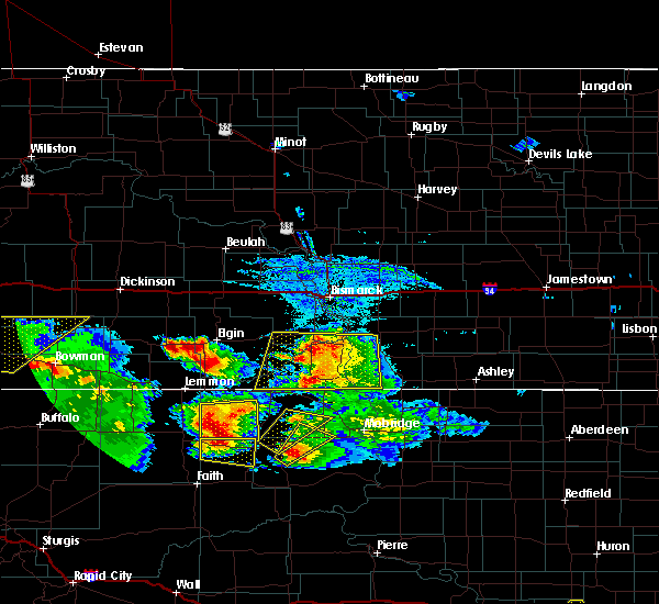
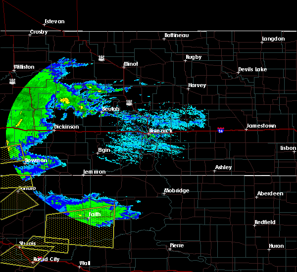
| 7/11/2023 6:49 PM MDT |
 At 648 pm mdt, severe thunderstorms were located along a line extending from 14 miles southwest of new england to 7 miles north of mud buttes, moving southeast at 40 mph (radar indicated). Hazards include golf ball size hail and 60 mph wind gusts. People and animals outdoors will be injured. expect hail damage to roofs, siding, windows, and vehicles. expect wind damage to roofs, siding, and trees. locations impacted include, bowman, hettinger, scranton, rhame, reeder, marmarth, amidon, mud buttes, griffin, bucyrus, gascoyne, sunset butte, bowman haley dam, buffalo springs and pretty butte. thunderstorm damage threat, considerable hail threat, radar indicated max hail size, 1. 75 in wind threat, radar indicated max wind gust, 60 mph. At 648 pm mdt, severe thunderstorms were located along a line extending from 14 miles southwest of new england to 7 miles north of mud buttes, moving southeast at 40 mph (radar indicated). Hazards include golf ball size hail and 60 mph wind gusts. People and animals outdoors will be injured. expect hail damage to roofs, siding, windows, and vehicles. expect wind damage to roofs, siding, and trees. locations impacted include, bowman, hettinger, scranton, rhame, reeder, marmarth, amidon, mud buttes, griffin, bucyrus, gascoyne, sunset butte, bowman haley dam, buffalo springs and pretty butte. thunderstorm damage threat, considerable hail threat, radar indicated max hail size, 1. 75 in wind threat, radar indicated max wind gust, 60 mph.
|
| 7/11/2023 6:42 PM MDT |
 At 641 pm mdt, severe thunderstorms were located along a line extending from 13 miles southwest of new england to 9 miles north of mud buttes, moving southeast at 40 mph (radar indicated). Hazards include 60 mph wind gusts and half dollar size hail. Hail damage to vehicles is expected. expect wind damage to roofs, siding, and trees. these severe thunderstorms will remain over mainly rural areas of bowman, slope and western adams counties, including the following locations, sunset butte, bowman haley dam, bucyrus, griffin, buffalo springs, pretty butte and gascoyne. hail threat, radar indicated max hail size, 1. 25 in wind threat, radar indicated max wind gust, 60 mph. At 641 pm mdt, severe thunderstorms were located along a line extending from 13 miles southwest of new england to 9 miles north of mud buttes, moving southeast at 40 mph (radar indicated). Hazards include 60 mph wind gusts and half dollar size hail. Hail damage to vehicles is expected. expect wind damage to roofs, siding, and trees. these severe thunderstorms will remain over mainly rural areas of bowman, slope and western adams counties, including the following locations, sunset butte, bowman haley dam, bucyrus, griffin, buffalo springs, pretty butte and gascoyne. hail threat, radar indicated max hail size, 1. 25 in wind threat, radar indicated max wind gust, 60 mph.
|
| 7/11/2023 6:28 PM MDT |
 At 627 pm mdt, a severe thunderstorm was located 6 miles north of marmarth, or 17 miles east of baker, moving southeast at 40 mph (radar indicated). Hazards include two inch hail and 70 mph wind gusts. People and animals outdoors will be injured. expect hail damage to roofs, siding, windows, and vehicles. expect considerable tree damage. wind damage is also likely to mobile homes, roofs, and outbuildings. locations impacted include, rhame, marmarth, sunset butte, three v crossing and pretty butte. thunderstorm damage threat, considerable hail threat, radar indicated max hail size, 2. 00 in wind threat, radar indicated max wind gust, 70 mph. At 627 pm mdt, a severe thunderstorm was located 6 miles north of marmarth, or 17 miles east of baker, moving southeast at 40 mph (radar indicated). Hazards include two inch hail and 70 mph wind gusts. People and animals outdoors will be injured. expect hail damage to roofs, siding, windows, and vehicles. expect considerable tree damage. wind damage is also likely to mobile homes, roofs, and outbuildings. locations impacted include, rhame, marmarth, sunset butte, three v crossing and pretty butte. thunderstorm damage threat, considerable hail threat, radar indicated max hail size, 2. 00 in wind threat, radar indicated max wind gust, 70 mph.
|
| 7/11/2023 6:26 PM MDT | Ndawn mesonet site measured at 10 meter in slope county ND, 2.4 miles S of Marmarth, ND |
| 7/11/2023 6:07 PM MDT |
 At 607 pm mdt, a severe thunderstorm was located 11 miles southeast of carlyle, or 18 miles northeast of baker, moving southeast at 40 mph (radar indicated). Hazards include tennis ball size hail and 70 mph wind gusts. People and animals outdoors will be injured. expect hail damage to roofs, siding, windows, and vehicles. expect considerable tree damage. wind damage is also likely to mobile homes, roofs, and outbuildings. locations impacted include, rhame, marmarth, alpha, sunset butte, three v crossing and pretty butte. thunderstorm damage threat, considerable hail threat, radar indicated max hail size, 2. 50 in wind threat, radar indicated max wind gust, 70 mph. At 607 pm mdt, a severe thunderstorm was located 11 miles southeast of carlyle, or 18 miles northeast of baker, moving southeast at 40 mph (radar indicated). Hazards include tennis ball size hail and 70 mph wind gusts. People and animals outdoors will be injured. expect hail damage to roofs, siding, windows, and vehicles. expect considerable tree damage. wind damage is also likely to mobile homes, roofs, and outbuildings. locations impacted include, rhame, marmarth, alpha, sunset butte, three v crossing and pretty butte. thunderstorm damage threat, considerable hail threat, radar indicated max hail size, 2. 50 in wind threat, radar indicated max wind gust, 70 mph.
|
| 7/11/2023 5:42 PM MDT |
 At 541 pm mdt, a severe thunderstorm was located 6 miles west of carlyle, or 19 miles north of baker, moving southeast at 40 mph (radar indicated). Hazards include golf ball size hail and 70 mph wind gusts. People and animals outdoors will be injured. expect hail damage to roofs, siding, windows, and vehicles. expect considerable tree damage. wind damage is also likely to mobile homes, roofs, and outbuildings. this severe thunderstorm will remain over mainly rural areas of southern golden valley, northwestern bowman and western slope counties, including the following locations, alpha, sunset butte, three v crossing and pretty butte. thunderstorm damage threat, considerable hail threat, radar indicated max hail size, 1. 75 in wind threat, radar indicated max wind gust, 70 mph. At 541 pm mdt, a severe thunderstorm was located 6 miles west of carlyle, or 19 miles north of baker, moving southeast at 40 mph (radar indicated). Hazards include golf ball size hail and 70 mph wind gusts. People and animals outdoors will be injured. expect hail damage to roofs, siding, windows, and vehicles. expect considerable tree damage. wind damage is also likely to mobile homes, roofs, and outbuildings. this severe thunderstorm will remain over mainly rural areas of southern golden valley, northwestern bowman and western slope counties, including the following locations, alpha, sunset butte, three v crossing and pretty butte. thunderstorm damage threat, considerable hail threat, radar indicated max hail size, 1. 75 in wind threat, radar indicated max wind gust, 70 mph.
|
| 7/5/2022 4:56 AM MDT |
 At 456 am mdt, a severe thunderstorm was located over marmarth, or 15 miles east of baker, moving east at 25 mph (radar indicated). Hazards include ping pong ball size hail and 60 mph wind gusts. People and animals outdoors will be injured. expect hail damage to roofs, siding, windows, and vehicles. expect wind damage to roofs, siding, and trees. this severe storm will be near, marmarth around 500 am mdt. other locations in the path of this severe thunderstorm include rhame. hail threat, radar indicated max hail size, 1. 50 in wind threat, radar indicated max wind gust, 60 mph. At 456 am mdt, a severe thunderstorm was located over marmarth, or 15 miles east of baker, moving east at 25 mph (radar indicated). Hazards include ping pong ball size hail and 60 mph wind gusts. People and animals outdoors will be injured. expect hail damage to roofs, siding, windows, and vehicles. expect wind damage to roofs, siding, and trees. this severe storm will be near, marmarth around 500 am mdt. other locations in the path of this severe thunderstorm include rhame. hail threat, radar indicated max hail size, 1. 50 in wind threat, radar indicated max wind gust, 60 mph.
|
| 7/5/2022 4:42 AM MDT |
 At 442 am mdt, a severe thunderstorm was located 7 miles west of marmarth, or 10 miles southeast of baker, moving east at 25 mph (radar indicated). Hazards include 60 mph wind gusts and half dollar size hail. Hail damage to vehicles is expected. expect wind damage to roofs, siding, and trees. this severe thunderstorm will be near, marmarth around 455 am mdt. other locations in the path of this severe thunderstorm include rhame. hail threat, radar indicated max hail size, 1. 25 in wind threat, radar indicated max wind gust, 60 mph. At 442 am mdt, a severe thunderstorm was located 7 miles west of marmarth, or 10 miles southeast of baker, moving east at 25 mph (radar indicated). Hazards include 60 mph wind gusts and half dollar size hail. Hail damage to vehicles is expected. expect wind damage to roofs, siding, and trees. this severe thunderstorm will be near, marmarth around 455 am mdt. other locations in the path of this severe thunderstorm include rhame. hail threat, radar indicated max hail size, 1. 25 in wind threat, radar indicated max wind gust, 60 mph.
|
| 7/3/2022 10:02 PM MDT |
 At 1001 pm mdt, a severe thunderstorm was located 13 miles west of amidon, moving east at 30 mph (radar indicated). Hazards include golf ball size hail and 70 mph wind gusts. People and animals outdoors will be injured. expect hail damage to roofs, siding, windows, and vehicles. expect considerable tree damage. wind damage is also likely to mobile homes, roofs, and outbuildings. locations impacted include, bowman, amidon, scranton, rhame, marmarth, griffin, gascoyne, sunset butte, buffalo springs, three v crossing and pretty butte. thunderstorm damage threat, considerable hail threat, radar indicated max hail size, 1. 75 in wind threat, radar indicated max wind gust, 70 mph. At 1001 pm mdt, a severe thunderstorm was located 13 miles west of amidon, moving east at 30 mph (radar indicated). Hazards include golf ball size hail and 70 mph wind gusts. People and animals outdoors will be injured. expect hail damage to roofs, siding, windows, and vehicles. expect considerable tree damage. wind damage is also likely to mobile homes, roofs, and outbuildings. locations impacted include, bowman, amidon, scranton, rhame, marmarth, griffin, gascoyne, sunset butte, buffalo springs, three v crossing and pretty butte. thunderstorm damage threat, considerable hail threat, radar indicated max hail size, 1. 75 in wind threat, radar indicated max wind gust, 70 mph.
|
| 7/3/2022 9:42 PM MDT |
 At 941 pm mdt, a severe thunderstorm was located 13 miles northeast of marmarth, or 22 miles west of amidon, moving east at 30 mph (radar indicated). Hazards include golf ball size hail and 70 mph wind gusts. People and animals outdoors will be injured. expect hail damage to roofs, siding, windows, and vehicles. expect considerable tree damage. Wind damage is also likely to mobile homes, roofs, and outbuildings. At 941 pm mdt, a severe thunderstorm was located 13 miles northeast of marmarth, or 22 miles west of amidon, moving east at 30 mph (radar indicated). Hazards include golf ball size hail and 70 mph wind gusts. People and animals outdoors will be injured. expect hail damage to roofs, siding, windows, and vehicles. expect considerable tree damage. Wind damage is also likely to mobile homes, roofs, and outbuildings.
|
| 7/3/2022 9:09 PM MDT |
 At 909 pm mdt, severe thunderstorms were located along a line extending from near trotters to 9 miles northeast of marmarth, moving east at 35 mph (radar indicated). Hazards include 70 mph wind gusts and half dollar size hail. Hail damage to vehicles is expected. expect considerable tree damage. wind damage is also likely to mobile homes, roofs, and outbuildings. locations impacted include, amidon. thunderstorm damage threat, considerable hail threat, radar indicated max hail size, 1. 25 in wind threat, radar indicated max wind gust, 70 mph. At 909 pm mdt, severe thunderstorms were located along a line extending from near trotters to 9 miles northeast of marmarth, moving east at 35 mph (radar indicated). Hazards include 70 mph wind gusts and half dollar size hail. Hail damage to vehicles is expected. expect considerable tree damage. wind damage is also likely to mobile homes, roofs, and outbuildings. locations impacted include, amidon. thunderstorm damage threat, considerable hail threat, radar indicated max hail size, 1. 25 in wind threat, radar indicated max wind gust, 70 mph.
|
| 7/3/2022 8:40 PM MDT |
 At 838 pm mdt, severe thunderstorms were located along a line extending from 5 miles west of skaar to 10 miles northeast of baker, moving east at 45 mph (radar indicated). Hazards include 70 mph wind gusts and half dollar size hail. Hail damage to vehicles is expected. expect considerable tree damage. wind damage is also likely to mobile homes, roofs, and outbuildings. severe thunderstorms will be near, trotters around 855 pm mdt. other locations in the path of these severe thunderstorms include amidon. thunderstorm damage threat, considerable hail threat, radar indicated max hail size, 1. 25 in wind threat, radar indicated max wind gust, 70 mph. At 838 pm mdt, severe thunderstorms were located along a line extending from 5 miles west of skaar to 10 miles northeast of baker, moving east at 45 mph (radar indicated). Hazards include 70 mph wind gusts and half dollar size hail. Hail damage to vehicles is expected. expect considerable tree damage. wind damage is also likely to mobile homes, roofs, and outbuildings. severe thunderstorms will be near, trotters around 855 pm mdt. other locations in the path of these severe thunderstorms include amidon. thunderstorm damage threat, considerable hail threat, radar indicated max hail size, 1. 25 in wind threat, radar indicated max wind gust, 70 mph.
|
| 6/10/2021 10:01 PM MDT |
 At 1001 pm mdt, a severe thunderstorm was located 6 miles northeast of marmarth, or 20 miles east of baker, moving northeast at 30 mph (radar indicated). Hazards include 60 mph wind gusts and half dollar size hail. Hail damage to vehicles is expected. expect wind damage to roofs, siding, and trees. This severe thunderstorm will remain over mainly rural areas of southern golden valley, southwestern billings and slope counties, including the following locations, pretty butte and three v crossing. At 1001 pm mdt, a severe thunderstorm was located 6 miles northeast of marmarth, or 20 miles east of baker, moving northeast at 30 mph (radar indicated). Hazards include 60 mph wind gusts and half dollar size hail. Hail damage to vehicles is expected. expect wind damage to roofs, siding, and trees. This severe thunderstorm will remain over mainly rural areas of southern golden valley, southwestern billings and slope counties, including the following locations, pretty butte and three v crossing.
|
| 6/5/2021 9:03 PM MDT |
 At 902 pm mdt, severe thunderstorms were located along a line extending from 12 miles east of trotters to 17 miles east of golva to 5 miles northeast of mud buttes, moving east at 45 mph (surface observations). Hazards include 60 mph wind gusts. Expect damage to roofs, siding, and trees. Locations impacted include, beach, rhame, marmarth, golva, sentinel butte, mud buttes, trotters, sunset butte, alpha, three v crossing, and pretty butte. At 902 pm mdt, severe thunderstorms were located along a line extending from 12 miles east of trotters to 17 miles east of golva to 5 miles northeast of mud buttes, moving east at 45 mph (surface observations). Hazards include 60 mph wind gusts. Expect damage to roofs, siding, and trees. Locations impacted include, beach, rhame, marmarth, golva, sentinel butte, mud buttes, trotters, sunset butte, alpha, three v crossing, and pretty butte.
|
| 6/5/2021 8:51 PM MDT |
 At 835 pm mdt, severe thunderstorms were located along a line extending from 11 miles south of skaar to 5 miles southeast of carlyle to 13 miles west of mud buttes, moving east at 40 mph (surface observations). Hazards include 70 mph wind gusts. Expect considerable tree damage. damage is likely to mobile homes, roofs, and outbuildings. severe thunderstorms will be near, trotters around 850 pm mdt. Mud buttes around 855 pm mdt. At 835 pm mdt, severe thunderstorms were located along a line extending from 11 miles south of skaar to 5 miles southeast of carlyle to 13 miles west of mud buttes, moving east at 40 mph (surface observations). Hazards include 70 mph wind gusts. Expect considerable tree damage. damage is likely to mobile homes, roofs, and outbuildings. severe thunderstorms will be near, trotters around 850 pm mdt. Mud buttes around 855 pm mdt.
|
| 6/5/2021 8:36 PM MDT |
 At 835 pm mdt, severe thunderstorms were located along a line extending from 11 miles south of skaar to 5 miles southeast of carlyle to 13 miles west of mud buttes, moving east at 40 mph (surface observations). Hazards include 70 mph wind gusts. Expect considerable tree damage. damage is likely to mobile homes, roofs, and outbuildings. severe thunderstorms will be near, trotters around 850 pm mdt. Mud buttes around 855 pm mdt. At 835 pm mdt, severe thunderstorms were located along a line extending from 11 miles south of skaar to 5 miles southeast of carlyle to 13 miles west of mud buttes, moving east at 40 mph (surface observations). Hazards include 70 mph wind gusts. Expect considerable tree damage. damage is likely to mobile homes, roofs, and outbuildings. severe thunderstorms will be near, trotters around 850 pm mdt. Mud buttes around 855 pm mdt.
|
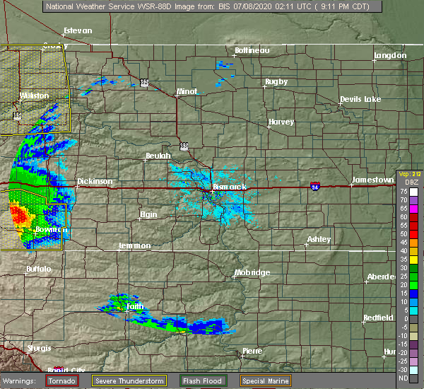
| 8/13/2020 11:14 PM MDT | Storm damage reported in bowman county ND, 8 miles N of Marmarth, ND |
| 8/13/2020 11:14 PM MDT |
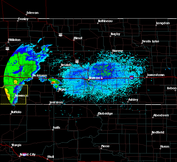 At 1114 pm mdt, a severe thunderstorm was located near rhame, or 11 miles northwest of bowman, moving east at 45 mph (radar indicated). Hazards include 70 mph wind gusts and quarter size hail. Hail damage to vehicles is expected. expect considerable tree damage. wind damage is also likely to mobile homes, roofs, and outbuildings. this severe storm will be near, bowman around 1130 pm mdt. Other locations impacted by this severe thunderstorm include sunset butte, bowman haley dam, griffin, buffalo springs, three v crossing, pretty butte and gascoyne. At 1114 pm mdt, a severe thunderstorm was located near rhame, or 11 miles northwest of bowman, moving east at 45 mph (radar indicated). Hazards include 70 mph wind gusts and quarter size hail. Hail damage to vehicles is expected. expect considerable tree damage. wind damage is also likely to mobile homes, roofs, and outbuildings. this severe storm will be near, bowman around 1130 pm mdt. Other locations impacted by this severe thunderstorm include sunset butte, bowman haley dam, griffin, buffalo springs, three v crossing, pretty butte and gascoyne.
|
| 8/13/2020 10:50 PM MDT |
 At 1049 pm mdt, a severe thunderstorm was located 5 miles southwest of marmarth, or 16 miles southeast of baker, moving east at 45 mph (radar indicated). Hazards include 60 mph wind gusts and quarter size hail. Hail damage to vehicles is expected. expect wind damage to roofs, siding, and trees. this severe thunderstorm will be near, rhame around 1115 pm mdt. bowman around 1130 pm mdt. Other locations impacted by this severe thunderstorm include sunset butte, bowman haley dam, griffin, buffalo springs, three v crossing, pretty butte and gascoyne. At 1049 pm mdt, a severe thunderstorm was located 5 miles southwest of marmarth, or 16 miles southeast of baker, moving east at 45 mph (radar indicated). Hazards include 60 mph wind gusts and quarter size hail. Hail damage to vehicles is expected. expect wind damage to roofs, siding, and trees. this severe thunderstorm will be near, rhame around 1115 pm mdt. bowman around 1130 pm mdt. Other locations impacted by this severe thunderstorm include sunset butte, bowman haley dam, griffin, buffalo springs, three v crossing, pretty butte and gascoyne.
|
| 8/11/2020 6:14 PM MDT | Quarter sized hail reported 10 miles N of Marmarth, ND, 30-40 mph winds accompanied the hail. also measured 3.5 inches of rain in one hour. most of the hail was smaller... with the larger stones the size of a quarter. the la |
| 8/11/2020 6:14 PM MDT |
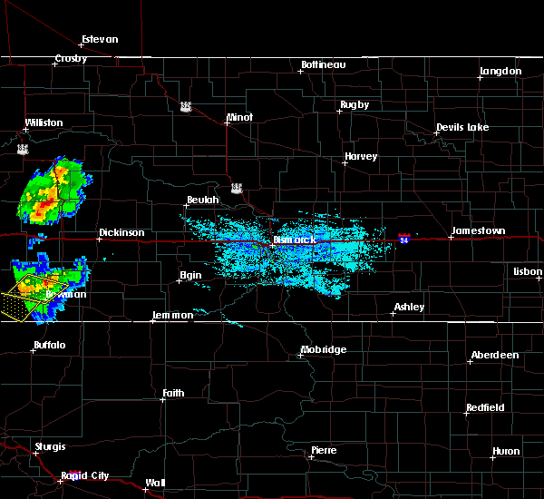 At 614 pm mdt, severe thunderstorms were located along a line extending from 9 miles east of amidon to 11 miles southwest of mud buttes, moving east at 15 mph (radar indicated). Hazards include 60 mph wind gusts and half dollar size hail. Hail damage to vehicles is expected. Expect wind damage to roofs, siding, and trees. At 614 pm mdt, severe thunderstorms were located along a line extending from 9 miles east of amidon to 11 miles southwest of mud buttes, moving east at 15 mph (radar indicated). Hazards include 60 mph wind gusts and half dollar size hail. Hail damage to vehicles is expected. Expect wind damage to roofs, siding, and trees.
|
| 7/23/2020 4:07 PM MDT |
 At 407 pm mdt, a severe thunderstorm was located 6 miles northwest of marmarth, or 12 miles east of baker, moving northeast at 25 mph (radar indicated). Hazards include 60 mph wind gusts and half dollar size hail. Hail damage to vehicles is expected. expect wind damage to roofs, siding, and trees. this severe thunderstorm will be near, marmarth around 410 pm mdt. Other locations impacted by this severe thunderstorm include pretty butte and three v crossing. At 407 pm mdt, a severe thunderstorm was located 6 miles northwest of marmarth, or 12 miles east of baker, moving northeast at 25 mph (radar indicated). Hazards include 60 mph wind gusts and half dollar size hail. Hail damage to vehicles is expected. expect wind damage to roofs, siding, and trees. this severe thunderstorm will be near, marmarth around 410 pm mdt. Other locations impacted by this severe thunderstorm include pretty butte and three v crossing.
|
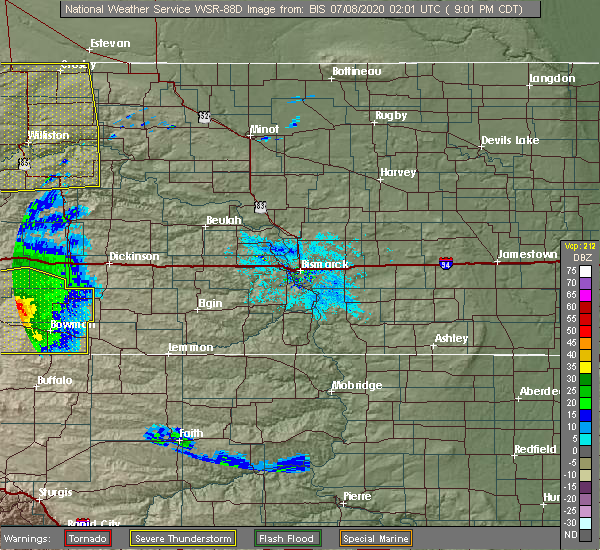
| 7/7/2020 8:12 PM MDT |
 At 811 pm mdt, severe thunderstorms were located along a line extending from golva to 7 miles southwest of amidon to 9 miles north of camp crook, moving northeast at 50 mph (emergency management. at 810 pm mdt, the bowman county emergency manager reported 73 mph winds 4 miles southwest of rhame). Hazards include 70 mph wind gusts and ping pong ball size hail. People and animals outdoors will be injured. expect hail damage to roofs, siding, windows, and vehicles. expect considerable tree damage. wind damage is also likely to mobile homes, roofs, and outbuildings. these severe storms will be near, amidon around 820 pm mdt. Other locations impacted by these severe thunderstorms include sunset butte, bowman haley dam, alpha, griffin, buffalo springs, three v crossing, pretty butte and gascoyne. At 811 pm mdt, severe thunderstorms were located along a line extending from golva to 7 miles southwest of amidon to 9 miles north of camp crook, moving northeast at 50 mph (emergency management. at 810 pm mdt, the bowman county emergency manager reported 73 mph winds 4 miles southwest of rhame). Hazards include 70 mph wind gusts and ping pong ball size hail. People and animals outdoors will be injured. expect hail damage to roofs, siding, windows, and vehicles. expect considerable tree damage. wind damage is also likely to mobile homes, roofs, and outbuildings. these severe storms will be near, amidon around 820 pm mdt. Other locations impacted by these severe thunderstorms include sunset butte, bowman haley dam, alpha, griffin, buffalo springs, three v crossing, pretty butte and gascoyne.
|
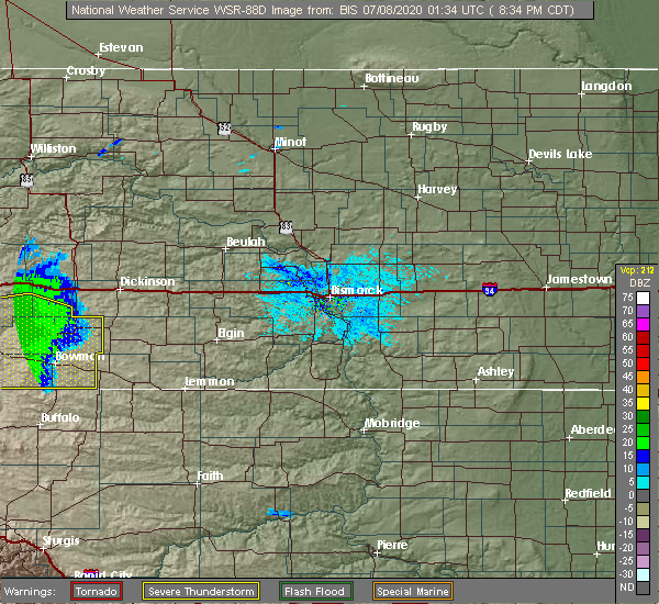
| 7/7/2020 8:00 PM MDT |
 At 759 pm mdt, severe thunderstorms were located along a line extending from near carlyle to 10 miles northeast of rhame to 10 miles northwest of camp crook, moving northeast at 50 mph (radar indicated). Hazards include 70 mph wind gusts and ping pong ball size hail. People and animals outdoors will be injured. expect hail damage to roofs, siding, windows, and vehicles. expect considerable tree damage. wind damage is also likely to mobile homes, roofs, and outbuildings. these severe storms will be near, golva around 810 pm mdt. amidon around 815 pm mdt. Other locations impacted by these severe thunderstorms include sunset butte, bowman haley dam, alpha, griffin, buffalo springs, three v crossing, pretty butte and gascoyne. At 759 pm mdt, severe thunderstorms were located along a line extending from near carlyle to 10 miles northeast of rhame to 10 miles northwest of camp crook, moving northeast at 50 mph (radar indicated). Hazards include 70 mph wind gusts and ping pong ball size hail. People and animals outdoors will be injured. expect hail damage to roofs, siding, windows, and vehicles. expect considerable tree damage. wind damage is also likely to mobile homes, roofs, and outbuildings. these severe storms will be near, golva around 810 pm mdt. amidon around 815 pm mdt. Other locations impacted by these severe thunderstorms include sunset butte, bowman haley dam, alpha, griffin, buffalo springs, three v crossing, pretty butte and gascoyne.
|
| 7/7/2020 7:33 PM MDT |
 At 733 pm mdt, severe thunderstorms were located along a line extending from 16 miles northwest of baker to 6 miles southwest of marmarth to near ridgeway, moving northeast at 50 mph (radar indicated). Hazards include 70 mph wind gusts and ping pong ball size hail. People and animals outdoors will be injured. expect hail damage to roofs, siding, windows, and vehicles. expect considerable tree damage. wind damage is also likely to mobile homes, roofs, and outbuildings. severe thunderstorms will be near, marmarth around 740 pm mdt. rhame around 755 pm mdt. golva around 810 pm mdt. amidon around 820 pm mdt. Other locations impacted by these severe thunderstorms include sunset butte, bowman haley dam, alpha, griffin, buffalo springs, three v crossing, pretty butte and gascoyne. At 733 pm mdt, severe thunderstorms were located along a line extending from 16 miles northwest of baker to 6 miles southwest of marmarth to near ridgeway, moving northeast at 50 mph (radar indicated). Hazards include 70 mph wind gusts and ping pong ball size hail. People and animals outdoors will be injured. expect hail damage to roofs, siding, windows, and vehicles. expect considerable tree damage. wind damage is also likely to mobile homes, roofs, and outbuildings. severe thunderstorms will be near, marmarth around 740 pm mdt. rhame around 755 pm mdt. golva around 810 pm mdt. amidon around 820 pm mdt. Other locations impacted by these severe thunderstorms include sunset butte, bowman haley dam, alpha, griffin, buffalo springs, three v crossing, pretty butte and gascoyne.
|
| 7/4/2020 9:55 PM MDT |
 At 955 pm mdt, severe thunderstorms were located along a line extending from 10 miles southeast of golva to 4 miles east of rhame to 4 miles southwest of south cave hills, moving northeast at 35 mph (radar indicated). Hazards include 60 mph wind gusts and penny size hail. Expect damage to roofs, siding, and trees. These severe thunderstorms will remain over mainly rural areas of western bowman and western slope counties, including the following locations, sunset butte, griffin, three v crossing and pretty butte. At 955 pm mdt, severe thunderstorms were located along a line extending from 10 miles southeast of golva to 4 miles east of rhame to 4 miles southwest of south cave hills, moving northeast at 35 mph (radar indicated). Hazards include 60 mph wind gusts and penny size hail. Expect damage to roofs, siding, and trees. These severe thunderstorms will remain over mainly rural areas of western bowman and western slope counties, including the following locations, sunset butte, griffin, three v crossing and pretty butte.
|
| 7/4/2020 9:35 PM MDT |
 At 934 pm mdt, severe thunderstorms were located along a line extending from 8 miles southeast of carlyle to 8 miles northwest of mud buttes to 6 miles northeast of camp crook, moving east at 40 mph (trained weather spotters). Hazards include 60 mph wind gusts and penny size hail. Expect damage to roofs, siding, and trees. these severe storms will be near, mud buttes around 940 pm mdt. rhame around 955 pm mdt. Other locations impacted by these severe thunderstorms include sunset butte, griffin, three v crossing and pretty butte. At 934 pm mdt, severe thunderstorms were located along a line extending from 8 miles southeast of carlyle to 8 miles northwest of mud buttes to 6 miles northeast of camp crook, moving east at 40 mph (trained weather spotters). Hazards include 60 mph wind gusts and penny size hail. Expect damage to roofs, siding, and trees. these severe storms will be near, mud buttes around 940 pm mdt. rhame around 955 pm mdt. Other locations impacted by these severe thunderstorms include sunset butte, griffin, three v crossing and pretty butte.
|
| 7/4/2020 9:13 PM MDT |
 At 912 pm mdt, severe thunderstorms were located along a line extending from near baker to 19 miles west of mud buttes to 14 miles northwest of camp crook, moving northeast at 30 mph (trained weather spotters. a 59 mph wind gust was reported near ekalaka, montana). Hazards include 60 mph wind gusts and penny size hail. Expect damage to roofs, siding, and trees. severe thunderstorms will be near, rhame around 1010 pm mdt. Other locations impacted by these severe thunderstorms include sunset butte, griffin, three v crossing and pretty butte. At 912 pm mdt, severe thunderstorms were located along a line extending from near baker to 19 miles west of mud buttes to 14 miles northwest of camp crook, moving northeast at 30 mph (trained weather spotters. a 59 mph wind gust was reported near ekalaka, montana). Hazards include 60 mph wind gusts and penny size hail. Expect damage to roofs, siding, and trees. severe thunderstorms will be near, rhame around 1010 pm mdt. Other locations impacted by these severe thunderstorms include sunset butte, griffin, three v crossing and pretty butte.
|
| 6/6/2020 8:36 PM MDT |
 At 834 pm mdt, severe thunderstorms were located along a line extending from 16 miles west of amidon to 12 miles northeast of reeder, moving northeast at 55 mph (trained weather spotters). Hazards include 70 mph wind gusts and penny size hail. Expect considerable tree damage. damage is likely to mobile homes, roofs, and outbuildings. these severe storms will be near, regent around 855 pm mdt. hettinger reported a wind gust of 61 mph when the storms moved through there. Other locations impacted by these severe thunderstorms include bucyrus, griffin, burt, buffalo springs, havelock, pretty butte, bentley and gascoyne. At 834 pm mdt, severe thunderstorms were located along a line extending from 16 miles west of amidon to 12 miles northeast of reeder, moving northeast at 55 mph (trained weather spotters). Hazards include 70 mph wind gusts and penny size hail. Expect considerable tree damage. damage is likely to mobile homes, roofs, and outbuildings. these severe storms will be near, regent around 855 pm mdt. hettinger reported a wind gust of 61 mph when the storms moved through there. Other locations impacted by these severe thunderstorms include bucyrus, griffin, burt, buffalo springs, havelock, pretty butte, bentley and gascoyne.
|
| 6/6/2020 8:04 PM MDT |
 At 804 pm mdt, severe thunderstorms were located along a line extending from 5 miles southeast of marmarth to 9 miles northeast of ralph, moving north at 45 mph (radar indicated). Hazards include 70 mph wind gusts. Expect considerable tree damage. damage is likely to mobile homes, roofs, and outbuildings. these severe storms will be near, marmarth around 810 pm mdt. reeder around 825 pm mdt. new england around 910 pm mdt. Other locations impacted by these severe thunderstorms include sunset butte, bowman haley dam, bucyrus, griffin, burt, buffalo springs, three v crossing, havelock, pretty butte and bentley. At 804 pm mdt, severe thunderstorms were located along a line extending from 5 miles southeast of marmarth to 9 miles northeast of ralph, moving north at 45 mph (radar indicated). Hazards include 70 mph wind gusts. Expect considerable tree damage. damage is likely to mobile homes, roofs, and outbuildings. these severe storms will be near, marmarth around 810 pm mdt. reeder around 825 pm mdt. new england around 910 pm mdt. Other locations impacted by these severe thunderstorms include sunset butte, bowman haley dam, bucyrus, griffin, burt, buffalo springs, three v crossing, havelock, pretty butte and bentley.
|
| 6/6/2020 7:40 PM MDT |
 At 739 pm mdt, severe thunderstorms were located along a line extending from 6 miles northwest of ladner to 4 miles west of prairie city, moving northeast at 55 mph (radar indicated). Hazards include 70 mph wind gusts. Expect considerable tree damage. damage is likely to mobile homes, roofs, and outbuildings. severe thunderstorms will be near, mud buttes around 750 pm mdt. rhame around 805 pm mdt. hettinger and haynes around 820 pm mdt. amidon around 830 pm mdt. mott around 845 pm mdt. Other locations impacted by these severe thunderstorms include sunset butte, bowman haley dam, bucyrus, griffin, burt, buffalo springs, three v crossing, havelock, pretty butte and bentley. At 739 pm mdt, severe thunderstorms were located along a line extending from 6 miles northwest of ladner to 4 miles west of prairie city, moving northeast at 55 mph (radar indicated). Hazards include 70 mph wind gusts. Expect considerable tree damage. damage is likely to mobile homes, roofs, and outbuildings. severe thunderstorms will be near, mud buttes around 750 pm mdt. rhame around 805 pm mdt. hettinger and haynes around 820 pm mdt. amidon around 830 pm mdt. mott around 845 pm mdt. Other locations impacted by these severe thunderstorms include sunset butte, bowman haley dam, bucyrus, griffin, burt, buffalo springs, three v crossing, havelock, pretty butte and bentley.
|
| 7/14/2019 11:42 PM MDT |
 At 1141 pm mdt, severe thunderstorms were located along a line extending from 12 miles northeast of amidon to 6 miles northeast of table mountain, moving east at 45 mph (radar indicated). Hazards include 70 mph wind gusts. Expect considerable tree damage. damage is likely to mobile homes, roofs, and outbuildings. Locations impacted include, bowman, amidon, scranton, rhame, marmarth, mud buttes, griffin, gascoyne, sunset butte, bowman haley dam, buffalo springs, three v crossing and pretty butte. At 1141 pm mdt, severe thunderstorms were located along a line extending from 12 miles northeast of amidon to 6 miles northeast of table mountain, moving east at 45 mph (radar indicated). Hazards include 70 mph wind gusts. Expect considerable tree damage. damage is likely to mobile homes, roofs, and outbuildings. Locations impacted include, bowman, amidon, scranton, rhame, marmarth, mud buttes, griffin, gascoyne, sunset butte, bowman haley dam, buffalo springs, three v crossing and pretty butte.
|
| 7/14/2019 11:35 PM MDT | Cannonball creek raws located just west of the nd/mt borde in slope county ND, 13.5 miles SSE of Marmarth, ND |
| 7/14/2019 11:31 PM MDT |
 At 1130 pm mdt, severe thunderstorms were located along a line extending from 10 miles north of amidon to 4 miles northwest of table mountain, moving east at 45 mph (radar indicated). Hazards include 70 mph wind gusts. Expect considerable tree damage. damage is likely to mobile homes, roofs, and outbuildings. These severe thunderstorms will remain over mainly rural areas of bowman and slope counties, including the following locations, sunset butte, bowman haley dam, griffin, buffalo springs, three v crossing, pretty butte and gascoyne. At 1130 pm mdt, severe thunderstorms were located along a line extending from 10 miles north of amidon to 4 miles northwest of table mountain, moving east at 45 mph (radar indicated). Hazards include 70 mph wind gusts. Expect considerable tree damage. damage is likely to mobile homes, roofs, and outbuildings. These severe thunderstorms will remain over mainly rural areas of bowman and slope counties, including the following locations, sunset butte, bowman haley dam, griffin, buffalo springs, three v crossing, pretty butte and gascoyne.
|
| 7/8/2019 9:28 PM MDT |
 At 928 pm mdt, a severe thunderstorm was located 7 miles northwest of marmarth, or 11 miles east of baker, moving north at 20 mph (radar indicated). Hazards include 70 mph wind gusts and half dollar size hail. Hail damage to vehicles is expected. expect considerable tree damage. wind damage is also likely to mobile homes, roofs, and outbuildings. This severe thunderstorm will remain over mainly rural areas of southern golden valley, northwestern bowman and western slope counties, including the following locations, pretty butte and three v crossing. At 928 pm mdt, a severe thunderstorm was located 7 miles northwest of marmarth, or 11 miles east of baker, moving north at 20 mph (radar indicated). Hazards include 70 mph wind gusts and half dollar size hail. Hail damage to vehicles is expected. expect considerable tree damage. wind damage is also likely to mobile homes, roofs, and outbuildings. This severe thunderstorm will remain over mainly rural areas of southern golden valley, northwestern bowman and western slope counties, including the following locations, pretty butte and three v crossing.
|
| 8/3/2018 9:39 PM MDT |
 At 939 pm mdt, severe thunderstorms were located along a line extending from 10 miles west of amidon to 7 miles north of north cave hills, moving east at 35 mph (radar indicated). Hazards include 60 mph wind gusts. Expect damage to roofs, siding, and trees. Locations impacted include, bowman, amidon, scranton, rhame, marmarth, mud buttes, griffin, gascoyne, sunset butte, bowman haley dam, buffalo springs, three v crossing and pretty butte. At 939 pm mdt, severe thunderstorms were located along a line extending from 10 miles west of amidon to 7 miles north of north cave hills, moving east at 35 mph (radar indicated). Hazards include 60 mph wind gusts. Expect damage to roofs, siding, and trees. Locations impacted include, bowman, amidon, scranton, rhame, marmarth, mud buttes, griffin, gascoyne, sunset butte, bowman haley dam, buffalo springs, three v crossing and pretty butte.
|
| 8/3/2018 9:23 PM MDT |
 At 923 pm mdt, severe thunderstorms were located along a line extending from 11 miles north of marmarth to near table mountain, moving east at 30 mph (radar indicated). Hazards include 60 mph wind gusts. Expect damage to roofs, siding, and trees. Locations impacted include, bowman, amidon, scranton, rhame, marmarth, mud buttes, griffin, gascoyne, sunset butte, bowman haley dam, buffalo springs, three v crossing and pretty butte. At 923 pm mdt, severe thunderstorms were located along a line extending from 11 miles north of marmarth to near table mountain, moving east at 30 mph (radar indicated). Hazards include 60 mph wind gusts. Expect damage to roofs, siding, and trees. Locations impacted include, bowman, amidon, scranton, rhame, marmarth, mud buttes, griffin, gascoyne, sunset butte, bowman haley dam, buffalo springs, three v crossing and pretty butte.
|
| 8/3/2018 9:02 PM MDT |
 At 901 pm mdt, severe thunderstorms were located along a line extending from 9 miles northwest of marmarth to 8 miles west of ladner, moving east at 30 mph (radar indicated). Hazards include 60 mph wind gusts. expect damage to roofs, siding, and trees At 901 pm mdt, severe thunderstorms were located along a line extending from 9 miles northwest of marmarth to 8 miles west of ladner, moving east at 30 mph (radar indicated). Hazards include 60 mph wind gusts. expect damage to roofs, siding, and trees
|
| 7/21/2018 6:15 PM MDT | Golf Ball sized hail reported 13 miles S of Marmarth, ND, report via facebook. time estimated from radar. |
| 7/3/2018 1:09 AM MDT |
 At 109 am mdt, a severe thunderstorm was located 11 miles north of rhame, or 17 miles west of amidon, moving northeast at 55 mph (radar indicated). Hazards include 70 mph wind gusts and quarter size hail. Hail damage to vehicles is expected. expect considerable tree damage. wind damage is also likely to mobile homes, roofs, and outbuildings. Locations impacted include, amidon, marmarth, three v crossing and pretty butte. At 109 am mdt, a severe thunderstorm was located 11 miles north of rhame, or 17 miles west of amidon, moving northeast at 55 mph (radar indicated). Hazards include 70 mph wind gusts and quarter size hail. Hail damage to vehicles is expected. expect considerable tree damage. wind damage is also likely to mobile homes, roofs, and outbuildings. Locations impacted include, amidon, marmarth, three v crossing and pretty butte.
|
| 7/3/2018 12:46 AM MDT |
 At 1246 am mdt, a severe thunderstorm was located 5 miles southwest of marmarth, or 16 miles southeast of baker, moving northeast at 50 mph (radar indicated). Hazards include 70 mph wind gusts and quarter size hail. Hail damage to vehicles is expected. expect considerable tree damage. wind damage is also likely to mobile homes, roofs, and outbuildings. this severe storm will be near, marmarth around 1250 am mdt. rhame around 105 am mdt. amidon around 130 am mdt. Other locations impacted by this severe thunderstorm include sunset butte, bowman haley dam, griffin, buffalo springs and gascoyne. At 1246 am mdt, a severe thunderstorm was located 5 miles southwest of marmarth, or 16 miles southeast of baker, moving northeast at 50 mph (radar indicated). Hazards include 70 mph wind gusts and quarter size hail. Hail damage to vehicles is expected. expect considerable tree damage. wind damage is also likely to mobile homes, roofs, and outbuildings. this severe storm will be near, marmarth around 1250 am mdt. rhame around 105 am mdt. amidon around 130 am mdt. Other locations impacted by this severe thunderstorm include sunset butte, bowman haley dam, griffin, buffalo springs and gascoyne.
|
| 7/3/2018 12:40 AM MDT |
 At 1240 am mdt, a severe thunderstorm was located 9 miles southeast of golva, or 21 miles south of beach, moving east at 50 mph (radar indicated). Hazards include 60 mph wind gusts and quarter size hail. Hail damage to vehicles is expected. expect wind damage to roofs, siding, and trees. Locations impacted include, amidon, marmarth, three v crossing and pretty butte. At 1240 am mdt, a severe thunderstorm was located 9 miles southeast of golva, or 21 miles south of beach, moving east at 50 mph (radar indicated). Hazards include 60 mph wind gusts and quarter size hail. Hail damage to vehicles is expected. expect wind damage to roofs, siding, and trees. Locations impacted include, amidon, marmarth, three v crossing and pretty butte.
|
| 7/3/2018 12:37 AM MDT |
 At 1237 am mdt, a severe thunderstorm was located 11 miles southwest of marmarth, or 16 miles southeast of baker, moving northeast at 65 mph (radar indicated). Hazards include 60 mph wind gusts and quarter size hail. Hail damage to vehicles is expected. expect wind damage to roofs, siding, and trees. this severe thunderstorm will be near, marmarth around 1245 am mdt. rhame around 1255 am mdt. amidon around 115 am mdt. Other locations impacted by this severe thunderstorm include sunset butte, bowman haley dam, griffin, buffalo springs and gascoyne. At 1237 am mdt, a severe thunderstorm was located 11 miles southwest of marmarth, or 16 miles southeast of baker, moving northeast at 65 mph (radar indicated). Hazards include 60 mph wind gusts and quarter size hail. Hail damage to vehicles is expected. expect wind damage to roofs, siding, and trees. this severe thunderstorm will be near, marmarth around 1245 am mdt. rhame around 1255 am mdt. amidon around 115 am mdt. Other locations impacted by this severe thunderstorm include sunset butte, bowman haley dam, griffin, buffalo springs and gascoyne.
|
| 7/3/2018 12:12 AM MDT |
 At 1212 am mdt, a severe thunderstorm was located 10 miles southwest of carlyle, or 11 miles north of baker, moving northeast at 55 mph (radar indicated). Hazards include 60 mph wind gusts and quarter size hail. Hail damage to vehicles is expected. expect wind damage to roofs, siding, and trees. This severe thunderstorm will remain over mainly rural areas of southern golden valley and slope counties, including the following locations, pretty butte and three v crossing. At 1212 am mdt, a severe thunderstorm was located 10 miles southwest of carlyle, or 11 miles north of baker, moving northeast at 55 mph (radar indicated). Hazards include 60 mph wind gusts and quarter size hail. Hail damage to vehicles is expected. expect wind damage to roofs, siding, and trees. This severe thunderstorm will remain over mainly rural areas of southern golden valley and slope counties, including the following locations, pretty butte and three v crossing.
|
| 6/28/2018 9:49 PM MDT |
 At 949 pm mdt, a severe thunderstorm was located 15 miles southeast of carlyle, or 23 miles west of amidon, moving northeast at 45 mph (radar indicated). Hazards include golf ball size hail and 70 mph wind gusts. People and animals outdoors will be injured. expect hail damage to roofs, siding, windows, and vehicles. expect considerable tree damage. wind damage is also likely to mobile homes, roofs, and outbuildings. locations impacted include, marmarth, alpha, three v crossing and pretty butte. A tornado watch remains in effect until 1000 pm mdt for southwestern north dakota. At 949 pm mdt, a severe thunderstorm was located 15 miles southeast of carlyle, or 23 miles west of amidon, moving northeast at 45 mph (radar indicated). Hazards include golf ball size hail and 70 mph wind gusts. People and animals outdoors will be injured. expect hail damage to roofs, siding, windows, and vehicles. expect considerable tree damage. wind damage is also likely to mobile homes, roofs, and outbuildings. locations impacted include, marmarth, alpha, three v crossing and pretty butte. A tornado watch remains in effect until 1000 pm mdt for southwestern north dakota.
|
| 6/28/2018 9:36 PM MDT |
 At 935 pm mdt, a severe thunderstorm was located 7 miles north of marmarth, or 15 miles east of baker, moving northeast at 45 mph (radar indicated). Hazards include 60 mph wind gusts and half dollar size hail. Hail damage to vehicles is expected. expect wind damage to roofs, siding, and trees. this severe thunderstorm will remain over mainly rural areas of southeastern golden valley, southwestern billings and western slope counties, including the following locations, alpha, pretty butte and three v crossing. A tornado watch remains in effect until 1000 pm mdt for southwestern north dakota. At 935 pm mdt, a severe thunderstorm was located 7 miles north of marmarth, or 15 miles east of baker, moving northeast at 45 mph (radar indicated). Hazards include 60 mph wind gusts and half dollar size hail. Hail damage to vehicles is expected. expect wind damage to roofs, siding, and trees. this severe thunderstorm will remain over mainly rural areas of southeastern golden valley, southwestern billings and western slope counties, including the following locations, alpha, pretty butte and three v crossing. A tornado watch remains in effect until 1000 pm mdt for southwestern north dakota.
|
| 7/20/2017 4:33 PM MDT |
 At 432 pm mdt, severe thunderstorms were located along a line extending from 7 miles northwest of new england to near mud buttes, moving east at 40 mph (radar indicated). Hazards include 60 mph wind gusts and quarter size hail. Hail damage to vehicles is expected. expect wind damage to roofs, siding, and trees. severe thunderstorms will be near, new england around 440 pm mdt. reeder around 530 pm mdt. Other locations impacted by these severe thunderstorms include sunset butte, bowman haley dam, bucyrus, griffin, buffalo springs, havelock, pretty butte and gascoyne. At 432 pm mdt, severe thunderstorms were located along a line extending from 7 miles northwest of new england to near mud buttes, moving east at 40 mph (radar indicated). Hazards include 60 mph wind gusts and quarter size hail. Hail damage to vehicles is expected. expect wind damage to roofs, siding, and trees. severe thunderstorms will be near, new england around 440 pm mdt. reeder around 530 pm mdt. Other locations impacted by these severe thunderstorms include sunset butte, bowman haley dam, bucyrus, griffin, buffalo springs, havelock, pretty butte and gascoyne.
|
| 7/20/2017 3:55 PM MDT |
 At 353 pm mdt, a severe thunderstorm was located 11 miles west of amidon, moving east at 35 mph. another severe thunderstorm was along the border of billings and slope counties, moving northeast at 35 mph. other strong to severe storms were near pretty butte (radar indicated). Hazards include 60 mph wind gusts and quarter size hail. Hail damage to vehicles is expected. expect wind damage to roofs, siding, and trees. Locations impacted include, amidon, marmarth, three v crossing and pretty butte, as well as far southern billings county. At 353 pm mdt, a severe thunderstorm was located 11 miles west of amidon, moving east at 35 mph. another severe thunderstorm was along the border of billings and slope counties, moving northeast at 35 mph. other strong to severe storms were near pretty butte (radar indicated). Hazards include 60 mph wind gusts and quarter size hail. Hail damage to vehicles is expected. expect wind damage to roofs, siding, and trees. Locations impacted include, amidon, marmarth, three v crossing and pretty butte, as well as far southern billings county.
|
| 7/20/2017 3:27 PM MDT |
 At 325 pm mdt, a severe thunderstorm was located near three v crossing, 18 miles southeast of carlyle, or 19 miles west of amidon, moving east at 25 mph. another storm near pretty butte was intensifying (radar indicated). Hazards include 60 mph wind gusts and quarter size hail. Hail damage to vehicles is expected. Expect wind damage to roofs, siding, and trees. At 325 pm mdt, a severe thunderstorm was located near three v crossing, 18 miles southeast of carlyle, or 19 miles west of amidon, moving east at 25 mph. another storm near pretty butte was intensifying (radar indicated). Hazards include 60 mph wind gusts and quarter size hail. Hail damage to vehicles is expected. Expect wind damage to roofs, siding, and trees.
|
| 8/9/2016 6:36 PM MDT |
 At 636 pm mdt, severe thunderstorms were located along a line extending from near marmarth to near rhame to 5 miles south of mud buttes, moving east at 30 mph (radar indicated). Hazards include 60 mph wind gusts and quarter size hail. Hail damage to vehicles is expected. expect wind damage to roofs, siding, and trees. severe thunderstorms will be near, rhame around 645 pm mdt. amidon around 730 pm mdt. Other locations impacted by these severe thunderstorms include pretty butte, gascoyne, buffalo springs, sunset butte, bowman haley dam and griffin. At 636 pm mdt, severe thunderstorms were located along a line extending from near marmarth to near rhame to 5 miles south of mud buttes, moving east at 30 mph (radar indicated). Hazards include 60 mph wind gusts and quarter size hail. Hail damage to vehicles is expected. expect wind damage to roofs, siding, and trees. severe thunderstorms will be near, rhame around 645 pm mdt. amidon around 730 pm mdt. Other locations impacted by these severe thunderstorms include pretty butte, gascoyne, buffalo springs, sunset butte, bowman haley dam and griffin.
|
| 7/22/2016 5:47 PM MDT |
 At 547 pm mdt, a severe thunderstorm was located 12 miles north of rhame, or 16 miles west of amidon, moving northeast at 35 mph (radar indicated). Hazards include 60 mph wind gusts and quarter size hail. Hail damage to vehicles is expected. expect wind damage to roofs, siding, and trees. Locations impacted include, amidon, rhame, pretty butte and three v crossing. At 547 pm mdt, a severe thunderstorm was located 12 miles north of rhame, or 16 miles west of amidon, moving northeast at 35 mph (radar indicated). Hazards include 60 mph wind gusts and quarter size hail. Hail damage to vehicles is expected. expect wind damage to roofs, siding, and trees. Locations impacted include, amidon, rhame, pretty butte and three v crossing.
|
| 7/22/2016 5:25 PM MDT |
 At 522 pm mdt, a severe thunderstorm was located 5 miles southeast of marmarth, or 21 miles west of bowman, moving northeast at 30 mph (radar indicated). Hazards include 60 mph wind gusts and quarter size hail. Hail damage to vehicles is expected. expect wind damage to roofs, siding, and trees. this severe thunderstorm will remain over mainly rural areas of northwestern bowman, slope and southern golden valley counties, including the following locations: pretty butte, sunset butte and three v crossing. Quarter size hail and 50 mph winds were reported about 9 miles south of marmarth with this storm. At 522 pm mdt, a severe thunderstorm was located 5 miles southeast of marmarth, or 21 miles west of bowman, moving northeast at 30 mph (radar indicated). Hazards include 60 mph wind gusts and quarter size hail. Hail damage to vehicles is expected. expect wind damage to roofs, siding, and trees. this severe thunderstorm will remain over mainly rural areas of northwestern bowman, slope and southern golden valley counties, including the following locations: pretty butte, sunset butte and three v crossing. Quarter size hail and 50 mph winds were reported about 9 miles south of marmarth with this storm.
|
| 7/22/2016 5:05 PM MDT | Quarter sized hail reported 10.2 miles N of Marmarth, ND, a few quarter sized hail stones. winds also measured to 50 mph. |
| 7/22/2016 5:03 PM MDT |
 At 501 pm mdt, a severe thunderstorm was located 9 miles northwest of mud buttes, or 24 miles southeast of baker, montana, moving northeast at 35 mph (radar indicated). Hazards include 60 mph wind gusts and quarter size hail. Hail damage to vehicles is expected. expect wind damage to roofs, siding, and trees. this severe thunderstorm will be near, rhame around 525 pm mdt. Other locations impacted by this severe thunderstorm include pretty butte, sunset butte and three v crossing. At 501 pm mdt, a severe thunderstorm was located 9 miles northwest of mud buttes, or 24 miles southeast of baker, montana, moving northeast at 35 mph (radar indicated). Hazards include 60 mph wind gusts and quarter size hail. Hail damage to vehicles is expected. expect wind damage to roofs, siding, and trees. this severe thunderstorm will be near, rhame around 525 pm mdt. Other locations impacted by this severe thunderstorm include pretty butte, sunset butte and three v crossing.
|
| 7/10/2016 4:16 PM MDT |
 At 414 pm mdt, severe thunderstorms were located along a line extending from 16 miles northwest of amidon to 8 miles southwest of mud buttes, moving east at 20 mph (radar indicated). Hazards include golf ball size hail and 70 mph wind gusts. People and animals outdoors will be injured. expect hail damage to roofs, siding, windows, and vehicles. expect considerable tree damage. wind damage is also likely to mobile homes, roofs, and outbuildings. locations impacted include, bowman, amidon, rhame, marmarth, mud buttes, griffin, pretty butte, alpha, three v crossing and sunset butte. continuous cloud to ground lightning is occurring with these storms. move indoors immediately. torrential rain is occurring with these storms, and may lead flooding on streets, creeks, and culverts. Do not drive your vehicle through flooded roadways. At 414 pm mdt, severe thunderstorms were located along a line extending from 16 miles northwest of amidon to 8 miles southwest of mud buttes, moving east at 20 mph (radar indicated). Hazards include golf ball size hail and 70 mph wind gusts. People and animals outdoors will be injured. expect hail damage to roofs, siding, windows, and vehicles. expect considerable tree damage. wind damage is also likely to mobile homes, roofs, and outbuildings. locations impacted include, bowman, amidon, rhame, marmarth, mud buttes, griffin, pretty butte, alpha, three v crossing and sunset butte. continuous cloud to ground lightning is occurring with these storms. move indoors immediately. torrential rain is occurring with these storms, and may lead flooding on streets, creeks, and culverts. Do not drive your vehicle through flooded roadways.
|
| 7/10/2016 3:55 PM MDT |
 At 352 pm mdt, severe thunderstorms were located along a line extending from 11 miles southeast of golva to 18 miles west of mud buttes, moving northeast at 20 mph (radar indicated). Hazards include golf ball size hail and 70 mph wind gusts. People and animals outdoors will be injured. expect hail damage to roofs, siding, windows, and vehicles. expect considerable tree damage. Wind damage is also likely to mobile homes, roofs, and outbuildings. At 352 pm mdt, severe thunderstorms were located along a line extending from 11 miles southeast of golva to 18 miles west of mud buttes, moving northeast at 20 mph (radar indicated). Hazards include golf ball size hail and 70 mph wind gusts. People and animals outdoors will be injured. expect hail damage to roofs, siding, windows, and vehicles. expect considerable tree damage. Wind damage is also likely to mobile homes, roofs, and outbuildings.
|
| 7/10/2016 3:35 PM MDT |
 At 331 pm mdt, a severe thunderstorm was located 11 miles north of marmarth, or 13 miles northeast of baker, montana, moving northeast at 25 mph (public. severe weather had occurred in the baker, montana area of fallon county). Hazards include golf ball size hail and 60 mph wind gusts. People and animals outdoors will be injured. expect hail damage to roofs, siding, windows, and vehicles. expect wind damage to roofs, siding, and trees. locations impacted include, rhame, marmarth, griffin, pretty butte, alpha, three v crossing and sunset butte. Very heavy rain is occurring with this storm, and may lead to minor flooding of streets, ditches, and creeks. At 331 pm mdt, a severe thunderstorm was located 11 miles north of marmarth, or 13 miles northeast of baker, montana, moving northeast at 25 mph (public. severe weather had occurred in the baker, montana area of fallon county). Hazards include golf ball size hail and 60 mph wind gusts. People and animals outdoors will be injured. expect hail damage to roofs, siding, windows, and vehicles. expect wind damage to roofs, siding, and trees. locations impacted include, rhame, marmarth, griffin, pretty butte, alpha, three v crossing and sunset butte. Very heavy rain is occurring with this storm, and may lead to minor flooding of streets, ditches, and creeks.
|
| 7/10/2016 3:17 PM MDT |
 At 315 pm mdt, a severe thunderstorm was located 8 miles northwest of marmarth, or 11 miles east of baker, moving east at 35 mph (radar indicated. 61 mph winds were reported in baker with this storm). Hazards include golf ball size hail and 60 mph wind gusts. People and animals outdoors will be injured. expect hail damage to roofs, siding, windows, and vehicles. expect wind damage to roofs, siding, and trees. Locations impacted include, rhame, marmarth, griffin, pretty butte, alpha, three v crossing and sunset butte. At 315 pm mdt, a severe thunderstorm was located 8 miles northwest of marmarth, or 11 miles east of baker, moving east at 35 mph (radar indicated. 61 mph winds were reported in baker with this storm). Hazards include golf ball size hail and 60 mph wind gusts. People and animals outdoors will be injured. expect hail damage to roofs, siding, windows, and vehicles. expect wind damage to roofs, siding, and trees. Locations impacted include, rhame, marmarth, griffin, pretty butte, alpha, three v crossing and sunset butte.
|
| 7/10/2016 2:58 PM MDT |
 At 258 pm mdt, a severe thunderstorm was located over baker, moving east at 35 mph (radar indicated). Hazards include golf ball size hail and 60 mph wind gusts. People and animals outdoors will be injured. expect hail damage to roofs, siding, windows, and vehicles. expect wind damage to roofs, siding, and trees. this severe thunderstorm will be near, marmarth around 320 pm mdt. Other locations impacted by this severe thunderstorm include pretty butte, alpha, three v crossing, sunset butte and griffin. At 258 pm mdt, a severe thunderstorm was located over baker, moving east at 35 mph (radar indicated). Hazards include golf ball size hail and 60 mph wind gusts. People and animals outdoors will be injured. expect hail damage to roofs, siding, windows, and vehicles. expect wind damage to roofs, siding, and trees. this severe thunderstorm will be near, marmarth around 320 pm mdt. Other locations impacted by this severe thunderstorm include pretty butte, alpha, three v crossing, sunset butte and griffin.
|
| 7/6/2016 4:14 PM MDT |
 At 413 pm mdt, a severe thunderstorm was located 6 miles north of marmarth, or 18 miles east of baker, moving east at 25 mph (trained weather spotters). Hazards include 70 mph wind gusts and quarter size hail. Hail damage to vehicles is expected. expect considerable tree damage. wind damage is also likely to mobile homes, roofs, and outbuildings. This severe thunderstorm will remain over mainly rural areas of northwestern bowman and western slope counties, including the following locations: pretty butte. At 413 pm mdt, a severe thunderstorm was located 6 miles north of marmarth, or 18 miles east of baker, moving east at 25 mph (trained weather spotters). Hazards include 70 mph wind gusts and quarter size hail. Hail damage to vehicles is expected. expect considerable tree damage. wind damage is also likely to mobile homes, roofs, and outbuildings. This severe thunderstorm will remain over mainly rural areas of northwestern bowman and western slope counties, including the following locations: pretty butte.
|
| 7/6/2016 4:02 PM MDT |
 At 401 pm mdt, a severe thunderstorm was located 5 miles northwest of marmarth, or 13 miles east of baker, moving east at 25 mph (radar indicated). Hazards include 70 mph wind gusts and half dollar size hail. Hail damage to vehicles is expected. expect considerable tree damage. wind damage is also likely to mobile homes, roofs, and outbuildings. this severe storm will be near, marmarth around 405 pm mdt. Other locations impacted by this severe thunderstorm include pretty butte. At 401 pm mdt, a severe thunderstorm was located 5 miles northwest of marmarth, or 13 miles east of baker, moving east at 25 mph (radar indicated). Hazards include 70 mph wind gusts and half dollar size hail. Hail damage to vehicles is expected. expect considerable tree damage. wind damage is also likely to mobile homes, roofs, and outbuildings. this severe storm will be near, marmarth around 405 pm mdt. Other locations impacted by this severe thunderstorm include pretty butte.
|
| 7/6/2016 3:55 PM MDT | Quarter sized hail reported 4.5 miles E of Marmarth, ND, hail covering the ground. winds estimated to be 50 mph. |
| 7/6/2016 3:50 PM MDT |
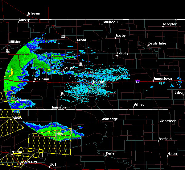 At 350 pm mdt, a severe thunderstorm was located 8 miles northwest of marmarth, or 9 miles east of baker, moving east at 25 mph (radar indicated). Hazards include 60 mph wind gusts and half dollar size hail. Hail damage to vehicles is expected. expect wind damage to roofs, siding, and trees. this severe thunderstorm will be near, marmarth around 405 pm mdt. Other locations impacted by this severe thunderstorm include pretty butte. At 350 pm mdt, a severe thunderstorm was located 8 miles northwest of marmarth, or 9 miles east of baker, moving east at 25 mph (radar indicated). Hazards include 60 mph wind gusts and half dollar size hail. Hail damage to vehicles is expected. expect wind damage to roofs, siding, and trees. this severe thunderstorm will be near, marmarth around 405 pm mdt. Other locations impacted by this severe thunderstorm include pretty butte.
|
| 6/9/2016 8:49 PM MDT |
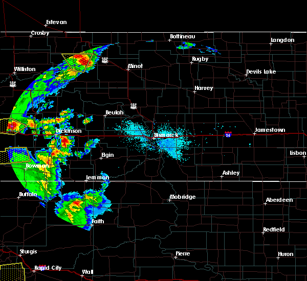 At 849 pm mdt, a severe thunderstorm was located 6 miles northeast of baker, moving east at 50 mph (radar indicated). Hazards include 70 mph wind gusts. Expect considerable tree damage. damage is likely to mobile homes, roofs, and outbuildings. this severe thunderstorm will be near, amidon around 940 pm mdt. Other locations impacted by this severe thunderstorm include pretty butte and three v crossing. At 849 pm mdt, a severe thunderstorm was located 6 miles northeast of baker, moving east at 50 mph (radar indicated). Hazards include 70 mph wind gusts. Expect considerable tree damage. damage is likely to mobile homes, roofs, and outbuildings. this severe thunderstorm will be near, amidon around 940 pm mdt. Other locations impacted by this severe thunderstorm include pretty butte and three v crossing.
|
| 9/5/2015 10:53 PM MDT |
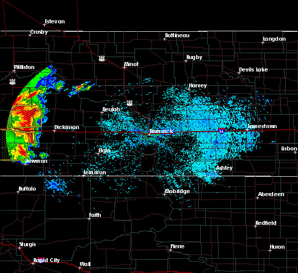 The severe thunderstorm warning for western slope, southern golden valley and southwestern billings counties will expire at 1100 pm mdt, the storm which prompted the warning has weakened below severe limits, and no longer poses an immediate threat to life or property. therefore the warning will be allowed to expire. however gusty winds are still possible with this thunderstorm. a severe thunderstorm watch remains in effect until 100 am mdt for southwestern north dakota. The severe thunderstorm warning for western slope, southern golden valley and southwestern billings counties will expire at 1100 pm mdt, the storm which prompted the warning has weakened below severe limits, and no longer poses an immediate threat to life or property. therefore the warning will be allowed to expire. however gusty winds are still possible with this thunderstorm. a severe thunderstorm watch remains in effect until 100 am mdt for southwestern north dakota.
|
| 9/5/2015 10:22 PM MDT |
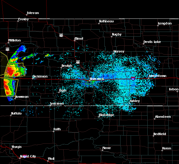 At 1021 pm mdt, a severe thunderstorm was located 11 miles southeast of golva, or 22 miles southeast of beach, moving east at 30 mph (radar indicated). Hazards include 60 mph wind gusts and quarter size hail. Hail damage to vehicles is expected. expect wind damage to roofs, siding and trees. Locations impacted include, beach, marmarth, golva, sentinel butte, pretty butte, alpha and three v crossing. At 1021 pm mdt, a severe thunderstorm was located 11 miles southeast of golva, or 22 miles southeast of beach, moving east at 30 mph (radar indicated). Hazards include 60 mph wind gusts and quarter size hail. Hail damage to vehicles is expected. expect wind damage to roofs, siding and trees. Locations impacted include, beach, marmarth, golva, sentinel butte, pretty butte, alpha and three v crossing.
|
| 9/5/2015 10:02 PM MDT |
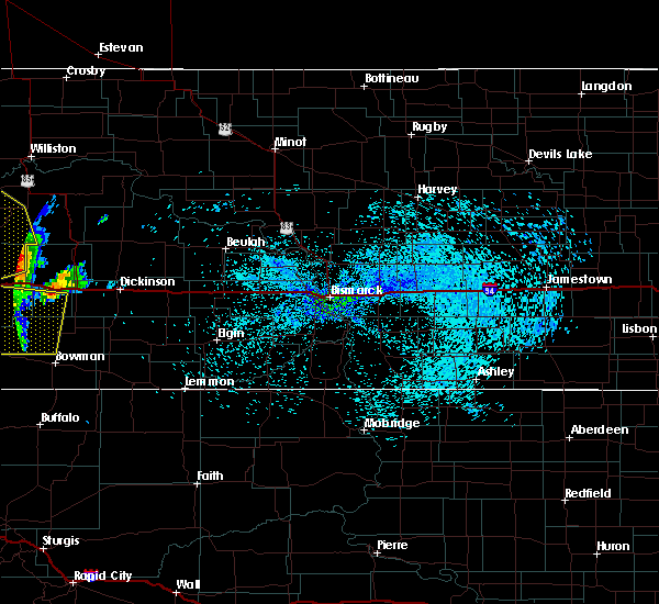 At 1001 pm mdt, a severe thunderstorm was located near carlyle, or 21 miles south of beach, moving east at 30 mph (radar indicated). Hazards include 60 mph wind gusts and quarter size hail. Hail damage to vehicles is expected. Expect wind damage to roofs, siding and trees. At 1001 pm mdt, a severe thunderstorm was located near carlyle, or 21 miles south of beach, moving east at 30 mph (radar indicated). Hazards include 60 mph wind gusts and quarter size hail. Hail damage to vehicles is expected. Expect wind damage to roofs, siding and trees.
|
| 7/27/2015 9:26 PM MDT |
 The severe thunderstorm warning for southwestern stark, slope, southwestern billings and southern golden valley counties will expire at 930 pm mdt, the storms which prompted the warning have weakened below severe limits, therefore the warning will be allowed to expire. however gusty winds are still possible with these thunderstorms. a severe thunderstorm watch remains in effect until 200 am mdt for southwestern north dakota. The severe thunderstorm warning for southwestern stark, slope, southwestern billings and southern golden valley counties will expire at 930 pm mdt, the storms which prompted the warning have weakened below severe limits, therefore the warning will be allowed to expire. however gusty winds are still possible with these thunderstorms. a severe thunderstorm watch remains in effect until 200 am mdt for southwestern north dakota.
|
| 7/27/2015 9:08 PM MDT |
 At 908 pm mdt, severe thunderstorms were located along a line extending from 11 miles east of golva to 6 miles northwest of rhame, moving northeast at 55 mph (radar indicated). Hazards include 60 mph wind gusts. Expect damage to roofs. siding and trees. Locations impacted include, amidon, belfield, marmarth, golva, pretty butte, fryburg, alpha and three v crossing. At 908 pm mdt, severe thunderstorms were located along a line extending from 11 miles east of golva to 6 miles northwest of rhame, moving northeast at 55 mph (radar indicated). Hazards include 60 mph wind gusts. Expect damage to roofs. siding and trees. Locations impacted include, amidon, belfield, marmarth, golva, pretty butte, fryburg, alpha and three v crossing.
|
| 7/27/2015 8:26 PM MDT |
 At 825 pm mdt, severe thunderstorms were located along a line extending from 4 miles east of baker to 9 miles west of camp crook, moving northeast at 40 mph (radar indicated). Hazards include 70 mph wind gusts. Expect considerable tree damage. damage is likely to mobile homes, roofs and outbuildings. These severe thunderstorms will remain over mainly rural areas of southwestern stark, slope, southwestern billings, bowman and southern golden valley counties, including the following locations, pretty butte, fryburg, buffalo springs, alpha, griffin, three v crossing, sunset butte and bowman haley dam. At 825 pm mdt, severe thunderstorms were located along a line extending from 4 miles east of baker to 9 miles west of camp crook, moving northeast at 40 mph (radar indicated). Hazards include 70 mph wind gusts. Expect considerable tree damage. damage is likely to mobile homes, roofs and outbuildings. These severe thunderstorms will remain over mainly rural areas of southwestern stark, slope, southwestern billings, bowman and southern golden valley counties, including the following locations, pretty butte, fryburg, buffalo springs, alpha, griffin, three v crossing, sunset butte and bowman haley dam.
|
| 7/27/2015 5:38 PM MDT |
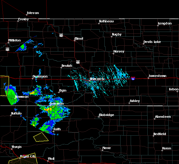 At 538 pm mdt, a severe thunderstorm was located 6 miles north of marmarth, or 17 miles east of baker, moving north at 40 mph (radar indicated). Hazards include 60 mph wind gusts and penny size hail. Expect damage to roofs. siding and trees. this severe thunderstorm will be near, golva around 615 pm mdt. sentinel butte around 635 pm mdt. Other locations impacted by this severe thunderstorm include pretty butte, alpha and three v crossing. At 538 pm mdt, a severe thunderstorm was located 6 miles north of marmarth, or 17 miles east of baker, moving north at 40 mph (radar indicated). Hazards include 60 mph wind gusts and penny size hail. Expect damage to roofs. siding and trees. this severe thunderstorm will be near, golva around 615 pm mdt. sentinel butte around 635 pm mdt. Other locations impacted by this severe thunderstorm include pretty butte, alpha and three v crossing.
|
| 7/27/2015 5:30 PM MDT | Winds began around 630 pm and continued to gust for about 10 minute in slope county ND, 7.9 miles S of Marmarth, ND |
| 6/30/2015 5:18 PM MDT |
 At 517 pm mdt, a severe thunderstorm was located over golva, or 15 miles south of beach, moving southeast at 30 mph (radar indicated). Hazards include 60 mph wind gusts and quarter size hail. Hail damage to vehicles is expected. expect wind damage to roofs, siding and trees. this severe thunderstorm will remain over mainly rural areas of western slope and southern golden valley counties, including the following locations, pretty butte, alpha and three v crossing. A tornado watch remains in effect until 100 am mdt for southwestern north dakota. At 517 pm mdt, a severe thunderstorm was located over golva, or 15 miles south of beach, moving southeast at 30 mph (radar indicated). Hazards include 60 mph wind gusts and quarter size hail. Hail damage to vehicles is expected. expect wind damage to roofs, siding and trees. this severe thunderstorm will remain over mainly rural areas of western slope and southern golden valley counties, including the following locations, pretty butte, alpha and three v crossing. A tornado watch remains in effect until 100 am mdt for southwestern north dakota.
|
| 6/21/2015 10:09 PM MDT | Storm damage reported in bowman county ND, 8.6 miles N of Marmarth, ND |
| 6/21/2015 10:06 PM MDT | Reported 60 to 70 mph gusts in bowman county ND, 10 miles N of Marmarth, ND |
| 6/19/2015 5:50 PM MDT | Baseball sized hail reported 9.3 miles N of Marmarth, ND, hail size ranged from 1.25 to 2.75 inches in size. |
| 6/19/2015 5:48 PM MDT | Baseball sized hail reported 8.1 miles N of Marmarth, ND, manily golf ball sized hail with some baseballs. hail lasted about 5 minutes. |
| 6/19/2015 5:47 PM MDT |
 At 546 pm mdt, a severe thunderstorm was located 7 miles southeast of marmarth, or 21 miles west of bowman, moving east at 40 mph (radar indicated). Hazards include ping pong ball size hail and 60 mph wind gusts. People and animals outdoors will be injured. expect hail damage to roofs, siding, windows and vehicles. expect wind damage to roofs, siding and trees. this severe storm will be near, rhame around 600 pm mdt. bowman around 615 pm mdt. Other locations impacted by this severe thunderstorm include pretty butte, sunset butte and griffin. At 546 pm mdt, a severe thunderstorm was located 7 miles southeast of marmarth, or 21 miles west of bowman, moving east at 40 mph (radar indicated). Hazards include ping pong ball size hail and 60 mph wind gusts. People and animals outdoors will be injured. expect hail damage to roofs, siding, windows and vehicles. expect wind damage to roofs, siding and trees. this severe storm will be near, rhame around 600 pm mdt. bowman around 615 pm mdt. Other locations impacted by this severe thunderstorm include pretty butte, sunset butte and griffin.
|
| 6/19/2015 5:26 PM MDT |
 At 525 pm mdt, a severe thunderstorm was located 9 miles southeast of baker, moving east at 30 mph (radar indicated). Hazards include ping pong ball size hail and 60 mph wind gusts. People and animals outdoors will be injured. expect hail damage to roofs, siding, windows and vehicles. expect wind damage to roofs, siding and trees. this severe storm will be near, marmarth around 540 pm mdt. rhame around 615 pm mdt. Other locations impacted by this severe thunderstorm include pretty butte, sunset butte and griffin. At 525 pm mdt, a severe thunderstorm was located 9 miles southeast of baker, moving east at 30 mph (radar indicated). Hazards include ping pong ball size hail and 60 mph wind gusts. People and animals outdoors will be injured. expect hail damage to roofs, siding, windows and vehicles. expect wind damage to roofs, siding and trees. this severe storm will be near, marmarth around 540 pm mdt. rhame around 615 pm mdt. Other locations impacted by this severe thunderstorm include pretty butte, sunset butte and griffin.
|
| 6/19/2015 5:19 PM MDT |
 At 519 pm mdt, a severe thunderstorm was located 6 miles southeast of baker, moving east at 35 mph (radar indicated). Hazards include ping pong ball size hail and 60 mph wind gusts. People and animals outdoors will be injured. expect hail damage to roofs, siding, windows and vehicles. expect wind damage to roofs, siding and trees. this severe thunderstorm will be near, marmarth around 540 pm mdt. rhame around 605 pm mdt. Other locations impacted by this severe thunderstorm include pretty butte, sunset butte and griffin. At 519 pm mdt, a severe thunderstorm was located 6 miles southeast of baker, moving east at 35 mph (radar indicated). Hazards include ping pong ball size hail and 60 mph wind gusts. People and animals outdoors will be injured. expect hail damage to roofs, siding, windows and vehicles. expect wind damage to roofs, siding and trees. this severe thunderstorm will be near, marmarth around 540 pm mdt. rhame around 605 pm mdt. Other locations impacted by this severe thunderstorm include pretty butte, sunset butte and griffin.
|
| 6/19/2015 4:48 PM MDT | Baseball sized hail reported 8.1 miles N of Marmarth, ND, manily golf ball sized hail with some baseballs. hail lasted about 5 minutes. |
| 7/22/2014 4:38 PM MDT | Quarter sized hail reported 4.5 miles E of Marmarth, ND |
| 9/7/2013 4:40 PM MDT | Cannonball creek raws measured wind gus in slope county ND, 13.5 miles SSE of Marmarth, ND |
| 7/14/2012 4:50 PM MDT | No damage reporte in bowman county ND, 19.8 miles N of Marmarth, ND |
| 8/31/2011 8:22 PM MDT | Golf Ball sized hail reported 4.9 miles E of Marmarth, ND, hail broke windows |
| 1/1/0001 12:00 AM | Tennis Ball sized hail reported 5.5 miles NW of Marmarth, ND, relayed by bowman em...golfball to tennis ball sized hail... lasted about 10 minutes... |
| 1/1/0001 12:00 AM | Golf Ball sized hail reported 0.5 miles NW of Marmarth, ND |
| 1/1/0001 12:00 AM | Late repor in bowman county ND, 16.3 miles N of Marmarth, ND |
Hail Maps for Marmarth, ND

Connect with Interactive Hail Maps