

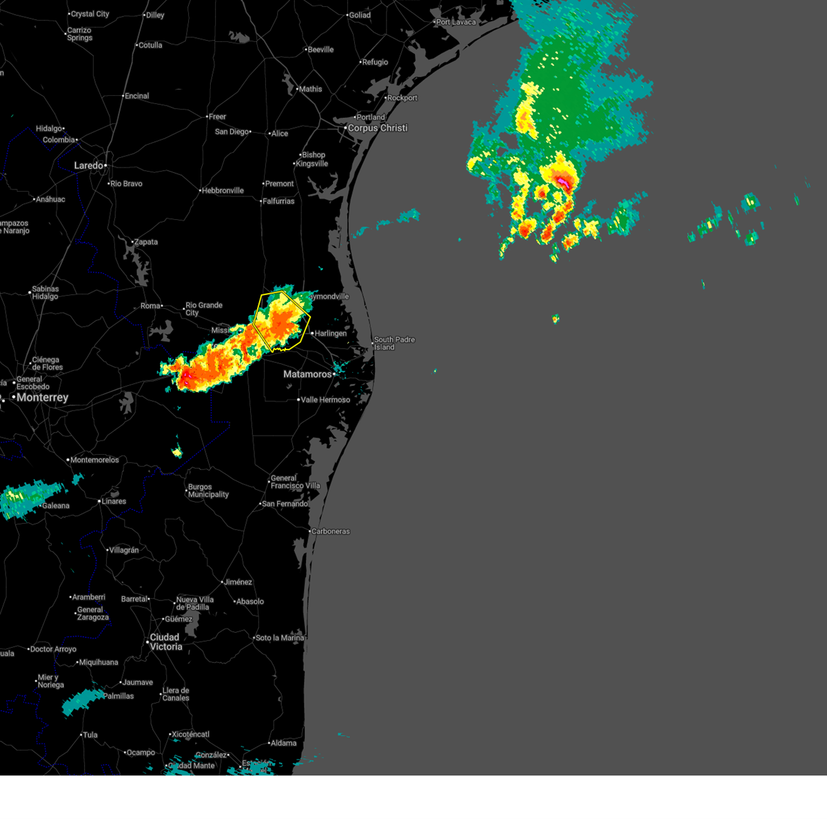
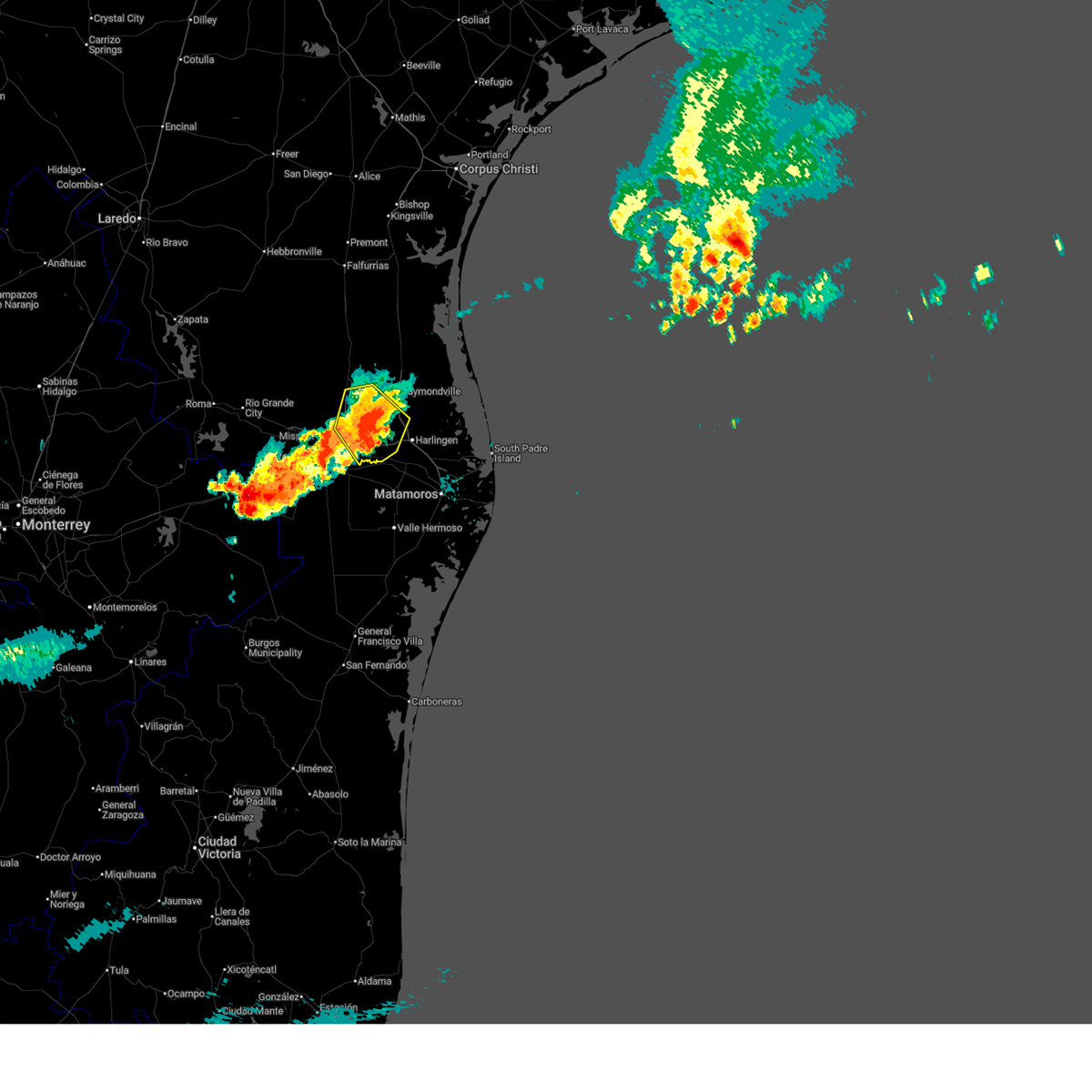
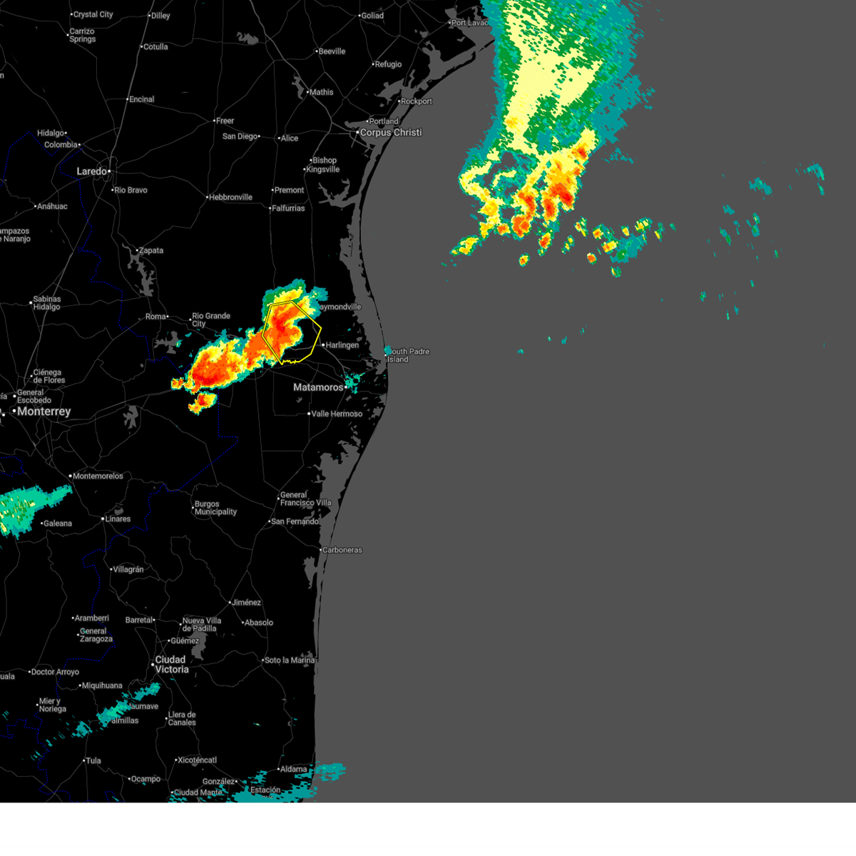
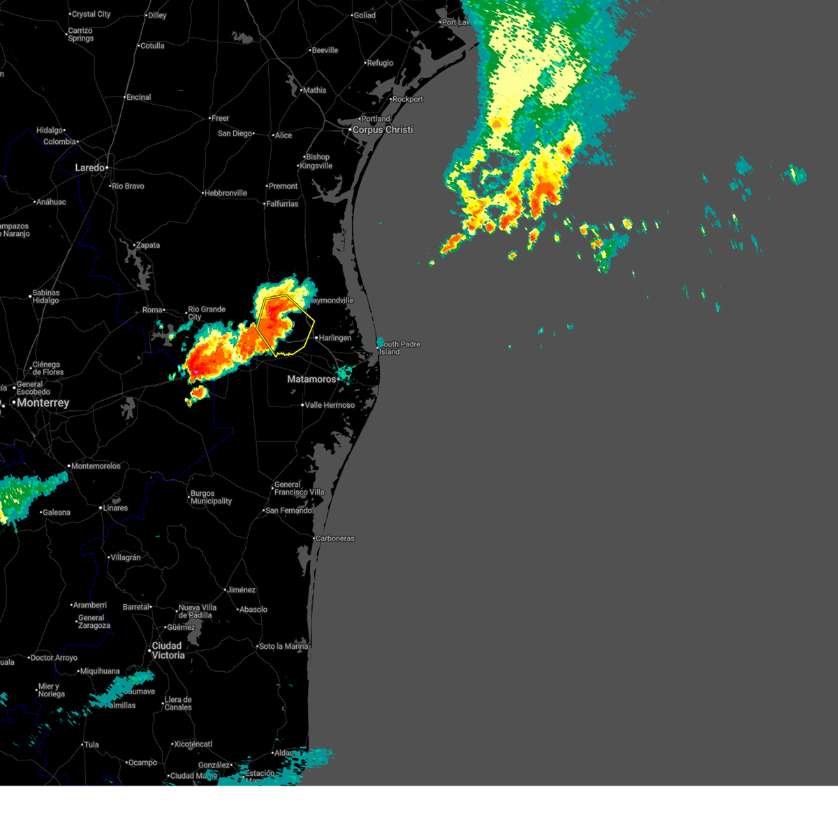
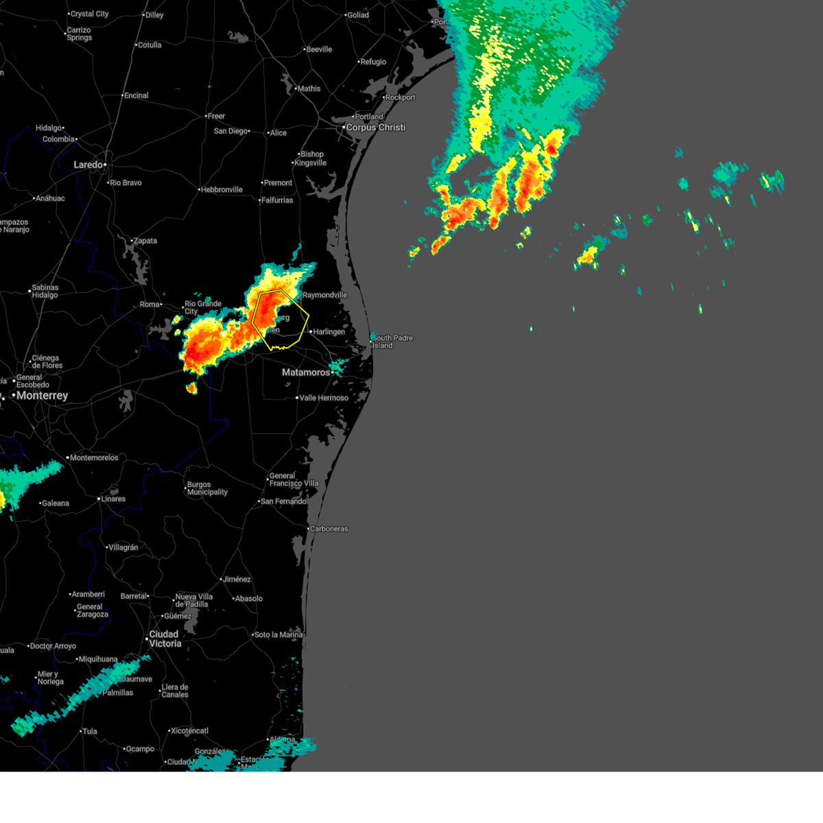
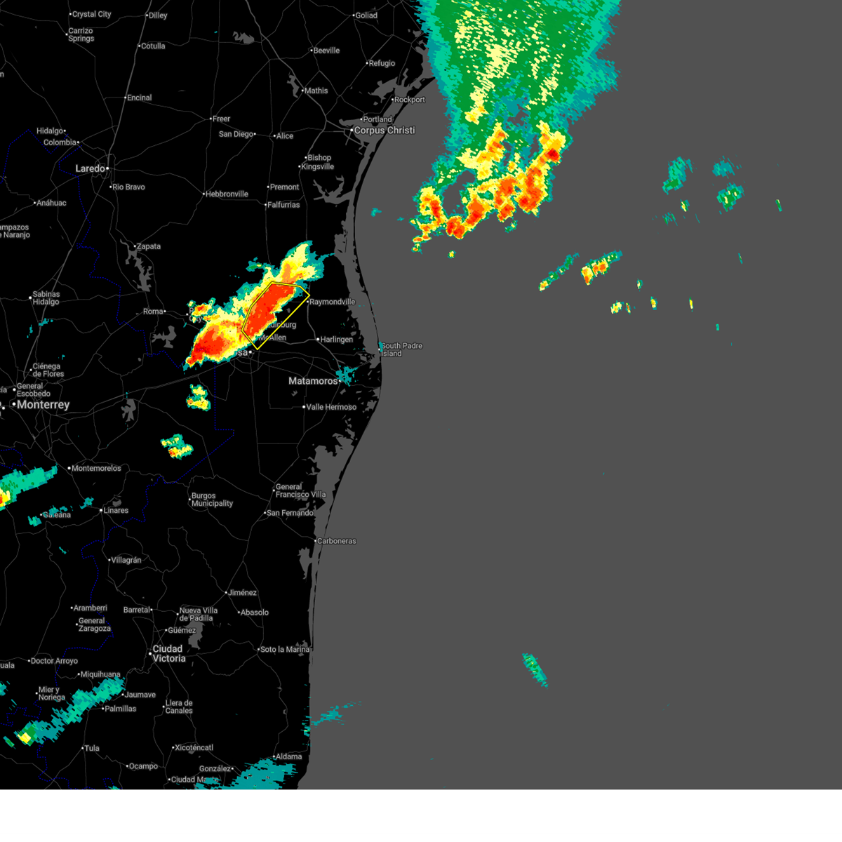
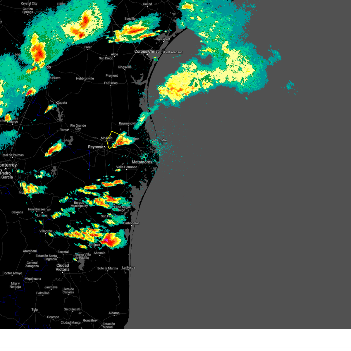
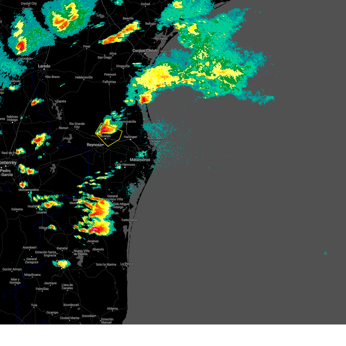
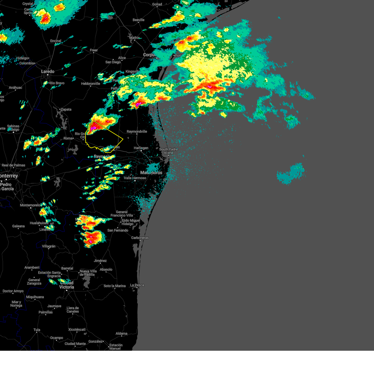
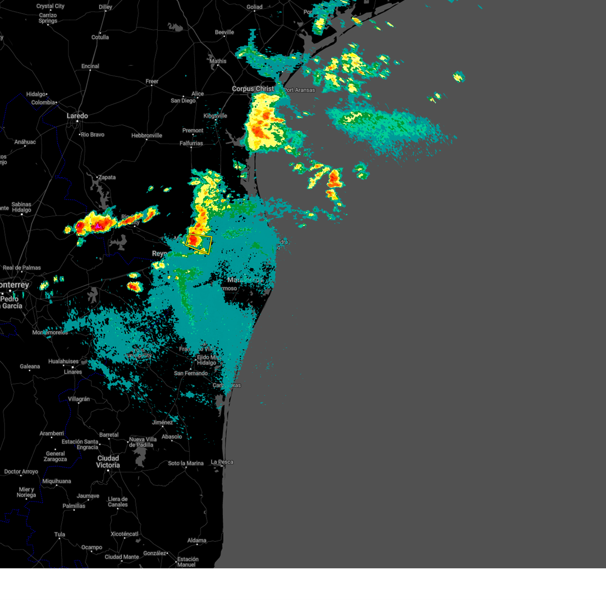
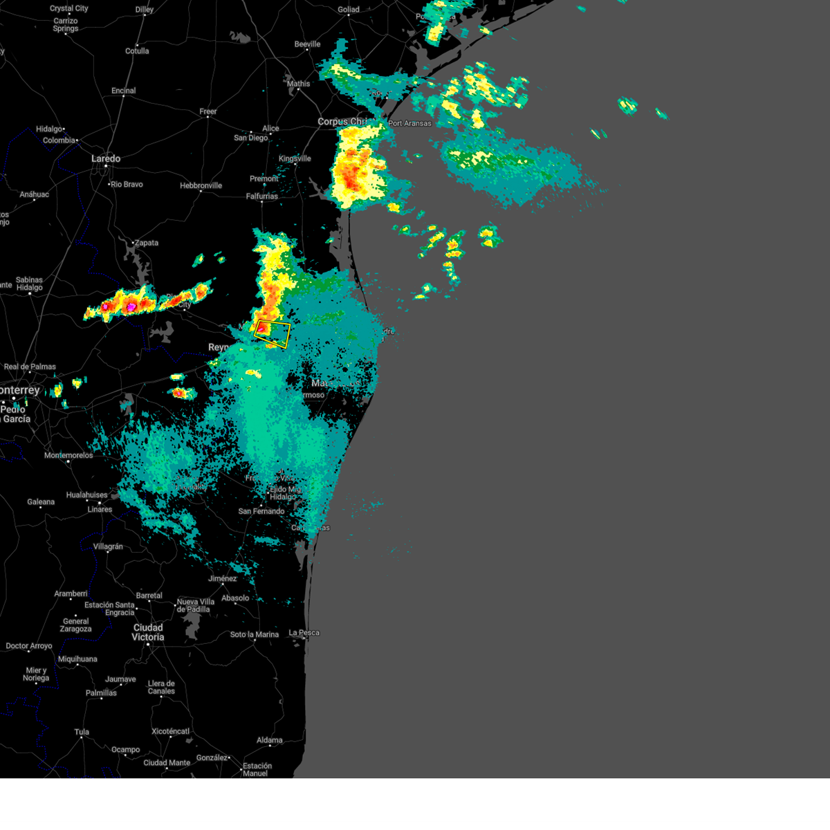
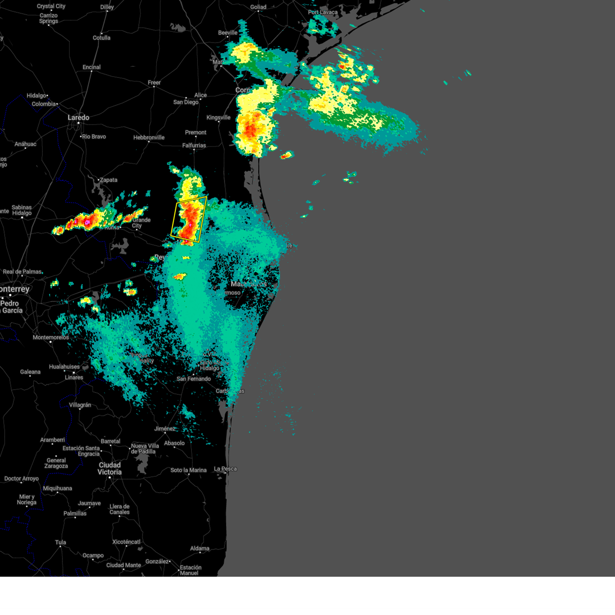
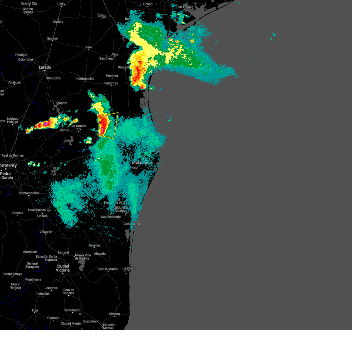
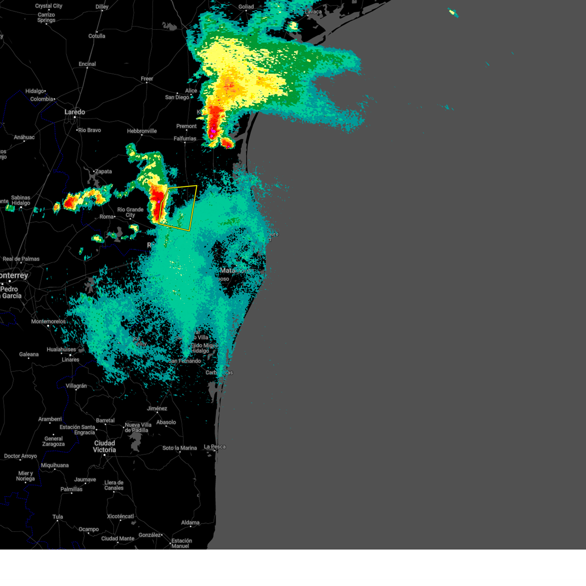
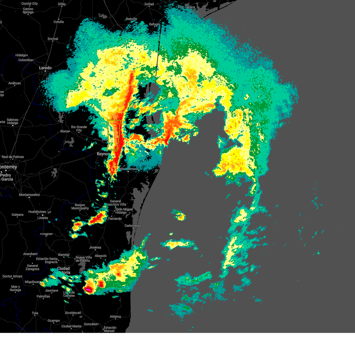
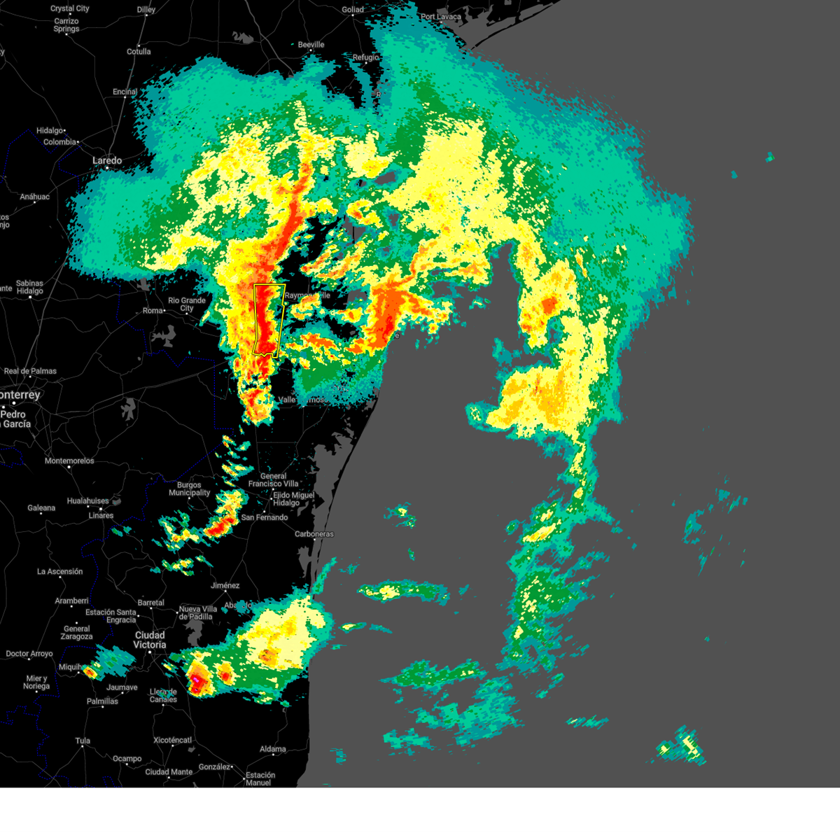
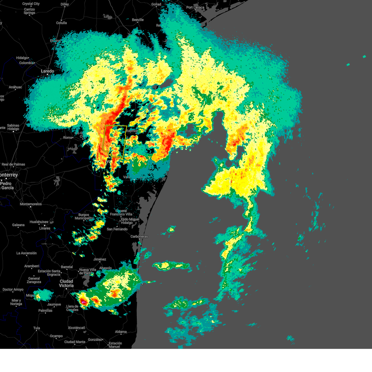
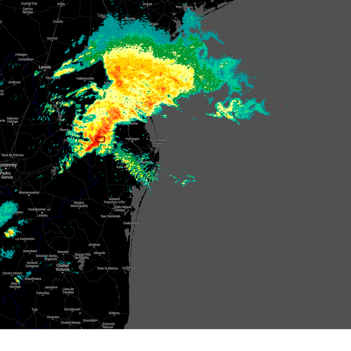
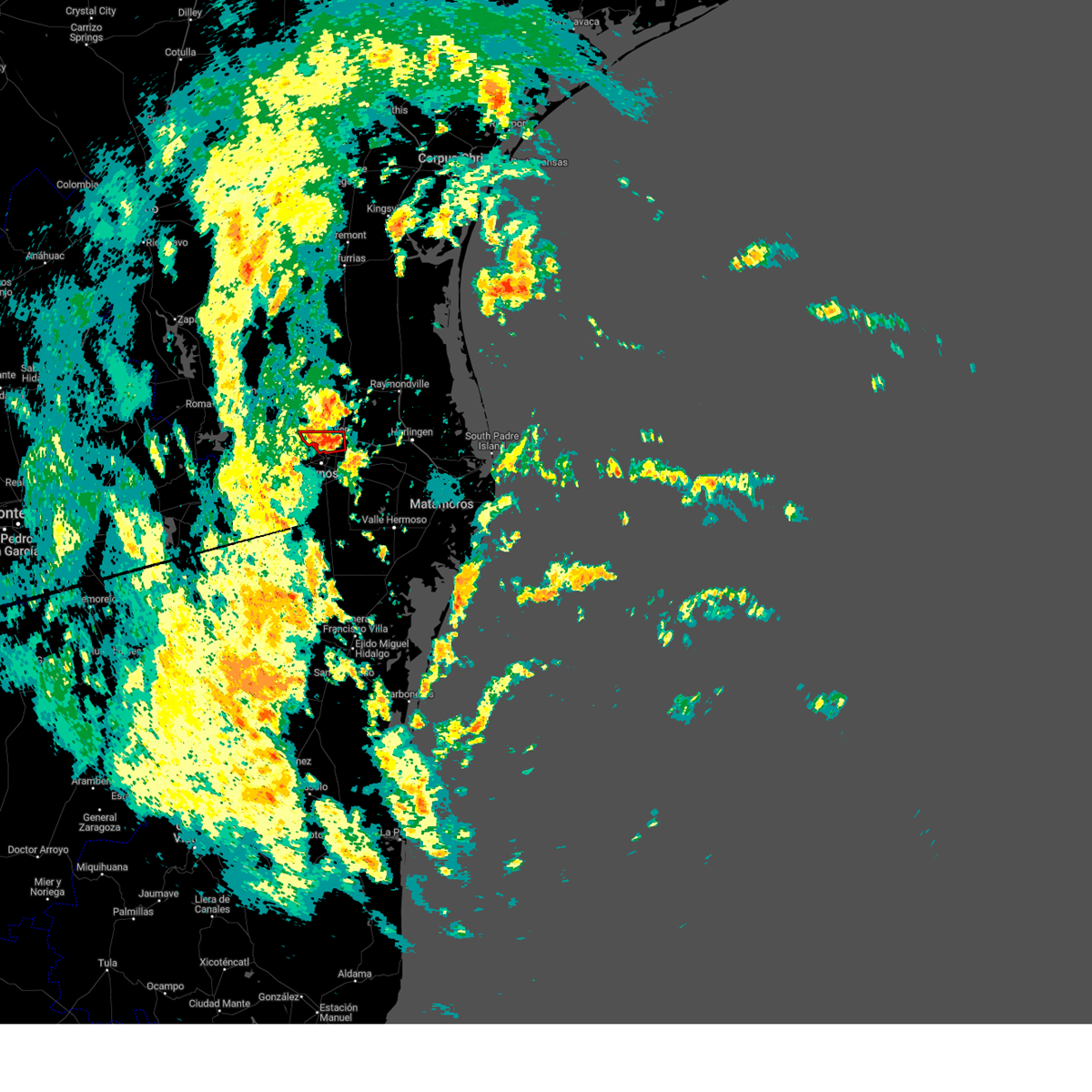
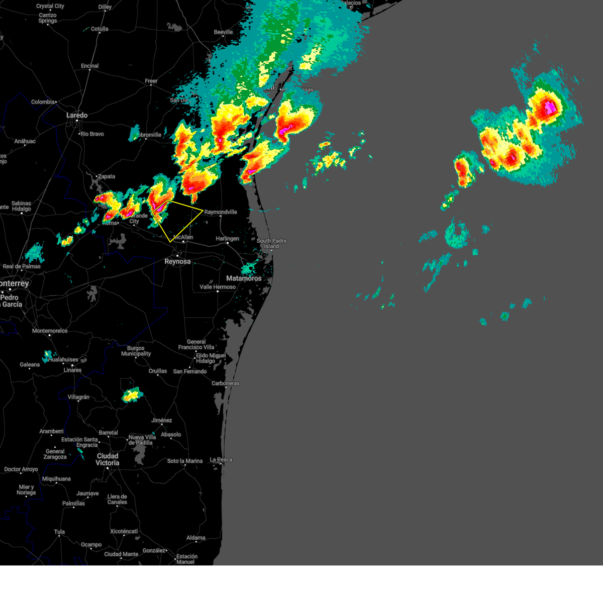
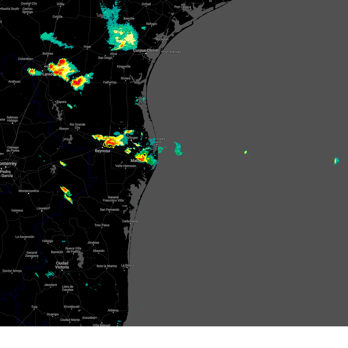
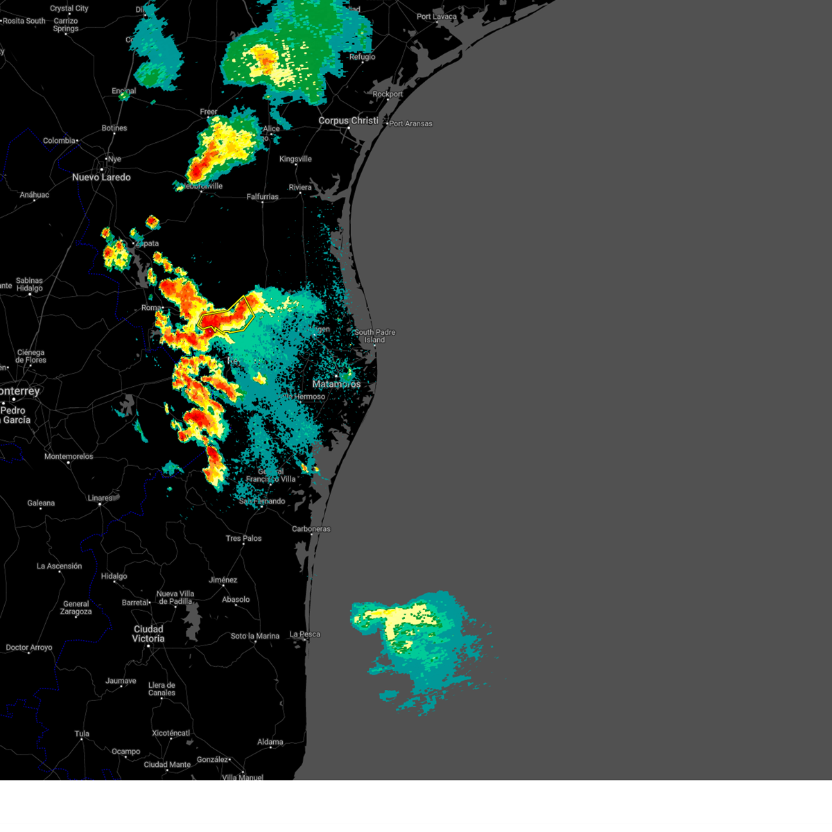
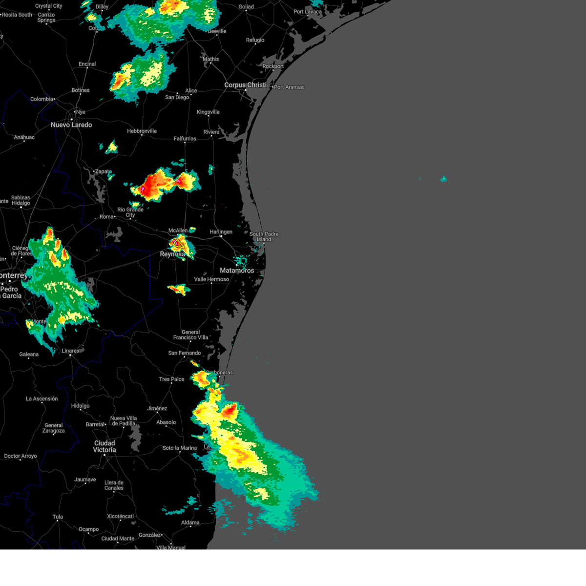
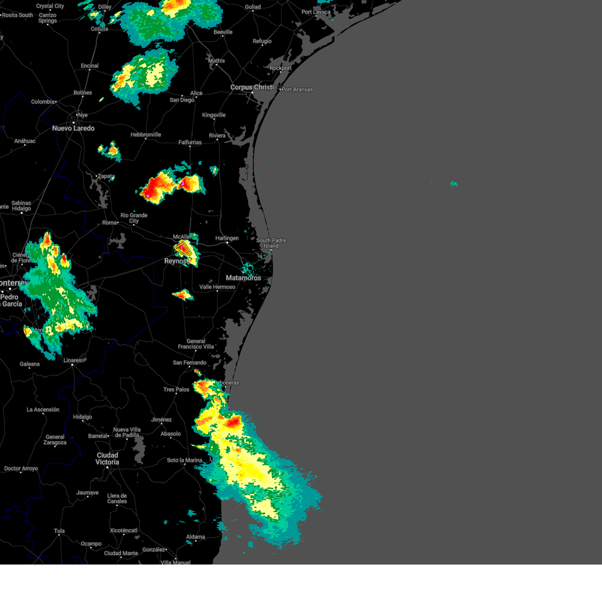
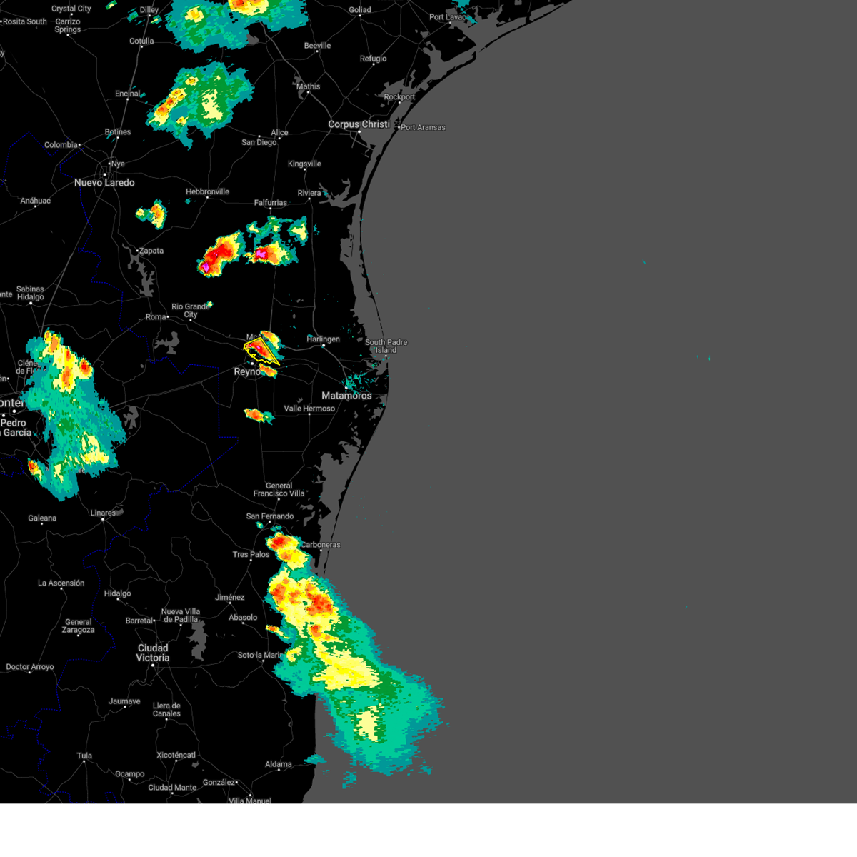
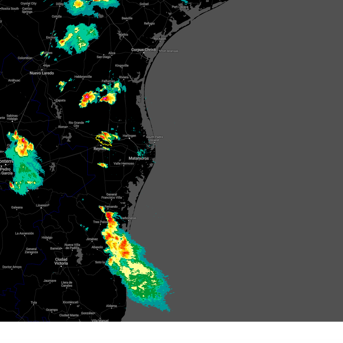
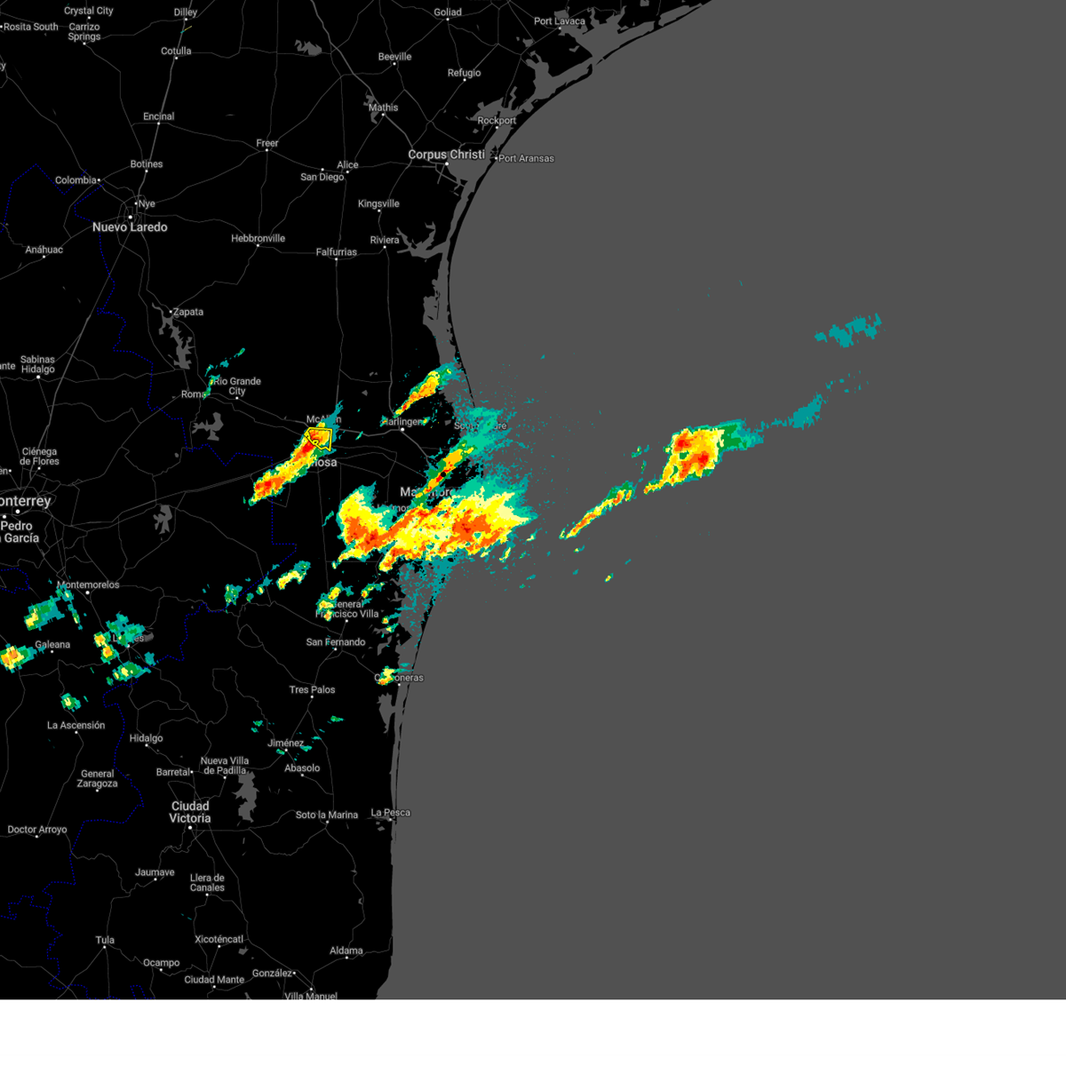
Hail Map for McAllen, TX
The McAllen, TX area has had 34 reports of on-the-ground hail by trained spotters, and has been under severe weather warnings 34 times during the past 12 months. Doppler radar has detected hail at or near McAllen, TX on 51 occasions, including 4 occasions during the past year.
| Name: | McAllen, TX |
| Where Located: | 51.8 miles WNW of Brownsville, TX |
| Map: | Google Map for McAllen, TX |
| Population: | 129877 |
| Housing Units: | 45862 |
| More Info: | Search Google for McAllen, TX |
1
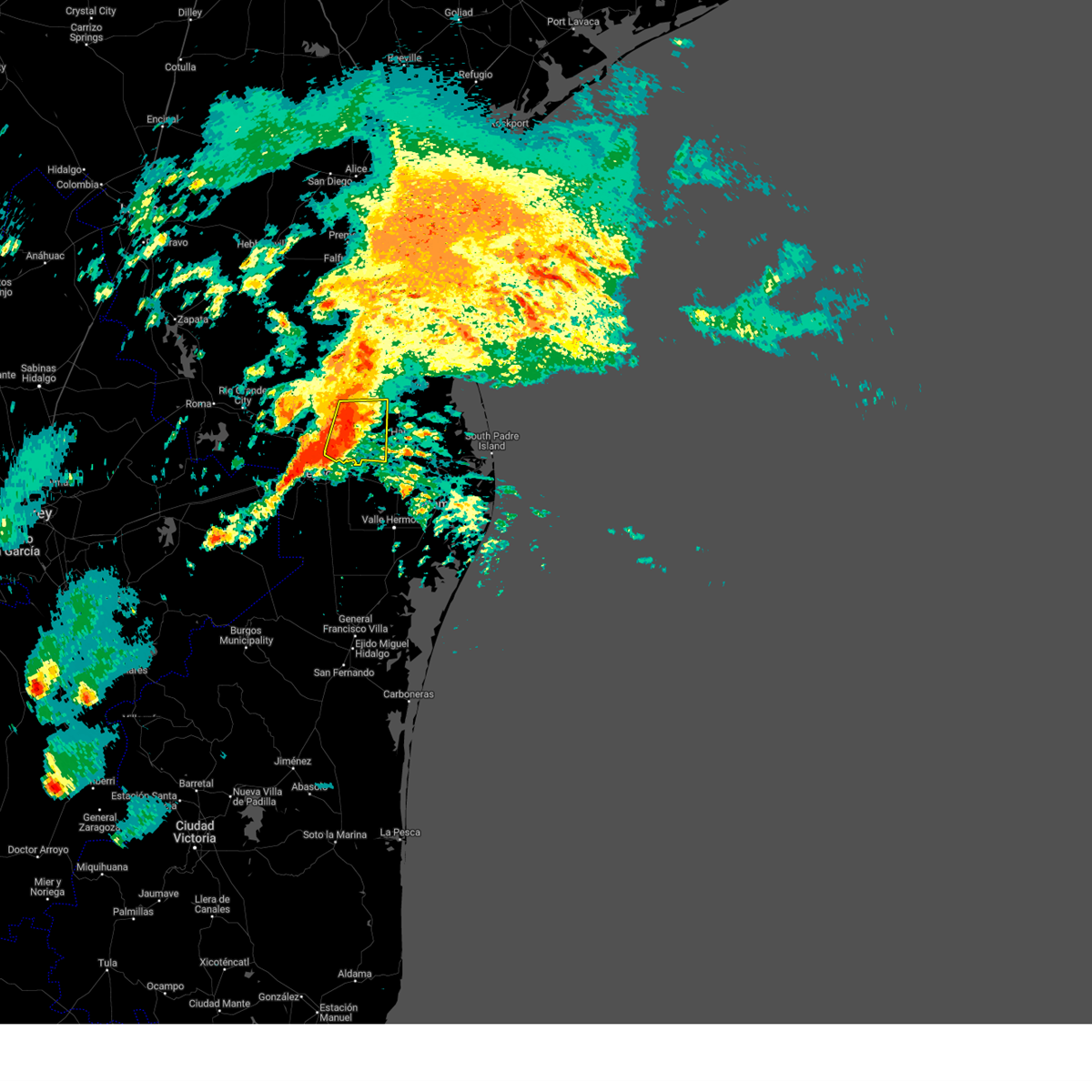
The Top Recent Hail Date for McAllen, TX is Thursday, May 8, 2025 (4th out of 51)

Hail and Wind Damage Spotted near McAllen, TX
| Date / Time | Report Details |
|---|---|
| 6/12/2025 8:21 PM CDT |
 The storms which prompted the warning have weakened below severe limits, and no longer pose an immediate threat to life or property. therefore, the warning will be allowed to expire. however, gusty winds and heavy rain are still possible with these thunderstorms. The storms which prompted the warning have weakened below severe limits, and no longer pose an immediate threat to life or property. therefore, the warning will be allowed to expire. however, gusty winds and heavy rain are still possible with these thunderstorms.
|
| 6/12/2025 8:18 PM CDT |
 At 818 pm cdt, severe thunderstorms were located along a line extending from laguna seca to midway north, moving east at 15 mph (radar indicated). Hazards include 60 mph wind gusts and penny size hail. Expect damage to roofs, siding, and trees. Locations impacted include, edinburg, harlingen, weslaco, san juan, alamo, donna, mercedes, la feria, elsa, and progreso. At 818 pm cdt, severe thunderstorms were located along a line extending from laguna seca to midway north, moving east at 15 mph (radar indicated). Hazards include 60 mph wind gusts and penny size hail. Expect damage to roofs, siding, and trees. Locations impacted include, edinburg, harlingen, weslaco, san juan, alamo, donna, mercedes, la feria, elsa, and progreso.
|
| 6/12/2025 8:07 PM CDT |
 At 807 pm cdt, severe thunderstorms were located along a line extending from la villa high school to maria alicia p munoz elementary school, moving southeast at 15 mph (radar indicated). Hazards include 70 mph wind gusts and quarter size hail. Hail damage to vehicles is expected. expect considerable tree damage. wind damage is also likely to mobile homes, roofs, and outbuildings. Locations impacted include, edinburg, harlingen, weslaco, san juan, alamo, donna, mercedes, la feria, elsa, and progreso. At 807 pm cdt, severe thunderstorms were located along a line extending from la villa high school to maria alicia p munoz elementary school, moving southeast at 15 mph (radar indicated). Hazards include 70 mph wind gusts and quarter size hail. Hail damage to vehicles is expected. expect considerable tree damage. wind damage is also likely to mobile homes, roofs, and outbuildings. Locations impacted include, edinburg, harlingen, weslaco, san juan, alamo, donna, mercedes, la feria, elsa, and progreso.
|
| 6/12/2025 7:52 PM CDT |
 At 751 pm cdt, severe thunderstorms were located along a line extending from jose borrego middle school to san carlos elementary school, moving southeast at 15 mph (radar indicated). Hazards include 70 mph wind gusts and quarter size hail. Hail damage to vehicles is expected. expect considerable tree damage. wind damage is also likely to mobile homes, roofs, and outbuildings. Locations impacted include, edinburg, harlingen, weslaco, san juan, alamo, donna, mercedes, la feria, elsa, and progreso. At 751 pm cdt, severe thunderstorms were located along a line extending from jose borrego middle school to san carlos elementary school, moving southeast at 15 mph (radar indicated). Hazards include 70 mph wind gusts and quarter size hail. Hail damage to vehicles is expected. expect considerable tree damage. wind damage is also likely to mobile homes, roofs, and outbuildings. Locations impacted include, edinburg, harlingen, weslaco, san juan, alamo, donna, mercedes, la feria, elsa, and progreso.
|
| 6/12/2025 7:41 PM CDT |
 At 740 pm cdt, severe thunderstorms were located along a line extending from lasara to pharr civic center, moving southeast at 15 mph (radar indicated). Hazards include 60 mph wind gusts and quarter size hail. Hail damage to vehicles is expected. expect wind damage to roofs, siding, and trees. Locations impacted include, edinburg, san juan, lasara, hargill, faysville, edinburg regional medical center, austin middle school, cesar chavez, los lagos golf course, and jose borrego middle school. At 740 pm cdt, severe thunderstorms were located along a line extending from lasara to pharr civic center, moving southeast at 15 mph (radar indicated). Hazards include 60 mph wind gusts and quarter size hail. Hail damage to vehicles is expected. expect wind damage to roofs, siding, and trees. Locations impacted include, edinburg, san juan, lasara, hargill, faysville, edinburg regional medical center, austin middle school, cesar chavez, los lagos golf course, and jose borrego middle school.
|
| 6/12/2025 7:38 PM CDT |
 Svrbro the national weather service in brownsville has issued a * severe thunderstorm warning for, southeastern hidalgo county in deep south texas, northwestern cameron county in deep south texas, southwestern willacy county in deep south texas, * until 830 pm cdt. * at 738 pm cdt, severe thunderstorms were located along a line extending from near jose borrego middle school to economedes high school, moving southeast at 15 mph (radar indicated). Hazards include 60 mph wind gusts and quarter size hail. Hail damage to vehicles is expected. Expect wind damage to roofs, siding, and trees. Svrbro the national weather service in brownsville has issued a * severe thunderstorm warning for, southeastern hidalgo county in deep south texas, northwestern cameron county in deep south texas, southwestern willacy county in deep south texas, * until 830 pm cdt. * at 738 pm cdt, severe thunderstorms were located along a line extending from near jose borrego middle school to economedes high school, moving southeast at 15 mph (radar indicated). Hazards include 60 mph wind gusts and quarter size hail. Hail damage to vehicles is expected. Expect wind damage to roofs, siding, and trees.
|
| 6/12/2025 7:17 PM CDT |
 Svrbro the national weather service in brownsville has issued a * severe thunderstorm warning for, central hidalgo county in deep south texas, northwestern willacy county in deep south texas, * until 800 pm cdt. * at 717 pm cdt, severe thunderstorms were located along a line extending from 6 miles northwest of lasara to hendricks elementary school, moving southeast at 15 mph (radar indicated). Hazards include 60 mph wind gusts and quarter size hail. Hail damage to vehicles is expected. Expect wind damage to roofs, siding, and trees. Svrbro the national weather service in brownsville has issued a * severe thunderstorm warning for, central hidalgo county in deep south texas, northwestern willacy county in deep south texas, * until 800 pm cdt. * at 717 pm cdt, severe thunderstorms were located along a line extending from 6 miles northwest of lasara to hendricks elementary school, moving southeast at 15 mph (radar indicated). Hazards include 60 mph wind gusts and quarter size hail. Hail damage to vehicles is expected. Expect wind damage to roofs, siding, and trees.
|
| 5/8/2025 9:39 PM CDT | Hen Egg sized hail reported 2.5 miles SW of McAllen, TX, member of the public provided facebook photo comment showing approximately 2 inch hail. |
| 5/8/2025 7:43 PM CDT |
 The severe thunderstorm which prompted the warning has moved out of the warned area. therefore, the warning will be allowed to expire. a severe thunderstorm watch remains in effect until 1100 pm cdt for deep south texas. The severe thunderstorm which prompted the warning has moved out of the warned area. therefore, the warning will be allowed to expire. a severe thunderstorm watch remains in effect until 1100 pm cdt for deep south texas.
|
| 5/8/2025 7:34 PM CDT | Svrbro the national weather service in brownsville has issued a * severe thunderstorm warning for, southeastern hidalgo county in deep south texas, west central cameron county in deep south texas, * until 815 pm cdt. * at 723 pm cdt, a severe thunderstorm was located over north alamo, or over alamo, moving southeast at 35 mph (radar indicated). Hazards include two inch hail and 60 mph wind gusts. People and animals outdoors will be injured. expect hail damage to roofs, siding, windows, and vehicles. Expect wind damage to roofs, siding, and trees. |
| 5/8/2025 7:24 PM CDT | Golf Ball sized hail reported 3.5 miles WSW of McAllen, TX, member of the public posted facebook photo (location verified by radar) of a hailstone estimated about 1.75 inches. |
| 5/8/2025 7:23 PM CDT | Svrbro the national weather service in brownsville has issued a * severe thunderstorm warning for, southeastern hidalgo county in deep south texas, west central cameron county in deep south texas, * until 815 pm cdt. * at 723 pm cdt, a severe thunderstorm was located over north alamo, or over alamo, moving southeast at 35 mph (radar indicated). Hazards include two inch hail and 60 mph wind gusts. People and animals outdoors will be injured. expect hail damage to roofs, siding, windows, and vehicles. Expect wind damage to roofs, siding, and trees. |
| 5/8/2025 7:19 PM CDT | At 718 pm cdt, a severe thunderstorm was located over san carlos elementary school, or near edinburg, moving southeast at 35 mph (radar indicated). Hazards include two inch hail and 60 mph wind gusts. People and animals outdoors will be injured. expect hail damage to roofs, siding, windows, and vehicles. expect wind damage to roofs, siding, and trees. Locations impacted include, edinburg regional medical center, austin middle school, augusto guerra elementary school, buckner elementary school, p s j a north high school, weslaco mid valley airport, lincoln school, edcouch, gibson park, and audie murphy middle school. |
| 5/8/2025 7:18 PM CDT | Golf Ball sized hail reported 4.5 miles SSW of McAllen, TX, member of the public posted a facebook photo comment showing an approximately golf ball sized hailstone taken at this location. |
| 5/8/2025 7:18 PM CDT | Tea Cup sized hail reported 2.4 miles SSW of McAllen, TX, member of the public pasted a facebook comment of a photo of hailstone approximately 3 inches long and 1.5 inches wide. |
| 5/8/2025 7:10 PM CDT | Hen Egg sized hail reported 3.9 miles SW of McAllen, TX, photo received from dhr health of a 2 inch sized measured hailstone that fell near dove and mccoll. |
| 5/8/2025 7:10 PM CDT | Hen Egg sized hail reported 3.4 miles SW of McAllen, TX, member of the public sent a photo through a facebook message showing hailstones approximately 2 inches. |
| 5/8/2025 7:10 PM CDT | Quarter sized hail reported 2 miles SW of McAllen, TX, member of the public posted a photo comment via facebook showing approximately 1 inch hail. |
| 5/8/2025 7:08 PM CDT | Golf Ball sized hail reported 3.7 miles S of McAllen, TX, member of the public posted facebook photo comment showing approximately golf ball sized hailstone. |
| 5/8/2025 7:08 PM CDT | At 708 pm cdt, a severe thunderstorm was located over edinburg north high school, or over edinburg, moving southeast at 35 mph (radar indicated). Hazards include two inch hail and 60 mph wind gusts. People and animals outdoors will be injured. expect hail damage to roofs, siding, windows, and vehicles. expect wind damage to roofs, siding, and trees. Locations impacted include, boeye reservoir, edinburg regional medical center, austin middle school, mcallen high school, augusto guerra elementary school, south pharr elementary school, buckner elementary school, jose borrego middle school, p s j a north high school, and weslaco mid valley airport. |
| 5/8/2025 7:07 PM CDT | Ping Pong Ball sized hail reported 2.9 miles S of McAllen, TX, local em reported estimated ping pong ball sized hail at residence and provided a photo. |
| 5/8/2025 7:05 PM CDT | Quarter sized hail reported 3 miles SSW of McAllen, TX, report received from ham operator of 1 inch estimated hail falling for 10 minutes duration. |
| 5/8/2025 6:53 PM CDT |
 Svrbro the national weather service in brownsville has issued a * severe thunderstorm warning for, southern hidalgo county in deep south texas, * until 745 pm cdt. * at 653 pm cdt, a severe thunderstorm was located near b.l. garza middle school, or 8 miles north of palmhurst, moving southeast at 35 mph (radar indicated). Hazards include two inch hail and 60 mph wind gusts. People and animals outdoors will be injured. expect hail damage to roofs, siding, windows, and vehicles. Expect wind damage to roofs, siding, and trees. Svrbro the national weather service in brownsville has issued a * severe thunderstorm warning for, southern hidalgo county in deep south texas, * until 745 pm cdt. * at 653 pm cdt, a severe thunderstorm was located near b.l. garza middle school, or 8 miles north of palmhurst, moving southeast at 35 mph (radar indicated). Hazards include two inch hail and 60 mph wind gusts. People and animals outdoors will be injured. expect hail damage to roofs, siding, windows, and vehicles. Expect wind damage to roofs, siding, and trees.
|
| 5/8/2025 6:50 PM CDT | the severe thunderstorm warning has been cancelled and is no longer in effect |
| 5/8/2025 6:50 PM CDT | At 650 pm cdt, a severe thunderstorm was located over lloyd & dolly bentsen elementary school, or over sharyland, moving southeast at 45 mph (radar indicated). Hazards include two inch hail and 60 mph wind gusts. People and animals outdoors will be injured. expect hail damage to roofs, siding, windows, and vehicles. expect wind damage to roofs, siding, and trees. locations impacted include, national butterfly center, mcallen high school, narciso g. Cavazos elementary school, abram-perezville, doffing, john f kennedy elementary school, guillermo flores elementary school, lee elementary school, bicentennial park, and las palmas community center. |
| 5/8/2025 6:32 PM CDT | At 632 pm cdt, a severe thunderstorm was located near citrus city, or near la joya, moving southeast at 45 mph (radar indicated). Hazards include two inch hail and 60 mph wind gusts. People and animals outdoors will be injured. expect hail damage to roofs, siding, windows, and vehicles. expect wind damage to roofs, siding, and trees. locations impacted include, mcallen high school, narciso g. Cavazos elementary school, doffing, la victoria, las palmas community center, enrique camarena elementary school, retama park, lincoln school, la joya, and mission regional medical center. |
| 5/8/2025 6:09 PM CDT |
 Svrbro the national weather service in brownsville has issued a * severe thunderstorm warning for, southwestern hidalgo county in deep south texas, eastern starr county in deep south texas, * until 700 pm cdt. * at 608 pm cdt, a severe thunderstorm was located 9 miles southwest of santa catarina, or 14 miles east of el sauz, moving southeast at 45 mph (radar indicated). Hazards include two inch hail and 60 mph wind gusts. People and animals outdoors will be injured. expect hail damage to roofs, siding, windows, and vehicles. Expect wind damage to roofs, siding, and trees. Svrbro the national weather service in brownsville has issued a * severe thunderstorm warning for, southwestern hidalgo county in deep south texas, eastern starr county in deep south texas, * until 700 pm cdt. * at 608 pm cdt, a severe thunderstorm was located 9 miles southwest of santa catarina, or 14 miles east of el sauz, moving southeast at 45 mph (radar indicated). Hazards include two inch hail and 60 mph wind gusts. People and animals outdoors will be injured. expect hail damage to roofs, siding, windows, and vehicles. Expect wind damage to roofs, siding, and trees.
|
| 5/3/2025 3:06 AM CDT |
 the severe thunderstorm warning has been cancelled and is no longer in effect the severe thunderstorm warning has been cancelled and is no longer in effect
|
| 5/3/2025 2:52 AM CDT |
 Svrbro the national weather service in brownsville has issued a * severe thunderstorm warning for, southeastern hidalgo county in deep south texas, * until 330 am cdt. * at 251 am cdt, a severe thunderstorm was located over san juan municipal court, or over san juan, moving east at 20 mph (radar indicated). Hazards include 60 mph wind gusts and quarter size hail. Hail damage to vehicles is expected. Expect wind damage to roofs, siding, and trees. Svrbro the national weather service in brownsville has issued a * severe thunderstorm warning for, southeastern hidalgo county in deep south texas, * until 330 am cdt. * at 251 am cdt, a severe thunderstorm was located over san juan municipal court, or over san juan, moving east at 20 mph (radar indicated). Hazards include 60 mph wind gusts and quarter size hail. Hail damage to vehicles is expected. Expect wind damage to roofs, siding, and trees.
|
| 5/3/2025 2:34 AM CDT |
 the severe thunderstorm warning has been cancelled and is no longer in effect the severe thunderstorm warning has been cancelled and is no longer in effect
|
| 5/3/2025 2:19 AM CDT |
 At 219 am cdt, severe thunderstorms were located along a line extending from near puerto rico to 6 miles west of red gate to near josefa garcia park, moving east at 30 mph (radar indicated). Hazards include 60 mph wind gusts and quarter size hail. Hail damage to vehicles is expected. expect wind damage to roofs, siding, and trees. Locations impacted include, puerto rico, cesar chavez, fountain center park, edinburg north high school, los lagos golf course, red gate, eisenhower elementary school, apollo park, lee elementary school, and bicentennial park. At 219 am cdt, severe thunderstorms were located along a line extending from near puerto rico to 6 miles west of red gate to near josefa garcia park, moving east at 30 mph (radar indicated). Hazards include 60 mph wind gusts and quarter size hail. Hail damage to vehicles is expected. expect wind damage to roofs, siding, and trees. Locations impacted include, puerto rico, cesar chavez, fountain center park, edinburg north high school, los lagos golf course, red gate, eisenhower elementary school, apollo park, lee elementary school, and bicentennial park.
|
| 5/3/2025 2:03 AM CDT |
 Svrbro the national weather service in brownsville has issued a * severe thunderstorm warning for, central hidalgo county in deep south texas, * until 245 am cdt. * at 203 am cdt, severe thunderstorms were located along a line extending from near la reforma to near mccook to near citrus city, moving east at 30 mph (radar indicated). Hazards include 60 mph wind gusts and quarter size hail. Hail damage to vehicles is expected. Expect wind damage to roofs, siding, and trees. Svrbro the national weather service in brownsville has issued a * severe thunderstorm warning for, central hidalgo county in deep south texas, * until 245 am cdt. * at 203 am cdt, severe thunderstorms were located along a line extending from near la reforma to near mccook to near citrus city, moving east at 30 mph (radar indicated). Hazards include 60 mph wind gusts and quarter size hail. Hail damage to vehicles is expected. Expect wind damage to roofs, siding, and trees.
|
| 3/28/2025 12:52 AM CDT |
 The storms which prompted the warning have moved out of the area. therefore, the warning will be allowed to expire. remember, a severe thunderstorm warning still remains in effect for eastern hidalgo county until 115 am cdt. The storms which prompted the warning have moved out of the area. therefore, the warning will be allowed to expire. remember, a severe thunderstorm warning still remains in effect for eastern hidalgo county until 115 am cdt.
|
| 3/28/2025 12:34 AM CDT |
 At 1234 am cdt, severe thunderstorms were located along a line extending from near san manuel to monte cristo elementary school to fairway grande, moving east at 35 mph (radar indicated). Hazards include 60 mph wind gusts. Expect damage to roofs, siding, and trees. locations impacted include, edinburg regional medical center, austin middle school, augusto guerra elementary school, south pharr elementary school, buckner elementary school, p s j a north high school, lincoln school, hargill reservoir, orangewood east, and b. l. Garza middle school. At 1234 am cdt, severe thunderstorms were located along a line extending from near san manuel to monte cristo elementary school to fairway grande, moving east at 35 mph (radar indicated). Hazards include 60 mph wind gusts. Expect damage to roofs, siding, and trees. locations impacted include, edinburg regional medical center, austin middle school, augusto guerra elementary school, south pharr elementary school, buckner elementary school, p s j a north high school, lincoln school, hargill reservoir, orangewood east, and b. l. Garza middle school.
|
| 3/28/2025 12:20 AM CDT |
 Svrbro the national weather service in brownsville has issued a * severe thunderstorm warning for, central hidalgo county in deep south texas, * until 100 am cdt. * at 1219 am cdt, severe thunderstorms were located along a line extending from 6 miles southeast of puerto rico to near olivero garza sr elementary school to madero, moving east at 35 mph (radar indicated). Hazards include 60 mph wind gusts. expect damage to roofs, siding, and trees Svrbro the national weather service in brownsville has issued a * severe thunderstorm warning for, central hidalgo county in deep south texas, * until 100 am cdt. * at 1219 am cdt, severe thunderstorms were located along a line extending from 6 miles southeast of puerto rico to near olivero garza sr elementary school to madero, moving east at 35 mph (radar indicated). Hazards include 60 mph wind gusts. expect damage to roofs, siding, and trees
|
| 3/27/2025 3:26 PM CDT |
 At 325 pm cdt, severe thunderstorms were located along a line extending from near faysville to south alamo to near hidalgo high school, moving east at 15 mph (radar indicated). Hazards include 60 mph wind gusts and quarter size hail. Hail damage to vehicles is expected. expect wind damage to roofs, siding, and trees. Locations impacted include, boeye reservoir, edinburg regional medical center, austin middle school, lake texano, mcallen high school, south pharr elementary school, jose borrego middle school, p s j a north high school, weslaco mid valley airport, and lion lake. At 325 pm cdt, severe thunderstorms were located along a line extending from near faysville to south alamo to near hidalgo high school, moving east at 15 mph (radar indicated). Hazards include 60 mph wind gusts and quarter size hail. Hail damage to vehicles is expected. expect wind damage to roofs, siding, and trees. Locations impacted include, boeye reservoir, edinburg regional medical center, austin middle school, lake texano, mcallen high school, south pharr elementary school, jose borrego middle school, p s j a north high school, weslaco mid valley airport, and lion lake.
|
| 3/27/2025 3:17 PM CDT |
 the tornado warning has been cancelled and is no longer in effect the tornado warning has been cancelled and is no longer in effect
|
| 3/27/2025 3:09 PM CDT |
 Torbro the national weather service in brownsville has issued a * tornado warning for, central hidalgo county in deep south texas, * until 345 pm cdt. * at 309 pm cdt, a severe thunderstorm capable of producing a tornado was located over hendricks elementary school, or over north mcallen, moving north at 15 mph (radar indicated rotation). Hazards include tornado. Flying debris will be dangerous to those caught without shelter. mobile homes will be damaged or destroyed. damage to roofs, windows, and vehicles will occur. tree damage is likely. this dangerous storm will be near, olivero garza sr elementary school and bicentennial park around 315 pm cdt. Other locations impacted by this tornadic thunderstorm include mcallen dog park, michael e fossum middle school, robin park, retama park, de la vina elementary school, and mcallen. Torbro the national weather service in brownsville has issued a * tornado warning for, central hidalgo county in deep south texas, * until 345 pm cdt. * at 309 pm cdt, a severe thunderstorm capable of producing a tornado was located over hendricks elementary school, or over north mcallen, moving north at 15 mph (radar indicated rotation). Hazards include tornado. Flying debris will be dangerous to those caught without shelter. mobile homes will be damaged or destroyed. damage to roofs, windows, and vehicles will occur. tree damage is likely. this dangerous storm will be near, olivero garza sr elementary school and bicentennial park around 315 pm cdt. Other locations impacted by this tornadic thunderstorm include mcallen dog park, michael e fossum middle school, robin park, retama park, de la vina elementary school, and mcallen.
|
| 3/27/2025 3:05 PM CDT |
 Svrbro the national weather service in brownsville has issued a * severe thunderstorm warning for, southeastern hidalgo county in deep south texas, * until 345 pm cdt. * at 304 pm cdt, severe thunderstorms were located along a line extending from near faysville to orangewood east to 9 miles southwest of granjero, moving east at 15 mph (radar indicated). Hazards include 70 mph wind gusts and quarter size hail. Hail damage to vehicles is expected. expect considerable tree damage. Wind damage is also likely to mobile homes, roofs, and outbuildings. Svrbro the national weather service in brownsville has issued a * severe thunderstorm warning for, southeastern hidalgo county in deep south texas, * until 345 pm cdt. * at 304 pm cdt, severe thunderstorms were located along a line extending from near faysville to orangewood east to 9 miles southwest of granjero, moving east at 15 mph (radar indicated). Hazards include 70 mph wind gusts and quarter size hail. Hail damage to vehicles is expected. expect considerable tree damage. Wind damage is also likely to mobile homes, roofs, and outbuildings.
|
| 3/27/2025 2:56 PM CDT |
 At 256 pm cdt, severe thunderstorms were located along a line extending from near b.l. garza middle school to mcallen municipal park to near hidalgo high school, moving east at 20 mph (radar indicated). Hazards include 70 mph wind gusts and quarter size hail. Hail damage to vehicles is expected. expect considerable tree damage. wind damage is also likely to mobile homes, roofs, and outbuildings. Locations impacted include, boeye reservoir, edinburg regional medical center, lake texano, mcallen high school, south pharr elementary school, buckner elementary school, p s j a north high school, las palmas community center, enrique camarena elementary school, and retama park. At 256 pm cdt, severe thunderstorms were located along a line extending from near b.l. garza middle school to mcallen municipal park to near hidalgo high school, moving east at 20 mph (radar indicated). Hazards include 70 mph wind gusts and quarter size hail. Hail damage to vehicles is expected. expect considerable tree damage. wind damage is also likely to mobile homes, roofs, and outbuildings. Locations impacted include, boeye reservoir, edinburg regional medical center, lake texano, mcallen high school, south pharr elementary school, buckner elementary school, p s j a north high school, las palmas community center, enrique camarena elementary school, and retama park.
|
| 3/27/2025 2:42 PM CDT |
 The tornado threat has diminished and the tornado warning has been cancelled. however, large hail and damaging winds remain likely and a severe thunderstorm warning remains in effect for the area. The tornado threat has diminished and the tornado warning has been cancelled. however, large hail and damaging winds remain likely and a severe thunderstorm warning remains in effect for the area.
|
| 3/27/2025 2:35 PM CDT |
 At 235 pm cdt, a severe thunderstorm capable of producing a tornado was located over castro elementary school, or over mission, moving east at 25 mph (radar indicated rotation). Hazards include tornado and quarter size hail. Flying debris will be dangerous to those caught without shelter. mobile homes will be damaged or destroyed. damage to roofs, windows, and vehicles will occur. tree damage is likely. this dangerous storm will be near, mission fire station number 3, sharyland high school, mission, palmhurst, mission regional medical center, veterans memorial high school, sharyland, lloyd & dolly bentsen elementary school, and castro elementary school around 240 pm cdt. Other locations impacted by this tornadic thunderstorm include enrique camarena elementary school, palmview south, rio grande valley state veterans cemetary, astroland park, national butterfly center, and mcallen. At 235 pm cdt, a severe thunderstorm capable of producing a tornado was located over castro elementary school, or over mission, moving east at 25 mph (radar indicated rotation). Hazards include tornado and quarter size hail. Flying debris will be dangerous to those caught without shelter. mobile homes will be damaged or destroyed. damage to roofs, windows, and vehicles will occur. tree damage is likely. this dangerous storm will be near, mission fire station number 3, sharyland high school, mission, palmhurst, mission regional medical center, veterans memorial high school, sharyland, lloyd & dolly bentsen elementary school, and castro elementary school around 240 pm cdt. Other locations impacted by this tornadic thunderstorm include enrique camarena elementary school, palmview south, rio grande valley state veterans cemetary, astroland park, national butterfly center, and mcallen.
|
| 3/27/2025 2:33 PM CDT |
 Svrbro the national weather service in brownsville has issued a * severe thunderstorm warning for, south central hidalgo county in deep south texas, * until 315 pm cdt. * at 233 pm cdt, severe thunderstorms were located along a line extending from near citrus city to garcia middle school to 8 miles southwest of granjero, moving east at 20 mph (radar indicated). Hazards include 70 mph wind gusts and quarter size hail. Hail damage to vehicles is expected. expect considerable tree damage. Wind damage is also likely to mobile homes, roofs, and outbuildings. Svrbro the national weather service in brownsville has issued a * severe thunderstorm warning for, south central hidalgo county in deep south texas, * until 315 pm cdt. * at 233 pm cdt, severe thunderstorms were located along a line extending from near citrus city to garcia middle school to 8 miles southwest of granjero, moving east at 20 mph (radar indicated). Hazards include 70 mph wind gusts and quarter size hail. Hail damage to vehicles is expected. expect considerable tree damage. Wind damage is also likely to mobile homes, roofs, and outbuildings.
|
| 3/27/2025 2:22 PM CDT |
 Torbro the national weather service in brownsville has issued a * tornado warning for, southwestern hidalgo county in deep south texas, * until 245 pm cdt. * at 221 pm cdt, a severe thunderstorm capable of producing a tornado was located over penitas, moving east at 25 mph (radar indicated rotation). Hazards include tornado and quarter size hail. Flying debris will be dangerous to those caught without shelter. mobile homes will be damaged or destroyed. damage to roofs, windows, and vehicles will occur. tree damage is likely. this dangerous storm will be near, mission fire station number 5, madero, cesar chavez middle school, mission fire station number 3, sharyland high school, mission, palmhurst, mission regional medical center, b. l. gray junior high school, and ann richards middle school around 225 pm cdt. Other locations impacted by this tornadic thunderstorm include enrique camarena elementary school, national butterfly center, palmview south, rio grande valley state veterans cemetary, astroland park, and mcallen. Torbro the national weather service in brownsville has issued a * tornado warning for, southwestern hidalgo county in deep south texas, * until 245 pm cdt. * at 221 pm cdt, a severe thunderstorm capable of producing a tornado was located over penitas, moving east at 25 mph (radar indicated rotation). Hazards include tornado and quarter size hail. Flying debris will be dangerous to those caught without shelter. mobile homes will be damaged or destroyed. damage to roofs, windows, and vehicles will occur. tree damage is likely. this dangerous storm will be near, mission fire station number 5, madero, cesar chavez middle school, mission fire station number 3, sharyland high school, mission, palmhurst, mission regional medical center, b. l. gray junior high school, and ann richards middle school around 225 pm cdt. Other locations impacted by this tornadic thunderstorm include enrique camarena elementary school, national butterfly center, palmview south, rio grande valley state veterans cemetary, astroland park, and mcallen.
|
| 6/19/2024 9:24 PM CDT |
 The storm which prompted the warning has moved out of the area. therefore, the warning will be allowed to expire. a tornado watch remains in effect until 700 am cdt for deep south texas. The storm which prompted the warning has moved out of the area. therefore, the warning will be allowed to expire. a tornado watch remains in effect until 700 am cdt for deep south texas.
|
| 6/19/2024 9:13 PM CDT |
 At 912 pm cdt, a severe thunderstorm capable of producing a tornado was located over castro elementary school, or over mission, moving west at 30 mph (radar indicated rotation). Hazards include tornado. Flying debris will be dangerous to those caught without shelter. mobile homes will be damaged or destroyed. damage to roofs, windows, and vehicles will occur. tree damage is likely. this dangerous storm will be near, cesar chavez middle school, abram-perezville, and guillermo flores elementary school around 920 pm cdt. Other locations impacted by this tornadic thunderstorm include national butterfly center, palmview south, rio grande valley state veterans cemetary, astroland park, and mcallen. At 912 pm cdt, a severe thunderstorm capable of producing a tornado was located over castro elementary school, or over mission, moving west at 30 mph (radar indicated rotation). Hazards include tornado. Flying debris will be dangerous to those caught without shelter. mobile homes will be damaged or destroyed. damage to roofs, windows, and vehicles will occur. tree damage is likely. this dangerous storm will be near, cesar chavez middle school, abram-perezville, and guillermo flores elementary school around 920 pm cdt. Other locations impacted by this tornadic thunderstorm include national butterfly center, palmview south, rio grande valley state veterans cemetary, astroland park, and mcallen.
|
| 6/19/2024 9:05 PM CDT |
 At 904 pm cdt, a severe thunderstorm capable of producing a tornado was located over lloyd & dolly bentsen elementary school, or over sharyland, moving west at 35 mph (radar indicated rotation). Hazards include tornado. Flying debris will be dangerous to those caught without shelter. mobile homes will be damaged or destroyed. damage to roofs, windows, and vehicles will occur. tree damage is likely. this dangerous storm will be near, mission, palmview, mission fire station number 5, madero, cesar chavez middle school, mission regional medical center, b. l. gray junior high school, abram-perezville, garcia middle school, and guillermo flores elementary school around 910 pm cdt. Other locations impacted by this tornadic thunderstorm include boeye reservoir, spring fest park, national butterfly center, retama park, kennedy middle school, rio grande valley state veterans cemetary, astroland park, mcallen dog park, palmview south, and roosevelt elementary school. At 904 pm cdt, a severe thunderstorm capable of producing a tornado was located over lloyd & dolly bentsen elementary school, or over sharyland, moving west at 35 mph (radar indicated rotation). Hazards include tornado. Flying debris will be dangerous to those caught without shelter. mobile homes will be damaged or destroyed. damage to roofs, windows, and vehicles will occur. tree damage is likely. this dangerous storm will be near, mission, palmview, mission fire station number 5, madero, cesar chavez middle school, mission regional medical center, b. l. gray junior high school, abram-perezville, garcia middle school, and guillermo flores elementary school around 910 pm cdt. Other locations impacted by this tornadic thunderstorm include boeye reservoir, spring fest park, national butterfly center, retama park, kennedy middle school, rio grande valley state veterans cemetary, astroland park, mcallen dog park, palmview south, and roosevelt elementary school.
|
| 6/19/2024 8:55 PM CDT |
 Torbro the national weather service in brownsville has issued a * tornado warning for, southwestern hidalgo county in deep south texas, * until 930 pm cdt. * at 854 pm cdt, a severe thunderstorm capable of producing a tornado was located over pharr civic center, or over pharr, moving west at 30 mph (radar indicated rotation). Hazards include tornado. Flying debris will be dangerous to those caught without shelter. mobile homes will be damaged or destroyed. damage to roofs, windows, and vehicles will occur. tree damage is likely. this dangerous storm will be near, mission, palmview, sharyland, south mcallen, orangewood east, zavala elementary school, mcallen convention center, mission fire station number 5, granjero, and mcallen city hall around 900 pm cdt. cesar chavez middle school, abram-perezville, and guillermo flores elementary school around 905 pm cdt. Other locations impacted by this tornadic thunderstorm include garza-pena elementary school, boeye reservoir, national butterfly center, astroland park, boys and girls club of pharr, san juan city park, palmview south, spring fest park, retama park, and kennedy middle school. Torbro the national weather service in brownsville has issued a * tornado warning for, southwestern hidalgo county in deep south texas, * until 930 pm cdt. * at 854 pm cdt, a severe thunderstorm capable of producing a tornado was located over pharr civic center, or over pharr, moving west at 30 mph (radar indicated rotation). Hazards include tornado. Flying debris will be dangerous to those caught without shelter. mobile homes will be damaged or destroyed. damage to roofs, windows, and vehicles will occur. tree damage is likely. this dangerous storm will be near, mission, palmview, sharyland, south mcallen, orangewood east, zavala elementary school, mcallen convention center, mission fire station number 5, granjero, and mcallen city hall around 900 pm cdt. cesar chavez middle school, abram-perezville, and guillermo flores elementary school around 905 pm cdt. Other locations impacted by this tornadic thunderstorm include garza-pena elementary school, boeye reservoir, national butterfly center, astroland park, boys and girls club of pharr, san juan city park, palmview south, spring fest park, retama park, and kennedy middle school.
|
| 5/17/2024 8:15 AM CDT |
 At 815 am cdt, a severe thunderstorm was located over maria alicia p munoz elementary school, or near elsa, moving northeast at 50 mph (radar indicated). Hazards include golf ball size hail and 60 mph wind gusts. People and animals outdoors will be injured. expect hail damage to roofs, siding, windows, and vehicles. expect wind damage to roofs, siding, and trees. Locations impacted include, pharr, harlingen, weslaco, san juan, alamo, donna, raymondville, elsa, edcouch, and santa rosa. At 815 am cdt, a severe thunderstorm was located over maria alicia p munoz elementary school, or near elsa, moving northeast at 50 mph (radar indicated). Hazards include golf ball size hail and 60 mph wind gusts. People and animals outdoors will be injured. expect hail damage to roofs, siding, windows, and vehicles. expect wind damage to roofs, siding, and trees. Locations impacted include, pharr, harlingen, weslaco, san juan, alamo, donna, raymondville, elsa, edcouch, and santa rosa.
|
| 5/17/2024 8:04 AM CDT |
 Svrbro the national weather service in brownsville has issued a * severe thunderstorm warning for, southeastern hidalgo county in deep south texas, northwestern cameron county in deep south texas, western willacy county in deep south texas, * until 845 am cdt. * at 804 am cdt, a severe thunderstorm was located over pharr police academy, or over pharr, moving northeast at 50 mph (radar indicated). Hazards include golf ball size hail and 60 mph wind gusts. People and animals outdoors will be injured. expect hail damage to roofs, siding, windows, and vehicles. Expect wind damage to roofs, siding, and trees. Svrbro the national weather service in brownsville has issued a * severe thunderstorm warning for, southeastern hidalgo county in deep south texas, northwestern cameron county in deep south texas, western willacy county in deep south texas, * until 845 am cdt. * at 804 am cdt, a severe thunderstorm was located over pharr police academy, or over pharr, moving northeast at 50 mph (radar indicated). Hazards include golf ball size hail and 60 mph wind gusts. People and animals outdoors will be injured. expect hail damage to roofs, siding, windows, and vehicles. Expect wind damage to roofs, siding, and trees.
|
| 5/13/2024 8:18 PM CDT |
 the severe thunderstorm warning has been cancelled and is no longer in effect the severe thunderstorm warning has been cancelled and is no longer in effect
|
| 5/13/2024 8:03 PM CDT |
 Svrbro the national weather service in brownsville has issued a * severe thunderstorm warning for, central hidalgo county in deep south texas, * until 845 pm cdt. * at 802 pm cdt, a severe thunderstorm was located 7 miles northwest of citrus city, or 8 miles southwest of mccook, moving east at 40 mph (radar indicated). Hazards include 60 mph wind gusts and quarter size hail. Hail damage to vehicles is expected. Expect wind damage to roofs, siding, and trees. Svrbro the national weather service in brownsville has issued a * severe thunderstorm warning for, central hidalgo county in deep south texas, * until 845 pm cdt. * at 802 pm cdt, a severe thunderstorm was located 7 miles northwest of citrus city, or 8 miles southwest of mccook, moving east at 40 mph (radar indicated). Hazards include 60 mph wind gusts and quarter size hail. Hail damage to vehicles is expected. Expect wind damage to roofs, siding, and trees.
|
| 5/13/2024 7:38 PM CDT |
 The storm which prompted the warning has moved out of the area. therefore, the warning will be allowed to expire. however, small hail is still possible with this thunderstorm. a severe thunderstorm watch remains in effect until 1000 pm cdt for deep south texas. remember, a severe thunderstorm warning still remains in effect for hidalgo. The storm which prompted the warning has moved out of the area. therefore, the warning will be allowed to expire. however, small hail is still possible with this thunderstorm. a severe thunderstorm watch remains in effect until 1000 pm cdt for deep south texas. remember, a severe thunderstorm warning still remains in effect for hidalgo.
|
| 5/13/2024 7:30 PM CDT |
 Svrbro the national weather service in brownsville has issued a * severe thunderstorm warning for, southeastern hidalgo county in deep south texas, southwestern willacy county in deep south texas, * until 815 pm cdt. * at 730 pm cdt, a severe thunderstorm was located over edinburg south texas international airport edinburg south texas international airport, or near faysville, moving southeast at 30 mph (radar indicated). Hazards include ping pong ball size hail and 60 mph wind gusts. People and animals outdoors will be injured. expect hail damage to roofs, siding, windows, and vehicles. Expect wind damage to roofs, siding, and trees. Svrbro the national weather service in brownsville has issued a * severe thunderstorm warning for, southeastern hidalgo county in deep south texas, southwestern willacy county in deep south texas, * until 815 pm cdt. * at 730 pm cdt, a severe thunderstorm was located over edinburg south texas international airport edinburg south texas international airport, or near faysville, moving southeast at 30 mph (radar indicated). Hazards include ping pong ball size hail and 60 mph wind gusts. People and animals outdoors will be injured. expect hail damage to roofs, siding, windows, and vehicles. Expect wind damage to roofs, siding, and trees.
|
| 5/13/2024 7:15 PM CDT |
 the severe thunderstorm warning has been cancelled and is no longer in effect the severe thunderstorm warning has been cancelled and is no longer in effect
|
| 5/13/2024 7:15 PM CDT |
 At 715 pm cdt, a severe thunderstorm was located near faysville, moving southeast at 55 mph (radar indicated). Hazards include 60 mph wind gusts and quarter size hail. Hail damage to vehicles is expected. expect wind damage to roofs, siding, and trees. locations impacted include, palmview, mccook, alton, narciso g. Cavazos elementary school, red gate, abram-perezville, doffing, guillermo flores elementary school, palmview high school, and citrus city. At 715 pm cdt, a severe thunderstorm was located near faysville, moving southeast at 55 mph (radar indicated). Hazards include 60 mph wind gusts and quarter size hail. Hail damage to vehicles is expected. expect wind damage to roofs, siding, and trees. locations impacted include, palmview, mccook, alton, narciso g. Cavazos elementary school, red gate, abram-perezville, doffing, guillermo flores elementary school, palmview high school, and citrus city.
|
| 5/13/2024 7:08 PM CDT |
 At 708 pm cdt, a severe thunderstorm was located 7 miles southeast of mccook, moving southeast at 55 mph (radar indicated). Hazards include 60 mph wind gusts and quarter size hail. Hail damage to vehicles is expected. expect wind damage to roofs, siding, and trees. locations impacted include, palmview, san manuel, mccook, linn, alton, narciso g. Cavazos elementary school, red gate, abram-perezville, cesar chavez middle school, and doffing. At 708 pm cdt, a severe thunderstorm was located 7 miles southeast of mccook, moving southeast at 55 mph (radar indicated). Hazards include 60 mph wind gusts and quarter size hail. Hail damage to vehicles is expected. expect wind damage to roofs, siding, and trees. locations impacted include, palmview, san manuel, mccook, linn, alton, narciso g. Cavazos elementary school, red gate, abram-perezville, cesar chavez middle school, and doffing.
|
| 5/13/2024 7:00 PM CDT |
 Svrbro the national weather service in brownsville has issued a * severe thunderstorm warning for, central hidalgo county in deep south texas, east central starr county in deep south texas, * until 745 pm cdt. * at 659 pm cdt, a severe thunderstorm was located over mccook, moving southeast at 55 mph (radar indicated). Hazards include golf ball size hail and 60 mph wind gusts. People and animals outdoors will be injured. expect hail damage to roofs, siding, windows, and vehicles. Expect wind damage to roofs, siding, and trees. Svrbro the national weather service in brownsville has issued a * severe thunderstorm warning for, central hidalgo county in deep south texas, east central starr county in deep south texas, * until 745 pm cdt. * at 659 pm cdt, a severe thunderstorm was located over mccook, moving southeast at 55 mph (radar indicated). Hazards include golf ball size hail and 60 mph wind gusts. People and animals outdoors will be injured. expect hail damage to roofs, siding, windows, and vehicles. Expect wind damage to roofs, siding, and trees.
|
| 6/8/2023 6:32 AM CDT |
 At 632 am cdt, severe thunderstorms were located along a line extending from near lyford to tierra bonita to mila doce, moving east at 60 mph (radar indicated). Hazards include 60 mph wind gusts and nickel size hail. Expect damage to roofs, siding, and trees. locations impacted include, edinburg, harlingen, weslaco, alamo, donna, raymondville, elsa, edcouch, santa rosa and lyford. hail threat, radar indicated max hail size, 0. 88 in wind threat, radar indicated max wind gust, 60 mph. At 632 am cdt, severe thunderstorms were located along a line extending from near lyford to tierra bonita to mila doce, moving east at 60 mph (radar indicated). Hazards include 60 mph wind gusts and nickel size hail. Expect damage to roofs, siding, and trees. locations impacted include, edinburg, harlingen, weslaco, alamo, donna, raymondville, elsa, edcouch, santa rosa and lyford. hail threat, radar indicated max hail size, 0. 88 in wind threat, radar indicated max wind gust, 60 mph.
|
| 6/8/2023 6:10 AM CDT |
 At 609 am cdt, severe thunderstorms were located along a line extending from near hargill elementary to doolittle to near josefa garcia park, moving east at 60 mph (radar indicated). Hazards include 60 mph wind gusts and nickel size hail. expect damage to roofs, siding, and trees At 609 am cdt, severe thunderstorms were located along a line extending from near hargill elementary to doolittle to near josefa garcia park, moving east at 60 mph (radar indicated). Hazards include 60 mph wind gusts and nickel size hail. expect damage to roofs, siding, and trees
|
| 6/4/2023 8:38 PM CDT |
 At 837 pm cdt, a severe thunderstorm was located over j.c. kelly elementary school, or near pharr, moving south at 40 mph (radar indicated). Hazards include 60 mph wind gusts and half dollar size hail. Hail damage to vehicles is expected. Expect wind damage to roofs, siding, and trees. At 837 pm cdt, a severe thunderstorm was located over j.c. kelly elementary school, or near pharr, moving south at 40 mph (radar indicated). Hazards include 60 mph wind gusts and half dollar size hail. Hail damage to vehicles is expected. Expect wind damage to roofs, siding, and trees.
|
| 6/4/2023 8:24 PM CDT |
 The severe thunderstorm warning for southwestern hidalgo county will expire at 830 pm cdt, the storm which prompted the warning has weakened below severe limits, and no longer poses an immediate threat to life or property. therefore, the warning will be allowed to expire. however small hail is still possible with this thunderstorm. The severe thunderstorm warning for southwestern hidalgo county will expire at 830 pm cdt, the storm which prompted the warning has weakened below severe limits, and no longer poses an immediate threat to life or property. therefore, the warning will be allowed to expire. however small hail is still possible with this thunderstorm.
|
| 6/4/2023 8:07 PM CDT |
 At 807 pm cdt, a severe thunderstorm was located over north mcallen, moving southwest at 25 mph (radar indicated). Hazards include quarter size hail. Damage to vehicles is expected. locations impacted include, edinburg, mission, pharr, san juan, alamo, hidalgo, palmview, palmhurst, north mcallen and sharyland. hail threat, radar indicated max hail size, 1. 00 in wind threat, radar indicated max wind gust, <50 mph. At 807 pm cdt, a severe thunderstorm was located over north mcallen, moving southwest at 25 mph (radar indicated). Hazards include quarter size hail. Damage to vehicles is expected. locations impacted include, edinburg, mission, pharr, san juan, alamo, hidalgo, palmview, palmhurst, north mcallen and sharyland. hail threat, radar indicated max hail size, 1. 00 in wind threat, radar indicated max wind gust, <50 mph.
|
| 6/4/2023 7:52 PM CDT |
 At 751 pm cdt, a severe thunderstorm was located over doolittle, or near faysville, moving southwest at 25 mph (radar indicated). Hazards include quarter size hail. damage to vehicles is expected At 751 pm cdt, a severe thunderstorm was located over doolittle, or near faysville, moving southwest at 25 mph (radar indicated). Hazards include quarter size hail. damage to vehicles is expected
|
| 6/3/2023 10:10 PM CDT |
 The severe thunderstorm warning for southwestern kenedy, eastern hidalgo, northwestern cameron and willacy counties will expire at 1015 pm cdt, the storms which prompted the warning have weakened below severe limits, and no longer pose an immediate threat to life or property. therefore, the warning will be allowed to expire. however gusty winds are still possible with these thunderstorms. a severe thunderstorm watch remains in effect until 100 am cdt for deep south texas. The severe thunderstorm warning for southwestern kenedy, eastern hidalgo, northwestern cameron and willacy counties will expire at 1015 pm cdt, the storms which prompted the warning have weakened below severe limits, and no longer pose an immediate threat to life or property. therefore, the warning will be allowed to expire. however gusty winds are still possible with these thunderstorms. a severe thunderstorm watch remains in effect until 100 am cdt for deep south texas.
|
| 6/3/2023 9:56 PM CDT |
 At 956 pm cdt, severe thunderstorms were located along a line extending from near lasara to elsa public library to alamo, moving east at 45 mph (radar indicated). Hazards include 60 mph wind gusts. Expect damage to roofs, siding, and trees. locations impacted include, edinburg, pharr, harlingen, weslaco, san juan, alamo, donna, mercedes, raymondville and hidalgo. hail threat, radar indicated max hail size, <. 75 in wind threat, radar indicated max wind gust, 60 mph. At 956 pm cdt, severe thunderstorms were located along a line extending from near lasara to elsa public library to alamo, moving east at 45 mph (radar indicated). Hazards include 60 mph wind gusts. Expect damage to roofs, siding, and trees. locations impacted include, edinburg, pharr, harlingen, weslaco, san juan, alamo, donna, mercedes, raymondville and hidalgo. hail threat, radar indicated max hail size, <. 75 in wind threat, radar indicated max wind gust, 60 mph.
|
| 6/3/2023 9:35 PM CDT |
 At 935 pm cdt, a severe thunderstorm was located over apollo park, or over edinburg, moving east at 55 mph (radar indicated). Hazards include 70 mph wind gusts and penny size hail. Expect considerable tree damage. damage is likely to mobile homes, roofs, and outbuildings. locations impacted include, edinburg, mission, pharr, hidalgo, palmview, penitas, sullivan city, la joya, palmhurst and linn. thunderstorm damage threat, considerable hail threat, radar indicated max hail size, 0. 75 in wind threat, radar indicated max wind gust, 70 mph. At 935 pm cdt, a severe thunderstorm was located over apollo park, or over edinburg, moving east at 55 mph (radar indicated). Hazards include 70 mph wind gusts and penny size hail. Expect considerable tree damage. damage is likely to mobile homes, roofs, and outbuildings. locations impacted include, edinburg, mission, pharr, hidalgo, palmview, penitas, sullivan city, la joya, palmhurst and linn. thunderstorm damage threat, considerable hail threat, radar indicated max hail size, 0. 75 in wind threat, radar indicated max wind gust, 70 mph.
|
| 6/3/2023 9:30 PM CDT |
 At 929 pm cdt, severe thunderstorms were located along a line extending from 7 miles west of linn to near alton memorial junior high school to cesar chavez middle school, moving east at 45 mph (radar indicated). Hazards include 70 mph wind gusts and penny size hail. Expect considerable tree damage. Damage is likely to mobile homes, roofs, and outbuildings. At 929 pm cdt, severe thunderstorms were located along a line extending from 7 miles west of linn to near alton memorial junior high school to cesar chavez middle school, moving east at 45 mph (radar indicated). Hazards include 70 mph wind gusts and penny size hail. Expect considerable tree damage. Damage is likely to mobile homes, roofs, and outbuildings.
|
| 6/3/2023 9:16 PM CDT |
 At 915 pm cdt, a severe thunderstorm was located near citrus city, or 7 miles north of la joya, moving east at 55 mph (radar indicated). Hazards include 60 mph wind gusts and quarter size hail. Hail damage to vehicles is expected. expect wind damage to roofs, siding, and trees. locations impacted include, edinburg, mission, pharr, rio grande city, hidalgo, palmview, penitas, sullivan city, la joya and palmhurst. hail threat, radar indicated max hail size, 1. 00 in wind threat, radar indicated max wind gust, 60 mph. At 915 pm cdt, a severe thunderstorm was located near citrus city, or 7 miles north of la joya, moving east at 55 mph (radar indicated). Hazards include 60 mph wind gusts and quarter size hail. Hail damage to vehicles is expected. expect wind damage to roofs, siding, and trees. locations impacted include, edinburg, mission, pharr, rio grande city, hidalgo, palmview, penitas, sullivan city, la joya and palmhurst. hail threat, radar indicated max hail size, 1. 00 in wind threat, radar indicated max wind gust, 60 mph.
|
| 6/3/2023 8:54 PM CDT |
 At 853 pm cdt, a severe thunderstorm was located over las lomas, or near rio grande city, moving east at 55 mph (radar indicated). Hazards include 60 mph wind gusts and quarter size hail. Hail damage to vehicles is expected. Expect wind damage to roofs, siding, and trees. At 853 pm cdt, a severe thunderstorm was located over las lomas, or near rio grande city, moving east at 55 mph (radar indicated). Hazards include 60 mph wind gusts and quarter size hail. Hail damage to vehicles is expected. Expect wind damage to roofs, siding, and trees.
|
| 5/29/2023 9:51 PM CDT |
 At 951 pm cdt, severe thunderstorms were located along a line extending from 6 miles west of red gate to near b.l. garza middle school to narciso g. cavazos elementary school to near los ebanos to near ringgold middle school, moving southeast at 15 mph (radar indicated). Hazards include 60 mph wind gusts. Expect damage to roofs, siding, and trees. locations impacted include, palmview, penitas, sullivan city, la joya, palmhurst, los ebanos, alton, la grulla, narciso g. cavazos elementary school and abram-perezville. hail threat, radar indicated max hail size, <. 75 in wind threat, radar indicated max wind gust, 60 mph. At 951 pm cdt, severe thunderstorms were located along a line extending from 6 miles west of red gate to near b.l. garza middle school to narciso g. cavazos elementary school to near los ebanos to near ringgold middle school, moving southeast at 15 mph (radar indicated). Hazards include 60 mph wind gusts. Expect damage to roofs, siding, and trees. locations impacted include, palmview, penitas, sullivan city, la joya, palmhurst, los ebanos, alton, la grulla, narciso g. cavazos elementary school and abram-perezville. hail threat, radar indicated max hail size, <. 75 in wind threat, radar indicated max wind gust, 60 mph.
|
| 5/29/2023 9:42 PM CDT |
 At 941 pm cdt, severe thunderstorms were located along a line extending from 7 miles west of red gate to 6 miles northwest of b.l. garza middle school to doffing to near la grulla to rio grande city, moving southeast at 15 mph (radar indicated). Hazards include 60 mph wind gusts and penny size hail. Expect damage to roofs, siding, and trees. locations impacted include, mission, palmview, penitas, sullivan city, la joya, palmhurst, garciasville, north mcallen, los ebanos and sharyland. hail threat, radar indicated max hail size, 0. 75 in wind threat, radar indicated max wind gust, 60 mph. At 941 pm cdt, severe thunderstorms were located along a line extending from 7 miles west of red gate to 6 miles northwest of b.l. garza middle school to doffing to near la grulla to rio grande city, moving southeast at 15 mph (radar indicated). Hazards include 60 mph wind gusts and penny size hail. Expect damage to roofs, siding, and trees. locations impacted include, mission, palmview, penitas, sullivan city, la joya, palmhurst, garciasville, north mcallen, los ebanos and sharyland. hail threat, radar indicated max hail size, 0. 75 in wind threat, radar indicated max wind gust, 60 mph.
|
| 5/29/2023 9:27 PM CDT |
 At 926 pm cdt, severe thunderstorms were located along a line extending from near puerto rico to 6 miles southeast of mccook to near doffing to grulla middle school to los alvarez, moving southeast at 15 mph (radar indicated). Hazards include 60 mph wind gusts and quarter size hail. Hail damage to vehicles is expected. Expect wind damage to roofs, siding, and trees. At 926 pm cdt, severe thunderstorms were located along a line extending from near puerto rico to 6 miles southeast of mccook to near doffing to grulla middle school to los alvarez, moving southeast at 15 mph (radar indicated). Hazards include 60 mph wind gusts and quarter size hail. Hail damage to vehicles is expected. Expect wind damage to roofs, siding, and trees.
|
| 5/29/2023 8:29 PM CDT |
 At 828 pm cdt, a severe thunderstorm was located over hidalgo, moving southeast at 20 mph (radar indicated). Hazards include 60 mph wind gusts and half dollar size hail. Hail damage to vehicles is expected. Expect wind damage to roofs, siding, and trees. At 828 pm cdt, a severe thunderstorm was located over hidalgo, moving southeast at 20 mph (radar indicated). Hazards include 60 mph wind gusts and half dollar size hail. Hail damage to vehicles is expected. Expect wind damage to roofs, siding, and trees.
|
| 5/29/2023 8:14 PM CDT |
 At 814 pm cdt, a severe thunderstorm was located over hidalgo high school, or over hidalgo, moving southeast at 20 mph (radar indicated). Hazards include two inch hail and 60 mph wind gusts. People and animals outdoors will be injured. expect hail damage to roofs, siding, windows, and vehicles. expect wind damage to roofs, siding, and trees. Locations impacted include, hidalgo, south mcallen, rio grande regional hospital, south pharr elementary school, granjero, santa ana national wildlife refuge, pharr fire station three, hidalgo public library, garcia elementary school and country club terrace. At 814 pm cdt, a severe thunderstorm was located over hidalgo high school, or over hidalgo, moving southeast at 20 mph (radar indicated). Hazards include two inch hail and 60 mph wind gusts. People and animals outdoors will be injured. expect hail damage to roofs, siding, windows, and vehicles. expect wind damage to roofs, siding, and trees. Locations impacted include, hidalgo, south mcallen, rio grande regional hospital, south pharr elementary school, granjero, santa ana national wildlife refuge, pharr fire station three, hidalgo public library, garcia elementary school and country club terrace.
|
| 5/29/2023 8:06 PM CDT |
 At 806 pm cdt, a severe thunderstorm was located over granjero, or over hidalgo, moving southeast at 15 mph (radar indicated). Hazards include two inch hail and 60 mph wind gusts. People and animals outdoors will be injured. expect hail damage to roofs, siding, windows, and vehicles. expect wind damage to roofs, siding, and trees. Locations impacted include, pharr, hidalgo, south mcallen, sharyland, rio grande regional hospital, mcallen high school, south pharr elementary school, p s j a high school, pharr memorial library and granjero. At 806 pm cdt, a severe thunderstorm was located over granjero, or over hidalgo, moving southeast at 15 mph (radar indicated). Hazards include two inch hail and 60 mph wind gusts. People and animals outdoors will be injured. expect hail damage to roofs, siding, windows, and vehicles. expect wind damage to roofs, siding, and trees. Locations impacted include, pharr, hidalgo, south mcallen, sharyland, rio grande regional hospital, mcallen high school, south pharr elementary school, p s j a high school, pharr memorial library and granjero.
|
| 5/29/2023 7:59 PM CDT |
 At 759 pm cdt, a severe thunderstorm was located over granjero, or near hidalgo, moving southeast at 15 mph (radar indicated). Hazards include ping pong ball size hail and 60 mph wind gusts. People and animals outdoors will be injured. expect hail damage to roofs, siding, windows, and vehicles. expect wind damage to roofs, siding, and trees. Locations impacted include, mission, pharr, hidalgo, south mcallen, sharyland, rio grande regional hospital, mcallen high school, south pharr elementary school, granjero and las palmas community center. At 759 pm cdt, a severe thunderstorm was located over granjero, or near hidalgo, moving southeast at 15 mph (radar indicated). Hazards include ping pong ball size hail and 60 mph wind gusts. People and animals outdoors will be injured. expect hail damage to roofs, siding, windows, and vehicles. expect wind damage to roofs, siding, and trees. Locations impacted include, mission, pharr, hidalgo, south mcallen, sharyland, rio grande regional hospital, mcallen high school, south pharr elementary school, granjero and las palmas community center.
|
| 5/29/2023 7:47 PM CDT |
 At 747 pm cdt, a severe thunderstorm was located over castro elementary school, or over mission, moving southeast at 15 mph (radar indicated). Hazards include 60 mph wind gusts and quarter size hail. Hail damage to vehicles is expected. Expect wind damage to roofs, siding, and trees. At 747 pm cdt, a severe thunderstorm was located over castro elementary school, or over mission, moving southeast at 15 mph (radar indicated). Hazards include 60 mph wind gusts and quarter size hail. Hail damage to vehicles is expected. Expect wind damage to roofs, siding, and trees.
|
| 5/13/2023 1:16 AM CDT |
 At 116 am cdt, severe thunderstorms were located along a line extending from 6 miles northeast of las lomas to citrus city to near hidalgo high school, moving northeast at 35 mph (radar indicated). Hazards include 60 mph wind gusts and nickel size hail. Expect damage to roofs, siding, and trees. locations impacted include, edinburg, mission, pharr, san juan, alamo, donna, rio grande city, hidalgo, palmview and penitas. hail threat, radar indicated max hail size, 0. 88 in wind threat, radar indicated max wind gust, 60 mph. At 116 am cdt, severe thunderstorms were located along a line extending from 6 miles northeast of las lomas to citrus city to near hidalgo high school, moving northeast at 35 mph (radar indicated). Hazards include 60 mph wind gusts and nickel size hail. Expect damage to roofs, siding, and trees. locations impacted include, edinburg, mission, pharr, san juan, alamo, donna, rio grande city, hidalgo, palmview and penitas. hail threat, radar indicated max hail size, 0. 88 in wind threat, radar indicated max wind gust, 60 mph.
|
| 5/13/2023 12:50 AM CDT |
 At 1249 am cdt, severe thunderstorms were located along a line extending from near starr county memorial hospital to near los ebanos to 16 miles southwest of granjero, moving northeast at 35 mph (radar indicated). Hazards include 60 mph wind gusts and nickel size hail. expect damage to roofs, siding, and trees At 1249 am cdt, severe thunderstorms were located along a line extending from near starr county memorial hospital to near los ebanos to 16 miles southwest of granjero, moving northeast at 35 mph (radar indicated). Hazards include 60 mph wind gusts and nickel size hail. expect damage to roofs, siding, and trees
|
| 5/7/2023 10:42 PM CDT |
 The severe thunderstorm warning for southwestern hidalgo and south central starr counties will expire at 1045 pm cdt, the storm which prompted the warning has weakened below severe limits, and no longer poses an immediate threat to life or property. therefore, the warning will be allowed to expire. however heavy rain is still possible with this thunderstorm. The severe thunderstorm warning for southwestern hidalgo and south central starr counties will expire at 1045 pm cdt, the storm which prompted the warning has weakened below severe limits, and no longer poses an immediate threat to life or property. therefore, the warning will be allowed to expire. however heavy rain is still possible with this thunderstorm.
|
| 5/7/2023 10:35 PM CDT |
 At 1035 pm cdt, a severe thunderstorm was located near la joya high school, or near la joya, moving east at 30 mph (radar indicated). Hazards include 60 mph wind gusts and quarter size hail. Hail damage to vehicles is expected. expect wind damage to roofs, siding, and trees. locations impacted include, mission, palmview, penitas, sullivan city, la joya, palmhurst, garciasville, los ebanos, sharyland and south mcallen. hail threat, radar indicated max hail size, 1. 00 in wind threat, radar indicated max wind gust, 60 mph. At 1035 pm cdt, a severe thunderstorm was located near la joya high school, or near la joya, moving east at 30 mph (radar indicated). Hazards include 60 mph wind gusts and quarter size hail. Hail damage to vehicles is expected. expect wind damage to roofs, siding, and trees. locations impacted include, mission, palmview, penitas, sullivan city, la joya, palmhurst, garciasville, los ebanos, sharyland and south mcallen. hail threat, radar indicated max hail size, 1. 00 in wind threat, radar indicated max wind gust, 60 mph.
|
| 5/7/2023 10:22 PM CDT |
 At 1021 pm cdt, a severe thunderstorm was located over grulla middle school, or near sullivan city, moving east at 35 mph (radar indicated). Hazards include 60 mph wind gusts and quarter size hail. Hail damage to vehicles is expected. Expect wind damage to roofs, siding, and trees. At 1021 pm cdt, a severe thunderstorm was located over grulla middle school, or near sullivan city, moving east at 35 mph (radar indicated). Hazards include 60 mph wind gusts and quarter size hail. Hail damage to vehicles is expected. Expect wind damage to roofs, siding, and trees.
|
| 4/29/2023 1:13 AM CDT |
 At 113 am cdt, a severe thunderstorm was located over mercedes high school, or over mercedes, moving southeast at 50 mph (radar indicated). Hazards include 60 mph wind gusts. expect damage to roofs, siding, and trees At 113 am cdt, a severe thunderstorm was located over mercedes high school, or over mercedes, moving southeast at 50 mph (radar indicated). Hazards include 60 mph wind gusts. expect damage to roofs, siding, and trees
|
| 4/29/2023 12:39 AM CDT |
 At 1236 am cdt, a severe thunderstorm was located over south alamo, or near alamo, moving southeast at 55 mph. this is a destructive storm for southewrn hidalgo county (radar indicated). Hazards include 80 mph wind gusts. Flying debris will be dangerous to those caught without shelter. mobile homes will be heavily damaged. expect considerable damage to roofs, windows, and vehicles. Extensive tree damage and power outages are likely. At 1236 am cdt, a severe thunderstorm was located over south alamo, or near alamo, moving southeast at 55 mph. this is a destructive storm for southewrn hidalgo county (radar indicated). Hazards include 80 mph wind gusts. Flying debris will be dangerous to those caught without shelter. mobile homes will be heavily damaged. expect considerable damage to roofs, windows, and vehicles. Extensive tree damage and power outages are likely.
|
| 4/29/2023 12:30 AM CDT | Asos lost power shortly after peak winds were observed in hidalgo county TX, 2 miles NNW of McAllen, TX |
| 4/29/2023 12:26 AM CDT |
 At 1225 am cdt, a severe thunderstorm was located over garcia elementary school, or near south mcallen, moving southeast at 45 mph. this is a destructive storm for southern hidalgo county (radar indicated). Hazards include 80 mph wind gusts. Flying debris will be dangerous to those caught without shelter. mobile homes will be heavily damaged. expect considerable damage to roofs, windows, and vehicles. extensive tree damage and power outages are likely. locations impacted include, edinburg, mission, pharr, weslaco, san juan, alamo, donna, hidalgo, elsa and palmview. thunderstorm damage threat, destructive hail threat, radar indicated max hail size, <. 75 in wind threat, radar indicated max wind gust, 80 mph. At 1225 am cdt, a severe thunderstorm was located over garcia elementary school, or near south mcallen, moving southeast at 45 mph. this is a destructive storm for southern hidalgo county (radar indicated). Hazards include 80 mph wind gusts. Flying debris will be dangerous to those caught without shelter. mobile homes will be heavily damaged. expect considerable damage to roofs, windows, and vehicles. extensive tree damage and power outages are likely. locations impacted include, edinburg, mission, pharr, weslaco, san juan, alamo, donna, hidalgo, elsa and palmview. thunderstorm damage threat, destructive hail threat, radar indicated max hail size, <. 75 in wind threat, radar indicated max wind gust, 80 mph.
|
| 4/29/2023 12:03 AM CDT |
 At 1203 am cdt, a severe thunderstorm was located over lorenzo de zavala middle school, or over penitas, moving southeast at 45 mph. this is a destructive storm for southern hidalgo county (radar indicated). Hazards include 80 mph wind gusts. Flying debris will be dangerous to those caught without shelter. mobile homes will be heavily damaged. expect considerable damage to roofs, windows, and vehicles. Extensive tree damage and power outages are likely. At 1203 am cdt, a severe thunderstorm was located over lorenzo de zavala middle school, or over penitas, moving southeast at 45 mph. this is a destructive storm for southern hidalgo county (radar indicated). Hazards include 80 mph wind gusts. Flying debris will be dangerous to those caught without shelter. mobile homes will be heavily damaged. expect considerable damage to roofs, windows, and vehicles. Extensive tree damage and power outages are likely.
|
| 4/27/2023 1:59 PM CDT |
 At 158 pm cdt, a severe thunderstorm was located over granjero, or near hidalgo, moving east at 15 mph (radar indicated). Hazards include ping pong ball size hail. People and animals outdoors will be injured. expect damage to roofs, siding, windows, and vehicles. locations impacted include, pharr, hidalgo, south mcallen, rio grande regional hospital, newport landing, south pharr elementary school, pharr police academy, airport park, granjero and pharr fire station three. hail threat, radar indicated max hail size, 1. 50 in wind threat, radar indicated max wind gust, <50 mph. At 158 pm cdt, a severe thunderstorm was located over granjero, or near hidalgo, moving east at 15 mph (radar indicated). Hazards include ping pong ball size hail. People and animals outdoors will be injured. expect damage to roofs, siding, windows, and vehicles. locations impacted include, pharr, hidalgo, south mcallen, rio grande regional hospital, newport landing, south pharr elementary school, pharr police academy, airport park, granjero and pharr fire station three. hail threat, radar indicated max hail size, 1. 50 in wind threat, radar indicated max wind gust, <50 mph.
|
| 4/27/2023 1:48 PM CDT |
 At 148 pm cdt, a severe thunderstorm was located over granjero, or near mission, moving east at 15 mph (radar indicated). Hazards include half dollar size hail. damage to vehicles is expected At 148 pm cdt, a severe thunderstorm was located over granjero, or near mission, moving east at 15 mph (radar indicated). Hazards include half dollar size hail. damage to vehicles is expected
|
| 4/23/2023 1:42 PM CDT |
 The severe thunderstorm warning for southwestern hidalgo and southwestern starr counties will expire at 145 pm cdt, the storms which prompted the warning have moved out of the area. therefore, the warning will be allowed to expire. a severe thunderstorm watch remains in effect until 200 pm cdt for deep south texas. The severe thunderstorm warning for southwestern hidalgo and southwestern starr counties will expire at 145 pm cdt, the storms which prompted the warning have moved out of the area. therefore, the warning will be allowed to expire. a severe thunderstorm watch remains in effect until 200 pm cdt for deep south texas.
|
| 4/23/2023 1:21 PM CDT |
 At 121 pm cdt, severe thunderstorms were located along a line extending from north escobares to 7 miles south of los ebanos to near progreso city offices, moving southeast at 40 mph (radar indicated). Hazards include 70 mph wind gusts. Expect considerable tree damage. Damage is likely to mobile homes, roofs, and outbuildings. At 121 pm cdt, severe thunderstorms were located along a line extending from north escobares to 7 miles south of los ebanos to near progreso city offices, moving southeast at 40 mph (radar indicated). Hazards include 70 mph wind gusts. Expect considerable tree damage. Damage is likely to mobile homes, roofs, and outbuildings.
|
| 4/23/2023 1:02 PM CDT | Storm damage reported in hidalgo county TX, 2.7 miles NNW of McAllen, TX |
| 4/23/2023 12:46 PM CDT |
 At 1246 pm cdt, severe thunderstorms were located along a line extending from 45 miles northeast of beach access six to porfirio to 7 miles west of mccook to near fronton, moving southeast at 45 mph (radar indicated). Hazards include 70 mph wind gusts and penny size hail. Expect considerable tree damage. damage is likely to mobile homes, roofs, and outbuildings. locations impacted include, edinburg, harlingen, rio grande city, raymondville, roma, elsa, edcouch, santa rosa, lyford and la villa. thunderstorm damage threat, considerable hail threat, radar indicated max hail size, 0. 75 in wind threat, radar indicated max wind gust, 70 mph. At 1246 pm cdt, severe thunderstorms were located along a line extending from 45 miles northeast of beach access six to porfirio to 7 miles west of mccook to near fronton, moving southeast at 45 mph (radar indicated). Hazards include 70 mph wind gusts and penny size hail. Expect considerable tree damage. damage is likely to mobile homes, roofs, and outbuildings. locations impacted include, edinburg, harlingen, rio grande city, raymondville, roma, elsa, edcouch, santa rosa, lyford and la villa. thunderstorm damage threat, considerable hail threat, radar indicated max hail size, 0. 75 in wind threat, radar indicated max wind gust, 70 mph.
|
| 4/23/2023 12:17 PM CDT |
 At 1216 pm cdt, severe thunderstorms were located along a line extending from 38 miles east of kenedy county wind farms to near rudolph to 7 miles west of santa catarina to 7 miles west of falcon dam, moving southeast at 45 mph (radar indicated). Hazards include 70 mph wind gusts and penny size hail. Expect considerable tree damage. Damage is likely to mobile homes, roofs, and outbuildings. At 1216 pm cdt, severe thunderstorms were located along a line extending from 38 miles east of kenedy county wind farms to near rudolph to 7 miles west of santa catarina to 7 miles west of falcon dam, moving southeast at 45 mph (radar indicated). Hazards include 70 mph wind gusts and penny size hail. Expect considerable tree damage. Damage is likely to mobile homes, roofs, and outbuildings.
|
| 4/21/2023 5:06 PM CDT |
 The severe thunderstorm warning for south central hidalgo county will expire at 515 pm cdt, the storm which prompted the warning has moved out of the area. therefore, the warning will be allowed to expire. a severe thunderstorm watch remains in effect until 900 pm cdt for deep south texas. The severe thunderstorm warning for south central hidalgo county will expire at 515 pm cdt, the storm which prompted the warning has moved out of the area. therefore, the warning will be allowed to expire. a severe thunderstorm watch remains in effect until 900 pm cdt for deep south texas.
|
| 4/21/2023 4:57 PM CDT |
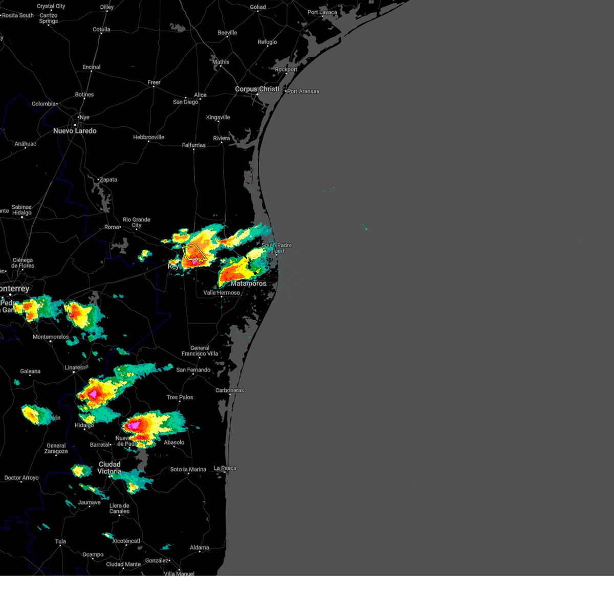 At 456 pm cdt, a severe thunderstorm was located near santa ana national wildlife refuge, or 11 miles southwest of progreso, moving southeast at 30 mph (radar indicated). Hazards include two inch hail and 70 mph wind gusts. People and animals outdoors will be injured. expect hail damage to roofs, siding, windows, and vehicles. expect considerable tree damage. Wind damage is also likely to mobile homes, roofs, and outbuildings. At 456 pm cdt, a severe thunderstorm was located near santa ana national wildlife refuge, or 11 miles southwest of progreso, moving southeast at 30 mph (radar indicated). Hazards include two inch hail and 70 mph wind gusts. People and animals outdoors will be injured. expect hail damage to roofs, siding, windows, and vehicles. expect considerable tree damage. Wind damage is also likely to mobile homes, roofs, and outbuildings.
|
| 4/21/2023 4:49 PM CDT |
 At 447 pm cdt, a severe thunderstorm was located over santa ana national wildlife refuge, or 8 miles south of alamo, moving southeast at 35 mph (public. at 440 pm cdt, wind gust to 62 mph was reported mcallen miller airport). Hazards include two inch hail and 70 mph wind gusts. People and animals outdoors will be injured. expect hail damage to roofs, siding, windows, and vehicles. expect considerable tree damage. wind damage is also likely to mobile homes, roofs, and outbuildings. locations impacted include, mission, pharr, san juan, alamo, donna, hidalgo, progreso, palmview, penitas and palmhurst. thunderstorm damage threat, considerable hail threat, observed max hail size, 2. 00 in wind threat, radar indicated max wind gust, 70 mph. At 447 pm cdt, a severe thunderstorm was located over santa ana national wildlife refuge, or 8 miles south of alamo, moving southeast at 35 mph (public. at 440 pm cdt, wind gust to 62 mph was reported mcallen miller airport). Hazards include two inch hail and 70 mph wind gusts. People and animals outdoors will be injured. expect hail damage to roofs, siding, windows, and vehicles. expect considerable tree damage. wind damage is also likely to mobile homes, roofs, and outbuildings. locations impacted include, mission, pharr, san juan, alamo, donna, hidalgo, progreso, palmview, penitas and palmhurst. thunderstorm damage threat, considerable hail threat, observed max hail size, 2. 00 in wind threat, radar indicated max wind gust, 70 mph.
|
| 4/21/2023 4:45 PM CDT | Warehouse garage door blown in by thunderstorm wind gus in hidalgo county TX, 2 miles NNW of McAllen, TX |
| 4/21/2023 4:45 PM CDT | Tree limbs knocked down near ware rd in mcallen in hidalgo county TX, 1.2 miles E of McAllen, TX |
| 4/21/2023 4:40 PM CDT | Mcallen miller airport asos peak wind gust in hidalgo county TX, 0.7 miles WSW of McAllen, TX |
| 4/21/2023 4:40 PM CDT | Half Dollar sized hail reported 0.7 miles WSW of McAllen, TX, multiple reports of hail in mcallen from half inch to half dollar size. |
| 4/21/2023 4:30 PM CDT |
 At 429 pm cdt, a severe thunderstorm was located over mcallen police department, or over south mcallen, moving southeast at 35 mph (public. at 420 pm cdt 2 inch hail was reported penitas). Hazards include two inch hail and 60 mph wind gusts. People and animals outdoors will be injured. expect hail damage to roofs, siding, windows, and vehicles. expect wind damage to roofs, siding, and trees. locations impacted include, mission, pharr, san juan, alamo, donna, hidalgo, progreso, palmview, penitas and palmhurst. thunderstorm damage threat, considerable hail threat, observed max hail size, 2. 00 in wind threat, radar indicated max wind gust, 60 mph. At 429 pm cdt, a severe thunderstorm was located over mcallen police department, or over south mcallen, moving southeast at 35 mph (public. at 420 pm cdt 2 inch hail was reported penitas). Hazards include two inch hail and 60 mph wind gusts. People and animals outdoors will be injured. expect hail damage to roofs, siding, windows, and vehicles. expect wind damage to roofs, siding, and trees. locations impacted include, mission, pharr, san juan, alamo, donna, hidalgo, progreso, palmview, penitas and palmhurst. thunderstorm damage threat, considerable hail threat, observed max hail size, 2. 00 in wind threat, radar indicated max wind gust, 60 mph.
|
| 4/21/2023 4:11 PM CDT |
 At 410 pm cdt, a severe thunderstorm was located over citrus city, or near palmhurst, moving southeast at 35 mph (radar indicated). Hazards include two inch hail and 60 mph wind gusts. People and animals outdoors will be injured. expect hail damage to roofs, siding, windows, and vehicles. Expect wind damage to roofs, siding, and trees. At 410 pm cdt, a severe thunderstorm was located over citrus city, or near palmhurst, moving southeast at 35 mph (radar indicated). Hazards include two inch hail and 60 mph wind gusts. People and animals outdoors will be injured. expect hail damage to roofs, siding, windows, and vehicles. Expect wind damage to roofs, siding, and trees.
|
| 11/11/2022 10:57 PM CST |
 The severe thunderstorm warning for southeastern hidalgo county will expire at 1100 pm cst, the storm which prompted the warning has weakened below severe limits, and no longer poses an immediate threat to life or property. therefore, the warning will be allowed to expire. however gusty winds are still possible with this thunderstorm in southern hidalgo county. The severe thunderstorm warning for southeastern hidalgo county will expire at 1100 pm cst, the storm which prompted the warning has weakened below severe limits, and no longer poses an immediate threat to life or property. therefore, the warning will be allowed to expire. however gusty winds are still possible with this thunderstorm in southern hidalgo county.
|
| 11/11/2022 10:48 PM CST |
 At 1047 pm cst, a severe thunderstorm was located over south alamo, or near donna, moving southeast at 20 mph (kmfe gusted to 59 mph at 1028 pm cst. members of the public have sent in pictures of hail the size of dimes to pennies). Hazards include 60 mph wind gusts and nickel size hail. Expect damage to roofs, siding, and trees. locations impacted include, pharr, weslaco, donna, hidalgo, south mcallen, south pharr elementary school, donna public library, p s j a high school, santa ana national wildlife refuge and hidalgo public library. hail threat, radar indicated max hail size, 0. 88 in wind threat, observed max wind gust, 60 mph. At 1047 pm cst, a severe thunderstorm was located over south alamo, or near donna, moving southeast at 20 mph (kmfe gusted to 59 mph at 1028 pm cst. members of the public have sent in pictures of hail the size of dimes to pennies). Hazards include 60 mph wind gusts and nickel size hail. Expect damage to roofs, siding, and trees. locations impacted include, pharr, weslaco, donna, hidalgo, south mcallen, south pharr elementary school, donna public library, p s j a high school, santa ana national wildlife refuge and hidalgo public library. hail threat, radar indicated max hail size, 0. 88 in wind threat, observed max wind gust, 60 mph.
|
| 11/11/2022 10:36 PM CST |
 At 1035 pm cst, a severe thunderstorm was located over tierra del sol golf course, or over pharr, moving southeast at 20 mph (kmfe reported a wind gust of 59 mph. hail remains radar indicated). Hazards include 60 mph wind gusts and half dollar size hail. Hail damage to vehicles is expected. expect wind damage to roofs, siding, and trees. locations impacted include, pharr, weslaco, san juan, alamo, donna, hidalgo, sharyland, south mcallen, austin middle school and mcallen high school. hail threat, radar indicated max hail size, 1. 25 in wind threat, observed max wind gust, 60 mph. At 1035 pm cst, a severe thunderstorm was located over tierra del sol golf course, or over pharr, moving southeast at 20 mph (kmfe reported a wind gust of 59 mph. hail remains radar indicated). Hazards include 60 mph wind gusts and half dollar size hail. Hail damage to vehicles is expected. expect wind damage to roofs, siding, and trees. locations impacted include, pharr, weslaco, san juan, alamo, donna, hidalgo, sharyland, south mcallen, austin middle school and mcallen high school. hail threat, radar indicated max hail size, 1. 25 in wind threat, observed max wind gust, 60 mph.
|
| 11/11/2022 10:28 PM CST | A thunderstorm wind gust of 59 mph was observed at the mfe asos at 1028 p in hidalgo county TX, 2.7 miles NNW of McAllen, TX |
| 11/11/2022 10:19 PM CST |
 At 1018 pm cst, a severe thunderstorm was located over airport park, or over south mcallen, moving southeast at 20 mph (radar indicated). Hazards include ping pong ball size hail and 60 mph wind gusts. People and animals outdoors will be injured. expect hail damage to roofs, siding, windows, and vehicles. expect wind damage to roofs, siding, and trees. locations impacted include, mission, pharr, weslaco, san juan, alamo, donna, hidalgo, palmview, palmhurst and north mcallen. hail threat, radar indicated max hail size, 1. 50 in wind threat, radar indicated max wind gust, 60 mph. At 1018 pm cst, a severe thunderstorm was located over airport park, or over south mcallen, moving southeast at 20 mph (radar indicated). Hazards include ping pong ball size hail and 60 mph wind gusts. People and animals outdoors will be injured. expect hail damage to roofs, siding, windows, and vehicles. expect wind damage to roofs, siding, and trees. locations impacted include, mission, pharr, weslaco, san juan, alamo, donna, hidalgo, palmview, palmhurst and north mcallen. hail threat, radar indicated max hail size, 1. 50 in wind threat, radar indicated max wind gust, 60 mph.
|
| 11/11/2022 10:08 PM CST |
 At 1007 pm cst, a severe thunderstorm was located over mission, moving southeast at 20 mph (radar indicated). Hazards include 60 mph wind gusts and quarter size hail. Hail damage to vehicles is expected. Expect wind damage to roofs, siding, and trees. At 1007 pm cst, a severe thunderstorm was located over mission, moving southeast at 20 mph (radar indicated). Hazards include 60 mph wind gusts and quarter size hail. Hail damage to vehicles is expected. Expect wind damage to roofs, siding, and trees.
|
| 8/11/2022 7:02 PM CDT |
 At 659 pm cdt, a severe thunderstorm was located over citrus city or north of palmview and palmhurst moving southwest at 25 mph (radar indicated). Hazards include 60 mph wind gusts and quarter size hail. Hail damage to vehicles is expected. expect wind damage to roofs, siding, and trees. locations impacted include, mission, palmview, penitas, la joya, palmhurst, sharyland, alton, narciso g. cavazos elementary school, abram-perezville and doffing. hail threat, radar indicated max hail size, 1. 00 in wind threat, radar indicated max wind gust, 60 mph. At 659 pm cdt, a severe thunderstorm was located over citrus city or north of palmview and palmhurst moving southwest at 25 mph (radar indicated). Hazards include 60 mph wind gusts and quarter size hail. Hail damage to vehicles is expected. expect wind damage to roofs, siding, and trees. locations impacted include, mission, palmview, penitas, la joya, palmhurst, sharyland, alton, narciso g. cavazos elementary school, abram-perezville and doffing. hail threat, radar indicated max hail size, 1. 00 in wind threat, radar indicated max wind gust, 60 mph.
|
| 8/11/2022 6:44 PM CDT |
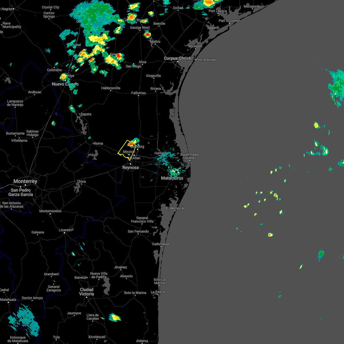 At 644 pm cdt, a severe thunderstorm was located near citrus city, or near palmhurst, moving southwest at 25 mph (radar indicated). Hazards include 60 mph wind gusts and half dollar size hail. Hail damage to vehicles is expected. Expect wind damage to roofs, siding, and trees. At 644 pm cdt, a severe thunderstorm was located near citrus city, or near palmhurst, moving southwest at 25 mph (radar indicated). Hazards include 60 mph wind gusts and half dollar size hail. Hail damage to vehicles is expected. Expect wind damage to roofs, siding, and trees.
|
| 5/24/2022 4:35 AM CDT |
 At 435 am cdt, a severe thunderstorm was located over josefa garcia park, or near palmhurst, moving east at 30 mph (radar indicated). Hazards include quarter size hail. Damage to vehicles is expected. locations impacted include, edinburg, mission, elsa, palmview, edcouch, palmhurst, north mcallen, hargill, sharyland and faysville. hail threat, radar indicated max hail size, 1. 00 in wind threat, radar indicated max wind gust, <50 mph. At 435 am cdt, a severe thunderstorm was located over josefa garcia park, or near palmhurst, moving east at 30 mph (radar indicated). Hazards include quarter size hail. Damage to vehicles is expected. locations impacted include, edinburg, mission, elsa, palmview, edcouch, palmhurst, north mcallen, hargill, sharyland and faysville. hail threat, radar indicated max hail size, 1. 00 in wind threat, radar indicated max wind gust, <50 mph.
|
| 5/24/2022 4:19 AM CDT |
 At 418 am cdt, a severe thunderstorm was located over ann richards middle school, or over palmview, moving east at 30 mph (radar indicated). Hazards include half dollar size hail. damage to vehicles is expected At 418 am cdt, a severe thunderstorm was located over ann richards middle school, or over palmview, moving east at 30 mph (radar indicated). Hazards include half dollar size hail. damage to vehicles is expected
|
| 5/23/2022 11:44 PM CDT |
 At 1143 pm cdt, a severe thunderstorm was located over la villa, moving east at 30 mph (radar indicated). Hazards include 60 mph wind gusts and quarter size hail. Hail damage to vehicles is expected. expect wind damage to roofs, siding, and trees. Locations impacted include, edinburg, mercedes, raymondville, elsa, edcouch, la villa, lasara, linn, north mcallen and hargill. At 1143 pm cdt, a severe thunderstorm was located over la villa, moving east at 30 mph (radar indicated). Hazards include 60 mph wind gusts and quarter size hail. Hail damage to vehicles is expected. expect wind damage to roofs, siding, and trees. Locations impacted include, edinburg, mercedes, raymondville, elsa, edcouch, la villa, lasara, linn, north mcallen and hargill.
|
| 5/23/2022 11:26 PM CDT |
 At 1125 pm cdt, a severe thunderstorm was located over san carlos, or near elsa, moving east at 35 mph (radar indicated). Hazards include golf ball size hail and 70 mph wind gusts. People and animals outdoors will be injured. expect hail damage to roofs, siding, windows, and vehicles. expect considerable tree damage. wind damage is also likely to mobile homes, roofs, and outbuildings. Locations impacted include, edinburg, mercedes, raymondville, elsa, edcouch, la villa, lasara, linn, north mcallen and hargill. At 1125 pm cdt, a severe thunderstorm was located over san carlos, or near elsa, moving east at 35 mph (radar indicated). Hazards include golf ball size hail and 70 mph wind gusts. People and animals outdoors will be injured. expect hail damage to roofs, siding, windows, and vehicles. expect considerable tree damage. wind damage is also likely to mobile homes, roofs, and outbuildings. Locations impacted include, edinburg, mercedes, raymondville, elsa, edcouch, la villa, lasara, linn, north mcallen and hargill.
|
| 5/23/2022 11:10 PM CDT |
 The severe thunderstorm warning for southwestern hidalgo and southeastern starr counties will expire at 1115 pm cdt, the severe thunderstorm which prompted the warning continues to move east at 30 to 35 mph. a new warning has been issued for hidalgo county. hail and gusty winds are still possible with this thunderstorm. remember, a severe thunderstorm warning still remains in effect for hidalgo county until midnight. The severe thunderstorm warning for southwestern hidalgo and southeastern starr counties will expire at 1115 pm cdt, the severe thunderstorm which prompted the warning continues to move east at 30 to 35 mph. a new warning has been issued for hidalgo county. hail and gusty winds are still possible with this thunderstorm. remember, a severe thunderstorm warning still remains in effect for hidalgo county until midnight.
|
| 5/23/2022 11:09 PM CDT |
 At 1108 pm cdt, a severe thunderstorm was located near b.l. garza middle school, or near faysville, moving east at 35 mph (radar indicated). Hazards include two inch hail and 70 mph wind gusts. People and animals outdoors will be injured. expect hail damage to roofs, siding, windows, and vehicles. expect considerable tree damage. Wind damage is also likely to mobile homes, roofs, and outbuildings. At 1108 pm cdt, a severe thunderstorm was located near b.l. garza middle school, or near faysville, moving east at 35 mph (radar indicated). Hazards include two inch hail and 70 mph wind gusts. People and animals outdoors will be injured. expect hail damage to roofs, siding, windows, and vehicles. expect considerable tree damage. Wind damage is also likely to mobile homes, roofs, and outbuildings.
|
| 5/23/2022 10:55 PM CDT |
 At 1055 pm cdt, a severe thunderstorm was located near la joya high school, or near la joya, moving east at 35 mph (radar indicated). Hazards include 70 mph wind gusts and half dollar size hail. Hail damage to vehicles is expected. expect considerable tree damage. wind damage is also likely to mobile homes, roofs, and outbuildings. locations impacted include, mission, rio grande city, palmview, penitas, sullivan city, la joya, palmhurst, garciasville, los ebanos and sharyland. thunderstorm damage threat, considerable hail threat, radar indicated max hail size, 1. 25 in wind threat, radar indicated max wind gust, 70 mph. At 1055 pm cdt, a severe thunderstorm was located near la joya high school, or near la joya, moving east at 35 mph (radar indicated). Hazards include 70 mph wind gusts and half dollar size hail. Hail damage to vehicles is expected. expect considerable tree damage. wind damage is also likely to mobile homes, roofs, and outbuildings. locations impacted include, mission, rio grande city, palmview, penitas, sullivan city, la joya, palmhurst, garciasville, los ebanos and sharyland. thunderstorm damage threat, considerable hail threat, radar indicated max hail size, 1. 25 in wind threat, radar indicated max wind gust, 70 mph.
|
| 5/23/2022 10:40 PM CDT |
 At 1039 pm cdt, a severe thunderstorm was located over la victoria, or near sullivan city, moving east at 35 mph (radar indicated). Hazards include 60 mph wind gusts and half dollar size hail. Hail damage to vehicles is expected. expect wind damage to roofs, siding, and trees. locations impacted include, mission, rio grande city, palmview, penitas, sullivan city, la joya, palmhurst, garciasville, los ebanos and sharyland. hail threat, radar indicated max hail size, 1. 25 in wind threat, radar indicated max wind gust, 60 mph. At 1039 pm cdt, a severe thunderstorm was located over la victoria, or near sullivan city, moving east at 35 mph (radar indicated). Hazards include 60 mph wind gusts and half dollar size hail. Hail damage to vehicles is expected. expect wind damage to roofs, siding, and trees. locations impacted include, mission, rio grande city, palmview, penitas, sullivan city, la joya, palmhurst, garciasville, los ebanos and sharyland. hail threat, radar indicated max hail size, 1. 25 in wind threat, radar indicated max wind gust, 60 mph.
|
| 5/23/2022 10:25 PM CDT |
 At 1025 pm cdt, a severe thunderstorm was located near las lomas, or near garciasville, moving east at 35 mph (radar indicated). Hazards include 60 mph wind gusts and half dollar size hail. Hail damage to vehicles is expected. Expect wind damage to roofs, siding, and trees. At 1025 pm cdt, a severe thunderstorm was located near las lomas, or near garciasville, moving east at 35 mph (radar indicated). Hazards include 60 mph wind gusts and half dollar size hail. Hail damage to vehicles is expected. Expect wind damage to roofs, siding, and trees.
|
| 7/20/2021 8:24 PM CDT |
 The severe thunderstorm warning for southeastern hidalgo county will expire at 830 pm cdt, the storm which prompted the warning has weakened below severe limits, and has also exited the warned area. therefore, the warning will be allowed to expire. The severe thunderstorm warning for southeastern hidalgo county will expire at 830 pm cdt, the storm which prompted the warning has weakened below severe limits, and has also exited the warned area. therefore, the warning will be allowed to expire.
|
| 7/20/2021 7:56 PM CDT |
 The severe thunderstorm warning for southwestern hidalgo county will expire at 800 pm cdt, the storm which prompted the warning has moved out of the area. therefore, the warning will be allowed to expire. The severe thunderstorm warning for southwestern hidalgo county will expire at 800 pm cdt, the storm which prompted the warning has moved out of the area. therefore, the warning will be allowed to expire.
|
| 7/20/2021 7:56 PM CDT |
 At 756 pm cdt, a severe thunderstorm was located over south pharr elementary school, or over hidalgo, moving southeast at 30 mph (radar indicated). Hazards include 60 mph wind gusts. expect damage to roofs, siding, and trees At 756 pm cdt, a severe thunderstorm was located over south pharr elementary school, or over hidalgo, moving southeast at 30 mph (radar indicated). Hazards include 60 mph wind gusts. expect damage to roofs, siding, and trees
|
| 7/20/2021 7:26 PM CDT |
 At 725 pm cdt, a severe thunderstorm was located over palmview high school, or over palmhurst, moving south at 25 mph (radar indicated). Hazards include 60 mph wind gusts. expect damage to roofs, siding, and trees At 725 pm cdt, a severe thunderstorm was located over palmview high school, or over palmhurst, moving south at 25 mph (radar indicated). Hazards include 60 mph wind gusts. expect damage to roofs, siding, and trees
|
| 7/20/2021 7:05 PM CDT |
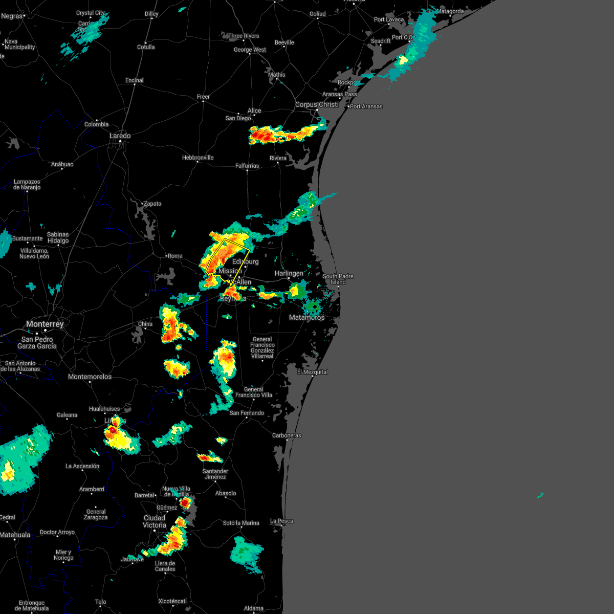 At 705 pm cdt, a severe thunderstorm was located 7 miles southeast of mccook, moving southeast at 15 mph (radar indicated). Hazards include 60 mph wind gusts. Expect damage to roofs, siding, and trees. Locations impacted include, mission, palmview, penitas, sullivan city, la joya, palmhurst, los ebanos, sharyland, mccook and alton. At 705 pm cdt, a severe thunderstorm was located 7 miles southeast of mccook, moving southeast at 15 mph (radar indicated). Hazards include 60 mph wind gusts. Expect damage to roofs, siding, and trees. Locations impacted include, mission, palmview, penitas, sullivan city, la joya, palmhurst, los ebanos, sharyland, mccook and alton.
|
| 7/20/2021 6:44 PM CDT |
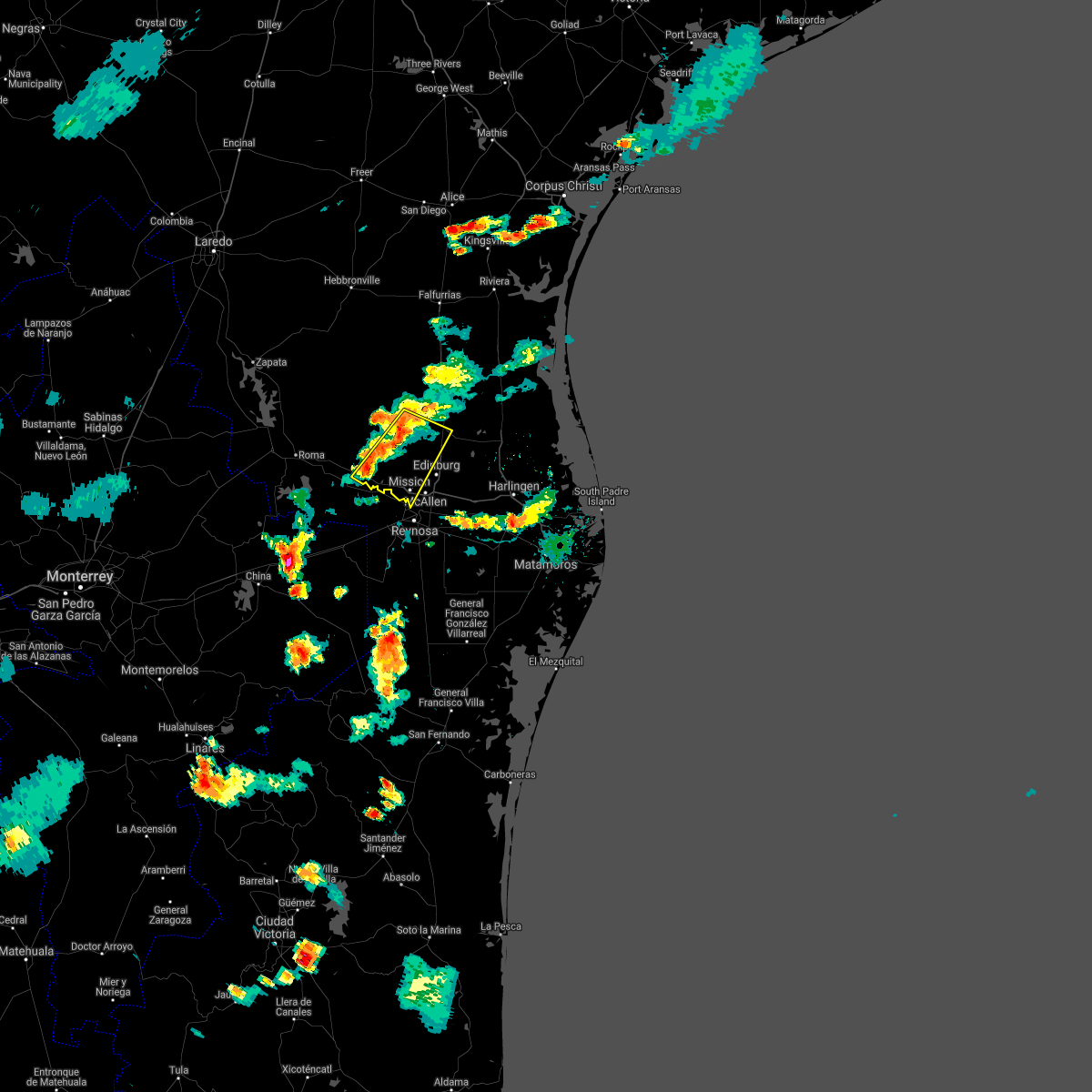 At 644 pm cdt, a severe thunderstorm was located over mccook, moving southeast at 15 mph (radar indicated). Hazards include 60 mph wind gusts. expect damage to roofs, siding, and trees At 644 pm cdt, a severe thunderstorm was located over mccook, moving southeast at 15 mph (radar indicated). Hazards include 60 mph wind gusts. expect damage to roofs, siding, and trees
|
| 5/19/2021 8:58 AM CDT |
 The national weather service in brownsville has issued a * severe thunderstorm warning for. kenedy county in deep south texas. hidalgo county in deep south texas. northwestern cameron county in deep south texas. Eastern brooks county in deep south texas. The national weather service in brownsville has issued a * severe thunderstorm warning for. kenedy county in deep south texas. hidalgo county in deep south texas. northwestern cameron county in deep south texas. Eastern brooks county in deep south texas.
|
| 5/19/2021 8:37 AM CDT |
 At 836 am cdt, severe thunderstorms were located along a line extending from 7 miles north of encino to near south alamo, moving east at 50 mph (radar indicated). Hazards include 60 mph wind gusts. Expect damage to roofs, siding, and trees. Locations impacted include, edinburg, mission, pharr, harlingen, weslaco, san juan, alamo, donna, mercedes and raymondville. At 836 am cdt, severe thunderstorms were located along a line extending from 7 miles north of encino to near south alamo, moving east at 50 mph (radar indicated). Hazards include 60 mph wind gusts. Expect damage to roofs, siding, and trees. Locations impacted include, edinburg, mission, pharr, harlingen, weslaco, san juan, alamo, donna, mercedes and raymondville.
|
| 5/19/2021 8:21 AM CDT |
 The national weather service in brownsville has issued a * severe thunderstorm warning for. western kenedy county in deep south texas. central jim hogg county in deep south texas. hidalgo county in deep south texas. Eastern starr county in deep south texas. The national weather service in brownsville has issued a * severe thunderstorm warning for. western kenedy county in deep south texas. central jim hogg county in deep south texas. hidalgo county in deep south texas. Eastern starr county in deep south texas.
|
| 5/19/2021 7:47 AM CDT |
 At 747 am cdt, severe thunderstorms were located along a line extending from 12 miles southeast of south fork estates to near los ebanos, moving southeast at 35 mph (radar indicated). Hazards include 60 mph wind gusts. expect damage to roofs, siding, and trees At 747 am cdt, severe thunderstorms were located along a line extending from 12 miles southeast of south fork estates to near los ebanos, moving southeast at 35 mph (radar indicated). Hazards include 60 mph wind gusts. expect damage to roofs, siding, and trees
|
| 5/15/2021 1:11 PM CDT |
 At 111 pm cdt, a severe thunderstorm was located over san carlos elementary school, or near elsa, moving east at 45 mph (radar indicated). Hazards include 60 mph wind gusts and penny size hail. Expect damage to roofs, siding, and trees. Locations impacted include, edinburg, harlingen, raymondville, elsa, edcouch, santa rosa, lyford, palmhurst, la villa and north mcallen. At 111 pm cdt, a severe thunderstorm was located over san carlos elementary school, or near elsa, moving east at 45 mph (radar indicated). Hazards include 60 mph wind gusts and penny size hail. Expect damage to roofs, siding, and trees. Locations impacted include, edinburg, harlingen, raymondville, elsa, edcouch, santa rosa, lyford, palmhurst, la villa and north mcallen.
|
| 5/15/2021 1:10 PM CDT |
 At 109 pm cdt, a severe thunderstorm was located over south alamo, or over donna, moving east at 40 mph (radar indicated). Hazards include 60 mph wind gusts and penny size hail. Expect damage to roofs, siding, and trees. Locations impacted include, mission, pharr, harlingen, weslaco, san juan, alamo, donna, mercedes, la feria and progreso. At 109 pm cdt, a severe thunderstorm was located over south alamo, or over donna, moving east at 40 mph (radar indicated). Hazards include 60 mph wind gusts and penny size hail. Expect damage to roofs, siding, and trees. Locations impacted include, mission, pharr, harlingen, weslaco, san juan, alamo, donna, mercedes, la feria and progreso.
|
| 5/15/2021 1:02 PM CDT |
 At 102 pm cdt, a severe thunderstorm was located over edinburg regional medical center, or over edinburg, moving east at 45 mph (radar indicated). Hazards include 60 mph wind gusts and penny size hail. expect damage to roofs, siding, and trees At 102 pm cdt, a severe thunderstorm was located over edinburg regional medical center, or over edinburg, moving east at 45 mph (radar indicated). Hazards include 60 mph wind gusts and penny size hail. expect damage to roofs, siding, and trees
|
| 5/15/2021 12:41 PM CDT |
 The national weather service in brownsville has issued a * severe thunderstorm warning for. southern hidalgo county in deep south texas. west central cameron county in deep south texas. until 130 pm cdt. At 1240 pm cdt, a severe thunderstorm was located near guillermo. The national weather service in brownsville has issued a * severe thunderstorm warning for. southern hidalgo county in deep south texas. west central cameron county in deep south texas. until 130 pm cdt. At 1240 pm cdt, a severe thunderstorm was located near guillermo.
|
| 5/15/2021 12:39 PM CDT |
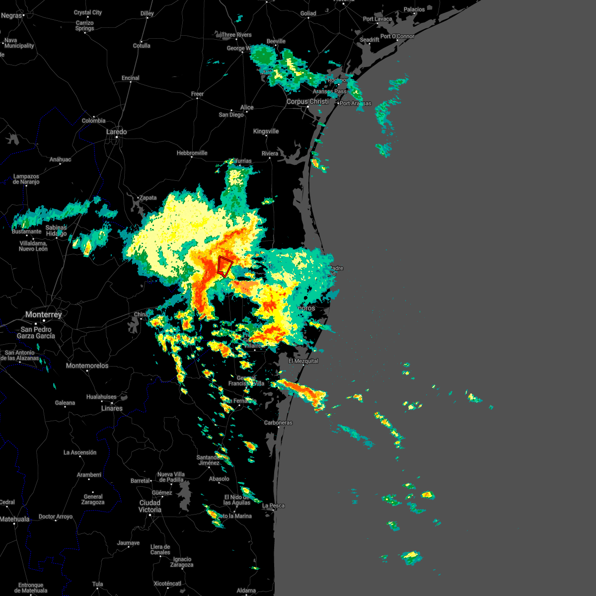 At 1228 pm cdt, a severe thunderstorm capable of producing a tornado was located over mission regional medical center, or over mission, moving north at 15 mph (radar indicated rotation). Hazards include tornado. Flying debris will be dangerous to those caught without shelter. mobile homes will be damaged or destroyed. damage to roofs, windows, and vehicles will occur. tree damage is likely. this dangerous storm will be near, mission, palmview, airport park and mcallen miller international airport around 1235 pm cdt. sharyland, mission fire station number 3, sharyland high school, garcia middle school, mcallen convention center, zavala elementary school, mcallen fire department, archer park, mcallen police department and mcallen chamber of commerce around 1240 pm cdt. palmhurst, north mcallen, alton, veterans memorial high school, mcallen recycling center, sharyland north junior high school, sylvia vela park, west sharyland, donna wernecke elementary school and josefa garcia park around 1245 pm cdt. other locations impacted by this tornadic thunderstorm include boeye reservoir, national butterfly center, west park, juan n. seguin elementary school, astroland park, michael e fossum middle school, palmview south, barrientes middle school, enrique camarena elementary school and robin park. This includes interstate highway 69 c between mile markers 3 and 6. At 1228 pm cdt, a severe thunderstorm capable of producing a tornado was located over mission regional medical center, or over mission, moving north at 15 mph (radar indicated rotation). Hazards include tornado. Flying debris will be dangerous to those caught without shelter. mobile homes will be damaged or destroyed. damage to roofs, windows, and vehicles will occur. tree damage is likely. this dangerous storm will be near, mission, palmview, airport park and mcallen miller international airport around 1235 pm cdt. sharyland, mission fire station number 3, sharyland high school, garcia middle school, mcallen convention center, zavala elementary school, mcallen fire department, archer park, mcallen police department and mcallen chamber of commerce around 1240 pm cdt. palmhurst, north mcallen, alton, veterans memorial high school, mcallen recycling center, sharyland north junior high school, sylvia vela park, west sharyland, donna wernecke elementary school and josefa garcia park around 1245 pm cdt. other locations impacted by this tornadic thunderstorm include boeye reservoir, national butterfly center, west park, juan n. seguin elementary school, astroland park, michael e fossum middle school, palmview south, barrientes middle school, enrique camarena elementary school and robin park. This includes interstate highway 69 c between mile markers 3 and 6.
|
| 5/15/2021 12:28 PM CDT |
 At 1228 pm cdt, a severe thunderstorm capable of producing a tornado was located over mission regional medical center, or over mission, moving north at 15 mph (radar indicated rotation). Hazards include tornado. Flying debris will be dangerous to those caught without shelter. mobile homes will be damaged or destroyed. damage to roofs, windows, and vehicles will occur. tree damage is likely. this dangerous storm will be near, mission, palmview, airport park and mcallen miller international airport around 1235 pm cdt. sharyland, mission fire station number 3, sharyland high school, garcia middle school, mcallen convention center, zavala elementary school, mcallen fire department, archer park, mcallen police department and mcallen chamber of commerce around 1240 pm cdt. palmhurst, north mcallen, alton, veterans memorial high school, mcallen recycling center, sharyland north junior high school, sylvia vela park, west sharyland, donna wernecke elementary school and josefa garcia park around 1245 pm cdt. other locations impacted by this tornadic thunderstorm include boeye reservoir, national butterfly center, west park, juan n. seguin elementary school, astroland park, michael e fossum middle school, palmview south, barrientes middle school, enrique camarena elementary school and robin park. This includes interstate highway 69 c between mile markers 3 and 6. At 1228 pm cdt, a severe thunderstorm capable of producing a tornado was located over mission regional medical center, or over mission, moving north at 15 mph (radar indicated rotation). Hazards include tornado. Flying debris will be dangerous to those caught without shelter. mobile homes will be damaged or destroyed. damage to roofs, windows, and vehicles will occur. tree damage is likely. this dangerous storm will be near, mission, palmview, airport park and mcallen miller international airport around 1235 pm cdt. sharyland, mission fire station number 3, sharyland high school, garcia middle school, mcallen convention center, zavala elementary school, mcallen fire department, archer park, mcallen police department and mcallen chamber of commerce around 1240 pm cdt. palmhurst, north mcallen, alton, veterans memorial high school, mcallen recycling center, sharyland north junior high school, sylvia vela park, west sharyland, donna wernecke elementary school and josefa garcia park around 1245 pm cdt. other locations impacted by this tornadic thunderstorm include boeye reservoir, national butterfly center, west park, juan n. seguin elementary school, astroland park, michael e fossum middle school, palmview south, barrientes middle school, enrique camarena elementary school and robin park. This includes interstate highway 69 c between mile markers 3 and 6.
|
| 5/15/2021 12:22 PM CDT |
 At 1222 pm cdt, a severe thunderstorm capable of producing a tornado was located over madero, or near mission, moving north at 15 mph (radar indicated rotation). Hazards include tornado. Flying debris will be dangerous to those caught without shelter. mobile homes will be damaged or destroyed. damage to roofs, windows, and vehicles will occur. tree damage is likely. this dangerous storm will be near, mission, palmview, palmhurst, sharyland, south mcallen, north mcallen, alton, mission regional medical center, castro elementary school and lloyd & dolly bentsen elementary school around 1230 pm cdt. other locations impacted by this tornadic thunderstorm include boeye reservoir, national butterfly center, juan n. seguin elementary school, astroland park, michael e fossum middle school, palmview south, mcallen, enrique camarena elementary school, robin park and retama park. This includes interstate highway 69 c between mile markers 2 and 4. At 1222 pm cdt, a severe thunderstorm capable of producing a tornado was located over madero, or near mission, moving north at 15 mph (radar indicated rotation). Hazards include tornado. Flying debris will be dangerous to those caught without shelter. mobile homes will be damaged or destroyed. damage to roofs, windows, and vehicles will occur. tree damage is likely. this dangerous storm will be near, mission, palmview, palmhurst, sharyland, south mcallen, north mcallen, alton, mission regional medical center, castro elementary school and lloyd & dolly bentsen elementary school around 1230 pm cdt. other locations impacted by this tornadic thunderstorm include boeye reservoir, national butterfly center, juan n. seguin elementary school, astroland park, michael e fossum middle school, palmview south, mcallen, enrique camarena elementary school, robin park and retama park. This includes interstate highway 69 c between mile markers 2 and 4.
|
| 5/12/2021 1:25 AM CDT |
 At 124 am cdt, a severe thunderstorm was located over mercedes memorial library, or over mercedes, moving east at 40 mph. this is a very dangerous storm (radar indicated). Hazards include 80 mph wind gusts. Flying debris will be dangerous to those caught without shelter. mobile homes will be heavily damaged. expect considerable damage to roofs, windows, and vehicles. extensive tree damage and power outages are likely. Locations impacted include, edinburg, pharr, harlingen, weslaco, san juan, alamo, donna, mercedes, hidalgo and la feria. At 124 am cdt, a severe thunderstorm was located over mercedes memorial library, or over mercedes, moving east at 40 mph. this is a very dangerous storm (radar indicated). Hazards include 80 mph wind gusts. Flying debris will be dangerous to those caught without shelter. mobile homes will be heavily damaged. expect considerable damage to roofs, windows, and vehicles. extensive tree damage and power outages are likely. Locations impacted include, edinburg, pharr, harlingen, weslaco, san juan, alamo, donna, mercedes, hidalgo and la feria.
|
| 5/12/2021 1:11 AM CDT |
 At 111 am cdt, a severe thunderstorm was located over donna, moving east at 40 mph (radar indicated). Hazards include 70 mph wind gusts. Expect considerable tree damage. damage is likely to mobile homes, roofs, and outbuildings. Locations impacted include, edinburg, pharr, harlingen, weslaco, san juan, alamo, donna, mercedes, hidalgo and la feria. At 111 am cdt, a severe thunderstorm was located over donna, moving east at 40 mph (radar indicated). Hazards include 70 mph wind gusts. Expect considerable tree damage. damage is likely to mobile homes, roofs, and outbuildings. Locations impacted include, edinburg, pharr, harlingen, weslaco, san juan, alamo, donna, mercedes, hidalgo and la feria.
|
| 5/12/2021 1:07 AM CDT | Mcallen airport asos reported a wind gust to 63 mph in hidalgo county TX, 0.7 miles WSW of McAllen, TX |
| 5/12/2021 1:04 AM CDT |
 At 104 am cdt, a severe thunderstorm was located over north alamo elementary school, or over alamo, moving east at 40 mph (radar indicated). Hazards include 60 mph wind gusts. expect damage to roofs, siding, and trees At 104 am cdt, a severe thunderstorm was located over north alamo elementary school, or over alamo, moving east at 40 mph (radar indicated). Hazards include 60 mph wind gusts. expect damage to roofs, siding, and trees
|
| 9/5/2020 12:58 PM CDT |
 At 1255 pm cdt, a severe thunderstorm capable of producing a tornado was located over progreso city offices, or over progreso, moving northwest at 30 mph. this storm will impact the weslaco area by 105 pm and the pharr and san juan area by 115 pm (radar indicated rotation). Hazards include tornado. Flying debris will be dangerous to those caught without shelter. mobile homes will be damaged or destroyed. damage to roofs, windows, and vehicles will occur. tree damage is likely. Locations impacted include, edinburg, mission, pharr, weslaco, san juan, alamo, donna, mercedes, elsa and progreso. At 1255 pm cdt, a severe thunderstorm capable of producing a tornado was located over progreso city offices, or over progreso, moving northwest at 30 mph. this storm will impact the weslaco area by 105 pm and the pharr and san juan area by 115 pm (radar indicated rotation). Hazards include tornado. Flying debris will be dangerous to those caught without shelter. mobile homes will be damaged or destroyed. damage to roofs, windows, and vehicles will occur. tree damage is likely. Locations impacted include, edinburg, mission, pharr, weslaco, san juan, alamo, donna, mercedes, elsa and progreso.
|
| 9/5/2020 12:41 PM CDT |
 At 1241 pm cdt, a severe thunderstorm capable of producing a tornado was located near santa maria, moving northwest at 30 mph (radar indicated rotation). Hazards include tornado. Flying debris will be dangerous to those caught without shelter. mobile homes will be damaged or destroyed. damage to roofs, windows, and vehicles will occur. Tree damage is likely. At 1241 pm cdt, a severe thunderstorm capable of producing a tornado was located near santa maria, moving northwest at 30 mph (radar indicated rotation). Hazards include tornado. Flying debris will be dangerous to those caught without shelter. mobile homes will be damaged or destroyed. damage to roofs, windows, and vehicles will occur. Tree damage is likely.
|
| 7/26/2020 11:25 AM CDT |
 At 1124 am cdt, a severe thunderstorm capable of producing a tornado was located near santa ana national wildlife refuge, or 7 miles west of progreso, moving northwest at 45 mph (radar indicated rotation). Hazards include tornado. Flying debris will be dangerous to those caught without shelter. mobile homes will be damaged or destroyed. damage to roofs, windows, and vehicles will occur. Tree damage is likely. At 1124 am cdt, a severe thunderstorm capable of producing a tornado was located near santa ana national wildlife refuge, or 7 miles west of progreso, moving northwest at 45 mph (radar indicated rotation). Hazards include tornado. Flying debris will be dangerous to those caught without shelter. mobile homes will be damaged or destroyed. damage to roofs, windows, and vehicles will occur. Tree damage is likely.
|
| 6/10/2020 4:27 PM CDT | Asos at mfe measured a wind gust of 61 mp in hidalgo county TX, 2.7 miles NNW of McAllen, TX |
| 5/26/2020 3:26 AM CDT |
 The severe thunderstorm warning for southwestern hidalgo and southeastern starr counties will expire at 330 am cdt, the strongest storms which prompted the warning have moved out of the area. therefore, the warning will be allowed to expire. however gusty winds and heavy rain are still possible with these thunderstorms. a severe thunderstorm watch remains in effect until 400 am cdt for deep south texas. The severe thunderstorm warning for southwestern hidalgo and southeastern starr counties will expire at 330 am cdt, the strongest storms which prompted the warning have moved out of the area. therefore, the warning will be allowed to expire. however gusty winds and heavy rain are still possible with these thunderstorms. a severe thunderstorm watch remains in effect until 400 am cdt for deep south texas.
|
| 5/26/2020 3:13 AM CDT |
 At 312 am cdt, severe thunderstorms were located along a line extending from 7 miles southwest of mccook to near los ebanos to 21 miles southwest of la grulla, moving east at 20 to 25 mph (radar indicated). Hazards include 70 mph wind gusts and ping pong ball size hail. People and animals outdoors will be injured. expect hail damage to roofs, siding, windows, and vehicles. expect considerable tree damage. wind damage is also likely to mobile homes, roofs, and outbuildings. Locations impacted include, mission, palmview, penitas, sullivan city, la joya, palmhurst, garciasville, north mcallen, los ebanos and sharyland. At 312 am cdt, severe thunderstorms were located along a line extending from 7 miles southwest of mccook to near los ebanos to 21 miles southwest of la grulla, moving east at 20 to 25 mph (radar indicated). Hazards include 70 mph wind gusts and ping pong ball size hail. People and animals outdoors will be injured. expect hail damage to roofs, siding, windows, and vehicles. expect considerable tree damage. wind damage is also likely to mobile homes, roofs, and outbuildings. Locations impacted include, mission, palmview, penitas, sullivan city, la joya, palmhurst, garciasville, north mcallen, los ebanos and sharyland.
|
| 5/26/2020 2:25 AM CDT |
 At 224 am cdt, severe thunderstorms were located along a line extending from near santa catarina to near la victoria to 11 miles south of roma park, moving southeast at 25 mph (radar indicated). Hazards include 70 mph wind gusts and ping pong ball size hail. People and animals outdoors will be injured. expect hail damage to roofs, siding, windows, and vehicles. expect considerable tree damage. Wind damage is also likely to mobile homes, roofs, and outbuildings. At 224 am cdt, severe thunderstorms were located along a line extending from near santa catarina to near la victoria to 11 miles south of roma park, moving southeast at 25 mph (radar indicated). Hazards include 70 mph wind gusts and ping pong ball size hail. People and animals outdoors will be injured. expect hail damage to roofs, siding, windows, and vehicles. expect considerable tree damage. Wind damage is also likely to mobile homes, roofs, and outbuildings.
|
| 5/24/2020 11:54 PM CDT |
 At 1154 pm cdt, a severe thunderstorm was located over economedes high school, or near elsa, moving east at 30 mph (radar indicated). Hazards include 60 mph wind gusts and quarter size hail. Hail damage to vehicles is expected. expect wind damage to roofs, siding, and trees. Locations impacted include, edinburg, mission, pharr, weslaco, san juan, alamo, donna, mercedes, hidalgo and elsa. At 1154 pm cdt, a severe thunderstorm was located over economedes high school, or near elsa, moving east at 30 mph (radar indicated). Hazards include 60 mph wind gusts and quarter size hail. Hail damage to vehicles is expected. expect wind damage to roofs, siding, and trees. Locations impacted include, edinburg, mission, pharr, weslaco, san juan, alamo, donna, mercedes, hidalgo and elsa.
|
| 5/24/2020 11:44 PM CDT |
 At 1143 pm cdt, a severe thunderstorm was located over edinburg north high school, or over edinburg, moving east at 30 mph (radar indicated). Hazards include 60 mph wind gusts and quarter size hail. Hail damage to vehicles is expected. expect wind damage to roofs, siding, and trees. Locations impacted include, edinburg, mission, pharr, weslaco, san juan, alamo, donna, mercedes, hidalgo and elsa. At 1143 pm cdt, a severe thunderstorm was located over edinburg north high school, or over edinburg, moving east at 30 mph (radar indicated). Hazards include 60 mph wind gusts and quarter size hail. Hail damage to vehicles is expected. expect wind damage to roofs, siding, and trees. Locations impacted include, edinburg, mission, pharr, weslaco, san juan, alamo, donna, mercedes, hidalgo and elsa.
|
| 5/24/2020 11:29 PM CDT |
 At 1129 pm cdt, a severe thunderstorm was located over olivero garza sr elementary school, or near north mcallen, moving east at 30 mph (radar indicated). Hazards include 60 mph wind gusts and penny size hail. expect damage to roofs, siding, and trees At 1129 pm cdt, a severe thunderstorm was located over olivero garza sr elementary school, or near north mcallen, moving east at 30 mph (radar indicated). Hazards include 60 mph wind gusts and penny size hail. expect damage to roofs, siding, and trees
|
| 5/16/2020 7:55 AM CDT |
 At 755 am cdt, severe thunderstorms were located along a line extending from near mission to edinburg, moving east at 15 mph (radar indicated). Hazards include 70 mph wind gusts. Expect considerable tree damage. damage is likely to mobile homes, roofs, and outbuildings. Locations impacted include, edinburg, mission, pharr, san juan, hidalgo, palmview, penitas, la joya, palmhurst and north mcallen. At 755 am cdt, severe thunderstorms were located along a line extending from near mission to edinburg, moving east at 15 mph (radar indicated). Hazards include 70 mph wind gusts. Expect considerable tree damage. damage is likely to mobile homes, roofs, and outbuildings. Locations impacted include, edinburg, mission, pharr, san juan, hidalgo, palmview, penitas, la joya, palmhurst and north mcallen.
|
| 5/16/2020 7:47 AM CDT |
 At 746 am cdt, severe thunderstorms were located along a line extending from around mission to san carlos, moving east at 20 mph (radar indicated). Hazards include 70 mph wind gusts. Expect considerable tree damage. Damage is likely to mobile homes, roofs, and outbuildings. At 746 am cdt, severe thunderstorms were located along a line extending from around mission to san carlos, moving east at 20 mph (radar indicated). Hazards include 70 mph wind gusts. Expect considerable tree damage. Damage is likely to mobile homes, roofs, and outbuildings.
|
| 5/16/2020 7:35 AM CDT |
 At 734 am cdt, severe thunderstorms were located along a line extending from around la joya to san manuel, moving east at 15 mph (radar indicated). Hazards include 70 mph wind gusts. Expect considerable tree damage. damage is likely to mobile homes, roofs, and outbuildings. Locations impacted include, edinburg, mission, pharr, san juan, hidalgo, palmview, penitas, sullivan city, la joya and palmhurst. At 734 am cdt, severe thunderstorms were located along a line extending from around la joya to san manuel, moving east at 15 mph (radar indicated). Hazards include 70 mph wind gusts. Expect considerable tree damage. damage is likely to mobile homes, roofs, and outbuildings. Locations impacted include, edinburg, mission, pharr, san juan, hidalgo, palmview, penitas, sullivan city, la joya and palmhurst.
|
| 5/16/2020 7:24 AM CDT |
 At 724 am cdt, severe thunderstorms were located along a line extending from red gate to palmhurst to 12 miles south of penitas, moving east at 15 mph (radar indicated). Hazards include 60 mph wind gusts and penny size hail. expect damage to roofs, siding, and trees At 724 am cdt, severe thunderstorms were located along a line extending from red gate to palmhurst to 12 miles south of penitas, moving east at 15 mph (radar indicated). Hazards include 60 mph wind gusts and penny size hail. expect damage to roofs, siding, and trees
|
| 5/8/2020 11:06 PM CDT |
 At 1105 pm cdt, a severe thunderstorm was located over taylor elementary school, or over mercedes, moving east at 40 mph (radar indicated). Hazards include 60 mph wind gusts and quarter size hail. Hail damage to vehicles is expected. expect wind damage to roofs, siding, and trees. Locations impacted include, edinburg, mission, pharr, harlingen, weslaco, san juan, alamo, donna, mercedes and hidalgo. At 1105 pm cdt, a severe thunderstorm was located over taylor elementary school, or over mercedes, moving east at 40 mph (radar indicated). Hazards include 60 mph wind gusts and quarter size hail. Hail damage to vehicles is expected. expect wind damage to roofs, siding, and trees. Locations impacted include, edinburg, mission, pharr, harlingen, weslaco, san juan, alamo, donna, mercedes and hidalgo.
|
| 5/8/2020 10:55 PM CDT | Downed trees at lark ave and n 23rd st. time estimated via rada in hidalgo county TX, 3 miles SSW of McAllen, TX |
| 5/8/2020 10:49 PM CDT |
 At 1047 pm cdt, a severe thunderstorm was located over alamo, moving east at 40 mph (radar indicated). Hazards include 70 mph wind gusts and ping pong ball size hail. People and animals outdoors will be injured. expect hail damage to roofs, siding, windows, and vehicles. expect considerable tree damage. Wind damage is also likely to mobile homes, roofs, and outbuildings. At 1047 pm cdt, a severe thunderstorm was located over alamo, moving east at 40 mph (radar indicated). Hazards include 70 mph wind gusts and ping pong ball size hail. People and animals outdoors will be injured. expect hail damage to roofs, siding, windows, and vehicles. expect considerable tree damage. Wind damage is also likely to mobile homes, roofs, and outbuildings.
|
| 5/8/2020 10:46 PM CDT | Golf Ball sized hail reported 1 miles SSE of McAllen, TX, golf ball size hail reported to the northwest of mcallen via mping report and a social media report. |
| 5/8/2020 10:43 PM CDT | Quarter sized hail reported 2.9 miles S of McAllen, TX, picture of estimated quarter size hail northwest of mcallen. time estimated via radar. |
| 5/8/2020 10:23 PM CDT |
 At 1022 pm cdt, a severe thunderstorm was located over alton, or over palmhurst, moving east at 40 mph (radar indicated). Hazards include 70 mph wind gusts. Expect considerable tree damage. damage is likely to mobile homes, roofs, and outbuildings. Locations impacted include, edinburg, mission, pharr, san juan, alamo, hidalgo, palmview, penitas, sullivan city, mcallen, pharr, and la joya. At 1022 pm cdt, a severe thunderstorm was located over alton, or over palmhurst, moving east at 40 mph (radar indicated). Hazards include 70 mph wind gusts. Expect considerable tree damage. damage is likely to mobile homes, roofs, and outbuildings. Locations impacted include, edinburg, mission, pharr, san juan, alamo, hidalgo, palmview, penitas, sullivan city, mcallen, pharr, and la joya.
|
| 5/8/2020 10:12 PM CDT |
 At 1011 pm cdt, a severe thunderstorm was located over lorenzo de zavala middle school, or near la joya, moving east at 40 mph (radar indicated). Hazards include 60 mph wind gusts. expect damage to roofs, siding, and trees At 1011 pm cdt, a severe thunderstorm was located over lorenzo de zavala middle school, or near la joya, moving east at 40 mph (radar indicated). Hazards include 60 mph wind gusts. expect damage to roofs, siding, and trees
|
| 8/25/2019 6:23 PM CDT |
 The severe thunderstorm warning for south central hidalgo county will expire at 630 pm cdt, the storm which prompted the warning has weakened below severe limits, and no longer poses an immediate threat to life or property. therefore, the warning will be allowed to expire. however heavy rain is still possible with this thunderstorm. remember, a severe thunderstorm warning still remains in effect for east central hidalgo county until 645 pm. The severe thunderstorm warning for south central hidalgo county will expire at 630 pm cdt, the storm which prompted the warning has weakened below severe limits, and no longer poses an immediate threat to life or property. therefore, the warning will be allowed to expire. however heavy rain is still possible with this thunderstorm. remember, a severe thunderstorm warning still remains in effect for east central hidalgo county until 645 pm.
|
| 8/25/2019 6:00 PM CDT |
 At 541 pm cdt, a severe thunderstorm was located over emerald point, or near pharr, moving southeast at 10 mph (radar indicated). Hazards include 60 mph wind gusts and quarter size hail. Hail damage to vehicles is expected. Expect wind damage to roofs, siding, and trees. At 541 pm cdt, a severe thunderstorm was located over emerald point, or near pharr, moving southeast at 10 mph (radar indicated). Hazards include 60 mph wind gusts and quarter size hail. Hail damage to vehicles is expected. Expect wind damage to roofs, siding, and trees.
|
| 8/25/2019 5:45 PM CDT | Several portions of a fence were blown down at the chabad of the rgv in mcallen. damage time estimated from rada in hidalgo county TX, 3.5 miles SSW of McAllen, TX |
| 8/25/2019 5:43 PM CDT | Quarter sized hail reported 0.7 miles WSW of McAllen, TX, daughter of former nws employee reported quarter sized hail along north 17th street in mcallen. |
| 8/25/2019 5:41 PM CDT |
 At 541 pm cdt, a severe thunderstorm was located over emerald point, or near pharr, moving southeast at 10 mph (radar indicated). Hazards include 60 mph wind gusts and quarter size hail. Hail damage to vehicles is expected. Expect wind damage to roofs, siding, and trees. At 541 pm cdt, a severe thunderstorm was located over emerald point, or near pharr, moving southeast at 10 mph (radar indicated). Hazards include 60 mph wind gusts and quarter size hail. Hail damage to vehicles is expected. Expect wind damage to roofs, siding, and trees.
|
| 6/7/2019 4:56 PM CDT |
 The severe thunderstorm warning for central hidalgo county will expire at 500 pm cdt, the storm which prompted the warning has weakened below severe limits, and has exited the warned area. therefore, the warning will be allowed to expire. however gusty winds are still possible with this thunderstorm. The severe thunderstorm warning for central hidalgo county will expire at 500 pm cdt, the storm which prompted the warning has weakened below severe limits, and has exited the warned area. therefore, the warning will be allowed to expire. however gusty winds are still possible with this thunderstorm.
|
| 6/7/2019 4:37 PM CDT |
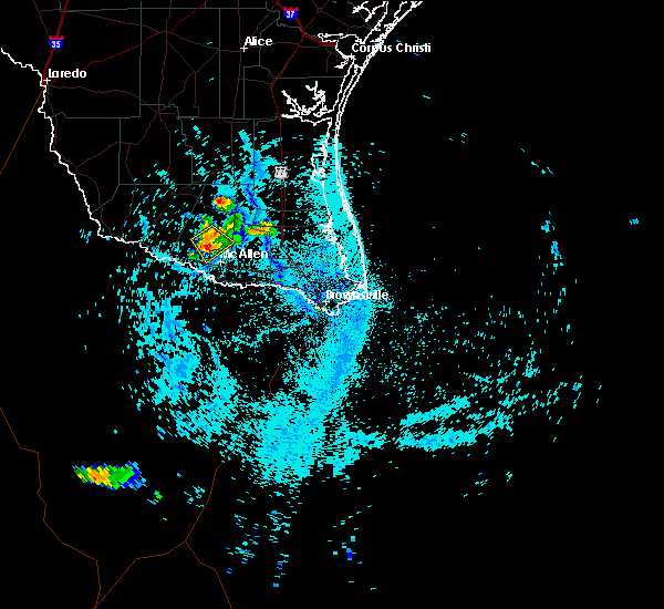 At 437 pm cdt, a severe thunderstorm was located near alton, or near palmhurst, moving southeast at 20 mph (radar indicated). Hazards include 60 mph wind gusts and quarter size hail. Hail damage to vehicles is expected. expect wind damage to roofs, siding, and trees. locations impacted include, palmhurst, alton, b. l. Garza middle school, sylvia vela park, la homa, citrus city, west sharyland, josefa garcia park, olivero garza sr elementary school and doctor americo paredes elementary school. At 437 pm cdt, a severe thunderstorm was located near alton, or near palmhurst, moving southeast at 20 mph (radar indicated). Hazards include 60 mph wind gusts and quarter size hail. Hail damage to vehicles is expected. expect wind damage to roofs, siding, and trees. locations impacted include, palmhurst, alton, b. l. Garza middle school, sylvia vela park, la homa, citrus city, west sharyland, josefa garcia park, olivero garza sr elementary school and doctor americo paredes elementary school.
|
| 6/7/2019 4:11 PM CDT |
 The national weather service in brownsville has issued a * severe thunderstorm warning for. central hidalgo county in deep south texas. until 500 pm cdt. At 410 pm cdt, a severe thunderstorm was located over mccook, moving southeast at 15 mph. The national weather service in brownsville has issued a * severe thunderstorm warning for. central hidalgo county in deep south texas. until 500 pm cdt. At 410 pm cdt, a severe thunderstorm was located over mccook, moving southeast at 15 mph.
|
| 5/14/2019 12:17 PM CDT |
 At 1217 pm cdt, a severe thunderstorm was located near guillermo flores elementary school, or near penitas, moving east at 30 mph (radar indicated). Hazards include 60 mph wind gusts and half dollar size hail. Hail damage to vehicles is expected. Expect wind damage to roofs, siding, and trees. At 1217 pm cdt, a severe thunderstorm was located near guillermo flores elementary school, or near penitas, moving east at 30 mph (radar indicated). Hazards include 60 mph wind gusts and half dollar size hail. Hail damage to vehicles is expected. Expect wind damage to roofs, siding, and trees.
|
| 5/14/2019 5:12 AM CDT |
 At 511 am cdt, a severe thunderstorm was located near monte alto, or near hargill, moving northeast at 30 mph (radar indicated). Hazards include two inch hail and 60 mph wind gusts. People and animals outdoors will be injured. expect hail damage to roofs, siding, windows, and vehicles. expect wind damage to roofs, siding, and trees. Locations impacted include, pharr, weslaco, san juan, alamo, donna, austin middle school, south pharr elementary school, buckner elementary school, p s j a north high school and donna public library. At 511 am cdt, a severe thunderstorm was located near monte alto, or near hargill, moving northeast at 30 mph (radar indicated). Hazards include two inch hail and 60 mph wind gusts. People and animals outdoors will be injured. expect hail damage to roofs, siding, windows, and vehicles. expect wind damage to roofs, siding, and trees. Locations impacted include, pharr, weslaco, san juan, alamo, donna, austin middle school, south pharr elementary school, buckner elementary school, p s j a north high school and donna public library.
|
| 5/14/2019 5:00 AM CDT |
 At 459 am cdt, a severe thunderstorm was located over santa ana national wildlife refuge, or near hidalgo, moving northeast at 30 mph (radar indicated). Hazards include two inch hail and 60 mph wind gusts. People and animals outdoors will be injured. expect hail damage to roofs, siding, windows, and vehicles. expect wind damage to roofs, siding, and trees. Locations impacted include, pharr, weslaco, san juan, alamo, donna, hidalgo, north mcallen, south mcallen, edinburg regional medical center and austin middle school. At 459 am cdt, a severe thunderstorm was located over santa ana national wildlife refuge, or near hidalgo, moving northeast at 30 mph (radar indicated). Hazards include two inch hail and 60 mph wind gusts. People and animals outdoors will be injured. expect hail damage to roofs, siding, windows, and vehicles. expect wind damage to roofs, siding, and trees. Locations impacted include, pharr, weslaco, san juan, alamo, donna, hidalgo, north mcallen, south mcallen, edinburg regional medical center and austin middle school.
|
| 5/14/2019 4:44 AM CDT |
 At 444 am cdt, a severe thunderstorm was located 8 miles south of hidalgo high school, or 8 miles south of hidalgo, moving northeast at 30 mph (radar indicated). Hazards include golf ball size hail and 60 mph wind gusts. People and animals outdoors will be injured. expect hail damage to roofs, siding, windows, and vehicles. Expect wind damage to roofs, siding, and trees. At 444 am cdt, a severe thunderstorm was located 8 miles south of hidalgo high school, or 8 miles south of hidalgo, moving northeast at 30 mph (radar indicated). Hazards include golf ball size hail and 60 mph wind gusts. People and animals outdoors will be injured. expect hail damage to roofs, siding, windows, and vehicles. Expect wind damage to roofs, siding, and trees.
|
| 4/25/2019 1:40 AM CDT |
 At 138 am cdt, a severe thunderstorm was located over santa ana national wildlife refuge, or 7 miles southwest of donna, moving east at 35 mph (radar indicated). Hazards include 60 mph wind gusts and quarter size hail. Hail damage to vehicles is expected. expect wind damage to roofs, siding, and trees. Locations impacted include, pharr, weslaco, san juan, alamo, donna, mercedes, hidalgo, progreso, and south mcallen. At 138 am cdt, a severe thunderstorm was located over santa ana national wildlife refuge, or 7 miles southwest of donna, moving east at 35 mph (radar indicated). Hazards include 60 mph wind gusts and quarter size hail. Hail damage to vehicles is expected. expect wind damage to roofs, siding, and trees. Locations impacted include, pharr, weslaco, san juan, alamo, donna, mercedes, hidalgo, progreso, and south mcallen.
|
| 4/25/2019 1:13 AM CDT |
 At 112 am cdt, a severe thunderstorm was located near granjero, or 7 miles southwest of hidalgo, moving east at 35 mph (radar indicated). Hazards include ping pong ball size hail and 60 mph wind gusts. People and animals outdoors will be injured. expect hail damage to roofs, siding, windows, and vehicles. Expect wind damage to roofs, siding, and trees. At 112 am cdt, a severe thunderstorm was located near granjero, or 7 miles southwest of hidalgo, moving east at 35 mph (radar indicated). Hazards include ping pong ball size hail and 60 mph wind gusts. People and animals outdoors will be injured. expect hail damage to roofs, siding, windows, and vehicles. Expect wind damage to roofs, siding, and trees.
|
| 4/7/2019 8:22 AM CDT |
 At 821 am cdt, severe thunderstorms were located along a line extending from 7 miles south of sarita to 13 miles northeast of san manuel to near citrus city, moving east at 35 mph (radar indicated). Hazards include 60 mph wind gusts and penny size hail. Expect damage to roofs, siding, and trees. locations impacted include, palmview, penitas, sullivan city, la joya, palmhurst, los ebanos, mccook, linn, alton and narciso g. Cavazos elementary school. At 821 am cdt, severe thunderstorms were located along a line extending from 7 miles south of sarita to 13 miles northeast of san manuel to near citrus city, moving east at 35 mph (radar indicated). Hazards include 60 mph wind gusts and penny size hail. Expect damage to roofs, siding, and trees. locations impacted include, palmview, penitas, sullivan city, la joya, palmhurst, los ebanos, mccook, linn, alton and narciso g. Cavazos elementary school.
|
| 4/7/2019 7:42 AM CDT |
 At 741 am cdt, severe thunderstorms were located along a line extending from near rio grande city to la gloria, moving east at 35 mph (radar indicated). Hazards include 60 mph wind gusts and quarter size hail. Hail damage to vehicles is expected. Expect wind damage to roofs, siding, and trees. At 741 am cdt, severe thunderstorms were located along a line extending from near rio grande city to la gloria, moving east at 35 mph (radar indicated). Hazards include 60 mph wind gusts and quarter size hail. Hail damage to vehicles is expected. Expect wind damage to roofs, siding, and trees.
|
| 9/9/2018 7:47 PM CDT |
 At 746 pm cdt, a severe thunderstorm was located over los encinos community park, or near hidalgo, moving southeast at 5 mph (radar indicated). Hazards include 60 mph wind gusts and penny size hail. Expect damage to roofs, siding, and trees. Locations impacted include, hidalgo, south mcallen, south pharr elementary school, granjero, hidalgo public library, garcia elementary school, madero, orangewood east, mission regional medical center and los encinos community park. At 746 pm cdt, a severe thunderstorm was located over los encinos community park, or near hidalgo, moving southeast at 5 mph (radar indicated). Hazards include 60 mph wind gusts and penny size hail. Expect damage to roofs, siding, and trees. Locations impacted include, hidalgo, south mcallen, south pharr elementary school, granjero, hidalgo public library, garcia elementary school, madero, orangewood east, mission regional medical center and los encinos community park.
|
| 9/9/2018 7:34 PM CDT |
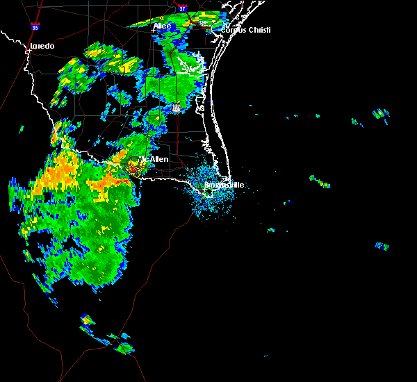 At 733 pm cdt, a severe thunderstorm was located over b.l. gray junior high school, or over sharyland, and is nearly stationary (radar indicated). Hazards include 60 mph wind gusts and penny size hail. expect damage to roofs, siding, and trees At 733 pm cdt, a severe thunderstorm was located over b.l. gray junior high school, or over sharyland, and is nearly stationary (radar indicated). Hazards include 60 mph wind gusts and penny size hail. expect damage to roofs, siding, and trees
|
| 5/29/2017 2:11 AM CDT |
 The severe thunderstorm warning for southwestern kenedy, hidalgo, southeastern starr, southeastern brooks and northwestern willacy counties will expire at 215 am cdt, the storms which prompted the warning have weakened below severe limits, and no longer pose an immediate threat to life or property. therefore the warning will be allowed to expire. a severe thunderstorm watch remains in effect until 300 am cdt for deep south texas. to report severe weather, contact your nearest law enforcement agency. they will relay your report to the national weather service brownsville. The severe thunderstorm warning for southwestern kenedy, hidalgo, southeastern starr, southeastern brooks and northwestern willacy counties will expire at 215 am cdt, the storms which prompted the warning have weakened below severe limits, and no longer pose an immediate threat to life or property. therefore the warning will be allowed to expire. a severe thunderstorm watch remains in effect until 300 am cdt for deep south texas. to report severe weather, contact your nearest law enforcement agency. they will relay your report to the national weather service brownsville.
|
| 5/29/2017 1:54 AM CDT |
 At 153 am cdt, severe thunderstorms were located along a line extending from 7 miles east of armstrong to near norias to 6 miles west of rudolph to 9 miles west of yturria to near faysville, moving east at 50 mph (radar indicated). Hazards include 60 mph wind gusts and nickel size hail. Expect minor damage to mobile homes. some roofs. siding and some fences. tree limbs will blow down and small trees will be uprooted. damage to power lines and some power poles is expected. Locations impacted include, edinburg, mission, pharr, san juan, alamo, donna, hidalgo, elsa, palmview and penitas. At 153 am cdt, severe thunderstorms were located along a line extending from 7 miles east of armstrong to near norias to 6 miles west of rudolph to 9 miles west of yturria to near faysville, moving east at 50 mph (radar indicated). Hazards include 60 mph wind gusts and nickel size hail. Expect minor damage to mobile homes. some roofs. siding and some fences. tree limbs will blow down and small trees will be uprooted. damage to power lines and some power poles is expected. Locations impacted include, edinburg, mission, pharr, san juan, alamo, donna, hidalgo, elsa, palmview and penitas.
|
| 5/29/2017 1:16 AM CDT |
 At 115 am cdt, severe thunderstorms were located along a line extending from near rachal to 6 miles south of el coyote ranch airport to near puerto rico to near mccook to near sullivan city, moving east at 50 mph (radar indicated). Hazards include 60 mph wind gusts and nickel size hail. Expect minor damage to mobile homes. some roofs. siding and some fences. tree limbs will blow down and small trees will be uprooted. Damage to power lines and some power poles is expected. At 115 am cdt, severe thunderstorms were located along a line extending from near rachal to 6 miles south of el coyote ranch airport to near puerto rico to near mccook to near sullivan city, moving east at 50 mph (radar indicated). Hazards include 60 mph wind gusts and nickel size hail. Expect minor damage to mobile homes. some roofs. siding and some fences. tree limbs will blow down and small trees will be uprooted. Damage to power lines and some power poles is expected.
|
| 5/31/2016 11:43 PM CDT | Mcallen international airport reported wind gust near 60 mph in hidalgo county TX, 0.7 miles WSW of McAllen, TX |
| 5/31/2016 11:37 PM CDT |
 At 1137 pm cdt, a severe thunderstorm capable of producing a tornado was located over south pharr elementary school, or over hidalgo, moving southeast at 25 mph (radar indicated rotation). Hazards include tornado and hail up to two inches in diameter. Flying debris will be dangerous to those caught without shelter. mobile homes will be damaged or destroyed. damage to roofs, windows and vehicles will occur. tree damage is likely. this dangerous storm will be near, las milpas, pharr fire station three and j. c. kelly elementary school around 1140 pm cdt. santa ana national wildlife refuge around 1150 pm cdt. Other locations impacted by this tornadic thunderstorm include spring fest park, doctor alejo salinas junior elementary school, boeye reservoir, lake texano, palm city park, roosevelt elementary school, kennedy middle school, carlson lake, hidalgo international bridge and mcallen. At 1137 pm cdt, a severe thunderstorm capable of producing a tornado was located over south pharr elementary school, or over hidalgo, moving southeast at 25 mph (radar indicated rotation). Hazards include tornado and hail up to two inches in diameter. Flying debris will be dangerous to those caught without shelter. mobile homes will be damaged or destroyed. damage to roofs, windows and vehicles will occur. tree damage is likely. this dangerous storm will be near, las milpas, pharr fire station three and j. c. kelly elementary school around 1140 pm cdt. santa ana national wildlife refuge around 1150 pm cdt. Other locations impacted by this tornadic thunderstorm include spring fest park, doctor alejo salinas junior elementary school, boeye reservoir, lake texano, palm city park, roosevelt elementary school, kennedy middle school, carlson lake, hidalgo international bridge and mcallen.
|
| 5/31/2016 11:30 PM CDT |
 At 1130 pm cdt, a severe thunderstorm was located over castro elementary school, or over mission, moving southeast at 25 mph (radar indicated). Hazards include two inch hail and 60 mph wind gusts. People and animals outdoors will be injured. expect hail damage to roofs, siding, windows and property. vehicle damage will include cracked or shattered windshields and major dents requiring significant repairs. expect minor wind damage to mobile homes, some roofs, siding and some fences. tree limbs will blow down and small trees will be uprooted. damage to power lines and some power poles is expected. Locations impacted include, mission, pharr, san juan, alamo, hidalgo, palmview, penitas, palmhurst, north mcallen and sharyland. At 1130 pm cdt, a severe thunderstorm was located over castro elementary school, or over mission, moving southeast at 25 mph (radar indicated). Hazards include two inch hail and 60 mph wind gusts. People and animals outdoors will be injured. expect hail damage to roofs, siding, windows and property. vehicle damage will include cracked or shattered windshields and major dents requiring significant repairs. expect minor wind damage to mobile homes, some roofs, siding and some fences. tree limbs will blow down and small trees will be uprooted. damage to power lines and some power poles is expected. Locations impacted include, mission, pharr, san juan, alamo, hidalgo, palmview, penitas, palmhurst, north mcallen and sharyland.
|
| 5/31/2016 11:19 PM CDT |
 At 1118 pm cdt, a severe thunderstorm was located over ann richards middle school, or over palmview, moving southeast at 25 mph (radar indicated). Hazards include 60 mph wind gusts and half dollar size hail. Hail damage to vehicles. including cracked windshields and minor exterior dents can expected. some damage to crops and trees is expected. expect minor wind damage to mobile homes, some roofs, siding and some fences. tree limbs will blow down and small trees will be uprooted. Damage to power lines and some power poles is expected. At 1118 pm cdt, a severe thunderstorm was located over ann richards middle school, or over palmview, moving southeast at 25 mph (radar indicated). Hazards include 60 mph wind gusts and half dollar size hail. Hail damage to vehicles. including cracked windshields and minor exterior dents can expected. some damage to crops and trees is expected. expect minor wind damage to mobile homes, some roofs, siding and some fences. tree limbs will blow down and small trees will be uprooted. Damage to power lines and some power poles is expected.
|
| 5/19/2016 4:28 PM CDT | Quarter sized hail reported 3.7 miles S of McAllen, TX, public reported quarter size hail near 29th street and nolana. |
| 5/19/2016 4:26 PM CDT | The national weather service in brownsville has issued a * severe thunderstorm warning for. southern hidalgo county in deep south texas. until 445 pm cdt * at 425 pm cdt. a severe thunderstorm was located over south mcallen. Moving east at 20 mph. |
| 5/14/2016 5:58 PM CDT |
 At 557 pm cdt, a severe thunderstorm was located over garcia middle school, or over palmhurst, moving southeast at 15 mph (radar indicated). Hazards include 60 mph wind gusts and quarter size hail. Hail damage to vehicles. including cracked windshields and minor exterior dents can expected. some damage to crops and trees is expected. expect minor wind damage to mobile homes, some roofs, siding and some fences. tree limbs will blow down and small trees will be uprooted. Damage to power lines and some power poles is expected. At 557 pm cdt, a severe thunderstorm was located over garcia middle school, or over palmhurst, moving southeast at 15 mph (radar indicated). Hazards include 60 mph wind gusts and quarter size hail. Hail damage to vehicles. including cracked windshields and minor exterior dents can expected. some damage to crops and trees is expected. expect minor wind damage to mobile homes, some roofs, siding and some fences. tree limbs will blow down and small trees will be uprooted. Damage to power lines and some power poles is expected.
|
| 8/20/2015 3:27 AM CDT |
 At 326 am cdt, doppler radar indicated a line of severe thunderstorms capable of producing torrential rain with damaging winds up to 60 mph. these storms were located along a line extending from near port mansfield airport to near los indios, and moving east to southeast at 15 mph. At 326 am cdt, doppler radar indicated a line of severe thunderstorms capable of producing torrential rain with damaging winds up to 60 mph. these storms were located along a line extending from near port mansfield airport to near los indios, and moving east to southeast at 15 mph.
|
| 8/20/2015 3:12 AM CDT |
 At 309 am cdt, doppler radar indicated a line of severe thunderstorms capable of producing quarter size hail and damaging winds up to 60 mph. these storms were located along a line extending from near arroyo city to 8 miles southwest of los indios, moving east to southeast at 15 mph. locations impacted include, pharr, harlingen, weslaco, san juan, alamo, donna, mercedes, raymondville, la feria and elsa. At 309 am cdt, doppler radar indicated a line of severe thunderstorms capable of producing quarter size hail and damaging winds up to 60 mph. these storms were located along a line extending from near arroyo city to 8 miles southwest of los indios, moving east to southeast at 15 mph. locations impacted include, pharr, harlingen, weslaco, san juan, alamo, donna, mercedes, raymondville, la feria and elsa.
|
| 8/20/2015 2:31 AM CDT |
 At 230 am cdt, doppler radar indicated a line of severe thunderstorms capable of producing quarter size hail and damaging winds in excess of 60 mph. these storms were located along a line extending from near raymondville high school to 6 miles southwest of progreso city offices, and moving east to southeast at 15 mph. At 230 am cdt, doppler radar indicated a line of severe thunderstorms capable of producing quarter size hail and damaging winds in excess of 60 mph. these storms were located along a line extending from near raymondville high school to 6 miles southwest of progreso city offices, and moving east to southeast at 15 mph.
|
| 8/20/2015 1:35 AM CDT |
 At 134 am cdt, doppler radar indicated a severe thunderstorm capable of producing quarter size hail and damaging winds in excess of 60 mph. this storm was located over nurillo, or near edinburg, and moving northeast at 15 mph. At 134 am cdt, doppler radar indicated a severe thunderstorm capable of producing quarter size hail and damaging winds in excess of 60 mph. this storm was located over nurillo, or near edinburg, and moving northeast at 15 mph.
|
| 8/20/2015 1:29 AM CDT |
 At 129 am cdt, doppler radar indicated a severe thunderstorm capable of producing quarter size hail and damaging winds in excess of 60 mph. this storm was located near b.l. garza middle school, or near north mcallen, moving northeast at 15 mph. locations impacted include, edinburg, mission, pharr, san juan, alamo, hidalgo, palmview, palmhurst, north mcallen and sharyland. At 129 am cdt, doppler radar indicated a severe thunderstorm capable of producing quarter size hail and damaging winds in excess of 60 mph. this storm was located near b.l. garza middle school, or near north mcallen, moving northeast at 15 mph. locations impacted include, edinburg, mission, pharr, san juan, alamo, hidalgo, palmview, palmhurst, north mcallen and sharyland.
|
| 8/20/2015 12:53 AM CDT |
 At 1252 am cdt, doppler radar indicated a severe thunderstorm capable of producing half dollar size hail and destructive winds in excess of 70 mph. this storm was located over rowe high school, or over sharyland, and moving northeast at 15 mph. At 1252 am cdt, doppler radar indicated a severe thunderstorm capable of producing half dollar size hail and destructive winds in excess of 70 mph. this storm was located over rowe high school, or over sharyland, and moving northeast at 15 mph.
|
| 8/20/2015 12:37 AM CDT |
 At 1235 am cdt, local law enforcement reported damaging hail up to golf ball size. these storms were located along a line extending from near las lomas to mcallen recycling center, moving east at 15 mph. locations impacted include, edinburg, mission, palmview, penitas, sullivan city, la joya, palmhurst, garciasville, los ebanos and north mcallen. At 1235 am cdt, local law enforcement reported damaging hail up to golf ball size. these storms were located along a line extending from near las lomas to mcallen recycling center, moving east at 15 mph. locations impacted include, edinburg, mission, palmview, penitas, sullivan city, la joya, palmhurst, garciasville, los ebanos and north mcallen.
|
| 8/20/2015 12:28 AM CDT |
 At 1227 am cdt, doppler radar indicated a line of severe thunderstorms capable of producing quarter size hail and damaging winds in excess of 60 mph. these storms were located along a line extending from near las lomas to mission fire station number 3, and moving northeast at 15 mph. At 1227 am cdt, doppler radar indicated a line of severe thunderstorms capable of producing quarter size hail and damaging winds in excess of 60 mph. these storms were located along a line extending from near las lomas to mission fire station number 3, and moving northeast at 15 mph.
|
| 8/20/2015 12:09 AM CDT |
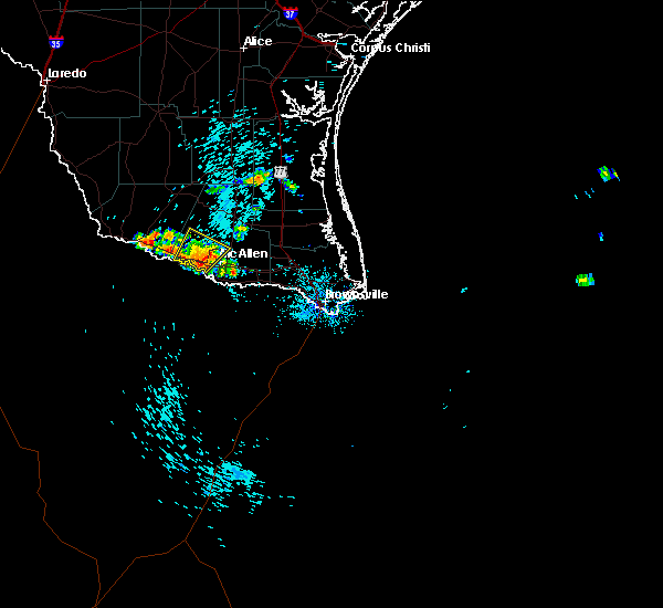 At 1208 am cdt, doppler radar indicated a severe thunderstorm capable of producing quarter size hail and damaging winds in excess of 60 mph. this storm was located over monte alto, or near hargill, moving northeast at 15 mph. locations impacted include, mission, palmview, penitas, la joya, palmhurst, north mcallen, sharyland, alton, doffing and lee elementary school. At 1208 am cdt, doppler radar indicated a severe thunderstorm capable of producing quarter size hail and damaging winds in excess of 60 mph. this storm was located over monte alto, or near hargill, moving northeast at 15 mph. locations impacted include, mission, palmview, penitas, la joya, palmhurst, north mcallen, sharyland, alton, doffing and lee elementary school.
|
| 8/19/2015 11:45 PM CDT |
 At 1144 pm cdt, doppler radar indicated a severe thunderstorm capable of producing quarter size hail and damaging winds in excess of 60 mph. this storm was located over mission, and moving northeast at 15 mph. At 1144 pm cdt, doppler radar indicated a severe thunderstorm capable of producing quarter size hail and damaging winds in excess of 60 mph. this storm was located over mission, and moving northeast at 15 mph.
|
| 5/29/2015 8:20 AM CDT | At 816 am cdt, the public reported a severe thunderstorm producing damaging winds in excess of 60 mph. this storm was located over j.c. kelly elementary school, or over pharr fire station three, moving southeast at 10 mph. in addition, at 739 am a wind gust of 54 mph was reported at the mcallen international airport. locations impacted include, mcallen, san juan, alamo, donna, hidalgo, donna police department, donna city hall, san juan public library, pharr fire station three, hidalgo public library, psja high school, hidalgo high school, san juan city hall, north alamo elementary school, valley view junior high school, santa ana national wildlife refuge, valley view elementary school, garcia elementary school, las milpas and scissors. |
| 5/29/2015 7:54 AM CDT | At 754 am cdt, national weather service meteorologists detected a severe thunderstorm capable of producing damaging winds in excess of 60 mph. this storm was located over mcallen dog park, or over mcallen, and moving southeast at 10 mph. |
| 5/23/2015 11:55 PM CDT | At 1154 pm cdt, doppler radar indicated a line of severe thunderstorms capable of producing damaging winds in excess of 60 mph. these storms were located along a line extending from falfurrias to near palmview, and moving east at 45 mph. penny size hail may also accompany the damaging winds. |
| 5/12/2015 12:44 AM CDT | At 1243 am cdt, doppler radar indicated a severe thunderstorm capable of producing damaging winds in excess of 60 mph. this storm was located over hidalgo, moving east at 35 mph. locations impacted include, mcallen, mission, pharr, san juan, hidalgo, mission fire station number 5, pharr memorial library, psja high school, sharyland high school, hidalgo high school, mission fire station number 3, pharr civic center, mcallen high school, san juan municipal court, rowe high school, san juan public library, mcallen city hall, mcallen police department, mcallen fire department and sharyland. |
| 5/12/2015 12:09 AM CDT | At 1209 am cdt, doppler radar indicated a severe thunderstorm capable of producing quarter size hail and destructive winds in excess of 70 mph. this storm was located 7 miles southwest of los ebanos, and moving east at 35 mph. |
| 5/11/2015 11:58 PM CDT | At 1157 pm cdt, doppler radar indicated a severe thunderstorm capable of producing quarter size hail and destructive winds in excess of 80 mph. this storm was located over faysville, or over south texas international airport. this storm was nearly stationary or moving very slowly east southeast. locations impacted include, mcallen, edinburg, cats stadium, edinburg regional medical center, edinburg fire department, university of texas pan american, edinburg municipal park, south texas international airport, hidalgo county courthouse, cornerstone regional medical center, elsa police department, edinburg municipal golf course, elsa public library, edinburg high school, elsa, edcouch-elsa high school, edinburg north high school, cesar chavez, lee elementary school and monte cristo elementary school. |
| 5/11/2015 11:41 PM CDT | At 1140 pm cdt, doppler radar indicated a severe thunderstorm capable of producing quarter size hail and destructive winds in excess of 70 mph. this storm was located near faysville, or 7 miles southwest of south texas international airport, and moving east at 15 mph. |
| 4/24/2015 11:54 PM CDT | At 1152 pm cdt, doppler radar indicated a severe thunderstorm capable of producing damaging winds in excess of 60 mph. this storm was located over willamar, or near san perlita high school, moving northeast at 35 mph. nickel size hail may also accompany the damaging winds. in addition, at 1135 pm a wind gust of 58 mph was reported at valley international airport in harlingen. locations impacted include, mcallen, pharr, harlingen, weslaco, san juan, san benito, alamo, donna, mercedes, raymondville, hidalgo, la feria, edcouch, la villa, donna police department, pharr memorial library, psja high school, edcouch volunteer fire department, hidalgo high school and raymondville fire station. |
| 4/24/2015 11:40 PM CDT | At 1138 pm cdt, doppler radar indicated a severe thunderstorm capable of producing quarter size hail and damaging winds in excess of 60 mph. this storm was located over sebastian, or near lyford city hall, moving northeast at 40 mph. in addition, at 1137 pm quarter size hail was reported near los indios. locations impacted include, mcallen, pharr, harlingen, weslaco, san juan, san benito, alamo, donna, mercedes, raymondville, hidalgo, la feria, edcouch, la villa, donna police department, pharr memorial library, psja high school, edcouch volunteer fire department, hidalgo high school and raymondville fire station. |
| 4/24/2015 11:31 PM CDT | At 1130 pm cdt, doppler radar indicated a severe thunderstorm capable of producing destructive winds in excess of 70 mph. this storm was located over yznaga, or over santa rosa police department, moving northeast at 35 mph. nickel size hail may also accompany the damaging winds. locations impacted include, mcallen, pharr, harlingen, weslaco, san juan, san benito, alamo, donna, mercedes, raymondville, hidalgo, la feria, edcouch, la villa, donna police department, pharr memorial library, psja high school, edcouch volunteer fire department, hidalgo high school and raymondville fire station. |
| 4/24/2015 11:24 PM CDT | At 1122 pm cdt, doppler radar indicated a severe thunderstorm capable of producing quarter size hail and destructive winds in excess of 70 mph. this storm was located over laguna seca, or near la villa, and moving northeast at 35 mph. |
| 4/24/2015 11:05 PM CDT | At 1104 pm cdt, doppler radar indicated a severe thunderstorm capable of producing quarter size hail and destructive winds in excess of 70 mph. this storm was located over midway north, or over weslaco high school, moving northeast at 45 mph. locations impacted include, mcallen, edinburg, mission, pharr, harlingen, weslaco, san juan, alamo, donna, mercedes, hidalgo, la feria, edcouch, la villa, mission fire station number 5, donna police department, pharr memorial library, psja high school, edcouch volunteer fire department and hidalgo high school. |
| 4/24/2015 10:52 PM CDT | At 1050 pm cdt, doppler radar indicated a severe thunderstorm capable of producing destructive winds in excess of 70 mph. this storm was located over santa ana national wildlife refuge, or near pharr fire station three, and moving northeast at 40 mph. penny size hail may also accompany the damaging winds. |
| 4/24/2015 10:36 PM CDT | At 1035 pm cdt, doppler radar indicated a severe thunderstorm capable of producing destructive winds in excess of 70 mph. this storm was located 7 miles southwest of hidalgo, and moving northeast at 40 mph. penny size hail may also accompany the damaging winds. |
| 4/13/2015 10:19 PM CDT | The national weather service in brownsville has issued a * severe thunderstorm warning for. southwestern hidalgo county in deep south texas. until 1100 pm cdt * at 1019 pm cdt. Doppler radar indicated a severe thunderstorm capable of producing quarter size hail and damaging winds in excess. |
| 4/12/2015 11:57 PM CDT | A severe thunderstorm warning remains in effect until 1230 am cdt for eastern hidalgo. kenedy. cameron and willacy counties. at 1153 pm cdt. doppler radar indicated a line of severe thunderstorms capable of producing damaging winds in excess of 60 mph. These storms were located along a line extending from 14 miles northeast of port of brownsville to 9 miles northeast of port. |
| 4/12/2015 11:29 PM CDT | The national weather service in brownsville has issued a * severe thunderstorm warning for. eastern hidalgo county in deep south texas. kenedy county in deep south texas. cameron county in deep south texas. Willacy county in deep south texas. |
| 4/12/2015 11:05 PM CDT | Trees down at frontage and bicentennial in mcalle in hidalgo county TX, 0.7 miles WSW of McAllen, TX |
| 4/12/2015 11:02 PM CDT | A severe thunderstorm warning remains in effect until 1130 pm cdt for hidalgo. kenedy. northwestern cameron. brooks and willacy counties. at 1100 pm cdt. doppler radar indicated a line of severe thunderstorms capable of producing quarter size hail and destructive winds in excess of 70 mph. These storms were located along a line. |
| 4/12/2015 10:52 PM CDT | A severe thunderstorm warning remains in effect until 1130 pm cdt for hidalgo. kenedy. northwestern cameron. brooks. eastern starr and willacy counties. at 1048 pm cdt. doppler radar indicated a line of severe thunderstorms capable of producing quarter size hail and damaging winds in excess of 60 mph. These storms were located along a line. |
| 4/12/2015 10:28 PM CDT | The national weather service in brownsville has issued a * severe thunderstorm warning for. hidalgo county in deep south texas. eastern jim hogg county in deep south texas. kenedy county in deep south texas. Northwestern cameron county in deep south texas. |
| 3/26/2015 12:30 PM CST | Quarter sized hail reported 3.2 miles NW of McAllen, TX, quarter size hail was reported at the intersection of 2nd street and savannah on the south side of mcallen. |
| 3/26/2015 1:28 PM CDT | The national weather service in brownsville has issued a * severe thunderstorm warning for. southeastern hidalgo county in deep south texas. until 200 pm cdt * at 127 pm cdt. Doppler radar indicated a severe thunderstorm capable of producing large damaging hail up to golf ball size and. |
| 3/26/2015 12:22 PM CST | Golf Ball sized hail reported 2.9 miles S of McAllen, TX, golf ball size hail was reported at the intersection of north ware road and lark street...3 miles northwest of mcallen. |
| 3/26/2015 1:19 PM CDT | A severe thunderstorm warning remains in effect until 130 pm cdt for southwestern hidalgo county. at 117 pm cdt. trained weather spotters reported a severe thunderstorm producing large damaging hail up to two inches in diameter and damaging winds in excess of 60 mph. This storm was located over edinburg municipal golf course and northern. |
| 3/26/2015 12:15 PM CST | Quarter sized hail reported 2.5 miles SW of McAllen, TX, quarter size hail reported at the intersection of nolana and 23rd in north mcallen. |
| 3/26/2015 1:04 PM CDT | A severe thunderstorm warning remains in effect until 130 pm cdt for southwestern hidalgo county. at 103 pm cdt. doppler radar indicated a severe thunderstorm capable of producing large damaging hail up to two inches in diameter and destructive winds in excess of 70 mph. this storm was located over josefa garcia park. or near veterans memorial high school. Moving. |
| 3/26/2015 12:55 PM CDT | A severe thunderstorm warning remains in effect until 100 pm cdt for west central hidalgo and east central starr counties. at 1254 pm cdt. doppler radar indicated a severe thunderstorm capable of producing large damaging hail up to two inches in diameter and destructive winds in excess of 70 mph. this storm was located over tierra bonita. or over santa rosa police department. Moving. |
| 3/26/2015 12:45 PM CDT | The national weather service in brownsville has issued a * severe thunderstorm warning for. southwestern hidalgo county in deep south texas. until 130 pm cdt * at 1245 pm cdt. Doppler radar indicated a severe thunderstorm capable of producing large damaging hail up to two inches in. |
| 3/26/2015 12:34 PM CDT | A severe thunderstorm warning remains in effect until 100 pm cdt for west central hidalgo and east central starr counties. at 1232 pm cdt. doppler radar indicated a severe thunderstorm capable of producing large hail up to ping pong ball size and damaging winds in excess of 60 mph. this storm was located just west of mccook. Moving east at 30 mph. |
| 3/26/2015 12:14 PM CDT | The national weather service in brownsville has issued a * severe thunderstorm warning for. west central hidalgo county in deep south texas. east central starr county in deep south texas. until 100 pm cdt * at 1213 pm cdt. Doppler radar indicated a severe thunderstorm. |
| 4/28/2013 12:20 PM CDT | Tree blown down causing damage to carport. 800 block of 8th street near the intersection of 8th street and s. col. rowe blvd. nearby kmfe asos reported 42 kt wind gus in hidalgo county TX, 0.7 miles WSW of McAllen, TX |
| 10/18/2012 7:15 PM CDT | Carport blown into adjacent building by thunderstorm winds. nearby carport also damaged at houston and 6t in hidalgo county TX, 0.7 miles WSW of McAllen, TX |
| 4/20/2012 6:08 PM CDT | Quarter sized hail reported 0.7 miles WSW of McAllen, TX, quarter sized hail reported at conway. |
| 4/20/2012 5:50 PM CDT | Softball sized hail reported 0.7 miles WSW of McAllen, TX, softball sized hail reported at mcallen high school. |
| 4/20/2012 5:45 PM CDT | Baseball sized hail reported 0.7 miles WSW of McAllen, TX, public reports of baseball size hail on 2500 jasmine |
| 4/20/2012 5:39 PM CDT | Baseball sized hail reported 0.7 miles WSW of McAllen, TX, skywarn spotters report golf to baseball size hail on ware rd and quarter size on 23rd and 5 mile |
| 4/20/2012 5:34 PM CDT | Baseball sized hail reported 0.7 miles WSW of McAllen, TX, public reported dime to baseball size hail at nolana and 23rd. |
| 4/20/2012 5:32 PM CDT | Golf Ball sized hail reported 0.7 miles WSW of McAllen, TX, golf ball sized hail reported at 4 mile and ware. |
| 4/20/2012 5:31 PM CDT | Golf Ball sized hail reported 0.7 miles WSW of McAllen, TX, golfball size hail reported near the intersection of bicentenial and nolana. |
| 4/20/2012 5:27 PM CDT | Quarter sized hail reported 0.7 miles WSW of McAllen, TX, quarter size hail reported near the intersection of trenton and 10 street. |
| 4/20/2012 5:26 PM CDT | Tennis Ball sized hail reported 5 miles S of McAllen, TX, began at 526 pm continued through at least 536 pm. |
| 3/29/2012 10:00 PM CDT | Baseball sized hail reported 0.7 miles WSW of McAllen, TX, public reported that baseball size hail occurred in mcallen at the corner of harvey and 16th street at around 10 pm at calvary baptist church. 10 vehicles severely dama |
| 3/29/2012 9:49 PM CDT | Quarter sized hail reported 3.7 miles S of McAllen, TX, 6 inch deep hail up to quarter size at nolana and ware rd. broken windows |
| 3/29/2012 9:47 PM CDT | Quarter sized hail reported 0.7 miles WSW of McAllen, TX, small town of el manana reported quarter size hail |
| 3/29/2012 9:29 PM CDT | Quarter sized hail reported 0.7 miles WSW of McAllen, TX, quarter size hail near doctors hospital. street flooding observerd. |
| 3/29/2012 9:24 PM CDT | Golf Ball sized hail reported 0.7 miles WSW of McAllen, TX, several windows in apartment broken hail piling up to 6 inches. |
| 3/29/2012 9:20 PM CDT | Quarter sized hail reported 1.7 miles SSW of McAllen, TX, windows broken with quarter size hail. |
| 3/29/2012 9:04 PM CDT | Mcallen miller airport asos peak wind gusts at minimal hurricane force in hidalgo county TX, 0.7 miles WSW of McAllen, TX |
| 3/29/2012 9:00 PM CDT | Quarter sized hail reported 0.7 miles WSW of McAllen, TX, public reported quarter size hail some possibly larger. |
Hail Maps for McAllen, TX
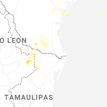

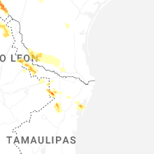
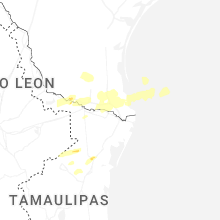


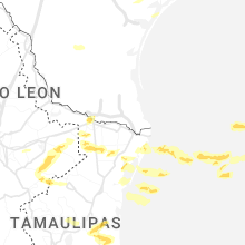


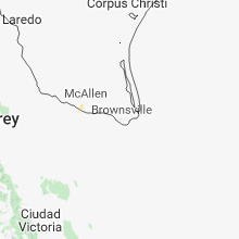
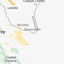


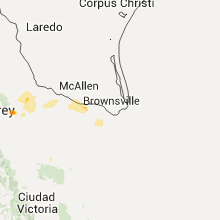


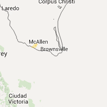
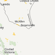

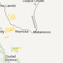


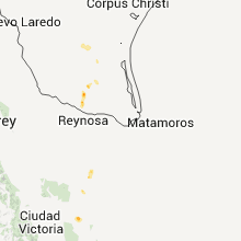


Connect with Interactive Hail Maps