

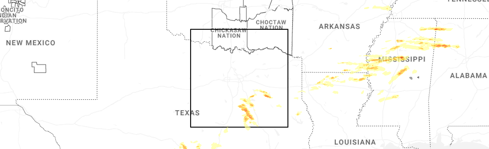
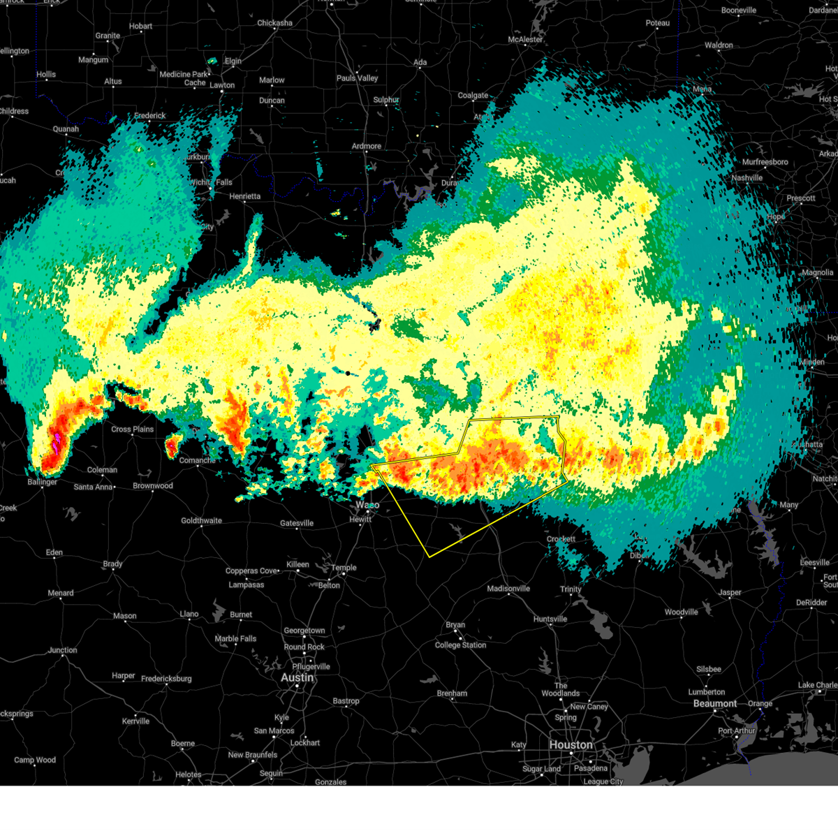
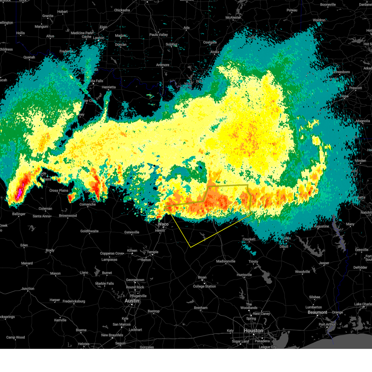
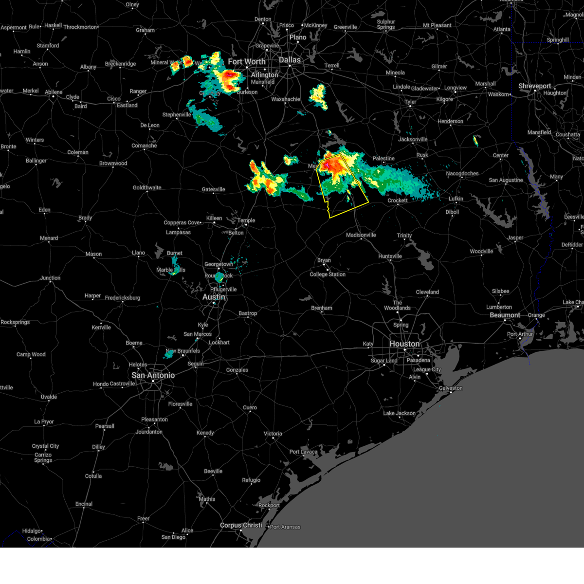
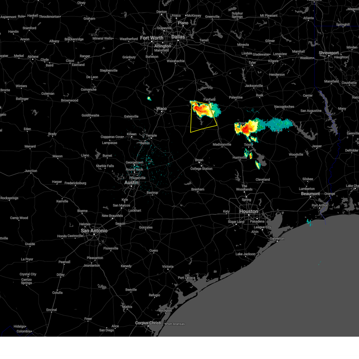
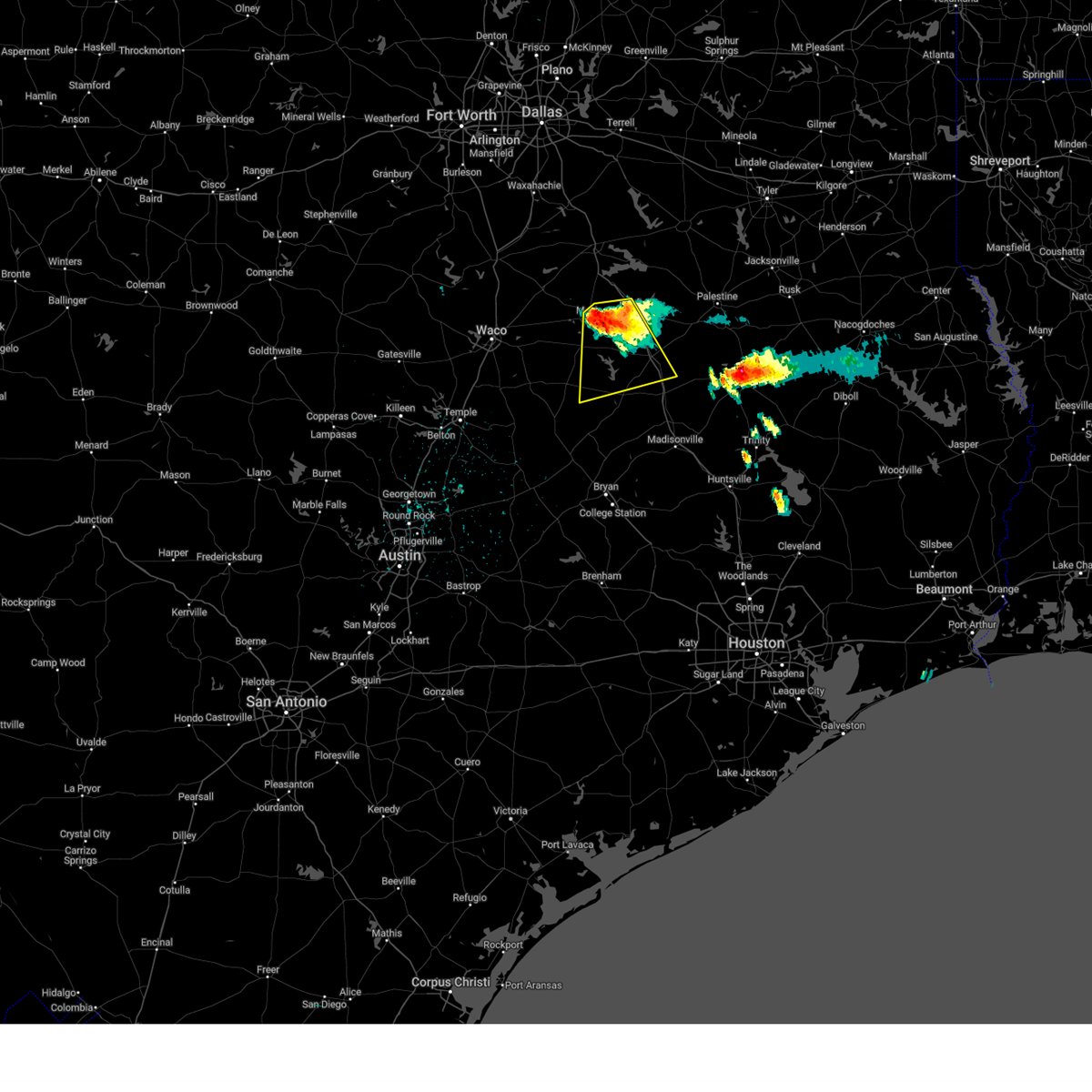
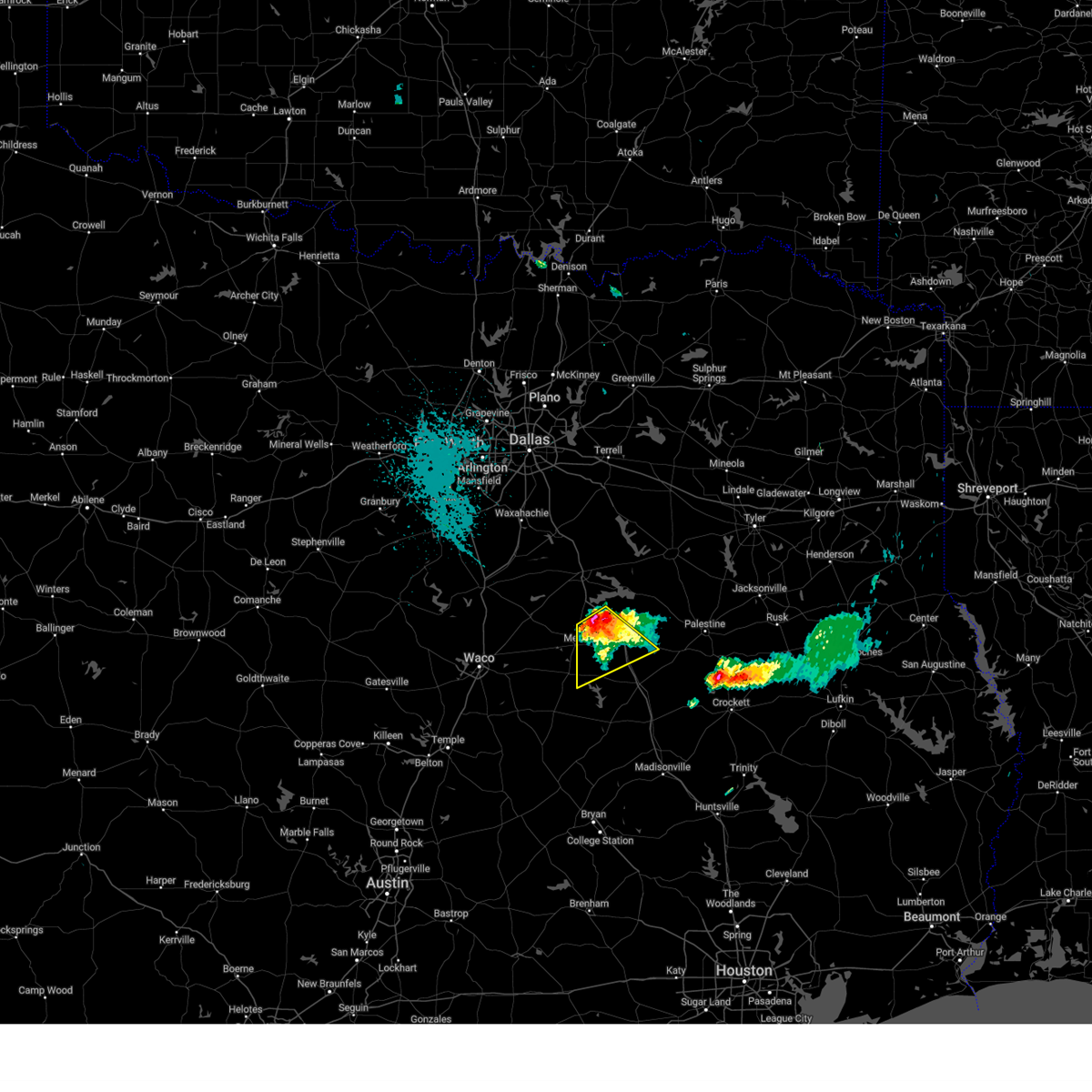
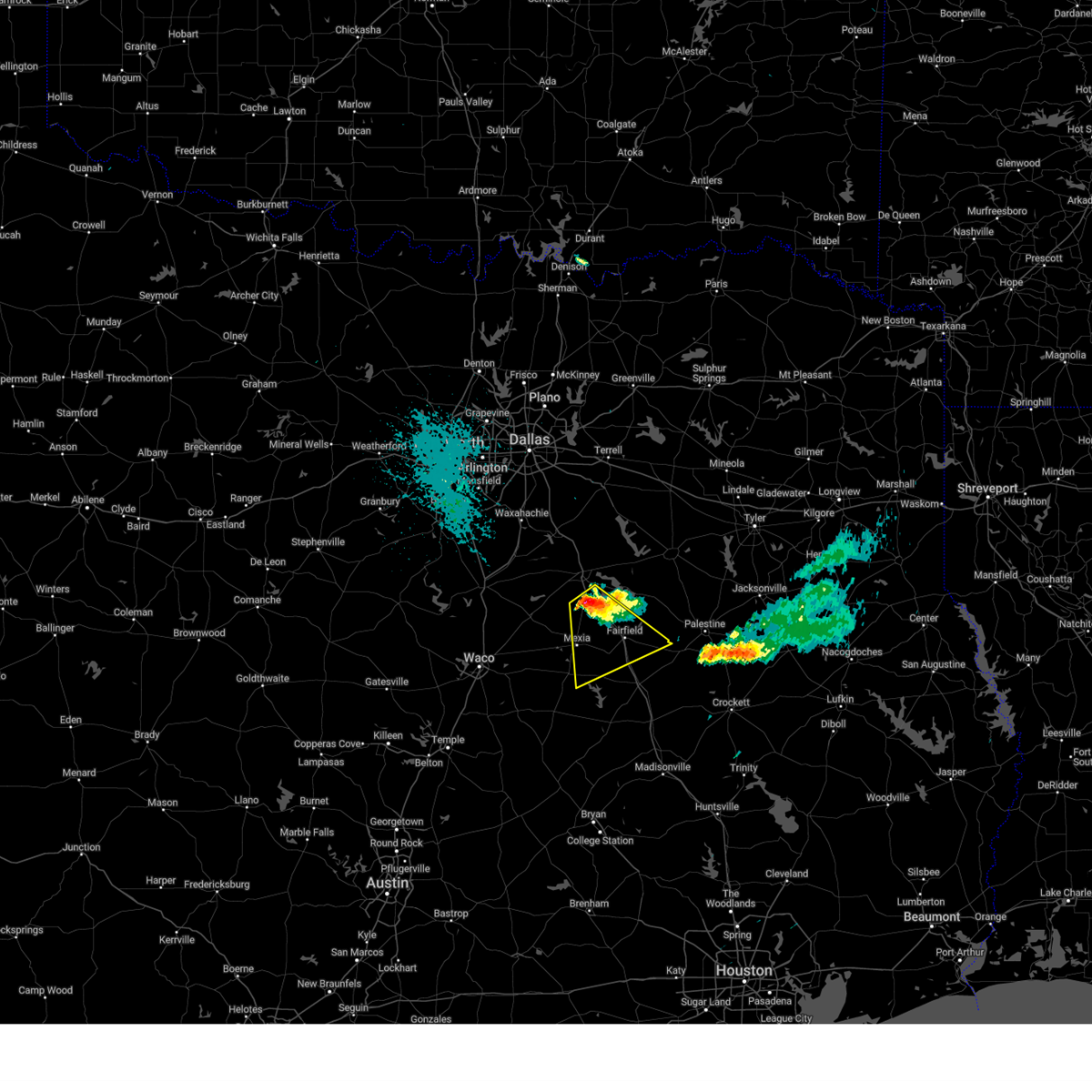
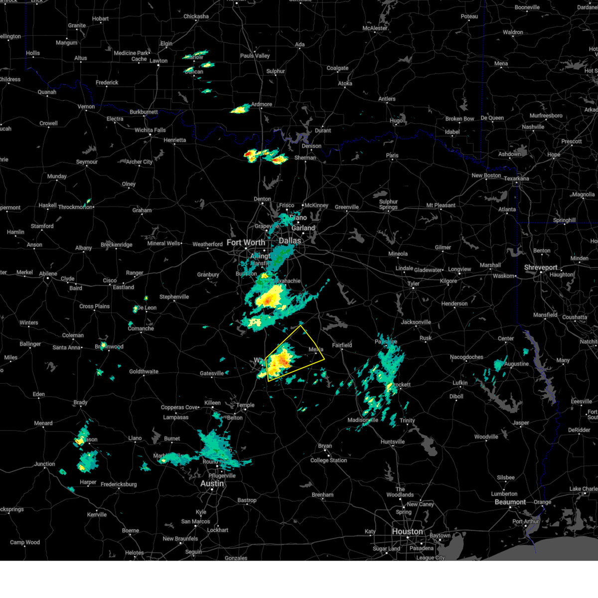
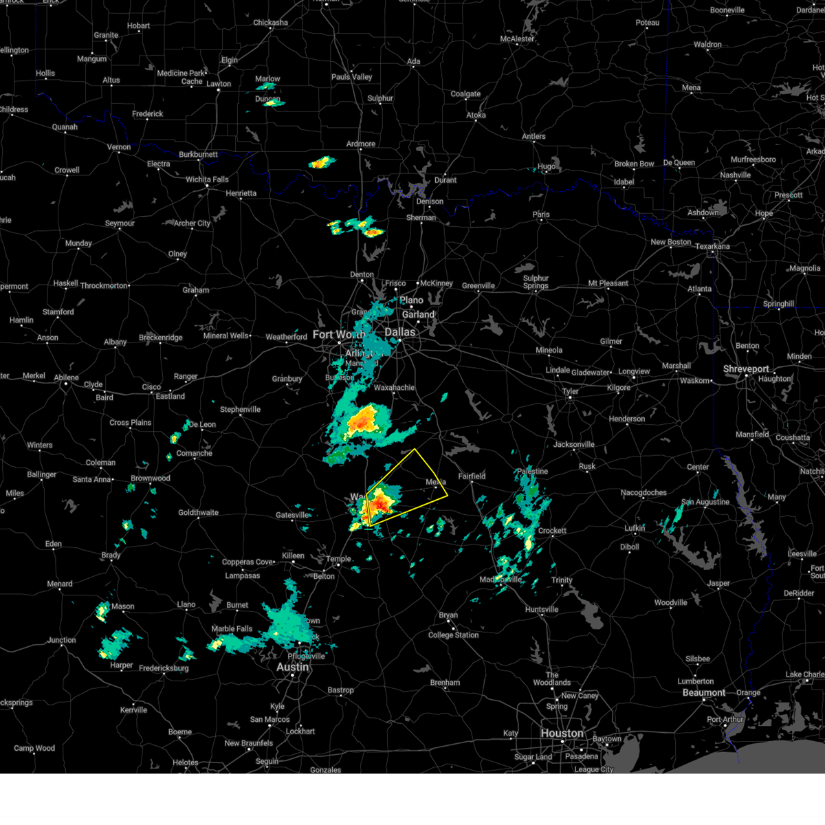
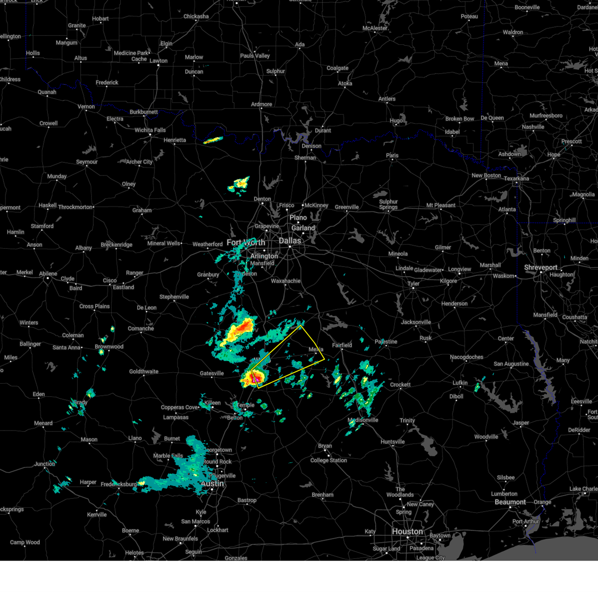
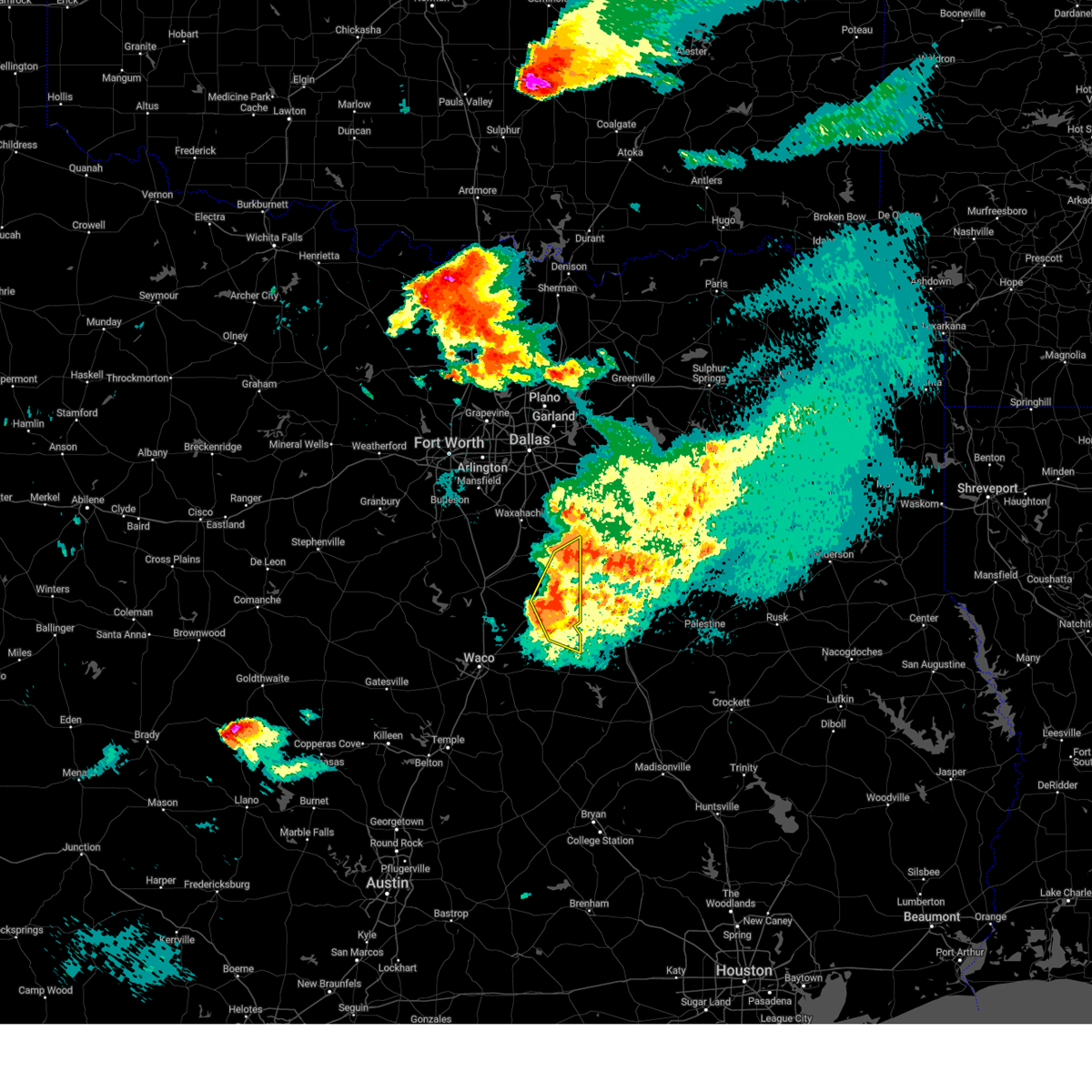
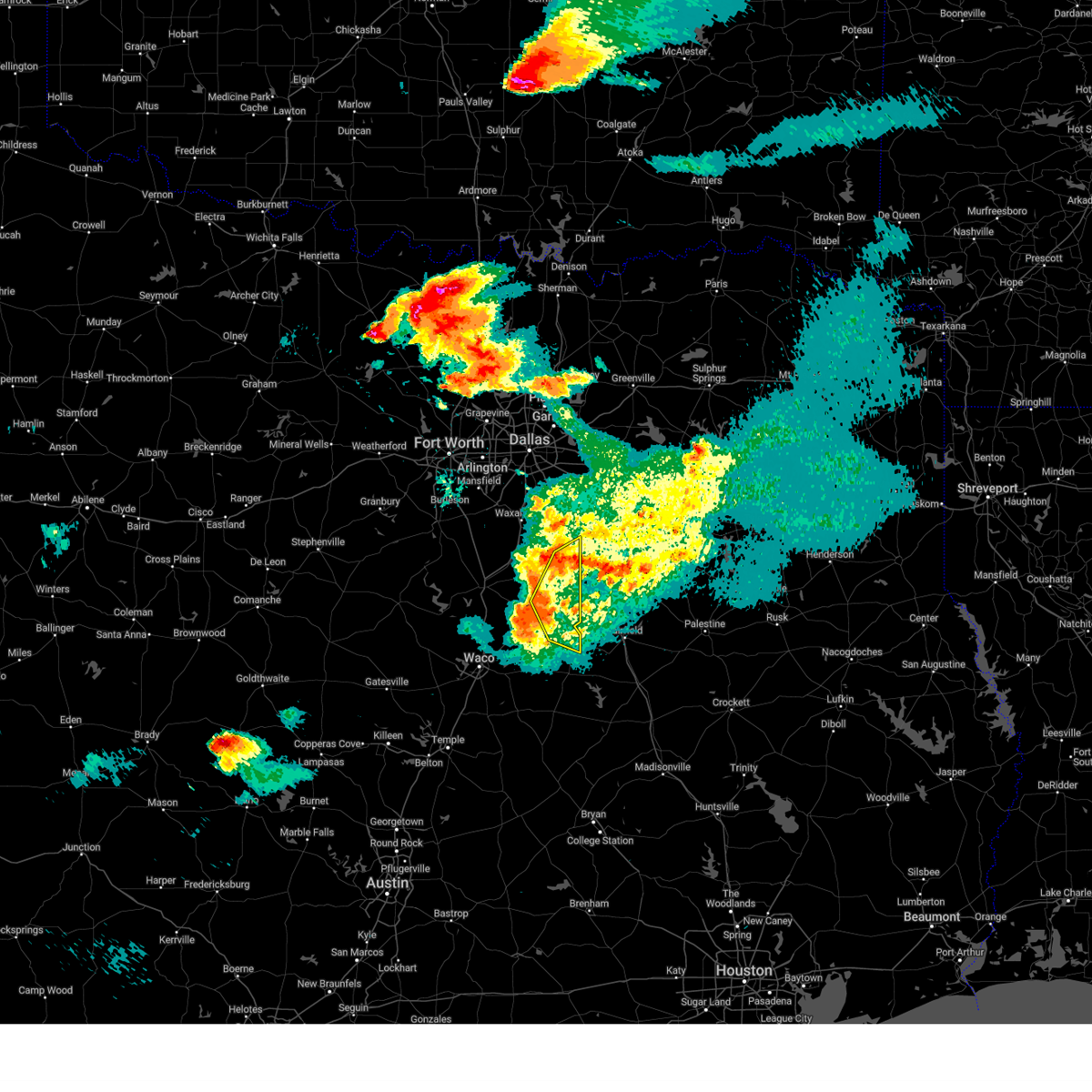
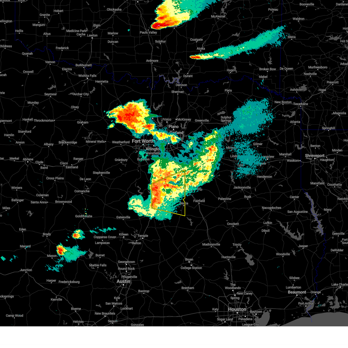
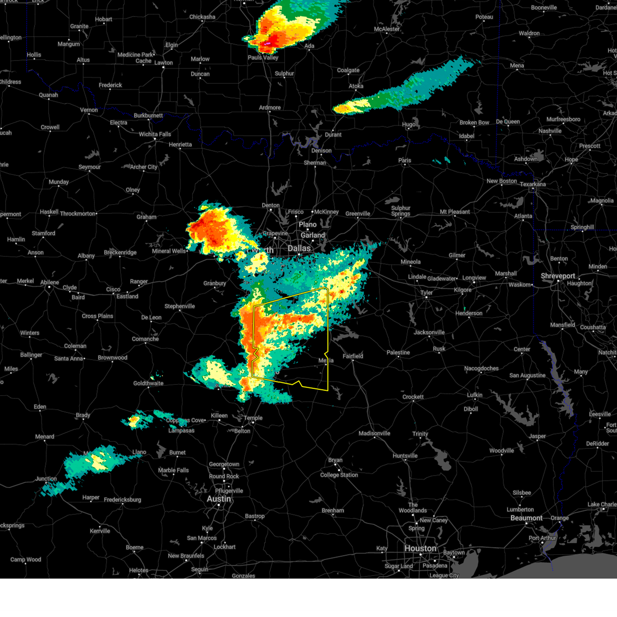
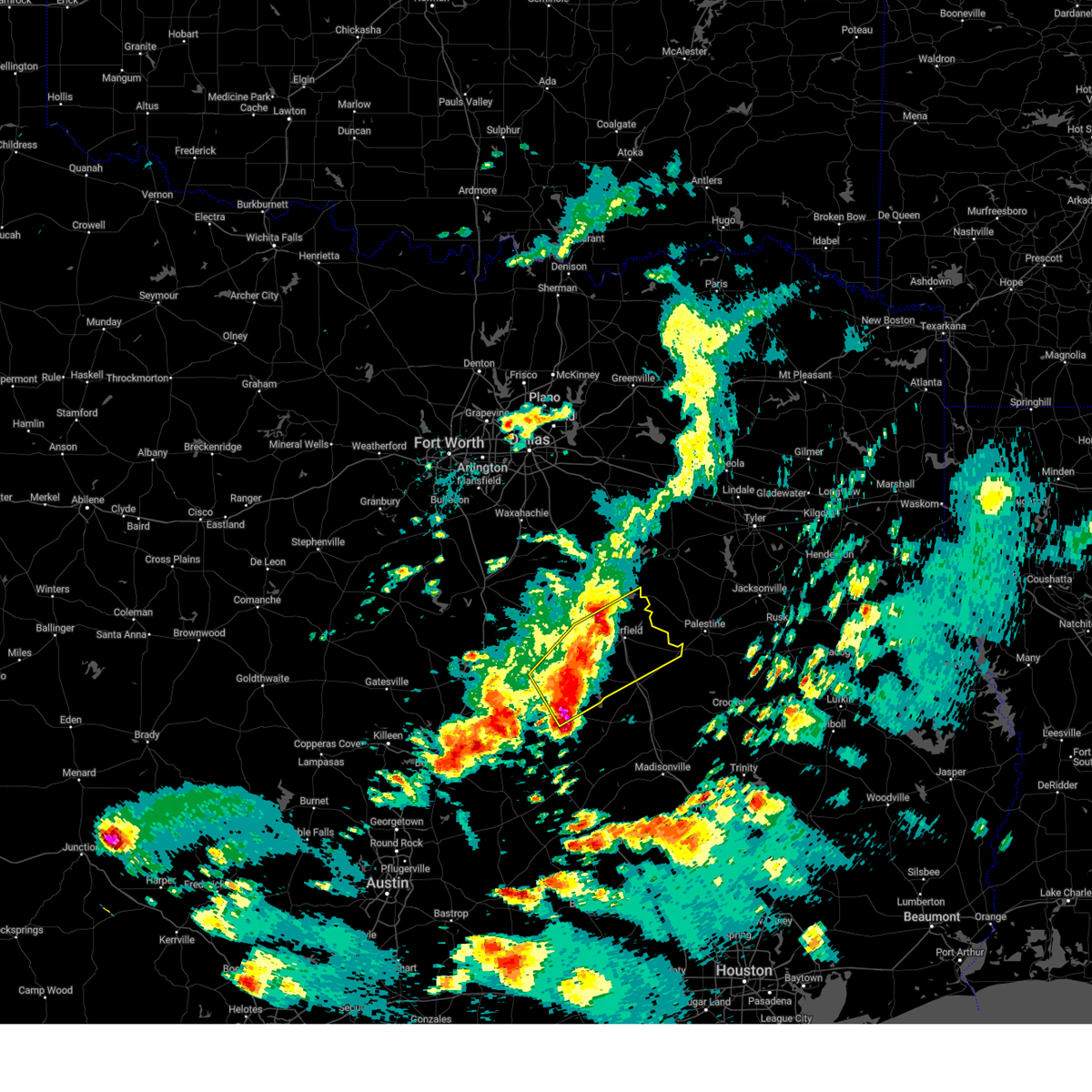
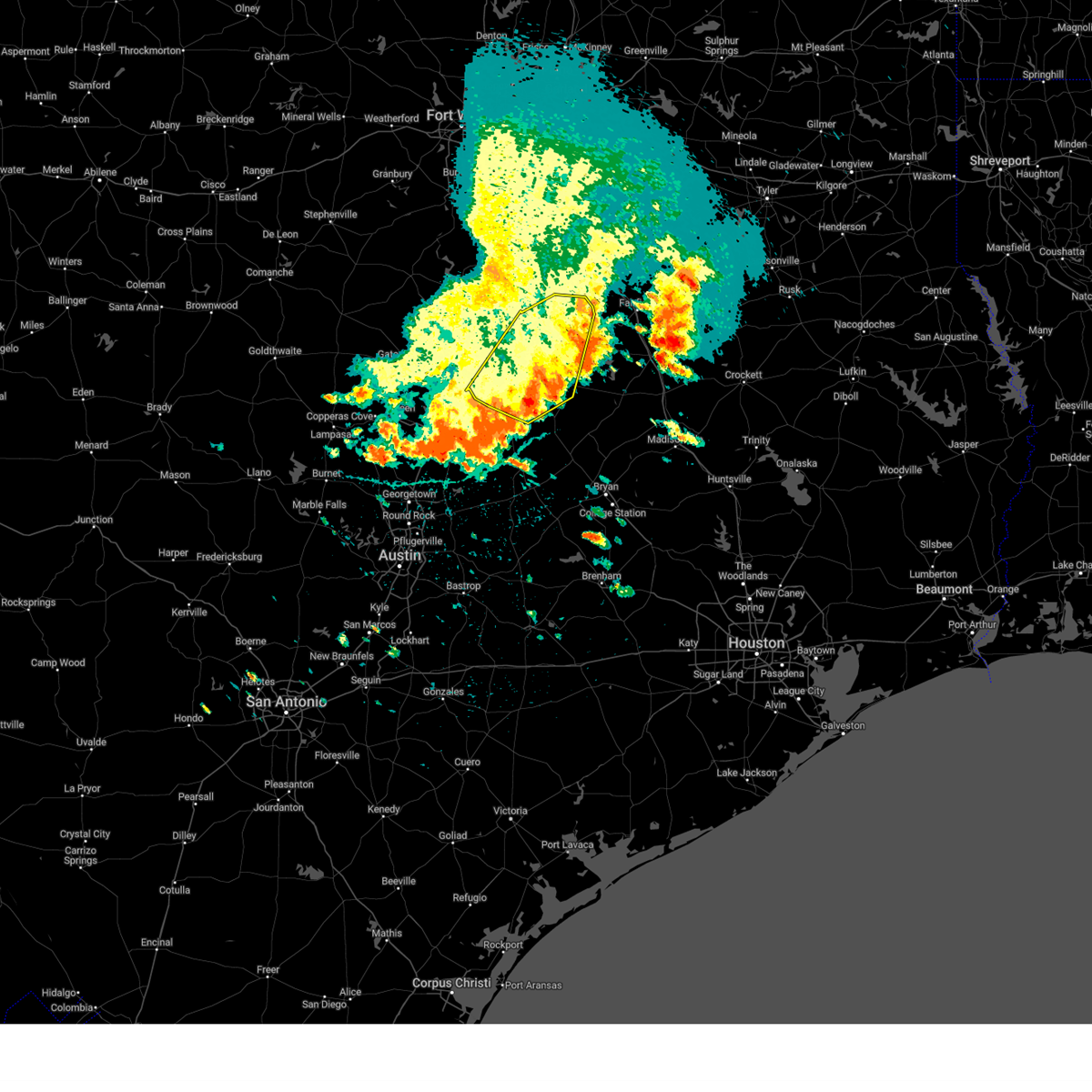
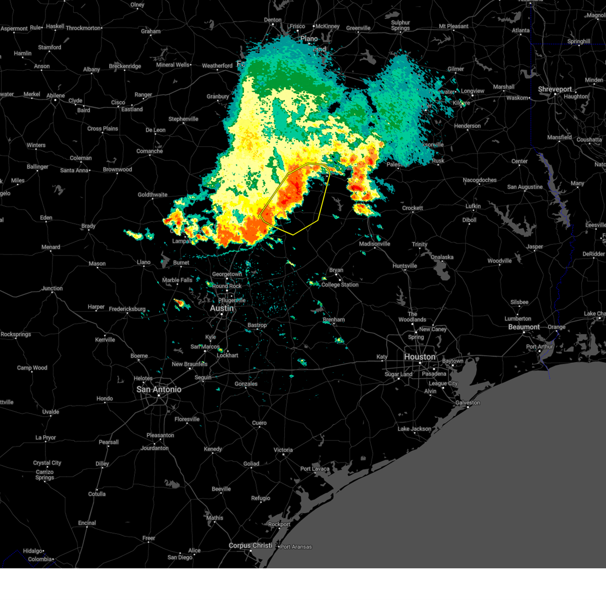
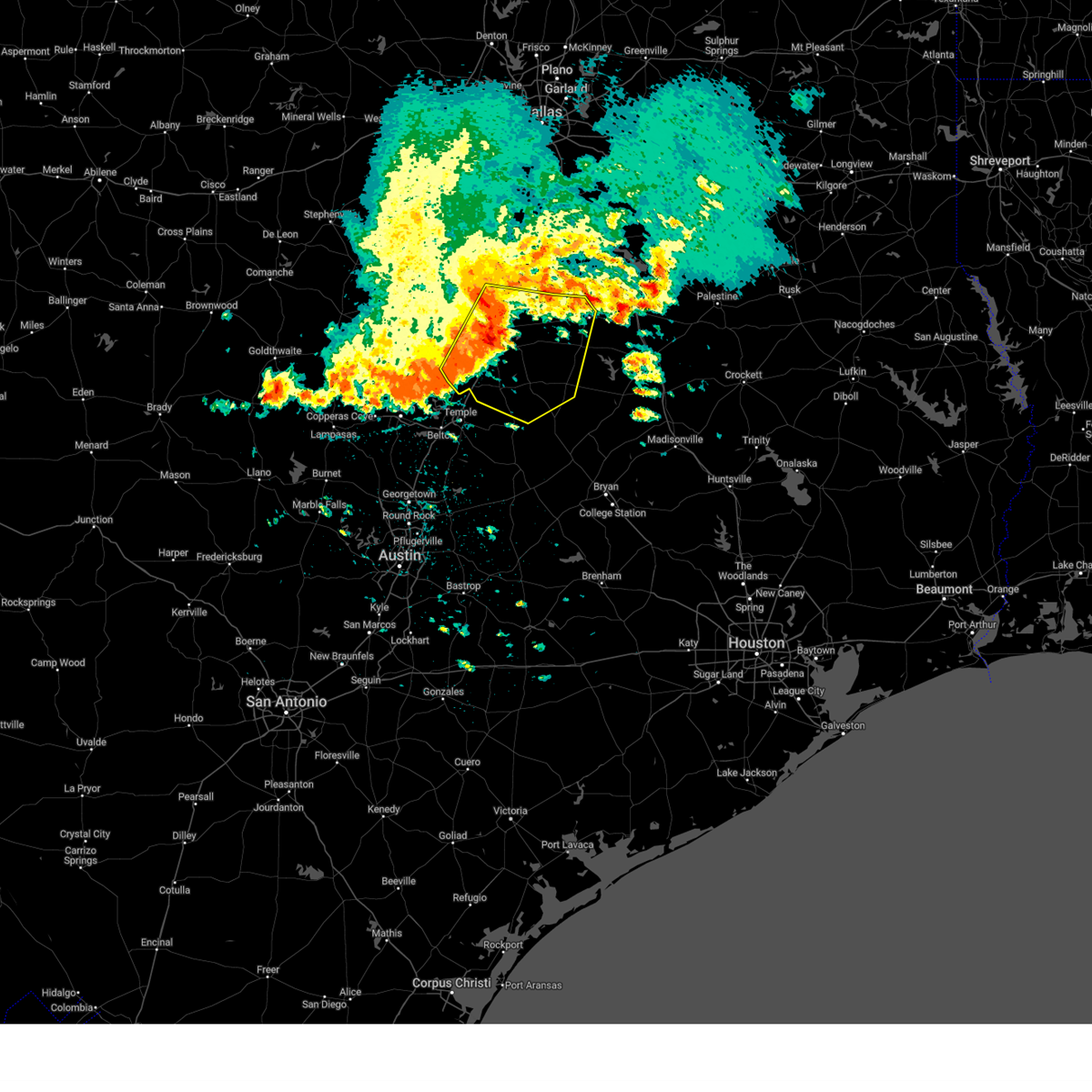
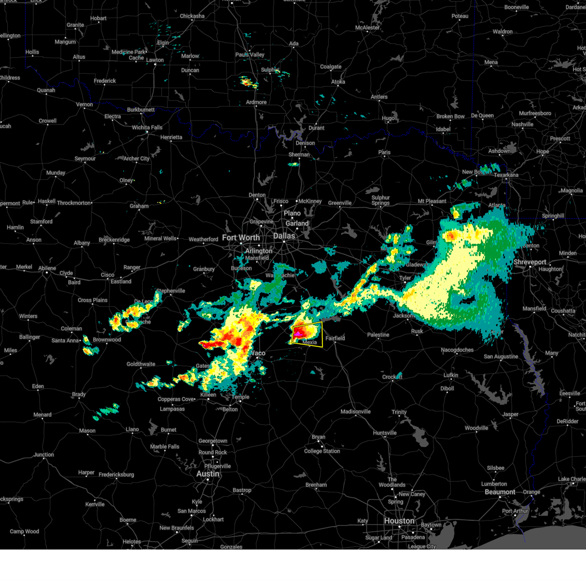
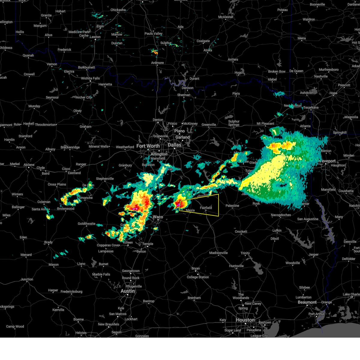
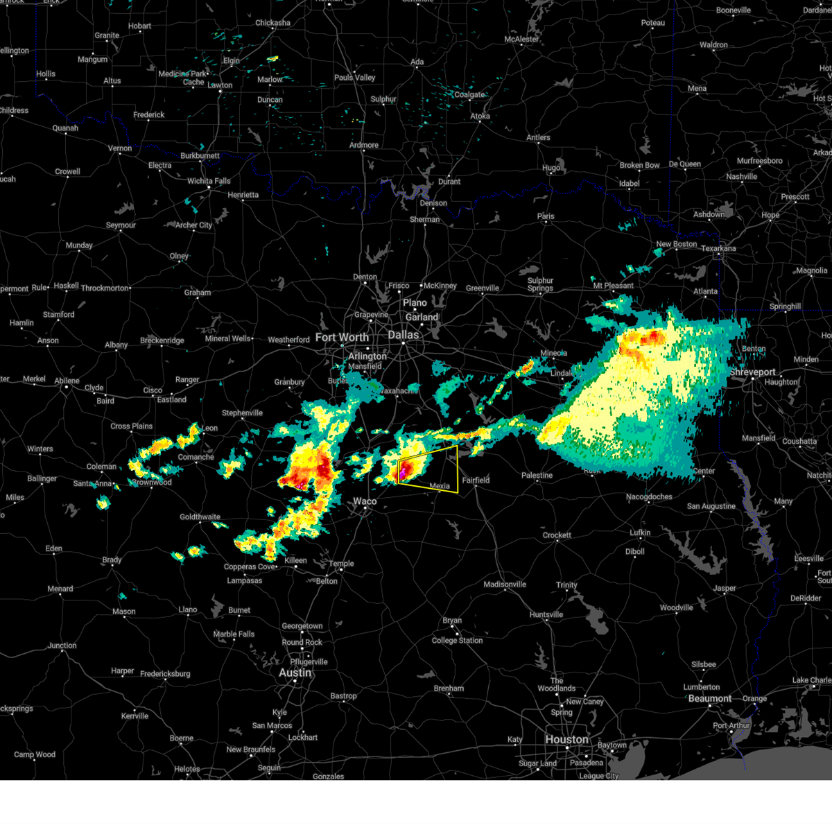
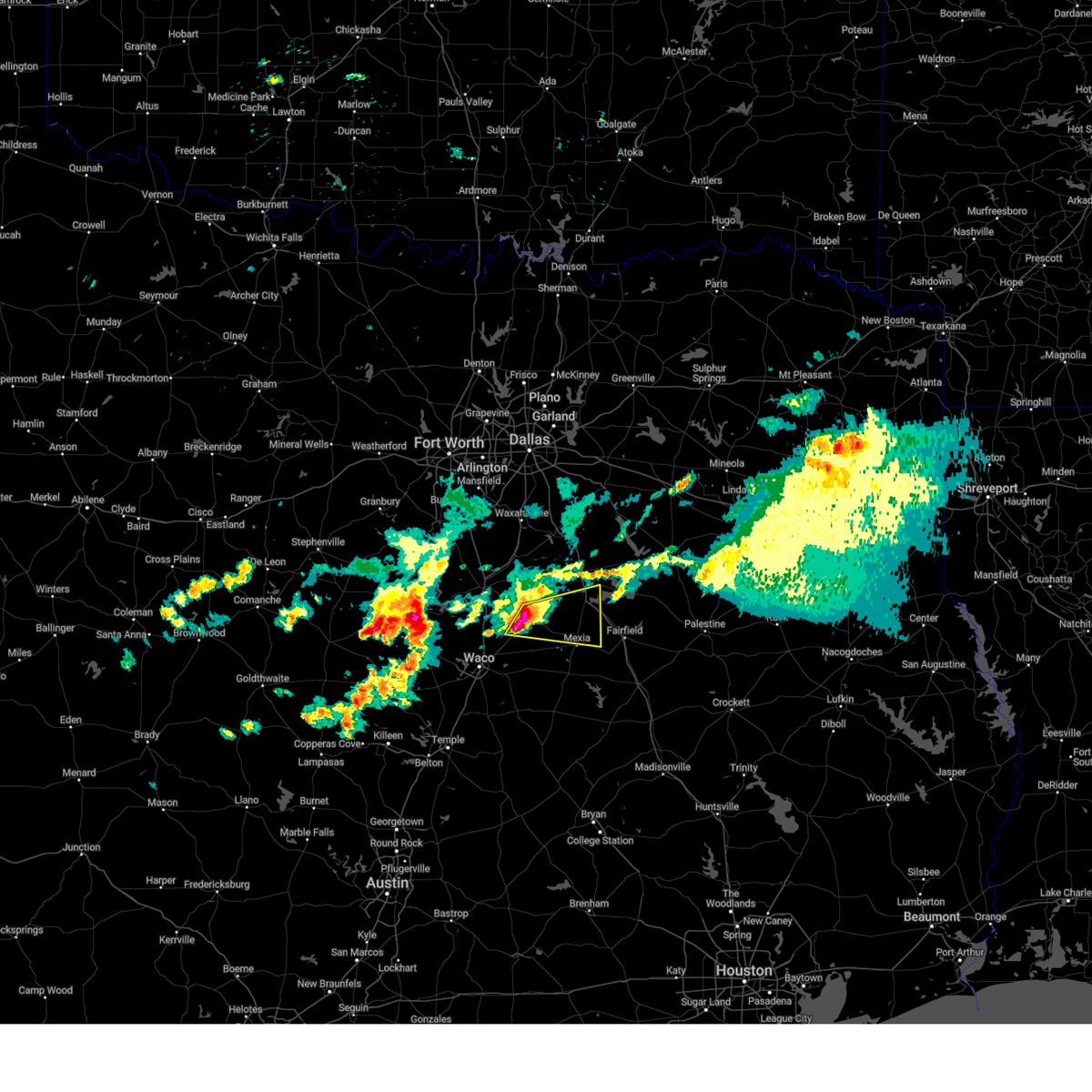
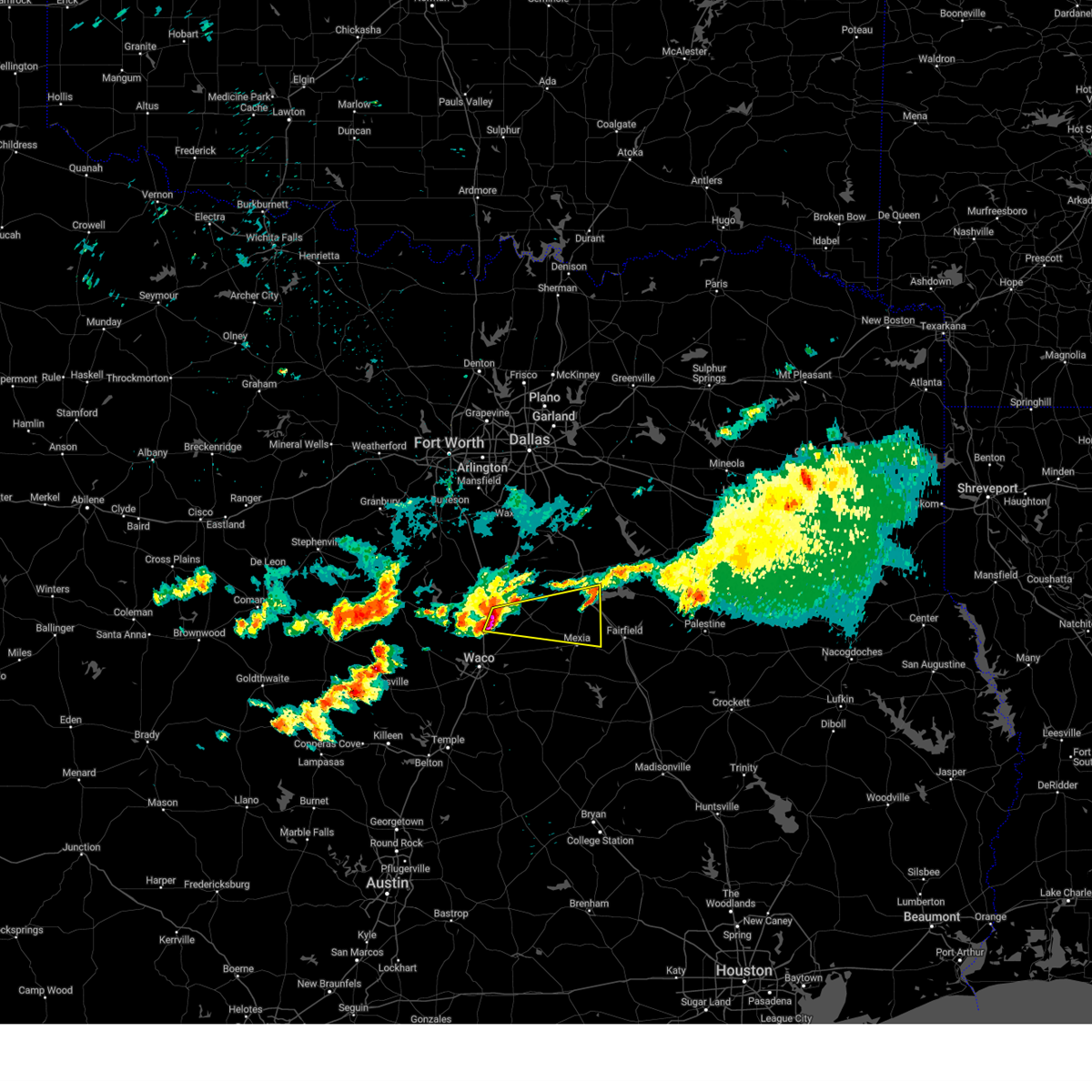
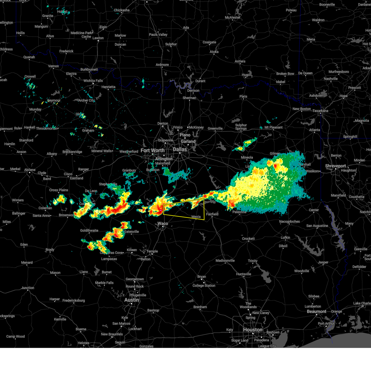
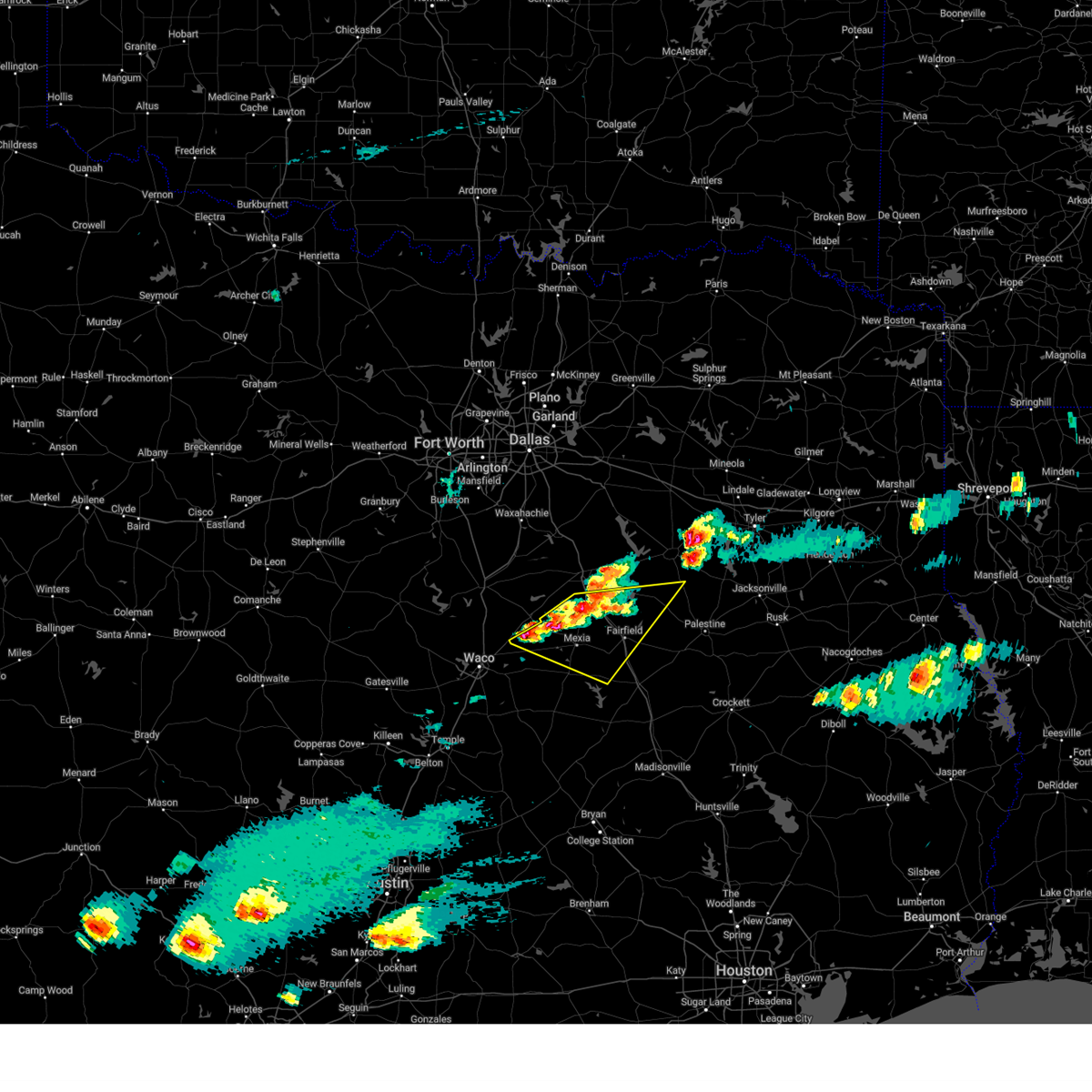
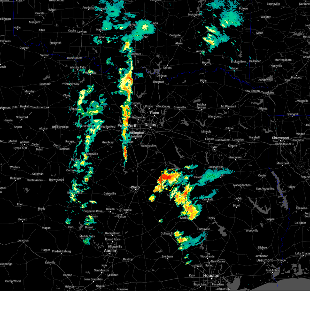
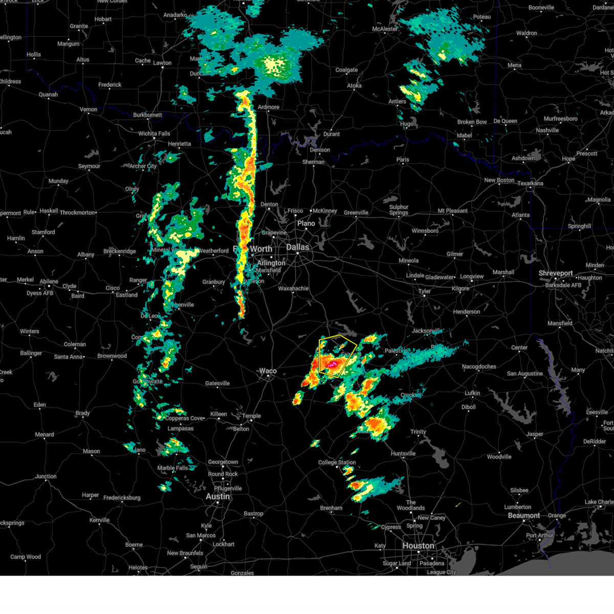
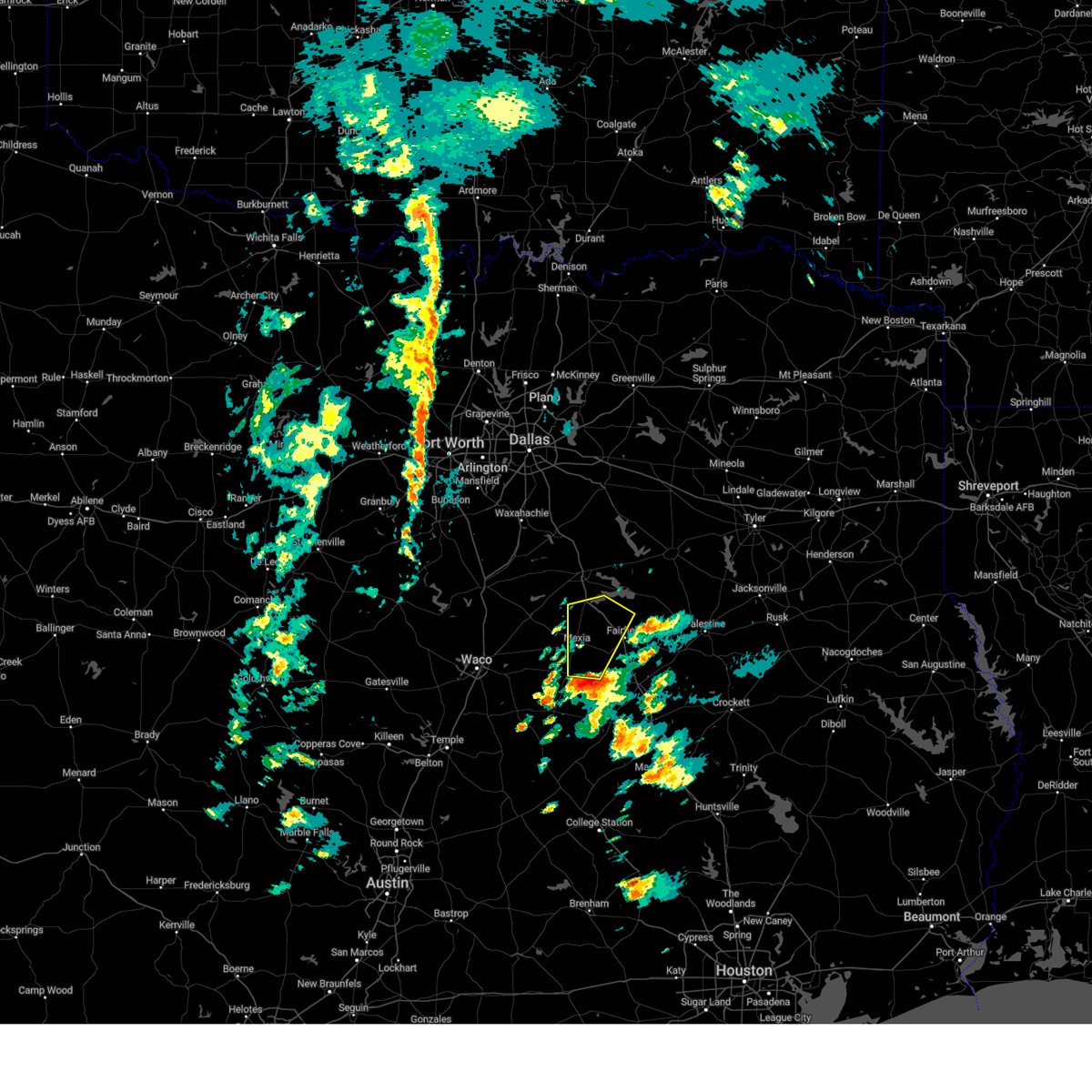
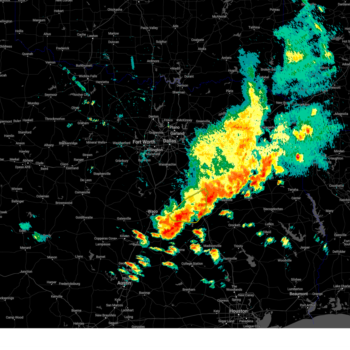
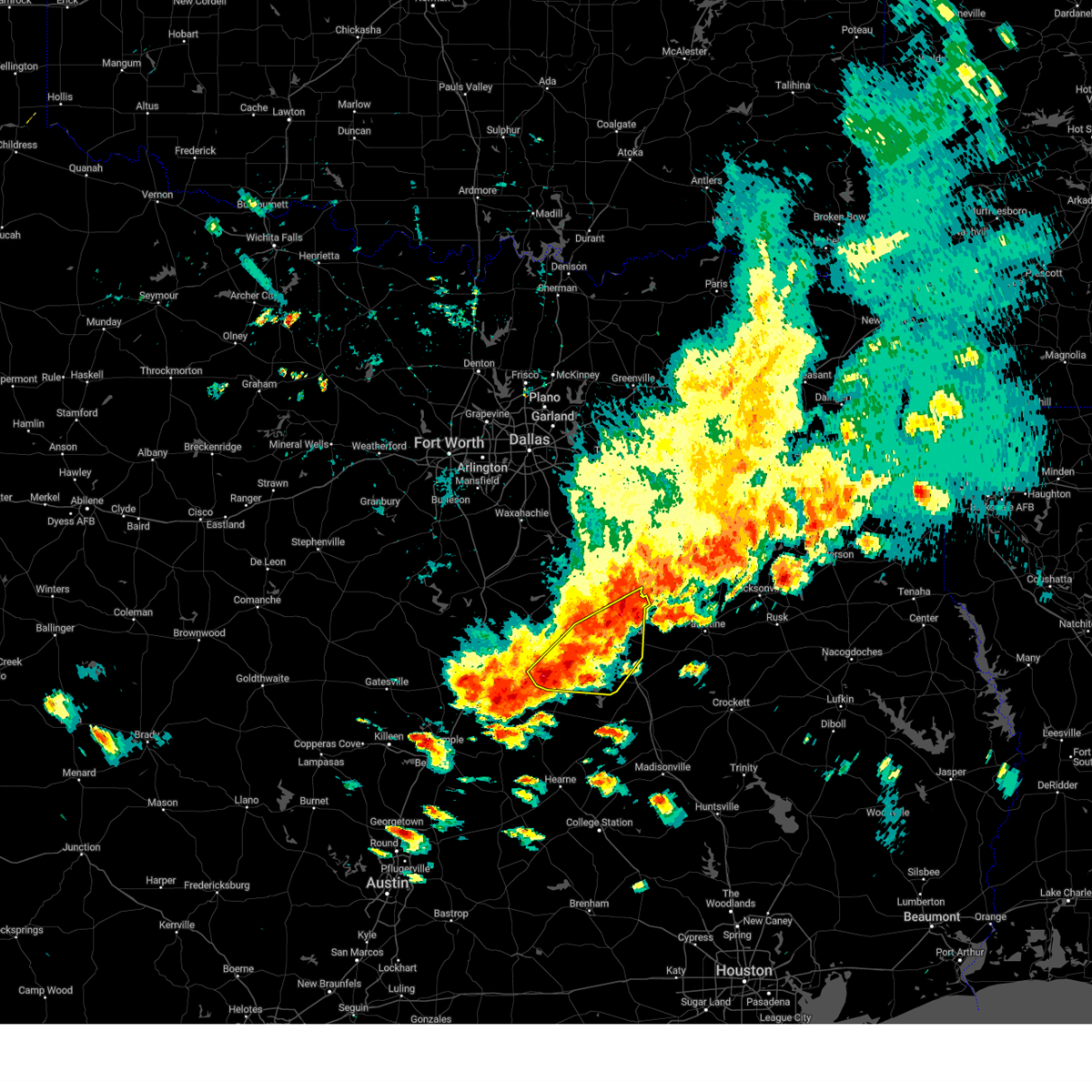
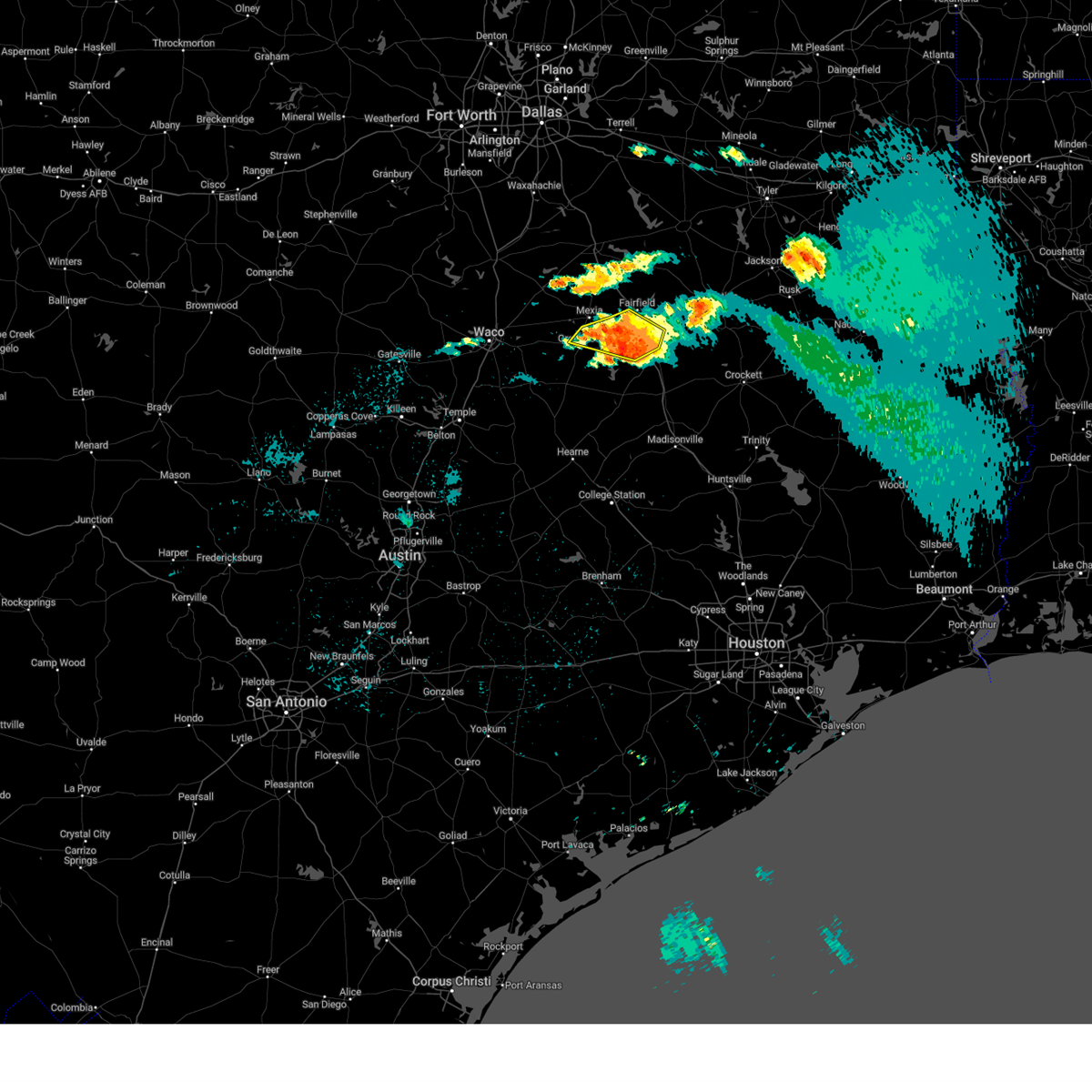
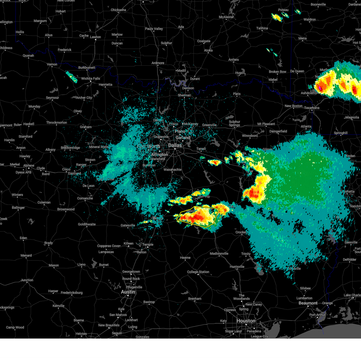
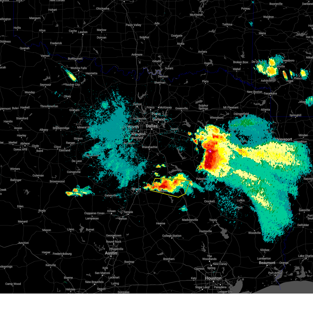
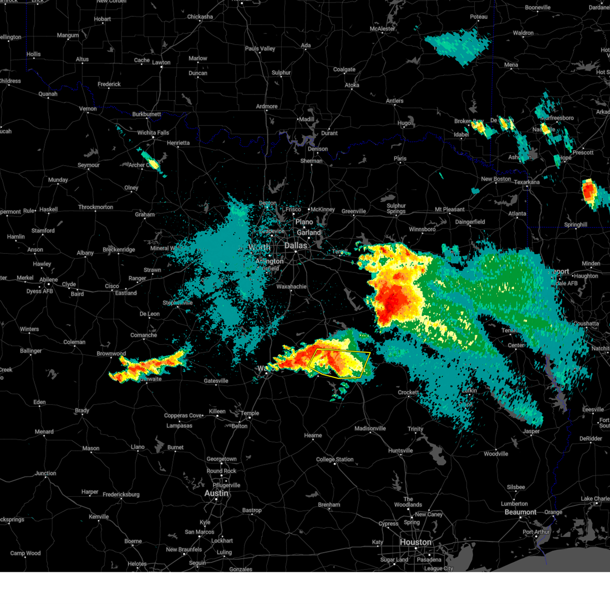
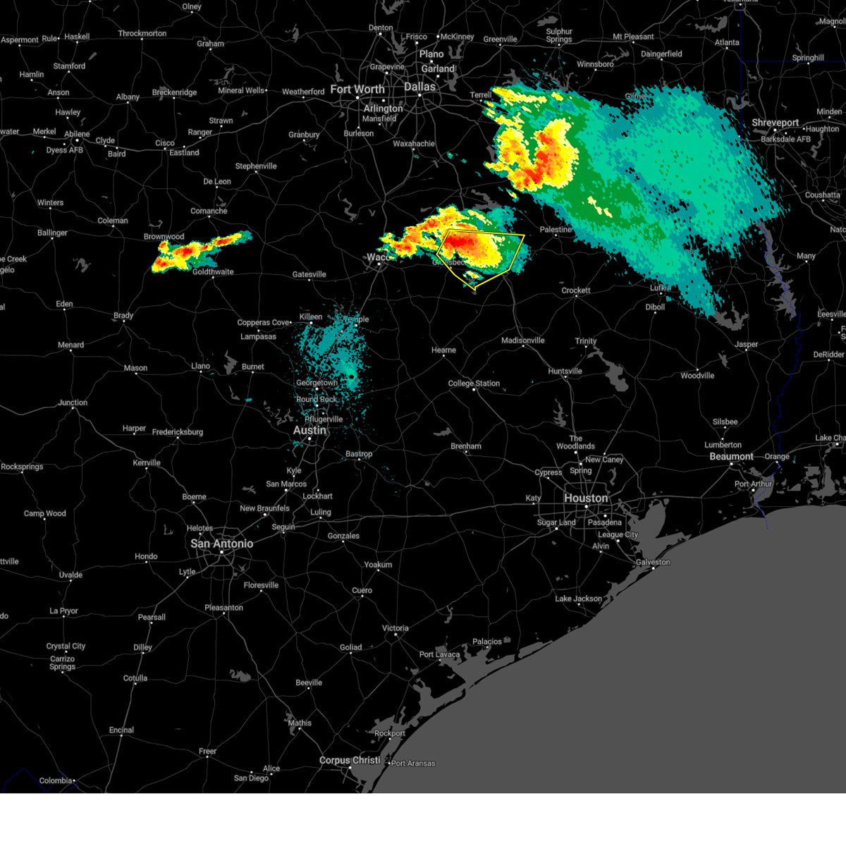
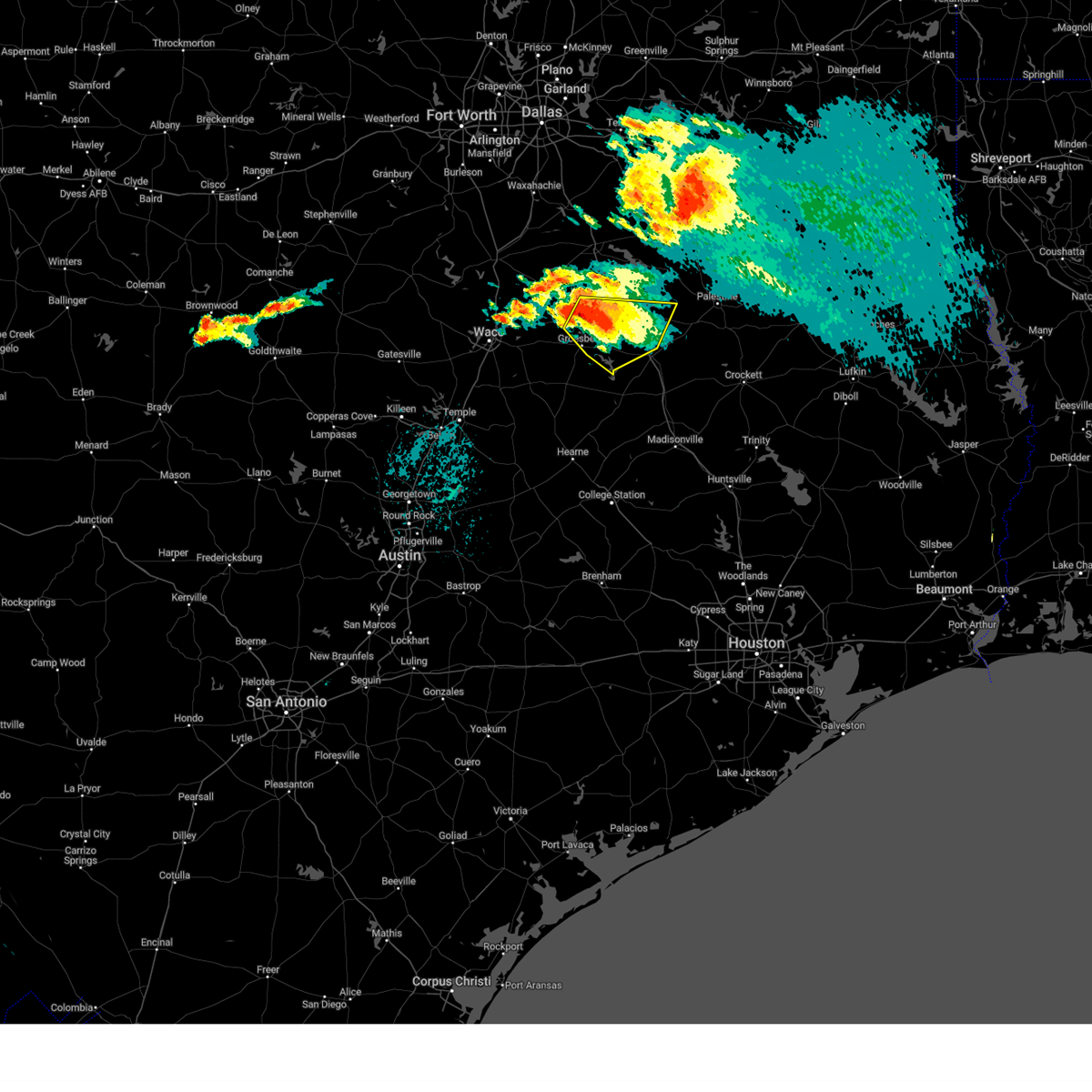
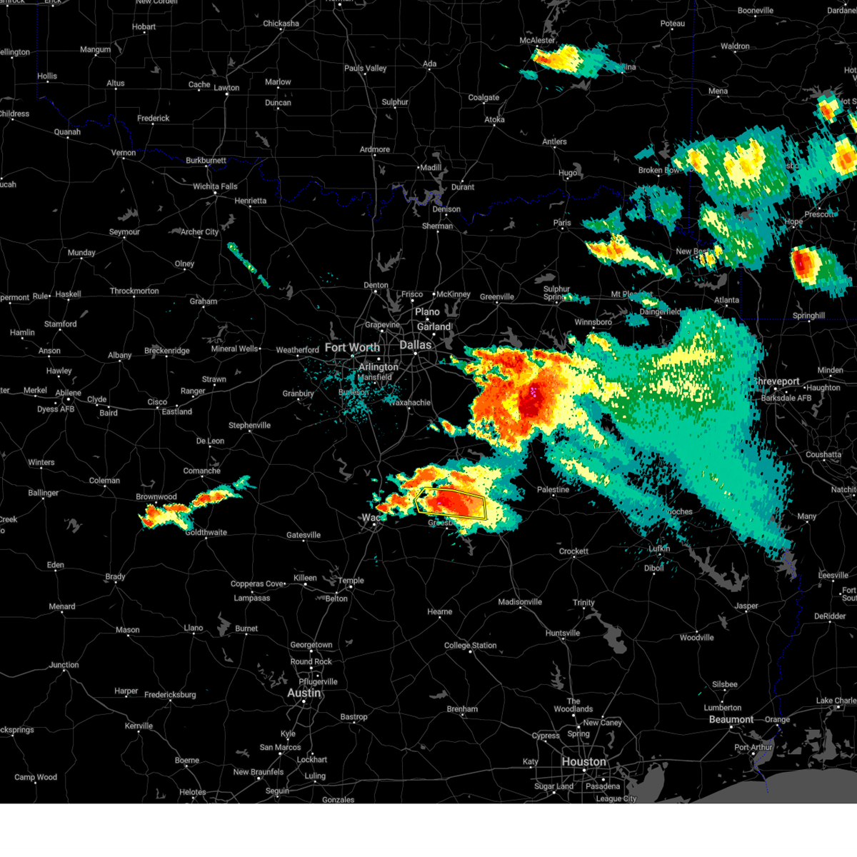
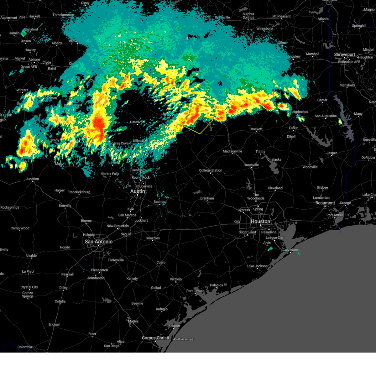
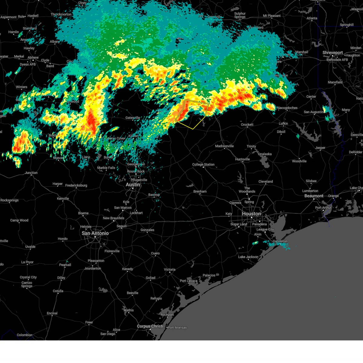
Hail Map for Mexia, TX
The Mexia, TX area has had 13 reports of on-the-ground hail by trained spotters, and has been under severe weather warnings 51 times during the past 12 months. Doppler radar has detected hail at or near Mexia, TX on 69 occasions, including 8 occasions during the past year.
| Name: | Mexia, TX |
| Where Located: | 78.1 miles SSE of Dallas, TX |
| Map: | Google Map for Mexia, TX |
| Population: | 7459 |
| Housing Units: | 2866 |
| More Info: | Search Google for Mexia, TX |
2
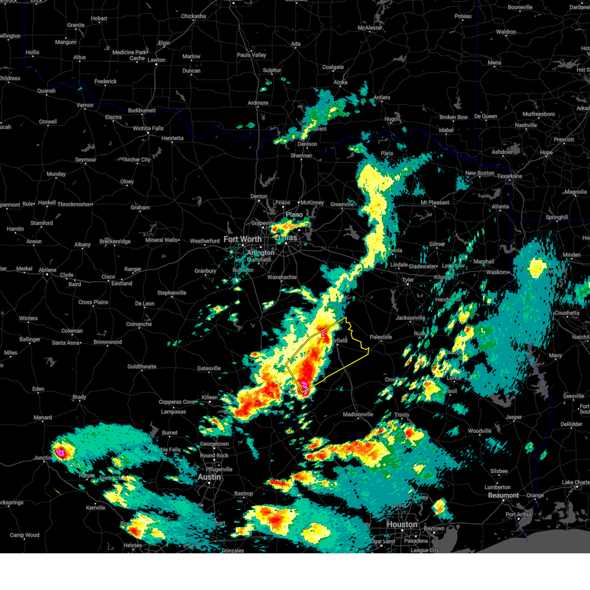
The Top Recent Hail Date for Mexia, TX is Sunday, March 23, 2025 (3rd out of 69)
Hail and Wind Damage Spotted near Mexia, TX
| Date / Time | Report Details |
|---|---|
| 6/9/2025 1:30 AM CDT |
 the severe thunderstorm warning has been cancelled and is no longer in effect the severe thunderstorm warning has been cancelled and is no longer in effect
|
| 6/9/2025 1:17 AM CDT |
 the severe thunderstorm warning has been cancelled and is no longer in effect the severe thunderstorm warning has been cancelled and is no longer in effect
|
| 6/9/2025 1:17 AM CDT |
 At 116 am cdt, severe thunderstorms were located along a line extending from near lake palestine to near trinidad lake to 8 miles south of richland-chambers reservoir to near west, moving southeast at 30 mph (radar indicated). Hazards include 60 mph wind gusts and nickel size hail. Expect damage to roofs, siding, and trees. Locations impacted include, bradford, malakoff, streetman, donie, richland, poynor, fairfield lake, cayuga, lake mexia, cross roads, trinidad, oletha, bethel, kirvin, purdon, lanely, brushy creek, richland-chambers reservoir, fort parker state park, and mount calm. At 116 am cdt, severe thunderstorms were located along a line extending from near lake palestine to near trinidad lake to 8 miles south of richland-chambers reservoir to near west, moving southeast at 30 mph (radar indicated). Hazards include 60 mph wind gusts and nickel size hail. Expect damage to roofs, siding, and trees. Locations impacted include, bradford, malakoff, streetman, donie, richland, poynor, fairfield lake, cayuga, lake mexia, cross roads, trinidad, oletha, bethel, kirvin, purdon, lanely, brushy creek, richland-chambers reservoir, fort parker state park, and mount calm.
|
| 6/9/2025 1:02 AM CDT |
 Svrfwd the national weather service in fort worth has issued a * severe thunderstorm warning for, freestone county in central texas, southern kaufman county in north central texas, southern van zandt county in north central texas, northwestern leon county in central texas, henderson county in central texas, limestone county in central texas, southeastern hill county in central texas, anderson county in central texas, navarro county in north central texas, * until 215 am cdt. * at 102 am cdt, severe thunderstorms were located along a line extending from near kemp to near kerens to 8 miles northeast of wortham to 7 miles west of west, moving southeast at 45 mph (radar indicated). Hazards include 70 mph wind gusts and nickel size hail. Expect considerable tree damage. Damage is likely to mobile homes, roofs, and outbuildings. Svrfwd the national weather service in fort worth has issued a * severe thunderstorm warning for, freestone county in central texas, southern kaufman county in north central texas, southern van zandt county in north central texas, northwestern leon county in central texas, henderson county in central texas, limestone county in central texas, southeastern hill county in central texas, anderson county in central texas, navarro county in north central texas, * until 215 am cdt. * at 102 am cdt, severe thunderstorms were located along a line extending from near kemp to near kerens to 8 miles northeast of wortham to 7 miles west of west, moving southeast at 45 mph (radar indicated). Hazards include 70 mph wind gusts and nickel size hail. Expect considerable tree damage. Damage is likely to mobile homes, roofs, and outbuildings.
|
| 6/1/2025 9:07 PM CDT |
 Svrfwd the national weather service in fort worth has issued a * severe thunderstorm warning for, southwestern freestone county in central texas, northwestern leon county in central texas, northeastern limestone county in central texas, * until 1000 pm cdt. * at 907 pm cdt, a severe thunderstorm was located near teague, moving southeast at 30 mph (radar indicated). Hazards include ping pong ball size hail and 60 mph wind gusts. People and animals outdoors will be injured. expect hail damage to roofs, siding, windows, and vehicles. expect wind damage to roofs, siding, and trees. this severe thunderstorm will be near, teague around 910 pm cdt. other locations impacted by this severe thunderstorm include pleasant springs, lanely, jewett, fallon, flo, stewards mill, donie, robbins, freestone, and cotton gin. This includes interstate 45 between mile markers 166 and 206. Svrfwd the national weather service in fort worth has issued a * severe thunderstorm warning for, southwestern freestone county in central texas, northwestern leon county in central texas, northeastern limestone county in central texas, * until 1000 pm cdt. * at 907 pm cdt, a severe thunderstorm was located near teague, moving southeast at 30 mph (radar indicated). Hazards include ping pong ball size hail and 60 mph wind gusts. People and animals outdoors will be injured. expect hail damage to roofs, siding, windows, and vehicles. expect wind damage to roofs, siding, and trees. this severe thunderstorm will be near, teague around 910 pm cdt. other locations impacted by this severe thunderstorm include pleasant springs, lanely, jewett, fallon, flo, stewards mill, donie, robbins, freestone, and cotton gin. This includes interstate 45 between mile markers 166 and 206.
|
| 6/1/2025 2:02 PM CDT |
 At 202 pm cdt, a severe thunderstorm was located near teague, moving south at 25 mph (radar indicated). Hazards include golf ball size hail and 60 mph wind gusts. People and animals outdoors will be injured. expect hail damage to roofs, siding, windows, and vehicles. expect wind damage to roofs, siding, and trees. this severe storm will be near, lake limestone around 205 pm cdt. Other locations impacted by this severe thunderstorm include cotton gin, farrar, jewett, oletha, fallon, dew, box church, seale, shiloh, and donie. At 202 pm cdt, a severe thunderstorm was located near teague, moving south at 25 mph (radar indicated). Hazards include golf ball size hail and 60 mph wind gusts. People and animals outdoors will be injured. expect hail damage to roofs, siding, windows, and vehicles. expect wind damage to roofs, siding, and trees. this severe storm will be near, lake limestone around 205 pm cdt. Other locations impacted by this severe thunderstorm include cotton gin, farrar, jewett, oletha, fallon, dew, box church, seale, shiloh, and donie.
|
| 6/1/2025 1:42 PM CDT |
 Svrfwd the national weather service in fort worth has issued a * severe thunderstorm warning for, southwestern freestone county in central texas, northeastern robertson county in central texas, northwestern leon county in central texas, eastern limestone county in central texas, * until 245 pm cdt. * at 142 pm cdt, a severe thunderstorm was located near teague, moving south at 25 mph (radar indicated). Hazards include 60 mph wind gusts and half dollar size hail. Hail damage to vehicles is expected. expect wind damage to roofs, siding, and trees. this severe thunderstorm will be near, teague around 145 pm cdt. lake limestone around 155 pm cdt. other locations impacted by this severe thunderstorm include jewett, fallon, box church, seale, donie, freestone, cotton gin, farrar, oletha, and dew. This includes interstate 45 between mile markers 169 and 203. Svrfwd the national weather service in fort worth has issued a * severe thunderstorm warning for, southwestern freestone county in central texas, northeastern robertson county in central texas, northwestern leon county in central texas, eastern limestone county in central texas, * until 245 pm cdt. * at 142 pm cdt, a severe thunderstorm was located near teague, moving south at 25 mph (radar indicated). Hazards include 60 mph wind gusts and half dollar size hail. Hail damage to vehicles is expected. expect wind damage to roofs, siding, and trees. this severe thunderstorm will be near, teague around 145 pm cdt. lake limestone around 155 pm cdt. other locations impacted by this severe thunderstorm include jewett, fallon, box church, seale, donie, freestone, cotton gin, farrar, oletha, and dew. This includes interstate 45 between mile markers 169 and 203.
|
| 6/1/2025 1:36 PM CDT | Photo of tree damage in mexi in limestone county TX, 1.4 miles SW of Mexia, TX |
| 6/1/2025 1:20 PM CDT |
 the severe thunderstorm warning has been cancelled and is no longer in effect the severe thunderstorm warning has been cancelled and is no longer in effect
|
| 6/1/2025 1:20 PM CDT |
 At 119 pm cdt, a severe thunderstorm was located near wortham, or 11 miles northeast of mexia, moving southeast at 20 mph (radar indicated). Hazards include 60 mph wind gusts and half dollar size hail. Hail damage to vehicles is expected. expect wind damage to roofs, siding, and trees. this severe storm will be near, teague around 140 pm cdt. Other locations impacted by this severe thunderstorm include cotton gin, fallon, dew, stewards mill, streetman, shiloh, kirvin, freestone, and red lake. At 119 pm cdt, a severe thunderstorm was located near wortham, or 11 miles northeast of mexia, moving southeast at 20 mph (radar indicated). Hazards include 60 mph wind gusts and half dollar size hail. Hail damage to vehicles is expected. expect wind damage to roofs, siding, and trees. this severe storm will be near, teague around 140 pm cdt. Other locations impacted by this severe thunderstorm include cotton gin, fallon, dew, stewards mill, streetman, shiloh, kirvin, freestone, and red lake.
|
| 6/1/2025 12:51 PM CDT |
 Svrfwd the national weather service in fort worth has issued a * severe thunderstorm warning for, freestone county in central texas, northeastern limestone county in central texas, southeastern navarro county in north central texas, * until 145 pm cdt. * at 1250 pm cdt, a severe thunderstorm was located near angus, or 12 miles south of corsicana, moving southeast at 25 mph (radar indicated). Hazards include 60 mph wind gusts and half dollar size hail. Hail damage to vehicles is expected. expect wind damage to roofs, siding, and trees. this severe thunderstorm will be near, richland-chambers reservoir around 1255 pm cdt. fairfield around 125 pm cdt. other locations impacted by this severe thunderstorm include cotton gin, fallon, dew, box church, stewards mill, streetman, shiloh, richland, kirvin, and freestone. This includes interstate 45 between mile markers 188 and 222. Svrfwd the national weather service in fort worth has issued a * severe thunderstorm warning for, freestone county in central texas, northeastern limestone county in central texas, southeastern navarro county in north central texas, * until 145 pm cdt. * at 1250 pm cdt, a severe thunderstorm was located near angus, or 12 miles south of corsicana, moving southeast at 25 mph (radar indicated). Hazards include 60 mph wind gusts and half dollar size hail. Hail damage to vehicles is expected. expect wind damage to roofs, siding, and trees. this severe thunderstorm will be near, richland-chambers reservoir around 1255 pm cdt. fairfield around 125 pm cdt. other locations impacted by this severe thunderstorm include cotton gin, fallon, dew, box church, stewards mill, streetman, shiloh, richland, kirvin, and freestone. This includes interstate 45 between mile markers 188 and 222.
|
| 5/19/2025 10:24 AM CDT |
 the severe thunderstorm warning has been cancelled and is no longer in effect the severe thunderstorm warning has been cancelled and is no longer in effect
|
| 5/19/2025 10:16 AM CDT |
 At 1016 am cdt, a severe thunderstorm was located over tradinghouse creek reservoir, or 9 miles east of bellmead, moving northeast at 50 mph (radar indicated). Hazards include 60 mph wind gusts and quarter size hail. Hail damage to vehicles is expected. expect wind damage to roofs, siding, and trees. this severe storm will be near, hallsburg around 1020 am cdt. coolidge around 1035 am cdt. lake mexia around 1040 am cdt. Other locations impacted by this severe thunderstorm include ben hur, watt, axtell, downsville, mount calm, tehuacana, shiloh, navarro mills, asa, and prairie hill. At 1016 am cdt, a severe thunderstorm was located over tradinghouse creek reservoir, or 9 miles east of bellmead, moving northeast at 50 mph (radar indicated). Hazards include 60 mph wind gusts and quarter size hail. Hail damage to vehicles is expected. expect wind damage to roofs, siding, and trees. this severe storm will be near, hallsburg around 1020 am cdt. coolidge around 1035 am cdt. lake mexia around 1040 am cdt. Other locations impacted by this severe thunderstorm include ben hur, watt, axtell, downsville, mount calm, tehuacana, shiloh, navarro mills, asa, and prairie hill.
|
| 5/19/2025 9:59 AM CDT |
 Svrfwd the national weather service in fort worth has issued a * severe thunderstorm warning for, eastern mclennan county in central texas, northern limestone county in central texas, southeastern hill county in central texas, northwestern falls county in central texas, southwestern navarro county in north central texas, * until 1045 am cdt. * at 959 am cdt, a severe thunderstorm was located over robinson, moving northeast at 55 mph (radar indicated). Hazards include 60 mph wind gusts and quarter size hail. Hail damage to vehicles is expected. expect wind damage to roofs, siding, and trees. this severe thunderstorm will be near, waco, robinson, riesel, hallsburg, and lake creek lake around 1005 am cdt. tradinghouse creek reservoir around 1010 am cdt. mart around 1015 am cdt. lake mexia around 1035 am cdt. other locations impacted by this severe thunderstorm include ben hur, watt, axtell, downsville, mount calm, tehuacana, shiloh, navarro mills, asa, and prairie hill. This includes interstate 35 between mile markers 322 and 340. Svrfwd the national weather service in fort worth has issued a * severe thunderstorm warning for, eastern mclennan county in central texas, northern limestone county in central texas, southeastern hill county in central texas, northwestern falls county in central texas, southwestern navarro county in north central texas, * until 1045 am cdt. * at 959 am cdt, a severe thunderstorm was located over robinson, moving northeast at 55 mph (radar indicated). Hazards include 60 mph wind gusts and quarter size hail. Hail damage to vehicles is expected. expect wind damage to roofs, siding, and trees. this severe thunderstorm will be near, waco, robinson, riesel, hallsburg, and lake creek lake around 1005 am cdt. tradinghouse creek reservoir around 1010 am cdt. mart around 1015 am cdt. lake mexia around 1035 am cdt. other locations impacted by this severe thunderstorm include ben hur, watt, axtell, downsville, mount calm, tehuacana, shiloh, navarro mills, asa, and prairie hill. This includes interstate 35 between mile markers 322 and 340.
|
| 5/17/2025 6:43 PM CDT |
 The storm which prompted the warning has weakened below severe limits. therefore the warning will be allowed to expire. however gusty winds and heavy rain are still possible with this thunderstorm. a severe thunderstorm watch remains in effect until 1000 pm cdt for central and north central texas. The storm which prompted the warning has weakened below severe limits. therefore the warning will be allowed to expire. however gusty winds and heavy rain are still possible with this thunderstorm. a severe thunderstorm watch remains in effect until 1000 pm cdt for central and north central texas.
|
| 5/17/2025 6:34 PM CDT |
 the severe thunderstorm warning has been cancelled and is no longer in effect the severe thunderstorm warning has been cancelled and is no longer in effect
|
| 5/17/2025 6:34 PM CDT |
 At 634 pm cdt, a severe thunderstorm was located near dawson, or 15 miles northwest of mexia, moving east at 45 mph (radar indicated). Hazards include 60 mph wind gusts and quarter size hail. Hail damage to vehicles is expected. expect wind damage to roofs, siding, and trees. This severe thunderstorm will remain over mainly rural areas of north central limestone and western navarro counties, including the following locations, oak valley, silver city, emhouse, dresden, retreat, tehuacana, corbet, navarro mills, rice, and purdon. At 634 pm cdt, a severe thunderstorm was located near dawson, or 15 miles northwest of mexia, moving east at 45 mph (radar indicated). Hazards include 60 mph wind gusts and quarter size hail. Hail damage to vehicles is expected. expect wind damage to roofs, siding, and trees. This severe thunderstorm will remain over mainly rural areas of north central limestone and western navarro counties, including the following locations, oak valley, silver city, emhouse, dresden, retreat, tehuacana, corbet, navarro mills, rice, and purdon.
|
| 5/17/2025 6:06 PM CDT |
 the severe thunderstorm warning has been cancelled and is no longer in effect the severe thunderstorm warning has been cancelled and is no longer in effect
|
| 5/17/2025 6:06 PM CDT |
 At 605 pm cdt, a severe thunderstorm was located near bynum, or 11 miles southeast of hillsboro, moving east at 40 mph (radar indicated). Hazards include 60 mph wind gusts and quarter size hail. Hail damage to vehicles is expected. expect wind damage to roofs, siding, and trees. this severe storm will be near, hubbard around 615 pm cdt. navarro mills lake and dawson around 620 pm cdt. Other locations impacted by this severe thunderstorm include malone, oak valley, watt, dresden, irene, corbet, prairie hill, retreat, ross, and navarro mills. At 605 pm cdt, a severe thunderstorm was located near bynum, or 11 miles southeast of hillsboro, moving east at 40 mph (radar indicated). Hazards include 60 mph wind gusts and quarter size hail. Hail damage to vehicles is expected. expect wind damage to roofs, siding, and trees. this severe storm will be near, hubbard around 615 pm cdt. navarro mills lake and dawson around 620 pm cdt. Other locations impacted by this severe thunderstorm include malone, oak valley, watt, dresden, irene, corbet, prairie hill, retreat, ross, and navarro mills.
|
| 5/17/2025 5:41 PM CDT |
 Svrfwd the national weather service in fort worth has issued a * severe thunderstorm warning for, northeastern mclennan county in central texas, southeastern johnson county in north central texas, northwestern limestone county in central texas, hill county in central texas, central ellis county in north central texas, western navarro county in north central texas, * until 645 pm cdt. * at 541 pm cdt, severe thunderstorms were located along a line extending from near covington to near lake waco, moving east at 45 mph (radar indicated). Hazards include 60 mph wind gusts and quarter size hail. Hail damage to vehicles is expected. expect wind damage to roofs, siding, and trees. severe thunderstorms will be near, waco, aquilla lake, itasca, lacy-lakeview, grandview, hillsboro, and west around 545 pm cdt. bellmead, northcrest, and carl's corner around 550 pm cdt. bynum around 555 pm cdt. hallsburg and italy around 600 pm cdt. navarro mills lake and hubbard around 610 pm cdt. blooming grove, dawson, bardwell, and bardwell lake around 615 pm cdt. ennis, coolidge, and barry around 620 pm cdt. lake mexia and alma around 625 pm cdt. other locations impacted by these severe thunderstorms include oak valley, rock creek, avalon, osceola, howard, gholson, aquilla, retreat, peoria, and wiggins. this includes the following highways, interstate 35 between mile markers 333 and 369. interstate 35w between mile markers 1 and 17. interstate 35e between mile markers 371 and 397. Interstate 45 between mile markers 234 and 257. Svrfwd the national weather service in fort worth has issued a * severe thunderstorm warning for, northeastern mclennan county in central texas, southeastern johnson county in north central texas, northwestern limestone county in central texas, hill county in central texas, central ellis county in north central texas, western navarro county in north central texas, * until 645 pm cdt. * at 541 pm cdt, severe thunderstorms were located along a line extending from near covington to near lake waco, moving east at 45 mph (radar indicated). Hazards include 60 mph wind gusts and quarter size hail. Hail damage to vehicles is expected. expect wind damage to roofs, siding, and trees. severe thunderstorms will be near, waco, aquilla lake, itasca, lacy-lakeview, grandview, hillsboro, and west around 545 pm cdt. bellmead, northcrest, and carl's corner around 550 pm cdt. bynum around 555 pm cdt. hallsburg and italy around 600 pm cdt. navarro mills lake and hubbard around 610 pm cdt. blooming grove, dawson, bardwell, and bardwell lake around 615 pm cdt. ennis, coolidge, and barry around 620 pm cdt. lake mexia and alma around 625 pm cdt. other locations impacted by these severe thunderstorms include oak valley, rock creek, avalon, osceola, howard, gholson, aquilla, retreat, peoria, and wiggins. this includes the following highways, interstate 35 between mile markers 333 and 369. interstate 35w between mile markers 1 and 17. interstate 35e between mile markers 371 and 397. Interstate 45 between mile markers 234 and 257.
|
| 5/2/2025 4:01 PM CDT |
 the severe thunderstorm warning has been cancelled and is no longer in effect the severe thunderstorm warning has been cancelled and is no longer in effect
|
| 5/2/2025 4:01 PM CDT |
 At 400 pm cdt, a line of severe thunderstorms was located from streetman to kosse, moving east at 35 mph (radar indicated). Hazards include 60 mph wind gusts and quarter size hail. Hail damage to vehicles is expected. expect wind damage to roofs, siding, and trees. this severe storm will be near, lake limestone around 405 pm cdt. Other locations impacted by this severe thunderstorm include ben hur, lanely, fallon, box church, stewards mill, streetman, tehuacana, donie, freestone, and cotton gin. At 400 pm cdt, a line of severe thunderstorms was located from streetman to kosse, moving east at 35 mph (radar indicated). Hazards include 60 mph wind gusts and quarter size hail. Hail damage to vehicles is expected. expect wind damage to roofs, siding, and trees. this severe storm will be near, lake limestone around 405 pm cdt. Other locations impacted by this severe thunderstorm include ben hur, lanely, fallon, box church, stewards mill, streetman, tehuacana, donie, freestone, and cotton gin.
|
| 5/2/2025 3:26 PM CDT | Svrfwd the national weather service in fort worth has issued a * severe thunderstorm warning for, freestone county in central texas, limestone county in central texas, navarro county in north central texas, * until 430 pm cdt. * at 325 pm cdt, a line of severe thunderstorms was located from near corsicana to thornton, moving east at 40 mph (radar indicated). Hazards include 60 mph wind gusts and quarter size hail. Hail damage to vehicles is expected. expect wind damage to roofs, siding, and trees. this severe thunderstorm will be near, lake mexia, fort parker state park, and mexia around 330 pm cdt. teague around 350 pm cdt. other locations impacted by this severe thunderstorm include oak valley, watt, dresden, fallon, streetman, donie, richland, corbet, prairie hill, and mildred. This includes interstate 45 between mile markers 180 and 231. |
| 4/30/2025 7:44 PM CDT |
 the severe thunderstorm warning has been cancelled and is no longer in effect the severe thunderstorm warning has been cancelled and is no longer in effect
|
| 4/30/2025 7:34 PM CDT |
 At 734 pm cdt, a severe thunderstorm was located near groesbeck, moving northeast at 30 mph (radar indicated). Hazards include quarter size hail. Damage to vehicles is possible. this severe storm will be near, fort parker state park and groesbeck around 740 pm cdt. Other locations impacted by this severe thunderstorm include tehuacana, shiloh, fallon, and box church. At 734 pm cdt, a severe thunderstorm was located near groesbeck, moving northeast at 30 mph (radar indicated). Hazards include quarter size hail. Damage to vehicles is possible. this severe storm will be near, fort parker state park and groesbeck around 740 pm cdt. Other locations impacted by this severe thunderstorm include tehuacana, shiloh, fallon, and box church.
|
| 4/30/2025 7:34 PM CDT |
 the severe thunderstorm warning has been cancelled and is no longer in effect the severe thunderstorm warning has been cancelled and is no longer in effect
|
| 4/30/2025 7:18 PM CDT | the severe thunderstorm warning has been cancelled and is no longer in effect |
| 4/30/2025 7:18 PM CDT | At 717 pm cdt, a severe thunderstorm was located near mart, or 12 miles west of groesbeck, moving east at 30 mph (radar indicated). Hazards include quarter size hail. Damage to vehicles is possible. this severe storm will be near, groesbeck around 735 pm cdt. fort parker state park around 740 pm cdt. Other locations impacted by this severe thunderstorm include thornton, ben hur, watt, otto, fallon, box church, tehuacana, shiloh, prairie hill, and mcclanahan. |
| 4/30/2025 6:56 PM CDT |
 Svrfwd the national weather service in fort worth has issued a * severe thunderstorm warning for, east central mclennan county in central texas, limestone county in central texas, northeastern falls county in central texas, * until 800 pm cdt. * at 656 pm cdt, a severe thunderstorm was located over riesel, or 10 miles east of robinson, moving east at 30 mph (radar indicated). Hazards include half dollar size hail. Damage to vehicles is possible. this severe thunderstorm will be near, riesel and hallsburg around 700 pm cdt. mart around 705 pm cdt. fort parker state park around 735 pm cdt. lake mexia around 740 pm cdt. mexia around 750 pm cdt. Other locations impacted by this severe thunderstorm include ben hur, watt, otto, fallon, box church, tehuacana, prairie hill, perry, thornton, and axtell. Svrfwd the national weather service in fort worth has issued a * severe thunderstorm warning for, east central mclennan county in central texas, limestone county in central texas, northeastern falls county in central texas, * until 800 pm cdt. * at 656 pm cdt, a severe thunderstorm was located over riesel, or 10 miles east of robinson, moving east at 30 mph (radar indicated). Hazards include half dollar size hail. Damage to vehicles is possible. this severe thunderstorm will be near, riesel and hallsburg around 700 pm cdt. mart around 705 pm cdt. fort parker state park around 735 pm cdt. lake mexia around 740 pm cdt. mexia around 750 pm cdt. Other locations impacted by this severe thunderstorm include ben hur, watt, otto, fallon, box church, tehuacana, prairie hill, perry, thornton, and axtell.
|
| 4/24/2025 3:27 PM CDT |
 The storm which prompted the warning has weakened below severe limits, and has exited the warned area. therefore, the warning will be allowed to expire. however gusty winds and heavy rain are still possible with this thunderstorm. a severe thunderstorm watch remains in effect until 800 pm cdt for central texas. remember, a severe thunderstorm warning still remains in effect for southeast limestone and southern freestone counties. The storm which prompted the warning has weakened below severe limits, and has exited the warned area. therefore, the warning will be allowed to expire. however gusty winds and heavy rain are still possible with this thunderstorm. a severe thunderstorm watch remains in effect until 800 pm cdt for central texas. remember, a severe thunderstorm warning still remains in effect for southeast limestone and southern freestone counties.
|
| 4/24/2025 2:56 PM CDT |
 At 255 pm cdt, a severe thunderstorm was located near mart, or 12 miles north of marlin, moving east at 30 mph (public). Hazards include 65 mph wind gusts and quarter size hail. Hail damage to vehicles is expected. expect wind damage to roofs, siding, and trees. this severe storm will be near, mart around 300 pm cdt. Other locations impacted by this severe thunderstorm include wilderville, ben hur, watt, otto, mooreville, tehuacana, reagan, asa, prairie hill, and perry. At 255 pm cdt, a severe thunderstorm was located near mart, or 12 miles north of marlin, moving east at 30 mph (public). Hazards include 65 mph wind gusts and quarter size hail. Hail damage to vehicles is expected. expect wind damage to roofs, siding, and trees. this severe storm will be near, mart around 300 pm cdt. Other locations impacted by this severe thunderstorm include wilderville, ben hur, watt, otto, mooreville, tehuacana, reagan, asa, prairie hill, and perry.
|
| 4/24/2025 2:56 PM CDT |
 the severe thunderstorm warning has been cancelled and is no longer in effect the severe thunderstorm warning has been cancelled and is no longer in effect
|
| 4/24/2025 2:24 PM CDT |
 Svrfwd the national weather service in fort worth has issued a * severe thunderstorm warning for, mclennan county in central texas, limestone county in central texas, southeastern hill county in central texas, falls county in central texas, * until 330 pm cdt. * at 223 pm cdt, a severe thunderstorm was located over bellmead, moving east at 45 mph (local observations). Hazards include 65 mph wind gusts and quarter size hail. Hail damage to vehicles is expected. expect wind damage to roofs, siding, and trees. this severe thunderstorm will be near, tradinghouse creek reservoir and hallsburg around 230 pm cdt. riesel and lake creek lake around 235 pm cdt. mart around 240 pm cdt. other locations impacted by this severe thunderstorm include rock creek, watt, willow grove, mooreville, reagan, asa, prairie hill, perry, thornton, and highbank. This includes interstate 35 between mile markers 313 and 355. Svrfwd the national weather service in fort worth has issued a * severe thunderstorm warning for, mclennan county in central texas, limestone county in central texas, southeastern hill county in central texas, falls county in central texas, * until 330 pm cdt. * at 223 pm cdt, a severe thunderstorm was located over bellmead, moving east at 45 mph (local observations). Hazards include 65 mph wind gusts and quarter size hail. Hail damage to vehicles is expected. expect wind damage to roofs, siding, and trees. this severe thunderstorm will be near, tradinghouse creek reservoir and hallsburg around 230 pm cdt. riesel and lake creek lake around 235 pm cdt. mart around 240 pm cdt. other locations impacted by this severe thunderstorm include rock creek, watt, willow grove, mooreville, reagan, asa, prairie hill, perry, thornton, and highbank. This includes interstate 35 between mile markers 313 and 355.
|
| 3/30/2025 7:07 AM CDT |
 the severe thunderstorm warning has been cancelled and is no longer in effect the severe thunderstorm warning has been cancelled and is no longer in effect
|
| 3/30/2025 7:07 AM CDT |
 At 706 am cdt, a severe thunderstorm was located near wortham, or 8 miles north of mexia, moving east at 35 mph (radar indicated). Hazards include golf ball size hail and 60 mph wind gusts. People and animals outdoors will be injured. expect hail damage to roofs, siding, windows, and vehicles. expect wind damage to roofs, siding, and trees. this severe storm will be near, wortham around 710 am cdt. Other locations impacted by this severe thunderstorm include cotton gin, tehuacana, kirvin, richland, and streetman. At 706 am cdt, a severe thunderstorm was located near wortham, or 8 miles north of mexia, moving east at 35 mph (radar indicated). Hazards include golf ball size hail and 60 mph wind gusts. People and animals outdoors will be injured. expect hail damage to roofs, siding, windows, and vehicles. expect wind damage to roofs, siding, and trees. this severe storm will be near, wortham around 710 am cdt. Other locations impacted by this severe thunderstorm include cotton gin, tehuacana, kirvin, richland, and streetman.
|
| 3/30/2025 7:06 AM CDT |
 Svrfwd the national weather service in fort worth has issued a * severe thunderstorm warning for, central freestone county in central texas, north central limestone county in central texas, northwestern anderson county in central texas, southeastern navarro county in north central texas, * until 800 am cdt. * at 706 am cdt, a severe thunderstorm was located near wortham, or 9 miles northwest of mexia, moving east at 40 mph (radar indicated). Hazards include golf ball size hail and 60 mph wind gusts. People and animals outdoors will be injured. expect hail damage to roofs, siding, windows, and vehicles. expect wind damage to roofs, siding, and trees. this severe thunderstorm will be near, wortham around 710 am cdt. fairfield around 735 am cdt. fairfield lake state park and fairfield lake around 745 am cdt. other locations impacted by this severe thunderstorm include cayuga, cotton gin, yard, stewards mill, streetman, bethel, tehuacana, kirvin, red lake, and richland. This includes interstate 45 between mile markers 194 and 217. Svrfwd the national weather service in fort worth has issued a * severe thunderstorm warning for, central freestone county in central texas, north central limestone county in central texas, northwestern anderson county in central texas, southeastern navarro county in north central texas, * until 800 am cdt. * at 706 am cdt, a severe thunderstorm was located near wortham, or 9 miles northwest of mexia, moving east at 40 mph (radar indicated). Hazards include golf ball size hail and 60 mph wind gusts. People and animals outdoors will be injured. expect hail damage to roofs, siding, windows, and vehicles. expect wind damage to roofs, siding, and trees. this severe thunderstorm will be near, wortham around 710 am cdt. fairfield around 735 am cdt. fairfield lake state park and fairfield lake around 745 am cdt. other locations impacted by this severe thunderstorm include cayuga, cotton gin, yard, stewards mill, streetman, bethel, tehuacana, kirvin, red lake, and richland. This includes interstate 45 between mile markers 194 and 217.
|
| 3/30/2025 6:52 AM CDT |
 At 652 am cdt, a severe thunderstorm was located near coolidge, or 14 miles northwest of mexia, moving east at 45 mph (radar indicated). Hazards include tennis ball size hail and 60 mph wind gusts. People and animals outdoors will be injured. expect hail damage to roofs, siding, windows, and vehicles. expect wind damage to roofs, siding, and trees. this severe storm will be near, wortham around 705 am cdt. Other locations impacted by this severe thunderstorm include cotton gin, tehuacana, richland, kirvin, purdon, and streetman. At 652 am cdt, a severe thunderstorm was located near coolidge, or 14 miles northwest of mexia, moving east at 45 mph (radar indicated). Hazards include tennis ball size hail and 60 mph wind gusts. People and animals outdoors will be injured. expect hail damage to roofs, siding, windows, and vehicles. expect wind damage to roofs, siding, and trees. this severe storm will be near, wortham around 705 am cdt. Other locations impacted by this severe thunderstorm include cotton gin, tehuacana, richland, kirvin, purdon, and streetman.
|
| 3/30/2025 6:43 AM CDT |
 the severe thunderstorm warning has been cancelled and is no longer in effect the severe thunderstorm warning has been cancelled and is no longer in effect
|
| 3/30/2025 6:43 AM CDT |
 At 643 am cdt, a severe thunderstorm was located over hubbard, or 20 miles northwest of mexia, moving east at 40 mph (radar indicated). Hazards include golf ball size hail and 60 mph wind gusts. People and animals outdoors will be injured. expect hail damage to roofs, siding, windows, and vehicles. expect wind damage to roofs, siding, and trees. this severe storm will be near, coolidge around 655 am cdt. wortham around 705 am cdt. Other locations impacted by this severe thunderstorm include cotton gin, mount calm, tehuacana, richland, kirvin, purdon, and streetman. At 643 am cdt, a severe thunderstorm was located over hubbard, or 20 miles northwest of mexia, moving east at 40 mph (radar indicated). Hazards include golf ball size hail and 60 mph wind gusts. People and animals outdoors will be injured. expect hail damage to roofs, siding, windows, and vehicles. expect wind damage to roofs, siding, and trees. this severe storm will be near, coolidge around 655 am cdt. wortham around 705 am cdt. Other locations impacted by this severe thunderstorm include cotton gin, mount calm, tehuacana, richland, kirvin, purdon, and streetman.
|
| 3/30/2025 6:30 AM CDT |
 At 630 am cdt, a severe thunderstorm was located 8 miles east of west, or 15 miles northeast of lacy-lakeview, moving east at 45 mph (radar indicated). Hazards include ping pong ball size hail and 60 mph wind gusts. People and animals outdoors will be injured. expect hail damage to roofs, siding, windows, and vehicles. expect wind damage to roofs, siding, and trees. this severe storm will be near, hubbard around 635 am cdt. coolidge around 650 am cdt. wortham around 705 am cdt. Other locations impacted by this severe thunderstorm include malone, birome, tours, mount calm, tehuacana, richland, penelope, cotton gin, kirvin, and purdon. At 630 am cdt, a severe thunderstorm was located 8 miles east of west, or 15 miles northeast of lacy-lakeview, moving east at 45 mph (radar indicated). Hazards include ping pong ball size hail and 60 mph wind gusts. People and animals outdoors will be injured. expect hail damage to roofs, siding, windows, and vehicles. expect wind damage to roofs, siding, and trees. this severe storm will be near, hubbard around 635 am cdt. coolidge around 650 am cdt. wortham around 705 am cdt. Other locations impacted by this severe thunderstorm include malone, birome, tours, mount calm, tehuacana, richland, penelope, cotton gin, kirvin, and purdon.
|
| 3/30/2025 6:18 AM CDT |
 Svrfwd the national weather service in fort worth has issued a * severe thunderstorm warning for, northeastern mclennan county in central texas, west central freestone county in central texas, northwestern limestone county in central texas, southeastern hill county in central texas, southwestern navarro county in north central texas, * until 715 am cdt. * at 618 am cdt, a severe thunderstorm was located over west, or 13 miles south of hillsboro, moving east at 45 mph (radar indicated). Hazards include 60 mph wind gusts and quarter size hail. Hail damage to vehicles is expected. expect wind damage to roofs, siding, and trees. this severe thunderstorm will be near, hubbard around 635 am cdt. dawson around 645 am cdt. wortham around 700 am cdt. other locations impacted by this severe thunderstorm include malone, birome, tours, mount calm, tehuacana, richland, penelope, abbott, cotton gin, and silver city. this includes the following highways, interstate 35 between mile markers 349 and 360. Interstate 45 between mile markers 212 and 224. Svrfwd the national weather service in fort worth has issued a * severe thunderstorm warning for, northeastern mclennan county in central texas, west central freestone county in central texas, northwestern limestone county in central texas, southeastern hill county in central texas, southwestern navarro county in north central texas, * until 715 am cdt. * at 618 am cdt, a severe thunderstorm was located over west, or 13 miles south of hillsboro, moving east at 45 mph (radar indicated). Hazards include 60 mph wind gusts and quarter size hail. Hail damage to vehicles is expected. expect wind damage to roofs, siding, and trees. this severe thunderstorm will be near, hubbard around 635 am cdt. dawson around 645 am cdt. wortham around 700 am cdt. other locations impacted by this severe thunderstorm include malone, birome, tours, mount calm, tehuacana, richland, penelope, abbott, cotton gin, and silver city. this includes the following highways, interstate 35 between mile markers 349 and 360. Interstate 45 between mile markers 212 and 224.
|
| 3/23/2025 9:11 PM CDT | Ping Pong Ball sized hail reported 5.3 miles N of Mexia, TX, half dollar to ping pong ball size hail along lcr 456 south of mexia relayed via em. |
| 3/23/2025 8:54 PM CDT |
 Svrfwd the national weather service in fort worth has issued a * severe thunderstorm warning for, freestone county in central texas, limestone county in central texas, * until 1000 pm cdt. * at 853 pm cdt, severe thunderstorms were located along a line extending from near fairfield lake state park to 7 miles southwest of lake mexia, moving southeast at 20 mph (radar indicated). Hazards include golf ball size hail and 60 mph wind gusts. People and animals outdoors will be injured. expect hail damage to roofs, siding, windows, and vehicles. expect wind damage to roofs, siding, and trees. severe thunderstorms will be near, fort parker state park, groesbeck, teague, fairfield lake state park, fairfield, and fairfield lake around 900 pm cdt. lake limestone around 920 pm cdt. other locations impacted by these severe thunderstorms include ben hur, lanely, fallon, box church, stewards mill, donie, freestone, cotton gin, thornton, and farrar. This includes interstate 45 between mile markers 181 and 207. Svrfwd the national weather service in fort worth has issued a * severe thunderstorm warning for, freestone county in central texas, limestone county in central texas, * until 1000 pm cdt. * at 853 pm cdt, severe thunderstorms were located along a line extending from near fairfield lake state park to 7 miles southwest of lake mexia, moving southeast at 20 mph (radar indicated). Hazards include golf ball size hail and 60 mph wind gusts. People and animals outdoors will be injured. expect hail damage to roofs, siding, windows, and vehicles. expect wind damage to roofs, siding, and trees. severe thunderstorms will be near, fort parker state park, groesbeck, teague, fairfield lake state park, fairfield, and fairfield lake around 900 pm cdt. lake limestone around 920 pm cdt. other locations impacted by these severe thunderstorms include ben hur, lanely, fallon, box church, stewards mill, donie, freestone, cotton gin, thornton, and farrar. This includes interstate 45 between mile markers 181 and 207.
|
| 3/23/2025 8:48 PM CDT | Quarter sized hail reported 8.2 miles ENE of Mexia, TX, quarter size hail at lcr 374 and honest ridge road relayed via em. |
| 3/23/2025 8:38 PM CDT |
 At 838 pm cdt, severe thunderstorms were located along a line extending from 8 miles northwest of fairfield lake to near lake mexia, moving southeast at 20 mph (radar indicated). Hazards include golf ball size hail and 60 mph wind gusts. People and animals outdoors will be injured. expect hail damage to roofs, siding, windows, and vehicles. expect wind damage to roofs, siding, and trees. these severe storms will be near, lake mexia, fort parker state park, mexia, and fairfield around 845 pm cdt. fairfield lake state park and fairfield lake around 850 pm cdt. teague around 855 pm cdt. groesbeck around 900 pm cdt. Other locations impacted by these severe thunderstorms include cayuga, cotton gin, yard, fallon, stewards mill, streetman, bethel, tehuacana, shiloh, and kirvin. At 838 pm cdt, severe thunderstorms were located along a line extending from 8 miles northwest of fairfield lake to near lake mexia, moving southeast at 20 mph (radar indicated). Hazards include golf ball size hail and 60 mph wind gusts. People and animals outdoors will be injured. expect hail damage to roofs, siding, windows, and vehicles. expect wind damage to roofs, siding, and trees. these severe storms will be near, lake mexia, fort parker state park, mexia, and fairfield around 845 pm cdt. fairfield lake state park and fairfield lake around 850 pm cdt. teague around 855 pm cdt. groesbeck around 900 pm cdt. Other locations impacted by these severe thunderstorms include cayuga, cotton gin, yard, fallon, stewards mill, streetman, bethel, tehuacana, shiloh, and kirvin.
|
| 3/23/2025 8:38 PM CDT |
 the severe thunderstorm warning has been cancelled and is no longer in effect the severe thunderstorm warning has been cancelled and is no longer in effect
|
| 3/23/2025 8:24 PM CDT |
 At 824 pm cdt, severe thunderstorms were located along a line extending from 6 miles southeast of richland-chambers reservoir to near coolidge, moving east at 35 mph (radar indicated). Hazards include golf ball size hail and 60 mph wind gusts. People and animals outdoors will be injured. expect hail damage to roofs, siding, windows, and vehicles. expect wind damage to roofs, siding, and trees. these severe storms will be near, richland-chambers reservoir, wortham, and mexia around 830 pm cdt. fairfield and fairfield lake around 840 pm cdt. fairfield lake state park around 845 pm cdt. teague around 855 pm cdt. Other locations impacted by these severe thunderstorms include fallon, stewards mill, streetman, tehuacana, richland, freestone, cayuga, cotton gin, yard, and bethel. At 824 pm cdt, severe thunderstorms were located along a line extending from 6 miles southeast of richland-chambers reservoir to near coolidge, moving east at 35 mph (radar indicated). Hazards include golf ball size hail and 60 mph wind gusts. People and animals outdoors will be injured. expect hail damage to roofs, siding, windows, and vehicles. expect wind damage to roofs, siding, and trees. these severe storms will be near, richland-chambers reservoir, wortham, and mexia around 830 pm cdt. fairfield and fairfield lake around 840 pm cdt. fairfield lake state park around 845 pm cdt. teague around 855 pm cdt. Other locations impacted by these severe thunderstorms include fallon, stewards mill, streetman, tehuacana, richland, freestone, cayuga, cotton gin, yard, and bethel.
|
| 3/23/2025 8:04 PM CDT |
 Svrfwd the national weather service in fort worth has issued a * severe thunderstorm warning for, freestone county in central texas, northern limestone county in central texas, northwestern anderson county in central texas, southeastern navarro county in north central texas, * until 900 pm cdt. * at 804 pm cdt, severe thunderstorms were located along a line extending from near richland-chambers reservoir to 8 miles south of hubbard, moving east at 35 mph (radar indicated). Hazards include 60 mph wind gusts and half dollar size hail. Hail damage to vehicles is expected. expect wind damage to roofs, siding, and trees. severe thunderstorms will be near, richland-chambers reservoir, wortham, and coolidge around 810 pm cdt. lake mexia around 820 pm cdt. mexia around 825 pm cdt. fairfield lake around 835 pm cdt. fairfield lake state park and fairfield around 840 pm cdt. other locations impacted by these severe thunderstorms include fallon, stewards mill, streetman, tehuacana, richland, prairie hill, freestone, cayuga, cotton gin, and yard. This includes interstate 45 between mile markers 190 and 222. Svrfwd the national weather service in fort worth has issued a * severe thunderstorm warning for, freestone county in central texas, northern limestone county in central texas, northwestern anderson county in central texas, southeastern navarro county in north central texas, * until 900 pm cdt. * at 804 pm cdt, severe thunderstorms were located along a line extending from near richland-chambers reservoir to 8 miles south of hubbard, moving east at 35 mph (radar indicated). Hazards include 60 mph wind gusts and half dollar size hail. Hail damage to vehicles is expected. expect wind damage to roofs, siding, and trees. severe thunderstorms will be near, richland-chambers reservoir, wortham, and coolidge around 810 pm cdt. lake mexia around 820 pm cdt. mexia around 825 pm cdt. fairfield lake around 835 pm cdt. fairfield lake state park and fairfield around 840 pm cdt. other locations impacted by these severe thunderstorms include fallon, stewards mill, streetman, tehuacana, richland, prairie hill, freestone, cayuga, cotton gin, and yard. This includes interstate 45 between mile markers 190 and 222.
|
| 3/12/2025 5:54 PM CDT |
 Svrfwd the national weather service in fort worth has issued a * severe thunderstorm warning for, southern freestone county in central texas, northeastern limestone county in central texas, * until 630 pm cdt. * at 553 pm cdt, a severe thunderstorm was located near teague, moving east at 45 mph (radar indicated). Hazards include 60 mph wind gusts and quarter size hail. Hail damage to vehicles is expected. expect wind damage to roofs, siding, and trees. this severe thunderstorm will be near, teague around 600 pm cdt. other locations impacted by this severe thunderstorm include cotton gin, lanely, fallon, dew, shiloh, donie, freestone, and red lake. This includes interstate 45 between mile markers 181 and 199. Svrfwd the national weather service in fort worth has issued a * severe thunderstorm warning for, southern freestone county in central texas, northeastern limestone county in central texas, * until 630 pm cdt. * at 553 pm cdt, a severe thunderstorm was located near teague, moving east at 45 mph (radar indicated). Hazards include 60 mph wind gusts and quarter size hail. Hail damage to vehicles is expected. expect wind damage to roofs, siding, and trees. this severe thunderstorm will be near, teague around 600 pm cdt. other locations impacted by this severe thunderstorm include cotton gin, lanely, fallon, dew, shiloh, donie, freestone, and red lake. This includes interstate 45 between mile markers 181 and 199.
|
| 3/12/2025 5:44 PM CDT |
 At 544 pm cdt, a severe thunderstorm was located over fort parker state park, or 5 miles north of groesbeck, moving east at 35 mph (radar indicated). Hazards include 60 mph wind gusts and quarter size hail. Hail damage to vehicles is expected. expect wind damage to roofs, siding, and trees. this severe storm will be near, mexia around 550 pm cdt. Other locations impacted by this severe thunderstorm include shiloh, fallon, and ben hur. At 544 pm cdt, a severe thunderstorm was located over fort parker state park, or 5 miles north of groesbeck, moving east at 35 mph (radar indicated). Hazards include 60 mph wind gusts and quarter size hail. Hail damage to vehicles is expected. expect wind damage to roofs, siding, and trees. this severe storm will be near, mexia around 550 pm cdt. Other locations impacted by this severe thunderstorm include shiloh, fallon, and ben hur.
|
| 3/12/2025 5:28 PM CDT |
 Svrfwd the national weather service in fort worth has issued a * severe thunderstorm warning for, central limestone county in central texas, * until 600 pm cdt. * at 527 pm cdt, a severe thunderstorm was located near lake mexia, or 9 miles northwest of groesbeck, moving east at 30 mph (radar indicated). Hazards include 60 mph wind gusts and quarter size hail. Hail damage to vehicles is expected. expect wind damage to roofs, siding, and trees. this severe thunderstorm will be near, lake mexia and fort parker state park around 535 pm cdt. mexia around 545 pm cdt. Other locations impacted by this severe thunderstorm include shiloh, fallon, and ben hur. Svrfwd the national weather service in fort worth has issued a * severe thunderstorm warning for, central limestone county in central texas, * until 600 pm cdt. * at 527 pm cdt, a severe thunderstorm was located near lake mexia, or 9 miles northwest of groesbeck, moving east at 30 mph (radar indicated). Hazards include 60 mph wind gusts and quarter size hail. Hail damage to vehicles is expected. expect wind damage to roofs, siding, and trees. this severe thunderstorm will be near, lake mexia and fort parker state park around 535 pm cdt. mexia around 545 pm cdt. Other locations impacted by this severe thunderstorm include shiloh, fallon, and ben hur.
|
| 11/8/2024 4:27 PM CST |
 The storm which prompted the warning has weakened below severe limits. therefore the warning will be allowed to expire. however gusty winds, frequent lightning, and heavy rain are still possible with this thunderstorm. a tornado watch remains in effect until 900 pm cst for central and north central texas. The storm which prompted the warning has weakened below severe limits. therefore the warning will be allowed to expire. however gusty winds, frequent lightning, and heavy rain are still possible with this thunderstorm. a tornado watch remains in effect until 900 pm cst for central and north central texas.
|
| 11/8/2024 4:16 PM CST |
 At 416 pm cst, a severe thunderstorm was located 7 miles southeast of wortham, or 7 miles northeast of mexia, moving north at 45 mph (radar indicated). Hazards include half dollar size hail. Damage to vehicles is possible. Locations impacted include, mexia, teague, fairfield, wortham, fort parker state park, richland-chambers reservoir, tehuacana, richland, streetman, kirvin, fallon, stewards mill, cotton gin, and shiloh. At 416 pm cst, a severe thunderstorm was located 7 miles southeast of wortham, or 7 miles northeast of mexia, moving north at 45 mph (radar indicated). Hazards include half dollar size hail. Damage to vehicles is possible. Locations impacted include, mexia, teague, fairfield, wortham, fort parker state park, richland-chambers reservoir, tehuacana, richland, streetman, kirvin, fallon, stewards mill, cotton gin, and shiloh.
|
| 11/8/2024 4:05 PM CST |
 Svrfwd the national weather service in fort worth has issued a * severe thunderstorm warning for, western freestone county in central texas, northeastern limestone county in central texas, southeastern navarro county in north central texas, * until 430 pm cst. * at 405 pm cst, a severe thunderstorm was located 7 miles southeast of mexia, moving north at 45 mph (radar indicated). Hazards include ping pong ball size hail. People and animals outdoors will be injured. expect damage to roofs, siding, windows, and vehicles. this severe thunderstorm will remain over mainly rural areas of western freestone, northeastern limestone and southeastern navarro counties, including the following locations, cotton gin, fallon, stewards mill, streetman, shiloh, richland, kirvin, and tehuacana. This includes interstate 45 between mile markers 199 and 219. Svrfwd the national weather service in fort worth has issued a * severe thunderstorm warning for, western freestone county in central texas, northeastern limestone county in central texas, southeastern navarro county in north central texas, * until 430 pm cst. * at 405 pm cst, a severe thunderstorm was located 7 miles southeast of mexia, moving north at 45 mph (radar indicated). Hazards include ping pong ball size hail. People and animals outdoors will be injured. expect damage to roofs, siding, windows, and vehicles. this severe thunderstorm will remain over mainly rural areas of western freestone, northeastern limestone and southeastern navarro counties, including the following locations, cotton gin, fallon, stewards mill, streetman, shiloh, richland, kirvin, and tehuacana. This includes interstate 45 between mile markers 199 and 219.
|
| 5/31/2024 4:24 AM CDT |
 Svrfwd the national weather service in fort worth has issued a * severe thunderstorm warning for, southern freestone county in central texas, robertson county in central texas, milam county in central texas, leon county in central texas, central limestone county in central texas, * until 515 am cdt. * at 423 am cdt, severe thunderstorms were located along a line extending from near lake mexia to near twin oak reservoir to buckholts, moving east at 60 mph (radar indicated). Hazards include 60 mph wind gusts and penny size hail. Expect damage to roofs, siding, and trees. severe thunderstorms will be near, mexia, cameron, groesbeck, calvert, fort parker state park, lake limestone, and twin oak reservoir around 430 am cdt. franklin around 435 am cdt. hearne, teague, and camp creek lake around 440 am cdt. buffalo around 450 am cdt. centerville and fort boggy state park around 455 am cdt. other locations impacted by these severe thunderstorms include hoyte, pettibone, donie, new baden, redland, elevation, oletha, corinth, pleasant springs, and lanely. This includes interstate 45 between mile markers 151 and 194. Svrfwd the national weather service in fort worth has issued a * severe thunderstorm warning for, southern freestone county in central texas, robertson county in central texas, milam county in central texas, leon county in central texas, central limestone county in central texas, * until 515 am cdt. * at 423 am cdt, severe thunderstorms were located along a line extending from near lake mexia to near twin oak reservoir to buckholts, moving east at 60 mph (radar indicated). Hazards include 60 mph wind gusts and penny size hail. Expect damage to roofs, siding, and trees. severe thunderstorms will be near, mexia, cameron, groesbeck, calvert, fort parker state park, lake limestone, and twin oak reservoir around 430 am cdt. franklin around 435 am cdt. hearne, teague, and camp creek lake around 440 am cdt. buffalo around 450 am cdt. centerville and fort boggy state park around 455 am cdt. other locations impacted by these severe thunderstorms include hoyte, pettibone, donie, new baden, redland, elevation, oletha, corinth, pleasant springs, and lanely. This includes interstate 45 between mile markers 151 and 194.
|
| 5/31/2024 4:00 AM CDT |
 At 359 am cdt, severe thunderstorms were located along a line extending from 10 miles northeast of tradinghouse creek reservoir to 8 miles south of marlin to near salado, moving southeast at 55 mph (radar indicated). Hazards include 60 mph wind gusts and penny size hail. Expect damage to roofs, siding, and trees. these severe storms will be near, marlin, bartlett, mart, rosebud, rogers, and holland around 405 am cdt. bremond and buckholts around 410 am cdt. cameron, lake mexia, and fort parker state park around 415 am cdt. groesbeck, calvert, and twin oak reservoir around 420 am cdt. lake limestone around 425 am cdt. Other locations impacted by these severe thunderstorms include barclay, mooreville, sharp, yarrelton, pettibone, reagan, davilla, perry, highbank, and val verde. At 359 am cdt, severe thunderstorms were located along a line extending from 10 miles northeast of tradinghouse creek reservoir to 8 miles south of marlin to near salado, moving southeast at 55 mph (radar indicated). Hazards include 60 mph wind gusts and penny size hail. Expect damage to roofs, siding, and trees. these severe storms will be near, marlin, bartlett, mart, rosebud, rogers, and holland around 405 am cdt. bremond and buckholts around 410 am cdt. cameron, lake mexia, and fort parker state park around 415 am cdt. groesbeck, calvert, and twin oak reservoir around 420 am cdt. lake limestone around 425 am cdt. Other locations impacted by these severe thunderstorms include barclay, mooreville, sharp, yarrelton, pettibone, reagan, davilla, perry, highbank, and val verde.
|
| 5/31/2024 4:00 AM CDT |
 the severe thunderstorm warning has been cancelled and is no longer in effect the severe thunderstorm warning has been cancelled and is no longer in effect
|
| 5/31/2024 3:28 AM CDT |
 Svrfwd the national weather service in fort worth has issued a * severe thunderstorm warning for, mclennan county in central texas, northern robertson county in central texas, northern milam county in central texas, southeastern bosque county in central texas, bell county in central texas, limestone county in central texas, falls county in central texas, * until 430 am cdt. * at 327 am cdt, severe thunderstorms were located along a line extending from near laguna park to near mcgregor to fort cavazos, moving east at 60 mph (radar indicated). Hazards include 60 mph wind gusts and nickel size hail. Expect damage to roofs, siding, and trees. severe thunderstorms will be near, killeen, waco, temple, harker heights, belton, hewitt, robinson, bellmead, woodway, and lacy-lakeview around 335 am cdt. west, stillhouse hollow lake, and northcrest around 340 am cdt. riesel, hallsburg, tradinghouse creek reservoir, and lake creek lake around 345 am cdt. marlin, little river-academy, and lott around 350 am cdt. mart around 355 am cdt. rosebud around 400 am cdt. coolidge and lake mexia around 405 am cdt. groesbeck, bremond, and fort parker state park around 410 am cdt. other locations impacted by these severe thunderstorms include barclay, rock creek, moffat, mooreville, sharp, yarrelton, pettibone, reagan, davilla, and meadow grove. This includes interstate 35 between mile markers 278 and 354. Svrfwd the national weather service in fort worth has issued a * severe thunderstorm warning for, mclennan county in central texas, northern robertson county in central texas, northern milam county in central texas, southeastern bosque county in central texas, bell county in central texas, limestone county in central texas, falls county in central texas, * until 430 am cdt. * at 327 am cdt, severe thunderstorms were located along a line extending from near laguna park to near mcgregor to fort cavazos, moving east at 60 mph (radar indicated). Hazards include 60 mph wind gusts and nickel size hail. Expect damage to roofs, siding, and trees. severe thunderstorms will be near, killeen, waco, temple, harker heights, belton, hewitt, robinson, bellmead, woodway, and lacy-lakeview around 335 am cdt. west, stillhouse hollow lake, and northcrest around 340 am cdt. riesel, hallsburg, tradinghouse creek reservoir, and lake creek lake around 345 am cdt. marlin, little river-academy, and lott around 350 am cdt. mart around 355 am cdt. rosebud around 400 am cdt. coolidge and lake mexia around 405 am cdt. groesbeck, bremond, and fort parker state park around 410 am cdt. other locations impacted by these severe thunderstorms include barclay, rock creek, moffat, mooreville, sharp, yarrelton, pettibone, reagan, davilla, and meadow grove. This includes interstate 35 between mile markers 278 and 354.
|
| 5/30/2024 5:12 PM CDT |
 The storm which prompted the warning has moved out of the area. therefore the warning will be allowed to expire. however gusty winds and heavy rain are still possible with this thunderstorm. a severe thunderstorm watch remains in effect until 900 pm cdt for central and north central texas. The storm which prompted the warning has moved out of the area. therefore the warning will be allowed to expire. however gusty winds and heavy rain are still possible with this thunderstorm. a severe thunderstorm watch remains in effect until 900 pm cdt for central and north central texas.
|
| 5/30/2024 5:00 PM CDT |
 At 500 pm cdt, a severe thunderstorm was located over teague, moving southeast at 30 mph (radar indicated). Hazards include 60 mph wind gusts and quarter size hail. Hail damage to vehicles is expected. expect wind damage to roofs, siding, and trees. this severe storm will be near, teague around 505 pm cdt. Other locations impacted by this severe thunderstorm include ben hur, lanely, fallon, box church, stewards mill, streetman, tehuacana, donie, freestone, and cotton gin. At 500 pm cdt, a severe thunderstorm was located over teague, moving southeast at 30 mph (radar indicated). Hazards include 60 mph wind gusts and quarter size hail. Hail damage to vehicles is expected. expect wind damage to roofs, siding, and trees. this severe storm will be near, teague around 505 pm cdt. Other locations impacted by this severe thunderstorm include ben hur, lanely, fallon, box church, stewards mill, streetman, tehuacana, donie, freestone, and cotton gin.
|
| 5/30/2024 5:00 PM CDT |
 the severe thunderstorm warning has been cancelled and is no longer in effect the severe thunderstorm warning has been cancelled and is no longer in effect
|
| 5/30/2024 4:14 PM CDT |
 Svrfwd the national weather service in fort worth has issued a * severe thunderstorm warning for, east central mclennan county in central texas, freestone county in central texas, limestone county in central texas, southern navarro county in north central texas, * until 515 pm cdt. * at 414 pm cdt, a severe thunderstorm was located over coolidge, or 13 miles northwest of mexia, moving southeast at 30 mph (radar indicated). Hazards include 60 mph wind gusts and quarter size hail. Hail damage to vehicles is expected. expect wind damage to roofs, siding, and trees. this severe thunderstorm will be near, coolidge around 420 pm cdt. mexia around 430 pm cdt. teague around 450 pm cdt. other locations impacted by this severe thunderstorm include oak valley, watt, dresden, fallon, streetman, richland, donie, corbet, prairie hill, and mildred. this includes the following highways, interstate 35 between mile markers 338 and 340. Interstate 45 between mile markers 185 and 234. Svrfwd the national weather service in fort worth has issued a * severe thunderstorm warning for, east central mclennan county in central texas, freestone county in central texas, limestone county in central texas, southern navarro county in north central texas, * until 515 pm cdt. * at 414 pm cdt, a severe thunderstorm was located over coolidge, or 13 miles northwest of mexia, moving southeast at 30 mph (radar indicated). Hazards include 60 mph wind gusts and quarter size hail. Hail damage to vehicles is expected. expect wind damage to roofs, siding, and trees. this severe thunderstorm will be near, coolidge around 420 pm cdt. mexia around 430 pm cdt. teague around 450 pm cdt. other locations impacted by this severe thunderstorm include oak valley, watt, dresden, fallon, streetman, richland, donie, corbet, prairie hill, and mildred. this includes the following highways, interstate 35 between mile markers 338 and 340. Interstate 45 between mile markers 185 and 234.
|
| 5/24/2024 11:03 PM CDT |
 At 1103 pm cdt, a severe thunderstorm was located near teague, moving east at 30 mph (radar indicated). Hazards include 60 mph wind gusts and quarter size hail. Hail damage to vehicles is expected. expect wind damage to roofs, siding, and trees. This severe thunderstorm will remain over mainly rural areas of southwestern freestone and east central limestone counties, including the following locations, lanely, fallon, dew, shiloh, donie, freestone, and cotton gin. At 1103 pm cdt, a severe thunderstorm was located near teague, moving east at 30 mph (radar indicated). Hazards include 60 mph wind gusts and quarter size hail. Hail damage to vehicles is expected. expect wind damage to roofs, siding, and trees. This severe thunderstorm will remain over mainly rural areas of southwestern freestone and east central limestone counties, including the following locations, lanely, fallon, dew, shiloh, donie, freestone, and cotton gin.
|
| 5/24/2024 10:41 PM CDT |
 At 1041 pm cdt, a severe thunderstorm was located near teague, moving east at 30 mph (radar indicated). Hazards include 60 mph wind gusts and half dollar size hail. Hail damage to vehicles is expected. expect wind damage to roofs, siding, and trees. this severe storm will be near, teague around 1045 pm cdt. Other locations impacted by this severe thunderstorm include cotton gin, lanely, fallon, dew, shiloh, donie, kirvin, freestone, red lake, and tehuacana. At 1041 pm cdt, a severe thunderstorm was located near teague, moving east at 30 mph (radar indicated). Hazards include 60 mph wind gusts and half dollar size hail. Hail damage to vehicles is expected. expect wind damage to roofs, siding, and trees. this severe storm will be near, teague around 1045 pm cdt. Other locations impacted by this severe thunderstorm include cotton gin, lanely, fallon, dew, shiloh, donie, kirvin, freestone, red lake, and tehuacana.
|
| 5/24/2024 10:10 PM CDT |
 Svrfwd the national weather service in fort worth has issued a * severe thunderstorm warning for, central freestone county in central texas, northern limestone county in central texas, * until 1115 pm cdt. * at 1010 pm cdt, a severe thunderstorm was located over mexia, moving east at 30 mph (radar indicated). Hazards include 60 mph wind gusts and half dollar size hail. Hail damage to vehicles is expected. expect wind damage to roofs, siding, and trees. this severe thunderstorm will be near, mexia around 1015 pm cdt. teague around 1025 pm cdt. other locations impacted by this severe thunderstorm include cotton gin, lanely, fallon, dew, tehuacana, shiloh, donie, prairie hill, kirvin, and freestone. This includes interstate 45 between mile markers 181 and 204. Svrfwd the national weather service in fort worth has issued a * severe thunderstorm warning for, central freestone county in central texas, northern limestone county in central texas, * until 1115 pm cdt. * at 1010 pm cdt, a severe thunderstorm was located over mexia, moving east at 30 mph (radar indicated). Hazards include 60 mph wind gusts and half dollar size hail. Hail damage to vehicles is expected. expect wind damage to roofs, siding, and trees. this severe thunderstorm will be near, mexia around 1015 pm cdt. teague around 1025 pm cdt. other locations impacted by this severe thunderstorm include cotton gin, lanely, fallon, dew, tehuacana, shiloh, donie, prairie hill, kirvin, and freestone. This includes interstate 45 between mile markers 181 and 204.
|
| 5/24/2024 9:39 PM CDT |
 At 939 pm cdt, a severe thunderstorm was located near mexia, moving southeast at 25 mph (radar indicated). Hazards include 60 mph wind gusts and quarter size hail. Hail damage to vehicles is expected. expect wind damage to roofs, siding, and trees. this severe storm will be near, teague around 945 pm cdt. Other locations impacted by this severe thunderstorm include cotton gin, lanely, fallon, dew, tehuacana, shiloh, kirvin, freestone, and red lake. At 939 pm cdt, a severe thunderstorm was located near mexia, moving southeast at 25 mph (radar indicated). Hazards include 60 mph wind gusts and quarter size hail. Hail damage to vehicles is expected. expect wind damage to roofs, siding, and trees. this severe storm will be near, teague around 945 pm cdt. Other locations impacted by this severe thunderstorm include cotton gin, lanely, fallon, dew, tehuacana, shiloh, kirvin, freestone, and red lake.
|
| 5/24/2024 9:22 PM CDT |
 At 922 pm cdt, a severe thunderstorm was located over mexia, moving southeast at 25 mph (radar indicated). Hazards include 60 mph wind gusts and half dollar size hail. Hail damage to vehicles is expected. expect wind damage to roofs, siding, and trees. this severe storm will be near, mexia around 925 pm cdt. teague around 935 pm cdt. Other locations impacted by this severe thunderstorm include cotton gin, lanely, farrar, fallon, dew, box church, tehuacana, shiloh, donie, and kirvin. At 922 pm cdt, a severe thunderstorm was located over mexia, moving southeast at 25 mph (radar indicated). Hazards include 60 mph wind gusts and half dollar size hail. Hail damage to vehicles is expected. expect wind damage to roofs, siding, and trees. this severe storm will be near, mexia around 925 pm cdt. teague around 935 pm cdt. Other locations impacted by this severe thunderstorm include cotton gin, lanely, farrar, fallon, dew, box church, tehuacana, shiloh, donie, and kirvin.
|
| 5/24/2024 9:11 PM CDT |
 Svrfwd the national weather service in fort worth has issued a * severe thunderstorm warning for, central freestone county in central texas, northeastern limestone county in central texas, * until 1015 pm cdt. * at 911 pm cdt, a severe thunderstorm was located over mexia, moving southeast at 25 mph (radar indicated). Hazards include 60 mph wind gusts and half dollar size hail. Hail damage to vehicles is expected. expect wind damage to roofs, siding, and trees. this severe thunderstorm will be near, mexia and fort parker state park around 915 pm cdt. other locations impacted by this severe thunderstorm include cotton gin, lanely, farrar, fallon, dew, box church, tehuacana, shiloh, donie, and kirvin. This includes interstate 45 between mile markers 181 and 203. Svrfwd the national weather service in fort worth has issued a * severe thunderstorm warning for, central freestone county in central texas, northeastern limestone county in central texas, * until 1015 pm cdt. * at 911 pm cdt, a severe thunderstorm was located over mexia, moving southeast at 25 mph (radar indicated). Hazards include 60 mph wind gusts and half dollar size hail. Hail damage to vehicles is expected. expect wind damage to roofs, siding, and trees. this severe thunderstorm will be near, mexia and fort parker state park around 915 pm cdt. other locations impacted by this severe thunderstorm include cotton gin, lanely, farrar, fallon, dew, box church, tehuacana, shiloh, donie, and kirvin. This includes interstate 45 between mile markers 181 and 203.
|
| 5/24/2024 9:03 PM CDT |
 At 903 pm cdt, a severe thunderstorm was located over lake mexia, or near mexia, moving southeast at 25 mph (radar indicated). Hazards include 60 mph wind gusts and quarter size hail. Hail damage to vehicles is expected. expect wind damage to roofs, siding, and trees. this severe storm will be near, mexia around 910 pm cdt. Other locations impacted by this severe thunderstorm include cotton gin, tehuacana, shiloh, and kirvin. At 903 pm cdt, a severe thunderstorm was located over lake mexia, or near mexia, moving southeast at 25 mph (radar indicated). Hazards include 60 mph wind gusts and quarter size hail. Hail damage to vehicles is expected. expect wind damage to roofs, siding, and trees. this severe storm will be near, mexia around 910 pm cdt. Other locations impacted by this severe thunderstorm include cotton gin, tehuacana, shiloh, and kirvin.
|
| 5/24/2024 9:03 PM CDT |
 the severe thunderstorm warning has been cancelled and is no longer in effect the severe thunderstorm warning has been cancelled and is no longer in effect
|
| 5/24/2024 8:19 PM CDT |
 Svrfwd the national weather service in fort worth has issued a * severe thunderstorm warning for, northwestern freestone county in central texas, northern limestone county in central texas, southeastern hill county in central texas, southern navarro county in north central texas, * until 915 pm cdt. * at 819 pm cdt, a severe thunderstorm was located over dawson, or 19 miles southwest of corsicana, moving east at 30 mph (radar indicated). Hazards include 60 mph wind gusts and quarter size hail. Hail damage to vehicles is expected. expect wind damage to roofs, siding, and trees. this severe thunderstorm will be near, wortham around 845 pm cdt. other locations impacted by this severe thunderstorm include malone, mustang, oak valley, dresden, mount calm, stewards mill, irene, streetman, tehuacana, and richland. This includes interstate 45 between mile markers 200 and 227. Svrfwd the national weather service in fort worth has issued a * severe thunderstorm warning for, northwestern freestone county in central texas, northern limestone county in central texas, southeastern hill county in central texas, southern navarro county in north central texas, * until 915 pm cdt. * at 819 pm cdt, a severe thunderstorm was located over dawson, or 19 miles southwest of corsicana, moving east at 30 mph (radar indicated). Hazards include 60 mph wind gusts and quarter size hail. Hail damage to vehicles is expected. expect wind damage to roofs, siding, and trees. this severe thunderstorm will be near, wortham around 845 pm cdt. other locations impacted by this severe thunderstorm include malone, mustang, oak valley, dresden, mount calm, stewards mill, irene, streetman, tehuacana, and richland. This includes interstate 45 between mile markers 200 and 227.
|
| 5/22/2024 6:45 PM CDT |
 Svrfwd the national weather service in fort worth has issued a * severe thunderstorm warning for, northeastern mclennan county in central texas, limestone county in central texas, southeastern hill county in central texas, northeastern falls county in central texas, * until 745 pm cdt. * at 645 pm cdt, a severe thunderstorm was located near tradinghouse creek reservoir, or 12 miles east of bellmead, moving east at 35 mph (radar indicated). Hazards include 65 mph wind gusts and half dollar size hail. Hail damage to vehicles is expected. expect wind damage to roofs, siding, and trees. this severe thunderstorm will be near, lake mexia around 705 pm cdt. mexia around 715 pm cdt. other locations impacted by this severe thunderstorm include birome, ben hur, watt, otto, elm mott, fallon, tours, mount calm, tehuacana, and asa. This includes interstate 35 between mile markers 328 and 350. Svrfwd the national weather service in fort worth has issued a * severe thunderstorm warning for, northeastern mclennan county in central texas, limestone county in central texas, southeastern hill county in central texas, northeastern falls county in central texas, * until 745 pm cdt. * at 645 pm cdt, a severe thunderstorm was located near tradinghouse creek reservoir, or 12 miles east of bellmead, moving east at 35 mph (radar indicated). Hazards include 65 mph wind gusts and half dollar size hail. Hail damage to vehicles is expected. expect wind damage to roofs, siding, and trees. this severe thunderstorm will be near, lake mexia around 705 pm cdt. mexia around 715 pm cdt. other locations impacted by this severe thunderstorm include birome, ben hur, watt, otto, elm mott, fallon, tours, mount calm, tehuacana, and asa. This includes interstate 35 between mile markers 328 and 350.
|
| 5/16/2024 12:38 PM CDT |
 the severe thunderstorm warning has been cancelled and is no longer in effect the severe thunderstorm warning has been cancelled and is no longer in effect
|
| 5/16/2024 12:31 PM CDT |
 the severe thunderstorm warning has been cancelled and is no longer in effect the severe thunderstorm warning has been cancelled and is no longer in effect
|
| 5/16/2024 12:31 PM CDT |
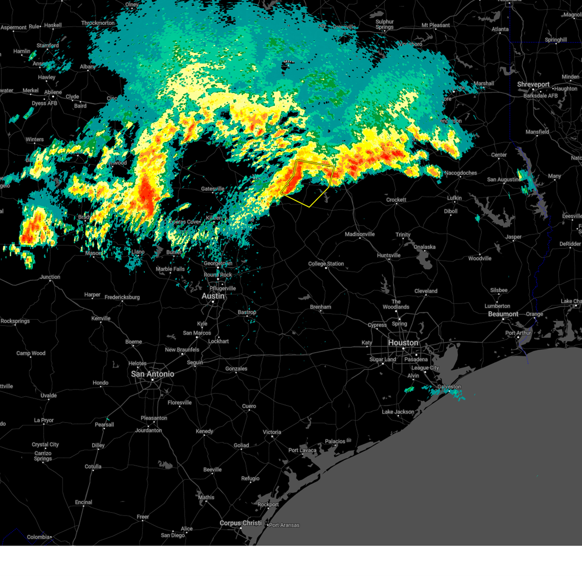 At 1230 pm cdt, severe thunderstorms were located along a line extending from near wortham to near fort parker state park to 6 miles north of marlin, moving southeast at 30 mph (radar indicated). Hazards include 60 mph wind gusts and quarter size hail. Hail damage to vehicles is expected. expect wind damage to roofs, siding, and trees. Locations impacted include, mexia, groesbeck, teague, coolidge, fort parker state park, lake mexia, lake limestone, thornton, kosse, tehuacana, ben hur, otto, fallon, box church, cotton gin, and shiloh. At 1230 pm cdt, severe thunderstorms were located along a line extending from near wortham to near fort parker state park to 6 miles north of marlin, moving southeast at 30 mph (radar indicated). Hazards include 60 mph wind gusts and quarter size hail. Hail damage to vehicles is expected. expect wind damage to roofs, siding, and trees. Locations impacted include, mexia, groesbeck, teague, coolidge, fort parker state park, lake mexia, lake limestone, thornton, kosse, tehuacana, ben hur, otto, fallon, box church, cotton gin, and shiloh.
|
| 5/16/2024 12:07 PM CDT |
 Svrfwd the national weather service in fort worth has issued a * severe thunderstorm warning for, east central mclennan county in central texas, southwestern freestone county in central texas, limestone county in central texas, southeastern hill county in central texas, northeastern falls county in central texas, south central navarro county in north central texas, * until 100 pm cdt. * at 1206 pm cdt, severe thunderstorms were located along a line extending from near dawson to 8 miles north of mart to near lake creek lake, moving southeast at 30 mph (radar indicated). Hazards include 60 mph wind gusts and quarter size hail. Hail damage to vehicles is expected. Expect wind damage to roofs, siding, and trees. Svrfwd the national weather service in fort worth has issued a * severe thunderstorm warning for, east central mclennan county in central texas, southwestern freestone county in central texas, limestone county in central texas, southeastern hill county in central texas, northeastern falls county in central texas, south central navarro county in north central texas, * until 100 pm cdt. * at 1206 pm cdt, severe thunderstorms were located along a line extending from near dawson to 8 miles north of mart to near lake creek lake, moving southeast at 30 mph (radar indicated). Hazards include 60 mph wind gusts and quarter size hail. Hail damage to vehicles is expected. Expect wind damage to roofs, siding, and trees.
|
| 5/9/2024 7:47 PM CDT |
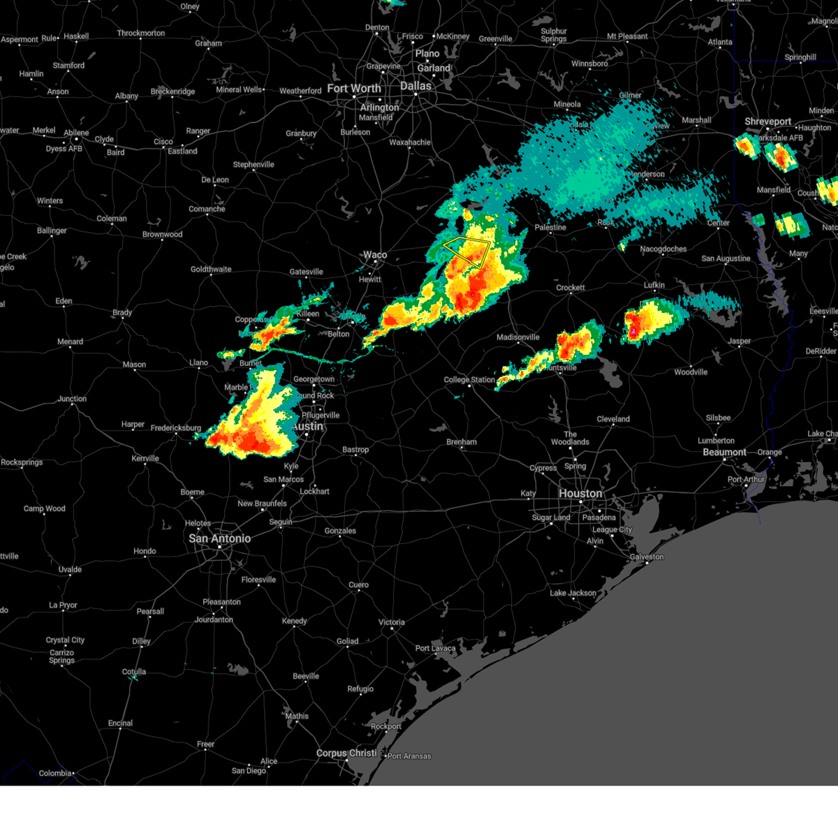 the severe thunderstorm warning has been cancelled and is no longer in effect the severe thunderstorm warning has been cancelled and is no longer in effect
|
| 5/9/2024 7:29 PM CDT |
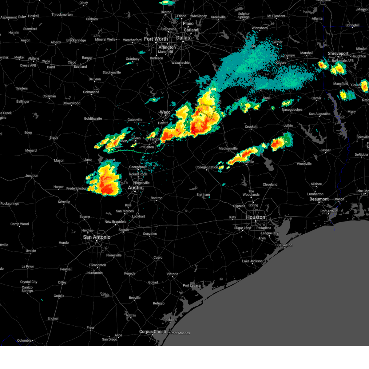 the severe thunderstorm warning has been cancelled and is no longer in effect the severe thunderstorm warning has been cancelled and is no longer in effect
|
| 5/9/2024 7:29 PM CDT |
 At 729 pm cdt, a severe thunderstorm was located near teague, moving southeast at 35 mph (radar indicated). Hazards include 60 mph wind gusts and quarter size hail. Hail damage to vehicles is expected. expect wind damage to roofs, siding, and trees. this severe storm will be near, teague around 735 pm cdt. other locations impacted by this severe thunderstorm include cotton gin, shiloh, freestone, and fallon. Seek shelter inside. At 729 pm cdt, a severe thunderstorm was located near teague, moving southeast at 35 mph (radar indicated). Hazards include 60 mph wind gusts and quarter size hail. Hail damage to vehicles is expected. expect wind damage to roofs, siding, and trees. this severe storm will be near, teague around 735 pm cdt. other locations impacted by this severe thunderstorm include cotton gin, shiloh, freestone, and fallon. Seek shelter inside.
|
| 5/9/2024 6:55 PM CDT |
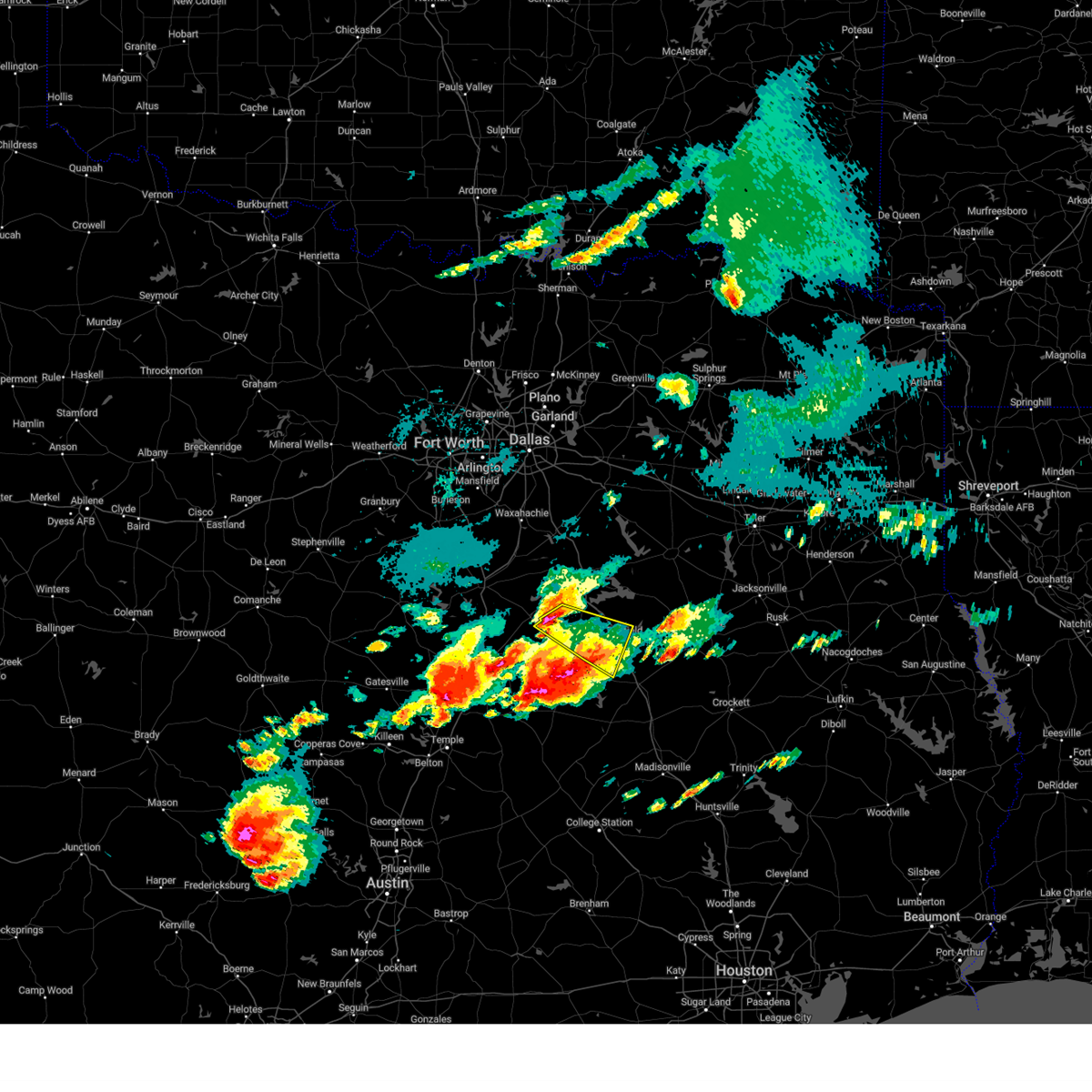 Svrfwd the national weather service in fort worth has issued a * severe thunderstorm warning for, southwestern freestone county in central texas, northeastern limestone county in central texas, south central navarro county in north central texas, * until 800 pm cdt. * at 655 pm cdt, a severe thunderstorm was located near coolidge, or 14 miles northwest of mexia, moving southeast at 35 mph (radar indicated). Hazards include 60 mph wind gusts and quarter size hail. Hail damage to vehicles is expected. expect wind damage to roofs, siding, and trees. this severe thunderstorm will be near, coolidge around 700 pm cdt. mexia and wortham around 710 pm cdt. teague around 730 pm cdt. other locations impacted by this severe thunderstorm include cotton gin, tehuacana, shiloh, kirvin, freestone, and fallon. This includes interstate 45 between mile markers 195 and 208. Svrfwd the national weather service in fort worth has issued a * severe thunderstorm warning for, southwestern freestone county in central texas, northeastern limestone county in central texas, south central navarro county in north central texas, * until 800 pm cdt. * at 655 pm cdt, a severe thunderstorm was located near coolidge, or 14 miles northwest of mexia, moving southeast at 35 mph (radar indicated). Hazards include 60 mph wind gusts and quarter size hail. Hail damage to vehicles is expected. expect wind damage to roofs, siding, and trees. this severe thunderstorm will be near, coolidge around 700 pm cdt. mexia and wortham around 710 pm cdt. teague around 730 pm cdt. other locations impacted by this severe thunderstorm include cotton gin, tehuacana, shiloh, kirvin, freestone, and fallon. This includes interstate 45 between mile markers 195 and 208.
|
| 5/9/2024 6:48 PM CDT |
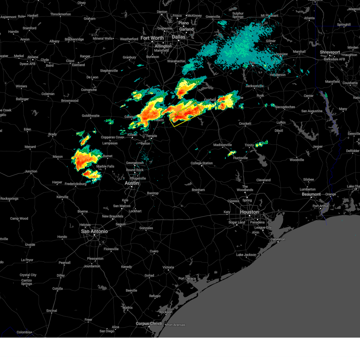 At 646 pm cdt, severe thunderstorms were located along a line extending from near otto to near groesbeck, moving southeast at 5 mph (radar indicated). Hazards include two inch hail and 60 mph wind gusts. People and animals outdoors will be injured. expect damage to roofs, siding, windows, and vehicles. Locations impacted by these severe thunderstorms include groesbeck and fort parker state park, perry, ben hur, otto, fallon, shiloh, mcclanahan, and box church. At 646 pm cdt, severe thunderstorms were located along a line extending from near otto to near groesbeck, moving southeast at 5 mph (radar indicated). Hazards include two inch hail and 60 mph wind gusts. People and animals outdoors will be injured. expect damage to roofs, siding, windows, and vehicles. Locations impacted by these severe thunderstorms include groesbeck and fort parker state park, perry, ben hur, otto, fallon, shiloh, mcclanahan, and box church.
|
| 5/9/2024 6:37 PM CDT |
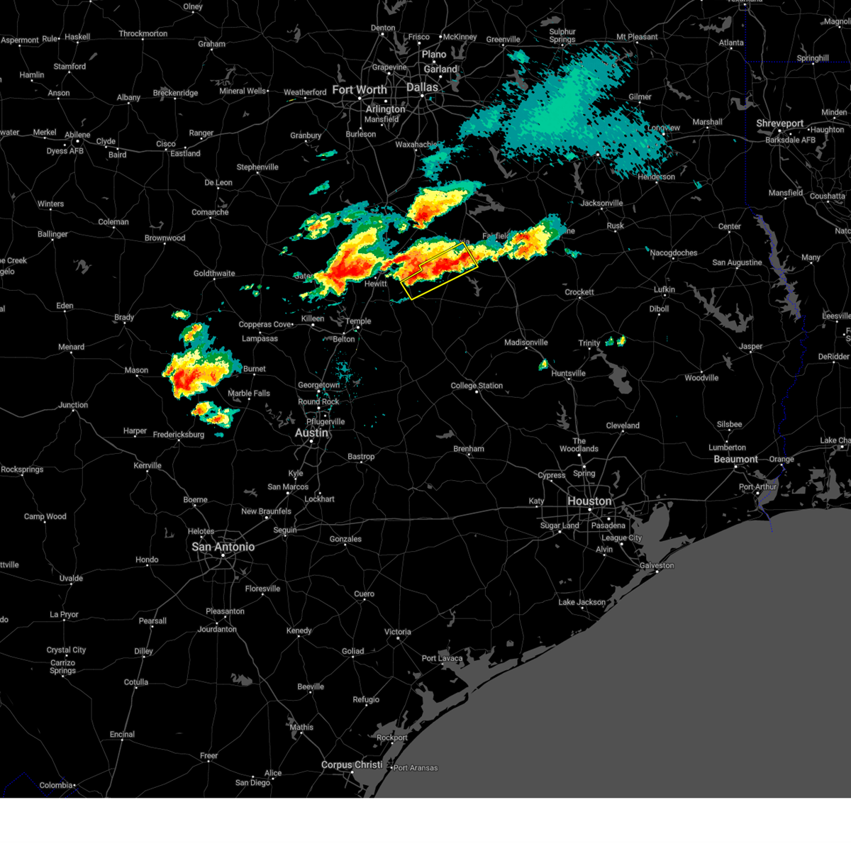 Svrfwd the national weather service in fort worth has issued a * severe thunderstorm warning for, central limestone county in central texas, northeastern falls county in central texas, * until 730 pm cdt. * at 637 pm cdt, severe thunderstorms were located along a line extending from near mexia to near riesel, and are nearly stationary (radar indicated). Hazards include 60 mph wind gusts and quarter size hail. Hail damage to vehicles is expected. expect wind damage to roofs, siding, and trees. severe thunderstorms will be near, mexia, groesbeck, and fort parker state park around 640 pm cdt. marlin around 720 pm cdt. Other locations impacted by these severe thunderstorms include perry, ben hur, otto, fallon, shiloh, mcclanahan, and box church. Svrfwd the national weather service in fort worth has issued a * severe thunderstorm warning for, central limestone county in central texas, northeastern falls county in central texas, * until 730 pm cdt. * at 637 pm cdt, severe thunderstorms were located along a line extending from near mexia to near riesel, and are nearly stationary (radar indicated). Hazards include 60 mph wind gusts and quarter size hail. Hail damage to vehicles is expected. expect wind damage to roofs, siding, and trees. severe thunderstorms will be near, mexia, groesbeck, and fort parker state park around 640 pm cdt. marlin around 720 pm cdt. Other locations impacted by these severe thunderstorms include perry, ben hur, otto, fallon, shiloh, mcclanahan, and box church.
|
| 5/1/2024 6:38 PM CDT | Multiple trees and road blockages in shiloh area. time estimated by rada in limestone county TX, 4.4 miles NNW of Mexia, TX |
| 5/1/2024 6:13 PM CDT |
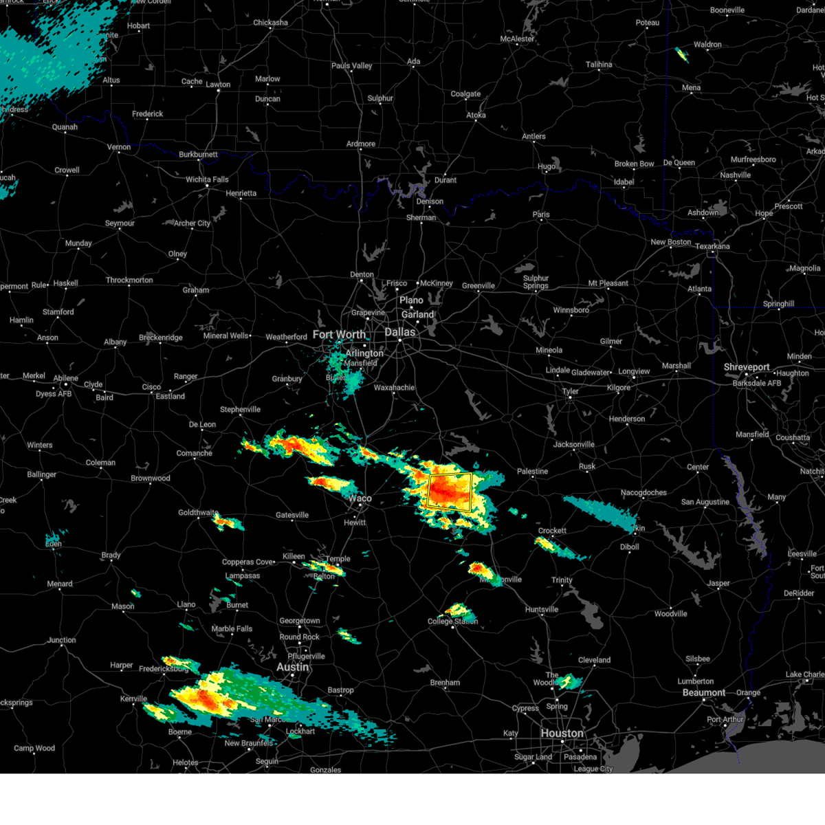 Svrfwd the national weather service in fort worth has issued a * severe thunderstorm warning for, southwestern freestone county in central texas, northeastern limestone county in central texas, * until 715 pm cdt. * at 613 pm cdt, a severe thunderstorm was located near teague, moving east at 15 mph (radar indicated). Hazards include quarter size hail. damage to vehicles is possible Svrfwd the national weather service in fort worth has issued a * severe thunderstorm warning for, southwestern freestone county in central texas, northeastern limestone county in central texas, * until 715 pm cdt. * at 613 pm cdt, a severe thunderstorm was located near teague, moving east at 15 mph (radar indicated). Hazards include quarter size hail. damage to vehicles is possible
|
| 5/1/2024 5:58 PM CDT |
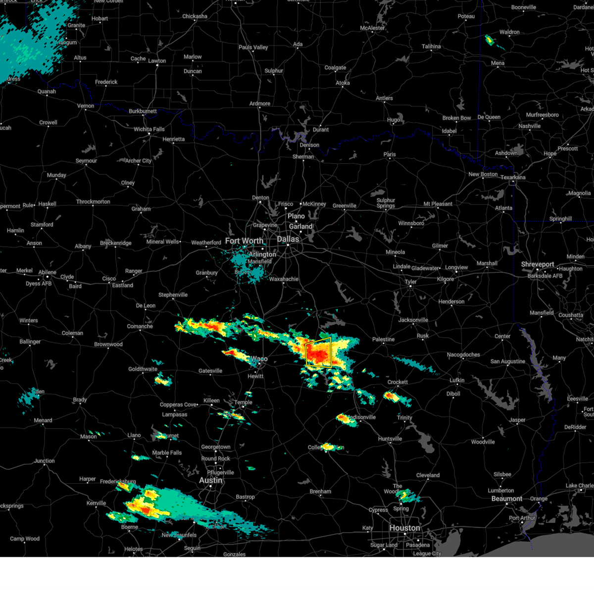 At 558 pm cdt, a severe thunderstorm was located near teague, moving east at 15 mph (radar indicated). Hazards include 60 mph wind gusts and quarter size hail. Hail damage to vehicles is expected. expect wind damage to roofs, siding, and trees. Locations impacted include, mexia, groesbeck, teague, fort parker state park, tehuacana, kirvin, cotton gin, fallon, and shiloh. At 558 pm cdt, a severe thunderstorm was located near teague, moving east at 15 mph (radar indicated). Hazards include 60 mph wind gusts and quarter size hail. Hail damage to vehicles is expected. expect wind damage to roofs, siding, and trees. Locations impacted include, mexia, groesbeck, teague, fort parker state park, tehuacana, kirvin, cotton gin, fallon, and shiloh.
|
| 5/1/2024 5:27 PM CDT |
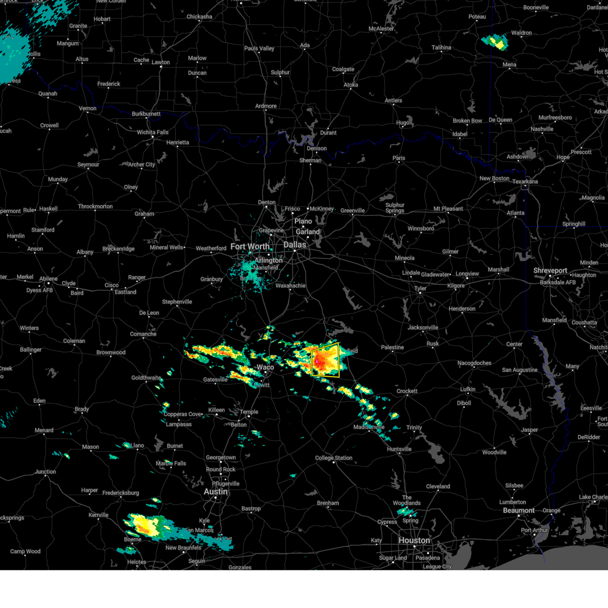 Svrfwd the national weather service in fort worth has issued a * severe thunderstorm warning for, southwestern freestone county in central texas, northeastern limestone county in central texas, * until 615 pm cdt. * at 526 pm cdt, a severe thunderstorm was located over mexia, moving east at 15 mph (radar indicated). Hazards include 60 mph wind gusts and quarter size hail. Hail damage to vehicles is expected. Expect wind damage to roofs, siding, and trees. Svrfwd the national weather service in fort worth has issued a * severe thunderstorm warning for, southwestern freestone county in central texas, northeastern limestone county in central texas, * until 615 pm cdt. * at 526 pm cdt, a severe thunderstorm was located over mexia, moving east at 15 mph (radar indicated). Hazards include 60 mph wind gusts and quarter size hail. Hail damage to vehicles is expected. Expect wind damage to roofs, siding, and trees.
|
| 5/1/2024 5:15 PM CDT |
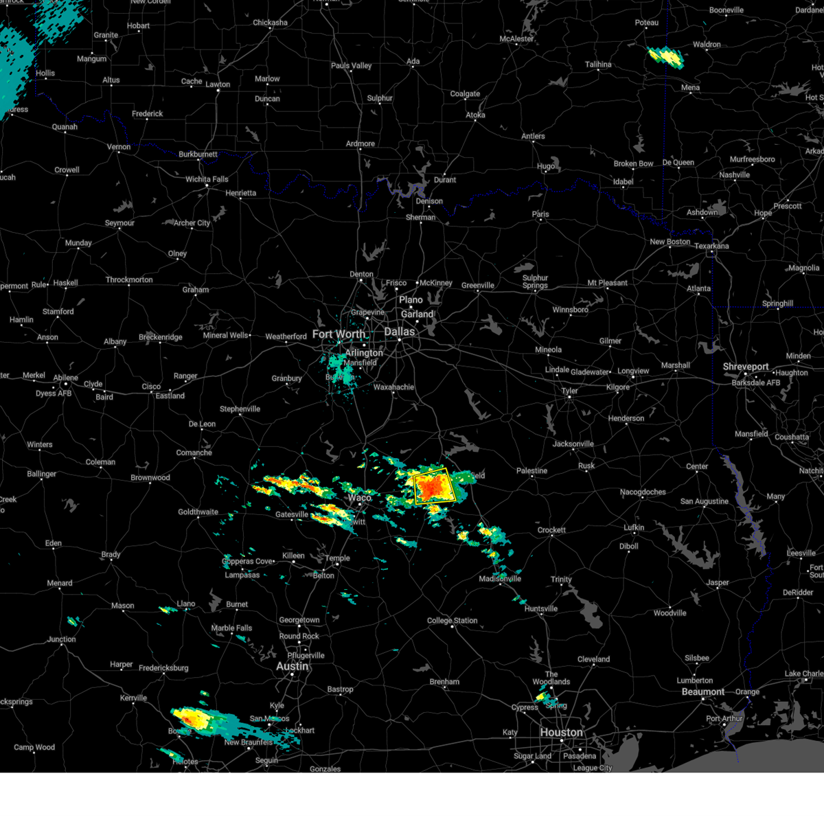 At 515 pm cdt, a severe thunderstorm was located over mexia, moving east at 25 mph (radar indicated). Hazards include 60 mph wind gusts and quarter size hail. Hail damage to vehicles is expected. expect wind damage to roofs, siding, and trees. Locations impacted include, mexia, wortham, coolidge, lake mexia, fort parker state park, tehuacana, cotton gin, fallon, and shiloh. At 515 pm cdt, a severe thunderstorm was located over mexia, moving east at 25 mph (radar indicated). Hazards include 60 mph wind gusts and quarter size hail. Hail damage to vehicles is expected. expect wind damage to roofs, siding, and trees. Locations impacted include, mexia, wortham, coolidge, lake mexia, fort parker state park, tehuacana, cotton gin, fallon, and shiloh.
|
| 5/1/2024 4:58 PM CDT |
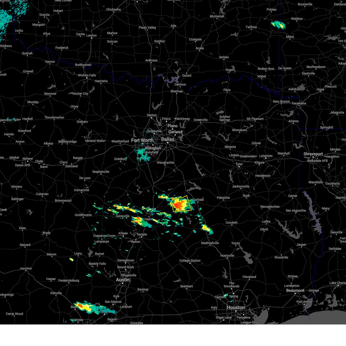 Svrfwd the national weather service in fort worth has issued a * severe thunderstorm warning for, west central freestone county in central texas, northeastern limestone county in central texas, * until 530 pm cdt. * at 458 pm cdt, a severe thunderstorm was located over lake mexia, or near mexia, moving east at 30 mph (radar indicated). Hazards include 60 mph wind gusts and half dollar size hail. Hail damage to vehicles is expected. Expect wind damage to roofs, siding, and trees. Svrfwd the national weather service in fort worth has issued a * severe thunderstorm warning for, west central freestone county in central texas, northeastern limestone county in central texas, * until 530 pm cdt. * at 458 pm cdt, a severe thunderstorm was located over lake mexia, or near mexia, moving east at 30 mph (radar indicated). Hazards include 60 mph wind gusts and half dollar size hail. Hail damage to vehicles is expected. Expect wind damage to roofs, siding, and trees.
|
| 4/28/2024 2:52 PM CDT |
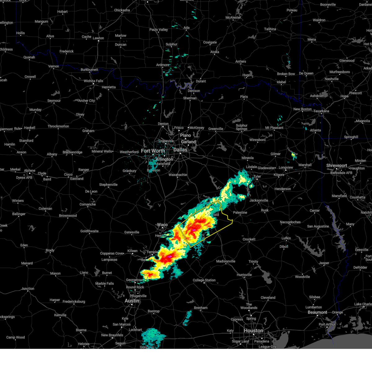 Svrfwd the national weather service in fort worth has issued a * severe thunderstorm warning for, freestone county in central texas, limestone county in central texas, * until 345 pm cdt. * at 252 pm cdt, a severe thunderstorm was located near groesbeck, moving northeast at 45 mph (radar indicated). Hazards include 65 mph wind gusts and half dollar size hail. Hail damage to vehicles is expected. expect wind damage to roofs, siding, and trees. this severe thunderstorm will be near, groesbeck and lake limestone around 255 pm cdt. teague around 305 pm cdt. fairfield around 320 pm cdt. fairfield lake state park and fairfield lake around 330 pm cdt. other locations impacted by this severe thunderstorm include ben hur, lanely, fallon, box church, stewards mill, streetman, tehuacana, donie, freestone, and cotton gin. This includes interstate 45 between mile markers 181 and 212. Svrfwd the national weather service in fort worth has issued a * severe thunderstorm warning for, freestone county in central texas, limestone county in central texas, * until 345 pm cdt. * at 252 pm cdt, a severe thunderstorm was located near groesbeck, moving northeast at 45 mph (radar indicated). Hazards include 65 mph wind gusts and half dollar size hail. Hail damage to vehicles is expected. expect wind damage to roofs, siding, and trees. this severe thunderstorm will be near, groesbeck and lake limestone around 255 pm cdt. teague around 305 pm cdt. fairfield around 320 pm cdt. fairfield lake state park and fairfield lake around 330 pm cdt. other locations impacted by this severe thunderstorm include ben hur, lanely, fallon, box church, stewards mill, streetman, tehuacana, donie, freestone, and cotton gin. This includes interstate 45 between mile markers 181 and 212.
|
| 4/28/2024 2:27 PM CDT |
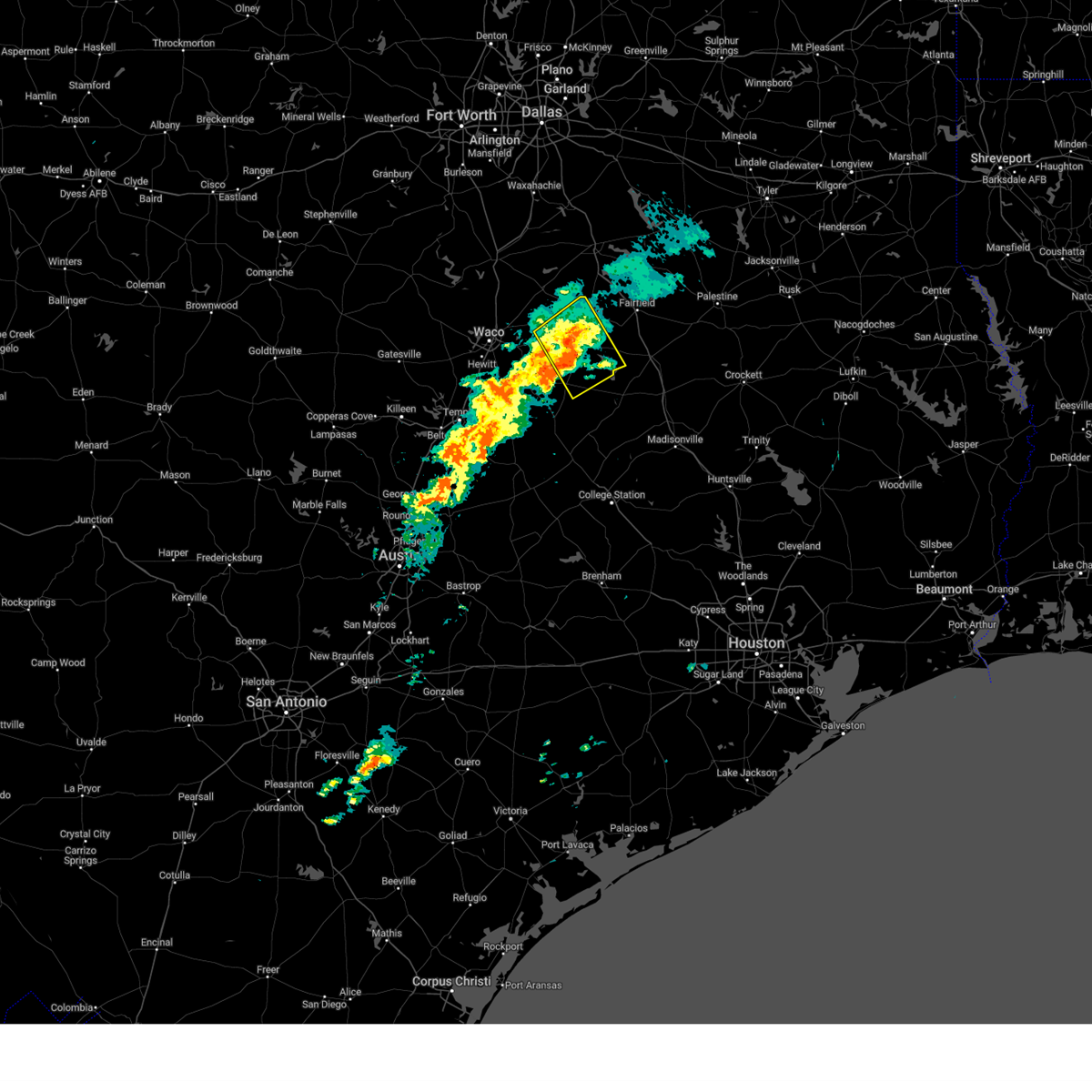 At 227 pm cdt, a severe thunderstorm was located over groesbeck, moving northeast at 40 mph. another severe thunderstorm is just north of kosse (radar indicated). Hazards include 60 mph wind gusts and half dollar size hail. Hail damage to vehicles is expected. expect wind damage to roofs, siding, and trees. this severe storm will be near, groesbeck and fort parker state park around 230 pm cdt. Other locations impacted by this severe thunderstorm include thornton, ben hur, farrar, kosse, oletha, fallon, box church, tehuacana, and shiloh. At 227 pm cdt, a severe thunderstorm was located over groesbeck, moving northeast at 40 mph. another severe thunderstorm is just north of kosse (radar indicated). Hazards include 60 mph wind gusts and half dollar size hail. Hail damage to vehicles is expected. expect wind damage to roofs, siding, and trees. this severe storm will be near, groesbeck and fort parker state park around 230 pm cdt. Other locations impacted by this severe thunderstorm include thornton, ben hur, farrar, kosse, oletha, fallon, box church, tehuacana, and shiloh.
|
| 4/28/2024 2:14 PM CDT |
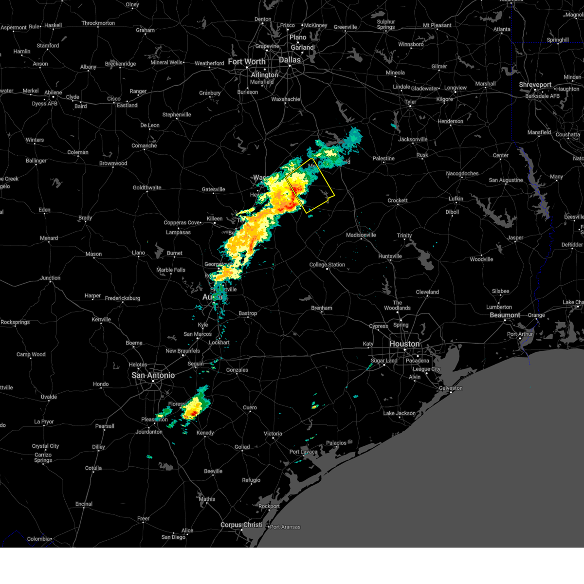 Svrfwd the national weather service in fort worth has issued a * severe thunderstorm warning for, limestone county in central texas, * until 300 pm cdt. * at 214 pm cdt, a severe thunderstorm was located 9 miles southwest of groesbeck, moving northeast at 40 mph (radar indicated). Hazards include 60 mph wind gusts and half dollar size hail. Hail damage to vehicles is expected. expect wind damage to roofs, siding, and trees. this severe thunderstorm will be near, groesbeck around 220 pm cdt. fort parker state park around 225 pm cdt. mexia around 235 pm cdt. Other locations impacted by this severe thunderstorm include thornton, ben hur, farrar, kosse, oletha, fallon, box church, tehuacana, and shiloh. Svrfwd the national weather service in fort worth has issued a * severe thunderstorm warning for, limestone county in central texas, * until 300 pm cdt. * at 214 pm cdt, a severe thunderstorm was located 9 miles southwest of groesbeck, moving northeast at 40 mph (radar indicated). Hazards include 60 mph wind gusts and half dollar size hail. Hail damage to vehicles is expected. expect wind damage to roofs, siding, and trees. this severe thunderstorm will be near, groesbeck around 220 pm cdt. fort parker state park around 225 pm cdt. mexia around 235 pm cdt. Other locations impacted by this severe thunderstorm include thornton, ben hur, farrar, kosse, oletha, fallon, box church, tehuacana, and shiloh.
|
| 4/8/2024 8:11 PM CDT |
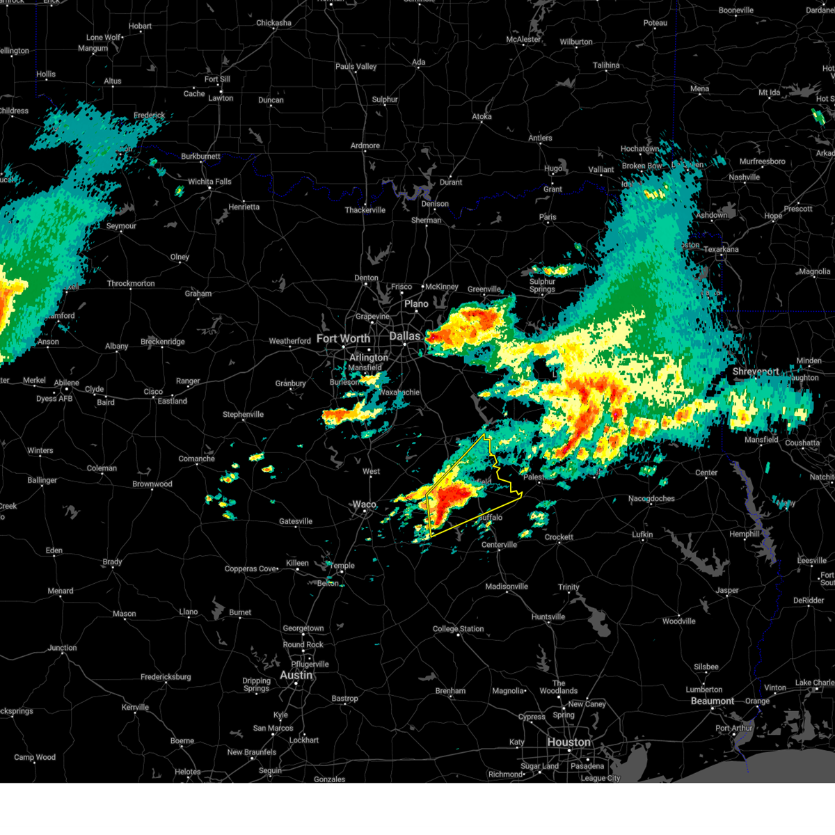 Svrfwd the national weather service in fort worth has issued a * severe thunderstorm warning for, freestone county in central texas, northeastern limestone county in central texas, southeastern navarro county in north central texas, * until 900 pm cdt. * at 811 pm cdt, a severe thunderstorm was located near mexia, moving northeast at 50 mph (radar indicated). Hazards include 60 mph wind gusts and quarter size hail. Hail damage to vehicles is expected. Expect wind damage to roofs, siding, and trees. Svrfwd the national weather service in fort worth has issued a * severe thunderstorm warning for, freestone county in central texas, northeastern limestone county in central texas, southeastern navarro county in north central texas, * until 900 pm cdt. * at 811 pm cdt, a severe thunderstorm was located near mexia, moving northeast at 50 mph (radar indicated). Hazards include 60 mph wind gusts and quarter size hail. Hail damage to vehicles is expected. Expect wind damage to roofs, siding, and trees.
|
| 9/24/2023 9:07 PM CDT |
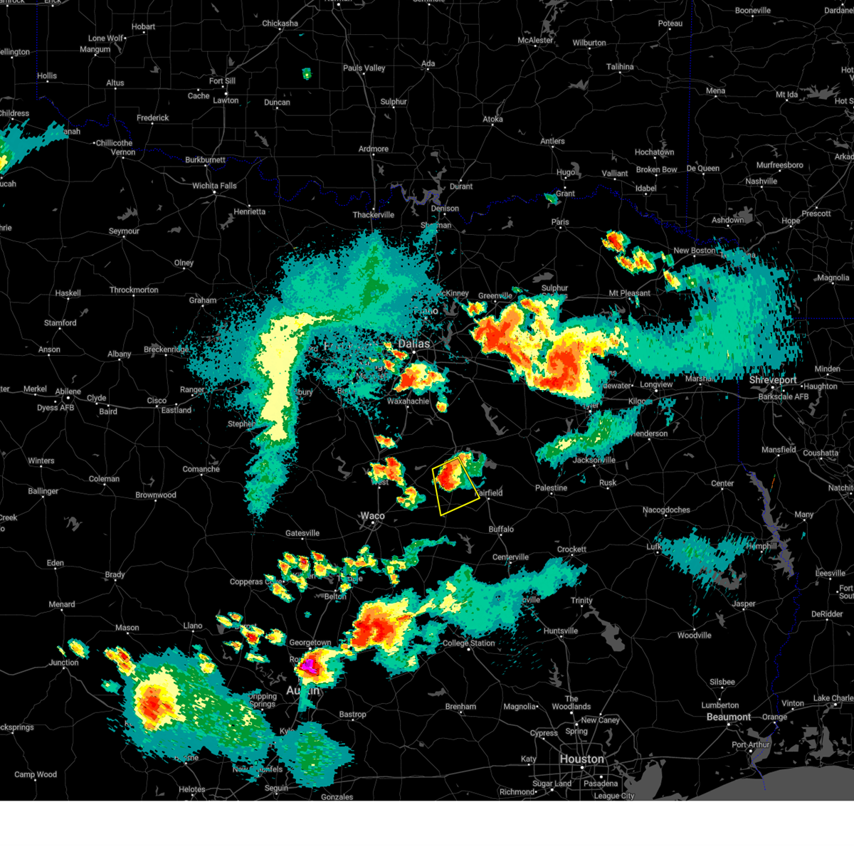 At 907 pm cdt, a severe thunderstorm was located near wortham, or 8 miles north of mexia, moving south at 35 mph (radar indicated). Hazards include ping pong ball size hail and 60 mph wind gusts. People and animals outdoors will be injured. expect hail damage to roofs, siding, windows, and vehicles. expect wind damage to roofs, siding, and trees. locations impacted include, mexia, wortham, angus, fort parker state park, lake mexia, richland-chambers reservoir, tehuacana, richland, streetman, kirvin, mustang, purdon, and cotton gin. hail threat, radar indicated max hail size, 1. 50 in wind threat, radar indicated max wind gust, 60 mph. At 907 pm cdt, a severe thunderstorm was located near wortham, or 8 miles north of mexia, moving south at 35 mph (radar indicated). Hazards include ping pong ball size hail and 60 mph wind gusts. People and animals outdoors will be injured. expect hail damage to roofs, siding, windows, and vehicles. expect wind damage to roofs, siding, and trees. locations impacted include, mexia, wortham, angus, fort parker state park, lake mexia, richland-chambers reservoir, tehuacana, richland, streetman, kirvin, mustang, purdon, and cotton gin. hail threat, radar indicated max hail size, 1. 50 in wind threat, radar indicated max wind gust, 60 mph.
|
| 9/24/2023 8:44 PM CDT |
 At 844 pm cdt, a severe thunderstorm was located near dawson, or 13 miles southwest of corsicana, moving southeast at 30 mph (radar indicated). Hazards include tennis ball size hail and 70 mph wind gusts. People and animals outdoors will be injured. expect hail damage to roofs, siding, windows, and vehicles. expect considerable tree damage. Wind damage is also likely to mobile homes, roofs, and outbuildings. At 844 pm cdt, a severe thunderstorm was located near dawson, or 13 miles southwest of corsicana, moving southeast at 30 mph (radar indicated). Hazards include tennis ball size hail and 70 mph wind gusts. People and animals outdoors will be injured. expect hail damage to roofs, siding, windows, and vehicles. expect considerable tree damage. Wind damage is also likely to mobile homes, roofs, and outbuildings.
|
| 6/21/2023 6:14 PM CDT |
 At 613 pm cdt, severe thunderstorms were located along a line extending from 7 miles south of montalba to 8 miles north of buffalo to groesbeck, moving southeast at 45 mph (radar indicated). Hazards include 70 mph wind gusts and quarter size hail. Hail damage to vehicles is expected. expect considerable tree damage. Wind damage is also likely to mobile homes, roofs, and outbuildings. At 613 pm cdt, severe thunderstorms were located along a line extending from 7 miles south of montalba to 8 miles north of buffalo to groesbeck, moving southeast at 45 mph (radar indicated). Hazards include 70 mph wind gusts and quarter size hail. Hail damage to vehicles is expected. expect considerable tree damage. Wind damage is also likely to mobile homes, roofs, and outbuildings.
|
| 6/21/2023 6:06 PM CDT |
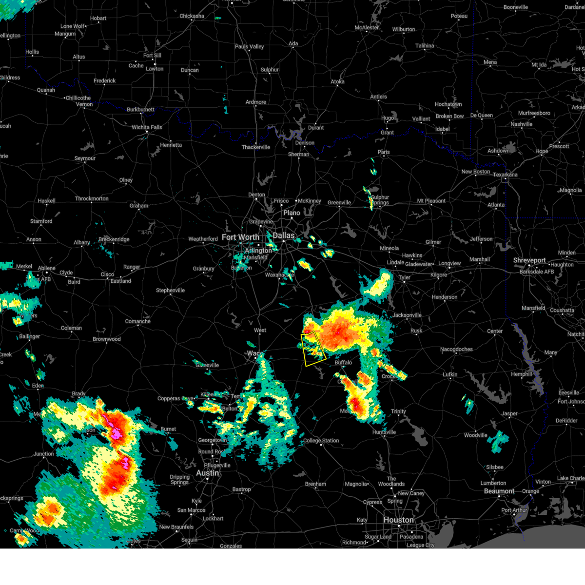 At 605 pm cdt, a severe thunderstorm was located over wortham, or 9 miles north of mexia, moving southeast at 30 mph (radar indicated). Hazards include 70 mph wind gusts and quarter size hail. Hail damage to vehicles is expected. expect considerable tree damage. wind damage is also likely to mobile homes, roofs, and outbuildings. locations impacted include, mexia, groesbeck, wortham, fort parker state park, tehuacana, cotton gin, fallon, shiloh and box church. thunderstorm damage threat, considerable hail threat, radar indicated max hail size, 1. 00 in wind threat, radar indicated max wind gust, 70 mph. At 605 pm cdt, a severe thunderstorm was located over wortham, or 9 miles north of mexia, moving southeast at 30 mph (radar indicated). Hazards include 70 mph wind gusts and quarter size hail. Hail damage to vehicles is expected. expect considerable tree damage. wind damage is also likely to mobile homes, roofs, and outbuildings. locations impacted include, mexia, groesbeck, wortham, fort parker state park, tehuacana, cotton gin, fallon, shiloh and box church. thunderstorm damage threat, considerable hail threat, radar indicated max hail size, 1. 00 in wind threat, radar indicated max wind gust, 70 mph.
|
| 6/21/2023 5:46 PM CDT |
 At 546 pm cdt, a severe thunderstorm was located 8 miles east of dawson, or 12 miles southwest of corsicana, moving southeast at 30 mph (radar indicated). Hazards include 70 mph wind gusts and quarter size hail. Hail damage to vehicles is expected. expect considerable tree damage. Wind damage is also likely to mobile homes, roofs, and outbuildings. At 546 pm cdt, a severe thunderstorm was located 8 miles east of dawson, or 12 miles southwest of corsicana, moving southeast at 30 mph (radar indicated). Hazards include 70 mph wind gusts and quarter size hail. Hail damage to vehicles is expected. expect considerable tree damage. Wind damage is also likely to mobile homes, roofs, and outbuildings.
|
| 6/16/2023 8:01 PM CDT |
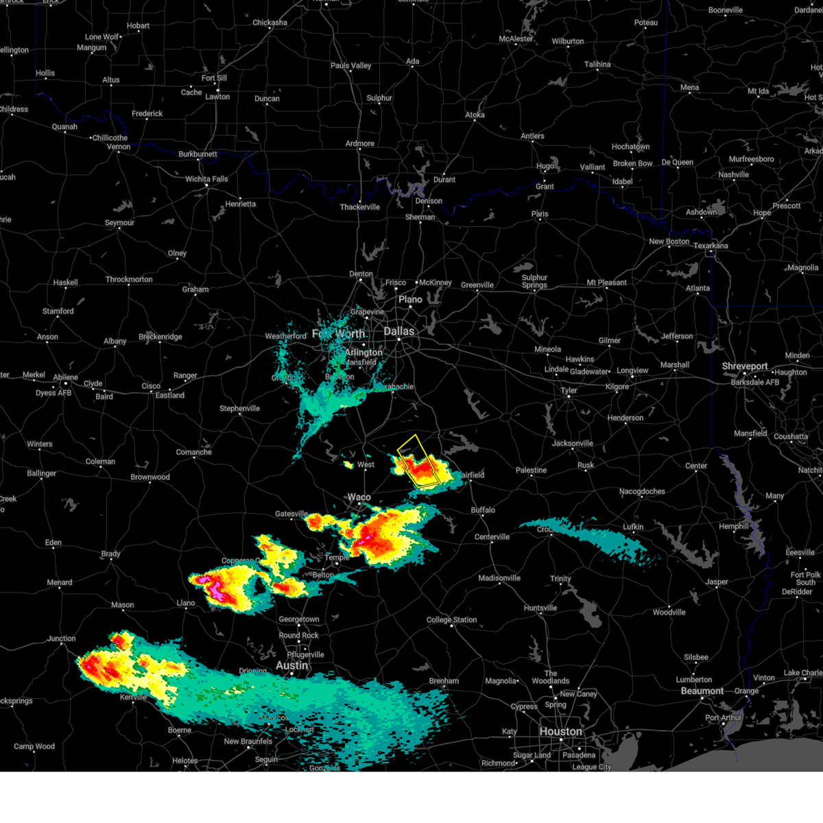 At 801 pm cdt, a severe thunderstorm was located near wortham, or 12 miles north of mexia, moving northeast at 25 mph (radar indicated). Hazards include ping pong ball size hail and 60 mph wind gusts. People and animals outdoors will be injured. expect hail damage to roofs, siding, windows, and vehicles. expect wind damage to roofs, siding, and trees. locations impacted include, mexia, coolidge, dawson, navarro mills lake, lake mexia, tehuacana, silver city, dresden, navarro mills and purdon. hail threat, radar indicated max hail size, 1. 50 in wind threat, radar indicated max wind gust, 60 mph. At 801 pm cdt, a severe thunderstorm was located near wortham, or 12 miles north of mexia, moving northeast at 25 mph (radar indicated). Hazards include ping pong ball size hail and 60 mph wind gusts. People and animals outdoors will be injured. expect hail damage to roofs, siding, windows, and vehicles. expect wind damage to roofs, siding, and trees. locations impacted include, mexia, coolidge, dawson, navarro mills lake, lake mexia, tehuacana, silver city, dresden, navarro mills and purdon. hail threat, radar indicated max hail size, 1. 50 in wind threat, radar indicated max wind gust, 60 mph.
|
| 6/16/2023 7:25 PM CDT |
 At 724 pm cdt, a severe thunderstorm was located 7 miles south of hubbard, or 17 miles northeast of bellmead, moving east at 15 mph (radar indicated). Hazards include ping pong ball size hail and 60 mph wind gusts. People and animals outdoors will be injured. expect hail damage to roofs, siding, windows, and vehicles. Expect wind damage to roofs, siding, and trees. At 724 pm cdt, a severe thunderstorm was located 7 miles south of hubbard, or 17 miles northeast of bellmead, moving east at 15 mph (radar indicated). Hazards include ping pong ball size hail and 60 mph wind gusts. People and animals outdoors will be injured. expect hail damage to roofs, siding, windows, and vehicles. Expect wind damage to roofs, siding, and trees.
|
| 6/10/2023 8:14 PM CDT |
 At 814 pm cdt, severe thunderstorms were located along a line extending from mexia to 9 miles east of marlin to near lott, moving southeast at 25 mph (radar indicated). Hazards include 60 mph wind gusts and quarter size hail. Hail damage to vehicles is expected. expect wind damage to roofs, siding, and trees. locations impacted include, robinson, mexia, marlin, groesbeck, mart, troy, bruceville-eddy, rosebud, riesel, lott, golinda, hallsburg, lake mexia, fort parker state park, lake creek lake, lake limestone, chilton, thornton, wilson and kosse. hail threat, radar indicated max hail size, 1. 00 in wind threat, radar indicated max wind gust, 60 mph. At 814 pm cdt, severe thunderstorms were located along a line extending from mexia to 9 miles east of marlin to near lott, moving southeast at 25 mph (radar indicated). Hazards include 60 mph wind gusts and quarter size hail. Hail damage to vehicles is expected. expect wind damage to roofs, siding, and trees. locations impacted include, robinson, mexia, marlin, groesbeck, mart, troy, bruceville-eddy, rosebud, riesel, lott, golinda, hallsburg, lake mexia, fort parker state park, lake creek lake, lake limestone, chilton, thornton, wilson and kosse. hail threat, radar indicated max hail size, 1. 00 in wind threat, radar indicated max wind gust, 60 mph.
|
| 6/10/2023 8:01 PM CDT |
 At 801 pm cdt, severe thunderstorms were located along a line extending from near lake mexia to 9 miles northeast of marlin to near bruceville-eddy, moving east at 30 mph (radar indicated). Hazards include 70 mph wind gusts and quarter size hail. Hail damage to vehicles is expected. expect considerable tree damage. wind damage is also likely to mobile homes, roofs, and outbuildings. locations impacted include, hewitt, robinson, mexia, marlin, groesbeck, mart, lorena, troy, bruceville-eddy, rosebud, moody, riesel, lott, golinda, hallsburg, lake mexia, fort parker state park, tradinghouse creek reservoir, lake creek lake and lake limestone. thunderstorm damage threat, considerable hail threat, radar indicated max hail size, 1. 00 in wind threat, radar indicated max wind gust, 70 mph. At 801 pm cdt, severe thunderstorms were located along a line extending from near lake mexia to 9 miles northeast of marlin to near bruceville-eddy, moving east at 30 mph (radar indicated). Hazards include 70 mph wind gusts and quarter size hail. Hail damage to vehicles is expected. expect considerable tree damage. wind damage is also likely to mobile homes, roofs, and outbuildings. locations impacted include, hewitt, robinson, mexia, marlin, groesbeck, mart, lorena, troy, bruceville-eddy, rosebud, moody, riesel, lott, golinda, hallsburg, lake mexia, fort parker state park, tradinghouse creek reservoir, lake creek lake and lake limestone. thunderstorm damage threat, considerable hail threat, radar indicated max hail size, 1. 00 in wind threat, radar indicated max wind gust, 70 mph.
|
| 6/10/2023 7:49 PM CDT |
 At 748 pm cdt, severe thunderstorms were located along a line extending from near coolidge to near mart to near bruceville-eddy, moving east at 35 mph (radar indicated). Hazards include 70 mph wind gusts and quarter size hail. Hail damage to vehicles is expected. expect considerable tree damage. wind damage is also likely to mobile homes, roofs, and outbuildings. locations impacted include, waco, hewitt, robinson, bellmead, mexia, marlin, groesbeck, mart, beverly hills, lorena, troy, bruceville-eddy, rosebud, moody, riesel, coolidge, lott, golinda, hallsburg and lake mexia. thunderstorm damage threat, considerable hail threat, radar indicated max hail size, 1. 00 in wind threat, radar indicated max wind gust, 70 mph. At 748 pm cdt, severe thunderstorms were located along a line extending from near coolidge to near mart to near bruceville-eddy, moving east at 35 mph (radar indicated). Hazards include 70 mph wind gusts and quarter size hail. Hail damage to vehicles is expected. expect considerable tree damage. wind damage is also likely to mobile homes, roofs, and outbuildings. locations impacted include, waco, hewitt, robinson, bellmead, mexia, marlin, groesbeck, mart, beverly hills, lorena, troy, bruceville-eddy, rosebud, moody, riesel, coolidge, lott, golinda, hallsburg and lake mexia. thunderstorm damage threat, considerable hail threat, radar indicated max hail size, 1. 00 in wind threat, radar indicated max wind gust, 70 mph.
|
| 6/10/2023 7:34 PM CDT |
 At 733 pm cdt, severe thunderstorms were located along a line extending from near hubbard to hallsburg to near lorena, moving southeast at 25 mph (radar indicated). Hazards include 65 mph wind gusts and quarter size hail. Hail damage to vehicles is expected. Expect wind damage to roofs, siding, and trees. At 733 pm cdt, severe thunderstorms were located along a line extending from near hubbard to hallsburg to near lorena, moving southeast at 25 mph (radar indicated). Hazards include 65 mph wind gusts and quarter size hail. Hail damage to vehicles is expected. Expect wind damage to roofs, siding, and trees.
|
| 6/10/2023 7:11 PM CDT |
 At 711 pm cdt, a severe thunderstorm was located 7 miles south of angus, or 13 miles south of corsicana, moving southeast at 35 mph (radar indicated). Hazards include 60 mph wind gusts and half dollar size hail. Hail damage to vehicles is expected. expect wind damage to roofs, siding, and trees. locations impacted include, corsicana, mexia, fairfield, wortham, angus, navarro, richland-chambers reservoir, lake halbert, retreat, oak valley, mildred, eureka, tehuacana, richland, streetman, kirvin, mustang, stewards mill, corbet and silver city. hail threat, radar indicated max hail size, 1. 25 in wind threat, radar indicated max wind gust, 60 mph. At 711 pm cdt, a severe thunderstorm was located 7 miles south of angus, or 13 miles south of corsicana, moving southeast at 35 mph (radar indicated). Hazards include 60 mph wind gusts and half dollar size hail. Hail damage to vehicles is expected. expect wind damage to roofs, siding, and trees. locations impacted include, corsicana, mexia, fairfield, wortham, angus, navarro, richland-chambers reservoir, lake halbert, retreat, oak valley, mildred, eureka, tehuacana, richland, streetman, kirvin, mustang, stewards mill, corbet and silver city. hail threat, radar indicated max hail size, 1. 25 in wind threat, radar indicated max wind gust, 60 mph.
|
| 6/10/2023 6:57 PM CDT |
 At 656 pm cdt, a severe thunderstorm was located near angus, or 9 miles southwest of corsicana, moving southeast at 35 mph (radar indicated). Hazards include ping pong ball size hail and 60 mph wind gusts. People and animals outdoors will be injured. expect hail damage to roofs, siding, windows, and vehicles. Expect wind damage to roofs, siding, and trees. At 656 pm cdt, a severe thunderstorm was located near angus, or 9 miles southwest of corsicana, moving southeast at 35 mph (radar indicated). Hazards include ping pong ball size hail and 60 mph wind gusts. People and animals outdoors will be injured. expect hail damage to roofs, siding, windows, and vehicles. Expect wind damage to roofs, siding, and trees.
|
| 6/10/2023 6:33 PM CDT |
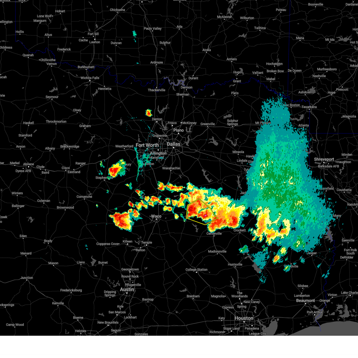 At 633 pm cdt, a severe thunderstorm was located 13 miles northeast of buffalo, or 15 miles southeast of fairfield, moving east at 30 mph (radar indicated). Hazards include 65 mph wind gusts and quarter size hail. Hail damage to vehicles is expected. expect wind damage to roofs, siding, and trees. locations impacted include, mexia, teague, fairfield, wortham, fort parker state park, fairfield lake state park, streetman, kirvin, lanely, fallon, stewards mill, donie, freestone, cotton gin, dew and shiloh. hail threat, radar indicated max hail size, 1. 00 in wind threat, radar indicated max wind gust, 65 mph. At 633 pm cdt, a severe thunderstorm was located 13 miles northeast of buffalo, or 15 miles southeast of fairfield, moving east at 30 mph (radar indicated). Hazards include 65 mph wind gusts and quarter size hail. Hail damage to vehicles is expected. expect wind damage to roofs, siding, and trees. locations impacted include, mexia, teague, fairfield, wortham, fort parker state park, fairfield lake state park, streetman, kirvin, lanely, fallon, stewards mill, donie, freestone, cotton gin, dew and shiloh. hail threat, radar indicated max hail size, 1. 00 in wind threat, radar indicated max wind gust, 65 mph.
|
| 6/10/2023 6:20 PM CDT |
 At 619 pm cdt, severe thunderstorms were located along a line extending from near elkhart to 7 miles south of fairfield lake state park to near wortham, moving east at 25 mph (radar indicated). Hazards include 65 mph wind gusts and quarter size hail. Hail damage to vehicles is expected. expect wind damage to roofs, siding, and trees. locations impacted include, mexia, teague, fairfield, wortham, coolidge, dawson, angus, lake mexia, fort parker state park, navarro mills lake, fairfield lake state park, richland-chambers reservoir, retreat, tehuacana, richland, streetman, kirvin, fallon, donie and corbet. hail threat, radar indicated max hail size, 1. 00 in wind threat, radar indicated max wind gust, 65 mph. At 619 pm cdt, severe thunderstorms were located along a line extending from near elkhart to 7 miles south of fairfield lake state park to near wortham, moving east at 25 mph (radar indicated). Hazards include 65 mph wind gusts and quarter size hail. Hail damage to vehicles is expected. expect wind damage to roofs, siding, and trees. locations impacted include, mexia, teague, fairfield, wortham, coolidge, dawson, angus, lake mexia, fort parker state park, navarro mills lake, fairfield lake state park, richland-chambers reservoir, retreat, tehuacana, richland, streetman, kirvin, fallon, donie and corbet. hail threat, radar indicated max hail size, 1. 00 in wind threat, radar indicated max wind gust, 65 mph.
|
| 6/10/2023 5:58 PM CDT |
 At 556 pm cdt, severe thunderstorms were located along a line extending from near palestine to near fairfield lake state park to near dawson, moving southeast at 30 mph (radar indicated). Hazards include 65 mph wind gusts and quarter size hail. Hail damage to vehicles is expected. Expect wind damage to roofs, siding, and trees. At 556 pm cdt, severe thunderstorms were located along a line extending from near palestine to near fairfield lake state park to near dawson, moving southeast at 30 mph (radar indicated). Hazards include 65 mph wind gusts and quarter size hail. Hail damage to vehicles is expected. Expect wind damage to roofs, siding, and trees.
|
| 4/28/2023 6:38 PM CDT | Ping Pong Ball sized hail reported 2.4 miles NW of Mexia, TX, 1.5 in hail reported near mexia. |
| 4/28/2023 6:37 PM CDT |
 At 636 pm cdt, a severe thunderstorm was located near teague, moving southeast at 35 mph (emergency management). Hazards include golf ball size hail and 60 mph wind gusts. People and animals outdoors will be injured. expect hail damage to roofs, siding, windows, and vehicles. expect wind damage to roofs, siding, and trees. locations impacted include, mexia, groesbeck, teague, buffalo, fort parker state park, lake limestone, jewett, lanely, fallon, donie, freestone, cotton gin, farrar, dew and shiloh. thunderstorm damage threat, considerable hail threat, radar indicated max hail size, 1. 75 in wind threat, radar indicated max wind gust, 60 mph. At 636 pm cdt, a severe thunderstorm was located near teague, moving southeast at 35 mph (emergency management). Hazards include golf ball size hail and 60 mph wind gusts. People and animals outdoors will be injured. expect hail damage to roofs, siding, windows, and vehicles. expect wind damage to roofs, siding, and trees. locations impacted include, mexia, groesbeck, teague, buffalo, fort parker state park, lake limestone, jewett, lanely, fallon, donie, freestone, cotton gin, farrar, dew and shiloh. thunderstorm damage threat, considerable hail threat, radar indicated max hail size, 1. 75 in wind threat, radar indicated max wind gust, 60 mph.
|
| 4/28/2023 6:32 PM CDT |
 At 631 pm cdt, a severe thunderstorm was located near mexia, moving southeast at 35 mph (trained weather spotters). Hazards include 60 mph wind gusts and half dollar size hail. Hail damage to vehicles is expected. expect wind damage to roofs, siding, and trees. locations impacted include, mexia, fort parker state park, shiloh and fallon. hail threat, observed max hail size, 1. 25 in wind threat, radar indicated max wind gust, 60 mph. At 631 pm cdt, a severe thunderstorm was located near mexia, moving southeast at 35 mph (trained weather spotters). Hazards include 60 mph wind gusts and half dollar size hail. Hail damage to vehicles is expected. expect wind damage to roofs, siding, and trees. locations impacted include, mexia, fort parker state park, shiloh and fallon. hail threat, observed max hail size, 1. 25 in wind threat, radar indicated max wind gust, 60 mph.
|
| 4/28/2023 6:30 PM CDT |
 At 630 pm cdt, a severe thunderstorm was located near mexia, moving southeast at 40 mph (radar indicated). Hazards include 60 mph wind gusts and half dollar size hail. Hail damage to vehicles is expected. Expect wind damage to roofs, siding, and trees. At 630 pm cdt, a severe thunderstorm was located near mexia, moving southeast at 40 mph (radar indicated). Hazards include 60 mph wind gusts and half dollar size hail. Hail damage to vehicles is expected. Expect wind damage to roofs, siding, and trees.
|
| 4/28/2023 6:08 PM CDT |
 At 607 pm cdt, a severe thunderstorm was located over coolidge, or 11 miles west of mexia, moving east at 35 mph (trained weather spotters). Hazards include ping pong ball size hail and 60 mph wind gusts. People and animals outdoors will be injured. expect hail damage to roofs, siding, windows, and vehicles. expect wind damage to roofs, siding, and trees. locations impacted include, mexia, coolidge, lake mexia, fort parker state park, tehuacana, fallon, shiloh and prairie hill. hail threat, observed max hail size, 1. 50 in wind threat, radar indicated max wind gust, 60 mph. At 607 pm cdt, a severe thunderstorm was located over coolidge, or 11 miles west of mexia, moving east at 35 mph (trained weather spotters). Hazards include ping pong ball size hail and 60 mph wind gusts. People and animals outdoors will be injured. expect hail damage to roofs, siding, windows, and vehicles. expect wind damage to roofs, siding, and trees. locations impacted include, mexia, coolidge, lake mexia, fort parker state park, tehuacana, fallon, shiloh and prairie hill. hail threat, observed max hail size, 1. 50 in wind threat, radar indicated max wind gust, 60 mph.
|
| 4/28/2023 5:56 PM CDT |
 At 556 pm cdt, a severe thunderstorm was located near hubbard, or 19 miles west of mexia, moving east at 25 mph. ping pong ball size hail was reported in hubbard (trained weather spotters). Hazards include ping pong ball size hail and 60 mph wind gusts. People and animals outdoors will be injured. expect hail damage to roofs, siding, windows, and vehicles. expect wind damage to roofs, siding, and trees. locations impacted include, mexia, hubbard, coolidge, lake mexia, fort parker state park, mount calm, tehuacana, fallon, shiloh and prairie hill. hail threat, observed max hail size, 1. 50 in wind threat, radar indicated max wind gust, 60 mph. At 556 pm cdt, a severe thunderstorm was located near hubbard, or 19 miles west of mexia, moving east at 25 mph. ping pong ball size hail was reported in hubbard (trained weather spotters). Hazards include ping pong ball size hail and 60 mph wind gusts. People and animals outdoors will be injured. expect hail damage to roofs, siding, windows, and vehicles. expect wind damage to roofs, siding, and trees. locations impacted include, mexia, hubbard, coolidge, lake mexia, fort parker state park, mount calm, tehuacana, fallon, shiloh and prairie hill. hail threat, observed max hail size, 1. 50 in wind threat, radar indicated max wind gust, 60 mph.
|
| 4/28/2023 5:41 PM CDT |
 At 540 pm cdt, a severe thunderstorm was located 7 miles southwest of hubbard, or 16 miles northeast of lacy-lakeview, moving east at 25 mph (radar indicated). Hazards include 60 mph wind gusts and quarter size hail. Hail damage to vehicles is expected. Expect wind damage to roofs, siding, and trees. At 540 pm cdt, a severe thunderstorm was located 7 miles southwest of hubbard, or 16 miles northeast of lacy-lakeview, moving east at 25 mph (radar indicated). Hazards include 60 mph wind gusts and quarter size hail. Hail damage to vehicles is expected. Expect wind damage to roofs, siding, and trees.
|
| 4/26/2023 7:07 PM CDT |
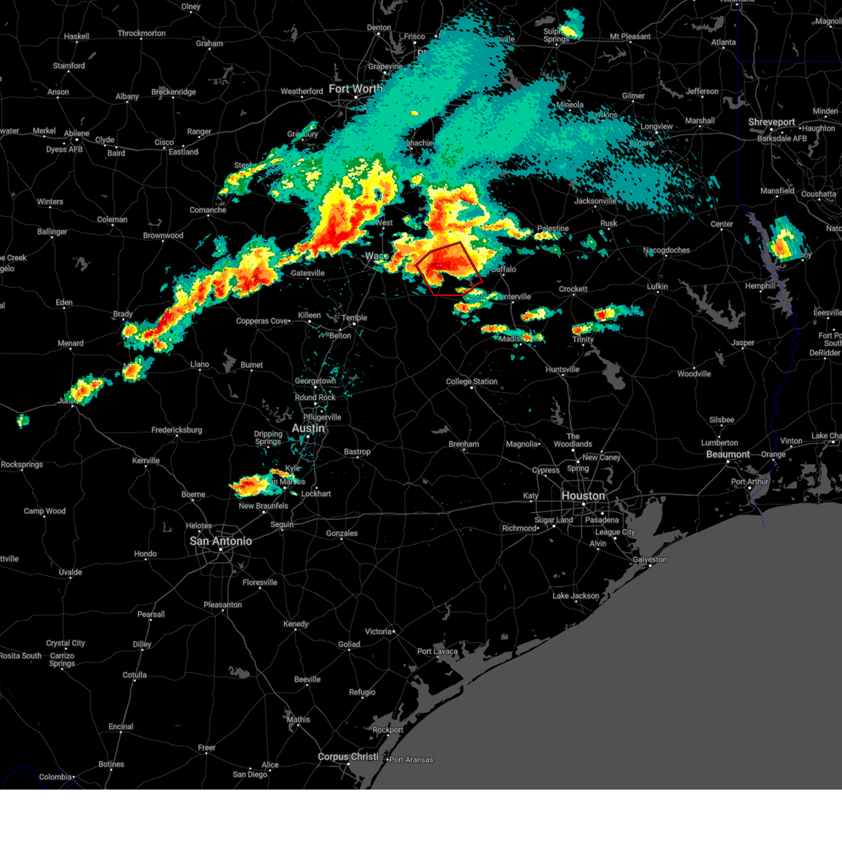 At 706 pm cdt, a severe thunderstorm capable of producing a tornado was located near groesbeck, moving east at 25 mph (radar indicated rotation). Hazards include tornado and hail up to two inches in diameter. Flying debris will be dangerous to those caught without shelter. mobile homes will be damaged or destroyed. damage to roofs, windows, and vehicles will occur. tree damage is likely. this dangerous storm will be near, groesbeck around 715 pm cdt. fort parker state park around 720 pm cdt. lake limestone around 745 pm cdt. At 702 pm cdt, golfball hail was reported 4 miles west of groesbeck. At 706 pm cdt, a severe thunderstorm capable of producing a tornado was located near groesbeck, moving east at 25 mph (radar indicated rotation). Hazards include tornado and hail up to two inches in diameter. Flying debris will be dangerous to those caught without shelter. mobile homes will be damaged or destroyed. damage to roofs, windows, and vehicles will occur. tree damage is likely. this dangerous storm will be near, groesbeck around 715 pm cdt. fort parker state park around 720 pm cdt. lake limestone around 745 pm cdt. At 702 pm cdt, golfball hail was reported 4 miles west of groesbeck.
|
| 3/2/2023 8:44 PM CST |
 At 844 pm cst, severe thunderstorms were located along a line extending from athens to fairfield to teague, moving east at 55 mph (radar indicated). Hazards include 70 mph wind gusts. Expect considerable tree damage. damage is likely to mobile homes, roofs, and outbuildings. locations impacted include, palestine, athens, mexia, gun barrel city, groesbeck, teague, fairfield, mabank, malakoff, tool, wortham, eustace, trinidad, edom, enchanted oaks, caney city, fairfield lake, lake mexia, purtis creek state park and fort parker state park. thunderstorm damage threat, considerable hail threat, radar indicated max hail size, <. 75 in wind threat, radar indicated max wind gust, 70 mph. At 844 pm cst, severe thunderstorms were located along a line extending from athens to fairfield to teague, moving east at 55 mph (radar indicated). Hazards include 70 mph wind gusts. Expect considerable tree damage. damage is likely to mobile homes, roofs, and outbuildings. locations impacted include, palestine, athens, mexia, gun barrel city, groesbeck, teague, fairfield, mabank, malakoff, tool, wortham, eustace, trinidad, edom, enchanted oaks, caney city, fairfield lake, lake mexia, purtis creek state park and fort parker state park. thunderstorm damage threat, considerable hail threat, radar indicated max hail size, <. 75 in wind threat, radar indicated max wind gust, 70 mph.
|
| 3/2/2023 8:08 PM CST |
 At 808 pm cst, severe thunderstorms were located along a line extending from near kemp to fort parker state park, moving east at 30 mph (radar indicated). Hazards include 70 mph wind gusts and penny size hail. Expect considerable tree damage. Damage is likely to mobile homes, roofs, and outbuildings. At 808 pm cst, severe thunderstorms were located along a line extending from near kemp to fort parker state park, moving east at 30 mph (radar indicated). Hazards include 70 mph wind gusts and penny size hail. Expect considerable tree damage. Damage is likely to mobile homes, roofs, and outbuildings.
|
| 3/2/2023 7:17 PM CST |
 At 716 pm cst, severe thunderstorms were located along a line extending from 6 miles south of combine to near lacy-lakeview, moving east at 50 mph (radar indicated). Hazards include 60 mph wind gusts and penny size hail. expect damage to roofs, siding, and trees At 716 pm cst, severe thunderstorms were located along a line extending from 6 miles south of combine to near lacy-lakeview, moving east at 50 mph (radar indicated). Hazards include 60 mph wind gusts and penny size hail. expect damage to roofs, siding, and trees
|
| 11/4/2022 5:53 PM CDT |
 The tornado warning for southwestern freestone and northeastern limestone counties will expire at 600 pm cdt, the rotation associated with the storm that prompted the tornado warning has weakened, and no longer appears capable of producing a tornado. therefore the tornado warning will be allowed to expire. a tornado watch remains in effect until 800 pm cdt for central texas. The tornado warning for southwestern freestone and northeastern limestone counties will expire at 600 pm cdt, the rotation associated with the storm that prompted the tornado warning has weakened, and no longer appears capable of producing a tornado. therefore the tornado warning will be allowed to expire. a tornado watch remains in effect until 800 pm cdt for central texas.
|
| 11/4/2022 5:34 PM CDT |
 At 534 pm cdt, a severe thunderstorm capable of producing a tornado was located 8 miles east of groesbeck, moving northeast at 40 mph (radar indicated rotation). Hazards include tornado and half dollar size hail. Flying debris will be dangerous to those caught without shelter. mobile homes will be damaged or destroyed. damage to roofs, windows, and vehicles will occur. tree damage is likely. this dangerous storm will be near, teague around 550 pm cdt. fairfield around 605 pm cdt. Other locations impacted by this tornadic thunderstorm include cotton gin, box church, shiloh, fallon, kirvin and freestone. At 534 pm cdt, a severe thunderstorm capable of producing a tornado was located 8 miles east of groesbeck, moving northeast at 40 mph (radar indicated rotation). Hazards include tornado and half dollar size hail. Flying debris will be dangerous to those caught without shelter. mobile homes will be damaged or destroyed. damage to roofs, windows, and vehicles will occur. tree damage is likely. this dangerous storm will be near, teague around 550 pm cdt. fairfield around 605 pm cdt. Other locations impacted by this tornadic thunderstorm include cotton gin, box church, shiloh, fallon, kirvin and freestone.
|
| 11/4/2022 5:17 PM CDT |
 At 516 pm cdt, a severe thunderstorm capable of producing a tornado was located 8 miles south of groesbeck, moving northeast at 40 mph (radar indicated rotation). Hazards include tornado and half dollar size hail. Flying debris will be dangerous to those caught without shelter. mobile homes will be damaged or destroyed. damage to roofs, windows, and vehicles will occur. tree damage is likely. this dangerous storm will be near, groesbeck around 525 pm cdt. lake limestone and fort parker state park around 535 pm cdt. teague around 550 pm cdt. fairfield around 600 pm cdt. other locations impacted by this tornadic thunderstorm include cotton gin, thornton, fallon, box church, shiloh, kirvin and freestone. This includes interstate 45 between mile markers 191 and 201. At 516 pm cdt, a severe thunderstorm capable of producing a tornado was located 8 miles south of groesbeck, moving northeast at 40 mph (radar indicated rotation). Hazards include tornado and half dollar size hail. Flying debris will be dangerous to those caught without shelter. mobile homes will be damaged or destroyed. damage to roofs, windows, and vehicles will occur. tree damage is likely. this dangerous storm will be near, groesbeck around 525 pm cdt. lake limestone and fort parker state park around 535 pm cdt. teague around 550 pm cdt. fairfield around 600 pm cdt. other locations impacted by this tornadic thunderstorm include cotton gin, thornton, fallon, box church, shiloh, kirvin and freestone. This includes interstate 45 between mile markers 191 and 201.
|
| 11/4/2022 4:55 PM CDT |
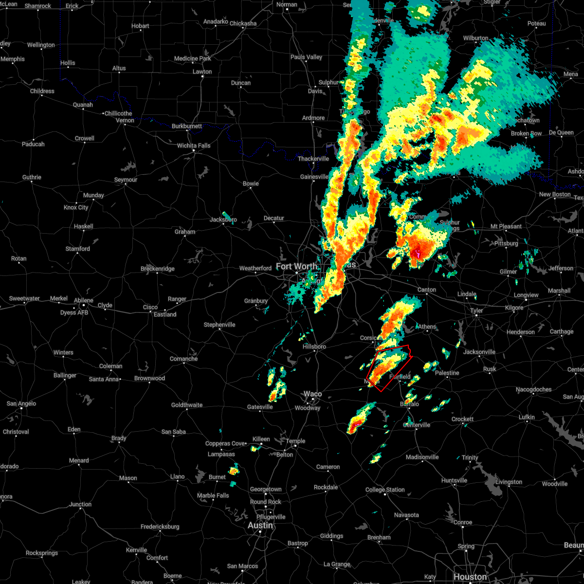 At 455 pm cdt, a severe thunderstorm capable of producing a tornado was located near wortham, or near mexia, moving northeast at 35 mph (radar indicated rotation). Hazards include tornado. Flying debris will be dangerous to those caught without shelter. mobile homes will be damaged or destroyed. damage to roofs, windows, and vehicles will occur. tree damage is likely. this tornadic thunderstorm will remain over mainly rural areas of northwestern freestone, northeastern limestone and southeastern navarro counties, including the following locations, cotton gin, stewards mill, streetman, eureka, richland, kirvin, tehuacana and mildred. This includes interstate 45 between mile markers 203 and 222. At 455 pm cdt, a severe thunderstorm capable of producing a tornado was located near wortham, or near mexia, moving northeast at 35 mph (radar indicated rotation). Hazards include tornado. Flying debris will be dangerous to those caught without shelter. mobile homes will be damaged or destroyed. damage to roofs, windows, and vehicles will occur. tree damage is likely. this tornadic thunderstorm will remain over mainly rural areas of northwestern freestone, northeastern limestone and southeastern navarro counties, including the following locations, cotton gin, stewards mill, streetman, eureka, richland, kirvin, tehuacana and mildred. This includes interstate 45 between mile markers 203 and 222.
|
| 11/4/2022 4:48 PM CDT |
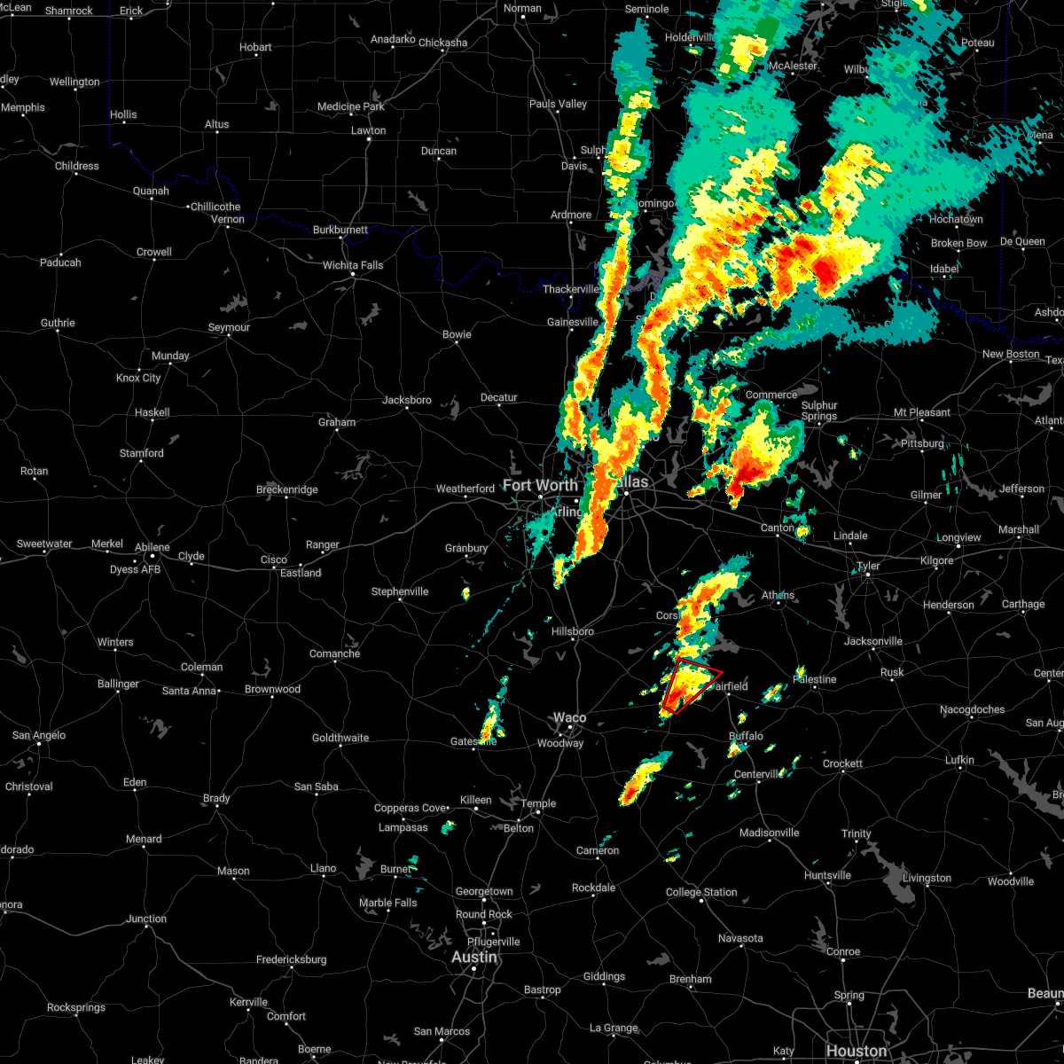 At 448 pm cdt, a severe thunderstorm capable of producing a tornado was located near mexia, moving northeast at 40 mph (radar indicated rotation). Hazards include tornado. Flying debris will be dangerous to those caught without shelter. mobile homes will be damaged or destroyed. damage to roofs, windows, and vehicles will occur. tree damage is likely. This tornadic thunderstorm will remain over mainly rural areas of west central freestone, north central limestone and south central navarro counties, including the following locations, kirvin, streetman and tehuacana. At 448 pm cdt, a severe thunderstorm capable of producing a tornado was located near mexia, moving northeast at 40 mph (radar indicated rotation). Hazards include tornado. Flying debris will be dangerous to those caught without shelter. mobile homes will be damaged or destroyed. damage to roofs, windows, and vehicles will occur. tree damage is likely. This tornadic thunderstorm will remain over mainly rural areas of west central freestone, north central limestone and south central navarro counties, including the following locations, kirvin, streetman and tehuacana.
|
| 11/4/2022 4:38 PM CDT |
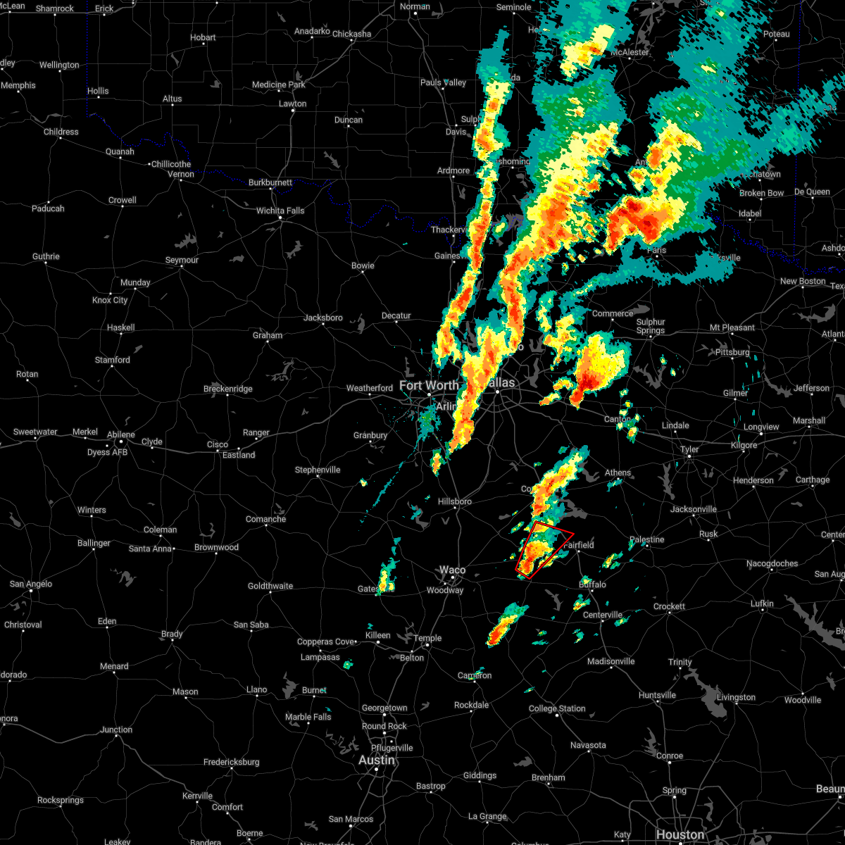 At 438 pm cdt, a severe thunderstorm capable of producing a tornado was located near mexia, moving northeast at 45 mph (radar indicated rotation). Hazards include tornado. Flying debris will be dangerous to those caught without shelter. mobile homes will be damaged or destroyed. damage to roofs, windows, and vehicles will occur. tree damage is likely. this dangerous storm will be near, wortham around 450 pm cdt. Other locations impacted by this tornadic thunderstorm include tehuacana, kirvin, streetman and shiloh. At 438 pm cdt, a severe thunderstorm capable of producing a tornado was located near mexia, moving northeast at 45 mph (radar indicated rotation). Hazards include tornado. Flying debris will be dangerous to those caught without shelter. mobile homes will be damaged or destroyed. damage to roofs, windows, and vehicles will occur. tree damage is likely. this dangerous storm will be near, wortham around 450 pm cdt. Other locations impacted by this tornadic thunderstorm include tehuacana, kirvin, streetman and shiloh.
|
| 11/4/2022 4:31 PM CDT |
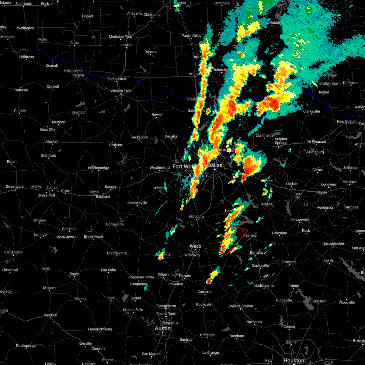 At 431 pm cdt, a severe thunderstorm capable of producing a tornado was located over fort parker state park, or near groesbeck, moving northeast at 50 mph (radar indicated rotation). Hazards include tornado. Flying debris will be dangerous to those caught without shelter. mobile homes will be damaged or destroyed. damage to roofs, windows, and vehicles will occur. tree damage is likely. this dangerous storm will be near, lake mexia around 435 pm cdt. mexia around 445 pm cdt. wortham around 450 pm cdt. other locations impacted by this tornadic thunderstorm include tehuacana, shiloh, kirvin, cotton gin and streetman. This includes interstate 45 between mile markers 205 and 212. At 431 pm cdt, a severe thunderstorm capable of producing a tornado was located over fort parker state park, or near groesbeck, moving northeast at 50 mph (radar indicated rotation). Hazards include tornado. Flying debris will be dangerous to those caught without shelter. mobile homes will be damaged or destroyed. damage to roofs, windows, and vehicles will occur. tree damage is likely. this dangerous storm will be near, lake mexia around 435 pm cdt. mexia around 445 pm cdt. wortham around 450 pm cdt. other locations impacted by this tornadic thunderstorm include tehuacana, shiloh, kirvin, cotton gin and streetman. This includes interstate 45 between mile markers 205 and 212.
|
| 5/21/2022 8:41 PM CDT |
 At 840 pm cdt, severe thunderstorms were located along a line extending from near angus to near wortham to near teague, moving east at 40 mph. at 822pm, 71 mph winds were reported near mexia with this storm (radar indicated). Hazards include 70 mph wind gusts and nickel size hail. Expect considerable tree damage. damage is likely to mobile homes, roofs, and outbuildings. locations impacted include, corsicana, mexia, groesbeck, teague, fairfield, kerens, wortham, trinidad, angus, navarro, fairfield lake state park, retreat, oak valley, mildred, eureka, richland, streetman, goodlow, powell and kirvin. thunderstorm damage threat, considerable hail threat, radar indicated max hail size, 0. 88 in wind threat, observed max wind gust, 70 mph. At 840 pm cdt, severe thunderstorms were located along a line extending from near angus to near wortham to near teague, moving east at 40 mph. at 822pm, 71 mph winds were reported near mexia with this storm (radar indicated). Hazards include 70 mph wind gusts and nickel size hail. Expect considerable tree damage. damage is likely to mobile homes, roofs, and outbuildings. locations impacted include, corsicana, mexia, groesbeck, teague, fairfield, kerens, wortham, trinidad, angus, navarro, fairfield lake state park, retreat, oak valley, mildred, eureka, richland, streetman, goodlow, powell and kirvin. thunderstorm damage threat, considerable hail threat, radar indicated max hail size, 0. 88 in wind threat, observed max wind gust, 70 mph.
|
| 5/21/2022 8:30 PM CDT |
 At 829 pm cdt, severe thunderstorms were located along a line extending from near blooming grove to near wortham to near groesbeck, moving east at 25 mph (radar indicated). Hazards include 60 mph wind gusts and nickel size hail. Expect damage to roofs, siding, and trees. locations impacted include, mexia, groesbeck, mart, hubbard, coolidge, dawson, bynum, fort parker state park, frost, mount calm, tehuacana, malone, penelope and mertens. hail threat, radar indicated max hail size, 0. 88 in wind threat, radar indicated max wind gust, 60 mph. At 829 pm cdt, severe thunderstorms were located along a line extending from near blooming grove to near wortham to near groesbeck, moving east at 25 mph (radar indicated). Hazards include 60 mph wind gusts and nickel size hail. Expect damage to roofs, siding, and trees. locations impacted include, mexia, groesbeck, mart, hubbard, coolidge, dawson, bynum, fort parker state park, frost, mount calm, tehuacana, malone, penelope and mertens. hail threat, radar indicated max hail size, 0. 88 in wind threat, radar indicated max wind gust, 60 mph.
|
| 5/21/2022 8:25 PM CDT | Multiple trees down across park road 28 at ft. parker state par in limestone county TX, 6.4 miles NNE of Mexia, TX |
| 5/21/2022 8:23 PM CDT |
 At 822 pm cdt, severe thunderstorms were located along a line extending from near blooming grove to near coolidge to near groesbeck, moving northeast at 35 mph. at 821 pm, 61 mph winds were observed at the mexia airport (radar indicated). Hazards include 65 mph wind gusts and nickel size hail. expect damage to roofs, siding, and trees At 822 pm cdt, severe thunderstorms were located along a line extending from near blooming grove to near coolidge to near groesbeck, moving northeast at 35 mph. at 821 pm, 61 mph winds were observed at the mexia airport (radar indicated). Hazards include 65 mph wind gusts and nickel size hail. expect damage to roofs, siding, and trees
|
| 5/21/2022 8:22 PM CDT | Ktxmexia17 - adana farms weather underground station measured peak wind of 71 mp in limestone county TX, 5.3 miles NNW of Mexia, TX |
| 5/21/2022 8:18 PM CDT | Mexia limestone county airport (klxy) pkwnd 30053k in limestone county TX, 2.8 miles NNE of Mexia, TX |
| 5/21/2022 8:17 PM CDT |
 At 817 pm cdt, severe thunderstorms were located along a line extending from near blooming grove to coolidge to groesbeck, moving east at 35 mph (radar indicated). Hazards include 60 mph wind gusts and nickel size hail. Expect damage to roofs, siding, and trees. locations impacted include, mexia, groesbeck, mart, hubbard, riesel, coolidge, dawson, hallsburg, bynum, fort parker state park, frost, mount calm, tehuacana, malone, penelope and mertens. hail threat, radar indicated max hail size, 0. 88 in wind threat, radar indicated max wind gust, 60 mph. At 817 pm cdt, severe thunderstorms were located along a line extending from near blooming grove to coolidge to groesbeck, moving east at 35 mph (radar indicated). Hazards include 60 mph wind gusts and nickel size hail. Expect damage to roofs, siding, and trees. locations impacted include, mexia, groesbeck, mart, hubbard, riesel, coolidge, dawson, hallsburg, bynum, fort parker state park, frost, mount calm, tehuacana, malone, penelope and mertens. hail threat, radar indicated max hail size, 0. 88 in wind threat, radar indicated max wind gust, 60 mph.
|
| 5/21/2022 8:15 PM CDT | Multiple trees down blocking roads across northeast part of limestone count in limestone county TX, 4.5 miles SE of Mexia, TX |
| 5/21/2022 7:51 PM CDT |
 At 750 pm cdt, a severe cluster of severe thunderstorms was located along a line from near malone to east of waco to golinda, moving east at 30 mph (radar indicated). Hazards include 60 mph wind gusts and nickel size hail. expect damage to roofs, siding, and trees At 750 pm cdt, a severe cluster of severe thunderstorms was located along a line from near malone to east of waco to golinda, moving east at 30 mph (radar indicated). Hazards include 60 mph wind gusts and nickel size hail. expect damage to roofs, siding, and trees
|
| 5/5/2022 1:43 PM CDT |
 At 142 pm cdt, a severe thunderstorm was located over wortham, or near mexia, moving northeast at 45 mph (radar indicated). Hazards include 60 mph wind gusts and quarter size hail. Hail damage to vehicles is expected. Expect wind damage to roofs, siding, and trees. At 142 pm cdt, a severe thunderstorm was located over wortham, or near mexia, moving northeast at 45 mph (radar indicated). Hazards include 60 mph wind gusts and quarter size hail. Hail damage to vehicles is expected. Expect wind damage to roofs, siding, and trees.
|
| 5/5/2022 1:38 PM CDT | Quarter sized hail reported 3.5 miles SE of Mexia, TX, quarter sized hail at state school in mexia. |
| 5/5/2022 1:24 PM CDT |
 At 124 pm cdt, a severe thunderstorm capable of producing a tornado was located near fort parker state park, or near mexia, moving northeast at 50 mph (radar indicated rotation). Hazards include tornado. Flying debris will be dangerous to those caught without shelter. mobile homes will be damaged or destroyed. damage to roofs, windows, and vehicles will occur. tree damage is likely. This dangerous storm will be near, mexia around 135 pm cdt. At 124 pm cdt, a severe thunderstorm capable of producing a tornado was located near fort parker state park, or near mexia, moving northeast at 50 mph (radar indicated rotation). Hazards include tornado. Flying debris will be dangerous to those caught without shelter. mobile homes will be damaged or destroyed. damage to roofs, windows, and vehicles will occur. tree damage is likely. This dangerous storm will be near, mexia around 135 pm cdt.
|
| 5/5/2022 1:14 PM CDT |
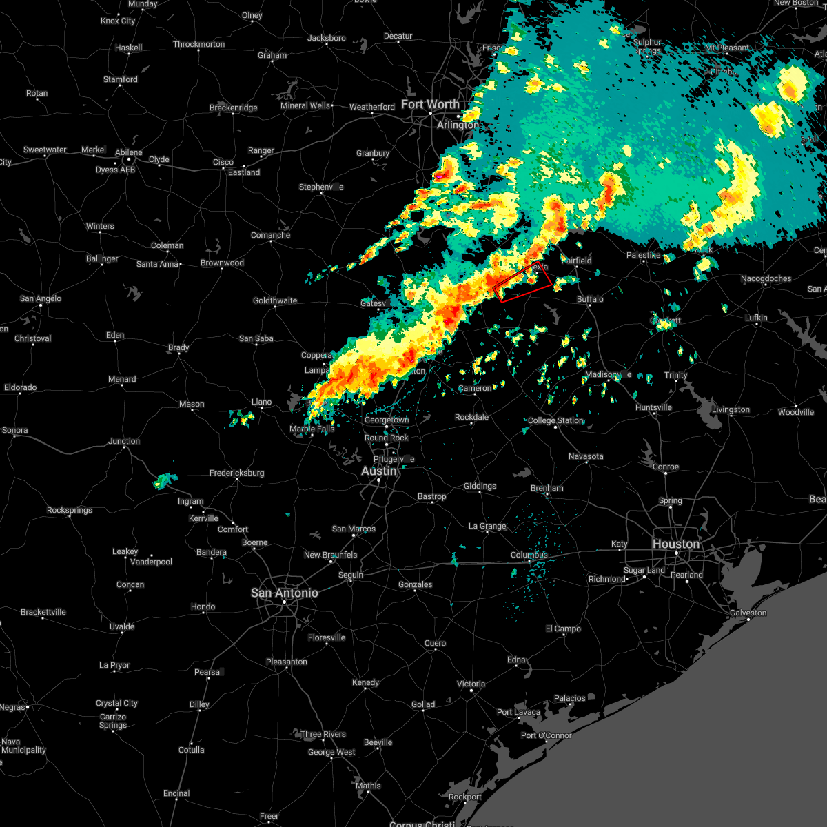 At 114 pm cdt, a severe thunderstorm capable of producing a tornado was located 7 miles east of mart, or 10 miles west of groesbeck, moving northeast at 50 mph (radar indicated rotation). Hazards include tornado. Flying debris will be dangerous to those caught without shelter. mobile homes will be damaged or destroyed. damage to roofs, windows, and vehicles will occur. tree damage is likely. this dangerous storm will be near, fort parker state park around 125 pm cdt. Mexia around 135 pm cdt. At 114 pm cdt, a severe thunderstorm capable of producing a tornado was located 7 miles east of mart, or 10 miles west of groesbeck, moving northeast at 50 mph (radar indicated rotation). Hazards include tornado. Flying debris will be dangerous to those caught without shelter. mobile homes will be damaged or destroyed. damage to roofs, windows, and vehicles will occur. tree damage is likely. this dangerous storm will be near, fort parker state park around 125 pm cdt. Mexia around 135 pm cdt.
|
| 5/5/2022 12:31 PM CDT |
 At 1231 pm cdt, a severe thunderstorm was located 7 miles northeast of hallsburg, or 12 miles east of bellmead, moving east at 45 mph (radar indicated). Hazards include 60 mph wind gusts. Expect damage to roofs, siding, and trees. locations impacted include, mexia, coolidge, mount calm and tehuacana. hail threat, radar indicated max hail size, <. 75 in wind threat, radar indicated max wind gust, 60 mph. At 1231 pm cdt, a severe thunderstorm was located 7 miles northeast of hallsburg, or 12 miles east of bellmead, moving east at 45 mph (radar indicated). Hazards include 60 mph wind gusts. Expect damage to roofs, siding, and trees. locations impacted include, mexia, coolidge, mount calm and tehuacana. hail threat, radar indicated max hail size, <. 75 in wind threat, radar indicated max wind gust, 60 mph.
|
| 5/5/2022 12:09 PM CDT |
 At 1209 pm cdt, a severe thunderstorm was located over waco, moving east at 45 mph (radar indicated). Hazards include 60 mph wind gusts. expect damage to roofs, siding, and trees At 1209 pm cdt, a severe thunderstorm was located over waco, moving east at 45 mph (radar indicated). Hazards include 60 mph wind gusts. expect damage to roofs, siding, and trees
|
| 4/12/2022 7:24 PM CDT |
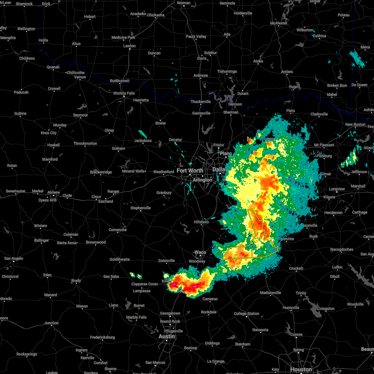 At 724 pm cdt, severe thunderstorms were located along a line extending from trinidad to fairfield moving east at 50 mph. another storm is located near groesbeck, moving east at 30 mph (radar indicated). Hazards include 60 mph wind gusts. Expect damage to roofs, siding, and trees. locations impacted include, mexia, groesbeck, teague, fairfield, kerens, fairfield lake state park, fort parker state park and goodlow. hail threat, radar indicated max hail size, <. 75 in wind threat, radar indicated max wind gust, 60 mph. At 724 pm cdt, severe thunderstorms were located along a line extending from trinidad to fairfield moving east at 50 mph. another storm is located near groesbeck, moving east at 30 mph (radar indicated). Hazards include 60 mph wind gusts. Expect damage to roofs, siding, and trees. locations impacted include, mexia, groesbeck, teague, fairfield, kerens, fairfield lake state park, fort parker state park and goodlow. hail threat, radar indicated max hail size, <. 75 in wind threat, radar indicated max wind gust, 60 mph.
|
| 4/12/2022 6:59 PM CDT |
 At 659 pm cdt, severe thunderstorms were located along a line extending from corsicana to streetman to near mart, moving east at 55 mph (radar indicated). Hazards include 60 mph wind gusts and quarter size hail. Hail damage to vehicles is expected. expect wind damage to roofs, siding, and trees. locations impacted include, corsicana, mexia, groesbeck, teague, fairfield, mart, kerens, wortham, angus, navarro, fort parker state park, fairfield lake state park, rice, retreat, oak valley, mildred, eureka, tehuacana, richland and streetman. hail threat, radar indicated max hail size, 1. 00 in wind threat, radar indicated max wind gust, 60 mph. At 659 pm cdt, severe thunderstorms were located along a line extending from corsicana to streetman to near mart, moving east at 55 mph (radar indicated). Hazards include 60 mph wind gusts and quarter size hail. Hail damage to vehicles is expected. expect wind damage to roofs, siding, and trees. locations impacted include, corsicana, mexia, groesbeck, teague, fairfield, mart, kerens, wortham, angus, navarro, fort parker state park, fairfield lake state park, rice, retreat, oak valley, mildred, eureka, tehuacana, richland and streetman. hail threat, radar indicated max hail size, 1. 00 in wind threat, radar indicated max wind gust, 60 mph.
|
| 4/12/2022 6:41 PM CDT |
 At 640 pm cdt, severe thunderstorms were located along a line extending from near dawson to near mart, moving east at 35 mph (radar indicated). Hazards include 60 mph wind gusts and quarter size hail. Hail damage to vehicles is expected. Expect wind damage to roofs, siding, and trees. At 640 pm cdt, severe thunderstorms were located along a line extending from near dawson to near mart, moving east at 35 mph (radar indicated). Hazards include 60 mph wind gusts and quarter size hail. Hail damage to vehicles is expected. Expect wind damage to roofs, siding, and trees.
|
| 3/14/2022 7:03 PM CDT |
 At 702 pm cdt, a line of severe thunderstorms was located from near eustace to angus to coolidge , moving northeast at 45 mph (radar indicated). Hazards include quarter size hail. Damage to vehicles is possible. locations impacted include, corsicana, mexia, gun barrel city, fairfield, malakoff, tool, kerens, wortham, eustace, coolidge, trinidad, angus, enchanted oaks, caney city, navarro, fairfield lake state park, payne springs, log cabin, star harbor and retreat. hail threat, radar indicated max hail size, 1. 00 in wind threat, radar indicated max wind gust, <50 mph. At 702 pm cdt, a line of severe thunderstorms was located from near eustace to angus to coolidge , moving northeast at 45 mph (radar indicated). Hazards include quarter size hail. Damage to vehicles is possible. locations impacted include, corsicana, mexia, gun barrel city, fairfield, malakoff, tool, kerens, wortham, eustace, coolidge, trinidad, angus, enchanted oaks, caney city, navarro, fairfield lake state park, payne springs, log cabin, star harbor and retreat. hail threat, radar indicated max hail size, 1. 00 in wind threat, radar indicated max wind gust, <50 mph.
|
| 3/14/2022 6:44 PM CDT |
 At 643 pm cdt, a cluster of severe thunderstorms was located from coolidge to powell, moving northeast at 45 mph (radar indicated). Hazards include 60 mph wind gusts and quarter size hail. Hail damage to vehicles is expected. Expect wind damage to roofs, siding, and trees. At 643 pm cdt, a cluster of severe thunderstorms was located from coolidge to powell, moving northeast at 45 mph (radar indicated). Hazards include 60 mph wind gusts and quarter size hail. Hail damage to vehicles is expected. Expect wind damage to roofs, siding, and trees.
|
| 10/10/2021 11:44 PM CDT |
 At 1143 pm cdt, severe thunderstorms were located along a line extending from canton to malakoff to mexia, moving east at 45 mph (radar indicated). Hazards include 60 mph wind gusts. Expect damage to roofs, siding, and trees. locations impacted include, athens, mexia, gun barrel city, canton, teague, fairfield, mabank, chandler, van, malakoff, tool, kerens, wortham, brownsboro, eustace, coolidge, trinidad, angus, edom and enchanted oaks. hail threat, radar indicated max hail size, <. 75 in wind threat, radar indicated max wind gust, 60 mph. At 1143 pm cdt, severe thunderstorms were located along a line extending from canton to malakoff to mexia, moving east at 45 mph (radar indicated). Hazards include 60 mph wind gusts. Expect damage to roofs, siding, and trees. locations impacted include, athens, mexia, gun barrel city, canton, teague, fairfield, mabank, chandler, van, malakoff, tool, kerens, wortham, brownsboro, eustace, coolidge, trinidad, angus, edom and enchanted oaks. hail threat, radar indicated max hail size, <. 75 in wind threat, radar indicated max wind gust, 60 mph.
|
| 10/10/2021 11:04 PM CDT |
 At 1103 pm cdt, severe thunderstorms were located along a line extending from near kaufman to 8 miles southwest of seven points to 8 miles north of mart, moving east at 45 mph (radar indicated). Hazards include 60 mph wind gusts and penny size hail. expect damage to roofs, siding, and trees At 1103 pm cdt, severe thunderstorms were located along a line extending from near kaufman to 8 miles southwest of seven points to 8 miles north of mart, moving east at 45 mph (radar indicated). Hazards include 60 mph wind gusts and penny size hail. expect damage to roofs, siding, and trees
|
| 6/8/2021 8:50 AM CDT | Several trees down and utility poles down on e carthage st. reported by mexia fire and police dep in limestone county TX, 0.5 miles SW of Mexia, TX |
| 5/9/2021 5:29 PM CDT |
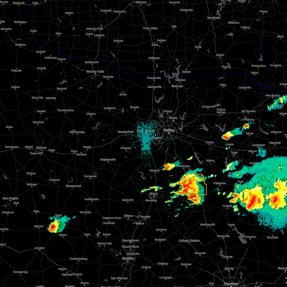 At 529 pm cdt, a severe thunderstorm was located near teague, moving east at 55 mph (radar indicated). Hazards include 65 mph wind gusts and quarter size hail. Hail damage to vehicles is expected. expect wind damage to roofs, siding, and trees. Locations impacted include, mexia, teague, fairfield, wortham, fairfield lake state park, tehuacana, streetman and kirvin. At 529 pm cdt, a severe thunderstorm was located near teague, moving east at 55 mph (radar indicated). Hazards include 65 mph wind gusts and quarter size hail. Hail damage to vehicles is expected. expect wind damage to roofs, siding, and trees. Locations impacted include, mexia, teague, fairfield, wortham, fairfield lake state park, tehuacana, streetman and kirvin.
|
| 5/9/2021 5:15 PM CDT | Mexia (limestone county airport) awos reported a wind gust of 60 mp in limestone county TX, 2.8 miles NNE of Mexia, TX |
| 5/9/2021 5:13 PM CDT |
 At 513 pm cdt, a severe thunderstorm was located over mexia, moving east at 45 mph (radar indicated). Hazards include 65 mph wind gusts and quarter size hail. Hail damage to vehicles is expected. expect wind damage to roofs, siding, and trees. Locations impacted include, mexia, teague, fairfield, wortham, coolidge, fairfield lake state park, tehuacana, streetman and kirvin. At 513 pm cdt, a severe thunderstorm was located over mexia, moving east at 45 mph (radar indicated). Hazards include 65 mph wind gusts and quarter size hail. Hail damage to vehicles is expected. expect wind damage to roofs, siding, and trees. Locations impacted include, mexia, teague, fairfield, wortham, coolidge, fairfield lake state park, tehuacana, streetman and kirvin.
|
| 5/9/2021 5:04 PM CDT | Multiple large trees down across road at lcr 377 and lcr 37 in limestone county TX, 6.4 miles ENE of Mexia, TX |
| 5/9/2021 5:03 PM CDT | Damage to a home near lake mexia. tree fell on house causing major structural damag in limestone county TX, 6.8 miles E of Mexia, TX |
| 5/9/2021 4:58 PM CDT |
 At 457 pm cdt, a severe thunderstorm was located near coolidge, or 14 miles west of mexia, moving east at 45 mph (radar indicated). Hazards include 60 mph wind gusts and half dollar size hail. Hail damage to vehicles is expected. Expect wind damage to roofs, siding, and trees. At 457 pm cdt, a severe thunderstorm was located near coolidge, or 14 miles west of mexia, moving east at 45 mph (radar indicated). Hazards include 60 mph wind gusts and half dollar size hail. Hail damage to vehicles is expected. Expect wind damage to roofs, siding, and trees.
|
| 5/9/2021 4:32 PM CDT |
 At 432 pm cdt, a severe thunderstorm was located over hubbard, or 19 miles northwest of mexia, moving east at 35 mph (radar indicated). Hazards include 60 mph wind gusts and quarter size hail. Hail damage to vehicles is expected. Expect wind damage to roofs, siding, and trees. At 432 pm cdt, a severe thunderstorm was located over hubbard, or 19 miles northwest of mexia, moving east at 35 mph (radar indicated). Hazards include 60 mph wind gusts and quarter size hail. Hail damage to vehicles is expected. Expect wind damage to roofs, siding, and trees.
|
| 3/22/2021 10:47 PM CDT |
 At 1046 pm cdt, a severe thunderstorm was located near coolidge, or 12 miles northwest of mexia, moving east at 45 mph (radar indicated). Hazards include 60 mph wind gusts and quarter size hail. Hail damage to vehicles is expected. expect wind damage to roofs, siding, and trees. Locations impacted include, corsicana, mexia, hubbard, coolidge, blooming grove, dawson, angus, barry, retreat, oak valley, mount calm, tehuacana and richland. At 1046 pm cdt, a severe thunderstorm was located near coolidge, or 12 miles northwest of mexia, moving east at 45 mph (radar indicated). Hazards include 60 mph wind gusts and quarter size hail. Hail damage to vehicles is expected. expect wind damage to roofs, siding, and trees. Locations impacted include, corsicana, mexia, hubbard, coolidge, blooming grove, dawson, angus, barry, retreat, oak valley, mount calm, tehuacana and richland.
|
| 3/22/2021 10:24 PM CDT |
 At 1024 pm cdt, a severe thunderstorm was located near hubbard, or 19 miles northeast of lacy-lakeview, moving east at 50 mph (radar indicated). Hazards include 60 mph wind gusts and quarter size hail. Hail damage to vehicles is expected. Expect wind damage to roofs, siding, and trees. At 1024 pm cdt, a severe thunderstorm was located near hubbard, or 19 miles northeast of lacy-lakeview, moving east at 50 mph (radar indicated). Hazards include 60 mph wind gusts and quarter size hail. Hail damage to vehicles is expected. Expect wind damage to roofs, siding, and trees.
|
| 3/22/2021 9:13 PM CDT |
 At 912 pm cdt, a severe thunderstorm was located over bellmead, moving east at 40 mph (radar indicated). Hazards include quarter size hail. damage to vehicles is possible At 912 pm cdt, a severe thunderstorm was located over bellmead, moving east at 40 mph (radar indicated). Hazards include quarter size hail. damage to vehicles is possible
|
| 3/17/2021 5:38 AM CDT |
 The severe thunderstorm warning for western freestone, eastern mclennan, southeastern hill, limestone, northeastern falls and navarro counties will expire at 545 am cdt, the storms which prompted the warning have weakened below severe limits. therefore the warning will be allowed to expire. however gusty winds are still possible with these thunderstorms. a severe thunderstorm watch remains in effect until 1000 am cdt for central and north central texas. The severe thunderstorm warning for western freestone, eastern mclennan, southeastern hill, limestone, northeastern falls and navarro counties will expire at 545 am cdt, the storms which prompted the warning have weakened below severe limits. therefore the warning will be allowed to expire. however gusty winds are still possible with these thunderstorms. a severe thunderstorm watch remains in effect until 1000 am cdt for central and north central texas.
|
| 3/17/2021 4:57 AM CDT |
 At 456 am cdt, severe thunderstorms were located along a line extending from near bynum to troy, moving east at 55 mph (radar indicated). Hazards include 65 mph wind gusts. expect damage to roofs, siding, and trees At 456 am cdt, severe thunderstorms were located along a line extending from near bynum to troy, moving east at 55 mph (radar indicated). Hazards include 65 mph wind gusts. expect damage to roofs, siding, and trees
|
| 4/29/2020 2:51 AM CDT |
 At 250 am cdt, severe thunderstorms were located along a line extending from groesbeck to waco to valley mills, moving east at 20 mph (radar indicated). Hazards include 60 mph wind gusts and quarter size hail. Hail damage to vehicles is expected. expect wind damage to roofs, siding, and trees. Locations impacted include, waco, hewitt, robinson, bellmead, woodway, mexia, lacy-lakeview, mcgregor, clifton, mart, beverly hills, lorena, bruceville-eddy, moody, valley mills, riesel, crawford, golinda, hallsburg and cranfills gap. At 250 am cdt, severe thunderstorms were located along a line extending from groesbeck to waco to valley mills, moving east at 20 mph (radar indicated). Hazards include 60 mph wind gusts and quarter size hail. Hail damage to vehicles is expected. expect wind damage to roofs, siding, and trees. Locations impacted include, waco, hewitt, robinson, bellmead, woodway, mexia, lacy-lakeview, mcgregor, clifton, mart, beverly hills, lorena, bruceville-eddy, moody, valley mills, riesel, crawford, golinda, hallsburg and cranfills gap.
|
| 4/29/2020 2:20 AM CDT |
 At 219 am cdt, severe thunderstorms were located along a line extending from near groesbeck to oakwood, moving southeast at 40 mph (radar indicated). Hazards include 65 mph wind gusts and quarter size hail. Hail damage to vehicles is expected. Expect wind damage to roofs, siding, and trees. At 219 am cdt, severe thunderstorms were located along a line extending from near groesbeck to oakwood, moving southeast at 40 mph (radar indicated). Hazards include 65 mph wind gusts and quarter size hail. Hail damage to vehicles is expected. Expect wind damage to roofs, siding, and trees.
|
| 4/29/2020 2:12 AM CDT |
 At 212 am cdt, severe thunderstorms were located along a line extending from 10 miles south of maydelle to 13 miles west of elkhart to 6 miles south of hubbard, moving southeast at 30 mph (radar indicated). Hazards include 65 mph wind gusts and quarter size hail. Hail damage to vehicles is expected. expect wind damage to roofs, siding, and trees. Locations impacted include, palestine, hillsboro, mexia, groesbeck, teague, fairfield, mart, hubbard, elkhart, wortham, coolidge, dawson, angus, bynum, carl`s corner, fort parker state park, fairfield lake state park, thornton, oakwood and kosse. At 212 am cdt, severe thunderstorms were located along a line extending from 10 miles south of maydelle to 13 miles west of elkhart to 6 miles south of hubbard, moving southeast at 30 mph (radar indicated). Hazards include 65 mph wind gusts and quarter size hail. Hail damage to vehicles is expected. expect wind damage to roofs, siding, and trees. Locations impacted include, palestine, hillsboro, mexia, groesbeck, teague, fairfield, mart, hubbard, elkhart, wortham, coolidge, dawson, angus, bynum, carl`s corner, fort parker state park, fairfield lake state park, thornton, oakwood and kosse.
|
| 4/29/2020 2:02 AM CDT |
 At 201 am cdt, severe thunderstorms were located along a line extending from clifton to whitney to bynum, moving southeast at 40 mph (radar indicated). Hazards include 60 mph wind gusts and half dollar size hail. Hail damage to vehicles is expected. Expect wind damage to roofs, siding, and trees. At 201 am cdt, severe thunderstorms were located along a line extending from clifton to whitney to bynum, moving southeast at 40 mph (radar indicated). Hazards include 60 mph wind gusts and half dollar size hail. Hail damage to vehicles is expected. Expect wind damage to roofs, siding, and trees.
|
| 4/29/2020 1:35 AM CDT |
 At 133 am cdt, severe thunderstorms were located along a line extending from near dawson to palestine, moving southeast at 50 mph. strong winds to 70 mph will be possible in the wortham and kirvin areas in the next few minutes (radar indicated). Hazards include 70 mph wind gusts and quarter size hail. Hail damage to vehicles is expected. expect considerable tree damage. wind damage is also likely to mobile homes, roofs, and outbuildings. Locations impacted include, corsicana, palestine, athens, hillsboro, mexia, groesbeck, teague, fairfield, malakoff, mart, kerens, hubbard, elkhart, frankston, wortham, berryville, coolidge, trinidad, blooming grove and dawson. At 133 am cdt, severe thunderstorms were located along a line extending from near dawson to palestine, moving southeast at 50 mph. strong winds to 70 mph will be possible in the wortham and kirvin areas in the next few minutes (radar indicated). Hazards include 70 mph wind gusts and quarter size hail. Hail damage to vehicles is expected. expect considerable tree damage. wind damage is also likely to mobile homes, roofs, and outbuildings. Locations impacted include, corsicana, palestine, athens, hillsboro, mexia, groesbeck, teague, fairfield, malakoff, mart, kerens, hubbard, elkhart, frankston, wortham, berryville, coolidge, trinidad, blooming grove and dawson.
|
| 4/29/2020 1:12 AM CDT |
 At 111 am cdt, severe thunderstorms were located along a line extending from bynum to oak valley to kerens to athens, moving southeast at 50 mph (radar indicated). Hazards include 70 mph wind gusts and quarter size hail. Hail damage to vehicles is expected. expect considerable tree damage. Wind damage is also likely to mobile homes, roofs, and outbuildings. At 111 am cdt, severe thunderstorms were located along a line extending from bynum to oak valley to kerens to athens, moving southeast at 50 mph (radar indicated). Hazards include 70 mph wind gusts and quarter size hail. Hail damage to vehicles is expected. expect considerable tree damage. Wind damage is also likely to mobile homes, roofs, and outbuildings.
|
| 4/19/2020 9:16 AM CDT |
 At 916 am cdt, a severe thunderstorm was located over teague, moving east at 45 mph (radar indicated). Hazards include quarter size hail. damage to vehicles is possible At 916 am cdt, a severe thunderstorm was located over teague, moving east at 45 mph (radar indicated). Hazards include quarter size hail. damage to vehicles is possible
|
| 4/19/2020 8:54 AM CDT |
 At 854 am cdt, a severe thunderstorm was located near teague, moving east at 40 mph (radar indicated). Hazards include half dollar size hail. Damage to vehicles is possible. locations impacted include, mexia, groesbeck, teague, fairfield, mart, coolidge, fort parker state park, tehuacana and kirvin. A tornado watch remains in effect until 300 pm cdt for central texas. At 854 am cdt, a severe thunderstorm was located near teague, moving east at 40 mph (radar indicated). Hazards include half dollar size hail. Damage to vehicles is possible. locations impacted include, mexia, groesbeck, teague, fairfield, mart, coolidge, fort parker state park, tehuacana and kirvin. A tornado watch remains in effect until 300 pm cdt for central texas.
|
| 4/19/2020 8:39 AM CDT |
 At 838 am cdt, a severe thunderstorm was located near fort parker state park, or just northwest of groesbeck, moving east at 35 mph (radar indicated). Hazards include golf ball size hail. People and animals outdoors will be injured. expect damage to roofs, siding, windows, and vehicles. Locations impacted include, mexia, groesbeck, teague, fairfield, mart, wortham, coolidge, fort parker state park, tehuacana, streetman and kirvin. At 838 am cdt, a severe thunderstorm was located near fort parker state park, or just northwest of groesbeck, moving east at 35 mph (radar indicated). Hazards include golf ball size hail. People and animals outdoors will be injured. expect damage to roofs, siding, windows, and vehicles. Locations impacted include, mexia, groesbeck, teague, fairfield, mart, wortham, coolidge, fort parker state park, tehuacana, streetman and kirvin.
|
| 4/19/2020 8:20 AM CDT |
 At 819 am cdt, a severe thunderstorm was located near mart, or 14 miles west of groesbeck, moving east at 40 mph (radar indicated). Hazards include ping pong ball size hail. People and animals outdoors will be injured. Expect damage to roofs, siding, windows, and vehicles. At 819 am cdt, a severe thunderstorm was located near mart, or 14 miles west of groesbeck, moving east at 40 mph (radar indicated). Hazards include ping pong ball size hail. People and animals outdoors will be injured. Expect damage to roofs, siding, windows, and vehicles.
|
| 4/12/2020 6:12 AM CDT |
 At 611 am cdt, severe thunderstorms were located along a line extending from wortham to 7 miles southwest of teague to 8 miles north of bremond, moving east at 45 mph (radar indicated). Hazards include 70 mph wind gusts and quarter size hail. Hail damage to vehicles is expected. expect considerable tree damage. wind damage is also likely to mobile homes, roofs, and outbuildings. locations impacted include, mexia, groesbeck, teague, fairfield, mart, wortham, coolidge, fort parker state park, fairfield lake state park, thornton, kosse, tehuacana, streetman and kirvin. a tornado watch remains in effect until 800 am cdt for central texas. A tornado watch also remains in effect until noon cdt for central and north central texas. At 611 am cdt, severe thunderstorms were located along a line extending from wortham to 7 miles southwest of teague to 8 miles north of bremond, moving east at 45 mph (radar indicated). Hazards include 70 mph wind gusts and quarter size hail. Hail damage to vehicles is expected. expect considerable tree damage. wind damage is also likely to mobile homes, roofs, and outbuildings. locations impacted include, mexia, groesbeck, teague, fairfield, mart, wortham, coolidge, fort parker state park, fairfield lake state park, thornton, kosse, tehuacana, streetman and kirvin. a tornado watch remains in effect until 800 am cdt for central texas. A tornado watch also remains in effect until noon cdt for central and north central texas.
|
| 4/12/2020 6:10 AM CDT | Large... 2-3ft plus trees down in multiple locales between shiloh and mexia along hwy 3 in limestone county TX, 2.5 miles N of Mexia, TX |
| 4/12/2020 6:09 AM CDT |
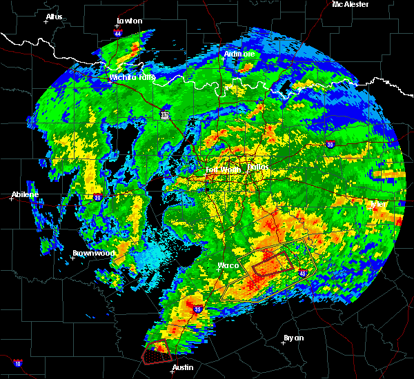 At 609 am cdt, a severe squall line capable of producing both tornadoes and extensive straight line wind damage was located near mexia, moving northeast at 55 mph (radar indicated rotation). Hazards include tornado and quarter size hail. Flying debris will be dangerous to those caught without shelter. mobile homes will be damaged or destroyed. damage to roofs, windows, and vehicles will occur. tree damage is likely. Locations impacted include, mexia, teague, fort parker state park and kirvin. At 609 am cdt, a severe squall line capable of producing both tornadoes and extensive straight line wind damage was located near mexia, moving northeast at 55 mph (radar indicated rotation). Hazards include tornado and quarter size hail. Flying debris will be dangerous to those caught without shelter. mobile homes will be damaged or destroyed. damage to roofs, windows, and vehicles will occur. tree damage is likely. Locations impacted include, mexia, teague, fort parker state park and kirvin.
|
| 4/12/2020 6:00 AM CDT |
 At 559 am cdt, a severe squall line capable of producing both tornadoes and extensive straight line wind damage was located over fort parker state park, or near mexia, moving northeast at 50 mph (radar indicated rotation). Hazards include tornado and quarter size hail. Flying debris will be dangerous to those caught without shelter. mobile homes will be damaged or destroyed. damage to roofs, windows, and vehicles will occur. tree damage is likely. Locations impacted include, mexia, groesbeck, teague, fort parker state park and kirvin. At 559 am cdt, a severe squall line capable of producing both tornadoes and extensive straight line wind damage was located over fort parker state park, or near mexia, moving northeast at 50 mph (radar indicated rotation). Hazards include tornado and quarter size hail. Flying debris will be dangerous to those caught without shelter. mobile homes will be damaged or destroyed. damage to roofs, windows, and vehicles will occur. tree damage is likely. Locations impacted include, mexia, groesbeck, teague, fort parker state park and kirvin.
|
| 4/12/2020 5:57 AM CDT |
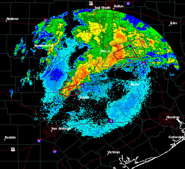 At 556 am cdt, severe thunderstorms were located along a line extending from near coolidge to near fort parker state park to near marlin, moving east at 40 mph (radar indicated). Hazards include 70 mph wind gusts and quarter size hail. Hail damage to vehicles is expected. expect considerable tree damage. wind damage is also likely to mobile homes, roofs, and outbuildings. locations impacted include, mexia, marlin, groesbeck, teague, fairfield, mart, wortham, coolidge, lott, golinda, fort parker state park, fairfield lake state park, thornton, kosse, tehuacana, streetman and kirvin. a tornado watch remains in effect until 800 am cdt for central texas. A tornado watch also remains in effect until noon cdt for central and north central texas. At 556 am cdt, severe thunderstorms were located along a line extending from near coolidge to near fort parker state park to near marlin, moving east at 40 mph (radar indicated). Hazards include 70 mph wind gusts and quarter size hail. Hail damage to vehicles is expected. expect considerable tree damage. wind damage is also likely to mobile homes, roofs, and outbuildings. locations impacted include, mexia, marlin, groesbeck, teague, fairfield, mart, wortham, coolidge, lott, golinda, fort parker state park, fairfield lake state park, thornton, kosse, tehuacana, streetman and kirvin. a tornado watch remains in effect until 800 am cdt for central texas. A tornado watch also remains in effect until noon cdt for central and north central texas.
|
| 4/12/2020 5:45 AM CDT |
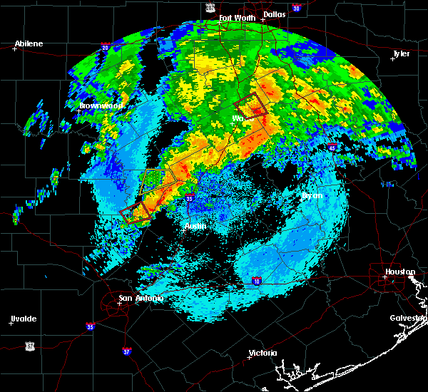 At 545 am cdt, severe thunderstorms capable of producing both tornadoes and extensive straight line wind damage were located near mart, or 10 miles west of groesbeck, moving east at 40 mph (radar indicated rotation). Hazards include tornado and quarter size hail. Flying debris will be dangerous to those caught without shelter. mobile homes will be damaged or destroyed. damage to roofs, windows, and vehicles will occur. tree damage is likely. these dangerous storms will be near, groesbeck and fort parker state park around 600 am cdt. teague around 625 am cdt. Other locations impacted by this tornadic thunderstorm include kirvin. At 545 am cdt, severe thunderstorms capable of producing both tornadoes and extensive straight line wind damage were located near mart, or 10 miles west of groesbeck, moving east at 40 mph (radar indicated rotation). Hazards include tornado and quarter size hail. Flying debris will be dangerous to those caught without shelter. mobile homes will be damaged or destroyed. damage to roofs, windows, and vehicles will occur. tree damage is likely. these dangerous storms will be near, groesbeck and fort parker state park around 600 am cdt. teague around 625 am cdt. Other locations impacted by this tornadic thunderstorm include kirvin.
|
| 4/12/2020 5:43 AM CDT |
 At 543 am cdt, severe thunderstorms were located along a line extending from 6 miles southwest of hubbard to near mart to near lott, moving east at 40 mph (radar indicated). Hazards include 70 mph wind gusts and quarter size hail. Hail damage to vehicles is expected. expect considerable tree damage. Wind damage is also likely to mobile homes, roofs, and outbuildings. At 543 am cdt, severe thunderstorms were located along a line extending from 6 miles southwest of hubbard to near mart to near lott, moving east at 40 mph (radar indicated). Hazards include 70 mph wind gusts and quarter size hail. Hail damage to vehicles is expected. expect considerable tree damage. Wind damage is also likely to mobile homes, roofs, and outbuildings.
|
| 6/9/2019 4:15 PM CDT | Quarter sized hail reported 0.9 miles ESE of Mexia, TX |
| 5/18/2019 5:59 PM CDT |
 At 559 pm cdt, a severe thunderstorm was located over fort parker state park, or near groesbeck, moving northeast at 40 mph (radar indicated). Hazards include 60 mph wind gusts and quarter size hail. Hail damage to vehicles is expected. Expect wind damage to roofs, siding, and trees. At 559 pm cdt, a severe thunderstorm was located over fort parker state park, or near groesbeck, moving northeast at 40 mph (radar indicated). Hazards include 60 mph wind gusts and quarter size hail. Hail damage to vehicles is expected. Expect wind damage to roofs, siding, and trees.
|
| 5/18/2019 4:59 PM CDT |
 The national weather service in fort worth has issued a * severe thunderstorm warning for. freestone county in central texas. limestone county in central texas. until 600 pm cdt. At 458 pm cdt, a severe thunderstorm was located near groesbeck,. The national weather service in fort worth has issued a * severe thunderstorm warning for. freestone county in central texas. limestone county in central texas. until 600 pm cdt. At 458 pm cdt, a severe thunderstorm was located near groesbeck,.
|
| 5/18/2019 4:38 PM CDT |
 At 437 pm cdt, a severe thunderstorm was located 10 miles northeast of marlin, moving northeast at 40 mph. another severe storm is located near teague, approaching fairfield (radar indicated). Hazards include golf ball size hail and 65 mph wind gusts. People and animals outdoors will be injured. expect hail damage to roofs, siding, windows, and vehicles. expect wind damage to roofs, siding, and trees. locations impacted include, mexia, marlin, groesbeck, teague, fairfield, mart, wortham, lott, golinda, fort parker state park, fairfield lake state park, thornton, oakwood, kosse, tehuacana, streetman and kirvin. a tornado watch remains in effect until 500 pm cdt for central and north central texas. A tornado watch also remains in effect until 800 pm cdt for central texas. At 437 pm cdt, a severe thunderstorm was located 10 miles northeast of marlin, moving northeast at 40 mph. another severe storm is located near teague, approaching fairfield (radar indicated). Hazards include golf ball size hail and 65 mph wind gusts. People and animals outdoors will be injured. expect hail damage to roofs, siding, windows, and vehicles. expect wind damage to roofs, siding, and trees. locations impacted include, mexia, marlin, groesbeck, teague, fairfield, mart, wortham, lott, golinda, fort parker state park, fairfield lake state park, thornton, oakwood, kosse, tehuacana, streetman and kirvin. a tornado watch remains in effect until 500 pm cdt for central and north central texas. A tornado watch also remains in effect until 800 pm cdt for central texas.
|
| 5/18/2019 4:23 PM CDT |
 At 422 pm cdt, a severe thunderstorm was located over marlin, moving northeast at 30 mph. this storm does have some rotation associated with it. additional severe thunderstorms were located from near groesbeck to fairfield, moving east at 30 mph (radar indicated). Hazards include 60 mph wind gusts and half dollar size hail. Hail damage to vehicles is expected. expect wind damage to roofs, siding, and trees. locations impacted include, mexia, marlin, groesbeck, teague, fairfield, mart, rosebud, wortham, lott, golinda, fort parker state park, fairfield lake state park, thornton, oakwood, kosse, tehuacana, streetman and kirvin. a tornado watch remains in effect until 500 pm cdt for central and north central texas. A tornado watch also remains in effect until 800 pm cdt for central texas. At 422 pm cdt, a severe thunderstorm was located over marlin, moving northeast at 30 mph. this storm does have some rotation associated with it. additional severe thunderstorms were located from near groesbeck to fairfield, moving east at 30 mph (radar indicated). Hazards include 60 mph wind gusts and half dollar size hail. Hail damage to vehicles is expected. expect wind damage to roofs, siding, and trees. locations impacted include, mexia, marlin, groesbeck, teague, fairfield, mart, rosebud, wortham, lott, golinda, fort parker state park, fairfield lake state park, thornton, oakwood, kosse, tehuacana, streetman and kirvin. a tornado watch remains in effect until 500 pm cdt for central and north central texas. A tornado watch also remains in effect until 800 pm cdt for central texas.
|
| 5/18/2019 4:05 PM CDT |
 At 405 pm cdt, a cluster of severe thunderstorms was located near wortham to west of groesbeck, moving northeast at 40 mph (radar indicated). Hazards include 60 mph wind gusts and quarter size hail. Hail damage to vehicles is expected. Expect wind damage to roofs, siding, and trees. At 405 pm cdt, a cluster of severe thunderstorms was located near wortham to west of groesbeck, moving northeast at 40 mph (radar indicated). Hazards include 60 mph wind gusts and quarter size hail. Hail damage to vehicles is expected. Expect wind damage to roofs, siding, and trees.
|
| 5/18/2019 3:58 PM CDT |
 At 358 pm cdt, a severe thunderstorm was located over lott, or 10 miles southwest of marlin, moving northeast at 40 mph (radar indicated). Hazards include 60 mph wind gusts and quarter size hail. Hail damage to vehicles is expected. expect wind damage to roofs, siding, and trees. locations impacted include, mexia, marlin, groesbeck, mart, rosebud, lott, golinda, fort parker state park, thornton and kosse. a tornado watch remains in effect until 500 pm cdt for central texas. A tornado watch also remains in effect until 800 pm cdt for central texas. At 358 pm cdt, a severe thunderstorm was located over lott, or 10 miles southwest of marlin, moving northeast at 40 mph (radar indicated). Hazards include 60 mph wind gusts and quarter size hail. Hail damage to vehicles is expected. expect wind damage to roofs, siding, and trees. locations impacted include, mexia, marlin, groesbeck, mart, rosebud, lott, golinda, fort parker state park, thornton and kosse. a tornado watch remains in effect until 500 pm cdt for central texas. A tornado watch also remains in effect until 800 pm cdt for central texas.
|
| 5/18/2019 3:37 PM CDT |
 At 337 pm cdt, severe thunderstorms were located along a line extending from near mart to 6 miles southeast of temple, moving east at 20 mph (radar indicated). Hazards include 60 mph wind gusts and quarter size hail. Hail damage to vehicles is expected. Expect wind damage to roofs, siding, and trees. At 337 pm cdt, severe thunderstorms were located along a line extending from near mart to 6 miles southeast of temple, moving east at 20 mph (radar indicated). Hazards include 60 mph wind gusts and quarter size hail. Hail damage to vehicles is expected. Expect wind damage to roofs, siding, and trees.
|
| 4/18/2019 1:00 AM CDT |
 At 100 am cdt, severe thunderstorms were located along a line extending from 7 miles south of barry to near coolidge to 8 miles southwest of groesbeck, moving east at 55 mph (radar indicated). Hazards include 60 mph wind gusts and quarter size hail. Hail damage to vehicles is expected. expect wind damage to roofs, siding, and trees. Locations impacted include, mexia, groesbeck, mart, hubbard, coolidge, blooming grove, dawson, barry, fort parker state park, frost, thornton, kosse, mount calm, tehuacana, malone and mertens. At 100 am cdt, severe thunderstorms were located along a line extending from 7 miles south of barry to near coolidge to 8 miles southwest of groesbeck, moving east at 55 mph (radar indicated). Hazards include 60 mph wind gusts and quarter size hail. Hail damage to vehicles is expected. expect wind damage to roofs, siding, and trees. Locations impacted include, mexia, groesbeck, mart, hubbard, coolidge, blooming grove, dawson, barry, fort parker state park, frost, thornton, kosse, mount calm, tehuacana, malone and mertens.
|
| 4/18/2019 12:44 AM CDT |
 At 1244 am cdt, severe thunderstorms were located along a line extending from 7 miles east of bynum to 9 miles north of mart to 6 miles northeast of marlin, moving east at 55 mph (radar indicated). Hazards include 60 mph wind gusts and quarter size hail. Hail damage to vehicles is expected. expect wind damage to roofs, siding, and trees. Locations impacted include, waco, bellmead, hillsboro, mexia, lacy-lakeview, marlin, groesbeck, west, mart, hubbard, riesel, coolidge, blooming grove, dawson, hallsburg, barry, bynum, fort parker state park, frost and thornton. At 1244 am cdt, severe thunderstorms were located along a line extending from 7 miles east of bynum to 9 miles north of mart to 6 miles northeast of marlin, moving east at 55 mph (radar indicated). Hazards include 60 mph wind gusts and quarter size hail. Hail damage to vehicles is expected. expect wind damage to roofs, siding, and trees. Locations impacted include, waco, bellmead, hillsboro, mexia, lacy-lakeview, marlin, groesbeck, west, mart, hubbard, riesel, coolidge, blooming grove, dawson, hallsburg, barry, bynum, fort parker state park, frost and thornton.
|
| 4/18/2019 12:24 AM CDT |
 At 1223 am cdt, severe thunderstorms were located along a line extending from 7 miles southwest of hillsboro to lacy-lakeview to near lorena, moving east at 55 mph (radar indicated. waco regional airport gusted to 60 mph winds). Hazards include 60 mph wind gusts and quarter size hail. Hail damage to vehicles is expected. Expect wind damage to roofs, siding, and trees. At 1223 am cdt, severe thunderstorms were located along a line extending from 7 miles southwest of hillsboro to lacy-lakeview to near lorena, moving east at 55 mph (radar indicated. waco regional airport gusted to 60 mph winds). Hazards include 60 mph wind gusts and quarter size hail. Hail damage to vehicles is expected. Expect wind damage to roofs, siding, and trees.
|
| 4/13/2019 12:50 PM CDT | Small trees 6-8" in diameter blown down fort parker area north of groesbec in limestone county TX, 5.6 miles NNE of Mexia, TX |
| 4/13/2019 12:54 AM CDT |
 The severe thunderstorm warning for north central limestone county will expire at 100 am cdt, the severe thunderstorm which prompted the warning has moved out of the warned area. therefore, the warning will be allowed to expire. The severe thunderstorm warning for north central limestone county will expire at 100 am cdt, the severe thunderstorm which prompted the warning has moved out of the warned area. therefore, the warning will be allowed to expire.
|
| 4/13/2019 12:46 AM CDT |
 At 1246 am cdt, a severe thunderstorm was located near fort parker state park, or near mexia, moving northeast at 25 mph (radar indicated). Hazards include quarter size hail. Damage to vehicles is possible. Locations impacted include, mexia and fort parker state park. At 1246 am cdt, a severe thunderstorm was located near fort parker state park, or near mexia, moving northeast at 25 mph (radar indicated). Hazards include quarter size hail. Damage to vehicles is possible. Locations impacted include, mexia and fort parker state park.
|
| 4/13/2019 12:05 AM CDT |
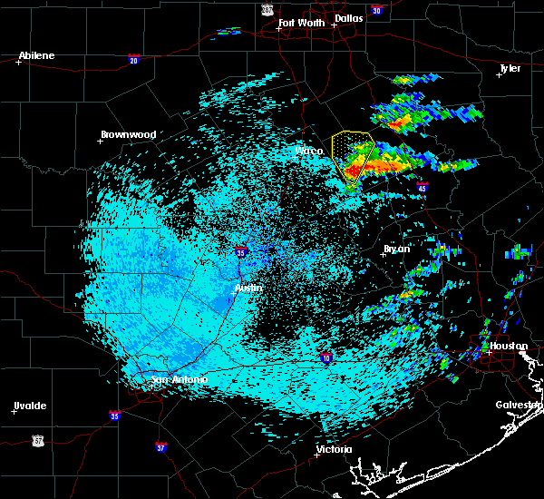 At 1205 am cdt, a severe thunderstorm was located 10 miles southeast of mart, or 11 miles southwest of groesbeck, moving north at 20 mph (radar indicated). Hazards include quarter size hail. damage to vehicles is possible At 1205 am cdt, a severe thunderstorm was located 10 miles southeast of mart, or 11 miles southwest of groesbeck, moving north at 20 mph (radar indicated). Hazards include quarter size hail. damage to vehicles is possible
|
| 3/14/2019 1:48 AM CDT |
 At 147 am cdt, a severe thunderstorm was located near wortham, or near mexia, moving east at 45 mph (radar indicated). Hazards include 60 mph wind gusts and nickel size hail. expect damage to roofs, siding, and trees At 147 am cdt, a severe thunderstorm was located near wortham, or near mexia, moving east at 45 mph (radar indicated). Hazards include 60 mph wind gusts and nickel size hail. expect damage to roofs, siding, and trees
|
| 11/12/2018 1:44 AM CST |
 At 143 am cst, a severe thunderstorm was located 7 miles southwest of groesbeck, moving northeast at 45 mph (radar indicated). Hazards include half dollar size hail. damage to vehicles is possible At 143 am cst, a severe thunderstorm was located 7 miles southwest of groesbeck, moving northeast at 45 mph (radar indicated). Hazards include half dollar size hail. damage to vehicles is possible
|
| 10/13/2018 3:51 PM CDT |
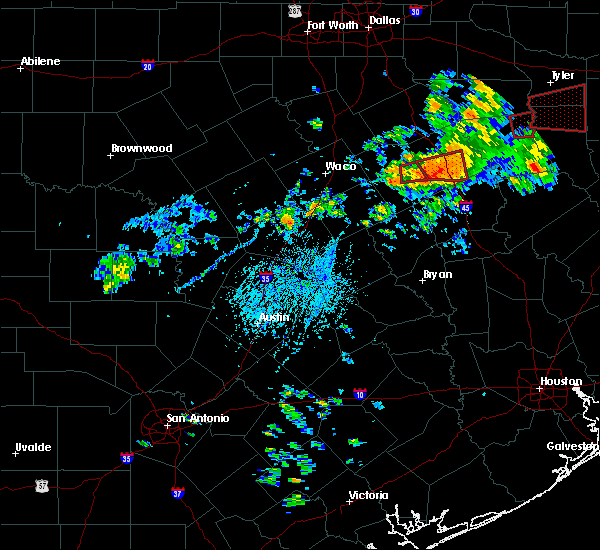 The tornado warning for east central limestone county will expire at 400 pm cdt, the storm which prompted the warning has moved out of the area. therefore the warning will be allowed to expire. a tornado watch remains in effect until 600 pm cdt for central texas. The tornado warning for east central limestone county will expire at 400 pm cdt, the storm which prompted the warning has moved out of the area. therefore the warning will be allowed to expire. a tornado watch remains in effect until 600 pm cdt for central texas.
|
| 10/13/2018 3:29 PM CDT |
 At 328 pm cdt, a severe thunderstorm capable of producing a tornado was located near mexia, moving east at 35 mph (radar indicated rotation). Hazards include tornado. Flying debris will be dangerous to those caught without shelter. mobile homes will be damaged or destroyed. damage to roofs, windows, and vehicles will occur. tree damage is likely. Locations impacted include, groesbeck. At 328 pm cdt, a severe thunderstorm capable of producing a tornado was located near mexia, moving east at 35 mph (radar indicated rotation). Hazards include tornado. Flying debris will be dangerous to those caught without shelter. mobile homes will be damaged or destroyed. damage to roofs, windows, and vehicles will occur. tree damage is likely. Locations impacted include, groesbeck.
|
| 10/13/2018 3:09 PM CDT |
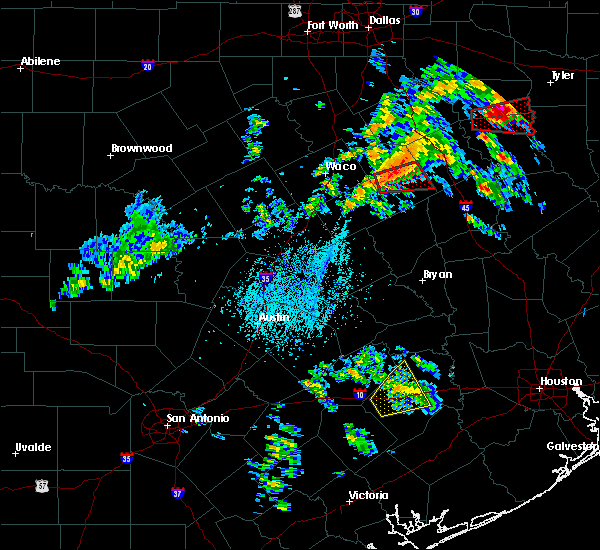 At 309 pm cdt, a severe thunderstorm capable of producing a tornado was located 7 miles west of groesbeck, moving east at 30 mph (radar indicated rotation). Hazards include tornado. Flying debris will be dangerous to those caught without shelter. mobile homes will be damaged or destroyed. damage to roofs, windows, and vehicles will occur. Tree damage is likely. At 309 pm cdt, a severe thunderstorm capable of producing a tornado was located 7 miles west of groesbeck, moving east at 30 mph (radar indicated rotation). Hazards include tornado. Flying debris will be dangerous to those caught without shelter. mobile homes will be damaged or destroyed. damage to roofs, windows, and vehicles will occur. Tree damage is likely.
|
| 8/11/2018 5:48 PM CDT |
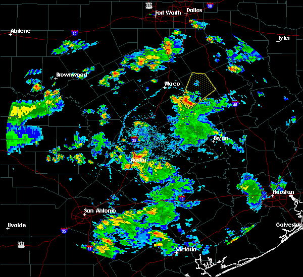 At 547 pm cdt, a severe thunderstorm was located 7 miles east of marlin, moving northeast at 20 mph (radar indicated). Hazards include 60 mph wind gusts and quarter size hail. Hail damage to vehicles is expected. Expect wind damage to roofs, siding, and trees. At 547 pm cdt, a severe thunderstorm was located 7 miles east of marlin, moving northeast at 20 mph (radar indicated). Hazards include 60 mph wind gusts and quarter size hail. Hail damage to vehicles is expected. Expect wind damage to roofs, siding, and trees.
|
| 4/13/2018 9:24 PM CDT |
 At 923 pm cdt, severe thunderstorms were located along a line extending from enchanted oaks to 10 miles south of trinidad to near teague, moving east at 35 mph (radar indicated). Hazards include 65 mph wind gusts and quarter size hail. Hail damage to vehicles is expected. expect wind damage to roofs, siding, and trees. locations impacted include, groesbeck, teague, fairfield, kerens, trinidad, fairfield lake state park, eureka, streetman, goodlow and kirvin. A tornado watch remains in effect until 1000 pm cdt for central and north central texas. At 923 pm cdt, severe thunderstorms were located along a line extending from enchanted oaks to 10 miles south of trinidad to near teague, moving east at 35 mph (radar indicated). Hazards include 65 mph wind gusts and quarter size hail. Hail damage to vehicles is expected. expect wind damage to roofs, siding, and trees. locations impacted include, groesbeck, teague, fairfield, kerens, trinidad, fairfield lake state park, eureka, streetman, goodlow and kirvin. A tornado watch remains in effect until 1000 pm cdt for central and north central texas.
|
| 4/13/2018 9:10 PM CDT |
 At 839 pm cdt, severe thunderstorms were located along a line extending from 7 miles northeast of barry to 6 miles north of wortham to 7 miles east of mart, moving east at 35 mph (radar indicated). Hazards include 60 mph wind gusts and quarter size hail. Hail damage to vehicles is expected. Expect wind damage to roofs, siding, and trees. At 839 pm cdt, severe thunderstorms were located along a line extending from 7 miles northeast of barry to 6 miles north of wortham to 7 miles east of mart, moving east at 35 mph (radar indicated). Hazards include 60 mph wind gusts and quarter size hail. Hail damage to vehicles is expected. Expect wind damage to roofs, siding, and trees.
|
| 4/13/2018 8:42 PM CDT |
 At 839 pm cdt, severe thunderstorms were located along a line extending from 7 miles northeast of barry to 6 miles north of wortham to 7 miles east of mart, moving east at 35 mph (radar indicated). Hazards include 60 mph wind gusts and quarter size hail. Hail damage to vehicles is expected. Expect wind damage to roofs, siding, and trees. At 839 pm cdt, severe thunderstorms were located along a line extending from 7 miles northeast of barry to 6 miles north of wortham to 7 miles east of mart, moving east at 35 mph (radar indicated). Hazards include 60 mph wind gusts and quarter size hail. Hail damage to vehicles is expected. Expect wind damage to roofs, siding, and trees.
|
| 4/13/2018 8:38 PM CDT |
 At 838 pm cdt, severe thunderstorms were located along a line extending from near barry to 8 miles east of dawson to near coolidge to near mart, moving east at 30 mph (radar indicated). Hazards include 60 mph wind gusts and quarter size hail. Hail damage to vehicles is expected. expect wind damage to roofs, siding, and trees. locations impacted include, corsicana, coolidge, blooming grove, dawson, angus, barry, navarro, retreat, oak valley, tehuacana, richland, emhouse and mustang. A tornado watch remains in effect until 1000 pm cdt for central and north central texas. At 838 pm cdt, severe thunderstorms were located along a line extending from near barry to 8 miles east of dawson to near coolidge to near mart, moving east at 30 mph (radar indicated). Hazards include 60 mph wind gusts and quarter size hail. Hail damage to vehicles is expected. expect wind damage to roofs, siding, and trees. locations impacted include, corsicana, coolidge, blooming grove, dawson, angus, barry, navarro, retreat, oak valley, tehuacana, richland, emhouse and mustang. A tornado watch remains in effect until 1000 pm cdt for central and north central texas.
|
| 4/13/2018 8:06 PM CDT |
 At 805 pm cdt, severe thunderstorms were located along a line extending from 8 miles northeast of bynum to near hubbard to 11 miles southwest of dawson to near bellmead, moving east at 35 mph (radar indicated). Hazards include golf ball size hail and 60 mph wind gusts. People and animals outdoors will be injured. expect hail damage to roofs, siding, windows, and vehicles. expect wind damage to roofs, siding, and trees. locations impacted include, waco, corsicana, bellmead, hubbard, coolidge, blooming grove, dawson, hallsburg, angus, barry, navarro, frost, retreat, oak valley, mount calm, tehuacana, richland, emhouse, mertens and mustang. A tornado watch remains in effect until 1000 pm cdt for central and north central texas. At 805 pm cdt, severe thunderstorms were located along a line extending from 8 miles northeast of bynum to near hubbard to 11 miles southwest of dawson to near bellmead, moving east at 35 mph (radar indicated). Hazards include golf ball size hail and 60 mph wind gusts. People and animals outdoors will be injured. expect hail damage to roofs, siding, windows, and vehicles. expect wind damage to roofs, siding, and trees. locations impacted include, waco, corsicana, bellmead, hubbard, coolidge, blooming grove, dawson, hallsburg, angus, barry, navarro, frost, retreat, oak valley, mount calm, tehuacana, richland, emhouse, mertens and mustang. A tornado watch remains in effect until 1000 pm cdt for central and north central texas.
|
| 4/13/2018 7:53 PM CDT |
 At 753 pm cdt, severe thunderstorms were located along a line extending from near carl`s corner to 7 miles east of bynum to 8 miles southwest of hubbard to beverly hills, moving east at 30 mph (radar indicated). Hazards include golf ball size hail and 60 mph wind gusts. People and animals outdoors will be injured. expect hail damage to roofs, siding, windows, and vehicles. Expect wind damage to roofs, siding, and trees. At 753 pm cdt, severe thunderstorms were located along a line extending from near carl`s corner to 7 miles east of bynum to 8 miles southwest of hubbard to beverly hills, moving east at 30 mph (radar indicated). Hazards include golf ball size hail and 60 mph wind gusts. People and animals outdoors will be injured. expect hail damage to roofs, siding, windows, and vehicles. Expect wind damage to roofs, siding, and trees.
|
| 4/3/2018 5:36 PM CDT | Quarter sized hail reported 4.6 miles N of Mexia, TX, on lcr 456 5 miles south of mexia |
| 4/3/2018 12:45 PM CDT |
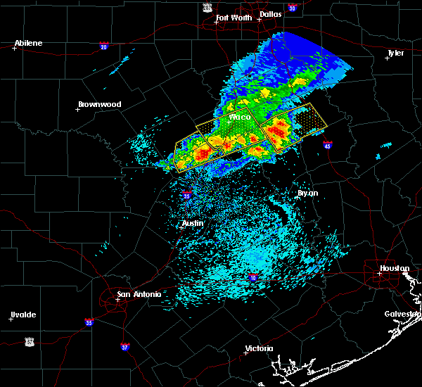 At 1245 pm cdt, a severe thunderstorm was located 7 miles south of groesbeck, moving east at 60 mph (radar indicated). Hazards include 60 mph wind gusts and quarter size hail. Hail damage to vehicles is expected. Expect wind damage to roofs, siding, and trees. At 1245 pm cdt, a severe thunderstorm was located 7 miles south of groesbeck, moving east at 60 mph (radar indicated). Hazards include 60 mph wind gusts and quarter size hail. Hail damage to vehicles is expected. Expect wind damage to roofs, siding, and trees.
|
| 3/18/2018 7:20 PM CDT |
 The severe thunderstorm warning for southeastern hill, north central limestone and southwestern navarro counties will expire at 730 pm cdt, the storm which prompted the warning has weakened below severe limits. therefore the warning will be allowed to expire. a severe thunderstorm watch remains in effect until 1100 pm cdt for central and north central texas. The severe thunderstorm warning for southeastern hill, north central limestone and southwestern navarro counties will expire at 730 pm cdt, the storm which prompted the warning has weakened below severe limits. therefore the warning will be allowed to expire. a severe thunderstorm watch remains in effect until 1100 pm cdt for central and north central texas.
|
| 3/18/2018 6:55 PM CDT |
 At 654 pm cdt, a severe thunderstorm was located near dawson, or 17 miles northwest of mexia, moving east at 35 mph (radar indicated). Hazards include 60 mph wind gusts and quarter size hail. Hail damage to vehicles is expected. expect wind damage to roofs, siding, and trees. Locations impacted include, mexia, hubbard, coolidge, dawson and tehuacana. At 654 pm cdt, a severe thunderstorm was located near dawson, or 17 miles northwest of mexia, moving east at 35 mph (radar indicated). Hazards include 60 mph wind gusts and quarter size hail. Hail damage to vehicles is expected. expect wind damage to roofs, siding, and trees. Locations impacted include, mexia, hubbard, coolidge, dawson and tehuacana.
|
| 3/18/2018 6:40 PM CDT |
 At 639 pm cdt, a severe thunderstorm was located near hubbard, or 17 miles northeast of lacy-lakeview, moving east at 30 mph (trained weather spotters). Hazards include two inch hail and 65 mph wind gusts. People and animals outdoors will be injured. expect hail damage to roofs, siding, windows, and vehicles. expect wind damage to roofs, siding, and trees. Locations impacted include, mexia, hubbard, coolidge, dawson, fort parker state park, mount calm, tehuacana, malone and penelope. At 639 pm cdt, a severe thunderstorm was located near hubbard, or 17 miles northeast of lacy-lakeview, moving east at 30 mph (trained weather spotters). Hazards include two inch hail and 65 mph wind gusts. People and animals outdoors will be injured. expect hail damage to roofs, siding, windows, and vehicles. expect wind damage to roofs, siding, and trees. Locations impacted include, mexia, hubbard, coolidge, dawson, fort parker state park, mount calm, tehuacana, malone and penelope.
|
| 3/18/2018 6:24 PM CDT |
 At 622 pm cdt, a severe thunderstorm was located near bynum, or 10 miles southeast of hillsboro, moving east at 35 mph (trained weather spotters). Hazards include tennis ball size hail and 65 mph wind gusts. People and animals outdoors will be injured. expect hail damage to roofs, siding, windows, and vehicles. Expect wind damage to roofs, siding, and trees. At 622 pm cdt, a severe thunderstorm was located near bynum, or 10 miles southeast of hillsboro, moving east at 35 mph (trained weather spotters). Hazards include tennis ball size hail and 65 mph wind gusts. People and animals outdoors will be injured. expect hail damage to roofs, siding, windows, and vehicles. Expect wind damage to roofs, siding, and trees.
|
| 7/24/2017 2:33 PM CDT |
 At 233 pm cdt, a severe thunderstorm was located over groesbeck, and is nearly stationary (radar indicated). Hazards include 60 mph wind gusts. expect damage to roofs, siding, and trees At 233 pm cdt, a severe thunderstorm was located over groesbeck, and is nearly stationary (radar indicated). Hazards include 60 mph wind gusts. expect damage to roofs, siding, and trees
|
| 5/3/2017 3:39 PM CDT | Quarter sized hail reported 4.6 miles N of Mexia, TX, quarter size hail south of mexia. |
| 5/3/2017 3:33 PM CDT |
 At 333 pm cdt, a severe thunderstorm with confirmed golf ball size hail was located over groesbeck, moving southeast at 45 mph (trained weather spotters). Hazards include golf ball size hail and 60 mph wind gusts. People and animals outdoors will be injured. expect hail damage to roofs, siding, windows, and vehicles. expect wind damage to roofs, siding, and trees. Locations impacted include, mexia, groesbeck, mart, fort parker state park, thornton and kosse. At 333 pm cdt, a severe thunderstorm with confirmed golf ball size hail was located over groesbeck, moving southeast at 45 mph (trained weather spotters). Hazards include golf ball size hail and 60 mph wind gusts. People and animals outdoors will be injured. expect hail damage to roofs, siding, windows, and vehicles. expect wind damage to roofs, siding, and trees. Locations impacted include, mexia, groesbeck, mart, fort parker state park, thornton and kosse.
|
| 5/3/2017 3:29 PM CDT | Golf Ball sized hail reported 0.9 miles ESE of Mexia, TX, golf ball size hail in mexia. |
| 5/3/2017 3:20 PM CDT |
 At 319 pm cdt, a severe thunderstorm with confirmed large hail was located over coolidge, or 8 miles west of mexia, moving east at 35 mph (trained weather spotters). Hazards include 60 mph wind gusts and half dollar size hail. Hail damage to vehicles is expected. expect wind damage to roofs, siding, and trees. Locations impacted include, mexia, coolidge, fort parker state park and tehuacana. At 319 pm cdt, a severe thunderstorm with confirmed large hail was located over coolidge, or 8 miles west of mexia, moving east at 35 mph (trained weather spotters). Hazards include 60 mph wind gusts and half dollar size hail. Hail damage to vehicles is expected. expect wind damage to roofs, siding, and trees. Locations impacted include, mexia, coolidge, fort parker state park and tehuacana.
|
| 5/3/2017 3:16 PM CDT |
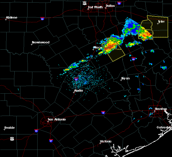 At 316 pm cdt, a severe thunderstorm was located 9 miles northeast of mart, or 13 miles northwest of groesbeck, moving southeast at 40 mph (radar indicated). Hazards include 60 mph wind gusts and quarter size hail. Hail damage to vehicles is expected. Expect wind damage to roofs, siding, and trees. At 316 pm cdt, a severe thunderstorm was located 9 miles northeast of mart, or 13 miles northwest of groesbeck, moving southeast at 40 mph (radar indicated). Hazards include 60 mph wind gusts and quarter size hail. Hail damage to vehicles is expected. Expect wind damage to roofs, siding, and trees.
|
| 5/3/2017 3:00 PM CDT |
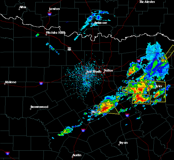 At 259 pm cdt, a severe thunderstorm with confirmed large hail was located near mount calm, moving east at 30 mph (trained weather spotters). Hazards include ping pong ball size hail and 60 mph wind gusts. People and animals outdoors will be injured. expect hail damage to roofs, siding, windows, and vehicles. expect wind damage to roofs, siding, and trees. Locations impacted include, mexia, coolidge, dawson, fort parker state park and tehuacana. At 259 pm cdt, a severe thunderstorm with confirmed large hail was located near mount calm, moving east at 30 mph (trained weather spotters). Hazards include ping pong ball size hail and 60 mph wind gusts. People and animals outdoors will be injured. expect hail damage to roofs, siding, windows, and vehicles. expect wind damage to roofs, siding, and trees. Locations impacted include, mexia, coolidge, dawson, fort parker state park and tehuacana.
|
| 5/3/2017 2:44 PM CDT |
 At 243 pm cdt, a severe thunderstorm was located 8 miles southwest of hubbard, or 15 miles northeast of lacy-lakeview, moving east at 35 mph (radar indicated). Hazards include ping pong ball size hail and 60 mph wind gusts. People and animals outdoors will be injured. expect hail damage to roofs, siding, windows, and vehicles. Expect wind damage to roofs, siding, and trees. At 243 pm cdt, a severe thunderstorm was located 8 miles southwest of hubbard, or 15 miles northeast of lacy-lakeview, moving east at 35 mph (radar indicated). Hazards include ping pong ball size hail and 60 mph wind gusts. People and animals outdoors will be injured. expect hail damage to roofs, siding, windows, and vehicles. Expect wind damage to roofs, siding, and trees.
|
| 4/10/2017 11:07 PM CDT |
 At 1106 pm cdt, a severe thunderstorm was located near groesbeck, moving east at 15 mph (radar indicated). Hazards include ping pong ball size hail and 60 mph wind gusts. People and animals outdoors will be injured. expect hail damage to roofs, siding, windows, and vehicles. Expect wind damage to roofs, siding, and trees. At 1106 pm cdt, a severe thunderstorm was located near groesbeck, moving east at 15 mph (radar indicated). Hazards include ping pong ball size hail and 60 mph wind gusts. People and animals outdoors will be injured. expect hail damage to roofs, siding, windows, and vehicles. Expect wind damage to roofs, siding, and trees.
|
| 4/2/2017 11:47 AM CDT | At 1146 am cdt, severe thunderstorms were located along a line extending from mexia to madisonville, moving northeast at 45 mph (radar indicated). Hazards include 60 mph wind gusts and penny size hail. Expect damage to roofs, siding, and trees. locations impacted include, mexia, teague, fairfield, buffalo, centerville, jewett, marquez and leona. A tornado watch remains in effect until 100 pm cdt for central texas. |
| 4/2/2017 11:15 AM CDT | At 1115 am cdt, severe thunderstorms were located along a line extending from near riesel to 6 miles northeast of college station, moving northeast at 50 mph (radar indicated). Hazards include 60 mph wind gusts. expect damage to roofs, siding, and trees |
| 1/1/0001 12:00 AM | Damage occurred to the mexia state supported living center near hwy 171 and fm 2838. six bldgs were damaged... roof panels were torn off... and portable bldgs shifted o in limestone county TX, 2.6 miles SE of Mexia, TX |
| 1/2/2017 5:28 AM CST |
 At 527 am cst, severe thunderstorms were located along a line extending from near wortham to 8 miles north of franklin to 11 miles southeast of cameron, moving east at 50 mph (radar indicated). Hazards include 60 mph wind gusts. Expect damage to roofs, siding, and trees. severe thunderstorms will be near, mexia, franklin and wortham around 530 am cst. hearne around 540 am cst. fairfield around 555 am cst. fairfield lake state park around 600 am cst. centerville around 605 am cst. other locations impacted by these severe thunderstorms include leona, marquez, tehuacana, kirvin, thornton, streetman, jewett, normangee and oakwood. This includes interstate 45 between mile markers 152 and 212. At 527 am cst, severe thunderstorms were located along a line extending from near wortham to 8 miles north of franklin to 11 miles southeast of cameron, moving east at 50 mph (radar indicated). Hazards include 60 mph wind gusts. Expect damage to roofs, siding, and trees. severe thunderstorms will be near, mexia, franklin and wortham around 530 am cst. hearne around 540 am cst. fairfield around 555 am cst. fairfield lake state park around 600 am cst. centerville around 605 am cst. other locations impacted by these severe thunderstorms include leona, marquez, tehuacana, kirvin, thornton, streetman, jewett, normangee and oakwood. This includes interstate 45 between mile markers 152 and 212.
|
| 5/10/2016 9:02 PM CDT | Tree blown down onto a house in limestone county TX, 0.9 miles ESE of Mexia, TX |
| 5/10/2016 9:00 PM CDT | 50 to 60 mph winds near mexia in limestone county TX, 0.9 miles ESE of Mexia, TX |
| 5/10/2016 8:44 PM CDT |
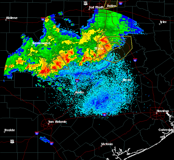 At 843 pm cdt, severe thunderstorms were located along a line extending from hubbard to 7 miles northeast of mart to near golinda, moving east at 45 mph (radar indicated). Hazards include 65 mph wind gusts and quarter size hail. Hail damage to vehicles is expected. expect wind damage to roofs, siding, and trees. severe thunderstorms will be near, dawson around 850 pm cdt. coolidge around 855 pm cdt. groesbeck and fort parker state park around 900 pm cdt. mexia around 905 pm cdt. wortham around 910 pm cdt. teague around 920 pm cdt. fairfield around 935 pm cdt. other locations impacted by these severe thunderstorms include kosse, richland, tehuacana, kirvin, thornton, streetman and eureka. This includes interstate 45 between mile markers 188 and 222. At 843 pm cdt, severe thunderstorms were located along a line extending from hubbard to 7 miles northeast of mart to near golinda, moving east at 45 mph (radar indicated). Hazards include 65 mph wind gusts and quarter size hail. Hail damage to vehicles is expected. expect wind damage to roofs, siding, and trees. severe thunderstorms will be near, dawson around 850 pm cdt. coolidge around 855 pm cdt. groesbeck and fort parker state park around 900 pm cdt. mexia around 905 pm cdt. wortham around 910 pm cdt. teague around 920 pm cdt. fairfield around 935 pm cdt. other locations impacted by these severe thunderstorms include kosse, richland, tehuacana, kirvin, thornton, streetman and eureka. This includes interstate 45 between mile markers 188 and 222.
|
| 5/10/2016 8:41 PM CDT |
 At 840 pm cdt, severe thunderstorms were located along a line extending from hubbard to 7 miles northeast of mart to near riesel, moving east at 30 mph (radar indicated). Hazards include 65 mph wind gusts and quarter size hail. Hail damage to vehicles is expected. expect wind damage to roofs, siding, and trees. these severe storms will be near, coolidge around 855 pm cdt. Other locations impacted by these severe thunderstorms include mount calm, mertens, malone, tehuacana, leroy and penelope. At 840 pm cdt, severe thunderstorms were located along a line extending from hubbard to 7 miles northeast of mart to near riesel, moving east at 30 mph (radar indicated). Hazards include 65 mph wind gusts and quarter size hail. Hail damage to vehicles is expected. expect wind damage to roofs, siding, and trees. these severe storms will be near, coolidge around 855 pm cdt. Other locations impacted by these severe thunderstorms include mount calm, mertens, malone, tehuacana, leroy and penelope.
|
| 5/10/2016 8:10 PM CDT |
 At 809 pm cdt, severe thunderstorms were located along a line extending from 6 miles south of bynum to near waco to beverly hills, moving east at 45 mph (radar indicated. winds in excess of 70 mph have been reported at the waco airport). Hazards include 70 mph wind gusts and quarter size hail. Hail damage to vehicles is expected. expect considerable tree damage. wind damage is also likely to mobile homes, roofs, and outbuildings. these severe storms will be near, bynum around 815 pm cdt. hubbard and riesel around 825 pm cdt. mart around 835 pm cdt. coolidge around 840 pm cdt. mexia around 850 pm cdt. Other locations impacted by these severe thunderstorms include mount calm, abbott, tehuacana, aquilla, penelope, mertens, malone, gholson, ross and leroy. At 809 pm cdt, severe thunderstorms were located along a line extending from 6 miles south of bynum to near waco to beverly hills, moving east at 45 mph (radar indicated. winds in excess of 70 mph have been reported at the waco airport). Hazards include 70 mph wind gusts and quarter size hail. Hail damage to vehicles is expected. expect considerable tree damage. wind damage is also likely to mobile homes, roofs, and outbuildings. these severe storms will be near, bynum around 815 pm cdt. hubbard and riesel around 825 pm cdt. mart around 835 pm cdt. coolidge around 840 pm cdt. mexia around 850 pm cdt. Other locations impacted by these severe thunderstorms include mount calm, abbott, tehuacana, aquilla, penelope, mertens, malone, gholson, ross and leroy.
|
| 5/10/2016 7:57 PM CDT |
 At 756 pm cdt, a severe thunderstorm was located over beverly hills, or near waco, moving east at 35 mph. a 67 mph wind gust was reported at waco regional airport over the last few minutes (radar indicated). Hazards include 65 mph wind gusts and quarter size hail. Hail damage to vehicles is expected. expect wind damage to roofs, siding, and trees. this severe thunderstorm will be near, robinson around 800 pm cdt. hallsburg around 815 pm cdt. riesel around 820 pm cdt. mart around 825 pm cdt. Other locations impacted by this severe thunderstorm include mount calm, abbott, tehuacana, aquilla, penelope, mertens, malone, gholson, ross and leroy. At 756 pm cdt, a severe thunderstorm was located over beverly hills, or near waco, moving east at 35 mph. a 67 mph wind gust was reported at waco regional airport over the last few minutes (radar indicated). Hazards include 65 mph wind gusts and quarter size hail. Hail damage to vehicles is expected. expect wind damage to roofs, siding, and trees. this severe thunderstorm will be near, robinson around 800 pm cdt. hallsburg around 815 pm cdt. riesel around 820 pm cdt. mart around 825 pm cdt. Other locations impacted by this severe thunderstorm include mount calm, abbott, tehuacana, aquilla, penelope, mertens, malone, gholson, ross and leroy.
|
| 11/5/2015 4:52 PM CST |
 At 452 pm cst, a severe thunderstorm was located near mexia, moving northeast at 35 mph (radar indicated). Hazards include ping pong ball size hail and 60 mph wind gusts. People and animals outdoors will be injured. expect hail damage to roofs, siding, windows and vehicles. Expect wind damage to roofs, siding and trees. At 452 pm cst, a severe thunderstorm was located near mexia, moving northeast at 35 mph (radar indicated). Hazards include ping pong ball size hail and 60 mph wind gusts. People and animals outdoors will be injured. expect hail damage to roofs, siding, windows and vehicles. Expect wind damage to roofs, siding and trees.
|
| 5/27/2015 1:28 AM CDT | At 127 am cdt, severe thunderstorms were located along a line extending from 10 miles south of teague to 9 miles northeast of bremond, moving southeast at 35 mph (radar indicated). Hazards include 60 mph wind gusts. Expect damage to roofs. siding and trees. Locations impacted include, mexia, groesbeck, fort parker state park, thornton and kosse. |
| 5/27/2015 1:14 AM CDT | At 114 am cdt, severe thunderstorms were located along a line extending from near teague to kosse, moving southeast at 35 mph (radar indicated). Hazards include 60 mph wind gusts. Expect damage to roofs. siding and trees. These severe thunderstorms will remain over mainly rural areas of limestone and northeastern falls counties, including the following locations, thornton, tehuacana and kosse. |
| 5/27/2015 12:46 AM CDT | At 1246 am cdt, severe thunderstorms were located along a line extending from near wortham to riesel, moving southeast at 35 mph (radar indicated). Hazards include 60 mph wind gusts. Expect damage to roofs. siding and trees. severe thunderstorms will be near, mexia around 100 am cdt. other locations impacted by these severe thunderstorms include thornton, tehuacana and kosse. This includes interstate 35 near mile marker 340. |
| 5/25/2015 4:50 PM CDT | Minor structural damage lcr 433 and lcr 439 in limestone county TX, 4 miles NNW of Mexia, TX |
| 5/25/2015 4:40 PM CDT | At 440 pm cdt, severe thunderstorms were located along a line extending from near coolidge to 14 miles south of groesbeck, moving northeast at 35 mph (radar indicated). Hazards include 60 mph wind gusts. Expect damage to roofs. Siding and trees. |
| 5/25/2015 3:38 PM CDT | At 337 pm cdt, a severe thunderstorm was located near mexia, moving northeast at 35 mph (radar indicated). Hazards include 60 mph wind gusts. Expect damage to roofs. Siding and trees. |
| 5/25/2015 3:01 PM CDT | At 300 pm cdt, a severe thunderstorm was located near groesbeck, moving north at 30 mph. another strong storm was located south of coolidge, also moving north (radar indicated). Hazards include 60 mph wind gusts. Expect damage to roofs. siding and trees. locations impacted include, mexia, groesbeck, mart, coolidge, fort parker state park, thornton, kosse and tehuacana. a tornado watch remains in effect until 600 pm cdt for central texas. A tornado watch also remains in effect until 1000 pm cdt for central texas. |
| 5/25/2015 2:37 PM CDT | At 236 pm cdt, a severe thunderstorm was located 11 miles northeast of bremond, or 17 miles south of groesbeck, moving north at 35 mph (radar indicated). Hazards include 60 mph wind gusts. Expect damage to roofs. Siding and trees. |
| 4/27/2015 1:40 AM CDT | The severe thunderstorm warning for limestone county will expire at 145 am cdt, the storm which prompted the warning has weakened below severe limits, and no longer pose an immediate threat to life or property. therefore the warning will be allowed to expire. however heavy rain that may lead to flooding is still possible with this thunderstorm. |
| 4/27/2015 1:20 AM CDT | At 120 am cdt, a severe thunderstorm was located near coolidge, or 10 miles west of mexia, moving east at 25 mph (radar indicated). Hazards include 60 mph wind gusts and quarter size hail. Hail damage to vehicles is expected. expect wind damage to roofs, siding and trees. locations impacted include, mexia, groesbeck, mart, coolidge, fort parker state park, thornton and tehuacana. a tornado watch remains in effect until 500 am cdt for north central texas. 1. 00in. |
| 4/27/2015 12:58 AM CDT | At 1258 am cdt, a severe thunderstorm was located 9 miles southwest of coolidge, or 18 miles east of bellmead, moving east at 25 mph (radar indicated). Hazards include 60 mph wind gusts and quarter size hail. Hail damage to vehicles is expected. Expect wind damage to roofs, siding and trees. |
| 4/24/2015 9:25 PM CDT | At 925 pm cdt, a severe thunderstorm was located 11 miles southeast of navarro, or 11 miles northwest of fairfield, moving east at 50 mph (radar indicated). Hazards include 65 mph wind gusts and quarter size hail. Hail damage to vehicles is expected. expect wind damage to roofs, siding and trees. locations impacted include, corsicana, mexia, fairfield, kerens, wortham, angus, navarro, fairfield lake state park, retreat, oak valley, mildred, eureka, tehuacana, richland, streetman, goodlow, powell, kirvin and mustang. this includes interstate 45 between mile markers 197 and 231. a tornado watch remains in effect until 1000 pm cdt for north central texas. 1. 00in. |
| 4/24/2015 8:57 PM CDT | At 857 pm cdt, a severe thunderstorm was located near coolidge, or 15 miles northwest of mexia, moving east at 45 mph (radar indicated). Hazards include 60 mph wind gusts and quarter size hail. Hail damage to vehicles is expected. Expect wind damage to roofs, siding and trees. |
| 4/13/2015 5:40 PM CDT | The national weather service in fort worth has issued a * severe thunderstorm warning for. central limestone county in north central texas. freestone county in north central texas. northwestern anderson county in northeastern texas. Until 630 pm cdt. |
| 4/9/2015 10:32 PM CDT | The national weather service in fort worth has issued a * severe thunderstorm warning for. northeastern falls county in north central texas. eastern mclennan county in north central texas. central limestone county in north central texas. Until 1130 pm cdt. |
| 4/9/2015 6:38 PM CDT | A severe thunderstorm warning remains in effect until 645 pm cdt for northeastern limestone and freestone counties. at 636 pm cdt. a severe thunderstorm was located near buffalo. or 15 miles southeast of fairfield. moving east at 20 mph. hazard. 60 mph wind gusts and quarter size hail. source. Radar indicated. |
| 4/9/2015 6:19 PM CDT | A severe thunderstorm warning remains in effect until 645 pm cdt for northeastern limestone and freestone counties. at 618 pm cdt. a severe thunderstorm was located 6 miles northwest of buffalo. or 11 miles southeast of teague. moving east at 25 mph. hazard. tennis ball size hail and 60 mph wind gusts. source. Radar indicated. |
| 4/9/2015 5:51 PM CDT | A severe thunderstorm warning remains in effect until 645 pm cdt for eastern limestone and freestone counties. at 550 pm cdt. a severe thunderstorm was located near teague. moving east at 20 mph. hazard. tennis ball size hail and 60 mph wind gusts. source. Radar indicated. |
| 4/9/2015 5:40 PM CDT | The national weather service in fort worth has issued a * severe thunderstorm warning for. eastern limestone county in north central texas. freestone county in north central texas. until 645 pm cdt * at 539 pm cdt. A severe thunderstorm was located near teague. |
| 4/9/2015 5:09 PM CDT | A severe thunderstorm warning remains in effect until 545 pm cdt for northeastern limestone and western freestone counties. at 508 pm cdt. a severe thunderstorm was located near mexia. moving east at 35 mph. hazard. ping pong ball size hail and 60 mph wind gusts. source. Radar indicated. |
| 4/9/2015 4:58 PM CDT | The national weather service in fort worth has issued a * severe thunderstorm warning for. northeastern limestone county in north central texas. western freestone county in north central texas. until 545 pm cdt * at 457 pm cdt. A severe thunderstorm was located over fort parker. |
| 4/9/2015 4:43 PM CDT | A severe thunderstorm warning remains in effect until 500 pm cdt for northwestern limestone county. at 441 pm cdt. a new severe thunderstorm was developing near fort parker state park. or 10 miles northwest of groesbeck. moving northeast at 45 mph. hazard. Ping pong ball size hail and 60 mph wind gusts. |
| 4/9/2015 4:22 PM CDT | A severe thunderstorm warning remains in effect until 500 pm cdt for northwestern limestone county. at 420 pm cdt. a severe thunderstorm was located 8 miles southwest of coolidge. or 15 miles northwest of groesbeck. moving east at 25 mph. hazard. Ping pong ball size hail and 60 mph wind gusts. |
| 4/9/2015 3:59 PM CDT | The national weather service in fort worth has issued a * severe thunderstorm warning for. east central mclennan county in north central texas. northwestern limestone county in north central texas. until 500 pm cdt * at 358 pm cdt. Doppler radar indicated a severe thunderstorm. |
| 4/14/2014 10:40 AM CDT | Quarter sized hail reported 0.9 miles ESE of Mexia, TX, report relayed by limestone county sheriffs office. spotters reported dime to quarter size hail in mexia. |
| 1/1/0001 12:00 AM | Multiple trees down along west bound lanes of hwy 84 between lake mexia and fm 124 in limestone county TX, 3.8 miles E of Mexia, TX |
| 1/1/0001 12:00 AM | Golf Ball sized hail reported 7.2 miles S of Mexia, TX, golfball size hail fell 1w of wortham. |
| 1/1/0001 12:00 AM | Golf Ball sized hail reported 2.2 miles ESE of Mexia, TX, golfball size hail reported west side of mexia. |
| 1/1/0001 12:00 AM | Golf Ball sized hail reported 0.9 miles ESE of Mexia, TX, golfball size hail reported in mexia. |
| 1/1/0001 12:00 AM | Quarter sized hail reported 0.9 miles ESE of Mexia, TX, quarter size hail reported in mexia. |
Hail Maps for Mexia, TX


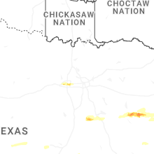
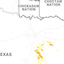
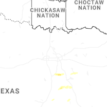
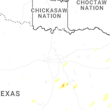
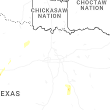


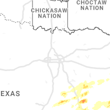


Connect with Interactive Hail Maps