

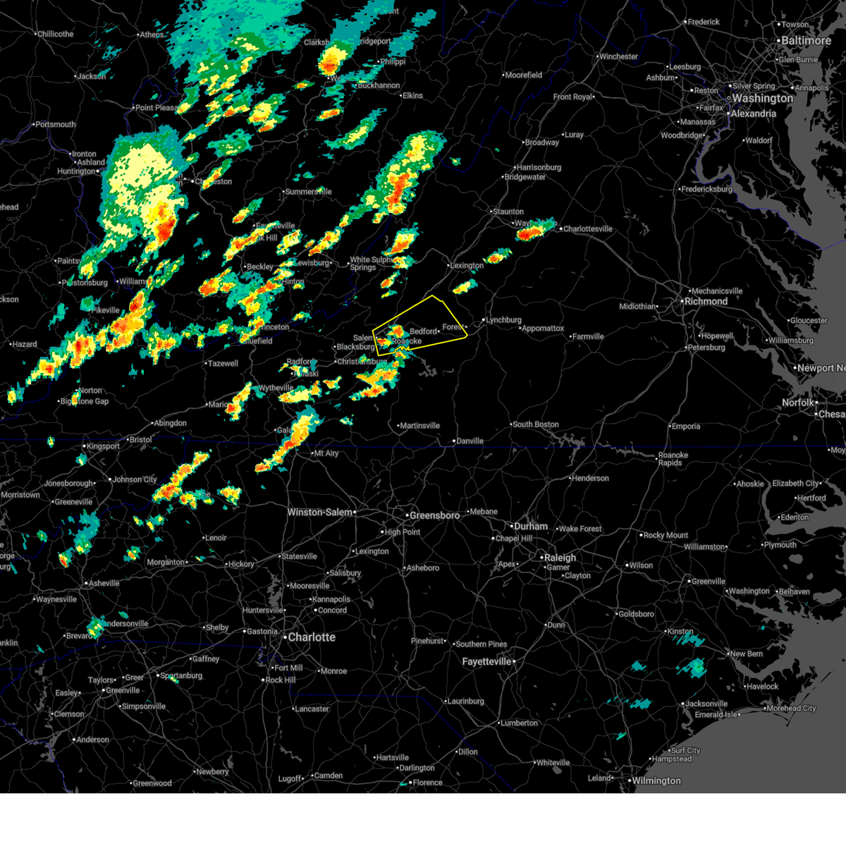
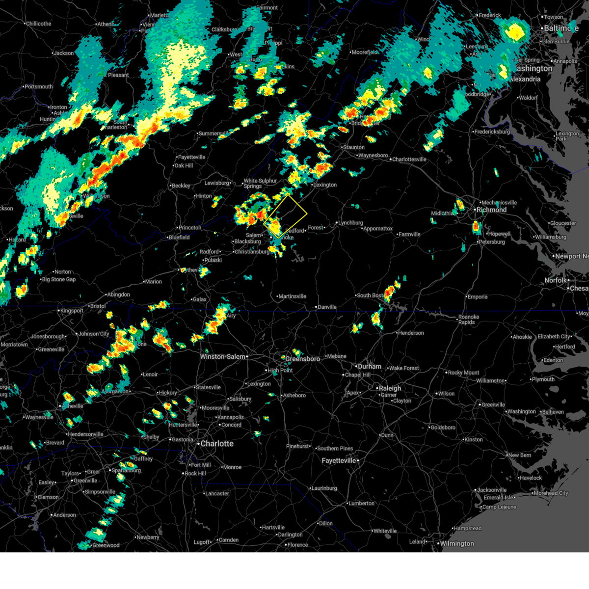
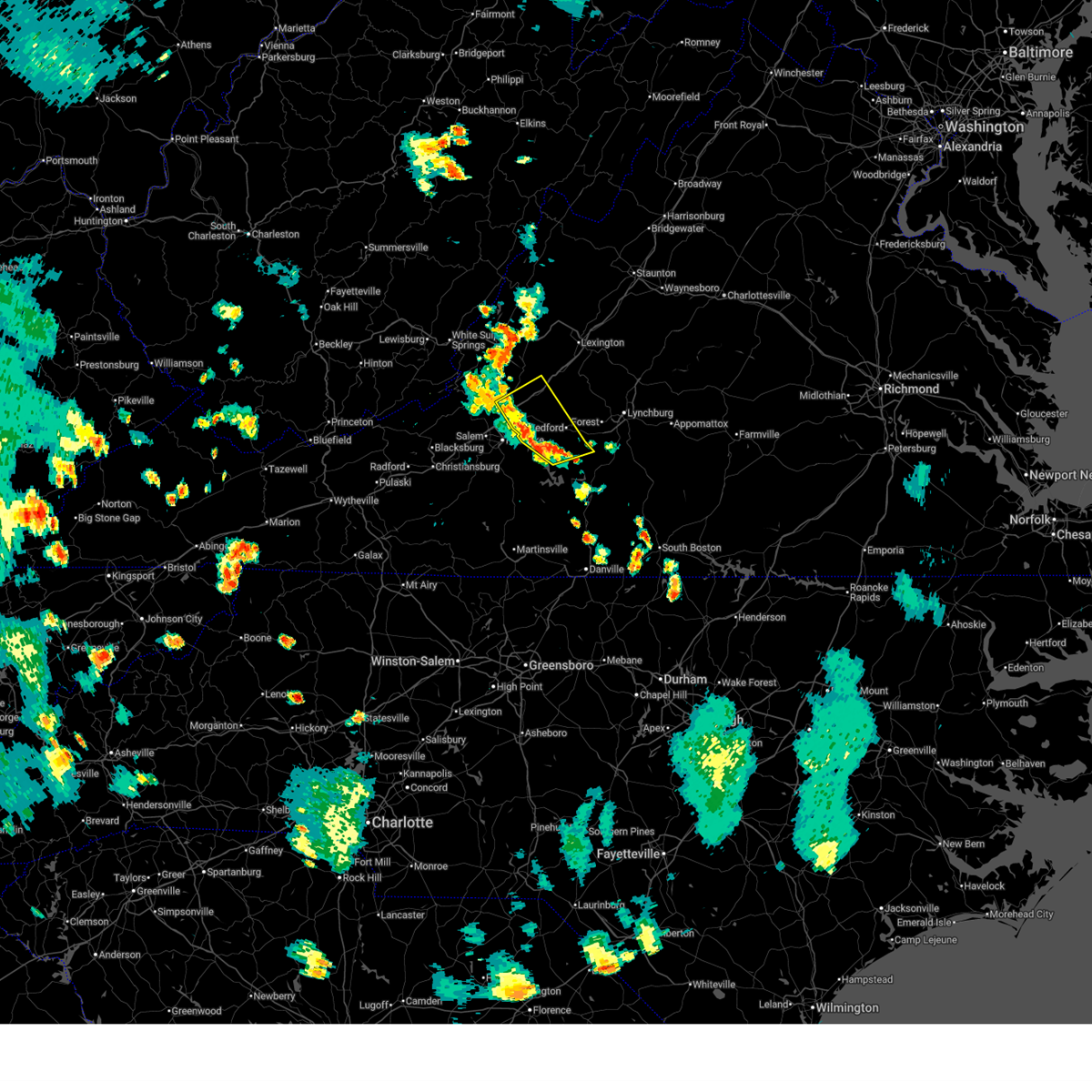
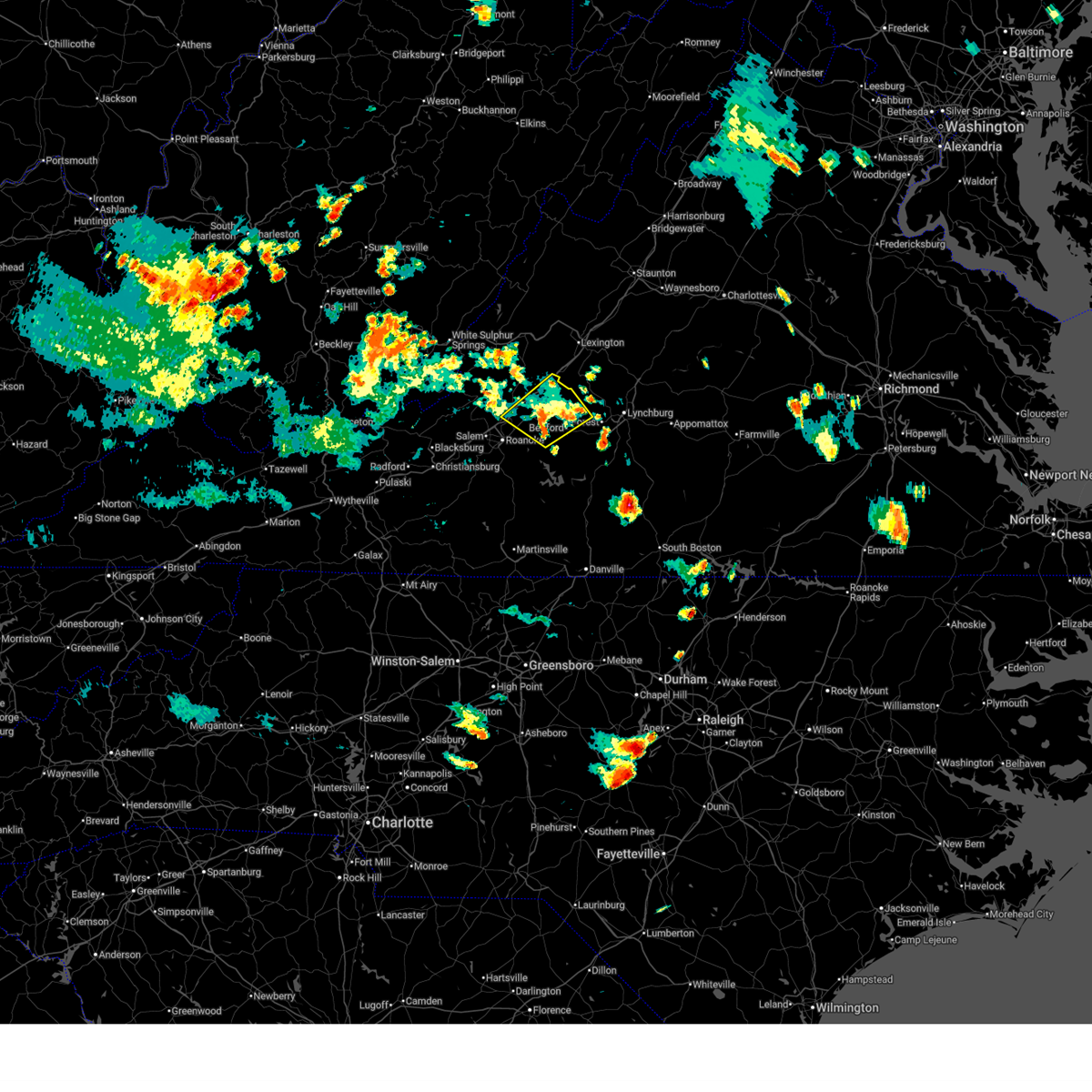
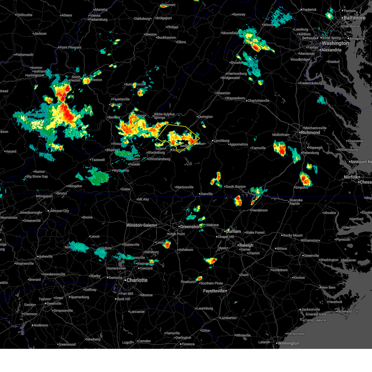
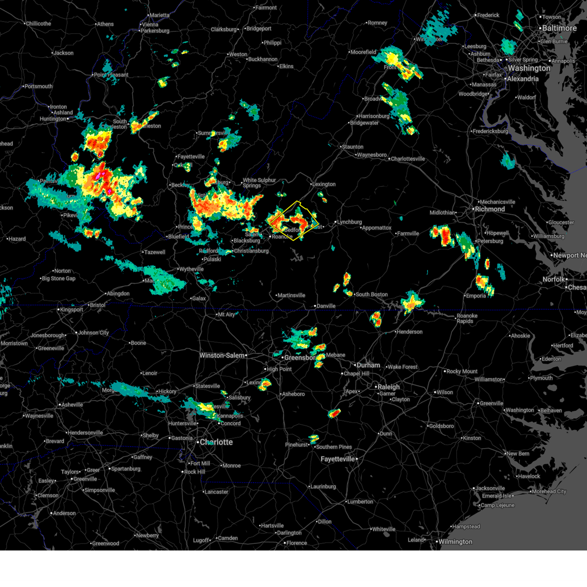
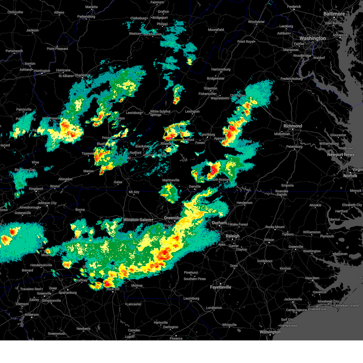
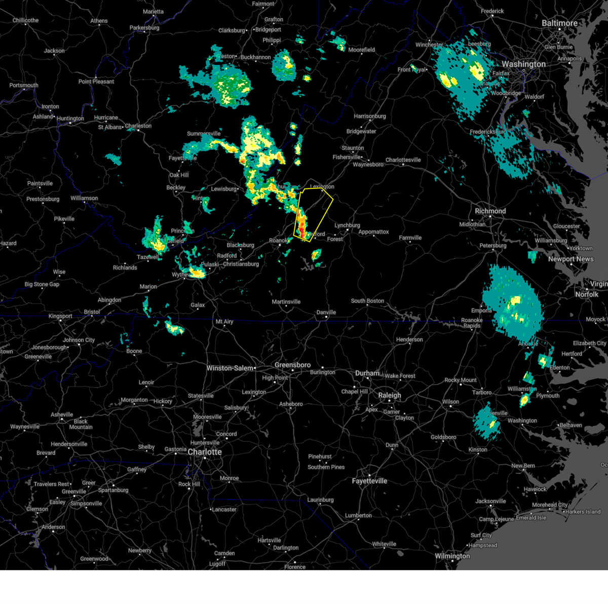
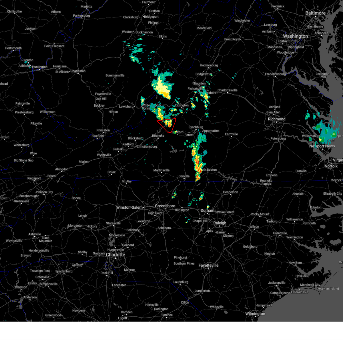
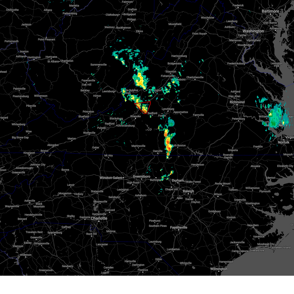
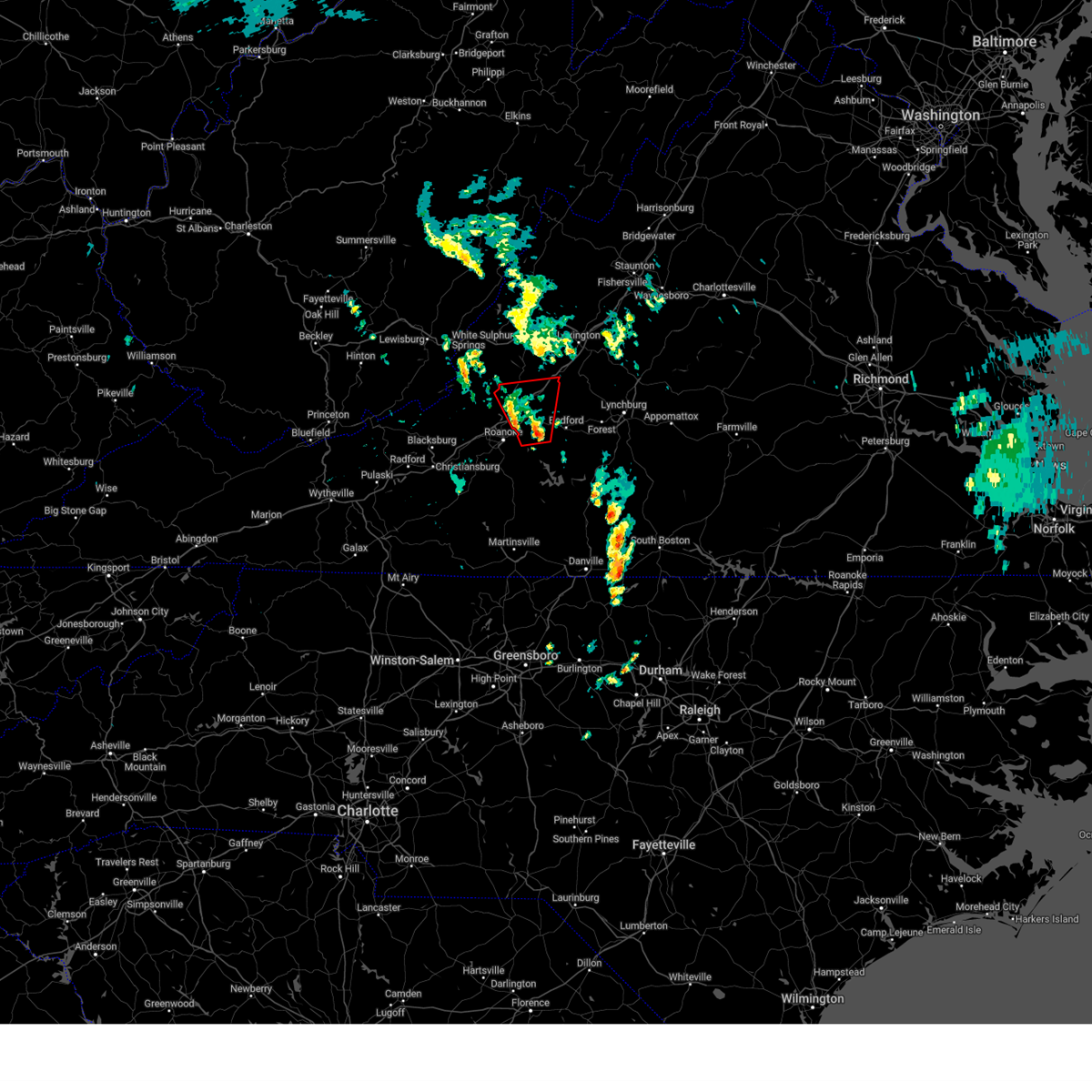
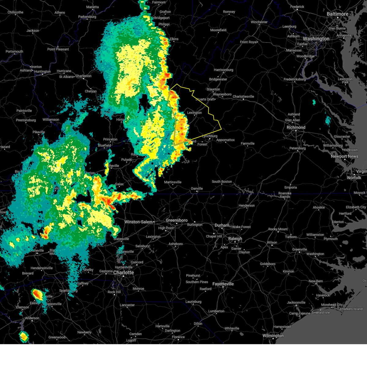
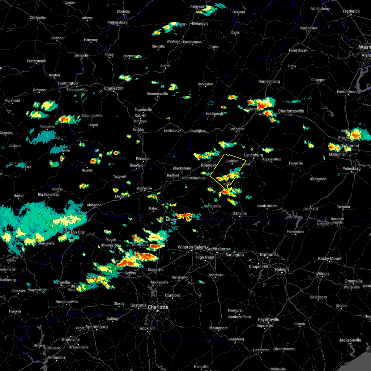
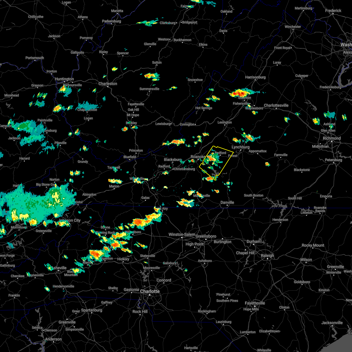
Hail Map for Montvale, VA
The Montvale, VA area has had 0 reports of on-the-ground hail by trained spotters, and has been under severe weather warnings 31 times during the past 12 months. Doppler radar has detected hail at or near Montvale, VA on 51 occasions, including 5 occasions during the past year.
| Name: | Montvale, VA |
| Where Located: | 14.2 miles ENE of Roanoke, VA |
| Map: | Google Map for Montvale, VA |
| Population: | 698 |
| Housing Units: | 328 |
| More Info: | Search Google for Montvale, VA |
0
The Top Recent Hail Date for Montvale, VA is Wednesday, July 9, 2025 (50th out of 51)

Hail and Wind Damage Spotted near Montvale, VA
| Date / Time | Report Details |
|---|---|
| 7/9/2025 1:22 PM EDT |
 Svrrnk the national weather service in blacksburg has issued a * severe thunderstorm warning for, eastern roanoke county in west central virginia, the city of salem in west central virginia, the city of roanoke in west central virginia, central bedford county in south central virginia, southern botetourt county in west central virginia, * until 230 pm edt. * at 122 pm edt, severe thunderstorms were located along a line extending from near laymantown to near cave spring, moving east at 30 mph (radar indicated). Hazards include 60 mph wind gusts and quarter size hail. Hail damage to vehicles is expected. Expect wind damage to roofs, siding, and trees. Svrrnk the national weather service in blacksburg has issued a * severe thunderstorm warning for, eastern roanoke county in west central virginia, the city of salem in west central virginia, the city of roanoke in west central virginia, central bedford county in south central virginia, southern botetourt county in west central virginia, * until 230 pm edt. * at 122 pm edt, severe thunderstorms were located along a line extending from near laymantown to near cave spring, moving east at 30 mph (radar indicated). Hazards include 60 mph wind gusts and quarter size hail. Hail damage to vehicles is expected. Expect wind damage to roofs, siding, and trees.
|
| 7/8/2025 8:50 PM EDT |
 At 850 pm edt, a severe thunderstorm was located over laymantown, or near troutville, moving northeast at 15 mph (radar indicated). Hazards include 60 mph wind gusts and quarter size hail. Hail damage to vehicles is expected. expect wind damage to roofs, siding, and trees. Locations impacted include, troutville, montvale, stewartsville, nace, laymantown, daleville, and blue ridge. At 850 pm edt, a severe thunderstorm was located over laymantown, or near troutville, moving northeast at 15 mph (radar indicated). Hazards include 60 mph wind gusts and quarter size hail. Hail damage to vehicles is expected. expect wind damage to roofs, siding, and trees. Locations impacted include, troutville, montvale, stewartsville, nace, laymantown, daleville, and blue ridge.
|
| 7/8/2025 8:50 PM EDT |
 the severe thunderstorm warning has been cancelled and is no longer in effect the severe thunderstorm warning has been cancelled and is no longer in effect
|
| 7/8/2025 8:16 PM EDT |
 Svrrnk the national weather service in blacksburg has issued a * severe thunderstorm warning for, northeastern roanoke county in west central virginia, the city of salem in west central virginia, the city of roanoke in west central virginia, west central bedford county in south central virginia, southwestern botetourt county in west central virginia, * until 915 pm edt. * at 816 pm edt, a severe thunderstorm was located over roanoke, moving northeast at 15 mph (radar indicated). Hazards include 60 mph wind gusts and quarter size hail. Hail damage to vehicles is expected. Expect wind damage to roofs, siding, and trees. Svrrnk the national weather service in blacksburg has issued a * severe thunderstorm warning for, northeastern roanoke county in west central virginia, the city of salem in west central virginia, the city of roanoke in west central virginia, west central bedford county in south central virginia, southwestern botetourt county in west central virginia, * until 915 pm edt. * at 816 pm edt, a severe thunderstorm was located over roanoke, moving northeast at 15 mph (radar indicated). Hazards include 60 mph wind gusts and quarter size hail. Hail damage to vehicles is expected. Expect wind damage to roofs, siding, and trees.
|
| 7/1/2025 3:41 PM EDT |
 the severe thunderstorm warning has been cancelled and is no longer in effect the severe thunderstorm warning has been cancelled and is no longer in effect
|
| 7/1/2025 3:30 PM EDT |
 At 330 pm edt, a severe thunderstorm was located over troutville, moving northeast at 25 mph (radar indicated). Hazards include 60 mph wind gusts. Expect damage to roofs, siding, and trees. Locations impacted include, roanoke, vinton, buchanan, troutville, montvale, eagle rock, and fincastle. At 330 pm edt, a severe thunderstorm was located over troutville, moving northeast at 25 mph (radar indicated). Hazards include 60 mph wind gusts. Expect damage to roofs, siding, and trees. Locations impacted include, roanoke, vinton, buchanan, troutville, montvale, eagle rock, and fincastle.
|
| 7/1/2025 3:30 PM EDT |
 the severe thunderstorm warning has been cancelled and is no longer in effect the severe thunderstorm warning has been cancelled and is no longer in effect
|
| 7/1/2025 3:02 PM EDT |
 Svrrnk the national weather service in blacksburg has issued a * severe thunderstorm warning for, central roanoke county in west central virginia, the city of salem in west central virginia, the city of roanoke in west central virginia, northwestern bedford county in south central virginia, southern botetourt county in west central virginia, * until 400 pm edt. * at 302 pm edt, a severe thunderstorm was located over salem, moving northeast at 25 mph (radar indicated). Hazards include 60 mph wind gusts. expect damage to roofs, siding, and trees Svrrnk the national weather service in blacksburg has issued a * severe thunderstorm warning for, central roanoke county in west central virginia, the city of salem in west central virginia, the city of roanoke in west central virginia, northwestern bedford county in south central virginia, southern botetourt county in west central virginia, * until 400 pm edt. * at 302 pm edt, a severe thunderstorm was located over salem, moving northeast at 25 mph (radar indicated). Hazards include 60 mph wind gusts. expect damage to roofs, siding, and trees
|
| 6/27/2025 9:15 PM EDT |
 The storm which prompted the warning has weakened below severe limits, and has exited the warned area. therefore, the warning will be allowed to expire. however, heavy rain is still possible with this thunderstorm. The storm which prompted the warning has weakened below severe limits, and has exited the warned area. therefore, the warning will be allowed to expire. however, heavy rain is still possible with this thunderstorm.
|
| 6/27/2025 8:49 PM EDT |
 At 848 pm edt, a cluster of severe thunderstorms were located from lithia to montvale and thaxton, moving north at 10 mph (radar indicated). Hazards include 60 mph wind gusts. Expect damage to roofs, siding, and trees. Locations impacted include, bedford, buchanan, troutville, stewartsville, montvale, lithia, and goodview. At 848 pm edt, a cluster of severe thunderstorms were located from lithia to montvale and thaxton, moving north at 10 mph (radar indicated). Hazards include 60 mph wind gusts. Expect damage to roofs, siding, and trees. Locations impacted include, bedford, buchanan, troutville, stewartsville, montvale, lithia, and goodview.
|
| 6/27/2025 8:11 PM EDT |
 Svrrnk the national weather service in blacksburg has issued a * severe thunderstorm warning for, western bedford county in south central virginia, southern botetourt county in west central virginia, * until 915 pm edt. * at 810 pm edt, severe thunderstorms were located along a line extending from near daleville to chamblissburg to near huddleston, moving northwest at 10 mph (radar indicated). Hazards include 60 mph wind gusts. expect damage to roofs, siding, and trees Svrrnk the national weather service in blacksburg has issued a * severe thunderstorm warning for, western bedford county in south central virginia, southern botetourt county in west central virginia, * until 915 pm edt. * at 810 pm edt, severe thunderstorms were located along a line extending from near daleville to chamblissburg to near huddleston, moving northwest at 10 mph (radar indicated). Hazards include 60 mph wind gusts. expect damage to roofs, siding, and trees
|
| 6/26/2025 8:07 PM EDT |
 The storm which prompted the warning has weakened below severe limits, and no longer poses an immediate threat to life or property. therefore, the warning will be allowed to expire. The storm which prompted the warning has weakened below severe limits, and no longer poses an immediate threat to life or property. therefore, the warning will be allowed to expire.
|
| 6/26/2025 7:27 PM EDT |
 The storm which prompted the warning has been replaced by a new warning for central bedford and southeastern botetourt counties until 815 pm. therefore, this warning will be allowed to expire. The storm which prompted the warning has been replaced by a new warning for central bedford and southeastern botetourt counties until 815 pm. therefore, this warning will be allowed to expire.
|
| 6/26/2025 7:22 PM EDT |
 Svrrnk the national weather service in blacksburg has issued a * severe thunderstorm warning for, central bedford county in south central virginia, southeastern botetourt county in west central virginia, * until 815 pm edt. * at 721 pm edt, a severe thunderstorm was located over peaks of otter summit, or near bedford, moving northwest at 5 mph (radar indicated). Hazards include 60 mph wind gusts and quarter size hail. Hail damage to vehicles is expected. Expect wind damage to roofs, siding, and trees. Svrrnk the national weather service in blacksburg has issued a * severe thunderstorm warning for, central bedford county in south central virginia, southeastern botetourt county in west central virginia, * until 815 pm edt. * at 721 pm edt, a severe thunderstorm was located over peaks of otter summit, or near bedford, moving northwest at 5 mph (radar indicated). Hazards include 60 mph wind gusts and quarter size hail. Hail damage to vehicles is expected. Expect wind damage to roofs, siding, and trees.
|
| 6/26/2025 7:10 PM EDT |
 At 709 pm edt, a severe thunderstorm was located over daleville, or near troutville, moving northwest at 15 mph (radar indicated). Hazards include 60 mph wind gusts and quarter size hail. Hail damage to vehicles is expected. expect wind damage to roofs, siding, and trees. Locations impacted include, buchanan, troutville, new castle, stewartsville, montvale, eagle rock, and oriskany. At 709 pm edt, a severe thunderstorm was located over daleville, or near troutville, moving northwest at 15 mph (radar indicated). Hazards include 60 mph wind gusts and quarter size hail. Hail damage to vehicles is expected. expect wind damage to roofs, siding, and trees. Locations impacted include, buchanan, troutville, new castle, stewartsville, montvale, eagle rock, and oriskany.
|
| 6/26/2025 6:37 PM EDT |
 Svrrnk the national weather service in blacksburg has issued a * severe thunderstorm warning for, northeastern craig county in southwestern virginia, northwestern bedford county in south central virginia, botetourt county in west central virginia, * until 730 pm edt. * at 637 pm edt, a severe thunderstorm was located over blue ridge, or near montvale, moving northwest at 15 mph (radar indicated). Hazards include 60 mph wind gusts. expect damage to roofs, siding, and trees Svrrnk the national weather service in blacksburg has issued a * severe thunderstorm warning for, northeastern craig county in southwestern virginia, northwestern bedford county in south central virginia, botetourt county in west central virginia, * until 730 pm edt. * at 637 pm edt, a severe thunderstorm was located over blue ridge, or near montvale, moving northwest at 15 mph (radar indicated). Hazards include 60 mph wind gusts. expect damage to roofs, siding, and trees
|
| 5/30/2025 3:28 PM EDT |
 Svrrnk the national weather service in blacksburg has issued a * severe thunderstorm warning for, east central roanoke county in west central virginia, southwestern rockbridge county in west central virginia, the northeastern city of roanoke in west central virginia, bedford county in south central virginia, southern botetourt county in west central virginia, west central amherst county in central virginia, northeastern franklin county in west central virginia, * until 445 pm edt. * at 328 pm edt, a severe thunderstorm was located over springwood, or near buchanan, moving east at 20 mph (radar indicated). Hazards include 60 mph wind gusts. expect damage to roofs, siding, and trees Svrrnk the national weather service in blacksburg has issued a * severe thunderstorm warning for, east central roanoke county in west central virginia, southwestern rockbridge county in west central virginia, the northeastern city of roanoke in west central virginia, bedford county in south central virginia, southern botetourt county in west central virginia, west central amherst county in central virginia, northeastern franklin county in west central virginia, * until 445 pm edt. * at 328 pm edt, a severe thunderstorm was located over springwood, or near buchanan, moving east at 20 mph (radar indicated). Hazards include 60 mph wind gusts. expect damage to roofs, siding, and trees
|
| 5/8/2025 8:56 PM EDT |
 The storm which prompted the warning has moved out of the area. therefore, the warning will be allowed to expire. a severe thunderstorm watch remains in effect until midnight edt for south central, southwestern and west central virginia. The storm which prompted the warning has moved out of the area. therefore, the warning will be allowed to expire. a severe thunderstorm watch remains in effect until midnight edt for south central, southwestern and west central virginia.
|
| 5/8/2025 8:53 PM EDT |
 Svrrnk the national weather service in blacksburg has issued a * severe thunderstorm warning for, central campbell county in central virginia, bedford county in south central virginia, the city of lynchburg in central virginia, * until 1000 pm edt. * at 853 pm edt, a severe thunderstorm was located over thaxton, or near montvale, moving east at 30 mph (radar indicated). Hazards include 60 mph wind gusts and quarter size hail. Hail damage to vehicles is expected. Expect wind damage to roofs, siding, and trees. Svrrnk the national weather service in blacksburg has issued a * severe thunderstorm warning for, central campbell county in central virginia, bedford county in south central virginia, the city of lynchburg in central virginia, * until 1000 pm edt. * at 853 pm edt, a severe thunderstorm was located over thaxton, or near montvale, moving east at 30 mph (radar indicated). Hazards include 60 mph wind gusts and quarter size hail. Hail damage to vehicles is expected. Expect wind damage to roofs, siding, and trees.
|
| 5/8/2025 8:35 PM EDT |
 At 834 pm edt, a severe thunderstorm was located over laymantown, or over troutville, moving east at 30 mph (radar indicated). Hazards include 60 mph wind gusts and quarter size hail. Hail damage to vehicles is expected. expect wind damage to roofs, siding, and trees. Locations impacted include, buchanan, troutville, montvale, fincastle, nace, daleville, and springwood. At 834 pm edt, a severe thunderstorm was located over laymantown, or over troutville, moving east at 30 mph (radar indicated). Hazards include 60 mph wind gusts and quarter size hail. Hail damage to vehicles is expected. expect wind damage to roofs, siding, and trees. Locations impacted include, buchanan, troutville, montvale, fincastle, nace, daleville, and springwood.
|
| 5/8/2025 8:35 PM EDT |
 the severe thunderstorm warning has been cancelled and is no longer in effect the severe thunderstorm warning has been cancelled and is no longer in effect
|
| 5/8/2025 8:20 PM EDT | Svrrnk the national weather service in blacksburg has issued a * severe thunderstorm warning for, north central roanoke county in west central virginia, southeastern craig county in southwestern virginia, west central bedford county in south central virginia, southwestern botetourt county in west central virginia, * until 900 pm edt. * at 819 pm edt, a severe thunderstorm was located near catawba, moving east at 20 mph (radar indicated). Hazards include 60 mph wind gusts and quarter size hail. Hail damage to vehicles is expected. Expect wind damage to roofs, siding, and trees. |
| 5/5/2025 7:31 PM EDT |
 Svrrnk the national weather service in blacksburg has issued a * severe thunderstorm warning for, the southwestern city of buena vista in west central virginia, the city of lexington in west central virginia, southwestern rockbridge county in west central virginia, northwestern bedford county in south central virginia, eastern botetourt county in west central virginia, west central amherst county in central virginia, * until 815 pm edt. * at 730 pm edt, a severe thunderstorm was located near peaks of otter recreation area, or near montvale, moving northeast at 30 mph (radar indicated). Hazards include 60 mph wind gusts and quarter size hail. Hail damage to vehicles is expected. Expect wind damage to roofs, siding, and trees. Svrrnk the national weather service in blacksburg has issued a * severe thunderstorm warning for, the southwestern city of buena vista in west central virginia, the city of lexington in west central virginia, southwestern rockbridge county in west central virginia, northwestern bedford county in south central virginia, eastern botetourt county in west central virginia, west central amherst county in central virginia, * until 815 pm edt. * at 730 pm edt, a severe thunderstorm was located near peaks of otter recreation area, or near montvale, moving northeast at 30 mph (radar indicated). Hazards include 60 mph wind gusts and quarter size hail. Hail damage to vehicles is expected. Expect wind damage to roofs, siding, and trees.
|
| 9/27/2024 5:44 PM EDT |
 The storm which prompted the warning has weakened below severe limits, and no longer appears capable of producing a tornado. therefore, the warning will be allowed to expire. a tornado watch remains in effect until 800 pm edt for central, south central and west central virginia. The storm which prompted the warning has weakened below severe limits, and no longer appears capable of producing a tornado. therefore, the warning will be allowed to expire. a tornado watch remains in effect until 800 pm edt for central, south central and west central virginia.
|
| 9/27/2024 5:33 PM EDT |
 At 533 pm edt, a severe thunderstorm capable of producing a tornado was located over montvale, moving north at 25 mph (radar indicated rotation). Hazards include tornado. Flying debris will be dangerous to those caught without shelter. mobile homes will be damaged or destroyed. damage to roofs, windows, and vehicles will occur. tree damage is likely. Locations impacted include, buchanan, montvale, fincastle, arcadia, springwood, and lithia. At 533 pm edt, a severe thunderstorm capable of producing a tornado was located over montvale, moving north at 25 mph (radar indicated rotation). Hazards include tornado. Flying debris will be dangerous to those caught without shelter. mobile homes will be damaged or destroyed. damage to roofs, windows, and vehicles will occur. tree damage is likely. Locations impacted include, buchanan, montvale, fincastle, arcadia, springwood, and lithia.
|
| 9/27/2024 5:20 PM EDT |
 Torrnk the national weather service in blacksburg has issued a * tornado warning for, northwestern bedford county in south central virginia, southern botetourt county in west central virginia, * until 545 pm edt. * at 519 pm edt, a severe thunderstorm capable of producing a tornado was located near montvale. another severe thunderstorm capable of producing a tornado was located just south of troutville. movement of both storms was to the north at 25 mph (radar indicated rotation). Hazards include tornado. Flying debris will be dangerous to those caught without shelter. mobile homes will be damaged or destroyed. damage to roofs, windows, and vehicles will occur. Tree damage is likely. Torrnk the national weather service in blacksburg has issued a * tornado warning for, northwestern bedford county in south central virginia, southern botetourt county in west central virginia, * until 545 pm edt. * at 519 pm edt, a severe thunderstorm capable of producing a tornado was located near montvale. another severe thunderstorm capable of producing a tornado was located just south of troutville. movement of both storms was to the north at 25 mph (radar indicated rotation). Hazards include tornado. Flying debris will be dangerous to those caught without shelter. mobile homes will be damaged or destroyed. damage to roofs, windows, and vehicles will occur. Tree damage is likely.
|
| 8/31/2024 5:57 PM EDT |
 the severe thunderstorm warning has been cancelled and is no longer in effect the severe thunderstorm warning has been cancelled and is no longer in effect
|
| 8/31/2024 5:47 PM EDT |
 the severe thunderstorm warning has been cancelled and is no longer in effect the severe thunderstorm warning has been cancelled and is no longer in effect
|
| 8/31/2024 5:47 PM EDT |
 At 546 pm edt, a severe thunderstorm was located over blue ridge, or near montvale, moving east at 25 mph (radar indicated). Hazards include 60 mph wind gusts. Expect damage to roofs, siding, and trees. locations impacted include, bedford, buchanan, troutville, stewartsville, montvale, fincastle, and lithia. This includes the following location the national d-day memorial. At 546 pm edt, a severe thunderstorm was located over blue ridge, or near montvale, moving east at 25 mph (radar indicated). Hazards include 60 mph wind gusts. Expect damage to roofs, siding, and trees. locations impacted include, bedford, buchanan, troutville, stewartsville, montvale, fincastle, and lithia. This includes the following location the national d-day memorial.
|
| 8/31/2024 5:25 PM EDT |
 Svrrnk the national weather service in blacksburg has issued a * severe thunderstorm warning for, northeastern roanoke county in west central virginia, the northern city of roanoke in west central virginia, northwestern bedford county in south central virginia, southern botetourt county in west central virginia, * until 630 pm edt. * at 525 pm edt, a severe thunderstorm was located over hollins, or near roanoke, moving east at 20 mph (radar indicated). Hazards include 60 mph wind gusts. expect damage to roofs, siding, and trees Svrrnk the national weather service in blacksburg has issued a * severe thunderstorm warning for, northeastern roanoke county in west central virginia, the northern city of roanoke in west central virginia, northwestern bedford county in south central virginia, southern botetourt county in west central virginia, * until 630 pm edt. * at 525 pm edt, a severe thunderstorm was located over hollins, or near roanoke, moving east at 20 mph (radar indicated). Hazards include 60 mph wind gusts. expect damage to roofs, siding, and trees
|
| 7/17/2024 4:17 PM EDT |
 Svrrnk the national weather service in blacksburg has issued a * severe thunderstorm warning for, northwestern appomattox county in central virginia, south central rockbridge county in west central virginia, northern campbell county in central virginia, central bedford county in south central virginia, east central botetourt county in west central virginia, amherst county in central virginia, the city of lynchburg in central virginia, * until 515 pm edt. * at 416 pm edt, a severe thunderstorm was located near peaks of otter recreation area, or near montvale, moving east at 40 mph (radar indicated). Hazards include 60 mph wind gusts. expect damage to roofs, siding, and trees Svrrnk the national weather service in blacksburg has issued a * severe thunderstorm warning for, northwestern appomattox county in central virginia, south central rockbridge county in west central virginia, northern campbell county in central virginia, central bedford county in south central virginia, east central botetourt county in west central virginia, amherst county in central virginia, the city of lynchburg in central virginia, * until 515 pm edt. * at 416 pm edt, a severe thunderstorm was located near peaks of otter recreation area, or near montvale, moving east at 40 mph (radar indicated). Hazards include 60 mph wind gusts. expect damage to roofs, siding, and trees
|
| 5/26/2024 7:00 PM EDT |
 At 659 pm edt, severe thunderstorms were located along a line extending from warm springs to near longdale furnace to near peaks of otter summit, moving east at 50 mph (radar indicated). Hazards include 60 mph wind gusts. Expect damage to roofs, siding, and trees. locations impacted include, lexington, buena vista, clifton forge, amherst, buchanan, glasgow, and goshen. This includes the following location vmi. At 659 pm edt, severe thunderstorms were located along a line extending from warm springs to near longdale furnace to near peaks of otter summit, moving east at 50 mph (radar indicated). Hazards include 60 mph wind gusts. Expect damage to roofs, siding, and trees. locations impacted include, lexington, buena vista, clifton forge, amherst, buchanan, glasgow, and goshen. This includes the following location vmi.
|
| 5/26/2024 7:00 PM EDT |
 the severe thunderstorm warning has been cancelled and is no longer in effect the severe thunderstorm warning has been cancelled and is no longer in effect
|
| 5/26/2024 6:46 PM EDT |
 At 646 pm edt, severe thunderstorms were located along a line extending from near mountain grove to iron gate to near laymantown, moving east at 35 mph (radar indicated). Hazards include 60 mph wind gusts. Expect damage to roofs, siding, and trees. locations impacted include, lexington, buena vista, covington, clifton forge, amherst, buchanan, and glasgow. This includes the following location vmi. At 646 pm edt, severe thunderstorms were located along a line extending from near mountain grove to iron gate to near laymantown, moving east at 35 mph (radar indicated). Hazards include 60 mph wind gusts. Expect damage to roofs, siding, and trees. locations impacted include, lexington, buena vista, covington, clifton forge, amherst, buchanan, and glasgow. This includes the following location vmi.
|
| 5/26/2024 6:46 PM EDT |
 the severe thunderstorm warning has been cancelled and is no longer in effect the severe thunderstorm warning has been cancelled and is no longer in effect
|
| 5/26/2024 6:17 PM EDT |
 Svrrnk the national weather service in blacksburg has issued a * severe thunderstorm warning for, the city of covington in west central virginia, alleghany county in west central virginia, the city of buena vista in west central virginia, northeastern craig county in southwestern virginia, the city of lexington in west central virginia, rockbridge county in west central virginia, bath county in west central virginia, northern bedford county in south central virginia, botetourt county in west central virginia, amherst county in central virginia, southeastern greenbrier county in southeastern west virginia, * until 730 pm edt. * at 617 pm edt, severe thunderstorms were located along a line extending from near beartown state park to near jordan mines to near catawba, moving east at 50 mph (radar indicated). Hazards include 70 mph wind gusts and quarter size hail. Hail damage to vehicles is expected. expect considerable tree damage. Wind damage is also likely to mobile homes, roofs, and outbuildings. Svrrnk the national weather service in blacksburg has issued a * severe thunderstorm warning for, the city of covington in west central virginia, alleghany county in west central virginia, the city of buena vista in west central virginia, northeastern craig county in southwestern virginia, the city of lexington in west central virginia, rockbridge county in west central virginia, bath county in west central virginia, northern bedford county in south central virginia, botetourt county in west central virginia, amherst county in central virginia, southeastern greenbrier county in southeastern west virginia, * until 730 pm edt. * at 617 pm edt, severe thunderstorms were located along a line extending from near beartown state park to near jordan mines to near catawba, moving east at 50 mph (radar indicated). Hazards include 70 mph wind gusts and quarter size hail. Hail damage to vehicles is expected. expect considerable tree damage. Wind damage is also likely to mobile homes, roofs, and outbuildings.
|
| 7/28/2023 6:42 PM EDT |
 The severe thunderstorm warning for east central craig, floyd, northwestern bedford, carroll, northwestern henry, patrick and franklin counties and the city of galax will expire at 645 pm edt, the storms which prompted the warning have moved out of the area. therefore, the warning will be allowed to expire. a severe thunderstorm watch remains in effect until 1100 pm edt for southwestern and west central virginia, and southeastern west virginia. The severe thunderstorm warning for east central craig, floyd, northwestern bedford, carroll, northwestern henry, patrick and franklin counties and the city of galax will expire at 645 pm edt, the storms which prompted the warning have moved out of the area. therefore, the warning will be allowed to expire. a severe thunderstorm watch remains in effect until 1100 pm edt for southwestern and west central virginia, and southeastern west virginia.
|
| 7/28/2023 6:35 PM EDT |
 At 634 pm edt, severe thunderstorms were located along a line extending from near montvale to near ferrum to near charity to rocky knob recreation area, moving southwest at 10 mph (radar indicated). Hazards include 60 mph wind gusts. Expect damage to roofs, siding, and trees. locations impacted include, roanoke, salem, vinton, galax, bedford, rocky mount, and hillsville. this includes the following locations the salem fairgrounds, the national d-day memorial, and roanoke regional airport. hail threat, radar indicated max hail size, <. 75 in wind threat, radar indicated max wind gust, 60 mph. At 634 pm edt, severe thunderstorms were located along a line extending from near montvale to near ferrum to near charity to rocky knob recreation area, moving southwest at 10 mph (radar indicated). Hazards include 60 mph wind gusts. Expect damage to roofs, siding, and trees. locations impacted include, roanoke, salem, vinton, galax, bedford, rocky mount, and hillsville. this includes the following locations the salem fairgrounds, the national d-day memorial, and roanoke regional airport. hail threat, radar indicated max hail size, <. 75 in wind threat, radar indicated max wind gust, 60 mph.
|
| 7/28/2023 5:33 PM EDT |
 At 533 pm edt, severe thunderstorms were located along a line extending from new castle to near crockett springs to near claytor lake state park to allisonia, moving east at 50 mph (radar indicated). Hazards include 60 mph wind gusts. expect damage to roofs, siding, and trees At 533 pm edt, severe thunderstorms were located along a line extending from new castle to near crockett springs to near claytor lake state park to allisonia, moving east at 50 mph (radar indicated). Hazards include 60 mph wind gusts. expect damage to roofs, siding, and trees
|
| 7/23/2023 7:07 PM EDT |
 The severe thunderstorm warning for west central bedford county will expire at 715 pm edt, the storm which prompted the warning has weakened below severe limits, and no longer poses an immediate threat to life or property. therefore, the warning will be allowed to expire. The severe thunderstorm warning for west central bedford county will expire at 715 pm edt, the storm which prompted the warning has weakened below severe limits, and no longer poses an immediate threat to life or property. therefore, the warning will be allowed to expire.
|
| 7/23/2023 6:53 PM EDT |
 At 652 pm edt, a severe thunderstorm was located over montvale, moving northeast at 15 mph (radar indicated). Hazards include 60 mph wind gusts and quarter size hail. Hail damage to vehicles is expected. expect wind damage to roofs, siding, and trees. locations impacted include, montvale, chamblissburg, and thaxton. hail threat, radar indicated max hail size, 1. 00 in wind threat, radar indicated max wind gust, 60 mph. At 652 pm edt, a severe thunderstorm was located over montvale, moving northeast at 15 mph (radar indicated). Hazards include 60 mph wind gusts and quarter size hail. Hail damage to vehicles is expected. expect wind damage to roofs, siding, and trees. locations impacted include, montvale, chamblissburg, and thaxton. hail threat, radar indicated max hail size, 1. 00 in wind threat, radar indicated max wind gust, 60 mph.
|
| 7/23/2023 6:14 PM EDT |
 At 614 pm edt, a severe thunderstorm was located over stewartsville, moving northeast at 15 mph (radar indicated). Hazards include 60 mph wind gusts and quarter size hail. Hail damage to vehicles is expected. Expect wind damage to roofs, siding, and trees. At 614 pm edt, a severe thunderstorm was located over stewartsville, moving northeast at 15 mph (radar indicated). Hazards include 60 mph wind gusts and quarter size hail. Hail damage to vehicles is expected. Expect wind damage to roofs, siding, and trees.
|
| 7/15/2023 2:51 PM EDT |
 At 250 pm edt, a severe thunderstorm was located near blue ridge, or near stewartsville, moving northeast at 15 mph (radar indicated). Hazards include 60 mph wind gusts. Expect damage to roofs, siding, and trees. locations impacted include, montvale, blue ridge, and laymantown. hail threat, radar indicated max hail size, <. 75 in wind threat, radar indicated max wind gust, 60 mph. At 250 pm edt, a severe thunderstorm was located near blue ridge, or near stewartsville, moving northeast at 15 mph (radar indicated). Hazards include 60 mph wind gusts. Expect damage to roofs, siding, and trees. locations impacted include, montvale, blue ridge, and laymantown. hail threat, radar indicated max hail size, <. 75 in wind threat, radar indicated max wind gust, 60 mph.
|
| 7/15/2023 2:31 PM EDT |
 At 231 pm edt, a severe thunderstorm was located over vinton, moving northeast at 15 mph (radar indicated). Hazards include 60 mph wind gusts. expect damage to roofs, siding, and trees At 231 pm edt, a severe thunderstorm was located over vinton, moving northeast at 15 mph (radar indicated). Hazards include 60 mph wind gusts. expect damage to roofs, siding, and trees
|
| 7/14/2023 5:25 PM EDT |
 The severe thunderstorm warning for eastern roanoke, west central bedford, south central botetourt and north central franklin counties and the city of roanoke will expire at 530 pm edt, the storm which prompted the warning has weakened below severe limits, and no longer poses an immediate threat to life or property. therefore, the warning will be allowed to expire. however gusty winds and heavy rain are still possible with this thunderstorm. The severe thunderstorm warning for eastern roanoke, west central bedford, south central botetourt and north central franklin counties and the city of roanoke will expire at 530 pm edt, the storm which prompted the warning has weakened below severe limits, and no longer poses an immediate threat to life or property. therefore, the warning will be allowed to expire. however gusty winds and heavy rain are still possible with this thunderstorm.
|
| 7/14/2023 5:03 PM EDT |
 At 503 pm edt, a severe thunderstorm was located over vinton, moving southeast at 15 mph (radar indicated). Hazards include 60 mph wind gusts and quarter size hail. Hail damage to vehicles is expected. expect wind damage to roofs, siding, and trees. locations impacted include, roanoke, vinton, troutville, boones mill, stewartsville, montvale, and hollins. hail threat, radar indicated max hail size, 1. 00 in wind threat, radar indicated max wind gust, 60 mph. At 503 pm edt, a severe thunderstorm was located over vinton, moving southeast at 15 mph (radar indicated). Hazards include 60 mph wind gusts and quarter size hail. Hail damage to vehicles is expected. expect wind damage to roofs, siding, and trees. locations impacted include, roanoke, vinton, troutville, boones mill, stewartsville, montvale, and hollins. hail threat, radar indicated max hail size, 1. 00 in wind threat, radar indicated max wind gust, 60 mph.
|
| 7/14/2023 4:42 PM EDT |
 At 442 pm edt, a severe thunderstorm was located over hollins, or near roanoke, moving southeast at 20 mph (radar indicated). Hazards include 60 mph wind gusts and quarter size hail. Hail damage to vehicles is expected. Expect wind damage to roofs, siding, and trees. At 442 pm edt, a severe thunderstorm was located over hollins, or near roanoke, moving southeast at 20 mph (radar indicated). Hazards include 60 mph wind gusts and quarter size hail. Hail damage to vehicles is expected. Expect wind damage to roofs, siding, and trees.
|
| 8/9/2022 6:36 PM EDT |
 The severe thunderstorm warning for west central bedford and south central botetourt counties will expire at 645 pm edt, the storm which prompted the warning has weakened below severe limits, and no longer poses an immediate threat to life or property. therefore, the warning will be allowed to expire. The severe thunderstorm warning for west central bedford and south central botetourt counties will expire at 645 pm edt, the storm which prompted the warning has weakened below severe limits, and no longer poses an immediate threat to life or property. therefore, the warning will be allowed to expire.
|
| 8/9/2022 6:31 PM EDT |
 At 629 pm edt, a severe thunderstorm was located over laymantown, or near stewartsville, moving east at 10 mph (radar indicated). Hazards include 40 to 60 mph wind gusts and penny size hail. Expect damage to roofs, siding, and trees. locations impacted include, stewartsville, montvale, thaxton, laymantown, and blue ridge. hail threat, radar indicated max hail size, 0. 75 in wind threat, radar indicated max wind gust, 60 mph. At 629 pm edt, a severe thunderstorm was located over laymantown, or near stewartsville, moving east at 10 mph (radar indicated). Hazards include 40 to 60 mph wind gusts and penny size hail. Expect damage to roofs, siding, and trees. locations impacted include, stewartsville, montvale, thaxton, laymantown, and blue ridge. hail threat, radar indicated max hail size, 0. 75 in wind threat, radar indicated max wind gust, 60 mph.
|
| 8/9/2022 6:16 PM EDT |
 At 613 pm edt, a severe thunderstorm was located over cloverdale, or near vinton, moving east at 10 mph (radar indicated). Hazards include 60 mph wind gusts and quarter size hail. frequent lightning. torrential rainfall. Hail damage to vehicles is expected. expect wind damage to roofs, siding, and trees. frequent lightning may lead to power outages and downed trees. excessive rainfall may lead to flooding of streets and small streams. locations impacted include, roanoke, vinton, stewartsville, montvale, laymantown, hollins, and blue ridge. hail threat, radar indicated max hail size, 1. 00 in wind threat, radar indicated max wind gust, 60 mph. At 613 pm edt, a severe thunderstorm was located over cloverdale, or near vinton, moving east at 10 mph (radar indicated). Hazards include 60 mph wind gusts and quarter size hail. frequent lightning. torrential rainfall. Hail damage to vehicles is expected. expect wind damage to roofs, siding, and trees. frequent lightning may lead to power outages and downed trees. excessive rainfall may lead to flooding of streets and small streams. locations impacted include, roanoke, vinton, stewartsville, montvale, laymantown, hollins, and blue ridge. hail threat, radar indicated max hail size, 1. 00 in wind threat, radar indicated max wind gust, 60 mph.
|
| 8/9/2022 6:04 PM EDT |
 At 603 pm edt, a severe thunderstorm was located over cloverdale, or near vinton, moving east at 10 mph (radar indicated). Hazards include 60 mph wind gusts and quarter size hail. Hail damage to vehicles is expected. Expect wind damage to roofs, siding, and trees. At 603 pm edt, a severe thunderstorm was located over cloverdale, or near vinton, moving east at 10 mph (radar indicated). Hazards include 60 mph wind gusts and quarter size hail. Hail damage to vehicles is expected. Expect wind damage to roofs, siding, and trees.
|
| 8/5/2022 6:48 PM EDT |
 At 648 pm edt, severe thunderstorms were located along a line extending from buchanan to stewartsville, moving east at 20 mph (radar indicated). Hazards include 60 mph wind gusts. Expect damage to roofs, siding, and trees. locations impacted include, roanoke, vinton, buchanan, troutville, stewartsville, montvale, and lithia. hail threat, radar indicated max hail size, <. 75 in wind threat, radar indicated max wind gust, 60 mph. At 648 pm edt, severe thunderstorms were located along a line extending from buchanan to stewartsville, moving east at 20 mph (radar indicated). Hazards include 60 mph wind gusts. Expect damage to roofs, siding, and trees. locations impacted include, roanoke, vinton, buchanan, troutville, stewartsville, montvale, and lithia. hail threat, radar indicated max hail size, <. 75 in wind threat, radar indicated max wind gust, 60 mph.
|
| 8/5/2022 6:24 PM EDT |
 At 624 pm edt, severe thunderstorms were located along a line extending from near springwood to near cave spring, moving east at 20 mph (radar indicated). Hazards include 60 mph wind gusts. expect damage to roofs, siding, and trees At 624 pm edt, severe thunderstorms were located along a line extending from near springwood to near cave spring, moving east at 20 mph (radar indicated). Hazards include 60 mph wind gusts. expect damage to roofs, siding, and trees
|
| 7/12/2022 7:58 PM EDT |
 At 756 pm edt, severe thunderstorms were located along a line extending from natural bridge to near lithia, moving east at 25 mph (radar indicated. at 7:54pm power lines were reported down near buchanan). Hazards include ping pong ball size hail and 60 mph wind gusts. People and animals outdoors will be injured. expect hail damage to roofs, siding, windows, and vehicles. Expect wind damage to roofs, siding, and trees. At 756 pm edt, severe thunderstorms were located along a line extending from natural bridge to near lithia, moving east at 25 mph (radar indicated. at 7:54pm power lines were reported down near buchanan). Hazards include ping pong ball size hail and 60 mph wind gusts. People and animals outdoors will be injured. expect hail damage to roofs, siding, windows, and vehicles. Expect wind damage to roofs, siding, and trees.
|
| 7/6/2022 8:24 PM EDT |
 At 824 pm edt, a severe thunderstorm was located over roanoke, moving southeast at 15 mph (radar indicated). Hazards include 60 mph wind gusts. Expect damage to roofs, siding, and trees. locations impacted include, roanoke, salem, vinton, troutville, stewartsville, montvale, and hollins. this includes the following locations the salem fairgrounds and roanoke regional airport. hail threat, radar indicated max hail size, <. 75 in wind threat, radar indicated max wind gust, 60 mph. At 824 pm edt, a severe thunderstorm was located over roanoke, moving southeast at 15 mph (radar indicated). Hazards include 60 mph wind gusts. Expect damage to roofs, siding, and trees. locations impacted include, roanoke, salem, vinton, troutville, stewartsville, montvale, and hollins. this includes the following locations the salem fairgrounds and roanoke regional airport. hail threat, radar indicated max hail size, <. 75 in wind threat, radar indicated max wind gust, 60 mph.
|
| 7/6/2022 8:13 PM EDT |
 At 813 pm edt, a severe thunderstorm was located over roanoke, moving southeast at 20 mph (radar indicated). Hazards include 60 mph wind gusts and nickel size hail. Expect damage to roofs, siding, and trees. locations impacted include, roanoke, salem, vinton, troutville, stewartsville, montvale, and catawba. this includes the following locations the salem fairgrounds and roanoke regional airport. hail threat, radar indicated max hail size, 0. 88 in wind threat, radar indicated max wind gust, 60 mph. At 813 pm edt, a severe thunderstorm was located over roanoke, moving southeast at 20 mph (radar indicated). Hazards include 60 mph wind gusts and nickel size hail. Expect damage to roofs, siding, and trees. locations impacted include, roanoke, salem, vinton, troutville, stewartsville, montvale, and catawba. this includes the following locations the salem fairgrounds and roanoke regional airport. hail threat, radar indicated max hail size, 0. 88 in wind threat, radar indicated max wind gust, 60 mph.
|
| 7/6/2022 7:46 PM EDT |
 At 746 pm edt, a severe thunderstorm was located over new castle, moving southeast at 15 mph (radar indicated). Hazards include 60 mph wind gusts and quarter size hail. Hail damage to vehicles is expected. Expect wind damage to roofs, siding, and trees. At 746 pm edt, a severe thunderstorm was located over new castle, moving southeast at 15 mph (radar indicated). Hazards include 60 mph wind gusts and quarter size hail. Hail damage to vehicles is expected. Expect wind damage to roofs, siding, and trees.
|
| 7/5/2022 2:40 PM EDT |
 At 240 pm edt, severe thunderstorms were located along a line extending from near nimrod hall to chamblissburg, moving east at 20 mph (radar indicated). Hazards include 60 mph wind gusts and quarter size hail. Hail damage to vehicles is expected. Expect wind damage to roofs, siding, and trees. At 240 pm edt, severe thunderstorms were located along a line extending from near nimrod hall to chamblissburg, moving east at 20 mph (radar indicated). Hazards include 60 mph wind gusts and quarter size hail. Hail damage to vehicles is expected. Expect wind damage to roofs, siding, and trees.
|
| 6/17/2022 4:15 PM EDT |
 At 413 pm edt, severe thunderstorms were located along a line extending from vesuvius to near wirtz to near indian valley, moving southeast at 50 mph (radar indicated). Hazards include 70 mph wind gusts. Expect considerable tree damage. Damage is likely to mobile homes, roofs, and outbuildings. At 413 pm edt, severe thunderstorms were located along a line extending from vesuvius to near wirtz to near indian valley, moving southeast at 50 mph (radar indicated). Hazards include 70 mph wind gusts. Expect considerable tree damage. Damage is likely to mobile homes, roofs, and outbuildings.
|
| 6/17/2022 1:37 AM EDT |
 The severe thunderstorm warning for eastern roanoke, west central bedford, southwestern botetourt and north central franklin counties and the city of roanoke will expire at 145 am edt, the storm which prompted the warning has weakened below severe limits, and has exited the warned area. therefore, the warning will be allowed to expire. however gusty winds and heavy rain are still possible with this thunderstorm. The severe thunderstorm warning for eastern roanoke, west central bedford, southwestern botetourt and north central franklin counties and the city of roanoke will expire at 145 am edt, the storm which prompted the warning has weakened below severe limits, and has exited the warned area. therefore, the warning will be allowed to expire. however gusty winds and heavy rain are still possible with this thunderstorm.
|
| 6/17/2022 1:23 AM EDT |
 At 123 am edt, a severe thunderstorm was located near northwest smith mountain lake, or near stewartsville, moving southeast at 30 mph (radar indicated). Hazards include 70 mph wind gusts and half dollar size hail. Hail damage to vehicles is expected. expect considerable tree damage. wind damage is also likely to mobile homes, roofs, and outbuildings. locations impacted include, roanoke, vinton, troutville, stewartsville, montvale, hollins, and northwest smith mountain lake. this includes the following location roanoke regional airport. thunderstorm damage threat, considerable hail threat, radar indicated max hail size, 1. 25 in wind threat, radar indicated max wind gust, 70 mph. At 123 am edt, a severe thunderstorm was located near northwest smith mountain lake, or near stewartsville, moving southeast at 30 mph (radar indicated). Hazards include 70 mph wind gusts and half dollar size hail. Hail damage to vehicles is expected. expect considerable tree damage. wind damage is also likely to mobile homes, roofs, and outbuildings. locations impacted include, roanoke, vinton, troutville, stewartsville, montvale, hollins, and northwest smith mountain lake. this includes the following location roanoke regional airport. thunderstorm damage threat, considerable hail threat, radar indicated max hail size, 1. 25 in wind threat, radar indicated max wind gust, 70 mph.
|
| 6/17/2022 12:52 AM EDT |
 At 1251 am edt, a severe thunderstorm was located near vinton, moving southeast at 15 mph (radar indicated). Hazards include 60 mph wind gusts and half dollar size hail. Hail damage to vehicles is expected. expect wind damage to roofs, siding, and trees. locations impacted include, roanoke, vinton, troutville, stewartsville, montvale, hollins, and northwest smith mountain lake. this includes the following location roanoke regional airport. hail threat, radar indicated max hail size, 1. 25 in wind threat, radar indicated max wind gust, 60 mph. At 1251 am edt, a severe thunderstorm was located near vinton, moving southeast at 15 mph (radar indicated). Hazards include 60 mph wind gusts and half dollar size hail. Hail damage to vehicles is expected. expect wind damage to roofs, siding, and trees. locations impacted include, roanoke, vinton, troutville, stewartsville, montvale, hollins, and northwest smith mountain lake. this includes the following location roanoke regional airport. hail threat, radar indicated max hail size, 1. 25 in wind threat, radar indicated max wind gust, 60 mph.
|
| 6/17/2022 12:38 AM EDT |
 At 1238 am edt, a severe thunderstorm was located over cloverdale, or near vinton, moving southeast at 20 mph (radar indicated). Hazards include 60 mph wind gusts and quarter size hail. Hail damage to vehicles is expected. Expect wind damage to roofs, siding, and trees. At 1238 am edt, a severe thunderstorm was located over cloverdale, or near vinton, moving southeast at 20 mph (radar indicated). Hazards include 60 mph wind gusts and quarter size hail. Hail damage to vehicles is expected. Expect wind damage to roofs, siding, and trees.
|
| 6/16/2022 11:48 PM EDT |
 At 1148 pm edt, a severe thunderstorm was located over clifton forge, moving southeast at 30 mph (radar indicated). Hazards include 60 mph wind gusts. Expect damage to roofs, siding, and trees. locations impacted include, alleghany, covington, clifton forge, buchanan, glasgow, troutville, and new castle. hail threat, radar indicated max hail size, <. 75 in wind threat, radar indicated max wind gust, 60 mph. At 1148 pm edt, a severe thunderstorm was located over clifton forge, moving southeast at 30 mph (radar indicated). Hazards include 60 mph wind gusts. Expect damage to roofs, siding, and trees. locations impacted include, alleghany, covington, clifton forge, buchanan, glasgow, troutville, and new castle. hail threat, radar indicated max hail size, <. 75 in wind threat, radar indicated max wind gust, 60 mph.
|
| 6/16/2022 11:36 PM EDT |
 At 1136 pm edt, a severe thunderstorm was located near oriskany, moving southeast at 25 mph (radar indicated). Hazards include 60 mph wind gusts. expect damage to roofs, siding, and trees At 1136 pm edt, a severe thunderstorm was located near oriskany, moving southeast at 25 mph (radar indicated). Hazards include 60 mph wind gusts. expect damage to roofs, siding, and trees
|
| 6/14/2022 1:02 PM EDT |
 At 102 pm edt, severe thunderstorms were located along a line extending from buchanan to near peaks of otter summit to near naola, moving south at 45 mph (radar indicated). Hazards include 60 mph wind gusts. expect damage to roofs, siding, and trees At 102 pm edt, severe thunderstorms were located along a line extending from buchanan to near peaks of otter summit to near naola, moving south at 45 mph (radar indicated). Hazards include 60 mph wind gusts. expect damage to roofs, siding, and trees
|
| 6/14/2022 12:36 AM EDT |
 The severe thunderstorm warning for roanoke, east central pulaski, southeastern craig, northeastern floyd, bedford, botetourt, franklin and montgomery counties, the city of radford, the city of salem and the city of roanoke will expire at 1245 am edt, the storms which prompted the warning have weakened below severe limits, and no longer pose an immediate threat to life or property. therefore, the warning will be allowed to expire. however gusty winds are still possible with these thunderstorms. The severe thunderstorm warning for roanoke, east central pulaski, southeastern craig, northeastern floyd, bedford, botetourt, franklin and montgomery counties, the city of radford, the city of salem and the city of roanoke will expire at 1245 am edt, the storms which prompted the warning have weakened below severe limits, and no longer pose an immediate threat to life or property. therefore, the warning will be allowed to expire. however gusty winds are still possible with these thunderstorms.
|
| 6/14/2022 12:15 AM EDT |
 At 1214 am edt, severe thunderstorms were located along a line extending from near bent mountain to fairfield, moving southeast at 45 mph (radar indicated). Hazards include 60 mph wind gusts. Expect damage to roofs, siding, and trees. locations impacted include, roanoke, blacksburg, salem, christiansburg, radford, vinton, and bedford. this includes the following locations virginia tech, the salem fairgrounds, the national d-day memorial, and roanoke regional airport. hail threat, radar indicated max hail size, <. 75 in wind threat, radar indicated max wind gust, 60 mph. At 1214 am edt, severe thunderstorms were located along a line extending from near bent mountain to fairfield, moving southeast at 45 mph (radar indicated). Hazards include 60 mph wind gusts. Expect damage to roofs, siding, and trees. locations impacted include, roanoke, blacksburg, salem, christiansburg, radford, vinton, and bedford. this includes the following locations virginia tech, the salem fairgrounds, the national d-day memorial, and roanoke regional airport. hail threat, radar indicated max hail size, <. 75 in wind threat, radar indicated max wind gust, 60 mph.
|
| 6/13/2022 11:55 PM EDT |
 At 1155 pm edt, severe thunderstorms were located along a line extending from near shawsville to goshen, moving southeast at 45 mph (radar indicated). Hazards include 60 mph wind gusts. Expect damage to roofs, siding, and trees. locations impacted include, roanoke, blacksburg, salem, christiansburg, radford, vinton, and lexington. this includes the following locations virginia tech, vmi, the salem fairgrounds, the national d-day memorial, and roanoke regional airport. hail threat, radar indicated max hail size, <. 75 in wind threat, radar indicated max wind gust, 60 mph. At 1155 pm edt, severe thunderstorms were located along a line extending from near shawsville to goshen, moving southeast at 45 mph (radar indicated). Hazards include 60 mph wind gusts. Expect damage to roofs, siding, and trees. locations impacted include, roanoke, blacksburg, salem, christiansburg, radford, vinton, and lexington. this includes the following locations virginia tech, vmi, the salem fairgrounds, the national d-day memorial, and roanoke regional airport. hail threat, radar indicated max hail size, <. 75 in wind threat, radar indicated max wind gust, 60 mph.
|
| 6/13/2022 11:41 PM EDT |
 At 1140 pm edt, severe thunderstorms were located along a line extending from blacksburg to near millboro, moving southeast at 40 mph (radar indicated). Hazards include 70 mph wind gusts. Expect considerable tree damage. Damage is likely to mobile homes, roofs, and outbuildings. At 1140 pm edt, severe thunderstorms were located along a line extending from blacksburg to near millboro, moving southeast at 40 mph (radar indicated). Hazards include 70 mph wind gusts. Expect considerable tree damage. Damage is likely to mobile homes, roofs, and outbuildings.
|
| 5/27/2022 4:59 PM EDT |
 At 458 pm edt, a severe thunderstorm was located over montvale, moving northeast at 35 mph (radar indicated). Hazards include 60 mph wind gusts and penny size hail. Expect damage to roofs, siding, and trees. locations impacted include, buchanan, glasgow, troutville, montvale, stewartsville, lithia, and laymantown. hail threat, radar indicated max hail size, 0. 75 in wind threat, radar indicated max wind gust, 60 mph. At 458 pm edt, a severe thunderstorm was located over montvale, moving northeast at 35 mph (radar indicated). Hazards include 60 mph wind gusts and penny size hail. Expect damage to roofs, siding, and trees. locations impacted include, buchanan, glasgow, troutville, montvale, stewartsville, lithia, and laymantown. hail threat, radar indicated max hail size, 0. 75 in wind threat, radar indicated max wind gust, 60 mph.
|
| 5/27/2022 4:45 PM EDT |
 At 444 pm edt, a severe thunderstorm was located over laymantown, or near troutville, moving northeast at 35 mph (radar indicated). Hazards include 60 mph wind gusts and quarter size hail. Hail damage to vehicles is expected. Expect wind damage to roofs, siding, and trees. At 444 pm edt, a severe thunderstorm was located over laymantown, or near troutville, moving northeast at 35 mph (radar indicated). Hazards include 60 mph wind gusts and quarter size hail. Hail damage to vehicles is expected. Expect wind damage to roofs, siding, and trees.
|
| 5/26/2022 11:25 PM EDT | One tree dow in bedford county VA, 4 miles WNW of Montvale, VA |
| 5/26/2022 11:07 PM EDT |
 At 1106 pm edt, severe thunderstorms were located along a line extending from montvale to moneta to near sago, moving northeast at 45 mph (radar indicated). Hazards include 60 mph wind gusts. expect damage to roofs, siding, and trees At 1106 pm edt, severe thunderstorms were located along a line extending from montvale to moneta to near sago, moving northeast at 45 mph (radar indicated). Hazards include 60 mph wind gusts. expect damage to roofs, siding, and trees
|
| 5/6/2022 8:18 PM EDT |
 At 817 pm edt, severe thunderstorms were located along a line extending from buchanan to near stewartsville to near goodview, moving east at 35 mph (radar indicated). Hazards include 60 mph wind gusts. Expect damage to roofs, siding, and trees. locations impacted include, bedford, buchanan, troutville, stewartsville, montvale, moneta, and fincastle. hail threat, radar indicated max hail size, <. 75 in wind threat, radar indicated max wind gust, 60 mph. At 817 pm edt, severe thunderstorms were located along a line extending from buchanan to near stewartsville to near goodview, moving east at 35 mph (radar indicated). Hazards include 60 mph wind gusts. Expect damage to roofs, siding, and trees. locations impacted include, bedford, buchanan, troutville, stewartsville, montvale, moneta, and fincastle. hail threat, radar indicated max hail size, <. 75 in wind threat, radar indicated max wind gust, 60 mph.
|
| 9/8/2021 3:33 PM EDT |
 At 333 pm edt, a severe thunderstorm was located near thaxton, or near montvale, moving northeast at 25 mph (radar indicated). Hazards include 60 mph wind gusts and quarter size hail. Hail damage to vehicles is expected. expect wind damage to roofs, siding, and trees. locations impacted include, bedford, glasgow, montvale, big island, coleman falls, peaks of otter summit, and peaks of otter recreation area. hail threat, radar indicated max hail size, 1. 00 in wind threat, radar indicated max wind gust, 60 mph. At 333 pm edt, a severe thunderstorm was located near thaxton, or near montvale, moving northeast at 25 mph (radar indicated). Hazards include 60 mph wind gusts and quarter size hail. Hail damage to vehicles is expected. expect wind damage to roofs, siding, and trees. locations impacted include, bedford, glasgow, montvale, big island, coleman falls, peaks of otter summit, and peaks of otter recreation area. hail threat, radar indicated max hail size, 1. 00 in wind threat, radar indicated max wind gust, 60 mph.
|
| 9/8/2021 3:24 PM EDT |
 At 324 pm edt, a severe thunderstorm was located over thaxton, or near montvale, moving northeast at 30 mph (radar indicated). Hazards include 60 mph wind gusts and quarter size hail. Hail damage to vehicles is expected. Expect wind damage to roofs, siding, and trees. At 324 pm edt, a severe thunderstorm was located over thaxton, or near montvale, moving northeast at 30 mph (radar indicated). Hazards include 60 mph wind gusts and quarter size hail. Hail damage to vehicles is expected. Expect wind damage to roofs, siding, and trees.
|
| 8/31/2021 9:51 PM EDT |
 At 951 pm edt, a severe thunderstorm capable of producing a tornado was located near montvale, moving northeast at 15 mph (radar indicated rotation). Hazards include tornado. Flying debris will be dangerous to those caught without shelter. mobile homes will be damaged or destroyed. damage to roofs, windows, and vehicles will occur. tree damage is likely. Locations impacted include, buchanan, peaks of otter recreation area, sedalia, arcadia, and peaks of otter summit. At 951 pm edt, a severe thunderstorm capable of producing a tornado was located near montvale, moving northeast at 15 mph (radar indicated rotation). Hazards include tornado. Flying debris will be dangerous to those caught without shelter. mobile homes will be damaged or destroyed. damage to roofs, windows, and vehicles will occur. tree damage is likely. Locations impacted include, buchanan, peaks of otter recreation area, sedalia, arcadia, and peaks of otter summit.
|
| 8/31/2021 9:35 PM EDT |
 At 935 pm edt, a severe thunderstorm capable of producing a tornado was located over montvale, moving northeast at 20 mph (radar indicated rotation). Hazards include tornado. Flying debris will be dangerous to those caught without shelter. mobile homes will be damaged or destroyed. damage to roofs, windows, and vehicles will occur. Tree damage is likely. At 935 pm edt, a severe thunderstorm capable of producing a tornado was located over montvale, moving northeast at 20 mph (radar indicated rotation). Hazards include tornado. Flying debris will be dangerous to those caught without shelter. mobile homes will be damaged or destroyed. damage to roofs, windows, and vehicles will occur. Tree damage is likely.
|
| 8/11/2021 3:08 PM EDT |
 The severe thunderstorm warning for eastern roanoke, west central bedford, southwestern botetourt and north central franklin counties, the city of salem and the city of roanoke will expire at 315 pm edt, the storm which prompted the warning has weakened below severe limits, and no longer poses an immediate threat to life or property. therefore, the warning will be allowed to expire. a severe thunderstorm watch remains in effect until 900 pm edt for central, south central, southwestern and west central virginia. The severe thunderstorm warning for eastern roanoke, west central bedford, southwestern botetourt and north central franklin counties, the city of salem and the city of roanoke will expire at 315 pm edt, the storm which prompted the warning has weakened below severe limits, and no longer poses an immediate threat to life or property. therefore, the warning will be allowed to expire. a severe thunderstorm watch remains in effect until 900 pm edt for central, south central, southwestern and west central virginia.
|
| 8/11/2021 2:39 PM EDT |
 At 239 pm edt, a severe thunderstorm was located over salem, moving east at 15 mph (radar indicated). Hazards include 60 mph wind gusts and quarter size hail. Hail damage to vehicles is expected. expect wind damage to roofs, siding, and trees. locations impacted include, roanoke, salem, vinton, troutville, stewartsville, montvale, and burnt chimney. this includes the following locations the salem fairgrounds and roanoke regional airport. hail threat, radar indicated max hail size, 1. 00 in wind threat, radar indicated max wind gust, 60 mph. At 239 pm edt, a severe thunderstorm was located over salem, moving east at 15 mph (radar indicated). Hazards include 60 mph wind gusts and quarter size hail. Hail damage to vehicles is expected. expect wind damage to roofs, siding, and trees. locations impacted include, roanoke, salem, vinton, troutville, stewartsville, montvale, and burnt chimney. this includes the following locations the salem fairgrounds and roanoke regional airport. hail threat, radar indicated max hail size, 1. 00 in wind threat, radar indicated max wind gust, 60 mph.
|
| 8/11/2021 2:27 PM EDT |
 At 227 pm edt, a severe thunderstorm was located over glenvar, or near salem, moving east at 15 mph (radar indicated). Hazards include 60 mph wind gusts and quarter size hail. Hail damage to vehicles is expected. expect wind damage to roofs, siding, and trees. locations impacted include, roanoke, salem, vinton, troutville, stewartsville, montvale, and catawba. this includes the following locations the salem fairgrounds and roanoke regional airport. hail threat, radar indicated max hail size, 1. 00 in wind threat, radar indicated max wind gust, 60 mph. At 227 pm edt, a severe thunderstorm was located over glenvar, or near salem, moving east at 15 mph (radar indicated). Hazards include 60 mph wind gusts and quarter size hail. Hail damage to vehicles is expected. expect wind damage to roofs, siding, and trees. locations impacted include, roanoke, salem, vinton, troutville, stewartsville, montvale, and catawba. this includes the following locations the salem fairgrounds and roanoke regional airport. hail threat, radar indicated max hail size, 1. 00 in wind threat, radar indicated max wind gust, 60 mph.
|
| 8/11/2021 2:16 PM EDT |
 At 216 pm edt, a severe thunderstorm was located over bradshaw, or 7 miles west of salem, moving east at 15 mph (radar indicated). Hazards include 60 mph wind gusts and quarter size hail. Hail damage to vehicles is expected. Expect wind damage to roofs, siding, and trees. At 216 pm edt, a severe thunderstorm was located over bradshaw, or 7 miles west of salem, moving east at 15 mph (radar indicated). Hazards include 60 mph wind gusts and quarter size hail. Hail damage to vehicles is expected. Expect wind damage to roofs, siding, and trees.
|
| 7/26/2021 7:43 PM EDT |
 At 743 pm edt, a severe thunderstorm was located over vinton, moving south at 15 mph (radar indicated). Hazards include 60 mph wind gusts. Expect damage to roofs, siding, and trees. Locations impacted include, roanoke, vinton, stewartsville, montvale, laymantown, blue ridge, and roanoke mountain. At 743 pm edt, a severe thunderstorm was located over vinton, moving south at 15 mph (radar indicated). Hazards include 60 mph wind gusts. Expect damage to roofs, siding, and trees. Locations impacted include, roanoke, vinton, stewartsville, montvale, laymantown, blue ridge, and roanoke mountain.
|
| 7/26/2021 7:34 PM EDT |
 At 732 pm edt, a severe thunderstorm was located near hollins, or near vinton, moving south at 15 mph (radar indicated). Hazards include 60 mph wind gusts. Expect damage to roofs, siding, and trees. locations impacted include, roanoke, vinton, troutville, stewartsville, montvale, hollins, and nace. This includes the following location roanoke regional airport. At 732 pm edt, a severe thunderstorm was located near hollins, or near vinton, moving south at 15 mph (radar indicated). Hazards include 60 mph wind gusts. Expect damage to roofs, siding, and trees. locations impacted include, roanoke, vinton, troutville, stewartsville, montvale, hollins, and nace. This includes the following location roanoke regional airport.
|
| 7/26/2021 7:24 PM EDT |
 At 722 pm edt, a severe thunderstorm was located near daleville and hollins, moving southwest at 15 mph (radar indicated). Hazards include 60 mph wind gusts. expect damage to roofs, siding, and trees At 722 pm edt, a severe thunderstorm was located near daleville and hollins, moving southwest at 15 mph (radar indicated). Hazards include 60 mph wind gusts. expect damage to roofs, siding, and trees
|
| 7/26/2021 2:42 PM EDT |
 At 233 pm edt, severe thunderstorms were located along a line extending from near nace to hollins to near salem, moving southeast at 25 mph (radar indicated). Hazards include 60 mph wind gusts. Expect damage to roofs, siding, and trees. locations impacted include, roanoke, salem, vinton, troutville, montvale, hollins, and nace. This includes the following locations the salem fairgrounds and roanoke regional airport. At 233 pm edt, severe thunderstorms were located along a line extending from near nace to hollins to near salem, moving southeast at 25 mph (radar indicated). Hazards include 60 mph wind gusts. Expect damage to roofs, siding, and trees. locations impacted include, roanoke, salem, vinton, troutville, montvale, hollins, and nace. This includes the following locations the salem fairgrounds and roanoke regional airport.
|
| 7/26/2021 2:34 PM EDT |
 At 233 pm edt, severe thunderstorms were located along a line extending from near nace to hollins to near salem, moving southeast at 25 mph (radar indicated). Hazards include 60 mph wind gusts. Expect damage to roofs, siding, and trees. locations impacted include, roanoke, salem, vinton, troutville, montvale, hollins, and nace. This includes the following locations the salem fairgrounds and roanoke regional airport. At 233 pm edt, severe thunderstorms were located along a line extending from near nace to hollins to near salem, moving southeast at 25 mph (radar indicated). Hazards include 60 mph wind gusts. Expect damage to roofs, siding, and trees. locations impacted include, roanoke, salem, vinton, troutville, montvale, hollins, and nace. This includes the following locations the salem fairgrounds and roanoke regional airport.
|
| 7/26/2021 2:20 PM EDT |
 At 219 pm edt, a severe thunderstorm was located near hollins, or near catawba, moving southeast at 25 mph (radar indicated). Hazards include 60 mph wind gusts. Expect damage to roofs, siding, and trees. locations impacted include, roanoke, salem, vinton, troutville, montvale, catawba, and hollins. This includes the following locations the salem fairgrounds and roanoke regional airport. At 219 pm edt, a severe thunderstorm was located near hollins, or near catawba, moving southeast at 25 mph (radar indicated). Hazards include 60 mph wind gusts. Expect damage to roofs, siding, and trees. locations impacted include, roanoke, salem, vinton, troutville, montvale, catawba, and hollins. This includes the following locations the salem fairgrounds and roanoke regional airport.
|
| 7/26/2021 2:07 PM EDT |
 At 206 pm edt, a severe thunderstorm was located near catawba, moving southeast at 40 mph (radar indicated). Hazards include 60 mph wind gusts. expect damage to roofs, siding, and trees At 206 pm edt, a severe thunderstorm was located near catawba, moving southeast at 40 mph (radar indicated). Hazards include 60 mph wind gusts. expect damage to roofs, siding, and trees
|
| 7/26/2021 2:07 PM EDT |
 At 205 pm edt, a severe thunderstorm was located over catawba, moving southeast at 40 mph (radar indicated). Hazards include 60 mph wind gusts. expect damage to roofs, siding, and trees At 205 pm edt, a severe thunderstorm was located over catawba, moving southeast at 40 mph (radar indicated). Hazards include 60 mph wind gusts. expect damage to roofs, siding, and trees
|
| 7/26/2021 2:06 PM EDT |
 The severe thunderstorm warning for bedford and northeastern franklin counties will expire at 215 pm edt, the severe thunderstorm which prompted the warning has weakened. therefore, the warning will be allowed to expire. a severe thunderstorm watch remains in effect until 800 pm edt for central, south central, southwestern and west central virginia. when it is safe to do so, please send your reports of hail of any size, as well as reports of any wind damage, including downed trees or large limbs, to the national weather service by calling toll free at 1, 8 6 6, 2 1 5, 4 3 2 4. reports and pictures can also be shared on the national weather service blacksburg facebook page and on twitter. The severe thunderstorm warning for bedford and northeastern franklin counties will expire at 215 pm edt, the severe thunderstorm which prompted the warning has weakened. therefore, the warning will be allowed to expire. a severe thunderstorm watch remains in effect until 800 pm edt for central, south central, southwestern and west central virginia. when it is safe to do so, please send your reports of hail of any size, as well as reports of any wind damage, including downed trees or large limbs, to the national weather service by calling toll free at 1, 8 6 6, 2 1 5, 4 3 2 4. reports and pictures can also be shared on the national weather service blacksburg facebook page and on twitter.
|
| 7/26/2021 1:35 PM EDT |
 At 134 pm edt, a severe thunderstorm was located over stewartsville, moving southeast at 15 mph (radar indicated). Hazards include 60 mph wind gusts and quarter size hail. Hail damage to vehicles is expected. expect wind damage to roofs, siding, and trees. locations impacted include, bedford, stewartsville, huddleston, montvale, moneta, penhook, and forest. This includes the following location the national d-day memorial. At 134 pm edt, a severe thunderstorm was located over stewartsville, moving southeast at 15 mph (radar indicated). Hazards include 60 mph wind gusts and quarter size hail. Hail damage to vehicles is expected. expect wind damage to roofs, siding, and trees. locations impacted include, bedford, stewartsville, huddleston, montvale, moneta, penhook, and forest. This includes the following location the national d-day memorial.
|
| 7/26/2021 1:23 PM EDT |
 At 122 pm edt, a severe thunderstorm was located near stewartsville, moving southeast at 15 mph (radar indicated). Hazards include 60 mph wind gusts and quarter size hail. Hail damage to vehicles is expected. expect wind damage to roofs, siding, and trees. locations impacted include, vinton, bedford, stewartsville, huddleston, moneta, penhook, and montvale. This includes the following location the national d-day memorial. At 122 pm edt, a severe thunderstorm was located near stewartsville, moving southeast at 15 mph (radar indicated). Hazards include 60 mph wind gusts and quarter size hail. Hail damage to vehicles is expected. expect wind damage to roofs, siding, and trees. locations impacted include, vinton, bedford, stewartsville, huddleston, moneta, penhook, and montvale. This includes the following location the national d-day memorial.
|
| 7/26/2021 1:07 PM EDT |
 At 107 pm edt, a severe thunderstorm was located near laymantown, or near vinton, moving southeast at 15 mph (radar indicated). Hazards include 60 mph wind gusts and quarter size hail. Hail damage to vehicles is expected. Expect wind damage to roofs, siding, and trees. At 107 pm edt, a severe thunderstorm was located near laymantown, or near vinton, moving southeast at 15 mph (radar indicated). Hazards include 60 mph wind gusts and quarter size hail. Hail damage to vehicles is expected. Expect wind damage to roofs, siding, and trees.
|
| 7/17/2021 7:30 PM EDT |
 At 729 pm edt, severe thunderstorms were located along a line extending from near coleman falls to stewartsville, moving east at 30 mph (radar indicated). Hazards include 60 mph wind gusts. expect damage to roofs, siding, and trees At 729 pm edt, severe thunderstorms were located along a line extending from near coleman falls to stewartsville, moving east at 30 mph (radar indicated). Hazards include 60 mph wind gusts. expect damage to roofs, siding, and trees
|
| 7/17/2021 7:20 PM EDT |
 At 720 pm edt, severe thunderstorms were located along a line extending from 6 miles southeast of montebello to near stewartsville, moving southeast at 20 mph (radar indicated). Hazards include 60 mph wind gusts. Expect damage to roofs, siding, and trees. locations impacted include, bedford, amherst, forks of buffalo, stewartsville, big island, moneta, and clifford. This includes the following location the national d-day memorial. At 720 pm edt, severe thunderstorms were located along a line extending from 6 miles southeast of montebello to near stewartsville, moving southeast at 20 mph (radar indicated). Hazards include 60 mph wind gusts. Expect damage to roofs, siding, and trees. locations impacted include, bedford, amherst, forks of buffalo, stewartsville, big island, moneta, and clifford. This includes the following location the national d-day memorial.
|
| 7/17/2021 6:51 PM EDT |
 At 651 pm edt, severe thunderstorms were located along a line extending from vesuvius to near laymantown, moving southeast at 20 mph (radar indicated). Hazards include 60 mph wind gusts. Expect damage to roofs, siding, and trees. locations impacted include, lexington, buena vista, bedford, amherst, buchanan, glasgow, and troutville. This includes the following locations vmi and the national d-day memorial. At 651 pm edt, severe thunderstorms were located along a line extending from vesuvius to near laymantown, moving southeast at 20 mph (radar indicated). Hazards include 60 mph wind gusts. Expect damage to roofs, siding, and trees. locations impacted include, lexington, buena vista, bedford, amherst, buchanan, glasgow, and troutville. This includes the following locations vmi and the national d-day memorial.
|
| 7/17/2021 6:25 PM EDT |
 At 625 pm edt, severe thunderstorms were located along a line extending from near brownsburg to near daleville, moving southeast at 20 mph (radar indicated). Hazards include 60 mph wind gusts. expect damage to roofs, siding, and trees At 625 pm edt, severe thunderstorms were located along a line extending from near brownsburg to near daleville, moving southeast at 20 mph (radar indicated). Hazards include 60 mph wind gusts. expect damage to roofs, siding, and trees
|
| 6/13/2021 7:42 PM EDT |
 The severe thunderstorm warning for northern bedford, southeastern botetourt, and southwestern amherst counties and the city of lynchburg will expire at 745 pm edt, the storms which prompted the warning have moved out of the warned area. therefore, the warning will be allowed to expire. a severe thunderstorm watch remains in effect until 1000 pm edt for southwestern and west central virginia, and southeastern west virginia. when it is safe to do so, please send your reports of hail of any size, as well as reports of any wind damage, including downed trees or large limbs, to the national weather service by calling toll free at 1, 8 6 6, 2 1 5, 4 3 2 4. reports and pictures can also be shared on the national weather service blacksburg facebook page and on twitter. The severe thunderstorm warning for northern bedford, southeastern botetourt, and southwestern amherst counties and the city of lynchburg will expire at 745 pm edt, the storms which prompted the warning have moved out of the warned area. therefore, the warning will be allowed to expire. a severe thunderstorm watch remains in effect until 1000 pm edt for southwestern and west central virginia, and southeastern west virginia. when it is safe to do so, please send your reports of hail of any size, as well as reports of any wind damage, including downed trees or large limbs, to the national weather service by calling toll free at 1, 8 6 6, 2 1 5, 4 3 2 4. reports and pictures can also be shared on the national weather service blacksburg facebook page and on twitter.
|
| 6/13/2021 7:13 PM EDT |
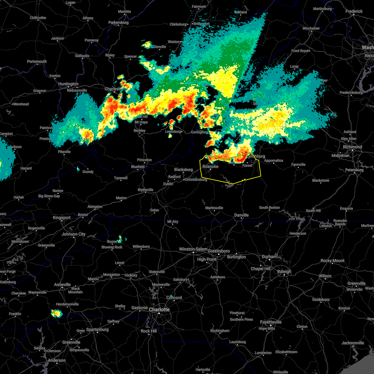 At 712 pm edt, severe thunderstorms were located along a line extending from near boonsboro to thaxton to near catawba, moving south at 35 mph (radar indicated). Hazards include 60 mph wind gusts and quarter size hail. Hail damage to vehicles is expected. Expect wind damage to roofs, siding, and trees. At 712 pm edt, severe thunderstorms were located along a line extending from near boonsboro to thaxton to near catawba, moving south at 35 mph (radar indicated). Hazards include 60 mph wind gusts and quarter size hail. Hail damage to vehicles is expected. Expect wind damage to roofs, siding, and trees.
|
| 6/13/2021 7:06 PM EDT |
 At 706 pm edt, severe thunderstorms were located along a line extending from near naola to near sedalia to near fincastle, moving south at 25 mph (radar indicated). Hazards include 60 mph wind gusts and quarter size hail. Hail damage to vehicles is expected. expect wind damage to roofs, siding, and trees. locations impacted include, lynchburg, bedford, buchanan, troutville, big island, montvale, and forest. This includes the following locations liberty university and the national d-day memorial. At 706 pm edt, severe thunderstorms were located along a line extending from near naola to near sedalia to near fincastle, moving south at 25 mph (radar indicated). Hazards include 60 mph wind gusts and quarter size hail. Hail damage to vehicles is expected. expect wind damage to roofs, siding, and trees. locations impacted include, lynchburg, bedford, buchanan, troutville, big island, montvale, and forest. This includes the following locations liberty university and the national d-day memorial.
|
| 6/13/2021 6:44 PM EDT |
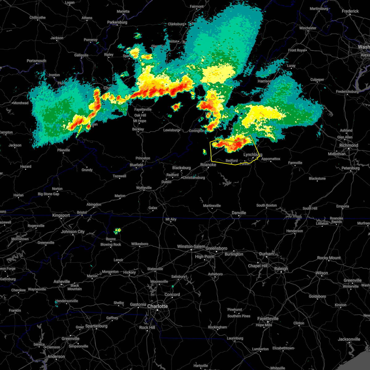 At 644 pm edt, severe thunderstorms were located along a line extending from forks of buffalo to near snowden to eagle rock, moving south at 10 mph (radar indicated). Hazards include 60 mph wind gusts and quarter size hail. Hail damage to vehicles is expected. Expect wind damage to roofs, siding, and trees. At 644 pm edt, severe thunderstorms were located along a line extending from forks of buffalo to near snowden to eagle rock, moving south at 10 mph (radar indicated). Hazards include 60 mph wind gusts and quarter size hail. Hail damage to vehicles is expected. Expect wind damage to roofs, siding, and trees.
|
| 6/10/2021 2:18 PM EDT |
 At 217 pm edt, severe thunderstorms were located along a line extending from near fincastle to near vinton to near bent mountain, moving east at 15 mph (radar indicated). Hazards include 60 mph wind gusts and quarter size hail. Hail damage to vehicles is expected. expect wind damage to roofs, siding, and trees. locations impacted include, roanoke, vinton, bedford, buchanan, troutville, boones mill, and stewartsville. This includes the following locations the national d-day memorial and roanoke regional airport. At 217 pm edt, severe thunderstorms were located along a line extending from near fincastle to near vinton to near bent mountain, moving east at 15 mph (radar indicated). Hazards include 60 mph wind gusts and quarter size hail. Hail damage to vehicles is expected. expect wind damage to roofs, siding, and trees. locations impacted include, roanoke, vinton, bedford, buchanan, troutville, boones mill, and stewartsville. This includes the following locations the national d-day memorial and roanoke regional airport.
|
| 6/10/2021 1:53 PM EDT |
 At 152 pm edt, severe thunderstorms were located along a line extending from near oriskany to near roanoke to near copper hill, moving east at 15 mph (radar indicated). Hazards include 60 mph wind gusts and quarter size hail. Hail damage to vehicles is expected. Expect wind damage to roofs, siding, and trees. At 152 pm edt, severe thunderstorms were located along a line extending from near oriskany to near roanoke to near copper hill, moving east at 15 mph (radar indicated). Hazards include 60 mph wind gusts and quarter size hail. Hail damage to vehicles is expected. Expect wind damage to roofs, siding, and trees.
|
| 5/4/2021 3:05 PM EDT |
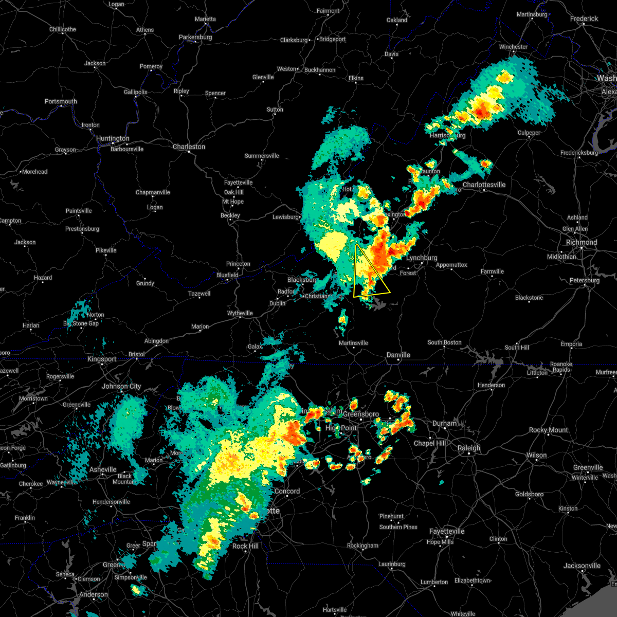 The severe thunderstorm warning for east central roanoke, southwestern bedford, south central botetourt and northeastern franklin counties will expire at 315 pm edt, the storm which prompted the warning has moved out of the area. therefore, the warning will be allowed to expire. a severe thunderstorm watch remains in effect until 800 pm edt for central, south central, southwestern and west central virginia. when it is safe to do so, please send your reports of hail of any size, as well as reports of any wind damage, including downed trees or large limbs, to the national weather service by calling toll free at 1, 8 6 6, 2 1 5, 4 3 2 4. reports and pictures can also be shared on the national weather service blacksburg facebook page and on twitter. The severe thunderstorm warning for east central roanoke, southwestern bedford, south central botetourt and northeastern franklin counties will expire at 315 pm edt, the storm which prompted the warning has moved out of the area. therefore, the warning will be allowed to expire. a severe thunderstorm watch remains in effect until 800 pm edt for central, south central, southwestern and west central virginia. when it is safe to do so, please send your reports of hail of any size, as well as reports of any wind damage, including downed trees or large limbs, to the national weather service by calling toll free at 1, 8 6 6, 2 1 5, 4 3 2 4. reports and pictures can also be shared on the national weather service blacksburg facebook page and on twitter.
|
| 5/4/2021 3:00 PM EDT | At least two mobile homes blown off their foundation in the robincrest mobile home park between montvale and thaxton along the lynchburg-salem turnpike or u.s. 460. sev in bedford county VA, 4 miles WNW of Montvale, VA |
| 5/4/2021 2:57 PM EDT |
 A severe thunderstorm warning remains in effect until 315 pm edt for east central roanoke. southwestern bedford. south central botetourt and northeastern franklin counties. At 256 pm edt, a severe thunderstorm was located over vinton, moving northeast at 30 mph. A severe thunderstorm warning remains in effect until 315 pm edt for east central roanoke. southwestern bedford. south central botetourt and northeastern franklin counties. At 256 pm edt, a severe thunderstorm was located over vinton, moving northeast at 30 mph.
|
| 5/4/2021 2:53 PM EDT |
 At 253 pm edt, a severe thunderstorm was located over montvale, moving northeast at 30 mph (radar indicated). Hazards include 60 mph wind gusts. expect damage to roofs, siding, and trees At 253 pm edt, a severe thunderstorm was located over montvale, moving northeast at 30 mph (radar indicated). Hazards include 60 mph wind gusts. expect damage to roofs, siding, and trees
|
| 5/4/2021 2:40 PM EDT |
 At 240 pm edt, a severe thunderstorm was located over cave spring, or near roanoke, moving northeast at 40 mph (radar indicated). Hazards include 60 mph wind gusts and quarter size hail. Hail damage to vehicles is expected. expect wind damage to roofs, siding, and trees. locations impacted include, roanoke, salem, vinton, troutville, boones mill, stewartsville, and moneta. This includes the following locations the salem fairgrounds and roanoke regional airport. At 240 pm edt, a severe thunderstorm was located over cave spring, or near roanoke, moving northeast at 40 mph (radar indicated). Hazards include 60 mph wind gusts and quarter size hail. Hail damage to vehicles is expected. expect wind damage to roofs, siding, and trees. locations impacted include, roanoke, salem, vinton, troutville, boones mill, stewartsville, and moneta. This includes the following locations the salem fairgrounds and roanoke regional airport.
|
| 5/4/2021 2:22 PM EDT |
 At 222 pm edt, a severe thunderstorm was located over shawsville, moving northeast at 30 mph (radar indicated). Hazards include 60 mph wind gusts and quarter size hail. Hail damage to vehicles is expected. Expect wind damage to roofs, siding, and trees. At 222 pm edt, a severe thunderstorm was located over shawsville, moving northeast at 30 mph (radar indicated). Hazards include 60 mph wind gusts and quarter size hail. Hail damage to vehicles is expected. Expect wind damage to roofs, siding, and trees.
|
| 8/3/2020 2:31 PM EDT |
 At 230 pm edt, a severe thunderstorm was located over western smith mountain lake, or 7 miles northwest of penhook, moving northeast at 30 mph (radar indicated). Hazards include 60 mph wind gusts. expect damage to roofs, siding, and trees At 230 pm edt, a severe thunderstorm was located over western smith mountain lake, or 7 miles northwest of penhook, moving northeast at 30 mph (radar indicated). Hazards include 60 mph wind gusts. expect damage to roofs, siding, and trees
|
| 7/22/2020 2:53 PM EDT |
 The severe thunderstorm warning for northwestern bedford and east central botetourt counties will expire at 300 pm edt, the storm which prompted the warning has weakened below severe limits, and no longer poses an immediate threat to life or property. therefore, the warning will be allowed to expire. however heavy rain is still possible with this thunderstorm. when it is safe to do so, please send your reports of hail of any size, as well as reports of any wind damage, including downed trees or large limbs, to the national weather service by calling toll free at 1, 8 6 6, 2 1 5, 4 3 2 4. reports and pictures can also be shared on the national weather service blacksburg facebook page and on twitter. The severe thunderstorm warning for northwestern bedford and east central botetourt counties will expire at 300 pm edt, the storm which prompted the warning has weakened below severe limits, and no longer poses an immediate threat to life or property. therefore, the warning will be allowed to expire. however heavy rain is still possible with this thunderstorm. when it is safe to do so, please send your reports of hail of any size, as well as reports of any wind damage, including downed trees or large limbs, to the national weather service by calling toll free at 1, 8 6 6, 2 1 5, 4 3 2 4. reports and pictures can also be shared on the national weather service blacksburg facebook page and on twitter.
|
| 7/22/2020 2:45 PM EDT |
 At 245 pm edt, a severe thunderstorm was located over peaks of otter summit, or 8 miles north of bedford, moving east at 15 mph (radar indicated). Hazards include 60 mph wind gusts and quarter size hail. Hail damage to vehicles is expected. expect wind damage to roofs, siding, and trees. Locations impacted include, peaks of otter recreation area, peaks of otter summit, and sedalia. At 245 pm edt, a severe thunderstorm was located over peaks of otter summit, or 8 miles north of bedford, moving east at 15 mph (radar indicated). Hazards include 60 mph wind gusts and quarter size hail. Hail damage to vehicles is expected. expect wind damage to roofs, siding, and trees. Locations impacted include, peaks of otter recreation area, peaks of otter summit, and sedalia.
|
| 7/22/2020 2:35 PM EDT |
 At 234 pm edt, a severe thunderstorm was located over peaks of otter summit, or 7 miles southeast of buchanan, moving east at 15 mph (radar indicated). Hazards include 60 mph wind gusts and quarter size hail. Hail damage to vehicles is expected. expect wind damage to roofs, siding, and trees. Locations impacted include, montvale, peaks of otter recreation area, peaks of otter summit, and sedalia. At 234 pm edt, a severe thunderstorm was located over peaks of otter summit, or 7 miles southeast of buchanan, moving east at 15 mph (radar indicated). Hazards include 60 mph wind gusts and quarter size hail. Hail damage to vehicles is expected. expect wind damage to roofs, siding, and trees. Locations impacted include, montvale, peaks of otter recreation area, peaks of otter summit, and sedalia.
|
| 7/22/2020 2:20 PM EDT |
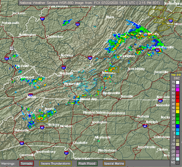 At 220 pm edt, a severe thunderstorm was located over peaks of otter recreation area, or near buchanan, moving east at 15 mph (radar indicated). Hazards include 60 mph wind gusts and quarter size hail. Hail damage to vehicles is expected. Expect wind damage to roofs, siding, and trees. At 220 pm edt, a severe thunderstorm was located over peaks of otter recreation area, or near buchanan, moving east at 15 mph (radar indicated). Hazards include 60 mph wind gusts and quarter size hail. Hail damage to vehicles is expected. Expect wind damage to roofs, siding, and trees.
|
| 7/21/2020 11:38 PM EDT |
 The severe thunderstorm warning for east central roanoke, west central bedford and north central franklin counties will expire at 1145 pm edt, the storms which prompted the warning have weakened below severe limits, and no longer pose an immediate threat to life or property. therefore, the warning will be allowed to expire. small hail was reported in roanoke and in goodview. a large tree branch was blown down by thunderstorm winds in the hollins area. when it is safe to do so, please send your reports of hail of any size, as well as reports of any wind damage, including downed trees or large limbs, to the national weather service by calling toll free at 1, 8 6 6, 2 1 5, 4 3 2 4. reports and pictures can also be shared on the national weather service blacksburg facebook page and on twitter. The severe thunderstorm warning for east central roanoke, west central bedford and north central franklin counties will expire at 1145 pm edt, the storms which prompted the warning have weakened below severe limits, and no longer pose an immediate threat to life or property. therefore, the warning will be allowed to expire. small hail was reported in roanoke and in goodview. a large tree branch was blown down by thunderstorm winds in the hollins area. when it is safe to do so, please send your reports of hail of any size, as well as reports of any wind damage, including downed trees or large limbs, to the national weather service by calling toll free at 1, 8 6 6, 2 1 5, 4 3 2 4. reports and pictures can also be shared on the national weather service blacksburg facebook page and on twitter.
|
| 7/21/2020 11:07 PM EDT |
 At 1105 pm edt, severe thunderstorms were located along a line extending from laymantown to near vinton to near stewartsville to near roanoke mountain, moving east at 10 mph (radar indicated). Hazards include 60 mph wind gusts and quarter size hail. Hail damage to vehicles is expected. expect wind damage to roofs, siding, and trees. Locations impacted include, vinton, stewartsville, montvale, chamblissburg, and goodview. At 1105 pm edt, severe thunderstorms were located along a line extending from laymantown to near vinton to near stewartsville to near roanoke mountain, moving east at 10 mph (radar indicated). Hazards include 60 mph wind gusts and quarter size hail. Hail damage to vehicles is expected. expect wind damage to roofs, siding, and trees. Locations impacted include, vinton, stewartsville, montvale, chamblissburg, and goodview.
|
| 7/21/2020 10:46 PM EDT |
 At 1046 pm edt, severe thunderstorms were located along a line extending from cloverdale to near hollins to vinton to roanoke mountain, moving east at 15 mph (radar indicated). Hazards include 60 mph wind gusts and quarter size hail. Hail damage to vehicles is expected. Expect wind damage to roofs, siding, and trees. At 1046 pm edt, severe thunderstorms were located along a line extending from cloverdale to near hollins to vinton to roanoke mountain, moving east at 15 mph (radar indicated). Hazards include 60 mph wind gusts and quarter size hail. Hail damage to vehicles is expected. Expect wind damage to roofs, siding, and trees.
|
| 7/21/2020 4:03 PM EDT |
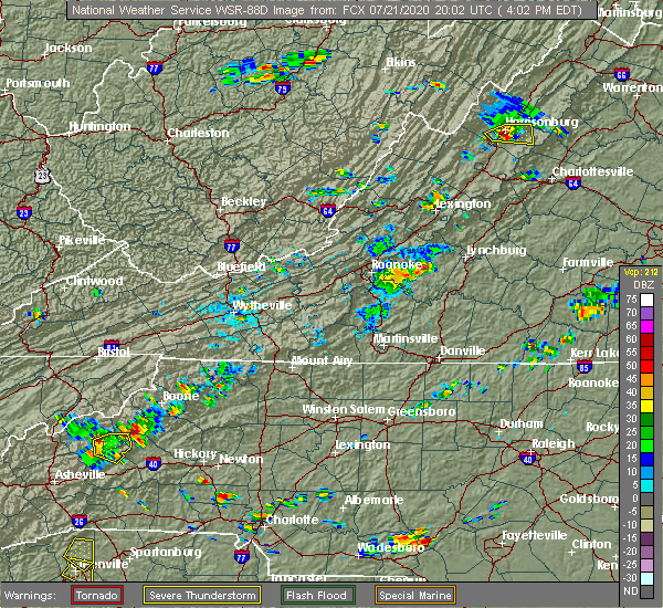 At 401 pm edt, a severe thunderstorm was located over chamblissburg, or near stewartsville, moving east at 15 mph (radar indicated). Hazards include 60 mph wind gusts. expect damage to roofs, siding, and trees and powerlines At 401 pm edt, a severe thunderstorm was located over chamblissburg, or near stewartsville, moving east at 15 mph (radar indicated). Hazards include 60 mph wind gusts. expect damage to roofs, siding, and trees and powerlines
|
| 7/21/2020 3:40 PM EDT |
 At 338 pm edt, a severe thunderstorm was located between roanoke city and boones mill, moving very slowly to the northeast at 10 to 15 mph. downburst winds are possible from this thunderstorm (radar indicated). Hazards include 60 mph wind gusts and quarter size hail. Hail damage to vehicles is expected. expect wind damage to roofs, siding, and trees. Locations impacted include, roanoke, vinton, troutville, boones mill, stewartsville, montvale, and moneta. At 338 pm edt, a severe thunderstorm was located between roanoke city and boones mill, moving very slowly to the northeast at 10 to 15 mph. downburst winds are possible from this thunderstorm (radar indicated). Hazards include 60 mph wind gusts and quarter size hail. Hail damage to vehicles is expected. expect wind damage to roofs, siding, and trees. Locations impacted include, roanoke, vinton, troutville, boones mill, stewartsville, montvale, and moneta.
|
| 7/21/2020 3:22 PM EDT |
 At 322 pm edt, a severe thunderstorm was located over cave spring, or near boones mill, moving northeast at 15 mph (radar indicated). Hazards include 60 mph wind gusts and quarter size hail. Hail damage to vehicles is expected. Expect wind damage to roofs, siding, and trees. At 322 pm edt, a severe thunderstorm was located over cave spring, or near boones mill, moving northeast at 15 mph (radar indicated). Hazards include 60 mph wind gusts and quarter size hail. Hail damage to vehicles is expected. Expect wind damage to roofs, siding, and trees.
|
| 7/10/2020 7:36 PM EDT |
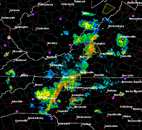 The severe thunderstorm warning for southwestern rockbridge, northwestern bedford and eastern botetourt counties will expire at 745 pm edt, the storms which prompted the warning have moved out of the area. therefore, the warning will be allowed to expire. when it is safe to do so, please send your reports of hail of any size, as well as reports of any wind damage, including downed trees or large limbs, to the national weather service by calling toll free at 1, 8 6 6, 2 1 5, 4 3 2 4. reports and pictures can also be shared on the national weather service blacksburg facebook page and on twitter. The severe thunderstorm warning for southwestern rockbridge, northwestern bedford and eastern botetourt counties will expire at 745 pm edt, the storms which prompted the warning have moved out of the area. therefore, the warning will be allowed to expire. when it is safe to do so, please send your reports of hail of any size, as well as reports of any wind damage, including downed trees or large limbs, to the national weather service by calling toll free at 1, 8 6 6, 2 1 5, 4 3 2 4. reports and pictures can also be shared on the national weather service blacksburg facebook page and on twitter.
|
| 7/10/2020 7:28 PM EDT |
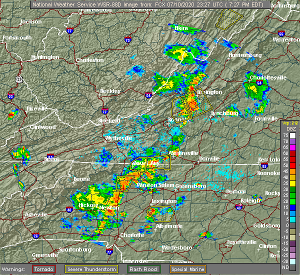 At 727 pm edt, severe thunderstorms were located along a line extending from near collierstown to arcadia to thaxton, moving northeast at 15 mph (radar indicated). Hazards include 60 mph wind gusts. Expect damage to roofs, siding, and trees. Locations impacted include, buchanan, montvale, eagle rock, arcadia, peaks of otter summit, springwood, and lithia. At 727 pm edt, severe thunderstorms were located along a line extending from near collierstown to arcadia to thaxton, moving northeast at 15 mph (radar indicated). Hazards include 60 mph wind gusts. Expect damage to roofs, siding, and trees. Locations impacted include, buchanan, montvale, eagle rock, arcadia, peaks of otter summit, springwood, and lithia.
|
| 7/10/2020 7:08 PM EDT |
 At 707 pm edt, severe thunderstorms were located along a line extending from near gala to buchanan to near montvale, moving east at 20 mph (radar indicated). Hazards include 60 mph wind gusts and quarter size hail. Hail damage to vehicles is expected. expect wind damage to roofs, siding, and trees. Locations impacted include, buchanan, troutville, montvale, eagle rock, fincastle, lithia, and gala. At 707 pm edt, severe thunderstorms were located along a line extending from near gala to buchanan to near montvale, moving east at 20 mph (radar indicated). Hazards include 60 mph wind gusts and quarter size hail. Hail damage to vehicles is expected. expect wind damage to roofs, siding, and trees. Locations impacted include, buchanan, troutville, montvale, eagle rock, fincastle, lithia, and gala.
|
| 7/10/2020 6:37 PM EDT |
 At 637 pm edt, severe thunderstorms were located along a line extending from near covington to near stewartsville, moving northeast at 15 mph (radar indicated). Hazards include 60 mph wind gusts and quarter size hail. Hail damage to vehicles is expected. Expect wind damage to roofs, siding, and trees. At 637 pm edt, severe thunderstorms were located along a line extending from near covington to near stewartsville, moving northeast at 15 mph (radar indicated). Hazards include 60 mph wind gusts and quarter size hail. Hail damage to vehicles is expected. Expect wind damage to roofs, siding, and trees.
|
| 6/5/2020 5:09 PM EDT |
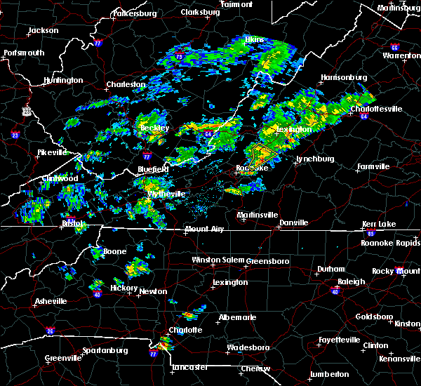 The severe thunderstorm warning for southwestern rockbridge, northwestern bedford and southeastern botetourt counties will expire at 515 pm edt, the storm which prompted the warning has weakened below severe limits, and no longer poses an immediate threat to life or property. therefore, the warning will be allowed to expire. when it is safe to do so, please send your reports of hail of any size, as well as reports of any wind damage, including downed trees or large limbs, to the national weather service by calling toll free at 1, 8 6 6, 2 1 5, 4 3 2 4. reports and pictures can also be shared on the national weather service blacksburg facebook page and on twitter. The severe thunderstorm warning for southwestern rockbridge, northwestern bedford and southeastern botetourt counties will expire at 515 pm edt, the storm which prompted the warning has weakened below severe limits, and no longer poses an immediate threat to life or property. therefore, the warning will be allowed to expire. when it is safe to do so, please send your reports of hail of any size, as well as reports of any wind damage, including downed trees or large limbs, to the national weather service by calling toll free at 1, 8 6 6, 2 1 5, 4 3 2 4. reports and pictures can also be shared on the national weather service blacksburg facebook page and on twitter.
|
| 6/5/2020 5:05 PM EDT |
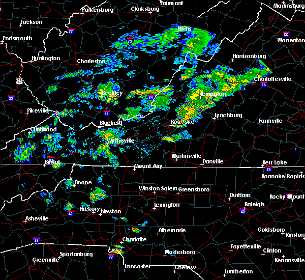 At 505 pm edt, a severe thunderstorm was located over peaks of otter recreation area, or near buchanan, moving northeast at 20 mph (radar indicated). Hazards include 60 mph wind gusts and quarter size hail. Hail damage to vehicles is expected. expect wind damage to roofs, siding, and trees. Locations impacted include, buchanan, montvale, peaks of otter recreation area, arcadia, and peaks of otter summit. At 505 pm edt, a severe thunderstorm was located over peaks of otter recreation area, or near buchanan, moving northeast at 20 mph (radar indicated). Hazards include 60 mph wind gusts and quarter size hail. Hail damage to vehicles is expected. expect wind damage to roofs, siding, and trees. Locations impacted include, buchanan, montvale, peaks of otter recreation area, arcadia, and peaks of otter summit.
|
| 6/5/2020 4:54 PM EDT |
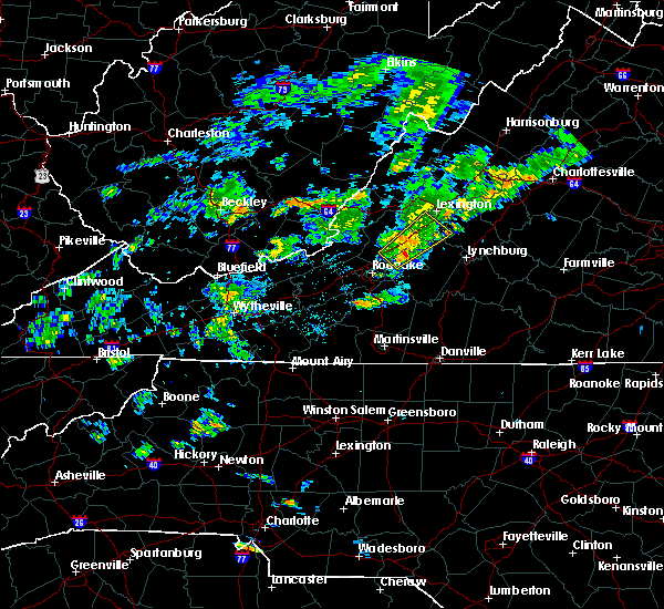 At 453 pm edt, a severe thunderstorm was located near natural bridge, or 7 miles northeast of buchanan, moving northeast at 35 mph (radar indicated). Hazards include 60 mph wind gusts and quarter size hail. Hail damage to vehicles is expected. expect wind damage to roofs, siding, and trees. Locations impacted include, buchanan, montvale, arcadia, peaks of otter summit, springwood, lithia, and peaks of otter recreation area. At 453 pm edt, a severe thunderstorm was located near natural bridge, or 7 miles northeast of buchanan, moving northeast at 35 mph (radar indicated). Hazards include 60 mph wind gusts and quarter size hail. Hail damage to vehicles is expected. expect wind damage to roofs, siding, and trees. Locations impacted include, buchanan, montvale, arcadia, peaks of otter summit, springwood, lithia, and peaks of otter recreation area.
|
| 6/5/2020 4:30 PM EDT |
 At 430 pm edt, a severe thunderstorm was located over lithia, or near montvale, moving northeast at 35 mph (radar indicated). Hazards include 60 mph wind gusts and quarter size hail. Hail damage to vehicles is expected. Expect wind damage to roofs, siding, and trees. At 430 pm edt, a severe thunderstorm was located over lithia, or near montvale, moving northeast at 35 mph (radar indicated). Hazards include 60 mph wind gusts and quarter size hail. Hail damage to vehicles is expected. Expect wind damage to roofs, siding, and trees.
|
| 6/4/2020 3:02 PM EDT |
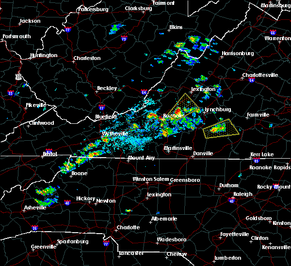 At 300 pm edt, severe thunderstorms were located along a line extending from near montvale to thaxton, moving northeast at 25 mph. these are very dangerous storms (radar indicated). Hazards include 80 mph wind gusts and quarter size hail. Flying debris will be dangerous to those caught without shelter. mobile homes will be heavily damaged. expect considerable damage to roofs, windows, and vehicles. extensive tree damage and power outages are likely. Locations impacted include, buchanan, glasgow, big island, montvale, coleman falls, snowden, and lithia. At 300 pm edt, severe thunderstorms were located along a line extending from near montvale to thaxton, moving northeast at 25 mph. these are very dangerous storms (radar indicated). Hazards include 80 mph wind gusts and quarter size hail. Flying debris will be dangerous to those caught without shelter. mobile homes will be heavily damaged. expect considerable damage to roofs, windows, and vehicles. extensive tree damage and power outages are likely. Locations impacted include, buchanan, glasgow, big island, montvale, coleman falls, snowden, and lithia.
|
| 6/4/2020 3:02 PM EDT |
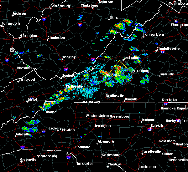 At 300 pm edt, severe thunderstorms were located along a line extending from near montvale to thaxton, moving northeast at 25 mph. these are very dangerous storms (radar indicated). Hazards include 80 mph wind gusts and quarter size hail. Flying debris will be dangerous to those caught without shelter. mobile homes will be heavily damaged. expect considerable damage to roofs, windows, and vehicles. extensive tree damage and power outages are likely. Locations impacted include, buchanan, glasgow, big island, montvale, coleman falls, snowden, and lithia. At 300 pm edt, severe thunderstorms were located along a line extending from near montvale to thaxton, moving northeast at 25 mph. these are very dangerous storms (radar indicated). Hazards include 80 mph wind gusts and quarter size hail. Flying debris will be dangerous to those caught without shelter. mobile homes will be heavily damaged. expect considerable damage to roofs, windows, and vehicles. extensive tree damage and power outages are likely. Locations impacted include, buchanan, glasgow, big island, montvale, coleman falls, snowden, and lithia.
|
| 6/4/2020 2:43 PM EDT |
 At 243 pm edt, severe thunderstorms extended from blue ridge to near chamblissburg, moving northeast at 25 mph (radar indicated). Hazards include 60 mph wind gusts and quarter size hail. Hail damage to vehicles is expected. Expect wind damage to roofs, siding, and trees. At 243 pm edt, severe thunderstorms extended from blue ridge to near chamblissburg, moving northeast at 25 mph (radar indicated). Hazards include 60 mph wind gusts and quarter size hail. Hail damage to vehicles is expected. Expect wind damage to roofs, siding, and trees.
|
| 1/11/2020 10:33 PM EST |
 At 1032 pm est, severe thunderstorms were located along a line extending from near buena vista to 6 miles northwest of greensboro, moving northeast at 75 mph (radar indicated. numerous trees were reported down by this line of storms in giles county and in galax). Hazards include 60 mph wind gusts. expect damage to roofs, siding, and trees At 1032 pm est, severe thunderstorms were located along a line extending from near buena vista to 6 miles northwest of greensboro, moving northeast at 75 mph (radar indicated. numerous trees were reported down by this line of storms in giles county and in galax). Hazards include 60 mph wind gusts. expect damage to roofs, siding, and trees
|
| 1/11/2020 10:14 PM EST |
 At 1013 pm est, severe thunderstorms were located along a line extending from natural bridge to near roanoke mountain, moving east at 60 mph (radar indicated). Hazards include 60 mph wind gusts. Expect damage to roofs, siding, and trees. locations impacted include, roanoke, salem, vinton, buchanan, troutville, stewartsville, and montvale. This includes the following locations the salem fairgrounds and roanoke regional airport. At 1013 pm est, severe thunderstorms were located along a line extending from natural bridge to near roanoke mountain, moving east at 60 mph (radar indicated). Hazards include 60 mph wind gusts. Expect damage to roofs, siding, and trees. locations impacted include, roanoke, salem, vinton, buchanan, troutville, stewartsville, and montvale. This includes the following locations the salem fairgrounds and roanoke regional airport.
|
| 1/11/2020 9:55 PM EST |
 At 954 pm est, severe thunderstorms were located along a line extending from near monterey to near sedalia, moving northeast at 60 mph (radar indicated). Hazards include 60 mph wind gusts. Expect damage to roofs, siding, and trees. locations impacted include, roanoke, salem, vinton, clifton forge, buchanan, troutville, and stewartsville. This includes the following locations the salem fairgrounds and roanoke regional airport. At 954 pm est, severe thunderstorms were located along a line extending from near monterey to near sedalia, moving northeast at 60 mph (radar indicated). Hazards include 60 mph wind gusts. Expect damage to roofs, siding, and trees. locations impacted include, roanoke, salem, vinton, clifton forge, buchanan, troutville, and stewartsville. This includes the following locations the salem fairgrounds and roanoke regional airport.
|
| 1/11/2020 9:26 PM EST |
 At 926 pm est, severe thunderstorms were located along a line extending from 7 miles east of marlinton to near vinton, moving northeast at 60 mph (radar indicated). Hazards include 60 mph wind gusts. expect damage to roofs, siding, and trees At 926 pm est, severe thunderstorms were located along a line extending from 7 miles east of marlinton to near vinton, moving northeast at 60 mph (radar indicated). Hazards include 60 mph wind gusts. expect damage to roofs, siding, and trees
|
| 8/22/2019 2:30 PM EDT |
 At 230 pm edt, severe thunderstorms were located along a line extending from arcadia to vinton to near terrys fork, moving east at 25 mph (radar indicated). Hazards include 60 mph wind gusts. Expect damage to roofs, siding, and trees. locations impacted include, roanoke, salem, vinton, bedford, and rocky mount. This includes the following locations the salem fairgrounds, the national d-day memorial, and roanoke regional airport. At 230 pm edt, severe thunderstorms were located along a line extending from arcadia to vinton to near terrys fork, moving east at 25 mph (radar indicated). Hazards include 60 mph wind gusts. Expect damage to roofs, siding, and trees. locations impacted include, roanoke, salem, vinton, bedford, and rocky mount. This includes the following locations the salem fairgrounds, the national d-day memorial, and roanoke regional airport.
|
| 8/22/2019 1:48 PM EDT |
 At 148 pm edt, severe thunderstorms were located along a line extending from near oriskany to near glenvar to childress, moving east at 20 mph (radar indicated). Hazards include 60 mph wind gusts. expect damage to roofs, siding, and trees At 148 pm edt, severe thunderstorms were located along a line extending from near oriskany to near glenvar to childress, moving east at 20 mph (radar indicated). Hazards include 60 mph wind gusts. expect damage to roofs, siding, and trees
|
| 8/15/2019 6:44 PM EDT |
 The national weather service in blacksburg has issued a * severe thunderstorm warning for. east central roanoke county in west central virginia. west central bedford county in south central virginia. south central botetourt county in west central virginia. Until 745 pm edt. The national weather service in blacksburg has issued a * severe thunderstorm warning for. east central roanoke county in west central virginia. west central bedford county in south central virginia. south central botetourt county in west central virginia. Until 745 pm edt.
|
| 8/9/2019 4:02 PM EDT |
 At 401 pm edt, a severe thunderstorm was located over goodview, moving southeast at 30 mph (radar indicated). Hazards include 60 mph wind gusts and quarter size hail. Hail damage to vehicles is expected. Expect wind damage to roofs, siding, and trees. At 401 pm edt, a severe thunderstorm was located over goodview, moving southeast at 30 mph (radar indicated). Hazards include 60 mph wind gusts and quarter size hail. Hail damage to vehicles is expected. Expect wind damage to roofs, siding, and trees.
|
| 7/31/2019 5:52 PM EDT |
 The severe thunderstorm warning for northwestern bedford county will expire at 600 pm edt, the storm which prompted the warning has weakened below severe limits, and no longer poses an immediate threat to life or property. therefore, the warning will be allowed to expire. when it is safe to do so, please send your reports of hail of any size, as well as reports of any wind damage, including downed trees or large limbs, to the national weather service by calling toll free at 1, 8 6 6, 2 1 5, 4 3 2 4. reports and pictures can also be shared on the national weather service blacksburg facebook page and on twitter. The severe thunderstorm warning for northwestern bedford county will expire at 600 pm edt, the storm which prompted the warning has weakened below severe limits, and no longer poses an immediate threat to life or property. therefore, the warning will be allowed to expire. when it is safe to do so, please send your reports of hail of any size, as well as reports of any wind damage, including downed trees or large limbs, to the national weather service by calling toll free at 1, 8 6 6, 2 1 5, 4 3 2 4. reports and pictures can also be shared on the national weather service blacksburg facebook page and on twitter.
|
| 7/31/2019 5:36 PM EDT |
 At 536 pm edt, a severe thunderstorm was located over montvale, moving northeast at 5 mph (radar indicated). Hazards include 60 mph wind gusts. Expect damage to roofs, siding, and trees. locations impacted include, bedford, montvale, stewartsville, peaks of otter recreation area, and thaxton. This includes the following location the national d-day memorial. At 536 pm edt, a severe thunderstorm was located over montvale, moving northeast at 5 mph (radar indicated). Hazards include 60 mph wind gusts. Expect damage to roofs, siding, and trees. locations impacted include, bedford, montvale, stewartsville, peaks of otter recreation area, and thaxton. This includes the following location the national d-day memorial.
|
| 7/31/2019 5:08 PM EDT |
 At 507 pm edt, a severe thunderstorm was located near blue ridge, moving northeast at 5 mph (radar indicated). Hazards include golf ball size hail and 60 mph wind gusts. People and animals outdoors will be injured. expect hail damage to roofs, siding, windows, and vehicles. expect wind damage to roofs, siding, and trees. locations impacted include, bedford, buchanan, montvale, stewartsville, and laymantown. This includes the following location the national d-day memorial. At 507 pm edt, a severe thunderstorm was located near blue ridge, moving northeast at 5 mph (radar indicated). Hazards include golf ball size hail and 60 mph wind gusts. People and animals outdoors will be injured. expect hail damage to roofs, siding, windows, and vehicles. expect wind damage to roofs, siding, and trees. locations impacted include, bedford, buchanan, montvale, stewartsville, and laymantown. This includes the following location the national d-day memorial.
|
| 7/31/2019 5:01 PM EDT |
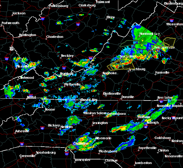 At 501 pm edt, a severe thunderstorm was located near laymantown, moving northeast at 5 mph (radar indicated). Hazards include 60 mph wind gusts and half dollar size hail. Hail damage to vehicles is expected. Expect wind damage to roofs, siding, and trees. At 501 pm edt, a severe thunderstorm was located near laymantown, moving northeast at 5 mph (radar indicated). Hazards include 60 mph wind gusts and half dollar size hail. Hail damage to vehicles is expected. Expect wind damage to roofs, siding, and trees.
|
| 7/22/2019 4:30 PM EDT |
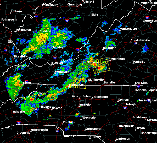 At 429 pm edt, a severe thunderstorm was located over goodview, moving east at 25 mph (radar indicated). Hazards include 60 mph wind gusts and quarter size hail. Hail damage to vehicles is expected. Expect wind damage to roofs, siding, and trees. At 429 pm edt, a severe thunderstorm was located over goodview, moving east at 25 mph (radar indicated). Hazards include 60 mph wind gusts and quarter size hail. Hail damage to vehicles is expected. Expect wind damage to roofs, siding, and trees.
|
| 7/21/2019 1:53 PM EDT |
 The severe thunderstorm warning for northeastern roanoke, west central bedford and south central botetourt counties and the city of roanoke will expire at 200 pm edt, the storm which prompted the warning has moved out of the area. therefore, the warning will be allowed to expire. however gusty winds and heavy rain are still possible with this thunderstorm. when it is safe to do so, please send your reports of hail of any size, as well as reports of any wind damage, including downed trees or large limbs, to the national weather service by calling toll free at 1, 8 6 6, 2 1 5, 4 3 2 4. reports and pictures can also be shared on the national weather service blacksburg facebook page and on twitter. The severe thunderstorm warning for northeastern roanoke, west central bedford and south central botetourt counties and the city of roanoke will expire at 200 pm edt, the storm which prompted the warning has moved out of the area. therefore, the warning will be allowed to expire. however gusty winds and heavy rain are still possible with this thunderstorm. when it is safe to do so, please send your reports of hail of any size, as well as reports of any wind damage, including downed trees or large limbs, to the national weather service by calling toll free at 1, 8 6 6, 2 1 5, 4 3 2 4. reports and pictures can also be shared on the national weather service blacksburg facebook page and on twitter.
|
| 7/21/2019 1:33 PM EDT |
 At 131 pm edt, a severe thunderstorm was located over laymantown, moving northeast at 10 mph. a spotter reported tree damage with this storm around 1:30 pm edt in the area of hollins. nickel size hail has also been reported near the roanoke airport (trained weather spotters). Hazards include 60 mph wind gusts. Expect damage to roofs, siding, and trees. locations impacted include, roanoke, vinton, troutville, stewartsville, and montvale. This includes the following location roanoke regional airport. At 131 pm edt, a severe thunderstorm was located over laymantown, moving northeast at 10 mph. a spotter reported tree damage with this storm around 1:30 pm edt in the area of hollins. nickel size hail has also been reported near the roanoke airport (trained weather spotters). Hazards include 60 mph wind gusts. Expect damage to roofs, siding, and trees. locations impacted include, roanoke, vinton, troutville, stewartsville, and montvale. This includes the following location roanoke regional airport.
|
| 7/21/2019 1:21 PM EDT |
 At 120 pm edt, a severe thunderstorm was located over vinton, moving northeast at 10 mph (radar indicated). Hazards include 60 mph wind gusts. expect damage to roofs, siding, and trees At 120 pm edt, a severe thunderstorm was located over vinton, moving northeast at 10 mph (radar indicated). Hazards include 60 mph wind gusts. expect damage to roofs, siding, and trees
|
| 7/15/2019 7:22 PM EDT |
 At 722 pm edt, a severe thunderstorm was located over peaks of otter summit, moving southeast at 15 mph (radar indicated). Hazards include 60 mph wind gusts and quarter size hail. Hail damage to vehicles is expected. expect wind damage to roofs, siding, and trees. Locations impacted include, buchanan, montvale, arcadia, peaks of otter summit, and springwood. At 722 pm edt, a severe thunderstorm was located over peaks of otter summit, moving southeast at 15 mph (radar indicated). Hazards include 60 mph wind gusts and quarter size hail. Hail damage to vehicles is expected. expect wind damage to roofs, siding, and trees. Locations impacted include, buchanan, montvale, arcadia, peaks of otter summit, and springwood.
|
| 7/15/2019 6:45 PM EDT |
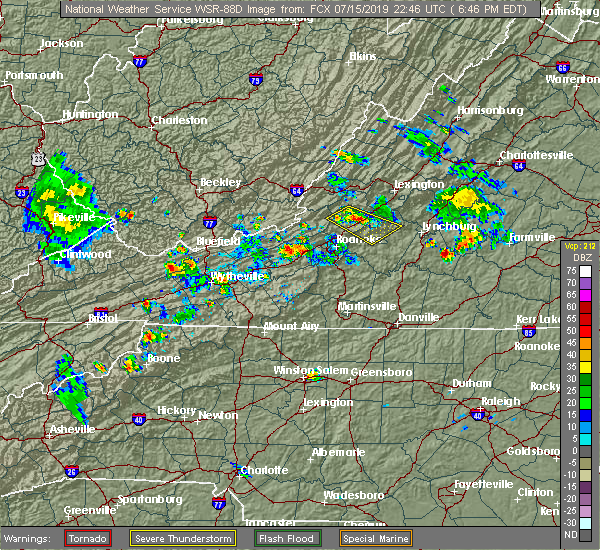 At 645 pm edt, a severe thunderstorm was located over buchanan, moving southeast at 20 mph (radar indicated). Hazards include 60 mph wind gusts and quarter size hail. Hail damage to vehicles is expected. Expect wind damage to roofs, siding, and trees. At 645 pm edt, a severe thunderstorm was located over buchanan, moving southeast at 20 mph (radar indicated). Hazards include 60 mph wind gusts and quarter size hail. Hail damage to vehicles is expected. Expect wind damage to roofs, siding, and trees.
|
| 7/11/2019 4:36 PM EDT |
 The severe thunderstorm warning for southwestern rockbridge, northern bedford and central botetourt counties will expire at 445 pm edt, the storm which prompted the warning has moved out of the area. therefore, the warning will be allowed to expire. when it is safe to do so, please send your reports of hail of any size, as well as reports of any wind damage, including downed trees or large limbs, to the national weather service by calling toll free at 1, 8 6 6, 2 1 5, 4 3 2 4. reports and pictures can also be shared on the national weather service blacksburg facebook page and on twitter. The severe thunderstorm warning for southwestern rockbridge, northern bedford and central botetourt counties will expire at 445 pm edt, the storm which prompted the warning has moved out of the area. therefore, the warning will be allowed to expire. when it is safe to do so, please send your reports of hail of any size, as well as reports of any wind damage, including downed trees or large limbs, to the national weather service by calling toll free at 1, 8 6 6, 2 1 5, 4 3 2 4. reports and pictures can also be shared on the national weather service blacksburg facebook page and on twitter.
|
| 7/11/2019 4:16 PM EDT |
 At 416 pm edt, a severe thunderstorm was located over arcadia, moving northeast at 35 mph (radar indicated). Hazards include 60 mph wind gusts. Expect damage to roofs, siding, and trees. Locations impacted include, buchanan, glasgow, troutville, montvale, and forest. At 416 pm edt, a severe thunderstorm was located over arcadia, moving northeast at 35 mph (radar indicated). Hazards include 60 mph wind gusts. Expect damage to roofs, siding, and trees. Locations impacted include, buchanan, glasgow, troutville, montvale, and forest.
|
| 7/11/2019 3:57 PM EDT |
 At 356 pm edt, a severe thunderstorm was located over lithia, moving east at 45 mph (radar indicated). Hazards include 60 mph wind gusts. expect damage to roofs, siding, and trees At 356 pm edt, a severe thunderstorm was located over lithia, moving east at 45 mph (radar indicated). Hazards include 60 mph wind gusts. expect damage to roofs, siding, and trees
|
| 6/24/2019 10:32 PM EDT |
 At 1030 pm edt, severe thunderstorms were located along a line extending from near natural bridge to thaxton to near ferrum, moving northeast at 35 mph (radar indicated). Hazards include 60 mph wind gusts. Expect damage to roofs, siding, and trees. locations impacted include, bedford, rocky mount, buchanan, glasgow, and boones mill. this includes the following location the national d-day memorial. The most intense part of this line extends from natural bridge to arcadia to thaxton. At 1030 pm edt, severe thunderstorms were located along a line extending from near natural bridge to thaxton to near ferrum, moving northeast at 35 mph (radar indicated). Hazards include 60 mph wind gusts. Expect damage to roofs, siding, and trees. locations impacted include, bedford, rocky mount, buchanan, glasgow, and boones mill. this includes the following location the national d-day memorial. The most intense part of this line extends from natural bridge to arcadia to thaxton.
|
| 6/24/2019 10:16 PM EDT |
 At 1016 pm edt, severe thunderstorms were located along a line extending from eagle rock to near lithia to stewartsville, moving northeast at 35 mph (radar indicated). Hazards include 60 mph wind gusts. expect damage to roofs, siding, and trees At 1016 pm edt, severe thunderstorms were located along a line extending from eagle rock to near lithia to stewartsville, moving northeast at 35 mph (radar indicated). Hazards include 60 mph wind gusts. expect damage to roofs, siding, and trees
|
| 6/2/2019 7:53 PM EDT |
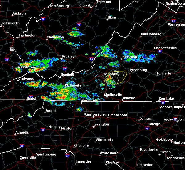 At 753 pm edt, severe thunderstorms were located along a line extending from near montvale to goodview to near burnt chimney, moving east at 35 mph (radar indicated). Hazards include 60 mph wind gusts and quarter size hail. Hail damage to vehicles is expected. Expect wind damage to roofs, siding, and trees. At 753 pm edt, severe thunderstorms were located along a line extending from near montvale to goodview to near burnt chimney, moving east at 35 mph (radar indicated). Hazards include 60 mph wind gusts and quarter size hail. Hail damage to vehicles is expected. Expect wind damage to roofs, siding, and trees.
|
| 5/31/2019 5:05 PM EDT |
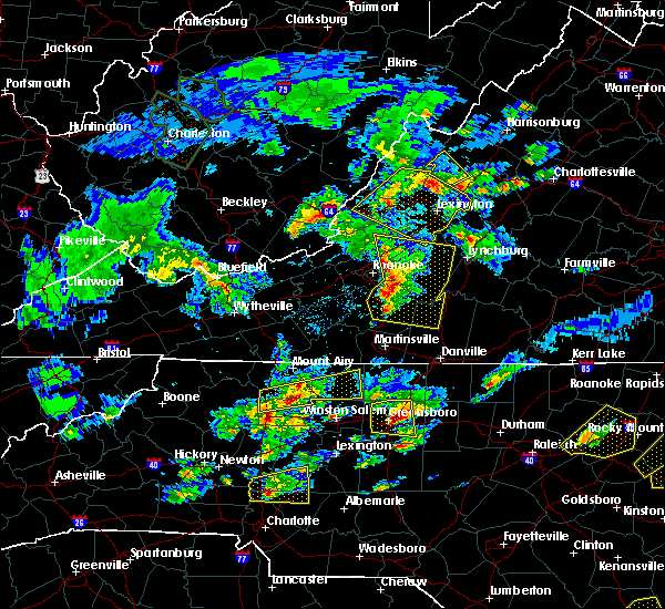 At 503 pm edt, severe thunderstorms were located along a line extending from near lithia to westlake corner to near sontag, moving east at 40 mph (radar indicated). Hazards include 60 mph wind gusts and half dollar size hail. Hail damage to vehicles is expected. expect wind damage to roofs, siding, and trees. locations impacted include, bedford, rocky mount, buchanan, troutville, and boones mill. This includes the following location the national d-day memorial. At 503 pm edt, severe thunderstorms were located along a line extending from near lithia to westlake corner to near sontag, moving east at 40 mph (radar indicated). Hazards include 60 mph wind gusts and half dollar size hail. Hail damage to vehicles is expected. expect wind damage to roofs, siding, and trees. locations impacted include, bedford, rocky mount, buchanan, troutville, and boones mill. This includes the following location the national d-day memorial.
|
| 5/31/2019 4:39 PM EDT |
 The national weather service in blacksburg has issued a * severe thunderstorm warning for. southern roanoke county in west central virginia. northwestern pittsylvania county in south central virginia. southern city of roanoke in west central virginia. bedford county in south central virginia. Southeastern. The national weather service in blacksburg has issued a * severe thunderstorm warning for. southern roanoke county in west central virginia. northwestern pittsylvania county in south central virginia. southern city of roanoke in west central virginia. bedford county in south central virginia. Southeastern.
|
| 5/29/2019 5:27 PM EDT |
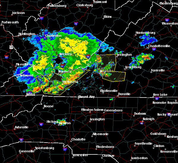 At 527 pm edt, severe thunderstorms were located along a line extending from covington to near eagle rock to near daleville, moving east at 45 mph (radar indicated). Hazards include 60 mph wind gusts. Expect damage to roofs, siding, and trees. Locations impacted include, bedford, covington, clifton forge, buchanan, and glasgow. At 527 pm edt, severe thunderstorms were located along a line extending from covington to near eagle rock to near daleville, moving east at 45 mph (radar indicated). Hazards include 60 mph wind gusts. Expect damage to roofs, siding, and trees. Locations impacted include, bedford, covington, clifton forge, buchanan, and glasgow.
|
| 5/29/2019 5:11 PM EDT |
 At 510 pm edt, severe thunderstorms were located along a line extending from near alleghany to near potts creek to near craig springs, moving east at 45 mph (radar indicated). Hazards include 60 mph wind gusts. expect damage to roofs, siding, and trees At 510 pm edt, severe thunderstorms were located along a line extending from near alleghany to near potts creek to near craig springs, moving east at 45 mph (radar indicated). Hazards include 60 mph wind gusts. expect damage to roofs, siding, and trees
|
| 4/14/2019 11:47 PM EDT |
 At 1147 pm edt, severe thunderstorms were located along a line extending from near glen wilton to near callaway, moving east at 40 mph (radar indicated). Hazards include 60 mph wind gusts. Expect damage to roofs, siding, and trees. locations impacted include, roanoke, salem, vinton, rocky mount, and clifton forge. this includes the following locations the salem fairgrounds and roanoke regional airport. A tornado watch remains in effect until 500 am edt for central, south central, southwestern and west central virginia. At 1147 pm edt, severe thunderstorms were located along a line extending from near glen wilton to near callaway, moving east at 40 mph (radar indicated). Hazards include 60 mph wind gusts. Expect damage to roofs, siding, and trees. locations impacted include, roanoke, salem, vinton, rocky mount, and clifton forge. this includes the following locations the salem fairgrounds and roanoke regional airport. A tornado watch remains in effect until 500 am edt for central, south central, southwestern and west central virginia.
|
| 4/14/2019 11:09 PM EDT |
 At 1108 pm edt, severe thunderstorms were located along a line extending from near jordan mines to near childress, moving east at 40 mph (radar indicated). Hazards include 60 mph wind gusts. expect damage to roofs, siding, and trees At 1108 pm edt, severe thunderstorms were located along a line extending from near jordan mines to near childress, moving east at 40 mph (radar indicated). Hazards include 60 mph wind gusts. expect damage to roofs, siding, and trees
|
| 4/14/2019 7:00 PM EDT |
 At 659 pm edt, a severe thunderstorm was located over arcadia, moving northeast at 55 mph (radar indicated). Hazards include 60 mph wind gusts. Expect damage to roofs, siding, and trees. locations impacted include, lexington, buena vista, bedford, buchanan, and glasgow. this includes the following location vmi. A tornado watch remains in effect until 800 pm edt for central, south central, southwestern and west central virginia. At 659 pm edt, a severe thunderstorm was located over arcadia, moving northeast at 55 mph (radar indicated). Hazards include 60 mph wind gusts. Expect damage to roofs, siding, and trees. locations impacted include, lexington, buena vista, bedford, buchanan, and glasgow. this includes the following location vmi. A tornado watch remains in effect until 800 pm edt for central, south central, southwestern and west central virginia.
|
| 4/14/2019 6:57 PM EDT |
 At 657 pm edt, a severe thunderstorm capable of producing a tornado was located over montvale, moving northeast at 35 mph (radar indicated rotation). Hazards include tornado. Flying debris will be dangerous to those caught without shelter. mobile homes will be damaged or destroyed. damage to roofs, windows, and vehicles will occur. tree damage is likely. Locations impacted include, buchanan, montvale, laymantown, arcadia, and peaks of otter summit. At 657 pm edt, a severe thunderstorm capable of producing a tornado was located over montvale, moving northeast at 35 mph (radar indicated rotation). Hazards include tornado. Flying debris will be dangerous to those caught without shelter. mobile homes will be damaged or destroyed. damage to roofs, windows, and vehicles will occur. tree damage is likely. Locations impacted include, buchanan, montvale, laymantown, arcadia, and peaks of otter summit.
|
| 4/14/2019 6:46 PM EDT |
 At 646 pm edt, a severe thunderstorm capable of producing a tornado was located near laymantown, moving northeast at 35 mph (radar indicated rotation). Hazards include tornado. Flying debris will be dangerous to those caught without shelter. mobile homes will be damaged or destroyed. damage to roofs, windows, and vehicles will occur. Tree damage is likely. At 646 pm edt, a severe thunderstorm capable of producing a tornado was located near laymantown, moving northeast at 35 mph (radar indicated rotation). Hazards include tornado. Flying debris will be dangerous to those caught without shelter. mobile homes will be damaged or destroyed. damage to roofs, windows, and vehicles will occur. Tree damage is likely.
|
| 4/14/2019 6:29 PM EDT |
 At 629 pm edt, a severe thunderstorm was located over roanoke mountain, moving northeast at 55 mph (radar indicated). Hazards include 60 mph wind gusts. expect damage to roofs, siding, and trees At 629 pm edt, a severe thunderstorm was located over roanoke mountain, moving northeast at 55 mph (radar indicated). Hazards include 60 mph wind gusts. expect damage to roofs, siding, and trees
|
| 4/8/2019 4:25 PM EDT |
 At 425 pm edt, severe thunderstorms were located along a line extending from near lithia to near thaxton, moving east at 35 mph (radar indicated). Hazards include 70 mph wind gusts and quarter size hail. Hail damage to vehicles is expected. expect considerable tree damage. wind damage is also likely to mobile homes, roofs, and outbuildings. locations impacted include, bedford, buchanan, montvale, chamblissburg, and goode. This includes the following location the national d-day memorial. At 425 pm edt, severe thunderstorms were located along a line extending from near lithia to near thaxton, moving east at 35 mph (radar indicated). Hazards include 70 mph wind gusts and quarter size hail. Hail damage to vehicles is expected. expect considerable tree damage. wind damage is also likely to mobile homes, roofs, and outbuildings. locations impacted include, bedford, buchanan, montvale, chamblissburg, and goode. This includes the following location the national d-day memorial.
|
| 4/8/2019 3:58 PM EDT |
 At 358 pm edt, severe thunderstorms were located along a line extending from near hollins to vinton, moving east at 35 mph (radar indicated). Hazards include 70 mph wind gusts and quarter size hail. Hail damage to vehicles is expected. expect considerable tree damage. Wind damage is also likely to mobile homes, roofs, and outbuildings. At 358 pm edt, severe thunderstorms were located along a line extending from near hollins to vinton, moving east at 35 mph (radar indicated). Hazards include 70 mph wind gusts and quarter size hail. Hail damage to vehicles is expected. expect considerable tree damage. Wind damage is also likely to mobile homes, roofs, and outbuildings.
|
| 4/8/2019 3:46 PM EDT |
 At 346 pm edt, severe thunderstorms were located along a line extending from near hollins to crockett springs, moving east at 40 mph (radar indicated). Hazards include 60 mph wind gusts and quarter size hail. Hail damage to vehicles is expected. expect wind damage to roofs, siding, and trees. locations impacted include, roanoke, salem, vinton, troutville, and boones mill. This includes the following locations the salem fairgrounds and roanoke regional airport. At 346 pm edt, severe thunderstorms were located along a line extending from near hollins to crockett springs, moving east at 40 mph (radar indicated). Hazards include 60 mph wind gusts and quarter size hail. Hail damage to vehicles is expected. expect wind damage to roofs, siding, and trees. locations impacted include, roanoke, salem, vinton, troutville, and boones mill. This includes the following locations the salem fairgrounds and roanoke regional airport.
|
| 4/8/2019 3:42 PM EDT |
 At 341 pm edt, severe thunderstorms were located along a line extending from salem to near terrys fork, moving east at 40 mph (radar indicated). Hazards include 60 mph wind gusts and quarter size hail. Hail damage to vehicles is expected. Expect wind damage to roofs, siding, and trees. At 341 pm edt, severe thunderstorms were located along a line extending from salem to near terrys fork, moving east at 40 mph (radar indicated). Hazards include 60 mph wind gusts and quarter size hail. Hail damage to vehicles is expected. Expect wind damage to roofs, siding, and trees.
|
| 4/8/2019 3:21 PM EDT |
 At 320 pm edt, severe thunderstorms were located along a line extending from near elliston-lafayette to copper valley, moving east at 40 mph (radar indicated). Hazards include 60 mph wind gusts and quarter size hail. Hail damage to vehicles is expected. Expect wind damage to roofs, siding, and trees. At 320 pm edt, severe thunderstorms were located along a line extending from near elliston-lafayette to copper valley, moving east at 40 mph (radar indicated). Hazards include 60 mph wind gusts and quarter size hail. Hail damage to vehicles is expected. Expect wind damage to roofs, siding, and trees.
|
| 8/13/2018 6:09 PM EDT |
 The severe thunderstorm warning for northwestern appomattox, central campbell, central bedford, southeastern amherst, and southwestern buckingham counties and the city of lynchburg will expire at 615 pm edt, the storms which prompted the warning have moved out of the area. therefore, the warning will be allowed to expire. however heavy rain is still possible with these thunderstorms. when it is safe to do so, please send your reports of hail of any size, as well as reports of any wind damage, including downed trees or large limbs, to the national weather service by calling toll free at 1, 8 6 6, 2 1 5, 4 3 2 4. reports and pictures can also be shared on the national weather service blacksburg facebook page and on twitter. The severe thunderstorm warning for northwestern appomattox, central campbell, central bedford, southeastern amherst, and southwestern buckingham counties and the city of lynchburg will expire at 615 pm edt, the storms which prompted the warning have moved out of the area. therefore, the warning will be allowed to expire. however heavy rain is still possible with these thunderstorms. when it is safe to do so, please send your reports of hail of any size, as well as reports of any wind damage, including downed trees or large limbs, to the national weather service by calling toll free at 1, 8 6 6, 2 1 5, 4 3 2 4. reports and pictures can also be shared on the national weather service blacksburg facebook page and on twitter.
|
| 8/13/2018 5:52 PM EDT |
 At 551 pm edt, severe thunderstorms were located along a line extending from near stonewall to near timberlake to near bedford, moving southeast at 25 mph (radar indicated). Hazards include 60 mph wind gusts and quarter size hail. Hail damage to vehicles is expected. expect wind damage to roofs, siding, and trees. locations impacted include, lynchburg, bedford, amherst, appomattox, and huddleston. This includes the following locations liberty university, the national d-day memorial, and lynchburg airport. At 551 pm edt, severe thunderstorms were located along a line extending from near stonewall to near timberlake to near bedford, moving southeast at 25 mph (radar indicated). Hazards include 60 mph wind gusts and quarter size hail. Hail damage to vehicles is expected. expect wind damage to roofs, siding, and trees. locations impacted include, lynchburg, bedford, amherst, appomattox, and huddleston. This includes the following locations liberty university, the national d-day memorial, and lynchburg airport.
|
| 8/13/2018 5:11 PM EDT |
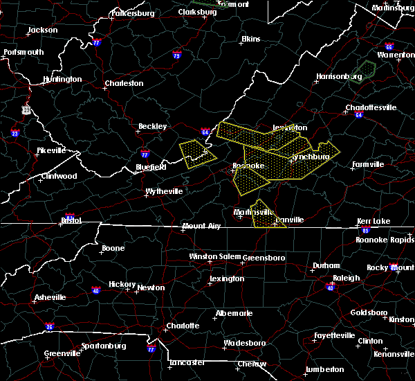 At 511 pm edt, severe thunderstorms were located along a line extending from near clifford to coleman falls to buchanan, moving southeast at 25 mph (radar indicated). Hazards include 60 mph wind gusts and quarter size hail. Hail damage to vehicles is expected. Expect wind damage to roofs, siding, and trees. At 511 pm edt, severe thunderstorms were located along a line extending from near clifford to coleman falls to buchanan, moving southeast at 25 mph (radar indicated). Hazards include 60 mph wind gusts and quarter size hail. Hail damage to vehicles is expected. Expect wind damage to roofs, siding, and trees.
|
| 8/2/2018 3:56 PM EDT |
 At 355 pm edt, severe thunderstorms were located along a line extending from near montvale to near northwest smith mountain lake, moving northeast at 15 mph (radar indicated). Hazards include 60 mph wind gusts. Expect damage to roofs, siding, and trees. Locations impacted include, vinton, bedford, stewartsville, montvale, and moneta. At 355 pm edt, severe thunderstorms were located along a line extending from near montvale to near northwest smith mountain lake, moving northeast at 15 mph (radar indicated). Hazards include 60 mph wind gusts. Expect damage to roofs, siding, and trees. Locations impacted include, vinton, bedford, stewartsville, montvale, and moneta.
|
| 8/2/2018 3:34 PM EDT |
 At 333 pm edt, severe thunderstorms were located along a line extending from near stewartsville to near burnt chimney, moving northeast at 15 mph (radar indicated). Hazards include 60 mph wind gusts and quarter size hail. Hail damage to vehicles is expected. Expect wind damage to roofs, siding, and trees. At 333 pm edt, severe thunderstorms were located along a line extending from near stewartsville to near burnt chimney, moving northeast at 15 mph (radar indicated). Hazards include 60 mph wind gusts and quarter size hail. Hail damage to vehicles is expected. Expect wind damage to roofs, siding, and trees.
|
| 6/27/2018 6:26 PM EDT |
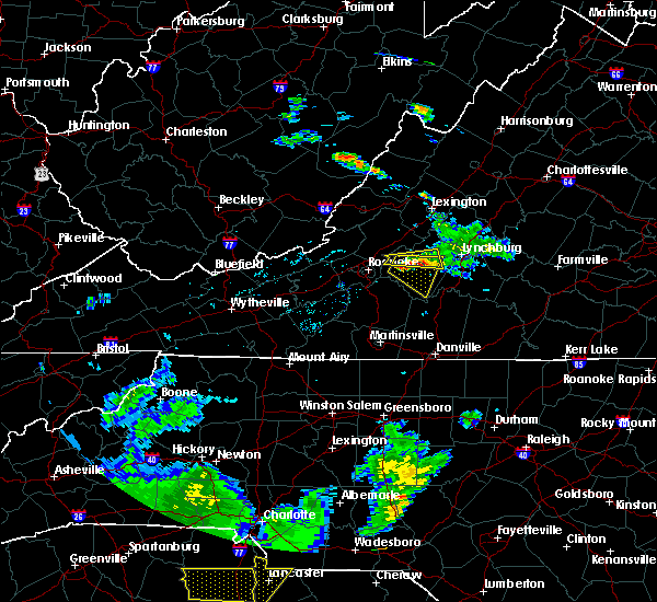 At 626 pm edt, a severe thunderstorm was located near thaxton, moving east at 10 mph (radar indicated). Hazards include 60 mph wind gusts and quarter size hail. Hail damage to vehicles is expected. Expect wind damage to roofs, siding, and trees. At 626 pm edt, a severe thunderstorm was located near thaxton, moving east at 10 mph (radar indicated). Hazards include 60 mph wind gusts and quarter size hail. Hail damage to vehicles is expected. Expect wind damage to roofs, siding, and trees.
|
| 6/27/2018 6:01 PM EDT |
 At 524 pm edt, a severe thunderstorm was located over montvale, moving east at 15 mph (radar indicated). Hazards include 60 mph wind gusts and quarter size hail. Hail damage to vehicles is expected. Expect wind damage to roofs, siding, and trees. At 524 pm edt, a severe thunderstorm was located over montvale, moving east at 15 mph (radar indicated). Hazards include 60 mph wind gusts and quarter size hail. Hail damage to vehicles is expected. Expect wind damage to roofs, siding, and trees.
|
| 6/27/2018 5:24 PM EDT |
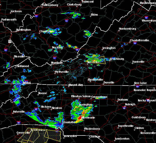 At 524 pm edt, a severe thunderstorm was located over montvale, moving east at 15 mph (radar indicated). Hazards include 60 mph wind gusts and quarter size hail. Hail damage to vehicles is expected. Expect wind damage to roofs, siding, and trees. At 524 pm edt, a severe thunderstorm was located over montvale, moving east at 15 mph (radar indicated). Hazards include 60 mph wind gusts and quarter size hail. Hail damage to vehicles is expected. Expect wind damage to roofs, siding, and trees.
|
| 6/9/2018 6:05 PM EDT |
 The severe thunderstorm warning for eastern roanoke, east central craig, west central bedford and southwestern botetourt counties and the city of roanoke will expire at 615 pm edt, the storm which prompted the warning has weakened below severe limits, and no longer poses an immediate threat to life or property. therefore, the warning will be allowed to expire. however heavy rain is still possible with this thunderstorm. when it is safe to do so, please send your reports of hail of any size, as well as reports of any wind damage, including downed trees or large limbs, to the national weather service by calling toll free at 1, 8 6 6, 2 1 5, 4 3 2 4. reports and pictures can also be shared on the national weather service blacksburg facebook page and on twitter. The severe thunderstorm warning for eastern roanoke, east central craig, west central bedford and southwestern botetourt counties and the city of roanoke will expire at 615 pm edt, the storm which prompted the warning has weakened below severe limits, and no longer poses an immediate threat to life or property. therefore, the warning will be allowed to expire. however heavy rain is still possible with this thunderstorm. when it is safe to do so, please send your reports of hail of any size, as well as reports of any wind damage, including downed trees or large limbs, to the national weather service by calling toll free at 1, 8 6 6, 2 1 5, 4 3 2 4. reports and pictures can also be shared on the national weather service blacksburg facebook page and on twitter.
|
| 6/9/2018 5:30 PM EDT |
 At 529 pm edt, a severe thunderstorm was located near daleville, moving southeast at 10 mph (radar indicated). Hazards include 60 mph wind gusts and quarter size hail. Hail damage to vehicles is expected. expect wind damage to roofs, siding, and trees. locations impacted include, roanoke, vinton, troutville, new castle, and stewartsville. This includes the following location roanoke regional airport. At 529 pm edt, a severe thunderstorm was located near daleville, moving southeast at 10 mph (radar indicated). Hazards include 60 mph wind gusts and quarter size hail. Hail damage to vehicles is expected. expect wind damage to roofs, siding, and trees. locations impacted include, roanoke, vinton, troutville, new castle, and stewartsville. This includes the following location roanoke regional airport.
|
| 6/9/2018 5:15 PM EDT |
 At 515 pm edt, a severe thunderstorm was located near new castle, moving southeast at 15 mph (radar indicated). Hazards include 60 mph wind gusts and quarter size hail. Hail damage to vehicles is expected. Expect wind damage to roofs, siding, and trees. At 515 pm edt, a severe thunderstorm was located near new castle, moving southeast at 15 mph (radar indicated). Hazards include 60 mph wind gusts and quarter size hail. Hail damage to vehicles is expected. Expect wind damage to roofs, siding, and trees.
|
| 6/8/2018 8:09 PM EDT |
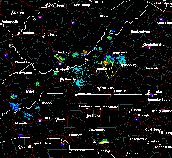 At 809 pm edt, a severe thunderstorm was located over peaks of otter summit, moving southeast at 25 mph (radar indicated). Hazards include 60 mph wind gusts and quarter size hail. Hail damage to vehicles is expected. expect wind damage to roofs, siding, and trees. locations impacted include, bedford, buchanan, huddleston, forest, and lithia. This includes the following location the national d-day memorial. At 809 pm edt, a severe thunderstorm was located over peaks of otter summit, moving southeast at 25 mph (radar indicated). Hazards include 60 mph wind gusts and quarter size hail. Hail damage to vehicles is expected. expect wind damage to roofs, siding, and trees. locations impacted include, bedford, buchanan, huddleston, forest, and lithia. This includes the following location the national d-day memorial.
|
| 6/8/2018 7:54 PM EDT |
 At 753 pm edt, a severe thunderstorm was located over arcadia, moving southeast at 25 mph (radar indicated). Hazards include 60 mph wind gusts and quarter size hail. Hail damage to vehicles is expected. Expect wind damage to roofs, siding, and trees. At 753 pm edt, a severe thunderstorm was located over arcadia, moving southeast at 25 mph (radar indicated). Hazards include 60 mph wind gusts and quarter size hail. Hail damage to vehicles is expected. Expect wind damage to roofs, siding, and trees.
|
| 5/15/2018 4:10 PM EDT |
 The severe thunderstorm warning for northeastern roanoke, southwestern bedford, southwestern botetourt and northeastern franklin counties, the city of salem and the city of roanoke will expire at 415 pm edt, the storm which prompted the warning has weakened below severe limits, and no longer poses an immediate threat to life or property. therefore, the warning will be allowed to expire. however heavy rain is still possible with this thunderstorm. when it is safe to do so, please send your reports of hail of any size, as well as reports of any wind damage, including downed trees or large limbs, to the national weather service by calling toll free at 1, 8 6 6, 2 1 5, 4 3 2 4. reports and pictures can also be shared on the national weather service blacksburg facebook page and on twitter. The severe thunderstorm warning for northeastern roanoke, southwestern bedford, southwestern botetourt and northeastern franklin counties, the city of salem and the city of roanoke will expire at 415 pm edt, the storm which prompted the warning has weakened below severe limits, and no longer poses an immediate threat to life or property. therefore, the warning will be allowed to expire. however heavy rain is still possible with this thunderstorm. when it is safe to do so, please send your reports of hail of any size, as well as reports of any wind damage, including downed trees or large limbs, to the national weather service by calling toll free at 1, 8 6 6, 2 1 5, 4 3 2 4. reports and pictures can also be shared on the national weather service blacksburg facebook page and on twitter.
|
| 5/15/2018 3:45 PM EDT |
 At 343 pm edt, a severe thunderstorm was located near blue ridge, moving east at 15 mph (trained weather spotters). Hazards include quarter size hail. Damage to vehicles is expected. locations impacted include, roanoke, salem, vinton, bedford, and troutville. This includes the following locations the salem fairgrounds and roanoke regional airport. At 343 pm edt, a severe thunderstorm was located near blue ridge, moving east at 15 mph (trained weather spotters). Hazards include quarter size hail. Damage to vehicles is expected. locations impacted include, roanoke, salem, vinton, bedford, and troutville. This includes the following locations the salem fairgrounds and roanoke regional airport.
|
| 5/15/2018 3:11 PM EDT |
 At 311 pm edt, a severe thunderstorm was located over cloverdale, moving east at 15 mph (radar indicated). Hazards include 60 mph wind gusts and quarter size hail. Hail damage to vehicles is expected. Expect wind damage to roofs, siding, and trees. At 311 pm edt, a severe thunderstorm was located over cloverdale, moving east at 15 mph (radar indicated). Hazards include 60 mph wind gusts and quarter size hail. Hail damage to vehicles is expected. Expect wind damage to roofs, siding, and trees.
|
| 4/15/2018 6:12 PM EDT |
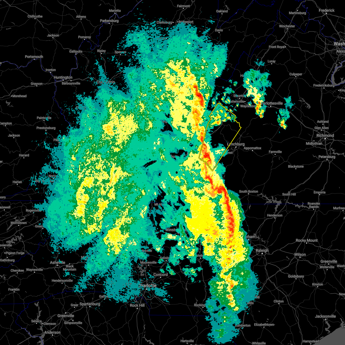 At 611 pm edt, a severe thunderstorm was located near chamblissburg, moving northeast at 50 mph (radar indicated). Hazards include 60 mph wind gusts and quarter size hail. Hail damage to vehicles is expected. Expect wind damage to roofs, siding, and trees. At 611 pm edt, a severe thunderstorm was located near chamblissburg, moving northeast at 50 mph (radar indicated). Hazards include 60 mph wind gusts and quarter size hail. Hail damage to vehicles is expected. Expect wind damage to roofs, siding, and trees.
|
| 4/15/2018 5:57 PM EDT |
 At 557 pm edt, severe thunderstorms were located along a line extending from fincastle to western smith mountain lake, moving northeast at 55 mph (radar indicated). Hazards include 60 mph wind gusts and quarter size hail. Hail damage to vehicles is expected. expect wind damage to roofs, siding, and trees. locations impacted include, roanoke, vinton, bedford, rocky mount, and buchanan. this includes the following location the national d-day memorial. A tornado watch remains in effect until 1100 pm edt for north central north carolina, and central, south central, southwestern and west central virginia. At 557 pm edt, severe thunderstorms were located along a line extending from fincastle to western smith mountain lake, moving northeast at 55 mph (radar indicated). Hazards include 60 mph wind gusts and quarter size hail. Hail damage to vehicles is expected. expect wind damage to roofs, siding, and trees. locations impacted include, roanoke, vinton, bedford, rocky mount, and buchanan. this includes the following location the national d-day memorial. A tornado watch remains in effect until 1100 pm edt for north central north carolina, and central, south central, southwestern and west central virginia.
|
| 4/15/2018 5:39 PM EDT |
 At 539 pm edt, severe thunderstorms were located along a line extending from near cave spring to sydnorsville, moving north at 50 mph (radar indicated). Hazards include 60 mph wind gusts and quarter size hail. Hail damage to vehicles is expected. expect wind damage to roofs, siding, and trees. locations impacted include, roanoke, salem, martinsville, vinton, and bedford. this includes the following locations the martinsville speedway, the salem fairgrounds, the national d-day memorial, martinsville airport, and roanoke regional airport. A tornado watch remains in effect until 1100 pm edt for north central north carolina, and central, south central, southwestern and west central virginia. At 539 pm edt, severe thunderstorms were located along a line extending from near cave spring to sydnorsville, moving north at 50 mph (radar indicated). Hazards include 60 mph wind gusts and quarter size hail. Hail damage to vehicles is expected. expect wind damage to roofs, siding, and trees. locations impacted include, roanoke, salem, martinsville, vinton, and bedford. this includes the following locations the martinsville speedway, the salem fairgrounds, the national d-day memorial, martinsville airport, and roanoke regional airport. A tornado watch remains in effect until 1100 pm edt for north central north carolina, and central, south central, southwestern and west central virginia.
|
| 4/15/2018 5:28 PM EDT |
 At 528 pm edt, severe thunderstorms were located along a line extending from near bent mountain to figsboro, moving northeast at 50 mph (radar indicated). Hazards include 60 mph wind gusts and quarter size hail. Hail damage to vehicles is expected. expect wind damage to roofs, siding, and trees. locations impacted include, roanoke, salem, martinsville, vinton, and bedford. this includes the following locations the martinsville speedway, the salem fairgrounds, the national d-day memorial, martinsville airport, and roanoke regional airport. A tornado watch remains in effect until 1100 pm edt for north central north carolina, and central, south central, southwestern and west central virginia. At 528 pm edt, severe thunderstorms were located along a line extending from near bent mountain to figsboro, moving northeast at 50 mph (radar indicated). Hazards include 60 mph wind gusts and quarter size hail. Hail damage to vehicles is expected. expect wind damage to roofs, siding, and trees. locations impacted include, roanoke, salem, martinsville, vinton, and bedford. this includes the following locations the martinsville speedway, the salem fairgrounds, the national d-day memorial, martinsville airport, and roanoke regional airport. A tornado watch remains in effect until 1100 pm edt for north central north carolina, and central, south central, southwestern and west central virginia.
|
| 4/15/2018 5:12 PM EDT |
 At 511 pm edt, severe thunderstorms were located along a line extending from near endicott to near price, moving north at 60 mph (radar indicated). Hazards include 60 mph wind gusts and quarter size hail. Hail damage to vehicles is expected. Expect wind damage to roofs, siding, and trees. At 511 pm edt, severe thunderstorms were located along a line extending from near endicott to near price, moving north at 60 mph (radar indicated). Hazards include 60 mph wind gusts and quarter size hail. Hail damage to vehicles is expected. Expect wind damage to roofs, siding, and trees.
|
| 10/23/2017 8:03 PM EDT |
 At 803 pm edt, severe thunderstorms were located along a line extending from 6 miles northwest of natural bridge to sedalia to near bedford, moving northeast at 70 mph (radar indicated). Hazards include 60 mph wind gusts. Expect damage to roofs, siding, and trees. locations impacted include, lynchburg, buena vista, bedford, amherst, and buchanan. A tornado watch remains in effect until 200 am edt for central, south central, southwestern and west central virginia. At 803 pm edt, severe thunderstorms were located along a line extending from 6 miles northwest of natural bridge to sedalia to near bedford, moving northeast at 70 mph (radar indicated). Hazards include 60 mph wind gusts. Expect damage to roofs, siding, and trees. locations impacted include, lynchburg, buena vista, bedford, amherst, and buchanan. A tornado watch remains in effect until 200 am edt for central, south central, southwestern and west central virginia.
|
| 10/23/2017 7:40 PM EDT |
 At 740 pm edt, severe thunderstorms were located along a line extending from near hollins to near northwest smith mountain lake to near burnt chimney, moving northeast at 70 mph (radar indicated). Hazards include 60 mph wind gusts and quarter size hail. Hail damage to vehicles is expected. Expect wind damage to roofs, siding, and trees. At 740 pm edt, severe thunderstorms were located along a line extending from near hollins to near northwest smith mountain lake to near burnt chimney, moving northeast at 70 mph (radar indicated). Hazards include 60 mph wind gusts and quarter size hail. Hail damage to vehicles is expected. Expect wind damage to roofs, siding, and trees.
|
| 6/19/2017 3:51 PM EDT |
 The severe thunderstorm warning for southern rockbridge, southeastern botetourt and northwestern bedford counties, the city of buena vista and the city of lexington will expire at 400 pm edt, the storms which prompted the warning have weakened below severe limits, and have exited the warned area. therefore the warning will be allowed to expire. a severe thunderstorm watch remains in effect until 800 pm edt for central, south central and west central virginia. when it is safe to do so, please send your reports of hail of any size, as well as reports of any wind damage, including downed trees or large limbs, to the national weather service by calling toll free at 1, 8 6 6, 2 1 5, 4 3 2 4. reports and pictures can also be shared on the national weather service blacksburg facebook page and on twitter. The severe thunderstorm warning for southern rockbridge, southeastern botetourt and northwestern bedford counties, the city of buena vista and the city of lexington will expire at 400 pm edt, the storms which prompted the warning have weakened below severe limits, and have exited the warned area. therefore the warning will be allowed to expire. a severe thunderstorm watch remains in effect until 800 pm edt for central, south central and west central virginia. when it is safe to do so, please send your reports of hail of any size, as well as reports of any wind damage, including downed trees or large limbs, to the national weather service by calling toll free at 1, 8 6 6, 2 1 5, 4 3 2 4. reports and pictures can also be shared on the national weather service blacksburg facebook page and on twitter.
|
| 6/19/2017 3:29 PM EDT |
 At 329 pm edt, severe thunderstorms were located along a line extending from lexington to near arcadia, moving east at 35 mph (radar indicated). Hazards include 60 mph wind gusts. Expect damage to roofs, siding, and trees. Locations impacted include, lexington, buena vista, buchanan, glasgow, and montvale. At 329 pm edt, severe thunderstorms were located along a line extending from lexington to near arcadia, moving east at 35 mph (radar indicated). Hazards include 60 mph wind gusts. Expect damage to roofs, siding, and trees. Locations impacted include, lexington, buena vista, buchanan, glasgow, and montvale.
|
| 6/19/2017 3:05 PM EDT |
 At 304 pm edt, severe thunderstorms were located along a line extending from 6 miles east of gala to fincastle, moving east at 30 mph (radar indicated). Hazards include 60 mph wind gusts. expect damage to roofs, siding, and trees At 304 pm edt, severe thunderstorms were located along a line extending from 6 miles east of gala to fincastle, moving east at 30 mph (radar indicated). Hazards include 60 mph wind gusts. expect damage to roofs, siding, and trees
|
| 6/13/2017 3:12 PM EDT |
 At 311 pm edt, severe thunderstorms were located along a line extending from nace to near blue ridge to near vinton, moving northeast at 15 mph (radar indicated). Hazards include 60 mph wind gusts. Expect damage to roofs, siding, and trees. Locations impacted include, troutville, montvale, stewartsville, nace, and laymantown. At 311 pm edt, severe thunderstorms were located along a line extending from nace to near blue ridge to near vinton, moving northeast at 15 mph (radar indicated). Hazards include 60 mph wind gusts. Expect damage to roofs, siding, and trees. Locations impacted include, troutville, montvale, stewartsville, nace, and laymantown.
|
| 6/13/2017 3:00 PM EDT |
 At 300 pm edt, severe thunderstorms were located along a line extending from troutville to near blue ridge to near vinton, moving northeast at 30 mph (radar indicated). Hazards include 60 mph wind gusts. Expect damage to roofs, siding, and trees. Locations impacted include, roanoke, vinton, troutville, montvale, and stewartsville. At 300 pm edt, severe thunderstorms were located along a line extending from troutville to near blue ridge to near vinton, moving northeast at 30 mph (radar indicated). Hazards include 60 mph wind gusts. Expect damage to roofs, siding, and trees. Locations impacted include, roanoke, vinton, troutville, montvale, and stewartsville.
|
| 6/13/2017 2:36 PM EDT |
 At 236 pm edt, a severe thunderstorm was located over roanoke, moving northeast at 15 mph (radar indicated). Hazards include 60 mph wind gusts and quarter size hail. Hail damage to vehicles is expected. Expect wind damage to roofs, siding, and trees. At 236 pm edt, a severe thunderstorm was located over roanoke, moving northeast at 15 mph (radar indicated). Hazards include 60 mph wind gusts and quarter size hail. Hail damage to vehicles is expected. Expect wind damage to roofs, siding, and trees.
|
| 5/20/2017 4:54 PM EDT |
 At 454 pm edt, severe thunderstorms were located along a line extending from near fincastle to near montvale, moving northeast at 20 mph (radar indicated). Hazards include 60 mph wind gusts and half dollar size hail. Minor damage to vehicles is possible. expect wind damage to trees and power lines. Locations impacted include, buchanan, fincastle, and lithia. At 454 pm edt, severe thunderstorms were located along a line extending from near fincastle to near montvale, moving northeast at 20 mph (radar indicated). Hazards include 60 mph wind gusts and half dollar size hail. Minor damage to vehicles is possible. expect wind damage to trees and power lines. Locations impacted include, buchanan, fincastle, and lithia.
|
| 5/20/2017 4:40 PM EDT |
 At 439 pm edt, severe thunderstorms were located along a line extending from daleville to blue ridge, moving northeast at 20 mph (radar indicated). Hazards include 60 mph wind gusts and half dollar size hail. Minor damage to vehicles is possible. expect wind damage to trees and power lines. Locations impacted include, buchanan, troutville, montvale, fincastle, and nace. At 439 pm edt, severe thunderstorms were located along a line extending from daleville to blue ridge, moving northeast at 20 mph (radar indicated). Hazards include 60 mph wind gusts and half dollar size hail. Minor damage to vehicles is possible. expect wind damage to trees and power lines. Locations impacted include, buchanan, troutville, montvale, fincastle, and nace.
|
| 5/20/2017 4:24 PM EDT |
 At 424 pm edt, severe thunderstorms were located along a line extending from near hollins to laymantown, moving northeast at 15 mph (radar indicated). Hazards include ping pong ball size hail and 60 mph wind gusts. People and animals outdoors will be injured. expect hail damage to roofs, siding, windows, and vehicles. Expect wind damage to trees and power lines. At 424 pm edt, severe thunderstorms were located along a line extending from near hollins to laymantown, moving northeast at 15 mph (radar indicated). Hazards include ping pong ball size hail and 60 mph wind gusts. People and animals outdoors will be injured. expect hail damage to roofs, siding, windows, and vehicles. Expect wind damage to trees and power lines.
|
| 5/19/2017 12:43 PM EDT |
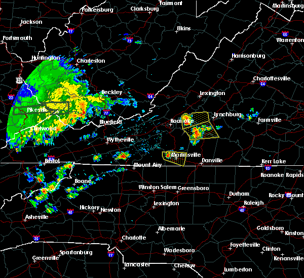 At 1243 pm edt, a severe thunderstorm was located over thaxton, moving east at 35 mph (radar indicated). Hazards include 60 mph wind gusts. expect damage to trees and power lines At 1243 pm edt, a severe thunderstorm was located over thaxton, moving east at 35 mph (radar indicated). Hazards include 60 mph wind gusts. expect damage to trees and power lines
|
| 4/15/2017 2:28 PM EDT |
 The severe thunderstorm warning for northeastern roanoke, southwestern botetourt and west central bedford counties, the southeastern city of salem and the city of roanoke will expire at 230 pm edt, the storm which prompted the warning has weakened below severe limits, and no longer poses an immediate threat to life or property. therefore the warning will be allowed to expire. however small hail and gusty winds are still possible with this thunderstorm. when it is safe to do so, please send your reports of hail of any size, as well as reports of any wind damage, including downed trees or large limbs, to the national weather service by calling toll free at 1, 8 6 6, 2 1 5, 4 3 2 4. reports and pictures can also be shared on the national weather service blacksburg facebook page and on twitter. The severe thunderstorm warning for northeastern roanoke, southwestern botetourt and west central bedford counties, the southeastern city of salem and the city of roanoke will expire at 230 pm edt, the storm which prompted the warning has weakened below severe limits, and no longer poses an immediate threat to life or property. therefore the warning will be allowed to expire. however small hail and gusty winds are still possible with this thunderstorm. when it is safe to do so, please send your reports of hail of any size, as well as reports of any wind damage, including downed trees or large limbs, to the national weather service by calling toll free at 1, 8 6 6, 2 1 5, 4 3 2 4. reports and pictures can also be shared on the national weather service blacksburg facebook page and on twitter.
|
| 4/15/2017 2:13 PM EDT |
 At 212 pm edt, a severe thunderstorm was located near vinton, moving east at 25 mph (radar indicated). Hazards include 60 mph wind gusts and quarter size hail. hail up to nickel size has been reported by the general public in the city of salem. Hail damage to vehicles is expected. expect wind damage to roofs, siding, and trees. locations impacted include, roanoke, salem, vinton, montvale, and stewartsville. This includes the following location roanoke regional airport. At 212 pm edt, a severe thunderstorm was located near vinton, moving east at 25 mph (radar indicated). Hazards include 60 mph wind gusts and quarter size hail. hail up to nickel size has been reported by the general public in the city of salem. Hail damage to vehicles is expected. expect wind damage to roofs, siding, and trees. locations impacted include, roanoke, salem, vinton, montvale, and stewartsville. This includes the following location roanoke regional airport.
|
| 4/15/2017 1:51 PM EDT |
 At 151 pm edt, a severe thunderstorm was located over salem, moving east at 20 mph (radar indicated). Hazards include 60 mph wind gusts and quarter size hail. Hail damage to vehicles is expected. Expect wind damage to roofs, siding, and trees. At 151 pm edt, a severe thunderstorm was located over salem, moving east at 20 mph (radar indicated). Hazards include 60 mph wind gusts and quarter size hail. Hail damage to vehicles is expected. Expect wind damage to roofs, siding, and trees.
|
| 3/1/2017 12:24 PM EST |
 At 1224 pm est, severe thunderstorms were located along a line extending from near waynesboro to near alto to near sedalia, moving east at 70 mph (radar indicated). Hazards include 60 mph wind gusts. Expect damage to roofs, siding, and trees. locations impacted include, buena vista, bedford, glasgow, forks of buffalo, and huddleston. This includes the following location the national d-day memorial. At 1224 pm est, severe thunderstorms were located along a line extending from near waynesboro to near alto to near sedalia, moving east at 70 mph (radar indicated). Hazards include 60 mph wind gusts. Expect damage to roofs, siding, and trees. locations impacted include, buena vista, bedford, glasgow, forks of buffalo, and huddleston. This includes the following location the national d-day memorial.
|
| 3/1/2017 12:17 PM EST |
 At 1217 pm est, severe thunderstorms were located along a line extending from near staunton to cornwall to near arcadia, moving east at 70 mph (radar indicated). Hazards include 60 mph wind gusts. Expect damage to roofs, siding, and trees. locations impacted include, lexington, buena vista, bedford, buchanan, and glasgow. This includes the following locations vmi and the national d-day memorial. At 1217 pm est, severe thunderstorms were located along a line extending from near staunton to cornwall to near arcadia, moving east at 70 mph (radar indicated). Hazards include 60 mph wind gusts. Expect damage to roofs, siding, and trees. locations impacted include, lexington, buena vista, bedford, buchanan, and glasgow. This includes the following locations vmi and the national d-day memorial.
|
| 3/1/2017 11:57 AM EST |
 At 1156 am est, severe thunderstorms were located along a line extending from near yost to near collierstown to near new castle, moving east at 75 mph (radar indicated). Hazards include 60 mph wind gusts. expect damage to roofs, siding, and trees At 1156 am est, severe thunderstorms were located along a line extending from near yost to near collierstown to near new castle, moving east at 75 mph (radar indicated). Hazards include 60 mph wind gusts. expect damage to roofs, siding, and trees
|
| 9/29/2016 6:43 PM EDT | A tree was blown down along breezy ridge roa in bedford county VA, 4.8 miles WNW of Montvale, VA |
| 9/29/2016 6:20 PM EDT |
 At 620 pm edt, a severe thunderstorm was located over chamblissburg, moving northeast at 15 mph (radar indicated). Hazards include 60 mph wind gusts and half dollar size hail. Hail damage to vehicles is expected. Expect wind damage to roofs, siding, and trees. At 620 pm edt, a severe thunderstorm was located over chamblissburg, moving northeast at 15 mph (radar indicated). Hazards include 60 mph wind gusts and half dollar size hail. Hail damage to vehicles is expected. Expect wind damage to roofs, siding, and trees.
|
| 9/28/2016 8:44 PM EDT |
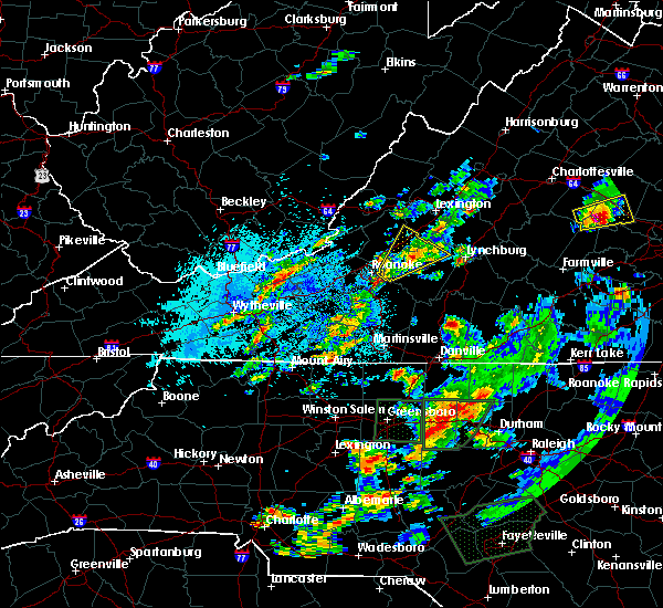 At 842 pm edt, a severe thunderstorm was located over peaks of otter recreation area, moving northeast at 20 mph (radar indicated). Hazards include 60 mph wind gusts and quarter size hail. Hail damage to vehicles is expected. expect wind damage to roofs, siding, and trees. Locations impacted include, bedford, buchanan, montvale, peaks of otter summit, and peaks of otter recreation area. At 842 pm edt, a severe thunderstorm was located over peaks of otter recreation area, moving northeast at 20 mph (radar indicated). Hazards include 60 mph wind gusts and quarter size hail. Hail damage to vehicles is expected. expect wind damage to roofs, siding, and trees. Locations impacted include, bedford, buchanan, montvale, peaks of otter summit, and peaks of otter recreation area.
|
| 9/28/2016 8:07 PM EDT |
 At 806 pm edt, a severe thunderstorm was located over stewartsville, moving northeast at 15 mph (radar indicated). Hazards include quarter size hail. damage to vehicles is expected At 806 pm edt, a severe thunderstorm was located over stewartsville, moving northeast at 15 mph (radar indicated). Hazards include quarter size hail. damage to vehicles is expected
|
| 9/28/2016 4:52 PM EDT |
 At 452 pm edt, severe thunderstorms were located along a line extending from blue ridge to near stewartsville to near vinton, moving east at 25 mph (radar indicated). Hazards include 60 mph wind gusts and quarter size hail. Hail damage to vehicles is expected. Expect wind damage to roofs, siding, and trees. At 452 pm edt, severe thunderstorms were located along a line extending from blue ridge to near stewartsville to near vinton, moving east at 25 mph (radar indicated). Hazards include 60 mph wind gusts and quarter size hail. Hail damage to vehicles is expected. Expect wind damage to roofs, siding, and trees.
|
| 8/17/2016 4:20 PM EDT |
 At 419 pm edt, severe thunderstorms were located along a line extending from near bedford to near huddleston to near smith mountain lake state park, moving northeast at 30 mph (radar indicated). Hazards include 60 mph wind gusts and quarter size hail. Hail damage to vehicles is expected. expect wind damage to roofs, siding, and trees. locations impacted include, bedford, huddleston, montvale, forest, and moneta. This includes the following location the national d day memorial. At 419 pm edt, severe thunderstorms were located along a line extending from near bedford to near huddleston to near smith mountain lake state park, moving northeast at 30 mph (radar indicated). Hazards include 60 mph wind gusts and quarter size hail. Hail damage to vehicles is expected. expect wind damage to roofs, siding, and trees. locations impacted include, bedford, huddleston, montvale, forest, and moneta. This includes the following location the national d day memorial.
|
| 8/17/2016 3:54 PM EDT | One tree down over 3400 block of quarles rd. time radar estimate in bedford county VA, 3.1 miles NW of Montvale, VA |
| 8/17/2016 3:54 PM EDT | One tree down over 2700 block of quarles rd. time radar estimate in bedford county VA, 3.6 miles NNW of Montvale, VA |
| 8/17/2016 3:54 PM EDT | One tree down over 6400 block of quarterwood rd. time radar estimated in bedford county VA, 4 miles NNW of Montvale, VA |
| 8/17/2016 3:48 PM EDT |
 At 348 pm edt, severe thunderstorms were located along a line extending from montvale to goodview to near western smith mountain lake, moving northeast at 45 mph (radar indicated). Hazards include 60 mph wind gusts and quarter size hail. Hail damage to vehicles is expected. Expect wind damage to roofs, siding, and trees. At 348 pm edt, severe thunderstorms were located along a line extending from montvale to goodview to near western smith mountain lake, moving northeast at 45 mph (radar indicated). Hazards include 60 mph wind gusts and quarter size hail. Hail damage to vehicles is expected. Expect wind damage to roofs, siding, and trees.
|
| 7/31/2016 6:00 PM EDT |
 At 559 pm edt, a severe thunderstorm was located over stewartsville, moving southeast at 15 mph (radar indicated). Hazards include 60 mph wind gusts. Expect damage to roofs. siding. and trees. Locations impacted include, stewartsville, montvale, chamblissburg, and thaxton. At 559 pm edt, a severe thunderstorm was located over stewartsville, moving southeast at 15 mph (radar indicated). Hazards include 60 mph wind gusts. Expect damage to roofs. siding. and trees. Locations impacted include, stewartsville, montvale, chamblissburg, and thaxton.
|
| 7/31/2016 5:41 PM EDT |
 At 541 pm edt, a severe thunderstorm was located over roanoke, moving southeast at 15 mph (radar indicated). Hazards include 60 mph wind gusts. Expect damage to roofs. siding. and trees. locations impacted include, roanoke, vinton, troutville, stewartsville, and montvale. This includes the following location roanoke regional airport. At 541 pm edt, a severe thunderstorm was located over roanoke, moving southeast at 15 mph (radar indicated). Hazards include 60 mph wind gusts. Expect damage to roofs. siding. and trees. locations impacted include, roanoke, vinton, troutville, stewartsville, and montvale. This includes the following location roanoke regional airport.
|
| 7/31/2016 5:33 PM EDT |
 At 532 pm edt, a severe thunderstorm was located over roanoke, moving southeast at 15 mph (radar indicated). Hazards include 60 mph wind gusts. Expect damage to roofs. siding. And trees. At 532 pm edt, a severe thunderstorm was located over roanoke, moving southeast at 15 mph (radar indicated). Hazards include 60 mph wind gusts. Expect damage to roofs. siding. And trees.
|
| 7/28/2016 10:26 PM EDT |
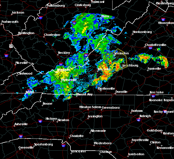 At 1024 pm edt, severe thunderstorms were located along a line extending from near lithia to montvale to westlake corner, moving northeast at 40 mph (radar indicated). Hazards include 60 mph wind gusts. Expect damage to roofs. siding. And trees. At 1024 pm edt, severe thunderstorms were located along a line extending from near lithia to montvale to westlake corner, moving northeast at 40 mph (radar indicated). Hazards include 60 mph wind gusts. Expect damage to roofs. siding. And trees.
|
| 7/13/2016 3:20 PM EDT |
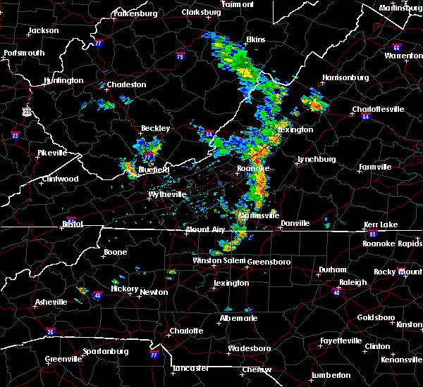 At 319 pm edt, severe thunderstorms were located along a line extending from near peaks of otter recreation area to near moneta to near ajax, moving east at 25 mph (radar indicated). Hazards include 60 mph wind gusts. Expect damage to roofs. siding. And trees. At 319 pm edt, severe thunderstorms were located along a line extending from near peaks of otter recreation area to near moneta to near ajax, moving east at 25 mph (radar indicated). Hazards include 60 mph wind gusts. Expect damage to roofs. siding. And trees.
|
| 7/8/2016 5:19 PM EDT |
 At 517 pm edt, severe thunderstorms were located along a line extending from near eagle rock to near blue ridge to roanoke mountain, moving east at 40 mph (radar indicated. at 508 pm...a wind gust to 60 mph was reported the roanoke airport). Hazards include 60 mph wind gusts. Expect damage to roofs. siding. and trees. locations impacted include, roanoke, vinton, bedford, altavista, and buchanan. This includes the national d day memorial and roanoke regional airport. At 517 pm edt, severe thunderstorms were located along a line extending from near eagle rock to near blue ridge to roanoke mountain, moving east at 40 mph (radar indicated. at 508 pm...a wind gust to 60 mph was reported the roanoke airport). Hazards include 60 mph wind gusts. Expect damage to roofs. siding. and trees. locations impacted include, roanoke, vinton, bedford, altavista, and buchanan. This includes the national d day memorial and roanoke regional airport.
|
| 7/8/2016 4:57 PM EDT |
 At 456 pm edt, severe thunderstorms were located along a line extending from jordan mines to near new castle to glenvar, moving east at 40 mph (radar indicated). Hazards include 60 mph wind gusts. Expect damage to roofs. siding. And trees. At 456 pm edt, severe thunderstorms were located along a line extending from jordan mines to near new castle to glenvar, moving east at 40 mph (radar indicated). Hazards include 60 mph wind gusts. Expect damage to roofs. siding. And trees.
|
| 6/23/2016 2:31 PM EDT |
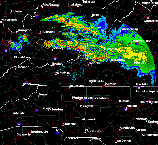 At 231 pm edt, severe thunderstorms were located along a line extending from big island to near lithia, moving southeast at 40 mph (radar indicated). Hazards include 60 mph wind gusts. Expect damage to roofs. siding. And trees. At 231 pm edt, severe thunderstorms were located along a line extending from big island to near lithia, moving southeast at 40 mph (radar indicated). Hazards include 60 mph wind gusts. Expect damage to roofs. siding. And trees.
|
| 6/16/2016 9:14 PM EDT |
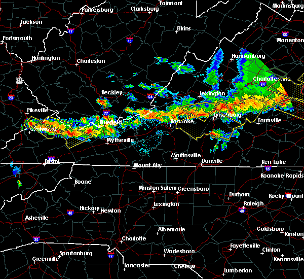 At 913 pm edt, severe thunderstorms were located along a line extending from new glasgow to coleman falls to near lithia, moving southeast at 30 mph (radar indicated). Hazards include 60 mph wind gusts and quarter size hail. Hail damage to vehicles is expected. Expect wind damage to roofs, siding, and trees. At 913 pm edt, severe thunderstorms were located along a line extending from new glasgow to coleman falls to near lithia, moving southeast at 30 mph (radar indicated). Hazards include 60 mph wind gusts and quarter size hail. Hail damage to vehicles is expected. Expect wind damage to roofs, siding, and trees.
|
| 6/4/2016 10:28 PM EDT | The severe thunderstorm warning for south central rockbridge, southeastern botetourt and northern bedford counties will expire at 1030 pm edt, the severe thunderstorm which prompted the warning has warning has moved out of the warned area. therefore the warning will be allowed to expire. moderate rain and occasional cloud-to-ground lightning will continue in the warned area for another 30 minutes or so, but severe weather is no longer expected with this activity. when it is safe to do so, please send your reports of hail of any size, as well as any reports of wind damage, including downed trees or large limbs, to the national weather service by calling toll free at 1, 8 6 6, 2 1 5, 4 3 2 4. reports and pictures can also be shared on the national weather service blacksburg facebook page and on twitter. |
| 6/4/2016 9:34 PM EDT | 911 call center reports multiple trees down along quarterwood road in bedford county... v in bedford county VA, 2.2 miles NW of Montvale, VA |
| 6/4/2016 9:29 PM EDT |
 At 929 pm edt, a severe thunderstorm was located over montvale, moving east at 40 mph (radar indicated). Hazards include 60 mph wind gusts and quarter size hail. Hail damage to vehicles is expected. Expect wind damage to roofs, siding, and trees. At 929 pm edt, a severe thunderstorm was located over montvale, moving east at 40 mph (radar indicated). Hazards include 60 mph wind gusts and quarter size hail. Hail damage to vehicles is expected. Expect wind damage to roofs, siding, and trees.
|
| 5/12/2016 4:27 PM EDT | The severe thunderstorm warning for northeastern roanoke, southern botetourt and southwestern bedford counties, the city of salem and the city of roanoke will expire at 430 pm edt, the storm which prompted the warning has weakened below severe limits, and no longer poses an immediate threat to life or property. therefore the warning will be allowed to expire. however heavy rain is still possible with this thunderstorm. when it is safe to do so, please send your reports of hail of any size, as well as any reports of wind damage, including downed trees or large limbs, to the national weather service by calling toll free at 1, 8 6 6, 2 1 5, 4 3 2 4. reports and pictures can also be shared on the national weather service blacksburg facebook page and on twitter. |
| 5/12/2016 4:09 PM EDT |
 At 407 pm edt, a severe thunderstorm was located near vinton, moving east at 15 mph (radar indicated). Hazards include 60 mph wind gusts and quarter size hail. Hail damage to vehicles is expected. expect wind damage to roofs, siding, and trees. locations impacted include, roanoke, salem, vinton, troutville, and stewartsville. This includes the salem fairgrounds and roanoke regional airport. At 407 pm edt, a severe thunderstorm was located near vinton, moving east at 15 mph (radar indicated). Hazards include 60 mph wind gusts and quarter size hail. Hail damage to vehicles is expected. expect wind damage to roofs, siding, and trees. locations impacted include, roanoke, salem, vinton, troutville, and stewartsville. This includes the salem fairgrounds and roanoke regional airport.
|
| 5/12/2016 4:07 PM EDT |
 At 407 pm edt, a severe thunderstorm was located near vinton, moving east at 15 mph (radar indicated). Hazards include 60 mph wind gusts and quarter size hail. Hail damage to vehicles is expected. expect wind damage to roofs, siding, and trees. locations impacted include, roanoke, salem, vinton, troutville, and stewartsville. This includes the salem fairgrounds and roanoke regional airport. At 407 pm edt, a severe thunderstorm was located near vinton, moving east at 15 mph (radar indicated). Hazards include 60 mph wind gusts and quarter size hail. Hail damage to vehicles is expected. expect wind damage to roofs, siding, and trees. locations impacted include, roanoke, salem, vinton, troutville, and stewartsville. This includes the salem fairgrounds and roanoke regional airport.
|
| 5/12/2016 3:32 PM EDT |
 At 332 pm edt, a severe thunderstorm was located near hollins, moving east at 15 mph (radar indicated). Hazards include 60 mph wind gusts and quarter size hail. Hail damage to vehicles is expected. Expect wind damage to roofs, siding, and trees. At 332 pm edt, a severe thunderstorm was located near hollins, moving east at 15 mph (radar indicated). Hazards include 60 mph wind gusts and quarter size hail. Hail damage to vehicles is expected. Expect wind damage to roofs, siding, and trees.
|
| 9/4/2015 5:39 PM EDT |
 The severe thunderstorm warning for central roanoke, north central franklin, southern botetourt and northwestern bedford counties, the city of salem and the city of roanoke will expire at 545 pm edt, the storm which prompted the warning has moved out of the area. therefore the warning will be allowed to expire. when it is safe to do so, please send your reports of hail of any size, as well as any reports of wind damage, including downed trees or large limbs, to the national weather service by calling toll free at 1, 8 6 6, 2 1 5, 4 3 2 4. reports and pictures can also be shared on the national weather service blacksburg facebook page and on twitter. The severe thunderstorm warning for central roanoke, north central franklin, southern botetourt and northwestern bedford counties, the city of salem and the city of roanoke will expire at 545 pm edt, the storm which prompted the warning has moved out of the area. therefore the warning will be allowed to expire. when it is safe to do so, please send your reports of hail of any size, as well as any reports of wind damage, including downed trees or large limbs, to the national weather service by calling toll free at 1, 8 6 6, 2 1 5, 4 3 2 4. reports and pictures can also be shared on the national weather service blacksburg facebook page and on twitter.
|
| 9/4/2015 5:20 PM EDT |
 At 520 pm edt, a severe thunderstorm was located over laymantown, moving southwest at 30 mph (radar indicated). Hazards include 60 mph wind gusts and quarter size hail. Hail damage to vehicles is expected. expect wind damage to roofs, siding and trees. locations impacted include, roanoke, salem, vinton, buchanan, and troutville. This includes the salem fairgrounds and roanoke regional airport. At 520 pm edt, a severe thunderstorm was located over laymantown, moving southwest at 30 mph (radar indicated). Hazards include 60 mph wind gusts and quarter size hail. Hail damage to vehicles is expected. expect wind damage to roofs, siding and trees. locations impacted include, roanoke, salem, vinton, buchanan, and troutville. This includes the salem fairgrounds and roanoke regional airport.
|
| 9/4/2015 5:11 PM EDT |
 At 510 pm edt, a severe thunderstorm was located over blue ridge, moving southwest at 20 mph (radar indicated). Hazards include 60 mph wind gusts and quarter size hail. Hail damage to vehicles is expected. expect wind damage to roofs, siding and trees. locations impacted include, roanoke, salem, vinton, buchanan, and troutville. This includes the salem fairgrounds and roanoke regional airport. At 510 pm edt, a severe thunderstorm was located over blue ridge, moving southwest at 20 mph (radar indicated). Hazards include 60 mph wind gusts and quarter size hail. Hail damage to vehicles is expected. expect wind damage to roofs, siding and trees. locations impacted include, roanoke, salem, vinton, buchanan, and troutville. This includes the salem fairgrounds and roanoke regional airport.
|
| 9/4/2015 4:56 PM EDT |
 At 455 pm edt, a severe thunderstorm was located over lithia, moving southwest at 30 mph. a second thunderstorm was located over roanoke moving southwest at 25 mph (radar indicated). Hazards include 60 mph wind gusts and quarter size hail. Hail damage to vehicles is expected. expect wind damage to roofs, siding and trees. locations impacted include, roanoke, salem, vinton, buchanan, and troutville. This includes the salem fairgrounds and roanoke regional airport. At 455 pm edt, a severe thunderstorm was located over lithia, moving southwest at 30 mph. a second thunderstorm was located over roanoke moving southwest at 25 mph (radar indicated). Hazards include 60 mph wind gusts and quarter size hail. Hail damage to vehicles is expected. expect wind damage to roofs, siding and trees. locations impacted include, roanoke, salem, vinton, buchanan, and troutville. This includes the salem fairgrounds and roanoke regional airport.
|
| 9/4/2015 4:41 PM EDT |
 At 441 pm edt, a severe thunderstorm was located over buchanan, moving southwest at 30 mph (radar indicated). Hazards include 60 mph wind gusts and quarter size hail. Hail damage to vehicles is expected. Expect wind damage to roofs, siding and trees. At 441 pm edt, a severe thunderstorm was located over buchanan, moving southwest at 30 mph (radar indicated). Hazards include 60 mph wind gusts and quarter size hail. Hail damage to vehicles is expected. Expect wind damage to roofs, siding and trees.
|
| 8/11/2015 2:27 PM EDT | One tree down on quarterwood road in bedford county VA, 3.4 miles NNW of Montvale, VA |
| 8/11/2015 2:25 PM EDT |
 At 224 pm edt, a severe thunderstorm was located over buchanan, moving east at 20 mph (radar indicated). Hazards include 60 mph wind gusts and quarter size hail. Hail damage to vehicles is expected. expect wind damage to roofs, siding and trees. Locations impacted include, buchanan, glasgow, big island, montvale, and forest. At 224 pm edt, a severe thunderstorm was located over buchanan, moving east at 20 mph (radar indicated). Hazards include 60 mph wind gusts and quarter size hail. Hail damage to vehicles is expected. expect wind damage to roofs, siding and trees. Locations impacted include, buchanan, glasgow, big island, montvale, and forest.
|
| 8/11/2015 2:15 PM EDT |
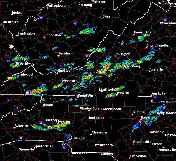 At 215 pm edt, a severe thunderstorm was located over lithia, moving east at 20 mph (radar indicated). Hazards include 60 mph wind gusts and quarter size hail. Hail damage to vehicles is expected. Expect wind damage to roofs, siding and trees. At 215 pm edt, a severe thunderstorm was located over lithia, moving east at 20 mph (radar indicated). Hazards include 60 mph wind gusts and quarter size hail. Hail damage to vehicles is expected. Expect wind damage to roofs, siding and trees.
|
| 8/11/2015 1:58 PM EDT |
 At 158 pm edt, a severe thunderstorm was located over roanoke, moving east at 30 mph (radar indicated). Hazards include 60 mph wind gusts and quarter size hail. Hail damage to vehicles is expected. Expect wind damage to roofs, siding and trees. At 158 pm edt, a severe thunderstorm was located over roanoke, moving east at 30 mph (radar indicated). Hazards include 60 mph wind gusts and quarter size hail. Hail damage to vehicles is expected. Expect wind damage to roofs, siding and trees.
|
| 7/14/2015 9:22 PM EDT |
 At 921 pm edt, severe thunderstorms were located along a line extending from sedalia to near northwest smith mountain lake, moving southeast at 25 mph (radar indicated). Hazards include 60 mph wind gusts and quarter size hail. Hail damage to vehicles is expected. expect wind damage to roofs, siding and trees. locations impacted include, roanoke, lynchburg, vinton, bedford, and stewartsville. This includes the following locations liberty university, the national d day memorial, and lynchburg airport. At 921 pm edt, severe thunderstorms were located along a line extending from sedalia to near northwest smith mountain lake, moving southeast at 25 mph (radar indicated). Hazards include 60 mph wind gusts and quarter size hail. Hail damage to vehicles is expected. expect wind damage to roofs, siding and trees. locations impacted include, roanoke, lynchburg, vinton, bedford, and stewartsville. This includes the following locations liberty university, the national d day memorial, and lynchburg airport.
|
| 7/14/2015 9:01 PM EDT |
 At 900 pm edt, severe thunderstorms were located along a line extending from near arcadia to near stewartsville, moving southeast at 20 mph (radar indicated). Hazards include 60 mph wind gusts and quarter size hail. Hail damage to vehicles is expected. Expect wind damage to roofs, siding and trees. At 900 pm edt, severe thunderstorms were located along a line extending from near arcadia to near stewartsville, moving southeast at 20 mph (radar indicated). Hazards include 60 mph wind gusts and quarter size hail. Hail damage to vehicles is expected. Expect wind damage to roofs, siding and trees.
|
| 7/13/2015 7:59 PM EDT |
 At 757 pm edt, severe thunderstorms were located along a line extending from near fincastle to copper hill to critz, moving east at 45 mph (radar indicated). Hazards include 60 mph wind gusts. Expect damage to roofs. Siding and trees. At 757 pm edt, severe thunderstorms were located along a line extending from near fincastle to copper hill to critz, moving east at 45 mph (radar indicated). Hazards include 60 mph wind gusts. Expect damage to roofs. Siding and trees.
|
| 6/30/2015 11:12 PM EDT |
 At 1112 pm edt, severe thunderstorms were located along a line extending from near springwood to near blue ridge, moving east at 35 mph (radar indicated). Hazards include 60 mph wind gusts and quarter size hail. Hail damage to vehicles is expected. Expect wind damage to roofs, siding and trees. At 1112 pm edt, severe thunderstorms were located along a line extending from near springwood to near blue ridge, moving east at 35 mph (radar indicated). Hazards include 60 mph wind gusts and quarter size hail. Hail damage to vehicles is expected. Expect wind damage to roofs, siding and trees.
|
| 6/30/2015 11:00 PM EDT |
 A severe thunderstorm warning remains in effect until 1115 pm edt for northeastern roanoke. southwestern rockbridge. botetourt and northwestern bedford counties. the northeastern city of salem and the city of roanoke. at 1059 pm edt. Severe thunderstorms were located along a line extending from near oriskany to near daleville to near roanoke. A severe thunderstorm warning remains in effect until 1115 pm edt for northeastern roanoke. southwestern rockbridge. botetourt and northwestern bedford counties. the northeastern city of salem and the city of roanoke. at 1059 pm edt. Severe thunderstorms were located along a line extending from near oriskany to near daleville to near roanoke.
|
| 6/30/2015 10:49 PM EDT |
 At 1048 pm edt, severe thunderstorms were located along a line extending from near oriskany to near catawba to near glenvar, moving east at 45 mph (radar indicated). Hazards include 60 mph wind gusts and quarter size hail. Hail damage to vehicles is expected. expect wind damage to roofs, siding and trees. locations impacted include, roanoke, salem, vinton, buchanan, and troutville. This includes the salem fairgrounds and roanoke regional airport. At 1048 pm edt, severe thunderstorms were located along a line extending from near oriskany to near catawba to near glenvar, moving east at 45 mph (radar indicated). Hazards include 60 mph wind gusts and quarter size hail. Hail damage to vehicles is expected. expect wind damage to roofs, siding and trees. locations impacted include, roanoke, salem, vinton, buchanan, and troutville. This includes the salem fairgrounds and roanoke regional airport.
|
| 6/30/2015 10:22 PM EDT |
 At 1021 pm edt, severe thunderstorms were located along a line extending from near paint bank to near simmonsville to near blacksburg, moving east at 40 mph (radar indicated). Hazards include 60 mph wind gusts and quarter size hail. Hail damage to vehicles is expected. Expect wind damage to roofs, siding and trees. At 1021 pm edt, severe thunderstorms were located along a line extending from near paint bank to near simmonsville to near blacksburg, moving east at 40 mph (radar indicated). Hazards include 60 mph wind gusts and quarter size hail. Hail damage to vehicles is expected. Expect wind damage to roofs, siding and trees.
|
| 6/14/2015 3:03 PM EDT | 1 tree down along interstate 460 in the vicinity of montvale in bedford county VA, 0.9 miles ESE of Montvale, VA |
| 6/1/2015 7:27 PM EDT | The severe thunderstorm warning for south central rockbridge, southeastern botetourt and northern bedford counties will expire at 730 pm edt, the storm which prompted the warning has weakened below severe limits, and no longer poses an immediate threat to life or property. therefore the warning will be allowed to expire. however small. |
| 6/1/2015 7:14 PM EDT | At 712 pm edt, a severe thunderstorm was located near peaks of otter recreation area, moving northeast at 25 mph. trees were reported down on read mountain road in the cloverdale area of botetourt county along with nickel size hail (trained weather spotters). Hazards include 60 mph wind gusts and quarter size hail. Hail damage to vehicles is expected. expect wind damage to roofs, siding and trees. Locations impacted include, glasgow, montvale, forest, peaks of otter summit, and peaks of otter recreation area. |
| 6/1/2015 6:53 PM EDT | At 653 pm edt, a severe thunderstorm was located over blue ridge, moving northeast at 25 mph (radar indicated). Hazards include 60 mph wind gusts and quarter size hail. Hail damage to vehicles is expected. Expect wind damage to roofs, siding and trees. |
| 6/1/2015 2:54 PM EDT | At 254 pm edt, a severe thunderstorm was located over thaxton, moving northeast at 30 mph (radar indicated). Hazards include 60 mph wind gusts and quarter size hail. Hail damage to vehicles is expected. Expect wind damage to roofs, siding and trees. |
| 6/1/2015 2:38 PM EDT | At 236 pm edt, a severe thunderstorm was located over stewartsville, moving northeast at 25 mph. this storm has produced quarter size hail southeast of the city of roanoke (radar indicated). Hazards include 60 mph wind gusts and quarter size hail. Hail damage to vehicles is expected. expect wind damage to trees. Locations impacted include, stewartsville, montvale, blue ridge, thaxton, and laymantown. |
| 6/1/2015 2:13 PM EDT | At 213 pm edt, a severe thunderstorm was located over roanoke mountain, moving northeast at 25 mph (radar indicated). Hazards include 70 mph wind gusts. Expect considerable tree damage. Damage is likely to mobile homes, roofs and outbuildings. |
| 4/8/2015 5:10 PM EDT | The national weather service in blacksburg has issued a * severe thunderstorm warning for. bedford county in south central virginia. until 615 pm edt * at 510 pm edt. a severe thunderstorm was located over peaks of otter recreation area. Moving southeast at 30 mph. |
| 6/11/2014 12:49 AM EDT | Several large limbs down near peaks of otter lodge. time from rada in bedford county VA, 7.8 miles WSW of Montvale, VA |
| 9/21/2013 5:22 PM EDT | Tree limbs down in road in bedford county VA, 7.2 miles N of Montvale, VA |
| 6/13/2013 2:15 PM EDT | Several large tree limbs down in bedford county VA, 0.4 miles NE of Montvale, VA |
| 6/22/2012 5:40 PM EDT | Trees down on goose creek valley roa in bedford county VA, 0.9 miles WSW of Montvale, VA |
| 1/1/0001 12:00 AM | Tree down at the intersection of pendleton road and quarles roa in bedford county VA, 4.8 miles NW of Montvale, VA |
Hail Maps for Montvale, VA
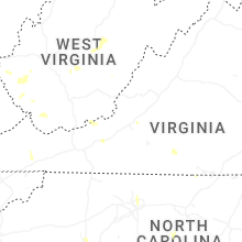
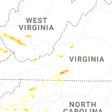
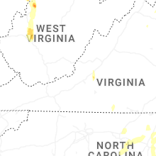


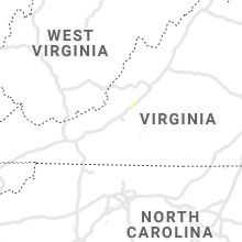


Connect with Interactive Hail Maps