

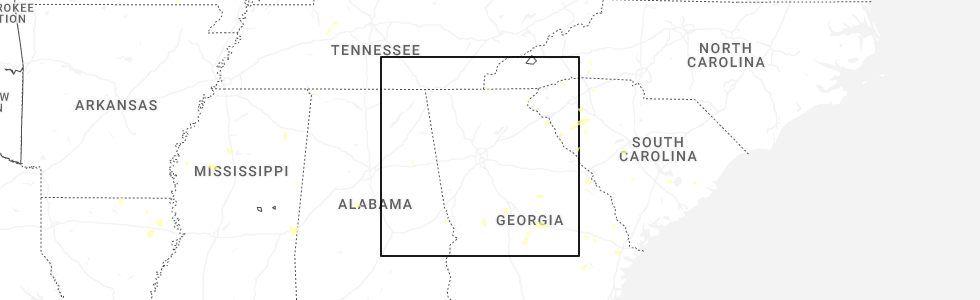
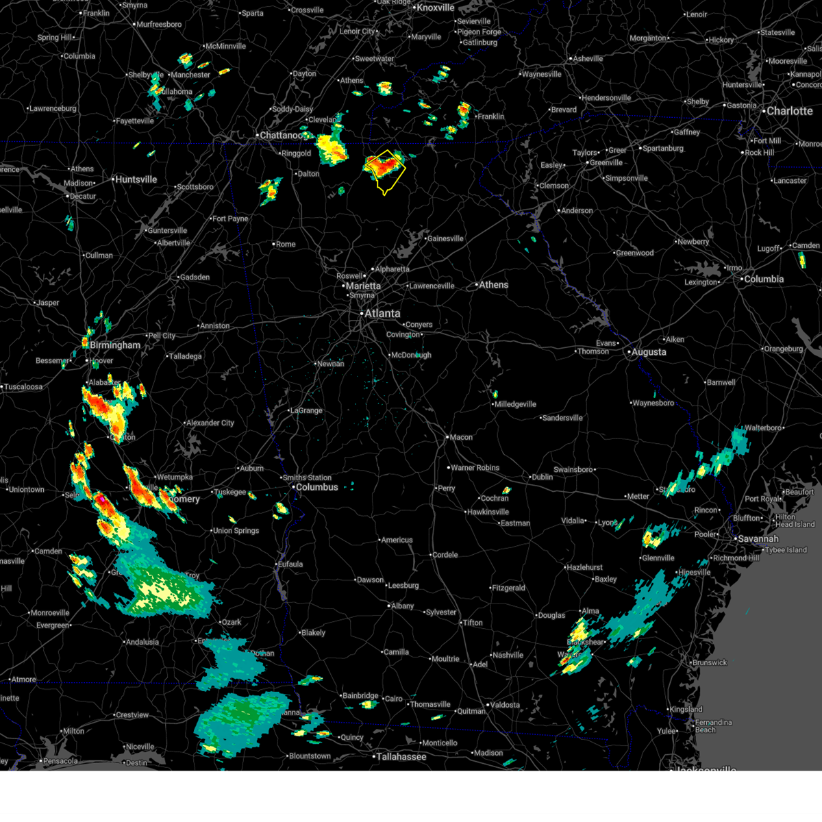
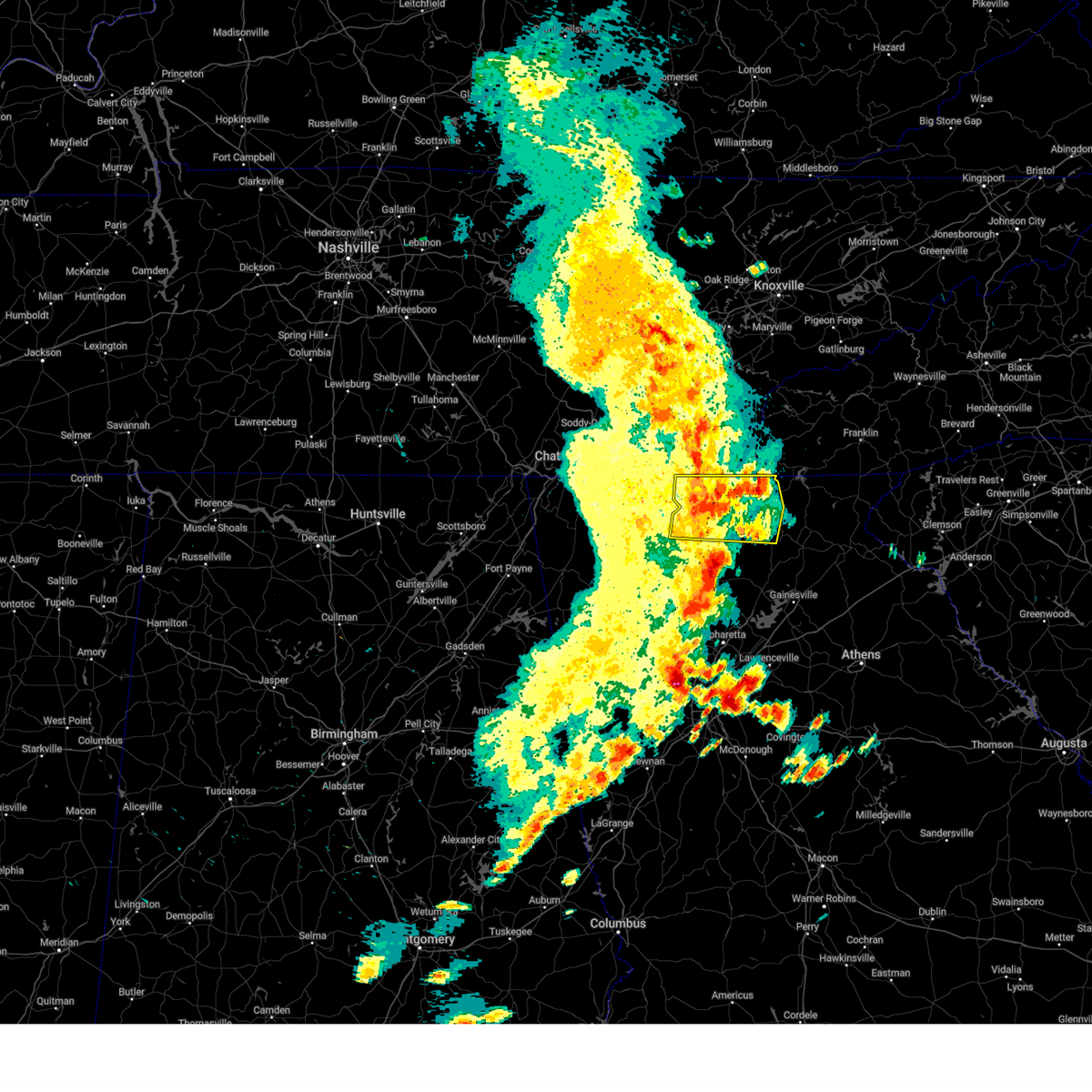
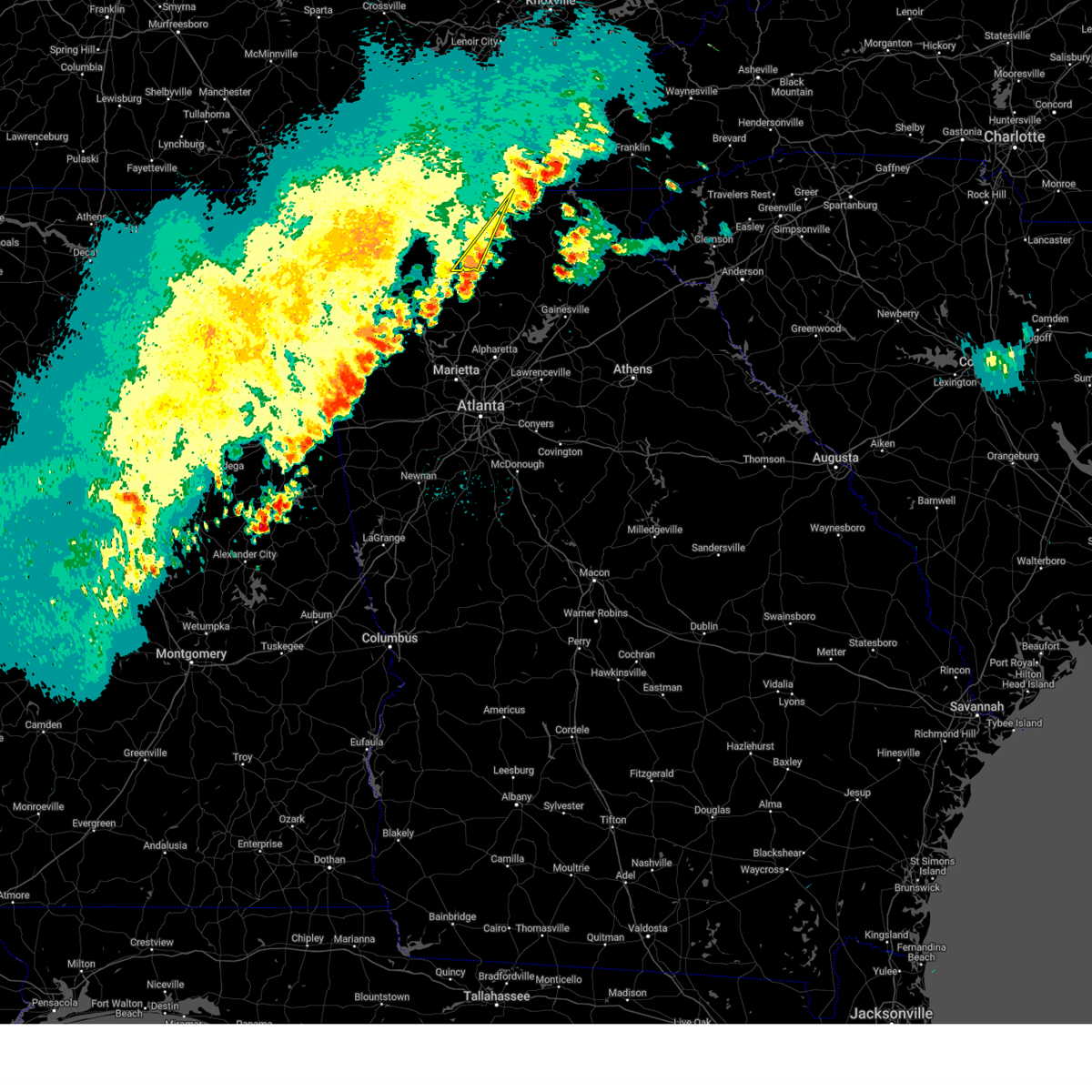
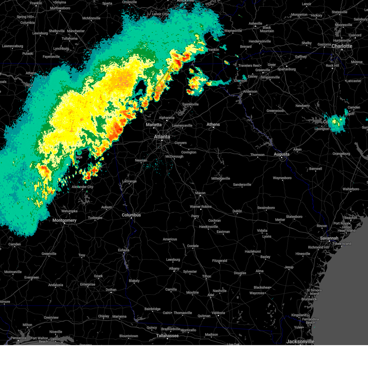
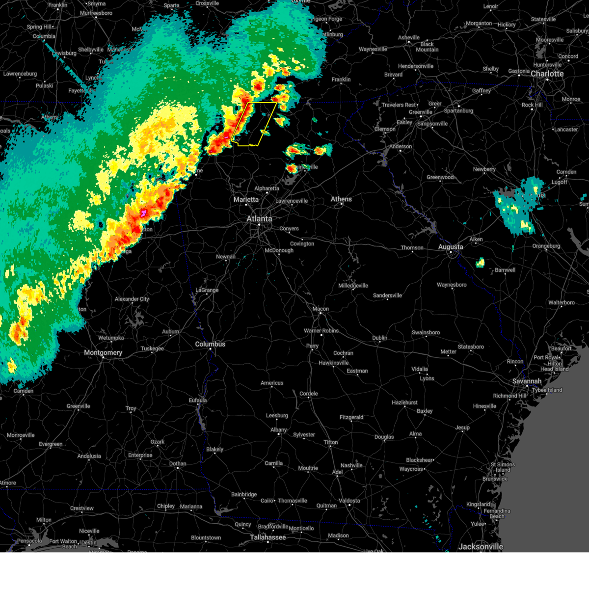
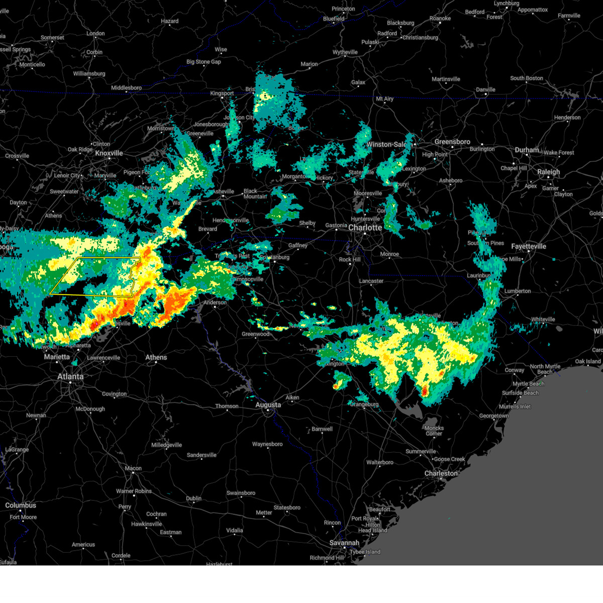
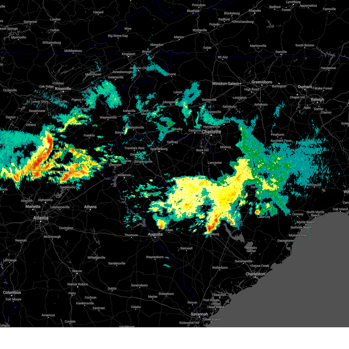
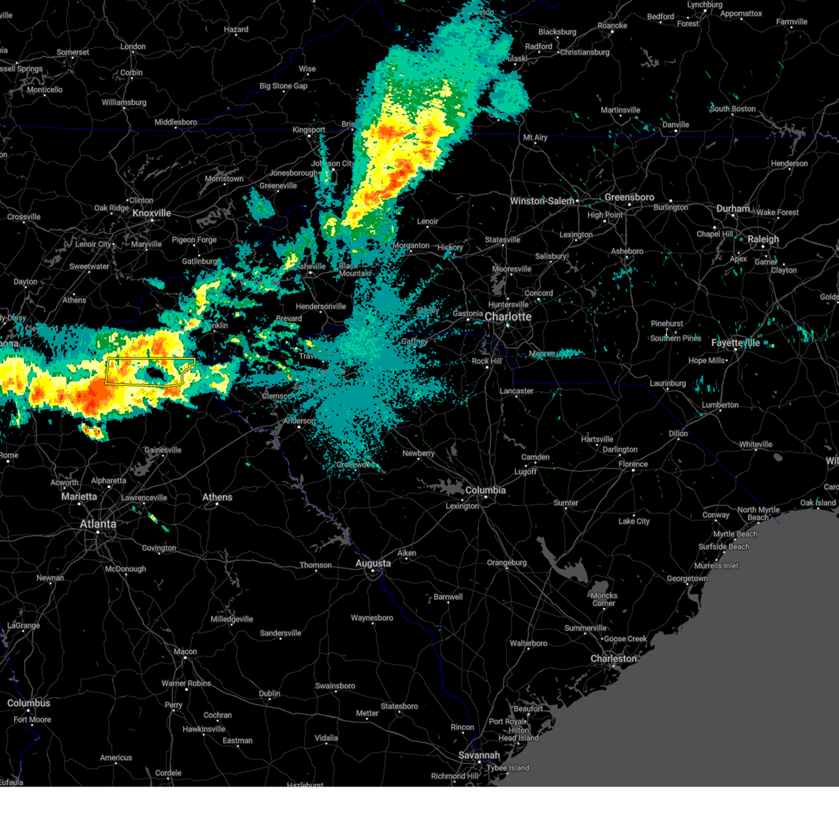
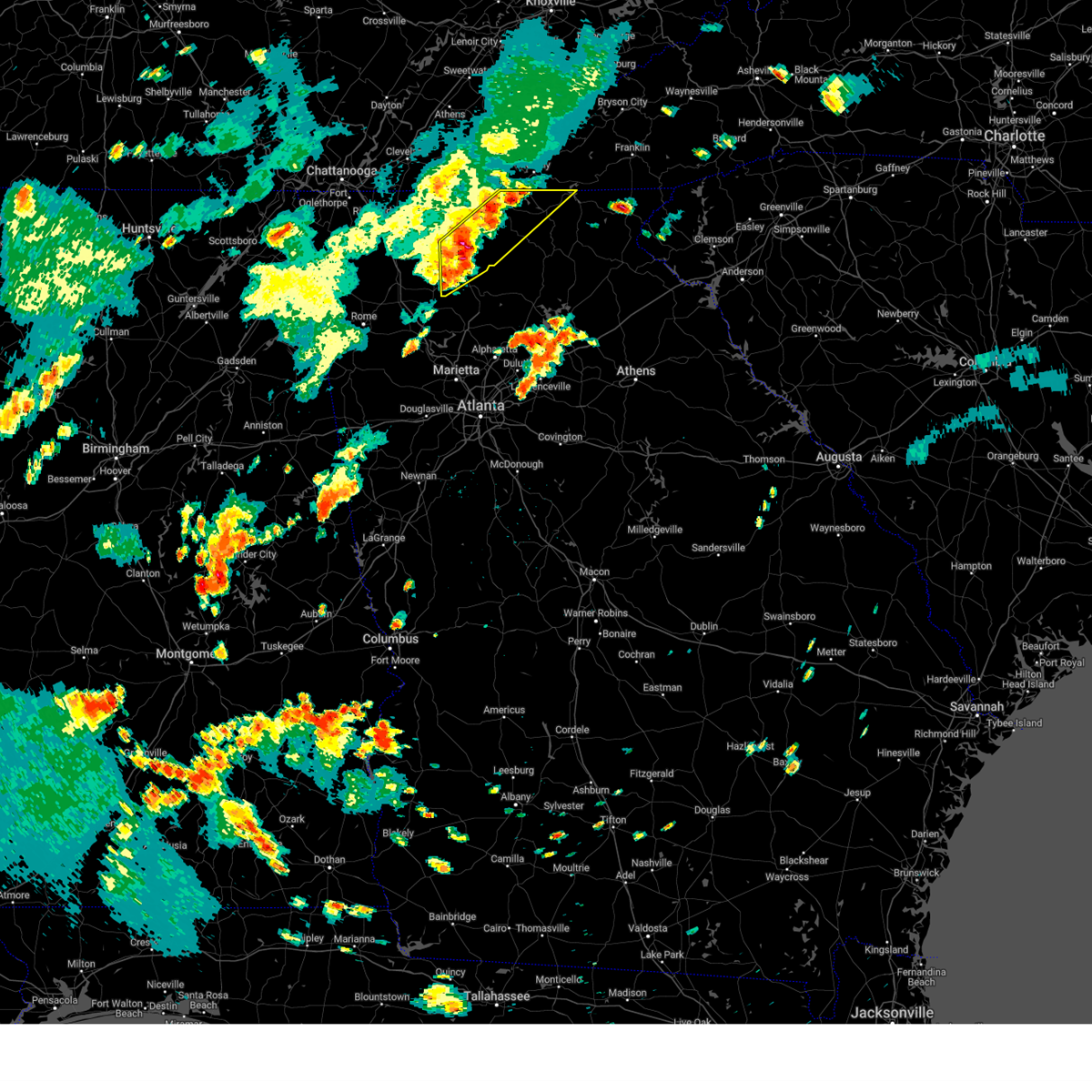
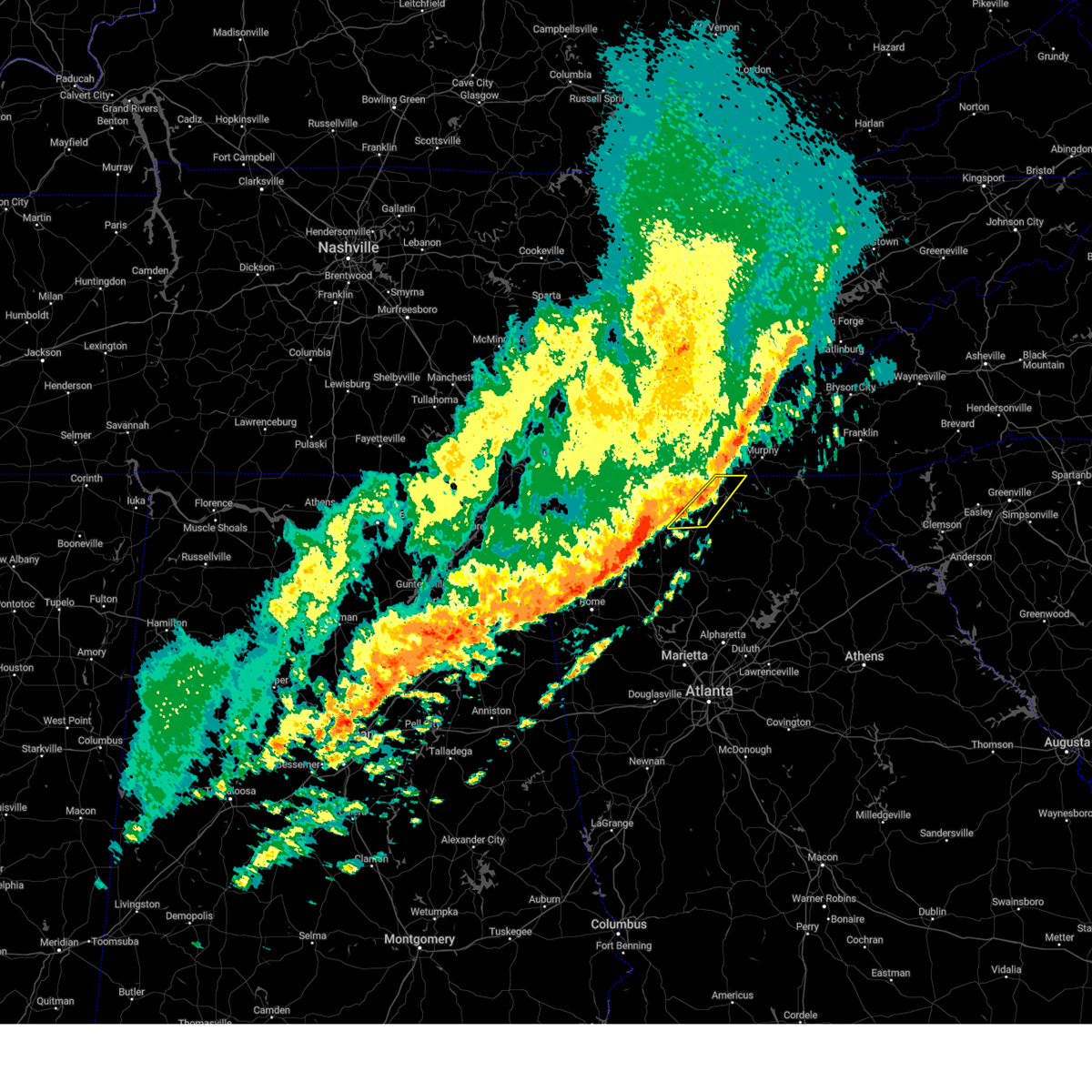
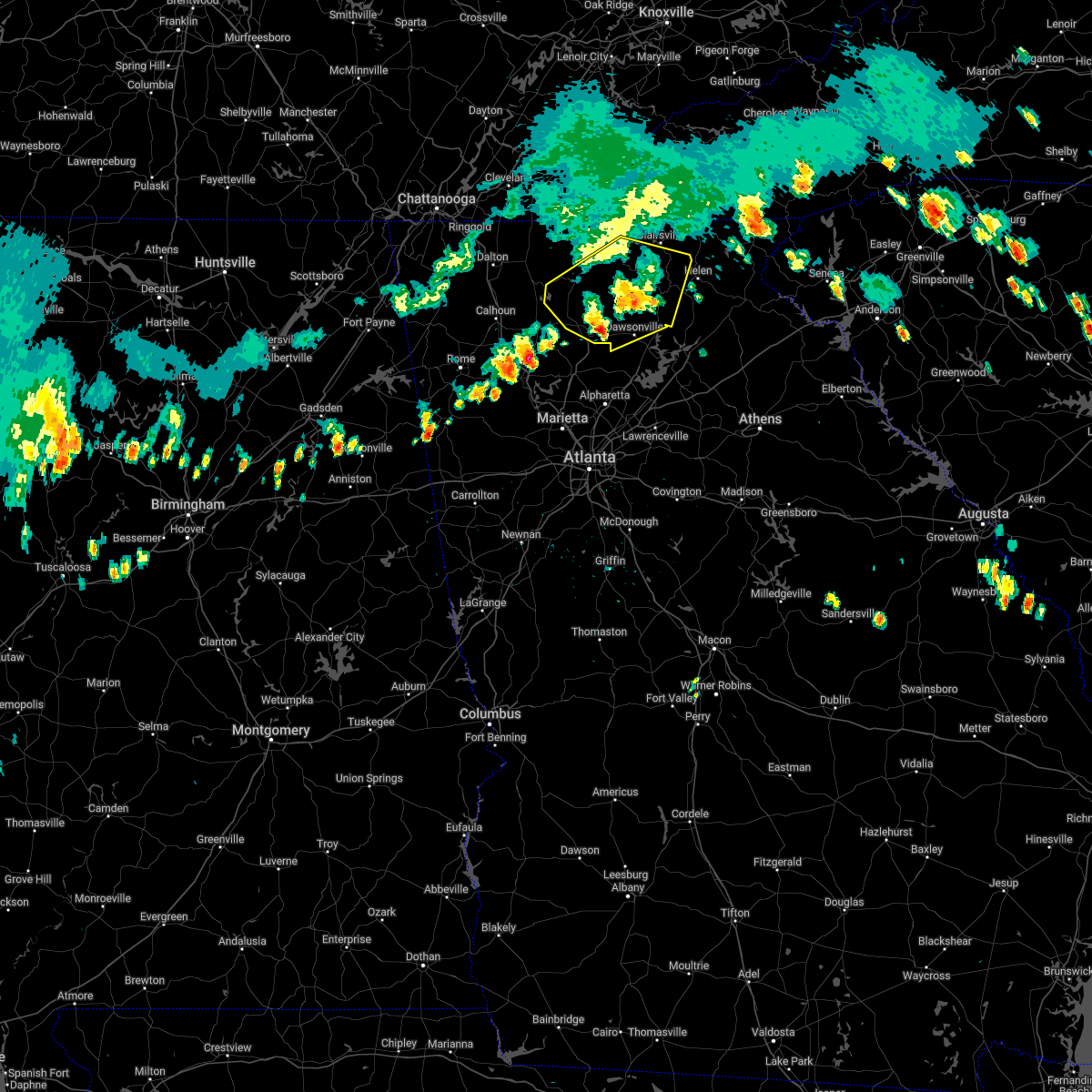
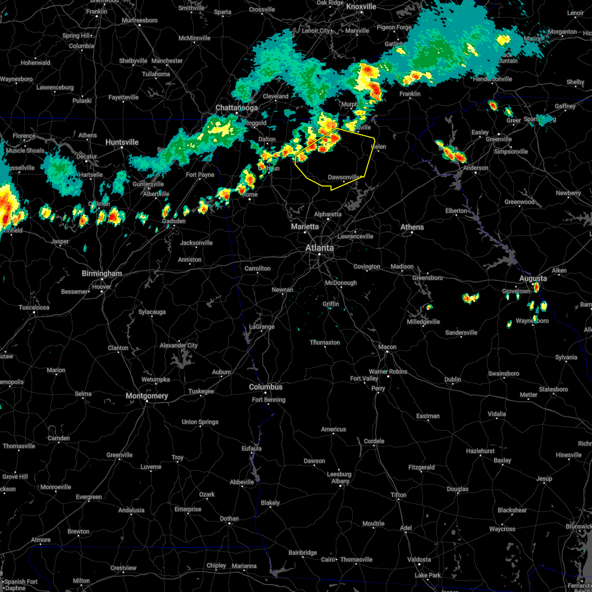
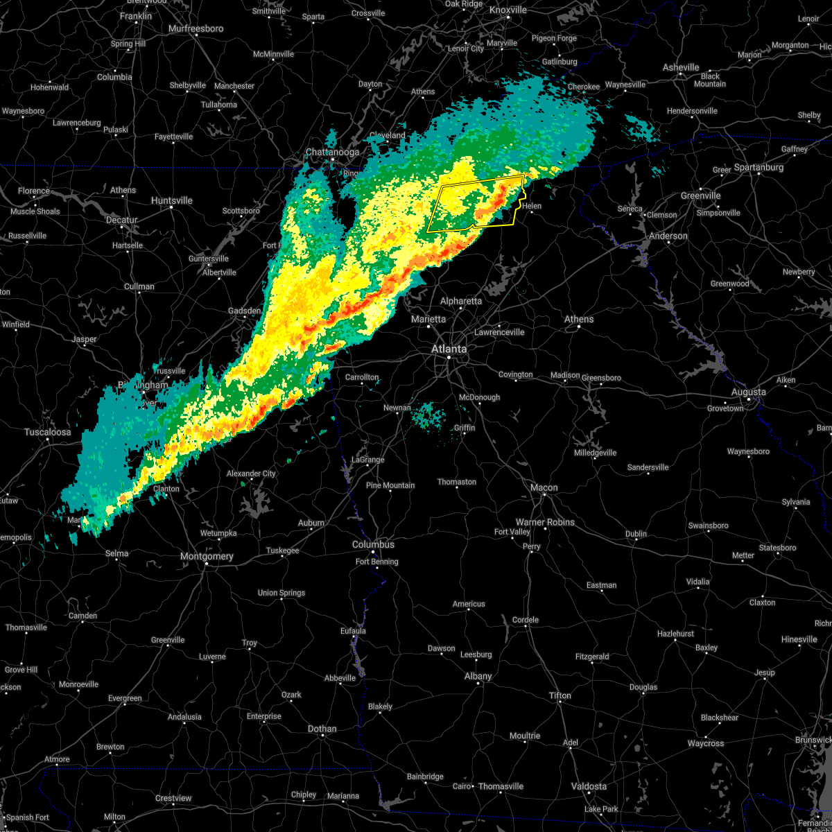
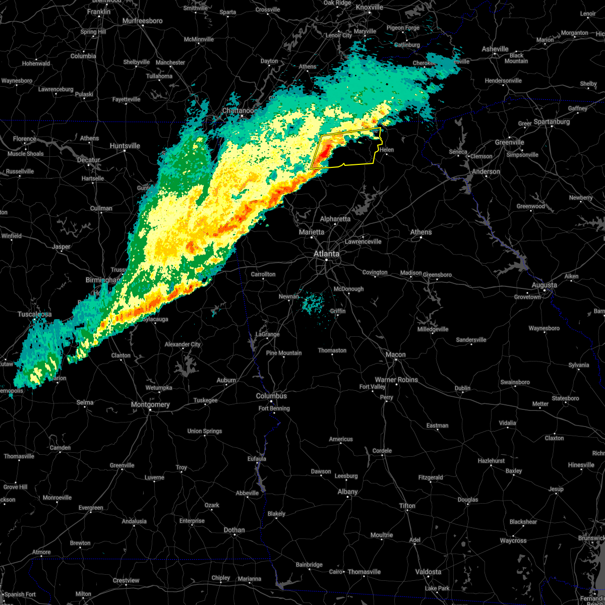
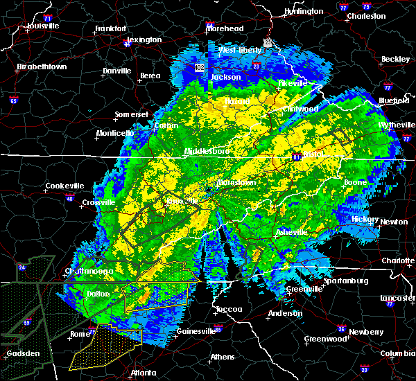
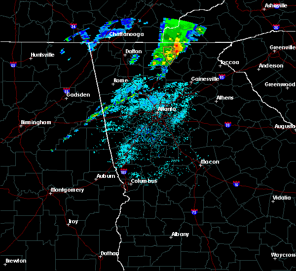
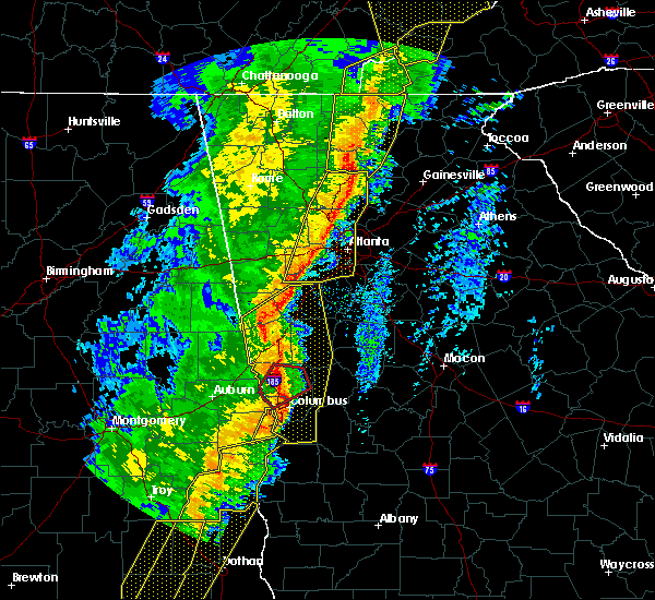
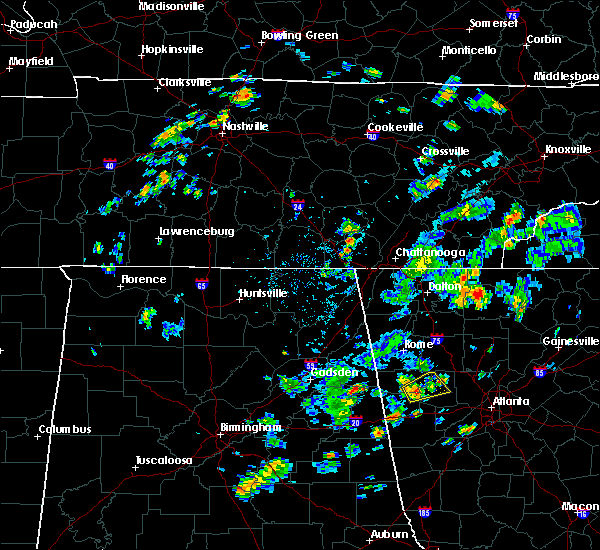
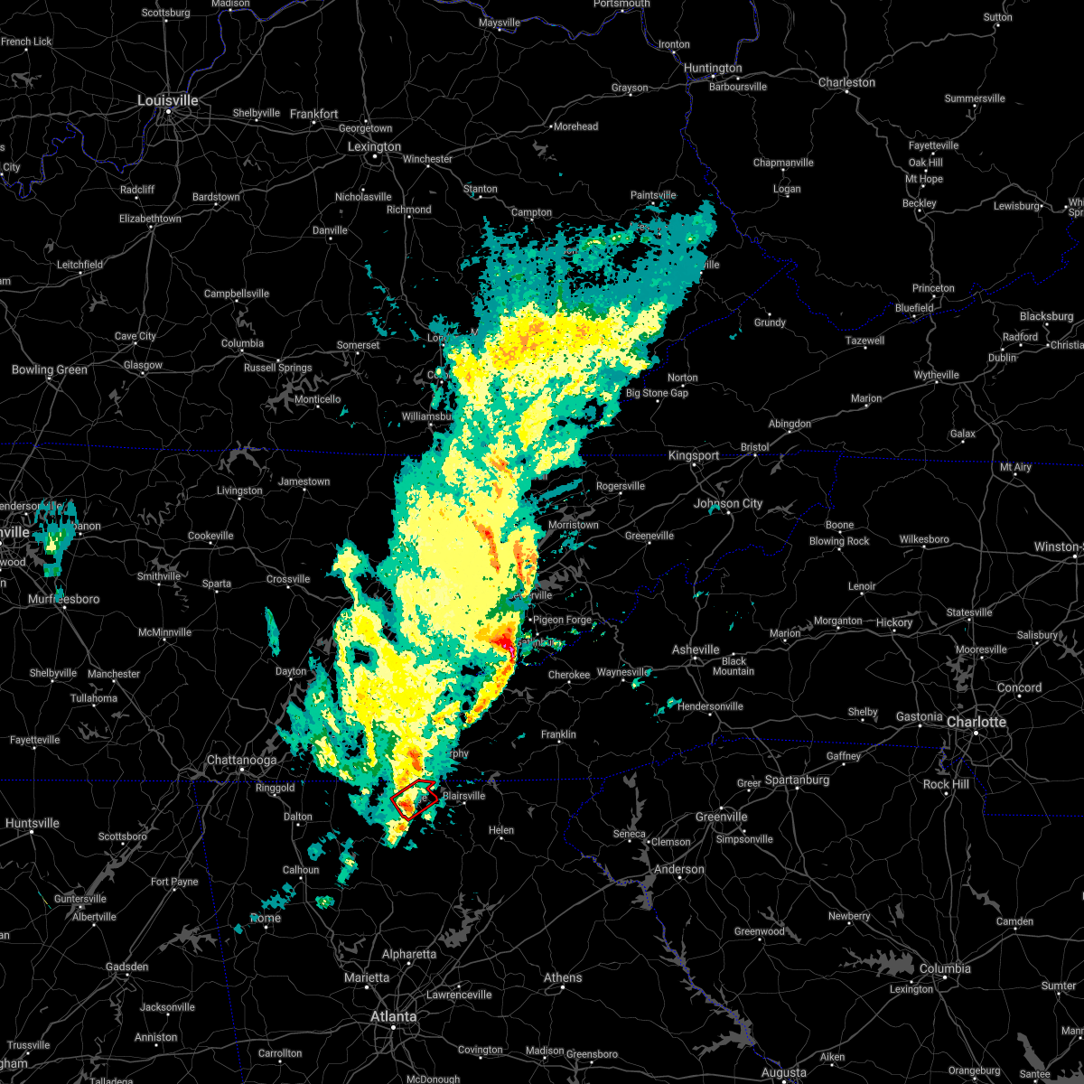
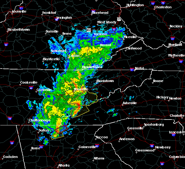
Hail Map for Morganton, GA
The Morganton, GA area has had 3 reports of on-the-ground hail by trained spotters, and has been under severe weather warnings 11 times during the past 12 months. Doppler radar has detected hail at or near Morganton, GA on 24 occasions, including 2 occasions during the past year.
| Name: | Morganton, GA |
| Where Located: | 61.4 miles ESE of Chattanooga, TN |
| Map: | Google Map for Morganton, GA |
| Population: | 303 |
| Housing Units: | 142 |
| More Info: | Search Google for Morganton, GA |
0
The Top Recent Hail Date for Morganton, GA is Friday, July 11, 2025 (23rd out of 24)
Hail and Wind Damage Spotted near Morganton, GA
| Date / Time | Report Details |
|---|---|
| 7/4/2025 4:55 PM EDT | Several trees snapped or toppled on the 2000 block of skeenah gap r in fannin county GA, 7.3 miles NW of Morganton, GA |
| 7/4/2025 4:53 PM EDT |
 Svrffc the national weather service in peachtree city has issued a * severe thunderstorm warning for, southwestern union county in north central georgia, eastern fannin county in north central georgia, * until 530 pm edt. * at 453 pm edt, a severe thunderstorm was located over hurst, or 10 miles east of blue ridge, moving southwest at 10 mph (radar indicated). Hazards include 60 mph wind gusts and nickel size hail. expect damage to roofs, siding, and trees Svrffc the national weather service in peachtree city has issued a * severe thunderstorm warning for, southwestern union county in north central georgia, eastern fannin county in north central georgia, * until 530 pm edt. * at 453 pm edt, a severe thunderstorm was located over hurst, or 10 miles east of blue ridge, moving southwest at 10 mph (radar indicated). Hazards include 60 mph wind gusts and nickel size hail. expect damage to roofs, siding, and trees
|
| 6/7/2025 5:43 PM EDT |
 The storms which prompted the warning have weakened below severe limits, and have exited the warned area. therefore, the warning will be allowed to expire. however, gusty winds are still possible with these thunderstorms. a severe thunderstorm watch remains in effect until 900 pm edt for north central, northeastern and northwestern georgia. The storms which prompted the warning have weakened below severe limits, and have exited the warned area. therefore, the warning will be allowed to expire. however, gusty winds are still possible with these thunderstorms. a severe thunderstorm watch remains in effect until 900 pm edt for north central, northeastern and northwestern georgia.
|
| 6/7/2025 5:35 PM EDT | the severe thunderstorm warning has been cancelled and is no longer in effect |
| 6/7/2025 5:35 PM EDT | At 535 pm edt, severe thunderstorms were located along a line extending from hot house to hurst to stover creek shelter, moving east at 65 mph (radar indicated). Hazards include 60 mph wind gusts. Expect damage to roofs, siding, and trees. Locations impacted include, ellijay, blue ridge, blairsville, east ellijay, morganton, suches, jones mill, higdon, jones creek, loving, woods hole shelter, cohutta wilderness, epworth, pisgah, mineral bluff, vogel state park, cherry log, stover creek shelter, gaddistown, and hemp. |
| 6/7/2025 5:03 PM EDT |
 Svrffc the national weather service in peachtree city has issued a * severe thunderstorm warning for, northwestern lumpkin county in north central georgia, gilmer county in north central georgia, murray county in northwestern georgia, northeastern whitfield county in northwestern georgia, union county in north central georgia, fannin county in north central georgia, * until 545 pm edt. * at 503 pm edt, severe thunderstorms were located along a line extending from near gap springs to eton to near ramhurst, moving east at 65 mph (radar indicated). Hazards include 60 mph wind gusts. expect damage to roofs, siding, and trees Svrffc the national weather service in peachtree city has issued a * severe thunderstorm warning for, northwestern lumpkin county in north central georgia, gilmer county in north central georgia, murray county in northwestern georgia, northeastern whitfield county in northwestern georgia, union county in north central georgia, fannin county in north central georgia, * until 545 pm edt. * at 503 pm edt, severe thunderstorms were located along a line extending from near gap springs to eton to near ramhurst, moving east at 65 mph (radar indicated). Hazards include 60 mph wind gusts. expect damage to roofs, siding, and trees
|
| 5/2/2025 8:36 PM EDT |
 At 836 pm edt, severe thunderstorms were located along a line extending from mineral bluff to talona, moving east at 15 mph (radar indicated). Hazards include 60 mph wind gusts. Expect damage to roofs, siding, and trees. Locations impacted include, morganton, talona, cartecay, and loving. At 836 pm edt, severe thunderstorms were located along a line extending from mineral bluff to talona, moving east at 15 mph (radar indicated). Hazards include 60 mph wind gusts. Expect damage to roofs, siding, and trees. Locations impacted include, morganton, talona, cartecay, and loving.
|
| 5/2/2025 8:36 PM EDT |
 the severe thunderstorm warning has been cancelled and is no longer in effect the severe thunderstorm warning has been cancelled and is no longer in effect
|
| 5/2/2025 8:18 PM EDT | At 818 pm edt, severe thunderstorms were located along a line extending from near epworth to near roundtop, moving east at 15 mph (radar indicated). Hazards include 60 mph wind gusts and quarter size hail. Hail damage to vehicles is expected. expect wind damage to roofs, siding, and trees. Locations impacted include, ellijay, blue ridge, east ellijay, morganton, carters, talona, cartecay, tails creek, mineral bluff, cherry log, loving, and roundtop. |
| 5/2/2025 8:17 PM EDT | Svrffc the national weather service in peachtree city has issued a * severe thunderstorm warning for, northwestern towns county in northeastern georgia, west central lumpkin county in north central georgia, eastern gilmer county in north central georgia, union county in north central georgia, eastern fannin county in north central georgia, * until 900 pm edt. * at 817 pm edt, severe thunderstorms were located along a line extending from nottely dam to near talona, moving east at 40 mph (radar indicated). Hazards include 60 mph wind gusts and quarter size hail. Hail damage to vehicles is expected. Expect wind damage to roofs, siding, and trees. |
| 5/2/2025 7:45 PM EDT |
 Svrffc the national weather service in peachtree city has issued a * severe thunderstorm warning for, gilmer county in north central georgia, southeastern murray county in northwestern georgia, northwestern fannin county in north central georgia, * until 845 pm edt. * at 745 pm edt, severe thunderstorms were located along a line extending from near jones mill to near carters, moving east at 15 mph (radar indicated). Hazards include 60 mph wind gusts and quarter size hail. Hail damage to vehicles is expected. Expect wind damage to roofs, siding, and trees. Svrffc the national weather service in peachtree city has issued a * severe thunderstorm warning for, gilmer county in north central georgia, southeastern murray county in northwestern georgia, northwestern fannin county in north central georgia, * until 845 pm edt. * at 745 pm edt, severe thunderstorms were located along a line extending from near jones mill to near carters, moving east at 15 mph (radar indicated). Hazards include 60 mph wind gusts and quarter size hail. Hail damage to vehicles is expected. Expect wind damage to roofs, siding, and trees.
|
| 7/30/2024 6:19 PM EDT |
 Svrffc the national weather service in peachtree city has issued a * severe thunderstorm warning for, towns county in northeastern georgia, northern gilmer county in north central georgia, north central white county in northeastern georgia, union county in north central georgia, fannin county in north central georgia, * until 700 pm edt. * at 617 pm edt, severe thunderstorms were located along a line extending from near andrews to near hiawasse dam to near tasso, moving south at 30 mph (radar indicated). Hazards include 60 mph wind gusts and quarter size hail. Hail damage to vehicles is expected. Expect wind damage to roofs, siding, and trees. Svrffc the national weather service in peachtree city has issued a * severe thunderstorm warning for, towns county in northeastern georgia, northern gilmer county in north central georgia, north central white county in northeastern georgia, union county in north central georgia, fannin county in north central georgia, * until 700 pm edt. * at 617 pm edt, severe thunderstorms were located along a line extending from near andrews to near hiawasse dam to near tasso, moving south at 30 mph (radar indicated). Hazards include 60 mph wind gusts and quarter size hail. Hail damage to vehicles is expected. Expect wind damage to roofs, siding, and trees.
|
| 5/9/2024 7:50 AM EDT |
 the severe thunderstorm warning has been cancelled and is no longer in effect the severe thunderstorm warning has been cancelled and is no longer in effect
|
| 5/9/2024 6:55 AM EDT |
 Svrffc the national weather service in peachtree city has issued a * severe thunderstorm warning for, towns county in northeastern georgia, northern lumpkin county in north central georgia, central gilmer county in north central georgia, white county in northeastern georgia, union county in north central georgia, fannin county in north central georgia, * until 800 am edt. * at 655 am edt, severe thunderstorms were located along a line extending from hot house to near carters, moving east at 55 mph (radar indicated). Hazards include 60 mph wind gusts. expect damage to roofs, siding, and trees Svrffc the national weather service in peachtree city has issued a * severe thunderstorm warning for, towns county in northeastern georgia, northern lumpkin county in north central georgia, central gilmer county in north central georgia, white county in northeastern georgia, union county in north central georgia, fannin county in north central georgia, * until 800 am edt. * at 655 am edt, severe thunderstorms were located along a line extending from hot house to near carters, moving east at 55 mph (radar indicated). Hazards include 60 mph wind gusts. expect damage to roofs, siding, and trees
|
| 5/9/2024 6:16 AM EDT |
 Svrffc the national weather service in peachtree city has issued a * severe thunderstorm warning for, northern gilmer county in north central georgia, murray county in northwestern georgia, northwestern union county in north central georgia, fannin county in north central georgia, * until 700 am edt. * at 616 am edt, severe thunderstorms were located along a line extending from near east cleveland to near red clay state park to tunnel hill, moving east at 55 mph (radar indicated). Hazards include 60 mph wind gusts and penny size hail. expect damage to roofs, siding, and trees Svrffc the national weather service in peachtree city has issued a * severe thunderstorm warning for, northern gilmer county in north central georgia, murray county in northwestern georgia, northwestern union county in north central georgia, fannin county in north central georgia, * until 700 am edt. * at 616 am edt, severe thunderstorms were located along a line extending from near east cleveland to near red clay state park to tunnel hill, moving east at 55 mph (radar indicated). Hazards include 60 mph wind gusts and penny size hail. expect damage to roofs, siding, and trees
|
| 5/8/2024 11:56 PM EDT |
 Svrffc the national weather service in peachtree city has issued a * severe thunderstorm warning for, towns county in northeastern georgia, union county in north central georgia, northeastern fannin county in north central georgia, * until 1245 am edt. * at 1156 pm edt, severe thunderstorms were located along a line extending from near tusquitee to alexanders mill to gumlog to near jones creek, moving east at 30 mph (radar indicated). Hazards include 60 mph wind gusts and penny size hail. expect damage to roofs, siding, and trees Svrffc the national weather service in peachtree city has issued a * severe thunderstorm warning for, towns county in northeastern georgia, union county in north central georgia, northeastern fannin county in north central georgia, * until 1245 am edt. * at 1156 pm edt, severe thunderstorms were located along a line extending from near tusquitee to alexanders mill to gumlog to near jones creek, moving east at 30 mph (radar indicated). Hazards include 60 mph wind gusts and penny size hail. expect damage to roofs, siding, and trees
|
| 5/8/2024 11:16 PM EDT |
 Svrffc the national weather service in peachtree city has issued a * severe thunderstorm warning for, northwestern union county in north central georgia, fannin county in north central georgia, * until midnight edt. * at 1116 pm edt, a severe thunderstorm was located over epworth, or near ducktown, moving east at 30 mph (radar indicated). Hazards include 60 mph wind gusts and quarter size hail. Hail damage to vehicles is expected. Expect wind damage to roofs, siding, and trees. Svrffc the national weather service in peachtree city has issued a * severe thunderstorm warning for, northwestern union county in north central georgia, fannin county in north central georgia, * until midnight edt. * at 1116 pm edt, a severe thunderstorm was located over epworth, or near ducktown, moving east at 30 mph (radar indicated). Hazards include 60 mph wind gusts and quarter size hail. Hail damage to vehicles is expected. Expect wind damage to roofs, siding, and trees.
|
| 8/7/2023 3:13 PM EDT |
 At 312 pm edt, severe thunderstorms were located along a line extending from culberson to near nottely dam to near cherry log, moving east at 50 mph (radar indicated). Hazards include 70 mph wind gusts and quarter size hail. Hail damage to vehicles is expected. expect considerable tree damage. wind damage is also likely to mobile homes, roofs, and outbuildings. locations impacted include, blue ridge, hiawassee, blairsville, young harris, morganton, suches, blue mountain shelter, gumlog, loving, jones creek, woods hole shelter, mineral bluff, vogel state park, cherry log, gaddistown, hemp, margret, brasstown bald, nottely dam, and hurst. thunderstorm damage threat, considerable hail threat, radar indicated max hail size, 1. 00 in wind threat, radar indicated max wind gust, 70 mph. At 312 pm edt, severe thunderstorms were located along a line extending from culberson to near nottely dam to near cherry log, moving east at 50 mph (radar indicated). Hazards include 70 mph wind gusts and quarter size hail. Hail damage to vehicles is expected. expect considerable tree damage. wind damage is also likely to mobile homes, roofs, and outbuildings. locations impacted include, blue ridge, hiawassee, blairsville, young harris, morganton, suches, blue mountain shelter, gumlog, loving, jones creek, woods hole shelter, mineral bluff, vogel state park, cherry log, gaddistown, hemp, margret, brasstown bald, nottely dam, and hurst. thunderstorm damage threat, considerable hail threat, radar indicated max hail size, 1. 00 in wind threat, radar indicated max wind gust, 70 mph.
|
| 8/7/2023 3:07 PM EDT | A tree was reported down on forge mill r in fannin county GA, 0.9 miles SSW of Morganton, GA |
| 8/7/2023 3:07 PM EDT | A tree was downed on ridgeview r in fannin county GA, 1.6 miles SSW of Morganton, GA |
| 8/7/2023 3:05 PM EDT |
 At 304 pm edt, severe thunderstorms were located along a line extending from near ramhurst to near audubon to oostanaula. another line of severe storms were located over western fannin and northern gilmer counties. the storms were moving east at 40 mph (radar indicated). Hazards include 60 mph wind gusts and half dollar size hail. Hail damage to vehicles is expected. expect wind damage to roofs, siding, and trees. locations impacted include, calhoun, chatsworth, jasper, ellijay, blue ridge, blairsville, east ellijay, resaca, morganton, talking rock, fairmount, ranger, jones mill, gumlog, jones creek, cohutta wilderness, pisgah, mineral bluff, cherry log, and stover creek shelter. hail threat, radar indicated max hail size, 1. 25 in wind threat, radar indicated max wind gust, 60 mph. At 304 pm edt, severe thunderstorms were located along a line extending from near ramhurst to near audubon to oostanaula. another line of severe storms were located over western fannin and northern gilmer counties. the storms were moving east at 40 mph (radar indicated). Hazards include 60 mph wind gusts and half dollar size hail. Hail damage to vehicles is expected. expect wind damage to roofs, siding, and trees. locations impacted include, calhoun, chatsworth, jasper, ellijay, blue ridge, blairsville, east ellijay, resaca, morganton, talking rock, fairmount, ranger, jones mill, gumlog, jones creek, cohutta wilderness, pisgah, mineral bluff, cherry log, and stover creek shelter. hail threat, radar indicated max hail size, 1. 25 in wind threat, radar indicated max wind gust, 60 mph.
|
| 8/7/2023 2:54 PM EDT |
 At 253 pm edt, severe thunderstorms were located along a line extending from near copperhill to near higdon to near mountaintown, moving east at 45 mph (radar indicated). Hazards include 70 mph wind gusts and quarter size hail. Hail damage to vehicles is expected. expect considerable tree damage. Wind damage is also likely to mobile homes, roofs, and outbuildings. At 253 pm edt, severe thunderstorms were located along a line extending from near copperhill to near higdon to near mountaintown, moving east at 45 mph (radar indicated). Hazards include 70 mph wind gusts and quarter size hail. Hail damage to vehicles is expected. expect considerable tree damage. Wind damage is also likely to mobile homes, roofs, and outbuildings.
|
| 8/7/2023 2:45 PM EDT |
 At 245 pm edt, severe thunderstorms were located along a line extending from colwell to near tails creek to near everett springs, moving east at 35 mph (radar indicated). Hazards include 60 mph wind gusts and quarter size hail. Hail damage to vehicles is expected. Expect wind damage to roofs, siding, and trees. At 245 pm edt, severe thunderstorms were located along a line extending from colwell to near tails creek to near everett springs, moving east at 35 mph (radar indicated). Hazards include 60 mph wind gusts and quarter size hail. Hail damage to vehicles is expected. Expect wind damage to roofs, siding, and trees.
|
| 7/20/2023 4:44 PM EDT |
 At 444 pm edt, severe thunderstorms were located along a line extending from near epworth to mill creek, moving southeast at 50 mph (radar indicated). Hazards include 60 mph wind gusts and quarter size hail. Hail damage to vehicles is expected. Expect wind damage to roofs, siding, and trees. At 444 pm edt, severe thunderstorms were located along a line extending from near epworth to mill creek, moving southeast at 50 mph (radar indicated). Hazards include 60 mph wind gusts and quarter size hail. Hail damage to vehicles is expected. Expect wind damage to roofs, siding, and trees.
|
| 7/20/2023 3:51 PM EDT | Tree down at mm 11 on hwy 51 in fannin county GA, 2.3 miles WSW of Morganton, GA |
| 7/20/2023 3:20 PM EDT |
 At 320 pm edt, a severe thunderstorm was located over william l. davenport refuge, or over ducktown, moving southeast at 35 mph (radar indicated). Hazards include 60 mph wind gusts and quarter size hail. Hail damage to vehicles is expected. Expect wind damage to roofs, siding, and trees. At 320 pm edt, a severe thunderstorm was located over william l. davenport refuge, or over ducktown, moving southeast at 35 mph (radar indicated). Hazards include 60 mph wind gusts and quarter size hail. Hail damage to vehicles is expected. Expect wind damage to roofs, siding, and trees.
|
| 7/2/2023 6:13 PM EDT |
 At 613 pm edt, severe thunderstorms were located along a line extending from gumlog to near talmadge, moving east at 30 mph (radar indicated). Hazards include 60 mph wind gusts and quarter size hail. Hail damage to vehicles is expected. expect wind damage to roofs, siding, and trees. locations impacted include, ellijay, blue ridge, blairsville, young harris, east ellijay, morganton, talking rock, sequoyah lake, gumlog, loving, jones creek, cartecay, pisgah, mineral bluff, cherry log, hinton, hemp, talona, tails creek and margret. hail threat, radar indicated max hail size, 1. 00 in wind threat, radar indicated max wind gust, 60 mph. At 613 pm edt, severe thunderstorms were located along a line extending from gumlog to near talmadge, moving east at 30 mph (radar indicated). Hazards include 60 mph wind gusts and quarter size hail. Hail damage to vehicles is expected. expect wind damage to roofs, siding, and trees. locations impacted include, ellijay, blue ridge, blairsville, young harris, east ellijay, morganton, talking rock, sequoyah lake, gumlog, loving, jones creek, cartecay, pisgah, mineral bluff, cherry log, hinton, hemp, talona, tails creek and margret. hail threat, radar indicated max hail size, 1. 00 in wind threat, radar indicated max wind gust, 60 mph.
|
| 7/2/2023 6:04 PM EDT |
 At 604 pm edt, severe thunderstorms were located along a line extending from near ivy log to fairmount, moving east at 30 mph (radar indicated). Hazards include 60 mph wind gusts and quarter size hail. Hail damage to vehicles is expected. expect wind damage to roofs, siding, and trees. locations impacted include, calhoun, ellijay, blue ridge, blairsville, adairsville, young harris, east ellijay, morganton, talking rock, fairmount, ranger, sequoyah lake, gumlog, redbud, loving, folsom, jones creek, cartecay, pisgah and mineral bluff. hail threat, radar indicated max hail size, 1. 00 in wind threat, radar indicated max wind gust, 60 mph. At 604 pm edt, severe thunderstorms were located along a line extending from near ivy log to fairmount, moving east at 30 mph (radar indicated). Hazards include 60 mph wind gusts and quarter size hail. Hail damage to vehicles is expected. expect wind damage to roofs, siding, and trees. locations impacted include, calhoun, ellijay, blue ridge, blairsville, adairsville, young harris, east ellijay, morganton, talking rock, fairmount, ranger, sequoyah lake, gumlog, redbud, loving, folsom, jones creek, cartecay, pisgah and mineral bluff. hail threat, radar indicated max hail size, 1. 00 in wind threat, radar indicated max wind gust, 60 mph.
|
| 7/2/2023 6:03 PM EDT |
 At 603 pm edt, severe thunderstorms were located along a line extending from mineral bluff to near oakman, moving east at 20 mph (radar indicated). Hazards include 60 mph wind gusts and quarter size hail. Hail damage to vehicles is expected. expect wind damage to roofs, siding, and trees. locations impacted include, blue ridge, carters, tails creek, ramhurst, higdon, redbud, loving, epworth, audubon, mineral bluff, cherry log, mountaintown, oakman, fort mountain state park, colwell and nickelsville. hail threat, radar indicated max hail size, 1. 00 in wind threat, radar indicated max wind gust, 60 mph. At 603 pm edt, severe thunderstorms were located along a line extending from mineral bluff to near oakman, moving east at 20 mph (radar indicated). Hazards include 60 mph wind gusts and quarter size hail. Hail damage to vehicles is expected. expect wind damage to roofs, siding, and trees. locations impacted include, blue ridge, carters, tails creek, ramhurst, higdon, redbud, loving, epworth, audubon, mineral bluff, cherry log, mountaintown, oakman, fort mountain state park, colwell and nickelsville. hail threat, radar indicated max hail size, 1. 00 in wind threat, radar indicated max wind gust, 60 mph.
|
| 7/2/2023 5:45 PM EDT |
 At 545 pm edt, severe thunderstorms were located along a line extending from near culberson to sonoraville, moving east at 35 mph (radar indicated). Hazards include 60 mph wind gusts. expect damage to roofs, siding, and trees At 545 pm edt, severe thunderstorms were located along a line extending from near culberson to sonoraville, moving east at 35 mph (radar indicated). Hazards include 60 mph wind gusts. expect damage to roofs, siding, and trees
|
| 7/2/2023 5:26 PM EDT |
 At 526 pm edt, severe thunderstorms were located along a line extending from near big frog mountain to near resaca, moving east at 20 mph (radar indicated). Hazards include 60 mph wind gusts. expect damage to roofs, siding, and trees At 526 pm edt, severe thunderstorms were located along a line extending from near big frog mountain to near resaca, moving east at 20 mph (radar indicated). Hazards include 60 mph wind gusts. expect damage to roofs, siding, and trees
|
| 6/25/2023 4:12 PM EDT |
 At 412 pm edt, severe thunderstorms were located along a line extending from near cherry log to near chatsworth to ringgold, moving south at 30 mph (radar indicated). Hazards include 60 mph wind gusts. expect damage to roofs, siding, and trees At 412 pm edt, severe thunderstorms were located along a line extending from near cherry log to near chatsworth to ringgold, moving south at 30 mph (radar indicated). Hazards include 60 mph wind gusts. expect damage to roofs, siding, and trees
|
| 6/25/2023 3:37 PM EDT |
 At 336 pm edt, severe thunderstorms were located along a line extending from copperhill to gap springs to near middle valley, moving south at 45 mph (this line of storms has a history of producing tree damage across southeastern tennessee). Hazards include 60 mph wind gusts and quarter size hail. Hail damage to vehicles is expected. Expect wind damage to roofs, siding, and trees. At 336 pm edt, severe thunderstorms were located along a line extending from copperhill to gap springs to near middle valley, moving south at 45 mph (this line of storms has a history of producing tree damage across southeastern tennessee). Hazards include 60 mph wind gusts and quarter size hail. Hail damage to vehicles is expected. Expect wind damage to roofs, siding, and trees.
|
| 3/25/2023 4:03 AM EDT |
 At 402 am edt, a severe thunderstorm was located near culberson, or near murphy, moving east at 55 mph (radar indicated). Hazards include 60 mph wind gusts. Expect damage to roofs, siding, and trees. locations impacted include, blue ridge, morganton, mineral bluff, cherry log, mountaintown, higdon, loving, epworth and culberson. hail threat, radar indicated max hail size, <. 75 in wind threat, radar indicated max wind gust, 60 mph. At 402 am edt, a severe thunderstorm was located near culberson, or near murphy, moving east at 55 mph (radar indicated). Hazards include 60 mph wind gusts. Expect damage to roofs, siding, and trees. locations impacted include, blue ridge, morganton, mineral bluff, cherry log, mountaintown, higdon, loving, epworth and culberson. hail threat, radar indicated max hail size, <. 75 in wind threat, radar indicated max wind gust, 60 mph.
|
| 3/25/2023 3:29 AM EDT |
 At 328 am edt, a severe thunderstorm was located near cisco, or 13 miles northeast of chatsworth, moving east at 55 mph (radar indicated). Hazards include 60 mph wind gusts. expect damage to roofs, siding, and trees At 328 am edt, a severe thunderstorm was located near cisco, or 13 miles northeast of chatsworth, moving east at 55 mph (radar indicated). Hazards include 60 mph wind gusts. expect damage to roofs, siding, and trees
|
| 3/3/2023 3:41 PM EST |
 At 341 pm est, severe thunderstorms were located along a line extending from near unaka to loving to cartecay, moving northeast at 60 mph (radar indicated). Hazards include 70 mph wind gusts. Expect considerable tree damage. damage is likely to mobile homes, roofs, and outbuildings. Locations impacted include, jasper, ellijay, blue ridge, blairsville, nelson, east ellijay, morganton, talking rock, suches, fairmount, ranger, amicalola falls state park, jones creek, fausett lake, pisgah, mineral bluff, talmadge, cherry log, tate and stover creek shelter. At 341 pm est, severe thunderstorms were located along a line extending from near unaka to loving to cartecay, moving northeast at 60 mph (radar indicated). Hazards include 70 mph wind gusts. Expect considerable tree damage. damage is likely to mobile homes, roofs, and outbuildings. Locations impacted include, jasper, ellijay, blue ridge, blairsville, nelson, east ellijay, morganton, talking rock, suches, fairmount, ranger, amicalola falls state park, jones creek, fausett lake, pisgah, mineral bluff, talmadge, cherry log, tate and stover creek shelter.
|
| 3/3/2023 3:16 PM EST |
 At 315 pm est, severe thunderstorms were located along a line extending from big frog mountain to near tails creek to sonoraville, moving northeast at 60 mph (radar indicated). Hazards include 70 mph wind gusts. Expect considerable tree damage. Damage is likely to mobile homes, roofs, and outbuildings. At 315 pm est, severe thunderstorms were located along a line extending from big frog mountain to near tails creek to sonoraville, moving northeast at 60 mph (radar indicated). Hazards include 70 mph wind gusts. Expect considerable tree damage. Damage is likely to mobile homes, roofs, and outbuildings.
|
| 6/17/2022 4:39 PM EDT |
 The severe thunderstorm warning for lumpkin, gilmer, northwestern white, dawson, pickens, central union and southeastern fannin counties will expire at 445 pm edt, the storms which prompted the warning have weakened below severe limits, and no longer pose an immediate threat to life or property. therefore, the warning will be allowed to expire. a severe thunderstorm watch remains in effect until 700 pm edt for north central, northeastern and northwestern georgia. to report severe weather, contact your nearest law enforcement agency. they will relay your report to the national weather service peachtree city. The severe thunderstorm warning for lumpkin, gilmer, northwestern white, dawson, pickens, central union and southeastern fannin counties will expire at 445 pm edt, the storms which prompted the warning have weakened below severe limits, and no longer pose an immediate threat to life or property. therefore, the warning will be allowed to expire. a severe thunderstorm watch remains in effect until 700 pm edt for north central, northeastern and northwestern georgia. to report severe weather, contact your nearest law enforcement agency. they will relay your report to the national weather service peachtree city.
|
| 6/17/2022 4:02 PM EDT |
 At 401 pm edt, severe thunderstorms were located along a line extending from hemp to near pisgah to near roundtop, moving southeast at 35 mph (radar indicated). Hazards include 60 mph wind gusts and quarter size hail. Hail damage to vehicles is expected. Expect wind damage to roofs, siding, and trees. At 401 pm edt, severe thunderstorms were located along a line extending from hemp to near pisgah to near roundtop, moving southeast at 35 mph (radar indicated). Hazards include 60 mph wind gusts and quarter size hail. Hail damage to vehicles is expected. Expect wind damage to roofs, siding, and trees.
|
| 6/17/2022 3:55 PM EDT |
 The severe thunderstorm warning for northern fannin county will expire at 400 pm edt, the storm which prompted the warning has weakened below severe limits, and no longer poses an immediate threat to life or property. therefore, the warning will be allowed to expire. however small hail and gusty winds are still possible with this thunderstorm. a severe thunderstorm watch remains in effect until 700 pm edt for north central georgia. The severe thunderstorm warning for northern fannin county will expire at 400 pm edt, the storm which prompted the warning has weakened below severe limits, and no longer poses an immediate threat to life or property. therefore, the warning will be allowed to expire. however small hail and gusty winds are still possible with this thunderstorm. a severe thunderstorm watch remains in effect until 700 pm edt for north central georgia.
|
| 6/17/2022 3:26 PM EDT |
 At 325 pm edt, a severe thunderstorm was located near epworth, or near ducktown, moving east at 30 mph (radar indicated). Hazards include 60 mph wind gusts and quarter size hail. Hail damage to vehicles is expected. Expect wind damage to roofs, siding, and trees. At 325 pm edt, a severe thunderstorm was located near epworth, or near ducktown, moving east at 30 mph (radar indicated). Hazards include 60 mph wind gusts and quarter size hail. Hail damage to vehicles is expected. Expect wind damage to roofs, siding, and trees.
|
| 3/28/2021 9:42 AM EDT |
 The severe thunderstorm warning for southwestern towns, northern lumpkin, central gilmer, union and southeastern fannin counties will expire at 945 am edt, the storm which prompted the warning has weakened below severe limits, and no longer poses an immediate threat to life or property. therefore, the warning will be allowed to expire. however heavy rain is still possible with this thunderstorm. a severe thunderstorm watch remains in effect until 1100 am edt for north central georgia. to report severe weather, contact your nearest law enforcement agency. they will relay your report to the national weather service peachtree city. The severe thunderstorm warning for southwestern towns, northern lumpkin, central gilmer, union and southeastern fannin counties will expire at 945 am edt, the storm which prompted the warning has weakened below severe limits, and no longer poses an immediate threat to life or property. therefore, the warning will be allowed to expire. however heavy rain is still possible with this thunderstorm. a severe thunderstorm watch remains in effect until 1100 am edt for north central georgia. to report severe weather, contact your nearest law enforcement agency. they will relay your report to the national weather service peachtree city.
|
| 3/28/2021 9:17 AM EDT |
 At 917 am edt, a severe thunderstorm was located over pisgah, or 8 miles east of ellijay, moving east at 65 mph (radar indicated). Hazards include 60 mph wind gusts. expect damage to roofs, siding, and trees At 917 am edt, a severe thunderstorm was located over pisgah, or 8 miles east of ellijay, moving east at 65 mph (radar indicated). Hazards include 60 mph wind gusts. expect damage to roofs, siding, and trees
|
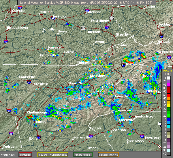
| 7/25/2020 4:51 PM EDT |
 At 451 pm edt, a severe thunderstorm was located over culberson, or 10 miles southwest of murphy, moving east at 5 mph (radar indicated). Hazards include 60 mph wind gusts and quarter size hail. Hail damage to vehicles is expected. expect wind damage to roofs, siding, and trees. Locations impacted include, morganton, hemp, nottely dam, loving, mineral bluff and culberson. At 451 pm edt, a severe thunderstorm was located over culberson, or 10 miles southwest of murphy, moving east at 5 mph (radar indicated). Hazards include 60 mph wind gusts and quarter size hail. Hail damage to vehicles is expected. expect wind damage to roofs, siding, and trees. Locations impacted include, morganton, hemp, nottely dam, loving, mineral bluff and culberson.
|
| 7/25/2020 4:21 PM EDT |
 At 421 pm edt, a severe thunderstorm was located over culberson, or 9 miles northeast of blue ridge, moving east at 5 mph (radar indicated). Hazards include 60 mph wind gusts and quarter size hail. Hail damage to vehicles is expected. Expect wind damage to roofs, siding, and trees. At 421 pm edt, a severe thunderstorm was located over culberson, or 9 miles northeast of blue ridge, moving east at 5 mph (radar indicated). Hazards include 60 mph wind gusts and quarter size hail. Hail damage to vehicles is expected. Expect wind damage to roofs, siding, and trees.
|
| 4/13/2020 1:36 AM EDT |
 At 136 am edt, a severe thunderstorm was located over hemp, or 8 miles east of blue ridge, moving northeast at 55 mph (radar indicated). Hazards include 70 mph wind gusts. Expect considerable tree damage. damage is likely to mobile homes, roofs, and outbuildings. Locations impacted include, blue ridge, hiawassee, blairsville, young harris, east ellijay, helen, morganton, suches, unicoi state park, robertstown, blue mountain shelter, gumlog, loving, jones creek, woods hole shelter, low gap shelter, cartecay, pisgah, mineral bluff and vogel state park. At 136 am edt, a severe thunderstorm was located over hemp, or 8 miles east of blue ridge, moving northeast at 55 mph (radar indicated). Hazards include 70 mph wind gusts. Expect considerable tree damage. damage is likely to mobile homes, roofs, and outbuildings. Locations impacted include, blue ridge, hiawassee, blairsville, young harris, east ellijay, helen, morganton, suches, unicoi state park, robertstown, blue mountain shelter, gumlog, loving, jones creek, woods hole shelter, low gap shelter, cartecay, pisgah, mineral bluff and vogel state park.
|
| 4/13/2020 1:25 AM EDT |
 At 125 am edt, a severe thunderstorm was located over cherry log, or near blue ridge, moving northeast at 60 mph (radar indicated). Hazards include 70 mph wind gusts. Expect considerable tree damage. damage is likely to mobile homes, roofs, and outbuildings. Locations impacted include, blue ridge, hiawassee, blairsville, young harris, east ellijay, helen, morganton, suches, unicoi state park, robertstown, blue mountain shelter, gumlog, higdon, loving, jones creek, woods hole shelter, epworth, low gap shelter, cartecay and pisgah. At 125 am edt, a severe thunderstorm was located over cherry log, or near blue ridge, moving northeast at 60 mph (radar indicated). Hazards include 70 mph wind gusts. Expect considerable tree damage. damage is likely to mobile homes, roofs, and outbuildings. Locations impacted include, blue ridge, hiawassee, blairsville, young harris, east ellijay, helen, morganton, suches, unicoi state park, robertstown, blue mountain shelter, gumlog, higdon, loving, jones creek, woods hole shelter, epworth, low gap shelter, cartecay and pisgah.
|
| 4/13/2020 1:23 AM EDT |
 At 123 am edt, a severe thunderstorm was located near cherry log, or near ellijay, moving east at 55 mph (radar indicated). Hazards include 60 mph wind gusts. expect damage to roofs, siding, and trees At 123 am edt, a severe thunderstorm was located near cherry log, or near ellijay, moving east at 55 mph (radar indicated). Hazards include 60 mph wind gusts. expect damage to roofs, siding, and trees
|
| 4/13/2020 12:34 AM EDT |
 At 1233 am edt, severe thunderstorms were located along a line extending from near hot house to near sonoraville, moving east at 65 mph (radar indicated). Hazards include 60 mph wind gusts. Expect damage to roofs, siding, and trees. Locations impacted include, dalton, calhoun, chatsworth, ellijay, blue ridge, varnell, eton, east ellijay, resaca, morganton, fairmount, ranger, crandall, sumac, jones mill, higdon, redbud, gregory, loving and lake marvin. At 1233 am edt, severe thunderstorms were located along a line extending from near hot house to near sonoraville, moving east at 65 mph (radar indicated). Hazards include 60 mph wind gusts. Expect damage to roofs, siding, and trees. Locations impacted include, dalton, calhoun, chatsworth, ellijay, blue ridge, varnell, eton, east ellijay, resaca, morganton, fairmount, ranger, crandall, sumac, jones mill, higdon, redbud, gregory, loving and lake marvin.
|
| 4/13/2020 12:24 AM EDT |
 At 1223 am edt, severe thunderstorms were located along a line extending from near copperhill to oostanaula, moving east at 65 mph (radar indicated). Hazards include 60 mph wind gusts. Expect damage to roofs, siding, and trees. Locations impacted include, dalton, calhoun, chatsworth, ellijay, blue ridge, varnell, eton, tunnel hill, cohutta, east ellijay, resaca, morganton, fairmount, ranger, crandall, subligna, jones mill, cohutta wilderness, beaverdale and mineral bluff. At 1223 am edt, severe thunderstorms were located along a line extending from near copperhill to oostanaula, moving east at 65 mph (radar indicated). Hazards include 60 mph wind gusts. Expect damage to roofs, siding, and trees. Locations impacted include, dalton, calhoun, chatsworth, ellijay, blue ridge, varnell, eton, tunnel hill, cohutta, east ellijay, resaca, morganton, fairmount, ranger, crandall, subligna, jones mill, cohutta wilderness, beaverdale and mineral bluff.
|
| 4/13/2020 12:07 AM EDT |
 At 1207 am edt, severe thunderstorms were located along a line extending from tennga to near summerville, moving east at 65 mph (radar indicated). Hazards include 60 mph wind gusts. expect damage to roofs, siding, and trees At 1207 am edt, severe thunderstorms were located along a line extending from tennga to near summerville, moving east at 65 mph (radar indicated). Hazards include 60 mph wind gusts. expect damage to roofs, siding, and trees
|
| 3/29/2020 7:39 AM EDT |
 The severe thunderstorm warning for eastern fannin county will expire at 745 am edt, the storm which prompted the warning has weakened below severe limits, and has exited the warned area. therefore, the warning will be allowed to expire. to report severe weather, contact your nearest law enforcement agency. they will relay your report to the national weather service peachtree city. The severe thunderstorm warning for eastern fannin county will expire at 745 am edt, the storm which prompted the warning has weakened below severe limits, and has exited the warned area. therefore, the warning will be allowed to expire. to report severe weather, contact your nearest law enforcement agency. they will relay your report to the national weather service peachtree city.
|
| 3/29/2020 7:34 AM EDT |
 At 734 am edt, a severe thunderstorm was located over margret, or 11 miles southeast of blue ridge, moving east at 55 mph (radar indicated). Hazards include 60 mph wind gusts and quarter size hail. Hail damage to vehicles is expected. expect wind damage to roofs, siding, and trees. Locations impacted include, morganton, dial, springer mountain shelter, hemp, margret, stover creek shelter and hurst. At 734 am edt, a severe thunderstorm was located over margret, or 11 miles southeast of blue ridge, moving east at 55 mph (radar indicated). Hazards include 60 mph wind gusts and quarter size hail. Hail damage to vehicles is expected. expect wind damage to roofs, siding, and trees. Locations impacted include, morganton, dial, springer mountain shelter, hemp, margret, stover creek shelter and hurst.
|
| 3/29/2020 7:12 AM EDT |
 At 712 am edt, a severe thunderstorm was located over ellijay, moving east at 55 mph (radar indicated). Hazards include 60 mph wind gusts and quarter size hail. Hail damage to vehicles is expected. Expect wind damage to roofs, siding, and trees. At 712 am edt, a severe thunderstorm was located over ellijay, moving east at 55 mph (radar indicated). Hazards include 60 mph wind gusts and quarter size hail. Hail damage to vehicles is expected. Expect wind damage to roofs, siding, and trees.
|
| 1/11/2020 5:13 PM EST |
 At 512 pm est, severe thunderstorms were located along a line extending from culberson to reavis mountain, moving east at 45 mph (radar indicated). Hazards include 60 mph wind gusts. Expect damage to roofs, siding, and trees. Locations impacted include, jasper, ellijay, blue ridge, nelson, east ellijay, morganton, talking rock, amicalola falls state park, sequoyah lake, loving, jones creek, juno, fausett lake, len foote hike inn, cartecay, pisgah, mineral bluff, talmadge, cherry log and tate. At 512 pm est, severe thunderstorms were located along a line extending from culberson to reavis mountain, moving east at 45 mph (radar indicated). Hazards include 60 mph wind gusts. Expect damage to roofs, siding, and trees. Locations impacted include, jasper, ellijay, blue ridge, nelson, east ellijay, morganton, talking rock, amicalola falls state park, sequoyah lake, loving, jones creek, juno, fausett lake, len foote hike inn, cartecay, pisgah, mineral bluff, talmadge, cherry log and tate.
|
| 1/11/2020 4:53 PM EST |
 At 453 pm est, severe thunderstorms were located along a line extending from copperhill to near talmadge, moving east at 45 mph (radar indicated). Hazards include 60 mph wind gusts. expect damage to roofs, siding, and trees At 453 pm est, severe thunderstorms were located along a line extending from copperhill to near talmadge, moving east at 45 mph (radar indicated). Hazards include 60 mph wind gusts. expect damage to roofs, siding, and trees
|
| 8/13/2019 8:40 PM EDT | Tree reported down on hidden valley dr. between old loving rd. and forge mill r in fannin county GA, 1.6 miles SSW of Morganton, GA |
| 8/13/2019 8:22 PM EDT |
 At 822 pm edt, a severe thunderstorm was located near hot house, or near ducktown, moving southeast at 20 mph (radar indicated). Hazards include 60 mph wind gusts and penny size hail. expect damage to roofs, siding, and trees At 822 pm edt, a severe thunderstorm was located near hot house, or near ducktown, moving southeast at 20 mph (radar indicated). Hazards include 60 mph wind gusts and penny size hail. expect damage to roofs, siding, and trees
|
| 7/30/2019 4:34 PM EDT |
 At 434 pm edt, a severe thunderstorm was located near mountaintown, or near ellijay, moving northeast at 15 mph (radar indicated). Hazards include 60 mph wind gusts and quarter size hail. Hail damage to vehicles is expected. expect wind damage to roofs, siding, and trees. Locations impacted include, ellijay, blue ridge, east ellijay, morganton, dial, cherry log, mountaintown, higdon, colwell, epworth and mineral bluff. At 434 pm edt, a severe thunderstorm was located near mountaintown, or near ellijay, moving northeast at 15 mph (radar indicated). Hazards include 60 mph wind gusts and quarter size hail. Hail damage to vehicles is expected. expect wind damage to roofs, siding, and trees. Locations impacted include, ellijay, blue ridge, east ellijay, morganton, dial, cherry log, mountaintown, higdon, colwell, epworth and mineral bluff.
|
| 7/30/2019 4:21 PM EDT |
 At 421 pm edt, a severe thunderstorm was located over mountaintown, or near ellijay, moving northeast at 15 mph (radar indicated). Hazards include 60 mph wind gusts and quarter size hail. Hail damage to vehicles is expected. Expect wind damage to roofs, siding, and trees. At 421 pm edt, a severe thunderstorm was located over mountaintown, or near ellijay, moving northeast at 15 mph (radar indicated). Hazards include 60 mph wind gusts and quarter size hail. Hail damage to vehicles is expected. Expect wind damage to roofs, siding, and trees.
|
| 7/30/2019 2:45 PM EDT |
 At 245 pm edt, a severe thunderstorm was located over hemp, or 9 miles east of blue ridge, moving northeast at 10 mph (radar indicated). Hazards include 60 mph wind gusts and quarter size hail. Hail damage to vehicles is expected. Expect wind damage to roofs, siding, and trees. At 245 pm edt, a severe thunderstorm was located over hemp, or 9 miles east of blue ridge, moving northeast at 10 mph (radar indicated). Hazards include 60 mph wind gusts and quarter size hail. Hail damage to vehicles is expected. Expect wind damage to roofs, siding, and trees.
|
| 6/22/2019 12:54 AM EDT |
 At 1253 am edt, severe thunderstorms were located along a line extending from near mountain scene to jasper, moving east at 70 mph (radar indicated). Hazards include 60 mph wind gusts. expect damage to roofs, siding, and trees At 1253 am edt, severe thunderstorms were located along a line extending from near mountain scene to jasper, moving east at 70 mph (radar indicated). Hazards include 60 mph wind gusts. expect damage to roofs, siding, and trees
|
| 6/22/2019 12:22 AM EDT |
 At 1221 am edt, severe thunderstorms were located along a line extending from near hiawasse dam to near jones mill, and are nearly stationary (radar indicated). Hazards include 60 mph wind gusts. Expect damage to roofs, siding, and trees. Locations impacted include, ellijay, blue ridge, hiawassee, blairsville, young harris, east ellijay, morganton, suches, blue mountain shelter, jones mill, gumlog, jones creek, titus, cohutta wilderness, pisgah, mineral bluff, cherry log, stover creek shelter, plum orchard gap shelter and hemp. At 1221 am edt, severe thunderstorms were located along a line extending from near hiawasse dam to near jones mill, and are nearly stationary (radar indicated). Hazards include 60 mph wind gusts. Expect damage to roofs, siding, and trees. Locations impacted include, ellijay, blue ridge, hiawassee, blairsville, young harris, east ellijay, morganton, suches, blue mountain shelter, jones mill, gumlog, jones creek, titus, cohutta wilderness, pisgah, mineral bluff, cherry log, stover creek shelter, plum orchard gap shelter and hemp.
|
| 6/22/2019 12:08 AM EDT |
 At 1207 am edt, severe thunderstorms were located along a line extending from near murphy to near jones mill, moving east at 60 mph (radar indicated). Hazards include 60 mph wind gusts. Expect damage to roofs, siding, and trees. Locations impacted include, ellijay, blue ridge, hiawassee, blairsville, young harris, east ellijay, morganton, suches, blue mountain shelter, jones mill, gumlog, jones creek, titus, cohutta wilderness, pisgah, mineral bluff, cherry log, stover creek shelter, plum orchard gap shelter and hemp. At 1207 am edt, severe thunderstorms were located along a line extending from near murphy to near jones mill, moving east at 60 mph (radar indicated). Hazards include 60 mph wind gusts. Expect damage to roofs, siding, and trees. Locations impacted include, ellijay, blue ridge, hiawassee, blairsville, young harris, east ellijay, morganton, suches, blue mountain shelter, jones mill, gumlog, jones creek, titus, cohutta wilderness, pisgah, mineral bluff, cherry log, stover creek shelter, plum orchard gap shelter and hemp.
|
| 6/22/2019 12:03 AM EDT |
 At 1202 am edt, severe thunderstorms were located along a line extending from hiawasse dam to near conasauga lake, moving southeast at 60 mph (radar indicated). Hazards include 60 mph wind gusts. expect damage to roofs, siding, and trees At 1202 am edt, severe thunderstorms were located along a line extending from hiawasse dam to near conasauga lake, moving southeast at 60 mph (radar indicated). Hazards include 60 mph wind gusts. expect damage to roofs, siding, and trees
|
| 5/4/2019 12:15 PM EDT |
 At 1215 pm edt, a severe thunderstorm was located near ellijay, moving northeast at 30 mph (radar indicated). Hazards include 60 mph wind gusts and quarter size hail. Hail damage to vehicles is expected. Expect wind damage to roofs, siding, and trees. At 1215 pm edt, a severe thunderstorm was located near ellijay, moving northeast at 30 mph (radar indicated). Hazards include 60 mph wind gusts and quarter size hail. Hail damage to vehicles is expected. Expect wind damage to roofs, siding, and trees.
|
| 11/6/2018 5:46 AM EST |
 At 545 am est, severe thunderstorms were located along a line extending from near epworth to near cherry log to near redbud, moving east at 40 mph (radar indicated). Hazards include 60 mph wind gusts. Expect damage to roofs, siding, and trees. locations impacted include, ellijay, blue ridge, east ellijay, morganton, talking rock, ranger, hemp, talona, hurst, loving, epworth, dial, cartecay, pisgah, mineral bluff, blaine, cherry log, oakman, roy and roundtop. A tornado watch remains in effect until 900 am est for north central and northwestern georgia. At 545 am est, severe thunderstorms were located along a line extending from near epworth to near cherry log to near redbud, moving east at 40 mph (radar indicated). Hazards include 60 mph wind gusts. Expect damage to roofs, siding, and trees. locations impacted include, ellijay, blue ridge, east ellijay, morganton, talking rock, ranger, hemp, talona, hurst, loving, epworth, dial, cartecay, pisgah, mineral bluff, blaine, cherry log, oakman, roy and roundtop. A tornado watch remains in effect until 900 am est for north central and northwestern georgia.
|
| 11/6/2018 5:21 AM EST |
 At 521 am est, severe thunderstorms were located along a line extending from cohutta wilderness to chatsworth to everett springs, moving east at 25 mph (radar indicated). Hazards include 60 mph wind gusts. expect damage to roofs, siding, and trees At 521 am est, severe thunderstorms were located along a line extending from cohutta wilderness to chatsworth to everett springs, moving east at 25 mph (radar indicated). Hazards include 60 mph wind gusts. expect damage to roofs, siding, and trees
|
| 11/6/2018 4:52 AM EST |
 At 452 am est, severe thunderstorms were located along a line extending from near flint springs to rocky face to near naomi, moving east at 50 mph (radar indicated). Hazards include 60 mph wind gusts. expect damage to roofs, siding, and trees At 452 am est, severe thunderstorms were located along a line extending from near flint springs to rocky face to near naomi, moving east at 50 mph (radar indicated). Hazards include 60 mph wind gusts. expect damage to roofs, siding, and trees
|
| 8/30/2018 6:29 PM EDT |
 At 609 pm edt, a severe thunderstorm was located near mineral bluff, or 7 miles northeast of blue ridge, and is nearly stationary (radar indicated). Hazards include 60 mph wind gusts. expect damage to roofs, siding, and trees At 609 pm edt, a severe thunderstorm was located near mineral bluff, or 7 miles northeast of blue ridge, and is nearly stationary (radar indicated). Hazards include 60 mph wind gusts. expect damage to roofs, siding, and trees
|
| 8/30/2018 6:09 PM EDT |
 At 609 pm edt, a severe thunderstorm was located near mineral bluff, or 7 miles northeast of blue ridge, and is nearly stationary (radar indicated). Hazards include 60 mph wind gusts. expect damage to roofs, siding, and trees At 609 pm edt, a severe thunderstorm was located near mineral bluff, or 7 miles northeast of blue ridge, and is nearly stationary (radar indicated). Hazards include 60 mph wind gusts. expect damage to roofs, siding, and trees
|
| 7/21/2018 2:32 AM EDT |
 At 232 am edt, a severe thunderstorm was located over cohutta wilderness, or 11 miles southwest of ducktown, moving southeast at 50 mph (radar indicated). Hazards include 60 mph wind gusts and quarter size hail. Hail damage to vehicles is expected. Expect wind damage to roofs, siding, and trees. At 232 am edt, a severe thunderstorm was located over cohutta wilderness, or 11 miles southwest of ducktown, moving southeast at 50 mph (radar indicated). Hazards include 60 mph wind gusts and quarter size hail. Hail damage to vehicles is expected. Expect wind damage to roofs, siding, and trees.
|
| 6/28/2018 10:53 AM EDT |
 The severe thunderstorm warning for northern gilmer and fannin counties will expire at 1100 am edt, the storms which prompted the warning have moved out of the area. therefore, the warning will be allowed to expire. however gusty winds and heavy rain are still possible with these thunderstorms. a severe thunderstorm warning still remains in effect for northwest, central and southern parts of gilmer county until 1130 am edt. The severe thunderstorm warning for northern gilmer and fannin counties will expire at 1100 am edt, the storms which prompted the warning have moved out of the area. therefore, the warning will be allowed to expire. however gusty winds and heavy rain are still possible with these thunderstorms. a severe thunderstorm warning still remains in effect for northwest, central and southern parts of gilmer county until 1130 am edt.
|
| 6/28/2018 10:17 AM EDT |
 At 1016 am edt, severe thunderstorms were located along a line extending from near turtletown to parksville tennessee, moving southeast at 35 mph (radar indicated). Hazards include 60 mph wind gusts. torrential rainfall. expect damage to roofs, siding, and trees At 1016 am edt, severe thunderstorms were located along a line extending from near turtletown to parksville tennessee, moving southeast at 35 mph (radar indicated). Hazards include 60 mph wind gusts. torrential rainfall. expect damage to roofs, siding, and trees
|
| 6/24/2018 6:15 PM EDT |
 At 615 pm edt, severe thunderstorms were located along a line extending from near culberson to cherry log to fort mountain state park, moving southeast at 45 mph (radar indicated). Hazards include 60 mph wind gusts and penny size hail. Expect damage to roofs, siding, and trees. Locations impacted include, ellijay, blue ridge, eton, cohutta, morganton, crandall, sumac, jones mill, higdon, gregory, loving, cohutta wilderness, epworth, conasauga lake, beaverdale, mineral bluff, cherry log, fort mountain state park, hemp and tails creek. At 615 pm edt, severe thunderstorms were located along a line extending from near culberson to cherry log to fort mountain state park, moving southeast at 45 mph (radar indicated). Hazards include 60 mph wind gusts and penny size hail. Expect damage to roofs, siding, and trees. Locations impacted include, ellijay, blue ridge, eton, cohutta, morganton, crandall, sumac, jones mill, higdon, gregory, loving, cohutta wilderness, epworth, conasauga lake, beaverdale, mineral bluff, cherry log, fort mountain state park, hemp and tails creek.
|
| 6/24/2018 5:49 PM EDT |
 At 548 pm edt, severe thunderstorms were located along a line extending from near turtletown to beaverdale, moving southeast at 25 mph (radar indicated). Hazards include 60 mph wind gusts and quarter size hail. Hail damage to vehicles is expected. Expect wind damage to roofs, siding, and trees. At 548 pm edt, severe thunderstorms were located along a line extending from near turtletown to beaverdale, moving southeast at 25 mph (radar indicated). Hazards include 60 mph wind gusts and quarter size hail. Hail damage to vehicles is expected. Expect wind damage to roofs, siding, and trees.
|
| 6/23/2018 3:14 PM EDT |
 At 314 pm edt, severe thunderstorms were located along a line extending from near hot house to roy, moving east at 45 mph (radar indicated). Hazards include 60 mph wind gusts. expect damage to roofs, siding, and trees At 314 pm edt, severe thunderstorms were located along a line extending from near hot house to roy, moving east at 45 mph (radar indicated). Hazards include 60 mph wind gusts. expect damage to roofs, siding, and trees
|
| 6/23/2018 3:01 PM EDT |
 At 300 pm edt, severe thunderstorms were located along a line extending from copperhill to cartecay, moving east at 45 mph (radar indicated). Hazards include 60 mph wind gusts. Expect damage to roofs, siding, and trees. Locations impacted include, ellijay, blue ridge, east ellijay, morganton, jones mill, higdon, loving, cohutta wilderness, epworth, cartecay, pisgah, mineral bluff, cherry log, stover creek shelter, hemp, talona, tails creek, margret, hurst and dial. At 300 pm edt, severe thunderstorms were located along a line extending from copperhill to cartecay, moving east at 45 mph (radar indicated). Hazards include 60 mph wind gusts. Expect damage to roofs, siding, and trees. Locations impacted include, ellijay, blue ridge, east ellijay, morganton, jones mill, higdon, loving, cohutta wilderness, epworth, cartecay, pisgah, mineral bluff, cherry log, stover creek shelter, hemp, talona, tails creek, margret, hurst and dial.
|
| 6/23/2018 2:37 PM EDT |
 At 236 pm edt, severe thunderstorms were located along a line extending from near conasauga to carters, moving east at 45 mph (radar indicated). Hazards include 60 mph wind gusts. expect damage to roofs, siding, and trees At 236 pm edt, severe thunderstorms were located along a line extending from near conasauga to carters, moving east at 45 mph (radar indicated). Hazards include 60 mph wind gusts. expect damage to roofs, siding, and trees
|
| 3/17/2018 8:47 PM EDT |
 At 847 pm edt, a severe thunderstorm was located near ivy log, or near blairsville, moving southeast at 50 mph (radar indicated). Hazards include 60 mph wind gusts and quarter size hail. Hail damage to vehicles is expected. expect wind damage to roofs, siding, and trees. Locations impacted include, blairsville, young harris, morganton, hemp, gumlog, nottely dam, ivy log, loving, jones creek, woods hole shelter, owltown, mineral bluff, vogel state park, track rock, blood mountain shelter, alexanders mill, culberson and copperhill. At 847 pm edt, a severe thunderstorm was located near ivy log, or near blairsville, moving southeast at 50 mph (radar indicated). Hazards include 60 mph wind gusts and quarter size hail. Hail damage to vehicles is expected. expect wind damage to roofs, siding, and trees. Locations impacted include, blairsville, young harris, morganton, hemp, gumlog, nottely dam, ivy log, loving, jones creek, woods hole shelter, owltown, mineral bluff, vogel state park, track rock, blood mountain shelter, alexanders mill, culberson and copperhill.
|
| 3/17/2018 8:10 PM EDT |
 At 809 pm edt, a severe thunderstorm was located over archville, or 8 miles east of benton, moving southeast at 50 mph (radar indicated). Hazards include 60 mph wind gusts and quarter size hail. Hail damage to vehicles is expected. Expect wind damage to roofs, siding, and trees. At 809 pm edt, a severe thunderstorm was located over archville, or 8 miles east of benton, moving southeast at 50 mph (radar indicated). Hazards include 60 mph wind gusts and quarter size hail. Hail damage to vehicles is expected. Expect wind damage to roofs, siding, and trees.
|
| 11/7/2017 11:02 AM EST |
 At 1101 am est, a severe thunderstorm was located near colwell, or 8 miles southwest of ducktown, moving southeast at 30 mph (radar indicated). Hazards include 60 mph wind gusts. Expect damage to roofs, siding, and trees. Locations impacted include, blue ridge, morganton, jones mill, higdon, gregory, loving, cohutta wilderness, epworth, tennga, mineral bluff, cisco, colwell and copperhill. At 1101 am est, a severe thunderstorm was located near colwell, or 8 miles southwest of ducktown, moving southeast at 30 mph (radar indicated). Hazards include 60 mph wind gusts. Expect damage to roofs, siding, and trees. Locations impacted include, blue ridge, morganton, jones mill, higdon, gregory, loving, cohutta wilderness, epworth, tennga, mineral bluff, cisco, colwell and copperhill.
|
| 11/7/2017 10:30 AM EST |
 At 1030 am est, a severe thunderstorm was located near conasauga, or 9 miles southwest of benton, moving southeast at 30 mph (radar indicated). Hazards include 60 mph wind gusts and penny size hail. expect damage to roofs, siding, and trees At 1030 am est, a severe thunderstorm was located near conasauga, or 9 miles southwest of benton, moving southeast at 30 mph (radar indicated). Hazards include 60 mph wind gusts and penny size hail. expect damage to roofs, siding, and trees
|
| 9/23/2017 5:01 PM EDT |
 At 501 pm edt, a severe thunderstorm was located over loving, or 7 miles east of blue ridge, and is nearly stationary (radar indicated). Hazards include 60 mph wind gusts and quarter size hail. Hail damage to vehicles is expected. expect wind damage to roofs, siding, and trees. Locations impacted include, blue ridge, morganton, hemp, hurst, loving and mineral bluff. At 501 pm edt, a severe thunderstorm was located over loving, or 7 miles east of blue ridge, and is nearly stationary (radar indicated). Hazards include 60 mph wind gusts and quarter size hail. Hail damage to vehicles is expected. expect wind damage to roofs, siding, and trees. Locations impacted include, blue ridge, morganton, hemp, hurst, loving and mineral bluff.
|
| 9/23/2017 4:47 PM EDT |
 At 447 pm edt, a severe thunderstorm was located over loving, or 8 miles east of blue ridge, and is nearly stationary (radar indicated). Hazards include 60 mph wind gusts and quarter size hail. Hail damage to vehicles is expected. Expect wind damage to roofs, siding, and trees. At 447 pm edt, a severe thunderstorm was located over loving, or 8 miles east of blue ridge, and is nearly stationary (radar indicated). Hazards include 60 mph wind gusts and quarter size hail. Hail damage to vehicles is expected. Expect wind damage to roofs, siding, and trees.
|
| 5/24/2017 11:46 AM EDT |
 At 1146 am edt, a severe thunderstorm capable of producing a tornado was located near blue ridge, moving east at 35 mph (radar indicated rotation). Hazards include tornado. Flying debris will be dangerous to those caught without shelter. mobile homes will be damaged or destroyed. damage to roofs, windows, and vehicles will occur. tree damage is likely. Locations impacted include, blue ridge, morganton, hemp, loving and mineral bluff. At 1146 am edt, a severe thunderstorm capable of producing a tornado was located near blue ridge, moving east at 35 mph (radar indicated rotation). Hazards include tornado. Flying debris will be dangerous to those caught without shelter. mobile homes will be damaged or destroyed. damage to roofs, windows, and vehicles will occur. tree damage is likely. Locations impacted include, blue ridge, morganton, hemp, loving and mineral bluff.
|
| 5/24/2017 11:43 AM EDT | Report of a tree blown down on loving rd near ga 515 in fannin county GA, 1.8 miles WSW of Morganton, GA |
| 5/24/2017 11:29 AM EDT |
 At 1128 am edt, a severe thunderstorm capable of producing a tornado was located near cherry log, or near ellijay, moving east at 35 mph (radar indicated rotation). Hazards include tornado. Flying debris will be dangerous to those caught without shelter. mobile homes will be damaged or destroyed. damage to roofs, windows, and vehicles will occur. Tree damage is likely. At 1128 am edt, a severe thunderstorm capable of producing a tornado was located near cherry log, or near ellijay, moving east at 35 mph (radar indicated rotation). Hazards include tornado. Flying debris will be dangerous to those caught without shelter. mobile homes will be damaged or destroyed. damage to roofs, windows, and vehicles will occur. Tree damage is likely.
|
| 3/27/2017 8:22 PM EDT |
 At 821 pm edt, a severe thunderstorm was located over cherry log, or near blue ridge, moving northeast at 35 mph (radar indicated). Hazards include 60 mph wind gusts and quarter size hail. Hail damage to vehicles is expected. Expect wind damage to roofs, siding, and trees. At 821 pm edt, a severe thunderstorm was located over cherry log, or near blue ridge, moving northeast at 35 mph (radar indicated). Hazards include 60 mph wind gusts and quarter size hail. Hail damage to vehicles is expected. Expect wind damage to roofs, siding, and trees.
|
| 3/21/2017 8:07 PM EDT |
 At 805 pm edt, severe thunderstorms were located extending from hot house to near morganton to amicalola falls state park to near tate, moving east at 45 mph (radar indicated, plus multiple reports of damage to trees and powerlines due to very strong winds). Hazards include 60 mph wind gusts and quarter size hail. Hail damage to vehicles is expected. Expect wind damage to roofs, siding, and trees. At 805 pm edt, severe thunderstorms were located extending from hot house to near morganton to amicalola falls state park to near tate, moving east at 45 mph (radar indicated, plus multiple reports of damage to trees and powerlines due to very strong winds). Hazards include 60 mph wind gusts and quarter size hail. Hail damage to vehicles is expected. Expect wind damage to roofs, siding, and trees.
|
| 3/21/2017 7:55 PM EDT |
 The severe thunderstorm warning for western union and northeastern fannin counties will expire at 800 pm edt, the storm which prompted the warning has moved out of the area. therefore the warning will be allowed to expire. however gusty winds and heavy rain are still possible with this thunderstorm. another severe thunderstorm warning remains in effect for western fannin county until 830 pm. The severe thunderstorm warning for western union and northeastern fannin counties will expire at 800 pm edt, the storm which prompted the warning has moved out of the area. therefore the warning will be allowed to expire. however gusty winds and heavy rain are still possible with this thunderstorm. another severe thunderstorm warning remains in effect for western fannin county until 830 pm.
|
| 3/21/2017 7:16 PM EDT |
 At 716 pm edt, a severe thunderstorm was located over blue ridge, moving east at 25 mph (radar indicated). Hazards include ping pong ball size hail and 60 mph wind gusts. People and animals outdoors will be injured. Expect damage to roofs, siding, windows, and vehicles. At 716 pm edt, a severe thunderstorm was located over blue ridge, moving east at 25 mph (radar indicated). Hazards include ping pong ball size hail and 60 mph wind gusts. People and animals outdoors will be injured. Expect damage to roofs, siding, windows, and vehicles.
|
| 3/21/2017 6:33 PM EDT |
 At 632 pm edt, a severe thunderstorm was located over big frog mountain, or 8 miles southwest of ducktown, moving east at 15 mph (radar indicated). Hazards include half dollar size hail and 60 mph wind gusts. damage to vehicles is expected At 632 pm edt, a severe thunderstorm was located over big frog mountain, or 8 miles southwest of ducktown, moving east at 15 mph (radar indicated). Hazards include half dollar size hail and 60 mph wind gusts. damage to vehicles is expected
|
| 3/1/2017 4:58 PM EST |
 At 457 pm est, a severe thunderstorm was located near cherry log, or near blue ridge, moving east at 45 mph (radar indicated). Hazards include 60 mph wind gusts and quarter size hail. Hail damage to vehicles is expected. Expect wind damage to roofs, siding, and trees. At 457 pm est, a severe thunderstorm was located near cherry log, or near blue ridge, moving east at 45 mph (radar indicated). Hazards include 60 mph wind gusts and quarter size hail. Hail damage to vehicles is expected. Expect wind damage to roofs, siding, and trees.
|
| 7/8/2016 8:45 PM EDT |
 At 845 pm edt, severe thunderstorms were located along a line extending from near moccasin creek state park to near ducktown, moving southeast at 35 mph (radar indicated). Hazards include 60 mph wind gusts and quarter size hail. Hail damage to vehicles is expected. expect wind damage to roofs, siding, and trees. Other locations in the warning include but are not limited to cleveland, blue ridge, hiawassee, blairsville, young harris, helen, morganton, suches, unicoi state park, jones creek, sautee, epworth, smithgall woods conservation are, leaf, macedonia, alexanders mill, turners corner, mountain scene, low gap shelter and titus. At 845 pm edt, severe thunderstorms were located along a line extending from near moccasin creek state park to near ducktown, moving southeast at 35 mph (radar indicated). Hazards include 60 mph wind gusts and quarter size hail. Hail damage to vehicles is expected. expect wind damage to roofs, siding, and trees. Other locations in the warning include but are not limited to cleveland, blue ridge, hiawassee, blairsville, young harris, helen, morganton, suches, unicoi state park, jones creek, sautee, epworth, smithgall woods conservation are, leaf, macedonia, alexanders mill, turners corner, mountain scene, low gap shelter and titus.
|
| 7/8/2016 8:11 PM EDT |
 At 810 pm edt, severe thunderstorms were located along a line extending from near murphy to 7 miles northeast of ducktown, moving southeast at 30 mph (radar indicated). Hazards include 60 mph wind gusts and quarter size hail. Hail damage to vehicles is expected. expect wind damage to roofs, siding, and trees. Other locations in the warning include but are not limited to blue ridge, hiawassee, blairsville, young harris, morganton, suches, jones creek, brasstown bald, pisgah, epworth, stover creek shelter, track rock, macedonia, alexanders mill, mountain scene, black gap shelter, margret, hurst, low gap shelter and gumlog. At 810 pm edt, severe thunderstorms were located along a line extending from near murphy to 7 miles northeast of ducktown, moving southeast at 30 mph (radar indicated). Hazards include 60 mph wind gusts and quarter size hail. Hail damage to vehicles is expected. expect wind damage to roofs, siding, and trees. Other locations in the warning include but are not limited to blue ridge, hiawassee, blairsville, young harris, morganton, suches, jones creek, brasstown bald, pisgah, epworth, stover creek shelter, track rock, macedonia, alexanders mill, mountain scene, black gap shelter, margret, hurst, low gap shelter and gumlog.
|
| 7/14/2015 6:02 PM EDT |
 At 559 pm edt, severe thunderstorms were located extending from southeast of benton to near ducktown to hayesville to southeast of nantahala lake to west of franklin, moving east at 60 mph (radar indicated). Hazards include 60 mph wind gusts and quarter size hail. Hail damage to vehicles is expected. expect wind damage to roofs, siding and trees. Other locations in the warning include but are not limited to blue ridge, hiawassee, blairsville, young harris, morganton, suches, jones creek, brasstown bald, the plum orchard gap shelter, epworth, higdon, track rock, macedonia, jones mill, alexanders mill, mountain scene, margret, hurst, the low gap shelter and titus. At 559 pm edt, severe thunderstorms were located extending from southeast of benton to near ducktown to hayesville to southeast of nantahala lake to west of franklin, moving east at 60 mph (radar indicated). Hazards include 60 mph wind gusts and quarter size hail. Hail damage to vehicles is expected. expect wind damage to roofs, siding and trees. Other locations in the warning include but are not limited to blue ridge, hiawassee, blairsville, young harris, morganton, suches, jones creek, brasstown bald, the plum orchard gap shelter, epworth, higdon, track rock, macedonia, jones mill, alexanders mill, mountain scene, margret, hurst, the low gap shelter and titus.
|
| 6/8/2015 8:55 PM EDT | The severe thunderstorm warning for northwestern union, northeastern gilmer and northeastern fannin counties will expire at 900 pm edt, the storms which prompted the warning have weakened below severe limits, and exited the warned area. therefore the warning will be allowed to expire. |
| 6/8/2015 8:39 PM EDT | At 839 pm edt, severe thunderstorms were located along a line extending from 8 miles north of morganton to 7 miles southwest of blue ridge, moving east at 30 mph (radar indicated). Hazards include 60 mph wind gusts. Expect damage to roofs. siding and trees. Other locations in the warning include but are not limited to blue ridge, morganton, jones creek, loving, pisgah, mineral bluff, nottely dam, dial, ivy log, margret, hurst, cherry log, hemp and culberson. |
| 6/8/2015 8:09 PM EDT | At 809 pm edt, severe thunderstorms were located along a line extending from near ducktown to 8 miles northwest of ellijay, moving east at 30 mph (radar indicated). Hazards include 60 mph wind gusts and quarter size hail. Hail damage to vehicles is expected. expect wind damage to roofs, siding and trees. Other locations in the warning include but are not limited to ellijay, blue ridge, east ellijay, morganton, jones creek, mountaintown, loving, pisgah, epworth, colwell, mineral bluff, nottely dam, higdon, jones mill, dial, ivy log, margret, hurst, cherry log and hemp. |
| 6/19/2014 4:36 PM EDT | Fannin county 911 center reported four trees down across the county. one along aska road and campbell camp... another tree down along mineral spring road... another at in fannin county GA, 2.1 miles W of Morganton, GA |
| 6/13/2013 6:05 PM EDT | The 911 center reported numerous trees and powerlines down along highway 60 in the south part of the count in fannin county GA, 9.2 miles NNW of Morganton, GA |
| 1/1/0001 12:00 AM | One tree down on jones creek roa in union county GA, 7.8 miles W of Morganton, GA |
| 5/26/2011 4:00 PM EDT | Golf Ball sized hail reported 7.3 miles NW of Morganton, GA |
| 5/26/2011 3:00 PM EDT | Grapefruit sized hail reported 0.4 miles WSW of Morganton, GA, fannin county 911 relayed reports of damage to windshields in the eastern portions of the county due to softball-sized hail. |
| 5/26/2011 2:59 PM EDT | Quarter sized hail reported 1.8 miles SSW of Morganton, GA |
Hail Maps for Morganton, GA


Connect with Interactive Hail Maps