

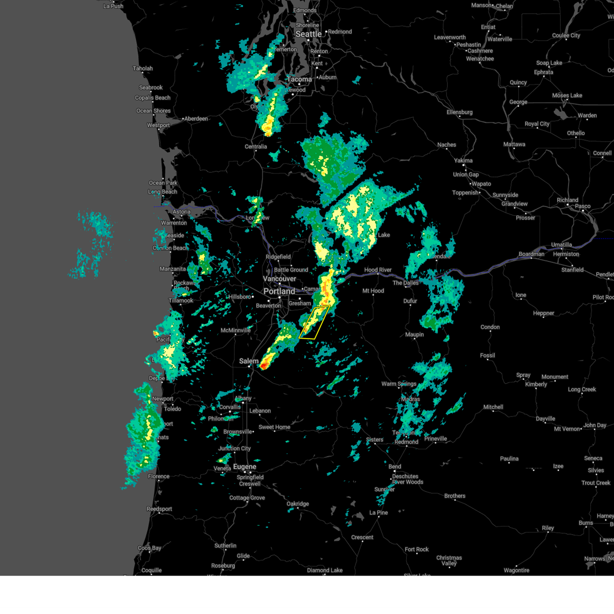
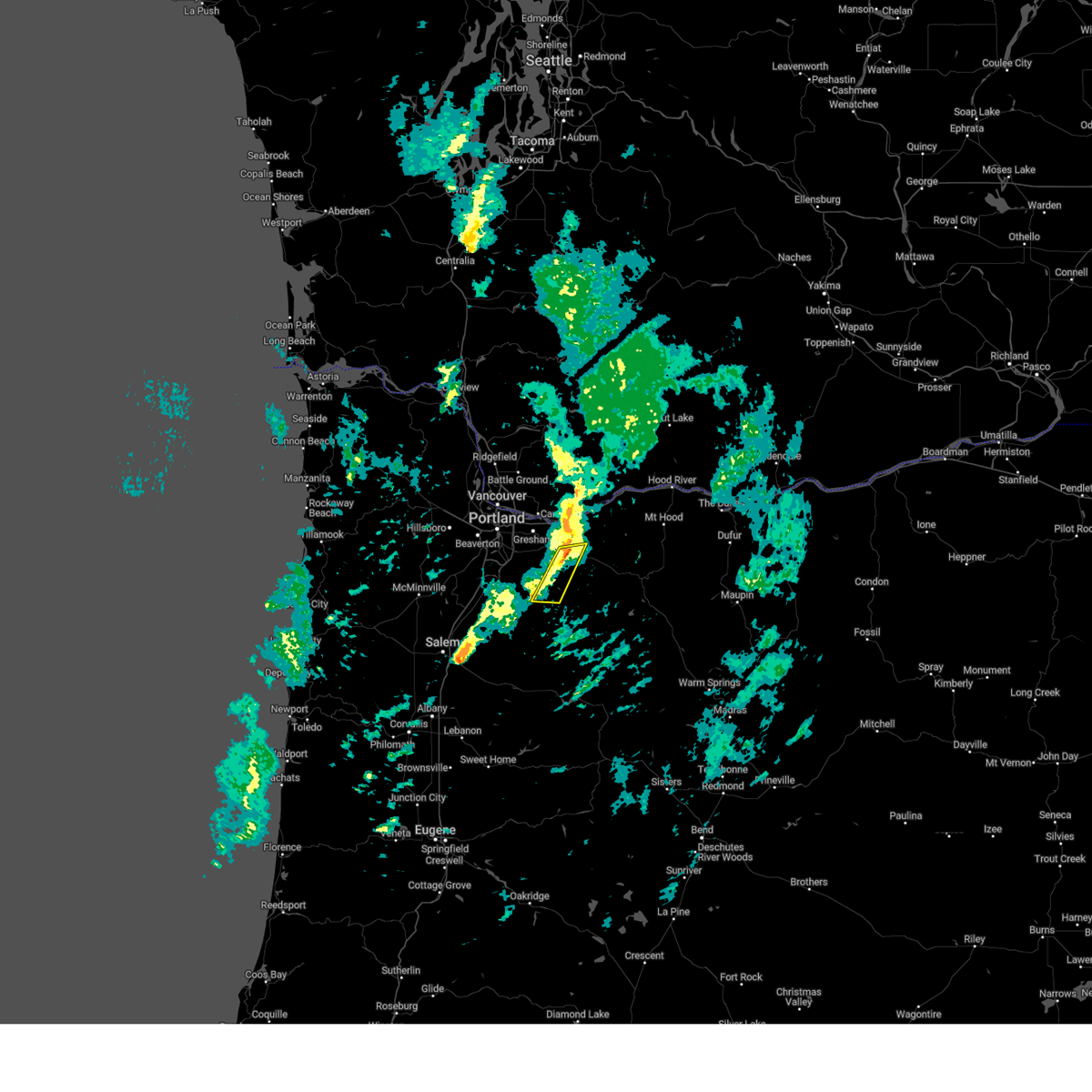
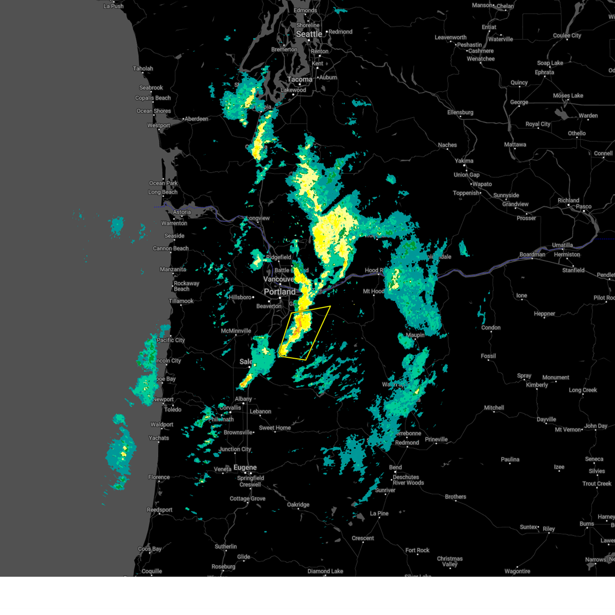
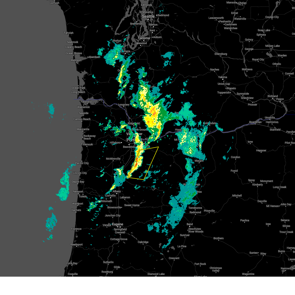
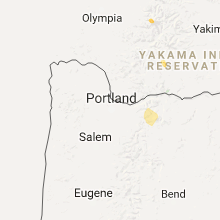
Hail Map for Mount Hood Village, OR
The Mount Hood Village, OR area has had 3 reports of on-the-ground hail by trained spotters, and has been under severe weather warnings 10 times during the past 12 months. Doppler radar has detected hail at or near Mount Hood Village, OR on 7 occasions, including 1 occasion during the past year.
| Name: | Mount Hood Village, OR |
| Where Located: | 37 miles ESE of Portland, OR |
| Map: | Google Map for Mount Hood Village, OR |
| Population: | 4864 |
| Housing Units: | 3635 |
| More Info: | Search Google for Mount Hood Village, OR |
5
The Top Recent Hail Date for Mount Hood Village, OR is Saturday, August 17, 2024 (1st out of 7)

Hail and Wind Damage Spotted near Mount Hood Village, OR
| Date / Time | Report Details |
|---|---|
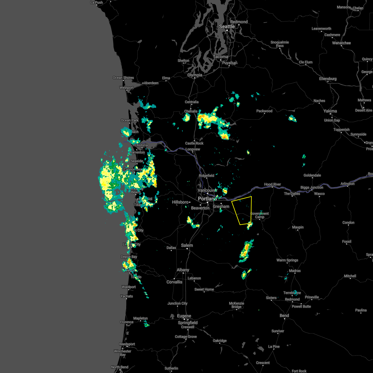
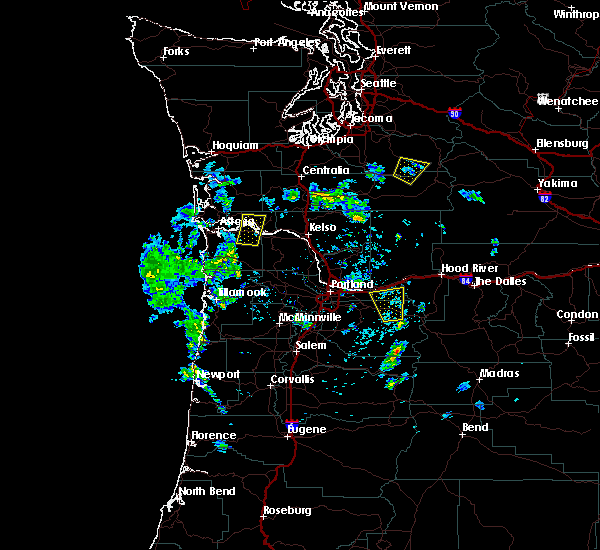
| 2/24/2025 5:28 PM PST |
 The storms which prompted the warning have weakened below severe limits, and no longer pose an immediate threat to life or property. therefore, the warning will be allowed to expire. however, gusty winds are still possible with these thunderstorms. The storms which prompted the warning have weakened below severe limits, and no longer pose an immediate threat to life or property. therefore, the warning will be allowed to expire. however, gusty winds are still possible with these thunderstorms.
|
| 2/24/2025 5:21 PM PST |
 At 520 pm pst, severe thunderstorms were located along a line extending from 8 miles southwest of estacada to silver falls, moving southeast at 30 mph (radar indicated). Hazards include 60 mph wind gusts. Expect damage to roofs, siding, and trees. power outages and downed trees possible. locations impacted include, sandy, shortys corner, estacada, and bull run. in oregon this includes u. s. Highway 26 east of portland between mile markers 24 and 31. At 520 pm pst, severe thunderstorms were located along a line extending from 8 miles southwest of estacada to silver falls, moving southeast at 30 mph (radar indicated). Hazards include 60 mph wind gusts. Expect damage to roofs, siding, and trees. power outages and downed trees possible. locations impacted include, sandy, shortys corner, estacada, and bull run. in oregon this includes u. s. Highway 26 east of portland between mile markers 24 and 31.
|
| 2/24/2025 5:07 PM PST |
 At 506 pm pst, severe thunderstorms were located along a line extending from 6 miles northeast of molalla to near silverton, moving southeast at 30 mph (radar indicated). Hazards include 60 mph wind gusts. Expect damage to roofs, siding, and trees. downed trees and power outages possible. locations impacted include, colton, molalla, estacada, eagle creek, scotts mills, sandy, shortys corner, mulino, and oregon city. in oregon this includes u. s. Highway 26 east of portland between mile markers 22 and 31. At 506 pm pst, severe thunderstorms were located along a line extending from 6 miles northeast of molalla to near silverton, moving southeast at 30 mph (radar indicated). Hazards include 60 mph wind gusts. Expect damage to roofs, siding, and trees. downed trees and power outages possible. locations impacted include, colton, molalla, estacada, eagle creek, scotts mills, sandy, shortys corner, mulino, and oregon city. in oregon this includes u. s. Highway 26 east of portland between mile markers 22 and 31.
|
| 2/24/2025 5:07 PM PST |
 the severe thunderstorm warning has been cancelled and is no longer in effect the severe thunderstorm warning has been cancelled and is no longer in effect
|
| 2/24/2025 4:58 PM PST |
 Svrpqr the national weather service in portland has issued a * severe thunderstorm warning for, western clackamas county in northwestern oregon, central marion county in northwestern oregon, * until 530 pm pst. * at 458 pm pst, severe thunderstorms were located along a line extending from near canby to near silverton, moving east at 30 mph (radar indicated). Hazards include 60 mph wind gusts. Expect damage to roofs, siding, and trees. Downed trees and power outages possible. Svrpqr the national weather service in portland has issued a * severe thunderstorm warning for, western clackamas county in northwestern oregon, central marion county in northwestern oregon, * until 530 pm pst. * at 458 pm pst, severe thunderstorms were located along a line extending from near canby to near silverton, moving east at 30 mph (radar indicated). Hazards include 60 mph wind gusts. Expect damage to roofs, siding, and trees. Downed trees and power outages possible.
|
| 8/17/2024 5:29 PM PDT |
 The storms which prompted the warning have weakened below severe limits, and no longer pose an immediate threat to life or property. therefore, the warning will be allowed to expire. a severe thunderstorm watch remains in effect until 900 pm pdt for northwestern oregon, and southwestern washington. The storms which prompted the warning have weakened below severe limits, and no longer pose an immediate threat to life or property. therefore, the warning will be allowed to expire. a severe thunderstorm watch remains in effect until 900 pm pdt for northwestern oregon, and southwestern washington.
|
| 8/17/2024 5:04 PM PDT |
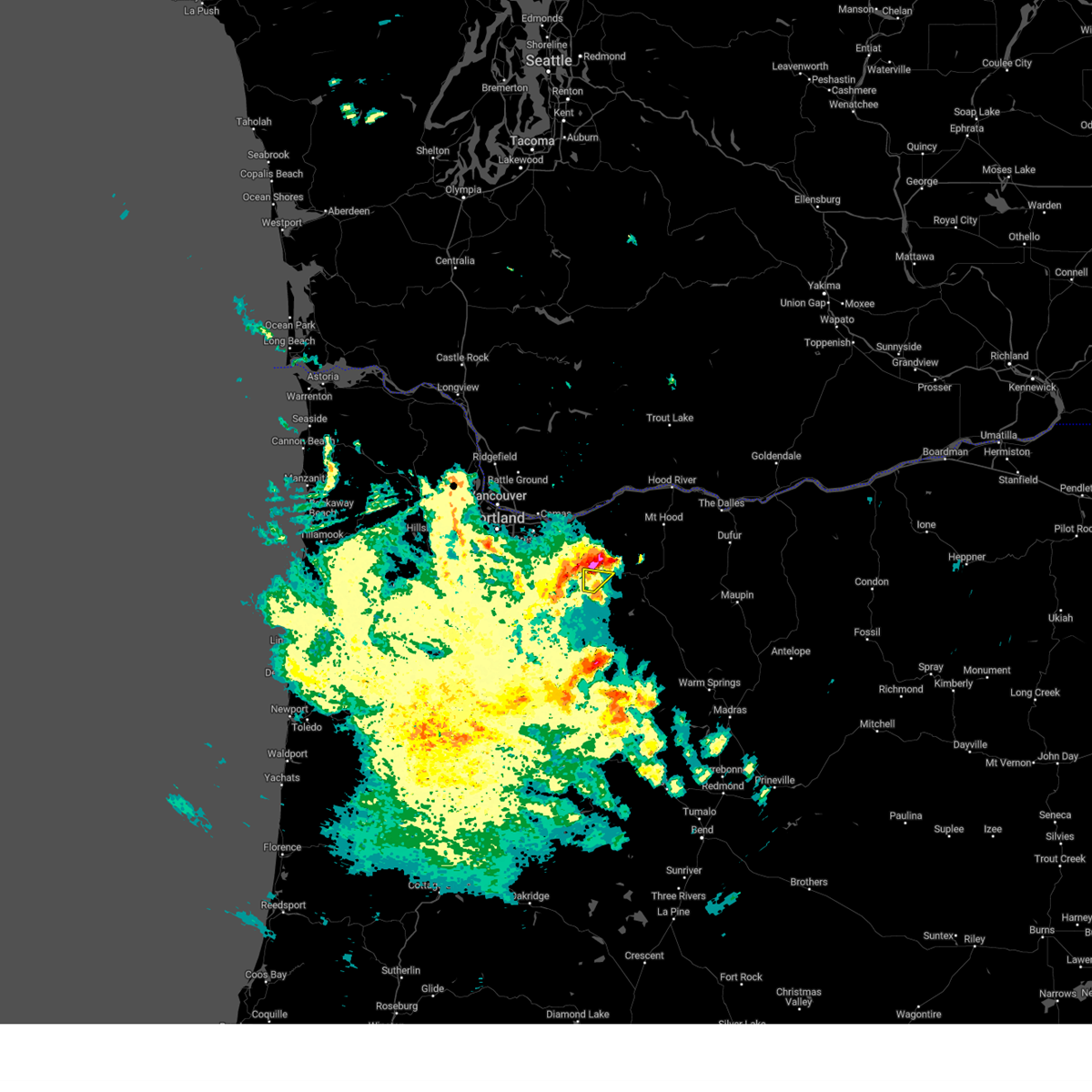
 Svrpqr the national weather service in portland has issued a * severe thunderstorm warning for, north central clackamas county in northwestern oregon, west central hood river county in northwestern oregon, southeastern multnomah county in northwestern oregon, southeastern clark county in southwestern washington, southwestern skamania county in southwestern washington, * until 530 pm pdt. * at 503 pm pdt, severe thunderstorms were located along a line extending from 6 miles west of lolo pass to near estacada, moving north at 40 mph (trained weather spotters). Hazards include 60 mph wind gusts and quarter size hail. Hail damage to vehicles is expected. Expect wind damage to roofs, siding, and trees. Svrpqr the national weather service in portland has issued a * severe thunderstorm warning for, north central clackamas county in northwestern oregon, west central hood river county in northwestern oregon, southeastern multnomah county in northwestern oregon, southeastern clark county in southwestern washington, southwestern skamania county in southwestern washington, * until 530 pm pdt. * at 503 pm pdt, severe thunderstorms were located along a line extending from 6 miles west of lolo pass to near estacada, moving north at 40 mph (trained weather spotters). Hazards include 60 mph wind gusts and quarter size hail. Hail damage to vehicles is expected. Expect wind damage to roofs, siding, and trees.
|
| 8/17/2024 4:59 PM PDT | Quarter sized hail reported 0.9 miles ESE of Mount Hood Village, OR, quarter-sized hail reported by spotter ca-142 at mt. hood village. |
| 8/17/2024 4:57 PM PDT |
 The storm which prompted the warning has moved out of the area. therefore, the warning will be allowed to expire. a severe thunderstorm watch remains in effect until 900 pm pdt for northwestern oregon. The storm which prompted the warning has moved out of the area. therefore, the warning will be allowed to expire. a severe thunderstorm watch remains in effect until 900 pm pdt for northwestern oregon.
|
| 8/17/2024 4:47 PM PDT |
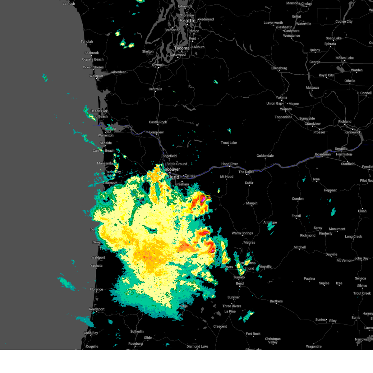 At 447 pm pdt, a severe thunderstorm was located near mount hood village, or 11 miles southeast of sandy, moving north at 35 mph (radar indicated). Hazards include 60 mph wind gusts and quarter size hail. Hail damage to vehicles is expected. expect wind damage to roofs, siding, and trees. This severe thunderstorm will remain over mainly rural areas of east central clackamas county. At 447 pm pdt, a severe thunderstorm was located near mount hood village, or 11 miles southeast of sandy, moving north at 35 mph (radar indicated). Hazards include 60 mph wind gusts and quarter size hail. Hail damage to vehicles is expected. expect wind damage to roofs, siding, and trees. This severe thunderstorm will remain over mainly rural areas of east central clackamas county.
|
| 8/17/2024 4:30 PM PDT | Quarter sized hail reported 18.8 miles NNE of Mount Hood Village, OR, quarter-sized hail reported by a crew member on the sandstone fire. time is estimated. |
| 8/17/2024 4:24 PM PDT | Svrpqr the national weather service in portland has issued a * severe thunderstorm warning for, northeastern clackamas county in northwestern oregon, * until 500 pm pdt. * at 423 pm pdt, a severe thunderstorm was located over three lynx, or 17 miles southwest of government camp, moving north at 35 mph (radar indicated). Hazards include 60 mph wind gusts and quarter size hail. Hail damage to vehicles is expected. expect wind damage to roofs, siding, and trees. This severe thunderstorm will remain over mainly rural areas of southeastern clackamas and eastern marion counties. |
| 6/26/2019 3:36 PM PDT |
 At 334 pm pdt, a severe thunderstorm was located near mount hood village, or 10 miles northwest of government camp, moving north at 15 mph (radar indicated). Hazards include 60 mph wind gusts and quarter size hail. Hail damage to vehicles is expected. expect wind damage to roofs, siding, and trees. locations impacted include, mount hood village, zigzag, welches, rhododendron and brightwood. in oregon this includes u. s. Highway 26 east of portland between mile markers 37 and 49. At 334 pm pdt, a severe thunderstorm was located near mount hood village, or 10 miles northwest of government camp, moving north at 15 mph (radar indicated). Hazards include 60 mph wind gusts and quarter size hail. Hail damage to vehicles is expected. expect wind damage to roofs, siding, and trees. locations impacted include, mount hood village, zigzag, welches, rhododendron and brightwood. in oregon this includes u. s. Highway 26 east of portland between mile markers 37 and 49.
|
| 6/26/2019 3:11 PM PDT |
 At 310 pm pdt, a severe thunderstorm was located near zigzag, or 7 miles west of government camp, moving north at 15 mph (radar indicated). Hazards include 60 mph wind gusts and quarter size hail. Hail damage to vehicles is expected. Expect wind damage to roofs, siding, and trees. At 310 pm pdt, a severe thunderstorm was located near zigzag, or 7 miles west of government camp, moving north at 15 mph (radar indicated). Hazards include 60 mph wind gusts and quarter size hail. Hail damage to vehicles is expected. Expect wind damage to roofs, siding, and trees.
|
| 5/4/2017 3:57 PM PDT |
 At 331 pm pdt, doppler radar indicated a severe thunderstorm capable of producing quarter size hail. this storm was located near mount hood village, or 12 miles west of government camp, and moving north at 20 mph. At 331 pm pdt, doppler radar indicated a severe thunderstorm capable of producing quarter size hail. this storm was located near mount hood village, or 12 miles west of government camp, and moving north at 20 mph.
|
| 5/4/2017 3:52 PM PDT |
 At 351 pm pdt, doppler radar indicated a severe thunderstorm capable of producing half dollar size hail. this storm was located over skamania, or 8 miles southwest of cascade locks, and moving north at 25 mph. At 351 pm pdt, doppler radar indicated a severe thunderstorm capable of producing half dollar size hail. this storm was located over skamania, or 8 miles southwest of cascade locks, and moving north at 25 mph.
|
| 5/4/2017 3:32 PM PDT |
 At 331 pm pdt, doppler radar indicated a severe thunderstorm capable of producing quarter size hail. this storm was located near mount hood village, or 12 miles west of government camp, and moving north at 20 mph. At 331 pm pdt, doppler radar indicated a severe thunderstorm capable of producing quarter size hail. this storm was located near mount hood village, or 12 miles west of government camp, and moving north at 20 mph.
|
| 4/20/2016 5:38 PM PDT |
 At 537 pm pdt, doppler radar indicated a severe thunderstorm capable of producing half dollar size hail. this storm was located near government camp, and moving north at 30 mph. At 537 pm pdt, doppler radar indicated a severe thunderstorm capable of producing half dollar size hail. this storm was located near government camp, and moving north at 30 mph.
|
| 8/10/2013 5:00 PM PDT | Quarter sized hail reported 3.7 miles ESE of Mount Hood Village, OR |
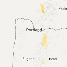
Hail Maps for Mount Hood Village, OR


Connect with Interactive Hail Maps