

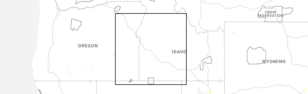
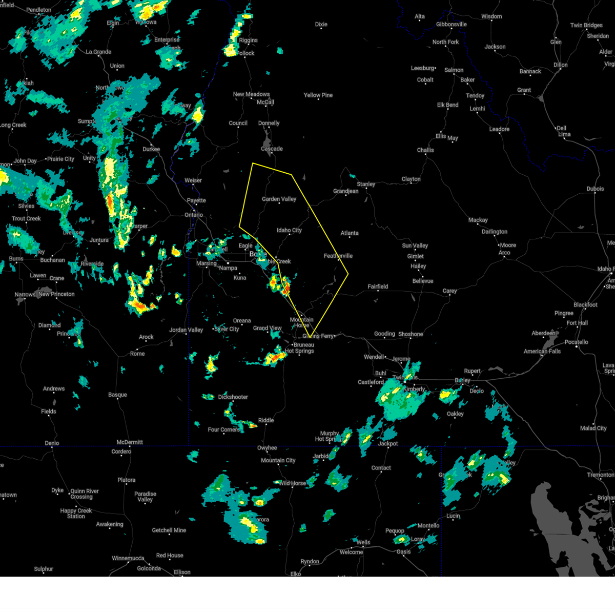
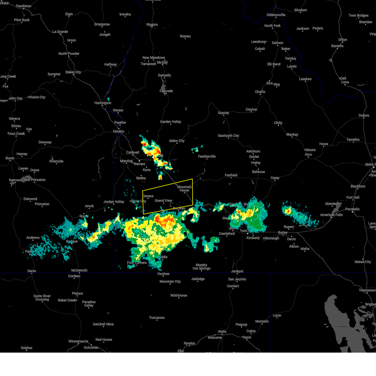
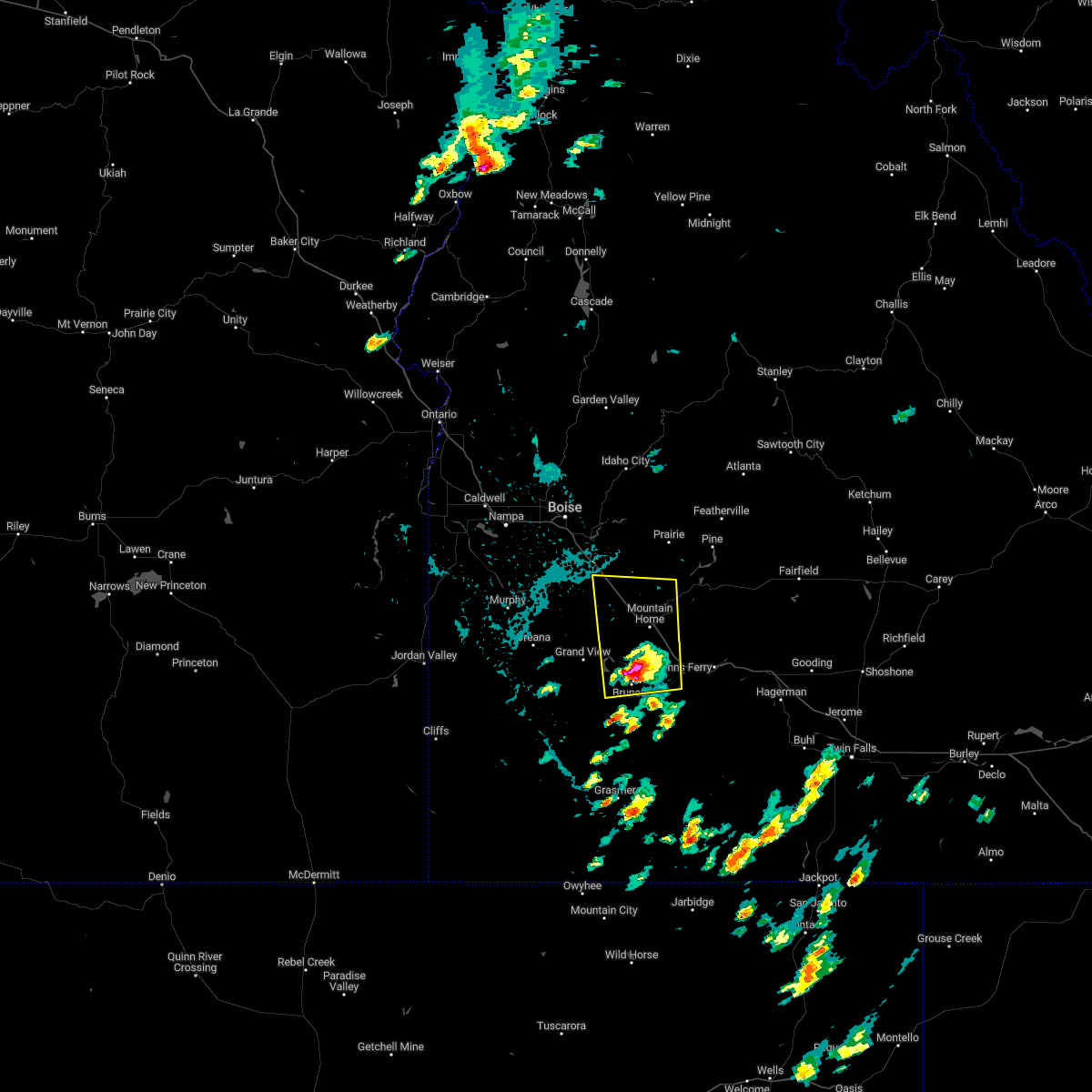
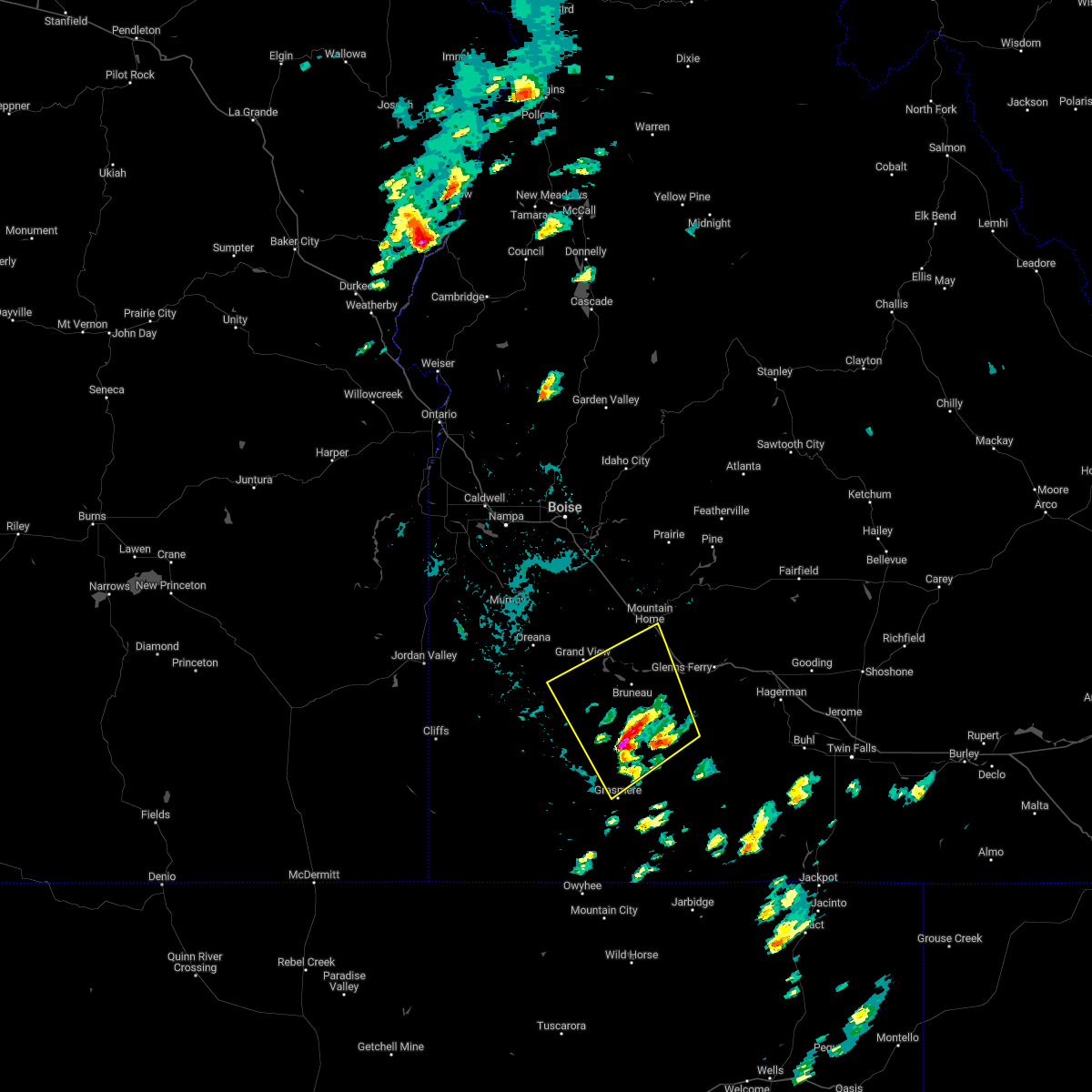
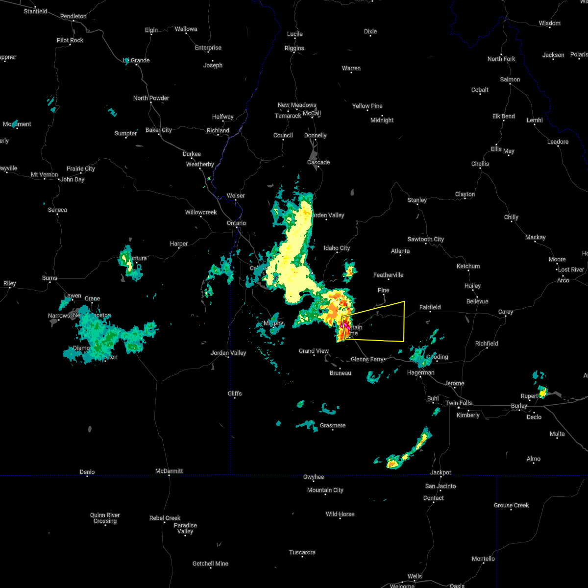
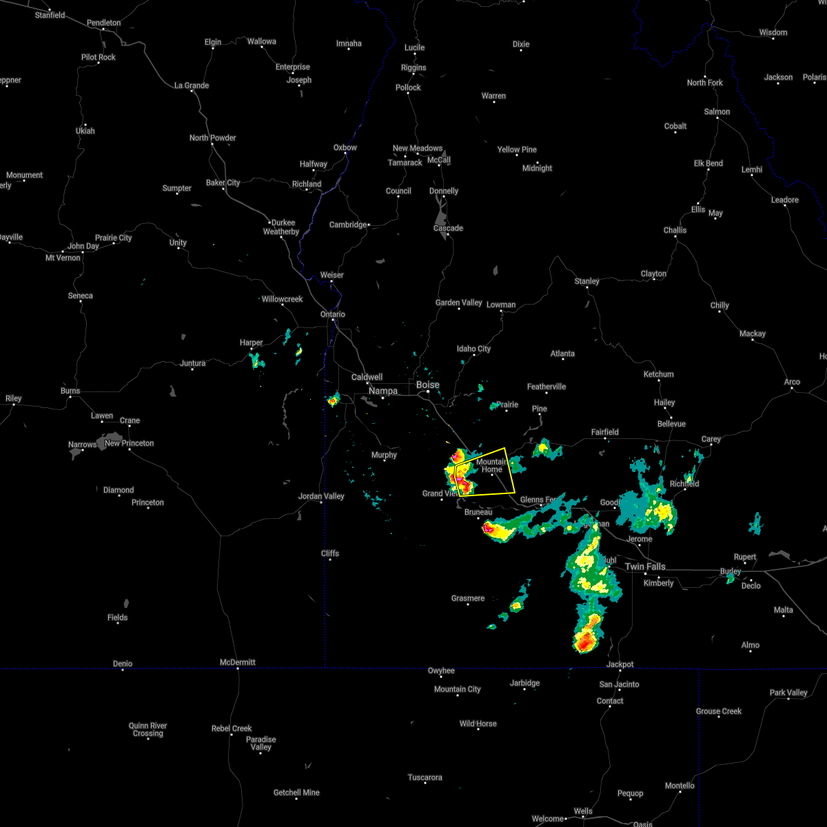
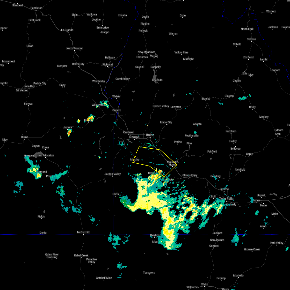
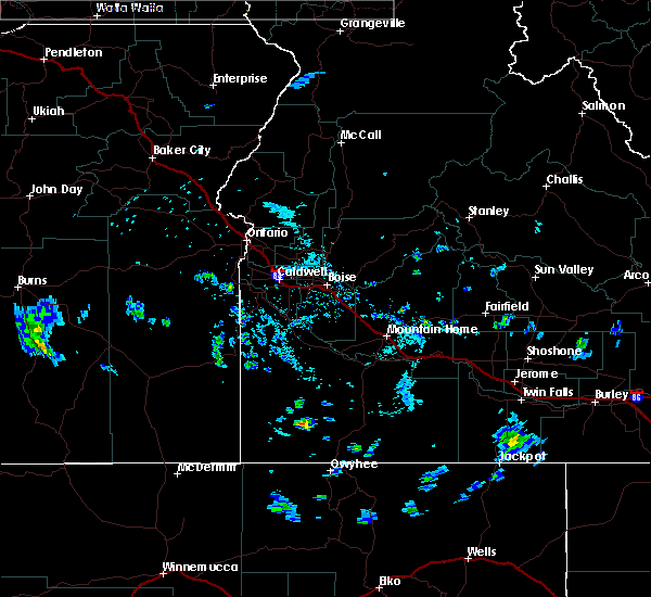
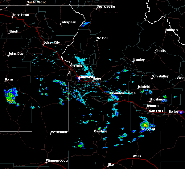
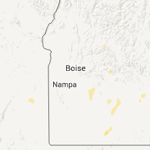
Hail Map for Mountain Home, ID
The Mountain Home, ID area has had 2 reports of on-the-ground hail by trained spotters, and has been under severe weather warnings 4 times during the past 12 months. Doppler radar has detected hail at or near Mountain Home, ID on 6 occasions.
| Name: | Mountain Home, ID |
| Where Located: | 41.3 miles SE of Boise, ID |
| Map: | Google Map for Mountain Home, ID |
| Population: | 14206 |
| Housing Units: | 6249 |
| More Info: | Search Google for Mountain Home, ID |
0
The Top Recent Hail Date for Mountain Home, ID is Thursday, August 3, 2023 (5th out of 6)
Hail and Wind Damage Spotted near Mountain Home, ID
| Date / Time | Report Details |
|---|---|
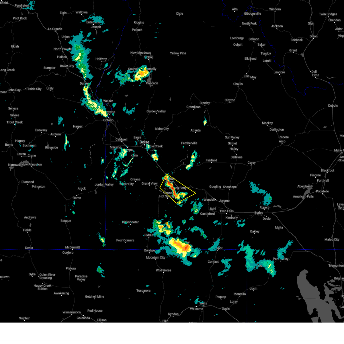
| 9/2/2024 8:30 PM MDT |
 Svrboi the national weather service in boise has issued a * severe thunderstorm warning for, elmore county in southwestern idaho, east central owyhee county in southwestern idaho, southwestern camas county in southwestern idaho, northern gooding county in south central idaho, * until 915 pm mdt.. * at 830 pm mdt, severe thunderstorms were located along a line extending from 9 miles west of tollgate to near twentymile butte, moving northeast at 35 mph (radar indicated). Hazards include 60 mph wind gusts. Expect damage to roofs, siding, and trees. severe thunderstorms will be near, bliss, bennett mountain, king hill, and blair trail reservoir around 840 pm mdt. Anderson dam, deer heaven mountain, cat creek summit, and white arrow hot spring around 850 pm mdt. Svrboi the national weather service in boise has issued a * severe thunderstorm warning for, elmore county in southwestern idaho, east central owyhee county in southwestern idaho, southwestern camas county in southwestern idaho, northern gooding county in south central idaho, * until 915 pm mdt.. * at 830 pm mdt, severe thunderstorms were located along a line extending from 9 miles west of tollgate to near twentymile butte, moving northeast at 35 mph (radar indicated). Hazards include 60 mph wind gusts. Expect damage to roofs, siding, and trees. severe thunderstorms will be near, bliss, bennett mountain, king hill, and blair trail reservoir around 840 pm mdt. Anderson dam, deer heaven mountain, cat creek summit, and white arrow hot spring around 850 pm mdt.
|
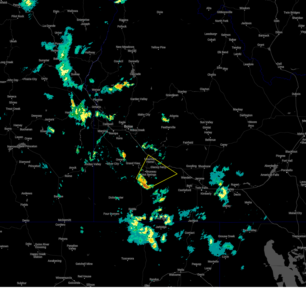
| 9/2/2024 8:20 PM MDT |
 At 819 pm mdt, a severe thunderstorm was located near hammett, or 13 miles southwest of glenns ferry, moving northeast at 35 mph (radar indicated). Hazards include 60 mph wind gusts. Expect damage to roofs, siding, and trees. this severe storm will be near, hammett around 820 pm mdt. Glenns ferry around 830 pm mdt. At 819 pm mdt, a severe thunderstorm was located near hammett, or 13 miles southwest of glenns ferry, moving northeast at 35 mph (radar indicated). Hazards include 60 mph wind gusts. Expect damage to roofs, siding, and trees. this severe storm will be near, hammett around 820 pm mdt. Glenns ferry around 830 pm mdt.
|
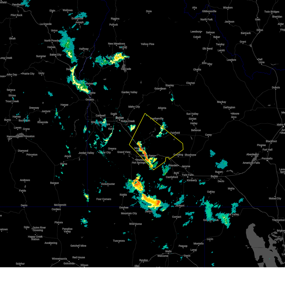
| 9/2/2024 7:52 PM MDT |
 Svrboi the national weather service in boise has issued a * severe thunderstorm warning for, southeastern elmore county in southwestern idaho, east central owyhee county in southwestern idaho, * until 830 pm mdt.. * at 751 pm mdt, a severe thunderstorm was located over bruneau canyon viewpoint, or 27 miles southwest of glenns ferry, moving northeast at 40 mph (radar indicated). Hazards include 60 mph wind gusts and penny size hail. Expect damage to roofs, siding, and trees. This severe thunderstorm will be near, glenns ferry around 830 pm mdt. Svrboi the national weather service in boise has issued a * severe thunderstorm warning for, southeastern elmore county in southwestern idaho, east central owyhee county in southwestern idaho, * until 830 pm mdt.. * at 751 pm mdt, a severe thunderstorm was located over bruneau canyon viewpoint, or 27 miles southwest of glenns ferry, moving northeast at 40 mph (radar indicated). Hazards include 60 mph wind gusts and penny size hail. Expect damage to roofs, siding, and trees. This severe thunderstorm will be near, glenns ferry around 830 pm mdt.
|
| 9/2/2024 6:49 PM MDT |
 Svrboi the national weather service in boise has issued a * severe thunderstorm warning for, boise county in southwestern idaho, southwestern valley county in southwestern idaho, central elmore county in southwestern idaho, eastern gem county in southwestern idaho, * until 715 pm mdt.. * at 649 pm mdt, severe thunderstorms were located along a line extending from 7 miles southeast of french corner to near horseshoe bend to near hot springs creek reservoir, moving northeast at 60 mph (radar indicated). Hazards include 60 mph wind gusts. Expect damage to roofs, siding, and trees. severe thunderstorms will be near, idaho city, horseshoe bend, gardena, and sweet around 650 pm mdt. ola, centerville, pioneerville, and anderson dam around 700 pm mdt. Pine, smiths ferry, big eddy, and mores creek summit around 710 pm mdt. Svrboi the national weather service in boise has issued a * severe thunderstorm warning for, boise county in southwestern idaho, southwestern valley county in southwestern idaho, central elmore county in southwestern idaho, eastern gem county in southwestern idaho, * until 715 pm mdt.. * at 649 pm mdt, severe thunderstorms were located along a line extending from 7 miles southeast of french corner to near horseshoe bend to near hot springs creek reservoir, moving northeast at 60 mph (radar indicated). Hazards include 60 mph wind gusts. Expect damage to roofs, siding, and trees. severe thunderstorms will be near, idaho city, horseshoe bend, gardena, and sweet around 650 pm mdt. ola, centerville, pioneerville, and anderson dam around 700 pm mdt. Pine, smiths ferry, big eddy, and mores creek summit around 710 pm mdt.
|
| 8/5/2024 4:30 PM MDT | Tree down and damaged outdoor pool. fences blown over. asos reported 52 mp in elmore county ID, 0.6 miles SSW of Mountain Home, ID |
| 1/9/2024 1:55 PM MST | South 18 street in mtn. home from beet dump road to rockin r road is closed due to 20 plus power poles on the road. there are 100 plus homes affected and without 911 la in elmore county ID, 5.8 miles NNW of Mountain Home, ID |
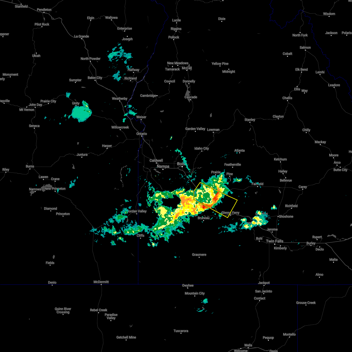
| 6/6/2023 7:59 PM MDT |
 At 759 pm mdt, severe thunderstorms were located along a line extending from 8 miles southwest of hot springs creek reservoir to near doyle mountain, moving north at 35 mph (radar indicated). Hazards include 60 mph wind gusts and penny size hail. Expect damage to roofs, siding, and trees. severe thunderstorms will be near, mountain home air force base, c j strike reservoir and c j strike dam around 800 pm mdt. mountain home and grand view around 810 pm mdt. tollgate and oreana around 820 pm mdt. big foot butte and cinder cone butte around 830 pm mdt. hail threat, radar indicated max hail size, 0. 75 in wind threat, observed max wind gust, 60 mph. At 759 pm mdt, severe thunderstorms were located along a line extending from 8 miles southwest of hot springs creek reservoir to near doyle mountain, moving north at 35 mph (radar indicated). Hazards include 60 mph wind gusts and penny size hail. Expect damage to roofs, siding, and trees. severe thunderstorms will be near, mountain home air force base, c j strike reservoir and c j strike dam around 800 pm mdt. mountain home and grand view around 810 pm mdt. tollgate and oreana around 820 pm mdt. big foot butte and cinder cone butte around 830 pm mdt. hail threat, radar indicated max hail size, 0. 75 in wind threat, observed max wind gust, 60 mph.
|
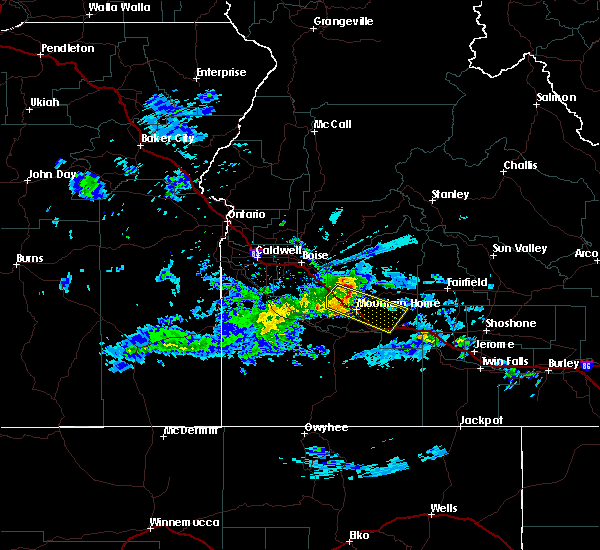
| 8/12/2022 2:39 PM MDT |
 At 239 pm mdt, a severe thunderstorm was located near c j strike reservoir, or 13 miles south of mountain home, moving north at 45 mph (radar indicated). Hazards include 60 mph wind gusts and quarter size hail. Hail damage to vehicles is expected. expect wind damage to roofs, siding, and trees. brief heavy rains are also expected. this severe thunderstorm will be near, mountain home air force base around 250 pm mdt. mountain home and cinder cone butte around 300 pm mdt. tollgate around 310 pm mdt. hail threat, radar indicated max hail size, 1. 00 in wind threat, radar indicated max wind gust, 60 mph. At 239 pm mdt, a severe thunderstorm was located near c j strike reservoir, or 13 miles south of mountain home, moving north at 45 mph (radar indicated). Hazards include 60 mph wind gusts and quarter size hail. Hail damage to vehicles is expected. expect wind damage to roofs, siding, and trees. brief heavy rains are also expected. this severe thunderstorm will be near, mountain home air force base around 250 pm mdt. mountain home and cinder cone butte around 300 pm mdt. tollgate around 310 pm mdt. hail threat, radar indicated max hail size, 1. 00 in wind threat, radar indicated max wind gust, 60 mph.
|
| 8/12/2022 1:58 PM MDT |
 At 158 pm mdt, severe thunderstorms were located along a line extending from near bruneau canyon viewpoint to 6 miles north of gedney butte, moving northwest at 10 mph (radar indicated). Hazards include 60 mph wind gusts and quarter size hail. brief heavy rainfall is expected. Hail damage to vehicles is expected. expect wind damage to roofs, siding, and trees. severe thunderstorms will be near, hot spring around 230 pm mdt. mountain home, bruneau, mountain home air force base and grand view around 240 pm mdt. hail threat, radar indicated max hail size, 1. 00 in wind threat, radar indicated max wind gust, 60 mph. At 158 pm mdt, severe thunderstorms were located along a line extending from near bruneau canyon viewpoint to 6 miles north of gedney butte, moving northwest at 10 mph (radar indicated). Hazards include 60 mph wind gusts and quarter size hail. brief heavy rainfall is expected. Hail damage to vehicles is expected. expect wind damage to roofs, siding, and trees. severe thunderstorms will be near, hot spring around 230 pm mdt. mountain home, bruneau, mountain home air force base and grand view around 240 pm mdt. hail threat, radar indicated max hail size, 1. 00 in wind threat, radar indicated max wind gust, 60 mph.
|
| 6/5/2022 11:48 PM MDT |
 At 1148 pm mdt, a severe thunderstorm was located near tollgate, or 7 miles north of mountain home, moving east at 45 mph (radar indicated). Hazards include quarter size hail. Damage to vehicles is expected. this severe thunderstorm will be near, tollgate around 1150 pm mdt. bennett mountain around 1200 am mdt. anderson dam, cat creek summit and little camas reservoir around 1210 am mdt. deer heaven mountain around 1220 am mdt. hail threat, radar indicated max hail size, 1. 00 in wind threat, radar indicated max wind gust, <50 mph. At 1148 pm mdt, a severe thunderstorm was located near tollgate, or 7 miles north of mountain home, moving east at 45 mph (radar indicated). Hazards include quarter size hail. Damage to vehicles is expected. this severe thunderstorm will be near, tollgate around 1150 pm mdt. bennett mountain around 1200 am mdt. anderson dam, cat creek summit and little camas reservoir around 1210 am mdt. deer heaven mountain around 1220 am mdt. hail threat, radar indicated max hail size, 1. 00 in wind threat, radar indicated max wind gust, <50 mph.
|
| 8/21/2021 8:52 PM MDT |
 At 852 pm mdt, a severe thunderstorm was located near mountain home air force base, or 9 miles west of mountain home, moving east at 30 mph (radar indicated). Hazards include 60 mph wind gusts and quarter size hail. Hail damage to vehicles is expected. expect wind damage to roofs, siding, and trees. this severe thunderstorm will be near, mountain home around 910 pm mdt. tollgate around 930 pm mdt. hail threat, radar indicated max hail size, 1. 00 in wind threat, radar indicated max wind gust, 60 mph. At 852 pm mdt, a severe thunderstorm was located near mountain home air force base, or 9 miles west of mountain home, moving east at 30 mph (radar indicated). Hazards include 60 mph wind gusts and quarter size hail. Hail damage to vehicles is expected. expect wind damage to roofs, siding, and trees. this severe thunderstorm will be near, mountain home around 910 pm mdt. tollgate around 930 pm mdt. hail threat, radar indicated max hail size, 1. 00 in wind threat, radar indicated max wind gust, 60 mph.
|
| 7/4/2021 7:11 PM MDT |
 The severe thunderstorm warning for southern ada, southwestern elmore and northwestern owyhee counties will expire at 715 pm mdt, the storms which prompted the warning have weakened below severe limits, and no longer pose an immediate threat to life or property. therefore, the warning will be allowed to expire. however gusty winds of 45 to 55 mph are still possible with these storms. when safe to do so, please relay storm reports to the national weather service in boise via local law enforcement, or national weather service boise facebook and twitter accounts. The severe thunderstorm warning for southern ada, southwestern elmore and northwestern owyhee counties will expire at 715 pm mdt, the storms which prompted the warning have weakened below severe limits, and no longer pose an immediate threat to life or property. therefore, the warning will be allowed to expire. however gusty winds of 45 to 55 mph are still possible with these storms. when safe to do so, please relay storm reports to the national weather service in boise via local law enforcement, or national weather service boise facebook and twitter accounts.
|
| 7/4/2021 6:52 PM MDT |
 At 652 pm mdt, severe thunderstorms were located along a line extending from near murphy to near big foot butte to near mountain home air force base, moving northeast at 30 mph (radar indicated). Hazards include 60 mph wind gusts. Expect damage to roofs, siding, and trees. these severe storms will be near, mountain home air force base around 700 pm mdt. cinder cone butte around 710 pm mdt. mountain home and initial point around 720 pm mdt. Kuna and boise stage stop around 730 pm mdt. At 652 pm mdt, severe thunderstorms were located along a line extending from near murphy to near big foot butte to near mountain home air force base, moving northeast at 30 mph (radar indicated). Hazards include 60 mph wind gusts. Expect damage to roofs, siding, and trees. these severe storms will be near, mountain home air force base around 700 pm mdt. cinder cone butte around 710 pm mdt. mountain home and initial point around 720 pm mdt. Kuna and boise stage stop around 730 pm mdt.
|
| 7/4/2021 6:39 PM MDT |
 At 639 pm mdt, severe thunderstorms were located along a line extending from near murphy to near big foot butte to c j strike dam, moving northeast at 25 mph (radar indicated). Hazards include 60 mph wind gusts. Expect damage to roofs, siding, and trees. severe thunderstorms will be near, c j strike dam around 640 pm mdt. c j strike reservoir and big foot butte around 650 pm mdt. mountain home air force base and swan falls around 700 pm mdt. Mountain home, kuna, initial point and cinder cone butte around 710 pm mdt. At 639 pm mdt, severe thunderstorms were located along a line extending from near murphy to near big foot butte to c j strike dam, moving northeast at 25 mph (radar indicated). Hazards include 60 mph wind gusts. Expect damage to roofs, siding, and trees. severe thunderstorms will be near, c j strike dam around 640 pm mdt. c j strike reservoir and big foot butte around 650 pm mdt. mountain home air force base and swan falls around 700 pm mdt. Mountain home, kuna, initial point and cinder cone butte around 710 pm mdt.
|
| 4/30/2020 3:33 PM MDT | Storm damage reported in elmore county ID, 15.3 miles SE of Mountain Home, ID |
| 4/30/2020 3:15 PM MDT | Mesonet station 2996 d3 - hammett hil in elmore county ID, 8.1 miles NW of Mountain Home, ID |
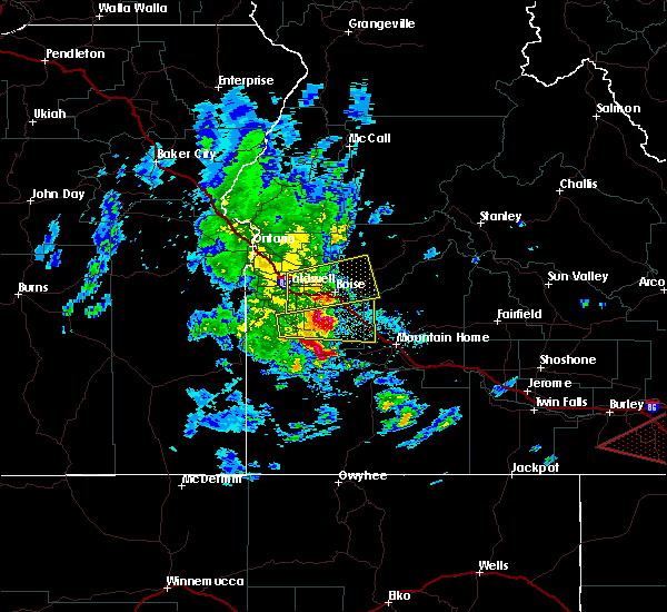
| 4/30/2020 3:12 PM MDT |
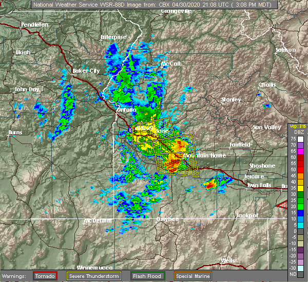 At 312 pm mdt, severe thunderstorms were located along a line extending from near trinity lakes to near hot spring, moving east at 60 mph (trained weather spotters). Hazards include 60 mph wind gusts and quarter size hail. Hail damage to vehicles is expected. expect wind damage to roofs, siding, and trees. severe thunderstorms will be near, pine, anderson dam, rocky bar and featherville around 320 pm mdt. gunsight peak, baumgartner campground and hill city around 330 pm mdt. glenns ferry, corral, deadman flat and twentymile butte around 340 pm mdt. fairfield, big peak, paradise peak and dollarhide summit around 350 pm mdt. Bliss, white arrow hot spring and davis mountain around 400 pm mdt. At 312 pm mdt, severe thunderstorms were located along a line extending from near trinity lakes to near hot spring, moving east at 60 mph (trained weather spotters). Hazards include 60 mph wind gusts and quarter size hail. Hail damage to vehicles is expected. expect wind damage to roofs, siding, and trees. severe thunderstorms will be near, pine, anderson dam, rocky bar and featherville around 320 pm mdt. gunsight peak, baumgartner campground and hill city around 330 pm mdt. glenns ferry, corral, deadman flat and twentymile butte around 340 pm mdt. fairfield, big peak, paradise peak and dollarhide summit around 350 pm mdt. Bliss, white arrow hot spring and davis mountain around 400 pm mdt.
|
| 4/30/2020 3:02 PM MDT |
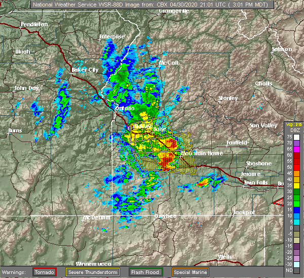 At 301 pm mdt, a severe thunderstorm was located near mountain home air force base, or near mountain home, moving east at 50 mph (radar indicated). Hazards include 60 mph wind gusts and quarter size hail. Hail damage to vehicles is expected. expect wind damage to roofs, siding, and trees. This severe storm will be near, hot springs creek reservoir, tollgate and hammett around 320 pm mdt. At 301 pm mdt, a severe thunderstorm was located near mountain home air force base, or near mountain home, moving east at 50 mph (radar indicated). Hazards include 60 mph wind gusts and quarter size hail. Hail damage to vehicles is expected. expect wind damage to roofs, siding, and trees. This severe storm will be near, hot springs creek reservoir, tollgate and hammett around 320 pm mdt.
|
| 4/30/2020 2:33 PM MDT |
 At 233 pm mdt, a severe thunderstorm was located over oreana, or 30 miles west of mountain home, moving east at 50 mph (radar indicated). Hazards include 60 mph wind gusts and quarter size hail. Hail damage to vehicles is expected. expect wind damage to roofs, siding, and trees. this severe thunderstorm will be near, grand view around 240 pm mdt. c j strike reservoir, cinder cone butte, c j strike dam and hinton reservoir around 250 pm mdt. mountain home air force base and bruneau around 300 pm mdt. Mountain home, hot springs creek reservoir, tollgate and bruneau sand dunes around 310 pm mdt. At 233 pm mdt, a severe thunderstorm was located over oreana, or 30 miles west of mountain home, moving east at 50 mph (radar indicated). Hazards include 60 mph wind gusts and quarter size hail. Hail damage to vehicles is expected. expect wind damage to roofs, siding, and trees. this severe thunderstorm will be near, grand view around 240 pm mdt. c j strike reservoir, cinder cone butte, c j strike dam and hinton reservoir around 250 pm mdt. mountain home air force base and bruneau around 300 pm mdt. Mountain home, hot springs creek reservoir, tollgate and bruneau sand dunes around 310 pm mdt.
|
| 10/19/2019 12:58 PM MDT |
 The severe thunderstorm warning for southern elmore county will expire at 100 pm mdt, the storm which prompted the warning has weakened below severe limits, and no longer poses an immediate threat to life or property. therefore, the warning will be allowed to expire. however gusty winds are still likely with this thunderstorm. when safe to do so, please relay storm reports to the national weather service in boise via local law enforcement, or national weather service boise facebook and twitter accounts. The severe thunderstorm warning for southern elmore county will expire at 100 pm mdt, the storm which prompted the warning has weakened below severe limits, and no longer poses an immediate threat to life or property. therefore, the warning will be allowed to expire. however gusty winds are still likely with this thunderstorm. when safe to do so, please relay storm reports to the national weather service in boise via local law enforcement, or national weather service boise facebook and twitter accounts.
|
| 10/19/2019 12:31 PM MDT |
 At 1230 pm mdt, a severe thunderstorm was located 8 miles northeast of cinder cone butte, or 13 miles northwest of mountain home, moving southeast at 55 mph (radar indicated). Hazards include 60 mph wind gusts. Expect damage to roofs, siding, and trees. this severe thunderstorm will be near, mountain home around 1240 pm mdt. tollgate and bennett mountain around 1250 pm mdt. Blair trail reservoir and hot springs creek reservoir around 100 pm mdt. At 1230 pm mdt, a severe thunderstorm was located 8 miles northeast of cinder cone butte, or 13 miles northwest of mountain home, moving southeast at 55 mph (radar indicated). Hazards include 60 mph wind gusts. Expect damage to roofs, siding, and trees. this severe thunderstorm will be near, mountain home around 1240 pm mdt. tollgate and bennett mountain around 1250 pm mdt. Blair trail reservoir and hot springs creek reservoir around 100 pm mdt.
|
| 8/10/2019 5:45 PM MDT | Golf Ball sized hail reported 26.1 miles SSW of Mountain Home, ID, video report on facebook. |
| 8/10/2019 4:41 PM MDT |
 At 440 pm mdt, a severe thunderstorm was located near mountain home air force base, or 13 miles west of mountain home, moving northeast at 30 mph (radar indicated). Hazards include ping pong ball size hail and 60 mph wind gusts. People and animals outdoors will be injured. expect hail damage to roofs, siding, windows, and vehicles. expect wind damage to roofs, siding, and trees. This severe storm will be near, mountain home around 500 pm mdt. At 440 pm mdt, a severe thunderstorm was located near mountain home air force base, or 13 miles west of mountain home, moving northeast at 30 mph (radar indicated). Hazards include ping pong ball size hail and 60 mph wind gusts. People and animals outdoors will be injured. expect hail damage to roofs, siding, windows, and vehicles. expect wind damage to roofs, siding, and trees. This severe storm will be near, mountain home around 500 pm mdt.
|
| 8/10/2019 4:26 PM MDT |
 At 426 pm mdt, a severe thunderstorm was located near grand view, or 19 miles west of mountain home, moving northeast at 30 mph (radar indicated). Hazards include ping pong ball size hail and 60 mph wind gusts. People and animals outdoors will be injured. expect hail damage to roofs, siding, windows, and vehicles. expect wind damage to roofs, siding, and trees. this severe thunderstorm will be near, c j strike reservoir around 430 pm mdt. mountain home air force base around 440 pm mdt. cinder cone butte around 450 pm mdt. Mountain home around 500 pm mdt. At 426 pm mdt, a severe thunderstorm was located near grand view, or 19 miles west of mountain home, moving northeast at 30 mph (radar indicated). Hazards include ping pong ball size hail and 60 mph wind gusts. People and animals outdoors will be injured. expect hail damage to roofs, siding, windows, and vehicles. expect wind damage to roofs, siding, and trees. this severe thunderstorm will be near, c j strike reservoir around 430 pm mdt. mountain home air force base around 440 pm mdt. cinder cone butte around 450 pm mdt. Mountain home around 500 pm mdt.
|
| 6/4/2017 7:45 PM MDT | With passage of cold front in elmore county ID, 8.1 miles NW of Mountain Home, ID |
| 6/4/2017 7:13 PM MDT |
 At 708 pm mdt, thunderstorm outflow winds associated with a cold front were located near hammett, or 12 miles west of glenns ferry, moving southeast at 65 mph (radar indicated). Hazards include 60 to 70 mph wind gusts. Expect damage to roofs, siding, and trees. the thunderstorm outflow and cold front will be near, hammett around 710 pm mdt. glenns ferry and deadman flat around 720 pm mdt. Twentymile butte around 730 pm mdt. At 708 pm mdt, thunderstorm outflow winds associated with a cold front were located near hammett, or 12 miles west of glenns ferry, moving southeast at 65 mph (radar indicated). Hazards include 60 to 70 mph wind gusts. Expect damage to roofs, siding, and trees. the thunderstorm outflow and cold front will be near, hammett around 710 pm mdt. glenns ferry and deadman flat around 720 pm mdt. Twentymile butte around 730 pm mdt.
|
| 8/11/2015 5:17 PM MDT |
 At 515 pm mdt, doppler radar indicated a thunderstorm outflow producing damaging winds in excess of 60 mph. this outflow was located along a line extending from near tollgate to 7 miles west of mountain home air force base, and moving northwest at 50 mph. * severe thunderstorms will be near, cinder cone butte around 520 pm mdt. big foot butte around 530 pm mdt. swan falls and boise stage stop around 540 pm mdt. boise, melba, initial point and lucky peak dam around 550 pm mdt. nampa, kuna, garden city and eagle around 600 pm mdt. At 515 pm mdt, doppler radar indicated a thunderstorm outflow producing damaging winds in excess of 60 mph. this outflow was located along a line extending from near tollgate to 7 miles west of mountain home air force base, and moving northwest at 50 mph. * severe thunderstorms will be near, cinder cone butte around 520 pm mdt. big foot butte around 530 pm mdt. swan falls and boise stage stop around 540 pm mdt. boise, melba, initial point and lucky peak dam around 550 pm mdt. nampa, kuna, garden city and eagle around 600 pm mdt.
|
| 8/11/2015 5:15 PM MDT | Mountain home awos ku76 reported a thunderstorm wind gust of 54 mp in elmore county ID, 0.6 miles SSW of Mountain Home, ID |
| 6/28/2015 6:38 PM MDT |
 The severe thunderstorm warning for east central ada and west central elmore counties will expire at 645 pm mdt, the outflow boundary which prompted the warning has weakened, and no longer poses an immediate threat to life or property. therefore the warning will be allowed to expire. expect areas of blowing dust and wind gusts to 30 mph along i-84 between boise and mountain home for the next few hours. when safe to do so, please relay storm reports to the national weather service in boise idaho via local law enforcement, or national weather service boise facebook and twitter accounts. The severe thunderstorm warning for east central ada and west central elmore counties will expire at 645 pm mdt, the outflow boundary which prompted the warning has weakened, and no longer poses an immediate threat to life or property. therefore the warning will be allowed to expire. expect areas of blowing dust and wind gusts to 30 mph along i-84 between boise and mountain home for the next few hours. when safe to do so, please relay storm reports to the national weather service in boise idaho via local law enforcement, or national weather service boise facebook and twitter accounts.
|
| 6/28/2015 6:21 PM MDT |
 At 619 pm mdt, doppler radar indicated an outflow boundary capable of producing damaging winds in excess of 60 mph and low visibility do to blowing dust. this boundary was located near cinder cone butte, or 11 miles northwest of mountain home, moving north at 35 mph. At 619 pm mdt, doppler radar indicated an outflow boundary capable of producing damaging winds in excess of 60 mph and low visibility do to blowing dust. this boundary was located near cinder cone butte, or 11 miles northwest of mountain home, moving north at 35 mph.
|
| 6/28/2015 6:08 PM MDT |
 At 605 pm mdt, doppler radar indicated a strong outflow boundary from a collapsed thunderstorm near mountain home air force base. the outflow is capable of producing damaging winds in excess of 60 mph. mountain home air force base has reported 60 mph wind gusts. this boundary was located near cinder cone butte, or 10 miles west of mountain home, and moving north at 30 mph. * this severe thunderstorm will be near, mountain home around 610 pm mdt. At 605 pm mdt, doppler radar indicated a strong outflow boundary from a collapsed thunderstorm near mountain home air force base. the outflow is capable of producing damaging winds in excess of 60 mph. mountain home air force base has reported 60 mph wind gusts. this boundary was located near cinder cone butte, or 10 miles west of mountain home, and moving north at 30 mph. * this severe thunderstorm will be near, mountain home around 610 pm mdt.
|
| 6/28/2015 6:05 PM MDT | The weather oberserver at mountain home afb reported wind gusts of 60 mph associated with an outflow boundary from a collapsing thunderstorm in it vicinty. blowing dust in elmore county ID, 0.6 miles SSW of Mountain Home, ID |
| 7/29/2014 5:40 PM MDT | Quarter sized hail reported 8.2 miles S of Mountain Home, ID, canyon county deputy reported quarter size hail near immigrant road and canyon creek road. |
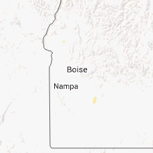
Hail Maps for Mountain Home, ID


Connect with Interactive Hail Maps