

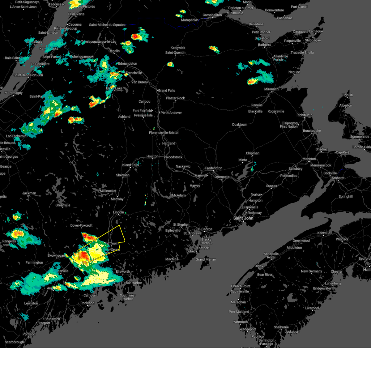
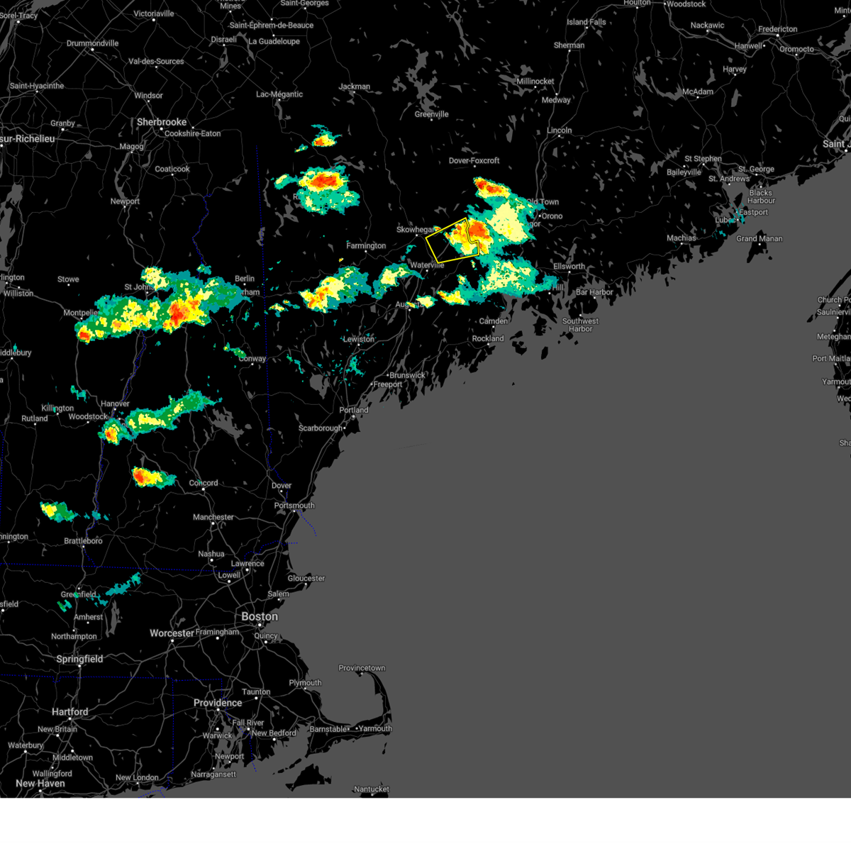
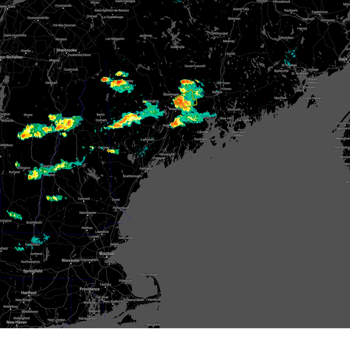
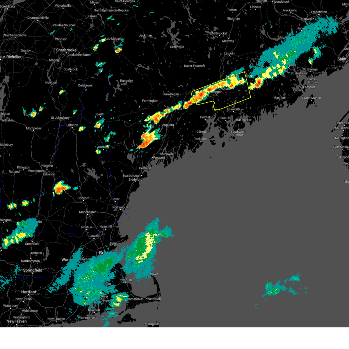
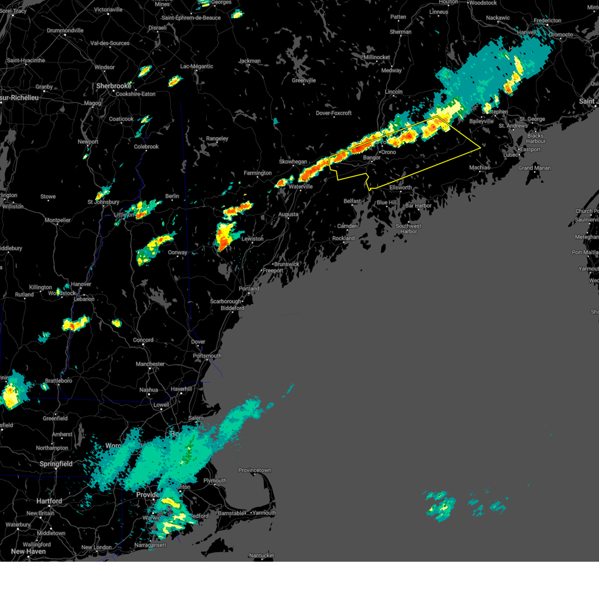
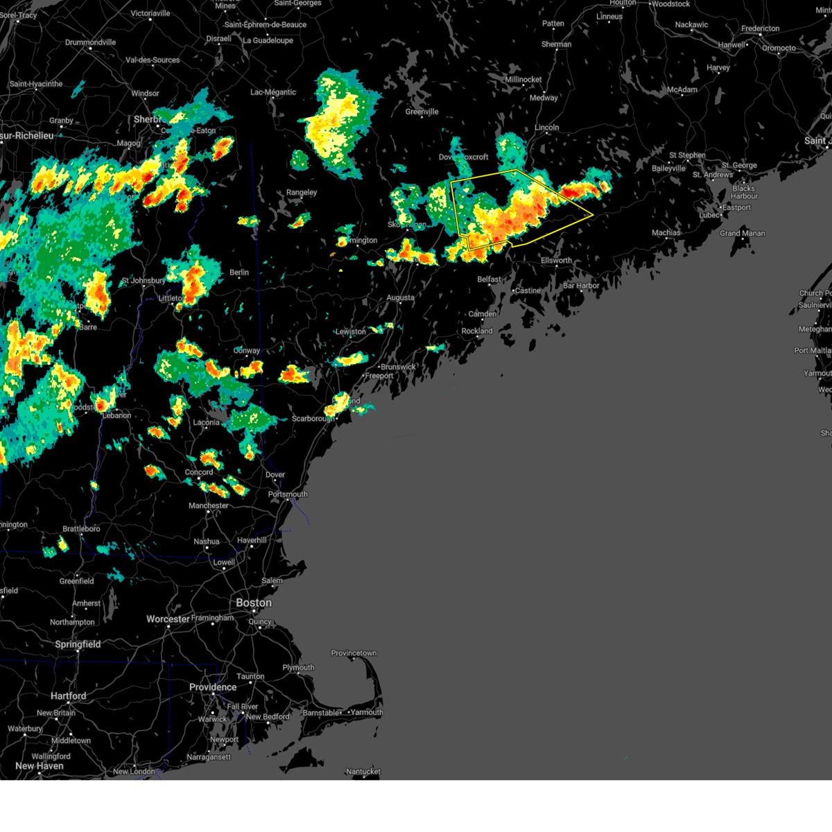
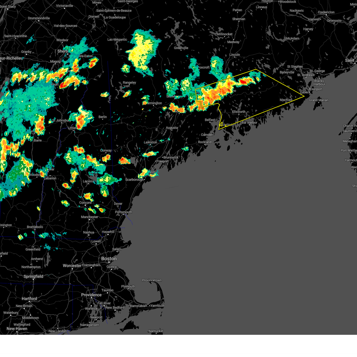
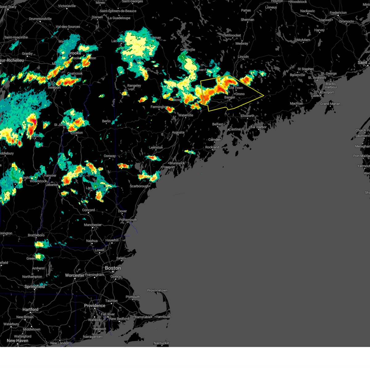
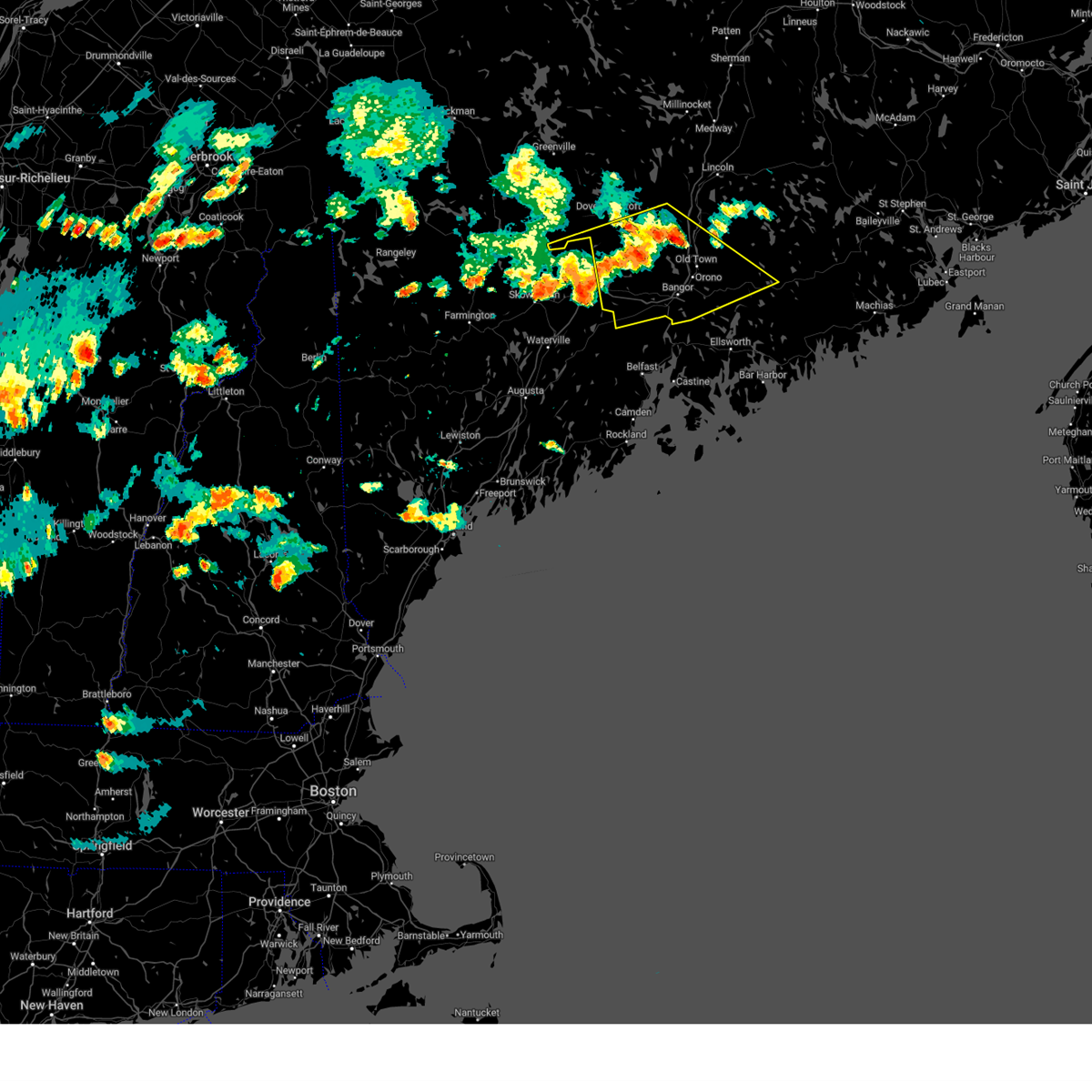
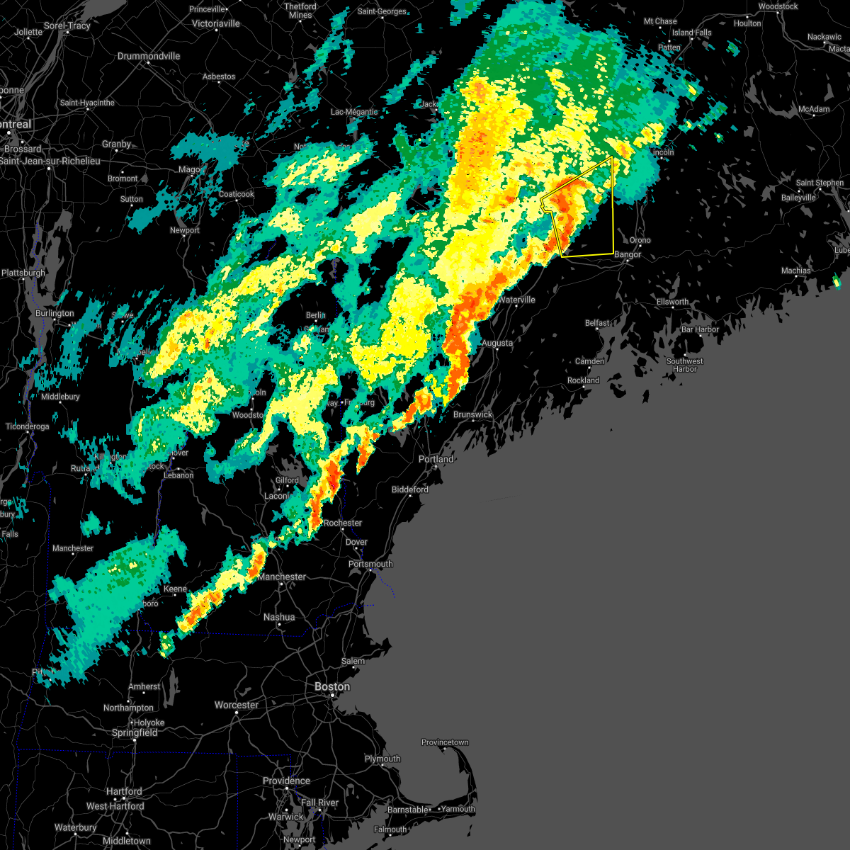
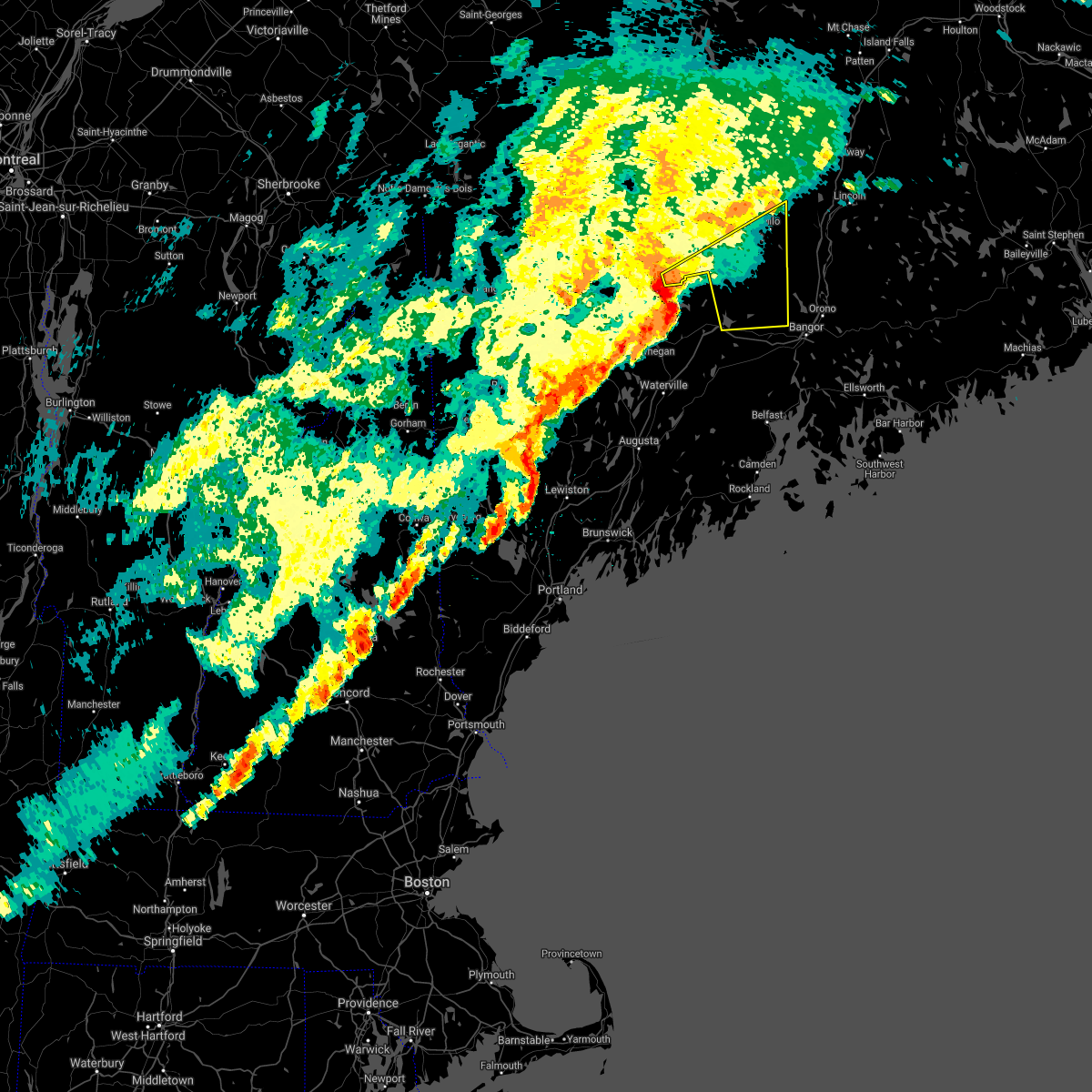
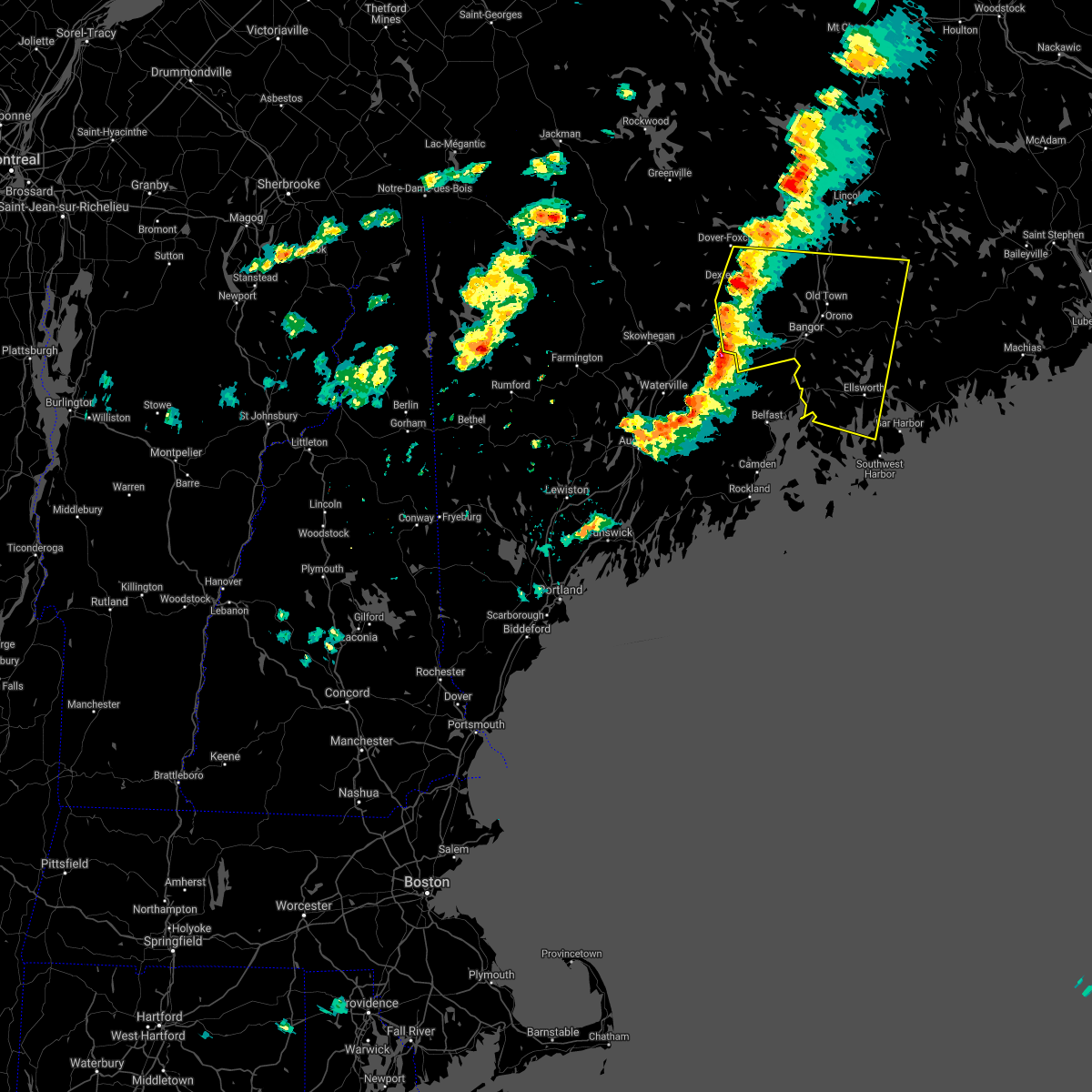
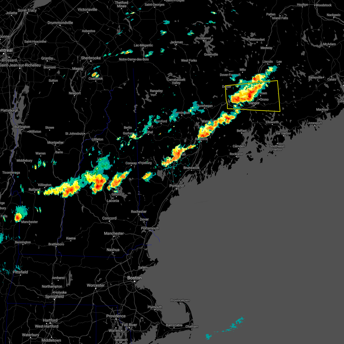
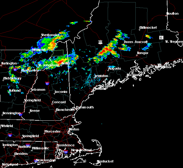
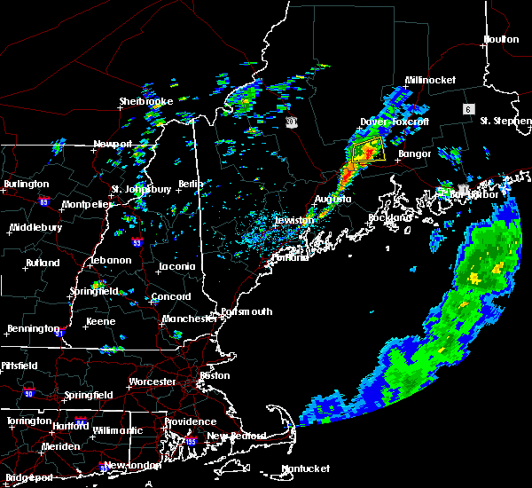
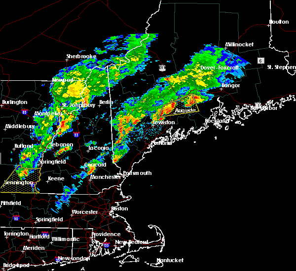
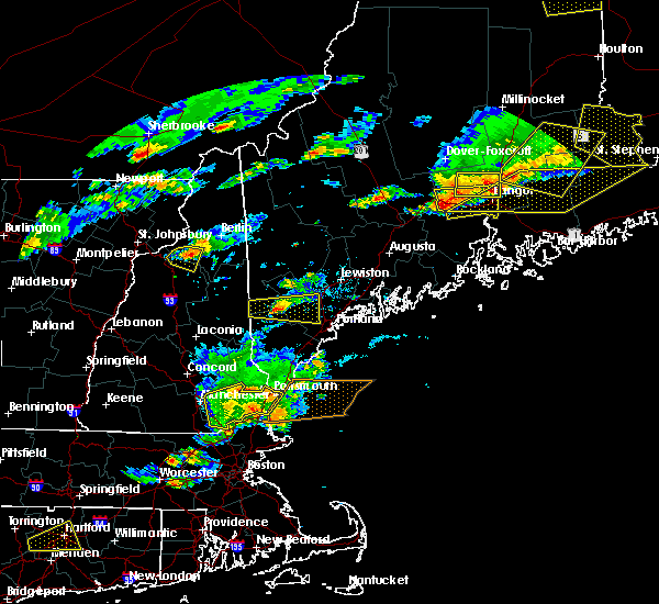
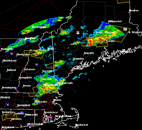
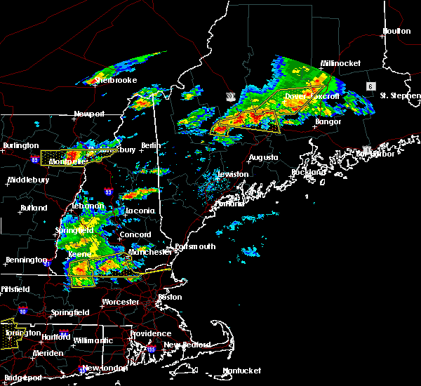
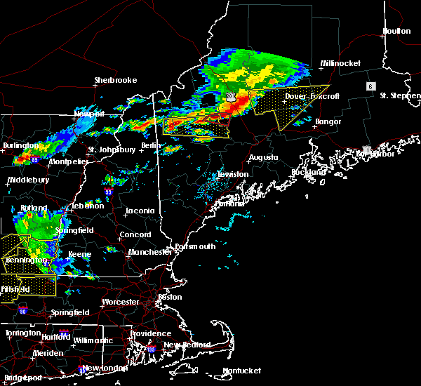
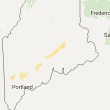
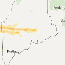
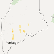
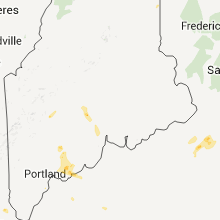
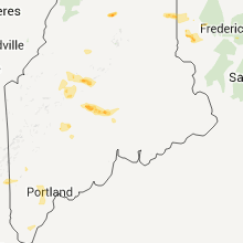
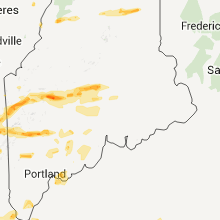
Hail Map for Newport, ME
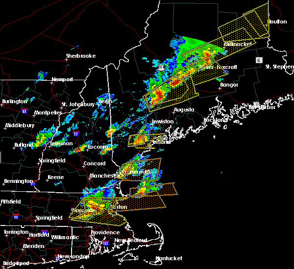
The Newport, ME area has had 1 report of on-the-ground hail by trained spotters, and has been under severe weather warnings 0 times during the past 12 months. Doppler radar has detected hail at or near Newport, ME on 10 occasions.
| Name: | Newport, ME |
| Where Located: | 24.3 miles W of Bangor, ME |
| Map: | Google Map for Newport, ME |
| Population: | 1776 |
| Housing Units: | 938 |
| More Info: | Search Google for Newport, ME |
5
The Top Recent Hail Date for Newport, ME is Wednesday, June 1, 2011 (1st out of 10)

Hail and Wind Damage Spotted near Newport, ME
| Date / Time | Report Details |
|---|---|
| 7/13/2024 9:06 PM EDT | Tree down blocking roa in penobscot county ME, 0.4 miles ESE of Newport, ME |
| 7/13/2024 4:45 PM EDT | Tree down on wires and is on fir in penobscot county ME, 5.3 miles NNW of Newport, ME |
| 7/9/2024 4:11 PM EDT | Tree down into the powerlines on the five road in carme in penobscot county ME, 10.8 miles WNW of Newport, ME |
| 7/9/2024 4:05 PM EDT |
 Svrcar the national weather service in caribou maine has issued a * severe thunderstorm warning for, southwestern penobscot county in east central maine, * until 445 pm edt. * at 404 pm edt, a severe thunderstorm was located near newport, moving northeast at 45 mph (radar indicated). Hazards include 60 mph wind gusts. expect damage to trees and power lines Svrcar the national weather service in caribou maine has issued a * severe thunderstorm warning for, southwestern penobscot county in east central maine, * until 445 pm edt. * at 404 pm edt, a severe thunderstorm was located near newport, moving northeast at 45 mph (radar indicated). Hazards include 60 mph wind gusts. expect damage to trees and power lines
|
| 7/9/2024 4:05 PM EDT |
 The storm which prompted the warning has weakened below severe limits, and no longer poses an immediate threat to life or property. therefore, the warning will be allowed to expire. The storm which prompted the warning has weakened below severe limits, and no longer poses an immediate threat to life or property. therefore, the warning will be allowed to expire.
|
| 7/9/2024 4:00 PM EDT | Tree down into the powerlines blocking martin stream roa in penobscot county ME, 1.9 miles N of Newport, ME |
| 7/9/2024 4:00 PM EDT | Tree down into the powerlines on golf course roa in penobscot county ME, 2.4 miles SSE of Newport, ME |
| 7/9/2024 3:58 PM EDT | Large tree limb into the powerlines on ridge road. power is ou in penobscot county ME, 3.3 miles N of Newport, ME |
| 7/9/2024 3:40 PM EDT |
 Svrgyx the national weather service in gray maine has issued a * severe thunderstorm warning for, northeastern kennebec county in south central maine, northwestern waldo county in south central maine, southeastern somerset county in west central maine, * until 415 pm edt. * at 338 pm edt, a severe thunderstorm was located near clinton, or near pittsfield, moving northeast at 40 mph (radar indicated). Hazards include 60 mph wind gusts and quarter size hail. Hail damage to vehicles is expected. Expect wind damage to roofs, siding, and trees. Svrgyx the national weather service in gray maine has issued a * severe thunderstorm warning for, northeastern kennebec county in south central maine, northwestern waldo county in south central maine, southeastern somerset county in west central maine, * until 415 pm edt. * at 338 pm edt, a severe thunderstorm was located near clinton, or near pittsfield, moving northeast at 40 mph (radar indicated). Hazards include 60 mph wind gusts and quarter size hail. Hail damage to vehicles is expected. Expect wind damage to roofs, siding, and trees.
|
| 6/30/2024 4:25 PM EDT |
 the severe thunderstorm warning has been cancelled and is no longer in effect the severe thunderstorm warning has been cancelled and is no longer in effect
|
| 6/30/2024 4:25 PM EDT |
 At 424 pm edt, severe thunderstorms were located along a line extending from 9 miles south of grand falls to near kenduskeag to near unity, moving east at 30 mph (radar indicated). Hazards include 60 mph wind gusts and quarter size hail. Minor hail damage to vehicles is possible. expect wind damage to trees and power lines. Locations impacted include, bangor, old town, ellsworth, bucksport, newport, orono, brewer, hampden, hermon, veazie, dedham, kenduskeag, verona island, indian island, grand falls, glenburn, orrington, holden, milford, and levant. At 424 pm edt, severe thunderstorms were located along a line extending from 9 miles south of grand falls to near kenduskeag to near unity, moving east at 30 mph (radar indicated). Hazards include 60 mph wind gusts and quarter size hail. Minor hail damage to vehicles is possible. expect wind damage to trees and power lines. Locations impacted include, bangor, old town, ellsworth, bucksport, newport, orono, brewer, hampden, hermon, veazie, dedham, kenduskeag, verona island, indian island, grand falls, glenburn, orrington, holden, milford, and levant.
|
| 6/30/2024 3:55 PM EDT |
 Svrcar the national weather service in caribou maine has issued a * severe thunderstorm warning for, west central washington county in southeastern maine, northern hancock county in southeastern maine, southwestern penobscot county in east central maine, * until 445 pm edt. * at 354 pm edt, severe thunderstorms were located along a line extending from 12 miles south of lakeville to near clinton, moving southeast at 20 mph (radar indicated). Hazards include 70 mph wind gusts and quarter size hail. Minor hail damage to vehicles is possible. expect considerable tree damage. Wind damage is also likely to mobile homes, roofs, and outbuildings. Svrcar the national weather service in caribou maine has issued a * severe thunderstorm warning for, west central washington county in southeastern maine, northern hancock county in southeastern maine, southwestern penobscot county in east central maine, * until 445 pm edt. * at 354 pm edt, severe thunderstorms were located along a line extending from 12 miles south of lakeville to near clinton, moving southeast at 20 mph (radar indicated). Hazards include 70 mph wind gusts and quarter size hail. Minor hail damage to vehicles is possible. expect considerable tree damage. Wind damage is also likely to mobile homes, roofs, and outbuildings.
|
| 6/20/2024 4:23 PM EDT |
 A severe thunderstorm warning has been reissued for southwestern penobscot county and hancock county until 515 pm. a severe thunderstorm watch remains in effect until 800 pm edt for southeastern, west central and east central maine. A severe thunderstorm warning has been reissued for southwestern penobscot county and hancock county until 515 pm. a severe thunderstorm watch remains in effect until 800 pm edt for southeastern, west central and east central maine.
|
| 6/20/2024 4:19 PM EDT |
 Svrcar the national weather service in caribou maine has issued a * severe thunderstorm warning for, southern washington county in southeastern maine, hancock county in southeastern maine, southwestern penobscot county in east central maine, * until 515 pm edt. * at 418 pm edt, severe thunderstorms were located along a line extending from 16 miles east of grand falls to oakland, moving southeast at 45 mph (law enforcement). Hazards include 60 mph wind gusts and quarter size hail. Minor hail damage to vehicles is possible. Expect wind damage to trees and power lines. Svrcar the national weather service in caribou maine has issued a * severe thunderstorm warning for, southern washington county in southeastern maine, hancock county in southeastern maine, southwestern penobscot county in east central maine, * until 515 pm edt. * at 418 pm edt, severe thunderstorms were located along a line extending from 16 miles east of grand falls to oakland, moving southeast at 45 mph (law enforcement). Hazards include 60 mph wind gusts and quarter size hail. Minor hail damage to vehicles is possible. Expect wind damage to trees and power lines.
|
| 6/20/2024 4:12 PM EDT | Delayed report. tree down on the wires partially blocking avenue roa in penobscot county ME, 11.8 miles WSW of Newport, ME |
| 6/20/2024 4:01 PM EDT |
 the severe thunderstorm warning has been cancelled and is no longer in effect the severe thunderstorm warning has been cancelled and is no longer in effect
|
| 6/20/2024 4:01 PM EDT |
 At 400 pm edt, severe thunderstorms were located along a line extending from 8 miles north of indian island to 10 miles northeast of farmington, moving east at 30 mph (law enforcement). Hazards include 60 mph wind gusts and quarter size hail. Minor hail damage to vehicles is possible. expect wind damage to trees and power lines. Locations impacted include, bangor, old town, bucksport, dexter, newport, orono, brewer, hampden, hermon, corinth, veazie, dedham, kenduskeag, indian island, east corinth, glenburn, orrington, holden, milford, and levant. At 400 pm edt, severe thunderstorms were located along a line extending from 8 miles north of indian island to 10 miles northeast of farmington, moving east at 30 mph (law enforcement). Hazards include 60 mph wind gusts and quarter size hail. Minor hail damage to vehicles is possible. expect wind damage to trees and power lines. Locations impacted include, bangor, old town, bucksport, dexter, newport, orono, brewer, hampden, hermon, corinth, veazie, dedham, kenduskeag, indian island, east corinth, glenburn, orrington, holden, milford, and levant.
|
| 6/20/2024 3:58 PM EDT | Delayed report. tree down partially blocking old bangor roa in penobscot county ME, 2.4 miles WNW of Newport, ME |
| 6/20/2024 3:45 PM EDT |
 Svrcar the national weather service in caribou maine has issued a * severe thunderstorm warning for, northern hancock county in southeastern maine, southeastern piscataquis county in north central maine, southwestern penobscot county in east central maine, * until 430 pm edt. * at 345 pm edt, severe thunderstorms were located along a line extending from 7 miles southeast of orneville to 8 miles south of kingfield, moving southeast at 30 mph (radar indicated). Hazards include 60 mph wind gusts and penny size hail. expect damage to trees and power lines Svrcar the national weather service in caribou maine has issued a * severe thunderstorm warning for, northern hancock county in southeastern maine, southeastern piscataquis county in north central maine, southwestern penobscot county in east central maine, * until 430 pm edt. * at 345 pm edt, severe thunderstorms were located along a line extending from 7 miles southeast of orneville to 8 miles south of kingfield, moving southeast at 30 mph (radar indicated). Hazards include 60 mph wind gusts and penny size hail. expect damage to trees and power lines
|
| 5/23/2024 2:54 PM EDT | Tree down on dixmont road near interstate 95. time estimated based on rada in penobscot county ME, 8.2 miles WNW of Newport, ME |
| 5/23/2024 2:49 PM EDT | Tree down with lines down on simpson corner road. time estimated based on rada in penobscot county ME, 11.4 miles NW of Newport, ME |
| 5/23/2024 2:42 PM EDT | Tree came down on etna road and took down some wires. time estimated based on rada in penobscot county ME, 5.6 miles NNW of Newport, ME |
| 9/15/2021 5:23 PM EDT |
 At 521 pm edt, a severe thunderstorm was located over dover-foxcroft, moving northeast at 50 mph (radar indicated). Hazards include 60 mph wind gusts and quarter size hail. Minor hail damage to vehicles is possible. expect wind damage to trees and power lines. locations impacted include, dover-foxcroft, dexter, newport, guilford, hermon, corinth, milo, kenduskeag, orneville, east corinth, lake view plantation, glenburn, levant, carmel, corinna, hudson, charleston, sangerville, bradford and brownville. hail threat, radar indicated max hail size, 1. 00 in wind threat, radar indicated max wind gust, 60 mph. At 521 pm edt, a severe thunderstorm was located over dover-foxcroft, moving northeast at 50 mph (radar indicated). Hazards include 60 mph wind gusts and quarter size hail. Minor hail damage to vehicles is possible. expect wind damage to trees and power lines. locations impacted include, dover-foxcroft, dexter, newport, guilford, hermon, corinth, milo, kenduskeag, orneville, east corinth, lake view plantation, glenburn, levant, carmel, corinna, hudson, charleston, sangerville, bradford and brownville. hail threat, radar indicated max hail size, 1. 00 in wind threat, radar indicated max wind gust, 60 mph.
|
| 9/15/2021 4:57 PM EDT |
 At 456 pm edt, a severe thunderstorm was located 11 miles south of kingsbury plantation, or 15 miles west of dexter, moving northeast at 55 mph (radar indicated). Hazards include 60 mph wind gusts and quarter size hail. Minor hail damage to vehicles is possible. Expect wind damage to trees and power lines. At 456 pm edt, a severe thunderstorm was located 11 miles south of kingsbury plantation, or 15 miles west of dexter, moving northeast at 55 mph (radar indicated). Hazards include 60 mph wind gusts and quarter size hail. Minor hail damage to vehicles is possible. Expect wind damage to trees and power lines.
|
| 6/19/2021 3:44 PM EDT |
 At 343 pm edt, a severe thunderstorm was located near newport, moving southeast at 45 mph (radar indicated). Hazards include 60 mph wind gusts and quarter size hail. Minor hail damage to vehicles is possible. Expect wind damage to trees and power lines. At 343 pm edt, a severe thunderstorm was located near newport, moving southeast at 45 mph (radar indicated). Hazards include 60 mph wind gusts and quarter size hail. Minor hail damage to vehicles is possible. Expect wind damage to trees and power lines.
|
| 6/19/2021 3:32 PM EDT |
 At 331 pm edt, severe thunderstorms were located along a line extending from near pittsfield to near hallowell, moving east at 40 mph (radar indicated). Hazards include 60 mph wind gusts and quarter size hail. Hail damage to vehicles is expected. expect wind damage to roofs, siding, and trees. locations impacted include, augusta, waterville, fairfield, pittsfield, thorndike, oakland, china, clinton, belgrade, farmingdale, manchester, hallowell, liberty, palermo, unity, winthrop, knox, benton, chelsea and jefferson. This includes interstate 95 between mile markers 105 and 157. At 331 pm edt, severe thunderstorms were located along a line extending from near pittsfield to near hallowell, moving east at 40 mph (radar indicated). Hazards include 60 mph wind gusts and quarter size hail. Hail damage to vehicles is expected. expect wind damage to roofs, siding, and trees. locations impacted include, augusta, waterville, fairfield, pittsfield, thorndike, oakland, china, clinton, belgrade, farmingdale, manchester, hallowell, liberty, palermo, unity, winthrop, knox, benton, chelsea and jefferson. This includes interstate 95 between mile markers 105 and 157.
|
| 6/19/2021 3:13 PM EDT |
 At 313 pm edt, severe thunderstorms were located along a line extending from 6 miles northeast of skowhegan to winthrop, moving east at 45 mph (radar indicated). Hazards include 60 mph wind gusts and quarter size hail. Hail damage to vehicles is expected. Expect wind damage to roofs, siding, and trees. At 313 pm edt, severe thunderstorms were located along a line extending from 6 miles northeast of skowhegan to winthrop, moving east at 45 mph (radar indicated). Hazards include 60 mph wind gusts and quarter size hail. Hail damage to vehicles is expected. Expect wind damage to roofs, siding, and trees.
|
| 8/25/2020 3:10 PM EDT |
 At 307 pm edt, a severe thunderstorm was located near old town, moving east at 45 mph (radar indicated). Hazards include 60 mph wind gusts and quarter size hail. Minor hail damage to vehicles is possible. expect wind damage to trees and power lines. Locations impacted include, bangor, old town, dexter, newport, orono, brewer, hampden, hermon, corinth, veazie, dedham, kenduskeag, indian island, grand falls, east corinth, glenburn, orrington, holden, milford and levant. At 307 pm edt, a severe thunderstorm was located near old town, moving east at 45 mph (radar indicated). Hazards include 60 mph wind gusts and quarter size hail. Minor hail damage to vehicles is possible. expect wind damage to trees and power lines. Locations impacted include, bangor, old town, dexter, newport, orono, brewer, hampden, hermon, corinth, veazie, dedham, kenduskeag, indian island, grand falls, east corinth, glenburn, orrington, holden, milford and levant.
|
| 8/25/2020 2:46 PM EDT |
 At 245 pm edt, a severe thunderstorm was located near corinth, or 11 miles southeast of dexter, moving east at 45 mph (radar indicated). Hazards include 60 mph wind gusts and quarter size hail. Minor hail damage to vehicles is possible. Expect wind damage to trees and power lines. At 245 pm edt, a severe thunderstorm was located near corinth, or 11 miles southeast of dexter, moving east at 45 mph (radar indicated). Hazards include 60 mph wind gusts and quarter size hail. Minor hail damage to vehicles is possible. Expect wind damage to trees and power lines.
|
| 7/27/2020 7:25 PM EDT | Large tree down on wire in penobscot county ME, 5.3 miles NNW of Newport, ME |
| 7/27/2020 7:15 PM EDT |
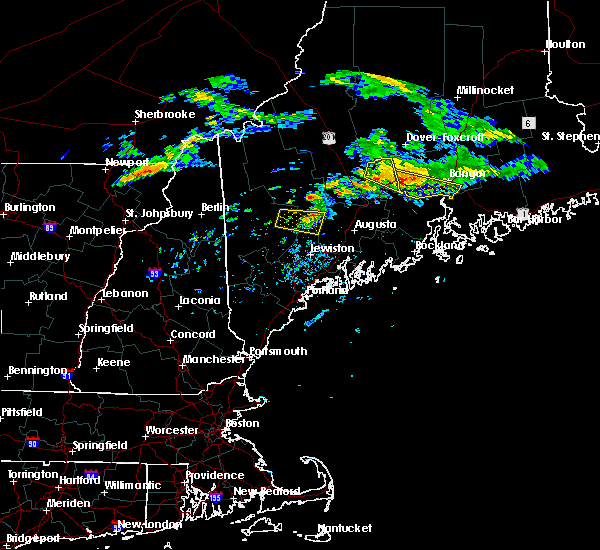 At 713 pm edt, a severe thunderstorm capable of producing a tornado was located near newport, moving southeast at 35 mph (radar indicated rotation). Hazards include tornado. Flying debris will be dangerous to those caught without shelter. mobile homes will be damaged or destroyed. damage to roofs, windows, and vehicles will occur. tree damage is likely. this dangerous storm will be near, hermon around 735 pm edt. hampden around 745 pm edt. Other locations impacted by this tornadic thunderstorm include carmel, etna, newburgh, plymouth, stetson and dixmont. At 713 pm edt, a severe thunderstorm capable of producing a tornado was located near newport, moving southeast at 35 mph (radar indicated rotation). Hazards include tornado. Flying debris will be dangerous to those caught without shelter. mobile homes will be damaged or destroyed. damage to roofs, windows, and vehicles will occur. tree damage is likely. this dangerous storm will be near, hermon around 735 pm edt. hampden around 745 pm edt. Other locations impacted by this tornadic thunderstorm include carmel, etna, newburgh, plymouth, stetson and dixmont.
|
| 7/27/2020 6:55 PM EDT | Large limbs and wires dow in somerset county ME, 4.8 miles SE of Newport, ME |
| 7/27/2020 6:48 PM EDT |
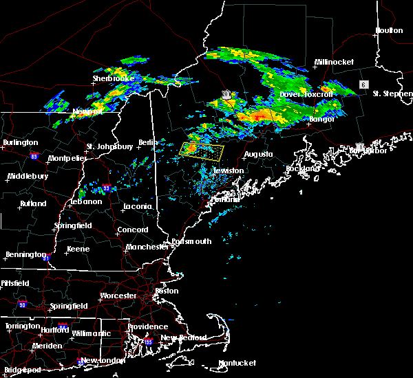 At 647 pm edt, a severe thunderstorm was located 7 miles north of pittsfield, moving southeast at 30 mph (radar indicated). Hazards include 60 mph wind gusts. expect damage to trees and power lines At 647 pm edt, a severe thunderstorm was located 7 miles north of pittsfield, moving southeast at 30 mph (radar indicated). Hazards include 60 mph wind gusts. expect damage to trees and power lines
|
| 7/27/2020 6:46 PM EDT |
 At 645 pm edt, a severe thunderstorm was located 13 miles northwest of pittsfield, moving east at 30 mph (radar indicated). Hazards include 60 mph wind gusts. expect damage to roofs, siding, and trees At 645 pm edt, a severe thunderstorm was located 13 miles northwest of pittsfield, moving east at 30 mph (radar indicated). Hazards include 60 mph wind gusts. expect damage to roofs, siding, and trees
|
| 7/28/2019 5:26 PM EDT |
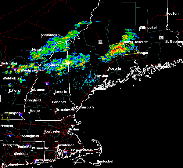 At 526 pm edt, severe thunderstorms were located along a line extending from near kingsbury plantation to 7 miles north of newport, moving east at 30 mph (radar indicated). Hazards include 60 mph wind gusts and quarter size hail. Minor hail damage to vehicles is possible. expect wind damage to trees and power lines. Locations impacted include, old town, dover-foxcroft, dexter, newport, guilford, orono, corinth, kenduskeag, kingsbury plantation, east corinth, glenburn, levant, corinna, hudson, charleston, sangerville, bradford, stetson, garland and exeter. At 526 pm edt, severe thunderstorms were located along a line extending from near kingsbury plantation to 7 miles north of newport, moving east at 30 mph (radar indicated). Hazards include 60 mph wind gusts and quarter size hail. Minor hail damage to vehicles is possible. expect wind damage to trees and power lines. Locations impacted include, old town, dover-foxcroft, dexter, newport, guilford, orono, corinth, kenduskeag, kingsbury plantation, east corinth, glenburn, levant, corinna, hudson, charleston, sangerville, bradford, stetson, garland and exeter.
|
| 7/28/2019 5:01 PM EDT |
 At 500 pm edt, severe thunderstorms were located along a line extending from 7 miles east of bingham to 8 miles north of pittsfield, moving east at 30 mph (radar indicated). Hazards include 60 mph wind gusts and quarter size hail. Minor hail damage to vehicles is possible. Expect wind damage to trees and power lines. At 500 pm edt, severe thunderstorms were located along a line extending from 7 miles east of bingham to 8 miles north of pittsfield, moving east at 30 mph (radar indicated). Hazards include 60 mph wind gusts and quarter size hail. Minor hail damage to vehicles is possible. Expect wind damage to trees and power lines.
|
| 7/6/2019 3:39 PM EDT |
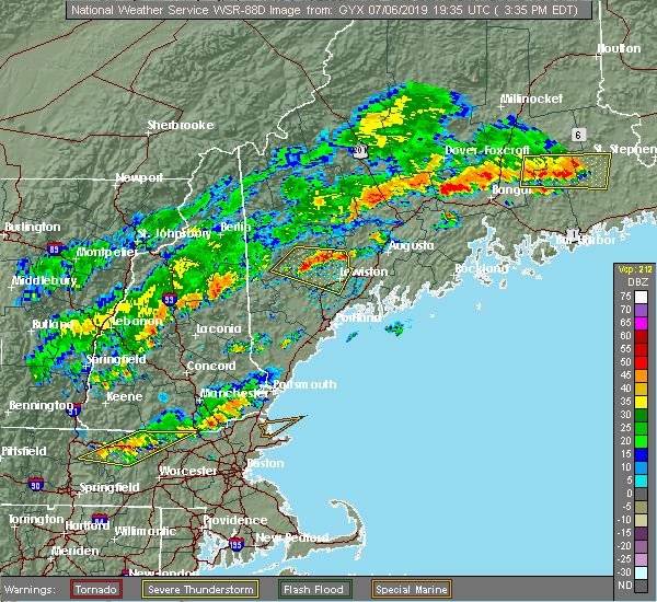 At 338 pm edt, severe thunderstorms were located along a line extending from near indian island to near newport, moving east at 40 mph (radar indicated). Hazards include 60 mph wind gusts. expect damage to trees and power lines At 338 pm edt, severe thunderstorms were located along a line extending from near indian island to near newport, moving east at 40 mph (radar indicated). Hazards include 60 mph wind gusts. expect damage to trees and power lines
|
| 5/20/2019 5:52 PM EDT |
 At 552 pm edt, a severe thunderstorm was located 8 miles east of skowhegan, moving east at 40 mph (radar indicated). Hazards include 60 mph wind gusts and quarter size hail. Hail damage to vehicles is expected. Expect wind damage to roofs, siding, and trees. At 552 pm edt, a severe thunderstorm was located 8 miles east of skowhegan, moving east at 40 mph (radar indicated). Hazards include 60 mph wind gusts and quarter size hail. Hail damage to vehicles is expected. Expect wind damage to roofs, siding, and trees.
|
| 8/9/2018 12:53 PM EDT |
 At 1253 pm edt, a severe thunderstorm was located 7 miles southwest of corinth, or 8 miles northeast of newport, moving east at 35 mph (radar indicated). Hazards include 60 mph wind gusts and quarter size hail. Minor hail damage to vehicles is possible. expect wind damage to trees and power lines. Locations impacted include, dexter, newport, hermon, corinth, kenduskeag, east corinth, levant, carmel, corinna, charleston, bradford, stetson, garland and exeter. At 1253 pm edt, a severe thunderstorm was located 7 miles southwest of corinth, or 8 miles northeast of newport, moving east at 35 mph (radar indicated). Hazards include 60 mph wind gusts and quarter size hail. Minor hail damage to vehicles is possible. expect wind damage to trees and power lines. Locations impacted include, dexter, newport, hermon, corinth, kenduskeag, east corinth, levant, carmel, corinna, charleston, bradford, stetson, garland and exeter.
|
| 8/9/2018 12:30 PM EDT |
 At 1229 pm edt, a severe thunderstorm was located between dexter and corinna, moving east at 20 mph (radar indicated). Hazards include 60 mph wind gusts and quarter size hail. Minor hail damage to vehicles is possible. Expect wind damage to trees and power lines. At 1229 pm edt, a severe thunderstorm was located between dexter and corinna, moving east at 20 mph (radar indicated). Hazards include 60 mph wind gusts and quarter size hail. Minor hail damage to vehicles is possible. Expect wind damage to trees and power lines.
|
| 9/5/2017 7:30 PM EDT |
 At 729 pm edt, a severe thunderstorm was located near hermon, or 10 miles west of bangor, moving northeast at 40 mph. a second thunderstorm that was also likely severe was located near dixmont (radar indicated). Hazards include 60 mph wind gusts and quarter size hail. Minor hail damage to vehicles is possible. expect wind damage to trees and power lines. locations impacted include, bangor, old town, newport, orono, brewer, hampden, hermon, corinth, veazie, kenduskeag, indian island, east corinth, glenburn, orrington, holden, milford, levant, carmel, eddington and newburgh. this includes the following highways, interstate 95 between mile makers 158 and 201. state highway 11 near newport, and between east corinth and bradford. State highway 9 between dixmont and east eddington. At 729 pm edt, a severe thunderstorm was located near hermon, or 10 miles west of bangor, moving northeast at 40 mph. a second thunderstorm that was also likely severe was located near dixmont (radar indicated). Hazards include 60 mph wind gusts and quarter size hail. Minor hail damage to vehicles is possible. expect wind damage to trees and power lines. locations impacted include, bangor, old town, newport, orono, brewer, hampden, hermon, corinth, veazie, kenduskeag, indian island, east corinth, glenburn, orrington, holden, milford, levant, carmel, eddington and newburgh. this includes the following highways, interstate 95 between mile makers 158 and 201. state highway 11 near newport, and between east corinth and bradford. State highway 9 between dixmont and east eddington.
|
| 9/5/2017 7:07 PM EDT |
 At 706 pm edt, a severe thunderstorm was located near unity, or 7 miles north of thorndike, moving northeast at 40 mph (radar indicated). Hazards include 60 mph wind gusts and quarter size hail. Minor hail damage to vehicles is possible. Expect wind damage to trees and power lines. At 706 pm edt, a severe thunderstorm was located near unity, or 7 miles north of thorndike, moving northeast at 40 mph (radar indicated). Hazards include 60 mph wind gusts and quarter size hail. Minor hail damage to vehicles is possible. Expect wind damage to trees and power lines.
|
| 7/20/2017 7:42 PM EDT | Weather spotter in levant heard on scanner that trees are down in stetso in penobscot county ME, 7 miles WSW of Newport, ME |
| 7/20/2017 7:30 PM EDT | Reports of trees down all over the roads between corinna and etna. report via facebook. time estimated based on rada in penobscot county ME, 5.7 miles S of Newport, ME |
| 7/18/2016 4:37 PM EDT |
 At 436 pm edt, a severe thunderstorm was located 7 miles east of newport, moving east at 40 mph (radar indicated). Hazards include 60 mph wind gusts and half dollar size hail. Hail damage to vehicles is expected. Expect wind damage to roofs, siding, and trees. At 436 pm edt, a severe thunderstorm was located 7 miles east of newport, moving east at 40 mph (radar indicated). Hazards include 60 mph wind gusts and half dollar size hail. Hail damage to vehicles is expected. Expect wind damage to roofs, siding, and trees.
|
| 7/18/2016 3:48 PM EDT |
 At 347 pm edt, a severe thunderstorm was located over newport, moving east at 40 mph (radar indicated). Hazards include 60 mph wind gusts and quarter size hail. Hail damage to vehicles is expected. expect wind damage to roofs, siding, and trees. Locations impacted include, bangor, old town, bucksport, newport, orono, brewer, hampden, hermon, corinth, veazie, kenduskeag, glenburn, orrington, levant, carmel, corinna, newburgh, plymouth, etna and stetson. At 347 pm edt, a severe thunderstorm was located over newport, moving east at 40 mph (radar indicated). Hazards include 60 mph wind gusts and quarter size hail. Hail damage to vehicles is expected. expect wind damage to roofs, siding, and trees. Locations impacted include, bangor, old town, bucksport, newport, orono, brewer, hampden, hermon, corinth, veazie, kenduskeag, glenburn, orrington, levant, carmel, corinna, newburgh, plymouth, etna and stetson.
|
| 7/18/2016 3:31 PM EDT |
 At 331 pm edt, a severe thunderstorm was located near pittsfield, moving east at 45 mph (radar indicated). Hazards include 60 mph wind gusts and quarter size hail. Hail damage to vehicles is expected. expect wind damage to roofs, siding, and trees. Locations impacted include, dexter, newport, pittsfield, canaan, corinna, hartland, plymouth, burnham, athens, harmony, detroit, palmyra, saint albans and ripley. At 331 pm edt, a severe thunderstorm was located near pittsfield, moving east at 45 mph (radar indicated). Hazards include 60 mph wind gusts and quarter size hail. Hail damage to vehicles is expected. expect wind damage to roofs, siding, and trees. Locations impacted include, dexter, newport, pittsfield, canaan, corinna, hartland, plymouth, burnham, athens, harmony, detroit, palmyra, saint albans and ripley.
|
| 7/18/2016 3:21 PM EDT |
 At 321 pm edt, a severe thunderstorm was located near skowhegan, moving east at 40 mph (radar indicated). Hazards include 60 mph wind gusts and quarter size hail. Hail damage to vehicles is expected. Expect wind damage to roofs, siding, and trees. At 321 pm edt, a severe thunderstorm was located near skowhegan, moving east at 40 mph (radar indicated). Hazards include 60 mph wind gusts and quarter size hail. Hail damage to vehicles is expected. Expect wind damage to roofs, siding, and trees.
|
| 7/18/2016 3:15 PM EDT |
 At 315 pm edt, a severe thunderstorm was located over skowhegan, moving east at 50 mph (radar indicated). Hazards include ping pong ball size hail and 60 mph wind gusts. People and animals outdoors will be injured. expect hail damage to roofs, siding, windows, and vehicles. expect wind damage to roofs, siding, and trees. Locations impacted include, dexter, newport, skowhegan, pittsfield, madison, clinton, norridgewock, canaan, corinna, hartland, plymouth, cornville, burnham, athens, harmony, detroit, palmyra, saint albans, ripley and solon. At 315 pm edt, a severe thunderstorm was located over skowhegan, moving east at 50 mph (radar indicated). Hazards include ping pong ball size hail and 60 mph wind gusts. People and animals outdoors will be injured. expect hail damage to roofs, siding, windows, and vehicles. expect wind damage to roofs, siding, and trees. Locations impacted include, dexter, newport, skowhegan, pittsfield, madison, clinton, norridgewock, canaan, corinna, hartland, plymouth, cornville, burnham, athens, harmony, detroit, palmyra, saint albans, ripley and solon.
|
| 7/18/2016 2:52 PM EDT |
 At 252 pm edt, a severe thunderstorm was located 10 miles west of madison, or 10 miles northeast of farmington, moving east at 50 mph (radar indicated). Hazards include golf ball size hail and 60 mph wind gusts. People and animals outdoors will be injured. expect hail damage to roofs, siding, windows, and vehicles. Expect wind damage to roofs, siding, and trees. At 252 pm edt, a severe thunderstorm was located 10 miles west of madison, or 10 miles northeast of farmington, moving east at 50 mph (radar indicated). Hazards include golf ball size hail and 60 mph wind gusts. People and animals outdoors will be injured. expect hail damage to roofs, siding, windows, and vehicles. Expect wind damage to roofs, siding, and trees.
|
| 7/18/2016 2:06 PM EDT |
 At 206 pm edt, severe thunderstorms were located along a line extending from near blanchard to near kingfield, moving east at 40 mph (radar indicated). Hazards include 60 mph wind gusts and quarter size hail. Hail damage to vehicles is expected. Expect wind damage to roofs, siding, and trees. At 206 pm edt, severe thunderstorms were located along a line extending from near blanchard to near kingfield, moving east at 40 mph (radar indicated). Hazards include 60 mph wind gusts and quarter size hail. Hail damage to vehicles is expected. Expect wind damage to roofs, siding, and trees.
|
| 7/17/2016 5:30 PM EDT |
 At 527 pm edt, a severe thunderstorm was located near pittsfield, moving southeast at 20 mph (radar indicated). Hazards include 60 mph wind gusts and quarter size hail. Expect damage to roofs. siding. And trees. At 527 pm edt, a severe thunderstorm was located near pittsfield, moving southeast at 20 mph (radar indicated). Hazards include 60 mph wind gusts and quarter size hail. Expect damage to roofs. siding. And trees.
|
| 10/29/2015 5:08 PM EDT |
 At 508 pm edt, a severe thunderstorm was located 7 miles northwest of east corinth, or 8 miles northeast of dexter, moving northeast at 35 mph (radar indicated). Hazards include 60 mph wind gusts. Expect damage to roofs. Siding and trees. At 508 pm edt, a severe thunderstorm was located 7 miles northwest of east corinth, or 8 miles northeast of dexter, moving northeast at 35 mph (radar indicated). Hazards include 60 mph wind gusts. Expect damage to roofs. Siding and trees.
|
| 8/4/2015 4:55 PM EDT | Quarter sized hail reported 5.6 miles NNW of Newport, ME, quarter-size hail |
| 8/4/2015 4:30 PM EDT |
 At 428 pm edt, a severe thunderstorm was located near pittsfield, moving east at 50 mph (radar indicated). Hazards include 60 mph wind gusts and quarter size hail. Hail damage to vehicles is expected. Expect wind damage to roofs, siding and trees. At 428 pm edt, a severe thunderstorm was located near pittsfield, moving east at 50 mph (radar indicated). Hazards include 60 mph wind gusts and quarter size hail. Hail damage to vehicles is expected. Expect wind damage to roofs, siding and trees.
|
| 8/4/2015 4:30 PM EDT |
 At 429 pm edt, doppler radar indicated a line of severe thunderstorms capable of producing half dollar size hail and damaging winds in excess of 60 mph. these storms were located along a line extending from 6 miles east of skowhegan to near winthrop, and moving northeast at 30 mph. At 429 pm edt, doppler radar indicated a line of severe thunderstorms capable of producing half dollar size hail and damaging winds in excess of 60 mph. these storms were located along a line extending from 6 miles east of skowhegan to near winthrop, and moving northeast at 30 mph.
|
| 8/4/2015 4:14 PM EDT |
 At 413 pm edt, doppler radar indicated a severe thunderstorm capable of producing large hail up to ping pong ball size and damaging winds in excess of 60 mph. this storm was located over skowhegan, moving east at 50 mph. locations impacted include, northern waterville, fairfield, pittsfield, skowhegan, oakland, madison, clinton, belgrade, norridgewock, benton, anson, canaan, hartland, cornville, burnham, athens, harmony, detroit, brighton plantation and palmyra. At 413 pm edt, doppler radar indicated a severe thunderstorm capable of producing large hail up to ping pong ball size and damaging winds in excess of 60 mph. this storm was located over skowhegan, moving east at 50 mph. locations impacted include, northern waterville, fairfield, pittsfield, skowhegan, oakland, madison, clinton, belgrade, norridgewock, benton, anson, canaan, hartland, cornville, burnham, athens, harmony, detroit, brighton plantation and palmyra.
|
| 8/4/2015 3:55 PM EDT |
 At 355 pm edt, doppler radar indicated a line of severe thunderstorms capable of producing half dollar size hail and damaging winds in excess of 60 mph. these storms were located along a line extending from 11 miles north of skowhegan to jay, and moving east at 25 mph. At 355 pm edt, doppler radar indicated a line of severe thunderstorms capable of producing half dollar size hail and damaging winds in excess of 60 mph. these storms were located along a line extending from 11 miles north of skowhegan to jay, and moving east at 25 mph.
|
| 6/23/2015 8:47 PM EDT |
 At 846 pm edt, a severe thunderstorm was located 7 miles southwest of hermon, or 12 miles southeast of newport, moving east at 35 mph (radar indicated). Hazards include 60 mph wind gusts. radar indicated some weak rotation with this storm. Damage to roofs. Siding and trees is possible. At 846 pm edt, a severe thunderstorm was located 7 miles southwest of hermon, or 12 miles southeast of newport, moving east at 35 mph (radar indicated). Hazards include 60 mph wind gusts. radar indicated some weak rotation with this storm. Damage to roofs. Siding and trees is possible.
|
| 6/11/2015 4:25 AM EDT |
 At 424 am edt, a severe thunderstorm was located near pittsfield, moving northeast at 55 mph (radar indicated). Hazards include 60 mph wind gusts. Expect damage to roofs. Siding and trees. At 424 am edt, a severe thunderstorm was located near pittsfield, moving northeast at 55 mph (radar indicated). Hazards include 60 mph wind gusts. Expect damage to roofs. Siding and trees.
|
| 5/28/2015 4:21 PM EDT | At 421 pm edt, doppler radar indicated a severe thunderstorm capable of producing damaging winds in excess of 60 mph. this storm was located near pittsfield, moving east at 35 mph. penny size hail may also accompany the damaging winds. locations impacted include, eastern fairfield, pittsfield, thorndike, skowhegan, clinton, unity, benton, canaan, burnham, detroit, palmyra and troy. |
| 5/28/2015 4:09 PM EDT | At 409 pm edt, doppler radar indicated a severe thunderstorm capable of producing damaging winds in excess of 60 mph. this storm was located over clinton, or 7 miles northeast of fairfield, moving east at 35 mph. nickel size hail may also accompany the damaging winds. locations impacted include, northeastern waterville, fairfield, pittsfield, thorndike, skowhegan, oakland, clinton, unity, knox, benton, canaan, albion, burnham, detroit, freedom, winslow, palmyra, troy and montville. |
| 5/28/2015 4:04 PM EDT | At 404 pm edt, doppler radar indicated a severe thunderstorm capable of producing damaging winds in excess of 60 mph. this storm was located near clinton, or near fairfield, moving east at 35 mph. locations impacted include, northeastern waterville, fairfield, pittsfield, thorndike, skowhegan, oakland, clinton, unity, norridgewock, knox, benton, canaan, albion, burnham, detroit, freedom, winslow, palmyra, troy and smithfield. |
| 5/28/2015 3:51 PM EDT | At 351 pm edt, doppler radar indicated a severe thunderstorm capable of producing damaging winds in excess of 60 mph. this storm was located over western fairfield, moving east at 35 mph. locations impacted include, waterville, fairfield, pittsfield, thorndike, skowhegan, oakland, clinton, belgrade, norridgewock, unity, knox, benton, canaan, albion, burnham, detroit, freedom, smithfield, winslow and rome. |
| 5/28/2015 3:40 PM EDT | At 340 pm edt, doppler radar indicated a severe thunderstorm capable of producing nickle size hail and damaging winds in excess of 60 mph. this storm was located 7 miles southwest of norridgewock, or 9 miles northwest of oakland, and moving east at 35 mph. |
| 10/7/2013 9:30 PM EDT | Trees and power lines dow in penobscot county ME, 0.4 miles ESE of Newport, ME |
| 7/19/2013 10:10 PM EDT | Multiple trees down in penobscot county ME, 0.4 miles ESE of Newport, ME |
| 1/1/0001 12:00 AM | Tree down in penobscot county ME, 5.6 miles NNW of Newport, ME |
| 1/1/0001 12:00 AM | Large trees down with power outage in penobscot county ME, 7 miles WSW of Newport, ME |
| 1/1/0001 12:00 AM | Trees and power lines down on amsten roa in penobscot county ME, 5.7 miles S of Newport, ME |
| 1/1/0001 12:00 AM | Trees and power lines down in corrina cente in penobscot county ME, 5.7 miles S of Newport, ME |
| 1/1/0001 12:00 AM | Trees and power lines down on st. albans roa in penobscot county ME, 5.7 miles S of Newport, ME |
| 1/1/0001 12:00 AM | Trees and power lines down on the cider hill r in penobscot county ME, 5.7 miles S of Newport, ME |
Hail Maps for Newport, ME


Connect with Interactive Hail Maps