

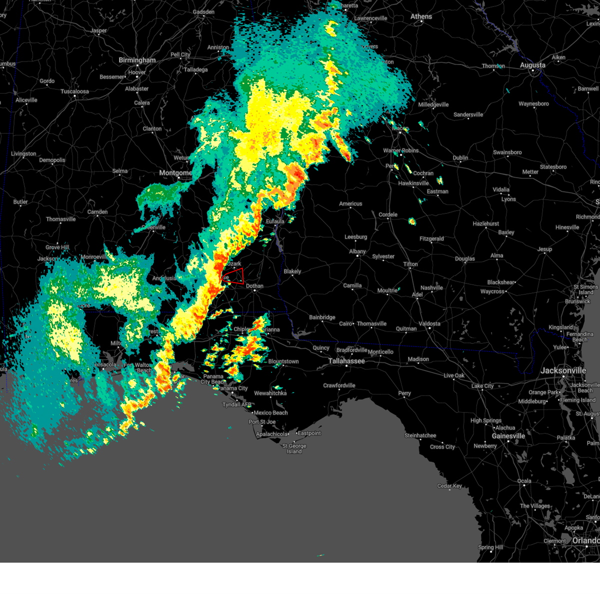
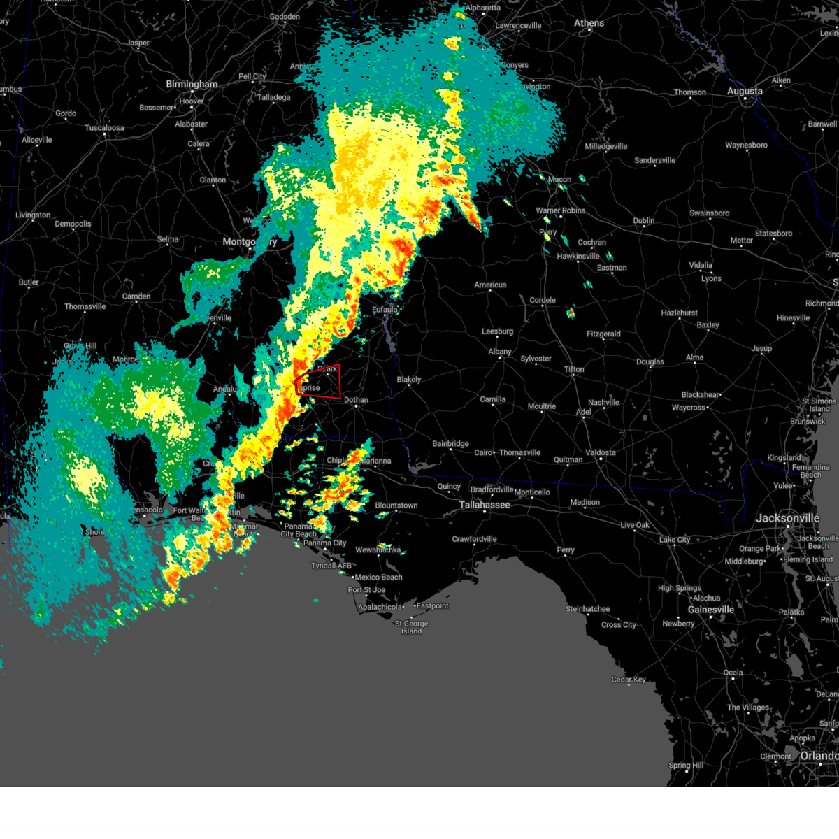
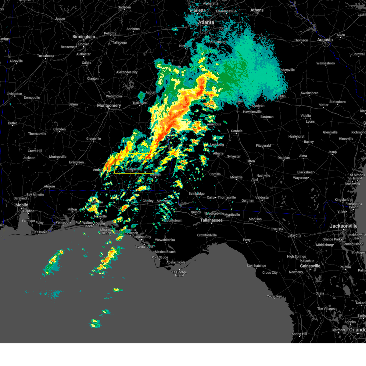
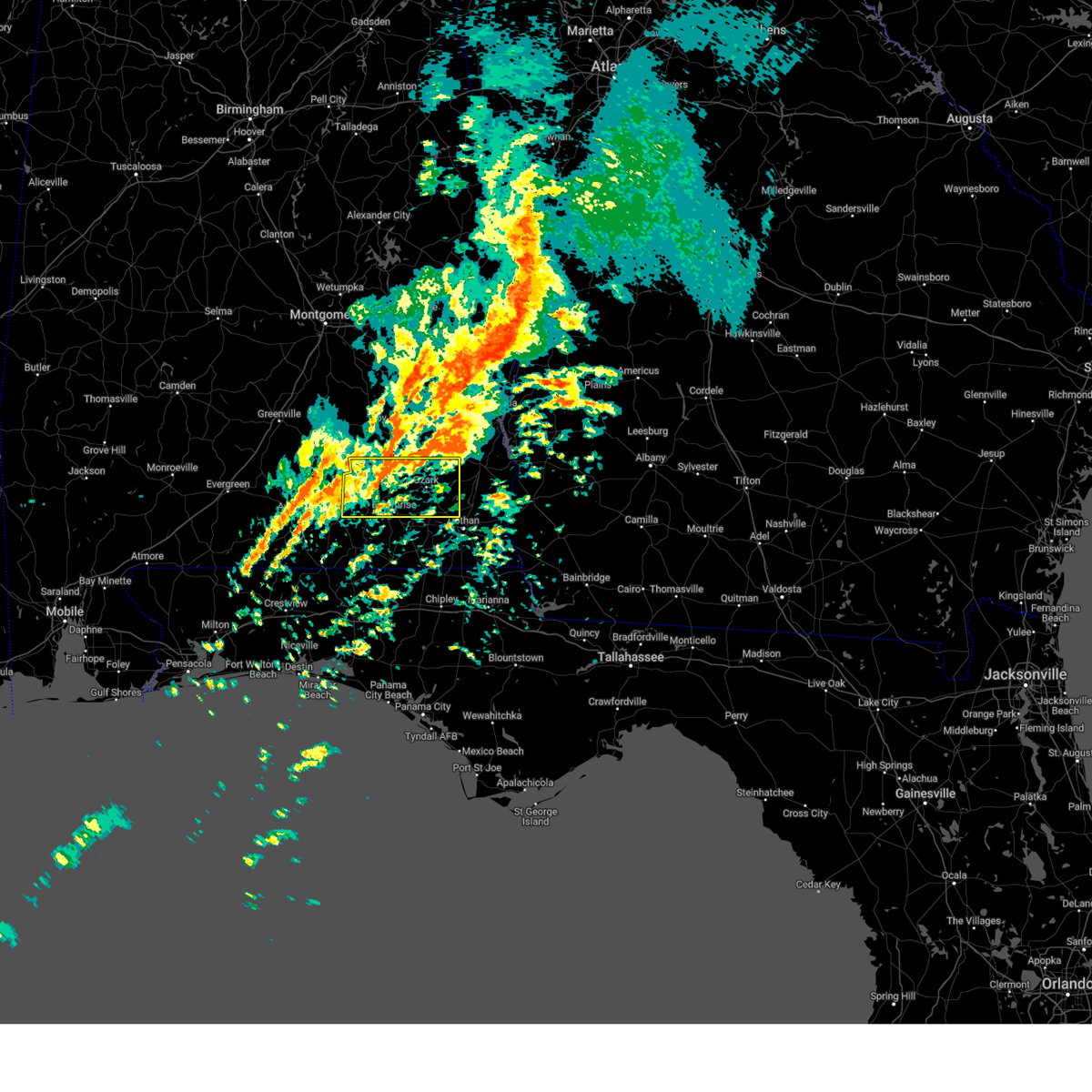
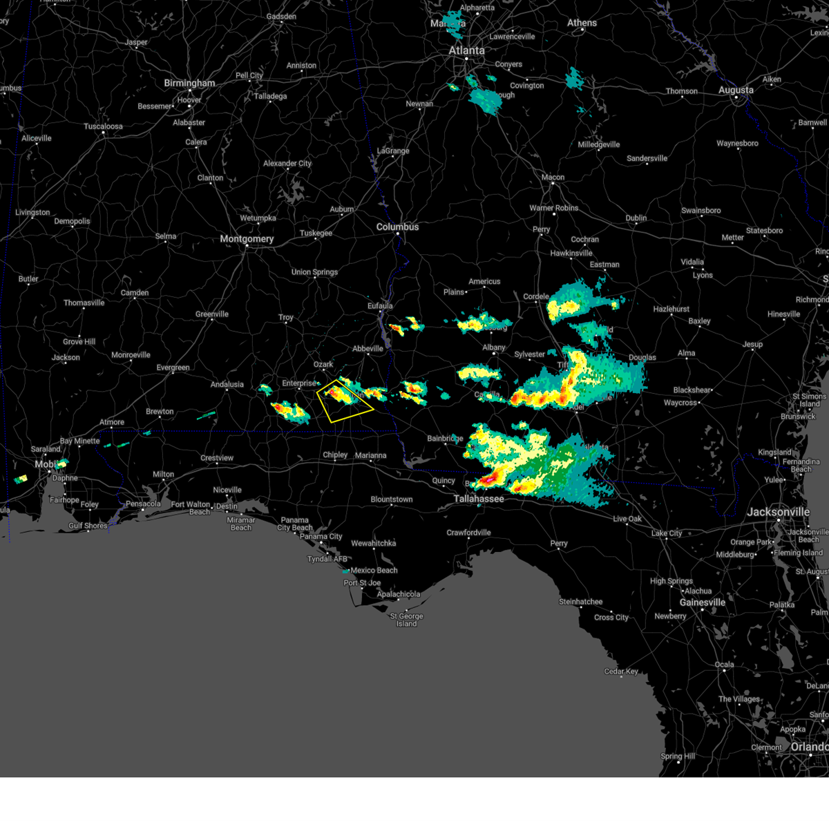
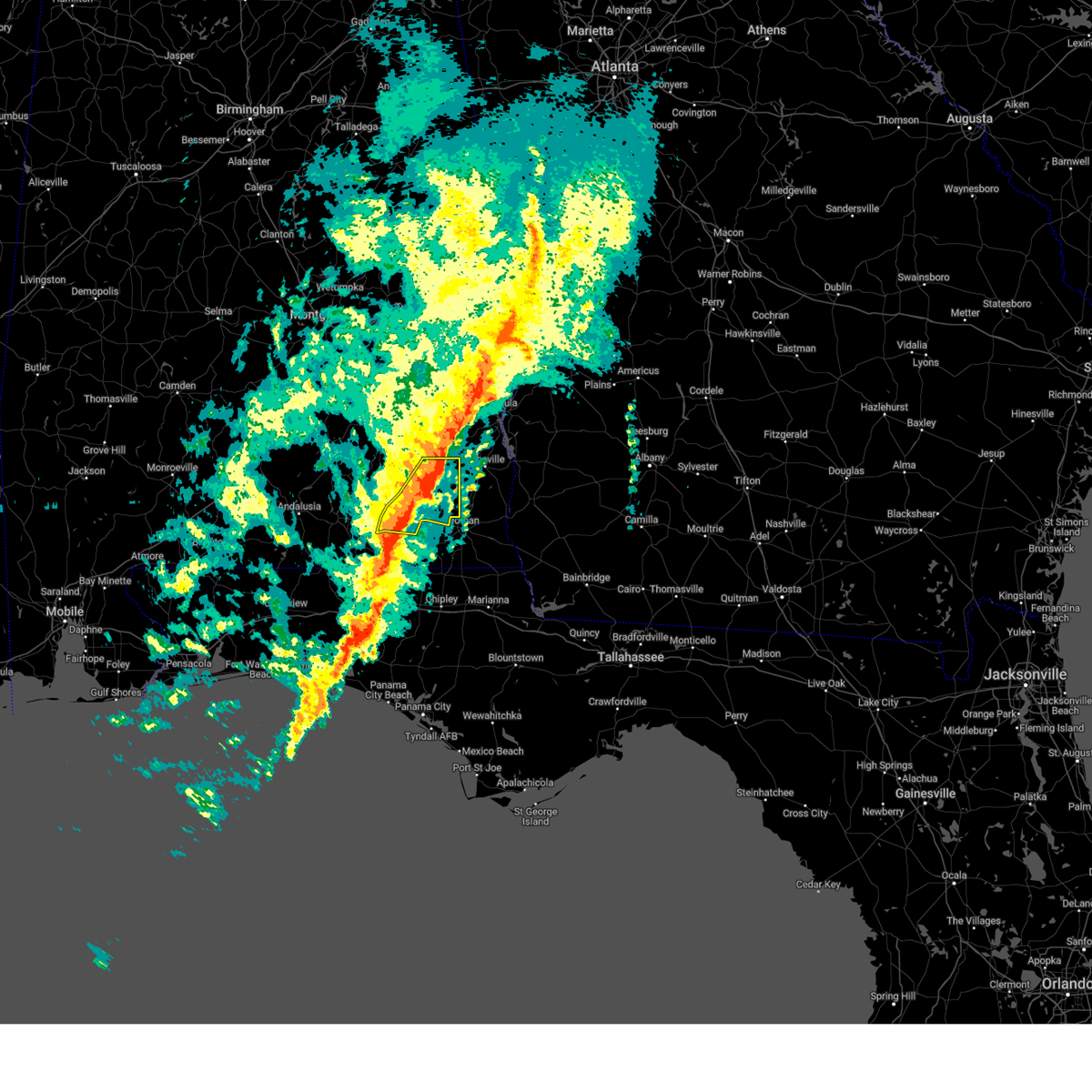
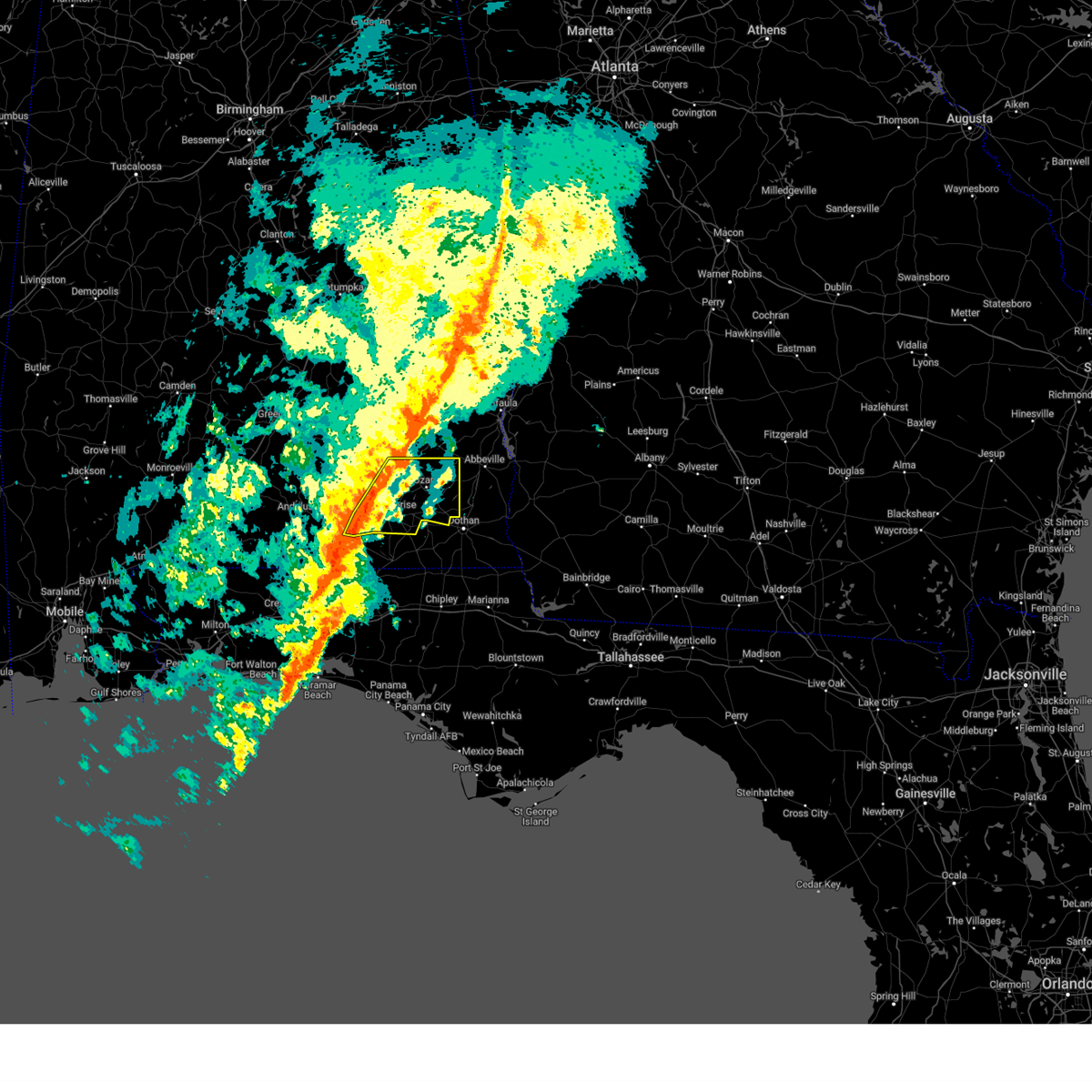
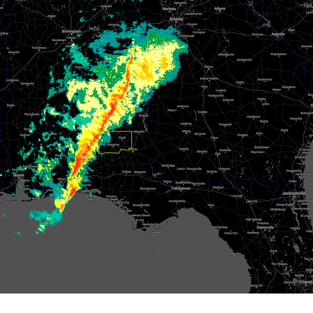
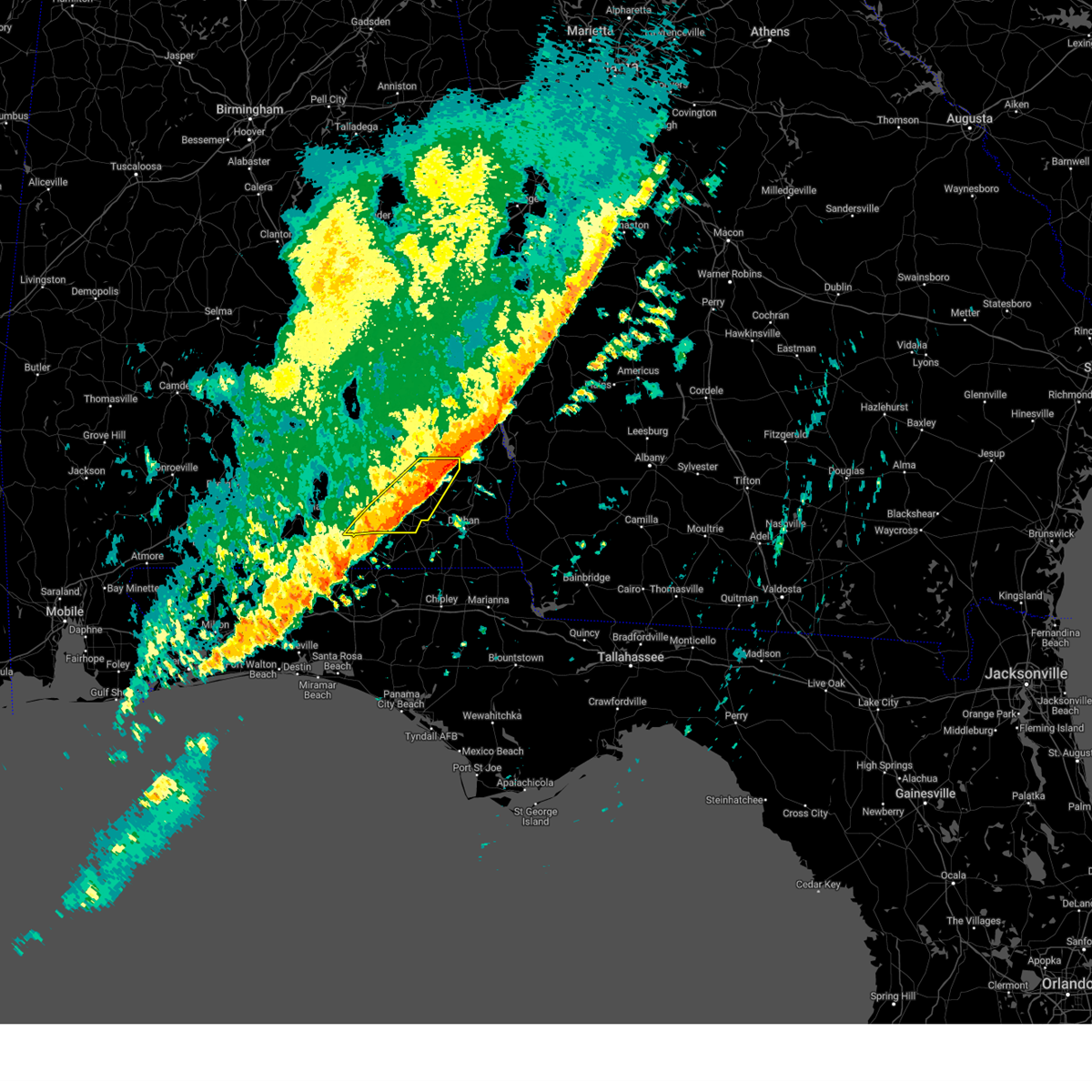
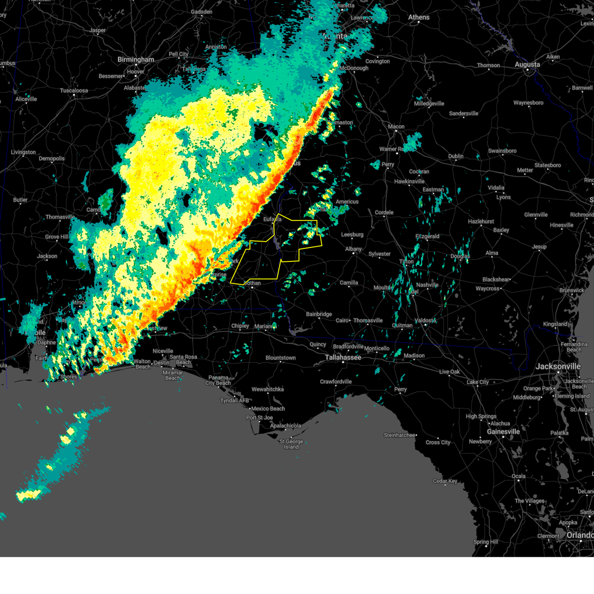
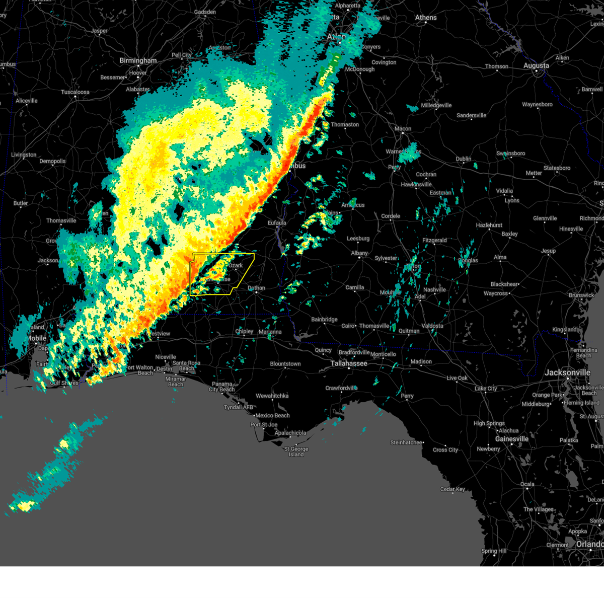
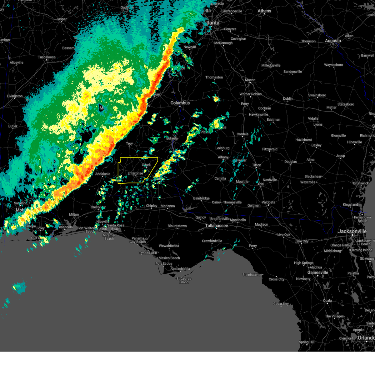
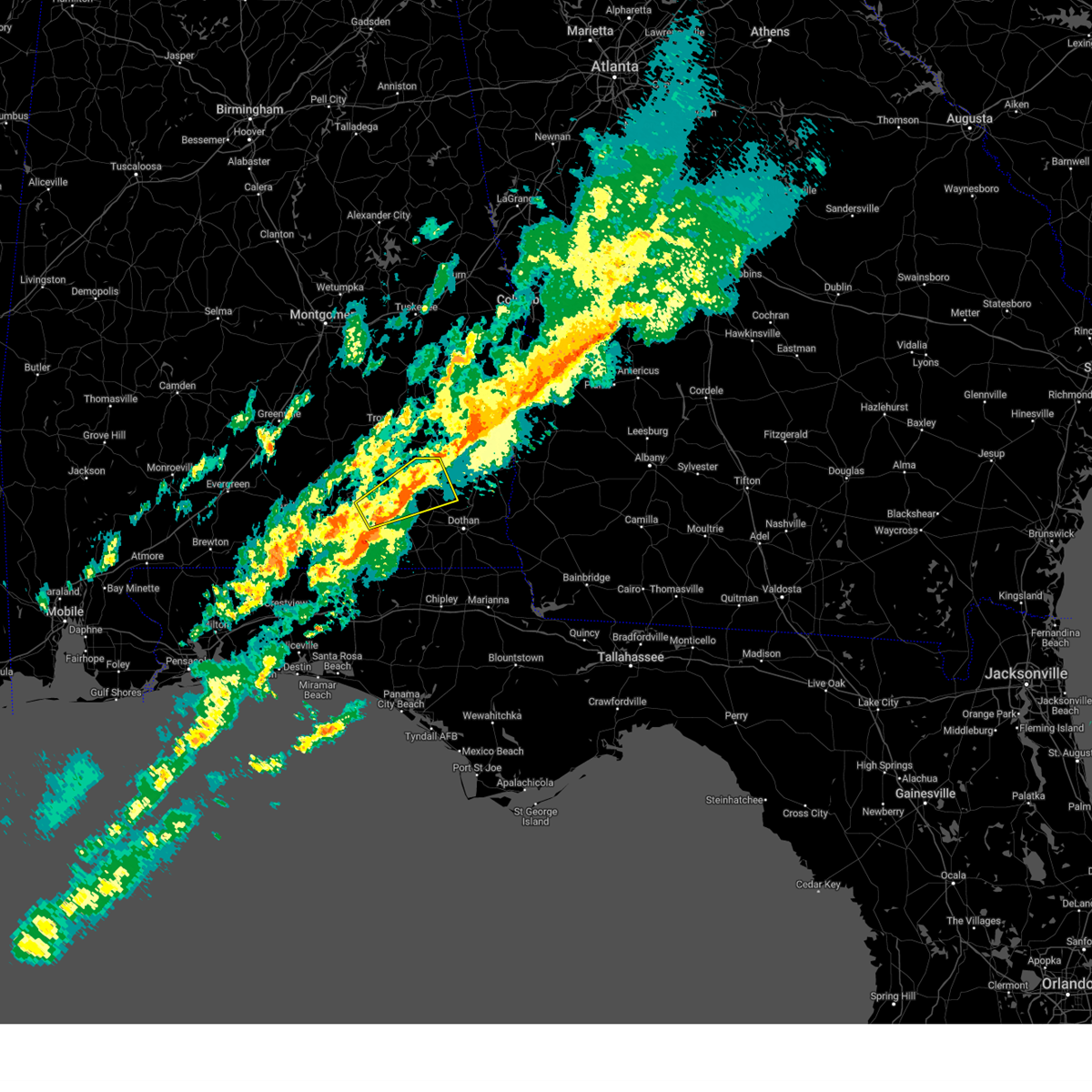
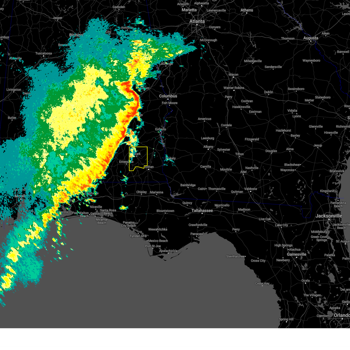
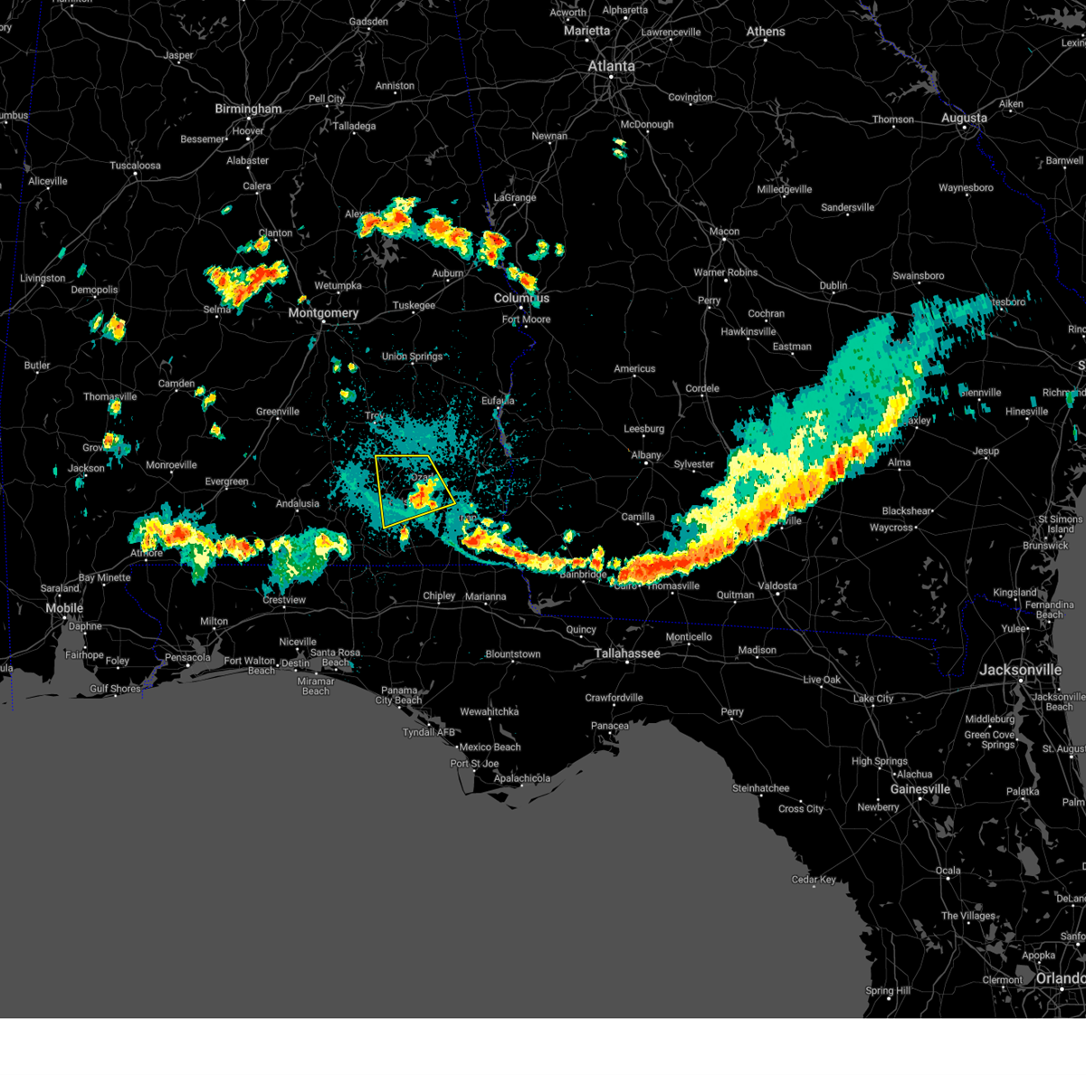
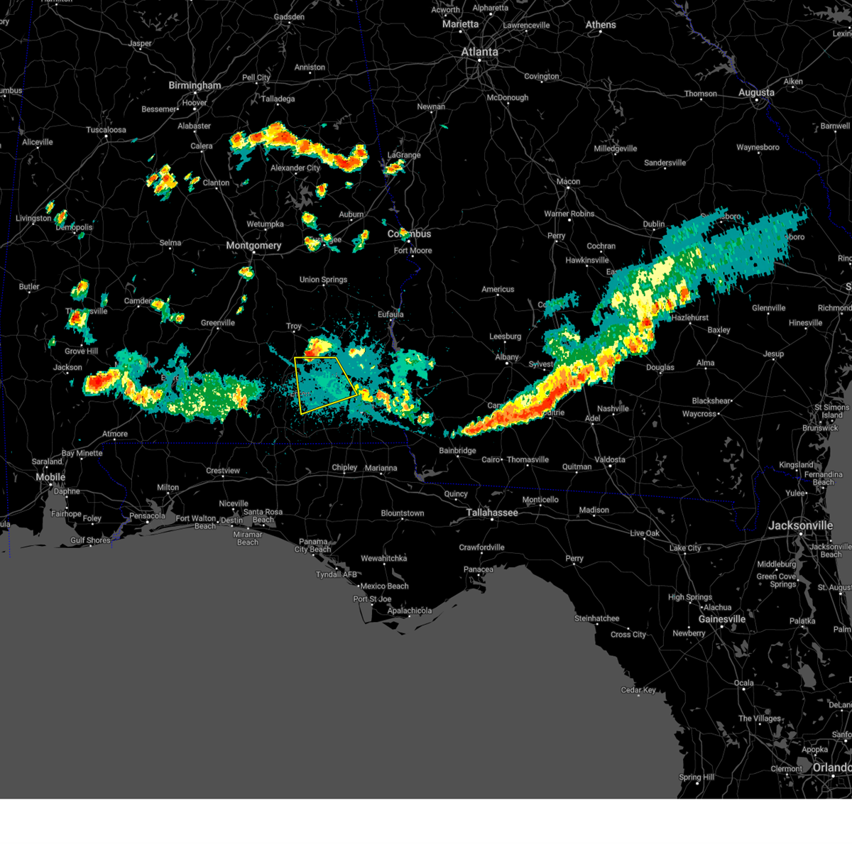
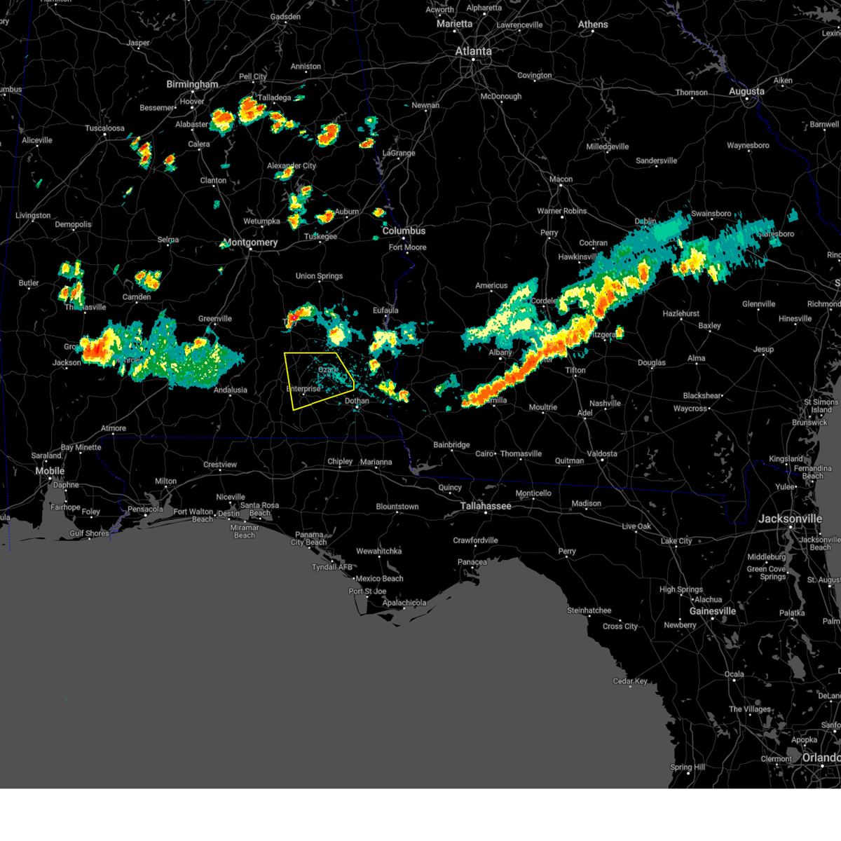
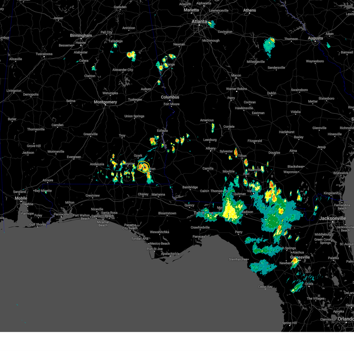
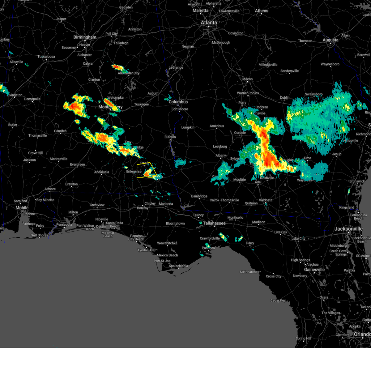
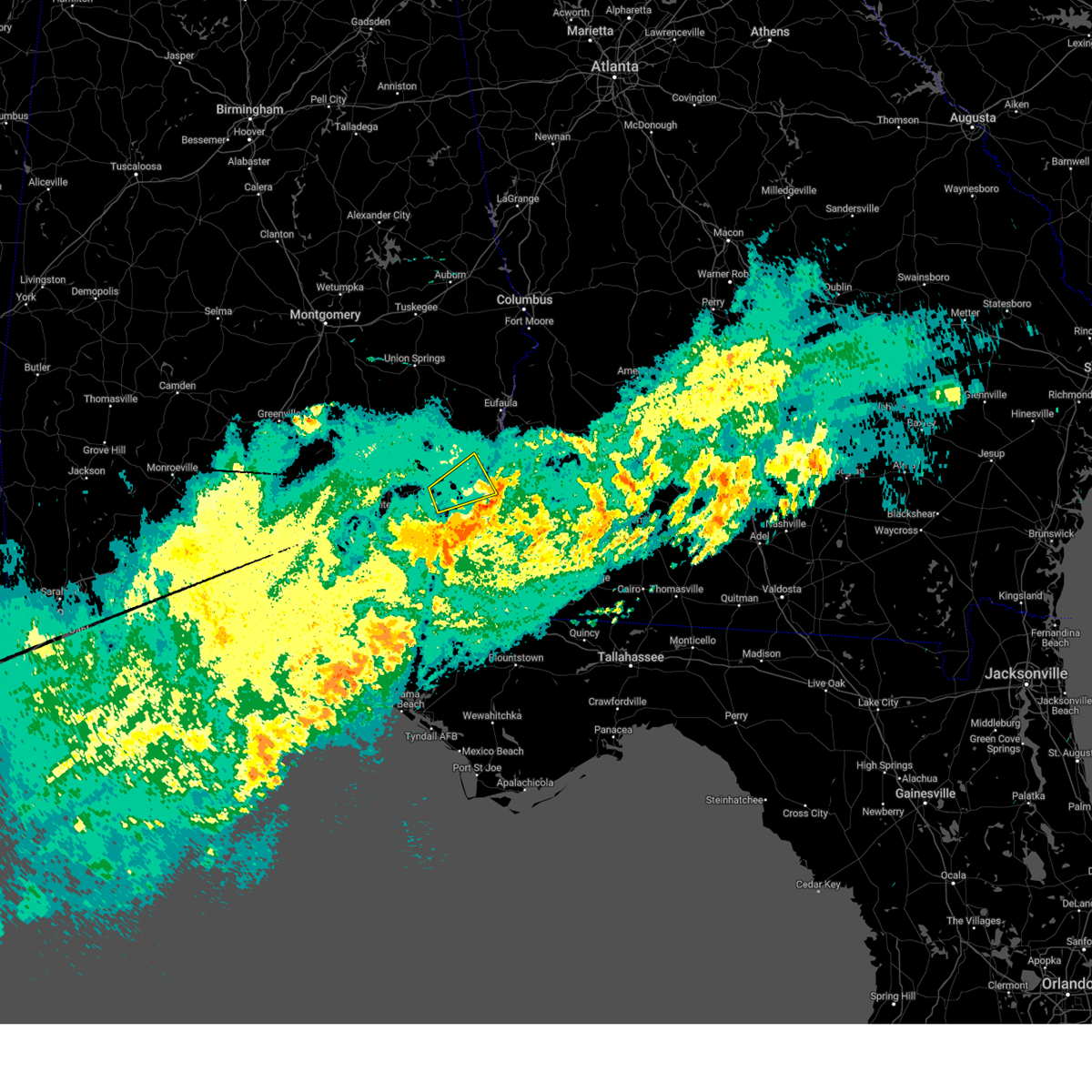
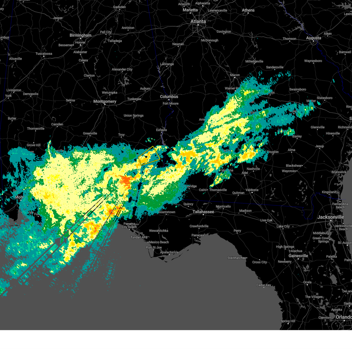
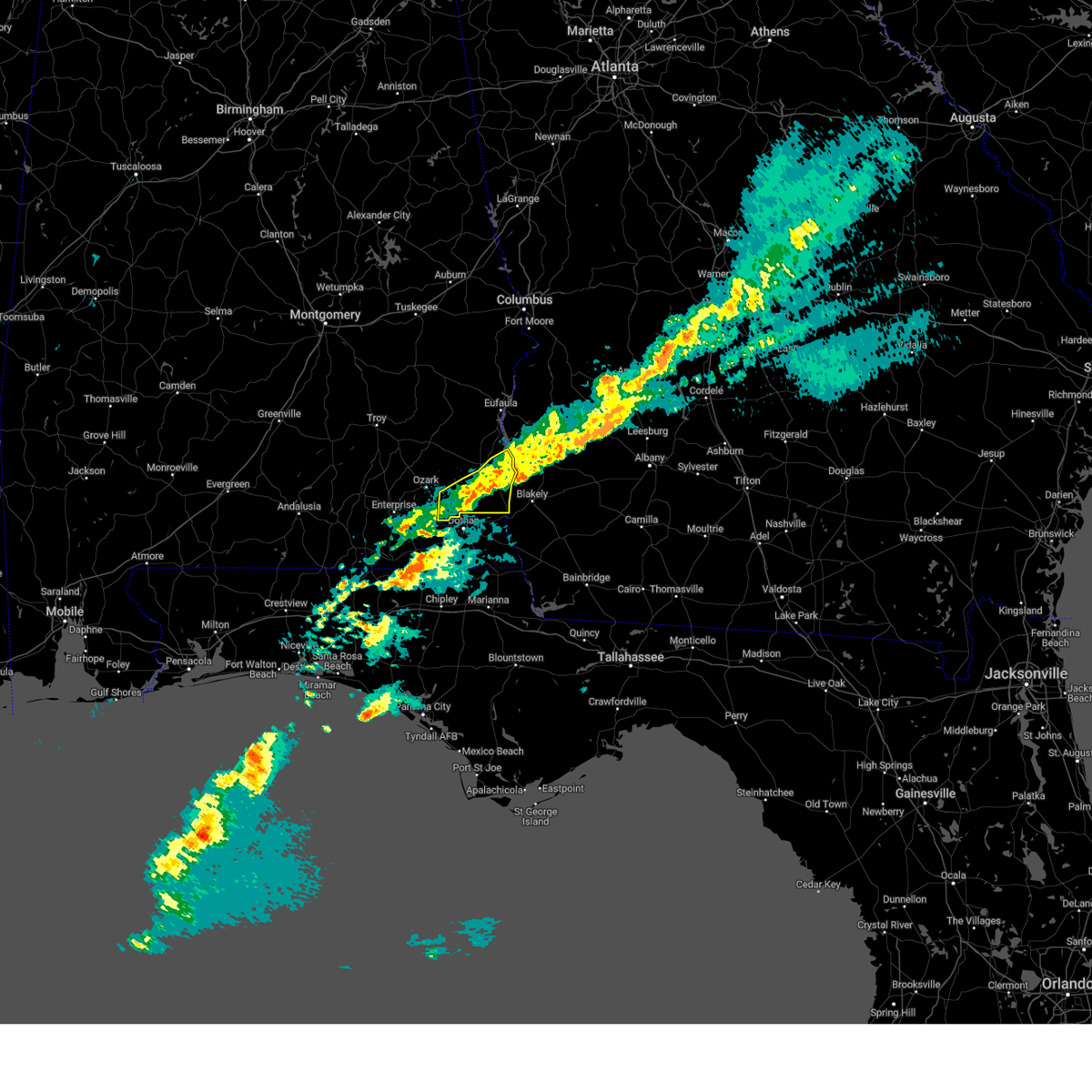
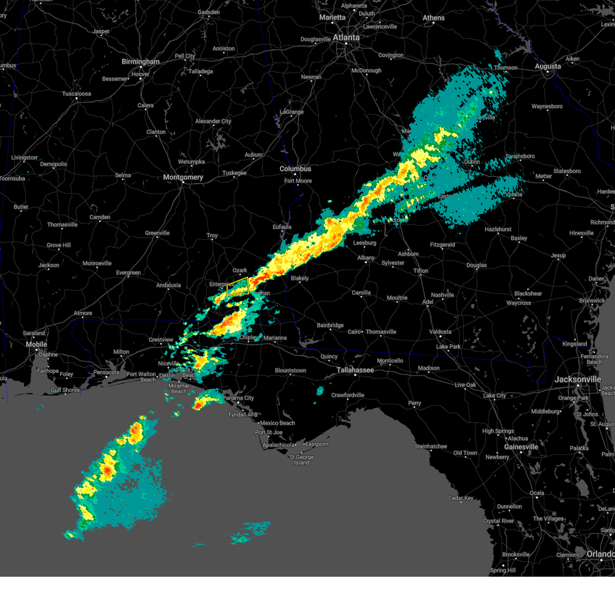
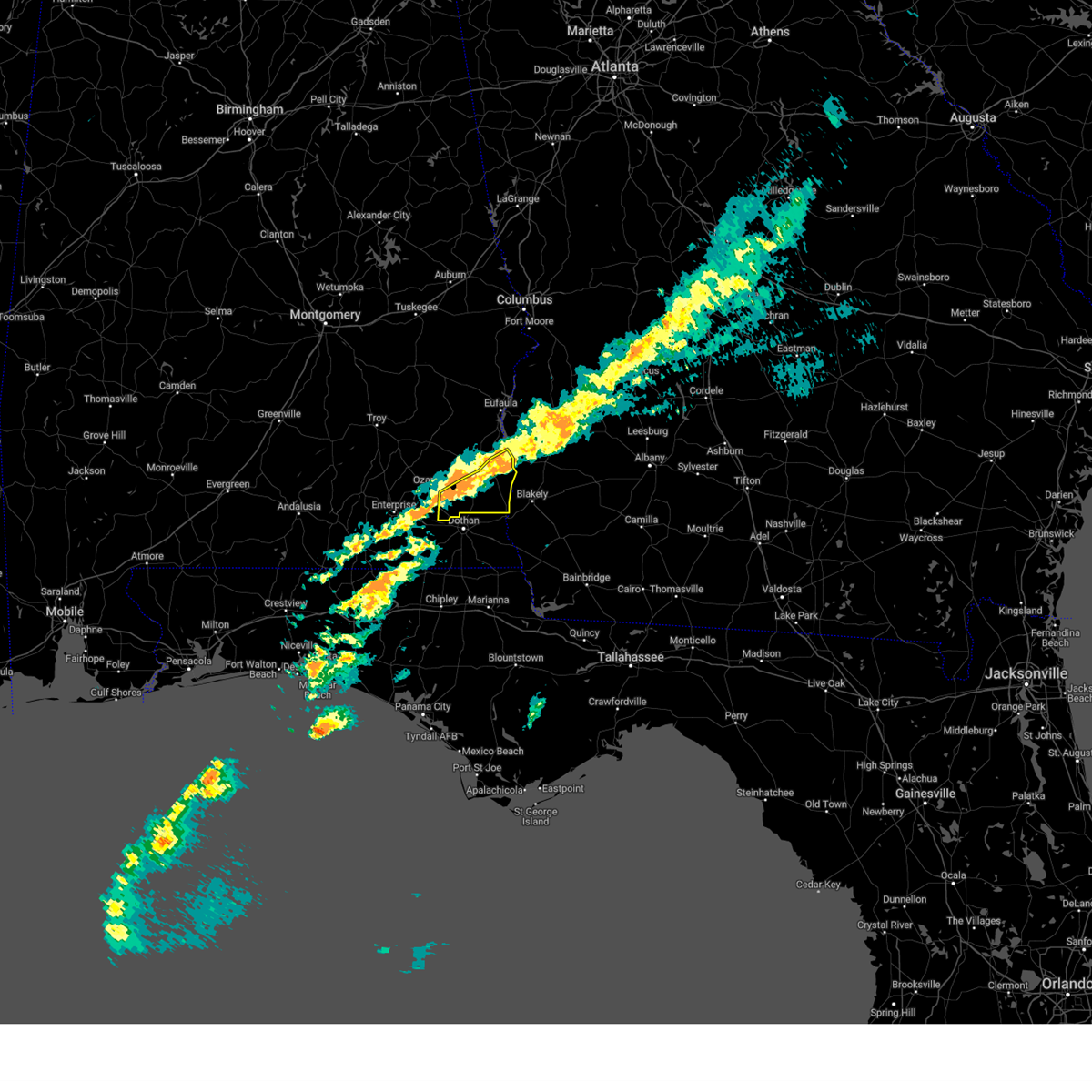
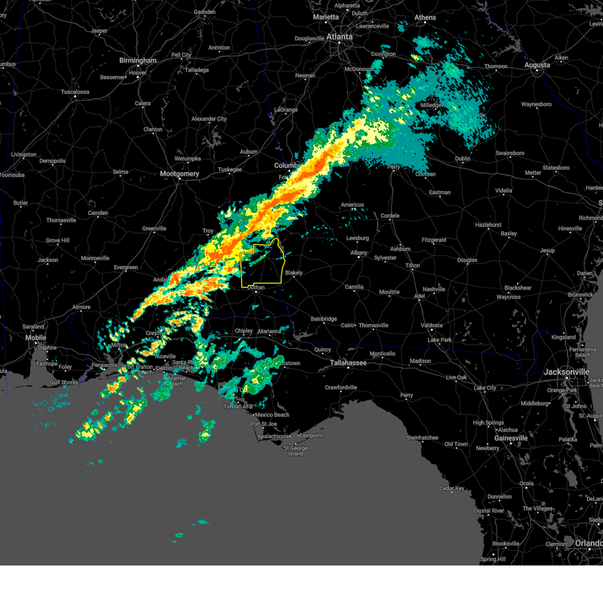
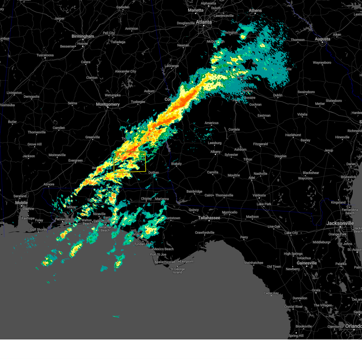
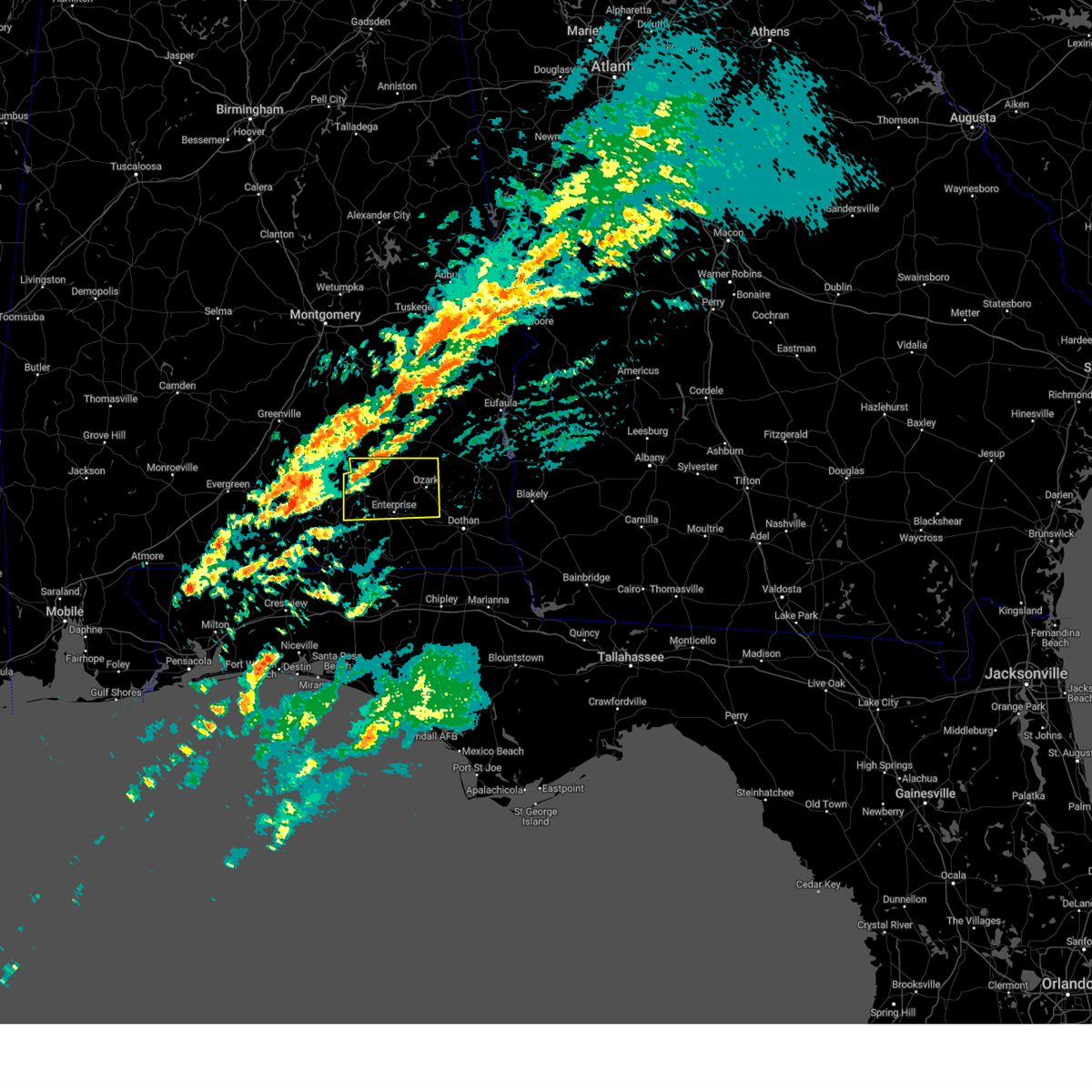
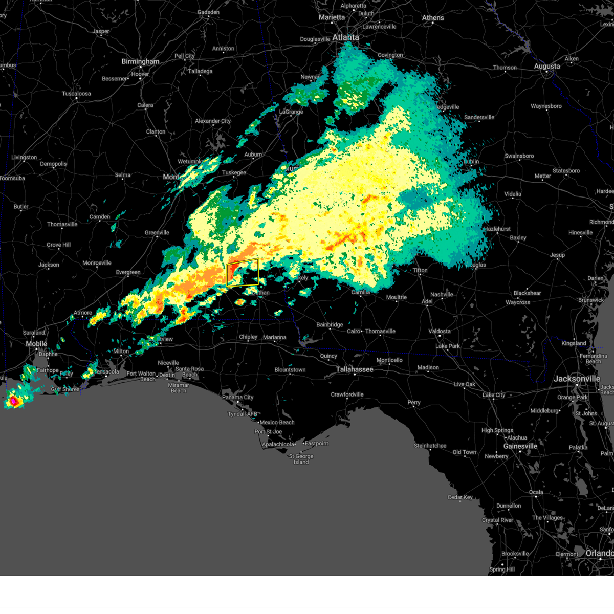
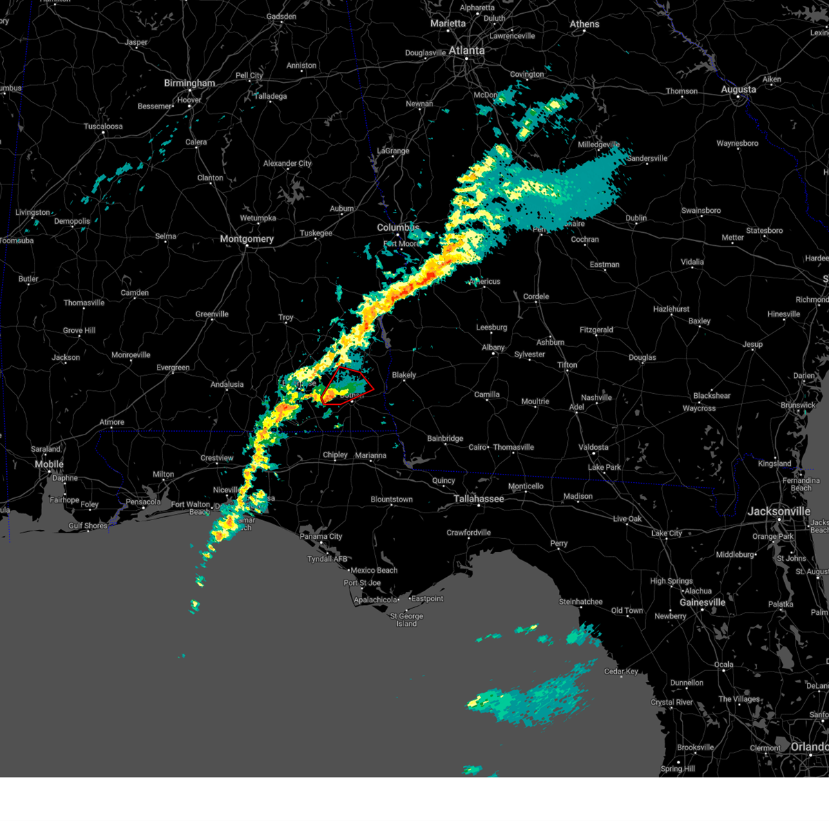
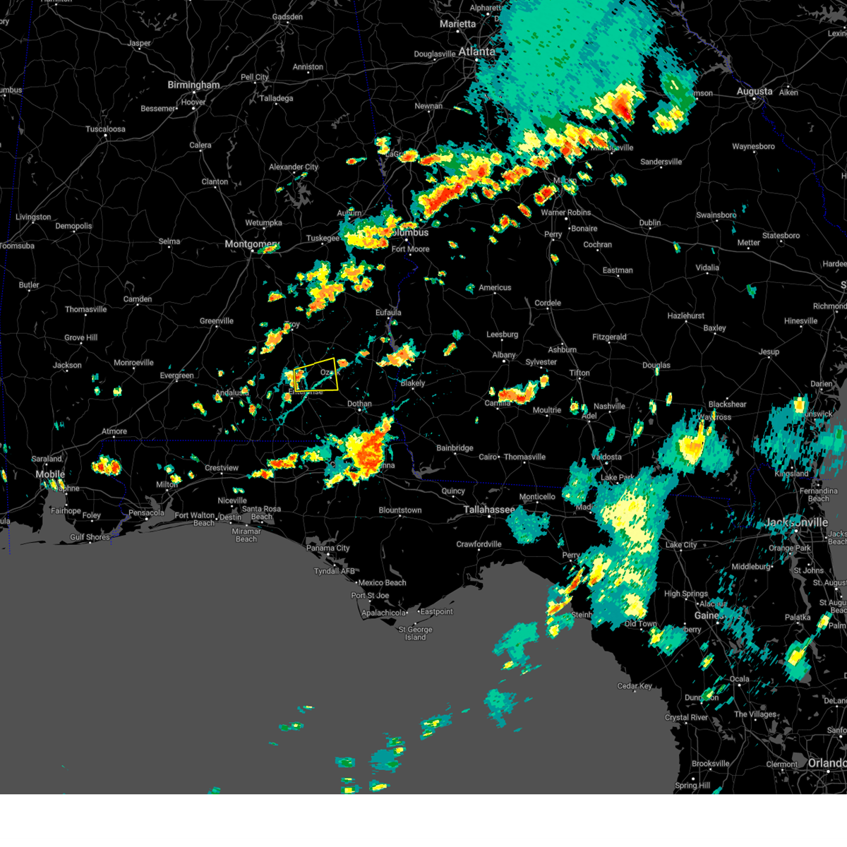
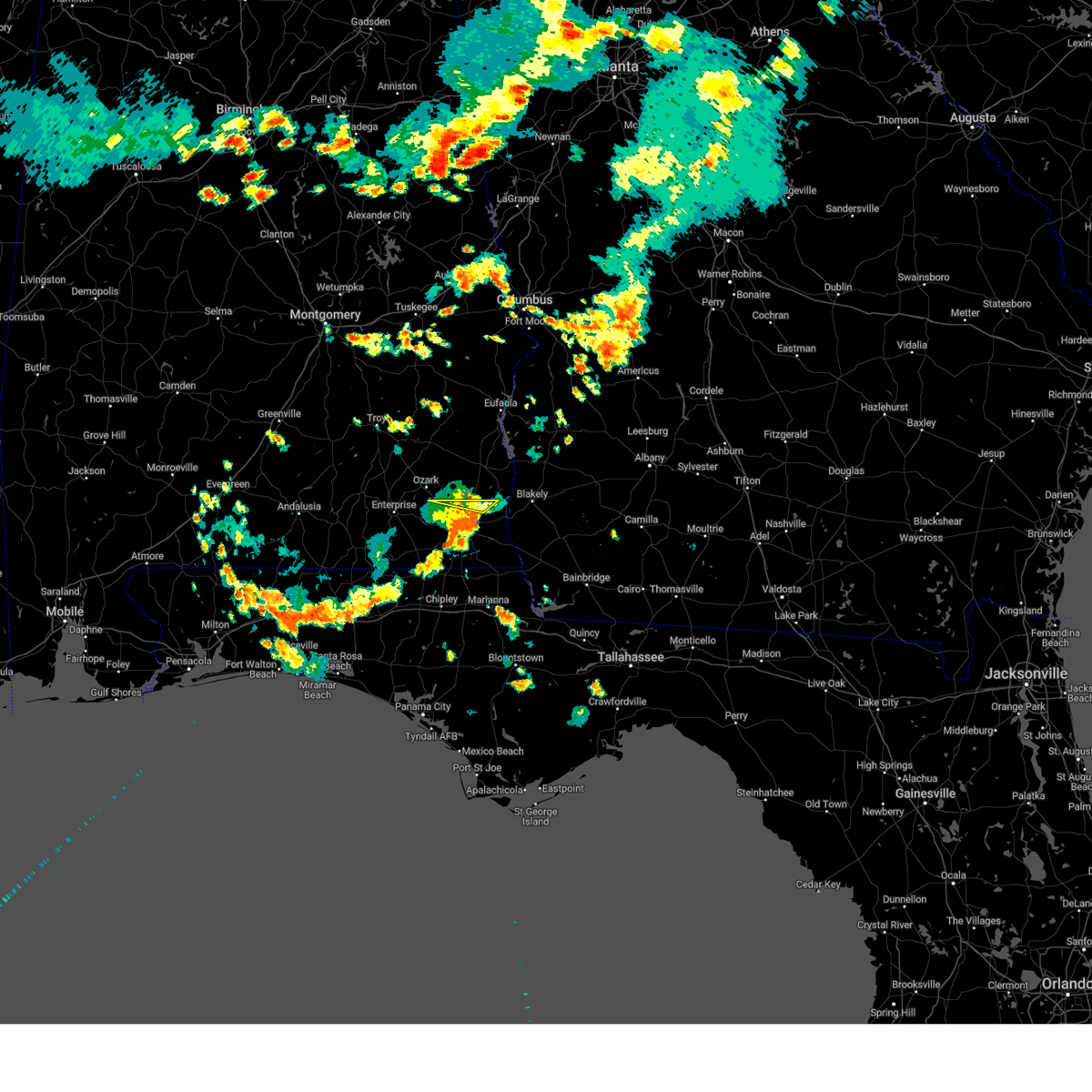
Hail Map for Newton, AL
The Newton, AL area has had 4 reports of on-the-ground hail by trained spotters, and has been under severe weather warnings 38 times during the past 12 months. Doppler radar has detected hail at or near Newton, AL on 67 occasions, including 6 occasions during the past year.
| Name: | Newton, AL |
| Where Located: | 81.8 miles NE of Miramar Beach, FL |
| Map: | Google Map for Newton, AL |
| Population: | 1511 |
| Housing Units: | 738 |
| More Info: | Search Google for Newton, AL |
2
The Top Recent Hail Date for Newton, AL is Tuesday, July 30, 2024 (5th out of 67)

Hail and Wind Damage Spotted near Newton, AL
| Date / Time | Report Details |
|---|---|
| 6/25/2025 9:07 PM CDT | the severe thunderstorm warning has been cancelled and is no longer in effect |
| 6/25/2025 8:42 PM CDT | Power lines down on dale county road #4 in dale county AL, 5.3 miles NNE of Newton, AL |
| 6/25/2025 8:33 PM CDT |
 Svrtae the national weather service in tallahassee has issued a * severe thunderstorm warning for, southern dale county in southeastern alabama, northwestern houston county in southeastern alabama, * until 930 pm cdt. * at 833 pm cdt, a severe thunderstorm was located over pinckard, or 9 miles northwest of dothan, moving west at 15 mph (radar indicated). Hazards include 60 mph wind gusts. expect damage to roofs, siding, and trees Svrtae the national weather service in tallahassee has issued a * severe thunderstorm warning for, southern dale county in southeastern alabama, northwestern houston county in southeastern alabama, * until 930 pm cdt. * at 833 pm cdt, a severe thunderstorm was located over pinckard, or 9 miles northwest of dothan, moving west at 15 mph (radar indicated). Hazards include 60 mph wind gusts. expect damage to roofs, siding, and trees
|
| 6/25/2025 6:45 PM CDT |
 Svrtae the national weather service in tallahassee has issued a * severe thunderstorm warning for, dale county in southeastern alabama, coffee county in southeastern alabama, northwestern houston county in southeastern alabama, * until 800 pm cdt. * at 645 pm cdt, severe thunderstorms were located along a line extending from 9 miles southwest of samson to near slocomb, moving northwest at 20 mph (radar indicated). Hazards include 60 mph wind gusts. expect damage to roofs, siding, and trees Svrtae the national weather service in tallahassee has issued a * severe thunderstorm warning for, dale county in southeastern alabama, coffee county in southeastern alabama, northwestern houston county in southeastern alabama, * until 800 pm cdt. * at 645 pm cdt, severe thunderstorms were located along a line extending from 9 miles southwest of samson to near slocomb, moving northwest at 20 mph (radar indicated). Hazards include 60 mph wind gusts. expect damage to roofs, siding, and trees
|
| 6/22/2025 4:07 PM CDT |
 The storm which prompted the warning has weakened below severe limits, and no longer poses an immediate threat to life or property. therefore, the warning will be allowed to expire. however, gusty winds and heavy rain are still possible with this thunderstorm. The storm which prompted the warning has weakened below severe limits, and no longer poses an immediate threat to life or property. therefore, the warning will be allowed to expire. however, gusty winds and heavy rain are still possible with this thunderstorm.
|
| 6/22/2025 3:33 PM CDT |
 Svrtae the national weather service in tallahassee has issued a * severe thunderstorm warning for, eastern dale county in southeastern alabama, southwestern henry county in southeastern alabama, * until 415 pm cdt. * at 333 pm cdt, a severe thunderstorm was located 7 miles northwest of headland, moving northwest at 10 mph (radar indicated). Hazards include 60 mph wind gusts and penny size hail. expect damage to roofs, siding, and trees Svrtae the national weather service in tallahassee has issued a * severe thunderstorm warning for, eastern dale county in southeastern alabama, southwestern henry county in southeastern alabama, * until 415 pm cdt. * at 333 pm cdt, a severe thunderstorm was located 7 miles northwest of headland, moving northwest at 10 mph (radar indicated). Hazards include 60 mph wind gusts and penny size hail. expect damage to roofs, siding, and trees
|
| 5/10/2025 11:57 AM CDT |
 At 1256 pm edt/1156 am cdt/, a severe thunderstorm was located over taylor, or near dothan, moving northeast at 30 mph (radar indicated). Hazards include 60 mph wind gusts and penny size hail. Expect damage to roofs, siding, and trees. Locations impacted include, shorterville, hayes, rock hill, merritts crossroads, cairns aaf, balkum, skipperville, rehobeth, bagwells crossroads, sealy springs, slocomb, abbeville, newton, browns crossroads, madrid, ardilla, cowarts, kinsey, hollis dairy road, and bells crossroads. At 1256 pm edt/1156 am cdt/, a severe thunderstorm was located over taylor, or near dothan, moving northeast at 30 mph (radar indicated). Hazards include 60 mph wind gusts and penny size hail. Expect damage to roofs, siding, and trees. Locations impacted include, shorterville, hayes, rock hill, merritts crossroads, cairns aaf, balkum, skipperville, rehobeth, bagwells crossroads, sealy springs, slocomb, abbeville, newton, browns crossroads, madrid, ardilla, cowarts, kinsey, hollis dairy road, and bells crossroads.
|
| 5/10/2025 11:56 AM CDT |
 Svrtae the national weather service in tallahassee has issued a * severe thunderstorm warning for, dale county in southeastern alabama, henry county in southeastern alabama, northeastern geneva county in southeastern alabama, houston county in southeastern alabama, south central clay county in southwestern georgia, northwestern early county in southwestern georgia, * until 200 pm edt/100 pm cdt/. * at 1256 pm edt/1156 am cdt/, a severe thunderstorm was located near taylor, or 7 miles southwest of dothan, moving northeast at 35 mph (radar indicated). Hazards include 60 mph wind gusts and penny size hail. expect damage to roofs, siding, and trees Svrtae the national weather service in tallahassee has issued a * severe thunderstorm warning for, dale county in southeastern alabama, henry county in southeastern alabama, northeastern geneva county in southeastern alabama, houston county in southeastern alabama, south central clay county in southwestern georgia, northwestern early county in southwestern georgia, * until 200 pm edt/100 pm cdt/. * at 1256 pm edt/1156 am cdt/, a severe thunderstorm was located near taylor, or 7 miles southwest of dothan, moving northeast at 35 mph (radar indicated). Hazards include 60 mph wind gusts and penny size hail. expect damage to roofs, siding, and trees
|
| 5/10/2025 11:01 AM CDT |
 Svrtae the national weather service in tallahassee has issued a * severe thunderstorm warning for, southern dale county in southeastern alabama, southeastern coffee county in southeastern alabama, geneva county in southeastern alabama, central houston county in southeastern alabama, northwestern jackson county in the panhandle of florida, holmes county in the panhandle of florida, * until noon cdt. * at 1101 am cdt, a severe thunderstorm was located 10 miles northwest of bonifay, moving northeast at 35 mph (radar indicated). Hazards include 60 mph wind gusts and penny size hail. expect damage to roofs, siding, and trees Svrtae the national weather service in tallahassee has issued a * severe thunderstorm warning for, southern dale county in southeastern alabama, southeastern coffee county in southeastern alabama, geneva county in southeastern alabama, central houston county in southeastern alabama, northwestern jackson county in the panhandle of florida, holmes county in the panhandle of florida, * until noon cdt. * at 1101 am cdt, a severe thunderstorm was located 10 miles northwest of bonifay, moving northeast at 35 mph (radar indicated). Hazards include 60 mph wind gusts and penny size hail. expect damage to roofs, siding, and trees
|
| 3/31/2025 12:23 PM CDT | Dale county 911 call center reports trees and power lines down at hwy 123 and cr 134. time estimated by rada in dale county AL, 1.5 miles ENE of Newton, AL |
| 3/31/2025 1:22 PM EDT |
 Svrtae the national weather service in tallahassee has issued a * severe thunderstorm warning for, eastern dale county in southeastern alabama, henry county in southeastern alabama, northeastern geneva county in southeastern alabama, houston county in southeastern alabama, northwestern miller county in southwestern georgia, clay county in southwestern georgia, randolph county in southwestern georgia, western calhoun county in southwestern georgia, early county in southwestern georgia, quitman county in southwestern georgia, western terrell county in southwestern georgia, * until 200 pm edt/100 pm cdt/. * at 121 pm edt/1221 pm cdt/, severe thunderstorms were located along a line extending from near clio to 6 miles southwest of new brockton to 10 miles northwest of de funiak springs, moving east at 45 mph (radar indicated). Hazards include 60 mph wind gusts. expect damage to roofs, siding, and trees Svrtae the national weather service in tallahassee has issued a * severe thunderstorm warning for, eastern dale county in southeastern alabama, henry county in southeastern alabama, northeastern geneva county in southeastern alabama, houston county in southeastern alabama, northwestern miller county in southwestern georgia, clay county in southwestern georgia, randolph county in southwestern georgia, western calhoun county in southwestern georgia, early county in southwestern georgia, quitman county in southwestern georgia, western terrell county in southwestern georgia, * until 200 pm edt/100 pm cdt/. * at 121 pm edt/1221 pm cdt/, severe thunderstorms were located along a line extending from near clio to 6 miles southwest of new brockton to 10 miles northwest of de funiak springs, moving east at 45 mph (radar indicated). Hazards include 60 mph wind gusts. expect damage to roofs, siding, and trees
|
| 3/31/2025 12:15 PM CDT | Trees and power lines down at highways 123 and 13 in dale county AL, 1.5 miles ENE of Newton, AL |
| 3/31/2025 12:15 PM CDT |
 Tortae the national weather service in tallahassee has issued a * tornado warning for, east central dale county in southeastern alabama, southwestern henry county in southeastern alabama, * until 1245 pm cdt. * at 1214 pm cdt, a severe thunderstorm capable of producing a tornado was located over newton, or near ozark, moving east at 35 mph (radar indicated rotation). Hazards include tornado. Flying debris will be dangerous to those caught without shelter. mobile homes will be damaged or destroyed. damage to roofs, windows, and vehicles will occur. tree damage is likely. this dangerous storm will be near, newton, midland city, pinckard, and ozark around 1220 pm cdt. headland around 1230 pm cdt. Other locations impacted by this tornadic thunderstorm include sylvan grove, newville, hunt field, waterford, kirkland crossroads, blackwood, bagwells crossroads, ewell, browns crossroads, and goldberg field. Tortae the national weather service in tallahassee has issued a * tornado warning for, east central dale county in southeastern alabama, southwestern henry county in southeastern alabama, * until 1245 pm cdt. * at 1214 pm cdt, a severe thunderstorm capable of producing a tornado was located over newton, or near ozark, moving east at 35 mph (radar indicated rotation). Hazards include tornado. Flying debris will be dangerous to those caught without shelter. mobile homes will be damaged or destroyed. damage to roofs, windows, and vehicles will occur. tree damage is likely. this dangerous storm will be near, newton, midland city, pinckard, and ozark around 1220 pm cdt. headland around 1230 pm cdt. Other locations impacted by this tornadic thunderstorm include sylvan grove, newville, hunt field, waterford, kirkland crossroads, blackwood, bagwells crossroads, ewell, browns crossroads, and goldberg field.
|
| 3/31/2025 12:13 PM CDT | A fallen tree resulted in a power outage via the alabama power outage ma in dale county AL, 3.4 miles NNE of Newton, AL |
| 3/31/2025 12:01 PM CDT |
 the tornado warning has been cancelled and is no longer in effect the tornado warning has been cancelled and is no longer in effect
|
| 3/31/2025 12:01 PM CDT |
 At 1200 pm cdt, a severe thunderstorm capable of producing a tornado was located over level plains, or near daleville, moving east at 40 mph (radar indicated rotation). Hazards include tornado. Flying debris will be dangerous to those caught without shelter. mobile homes will be damaged or destroyed. damage to roofs, windows, and vehicles will occur. tree damage is likely. this dangerous storm will be near, newton, daleville, ozark, and fort novosel around 1205 pm cdt. pinckard around 1210 pm cdt. Other locations impacted by this tornadic thunderstorm include ewell, hunt field, waterford, dean church road, knox field, hanchey field, bagwells crossroads, lowe army heliport, klondyke hill, and kelly. At 1200 pm cdt, a severe thunderstorm capable of producing a tornado was located over level plains, or near daleville, moving east at 40 mph (radar indicated rotation). Hazards include tornado. Flying debris will be dangerous to those caught without shelter. mobile homes will be damaged or destroyed. damage to roofs, windows, and vehicles will occur. tree damage is likely. this dangerous storm will be near, newton, daleville, ozark, and fort novosel around 1205 pm cdt. pinckard around 1210 pm cdt. Other locations impacted by this tornadic thunderstorm include ewell, hunt field, waterford, dean church road, knox field, hanchey field, bagwells crossroads, lowe army heliport, klondyke hill, and kelly.
|
| 3/31/2025 11:50 AM CDT |
 Tortae the national weather service in tallahassee has issued a * tornado warning for, western dale county in southeastern alabama, east central coffee county in southeastern alabama, * until 1215 pm cdt. * at 1150 am cdt, severe thunderstorms capable of producing a tornado were located along a line extending from near new brockton to near enterprise, moving east at 35 mph (radar indicated rotation). Hazards include tornado. Flying debris will be dangerous to those caught without shelter. mobile homes will be damaged or destroyed. damage to roofs, windows, and vehicles will occur. tree damage is likely. these dangerous storms will be near, level plains, daleville, fort novosel, and enterprise around 1155 am cdt. ozark around 1200 pm cdt. Other locations impacted by these tornadic storms include hunt field, waterford, dean church road, hooper stage field, knox field, gerald, bagwells crossroads, lowe army heliport, mabson, and kelly. Tortae the national weather service in tallahassee has issued a * tornado warning for, western dale county in southeastern alabama, east central coffee county in southeastern alabama, * until 1215 pm cdt. * at 1150 am cdt, severe thunderstorms capable of producing a tornado were located along a line extending from near new brockton to near enterprise, moving east at 35 mph (radar indicated rotation). Hazards include tornado. Flying debris will be dangerous to those caught without shelter. mobile homes will be damaged or destroyed. damage to roofs, windows, and vehicles will occur. tree damage is likely. these dangerous storms will be near, level plains, daleville, fort novosel, and enterprise around 1155 am cdt. ozark around 1200 pm cdt. Other locations impacted by these tornadic storms include hunt field, waterford, dean church road, hooper stage field, knox field, gerald, bagwells crossroads, lowe army heliport, mabson, and kelly.
|
| 3/16/2025 1:11 AM CDT |
 the severe thunderstorm warning has been cancelled and is no longer in effect the severe thunderstorm warning has been cancelled and is no longer in effect
|
| 3/16/2025 12:27 AM CDT |
 Svrtae the national weather service in tallahassee has issued a * severe thunderstorm warning for, dale county in southeastern alabama, coffee county in southeastern alabama, * until 200 am cdt. * at 1227 am cdt, severe thunderstorms were located along a line extending from 6 miles southeast of blue springs to elba, moving east at 55 mph (radar indicated). Hazards include 60 mph wind gusts. expect damage to roofs, siding, and trees Svrtae the national weather service in tallahassee has issued a * severe thunderstorm warning for, dale county in southeastern alabama, coffee county in southeastern alabama, * until 200 am cdt. * at 1227 am cdt, severe thunderstorms were located along a line extending from 6 miles southeast of blue springs to elba, moving east at 55 mph (radar indicated). Hazards include 60 mph wind gusts. expect damage to roofs, siding, and trees
|
| 3/13/2025 4:30 PM CDT |
 Svrtae the national weather service in tallahassee has issued a * severe thunderstorm warning for, southeastern dale county in southeastern alabama, northeastern geneva county in southeastern alabama, central houston county in southeastern alabama, * until 530 pm cdt. * at 429 pm cdt, a severe thunderstorm was located near pinckard, or 8 miles northwest of dothan, moving southeast at 15 mph (radar indicated). Hazards include 60 mph wind gusts and quarter size hail. Hail damage to vehicles is expected. Expect wind damage to roofs, siding, and trees. Svrtae the national weather service in tallahassee has issued a * severe thunderstorm warning for, southeastern dale county in southeastern alabama, northeastern geneva county in southeastern alabama, central houston county in southeastern alabama, * until 530 pm cdt. * at 429 pm cdt, a severe thunderstorm was located near pinckard, or 8 miles northwest of dothan, moving southeast at 15 mph (radar indicated). Hazards include 60 mph wind gusts and quarter size hail. Hail damage to vehicles is expected. Expect wind damage to roofs, siding, and trees.
|
| 3/5/2025 12:23 AM CST |
 At 1223 am cst, severe thunderstorms were located along a line extending from near blue springs state park to near geneva, moving east at 40 mph (radar indicated). Hazards include 60 mph wind gusts. Expect damage to roofs, siding, and trees. Locations impacted include, hunt field, waterford, hooper stage field, gerald, central city, ewell, cairns aaf, dale county lake, daleville, phillips crossroads, enterprise municipal a/p, skipperville, bagwells crossroads, lowe army heliport, battens crossroads, pinckard, beamon, newton, browns crossroads, and goldberg field. At 1223 am cst, severe thunderstorms were located along a line extending from near blue springs state park to near geneva, moving east at 40 mph (radar indicated). Hazards include 60 mph wind gusts. Expect damage to roofs, siding, and trees. Locations impacted include, hunt field, waterford, hooper stage field, gerald, central city, ewell, cairns aaf, dale county lake, daleville, phillips crossroads, enterprise municipal a/p, skipperville, bagwells crossroads, lowe army heliport, battens crossroads, pinckard, beamon, newton, browns crossroads, and goldberg field.
|
| 3/5/2025 12:05 AM CST |
 At 1204 am cst, severe thunderstorms were located along a line extending from near clio to near samson, moving east at 45 mph (radar indicated). Hazards include 60 mph wind gusts. Expect damage to roofs, siding, and trees. Locations impacted include, mixons crossroads, hunt field, waterford, hooper stage field, gerald, central city, camp humming hills, clintonville, ewell, roeton, cairns aaf, dale county lake, camp alaflo bsa, daleville, phillips crossroads, enterprise municipal a/p, hwy 231 pea river bridge, alberton, richburg, and skipperville. At 1204 am cst, severe thunderstorms were located along a line extending from near clio to near samson, moving east at 45 mph (radar indicated). Hazards include 60 mph wind gusts. Expect damage to roofs, siding, and trees. Locations impacted include, mixons crossroads, hunt field, waterford, hooper stage field, gerald, central city, camp humming hills, clintonville, ewell, roeton, cairns aaf, dale county lake, camp alaflo bsa, daleville, phillips crossroads, enterprise municipal a/p, hwy 231 pea river bridge, alberton, richburg, and skipperville.
|
| 3/4/2025 11:20 PM CST |
 Svrtae the national weather service in tallahassee has issued a * severe thunderstorm warning for, dale county in southeastern alabama, coffee county in southeastern alabama, * until 1245 am cst. * at 1119 pm cst, severe thunderstorms were located along a line extending from near glenwood to 7 miles northwest of laurel hill, moving east at 50 mph (radar indicated). Hazards include 60 mph wind gusts. expect damage to roofs, siding, and trees Svrtae the national weather service in tallahassee has issued a * severe thunderstorm warning for, dale county in southeastern alabama, coffee county in southeastern alabama, * until 1245 am cst. * at 1119 pm cst, severe thunderstorms were located along a line extending from near glenwood to 7 miles northwest of laurel hill, moving east at 50 mph (radar indicated). Hazards include 60 mph wind gusts. expect damage to roofs, siding, and trees
|
| 2/16/2025 4:06 AM CST |
 At 405 am cst, severe thunderstorms were located along a line extending from texasville to near samson, moving east at 50 mph (radar indicated). Hazards include 60 mph wind gusts. Expect damage to roofs, siding, and trees. Locations impacted include, daleville, fort novosel, enterprise, ozark, level plains, newton, new brockton, ariton, clayhatchee, kinston, hunt field, waterford, hooper stage field, gerald, central city, clintonville, ewell, cairns aaf, dale county lake, and camp alaflo bsa. At 405 am cst, severe thunderstorms were located along a line extending from texasville to near samson, moving east at 50 mph (radar indicated). Hazards include 60 mph wind gusts. Expect damage to roofs, siding, and trees. Locations impacted include, daleville, fort novosel, enterprise, ozark, level plains, newton, new brockton, ariton, clayhatchee, kinston, hunt field, waterford, hooper stage field, gerald, central city, clintonville, ewell, cairns aaf, dale county lake, and camp alaflo bsa.
|
| 2/16/2025 4:47 AM EST |
 Svrtae the national weather service in tallahassee has issued a * severe thunderstorm warning for, eastern dale county in southeastern alabama, henry county in southeastern alabama, clay county in southwestern georgia, randolph county in southwestern georgia, quitman county in southwestern georgia, * until 615 am est/515 am cst/. * at 447 am est/347 am cst/, severe thunderstorms were located along a line extending from spring hill to near elba, moving east at 50 mph (radar indicated). Hazards include 60 mph wind gusts. expect damage to roofs, siding, and trees Svrtae the national weather service in tallahassee has issued a * severe thunderstorm warning for, eastern dale county in southeastern alabama, henry county in southeastern alabama, clay county in southwestern georgia, randolph county in southwestern georgia, quitman county in southwestern georgia, * until 615 am est/515 am cst/. * at 447 am est/347 am cst/, severe thunderstorms were located along a line extending from spring hill to near elba, moving east at 50 mph (radar indicated). Hazards include 60 mph wind gusts. expect damage to roofs, siding, and trees
|
| 2/16/2025 3:39 AM CST |
 At 339 am cst, severe thunderstorms were located along a line extending from near brundidge to 8 miles south of andalusia, moving east at 50 mph. a wind gust of 58 mph was measured at the k79j airport in covington county (radar indicated). Hazards include 60 mph wind gusts. Expect damage to roofs, siding, and trees. Locations impacted include, daleville, elba, fort novosel, enterprise, ozark, level plains, newton, new brockton, ariton, lee, clayhatchee, kinston, mixons crossroads, hunt field, waterford, curtis, carl folsom a/p, hooper stage field, gerald, and central city. At 339 am cst, severe thunderstorms were located along a line extending from near brundidge to 8 miles south of andalusia, moving east at 50 mph. a wind gust of 58 mph was measured at the k79j airport in covington county (radar indicated). Hazards include 60 mph wind gusts. Expect damage to roofs, siding, and trees. Locations impacted include, daleville, elba, fort novosel, enterprise, ozark, level plains, newton, new brockton, ariton, lee, clayhatchee, kinston, mixons crossroads, hunt field, waterford, curtis, carl folsom a/p, hooper stage field, gerald, and central city.
|
| 2/16/2025 3:03 AM CST |
 Svrtae the national weather service in tallahassee has issued a * severe thunderstorm warning for, dale county in southeastern alabama, coffee county in southeastern alabama, * until 430 am cst. * at 303 am cst, severe thunderstorms were located along a line extending from near lapine to near east brewton, moving east at 55 mph (radar indicated). Hazards include 60 mph wind gusts. expect damage to roofs, siding, and trees Svrtae the national weather service in tallahassee has issued a * severe thunderstorm warning for, dale county in southeastern alabama, coffee county in southeastern alabama, * until 430 am cst. * at 303 am cst, severe thunderstorms were located along a line extending from near lapine to near east brewton, moving east at 55 mph (radar indicated). Hazards include 60 mph wind gusts. expect damage to roofs, siding, and trees
|
| 2/13/2025 3:10 AM CST |
 the severe thunderstorm warning has been cancelled and is no longer in effect the severe thunderstorm warning has been cancelled and is no longer in effect
|
| 2/13/2025 2:47 AM CST |
 Svrtae the national weather service in tallahassee has issued a * severe thunderstorm warning for, dale county in southeastern alabama, southern coffee county in southeastern alabama, * until 330 am cst. * at 246 am cst, a severe thunderstorm was located near new brockton, or 7 miles southeast of elba, moving northeast at 50 mph (radar indicated). Hazards include 60 mph wind gusts and nickel size hail. expect damage to roofs, siding, and trees Svrtae the national weather service in tallahassee has issued a * severe thunderstorm warning for, dale county in southeastern alabama, southern coffee county in southeastern alabama, * until 330 am cst. * at 246 am cst, a severe thunderstorm was located near new brockton, or 7 miles southeast of elba, moving northeast at 50 mph (radar indicated). Hazards include 60 mph wind gusts and nickel size hail. expect damage to roofs, siding, and trees
|
| 12/29/2024 3:09 AM CST |
 The storms which prompted the warning have moved out of the area. therefore, the warning will be allowed to expire. a tornado watch remains in effect until 800 am cst for southeastern alabama. The storms which prompted the warning have moved out of the area. therefore, the warning will be allowed to expire. a tornado watch remains in effect until 800 am cst for southeastern alabama.
|
| 12/29/2024 2:33 AM CST |
 At 233 am cst, severe thunderstorms were located along a line extending from near blue springs state park to near level plains, moving east at 40 mph (radar indicated). Hazards include 60 mph wind gusts. Expect damage to roofs, siding, and trees. Locations impacted include, daleville, ozark, fort novosel, enterprise, midland city, level plains, newton, ariton, pinckard, clayhatchee, grimes, napier field, bells crossroads, hunt field, waterford, dill, hooper stage field, knox field, gerald, and mabson. At 233 am cst, severe thunderstorms were located along a line extending from near blue springs state park to near level plains, moving east at 40 mph (radar indicated). Hazards include 60 mph wind gusts. Expect damage to roofs, siding, and trees. Locations impacted include, daleville, ozark, fort novosel, enterprise, midland city, level plains, newton, ariton, pinckard, clayhatchee, grimes, napier field, bells crossroads, hunt field, waterford, dill, hooper stage field, knox field, gerald, and mabson.
|
| 12/29/2024 1:46 AM CST |
 Svrtae the national weather service in tallahassee has issued a * severe thunderstorm warning for, dale county in southeastern alabama, * until 315 am cst. * at 146 am cst, severe thunderstorms were located along a line extending from 8 miles southeast of glenwood to near opp, moving east at 40 mph (radar indicated). Hazards include 60 mph wind gusts. expect damage to roofs, siding, and trees Svrtae the national weather service in tallahassee has issued a * severe thunderstorm warning for, dale county in southeastern alabama, * until 315 am cst. * at 146 am cst, severe thunderstorms were located along a line extending from 8 miles southeast of glenwood to near opp, moving east at 40 mph (radar indicated). Hazards include 60 mph wind gusts. expect damage to roofs, siding, and trees
|
| 8/18/2024 9:06 PM CDT | Svrtae the national weather service in tallahassee has issued a * severe thunderstorm warning for, southern dale county in southeastern alabama, eastern geneva county in southeastern alabama, central houston county in southeastern alabama, northwestern jackson county in the panhandle of florida, northeastern holmes county in the panhandle of florida, northeastern washington county in the panhandle of florida, * until 1030 pm cdt. * at 906 pm cdt, a severe thunderstorm was located over pinckard, or 8 miles east of daleville, moving southeast at 35 mph (radar indicated). Hazards include 60 mph wind gusts. expect damage to roofs, siding, and trees |
| 8/18/2024 8:52 PM CDT |
 The storm which prompted the warning has weakened below severe limits, and no longer poses an immediate threat to life or property. therefore, the warning will be allowed to expire. however, gusty winds are still possible with this thunderstorm. a severe thunderstorm watch remains in effect until 100 am cdt for southeastern alabama. The storm which prompted the warning has weakened below severe limits, and no longer poses an immediate threat to life or property. therefore, the warning will be allowed to expire. however, gusty winds are still possible with this thunderstorm. a severe thunderstorm watch remains in effect until 100 am cdt for southeastern alabama.
|
| 8/18/2024 8:21 PM CDT |
 At 820 pm cdt, a severe thunderstorm was located near ariton, or 9 miles south of brundidge, moving east at 40 mph (radar indicated). Hazards include 60 mph wind gusts and quarter size hail. Hail damage to vehicles is expected. expect wind damage to roofs, siding, and trees. Locations impacted include, daleville, fort novosel, enterprise, ozark, midland city, level plains, newton, new brockton, ariton, pinckard, mixons crossroads, hunt field, waterford, hooper stage field, gerald, central city, clintonville, ewell, roeton, and cairns aaf. At 820 pm cdt, a severe thunderstorm was located near ariton, or 9 miles south of brundidge, moving east at 40 mph (radar indicated). Hazards include 60 mph wind gusts and quarter size hail. Hail damage to vehicles is expected. expect wind damage to roofs, siding, and trees. Locations impacted include, daleville, fort novosel, enterprise, ozark, midland city, level plains, newton, new brockton, ariton, pinckard, mixons crossroads, hunt field, waterford, hooper stage field, gerald, central city, clintonville, ewell, roeton, and cairns aaf.
|
| 8/18/2024 7:52 PM CDT |
 Svrtae the national weather service in tallahassee has issued a * severe thunderstorm warning for, dale county in southeastern alabama, eastern coffee county in southeastern alabama, * until 900 pm cdt. * at 752 pm cdt, a severe thunderstorm was located over troy university, or near troy, moving south at 40 mph (radar indicated). Hazards include golf ball size hail and 60 mph wind gusts. People and animals outdoors will be injured. expect hail damage to roofs, siding, windows, and vehicles. Expect wind damage to roofs, siding, and trees. Svrtae the national weather service in tallahassee has issued a * severe thunderstorm warning for, dale county in southeastern alabama, eastern coffee county in southeastern alabama, * until 900 pm cdt. * at 752 pm cdt, a severe thunderstorm was located over troy university, or near troy, moving south at 40 mph (radar indicated). Hazards include golf ball size hail and 60 mph wind gusts. People and animals outdoors will be injured. expect hail damage to roofs, siding, windows, and vehicles. Expect wind damage to roofs, siding, and trees.
|
| 7/31/2024 7:11 PM CDT | At 811 pm edt/711 pm cdt/, severe thunderstorms were located along a line extending from near newton to 9 miles northwest of donalsonville to 7 miles northwest of arlington, moving southeast at 15 mph (radar indicated). Hazards include 60 mph wind gusts. Expect damage to roofs, siding, and trees. Locations impacted include, daleville, dothan, fort novosel, ozark, enterprise, taylor, midland city, kinsey, ashford, level plains, cowarts, edison, newton, arlington, webb, columbia, pinckard, centerville, clayhatchee, and grimes. |
| 7/31/2024 7:11 PM CDT | the severe thunderstorm warning has been cancelled and is no longer in effect |
| 7/31/2024 6:48 PM CDT |
 At 748 pm edt/648 pm cdt/, severe thunderstorms were located along a line extending from near fort novosel to 7 miles southeast of columbia to 9 miles west of edison, moving southeast at 15 mph (radar indicated). Hazards include 60 mph wind gusts and quarter size hail. Hail damage to vehicles is expected. expect wind damage to roofs, siding, and trees. Locations impacted include, daleville, dothan, blakely, fort novosel, ozark, enterprise, taylor, midland city, kinsey, ashford, level plains, cowarts, edison, newton, arlington, webb, columbia, pinckard, centerville, and clayhatchee. At 748 pm edt/648 pm cdt/, severe thunderstorms were located along a line extending from near fort novosel to 7 miles southeast of columbia to 9 miles west of edison, moving southeast at 15 mph (radar indicated). Hazards include 60 mph wind gusts and quarter size hail. Hail damage to vehicles is expected. expect wind damage to roofs, siding, and trees. Locations impacted include, daleville, dothan, blakely, fort novosel, ozark, enterprise, taylor, midland city, kinsey, ashford, level plains, cowarts, edison, newton, arlington, webb, columbia, pinckard, centerville, and clayhatchee.
|
| 7/31/2024 6:48 PM CDT |
 the severe thunderstorm warning has been cancelled and is no longer in effect the severe thunderstorm warning has been cancelled and is no longer in effect
|
| 7/31/2024 6:25 PM CDT | Svrtae the national weather service in tallahassee has issued a * severe thunderstorm warning for, dale county in southeastern alabama, southern henry county in southeastern alabama, northern houston county in southeastern alabama, northwestern miller county in southwestern georgia, clay county in southwestern georgia, southwestern randolph county in southwestern georgia, western calhoun county in southwestern georgia, early county in southwestern georgia, * until 830 pm edt/730 pm cdt/. * at 725 pm edt/625 pm cdt/, severe thunderstorms were located along a line extending from near fort novosel to columbia to 6 miles east of fort gaines, moving southeast at 15 mph (radar indicated). Hazards include 60 mph wind gusts and quarter size hail. Hail damage to vehicles is expected. Expect wind damage to roofs, siding, and trees. |
| 7/30/2024 5:38 PM CDT |
 Svrtae the national weather service in tallahassee has issued a * severe thunderstorm warning for, southeastern dale county in southeastern alabama, northwestern houston county in southeastern alabama, * until 615 pm cdt. * at 538 pm cdt, a severe thunderstorm was located over pinckard, or 9 miles northwest of dothan, and is nearly stationary (radar indicated). Hazards include 60 mph wind gusts and penny size hail. expect damage to roofs, siding, and trees Svrtae the national weather service in tallahassee has issued a * severe thunderstorm warning for, southeastern dale county in southeastern alabama, northwestern houston county in southeastern alabama, * until 615 pm cdt. * at 538 pm cdt, a severe thunderstorm was located over pinckard, or 9 miles northwest of dothan, and is nearly stationary (radar indicated). Hazards include 60 mph wind gusts and penny size hail. expect damage to roofs, siding, and trees
|
| 5/27/2024 8:00 PM CDT |
 At 800 pm cdt, severe thunderstorms were located along a line extending from fort novosel to 9 miles south of new brockton, moving east at 25 mph (radar indicated). Hazards include 60 mph wind gusts and quarter size hail. Hail damage to vehicles is expected. expect wind damage to roofs, siding, and trees. Locations impacted include, daleville, fort novosel, enterprise, ozark, level plains, newton, new brockton, pinckard, clayhatchee, hunt field, waterford, hooper stage field, knox field, lucile, gerald, central city, goodman, cairns aaf, enterprise municipal a/p, and dean church road. At 800 pm cdt, severe thunderstorms were located along a line extending from fort novosel to 9 miles south of new brockton, moving east at 25 mph (radar indicated). Hazards include 60 mph wind gusts and quarter size hail. Hail damage to vehicles is expected. expect wind damage to roofs, siding, and trees. Locations impacted include, daleville, fort novosel, enterprise, ozark, level plains, newton, new brockton, pinckard, clayhatchee, hunt field, waterford, hooper stage field, knox field, lucile, gerald, central city, goodman, cairns aaf, enterprise municipal a/p, and dean church road.
|
| 5/27/2024 7:36 PM CDT |
 At 736 pm cdt, severe thunderstorms were located along a line extending from 10 miles northwest of fort novosel to 6 miles south of elba, moving east at 25 mph (radar indicated). Hazards include 60 mph wind gusts and quarter size hail. Hail damage to vehicles is expected. expect wind damage to roofs, siding, and trees. Locations impacted include, daleville, elba, fort novosel, enterprise, ozark, level plains, newton, new brockton, pinckard, clayhatchee, mixons crossroads, hunt field, waterford, curtis, carl folsom a/p, hooper stage field, gerald, central city, camp humming hills, and clintonville. At 736 pm cdt, severe thunderstorms were located along a line extending from 10 miles northwest of fort novosel to 6 miles south of elba, moving east at 25 mph (radar indicated). Hazards include 60 mph wind gusts and quarter size hail. Hail damage to vehicles is expected. expect wind damage to roofs, siding, and trees. Locations impacted include, daleville, elba, fort novosel, enterprise, ozark, level plains, newton, new brockton, pinckard, clayhatchee, mixons crossroads, hunt field, waterford, curtis, carl folsom a/p, hooper stage field, gerald, central city, camp humming hills, and clintonville.
|
| 5/27/2024 7:34 PM CDT |
 Svrtae the national weather service in tallahassee has issued a * severe thunderstorm warning for, northern dale county in southeastern alabama, southern henry county in southeastern alabama, * until 830 pm cdt. * at 734 pm cdt, severe thunderstorms were located along a line extending from near blue springs to near fort novosel, moving east at 20 mph (radar indicated). Hazards include 60 mph wind gusts and quarter size hail. Hail damage to vehicles is expected. Expect wind damage to roofs, siding, and trees. Svrtae the national weather service in tallahassee has issued a * severe thunderstorm warning for, northern dale county in southeastern alabama, southern henry county in southeastern alabama, * until 830 pm cdt. * at 734 pm cdt, severe thunderstorms were located along a line extending from near blue springs to near fort novosel, moving east at 20 mph (radar indicated). Hazards include 60 mph wind gusts and quarter size hail. Hail damage to vehicles is expected. Expect wind damage to roofs, siding, and trees.
|
| 5/27/2024 7:11 PM CDT |
 Svrtae the national weather service in tallahassee has issued a * severe thunderstorm warning for, southwestern dale county in southeastern alabama, coffee county in southeastern alabama, * until 815 pm cdt. * at 711 pm cdt, severe thunderstorms were located along a line extending from 11 miles southwest of brundidge to near elba, moving southeast at 25 mph (radar indicated). Hazards include 60 mph wind gusts and quarter size hail. Hail damage to vehicles is expected. Expect wind damage to roofs, siding, and trees. Svrtae the national weather service in tallahassee has issued a * severe thunderstorm warning for, southwestern dale county in southeastern alabama, coffee county in southeastern alabama, * until 815 pm cdt. * at 711 pm cdt, severe thunderstorms were located along a line extending from 11 miles southwest of brundidge to near elba, moving southeast at 25 mph (radar indicated). Hazards include 60 mph wind gusts and quarter size hail. Hail damage to vehicles is expected. Expect wind damage to roofs, siding, and trees.
|
| 5/25/2024 2:51 PM CDT |
 The storm which prompted the warning has weakened below severe limits, and no longer poses an immediate threat to life or property. therefore, the warning will be allowed to expire. however, gusty winds are still possible with this thunderstorm. a severe thunderstorm watch remains in effect until 700 pm cdt for southeastern alabama. to report severe weather, contact your nearest law enforcement agency. they will relay your report to the national weather service tallahassee. The storm which prompted the warning has weakened below severe limits, and no longer poses an immediate threat to life or property. therefore, the warning will be allowed to expire. however, gusty winds are still possible with this thunderstorm. a severe thunderstorm watch remains in effect until 700 pm cdt for southeastern alabama. to report severe weather, contact your nearest law enforcement agency. they will relay your report to the national weather service tallahassee.
|
| 5/25/2024 2:36 PM CDT |
 the severe thunderstorm warning has been cancelled and is no longer in effect the severe thunderstorm warning has been cancelled and is no longer in effect
|
| 5/25/2024 2:36 PM CDT |
 At 236 pm cdt, a severe thunderstorm was located over newton, or near ozark, moving southeast at 30 mph (radar indicated). Hazards include 60 mph wind gusts and penny size hail. Expect damage to roofs, siding, and trees. Locations impacted include, daleville, fort novosel, ozark, enterprise, midland city, level plains, newton, pinckard, clayhatchee, grimes, napier field, hunt field, waterford, hooper stage field, knox field, gerald, mabson, ewell, cairns aaf, and dale county lake. At 236 pm cdt, a severe thunderstorm was located over newton, or near ozark, moving southeast at 30 mph (radar indicated). Hazards include 60 mph wind gusts and penny size hail. Expect damage to roofs, siding, and trees. Locations impacted include, daleville, fort novosel, ozark, enterprise, midland city, level plains, newton, pinckard, clayhatchee, grimes, napier field, hunt field, waterford, hooper stage field, knox field, gerald, mabson, ewell, cairns aaf, and dale county lake.
|
| 5/25/2024 2:18 PM CDT |
 At 218 pm cdt, a severe thunderstorm was located near fort novosel, moving southeast at 25 mph (radar indicated). Hazards include 60 mph wind gusts and quarter size hail. Hail damage to vehicles is expected. expect wind damage to roofs, siding, and trees. Locations impacted include, daleville, fort novosel, enterprise, ozark, midland city, level plains, newton, new brockton, pinckard, clayhatchee, grimes, napier field, mixons crossroads, hunt field, waterford, dill, hooper stage field, knox field, gerald, and mabson. At 218 pm cdt, a severe thunderstorm was located near fort novosel, moving southeast at 25 mph (radar indicated). Hazards include 60 mph wind gusts and quarter size hail. Hail damage to vehicles is expected. expect wind damage to roofs, siding, and trees. Locations impacted include, daleville, fort novosel, enterprise, ozark, midland city, level plains, newton, new brockton, pinckard, clayhatchee, grimes, napier field, mixons crossroads, hunt field, waterford, dill, hooper stage field, knox field, gerald, and mabson.
|
| 5/25/2024 1:56 PM CDT |
 Svrtae the national weather service in tallahassee has issued a * severe thunderstorm warning for, dale county in southeastern alabama, eastern coffee county in southeastern alabama, * until 300 pm cdt. * at 156 pm cdt, a severe thunderstorm was located near ariton, or 11 miles north of fort novosel, moving southeast at 30 mph (radar indicated). Hazards include 60 mph wind gusts and quarter size hail. Hail damage to vehicles is expected. Expect wind damage to roofs, siding, and trees. Svrtae the national weather service in tallahassee has issued a * severe thunderstorm warning for, dale county in southeastern alabama, eastern coffee county in southeastern alabama, * until 300 pm cdt. * at 156 pm cdt, a severe thunderstorm was located near ariton, or 11 miles north of fort novosel, moving southeast at 30 mph (radar indicated). Hazards include 60 mph wind gusts and quarter size hail. Hail damage to vehicles is expected. Expect wind damage to roofs, siding, and trees.
|
| 5/18/2024 8:31 AM CDT |
 the severe thunderstorm warning has been cancelled and is no longer in effect the severe thunderstorm warning has been cancelled and is no longer in effect
|
| 5/18/2024 8:09 AM CDT |
 Svrtae the national weather service in tallahassee has issued a * severe thunderstorm warning for, northeastern dale county in southeastern alabama, southwestern henry county in southeastern alabama, * until 845 am cdt. * at 809 am cdt, a severe thunderstorm was located near newton, or near ozark, moving northeast at 25 mph (radar indicated). Hazards include 60 mph wind gusts. expect damage to roofs, siding, and trees Svrtae the national weather service in tallahassee has issued a * severe thunderstorm warning for, northeastern dale county in southeastern alabama, southwestern henry county in southeastern alabama, * until 845 am cdt. * at 809 am cdt, a severe thunderstorm was located near newton, or near ozark, moving northeast at 25 mph (radar indicated). Hazards include 60 mph wind gusts. expect damage to roofs, siding, and trees
|
| 5/13/2024 8:32 AM CDT |
 the severe thunderstorm warning has been cancelled and is no longer in effect the severe thunderstorm warning has been cancelled and is no longer in effect
|
| 5/13/2024 8:08 AM CDT |
 Svrtae the national weather service in tallahassee has issued a * severe thunderstorm warning for, southern dale county in southeastern alabama, southern coffee county in southeastern alabama, geneva county in southeastern alabama, western houston county in southeastern alabama, * until 915 am cdt. * at 808 am cdt, a severe thunderstorm was located near opp, moving east at 50 mph (radar indicated). Hazards include 60 mph wind gusts and penny size hail. expect damage to roofs, siding, and trees Svrtae the national weather service in tallahassee has issued a * severe thunderstorm warning for, southern dale county in southeastern alabama, southern coffee county in southeastern alabama, geneva county in southeastern alabama, western houston county in southeastern alabama, * until 915 am cdt. * at 808 am cdt, a severe thunderstorm was located near opp, moving east at 50 mph (radar indicated). Hazards include 60 mph wind gusts and penny size hail. expect damage to roofs, siding, and trees
|
| 5/10/2024 3:46 AM CDT |
 Svrtae the national weather service in tallahassee has issued a * severe thunderstorm warning for, dale county in southeastern alabama, henry county in southeastern alabama, geneva county in southeastern alabama, houston county in southeastern alabama, miller county in southwestern georgia, clay county in southwestern georgia, randolph county in southwestern georgia, calhoun county in southwestern georgia, northern seminole county in southwestern georgia, early county in southwestern georgia, quitman county in southwestern georgia, * until 545 am edt/445 am cdt/. * at 446 am edt/346 am cdt/, severe thunderstorms were located along a line extending from 6 miles south of georgetown to 7 miles west of blakely to 10 miles southeast of ashford, moving northeast at 50 mph (radar indicated). Hazards include 60 mph wind gusts and quarter size hail. Hail damage to vehicles is expected. Expect wind damage to roofs, siding, and trees. Svrtae the national weather service in tallahassee has issued a * severe thunderstorm warning for, dale county in southeastern alabama, henry county in southeastern alabama, geneva county in southeastern alabama, houston county in southeastern alabama, miller county in southwestern georgia, clay county in southwestern georgia, randolph county in southwestern georgia, calhoun county in southwestern georgia, northern seminole county in southwestern georgia, early county in southwestern georgia, quitman county in southwestern georgia, * until 545 am edt/445 am cdt/. * at 446 am edt/346 am cdt/, severe thunderstorms were located along a line extending from 6 miles south of georgetown to 7 miles west of blakely to 10 miles southeast of ashford, moving northeast at 50 mph (radar indicated). Hazards include 60 mph wind gusts and quarter size hail. Hail damage to vehicles is expected. Expect wind damage to roofs, siding, and trees.
|
| 5/10/2024 3:18 AM CDT |
 At 318 am cdt, severe thunderstorms were located along a line extending from near brundidge to near fort novosel to 9 miles west of samson, moving east at 65 mph (radar indicated). Hazards include 70 mph wind gusts and quarter size hail. Hail damage to vehicles is expected. expect considerable tree damage. wind damage is also likely to mobile homes, roofs, and outbuildings. Locations impacted include, daleville, elba, abbeville, cottonwood, fort gaines, geneva, fort novosel, headland, dothan, ozark, enterprise, hartford, taylor, midland city, kinsey, ashford, level plains, slocomb, samson, and cowarts. At 318 am cdt, severe thunderstorms were located along a line extending from near brundidge to near fort novosel to 9 miles west of samson, moving east at 65 mph (radar indicated). Hazards include 70 mph wind gusts and quarter size hail. Hail damage to vehicles is expected. expect considerable tree damage. wind damage is also likely to mobile homes, roofs, and outbuildings. Locations impacted include, daleville, elba, abbeville, cottonwood, fort gaines, geneva, fort novosel, headland, dothan, ozark, enterprise, hartford, taylor, midland city, kinsey, ashford, level plains, slocomb, samson, and cowarts.
|
| 5/10/2024 2:42 AM CDT |
 Svrtae the national weather service in tallahassee has issued a * severe thunderstorm warning for, dale county in southeastern alabama, henry county in southeastern alabama, coffee county in southeastern alabama, geneva county in southeastern alabama, houston county in southeastern alabama, * until 345 am cdt. * at 242 am cdt, severe thunderstorms were located along a line extending from 6 miles southeast of logan to near dozier to 12 miles east of castleberry, moving east at 65 mph (radar indicated). Hazards include 60 mph wind gusts and quarter size hail. Hail damage to vehicles is expected. Expect wind damage to roofs, siding, and trees. Svrtae the national weather service in tallahassee has issued a * severe thunderstorm warning for, dale county in southeastern alabama, henry county in southeastern alabama, coffee county in southeastern alabama, geneva county in southeastern alabama, houston county in southeastern alabama, * until 345 am cdt. * at 242 am cdt, severe thunderstorms were located along a line extending from 6 miles southeast of logan to near dozier to 12 miles east of castleberry, moving east at 65 mph (radar indicated). Hazards include 60 mph wind gusts and quarter size hail. Hail damage to vehicles is expected. Expect wind damage to roofs, siding, and trees.
|
| 4/10/2024 4:28 PM CDT |
 the severe thunderstorm warning has been cancelled and is no longer in effect the severe thunderstorm warning has been cancelled and is no longer in effect
|
| 4/10/2024 4:28 PM CDT |
 At 527 pm edt/427 pm cdt/, severe thunderstorms were located along a line extending from near pinckard to 10 miles south of santa rosa beach, moving east at 20 mph (radar indicated). Hazards include 60 mph wind gusts. Expect damage to roofs, siding, and trees. Locations impacted include, panama city, lynn haven, panama city beach, callaway, daleville, cottonwood, vernon, bonifay, geneva, marianna, headland, dothan, santa rosa beach, chipley, graceville, de funiak springs, springfield, hartford, taylor, and midland city. At 527 pm edt/427 pm cdt/, severe thunderstorms were located along a line extending from near pinckard to 10 miles south of santa rosa beach, moving east at 20 mph (radar indicated). Hazards include 60 mph wind gusts. Expect damage to roofs, siding, and trees. Locations impacted include, panama city, lynn haven, panama city beach, callaway, daleville, cottonwood, vernon, bonifay, geneva, marianna, headland, dothan, santa rosa beach, chipley, graceville, de funiak springs, springfield, hartford, taylor, and midland city.
|
| 4/10/2024 3:40 PM CDT |
 Svrtae the national weather service in tallahassee has issued a * severe thunderstorm warning for, dale county in southeastern alabama, southern henry county in southeastern alabama, coffee county in southeastern alabama, geneva county in southeastern alabama, houston county in southeastern alabama, jackson county in the panhandle of florida, northwestern gulf county in the panhandle of florida, bay county in the panhandle of florida, western calhoun county in the panhandle of florida, walton county in the panhandle of florida, holmes county in the panhandle of florida, washington county in the panhandle of florida, * until 615 pm edt/515 pm cdt/. * at 440 pm edt/340 pm cdt/, severe thunderstorms were located along a line extending from 9 miles northeast of samson to 10 miles southwest of geneva to 7 miles southeast of de funiak springs to near santa rosa beach, moving northeast at 35 mph (radar indicated). Hazards include 60 mph wind gusts. expect damage to roofs, siding, and trees Svrtae the national weather service in tallahassee has issued a * severe thunderstorm warning for, dale county in southeastern alabama, southern henry county in southeastern alabama, coffee county in southeastern alabama, geneva county in southeastern alabama, houston county in southeastern alabama, jackson county in the panhandle of florida, northwestern gulf county in the panhandle of florida, bay county in the panhandle of florida, western calhoun county in the panhandle of florida, walton county in the panhandle of florida, holmes county in the panhandle of florida, washington county in the panhandle of florida, * until 615 pm edt/515 pm cdt/. * at 440 pm edt/340 pm cdt/, severe thunderstorms were located along a line extending from 9 miles northeast of samson to 10 miles southwest of geneva to 7 miles southeast of de funiak springs to near santa rosa beach, moving northeast at 35 mph (radar indicated). Hazards include 60 mph wind gusts. expect damage to roofs, siding, and trees
|
| 4/3/2024 3:25 AM CDT |
 The storms which prompted the warning have weakened below severe limits, and no longer pose an immediate threat to life or property. therefore, the warning will be allowed to expire. a tornado watch remains in effect until 700 am cdt for southeastern alabama, and southwestern georgia. to report severe weather, contact your nearest law enforcement agency. they will relay your report to the national weather service tallahassee. The storms which prompted the warning have weakened below severe limits, and no longer pose an immediate threat to life or property. therefore, the warning will be allowed to expire. a tornado watch remains in effect until 700 am cdt for southeastern alabama, and southwestern georgia. to report severe weather, contact your nearest law enforcement agency. they will relay your report to the national weather service tallahassee.
|
| 4/3/2024 3:14 AM CDT |
 the severe thunderstorm warning has been cancelled and is no longer in effect the severe thunderstorm warning has been cancelled and is no longer in effect
|
| 4/3/2024 3:06 AM CDT |
 At 306 am cdt, severe thunderstorms were located along a line extending from near fort gaines to near pinckard, moving east at 35 mph (radar indicated). Hazards include 60 mph wind gusts. Expect damage to roofs, siding, and trees. locations impacted include, abbeville, fort gaines, headland, midland city, newton, pinckard, kinsey, grimes, newville, napier field, haleburg, shorterville, walter f. George lock and dam, tumbleton, kirkland crossroads, grandberry crossroads, hayes, headland municipal a/p, dancey, and balkum. At 306 am cdt, severe thunderstorms were located along a line extending from near fort gaines to near pinckard, moving east at 35 mph (radar indicated). Hazards include 60 mph wind gusts. Expect damage to roofs, siding, and trees. locations impacted include, abbeville, fort gaines, headland, midland city, newton, pinckard, kinsey, grimes, newville, napier field, haleburg, shorterville, walter f. George lock and dam, tumbleton, kirkland crossroads, grandberry crossroads, hayes, headland municipal a/p, dancey, and balkum.
|
| 4/3/2024 3:00 AM CDT |
 At 300 am cdt, a severe thunderstorm was located over newton, or near daleville, moving east at 40 mph (radar indicated). Hazards include 60 mph wind gusts. Expect damage to roofs, siding, and trees. Locations impacted include, daleville, ozark, enterprise, fort novosel, level plains, newton, pinckard, clayhatchee, hunt field, waterford, knox field, gerald, bagwells crossroads, lowe army heliport, kelly, ewell, cairns aaf, hanchey field, and klondyke hill. At 300 am cdt, a severe thunderstorm was located over newton, or near daleville, moving east at 40 mph (radar indicated). Hazards include 60 mph wind gusts. Expect damage to roofs, siding, and trees. Locations impacted include, daleville, ozark, enterprise, fort novosel, level plains, newton, pinckard, clayhatchee, hunt field, waterford, knox field, gerald, bagwells crossroads, lowe army heliport, kelly, ewell, cairns aaf, hanchey field, and klondyke hill.
|
| 4/3/2024 2:51 AM CDT |
 At 251 am cdt, severe thunderstorms were located along a line extending from near fort gaines to near ozark, moving northeast at 30 mph (radar indicated). Hazards include 60 mph wind gusts. Expect damage to roofs, siding, and trees. locations impacted include, abbeville, fort gaines, headland, midland city, newton, pinckard, kinsey, grimes, newville, napier field, haleburg, shorterville, bells crossroads, walter f. George lock and dam, tumbleton, kirkland crossroads, grandberry crossroads, hayes, scottsboro crossroads, and double bridges. At 251 am cdt, severe thunderstorms were located along a line extending from near fort gaines to near ozark, moving northeast at 30 mph (radar indicated). Hazards include 60 mph wind gusts. Expect damage to roofs, siding, and trees. locations impacted include, abbeville, fort gaines, headland, midland city, newton, pinckard, kinsey, grimes, newville, napier field, haleburg, shorterville, bells crossroads, walter f. George lock and dam, tumbleton, kirkland crossroads, grandberry crossroads, hayes, scottsboro crossroads, and double bridges.
|
| 4/3/2024 2:28 AM CDT |
 Svrtae the national weather service in tallahassee has issued a * severe thunderstorm warning for, western dale county in southeastern alabama, * until 330 am cdt. * at 227 am cdt, a severe thunderstorm was located over ozark, moving east at 60 mph (radar indicated). Hazards include 60 mph wind gusts. expect damage to roofs, siding, and trees Svrtae the national weather service in tallahassee has issued a * severe thunderstorm warning for, western dale county in southeastern alabama, * until 330 am cdt. * at 227 am cdt, a severe thunderstorm was located over ozark, moving east at 60 mph (radar indicated). Hazards include 60 mph wind gusts. expect damage to roofs, siding, and trees
|
| 4/3/2024 2:18 AM CDT |
 At 218 am cdt, severe thunderstorms were located along a line extending from 6 miles east of opp to 8 miles northeast of ozark, moving east at 60 mph (radar indicated). Hazards include 60 mph wind gusts. Expect damage to roofs, siding, and trees. Locations impacted include, daleville, elba, fort novosel, enterprise, ozark, level plains, newton, new brockton, pinckard, perry store, hunt field, waterford, dill, hooper stage field, knox field, gerald, turner crossroads, mabson, arguta, and clintonville. At 218 am cdt, severe thunderstorms were located along a line extending from 6 miles east of opp to 8 miles northeast of ozark, moving east at 60 mph (radar indicated). Hazards include 60 mph wind gusts. Expect damage to roofs, siding, and trees. Locations impacted include, daleville, elba, fort novosel, enterprise, ozark, level plains, newton, new brockton, pinckard, perry store, hunt field, waterford, dill, hooper stage field, knox field, gerald, turner crossroads, mabson, arguta, and clintonville.
|
| 4/3/2024 2:00 AM CDT | Downed tree reporte in dale county AL, 1.8 miles NE of Newton, AL |
| 4/3/2024 1:53 AM CDT |
 Svrtae the national weather service in tallahassee has issued a * severe thunderstorm warning for, eastern dale county in southeastern alabama, henry county in southeastern alabama, * until 330 am cdt. * at 153 am cdt, severe thunderstorms were located along a line extending from near ariton to near enterprise, moving east at 50 mph (radar indicated). Hazards include 60 mph wind gusts. expect damage to roofs, siding, and trees Svrtae the national weather service in tallahassee has issued a * severe thunderstorm warning for, eastern dale county in southeastern alabama, henry county in southeastern alabama, * until 330 am cdt. * at 153 am cdt, severe thunderstorms were located along a line extending from near ariton to near enterprise, moving east at 50 mph (radar indicated). Hazards include 60 mph wind gusts. expect damage to roofs, siding, and trees
|
| 4/3/2024 1:43 AM CDT |
 At 143 am cdt, a severe thunderstorm was located 7 miles north of new brockton, or 8 miles northeast of elba, moving east at 60 mph (radar indicated). Hazards include 60 mph wind gusts. Expect damage to roofs, siding, and trees. Locations impacted include, daleville, elba, fort novosel, enterprise, ozark, level plains, newton, new brockton, ariton, pinckard, lee, mixons crossroads, hunt field, waterford, curtis, carl folsom a/p, hooper stage field, gerald, camp humming hills, and clintonville. At 143 am cdt, a severe thunderstorm was located 7 miles north of new brockton, or 8 miles northeast of elba, moving east at 60 mph (radar indicated). Hazards include 60 mph wind gusts. Expect damage to roofs, siding, and trees. Locations impacted include, daleville, elba, fort novosel, enterprise, ozark, level plains, newton, new brockton, ariton, pinckard, lee, mixons crossroads, hunt field, waterford, curtis, carl folsom a/p, hooper stage field, gerald, camp humming hills, and clintonville.
|
| 4/3/2024 1:16 AM CDT |
 Svrtae the national weather service in tallahassee has issued a * severe thunderstorm warning for, western dale county in southeastern alabama, coffee county in southeastern alabama, * until 230 am cdt. * at 116 am cdt, a severe thunderstorm was located near heath, or 7 miles northeast of andalusia, moving east at 65 mph (radar indicated). Hazards include 60 mph wind gusts. expect damage to roofs, siding, and trees Svrtae the national weather service in tallahassee has issued a * severe thunderstorm warning for, western dale county in southeastern alabama, coffee county in southeastern alabama, * until 230 am cdt. * at 116 am cdt, a severe thunderstorm was located near heath, or 7 miles northeast of andalusia, moving east at 65 mph (radar indicated). Hazards include 60 mph wind gusts. expect damage to roofs, siding, and trees
|
| 3/9/2024 1:30 AM CST |
 the severe thunderstorm warning has been cancelled and is no longer in effect the severe thunderstorm warning has been cancelled and is no longer in effect
|
| 3/9/2024 1:30 AM CST |
 At 130 am cst, a severe thunderstorm was located near fort novosel, moving east at 45 mph (radar indicated). Hazards include 60 mph wind gusts. Expect damage to roofs, siding, and trees. Locations impacted include, fort novosel, ozark, enterprise, level plains, newton, bells crossroads, hunt field, waterford, dill, hooper stage field, mabson, arguta, snells crossroads, ewell, dale county lake, marley hill, sylvan grove, greater salem church, skipperville, and echo. At 130 am cst, a severe thunderstorm was located near fort novosel, moving east at 45 mph (radar indicated). Hazards include 60 mph wind gusts. Expect damage to roofs, siding, and trees. Locations impacted include, fort novosel, ozark, enterprise, level plains, newton, bells crossroads, hunt field, waterford, dill, hooper stage field, mabson, arguta, snells crossroads, ewell, dale county lake, marley hill, sylvan grove, greater salem church, skipperville, and echo.
|
| 3/9/2024 1:25 AM CST |
 At 125 am cst, a severe thunderstorm was located near fort novosel, moving east at 45 mph (radar indicated). Hazards include 60 mph wind gusts. Expect damage to roofs, siding, and trees. Locations impacted include, fort novosel, ozark, enterprise, newton, new brockton, mixons crossroads, bells crossroads, hunt field, waterford, dill, hooper stage field, mabson, arguta, snells crossroads, clintonville, ewell, dale county lake, marley hill, camp alaflo bsa, and sylvan grove. At 125 am cst, a severe thunderstorm was located near fort novosel, moving east at 45 mph (radar indicated). Hazards include 60 mph wind gusts. Expect damage to roofs, siding, and trees. Locations impacted include, fort novosel, ozark, enterprise, newton, new brockton, mixons crossroads, bells crossroads, hunt field, waterford, dill, hooper stage field, mabson, arguta, snells crossroads, clintonville, ewell, dale county lake, marley hill, camp alaflo bsa, and sylvan grove.
|
| 3/9/2024 1:17 AM CST |
 Svrtae the national weather service in tallahassee has issued a * severe thunderstorm warning for, dale county in southeastern alabama, northeastern coffee county in southeastern alabama, * until 215 am cst. * at 117 am cst, a severe thunderstorm was located near new brockton, or 9 miles northwest of enterprise, moving east at 45 mph (radar indicated). Hazards include 60 mph wind gusts. expect damage to roofs, siding, and trees Svrtae the national weather service in tallahassee has issued a * severe thunderstorm warning for, dale county in southeastern alabama, northeastern coffee county in southeastern alabama, * until 215 am cst. * at 117 am cst, a severe thunderstorm was located near new brockton, or 9 miles northwest of enterprise, moving east at 45 mph (radar indicated). Hazards include 60 mph wind gusts. expect damage to roofs, siding, and trees
|
| 1/9/2024 7:32 AM CST |
 At 732 am cst, severe thunderstorms were located along a line extending from near texasville to 6 miles east of geneva, moving east at 30 mph (radar indicated). Hazards include 70 mph wind gusts. Expect considerable tree damage. damage is likely to mobile homes, roofs, and outbuildings. Locations impacted include, daleville, abbeville, cottonwood, fort gaines, headland, dothan, ozark, fort novosel, hartford, taylor, midland city, kinsey, ashford, slocomb, cowarts, newton, webb, columbia, pinckard, and malvern. At 732 am cst, severe thunderstorms were located along a line extending from near texasville to 6 miles east of geneva, moving east at 30 mph (radar indicated). Hazards include 70 mph wind gusts. Expect considerable tree damage. damage is likely to mobile homes, roofs, and outbuildings. Locations impacted include, daleville, abbeville, cottonwood, fort gaines, headland, dothan, ozark, fort novosel, hartford, taylor, midland city, kinsey, ashford, slocomb, cowarts, newton, webb, columbia, pinckard, and malvern.
|
| 1/9/2024 6:31 AM CST |
 At 631 am cst, a severe thunderstorm was located near samson, or 12 miles west of geneva, moving northeast at 50 mph (radar indicated). Hazards include 70 mph wind gusts. Expect considerable tree damage. Damage is likely to mobile homes, roofs, and outbuildings. At 631 am cst, a severe thunderstorm was located near samson, or 12 miles west of geneva, moving northeast at 50 mph (radar indicated). Hazards include 70 mph wind gusts. Expect considerable tree damage. Damage is likely to mobile homes, roofs, and outbuildings.
|
| 1/9/2024 5:35 AM CST |
 A severe thunderstorm warning remains in effect until 600 am cst for southeastern dale. eastern geneva. central houston. northwestern jackson and northeastern holmes counties. at 535 am cst, a severe thunderstorm was located over slocomb, or 9 miles north of graceville, moving northeast at 55 mph. hazard. 70 mph wind gusts and ping pong ball size hail. A severe thunderstorm warning remains in effect until 600 am cst for southeastern dale. eastern geneva. central houston. northwestern jackson and northeastern holmes counties. at 535 am cst, a severe thunderstorm was located over slocomb, or 9 miles north of graceville, moving northeast at 55 mph. hazard. 70 mph wind gusts and ping pong ball size hail.
|
| 1/9/2024 5:35 AM CST |
 At 535 am cst, a severe thunderstorm was located over slocomb, or 9 miles north of graceville, moving northeast at 55 mph (radar indicated). Hazards include 70 mph wind gusts and ping pong ball size hail. People and animals outdoors will be injured. expect hail damage to roofs, siding, windows, and vehicles. expect considerable tree damage. wind damage is also likely to mobile homes, roofs, and outbuildings. Locations impacted include, cottonwood, graceville, dothan, fort novosel, hartford, taylor, midland city, kinsey, ashford, slocomb, cowarts, newton, webb, pinckard, malvern, rehobeth, grimes, avon, esto, and napier field. At 535 am cst, a severe thunderstorm was located over slocomb, or 9 miles north of graceville, moving northeast at 55 mph (radar indicated). Hazards include 70 mph wind gusts and ping pong ball size hail. People and animals outdoors will be injured. expect hail damage to roofs, siding, windows, and vehicles. expect considerable tree damage. wind damage is also likely to mobile homes, roofs, and outbuildings. Locations impacted include, cottonwood, graceville, dothan, fort novosel, hartford, taylor, midland city, kinsey, ashford, slocomb, cowarts, newton, webb, pinckard, malvern, rehobeth, grimes, avon, esto, and napier field.
|
| 1/9/2024 5:19 AM CST |
 At 519 am cst, a severe thunderstorm was located 9 miles north of bonifay, moving northeast at 55 mph (radar indicated). Hazards include 70 mph wind gusts and quarter size hail. Hail damage to vehicles is expected. expect considerable tree damage. Wind damage is also likely to mobile homes, roofs, and outbuildings. At 519 am cst, a severe thunderstorm was located 9 miles north of bonifay, moving northeast at 55 mph (radar indicated). Hazards include 70 mph wind gusts and quarter size hail. Hail damage to vehicles is expected. expect considerable tree damage. Wind damage is also likely to mobile homes, roofs, and outbuildings.
|
| 11/21/2023 5:31 PM CST |
 At 531 pm cst, a severe thunderstorm capable of producing a tornado was located 7 miles south of pinckard, or 9 miles southeast of daleville, moving northeast at 30 mph (radar indicated rotation). Hazards include tornado. Flying debris will be dangerous to those caught without shelter. mobile homes will be damaged or destroyed. damage to roofs, windows, and vehicles will occur. tree damage is likely. this dangerous storm will be near, dothan and pinckard around 535 pm cst. midland city around 540 pm cst. kinsey around 550 pm cst. headland and kinsey around 555 pm cst. Other locations impacted by this tornadic thunderstorm include sylvan grove, hollis dairy road, green acres, grimes, newville, kirkland crossroads, blackwood, bagwells crossroads, napier field, and power dam road. At 531 pm cst, a severe thunderstorm capable of producing a tornado was located 7 miles south of pinckard, or 9 miles southeast of daleville, moving northeast at 30 mph (radar indicated rotation). Hazards include tornado. Flying debris will be dangerous to those caught without shelter. mobile homes will be damaged or destroyed. damage to roofs, windows, and vehicles will occur. tree damage is likely. this dangerous storm will be near, dothan and pinckard around 535 pm cst. midland city around 540 pm cst. kinsey around 550 pm cst. headland and kinsey around 555 pm cst. Other locations impacted by this tornadic thunderstorm include sylvan grove, hollis dairy road, green acres, grimes, newville, kirkland crossroads, blackwood, bagwells crossroads, napier field, and power dam road.
|
| 8/15/2023 4:56 PM CDT |
 The severe thunderstorm warning for east central dale and southwestern henry counties will expire at 500 pm cdt, the storm which prompted the warning has weakened below severe limits, and no longer poses an immediate threat to life or property. therefore, the warning will be allowed to expire. however gusty winds are still possible with this thunderstorm. remember, a severe thunderstorm warning still remains in effect for portions of henry county until 515 pm cdt. The severe thunderstorm warning for east central dale and southwestern henry counties will expire at 500 pm cdt, the storm which prompted the warning has weakened below severe limits, and no longer poses an immediate threat to life or property. therefore, the warning will be allowed to expire. however gusty winds are still possible with this thunderstorm. remember, a severe thunderstorm warning still remains in effect for portions of henry county until 515 pm cdt.
|
| 8/15/2023 4:34 PM CDT |
 At 434 pm cdt, a severe thunderstorm was located near midland city, or 7 miles northwest of headland, moving east at 30 mph (radar indicated). Hazards include 60 mph wind gusts. Expect damage to roofs, siding, and trees. locations impacted include, headland, ozark, newton, newville, sylvan grove, echo, tumbleton, kirkland crossroads, blackwood, capps, grandberry crossroads, bagwells crossroads, mabson, ewell, browns crossroads, goldberg field, headland municipal a/p, dancey and balkum. hail threat, radar indicated max hail size, <. 75 in wind threat, radar indicated max wind gust, 60 mph. At 434 pm cdt, a severe thunderstorm was located near midland city, or 7 miles northwest of headland, moving east at 30 mph (radar indicated). Hazards include 60 mph wind gusts. Expect damage to roofs, siding, and trees. locations impacted include, headland, ozark, newton, newville, sylvan grove, echo, tumbleton, kirkland crossroads, blackwood, capps, grandberry crossroads, bagwells crossroads, mabson, ewell, browns crossroads, goldberg field, headland municipal a/p, dancey and balkum. hail threat, radar indicated max hail size, <. 75 in wind threat, radar indicated max wind gust, 60 mph.
|
| 8/15/2023 4:15 PM CDT |
 At 415 pm cdt, a severe thunderstorm was located over ozark, moving east at 25 mph (radar indicated). Hazards include 60 mph wind gusts. expect damage to roofs, siding, and trees At 415 pm cdt, a severe thunderstorm was located over ozark, moving east at 25 mph (radar indicated). Hazards include 60 mph wind gusts. expect damage to roofs, siding, and trees
|
| 8/15/2023 4:02 PM CDT |
 At 401 pm cdt, a severe thunderstorm was located near ozark, moving east at 30 mph (radar indicated). Hazards include 60 mph wind gusts. Expect damage to roofs, siding, and trees. locations impacted include, fort novosel, ozark, newton, hunt field, greater salem church, dill, dean church road, hooper stage field, dale county lake, marley hill, blackwell field a/p, dillard and klondyke hill. hail threat, radar indicated max hail size, <. 75 in wind threat, radar indicated max wind gust, 60 mph. At 401 pm cdt, a severe thunderstorm was located near ozark, moving east at 30 mph (radar indicated). Hazards include 60 mph wind gusts. Expect damage to roofs, siding, and trees. locations impacted include, fort novosel, ozark, newton, hunt field, greater salem church, dill, dean church road, hooper stage field, dale county lake, marley hill, blackwell field a/p, dillard and klondyke hill. hail threat, radar indicated max hail size, <. 75 in wind threat, radar indicated max wind gust, 60 mph.
|
| 8/15/2023 3:42 PM CDT |
 At 342 pm cdt, a severe thunderstorm was located 7 miles northeast of new brockton, or 8 miles northwest of fort novosel, moving east at 30 mph (radar indicated). Hazards include 60 mph wind gusts. expect damage to roofs, siding, and trees At 342 pm cdt, a severe thunderstorm was located 7 miles northeast of new brockton, or 8 miles northwest of fort novosel, moving east at 30 mph (radar indicated). Hazards include 60 mph wind gusts. expect damage to roofs, siding, and trees
|
| 8/12/2023 5:10 PM CDT |
 The severe thunderstorm warning for east central dale and southwestern henry counties will expire at 515 pm cdt, the storm which prompted the warning has moved out of the area. therefore, the warning will be allowed to expire. The severe thunderstorm warning for east central dale and southwestern henry counties will expire at 515 pm cdt, the storm which prompted the warning has moved out of the area. therefore, the warning will be allowed to expire.
|
| 8/12/2023 5:01 PM CDT |
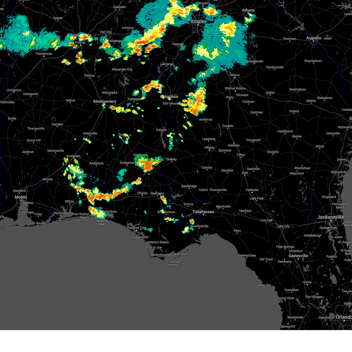 At 500 pm cdt, a severe thunderstorm was located near dothan, moving southeast at 30 mph (radar indicated). Hazards include 60 mph wind gusts and penny size hail. Expect damage to roofs, siding, and trees. locations impacted include, headland, newton, sylvan grove, grandberry crossroads, bagwells crossroads and headland municipal a/p. hail threat, radar indicated max hail size, 0. 75 in wind threat, radar indicated max wind gust, 60 mph. At 500 pm cdt, a severe thunderstorm was located near dothan, moving southeast at 30 mph (radar indicated). Hazards include 60 mph wind gusts and penny size hail. Expect damage to roofs, siding, and trees. locations impacted include, headland, newton, sylvan grove, grandberry crossroads, bagwells crossroads and headland municipal a/p. hail threat, radar indicated max hail size, 0. 75 in wind threat, radar indicated max wind gust, 60 mph.
|
| 8/12/2023 4:44 PM CDT |
 At 443 pm cdt, severe thunderstorms were located along a line extending from 6 miles northeast of webb to near kinsey to near pinckard, moving south at 20 mph (radar indicated). Hazards include 60 mph wind gusts and penny size hail. expect damage to roofs, siding, and trees At 443 pm cdt, severe thunderstorms were located along a line extending from 6 miles northeast of webb to near kinsey to near pinckard, moving south at 20 mph (radar indicated). Hazards include 60 mph wind gusts and penny size hail. expect damage to roofs, siding, and trees
|
| 8/12/2023 4:31 PM CDT |
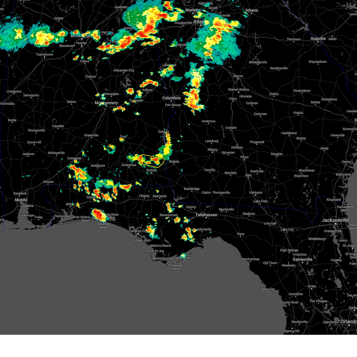 At 431 pm cdt, a severe thunderstorm was located near ozark, moving east at 30 mph (radar indicated). Hazards include 60 mph wind gusts and penny size hail. expect damage to roofs, siding, and trees At 431 pm cdt, a severe thunderstorm was located near ozark, moving east at 30 mph (radar indicated). Hazards include 60 mph wind gusts and penny size hail. expect damage to roofs, siding, and trees
|
| 8/8/2023 3:36 PM CDT |
 At 335 pm cdt, a severe thunderstorm was located near pinckard, or near daleville, moving east at 35 mph (radar indicated). Hazards include 60 mph wind gusts. Expect damage to roofs, siding, and trees. locations impacted include, daleville, headland, dothan, ozark, fort novosel, midland city, kinsey, ashford, cowarts, newton, webb, columbia, pinckard, clayhatchee, grimes, avon, newville, napier field, haleburg and hunt field. hail threat, radar indicated max hail size, <. 75 in wind threat, radar indicated max wind gust, 60 mph. At 335 pm cdt, a severe thunderstorm was located near pinckard, or near daleville, moving east at 35 mph (radar indicated). Hazards include 60 mph wind gusts. Expect damage to roofs, siding, and trees. locations impacted include, daleville, headland, dothan, ozark, fort novosel, midland city, kinsey, ashford, cowarts, newton, webb, columbia, pinckard, clayhatchee, grimes, avon, newville, napier field, haleburg and hunt field. hail threat, radar indicated max hail size, <. 75 in wind threat, radar indicated max wind gust, 60 mph.
|
| 8/8/2023 3:31 PM CDT |
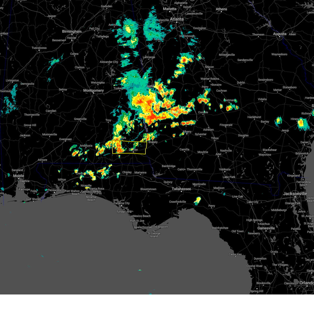 At 330 pm cdt, a severe thunderstorm was located over daleville, moving east at 15 mph (radar indicated). Hazards include 60 mph wind gusts. Expect damage to roofs, siding, and trees. locations impacted include, daleville, headland, dothan, fort novosel, enterprise, ozark, midland city, kinsey, ashford, level plains, cowarts, newton, webb, columbia, pinckard, clayhatchee, grimes, avon, newville and napier field. hail threat, radar indicated max hail size, <. 75 in wind threat, radar indicated max wind gust, 60 mph. At 330 pm cdt, a severe thunderstorm was located over daleville, moving east at 15 mph (radar indicated). Hazards include 60 mph wind gusts. Expect damage to roofs, siding, and trees. locations impacted include, daleville, headland, dothan, fort novosel, enterprise, ozark, midland city, kinsey, ashford, level plains, cowarts, newton, webb, columbia, pinckard, clayhatchee, grimes, avon, newville and napier field. hail threat, radar indicated max hail size, <. 75 in wind threat, radar indicated max wind gust, 60 mph.
|
| 8/8/2023 3:11 PM CDT |
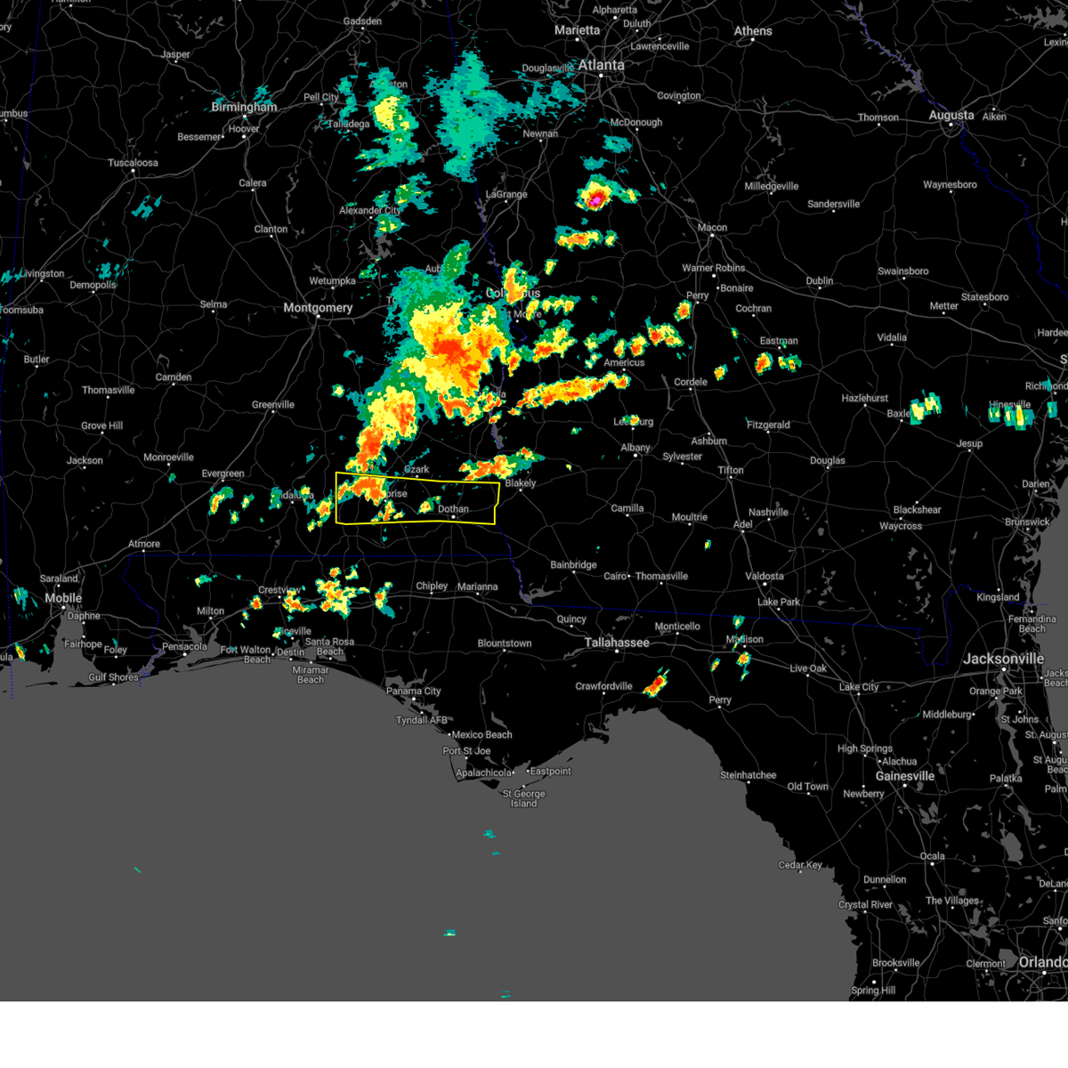 At 311 pm cdt, a severe thunderstorm was located over new brockton, or 7 miles east of elba, moving east at 30 mph (radar indicated). Hazards include 60 mph wind gusts. expect damage to roofs, siding, and trees At 311 pm cdt, a severe thunderstorm was located over new brockton, or 7 miles east of elba, moving east at 30 mph (radar indicated). Hazards include 60 mph wind gusts. expect damage to roofs, siding, and trees
|
| 8/4/2023 6:22 PM CDT |
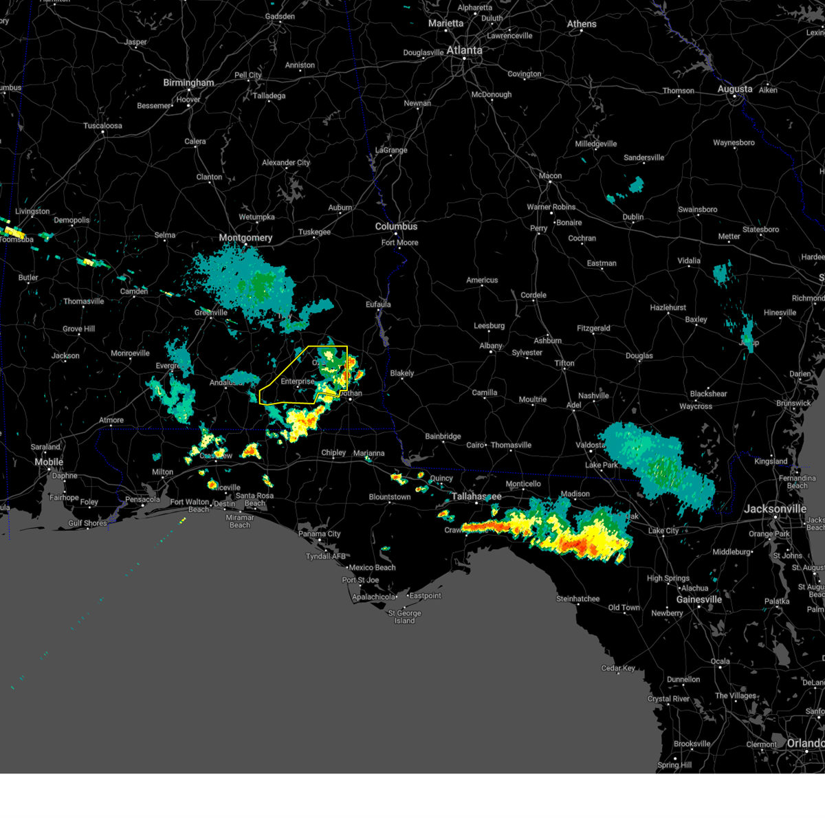 The severe thunderstorm warning for dale and southern coffee counties will expire at 630 pm cdt, the storms which prompted the warning have moved out of the area. therefore, the warning will be allowed to expire. to report severe weather, contact your nearest law enforcement agency. they will relay your report to the national weather service tallahassee. The severe thunderstorm warning for dale and southern coffee counties will expire at 630 pm cdt, the storms which prompted the warning have moved out of the area. therefore, the warning will be allowed to expire. to report severe weather, contact your nearest law enforcement agency. they will relay your report to the national weather service tallahassee.
|
| 8/4/2023 5:46 PM CDT |
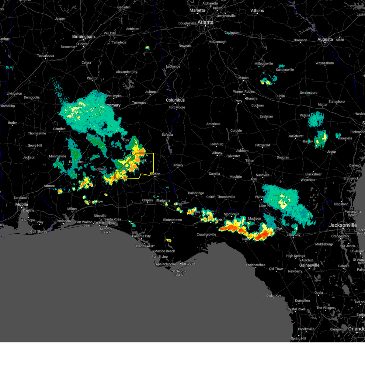 At 545 pm cdt, severe thunderstorms were located along a line extending from near ariton to 7 miles northwest of samson, moving southeast at 35 mph (radar indicated). Hazards include 60 mph wind gusts. Expect damage to roofs, siding, and trees. locations impacted include, daleville, fort novosel, enterprise, ozark, midland city, level plains, newton, new brockton, ariton, pinckard, clayhatchee, grimes, kinston, napier field, mixons crossroads, hunt field, waterford, hooper stage field, gerald and central city. hail threat, radar indicated max hail size, <. 75 in wind threat, radar indicated max wind gust, 60 mph. At 545 pm cdt, severe thunderstorms were located along a line extending from near ariton to 7 miles northwest of samson, moving southeast at 35 mph (radar indicated). Hazards include 60 mph wind gusts. Expect damage to roofs, siding, and trees. locations impacted include, daleville, fort novosel, enterprise, ozark, midland city, level plains, newton, new brockton, ariton, pinckard, clayhatchee, grimes, kinston, napier field, mixons crossroads, hunt field, waterford, hooper stage field, gerald and central city. hail threat, radar indicated max hail size, <. 75 in wind threat, radar indicated max wind gust, 60 mph.
|
| 8/4/2023 5:05 PM CDT |
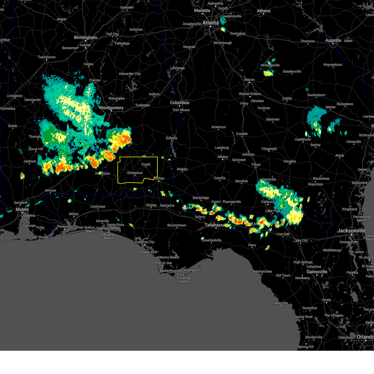 At 505 pm cdt, severe thunderstorms were located along a line extending from near troy municipal airport to near goshen, moving southeast at 30 mph (radar indicated). Hazards include 60 mph wind gusts. expect damage to roofs, siding, and trees At 505 pm cdt, severe thunderstorms were located along a line extending from near troy municipal airport to near goshen, moving southeast at 30 mph (radar indicated). Hazards include 60 mph wind gusts. expect damage to roofs, siding, and trees
|
| 7/22/2023 11:56 AM CDT |
 The severe thunderstorm warning for northern dale and henry counties in southeastern alabama, clay, southwestern randolph, northwestern calhoun and northwestern early counties in southwestern georgia will expire at 100 pm edt/noon cdt/, the storms which prompted the warning have moved out of the area. therefore, the warning will be allowed to expire. however gusty winds are still possible with these thunderstorms. a severe thunderstorm watch remains in effect until 800 pm edt/700 pm cdt/ for southeastern alabama, and southwestern georgia. to report severe weather, contact your nearest law enforcement agency. they will relay your report to the national weather service tallahassee. The severe thunderstorm warning for northern dale and henry counties in southeastern alabama, clay, southwestern randolph, northwestern calhoun and northwestern early counties in southwestern georgia will expire at 100 pm edt/noon cdt/, the storms which prompted the warning have moved out of the area. therefore, the warning will be allowed to expire. however gusty winds are still possible with these thunderstorms. a severe thunderstorm watch remains in effect until 800 pm edt/700 pm cdt/ for southeastern alabama, and southwestern georgia. to report severe weather, contact your nearest law enforcement agency. they will relay your report to the national weather service tallahassee.
|
| 7/22/2023 11:04 AM CDT |
 At 1204 pm edt/1104 am cdt/, severe thunderstorms were located along a line extending from near richards crossroads to near ozark, moving east at 25 mph (radar indicated). Hazards include 60 mph wind gusts and penny size hail. expect damage to roofs, siding, and trees At 1204 pm edt/1104 am cdt/, severe thunderstorms were located along a line extending from near richards crossroads to near ozark, moving east at 25 mph (radar indicated). Hazards include 60 mph wind gusts and penny size hail. expect damage to roofs, siding, and trees
|
| 7/16/2023 1:41 PM CDT |
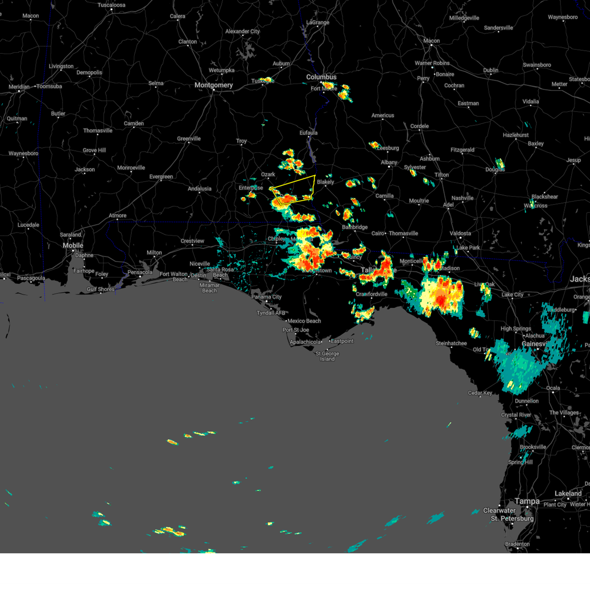 At 141 pm cdt, a severe thunderstorm was located over dothan, moving east at 25 mph (radar indicated). Hazards include 60 mph wind gusts. Expect damage to roofs, siding, and trees. locations impacted include, headland, dothan, taylor, midland city, kinsey, cowarts, newton, webb, columbia, pinckard, grimes, newville, napier field, haleburg, tumbleton, sigma, grandberry crossroads, enon, barber and pleasant plains. hail threat, radar indicated max hail size, <. 75 in wind threat, radar indicated max wind gust, 60 mph. At 141 pm cdt, a severe thunderstorm was located over dothan, moving east at 25 mph (radar indicated). Hazards include 60 mph wind gusts. Expect damage to roofs, siding, and trees. locations impacted include, headland, dothan, taylor, midland city, kinsey, cowarts, newton, webb, columbia, pinckard, grimes, newville, napier field, haleburg, tumbleton, sigma, grandberry crossroads, enon, barber and pleasant plains. hail threat, radar indicated max hail size, <. 75 in wind threat, radar indicated max wind gust, 60 mph.
|
| 7/16/2023 1:07 PM CDT |
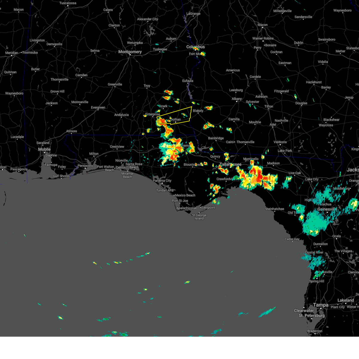 At 107 pm cdt, a severe thunderstorm was located near daleville, moving east at 20 mph (radar indicated). Hazards include 60 mph wind gusts. expect damage to roofs, siding, and trees At 107 pm cdt, a severe thunderstorm was located near daleville, moving east at 20 mph (radar indicated). Hazards include 60 mph wind gusts. expect damage to roofs, siding, and trees
|
| 7/9/2023 6:22 PM CDT |
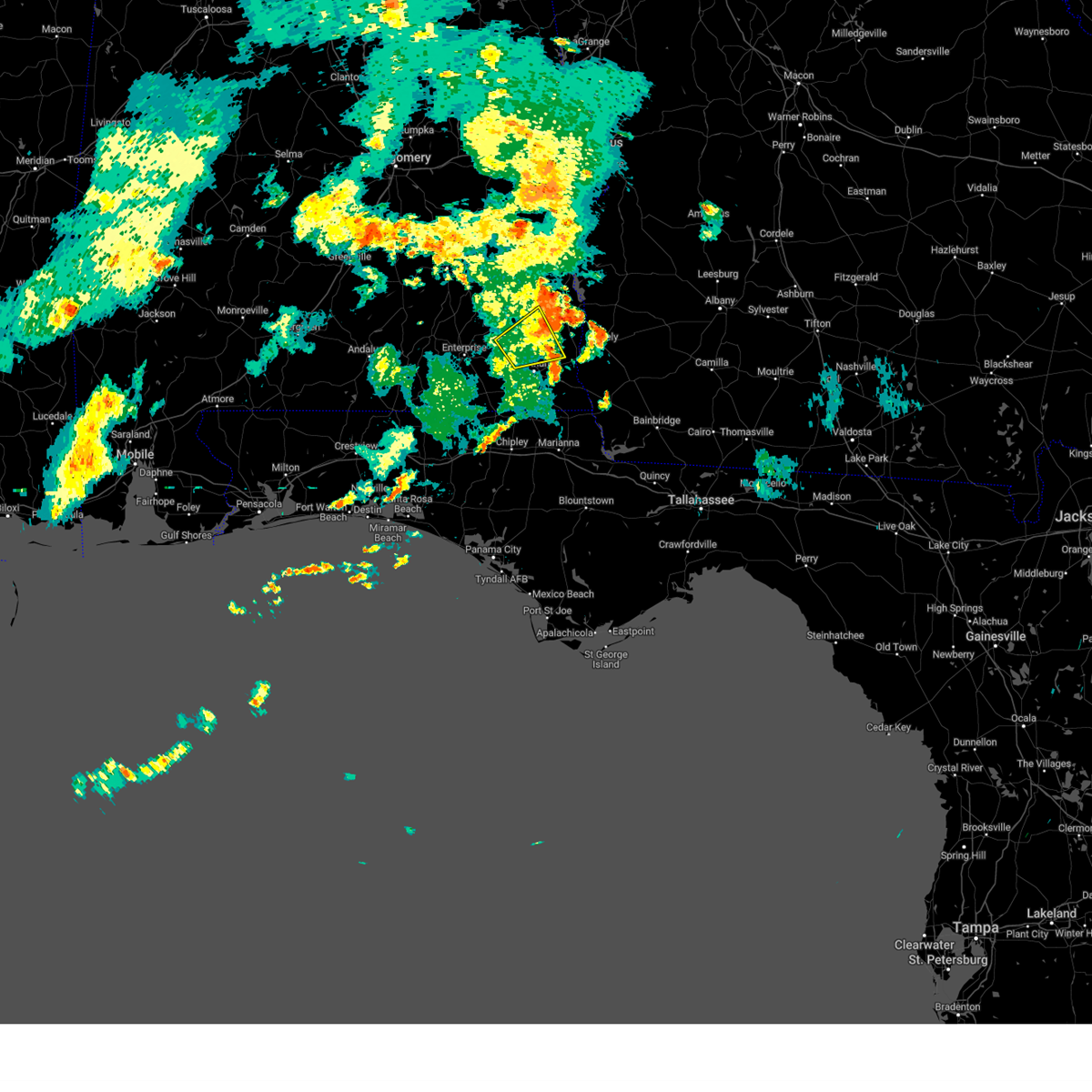 The severe thunderstorm warning for southeastern dale, southwestern henry and north central houston counties will expire at 630 pm cdt, the storm which prompted the warning has weakened below severe limits, and has exited the warned area. therefore, the warning will be allowed to expire. however gusty winds are still possible with this thunderstorm. The severe thunderstorm warning for southeastern dale, southwestern henry and north central houston counties will expire at 630 pm cdt, the storm which prompted the warning has weakened below severe limits, and has exited the warned area. therefore, the warning will be allowed to expire. however gusty winds are still possible with this thunderstorm.
|
| 7/9/2023 5:57 PM CDT |
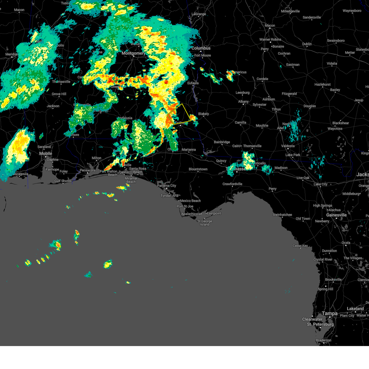 At 557 pm cdt, a severe thunderstorm was located over pinckard, or 9 miles southeast of ozark, moving northeast at 30 mph (radar indicated). Hazards include 60 mph wind gusts. Expect damage to roofs, siding, and trees. locations impacted include, headland, ozark, dothan, midland city, kinsey, newton, webb, pinckard, grimes, newville, napier field, bells crossroads, hunt field, tumbleton, kirkland crossroads, grandberry crossroads, snells crossroads, ewell, pleasant plains and headland municipal a/p. hail threat, radar indicated max hail size, <. 75 in wind threat, radar indicated max wind gust, 60 mph. At 557 pm cdt, a severe thunderstorm was located over pinckard, or 9 miles southeast of ozark, moving northeast at 30 mph (radar indicated). Hazards include 60 mph wind gusts. Expect damage to roofs, siding, and trees. locations impacted include, headland, ozark, dothan, midland city, kinsey, newton, webb, pinckard, grimes, newville, napier field, bells crossroads, hunt field, tumbleton, kirkland crossroads, grandberry crossroads, snells crossroads, ewell, pleasant plains and headland municipal a/p. hail threat, radar indicated max hail size, <. 75 in wind threat, radar indicated max wind gust, 60 mph.
|
| 7/9/2023 5:37 PM CDT |
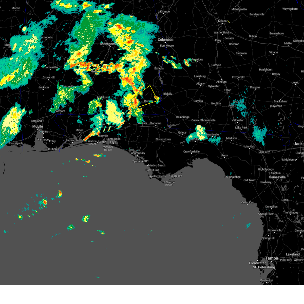 At 537 pm cdt, a severe thunderstorm was located over daleville, moving northeast at 30 mph (radar indicated). Hazards include 60 mph wind gusts. expect damage to roofs, siding, and trees At 537 pm cdt, a severe thunderstorm was located over daleville, moving northeast at 30 mph (radar indicated). Hazards include 60 mph wind gusts. expect damage to roofs, siding, and trees
|
| 7/8/2023 5:08 PM CDT | A few trees were blown down south of ozar in dale county AL, 2.1 miles NNE of Newton, AL |
| 7/8/2023 5:07 PM CDT |
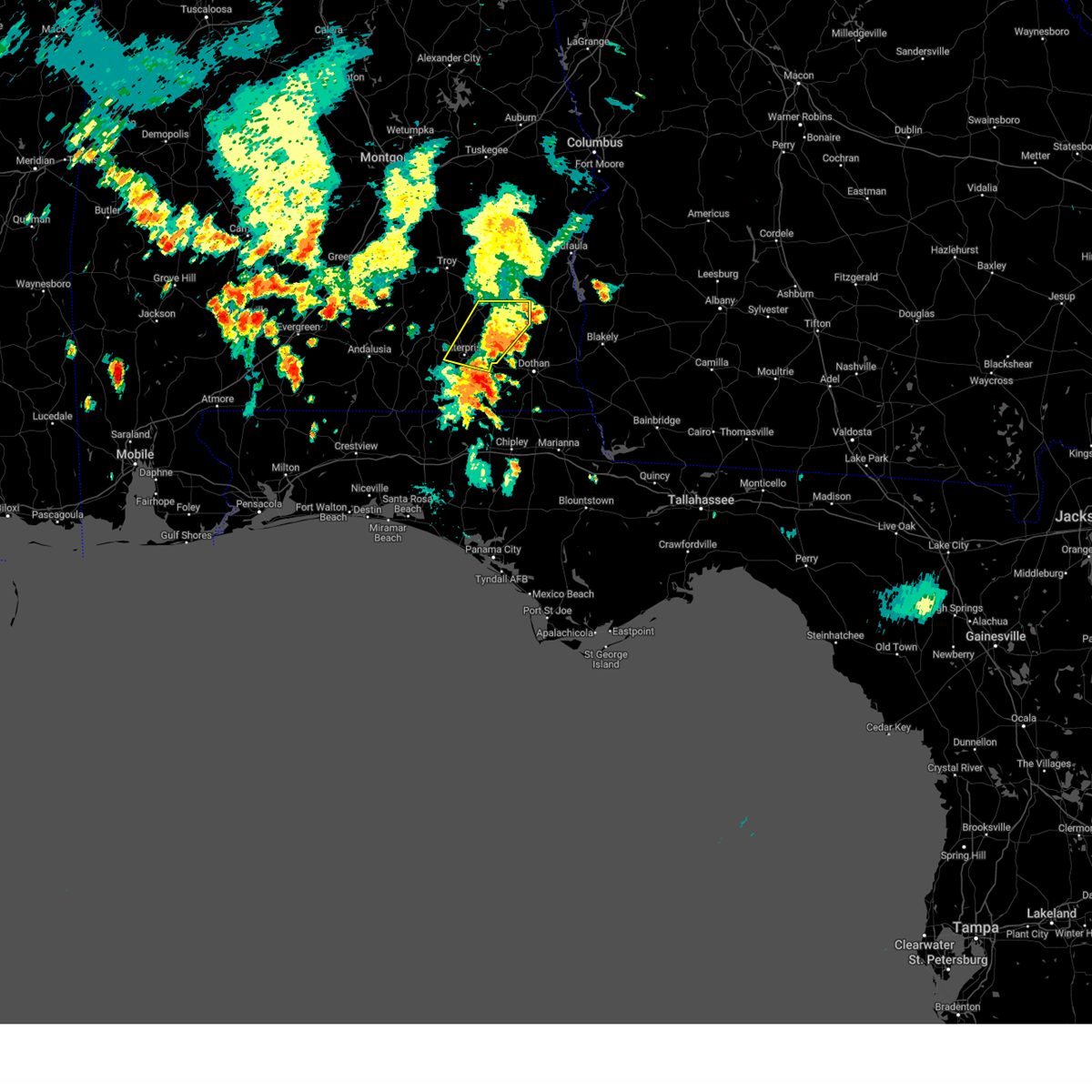 The severe thunderstorm warning for dale and southeastern coffee counties will expire at 515 pm cdt, the storms which prompted the warning have moved out of the area. therefore, the warning will be allowed to expire. remember, a severe thunderstorm warning still remains in effect for eastern and far southern dale county. The severe thunderstorm warning for dale and southeastern coffee counties will expire at 515 pm cdt, the storms which prompted the warning have moved out of the area. therefore, the warning will be allowed to expire. remember, a severe thunderstorm warning still remains in effect for eastern and far southern dale county.
|
| 7/8/2023 4:49 PM CDT |
 At 549 pm edt/449 pm cdt/, severe thunderstorms were located along a line extending from near blue springs to near newton to near geneva, moving east at 40 mph (radar indicated). Hazards include 60 mph wind gusts and penny size hail. expect damage to roofs, siding, and trees At 549 pm edt/449 pm cdt/, severe thunderstorms were located along a line extending from near blue springs to near newton to near geneva, moving east at 40 mph (radar indicated). Hazards include 60 mph wind gusts and penny size hail. expect damage to roofs, siding, and trees
|
| 7/8/2023 4:27 PM CDT |
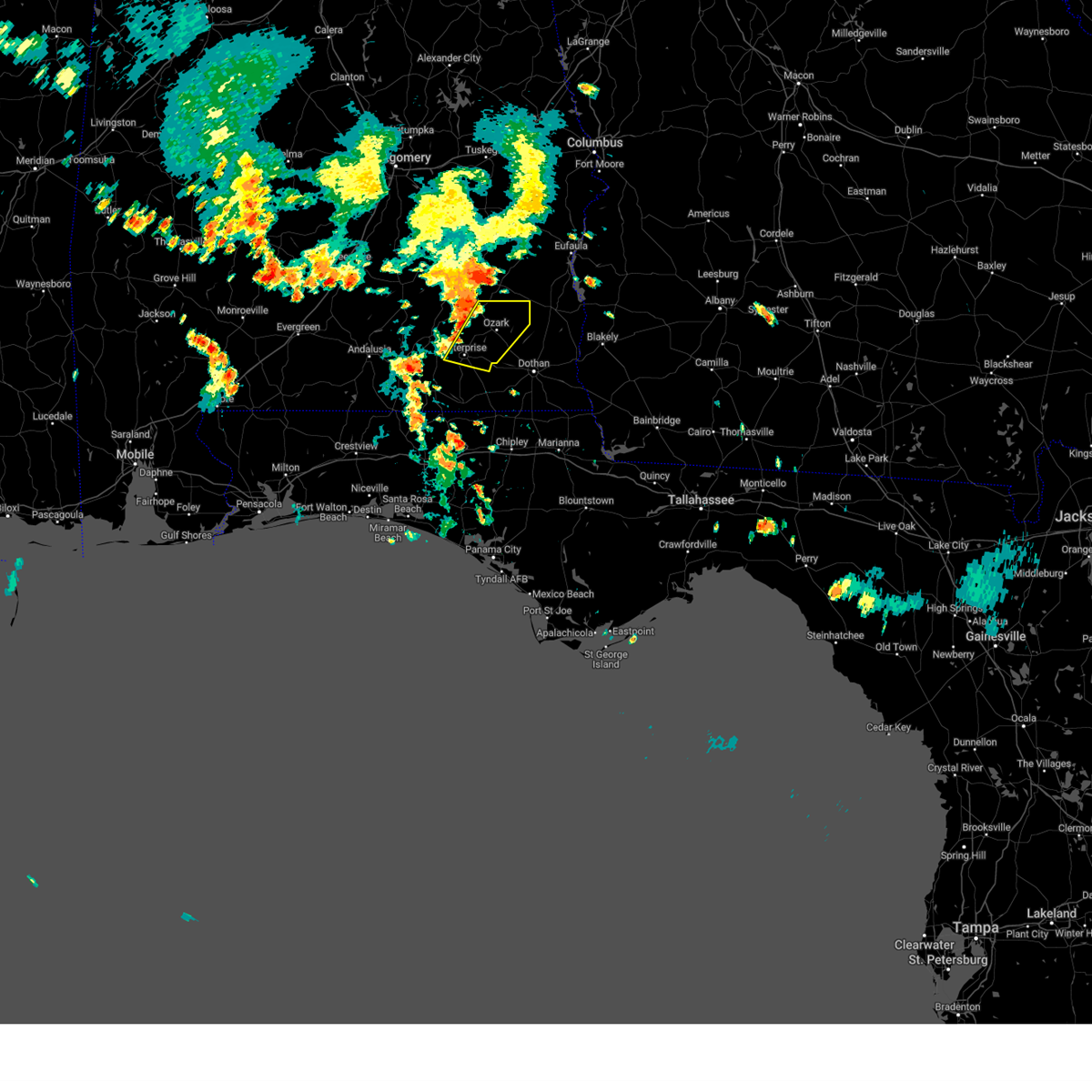 At 427 pm cdt, severe thunderstorms were located along a line extending from ariton to 6 miles southwest of enterprise, moving southeast at 15 mph (radar indicated). Hazards include 60 mph wind gusts and penny size hail. expect damage to roofs, siding, and trees At 427 pm cdt, severe thunderstorms were located along a line extending from ariton to 6 miles southwest of enterprise, moving southeast at 15 mph (radar indicated). Hazards include 60 mph wind gusts and penny size hail. expect damage to roofs, siding, and trees
|
| 7/2/2023 3:05 PM CDT |
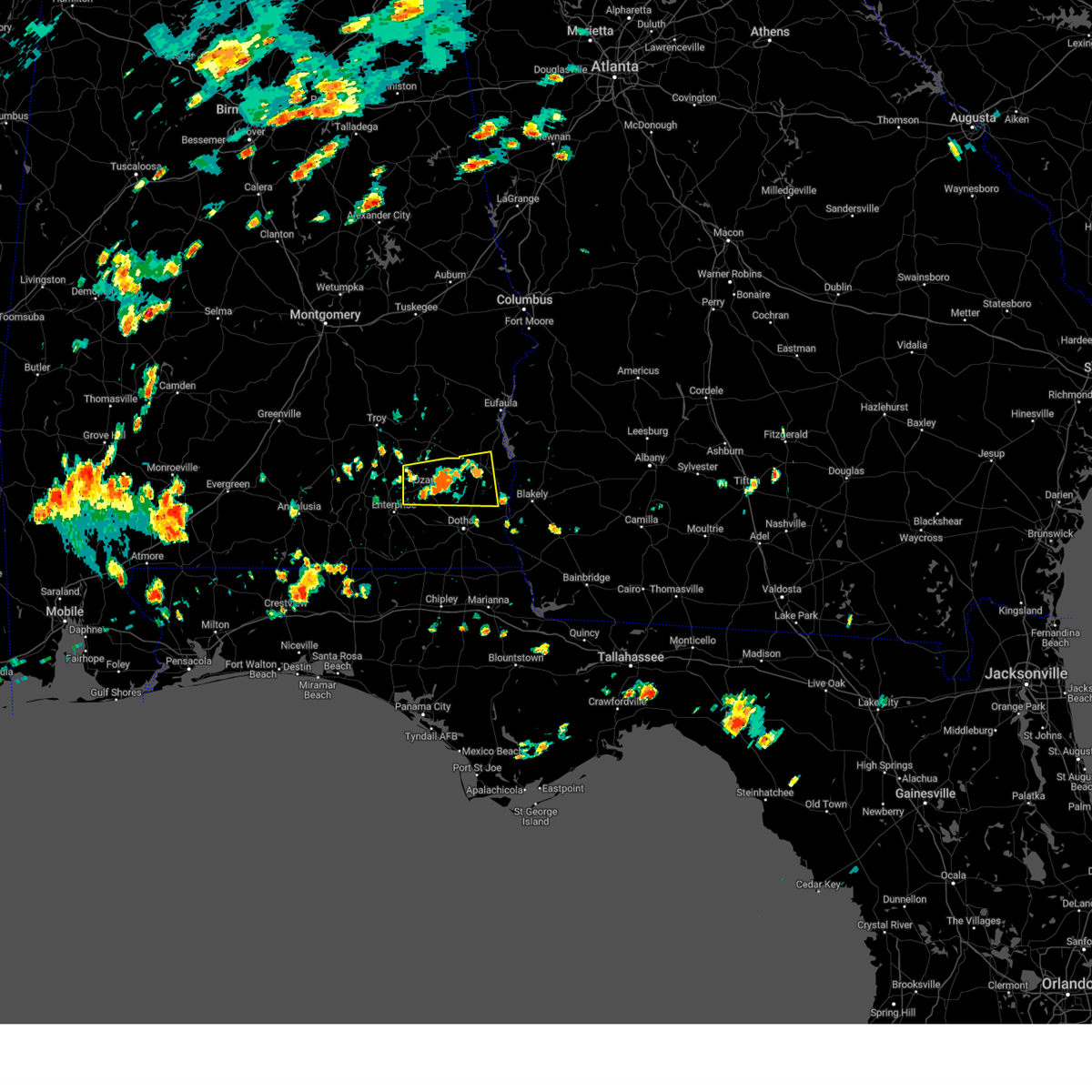 At 305 pm cdt, a severe thunderstorm was located 7 miles northeast of ozark, moving east at 10 mph (radar indicated). Hazards include 60 mph wind gusts. expect damage to roofs, siding, and trees At 305 pm cdt, a severe thunderstorm was located 7 miles northeast of ozark, moving east at 10 mph (radar indicated). Hazards include 60 mph wind gusts. expect damage to roofs, siding, and trees
|
| 7/2/2023 2:36 PM CDT |
 At 236 pm cdt, a severe thunderstorm was located 8 miles northeast of ozark, moving southeast at 5 mph (radar indicated). Hazards include 60 mph wind gusts. expect damage to roofs, siding, and trees At 236 pm cdt, a severe thunderstorm was located 8 miles northeast of ozark, moving southeast at 5 mph (radar indicated). Hazards include 60 mph wind gusts. expect damage to roofs, siding, and trees
|
| 6/26/2023 4:44 AM CDT | Geneva county 911 reported a tree down in houston county near hwys 123 and 10 in houston county AL, 10.5 miles NNE of Newton, AL |
| 6/26/2023 4:32 AM CDT |
 At 431 am cdt, a severe thunderstorm was located over taylor, or 7 miles southwest of dothan, moving southeast at 25 mph (radar indicated). Hazards include 60 mph wind gusts. Expect damage to roofs, siding, and trees. locations impacted include, daleville, dothan, enterprise, fort rucker, hartford, taylor, midland city, level plains, slocomb, newton, pinckard, kinsey, malvern, rehobeth, clayhatchee, grimes, napier field, hollis dairy road, kellys crossroads and knox field. hail threat, radar indicated max hail size, <. 75 in wind threat, radar indicated max wind gust, 60 mph. At 431 am cdt, a severe thunderstorm was located over taylor, or 7 miles southwest of dothan, moving southeast at 25 mph (radar indicated). Hazards include 60 mph wind gusts. Expect damage to roofs, siding, and trees. locations impacted include, daleville, dothan, enterprise, fort rucker, hartford, taylor, midland city, level plains, slocomb, newton, pinckard, kinsey, malvern, rehobeth, clayhatchee, grimes, napier field, hollis dairy road, kellys crossroads and knox field. hail threat, radar indicated max hail size, <. 75 in wind threat, radar indicated max wind gust, 60 mph.
|
| 6/26/2023 3:52 AM CDT |
 At 352 am cdt, a severe thunderstorm was located over daleville, moving southeast at 25 mph (radar indicated). Hazards include 60 mph wind gusts. expect damage to roofs, siding, and trees At 352 am cdt, a severe thunderstorm was located over daleville, moving southeast at 25 mph (radar indicated). Hazards include 60 mph wind gusts. expect damage to roofs, siding, and trees
|
| 6/22/2023 5:39 PM CDT |
 At 539 pm cdt, a severe thunderstorm was located near midland city, or near dothan, moving east at 15 mph (radar indicated). Hazards include 60 mph wind gusts. Expect damage to roofs, siding, and trees. locations impacted include, headland, dothan, taylor, midland city, kinsey, ashford, cowarts, newton, webb, pinckard, grimes, avon, newville, napier field, hollis dairy road, enon, barber, pleasant plains, headland municipal a/p and smyrna. hail threat, radar indicated max hail size, <. 75 in wind threat, radar indicated max wind gust, 60 mph. At 539 pm cdt, a severe thunderstorm was located near midland city, or near dothan, moving east at 15 mph (radar indicated). Hazards include 60 mph wind gusts. Expect damage to roofs, siding, and trees. locations impacted include, headland, dothan, taylor, midland city, kinsey, ashford, cowarts, newton, webb, pinckard, grimes, avon, newville, napier field, hollis dairy road, enon, barber, pleasant plains, headland municipal a/p and smyrna. hail threat, radar indicated max hail size, <. 75 in wind threat, radar indicated max wind gust, 60 mph.
|
| 6/22/2023 5:30 PM CDT |
 At 530 pm cdt, a severe thunderstorm was located near pinckard, or near dothan, moving east at 15 mph (radar indicated). Hazards include 60 mph wind gusts and penny size hail. Expect damage to roofs, siding, and trees. locations impacted include, headland, dothan, taylor, midland city, kinsey, ashford, cowarts, newton, webb, pinckard, grimes, avon, newville, napier field, hollis dairy road, enon, barber, pleasant plains, headland municipal a/p and smyrna. hail threat, radar indicated max hail size, 0. 75 in wind threat, radar indicated max wind gust, 60 mph. At 530 pm cdt, a severe thunderstorm was located near pinckard, or near dothan, moving east at 15 mph (radar indicated). Hazards include 60 mph wind gusts and penny size hail. Expect damage to roofs, siding, and trees. locations impacted include, headland, dothan, taylor, midland city, kinsey, ashford, cowarts, newton, webb, pinckard, grimes, avon, newville, napier field, hollis dairy road, enon, barber, pleasant plains, headland municipal a/p and smyrna. hail threat, radar indicated max hail size, 0. 75 in wind threat, radar indicated max wind gust, 60 mph.
|
| 6/22/2023 5:24 PM CDT |
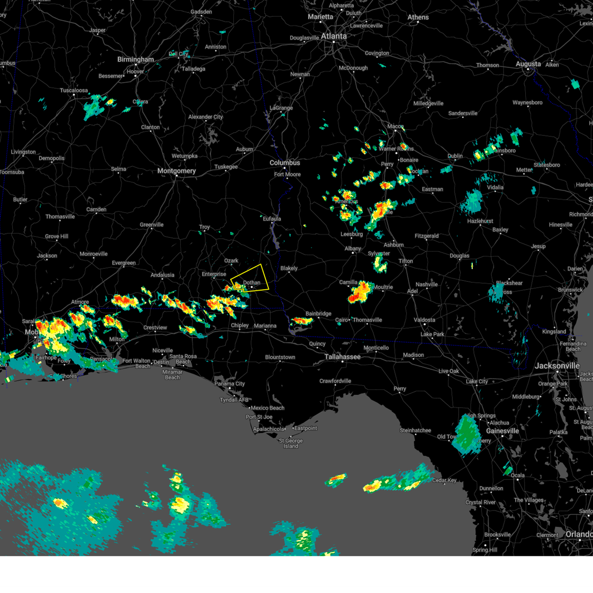 At 524 pm cdt, a severe thunderstorm was located near pinckard, or 7 miles west of dothan, moving east at 15 mph (radar indicated). Hazards include 60 mph wind gusts and quarter size hail. Hail damage to vehicles is expected. Expect wind damage to roofs, siding, and trees. At 524 pm cdt, a severe thunderstorm was located near pinckard, or 7 miles west of dothan, moving east at 15 mph (radar indicated). Hazards include 60 mph wind gusts and quarter size hail. Hail damage to vehicles is expected. Expect wind damage to roofs, siding, and trees.
|
| 6/19/2023 6:37 AM CDT |
 At 636 am cdt, severe thunderstorms were located along a line extending from near columbia to 7 miles south of hartford, moving southeast at 45 mph (radar indicated). Hazards include 60 mph wind gusts. Expect damage to roofs, siding, and trees. locations impacted include, daleville, headland, dothan, enterprise, taylor, midland city, kinsey, samson, cowarts, newton, webb, pinckard, malvern, clayhatchee, grimes, avon, kinston, newville, napier field and coffee springs. hail threat, radar indicated max hail size, <. 75 in wind threat, radar indicated max wind gust, 60 mph. At 636 am cdt, severe thunderstorms were located along a line extending from near columbia to 7 miles south of hartford, moving southeast at 45 mph (radar indicated). Hazards include 60 mph wind gusts. Expect damage to roofs, siding, and trees. locations impacted include, daleville, headland, dothan, enterprise, taylor, midland city, kinsey, samson, cowarts, newton, webb, pinckard, malvern, clayhatchee, grimes, avon, kinston, newville, napier field and coffee springs. hail threat, radar indicated max hail size, <. 75 in wind threat, radar indicated max wind gust, 60 mph.
|
| 6/19/2023 5:57 AM CDT | At 556 am cdt, severe thunderstorms were located along a line extending from 11 miles northwest of headland to 8 miles southeast of opp, moving southeast at 45 mph (radar indicated). Hazards include 60 mph wind gusts. expect damage to roofs, siding, and trees |
| 6/19/2023 5:12 AM CDT |
 At 512 am cdt, a severe thunderstorm was located over brantley, or 9 miles south of luverne, moving east at 65 mph (radar indicated). Hazards include 60 mph wind gusts. expect damage to roofs, siding, and trees At 512 am cdt, a severe thunderstorm was located over brantley, or 9 miles south of luverne, moving east at 65 mph (radar indicated). Hazards include 60 mph wind gusts. expect damage to roofs, siding, and trees
|
| 6/18/2023 2:46 PM CDT |
 At 246 pm cdt, severe thunderstorms were located along a line extending from 6 miles south of blue springs to near taylor to 7 miles northwest of bonifay, moving east at 40 mph (radar indicated). Hazards include 60 mph wind gusts. Expect damage to roofs, siding, and trees. locations impacted include, daleville, abbeville, cottonwood, bonifay, geneva, marianna, chipley, graceville, headland, dothan, fort rucker, ozark, enterprise, hartford, taylor, midland city, kinsey, ashford, level plains and slocomb. hail threat, radar indicated max hail size, <. 75 in wind threat, radar indicated max wind gust, 60 mph. At 246 pm cdt, severe thunderstorms were located along a line extending from 6 miles south of blue springs to near taylor to 7 miles northwest of bonifay, moving east at 40 mph (radar indicated). Hazards include 60 mph wind gusts. Expect damage to roofs, siding, and trees. locations impacted include, daleville, abbeville, cottonwood, bonifay, geneva, marianna, chipley, graceville, headland, dothan, fort rucker, ozark, enterprise, hartford, taylor, midland city, kinsey, ashford, level plains and slocomb. hail threat, radar indicated max hail size, <. 75 in wind threat, radar indicated max wind gust, 60 mph.
|
| 6/18/2023 2:37 PM CDT | Numerous trees and powerlines down in newto in dale county AL, 2.1 miles NNE of Newton, AL |
| 6/18/2023 2:28 PM CDT |
 At 227 pm cdt, severe thunderstorms were located along a line extending from near ariton to near hartford to 9 miles northeast of de funiak springs, moving east at 40 mph (radar indicated). Hazards include 60 mph wind gusts. expect damage to roofs, siding, and trees At 227 pm cdt, severe thunderstorms were located along a line extending from near ariton to near hartford to 9 miles northeast of de funiak springs, moving east at 40 mph (radar indicated). Hazards include 60 mph wind gusts. expect damage to roofs, siding, and trees
|
| 6/18/2023 2:13 PM CDT |
 At 213 pm cdt, severe thunderstorms were located along a line extending from 11 miles southwest of brundidge to 6 miles northeast of samson to 10 miles southeast of florala, moving east at 45 mph (radar indicated). Hazards include 60 mph wind gusts. Expect damage to roofs, siding, and trees. locations impacted include, daleville, elba, geneva, enterprise, dothan, fort rucker, ozark, de funiak springs, hartford, taylor, midland city, kinsey, level plains, slocomb, samson, newton, new brockton, pinckard, lee and union. hail threat, radar indicated max hail size, <. 75 in wind threat, radar indicated max wind gust, 60 mph. At 213 pm cdt, severe thunderstorms were located along a line extending from 11 miles southwest of brundidge to 6 miles northeast of samson to 10 miles southeast of florala, moving east at 45 mph (radar indicated). Hazards include 60 mph wind gusts. Expect damage to roofs, siding, and trees. locations impacted include, daleville, elba, geneva, enterprise, dothan, fort rucker, ozark, de funiak springs, hartford, taylor, midland city, kinsey, level plains, slocomb, samson, newton, new brockton, pinckard, lee and union. hail threat, radar indicated max hail size, <. 75 in wind threat, radar indicated max wind gust, 60 mph.
|
| 6/18/2023 1:31 PM CDT |
 At 131 pm cdt, severe thunderstorms were located along a line extending from near brantley to 6 miles southeast of andalusia to 16 miles north of baker, moving southeast at 55 mph (radar indicated). Hazards include 70 mph wind gusts. Expect considerable tree damage. Damage is likely to mobile homes, roofs, and outbuildings. At 131 pm cdt, severe thunderstorms were located along a line extending from near brantley to 6 miles southeast of andalusia to 16 miles north of baker, moving southeast at 55 mph (radar indicated). Hazards include 70 mph wind gusts. Expect considerable tree damage. Damage is likely to mobile homes, roofs, and outbuildings.
|
| 6/16/2023 11:22 PM CDT |
 The severe thunderstorm warning for dale county will expire at 1130 pm cdt, the storms which prompted the warning have moved out of the area. therefore, the warning will be allowed to expire. however gusty winds are still possible with these thunderstorms. The severe thunderstorm warning for dale county will expire at 1130 pm cdt, the storms which prompted the warning have moved out of the area. therefore, the warning will be allowed to expire. however gusty winds are still possible with these thunderstorms.
|
| 6/16/2023 11:16 PM CDT |
 At 1116 pm cdt, severe thunderstorms were located along a line extending from near hartford to near headland, moving southeast at 30 mph (radar indicated). Hazards include 60 mph wind gusts. Expect damage to roofs, siding, and trees. locations impacted include, daleville, fort rucker, ozark, enterprise, midland city, level plains, newton, ariton, pinckard, clayhatchee, grimes, napier field, hunt field, waterford, hooper stage field, gerald, ewell, cairns aaf, dale county lake and phillips crossroads. hail threat, radar indicated max hail size, <. 75 in wind threat, radar indicated max wind gust, 60 mph. At 1116 pm cdt, severe thunderstorms were located along a line extending from near hartford to near headland, moving southeast at 30 mph (radar indicated). Hazards include 60 mph wind gusts. Expect damage to roofs, siding, and trees. locations impacted include, daleville, fort rucker, ozark, enterprise, midland city, level plains, newton, ariton, pinckard, clayhatchee, grimes, napier field, hunt field, waterford, hooper stage field, gerald, ewell, cairns aaf, dale county lake and phillips crossroads. hail threat, radar indicated max hail size, <. 75 in wind threat, radar indicated max wind gust, 60 mph.
|
| 6/16/2023 10:47 PM CDT |
 At 1047 pm cdt, severe thunderstorms were located along a line extending from near brantley to 6 miles northeast of ozark, moving southeast at 40 mph (radar indicated). Hazards include 60 mph wind gusts. Expect damage to roofs, siding, and trees. locations impacted include, daleville, elba, enterprise, fort rucker, ozark, midland city, level plains, newton, new brockton, ariton, pinckard, lee, clayhatchee, grimes, kinston, napier field, carl folsom a/p, hooper stage field, gerald and camp humming hills. hail threat, radar indicated max hail size, <. 75 in wind threat, radar indicated max wind gust, 60 mph. At 1047 pm cdt, severe thunderstorms were located along a line extending from near brantley to 6 miles northeast of ozark, moving southeast at 40 mph (radar indicated). Hazards include 60 mph wind gusts. Expect damage to roofs, siding, and trees. locations impacted include, daleville, elba, enterprise, fort rucker, ozark, midland city, level plains, newton, new brockton, ariton, pinckard, lee, clayhatchee, grimes, kinston, napier field, carl folsom a/p, hooper stage field, gerald and camp humming hills. hail threat, radar indicated max hail size, <. 75 in wind threat, radar indicated max wind gust, 60 mph.
|
| 6/16/2023 10:16 PM CDT |
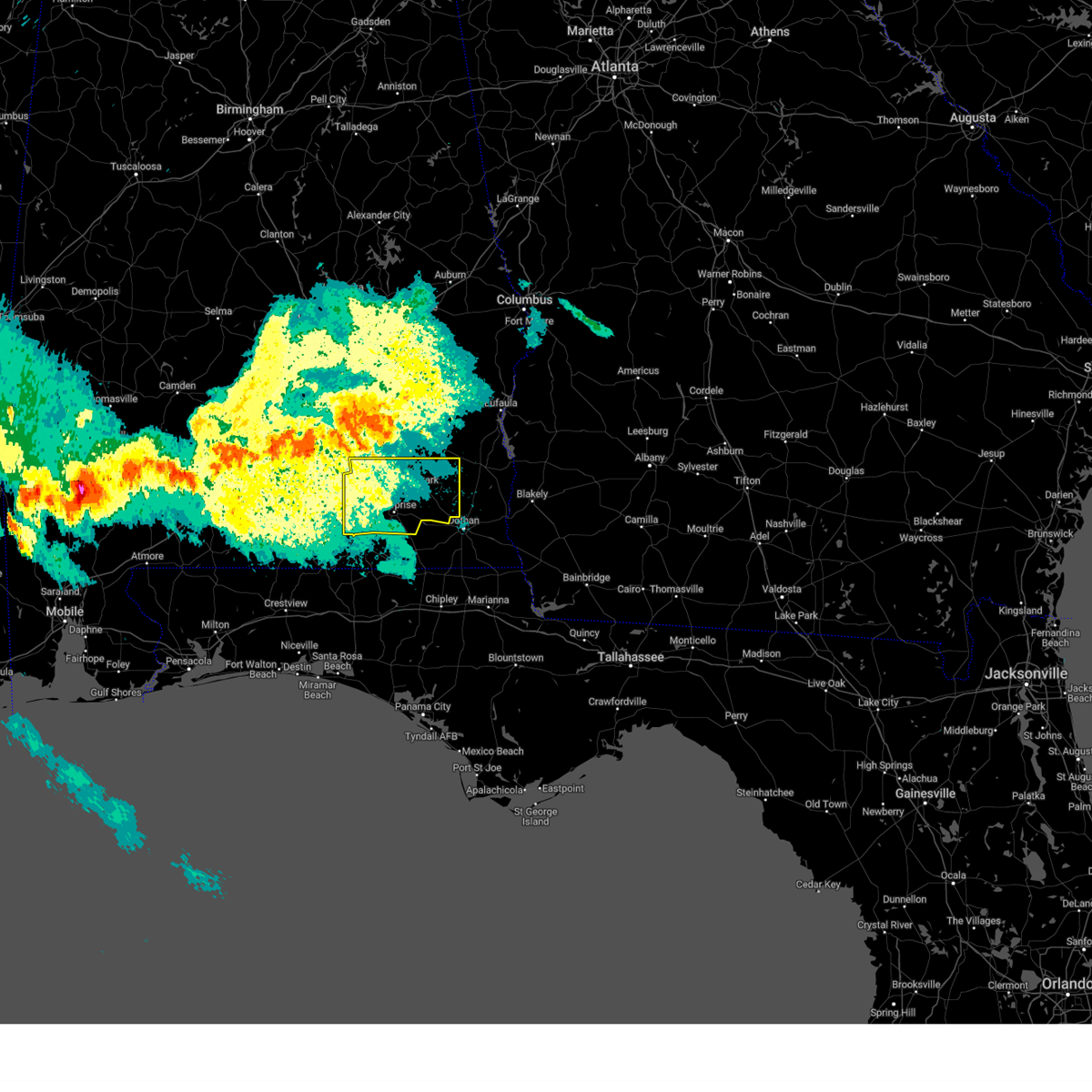 At 1015 pm cdt, a severe thunderstorm was located near antioch, or near troy, moving southeast at 40 mph (radar indicated). Hazards include 60 mph wind gusts. expect damage to roofs, siding, and trees At 1015 pm cdt, a severe thunderstorm was located near antioch, or near troy, moving southeast at 40 mph (radar indicated). Hazards include 60 mph wind gusts. expect damage to roofs, siding, and trees
|
| 6/16/2023 9:04 AM CDT |
 At 904 am cdt, severe thunderstorms were located along a line extending from near fort deposit to near baker to near pensacola beach, moving east at 65 mph (radar indicated). Hazards include 70 mph wind gusts and penny size hail. Expect considerable tree damage. Damage is likely to mobile homes, roofs, and outbuildings. At 904 am cdt, severe thunderstorms were located along a line extending from near fort deposit to near baker to near pensacola beach, moving east at 65 mph (radar indicated). Hazards include 70 mph wind gusts and penny size hail. Expect considerable tree damage. Damage is likely to mobile homes, roofs, and outbuildings.
|
| 6/15/2023 2:42 PM CDT |
 At 241 pm cdt, severe thunderstorms were located along a line extending from near elba to 8 miles southwest of samson, moving southeast at 55 mph (radar indicated). Hazards include 60 mph wind gusts and penny size hail. expect damage to roofs, siding, and trees At 241 pm cdt, severe thunderstorms were located along a line extending from near elba to 8 miles southwest of samson, moving southeast at 55 mph (radar indicated). Hazards include 60 mph wind gusts and penny size hail. expect damage to roofs, siding, and trees
|
| 6/15/2023 4:38 AM CDT |
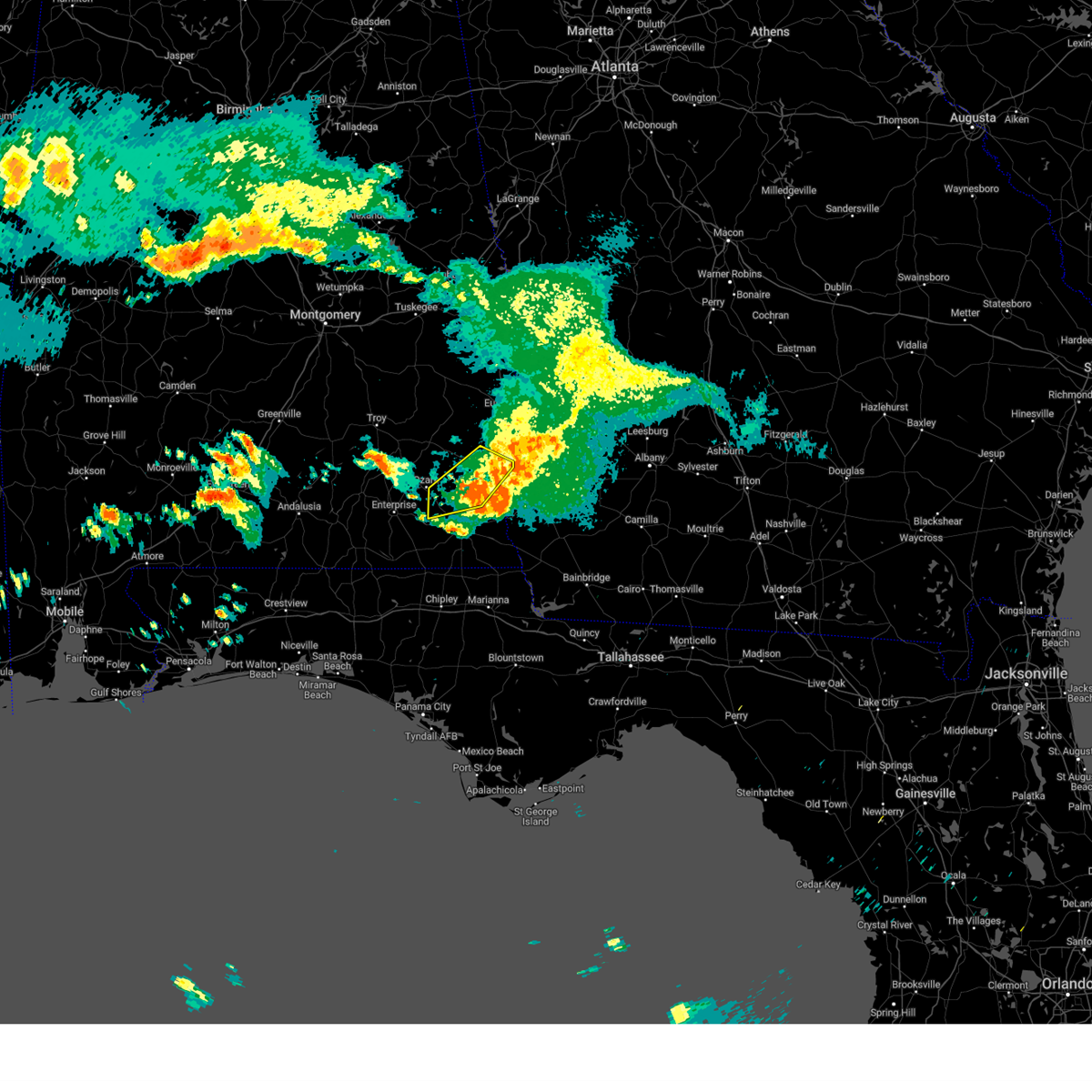 The severe thunderstorm warning for eastern dale and central henry counties will expire at 445 am cdt, the storms which prompted the warning have moved out of the area. therefore, the warning will be allowed to expire. however gusty winds and heavy rain are still possible with these thunderstorms. to report severe weather, contact your nearest law enforcement agency. they will relay your report to the national weather service tallahassee. The severe thunderstorm warning for eastern dale and central henry counties will expire at 445 am cdt, the storms which prompted the warning have moved out of the area. therefore, the warning will be allowed to expire. however gusty winds and heavy rain are still possible with these thunderstorms. to report severe weather, contact your nearest law enforcement agency. they will relay your report to the national weather service tallahassee.
|
| 6/15/2023 4:32 AM CDT |
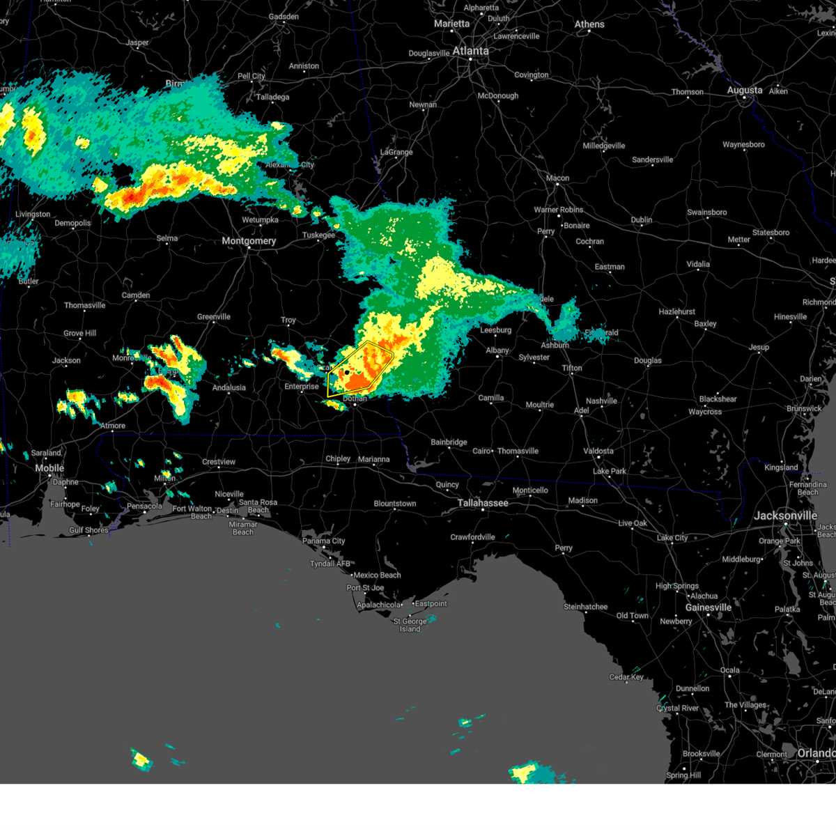 At 432 am cdt, severe thunderstorms were located along a line extending from 8 miles south of fort gaines to near headland to midland city, moving southeast at 50 mph (radar indicated). Hazards include 60 mph wind gusts and nickel size hail. Expect damage to roofs, siding, and trees. locations impacted include, abbeville, headland, ozark, midland city, newton, pinckard, newville, napier field, shorterville, bells crossroads, hunt field, waterford, tumbleton, kirkland crossroads, mabson, snells crossroads, ewell, graball, headland municipal a/p and dancey. hail threat, radar indicated max hail size, 0. 88 in wind threat, radar indicated max wind gust, 60 mph. At 432 am cdt, severe thunderstorms were located along a line extending from 8 miles south of fort gaines to near headland to midland city, moving southeast at 50 mph (radar indicated). Hazards include 60 mph wind gusts and nickel size hail. Expect damage to roofs, siding, and trees. locations impacted include, abbeville, headland, ozark, midland city, newton, pinckard, newville, napier field, shorterville, bells crossroads, hunt field, waterford, tumbleton, kirkland crossroads, mabson, snells crossroads, ewell, graball, headland municipal a/p and dancey. hail threat, radar indicated max hail size, 0. 88 in wind threat, radar indicated max wind gust, 60 mph.
|
| 6/15/2023 3:58 AM CDT |
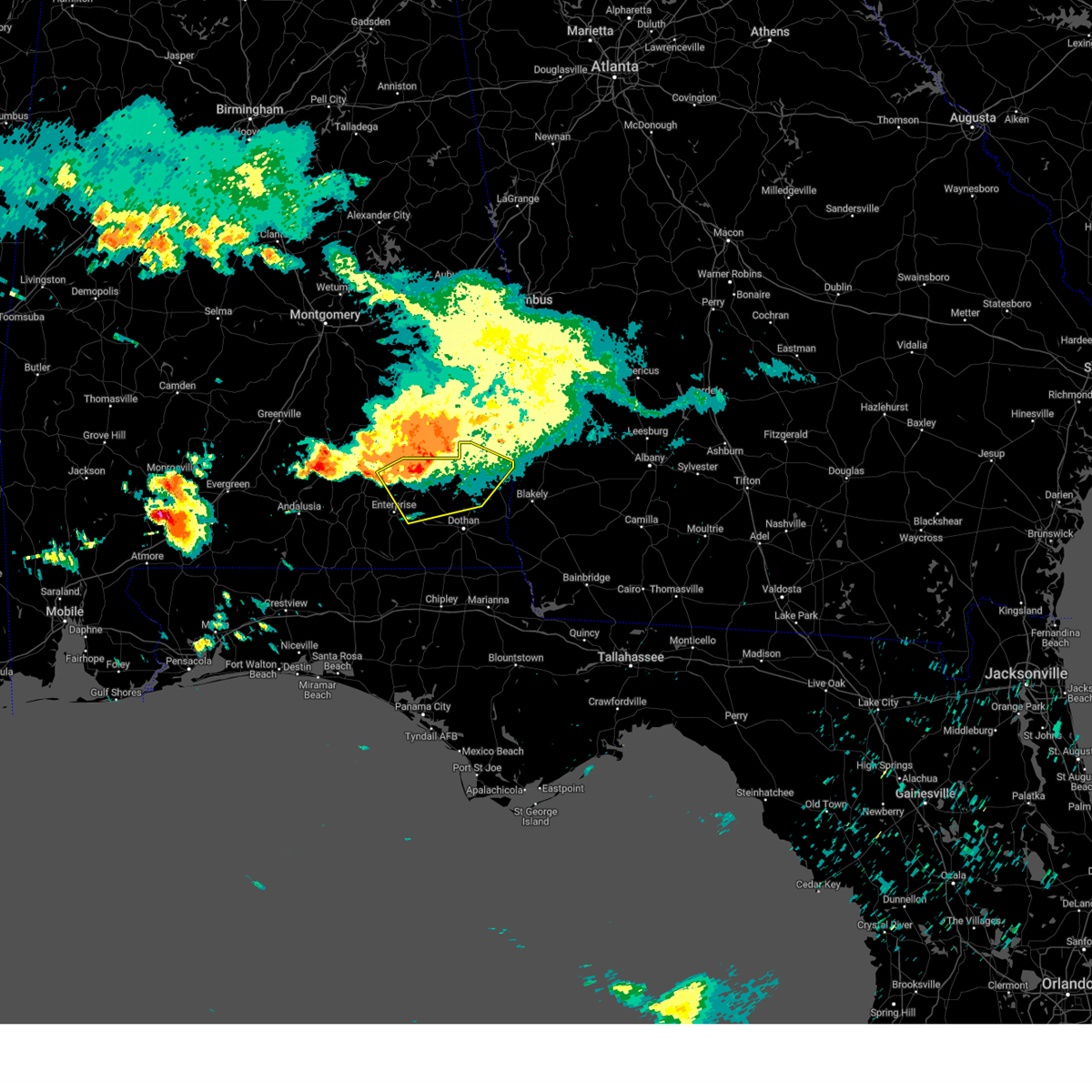 At 358 am cdt, severe thunderstorms were located along a line extending from near blue springs to near ariton to 8 miles northwest of fort rucker, moving southeast at 50 mph (radar indicated). Hazards include 60 mph wind gusts and nickel size hail. expect damage to roofs, siding, and trees At 358 am cdt, severe thunderstorms were located along a line extending from near blue springs to near ariton to 8 miles northwest of fort rucker, moving southeast at 50 mph (radar indicated). Hazards include 60 mph wind gusts and nickel size hail. expect damage to roofs, siding, and trees
|
| 6/14/2023 10:25 PM CDT |
 At 1025 pm cdt, severe thunderstorms were located along a line extending from 6 miles southwest of level plains to 7 miles east of geneva to 11 miles east of de funiak springs, moving east at 65 mph (radar indicated). Hazards include 60 mph wind gusts and penny size hail. expect damage to roofs, siding, and trees At 1025 pm cdt, severe thunderstorms were located along a line extending from 6 miles southwest of level plains to 7 miles east of geneva to 11 miles east of de funiak springs, moving east at 65 mph (radar indicated). Hazards include 60 mph wind gusts and penny size hail. expect damage to roofs, siding, and trees
|
| 6/14/2023 7:06 PM CDT |
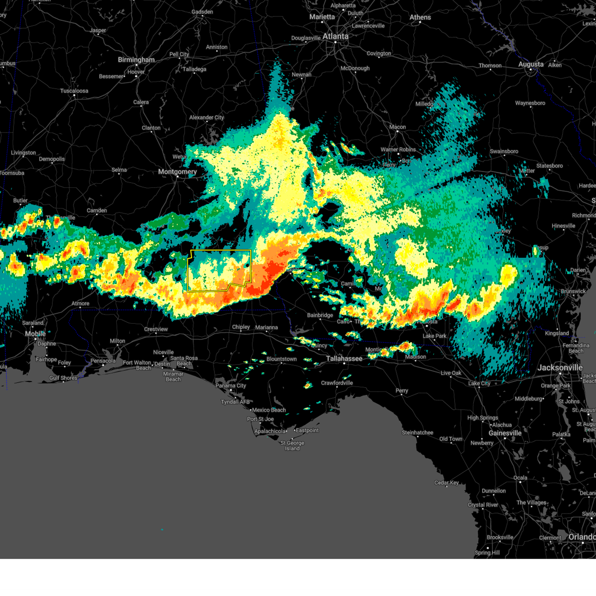 The severe thunderstorm warning for dale and coffee counties will expire at 715 pm cdt, the storms which prompted the warning have moved out of the area. therefore, the warning will be allowed to expire. a tornado watch remains in effect until 1100 pm cdt for southeastern alabama. The severe thunderstorm warning for dale and coffee counties will expire at 715 pm cdt, the storms which prompted the warning have moved out of the area. therefore, the warning will be allowed to expire. a tornado watch remains in effect until 1100 pm cdt for southeastern alabama.
|
| 6/14/2023 6:14 PM CDT |
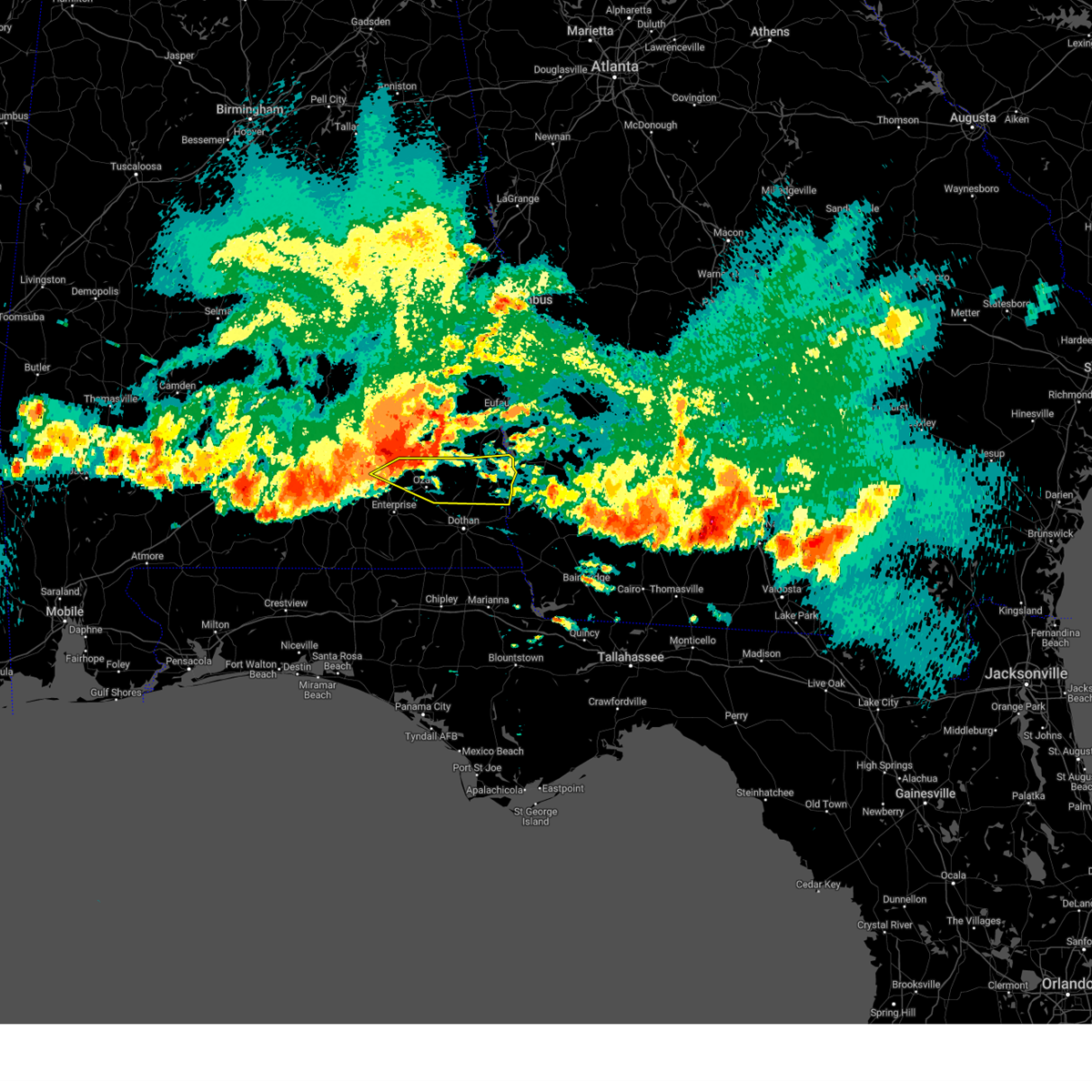 At 613 pm cdt, severe thunderstorms were located along a line extending from near clio to 9 miles west of ariton, moving east at 60 mph. these are destructive storms for northeast coffee, dale, and henry counties! (radar indicated). Hazards include 80 mph wind gusts and quarter size hail. Flying debris will be dangerous to those caught without shelter. mobile homes will be heavily damaged. expect considerable damage to roofs, windows, and vehicles. Extensive tree damage and power outages are likely. At 613 pm cdt, severe thunderstorms were located along a line extending from near clio to 9 miles west of ariton, moving east at 60 mph. these are destructive storms for northeast coffee, dale, and henry counties! (radar indicated). Hazards include 80 mph wind gusts and quarter size hail. Flying debris will be dangerous to those caught without shelter. mobile homes will be heavily damaged. expect considerable damage to roofs, windows, and vehicles. Extensive tree damage and power outages are likely.
|
| 6/14/2023 5:59 PM CDT |
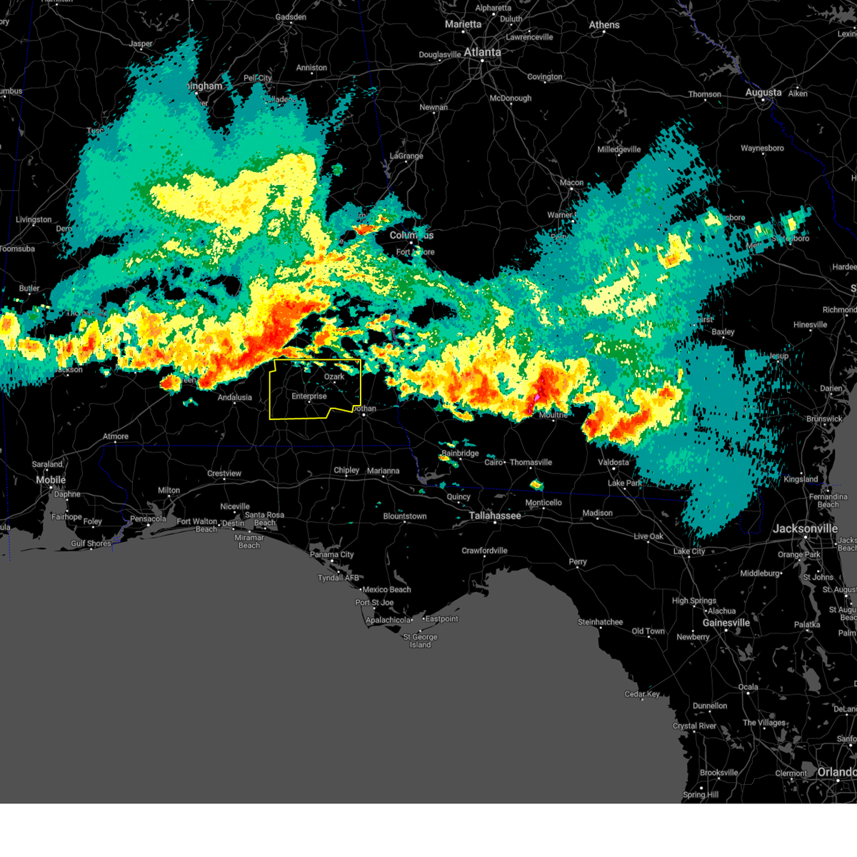 At 559 pm cdt, severe thunderstorms were located along a line extending from near linwood to near red level, moving southeast at 55 mph (radar indicated). Hazards include 70 mph wind gusts and quarter size hail. Hail damage to vehicles is expected. expect considerable tree damage. wind damage is also likely to mobile homes, roofs, and outbuildings. Locations impacted include, daleville, elba, enterprise, fort rucker, ozark, midland city, level plains, newton, new brockton, ariton, pinckard, lee, clayhatchee, grimes, kinston, napier field, carl folsom a/p, hooper stage field, gerald and camp humming hills. At 559 pm cdt, severe thunderstorms were located along a line extending from near linwood to near red level, moving southeast at 55 mph (radar indicated). Hazards include 70 mph wind gusts and quarter size hail. Hail damage to vehicles is expected. expect considerable tree damage. wind damage is also likely to mobile homes, roofs, and outbuildings. Locations impacted include, daleville, elba, enterprise, fort rucker, ozark, midland city, level plains, newton, new brockton, ariton, pinckard, lee, clayhatchee, grimes, kinston, napier field, carl folsom a/p, hooper stage field, gerald and camp humming hills.
|
| 6/14/2023 5:42 PM CDT |
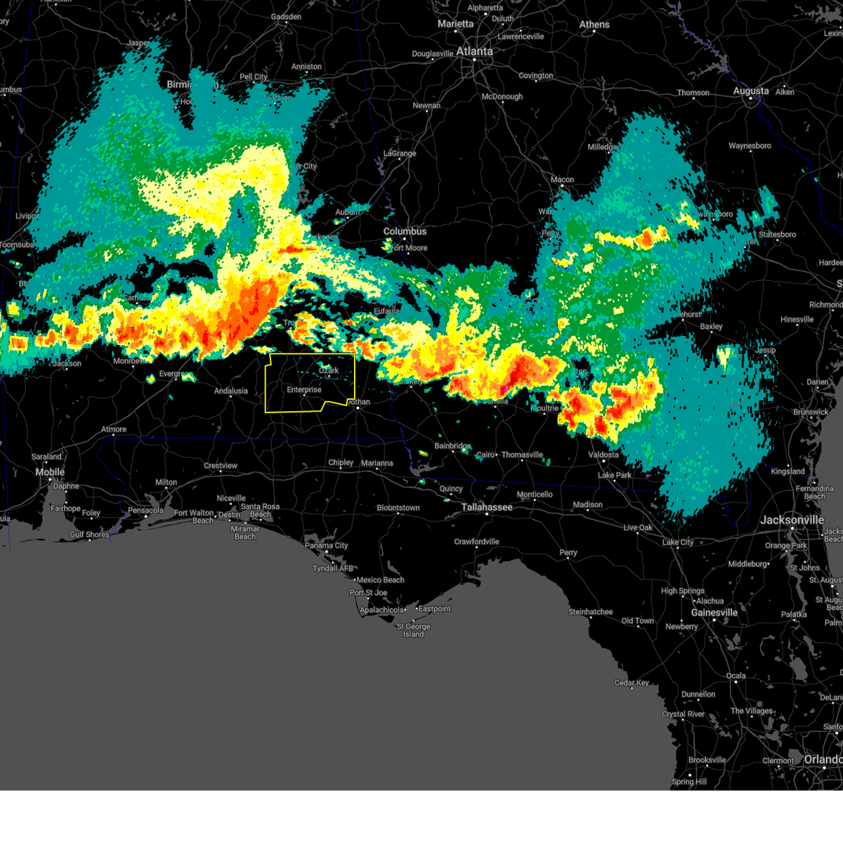 At 542 pm cdt, severe thunderstorms were located along a line extending from dublin to 10 miles east of georgiana, moving southeast at 65 mph (radar indicated). Hazards include 60 mph wind gusts and quarter size hail. Hail damage to vehicles is expected. Expect wind damage to roofs, siding, and trees. At 542 pm cdt, severe thunderstorms were located along a line extending from dublin to 10 miles east of georgiana, moving southeast at 65 mph (radar indicated). Hazards include 60 mph wind gusts and quarter size hail. Hail damage to vehicles is expected. Expect wind damage to roofs, siding, and trees.
|
| 6/14/2023 11:24 AM CDT |
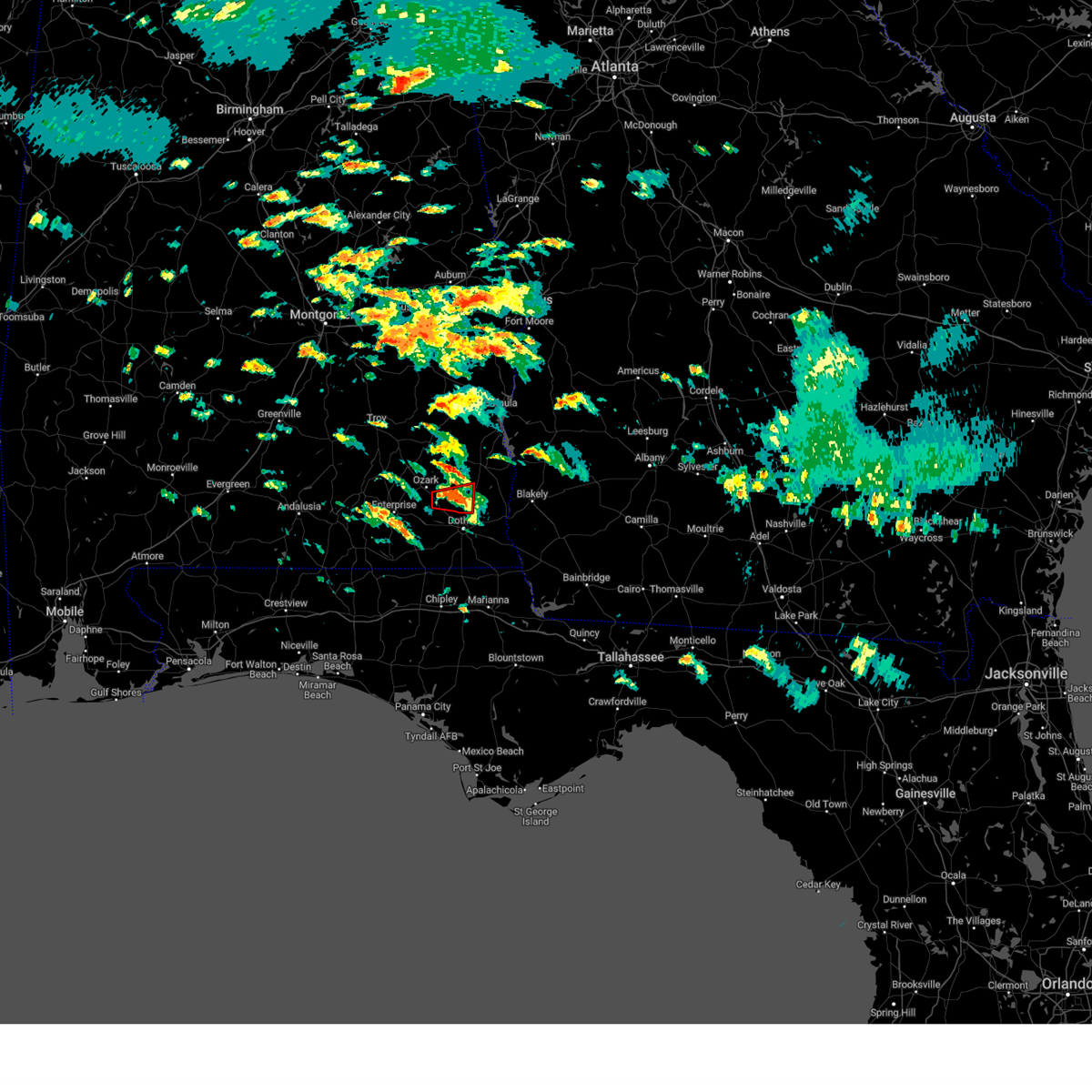 At 1124 am cdt, a severe thunderstorm capable of producing a tornado was located over newton, or near ozark, moving east at 30 mph (radar indicated rotation). Hazards include tornado. Flying debris will be dangerous to those caught without shelter. mobile homes will be damaged or destroyed. damage to roofs, windows, and vehicles will occur. tree damage is likely. this dangerous storm will be near, midland city around 1135 am cdt. headland and kinsey around 1155 am cdt. Other locations impacted by this tornadic thunderstorm include sylvan grove, ewell, browns crossroads, newville, goldberg field, kirkland crossroads, blackwood and bagwells crossroads. At 1124 am cdt, a severe thunderstorm capable of producing a tornado was located over newton, or near ozark, moving east at 30 mph (radar indicated rotation). Hazards include tornado. Flying debris will be dangerous to those caught without shelter. mobile homes will be damaged or destroyed. damage to roofs, windows, and vehicles will occur. tree damage is likely. this dangerous storm will be near, midland city around 1135 am cdt. headland and kinsey around 1155 am cdt. Other locations impacted by this tornadic thunderstorm include sylvan grove, ewell, browns crossroads, newville, goldberg field, kirkland crossroads, blackwood and bagwells crossroads.
|
| 6/14/2023 11:08 AM CDT |
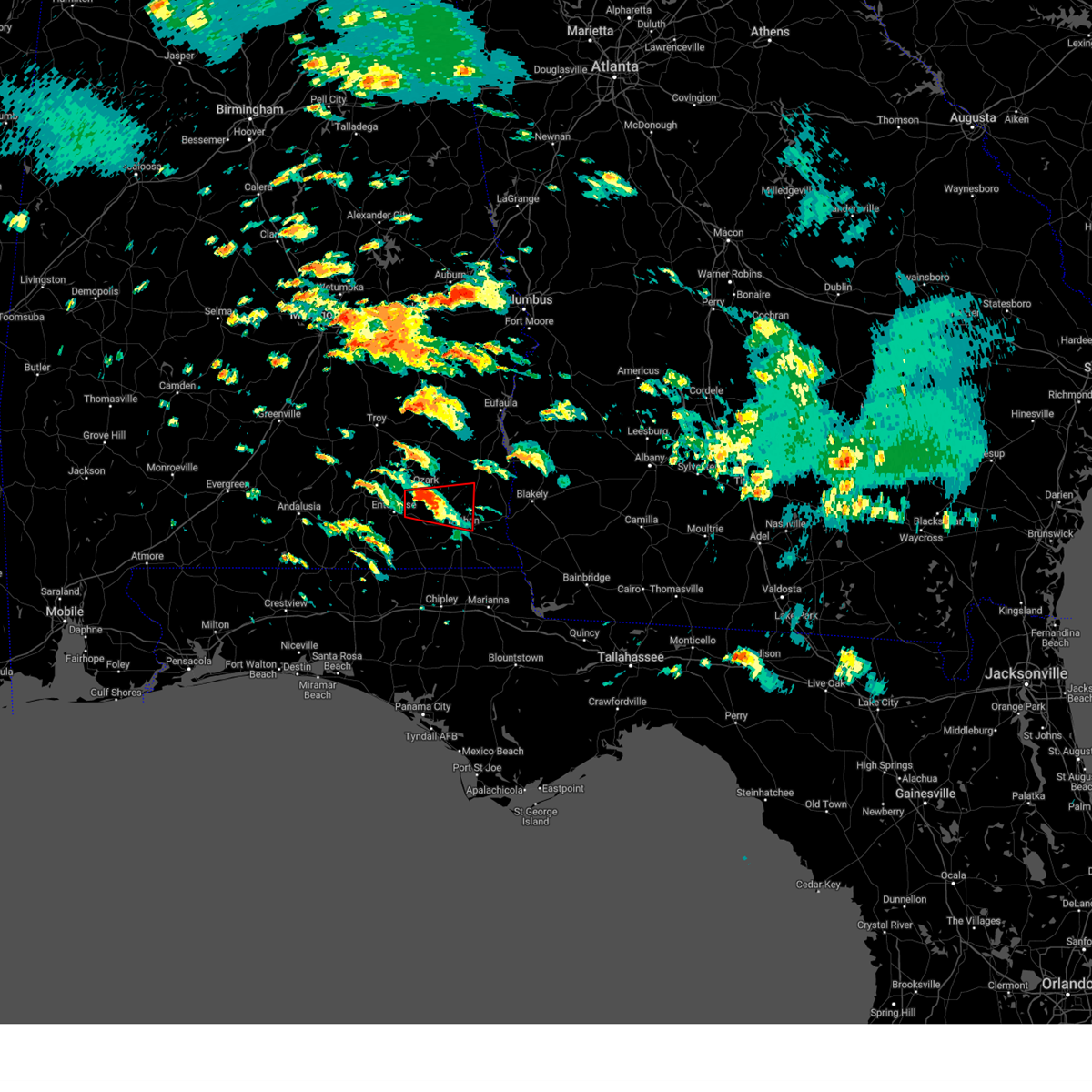 At 1108 am cdt, a severe thunderstorm capable of producing a tornado was located near daleville, moving east at 30 mph (radar indicated rotation). Hazards include tornado. Flying debris will be dangerous to those caught without shelter. mobile homes will be damaged or destroyed. damage to roofs, windows, and vehicles will occur. tree damage is likely. this dangerous storm will be near, ozark and newton around 1125 am cdt. pinckard around 1130 am cdt. midland city around 1135 am cdt. kinsey around 1150 am cdt. headland and kinsey around 1155 am cdt. Other locations impacted by this tornadic thunderstorm include grimes, hunt field, waterford, hooper stage field, kirkland crossroads, knox field, gerald, napier field, ewell and sylvan grove. At 1108 am cdt, a severe thunderstorm capable of producing a tornado was located near daleville, moving east at 30 mph (radar indicated rotation). Hazards include tornado. Flying debris will be dangerous to those caught without shelter. mobile homes will be damaged or destroyed. damage to roofs, windows, and vehicles will occur. tree damage is likely. this dangerous storm will be near, ozark and newton around 1125 am cdt. pinckard around 1130 am cdt. midland city around 1135 am cdt. kinsey around 1150 am cdt. headland and kinsey around 1155 am cdt. Other locations impacted by this tornadic thunderstorm include grimes, hunt field, waterford, hooper stage field, kirkland crossroads, knox field, gerald, napier field, ewell and sylvan grove.
|
| 6/12/2023 9:51 PM CDT |
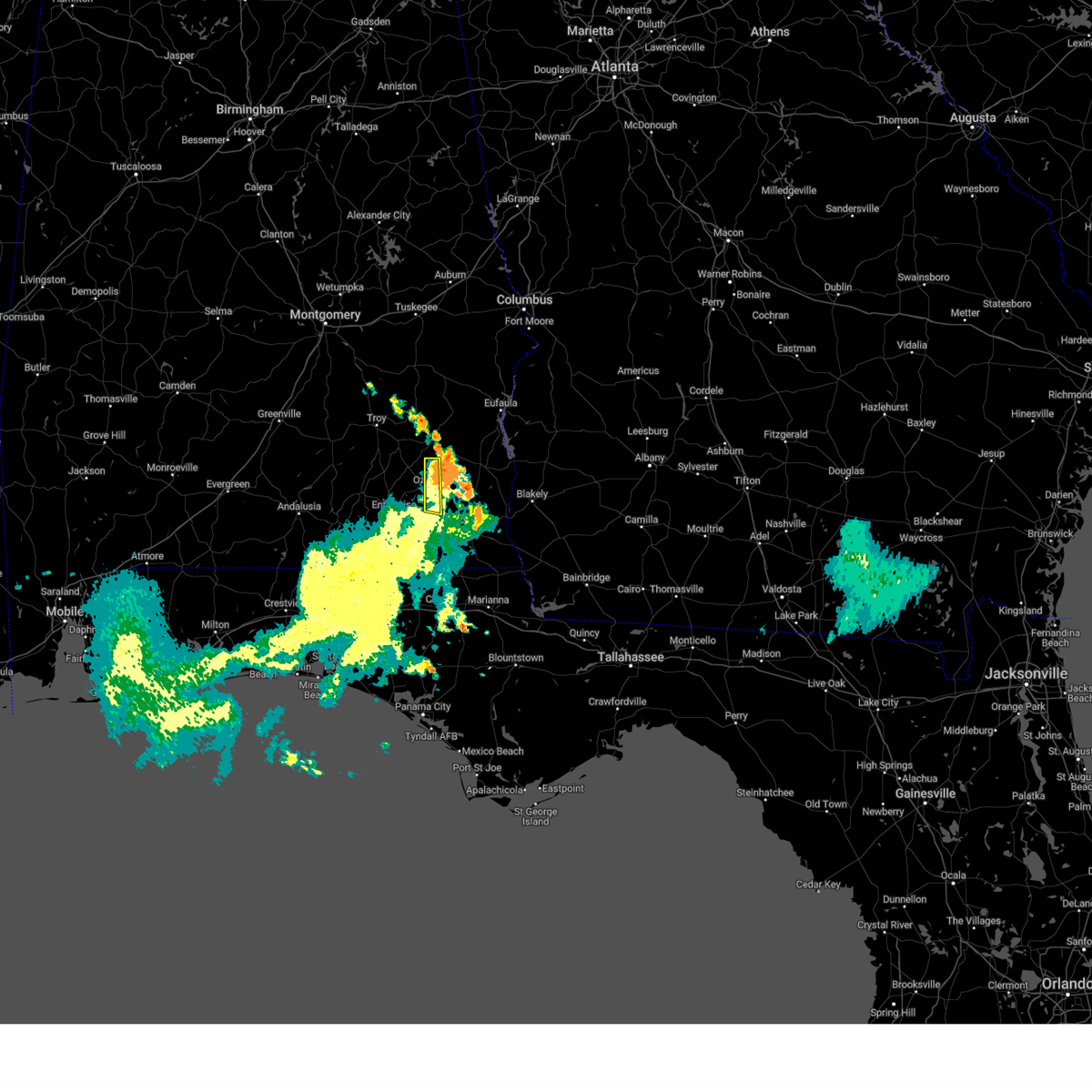 At 951 pm cdt, severe thunderstorms were located along a line extending from ariton to near level plains, moving east at 20 mph (radar indicated). Hazards include 60 mph wind gusts and quarter size hail. Hail damage to vehicles is expected. expect wind damage to roofs, siding, and trees. locations impacted include, ozark, fort rucker, newton, pinckard, hunt field, waterford, bagwells crossroads, mabson, arguta, ewell, beamon, dale county lake, blackwell field a/p, phillips crossroads, dykes crossroads and klondyke hill. hail threat, radar indicated max hail size, 1. 00 in wind threat, radar indicated max wind gust, 60 mph. At 951 pm cdt, severe thunderstorms were located along a line extending from ariton to near level plains, moving east at 20 mph (radar indicated). Hazards include 60 mph wind gusts and quarter size hail. Hail damage to vehicles is expected. expect wind damage to roofs, siding, and trees. locations impacted include, ozark, fort rucker, newton, pinckard, hunt field, waterford, bagwells crossroads, mabson, arguta, ewell, beamon, dale county lake, blackwell field a/p, phillips crossroads, dykes crossroads and klondyke hill. hail threat, radar indicated max hail size, 1. 00 in wind threat, radar indicated max wind gust, 60 mph.
|
| 6/12/2023 9:37 PM CDT |
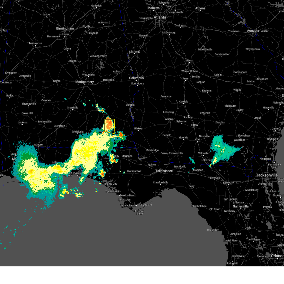 At 937 pm cdt, severe thunderstorms were located along a line extending from near ariton to near enterprise, moving east at 20 mph (radar indicated). Hazards include 60 mph wind gusts and quarter size hail. Hail damage to vehicles is expected. expect wind damage to roofs, siding, and trees. locations impacted include, fort rucker, ozark, newton, ariton, pinckard, hunt field, waterford, dill, hooper stage field, mabson, arguta, ewell, dale county lake, marley hill, phillips crossroads, hwy 231 pea river bridge, greater salem church, dean church road, bagwells crossroads and lowe army heliport. hail threat, radar indicated max hail size, 1. 00 in wind threat, radar indicated max wind gust, 60 mph. At 937 pm cdt, severe thunderstorms were located along a line extending from near ariton to near enterprise, moving east at 20 mph (radar indicated). Hazards include 60 mph wind gusts and quarter size hail. Hail damage to vehicles is expected. expect wind damage to roofs, siding, and trees. locations impacted include, fort rucker, ozark, newton, ariton, pinckard, hunt field, waterford, dill, hooper stage field, mabson, arguta, ewell, dale county lake, marley hill, phillips crossroads, hwy 231 pea river bridge, greater salem church, dean church road, bagwells crossroads and lowe army heliport. hail threat, radar indicated max hail size, 1. 00 in wind threat, radar indicated max wind gust, 60 mph.
|
| 6/12/2023 9:16 PM CDT |
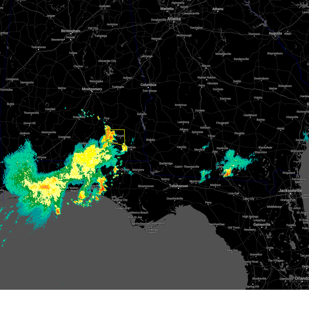 At 916 pm cdt, severe thunderstorms were located along a line extending from 8 miles southwest of brundidge to new brockton, moving east at 20 mph (radar indicated). Hazards include 60 mph wind gusts. expect damage to roofs, siding, and trees At 916 pm cdt, severe thunderstorms were located along a line extending from 8 miles southwest of brundidge to new brockton, moving east at 20 mph (radar indicated). Hazards include 60 mph wind gusts. expect damage to roofs, siding, and trees
|
| 5/18/2023 6:56 PM CDT |
 The severe thunderstorm warning for central dale county will expire at 700 pm cdt, the storm which prompted the warning has weakened below severe limits, and no longer poses an immediate threat to life or property. therefore, the warning will be allowed to expire. however gusty winds are still possible with this thunderstorm. to report severe weather, contact your nearest law enforcement agency. they will relay your report to the national weather service in tallahassee. &&. The severe thunderstorm warning for central dale county will expire at 700 pm cdt, the storm which prompted the warning has weakened below severe limits, and no longer poses an immediate threat to life or property. therefore, the warning will be allowed to expire. however gusty winds are still possible with this thunderstorm. to report severe weather, contact your nearest law enforcement agency. they will relay your report to the national weather service in tallahassee. &&.
|
| 5/18/2023 6:40 PM CDT |
 At 640 pm cdt, a severe thunderstorm was located near newton, or near ozark, moving northeast at 10 mph (radar indicated). Hazards include 60 mph wind gusts and quarter size hail. Hail damage to vehicles is expected. expect wind damage to roofs, siding, and trees. locations impacted include, ozark, fort rucker, newton, pinckard, hunt field, waterford, dean church road, knox field, bagwells crossroads, kelly, ewell, blackwell field a/p, hanchey field and klondyke hill. hail threat, radar indicated max hail size, 1. 00 in wind threat, radar indicated max wind gust, 60 mph. At 640 pm cdt, a severe thunderstorm was located near newton, or near ozark, moving northeast at 10 mph (radar indicated). Hazards include 60 mph wind gusts and quarter size hail. Hail damage to vehicles is expected. expect wind damage to roofs, siding, and trees. locations impacted include, ozark, fort rucker, newton, pinckard, hunt field, waterford, dean church road, knox field, bagwells crossroads, kelly, ewell, blackwell field a/p, hanchey field and klondyke hill. hail threat, radar indicated max hail size, 1. 00 in wind threat, radar indicated max wind gust, 60 mph.
|
| 5/18/2023 6:21 PM CDT |
 At 621 pm cdt, a severe thunderstorm was located near daleville, moving northeast at 10 mph (radar indicated). Hazards include 60 mph wind gusts and quarter size hail. Hail damage to vehicles is expected. Expect wind damage to roofs, siding, and trees. At 621 pm cdt, a severe thunderstorm was located near daleville, moving northeast at 10 mph (radar indicated). Hazards include 60 mph wind gusts and quarter size hail. Hail damage to vehicles is expected. Expect wind damage to roofs, siding, and trees.
|
| 5/17/2023 6:25 PM CDT |
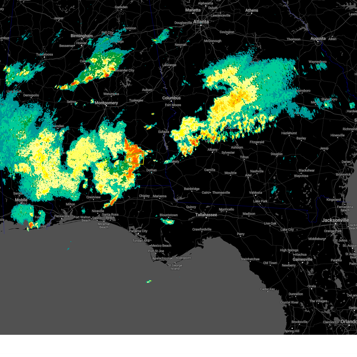 The severe thunderstorm warning for northwestern dale and northeastern coffee counties will expire at 630 pm cdt, the storm which prompted the warning has weakened below severe limits, and no longer poses an immediate threat to life or property. therefore, the warning will be allowed to expire. however gusty winds and heavy rain are still possible with this thunderstorm. The severe thunderstorm warning for northwestern dale and northeastern coffee counties will expire at 630 pm cdt, the storm which prompted the warning has weakened below severe limits, and no longer poses an immediate threat to life or property. therefore, the warning will be allowed to expire. however gusty winds and heavy rain are still possible with this thunderstorm.
|
| 5/17/2023 5:38 PM CDT |
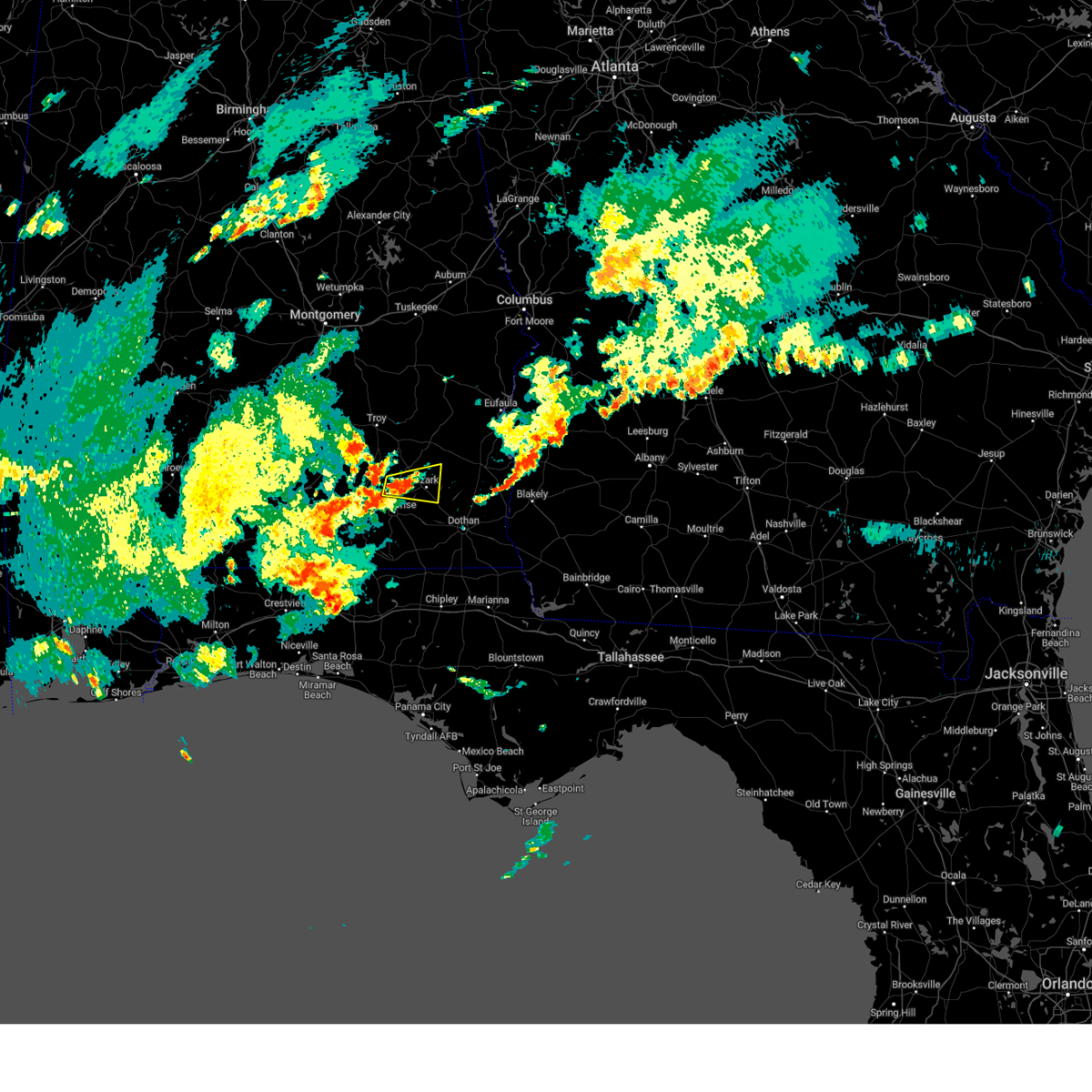 At 538 pm cdt, a severe thunderstorm was located near fort rucker, moving east at 15 mph (radar indicated). Hazards include 60 mph wind gusts and quarter size hail. Hail damage to vehicles is expected. Expect wind damage to roofs, siding, and trees. At 538 pm cdt, a severe thunderstorm was located near fort rucker, moving east at 15 mph (radar indicated). Hazards include 60 mph wind gusts and quarter size hail. Hail damage to vehicles is expected. Expect wind damage to roofs, siding, and trees.
|
| 5/12/2023 2:28 PM CDT |
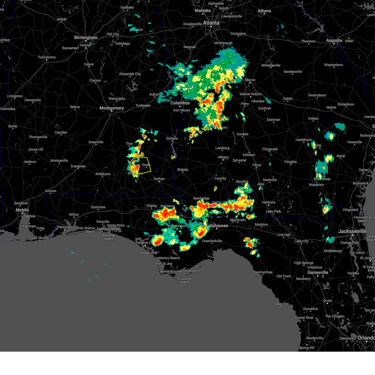 At 227 pm cdt, a severe thunderstorm was located near fort rucker, moving northeast at 10 mph (radar indicated). Hazards include 60 mph wind gusts and half dollar size hail. Hail damage to vehicles is expected. Expect wind damage to roofs, siding, and trees. At 227 pm cdt, a severe thunderstorm was located near fort rucker, moving northeast at 10 mph (radar indicated). Hazards include 60 mph wind gusts and half dollar size hail. Hail damage to vehicles is expected. Expect wind damage to roofs, siding, and trees.
|
| 4/3/2023 10:31 AM CDT |
 At 1031 am cdt, severe thunderstorms were located along a line extending from near fort rucker to near enterprise to 6 miles north of samson, moving southeast at 35 mph (radar indicated). Hazards include 60 mph wind gusts and quarter size hail. Hail damage to vehicles is expected. Expect wind damage to roofs, siding, and trees. At 1031 am cdt, severe thunderstorms were located along a line extending from near fort rucker to near enterprise to 6 miles north of samson, moving southeast at 35 mph (radar indicated). Hazards include 60 mph wind gusts and quarter size hail. Hail damage to vehicles is expected. Expect wind damage to roofs, siding, and trees.
|
| 3/26/2023 2:49 PM CDT |
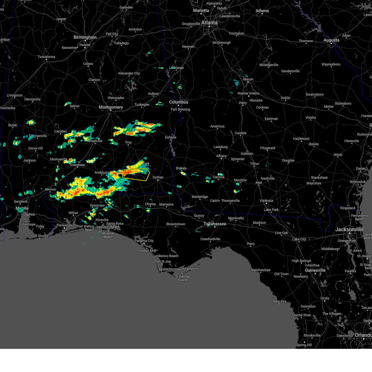 At 249 pm cdt, a severe thunderstorm was located near new brockton, or 7 miles west of enterprise, moving east at 30 mph (radar indicated). Hazards include 60 mph wind gusts and quarter size hail. Hail damage to vehicles is expected. Expect wind damage to roofs, siding, and trees. At 249 pm cdt, a severe thunderstorm was located near new brockton, or 7 miles west of enterprise, moving east at 30 mph (radar indicated). Hazards include 60 mph wind gusts and quarter size hail. Hail damage to vehicles is expected. Expect wind damage to roofs, siding, and trees.
|
| 3/25/2023 6:10 PM CDT |
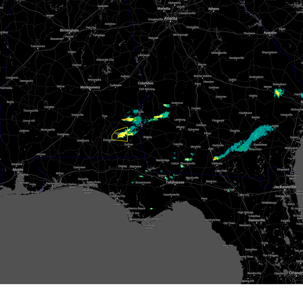 The severe thunderstorm warning for central dale county will expire at 615 pm cdt, the storm which prompted the warning has weakened below severe limits, and no longer poses an immediate threat to life or property. therefore, the warning will be allowed to expire. to report severe weather, contact your nearest law enforcement agency. they will relay your report to the national weather service tallahassee. The severe thunderstorm warning for central dale county will expire at 615 pm cdt, the storm which prompted the warning has weakened below severe limits, and no longer poses an immediate threat to life or property. therefore, the warning will be allowed to expire. to report severe weather, contact your nearest law enforcement agency. they will relay your report to the national weather service tallahassee.
|
| 3/25/2023 5:50 PM CDT |
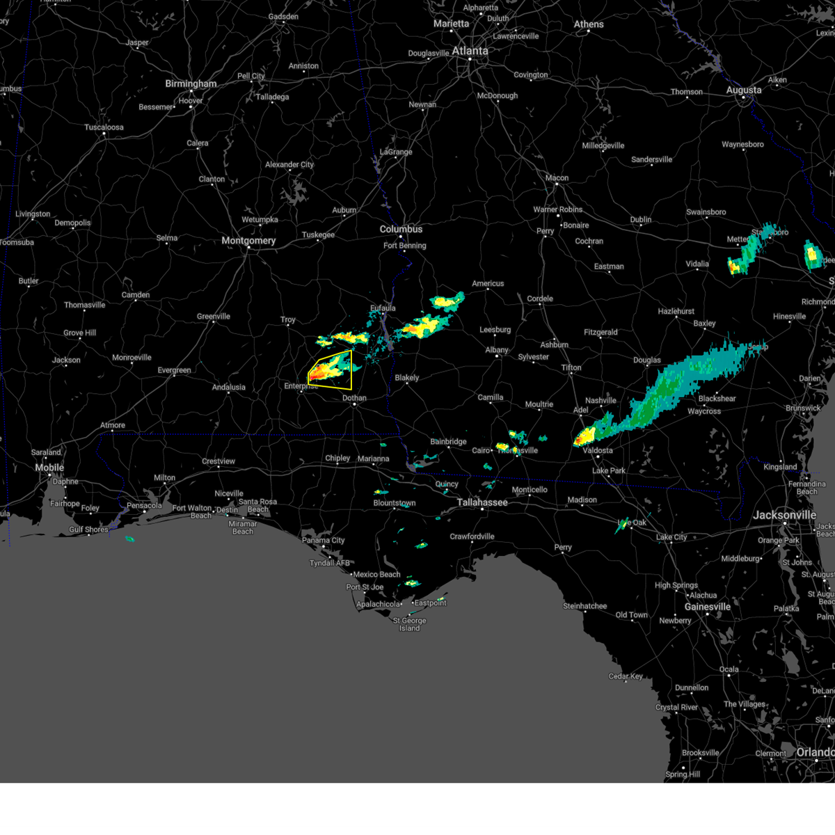 At 549 pm cdt, a severe thunderstorm was located over fort rucker, moving east at 25 mph (radar indicated). Hazards include 60 mph wind gusts and half dollar size hail. Hail damage to vehicles is expected. expect wind damage to roofs, siding, and trees. this severe storm will be near, ozark and newton around 610 pm cdt. other locations impacted by this severe thunderstorm include bells crossroads, hunt field, dill, hooper stage field, mabson, arguta, snells crossroads, ewell, dale county lake and marley hill. hail threat, radar indicated max hail size, 1. 25 in wind threat, radar indicated max wind gust, 60 mph. At 549 pm cdt, a severe thunderstorm was located over fort rucker, moving east at 25 mph (radar indicated). Hazards include 60 mph wind gusts and half dollar size hail. Hail damage to vehicles is expected. expect wind damage to roofs, siding, and trees. this severe storm will be near, ozark and newton around 610 pm cdt. other locations impacted by this severe thunderstorm include bells crossroads, hunt field, dill, hooper stage field, mabson, arguta, snells crossroads, ewell, dale county lake and marley hill. hail threat, radar indicated max hail size, 1. 25 in wind threat, radar indicated max wind gust, 60 mph.
|
| 3/25/2023 5:15 PM CDT |
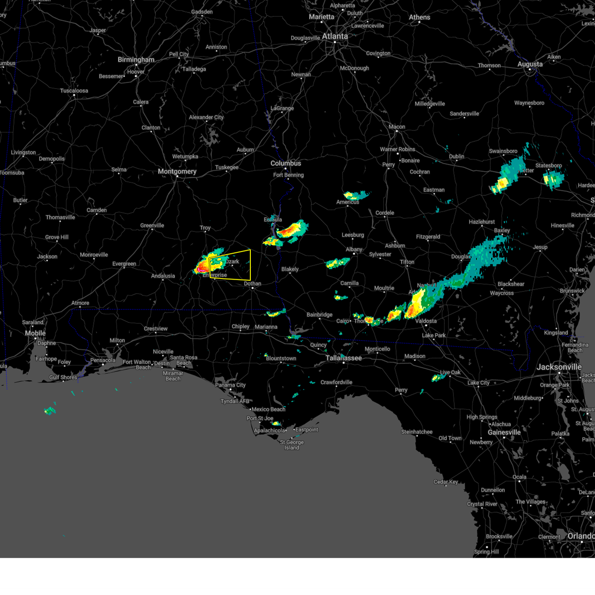 At 515 pm cdt, doppler radar indicated a severe thunderstorm capable of producing large hail up to ping pong ball size and damaging winds in excess of 60 mph. this storm was located near new brockton, or near elba, and moving east at 35 mph. * this severe thunderstorm will be near, fort rucker around 530 pm cdt. level plains around 535 pm cdt. daleville around 540 pm cdt. ozark and newton around 555 pm cdt. pinckard around 600 pm cdt. midland city around 605 pm cdt. other locations impacted by this severe thunderstorm include bells crossroads, hunt field, waterford, dill, hooper stage field, knox field, napier field, mabson, arguta and snells crossroads. At 515 pm cdt, doppler radar indicated a severe thunderstorm capable of producing large hail up to ping pong ball size and damaging winds in excess of 60 mph. this storm was located near new brockton, or near elba, and moving east at 35 mph. * this severe thunderstorm will be near, fort rucker around 530 pm cdt. level plains around 535 pm cdt. daleville around 540 pm cdt. ozark and newton around 555 pm cdt. pinckard around 600 pm cdt. midland city around 605 pm cdt. other locations impacted by this severe thunderstorm include bells crossroads, hunt field, waterford, dill, hooper stage field, knox field, napier field, mabson, arguta and snells crossroads.
|
| 3/12/2023 11:20 AM CDT |
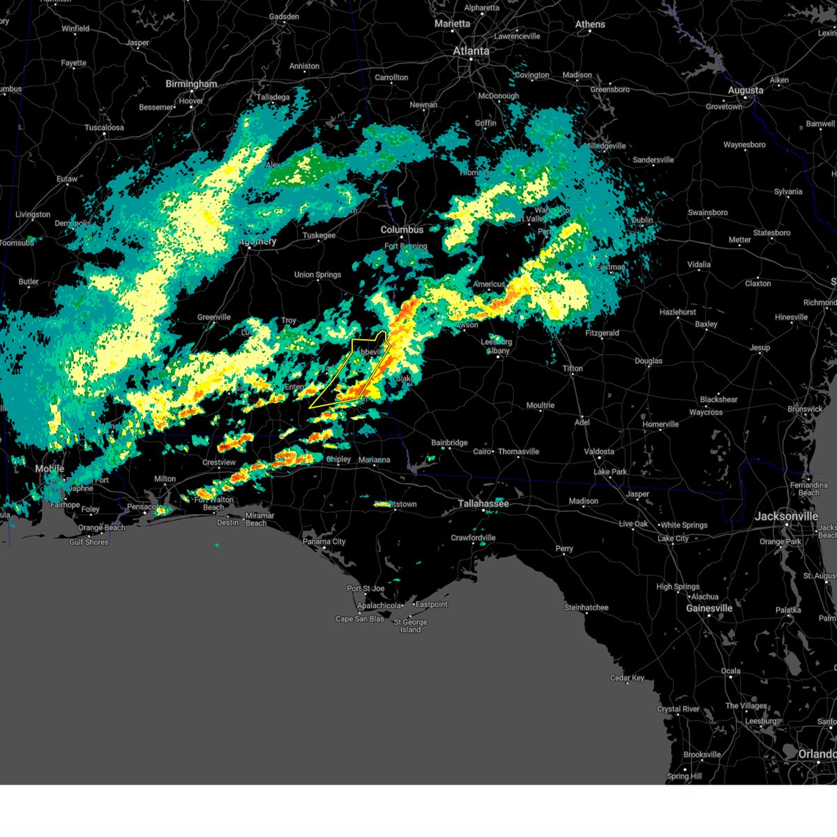 The severe thunderstorm warning for southern dale, henry and northwestern houston counties will expire at 1130 am cdt, the storms which prompted the warning have weakened below severe limits, and no longer pose an immediate threat to life or property. therefore, the warning will be allowed to expire. however gusty winds to 40 mph are still possible with these thunderstorms. The severe thunderstorm warning for southern dale, henry and northwestern houston counties will expire at 1130 am cdt, the storms which prompted the warning have weakened below severe limits, and no longer pose an immediate threat to life or property. therefore, the warning will be allowed to expire. however gusty winds to 40 mph are still possible with these thunderstorms.
|
| 3/12/2023 11:02 AM CDT |
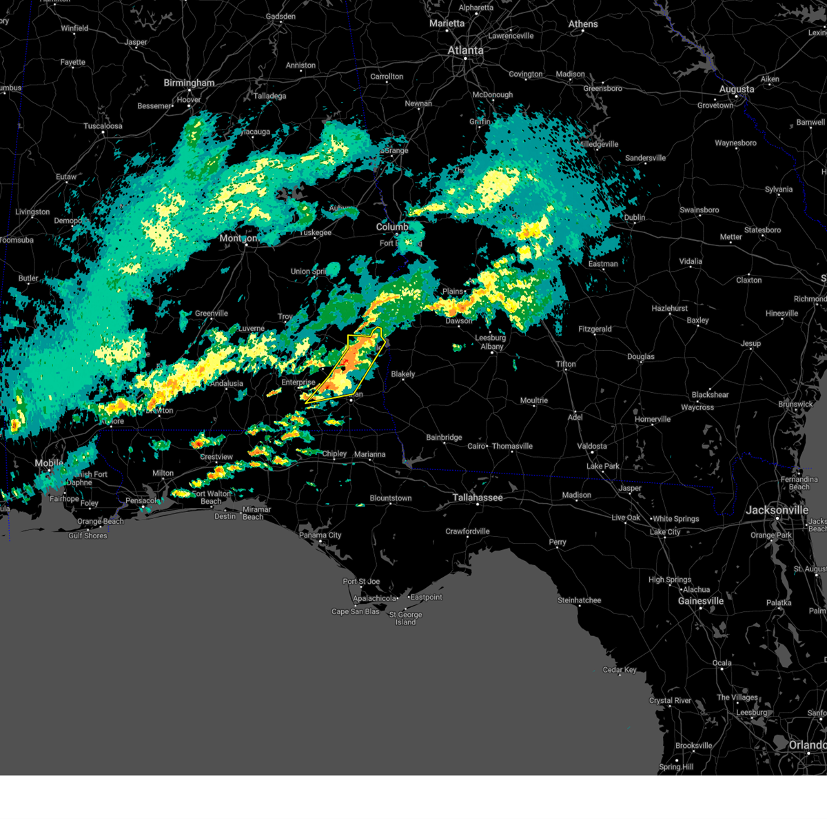 At 1101 am cdt, severe thunderstorms were located along a line extending from 6 miles northwest of abbeville to near newton, moving east at 45 mph (radar indicated). Hazards include 60 mph wind gusts and penny size hail. Expect damage to roofs, siding, and trees. Locations impacted include, daleville, abbeville, headland, dothan, ozark, fort rucker, midland city, newton, pinckard, kinsey, clayhatchee, grimes, newville, napier field, waterford, scottsboro crossroads, cairns aaf, thomas mill creek, bagwells crossroads and kelly springs. At 1101 am cdt, severe thunderstorms were located along a line extending from 6 miles northwest of abbeville to near newton, moving east at 45 mph (radar indicated). Hazards include 60 mph wind gusts and penny size hail. Expect damage to roofs, siding, and trees. Locations impacted include, daleville, abbeville, headland, dothan, ozark, fort rucker, midland city, newton, pinckard, kinsey, clayhatchee, grimes, newville, napier field, waterford, scottsboro crossroads, cairns aaf, thomas mill creek, bagwells crossroads and kelly springs.
|
| 3/12/2023 10:38 AM CDT |
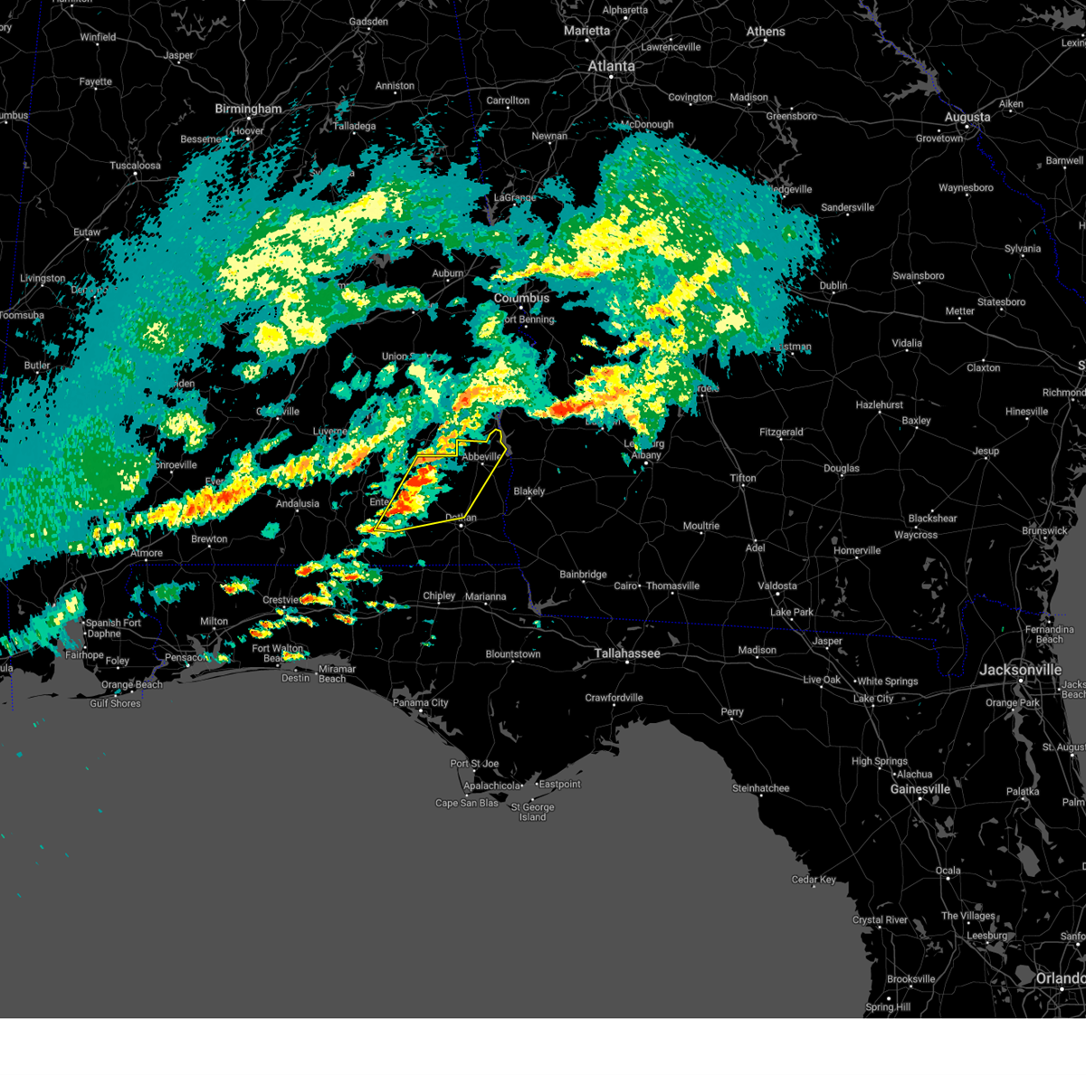 At 1038 am cdt, severe thunderstorms were located along a line extending from 6 miles southeast of doster to 6 miles southwest of enterprise, moving east at 45 mph (radar indicated). Hazards include 60 mph wind gusts and penny size hail. expect damage to roofs, siding, and trees At 1038 am cdt, severe thunderstorms were located along a line extending from 6 miles southeast of doster to 6 miles southwest of enterprise, moving east at 45 mph (radar indicated). Hazards include 60 mph wind gusts and penny size hail. expect damage to roofs, siding, and trees
|
| 1/25/2023 5:31 AM CST |
 At 531 am cst, severe thunderstorms were located along a line extending from near texasville to near hartford, moving east at 35 mph (radar indicated). Hazards include 60 mph wind gusts. Expect damage to roofs, siding, and trees. Locations impacted include, abbeville, cottonwood, fort gaines, headland, dothan, ozark, hartford, taylor, midland city, kinsey, ashford, slocomb, cowarts, newton, webb, columbia, pinckard, malvern, rehobeth and grimes. At 531 am cst, severe thunderstorms were located along a line extending from near texasville to near hartford, moving east at 35 mph (radar indicated). Hazards include 60 mph wind gusts. Expect damage to roofs, siding, and trees. Locations impacted include, abbeville, cottonwood, fort gaines, headland, dothan, ozark, hartford, taylor, midland city, kinsey, ashford, slocomb, cowarts, newton, webb, columbia, pinckard, malvern, rehobeth and grimes.
|
| 1/25/2023 5:07 AM CST |
 At 507 am cst, severe thunderstorms were located along a line extending from near doster to near geneva, moving east at 35 mph (radar indicated). Hazards include 60 mph wind gusts. expect damage to roofs, siding, and trees At 507 am cst, severe thunderstorms were located along a line extending from near doster to near geneva, moving east at 35 mph (radar indicated). Hazards include 60 mph wind gusts. expect damage to roofs, siding, and trees
|
| 1/25/2023 4:48 AM CST |
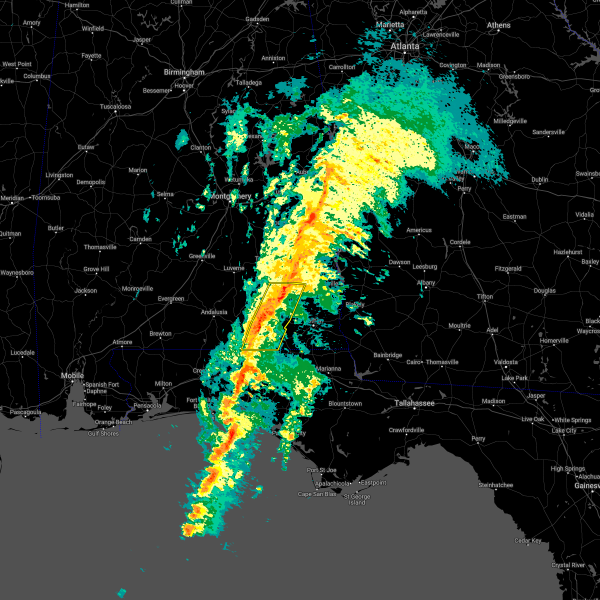 At 448 am cst, severe thunderstorms were located along a line extending from near doster to 7 miles south of samson, moving east at 35 mph (radar indicated). Hazards include 60 mph wind gusts. Expect damage to roofs, siding, and trees. Locations impacted include, daleville, geneva, enterprise, fort rucker, ozark, level plains, samson, newton, new brockton, ariton, clayhatchee, coffee springs, mixons crossroads, kellys crossroads, hunt field, waterford, hooper stage field, gerald, central city and logan field municipal a/p. At 448 am cst, severe thunderstorms were located along a line extending from near doster to 7 miles south of samson, moving east at 35 mph (radar indicated). Hazards include 60 mph wind gusts. Expect damage to roofs, siding, and trees. Locations impacted include, daleville, geneva, enterprise, fort rucker, ozark, level plains, samson, newton, new brockton, ariton, clayhatchee, coffee springs, mixons crossroads, kellys crossroads, hunt field, waterford, hooper stage field, gerald, central city and logan field municipal a/p.
|
| 1/25/2023 4:31 AM CST |
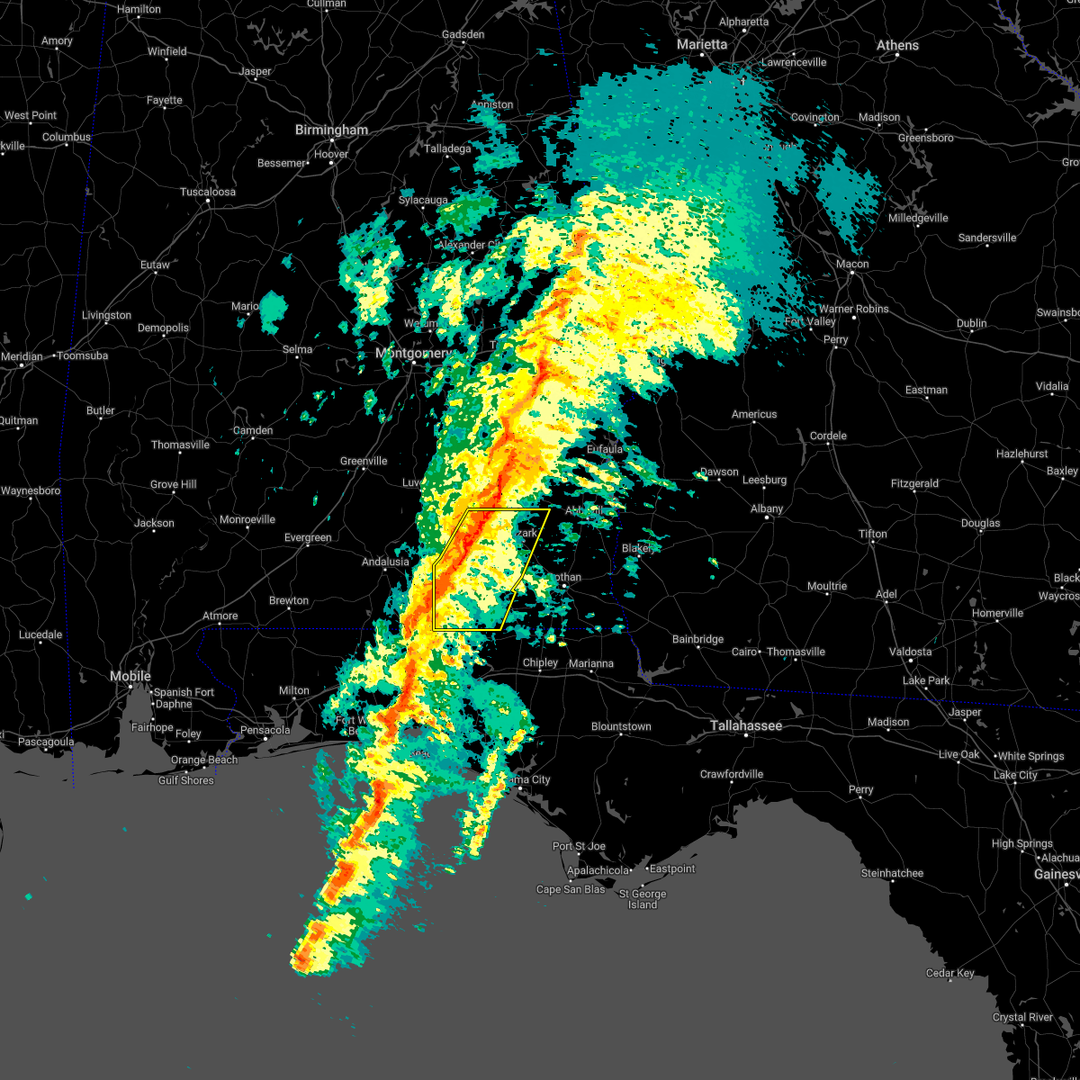 At 431 am cst, severe thunderstorms were located along a line extending from near ariton to 9 miles southwest of samson, moving east at 30 mph (radar indicated). Hazards include 60 mph wind gusts. Expect damage to roofs, siding, and trees. Locations impacted include, daleville, elba, geneva, enterprise, fort rucker, ozark, level plains, samson, newton, new brockton, ariton, clayhatchee, kinston, coffee springs, carl folsom a/p, hooper stage field, gerald, camp humming hills, cairns aaf and camp alaflo bsa. At 431 am cst, severe thunderstorms were located along a line extending from near ariton to 9 miles southwest of samson, moving east at 30 mph (radar indicated). Hazards include 60 mph wind gusts. Expect damage to roofs, siding, and trees. Locations impacted include, daleville, elba, geneva, enterprise, fort rucker, ozark, level plains, samson, newton, new brockton, ariton, clayhatchee, kinston, coffee springs, carl folsom a/p, hooper stage field, gerald, camp humming hills, cairns aaf and camp alaflo bsa.
|
| 1/25/2023 4:03 AM CST |
 At 403 am cst, severe thunderstorms were located along a line extending from near glenwood to near florala, moving northeast at 55 mph (radar indicated). Hazards include 60 mph wind gusts. expect damage to roofs, siding, and trees At 403 am cst, severe thunderstorms were located along a line extending from near glenwood to near florala, moving northeast at 55 mph (radar indicated). Hazards include 60 mph wind gusts. expect damage to roofs, siding, and trees
|
| 1/12/2023 4:31 PM CST |
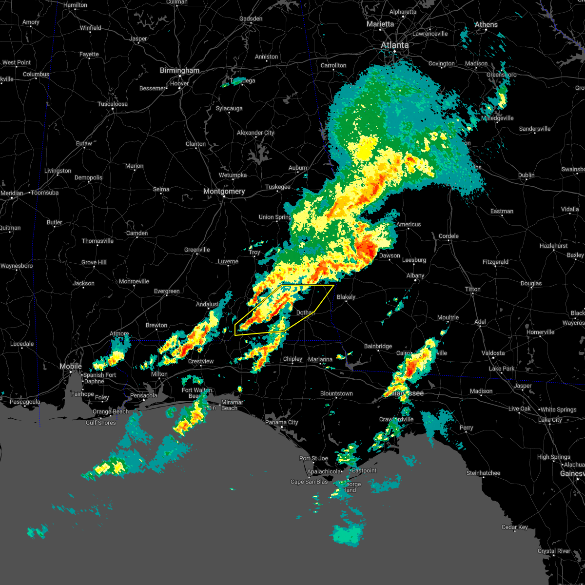 At 431 pm cst, severe thunderstorms were located along a line extending from newton to 6 miles west of samson, moving east at 65 mph (radar indicated). Hazards include 60 mph wind gusts and quarter size hail. Hail damage to vehicles is expected. Expect wind damage to roofs, siding, and trees. At 431 pm cst, severe thunderstorms were located along a line extending from newton to 6 miles west of samson, moving east at 65 mph (radar indicated). Hazards include 60 mph wind gusts and quarter size hail. Hail damage to vehicles is expected. Expect wind damage to roofs, siding, and trees.
|
| 1/4/2023 6:26 AM CST |
 The severe thunderstorm warning for dale, southern henry and east central coffee counties will expire at 630 am cst, the storms which prompted the warning have weakened below severe limits, and no longer pose an immediate threat to life or property. therefore, the warning will be allowed to expire. however gusty winds are still possible with these thunderstorms. a tornado watch remains in effect until 1100 am cst for southeastern alabama. to report severe weather, contact your nearest law enforcement agency. they will relay your report to the national weather service tallahassee. The severe thunderstorm warning for dale, southern henry and east central coffee counties will expire at 630 am cst, the storms which prompted the warning have weakened below severe limits, and no longer pose an immediate threat to life or property. therefore, the warning will be allowed to expire. however gusty winds are still possible with these thunderstorms. a tornado watch remains in effect until 1100 am cst for southeastern alabama. to report severe weather, contact your nearest law enforcement agency. they will relay your report to the national weather service tallahassee.
|
| 1/4/2023 6:14 AM CST |
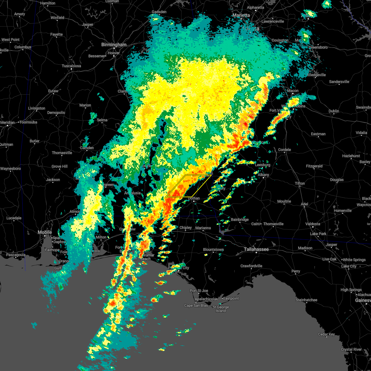 At 614 am cst, severe thunderstorms were located along a line extending from near abbeville to near daleville, moving east at 35 mph (radar indicated). Hazards include 60 mph wind gusts. Expect damage to roofs, siding, and trees. locations impacted include, daleville, abbeville, enterprise, fort rucker, ozark, headland, midland city, level plains, newton, pinckard, grimes, newville, napier field, hunt field, waterford, hooper stage field, gerald, ewell, dale county lake and skipperville. hail threat, radar indicated max hail size, <. 75 in wind threat, radar indicated max wind gust, 60 mph. At 614 am cst, severe thunderstorms were located along a line extending from near abbeville to near daleville, moving east at 35 mph (radar indicated). Hazards include 60 mph wind gusts. Expect damage to roofs, siding, and trees. locations impacted include, daleville, abbeville, enterprise, fort rucker, ozark, headland, midland city, level plains, newton, pinckard, grimes, newville, napier field, hunt field, waterford, hooper stage field, gerald, ewell, dale county lake and skipperville. hail threat, radar indicated max hail size, <. 75 in wind threat, radar indicated max wind gust, 60 mph.
|
| 1/4/2023 5:46 AM CST |
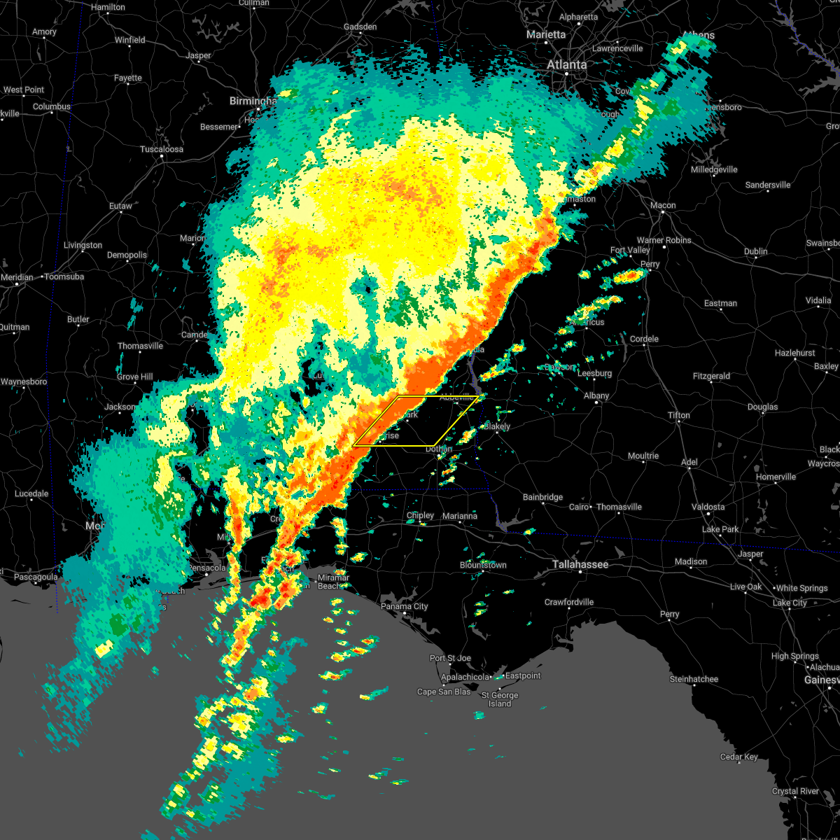 At 546 am cst, severe thunderstorms were located along a line extending from near blue springs state park to 7 miles southwest of enterprise, moving east at 25 mph (radar indicated). Hazards include 60 mph wind gusts. expect damage to roofs, siding, and trees At 546 am cst, severe thunderstorms were located along a line extending from near blue springs state park to 7 miles southwest of enterprise, moving east at 25 mph (radar indicated). Hazards include 60 mph wind gusts. expect damage to roofs, siding, and trees
|
| 12/14/2022 9:56 PM CST |
 At 956 pm cst, severe thunderstorms were located along a line extending from 6 miles southwest of pinckard to near hartford, moving northeast at 40 mph (radar indicated). Hazards include 60 mph wind gusts. expect damage to roofs, siding, and trees At 956 pm cst, severe thunderstorms were located along a line extending from 6 miles southwest of pinckard to near hartford, moving northeast at 40 mph (radar indicated). Hazards include 60 mph wind gusts. expect damage to roofs, siding, and trees
|
| 12/14/2022 9:29 PM CST | At 928 pm cst, a severe thunderstorm was located 7 miles north of samson, or 13 miles east of opp, moving northeast at 50 mph (radar indicated). Hazards include 60 mph wind gusts and penny size hail. expect damage to roofs, siding, and trees |
| 11/30/2022 6:45 AM CST | Tree down in wicksbur in houston county AL, 10.4 miles N of Newton, AL |
| 11/30/2022 5:56 AM CST |
 At 555 am cst, severe thunderstorms were located along a line extending from near doster to near ozark to near fort rucker to opp, moving southeast at 30 mph (radar indicated). Hazards include 60 mph wind gusts. expect damage to roofs, siding, and trees At 555 am cst, severe thunderstorms were located along a line extending from near doster to near ozark to near fort rucker to opp, moving southeast at 30 mph (radar indicated). Hazards include 60 mph wind gusts. expect damage to roofs, siding, and trees
|
| 11/30/2022 5:48 AM CST |
 At 548 am cst, severe thunderstorms were located along a line extending from near boot hill to near ariton to near elba, moving east at 50 mph (radar indicated). Hazards include 60 mph wind gusts and penny size hail. Expect damage to roofs, siding, and trees. Locations impacted include, daleville, elba, enterprise, fort rucker, ozark, midland city, level plains, newton, new brockton, ariton, pinckard, lee, kinston, mixons crossroads, hunt field, waterford, curtis, carl folsom a/p, hooper stage field and gerald. At 548 am cst, severe thunderstorms were located along a line extending from near boot hill to near ariton to near elba, moving east at 50 mph (radar indicated). Hazards include 60 mph wind gusts and penny size hail. Expect damage to roofs, siding, and trees. Locations impacted include, daleville, elba, enterprise, fort rucker, ozark, midland city, level plains, newton, new brockton, ariton, pinckard, lee, kinston, mixons crossroads, hunt field, waterford, curtis, carl folsom a/p, hooper stage field and gerald.
|
| 11/30/2022 5:02 AM CST |
 At 502 am cst, severe thunderstorms were located along a line extending from near petrey to 6 miles north of dozier to 9 miles west of red level, moving east at 50 mph (radar indicated). Hazards include 70 mph wind gusts and penny size hail. Expect considerable tree damage. Damage is likely to mobile homes, roofs, and outbuildings. At 502 am cst, severe thunderstorms were located along a line extending from near petrey to 6 miles north of dozier to 9 miles west of red level, moving east at 50 mph (radar indicated). Hazards include 70 mph wind gusts and penny size hail. Expect considerable tree damage. Damage is likely to mobile homes, roofs, and outbuildings.
|
| 11/27/2022 12:56 AM CST |
 At 1255 am cst, severe thunderstorms were located along a line extending from daleville to near cottonwood, moving northeast at 65 mph (radar indicated). Hazards include 60 mph wind gusts. Expect damage to roofs, siding, and trees. locations impacted include, daleville, cottonwood, dothan, fort rucker, taylor, midland city, kinsey, ashford, slocomb, cowarts, newton, webb, pinckard, malvern, rehobeth, clayhatchee, grimes, avon, napier field and memphis. hail threat, radar indicated max hail size, <. 75 in wind threat, radar indicated max wind gust, 60 mph. At 1255 am cst, severe thunderstorms were located along a line extending from daleville to near cottonwood, moving northeast at 65 mph (radar indicated). Hazards include 60 mph wind gusts. Expect damage to roofs, siding, and trees. locations impacted include, daleville, cottonwood, dothan, fort rucker, taylor, midland city, kinsey, ashford, slocomb, cowarts, newton, webb, pinckard, malvern, rehobeth, clayhatchee, grimes, avon, napier field and memphis. hail threat, radar indicated max hail size, <. 75 in wind threat, radar indicated max wind gust, 60 mph.
|
| 11/27/2022 12:37 AM CST |
 At 1237 am cst, severe thunderstorms were located along a line extending from geneva to 6 miles south of graceville, moving northeast at 60 mph (radar indicated). Hazards include 60 mph wind gusts. expect damage to roofs, siding, and trees At 1237 am cst, severe thunderstorms were located along a line extending from geneva to 6 miles south of graceville, moving northeast at 60 mph (radar indicated). Hazards include 60 mph wind gusts. expect damage to roofs, siding, and trees
|
| 6/16/2022 6:54 PM CDT |
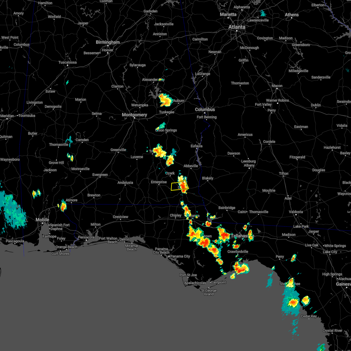 At 654 pm cdt, a severe thunderstorm was located near dothan, moving southwest at 15 mph (radar indicated). Hazards include 60 mph wind gusts and penny size hail. Expect damage to roofs, siding, and trees. locations impacted include, headland, dothan, midland city, kinsey, newton, webb, pinckard, grimes, napier field, sylvan grove, hollis dairy road, kelly springs, w. main/brannon st and currytown. hail threat, radar indicated max hail size, 0. 75 in wind threat, radar indicated max wind gust, 60 mph. At 654 pm cdt, a severe thunderstorm was located near dothan, moving southwest at 15 mph (radar indicated). Hazards include 60 mph wind gusts and penny size hail. Expect damage to roofs, siding, and trees. locations impacted include, headland, dothan, midland city, kinsey, newton, webb, pinckard, grimes, napier field, sylvan grove, hollis dairy road, kelly springs, w. main/brannon st and currytown. hail threat, radar indicated max hail size, 0. 75 in wind threat, radar indicated max wind gust, 60 mph.
|
| 6/16/2022 6:23 PM CDT |
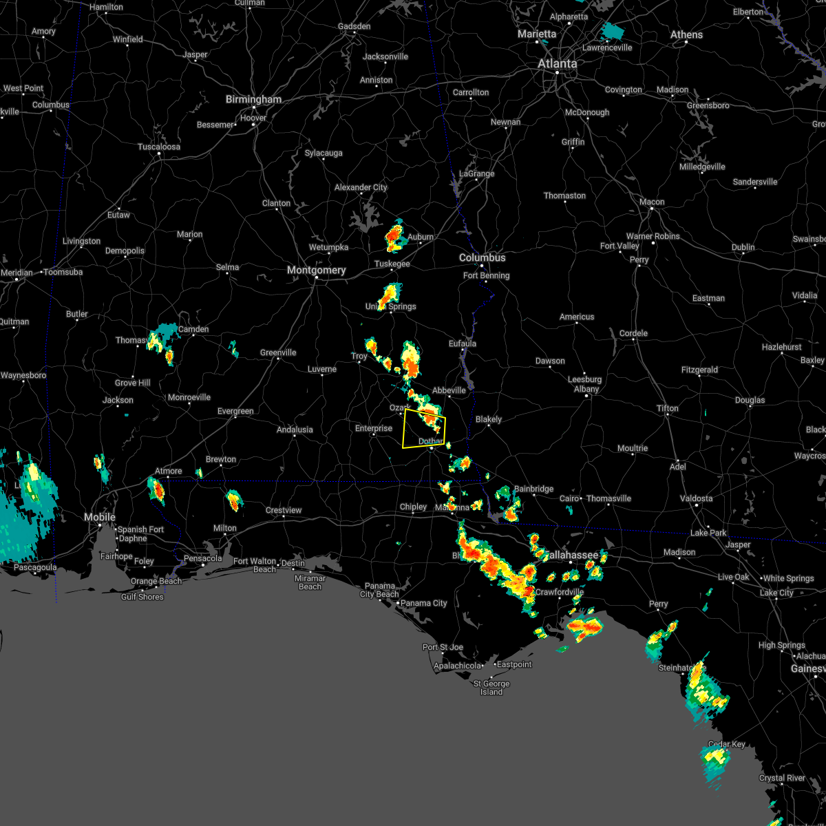 At 623 pm cdt, a severe thunderstorm was located over headland, moving west at 10 mph (radar indicated). Hazards include 60 mph wind gusts and penny size hail. expect damage to roofs, siding, and trees At 623 pm cdt, a severe thunderstorm was located over headland, moving west at 10 mph (radar indicated). Hazards include 60 mph wind gusts and penny size hail. expect damage to roofs, siding, and trees
|
| 6/15/2022 8:09 PM CDT |
 At 809 pm cdt, a severe thunderstorm was located near ozark, moving west at 20 mph (radar indicated). Hazards include 60 mph wind gusts. expect damage to roofs, siding, and trees At 809 pm cdt, a severe thunderstorm was located near ozark, moving west at 20 mph (radar indicated). Hazards include 60 mph wind gusts. expect damage to roofs, siding, and trees
|
| 6/15/2022 7:51 PM CDT |
 At 751 pm cdt, a severe thunderstorm was located 10 miles south of blue springs state park, or 11 miles west of abbeville, moving west at 20 mph (radar indicated). Hazards include 60 mph wind gusts. Expect damage to roofs, siding, and trees. locations impacted include, fort rucker, ozark, enterprise, new brockton, ariton, mixons crossroads, hooper stage field, camp humming hills, clintonville, ewell, roeton, dale county lake, camp alaflo bsa, phillips crossroads, arcus, hwy 231 pea river bridge, richburg, skipperville, victoria and beamon. hail threat, radar indicated max hail size, <. 75 in wind threat, radar indicated max wind gust, 60 mph. At 751 pm cdt, a severe thunderstorm was located 10 miles south of blue springs state park, or 11 miles west of abbeville, moving west at 20 mph (radar indicated). Hazards include 60 mph wind gusts. Expect damage to roofs, siding, and trees. locations impacted include, fort rucker, ozark, enterprise, new brockton, ariton, mixons crossroads, hooper stage field, camp humming hills, clintonville, ewell, roeton, dale county lake, camp alaflo bsa, phillips crossroads, arcus, hwy 231 pea river bridge, richburg, skipperville, victoria and beamon. hail threat, radar indicated max hail size, <. 75 in wind threat, radar indicated max wind gust, 60 mph.
|
| 6/15/2022 7:27 PM CDT |
 At 726 pm cdt, a severe thunderstorm was located over abbeville, moving west at 20 mph. additional severe storms were located near ariton (radar indicated). Hazards include 60 mph wind gusts and quarter size hail. Hail damage to vehicles is expected. expect wind damage to roofs, siding, and trees. locations impacted include, abbeville, fort rucker, ozark, enterprise, new brockton, ariton, newville, haleburg, mixons crossroads, hooper stage field, camp humming hills, clintonville, ewell, roeton, dale county lake, camp alaflo bsa, phillips crossroads, arcus, hwy 231 pea river bridge and balkum. hail threat, radar indicated max hail size, 1. 00 in wind threat, radar indicated max wind gust, 60 mph. At 726 pm cdt, a severe thunderstorm was located over abbeville, moving west at 20 mph. additional severe storms were located near ariton (radar indicated). Hazards include 60 mph wind gusts and quarter size hail. Hail damage to vehicles is expected. expect wind damage to roofs, siding, and trees. locations impacted include, abbeville, fort rucker, ozark, enterprise, new brockton, ariton, newville, haleburg, mixons crossroads, hooper stage field, camp humming hills, clintonville, ewell, roeton, dale county lake, camp alaflo bsa, phillips crossroads, arcus, hwy 231 pea river bridge and balkum. hail threat, radar indicated max hail size, 1. 00 in wind threat, radar indicated max wind gust, 60 mph.
|
| 6/15/2022 7:21 PM CDT |
 At 720 pm cdt, a severe thunderstorm was located over abbeville, moving west at 15 mph (radar indicated). Hazards include 60 mph wind gusts. expect damage to roofs, siding, and trees At 720 pm cdt, a severe thunderstorm was located over abbeville, moving west at 15 mph (radar indicated). Hazards include 60 mph wind gusts. expect damage to roofs, siding, and trees
|
| 6/14/2022 5:19 PM CDT |
 At 619 pm edt/519 pm cdt/, severe thunderstorms were located along a line extending from near dothan to 7 miles north of blountstown, moving west at 45 mph (radar indicated). Hazards include 60 mph wind gusts. Expect damage to roofs, siding, and trees. locations impacted include, cottonwood, marianna, headland, dothan, ozark, taylor, midland city, kinsey, ashford, cowarts, newton, webb, pinckard, malone, sneads, rehobeth, cottondale, grand ridge, greenwood and grimes. hail threat, radar indicated max hail size, <. 75 in wind threat, radar indicated max wind gust, 60 mph. At 619 pm edt/519 pm cdt/, severe thunderstorms were located along a line extending from near dothan to 7 miles north of blountstown, moving west at 45 mph (radar indicated). Hazards include 60 mph wind gusts. Expect damage to roofs, siding, and trees. locations impacted include, cottonwood, marianna, headland, dothan, ozark, taylor, midland city, kinsey, ashford, cowarts, newton, webb, pinckard, malone, sneads, rehobeth, cottondale, grand ridge, greenwood and grimes. hail threat, radar indicated max hail size, <. 75 in wind threat, radar indicated max wind gust, 60 mph.
|
| 6/14/2022 5:16 PM CDT |
 At 516 pm cdt, severe thunderstorms were located along a line extending from near dothan to near blountstown, moving southwest at 20 mph (radar indicated). Hazards include 60 mph wind gusts. expect damage to roofs, siding, and trees At 516 pm cdt, severe thunderstorms were located along a line extending from near dothan to near blountstown, moving southwest at 20 mph (radar indicated). Hazards include 60 mph wind gusts. expect damage to roofs, siding, and trees
|
| 6/14/2022 4:39 PM CDT |
 At 538 pm edt/438 pm cdt/, severe thunderstorms were located along a line extending from near columbia to 8 miles south of bainbridge, moving west at 50 mph (radar indicated). Hazards include 60 mph wind gusts. expect damage to roofs, siding, and trees At 538 pm edt/438 pm cdt/, severe thunderstorms were located along a line extending from near columbia to 8 miles south of bainbridge, moving west at 50 mph (radar indicated). Hazards include 60 mph wind gusts. expect damage to roofs, siding, and trees
|
| 6/3/2022 4:18 PM CDT |
 At 417 pm cdt, a severe thunderstorm was located near midland city, or 8 miles west of headland, moving northwest at 10 mph. at 406 pm cdt dothan regional airport measured a wind gust of 48 mph (radar indicated). Hazards include 60 mph wind gusts and penny size hail. Expect damage to roofs, siding, and trees. locations impacted include, headland, dothan, midland city, kinsey, newton, pinckard, grimes, newville, napier field, sylvan grove, kirkland crossroads, blackwood, kelly springs, headland municipal a/p, w. main/brannon st, currytown and goldberg field. hail threat, radar indicated max hail size, 0. 75 in wind threat, radar indicated max wind gust, 60 mph. At 417 pm cdt, a severe thunderstorm was located near midland city, or 8 miles west of headland, moving northwest at 10 mph. at 406 pm cdt dothan regional airport measured a wind gust of 48 mph (radar indicated). Hazards include 60 mph wind gusts and penny size hail. Expect damage to roofs, siding, and trees. locations impacted include, headland, dothan, midland city, kinsey, newton, pinckard, grimes, newville, napier field, sylvan grove, kirkland crossroads, blackwood, kelly springs, headland municipal a/p, w. main/brannon st, currytown and goldberg field. hail threat, radar indicated max hail size, 0. 75 in wind threat, radar indicated max wind gust, 60 mph.
|
| 6/3/2022 4:05 PM CDT |
 At 404 pm cdt, a severe thunderstorm was located near midland city, or 7 miles west of headland, moving northwest at 10 mph. at 357 pm cdt dothan regional airport measured a wind gust of 48 mph (radar indicated). Hazards include 60 mph wind gusts and penny size hail. Expect damage to roofs, siding, and trees. locations impacted include, headland, dothan, midland city, kinsey, newton, pinckard, grimes, newville, napier field, sylvan grove, kirkland crossroads, blackwood, kelly springs, headland municipal a/p, w. main/brannon st, currytown and goldberg field. hail threat, radar indicated max hail size, 0. 75 in wind threat, radar indicated max wind gust, 60 mph. At 404 pm cdt, a severe thunderstorm was located near midland city, or 7 miles west of headland, moving northwest at 10 mph. at 357 pm cdt dothan regional airport measured a wind gust of 48 mph (radar indicated). Hazards include 60 mph wind gusts and penny size hail. Expect damage to roofs, siding, and trees. locations impacted include, headland, dothan, midland city, kinsey, newton, pinckard, grimes, newville, napier field, sylvan grove, kirkland crossroads, blackwood, kelly springs, headland municipal a/p, w. main/brannon st, currytown and goldberg field. hail threat, radar indicated max hail size, 0. 75 in wind threat, radar indicated max wind gust, 60 mph.
|
| 6/3/2022 3:54 PM CDT |
 At 354 pm cdt, a severe thunderstorm was located near midland city, or near headland, moving north at 10 mph (radar indicated). Hazards include 60 mph wind gusts and penny size hail. expect damage to roofs, siding, and trees At 354 pm cdt, a severe thunderstorm was located near midland city, or near headland, moving north at 10 mph (radar indicated). Hazards include 60 mph wind gusts and penny size hail. expect damage to roofs, siding, and trees
|
| 5/22/2022 11:47 AM CDT |
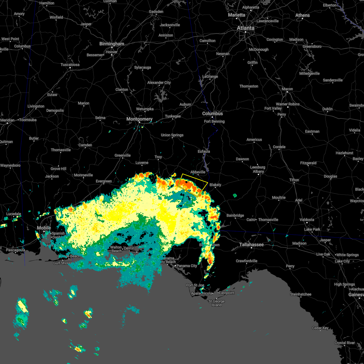 At 1147 am cdt, severe thunderstorms were located along a line extending from 7 miles east of ozark to near headland, moving northeast at 50 mph (radar indicated). Hazards include 60 mph wind gusts and penny size hail. Expect damage to roofs, siding, and trees. locations impacted include, headland, ozark, kinsey, webb, newville, haleburg, bells crossroads, tumbleton, kirkland crossroads, grandberry crossroads, mabson, snells crossroads, ewell, pleasant plains, headland municipal a/p, dancey, balkum, sylvan grove, echo and blackwood. hail threat, radar indicated max hail size, 0. 75 in wind threat, radar indicated max wind gust, 60 mph. At 1147 am cdt, severe thunderstorms were located along a line extending from 7 miles east of ozark to near headland, moving northeast at 50 mph (radar indicated). Hazards include 60 mph wind gusts and penny size hail. Expect damage to roofs, siding, and trees. locations impacted include, headland, ozark, kinsey, webb, newville, haleburg, bells crossroads, tumbleton, kirkland crossroads, grandberry crossroads, mabson, snells crossroads, ewell, pleasant plains, headland municipal a/p, dancey, balkum, sylvan grove, echo and blackwood. hail threat, radar indicated max hail size, 0. 75 in wind threat, radar indicated max wind gust, 60 mph.
|
| 5/22/2022 11:27 AM CDT |
 At 1126 am cdt, severe thunderstorms were located along a line extending from 6 miles southeast of daleville to near taylor, moving northeast at 45 mph (radar indicated). Hazards include 60 mph wind gusts and penny size hail. expect damage to roofs, siding, and trees At 1126 am cdt, severe thunderstorms were located along a line extending from 6 miles southeast of daleville to near taylor, moving northeast at 45 mph (radar indicated). Hazards include 60 mph wind gusts and penny size hail. expect damage to roofs, siding, and trees
|
| 5/1/2022 4:41 PM CDT |
 The severe thunderstorm warning for western dale, southeastern coffee, northeastern geneva and northwestern houston counties will expire at 445 pm cdt, the storms which prompted the warning have weakened below severe limits, and no longer pose an immediate threat to life or property. therefore, the warning will be allowed to expire. however gusty winds to 40 mph are still possible with these thunderstorms. The severe thunderstorm warning for western dale, southeastern coffee, northeastern geneva and northwestern houston counties will expire at 445 pm cdt, the storms which prompted the warning have weakened below severe limits, and no longer pose an immediate threat to life or property. therefore, the warning will be allowed to expire. however gusty winds to 40 mph are still possible with these thunderstorms.
|
| 5/1/2022 4:34 PM CDT |
 At 434 pm cdt, severe thunderstorms were located along a line extending from near fort rucker to daleville to near hartford, moving east at 25 mph (radar indicated). Hazards include 60 mph wind gusts. Expect damage to roofs, siding, and trees. locations impacted include, daleville, enterprise, fort rucker, ozark, level plains, slocomb, newton, new brockton, clayhatchee, chancellor, hunt field, waterford, dill, hooper stage field, knox field, lucile, gerald, central city, clintonville and cairns aaf. hail threat, radar indicated max hail size, <. 75 in wind threat, radar indicated max wind gust, 60 mph. At 434 pm cdt, severe thunderstorms were located along a line extending from near fort rucker to daleville to near hartford, moving east at 25 mph (radar indicated). Hazards include 60 mph wind gusts. Expect damage to roofs, siding, and trees. locations impacted include, daleville, enterprise, fort rucker, ozark, level plains, slocomb, newton, new brockton, clayhatchee, chancellor, hunt field, waterford, dill, hooper stage field, knox field, lucile, gerald, central city, clintonville and cairns aaf. hail threat, radar indicated max hail size, <. 75 in wind threat, radar indicated max wind gust, 60 mph.
|
| 5/1/2022 4:10 PM CDT |
 At 410 pm cdt, severe thunderstorms were located along a line extending from near new brockton to near enterprise to 8 miles south of level plains, moving east at 25 mph (radar indicated). Hazards include 60 mph wind gusts and penny size hail. expect damage to roofs, siding, and trees At 410 pm cdt, severe thunderstorms were located along a line extending from near new brockton to near enterprise to 8 miles south of level plains, moving east at 25 mph (radar indicated). Hazards include 60 mph wind gusts and penny size hail. expect damage to roofs, siding, and trees
|
| 4/17/2022 3:44 PM CDT |
 At 343 pm cdt, severe thunderstorms were located along a line extending from 7 miles south of abbeville to near taylor, moving southeast at 30 mph (radar indicated). Hazards include 60 mph wind gusts. Expect damage to roofs, siding, and trees. locations impacted include, daleville, headland, dothan, taylor, midland city, kinsey, ashford, cowarts, newton, webb, columbia, pinckard, clayhatchee, grimes, avon, newville, napier field, gordon, haleburg and wilson mill. hail threat, radar indicated max hail size, <. 75 in wind threat, radar indicated max wind gust, 60 mph. At 343 pm cdt, severe thunderstorms were located along a line extending from 7 miles south of abbeville to near taylor, moving southeast at 30 mph (radar indicated). Hazards include 60 mph wind gusts. Expect damage to roofs, siding, and trees. locations impacted include, daleville, headland, dothan, taylor, midland city, kinsey, ashford, cowarts, newton, webb, columbia, pinckard, clayhatchee, grimes, avon, newville, napier field, gordon, haleburg and wilson mill. hail threat, radar indicated max hail size, <. 75 in wind threat, radar indicated max wind gust, 60 mph.
|
| 4/17/2022 3:39 PM CDT |
 At 338 pm cdt, severe thunderstorms were located along a line extending from near abbeville to near taylor, moving southeast at 30 mph (radar indicated). Hazards include 60 mph wind gusts. Expect damage to roofs, siding, and trees. locations impacted include, daleville, abbeville, headland, dothan, taylor, midland city, kinsey, ashford, cowarts, newton, webb, columbia, pinckard, clayhatchee, grimes, avon, newville, napier field, gordon and haleburg. hail threat, radar indicated max hail size, <. 75 in wind threat, radar indicated max wind gust, 60 mph. At 338 pm cdt, severe thunderstorms were located along a line extending from near abbeville to near taylor, moving southeast at 30 mph (radar indicated). Hazards include 60 mph wind gusts. Expect damage to roofs, siding, and trees. locations impacted include, daleville, abbeville, headland, dothan, taylor, midland city, kinsey, ashford, cowarts, newton, webb, columbia, pinckard, clayhatchee, grimes, avon, newville, napier field, gordon and haleburg. hail threat, radar indicated max hail size, <. 75 in wind threat, radar indicated max wind gust, 60 mph.
|
| 4/17/2022 3:28 PM CDT |
 At 328 pm cdt, severe thunderstorms were located along a line extending from near abbeville to near pinckard, moving southeast at 30 mph (radar indicated). Hazards include 60 mph wind gusts. expect damage to roofs, siding, and trees At 328 pm cdt, severe thunderstorms were located along a line extending from near abbeville to near pinckard, moving southeast at 30 mph (radar indicated). Hazards include 60 mph wind gusts. expect damage to roofs, siding, and trees
|
| 4/5/2022 2:48 PM EDT |
 At 246 pm edt/146 pm cdt/, severe thunderstorms were located along a line extending from near dawson to near taylor, moving east at 45 mph (radar indicated). Hazards include 60 mph wind gusts. Expect damage to roofs, siding, and trees. Locations impacted include, abbeville, fort gaines, headland, dothan, dawson, cuthbert, blakely, midland city, kinsey, edison, newton, webb, shellman, columbia, pinckard, smithville, clayhatchee, grimes, newville and napier field. At 246 pm edt/146 pm cdt/, severe thunderstorms were located along a line extending from near dawson to near taylor, moving east at 45 mph (radar indicated). Hazards include 60 mph wind gusts. Expect damage to roofs, siding, and trees. Locations impacted include, abbeville, fort gaines, headland, dothan, dawson, cuthbert, blakely, midland city, kinsey, edison, newton, webb, shellman, columbia, pinckard, smithville, clayhatchee, grimes, newville and napier field.
|
| 4/5/2022 2:14 PM EDT |
 At 214 pm edt/114 pm cdt/, severe thunderstorms were located along a line extending from 7 miles north of cuthbert to 8 miles southwest of enterprise, moving east at 40 mph (radar indicated). Hazards include 60 mph wind gusts. expect damage to roofs, siding, and trees At 214 pm edt/114 pm cdt/, severe thunderstorms were located along a line extending from 7 miles north of cuthbert to 8 miles southwest of enterprise, moving east at 40 mph (radar indicated). Hazards include 60 mph wind gusts. expect damage to roofs, siding, and trees
|
| 4/5/2022 12:16 PM CDT |
 At 115 pm edt/1215 pm cdt/, severe thunderstorms were located along a line extending from near clayton to near andalusia, moving east at 45 mph (radar indicated). Hazards include 60 mph wind gusts. expect damage to roofs, siding, and trees At 115 pm edt/1215 pm cdt/, severe thunderstorms were located along a line extending from near clayton to near andalusia, moving east at 45 mph (radar indicated). Hazards include 60 mph wind gusts. expect damage to roofs, siding, and trees
|
| 3/31/2022 3:33 AM CDT |
 At 333 am cdt, severe thunderstorms were located along a line extending from near blue springs state park to near dothan, moving east at 45 mph (radar indicated). Hazards include 60 mph wind gusts. Expect damage to roofs, siding, and trees. Locations impacted include, ozark, dothan, fort rucker, midland city, newton, pinckard, hollis dairy road, hunt field, waterford, skipperville, bagwells crossroads, roberts crossroads, mabson, arguta, ewell, beamon, browns crossroads, blackwell field a/p, ward bridge and currytown. At 333 am cdt, severe thunderstorms were located along a line extending from near blue springs state park to near dothan, moving east at 45 mph (radar indicated). Hazards include 60 mph wind gusts. Expect damage to roofs, siding, and trees. Locations impacted include, ozark, dothan, fort rucker, midland city, newton, pinckard, hollis dairy road, hunt field, waterford, skipperville, bagwells crossroads, roberts crossroads, mabson, arguta, ewell, beamon, browns crossroads, blackwell field a/p, ward bridge and currytown.
|
| 3/31/2022 3:29 AM CDT |
 At 329 am cdt, severe thunderstorms were located along a line extending from 6 miles north of midland city to near slocomb, moving northeast at 60 mph (radar indicated). Hazards include 60 mph wind gusts. expect damage to roofs, siding, and trees At 329 am cdt, severe thunderstorms were located along a line extending from 6 miles north of midland city to near slocomb, moving northeast at 60 mph (radar indicated). Hazards include 60 mph wind gusts. expect damage to roofs, siding, and trees
|
| 3/31/2022 3:15 AM CDT |
 At 315 am cdt, severe thunderstorms were located along a line extending from ariton to near daleville, moving east at 40 mph (radar indicated). Hazards include 60 mph wind gusts. Expect damage to roofs, siding, and trees. Locations impacted include, daleville, fort rucker, ozark, enterprise, dothan, midland city, level plains, newton, ariton, pinckard, clayhatchee, hunt field, waterford, hooper stage field, gerald, ewell, roeton, cairns aaf, dale county lake and phillips crossroads. At 315 am cdt, severe thunderstorms were located along a line extending from ariton to near daleville, moving east at 40 mph (radar indicated). Hazards include 60 mph wind gusts. Expect damage to roofs, siding, and trees. Locations impacted include, daleville, fort rucker, ozark, enterprise, dothan, midland city, level plains, newton, ariton, pinckard, clayhatchee, hunt field, waterford, hooper stage field, gerald, ewell, roeton, cairns aaf, dale county lake and phillips crossroads.
|
| 3/31/2022 2:48 AM CDT |
 At 248 am cdt, severe thunderstorms were located along a line extending from 11 miles northeast of elba to 8 miles northeast of samson, moving east at 45 mph (radar indicated). Hazards include 60 mph wind gusts. expect damage to roofs, siding, and trees At 248 am cdt, severe thunderstorms were located along a line extending from 11 miles northeast of elba to 8 miles northeast of samson, moving east at 45 mph (radar indicated). Hazards include 60 mph wind gusts. expect damage to roofs, siding, and trees
|
| 3/18/2022 12:44 PM CDT |
 At 1244 pm cdt, severe thunderstorms were located along a line extending from 6 miles east of ozark to 9 miles south of samson, moving east at 15 mph (radar indicated). Hazards include 60 mph wind gusts. Expect damage to roofs, siding, and trees. Locations impacted include, daleville, abbeville, geneva, enterprise, fort rucker, ozark, headland, dothan, hartford, taylor, midland city, level plains, slocomb, samson, newton, new brockton, pinckard, malvern, clayhatchee and grimes. At 1244 pm cdt, severe thunderstorms were located along a line extending from 6 miles east of ozark to 9 miles south of samson, moving east at 15 mph (radar indicated). Hazards include 60 mph wind gusts. Expect damage to roofs, siding, and trees. Locations impacted include, daleville, abbeville, geneva, enterprise, fort rucker, ozark, headland, dothan, hartford, taylor, midland city, level plains, slocomb, samson, newton, new brockton, pinckard, malvern, clayhatchee and grimes.
|
| 3/18/2022 11:47 AM CDT |
 At 1147 am cdt, severe thunderstorms were located along a line extending from near blue springs state park to near florala, moving northeast at 30 mph (radar indicated). Hazards include 60 mph wind gusts. expect damage to roofs, siding, and trees At 1147 am cdt, severe thunderstorms were located along a line extending from near blue springs state park to near florala, moving northeast at 30 mph (radar indicated). Hazards include 60 mph wind gusts. expect damage to roofs, siding, and trees
|
| 12/11/2021 3:29 PM CST |
 At 329 pm cst, a severe thunderstorm was located over ozark, moving east at 45 mph (radar indicated). Hazards include 60 mph wind gusts. expect damage to roofs, siding, and trees At 329 pm cst, a severe thunderstorm was located over ozark, moving east at 45 mph (radar indicated). Hazards include 60 mph wind gusts. expect damage to roofs, siding, and trees
|
| 9/1/2021 8:22 PM CDT |
 The severe thunderstorm warning for southern dale, southeastern coffee, geneva, central houston and northeastern holmes counties will expire at 830 pm cdt, the storms which prompted the warning have weakened below severe limits, and no longer pose an immediate threat to life or property. therefore, the warning will be allowed to expire. however gusty winds and heavy rain are still possible with these thunderstorms. The severe thunderstorm warning for southern dale, southeastern coffee, geneva, central houston and northeastern holmes counties will expire at 830 pm cdt, the storms which prompted the warning have weakened below severe limits, and no longer pose an immediate threat to life or property. therefore, the warning will be allowed to expire. however gusty winds and heavy rain are still possible with these thunderstorms.
|
| 9/1/2021 7:43 PM CDT |
 At 743 pm cdt, severe thunderstorms were located along a line extending from near newton to 6 miles east of samson, moving southeast at 20 mph (radar indicated). Hazards include 60 mph wind gusts. expect damage to roofs, siding, and trees At 743 pm cdt, severe thunderstorms were located along a line extending from near newton to 6 miles east of samson, moving southeast at 20 mph (radar indicated). Hazards include 60 mph wind gusts. expect damage to roofs, siding, and trees
|
| 8/31/2021 6:07 PM CDT |
 At 607 pm cdt, a confirmed tornado was located over pinckard, or 9 miles northwest of dothan, moving east at 30 mph (broadcast media confirmed tornado). Hazards include damaging tornado. Flying debris will be dangerous to those caught without shelter. mobile homes will be damaged or destroyed. damage to roofs, windows, and vehicles will occur. tree damage is likely. this tornado will be near, midland city around 620 pm cdt. Other locations impacted by this tornadic thunderstorm include sylvan grove, currytown, grimes, napier field, blackwood and kelly springs. At 607 pm cdt, a confirmed tornado was located over pinckard, or 9 miles northwest of dothan, moving east at 30 mph (broadcast media confirmed tornado). Hazards include damaging tornado. Flying debris will be dangerous to those caught without shelter. mobile homes will be damaged or destroyed. damage to roofs, windows, and vehicles will occur. tree damage is likely. this tornado will be near, midland city around 620 pm cdt. Other locations impacted by this tornadic thunderstorm include sylvan grove, currytown, grimes, napier field, blackwood and kelly springs.
|
| 8/31/2021 5:55 PM CDT |
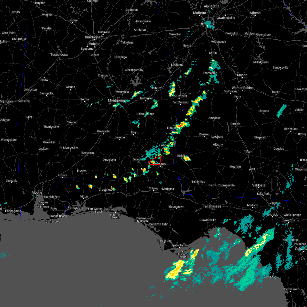 At 555 pm cdt, a severe thunderstorm capable of producing a tornado was located near newton, or near daleville, moving east at 25 mph (radar indicated rotation). Hazards include tornado. Flying debris will be dangerous to those caught without shelter. mobile homes will be damaged or destroyed. damage to roofs, windows, and vehicles will occur. tree damage is likely. this dangerous storm will be near, newton around 605 pm cdt. pinckard around 610 pm cdt. midland city around 615 pm cdt. Other locations impacted by this tornadic thunderstorm include sylvan grove, grimes, kirkland crossroads, blackwood, currytown, napier field and kelly springs. At 555 pm cdt, a severe thunderstorm capable of producing a tornado was located near newton, or near daleville, moving east at 25 mph (radar indicated rotation). Hazards include tornado. Flying debris will be dangerous to those caught without shelter. mobile homes will be damaged or destroyed. damage to roofs, windows, and vehicles will occur. tree damage is likely. this dangerous storm will be near, newton around 605 pm cdt. pinckard around 610 pm cdt. midland city around 615 pm cdt. Other locations impacted by this tornadic thunderstorm include sylvan grove, grimes, kirkland crossroads, blackwood, currytown, napier field and kelly springs.
|
| 8/20/2021 4:06 PM CDT |
 The severe thunderstorm warning for southern dale, southeastern coffee, northeastern geneva and northwestern houston counties will expire at 415 pm cdt, the storm which prompted the warning has weakened below severe limits, and no longer poses an immediate threat to life or property. therefore, the warning will be allowed to expire. however gusty winds to 40 mph are still possible with this thunderstorm. The severe thunderstorm warning for southern dale, southeastern coffee, northeastern geneva and northwestern houston counties will expire at 415 pm cdt, the storm which prompted the warning has weakened below severe limits, and no longer poses an immediate threat to life or property. therefore, the warning will be allowed to expire. however gusty winds to 40 mph are still possible with this thunderstorm.
|
| 8/20/2021 3:49 PM CDT |
 At 349 pm cdt, a severe thunderstorm was located near hartford, or 7 miles south of daleville, moving east at 20 mph (radar indicated). Hazards include 60 mph wind gusts. Expect damage to roofs, siding, and trees. locations impacted include, daleville, dothan, taylor, midland city, newton, pinckard, malvern, clayhatchee, grimes, chancellor, hollis dairy road, green acres, high bluff, bald hill, power dam road, cool springs, kelly springs, cairns aaf, bailey crossroad and w. Main/brannon st. At 349 pm cdt, a severe thunderstorm was located near hartford, or 7 miles south of daleville, moving east at 20 mph (radar indicated). Hazards include 60 mph wind gusts. Expect damage to roofs, siding, and trees. locations impacted include, daleville, dothan, taylor, midland city, newton, pinckard, malvern, clayhatchee, grimes, chancellor, hollis dairy road, green acres, high bluff, bald hill, power dam road, cool springs, kelly springs, cairns aaf, bailey crossroad and w. Main/brannon st.
|
| 8/20/2021 3:31 PM CDT |
 At 331 pm cdt, a severe thunderstorm was located 8 miles northwest of hartford, or 9 miles north of geneva, moving east at 20 mph (radar indicated). Hazards include 60 mph wind gusts. expect damage to roofs, siding, and trees At 331 pm cdt, a severe thunderstorm was located 8 miles northwest of hartford, or 9 miles north of geneva, moving east at 20 mph (radar indicated). Hazards include 60 mph wind gusts. expect damage to roofs, siding, and trees
|
| 8/14/2021 2:14 PM CDT |
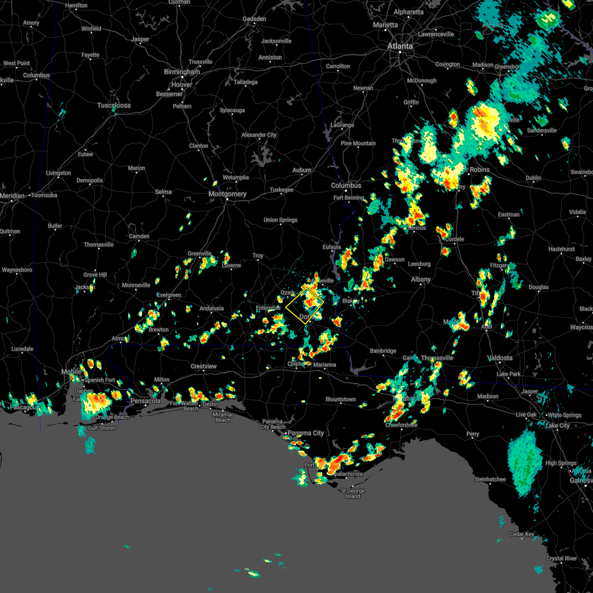 At 213 pm cdt, a severe thunderstorm was located near headland, moving southwest at 10 mph (trained weather spotters). Hazards include 60 mph wind gusts. expect damage to roofs, siding, and trees At 213 pm cdt, a severe thunderstorm was located near headland, moving southwest at 10 mph (trained weather spotters). Hazards include 60 mph wind gusts. expect damage to roofs, siding, and trees
|
| 8/12/2021 4:12 PM CDT |
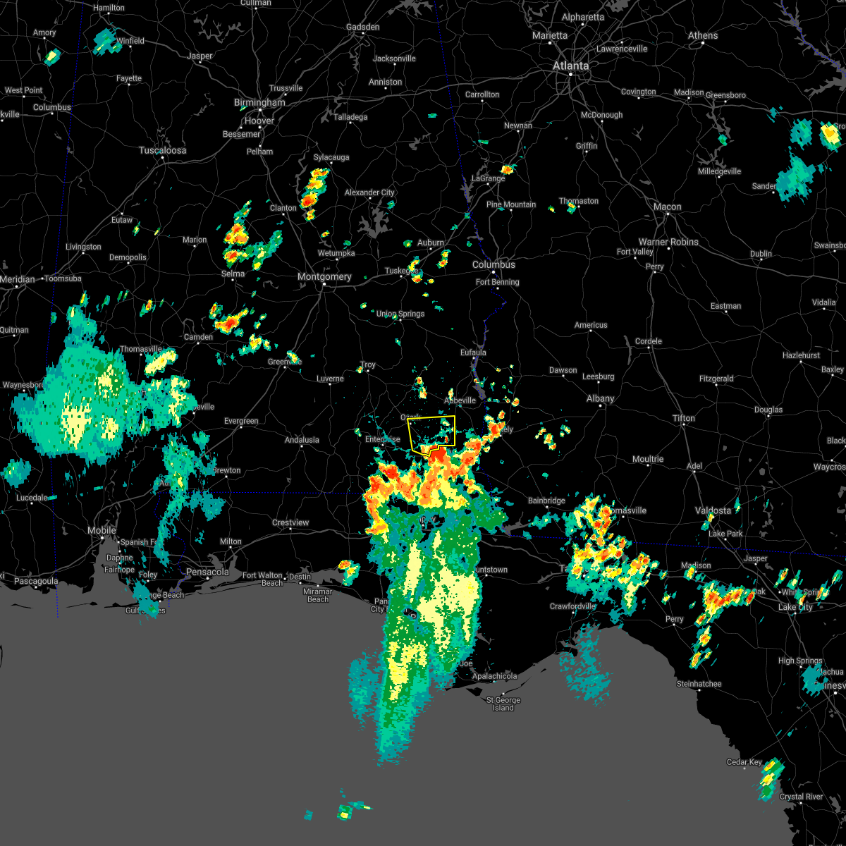 At 412 pm cdt, a severe thunderstorm was located over dothan, moving north at 15 mph (radar indicated). Hazards include 60 mph wind gusts. expect damage to roofs, siding, and trees At 412 pm cdt, a severe thunderstorm was located over dothan, moving north at 15 mph (radar indicated). Hazards include 60 mph wind gusts. expect damage to roofs, siding, and trees
|
| 7/12/2021 1:40 PM CDT |
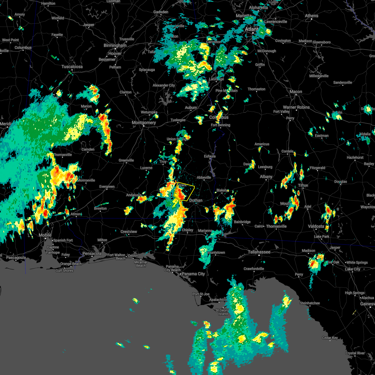 At 140 pm cdt, a severe thunderstorm was located near newton, or near daleville, moving north at 15 mph (radar indicated). Hazards include 60 mph wind gusts. Expect damage to roofs, siding, and trees. Locations impacted include, daleville, fort rucker, ozark, enterprise, midland city, level plains, newton, pinckard, hunt field, waterford, dill, hooper stage field, knox field, mabson, ewell, dale county lake, marley hill, echo, dean church road and bagwells crossroads. At 140 pm cdt, a severe thunderstorm was located near newton, or near daleville, moving north at 15 mph (radar indicated). Hazards include 60 mph wind gusts. Expect damage to roofs, siding, and trees. Locations impacted include, daleville, fort rucker, ozark, enterprise, midland city, level plains, newton, pinckard, hunt field, waterford, dill, hooper stage field, knox field, mabson, ewell, dale county lake, marley hill, echo, dean church road and bagwells crossroads.
|
| 7/12/2021 1:26 PM CDT |
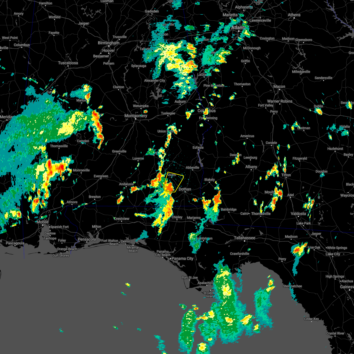 At 126 pm cdt, a severe thunderstorm was located over daleville, moving north at 20 mph (radar indicated). Hazards include 60 mph wind gusts. expect damage to roofs, siding, and trees At 126 pm cdt, a severe thunderstorm was located over daleville, moving north at 20 mph (radar indicated). Hazards include 60 mph wind gusts. expect damage to roofs, siding, and trees
|
| 6/20/2021 3:55 AM CDT |
 At 355 am cdt, a severe thunderstorm capable of producing a tornado was located 7 miles west of hartford, or 8 miles northeast of geneva, moving east at 35 mph (radar indicated rotation). Hazards include tornado. Flying debris will be dangerous to those caught without shelter. mobile homes will be damaged or destroyed. damage to roofs, windows, and vehicles will occur. tree damage is likely. this dangerous storm will be near, hartford around 410 am cdt. slocomb around 415 am cdt. taylor around 430 am cdt. Other locations impacted by this tornadic thunderstorm include hollis dairy road, high bluff, highfalls, dundee, bald hill, malvern, clayhatchee, power dam road, hendrix crossroad and cairns aaf. At 355 am cdt, a severe thunderstorm capable of producing a tornado was located 7 miles west of hartford, or 8 miles northeast of geneva, moving east at 35 mph (radar indicated rotation). Hazards include tornado. Flying debris will be dangerous to those caught without shelter. mobile homes will be damaged or destroyed. damage to roofs, windows, and vehicles will occur. tree damage is likely. this dangerous storm will be near, hartford around 410 am cdt. slocomb around 415 am cdt. taylor around 430 am cdt. Other locations impacted by this tornadic thunderstorm include hollis dairy road, high bluff, highfalls, dundee, bald hill, malvern, clayhatchee, power dam road, hendrix crossroad and cairns aaf.
|
| 6/19/2021 2:40 PM CDT |
 At 239 pm cdt, a severe thunderstorm was located near taylor, or 8 miles west of dothan, moving north at 45 mph (radar indicated). Hazards include 60 mph wind gusts. Expect damage to roofs, siding, and trees. Locations impacted include, daleville, ozark, dothan, fort rucker, hartford, taylor, midland city, slocomb, newton, pinckard, malvern, clayhatchee, grimes, napier field, black, hunt field, waterford, hooper stage field, ewell and merritts crossroads. At 239 pm cdt, a severe thunderstorm was located near taylor, or 8 miles west of dothan, moving north at 45 mph (radar indicated). Hazards include 60 mph wind gusts. Expect damage to roofs, siding, and trees. Locations impacted include, daleville, ozark, dothan, fort rucker, hartford, taylor, midland city, slocomb, newton, pinckard, malvern, clayhatchee, grimes, napier field, black, hunt field, waterford, hooper stage field, ewell and merritts crossroads.
|
| 6/19/2021 2:13 PM CDT |
 At 212 pm cdt, a severe thunderstorm was located 8 miles north of bonifay, moving north at 45 mph (radar indicated). Hazards include 60 mph wind gusts. expect damage to roofs, siding, and trees At 212 pm cdt, a severe thunderstorm was located 8 miles north of bonifay, moving north at 45 mph (radar indicated). Hazards include 60 mph wind gusts. expect damage to roofs, siding, and trees
|
| 6/19/2021 1:49 PM CDT |
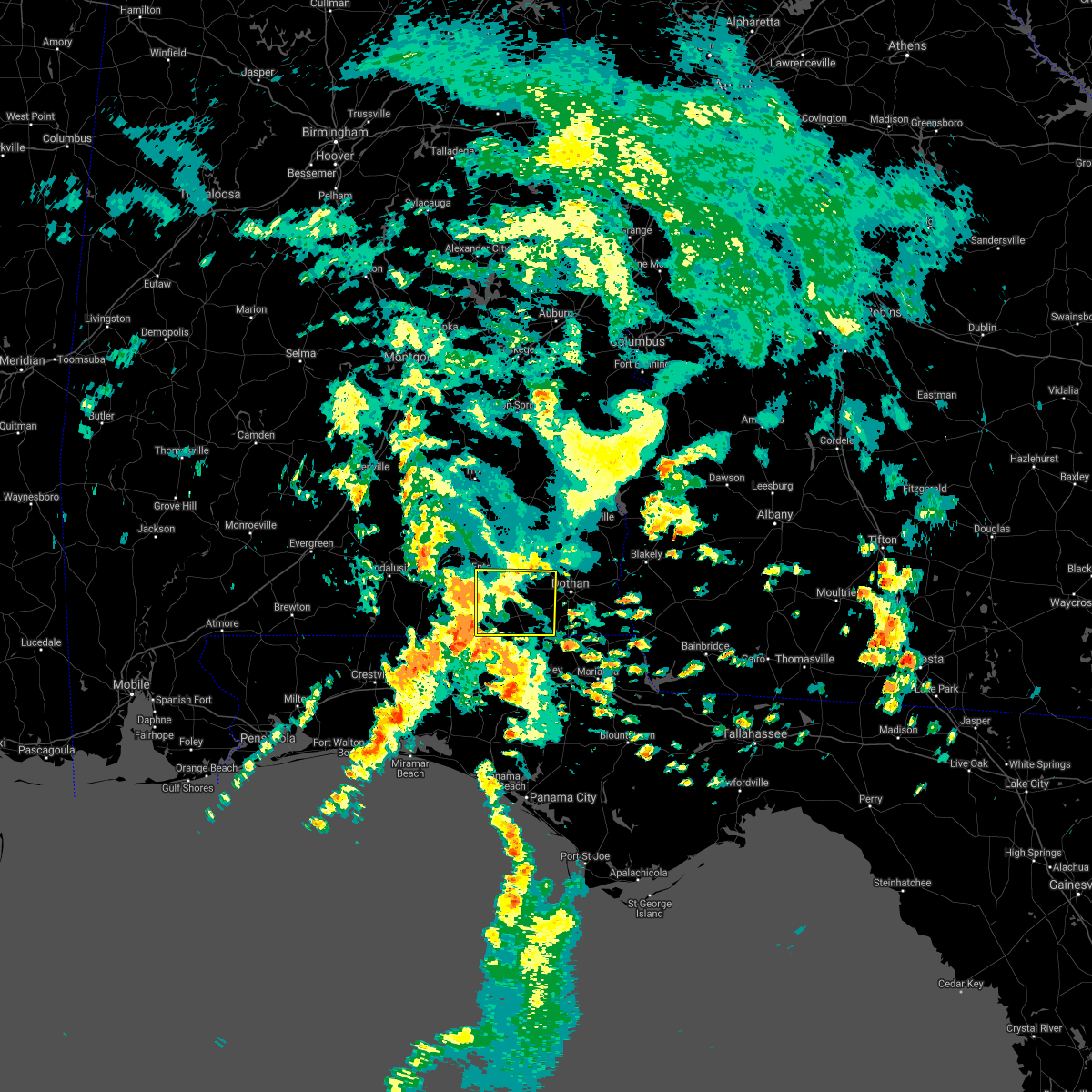 At 148 pm cdt, severe thunderstorms were located along a line extending from 7 miles west of geneva to near bonifay, moving north at 50 mph (radar indicated). Hazards include 60 mph wind gusts. expect damage to roofs, siding, and trees At 148 pm cdt, severe thunderstorms were located along a line extending from 7 miles west of geneva to near bonifay, moving north at 50 mph (radar indicated). Hazards include 60 mph wind gusts. expect damage to roofs, siding, and trees
|
| 5/4/2021 8:40 PM CDT |
 At 840 pm cdt, severe thunderstorms were located along a line extending from near headland to 6 miles southwest of hartford, moving east at 45 mph (radar indicated). Hazards include 60 mph wind gusts. expect damage to roofs, siding, and trees At 840 pm cdt, severe thunderstorms were located along a line extending from near headland to 6 miles southwest of hartford, moving east at 45 mph (radar indicated). Hazards include 60 mph wind gusts. expect damage to roofs, siding, and trees
|
| 4/24/2021 7:24 PM CDT |
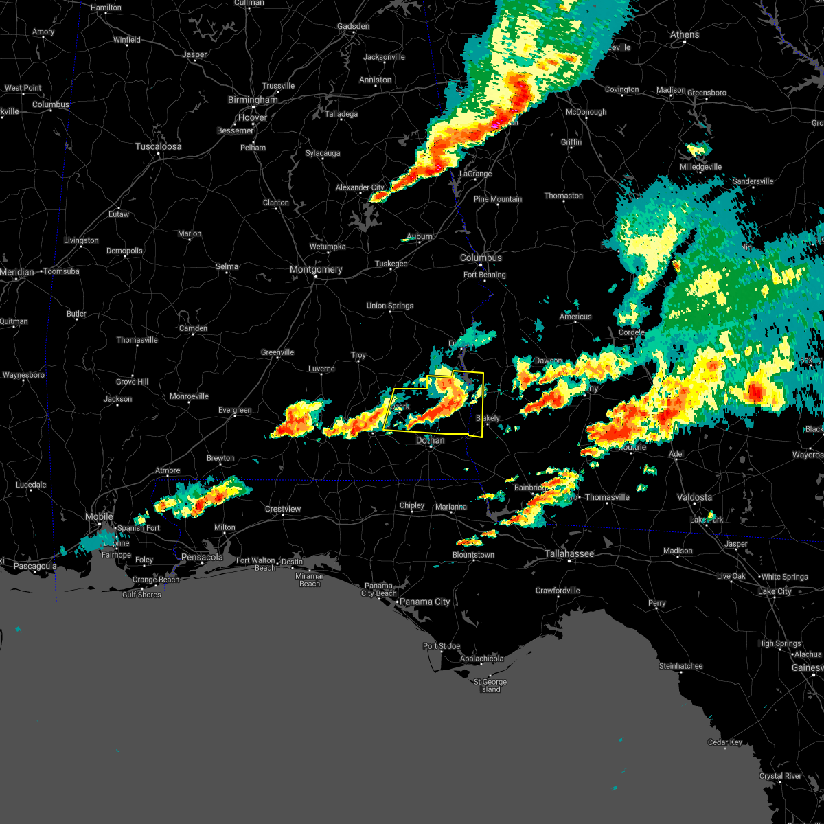 At 824 pm edt/724 pm cdt/, a severe thunderstorm was located over abbeville, moving east at 60 mph (radar indicated). Hazards include 60 mph wind gusts. Expect damage to roofs, siding, and trees. Locations impacted include, abbeville, fort gaines, headland, fort rucker, ozark, midland city, newton, ariton, columbia, pinckard, newville, haleburg, shorterville, hunt field, waterford, hooper stage field, hayes, watson crossroads, scottsboro crossroads and pecan. At 824 pm edt/724 pm cdt/, a severe thunderstorm was located over abbeville, moving east at 60 mph (radar indicated). Hazards include 60 mph wind gusts. Expect damage to roofs, siding, and trees. Locations impacted include, abbeville, fort gaines, headland, fort rucker, ozark, midland city, newton, ariton, columbia, pinckard, newville, haleburg, shorterville, hunt field, waterford, hooper stage field, hayes, watson crossroads, scottsboro crossroads and pecan.
|
| 4/24/2021 7:23 PM CDT |
 At 723 pm cdt, a severe thunderstorm was located near new brockton, or 7 miles southeast of elba, moving east at 55 mph (radar indicated). Hazards include 60 mph wind gusts. expect damage to roofs, siding, and trees At 723 pm cdt, a severe thunderstorm was located near new brockton, or 7 miles southeast of elba, moving east at 55 mph (radar indicated). Hazards include 60 mph wind gusts. expect damage to roofs, siding, and trees
|
| 4/24/2021 7:06 PM CDT |
 At 806 pm edt/706 pm cdt/, a severe thunderstorm was located 8 miles south of blue springs state park, or 10 miles northeast of ozark, moving east at 60 mph (radar indicated). Hazards include 70 mph wind gusts and quarter size hail. Hail damage to vehicles is expected. expect considerable tree damage. Wind damage is also likely to mobile homes, roofs, and outbuildings. At 806 pm edt/706 pm cdt/, a severe thunderstorm was located 8 miles south of blue springs state park, or 10 miles northeast of ozark, moving east at 60 mph (radar indicated). Hazards include 70 mph wind gusts and quarter size hail. Hail damage to vehicles is expected. expect considerable tree damage. Wind damage is also likely to mobile homes, roofs, and outbuildings.
|
| 4/24/2021 7:06 PM CDT |
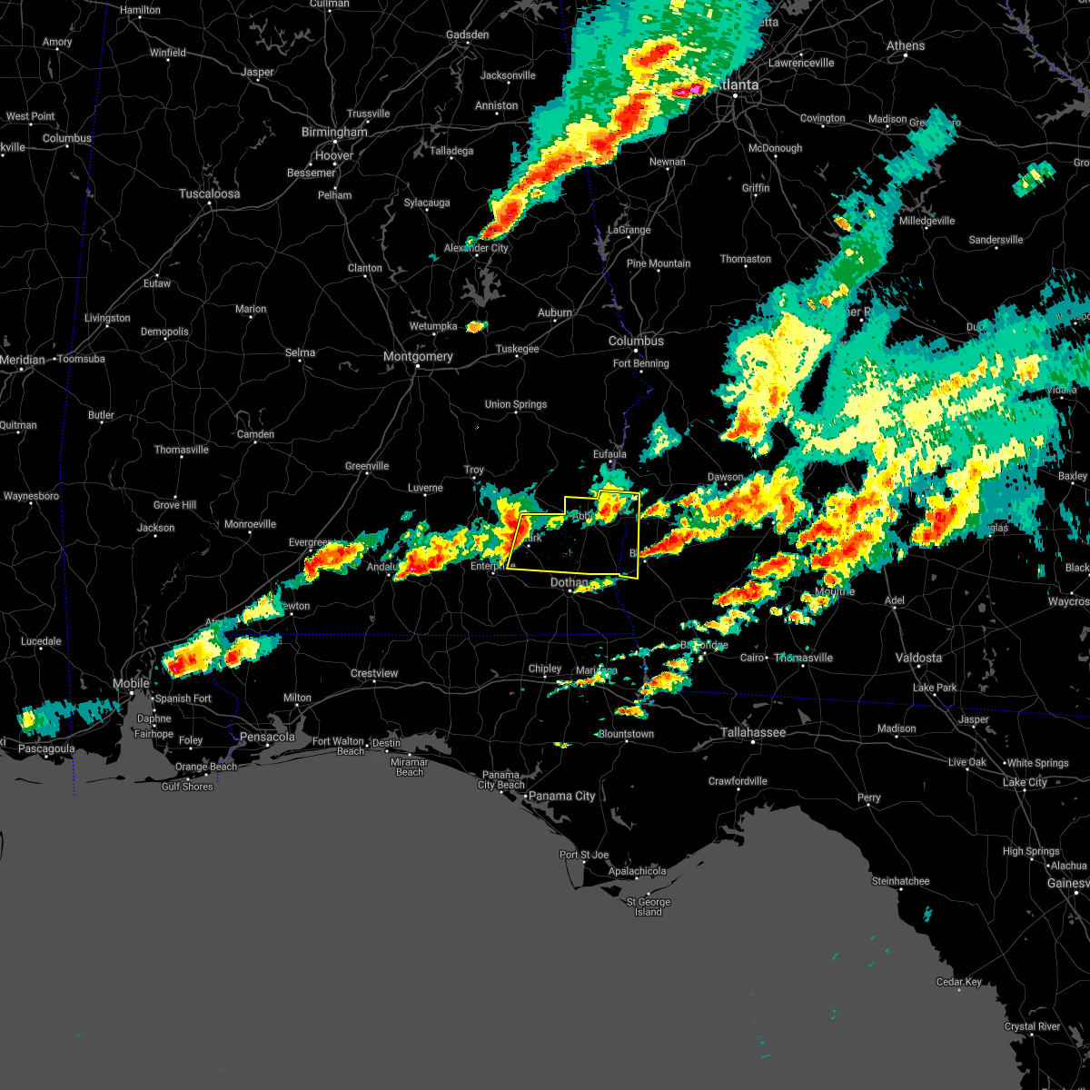 At 806 pm edt/706 pm cdt/, a severe thunderstorm was located 8 miles south of blue springs state park, or 10 miles northeast of ozark, moving east at 60 mph (radar indicated). Hazards include 70 mph wind gusts and quarter size hail. Hail damage to vehicles is expected. expect considerable tree damage. Wind damage is also likely to mobile homes, roofs, and outbuildings. At 806 pm edt/706 pm cdt/, a severe thunderstorm was located 8 miles south of blue springs state park, or 10 miles northeast of ozark, moving east at 60 mph (radar indicated). Hazards include 70 mph wind gusts and quarter size hail. Hail damage to vehicles is expected. expect considerable tree damage. Wind damage is also likely to mobile homes, roofs, and outbuildings.
|
| 4/24/2021 6:42 PM CDT |
 At 642 pm cdt, a severe thunderstorm was located 7 miles north of elba, moving east at 45 mph (radar indicated). Hazards include golf ball size hail and 70 mph wind gusts. People and animals outdoors will be injured. expect hail damage to roofs, siding, windows, and vehicles. expect considerable tree damage. wind damage is also likely to mobile homes, roofs, and outbuildings. Locations impacted include, daleville, elba, enterprise, fort rucker, ozark, midland city, level plains, newton, new brockton, ariton, pinckard, lee, mixons crossroads, hunt field, waterford, curtis, carl folsom a/p, hooper stage field, gerald and camp humming hills. At 642 pm cdt, a severe thunderstorm was located 7 miles north of elba, moving east at 45 mph (radar indicated). Hazards include golf ball size hail and 70 mph wind gusts. People and animals outdoors will be injured. expect hail damage to roofs, siding, windows, and vehicles. expect considerable tree damage. wind damage is also likely to mobile homes, roofs, and outbuildings. Locations impacted include, daleville, elba, enterprise, fort rucker, ozark, midland city, level plains, newton, new brockton, ariton, pinckard, lee, mixons crossroads, hunt field, waterford, curtis, carl folsom a/p, hooper stage field, gerald and camp humming hills.
|
| 4/24/2021 6:33 PM CDT |
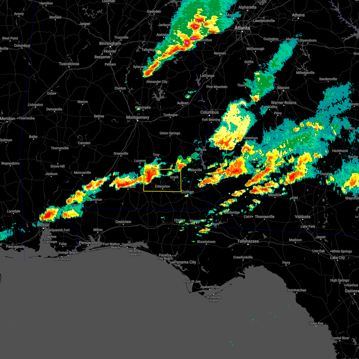 At 632 pm cdt, a severe thunderstorm was located near brantley, or 9 miles northwest of elba, moving east at 45 mph (radar indicated). Hazards include 70 mph wind gusts and half dollar size hail. Hail damage to vehicles is expected. expect considerable tree damage. wind damage is also likely to mobile homes, roofs, and outbuildings. Locations impacted include, daleville, elba, enterprise, fort rucker, ozark, midland city, level plains, newton, new brockton, ariton, pinckard, lee, mixons crossroads, hunt field, waterford, curtis, carl folsom a/p, hooper stage field, gerald and camp humming hills. At 632 pm cdt, a severe thunderstorm was located near brantley, or 9 miles northwest of elba, moving east at 45 mph (radar indicated). Hazards include 70 mph wind gusts and half dollar size hail. Hail damage to vehicles is expected. expect considerable tree damage. wind damage is also likely to mobile homes, roofs, and outbuildings. Locations impacted include, daleville, elba, enterprise, fort rucker, ozark, midland city, level plains, newton, new brockton, ariton, pinckard, lee, mixons crossroads, hunt field, waterford, curtis, carl folsom a/p, hooper stage field, gerald and camp humming hills.
|
| 4/24/2021 6:24 PM CDT |
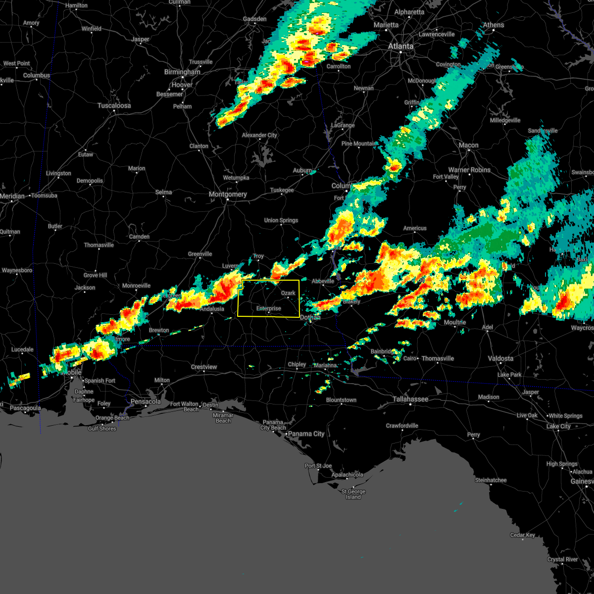 At 624 pm cdt, a severe thunderstorm was located near dozier, or 13 miles south of luverne, moving east at 50 mph (radar indicated). Hazards include 60 mph wind gusts and half dollar size hail. Hail damage to vehicles is expected. Expect wind damage to roofs, siding, and trees. At 624 pm cdt, a severe thunderstorm was located near dozier, or 13 miles south of luverne, moving east at 50 mph (radar indicated). Hazards include 60 mph wind gusts and half dollar size hail. Hail damage to vehicles is expected. Expect wind damage to roofs, siding, and trees.
|
| 4/24/2021 5:23 PM CDT |
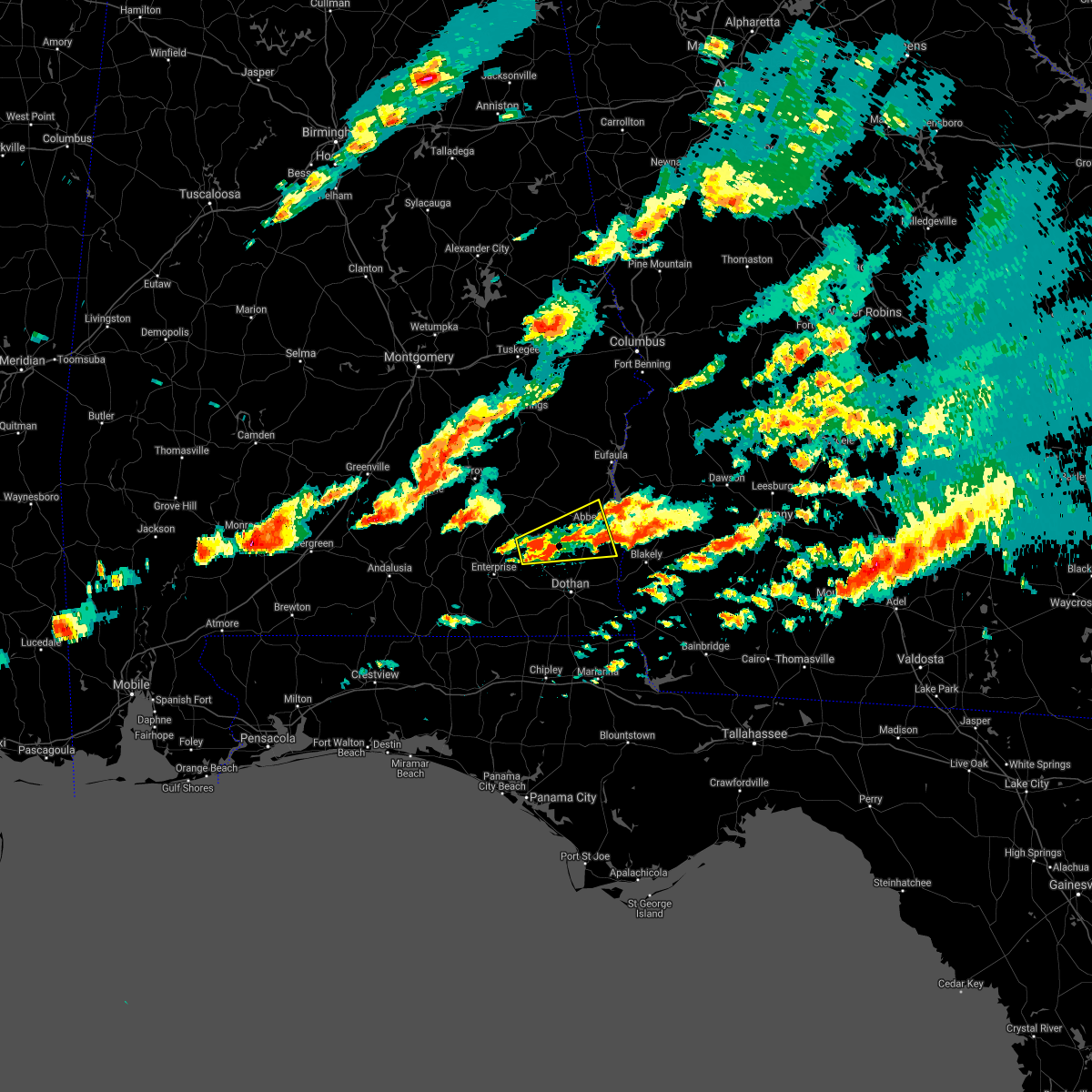 At 523 pm cdt, a severe thunderstorm was located over ozark, moving east at 55 mph (radar indicated). Hazards include 60 mph wind gusts and penny size hail. expect damage to roofs, siding, and trees At 523 pm cdt, a severe thunderstorm was located over ozark, moving east at 55 mph (radar indicated). Hazards include 60 mph wind gusts and penny size hail. expect damage to roofs, siding, and trees
|
| 4/24/2021 4:24 PM CDT |
 At 424 pm cdt, a severe thunderstorm was located near fort rucker, moving east at 55 mph (radar indicated). Hazards include 60 mph wind gusts and quarter size hail. Hail damage to vehicles is expected. Expect wind damage to roofs, siding, and trees. At 424 pm cdt, a severe thunderstorm was located near fort rucker, moving east at 55 mph (radar indicated). Hazards include 60 mph wind gusts and quarter size hail. Hail damage to vehicles is expected. Expect wind damage to roofs, siding, and trees.
|
| 4/24/2021 2:51 PM CDT |
 At 251 pm cdt, a severe thunderstorm was located over daleville, moving east at 60 mph (radar indicated). Hazards include 60 mph wind gusts. Expect damage to roofs, siding, and trees. Locations impacted include, daleville, headland, dothan, enterprise, fort rucker, ozark, taylor, midland city, kinsey, level plains, cowarts, newton, pinckard, clayhatchee, grimes, newville, napier field, coffee springs, hunt field and waterford. At 251 pm cdt, a severe thunderstorm was located over daleville, moving east at 60 mph (radar indicated). Hazards include 60 mph wind gusts. Expect damage to roofs, siding, and trees. Locations impacted include, daleville, headland, dothan, enterprise, fort rucker, ozark, taylor, midland city, kinsey, level plains, cowarts, newton, pinckard, clayhatchee, grimes, newville, napier field, coffee springs, hunt field and waterford.
|
| 4/24/2021 2:12 PM CDT |
 At 211 pm cdt, a severe thunderstorm was located near opp, moving east at 40 mph (radar indicated). Hazards include 60 mph wind gusts. expect damage to roofs, siding, and trees At 211 pm cdt, a severe thunderstorm was located near opp, moving east at 40 mph (radar indicated). Hazards include 60 mph wind gusts. expect damage to roofs, siding, and trees
|
| 4/24/2021 1:15 PM CDT |
 At 115 pm cdt, a severe thunderstorm was located 9 miles south of opp, moving east at 45 mph (radar indicated). Hazards include 70 mph wind gusts and quarter size hail. Hail damage to vehicles is expected. expect considerable tree damage. Wind damage is also likely to mobile homes, roofs, and outbuildings. At 115 pm cdt, a severe thunderstorm was located 9 miles south of opp, moving east at 45 mph (radar indicated). Hazards include 70 mph wind gusts and quarter size hail. Hail damage to vehicles is expected. expect considerable tree damage. Wind damage is also likely to mobile homes, roofs, and outbuildings.
|
| 4/24/2021 7:32 AM CDT |
 At 732 am cdt, severe thunderstorms capable of producing tornadoes were located along a line extending from 9 miles south of blue springs state park to near midland city, moving east at 65 mph (radar indicated rotation). Hazards include tornado. Flying debris will be dangerous to those caught without shelter. mobile homes will be damaged or destroyed. damage to roofs, windows, and vehicles will occur. tree damage is likely. these dangerous storms will be near, headland around 740 am cdt. abbeville around 745 am cdt. Other locations impacted by these tornadic storms include bells crossroads, tumbleton, kirkland crossroads, grandberry crossroads, napier field, mabson, snells crossroads, ewell, graball and headland municipal a/p. At 732 am cdt, severe thunderstorms capable of producing tornadoes were located along a line extending from 9 miles south of blue springs state park to near midland city, moving east at 65 mph (radar indicated rotation). Hazards include tornado. Flying debris will be dangerous to those caught without shelter. mobile homes will be damaged or destroyed. damage to roofs, windows, and vehicles will occur. tree damage is likely. these dangerous storms will be near, headland around 740 am cdt. abbeville around 745 am cdt. Other locations impacted by these tornadic storms include bells crossroads, tumbleton, kirkland crossroads, grandberry crossroads, napier field, mabson, snells crossroads, ewell, graball and headland municipal a/p.
|
| 4/24/2021 7:26 AM CDT | Social media picture of a barn damaged in the newton are in dale county AL, 2.1 miles NNE of Newton, AL |
| 4/24/2021 7:25 AM CDT |
 At 725 am cdt, severe thunderstorms capable of producing a tornado were located along a line extending from near ozark to near newton, moving northeast at 70 mph (radar indicated rotation). Hazards include tornado. Flying debris will be dangerous to those caught without shelter. mobile homes will be damaged or destroyed. damage to roofs, windows, and vehicles will occur. tree damage is likely. these dangerous storms will be near, headland around 740 am cdt. abbeville around 750 am cdt. Other locations impacted by these tornadic storms include grimes, bells crossroads, hunt field, waterford, tumbleton, dill, hooper stage field, kirkland crossroads, knox field and grandberry crossroads. At 725 am cdt, severe thunderstorms capable of producing a tornado were located along a line extending from near ozark to near newton, moving northeast at 70 mph (radar indicated rotation). Hazards include tornado. Flying debris will be dangerous to those caught without shelter. mobile homes will be damaged or destroyed. damage to roofs, windows, and vehicles will occur. tree damage is likely. these dangerous storms will be near, headland around 740 am cdt. abbeville around 750 am cdt. Other locations impacted by these tornadic storms include grimes, bells crossroads, hunt field, waterford, tumbleton, dill, hooper stage field, kirkland crossroads, knox field and grandberry crossroads.
|
| 4/24/2021 7:23 AM CDT |
 At 723 am cdt, severe thunderstorms were located along a line extending from near clio to near geneva, moving east at 60 mph (radar indicated). Hazards include 70 mph wind gusts. Expect considerable tree damage. damage is likely to mobile homes, roofs, and outbuildings. Locations impacted include, daleville, abbeville, cottonwood, fort gaines, headland, dothan, ozark, geneva, fort rucker, hartford, taylor, midland city, kinsey, ashford, slocomb, cowarts, newton, webb, columbia and pinckard. At 723 am cdt, severe thunderstorms were located along a line extending from near clio to near geneva, moving east at 60 mph (radar indicated). Hazards include 70 mph wind gusts. Expect considerable tree damage. damage is likely to mobile homes, roofs, and outbuildings. Locations impacted include, daleville, abbeville, cottonwood, fort gaines, headland, dothan, ozark, geneva, fort rucker, hartford, taylor, midland city, kinsey, ashford, slocomb, cowarts, newton, webb, columbia and pinckard.
|
| 4/24/2021 7:12 AM CDT |
 At 712 am cdt, severe thunderstorms were located along a line extending from near doster to near geneva, moving east at 60 mph (radar indicated). Hazards include 60 mph wind gusts. expect damage to roofs, siding, and trees At 712 am cdt, severe thunderstorms were located along a line extending from near doster to near geneva, moving east at 60 mph (radar indicated). Hazards include 60 mph wind gusts. expect damage to roofs, siding, and trees
|
| 4/24/2021 7:04 AM CDT |
 At 704 am cdt, severe thunderstorms were located along a line extending from near brundidge to near florala, moving east at 65 mph (radar indicated). Hazards include 70 mph wind gusts. Expect considerable tree damage. damage is likely to mobile homes, roofs, and outbuildings. Locations impacted include, daleville, elba, de funiak springs, geneva, enterprise, fort rucker, ozark, level plains, samson, newton, new brockton, ariton, eglin air force base, union, liberty, paxton, clayhatchee, coffee springs, oakwood hills and carl folsom a/p. At 704 am cdt, severe thunderstorms were located along a line extending from near brundidge to near florala, moving east at 65 mph (radar indicated). Hazards include 70 mph wind gusts. Expect considerable tree damage. damage is likely to mobile homes, roofs, and outbuildings. Locations impacted include, daleville, elba, de funiak springs, geneva, enterprise, fort rucker, ozark, level plains, samson, newton, new brockton, ariton, eglin air force base, union, liberty, paxton, clayhatchee, coffee springs, oakwood hills and carl folsom a/p.
|
| 4/24/2021 6:29 AM CDT |
 At 628 am cdt, severe thunderstorms were located along a line extending from 6 miles northwest of brantley to 9 miles southeast of riverview, moving east at 45 mph (radar indicated). Hazards include 70 mph wind gusts. Expect considerable tree damage. Damage is likely to mobile homes, roofs, and outbuildings. At 628 am cdt, severe thunderstorms were located along a line extending from 6 miles northwest of brantley to 9 miles southeast of riverview, moving east at 45 mph (radar indicated). Hazards include 70 mph wind gusts. Expect considerable tree damage. Damage is likely to mobile homes, roofs, and outbuildings.
|
| 3/31/2021 5:17 PM CDT |
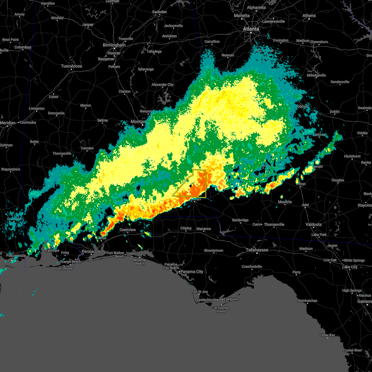 At 516 pm cdt, severe thunderstorms were located along a line extending from near richards crossroads to 6 miles west of abbeville to newton, moving east at 45 mph (radar indicated). Hazards include 60 mph wind gusts. Expect damage to roofs, siding, and trees. Locations impacted include, daleville, abbeville, headland, ozark, fort rucker, enterprise, midland city, kinsey, level plains, newton, pinckard, grimes, newville, napier field, hunt field, waterford, gerald, scottsboro crossroads, ewell and balkum. At 516 pm cdt, severe thunderstorms were located along a line extending from near richards crossroads to 6 miles west of abbeville to newton, moving east at 45 mph (radar indicated). Hazards include 60 mph wind gusts. Expect damage to roofs, siding, and trees. Locations impacted include, daleville, abbeville, headland, ozark, fort rucker, enterprise, midland city, kinsey, level plains, newton, pinckard, grimes, newville, napier field, hunt field, waterford, gerald, scottsboro crossroads, ewell and balkum.
|
| 3/31/2021 5:00 PM CDT | Tree down in n edwards st/e kings st & newto in dale county AL, 2.1 miles NNE of Newton, AL |
| 3/31/2021 4:52 PM CDT |
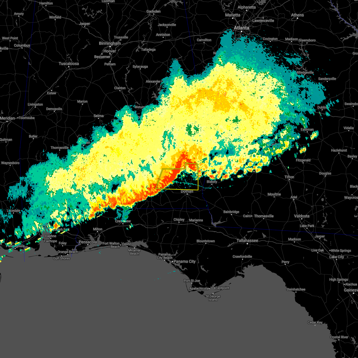 At 452 pm cdt, doppler radar indicated a line of severe thunderstorms capable of producing damaging winds in excess of 60 mph. these storms were located along a line extending from tyler crossroads to near ozark to near new brockton, and moving east at 45 mph. At 452 pm cdt, doppler radar indicated a line of severe thunderstorms capable of producing damaging winds in excess of 60 mph. these storms were located along a line extending from tyler crossroads to near ozark to near new brockton, and moving east at 45 mph.
|
| 3/31/2021 4:07 PM CDT |
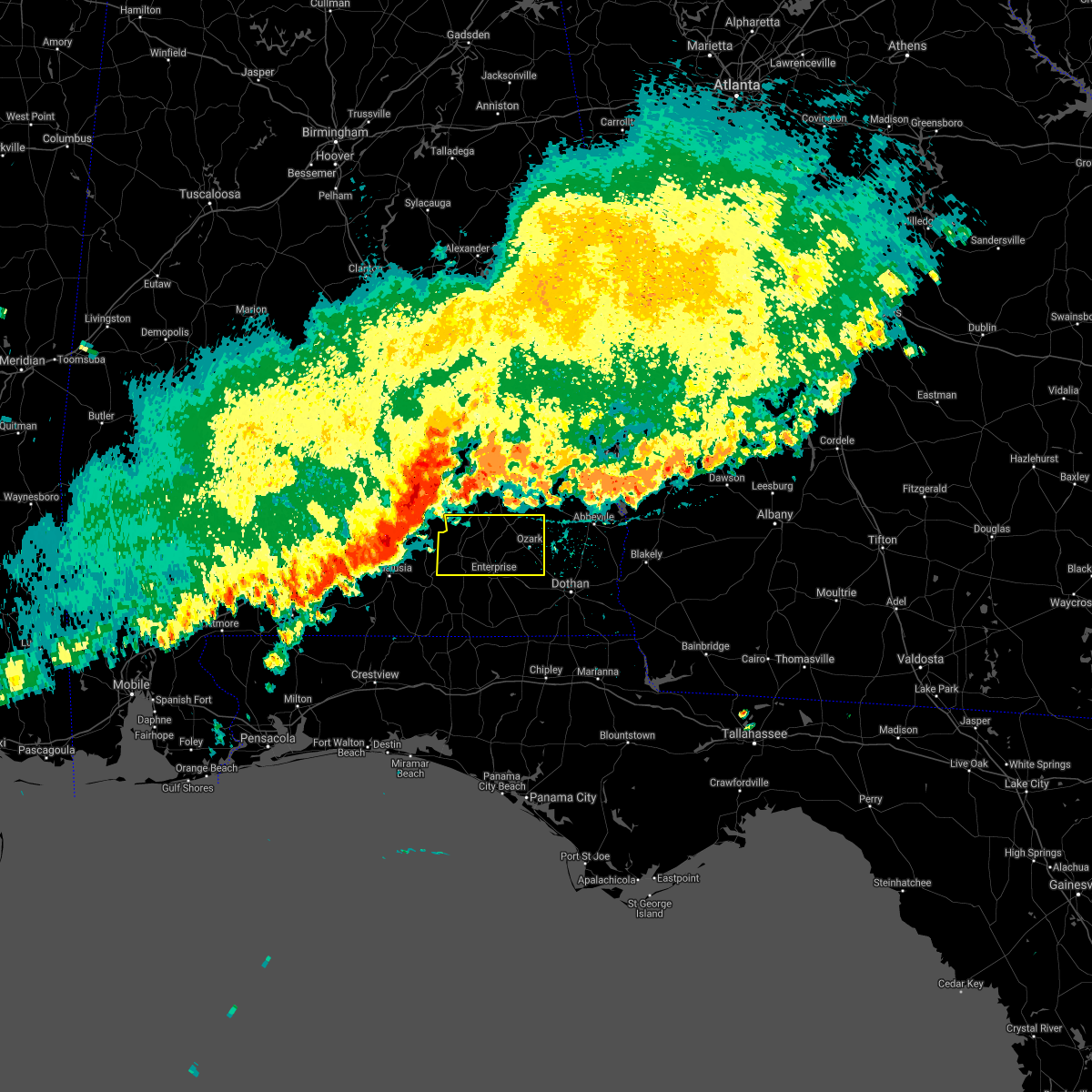 At 406 pm cdt, severe thunderstorms were located along a line extending from near ansley to near brantley to near red level, moving east at 60 mph (radar indicated). Hazards include 60 mph wind gusts and penny size hail. expect damage to roofs, siding, and trees At 406 pm cdt, severe thunderstorms were located along a line extending from near ansley to near brantley to near red level, moving east at 60 mph (radar indicated). Hazards include 60 mph wind gusts and penny size hail. expect damage to roofs, siding, and trees
|
| 3/18/2021 5:23 AM CDT |
 At 522 am cdt, severe thunderstorms were located along a line extending from near newton to near taylor, moving northeast at 40 mph (radar indicated). Hazards include 60 mph wind gusts. Expect damage to roofs, siding, and trees. Locations impacted include, daleville, abbeville, cottonwood, headland, dothan, ozark, fort rucker, taylor, midland city, kinsey, ashford, cowarts, newton, webb, pinckard, rehobeth, clayhatchee, grimes, avon and newville. At 522 am cdt, severe thunderstorms were located along a line extending from near newton to near taylor, moving northeast at 40 mph (radar indicated). Hazards include 60 mph wind gusts. Expect damage to roofs, siding, and trees. Locations impacted include, daleville, abbeville, cottonwood, headland, dothan, ozark, fort rucker, taylor, midland city, kinsey, ashford, cowarts, newton, webb, pinckard, rehobeth, clayhatchee, grimes, avon and newville.
|
| 3/18/2021 5:04 AM CDT |
 At 503 am cdt, severe thunderstorms were located along a line extending from enterprise to near slocomb, moving northeast at 60 mph (radar indicated). Hazards include 60 mph wind gusts. expect damage to roofs, siding, and trees At 503 am cdt, severe thunderstorms were located along a line extending from enterprise to near slocomb, moving northeast at 60 mph (radar indicated). Hazards include 60 mph wind gusts. expect damage to roofs, siding, and trees
|
| 2/15/2021 2:57 PM CST |
 The severe thunderstorm warning for dale, western henry, southeastern coffee, eastern geneva and central houston counties will expire at 300 pm cst, the storms which prompted the warning have moved out of the area. therefore, the warning will be allowed to expire. however gusty winds are still possible with these thunderstorms. a tornado watch remains in effect until 600 pm cst for southeastern alabama, and the panhandle of florida. to report severe weather, contact your nearest law enforcement agency. they will relay your report to the national weather service tallahassee. remember, a severe thunderstorm warning still remains in effect. The severe thunderstorm warning for dale, western henry, southeastern coffee, eastern geneva and central houston counties will expire at 300 pm cst, the storms which prompted the warning have moved out of the area. therefore, the warning will be allowed to expire. however gusty winds are still possible with these thunderstorms. a tornado watch remains in effect until 600 pm cst for southeastern alabama, and the panhandle of florida. to report severe weather, contact your nearest law enforcement agency. they will relay your report to the national weather service tallahassee. remember, a severe thunderstorm warning still remains in effect.
|
| 2/15/2021 2:37 PM CST |
 At 237 pm cst, severe thunderstorms were located along a line extending from near blue springs state park to 7 miles northeast of chipley, moving northeast at 50 mph (radar indicated). Hazards include 60 mph wind gusts and quarter size hail. Hail damage to vehicles is expected. Expect wind damage to roofs, siding, and trees. At 237 pm cst, severe thunderstorms were located along a line extending from near blue springs state park to 7 miles northeast of chipley, moving northeast at 50 mph (radar indicated). Hazards include 60 mph wind gusts and quarter size hail. Hail damage to vehicles is expected. Expect wind damage to roofs, siding, and trees.
|
| 2/15/2021 1:57 PM CST |
 The national weather service in tallahassee has issued a * severe thunderstorm warning for. dale county in southeastern alabama. western henry county in southeastern alabama. southeastern coffee county in southeastern alabama. Eastern geneva county in southeastern alabama. The national weather service in tallahassee has issued a * severe thunderstorm warning for. dale county in southeastern alabama. western henry county in southeastern alabama. southeastern coffee county in southeastern alabama. Eastern geneva county in southeastern alabama.
|
| 11/26/2020 5:44 PM CST |
 At 530 pm cst, a severe thunderstorm was located over enterprise, moving northeast at 25 mph (radar indicated). Hazards include 60 mph wind gusts and quarter size hail. Hail damage to vehicles is expected. Expect wind damage to roofs, siding, and trees. At 530 pm cst, a severe thunderstorm was located over enterprise, moving northeast at 25 mph (radar indicated). Hazards include 60 mph wind gusts and quarter size hail. Hail damage to vehicles is expected. Expect wind damage to roofs, siding, and trees.
|
| 11/26/2020 5:30 PM CST |
 At 530 pm cst, a severe thunderstorm was located over enterprise, moving northeast at 25 mph (radar indicated). Hazards include 60 mph wind gusts and quarter size hail. Hail damage to vehicles is expected. Expect wind damage to roofs, siding, and trees. At 530 pm cst, a severe thunderstorm was located over enterprise, moving northeast at 25 mph (radar indicated). Hazards include 60 mph wind gusts and quarter size hail. Hail damage to vehicles is expected. Expect wind damage to roofs, siding, and trees.
|
| 8/11/2020 2:29 PM CDT |
 At 229 pm cdt, a severe thunderstorm was located near midland city, or near dothan, moving southeast at 25 mph (radar indicated). Hazards include 60 mph wind gusts. Expect damage to roofs, siding, and trees. locations impacted include, dothan, taylor, midland city, newton, pinckard, grimes, napier field, hollis dairy road, green acres, kelly springs, w. Main/brannon st, currytown, ardilla, jones crossroads and smyrna. At 229 pm cdt, a severe thunderstorm was located near midland city, or near dothan, moving southeast at 25 mph (radar indicated). Hazards include 60 mph wind gusts. Expect damage to roofs, siding, and trees. locations impacted include, dothan, taylor, midland city, newton, pinckard, grimes, napier field, hollis dairy road, green acres, kelly springs, w. Main/brannon st, currytown, ardilla, jones crossroads and smyrna.
|
| 8/11/2020 1:51 PM CDT |
 At 151 pm cdt, a severe thunderstorm was located near daleville, moving east at 15 mph (radar indicated). Hazards include 60 mph wind gusts. expect damage to roofs, siding, and trees At 151 pm cdt, a severe thunderstorm was located near daleville, moving east at 15 mph (radar indicated). Hazards include 60 mph wind gusts. expect damage to roofs, siding, and trees
|
| 8/10/2020 4:24 PM CDT |
 At 424 pm cdt, a severe thunderstorm was located near taylor, or near dothan, moving southwest at 20 mph (radar indicated). Hazards include 60 mph wind gusts and penny size hail. Expect damage to roofs, siding, and trees. Locations impacted include, daleville, elba, headland, dothan, enterprise, fort rucker, taylor, midland city, kinsey, ashford, level plains, slocomb, cowarts, newton, webb, new brockton, columbia, pinckard, malvern and clayhatchee. At 424 pm cdt, a severe thunderstorm was located near taylor, or near dothan, moving southwest at 20 mph (radar indicated). Hazards include 60 mph wind gusts and penny size hail. Expect damage to roofs, siding, and trees. Locations impacted include, daleville, elba, headland, dothan, enterprise, fort rucker, taylor, midland city, kinsey, ashford, level plains, slocomb, cowarts, newton, webb, new brockton, columbia, pinckard, malvern and clayhatchee.
|
| 8/10/2020 4:05 PM CDT |
 At 404 pm cdt, a severe thunderstorm was located over dothan, moving south at 20 mph (radar indicated). Hazards include 60 mph wind gusts and penny size hail. expect damage to roofs, siding, and trees At 404 pm cdt, a severe thunderstorm was located over dothan, moving south at 20 mph (radar indicated). Hazards include 60 mph wind gusts and penny size hail. expect damage to roofs, siding, and trees
|
| 4/23/2020 9:22 AM CDT |
 At 1021 am edt/921 am cdt/, severe thunderstorms were located along a line extending from daleville to 8 miles north of geneva to 7 miles south of samson to 10 miles north of de funiak springs, moving east at 50 mph (radar indicated). Hazards include 70 mph wind gusts and ping pong ball size hail. People and animals outdoors will be injured. expect hail damage to roofs, siding, windows, and vehicles. expect considerable tree damage. Wind damage is also likely to mobile homes, roofs, and outbuildings. At 1021 am edt/921 am cdt/, severe thunderstorms were located along a line extending from daleville to 8 miles north of geneva to 7 miles south of samson to 10 miles north of de funiak springs, moving east at 50 mph (radar indicated). Hazards include 70 mph wind gusts and ping pong ball size hail. People and animals outdoors will be injured. expect hail damage to roofs, siding, windows, and vehicles. expect considerable tree damage. Wind damage is also likely to mobile homes, roofs, and outbuildings.
|
| 4/23/2020 9:14 AM CDT |
 At 913 am cdt, severe thunderstorms were located along a line extending from near fort rucker to 7 miles south of enterprise to 8 miles south of samson to 10 miles south of florala, moving east at 55 mph (radar indicated). Hazards include golf ball size hail and 70 mph wind gusts. People and animals outdoors will be injured. expect hail damage to roofs, siding, windows, and vehicles. expect considerable tree damage. wind damage is also likely to mobile homes, roofs, and outbuildings. Locations impacted include, daleville, elba, geneva, enterprise, fort rucker, ozark, hartford, level plains, samson, newton, new brockton, ariton, pinckard, union, liberty, paxton, clayhatchee, kinston, coffee springs and black. At 913 am cdt, severe thunderstorms were located along a line extending from near fort rucker to 7 miles south of enterprise to 8 miles south of samson to 10 miles south of florala, moving east at 55 mph (radar indicated). Hazards include golf ball size hail and 70 mph wind gusts. People and animals outdoors will be injured. expect hail damage to roofs, siding, windows, and vehicles. expect considerable tree damage. wind damage is also likely to mobile homes, roofs, and outbuildings. Locations impacted include, daleville, elba, geneva, enterprise, fort rucker, ozark, hartford, level plains, samson, newton, new brockton, ariton, pinckard, union, liberty, paxton, clayhatchee, kinston, coffee springs and black.
|
| 4/23/2020 8:22 AM CDT |
 At 822 am cdt, severe thunderstorms were located along a line extending from near gantt to near river falls to 17 miles east of east brewton to 14 miles southeast of riverview, moving east at 50 mph (radar indicated). Hazards include 60 mph wind gusts and half dollar size hail. Hail damage to vehicles is expected. Expect wind damage to roofs, siding, and trees. At 822 am cdt, severe thunderstorms were located along a line extending from near gantt to near river falls to 17 miles east of east brewton to 14 miles southeast of riverview, moving east at 50 mph (radar indicated). Hazards include 60 mph wind gusts and half dollar size hail. Hail damage to vehicles is expected. Expect wind damage to roofs, siding, and trees.
|
| 4/19/2020 11:10 PM CDT |
 At 1210 am edt/1110 pm cdt/, severe thunderstorms were located along a line extending from near banks to near new brockton, moving east at 80 mph (radar indicated). Hazards include 70 mph wind gusts. Expect considerable tree damage. Damage is likely to mobile homes, roofs, and outbuildings. At 1210 am edt/1110 pm cdt/, severe thunderstorms were located along a line extending from near banks to near new brockton, moving east at 80 mph (radar indicated). Hazards include 70 mph wind gusts. Expect considerable tree damage. Damage is likely to mobile homes, roofs, and outbuildings.
|
| 4/19/2020 10:47 PM CDT |
 At 1046 pm cdt, severe thunderstorms were located along a line extending from near grady to 14 miles east of riverview, moving east at 45 mph (radar indicated). Hazards include 70 mph wind gusts. Expect considerable tree damage. damage is likely to mobile homes, roofs, and outbuildings. Locations impacted include, daleville, elba, de funiak springs, geneva, enterprise, fort rucker, ozark, level plains, samson, newton, new brockton, ariton, eglin air force base, lee, union, liberty, paxton, ponce de leon, clayhatchee and kinston. At 1046 pm cdt, severe thunderstorms were located along a line extending from near grady to 14 miles east of riverview, moving east at 45 mph (radar indicated). Hazards include 70 mph wind gusts. Expect considerable tree damage. damage is likely to mobile homes, roofs, and outbuildings. Locations impacted include, daleville, elba, de funiak springs, geneva, enterprise, fort rucker, ozark, level plains, samson, newton, new brockton, ariton, eglin air force base, lee, union, liberty, paxton, ponce de leon, clayhatchee and kinston.
|
| 4/19/2020 10:36 PM CDT |
 At 1036 pm cdt, severe thunderstorms were located along a line extending from lapine to 8 miles east of east brewton, moving east at 45 mph (radar indicated). Hazards include 60 mph wind gusts. expect damage to roofs, siding, and trees At 1036 pm cdt, severe thunderstorms were located along a line extending from lapine to 8 miles east of east brewton, moving east at 45 mph (radar indicated). Hazards include 60 mph wind gusts. expect damage to roofs, siding, and trees
|
| 4/13/2020 2:25 AM CDT |
 At 324 am edt/224 am cdt/, severe thunderstorms were located along a line extending from 6 miles northwest of abbeville to near daleville, moving east at 65 mph (radar indicated). Hazards include 60 mph wind gusts. expect damage to roofs, siding, and trees At 324 am edt/224 am cdt/, severe thunderstorms were located along a line extending from 6 miles northwest of abbeville to near daleville, moving east at 65 mph (radar indicated). Hazards include 60 mph wind gusts. expect damage to roofs, siding, and trees
|
| 4/13/2020 1:46 AM CDT |
 At 146 am cdt, severe thunderstorms were located along a line extending from near doster to 8 miles southwest of samson, moving east at 40 mph (radar indicated). Hazards include 60 mph wind gusts. Expect damage to roofs, siding, and trees. Locations impacted include, daleville, elba, geneva, enterprise, fort rucker, ozark, hartford, level plains, samson, newton, new brockton, ariton, clayhatchee, kinston, coffee springs, black, mixons crossroads, kellys crossroads, hunt field and waterford. At 146 am cdt, severe thunderstorms were located along a line extending from near doster to 8 miles southwest of samson, moving east at 40 mph (radar indicated). Hazards include 60 mph wind gusts. Expect damage to roofs, siding, and trees. Locations impacted include, daleville, elba, geneva, enterprise, fort rucker, ozark, hartford, level plains, samson, newton, new brockton, ariton, clayhatchee, kinston, coffee springs, black, mixons crossroads, kellys crossroads, hunt field and waterford.
|
| 4/13/2020 1:21 AM CDT |
 At 121 am cdt, severe thunderstorms were located along a line extending from 7 miles southwest of antioch to near lockhart, moving east at 65 mph (radar indicated). Hazards include 60 mph wind gusts. expect damage to roofs, siding, and trees At 121 am cdt, severe thunderstorms were located along a line extending from 7 miles southwest of antioch to near lockhart, moving east at 65 mph (radar indicated). Hazards include 60 mph wind gusts. expect damage to roofs, siding, and trees
|
| 4/13/2020 12:58 AM CDT |
 At 158 am edt/1258 am cdt/, severe thunderstorms were located along a line extending from blue springs state park to daleville, moving northeast at 55 mph (radar indicated). Hazards include 60 mph wind gusts. expect damage to roofs, siding, and trees At 158 am edt/1258 am cdt/, severe thunderstorms were located along a line extending from blue springs state park to daleville, moving northeast at 55 mph (radar indicated). Hazards include 60 mph wind gusts. expect damage to roofs, siding, and trees
|
| 3/31/2020 11:08 AM CDT |
 At 1207 pm edt/1107 am cdt/, severe thunderstorms were located along a line extending from near clayton to 6 miles north of new brockton to 8 miles south of andalusia, moving east at 60 mph (radar indicated). Hazards include 60 mph wind gusts. expect damage to roofs, siding, and trees At 1207 pm edt/1107 am cdt/, severe thunderstorms were located along a line extending from near clayton to 6 miles north of new brockton to 8 miles south of andalusia, moving east at 60 mph (radar indicated). Hazards include 60 mph wind gusts. expect damage to roofs, siding, and trees
|
| 3/5/2020 4:58 AM CST |
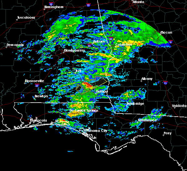 At 458 am cst, a severe thunderstorm was located 7 miles southeast of blue springs state park, or 11 miles west of abbeville, moving northeast at 75 mph (radar indicated). Hazards include quarter size hail. Damage to vehicles is expected. Locations impacted include, abbeville, ozark, newton, ariton, shorterville, bells crossroads, hunt field, dill, edwin, mabson, arguta, snells crossroads, ewell, graball, dale county lake, marley hill, phillips crossroads, greater salem church, skipperville and echo. At 458 am cst, a severe thunderstorm was located 7 miles southeast of blue springs state park, or 11 miles west of abbeville, moving northeast at 75 mph (radar indicated). Hazards include quarter size hail. Damage to vehicles is expected. Locations impacted include, abbeville, ozark, newton, ariton, shorterville, bells crossroads, hunt field, dill, edwin, mabson, arguta, snells crossroads, ewell, graball, dale county lake, marley hill, phillips crossroads, greater salem church, skipperville and echo.
|
| 3/5/2020 4:42 AM CST |
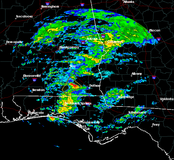 At 442 am cst, a severe thunderstorm was located over fort rucker, moving northeast at 75 mph (radar indicated). Hazards include half dollar size hail. damage to vehicles is expected At 442 am cst, a severe thunderstorm was located over fort rucker, moving northeast at 75 mph (radar indicated). Hazards include half dollar size hail. damage to vehicles is expected
|
| 3/4/2020 8:50 AM CST |
 At 850 am cst, severe thunderstorms were located along a line extending from 9 miles southwest of abbeville to near midland city to pinckard, moving east at 45 mph (radar indicated). Hazards include 60 mph wind gusts. expect damage to roofs, siding, and trees At 850 am cst, severe thunderstorms were located along a line extending from 9 miles southwest of abbeville to near midland city to pinckard, moving east at 45 mph (radar indicated). Hazards include 60 mph wind gusts. expect damage to roofs, siding, and trees
|
| 3/4/2020 8:45 AM CST | Several trees down and roof off home near newto in dale county AL, 1.4 miles NNE of Newton, AL |
| 2/6/2020 11:15 AM CST |
 At 1115 am cst, a severe thunderstorm was located near pinckard, or near dothan, moving northeast at 60 mph (radar indicated). Hazards include 60 mph wind gusts. expect damage to roofs, siding, and trees At 1115 am cst, a severe thunderstorm was located near pinckard, or near dothan, moving northeast at 60 mph (radar indicated). Hazards include 60 mph wind gusts. expect damage to roofs, siding, and trees
|
| 1/11/2020 6:11 PM CST | Numerous trees dow in dale county AL, 1.4 miles NNE of Newton, AL |
| 1/11/2020 4:54 PM CST |
 At 454 pm cst, severe thunderstorms were located along a line extending from near richards crossroads to 6 miles south of hartford, moving east at 35 mph (radar indicated). Hazards include 60 mph wind gusts. Expect damage to roofs, siding, and trees. Locations impacted include, abbeville, dothan, headland, ozark, hartford, taylor, midland city, slocomb, newton, pinckard, malvern, grimes, newville, esto, napier field, black, scottsboro crossroads, light, thomas mill creek and wicksburg. At 454 pm cst, severe thunderstorms were located along a line extending from near richards crossroads to 6 miles south of hartford, moving east at 35 mph (radar indicated). Hazards include 60 mph wind gusts. Expect damage to roofs, siding, and trees. Locations impacted include, abbeville, dothan, headland, ozark, hartford, taylor, midland city, slocomb, newton, pinckard, malvern, grimes, newville, esto, napier field, black, scottsboro crossroads, light, thomas mill creek and wicksburg.
|
| 1/11/2020 4:47 PM CST | Trees and power lines down in the wicksburg area via dothan houston county ema facebook pag in houston county AL, 10.5 miles NNE of Newton, AL |
| 1/11/2020 4:35 PM CST | Corrects previous tstm wnd dmg report from newton. numerous trees dow in dale county AL, 1.4 miles NNE of Newton, AL |
| 1/11/2020 4:35 PM CST |
 At 435 pm cst, severe thunderstorms were located along a line extending from near richards crossroads to geneva, moving east at 35 mph (radar indicated). Hazards include 60 mph wind gusts. Expect damage to roofs, siding, and trees. Locations impacted include, daleville, abbeville, dothan, geneva, ozark, headland, fort rucker, hartford, taylor, midland city, level plains, slocomb, newton, pinckard, malvern, clayhatchee, grimes, newville, esto and napier field. At 435 pm cst, severe thunderstorms were located along a line extending from near richards crossroads to geneva, moving east at 35 mph (radar indicated). Hazards include 60 mph wind gusts. Expect damage to roofs, siding, and trees. Locations impacted include, daleville, abbeville, dothan, geneva, ozark, headland, fort rucker, hartford, taylor, midland city, level plains, slocomb, newton, pinckard, malvern, clayhatchee, grimes, newville, esto and napier field.
|
| 1/11/2020 4:04 PM CST |
 At 404 pm cst, severe thunderstorms were located along a line extending from ariton to 8 miles south of samson, moving northeast at 30 mph (radar indicated). Hazards include 60 mph wind gusts. expect damage to roofs, siding, and trees At 404 pm cst, severe thunderstorms were located along a line extending from ariton to 8 miles south of samson, moving northeast at 30 mph (radar indicated). Hazards include 60 mph wind gusts. expect damage to roofs, siding, and trees
|
| 12/17/2019 4:10 AM CST |
 The severe thunderstorm warning for southern dale and northwestern houston counties will expire at 415 am cst, the storm which prompted the warning has weakened below severe limits, and no longer poses an immediate threat to life or property. therefore, the warning will be allowed to expire. The severe thunderstorm warning for southern dale and northwestern houston counties will expire at 415 am cst, the storm which prompted the warning has weakened below severe limits, and no longer poses an immediate threat to life or property. therefore, the warning will be allowed to expire.
|
| 12/17/2019 3:30 AM CST |
 At 330 am cst, a severe thunderstorm was located over level plains, or near daleville, moving northeast at 25 mph (radar indicated). Hazards include 60 mph wind gusts. Expect damage to roofs, siding, and trees. Locations impacted include, daleville, fort rucker, ozark, enterprise, midland city, level plains, newton, pinckard, clayhatchee, hunt field, waterford, dean church road, hooper stage field, knox field, gerald, bagwells crossroads, lowe army heliport, power dam road, kelly and cairns aaf. At 330 am cst, a severe thunderstorm was located over level plains, or near daleville, moving northeast at 25 mph (radar indicated). Hazards include 60 mph wind gusts. Expect damage to roofs, siding, and trees. Locations impacted include, daleville, fort rucker, ozark, enterprise, midland city, level plains, newton, pinckard, clayhatchee, hunt field, waterford, dean church road, hooper stage field, knox field, gerald, bagwells crossroads, lowe army heliport, power dam road, kelly and cairns aaf.
|
| 12/17/2019 3:20 AM CST |
 At 320 am cst, a severe thunderstorm was located near level plains, or near enterprise, moving northeast at 25 mph (radar indicated). Hazards include 60 mph wind gusts. expect damage to roofs, siding, and trees At 320 am cst, a severe thunderstorm was located near level plains, or near enterprise, moving northeast at 25 mph (radar indicated). Hazards include 60 mph wind gusts. expect damage to roofs, siding, and trees
|
| 8/19/2019 2:55 PM CDT |
 At 255 pm cdt, a severe thunderstorm was located over dothan, moving southwest at 15 mph (radar indicated). Hazards include 60 mph wind gusts and penny size hail. expect damage to roofs, siding, and trees At 255 pm cdt, a severe thunderstorm was located over dothan, moving southwest at 15 mph (radar indicated). Hazards include 60 mph wind gusts and penny size hail. expect damage to roofs, siding, and trees
|
| 8/3/2019 2:28 PM CDT |
 At 228 pm cdt, a severe thunderstorm was located near newton, or near ozark, moving south at 10 mph (radar indicated). Hazards include 60 mph wind gusts and penny size hail. expect damage to roofs, siding, and trees At 228 pm cdt, a severe thunderstorm was located near newton, or near ozark, moving south at 10 mph (radar indicated). Hazards include 60 mph wind gusts and penny size hail. expect damage to roofs, siding, and trees
|
| 7/19/2019 2:47 PM CDT |
 At 246 pm cdt, a severe thunderstorm was located over midland city, or near headland, moving east at 20 mph. multiple trees have been blown down in dale county with this storm (radar indicated). Hazards include 60 mph wind gusts. Expect damage to roofs, siding, and trees. Locations impacted include, headland, dothan, ozark, midland city, kinsey, ashford, cowarts, newton, webb, pinckard, grimes, avon, newville, napier field, haleburg, tumbleton, kirkland crossroads, sigma, grandberry crossroads and enon. At 246 pm cdt, a severe thunderstorm was located over midland city, or near headland, moving east at 20 mph. multiple trees have been blown down in dale county with this storm (radar indicated). Hazards include 60 mph wind gusts. Expect damage to roofs, siding, and trees. Locations impacted include, headland, dothan, ozark, midland city, kinsey, ashford, cowarts, newton, webb, pinckard, grimes, avon, newville, napier field, haleburg, tumbleton, kirkland crossroads, sigma, grandberry crossroads and enon.
|
| 7/19/2019 2:19 PM CDT |
 At 219 pm cdt, a severe thunderstorm was located over newton, or near ozark, moving southeast at 15 mph (radar indicated). Hazards include 60 mph wind gusts. expect damage to roofs, siding, and trees At 219 pm cdt, a severe thunderstorm was located over newton, or near ozark, moving southeast at 15 mph (radar indicated). Hazards include 60 mph wind gusts. expect damage to roofs, siding, and trees
|
| 7/18/2019 4:59 PM CDT |
 At 458 pm cdt, severe thunderstorms were located along a line extending from near ozark to near hartford, moving northeast at 10 mph (radar indicated). Hazards include 60 mph wind gusts. expect damage to roofs, siding, and trees At 458 pm cdt, severe thunderstorms were located along a line extending from near ozark to near hartford, moving northeast at 10 mph (radar indicated). Hazards include 60 mph wind gusts. expect damage to roofs, siding, and trees
|
| 7/9/2019 4:15 PM CDT |
 At 414 pm cdt, a severe thunderstorm was located near newton, or near ozark, moving southwest at 25 mph (radar indicated). Hazards include 60 mph wind gusts. expect damage to roofs, siding, and trees At 414 pm cdt, a severe thunderstorm was located near newton, or near ozark, moving southwest at 25 mph (radar indicated). Hazards include 60 mph wind gusts. expect damage to roofs, siding, and trees
|
| 5/12/2019 10:18 AM CDT | Numerous trees reported down at wicksburg houston county alabam in houston county AL, 10.5 miles NNE of Newton, AL |
| 5/12/2019 10:03 AM CDT |
 At 1003 am cdt, severe thunderstorms were located along a line extending from 9 miles north of new brockton to level plains to 10 miles northwest of bonifay, moving east at 45 mph (radar indicated). Hazards include 60 mph wind gusts. expect damage to roofs, siding, and trees At 1003 am cdt, severe thunderstorms were located along a line extending from 9 miles north of new brockton to level plains to 10 miles northwest of bonifay, moving east at 45 mph (radar indicated). Hazards include 60 mph wind gusts. expect damage to roofs, siding, and trees
|
| 5/12/2019 9:33 AM CDT |
 At 932 am cdt, a severe thunderstorm was located near opp, moving east at 40 mph (radar indicated). Hazards include 60 mph wind gusts. expect damage to roofs, siding, and trees At 932 am cdt, a severe thunderstorm was located near opp, moving east at 40 mph (radar indicated). Hazards include 60 mph wind gusts. expect damage to roofs, siding, and trees
|
| 4/19/2019 5:41 AM CDT |
 The severe thunderstorm warning for dale, henry, southeastern coffee, geneva, houston, northwestern jackson, northeastern holmes and northwestern early counties will expire at 645 am edt/545 am cdt/, the storms which prompted the warning have weakened below severe limits, and have exited the warned area. therefore, the warning will be allowed to expire. however gusty winds are still possible with these thunderstorms. a tornado watch remains in effect until 900 am edt/800 am cdt/ for southeastern alabama, the panhandle of florida, and southwestern georgia. The severe thunderstorm warning for dale, henry, southeastern coffee, geneva, houston, northwestern jackson, northeastern holmes and northwestern early counties will expire at 645 am edt/545 am cdt/, the storms which prompted the warning have weakened below severe limits, and have exited the warned area. therefore, the warning will be allowed to expire. however gusty winds are still possible with these thunderstorms. a tornado watch remains in effect until 900 am edt/800 am cdt/ for southeastern alabama, the panhandle of florida, and southwestern georgia.
|
| 4/19/2019 5:41 AM CDT |
 The severe thunderstorm warning for dale. henry. southeastern coffee. geneva. houston. northwestern jackson. northeastern holmes and northwestern early counties will expire at 645 am edt/545 am cdt/. the storms which prompted the warning have weakened below severe limits, and have exited the warned area. Therefore, the warning will. The severe thunderstorm warning for dale. henry. southeastern coffee. geneva. houston. northwestern jackson. northeastern holmes and northwestern early counties will expire at 645 am edt/545 am cdt/. the storms which prompted the warning have weakened below severe limits, and have exited the warned area. Therefore, the warning will.
|
| 4/19/2019 5:41 AM CDT |
 The severe thunderstorm warning for dale, henry, southeastern coffee, geneva, houston, northwestern jackson, northeastern holmes and northwestern early counties will expire at 645 am edt/545 am cdt/, the storms which prompted the warning have weakened below severe limits, and have exited the warned area. therefore, the warning will be allowed to expire. however gusty winds are still possible with these thunderstorms. a tornado watch remains in effect until 900 am edt/800 am cdt/ for southeastern alabama, the panhandle of florida, and southwestern georgia. The severe thunderstorm warning for dale, henry, southeastern coffee, geneva, houston, northwestern jackson, northeastern holmes and northwestern early counties will expire at 645 am edt/545 am cdt/, the storms which prompted the warning have weakened below severe limits, and have exited the warned area. therefore, the warning will be allowed to expire. however gusty winds are still possible with these thunderstorms. a tornado watch remains in effect until 900 am edt/800 am cdt/ for southeastern alabama, the panhandle of florida, and southwestern georgia.
|
| 4/19/2019 5:21 AM CDT |
 At 621 am edt/521 am cdt/, severe thunderstorms were located along a line extending from near level plains to taylor to columbia, moving east at 50 mph (radar indicated). Hazards include 60 mph wind gusts. Expect damage to roofs, siding, and trees. locations impacted include, daleville, abbeville, cottonwood, blakely, geneva, enterprise, graceville, headland, dothan, fort rucker, ozark, hartford, taylor, midland city, kinsey, ashford, level plains, slocomb, samson and cowarts. A tornado watch remains in effect until 900 am edt/800 am cdt/ for southeastern alabama, the panhandle of florida, and southwestern georgia. At 621 am edt/521 am cdt/, severe thunderstorms were located along a line extending from near level plains to taylor to columbia, moving east at 50 mph (radar indicated). Hazards include 60 mph wind gusts. Expect damage to roofs, siding, and trees. locations impacted include, daleville, abbeville, cottonwood, blakely, geneva, enterprise, graceville, headland, dothan, fort rucker, ozark, hartford, taylor, midland city, kinsey, ashford, level plains, slocomb, samson and cowarts. A tornado watch remains in effect until 900 am edt/800 am cdt/ for southeastern alabama, the panhandle of florida, and southwestern georgia.
|
| 4/19/2019 4:55 AM CDT |
 At 555 am edt/455 am cdt/, severe thunderstorms were located along a line extending from near geneva to 8 miles north of bonifay to near cottonwood, moving northeast at 50 mph (radar indicated). Hazards include 60 mph wind gusts. expect damage to roofs, siding, and trees At 555 am edt/455 am cdt/, severe thunderstorms were located along a line extending from near geneva to 8 miles north of bonifay to near cottonwood, moving northeast at 50 mph (radar indicated). Hazards include 60 mph wind gusts. expect damage to roofs, siding, and trees
|
| 4/19/2019 4:10 AM CDT | Tree blocking county rd 12 in dale county AL, 6.5 miles NE of Newton, AL |
| 3/3/2019 5:13 PM CST | Power pole down on hartford street in dale count in dale county AL, 2.6 miles N of Newton, AL |
| 3/3/2019 4:26 PM CST | Corrects previous tstm wnd dmg report from 1 se newton. power pole down on hartford street in dale county. corrected time of even in dale county AL, 2.6 miles N of Newton, AL |
| 3/3/2019 4:18 PM CST |
 At 518 pm est/418 pm cst/, severe thunderstorms were located along a line extending from 6 miles east of abbeville to near geneva, moving southeast at 50 mph (radar indicated). Hazards include 60 mph wind gusts. Expect damage to roofs, siding, and trees. locations impacted include, daleville, abbeville, fort gaines, geneva, enterprise, headland, dothan, fort rucker, ozark, hartford, taylor, midland city, kinsey, ashford, level plains, slocomb, cowarts, newton, webb and columbia. A tornado watch remains in effect until 800 pm est/700 pm cst/ for southeastern alabama, the panhandle of florida, and southwestern georgia. At 518 pm est/418 pm cst/, severe thunderstorms were located along a line extending from 6 miles east of abbeville to near geneva, moving southeast at 50 mph (radar indicated). Hazards include 60 mph wind gusts. Expect damage to roofs, siding, and trees. locations impacted include, daleville, abbeville, fort gaines, geneva, enterprise, headland, dothan, fort rucker, ozark, hartford, taylor, midland city, kinsey, ashford, level plains, slocomb, cowarts, newton, webb and columbia. A tornado watch remains in effect until 800 pm est/700 pm cst/ for southeastern alabama, the panhandle of florida, and southwestern georgia.
|
| 3/3/2019 3:53 PM CST |
 At 453 pm est/353 pm cst/, severe thunderstorms were located along a line extending from near texasville to near opp, moving southeast at 50 mph (radar indicated). Hazards include 60 mph wind gusts. expect damage to roofs, siding, and trees At 453 pm est/353 pm cst/, severe thunderstorms were located along a line extending from near texasville to near opp, moving southeast at 50 mph (radar indicated). Hazards include 60 mph wind gusts. expect damage to roofs, siding, and trees
|
| 1/23/2019 7:45 PM CST |
 At 745 pm cst, severe thunderstorms were located along a line extending from near texasville to near midland city, moving northeast at 45 mph (radar indicated). Hazards include 60 mph wind gusts. Expect damage to roofs, siding, and trees. Locations impacted include, abbeville, fort gaines, headland, dothan, taylor, midland city, kinsey, ashford, cowarts, newton, webb, columbia, pinckard, grimes, newville, napier field, haleburg, shorterville, hayes and scottsboro crossroads. At 745 pm cst, severe thunderstorms were located along a line extending from near texasville to near midland city, moving northeast at 45 mph (radar indicated). Hazards include 60 mph wind gusts. Expect damage to roofs, siding, and trees. Locations impacted include, abbeville, fort gaines, headland, dothan, taylor, midland city, kinsey, ashford, cowarts, newton, webb, columbia, pinckard, grimes, newville, napier field, haleburg, shorterville, hayes and scottsboro crossroads.
|
| 1/23/2019 7:19 PM CST |
 At 719 pm cst, severe thunderstorms were located along a line extending from near ariton to near daleville, moving northeast at 45 mph (radar indicated). Hazards include 60 mph wind gusts. expect damage to roofs, siding, and trees At 719 pm cst, severe thunderstorms were located along a line extending from near ariton to near daleville, moving northeast at 45 mph (radar indicated). Hazards include 60 mph wind gusts. expect damage to roofs, siding, and trees
|
| 1/23/2019 7:05 PM CST |
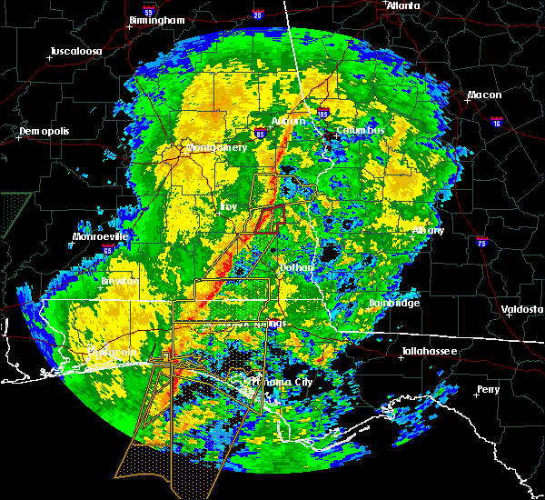 At 705 pm cst, severe thunderstorms were located along a line extending from near clio to near samson, moving east at 40 mph (radar indicated). Hazards include 60 mph wind gusts. Expect damage to roofs, siding, and trees. Locations impacted include, daleville, enterprise, fort rucker, ozark, level plains, newton, new brockton, ariton, clayhatchee, hunt field, waterford, hooper stage field, gerald, central city, clintonville, ewell, cairns aaf, dale county lake, camp alaflo bsa and phillips crossroads. At 705 pm cst, severe thunderstorms were located along a line extending from near clio to near samson, moving east at 40 mph (radar indicated). Hazards include 60 mph wind gusts. Expect damage to roofs, siding, and trees. Locations impacted include, daleville, enterprise, fort rucker, ozark, level plains, newton, new brockton, ariton, clayhatchee, hunt field, waterford, hooper stage field, gerald, central city, clintonville, ewell, cairns aaf, dale county lake, camp alaflo bsa and phillips crossroads.
|
| 1/23/2019 6:44 PM CST |
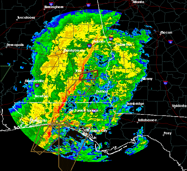 At 644 pm cst, severe thunderstorms were located along a line extending from near brundidge to 7 miles southeast of opp, moving east at 40 mph (radar indicated). Hazards include 60 mph wind gusts. Expect damage to roofs, siding, and trees. Locations impacted include, daleville, elba, enterprise, fort rucker, ozark, level plains, newton, new brockton, ariton, clayhatchee, kinston, mixons crossroads, hunt field, waterford, carl folsom a/p, hooper stage field, gerald, central city, camp humming hills and clintonville. At 644 pm cst, severe thunderstorms were located along a line extending from near brundidge to 7 miles southeast of opp, moving east at 40 mph (radar indicated). Hazards include 60 mph wind gusts. Expect damage to roofs, siding, and trees. Locations impacted include, daleville, elba, enterprise, fort rucker, ozark, level plains, newton, new brockton, ariton, clayhatchee, kinston, mixons crossroads, hunt field, waterford, carl folsom a/p, hooper stage field, gerald, central city, camp humming hills and clintonville.
|
| 1/23/2019 6:23 PM CST |
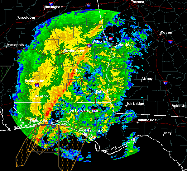 At 622 pm cst, severe thunderstorms were located along a line extending from 7 miles southeast of glenwood to near opp, moving northeast at 55 mph (radar indicated). Hazards include 60 mph wind gusts. expect damage to roofs, siding, and trees At 622 pm cst, severe thunderstorms were located along a line extending from 7 miles southeast of glenwood to near opp, moving northeast at 55 mph (radar indicated). Hazards include 60 mph wind gusts. expect damage to roofs, siding, and trees
|
| 1/19/2019 5:45 PM CST |
 At 645 pm est/545 pm cst/, severe thunderstorms were located along a line extending from near blue springs state park to near daleville, moving northeast at 45 mph (radar indicated). Hazards include 60 mph wind gusts. expect damage to roofs, siding, and trees At 645 pm est/545 pm cst/, severe thunderstorms were located along a line extending from near blue springs state park to near daleville, moving northeast at 45 mph (radar indicated). Hazards include 60 mph wind gusts. expect damage to roofs, siding, and trees
|
| 1/4/2019 4:21 AM CST |
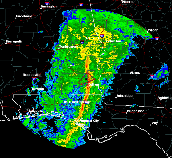 The tornado warning for eastern dale and southwestern henry counties will expire at 430 am cst, the storm which prompted the warning has weakened below severe limits, and no longer appears capable of producing a tornado. therefore, the warning will be allowed to expire. however gusty winds are still possible with this thunderstorm. The tornado warning for eastern dale and southwestern henry counties will expire at 430 am cst, the storm which prompted the warning has weakened below severe limits, and no longer appears capable of producing a tornado. therefore, the warning will be allowed to expire. however gusty winds are still possible with this thunderstorm.
|
| 1/4/2019 4:03 AM CST |
 At 403 am cst, a severe thunderstorm capable of producing a tornado was located over newton, or near ozark, moving northeast at 55 mph (radar indicated rotation). Hazards include tornado. Flying debris will be dangerous to those caught without shelter. mobile homes will be damaged or destroyed. damage to roofs, windows, and vehicles will occur. tree damage is likely. This tornadic thunderstorm will remain over mainly rural areas of eastern dale and southwestern henry counties, including the following locations, bells crossroads, newville, hunt field, waterford, echo, kirkland crossroads, blackwood, capps, bagwells crossroads and mabson. At 403 am cst, a severe thunderstorm capable of producing a tornado was located over newton, or near ozark, moving northeast at 55 mph (radar indicated rotation). Hazards include tornado. Flying debris will be dangerous to those caught without shelter. mobile homes will be damaged or destroyed. damage to roofs, windows, and vehicles will occur. tree damage is likely. This tornadic thunderstorm will remain over mainly rural areas of eastern dale and southwestern henry counties, including the following locations, bells crossroads, newville, hunt field, waterford, echo, kirkland crossroads, blackwood, capps, bagwells crossroads and mabson.
|
| 12/2/2018 1:24 AM CST |
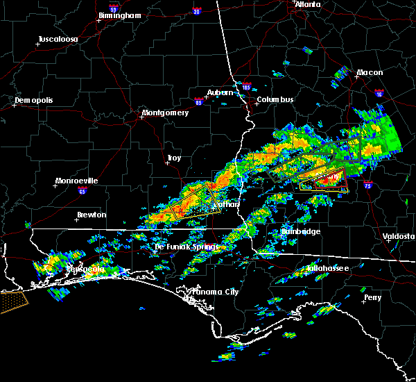 At 123 am cst, a severe thunderstorm was located near level plains, or near daleville, moving northeast at 35 mph (radar indicated). Hazards include 60 mph wind gusts. expect damage to roofs, siding, and trees At 123 am cst, a severe thunderstorm was located near level plains, or near daleville, moving northeast at 35 mph (radar indicated). Hazards include 60 mph wind gusts. expect damage to roofs, siding, and trees
|
| 9/4/2018 3:46 PM CDT |
 At 345 pm cdt, a severe thunderstorm was located 9 miles southeast of abbeville, moving west at 35 mph (radar indicated). Hazards include 60 mph wind gusts. expect damage to roofs, siding, and trees At 345 pm cdt, a severe thunderstorm was located 9 miles southeast of abbeville, moving west at 35 mph (radar indicated). Hazards include 60 mph wind gusts. expect damage to roofs, siding, and trees
|
| 7/22/2018 2:51 PM CDT |
 The severe thunderstorm warning for eastern dale, southwestern henry, northeastern geneva and western houston counties will expire at 300 pm cdt, the storm which prompted the warning has moved out of the area. therefore, the warning will be allowed to expire. a severe thunderstorm watch remains in effect until 700 pm cdt for southeastern alabama. The severe thunderstorm warning for eastern dale, southwestern henry, northeastern geneva and western houston counties will expire at 300 pm cdt, the storm which prompted the warning has moved out of the area. therefore, the warning will be allowed to expire. a severe thunderstorm watch remains in effect until 700 pm cdt for southeastern alabama.
|
| 7/22/2018 2:38 PM CDT |
 At 238 pm cdt, a severe thunderstorm was located near pinckard, or 7 miles southeast of ozark, moving east at 25 mph (radar indicated). Hazards include 70 mph wind gusts and ping pong ball size hail. People and animals outdoors will be injured. expect hail damage to roofs, siding, windows, and vehicles. expect considerable tree damage. wind damage is also likely to mobile homes, roofs, and outbuildings. Locations impacted include, abbeville, headland, dothan, ozark, fort rucker, taylor, midland city, kinsey, cowarts, newton, webb, pinckard, malvern, rehobeth, grimes, newville, napier field, memphis, hunt field and waterford. At 238 pm cdt, a severe thunderstorm was located near pinckard, or 7 miles southeast of ozark, moving east at 25 mph (radar indicated). Hazards include 70 mph wind gusts and ping pong ball size hail. People and animals outdoors will be injured. expect hail damage to roofs, siding, windows, and vehicles. expect considerable tree damage. wind damage is also likely to mobile homes, roofs, and outbuildings. Locations impacted include, abbeville, headland, dothan, ozark, fort rucker, taylor, midland city, kinsey, cowarts, newton, webb, pinckard, malvern, rehobeth, grimes, newville, napier field, memphis, hunt field and waterford.
|
| 7/22/2018 2:11 PM CDT |
 At 211 pm cdt, a severe thunderstorm was located over fort rucker, moving east at 25 mph (radar indicated). Hazards include 70 mph wind gusts and ping pong ball size hail. People and animals outdoors will be injured. expect hail damage to roofs, siding, windows, and vehicles. expect considerable tree damage. Wind damage is also likely to mobile homes, roofs, and outbuildings. At 211 pm cdt, a severe thunderstorm was located over fort rucker, moving east at 25 mph (radar indicated). Hazards include 70 mph wind gusts and ping pong ball size hail. People and animals outdoors will be injured. expect hail damage to roofs, siding, windows, and vehicles. expect considerable tree damage. Wind damage is also likely to mobile homes, roofs, and outbuildings.
|
| 7/22/2018 1:35 PM CDT |
 At 135 pm cdt, a severe thunderstorm was located near elba, moving southeast at 50 mph (radar indicated). Hazards include 60 mph wind gusts and quarter size hail. Hail damage to vehicles is expected. Expect wind damage to roofs, siding, and trees. At 135 pm cdt, a severe thunderstorm was located near elba, moving southeast at 50 mph (radar indicated). Hazards include 60 mph wind gusts and quarter size hail. Hail damage to vehicles is expected. Expect wind damage to roofs, siding, and trees.
|
| 7/22/2018 1:02 AM CDT |
 At 102 am cdt, severe thunderstorms were located along a line extending from near ariton to near daleville, moving east at 25 mph (radar indicated). Hazards include 60 mph wind gusts. Expect damage to roofs, siding, and trees. Locations impacted include, daleville, fort rucker, ozark, enterprise, level plains, newton, clayhatchee, hunt field, waterford, greater salem church, dill, dean church road, hooper stage field, knox field, gerald, lowe army heliport, kelly, cairns aaf, dale county lake and marley hill. At 102 am cdt, severe thunderstorms were located along a line extending from near ariton to near daleville, moving east at 25 mph (radar indicated). Hazards include 60 mph wind gusts. Expect damage to roofs, siding, and trees. Locations impacted include, daleville, fort rucker, ozark, enterprise, level plains, newton, clayhatchee, hunt field, waterford, greater salem church, dill, dean church road, hooper stage field, knox field, gerald, lowe army heliport, kelly, cairns aaf, dale county lake and marley hill.
|
| 7/22/2018 12:51 AM CDT |
 At 1251 am cdt, severe thunderstorms were located along a line extending from 7 miles west of ariton to level plains, moving east at 30 mph (radar indicated). Hazards include 60 mph wind gusts and quarter size hail. Hail damage to vehicles is expected. expect wind damage to roofs, siding, and trees. Locations impacted include, daleville, enterprise, fort rucker, ozark, level plains, newton, new brockton, ariton, clayhatchee, mixons crossroads, hunt field, waterford, dill, hooper stage field, knox field, gerald, clintonville, roeton, cairns aaf and dale county lake. At 1251 am cdt, severe thunderstorms were located along a line extending from 7 miles west of ariton to level plains, moving east at 30 mph (radar indicated). Hazards include 60 mph wind gusts and quarter size hail. Hail damage to vehicles is expected. expect wind damage to roofs, siding, and trees. Locations impacted include, daleville, enterprise, fort rucker, ozark, level plains, newton, new brockton, ariton, clayhatchee, mixons crossroads, hunt field, waterford, dill, hooper stage field, knox field, gerald, clintonville, roeton, cairns aaf and dale county lake.
|
| 7/22/2018 12:36 AM CDT |
 At 1236 am cdt, severe thunderstorms were located along a line extending from 10 miles southeast of goshen to near new brockton, moving northeast at 25 mph (radar indicated). Hazards include 60 mph wind gusts. expect damage to roofs, siding, and trees At 1236 am cdt, severe thunderstorms were located along a line extending from 10 miles southeast of goshen to near new brockton, moving northeast at 25 mph (radar indicated). Hazards include 60 mph wind gusts. expect damage to roofs, siding, and trees
|
| 6/28/2018 5:42 PM CDT |
 At 642 pm edt/542 pm cdt/, doppler radar indicated a line of severe thunderstorms capable of producing damaging winds in excess of 60 mph. these storms were located along a line extending from near richards crossroads to near ozark to 6 miles west of elba, and moving southeast at 30 mph. At 642 pm edt/542 pm cdt/, doppler radar indicated a line of severe thunderstorms capable of producing damaging winds in excess of 60 mph. these storms were located along a line extending from near richards crossroads to near ozark to 6 miles west of elba, and moving southeast at 30 mph.
|
| 6/9/2018 3:09 PM CDT |
 At 308 pm cdt, a severe thunderstorm was located 7 miles east of ozark, and is nearly stationary (radar indicated). Hazards include 60 mph wind gusts and penny size hail. expect damage to roofs, siding, and trees At 308 pm cdt, a severe thunderstorm was located 7 miles east of ozark, and is nearly stationary (radar indicated). Hazards include 60 mph wind gusts and penny size hail. expect damage to roofs, siding, and trees
|
| 6/3/2018 6:48 PM CDT |
 At 648 pm cdt, a severe thunderstorm was located near glenwood, or 8 miles south of goshen, moving southeast at 30 mph (radar indicated). Hazards include 60 mph wind gusts and penny size hail. expect damage to roofs, siding, and trees At 648 pm cdt, a severe thunderstorm was located near glenwood, or 8 miles south of goshen, moving southeast at 30 mph (radar indicated). Hazards include 60 mph wind gusts and penny size hail. expect damage to roofs, siding, and trees
|
| 6/2/2018 3:42 PM CDT |
 At 342 pm cdt, a severe thunderstorm was located 8 miles south of blue springs state park, or 10 miles northeast of ozark, moving southeast at 25 mph (radar indicated). Hazards include 60 mph wind gusts. expect damage to roofs, siding, and trees At 342 pm cdt, a severe thunderstorm was located 8 miles south of blue springs state park, or 10 miles northeast of ozark, moving southeast at 25 mph (radar indicated). Hazards include 60 mph wind gusts. expect damage to roofs, siding, and trees
|
| 4/22/2018 3:54 PM CDT |
 The tornado warning for southeastern dale, southwestern henry and northwestern houston counties will expire at 400 pm cdt, the storm which prompted the warning has weakened below severe limits, and no longer appears capable of producing a tornado. therefore, the warning will be allowed to expire. a tornado watch remains in effect until 900 pm cdt for southeastern alabama. to report severe weather, contact your nearest law enforcement agency. they will relay your report to the national weather service tallahassee. The tornado warning for southeastern dale, southwestern henry and northwestern houston counties will expire at 400 pm cdt, the storm which prompted the warning has weakened below severe limits, and no longer appears capable of producing a tornado. therefore, the warning will be allowed to expire. a tornado watch remains in effect until 900 pm cdt for southeastern alabama. to report severe weather, contact your nearest law enforcement agency. they will relay your report to the national weather service tallahassee.
|
| 4/22/2018 3:38 PM CDT | A couple of trees were blown down along with a street sign in western houston count in houston county AL, 8.4 miles NNW of Newton, AL |
| 4/22/2018 3:36 PM CDT |
 At 336 pm cdt, a severe thunderstorm capable of producing a tornado was located near pinckard, or 7 miles west of dothan, moving northeast at 25 mph (radar indicated rotation). Hazards include tornado. Flying debris will be dangerous to those caught without shelter. mobile homes will be damaged or destroyed. damage to roofs, windows, and vehicles will occur. tree damage is likely. this dangerous storm will be near, pinckard around 350 pm cdt. midland city and newton around 355 pm cdt. headland around 400 pm cdt. Other locations impacted by this tornadic thunderstorm include sylvan grove, hollis dairy road, grimes, kirkland crossroads, blackwood, bagwells crossroads, napier field, power dam road, kelly springs and browns crossroads. At 336 pm cdt, a severe thunderstorm capable of producing a tornado was located near pinckard, or 7 miles west of dothan, moving northeast at 25 mph (radar indicated rotation). Hazards include tornado. Flying debris will be dangerous to those caught without shelter. mobile homes will be damaged or destroyed. damage to roofs, windows, and vehicles will occur. tree damage is likely. this dangerous storm will be near, pinckard around 350 pm cdt. midland city and newton around 355 pm cdt. headland around 400 pm cdt. Other locations impacted by this tornadic thunderstorm include sylvan grove, hollis dairy road, grimes, kirkland crossroads, blackwood, bagwells crossroads, napier field, power dam road, kelly springs and browns crossroads.
|
| 4/15/2018 3:09 AM CDT |
 The severe thunderstorm warning for eastern dale and west central henry counties will expire at 315 am cdt, the storm which prompted the warning has weakened below severe limits, and has exited the warned area. therefore, the warning will be allowed to expire. however gusty winds are still possible with this thunderstorm. a tornado watch remains in effect until 700 am cdt for southeastern alabama. &&. The severe thunderstorm warning for eastern dale and west central henry counties will expire at 315 am cdt, the storm which prompted the warning has weakened below severe limits, and has exited the warned area. therefore, the warning will be allowed to expire. however gusty winds are still possible with this thunderstorm. a tornado watch remains in effect until 700 am cdt for southeastern alabama. &&.
|
| 4/15/2018 2:58 AM CDT |
 At 257 am cdt, a severe thunderstorm was located 8 miles north of midland city, or 9 miles east of ozark, moving north at 60 mph (radar indicated). Hazards include 60 mph wind gusts. Expect damage to roofs, siding, and trees. locations impacted include, daleville, ozark, fort rucker, midland city, newton, pinckard, grimes, napier field, bells crossroads, hunt field, waterford, kirkland crossroads, mabson, arguta, snells crossroads, ewell, sylvan grove, skipperville, echo and blackwood. A tornado watch remains in effect until 700 am cdt for southeastern alabama. At 257 am cdt, a severe thunderstorm was located 8 miles north of midland city, or 9 miles east of ozark, moving north at 60 mph (radar indicated). Hazards include 60 mph wind gusts. Expect damage to roofs, siding, and trees. locations impacted include, daleville, ozark, fort rucker, midland city, newton, pinckard, grimes, napier field, bells crossroads, hunt field, waterford, kirkland crossroads, mabson, arguta, snells crossroads, ewell, sylvan grove, skipperville, echo and blackwood. A tornado watch remains in effect until 700 am cdt for southeastern alabama.
|
| 4/15/2018 2:47 AM CDT |
 At 246 am cdt, a severe thunderstorm was located near pinckard, or 7 miles east of daleville, moving north at 60 mph (radar indicated). Hazards include 60 mph wind gusts. Expect damage to roofs, siding, and trees. locations impacted include, daleville, ozark, dothan, fort rucker, midland city, newton, pinckard, clayhatchee, grimes, napier field, hollis dairy road, bells crossroads, hunt field, waterford, kirkland crossroads, knox field, mabson, arguta, snells crossroads and ewell. A tornado watch remains in effect until 700 am cdt for southeastern alabama. At 246 am cdt, a severe thunderstorm was located near pinckard, or 7 miles east of daleville, moving north at 60 mph (radar indicated). Hazards include 60 mph wind gusts. Expect damage to roofs, siding, and trees. locations impacted include, daleville, ozark, dothan, fort rucker, midland city, newton, pinckard, clayhatchee, grimes, napier field, hollis dairy road, bells crossroads, hunt field, waterford, kirkland crossroads, knox field, mabson, arguta, snells crossroads and ewell. A tornado watch remains in effect until 700 am cdt for southeastern alabama.
|
| 4/15/2018 2:34 AM CDT |
 At 234 am cdt, a severe thunderstorm was located over slocomb, or 12 miles northwest of graceville, moving north at 60 mph (radar indicated). Hazards include 60 mph wind gusts. expect damage to roofs, siding, and trees At 234 am cdt, a severe thunderstorm was located over slocomb, or 12 miles northwest of graceville, moving north at 60 mph (radar indicated). Hazards include 60 mph wind gusts. expect damage to roofs, siding, and trees
|
| 9/16/2017 5:42 PM CDT |
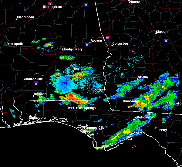 At 542 pm cdt, a severe thunderstorm was located over ariton, or 8 miles southeast of brundidge, moving south at 25 mph (radar indicated). Hazards include 60 mph wind gusts and half dollar size hail. Hail damage to vehicles is expected. Expect wind damage to roofs, siding, and trees. At 542 pm cdt, a severe thunderstorm was located over ariton, or 8 miles southeast of brundidge, moving south at 25 mph (radar indicated). Hazards include 60 mph wind gusts and half dollar size hail. Hail damage to vehicles is expected. Expect wind damage to roofs, siding, and trees.
|
| 7/8/2017 3:29 PM CDT |
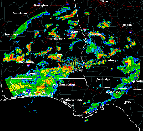 At 329 pm cdt, a severe thunderstorm was located 8 miles northwest of headland, moving northeast at 30 mph (radar indicated). Hazards include 60 mph wind gusts and quarter size hail. Hail damage to vehicles is expected. Expect wind damage to roofs, siding, and trees. At 329 pm cdt, a severe thunderstorm was located 8 miles northwest of headland, moving northeast at 30 mph (radar indicated). Hazards include 60 mph wind gusts and quarter size hail. Hail damage to vehicles is expected. Expect wind damage to roofs, siding, and trees.
|
| 7/8/2017 3:13 PM CDT |
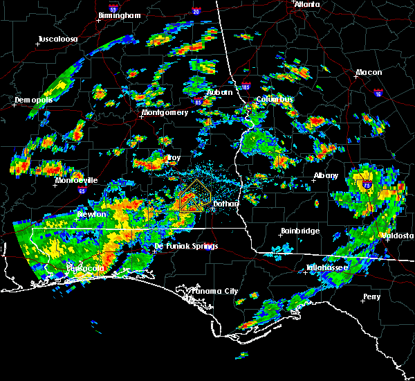 At 313 pm cdt, a severe thunderstorm was located near daleville, moving northeast at 20 mph (radar indicated). Hazards include 60 mph wind gusts and penny size hail. Expect damage to roofs, siding, and trees. Locations impacted include, daleville, fort rucker, clayhatchee, hollis dairy road, cairns aaf, knox field, hanchey field, power dam road, wicksburg and kelly. At 313 pm cdt, a severe thunderstorm was located near daleville, moving northeast at 20 mph (radar indicated). Hazards include 60 mph wind gusts and penny size hail. Expect damage to roofs, siding, and trees. Locations impacted include, daleville, fort rucker, clayhatchee, hollis dairy road, cairns aaf, knox field, hanchey field, power dam road, wicksburg and kelly.
|
| 7/8/2017 3:08 PM CDT |
 At 308 pm cdt, a severe thunderstorm was located near daleville, moving northeast at 35 mph (radar indicated). Hazards include 60 mph wind gusts. expect damage to roofs, siding, and trees At 308 pm cdt, a severe thunderstorm was located near daleville, moving northeast at 35 mph (radar indicated). Hazards include 60 mph wind gusts. expect damage to roofs, siding, and trees
|
| 7/8/2017 2:40 PM CDT |
 At 240 pm cdt, a severe thunderstorm was located near hartford, or 8 miles northeast of geneva, moving northeast at 20 mph (radar indicated). Hazards include 60 mph wind gusts and penny size hail. expect damage to roofs, siding, and trees At 240 pm cdt, a severe thunderstorm was located near hartford, or 8 miles northeast of geneva, moving northeast at 20 mph (radar indicated). Hazards include 60 mph wind gusts and penny size hail. expect damage to roofs, siding, and trees
|
| 6/30/2017 9:02 AM CDT |
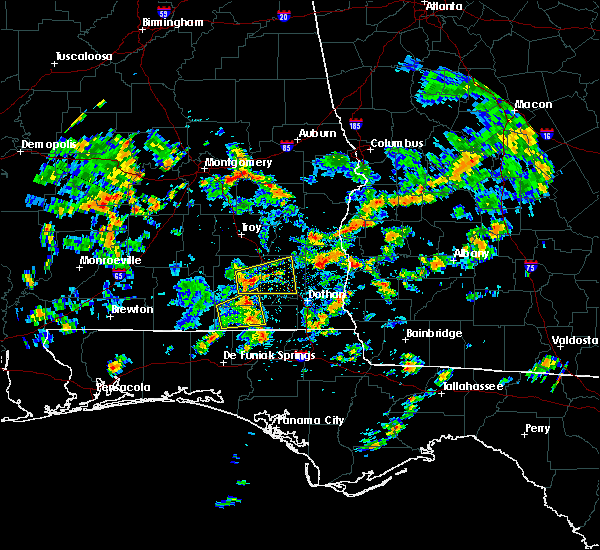 At 202 pm cdt, a severe thunderstorm was located near new brockton, or near enterprise, moving east at 40 mph (radar indicated). Hazards include 60 mph wind gusts. expect damage to roofs, siding, and trees At 202 pm cdt, a severe thunderstorm was located near new brockton, or near enterprise, moving east at 40 mph (radar indicated). Hazards include 60 mph wind gusts. expect damage to roofs, siding, and trees
|
| 5/23/2017 9:27 AM CDT |
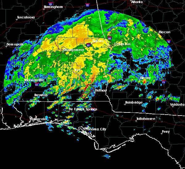 At 927 am cdt, a severe thunderstorm capable of producing a tornado was located near hartford, or 7 miles south of daleville, moving northeast at 40 mph (radar indicated rotation). Hazards include tornado. Flying debris will be dangerous to those caught without shelter. mobile homes will be damaged or destroyed. damage to roofs, windows, and vehicles will occur. tree damage is likely. this dangerous storm will be near, daleville around 935 am cdt. pinckard around 945 am cdt. ozark, midland city and newton around 950 am cdt. Other locations impacted by this tornadic thunderstorm include sylvan grove, hollis dairy road, waterford, high bluff, bagwells crossroads, dundee, bald hill, power dam road, kelly and ewell. At 927 am cdt, a severe thunderstorm capable of producing a tornado was located near hartford, or 7 miles south of daleville, moving northeast at 40 mph (radar indicated rotation). Hazards include tornado. Flying debris will be dangerous to those caught without shelter. mobile homes will be damaged or destroyed. damage to roofs, windows, and vehicles will occur. tree damage is likely. this dangerous storm will be near, daleville around 935 am cdt. pinckard around 945 am cdt. ozark, midland city and newton around 950 am cdt. Other locations impacted by this tornadic thunderstorm include sylvan grove, hollis dairy road, waterford, high bluff, bagwells crossroads, dundee, bald hill, power dam road, kelly and ewell.
|
| 5/20/2017 4:43 PM CDT |
 At 443 pm cdt, a severe thunderstorm was located near newton, or near ozark, moving north at 30 mph (radar indicated). Hazards include 60 mph wind gusts and penny size hail. expect damage to roofs, siding, and trees At 443 pm cdt, a severe thunderstorm was located near newton, or near ozark, moving north at 30 mph (radar indicated). Hazards include 60 mph wind gusts and penny size hail. expect damage to roofs, siding, and trees
|
| 4/5/2017 1:09 AM CDT | Golf Ball sized hail reported 2.1 miles NNE of Newton, AL |
| 4/5/2017 12:49 AM CDT |
 At 1249 am cdt, a severe thunderstorm was located 8 miles northwest of hartford, or 9 miles southwest of daleville, moving northeast at 40 mph (radar indicated). Hazards include golf ball size hail and 60 mph wind gusts. People and animals outdoors will be injured. expect hail damage to roofs, siding, windows, and vehicles. Expect wind damage to roofs, siding, and trees. At 1249 am cdt, a severe thunderstorm was located 8 miles northwest of hartford, or 9 miles southwest of daleville, moving northeast at 40 mph (radar indicated). Hazards include golf ball size hail and 60 mph wind gusts. People and animals outdoors will be injured. expect hail damage to roofs, siding, windows, and vehicles. Expect wind damage to roofs, siding, and trees.
|
| 4/3/2017 10:51 AM CDT |
 At 1150 am edt/1050 am cdt/, severe thunderstorms were located along a line extending from near pinckard to near slocomb to 11 miles south of geneva, moving east at 30 mph (radar indicated). Hazards include 60 mph wind gusts. expect damage to roofs, siding, and trees At 1150 am edt/1050 am cdt/, severe thunderstorms were located along a line extending from near pinckard to near slocomb to 11 miles south of geneva, moving east at 30 mph (radar indicated). Hazards include 60 mph wind gusts. expect damage to roofs, siding, and trees
|
| 4/3/2017 10:32 AM CDT |
 At 1032 am cdt, severe thunderstorms were located along a line extending from near enterprise to 12 miles south of samson to shalimar, moving east at 40 mph (radar indicated). Hazards include 60 mph wind gusts and nickel size hail. Expect damage to roofs, siding, and trees. locations impacted include, daleville, elba, santa rosa beach, de funiak springs, geneva, enterprise, fort rucker, dothan, hartford, midland city, level plains, slocomb, samson, new brockton, pinckard, eglin air force base, lee, union, liberty and live oak. A tornado watch remains in effect until 100 pm cdt for southeastern alabama, and the panhandle of florida. At 1032 am cdt, severe thunderstorms were located along a line extending from near enterprise to 12 miles south of samson to shalimar, moving east at 40 mph (radar indicated). Hazards include 60 mph wind gusts and nickel size hail. Expect damage to roofs, siding, and trees. locations impacted include, daleville, elba, santa rosa beach, de funiak springs, geneva, enterprise, fort rucker, dothan, hartford, midland city, level plains, slocomb, samson, new brockton, pinckard, eglin air force base, lee, union, liberty and live oak. A tornado watch remains in effect until 100 pm cdt for southeastern alabama, and the panhandle of florida.
|
| 4/3/2017 9:59 AM CDT |
 At 958 am cdt, severe thunderstorms were located along a line extending from 7 miles southeast of dozier to lockhart to 7 miles west of wright, moving east at 30 mph (radar indicated). Hazards include 60 mph wind gusts and nickel size hail. expect damage to roofs, siding, and trees At 958 am cdt, severe thunderstorms were located along a line extending from 7 miles southeast of dozier to lockhart to 7 miles west of wright, moving east at 30 mph (radar indicated). Hazards include 60 mph wind gusts and nickel size hail. expect damage to roofs, siding, and trees
|
| 4/3/2017 9:54 AM CDT |
 At 954 am cdt, severe thunderstorms were located along a line extending from near doster to near daleville, moving east at 40 mph (radar indicated). Hazards include 60 mph wind gusts. expect damage to roofs, siding, and trees At 954 am cdt, severe thunderstorms were located along a line extending from near doster to near daleville, moving east at 40 mph (radar indicated). Hazards include 60 mph wind gusts. expect damage to roofs, siding, and trees
|
| 4/3/2017 9:41 AM CDT |
 At 940 am cdt, severe thunderstorms were located along a line extending from near brundidge to near enterprise to near baker, moving east at 25 mph (radar indicated). Hazards include 60 mph wind gusts and nickel size hail. Expect damage to roofs, siding, and trees. locations impacted include, daleville, elba, geneva, enterprise, fort rucker, ozark, dothan, hartford, midland city, level plains, samson, newton, new brockton, ariton, pinckard, eglin air force base, lee, liberty, paxton and clayhatchee. A tornado watch remains in effect until 100 pm cdt for southeastern alabama, and the panhandle of florida. At 940 am cdt, severe thunderstorms were located along a line extending from near brundidge to near enterprise to near baker, moving east at 25 mph (radar indicated). Hazards include 60 mph wind gusts and nickel size hail. Expect damage to roofs, siding, and trees. locations impacted include, daleville, elba, geneva, enterprise, fort rucker, ozark, dothan, hartford, midland city, level plains, samson, newton, new brockton, ariton, pinckard, eglin air force base, lee, liberty, paxton and clayhatchee. A tornado watch remains in effect until 100 pm cdt for southeastern alabama, and the panhandle of florida.
|
| 4/3/2017 9:01 AM CDT |
 At 900 am cdt, severe thunderstorms were located along a line extending from near luverne to 8 miles southwest of opp to 10 miles north of roeville, moving east at 30 mph (radar indicated). Hazards include 60 mph wind gusts and nickel size hail. expect damage to roofs, siding, and trees At 900 am cdt, severe thunderstorms were located along a line extending from near luverne to 8 miles southwest of opp to 10 miles north of roeville, moving east at 30 mph (radar indicated). Hazards include 60 mph wind gusts and nickel size hail. expect damage to roofs, siding, and trees
|
| 2/7/2017 4:30 PM CST | Local media relayed report of damage to home in houston county AL, 8.1 miles N of Newton, AL |
| 1/22/2017 12:59 PM CST |
 At 159 pm est/1259 pm cst/, severe thunderstorms were located along a line extending from 7 miles south of abbeville to near hartford, moving northeast at 60 mph (radar indicated). Hazards include 60 mph wind gusts and penny size hail. expect damage to roofs, siding, and trees At 159 pm est/1259 pm cst/, severe thunderstorms were located along a line extending from 7 miles south of abbeville to near hartford, moving northeast at 60 mph (radar indicated). Hazards include 60 mph wind gusts and penny size hail. expect damage to roofs, siding, and trees
|
| 1/22/2017 12:46 PM CST |
 At 1245 pm cst, severe thunderstorms were located along a line extending from 6 miles north of midland city to near slocomb, moving northeast at 50 mph (radar indicated). Hazards include 60 mph wind gusts and penny size hail. Expect damage to roofs, siding, and trees. locations impacted include, daleville, abbeville, cottonwood, geneva, dothan, headland, ozark, fort rucker, hartford, taylor, midland city, kinsey, ashford, slocomb, cowarts, newton, webb, pinckard, malvern and rehobeth. A tornado watch remains in effect until 700 pm cst for southeastern alabama, and the panhandle of florida. At 1245 pm cst, severe thunderstorms were located along a line extending from 6 miles north of midland city to near slocomb, moving northeast at 50 mph (radar indicated). Hazards include 60 mph wind gusts and penny size hail. Expect damage to roofs, siding, and trees. locations impacted include, daleville, abbeville, cottonwood, geneva, dothan, headland, ozark, fort rucker, hartford, taylor, midland city, kinsey, ashford, slocomb, cowarts, newton, webb, pinckard, malvern and rehobeth. A tornado watch remains in effect until 700 pm cst for southeastern alabama, and the panhandle of florida.
|
| 1/22/2017 12:39 PM CST |
 At 1239 pm cst, a severe thunderstorm capable of producing a tornado was located near slocomb, or 10 miles southeast of daleville, moving northeast at 55 mph (radar indicated rotation). Hazards include tornado. Flying debris will be dangerous to those caught without shelter. mobile homes will be damaged or destroyed. damage to roofs, windows, and vehicles will occur. tree damage is likely. this dangerous storm will be near, dothan and pinckard around 1250 pm cst. Other locations impacted by this tornadic thunderstorm include bald hill, waterford, clayhatchee, wicksburg, hollis dairy road, kelly, knox field, power dam road, hanchey field and dundee. At 1239 pm cst, a severe thunderstorm capable of producing a tornado was located near slocomb, or 10 miles southeast of daleville, moving northeast at 55 mph (radar indicated rotation). Hazards include tornado. Flying debris will be dangerous to those caught without shelter. mobile homes will be damaged or destroyed. damage to roofs, windows, and vehicles will occur. tree damage is likely. this dangerous storm will be near, dothan and pinckard around 1250 pm cst. Other locations impacted by this tornadic thunderstorm include bald hill, waterford, clayhatchee, wicksburg, hollis dairy road, kelly, knox field, power dam road, hanchey field and dundee.
|
| 1/22/2017 12:12 PM CST |
 At 1211 pm cst, severe thunderstorms were located along a line extending from near enterprise to near geneva, moving northeast at 60 mph (radar indicated). Hazards include 60 mph wind gusts and penny size hail. expect damage to roofs, siding, and trees At 1211 pm cst, severe thunderstorms were located along a line extending from near enterprise to near geneva, moving northeast at 60 mph (radar indicated). Hazards include 60 mph wind gusts and penny size hail. expect damage to roofs, siding, and trees
|
| 1/22/2017 11:16 AM CST |
 At 1116 am cst, a severe thunderstorm was located near pinckard, or 7 miles southeast of daleville, moving northeast at 45 mph (radar indicated). Hazards include 60 mph wind gusts and nickel size hail. expect damage to roofs, siding, and trees At 1116 am cst, a severe thunderstorm was located near pinckard, or 7 miles southeast of daleville, moving northeast at 45 mph (radar indicated). Hazards include 60 mph wind gusts and nickel size hail. expect damage to roofs, siding, and trees
|
| 1/22/2017 10:28 AM CST |
 At 1027 am cst, a severe thunderstorm was located near geneva, moving northeast at 60 mph (radar indicated). Hazards include 60 mph wind gusts and quarter size hail. Hail damage to vehicles is expected. Expect wind damage to roofs, siding, and trees. At 1027 am cst, a severe thunderstorm was located near geneva, moving northeast at 60 mph (radar indicated). Hazards include 60 mph wind gusts and quarter size hail. Hail damage to vehicles is expected. Expect wind damage to roofs, siding, and trees.
|
| 1/22/2017 9:12 AM CST |
 At 912 am cst, severe thunderstorms were located along a line extending from near ashford to 6 miles southwest of hartford, moving northeast at 65 mph (radar indicated). Hazards include 60 mph wind gusts and nickel size hail. expect damage to roofs, siding, and trees At 912 am cst, severe thunderstorms were located along a line extending from near ashford to 6 miles southwest of hartford, moving northeast at 65 mph (radar indicated). Hazards include 60 mph wind gusts and nickel size hail. expect damage to roofs, siding, and trees
|
| 1/21/2017 10:06 PM CST |
 At 1006 pm cst, a severe thunderstorm was located near ozark, moving east at 55 mph (radar indicated). Hazards include 60 mph wind gusts and quarter size hail. Hail damage to vehicles is expected. Expect wind damage to roofs, siding, and trees. At 1006 pm cst, a severe thunderstorm was located near ozark, moving east at 55 mph (radar indicated). Hazards include 60 mph wind gusts and quarter size hail. Hail damage to vehicles is expected. Expect wind damage to roofs, siding, and trees.
|
| 1/21/2017 10:00 AM CST |
 At 959 am cst, severe thunderstorms were located along a line extending from near hartford to 7 miles west of santa rosa beach, moving east at 50 mph (radar indicated). Hazards include 60 mph wind gusts. expect damage to roofs, siding, and trees At 959 am cst, severe thunderstorms were located along a line extending from near hartford to 7 miles west of santa rosa beach, moving east at 50 mph (radar indicated). Hazards include 60 mph wind gusts. expect damage to roofs, siding, and trees
|
| 1/21/2017 9:40 AM CST |
 At 1040 am est/940 am cst/, severe thunderstorms were located along a line extending from louisville to near fort rucker, moving east at 65 mph (radar indicated). Hazards include 60 mph wind gusts. expect damage to roofs, siding, and trees At 1040 am est/940 am cst/, severe thunderstorms were located along a line extending from louisville to near fort rucker, moving east at 65 mph (radar indicated). Hazards include 60 mph wind gusts. expect damage to roofs, siding, and trees
|
| 1/21/2017 8:58 AM CST |
 At 857 am cst, severe thunderstorms were located along a line extending from troy municipal airport to 8 miles north of laurel hill, moving east at 50 mph (radar indicated). Hazards include 60 mph wind gusts. expect damage to roofs, siding, and trees At 857 am cst, severe thunderstorms were located along a line extending from troy municipal airport to 8 miles north of laurel hill, moving east at 50 mph (radar indicated). Hazards include 60 mph wind gusts. expect damage to roofs, siding, and trees
|
| 1/2/2017 7:28 PM CST |
 At 726 pm cst, severe thunderstorms were located along a line extending from near daleville to near bonifay to vernon to 16 miles northwest of panama city beach, moving east at 60 mph. these are very dangerous storms (radar indicated). Hazards include 80 mph wind gusts. Flying debris will be dangerous to those caught without shelter. mobile homes will be heavily damaged. expect considerable damage to roofs, windows, and vehicles. extensive tree damage and power outages are likely. locations impacted include, panama city, lynn haven, panama city beach, daleville, cottonwood, vernon, ozark, bonifay, fort rucker, headland, marianna, enterprise, chipley, graceville, dothan, springfield, hartford, taylor, midland city and kinsey. A tornado watch remains in effect until 1000 pm cst for southeastern alabama, and the panhandle of florida. At 726 pm cst, severe thunderstorms were located along a line extending from near daleville to near bonifay to vernon to 16 miles northwest of panama city beach, moving east at 60 mph. these are very dangerous storms (radar indicated). Hazards include 80 mph wind gusts. Flying debris will be dangerous to those caught without shelter. mobile homes will be heavily damaged. expect considerable damage to roofs, windows, and vehicles. extensive tree damage and power outages are likely. locations impacted include, panama city, lynn haven, panama city beach, daleville, cottonwood, vernon, ozark, bonifay, fort rucker, headland, marianna, enterprise, chipley, graceville, dothan, springfield, hartford, taylor, midland city and kinsey. A tornado watch remains in effect until 1000 pm cst for southeastern alabama, and the panhandle of florida.
|
| 1/2/2017 7:05 PM CST |
 At 705 pm cst, severe thunderstorms were located along a line extending from near new brockton to 10 miles south of geneva to 6 miles east of de funiak springs to 7 miles south of eglin air force base, moving east at 55 mph (radar indicated). Hazards include 70 mph wind gusts. Expect considerable tree damage. Damage is likely to mobile homes, roofs, and outbuildings. At 705 pm cst, severe thunderstorms were located along a line extending from near new brockton to 10 miles south of geneva to 6 miles east of de funiak springs to 7 miles south of eglin air force base, moving east at 55 mph (radar indicated). Hazards include 70 mph wind gusts. Expect considerable tree damage. Damage is likely to mobile homes, roofs, and outbuildings.
|
| 8/20/2016 4:35 PM CDT |
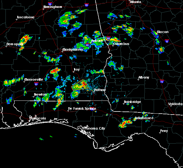 The severe thunderstorm warning for east central coffee and northwestern dale counties will expire at 445 pm cdt, the storm which prompted the warning has weakened below severe limits, and no longer pose an immediate threat to life or property. therefore, the warning will be allowed to expire. however gusty winds are still possible with this thunderstorm. The severe thunderstorm warning for east central coffee and northwestern dale counties will expire at 445 pm cdt, the storm which prompted the warning has weakened below severe limits, and no longer pose an immediate threat to life or property. therefore, the warning will be allowed to expire. however gusty winds are still possible with this thunderstorm.
|
| 8/20/2016 3:59 PM CDT |
 At 359 pm cdt, a severe thunderstorm was located over new brockton, or near enterprise, moving northeast at 15 mph (radar indicated). Hazards include 60 mph wind gusts. Expect damage to roofs. siding. And trees. At 359 pm cdt, a severe thunderstorm was located over new brockton, or near enterprise, moving northeast at 15 mph (radar indicated). Hazards include 60 mph wind gusts. Expect damage to roofs. siding. And trees.
|
| 8/14/2016 4:05 PM CDT |
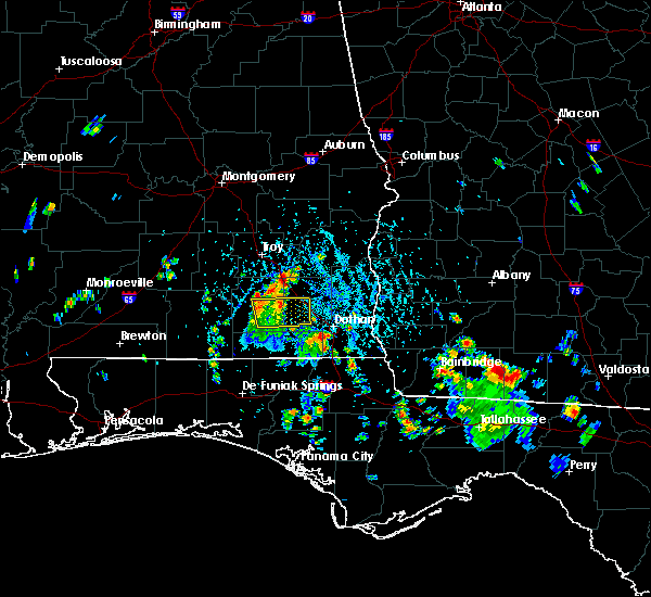 The severe thunderstorm warning for southeastern coffee and southwestern dale counties will expire at 415 pm cdt, the storms which prompted the warning have weakened below severe limits, and no longer pose an immediate threat to life or property. therefore, the warning will be allowed to expire. to report severe weather, contact your nearest law enforcement agency. they will relay your report to the national weather service tallahassee. The severe thunderstorm warning for southeastern coffee and southwestern dale counties will expire at 415 pm cdt, the storms which prompted the warning have weakened below severe limits, and no longer pose an immediate threat to life or property. therefore, the warning will be allowed to expire. to report severe weather, contact your nearest law enforcement agency. they will relay your report to the national weather service tallahassee.
|
| 8/14/2016 3:49 PM CDT |
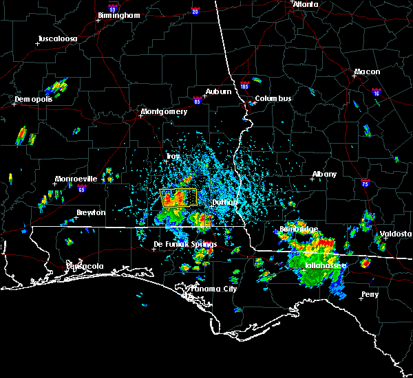 At 349 pm cdt, severe thunderstorms were located along a line extending from near new brockton to daleville, moving north at 20 mph (radar indicated). Hazards include 60 mph wind gusts. Expect damage to roofs. siding. and trees. Locations impacted include, daleville, elba, ozark, enterprise, fort rucker, level plains, newton, new brockton, clayhatchee, clintonville, richburg, coppinville, battens crossroads, waterford, hooper stage field, lowe army heliport, kelly, enterprise municipal a/p, camp alaflo bsa and turner crossroads. At 349 pm cdt, severe thunderstorms were located along a line extending from near new brockton to daleville, moving north at 20 mph (radar indicated). Hazards include 60 mph wind gusts. Expect damage to roofs. siding. and trees. Locations impacted include, daleville, elba, ozark, enterprise, fort rucker, level plains, newton, new brockton, clayhatchee, clintonville, richburg, coppinville, battens crossroads, waterford, hooper stage field, lowe army heliport, kelly, enterprise municipal a/p, camp alaflo bsa and turner crossroads.
|
| 8/14/2016 3:19 PM CDT |
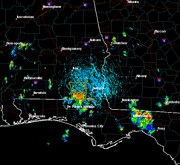 At 319 pm cdt, severe thunderstorms were located along a line extending from 9 miles north of geneva to near hartford, moving north at 20 mph (radar indicated). Hazards include 60 mph wind gusts. Expect damage to roofs. siding. And trees. At 319 pm cdt, severe thunderstorms were located along a line extending from 9 miles north of geneva to near hartford, moving north at 20 mph (radar indicated). Hazards include 60 mph wind gusts. Expect damage to roofs. siding. And trees.
|
| 7/17/2016 3:31 PM CDT |
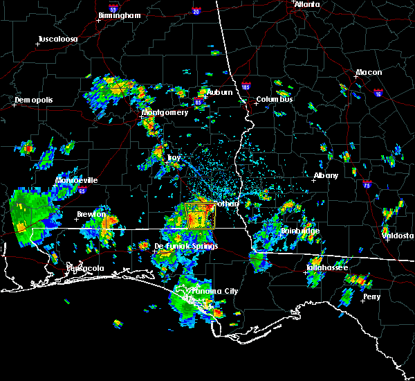 At 330 pm cdt, a severe thunderstorm was located over midland city, or 8 miles northwest of dothan, moving north at 20 mph (radar indicated). Hazards include 60 mph wind gusts. Expect damage to roofs. siding. And trees. At 330 pm cdt, a severe thunderstorm was located over midland city, or 8 miles northwest of dothan, moving north at 20 mph (radar indicated). Hazards include 60 mph wind gusts. Expect damage to roofs. siding. And trees.
|
| 7/17/2016 3:00 PM CDT |
 At 300 pm cdt, a severe thunderstorm was located near slocomb, or 8 miles north of graceville, moving north at 10 mph (radar indicated). Hazards include 60 mph wind gusts. Expect damage to roofs. siding. And trees. At 300 pm cdt, a severe thunderstorm was located near slocomb, or 8 miles north of graceville, moving north at 10 mph (radar indicated). Hazards include 60 mph wind gusts. Expect damage to roofs. siding. And trees.
|
| 7/10/2016 1:35 PM CDT |
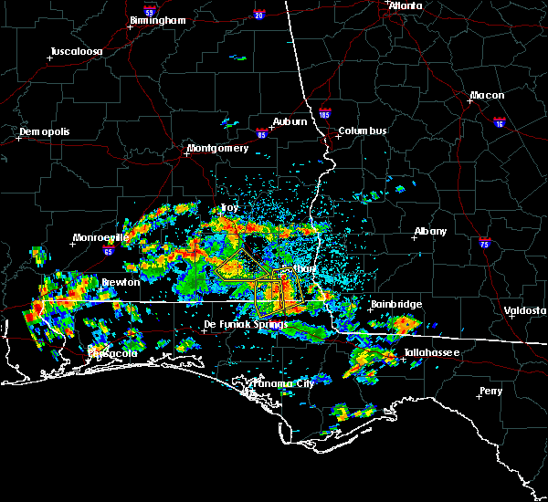 The severe thunderstorm warning for southeastern coffee, northwestern houston and southwestern dale counties will expire at 145 pm cdt, the storms which prompted the warning have weakened below severe limits, and no longer pose an immediate threat to life or property. therefore, the warning will be allowed to expire. The severe thunderstorm warning for southeastern coffee, northwestern houston and southwestern dale counties will expire at 145 pm cdt, the storms which prompted the warning have weakened below severe limits, and no longer pose an immediate threat to life or property. therefore, the warning will be allowed to expire.
|
| 7/10/2016 1:26 PM CDT |
 At 126 pm cdt, severe thunderstorms were located along a line extending from near enterprise to near daleville, moving northeast at 20 mph (radar indicated). Hazards include 60 mph wind gusts. Expect damage to roofs. siding. and trees. Locations impacted include, daleville, enterprise, fort rucker, ozark, level plains, newton, new brockton, clayhatchee, coppinville, battens crossroads, hooper stage field, lowe army heliport, central city, wicksburg, hollis dairy road, kelly, enterprise municipal a/p, knox field, gerald and power dam road. At 126 pm cdt, severe thunderstorms were located along a line extending from near enterprise to near daleville, moving northeast at 20 mph (radar indicated). Hazards include 60 mph wind gusts. Expect damage to roofs. siding. and trees. Locations impacted include, daleville, enterprise, fort rucker, ozark, level plains, newton, new brockton, clayhatchee, coppinville, battens crossroads, hooper stage field, lowe army heliport, central city, wicksburg, hollis dairy road, kelly, enterprise municipal a/p, knox field, gerald and power dam road.
|
| 7/10/2016 1:06 PM CDT |
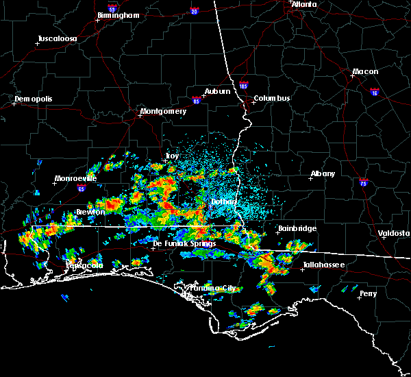 At 105 pm cdt, severe thunderstorms were located along a line extending from near new brockton to 7 miles northwest of hartford, moving northeast at 25 mph (radar indicated). Hazards include 60 mph wind gusts. Expect damage to roofs. siding. And trees. At 105 pm cdt, severe thunderstorms were located along a line extending from near new brockton to 7 miles northwest of hartford, moving northeast at 25 mph (radar indicated). Hazards include 60 mph wind gusts. Expect damage to roofs. siding. And trees.
|
| 7/9/2016 5:46 PM CDT |
 At 546 pm cdt, severe thunderstorms were located along a line extending from 6 miles north of fort rucker to ozark to 8 miles northwest of headland, moving east at 20 mph (radar indicated). Hazards include 60 mph wind gusts and penny size hail. Expect damage to roofs. siding. and trees. Locations impacted include, daleville, ozark, fort rucker, enterprise, midland city, level plains, newton, pinckard, grimes, napier field, dillard, dill, skipperville, mabson, waterford, hooper stage field, lowe army heliport, arguta, beamon and greater salem church. At 546 pm cdt, severe thunderstorms were located along a line extending from 6 miles north of fort rucker to ozark to 8 miles northwest of headland, moving east at 20 mph (radar indicated). Hazards include 60 mph wind gusts and penny size hail. Expect damage to roofs. siding. and trees. Locations impacted include, daleville, ozark, fort rucker, enterprise, midland city, level plains, newton, pinckard, grimes, napier field, dillard, dill, skipperville, mabson, waterford, hooper stage field, lowe army heliport, arguta, beamon and greater salem church.
|
| 7/9/2016 5:18 PM CDT |
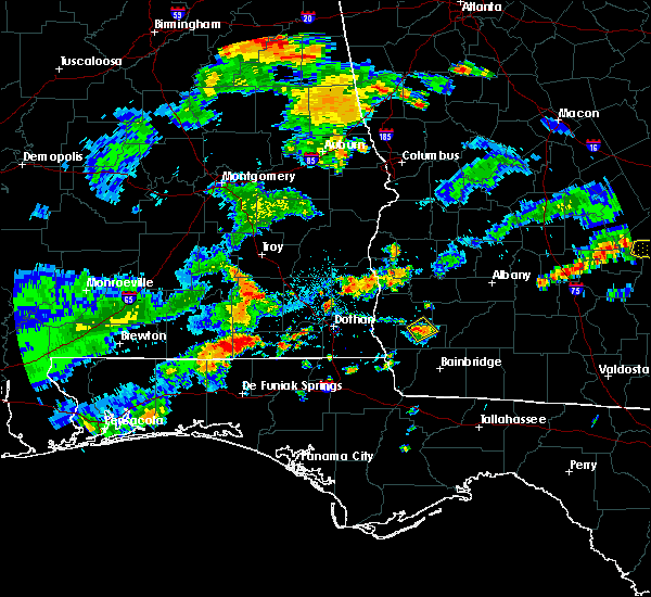 At 517 pm cdt, severe thunderstorms were located along a line extending from 9 miles south of antioch to near new brockton, moving east at 30 mph (radar indicated). Hazards include 60 mph wind gusts and penny size hail. Expect damage to roofs. siding. And trees. At 517 pm cdt, severe thunderstorms were located along a line extending from 9 miles south of antioch to near new brockton, moving east at 30 mph (radar indicated). Hazards include 60 mph wind gusts and penny size hail. Expect damage to roofs. siding. And trees.
|
| 7/6/2016 12:31 PM CDT |
 At 1230 pm cdt, a severe thunderstorm was located 11 miles northwest of headland, moving east at 25 mph (radar indicated). Hazards include 60 mph wind gusts. Expect damage to roofs. siding. and trees. Locations impacted include, abbeville, headland, newton, newville, capps, skipperville, murphy station, mabson, graball, headland municipal a/p, sylvan grove, clopton, goldberg field, bertha, ward bridge, grandberry crossroads, tumbleton, dancey, browns crossroads and bells crossroads. At 1230 pm cdt, a severe thunderstorm was located 11 miles northwest of headland, moving east at 25 mph (radar indicated). Hazards include 60 mph wind gusts. Expect damage to roofs. siding. and trees. Locations impacted include, abbeville, headland, newton, newville, capps, skipperville, murphy station, mabson, graball, headland municipal a/p, sylvan grove, clopton, goldberg field, bertha, ward bridge, grandberry crossroads, tumbleton, dancey, browns crossroads and bells crossroads.
|
| 7/6/2016 12:05 PM CDT |
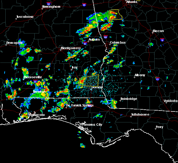 At 1204 pm cdt, a severe thunderstorm was located over ozark, moving east at 25 mph (radar indicated). Hazards include 60 mph wind gusts. Expect damage to roofs. siding. And trees. At 1204 pm cdt, a severe thunderstorm was located over ozark, moving east at 25 mph (radar indicated). Hazards include 60 mph wind gusts. Expect damage to roofs. siding. And trees.
|
| 7/5/2016 4:32 PM CDT |
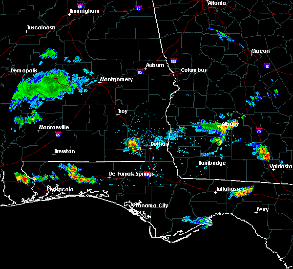 At 431 pm cdt, a severe thunderstorm was located near daleville, moving east at 15 mph (radar indicated). Hazards include 60 mph wind gusts. Expect damage to roofs. siding. and trees. Locations impacted include, daleville, fort rucker, level plains, newton, clayhatchee, knox field, power dam road, cairns aaf, kelly and wicksburg. At 431 pm cdt, a severe thunderstorm was located near daleville, moving east at 15 mph (radar indicated). Hazards include 60 mph wind gusts. Expect damage to roofs. siding. and trees. Locations impacted include, daleville, fort rucker, level plains, newton, clayhatchee, knox field, power dam road, cairns aaf, kelly and wicksburg.
|
| 7/5/2016 4:08 PM CDT |
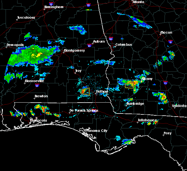 At 407 pm cdt, a severe thunderstorm was located over level plains, or over daleville, moving east at 15 mph (radar indicated). Hazards include 60 mph wind gusts. Expect damage to roofs. siding. And trees. At 407 pm cdt, a severe thunderstorm was located over level plains, or over daleville, moving east at 15 mph (radar indicated). Hazards include 60 mph wind gusts. Expect damage to roofs. siding. And trees.
|
| 6/17/2016 8:47 PM EDT |
 At 846 pm edt/746 pm cdt/, severe thunderstorms were located along a line extending from 6 miles south of dawson to 8 miles northwest of bonifay, moving southeast at 50 mph (trained weather spotters). Hazards include 70 mph wind gusts and quarter size hail. Hail damage to vehicles is expected. expect considerable tree damage. wind damage is also likely to mobile homes, roofs, and outbuildings. Locations impacted include, daleville, abbeville, cottonwood, fort gaines, morgan, blakely, cuthbert, geneva, dothan, headland, hartford, taylor, midland city, kinsey, ashford, slocomb, cowarts, edison, newton and arlington. At 846 pm edt/746 pm cdt/, severe thunderstorms were located along a line extending from 6 miles south of dawson to 8 miles northwest of bonifay, moving southeast at 50 mph (trained weather spotters). Hazards include 70 mph wind gusts and quarter size hail. Hail damage to vehicles is expected. expect considerable tree damage. wind damage is also likely to mobile homes, roofs, and outbuildings. Locations impacted include, daleville, abbeville, cottonwood, fort gaines, morgan, blakely, cuthbert, geneva, dothan, headland, hartford, taylor, midland city, kinsey, ashford, slocomb, cowarts, edison, newton and arlington.
|
| 6/17/2016 8:12 PM EDT |
 At 812 pm edt/712 pm cdt/, severe thunderstorms were located along a line extending from 8 miles south of lumpkin to 7 miles west of samson, moving southeast at 50 mph (radar indicated). Hazards include 70 mph wind gusts and quarter size hail. Hail damage to vehicles is expected. expect considerable tree damage. Wind damage is also likely to mobile homes, roofs, and outbuildings. At 812 pm edt/712 pm cdt/, severe thunderstorms were located along a line extending from 8 miles south of lumpkin to 7 miles west of samson, moving southeast at 50 mph (radar indicated). Hazards include 70 mph wind gusts and quarter size hail. Hail damage to vehicles is expected. expect considerable tree damage. Wind damage is also likely to mobile homes, roofs, and outbuildings.
|
| 6/17/2016 6:20 PM CDT |
 At 719 pm edt/619 pm cdt/, severe thunderstorms were located along a line extending from 8 miles south of seale to near gantt, moving southeast at 60 mph (radar indicated). Hazards include 60 mph wind gusts and quarter size hail. Hail damage to vehicles is expected. Expect wind damage to roofs, siding, and trees. At 719 pm edt/619 pm cdt/, severe thunderstorms were located along a line extending from 8 miles south of seale to near gantt, moving southeast at 60 mph (radar indicated). Hazards include 60 mph wind gusts and quarter size hail. Hail damage to vehicles is expected. Expect wind damage to roofs, siding, and trees.
|
| 6/16/2016 1:06 PM CDT |
 At 205 pm edt/105 pm cdt/, a severe thunderstorm was located over headland, moving southeast at 25 mph (radar indicated). Hazards include 60 mph wind gusts and penny size hail. Expect damage to roofs. siding. And trees. At 205 pm edt/105 pm cdt/, a severe thunderstorm was located over headland, moving southeast at 25 mph (radar indicated). Hazards include 60 mph wind gusts and penny size hail. Expect damage to roofs. siding. And trees.
|
| 4/1/2016 10:52 AM CDT |
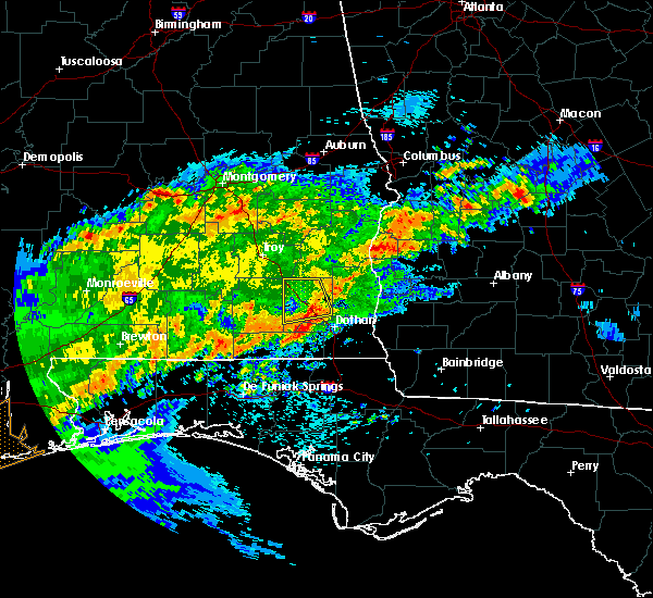 The severe thunderstorm warning for dale county will expire at 1100 am cdt, the storms which prompted the warning have weakened below severe limits, and no longer pose an immediate threat to life or property. therefore the warning will be allowed to expire. however gusty winds are still possible with these thunderstorms. a tornado watch remains in effect until 200 pm cdt for southeastern alabama. The severe thunderstorm warning for dale county will expire at 1100 am cdt, the storms which prompted the warning have weakened below severe limits, and no longer pose an immediate threat to life or property. therefore the warning will be allowed to expire. however gusty winds are still possible with these thunderstorms. a tornado watch remains in effect until 200 pm cdt for southeastern alabama.
|
| 4/1/2016 10:37 AM CDT |
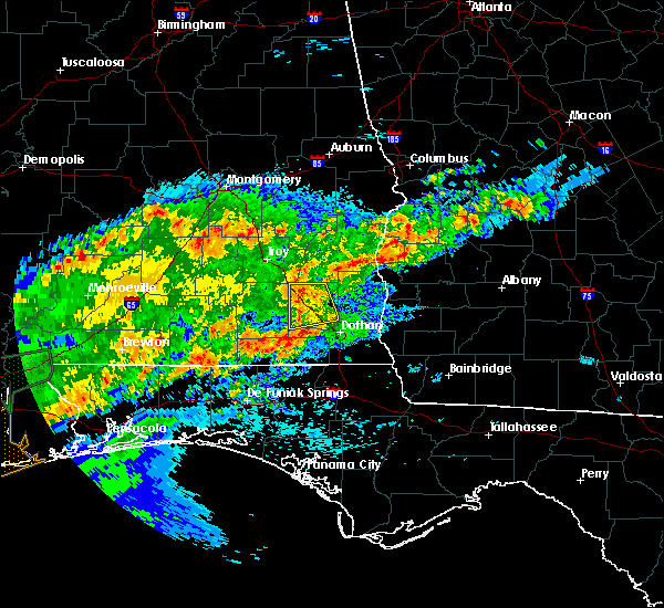 At 1036 am cdt, severe thunderstorms were located along a line extending from near ariton to near fort rucker, moving northeast at 30 mph (radar indicated). Hazards include 60 mph wind gusts and penny size hail. Expect damage to roofs. siding. and trees. locations impacted include, daleville, ozark, fort rucker, enterprise, midland city, level plains, newton, ariton, pinckard, dillard, dill, skipperville, phillips crossroads, mabson, waterford, hooper stage field, lowe army heliport, arguta, beamon and greater salem church. A tornado watch remains in effect until 200 pm cdt for southeastern alabama. At 1036 am cdt, severe thunderstorms were located along a line extending from near ariton to near fort rucker, moving northeast at 30 mph (radar indicated). Hazards include 60 mph wind gusts and penny size hail. Expect damage to roofs. siding. and trees. locations impacted include, daleville, ozark, fort rucker, enterprise, midland city, level plains, newton, ariton, pinckard, dillard, dill, skipperville, phillips crossroads, mabson, waterford, hooper stage field, lowe army heliport, arguta, beamon and greater salem church. A tornado watch remains in effect until 200 pm cdt for southeastern alabama.
|
| 4/1/2016 10:13 AM CDT |
 At 1012 am cdt, severe thunderstorms were located along a line extending from near elba to near new brockton, moving northeast at 30 mph (radar indicated). Hazards include 60 mph wind gusts and penny size hail. Expect damage to roofs. siding. And trees. At 1012 am cdt, severe thunderstorms were located along a line extending from near elba to near new brockton, moving northeast at 30 mph (radar indicated). Hazards include 60 mph wind gusts and penny size hail. Expect damage to roofs. siding. And trees.
|
| 3/24/2016 3:54 PM CDT |
 At 353 pm cdt, the national weather service has detected a severe thunderstorm capable of producing damaging winds in excess of 60 mph. this storm was located 7 miles northeast of ozark, and moving east at 45 mph. At 353 pm cdt, the national weather service has detected a severe thunderstorm capable of producing damaging winds in excess of 60 mph. this storm was located 7 miles northeast of ozark, and moving east at 45 mph.
|
| 3/24/2016 3:42 PM CDT |
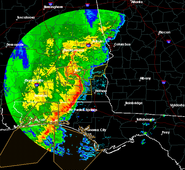 At 341 pm cdt, a severe thunderstorm was located near ariton, or near brundidge, moving east at 50 mph (public). Hazards include 60 mph wind gusts. Expect damage to roofs. siding. and trees. locations impacted include, daleville, fort rucker, ozark, dothan, enterprise. A tornado watch remains in effect until 700 pm cdt for southeastern alabama. At 341 pm cdt, a severe thunderstorm was located near ariton, or near brundidge, moving east at 50 mph (public). Hazards include 60 mph wind gusts. Expect damage to roofs. siding. and trees. locations impacted include, daleville, fort rucker, ozark, dothan, enterprise. A tornado watch remains in effect until 700 pm cdt for southeastern alabama.
|
| 3/24/2016 3:26 PM CDT |
 At 325 pm cdt, a line of severe thunderstorms was across coffee county moving east at 50 mph (radar indicated). Hazards include 60 mph wind gusts. Expect damage to roofs. siding. And trees. At 325 pm cdt, a line of severe thunderstorms was across coffee county moving east at 50 mph (radar indicated). Hazards include 60 mph wind gusts. Expect damage to roofs. siding. And trees.
|
| 3/17/2016 3:11 PM CDT |
 At 311 pm cdt, a severe thunderstorm was located 7 miles northeast of ozark, moving northeast at 20 mph (radar indicated). Hazards include golf ball size hail. People and animals outdoors will be injured. expect damage to roofs, siding, windows, and vehicles. Locations impacted include, daleville, ozark, fort rucker, headland, enterprise, midland city, level plains, newton, pinckard, newville, mabson, waterford, hooper stage field, beamon, kelly, sylvan grove, klondyke hill, knox field, gerald and dale county lake. At 311 pm cdt, a severe thunderstorm was located 7 miles northeast of ozark, moving northeast at 20 mph (radar indicated). Hazards include golf ball size hail. People and animals outdoors will be injured. expect damage to roofs, siding, windows, and vehicles. Locations impacted include, daleville, ozark, fort rucker, headland, enterprise, midland city, level plains, newton, pinckard, newville, mabson, waterford, hooper stage field, beamon, kelly, sylvan grove, klondyke hill, knox field, gerald and dale county lake.
|
| 3/17/2016 2:56 PM CDT |
 At 255 pm cdt, a severe thunderstorm was located over ozark, moving east at 30 mph (radar indicated). Hazards include quarter size hail. damage to vehicles is expected At 255 pm cdt, a severe thunderstorm was located over ozark, moving east at 30 mph (radar indicated). Hazards include quarter size hail. damage to vehicles is expected
|
| 3/3/2016 6:12 PM CST |
 At 611 pm cst, severe thunderstorms were located along a line extending from near blue springs state park to fort rucker, moving east at 55 mph (radar indicated). Hazards include quarter size hail and 60 mph wind. Hail damage to vehicles is expected. Expect wind damage to roofs, siding, and trees. At 611 pm cst, severe thunderstorms were located along a line extending from near blue springs state park to fort rucker, moving east at 55 mph (radar indicated). Hazards include quarter size hail and 60 mph wind. Hail damage to vehicles is expected. Expect wind damage to roofs, siding, and trees.
|
| 2/23/2016 10:25 PM CST |
 At 1025 pm cst, severe thunderstorms were located along a line extending from near blue springs state park to near taylor to near graceville, moving northeast at 50 mph (radar indicated). Hazards include 60 mph wind gusts and nickel size hail. Expect damage to roofs. Siding and trees. At 1025 pm cst, severe thunderstorms were located along a line extending from near blue springs state park to near taylor to near graceville, moving northeast at 50 mph (radar indicated). Hazards include 60 mph wind gusts and nickel size hail. Expect damage to roofs. Siding and trees.
|
| 2/23/2016 10:18 PM CST |
 At 1018 pm cst, a severe thunderstorm was located near taylor, or near dothan, moving northeast at 45 mph (radar indicated). Hazards include 60 mph wind gusts and quarter size hail. Hail damage to vehicles is expected. expect wind damage to roofs, siding and trees. locations impacted include, daleville, dothan, ozark, fort rucker, hartford, taylor, midland city, slocomb, newton, pinckard, malvern, clayhatchee, black, green acres, jones crossroads, waterford, wicksburg, hollis dairy road, kelly and kellys crossroads. A tornado watch remains in effect until 300 am cst for southeastern alabama. At 1018 pm cst, a severe thunderstorm was located near taylor, or near dothan, moving northeast at 45 mph (radar indicated). Hazards include 60 mph wind gusts and quarter size hail. Hail damage to vehicles is expected. expect wind damage to roofs, siding and trees. locations impacted include, daleville, dothan, ozark, fort rucker, hartford, taylor, midland city, slocomb, newton, pinckard, malvern, clayhatchee, black, green acres, jones crossroads, waterford, wicksburg, hollis dairy road, kelly and kellys crossroads. A tornado watch remains in effect until 300 am cst for southeastern alabama.
|
| 2/23/2016 10:14 PM CST |
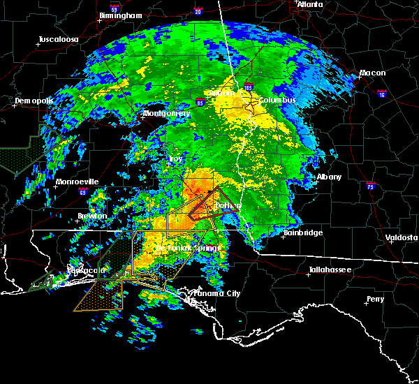 At 1014 pm cst, a severe thunderstorm capable of producing a tornado was located near slocomb, or 10 miles southeast of daleville, moving northeast at 45 mph (radar indicated rotation). Hazards include tornado and quarter size hail. Flying debris will be dangerous to those caught without shelter. mobile homes will be damaged or destroyed. damage to roofs, windows and vehicles will occur. tree damage is likely. this dangerous storm will be near, dothan, taylor and pinckard around 1025 pm cst. midland city around 1030 pm cst. kinsey, cowarts, webb and kinsey around 1035 pm cst. headland around 1045 pm cst. other locations impacted by this tornadic thunderstorm include grandberry crossroads, green acres, bald hill, pleasant plains, smyrna, w. Main/brannon st, napier field, pearce, jones crossroads and enon. At 1014 pm cst, a severe thunderstorm capable of producing a tornado was located near slocomb, or 10 miles southeast of daleville, moving northeast at 45 mph (radar indicated rotation). Hazards include tornado and quarter size hail. Flying debris will be dangerous to those caught without shelter. mobile homes will be damaged or destroyed. damage to roofs, windows and vehicles will occur. tree damage is likely. this dangerous storm will be near, dothan, taylor and pinckard around 1025 pm cst. midland city around 1030 pm cst. kinsey, cowarts, webb and kinsey around 1035 pm cst. headland around 1045 pm cst. other locations impacted by this tornadic thunderstorm include grandberry crossroads, green acres, bald hill, pleasant plains, smyrna, w. Main/brannon st, napier field, pearce, jones crossroads and enon.
|
| 2/23/2016 9:50 PM CST |
 At 950 pm cst, the national weather service has detected a severe thunderstorm capable of producing quarter size hail and damaging winds in excess of 60 mph. this storm was located near geneva, and moving northeast at 45 mph. At 950 pm cst, the national weather service has detected a severe thunderstorm capable of producing quarter size hail and damaging winds in excess of 60 mph. this storm was located near geneva, and moving northeast at 45 mph.
|
| 2/15/2016 7:03 PM CST |
 At 702 pm cst, severe thunderstorms were located along a line extending from near abbeville to santa rosa beach, moving east at 50 mph (radar indicated). Hazards include 60 mph wind gusts. Expect damage to roofs. siding and trees. locations impacted include, panama city beach, daleville, abbeville, cottonwood, vernon, de funiak springs, ozark, bonifay, headland, chipley, geneva, graceville, dothan, fort rucker, hartford, taylor, midland city, kinsey, ashford and slocomb. A tornado watch remains in effect until 900 pm cst for southeastern alabama and central florida. At 702 pm cst, severe thunderstorms were located along a line extending from near abbeville to santa rosa beach, moving east at 50 mph (radar indicated). Hazards include 60 mph wind gusts. Expect damage to roofs. siding and trees. locations impacted include, panama city beach, daleville, abbeville, cottonwood, vernon, de funiak springs, ozark, bonifay, headland, chipley, geneva, graceville, dothan, fort rucker, hartford, taylor, midland city, kinsey, ashford and slocomb. A tornado watch remains in effect until 900 pm cst for southeastern alabama and central florida.
|
| 2/15/2016 6:49 PM CST |
 At 649 pm cst, severe thunderstorms were located along a line extending from near blue springs state park to near daleville, moving east at 50 mph (radar indicated). Hazards include 60 mph wind gusts. Expect damage to roofs. siding and trees. locations impacted include, daleville, ozark, enterprise, fort rucker, level plains, newton, ariton, clayhatchee, dillard, coppinville, dill, skipperville, phillips crossroads, mabson, battens crossroads, waterford, hooper stage field, lowe army heliport, arguta and central city. A tornado watch remains in effect until 900 pm cst for southeastern alabama. At 649 pm cst, severe thunderstorms were located along a line extending from near blue springs state park to near daleville, moving east at 50 mph (radar indicated). Hazards include 60 mph wind gusts. Expect damage to roofs. siding and trees. locations impacted include, daleville, ozark, enterprise, fort rucker, level plains, newton, ariton, clayhatchee, dillard, coppinville, dill, skipperville, phillips crossroads, mabson, battens crossroads, waterford, hooper stage field, lowe army heliport, arguta and central city. A tornado watch remains in effect until 900 pm cst for southeastern alabama.
|
| 2/15/2016 6:45 PM CST |
 At 645 pm cst, the national weather service has detected a line of severe thunderstorms capable of producing damaging winds in excess of 60 mph. these storms were located along a line extending from near blue springs state park to near destin, and moving east at 50 mph. At 645 pm cst, the national weather service has detected a line of severe thunderstorms capable of producing damaging winds in excess of 60 mph. these storms were located along a line extending from near blue springs state park to near destin, and moving east at 50 mph.
|
| 2/15/2016 6:22 PM CST |
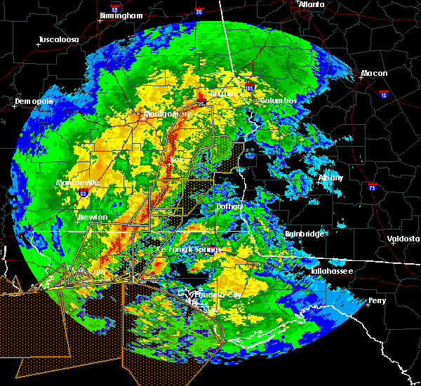 At 622 pm cst, the national weather service has detected a line of severe thunderstorms capable of producing damaging winds in excess of 60 mph. these storms were located along a line extending from near ariton to 8 miles southwest of new brockton, and moving east at 50 mph. At 622 pm cst, the national weather service has detected a line of severe thunderstorms capable of producing damaging winds in excess of 60 mph. these storms were located along a line extending from near ariton to 8 miles southwest of new brockton, and moving east at 50 mph.
|
| 2/3/2016 8:48 AM CST |
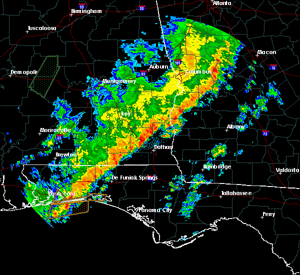 At 848 am cst, a severe thunderstorm was located near samson, or near geneva, moving northeast at 55 mph (radar indicated). Hazards include 60 mph wind gusts. Expect damage to roofs. Siding and trees. At 848 am cst, a severe thunderstorm was located near samson, or near geneva, moving northeast at 55 mph (radar indicated). Hazards include 60 mph wind gusts. Expect damage to roofs. Siding and trees.
|
| 1/22/2016 2:38 AM CST | At 238 am cst, severe thunderstorms were located along a line extending from pinckard to near graceville, moving east at 55 mph (radar indicated). Hazards include 60 mph wind gusts. Expect damage to roofs. siding and trees. locations impacted include, daleville, cottonwood, fort rucker, headland, dothan, ozark, enterprise, hartford, taylor, midland city, kinsey, ashford, level plains, slocomb, cowarts, newton, webb, columbia, pinckard and malvern. A tornado watch remains in effect until 500 am cst for southeastern alabama, central florida and southwestern georgia. |
| 1/22/2016 2:24 AM CST | At 224 am cst, severe thunderstorms were located along a line extending from near ariton to 8 miles east of geneva, moving east at 45 mph (radar indicated). Hazards include 60 mph wind gusts. Expect damage to roofs. siding and trees. locations impacted include, daleville, abbeville, cottonwood, fort gaines, dothan, ozark, fort rucker, headland, enterprise, hartford, taylor, midland city, kinsey, ashford, level plains, slocomb, cowarts, newton, webb and ariton. A tornado watch remains in effect until 500 am cst for southeastern alabama, central florida and southwestern georgia. |
| 1/22/2016 1:55 AM CST | At 155 am cst, severe thunderstorms were located along a line extending from near doster to 9 miles south of samson, moving east at 60 mph (radar indicated). Hazards include 60 mph wind gusts. Expect damage to roofs. Siding and trees. |
| 9/6/2015 3:16 PM CDT |
 At 315 pm cdt, the national weather service has detected a severe thunderstorm capable of producing damaging winds in excess of 60 mph. this storm was located 8 miles southwest of abbeville, and moving southwest at 15 mph. At 315 pm cdt, the national weather service has detected a severe thunderstorm capable of producing damaging winds in excess of 60 mph. this storm was located 8 miles southwest of abbeville, and moving southwest at 15 mph.
|
| 8/21/2015 6:46 PM CDT |
 At 646 pm cdt, doppler radar indicated a severe thunderstorm capable of producing quarter size hail and damaging winds in excess of 60 mph. this storm was located over midland city, or near dothan. this storm was nearly stationary. the dothan airport measured a wind gust to 46 mph and also reported hail with this storm. locations impacted include, headland, dothan, midland city, newton, pinckard, kinsey, grimes, napier field, browns crossroads, kirkland crossroads, bagwells crossroads, blackwood, sylvan grove, kelly springs, currytown and goldberg field. At 646 pm cdt, doppler radar indicated a severe thunderstorm capable of producing quarter size hail and damaging winds in excess of 60 mph. this storm was located over midland city, or near dothan. this storm was nearly stationary. the dothan airport measured a wind gust to 46 mph and also reported hail with this storm. locations impacted include, headland, dothan, midland city, newton, pinckard, kinsey, grimes, napier field, browns crossroads, kirkland crossroads, bagwells crossroads, blackwood, sylvan grove, kelly springs, currytown and goldberg field.
|
| 8/21/2015 6:35 PM CDT |
 At 634 pm cdt, the national weather service has detected a severe thunderstorm capable of producing quarter size hail and damaging winds in excess of 60 mph. this storm was located over midland city, or near headland. this storm was nearly stationary. At 634 pm cdt, the national weather service has detected a severe thunderstorm capable of producing quarter size hail and damaging winds in excess of 60 mph. this storm was located over midland city, or near headland. this storm was nearly stationary.
|
| 8/7/2015 3:15 PM CDT |
 At 314 pm cdt, the national weather service has detected a severe thunderstorm capable of producing damaging winds in excess of 60 mph. this storm was located near ozark, and moving southeast at 30 mph. At 314 pm cdt, the national weather service has detected a severe thunderstorm capable of producing damaging winds in excess of 60 mph. this storm was located near ozark, and moving southeast at 30 mph.
|
| 7/24/2015 2:44 PM CDT |
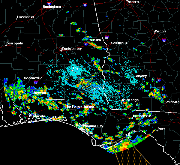 At 243 pm cdt, national weather service doppler radar indicated a severe thunderstorm capable of producing damaging winds in excess of 60 mph. this storm was located over ozark, moving southeast at 30 mph. locations impacted include, ozark, fort rucker, newton, pinckard, and hunt field. At 243 pm cdt, national weather service doppler radar indicated a severe thunderstorm capable of producing damaging winds in excess of 60 mph. this storm was located over ozark, moving southeast at 30 mph. locations impacted include, ozark, fort rucker, newton, pinckard, and hunt field.
|
| 7/24/2015 2:20 PM CDT |
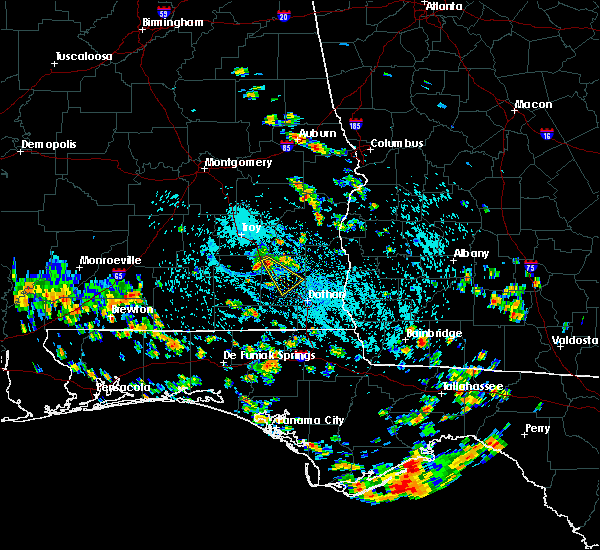 At 220 pm cdt, the national weather service has detected a severe thunderstorm capable of producing damaging winds in excess of 60 mph. this storm was located over ariton, or 10 miles northwest of ozark, and moving southeast at 25 mph. At 220 pm cdt, the national weather service has detected a severe thunderstorm capable of producing damaging winds in excess of 60 mph. this storm was located over ariton, or 10 miles northwest of ozark, and moving southeast at 25 mph.
|
| 7/23/2015 2:28 PM CDT | The severe thunderstorm warning for northwestern dale and northeastern coffee counties will expire at 230 pm cdt, the storm which prompted the warning has weakened below severe limits, and no longer poses an immediate threat to life or property. therefore the warning will be allowed to expire. however gusty winds are still possible with this thunderstorm. |
| 7/23/2015 2:15 PM CDT |
 At 215 pm cdt, doppler radar indicated a severe thunderstorm capable of producing damaging winds in excess of 60 mph. this storm was located over fort rucker, moving east at 30 mph. locations impacted include, daleville, ozark, fort rucker, enterprise, level plains, newton, new brockton, clintonville, dillard, dill, waterford, hooper stage field, lowe army heliport, java, greater salem church, kelly, camp alaflo bsa, knox field, dale county lake and hanchey field. At 215 pm cdt, doppler radar indicated a severe thunderstorm capable of producing damaging winds in excess of 60 mph. this storm was located over fort rucker, moving east at 30 mph. locations impacted include, daleville, ozark, fort rucker, enterprise, level plains, newton, new brockton, clintonville, dillard, dill, waterford, hooper stage field, lowe army heliport, java, greater salem church, kelly, camp alaflo bsa, knox field, dale county lake and hanchey field.
|
| 7/23/2015 1:52 PM CDT |
 At 151 pm cdt, the national weather service has detected a severe thunderstorm capable of producing damaging winds in excess of 60 mph. this storm was located near new brockton, or 8 miles east of elba, and moving east at 30 mph. At 151 pm cdt, the national weather service has detected a severe thunderstorm capable of producing damaging winds in excess of 60 mph. this storm was located near new brockton, or 8 miles east of elba, and moving east at 30 mph.
|
| 7/21/2015 2:41 PM CDT |
 At 240 pm cdt, doppler radar indicated damaging winds in excess of 60 mph. these storms were located along a line extending from abbeville to near enterprise, moving southeast at 20 mph. locations impacted include, daleville, ozark, fort rucker, newton, pinckard, clayhatchee, newville, dill, mabson, waterford, hooper stage field, lowe army heliport, beamon, kelly, klondyke hill, knox field, dale county lake, hanchey field, dean church road and goldberg field. At 240 pm cdt, doppler radar indicated damaging winds in excess of 60 mph. these storms were located along a line extending from abbeville to near enterprise, moving southeast at 20 mph. locations impacted include, daleville, ozark, fort rucker, newton, pinckard, clayhatchee, newville, dill, mabson, waterford, hooper stage field, lowe army heliport, beamon, kelly, klondyke hill, knox field, dale county lake, hanchey field, dean church road and goldberg field.
|
| 7/21/2015 2:10 PM CDT |
 At 210 pm cdt, the national weather service has detected a line of severe thunderstorms capable of producing damaging winds in excess of 60 mph. these storms were located along a line extending from near texasville to new brockton, and moving southeast at 20 mph. At 210 pm cdt, the national weather service has detected a line of severe thunderstorms capable of producing damaging winds in excess of 60 mph. these storms were located along a line extending from near texasville to new brockton, and moving southeast at 20 mph.
|
| 7/19/2015 3:58 PM CDT | Tree down on us highway 23 in dale county AL, 1.8 miles WSW of Newton, AL |
| 7/19/2015 3:53 PM CDT |
 At 353 pm cdt, the national weather service has detected a severe thunderstorm capable of producing damaging winds in excess of 60 mph. this storm was located over daleville, and moving east at 10 mph. At 353 pm cdt, the national weather service has detected a severe thunderstorm capable of producing damaging winds in excess of 60 mph. this storm was located over daleville, and moving east at 10 mph.
|
| 7/15/2015 7:51 PM CDT |
 The severe thunderstorm warning for eastern dale and southwestern henry counties will expire at 800 pm cdt, the storm which prompted the warning has weakened below severe limits, and no longer poses an immediate threat to life or property. therefore the warning will be allowed to expire. to report severe weather, contact your nearest law enforcement agency. they will relay your report to the national weather service tallahassee. The severe thunderstorm warning for eastern dale and southwestern henry counties will expire at 800 pm cdt, the storm which prompted the warning has weakened below severe limits, and no longer poses an immediate threat to life or property. therefore the warning will be allowed to expire. to report severe weather, contact your nearest law enforcement agency. they will relay your report to the national weather service tallahassee.
|
| 7/15/2015 7:18 PM CDT |
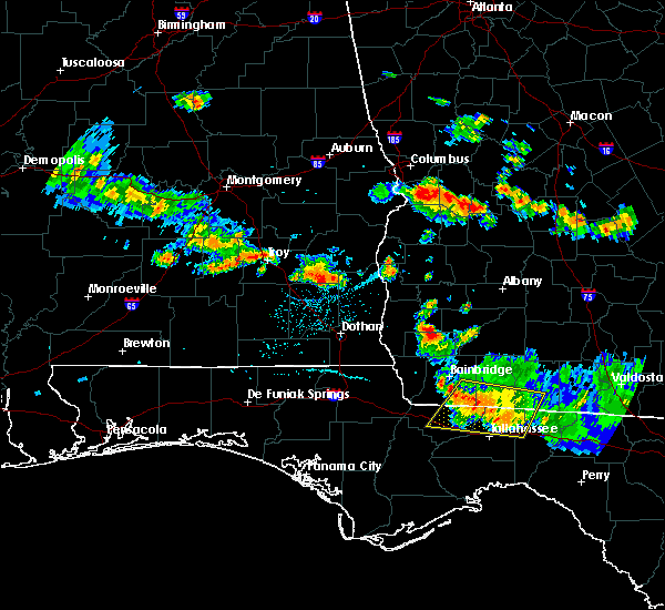 At 718 pm cdt, the national weather service has detected a severe thunderstorm capable of producing damaging winds in excess of 60 mph. this storm was located near blue springs state park, or 8 miles southeast of clio, and moving southeast at 45 mph. At 718 pm cdt, the national weather service has detected a severe thunderstorm capable of producing damaging winds in excess of 60 mph. this storm was located near blue springs state park, or 8 miles southeast of clio, and moving southeast at 45 mph.
|
| 7/4/2015 7:45 PM CDT |
 At 843 pm edt /743 pm cdt/, local law enforcement reported a line of severe thunderstorms producing damaging winds in excess of 60 mph. these storms were located along a line extending from near georgetown to near cowarts, moving east at 45 mph. trees have been blown down with this line of storms in southeast alabama. locations impacted include, abbeville, fort gaines, cuthbert, headland, dothan, midland city, kinsey, ashford, cowarts, newton, webb, columbia, pinckard, grimes, newville, napier field, bellville, haleburg, green acres and scottsboro crossroads. At 843 pm edt /743 pm cdt/, local law enforcement reported a line of severe thunderstorms producing damaging winds in excess of 60 mph. these storms were located along a line extending from near georgetown to near cowarts, moving east at 45 mph. trees have been blown down with this line of storms in southeast alabama. locations impacted include, abbeville, fort gaines, cuthbert, headland, dothan, midland city, kinsey, ashford, cowarts, newton, webb, columbia, pinckard, grimes, newville, napier field, bellville, haleburg, green acres and scottsboro crossroads.
|
| 7/4/2015 7:24 PM CDT |
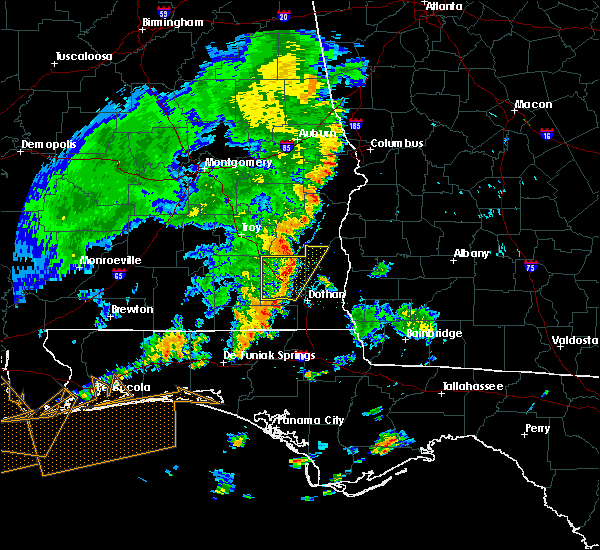 At 824 pm edt /724 pm cdt/, local law enforcement reported a line of severe thunderstorms producing damaging winds in excess of 60 mph. these storms were located along a line extending from near gaino to 6 miles north of slocomb, and moving east at 45 mph. trees have been blown down in coffee and dale counties with this line of storms. At 824 pm edt /724 pm cdt/, local law enforcement reported a line of severe thunderstorms producing damaging winds in excess of 60 mph. these storms were located along a line extending from near gaino to 6 miles north of slocomb, and moving east at 45 mph. trees have been blown down in coffee and dale counties with this line of storms.
|
| 7/4/2015 7:19 PM CDT |
 At 718 pm cdt, local law enforcement reported a line of severe thunderstorms producing damaging winds in excess of 60 mph. these storms were located along a line extending from tyler crossroads to 7 miles east of ozark to near daleville, moving east at 40 mph. trees have been blown down with this line of storms in coffee and dale counties. locations impacted include, daleville, ozark, fort rucker, midland city, newton, pinckard, napier field, dill, skipperville, phillips crossroads, mabson, waterford, arguta, beamon, kelly, dykes crossroads, sylvan grove, klondyke hill, knox field and dale county lake. At 718 pm cdt, local law enforcement reported a line of severe thunderstorms producing damaging winds in excess of 60 mph. these storms were located along a line extending from tyler crossroads to 7 miles east of ozark to near daleville, moving east at 40 mph. trees have been blown down with this line of storms in coffee and dale counties. locations impacted include, daleville, ozark, fort rucker, midland city, newton, pinckard, napier field, dill, skipperville, phillips crossroads, mabson, waterford, arguta, beamon, kelly, dykes crossroads, sylvan grove, klondyke hill, knox field and dale county lake.
|
| 7/4/2015 7:11 PM CDT |
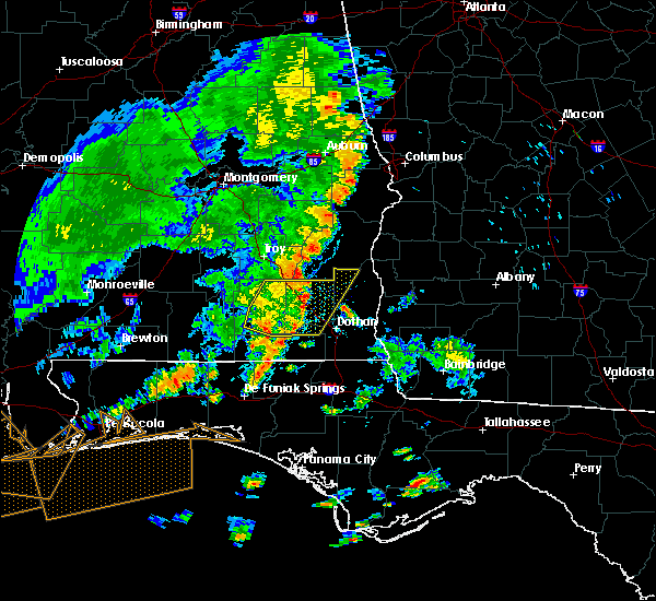 At 709 pm cdt, doppler radar indicated a line of severe thunderstorms capable of producing damaging winds in excess of 60 mph. these storms were located along a line extending from near tyler crossroads to near ozark to daleville, moving east at 40 mph. tree damage was reported in level plains in dale county. locations impacted include, daleville, fort rucker, ozark, enterprise, midland city, level plains, newton, ariton, pinckard, clayhatchee, napier field, skipperville, phillips crossroads, waterford, hooper stage field, lowe army heliport, arguta, greater salem church, kelly and dykes crossroads. At 709 pm cdt, doppler radar indicated a line of severe thunderstorms capable of producing damaging winds in excess of 60 mph. these storms were located along a line extending from near tyler crossroads to near ozark to daleville, moving east at 40 mph. tree damage was reported in level plains in dale county. locations impacted include, daleville, fort rucker, ozark, enterprise, midland city, level plains, newton, ariton, pinckard, clayhatchee, napier field, skipperville, phillips crossroads, waterford, hooper stage field, lowe army heliport, arguta, greater salem church, kelly and dykes crossroads.
|
| 7/4/2015 6:58 PM CDT |
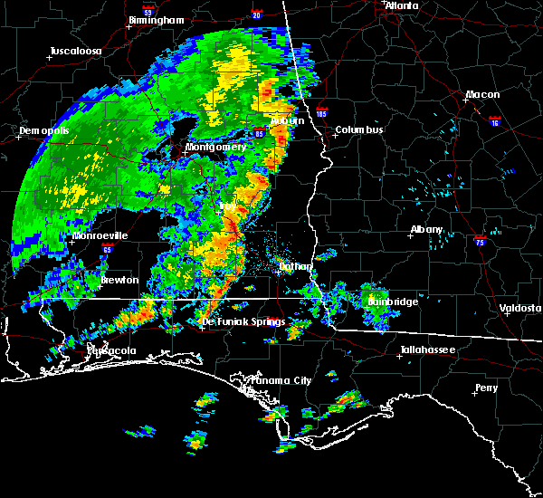 At 657 pm cdt, doppler radar indicated a line of severe thunderstorms capable of producing damaging winds in excess of 60 mph. these storms were located along a line extending from near doster to near fort rucker to near enterprise, moving east at 45 mph. locations impacted include, daleville, elba, fort rucker, ozark, enterprise, midland city, level plains, newton, new brockton, ariton, pinckard, clayhatchee, napier field, clintonville, skipperville, phillips crossroads, battens crossroads, clowers crossroads, waterford and hooper stage field. At 657 pm cdt, doppler radar indicated a line of severe thunderstorms capable of producing damaging winds in excess of 60 mph. these storms were located along a line extending from near doster to near fort rucker to near enterprise, moving east at 45 mph. locations impacted include, daleville, elba, fort rucker, ozark, enterprise, midland city, level plains, newton, new brockton, ariton, pinckard, clayhatchee, napier field, clintonville, skipperville, phillips crossroads, battens crossroads, clowers crossroads, waterford and hooper stage field.
|
| 7/4/2015 6:40 PM CDT |
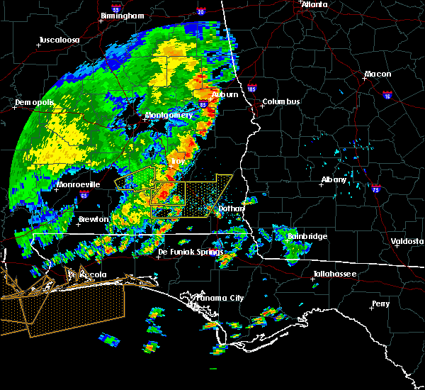 At 639 pm cdt, the national weather service has detected a line of severe thunderstorms capable of producing damaging winds in excess of 60 mph. these storms were located along a line extending from brundidge to near opp, and moving east at 40 mph. a 45 mph wind gust was measured in andalusia with these storms. At 639 pm cdt, the national weather service has detected a line of severe thunderstorms capable of producing damaging winds in excess of 60 mph. these storms were located along a line extending from brundidge to near opp, and moving east at 40 mph. a 45 mph wind gust was measured in andalusia with these storms.
|
| 7/3/2015 7:14 PM CDT |
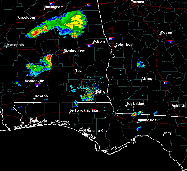 At 712 pm cdt, doppler radar indicated a severe thunderstorm capable of producing damaging winds in excess of 60 mph. this storm was located 5 miles northeast of wicksburg, moving northeast at 25 mph. locations impacted include, ozark, midland city, newton, pinckard, grimes, napier field, browns crossroads, hollis dairy road, bagwells crossroads, sylvan grove, klondyke hill, goldberg field, currytown, waterford and ewell. At 712 pm cdt, doppler radar indicated a severe thunderstorm capable of producing damaging winds in excess of 60 mph. this storm was located 5 miles northeast of wicksburg, moving northeast at 25 mph. locations impacted include, ozark, midland city, newton, pinckard, grimes, napier field, browns crossroads, hollis dairy road, bagwells crossroads, sylvan grove, klondyke hill, goldberg field, currytown, waterford and ewell.
|
| 7/3/2015 7:03 PM CDT |
 At 702 pm cdt, the national weather service has detected a severe thunderstorm capable of producing damaging winds in excess of 60 mph. this storm was located near pinckard, or 7 miles east of daleville, and moving northeast at 25 mph. At 702 pm cdt, the national weather service has detected a severe thunderstorm capable of producing damaging winds in excess of 60 mph. this storm was located near pinckard, or 7 miles east of daleville, and moving northeast at 25 mph.
|
| 7/2/2015 12:41 PM CDT |
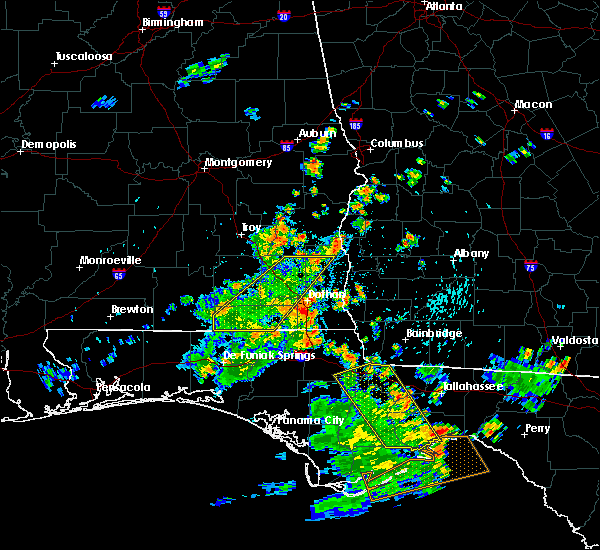 The severe thunderstorm warning for northwestern houston, dale, geneva, west central henry and southeastern coffee counties will expire at 1245 pm cdt, the storms which prompted the warning have weakened. therefore the warning will be allowed to expire. to report severe weather, contact your nearest law enforcement agency. they will relay your report to the national weather service tallahassee. The severe thunderstorm warning for northwestern houston, dale, geneva, west central henry and southeastern coffee counties will expire at 1245 pm cdt, the storms which prompted the warning have weakened. therefore the warning will be allowed to expire. to report severe weather, contact your nearest law enforcement agency. they will relay your report to the national weather service tallahassee.
|
| 7/2/2015 12:05 PM CDT |
 At 1205 pm cdt, doppler radar indicated a line of severe thunderstorms capable of producing damaging winds in excess of 60 mph. these storms were located along a line extending from near blue springs state park to 8 miles southwest of samson, moving east at 30 mph. locations impacted include, daleville, abbeville, geneva, ozark, fort rucker, enterprise, headland, dothan, hartford, midland city, level plains, slocomb, samson, newton, new brockton, pinckard, clayhatchee, grimes, newville and napier field. At 1205 pm cdt, doppler radar indicated a line of severe thunderstorms capable of producing damaging winds in excess of 60 mph. these storms were located along a line extending from near blue springs state park to 8 miles southwest of samson, moving east at 30 mph. locations impacted include, daleville, abbeville, geneva, ozark, fort rucker, enterprise, headland, dothan, hartford, midland city, level plains, slocomb, samson, newton, new brockton, pinckard, clayhatchee, grimes, newville and napier field.
|
| 7/2/2015 11:47 AM CDT |
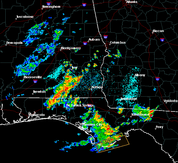 At 1146 am cdt, the national weather service has detected a line of severe thunderstorms capable of producing damaging winds in excess of 60 mph. these storms were located along a line extending from near ariton to 7 miles northeast of florala, and moving east at 35 mph. At 1146 am cdt, the national weather service has detected a line of severe thunderstorms capable of producing damaging winds in excess of 60 mph. these storms were located along a line extending from near ariton to 7 miles northeast of florala, and moving east at 35 mph.
|
| 6/30/2015 2:42 PM CDT | The severe thunderstorm warning for east central dale and southwestern henry counties will expire at 245 pm cdt, the storm which prompted the warning has weakened below severe limits, and no longer poses an immediate threat to life or property. therefore the warning will be allowed to expire. however gusty winds are still possible with this thunderstorm. to report severe weather, contact your nearest law enforcement agency. they will relay your report to the national weather service tallahassee. |
| 6/30/2015 2:33 PM CDT |
 At 230 pm cdt, doppler radar indicated a severe thunderstorm capable of producing damaging winds in excess of 60 mph. this storm was located 8 miles north of midland city, or 9 miles northwest of headland, moving east at 50 mph. a 55 mph wind gust was measured as this storm passed a fort ruck heliport. locations impacted include, headland, newville, bagwells crossroads, blackwood, headland municipal a/p, capps, dancey, browns crossroads, echo, goldberg field, ward bridge and kirkland crossroads. At 230 pm cdt, doppler radar indicated a severe thunderstorm capable of producing damaging winds in excess of 60 mph. this storm was located 8 miles north of midland city, or 9 miles northwest of headland, moving east at 50 mph. a 55 mph wind gust was measured as this storm passed a fort ruck heliport. locations impacted include, headland, newville, bagwells crossroads, blackwood, headland municipal a/p, capps, dancey, browns crossroads, echo, goldberg field, ward bridge and kirkland crossroads.
|
| 6/30/2015 2:12 PM CDT |
 At 211 pm cdt, national weather service doppler radar indicated a thunderstorm with damaging winds in excess of 60 mph. this storm was located over fort rucker, moving east at 50 mph. locations impacted include, headland, ozark, fort rucker, enterprise, dothan, midland city, kinsey, newton, webb, pinckard, grimes, newville, napier field, dillard, capps, dill, mabson, waterford, hooper stage field and lowe army heliport. At 211 pm cdt, national weather service doppler radar indicated a thunderstorm with damaging winds in excess of 60 mph. this storm was located over fort rucker, moving east at 50 mph. locations impacted include, headland, ozark, fort rucker, enterprise, dothan, midland city, kinsey, newton, webb, pinckard, grimes, newville, napier field, dillard, capps, dill, mabson, waterford, hooper stage field and lowe army heliport.
|
| 6/30/2015 1:54 PM CDT |
 At 154 pm cdt, the national weather service has detected a severe thunderstorm capable of producing quarter size hail and destructive winds in excess of 70 mph. this storm was located near new brockton, or 8 miles northwest of fort rucker, and moving east at 50 mph. At 154 pm cdt, the national weather service has detected a severe thunderstorm capable of producing quarter size hail and destructive winds in excess of 70 mph. this storm was located near new brockton, or 8 miles northwest of fort rucker, and moving east at 50 mph.
|
| 6/23/2015 5:13 PM CDT |
 At 511 pm cdt, doppler radar indicated a severe thunderstorm capable of producing damaging winds in excess of 60 mph. this storm was located near daleville, moving southeast at 10 mph. in addition, at 5:54 cdt, a 68 mph gust was reported near ozark. locations impacted include, daleville, dothan, fort rucker, midland city, level plains, newton, pinckard, clayhatchee, grimes, napier field, green acres, w. main/brannon st, jones crossroads, wicksburg, hollis dairy road, kelly, sylvan grove, knox field, power dam road and kelly springs. At 511 pm cdt, doppler radar indicated a severe thunderstorm capable of producing damaging winds in excess of 60 mph. this storm was located near daleville, moving southeast at 10 mph. in addition, at 5:54 cdt, a 68 mph gust was reported near ozark. locations impacted include, daleville, dothan, fort rucker, midland city, level plains, newton, pinckard, clayhatchee, grimes, napier field, green acres, w. main/brannon st, jones crossroads, wicksburg, hollis dairy road, kelly, sylvan grove, knox field, power dam road and kelly springs.
|
| 6/23/2015 4:39 PM CDT |
 At 439 pm cdt, the national weather service has detected a severe thunderstorm capable of producing damaging winds in excess of 60 mph. this storm was located over daleville, and moving southeast at 10 mph. At 439 pm cdt, the national weather service has detected a severe thunderstorm capable of producing damaging winds in excess of 60 mph. this storm was located over daleville, and moving southeast at 10 mph.
|
| 5/26/2015 1:21 PM CDT | The severe thunderstorm warning for central dale county will expire at 130 pm cdt, the storm which prompted the warning has weakened below severe limits, and no longer poses an immediate threat to life or property. therefore the warning will be allowed to expire. |
| 5/26/2015 12:56 PM CDT | At 1256 pm cdt, doppler radar indicated a severe thunderstorm capable of producing damaging winds in excess of 60 mph. this storm was located over newton, or near ozark, moving northeast at 30 mph. locations impacted include, daleville, ozark, fort rucker, midland city, newton, pinckard, mabson, waterford, hooper stage field, arguta, beamon, kelly, sylvan grove, klondyke hill, knox field, dale county lake, hanchey field, dean church road, goldberg field and ward bridge. |
| 5/26/2015 12:46 PM CDT | At 1245 pm cdt, the national weather service has detected a severe thunderstorm capable of producing damaging winds in excess of 60 mph. this storm was located over daleville, and moving northeast at 30 mph. |
| 4/25/2015 5:26 PM CDT | At 525 pm cdt, doppler radar indicated a line of severe thunderstorms capable of producing destructive winds in excess of 70 mph. these storms were located along a line extending from 8 miles southeast of blue springs state park to 7 miles south of hartford, moving east at 60 mph. winds of 55 mph were recently reported at fort rucker. locations impacted include, daleville, abbeville, cottonwood, fort gaines, dothan, headland, ozark, fort rucker, hartford, taylor, midland city, kinsey, ashford, slocomb, cowarts, newton, webb, columbia, pinckard and malvern. |
| 4/25/2015 5:17 PM CDT | At 517 pm cdt, doppler radar indicated a line of severe thunderstorms capable of producing quarter size hail and destructive winds in excess of 70 mph. these storms were located along a line extending from near blue springs state park to near geneva, moving east at 65 mph. locations impacted include, daleville, geneva, fort rucker, ozark, enterprise, level plains, samson, newton, new brockton, ariton, clayhatchee, coffee springs, clintonville, somerset, skipperville, phillips crossroads, battens crossroads, waterford, hooper stage field and lowe army heliport. |
| 4/25/2015 5:08 PM CDT | At 508 pm cdt, the national weather service has detected a line of severe thunderstorms capable of producing destructive winds in excess of 70 mph. these storms were located along a line extending from 6 miles south of brundidge to 6 miles south of geneva, and moving east at 55 mph. |
| 4/25/2015 5:01 PM CDT | At 501 pm cdt, doppler radar indicated a line of severe thunderstorms capable of producing quarter size hail and destructive winds in excess of 70 mph. these storms were located along a line extending from 6 miles west of ariton to 6 miles southwest of samson, moving east at 55 mph. locations impacted include, daleville, elba, geneva, ozark, fort rucker, enterprise, level plains, samson, newton, new brockton, ariton, lee, clayhatchee, kinston, coffee springs, bluff spring, phillips crossroads, battens crossroads, sellersville and dykes crossroads. |
| 4/25/2015 4:32 PM CDT | At 431 pm cdt, the national weather service has detected a line of severe thunderstorms capable of producing quarter size hail and destructive winds in excess of 70 mph. these storms were located along a line extending from dozier to 7 miles west of laurel hill, and moving east at 65 mph. |
| 4/19/2015 8:59 AM CDT | At 858 am cdt, doppler radar indicated a severe thunderstorm capable of producing damaging winds in excess of 60 mph. this storm was located over ozark, moving northeast at 45 mph. locations impacted include, daleville, ozark, fort rucker, enterprise, level plains, newton, pinckard, dill, skipperville, mabson, waterford, hooper stage field, lowe army heliport, arguta, beamon, kelly, sylvan grove, klondyke hill, knox field and gerald. a tornado watch remains in effect until 200 pm cdt for southeastern alabama. |
| 4/19/2015 8:42 AM CDT | At 841 am cdt, the national weather service has detected a severe thunderstorm capable of producing damaging winds in excess of 60 mph. this storm was located over enterprise, and moving northeast at 45 mph. |
| 6/8/2014 4:53 PM CDT | Tree down on lee boy road and holland roa in houston county AL, 7.6 miles N of Newton, AL |
| 5/27/2014 5:38 PM CDT | Report of a tree down in newton in dale county AL, 2.1 miles NNE of Newton, AL |
| 7/30/2012 7:19 PM CDT | Ping Pong Ball sized hail reported 10.4 miles N of Newton, AL, hail larger than coins reported in wicksburg. |
| 7/30/2012 7:17 PM CDT | Quarter sized hail reported 8.2 miles N of Newton, AL, quarter size hail near intersection of highway 84w and cumbi road. |
| 7/17/2012 4:30 PM CDT | Large tree down on county route 3 in dale county AL, 4.7 miles NNE of Newton, AL |
| 7/17/2012 4:30 PM CDT | Trees down at state route 123 and county route 4 in dale county AL, 2.7 miles NNE of Newton, AL |
| 7/1/2012 10:15 PM CDT | One tree down of about 4-5 inch diamete in dale county AL, 2.1 miles NNE of Newton, AL |
| 4/5/2012 3:29 PM CDT | Trees down around browns crossroads in dale county AL, 5.5 miles SW of Newton, AL |
| 1/1/0001 12:00 AM | Golf Ball sized hail reported 10.4 miles N of Newton, AL |
Hail Maps for Newton, AL
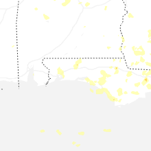
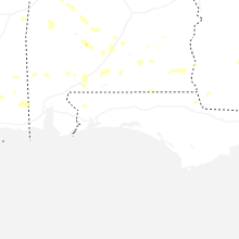
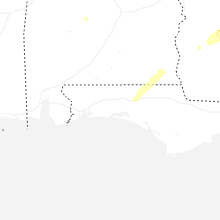
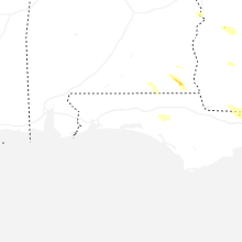
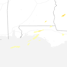


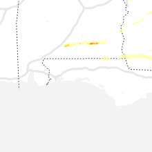
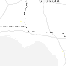


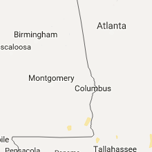


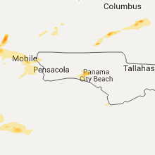


Connect with Interactive Hail Maps