

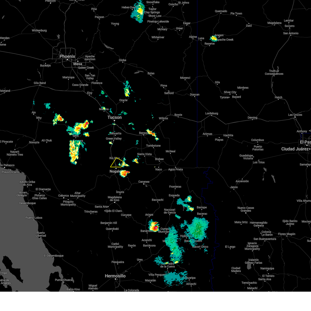
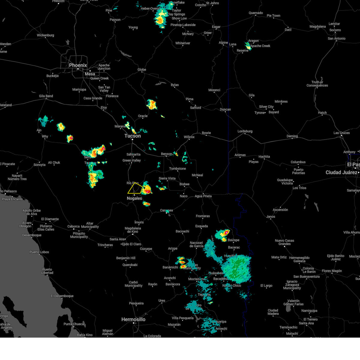
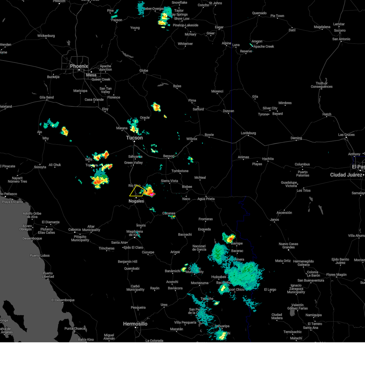
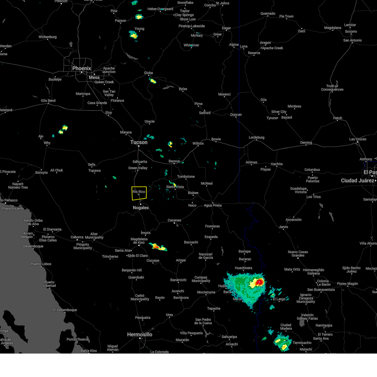
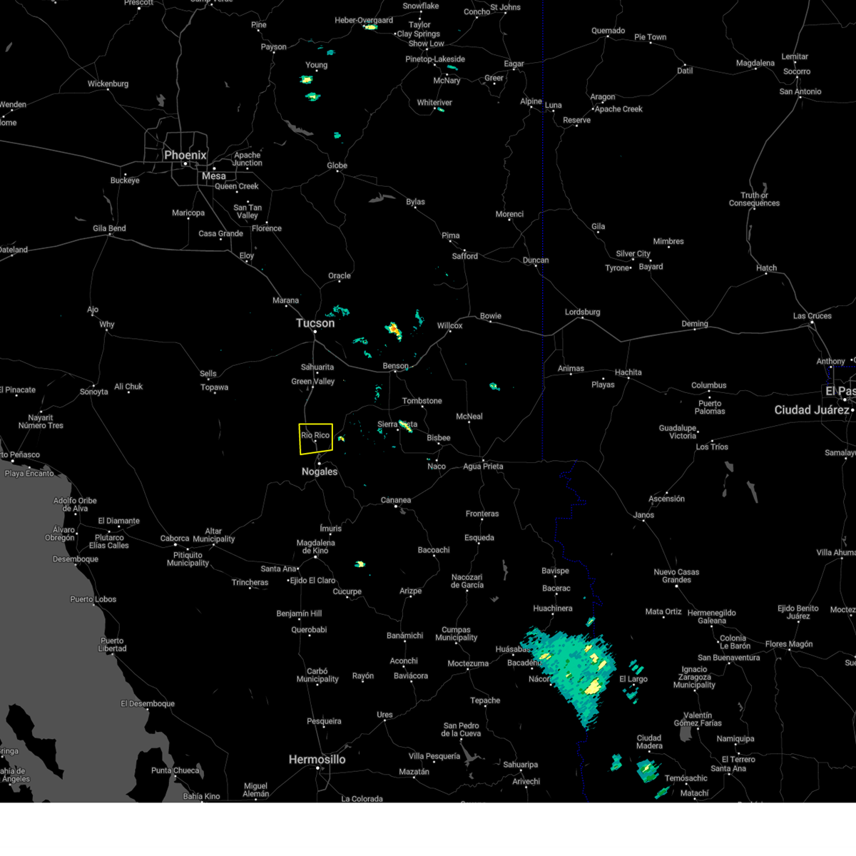
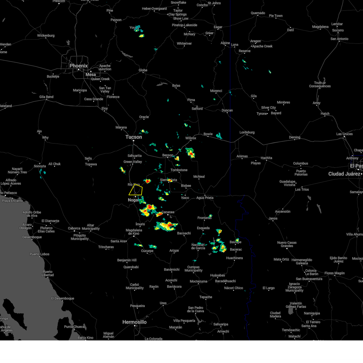
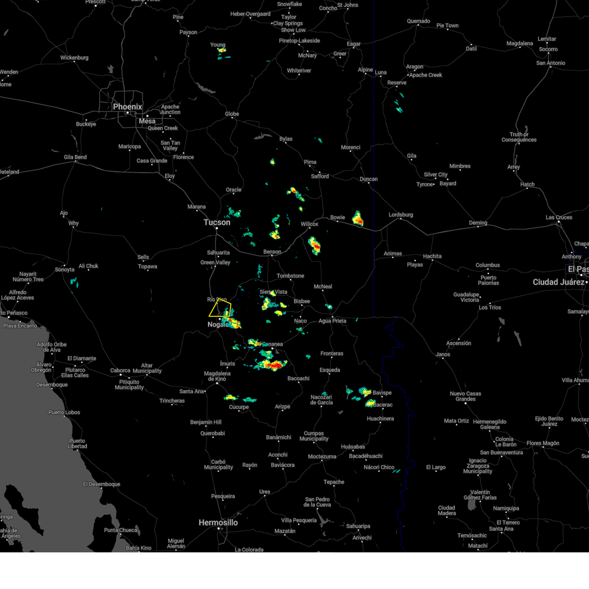
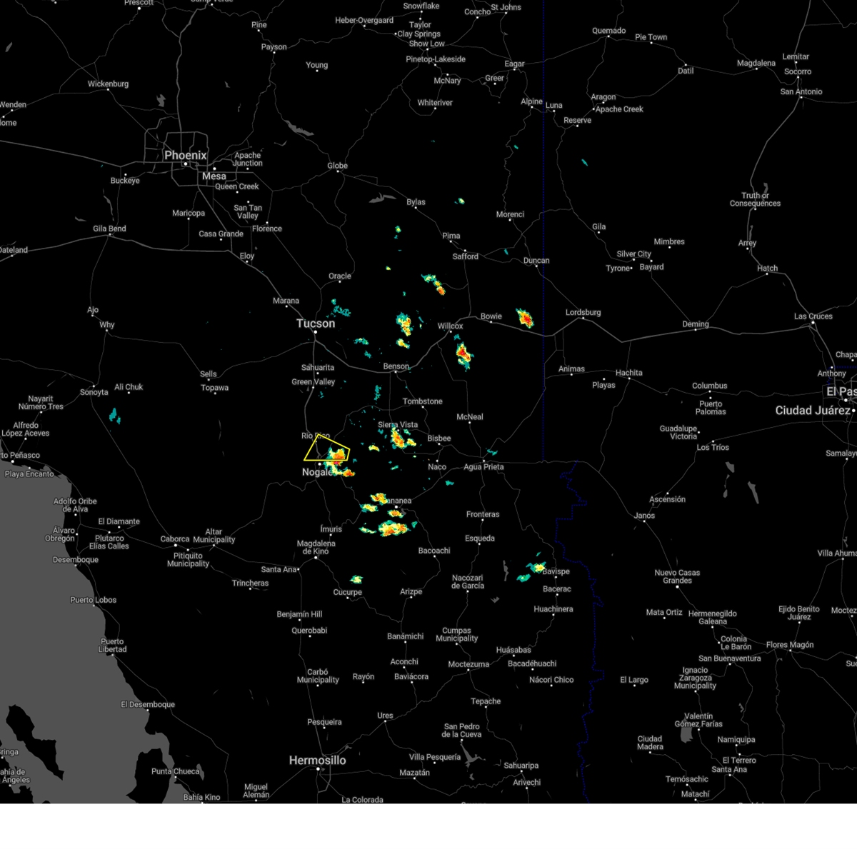
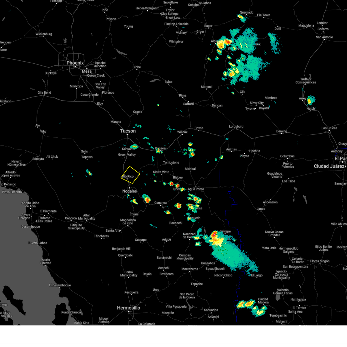
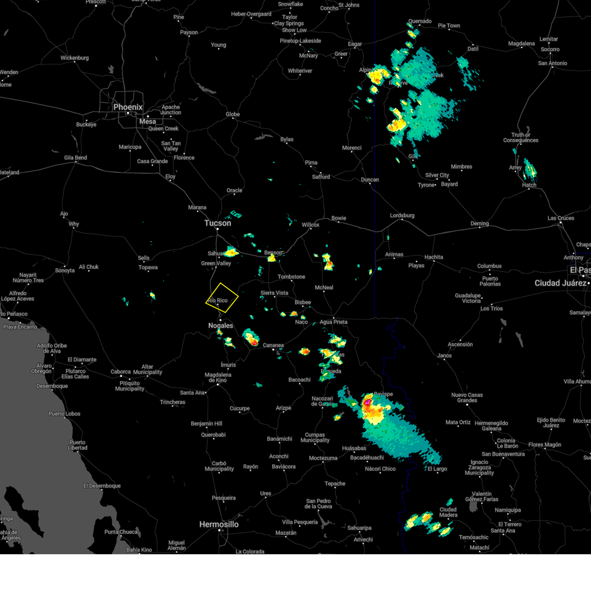
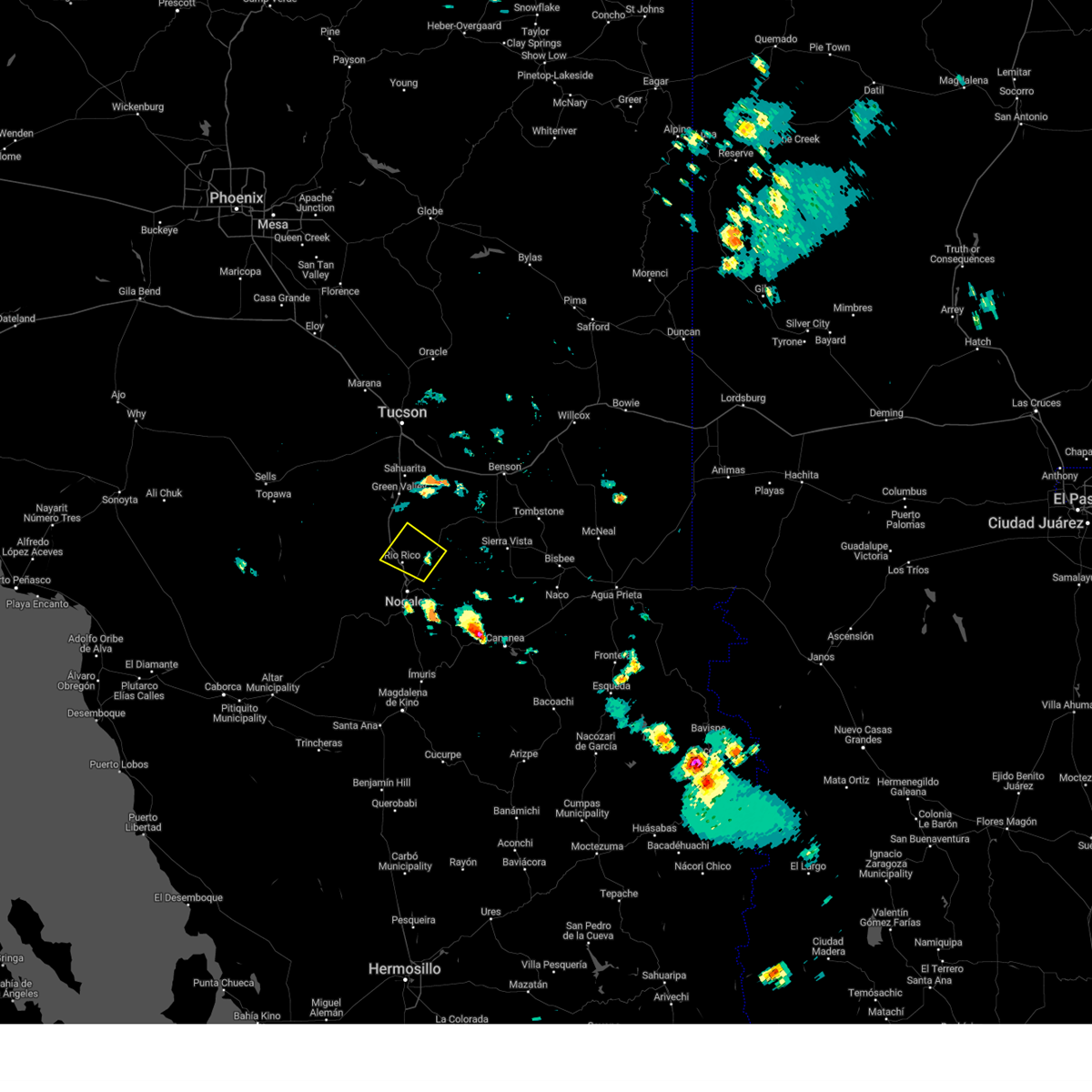
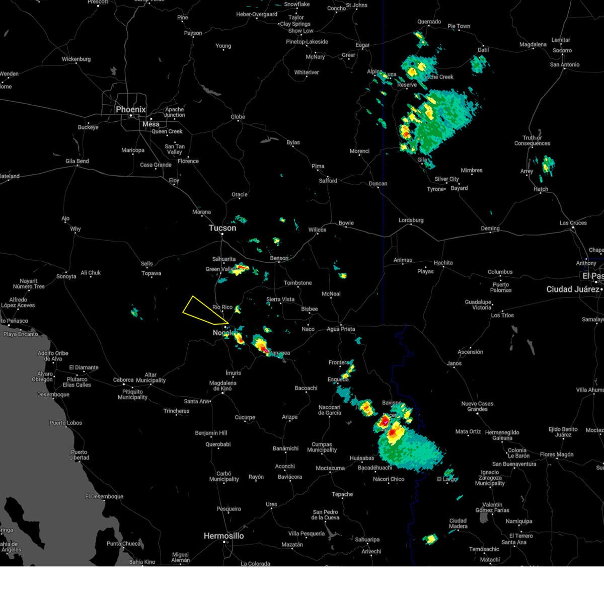
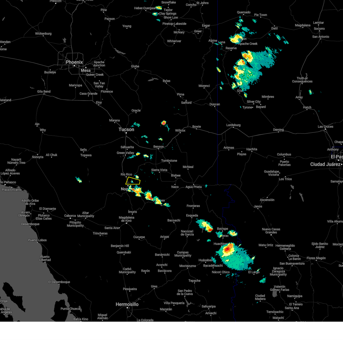
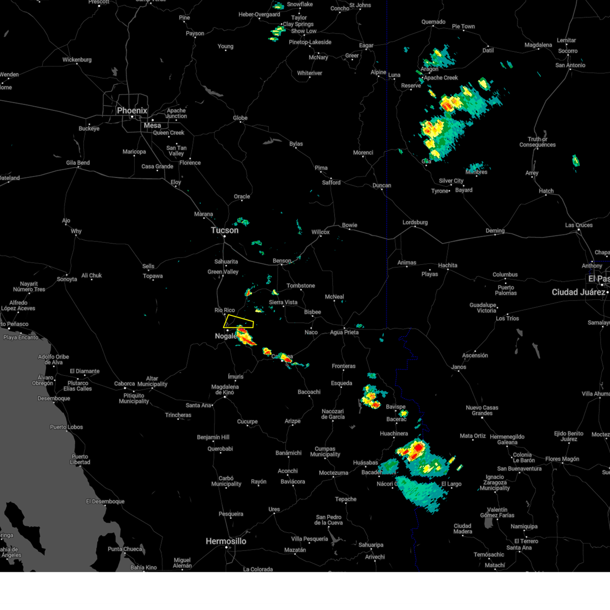
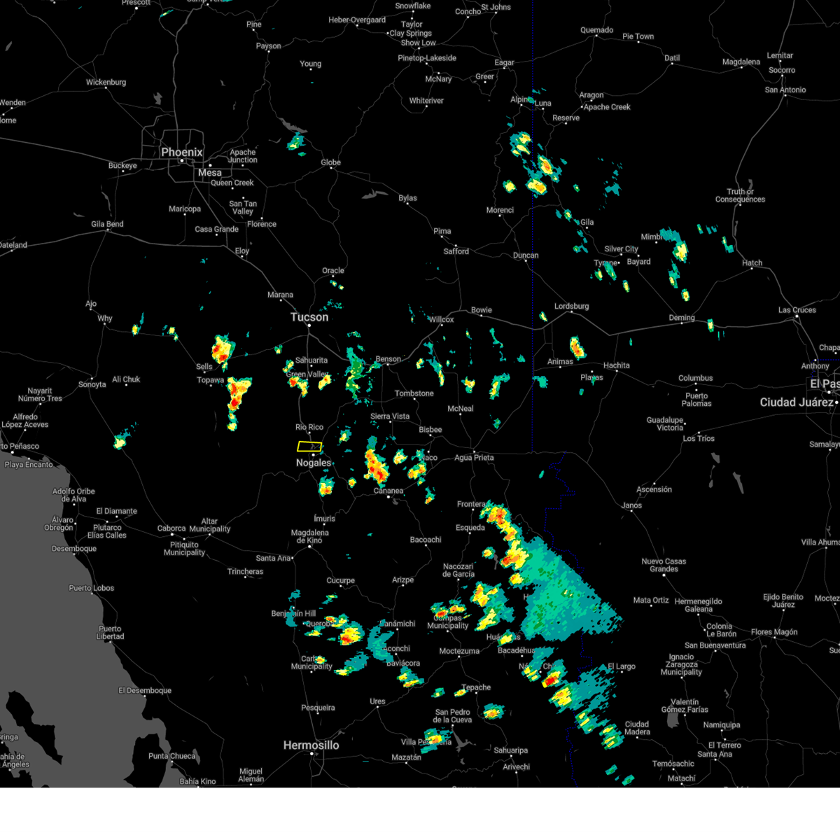
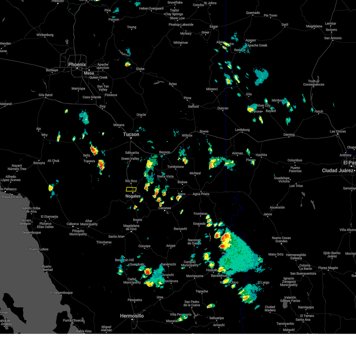
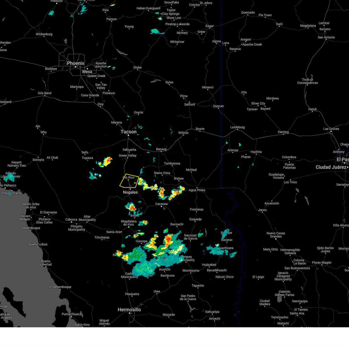
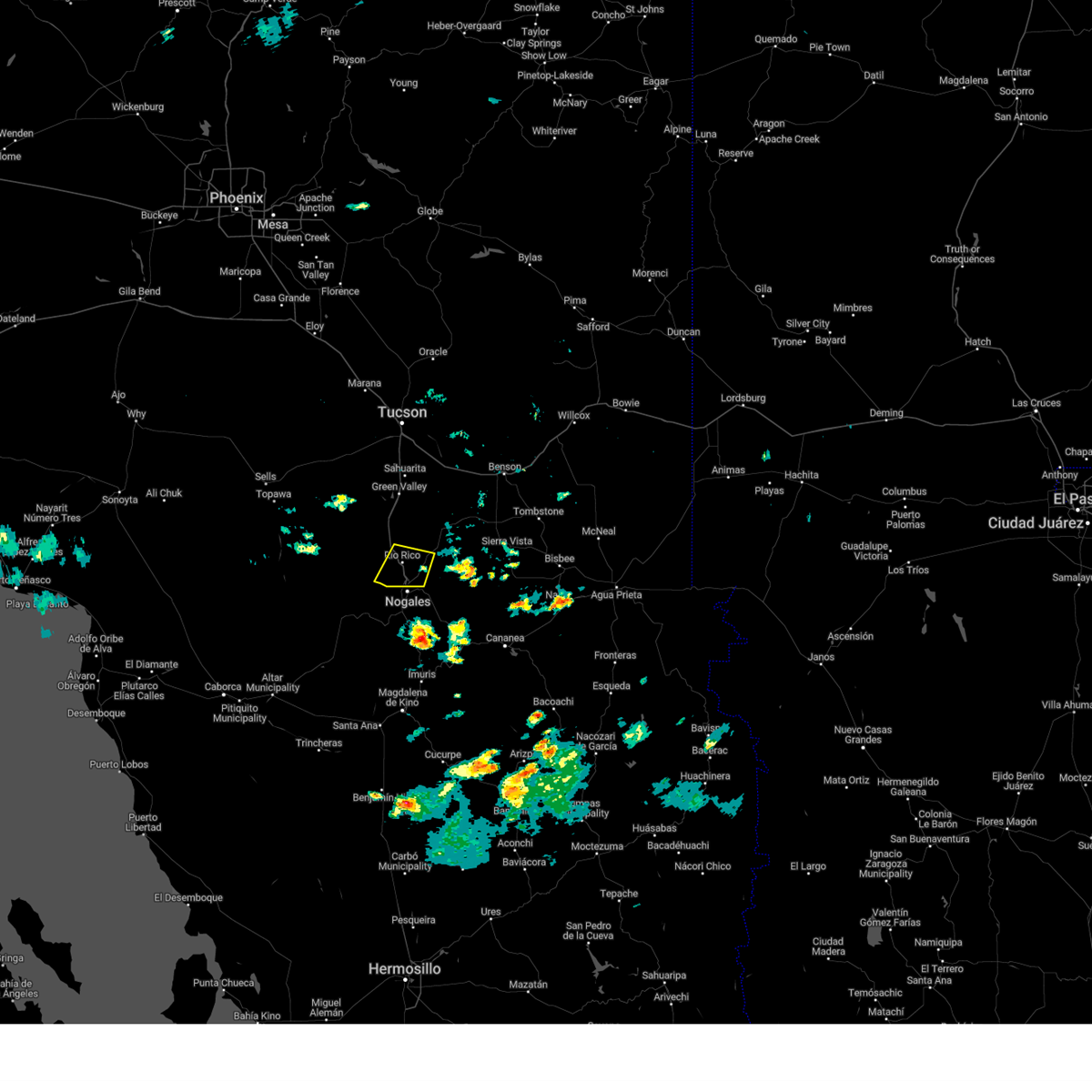
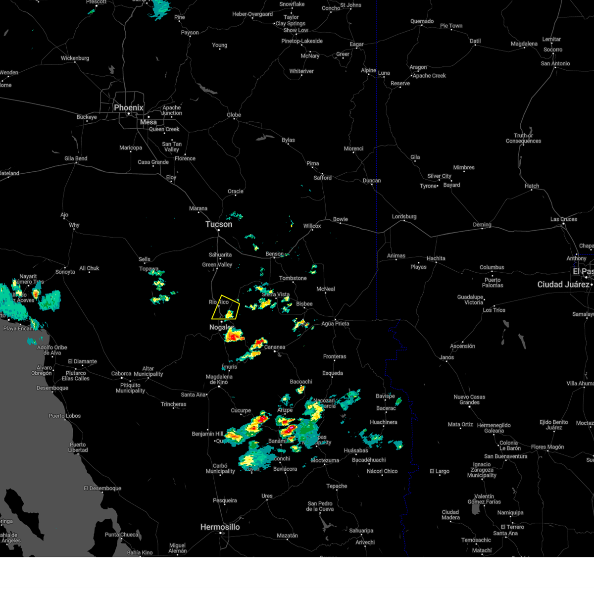
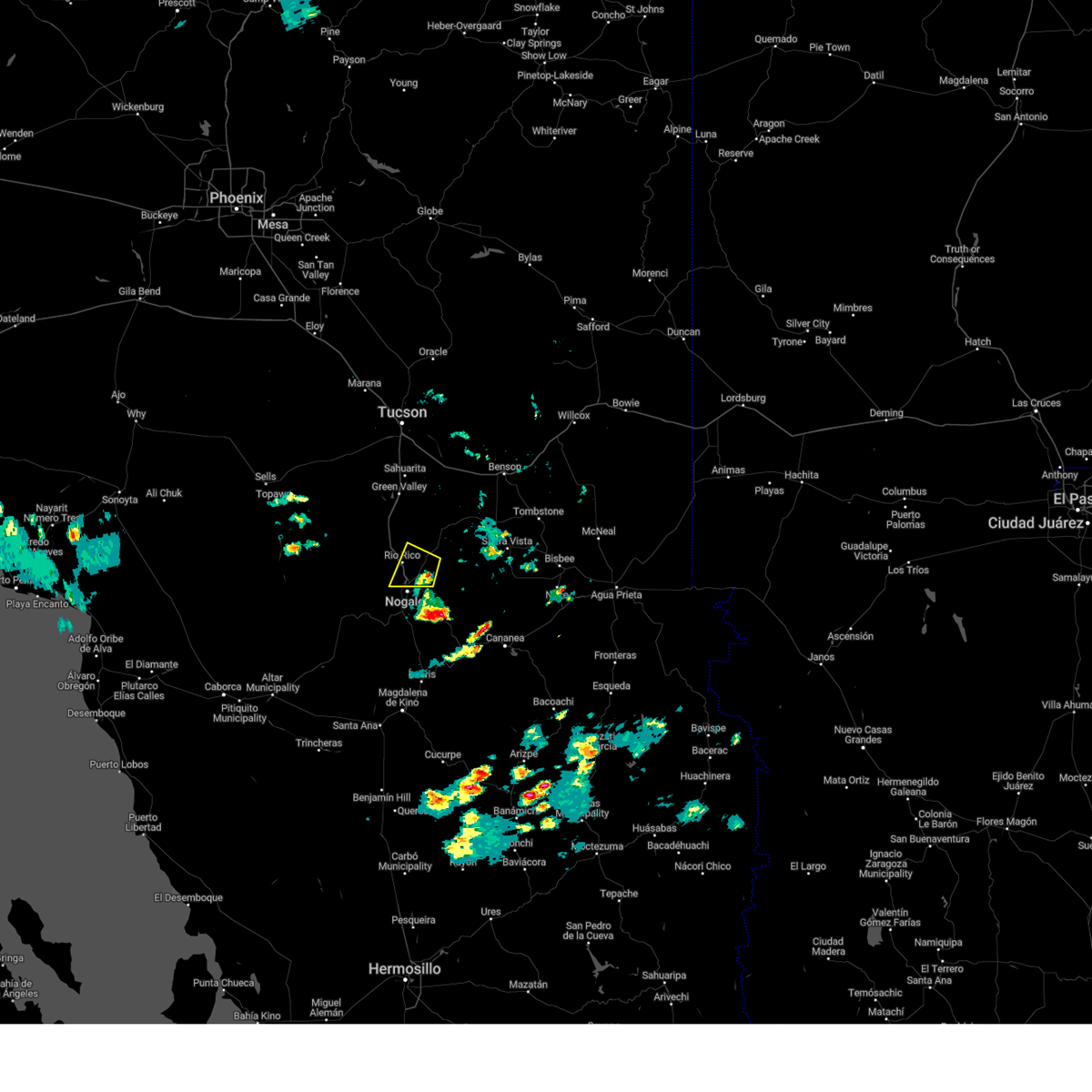
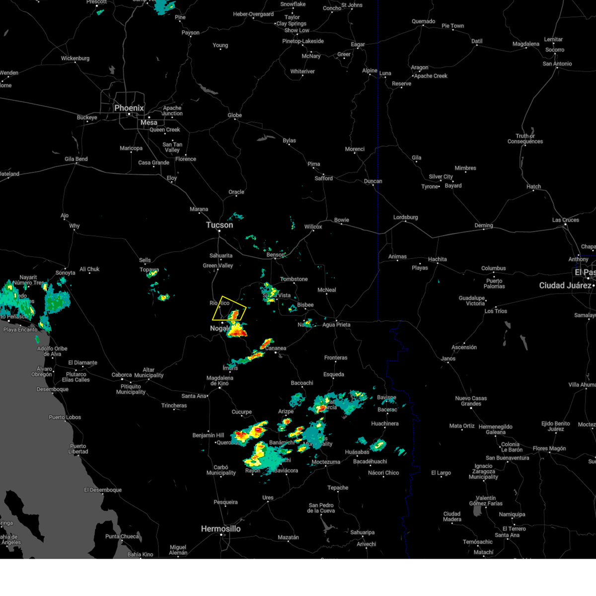
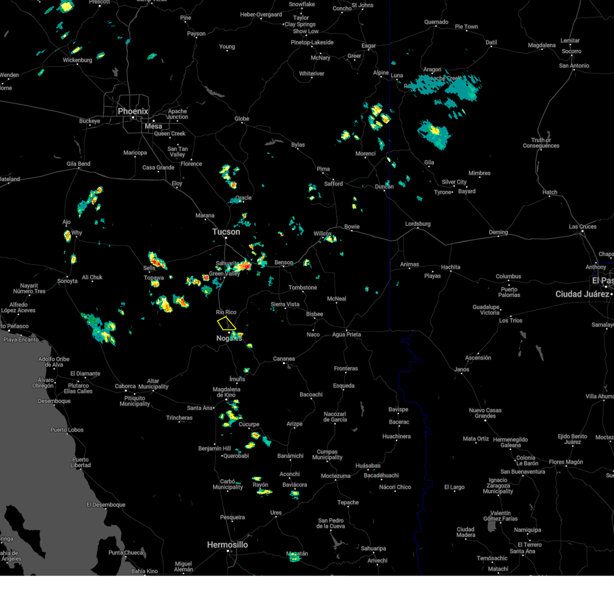
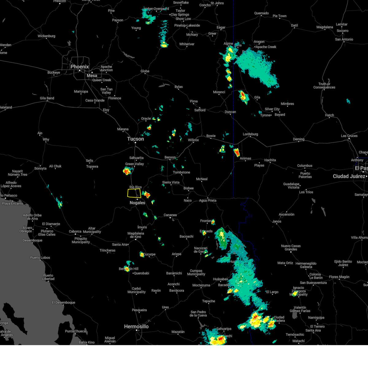
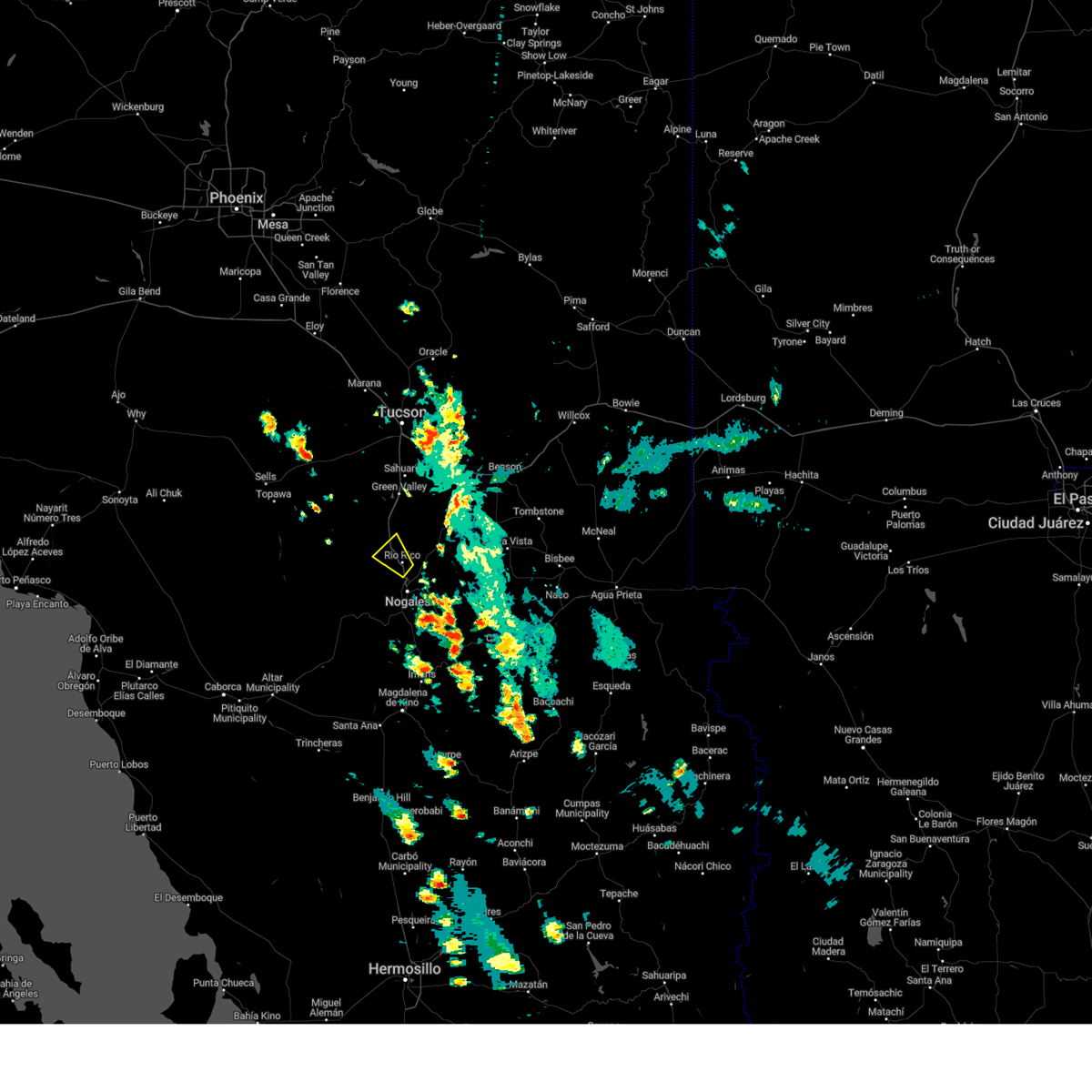
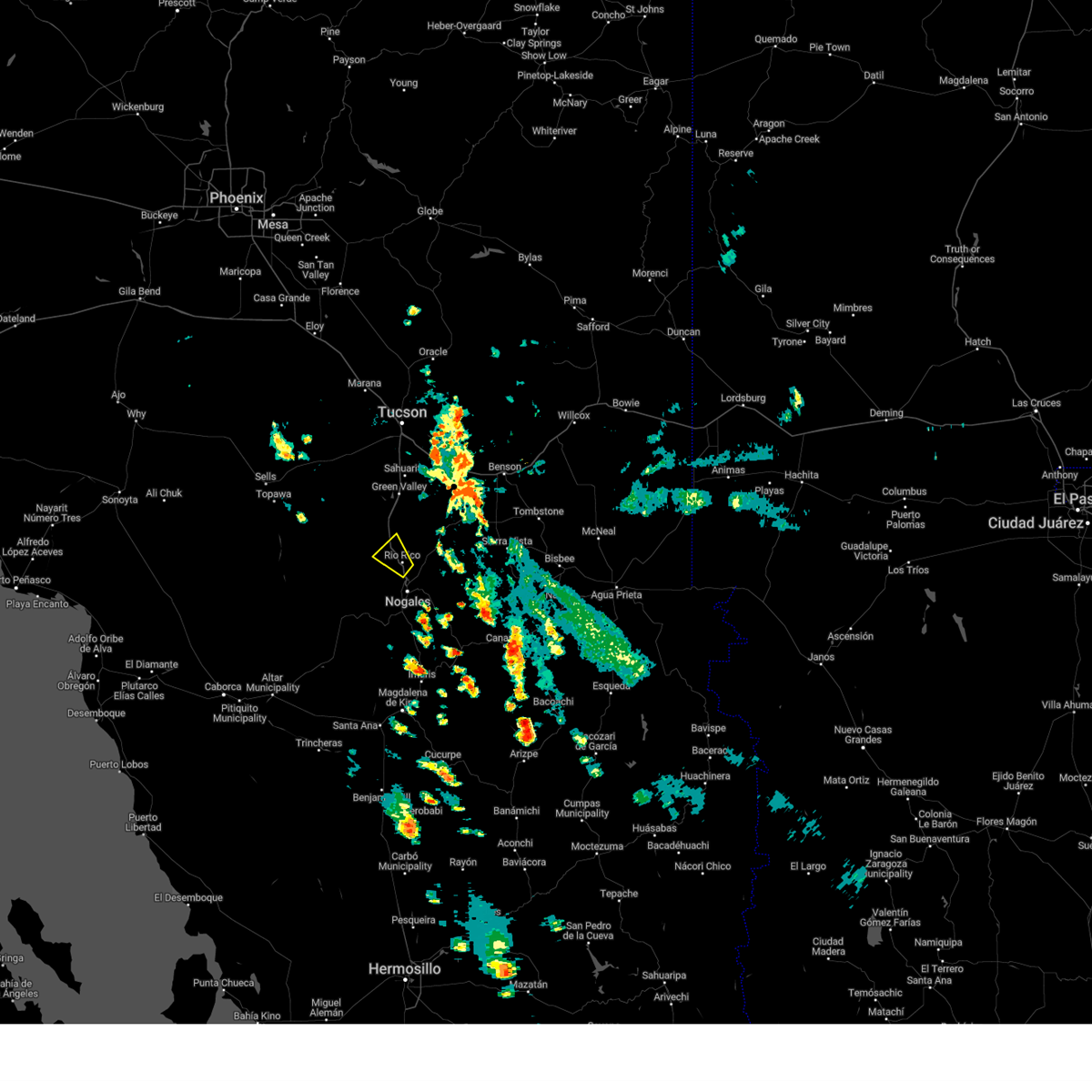
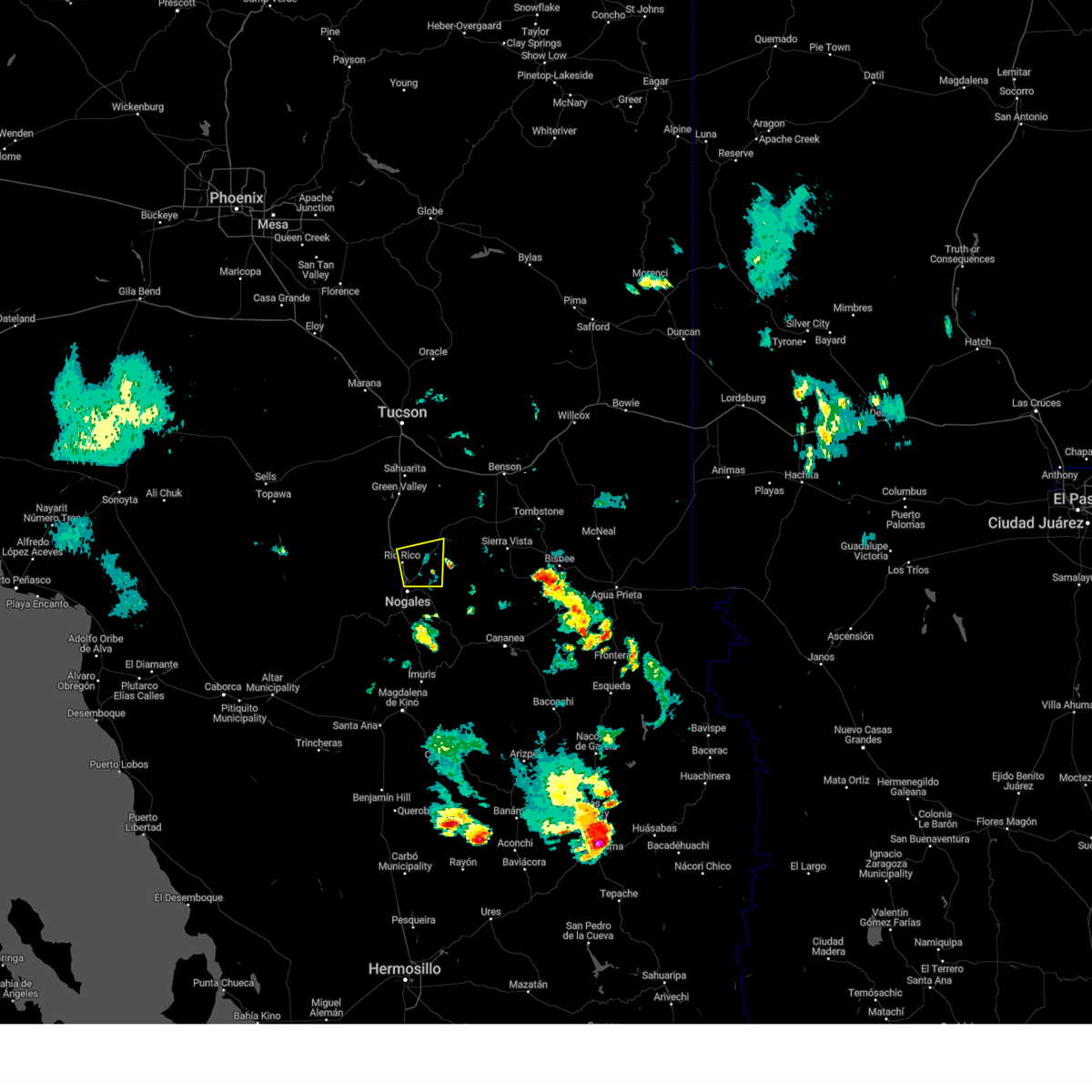
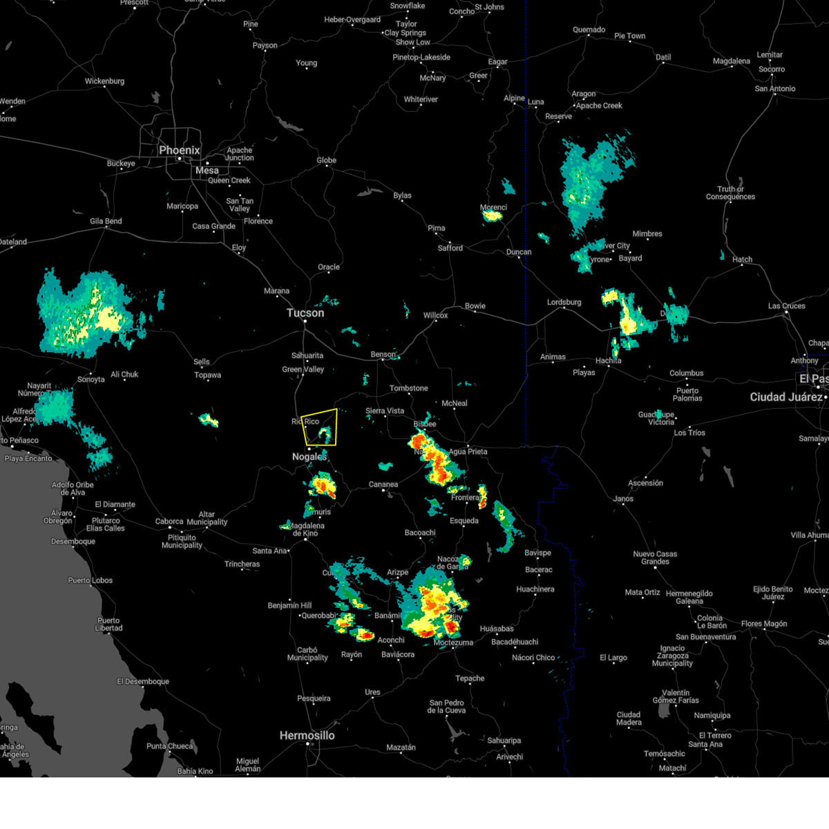
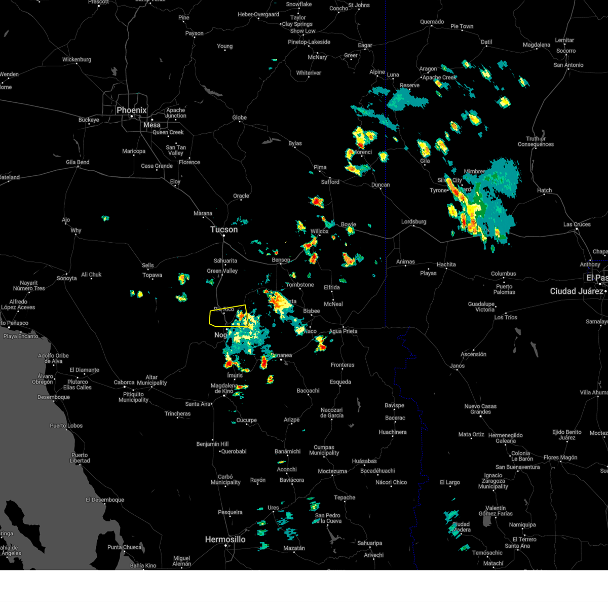
Hail Map for Nogales, AZ
The Nogales, AZ area has had 2 reports of on-the-ground hail by trained spotters, and has been under severe weather warnings 56 times during the past 12 months. Doppler radar has detected hail at or near Nogales, AZ on 21 occasions, including 2 occasions during the past year.
| Name: | Nogales, AZ |
| Where Located: | 59.3 miles S of Tucson, AZ |
| Map: | Google Map for Nogales, AZ |
| Population: | 20837 |
| Housing Units: | 7260 |
| More Info: | Search Google for Nogales, AZ |
0
The Top Recent Hail Date for Nogales, AZ is Monday, August 19, 2024 (13th out of 21)

Hail and Wind Damage Spotted near Nogales, AZ
| Date / Time | Report Details |
|---|---|
| 8/20/2024 6:11 PM MST |
 The storm which prompted the warning has weakened below severe limits, and no longer poses an immediate threat to life or property. therefore, the warning will be allowed to expire. The storm which prompted the warning has weakened below severe limits, and no longer poses an immediate threat to life or property. therefore, the warning will be allowed to expire.
|
| 8/20/2024 5:44 PM MST |
 At 544 pm mst, a severe thunderstorm was located near nogales, moving west at 10 mph (radar indicated). Hazards include 60 mph wind gusts and quarter size hail. Hail damage to vehicles is expected. expect wind damage to roofs, siding, and trees. locations impacted include, nogales, rio rico, nogales international airport, patagonia lake state park, and kino springs. this includes the following highways, interstate 19 between mile markers 1 and 9. Route 82 between mile markers 1 and 12. At 544 pm mst, a severe thunderstorm was located near nogales, moving west at 10 mph (radar indicated). Hazards include 60 mph wind gusts and quarter size hail. Hail damage to vehicles is expected. expect wind damage to roofs, siding, and trees. locations impacted include, nogales, rio rico, nogales international airport, patagonia lake state park, and kino springs. this includes the following highways, interstate 19 between mile markers 1 and 9. Route 82 between mile markers 1 and 12.
|
| 8/20/2024 5:31 PM MST |
 Svrtwc the national weather service in tucson has issued a * severe thunderstorm warning for, south central santa cruz county in southeastern arizona, * until 615 pm mst. * at 531 pm mst, a severe thunderstorm was located over nogales international airport, or near nogales, moving west at 10 mph (radar indicated). Hazards include 60 mph wind gusts and quarter size hail. Hail damage to vehicles is expected. Expect wind damage to roofs, siding, and trees. Svrtwc the national weather service in tucson has issued a * severe thunderstorm warning for, south central santa cruz county in southeastern arizona, * until 615 pm mst. * at 531 pm mst, a severe thunderstorm was located over nogales international airport, or near nogales, moving west at 10 mph (radar indicated). Hazards include 60 mph wind gusts and quarter size hail. Hail damage to vehicles is expected. Expect wind damage to roofs, siding, and trees.
|
| 8/20/2024 3:25 PM MST |
 The storm which prompted the warning near rio rico has weakened below severe limits. therefore, the warning will be allowed to expire. however, gusty winds are still possible with this thunderstorm. The storm which prompted the warning near rio rico has weakened below severe limits. therefore, the warning will be allowed to expire. however, gusty winds are still possible with this thunderstorm.
|
| 8/20/2024 3:00 PM MST |
 At 259 pm mst, a severe thunderstorm was located over rio rico, or 8 miles north of nogales, moving west at 10 mph (radar indicated). Hazards include 70 mph wind gusts and quarter size hail. Hail damage to vehicles is expected. expect considerable tree damage. wind damage is also likely to mobile homes, roofs, and outbuildings. locations impacted include, nogales, rio rico, nogales international airport, patagonia lake state park, tumacacori, and pena blanca lake. this includes the following highways, interstate 19 between mile markers 5 and 20. Route 82 between mile markers 7 and 11. At 259 pm mst, a severe thunderstorm was located over rio rico, or 8 miles north of nogales, moving west at 10 mph (radar indicated). Hazards include 70 mph wind gusts and quarter size hail. Hail damage to vehicles is expected. expect considerable tree damage. wind damage is also likely to mobile homes, roofs, and outbuildings. locations impacted include, nogales, rio rico, nogales international airport, patagonia lake state park, tumacacori, and pena blanca lake. this includes the following highways, interstate 19 between mile markers 5 and 20. Route 82 between mile markers 7 and 11.
|
| 8/20/2024 2:51 PM MST |
 Svrtwc the national weather service in tucson has issued a * severe thunderstorm warning for, central santa cruz county in southeastern arizona, * until 330 pm mst. * at 251 pm mst, a severe thunderstorm was located near rio rico, or 8 miles north of nogales, moving west at 10 mph (radar indicated). Hazards include 60 mph wind gusts and quarter size hail. Hail damage to vehicles is expected. Expect wind damage to roofs, siding, and trees. Svrtwc the national weather service in tucson has issued a * severe thunderstorm warning for, central santa cruz county in southeastern arizona, * until 330 pm mst. * at 251 pm mst, a severe thunderstorm was located near rio rico, or 8 miles north of nogales, moving west at 10 mph (radar indicated). Hazards include 60 mph wind gusts and quarter size hail. Hail damage to vehicles is expected. Expect wind damage to roofs, siding, and trees.
|
| 8/19/2024 2:20 PM MST |
 The storm which prompted the warning has moved out of the area. therefore, the warning will be allowed to expire. The storm which prompted the warning has moved out of the area. therefore, the warning will be allowed to expire.
|
| 8/19/2024 2:00 PM MST |
 At 200 pm mst, a severe thunderstorm was located over nogales, moving west at 15 mph (radar indicated). Hazards include 60 mph wind gusts and quarter size hail. Hail damage to vehicles is expected. expect wind damage to roofs, siding, and trees. locations impacted include, nogales, rio rico, and nogales international airport. this includes the following highways, interstate 19 between mile markers 1 and 10. Route 82 between mile markers 1 and 12. At 200 pm mst, a severe thunderstorm was located over nogales, moving west at 15 mph (radar indicated). Hazards include 60 mph wind gusts and quarter size hail. Hail damage to vehicles is expected. expect wind damage to roofs, siding, and trees. locations impacted include, nogales, rio rico, and nogales international airport. this includes the following highways, interstate 19 between mile markers 1 and 10. Route 82 between mile markers 1 and 12.
|
| 8/19/2024 1:54 PM MST | Asos station kols nogales international airpor in santa cruz county AZ, 6.7 miles SW of Nogales, AZ |
| 8/19/2024 1:38 PM MST |
 Svrtwc the national weather service in tucson has issued a * severe thunderstorm warning for, south central santa cruz county in southeastern arizona, * until 230 pm mst. * at 138 pm mst, a severe thunderstorm was located near nogales international airport, or near nogales, moving west at 15 mph (radar indicated). Hazards include 60 mph wind gusts and quarter size hail. Hail damage to vehicles is expected. Expect wind damage to roofs, siding, and trees. Svrtwc the national weather service in tucson has issued a * severe thunderstorm warning for, south central santa cruz county in southeastern arizona, * until 230 pm mst. * at 138 pm mst, a severe thunderstorm was located near nogales international airport, or near nogales, moving west at 15 mph (radar indicated). Hazards include 60 mph wind gusts and quarter size hail. Hail damage to vehicles is expected. Expect wind damage to roofs, siding, and trees.
|
| 8/16/2024 4:53 PM MST |
 The storm which prompted the warning has moved out of the area. therefore, the warning will be allowed to expire. however, gusty winds are still possible with this thunderstorm. remember, a severe thunderstorm warning still remains in effect for tubac and tumacacori. The storm which prompted the warning has moved out of the area. therefore, the warning will be allowed to expire. however, gusty winds are still possible with this thunderstorm. remember, a severe thunderstorm warning still remains in effect for tubac and tumacacori.
|
| 8/16/2024 4:41 PM MST |
 At 440 pm mst, a severe thunderstorm was located near rio rico, or 7 miles southeast of tubac, moving northwest at 10 mph (radar indicated). Hazards include 60 mph wind gusts and half dollar size hail. Hail damage to vehicles is expected. expect wind damage to roofs, siding, and trees. locations impacted include, nogales, rio rico, patagonia, nogales international airport, and patagonia lake state park. this includes the following highways, interstate 19 between mile markers 7 and 18. Route 82 between mile markers 5 and 21. At 440 pm mst, a severe thunderstorm was located near rio rico, or 7 miles southeast of tubac, moving northwest at 10 mph (radar indicated). Hazards include 60 mph wind gusts and half dollar size hail. Hail damage to vehicles is expected. expect wind damage to roofs, siding, and trees. locations impacted include, nogales, rio rico, patagonia, nogales international airport, and patagonia lake state park. this includes the following highways, interstate 19 between mile markers 7 and 18. Route 82 between mile markers 5 and 21.
|
| 8/16/2024 4:14 PM MST |
 Svrtwc the national weather service in tucson has issued a * severe thunderstorm warning for, central santa cruz county in southeastern arizona, * until 500 pm mst. * at 414 pm mst, a severe thunderstorm was located over patagonia lake state park, or 11 miles northeast of nogales, moving northwest at 10 mph (radar indicated). Hazards include 60 mph wind gusts and half dollar size hail. Hail damage to vehicles is expected. Expect wind damage to roofs, siding, and trees. Svrtwc the national weather service in tucson has issued a * severe thunderstorm warning for, central santa cruz county in southeastern arizona, * until 500 pm mst. * at 414 pm mst, a severe thunderstorm was located over patagonia lake state park, or 11 miles northeast of nogales, moving northwest at 10 mph (radar indicated). Hazards include 60 mph wind gusts and half dollar size hail. Hail damage to vehicles is expected. Expect wind damage to roofs, siding, and trees.
|
| 8/16/2024 4:10 PM MST |
 Svrtwc the national weather service in tucson has issued a * severe thunderstorm warning for, southeastern pima county in southeastern arizona, southwestern santa cruz county in southeastern arizona, * until 515 pm mst. * at 410 pm mst, a severe thunderstorm was located 7 miles south of nogales, moving northwest at 25 mph (radar indicated). Hazards include ping pong ball size hail and 60 mph wind gusts. People and animals outdoors will be injured. expect hail damage to roofs, siding, windows, and vehicles. Expect wind damage to roofs, siding, and trees. Svrtwc the national weather service in tucson has issued a * severe thunderstorm warning for, southeastern pima county in southeastern arizona, southwestern santa cruz county in southeastern arizona, * until 515 pm mst. * at 410 pm mst, a severe thunderstorm was located 7 miles south of nogales, moving northwest at 25 mph (radar indicated). Hazards include ping pong ball size hail and 60 mph wind gusts. People and animals outdoors will be injured. expect hail damage to roofs, siding, windows, and vehicles. Expect wind damage to roofs, siding, and trees.
|
| 8/16/2024 3:49 PM MST |
 the severe thunderstorm warning has been cancelled and is no longer in effect the severe thunderstorm warning has been cancelled and is no longer in effect
|
| 8/16/2024 3:35 PM MST | At 335 pm mst, a severe thunderstorm was located near nogales international airport, or 7 miles east of nogales, moving northwest at 10 mph (radar indicated). Hazards include 60 mph wind gusts and nickel size hail. Expect damage to roofs, siding, and trees. locations impacted include, nogales, rio rico, nogales international airport, and kino springs. this includes the following highways, interstate 19 between mile markers 1 and 5. Route 82 between mile markers 1 and 9. |
| 8/16/2024 3:08 PM MST |
 Svrtwc the national weather service in tucson has issued a * severe thunderstorm warning for, south central santa cruz county in southeastern arizona, * until 400 pm mst. * at 308 pm mst, a severe thunderstorm was located 8 miles southeast of nogales international airport, or 10 miles east of nogales, moving northwest at 10 mph (radar indicated). Hazards include 60 mph wind gusts and quarter size hail. Hail damage to vehicles is expected. Expect wind damage to roofs, siding, and trees. Svrtwc the national weather service in tucson has issued a * severe thunderstorm warning for, south central santa cruz county in southeastern arizona, * until 400 pm mst. * at 308 pm mst, a severe thunderstorm was located 8 miles southeast of nogales international airport, or 10 miles east of nogales, moving northwest at 10 mph (radar indicated). Hazards include 60 mph wind gusts and quarter size hail. Hail damage to vehicles is expected. Expect wind damage to roofs, siding, and trees.
|
| 8/12/2024 3:42 PM MST |
 At 340 pm mst, a severe thunderstorm was located over nogales, and is nearly stationary (radar indicated. at 335 pm, dime sized hail was reported at the nogales port of entry). Hazards include 60 mph wind gusts and nickel size hail. Expect damage to roofs, siding, and trees. locations impacted include, nogales. this includes the following highways, interstate 19 between mile markers 1 and 5. Route 82 between mile markers 1 and 5. At 340 pm mst, a severe thunderstorm was located over nogales, and is nearly stationary (radar indicated. at 335 pm, dime sized hail was reported at the nogales port of entry). Hazards include 60 mph wind gusts and nickel size hail. Expect damage to roofs, siding, and trees. locations impacted include, nogales. this includes the following highways, interstate 19 between mile markers 1 and 5. Route 82 between mile markers 1 and 5.
|
| 8/12/2024 3:10 PM MST |
 Svrtwc the national weather service in tucson has issued a * severe thunderstorm warning for, south central santa cruz county in southeastern arizona, * until 400 pm mst. * at 310 pm mst, a severe thunderstorm was located over nogales, and is nearly stationary (radar indicated). Hazards include 60 mph wind gusts and penny size hail. expect damage to roofs, siding, and trees Svrtwc the national weather service in tucson has issued a * severe thunderstorm warning for, south central santa cruz county in southeastern arizona, * until 400 pm mst. * at 310 pm mst, a severe thunderstorm was located over nogales, and is nearly stationary (radar indicated). Hazards include 60 mph wind gusts and penny size hail. expect damage to roofs, siding, and trees
|
| 8/6/2024 2:42 PM MST |
 the severe thunderstorm warning has been cancelled and is no longer in effect the severe thunderstorm warning has been cancelled and is no longer in effect
|
| 8/6/2024 2:23 PM MST |
 At 223 pm mst, a severe thunderstorm was located near nogales, moving west at 20 mph (radar indicated). Hazards include 60 mph wind gusts and quarter size hail. Hail damage to vehicles is expected. expect wind damage to roofs, siding, and trees. locations impacted include, nogales, rio rico, nogales international airport, patagonia lake state park, and pena blanca lake. this includes the following highways, interstate 19 between mile markers 1 and 17. Route 82 between mile markers 1 and 17. At 223 pm mst, a severe thunderstorm was located near nogales, moving west at 20 mph (radar indicated). Hazards include 60 mph wind gusts and quarter size hail. Hail damage to vehicles is expected. expect wind damage to roofs, siding, and trees. locations impacted include, nogales, rio rico, nogales international airport, patagonia lake state park, and pena blanca lake. this includes the following highways, interstate 19 between mile markers 1 and 17. Route 82 between mile markers 1 and 17.
|
| 8/6/2024 2:09 PM MST |
 Svrtwc the national weather service in tucson has issued a * severe thunderstorm warning for, south central santa cruz county in southeastern arizona, * until 315 pm mst. * at 209 pm mst, a severe thunderstorm was located over nogales, moving west at 10 mph (radar indicated). Hazards include 70 mph wind gusts and ping pong ball size hail. People and animals outdoors will be injured. expect hail damage to roofs, siding, windows, and vehicles. expect considerable tree damage. Wind damage is also likely to mobile homes, roofs, and outbuildings. Svrtwc the national weather service in tucson has issued a * severe thunderstorm warning for, south central santa cruz county in southeastern arizona, * until 315 pm mst. * at 209 pm mst, a severe thunderstorm was located over nogales, moving west at 10 mph (radar indicated). Hazards include 70 mph wind gusts and ping pong ball size hail. People and animals outdoors will be injured. expect hail damage to roofs, siding, windows, and vehicles. expect considerable tree damage. Wind damage is also likely to mobile homes, roofs, and outbuildings.
|
| 8/6/2024 2:05 PM MST | Video from social media showing multiple large trees down in parking lot. time estimated based on rada in santa cruz county AZ, 2.1 miles SSE of Nogales, AZ |
| 8/6/2024 1:59 PM MST |
 At 158 pm mst, a severe thunderstorm was located over nogales international airport, or near nogales, moving west at 10 mph (automated surface observing system at nogales airport). Hazards include 70 mph wind gusts and quarter size hail. Hail damage to vehicles is expected. expect considerable tree damage. wind damage is also likely to mobile homes, roofs, and outbuildings. locations impacted include, nogales, rio rico, nogales international airport, patagonia lake state park, and kino springs. this includes the following highways, interstate 19 between mile markers 1 and 10. Route 82 between mile markers 1 and 16. At 158 pm mst, a severe thunderstorm was located over nogales international airport, or near nogales, moving west at 10 mph (automated surface observing system at nogales airport). Hazards include 70 mph wind gusts and quarter size hail. Hail damage to vehicles is expected. expect considerable tree damage. wind damage is also likely to mobile homes, roofs, and outbuildings. locations impacted include, nogales, rio rico, nogales international airport, patagonia lake state park, and kino springs. this includes the following highways, interstate 19 between mile markers 1 and 10. Route 82 between mile markers 1 and 16.
|
| 8/6/2024 1:54 PM MST | Asos station kols nogales international airport gusted tp 75 mp in santa cruz county AZ, 6.7 miles SW of Nogales, AZ |
| 8/6/2024 1:54 PM MST |
 At 153 pm mst, a severe thunderstorm was located over nogales international airport, or near nogales, moving west at 10 mph (radar indicated). Hazards include 60 mph wind gusts and quarter size hail. Hail damage to vehicles is expected. expect wind damage to roofs, siding, and trees. locations impacted include, nogales, rio rico, nogales international airport, patagonia lake state park, and kino springs. this includes the following highways, interstate 19 between mile markers 1 and 10. Route 82 between mile markers 1 and 16. At 153 pm mst, a severe thunderstorm was located over nogales international airport, or near nogales, moving west at 10 mph (radar indicated). Hazards include 60 mph wind gusts and quarter size hail. Hail damage to vehicles is expected. expect wind damage to roofs, siding, and trees. locations impacted include, nogales, rio rico, nogales international airport, patagonia lake state park, and kino springs. this includes the following highways, interstate 19 between mile markers 1 and 10. Route 82 between mile markers 1 and 16.
|
| 8/6/2024 1:50 PM MST | Asos station kols nogales international airport gusted to 67 mp in santa cruz county AZ, 6.7 miles SW of Nogales, AZ |
| 8/6/2024 1:36 PM MST |
 Svrtwc the national weather service in tucson has issued a * severe thunderstorm warning for, southeastern santa cruz county in southeastern arizona, * until 215 pm mst. * at 136 pm mst, a severe thunderstorm was located near nogales international airport, or 8 miles east of nogales, moving west at 10 mph (radar indicated). Hazards include 60 mph wind gusts and quarter size hail. Hail damage to vehicles is expected. Expect wind damage to roofs, siding, and trees. Svrtwc the national weather service in tucson has issued a * severe thunderstorm warning for, southeastern santa cruz county in southeastern arizona, * until 215 pm mst. * at 136 pm mst, a severe thunderstorm was located near nogales international airport, or 8 miles east of nogales, moving west at 10 mph (radar indicated). Hazards include 60 mph wind gusts and quarter size hail. Hail damage to vehicles is expected. Expect wind damage to roofs, siding, and trees.
|
| 8/4/2024 4:30 PM MST |
 the severe thunderstorm warning has been cancelled and is no longer in effect the severe thunderstorm warning has been cancelled and is no longer in effect
|
| 8/4/2024 3:54 PM MST |
 Svrtwc the national weather service in tucson has issued a * severe thunderstorm warning for, south central santa cruz county in southeastern arizona, * until 445 pm mst. * at 354 pm mst, a severe thunderstorm was located over nogales, moving northwest at 10 mph (radar indicated). Hazards include 60 mph wind gusts and quarter size hail. Hail damage to vehicles is expected. Expect wind damage to roofs, siding, and trees. Svrtwc the national weather service in tucson has issued a * severe thunderstorm warning for, south central santa cruz county in southeastern arizona, * until 445 pm mst. * at 354 pm mst, a severe thunderstorm was located over nogales, moving northwest at 10 mph (radar indicated). Hazards include 60 mph wind gusts and quarter size hail. Hail damage to vehicles is expected. Expect wind damage to roofs, siding, and trees.
|
| 8/3/2024 3:02 PM MST |
 the severe thunderstorm warning has been cancelled and is no longer in effect the severe thunderstorm warning has been cancelled and is no longer in effect
|
| 8/3/2024 2:50 PM MST |
 At 250 pm mst, a severe thunderstorm was located near nogales, moving southwest at 10 mph (radar indicated). Hazards include 60 mph wind gusts and quarter size hail. Hail damage to vehicles is expected. expect wind damage to roofs, siding, and trees. locations impacted include, nogales and rio rico. this includes the following highways, interstate 19 between mile markers 1 and 10. Route 82 between mile markers 1 and 4. At 250 pm mst, a severe thunderstorm was located near nogales, moving southwest at 10 mph (radar indicated). Hazards include 60 mph wind gusts and quarter size hail. Hail damage to vehicles is expected. expect wind damage to roofs, siding, and trees. locations impacted include, nogales and rio rico. this includes the following highways, interstate 19 between mile markers 1 and 10. Route 82 between mile markers 1 and 4.
|
| 8/3/2024 2:29 PM MST |
 Svrtwc the national weather service in tucson has issued a * severe thunderstorm warning for, south central santa cruz county in southeastern arizona, * until 315 pm mst. * at 229 pm mst, a severe thunderstorm was located over nogales, moving northwest at 15 mph (radar indicated). Hazards include 60 mph wind gusts and quarter size hail. Hail damage to vehicles is expected. Expect wind damage to roofs, siding, and trees. Svrtwc the national weather service in tucson has issued a * severe thunderstorm warning for, south central santa cruz county in southeastern arizona, * until 315 pm mst. * at 229 pm mst, a severe thunderstorm was located over nogales, moving northwest at 15 mph (radar indicated). Hazards include 60 mph wind gusts and quarter size hail. Hail damage to vehicles is expected. Expect wind damage to roofs, siding, and trees.
|
| 8/1/2024 4:59 PM MST |
 The storm which prompted the warning has weakened below severe limits, and no longer poses an immediate threat to life or property. therefore, the warning will be allowed to expire. however, heavy rain is still occurring with this thunderstorm. remember, a flash flood warning still remains in effect for southern santa cruz county. The storm which prompted the warning has weakened below severe limits, and no longer poses an immediate threat to life or property. therefore, the warning will be allowed to expire. however, heavy rain is still occurring with this thunderstorm. remember, a flash flood warning still remains in effect for southern santa cruz county.
|
| 8/1/2024 4:49 PM MST |
 At 448 pm mst, a severe thunderstorm was located near nogales, and is nearly stationary (radar indicated). Hazards include 60 mph wind gusts and quarter size hail. Hail damage to vehicles is expected. expect wind damage to roofs, siding, and trees. locations impacted include, nogales, rio rico, and pena blanca lake. this includes the following highways, interstate 19 between mile markers 1 and 11. Route 82 between mile markers 1 and 5. At 448 pm mst, a severe thunderstorm was located near nogales, and is nearly stationary (radar indicated). Hazards include 60 mph wind gusts and quarter size hail. Hail damage to vehicles is expected. expect wind damage to roofs, siding, and trees. locations impacted include, nogales, rio rico, and pena blanca lake. this includes the following highways, interstate 19 between mile markers 1 and 11. Route 82 between mile markers 1 and 5.
|
| 8/1/2024 4:32 PM MST |
 Svrtwc the national weather service in tucson has issued a * severe thunderstorm warning for, south central santa cruz county in southeastern arizona, * until 500 pm mst. * at 432 pm mst, a severe thunderstorm was located over nogales, and is nearly stationary (radar indicated). Hazards include 60 mph wind gusts and quarter size hail. Hail damage to vehicles is expected. Expect wind damage to roofs, siding, and trees. Svrtwc the national weather service in tucson has issued a * severe thunderstorm warning for, south central santa cruz county in southeastern arizona, * until 500 pm mst. * at 432 pm mst, a severe thunderstorm was located over nogales, and is nearly stationary (radar indicated). Hazards include 60 mph wind gusts and quarter size hail. Hail damage to vehicles is expected. Expect wind damage to roofs, siding, and trees.
|
| 7/31/2024 1:13 PM MST |
 the severe thunderstorm warning has been cancelled and is no longer in effect the severe thunderstorm warning has been cancelled and is no longer in effect
|
| 7/31/2024 12:50 PM MST |
 Svrtwc the national weather service in tucson has issued a * severe thunderstorm warning for, central santa cruz county in southeastern arizona, * until 130 pm mst. * at 1250 pm mst, a severe thunderstorm was located over rio rico, or 9 miles northwest of nogales, moving northwest at 15 mph (radar indicated). Hazards include 60 mph wind gusts and quarter size hail. Hail damage to vehicles is expected. Expect wind damage to roofs, siding, and trees. Svrtwc the national weather service in tucson has issued a * severe thunderstorm warning for, central santa cruz county in southeastern arizona, * until 130 pm mst. * at 1250 pm mst, a severe thunderstorm was located over rio rico, or 9 miles northwest of nogales, moving northwest at 15 mph (radar indicated). Hazards include 60 mph wind gusts and quarter size hail. Hail damage to vehicles is expected. Expect wind damage to roofs, siding, and trees.
|
| 7/29/2024 7:00 PM MST |
 The storm which prompted the warning has weakened below severe limits, and no longer poses an immediate threat to life or property. therefore, the warning has been allowed to expire. however, gusty winds and heavy rain are still possible with this thunderstorm. The storm which prompted the warning has weakened below severe limits, and no longer poses an immediate threat to life or property. therefore, the warning has been allowed to expire. however, gusty winds and heavy rain are still possible with this thunderstorm.
|
| 7/29/2024 6:44 PM MST |
 At 643 pm mst, a severe thunderstorm was located over nogales international airport, or 8 miles northeast of nogales, moving north at 5 mph (radar indicated). Hazards include 60 mph wind gusts. Expect damage to roofs, siding, and trees. locations impacted include, nogales, rio rico, patagonia, nogales international airport, patagonia lake state park, and kino springs. this includes the following highways, interstate 19 between mile markers 1 and 10. Route 82 between mile markers 1 and 24. At 643 pm mst, a severe thunderstorm was located over nogales international airport, or 8 miles northeast of nogales, moving north at 5 mph (radar indicated). Hazards include 60 mph wind gusts. Expect damage to roofs, siding, and trees. locations impacted include, nogales, rio rico, patagonia, nogales international airport, patagonia lake state park, and kino springs. this includes the following highways, interstate 19 between mile markers 1 and 10. Route 82 between mile markers 1 and 24.
|
| 7/29/2024 6:33 PM MST |
 Svrtwc the national weather service in tucson has issued a * severe thunderstorm warning for, south central santa cruz county in southeastern arizona, * until 700 pm mst. * at 633 pm mst, a severe thunderstorm was located over nogales international airport, or 7 miles northeast of nogales, moving north at 5 mph (radar indicated). Hazards include 60 mph wind gusts and quarter size hail. Hail damage to vehicles is expected. Expect wind damage to roofs, siding, and trees. Svrtwc the national weather service in tucson has issued a * severe thunderstorm warning for, south central santa cruz county in southeastern arizona, * until 700 pm mst. * at 633 pm mst, a severe thunderstorm was located over nogales international airport, or 7 miles northeast of nogales, moving north at 5 mph (radar indicated). Hazards include 60 mph wind gusts and quarter size hail. Hail damage to vehicles is expected. Expect wind damage to roofs, siding, and trees.
|
| 7/27/2024 3:10 PM MST |
 The storm which prompted the warning has weakened below severe limits, and has exited the warned area. therefore, the warning will be allowed to expire. The storm which prompted the warning has weakened below severe limits, and has exited the warned area. therefore, the warning will be allowed to expire.
|
| 7/27/2024 2:55 PM MST |
 At 254 pm mst, a severe thunderstorm was located near nogales international airport, or 7 miles east of nogales, moving southwest at 15 mph (radar indicated). Hazards include 60 mph wind gusts. Expect damage to roofs, siding, and trees. locations impacted include, nogales, rio rico, nogales international airport, patagonia lake state park, kino springs, and pena blanca lake. this includes the following highways, interstate 19 between mile markers 1 and 12. Route 82 between mile markers 1 and 14. At 254 pm mst, a severe thunderstorm was located near nogales international airport, or 7 miles east of nogales, moving southwest at 15 mph (radar indicated). Hazards include 60 mph wind gusts. Expect damage to roofs, siding, and trees. locations impacted include, nogales, rio rico, nogales international airport, patagonia lake state park, kino springs, and pena blanca lake. this includes the following highways, interstate 19 between mile markers 1 and 12. Route 82 between mile markers 1 and 14.
|
| 7/27/2024 2:36 PM MST |
 Svrtwc the national weather service in tucson has issued a * severe thunderstorm warning for, south central santa cruz county in southeastern arizona, * until 315 pm mst. * at 236 pm mst, a severe thunderstorm was located near nogales international airport, or 11 miles northeast of nogales, moving southwest at 15 mph (radar indicated). Hazards include 60 mph wind gusts. expect damage to roofs, siding, and trees Svrtwc the national weather service in tucson has issued a * severe thunderstorm warning for, south central santa cruz county in southeastern arizona, * until 315 pm mst. * at 236 pm mst, a severe thunderstorm was located near nogales international airport, or 11 miles northeast of nogales, moving southwest at 15 mph (radar indicated). Hazards include 60 mph wind gusts. expect damage to roofs, siding, and trees
|
| 7/21/2024 5:57 PM MST |
 The storm near nogales which prompted the warning has weakened below severe limits. therefore, the warning will be allowed to expire. The storm near nogales which prompted the warning has weakened below severe limits. therefore, the warning will be allowed to expire.
|
| 7/21/2024 5:17 PM MST |
 Svrtwc the national weather service in tucson has issued a * severe thunderstorm warning for, south central santa cruz county in southeastern arizona, * until 600 pm mst. * at 517 pm mst, a severe thunderstorm was located near rio rico, or near nogales, moving south at 10 mph (radar indicated). Hazards include 60 mph wind gusts. expect damage to roofs, siding, and trees Svrtwc the national weather service in tucson has issued a * severe thunderstorm warning for, south central santa cruz county in southeastern arizona, * until 600 pm mst. * at 517 pm mst, a severe thunderstorm was located near rio rico, or near nogales, moving south at 10 mph (radar indicated). Hazards include 60 mph wind gusts. expect damage to roofs, siding, and trees
|
| 7/21/2024 5:01 PM MST | Asos station kols nogales international airport measured wind gust of 58 mp in santa cruz county AZ, 6.7 miles SW of Nogales, AZ |
| 7/15/2024 5:44 PM MST |
 Svrtwc the national weather service in tucson has issued a * severe thunderstorm warning for, southeastern pima county in southeastern arizona, southwestern santa cruz county in southeastern arizona, * until 630 pm mst. * at 543 pm mst, a severe thunderstorm was located near nogales and rio rico, moving west at 15 mph (radar indicated). Hazards include 60 mph wind gusts and quarter size hail. Hail damage to vehicles is expected. Expect wind damage to roofs, siding, and trees. Svrtwc the national weather service in tucson has issued a * severe thunderstorm warning for, southeastern pima county in southeastern arizona, southwestern santa cruz county in southeastern arizona, * until 630 pm mst. * at 543 pm mst, a severe thunderstorm was located near nogales and rio rico, moving west at 15 mph (radar indicated). Hazards include 60 mph wind gusts and quarter size hail. Hail damage to vehicles is expected. Expect wind damage to roofs, siding, and trees.
|
| 7/15/2024 5:09 PM MST | The storms which prompted the warning have weakened below severe limits, and have exited the warned area. therefore, the warning will be allowed to expire. |
| 7/15/2024 4:55 PM MST |
 At 454 pm mst, severe thunderstorms were located along a line extending from near nogales international airport to 8 miles southwest of parker canyon lake, moving south at 20 mph (radar indicated). Hazards include 60 mph wind gusts and quarter size hail. Hail damage to vehicles is expected. expect wind damage to roofs, siding, and trees. locations impacted include, nogales international airport, kino springs, and lochiel. This includes route 82 between mile markers 5 and 7. At 454 pm mst, severe thunderstorms were located along a line extending from near nogales international airport to 8 miles southwest of parker canyon lake, moving south at 20 mph (radar indicated). Hazards include 60 mph wind gusts and quarter size hail. Hail damage to vehicles is expected. expect wind damage to roofs, siding, and trees. locations impacted include, nogales international airport, kino springs, and lochiel. This includes route 82 between mile markers 5 and 7.
|
| 7/15/2024 4:37 PM MST |
 Svrtwc the national weather service in tucson has issued a * severe thunderstorm warning for, southeastern santa cruz county in southeastern arizona, * until 515 pm mst. * at 437 pm mst, severe thunderstorms were located along a line extending from near nogales international airport to near parker canyon lake, moving south at 20 mph (radar indicated). Hazards include 60 mph wind gusts and quarter size hail. Hail damage to vehicles is expected. Expect wind damage to roofs, siding, and trees. Svrtwc the national weather service in tucson has issued a * severe thunderstorm warning for, southeastern santa cruz county in southeastern arizona, * until 515 pm mst. * at 437 pm mst, severe thunderstorms were located along a line extending from near nogales international airport to near parker canyon lake, moving south at 20 mph (radar indicated). Hazards include 60 mph wind gusts and quarter size hail. Hail damage to vehicles is expected. Expect wind damage to roofs, siding, and trees.
|
| 7/14/2024 2:49 PM MST |
 At 248 pm mst, a severe thunderstorm was located over patagonia, or 17 miles northeast of nogales, moving northwest at 10 mph (radar indicated). Hazards include 60 mph wind gusts, especially along highway 82 between patagonia and sonoita, and quarter size hail. Hail damage to vehicles is expected. expect wind damage to roofs, siding, and trees. locations impacted include, nogales, rio rico, patagonia, nogales international airport, patagonia lake state park, and kino springs. this includes the following highways, interstate 19 between mile markers 1 and 12. Route 82 between mile markers 1 and 24. At 248 pm mst, a severe thunderstorm was located over patagonia, or 17 miles northeast of nogales, moving northwest at 10 mph (radar indicated). Hazards include 60 mph wind gusts, especially along highway 82 between patagonia and sonoita, and quarter size hail. Hail damage to vehicles is expected. expect wind damage to roofs, siding, and trees. locations impacted include, nogales, rio rico, patagonia, nogales international airport, patagonia lake state park, and kino springs. this includes the following highways, interstate 19 between mile markers 1 and 12. Route 82 between mile markers 1 and 24.
|
| 7/14/2024 2:31 PM MST |
 Svrtwc the national weather service in tucson has issued a * severe thunderstorm warning for, southeastern santa cruz county in southeastern arizona, * until 315 pm mst. * at 231 pm mst, a severe thunderstorm was located over patagonia, or 14 miles northeast of nogales, moving west at 5 mph (radar indicated). Hazards include 60 mph wind gusts and quarter size hail. Hail damage to vehicles is expected. Expect wind damage to roofs, siding, and trees. Svrtwc the national weather service in tucson has issued a * severe thunderstorm warning for, southeastern santa cruz county in southeastern arizona, * until 315 pm mst. * at 231 pm mst, a severe thunderstorm was located over patagonia, or 14 miles northeast of nogales, moving west at 5 mph (radar indicated). Hazards include 60 mph wind gusts and quarter size hail. Hail damage to vehicles is expected. Expect wind damage to roofs, siding, and trees.
|
| 7/11/2024 3:56 PM MST |
 The storm which prompted the warning has weakened below severe limits, and no longer poses an immediate threat to life or property. therefore, the warning will be allowed to expire. however, gusty winds are still possible with this thunderstorm near patagonia and patagonia lake. The storm which prompted the warning has weakened below severe limits, and no longer poses an immediate threat to life or property. therefore, the warning will be allowed to expire. however, gusty winds are still possible with this thunderstorm near patagonia and patagonia lake.
|
| 7/11/2024 3:42 PM MST |
 At 342 pm mst, a severe thunderstorm was located near patagonia lake state park, or near nogales, moving south at 10 mph (radar indicated). Hazards include 60 mph wind gusts and nickel size hail. Expect damage to roofs, siding, and trees. locations impacted include, nogales, rio rico, patagonia, nogales international airport, patagonia lake state park, and kino springs. this includes the following highways, interstate 19 between mile markers 1 and 11. Route 82 between mile markers 1 and 23. At 342 pm mst, a severe thunderstorm was located near patagonia lake state park, or near nogales, moving south at 10 mph (radar indicated). Hazards include 60 mph wind gusts and nickel size hail. Expect damage to roofs, siding, and trees. locations impacted include, nogales, rio rico, patagonia, nogales international airport, patagonia lake state park, and kino springs. this includes the following highways, interstate 19 between mile markers 1 and 11. Route 82 between mile markers 1 and 23.
|
| 7/11/2024 3:21 PM MST |
 Svrtwc the national weather service in tucson has issued a * severe thunderstorm warning for, south central santa cruz county in southeastern arizona, * until 400 pm mst. * at 320 pm mst, a severe thunderstorm was located near patagonia lake state park, or 12 miles northeast of nogales, moving south at 10 mph (radar indicated). Hazards include 60 mph wind gusts and nickel size hail. expect damage to roofs, siding, and trees Svrtwc the national weather service in tucson has issued a * severe thunderstorm warning for, south central santa cruz county in southeastern arizona, * until 400 pm mst. * at 320 pm mst, a severe thunderstorm was located near patagonia lake state park, or 12 miles northeast of nogales, moving south at 10 mph (radar indicated). Hazards include 60 mph wind gusts and nickel size hail. expect damage to roofs, siding, and trees
|
| 7/11/2024 2:28 PM MST |
 The storm which prompted the warning has moved out of the area. therefore, the warning will be allowed to expire. however, gusty winds are still possible with this thunderstorm along the international border near nogales and kino springs. The storm which prompted the warning has moved out of the area. therefore, the warning will be allowed to expire. however, gusty winds are still possible with this thunderstorm along the international border near nogales and kino springs.
|
| 7/11/2024 2:19 PM MST |
 At 219 pm mst, a severe thunderstorm was located near nogales, moving south at 10 mph (radar indicated). Hazards include 60 mph wind gusts and nickel size hail. Expect damage to roofs, siding, and trees. locations impacted include, nogales, rio rico, nogales international airport, and kino springs. this includes the following highways, interstate 19 between mile markers 1 and 11. Route 82 between mile markers 1 and 12. At 219 pm mst, a severe thunderstorm was located near nogales, moving south at 10 mph (radar indicated). Hazards include 60 mph wind gusts and nickel size hail. Expect damage to roofs, siding, and trees. locations impacted include, nogales, rio rico, nogales international airport, and kino springs. this includes the following highways, interstate 19 between mile markers 1 and 11. Route 82 between mile markers 1 and 12.
|
| 7/11/2024 2:05 PM MST |
 Svrtwc the national weather service in tucson has issued a * severe thunderstorm warning for, south central santa cruz county in southeastern arizona, * until 230 pm mst. * at 204 pm mst, a severe thunderstorm was located over nogales, moving south at 5 mph (radar indicated). Hazards include 60 mph wind gusts and nickel size hail. expect damage to roofs, siding, and trees Svrtwc the national weather service in tucson has issued a * severe thunderstorm warning for, south central santa cruz county in southeastern arizona, * until 230 pm mst. * at 204 pm mst, a severe thunderstorm was located over nogales, moving south at 5 mph (radar indicated). Hazards include 60 mph wind gusts and nickel size hail. expect damage to roofs, siding, and trees
|
| 7/5/2024 3:31 PM MST |
 the severe thunderstorm warning has been cancelled and is no longer in effect the severe thunderstorm warning has been cancelled and is no longer in effect
|
| 7/5/2024 3:05 PM MST |
 Svrtwc the national weather service in tucson has issued a * severe thunderstorm warning for, south central santa cruz county in southeastern arizona, * until 345 pm mst. * at 305 pm mst, a severe thunderstorm was located over nogales, moving southwest at 10 mph (radar indicated). Hazards include 60 mph wind gusts and penny size hail. expect damage to roofs, siding, and trees Svrtwc the national weather service in tucson has issued a * severe thunderstorm warning for, south central santa cruz county in southeastern arizona, * until 345 pm mst. * at 305 pm mst, a severe thunderstorm was located over nogales, moving southwest at 10 mph (radar indicated). Hazards include 60 mph wind gusts and penny size hail. expect damage to roofs, siding, and trees
|
| 6/26/2024 2:56 PM MST |
 The storm which prompted the warning has weakened below severe limits, and no longer poses an immediate threat to life or property. therefore, the warning will be allowed to expire. however, heavy rain is still possible with this thunderstorm and a flash flood warning is in effect until 545 pm mst. The storm which prompted the warning has weakened below severe limits, and no longer poses an immediate threat to life or property. therefore, the warning will be allowed to expire. however, heavy rain is still possible with this thunderstorm and a flash flood warning is in effect until 545 pm mst.
|
| 6/26/2024 2:44 PM MST |
 At 244 pm mst, a severe thunderstorm was located over nogales, and is nearly stationary (radar indicated). Hazards include 60 mph wind gusts and quarter size hail. Hail damage to vehicles is expected. expect wind damage to roofs, siding, and trees. locations impacted include, nogales and nogales international airport. this includes the following highways, interstate 19 between mile markers 1 and 7. Route 82 between mile markers 1 and 8. At 244 pm mst, a severe thunderstorm was located over nogales, and is nearly stationary (radar indicated). Hazards include 60 mph wind gusts and quarter size hail. Hail damage to vehicles is expected. expect wind damage to roofs, siding, and trees. locations impacted include, nogales and nogales international airport. this includes the following highways, interstate 19 between mile markers 1 and 7. Route 82 between mile markers 1 and 8.
|
| 6/26/2024 2:17 PM MST |
 Svrtwc the national weather service in tucson has issued a * severe thunderstorm warning for, south central santa cruz county in southeastern arizona, * until 300 pm mst. * at 217 pm mst, a severe thunderstorm was located over nogales, and is nearly stationary (radar indicated). Hazards include 60 mph wind gusts and quarter size hail. Hail damage to vehicles is expected. Expect wind damage to roofs, siding, and trees. Svrtwc the national weather service in tucson has issued a * severe thunderstorm warning for, south central santa cruz county in southeastern arizona, * until 300 pm mst. * at 217 pm mst, a severe thunderstorm was located over nogales, and is nearly stationary (radar indicated). Hazards include 60 mph wind gusts and quarter size hail. Hail damage to vehicles is expected. Expect wind damage to roofs, siding, and trees.
|
| 6/23/2024 2:59 PM MST |
 Svrtwc the national weather service in tucson has issued a * severe thunderstorm warning for, southeastern pima county in southeastern arizona, central santa cruz county in southeastern arizona, * until 345 pm mst. * at 259 pm mst, a severe thunderstorm was located over rio rico, or 8 miles north of nogales, moving northwest at 15 mph (radar indicated). Hazards include 60 mph wind gusts and quarter size hail. Hail damage to vehicles is expected. Expect wind damage to roofs, siding, and trees. Svrtwc the national weather service in tucson has issued a * severe thunderstorm warning for, southeastern pima county in southeastern arizona, central santa cruz county in southeastern arizona, * until 345 pm mst. * at 259 pm mst, a severe thunderstorm was located over rio rico, or 8 miles north of nogales, moving northwest at 15 mph (radar indicated). Hazards include 60 mph wind gusts and quarter size hail. Hail damage to vehicles is expected. Expect wind damage to roofs, siding, and trees.
|
| 6/23/2024 2:37 PM MST |
 At 236 pm mst, a severe thunderstorm was located over nogales international airport, or near nogales, moving north at 10 mph (radar indicated). Hazards include 60 mph wind gusts and quarter size hail. Hail damage to vehicles is expected. expect wind damage to roofs, siding, and trees. locations impacted include, nogales, rio rico, nogales international airport, patagonia lake state park, and kino springs. this includes the following highways, interstate 19 between mile markers 1 and 15. Route 82 between mile markers 1 and 16. At 236 pm mst, a severe thunderstorm was located over nogales international airport, or near nogales, moving north at 10 mph (radar indicated). Hazards include 60 mph wind gusts and quarter size hail. Hail damage to vehicles is expected. expect wind damage to roofs, siding, and trees. locations impacted include, nogales, rio rico, nogales international airport, patagonia lake state park, and kino springs. this includes the following highways, interstate 19 between mile markers 1 and 15. Route 82 between mile markers 1 and 16.
|
| 6/23/2024 2:19 PM MST |
 Svrtwc the national weather service in tucson has issued a * severe thunderstorm warning for, south central santa cruz county in southeastern arizona, * until 300 pm mst. * at 219 pm mst, a severe thunderstorm was located near nogales, moving north at 15 mph (radar indicated). Hazards include 60 mph wind gusts and quarter size hail. Hail damage to vehicles is expected. Expect wind damage to roofs, siding, and trees. Svrtwc the national weather service in tucson has issued a * severe thunderstorm warning for, south central santa cruz county in southeastern arizona, * until 300 pm mst. * at 219 pm mst, a severe thunderstorm was located near nogales, moving north at 15 mph (radar indicated). Hazards include 60 mph wind gusts and quarter size hail. Hail damage to vehicles is expected. Expect wind damage to roofs, siding, and trees.
|
| 8/21/2023 4:16 PM MST |
 At 415 pm mst, a severe thunderstorm was located near patagonia lake state park, or 9 miles northeast of nogales, moving northwest at 20 mph (radar indicated). Hazards include ping pong ball size hail and 60 mph wind gusts. People and animals outdoors will be injured. expect hail damage to roofs, siding, windows, and vehicles. Expect wind damage to roofs, siding, and trees. At 415 pm mst, a severe thunderstorm was located near patagonia lake state park, or 9 miles northeast of nogales, moving northwest at 20 mph (radar indicated). Hazards include ping pong ball size hail and 60 mph wind gusts. People and animals outdoors will be injured. expect hail damage to roofs, siding, windows, and vehicles. Expect wind damage to roofs, siding, and trees.
|
| 8/21/2023 3:37 PM MST |
 At 336 pm mst, a severe thunderstorm was located over nogales international airport, or 7 miles northeast of nogales, moving northwest at 5 mph (radar indicated). Hazards include 60 mph wind gusts and quarter size hail. Hail damage to vehicles is expected. Expect wind damage to roofs, siding, and trees. At 336 pm mst, a severe thunderstorm was located over nogales international airport, or 7 miles northeast of nogales, moving northwest at 5 mph (radar indicated). Hazards include 60 mph wind gusts and quarter size hail. Hail damage to vehicles is expected. Expect wind damage to roofs, siding, and trees.
|
| 8/18/2023 5:51 PM MST |
 At 551 pm mst, a severe thunderstorm was located 8 miles south of nogales international airport, or 8 miles southeast of nogales, moving north at 30 mph (radar indicated). Hazards include 60 mph wind gusts and quarter size hail. Hail damage to vehicles is expected. Expect wind damage to roofs, siding, and trees. At 551 pm mst, a severe thunderstorm was located 8 miles south of nogales international airport, or 8 miles southeast of nogales, moving north at 30 mph (radar indicated). Hazards include 60 mph wind gusts and quarter size hail. Hail damage to vehicles is expected. Expect wind damage to roofs, siding, and trees.
|
| 8/17/2023 3:05 PM MST |
 The severe thunderstorm warning for southeastern pima and southwestern santa cruz counties will expire at 315 pm mst, the storm which prompted the warning has weakened below severe limits, and no longer poses an immediate threat to life or property. therefore, the warning will be allowed to expire. The severe thunderstorm warning for southeastern pima and southwestern santa cruz counties will expire at 315 pm mst, the storm which prompted the warning has weakened below severe limits, and no longer poses an immediate threat to life or property. therefore, the warning will be allowed to expire.
|
| 8/17/2023 2:46 PM MST |
 At 245 pm mst, a severe thunderstorm was located near rio rico, or 7 miles northwest of nogales, moving north at 5 mph (radar indicated). Hazards include 60 mph wind gusts and quarter size hail. Hail damage to vehicles is expected. expect wind damage to roofs, siding, and trees. locations impacted include, nogales, rio rico and pena blanca lake. hail threat, radar indicated max hail size, 1. 00 in wind threat, radar indicated max wind gust, 60 mph. At 245 pm mst, a severe thunderstorm was located near rio rico, or 7 miles northwest of nogales, moving north at 5 mph (radar indicated). Hazards include 60 mph wind gusts and quarter size hail. Hail damage to vehicles is expected. expect wind damage to roofs, siding, and trees. locations impacted include, nogales, rio rico and pena blanca lake. hail threat, radar indicated max hail size, 1. 00 in wind threat, radar indicated max wind gust, 60 mph.
|
| 8/17/2023 2:23 PM MST |
 At 223 pm mst, a severe thunderstorm was located near nogales, moving north at 5 mph (radar indicated). Hazards include 60 mph wind gusts and quarter size hail. Hail damage to vehicles is expected. Expect wind damage to roofs, siding, and trees. At 223 pm mst, a severe thunderstorm was located near nogales, moving north at 5 mph (radar indicated). Hazards include 60 mph wind gusts and quarter size hail. Hail damage to vehicles is expected. Expect wind damage to roofs, siding, and trees.
|
| 8/6/2023 7:39 PM MST |
 The severe thunderstorm warning for eastern santa cruz county will expire at 745 pm mst, the storms which prompted the warning have weakened below severe limits. therefore, the warning will be allowed to expire. however gusty winds to 35 mph and very heavy rain are still possible with these thunderstorms. a flash flood warning remains in effect until 10:30 pm mst. The severe thunderstorm warning for eastern santa cruz county will expire at 745 pm mst, the storms which prompted the warning have weakened below severe limits. therefore, the warning will be allowed to expire. however gusty winds to 35 mph and very heavy rain are still possible with these thunderstorms. a flash flood warning remains in effect until 10:30 pm mst.
|
| 8/6/2023 7:03 PM MST |
 At 703 pm mst, severe thunderstorms were located along a line extending from near sonoita to patagonia to just east of nogales international airport, moving west and northwest at 10 mph (radar indicated). Hazards include 60 mph wind gusts and half dollar size hail. Hail damage to vehicles is expected. expect wind damage to roofs, siding, and trees. locations impacted include, nogales, patagonia, sonoita, elgin, nogales international airport, patagonia lake state park and kino springs. hail threat, radar indicated max hail size, 1. 25 in wind threat, radar indicated max wind gust, 60 mph. At 703 pm mst, severe thunderstorms were located along a line extending from near sonoita to patagonia to just east of nogales international airport, moving west and northwest at 10 mph (radar indicated). Hazards include 60 mph wind gusts and half dollar size hail. Hail damage to vehicles is expected. expect wind damage to roofs, siding, and trees. locations impacted include, nogales, patagonia, sonoita, elgin, nogales international airport, patagonia lake state park and kino springs. hail threat, radar indicated max hail size, 1. 25 in wind threat, radar indicated max wind gust, 60 mph.
|
| 8/6/2023 6:40 PM MST |
 At 639 pm mst, severe thunderstorms were located along a line extending from 8 miles southwest of elgin to near patagonia to 7 miles east of nogales international airport, moving west at 10 mph (radar indicated). Hazards include 60 mph wind gusts and quarter size hail. Hail damage to vehicles is expected. Expect wind damage to roofs, siding, and trees. At 639 pm mst, severe thunderstorms were located along a line extending from 8 miles southwest of elgin to near patagonia to 7 miles east of nogales international airport, moving west at 10 mph (radar indicated). Hazards include 60 mph wind gusts and quarter size hail. Hail damage to vehicles is expected. Expect wind damage to roofs, siding, and trees.
|
| 7/28/2023 5:11 PM MST |
 The severe thunderstorm warning for santa cruz county will expire at 515 pm mst, the storm which prompted the warning has weakened below severe limits, and no longer poses an immediate threat to life or property. therefore, the warning will be allowed to expire. however gusty winds to 40 mph are still possible with this thunderstorm through 530 pm mst. The severe thunderstorm warning for santa cruz county will expire at 515 pm mst, the storm which prompted the warning has weakened below severe limits, and no longer poses an immediate threat to life or property. therefore, the warning will be allowed to expire. however gusty winds to 40 mph are still possible with this thunderstorm through 530 pm mst.
|
| 7/28/2023 4:42 PM MST |
 At 440 pm mst, a severe thunderstorm was located 8 miles north of patagonia lake state park, or 8 miles east of tubac, moving west at 15 mph. another strong thunderstorm southwest of whetstone will move west into santa cruz county near elgin (radar indicated). Hazards include 60 mph wind gusts and penny size hail. Expect damage to roofs, siding, and trees. locations impacted include, tubac, rio rico, patagonia, elgin, patagonia lake state park, tumacacori, amado, canelo and madera canyon. hail threat, radar indicated max hail size, 0. 75 in wind threat, radar indicated max wind gust, 60 mph. At 440 pm mst, a severe thunderstorm was located 8 miles north of patagonia lake state park, or 8 miles east of tubac, moving west at 15 mph. another strong thunderstorm southwest of whetstone will move west into santa cruz county near elgin (radar indicated). Hazards include 60 mph wind gusts and penny size hail. Expect damage to roofs, siding, and trees. locations impacted include, tubac, rio rico, patagonia, elgin, patagonia lake state park, tumacacori, amado, canelo and madera canyon. hail threat, radar indicated max hail size, 0. 75 in wind threat, radar indicated max wind gust, 60 mph.
|
| 7/28/2023 4:22 PM MST |
 At 421 pm mst, a severe thunderstorm was located 7 miles east of patagonia, or 22 miles northeast of nogales, moving west at 20 mph (radar indicated). Hazards include 60 mph wind gusts and quarter size hail. Hail damage to vehicles is expected. Expect wind damage to roofs, siding, and trees. At 421 pm mst, a severe thunderstorm was located 7 miles east of patagonia, or 22 miles northeast of nogales, moving west at 20 mph (radar indicated). Hazards include 60 mph wind gusts and quarter size hail. Hail damage to vehicles is expected. Expect wind damage to roofs, siding, and trees.
|
| 7/27/2023 4:41 PM MST |
 The severe thunderstorm warning for south central santa cruz county will expire at 445 pm mst, the storm which prompted the warning has weakened below severe limits, and no longer poses an immediate threat to life or property. therefore, the warning will be allowed to expire. however gusty winds are still possible with this thunderstorm. The severe thunderstorm warning for south central santa cruz county will expire at 445 pm mst, the storm which prompted the warning has weakened below severe limits, and no longer poses an immediate threat to life or property. therefore, the warning will be allowed to expire. however gusty winds are still possible with this thunderstorm.
|
| 7/27/2023 4:29 PM MST |
 At 427 pm mst, a severe thunderstorm was located over patagonia lake state park, or 10 miles northeast of nogales, moving west at 15 mph (radar indicated. at 415 pm, 73 mph wind gust was reported at patagonia station, near patagonia lake). Hazards include 70 mph wind gusts and quarter size hail. Hail damage to vehicles is expected. expect considerable tree damage. wind damage is also likely to mobile homes, roofs, and outbuildings. locations impacted include, nogales, rio rico, patagonia, nogales international airport and patagonia lake state park. thunderstorm damage threat, considerable hail threat, radar indicated max hail size, 1. 00 in wind threat, observed max wind gust, 70 mph. At 427 pm mst, a severe thunderstorm was located over patagonia lake state park, or 10 miles northeast of nogales, moving west at 15 mph (radar indicated. at 415 pm, 73 mph wind gust was reported at patagonia station, near patagonia lake). Hazards include 70 mph wind gusts and quarter size hail. Hail damage to vehicles is expected. expect considerable tree damage. wind damage is also likely to mobile homes, roofs, and outbuildings. locations impacted include, nogales, rio rico, patagonia, nogales international airport and patagonia lake state park. thunderstorm damage threat, considerable hail threat, radar indicated max hail size, 1. 00 in wind threat, observed max wind gust, 70 mph.
|
| 7/27/2023 4:06 PM MST |
 At 405 pm mst, a severe thunderstorm was located near patagonia, or 13 miles northeast of nogales, moving west at 15 mph (radar indicated). Hazards include 60 mph wind gusts and quarter size hail. Hail damage to vehicles is expected. Expect wind damage to roofs, siding, and trees. At 405 pm mst, a severe thunderstorm was located near patagonia, or 13 miles northeast of nogales, moving west at 15 mph (radar indicated). Hazards include 60 mph wind gusts and quarter size hail. Hail damage to vehicles is expected. Expect wind damage to roofs, siding, and trees.
|
| 7/26/2023 4:27 PM MST |
 The severe thunderstorm warning for south central santa cruz county will expire at 430 pm mst, the storm which prompted the warning has weakened below severe limits. therefore, the warning will be allowed to expire. however, gusty winds to 45 mph and heavy rain are still possible with this thunderstorm. The severe thunderstorm warning for south central santa cruz county will expire at 430 pm mst, the storm which prompted the warning has weakened below severe limits. therefore, the warning will be allowed to expire. however, gusty winds to 45 mph and heavy rain are still possible with this thunderstorm.
|
| 7/26/2023 4:12 PM MST | Quarter sized hail reported 1.4 miles N of Nogales, AZ, report of greater than quarter sized hail. |
| 7/26/2023 4:12 PM MST |
 At 412 pm mst, a severe thunderstorm was located near nogales, moving west at 10 mph (radar indicated). Hazards include 60 mph wind gusts and penny size hail. Expect damage to roofs, siding, and trees. locations impacted include, nogales, rio rico, nogales international airport, patagonia lake state park and pena blanca lake. hail threat, radar indicated max hail size, 0. 75 in wind threat, radar indicated max wind gust, 60 mph. At 412 pm mst, a severe thunderstorm was located near nogales, moving west at 10 mph (radar indicated). Hazards include 60 mph wind gusts and penny size hail. Expect damage to roofs, siding, and trees. locations impacted include, nogales, rio rico, nogales international airport, patagonia lake state park and pena blanca lake. hail threat, radar indicated max hail size, 0. 75 in wind threat, radar indicated max wind gust, 60 mph.
|
| 7/26/2023 3:44 PM MST |
 At 344 pm mst, a severe thunderstorm was located near nogales international airport, or just north of nogales, moving northwest at 10 mph (radar indicated). Hazards include 60 mph wind gusts and penny size hail. expect damage to roofs, siding, and trees At 344 pm mst, a severe thunderstorm was located near nogales international airport, or just north of nogales, moving northwest at 10 mph (radar indicated). Hazards include 60 mph wind gusts and penny size hail. expect damage to roofs, siding, and trees
|
| 7/26/2023 3:42 PM MST |
 The severe thunderstorm warning for southeastern santa cruz county will expire at 345 pm mst, the storm which prompted the warning has weakened below severe limits, and no longer poses an immediate threat to life or property. therefore, the warning will be allowed to expire. however gusty winds and heavy rain are still possible with this thunderstorm. The severe thunderstorm warning for southeastern santa cruz county will expire at 345 pm mst, the storm which prompted the warning has weakened below severe limits, and no longer poses an immediate threat to life or property. therefore, the warning will be allowed to expire. however gusty winds and heavy rain are still possible with this thunderstorm.
|
| 7/26/2023 3:19 PM MST |
 At 319 pm mst, a severe thunderstorm was located near nogales international airport, or 9 miles northeast of nogales, moving northwest at 10 mph (radar indicated). Hazards include 60 mph wind gusts and penny size hail. Expect damage to roofs, siding, and trees. locations impacted include, nogales, nogales international airport, patagonia lake state park, kino springs and lochiel. hail threat, radar indicated max hail size, 0. 75 in wind threat, radar indicated max wind gust, 60 mph. At 319 pm mst, a severe thunderstorm was located near nogales international airport, or 9 miles northeast of nogales, moving northwest at 10 mph (radar indicated). Hazards include 60 mph wind gusts and penny size hail. Expect damage to roofs, siding, and trees. locations impacted include, nogales, nogales international airport, patagonia lake state park, kino springs and lochiel. hail threat, radar indicated max hail size, 0. 75 in wind threat, radar indicated max wind gust, 60 mph.
|
| 7/26/2023 3:04 PM MST |
 At 304 pm mst, a severe thunderstorm was located over nogales international airport, or 8 miles east of nogales, moving west at 15 mph (radar indicated). Hazards include 60 mph wind gusts and penny size hail. expect damage to roofs, siding, and trees At 304 pm mst, a severe thunderstorm was located over nogales international airport, or 8 miles east of nogales, moving west at 15 mph (radar indicated). Hazards include 60 mph wind gusts and penny size hail. expect damage to roofs, siding, and trees
|
| 7/23/2023 5:12 PM MST |
 The severe thunderstorm warning for southeastern santa cruz county will expire at 515 pm mst, the storm which prompted the warning has weakened below severe limits, and no longer poses an immediate threat to life or property. therefore, the warning will be allowed to expire. however gusty winds and heavy rain are still possible with this thunderstorm. The severe thunderstorm warning for southeastern santa cruz county will expire at 515 pm mst, the storm which prompted the warning has weakened below severe limits, and no longer poses an immediate threat to life or property. therefore, the warning will be allowed to expire. however gusty winds and heavy rain are still possible with this thunderstorm.
|
| 7/23/2023 4:51 PM MST |
 At 451 pm mst, a severe thunderstorm was located over nogales international airport, or 7 miles northeast of nogales, moving southwest at 10 mph (radar indicated). Hazards include 60 mph wind gusts. Expect damage to roofs, siding, and trees. locations impacted include, nogales, rio rico, nogales international airport, patagonia lake state park and kino springs. hail threat, radar indicated max hail size, <. 75 in wind threat, radar indicated max wind gust, 60 mph. At 451 pm mst, a severe thunderstorm was located over nogales international airport, or 7 miles northeast of nogales, moving southwest at 10 mph (radar indicated). Hazards include 60 mph wind gusts. Expect damage to roofs, siding, and trees. locations impacted include, nogales, rio rico, nogales international airport, patagonia lake state park and kino springs. hail threat, radar indicated max hail size, <. 75 in wind threat, radar indicated max wind gust, 60 mph.
|
| 7/23/2023 4:49 PM MST | Asos station kols nogales international airpor in santa cruz county AZ, 6.7 miles SW of Nogales, AZ |
| 7/23/2023 4:35 PM MST |
 At 435 pm mst, a severe thunderstorm was located near nogales international airport, or 10 miles northeast of nogales, moving southwest at 10 mph (radar indicated). Hazards include 60 mph wind gusts. expect damage to roofs, siding, and trees At 435 pm mst, a severe thunderstorm was located near nogales international airport, or 10 miles northeast of nogales, moving southwest at 10 mph (radar indicated). Hazards include 60 mph wind gusts. expect damage to roofs, siding, and trees
|
| 7/17/2023 2:38 PM MST |
 The severe thunderstorm warning for central santa cruz county will expire at 245 pm mst, the storm which prompted the warning has moved out of the area. therefore, the warning will be allowed to expire. The severe thunderstorm warning for central santa cruz county will expire at 245 pm mst, the storm which prompted the warning has moved out of the area. therefore, the warning will be allowed to expire.
|
| 7/17/2023 2:10 PM MST |
 At 210 pm mst, a severe thunderstorm was located near patagonia lake state park, or 12 miles east of tubac, moving northwest at 10 mph (radar indicated). Hazards include 60 mph wind gusts and penny size hail. Expect damage to roofs, siding, and trees. locations impacted include, nogales, tubac, rio rico, patagonia, nogales international airport, patagonia lake state park, tumacacori, amado, kino springs and madera canyon. hail threat, radar indicated max hail size, 0. 75 in wind threat, radar indicated max wind gust, 60 mph. At 210 pm mst, a severe thunderstorm was located near patagonia lake state park, or 12 miles east of tubac, moving northwest at 10 mph (radar indicated). Hazards include 60 mph wind gusts and penny size hail. Expect damage to roofs, siding, and trees. locations impacted include, nogales, tubac, rio rico, patagonia, nogales international airport, patagonia lake state park, tumacacori, amado, kino springs and madera canyon. hail threat, radar indicated max hail size, 0. 75 in wind threat, radar indicated max wind gust, 60 mph.
|
| 7/17/2023 1:52 PM MST |
 At 152 pm mst, a severe thunderstorm was located near patagonia lake state park, or 13 miles northeast of nogales, moving northwest at 10 mph (radar indicated). Hazards include 60 mph wind gusts and penny size hail. expect damage to roofs, siding, and trees At 152 pm mst, a severe thunderstorm was located near patagonia lake state park, or 13 miles northeast of nogales, moving northwest at 10 mph (radar indicated). Hazards include 60 mph wind gusts and penny size hail. expect damage to roofs, siding, and trees
|
| 10/7/2022 1:00 PM MST |
 At 1259 pm mst, a severe thunderstorm was located over patagonia lake state park, or 9 miles northeast of nogales, moving north at 15 mph (radar indicated). Hazards include 60 mph wind gusts and quarter size hail. Hail damage to vehicles is expected. Expect wind damage to roofs, siding, and trees. At 1259 pm mst, a severe thunderstorm was located over patagonia lake state park, or 9 miles northeast of nogales, moving north at 15 mph (radar indicated). Hazards include 60 mph wind gusts and quarter size hail. Hail damage to vehicles is expected. Expect wind damage to roofs, siding, and trees.
|
| 8/13/2022 3:25 PM MST |
 The severe thunderstorm warning for south central santa cruz county will expire at 330 pm mst, the storm which prompted the warning has weakened below severe limits. therefore, the warning will be allowed to expire. however very heavy rain is still expected with this thunderstorm and a flash flood warning remains in effect until 4:45 pm mst. The severe thunderstorm warning for south central santa cruz county will expire at 330 pm mst, the storm which prompted the warning has weakened below severe limits. therefore, the warning will be allowed to expire. however very heavy rain is still expected with this thunderstorm and a flash flood warning remains in effect until 4:45 pm mst.
|
| 8/13/2022 2:51 PM MST |
 At 251 pm mst, a severe thunderstorm was located near nogales, and is nearly stationary (radar indicated). Hazards include 60 mph wind gusts and quarter size hail. Hail damage to vehicles is expected. Expect wind damage to roofs, siding, and trees. At 251 pm mst, a severe thunderstorm was located near nogales, and is nearly stationary (radar indicated). Hazards include 60 mph wind gusts and quarter size hail. Hail damage to vehicles is expected. Expect wind damage to roofs, siding, and trees.
|
| 8/1/2022 4:26 PM MST |
 The severe thunderstorm warning for central santa cruz county will expire at 430 pm mst, the storm which prompted the warning has weakened below severe limits, and no longer poses an immediate threat to life or property. therefore, the warning will be allowed to expire. The severe thunderstorm warning for central santa cruz county will expire at 430 pm mst, the storm which prompted the warning has weakened below severe limits, and no longer poses an immediate threat to life or property. therefore, the warning will be allowed to expire.
|
| 8/1/2022 4:06 PM MST |
 At 406 pm mst, a severe thunderstorm was located over patagonia lake state park, or 9 miles north of nogales, moving west at 10 mph (radar indicated). Hazards include 60 mph wind gusts. Expect damage to roofs, siding, and trees. locations impacted include, nogales, tubac, rio rico, patagonia, nogales international airport, patagonia lake state park and tumacacori. hail threat, radar indicated max hail size, <. 75 in wind threat, radar indicated max wind gust, 60 mph. At 406 pm mst, a severe thunderstorm was located over patagonia lake state park, or 9 miles north of nogales, moving west at 10 mph (radar indicated). Hazards include 60 mph wind gusts. Expect damage to roofs, siding, and trees. locations impacted include, nogales, tubac, rio rico, patagonia, nogales international airport, patagonia lake state park and tumacacori. hail threat, radar indicated max hail size, <. 75 in wind threat, radar indicated max wind gust, 60 mph.
|
| 8/1/2022 3:50 PM MST |
 At 349 pm mst, a severe thunderstorm was located over patagonia lake state park, or 10 miles northeast of nogales, moving west at 10 mph (radar indicated). Hazards include 60 mph wind gusts and quarter size hail. Hail damage to vehicles is expected. Expect wind damage to roofs, siding, and trees. At 349 pm mst, a severe thunderstorm was located over patagonia lake state park, or 10 miles northeast of nogales, moving west at 10 mph (radar indicated). Hazards include 60 mph wind gusts and quarter size hail. Hail damage to vehicles is expected. Expect wind damage to roofs, siding, and trees.
|
| 7/31/2022 7:08 PM MST |
 The severe thunderstorm warning for southeastern santa cruz county will expire at 715 pm mst, the storms which prompted the warning have weakened below severe limits, and no longer poses an immediate threat to life or property. therefore, the warning will be allowed to expire. The severe thunderstorm warning for southeastern santa cruz county will expire at 715 pm mst, the storms which prompted the warning have weakened below severe limits, and no longer poses an immediate threat to life or property. therefore, the warning will be allowed to expire.
|
| 7/31/2022 6:36 PM MST |
 At 635 pm mst, a cluster of strong to severe thunderstorms was located 7 miles east of nogales international airport, or 12 miles east of nogales, moving northwest at 20 mph (radar indicated). Hazards include 60 mph wind gusts and nickel size hail. expect damage to roofs, siding, and trees At 635 pm mst, a cluster of strong to severe thunderstorms was located 7 miles east of nogales international airport, or 12 miles east of nogales, moving northwest at 20 mph (radar indicated). Hazards include 60 mph wind gusts and nickel size hail. expect damage to roofs, siding, and trees
|
| 7/31/2022 5:57 PM MST |
 The severe thunderstorm warning for south central santa cruz county will expire at 600 pm mst, the storm which prompted the warning has weakened below severe limits, and no longer poses an immediate threat to life or property. therefore, the warning will be allowed to expire. however small hail, gusty winds and heavy rain are still possible with this thunderstorm. The severe thunderstorm warning for south central santa cruz county will expire at 600 pm mst, the storm which prompted the warning has weakened below severe limits, and no longer poses an immediate threat to life or property. therefore, the warning will be allowed to expire. however small hail, gusty winds and heavy rain are still possible with this thunderstorm.
|
| 7/31/2022 5:44 PM MST |
 At 544 pm mst, a severe thunderstorm was located over nogales, moving northwest at 10 mph (radar indicated). Hazards include 60 mph wind gusts and quarter size hail. Hail damage to vehicles is expected. expect wind damage to roofs, siding, and trees. locations impacted include, nogales, nogales international airport, patagonia lake state park, kino springs and pena blanca lake. hail threat, radar indicated max hail size, 1. 00 in wind threat, radar indicated max wind gust, 60 mph. At 544 pm mst, a severe thunderstorm was located over nogales, moving northwest at 10 mph (radar indicated). Hazards include 60 mph wind gusts and quarter size hail. Hail damage to vehicles is expected. expect wind damage to roofs, siding, and trees. locations impacted include, nogales, nogales international airport, patagonia lake state park, kino springs and pena blanca lake. hail threat, radar indicated max hail size, 1. 00 in wind threat, radar indicated max wind gust, 60 mph.
|
| 7/31/2022 5:18 PM MST |
 At 517 pm mst, a severe thunderstorm was located over nogales, moving northwest at 10 mph (radar indicated). Hazards include 60 mph wind gusts and quarter size hail. Hail damage to vehicles is expected. Expect wind damage to roofs, siding, and trees. At 517 pm mst, a severe thunderstorm was located over nogales, moving northwest at 10 mph (radar indicated). Hazards include 60 mph wind gusts and quarter size hail. Hail damage to vehicles is expected. Expect wind damage to roofs, siding, and trees.
|
| 7/30/2022 10:42 PM MST |
 The severe thunderstorm warning for southwestern cochise and southeastern santa cruz counties will expire at 1045 pm mst, the storm which prompted the warning has weakened below severe limits, and no longer poses an immediate threat to life or property. therefore, the warning will be allowed to expire. however heavy rain is still possible with this thunderstorm. The severe thunderstorm warning for southwestern cochise and southeastern santa cruz counties will expire at 1045 pm mst, the storm which prompted the warning has weakened below severe limits, and no longer poses an immediate threat to life or property. therefore, the warning will be allowed to expire. however heavy rain is still possible with this thunderstorm.
|
| 7/30/2022 10:03 PM MST |
 At 1002 pm mst, a severe thunderstorm was located 10 miles east of nogales international airport, or 15 miles east of nogales, moving northwest at 15 mph (radar indicated). Hazards include 60 mph wind gusts and quarter size hail. Hail damage to vehicles is expected. Expect wind damage to roofs, siding, and trees. At 1002 pm mst, a severe thunderstorm was located 10 miles east of nogales international airport, or 15 miles east of nogales, moving northwest at 15 mph (radar indicated). Hazards include 60 mph wind gusts and quarter size hail. Hail damage to vehicles is expected. Expect wind damage to roofs, siding, and trees.
|
| 7/19/2022 9:24 PM MST |
 The severe thunderstorm warning for eastern santa cruz county will expire at 930 pm mst, the storms which prompted the warning have weakened below severe limits, and no longer pose an immediate threat to life or property. therefore, the warning will be allowed to expire. The severe thunderstorm warning for eastern santa cruz county will expire at 930 pm mst, the storms which prompted the warning have weakened below severe limits, and no longer pose an immediate threat to life or property. therefore, the warning will be allowed to expire.
|
| 7/19/2022 8:58 PM MST |
 At 856 pm mst, a cluster of thunderstorms tracking west across santa cruz county were producing wind gusts in excess of 58 mph. these storms were moving west at 15 mph (radar indicated). Hazards include 60 mph wind gusts. expect damage to roofs, siding, and trees At 856 pm mst, a cluster of thunderstorms tracking west across santa cruz county were producing wind gusts in excess of 58 mph. these storms were moving west at 15 mph (radar indicated). Hazards include 60 mph wind gusts. expect damage to roofs, siding, and trees
|
| 7/19/2022 8:44 PM MST | Asos station kols nogales international airpor in santa cruz county AZ, 6.7 miles SW of Nogales, AZ |
| 7/16/2022 2:43 PM MST |
 The severe thunderstorm warning for southeastern pima and southwestern santa cruz counties will expire at 245 pm mst, the severe thunderstorm which prompted the warning has weakened. therefore, the warning will be allowed to expire. however gusty winds are still possible with this thunderstorm. The severe thunderstorm warning for southeastern pima and southwestern santa cruz counties will expire at 245 pm mst, the severe thunderstorm which prompted the warning has weakened. therefore, the warning will be allowed to expire. however gusty winds are still possible with this thunderstorm.
|
| 7/16/2022 2:16 PM MST |
 At 216 pm mst, a severe thunderstorm was located near rio rico, or near nogales, moving west at 15 mph (radar indicated). Hazards include 60 mph wind gusts and quarter size hail. Hail damage to vehicles is expected. expect wind damage to roofs, siding, and trees. locations impacted include, nogales, rio rico, nogales international airport, tumacacori and pena blanca lake. hail threat, radar indicated max hail size, 1. 00 in wind threat, radar indicated max wind gust, 60 mph. At 216 pm mst, a severe thunderstorm was located near rio rico, or near nogales, moving west at 15 mph (radar indicated). Hazards include 60 mph wind gusts and quarter size hail. Hail damage to vehicles is expected. expect wind damage to roofs, siding, and trees. locations impacted include, nogales, rio rico, nogales international airport, tumacacori and pena blanca lake. hail threat, radar indicated max hail size, 1. 00 in wind threat, radar indicated max wind gust, 60 mph.
|
| 7/16/2022 1:54 PM MST |
 At 154 pm mst, a severe thunderstorm was located near nogales, moving west at 15 mph (radar indicated). Hazards include 60 mph wind gusts and quarter size hail. Hail damage to vehicles is expected. Expect wind damage to roofs, siding, and trees. At 154 pm mst, a severe thunderstorm was located near nogales, moving west at 15 mph (radar indicated). Hazards include 60 mph wind gusts and quarter size hail. Hail damage to vehicles is expected. Expect wind damage to roofs, siding, and trees.
|
| 7/4/2022 5:27 PM MST | Two trees uprooted at city hal in santa cruz county AZ, 0.9 miles NW of Nogales, AZ |
| 9/5/2021 1:43 PM MST |
 The severe thunderstorm warning for southeastern pima and southwestern santa cruz counties will expire at 145 pm mst, the storm which prompted the warning has weakened below severe limits, and no longer poses an immediate threat to life or property. therefore, the warning will be allowed to expire. The severe thunderstorm warning for southeastern pima and southwestern santa cruz counties will expire at 145 pm mst, the storm which prompted the warning has weakened below severe limits, and no longer poses an immediate threat to life or property. therefore, the warning will be allowed to expire.
|
| 9/5/2021 1:02 PM MST |
 At 102 pm mst, a severe thunderstorm was located near rio rico, or 7 miles north of nogales, moving west at 10 mph (radar indicated). Hazards include 60 mph wind gusts and penny size hail. expect damage to roofs, siding, and trees At 102 pm mst, a severe thunderstorm was located near rio rico, or 7 miles north of nogales, moving west at 10 mph (radar indicated). Hazards include 60 mph wind gusts and penny size hail. expect damage to roofs, siding, and trees
|
| 8/13/2021 5:01 PM MST |
 At 501 pm mst, a severe thunderstorm was located over rio rico, or 9 miles southeast of tubac, and is nearly stationary (radar indicated). Hazards include 60 mph wind gusts and quarter size hail. Hail damage to vehicles is expected. expect wind damage to roofs, siding, and trees. locations impacted include, rio rico. hail threat, radar indicated max hail size, 1. 00 in wind threat, radar indicated max wind gust, 60 mph. At 501 pm mst, a severe thunderstorm was located over rio rico, or 9 miles southeast of tubac, and is nearly stationary (radar indicated). Hazards include 60 mph wind gusts and quarter size hail. Hail damage to vehicles is expected. expect wind damage to roofs, siding, and trees. locations impacted include, rio rico. hail threat, radar indicated max hail size, 1. 00 in wind threat, radar indicated max wind gust, 60 mph.
|
| 8/13/2021 4:43 PM MST |
 At 443 pm mst, a severe thunderstorm was located over rio rico, or 9 miles southeast of tubac, moving southwest at 5 mph (radar indicated). Hazards include 60 mph wind gusts and quarter size hail. Hail damage to vehicles is expected. Expect wind damage to roofs, siding, and trees. At 443 pm mst, a severe thunderstorm was located over rio rico, or 9 miles southeast of tubac, moving southwest at 5 mph (radar indicated). Hazards include 60 mph wind gusts and quarter size hail. Hail damage to vehicles is expected. Expect wind damage to roofs, siding, and trees.
|
| 8/8/2021 5:35 PM MST |
 The severe thunderstorm warning for south central santa cruz county will expire at 545 pm mst, the storm which prompted the warning has weakened below severe limits, and no longer poses an immediate threat to life or property. therefore, the warning will be allowed to expire. however gusty winds and heavy rain are still possible with this thunderstorm. to report severe weather, contact your nearest law enforcement agency. they will relay your report to the national weather service tucson. The severe thunderstorm warning for south central santa cruz county will expire at 545 pm mst, the storm which prompted the warning has weakened below severe limits, and no longer poses an immediate threat to life or property. therefore, the warning will be allowed to expire. however gusty winds and heavy rain are still possible with this thunderstorm. to report severe weather, contact your nearest law enforcement agency. they will relay your report to the national weather service tucson.
|
| 8/8/2021 4:50 PM MST |
 At 449 pm mst, a severe thunderstorm was located near nogales international airport, or 10 miles east of nogales, and is slowly moving west around 5 to 10 mph (radar indicated). Hazards include 60 mph wind gusts and quarter size hail. Hail damage to vehicles is expected. expect wind damage to roofs, siding, and trees. locations impacted include, nogales, nogales international airport and kino springs. hail threat, radar indicated max hail size, 1. 00 in wind threat, radar indicated max wind gust, 60 mph. At 449 pm mst, a severe thunderstorm was located near nogales international airport, or 10 miles east of nogales, and is slowly moving west around 5 to 10 mph (radar indicated). Hazards include 60 mph wind gusts and quarter size hail. Hail damage to vehicles is expected. expect wind damage to roofs, siding, and trees. locations impacted include, nogales, nogales international airport and kino springs. hail threat, radar indicated max hail size, 1. 00 in wind threat, radar indicated max wind gust, 60 mph.
|
| 8/8/2021 4:19 PM MST |
 At 418 pm mst, a severe thunderstorm was located near nogales international airport, or 10 miles east of nogales, and is slowly moving west around 5 to 10 mph. addiiotnal storms are expected to rapidly develop ahead of this line (radar indicated). Hazards include 60 mph wind gusts and quarter size hail. Hail damage to vehicles is expected. Expect wind damage to roofs, siding, and trees. At 418 pm mst, a severe thunderstorm was located near nogales international airport, or 10 miles east of nogales, and is slowly moving west around 5 to 10 mph. addiiotnal storms are expected to rapidly develop ahead of this line (radar indicated). Hazards include 60 mph wind gusts and quarter size hail. Hail damage to vehicles is expected. Expect wind damage to roofs, siding, and trees.
|
| 8/6/2021 3:09 PM MST |
 At 309 pm mst, a severe thunderstorm was located near nogales, and is nearly stationary (radar indicated). Hazards include 60 mph wind gusts and quarter size hail. Hail damage to vehicles is expected. expect wind damage to roofs, siding, and trees. locations impacted include, nogales, rio rico and pena blanca lake. hail threat, radar indicated max hail size, 1. 00 in wind threat, radar indicated max wind gust, 60 mph. At 309 pm mst, a severe thunderstorm was located near nogales, and is nearly stationary (radar indicated). Hazards include 60 mph wind gusts and quarter size hail. Hail damage to vehicles is expected. expect wind damage to roofs, siding, and trees. locations impacted include, nogales, rio rico and pena blanca lake. hail threat, radar indicated max hail size, 1. 00 in wind threat, radar indicated max wind gust, 60 mph.
|
| 8/6/2021 2:57 PM MST |
 At 257 pm mst, a severe thunderstorm was located near nogales, and is nearly stationary (radar indicated). Hazards include 60 mph wind gusts and penny size hail. expect damage to roofs, siding, and trees At 257 pm mst, a severe thunderstorm was located near nogales, and is nearly stationary (radar indicated). Hazards include 60 mph wind gusts and penny size hail. expect damage to roofs, siding, and trees
|
| 8/5/2021 3:54 PM MST |
 The severe thunderstorm warning for southeastern santa cruz county will expire at 400 pm mst, the storm which prompted the warning has weakened below severe limits, and no longer poses an immediate threat to life or property. therefore, the warning will be allowed to expire. however, small hail, gusty winds and heavy rain are still possible with this thunderstorm. The severe thunderstorm warning for southeastern santa cruz county will expire at 400 pm mst, the storm which prompted the warning has weakened below severe limits, and no longer poses an immediate threat to life or property. therefore, the warning will be allowed to expire. however, small hail, gusty winds and heavy rain are still possible with this thunderstorm.
|
| 8/5/2021 3:41 PM MST |
 At 340 pm mst, a severe thunderstorm was located near nogales international airport, or near nogales, moving west at 5 mph (radar indicated). Hazards include 70 mph wind gusts and quarter size hail. Hail damage to vehicles is expected. expect considerable tree damage. wind damage is also likely to mobile homes, roofs, and outbuildings. locations impacted include, nogales, nogales international airport, kino springs and lochiel. thunderstorm damage threat, considerable hail threat, radar indicated max hail size, 1. 00 in wind threat, radar indicated max wind gust, 70 mph. At 340 pm mst, a severe thunderstorm was located near nogales international airport, or near nogales, moving west at 5 mph (radar indicated). Hazards include 70 mph wind gusts and quarter size hail. Hail damage to vehicles is expected. expect considerable tree damage. wind damage is also likely to mobile homes, roofs, and outbuildings. locations impacted include, nogales, nogales international airport, kino springs and lochiel. thunderstorm damage threat, considerable hail threat, radar indicated max hail size, 1. 00 in wind threat, radar indicated max wind gust, 70 mph.
|
| 8/5/2021 3:26 PM MST |
 At 326 pm mst, a severe thunderstorm was located near nogales international airport, or near nogales, moving west at 10 mph (radar indicated). Hazards include 60 mph wind gusts and quarter size hail. Hail damage to vehicles is expected. Expect wind damage to roofs, siding, and trees. At 326 pm mst, a severe thunderstorm was located near nogales international airport, or near nogales, moving west at 10 mph (radar indicated). Hazards include 60 mph wind gusts and quarter size hail. Hail damage to vehicles is expected. Expect wind damage to roofs, siding, and trees.
|
| 7/10/2021 3:29 PM MST |
 At 329 pm mst, a severe thunderstorm was located 9 miles west of parker canyon lake, or 20 miles east of nogales, moving west at 10 mph (radar indicated). Hazards include 60 mph wind gusts and half dollar size hail. Hail damage to vehicles is expected. expect wind damage to roofs, siding, and trees. locations impacted include, nogales, nogales international airport, patagonia lake state park, kino springs and lochiel. This includes route 82 between mile markers 2 and 14. At 329 pm mst, a severe thunderstorm was located 9 miles west of parker canyon lake, or 20 miles east of nogales, moving west at 10 mph (radar indicated). Hazards include 60 mph wind gusts and half dollar size hail. Hail damage to vehicles is expected. expect wind damage to roofs, siding, and trees. locations impacted include, nogales, nogales international airport, patagonia lake state park, kino springs and lochiel. This includes route 82 between mile markers 2 and 14.
|
| 7/10/2021 3:09 PM MST |
 At 309 pm mst, a severe thunderstorm was located 8 miles east of nogales international airport, or 13 miles east of nogales, moving west at 5 mph (radar indicated). Hazards include 60 mph wind gusts and penny size hail. expect damage to roofs, siding, and trees At 309 pm mst, a severe thunderstorm was located 8 miles east of nogales international airport, or 13 miles east of nogales, moving west at 5 mph (radar indicated). Hazards include 60 mph wind gusts and penny size hail. expect damage to roofs, siding, and trees
|
| 7/3/2021 11:40 AM MST |
 At 1139 am mst, a severe thunderstorm was located 7 miles southwest of rio rico, moving west at 10 mph (radar indicated). Hazards include 60 mph wind gusts. Expect damage to roofs, siding, and trees. locations impacted include, nogales, rio rico, ruby and pena blanca lake. This includes interstate 19 between mile markers 5 and 15. At 1139 am mst, a severe thunderstorm was located 7 miles southwest of rio rico, moving west at 10 mph (radar indicated). Hazards include 60 mph wind gusts. Expect damage to roofs, siding, and trees. locations impacted include, nogales, rio rico, ruby and pena blanca lake. This includes interstate 19 between mile markers 5 and 15.
|
| 7/3/2021 11:21 AM MST |
 At 1121 am mst, a severe thunderstorm was located near rio rico, moving west at 10 mph (radar indicated). Hazards include 60 mph wind gusts. expect damage to roofs, siding, and trees At 1121 am mst, a severe thunderstorm was located near rio rico, moving west at 10 mph (radar indicated). Hazards include 60 mph wind gusts. expect damage to roofs, siding, and trees
|
| 8/20/2020 3:46 PM MST |
 At 346 pm mst, a severe thunderstorm was located near rio rico, or near nogales, moving west at 10 mph (radar indicated). Hazards include 60 mph wind gusts and quarter size hail. Hail damage to vehicles is expected. expect wind damage to roofs, siding, and trees. locations impacted include, nogales, rio rico, patagonia, nogales international airport, patagonia lake state park, tumacacori, kino springs and pena blanca lake. this includes the following highways, interstate 19 between mile markers 1 and 20. Route 82 between mile markers 1 and 19. At 346 pm mst, a severe thunderstorm was located near rio rico, or near nogales, moving west at 10 mph (radar indicated). Hazards include 60 mph wind gusts and quarter size hail. Hail damage to vehicles is expected. expect wind damage to roofs, siding, and trees. locations impacted include, nogales, rio rico, patagonia, nogales international airport, patagonia lake state park, tumacacori, kino springs and pena blanca lake. this includes the following highways, interstate 19 between mile markers 1 and 20. Route 82 between mile markers 1 and 19.
|
| 8/20/2020 3:24 PM MST |
 At 323 pm mst, a severe thunderstorm was located over nogales international airport, or 7 miles northeast of nogales, moving west at 10 mph (radar indicated). Hazards include 60 mph wind gusts and quarter size hail. Hail damage to vehicles is expected. Expect wind damage to roofs, siding, and trees. At 323 pm mst, a severe thunderstorm was located over nogales international airport, or 7 miles northeast of nogales, moving west at 10 mph (radar indicated). Hazards include 60 mph wind gusts and quarter size hail. Hail damage to vehicles is expected. Expect wind damage to roofs, siding, and trees.
|
| 8/20/2020 3:02 PM MST |
 At 301 pm mst, a severe thunderstorm was located over nogales international airport, or 8 miles northeast of nogales, moving west at 10 mph (radar indicated). Hazards include 60 mph wind gusts and quarter size hail. Hail damage to vehicles is expected. expect wind damage to roofs, siding, and trees. locations impacted include, nogales, rio rico, patagonia, nogales international airport, patagonia lake state park and kino springs. this includes the following highways, interstate 19 between mile markers 1 and 10. Route 82 between mile markers 1 and 25. At 301 pm mst, a severe thunderstorm was located over nogales international airport, or 8 miles northeast of nogales, moving west at 10 mph (radar indicated). Hazards include 60 mph wind gusts and quarter size hail. Hail damage to vehicles is expected. expect wind damage to roofs, siding, and trees. locations impacted include, nogales, rio rico, patagonia, nogales international airport, patagonia lake state park and kino springs. this includes the following highways, interstate 19 between mile markers 1 and 10. Route 82 between mile markers 1 and 25.
|
| 8/20/2020 2:39 PM MST |
 The national weather service in tucson has issued a * severe thunderstorm warning for. southeastern santa cruz county in southeastern arizona. until 330 pm mst. At 238 pm mst, a severe thunderstorm was located near nogales international airport, or 11 miles northeast of nogales, moving. The national weather service in tucson has issued a * severe thunderstorm warning for. southeastern santa cruz county in southeastern arizona. until 330 pm mst. At 238 pm mst, a severe thunderstorm was located near nogales international airport, or 11 miles northeast of nogales, moving.
|
| 8/15/2020 5:08 PM MST |
 The severe thunderstorm warning for south central santa cruz county will expire at 515 pm mst, the storm which prompted the warning has moved out of the area. therefore, the warning will be allowed to expire. The severe thunderstorm warning for south central santa cruz county will expire at 515 pm mst, the storm which prompted the warning has moved out of the area. therefore, the warning will be allowed to expire.
|
| 8/15/2020 4:52 PM MST |
 At 452 pm mst, a severe thunderstorm was located near nogales, moving southwest at 15 mph (radar indicated). Hazards include 60 mph wind gusts and penny size hail. Expect damage to roofs, siding, and trees. locations impacted include, nogales and kino springs. this includes the following highways, interstate 19 between mile markers 1 and 5. Route 82 between mile markers 1 and 7. At 452 pm mst, a severe thunderstorm was located near nogales, moving southwest at 15 mph (radar indicated). Hazards include 60 mph wind gusts and penny size hail. Expect damage to roofs, siding, and trees. locations impacted include, nogales and kino springs. this includes the following highways, interstate 19 between mile markers 1 and 5. Route 82 between mile markers 1 and 7.
|
| 8/15/2020 4:37 PM MST |
 At 436 pm mst, a severe thunderstorm was located over nogales, moving southwest at 15 mph (radar indicated). Hazards include 60 mph wind gusts and penny size hail. expect damage to roofs, siding, and trees At 436 pm mst, a severe thunderstorm was located over nogales, moving southwest at 15 mph (radar indicated). Hazards include 60 mph wind gusts and penny size hail. expect damage to roofs, siding, and trees
|
| 8/14/2020 6:51 PM MST | Storm damage reported in santa cruz county AZ, 6.7 miles SW of Nogales, AZ |
| 8/2/2020 6:44 PM MST | Asos station kols nogales international airpor in santa cruz county AZ, 6.7 miles SW of Nogales, AZ |
| 8/1/2020 9:58 PM MST |
 The severe thunderstorm warning for southern santa cruz county will expire at 1000 pm mst, the storm which prompted the warning has weakened below severe limits, and no longer poses an immediate threat to life or property. therefore, the warning will be allowed to expire. however, gusty winds and heavy rain are still possible with these thunderstorms. The severe thunderstorm warning for southern santa cruz county will expire at 1000 pm mst, the storm which prompted the warning has weakened below severe limits, and no longer poses an immediate threat to life or property. therefore, the warning will be allowed to expire. however, gusty winds and heavy rain are still possible with these thunderstorms.
|
| 8/1/2020 9:22 PM MST |
 At 921 pm mst, a severe thunderstorm was located near patagonia lake state park, or 11 miles northeast of nogales, moving west at 40 mph (radar indicated). Hazards include 60 mph wind gusts and quarter size hail. Hail damage to vehicles is expected. Expect wind damage to roofs, siding, and trees. At 921 pm mst, a severe thunderstorm was located near patagonia lake state park, or 11 miles northeast of nogales, moving west at 40 mph (radar indicated). Hazards include 60 mph wind gusts and quarter size hail. Hail damage to vehicles is expected. Expect wind damage to roofs, siding, and trees.
|
| 7/31/2020 4:08 PM MST |
 At 407 pm mst, a severe thunderstorm was located over nogales international airport, or 9 miles northeast of nogales, moving southwest at 15 mph (radar indicated). Hazards include 60 mph wind gusts and penny size hail. Expect damage to roofs, siding, and trees. locations impacted include, nogales, patagonia, nogales international airport, patagonia lake state park and kino springs. This includes route 82 between mile markers 5 and 23. At 407 pm mst, a severe thunderstorm was located over nogales international airport, or 9 miles northeast of nogales, moving southwest at 15 mph (radar indicated). Hazards include 60 mph wind gusts and penny size hail. Expect damage to roofs, siding, and trees. locations impacted include, nogales, patagonia, nogales international airport, patagonia lake state park and kino springs. This includes route 82 between mile markers 5 and 23.
|
| 7/31/2020 3:42 PM MST |
 At 341 pm mst, a severe thunderstorm was located over patagonia, or 15 miles northeast of nogales, moving southwest at 15 mph (radar indicated). Hazards include 60 mph wind gusts and penny size hail. expect damage to roofs, siding, and trees At 341 pm mst, a severe thunderstorm was located over patagonia, or 15 miles northeast of nogales, moving southwest at 15 mph (radar indicated). Hazards include 60 mph wind gusts and penny size hail. expect damage to roofs, siding, and trees
|
| 5/31/2020 2:59 PM MST |
 At 258 pm mst, a severe thunderstorm was located 5 miles northeast of nogales, moving north at 10 mph (radar indicated). Hazards include 60 mph wind gusts and quarter size hail. Hail damage to vehicles is expected. expect wind damage to roofs, siding, and trees. locations impacted include, eastern nogales, nogales international airport, patagonia lake state park and kino springs. this includes the following highways, interstate 19 between mile markers 1 and 11. Route 82 between mile markers 1 and 14. At 258 pm mst, a severe thunderstorm was located 5 miles northeast of nogales, moving north at 10 mph (radar indicated). Hazards include 60 mph wind gusts and quarter size hail. Hail damage to vehicles is expected. expect wind damage to roofs, siding, and trees. locations impacted include, eastern nogales, nogales international airport, patagonia lake state park and kino springs. this includes the following highways, interstate 19 between mile markers 1 and 11. Route 82 between mile markers 1 and 14.
|
| 5/31/2020 2:38 PM MST |
 At 237 pm mst, a severe thunderstorm was located near nogales international airport, or 5 miles east of nogales, moving north at 10 mph (radar indicated). Hazards include 60 mph wind gusts and quarter size hail. Hail damage to vehicles is expected. Expect wind damage to roofs, siding, and trees. At 237 pm mst, a severe thunderstorm was located near nogales international airport, or 5 miles east of nogales, moving north at 10 mph (radar indicated). Hazards include 60 mph wind gusts and quarter size hail. Hail damage to vehicles is expected. Expect wind damage to roofs, siding, and trees.
|
| 9/3/2019 2:20 PM MST |
 At 220 pm mst, a severe thunderstorm was located near rio rico, or near nogales, moving southwest at 15 mph (radar indicated). Hazards include 60 mph wind gusts. Expect damage to roofs, siding, and trees. locations impacted include, nogales, rio rico and pena blanca lake. this includes the following highways, interstate 19 between mile markers 1 and 12. Route 82 between mile markers 1 and 7. At 220 pm mst, a severe thunderstorm was located near rio rico, or near nogales, moving southwest at 15 mph (radar indicated). Hazards include 60 mph wind gusts. Expect damage to roofs, siding, and trees. locations impacted include, nogales, rio rico and pena blanca lake. this includes the following highways, interstate 19 between mile markers 1 and 12. Route 82 between mile markers 1 and 7.
|
| 9/3/2019 1:58 PM MST |
 The national weather service in tucson has issued a * severe thunderstorm warning for. southwestern santa cruz county in southeastern arizona. until 245 pm mst. At 158 pm mst, a severe thunderstorm was located near patagonia lake state park, moving southwest at 10 mph. The national weather service in tucson has issued a * severe thunderstorm warning for. southwestern santa cruz county in southeastern arizona. until 245 pm mst. At 158 pm mst, a severe thunderstorm was located near patagonia lake state park, moving southwest at 10 mph.
|
| 8/22/2019 5:23 PM MST |
 The severe thunderstorm warning for south central santa cruz county will expire at 530 pm mst, the storms which prompted the warning have weakened below severe limits, and no longer pose an immediate threat to life or property. therefore, the warning will be allowed to expire. however gusty winds and heavy rain are still possible with these thunderstorms. to report severe weather, contact your nearest law enforcement agency. they will relay your report to the national weather service tucson. The severe thunderstorm warning for south central santa cruz county will expire at 530 pm mst, the storms which prompted the warning have weakened below severe limits, and no longer pose an immediate threat to life or property. therefore, the warning will be allowed to expire. however gusty winds and heavy rain are still possible with these thunderstorms. to report severe weather, contact your nearest law enforcement agency. they will relay your report to the national weather service tucson.
|
| 8/22/2019 5:09 PM MST |
 At 441 pm mst, severe thunderstorms were located along a line extending from near patagonia lake state park to 7 miles southeast of nogales international airport, and are nearly stationary (radar indicated). Hazards include 60 mph wind gusts and penny size hail. expect damage to roofs, siding, and trees At 441 pm mst, severe thunderstorms were located along a line extending from near patagonia lake state park to 7 miles southeast of nogales international airport, and are nearly stationary (radar indicated). Hazards include 60 mph wind gusts and penny size hail. expect damage to roofs, siding, and trees
|
| 8/22/2019 4:42 PM MST |
 At 441 pm mst, severe thunderstorms were located along a line extending from near patagonia lake state park to 7 miles southeast of nogales international airport, and are nearly stationary (radar indicated). Hazards include 60 mph wind gusts and penny size hail. expect damage to roofs, siding, and trees At 441 pm mst, severe thunderstorms were located along a line extending from near patagonia lake state park to 7 miles southeast of nogales international airport, and are nearly stationary (radar indicated). Hazards include 60 mph wind gusts and penny size hail. expect damage to roofs, siding, and trees
|
| 8/21/2019 2:42 PM MST |
 At 241 pm mst, a severe thunderstorm was located near western nogales, moving southeast at 10 mph (radar indicated). Hazards include 60 mph wind gusts and penny size hail along with heavy rain. expect damage to roofs, siding, and trees At 241 pm mst, a severe thunderstorm was located near western nogales, moving southeast at 10 mph (radar indicated). Hazards include 60 mph wind gusts and penny size hail along with heavy rain. expect damage to roofs, siding, and trees
|
| 8/3/2019 3:13 PM MST |
 The severe thunderstorm warning for south central santa cruz county will expire at 315 pm mst. the storm which prompted the warning has weakened below severe limits, and no longer poses an immediate threat to life or property. therefore, the warning will be allowed to expire. However gusty winds and heavy rain are still possible with this thunderstorm. The severe thunderstorm warning for south central santa cruz county will expire at 315 pm mst. the storm which prompted the warning has weakened below severe limits, and no longer poses an immediate threat to life or property. therefore, the warning will be allowed to expire. However gusty winds and heavy rain are still possible with this thunderstorm.
|
| 8/3/2019 2:47 PM MST |
 At 246 pm mst, a severe thunderstorm was located over nogales, moving southeast at 10 mph (radar indicated). Hazards include 60 mph wind gusts and nickel size hail. this storm has produced a wind gust of 43 mph at nogales international airport. Expect damage to roofs, siding, and trees. locations impacted include, nogales, rio rico, nogales international airport, patagonia lake state park and kino springs. this includes the following highways, interstate 19 between mile markers 1 and 13. Route 82 between mile markers 1 and 11. At 246 pm mst, a severe thunderstorm was located over nogales, moving southeast at 10 mph (radar indicated). Hazards include 60 mph wind gusts and nickel size hail. this storm has produced a wind gust of 43 mph at nogales international airport. Expect damage to roofs, siding, and trees. locations impacted include, nogales, rio rico, nogales international airport, patagonia lake state park and kino springs. this includes the following highways, interstate 19 between mile markers 1 and 13. Route 82 between mile markers 1 and 11.
|
| 8/3/2019 2:23 PM MST |
 At 223 pm mst, a severe thunderstorm was located over rio rico, or near nogales, moving southeast at 10 mph (radar indicated). Hazards include 60 mph wind gusts and nickel size hail. expect damage to roofs, siding, and trees At 223 pm mst, a severe thunderstorm was located over rio rico, or near nogales, moving southeast at 10 mph (radar indicated). Hazards include 60 mph wind gusts and nickel size hail. expect damage to roofs, siding, and trees
|
| 7/29/2019 3:21 PM MST |
 At 303 pm mst, a severe thunderstorm was located near nogales international airport, or 10 miles northeast of nogales, moving west at 10 mph (radar indicated). Hazards include 60 mph wind gusts and quarter size hail. Hail damage to vehicles is expected. expect wind damage to roofs, siding, and trees. locations impacted include, nogales, rio rico, nogales international airport, patagonia lake state park, kino springs and lochiel. this includes the following highways, interstate 19 between mile markers 1 and 9. Route 82 between mile markers 1 and 18. At 303 pm mst, a severe thunderstorm was located near nogales international airport, or 10 miles northeast of nogales, moving west at 10 mph (radar indicated). Hazards include 60 mph wind gusts and quarter size hail. Hail damage to vehicles is expected. expect wind damage to roofs, siding, and trees. locations impacted include, nogales, rio rico, nogales international airport, patagonia lake state park, kino springs and lochiel. this includes the following highways, interstate 19 between mile markers 1 and 9. Route 82 between mile markers 1 and 18.
|
| 7/29/2019 3:03 PM MST |
 At 303 pm mst, a severe thunderstorm was located near nogales international airport, or 10 miles northeast of nogales, moving west at 10 mph (radar indicated). Hazards include 60 mph wind gusts and quarter size hail. Hail damage to vehicles is expected. expect wind damage to roofs, siding, and trees. locations impacted include, nogales, rio rico, nogales international airport, patagonia lake state park, kino springs and lochiel. this includes the following highways, interstate 19 between mile markers 1 and 9. Route 82 between mile markers 1 and 18. At 303 pm mst, a severe thunderstorm was located near nogales international airport, or 10 miles northeast of nogales, moving west at 10 mph (radar indicated). Hazards include 60 mph wind gusts and quarter size hail. Hail damage to vehicles is expected. expect wind damage to roofs, siding, and trees. locations impacted include, nogales, rio rico, nogales international airport, patagonia lake state park, kino springs and lochiel. this includes the following highways, interstate 19 between mile markers 1 and 9. Route 82 between mile markers 1 and 18.
|
| 7/29/2019 2:46 PM MST |
 At 246 pm mst, a severe thunderstorm was located 8 miles southeast of patagonia, or 15 miles east of nogales, moving west at 15 mph (radar indicated). Hazards include 60 mph wind gusts and quarter size hail. Hail damage to vehicles is expected. Expect wind damage to roofs, siding, and trees. At 246 pm mst, a severe thunderstorm was located 8 miles southeast of patagonia, or 15 miles east of nogales, moving west at 15 mph (radar indicated). Hazards include 60 mph wind gusts and quarter size hail. Hail damage to vehicles is expected. Expect wind damage to roofs, siding, and trees.
|
| 7/22/2019 3:31 PM MST |
 At 330 pm mst, a severe thunderstorm was located near nogales international airport, or 8 miles northeast of nogales, moving west at 15 mph (radar indicated). Hazards include 60 mph wind gusts and penny size hail along with heavy rain. expect damage to roofs, siding, and trees At 330 pm mst, a severe thunderstorm was located near nogales international airport, or 8 miles northeast of nogales, moving west at 15 mph (radar indicated). Hazards include 60 mph wind gusts and penny size hail along with heavy rain. expect damage to roofs, siding, and trees
|
| 7/17/2019 5:56 PM MST | Multiple trees down near intersection of western ave and n bautista s in santa cruz county AZ, 0.8 miles N of Nogales, AZ |
| 7/17/2019 4:30 PM MST | Corrects previous tstm wnd dmg report from 1 ssw nogales. multiple trees down near intersection of western ave and n bautista s in santa cruz county AZ, 0.8 miles N of Nogales, AZ |
| 7/17/2019 4:27 PM MST |
 At 427 pm mst, a severe thunderstorm was located over nogales, and is nearly stationary (radar indicated). Hazards include 60 mph wind gusts and quarter size hail. Hail damage to vehicles is expected. expect wind damage to roofs, siding, and trees. locations impacted include, nogales, nogales international airport and kino springs. this includes the following highways, interstate 19 between mile markers 1 and 8. Route 82 between mile markers 1 and 9. At 427 pm mst, a severe thunderstorm was located over nogales, and is nearly stationary (radar indicated). Hazards include 60 mph wind gusts and quarter size hail. Hail damage to vehicles is expected. expect wind damage to roofs, siding, and trees. locations impacted include, nogales, nogales international airport and kino springs. this includes the following highways, interstate 19 between mile markers 1 and 8. Route 82 between mile markers 1 and 9.
|
| 7/17/2019 4:10 PM MST |
 At 409 pm mst, a severe thunderstorm was located near nogales, and is moving slowly west (radar indicated). Hazards include 60 mph wind gusts and nickel size hail. expect damage to roofs, siding, and trees At 409 pm mst, a severe thunderstorm was located near nogales, and is moving slowly west (radar indicated). Hazards include 60 mph wind gusts and nickel size hail. expect damage to roofs, siding, and trees
|
| 10/23/2018 11:24 AM MST |
 The severe thunderstorm warning for central santa cruz county will expire at 1130 am mst, the storm which prompted the warning has moved out of the area. therefore, the warning will be allowed to expire. however small hail and heavy rain are still possible with thunderstorms across santa cruz county. The severe thunderstorm warning for central santa cruz county will expire at 1130 am mst, the storm which prompted the warning has moved out of the area. therefore, the warning will be allowed to expire. however small hail and heavy rain are still possible with thunderstorms across santa cruz county.
|
| 10/23/2018 11:01 AM MST |
 At 1101 am mst, a severe thunderstorm was located over tubac, or 15 miles south of green valley, moving north at 20 mph (radar indicated). Hazards include 60 mph wind gusts and quarter size hail. Hail damage to vehicles is expected. expect wind damage to roofs, siding, and trees. locations impacted include, nogales, rio rico southwest, rio rico northwest, tubac, tumacacori-carmen, rio rico southeast, rio rico northeast, amado, pena blanca lake, tumacacori, rio rico and patagonia lake. this includes the following highways, interstate 19 between mile markers 1 and 29. Route 82 between mile markers 1 and 15. At 1101 am mst, a severe thunderstorm was located over tubac, or 15 miles south of green valley, moving north at 20 mph (radar indicated). Hazards include 60 mph wind gusts and quarter size hail. Hail damage to vehicles is expected. expect wind damage to roofs, siding, and trees. locations impacted include, nogales, rio rico southwest, rio rico northwest, tubac, tumacacori-carmen, rio rico southeast, rio rico northeast, amado, pena blanca lake, tumacacori, rio rico and patagonia lake. this includes the following highways, interstate 19 between mile markers 1 and 29. Route 82 between mile markers 1 and 15.
|
| 10/23/2018 10:44 AM MST |
 At 1044 am mst, a severe thunderstorm was located over rio rico northwest, or 11 miles northwest of nogales, moving north at 20 mph (radar indicated). Hazards include 60 mph wind gusts and quarter size hail. Hail damage to vehicles is expected. Expect wind damage to roofs, siding, and trees. At 1044 am mst, a severe thunderstorm was located over rio rico northwest, or 11 miles northwest of nogales, moving north at 20 mph (radar indicated). Hazards include 60 mph wind gusts and quarter size hail. Hail damage to vehicles is expected. Expect wind damage to roofs, siding, and trees.
|
| 10/21/2018 4:28 PM MST |
 At 426 pm mst, severe thunderstorms were across eastern santa cruz county near patagonia and elgin. additional strong thunderstorms that have the potential to become severe were near tubac and rio rico. storms were moving north-northeast at 20 mph (radar indicated). Hazards include 60 mph wind gusts and quarter size hail. Hail damage to vehicles is expected. Expect wind damage to roofs, siding, and trees. At 426 pm mst, severe thunderstorms were across eastern santa cruz county near patagonia and elgin. additional strong thunderstorms that have the potential to become severe were near tubac and rio rico. storms were moving north-northeast at 20 mph (radar indicated). Hazards include 60 mph wind gusts and quarter size hail. Hail damage to vehicles is expected. Expect wind damage to roofs, siding, and trees.
|
| 8/20/2018 4:39 PM MST |
 The severe thunderstorm warning for central santa cruz county will expire at 445 pm mst, the storm which prompted the warning has moved out of the area. therefore, the warning will be allowed to expire. The severe thunderstorm warning for central santa cruz county will expire at 445 pm mst, the storm which prompted the warning has moved out of the area. therefore, the warning will be allowed to expire.
|
| 8/20/2018 4:12 PM MST |
 At 412 pm mst, a severe thunderstorm was located near rio rico southeast, or 8 miles north of nogales, and is nearly stationary (radar indicated). Hazards include ping pong ball size hail and 60 mph wind gusts. People and animals outdoors will be injured. expect hail damage to roofs, siding, windows, and vehicles. expect wind damage to roofs, siding, and trees. locations impacted include, nogales, rio rico northeast, rio rico southwest, rio rico northwest, tubac, tumacacori-carmen, rio rico southeast, patagonia, tumacacori, rio rico, kino springs, patagonia lake, sonoita and amado. this includes the following highways, interstate 19 between mile markers 1 and 25. Route 82 between mile markers 1 and 29. At 412 pm mst, a severe thunderstorm was located near rio rico southeast, or 8 miles north of nogales, and is nearly stationary (radar indicated). Hazards include ping pong ball size hail and 60 mph wind gusts. People and animals outdoors will be injured. expect hail damage to roofs, siding, windows, and vehicles. expect wind damage to roofs, siding, and trees. locations impacted include, nogales, rio rico northeast, rio rico southwest, rio rico northwest, tubac, tumacacori-carmen, rio rico southeast, patagonia, tumacacori, rio rico, kino springs, patagonia lake, sonoita and amado. this includes the following highways, interstate 19 between mile markers 1 and 25. Route 82 between mile markers 1 and 29.
|
| 8/20/2018 3:53 PM MST |
 At 352 pm mst, a severe thunderstorm was located near rio rico southeast, or 8 miles northeast of nogales, and is nearly stationary (radar indicated). Hazards include 60 mph wind gusts and quarter size hail. Hail damage to vehicles is expected. Expect wind damage to roofs, siding, and trees. At 352 pm mst, a severe thunderstorm was located near rio rico southeast, or 8 miles northeast of nogales, and is nearly stationary (radar indicated). Hazards include 60 mph wind gusts and quarter size hail. Hail damage to vehicles is expected. Expect wind damage to roofs, siding, and trees.
|
| 8/19/2018 6:24 PM MST |
 At 624 pm mst, a severe thunderstorm was located over nogales, and is nearly stationary (radar indicated). Hazards include 60 mph wind gusts and quarter size hail. Hail damage to vehicles is expected. Expect wind damage to roofs, siding, and trees. At 624 pm mst, a severe thunderstorm was located over nogales, and is nearly stationary (radar indicated). Hazards include 60 mph wind gusts and quarter size hail. Hail damage to vehicles is expected. Expect wind damage to roofs, siding, and trees.
|
| 8/19/2018 5:57 PM MST |
 At 557 pm mst, a severe thunderstorm was located over nogales, moving southwest at 10 mph (radar indicated). Hazards include golf ball size hail and 60 mph wind gusts. People and animals outdoors will be injured. expect hail damage to roofs, siding, windows, and vehicles. expect wind damage to roofs, siding, and trees. locations impacted include, nogales, rio rico southeast, rio rico southwest, rio rico northeast, kino springs and rio rico. this includes the following highways, interstate 19 between mile markers 1 and 10. Route 82 between mile markers 1 and 13. At 557 pm mst, a severe thunderstorm was located over nogales, moving southwest at 10 mph (radar indicated). Hazards include golf ball size hail and 60 mph wind gusts. People and animals outdoors will be injured. expect hail damage to roofs, siding, windows, and vehicles. expect wind damage to roofs, siding, and trees. locations impacted include, nogales, rio rico southeast, rio rico southwest, rio rico northeast, kino springs and rio rico. this includes the following highways, interstate 19 between mile markers 1 and 10. Route 82 between mile markers 1 and 13.
|
| 8/19/2018 5:50 PM MST |
 At 550 pm mst, a severe thunderstorm was located over nogales, moving southwest at 10 mph (radar indicated). Hazards include 60 mph wind gusts and quarter size hail. Hail damage to vehicles is expected. expect wind damage to roofs, siding, and trees. locations impacted include, nogales, rio rico southeast, rio rico southwest, rio rico northeast, kino springs and rio rico. this includes the following highways, interstate 19 between mile markers 1 and 10. Route 82 between mile markers 1 and 13. At 550 pm mst, a severe thunderstorm was located over nogales, moving southwest at 10 mph (radar indicated). Hazards include 60 mph wind gusts and quarter size hail. Hail damage to vehicles is expected. expect wind damage to roofs, siding, and trees. locations impacted include, nogales, rio rico southeast, rio rico southwest, rio rico northeast, kino springs and rio rico. this includes the following highways, interstate 19 between mile markers 1 and 10. Route 82 between mile markers 1 and 13.
|
| 8/19/2018 5:36 PM MST |
 At 536 pm mst, a severe thunderstorm was located near nogales, moving southwest at 10 mph (radar indicated). Hazards include 60 mph wind gusts and quarter size hail. Hail damage to vehicles is expected. Expect wind damage to roofs, siding, and trees. At 536 pm mst, a severe thunderstorm was located near nogales, moving southwest at 10 mph (radar indicated). Hazards include 60 mph wind gusts and quarter size hail. Hail damage to vehicles is expected. Expect wind damage to roofs, siding, and trees.
|
| 8/7/2018 8:24 PM MST |
 At 824 pm mst, a severe thunderstorm was located near rio rico southwest, or near nogales, moving west at 15 mph (radar indicated). Hazards include 60 mph wind gusts and quarter size hail. Hail damage to vehicles is expected. Expect wind damage to roofs, siding, and trees. At 824 pm mst, a severe thunderstorm was located near rio rico southwest, or near nogales, moving west at 15 mph (radar indicated). Hazards include 60 mph wind gusts and quarter size hail. Hail damage to vehicles is expected. Expect wind damage to roofs, siding, and trees.
|
| 7/20/2018 1:54 PM MST |
 The severe thunderstorm warning for south central santa cruz county will expire at 200 pm mst, the storm which prompted the warning has weakened below severe limits, and no longer poses an immediate threat to life or property. therefore, the warning will be allowed to expire. The severe thunderstorm warning for south central santa cruz county will expire at 200 pm mst, the storm which prompted the warning has weakened below severe limits, and no longer poses an immediate threat to life or property. therefore, the warning will be allowed to expire.
|
| 7/20/2018 1:26 PM MST |
 At 121 pm mst, a severe thunderstorm was located near nogales, moving southwest at 20 mph. a weather spotter near kino springs reported very heavy rainfall along with dime size hail at 118 pm mst (radar indicated). Hazards include 60 mph wind gusts and quarter size hail. Hail damage to vehicles is expected. expect wind damage to roofs, siding, and trees. minor street flooding and elevated flows in normally dry washes my also accompany this storm. locations impacted include, nogales, rio rico southeast, rio rico southwest and kino springs. this includes the following highways, interstate 19 between mile markers 1 and 7. Route 82 between mile markers 1 and 12. At 121 pm mst, a severe thunderstorm was located near nogales, moving southwest at 20 mph. a weather spotter near kino springs reported very heavy rainfall along with dime size hail at 118 pm mst (radar indicated). Hazards include 60 mph wind gusts and quarter size hail. Hail damage to vehicles is expected. expect wind damage to roofs, siding, and trees. minor street flooding and elevated flows in normally dry washes my also accompany this storm. locations impacted include, nogales, rio rico southeast, rio rico southwest and kino springs. this includes the following highways, interstate 19 between mile markers 1 and 7. Route 82 between mile markers 1 and 12.
|
| 7/20/2018 1:15 PM MST |
 At 114 pm mst, a severe thunderstorm was located near nogales, moving southwest at 20 mph (radar indicated). Hazards include 60 mph wind gusts and quarter size hail. Hail damage to vehicles is expected. Expect wind damage to roofs, siding, and trees. At 114 pm mst, a severe thunderstorm was located near nogales, moving southwest at 20 mph (radar indicated). Hazards include 60 mph wind gusts and quarter size hail. Hail damage to vehicles is expected. Expect wind damage to roofs, siding, and trees.
|
| 7/17/2018 6:57 PM MST |
 At 656 pm mst, a severe thunderstorm was located near nogales, moving west at 15 mph (radar indicated). Hazards include 60 mph wind gusts and quarter size hail. Hail damage to vehicles is expected. Expect wind damage to roofs, siding, and trees. At 656 pm mst, a severe thunderstorm was located near nogales, moving west at 15 mph (radar indicated). Hazards include 60 mph wind gusts and quarter size hail. Hail damage to vehicles is expected. Expect wind damage to roofs, siding, and trees.
|
| 7/11/2018 12:39 PM MST |
 At 1239 pm mst, a severe thunderstorm was located near nogales, moving west at 15 mph (radar indicated). Hazards include 60 mph wind gusts. expect damage to roofs, siding, and trees At 1239 pm mst, a severe thunderstorm was located near nogales, moving west at 15 mph (radar indicated). Hazards include 60 mph wind gusts. expect damage to roofs, siding, and trees
|
| 8/10/2017 2:46 PM MST |
 At 245 pm mst, a severe thunderstorm was located over nogales with another strong to severe storm near rio rico, moving north at 10 to 15 mph (radar indicated). Hazards include 60 mph wind gusts and quarter size hail. Hail damage to vehicles is expected. expect wind damage to roofs, siding, and trees. Locations impacted include, nogales, rio rico southwest, rio rico southeast, rio rico northwest, rio rico northeast, rio rico and patagonia lake. At 245 pm mst, a severe thunderstorm was located over nogales with another strong to severe storm near rio rico, moving north at 10 to 15 mph (radar indicated). Hazards include 60 mph wind gusts and quarter size hail. Hail damage to vehicles is expected. expect wind damage to roofs, siding, and trees. Locations impacted include, nogales, rio rico southwest, rio rico southeast, rio rico northwest, rio rico northeast, rio rico and patagonia lake.
|
| 8/10/2017 2:24 PM MST |
 At 223 pm mst, a severe thunderstorm was located over nogales sonora, moving into nogales arizona. movement was to the north at 10 to 15 mph (radar indicated). Hazards include 60 mph wind gusts and quarter size hail. Hail damage to vehicles is expected. Expect wind damage to roofs, siding, and trees. At 223 pm mst, a severe thunderstorm was located over nogales sonora, moving into nogales arizona. movement was to the north at 10 to 15 mph (radar indicated). Hazards include 60 mph wind gusts and quarter size hail. Hail damage to vehicles is expected. Expect wind damage to roofs, siding, and trees.
|
| 8/9/2017 3:19 PM MST |
 At 316 pm mst, a severe thunderstorm was located 8 miles southwest of rio rico southwest, or just west of nogales, moving west at 10 mph. strong winds, small hail and very heavy, flooding rains have been reported with this storm (radar indicated and public reported). Hazards include 60 mph wind gusts, hail and heavy rain. Expect damage to roofs, siding, and trees. Locations impacted include, nogales, pena blanca lake, rio rico and other locations just west of nogales. At 316 pm mst, a severe thunderstorm was located 8 miles southwest of rio rico southwest, or just west of nogales, moving west at 10 mph. strong winds, small hail and very heavy, flooding rains have been reported with this storm (radar indicated and public reported). Hazards include 60 mph wind gusts, hail and heavy rain. Expect damage to roofs, siding, and trees. Locations impacted include, nogales, pena blanca lake, rio rico and other locations just west of nogales.
|
| 8/9/2017 2:53 PM MST |
 At 253 pm mst, a severe thunderstorm was located over nogales, moving west at 10 mph (radar indicated). Hazards include 60 mph wind gusts and heavy rain. expect damage to roofs, siding, and trees At 253 pm mst, a severe thunderstorm was located over nogales, moving west at 10 mph (radar indicated). Hazards include 60 mph wind gusts and heavy rain. expect damage to roofs, siding, and trees
|
| 7/31/2017 4:21 PM MST |
 The severe thunderstorm warning for southern santa cruz county will expire at 430 pm mst, the storm which prompted the warning has weakened below severe limits, and no longer poses an immediate threat to life or property. therefore the warning will be allowed to expire. however gusty winds and brief heavy rain are still possible with this thunderstorm. The severe thunderstorm warning for southern santa cruz county will expire at 430 pm mst, the storm which prompted the warning has weakened below severe limits, and no longer poses an immediate threat to life or property. therefore the warning will be allowed to expire. however gusty winds and brief heavy rain are still possible with this thunderstorm.
|
| 7/31/2017 4:00 PM MST |
 At 359 pm mst, a severe thunderstorm was located near kino springs east of nogales, moving west at 5 mph (radar indicated). Hazards include 60 mph wind gusts, heavy rain and penny size hail. expect damage to roofs, siding, and trees At 359 pm mst, a severe thunderstorm was located near kino springs east of nogales, moving west at 5 mph (radar indicated). Hazards include 60 mph wind gusts, heavy rain and penny size hail. expect damage to roofs, siding, and trees
|
| 7/9/2017 2:09 PM MST |
 At 208 pm mst, a severe thunderstorm was located near pena blanca lake just west of nogales, moving west at 15 mph (radar indicated). Hazards include 60 mph wind gusts, quarter size hail and heavy rain. Hail damage to vehicles is expected. expect wind damage to roofs, siding, and trees. Locations impacted include, nogales, pena blanca lake and rio rico. At 208 pm mst, a severe thunderstorm was located near pena blanca lake just west of nogales, moving west at 15 mph (radar indicated). Hazards include 60 mph wind gusts, quarter size hail and heavy rain. Hail damage to vehicles is expected. expect wind damage to roofs, siding, and trees. Locations impacted include, nogales, pena blanca lake and rio rico.
|
| 7/9/2017 1:41 PM MST |
 At 140 pm mst, a severe thunderstorm was located near nogales, moving northwest at 10 to 15 mph (radar indicated). Hazards include 60 mph wind gusts and quarter size hail and heavy rain. Hail damage to vehicles is possible. Expect wind damage to roofs, siding, and trees. At 140 pm mst, a severe thunderstorm was located near nogales, moving northwest at 10 to 15 mph (radar indicated). Hazards include 60 mph wind gusts and quarter size hail and heavy rain. Hail damage to vehicles is possible. Expect wind damage to roofs, siding, and trees.
|
| 6/20/2017 2:03 PM MST | Storm damage reported in santa cruz county AZ, 6.7 miles SW of Nogales, AZ |
| 7/30/2016 4:20 PM MST | Portion of roof blown off house. tree damag in santa cruz county AZ, 1.8 miles W of Nogales, AZ |
| 7/27/2016 6:43 PM MST |
 The severe thunderstorm warning for central santa cruz county will expire at 645 pm mst, the storms which prompted the warning have weakened below severe limits, and no longer poses an immediate threat to life or property. therefore the warning will be allowed to expire. however heavy rain is still possible over the next hour, and a flood advisory remains in effect until 830 pm mst. The severe thunderstorm warning for central santa cruz county will expire at 645 pm mst, the storms which prompted the warning have weakened below severe limits, and no longer poses an immediate threat to life or property. therefore the warning will be allowed to expire. however heavy rain is still possible over the next hour, and a flood advisory remains in effect until 830 pm mst.
|
| 7/27/2016 6:26 PM MST |
 At 623 pm mst, national weather service meteorologists continued to track severe thunderstorms capable of producing damaging winds in excess of 60 mph. these storm were located along a line from amado to nogales, moving southwest at 15 mph. locations impacted include, nogales, rio rico northwest, rio rico northeast, tumacacori-carmen, rio rico southwest, rio rico southeast, tubac, rio rico, patagonia lake and tumacacori. At 623 pm mst, national weather service meteorologists continued to track severe thunderstorms capable of producing damaging winds in excess of 60 mph. these storm were located along a line from amado to nogales, moving southwest at 15 mph. locations impacted include, nogales, rio rico northwest, rio rico northeast, tumacacori-carmen, rio rico southwest, rio rico southeast, tubac, rio rico, patagonia lake and tumacacori.
|
| 7/27/2016 6:01 PM MST |
 At 559 pm mst, national weather service meteorologists were tracking severe thunderstorms capable of producing damaging winds in excess of 60 mph. these storms were located near patagonia, or 12 miles north of nogales, and moving southwest at 15 mph. At 559 pm mst, national weather service meteorologists were tracking severe thunderstorms capable of producing damaging winds in excess of 60 mph. these storms were located near patagonia, or 12 miles north of nogales, and moving southwest at 15 mph.
|
| 7/27/2016 5:21 PM MST |
 At 520 pm mst, doppler radar and ground reports indicated a severe thunderstorm producing damaging winds in excess of 65 mph. this storm was located just northeast of nogales, and moving southwest at 20 mph. At 520 pm mst, doppler radar and ground reports indicated a severe thunderstorm producing damaging winds in excess of 65 mph. this storm was located just northeast of nogales, and moving southwest at 20 mph.
|
| 7/27/2016 5:11 PM MST | Asos wind gust to 62 kts in santa cruz county AZ, 6.7 miles SW of Nogales, AZ |
| 6/29/2016 1:26 PM MST | The severe thunderstorm warning for south central santa cruz county will expire at 130 pm mst, the storm which prompted the warning has weakened below severe limits, and no longer poses an immediate threat to life or property. therefore the warning will be allowed to expire at 130 pm mst. however gusty winds and heavy rain are still possible with this thunderstorm. |
| 6/29/2016 1:09 PM MST |
 At 108 pm mst, doppler radar indicated a severe thunderstorm capable of producing quarter size hail and damaging winds in excess of 60 mph. this storm was located between patagonia and nogales, moving southwest at 10 mph. locations impacted include, nogales and patagonia lake. At 108 pm mst, doppler radar indicated a severe thunderstorm capable of producing quarter size hail and damaging winds in excess of 60 mph. this storm was located between patagonia and nogales, moving southwest at 10 mph. locations impacted include, nogales and patagonia lake.
|
| 6/29/2016 12:50 PM MST |
 At 1249 pm mst, doppler radar indicated a severe thunderstorm capable of producing quarter size hail and damaging winds in excess of 60 mph. this storm was located near patagonia, or near nogales, and moving southwest at 10 mph. At 1249 pm mst, doppler radar indicated a severe thunderstorm capable of producing quarter size hail and damaging winds in excess of 60 mph. this storm was located near patagonia, or near nogales, and moving southwest at 10 mph.
|
| 8/30/2015 1:37 PM MST |
 At 135 pm mst, doppler radar indicated a couple of severe thunderstorm capable of producing quarter size hail and damaging winds in excess of 60 mph. one storm was east of nogales over kino springs, and moving northwest at 5 mph. the other one was about 8 mile east of tubac. At 135 pm mst, doppler radar indicated a couple of severe thunderstorm capable of producing quarter size hail and damaging winds in excess of 60 mph. one storm was east of nogales over kino springs, and moving northwest at 5 mph. the other one was about 8 mile east of tubac.
|
| 8/20/2015 2:50 PM MST |
 At 248 pm mst, doppler radar indicated a severe thunderstorm capable of producing quarter size hail and damaging winds in excess of 60 mph. this storm was located southwest of rio rico, moving southwest at 5 mph. this storm will impact portions of interstate 19 south of rio rico. locations impacted include, nogales, rio rico. At 248 pm mst, doppler radar indicated a severe thunderstorm capable of producing quarter size hail and damaging winds in excess of 60 mph. this storm was located southwest of rio rico, moving southwest at 5 mph. this storm will impact portions of interstate 19 south of rio rico. locations impacted include, nogales, rio rico.
|
| 8/20/2015 2:36 PM MST |
 At 236 pm mst, doppler radar indicated a severe thunderstorm capable of producing quarter size hail and damaging winds in excess of 60 mph. this storm was located over nogales, and moving southwest at 10 mph. At 236 pm mst, doppler radar indicated a severe thunderstorm capable of producing quarter size hail and damaging winds in excess of 60 mph. this storm was located over nogales, and moving southwest at 10 mph.
|
| 6/30/2015 8:45 PM MST |
 At 841 pm mst, doppler radar indicated a severe rotating thunderstorm capable of producing quarter size hail and damaging winds in excess of 60 mph near green valley. due to the rotation funnel clouds are possible. locations impacted include, sierra vista, green valley, sahuarita, benson, huachuca city, rio rico northeast, rio rico southeast, rio rico northwest, rio rico southwest, tumacacori-carmen, sierra vista southeast, east sahuarita, tubac, patagonia, canelo, patagonia lake, tumacacori, sonoita, fort huachuca and ramsey canyon preserve. At 841 pm mst, doppler radar indicated a severe rotating thunderstorm capable of producing quarter size hail and damaging winds in excess of 60 mph near green valley. due to the rotation funnel clouds are possible. locations impacted include, sierra vista, green valley, sahuarita, benson, huachuca city, rio rico northeast, rio rico southeast, rio rico northwest, rio rico southwest, tumacacori-carmen, sierra vista southeast, east sahuarita, tubac, patagonia, canelo, patagonia lake, tumacacori, sonoita, fort huachuca and ramsey canyon preserve.
|
| 6/30/2015 8:21 PM MST |
 At 820 pm mst, doppler radar indicated a severe thunderstorm capable of producing quarter size hail and damaging winds in excess of 60 mph. this storm was located near sonoita, and moving west at 20 mph. At 820 pm mst, doppler radar indicated a severe thunderstorm capable of producing quarter size hail and damaging winds in excess of 60 mph. this storm was located near sonoita, and moving west at 20 mph.
|
| 6/30/2015 7:27 PM MST |
 At 727 pm mst, doppler radar indicated a severe thunderstorm capable of producing quarter size hail and damaging winds in excess of 60 mph. this storm was located near green valley, and moving west at 30 mph. At 727 pm mst, doppler radar indicated a severe thunderstorm capable of producing quarter size hail and damaging winds in excess of 60 mph. this storm was located near green valley, and moving west at 30 mph.
|
| 6/30/2015 7:01 PM MST |
 At 700 pm mst, doppler radar indicated a severe thunderstorm capable of producing quarter size hail and damaging winds in excess of 60 mph. this storm was located near canelo, and moving west at 15 mph. At 700 pm mst, doppler radar indicated a severe thunderstorm capable of producing quarter size hail and damaging winds in excess of 60 mph. this storm was located near canelo, and moving west at 15 mph.
|
| 6/26/2015 3:37 PM MST | At 335 pm mst, doppler radar indicated a cluster of severe thunderstorms capable of producing damaging winds in excess of 60 mph. these storms were located over pena blanca lake northeast to near tubac and were moving west near 10 mph. a short period of heavy rain is also likely in the core of the storms. locations impacted include, nogales, rio rico northeast, tumacacori-carmen, rio rico southeast, rio rico northwest, rio rico southwest, tubac, patagonia, patagonia lake, kino springs, tumacacori, rio rico, pena blanca lake and amado. |
| 6/26/2015 3:15 PM MST | At 314 pm mst, doppler radar indicated a severe thunderstorm capable of producing damaging winds in excess of 60 mph. this storm was located just west of kino springs and moving west at 5 to 10 mph. |
| 6/26/2015 3:02 PM MST | At 300 pm mst, doppler radar continued to indicate a severe thunderstorm capable of producing quarter size hail and damaging winds in excess of 60 mph. this continues to drift west near 5 mph and is currently over state route 82. locations impacted include, rio rico southeast, kino springs and lochiel the nogales airport. |
| 6/26/2015 2:37 PM MST | At 236 pm mst, doppler radar indicated a severe thunderstorm capable of producing quarter size hail and damaging winds in excess of 60 mph. this storm was located 7 miles northeast of kino springs. this storm was moving to the west-southwest at 5 t0 10 mph. |
| 7/26/2014 11:47 PM MST | Spotter reports telephone poles down near nogales and sustained winds of 63 mp in santa cruz county AZ, 2.7 miles SE of Nogales, AZ |
| 7/13/2014 6:09 PM MST | Spotter reports wind gust of 68 mph in santa cruz county AZ, 1.4 miles N of Nogales, AZ |
| 7/4/2014 3:20 PM MST | Trained spotter reported wind gusts of up to 61 mph with small branches breaking. storm total at the time of the call was 1.5 inches and it was still raining har in santa cruz county AZ, 1.4 miles N of Nogales, AZ |
| 7/9/2013 3:59 PM MST | Golf Ball sized hail reported 7.7 miles W of Nogales, AZ, spotter reports golf ball sized hail 8 miles east of nogales |
Hail Maps for Nogales, AZ


Connect with Interactive Hail Maps