

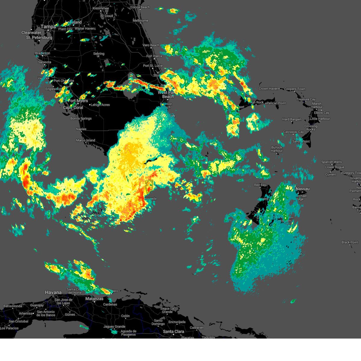
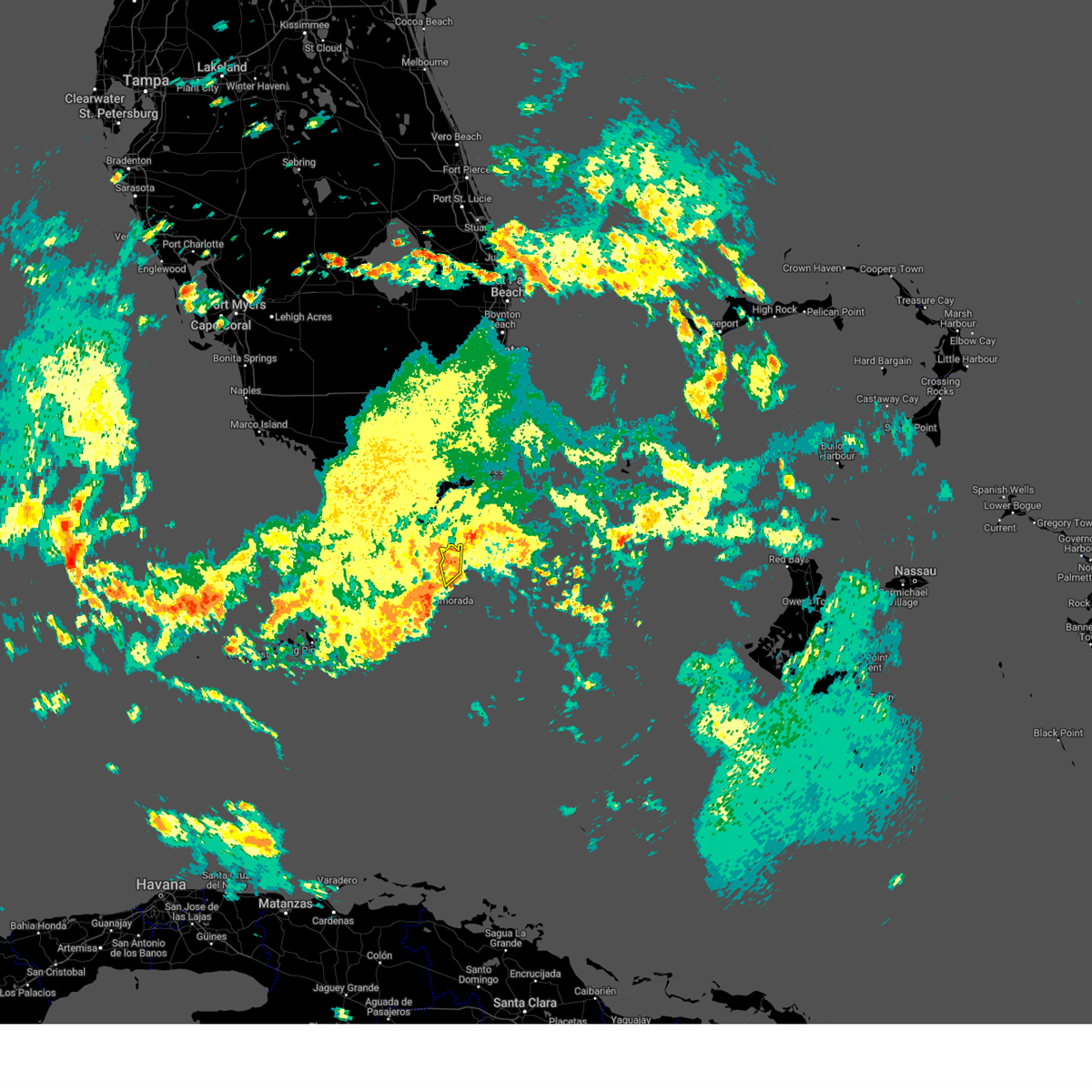
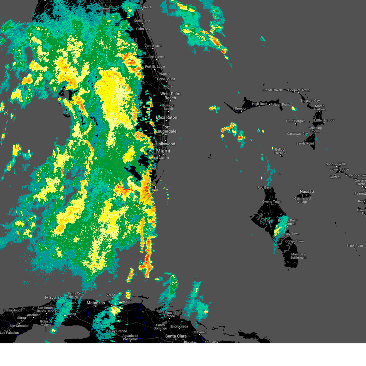
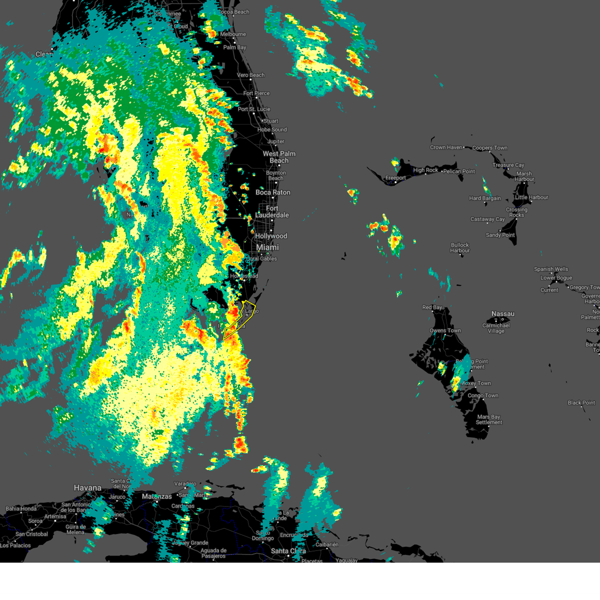
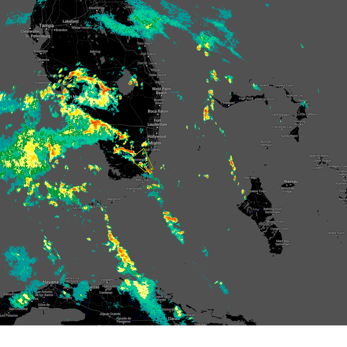
Hail Map for North Key Largo, FL
The North Key Largo, FL area has had 0 reports of on-the-ground hail by trained spotters, and has been under severe weather warnings 5 times during the past 12 months. Doppler radar has detected hail at or near North Key Largo, FL on 10 occasions.
| Name: | North Key Largo, FL |
| Where Located: | 33.5 miles S of Miami, FL |
| Map: | Google Map for North Key Largo, FL |
| Population: | 1244 |
| Housing Units: | 1657 |
| More Info: | Search Google for North Key Largo, FL |
0
The Top Recent Hail Date for North Key Largo, FL is Tuesday, May 21, 2024 (7th out of 10)

Hail and Wind Damage Spotted near North Key Largo, FL
| Date / Time | Report Details |
|---|---|
| 6/3/2025 2:54 PM EDT |
 The storm which prompted the warning has weakened below severe limits, and no longer poses an immediate threat to life or property. therefore, the warning will be allowed to expire. The storm which prompted the warning has weakened below severe limits, and no longer poses an immediate threat to life or property. therefore, the warning will be allowed to expire.
|
| 6/3/2025 2:33 PM EDT |
 Svrkey the national weather service in key west has issued a * severe thunderstorm warning for, upper keys in monroe county in florida, * until 300 pm edt. * at 232 pm edt, a severe thunderstorm was located near rock harbor, or near key largo, moving north at 15 mph (radar indicated). Hazards include 60 mph wind gusts. expect damage to roofs, siding, and trees Svrkey the national weather service in key west has issued a * severe thunderstorm warning for, upper keys in monroe county in florida, * until 300 pm edt. * at 232 pm edt, a severe thunderstorm was located near rock harbor, or near key largo, moving north at 15 mph (radar indicated). Hazards include 60 mph wind gusts. expect damage to roofs, siding, and trees
|
| 8/4/2024 5:13 PM EDT |
 The storm which prompted the warning has weakened below severe limits, and no longer poses an immediate threat to life or property. therefore, the warning will be allowed to expire but a special weather statement will replace it. The storm which prompted the warning has weakened below severe limits, and no longer poses an immediate threat to life or property. therefore, the warning will be allowed to expire but a special weather statement will replace it.
|
| 8/4/2024 4:50 PM EDT |
 Svrkey the national weather service in key west has issued a * severe thunderstorm warning for, upper keys in monroe county in florida, * until 515 pm edt. * at 449 pm edt, a severe thunderstorm was located near upper matecumbe key, or 11 miles east of east end of channel 5 bridge, moving north at 35 mph (radar indicated). Hazards include 60 mph wind gusts. expect damage to roofs, siding, and trees Svrkey the national weather service in key west has issued a * severe thunderstorm warning for, upper keys in monroe county in florida, * until 515 pm edt. * at 449 pm edt, a severe thunderstorm was located near upper matecumbe key, or 11 miles east of east end of channel 5 bridge, moving north at 35 mph (radar indicated). Hazards include 60 mph wind gusts. expect damage to roofs, siding, and trees
|
| 8/3/2024 3:57 PM EDT |
 Svrmfl the national weather service in miami has issued a * severe thunderstorm warning for, central miami-dade county in southeastern florida, * until 430 pm edt. * at 357 pm edt, a severe thunderstorm was located over turkey point, moving north at 25 mph (radar indicated). Hazards include 60 mph wind gusts. expect damage to roofs, siding, and trees Svrmfl the national weather service in miami has issued a * severe thunderstorm warning for, central miami-dade county in southeastern florida, * until 430 pm edt. * at 357 pm edt, a severe thunderstorm was located over turkey point, moving north at 25 mph (radar indicated). Hazards include 60 mph wind gusts. expect damage to roofs, siding, and trees
|
| 2/4/2024 11:17 AM EST |
 At 1117 am est, a severe thunderstorm capable of producing a tornado was located over ocean reef, or near turkey point, moving northeast at 45 mph (radar indicated rotation). Hazards include tornado. Flying debris will be dangerous to those caught without shelter. mobile homes will be damaged or destroyed. damage to roofs, windows, and vehicles will occur. tree damage is likely. this dangerous storm will be near, ocean reef around 1120 am est. Other locations impacted by this tornadic thunderstorm include north key largo. At 1117 am est, a severe thunderstorm capable of producing a tornado was located over ocean reef, or near turkey point, moving northeast at 45 mph (radar indicated rotation). Hazards include tornado. Flying debris will be dangerous to those caught without shelter. mobile homes will be damaged or destroyed. damage to roofs, windows, and vehicles will occur. tree damage is likely. this dangerous storm will be near, ocean reef around 1120 am est. Other locations impacted by this tornadic thunderstorm include north key largo.
|
| 11/16/2023 3:31 AM EST | The weatherflow mesonet station at carysfort reef light measured a 75 knots... or 86 mph... wind gust out of the ne at 331 am. sustained winds at the time were measured in gmz042 county FL, 7.6 miles W of North Key Largo, FL |
| 11/15/2023 9:01 PM EST | The weatherflow mesonet station at carysfort reef light measured a 53 knots... or 61 mph... wind gust out of the e at 901 p in gmz042 county FL, 7.6 miles W of North Key Largo, FL |
| 11/15/2023 7:35 PM EST | The weatherflow mesonet station at carysfort reef light measured a 56 knot... or 64 mph... wind gust at 735 p in gmz042 county FL, 7.6 miles W of North Key Largo, FL |
| 11/15/2023 6:26 PM EST | The weatherflow mesonet station at carysfort reef light measured a 53 knot... or 61 mph... wind gust at 626 p in gmz042 county FL, 7.6 miles W of North Key Largo, FL |
| 11/15/2023 6:06 PM EST | The weatherflow mesonet station at carysfort reef light measured a 51 knot... or 59 mph... wind gust at 606 p in gmz042 county FL, 7.6 miles W of North Key Largo, FL |
| 8/29/2023 4:42 PM EDT |
 At 442 pm edt, severe thunderstorms were located along a line extending from near shark valley obs tower to near ocean reef, moving north at 35 mph (radar indicated). Hazards include 70 mph wind gusts. Expect considerable tree damage. Damage is likely to mobile homes, roofs, and outbuildings. At 442 pm edt, severe thunderstorms were located along a line extending from near shark valley obs tower to near ocean reef, moving north at 35 mph (radar indicated). Hazards include 70 mph wind gusts. Expect considerable tree damage. Damage is likely to mobile homes, roofs, and outbuildings.
|
| 6/16/2021 8:02 PM EDT | A west wind gust of 50 kts... or 58 mph... was recorded by the weatherflow mesonet site at carysfort reef light at 802 pm ed in gmz052 county FL, 7.6 miles W of North Key Largo, FL |
| 6/16/2021 7:59 PM EDT |
 At 758 pm edt, severe thunderstorms were located along a line extending from near royal palm ranger to near ocean reef to 11 miles east of route 1/card sound, moving northeast at 35 mph (radar indicated). Hazards include 60 mph wind gusts and nickel size hail. expect damage to roofs, siding, and trees At 758 pm edt, severe thunderstorms were located along a line extending from near royal palm ranger to near ocean reef to 11 miles east of route 1/card sound, moving northeast at 35 mph (radar indicated). Hazards include 60 mph wind gusts and nickel size hail. expect damage to roofs, siding, and trees
|
| 4/11/2021 6:52 PM EDT | A north wind gust of 55 kts... or 63 mph... was recorded by the weatherflow mesonet site at carysfort reef light at 652 pm edt. winds were sustained at 44 kts... or 51 in gmz052 county FL, 7.6 miles W of North Key Largo, FL |
| 4/11/2021 6:09 PM EDT |
 At 608 pm edt, a severe thunderstorm was located over homestead base, or near black point, moving southeast at 25 mph (radar indicated). Hazards include 60 mph wind gusts and quarter size hail. Hail damage to vehicles is expected. Expect wind damage to roofs, siding, and trees. At 608 pm edt, a severe thunderstorm was located over homestead base, or near black point, moving southeast at 25 mph (radar indicated). Hazards include 60 mph wind gusts and quarter size hail. Hail damage to vehicles is expected. Expect wind damage to roofs, siding, and trees.
|
| 11/8/2020 11:18 PM EST | A wind gust of 56 knots... or 64 mph... was observed by the weatherflow mesonet station at carysfort reef light at 1118 pm es in gmz052 county FL, 7.6 miles W of North Key Largo, FL |
| 11/8/2020 10:48 PM EST | A wind gust of 56 knots... or 66 mph... was observed by the weatherflow mesonet station at carysfort reef light at 1048 pm es in gmz052 county FL, 7.6 miles W of North Key Largo, FL |
| 11/8/2020 7:38 PM EST | A wind gust of 50 knots... or 58 mph... was observed by the weatherflow mesonet station at carysfort reef light at 0738 pm es in gmz052 county FL, 7.6 miles W of North Key Largo, FL |
| 9/12/2020 2:51 AM EDT |
 At 251 am edt, a severe thunderstorm was located over goulds, or near black point, moving west at 15 mph (radar indicated). Hazards include 60 mph wind gusts. Expect damage to roofs, siding, and trees. Locations impacted include, homestead, coral gables, homestead miami speedway, black point and the redland. At 251 am edt, a severe thunderstorm was located over goulds, or near black point, moving west at 15 mph (radar indicated). Hazards include 60 mph wind gusts. Expect damage to roofs, siding, and trees. Locations impacted include, homestead, coral gables, homestead miami speedway, black point and the redland.
|
| 9/12/2020 2:22 AM EDT |
 At 222 am edt, a severe thunderstorm was located near black point, moving west at 15 mph (radar indicated). Hazards include 60 mph wind gusts. expect damage to roofs, siding, and trees At 222 am edt, a severe thunderstorm was located near black point, moving west at 15 mph (radar indicated). Hazards include 60 mph wind gusts. expect damage to roofs, siding, and trees
|
| 8/24/2020 10:34 AM EDT |
 At 1033 am edt, a severe thunderstorm was located near ocean reef, or near turkey point, moving northwest at 50 mph (radar indicated). Hazards include 60 mph wind gusts. expect damage to roofs, siding, and trees At 1033 am edt, a severe thunderstorm was located near ocean reef, or near turkey point, moving northwest at 50 mph (radar indicated). Hazards include 60 mph wind gusts. expect damage to roofs, siding, and trees
|
| 4/11/2020 9:52 PM EDT | A northeast wind gust of 50 kts... or 58 mph... was recorded by the weatherflow mesonet site at carysfort reef light at 952 pm ed in gmz052 county FL, 7.6 miles W of North Key Largo, FL |
| 4/11/2020 5:40 PM EDT |
 At 540 pm edt, a severe thunderstorm was located near jewfish creek bridge, moving southeast at 20 mph (radar indicated). Hazards include 60 mph wind gusts and quarter size hail. Hail damage to vehicles is expected. Expect wind damage to roofs, siding, and trees. At 540 pm edt, a severe thunderstorm was located near jewfish creek bridge, moving southeast at 20 mph (radar indicated). Hazards include 60 mph wind gusts and quarter size hail. Hail damage to vehicles is expected. Expect wind damage to roofs, siding, and trees.
|
| 4/11/2020 5:33 PM EDT |
 At 533 pm edt, a severe thunderstorm was located 9 miles southeast of everglades national park, or 9 miles northwest of jewfish creek bridge, moving southeast at 25 mph (radar indicated). Hazards include 60 mph wind gusts and quarter size hail. Hail damage to vehicles is expected. expect wind damage to roofs, siding, and trees. Locations impacted include, ocean reef. At 533 pm edt, a severe thunderstorm was located 9 miles southeast of everglades national park, or 9 miles northwest of jewfish creek bridge, moving southeast at 25 mph (radar indicated). Hazards include 60 mph wind gusts and quarter size hail. Hail damage to vehicles is expected. expect wind damage to roofs, siding, and trees. Locations impacted include, ocean reef.
|
| 4/11/2020 5:26 PM EDT |
 At 526 pm edt, a severe thunderstorm was located 7 miles south of florida city, or 7 miles south of homestead miami speedway, moving east at 25 mph (radar indicated). Hazards include 60 mph wind gusts and penny size hail. Expect damage to roofs, siding, and trees. Locations impacted include, turkey point and ocean reef. At 526 pm edt, a severe thunderstorm was located 7 miles south of florida city, or 7 miles south of homestead miami speedway, moving east at 25 mph (radar indicated). Hazards include 60 mph wind gusts and penny size hail. Expect damage to roofs, siding, and trees. Locations impacted include, turkey point and ocean reef.
|
| 4/11/2020 5:08 PM EDT |
 At 508 pm edt, a severe thunderstorm was located near florida city, or near homestead, moving southeast at 25 mph (radar indicated). Hazards include 60 mph wind gusts and quarter size hail. Hail damage to vehicles is expected. expect wind damage to roofs, siding, and trees. Locations impacted include, homestead, turkey point, florida city and ocean reef. At 508 pm edt, a severe thunderstorm was located near florida city, or near homestead, moving southeast at 25 mph (radar indicated). Hazards include 60 mph wind gusts and quarter size hail. Hail damage to vehicles is expected. expect wind damage to roofs, siding, and trees. Locations impacted include, homestead, turkey point, florida city and ocean reef.
|
| 4/11/2020 4:53 PM EDT |
 At 453 pm edt, a severe thunderstorm was located over everglades national park, or near homestead general airport, moving east at 30 mph (radar indicated). Hazards include 60 mph wind gusts and quarter size hail. Hail damage to vehicles is expected. Expect wind damage to roofs, siding, and trees. At 453 pm edt, a severe thunderstorm was located over everglades national park, or near homestead general airport, moving east at 30 mph (radar indicated). Hazards include 60 mph wind gusts and quarter size hail. Hail damage to vehicles is expected. Expect wind damage to roofs, siding, and trees.
|
| 1/31/2020 11:25 PM EST |
 At 1123 pm est, severe thunderstorms were located along a line extending from 6 miles southeast of shark valley obs tower to homestead miami speedway to 7 miles west of ocean reef to 6 miles west of jewfish creek bridge, moving east at 50 mph (radar indicated). Hazards include 70 mph wind gusts. Expect considerable tree damage. damage is likely to mobile homes, roofs, and outbuildings. Locations impacted include, miami, hialeah, miami beach, homestead and coral gables. At 1123 pm est, severe thunderstorms were located along a line extending from 6 miles southeast of shark valley obs tower to homestead miami speedway to 7 miles west of ocean reef to 6 miles west of jewfish creek bridge, moving east at 50 mph (radar indicated). Hazards include 70 mph wind gusts. Expect considerable tree damage. damage is likely to mobile homes, roofs, and outbuildings. Locations impacted include, miami, hialeah, miami beach, homestead and coral gables.
|
| 1/31/2020 11:09 PM EST |
 The national weather service in miami has issued a * severe thunderstorm warning for. central miami-dade county in southeastern florida. until 1245 am est. At 1108 pm est, severe thunderstorms were located along a line extending from 8 miles southwest of shark valley obs tower to royal. The national weather service in miami has issued a * severe thunderstorm warning for. central miami-dade county in southeastern florida. until 1245 am est. At 1108 pm est, severe thunderstorms were located along a line extending from 8 miles southwest of shark valley obs tower to royal.
|
| 5/13/2019 8:39 PM EDT | A cluster of thunderstorms generated a wind gust of 60 knots as it moved eastward across carysfort reef ligh in gmz042 county FL, 7.6 miles W of North Key Largo, FL |
| 11/2/2018 10:35 PM EDT | The carysfort reef weatherflow station measured a 54 knot wind gust during a recent thunderstor in gmz042 county FL, 6.4 miles WNW of North Key Largo, FL |
| 9/3/2018 7:20 AM EDT | A wind gust of 64 mph...or 56 kts...was measured at the weatherflow mesonet station in carysfort reef light at 0720 ed in gmz052 county FL, 7.6 miles W of North Key Largo, FL |
| 4/15/2018 9:26 PM EDT |
 At 915 pm edt, a severe thunderstorm capable of producing a tornado was located over rock harbor, or near key largo, moving northeast at 25 mph (radar indicated rotation). Hazards include tornado. Flying debris will be dangerous to those caught without shelter. mobile homes will be damaged or destroyed. damage to roofs, windows, and vehicles will occur. tree damage is likely. locations impacted include, key largo, rock harbor, route 1/card sound, route 1/card sound road split and north key largo. This includes us 1 between mile markers 92 and 107. At 915 pm edt, a severe thunderstorm capable of producing a tornado was located over rock harbor, or near key largo, moving northeast at 25 mph (radar indicated rotation). Hazards include tornado. Flying debris will be dangerous to those caught without shelter. mobile homes will be damaged or destroyed. damage to roofs, windows, and vehicles will occur. tree damage is likely. locations impacted include, key largo, rock harbor, route 1/card sound, route 1/card sound road split and north key largo. This includes us 1 between mile markers 92 and 107.
|
| 4/15/2018 9:15 PM EDT |
 At 915 pm edt, a severe thunderstorm capable of producing a tornado was located over rock harbor, or near key largo, moving northeast at 25 mph (radar indicated rotation). Hazards include tornado. Flying debris will be dangerous to those caught without shelter. mobile homes will be damaged or destroyed. damage to roofs, windows, and vehicles will occur. tree damage is likely. locations impacted include, key largo, rock harbor, route 1/card sound, route 1/card sound road split and north key largo. This includes us 1 between mile markers 92 and 107. At 915 pm edt, a severe thunderstorm capable of producing a tornado was located over rock harbor, or near key largo, moving northeast at 25 mph (radar indicated rotation). Hazards include tornado. Flying debris will be dangerous to those caught without shelter. mobile homes will be damaged or destroyed. damage to roofs, windows, and vehicles will occur. tree damage is likely. locations impacted include, key largo, rock harbor, route 1/card sound, route 1/card sound road split and north key largo. This includes us 1 between mile markers 92 and 107.
|
| 4/15/2018 9:01 PM EDT |
 The national weather service in key west has issued a * tornado warning for. upper keys in monroe county in florida. Until 930 pm edt * at 900 pm edt, a severe thunderstorm capable of producing a tornado was located over plantation, or 9 miles southwest of key largo,. The national weather service in key west has issued a * tornado warning for. upper keys in monroe county in florida. Until 930 pm edt * at 900 pm edt, a severe thunderstorm capable of producing a tornado was located over plantation, or 9 miles southwest of key largo,.
|
Hail Maps for North Key Largo, FL


Connect with Interactive Hail Maps