

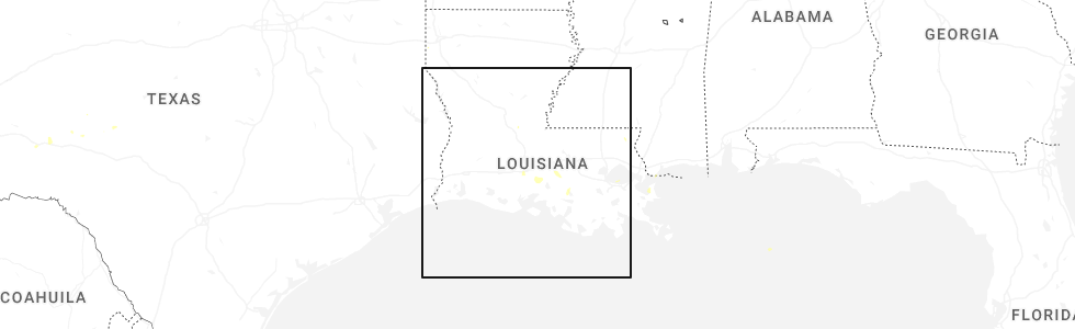
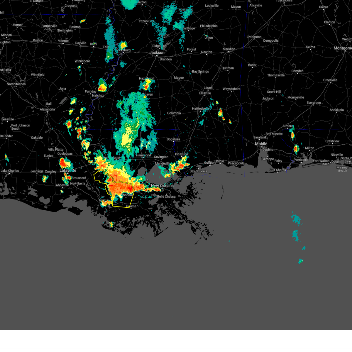
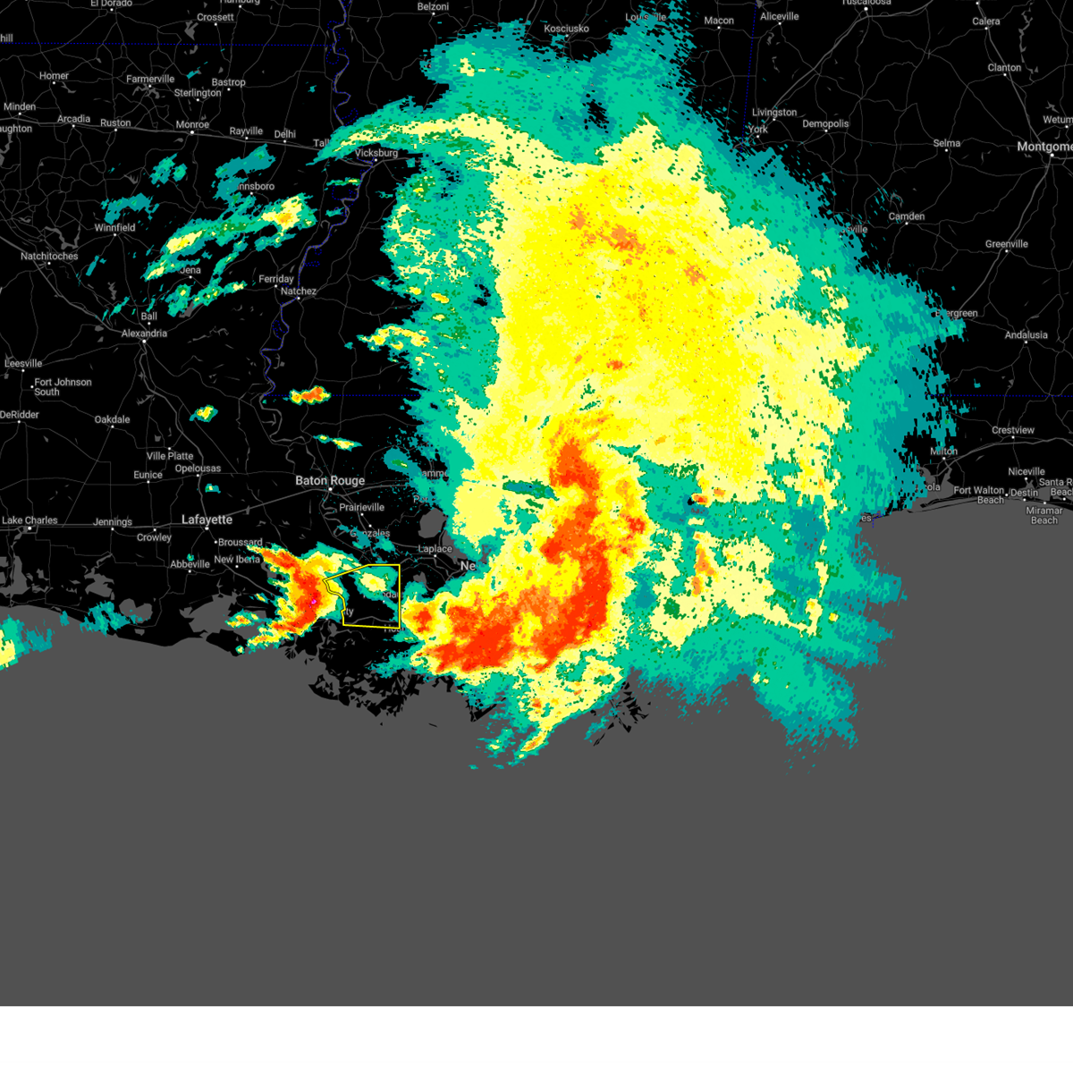
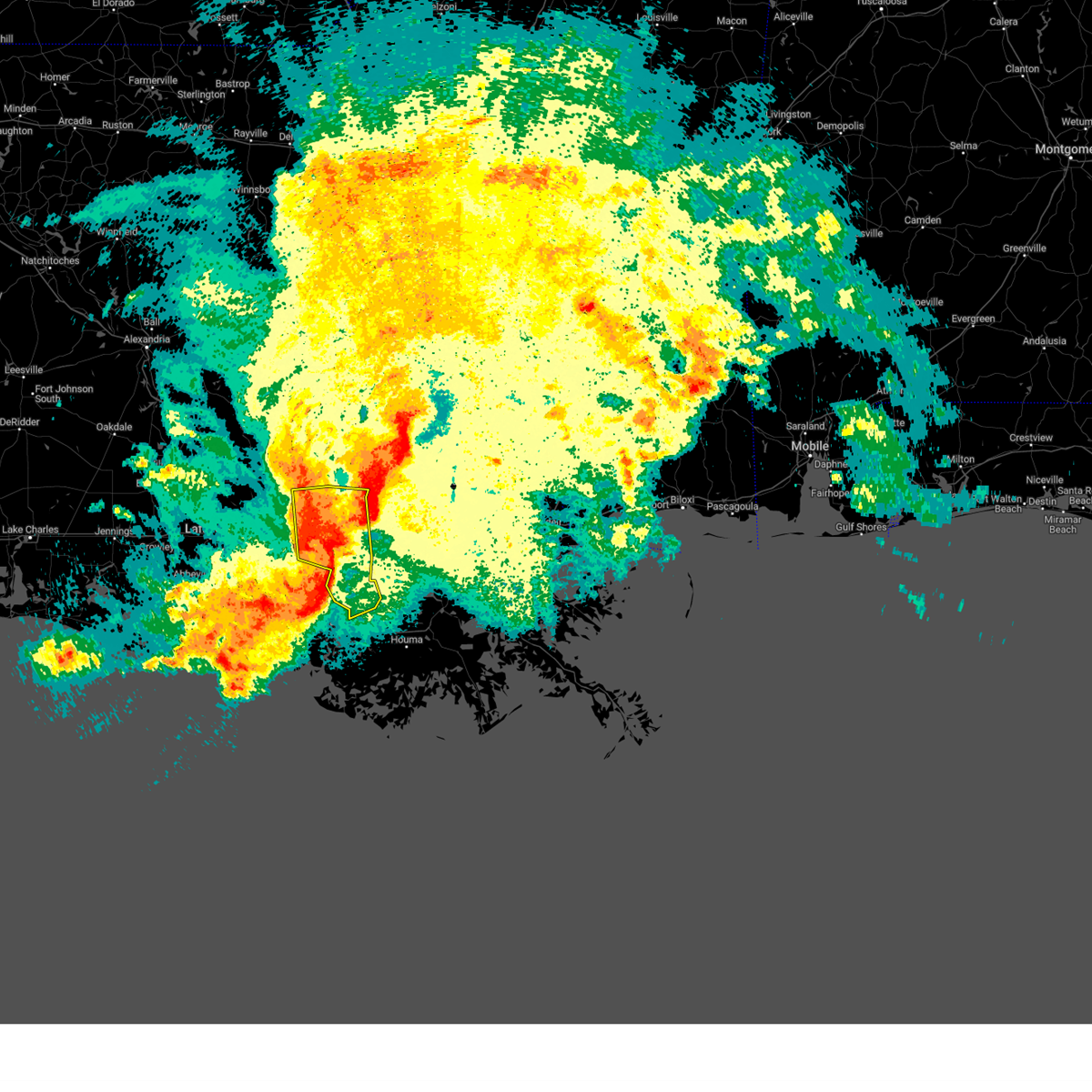
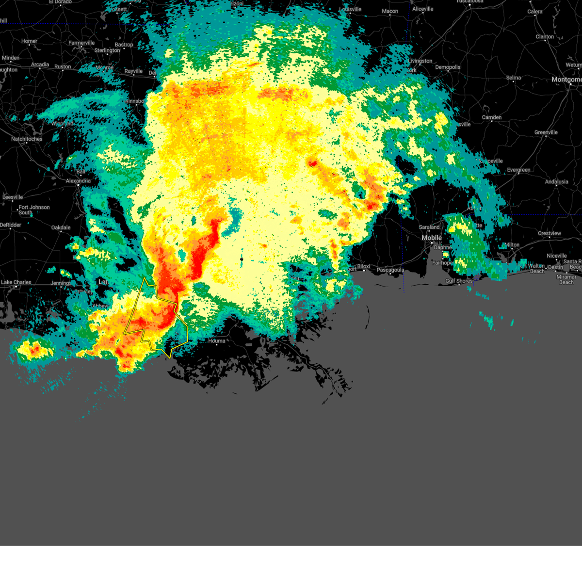
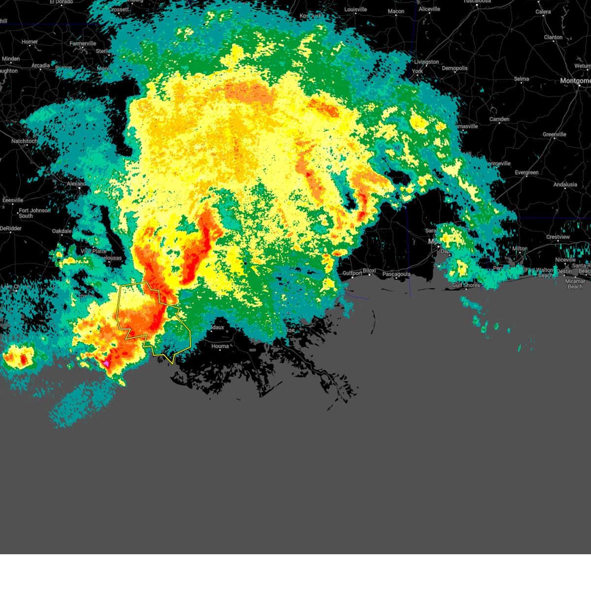
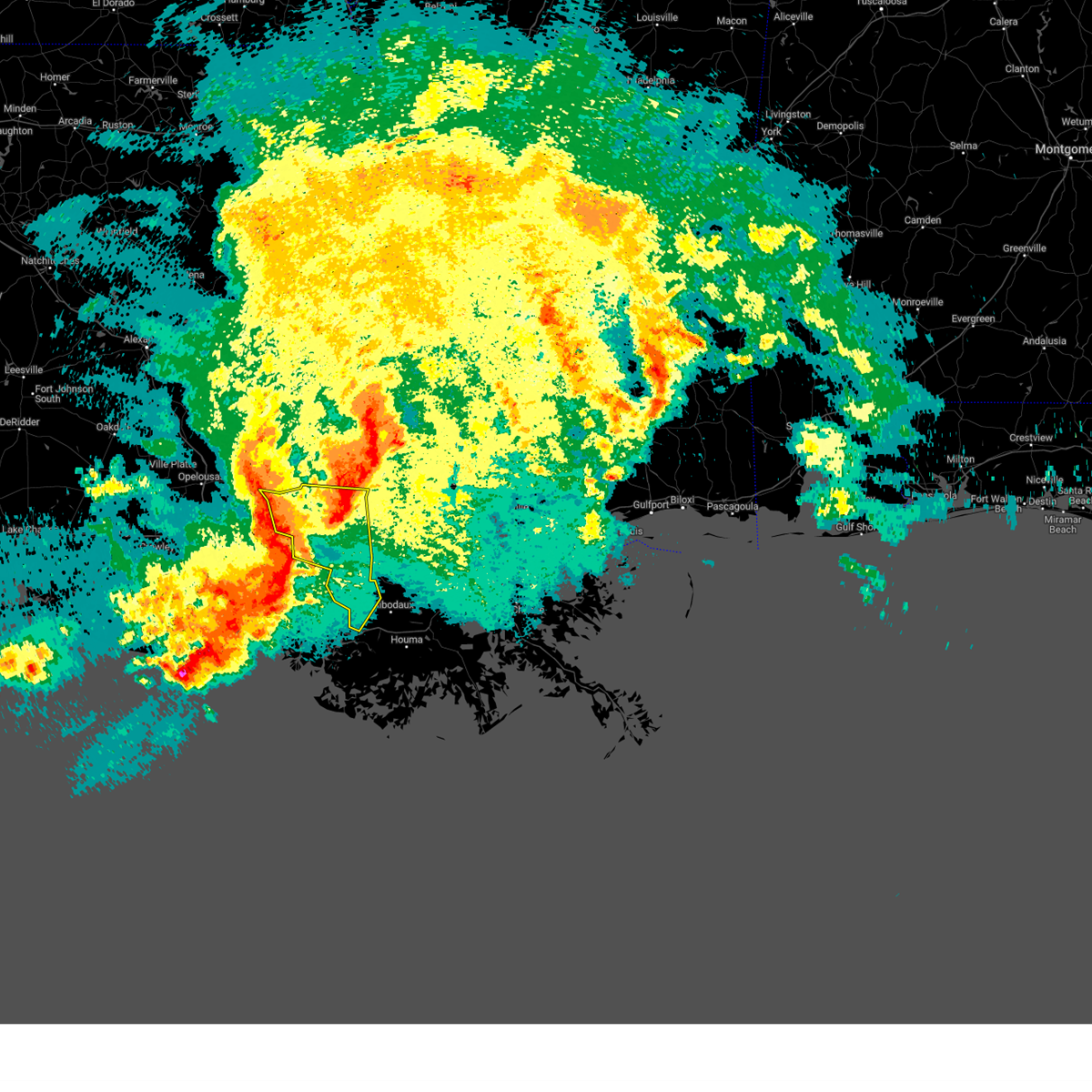
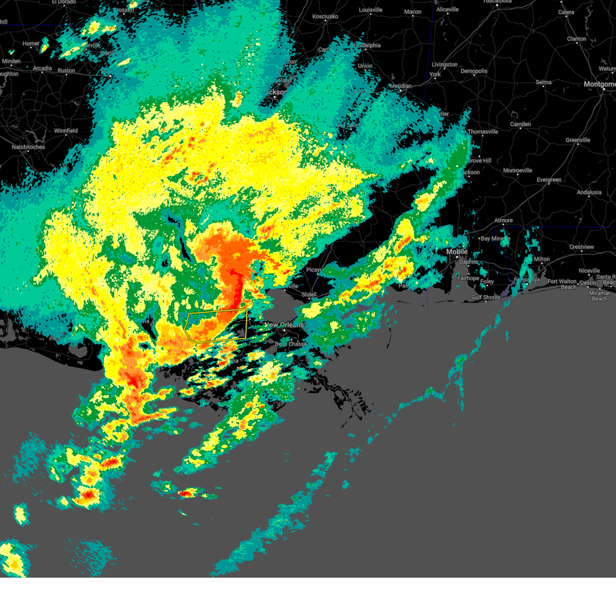
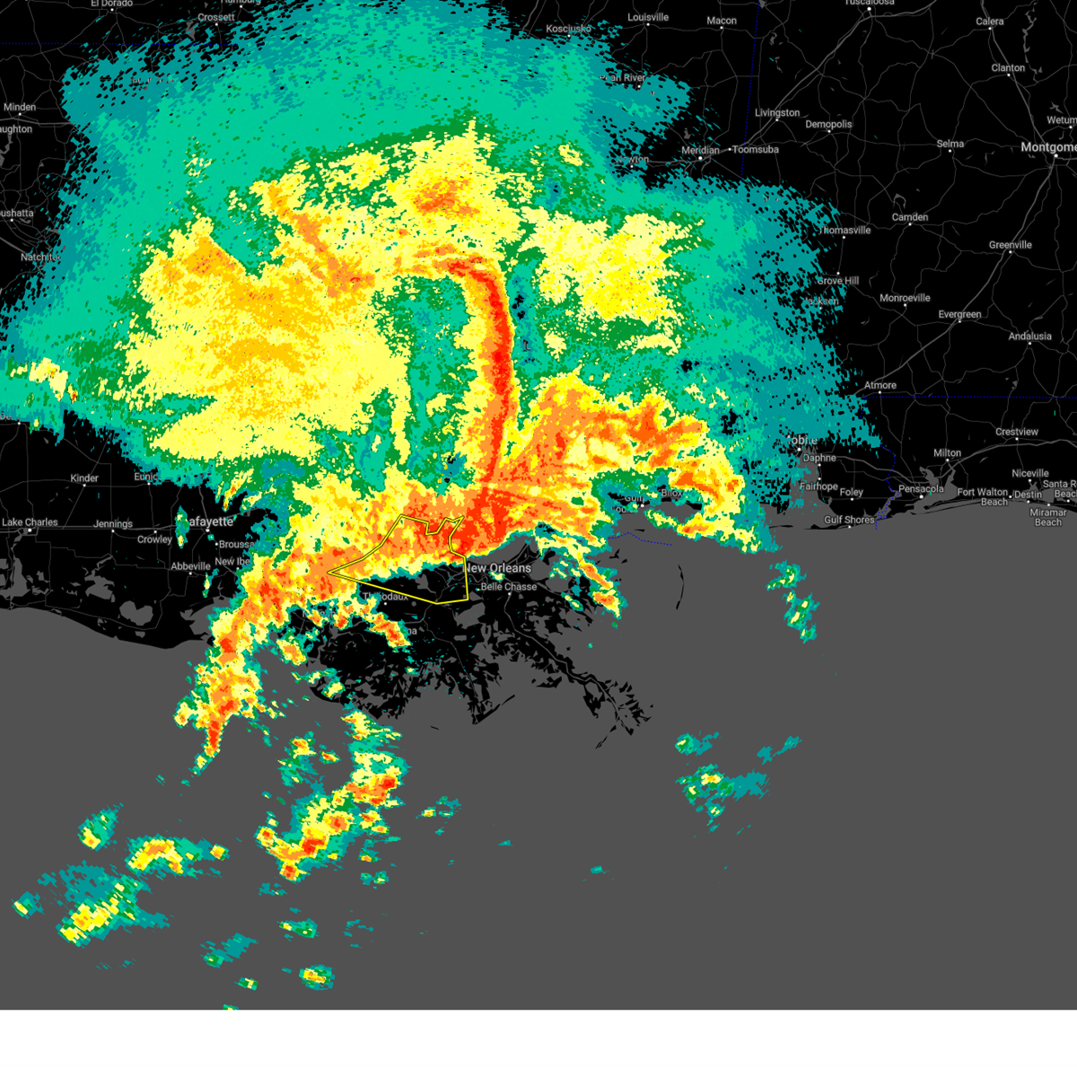
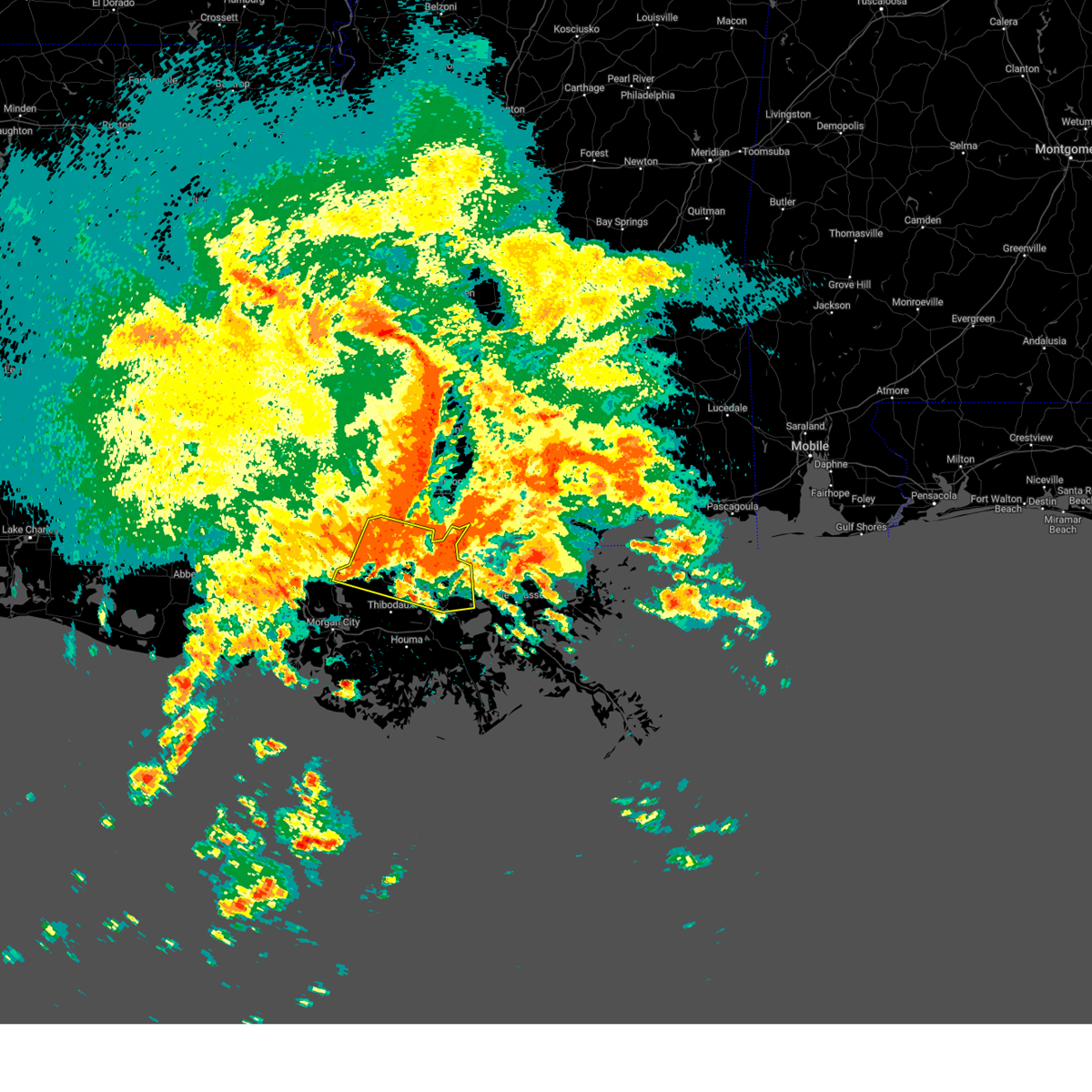
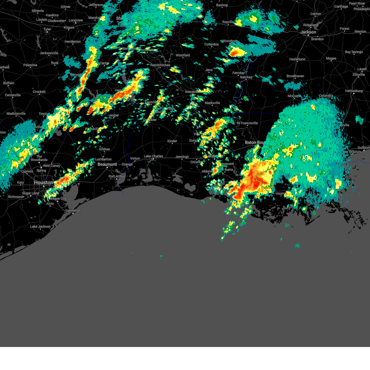
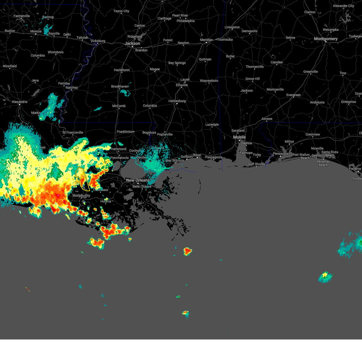
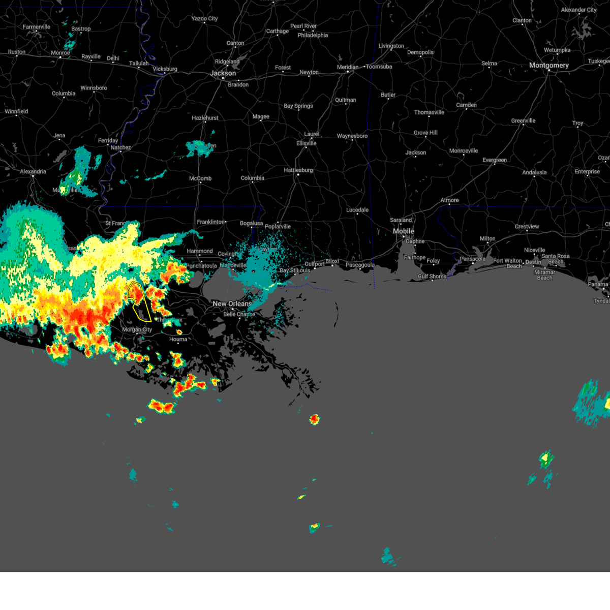
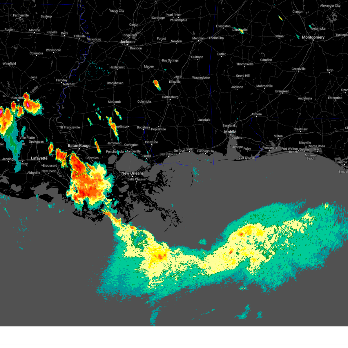
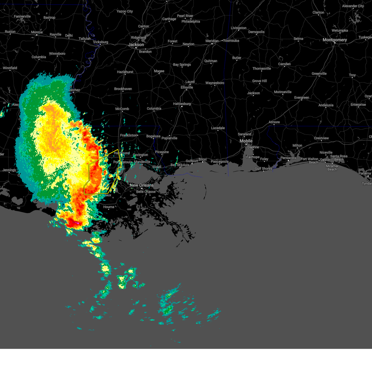
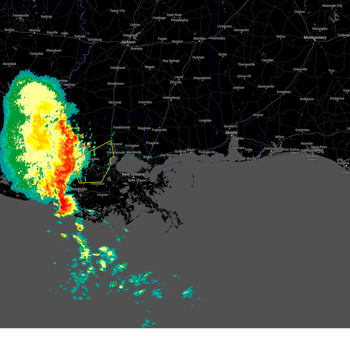
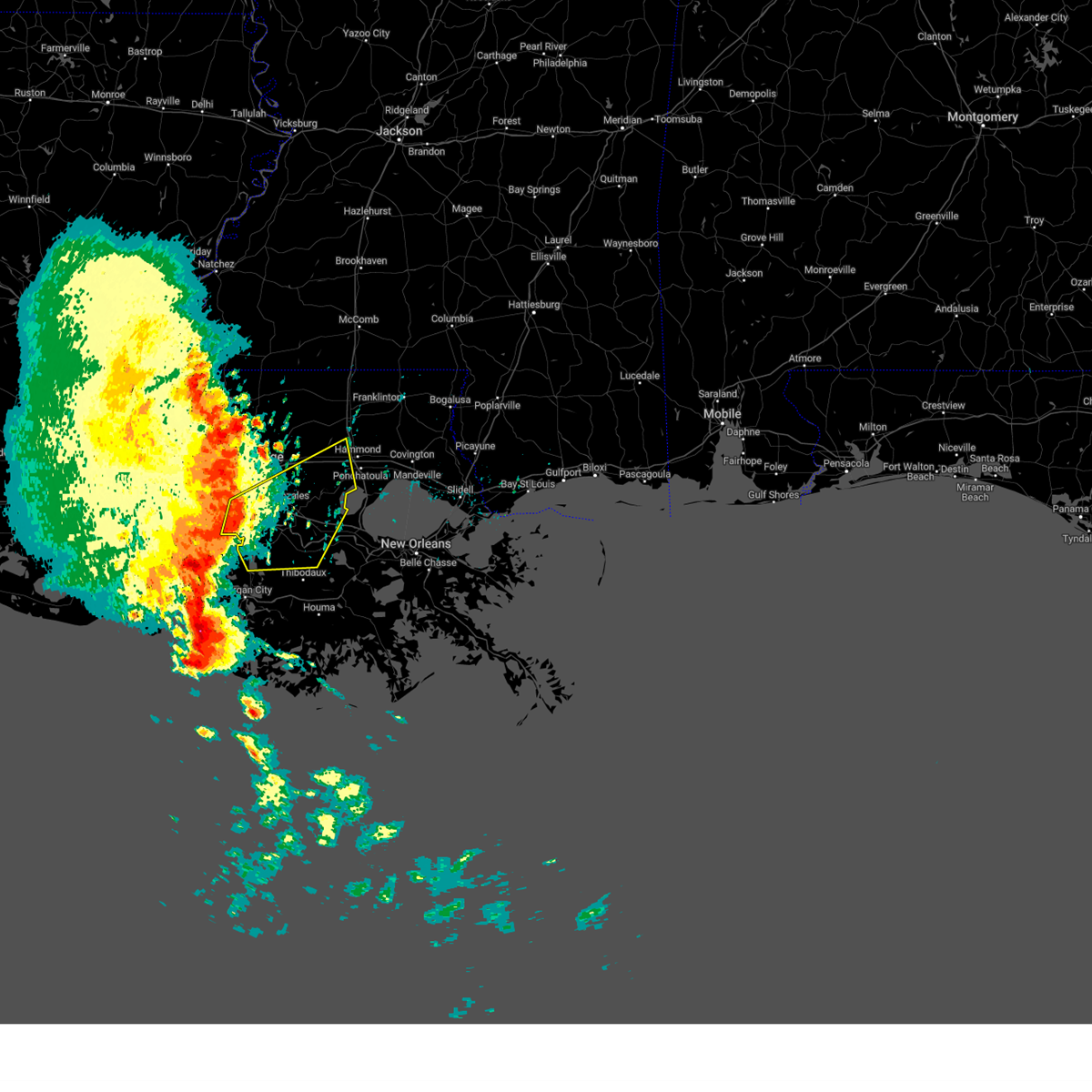
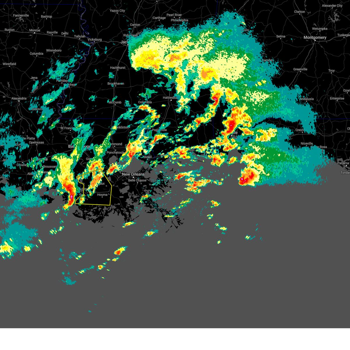
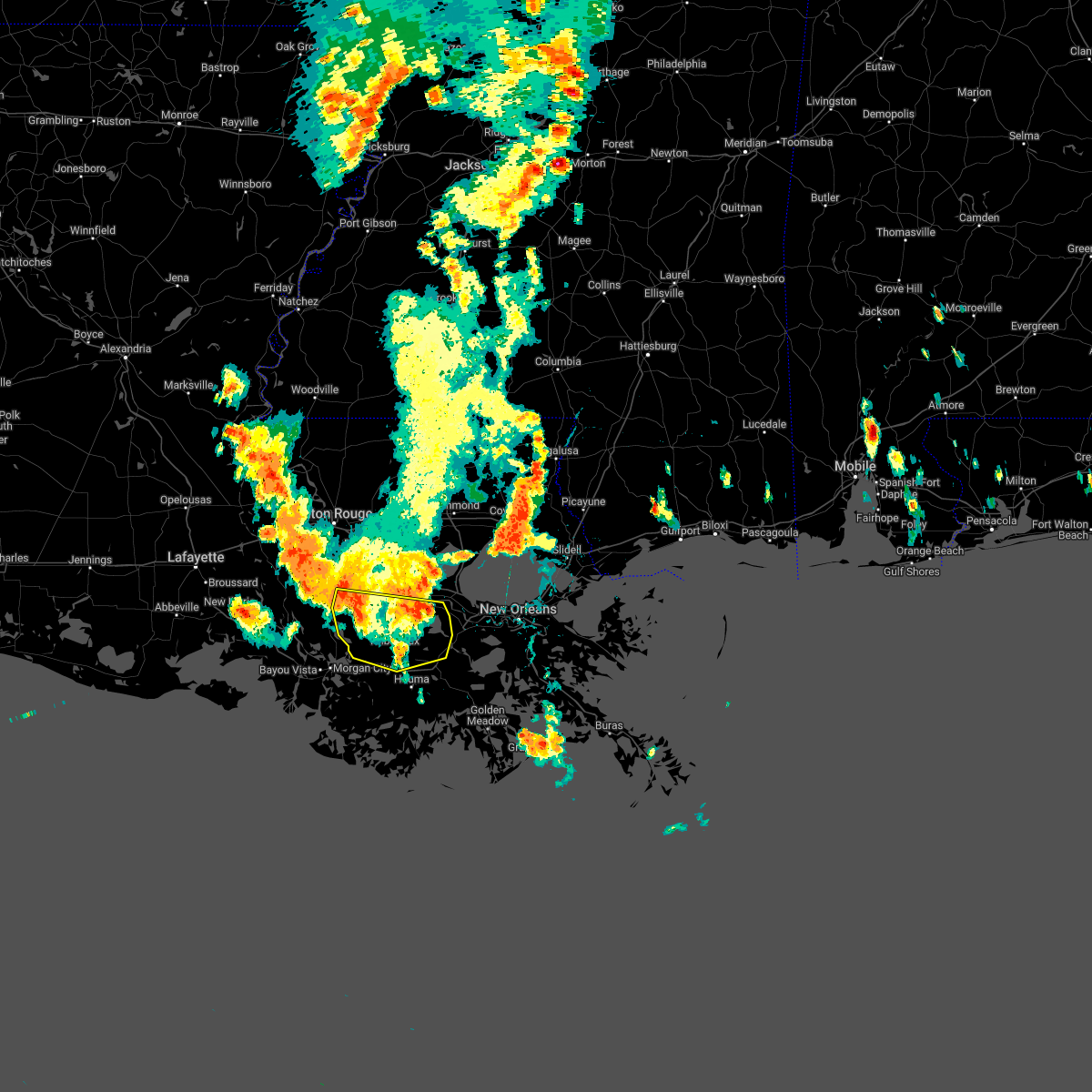
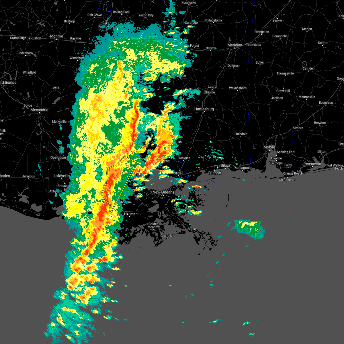
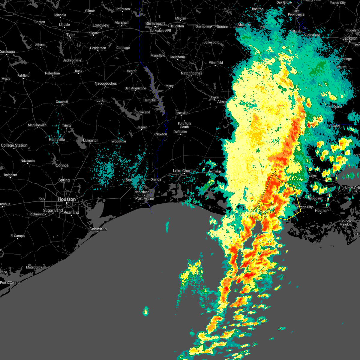
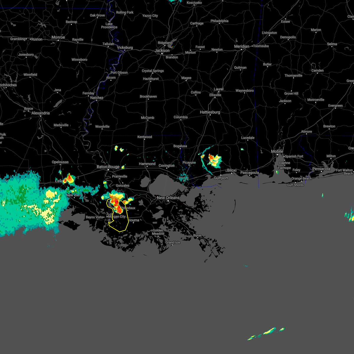
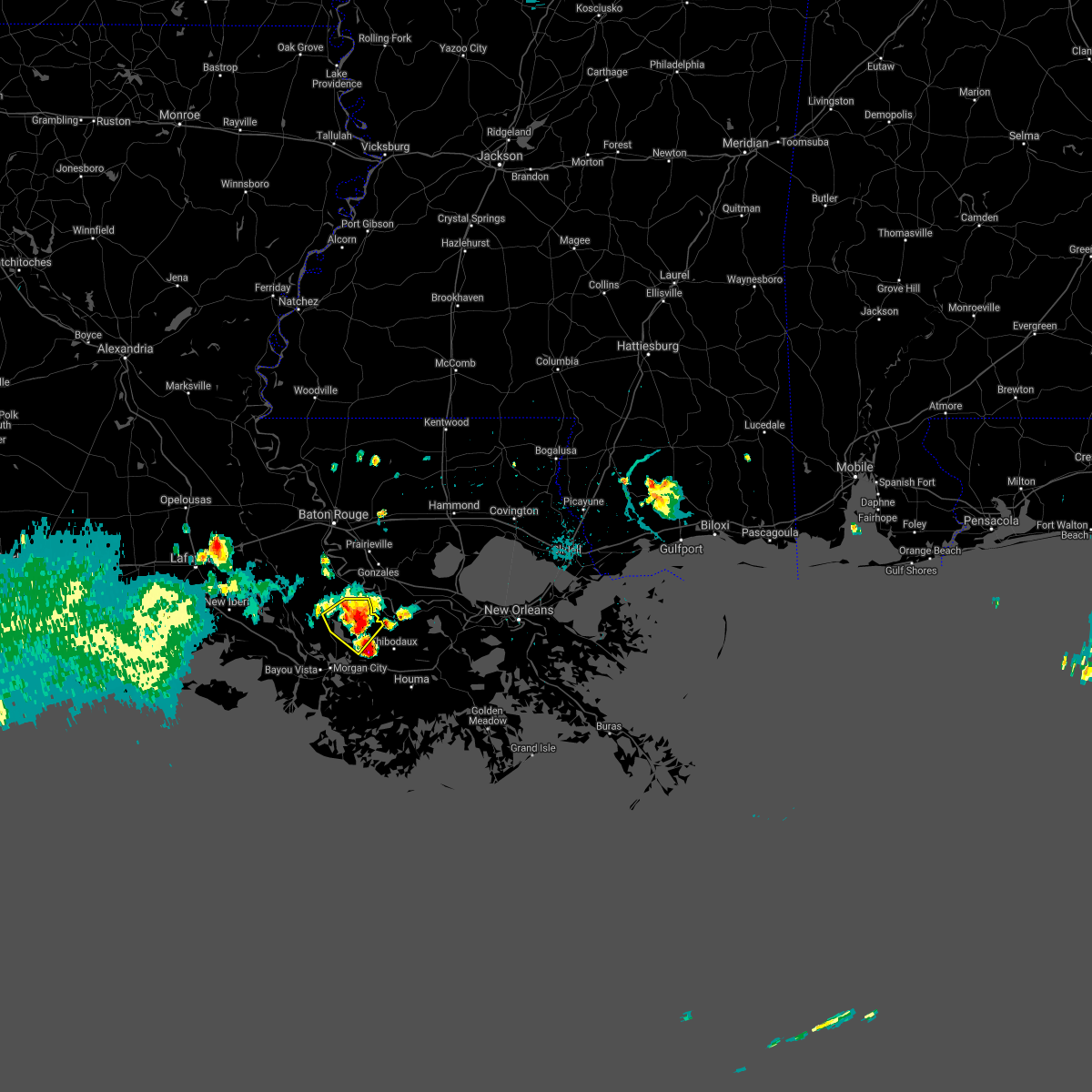
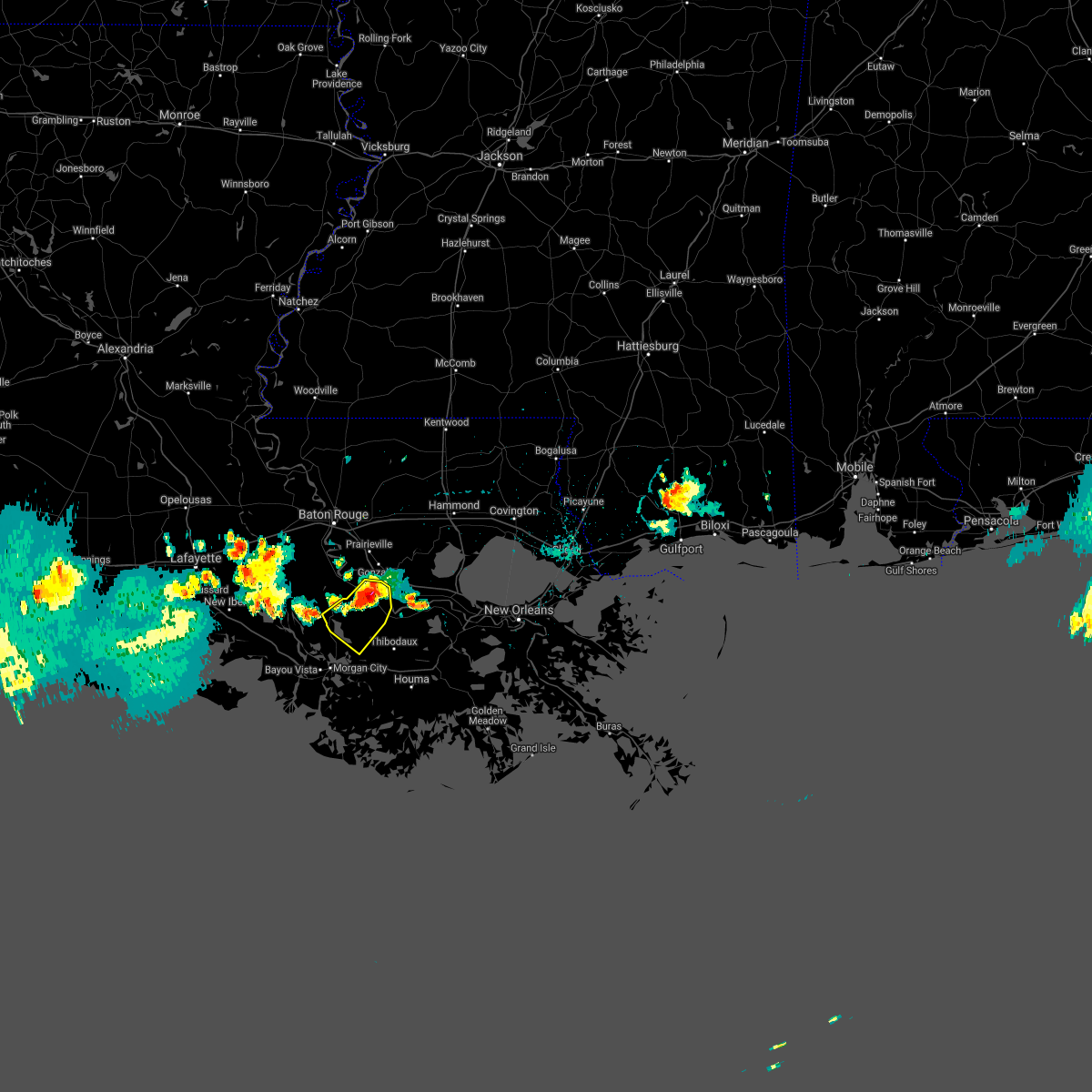
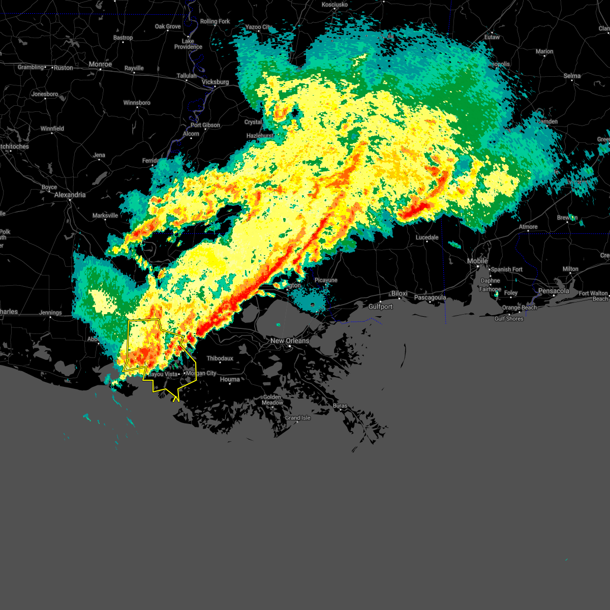
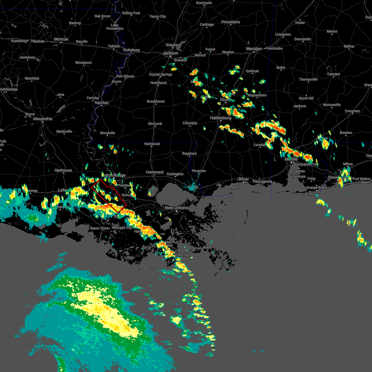
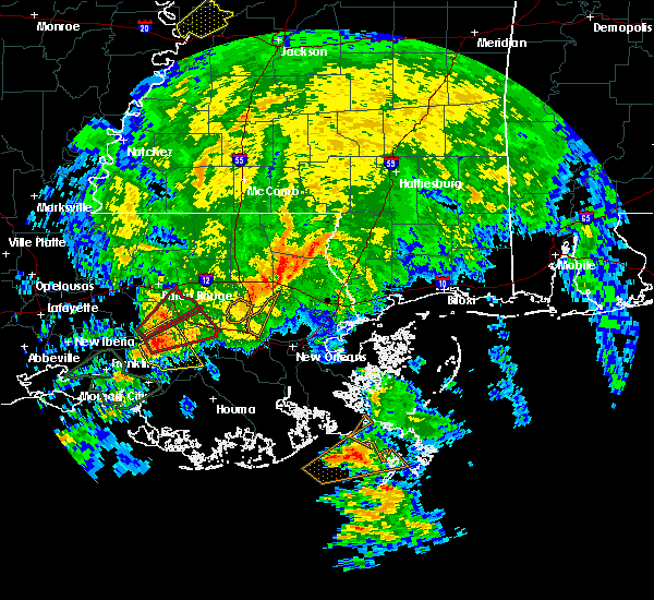
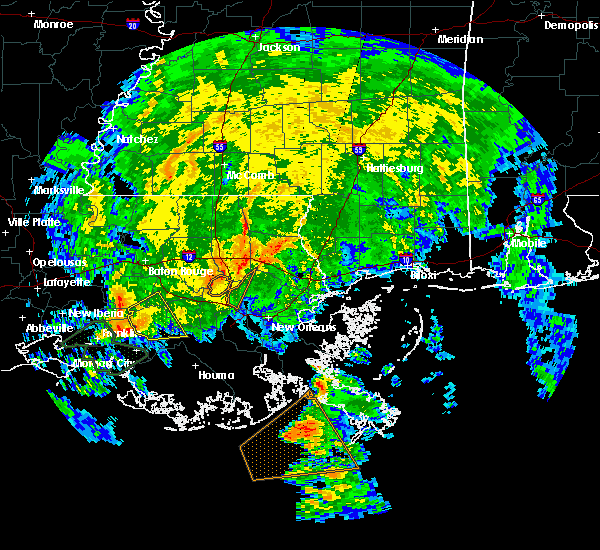
Hail Map for Pierre Part, LA
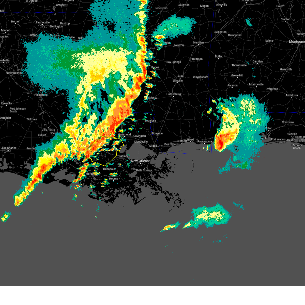
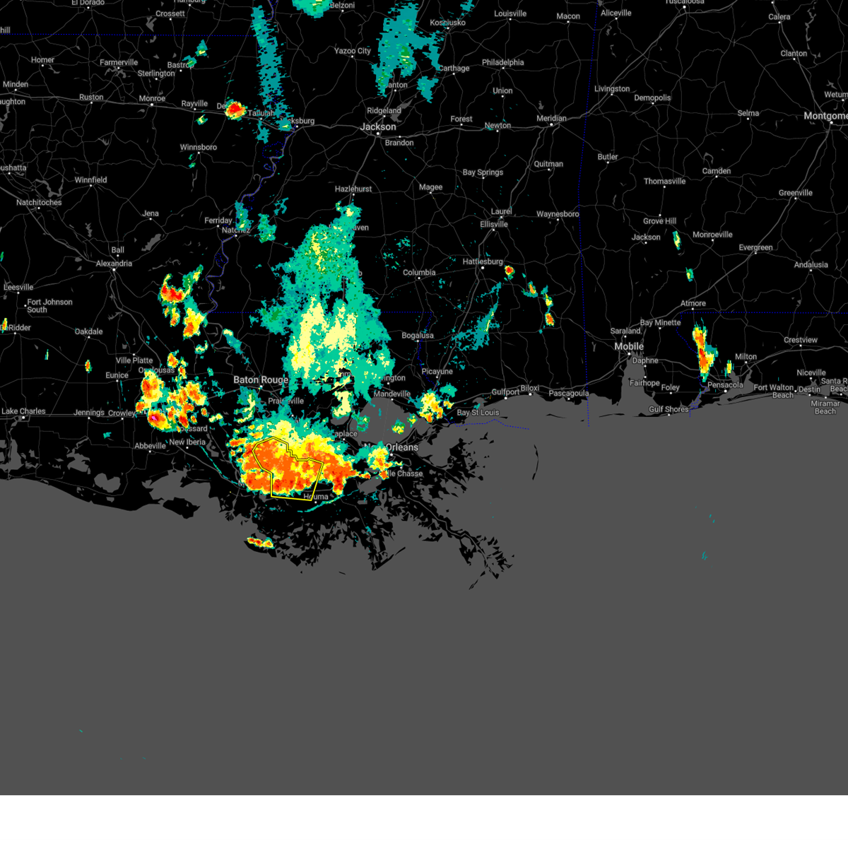
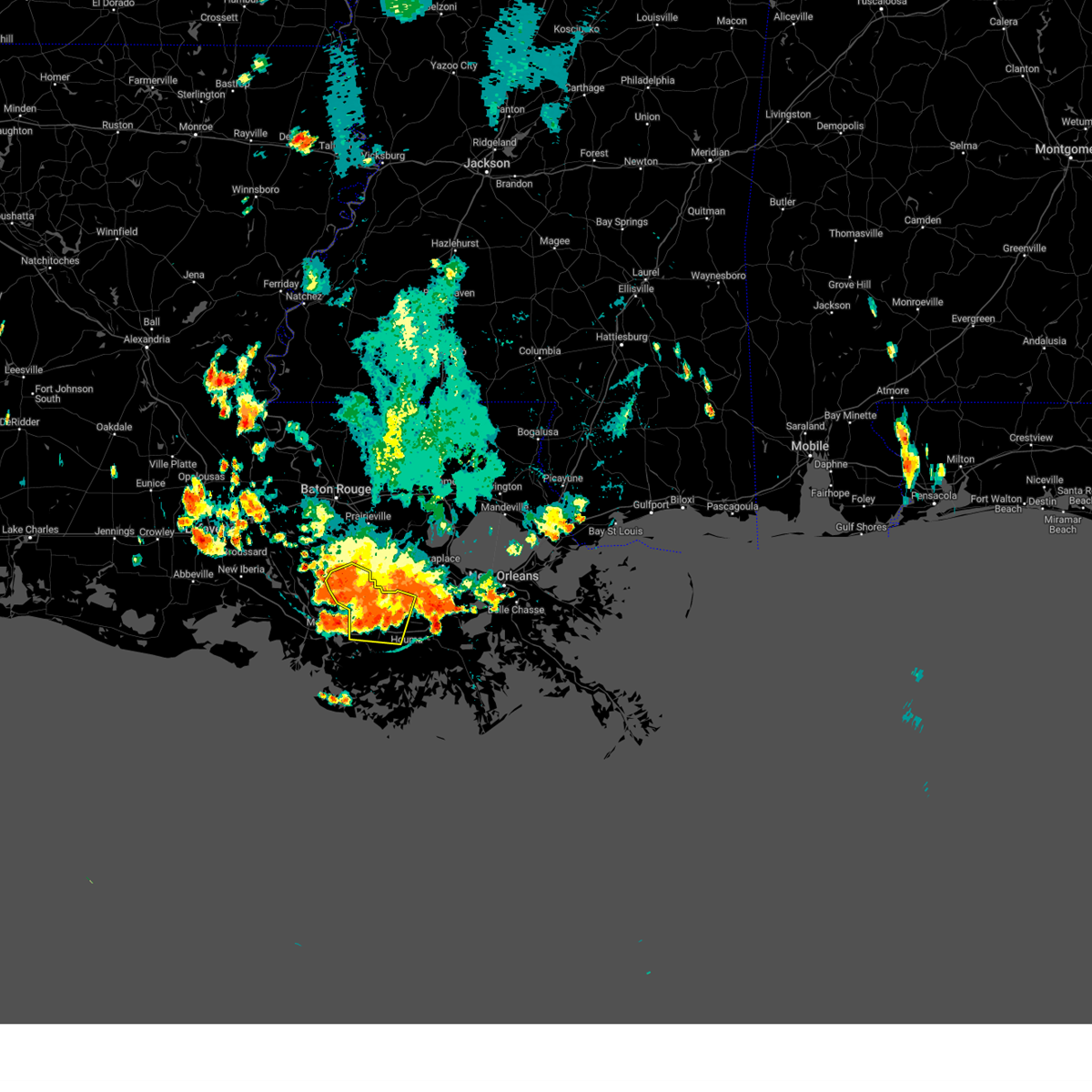
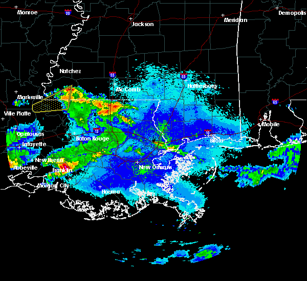
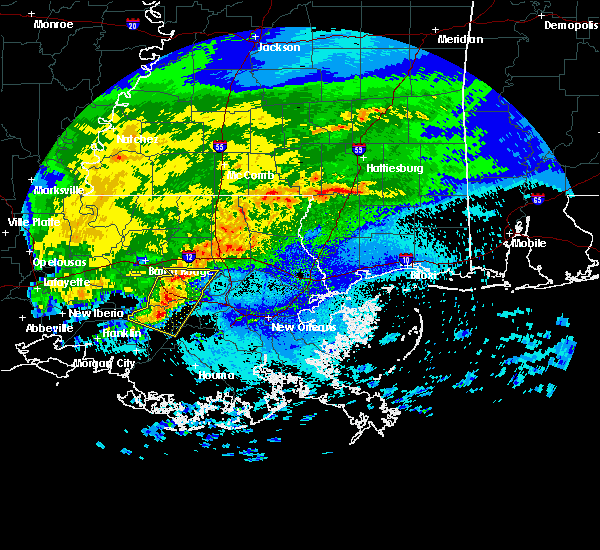
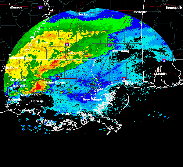
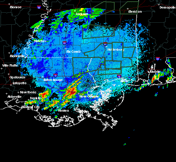
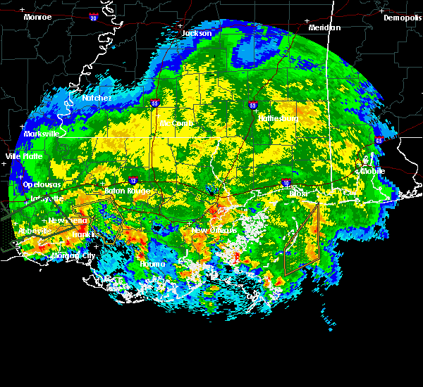
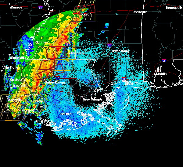
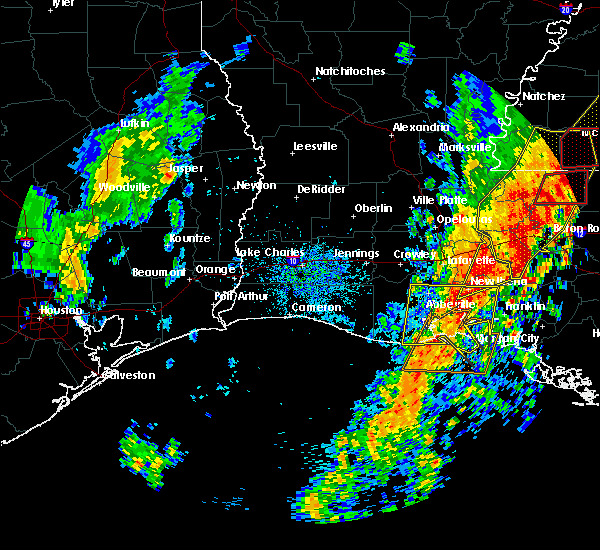
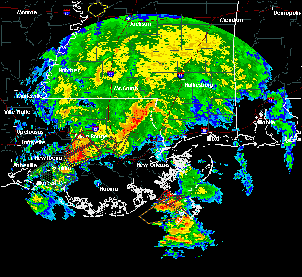
The Pierre Part, LA area has had 1 report of on-the-ground hail by trained spotters, and has been under severe weather warnings 7 times during the past 12 months. Doppler radar has detected hail at or near Pierre Part, LA on 47 occasions, including 2 occasions during the past year.
| Name: | Pierre Part, LA |
| Where Located: | 51.9 miles ESE of Lafayette, LA |
| Map: | Google Map for Pierre Part, LA |
| Population: | 3169 |
| Housing Units: | 1421 |
| More Info: | Search Google for Pierre Part, LA |
1
The Top Recent Hail Date for Pierre Part, LA is Sunday, July 6, 2025 (20th out of 47)
Hail and Wind Damage Spotted near Pierre Part, LA
| Date / Time | Report Details |
|---|---|
| 12/28/2024 7:17 PM CST |
 Svrlix the national weather service in new orleans has issued a * severe thunderstorm warning for, ascension parish in southeastern louisiana, st. james parish in southeastern louisiana, southeastern west baton rouge parish in southeastern louisiana, central livingston parish in southeastern louisiana, southeastern iberville parish in southeastern louisiana, south central east baton rouge parish in southeastern louisiana, northern assumption parish in southeastern louisiana, * until 800 pm cst. * at 716 pm cst, severe thunderstorms were located along a line extending from near walker to 6 miles south of bayou sorrel, moving east at 40 mph (radar indicated). Hazards include 60 mph wind gusts and penny size hail. expect damage to roofs, siding, and trees Svrlix the national weather service in new orleans has issued a * severe thunderstorm warning for, ascension parish in southeastern louisiana, st. james parish in southeastern louisiana, southeastern west baton rouge parish in southeastern louisiana, central livingston parish in southeastern louisiana, southeastern iberville parish in southeastern louisiana, south central east baton rouge parish in southeastern louisiana, northern assumption parish in southeastern louisiana, * until 800 pm cst. * at 716 pm cst, severe thunderstorms were located along a line extending from near walker to 6 miles south of bayou sorrel, moving east at 40 mph (radar indicated). Hazards include 60 mph wind gusts and penny size hail. expect damage to roofs, siding, and trees
|
| 8/15/2024 7:01 PM CDT |
 The storms which prompted the warning have weakened below severe limits, and no longer pose an immediate threat to life or property. therefore, the warning has been allowed to expire. however, heavy rain is still possible with these thunderstorms. to report severe weather, contact your nearest law enforcement agency. they will relay your report to the national weather service new orleans. The storms which prompted the warning have weakened below severe limits, and no longer pose an immediate threat to life or property. therefore, the warning has been allowed to expire. however, heavy rain is still possible with these thunderstorms. to report severe weather, contact your nearest law enforcement agency. they will relay your report to the national weather service new orleans.
|
| 8/15/2024 6:50 PM CDT |
 the severe thunderstorm warning has been cancelled and is no longer in effect the severe thunderstorm warning has been cancelled and is no longer in effect
|
| 8/15/2024 6:50 PM CDT |
 At 650 pm cdt, severe thunderstorms were located along a line extending from 8 miles east of charenton to near amelia to near bayou cane, moving southwest at 30 mph (radar indicated). Hazards include 60 mph wind gusts. Expect damage to roofs, siding, and trees. Locations impacted include, thibodaux, napoleonville, schriever, supreme, gray, chackbay, paincourtville, labadieville, belle rose, bayou cane, and south vacherie. At 650 pm cdt, severe thunderstorms were located along a line extending from 8 miles east of charenton to near amelia to near bayou cane, moving southwest at 30 mph (radar indicated). Hazards include 60 mph wind gusts. Expect damage to roofs, siding, and trees. Locations impacted include, thibodaux, napoleonville, schriever, supreme, gray, chackbay, paincourtville, labadieville, belle rose, bayou cane, and south vacherie.
|
| 8/15/2024 6:28 PM CDT |
 At 627 pm cdt, severe thunderstorms were located along a line extending from 9 miles south of bayou sorrel to near supreme to near raceland, moving southwest at 30 mph (radar indicated). Hazards include 60 mph wind gusts. Expect damage to roofs, siding, and trees. Locations impacted include, thibodaux, napoleonville, white castle, schriever, gray, south vacherie, paincourtville, convent, north vacherie, supreme, chackbay, bayou sorrel, labadieville, belle rose, and bayou cane. At 627 pm cdt, severe thunderstorms were located along a line extending from 9 miles south of bayou sorrel to near supreme to near raceland, moving southwest at 30 mph (radar indicated). Hazards include 60 mph wind gusts. Expect damage to roofs, siding, and trees. Locations impacted include, thibodaux, napoleonville, white castle, schriever, gray, south vacherie, paincourtville, convent, north vacherie, supreme, chackbay, bayou sorrel, labadieville, belle rose, and bayou cane.
|
| 8/15/2024 6:28 PM CDT |
 the severe thunderstorm warning has been cancelled and is no longer in effect the severe thunderstorm warning has been cancelled and is no longer in effect
|
| 8/15/2024 5:55 PM CDT |
 Svrlix the national weather service in new orleans has issued a * severe thunderstorm warning for, southern ascension parish in southeastern louisiana, st. james parish in southeastern louisiana, north central terrebonne parish in southeastern louisiana, southeastern iberville parish in southeastern louisiana, northwestern lafourche parish in southeastern louisiana, assumption parish in southeastern louisiana, * until 700 pm cdt. * at 554 pm cdt, severe thunderstorms were located along a line extending from near plaquemine to near convent to near killona, moving south at 35 mph (radar indicated). Hazards include 60 mph wind gusts and quarter size hail. Hail damage to vehicles is expected. Expect wind damage to roofs, siding, and trees. Svrlix the national weather service in new orleans has issued a * severe thunderstorm warning for, southern ascension parish in southeastern louisiana, st. james parish in southeastern louisiana, north central terrebonne parish in southeastern louisiana, southeastern iberville parish in southeastern louisiana, northwestern lafourche parish in southeastern louisiana, assumption parish in southeastern louisiana, * until 700 pm cdt. * at 554 pm cdt, severe thunderstorms were located along a line extending from near plaquemine to near convent to near killona, moving south at 35 mph (radar indicated). Hazards include 60 mph wind gusts and quarter size hail. Hail damage to vehicles is expected. Expect wind damage to roofs, siding, and trees.
|
| 5/28/2024 3:46 PM CDT |
 At 346 pm cdt, a severe thunderstorm was located near belle river, and is nearly stationary (radar indicated). Hazards include 60 mph wind gusts and quarter size hail. Hail damage to vehicles is expected. expect wind damage to roofs, siding, and trees. Locations impacted include, thibodaux, napoleonville, supreme, labadieville, and chackbay. At 346 pm cdt, a severe thunderstorm was located near belle river, and is nearly stationary (radar indicated). Hazards include 60 mph wind gusts and quarter size hail. Hail damage to vehicles is expected. expect wind damage to roofs, siding, and trees. Locations impacted include, thibodaux, napoleonville, supreme, labadieville, and chackbay.
|
| 5/28/2024 3:10 PM CDT |
 Svrlix the national weather service in new orleans has issued a * severe thunderstorm warning for, northwestern lafourche parish in southeastern louisiana, assumption parish in southeastern louisiana, * until 400 pm cdt. * at 309 pm cdt, a severe thunderstorm was located near napoleonville, and is nearly stationary (radar indicated). Hazards include 60 mph wind gusts and quarter size hail. Hail damage to vehicles is expected. Expect wind damage to roofs, siding, and trees. Svrlix the national weather service in new orleans has issued a * severe thunderstorm warning for, northwestern lafourche parish in southeastern louisiana, assumption parish in southeastern louisiana, * until 400 pm cdt. * at 309 pm cdt, a severe thunderstorm was located near napoleonville, and is nearly stationary (radar indicated). Hazards include 60 mph wind gusts and quarter size hail. Hail damage to vehicles is expected. Expect wind damage to roofs, siding, and trees.
|
| 5/17/2024 12:28 AM CDT |
 Svrlix the national weather service in new orleans has issued a * severe thunderstorm warning for, southwestern st. james parish in southeastern louisiana, north central terrebonne parish in southeastern louisiana, northwestern lafourche parish in southeastern louisiana, assumption parish in southeastern louisiana, * until 115 am cdt. * at 1228 am cdt, a severe thunderstorm was located near stephensville, moving east at 40 mph (radar indicated). Hazards include 60 mph wind gusts and quarter size hail. Hail damage to vehicles is expected. Expect wind damage to roofs, siding, and trees. Svrlix the national weather service in new orleans has issued a * severe thunderstorm warning for, southwestern st. james parish in southeastern louisiana, north central terrebonne parish in southeastern louisiana, northwestern lafourche parish in southeastern louisiana, assumption parish in southeastern louisiana, * until 115 am cdt. * at 1228 am cdt, a severe thunderstorm was located near stephensville, moving east at 40 mph (radar indicated). Hazards include 60 mph wind gusts and quarter size hail. Hail damage to vehicles is expected. Expect wind damage to roofs, siding, and trees.
|
| 5/16/2024 11:12 PM CDT |
 The severe thunderstorm which prompted the warning continues and the severe thunderstorm warning has been replaced by severe thunderstorm warning number 171. a tornado watch remains in effect until midnight cdt for south central louisiana. remember, a severe thunderstorm warning still remains in effect for south portions of st. mary parish!. The severe thunderstorm which prompted the warning continues and the severe thunderstorm warning has been replaced by severe thunderstorm warning number 171. a tornado watch remains in effect until midnight cdt for south central louisiana. remember, a severe thunderstorm warning still remains in effect for south portions of st. mary parish!.
|
| 5/16/2024 11:07 PM CDT |
 the severe thunderstorm warning has been cancelled and is no longer in effect the severe thunderstorm warning has been cancelled and is no longer in effect
|
| 5/16/2024 11:07 PM CDT |
 At 1107 pm cdt, severe thunderstorms were located along a line extending from 6 miles southeast of whitehall to near edgard to 7 miles northwest of des allemands to 6 miles north of raceland, moving east at 55 mph (radar indicated). Hazards include 70 mph wind gusts and penny size hail. Expect considerable tree damage. damage is likely to mobile homes, roofs, and outbuildings. locations impacted include, thibodaux, gonzales, napoleonville, reserve, gramercy, lutcher, sorrento, french settlement, edgard, south vacherie, paincourtville, convent, north vacherie, garyville, wallace, supreme, chackbay, labadieville, whitehall, and schriever. This includes interstate 10 in louisiana between mile markers 178 and 202. At 1107 pm cdt, severe thunderstorms were located along a line extending from 6 miles southeast of whitehall to near edgard to 7 miles northwest of des allemands to 6 miles north of raceland, moving east at 55 mph (radar indicated). Hazards include 70 mph wind gusts and penny size hail. Expect considerable tree damage. damage is likely to mobile homes, roofs, and outbuildings. locations impacted include, thibodaux, gonzales, napoleonville, reserve, gramercy, lutcher, sorrento, french settlement, edgard, south vacherie, paincourtville, convent, north vacherie, garyville, wallace, supreme, chackbay, labadieville, whitehall, and schriever. This includes interstate 10 in louisiana between mile markers 178 and 202.
|
| 5/16/2024 10:37 PM CDT |
 Svrlix the national weather service in new orleans has issued a * severe thunderstorm warning for, western st. john the baptist parish in southeastern louisiana, ascension parish in southeastern louisiana, st. james parish in southeastern louisiana, southeastern livingston parish in southeastern louisiana, southeastern iberville parish in southeastern louisiana, northwestern lafourche parish in southeastern louisiana, assumption parish in southeastern louisiana, * until 1115 pm cdt. * at 1036 pm cdt, severe thunderstorms were located along a line extending from st. gabriel to near belle rose to napoleonville to near bayou geneve, moving east at 55 mph (radar indicated). Hazards include 60 mph wind gusts and penny size hail. expect damage to roofs, siding, and trees Svrlix the national weather service in new orleans has issued a * severe thunderstorm warning for, western st. john the baptist parish in southeastern louisiana, ascension parish in southeastern louisiana, st. james parish in southeastern louisiana, southeastern livingston parish in southeastern louisiana, southeastern iberville parish in southeastern louisiana, northwestern lafourche parish in southeastern louisiana, assumption parish in southeastern louisiana, * until 1115 pm cdt. * at 1036 pm cdt, severe thunderstorms were located along a line extending from st. gabriel to near belle rose to napoleonville to near bayou geneve, moving east at 55 mph (radar indicated). Hazards include 60 mph wind gusts and penny size hail. expect damage to roofs, siding, and trees
|
| 5/16/2024 10:32 PM CDT |
 At 1031 pm cdt, a severe thunderstorm was located over paincourtville, or near napoleonville, moving east at 60 mph (radar indicated). Hazards include 60 mph wind gusts and penny size hail. Expect damage to roofs, siding, and trees. Locations impacted include, morgan city, franklin, patterson, jeanerette, berwick, bayou vista, stephensville, burns point, belle river, baldwin, ellerslie, patterson memorial airport, glencoe, sorrel, amelia, lake fausse pointe, charenton, pierre part, and centerville. At 1031 pm cdt, a severe thunderstorm was located over paincourtville, or near napoleonville, moving east at 60 mph (radar indicated). Hazards include 60 mph wind gusts and penny size hail. Expect damage to roofs, siding, and trees. Locations impacted include, morgan city, franklin, patterson, jeanerette, berwick, bayou vista, stephensville, burns point, belle river, baldwin, ellerslie, patterson memorial airport, glencoe, sorrel, amelia, lake fausse pointe, charenton, pierre part, and centerville.
|
| 5/16/2024 10:26 PM CDT |
 At 1025 pm cdt, severe thunderstorms were located along a line extending from near grosse tete to near white castle to pierre part to near belle river, moving east at 65 mph (radar indicated). Hazards include 70 mph wind gusts and penny size hail. Expect considerable tree damage. damage is likely to mobile homes, roofs, and outbuildings. locations impacted include, baton rouge, donaldsonville, plaquemine, port allen, napoleonville, oak hills place, st. gabriel, addis, brusly, white castle, rosedale, grosse tete, westminster, geismar, supreme, bayou sorrel, shenandoah, old jefferson, merrydale, and paincourtville. this includes the following interstates, interstate 10 in louisiana between mile markers 138 and 176. interstate 12 between mile markers 1 and 8. Interstate 110 in louisiana between mile markers 1 and 6. At 1025 pm cdt, severe thunderstorms were located along a line extending from near grosse tete to near white castle to pierre part to near belle river, moving east at 65 mph (radar indicated). Hazards include 70 mph wind gusts and penny size hail. Expect considerable tree damage. damage is likely to mobile homes, roofs, and outbuildings. locations impacted include, baton rouge, donaldsonville, plaquemine, port allen, napoleonville, oak hills place, st. gabriel, addis, brusly, white castle, rosedale, grosse tete, westminster, geismar, supreme, bayou sorrel, shenandoah, old jefferson, merrydale, and paincourtville. this includes the following interstates, interstate 10 in louisiana between mile markers 138 and 176. interstate 12 between mile markers 1 and 8. Interstate 110 in louisiana between mile markers 1 and 6.
|
| 5/16/2024 10:21 PM CDT |
 At 1021 pm cdt, a severe thunderstorm was located over pierre part, or near belle river, moving east at 70 mph (radar indicated). Hazards include 60 mph wind gusts and penny size hail. Expect damage to roofs, siding, and trees. Locations impacted include, morgan city, franklin, patterson, jeanerette, berwick, bayou vista, cypremort point, stephensville, burns point, belle river, baldwin, ellerslie, patterson memorial airport, glencoe, sorrel, cote blanche island, amelia, lake fausse pointe, charenton, and lydia. At 1021 pm cdt, a severe thunderstorm was located over pierre part, or near belle river, moving east at 70 mph (radar indicated). Hazards include 60 mph wind gusts and penny size hail. Expect damage to roofs, siding, and trees. Locations impacted include, morgan city, franklin, patterson, jeanerette, berwick, bayou vista, cypremort point, stephensville, burns point, belle river, baldwin, ellerslie, patterson memorial airport, glencoe, sorrel, cote blanche island, amelia, lake fausse pointe, charenton, and lydia.
|
| 5/16/2024 10:21 PM CDT |
 the severe thunderstorm warning has been cancelled and is no longer in effect the severe thunderstorm warning has been cancelled and is no longer in effect
|
| 5/16/2024 10:12 PM CDT |
 Svrlch the national weather service in lake charles has issued a * severe thunderstorm warning for, iberia parish in south central louisiana, southeastern lafayette parish in south central louisiana, st. mary parish in south central louisiana, st. martin parish in south central louisiana, * until 1115 pm cdt. * at 1012 pm cdt, a severe thunderstorm was located 8 miles west of pierre part, or 10 miles northwest of belle river, moving east at 70 mph (radar indicated). Hazards include 70 mph wind gusts and penny size hail. Expect considerable tree damage. Damage is likely to mobile homes, roofs, and outbuildings. Svrlch the national weather service in lake charles has issued a * severe thunderstorm warning for, iberia parish in south central louisiana, southeastern lafayette parish in south central louisiana, st. mary parish in south central louisiana, st. martin parish in south central louisiana, * until 1115 pm cdt. * at 1012 pm cdt, a severe thunderstorm was located 8 miles west of pierre part, or 10 miles northwest of belle river, moving east at 70 mph (radar indicated). Hazards include 70 mph wind gusts and penny size hail. Expect considerable tree damage. Damage is likely to mobile homes, roofs, and outbuildings.
|
| 5/16/2024 10:05 PM CDT |
 Svrlix the national weather service in new orleans has issued a * severe thunderstorm warning for, western ascension parish in southeastern louisiana, west baton rouge parish in southeastern louisiana, iberville parish in southeastern louisiana, southwestern east baton rouge parish in southeastern louisiana, assumption parish in southeastern louisiana, * until 1045 pm cdt. * at 1004 pm cdt, severe thunderstorms were located along a line extending from near atchafalaya national wildlife refuge to 9 miles northeast of lake fausse pointe to sorrel, moving east at 60 mph. these are destructive storms for the baton rouge metro (radar indicated). Hazards include 80 mph wind gusts and penny size hail. Flying debris will be dangerous to those caught without shelter. mobile homes will be heavily damaged. expect considerable damage to roofs, windows, and vehicles. Extensive tree damage and power outages are likely. Svrlix the national weather service in new orleans has issued a * severe thunderstorm warning for, western ascension parish in southeastern louisiana, west baton rouge parish in southeastern louisiana, iberville parish in southeastern louisiana, southwestern east baton rouge parish in southeastern louisiana, assumption parish in southeastern louisiana, * until 1045 pm cdt. * at 1004 pm cdt, severe thunderstorms were located along a line extending from near atchafalaya national wildlife refuge to 9 miles northeast of lake fausse pointe to sorrel, moving east at 60 mph. these are destructive storms for the baton rouge metro (radar indicated). Hazards include 80 mph wind gusts and penny size hail. Flying debris will be dangerous to those caught without shelter. mobile homes will be heavily damaged. expect considerable damage to roofs, windows, and vehicles. Extensive tree damage and power outages are likely.
|
| 5/13/2024 7:52 PM CDT |
 the severe thunderstorm warning has been cancelled and is no longer in effect the severe thunderstorm warning has been cancelled and is no longer in effect
|
| 5/13/2024 7:23 PM CDT |
 Svrlix the national weather service in new orleans has issued a * severe thunderstorm warning for, st. john the baptist parish in southeastern louisiana, southern ascension parish in southeastern louisiana, st. james parish in southeastern louisiana, west central st. charles parish in southeastern louisiana, southeastern iberville parish in southeastern louisiana, northwestern lafourche parish in southeastern louisiana, assumption parish in southeastern louisiana, * until 830 pm cdt. * at 723 pm cdt, severe thunderstorms were located along a line extending from near donaldsonville to near bayou geneve, moving east at 100 mph (radar indicated). Hazards include 60 mph wind gusts and penny size hail. expect damage to roofs, siding, and trees Svrlix the national weather service in new orleans has issued a * severe thunderstorm warning for, st. john the baptist parish in southeastern louisiana, southern ascension parish in southeastern louisiana, st. james parish in southeastern louisiana, west central st. charles parish in southeastern louisiana, southeastern iberville parish in southeastern louisiana, northwestern lafourche parish in southeastern louisiana, assumption parish in southeastern louisiana, * until 830 pm cdt. * at 723 pm cdt, severe thunderstorms were located along a line extending from near donaldsonville to near bayou geneve, moving east at 100 mph (radar indicated). Hazards include 60 mph wind gusts and penny size hail. expect damage to roofs, siding, and trees
|
| 5/13/2024 7:09 PM CDT |
 At 708 pm cdt, severe thunderstorms were located along a line extending from gardere to near white castle to 6 miles northwest of pierre part, moving east at 65 mph. these are destructive storms for white castle and geismar (radar indicated). Hazards include 80 mph wind gusts and quarter size hail. Flying debris will be dangerous to those caught without shelter. mobile homes will be heavily damaged. expect considerable damage to roofs, windows, and vehicles. extensive tree damage and power outages are likely. locations impacted include, gonzales, donaldsonville, plaquemine, st. gabriel, white castle, prairieville, geismar, carville, belle rose, and paincourtville. This includes interstate 10 in louisiana between mile markers 171 and 181. At 708 pm cdt, severe thunderstorms were located along a line extending from gardere to near white castle to 6 miles northwest of pierre part, moving east at 65 mph. these are destructive storms for white castle and geismar (radar indicated). Hazards include 80 mph wind gusts and quarter size hail. Flying debris will be dangerous to those caught without shelter. mobile homes will be heavily damaged. expect considerable damage to roofs, windows, and vehicles. extensive tree damage and power outages are likely. locations impacted include, gonzales, donaldsonville, plaquemine, st. gabriel, white castle, prairieville, geismar, carville, belle rose, and paincourtville. This includes interstate 10 in louisiana between mile markers 171 and 181.
|
| 5/13/2024 6:37 PM CDT |
 Svrlix the national weather service in new orleans has issued a * severe thunderstorm warning for, western ascension parish in southeastern louisiana, iberville parish in southeastern louisiana, northwestern assumption parish in southeastern louisiana, * until 730 pm cdt. * at 635 pm cdt, severe thunderstorms were located along a line extending from near butte la rose to near lake fausse pointe to near new iberia, moving east at 65 mph. these are destructive storms for bayou sorrel and plaquemine (radar indicated). Hazards include 80 mph wind gusts and quarter size hail. Flying debris will be dangerous to those caught without shelter. mobile homes will be heavily damaged. expect considerable damage to roofs, windows, and vehicles. Extensive tree damage and power outages are likely. Svrlix the national weather service in new orleans has issued a * severe thunderstorm warning for, western ascension parish in southeastern louisiana, iberville parish in southeastern louisiana, northwestern assumption parish in southeastern louisiana, * until 730 pm cdt. * at 635 pm cdt, severe thunderstorms were located along a line extending from near butte la rose to near lake fausse pointe to near new iberia, moving east at 65 mph. these are destructive storms for bayou sorrel and plaquemine (radar indicated). Hazards include 80 mph wind gusts and quarter size hail. Flying debris will be dangerous to those caught without shelter. mobile homes will be heavily damaged. expect considerable damage to roofs, windows, and vehicles. Extensive tree damage and power outages are likely.
|
| 4/10/2024 9:47 AM CDT |
 At 946 am cdt, severe thunderstorms were located along a line extending from 8 miles northwest of metairie to near norco to near wallace to near convent, moving east at 40 mph (radar indicated). Hazards include 60 mph wind gusts and penny size hail. Expect damage to roofs, siding, and trees. locations impacted include, napoleonville, reserve, hahnville, laplace, gramercy, lutcher, montz, luling, garyville, boutte, ama, chackbay, destrehan, whitehall, st. rose, killona, norco, paradis, des allemands, and edgard. this includes the following interstates, interstate 10 in louisiana between mile markers 186 and 221. interstate 55 in louisiana between mile markers 1 and 14. Interstate 310 between mile markers 1 and 11. At 946 am cdt, severe thunderstorms were located along a line extending from 8 miles northwest of metairie to near norco to near wallace to near convent, moving east at 40 mph (radar indicated). Hazards include 60 mph wind gusts and penny size hail. Expect damage to roofs, siding, and trees. locations impacted include, napoleonville, reserve, hahnville, laplace, gramercy, lutcher, montz, luling, garyville, boutte, ama, chackbay, destrehan, whitehall, st. rose, killona, norco, paradis, des allemands, and edgard. this includes the following interstates, interstate 10 in louisiana between mile markers 186 and 221. interstate 55 in louisiana between mile markers 1 and 14. Interstate 310 between mile markers 1 and 11.
|
| 4/10/2024 9:06 AM CDT |
 The storms which prompted the warning have weakened below severe limits, and no longer pose an immediate threat to life or property. therefore, the warning will be allowed to expire. The storms which prompted the warning have weakened below severe limits, and no longer pose an immediate threat to life or property. therefore, the warning will be allowed to expire.
|
| 4/10/2024 9:05 AM CDT |
 Svrlix the national weather service in new orleans has issued a * severe thunderstorm warning for, st. john the baptist parish in southeastern louisiana, ascension parish in southeastern louisiana, st. james parish in southeastern louisiana, st. charles parish in southeastern louisiana, southern livingston parish in southeastern louisiana, north central lafourche parish in southeastern louisiana, northern assumption parish in southeastern louisiana, * until 1000 am cdt. * at 905 am cdt, severe thunderstorms were located along a line extending from near whitehall to near sorrento to paincourtville, moving east at 45 mph (radar indicated). Hazards include 60 mph wind gusts and penny size hail. expect damage to roofs, siding, and trees Svrlix the national weather service in new orleans has issued a * severe thunderstorm warning for, st. john the baptist parish in southeastern louisiana, ascension parish in southeastern louisiana, st. james parish in southeastern louisiana, st. charles parish in southeastern louisiana, southern livingston parish in southeastern louisiana, north central lafourche parish in southeastern louisiana, northern assumption parish in southeastern louisiana, * until 1000 am cdt. * at 905 am cdt, severe thunderstorms were located along a line extending from near whitehall to near sorrento to paincourtville, moving east at 45 mph (radar indicated). Hazards include 60 mph wind gusts and penny size hail. expect damage to roofs, siding, and trees
|
| 4/10/2024 8:45 AM CDT |
 At 845 am cdt, severe thunderstorms were located along a line extending from 7 miles northeast of lake fausse pointe to near cypremort point to 19 miles east of freshwater city, moving east at 40 mph (radar indicated). Hazards include 60 mph wind gusts and quarter size hail. Hail damage to vehicles is expected. expect wind damage to roofs, siding, and trees. locations impacted include, new iberia, morgan city, franklin, st. Martinville, patterson, jeanerette, berwick, freshwater city, burns point, belle river, intracoastal city, bayou vista, cypremort point, stephensville, avery island, broussard, youngsville, baldwin, erath, and delcambre. At 845 am cdt, severe thunderstorms were located along a line extending from 7 miles northeast of lake fausse pointe to near cypremort point to 19 miles east of freshwater city, moving east at 40 mph (radar indicated). Hazards include 60 mph wind gusts and quarter size hail. Hail damage to vehicles is expected. expect wind damage to roofs, siding, and trees. locations impacted include, new iberia, morgan city, franklin, st. Martinville, patterson, jeanerette, berwick, freshwater city, burns point, belle river, intracoastal city, bayou vista, cypremort point, stephensville, avery island, broussard, youngsville, baldwin, erath, and delcambre.
|
| 4/10/2024 8:14 AM CDT |
 Svrlch the national weather service in lake charles has issued a * severe thunderstorm warning for, iberia parish in south central louisiana, southern lafayette parish in south central louisiana, st. mary parish in south central louisiana, vermilion parish in southwestern louisiana, central st. martin parish in south central louisiana, * until 915 am cdt. * at 814 am cdt, severe thunderstorms were located along a line extending from broussard to 7 miles southwest of intracoastal city to freshwater city, moving east at 40 mph (radar indicated). Hazards include 60 mph wind gusts and quarter size hail. Hail damage to vehicles is expected. Expect wind damage to roofs, siding, and trees. Svrlch the national weather service in lake charles has issued a * severe thunderstorm warning for, iberia parish in south central louisiana, southern lafayette parish in south central louisiana, st. mary parish in south central louisiana, vermilion parish in southwestern louisiana, central st. martin parish in south central louisiana, * until 915 am cdt. * at 814 am cdt, severe thunderstorms were located along a line extending from broussard to 7 miles southwest of intracoastal city to freshwater city, moving east at 40 mph (radar indicated). Hazards include 60 mph wind gusts and quarter size hail. Hail damage to vehicles is expected. Expect wind damage to roofs, siding, and trees.
|
| 4/10/2024 7:49 AM CDT |
 Svrlch the national weather service in lake charles has issued a * severe thunderstorm warning for, iberia parish in south central louisiana, southern lafayette parish in south central louisiana, st. mary parish in south central louisiana, vermilion parish in southwestern louisiana, southern st. martin parish in south central louisiana, * until 845 am cdt. * at 748 am cdt, severe thunderstorms were located along a line extending from near maurice to 9 miles southwest of forked island to 6 miles southwest of pecan island, moving east at 40 mph (radar indicated). Hazards include 60 mph wind gusts. expect damage to roofs, siding, and trees Svrlch the national weather service in lake charles has issued a * severe thunderstorm warning for, iberia parish in south central louisiana, southern lafayette parish in south central louisiana, st. mary parish in south central louisiana, vermilion parish in southwestern louisiana, southern st. martin parish in south central louisiana, * until 845 am cdt. * at 748 am cdt, severe thunderstorms were located along a line extending from near maurice to 9 miles southwest of forked island to 6 miles southwest of pecan island, moving east at 40 mph (radar indicated). Hazards include 60 mph wind gusts. expect damage to roofs, siding, and trees
|
| 1/8/2024 3:23 PM CST |
 At 323 pm cst, a severe thunderstorm was located over stephensville, moving northeast at 35 mph (radar indicated). Hazards include 60 mph wind gusts and half dollar size hail. Hail damage to vehicles is expected. Expect wind damage to roofs, siding, and trees. At 323 pm cst, a severe thunderstorm was located over stephensville, moving northeast at 35 mph (radar indicated). Hazards include 60 mph wind gusts and half dollar size hail. Hail damage to vehicles is expected. Expect wind damage to roofs, siding, and trees.
|
| 9/8/2023 2:57 PM CDT |
 The severe thunderstorm warning for southeastern iberville and northwestern assumption parishes will expire at 300 pm cdt, the storm which prompted the warning has weakened below severe limits, and no longer poses an immediate threat to life or property. therefore, the warning will be allowed to expire. however, gusty winds are still possible with this thunderstorm. The severe thunderstorm warning for southeastern iberville and northwestern assumption parishes will expire at 300 pm cdt, the storm which prompted the warning has weakened below severe limits, and no longer poses an immediate threat to life or property. therefore, the warning will be allowed to expire. however, gusty winds are still possible with this thunderstorm.
|
| 9/8/2023 2:50 PM CDT | Small tree down on hwy 7 in assumption county LA, 3.1 miles SSW of Pierre Part, LA |
| 9/8/2023 2:47 PM CDT |
 At 246 pm cdt, a severe thunderstorm was located near pierre part, or 9 miles north of belle river, moving south at 20 mph (radar indicated). Hazards include 60 mph wind gusts and quarter size hail. Hail damage to vehicles is expected. expect wind damage to roofs, siding, and trees. locations impacted include, white castle. hail threat, radar indicated max hail size, 1. 00 in wind threat, radar indicated max wind gust, 60 mph. At 246 pm cdt, a severe thunderstorm was located near pierre part, or 9 miles north of belle river, moving south at 20 mph (radar indicated). Hazards include 60 mph wind gusts and quarter size hail. Hail damage to vehicles is expected. expect wind damage to roofs, siding, and trees. locations impacted include, white castle. hail threat, radar indicated max hail size, 1. 00 in wind threat, radar indicated max wind gust, 60 mph.
|
| 9/8/2023 2:12 PM CDT |
 At 212 pm cdt, a severe thunderstorm was located near bayou sorrel, or near plaquemine, moving south at 20 mph (radar indicated). Hazards include 60 mph wind gusts and quarter size hail. Hail damage to vehicles is expected. Expect wind damage to roofs, siding, and trees. At 212 pm cdt, a severe thunderstorm was located near bayou sorrel, or near plaquemine, moving south at 20 mph (radar indicated). Hazards include 60 mph wind gusts and quarter size hail. Hail damage to vehicles is expected. Expect wind damage to roofs, siding, and trees.
|
| 9/7/2023 6:31 PM CDT |
 At 630 pm cdt, a severe thunderstorm was located over paincourtville, or near napoleonville, moving southwest at 40 mph (radar indicated). Hazards include ping pong ball size hail and 60 mph wind gusts. People and animals outdoors will be injured. expect hail damage to roofs, siding, windows, and vehicles. Expect wind damage to roofs, siding, and trees. At 630 pm cdt, a severe thunderstorm was located over paincourtville, or near napoleonville, moving southwest at 40 mph (radar indicated). Hazards include ping pong ball size hail and 60 mph wind gusts. People and animals outdoors will be injured. expect hail damage to roofs, siding, windows, and vehicles. Expect wind damage to roofs, siding, and trees.
|
| 6/20/2023 7:15 PM CDT |
 At 715 pm cdt, a severe thunderstorm was located 7 miles south of bayou sorrel, or 13 miles northwest of belle river, moving southwest at 10 mph (radar indicated). Hazards include 60 mph wind gusts. Expect damage to roofs, siding, and trees. locations impacted include, donaldsonville, plaquemine, st. gabriel, white castle, bayou sorrel and belle rose. hail threat, observed max hail size, <. 75 in wind threat, radar indicated max wind gust, 60 mph. At 715 pm cdt, a severe thunderstorm was located 7 miles south of bayou sorrel, or 13 miles northwest of belle river, moving southwest at 10 mph (radar indicated). Hazards include 60 mph wind gusts. Expect damage to roofs, siding, and trees. locations impacted include, donaldsonville, plaquemine, st. gabriel, white castle, bayou sorrel and belle rose. hail threat, observed max hail size, <. 75 in wind threat, radar indicated max wind gust, 60 mph.
|
| 6/20/2023 6:41 PM CDT |
 At 640 pm cdt, a severe thunderstorm was located near bayou sorrel, or 10 miles south of plaquemine, moving southwest at 10 mph (radar indicated). Hazards include ping pong ball size hail and 60 mph wind gusts. People and animals outdoors will be injured. expect hail damage to roofs, siding, windows, and vehicles. Expect wind damage to roofs, siding, and trees. At 640 pm cdt, a severe thunderstorm was located near bayou sorrel, or 10 miles south of plaquemine, moving southwest at 10 mph (radar indicated). Hazards include ping pong ball size hail and 60 mph wind gusts. People and animals outdoors will be injured. expect hail damage to roofs, siding, windows, and vehicles. Expect wind damage to roofs, siding, and trees.
|
| 6/20/2023 6:30 PM CDT |
 At 629 pm cdt, a severe thunderstorm was located 7 miles south of labadieville, or 11 miles southwest of thibodaux, moving south at 25 mph (radar indicated). Hazards include 60 mph wind gusts and quarter size hail. Hail damage to vehicles is expected. expect wind damage to roofs, siding, and trees. locations impacted include, napoleonville, supreme, labadieville, schriever and paincourtville. hail threat, radar indicated max hail size, 1. 00 in wind threat, radar indicated max wind gust, 60 mph. At 629 pm cdt, a severe thunderstorm was located 7 miles south of labadieville, or 11 miles southwest of thibodaux, moving south at 25 mph (radar indicated). Hazards include 60 mph wind gusts and quarter size hail. Hail damage to vehicles is expected. expect wind damage to roofs, siding, and trees. locations impacted include, napoleonville, supreme, labadieville, schriever and paincourtville. hail threat, radar indicated max hail size, 1. 00 in wind threat, radar indicated max wind gust, 60 mph.
|
| 6/20/2023 6:26 PM CDT |
 At 625 pm cdt, severe thunderstorms were located along a line extending from near bayou sorrel to convent, moving south at 35 mph. these are destructive storms for bayou sorrel, white castle, and northwestern portions of donaldsonville (radar indicated). Hazards include baseball size hail and 60 mph wind gusts. People and animals outdoors will be severely injured. expect shattered windows, extensive damage to roofs, siding, and vehicles. locations impacted include, thibodaux, gonzales, donaldsonville, plaquemine, st. gabriel, white castle, sorrento, south vacherie, paincourtville, geismar, convent, chackbay, bayou sorrel, carville, belle rose, north vacherie and schriever. this includes interstate 10 in louisiana between mile markers 174 and 187. thunderstorm damage threat, destructive hail threat, radar indicated max hail size, 2. 75 in wind threat, radar indicated max wind gust, 60 mph. At 625 pm cdt, severe thunderstorms were located along a line extending from near bayou sorrel to convent, moving south at 35 mph. these are destructive storms for bayou sorrel, white castle, and northwestern portions of donaldsonville (radar indicated). Hazards include baseball size hail and 60 mph wind gusts. People and animals outdoors will be severely injured. expect shattered windows, extensive damage to roofs, siding, and vehicles. locations impacted include, thibodaux, gonzales, donaldsonville, plaquemine, st. gabriel, white castle, sorrento, south vacherie, paincourtville, geismar, convent, chackbay, bayou sorrel, carville, belle rose, north vacherie and schriever. this includes interstate 10 in louisiana between mile markers 174 and 187. thunderstorm damage threat, destructive hail threat, radar indicated max hail size, 2. 75 in wind threat, radar indicated max wind gust, 60 mph.
|
| 6/20/2023 6:00 PM CDT |
 At 559 pm cdt, severe thunderstorms were located along a line extending from near carville to near sorrento to near convent, moving south at 25 mph (radar indicated). Hazards include two inch hail and 60 mph wind gusts. People and animals outdoors will be injured. expect hail damage to roofs, siding, windows, and vehicles. Expect wind damage to roofs, siding, and trees. At 559 pm cdt, severe thunderstorms were located along a line extending from near carville to near sorrento to near convent, moving south at 25 mph (radar indicated). Hazards include two inch hail and 60 mph wind gusts. People and animals outdoors will be injured. expect hail damage to roofs, siding, windows, and vehicles. Expect wind damage to roofs, siding, and trees.
|
| 6/20/2023 5:55 PM CDT |
 At 554 pm cdt, a severe thunderstorm was located over supreme, or near napoleonville, moving southwest at 5 mph. this is a destructive storm for supreme and napoleonville (radar indicated). Hazards include baseball size hail and 60 mph wind gusts. People and animals outdoors will be severely injured. Expect shattered windows, extensive damage to roofs, siding, and vehicles. At 554 pm cdt, a severe thunderstorm was located over supreme, or near napoleonville, moving southwest at 5 mph. this is a destructive storm for supreme and napoleonville (radar indicated). Hazards include baseball size hail and 60 mph wind gusts. People and animals outdoors will be severely injured. Expect shattered windows, extensive damage to roofs, siding, and vehicles.
|
| 5/6/2023 8:06 AM CDT |
 At 803 am cdt, severe thunderstorms were located along a line extending from near french settlement to near sorrento to 6 miles west of convent, moving east at 55 mph (radar indicated). Hazards include 60 mph wind gusts. Expect damage to roofs, siding, and trees. locations impacted include, gonzales, donaldsonville, napoleonville, oak hills place, st. gabriel, gramercy, lutcher, livingston, sorrento, french settlement, albany, port vincent, springfield, geismar, garyville, supreme, chackbay, whitehall, old jefferson and south vacherie. this includes the following interstates, interstate 10 in louisiana between mile markers 165 and 200. interstate 12 between mile markers 18 and 37. hail threat, radar indicated max hail size, <. 75 in wind threat, radar indicated max wind gust, 60 mph. At 803 am cdt, severe thunderstorms were located along a line extending from near french settlement to near sorrento to 6 miles west of convent, moving east at 55 mph (radar indicated). Hazards include 60 mph wind gusts. Expect damage to roofs, siding, and trees. locations impacted include, gonzales, donaldsonville, napoleonville, oak hills place, st. gabriel, gramercy, lutcher, livingston, sorrento, french settlement, albany, port vincent, springfield, geismar, garyville, supreme, chackbay, whitehall, old jefferson and south vacherie. this includes the following interstates, interstate 10 in louisiana between mile markers 165 and 200. interstate 12 between mile markers 18 and 37. hail threat, radar indicated max hail size, <. 75 in wind threat, radar indicated max wind gust, 60 mph.
|
| 5/6/2023 8:03 AM CDT |
 At 803 am cdt, severe thunderstorms were located along a line extending from near french settlement to near sorrento to 6 miles west of convent, moving east at 55 mph (radar indicated). Hazards include 60 mph wind gusts. Expect damage to roofs, siding, and trees. locations impacted include, gonzales, donaldsonville, napoleonville, oak hills place, st. gabriel, gramercy, lutcher, livingston, sorrento, french settlement, albany, port vincent, springfield, geismar, garyville, supreme, chackbay, whitehall, old jefferson and south vacherie. this includes the following interstates, interstate 10 in louisiana between mile markers 165 and 200. interstate 12 between mile markers 18 and 37. hail threat, radar indicated max hail size, <. 75 in wind threat, radar indicated max wind gust, 60 mph. At 803 am cdt, severe thunderstorms were located along a line extending from near french settlement to near sorrento to 6 miles west of convent, moving east at 55 mph (radar indicated). Hazards include 60 mph wind gusts. Expect damage to roofs, siding, and trees. locations impacted include, gonzales, donaldsonville, napoleonville, oak hills place, st. gabriel, gramercy, lutcher, livingston, sorrento, french settlement, albany, port vincent, springfield, geismar, garyville, supreme, chackbay, whitehall, old jefferson and south vacherie. this includes the following interstates, interstate 10 in louisiana between mile markers 165 and 200. interstate 12 between mile markers 18 and 37. hail threat, radar indicated max hail size, <. 75 in wind threat, radar indicated max wind gust, 60 mph.
|
| 5/6/2023 8:02 AM CDT |
 At 802 am cdt, severe thunderstorms were located along a line extending from french settlement to near sorrento to near paincourtville, moving east at 55 mph (radar indicated). Hazards include 60 mph wind gusts. Expect damage to roofs, siding, and trees. locations impacted include, gonzales, donaldsonville, napoleonville, oak hills place, st. gabriel, gramercy, lutcher, livingston, sorrento, french settlement, albany, port vincent, springfield, geismar, garyville, supreme, chackbay, whitehall, old jefferson and south vacherie. this includes the following interstates, interstate 10 in louisiana between mile markers 165 and 200. interstate 12 between mile markers 18 and 37. hail threat, radar indicated max hail size, <. 75 in wind threat, radar indicated max wind gust, 60 mph. At 802 am cdt, severe thunderstorms were located along a line extending from french settlement to near sorrento to near paincourtville, moving east at 55 mph (radar indicated). Hazards include 60 mph wind gusts. Expect damage to roofs, siding, and trees. locations impacted include, gonzales, donaldsonville, napoleonville, oak hills place, st. gabriel, gramercy, lutcher, livingston, sorrento, french settlement, albany, port vincent, springfield, geismar, garyville, supreme, chackbay, whitehall, old jefferson and south vacherie. this includes the following interstates, interstate 10 in louisiana between mile markers 165 and 200. interstate 12 between mile markers 18 and 37. hail threat, radar indicated max hail size, <. 75 in wind threat, radar indicated max wind gust, 60 mph.
|
| 5/6/2023 7:31 AM CDT |
 At 731 am cdt, severe thunderstorms were located along a line extending from near plaquemine to 6 miles southeast of bayou sorrel to 9 miles northeast of charenton, moving east at 55 mph (radar indicated). Hazards include 60 mph wind gusts. expect damage to roofs, siding, and trees At 731 am cdt, severe thunderstorms were located along a line extending from near plaquemine to 6 miles southeast of bayou sorrel to 9 miles northeast of charenton, moving east at 55 mph (radar indicated). Hazards include 60 mph wind gusts. expect damage to roofs, siding, and trees
|
| 4/27/2023 7:54 AM CDT |
 At 754 am cdt, severe thunderstorms were located along a line extending from 9 miles west of belle river to berwick to 13 miles south of bayou vista, moving east at 45 mph (radar indicated). Hazards include 60 mph wind gusts and quarter size hail. Hail damage to vehicles is expected. Expect wind damage to roofs, siding, and trees. At 754 am cdt, severe thunderstorms were located along a line extending from 9 miles west of belle river to berwick to 13 miles south of bayou vista, moving east at 45 mph (radar indicated). Hazards include 60 mph wind gusts and quarter size hail. Hail damage to vehicles is expected. Expect wind damage to roofs, siding, and trees.
|
| 1/24/2023 8:20 PM CST |
 At 819 pm cst, severe thunderstorms were located along a line extending from near port allen to 10 miles west of pierre part, moving northeast at 50 mph (radar indicated). Hazards include 60 mph wind gusts. expect damage to roofs, siding, and trees At 819 pm cst, severe thunderstorms were located along a line extending from near port allen to 10 miles west of pierre part, moving northeast at 50 mph (radar indicated). Hazards include 60 mph wind gusts. expect damage to roofs, siding, and trees
|
| 1/24/2023 7:19 PM CST |
 At 719 pm cst, severe thunderstorms were located along a line extending from 7 miles southeast of fort adams to near st. martinville to 8 miles south of intracoastal city, moving east at 40 mph (radar indicated). Hazards include 60 mph wind gusts and penny size hail. Expect damage to roofs, siding, and trees. locations impacted include, lafayette, new iberia, morgan city, abbeville, catahoula, breaux bridge, franklin, carencro, st. Martinville, patterson, jeanerette, berwick, arnaudville, freshwater city, belle river, intracoastal city, bayou vista, avery island, burns point and cypremort point. At 719 pm cst, severe thunderstorms were located along a line extending from 7 miles southeast of fort adams to near st. martinville to 8 miles south of intracoastal city, moving east at 40 mph (radar indicated). Hazards include 60 mph wind gusts and penny size hail. Expect damage to roofs, siding, and trees. locations impacted include, lafayette, new iberia, morgan city, abbeville, catahoula, breaux bridge, franklin, carencro, st. Martinville, patterson, jeanerette, berwick, arnaudville, freshwater city, belle river, intracoastal city, bayou vista, avery island, burns point and cypremort point.
|
| 1/24/2023 6:46 PM CST |
 At 645 pm cst, severe thunderstorms were located along a line extending from 6 miles south of simmesport to near maurice to 8 miles southwest of pecan island, moving east at 40 mph (radar indicated). Hazards include 60 mph wind gusts and penny size hail. expect damage to roofs, siding, and trees At 645 pm cst, severe thunderstorms were located along a line extending from 6 miles south of simmesport to near maurice to 8 miles southwest of pecan island, moving east at 40 mph (radar indicated). Hazards include 60 mph wind gusts and penny size hail. expect damage to roofs, siding, and trees
|
| 5/13/2022 4:20 PM CDT |
 At 420 pm cdt, severe thunderstorms were located along a line extending from near edgard to paincourtville, moving south at 10 mph (radar indicated). Hazards include 60 mph wind gusts and quarter size hail. Hail damage to vehicles is expected. Expect wind damage to roofs, siding, and trees. At 420 pm cdt, severe thunderstorms were located along a line extending from near edgard to paincourtville, moving south at 10 mph (radar indicated). Hazards include 60 mph wind gusts and quarter size hail. Hail damage to vehicles is expected. Expect wind damage to roofs, siding, and trees.
|
| 10/27/2021 4:37 PM CDT |
 At 436 pm cdt, severe thunderstorms were located along a line extending from inniswold to near prairieville to bayou geneve, moving northeast at 40 mph (radar indicated). Hazards include 60 mph wind gusts. Expect damage to roofs, siding, and trees. locations impacted include, baton rouge, denham springs, gonzales, donaldsonville, napoleonville, oak hills place, st. gabriel, walker, white castle, livingston, sorrento, french settlement, port vincent, geismar, supreme, shenandoah, old jefferson, paincourtville, inniswold and prairieville. this includes the following interstates, interstate 10 in louisiana between mile markers 162 and 188. Interstate 12 between mile markers 7 and 30. At 436 pm cdt, severe thunderstorms were located along a line extending from inniswold to near prairieville to bayou geneve, moving northeast at 40 mph (radar indicated). Hazards include 60 mph wind gusts. Expect damage to roofs, siding, and trees. locations impacted include, baton rouge, denham springs, gonzales, donaldsonville, napoleonville, oak hills place, st. gabriel, walker, white castle, livingston, sorrento, french settlement, port vincent, geismar, supreme, shenandoah, old jefferson, paincourtville, inniswold and prairieville. this includes the following interstates, interstate 10 in louisiana between mile markers 162 and 188. Interstate 12 between mile markers 7 and 30.
|
| 10/27/2021 4:06 PM CDT |
 At 405 pm cdt, severe thunderstorms were located along a line extending from 9 miles west of bayou sorrel to near white castle to 7 miles southwest of patterson, moving northeast at 50 mph (radar indicated). Hazards include 60 mph wind gusts. expect damage to roofs, siding, and trees At 405 pm cdt, severe thunderstorms were located along a line extending from 9 miles west of bayou sorrel to near white castle to 7 miles southwest of patterson, moving northeast at 50 mph (radar indicated). Hazards include 60 mph wind gusts. expect damage to roofs, siding, and trees
|
| 10/27/2021 3:48 PM CDT |
 At 347 pm cdt, severe thunderstorms were located along a line extending from near zachary to 7 miles west of bayou sorrel to 11 miles southwest of cypremort point, moving east at 30 mph (radar indicated). Hazards include 60 mph wind gusts. Expect damage to roofs, siding, and trees. Locations impacted include, morgan city, franklin, patterson, jeanerette, berwick, bayou vista, cypremort point, stephensville, burns point, belle river, baldwin, ellerslie, patterson memorial airport, glencoe, sorrel, cote blanche island, amelia, lake fausse pointe, charenton and pierre part. At 347 pm cdt, severe thunderstorms were located along a line extending from near zachary to 7 miles west of bayou sorrel to 11 miles southwest of cypremort point, moving east at 30 mph (radar indicated). Hazards include 60 mph wind gusts. Expect damage to roofs, siding, and trees. Locations impacted include, morgan city, franklin, patterson, jeanerette, berwick, bayou vista, cypremort point, stephensville, burns point, belle river, baldwin, ellerslie, patterson memorial airport, glencoe, sorrel, cote blanche island, amelia, lake fausse pointe, charenton and pierre part.
|
| 6/15/2021 5:27 PM CDT |
 At 527 pm cdt, severe thunderstorms were located along a line extending from napoleonville to near labadieville, moving south at 20 mph (radar indicated). Hazards include 60 mph wind gusts and quarter size hail. Hail damage to vehicles is expected. Expect wind damage to roofs, siding, and trees. At 527 pm cdt, severe thunderstorms were located along a line extending from napoleonville to near labadieville, moving south at 20 mph (radar indicated). Hazards include 60 mph wind gusts and quarter size hail. Hail damage to vehicles is expected. Expect wind damage to roofs, siding, and trees.
|
| 6/15/2021 5:19 PM CDT |
 At 518 pm cdt, a severe thunderstorm was located over napoleonville, moving southwest at 15 mph (radar indicated). Hazards include 60 mph wind gusts and penny size hail. Expect damage to roofs, siding, and trees. Locations impacted include, napoleonville, supreme, paincourtville and belle rose. At 518 pm cdt, a severe thunderstorm was located over napoleonville, moving southwest at 15 mph (radar indicated). Hazards include 60 mph wind gusts and penny size hail. Expect damage to roofs, siding, and trees. Locations impacted include, napoleonville, supreme, paincourtville and belle rose.
|
| 6/15/2021 4:50 PM CDT |
 At 450 pm cdt, a severe thunderstorm was located over belle rose, or over donaldsonville, moving southwest at 15 mph (radar indicated). Hazards include 60 mph wind gusts and half dollar size hail. Hail damage to vehicles is expected. Expect wind damage to roofs, siding, and trees. At 450 pm cdt, a severe thunderstorm was located over belle rose, or over donaldsonville, moving southwest at 15 mph (radar indicated). Hazards include 60 mph wind gusts and half dollar size hail. Hail damage to vehicles is expected. Expect wind damage to roofs, siding, and trees.
|
| 5/11/2021 10:37 PM CDT |
 At 1037 pm cdt, a severe thunderstorm was located over pierre part, or near belle river, moving northeast at 25 mph (radar indicated). Hazards include 60 mph wind gusts and quarter size hail. Hail damage to vehicles is expected. Expect wind damage to roofs, siding, and trees. At 1037 pm cdt, a severe thunderstorm was located over pierre part, or near belle river, moving northeast at 25 mph (radar indicated). Hazards include 60 mph wind gusts and quarter size hail. Hail damage to vehicles is expected. Expect wind damage to roofs, siding, and trees.
|
| 4/24/2021 3:13 AM CDT |
 At 313 am cdt, a severe thunderstorm was located near belle river, moving east at 45 mph (radar indicated). Hazards include 60 mph wind gusts. Expect damage to roofs, siding, and trees. Locations impacted include, morgan city, franklin, patterson, berwick, bayou vista, stephensville, burns point, belle river, baldwin, ellerslie, patterson memorial airport, amelia, charenton, pierre part and centerville. At 313 am cdt, a severe thunderstorm was located near belle river, moving east at 45 mph (radar indicated). Hazards include 60 mph wind gusts. Expect damage to roofs, siding, and trees. Locations impacted include, morgan city, franklin, patterson, berwick, bayou vista, stephensville, burns point, belle river, baldwin, ellerslie, patterson memorial airport, amelia, charenton, pierre part and centerville.
|
| 4/24/2021 2:52 AM CDT |
 At 251 am cdt, a severe thunderstorm was located near lake fausse pointe, or 12 miles northeast of jeanerette, moving east at 85 mph (radar indicated). Hazards include 60 mph wind gusts. expect damage to roofs, siding, and trees At 251 am cdt, a severe thunderstorm was located near lake fausse pointe, or 12 miles northeast of jeanerette, moving east at 85 mph (radar indicated). Hazards include 60 mph wind gusts. expect damage to roofs, siding, and trees
|
| 3/17/2021 6:27 PM CDT |
 At 627 pm cdt, severe thunderstorms were located along a line extending from near pierre part to near patterson memorial airport, moving east at 50 mph (radar indicated). Hazards include 60 mph wind gusts and nickel size hail. expect damage to roofs, siding, and trees At 627 pm cdt, severe thunderstorms were located along a line extending from near pierre part to near patterson memorial airport, moving east at 50 mph (radar indicated). Hazards include 60 mph wind gusts and nickel size hail. expect damage to roofs, siding, and trees
|
| 3/17/2021 4:29 PM CDT |
 At 429 pm cdt, severe thunderstorms were located along a line extending from baton rouge to 8 miles northwest of pierre part, moving northeast at 75 mph (radar indicated). Hazards include 70 mph wind gusts and penny size hail. Expect considerable tree damage. damage is likely to mobile homes, roofs, and outbuildings. locations impacted include, baton rouge, denham springs, gonzales, donaldsonville, plaquemine, port allen, oak hills place, st. Gabriel, walker, addis, brusly, white castle, westminster, geismar, watson, bayou sorrel, shenandoah, greenwell spring, old jefferson and merrydale. At 429 pm cdt, severe thunderstorms were located along a line extending from baton rouge to 8 miles northwest of pierre part, moving northeast at 75 mph (radar indicated). Hazards include 70 mph wind gusts and penny size hail. Expect considerable tree damage. damage is likely to mobile homes, roofs, and outbuildings. locations impacted include, baton rouge, denham springs, gonzales, donaldsonville, plaquemine, port allen, oak hills place, st. Gabriel, walker, addis, brusly, white castle, westminster, geismar, watson, bayou sorrel, shenandoah, greenwell spring, old jefferson and merrydale.
|
| 3/17/2021 4:05 PM CDT |
 At 405 pm cdt, severe thunderstorms were located along a line extending from near butte la rose to near glencoe, moving northeast at 70 mph (radar indicated). Hazards include 70 mph wind gusts. Expect considerable tree damage. Damage is likely to mobile homes, roofs, and outbuildings. At 405 pm cdt, severe thunderstorms were located along a line extending from near butte la rose to near glencoe, moving northeast at 70 mph (radar indicated). Hazards include 70 mph wind gusts. Expect considerable tree damage. Damage is likely to mobile homes, roofs, and outbuildings.
|
| 8/26/2020 1:50 PM CDT |
 At 150 pm cdt, a severe thunderstorm capable of producing a tornado was located near belle rose, or 7 miles southwest of donaldsonville, moving northwest at 55 mph (radar indicated rotation). Hazards include tornado. Flying debris will be dangerous to those caught without shelter. mobile homes will be damaged or destroyed. damage to roofs, windows, and vehicles will occur. tree damage is likely. this dangerous storm will be near, white castle around 200 pm cdt. bayou sorrel around 205 pm cdt. Plaquemine around 210 pm cdt. At 150 pm cdt, a severe thunderstorm capable of producing a tornado was located near belle rose, or 7 miles southwest of donaldsonville, moving northwest at 55 mph (radar indicated rotation). Hazards include tornado. Flying debris will be dangerous to those caught without shelter. mobile homes will be damaged or destroyed. damage to roofs, windows, and vehicles will occur. tree damage is likely. this dangerous storm will be near, white castle around 200 pm cdt. bayou sorrel around 205 pm cdt. Plaquemine around 210 pm cdt.
|
| 4/18/2020 8:40 PM CDT | Golf Ball sized hail reported 3.2 miles N of Pierre Part, LA, multiple reports of golf ball size hail at the paizanos mobil gas station along hwy 70 south of pierre part and near belle river. |
| 4/18/2020 8:33 PM CDT |
 At 833 pm cdt, a severe thunderstorm was located over belle river, moving east at 40 mph (radar indicated). Hazards include half dollar size hail. damage to vehicles is expected At 833 pm cdt, a severe thunderstorm was located over belle river, moving east at 40 mph (radar indicated). Hazards include half dollar size hail. damage to vehicles is expected
|
| 4/9/2020 10:24 PM CDT |
 The severe thunderstorm warning for ascension, st. james, southern livingston, northwestern lafourche and northern assumption parishes will expire at 1030 pm cdt, the storms which prompted the warning have weakened below severe limits, and no longer pose an immediate threat to life or property. therefore, the warning will be allowed to expire. however small hail and gusty winds are still possible with these thunderstorms. to report severe weather, contact your nearest law enforcement agency. they will relay your report to the national weather service new orleans. remember, a severe thunderstorm warning still remains in effect until 10:30pm. The severe thunderstorm warning for ascension, st. james, southern livingston, northwestern lafourche and northern assumption parishes will expire at 1030 pm cdt, the storms which prompted the warning have weakened below severe limits, and no longer pose an immediate threat to life or property. therefore, the warning will be allowed to expire. however small hail and gusty winds are still possible with these thunderstorms. to report severe weather, contact your nearest law enforcement agency. they will relay your report to the national weather service new orleans. remember, a severe thunderstorm warning still remains in effect until 10:30pm.
|
| 4/9/2020 10:19 PM CDT |
 At 1018 pm cdt, severe thunderstorms were located along a line extending from near sorrento to near belle rose, moving east at 35 mph (radar indicated). Hazards include 60 mph wind gusts and quarter size hail. Hail damage to vehicles is expected. expect wind damage to roofs, siding, and trees. locations impacted include, gonzales, donaldsonville, napoleonville, st. Gabriel, gramercy, lutcher, sorrento, french settlement, port vincent, paincourtville, geismar, convent, prairieville, whitehall, belle rose, supreme, chackbay and killian. At 1018 pm cdt, severe thunderstorms were located along a line extending from near sorrento to near belle rose, moving east at 35 mph (radar indicated). Hazards include 60 mph wind gusts and quarter size hail. Hail damage to vehicles is expected. expect wind damage to roofs, siding, and trees. locations impacted include, gonzales, donaldsonville, napoleonville, st. Gabriel, gramercy, lutcher, sorrento, french settlement, port vincent, paincourtville, geismar, convent, prairieville, whitehall, belle rose, supreme, chackbay and killian.
|
| 4/9/2020 9:43 PM CDT |
 At 943 pm cdt, severe thunderstorms were located along a line extending from near plaquemine to near bayou sorrel, moving east at 35 mph (radar indicated). Hazards include 60 mph wind gusts and quarter size hail. Hail damage to vehicles is expected. Expect wind damage to roofs, siding, and trees. At 943 pm cdt, severe thunderstorms were located along a line extending from near plaquemine to near bayou sorrel, moving east at 35 mph (radar indicated). Hazards include 60 mph wind gusts and quarter size hail. Hail damage to vehicles is expected. Expect wind damage to roofs, siding, and trees.
|
| 6/28/2019 2:36 PM CDT |
 At 236 pm cdt, a severe thunderstorm was located near pierre part, or 7 miles northwest of napoleonville, and is nearly stationary (radar indicated). Hazards include 60 mph wind gusts and quarter size hail. Hail damage to vehicles is expected. Expect wind damage to roofs, siding, and trees. At 236 pm cdt, a severe thunderstorm was located near pierre part, or 7 miles northwest of napoleonville, and is nearly stationary (radar indicated). Hazards include 60 mph wind gusts and quarter size hail. Hail damage to vehicles is expected. Expect wind damage to roofs, siding, and trees.
|
| 6/6/2019 9:20 AM CDT |
 At 919 am cdt, a severe thunderstorm was located near napoleonville, moving northeast at 25 mph (radar indicated). Hazards include 60 mph wind gusts. expect damage to roofs, siding, and trees At 919 am cdt, a severe thunderstorm was located near napoleonville, moving northeast at 25 mph (radar indicated). Hazards include 60 mph wind gusts. expect damage to roofs, siding, and trees
|
| 5/11/2019 10:54 PM CDT |
 At 1053 pm cdt, a severe thunderstorm was located over convent, or 9 miles southeast of donaldsonville, moving northeast at 30 mph (radar indicated). Hazards include 60 mph wind gusts and quarter size hail. Hail damage to vehicles is expected. Expect wind damage to roofs, siding, and trees. At 1053 pm cdt, a severe thunderstorm was located over convent, or 9 miles southeast of donaldsonville, moving northeast at 30 mph (radar indicated). Hazards include 60 mph wind gusts and quarter size hail. Hail damage to vehicles is expected. Expect wind damage to roofs, siding, and trees.
|
| 5/4/2019 9:17 AM CDT |
 At 916 am cdt, a severe thunderstorm was located over paincourtville, or near napoleonville, moving northeast at 40 mph (radar indicated). Hazards include 60 mph wind gusts. Expect damage to roofs, siding, and trees. locations impacted include, donaldsonville, napoleonville, st. Gabriel, white castle, supreme, geismer, paincourtville, convent, labadieville, carville and belle rose. At 916 am cdt, a severe thunderstorm was located over paincourtville, or near napoleonville, moving northeast at 40 mph (radar indicated). Hazards include 60 mph wind gusts. Expect damage to roofs, siding, and trees. locations impacted include, donaldsonville, napoleonville, st. Gabriel, white castle, supreme, geismer, paincourtville, convent, labadieville, carville and belle rose.
|
| 5/4/2019 9:02 AM CDT |
 At 901 am cdt, a severe thunderstorm was located over belle river, moving northeast at 40 mph (radar indicated). Hazards include 60 mph wind gusts. expect damage to roofs, siding, and trees At 901 am cdt, a severe thunderstorm was located over belle river, moving northeast at 40 mph (radar indicated). Hazards include 60 mph wind gusts. expect damage to roofs, siding, and trees
|
| 4/4/2019 10:33 AM CDT |
 At 1032 am cdt, severe thunderstorms were located along a line extending from near white castle to near belle rose to near bayou geneve, moving east at 30 mph (radar indicated). Hazards include 60 mph wind gusts. Expect damage to roofs, siding, and trees. locations impacted include, donaldsonville, napoleonville, st. Gabriel, white castle, supreme, geismer, paincourtville, labadieville, carville and belle rose. At 1032 am cdt, severe thunderstorms were located along a line extending from near white castle to near belle rose to near bayou geneve, moving east at 30 mph (radar indicated). Hazards include 60 mph wind gusts. Expect damage to roofs, siding, and trees. locations impacted include, donaldsonville, napoleonville, st. Gabriel, white castle, supreme, geismer, paincourtville, labadieville, carville and belle rose.
|
| 4/4/2019 10:20 AM CDT |
 At 1019 am cdt, severe thunderstorms were located along a line extending from near bayou sorrel to near pierre part to 6 miles southwest of belle river, moving east at 30 mph (radar indicated). Hazards include 60 mph wind gusts. Expect damage to roofs, siding, and trees. locations impacted include, donaldsonville, napoleonville, st. Gabriel, white castle, supreme, geismer, paincourtville, bayou sorrel, labadieville, carville and belle rose. At 1019 am cdt, severe thunderstorms were located along a line extending from near bayou sorrel to near pierre part to 6 miles southwest of belle river, moving east at 30 mph (radar indicated). Hazards include 60 mph wind gusts. Expect damage to roofs, siding, and trees. locations impacted include, donaldsonville, napoleonville, st. Gabriel, white castle, supreme, geismer, paincourtville, bayou sorrel, labadieville, carville and belle rose.
|
| 4/4/2019 10:04 AM CDT |
 At 1002 am cdt, severe thunderstorms were located along a bowed line extending from near bayou sorrel to 6 miles northwest of pierre part to 7 miles east of franklin, moving east at 25 mph (radar indicated. this storm has a history of causing damage. it downed at least one power pole as it moved through iberia parish). Hazards include 60 mph wind gusts. expect damage to roofs, siding, and trees At 1002 am cdt, severe thunderstorms were located along a bowed line extending from near bayou sorrel to 6 miles northwest of pierre part to 7 miles east of franklin, moving east at 25 mph (radar indicated. this storm has a history of causing damage. it downed at least one power pole as it moved through iberia parish). Hazards include 60 mph wind gusts. expect damage to roofs, siding, and trees
|
| 4/14/2018 8:01 AM CDT |
 At 800 am cdt, severe thunderstorms were located along a line extending from port allen to 7 miles west of belle river, moving east at 25 mph (radar indicated). Hazards include 60 mph wind gusts. expect damage to roofs, siding, and trees At 800 am cdt, severe thunderstorms were located along a line extending from port allen to 7 miles west of belle river, moving east at 25 mph (radar indicated). Hazards include 60 mph wind gusts. expect damage to roofs, siding, and trees
|
| 4/14/2018 7:51 AM CDT |
 At 751 am cdt, severe thunderstorms were located along a line extending from 6 miles west of bayou sorrel to near cote blanche island, moving east at 45 mph (radar indicated). Hazards include 60 mph wind gusts and quarter size hail. Hail damage to vehicles is expected. Expect wind damage to roofs, siding, and trees. At 751 am cdt, severe thunderstorms were located along a line extending from 6 miles west of bayou sorrel to near cote blanche island, moving east at 45 mph (radar indicated). Hazards include 60 mph wind gusts and quarter size hail. Hail damage to vehicles is expected. Expect wind damage to roofs, siding, and trees.
|
| 8/19/2017 5:52 PM CDT |
 At 551 pm cdt, a severe thunderstorm was located over belle river, and is nearly stationary (radar indicated). Hazards include 60 mph wind gusts and quarter size hail. Hail damage to vehicles is expected. Expect wind damage to roofs, siding, and trees. At 551 pm cdt, a severe thunderstorm was located over belle river, and is nearly stationary (radar indicated). Hazards include 60 mph wind gusts and quarter size hail. Hail damage to vehicles is expected. Expect wind damage to roofs, siding, and trees.
|
| 5/1/2016 9:22 AM CDT |
 At 921 am cdt, a severe thunderstorm was located over paincourtville, or near napoleonville, moving northeast at 30 mph (radar indicated). Hazards include quarter size hail. damage to vehicles is expected At 921 am cdt, a severe thunderstorm was located over paincourtville, or near napoleonville, moving northeast at 30 mph (radar indicated). Hazards include quarter size hail. damage to vehicles is expected
|
| 4/13/2016 5:37 AM CDT |
 At 536 am cdt, a severe thunderstorm was located near belle river, moving east at 25 mph (radar indicated). Hazards include half dollar size hail. damage to vehicles is expected At 536 am cdt, a severe thunderstorm was located near belle river, moving east at 25 mph (radar indicated). Hazards include half dollar size hail. damage to vehicles is expected
|
| 2/23/2016 3:28 PM CST |
 At 328 pm cst, a confirmed large and extremely dangerous tornado was located over belle rose, or near donaldsonville, moving northeast at 55 mph. this is a particularly dangerous situation (radar confirmed tornado). Hazards include damaging tornado. You are in a life threatening situation. flying debris may be deadly to those caught without shelter. mobile homes will be destroyed. considerable damage to homes, businesses and vehicles is likely and complete destruction is possible. the tornado will be near, convent around 340 pm cst. Gramercy and sorrento around 345 pm cst. At 328 pm cst, a confirmed large and extremely dangerous tornado was located over belle rose, or near donaldsonville, moving northeast at 55 mph. this is a particularly dangerous situation (radar confirmed tornado). Hazards include damaging tornado. You are in a life threatening situation. flying debris may be deadly to those caught without shelter. mobile homes will be destroyed. considerable damage to homes, businesses and vehicles is likely and complete destruction is possible. the tornado will be near, convent around 340 pm cst. Gramercy and sorrento around 345 pm cst.
|
| 2/23/2016 3:21 PM CST |
 At 321 pm cst, a severe thunderstorm was located over paincourtville, or near napoleonville, moving northeast at 45 mph (radar indicated). Hazards include 60 mph wind gusts. Expect damage to roofs. siding and trees. locations impacted include, donaldsonville, napoleonville, belle rose, paincourtville and pierre part. A tornado watch remains in effect until 500 pm cst for southeastern louisiana. At 321 pm cst, a severe thunderstorm was located over paincourtville, or near napoleonville, moving northeast at 45 mph (radar indicated). Hazards include 60 mph wind gusts. Expect damage to roofs. siding and trees. locations impacted include, donaldsonville, napoleonville, belle rose, paincourtville and pierre part. A tornado watch remains in effect until 500 pm cst for southeastern louisiana.
|
| 2/23/2016 3:19 PM CST |
 At 319 pm cst, a severe thunderstorm capable of producing a tornado was located near paincourtville, or 7 miles northwest of napoleonville, moving northeast at 55 mph (radar indicated rotation). Hazards include tornado. Flying debris will be dangerous to those caught without shelter. mobile homes will be damaged or destroyed. damage to roofs, windows and vehicles will occur. tree damage is likely. this dangerous storm will be near, donaldsonville and belle rose around 330 pm cst. convent around 340 pm cst. Gramercy, lutcher and sorrento around 345 pm cst. At 319 pm cst, a severe thunderstorm capable of producing a tornado was located near paincourtville, or 7 miles northwest of napoleonville, moving northeast at 55 mph (radar indicated rotation). Hazards include tornado. Flying debris will be dangerous to those caught without shelter. mobile homes will be damaged or destroyed. damage to roofs, windows and vehicles will occur. tree damage is likely. this dangerous storm will be near, donaldsonville and belle rose around 330 pm cst. convent around 340 pm cst. Gramercy, lutcher and sorrento around 345 pm cst.
|
| 2/23/2016 3:03 PM CST |
 At 302 pm cst, a severe thunderstorm was located over belle river, moving northeast at 45 mph (radar indicated). Hazards include 60 mph wind gusts. Expect damage to roofs. Siding and trees. At 302 pm cst, a severe thunderstorm was located over belle river, moving northeast at 45 mph (radar indicated). Hazards include 60 mph wind gusts. Expect damage to roofs. Siding and trees.
|
| 2/23/2016 1:53 PM CST |
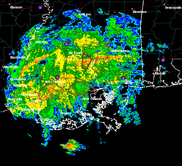 The severe thunderstorm warning for assumption, southwestern st. james, southeastern iberville and southwestern ascension parishes will expire at 200 pm cst, the storm which prompted the warning has weakened below severe limits and exited the warned area. therefore the warning will be allowed to expire. a tornado watch remains in effect until 500 pm cst for southeastern louisiana. to report severe weather, contact your nearest law enforcement agency. they will relay your report to the national weather service new orleans. The severe thunderstorm warning for assumption, southwestern st. james, southeastern iberville and southwestern ascension parishes will expire at 200 pm cst, the storm which prompted the warning has weakened below severe limits and exited the warned area. therefore the warning will be allowed to expire. a tornado watch remains in effect until 500 pm cst for southeastern louisiana. to report severe weather, contact your nearest law enforcement agency. they will relay your report to the national weather service new orleans.
|
| 2/23/2016 1:14 PM CST |
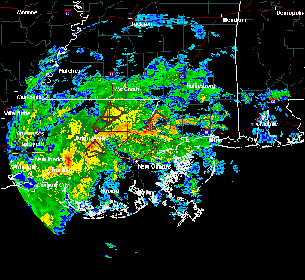 At 114 pm cst, a severe thunderstorm was located over pierre part, or near belle river, moving northeast at 20 mph (radar indicated). Hazards include 60 mph wind gusts. Expect damage to roofs. Siding and trees. At 114 pm cst, a severe thunderstorm was located over pierre part, or near belle river, moving northeast at 20 mph (radar indicated). Hazards include 60 mph wind gusts. Expect damage to roofs. Siding and trees.
|
| 12/28/2015 1:55 AM CST |
 At 155 am cst, a severe thunderstorm was located near pierre part, or 11 miles north of belle river, moving northeast at 50 mph (radar indicated). Hazards include 60 mph wind gusts. Expect damage to roofs. Siding and trees. At 155 am cst, a severe thunderstorm was located near pierre part, or 11 miles north of belle river, moving northeast at 50 mph (radar indicated). Hazards include 60 mph wind gusts. Expect damage to roofs. Siding and trees.
|
| 9/6/2015 7:47 PM CDT |
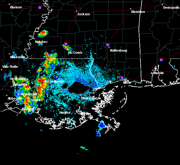 At 747 pm cdt, doppler radar indicated a severe thunderstorm capable of producing quarter size hail and damaging winds in excess of 60 mph. this storm was located near white castle, or 10 miles south of plaquemine, and moving southwest at 15 mph. At 747 pm cdt, doppler radar indicated a severe thunderstorm capable of producing quarter size hail and damaging winds in excess of 60 mph. this storm was located near white castle, or 10 miles south of plaquemine, and moving southwest at 15 mph.
|
| 5/27/2015 9:28 AM CDT | At 927 am cdt, doppler radar indicated a line of severe thunderstorms capable of producing damaging winds in excess of 60 mph. these storms were located along a line extending from near butte la rose to near freshwater city, and moving southeast at 40 mph. penny size hail may also accompany the damaging winds. |
| 4/27/2015 8:54 AM CDT | At 853 am cdt, doppler radar indicated a line of severe thunderstorms capable of producing quarter size hail and destructive winds in excess of 70 mph. these storms were located along a line extending from 6 miles south of ramah to 6 miles northeast of lake fausse pointe to near lydia, and moving east at 60 mph. |
| 4/27/2015 8:51 AM CDT | At 850 am cdt, doppler radar indicated a line of severe thunderstorms capable of producing quarter size hail and damaging winds in excess of 60 mph. these storms were located along a line extending from near fort adams to near st. francisville to near erwinville to near ramah to 9 miles southeast of catahoula to near jeanerette to near cypremort point to 16 miles south of freshwater city, and moving east at 60 mph. |
| 4/25/2015 12:41 PM CDT | At 1241 pm cdt, doppler radar indicated a line of severe thunderstorms capable of producing quarter size hail and damaging winds in excess of 60 mph. these storms were located along a line extending from gramercy to 6 miles east of amelia, moving east at 35 mph. locations impacted include, morgan city, patterson, berwick, bayou vista, belle river, stephensville, pierre part, patterson memorial airport and amelia. |
| 4/25/2015 12:17 PM CDT | At 1217 pm cdt, doppler radar indicated a line of severe thunderstorms capable of producing quarter size hail and damaging winds in excess of 60 mph. these storms were located along a line extending from 11 miles northeast of charenton to near patterson memorial airport to ellerslie, moving east at 35 mph. locations impacted include, morgan city, franklin, patterson, berwick, bayou vista, burns point, belle river, stephensville, pierre part, amelia, patterson memorial airport, ellerslie and centerville. |
| 4/25/2015 11:56 AM CDT | At 1156 am cdt, doppler radar indicated a line of severe thunderstorms capable of producing quarter size hail and damaging winds in excess of 60 mph. these storms were located along a line extending from 6 miles southwest of bayou sorrel to near charenton to near cote blanche island to 22 miles southeast of freshwater city, and moving east at 35 mph. |
| 4/24/2015 4:22 PM CDT | At 421 pm cdt, doppler radar indicated a severe thunderstorm capable of producing large damaging hail up to golf ball size and damaging winds in excess of 60 mph. this storm was located near white castle, or 11 miles south of plaquemine, moving east at 40 mph. locations impacted include, gonzales, donaldsonville, plaquemine, napoleonville, st. gabriel, white castle, sorrento, pierre part, paincourtville, belle rose, geismer, bayou sorrel, carville, pierre part, supreme and labadieville. a tornado watch remains in effect until 800 pm cdt for southeastern louisiana. |
| 4/24/2015 4:03 PM CDT | At 402 pm cdt, doppler radar indicated a severe thunderstorm capable of producing large damaging hail up to golf ball size and damaging winds in excess of 60 mph. this storm was located near bayou sorrel, or 13 miles southwest of plaquemine, and moving southeast at 35 mph. |
Hail Maps for Pierre Part, LA


Connect with Interactive Hail Maps