

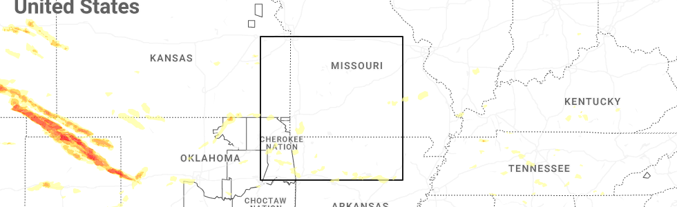
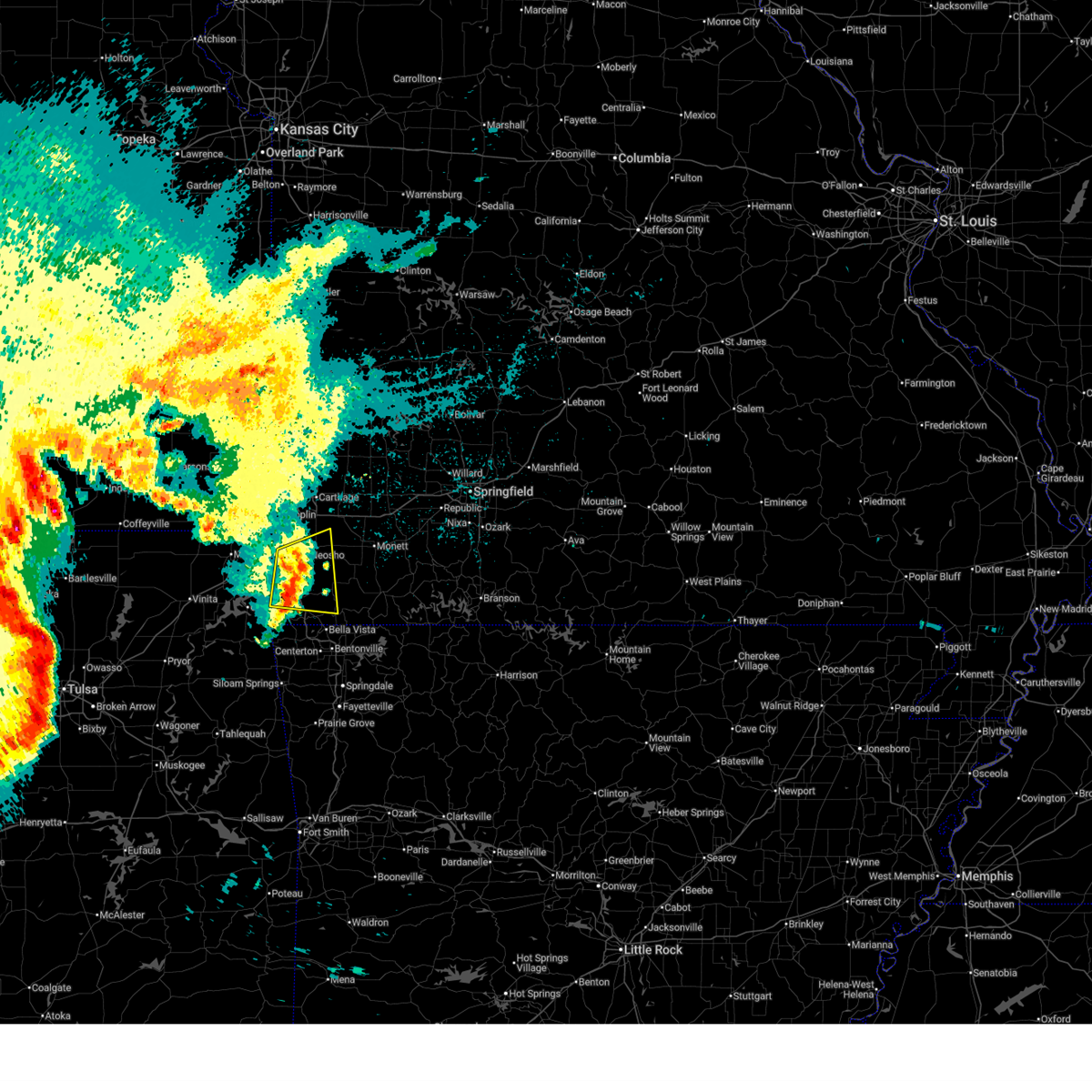
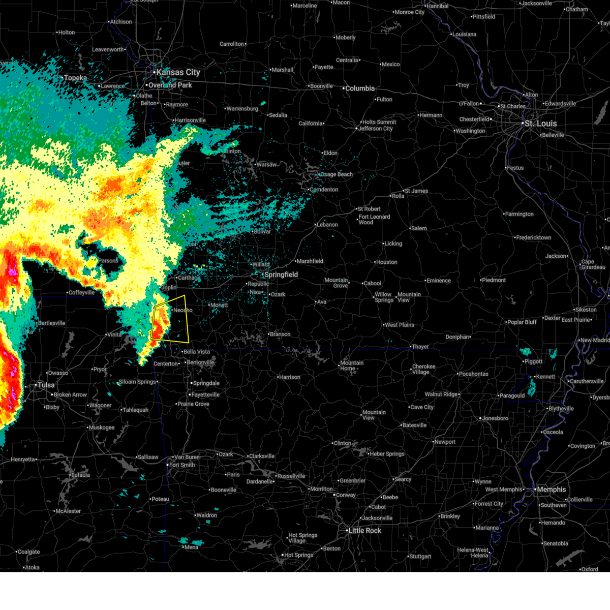
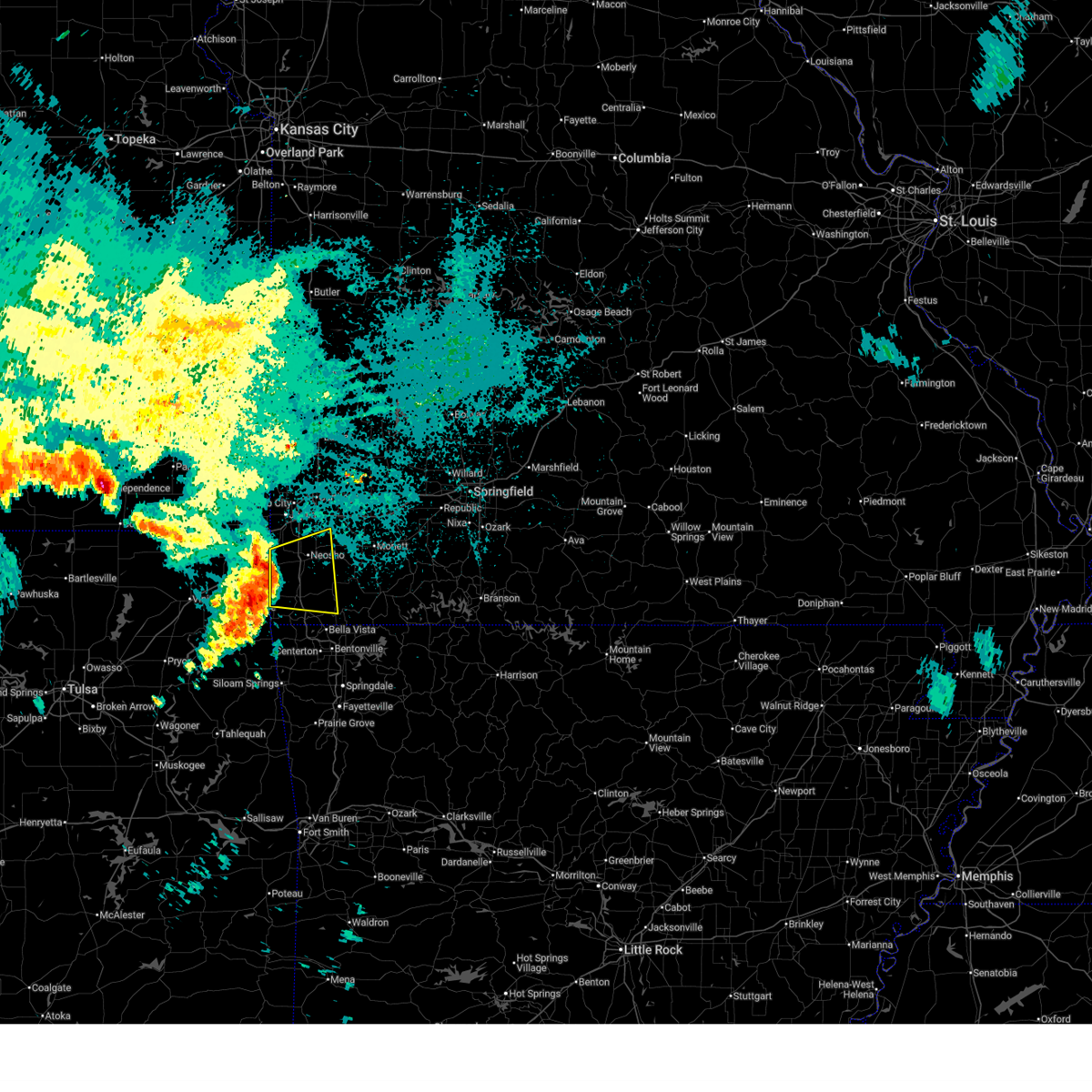
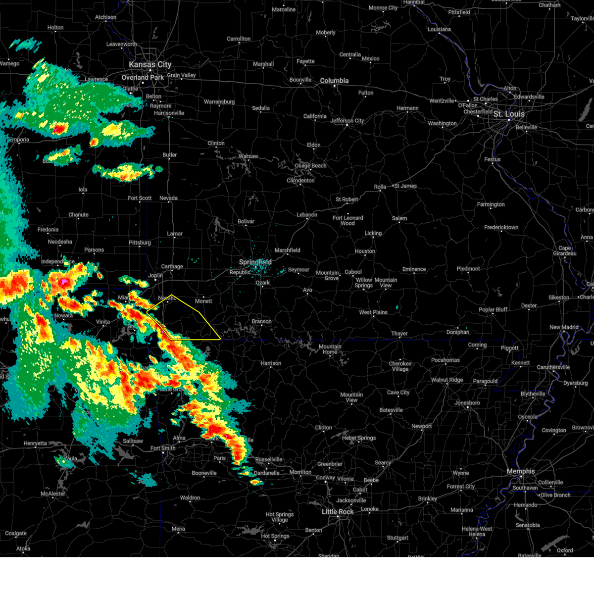
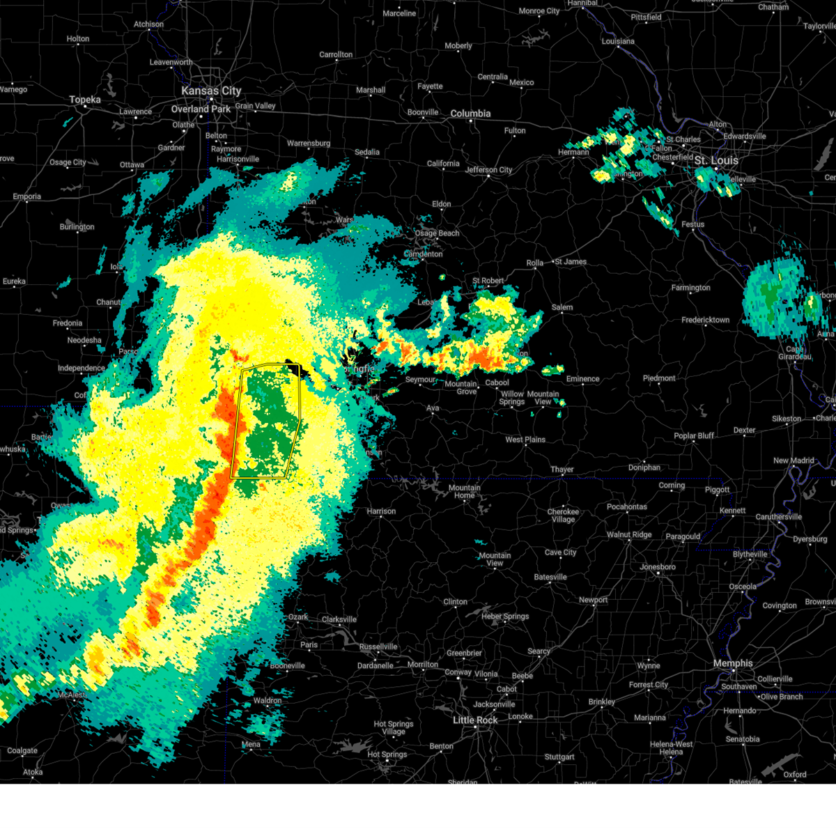
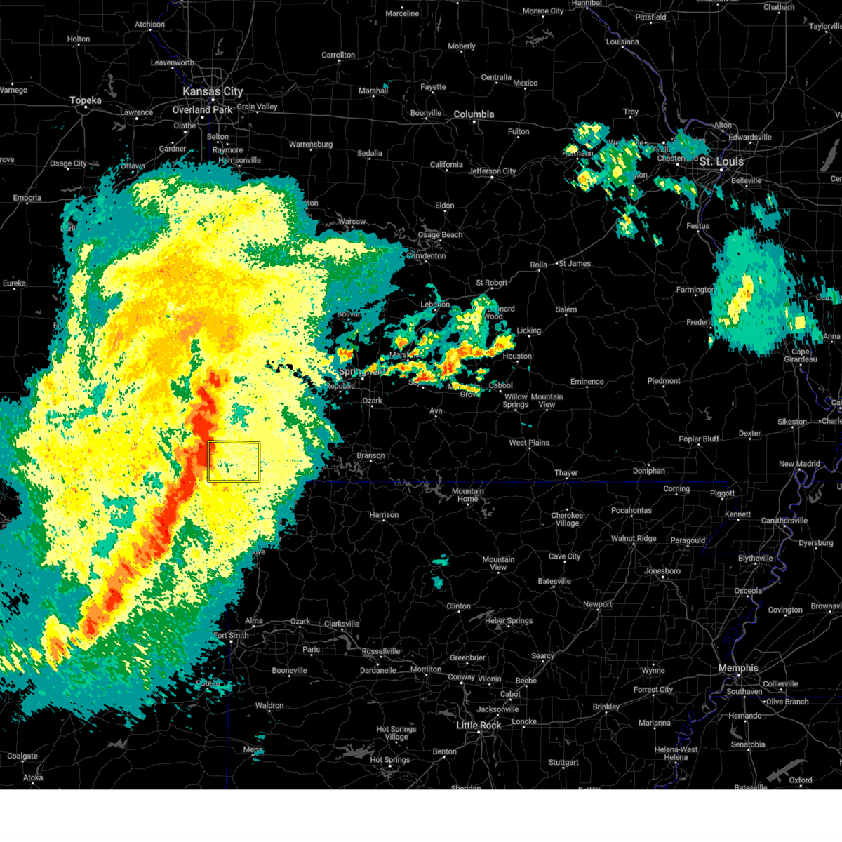
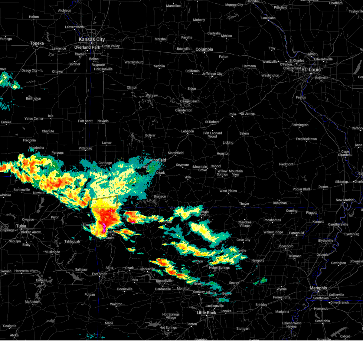
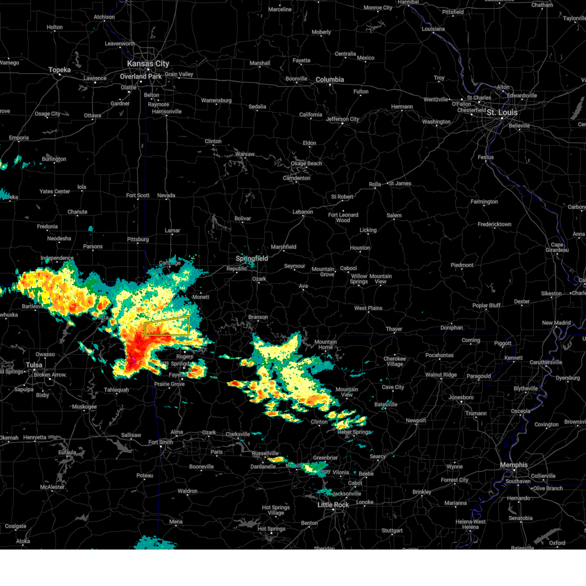
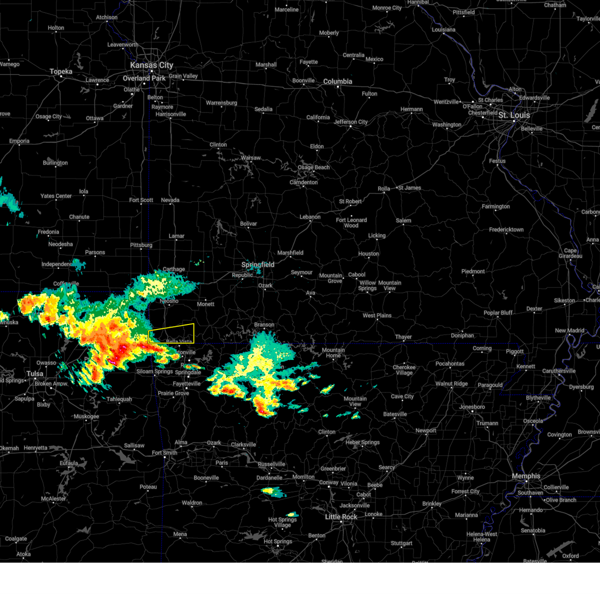
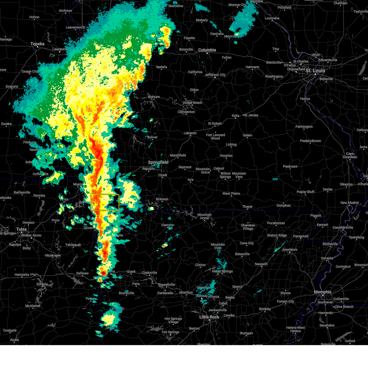
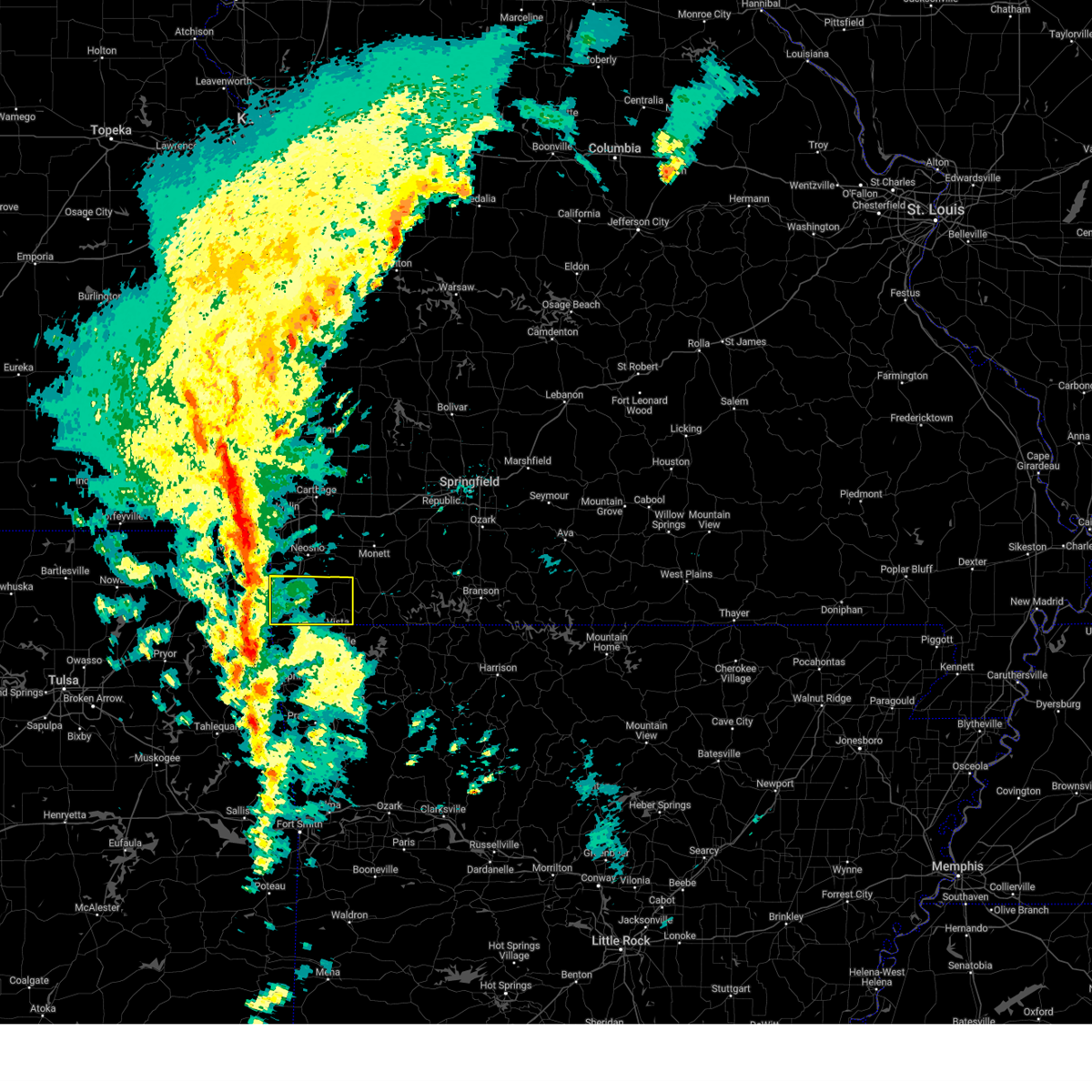
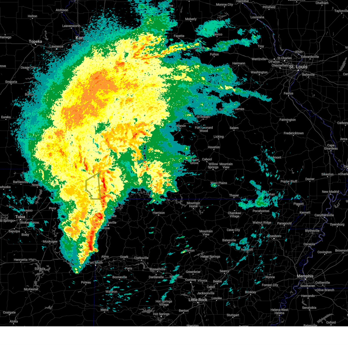
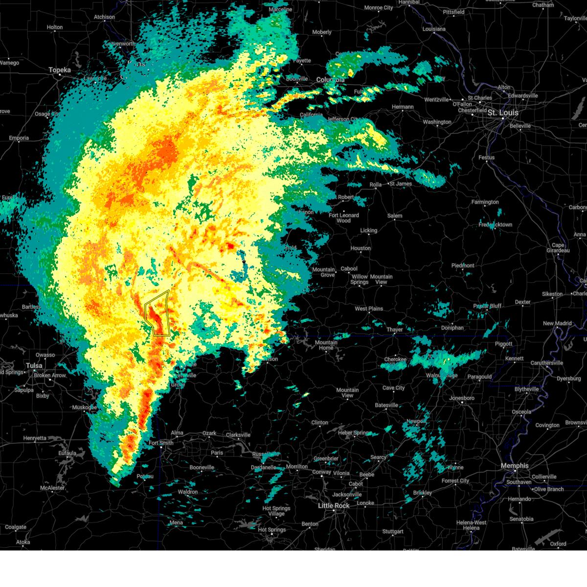
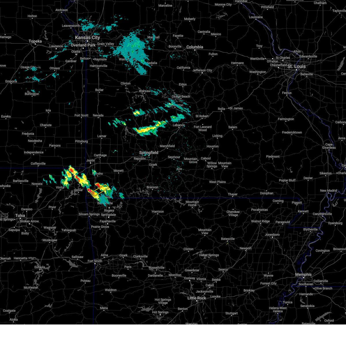
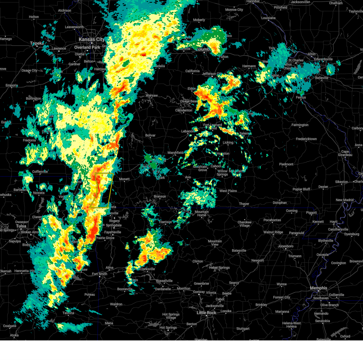
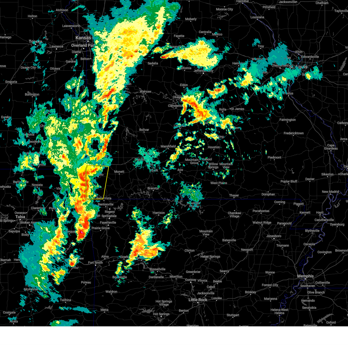
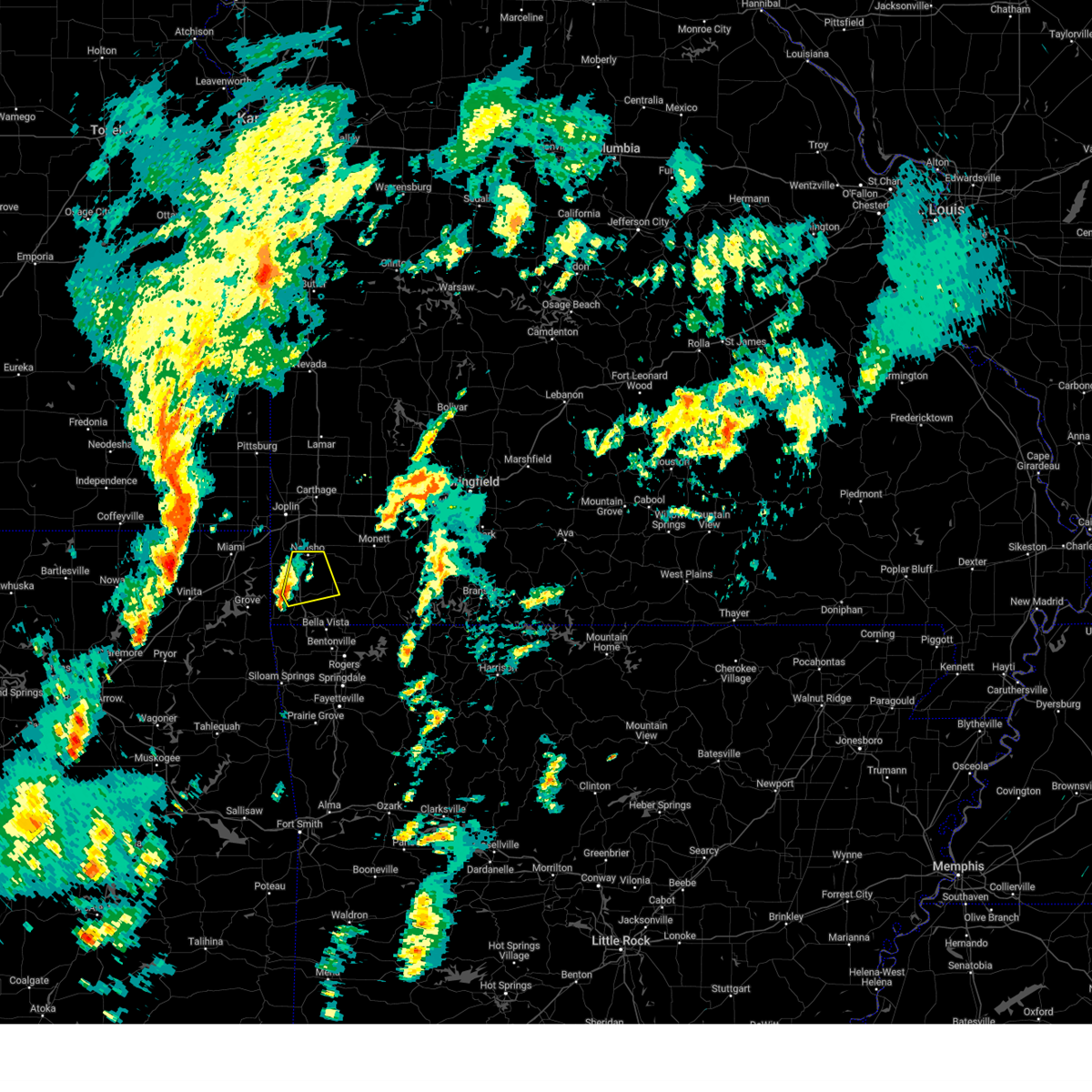
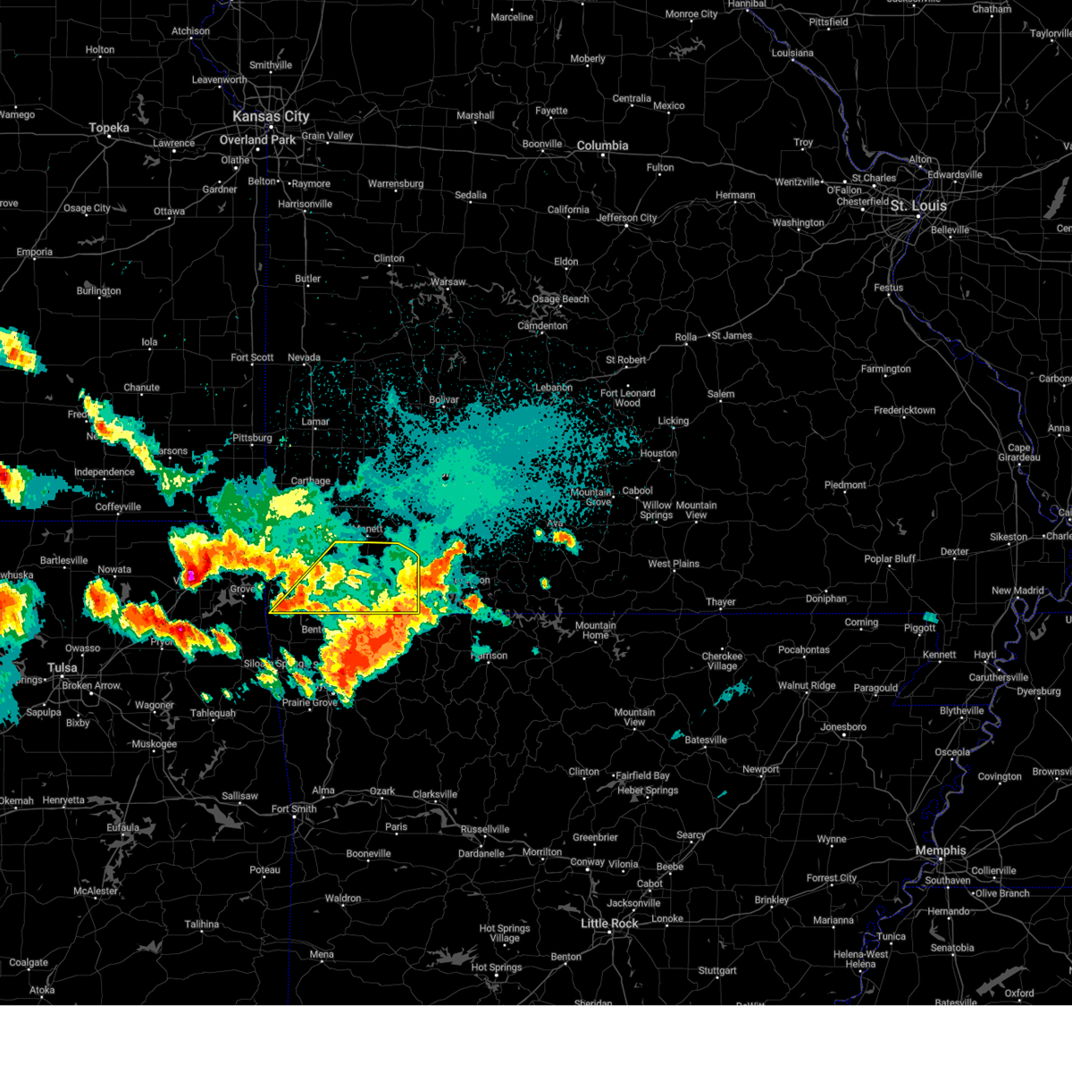
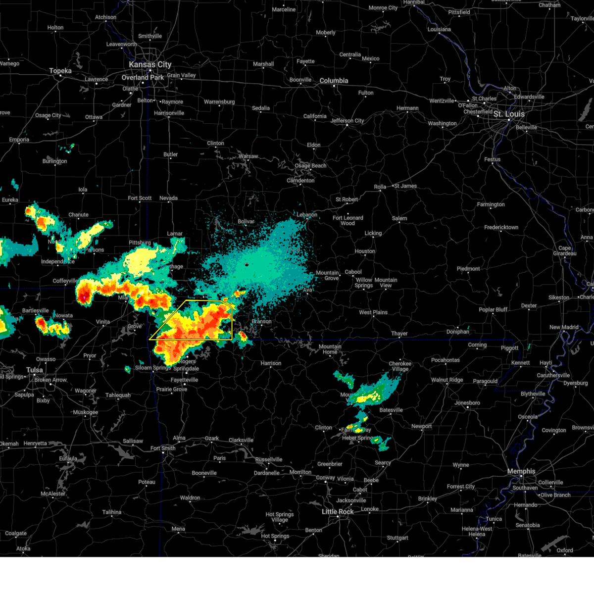
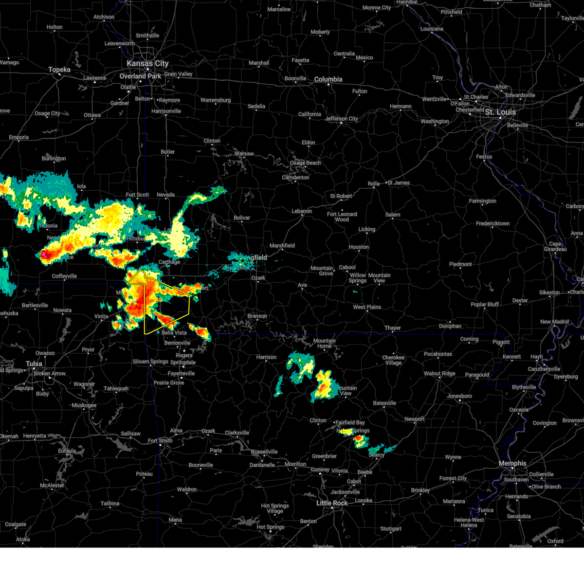
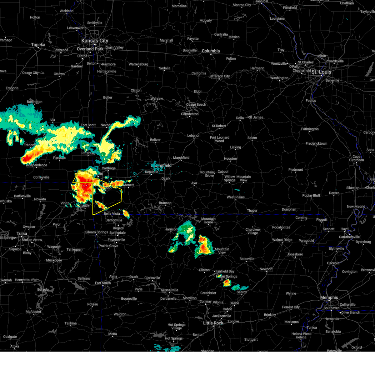
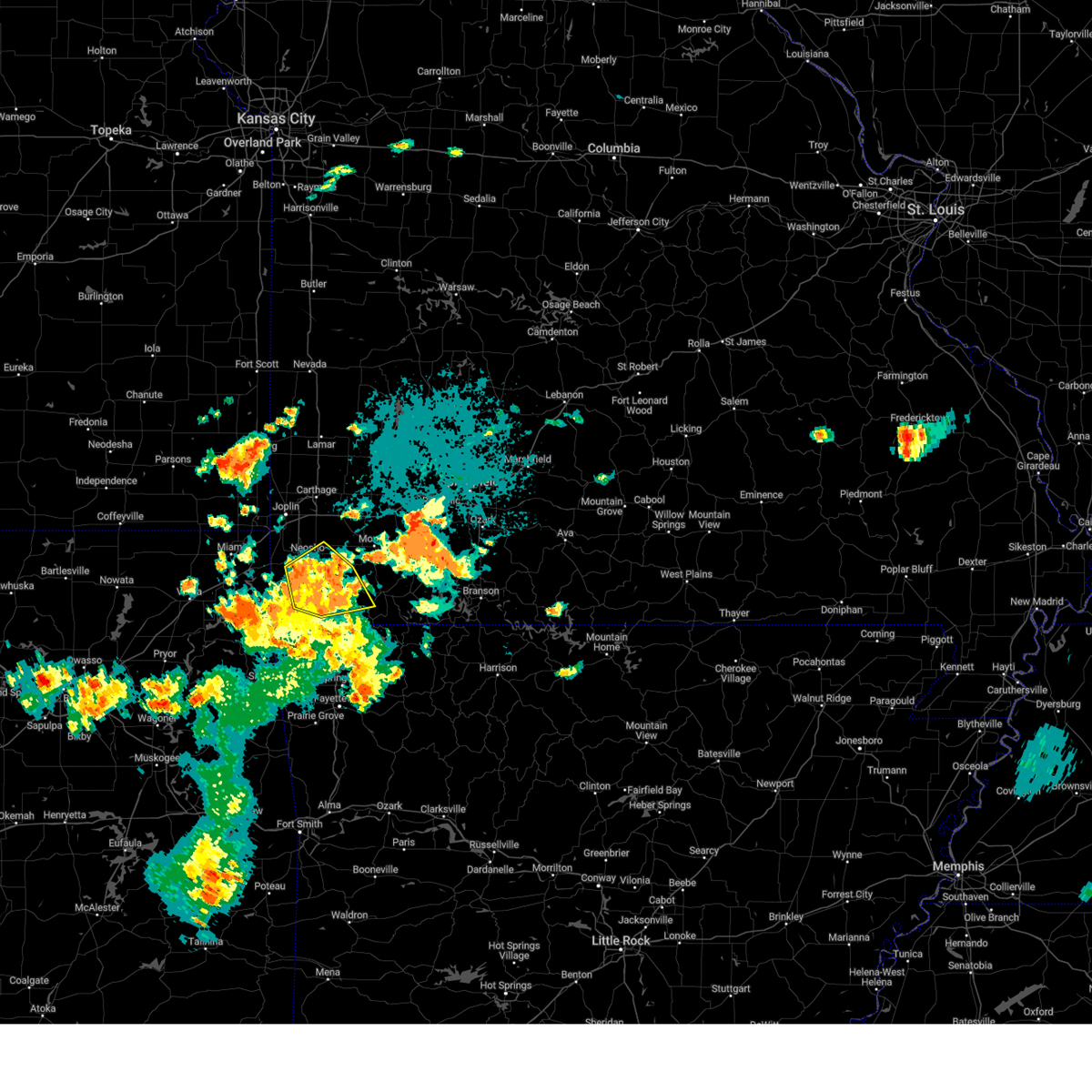
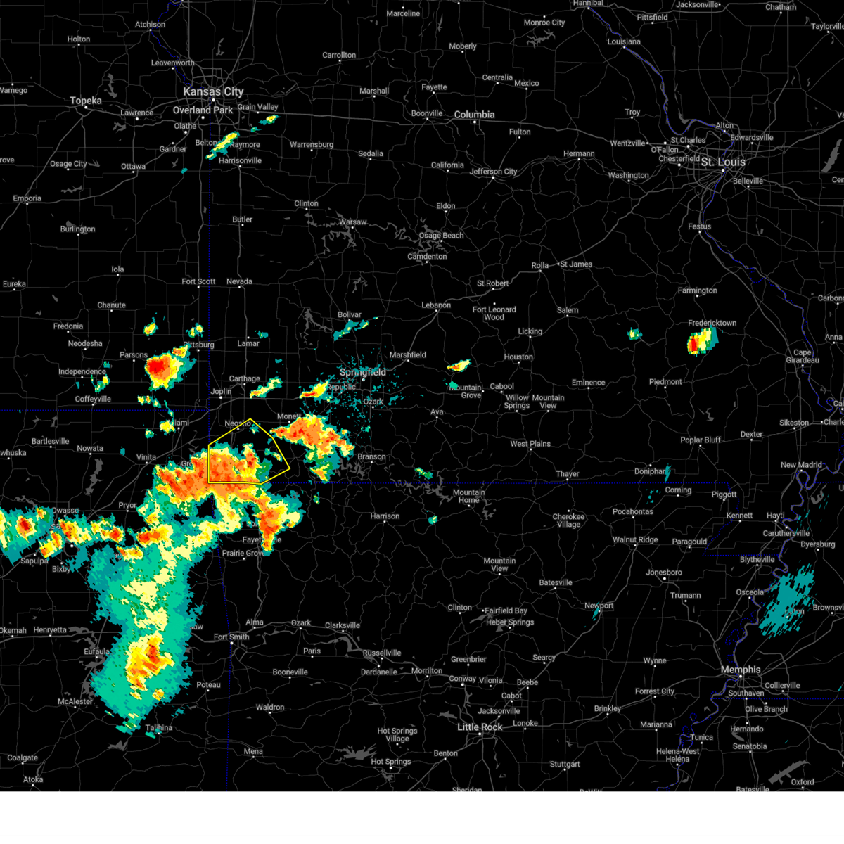
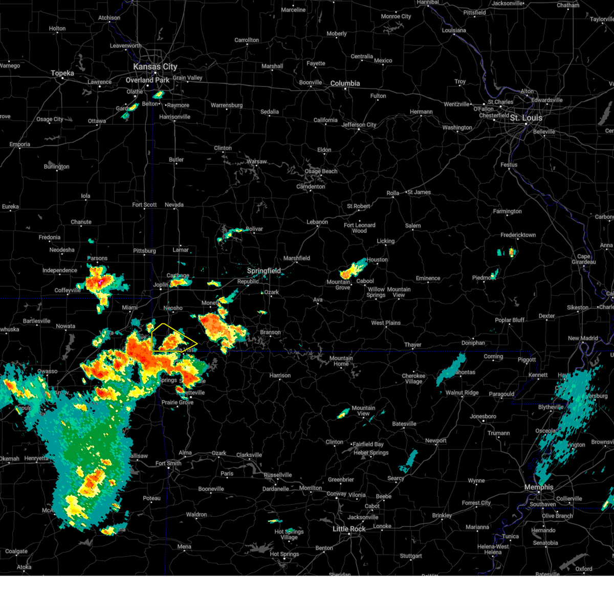
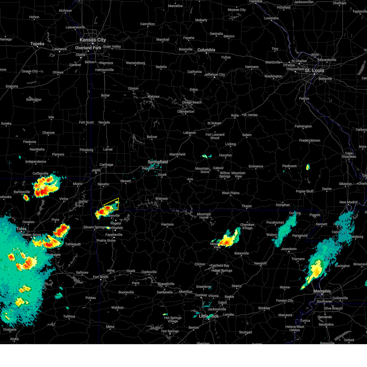
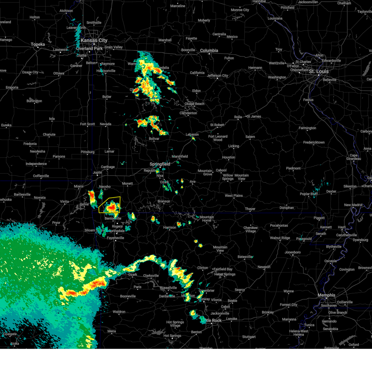
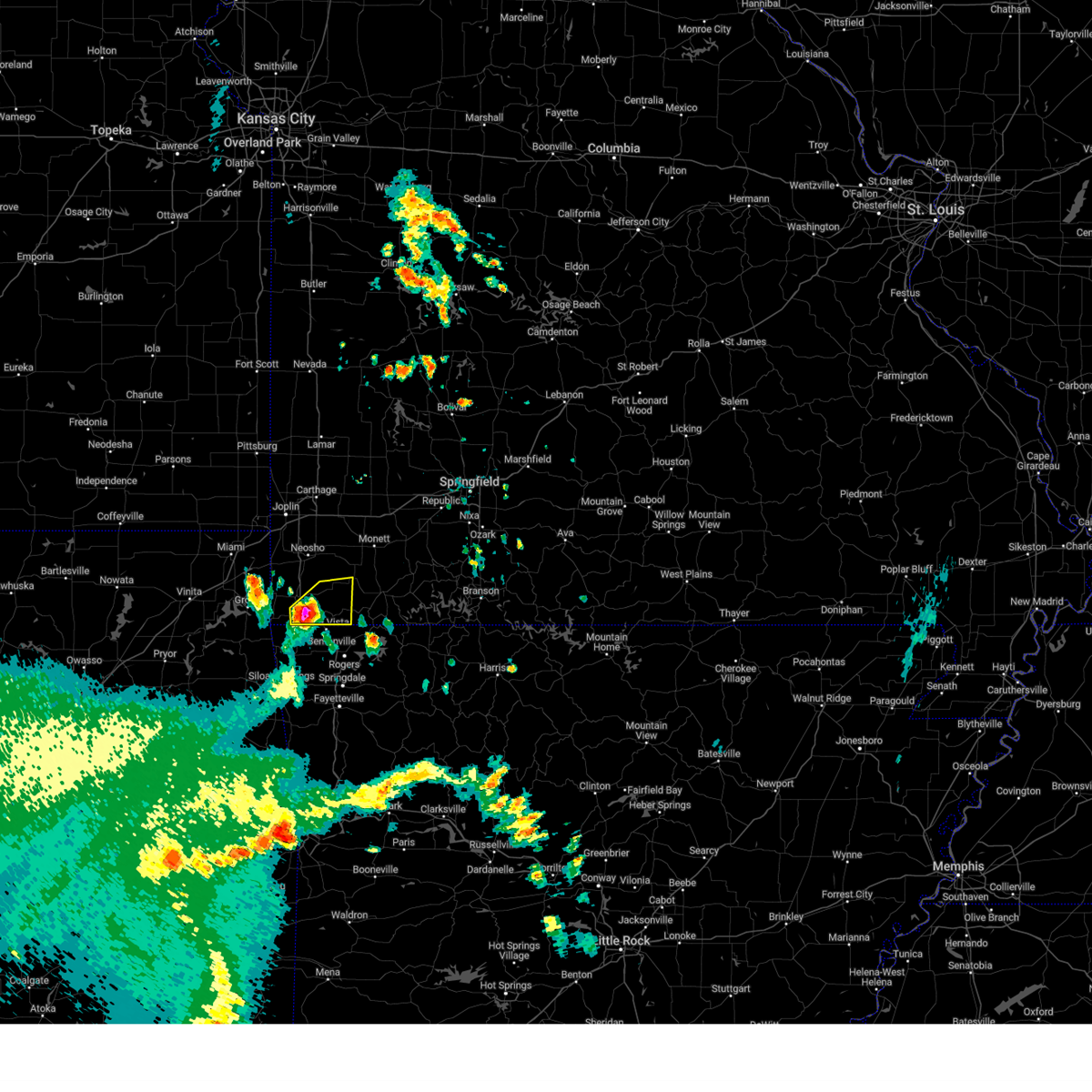
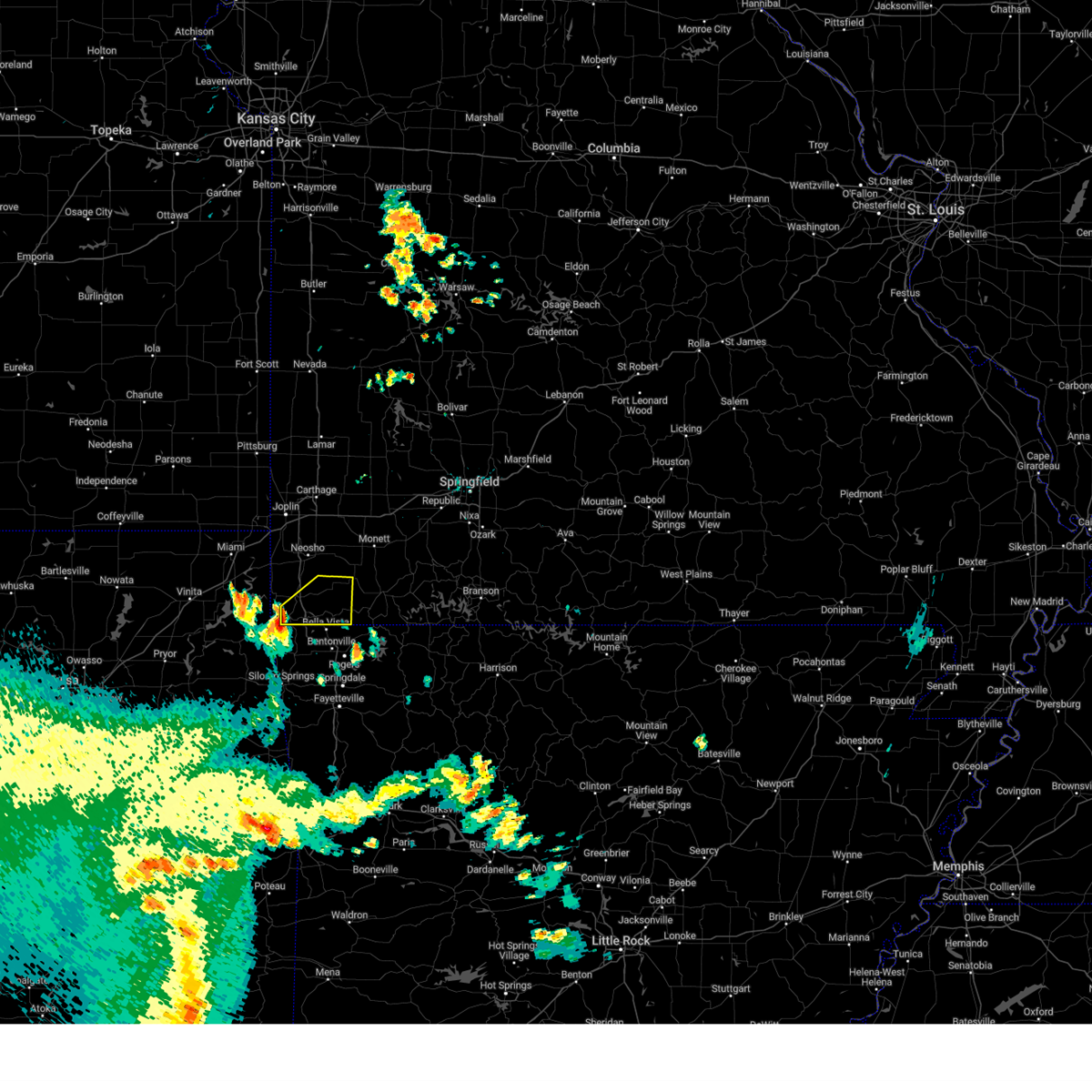
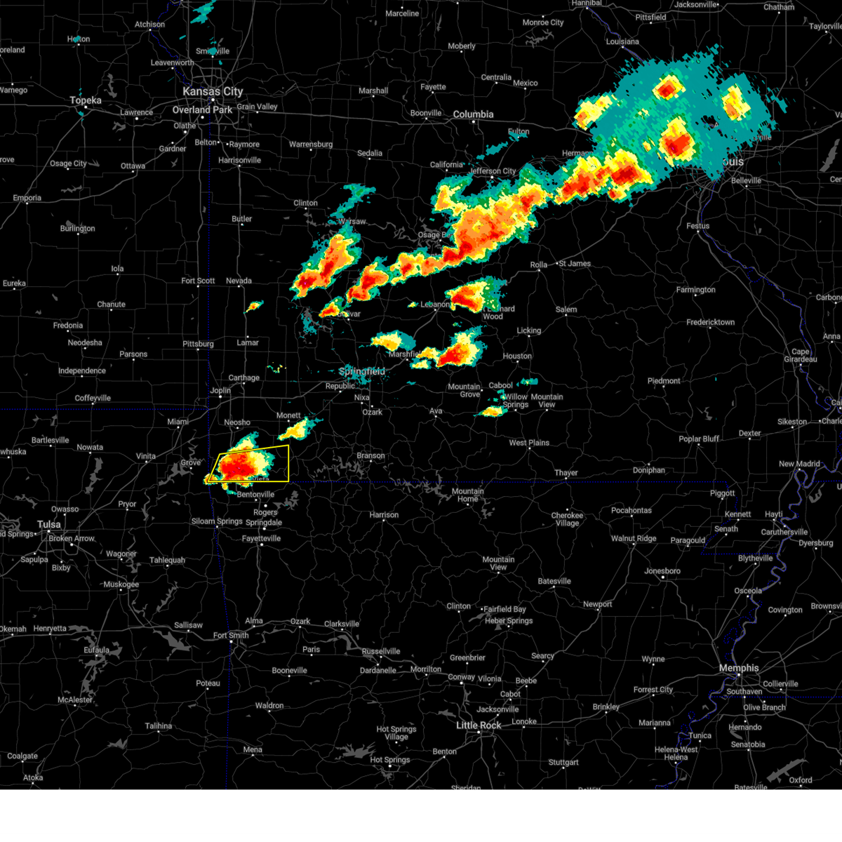
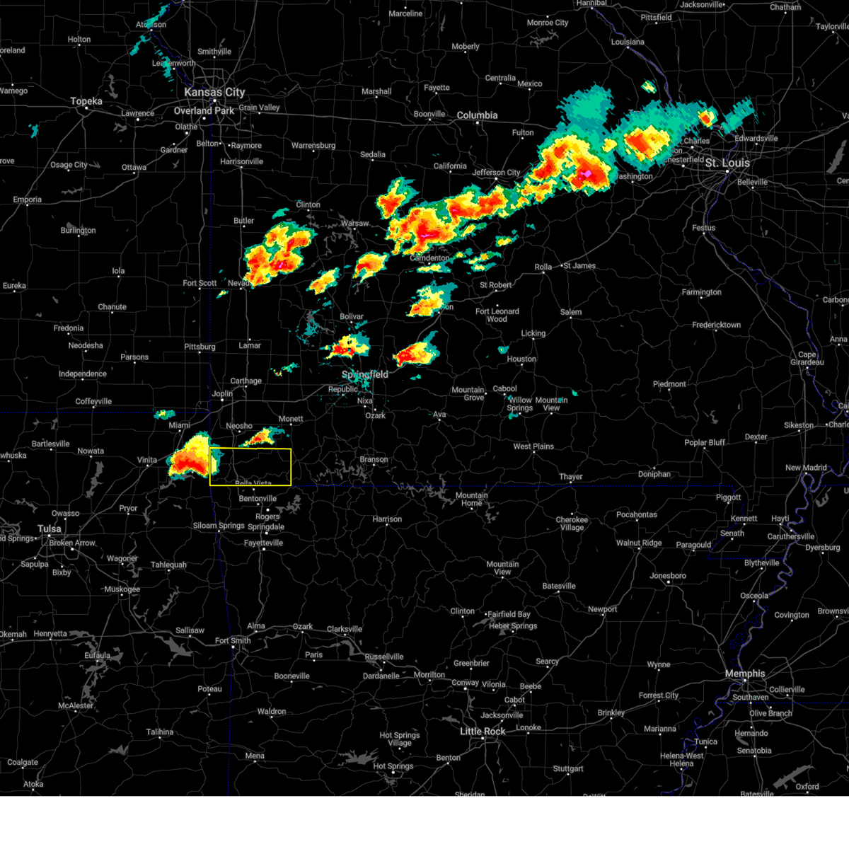
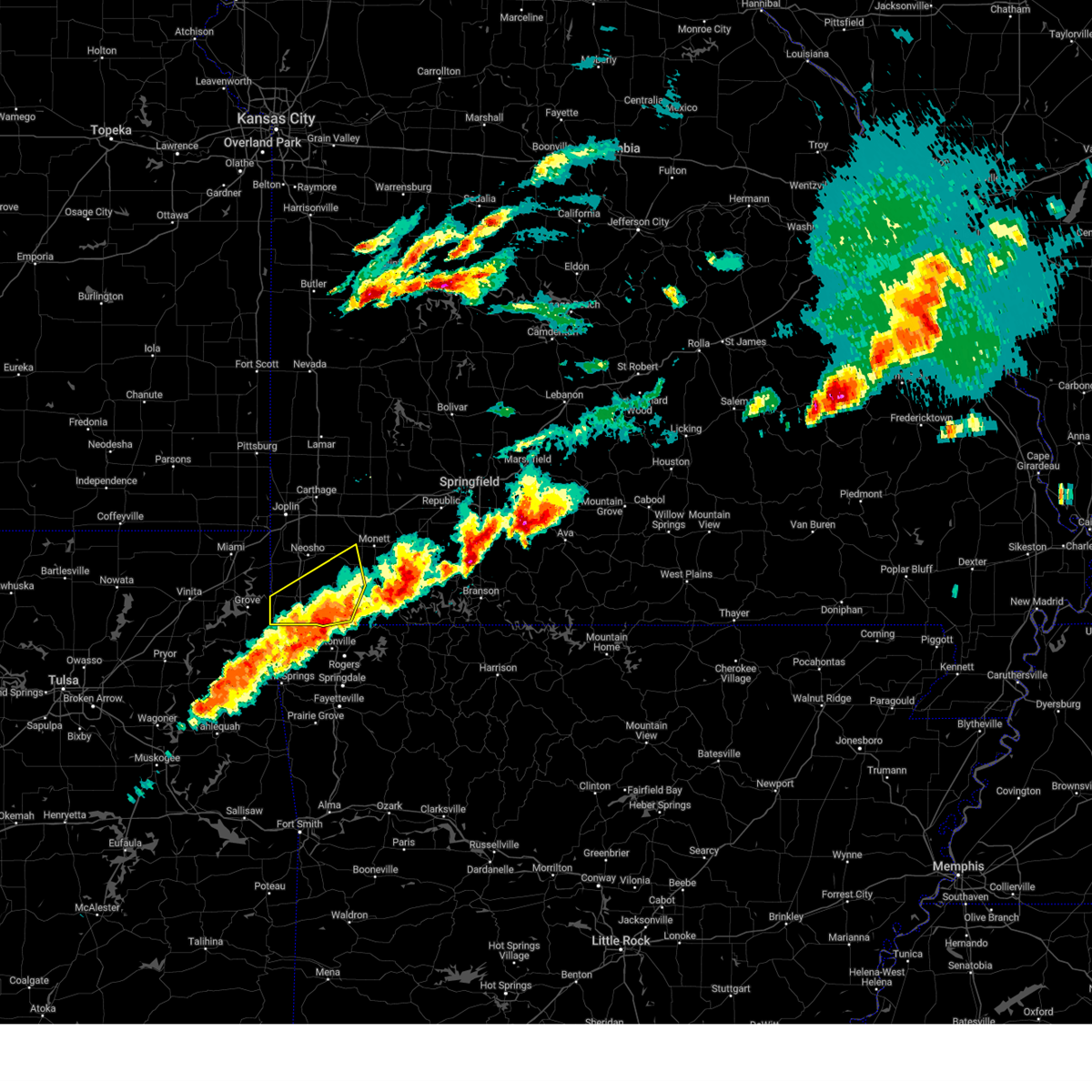
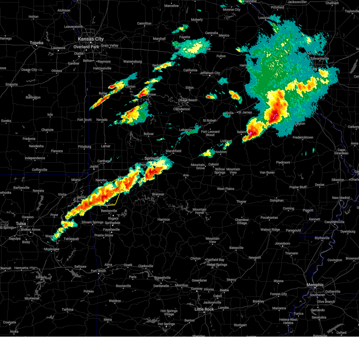
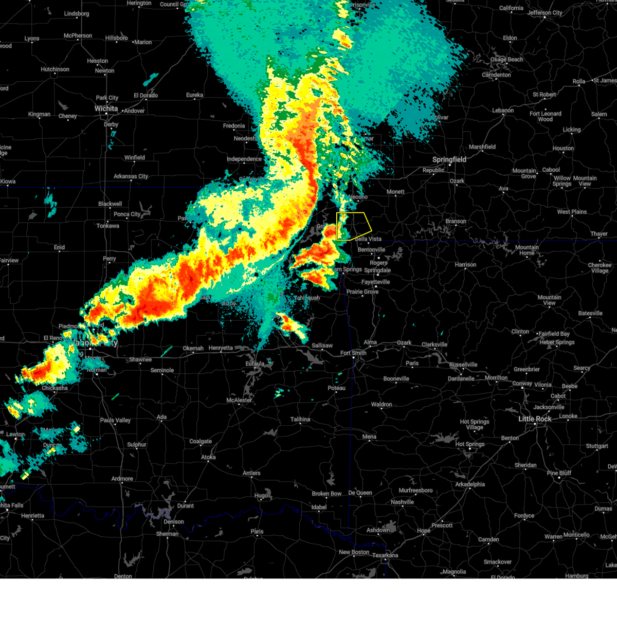
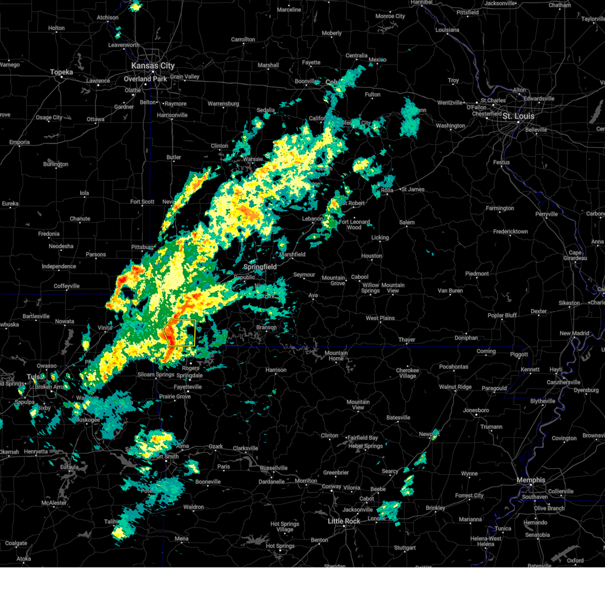
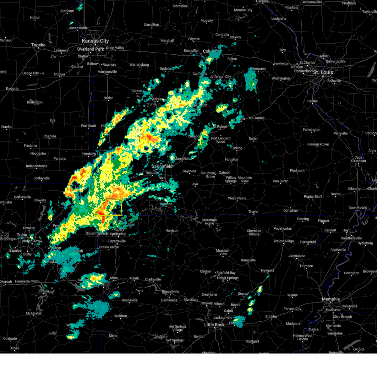
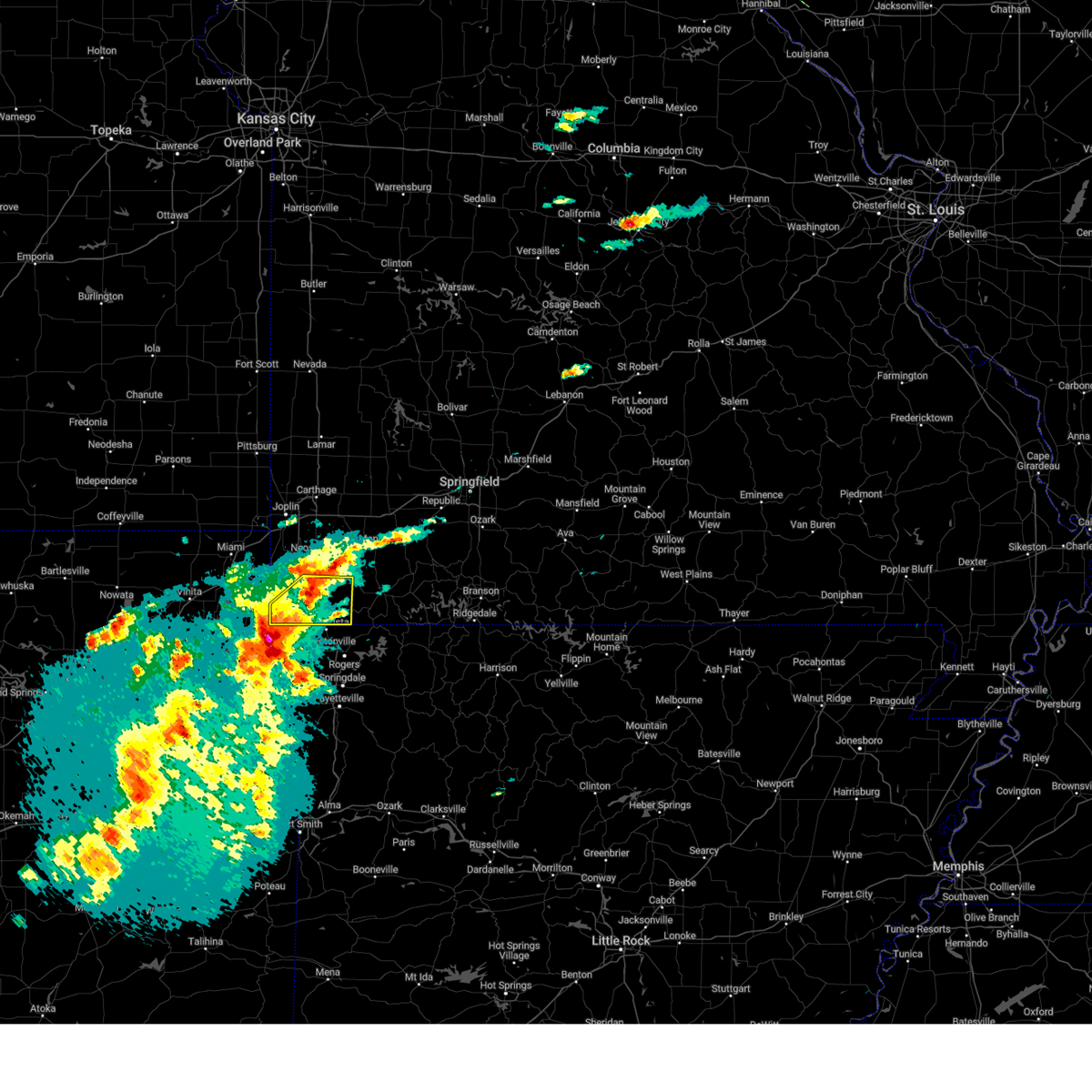
Hail Map for Pineville, MO
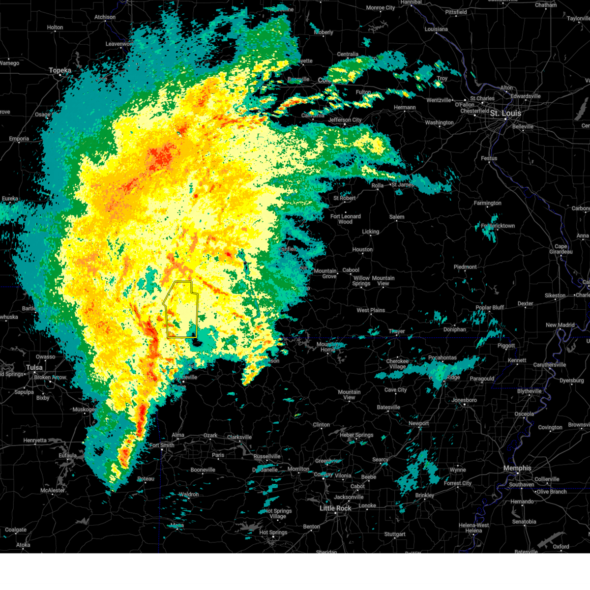
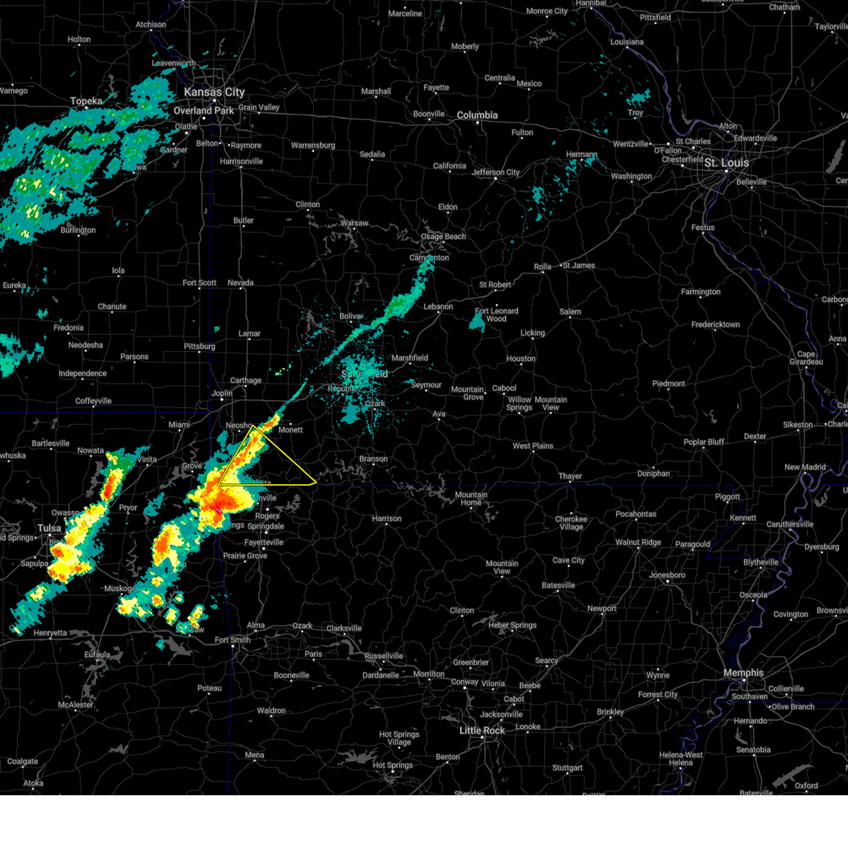
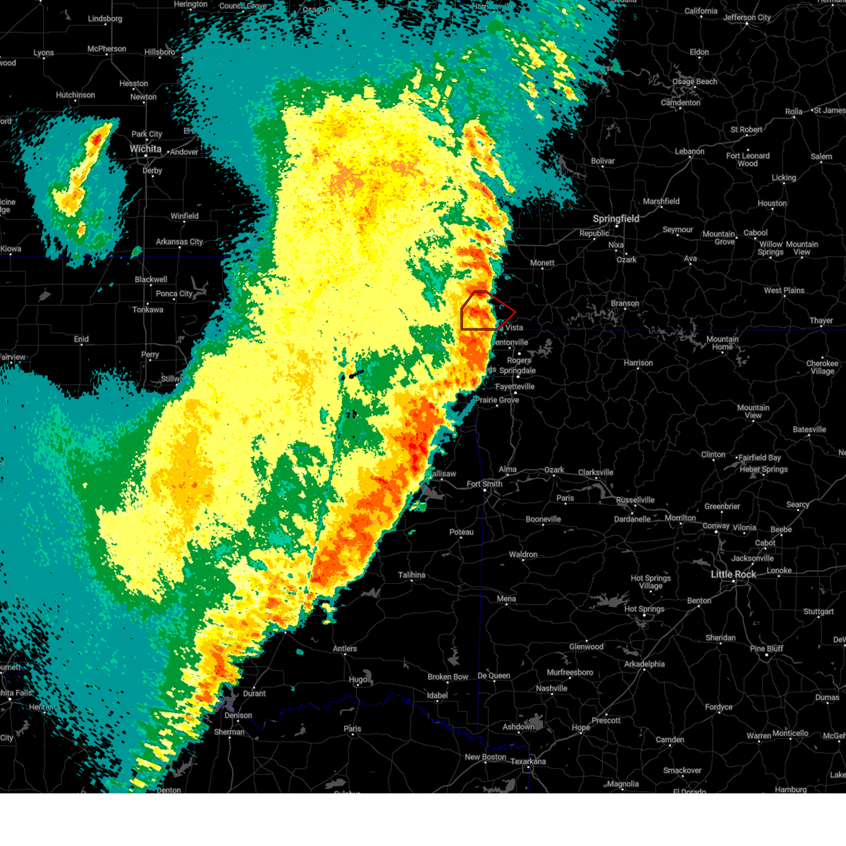
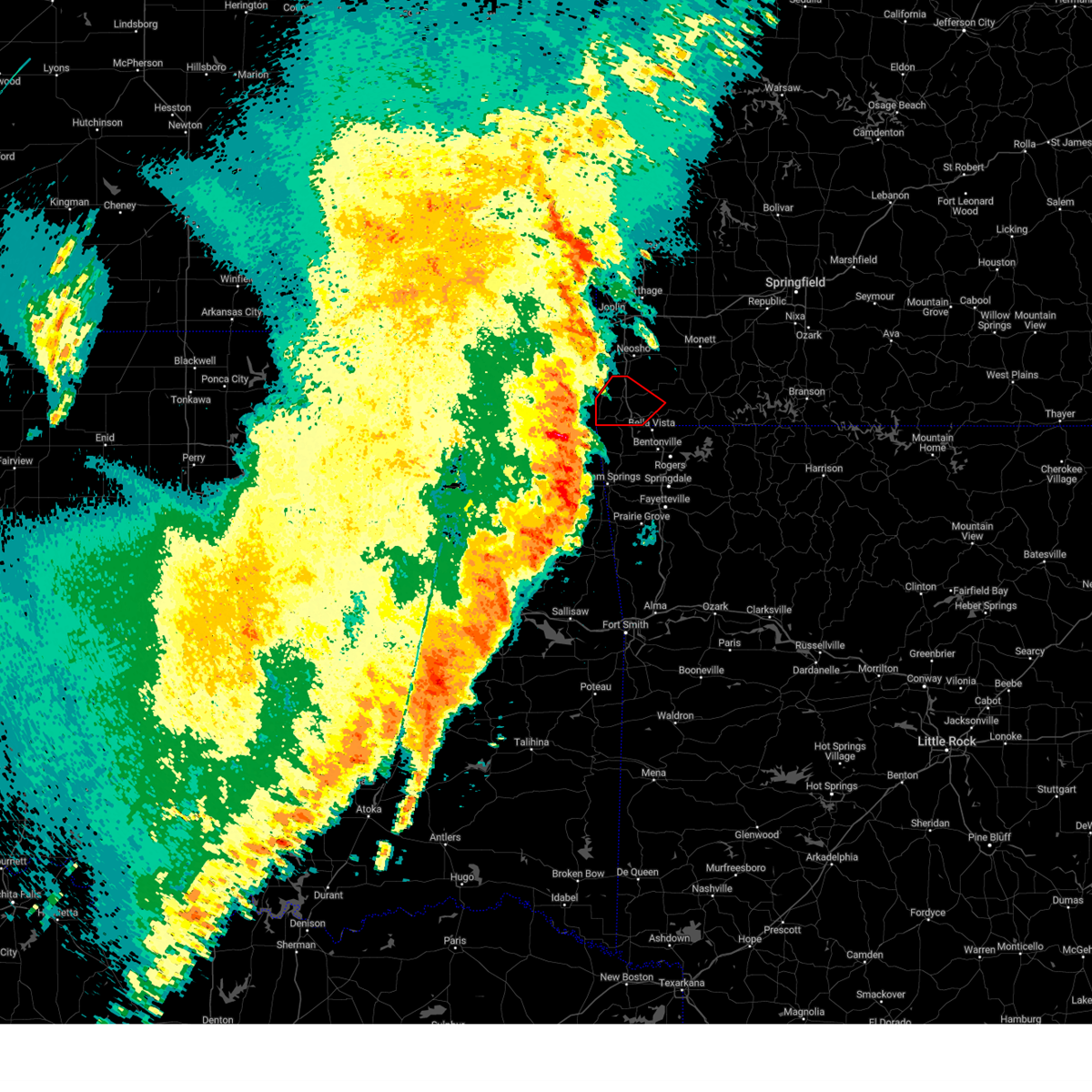
The Pineville, MO area has had 10 reports of on-the-ground hail by trained spotters, and has been under severe weather warnings 47 times during the past 12 months. Doppler radar has detected hail at or near Pineville, MO on 78 occasions, including 6 occasions during the past year.
| Name: | Pineville, MO |
| Where Located: | 74.2 miles SW of Springfield, MO |
| Map: | Google Map for Pineville, MO |
| Population: | 791 |
| Housing Units: | 357 |
| More Info: | Search Google for Pineville, MO |
1
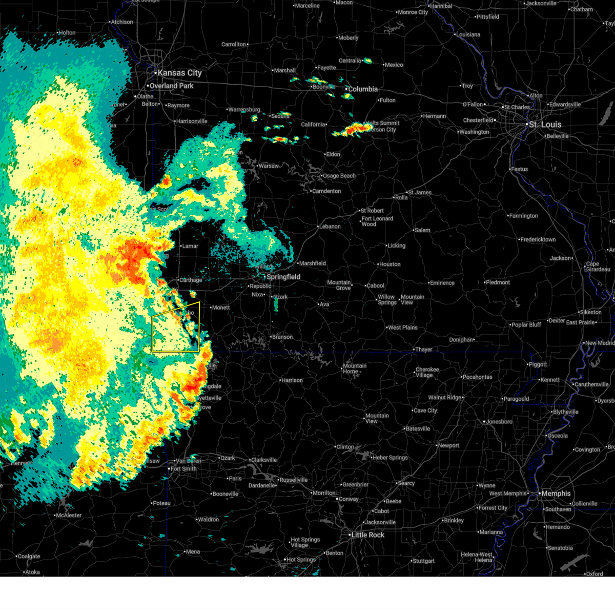
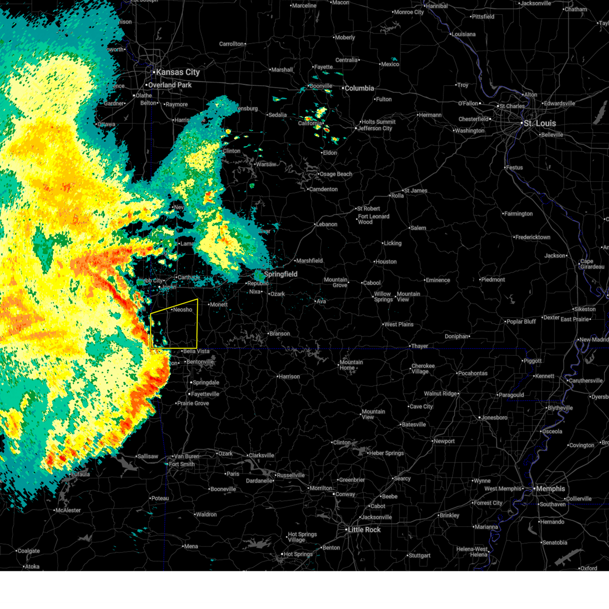
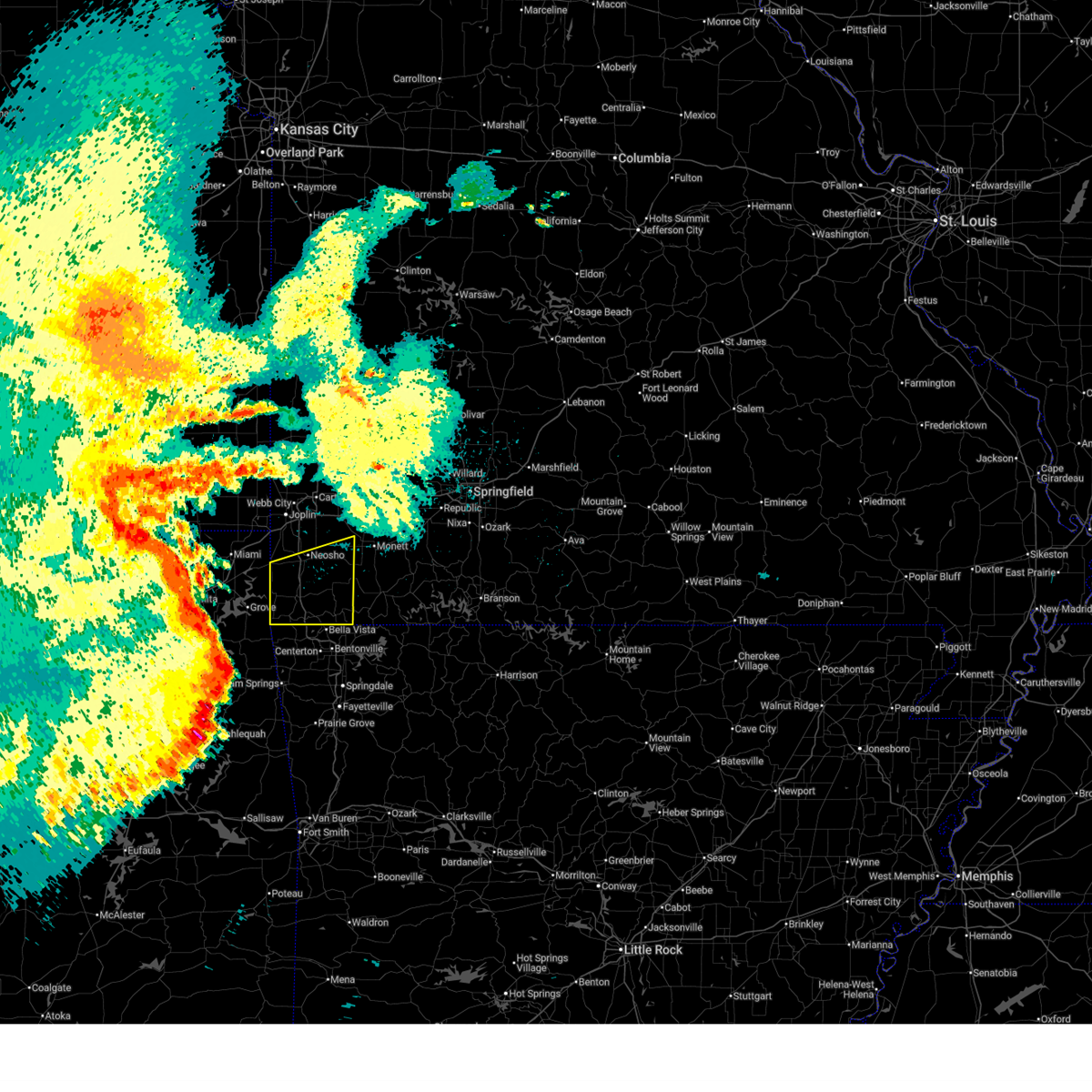
The Top Recent Hail Date for Pineville, MO is Friday, June 6, 2025 (16th out of 78)
Hail and Wind Damage Spotted near Pineville, MO
| Date / Time | Report Details |
|---|---|
| 6/18/2025 1:58 AM CDT |
 The storms which prompted the warning have weakened below severe limits, and no longer pose an immediate threat to life or property. therefore, the warning will be allowed to expire. however, gusty winds and heavy rain are still possible with these thunderstorms. a severe thunderstorm watch remains in effect until 400 am cdt for southwestern missouri. The storms which prompted the warning have weakened below severe limits, and no longer pose an immediate threat to life or property. therefore, the warning will be allowed to expire. however, gusty winds and heavy rain are still possible with these thunderstorms. a severe thunderstorm watch remains in effect until 400 am cdt for southwestern missouri.
|
| 6/18/2025 1:25 AM CDT |
 At 125 am cdt, severe thunderstorms were located along a line extending from 6 miles south of wyandotte to near decatur, moving east at 55 mph (radar indicated). Hazards include 70 mph wind gusts and quarter size hail. Hail damage to vehicles is expected. expect considerable tree damage. wind damage is also likely to mobile homes, roofs, and outbuildings. these severe storms will be near, pineville, anderson, noel, and lanagan around 130 am cdt. goodman around 135 am cdt. neosho around 140 am cdt. wheaton and fairview around 155 am cdt. Other locations impacted by these severe thunderstorms include stark city, newtonia, stella, powell, tiff city, rocky comfort, dodge, and cayuga. At 125 am cdt, severe thunderstorms were located along a line extending from 6 miles south of wyandotte to near decatur, moving east at 55 mph (radar indicated). Hazards include 70 mph wind gusts and quarter size hail. Hail damage to vehicles is expected. expect considerable tree damage. wind damage is also likely to mobile homes, roofs, and outbuildings. these severe storms will be near, pineville, anderson, noel, and lanagan around 130 am cdt. goodman around 135 am cdt. neosho around 140 am cdt. wheaton and fairview around 155 am cdt. Other locations impacted by these severe thunderstorms include stark city, newtonia, stella, powell, tiff city, rocky comfort, dodge, and cayuga.
|
| 6/18/2025 1:03 AM CDT |
 Svrsgf the national weather service in springfield has issued a * severe thunderstorm warning for, southern newton county in southwestern missouri, mcdonald county in southwestern missouri, * until 200 am cdt. * at 103 am cdt, severe thunderstorms were located along a line extending from near cleora to near kansas, moving east at 60 mph (radar indicated). Hazards include 70 mph wind gusts and quarter size hail. Hail damage to vehicles is expected. expect considerable tree damage. wind damage is also likely to mobile homes, roofs, and outbuildings. severe thunderstorms will be near, south west city around 115 am cdt. Other locations in the path of these severe thunderstorms include noel, lanagan, pineville and anderson. Svrsgf the national weather service in springfield has issued a * severe thunderstorm warning for, southern newton county in southwestern missouri, mcdonald county in southwestern missouri, * until 200 am cdt. * at 103 am cdt, severe thunderstorms were located along a line extending from near cleora to near kansas, moving east at 60 mph (radar indicated). Hazards include 70 mph wind gusts and quarter size hail. Hail damage to vehicles is expected. expect considerable tree damage. wind damage is also likely to mobile homes, roofs, and outbuildings. severe thunderstorms will be near, south west city around 115 am cdt. Other locations in the path of these severe thunderstorms include noel, lanagan, pineville and anderson.
|
| 6/18/2025 12:07 AM CDT |
 The storm which prompted the warning has weakened below severe limits, and no longer poses an immediate threat to life or property. therefore, the warning will be allowed to expire. however, gusty winds are still possible with this thunderstorm. a severe thunderstorm watch remains in effect until 400 am cdt for southwestern missouri. The storm which prompted the warning has weakened below severe limits, and no longer poses an immediate threat to life or property. therefore, the warning will be allowed to expire. however, gusty winds are still possible with this thunderstorm. a severe thunderstorm watch remains in effect until 400 am cdt for southwestern missouri.
|
| 6/17/2025 11:48 PM CDT |
 At 1148 pm cdt, a severe thunderstorm was located near neosho, moving east at 35 mph (radar indicated). Hazards include 60 mph wind gusts and quarter size hail. Hail damage to vehicles is expected. expect wind damage to roofs, siding, and trees. This severe thunderstorm will remain over mainly rural areas of western newton and central mcdonald counties, including the following locations, powell, racine, and stella. At 1148 pm cdt, a severe thunderstorm was located near neosho, moving east at 35 mph (radar indicated). Hazards include 60 mph wind gusts and quarter size hail. Hail damage to vehicles is expected. expect wind damage to roofs, siding, and trees. This severe thunderstorm will remain over mainly rural areas of western newton and central mcdonald counties, including the following locations, powell, racine, and stella.
|
| 6/17/2025 11:29 PM CDT |
 Svrsgf the national weather service in springfield has issued a * severe thunderstorm warning for, western newton county in southwestern missouri, central mcdonald county in southwestern missouri, * until 1215 am cdt. * at 1128 pm cdt, a severe thunderstorm was located near seneca, or 12 miles southwest of neosho, moving east at 35 mph (radar indicated). Hazards include 60 mph wind gusts and quarter size hail. Hail damage to vehicles is expected. expect wind damage to roofs, siding, and trees. This severe thunderstorm will be near, neosho and goodman around 1140 pm cdt. Svrsgf the national weather service in springfield has issued a * severe thunderstorm warning for, western newton county in southwestern missouri, central mcdonald county in southwestern missouri, * until 1215 am cdt. * at 1128 pm cdt, a severe thunderstorm was located near seneca, or 12 miles southwest of neosho, moving east at 35 mph (radar indicated). Hazards include 60 mph wind gusts and quarter size hail. Hail damage to vehicles is expected. expect wind damage to roofs, siding, and trees. This severe thunderstorm will be near, neosho and goodman around 1140 pm cdt.
|
| 6/7/2025 2:40 AM CDT |
 Svrsgf the national weather service in springfield has issued a * severe thunderstorm warning for, southern newton county in southwestern missouri, mcdonald county in southwestern missouri, southwestern barry county in southwestern missouri, * until 330 am cdt. * at 240 am cdt, severe thunderstorms were located along a line extending from near wyandotte to anderson to near bentonville, moving east at 40 mph (radar indicated). Hazards include 60 mph wind gusts and quarter size hail. Hail damage to vehicles is expected. Expect wind damage to roofs, siding, and trees. Svrsgf the national weather service in springfield has issued a * severe thunderstorm warning for, southern newton county in southwestern missouri, mcdonald county in southwestern missouri, southwestern barry county in southwestern missouri, * until 330 am cdt. * at 240 am cdt, severe thunderstorms were located along a line extending from near wyandotte to anderson to near bentonville, moving east at 40 mph (radar indicated). Hazards include 60 mph wind gusts and quarter size hail. Hail damage to vehicles is expected. Expect wind damage to roofs, siding, and trees.
|
| 6/6/2025 6:56 AM CDT |
 Svrsgf the national weather service in springfield has issued a * severe thunderstorm warning for, eastern newton county in southwestern missouri, eastern mcdonald county in southwestern missouri, western barry county in southwestern missouri, western lawrence county in southwestern missouri, southeastern jasper county in southwestern missouri, * until 745 am cdt. * at 656 am cdt, severe thunderstorms were located along a line extending from near jasper to near granby to near bella vista, moving east at 30 mph (radar indicated). Hazards include 60 mph wind gusts. expect damage to roofs, siding, and trees Svrsgf the national weather service in springfield has issued a * severe thunderstorm warning for, eastern newton county in southwestern missouri, eastern mcdonald county in southwestern missouri, western barry county in southwestern missouri, western lawrence county in southwestern missouri, southeastern jasper county in southwestern missouri, * until 745 am cdt. * at 656 am cdt, severe thunderstorms were located along a line extending from near jasper to near granby to near bella vista, moving east at 30 mph (radar indicated). Hazards include 60 mph wind gusts. expect damage to roofs, siding, and trees
|
| 6/6/2025 6:18 AM CDT |
 Svrsgf the national weather service in springfield has issued a * severe thunderstorm warning for, southwestern newton county in southwestern missouri, mcdonald county in southwestern missouri, * until 700 am cdt. * at 618 am cdt, a severe thunderstorm was located 9 miles southeast of wyandotte, or 14 miles northwest of pineville, moving east at 35 mph (radar indicated). Hazards include 60 mph wind gusts. expect damage to roofs, siding, and trees Svrsgf the national weather service in springfield has issued a * severe thunderstorm warning for, southwestern newton county in southwestern missouri, mcdonald county in southwestern missouri, * until 700 am cdt. * at 618 am cdt, a severe thunderstorm was located 9 miles southeast of wyandotte, or 14 miles northwest of pineville, moving east at 35 mph (radar indicated). Hazards include 60 mph wind gusts. expect damage to roofs, siding, and trees
|
| 5/19/2025 7:39 PM CDT | The storms which prompted the warning have moved out of the area. therefore, the warning will be allowed to expire. a tornado watch remains in effect until 900 pm cdt for southwestern missouri. |
| 5/19/2025 6:54 PM CDT | Svrsgf the national weather service in springfield has issued a * severe thunderstorm warning for, mcdonald county in southwestern missouri, * until 745 pm cdt. * at 654 pm cdt, severe thunderstorms were located along a line extending from near seneca to near stilwell, moving northeast at 50 mph (radar indicated). Hazards include 70 mph wind gusts. Expect considerable tree damage. Damage is likely to mobile homes, roofs, and outbuildings. |
| 5/19/2025 5:45 PM CDT | At 545 pm cdt, severe thunderstorms were located along a line extending from near neosho to 6 miles northeast of pineville to near cave springs, moving east at 65 mph (emergency management reported 69 mph wind gusts near goodman). Hazards include 70 mph wind gusts and half dollar size hail. Hail damage to vehicles is expected. expect considerable tree damage. wind damage is also likely to mobile homes, roofs, and outbuildings. locations impacted include, neosho, table rock lake, roaring river state park, big sugar creek state park, monett, cassville, seneca, granby, anderson, noel, dodge, shell knob, goodman, purdy, south west city, seligman, pineville, exeter, wheaton, and butterfield. This includes interstate 49 between mile markers 1 and 27. |
| 5/19/2025 5:29 PM CDT | Svrsgf the national weather service in springfield has issued a * severe thunderstorm warning for, newton county in southwestern missouri, mcdonald county in southwestern missouri, barry county in southwestern missouri, * until 615 pm cdt. * at 529 pm cdt, severe thunderstorms were located along a line extending from near wyandotte to near south west city to near siloam springs, moving northeast at 65 mph (radar indicated). Hazards include 70 mph wind gusts and half dollar size hail. Hail damage to vehicles is expected. expect considerable tree damage. Wind damage is also likely to mobile homes, roofs, and outbuildings. |
| 5/18/2025 4:20 PM CDT |
 The storm which prompted the warning has moved out of the area. therefore, the warning will be allowed to expire. The storm which prompted the warning has moved out of the area. therefore, the warning will be allowed to expire.
|
| 5/18/2025 3:43 PM CDT |
 Svrsgf the national weather service in springfield has issued a * severe thunderstorm warning for, southern mcdonald county in southwestern missouri, * until 430 pm cdt. * at 343 pm cdt, a severe thunderstorm was located over maysville, or 8 miles east of jay, moving east at 25 mph (radar indicated). Hazards include 60 mph wind gusts and quarter size hail. Hail damage to vehicles is expected. Expect wind damage to roofs, siding, and trees. Svrsgf the national weather service in springfield has issued a * severe thunderstorm warning for, southern mcdonald county in southwestern missouri, * until 430 pm cdt. * at 343 pm cdt, a severe thunderstorm was located over maysville, or 8 miles east of jay, moving east at 25 mph (radar indicated). Hazards include 60 mph wind gusts and quarter size hail. Hail damage to vehicles is expected. Expect wind damage to roofs, siding, and trees.
|
| 5/18/2025 2:54 PM CDT |
 Svrsgf the national weather service in springfield has issued a * severe thunderstorm warning for, southern mcdonald county in southwestern missouri, * until 345 pm cdt. * at 254 pm cdt, a severe thunderstorm was located near maysville, or 12 miles east of jay, moving northeast at 35 mph (radar indicated). Hazards include 60 mph wind gusts and quarter size hail. Hail damage to vehicles is expected. Expect wind damage to roofs, siding, and trees. Svrsgf the national weather service in springfield has issued a * severe thunderstorm warning for, southern mcdonald county in southwestern missouri, * until 345 pm cdt. * at 254 pm cdt, a severe thunderstorm was located near maysville, or 12 miles east of jay, moving northeast at 35 mph (radar indicated). Hazards include 60 mph wind gusts and quarter size hail. Hail damage to vehicles is expected. Expect wind damage to roofs, siding, and trees.
|
| 4/29/2025 8:53 AM CDT |
 The storms which prompted the warning have moved out of the area. therefore, the warning will be allowed to expire. a severe thunderstorm watch remains in effect until 1000 am cdt for southwestern missouri. The storms which prompted the warning have moved out of the area. therefore, the warning will be allowed to expire. a severe thunderstorm watch remains in effect until 1000 am cdt for southwestern missouri.
|
| 4/29/2025 8:09 AM CDT |
 Svrsgf the national weather service in springfield has issued a * severe thunderstorm warning for, newton county in southwestern missouri, mcdonald county in southwestern missouri, * until 900 am cdt. * at 809 am cdt, severe thunderstorms were located along a line extending from wyandotte to 6 miles north of south west city to near colcord, moving east at 50 mph (radar indicated). Hazards include 60 mph wind gusts and quarter size hail. Hail damage to vehicles is expected. Expect wind damage to roofs, siding, and trees. Svrsgf the national weather service in springfield has issued a * severe thunderstorm warning for, newton county in southwestern missouri, mcdonald county in southwestern missouri, * until 900 am cdt. * at 809 am cdt, severe thunderstorms were located along a line extending from wyandotte to 6 miles north of south west city to near colcord, moving east at 50 mph (radar indicated). Hazards include 60 mph wind gusts and quarter size hail. Hail damage to vehicles is expected. Expect wind damage to roofs, siding, and trees.
|
| 4/20/2025 2:32 PM CDT |
 At 231 pm cdt, severe thunderstorms were located along a line extending from near neosho to near pineville to near tontitown, moving northeast at 45 mph (public report of a 68 mph wind gust 7 miles wsw of goodman, missouri). Hazards include 70 mph wind gusts and nickel size hail. Expect considerable tree damage. damage is likely to mobile homes, roofs, and outbuildings. locations impacted include, goodman, south west city, big sugar creek state park, pineville, lanagan, powell, tiff city, rocky comfort, anderson, noel, dodge, and cayuga. This includes interstate 49 between mile markers 1 and 14. At 231 pm cdt, severe thunderstorms were located along a line extending from near neosho to near pineville to near tontitown, moving northeast at 45 mph (public report of a 68 mph wind gust 7 miles wsw of goodman, missouri). Hazards include 70 mph wind gusts and nickel size hail. Expect considerable tree damage. damage is likely to mobile homes, roofs, and outbuildings. locations impacted include, goodman, south west city, big sugar creek state park, pineville, lanagan, powell, tiff city, rocky comfort, anderson, noel, dodge, and cayuga. This includes interstate 49 between mile markers 1 and 14.
|
| 4/20/2025 2:28 PM CDT |
 At 227 pm cdt, severe thunderstorms were located along a line extending from near neosho to pineville to 7 miles west of tontitown, moving northeast at 45 mph (radar indicated). Hazards include 60 mph wind gusts and nickel size hail. Expect damage to roofs, siding, and trees. locations impacted include, goodman, south west city, big sugar creek state park, pineville, lanagan, powell, tiff city, rocky comfort, anderson, noel, dodge, and cayuga. This includes interstate 49 between mile markers 1 and 14. At 227 pm cdt, severe thunderstorms were located along a line extending from near neosho to pineville to 7 miles west of tontitown, moving northeast at 45 mph (radar indicated). Hazards include 60 mph wind gusts and nickel size hail. Expect damage to roofs, siding, and trees. locations impacted include, goodman, south west city, big sugar creek state park, pineville, lanagan, powell, tiff city, rocky comfort, anderson, noel, dodge, and cayuga. This includes interstate 49 between mile markers 1 and 14.
|
| 4/20/2025 1:58 PM CDT |
 Svrsgf the national weather service in springfield has issued a * severe thunderstorm warning for, mcdonald county in southwestern missouri, * until 300 pm cdt. * at 158 pm cdt, severe thunderstorms were located along a line extending from near wyandotte to near maysville to near west siloam springs, moving northeast at 50 mph (radar indicated). Hazards include 60 mph wind gusts and nickel size hail. expect damage to roofs, siding, and trees Svrsgf the national weather service in springfield has issued a * severe thunderstorm warning for, mcdonald county in southwestern missouri, * until 300 pm cdt. * at 158 pm cdt, severe thunderstorms were located along a line extending from near wyandotte to near maysville to near west siloam springs, moving northeast at 50 mph (radar indicated). Hazards include 60 mph wind gusts and nickel size hail. expect damage to roofs, siding, and trees
|
| 4/20/2025 3:10 AM CDT |
 The storms which prompted the warning have moved out of the area. therefore, the warning will be allowed to expire. a severe thunderstorm watch remains in effect until 800 am cdt for southwestern missouri. The storms which prompted the warning have moved out of the area. therefore, the warning will be allowed to expire. a severe thunderstorm watch remains in effect until 800 am cdt for southwestern missouri.
|
| 4/20/2025 2:48 AM CDT |
 Svrsgf the national weather service in springfield has issued a * severe thunderstorm warning for, southwestern newton county in southwestern missouri, western mcdonald county in southwestern missouri, * until 315 am cdt. * at 248 am cdt, severe thunderstorms were located along a line extending from 6 miles west of goodman to near anderson to near pineville, moving north at 60 mph (radar indicated). Hazards include 70 mph wind gusts. Expect considerable tree damage. Damage is likely to mobile homes, roofs, and outbuildings. Svrsgf the national weather service in springfield has issued a * severe thunderstorm warning for, southwestern newton county in southwestern missouri, western mcdonald county in southwestern missouri, * until 315 am cdt. * at 248 am cdt, severe thunderstorms were located along a line extending from 6 miles west of goodman to near anderson to near pineville, moving north at 60 mph (radar indicated). Hazards include 70 mph wind gusts. Expect considerable tree damage. Damage is likely to mobile homes, roofs, and outbuildings.
|
| 4/20/2025 2:38 AM CDT |
 Svrsgf the national weather service in springfield has issued a * severe thunderstorm warning for, eastern newton county in southwestern missouri, eastern mcdonald county in southwestern missouri, western barry county in southwestern missouri, * until 330 am cdt. * at 238 am cdt, severe thunderstorms were located along a line extending from near south west city to near noel to near decatur, moving northeast at 60 mph (radar indicated). Hazards include 70 mph wind gusts. Expect considerable tree damage. Damage is likely to mobile homes, roofs, and outbuildings. Svrsgf the national weather service in springfield has issued a * severe thunderstorm warning for, eastern newton county in southwestern missouri, eastern mcdonald county in southwestern missouri, western barry county in southwestern missouri, * until 330 am cdt. * at 238 am cdt, severe thunderstorms were located along a line extending from near south west city to near noel to near decatur, moving northeast at 60 mph (radar indicated). Hazards include 70 mph wind gusts. Expect considerable tree damage. Damage is likely to mobile homes, roofs, and outbuildings.
|
| 4/20/2025 2:30 AM CDT |
 At 230 am cdt, severe thunderstorms were located along a line extending from 6 miles southeast of wyandotte to near south west city to near gentry, moving northeast at 40 mph (radar indicated). Hazards include 70 mph wind gusts. Expect considerable tree damage. damage is likely to mobile homes, roofs, and outbuildings. locations impacted include, goodman, seneca, south west city, pineville, lanagan, tiff city, anderson, noel, dodge, neosho, and cayuga. This includes interstate 49 between mile markers 1 and 20. At 230 am cdt, severe thunderstorms were located along a line extending from 6 miles southeast of wyandotte to near south west city to near gentry, moving northeast at 40 mph (radar indicated). Hazards include 70 mph wind gusts. Expect considerable tree damage. damage is likely to mobile homes, roofs, and outbuildings. locations impacted include, goodman, seneca, south west city, pineville, lanagan, tiff city, anderson, noel, dodge, neosho, and cayuga. This includes interstate 49 between mile markers 1 and 20.
|
| 4/20/2025 2:07 AM CDT |
 Svrsgf the national weather service in springfield has issued a * severe thunderstorm warning for, southwestern newton county in southwestern missouri, western mcdonald county in southwestern missouri, * until 245 am cdt. * at 206 am cdt, severe thunderstorms were located along a line extending from 6 miles southwest of honey creek state park to near jay to 6 miles north of colcord, moving northeast at 45 mph (radar indicated). Hazards include 70 mph wind gusts. Expect considerable tree damage. Damage is likely to mobile homes, roofs, and outbuildings. Svrsgf the national weather service in springfield has issued a * severe thunderstorm warning for, southwestern newton county in southwestern missouri, western mcdonald county in southwestern missouri, * until 245 am cdt. * at 206 am cdt, severe thunderstorms were located along a line extending from 6 miles southwest of honey creek state park to near jay to 6 miles north of colcord, moving northeast at 45 mph (radar indicated). Hazards include 70 mph wind gusts. Expect considerable tree damage. Damage is likely to mobile homes, roofs, and outbuildings.
|
| 4/18/2025 8:59 PM CDT |
 Svrsgf the national weather service in springfield has issued a * severe thunderstorm warning for, southeastern newton county in southwestern missouri, mcdonald county in southwestern missouri, southwestern barry county in southwestern missouri, * until 945 pm cdt. * at 858 pm cdt, a severe thunderstorm was located over decatur, or 11 miles north of siloam springs, moving northeast at 50 mph (radar indicated). Hazards include golf ball size hail and 60 mph wind gusts. People and animals outdoors will be injured. expect hail damage to roofs, siding, windows, and vehicles. Expect wind damage to roofs, siding, and trees. Svrsgf the national weather service in springfield has issued a * severe thunderstorm warning for, southeastern newton county in southwestern missouri, mcdonald county in southwestern missouri, southwestern barry county in southwestern missouri, * until 945 pm cdt. * at 858 pm cdt, a severe thunderstorm was located over decatur, or 11 miles north of siloam springs, moving northeast at 50 mph (radar indicated). Hazards include golf ball size hail and 60 mph wind gusts. People and animals outdoors will be injured. expect hail damage to roofs, siding, windows, and vehicles. Expect wind damage to roofs, siding, and trees.
|
| 4/2/2025 9:17 AM CDT | the severe thunderstorm warning has been cancelled and is no longer in effect |
| 4/2/2025 9:17 AM CDT | At 917 am cdt, severe thunderstorms were located along a line extending from near urbana to 6 miles east of purdy, moving northeast at 80 mph (radar indicated). Hazards include 60 mph wind gusts and quarter size hail. Hail damage to vehicles is expected. expect wind damage to roofs, siding, and trees. locations impacted include, glidewell, sarcoxie, chestnutridge, emerald beach, silver dollar city, crane, spokane, aurora, cave springs, pleasant ridge, chain-o-lakes, goodson, morrisville, madry, nixa, cassville, ebenezer, red oak, marionville, and stark city. this includes the following highways, interstate 44 between mile markers 29 and 84. Interstate 49 near mile marker 2. |
| 4/2/2025 8:45 AM CDT |
 Svrsgf the national weather service in springfield has issued a * severe thunderstorm warning for, southeastern barton county in southwestern missouri, newton county in southwestern missouri, cedar county in southwestern missouri, western christian county in southwestern missouri, polk county in southwestern missouri, stone county in southwestern missouri, mcdonald county in southwestern missouri, barry county in southwestern missouri, lawrence county in southwestern missouri, greene county in southwestern missouri, eastern jasper county in southwestern missouri, dade county in southwestern missouri, * until 945 am cdt. * at 844 am cdt, severe thunderstorms were located along a line extending from 8 miles southwest of stockton to near lanagan, moving northeast at 80 mph (radar indicated). Hazards include 60 mph wind gusts and quarter size hail. Hail damage to vehicles is expected. Expect wind damage to roofs, siding, and trees. Svrsgf the national weather service in springfield has issued a * severe thunderstorm warning for, southeastern barton county in southwestern missouri, newton county in southwestern missouri, cedar county in southwestern missouri, western christian county in southwestern missouri, polk county in southwestern missouri, stone county in southwestern missouri, mcdonald county in southwestern missouri, barry county in southwestern missouri, lawrence county in southwestern missouri, greene county in southwestern missouri, eastern jasper county in southwestern missouri, dade county in southwestern missouri, * until 945 am cdt. * at 844 am cdt, severe thunderstorms were located along a line extending from 8 miles southwest of stockton to near lanagan, moving northeast at 80 mph (radar indicated). Hazards include 60 mph wind gusts and quarter size hail. Hail damage to vehicles is expected. Expect wind damage to roofs, siding, and trees.
|
| 4/2/2025 8:06 AM CDT | Svrsgf the national weather service in springfield has issued a * severe thunderstorm warning for, newton county in southwestern missouri, mcdonald county in southwestern missouri, western barry county in southwestern missouri, southeastern jasper county in southwestern missouri, * until 845 am cdt. * at 806 am cdt, severe thunderstorms were located along a line extending from near wyandotte to near anderson to near noel, moving northeast at 70 mph (radar indicated). Hazards include 60 mph wind gusts and quarter size hail. Hail damage to vehicles is expected. Expect wind damage to roofs, siding, and trees. |
| 3/22/2025 10:10 PM CDT |
 Svrsgf the national weather service in springfield has issued a * severe thunderstorm warning for, central mcdonald county in southwestern missouri, * until 1045 pm cdt. * at 1009 pm cdt, a severe thunderstorm was located over lanagan, or over pineville, moving northeast at 40 mph (radar indicated). Hazards include 60 mph wind gusts and quarter size hail. Hail damage to vehicles is expected. Expect wind damage to roofs, siding, and trees. Svrsgf the national weather service in springfield has issued a * severe thunderstorm warning for, central mcdonald county in southwestern missouri, * until 1045 pm cdt. * at 1009 pm cdt, a severe thunderstorm was located over lanagan, or over pineville, moving northeast at 40 mph (radar indicated). Hazards include 60 mph wind gusts and quarter size hail. Hail damage to vehicles is expected. Expect wind damage to roofs, siding, and trees.
|
| 3/14/2025 4:08 PM CDT | At 408 pm cdt, a severe thunderstorm was located near goodman, or 10 miles northwest of pineville, moving northeast at 60 mph (emergency management. report of 67 mph wind gust in goodman, missouri at 312 pm cdt). Hazards include 70 mph wind gusts and quarter size hail. Hail damage to vehicles is expected. expect considerable tree damage. wind damage is also likely to mobile homes, roofs, and outbuildings. locations impacted include, monett, fairview, goodman, granby, pleasant ridge, loma linda, wheaton, south west city, big sugar creek state park, lanagan, rocky comfort, ridgley, purdy, madry, racine, neosho, seneca, exeter, butterfield, and stella. This includes interstate 49 between mile markers 1 and 30. |
| 3/14/2025 3:45 PM CDT |
 Svrsgf the national weather service in springfield has issued a * severe thunderstorm warning for, newton county in southwestern missouri, mcdonald county in southwestern missouri, northwestern barry county in southwestern missouri, * until 445 pm cdt. * at 344 pm cdt, a severe thunderstorm was located near south west city, or 8 miles northeast of jay, moving northeast at 70 mph (emergency management. report of 67 mph wind gust in goodman, missouri at 312 pm cdt). Hazards include 70 mph wind gusts and penny size hail. Expect considerable tree damage. Damage is likely to mobile homes, roofs, and outbuildings. Svrsgf the national weather service in springfield has issued a * severe thunderstorm warning for, newton county in southwestern missouri, mcdonald county in southwestern missouri, northwestern barry county in southwestern missouri, * until 445 pm cdt. * at 344 pm cdt, a severe thunderstorm was located near south west city, or 8 miles northeast of jay, moving northeast at 70 mph (emergency management. report of 67 mph wind gust in goodman, missouri at 312 pm cdt). Hazards include 70 mph wind gusts and penny size hail. Expect considerable tree damage. Damage is likely to mobile homes, roofs, and outbuildings.
|
| 3/14/2025 3:09 PM CDT |
 Svrsgf the national weather service in springfield has issued a * severe thunderstorm warning for, newton county in southwestern missouri, northwestern mcdonald county in southwestern missouri, * until 345 pm cdt. * at 308 pm cdt, a severe thunderstorm was located 9 miles west of anderson, or 13 miles northwest of pineville, moving northeast at 60 mph (radar indicated). Hazards include 70 mph wind gusts and penny size hail. Expect considerable tree damage. Damage is likely to mobile homes, roofs, and outbuildings. Svrsgf the national weather service in springfield has issued a * severe thunderstorm warning for, newton county in southwestern missouri, northwestern mcdonald county in southwestern missouri, * until 345 pm cdt. * at 308 pm cdt, a severe thunderstorm was located 9 miles west of anderson, or 13 miles northwest of pineville, moving northeast at 60 mph (radar indicated). Hazards include 70 mph wind gusts and penny size hail. Expect considerable tree damage. Damage is likely to mobile homes, roofs, and outbuildings.
|
| 11/4/2024 4:20 PM CST |
 At 420 pm cst, severe thunderstorms were located along a line extending from near carthage to near diamond to near neosho to near pineville, moving northeast at 50 mph (radar indicated). Hazards include 60 mph wind gusts and quarter size hail. Hail damage to vehicles is expected. expect wind damage to roofs, siding, and trees. locations impacted include, southeastern joplin, neosho, big sugar creek state park, granby, anderson, noel, goodman, south west city, diamond, pineville, leawood, silver creek, lanagan, saginaw, newtonia, stark city, shoal creek estates, ritchey, and dennis acres. this includes the following highways, interstate 44 near mile marker 7. Interstate 49 between mile markers 1 and 35. At 420 pm cst, severe thunderstorms were located along a line extending from near carthage to near diamond to near neosho to near pineville, moving northeast at 50 mph (radar indicated). Hazards include 60 mph wind gusts and quarter size hail. Hail damage to vehicles is expected. expect wind damage to roofs, siding, and trees. locations impacted include, southeastern joplin, neosho, big sugar creek state park, granby, anderson, noel, goodman, south west city, diamond, pineville, leawood, silver creek, lanagan, saginaw, newtonia, stark city, shoal creek estates, ritchey, and dennis acres. this includes the following highways, interstate 44 near mile marker 7. Interstate 49 between mile markers 1 and 35.
|
| 11/4/2024 4:13 PM CST |
 At 413 pm cst, severe thunderstorms were located along a line extending from near diamond to near neosho to near goodman to noel, moving east at 45 mph (radar indicated). Hazards include 60 mph wind gusts and quarter size hail. Hail damage to vehicles is expected. expect wind damage to roofs, siding, and trees. locations impacted include, southeastern joplin, neosho, big sugar creek state park, granby, anderson, noel, goodman, south west city, diamond, pineville, leawood, silver creek, lanagan, saginaw, newtonia, stark city, shoal creek estates, ritchey, and dennis acres. this includes the following highways, interstate 44 near mile marker 7. Interstate 49 between mile markers 1 and 35. At 413 pm cst, severe thunderstorms were located along a line extending from near diamond to near neosho to near goodman to noel, moving east at 45 mph (radar indicated). Hazards include 60 mph wind gusts and quarter size hail. Hail damage to vehicles is expected. expect wind damage to roofs, siding, and trees. locations impacted include, southeastern joplin, neosho, big sugar creek state park, granby, anderson, noel, goodman, south west city, diamond, pineville, leawood, silver creek, lanagan, saginaw, newtonia, stark city, shoal creek estates, ritchey, and dennis acres. this includes the following highways, interstate 44 near mile marker 7. Interstate 49 between mile markers 1 and 35.
|
| 11/4/2024 3:56 PM CST |
 Svrsgf the national weather service in springfield has issued a * severe thunderstorm warning for, newton county in southwestern missouri, mcdonald county in southwestern missouri, * until 430 pm cst. * at 356 pm cst, severe thunderstorms were located along a line extending from near shoal creek drive to near seneca to 8 miles west of goodman to south west city, moving northeast at 50 mph (radar indicated). Hazards include 60 mph wind gusts and quarter size hail. Hail damage to vehicles is expected. Expect wind damage to roofs, siding, and trees. Svrsgf the national weather service in springfield has issued a * severe thunderstorm warning for, newton county in southwestern missouri, mcdonald county in southwestern missouri, * until 430 pm cst. * at 356 pm cst, severe thunderstorms were located along a line extending from near shoal creek drive to near seneca to 8 miles west of goodman to south west city, moving northeast at 50 mph (radar indicated). Hazards include 60 mph wind gusts and quarter size hail. Hail damage to vehicles is expected. Expect wind damage to roofs, siding, and trees.
|
| 11/4/2024 2:06 PM CST |
 Svrsgf the national weather service in springfield has issued a * severe thunderstorm warning for, south central newton county in southwestern missouri, northern mcdonald county in southwestern missouri, * until 230 pm cst. * at 206 pm cst, a severe thunderstorm was located over anderson, or 7 miles northwest of pineville, moving northeast at 30 mph (radar indicated). Hazards include 60 mph wind gusts and quarter size hail. Hail damage to vehicles is expected. Expect wind damage to roofs, siding, and trees. Svrsgf the national weather service in springfield has issued a * severe thunderstorm warning for, south central newton county in southwestern missouri, northern mcdonald county in southwestern missouri, * until 230 pm cst. * at 206 pm cst, a severe thunderstorm was located over anderson, or 7 miles northwest of pineville, moving northeast at 30 mph (radar indicated). Hazards include 60 mph wind gusts and quarter size hail. Hail damage to vehicles is expected. Expect wind damage to roofs, siding, and trees.
|
| 8/16/2024 9:14 PM CDT |
 the severe thunderstorm warning has been cancelled and is no longer in effect the severe thunderstorm warning has been cancelled and is no longer in effect
|
| 8/16/2024 8:46 PM CDT |
 At 845 pm cdt, a severe thunderstorm was located over beaver, or near eureka springs, moving east at 35 mph (radar indicated). Hazards include 60 mph wind gusts and quarter size hail. Hail damage to vehicles is expected. expect wind damage to roofs, siding, and trees. locations impacted include, table rock lake, roaring river state park, big sugar creek state park, cassville, noel, shell knob, purdy, seligman, pineville, exeter, wheaton, butterfield, washburn, lanagan, fairview, golden, emerald beach, eagle rock, pioneer, and stella. This includes interstate 49 between mile markers 1 and 6. At 845 pm cdt, a severe thunderstorm was located over beaver, or near eureka springs, moving east at 35 mph (radar indicated). Hazards include 60 mph wind gusts and quarter size hail. Hail damage to vehicles is expected. expect wind damage to roofs, siding, and trees. locations impacted include, table rock lake, roaring river state park, big sugar creek state park, cassville, noel, shell knob, purdy, seligman, pineville, exeter, wheaton, butterfield, washburn, lanagan, fairview, golden, emerald beach, eagle rock, pioneer, and stella. This includes interstate 49 between mile markers 1 and 6.
|
| 8/16/2024 8:29 PM CDT |
 At 828 pm cdt, a severe thunderstorm was located 7 miles southeast of neosho, moving southeast at 40 mph (radar indicated). Hazards include 70 mph wind gusts and quarter size hail. Hail damage to vehicles is expected. expect considerable tree damage. wind damage is also likely to mobile homes, roofs, and outbuildings. locations impacted include, neosho, big sugar creek state park, seneca, anderson, noel, dodge, goodman, south west city, pineville, wheaton, lanagan, fairview, newtonia, stella, cayuga, stark city, tiff city, and rocky comfort. This includes interstate 49 between mile markers 1 and 22. At 828 pm cdt, a severe thunderstorm was located 7 miles southeast of neosho, moving southeast at 40 mph (radar indicated). Hazards include 70 mph wind gusts and quarter size hail. Hail damage to vehicles is expected. expect considerable tree damage. wind damage is also likely to mobile homes, roofs, and outbuildings. locations impacted include, neosho, big sugar creek state park, seneca, anderson, noel, dodge, goodman, south west city, pineville, wheaton, lanagan, fairview, newtonia, stella, cayuga, stark city, tiff city, and rocky comfort. This includes interstate 49 between mile markers 1 and 22.
|
| 8/16/2024 8:24 PM CDT |
 Svrsgf the national weather service in springfield has issued a * severe thunderstorm warning for, southeastern newton county in southwestern missouri, mcdonald county in southwestern missouri, barry county in southwestern missouri, * until 930 pm cdt. * at 824 pm cdt, a severe thunderstorm was located over seligman, or 10 miles south of cassville, moving east at 35 mph (radar indicated). Hazards include 70 mph wind gusts and quarter size hail. Hail damage to vehicles is expected. expect considerable tree damage. Wind damage is also likely to mobile homes, roofs, and outbuildings. Svrsgf the national weather service in springfield has issued a * severe thunderstorm warning for, southeastern newton county in southwestern missouri, mcdonald county in southwestern missouri, barry county in southwestern missouri, * until 930 pm cdt. * at 824 pm cdt, a severe thunderstorm was located over seligman, or 10 miles south of cassville, moving east at 35 mph (radar indicated). Hazards include 70 mph wind gusts and quarter size hail. Hail damage to vehicles is expected. expect considerable tree damage. Wind damage is also likely to mobile homes, roofs, and outbuildings.
|
| 8/16/2024 8:22 PM CDT | Trees and power lines reported to have been downed. time estimated by rada in mcdonald county MO, 0.4 miles W of Pineville, MO |
| 8/16/2024 8:11 PM CDT |
 the severe thunderstorm warning has been cancelled and is no longer in effect the severe thunderstorm warning has been cancelled and is no longer in effect
|
| 8/16/2024 8:11 PM CDT |
 At 811 pm cdt, a severe thunderstorm was located over neosho, moving southeast at 45 mph (radar indicated). Hazards include 70 mph wind gusts and quarter size hail. Hail damage to vehicles is expected. expect considerable tree damage. wind damage is also likely to mobile homes, roofs, and outbuildings. locations impacted include, southwestern joplin, neosho, big sugar creek state park, seneca, granby, anderson, noel, dodge, goodman, south west city, pineville, loma linda, wheaton, leawood, silver creek, lanagan, fairview, shoal creek drive, saginaw, and newtonia. this includes the following highways, interstate 44 between mile markers 0 and 7. Interstate 49 between mile markers 1 and 33. At 811 pm cdt, a severe thunderstorm was located over neosho, moving southeast at 45 mph (radar indicated). Hazards include 70 mph wind gusts and quarter size hail. Hail damage to vehicles is expected. expect considerable tree damage. wind damage is also likely to mobile homes, roofs, and outbuildings. locations impacted include, southwestern joplin, neosho, big sugar creek state park, seneca, granby, anderson, noel, dodge, goodman, south west city, pineville, loma linda, wheaton, leawood, silver creek, lanagan, fairview, shoal creek drive, saginaw, and newtonia. this includes the following highways, interstate 44 between mile markers 0 and 7. Interstate 49 between mile markers 1 and 33.
|
| 8/16/2024 7:56 PM CDT |
 At 755 pm cdt, a severe thunderstorm was located near seneca, or 11 miles northwest of neosho, moving southeast at 45 mph. this is a destructive storm for seneca (emergency management). Hazards include 80 mph wind gusts and golf ball size hail. Flying debris will be dangerous to those caught without shelter. mobile homes will be heavily damaged. expect considerable damage to roofs, windows, and vehicles. extensive tree damage and power outages are likely. locations impacted include, southwestern joplin, neosho, big sugar creek state park, baxter springs, galena, seneca, granby, anderson, noel, dodge, goodman, south west city, pineville, loma linda, wheaton, leawood, lowell, silver creek, lanagan, and fairview. this includes the following highways, interstate 44 between mile markers 0 and 7. Interstate 49 between mile markers 1 and 33. At 755 pm cdt, a severe thunderstorm was located near seneca, or 11 miles northwest of neosho, moving southeast at 45 mph. this is a destructive storm for seneca (emergency management). Hazards include 80 mph wind gusts and golf ball size hail. Flying debris will be dangerous to those caught without shelter. mobile homes will be heavily damaged. expect considerable damage to roofs, windows, and vehicles. extensive tree damage and power outages are likely. locations impacted include, southwestern joplin, neosho, big sugar creek state park, baxter springs, galena, seneca, granby, anderson, noel, dodge, goodman, south west city, pineville, loma linda, wheaton, leawood, lowell, silver creek, lanagan, and fairview. this includes the following highways, interstate 44 between mile markers 0 and 7. Interstate 49 between mile markers 1 and 33.
|
| 8/16/2024 7:42 PM CDT |
 Svrsgf the national weather service in springfield has issued a * severe thunderstorm warning for, southeastern cherokee county in southeastern kansas, newton county in southwestern missouri, mcdonald county in southwestern missouri, * until 845 pm cdt. * at 742 pm cdt, a severe thunderstorm was located near baxter springs, moving southeast at 45 mph. this is a destructive storm for baxter springs and neosho (emergency management). Hazards include 80 mph wind gusts and two inch hail. Flying debris will be dangerous to those caught without shelter. mobile homes will be heavily damaged. expect considerable damage to roofs, windows, and vehicles. Extensive tree damage and power outages are likely. Svrsgf the national weather service in springfield has issued a * severe thunderstorm warning for, southeastern cherokee county in southeastern kansas, newton county in southwestern missouri, mcdonald county in southwestern missouri, * until 845 pm cdt. * at 742 pm cdt, a severe thunderstorm was located near baxter springs, moving southeast at 45 mph. this is a destructive storm for baxter springs and neosho (emergency management). Hazards include 80 mph wind gusts and two inch hail. Flying debris will be dangerous to those caught without shelter. mobile homes will be heavily damaged. expect considerable damage to roofs, windows, and vehicles. Extensive tree damage and power outages are likely.
|
| 7/4/2024 9:06 PM CDT |
 At 906 pm cdt, severe thunderstorms were located along a line extending from near neosho to 8 miles southwest of fairview to 9 miles east of pineville, moving northeast at 40 mph (radar indicated). Hazards include 60 mph wind gusts. Expect damage to roofs, siding, and trees. locations impacted include, neosho, big sugar creek state park, granby, anderson, goodman, pineville, wheaton, washburn, lanagan, fairview, newtonia, stella, stark city, wayne, powell, rocky comfort, and ridgley. This includes interstate 49 between mile markers 1 and 21. At 906 pm cdt, severe thunderstorms were located along a line extending from near neosho to 8 miles southwest of fairview to 9 miles east of pineville, moving northeast at 40 mph (radar indicated). Hazards include 60 mph wind gusts. Expect damage to roofs, siding, and trees. locations impacted include, neosho, big sugar creek state park, granby, anderson, goodman, pineville, wheaton, washburn, lanagan, fairview, newtonia, stella, stark city, wayne, powell, rocky comfort, and ridgley. This includes interstate 49 between mile markers 1 and 21.
|
| 7/4/2024 8:47 PM CDT |
 Svrsgf the national weather service in springfield has issued a * severe thunderstorm warning for, southern newton county in southwestern missouri, mcdonald county in southwestern missouri, southwestern barry county in southwestern missouri, * until 915 pm cdt. * at 847 pm cdt, severe thunderstorms were located along a line extending from near goodman to near anderson to near pineville, moving northeast at 40 mph (radar indicated). Hazards include 60 mph wind gusts and quarter size hail. Hail damage to vehicles is expected. Expect wind damage to roofs, siding, and trees. Svrsgf the national weather service in springfield has issued a * severe thunderstorm warning for, southern newton county in southwestern missouri, mcdonald county in southwestern missouri, southwestern barry county in southwestern missouri, * until 915 pm cdt. * at 847 pm cdt, severe thunderstorms were located along a line extending from near goodman to near anderson to near pineville, moving northeast at 40 mph (radar indicated). Hazards include 60 mph wind gusts and quarter size hail. Hail damage to vehicles is expected. Expect wind damage to roofs, siding, and trees.
|
| 7/4/2024 8:21 PM CDT |
 Svrsgf the national weather service in springfield has issued a * severe thunderstorm warning for, mcdonald county in southwestern missouri, * until 845 pm cdt. * at 821 pm cdt, a severe thunderstorm was located over south west city, or 11 miles east of jay, moving northeast at 40 mph (radar indicated). Hazards include 60 mph wind gusts and quarter size hail. Hail damage to vehicles is expected. Expect wind damage to roofs, siding, and trees. Svrsgf the national weather service in springfield has issued a * severe thunderstorm warning for, mcdonald county in southwestern missouri, * until 845 pm cdt. * at 821 pm cdt, a severe thunderstorm was located over south west city, or 11 miles east of jay, moving northeast at 40 mph (radar indicated). Hazards include 60 mph wind gusts and quarter size hail. Hail damage to vehicles is expected. Expect wind damage to roofs, siding, and trees.
|
| 7/4/2024 7:00 PM CDT |
 Svrsgf the national weather service in springfield has issued a * severe thunderstorm warning for, southeastern mcdonald county in southwestern missouri, * until 730 pm cdt. * at 700 pm cdt, a severe thunderstorm was located near bella vista, moving east at 10 mph (radar indicated). Hazards include 60 mph wind gusts and quarter size hail. Hail damage to vehicles is expected. Expect wind damage to roofs, siding, and trees. Svrsgf the national weather service in springfield has issued a * severe thunderstorm warning for, southeastern mcdonald county in southwestern missouri, * until 730 pm cdt. * at 700 pm cdt, a severe thunderstorm was located near bella vista, moving east at 10 mph (radar indicated). Hazards include 60 mph wind gusts and quarter size hail. Hail damage to vehicles is expected. Expect wind damage to roofs, siding, and trees.
|
| 6/4/2024 5:29 AM CDT |
 The storm which prompted the warning has weakened below severe limits, and no longer poses an immediate threat to life or property. therefore, the warning will be allowed to expire. however, small hail is still possible with this thunderstorm. The storm which prompted the warning has weakened below severe limits, and no longer poses an immediate threat to life or property. therefore, the warning will be allowed to expire. however, small hail is still possible with this thunderstorm.
|
| 6/4/2024 5:11 AM CDT |
 At 511 am cdt, a severe thunderstorm was located over pineville, moving east at 30 mph (emergency management. at 509 am, emergency management reported quarter size hail in pineville). Hazards include ping pong ball size hail and 60 mph wind gusts. People and animals outdoors will be injured. expect hail damage to roofs, siding, windows, and vehicles. expect wind damage to roofs, siding, and trees. locations impacted include, big sugar creek state park, noel, pineville, lanagan, powell, and rocky comfort. This includes interstate 49 between mile markers 1 and 6. At 511 am cdt, a severe thunderstorm was located over pineville, moving east at 30 mph (emergency management. at 509 am, emergency management reported quarter size hail in pineville). Hazards include ping pong ball size hail and 60 mph wind gusts. People and animals outdoors will be injured. expect hail damage to roofs, siding, windows, and vehicles. expect wind damage to roofs, siding, and trees. locations impacted include, big sugar creek state park, noel, pineville, lanagan, powell, and rocky comfort. This includes interstate 49 between mile markers 1 and 6.
|
| 6/4/2024 5:09 AM CDT | Quarter sized hail reported 0.4 miles W of Pineville, MO |
| 6/4/2024 5:01 AM CDT |
 Svrsgf the national weather service in springfield has issued a * severe thunderstorm warning for, mcdonald county in southwestern missouri, * until 530 am cdt. * at 501 am cdt, a severe thunderstorm was located over noel, or near pineville, moving northeast at 40 mph (radar indicated). Hazards include 60 mph wind gusts and quarter size hail. Hail damage to vehicles is expected. Expect wind damage to roofs, siding, and trees. Svrsgf the national weather service in springfield has issued a * severe thunderstorm warning for, mcdonald county in southwestern missouri, * until 530 am cdt. * at 501 am cdt, a severe thunderstorm was located over noel, or near pineville, moving northeast at 40 mph (radar indicated). Hazards include 60 mph wind gusts and quarter size hail. Hail damage to vehicles is expected. Expect wind damage to roofs, siding, and trees.
|
| 5/26/2024 4:58 PM CDT | Quarter sized hail reported 8.1 miles NW of Pineville, MO, report from mping: quarter (1.00 in.). |
| 5/26/2024 4:55 PM CDT | Quarter sized hail reported 9 miles NW of Pineville, MO, on us 71 at the ar/mo border; time estimated by radar. |
| 5/26/2024 4:46 PM CDT |
 At 446 pm cdt, a severe thunderstorm was located over pineville, moving east at 40 mph (emergency management). Hazards include golf ball size hail and 60 mph wind gusts. People and animals outdoors will be injured. expect hail damage to roofs, siding, windows, and vehicles. expect wind damage to roofs, siding, and trees. locations impacted include, big sugar creek state park, anderson, noel, south west city, seligman, pineville, exeter, washburn, lanagan, wayne, powell, and ridgley. This includes interstate 49 between mile markers 1 and 10. At 446 pm cdt, a severe thunderstorm was located over pineville, moving east at 40 mph (emergency management). Hazards include golf ball size hail and 60 mph wind gusts. People and animals outdoors will be injured. expect hail damage to roofs, siding, windows, and vehicles. expect wind damage to roofs, siding, and trees. locations impacted include, big sugar creek state park, anderson, noel, south west city, seligman, pineville, exeter, washburn, lanagan, wayne, powell, and ridgley. This includes interstate 49 between mile markers 1 and 10.
|
| 5/26/2024 4:41 PM CDT | Quarter sized hail reported 0.8 miles SSW of Pineville, MO |
| 5/26/2024 4:14 PM CDT |
 Svrsgf the national weather service in springfield has issued a * severe thunderstorm warning for, mcdonald county in southwestern missouri, southwestern barry county in southwestern missouri, * until 515 pm cdt. * at 414 pm cdt, a severe thunderstorm was located near grove, or 14 miles north of jay, moving east at 45 mph (radar indicated). Hazards include golf ball size hail and 60 mph wind gusts. People and animals outdoors will be injured. expect hail damage to roofs, siding, windows, and vehicles. Expect wind damage to roofs, siding, and trees. Svrsgf the national weather service in springfield has issued a * severe thunderstorm warning for, mcdonald county in southwestern missouri, southwestern barry county in southwestern missouri, * until 515 pm cdt. * at 414 pm cdt, a severe thunderstorm was located near grove, or 14 miles north of jay, moving east at 45 mph (radar indicated). Hazards include golf ball size hail and 60 mph wind gusts. People and animals outdoors will be injured. expect hail damage to roofs, siding, windows, and vehicles. Expect wind damage to roofs, siding, and trees.
|
| 5/26/2024 3:27 AM CDT |
 At 326 am cdt, severe thunderstorms were located along a line extending from near pierce city to near fairview to pineville, moving east at 65 mph (radar indicated). Hazards include two inch hail and 70 mph wind gusts. People and animals outdoors will be injured. expect hail damage to roofs, siding, windows, and vehicles. expect considerable tree damage. wind damage is also likely to mobile homes, roofs, and outbuildings. locations impacted include, neosho, table rock lake, roaring river state park, big sugar creek state park, monett, aurora, cassville, marionville, granby, anderson, noel, shell knob, pierce city, purdy, seligman, pineville, exeter, wheaton, verona, and butterfield. This includes interstate 49 between mile markers 1 and 9. At 326 am cdt, severe thunderstorms were located along a line extending from near pierce city to near fairview to pineville, moving east at 65 mph (radar indicated). Hazards include two inch hail and 70 mph wind gusts. People and animals outdoors will be injured. expect hail damage to roofs, siding, windows, and vehicles. expect considerable tree damage. wind damage is also likely to mobile homes, roofs, and outbuildings. locations impacted include, neosho, table rock lake, roaring river state park, big sugar creek state park, monett, aurora, cassville, marionville, granby, anderson, noel, shell knob, pierce city, purdy, seligman, pineville, exeter, wheaton, verona, and butterfield. This includes interstate 49 between mile markers 1 and 9.
|
| 5/26/2024 3:18 AM CDT |
 Svrsgf the national weather service in springfield has issued a * severe thunderstorm warning for, eastern newton county in southwestern missouri, mcdonald county in southwestern missouri, barry county in southwestern missouri, southern lawrence county in southwestern missouri, * until 400 am cdt. * at 318 am cdt, severe thunderstorms were located along a line extending from near pierce city to near fairview to pineville, moving east at 65 mph (radar indicated). Hazards include two inch hail and 70 mph wind gusts. People and animals outdoors will be injured. expect hail damage to roofs, siding, windows, and vehicles. expect considerable tree damage. Wind damage is also likely to mobile homes, roofs, and outbuildings. Svrsgf the national weather service in springfield has issued a * severe thunderstorm warning for, eastern newton county in southwestern missouri, mcdonald county in southwestern missouri, barry county in southwestern missouri, southern lawrence county in southwestern missouri, * until 400 am cdt. * at 318 am cdt, severe thunderstorms were located along a line extending from near pierce city to near fairview to pineville, moving east at 65 mph (radar indicated). Hazards include two inch hail and 70 mph wind gusts. People and animals outdoors will be injured. expect hail damage to roofs, siding, windows, and vehicles. expect considerable tree damage. Wind damage is also likely to mobile homes, roofs, and outbuildings.
|
| 5/26/2024 2:55 AM CDT |
 At 254 am cdt, a severe thunderstorm was located near seneca, or 10 miles northwest of neosho, moving east at 45 mph. this is a destructive storm for seneca and neosho (law enforcement. golf ball size hail has been reported with this storm in neosho). Hazards include baseball size hail and 70 mph wind gusts. People and animals outdoors will be severely injured. expect shattered windows, extensive damage to roofs, siding, and vehicles. locations impacted include, southwestern joplin, neosho, big sugar creek state park, seneca, granby, anderson, noel, dodge, goodman, south west city, diamond, pineville, loma linda, wheaton, leawood, silver creek, lanagan, fairview, shoal creek drive, and saginaw. this includes the following highways, interstate 44 between mile markers 0 and 7. Interstate 49 between mile markers 1 and 34. At 254 am cdt, a severe thunderstorm was located near seneca, or 10 miles northwest of neosho, moving east at 45 mph. this is a destructive storm for seneca and neosho (law enforcement. golf ball size hail has been reported with this storm in neosho). Hazards include baseball size hail and 70 mph wind gusts. People and animals outdoors will be severely injured. expect shattered windows, extensive damage to roofs, siding, and vehicles. locations impacted include, southwestern joplin, neosho, big sugar creek state park, seneca, granby, anderson, noel, dodge, goodman, south west city, diamond, pineville, loma linda, wheaton, leawood, silver creek, lanagan, fairview, shoal creek drive, and saginaw. this includes the following highways, interstate 44 between mile markers 0 and 7. Interstate 49 between mile markers 1 and 34.
|
| 5/26/2024 2:36 AM CDT |
 Svrsgf the national weather service in springfield has issued a * severe thunderstorm warning for, newton county in southwestern missouri, mcdonald county in southwestern missouri, * until 330 am cdt. * at 235 am cdt, a severe thunderstorm was located over quapaw, or near miami, moving east at 45 mph. this is a destructive storm for areas near seneca (radar indicated). Hazards include three inch hail and 70 mph wind gusts. People and animals outdoors will be severely injured. Expect shattered windows, extensive damage to roofs, siding, and vehicles. Svrsgf the national weather service in springfield has issued a * severe thunderstorm warning for, newton county in southwestern missouri, mcdonald county in southwestern missouri, * until 330 am cdt. * at 235 am cdt, a severe thunderstorm was located over quapaw, or near miami, moving east at 45 mph. this is a destructive storm for areas near seneca (radar indicated). Hazards include three inch hail and 70 mph wind gusts. People and animals outdoors will be severely injured. Expect shattered windows, extensive damage to roofs, siding, and vehicles.
|
| 5/8/2024 6:06 PM CDT |
 The storm which prompted the warning has weakened below severe limits, and no longer poses an immediate threat to life or property. therefore, the warning will be allowed to expire. however, small hail is still possible with this thunderstorm. a tornado watch remains in effect until 700 pm cdt for southwestern missouri. a tornado watch also remains in effect until midnight cdt for southwestern missouri. to report severe weather, contact your nearest law enforcement agency. they will relay your report to the national weather service springfield. The storm which prompted the warning has weakened below severe limits, and no longer poses an immediate threat to life or property. therefore, the warning will be allowed to expire. however, small hail is still possible with this thunderstorm. a tornado watch remains in effect until 700 pm cdt for southwestern missouri. a tornado watch also remains in effect until midnight cdt for southwestern missouri. to report severe weather, contact your nearest law enforcement agency. they will relay your report to the national weather service springfield.
|
| 5/8/2024 5:34 PM CDT |
 Svrsgf the national weather service in springfield has issued a * severe thunderstorm warning for, southeastern newton county in southwestern missouri, mcdonald county in southwestern missouri, northwestern barry county in southwestern missouri, * until 615 pm cdt. * at 534 pm cdt, a severe thunderstorm was located over noel, or 7 miles west of pineville, moving east at 35 mph (radar indicated). Hazards include 60 mph wind gusts and quarter size hail. Hail damage to vehicles is expected. Expect wind damage to roofs, siding, and trees. Svrsgf the national weather service in springfield has issued a * severe thunderstorm warning for, southeastern newton county in southwestern missouri, mcdonald county in southwestern missouri, northwestern barry county in southwestern missouri, * until 615 pm cdt. * at 534 pm cdt, a severe thunderstorm was located over noel, or 7 miles west of pineville, moving east at 35 mph (radar indicated). Hazards include 60 mph wind gusts and quarter size hail. Hail damage to vehicles is expected. Expect wind damage to roofs, siding, and trees.
|
| 5/8/2024 5:04 PM CDT |
 At 504 pm cdt, a severe thunderstorm was located over goodman, or 9 miles southwest of neosho, moving east at 30 mph (radar indicated). Hazards include 60 mph wind gusts and quarter size hail. Hail damage to vehicles is expected. expect wind damage to roofs, siding, and trees. locations impacted include, neosho, big sugar creek state park, monett, granby, anderson, dodge, pierce city, goodman, purdy, wheaton, butterfield, lanagan, fairview, newtonia, pioneer, freistatt, stella, wentworth, cayuga, and stark city. This includes interstate 49 between mile markers 4 and 22. At 504 pm cdt, a severe thunderstorm was located over goodman, or 9 miles southwest of neosho, moving east at 30 mph (radar indicated). Hazards include 60 mph wind gusts and quarter size hail. Hail damage to vehicles is expected. expect wind damage to roofs, siding, and trees. locations impacted include, neosho, big sugar creek state park, monett, granby, anderson, dodge, pierce city, goodman, purdy, wheaton, butterfield, lanagan, fairview, newtonia, pioneer, freistatt, stella, wentworth, cayuga, and stark city. This includes interstate 49 between mile markers 4 and 22.
|
| 5/8/2024 4:42 PM CDT |
 Svrsgf the national weather service in springfield has issued a * severe thunderstorm warning for, newton county in southwestern missouri, northern mcdonald county in southwestern missouri, northwestern barry county in southwestern missouri, southwestern lawrence county in southwestern missouri, * until 530 pm cdt. * at 442 pm cdt, a severe thunderstorm was located 8 miles northeast of grove, or 16 miles west of pineville, moving east at 30 mph (radar indicated). Hazards include 60 mph wind gusts and quarter size hail. Hail damage to vehicles is expected. Expect wind damage to roofs, siding, and trees. Svrsgf the national weather service in springfield has issued a * severe thunderstorm warning for, newton county in southwestern missouri, northern mcdonald county in southwestern missouri, northwestern barry county in southwestern missouri, southwestern lawrence county in southwestern missouri, * until 530 pm cdt. * at 442 pm cdt, a severe thunderstorm was located 8 miles northeast of grove, or 16 miles west of pineville, moving east at 30 mph (radar indicated). Hazards include 60 mph wind gusts and quarter size hail. Hail damage to vehicles is expected. Expect wind damage to roofs, siding, and trees.
|
| 5/6/2024 11:20 PM CDT |
 Svrsgf the national weather service in springfield has issued a * severe thunderstorm warning for, barton county in southwestern missouri, newton county in southwestern missouri, mcdonald county in southwestern missouri, southeastern vernon county in west central missouri, jasper county in southwestern missouri, * until midnight cdt. * at 1119 pm cdt, a severe thunderstorm was located near scammon, or near columbus, moving northeast at 60 mph (mesonet measured 65 mph gusts in vinita). Hazards include 60 mph wind gusts and penny size hail. expect damage to roofs, siding, and trees Svrsgf the national weather service in springfield has issued a * severe thunderstorm warning for, barton county in southwestern missouri, newton county in southwestern missouri, mcdonald county in southwestern missouri, southeastern vernon county in west central missouri, jasper county in southwestern missouri, * until midnight cdt. * at 1119 pm cdt, a severe thunderstorm was located near scammon, or near columbus, moving northeast at 60 mph (mesonet measured 65 mph gusts in vinita). Hazards include 60 mph wind gusts and penny size hail. expect damage to roofs, siding, and trees
|
| 5/6/2024 11:04 PM CDT |
 Svrsgf the national weather service in springfield has issued a * severe thunderstorm warning for, mcdonald county in southwestern missouri, * until 1145 pm cdt. * at 1104 pm cdt, a severe thunderstorm was located near honey creek state park, or near jay, moving northeast at 60 mph (radar indicated). Hazards include 60 mph wind gusts and quarter size hail. Hail damage to vehicles is expected. Expect wind damage to roofs, siding, and trees. Svrsgf the national weather service in springfield has issued a * severe thunderstorm warning for, mcdonald county in southwestern missouri, * until 1145 pm cdt. * at 1104 pm cdt, a severe thunderstorm was located near honey creek state park, or near jay, moving northeast at 60 mph (radar indicated). Hazards include 60 mph wind gusts and quarter size hail. Hail damage to vehicles is expected. Expect wind damage to roofs, siding, and trees.
|
| 4/28/2024 6:59 PM CDT |
 At 659 pm cdt, a severe thunderstorm was located near pineville, moving northeast at 45 mph (radar indicated). Hazards include 60 mph wind gusts and penny size hail. Expect damage to roofs, siding, and trees. locations impacted include, big sugar creek state park, anderson, pineville, powell, and rocky comfort. This includes interstate 49 between mile markers 1 and 10. At 659 pm cdt, a severe thunderstorm was located near pineville, moving northeast at 45 mph (radar indicated). Hazards include 60 mph wind gusts and penny size hail. Expect damage to roofs, siding, and trees. locations impacted include, big sugar creek state park, anderson, pineville, powell, and rocky comfort. This includes interstate 49 between mile markers 1 and 10.
|
| 4/28/2024 6:43 PM CDT |
 Svrsgf the national weather service in springfield has issued a * severe thunderstorm warning for, mcdonald county in southwestern missouri, * until 730 pm cdt. * at 643 pm cdt, a severe thunderstorm was located near noel, or near pineville, moving northeast at 45 mph (radar indicated). Hazards include 60 mph wind gusts and penny size hail. expect damage to roofs, siding, and trees Svrsgf the national weather service in springfield has issued a * severe thunderstorm warning for, mcdonald county in southwestern missouri, * until 730 pm cdt. * at 643 pm cdt, a severe thunderstorm was located near noel, or near pineville, moving northeast at 45 mph (radar indicated). Hazards include 60 mph wind gusts and penny size hail. expect damage to roofs, siding, and trees
|
| 4/28/2024 2:54 AM CDT |
 The storms which prompted the warning have weakened below severe limits, and have exited the warned area. therefore, the warning will be allowed to expire. however, gusty winds are still possible with these thunderstorms. a tornado watch remains in effect until 700 am cdt for southwestern missouri. The storms which prompted the warning have weakened below severe limits, and have exited the warned area. therefore, the warning will be allowed to expire. however, gusty winds are still possible with these thunderstorms. a tornado watch remains in effect until 700 am cdt for southwestern missouri.
|
| 4/28/2024 2:28 AM CDT |
 The storm which prompted the warning has weakened below severe limits, and no longer appears capable of producing a tornado. therefore, the warning will be allowed to expire. however, gusty winds are still possible with this thunderstorm. a tornado watch remains in effect until 700 am cdt for southwestern missouri. The storm which prompted the warning has weakened below severe limits, and no longer appears capable of producing a tornado. therefore, the warning will be allowed to expire. however, gusty winds are still possible with this thunderstorm. a tornado watch remains in effect until 700 am cdt for southwestern missouri.
|
| 4/28/2024 2:20 AM CDT |
 Svrsgf the national weather service in springfield has issued a * severe thunderstorm warning for, newton county in southwestern missouri, mcdonald county in southwestern missouri, southern jasper county in southwestern missouri, * until 300 am cdt. * at 220 am cdt, severe thunderstorms were located along a line extending from shoal creek drive to near goodman to near gravette, moving northeast at 50 mph (radar indicated). Hazards include 70 mph wind gusts and penny size hail. Expect considerable tree damage. Damage is likely to mobile homes, roofs, and outbuildings. Svrsgf the national weather service in springfield has issued a * severe thunderstorm warning for, newton county in southwestern missouri, mcdonald county in southwestern missouri, southern jasper county in southwestern missouri, * until 300 am cdt. * at 220 am cdt, severe thunderstorms were located along a line extending from shoal creek drive to near goodman to near gravette, moving northeast at 50 mph (radar indicated). Hazards include 70 mph wind gusts and penny size hail. Expect considerable tree damage. Damage is likely to mobile homes, roofs, and outbuildings.
|
| 4/28/2024 2:03 AM CDT |
 Torsgf the national weather service in springfield has issued a * tornado warning for, mcdonald county in southwestern missouri, * until 230 am cdt. * at 203 am cdt, a severe thunderstorm capable of producing a tornado was located near maysville, or near jay, moving northeast at 45 mph (radar indicated rotation). Hazards include tornado. Flying debris will be dangerous to those caught without shelter. mobile homes will be damaged or destroyed. damage to roofs, windows, and vehicles will occur. Tree damage is likely. Torsgf the national weather service in springfield has issued a * tornado warning for, mcdonald county in southwestern missouri, * until 230 am cdt. * at 203 am cdt, a severe thunderstorm capable of producing a tornado was located near maysville, or near jay, moving northeast at 45 mph (radar indicated rotation). Hazards include tornado. Flying debris will be dangerous to those caught without shelter. mobile homes will be damaged or destroyed. damage to roofs, windows, and vehicles will occur. Tree damage is likely.
|
| 3/14/2024 2:35 PM CDT |
 At 235 pm cdt, a severe thunderstorm was located over bella vista, moving east at 40 mph (radar indicated). Hazards include 60 mph wind gusts and half dollar size hail. Hail damage to vehicles is expected. expect wind damage to roofs, siding, and trees. locations impacted include, big sugar creek state park, roaring river state park, cassville, anderson, noel, seligman, pineville, exeter, butterfield, washburn, lanagan, wayne, powell, rocky comfort, and ridgley. This includes interstate 49 between mile markers 1 and 10. At 235 pm cdt, a severe thunderstorm was located over bella vista, moving east at 40 mph (radar indicated). Hazards include 60 mph wind gusts and half dollar size hail. Hail damage to vehicles is expected. expect wind damage to roofs, siding, and trees. locations impacted include, big sugar creek state park, roaring river state park, cassville, anderson, noel, seligman, pineville, exeter, butterfield, washburn, lanagan, wayne, powell, rocky comfort, and ridgley. This includes interstate 49 between mile markers 1 and 10.
|
| 3/14/2024 2:25 PM CDT |
 Svrsgf the national weather service in springfield has issued a * severe thunderstorm warning for, mcdonald county in southwestern missouri, southwestern barry county in southwestern missouri, * until 330 pm cdt. * at 225 pm cdt, a severe thunderstorm was located near gravette, or 9 miles southwest of pineville, moving east at 45 mph (radar indicated). Hazards include golf ball size hail and 60 mph wind gusts. People and animals outdoors will be injured. expect hail damage to roofs, siding, windows, and vehicles. Expect wind damage to roofs, siding, and trees. Svrsgf the national weather service in springfield has issued a * severe thunderstorm warning for, mcdonald county in southwestern missouri, southwestern barry county in southwestern missouri, * until 330 pm cdt. * at 225 pm cdt, a severe thunderstorm was located near gravette, or 9 miles southwest of pineville, moving east at 45 mph (radar indicated). Hazards include golf ball size hail and 60 mph wind gusts. People and animals outdoors will be injured. expect hail damage to roofs, siding, windows, and vehicles. Expect wind damage to roofs, siding, and trees.
|
| 3/14/2024 2:16 PM CDT |
 At 214 pm cdt, a severe thunderstorm was located near goodman, or 8 miles northeast of pineville, moving northeast at 30 mph. a severe thunderstorm was also located near south west city moving east at 40 mph (radar indicated). Hazards include golf ball size hail and 60 mph wind gusts. People and animals outdoors will be injured. expect hail damage to roofs, siding, windows, and vehicles. expect wind damage to roofs, siding, and trees. locations impacted include, big sugar creek state park, anderson, noel, dodge, goodman, south west city, pineville, lanagan, powell, and rocky comfort. This includes interstate 49 between mile markers 1 and 13. At 214 pm cdt, a severe thunderstorm was located near goodman, or 8 miles northeast of pineville, moving northeast at 30 mph. a severe thunderstorm was also located near south west city moving east at 40 mph (radar indicated). Hazards include golf ball size hail and 60 mph wind gusts. People and animals outdoors will be injured. expect hail damage to roofs, siding, windows, and vehicles. expect wind damage to roofs, siding, and trees. locations impacted include, big sugar creek state park, anderson, noel, dodge, goodman, south west city, pineville, lanagan, powell, and rocky comfort. This includes interstate 49 between mile markers 1 and 13.
|
| 3/14/2024 1:54 PM CDT |
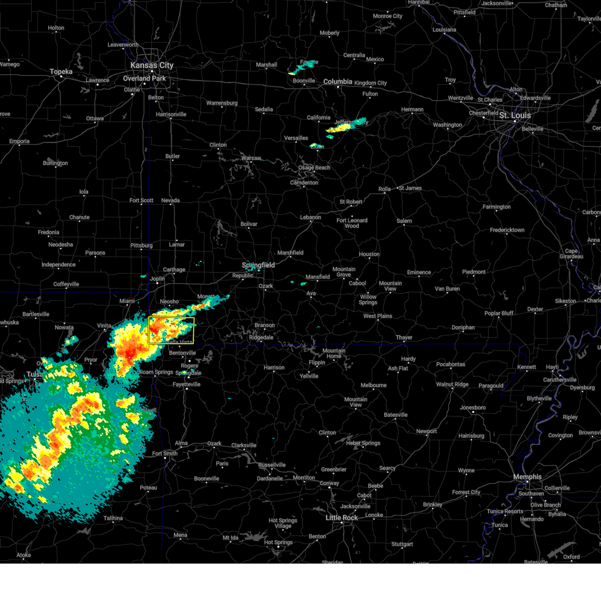 At 152 pm cdt, a severe thunderstorm was located near anderson, or 8 miles northwest of pineville, moving northeast at 30 mph. a severe thunderstorm is also located near jay, oklahoma moving east at 40 mph (radar indicated). Hazards include golf ball size hail and 60 mph wind gusts. People and animals outdoors will be injured. expect hail damage to roofs, siding, windows, and vehicles. expect wind damage to roofs, siding, and trees. locations impacted include, big sugar creek state park, anderson, noel, dodge, goodman, south west city, pineville, lanagan, cayuga, powell, tiff city, and rocky comfort. This includes interstate 49 between mile markers 1 and 14. At 152 pm cdt, a severe thunderstorm was located near anderson, or 8 miles northwest of pineville, moving northeast at 30 mph. a severe thunderstorm is also located near jay, oklahoma moving east at 40 mph (radar indicated). Hazards include golf ball size hail and 60 mph wind gusts. People and animals outdoors will be injured. expect hail damage to roofs, siding, windows, and vehicles. expect wind damage to roofs, siding, and trees. locations impacted include, big sugar creek state park, anderson, noel, dodge, goodman, south west city, pineville, lanagan, cayuga, powell, tiff city, and rocky comfort. This includes interstate 49 between mile markers 1 and 14.
|
| 3/14/2024 1:31 PM CDT |
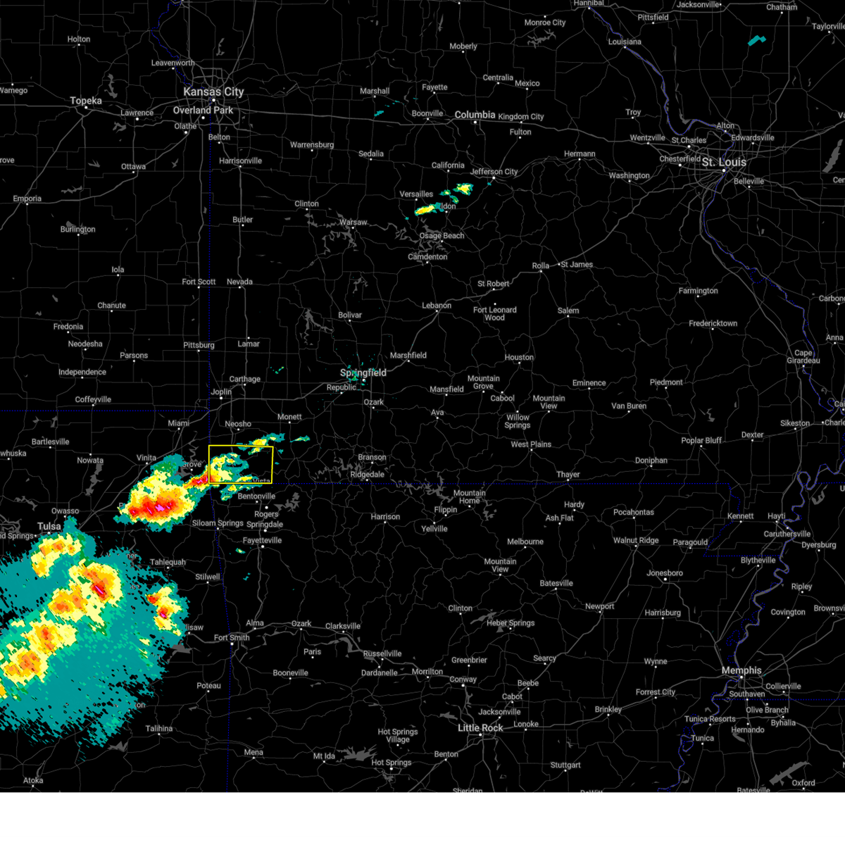 Svrsgf the national weather service in springfield has issued a * severe thunderstorm warning for, mcdonald county in southwestern missouri, * until 230 pm cdt. * at 129 pm cdt, a severe thunderstorm was located over south west city, or 9 miles northeast of jay, moving northeast at 35 mph. a second cluster of severe thunderstorms is located in western delaware county, oklahoma moving northeast at 40 mph (radar indicated). Hazards include golf ball size hail and 60 mph wind gusts. People and animals outdoors will be injured. expect hail damage to roofs, siding, windows, and vehicles. Expect wind damage to roofs, siding, and trees. Svrsgf the national weather service in springfield has issued a * severe thunderstorm warning for, mcdonald county in southwestern missouri, * until 230 pm cdt. * at 129 pm cdt, a severe thunderstorm was located over south west city, or 9 miles northeast of jay, moving northeast at 35 mph. a second cluster of severe thunderstorms is located in western delaware county, oklahoma moving northeast at 40 mph (radar indicated). Hazards include golf ball size hail and 60 mph wind gusts. People and animals outdoors will be injured. expect hail damage to roofs, siding, windows, and vehicles. Expect wind damage to roofs, siding, and trees.
|
| 9/8/2023 4:36 AM CDT |
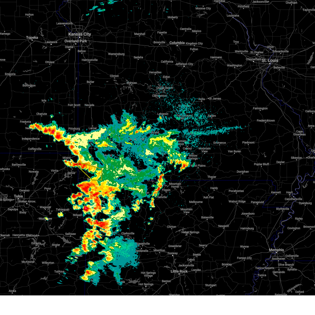 At 436 am cdt, a severe thunderstorm was located near seneca, or 11 miles southwest of neosho, moving southeast at 45 mph (public). Hazards include 60 mph wind gusts and quarter size hail. Hail damage to vehicles is expected. Expect wind damage to roofs, siding, and trees. At 436 am cdt, a severe thunderstorm was located near seneca, or 11 miles southwest of neosho, moving southeast at 45 mph (public). Hazards include 60 mph wind gusts and quarter size hail. Hail damage to vehicles is expected. Expect wind damage to roofs, siding, and trees.
|
| 8/9/2023 7:37 PM CDT |
 At 737 pm cdt, a severe thunderstorm was located 11 miles east of pineville, moving southeast at 45 mph (radar indicated). Hazards include 60 mph wind gusts and half dollar size hail. Hail damage to vehicles is expected. expect wind damage to roofs, siding, and trees. locations impacted include, table rock lake, roaring river state park, big sugar creek state park, cassville, noel, shell knob, seligman, pineville, exeter, washburn, golden, emerald beach, eagle rock, chain-o-lakes, arrow point, wayne, powell and ridgley. this includes interstate 49 between mile markers 1 and 4. hail threat, radar indicated max hail size, 1. 25 in wind threat, radar indicated max wind gust, 60 mph. At 737 pm cdt, a severe thunderstorm was located 11 miles east of pineville, moving southeast at 45 mph (radar indicated). Hazards include 60 mph wind gusts and half dollar size hail. Hail damage to vehicles is expected. expect wind damage to roofs, siding, and trees. locations impacted include, table rock lake, roaring river state park, big sugar creek state park, cassville, noel, shell knob, seligman, pineville, exeter, washburn, golden, emerald beach, eagle rock, chain-o-lakes, arrow point, wayne, powell and ridgley. this includes interstate 49 between mile markers 1 and 4. hail threat, radar indicated max hail size, 1. 25 in wind threat, radar indicated max wind gust, 60 mph.
|
| 8/9/2023 7:30 PM CDT |
 At 730 pm cdt, a severe thunderstorm was located 7 miles northeast of pineville, moving southeast at 45 mph (radar indicated). Hazards include 60 mph wind gusts and quarter size hail. Hail damage to vehicles is expected. Expect wind damage to roofs, siding, and trees. At 730 pm cdt, a severe thunderstorm was located 7 miles northeast of pineville, moving southeast at 45 mph (radar indicated). Hazards include 60 mph wind gusts and quarter size hail. Hail damage to vehicles is expected. Expect wind damage to roofs, siding, and trees.
|
| 7/30/2023 10:57 PM CDT |
 At 1057 pm cdt, severe thunderstorms were located along a line extending from near everton to 8 miles northwest of billings to near mount vernon to diamond, moving east at 45 mph (emergency management). Hazards include 70 mph wind gusts. Expect considerable tree damage. Damage is likely to mobile homes, roofs, and outbuildings. At 1057 pm cdt, severe thunderstorms were located along a line extending from near everton to 8 miles northwest of billings to near mount vernon to diamond, moving east at 45 mph (emergency management). Hazards include 70 mph wind gusts. Expect considerable tree damage. Damage is likely to mobile homes, roofs, and outbuildings.
|
| 7/21/2023 8:21 AM CDT |
 At 821 am cdt, severe thunderstorms were located along a line extending from shoal creek drive to near neosho to near anderson, moving northeast at 45 mph (radar indicated). Hazards include 60 mph wind gusts. Expect damage to roofs, siding, and trees. severe thunderstorms will be near, southern joplin, leawood, silver creek and saginaw around 825 am cdt. granby and diamond around 835 am cdt. fairview around 845 am cdt. other locations impacted by these severe thunderstorms include big sugar creek state park, loma linda, newtonia, stella, redings mill, wentworth, stark city, grand falls plaza, shoal creek estates and ritchey. this includes the following highways, interstate 44 between mile markers 0 and 8. interstate 49 between mile markers 1 and 35. hail threat, radar indicated max hail size, <. 75 in wind threat, radar indicated max wind gust, 60 mph. At 821 am cdt, severe thunderstorms were located along a line extending from shoal creek drive to near neosho to near anderson, moving northeast at 45 mph (radar indicated). Hazards include 60 mph wind gusts. Expect damage to roofs, siding, and trees. severe thunderstorms will be near, southern joplin, leawood, silver creek and saginaw around 825 am cdt. granby and diamond around 835 am cdt. fairview around 845 am cdt. other locations impacted by these severe thunderstorms include big sugar creek state park, loma linda, newtonia, stella, redings mill, wentworth, stark city, grand falls plaza, shoal creek estates and ritchey. this includes the following highways, interstate 44 between mile markers 0 and 8. interstate 49 between mile markers 1 and 35. hail threat, radar indicated max hail size, <. 75 in wind threat, radar indicated max wind gust, 60 mph.
|
| 7/14/2023 7:29 PM CDT |
 At 729 pm cdt, severe thunderstorms were located along a line extending from near pierce city to near wheaton to near pineville to near honey creek state park, moving southeast at 65 mph (trained weather spotters). Hazards include 60 mph wind gusts and quarter size hail. Hail damage to vehicles is expected. expect wind damage to roofs, siding, and trees. locations impacted include, big sugar creek state park, anderson, noel, goodman, south west city, pineville, lanagan, fairview, newtonia, stella, stark city, ritchey, powell and rocky comfort. this includes interstate 49 between mile markers 1 and 16. hail threat, radar indicated max hail size, 1. 00 in wind threat, observed max wind gust, 60 mph. At 729 pm cdt, severe thunderstorms were located along a line extending from near pierce city to near wheaton to near pineville to near honey creek state park, moving southeast at 65 mph (trained weather spotters). Hazards include 60 mph wind gusts and quarter size hail. Hail damage to vehicles is expected. expect wind damage to roofs, siding, and trees. locations impacted include, big sugar creek state park, anderson, noel, goodman, south west city, pineville, lanagan, fairview, newtonia, stella, stark city, ritchey, powell and rocky comfort. this includes interstate 49 between mile markers 1 and 16. hail threat, radar indicated max hail size, 1. 00 in wind threat, observed max wind gust, 60 mph.
|
| 7/14/2023 6:49 PM CDT |
 At 649 pm cdt, severe thunderstorms were located along a line extending from purcell to joplin to near quapaw to near welch, moving southeast at 40 mph (trained weather spotters). Hazards include 60 mph wind gusts and quarter size hail. Hail damage to vehicles is expected. Expect wind damage to roofs, siding, and trees. At 649 pm cdt, severe thunderstorms were located along a line extending from purcell to joplin to near quapaw to near welch, moving southeast at 40 mph (trained weather spotters). Hazards include 60 mph wind gusts and quarter size hail. Hail damage to vehicles is expected. Expect wind damage to roofs, siding, and trees.
|
| 6/18/2023 2:06 AM CDT |
 At 204 am cdt, severe thunderstorms were located along a line extending from 6 miles west of goodman to 7 miles north of bella vista to near garfield, moving northeast at 45 mph (trained weather spotters. this line of storms has produced significant wind damage across northeastern oklahoma and southwestern portions of mcdonald county). Hazards include 70 mph wind gusts and nickel size hail. Expect considerable tree damage. damage is likely to mobile homes, roofs, and outbuildings. severe thunderstorms will be near, goodman around 210 am cdt. neosho around 215 am cdt. seligman around 220 am cdt. wheaton around 225 am cdt. cassville, granby and fairview around 230 am cdt. diamond around 235 am cdt. duenweg around 240 am cdt. carterville and pierce city around 245 am cdt. other locations impacted by these severe thunderstorms include table rock lake, roaring river state park, big sugar creek state park, dodge, shell knob, butterfield, golden, carytown, fidelity and emerald beach. this includes the following highways, interstate 44 between mile markers 12 and 49. interstate 49 between mile markers 1 and 15, and between mile markers 36 and 52. thunderstorm damage threat, considerable hail threat, radar indicated max hail size, 0. 88 in wind threat, observed max wind gust, 70 mph. At 204 am cdt, severe thunderstorms were located along a line extending from 6 miles west of goodman to 7 miles north of bella vista to near garfield, moving northeast at 45 mph (trained weather spotters. this line of storms has produced significant wind damage across northeastern oklahoma and southwestern portions of mcdonald county). Hazards include 70 mph wind gusts and nickel size hail. Expect considerable tree damage. damage is likely to mobile homes, roofs, and outbuildings. severe thunderstorms will be near, goodman around 210 am cdt. neosho around 215 am cdt. seligman around 220 am cdt. wheaton around 225 am cdt. cassville, granby and fairview around 230 am cdt. diamond around 235 am cdt. duenweg around 240 am cdt. carterville and pierce city around 245 am cdt. other locations impacted by these severe thunderstorms include table rock lake, roaring river state park, big sugar creek state park, dodge, shell knob, butterfield, golden, carytown, fidelity and emerald beach. this includes the following highways, interstate 44 between mile markers 12 and 49. interstate 49 between mile markers 1 and 15, and between mile markers 36 and 52. thunderstorm damage threat, considerable hail threat, radar indicated max hail size, 0. 88 in wind threat, observed max wind gust, 70 mph.
|
| 6/18/2023 1:41 AM CDT |
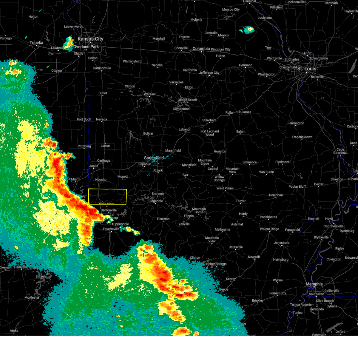 At 139 am cdt, severe thunderstorms were located along a line extending from near grove to near maysville to near west siloam springs, moving northeast at 50 mph. these are destructive storms for mcdonald and southwestern barry counties! (trained weather spotters. significant wind damage has been reported from the tulsa metropolitan area northeast to near the missouri and oklahoma state line). Hazards include 80 mph wind gusts and quarter size hail. Flying debris will be dangerous to those caught without shelter. mobile homes will be heavily damaged. expect considerable damage to roofs, windows, and vehicles. extensive tree damage and power outages are likely. these severe storms will be near, noel around 150 am cdt. lanagan around 155 am cdt. pineville and anderson around 200 am cdt. goodman around 205 am cdt. other locations impacted by these severe thunderstorms include big sugar creek state park, roaring river state park, dodge, butterfield, cayuga, wayne, powell, tiff city, rocky comfort and ridgley. This includes interstate 49 between mile markers 1 and 14. At 139 am cdt, severe thunderstorms were located along a line extending from near grove to near maysville to near west siloam springs, moving northeast at 50 mph. these are destructive storms for mcdonald and southwestern barry counties! (trained weather spotters. significant wind damage has been reported from the tulsa metropolitan area northeast to near the missouri and oklahoma state line). Hazards include 80 mph wind gusts and quarter size hail. Flying debris will be dangerous to those caught without shelter. mobile homes will be heavily damaged. expect considerable damage to roofs, windows, and vehicles. extensive tree damage and power outages are likely. these severe storms will be near, noel around 150 am cdt. lanagan around 155 am cdt. pineville and anderson around 200 am cdt. goodman around 205 am cdt. other locations impacted by these severe thunderstorms include big sugar creek state park, roaring river state park, dodge, butterfield, cayuga, wayne, powell, tiff city, rocky comfort and ridgley. This includes interstate 49 between mile markers 1 and 14.
|
| 6/18/2023 1:37 AM CDT |
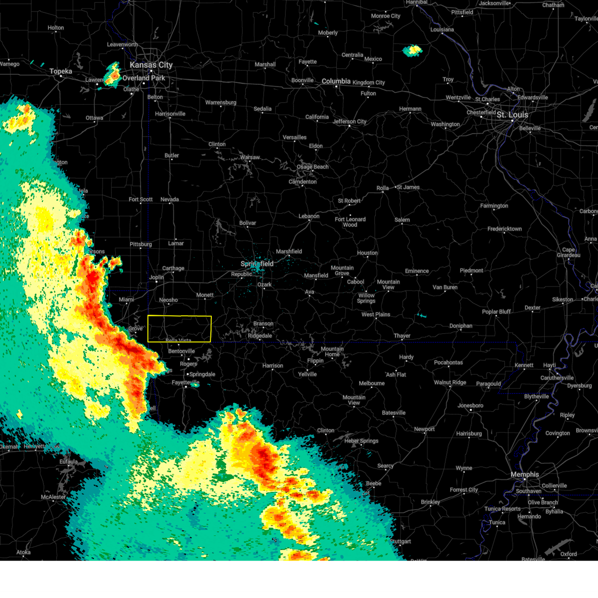 At 135 am cdt, severe thunderstorms were located along a line extending from honey creek state park to maysville to west siloam springs, moving northeast at 50 mph. these are destructive storms for mcdonald and southwestern barry counties! (radar indicated). Hazards include 80 mph wind gusts and quarter size hail. Flying debris will be dangerous to those caught without shelter. mobile homes will be heavily damaged. expect considerable damage to roofs, windows, and vehicles. extensive tree damage and power outages are likely. these severe storms will be near, south west city around 145 am cdt. noel around 150 am cdt. pineville and lanagan around 155 am cdt. anderson around 200 am cdt. goodman around 205 am cdt. cassville, seligman and exeter around 225 am cdt. washburn around 230 am cdt. other locations impacted by these severe thunderstorms include big sugar creek state park, roaring river state park, dodge, butterfield, cayuga, wayne, powell, tiff city, rocky comfort and ridgley. This includes interstate 49 between mile markers 1 and 14. At 135 am cdt, severe thunderstorms were located along a line extending from honey creek state park to maysville to west siloam springs, moving northeast at 50 mph. these are destructive storms for mcdonald and southwestern barry counties! (radar indicated). Hazards include 80 mph wind gusts and quarter size hail. Flying debris will be dangerous to those caught without shelter. mobile homes will be heavily damaged. expect considerable damage to roofs, windows, and vehicles. extensive tree damage and power outages are likely. these severe storms will be near, south west city around 145 am cdt. noel around 150 am cdt. pineville and lanagan around 155 am cdt. anderson around 200 am cdt. goodman around 205 am cdt. cassville, seligman and exeter around 225 am cdt. washburn around 230 am cdt. other locations impacted by these severe thunderstorms include big sugar creek state park, roaring river state park, dodge, butterfield, cayuga, wayne, powell, tiff city, rocky comfort and ridgley. This includes interstate 49 between mile markers 1 and 14.
|
| 6/18/2023 1:23 AM CDT |
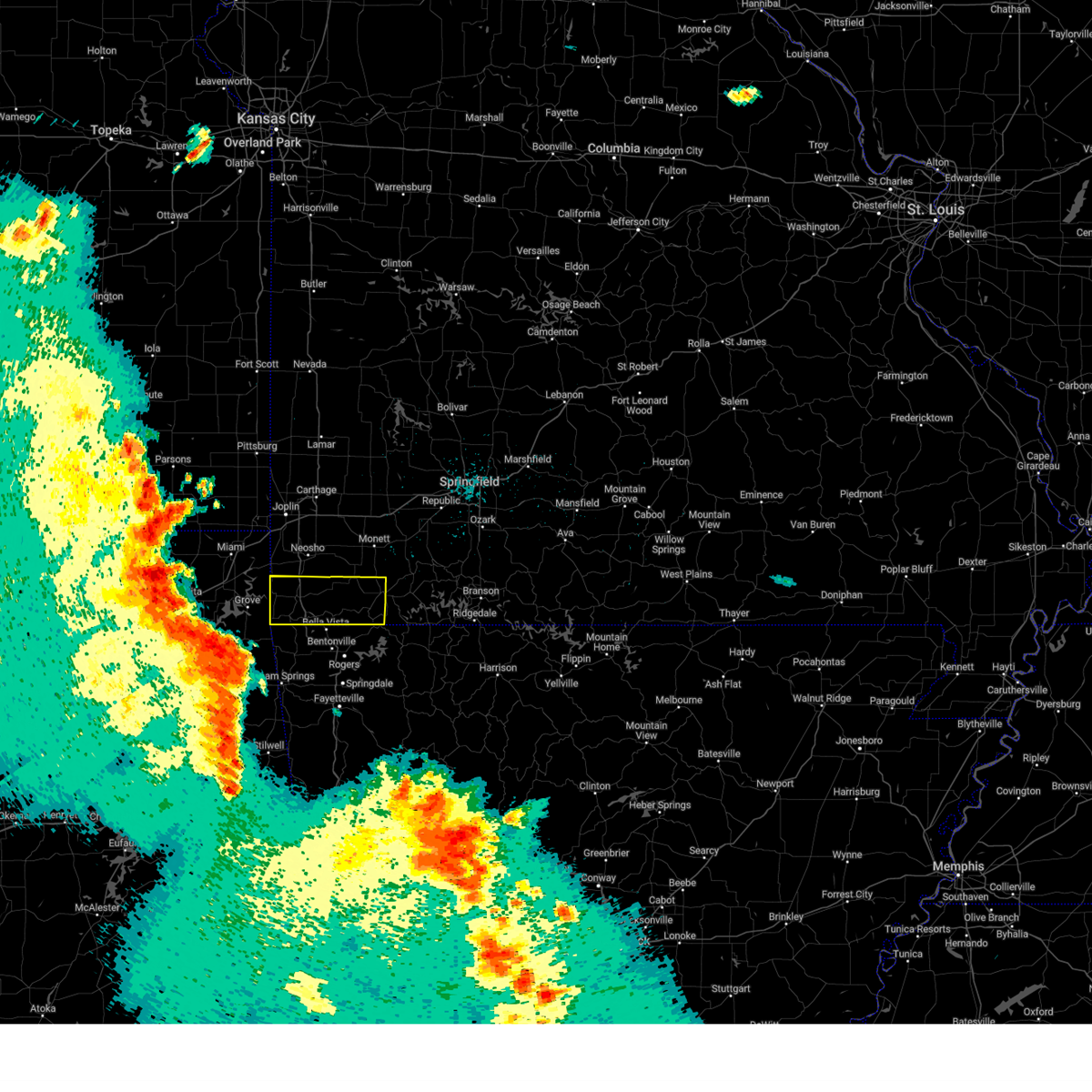 At 121 am cdt, severe thunderstorms were located along a line extending from ketchum to near jay to near oaks, moving northeast at 70 mph. these are destructive storms for mcdonald and southwestern barry counties! (radar indicated). Hazards include 80 mph wind gusts and quarter size hail. Flying debris will be dangerous to those caught without shelter. mobile homes will be heavily damaged. expect considerable damage to roofs, windows, and vehicles. extensive tree damage and power outages are likely. severe thunderstorms will be near, south west city around 135 am cdt. noel around 140 am cdt. lanagan around 145 am cdt. anderson around 150 am cdt. pineville and goodman around 155 am cdt. other locations impacted by these severe thunderstorms include big sugar creek state park, roaring river state park, dodge, butterfield, cayuga, wayne, powell, tiff city, rocky comfort and ridgley. this includes interstate 49 between mile markers 1 and 14. thunderstorm damage threat, destructive hail threat, radar indicated max hail size, 1. 00 in wind threat, radar indicated max wind gust, 80 mph. At 121 am cdt, severe thunderstorms were located along a line extending from ketchum to near jay to near oaks, moving northeast at 70 mph. these are destructive storms for mcdonald and southwestern barry counties! (radar indicated). Hazards include 80 mph wind gusts and quarter size hail. Flying debris will be dangerous to those caught without shelter. mobile homes will be heavily damaged. expect considerable damage to roofs, windows, and vehicles. extensive tree damage and power outages are likely. severe thunderstorms will be near, south west city around 135 am cdt. noel around 140 am cdt. lanagan around 145 am cdt. anderson around 150 am cdt. pineville and goodman around 155 am cdt. other locations impacted by these severe thunderstorms include big sugar creek state park, roaring river state park, dodge, butterfield, cayuga, wayne, powell, tiff city, rocky comfort and ridgley. this includes interstate 49 between mile markers 1 and 14. thunderstorm damage threat, destructive hail threat, radar indicated max hail size, 1. 00 in wind threat, radar indicated max wind gust, 80 mph.
|
| 4/5/2023 4:39 AM CDT |
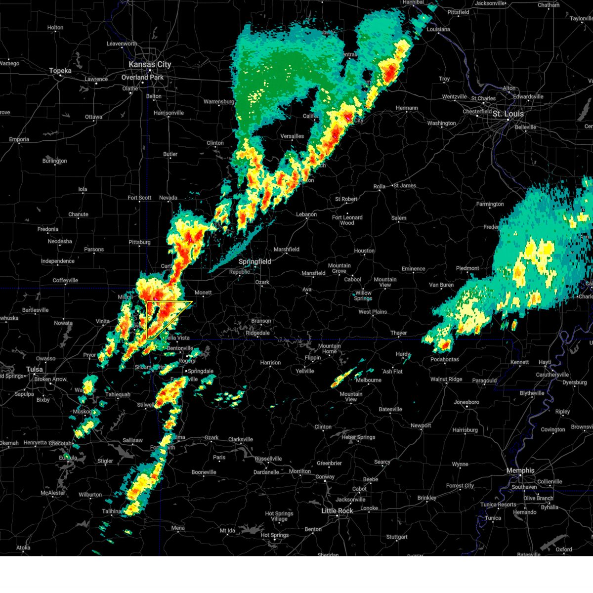 At 438 am cdt, a severe thunderstorm was located near neosho, moving northeast at 55 mph (radar indicated). Hazards include 70 mph wind gusts and half dollar size hail. Hail damage to vehicles is expected. expect considerable tree damage. wind damage is also likely to mobile homes, roofs, and outbuildings. locations impacted include, neosho, seneca, anderson, noel, dodge, goodman, south west city, lanagan, stella, cayuga, stark city and tiff city. this includes interstate 49 between mile markers 4 and 22. thunderstorm damage threat, considerable hail threat, radar indicated max hail size, 1. 25 in wind threat, radar indicated max wind gust, 70 mph. At 438 am cdt, a severe thunderstorm was located near neosho, moving northeast at 55 mph (radar indicated). Hazards include 70 mph wind gusts and half dollar size hail. Hail damage to vehicles is expected. expect considerable tree damage. wind damage is also likely to mobile homes, roofs, and outbuildings. locations impacted include, neosho, seneca, anderson, noel, dodge, goodman, south west city, lanagan, stella, cayuga, stark city and tiff city. this includes interstate 49 between mile markers 4 and 22. thunderstorm damage threat, considerable hail threat, radar indicated max hail size, 1. 25 in wind threat, radar indicated max wind gust, 70 mph.
|
| 4/5/2023 4:17 AM CDT |
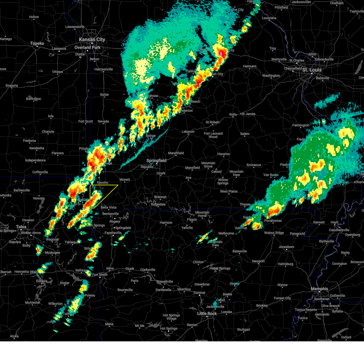 At 417 am cdt, a severe thunderstorm was located near south west city, or 13 miles west of pineville, moving northeast at 55 mph (radar indicated). Hazards include 60 mph wind gusts and quarter size hail. Hail damage to vehicles is expected. Expect wind damage to roofs, siding, and trees. At 417 am cdt, a severe thunderstorm was located near south west city, or 13 miles west of pineville, moving northeast at 55 mph (radar indicated). Hazards include 60 mph wind gusts and quarter size hail. Hail damage to vehicles is expected. Expect wind damage to roofs, siding, and trees.
|
| 2/27/2023 12:46 AM CST |
 At 1246 am cst, severe thunderstorms were located along a line extending from 7 miles southeast of weir to 7 miles south of saginaw to springtown, moving northeast at 65 mph (radar indicated). Hazards include 60 mph wind gusts. Expect damage to roofs, siding, and trees. locations impacted include, joplin, carthage, neosho, webb city, big sugar creek state park, carl junction, galena, oronogo, seneca, granby, anderson, carterville, noel, duquesne, dodge, sarcoxie, goodman, duenweg, south west city and diamond. this includes the following highways, interstate 44 between mile markers 0 and 31. interstate 49 between mile markers 1 and 46. hail threat, radar indicated max hail size, <. 75 in wind threat, radar indicated max wind gust, 60 mph. At 1246 am cst, severe thunderstorms were located along a line extending from 7 miles southeast of weir to 7 miles south of saginaw to springtown, moving northeast at 65 mph (radar indicated). Hazards include 60 mph wind gusts. Expect damage to roofs, siding, and trees. locations impacted include, joplin, carthage, neosho, webb city, big sugar creek state park, carl junction, galena, oronogo, seneca, granby, anderson, carterville, noel, duquesne, dodge, sarcoxie, goodman, duenweg, south west city and diamond. this includes the following highways, interstate 44 between mile markers 0 and 31. interstate 49 between mile markers 1 and 46. hail threat, radar indicated max hail size, <. 75 in wind threat, radar indicated max wind gust, 60 mph.
|
| 2/27/2023 12:18 AM CST |
 At 1218 am cst, severe thunderstorms were located along a line extending from near chetopa to near bernice state park to near proctor, moving northeast at 60 mph (radar indicated). Hazards include 60 mph wind gusts. expect damage to roofs, siding, and trees At 1218 am cst, severe thunderstorms were located along a line extending from near chetopa to near bernice state park to near proctor, moving northeast at 60 mph (radar indicated). Hazards include 60 mph wind gusts. expect damage to roofs, siding, and trees
|
| 2/15/2023 10:34 PM CST |
 At 1033 pm cst, severe thunderstorms were located along a line extending from near gravette to near hiwasse to near springtown, moving northeast at 60 mph (radar indicated). Hazards include 60 mph wind gusts and quarter size hail. Hail damage to vehicles is expected. Expect wind damage to roofs, siding, and trees. At 1033 pm cst, severe thunderstorms were located along a line extending from near gravette to near hiwasse to near springtown, moving northeast at 60 mph (radar indicated). Hazards include 60 mph wind gusts and quarter size hail. Hail damage to vehicles is expected. Expect wind damage to roofs, siding, and trees.
|
| 7/27/2022 5:43 PM CDT |
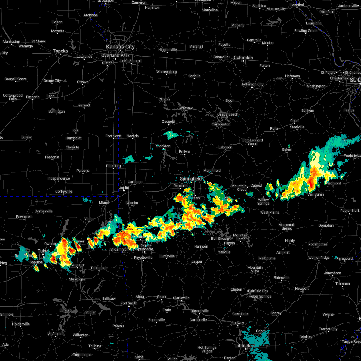 The severe thunderstorm warning for southeastern mcdonald county will expire at 545 pm cdt, the storm which prompted the warning has weakened below severe limits, and no longer poses an immediate threat to life or property. therefore, the warning will be allowed to expire. however gusty winds and heavy rain are still possible with this thunderstorm. The severe thunderstorm warning for southeastern mcdonald county will expire at 545 pm cdt, the storm which prompted the warning has weakened below severe limits, and no longer poses an immediate threat to life or property. therefore, the warning will be allowed to expire. however gusty winds and heavy rain are still possible with this thunderstorm.
|
| 7/27/2022 5:16 PM CDT |
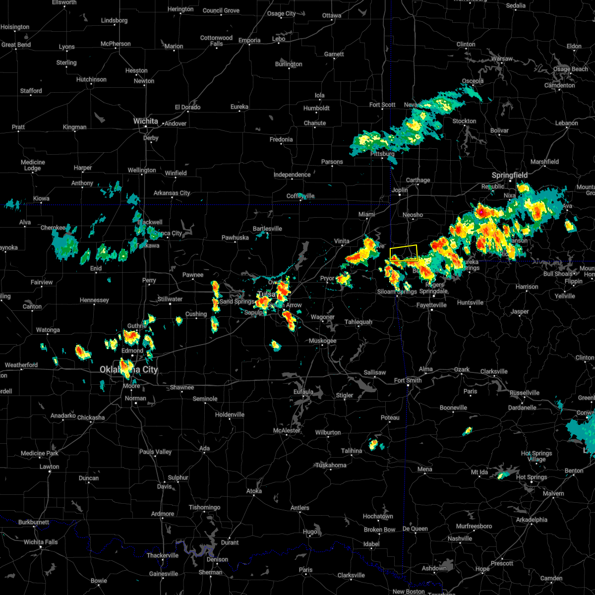 At 515 pm cdt, a severe thunderstorm was located over south west city, or 11 miles southwest of pineville, moving east at 20 mph (radar indicated). Hazards include 60 mph wind gusts and penny size hail. expect damage to roofs, siding, and trees At 515 pm cdt, a severe thunderstorm was located over south west city, or 11 miles southwest of pineville, moving east at 20 mph (radar indicated). Hazards include 60 mph wind gusts and penny size hail. expect damage to roofs, siding, and trees
|
| 7/27/2022 5:05 PM CDT |
 At 505 pm cdt, a severe thunderstorm was located near hiwasse, or near bella vista, moving east at 10 mph (radar indicated). Hazards include 60 mph wind gusts and penny size hail. Expect damage to roofs, siding, and trees. this severe thunderstorm will remain over mainly rural areas of southeastern mcdonald county. hail threat, radar indicated max hail size, 0. 75 in wind threat, radar indicated max wind gust, 60 mph. At 505 pm cdt, a severe thunderstorm was located near hiwasse, or near bella vista, moving east at 10 mph (radar indicated). Hazards include 60 mph wind gusts and penny size hail. Expect damage to roofs, siding, and trees. this severe thunderstorm will remain over mainly rural areas of southeastern mcdonald county. hail threat, radar indicated max hail size, 0. 75 in wind threat, radar indicated max wind gust, 60 mph.
|
| 4/11/2022 1:37 AM CDT |
 At 136 am cdt, severe thunderstorms were located along a line extending from leawood to near goodman to near anderson to near south west city, moving east at 55 mph (radar indicated. 50 mph winds have been reported near tiff city at 130 am). Hazards include 60 mph wind gusts and quarter size hail. Hail damage to vehicles is expected. expect wind damage to roofs, siding, and trees. locations impacted include, southern joplin, neosho, big sugar creek state park, seneca, granby, anderson, noel, duquesne, dodge, goodman, south west city, diamond, pineville, loma linda, wheaton, leawood, silver creek, lanagan, fairview, shoal creek drive, this includes the following highways, interstate 44 between mile markers 0 and 9. interstate 49 between mile markers 1 and 35. hail threat, radar indicated max hail size, 1. 00 in wind threat, radar indicated max wind gust, 60 mph. At 136 am cdt, severe thunderstorms were located along a line extending from leawood to near goodman to near anderson to near south west city, moving east at 55 mph (radar indicated. 50 mph winds have been reported near tiff city at 130 am). Hazards include 60 mph wind gusts and quarter size hail. Hail damage to vehicles is expected. expect wind damage to roofs, siding, and trees. locations impacted include, southern joplin, neosho, big sugar creek state park, seneca, granby, anderson, noel, duquesne, dodge, goodman, south west city, diamond, pineville, loma linda, wheaton, leawood, silver creek, lanagan, fairview, shoal creek drive, this includes the following highways, interstate 44 between mile markers 0 and 9. interstate 49 between mile markers 1 and 35. hail threat, radar indicated max hail size, 1. 00 in wind threat, radar indicated max wind gust, 60 mph.
|
| 4/11/2022 1:19 AM CDT |
 At 118 am cdt, severe thunderstorms were located along a line extending from quapaw to wyandotte to near fairland to cleora, moving east at 50 mph (radar indicated). Hazards include 60 mph wind gusts and quarter size hail. Hail damage to vehicles is expected. Expect wind damage to roofs, siding, and trees. At 118 am cdt, severe thunderstorms were located along a line extending from quapaw to wyandotte to near fairland to cleora, moving east at 50 mph (radar indicated). Hazards include 60 mph wind gusts and quarter size hail. Hail damage to vehicles is expected. Expect wind damage to roofs, siding, and trees.
|
| 10/11/2021 12:58 AM CDT |
 At 1257 am cdt, severe thunderstorms were located along a line extending from 6 miles southeast of seneca to near anderson to near noel, moving northeast at 40 mph (radar indicated). Hazards include 60 mph wind gusts. expect damage to roofs, siding, and trees At 1257 am cdt, severe thunderstorms were located along a line extending from 6 miles southeast of seneca to near anderson to near noel, moving northeast at 40 mph (radar indicated). Hazards include 60 mph wind gusts. expect damage to roofs, siding, and trees
|
| 10/11/2021 12:41 AM CDT |
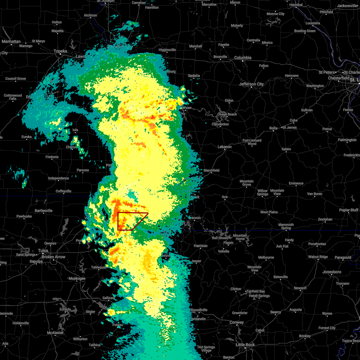 At 1241 am cdt, severe thunderstorms capable of producing tornadoes were located along a line extending from near grove to near south west city to near noel to near maysville, moving northeast at 40 mph (radar indicated rotation). Hazards include tornado. Flying debris will be dangerous to those caught without shelter. mobile homes will be damaged or destroyed. damage to roofs, windows, and vehicles will occur. tree damage is likely. Locations impacted include, big sugar creek state park, anderson, noel, dodge, goodman, south west city, pineville, lanagan, cayuga, tiff city, rocky comfort, this includes interstate 49 between mile markers 1 and 14. At 1241 am cdt, severe thunderstorms capable of producing tornadoes were located along a line extending from near grove to near south west city to near noel to near maysville, moving northeast at 40 mph (radar indicated rotation). Hazards include tornado. Flying debris will be dangerous to those caught without shelter. mobile homes will be damaged or destroyed. damage to roofs, windows, and vehicles will occur. tree damage is likely. Locations impacted include, big sugar creek state park, anderson, noel, dodge, goodman, south west city, pineville, lanagan, cayuga, tiff city, rocky comfort, this includes interstate 49 between mile markers 1 and 14.
|
| 10/11/2021 12:25 AM CDT |
 At 1225 am cdt, tornado producing storms were located along a line extending from near wyandotte to south west city to near maysville, moving northeast at 45 mph (radar confirmed tornado). Hazards include damaging tornado. Flying debris will be dangerous to those caught without shelter. mobile homes will be damaged or destroyed. damage to roofs, windows, and vehicles will occur. Tree damage is likely. At 1225 am cdt, tornado producing storms were located along a line extending from near wyandotte to south west city to near maysville, moving northeast at 45 mph (radar confirmed tornado). Hazards include damaging tornado. Flying debris will be dangerous to those caught without shelter. mobile homes will be damaged or destroyed. damage to roofs, windows, and vehicles will occur. Tree damage is likely.
|
| 10/11/2021 12:18 AM CDT |
 At 1218 am cdt, severe thunderstorms were located along a line extending from near wyandotte to near south west city to near colcord, moving northeast at 55 mph (radar indicated). Hazards include 60 mph wind gusts. expect damage to roofs, siding, and trees At 1218 am cdt, severe thunderstorms were located along a line extending from near wyandotte to near south west city to near colcord, moving northeast at 55 mph (radar indicated). Hazards include 60 mph wind gusts. expect damage to roofs, siding, and trees
|
| 9/21/2021 12:22 AM CDT |
 The severe thunderstorm warning for mcdonald county will expire at 1230 am cdt, the storm which prompted the warning has moved out of the area. therefore, the warning will be allowed to expire. The severe thunderstorm warning for mcdonald county will expire at 1230 am cdt, the storm which prompted the warning has moved out of the area. therefore, the warning will be allowed to expire.
|
| 9/21/2021 12:09 AM CDT |
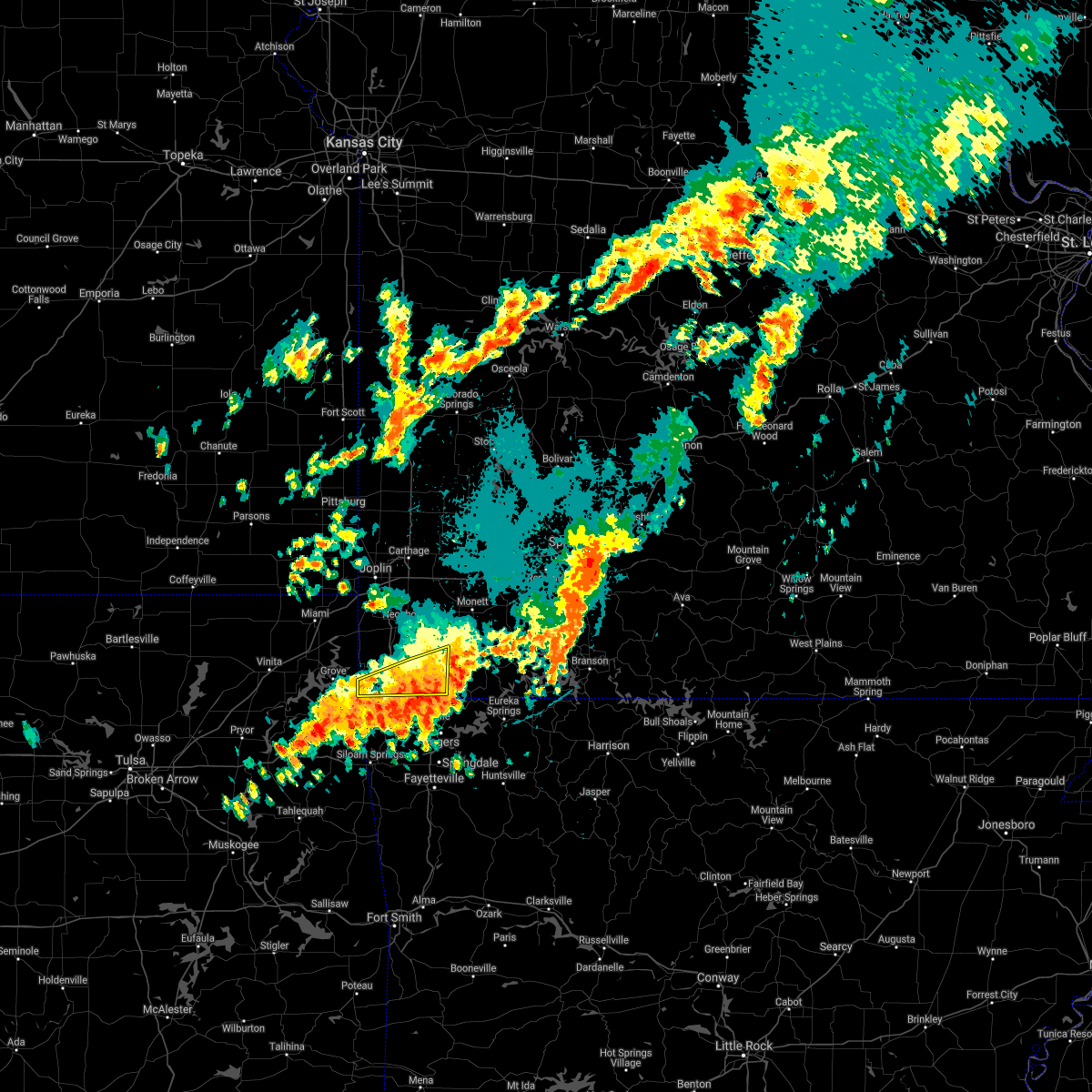 At 1208 am cdt, a severe thunderstorm was located near bella vista, moving southeast at 20 mph (radar indicated). Hazards include 60 mph wind gusts and nickel size hail. Expect damage to roofs, siding, and trees. locations impacted include, big sugar creek state park, anderson, noel, dodge, south west city, pineville, lanagan, powell, this includes interstate 49 between mile markers 1 and 7. hail threat, radar indicated max hail size, 0. 88 in wind threat, radar indicated max wind gust, 60 mph. At 1208 am cdt, a severe thunderstorm was located near bella vista, moving southeast at 20 mph (radar indicated). Hazards include 60 mph wind gusts and nickel size hail. Expect damage to roofs, siding, and trees. locations impacted include, big sugar creek state park, anderson, noel, dodge, south west city, pineville, lanagan, powell, this includes interstate 49 between mile markers 1 and 7. hail threat, radar indicated max hail size, 0. 88 in wind threat, radar indicated max wind gust, 60 mph.
|
| 9/20/2021 11:42 PM CDT |
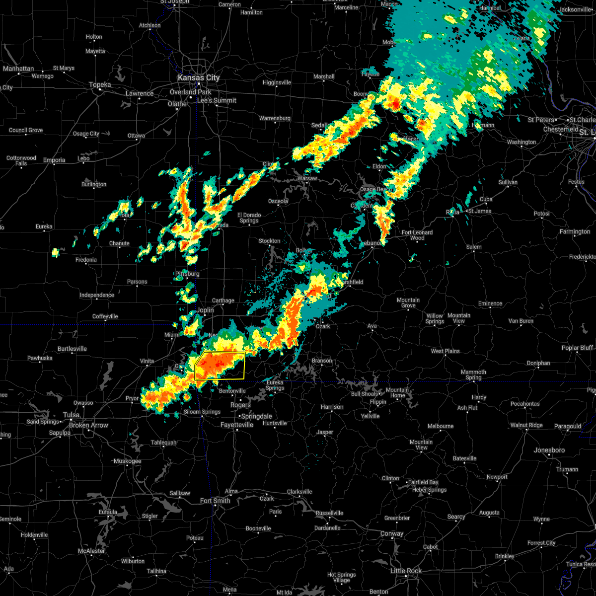 At 1142 pm cdt, a severe thunderstorm was located near pineville, moving southeast at 20 mph (radar indicated). Hazards include 60 mph wind gusts and nickel size hail. expect damage to roofs, siding, and trees At 1142 pm cdt, a severe thunderstorm was located near pineville, moving southeast at 20 mph (radar indicated). Hazards include 60 mph wind gusts and nickel size hail. expect damage to roofs, siding, and trees
|
| 9/20/2021 11:06 PM CDT |
 At 1106 pm cdt, a severe thunderstorm was located near goodman, or 7 miles southwest of neosho, moving southeast at 20 mph (radar indicated). Hazards include 60 mph wind gusts and nickel size hail. expect damage to roofs, siding, and trees At 1106 pm cdt, a severe thunderstorm was located near goodman, or 7 miles southwest of neosho, moving southeast at 20 mph (radar indicated). Hazards include 60 mph wind gusts and nickel size hail. expect damage to roofs, siding, and trees
|
| 5/27/2021 5:52 PM CDT |
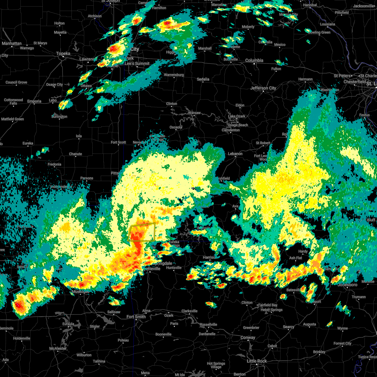 At 551 pm cdt, severe thunderstorms were located along a line extending from near pineville to near bella vista to northwest arkansas regional airport, moving east at 45 mph (radar indicated). Hazards include 60 mph wind gusts and penny size hail. Expect damage to roofs, siding, and trees. Locations impacted include, big sugar creek state park, anderson, noel, pineville, lanagan, powell, rocky comfort, this includes interstate 49 between mile markers 1 and 11. At 551 pm cdt, severe thunderstorms were located along a line extending from near pineville to near bella vista to northwest arkansas regional airport, moving east at 45 mph (radar indicated). Hazards include 60 mph wind gusts and penny size hail. Expect damage to roofs, siding, and trees. Locations impacted include, big sugar creek state park, anderson, noel, pineville, lanagan, powell, rocky comfort, this includes interstate 49 between mile markers 1 and 11.
|
| 5/27/2021 5:23 PM CDT |
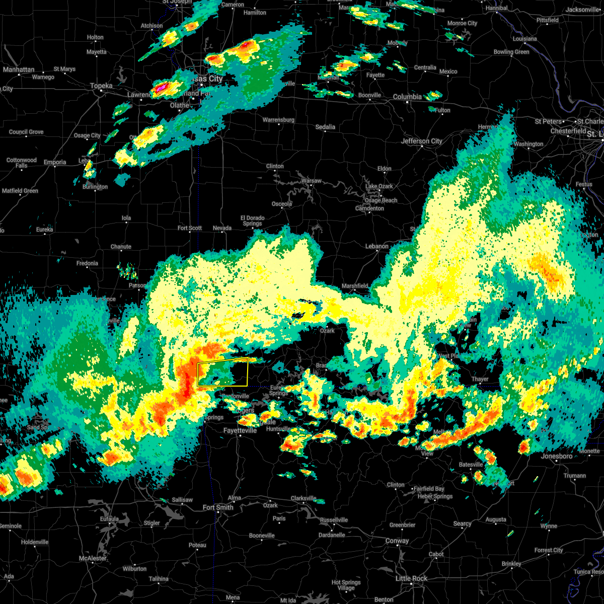 At 522 pm cdt, severe thunderstorms were located along a line extending from near grove to near south west city to near jay, moving east at 35 mph (radar indicated). Hazards include 60 mph wind gusts and penny size hail. expect damage to roofs, siding, and trees At 522 pm cdt, severe thunderstorms were located along a line extending from near grove to near south west city to near jay, moving east at 35 mph (radar indicated). Hazards include 60 mph wind gusts and penny size hail. expect damage to roofs, siding, and trees
|
| 5/27/2021 2:45 PM CDT |
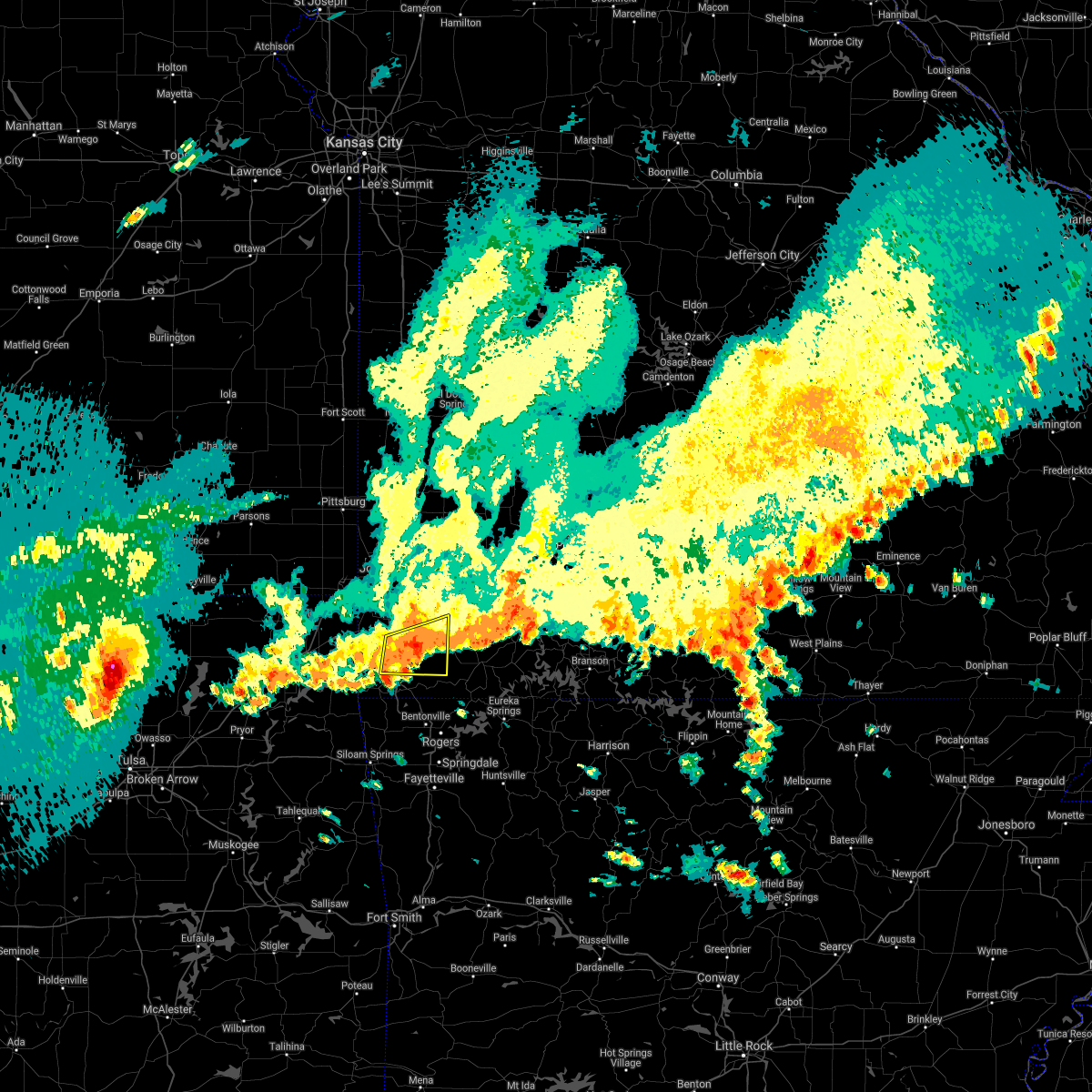 At 244 pm cdt, a severe thunderstorm was located 7 miles east of goodman, or 9 miles northeast of pineville, moving east at 40 mph (radar indicated). Hazards include 60 mph wind gusts and nickel size hail. Expect damage to roofs, siding, and trees. Locations impacted include, neosho, big sugar creek state park, anderson, goodman, fairview, stella, stark city, powell, rocky comfort, this includes interstate 49 between mile markers 5 and 18. At 244 pm cdt, a severe thunderstorm was located 7 miles east of goodman, or 9 miles northeast of pineville, moving east at 40 mph (radar indicated). Hazards include 60 mph wind gusts and nickel size hail. Expect damage to roofs, siding, and trees. Locations impacted include, neosho, big sugar creek state park, anderson, goodman, fairview, stella, stark city, powell, rocky comfort, this includes interstate 49 between mile markers 5 and 18.
|
| 5/27/2021 2:25 PM CDT |
 At 225 pm cdt, a severe thunderstorm was located near goodman, or 9 miles southwest of neosho, moving east at 30 mph (radar indicated). Hazards include 60 mph wind gusts and nickel size hail. expect damage to roofs, siding, and trees At 225 pm cdt, a severe thunderstorm was located near goodman, or 9 miles southwest of neosho, moving east at 30 mph (radar indicated). Hazards include 60 mph wind gusts and nickel size hail. expect damage to roofs, siding, and trees
|
| 5/9/2021 2:40 AM CDT | Ping Pong Ball sized hail reported 11.3 miles WNW of Pineville, MO |
| 5/9/2021 2:38 AM CDT | Half Dollar sized hail reported 10.8 miles WNW of Pineville, MO, quarter to half dollar sized hail reported just north of the arkansas state line. time estimated from radar. |
| 5/9/2021 2:33 AM CDT |
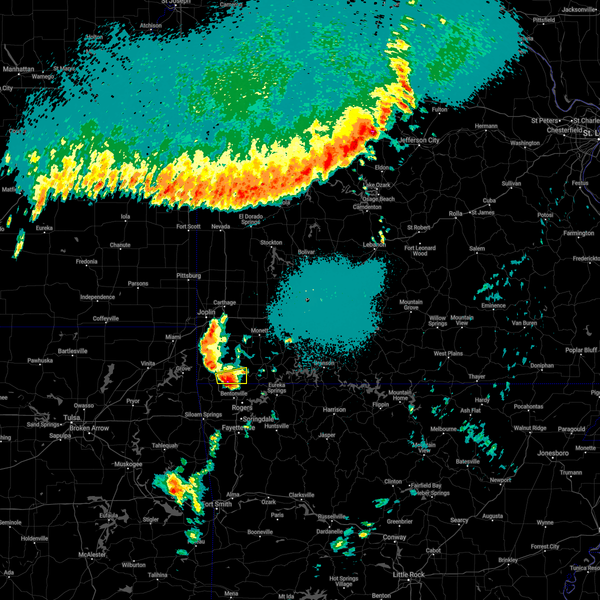 At 233 am cdt, a severe thunderstorm was located near bella vista, moving east at 45 mph (radar indicated). Hazards include 60 mph wind gusts and half dollar size hail. Hail damage to vehicles is expected. expect wind damage to roofs, siding, and trees. Locations impacted include, pineville, powell, this includes interstate 49 near mile marker 2. At 233 am cdt, a severe thunderstorm was located near bella vista, moving east at 45 mph (radar indicated). Hazards include 60 mph wind gusts and half dollar size hail. Hail damage to vehicles is expected. expect wind damage to roofs, siding, and trees. Locations impacted include, pineville, powell, this includes interstate 49 near mile marker 2.
|
| 5/9/2021 2:23 AM CDT |
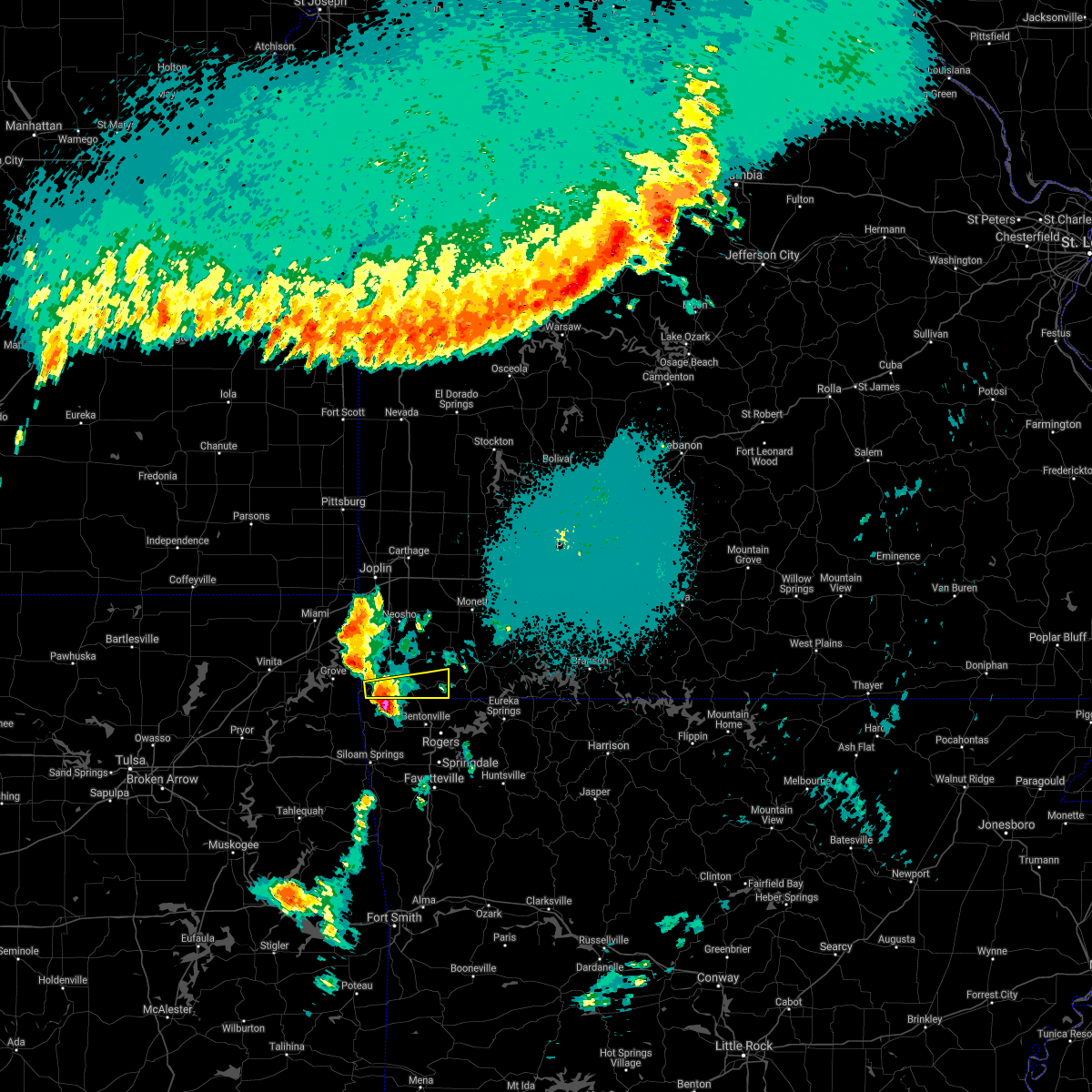 At 222 am cdt, a severe thunderstorm was located near noel, or 7 miles southwest of pineville, moving east at 40 mph (radar indicated). Hazards include 60 mph wind gusts and quarter size hail. Hail damage to vehicles is expected. Expect wind damage to roofs, siding, and trees. At 222 am cdt, a severe thunderstorm was located near noel, or 7 miles southwest of pineville, moving east at 40 mph (radar indicated). Hazards include 60 mph wind gusts and quarter size hail. Hail damage to vehicles is expected. Expect wind damage to roofs, siding, and trees.
|
| 3/17/2021 4:40 PM CDT |
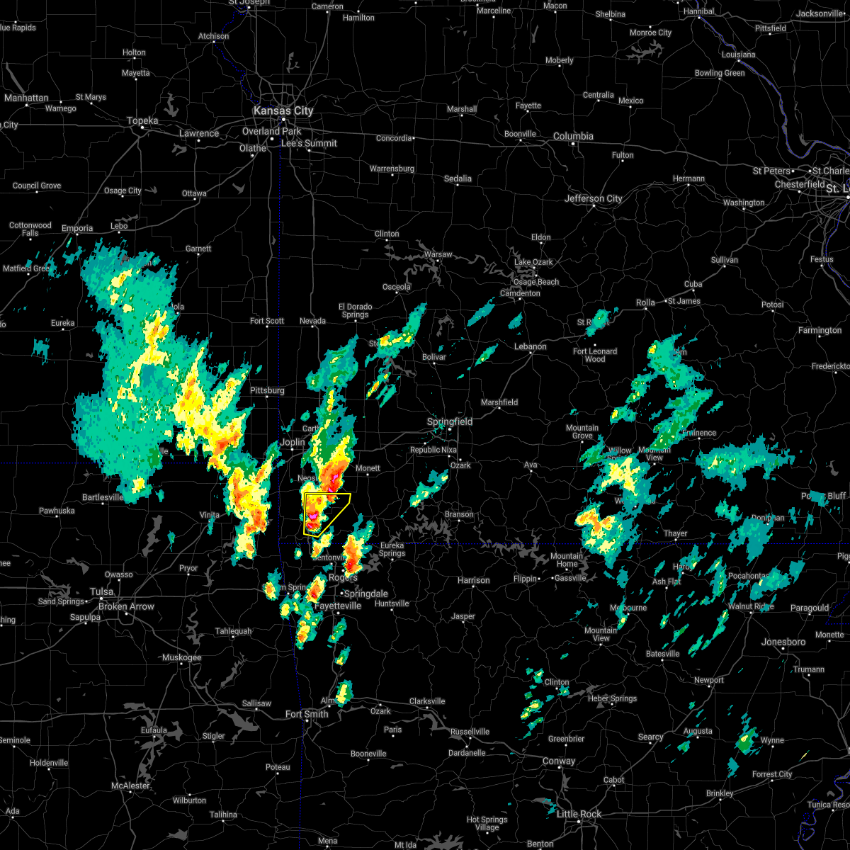 At 440 pm cdt, a severe thunderstorm was located near pineville, moving northeast at 30 mph (radar indicated). Hazards include 60 mph wind gusts and quarter size hail. Hail damage to vehicles is expected. Expect wind damage to roofs, siding, and trees. At 440 pm cdt, a severe thunderstorm was located near pineville, moving northeast at 30 mph (radar indicated). Hazards include 60 mph wind gusts and quarter size hail. Hail damage to vehicles is expected. Expect wind damage to roofs, siding, and trees.
|
| 3/17/2021 4:02 PM CDT |
 At 401 pm cdt, a severe thunderstorm was located over goodman, or 8 miles south of neosho, moving northeast at 35 mph (emergency management reported two inch hail that caused damage to vehicles in anderson). Hazards include two inch hail and 60 mph wind gusts. People and animals outdoors will be injured. expect hail damage to roofs, siding, windows, and vehicles. expect wind damage to roofs, siding, and trees. Locations impacted include, neosho, big sugar creek state park, anderson, goodman, pineville, lanagan, stella, rocky comfort, this includes interstate 49 near mile marker 1, and between mile markers 3 and 21. At 401 pm cdt, a severe thunderstorm was located over goodman, or 8 miles south of neosho, moving northeast at 35 mph (emergency management reported two inch hail that caused damage to vehicles in anderson). Hazards include two inch hail and 60 mph wind gusts. People and animals outdoors will be injured. expect hail damage to roofs, siding, windows, and vehicles. expect wind damage to roofs, siding, and trees. Locations impacted include, neosho, big sugar creek state park, anderson, goodman, pineville, lanagan, stella, rocky comfort, this includes interstate 49 near mile marker 1, and between mile markers 3 and 21.
|
| 3/17/2021 3:55 PM CDT | Golf Ball sized hail reported 0.8 miles SSW of Pineville, MO |
| 3/17/2021 3:47 PM CDT |
 At 346 pm cdt, a severe thunderstorm was located over anderson, or near pineville, moving northeast at 35 mph (law enforcement reported half dollar size hail 4 miles north of noel). Hazards include ping pong ball size hail and 60 mph wind gusts. People and animals outdoors will be injured. expect hail damage to roofs, siding, windows, and vehicles. expect wind damage to roofs, siding, and trees. Locations impacted include, neosho, big sugar creek state park, anderson, noel, goodman, pineville, lanagan, stella, rocky comfort, this includes interstate 49 between mile markers 1 and 22. At 346 pm cdt, a severe thunderstorm was located over anderson, or near pineville, moving northeast at 35 mph (law enforcement reported half dollar size hail 4 miles north of noel). Hazards include ping pong ball size hail and 60 mph wind gusts. People and animals outdoors will be injured. expect hail damage to roofs, siding, windows, and vehicles. expect wind damage to roofs, siding, and trees. Locations impacted include, neosho, big sugar creek state park, anderson, noel, goodman, pineville, lanagan, stella, rocky comfort, this includes interstate 49 between mile markers 1 and 22.
|
| 3/17/2021 3:35 PM CDT |
 At 335 pm cdt, a severe thunderstorm was located over noel, or 7 miles southwest of pineville, moving northeast at 35 mph (radar indicated). Hazards include 60 mph wind gusts and quarter size hail. Hail damage to vehicles is expected. Expect wind damage to roofs, siding, and trees. At 335 pm cdt, a severe thunderstorm was located over noel, or 7 miles southwest of pineville, moving northeast at 35 mph (radar indicated). Hazards include 60 mph wind gusts and quarter size hail. Hail damage to vehicles is expected. Expect wind damage to roofs, siding, and trees.
|
| 11/24/2020 9:23 PM CST |
 At 922 pm cst, severe thunderstorms were located along a line extending from 9 miles west of sheldon to near lamar to near jasper to near granby to near pineville, moving east at 70 mph (public). Hazards include 60 mph wind gusts and quarter size hail. a measured 62 mph gust was reported at the joplin regional airport. Hail damage to vehicles is expected. expect wind damage to roofs, siding, and trees. locations impacted include, eastern joplin, bella vista, carthage, neosho, webb city, prairie state park, big sugar creek state park, lamar, oronogo, granby, anderson, carterville, noel, duquesne, sarcoxie, goodman, duenweg, south west city, jasper, diamond, this includes the following highways, interstate 44 between mile markers 9 and 32. Interstate 49 between mile markers 1 and 76. At 922 pm cst, severe thunderstorms were located along a line extending from 9 miles west of sheldon to near lamar to near jasper to near granby to near pineville, moving east at 70 mph (public). Hazards include 60 mph wind gusts and quarter size hail. a measured 62 mph gust was reported at the joplin regional airport. Hail damage to vehicles is expected. expect wind damage to roofs, siding, and trees. locations impacted include, eastern joplin, bella vista, carthage, neosho, webb city, prairie state park, big sugar creek state park, lamar, oronogo, granby, anderson, carterville, noel, duquesne, sarcoxie, goodman, duenweg, south west city, jasper, diamond, this includes the following highways, interstate 44 between mile markers 9 and 32. Interstate 49 between mile markers 1 and 76.
|
| 11/24/2020 8:58 PM CST |
 At 858 pm cst, severe thunderstorms were located along a line extending from near girard to near pittsburg to near carl junction to seneca to near south west city, moving east at 60 mph (radar indicated). Hazards include 60 mph wind gusts and quarter size hail. Hail damage to vehicles is expected. Expect wind damage to roofs, siding, and trees. At 858 pm cst, severe thunderstorms were located along a line extending from near girard to near pittsburg to near carl junction to seneca to near south west city, moving east at 60 mph (radar indicated). Hazards include 60 mph wind gusts and quarter size hail. Hail damage to vehicles is expected. Expect wind damage to roofs, siding, and trees.
|
| 11/14/2020 7:18 PM CST |
 At 718 pm cst, a severe thunderstorm was located near purdy, or 9 miles southwest of monett, moving northeast at 60 mph (radar indicated). Hazards include 60 mph wind gusts and quarter size hail. Hail damage to vehicles is expected. expect wind damage to roofs, siding, and trees. Locations impacted include, big sugar creek state park, monett, cassville, purdy, seligman, exeter, wheaton, butterfield, washburn, fairview, pioneer, stella, wayne, powell, ridgley, rocky comfort,. At 718 pm cst, a severe thunderstorm was located near purdy, or 9 miles southwest of monett, moving northeast at 60 mph (radar indicated). Hazards include 60 mph wind gusts and quarter size hail. Hail damage to vehicles is expected. expect wind damage to roofs, siding, and trees. Locations impacted include, big sugar creek state park, monett, cassville, purdy, seligman, exeter, wheaton, butterfield, washburn, fairview, pioneer, stella, wayne, powell, ridgley, rocky comfort,.
|
| 11/14/2020 7:06 PM CST |
 At 706 pm cst, a severe thunderstorm was located 9 miles east of goodman, or 10 miles northeast of pineville, moving east at 40 mph (radar indicated). Hazards include 60 mph wind gusts and quarter size hail. Hail damage to vehicles is expected. expect wind damage to roofs, siding, and trees. Locations impacted include, big sugar creek state park, monett, cassville, anderson, noel, purdy, seligman, pineville, exeter, wheaton, butterfield, washburn, lanagan, fairview, pioneer, stella, wayne, powell, ridgley, rocky comfort, this includes interstate 49 between mile markers 1 and 7. At 706 pm cst, a severe thunderstorm was located 9 miles east of goodman, or 10 miles northeast of pineville, moving east at 40 mph (radar indicated). Hazards include 60 mph wind gusts and quarter size hail. Hail damage to vehicles is expected. expect wind damage to roofs, siding, and trees. Locations impacted include, big sugar creek state park, monett, cassville, anderson, noel, purdy, seligman, pineville, exeter, wheaton, butterfield, washburn, lanagan, fairview, pioneer, stella, wayne, powell, ridgley, rocky comfort, this includes interstate 49 between mile markers 1 and 7.
|
| 11/14/2020 6:48 PM CST |
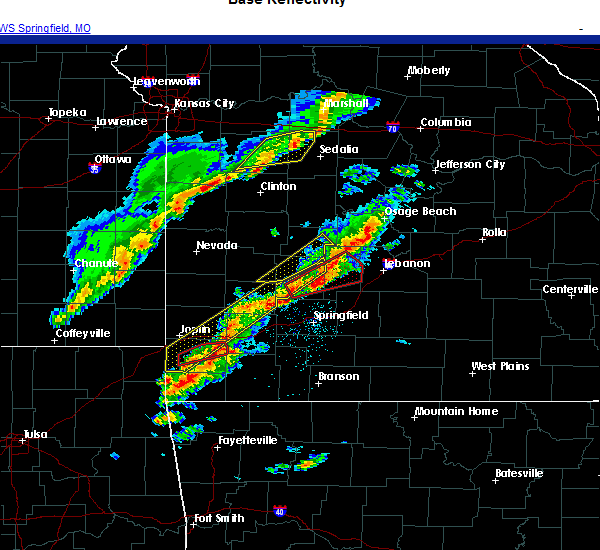 At 648 pm cst, a severe thunderstorm was located over lanagan, or near pineville, moving east at 45 mph (radar indicated). Hazards include 60 mph wind gusts and half dollar size hail. Hail damage to vehicles is expected. Expect wind damage to roofs, siding, and trees. At 648 pm cst, a severe thunderstorm was located over lanagan, or near pineville, moving east at 45 mph (radar indicated). Hazards include 60 mph wind gusts and half dollar size hail. Hail damage to vehicles is expected. Expect wind damage to roofs, siding, and trees.
|
| 8/10/2020 5:45 PM CDT |
 At 544 pm cdt, severe thunderstorms were located along a line extending from carterville to near saginaw to near seneca to 6 miles southeast of fairland, moving southeast at 40 mph (radar indicated). Hazards include 60 mph wind gusts and nickel size hail. Expect damage to roofs, siding, and trees. locations impacted include, joplin, carthage, neosho, webb city, big sugar creek state park, carl junction, oronogo, seneca, granby, anderson, carterville, duquesne, sarcoxie, goodman, duenweg, diamond, pineville, loma linda, airport drive, leawood, this includes the following highways, interstate 44 between mile markers 1 and 31. Interstate 49 between mile markers 4 and 43. At 544 pm cdt, severe thunderstorms were located along a line extending from carterville to near saginaw to near seneca to 6 miles southeast of fairland, moving southeast at 40 mph (radar indicated). Hazards include 60 mph wind gusts and nickel size hail. Expect damage to roofs, siding, and trees. locations impacted include, joplin, carthage, neosho, webb city, big sugar creek state park, carl junction, oronogo, seneca, granby, anderson, carterville, duquesne, sarcoxie, goodman, duenweg, diamond, pineville, loma linda, airport drive, leawood, this includes the following highways, interstate 44 between mile markers 1 and 31. Interstate 49 between mile markers 4 and 43.
|
| 8/10/2020 5:20 PM CDT |
 At 520 pm cdt, severe thunderstorms were located along a line extending from near west mineral to near baxter springs to quapaw to near bluejacket, moving east at 40 mph (radar indicated). Hazards include 70 mph wind gusts and nickel size hail. Expect considerable tree damage. Damage is likely to mobile homes, roofs, and outbuildings. At 520 pm cdt, severe thunderstorms were located along a line extending from near west mineral to near baxter springs to quapaw to near bluejacket, moving east at 40 mph (radar indicated). Hazards include 70 mph wind gusts and nickel size hail. Expect considerable tree damage. Damage is likely to mobile homes, roofs, and outbuildings.
|
| 7/2/2020 6:11 PM CDT |
 The severe thunderstorm warning for southern mcdonald and southwestern barry counties will expire at 615 pm cdt, the storm which prompted the warning has weakened below severe limits, and no longer poses an immediate threat to life or property. therefore, the warning will be allowed to expire. however heavy rain is still possible with this thunderstorm. The severe thunderstorm warning for southern mcdonald and southwestern barry counties will expire at 615 pm cdt, the storm which prompted the warning has weakened below severe limits, and no longer poses an immediate threat to life or property. therefore, the warning will be allowed to expire. however heavy rain is still possible with this thunderstorm.
|
| 7/2/2020 6:00 PM CDT |
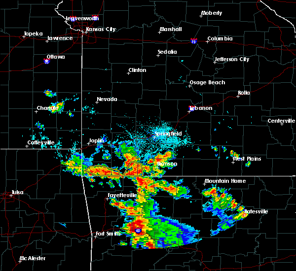 At 559 pm cdt, a severe thunderstorm was located 8 miles east of pineville, moving southeast at 15 mph. emergency management reported a few 5 inch diameter trees blown down about one mile south of anderson (emergency management). Hazards include 60 mph wind gusts and quarter size hail. Hail damage to vehicles is expected. expect wind damage to roofs, siding, and trees. Locations impacted include, big sugar creek state park, anderson, seligman, pineville, washburn, lanagan, powell, this includes interstate 49 between mile markers 1 and 8. At 559 pm cdt, a severe thunderstorm was located 8 miles east of pineville, moving southeast at 15 mph. emergency management reported a few 5 inch diameter trees blown down about one mile south of anderson (emergency management). Hazards include 60 mph wind gusts and quarter size hail. Hail damage to vehicles is expected. expect wind damage to roofs, siding, and trees. Locations impacted include, big sugar creek state park, anderson, seligman, pineville, washburn, lanagan, powell, this includes interstate 49 between mile markers 1 and 8.
|
| 7/2/2020 5:53 PM CDT |
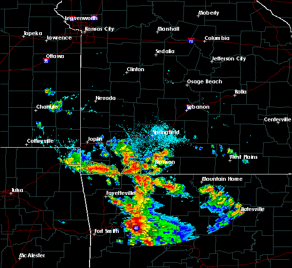 At 553 pm cdt, a severe thunderstorm was located 7 miles east of pineville, moving southeast at 15 mph (radar indicated). Hazards include 60 mph wind gusts and quarter size hail. Hail damage to vehicles is expected. expect wind damage to roofs, siding, and trees. Locations impacted include, big sugar creek state park, anderson, seligman, pineville, washburn, lanagan, powell, this includes interstate 49 between mile markers 1 and 8. At 553 pm cdt, a severe thunderstorm was located 7 miles east of pineville, moving southeast at 15 mph (radar indicated). Hazards include 60 mph wind gusts and quarter size hail. Hail damage to vehicles is expected. expect wind damage to roofs, siding, and trees. Locations impacted include, big sugar creek state park, anderson, seligman, pineville, washburn, lanagan, powell, this includes interstate 49 between mile markers 1 and 8.
|
| 7/2/2020 5:36 PM CDT |
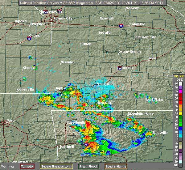 At 535 pm cdt, a severe thunderstorm was located near pineville, moving southeast at 15 mph (radar indicated). Hazards include 60 mph wind gusts and quarter size hail. Hail damage to vehicles is expected. Expect wind damage to roofs, siding, and trees. At 535 pm cdt, a severe thunderstorm was located near pineville, moving southeast at 15 mph (radar indicated). Hazards include 60 mph wind gusts and quarter size hail. Hail damage to vehicles is expected. Expect wind damage to roofs, siding, and trees.
|
| 5/25/2020 9:57 PM CDT |
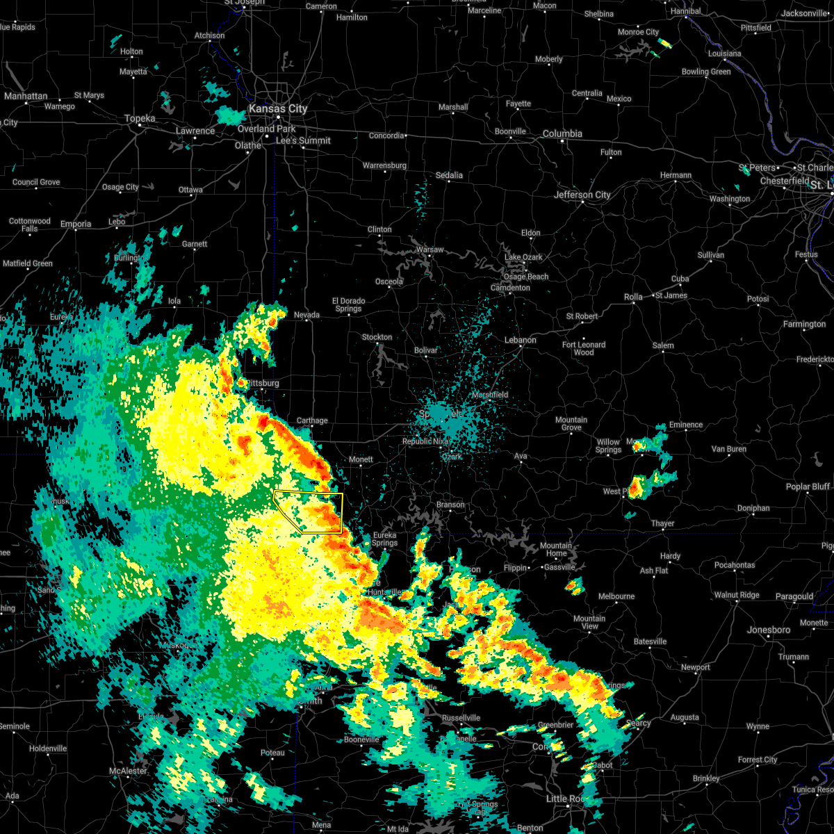 The severe thunderstorm warning for mcdonald county will expire at 1000 pm cdt, the storms which prompted the warning have weakened below severe limits, and no longer pose an immediate threat to life or property. therefore, the warning will be allowed to expire. however heavy rain is still possible with these thunderstorms. a severe thunderstorm watch remains in effect until midnight cdt for southwestern missouri. The severe thunderstorm warning for mcdonald county will expire at 1000 pm cdt, the storms which prompted the warning have weakened below severe limits, and no longer pose an immediate threat to life or property. therefore, the warning will be allowed to expire. however heavy rain is still possible with these thunderstorms. a severe thunderstorm watch remains in effect until midnight cdt for southwestern missouri.
|
| 5/25/2020 9:11 PM CDT |
 At 911 pm cdt, severe thunderstorms were located along a line extending from near seneca to near goodman to 8 miles northeast of pineville to 6 miles northwest of pea ridge, moving north at 30 mph (radar indicated). Hazards include 60 mph wind gusts and quarter size hail. Hail damage to vehicles is expected. Expect wind damage to roofs, siding, and trees. At 911 pm cdt, severe thunderstorms were located along a line extending from near seneca to near goodman to 8 miles northeast of pineville to 6 miles northwest of pea ridge, moving north at 30 mph (radar indicated). Hazards include 60 mph wind gusts and quarter size hail. Hail damage to vehicles is expected. Expect wind damage to roofs, siding, and trees.
|
| 5/25/2020 8:26 PM CDT |
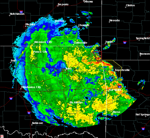 At 826 pm cdt, severe thunderstorms were located along a line extending from near jay to near gravette to near hiwasse to tontitown, moving north at 30 mph (radar indicated). Hazards include 60 mph wind gusts and quarter size hail. Hail damage to vehicles is expected. Expect wind damage to roofs, siding, and trees. At 826 pm cdt, severe thunderstorms were located along a line extending from near jay to near gravette to near hiwasse to tontitown, moving north at 30 mph (radar indicated). Hazards include 60 mph wind gusts and quarter size hail. Hail damage to vehicles is expected. Expect wind damage to roofs, siding, and trees.
|
| 5/4/2020 6:50 PM CDT |
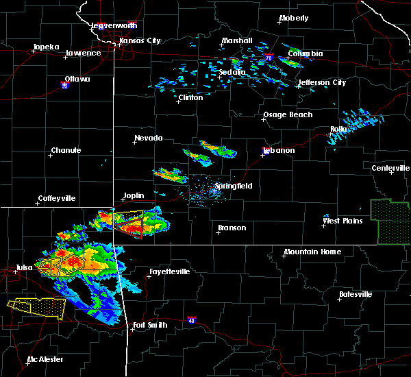 At 650 pm cdt, a severe thunderstorm was located near pineville, moving east at 30 mph. this is a very dangerous storm (radar indicated). Hazards include three inch hail and 60 mph wind gusts. People and animals outdoors will be severely injured. Expect shattered windows, extensive damage to roofs, siding, and vehicles. At 650 pm cdt, a severe thunderstorm was located near pineville, moving east at 30 mph. this is a very dangerous storm (radar indicated). Hazards include three inch hail and 60 mph wind gusts. People and animals outdoors will be severely injured. Expect shattered windows, extensive damage to roofs, siding, and vehicles.
|
| 5/4/2020 10:25 AM CDT |
 At 1025 am cdt, a severe thunderstorm was located near goodman, or near pineville, moving east at 40 mph (radar indicated). Hazards include half dollar size hail. Damage to vehicles is expected. locations impacted include, southeastern joplin, neosho, big sugar creek state park, granby, anderson, noel, goodman, diamond, pineville, leawood, silver creek, lanagan, fairview, shoal creek drive, saginaw, newtonia, stella, redings mill, wentworth, stark city, this includes the following highways, interstate 44 near mile marker 7. Interstate 49 between mile markers 1 and 35. At 1025 am cdt, a severe thunderstorm was located near goodman, or near pineville, moving east at 40 mph (radar indicated). Hazards include half dollar size hail. Damage to vehicles is expected. locations impacted include, southeastern joplin, neosho, big sugar creek state park, granby, anderson, noel, goodman, diamond, pineville, leawood, silver creek, lanagan, fairview, shoal creek drive, saginaw, newtonia, stella, redings mill, wentworth, stark city, this includes the following highways, interstate 44 near mile marker 7. Interstate 49 between mile markers 1 and 35.
|
| 5/4/2020 9:52 AM CDT |
 At 951 am cdt, a severe thunderstorm was located 8 miles southeast of wyandotte, or 15 miles northwest of pineville, moving east at 30 mph. other storms were developing across both newton and mcdonalds counties (radar indicated). Hazards include golf ball size hail. People and animals outdoors will be injured. Expect damage to roofs, siding, windows, and vehicles. At 951 am cdt, a severe thunderstorm was located 8 miles southeast of wyandotte, or 15 miles northwest of pineville, moving east at 30 mph. other storms were developing across both newton and mcdonalds counties (radar indicated). Hazards include golf ball size hail. People and animals outdoors will be injured. Expect damage to roofs, siding, windows, and vehicles.
|
| 4/20/2020 5:35 PM CDT |
 At 535 pm cdt, a severe thunderstorm was located over noel, or 7 miles southwest of pineville, moving southeast at 35 mph (radar indicated). Hazards include 60 mph wind gusts and half dollar size hail. Hail damage to vehicles is expected. expect wind damage to roofs, siding, and trees. Locations impacted include, noel, dodge, south west city, pineville, lanagan, cayuga, this includes interstate 49 between mile markers 1 and 5. At 535 pm cdt, a severe thunderstorm was located over noel, or 7 miles southwest of pineville, moving southeast at 35 mph (radar indicated). Hazards include 60 mph wind gusts and half dollar size hail. Hail damage to vehicles is expected. expect wind damage to roofs, siding, and trees. Locations impacted include, noel, dodge, south west city, pineville, lanagan, cayuga, this includes interstate 49 between mile markers 1 and 5.
|
| 4/20/2020 5:25 PM CDT |
 At 525 pm cdt, a severe thunderstorm was located 7 miles north of south west city, or 12 miles west of pineville, moving southeast at 30 mph (radar indicated). Hazards include 60 mph wind gusts and quarter size hail. Hail damage to vehicles is expected. expect wind damage to roofs, siding, and trees. Locations impacted include, big sugar creek state park, anderson, noel, dodge, south west city, pineville, lanagan, cayuga, powell, tiff city, this includes interstate 49 between mile markers 1 and 7. At 525 pm cdt, a severe thunderstorm was located 7 miles north of south west city, or 12 miles west of pineville, moving southeast at 30 mph (radar indicated). Hazards include 60 mph wind gusts and quarter size hail. Hail damage to vehicles is expected. expect wind damage to roofs, siding, and trees. Locations impacted include, big sugar creek state park, anderson, noel, dodge, south west city, pineville, lanagan, cayuga, powell, tiff city, this includes interstate 49 between mile markers 1 and 7.
|
| 4/20/2020 4:58 PM CDT |
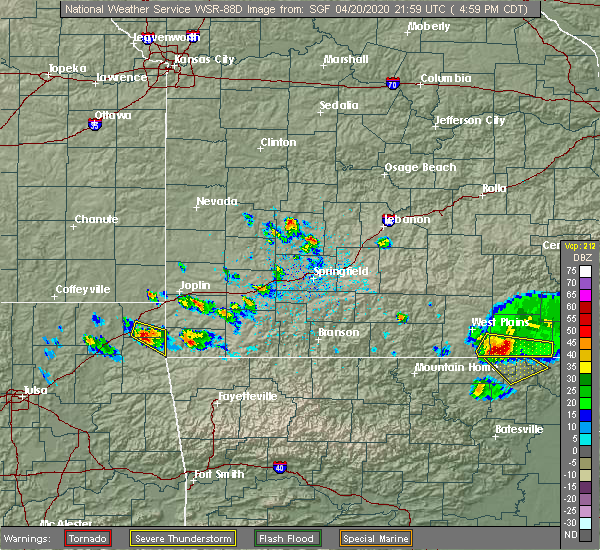 At 457 pm cdt, a severe thunderstorm was located near grove, or 16 miles southeast of miami, moving east at 40 mph (radar indicated). Hazards include 60 mph wind gusts and quarter size hail. Hail damage to vehicles is expected. Expect wind damage to roofs, siding, and trees. At 457 pm cdt, a severe thunderstorm was located near grove, or 16 miles southeast of miami, moving east at 40 mph (radar indicated). Hazards include 60 mph wind gusts and quarter size hail. Hail damage to vehicles is expected. Expect wind damage to roofs, siding, and trees.
|
| 3/27/2020 4:29 PM CDT |
 At 428 pm cdt, a severe thunderstorm was located near anderson, or 8 miles northwest of pineville, moving northeast at 65 mph (trained weather spotters). Hazards include tennis ball size hail and 60 mph wind gusts. tiff city fire department has reported tennis ball size hail with this storm. People and animals outdoors will be injured. expect hail damage to roofs, siding, windows, and vehicles. expect wind damage to roofs, siding, and trees. this severe storm will be near, goodman around 435 pm cdt. neosho around 440 pm cdt. fairview around 455 pm cdt. other locations impacted by this severe thunderstorm include big sugar creek state park, dodge, newtonia, stella, cayuga, stark city, powell, tiff city and rocky comfort. This includes interstate 49 between mile markers 1 and 21. At 428 pm cdt, a severe thunderstorm was located near anderson, or 8 miles northwest of pineville, moving northeast at 65 mph (trained weather spotters). Hazards include tennis ball size hail and 60 mph wind gusts. tiff city fire department has reported tennis ball size hail with this storm. People and animals outdoors will be injured. expect hail damage to roofs, siding, windows, and vehicles. expect wind damage to roofs, siding, and trees. this severe storm will be near, goodman around 435 pm cdt. neosho around 440 pm cdt. fairview around 455 pm cdt. other locations impacted by this severe thunderstorm include big sugar creek state park, dodge, newtonia, stella, cayuga, stark city, powell, tiff city and rocky comfort. This includes interstate 49 between mile markers 1 and 21.
|
| 3/27/2020 4:14 PM CDT |
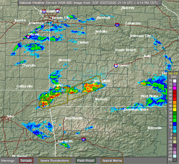 At 414 pm cdt, a severe thunderstorm was located over grove, or 11 miles north of jay, moving northeast at 65 mph (radar indicated). Hazards include golf ball size hail and 60 mph wind gusts. People and animals outdoors will be injured. expect hail damage to roofs, siding, windows, and vehicles. Expect wind damage to roofs, siding, and trees. At 414 pm cdt, a severe thunderstorm was located over grove, or 11 miles north of jay, moving northeast at 65 mph (radar indicated). Hazards include golf ball size hail and 60 mph wind gusts. People and animals outdoors will be injured. expect hail damage to roofs, siding, windows, and vehicles. Expect wind damage to roofs, siding, and trees.
|
| 3/27/2020 3:58 PM CDT |
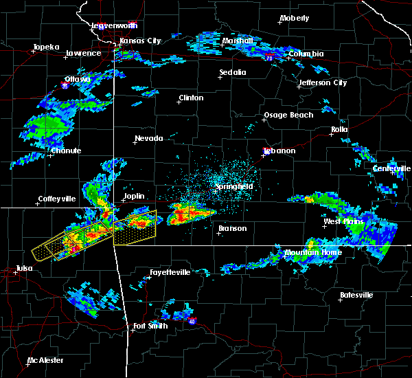 At 357 pm cdt, a severe thunderstorm was located near fairview, or 12 miles southeast of neosho, moving northeast at 55 mph. other storms will enter from the southwest with time (radar indicated). Hazards include ping pong ball size hail and 60 mph wind gusts. People and animals outdoors will be injured. expect hail damage to roofs, siding, windows, and vehicles. expect wind damage to roofs, siding, and trees. Locations impacted include, neosho, big sugar creek state park, granby, anderson, noel, dodge, goodman, south west city, pineville, wheaton, lanagan, fairview, newtonia, stella, cayuga, stark city, tiff city, powell, rocky comfort, this includes interstate 49 between mile markers 1 and 21. At 357 pm cdt, a severe thunderstorm was located near fairview, or 12 miles southeast of neosho, moving northeast at 55 mph. other storms will enter from the southwest with time (radar indicated). Hazards include ping pong ball size hail and 60 mph wind gusts. People and animals outdoors will be injured. expect hail damage to roofs, siding, windows, and vehicles. expect wind damage to roofs, siding, and trees. Locations impacted include, neosho, big sugar creek state park, granby, anderson, noel, dodge, goodman, south west city, pineville, wheaton, lanagan, fairview, newtonia, stella, cayuga, stark city, tiff city, powell, rocky comfort, this includes interstate 49 between mile markers 1 and 21.
|
| 3/27/2020 3:24 PM CDT |
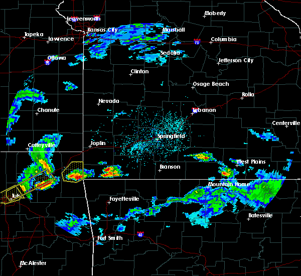 At 323 pm cdt, a severe thunderstorm was located near south west city, or 9 miles northeast of jay, moving northeast at 55 mph (radar indicated). Hazards include 60 mph wind gusts and quarter size hail. Hail damage to vehicles is expected. Expect wind damage to roofs, siding, and trees. At 323 pm cdt, a severe thunderstorm was located near south west city, or 9 miles northeast of jay, moving northeast at 55 mph (radar indicated). Hazards include 60 mph wind gusts and quarter size hail. Hail damage to vehicles is expected. Expect wind damage to roofs, siding, and trees.
|
| 3/11/2020 5:57 AM CDT |
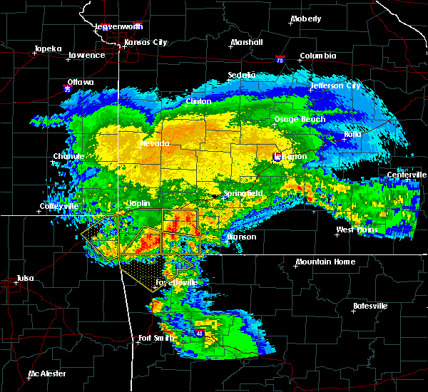 At 557 am cdt, severe thunderstorms were located along a line extending from 7 miles northeast of goodman to near gravette, moving southeast at 55 mph (radar indicated). Hazards include 60 mph wind gusts and quarter size hail. Hail damage to vehicles is expected. expect wind damage to roofs, siding, and trees. Locations impacted include, big sugar creek state park, anderson, noel, pineville, lanagan, stella, powell, rocky comfort, this includes interstate 49 between mile markers 1 and 10. At 557 am cdt, severe thunderstorms were located along a line extending from 7 miles northeast of goodman to near gravette, moving southeast at 55 mph (radar indicated). Hazards include 60 mph wind gusts and quarter size hail. Hail damage to vehicles is expected. expect wind damage to roofs, siding, and trees. Locations impacted include, big sugar creek state park, anderson, noel, pineville, lanagan, stella, powell, rocky comfort, this includes interstate 49 between mile markers 1 and 10.
|
| 3/11/2020 5:45 AM CDT |
 At 545 am cdt, severe thunderstorms were located along a line extending from near neosho to near south west city, moving southeast at 60 mph (radar indicated). Hazards include 60 mph wind gusts and quarter size hail. Hail damage to vehicles is expected. expect wind damage to roofs, siding, and trees. Locations impacted include, neosho, big sugar creek state park, seneca, anderson, noel, dodge, goodman, south west city, pineville, lanagan, stella, powell, rocky comfort, racine, this includes interstate 49 between mile markers 1 and 24. At 545 am cdt, severe thunderstorms were located along a line extending from near neosho to near south west city, moving southeast at 60 mph (radar indicated). Hazards include 60 mph wind gusts and quarter size hail. Hail damage to vehicles is expected. expect wind damage to roofs, siding, and trees. Locations impacted include, neosho, big sugar creek state park, seneca, anderson, noel, dodge, goodman, south west city, pineville, lanagan, stella, powell, rocky comfort, racine, this includes interstate 49 between mile markers 1 and 24.
|
| 3/11/2020 5:35 AM CDT |
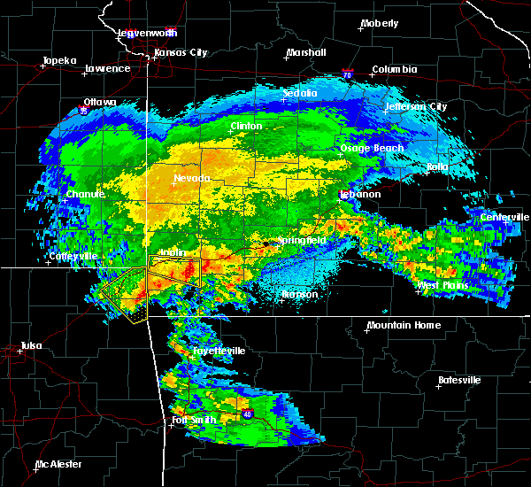 At 534 am cdt, severe thunderstorms were located along a line extending from near seneca to grove, moving southeast at 55 mph (radar indicated). Hazards include 60 mph wind gusts and quarter size hail. Hail damage to vehicles is expected. Expect wind damage to roofs, siding, and trees. At 534 am cdt, severe thunderstorms were located along a line extending from near seneca to grove, moving southeast at 55 mph (radar indicated). Hazards include 60 mph wind gusts and quarter size hail. Hail damage to vehicles is expected. Expect wind damage to roofs, siding, and trees.
|
| 1/10/2020 2:56 PM CST |
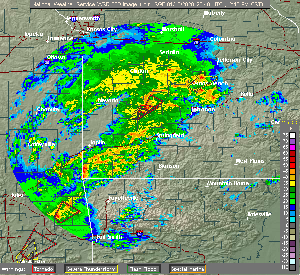 At 255 pm cst, severe thunderstorms were located along a line extending from 7 miles northwest of anderson to near lanagan to near noel, moving northeast at 25 mph (radar indicated). Hazards include 60 mph wind gusts and quarter size hail. Hail damage to vehicles is expected. Expect wind damage to roofs, siding, and trees. At 255 pm cst, severe thunderstorms were located along a line extending from 7 miles northwest of anderson to near lanagan to near noel, moving northeast at 25 mph (radar indicated). Hazards include 60 mph wind gusts and quarter size hail. Hail damage to vehicles is expected. Expect wind damage to roofs, siding, and trees.
|
| 11/26/2019 5:55 PM CST |
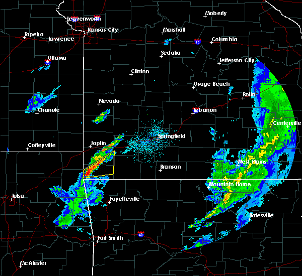 At 555 pm cst, a severe thunderstorm was located over lanagan, or near pineville, moving northeast at 55 mph (radar indicated). Hazards include 60 mph wind gusts and quarter size hail. Hail damage to vehicles is expected. expect wind damage to roofs, siding, and trees. Locations impacted include, big sugar creek state park, anderson, noel, goodman, pineville, lanagan, fairview, newtonia, stella, stark city, powell, rocky comfort, this includes interstate 49 between mile markers 1 and 13. At 555 pm cst, a severe thunderstorm was located over lanagan, or near pineville, moving northeast at 55 mph (radar indicated). Hazards include 60 mph wind gusts and quarter size hail. Hail damage to vehicles is expected. expect wind damage to roofs, siding, and trees. Locations impacted include, big sugar creek state park, anderson, noel, goodman, pineville, lanagan, fairview, newtonia, stella, stark city, powell, rocky comfort, this includes interstate 49 between mile markers 1 and 13.
|
| 11/26/2019 5:46 PM CST |
 At 546 pm cst, a severe thunderstorm was located near south west city, or 12 miles west of pineville, moving northeast at 55 mph (radar indicated). Hazards include 60 mph wind gusts and quarter size hail. Hail damage to vehicles is expected. Expect wind damage to roofs, siding, and trees. At 546 pm cst, a severe thunderstorm was located near south west city, or 12 miles west of pineville, moving northeast at 55 mph (radar indicated). Hazards include 60 mph wind gusts and quarter size hail. Hail damage to vehicles is expected. Expect wind damage to roofs, siding, and trees.
|
| 10/21/2019 12:06 AM CDT |
 At 1206 am cdt, a severe thunderstorm was located near sarcoxie, or 11 miles west of monett, moving northeast at 65 mph (radar indicated). Hazards include 60 mph wind gusts and quarter size hail. Hail damage to vehicles is expected. expect wind damage to roofs, siding, and trees. locations impacted include, carthage, neosho, big sugar creek state park, monett, granby, anderson, noel, sarcoxie, pierce city, goodman, purdy, south west city, diamond, pineville, wheaton, lanagan, fairview, fidelity, stotts city, newtonia, this includes the following highways, interstate 44 between mile markers 14 and 38. Interstate 49 between mile markers 1 and 18, and between mile markers 36 and 39. At 1206 am cdt, a severe thunderstorm was located near sarcoxie, or 11 miles west of monett, moving northeast at 65 mph (radar indicated). Hazards include 60 mph wind gusts and quarter size hail. Hail damage to vehicles is expected. expect wind damage to roofs, siding, and trees. locations impacted include, carthage, neosho, big sugar creek state park, monett, granby, anderson, noel, sarcoxie, pierce city, goodman, purdy, south west city, diamond, pineville, wheaton, lanagan, fairview, fidelity, stotts city, newtonia, this includes the following highways, interstate 44 between mile markers 14 and 38. Interstate 49 between mile markers 1 and 18, and between mile markers 36 and 39.
|
| 10/20/2019 11:43 PM CDT |
 At 1142 pm cdt, a severe thunderstorm was located near goodman, or 10 miles southwest of neosho, moving northeast at 45 mph (radar indicated). Hazards include 60 mph wind gusts and quarter size hail. Hail damage to vehicles is expected. Expect wind damage to roofs, siding, and trees. At 1142 pm cdt, a severe thunderstorm was located near goodman, or 10 miles southwest of neosho, moving northeast at 45 mph (radar indicated). Hazards include 60 mph wind gusts and quarter size hail. Hail damage to vehicles is expected. Expect wind damage to roofs, siding, and trees.
|
| 10/20/2019 10:56 PM CDT |
 At 1055 pm cdt, a severe thunderstorm was located over seneca, or 11 miles west of neosho, moving northeast at 55 mph (radar indicated). Hazards include 60 mph wind gusts and quarter size hail. Hail damage to vehicles is expected. Expect wind damage to roofs, siding, and trees. At 1055 pm cdt, a severe thunderstorm was located over seneca, or 11 miles west of neosho, moving northeast at 55 mph (radar indicated). Hazards include 60 mph wind gusts and quarter size hail. Hail damage to vehicles is expected. Expect wind damage to roofs, siding, and trees.
|
| 9/25/2019 11:20 PM CDT |
 The severe thunderstorm warning for southwestern mcdonald county will expire at 1130 pm cdt, the storm which prompted the warning has weakened below severe limits, and no longer poses an immediate threat to life or property. therefore, the warning will be allowed to expire. however gusty winds and heavy rain are still possible with this thunderstorm. a severe thunderstorm watch remains in effect until 500 am cdt for southwestern missouri. The severe thunderstorm warning for southwestern mcdonald county will expire at 1130 pm cdt, the storm which prompted the warning has weakened below severe limits, and no longer poses an immediate threat to life or property. therefore, the warning will be allowed to expire. however gusty winds and heavy rain are still possible with this thunderstorm. a severe thunderstorm watch remains in effect until 500 am cdt for southwestern missouri.
|
| 9/25/2019 10:51 PM CDT |
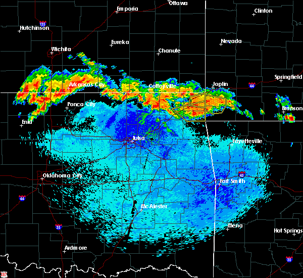 At 1051 pm cdt, a severe thunderstorm was located 8 miles northeast of grove, or 14 miles west of pineville, moving southeast at 25 mph (radar indicated). Hazards include 60 mph wind gusts and quarter size hail. Hail damage to vehicles is expected. Expect wind damage to roofs, siding, and trees. At 1051 pm cdt, a severe thunderstorm was located 8 miles northeast of grove, or 14 miles west of pineville, moving southeast at 25 mph (radar indicated). Hazards include 60 mph wind gusts and quarter size hail. Hail damage to vehicles is expected. Expect wind damage to roofs, siding, and trees.
|
| 8/26/2019 10:55 PM CDT |
 At 1054 pm cdt, a severe thunderstorm was located near pineville, moving southeast at 30 mph (radar indicated). Hazards include 60 mph wind gusts and penny size hail. Expect damage to roofs, siding, and trees. Locations impacted include, big sugar creek state park, powell, rocky comfort,. At 1054 pm cdt, a severe thunderstorm was located near pineville, moving southeast at 30 mph (radar indicated). Hazards include 60 mph wind gusts and penny size hail. Expect damage to roofs, siding, and trees. Locations impacted include, big sugar creek state park, powell, rocky comfort,.
|
| 8/26/2019 10:29 PM CDT |
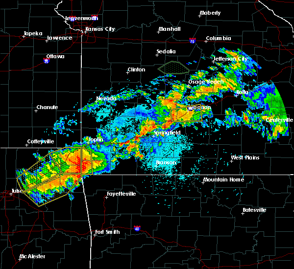 At 1028 pm cdt, a severe thunderstorm was located over anderson, or 7 miles northwest of pineville, moving southeast at 30 mph (radar indicated). Hazards include 60 mph wind gusts and penny size hail. expect damage to roofs, siding, and trees At 1028 pm cdt, a severe thunderstorm was located over anderson, or 7 miles northwest of pineville, moving southeast at 30 mph (radar indicated). Hazards include 60 mph wind gusts and penny size hail. expect damage to roofs, siding, and trees
|
| 6/19/2019 4:56 AM CDT |
 The severe thunderstorm warning for newton and mcdonald counties will expire at 500 am cdt, the storms which prompted the warning have weakened below severe limits, and no longer pose an immediate threat to life or property. therefore, the warning will be allowed to expire. however small hail, gusty winds and heavy rain are still possible with these thunderstorms. The severe thunderstorm warning for newton and mcdonald counties will expire at 500 am cdt, the storms which prompted the warning have weakened below severe limits, and no longer pose an immediate threat to life or property. therefore, the warning will be allowed to expire. however small hail, gusty winds and heavy rain are still possible with these thunderstorms.
|
| 6/19/2019 4:52 AM CDT |
 At 451 am cdt, severe thunderstorms were located along a line extending from near granby to near anderson to near noel, moving southeast at 25 mph (radar indicated). Hazards include 60 mph wind gusts and quarter size hail. Hail damage to vehicles is expected. expect wind damage to roofs, siding, and trees. Locations impacted include, neosho, big sugar creek state park, seneca, granby, anderson, noel, dodge, goodman, south west city, diamond, pineville, lanagan, this includes interstate 49 between mile markers 1 and 32. At 451 am cdt, severe thunderstorms were located along a line extending from near granby to near anderson to near noel, moving southeast at 25 mph (radar indicated). Hazards include 60 mph wind gusts and quarter size hail. Hail damage to vehicles is expected. expect wind damage to roofs, siding, and trees. Locations impacted include, neosho, big sugar creek state park, seneca, granby, anderson, noel, dodge, goodman, south west city, diamond, pineville, lanagan, this includes interstate 49 between mile markers 1 and 32.
|
| 6/19/2019 4:37 AM CDT |
 At 436 am cdt, severe thunderstorms were located along a line extending from near duenweg to near neosho to near south west city, moving east at 30 mph (radar indicated). Hazards include 60 mph wind gusts and quarter size hail. Hail damage to vehicles is expected. expect wind damage to roofs, siding, and trees. locations impacted include, joplin, carthage, neosho, webb city, big sugar creek state park, carl junction, seneca, granby, anderson, carterville, noel, duquesne, dodge, sarcoxie, goodman, duenweg, south west city, diamond, pineville, loma linda, this includes the following highways, interstate 44 between mile markers 2 and 32. Interstate 49 between mile markers 1 and 41. At 436 am cdt, severe thunderstorms were located along a line extending from near duenweg to near neosho to near south west city, moving east at 30 mph (radar indicated). Hazards include 60 mph wind gusts and quarter size hail. Hail damage to vehicles is expected. expect wind damage to roofs, siding, and trees. locations impacted include, joplin, carthage, neosho, webb city, big sugar creek state park, carl junction, seneca, granby, anderson, carterville, noel, duquesne, dodge, sarcoxie, goodman, duenweg, south west city, diamond, pineville, loma linda, this includes the following highways, interstate 44 between mile markers 2 and 32. Interstate 49 between mile markers 1 and 41.
|
| 6/19/2019 4:17 AM CDT |
 At 416 am cdt, severe thunderstorms were located along a line extending from joplin to near seneca to near honey creek state park, moving east at 30 mph (radar indicated). Hazards include 60 mph wind gusts and quarter size hail. Hail damage to vehicles is expected. Expect wind damage to roofs, siding, and trees. At 416 am cdt, severe thunderstorms were located along a line extending from joplin to near seneca to near honey creek state park, moving east at 30 mph (radar indicated). Hazards include 60 mph wind gusts and quarter size hail. Hail damage to vehicles is expected. Expect wind damage to roofs, siding, and trees.
|
| 5/26/2019 2:51 AM CDT |
 The severe thunderstorm warning for eastern mcdonald county will expire at 300 am cdt, the storms which prompted the warning have weakened below severe limits, and no longer pose an immediate threat to life or property. therefore, the warning will be allowed to expire. a severe thunderstorm watch remains in effect until 700 am cdt for southwestern missouri. The severe thunderstorm warning for eastern mcdonald county will expire at 300 am cdt, the storms which prompted the warning have weakened below severe limits, and no longer pose an immediate threat to life or property. therefore, the warning will be allowed to expire. a severe thunderstorm watch remains in effect until 700 am cdt for southwestern missouri.
|
| 5/26/2019 2:47 AM CDT |
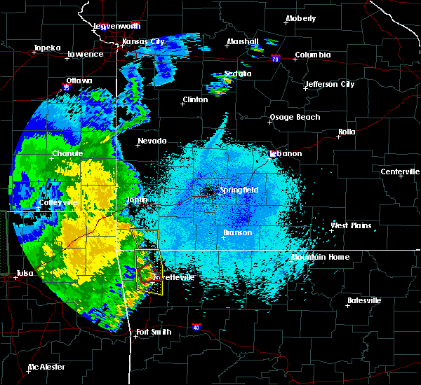 At 247 am cdt, severe thunderstorms were located along a line extending from goodman to 7 miles northeast of pineville to 6 miles northeast of bella vista, moving east at 45 mph (radar indicated). Hazards include 60 mph wind gusts. Expect damage to roofs, siding, and trees. Locations impacted include, big sugar creek state park, goodman, powell, rocky comfort,. At 247 am cdt, severe thunderstorms were located along a line extending from goodman to 7 miles northeast of pineville to 6 miles northeast of bella vista, moving east at 45 mph (radar indicated). Hazards include 60 mph wind gusts. Expect damage to roofs, siding, and trees. Locations impacted include, big sugar creek state park, goodman, powell, rocky comfort,.
|
| 5/26/2019 2:35 AM CDT |
 At 235 am cdt, severe thunderstorms were located along a line extending from 7 miles west of goodman to anderson to near pineville, moving northeast at 45 mph (radar indicated). Hazards include 60 mph wind gusts. Expect damage to roofs, siding, and trees. Locations impacted include, big sugar creek state park, anderson, noel, dodge, goodman, south west city, pineville, lanagan, cayuga, powell, tiff city, rocky comfort, this includes interstate 49 between mile markers 1 and 14. At 235 am cdt, severe thunderstorms were located along a line extending from 7 miles west of goodman to anderson to near pineville, moving northeast at 45 mph (radar indicated). Hazards include 60 mph wind gusts. Expect damage to roofs, siding, and trees. Locations impacted include, big sugar creek state park, anderson, noel, dodge, goodman, south west city, pineville, lanagan, cayuga, powell, tiff city, rocky comfort, this includes interstate 49 between mile markers 1 and 14.
|
| 5/26/2019 2:14 AM CDT |
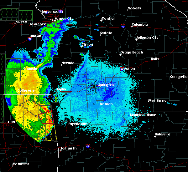 At 213 am cdt, severe thunderstorms were located along a line extending from near grove to near maysville to near colcord to west siloam springs, moving northeast at 55 mph (radar indicated). Hazards include 60 mph wind gusts. expect damage to roofs, siding, and trees At 213 am cdt, severe thunderstorms were located along a line extending from near grove to near maysville to near colcord to west siloam springs, moving northeast at 55 mph (radar indicated). Hazards include 60 mph wind gusts. expect damage to roofs, siding, and trees
|
| 5/23/2019 2:46 AM CDT |
 At 246 am cdt, a severe thunderstorm was located over goodman, or 7 miles south of neosho, moving east at 25 mph (radar indicated). Hazards include 60 mph wind gusts and quarter size hail. Hail damage to vehicles is expected. expect wind damage to roofs, siding, and trees. Locations impacted include, neosho, big sugar creek state park, granby, anderson, goodman, diamond, wheaton, lanagan, fairview, newtonia, stella, wentworth, cayuga, stark city, ritchey, tiff city, powell, rocky comfort, this includes interstate 49 between mile markers 5 and 25. At 246 am cdt, a severe thunderstorm was located over goodman, or 7 miles south of neosho, moving east at 25 mph (radar indicated). Hazards include 60 mph wind gusts and quarter size hail. Hail damage to vehicles is expected. expect wind damage to roofs, siding, and trees. Locations impacted include, neosho, big sugar creek state park, granby, anderson, goodman, diamond, wheaton, lanagan, fairview, newtonia, stella, wentworth, cayuga, stark city, ritchey, tiff city, powell, rocky comfort, this includes interstate 49 between mile markers 5 and 25.
|
| 5/23/2019 2:25 AM CDT |
 At 225 am cdt, a severe thunderstorm was located 8 miles southeast of seneca, or 13 miles northwest of pineville, moving east at 35 mph (radar indicated). Hazards include ping pong ball size hail and 60 mph wind gusts. People and animals outdoors will be injured. expect hail damage to roofs, siding, windows, and vehicles. expect wind damage to roofs, siding, and trees. Locations impacted include, neosho, big sugar creek state park, seneca, granby, anderson, goodman, diamond, wheaton, lanagan, fairview, saginaw, newtonia, stella, wentworth, cayuga, stark city, ritchey, tiff city, powell, rocky comfort, this includes interstate 49 between mile markers 5 and 35. At 225 am cdt, a severe thunderstorm was located 8 miles southeast of seneca, or 13 miles northwest of pineville, moving east at 35 mph (radar indicated). Hazards include ping pong ball size hail and 60 mph wind gusts. People and animals outdoors will be injured. expect hail damage to roofs, siding, windows, and vehicles. expect wind damage to roofs, siding, and trees. Locations impacted include, neosho, big sugar creek state park, seneca, granby, anderson, goodman, diamond, wheaton, lanagan, fairview, saginaw, newtonia, stella, wentworth, cayuga, stark city, ritchey, tiff city, powell, rocky comfort, this includes interstate 49 between mile markers 5 and 35.
|
| 5/23/2019 2:13 AM CDT |
 At 212 am cdt, a severe thunderstorm was located near wyandotte, or 14 miles southeast of miami, moving east at 25 mph. other strong to severe thunderstorms were located over central and northern newton county. these storms are also moving east at 25 mph (radar indicated). Hazards include ping pong ball size hail and 60 mph wind gusts. People and animals outdoors will be injured. expect hail damage to roofs, siding, windows, and vehicles. Expect wind damage to roofs, siding, and trees. At 212 am cdt, a severe thunderstorm was located near wyandotte, or 14 miles southeast of miami, moving east at 25 mph. other strong to severe thunderstorms were located over central and northern newton county. these storms are also moving east at 25 mph (radar indicated). Hazards include ping pong ball size hail and 60 mph wind gusts. People and animals outdoors will be injured. expect hail damage to roofs, siding, windows, and vehicles. Expect wind damage to roofs, siding, and trees.
|
| 5/22/2019 10:28 PM CDT |
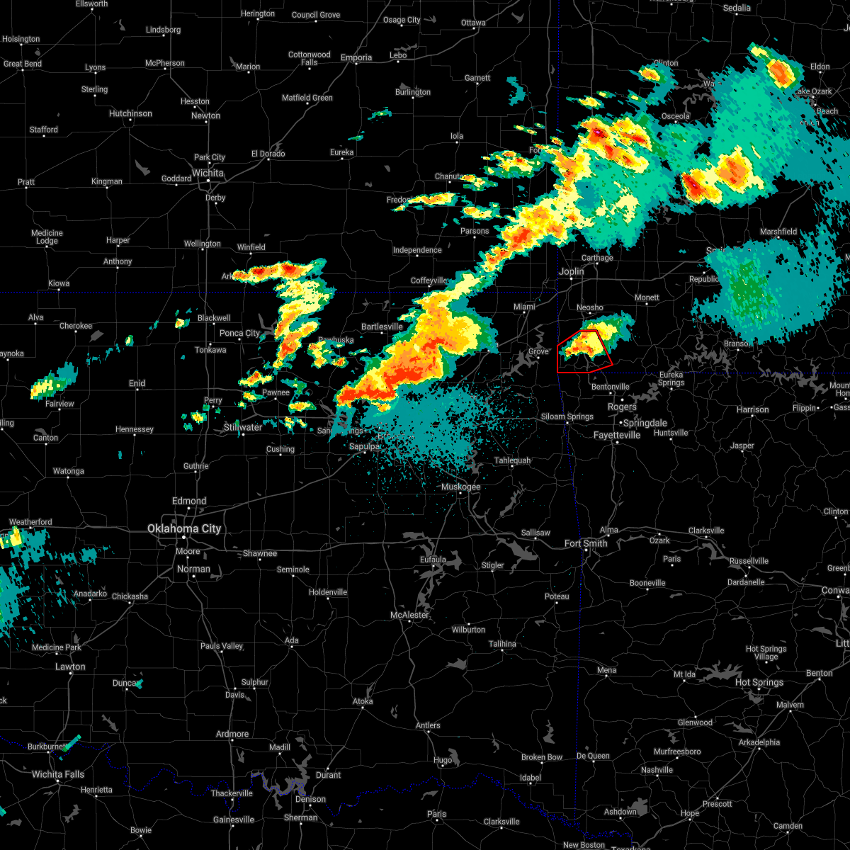 The tornado warning for mcdonald county will expire at 1030 pm cdt, the tornado threat has diminished and the tornado warning has been cancelled. however, large hail and damaging winds remain likely and a severe thunderstorm warning remains in effect for the area. a tornado watch remains in effect until 400 am cdt for southwestern missouri. to report severe weather, contact your nearest law enforcement agency. they will relay your report to the national weather service springfield. The tornado warning for mcdonald county will expire at 1030 pm cdt, the tornado threat has diminished and the tornado warning has been cancelled. however, large hail and damaging winds remain likely and a severe thunderstorm warning remains in effect for the area. a tornado watch remains in effect until 400 am cdt for southwestern missouri. to report severe weather, contact your nearest law enforcement agency. they will relay your report to the national weather service springfield.
|
| 5/22/2019 10:26 PM CDT |
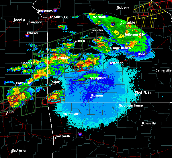 At 1024 pm cdt, a severe thunderstorm was located near lanagan, or 7 miles west of pineville, moving east at 25 mph (radar indicated). Hazards include 60 mph wind gusts and quarter size hail. Hail damage to vehicles is expected. Expect wind damage to roofs, siding, and trees. At 1024 pm cdt, a severe thunderstorm was located near lanagan, or 7 miles west of pineville, moving east at 25 mph (radar indicated). Hazards include 60 mph wind gusts and quarter size hail. Hail damage to vehicles is expected. Expect wind damage to roofs, siding, and trees.
|
| 5/22/2019 10:12 PM CDT |
 At 1011 pm cdt, a severe thunderstorm capable of producing a tornado was located near lanagan, or 9 miles west of pineville, moving northeast at 30 mph. a second ciculation was located just to the west of south west city and also moving northeast at 30 mph (radar indicated rotation). Hazards include tornado and ping pong ball size hail. Flying debris will be dangerous to those caught without shelter. mobile homes will be damaged or destroyed. damage to roofs, windows, and vehicles will occur. tree damage is likely. Locations impacted include, big sugar creek state park, anderson, noel, dodge, goodman, south west city, pineville, lanagan, cayuga, tiff city, this includes interstate 49 between mile markers 1 and 14. At 1011 pm cdt, a severe thunderstorm capable of producing a tornado was located near lanagan, or 9 miles west of pineville, moving northeast at 30 mph. a second ciculation was located just to the west of south west city and also moving northeast at 30 mph (radar indicated rotation). Hazards include tornado and ping pong ball size hail. Flying debris will be dangerous to those caught without shelter. mobile homes will be damaged or destroyed. damage to roofs, windows, and vehicles will occur. tree damage is likely. Locations impacted include, big sugar creek state park, anderson, noel, dodge, goodman, south west city, pineville, lanagan, cayuga, tiff city, this includes interstate 49 between mile markers 1 and 14.
|
| 5/22/2019 10:03 PM CDT |
 At 1003 pm cdt, a confirmed large and extremely dangerous tornado was located near south west city, or 11 miles west of pineville, moving northeast at 30 mph. this is a particularly dangerous situation. take cover now! (radar confirmed tornado). Hazards include damaging tornado. You are in a life-threatening situation. flying debris may be deadly to those caught without shelter. mobile homes will be destroyed. considerable damage to homes, businesses, and vehicles is likely and complete destruction is possible. Locations impacted include, big sugar creek state park, anderson, noel, dodge, goodman, south west city, pineville, lanagan, cayuga, tiff city, this includes interstate 49 between mile markers 1 and 14. At 1003 pm cdt, a confirmed large and extremely dangerous tornado was located near south west city, or 11 miles west of pineville, moving northeast at 30 mph. this is a particularly dangerous situation. take cover now! (radar confirmed tornado). Hazards include damaging tornado. You are in a life-threatening situation. flying debris may be deadly to those caught without shelter. mobile homes will be destroyed. considerable damage to homes, businesses, and vehicles is likely and complete destruction is possible. Locations impacted include, big sugar creek state park, anderson, noel, dodge, goodman, south west city, pineville, lanagan, cayuga, tiff city, this includes interstate 49 between mile markers 1 and 14.
|
| 5/22/2019 9:50 PM CDT |
 At 950 pm cdt, a confirmed large and extremely dangerous tornado was located near south west city, or 9 miles northeast of jay, moving northeast at 35 mph. this is a particularly dangerous situation. take cover now! (radar confirmed tornado). Hazards include damaging tornado. You are in a life-threatening situation. flying debris may be deadly to those caught without shelter. mobile homes will be destroyed. considerable damage to homes, businesses, and vehicles is likely and complete destruction is possible. Locations impacted include, big sugar creek state park, anderson, noel, dodge, goodman, south west city, pineville, lanagan, cayuga, tiff city, this includes interstate 49 between mile markers 1 and 14. At 950 pm cdt, a confirmed large and extremely dangerous tornado was located near south west city, or 9 miles northeast of jay, moving northeast at 35 mph. this is a particularly dangerous situation. take cover now! (radar confirmed tornado). Hazards include damaging tornado. You are in a life-threatening situation. flying debris may be deadly to those caught without shelter. mobile homes will be destroyed. considerable damage to homes, businesses, and vehicles is likely and complete destruction is possible. Locations impacted include, big sugar creek state park, anderson, noel, dodge, goodman, south west city, pineville, lanagan, cayuga, tiff city, this includes interstate 49 between mile markers 1 and 14.
|
| 5/22/2019 9:44 PM CDT |
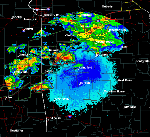 At 944 pm cdt, a confirmed tornado was located near jay, moving northeast at 35 mph (radar confirmed tornado). Hazards include damaging tornado and golf ball size hail. Flying debris will be dangerous to those caught without shelter. mobile homes will be damaged or destroyed. damage to roofs, windows, and vehicles will occur. tree damage is likely. Locations impacted include, big sugar creek state park, anderson, noel, dodge, goodman, south west city, pineville, lanagan, cayuga, tiff city, this includes interstate 49 between mile markers 1 and 14. At 944 pm cdt, a confirmed tornado was located near jay, moving northeast at 35 mph (radar confirmed tornado). Hazards include damaging tornado and golf ball size hail. Flying debris will be dangerous to those caught without shelter. mobile homes will be damaged or destroyed. damage to roofs, windows, and vehicles will occur. tree damage is likely. Locations impacted include, big sugar creek state park, anderson, noel, dodge, goodman, south west city, pineville, lanagan, cayuga, tiff city, this includes interstate 49 between mile markers 1 and 14.
|
| 5/22/2019 9:40 PM CDT |
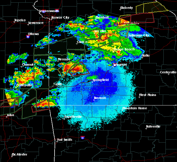 At 940 pm cdt, a confirmed tornado was located near jay, moving northeast at 35 mph (weather spotters confirmed tornado). Hazards include damaging tornado and golf ball size hail. Flying debris will be dangerous to those caught without shelter. mobile homes will be damaged or destroyed. damage to roofs, windows, and vehicles will occur. Tree damage is likely. At 940 pm cdt, a confirmed tornado was located near jay, moving northeast at 35 mph (weather spotters confirmed tornado). Hazards include damaging tornado and golf ball size hail. Flying debris will be dangerous to those caught without shelter. mobile homes will be damaged or destroyed. damage to roofs, windows, and vehicles will occur. Tree damage is likely.
|
| 5/21/2019 10:15 AM CDT |
 At 1015 am cdt, severe thunderstorms were located along a line extending from goodman to 6 miles northeast of pineville to 10 miles north of bella vista, moving northeast at 55 mph (radar indicated). Hazards include 60 mph wind gusts and penny size hail. Expect damage to roofs, siding, and trees. Locations impacted include, big sugar creek state park, anderson, goodman, wheaton, fairview, stella, powell, rocky comfort, this includes interstate 49 between mile markers 6 and 13. At 1015 am cdt, severe thunderstorms were located along a line extending from goodman to 6 miles northeast of pineville to 10 miles north of bella vista, moving northeast at 55 mph (radar indicated). Hazards include 60 mph wind gusts and penny size hail. Expect damage to roofs, siding, and trees. Locations impacted include, big sugar creek state park, anderson, goodman, wheaton, fairview, stella, powell, rocky comfort, this includes interstate 49 between mile markers 6 and 13.
|
| 5/21/2019 9:54 AM CDT |
 At 954 am cdt, severe thunderstorms were located along a line extending from south west city to near gravette to near gentry, moving northeast at 45 mph (radar indicated). Hazards include 60 mph wind gusts and nickel size hail. expect damage to roofs, siding, and trees At 954 am cdt, severe thunderstorms were located along a line extending from south west city to near gravette to near gentry, moving northeast at 45 mph (radar indicated). Hazards include 60 mph wind gusts and nickel size hail. expect damage to roofs, siding, and trees
|
| 5/20/2019 10:08 PM CDT |
 At 1007 pm cdt, severe thunderstorms were located along a line extending from near pierce city to 8 miles southwest of fairview to noel, moving east at 30 mph (radar indicated). Hazards include 60 mph wind gusts and nickel size hail. Expect damage to roofs, siding, and trees. Locations impacted include, neosho, big sugar creek state park, seneca, granby, anderson, noel, goodman, south west city, pineville, lanagan, fairview, newtonia, stella, wentworth, stark city, ritchey, powell, rocky comfort, this includes interstate 49 between mile markers 1 and 25. At 1007 pm cdt, severe thunderstorms were located along a line extending from near pierce city to 8 miles southwest of fairview to noel, moving east at 30 mph (radar indicated). Hazards include 60 mph wind gusts and nickel size hail. Expect damage to roofs, siding, and trees. Locations impacted include, neosho, big sugar creek state park, seneca, granby, anderson, noel, goodman, south west city, pineville, lanagan, fairview, newtonia, stella, wentworth, stark city, ritchey, powell, rocky comfort, this includes interstate 49 between mile markers 1 and 25.
|
| 5/20/2019 9:26 PM CDT |
 At 925 pm cdt, severe thunderstorms were located along a line extending from near diamond to near neosho to near grove, moving northeast at 55 mph (radar indicated). Hazards include 60 mph wind gusts and nickel size hail. expect damage to roofs, siding, and trees At 925 pm cdt, severe thunderstorms were located along a line extending from near diamond to near neosho to near grove, moving northeast at 55 mph (radar indicated). Hazards include 60 mph wind gusts and nickel size hail. expect damage to roofs, siding, and trees
|
| 5/20/2019 1:30 PM CDT |
 At 130 pm cdt, a severe thunderstorm was located near wyandotte, or 15 miles southeast of miami, moving east at 45 mph (radar indicated). Hazards include golf ball size hail and 60 mph wind gusts. People and animals outdoors will be injured. expect hail damage to roofs, siding, windows, and vehicles. expect wind damage to roofs, siding, and trees. locations impacted include, joplin, carthage, neosho, webb city, big sugar creek state park, seneca, granby, anderson, carterville, duquesne, dodge, sarcoxie, goodman, duenweg, south west city, diamond, pineville, loma linda, leawood, silver creek, this includes the following highways, interstate 44 between mile markers 0 and 31. Interstate 49 between mile markers 1 and 41. At 130 pm cdt, a severe thunderstorm was located near wyandotte, or 15 miles southeast of miami, moving east at 45 mph (radar indicated). Hazards include golf ball size hail and 60 mph wind gusts. People and animals outdoors will be injured. expect hail damage to roofs, siding, windows, and vehicles. expect wind damage to roofs, siding, and trees. locations impacted include, joplin, carthage, neosho, webb city, big sugar creek state park, seneca, granby, anderson, carterville, duquesne, dodge, sarcoxie, goodman, duenweg, south west city, diamond, pineville, loma linda, leawood, silver creek, this includes the following highways, interstate 44 between mile markers 0 and 31. Interstate 49 between mile markers 1 and 41.
|
| 5/20/2019 1:13 PM CDT |
 At 112 pm cdt, a severe thunderstorm was located near fairland, or 12 miles south of miami, moving east at 45 mph (radar indicated). Hazards include golf ball size hail and 60 mph wind gusts. People and animals outdoors will be injured. expect hail damage to roofs, siding, windows, and vehicles. Expect wind damage to roofs, siding, and trees. At 112 pm cdt, a severe thunderstorm was located near fairland, or 12 miles south of miami, moving east at 45 mph (radar indicated). Hazards include golf ball size hail and 60 mph wind gusts. People and animals outdoors will be injured. expect hail damage to roofs, siding, windows, and vehicles. Expect wind damage to roofs, siding, and trees.
|
| 5/19/2019 1:04 AM CDT |
 At 104 am cdt, severe thunderstorms were located along a line extending from near miami to near wyandotte to bernice state park, moving east at 50 mph (radar indicated). Hazards include 60 mph wind gusts. expect damage to roofs, siding, and trees At 104 am cdt, severe thunderstorms were located along a line extending from near miami to near wyandotte to bernice state park, moving east at 50 mph (radar indicated). Hazards include 60 mph wind gusts. expect damage to roofs, siding, and trees
|
| 5/18/2019 2:25 PM CDT |
 At 224 pm cdt, severe thunderstorms were located along a line extending from 10 miles southeast of hume to near nevada to near sheldon to near carthage to near goodman, moving northeast at 40 mph (radar indicated). Hazards include 60 mph wind gusts and quarter size hail. Hail damage to vehicles is expected. expect wind damage to roofs, siding, and trees. locations impacted include, eastern joplin, carthage, neosho, webb city, big sugar creek state park, prairie state park, roaring river state park, monett, nevada, lamar, el dorado springs, cassville, oronogo, granby, anderson, carterville, duquesne, sarcoxie, pierce city, goodman, this includes the following highways, interstate 44 between mile markers 11 and 42. Interstate 49 between mile markers 1 and 30, and between mile markers 32 and 105. At 224 pm cdt, severe thunderstorms were located along a line extending from 10 miles southeast of hume to near nevada to near sheldon to near carthage to near goodman, moving northeast at 40 mph (radar indicated). Hazards include 60 mph wind gusts and quarter size hail. Hail damage to vehicles is expected. expect wind damage to roofs, siding, and trees. locations impacted include, eastern joplin, carthage, neosho, webb city, big sugar creek state park, prairie state park, roaring river state park, monett, nevada, lamar, el dorado springs, cassville, oronogo, granby, anderson, carterville, duquesne, sarcoxie, pierce city, goodman, this includes the following highways, interstate 44 between mile markers 11 and 42. Interstate 49 between mile markers 1 and 30, and between mile markers 32 and 105.
|
| 5/18/2019 2:11 PM CDT |
 At 210 pm cdt, severe thunderstorms were located along a line extending from near fulton to 8 miles northeast of arcadia to near sheldon to near carthage to near pineville, moving northeast at 45 mph (radar indicated). Hazards include 60 mph wind gusts and quarter size hail. Hail damage to vehicles is expected. expect wind damage to roofs, siding, and trees. locations impacted include, joplin, carthage, neosho, webb city, big sugar creek state park, prairie state park, roaring river state park, monett, nevada, carl junction, lamar, el dorado springs, cassville, oronogo, granby, anderson, carterville, noel, duquesne, sarcoxie, this includes the following highways, interstate 44 between mile markers 5 and 42. Interstate 49 between mile markers 1 and 105. At 210 pm cdt, severe thunderstorms were located along a line extending from near fulton to 8 miles northeast of arcadia to near sheldon to near carthage to near pineville, moving northeast at 45 mph (radar indicated). Hazards include 60 mph wind gusts and quarter size hail. Hail damage to vehicles is expected. expect wind damage to roofs, siding, and trees. locations impacted include, joplin, carthage, neosho, webb city, big sugar creek state park, prairie state park, roaring river state park, monett, nevada, carl junction, lamar, el dorado springs, cassville, oronogo, granby, anderson, carterville, noel, duquesne, sarcoxie, this includes the following highways, interstate 44 between mile markers 5 and 42. Interstate 49 between mile markers 1 and 105.
|
| 5/18/2019 2:11 PM CDT |
 A severe thunderstorm warning remains in effect until 300 pm cdt for northeastern bourbon. barton. newton. western cedar. mcdonald. western barry. western lawrence. vernon. jasper and western dade counties. At 210 pm cdt, severe thunderstorms were located along a line extending from near fulton to 8 miles northeast of arcadia to near. A severe thunderstorm warning remains in effect until 300 pm cdt for northeastern bourbon. barton. newton. western cedar. mcdonald. western barry. western lawrence. vernon. jasper and western dade counties. At 210 pm cdt, severe thunderstorms were located along a line extending from near fulton to 8 miles northeast of arcadia to near.
|
| 5/18/2019 1:55 PM CDT |
 The national weather service in springfield has issued a * severe thunderstorm warning for. bourbon county in southeastern kansas. northeastern crawford county in southeastern kansas. barton county in southwestern missouri. Newton county in southwestern missouri. The national weather service in springfield has issued a * severe thunderstorm warning for. bourbon county in southeastern kansas. northeastern crawford county in southeastern kansas. barton county in southwestern missouri. Newton county in southwestern missouri.
|
| 5/18/2019 1:55 PM CDT |
 At 154 pm cdt, severe thunderstorms were located along a line extending from near redfield to near arcadia to near mindenmines to joplin to near noel, moving northeast at 40 mph (radar indicated). Hazards include 60 mph wind gusts and quarter size hail. Hail damage to vehicles is expected. Expect wind damage to roofs, siding, and trees. At 154 pm cdt, severe thunderstorms were located along a line extending from near redfield to near arcadia to near mindenmines to joplin to near noel, moving northeast at 40 mph (radar indicated). Hazards include 60 mph wind gusts and quarter size hail. Hail damage to vehicles is expected. Expect wind damage to roofs, siding, and trees.
|
| 5/18/2019 1:47 PM CDT |
 At 146 pm cdt, severe thunderstorms were located along a line extending from near bronson to 8 miles southeast of redfield to near mindenmines to near shoal creek drive to 7 miles northwest of anderson, moving north at 55 mph (radar indicated. at 141 pm cdt...powerlines were blown over 2 miles east of pittsburg kansas). Hazards include 60 mph wind gusts and quarter size hail. Hail damage to vehicles is expected. expect wind damage to roofs, siding, and trees. locations impacted include, joplin, pittsburg, carthage, neosho, webb city, big sugar creek state park, prairie state park, fort scott, carl junction, lamar, frontenac, galena, girard, oronogo, seneca, granby, anderson, carterville, noel, duquesne, this includes the following highways, interstate 44 between mile markers 0 and 30. Interstate 49 between mile markers 1 and 85. At 146 pm cdt, severe thunderstorms were located along a line extending from near bronson to 8 miles southeast of redfield to near mindenmines to near shoal creek drive to 7 miles northwest of anderson, moving north at 55 mph (radar indicated. at 141 pm cdt...powerlines were blown over 2 miles east of pittsburg kansas). Hazards include 60 mph wind gusts and quarter size hail. Hail damage to vehicles is expected. expect wind damage to roofs, siding, and trees. locations impacted include, joplin, pittsburg, carthage, neosho, webb city, big sugar creek state park, prairie state park, fort scott, carl junction, lamar, frontenac, galena, girard, oronogo, seneca, granby, anderson, carterville, noel, duquesne, this includes the following highways, interstate 44 between mile markers 0 and 30. Interstate 49 between mile markers 1 and 85.
|
| 5/18/2019 1:32 PM CDT |
 At 132 pm cdt, severe thunderstorms were located along a line extending from near uniontown to near girard to near pittsburg to seneca to near south west city, moving north-northeast at 55 mph (radar indicated). Hazards include 60 mph wind gusts and quarter size hail. Hail damage to vehicles is expected. expect wind damage to roofs, siding, and trees. locations impacted include, joplin, pittsburg, carthage, neosho, webb city, big sugar creek state park, prairie state park, fort scott, carl junction, lamar, baxter springs, frontenac, galena, girard, oronogo, seneca, granby, anderson, carterville, noel, this includes the following highways, interstate 44 between mile markers 0 and 30. Interstate 49 between mile markers 1 and 85. At 132 pm cdt, severe thunderstorms were located along a line extending from near uniontown to near girard to near pittsburg to seneca to near south west city, moving north-northeast at 55 mph (radar indicated). Hazards include 60 mph wind gusts and quarter size hail. Hail damage to vehicles is expected. expect wind damage to roofs, siding, and trees. locations impacted include, joplin, pittsburg, carthage, neosho, webb city, big sugar creek state park, prairie state park, fort scott, carl junction, lamar, baxter springs, frontenac, galena, girard, oronogo, seneca, granby, anderson, carterville, noel, this includes the following highways, interstate 44 between mile markers 0 and 30. Interstate 49 between mile markers 1 and 85.
|
| 5/18/2019 1:13 PM CDT |
 At 113 pm cdt, severe thunderstorms were located along a line extending from near mccune to near scammon to near miami to near maysville, moving north at 55 mph (radar indicated). Hazards include 60 mph wind gusts and half dollar size hail. Hail damage to vehicles is expected. Expect wind damage to roofs, siding, and trees. At 113 pm cdt, severe thunderstorms were located along a line extending from near mccune to near scammon to near miami to near maysville, moving north at 55 mph (radar indicated). Hazards include 60 mph wind gusts and half dollar size hail. Hail damage to vehicles is expected. Expect wind damage to roofs, siding, and trees.
|
| 3/9/2019 5:07 AM CST |
 The severe thunderstorm warning for eastern newton, eastern mcdonald and eastern jasper counties will expire at 515 am cst, the storms which prompted the warning have moved out of the area. therefore, the warning will be allowed to expire. however heavy rain is still possible with these thunderstorms. a severe thunderstorm watch remains in effect until 1000 am cst for southwestern missouri. The severe thunderstorm warning for eastern newton, eastern mcdonald and eastern jasper counties will expire at 515 am cst, the storms which prompted the warning have moved out of the area. therefore, the warning will be allowed to expire. however heavy rain is still possible with these thunderstorms. a severe thunderstorm watch remains in effect until 1000 am cst for southwestern missouri.
|
| 3/9/2019 4:51 AM CST |
 At 451 am cst, severe thunderstorms were located along a line extending from carthage to near bella vista, moving northeast at 55 mph (radar indicated). Hazards include 60 mph wind gusts and quarter size hail. Hail damage to vehicles is expected. expect wind damage to roofs, siding, and trees. these severe storms will be near, carthage around 455 am cst. wheaton around 515 am cst. other locations impacted by these severe thunderstorms include big sugar creek state park, fidelity, newtonia, stella, wentworth, stark city, avilla, la russell, reeds and ritchey. this includes the following highways, interstate 44 between mile markers 19 and 32. Interstate 49 between mile markers 36 and 38, and between mile markers 46 and 47. At 451 am cst, severe thunderstorms were located along a line extending from carthage to near bella vista, moving northeast at 55 mph (radar indicated). Hazards include 60 mph wind gusts and quarter size hail. Hail damage to vehicles is expected. expect wind damage to roofs, siding, and trees. these severe storms will be near, carthage around 455 am cst. wheaton around 515 am cst. other locations impacted by these severe thunderstorms include big sugar creek state park, fidelity, newtonia, stella, wentworth, stark city, avilla, la russell, reeds and ritchey. this includes the following highways, interstate 44 between mile markers 19 and 32. Interstate 49 between mile markers 36 and 38, and between mile markers 46 and 47.
|
| 3/9/2019 4:36 AM CST |
 At 435 am cst, severe thunderstorms were located along a line extending from joplin to noel, moving northeast at 45 mph (radar indicated). Hazards include 60 mph wind gusts and quarter size hail. Hail damage to vehicles is expected. expect wind damage to roofs, siding, and trees. these severe storms will be near, webb city, oronogo, carterville, duquesne, duenweg and silver creek around 440 am cst. carthage around 450 am cst. wheaton and fairview around 510 am cst. other locations impacted by these severe thunderstorms include big sugar creek state park, carytown, fidelity, newtonia, stella, wentworth, stark city, avilla, la russell and brooklyn heights. this includes the following highways, interstate 44 between mile markers 8 and 32. Interstate 49 between mile markers 1 and 52. At 435 am cst, severe thunderstorms were located along a line extending from joplin to noel, moving northeast at 45 mph (radar indicated). Hazards include 60 mph wind gusts and quarter size hail. Hail damage to vehicles is expected. expect wind damage to roofs, siding, and trees. these severe storms will be near, webb city, oronogo, carterville, duquesne, duenweg and silver creek around 440 am cst. carthage around 450 am cst. wheaton and fairview around 510 am cst. other locations impacted by these severe thunderstorms include big sugar creek state park, carytown, fidelity, newtonia, stella, wentworth, stark city, avilla, la russell and brooklyn heights. this includes the following highways, interstate 44 between mile markers 8 and 32. Interstate 49 between mile markers 1 and 52.
|
| 3/9/2019 4:21 AM CST |
 At 420 am cst, severe thunderstorms were located along a line extending from near loma linda to near south west city, moving northeast at 55 mph (radar indicated). Hazards include 60 mph wind gusts and quarter size hail. Hail damage to vehicles is expected. expect wind damage to roofs, siding, and trees. severe thunderstorms will be near, galena around 425 am cst. joplin, carl junction, leawood, silver creek, shoal creek drive and saginaw around 430 am cst. webb city, oronogo, carterville, duquesne, duenweg and lanagan around 435 am cst. pineville, anderson, alba and purcell around 440 am cst. carthage and goodman around 445 am cst. neosho around 450 am cst. wheaton around 500 am cst. fairview around 505 am cst. other locations impacted by these severe thunderstorms include big sugar creek state park, dodge, loma linda, airport drive, carytown, fidelity, newtonia, neck city, stella and redings mill. this includes the following highways, interstate 44 between mile markers 0 and 32. Interstate 49 between mile markers 1 and 56. At 420 am cst, severe thunderstorms were located along a line extending from near loma linda to near south west city, moving northeast at 55 mph (radar indicated). Hazards include 60 mph wind gusts and quarter size hail. Hail damage to vehicles is expected. expect wind damage to roofs, siding, and trees. severe thunderstorms will be near, galena around 425 am cst. joplin, carl junction, leawood, silver creek, shoal creek drive and saginaw around 430 am cst. webb city, oronogo, carterville, duquesne, duenweg and lanagan around 435 am cst. pineville, anderson, alba and purcell around 440 am cst. carthage and goodman around 445 am cst. neosho around 450 am cst. wheaton around 500 am cst. fairview around 505 am cst. other locations impacted by these severe thunderstorms include big sugar creek state park, dodge, loma linda, airport drive, carytown, fidelity, newtonia, neck city, stella and redings mill. this includes the following highways, interstate 44 between mile markers 0 and 32. Interstate 49 between mile markers 1 and 56.
|
| 2/6/2019 10:36 PM CST |
 At 1035 pm cst, a severe thunderstorm was located near anderson, or 10 miles northwest of pineville, moving northeast at 60 mph (radar indicated). Hazards include 60 mph wind gusts and quarter size hail. Hail damage to vehicles is expected. Expect wind damage to roofs, siding, and trees. At 1035 pm cst, a severe thunderstorm was located near anderson, or 10 miles northwest of pineville, moving northeast at 60 mph (radar indicated). Hazards include 60 mph wind gusts and quarter size hail. Hail damage to vehicles is expected. Expect wind damage to roofs, siding, and trees.
|
| 11/30/2018 11:35 PM CST |
 At 1135 pm cst, severe thunderstorms were located along a line extending from 6 miles north of seneca to near gentry, moving northeast at 80 mph (radar indicated). Hazards include 60 mph wind gusts and quarter size hail. Hail damage to vehicles is expected. Expect wind damage to roofs, siding, and trees. At 1135 pm cst, severe thunderstorms were located along a line extending from 6 miles north of seneca to near gentry, moving northeast at 80 mph (radar indicated). Hazards include 60 mph wind gusts and quarter size hail. Hail damage to vehicles is expected. Expect wind damage to roofs, siding, and trees.
|
| 10/6/2018 6:42 PM CDT |
 At 641 pm cdt, severe thunderstorms were located along a line extending from near fairland to 8 miles northwest of noel to south west city, moving northeast at 40 mph (trained weather spotters. the grove oklahoma airport measured at 72mph winds gust with this line of storms). Hazards include 70 mph wind gusts and penny size hail. Expect considerable tree damage. damage is likely to mobile homes, roofs, and outbuildings. Locations impacted include, neosho, big sugar creek state park, seneca, granby, anderson, noel, dodge, goodman, south west city, diamond, pineville, lanagan, newtonia, stella, cayuga, stark city, ritchey, tiff city, racine, this includes interstate 49 between mile markers 1 and 33. At 641 pm cdt, severe thunderstorms were located along a line extending from near fairland to 8 miles northwest of noel to south west city, moving northeast at 40 mph (trained weather spotters. the grove oklahoma airport measured at 72mph winds gust with this line of storms). Hazards include 70 mph wind gusts and penny size hail. Expect considerable tree damage. damage is likely to mobile homes, roofs, and outbuildings. Locations impacted include, neosho, big sugar creek state park, seneca, granby, anderson, noel, dodge, goodman, south west city, diamond, pineville, lanagan, newtonia, stella, cayuga, stark city, ritchey, tiff city, racine, this includes interstate 49 between mile markers 1 and 33.
|
| 10/6/2018 6:28 PM CDT |
 At 627 pm cdt, severe thunderstorms were located along a line extending from near bernice state park to near grove to near jay, moving northeast at 40 mph (radar indicated). Hazards include 60 mph wind gusts and penny size hail. expect damage to roofs, siding, and trees At 627 pm cdt, severe thunderstorms were located along a line extending from near bernice state park to near grove to near jay, moving northeast at 40 mph (radar indicated). Hazards include 60 mph wind gusts and penny size hail. expect damage to roofs, siding, and trees
|
| 8/19/2018 6:05 PM CDT |
 At 604 pm cdt, severe thunderstorms were located along a line extending from 12 miles south of el dorado springs to 8 miles west of miller to 8 miles northeast of pineville, moving east at 15 mph (radar indicated). Hazards include 60 mph wind gusts and penny size hail. expect damage to roofs, siding, and trees At 604 pm cdt, severe thunderstorms were located along a line extending from 12 miles south of el dorado springs to 8 miles west of miller to 8 miles northeast of pineville, moving east at 15 mph (radar indicated). Hazards include 60 mph wind gusts and penny size hail. expect damage to roofs, siding, and trees
|
| 8/19/2018 5:16 PM CDT |
 At 515 pm cdt, severe thunderstorms were located along a line extending from near liberal to near carterville to near south west city, moving east at 35 mph (radar indicated). Hazards include 60 mph wind gusts and penny size hail. expect damage to roofs, siding, and trees At 515 pm cdt, severe thunderstorms were located along a line extending from near liberal to near carterville to near south west city, moving east at 35 mph (radar indicated). Hazards include 60 mph wind gusts and penny size hail. expect damage to roofs, siding, and trees
|
| 7/21/2018 12:39 AM CDT |
 At 1239 am cdt, a severe thunderstorm was located near bella vista, moving southeast at 40 mph (radar indicated). Hazards include quarter size hail. Damage to vehicles is expected. Locations impacted include, big sugar creek state park,. At 1239 am cdt, a severe thunderstorm was located near bella vista, moving southeast at 40 mph (radar indicated). Hazards include quarter size hail. Damage to vehicles is expected. Locations impacted include, big sugar creek state park,.
|
| 7/21/2018 12:22 AM CDT |
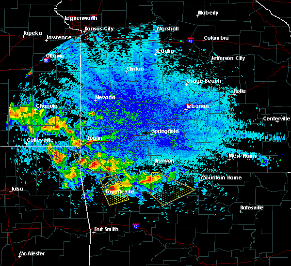 At 1222 am cdt, a severe thunderstorm was located near pineville, moving southeast at 45 mph (radar indicated). Hazards include quarter size hail. damage to vehicles is expected At 1222 am cdt, a severe thunderstorm was located near pineville, moving southeast at 45 mph (radar indicated). Hazards include quarter size hail. damage to vehicles is expected
|
| 7/16/2018 2:34 PM CDT |
 At 234 pm cdt, a severe thunderstorm was located near wyandotte, or 15 miles southeast of miami, moving east at 20 mph (radar indicated). Hazards include 60 mph wind gusts. expect damage to roofs, siding, and trees At 234 pm cdt, a severe thunderstorm was located near wyandotte, or 15 miles southeast of miami, moving east at 20 mph (radar indicated). Hazards include 60 mph wind gusts. expect damage to roofs, siding, and trees
|
| 6/26/2018 4:53 PM CDT |
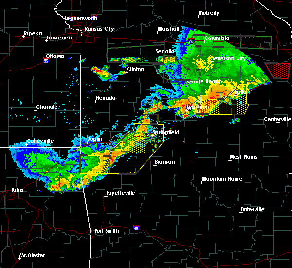 The severe thunderstorm warning for southern newton and mcdonald counties will expire at 500 pm cdt, the storm which prompted the warning has weakened below severe limits, and has exited the warned area. therefore, the warning will be allowed to expire. however gusty winds and heavy rain are still possible with this thunderstorm. a severe thunderstorm watch remains in effect until 900 pm cdt for southwestern missouri. The severe thunderstorm warning for southern newton and mcdonald counties will expire at 500 pm cdt, the storm which prompted the warning has weakened below severe limits, and has exited the warned area. therefore, the warning will be allowed to expire. however gusty winds and heavy rain are still possible with this thunderstorm. a severe thunderstorm watch remains in effect until 900 pm cdt for southwestern missouri.
|
| 6/26/2018 4:32 PM CDT | 8 inch diameter tree downed on jesse james road in pineville. time estimated by rada in mcdonald county MO, 0.7 miles SSE of Pineville, MO |
| 6/26/2018 4:16 PM CDT |
 At 416 pm cdt, a severe thunderstorm was located near wyandotte, or 13 miles southeast of miami, moving east at 30 mph (radar indicated). Hazards include 60 mph wind gusts and penny size hail. expect damage to roofs, siding, and trees At 416 pm cdt, a severe thunderstorm was located near wyandotte, or 13 miles southeast of miami, moving east at 30 mph (radar indicated). Hazards include 60 mph wind gusts and penny size hail. expect damage to roofs, siding, and trees
|
| 5/20/2018 5:45 AM CDT |
 At 544 am cdt, severe thunderstorms were located along a line extending from near columbus to near saginaw to lanagan, moving northeast at 30 mph (radar indicated). Hazards include 60 mph wind gusts and quarter size hail. Hail damage to vehicles is expected. expect wind damage to roofs, siding, and trees. locations impacted include, joplin, carthage, neosho, webb city, big sugar creek state park, carl junction, baxter springs, columbus, galena, oronogo, seneca, granby, anderson, carterville, noel, duquesne, dodge, sarcoxie, goodman, duenweg, this includes the following highways, interstate 44 between mile markers 0 and 30. Interstate 49 between mile markers 1 and 55. At 544 am cdt, severe thunderstorms were located along a line extending from near columbus to near saginaw to lanagan, moving northeast at 30 mph (radar indicated). Hazards include 60 mph wind gusts and quarter size hail. Hail damage to vehicles is expected. expect wind damage to roofs, siding, and trees. locations impacted include, joplin, carthage, neosho, webb city, big sugar creek state park, carl junction, baxter springs, columbus, galena, oronogo, seneca, granby, anderson, carterville, noel, duquesne, dodge, sarcoxie, goodman, duenweg, this includes the following highways, interstate 44 between mile markers 0 and 30. Interstate 49 between mile markers 1 and 55.
|
| 5/20/2018 5:16 AM CDT |
 At 516 am cdt, severe thunderstorms were located along a line extending from 6 miles northwest of treece to wyandotte to near south west city, moving northeast at 65 mph (radar indicated). Hazards include 60 mph wind gusts and quarter size hail. Hail damage to vehicles is expected. Expect wind damage to roofs, siding, and trees. At 516 am cdt, severe thunderstorms were located along a line extending from 6 miles northwest of treece to wyandotte to near south west city, moving northeast at 65 mph (radar indicated). Hazards include 60 mph wind gusts and quarter size hail. Hail damage to vehicles is expected. Expect wind damage to roofs, siding, and trees.
|
| 12/4/2017 5:11 PM CST |
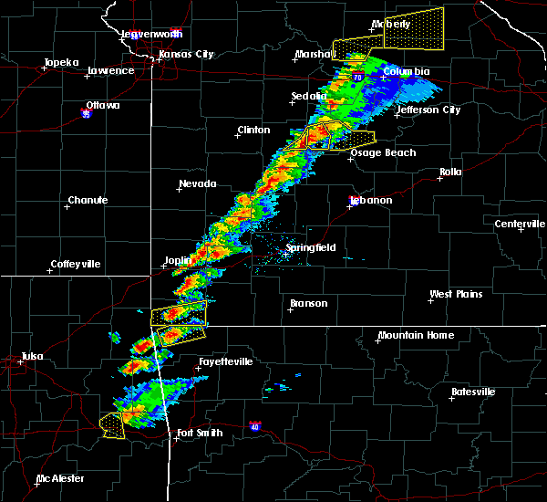 At 510 pm cst, a severe thunderstorm was located over pineville, moving east at 30 mph (radar indicated). Hazards include 60 mph wind gusts and nickel size hail. Expect damage to roofs, siding, and trees. Locations impacted include, big sugar creek state park, anderson, pineville, lanagan, powell, rocky comfort, this includes interstate 49 between mile markers 1 and 8. At 510 pm cst, a severe thunderstorm was located over pineville, moving east at 30 mph (radar indicated). Hazards include 60 mph wind gusts and nickel size hail. Expect damage to roofs, siding, and trees. Locations impacted include, big sugar creek state park, anderson, pineville, lanagan, powell, rocky comfort, this includes interstate 49 between mile markers 1 and 8.
|
| 12/4/2017 4:58 PM CST |
 At 458 pm cst, a severe thunderstorm was located near south west city, or 10 miles west of pineville, moving east at 30 mph (radar indicated). Hazards include 60 mph wind gusts and nickel size hail. expect damage to roofs, siding, and trees At 458 pm cst, a severe thunderstorm was located near south west city, or 10 miles west of pineville, moving east at 30 mph (radar indicated). Hazards include 60 mph wind gusts and nickel size hail. expect damage to roofs, siding, and trees
|
| 10/22/2017 12:06 AM CDT |
 The severe thunderstorm warning for eastern mcdonald county will expire at 1215 am cdt, the storms which prompted the warning have weakened below severe limits, and no longer pose an immediate threat to life or property. therefore the warning will be allowed to expire. however gusty winds up to 50 mph and heavy rain are still possible with these thunderstorms. a severe thunderstorm watch remains in effect until 400 am cdt for southwestern missouri. The severe thunderstorm warning for eastern mcdonald county will expire at 1215 am cdt, the storms which prompted the warning have weakened below severe limits, and no longer pose an immediate threat to life or property. therefore the warning will be allowed to expire. however gusty winds up to 50 mph and heavy rain are still possible with these thunderstorms. a severe thunderstorm watch remains in effect until 400 am cdt for southwestern missouri.
|
| 10/21/2017 11:55 PM CDT |
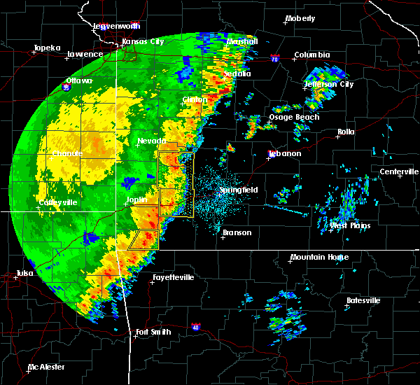 At 1155 pm cdt, severe thunderstorms were located along a line extending from near wheaton to bella vista, moving east at 40 mph (radar indicated). Hazards include 60 mph wind gusts. Expect damage to roofs, siding, and trees. Locations impacted include, big sugar creek state park, pineville, powell, rocky comfort, this includes interstate 49 between mile markers 1 and 3. At 1155 pm cdt, severe thunderstorms were located along a line extending from near wheaton to bella vista, moving east at 40 mph (radar indicated). Hazards include 60 mph wind gusts. Expect damage to roofs, siding, and trees. Locations impacted include, big sugar creek state park, pineville, powell, rocky comfort, this includes interstate 49 between mile markers 1 and 3.
|
| 10/21/2017 11:45 PM CDT | A few trees down east of jane along highway 9 in mcdonald county MO, 7.7 miles W of Pineville, MO |
| 10/21/2017 11:45 PM CDT |
 At 1145 pm cdt, severe thunderstorms were located along a line extending from 7 miles east of goodman to hiwasse, moving east at 45 mph (radar indicated). Hazards include 60 mph wind gusts. Expect damage to roofs, siding, and trees. Locations impacted include, big sugar creek state park, anderson, noel, goodman, south west city, pineville, lanagan, powell, rocky comfort, this includes interstate 49 between mile markers 1 and 14. At 1145 pm cdt, severe thunderstorms were located along a line extending from 7 miles east of goodman to hiwasse, moving east at 45 mph (radar indicated). Hazards include 60 mph wind gusts. Expect damage to roofs, siding, and trees. Locations impacted include, big sugar creek state park, anderson, noel, goodman, south west city, pineville, lanagan, powell, rocky comfort, this includes interstate 49 between mile markers 1 and 14.
|
| 10/21/2017 11:17 PM CDT |
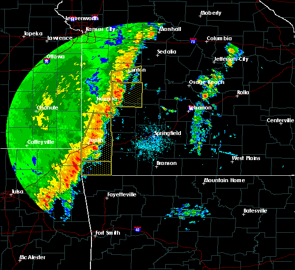 At 1117 pm cdt, severe thunderstorms were located along a line extending from near seneca to near maysville, moving east at 40 mph (radar indicated). Hazards include 60 mph wind gusts. expect damage to roofs, siding, and trees At 1117 pm cdt, severe thunderstorms were located along a line extending from near seneca to near maysville, moving east at 40 mph (radar indicated). Hazards include 60 mph wind gusts. expect damage to roofs, siding, and trees
|
| 8/18/2017 2:34 PM CDT |
 At 234 pm cdt, a severe thunderstorm was located 8 miles east of pineville, moving east at 50 mph (radar indicated). Hazards include 60 mph wind gusts and quarter size hail. Hail damage to vehicles is expected. Expect wind damage to roofs, siding, and trees. At 234 pm cdt, a severe thunderstorm was located 8 miles east of pineville, moving east at 50 mph (radar indicated). Hazards include 60 mph wind gusts and quarter size hail. Hail damage to vehicles is expected. Expect wind damage to roofs, siding, and trees.
|
| 7/8/2017 1:23 AM CDT |
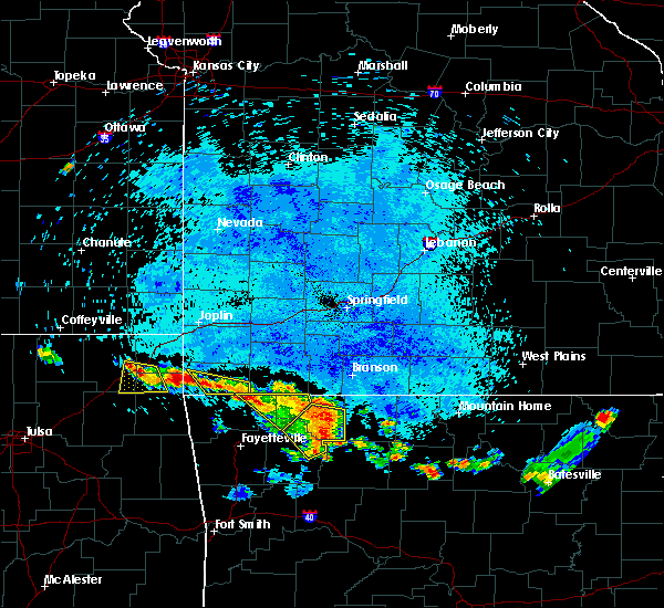 At 122 am cdt, severe thunderstorms were located along a line extending from pineville to near pea ridge, moving southeast at 25 mph (radar indicated). Hazards include 60 mph wind gusts and quarter size hail. Hail damage to vehicles is expected. expect wind damage to roofs, siding, and trees. Locations impacted include, big sugar creek state park, anderson, pineville, lanagan,. At 122 am cdt, severe thunderstorms were located along a line extending from pineville to near pea ridge, moving southeast at 25 mph (radar indicated). Hazards include 60 mph wind gusts and quarter size hail. Hail damage to vehicles is expected. expect wind damage to roofs, siding, and trees. Locations impacted include, big sugar creek state park, anderson, pineville, lanagan,.
|
| 7/8/2017 1:10 AM CDT |
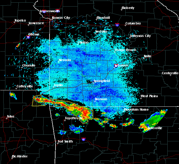 At 110 am cdt, severe thunderstorms were located along a line extending from lanagan to near pea ridge, moving southeast at 30 mph (radar indicated). Hazards include 60 mph wind gusts and quarter size hail. Hail damage to vehicles is expected. expect wind damage to roofs, siding, and trees. Locations impacted include, big sugar creek state park, roaring river state park, anderson, seligman, pineville, washburn, lanagan, powell,. At 110 am cdt, severe thunderstorms were located along a line extending from lanagan to near pea ridge, moving southeast at 30 mph (radar indicated). Hazards include 60 mph wind gusts and quarter size hail. Hail damage to vehicles is expected. expect wind damage to roofs, siding, and trees. Locations impacted include, big sugar creek state park, roaring river state park, anderson, seligman, pineville, washburn, lanagan, powell,.
|
| 7/8/2017 12:51 AM CDT |
 At 1251 am cdt, severe thunderstorms were located along a line extending from near pineville to near seligman, moving southeast at 25 mph (radar indicated). Hazards include 60 mph wind gusts and quarter size hail. Hail damage to vehicles is expected. Expect wind damage to roofs, siding, and trees. At 1251 am cdt, severe thunderstorms were located along a line extending from near pineville to near seligman, moving southeast at 25 mph (radar indicated). Hazards include 60 mph wind gusts and quarter size hail. Hail damage to vehicles is expected. Expect wind damage to roofs, siding, and trees.
|
| 7/8/2017 12:22 AM CDT |
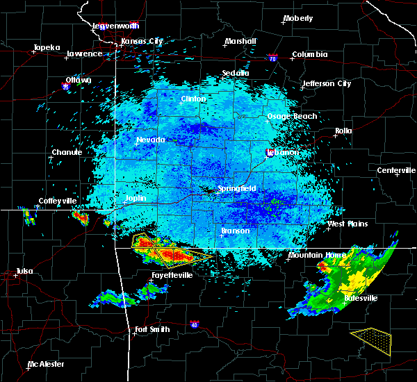 At 1221 am cdt, a severe thunderstorm was located 7 miles southeast of pineville, moving east at 20 mph (radar indicated). Hazards include 60 mph wind gusts and quarter size hail. Hail damage to vehicles is expected. expect wind damage to roofs, siding, and trees. Locations impacted include, big sugar creek state park, pineville, powell,. At 1221 am cdt, a severe thunderstorm was located 7 miles southeast of pineville, moving east at 20 mph (radar indicated). Hazards include 60 mph wind gusts and quarter size hail. Hail damage to vehicles is expected. expect wind damage to roofs, siding, and trees. Locations impacted include, big sugar creek state park, pineville, powell,.
|
| 7/8/2017 12:09 AM CDT |
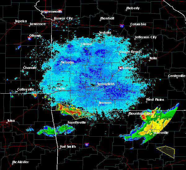 At 1209 am cdt, a severe thunderstorm was located near pineville, moving southeast at 30 mph (radar indicated). Hazards include 60 mph wind gusts and half dollar size hail. Hail damage to vehicles is expected. Expect wind damage to roofs, siding, and trees. At 1209 am cdt, a severe thunderstorm was located near pineville, moving southeast at 30 mph (radar indicated). Hazards include 60 mph wind gusts and half dollar size hail. Hail damage to vehicles is expected. Expect wind damage to roofs, siding, and trees.
|
| 5/27/2017 8:23 PM CDT |
 At 823 pm cdt, severe thunderstorms were located along a line extending from near lanagan to rockaway beach, moving east at 40 mph (radar indicated). Hazards include quarter size hail. damage to vehicles is expected At 823 pm cdt, severe thunderstorms were located along a line extending from near lanagan to rockaway beach, moving east at 40 mph (radar indicated). Hazards include quarter size hail. damage to vehicles is expected
|
| 5/27/2017 8:04 PM CDT |
 At 804 pm cdt, severe thunderstorms were located along a line extending from 11 miles south of ava to near forsyth to 10 miles southwest of wheaton, moving southeast at 40 mph (trained weather spotters). Hazards include ping pong ball size hail and 60 mph wind gusts. People and animals outdoors will be injured. expect hail damage to roofs, siding, windows, and vehicles. expect wind damage to roofs, siding, and trees. Locations impacted include, branson, lake taneycomo, table rock lake, bull shoals lake, roaring river state park, big sugar creek state park, table rock state park, hollister, cassville, silver dollar city, kimberling city, forsyth, anderson, noel, merriam woods, sparta, dodge, shell knob, goodman, kissee mills, a tornado watch remains in effect until 200 am cdt for southwestern missouri. At 804 pm cdt, severe thunderstorms were located along a line extending from 11 miles south of ava to near forsyth to 10 miles southwest of wheaton, moving southeast at 40 mph (trained weather spotters). Hazards include ping pong ball size hail and 60 mph wind gusts. People and animals outdoors will be injured. expect hail damage to roofs, siding, windows, and vehicles. expect wind damage to roofs, siding, and trees. Locations impacted include, branson, lake taneycomo, table rock lake, bull shoals lake, roaring river state park, big sugar creek state park, table rock state park, hollister, cassville, silver dollar city, kimberling city, forsyth, anderson, noel, merriam woods, sparta, dodge, shell knob, goodman, kissee mills, a tornado watch remains in effect until 200 am cdt for southwestern missouri.
|
| 5/27/2017 7:28 PM CDT |
 At 728 pm cdt, severe thunderstorms were located along a line extending from near sparta to near galena to near seneca, moving southeast at 40 mph (trained weather spotters). Hazards include golf ball size hail and 60 mph wind gusts. People and animals outdoors will be injured. expect hail damage to roofs, siding, windows, and vehicles. Expect wind damage to roofs, siding, and trees. At 728 pm cdt, severe thunderstorms were located along a line extending from near sparta to near galena to near seneca, moving southeast at 40 mph (trained weather spotters). Hazards include golf ball size hail and 60 mph wind gusts. People and animals outdoors will be injured. expect hail damage to roofs, siding, windows, and vehicles. Expect wind damage to roofs, siding, and trees.
|
| 5/27/2017 6:58 PM CDT |
 At 657 pm cdt, a severe thunderstorm was located 7 miles southeast of wyandotte, or 15 miles northwest of pineville, moving east at 55 mph (radar indicated). Hazards include 60 mph wind gusts and quarter size hail. Hail damage to vehicles is expected. Expect wind damage to roofs, siding, and trees. At 657 pm cdt, a severe thunderstorm was located 7 miles southeast of wyandotte, or 15 miles northwest of pineville, moving east at 55 mph (radar indicated). Hazards include 60 mph wind gusts and quarter size hail. Hail damage to vehicles is expected. Expect wind damage to roofs, siding, and trees.
|
| 5/19/2017 9:29 PM CDT |
 At 929 pm cdt, severe thunderstorms were located along a line extending from near shoal creek drive to near goodman to near bella vista, moving northeast at 50 mph (radar indicated). Hazards include 60 mph wind gusts and nickel size hail. Expect damage to roofs, siding, and trees. locations impacted include, southern joplin, neosho, big sugar creek state park, seneca, granby, anderson, noel, duquesne, goodman, diamond, pineville, loma linda, wheaton, leawood, silver creek, lanagan, fairview, shoal creek drive, saginaw, newtonia, this includes interstate 44 between mile markers 0 and 9. A tornado watch remains in effect until 1000 pm cdt for southwestern missouri. At 929 pm cdt, severe thunderstorms were located along a line extending from near shoal creek drive to near goodman to near bella vista, moving northeast at 50 mph (radar indicated). Hazards include 60 mph wind gusts and nickel size hail. Expect damage to roofs, siding, and trees. locations impacted include, southern joplin, neosho, big sugar creek state park, seneca, granby, anderson, noel, duquesne, goodman, diamond, pineville, loma linda, wheaton, leawood, silver creek, lanagan, fairview, shoal creek drive, saginaw, newtonia, this includes interstate 44 between mile markers 0 and 9. A tornado watch remains in effect until 1000 pm cdt for southwestern missouri.
|
| 5/19/2017 9:17 PM CDT |
 At 917 pm cdt, severe thunderstorms were located along a line extending from near wyandotte to near anderson to gravette, moving northeast at 50 mph (radar indicated). Hazards include 60 mph wind gusts and nickel size hail. Expect damage to roofs, siding, and trees. locations impacted include, southern joplin, neosho, big sugar creek state park, seneca, granby, anderson, noel, duquesne, dodge, goodman, south west city, diamond, pineville, loma linda, wheaton, leawood, silver creek, lanagan, fairview, shoal creek drive, this includes interstate 44 between mile markers 0 and 9. A tornado watch remains in effect until 1000 pm cdt for southwestern missouri. At 917 pm cdt, severe thunderstorms were located along a line extending from near wyandotte to near anderson to gravette, moving northeast at 50 mph (radar indicated). Hazards include 60 mph wind gusts and nickel size hail. Expect damage to roofs, siding, and trees. locations impacted include, southern joplin, neosho, big sugar creek state park, seneca, granby, anderson, noel, duquesne, dodge, goodman, south west city, diamond, pineville, loma linda, wheaton, leawood, silver creek, lanagan, fairview, shoal creek drive, this includes interstate 44 between mile markers 0 and 9. A tornado watch remains in effect until 1000 pm cdt for southwestern missouri.
|
| 5/19/2017 8:51 PM CDT |
 At 850 pm cdt, severe thunderstorms were located along a line extending from near bluejacket to near jay to kansas, moving northeast at 50 mph (radar indicated). Hazards include 60 mph wind gusts and nickel size hail. expect damage to roofs, siding, and trees At 850 pm cdt, severe thunderstorms were located along a line extending from near bluejacket to near jay to kansas, moving northeast at 50 mph (radar indicated). Hazards include 60 mph wind gusts and nickel size hail. expect damage to roofs, siding, and trees
|
| 5/19/2017 7:54 PM CDT |
 The severe thunderstorm warning for newton and mcdonald counties will expire at 800 pm cdt, the storms which prompted the warning have weakened below severe limits, and no longer pose an immediate threat to life or property. therefore the warning will be allowed to expire. however heavy rain is still possible with these thunderstorms. a tornado watch remains in effect until 1000 pm cdt for southwestern missouri. to report severe weather, contact your nearest law enforcement agency. they will relay your report to the national weather service springfield. The severe thunderstorm warning for newton and mcdonald counties will expire at 800 pm cdt, the storms which prompted the warning have weakened below severe limits, and no longer pose an immediate threat to life or property. therefore the warning will be allowed to expire. however heavy rain is still possible with these thunderstorms. a tornado watch remains in effect until 1000 pm cdt for southwestern missouri. to report severe weather, contact your nearest law enforcement agency. they will relay your report to the national weather service springfield.
|
| 5/19/2017 7:34 PM CDT |
 At 734 pm cdt, severe thunderstorms were located along a line extending from diamond to 6 miles southwest of fairview to near pineville, moving northeast at 30 mph (radar indicated). Hazards include 60 mph wind gusts and quarter size hail. Hail damage to vehicles is expected. expect wind damage to roofs, siding, and trees. Locations impacted include, neosho, big sugar creek state park, granby, goodman, diamond, pineville, wheaton, lanagan, fairview, newtonia, stella, wentworth, stark city, ritchey, powell, rocky comfort, racine, a tornado watch remains in effect until 1000 pm cdt for southwestern missouri. At 734 pm cdt, severe thunderstorms were located along a line extending from diamond to 6 miles southwest of fairview to near pineville, moving northeast at 30 mph (radar indicated). Hazards include 60 mph wind gusts and quarter size hail. Hail damage to vehicles is expected. expect wind damage to roofs, siding, and trees. Locations impacted include, neosho, big sugar creek state park, granby, goodman, diamond, pineville, wheaton, lanagan, fairview, newtonia, stella, wentworth, stark city, ritchey, powell, rocky comfort, racine, a tornado watch remains in effect until 1000 pm cdt for southwestern missouri.
|
| 5/19/2017 7:19 PM CDT |
 At 719 pm cdt, severe thunderstorms were located along a line extending from near neosho to near goodman to near noel, moving northeast at 50 mph (radar indicated). Hazards include 60 mph wind gusts and quarter size hail. Hail damage to vehicles is expected. expect wind damage to roofs, siding, and trees. Locations impacted include, neosho, big sugar creek state park, seneca, granby, anderson, noel, goodman, diamond, pineville, wheaton, lanagan, fairview, newtonia, stella, wentworth, stark city, ritchey, powell, rocky comfort, racine, a tornado watch remains in effect until 1000 pm cdt for southwestern missouri. At 719 pm cdt, severe thunderstorms were located along a line extending from near neosho to near goodman to near noel, moving northeast at 50 mph (radar indicated). Hazards include 60 mph wind gusts and quarter size hail. Hail damage to vehicles is expected. expect wind damage to roofs, siding, and trees. Locations impacted include, neosho, big sugar creek state park, seneca, granby, anderson, noel, goodman, diamond, pineville, wheaton, lanagan, fairview, newtonia, stella, wentworth, stark city, ritchey, powell, rocky comfort, racine, a tornado watch remains in effect until 1000 pm cdt for southwestern missouri.
|
| 5/19/2017 6:55 PM CDT |
 At 654 pm cdt, severe thunderstorms were located along a line extending from 7 miles southeast of wyandotte to near noel to near maysville, moving northeast at 30 mph (radar indicated). Hazards include 60 mph wind gusts and quarter size hail. Hail damage to vehicles is expected. Expect wind damage to roofs, siding, and trees. At 654 pm cdt, severe thunderstorms were located along a line extending from 7 miles southeast of wyandotte to near noel to near maysville, moving northeast at 30 mph (radar indicated). Hazards include 60 mph wind gusts and quarter size hail. Hail damage to vehicles is expected. Expect wind damage to roofs, siding, and trees.
|
| 5/19/2017 3:10 PM CDT |
 At 310 pm cdt, severe thunderstorms were located along a line extending from near shoal creek drive to near bella vista, moving northeast at 40 mph (radar indicated). Hazards include 60 mph wind gusts and nickel size hail. Expect damage to roofs, siding, and trees. Locations impacted include, neosho, big sugar creek state park, granby, anderson, goodman, diamond, pineville, loma linda, wheaton, fairview, newtonia, stella, wentworth, stark city, ritchey, powell, rocky comfort, racine, a tornado watch remains in effect until 1000 pm cdt for southwestern missouri. At 310 pm cdt, severe thunderstorms were located along a line extending from near shoal creek drive to near bella vista, moving northeast at 40 mph (radar indicated). Hazards include 60 mph wind gusts and nickel size hail. Expect damage to roofs, siding, and trees. Locations impacted include, neosho, big sugar creek state park, granby, anderson, goodman, diamond, pineville, loma linda, wheaton, fairview, newtonia, stella, wentworth, stark city, ritchey, powell, rocky comfort, racine, a tornado watch remains in effect until 1000 pm cdt for southwestern missouri.
|
| 5/19/2017 2:34 PM CDT |
 At 234 pm cdt, severe thunderstorms were located along a line extending from 6 miles northeast of grove to near maysville, moving northeast at 40 mph (radar indicated). Hazards include 60 mph wind gusts and quarter size hail. Hail damage to vehicles is expected. Expect wind damage to roofs, siding, and trees. At 234 pm cdt, severe thunderstorms were located along a line extending from 6 miles northeast of grove to near maysville, moving northeast at 40 mph (radar indicated). Hazards include 60 mph wind gusts and quarter size hail. Hail damage to vehicles is expected. Expect wind damage to roofs, siding, and trees.
|
| 5/19/2017 12:25 AM CDT |
 At 1224 am cdt, a severe squall line capable of producing both tornadoes and extensive straight line wind damage was located along a line extending from near anderson to near pea ridge, moving northeast at 40 mph (radar indicated rotation). Hazards include tornado. Flying debris will be dangerous to those caught without shelter. mobile homes will be damaged or destroyed. damage to roofs, windows, and vehicles will occur. tree damage is likely. Locations impacted include, roaring river state park, big sugar creek state park, cassville, anderson, seligman, pineville, exeter, washburn, eagle rock, chain-o-lakes, wayne, powell, ridgley, rocky comfort,. At 1224 am cdt, a severe squall line capable of producing both tornadoes and extensive straight line wind damage was located along a line extending from near anderson to near pea ridge, moving northeast at 40 mph (radar indicated rotation). Hazards include tornado. Flying debris will be dangerous to those caught without shelter. mobile homes will be damaged or destroyed. damage to roofs, windows, and vehicles will occur. tree damage is likely. Locations impacted include, roaring river state park, big sugar creek state park, cassville, anderson, seligman, pineville, exeter, washburn, eagle rock, chain-o-lakes, wayne, powell, ridgley, rocky comfort,.
|
| 5/19/2017 12:14 AM CDT |
 At 1213 am cdt, severe thunderstorms capable of producing both tornadoes and extensive straight line wind damage were located along a line extending from near lanagan to near rogers, moving northeast at 40 mph (radar indicated rotation). Hazards include tornado. Flying debris will be dangerous to those caught without shelter. mobile homes will be damaged or destroyed. damage to roofs, windows, and vehicles will occur. Tree damage is likely. At 1213 am cdt, severe thunderstorms capable of producing both tornadoes and extensive straight line wind damage were located along a line extending from near lanagan to near rogers, moving northeast at 40 mph (radar indicated rotation). Hazards include tornado. Flying debris will be dangerous to those caught without shelter. mobile homes will be damaged or destroyed. damage to roofs, windows, and vehicles will occur. Tree damage is likely.
|
| 5/19/2017 12:01 AM CDT |
 At 1200 am cdt, a severe squall line capable of producing both tornadoes and extensive straight line wind damage was located along a line extending from south west city to near gravette to highfill, moving northeast at 50 mph (radar indicated rotation). Hazards include tornado. Flying debris will be dangerous to those caught without shelter. mobile homes will be damaged or destroyed. damage to roofs, windows, and vehicles will occur. tree damage is likely. Locations impacted include, big sugar creek state park, anderson, noel, goodman, south west city, pineville, lanagan, powell, rocky comfort,. At 1200 am cdt, a severe squall line capable of producing both tornadoes and extensive straight line wind damage was located along a line extending from south west city to near gravette to highfill, moving northeast at 50 mph (radar indicated rotation). Hazards include tornado. Flying debris will be dangerous to those caught without shelter. mobile homes will be damaged or destroyed. damage to roofs, windows, and vehicles will occur. tree damage is likely. Locations impacted include, big sugar creek state park, anderson, noel, goodman, south west city, pineville, lanagan, powell, rocky comfort,.
|
| 5/18/2017 11:34 PM CDT |
 At 1133 pm cdt, severe thunderstorms capable of producing both tornadoes and straight line wind damage were located along a line extending from chloeta to kansas oklahoma, moving northeast at 50 mph (radar indicated rotation). Hazards include tornado. Flying debris will be dangerous to those caught without shelter. mobile homes will be damaged or destroyed. damage to roofs, windows, and vehicles will occur. Tree damage is likely. At 1133 pm cdt, severe thunderstorms capable of producing both tornadoes and straight line wind damage were located along a line extending from chloeta to kansas oklahoma, moving northeast at 50 mph (radar indicated rotation). Hazards include tornado. Flying debris will be dangerous to those caught without shelter. mobile homes will be damaged or destroyed. damage to roofs, windows, and vehicles will occur. Tree damage is likely.
|
| 5/11/2017 3:22 PM CDT |
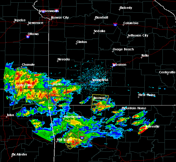 The severe thunderstorm warning for southwestern newton and western mcdonald counties will expire at 330 pm cdt, the storm which prompted the warning has weakened below severe limits, and no longer poses an immediate threat to life or property. therefore the warning will be allowed to expire. a severe thunderstorm watch remains in effect until 900 pm cdt for southwestern missouri. The severe thunderstorm warning for southwestern newton and western mcdonald counties will expire at 330 pm cdt, the storm which prompted the warning has weakened below severe limits, and no longer poses an immediate threat to life or property. therefore the warning will be allowed to expire. a severe thunderstorm watch remains in effect until 900 pm cdt for southwestern missouri.
|
| 5/11/2017 3:06 PM CDT |
 At 305 pm cdt, a severe thunderstorm was located near anderson, or 8 miles northwest of pineville, moving north at 35 mph (radar indicated). Hazards include 60 mph wind gusts and quarter size hail. Hail damage to vehicles is expected. Expect wind damage to roofs, siding, and trees. At 305 pm cdt, a severe thunderstorm was located near anderson, or 8 miles northwest of pineville, moving north at 35 mph (radar indicated). Hazards include 60 mph wind gusts and quarter size hail. Hail damage to vehicles is expected. Expect wind damage to roofs, siding, and trees.
|
| 5/11/2017 1:06 AM CDT |
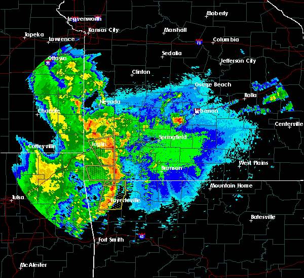 The severe thunderstorm warning for mcdonald county will expire at 115 am cdt, the storms which prompted the warning have weakened below severe limits, and have exited the warned area. therefore the warning will be allowed to expire. The severe thunderstorm warning for mcdonald county will expire at 115 am cdt, the storms which prompted the warning have weakened below severe limits, and have exited the warned area. therefore the warning will be allowed to expire.
|
| 5/11/2017 12:41 AM CDT |
 At 1241 am cdt, severe thunderstorms were located along a line extending from near anderson to near pineville to near gravette, moving northeast at 50 mph (radar indicated). Hazards include 60 mph wind gusts. Expect damage to roofs, siding, and trees. Locations impacted include, big sugar creek state park, anderson, noel, goodman, pineville, lanagan, powell, rocky comfort,. At 1241 am cdt, severe thunderstorms were located along a line extending from near anderson to near pineville to near gravette, moving northeast at 50 mph (radar indicated). Hazards include 60 mph wind gusts. Expect damage to roofs, siding, and trees. Locations impacted include, big sugar creek state park, anderson, noel, goodman, pineville, lanagan, powell, rocky comfort,.
|
| 5/11/2017 12:19 AM CDT |
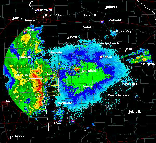 At 1219 am cdt, severe thunderstorms were located along a line extending from near honey creek state park to near maysville to near colcord, moving northeast at 45 mph (radar indicated). Hazards include 60 mph wind gusts. expect damage to roofs, siding, and trees At 1219 am cdt, severe thunderstorms were located along a line extending from near honey creek state park to near maysville to near colcord, moving northeast at 45 mph (radar indicated). Hazards include 60 mph wind gusts. expect damage to roofs, siding, and trees
|
| 4/29/2017 3:53 AM CDT |
 At 353 am cdt, severe thunderstorms were located along a line extending from near neosho to near pineville, moving northeast at 45 mph (radar indicated). Hazards include quarter size hail. damage to vehicles is expected At 353 am cdt, severe thunderstorms were located along a line extending from near neosho to near pineville, moving northeast at 45 mph (radar indicated). Hazards include quarter size hail. damage to vehicles is expected
|
| 4/26/2017 12:50 AM CDT |
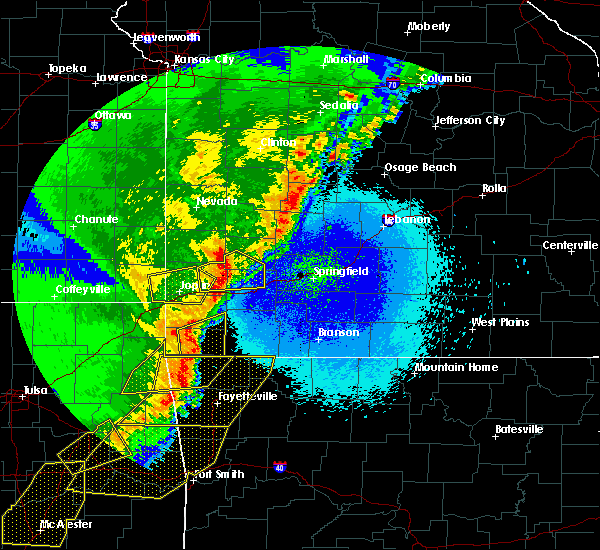 At 1250 am cdt, a severe thunderstorm was located near pineville, moving northeast at 60 mph (radar indicated). Hazards include 60 mph wind gusts and quarter size hail. Hail damage to vehicles is expected. expect wind damage to roofs, siding, and trees. Locations impacted include, big sugar creek state park, anderson, noel, goodman, pineville, lanagan, fairview, stella, powell, rocky comfort,. At 1250 am cdt, a severe thunderstorm was located near pineville, moving northeast at 60 mph (radar indicated). Hazards include 60 mph wind gusts and quarter size hail. Hail damage to vehicles is expected. expect wind damage to roofs, siding, and trees. Locations impacted include, big sugar creek state park, anderson, noel, goodman, pineville, lanagan, fairview, stella, powell, rocky comfort,.
|
| 4/26/2017 12:39 AM CDT |
 At 1239 am cdt, a severe thunderstorm was located over noel, or 7 miles west of pineville, moving northeast at 55 mph (radar indicated). Hazards include 60 mph wind gusts and quarter size hail. Hail damage to vehicles is expected. expect wind damage to roofs, siding, and trees. Locations impacted include, big sugar creek state park, anderson, noel, dodge, goodman, south west city, pineville, lanagan, fairview, stella, cayuga, tiff city, powell, rocky comfort,. At 1239 am cdt, a severe thunderstorm was located over noel, or 7 miles west of pineville, moving northeast at 55 mph (radar indicated). Hazards include 60 mph wind gusts and quarter size hail. Hail damage to vehicles is expected. expect wind damage to roofs, siding, and trees. Locations impacted include, big sugar creek state park, anderson, noel, dodge, goodman, south west city, pineville, lanagan, fairview, stella, cayuga, tiff city, powell, rocky comfort,.
|
| 4/26/2017 12:18 AM CDT |
 At 1218 am cdt, a severe thunderstorm was located near grove, or 10 miles northeast of jay, moving east at 60 mph (radar indicated). Hazards include 60 mph wind gusts and quarter size hail. Hail damage to vehicles is expected. Expect wind damage to roofs, siding, and trees. At 1218 am cdt, a severe thunderstorm was located near grove, or 10 miles northeast of jay, moving east at 60 mph (radar indicated). Hazards include 60 mph wind gusts and quarter size hail. Hail damage to vehicles is expected. Expect wind damage to roofs, siding, and trees.
|
| 4/16/2017 10:56 PM CDT |
 The severe thunderstorm warning for mcdonald county will expire at 1100 pm cdt, the storm which prompted the warning has weakened below severe limits, and no longer poses an immediate threat to life or property. therefore the warning will be allowed to expire. however heavy rain is still possible with this thunderstorm. The severe thunderstorm warning for mcdonald county will expire at 1100 pm cdt, the storm which prompted the warning has weakened below severe limits, and no longer poses an immediate threat to life or property. therefore the warning will be allowed to expire. however heavy rain is still possible with this thunderstorm.
|
| 4/16/2017 10:27 PM CDT |
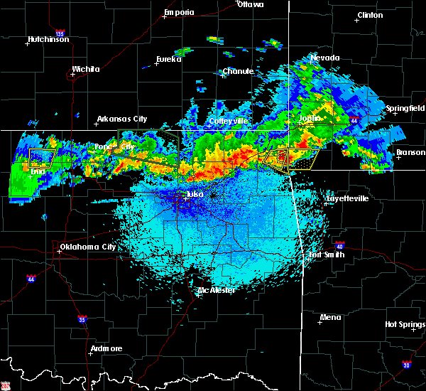 At 1027 pm cdt, a severe thunderstorm was located near south west city, or 12 miles west of pineville, and is nearly stationary (public. quarter size hail was reported as this storm moved over grand lake casino). Hazards include half dollar size hail. Damage to vehicles is expected. Locations impacted include, big sugar creek state park, anderson, noel, dodge, goodman, south west city, pineville, lanagan, cayuga, tiff city,. At 1027 pm cdt, a severe thunderstorm was located near south west city, or 12 miles west of pineville, and is nearly stationary (public. quarter size hail was reported as this storm moved over grand lake casino). Hazards include half dollar size hail. Damage to vehicles is expected. Locations impacted include, big sugar creek state park, anderson, noel, dodge, goodman, south west city, pineville, lanagan, cayuga, tiff city,.
|
| 4/16/2017 10:14 PM CDT |
 At 1014 pm cdt, a severe thunderstorm was located near grove, or 15 miles north of jay, moving east at 25 mph (radar indicated). Hazards include golf ball size hail. People and animals outdoors will be injured. Expect damage to roofs, siding, windows, and vehicles. At 1014 pm cdt, a severe thunderstorm was located near grove, or 15 miles north of jay, moving east at 25 mph (radar indicated). Hazards include golf ball size hail. People and animals outdoors will be injured. Expect damage to roofs, siding, windows, and vehicles.
|
| 4/4/2017 7:16 PM CDT |
 At 716 pm cdt, a severe thunderstorm was located near pineville, moving northeast at 50 mph (radar indicated). Hazards include 60 mph wind gusts and quarter size hail. Hail damage to vehicles is expected. Expect wind damage to roofs, siding, and trees. At 716 pm cdt, a severe thunderstorm was located near pineville, moving northeast at 50 mph (radar indicated). Hazards include 60 mph wind gusts and quarter size hail. Hail damage to vehicles is expected. Expect wind damage to roofs, siding, and trees.
|
| 3/9/2017 8:25 PM CST | Quarter sized hail reported 5.9 miles NW of Pineville, MO, quarter size hail near jane... missouri. picture was from social media and time was estimated by radar. |
| 3/9/2017 7:33 PM CST |
 At 732 pm cst, a severe thunderstorm was located 7 miles east of goodman, or 10 miles northeast of pineville, moving southeast at 40 mph. half dollar size hail was reported in southwest city from another storm moving out of oklahoma (radar indicated). Hazards include 60 mph wind gusts and half dollar size hail. Hail damage to vehicles is expected. expect wind damage to roofs, siding, and trees. Locations impacted include, big sugar creek state park, anderson, noel, dodge, goodman, south west city, pineville, lanagan, fairview, stella, cayuga, powell, rocky comfort,. At 732 pm cst, a severe thunderstorm was located 7 miles east of goodman, or 10 miles northeast of pineville, moving southeast at 40 mph. half dollar size hail was reported in southwest city from another storm moving out of oklahoma (radar indicated). Hazards include 60 mph wind gusts and half dollar size hail. Hail damage to vehicles is expected. expect wind damage to roofs, siding, and trees. Locations impacted include, big sugar creek state park, anderson, noel, dodge, goodman, south west city, pineville, lanagan, fairview, stella, cayuga, powell, rocky comfort,.
|
| 3/9/2017 7:05 PM CST |
 At 704 pm cst, a severe thunderstorm was located near neosho, moving southeast at 30 mph (radar indicated). Hazards include 60 mph wind gusts and quarter size hail. Hail damage to vehicles is expected. Expect wind damage to roofs, siding, and trees. At 704 pm cst, a severe thunderstorm was located near neosho, moving southeast at 30 mph (radar indicated). Hazards include 60 mph wind gusts and quarter size hail. Hail damage to vehicles is expected. Expect wind damage to roofs, siding, and trees.
|
| 3/6/2017 11:39 PM CST |
 The severe thunderstorm warning for west central christian, northern stone, eastern mcdonald, barry and southeastern lawrence counties will expire at 1145 pm cst, the storms which prompted the warning have moved out of the area. therefore the warning will be allowed to expire. however gusty winds are still possible with these thunderstorms. severe thunderstorm warnings remain further east with these storms. a tornado watch remains in effect until 300 am cst for southwestern missouri. to report severe weather, contact your nearest law enforcement agency. they will relay your report to the national weather service springfield. The severe thunderstorm warning for west central christian, northern stone, eastern mcdonald, barry and southeastern lawrence counties will expire at 1145 pm cst, the storms which prompted the warning have moved out of the area. therefore the warning will be allowed to expire. however gusty winds are still possible with these thunderstorms. severe thunderstorm warnings remain further east with these storms. a tornado watch remains in effect until 300 am cst for southwestern missouri. to report severe weather, contact your nearest law enforcement agency. they will relay your report to the national weather service springfield.
|
| 3/6/2017 10:41 PM CST |
 At 1040 pm cst, severe thunderstorms were located along a line extending from 7 miles east of sarcoxie to 6 miles southeast of neosho, moving east at 60 mph (law enforcement. numerous reports of wind damage have been associated with this line of storms across southwest missouri). Hazards include 70 mph wind gusts and quarter size hail. Hail damage to vehicles is expected. expect considerable tree damage. Wind damage is also likely to mobile homes, roofs, and outbuildings. At 1040 pm cst, severe thunderstorms were located along a line extending from 7 miles east of sarcoxie to 6 miles southeast of neosho, moving east at 60 mph (law enforcement. numerous reports of wind damage have been associated with this line of storms across southwest missouri). Hazards include 70 mph wind gusts and quarter size hail. Hail damage to vehicles is expected. expect considerable tree damage. Wind damage is also likely to mobile homes, roofs, and outbuildings.
|
| 3/6/2017 10:14 PM CST |
 At 1013 pm cst, severe thunderstorms were located along a line extending from near shoal creek drive to near bernice, moving east at 60 mph (radar indicated). Hazards include 70 mph wind gusts and quarter size hail. Hail damage to vehicles is expected. expect considerable tree damage. Wind damage is also likely to mobile homes, roofs, and outbuildings. At 1013 pm cst, severe thunderstorms were located along a line extending from near shoal creek drive to near bernice, moving east at 60 mph (radar indicated). Hazards include 70 mph wind gusts and quarter size hail. Hail damage to vehicles is expected. expect considerable tree damage. Wind damage is also likely to mobile homes, roofs, and outbuildings.
|
| 3/1/2017 1:24 AM CST |
 At 124 am cst, severe thunderstorms were located along a line extending from near aurora to near pineville, moving east at 60 mph (radar indicated). Hazards include 60 mph wind gusts and quarter size hail. Hail damage to vehicles is expected. expect wind damage to roofs, siding, and trees. a tornado watch remains in effect until 400 am cst for southwestern missouri. Time, mot, loc 0724z 249deg 111kt 3695 9365 3655 9432. At 124 am cst, severe thunderstorms were located along a line extending from near aurora to near pineville, moving east at 60 mph (radar indicated). Hazards include 60 mph wind gusts and quarter size hail. Hail damage to vehicles is expected. expect wind damage to roofs, siding, and trees. a tornado watch remains in effect until 400 am cst for southwestern missouri. Time, mot, loc 0724z 249deg 111kt 3695 9365 3655 9432.
|
| 3/1/2017 1:20 AM CST |
 At 120 am cst, severe thunderstorms were located along a line extending from near verona to near noel, moving east at 130 mph (radar indicated). Hazards include 60 mph wind gusts and quarter size hail. Hail damage to vehicles is expected. expect wind damage to roofs, siding, and trees. severe thunderstorms will be near, aurora and crane around 125 am cst. cassville, exeter and washburn around 135 am cst. galena around 150 am cst. other locations impacted by these severe thunderstorms include big sugar creek state park, roaring river state park, table rock lake, butterfield, mccord bend, hurley, stella, wheelerville, jenkins and ponce de leon. a tornado watch remains in effect until 400 am cst for southwestern missouri. Time, mot, loc 0720z 251deg 111kt 3691 9380 3651 9446. At 120 am cst, severe thunderstorms were located along a line extending from near verona to near noel, moving east at 130 mph (radar indicated). Hazards include 60 mph wind gusts and quarter size hail. Hail damage to vehicles is expected. expect wind damage to roofs, siding, and trees. severe thunderstorms will be near, aurora and crane around 125 am cst. cassville, exeter and washburn around 135 am cst. galena around 150 am cst. other locations impacted by these severe thunderstorms include big sugar creek state park, roaring river state park, table rock lake, butterfield, mccord bend, hurley, stella, wheelerville, jenkins and ponce de leon. a tornado watch remains in effect until 400 am cst for southwestern missouri. Time, mot, loc 0720z 251deg 111kt 3691 9380 3651 9446.
|
| 12/25/2016 9:48 PM CST |
 At 948 pm cst, a severe thunderstorm was located 10 miles east of pineville, moving northeast at 55 mph (radar indicated). Hazards include 60 mph wind gusts. Expect damage to roofs, siding, and trees. Locations impacted include, big sugar creek state park, cassville, purdy, pineville, exeter, wheaton, butterfield, washburn, fairview, pioneer, stella, wayne, ridgley, powell, rocky comfort,. At 948 pm cst, a severe thunderstorm was located 10 miles east of pineville, moving northeast at 55 mph (radar indicated). Hazards include 60 mph wind gusts. Expect damage to roofs, siding, and trees. Locations impacted include, big sugar creek state park, cassville, purdy, pineville, exeter, wheaton, butterfield, washburn, fairview, pioneer, stella, wayne, ridgley, powell, rocky comfort,.
|
| 12/25/2016 9:37 PM CST |
 At 936 pm cst, a severe thunderstorm was located near bella vista, moving northeast at 55 mph (radar indicated). Hazards include 60 mph wind gusts. expect damage to roofs, siding, and trees At 936 pm cst, a severe thunderstorm was located near bella vista, moving northeast at 55 mph (radar indicated). Hazards include 60 mph wind gusts. expect damage to roofs, siding, and trees
|
| 10/19/2016 11:25 PM CDT |
 At 1125 pm cdt, a severe thunderstorm was located over south west city, or 11 miles northeast of jay, moving northeast at 30 mph (radar indicated). Hazards include quarter size hail. damage to vehicles is expected At 1125 pm cdt, a severe thunderstorm was located over south west city, or 11 miles northeast of jay, moving northeast at 30 mph (radar indicated). Hazards include quarter size hail. damage to vehicles is expected
|
| 10/12/2016 4:07 PM CDT |
 The severe thunderstorm warning for southeastern mcdonald county will expire at 415 pm cdt, the storm which prompted the warning has weakened below severe limits, and no longer pose an immediate threat to life or property. therefore, the warning will be allowed to expire. however heavy rain is still possible with this thunderstorm. The severe thunderstorm warning for southeastern mcdonald county will expire at 415 pm cdt, the storm which prompted the warning has weakened below severe limits, and no longer pose an immediate threat to life or property. therefore, the warning will be allowed to expire. however heavy rain is still possible with this thunderstorm.
|
| 10/12/2016 3:48 PM CDT |
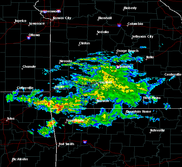 At 347 pm cdt, a severe thunderstorm was located near jane, moving east at 45 mph (radar indicated). Hazards include quarter size hail. Damage to vehicles is expected. This severe thunderstorm will remain over mainly rural areas of southeastern mcdonald county. At 347 pm cdt, a severe thunderstorm was located near jane, moving east at 45 mph (radar indicated). Hazards include quarter size hail. Damage to vehicles is expected. This severe thunderstorm will remain over mainly rural areas of southeastern mcdonald county.
|
| 10/12/2016 3:30 PM CDT |
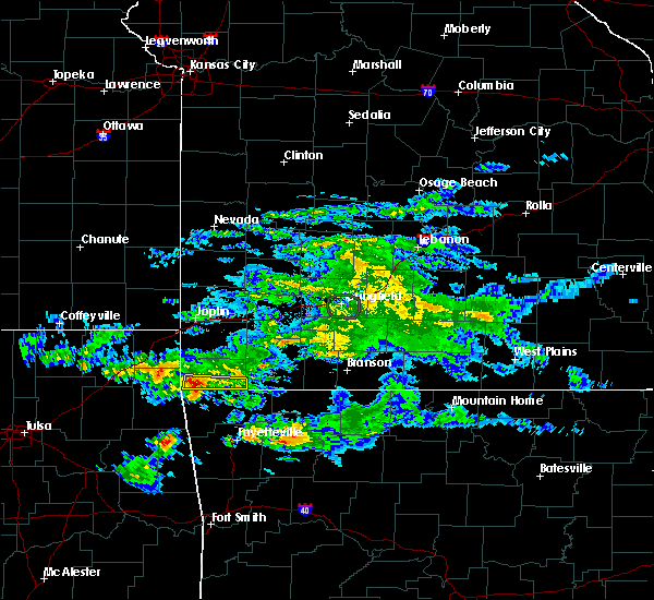 At 330 pm cdt, a severe thunderstorm was located over noel, or 7 miles southwest of pineville, moving east at 50 mph (radar indicated). Hazards include quarter size hail. damage to vehicles is expected At 330 pm cdt, a severe thunderstorm was located over noel, or 7 miles southwest of pineville, moving east at 50 mph (radar indicated). Hazards include quarter size hail. damage to vehicles is expected
|
| 7/8/2016 1:14 AM CDT |
 At 113 am cdt, severe thunderstorms were located along a line extending from near billings to near verona to near neosho, moving southeast at 50 mph (trained weather spotters. these storms have a long history of downing trees and powerlines across western missouri). Hazards include 60 mph wind gusts. Expect damage to roofs. siding. and trees. Locations impacted include, nixa, ozark, branson, lake taneycomo, table rock lake, table rock state park, big sugar creek state park, roaring river state park, hollister, cassville, silver dollar city, kimberling city, forsyth, clever, anderson, noel, merriam woods, sparta, dodge, crane,. At 113 am cdt, severe thunderstorms were located along a line extending from near billings to near verona to near neosho, moving southeast at 50 mph (trained weather spotters. these storms have a long history of downing trees and powerlines across western missouri). Hazards include 60 mph wind gusts. Expect damage to roofs. siding. and trees. Locations impacted include, nixa, ozark, branson, lake taneycomo, table rock lake, table rock state park, big sugar creek state park, roaring river state park, hollister, cassville, silver dollar city, kimberling city, forsyth, clever, anderson, noel, merriam woods, sparta, dodge, crane,.
|
| 7/8/2016 12:58 AM CDT |
 At 1257 am cdt, severe thunderstorms were located along a line extending from near miller to near pierce city to near shoal creek drive, moving southeast at 50 mph (emergency management. these storms have a long history of producing wind damage across western missouri). Hazards include 60 mph wind gusts and nickel size hail. Expect damage to roofs. siding. And trees. At 1257 am cdt, severe thunderstorms were located along a line extending from near miller to near pierce city to near shoal creek drive, moving southeast at 50 mph (emergency management. these storms have a long history of producing wind damage across western missouri). Hazards include 60 mph wind gusts and nickel size hail. Expect damage to roofs. siding. And trees.
|
| 4/29/2016 6:16 PM CDT |
 At 616 pm cdt, a severe thunderstorm was located near goodman, or near pineville, moving northeast at 45 mph (radar indicated). Hazards include quarter size hail. Damage to vehicles is expected. Locations impacted include, anderson, goodman,. At 616 pm cdt, a severe thunderstorm was located near goodman, or near pineville, moving northeast at 45 mph (radar indicated). Hazards include quarter size hail. Damage to vehicles is expected. Locations impacted include, anderson, goodman,.
|
| 4/29/2016 5:58 PM CDT |
 At 557 pm cdt, a severe thunderstorm was located over noel, or 8 miles southwest of pineville, moving northeast at 45 mph (radar indicated). Hazards include quarter size hail. damage to vehicles is expected At 557 pm cdt, a severe thunderstorm was located over noel, or 8 miles southwest of pineville, moving northeast at 45 mph (radar indicated). Hazards include quarter size hail. damage to vehicles is expected
|
| 4/27/2016 12:40 AM CDT | Tree down east of pineville on k highway in mcdonald county MO, 0.4 miles W of Pineville, MO |
| 4/27/2016 12:23 AM CDT |
 At 1222 am cdt, severe thunderstorms were located along a line extending from 7 miles north of seneca to south west city, moving east at 35 mph (radar indicated). Hazards include 60 mph wind gusts and penny size hail. Expect damage to roofs. siding. And trees. At 1222 am cdt, severe thunderstorms were located along a line extending from 7 miles north of seneca to south west city, moving east at 35 mph (radar indicated). Hazards include 60 mph wind gusts and penny size hail. Expect damage to roofs. siding. And trees.
|
| 12/26/2015 3:46 PM CST |
 At 345 pm cst, a severe thunderstorm was located near gravette, or near bella vista, moving northeast at 50 mph (radar indicated). Hazards include 60 mph wind gusts and quarter size hail. Hail damage to vehicles is expected. Expect wind damage to roofs, siding and trees. At 345 pm cst, a severe thunderstorm was located near gravette, or near bella vista, moving northeast at 50 mph (radar indicated). Hazards include 60 mph wind gusts and quarter size hail. Hail damage to vehicles is expected. Expect wind damage to roofs, siding and trees.
|
| 8/23/2015 5:34 AM CDT |
 At 534 am cdt, severe thunderstorms were located along a line extending from near noel to near exeter to near branson, moving southeast at 45 mph (radar indicated). Hazards include 60 mph wind gusts. Expect damage to roofs. siding and trees. Locations impacted include, branson, table rock lake, lake taneycomo, big sugar creek state park, roaring river state park, table rock state park, hollister, cassville, silver dollar city, kimberling city, anderson, noel, shell knob, reeds spring, seligman, rockaway beach, pineville, exeter, bull creek, indian point,. At 534 am cdt, severe thunderstorms were located along a line extending from near noel to near exeter to near branson, moving southeast at 45 mph (radar indicated). Hazards include 60 mph wind gusts. Expect damage to roofs. siding and trees. Locations impacted include, branson, table rock lake, lake taneycomo, big sugar creek state park, roaring river state park, table rock state park, hollister, cassville, silver dollar city, kimberling city, anderson, noel, shell knob, reeds spring, seligman, rockaway beach, pineville, exeter, bull creek, indian point,.
|
| 8/23/2015 5:20 AM CDT |
 At 520 am cdt, severe thunderstorms were located along a line extending from near noel to near exeter to 7 miles northeast of galena, moving southeast at 40 mph (radar indicated). Hazards include 60 mph wind gusts. Expect damage to roofs. siding and trees. Locations impacted include, branson, lake taneycomo, table rock lake, bull shoals lake, table rock state park, big sugar creek state park, roaring river state park, hollister, cassville, silver dollar city, kimberling city, forsyth, anderson, noel, merriam woods, crane, shell knob, goodman, kissee mills, purdy,. At 520 am cdt, severe thunderstorms were located along a line extending from near noel to near exeter to 7 miles northeast of galena, moving southeast at 40 mph (radar indicated). Hazards include 60 mph wind gusts. Expect damage to roofs. siding and trees. Locations impacted include, branson, lake taneycomo, table rock lake, bull shoals lake, table rock state park, big sugar creek state park, roaring river state park, hollister, cassville, silver dollar city, kimberling city, forsyth, anderson, noel, merriam woods, crane, shell knob, goodman, kissee mills, purdy,.
|
| 8/23/2015 5:07 AM CDT |
 At 506 am cdt, severe thunderstorms were located along a line extending from 7 miles northwest of noel to near exeter to near clever, and are nearly stationary (radar indicated). Hazards include 60 mph wind gusts. Expect damage to roofs. siding and trees. Locations impacted include, neosho, branson, lake taneycomo, table rock lake, bull shoals lake, table rock state park, big sugar creek state park, roaring river state park, monett, aurora, hollister, cassville, silver dollar city, kimberling city, seneca, forsyth, marionville, granby, anderson, noel,. At 506 am cdt, severe thunderstorms were located along a line extending from 7 miles northwest of noel to near exeter to near clever, and are nearly stationary (radar indicated). Hazards include 60 mph wind gusts. Expect damage to roofs. siding and trees. Locations impacted include, neosho, branson, lake taneycomo, table rock lake, bull shoals lake, table rock state park, big sugar creek state park, roaring river state park, monett, aurora, hollister, cassville, silver dollar city, kimberling city, seneca, forsyth, marionville, granby, anderson, noel,.
|
| 8/23/2015 5:00 AM CDT |
 At 459 am cdt, severe thunderstorms were located along a line extending from 7 miles west of lanagan to near exeter to near clever, moving southeast at 40 mph (radar indicated). Hazards include 60 mph wind gusts. Expect damage to roofs. Siding and trees. At 459 am cdt, severe thunderstorms were located along a line extending from 7 miles west of lanagan to near exeter to near clever, moving southeast at 40 mph (radar indicated). Hazards include 60 mph wind gusts. Expect damage to roofs. Siding and trees.
|
| 8/23/2015 4:53 AM CDT |
 At 452 am cdt, severe thunderstorms were located along a line extending from near galena to near sarcoxie to near willard, moving southeast at 45 mph (radar indicated). Hazards include 60 mph wind gusts. Expect damage to roofs. siding and trees. Locations impacted include, neosho, table rock lake, big sugar creek state park, roaring river state park, monett, aurora, mount vernon, cassville, seneca, marionville, granby, anderson, crane, shell knob, pierce city, goodman, purdy, billings, reeds spring, diamond, this includes interstate 44 near mile marker 0, and between mile markers 33 and 56. At 452 am cdt, severe thunderstorms were located along a line extending from near galena to near sarcoxie to near willard, moving southeast at 45 mph (radar indicated). Hazards include 60 mph wind gusts. Expect damage to roofs. siding and trees. Locations impacted include, neosho, table rock lake, big sugar creek state park, roaring river state park, monett, aurora, mount vernon, cassville, seneca, marionville, granby, anderson, crane, shell knob, pierce city, goodman, purdy, billings, reeds spring, diamond, this includes interstate 44 near mile marker 0, and between mile markers 33 and 56.
|
| 8/23/2015 4:22 AM CDT |
 At 422 am cdt, severe thunderstorms were located along a line extending from 6 miles west of commerce to near diamond to near mount vernon to near morrisville to 6 miles northeast of bolivar, moving southeast at 45 mph (radar indicated). Hazards include 60 mph wind gusts. Expect damage to roofs. Siding and trees. At 422 am cdt, severe thunderstorms were located along a line extending from 6 miles west of commerce to near diamond to near mount vernon to near morrisville to 6 miles northeast of bolivar, moving southeast at 45 mph (radar indicated). Hazards include 60 mph wind gusts. Expect damage to roofs. Siding and trees.
|
| 5/29/2015 4:36 PM CDT | The severe thunderstorm warning for central mcdonald county will expire at 445 pm cdt, the storm which prompted the warning has weakened below severe limits, and no longer poses an immediate threat to life or property. to report severe weather, contact your nearest law enforcement agency. they will relay your report to the national weather service in springfield. a tornado watch remains in effect until 700 pm cdt friday evening for southwest missouri. |
| 5/29/2015 4:22 PM CDT | At 420 pm cdt, a severe thunderstorm was located 7 miles northeast of pineville, and moving northeast at 30 mph (radar indicated). Hazards include 60 mph wind gusts and quarter size hail. Hail damage to vehicles is expected. expect wind damage to roofs, siding and trees. locations impacted include, goodman and pineville. this warning also includes big sugar creek state park. A tornado watch remains in effect until 700 pm cdt friday evening for southwest missouri. |
| 5/29/2015 4:09 PM CDT | Lots of tree damage in pinevill in mcdonald county MO, 0.4 miles W of Pineville, MO |
| 5/29/2015 4:06 PM CDT | At 404 pm cdt, a severe thunderstorm was located near pineville, and moving north at 25 mph (radar indicated). Hazards include 60 mph wind gusts and quarter size hail. Hail damage to vehicles is expected. Expect wind damage to roofs, siding and trees. |
| 5/29/2015 3:45 PM CDT | At 344 pm cdt, a severe thunderstorm was located 7 miles southeast of goodman, and moving north at 25 mph (radar indicated). Hazards include 60 mph wind gusts and quarter size hail. Hail damage to vehicles is expected. expect wind damage to roofs, siding and trees. locations impacted include, anderson and goodman. this warning also includes big sugar creek state park. A tornado watch remains in effect until 700 pm cdt friday evening for southwest missouri. |
| 5/29/2015 3:25 PM CDT | At 322 pm cdt, a severe thunderstorm was located near pineville, and moving north at 35 mph (radar indicated). Hazards include 60 mph wind gusts and quarter size hail. Hail damage to vehicles is expected. Expect wind damage to roofs, siding and trees. |
| 5/17/2015 12:59 AM CDT | At 1255 am cdt, severe thunderstorms were located along a line extending from baxter springs to anderson to 7 miles south of noel, and moving northeast at 55 mph (radar indicated). Hazards include 60 mph wind gusts. 60 mph wind gusts are expected within this line of severe thunderstorms. in addition, a tornado warning is in effect for far southeastern kansas, southern jasper, and newton counties, where stronger tornado winds will be possible. Expect damage to roofs. siding and trees. locations impacted include, airport drive, alba, anderson, baxter springs, carl junction, carterville, carthage, diamond, duenweg, duquesne, fairview, galena, goodman, granby, iron gates, joplin, lanagan, leawood, neosho, noel, oronogo, pineville, purcell, saginaw, sarcoxie, seneca, shoal creek drive, silver creek, south west city, treece and webb city. this warning also includes big sugar creek state park. interstate 44 between mile markers 0 and 29 will also be impacted by severe thunderstorms. once again, in addition to this severe thunderstorm warning, a tornado warning is in effect for far southeastern kansas, southern jasper, and newton counties until 115 am cdt. a tornado watch remains in effect until 500 am cdt sunday morning for southeast kansas and southwestern missouri. 75in. |
| 5/17/2015 12:59 AM CDT | At 1255 am cdt, severe thunderstorms were located along a line extending from baxter springs to anderson to 7 miles south of noel, and moving northeast at 55 mph (radar indicated). Hazards include 60 mph wind gusts. 60 mph wind gusts are expected within this line of severe thunderstorms. in addition, a tornado warning is in effect for far southeastern kansas, southern jasper, and newton counties, where stronger tornado winds will be possible. Expect damage to roofs. siding and trees. locations impacted include, airport drive, alba, anderson, baxter springs, carl junction, carterville, carthage, diamond, duenweg, duquesne, fairview, galena, goodman, granby, iron gates, joplin, lanagan, leawood, neosho, noel, oronogo, pineville, purcell, saginaw, sarcoxie, seneca, shoal creek drive, silver creek, south west city, treece and webb city. this warning also includes big sugar creek state park. interstate 44 between mile markers 0 and 29 will also be impacted by severe thunderstorms. once again, in addition to this severe thunderstorm warning, a tornado warning is in effect for far southeastern kansas, southern jasper, and newton counties until 115 am cdt. a tornado watch remains in effect until 500 am cdt sunday morning for southeast kansas and southwestern missouri. 75in. |
| 5/17/2015 12:38 AM CDT | At 1234 am cdt, severe thunderstorms were located along a line extending from 16 miles southwest of treece to 10 miles northwest of south west city to 18 miles southwest of south west city, or near jay oklahoma, and moving northeast at 60 mph (radar indicated). Hazards include 60 mph wind gusts. Expect damage to roofs. Siding and trees. |
| 5/17/2015 12:38 AM CDT | At 1234 am cdt, severe thunderstorms were located along a line extending from 16 miles southwest of treece to 10 miles northwest of south west city to 18 miles southwest of south west city, or near jay oklahoma, and moving northeast at 60 mph (radar indicated). Hazards include 60 mph wind gusts. Expect damage to roofs. Siding and trees. |
| 4/2/2015 11:22 PM CDT | A severe thunderstorm warning remains in effect for mcdonald county until 1145 pm cdt. at 1120 pm cdt. a severe thunderstorm was located 6 miles east of pineville. and moving east at 40 mph. hazard. 60 mph wind gusts and quarter size hail. source. Radar indicated. |
| 4/2/2015 11:07 PM CDT | A severe thunderstorm warning remains in effect for mcdonald county until 1145 pm cdt. at 1105 pm cdt. a severe thunderstorm was located near anderson. and moving east at 40 mph. hazard. 60 mph wind gusts and quarter size hail. source. Radar indicated. |
| 4/2/2015 10:59 PM CDT | The national weather service in springfield has issued a * severe thunderstorm warning for. mcdonald county in southwest missouri. until 1145 pm cdt * at 1057 pm cdt. a severe thunderstorm was located near anderson. And moving east at 40 mph. |
| 4/2/2015 10:23 PM CDT | A severe thunderstorm warning remains in effect for southern mcdonald county until 1100 pm cdt. at 1021 pm cdt. a severe thunderstorm was located near noel. and moving east at 35 mph. hazard. 60 mph wind gusts and penny size hail. source. Radar indicated. |
| 4/2/2015 10:12 PM CDT | A severe thunderstorm warning remains in effect for mcdonald county until 1100 pm cdt. at 1009 pm cdt. a severe thunderstorm was located near south west city. and moving east at 35 mph. hazard. 60 mph wind gusts and quarter size hail. source. Radar indicated. |
| 4/2/2015 9:57 PM CDT | The national weather service in springfield has issued a * severe thunderstorm warning for. mcdonald county in southwest missouri. until 1100 pm cdt * at 954 pm cdt. a severe thunderstorm was located 8 miles west of south west city. And moving east at 35 mph. |
| 4/1/2015 1:44 PM CDT | The national weather service in springfield has issued a * severe thunderstorm warning for. western barry county in southwest missouri. southwestern lawrence county in southwest missouri. eastern mcdonald county in southwest missouri. Southeastern newton county in southwest missouri. |
| 4/1/2015 1:33 PM CDT | A severe thunderstorm warning remains in effect for southeastern newton and northern mcdonald counties until 145 pm cdt. at 132 pm cdt. severe thunderstorms were located along a line extending from granby to 8 miles east of goodman to anderson. and moving northeast at 35 mph. hazard. 60 mph wind gusts and quarter size hail. |
| 4/1/2015 1:12 PM CDT | A severe thunderstorm warning remains in effect for newton and northern mcdonald counties until 145 pm cdt. at 110 pm cdt. severe thunderstorms were located along a line extending from saginaw to neosho to goodman to 6 miles southwest of anderson. and moving northeast at 20 mph. hazard. 60 mph wind gusts and quarter size hail. |
| 4/1/2015 12:58 PM CDT | The national weather service in springfield has issued a * severe thunderstorm warning for. northwestern mcdonald county in southwest missouri. newton county in southwest missouri. until 145 pm cdt * at 1257 pm cdt. Severe thunderstorms were located along a line. |
| 3/25/2015 4:52 PM CDT | The national weather service in springfield has issued a * severe thunderstorm warning for. southwestern barry county in southwest missouri. mcdonald county in southwest missouri. southeastern newton county in southwest missouri. Until 530 pm cdt. |
| 3/25/2015 3:41 PM CST | Golf Ball sized hail reported 0.4 miles W of Pineville, MO |
| 3/25/2015 4:34 PM CDT | A severe thunderstorm warning remains in effect for southern lawrence. eastern newton. northern mcdonald and northwestern barry counties until 500 pm cdt. at 431 pm cdt. a large area of severe thunderstorms were located along a line extending from mount vernon to 6 miles southeast of goodman. And moving northeast at 40 mph. |
| 3/25/2015 4:15 PM CDT | The national weather service in springfield has issued a * severe thunderstorm warning for. northwestern barry county in southwest missouri. southern lawrence county in southwest missouri. northern mcdonald county in southwest missouri. Eastern newton county in southwest missouri. |
| 3/25/2015 4:00 PM CDT | The national weather service in springfield has issued a * severe thunderstorm warning for. mcdonald county in southwest missouri. until 445 pm cdt * at 358 pm cdt. a severe thunderstorm was located 6 miles southeast of south west city. And moving northeast at 35 mph. |
| 10/2/2014 2:30 PM CDT | Quarter sized hail reported 0.4 miles W of Pineville, MO |
| 8/4/2012 10:35 PM CDT | Sheriff deputy estimated 60 mph wind gusts north of pinevill in mcdonald county MO, 0.4 miles W of Pineville, MO |
| 8/4/2012 10:35 PM CDT | Severe thundertorm wind gusts downed large tree limb in mcdonald county MO, 0.4 miles W of Pineville, MO |
| 5/29/2012 1:40 AM CDT | Tree down across brush creek road...time of event estimated in mcdonald county MO, 3.4 miles NW of Pineville, MO |
| 1/1/0001 12:00 AM | Mcdonald county newspaper reported large limbs fell down on power lines which brought down power lines across the county causing power outage in mcdonald county MO, 0.4 miles W of Pineville, MO |
Hail Maps for Pineville, MO
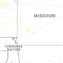
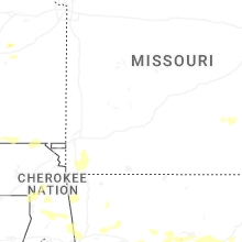

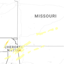


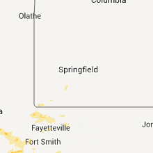


Connect with Interactive Hail Maps