

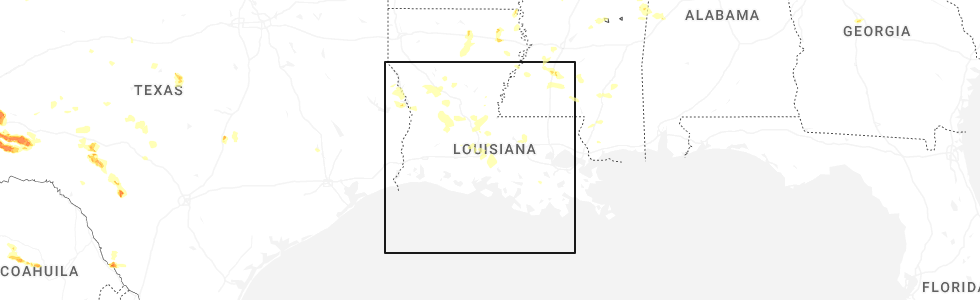
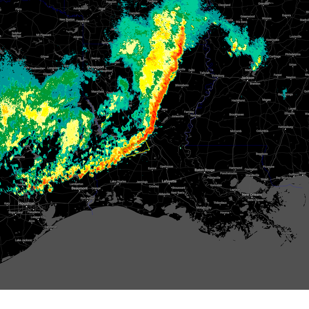
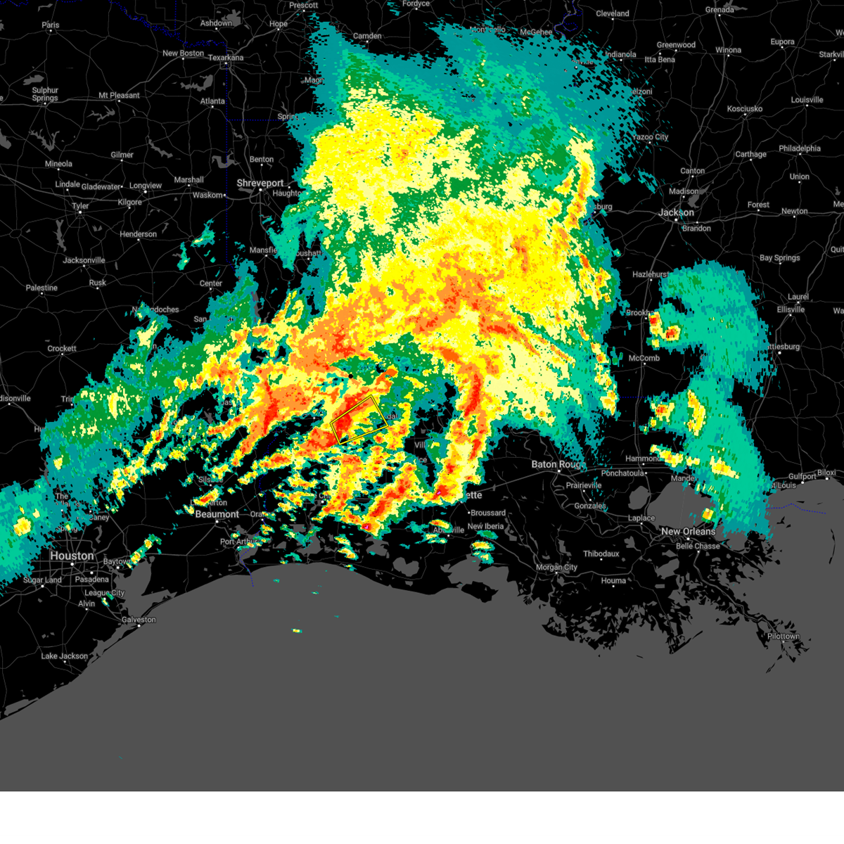
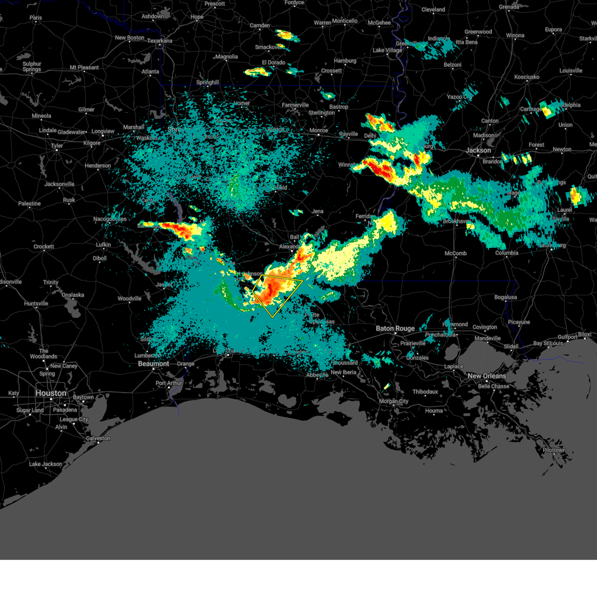
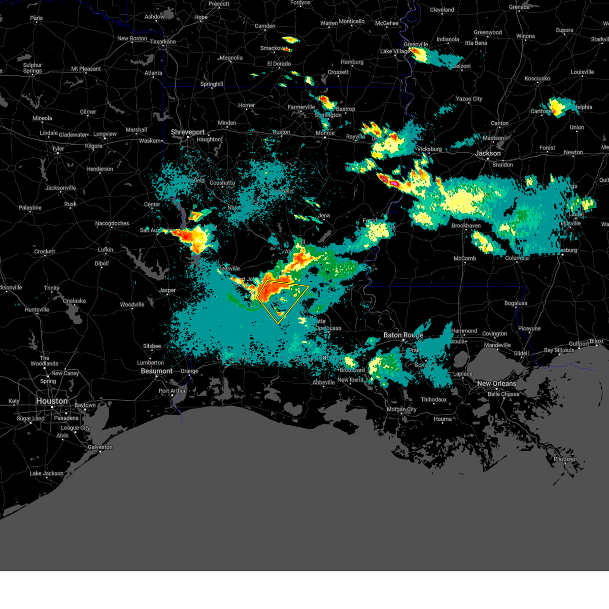
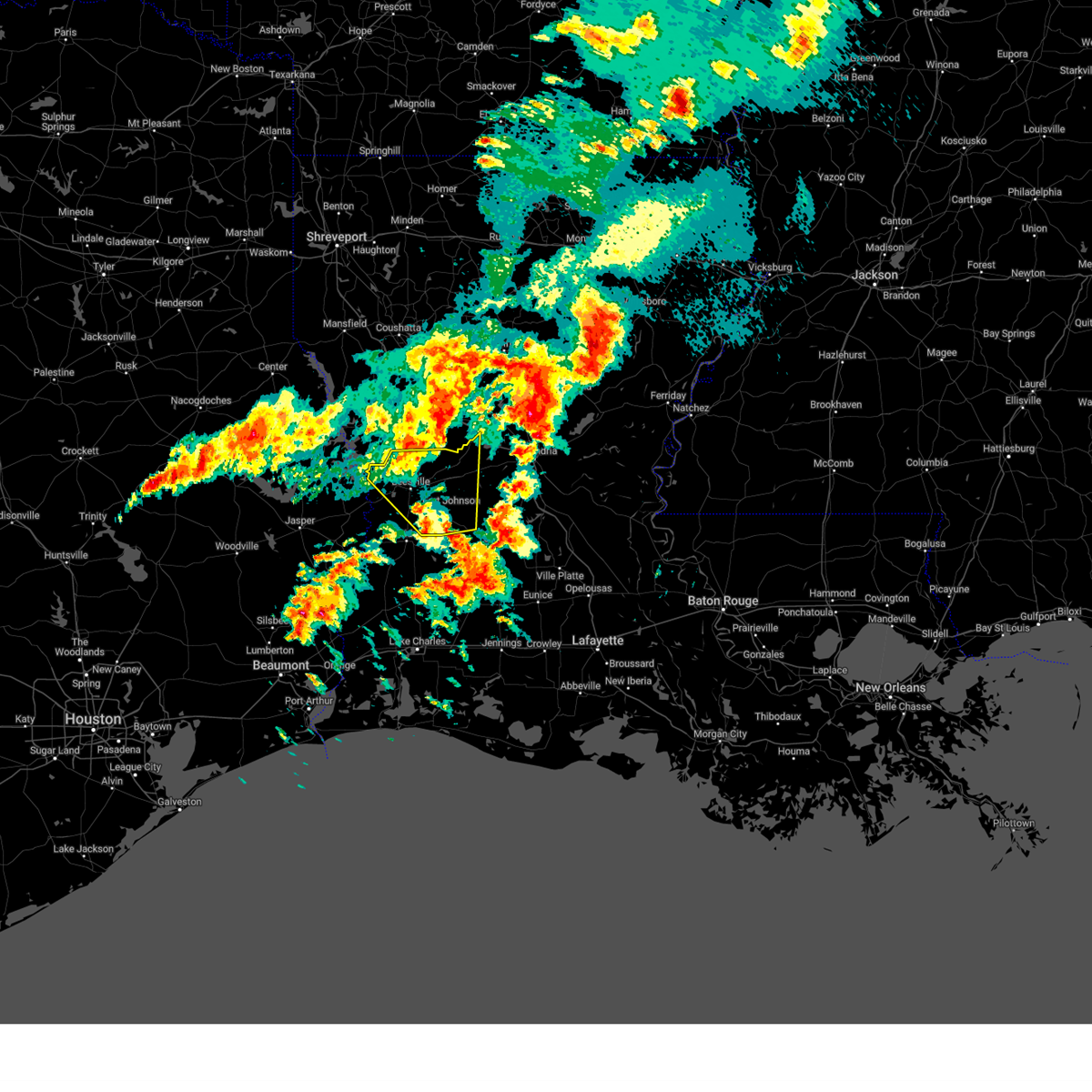
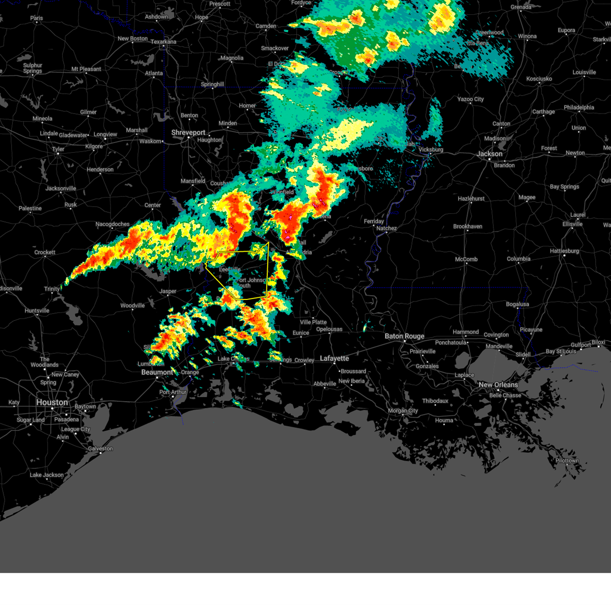
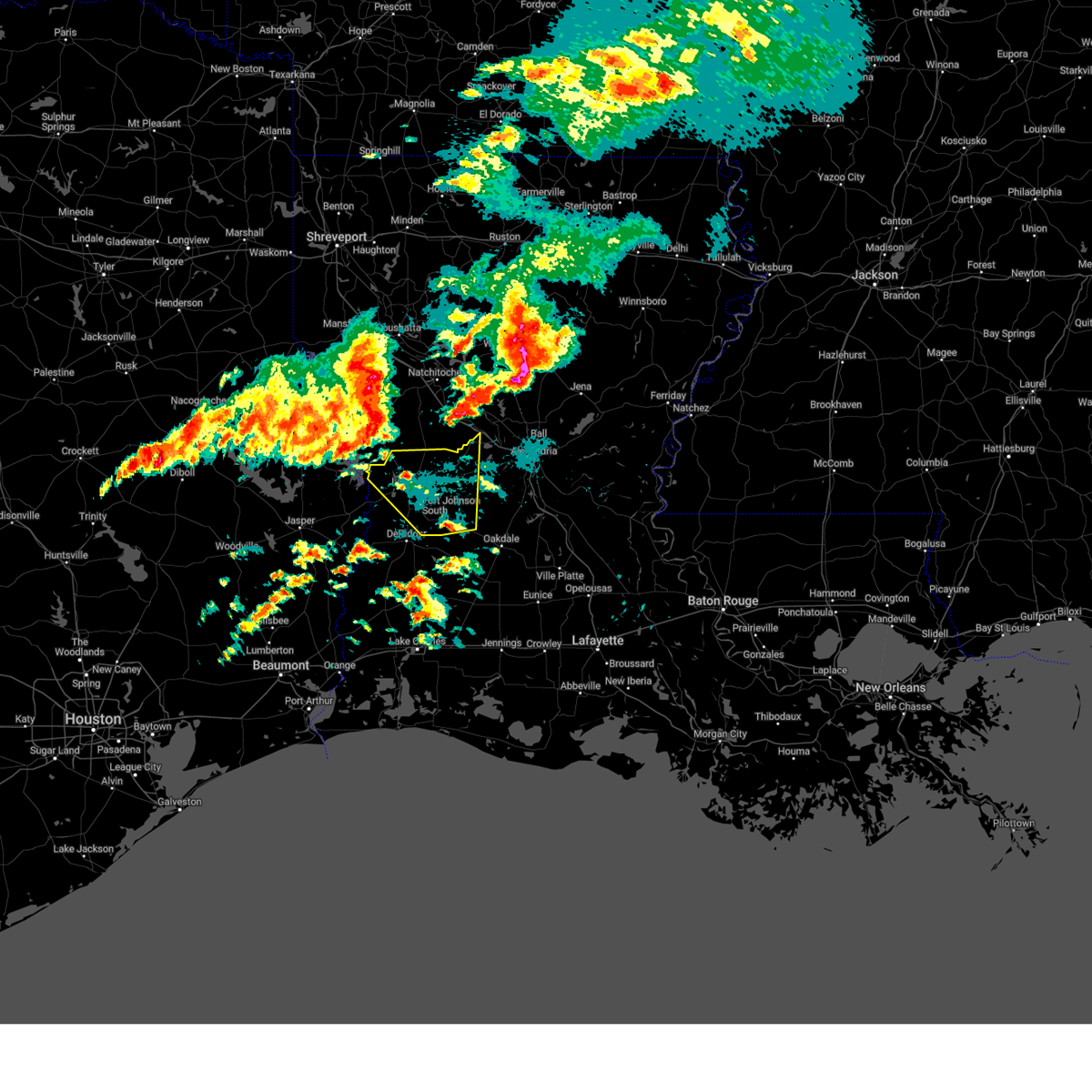
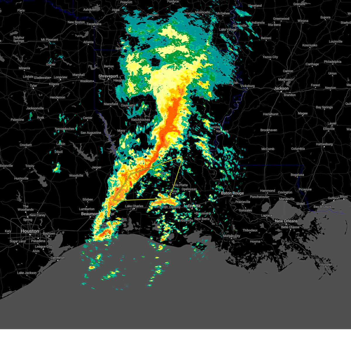
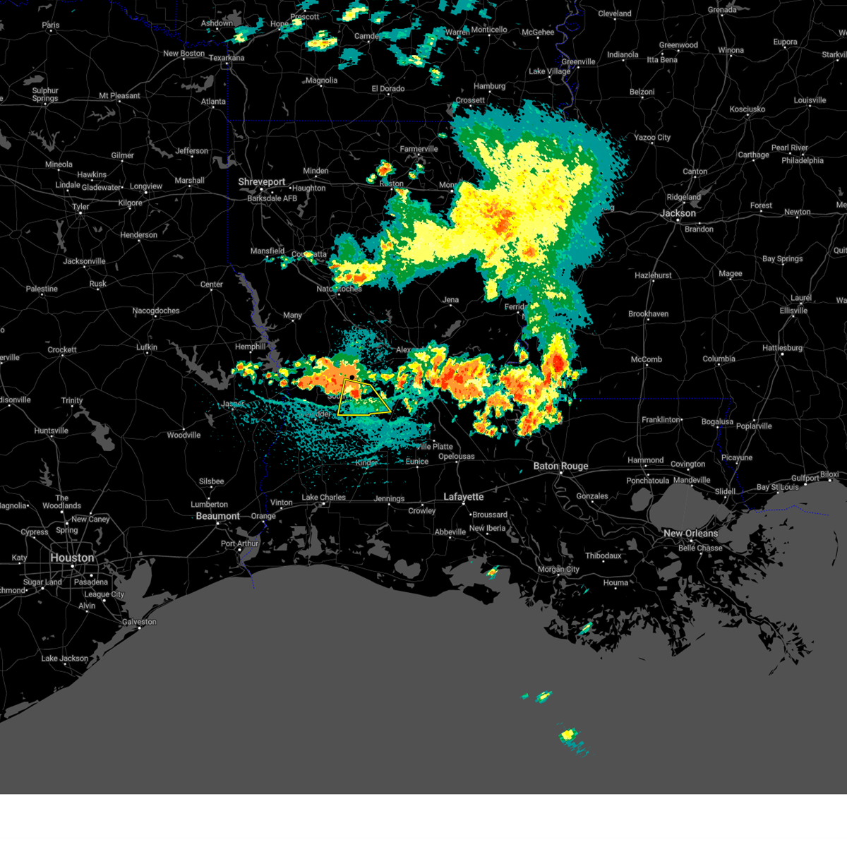
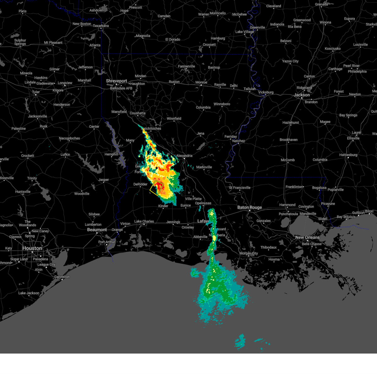
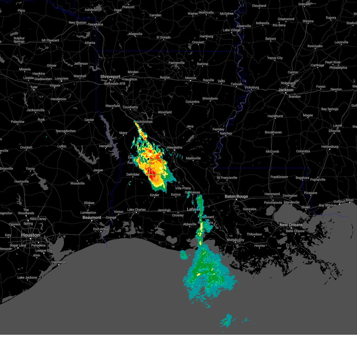
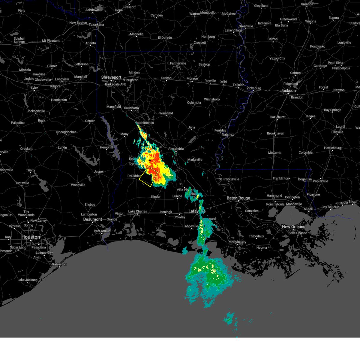
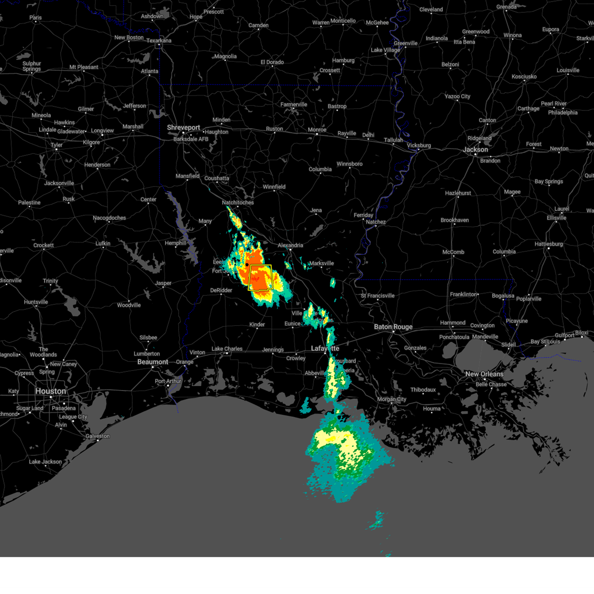
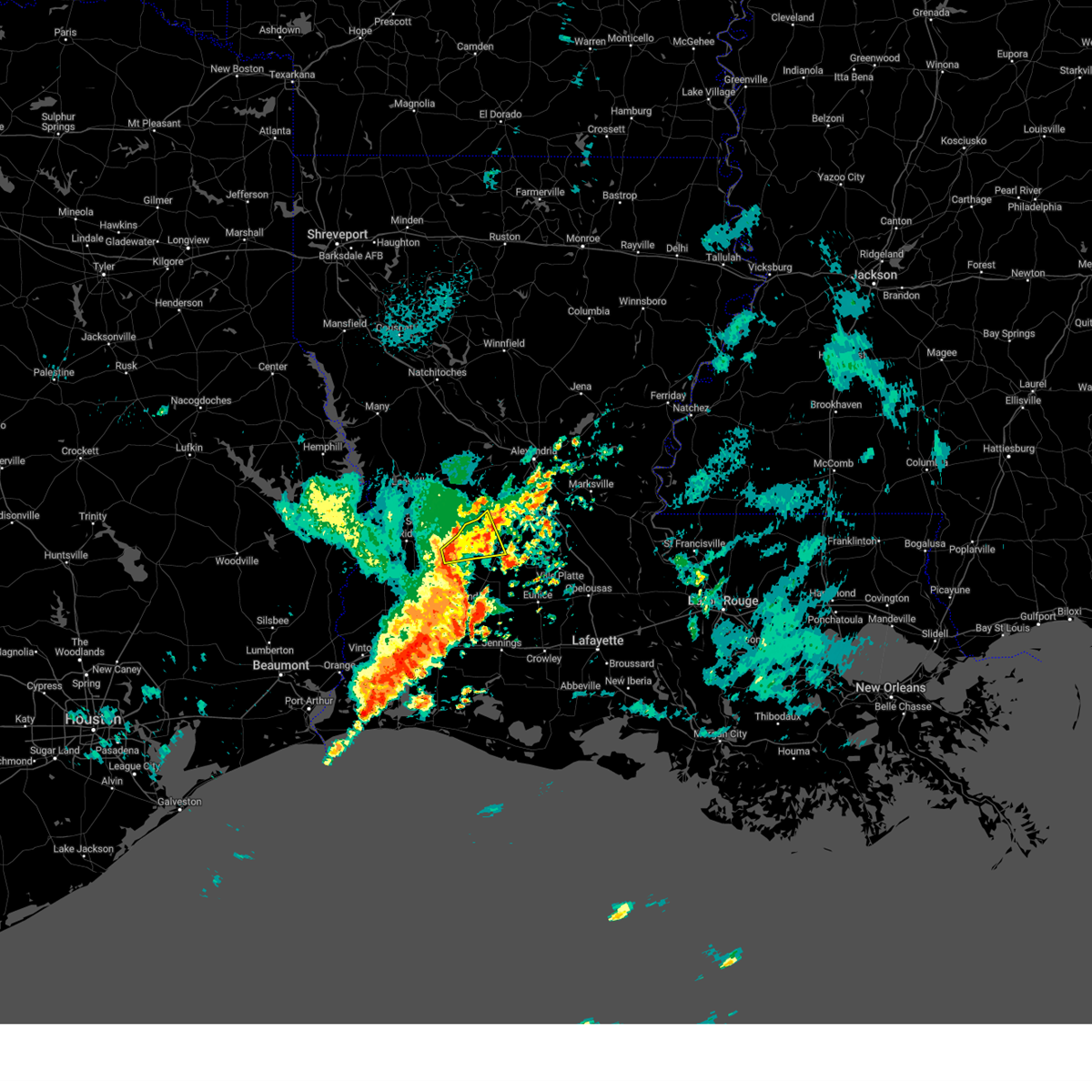
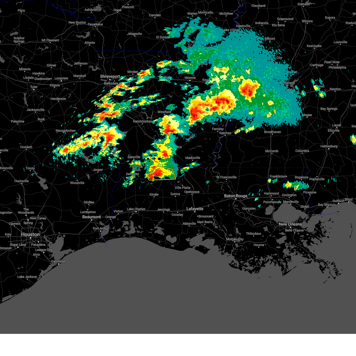
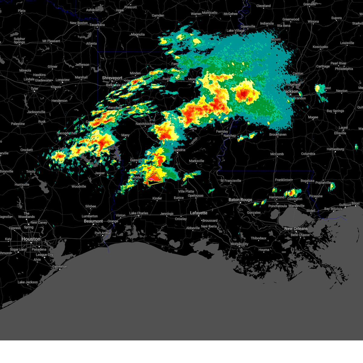
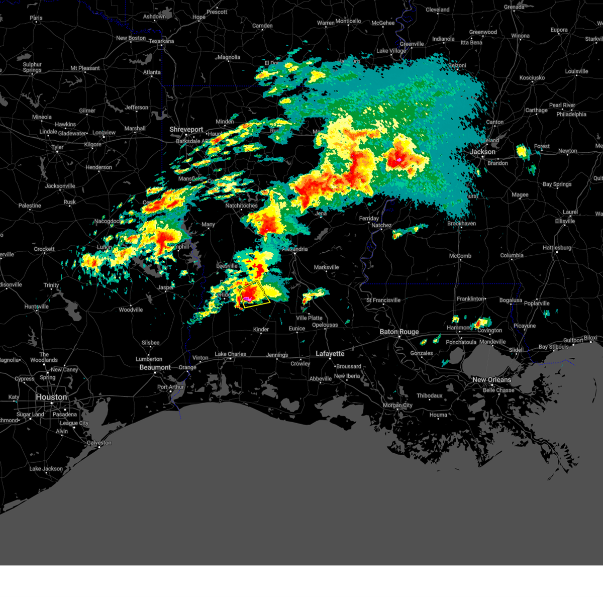
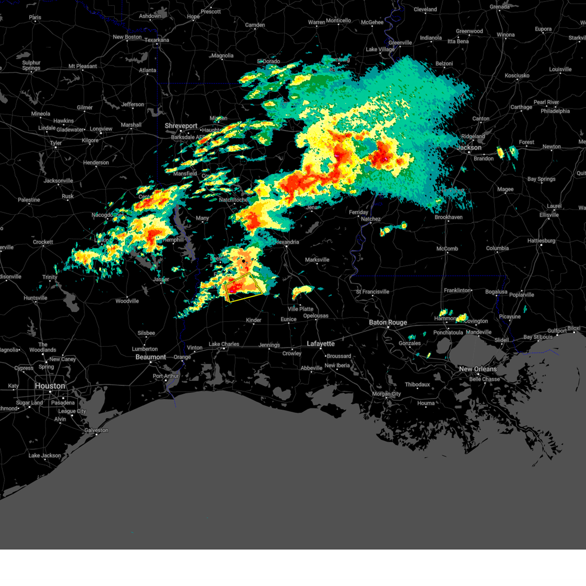
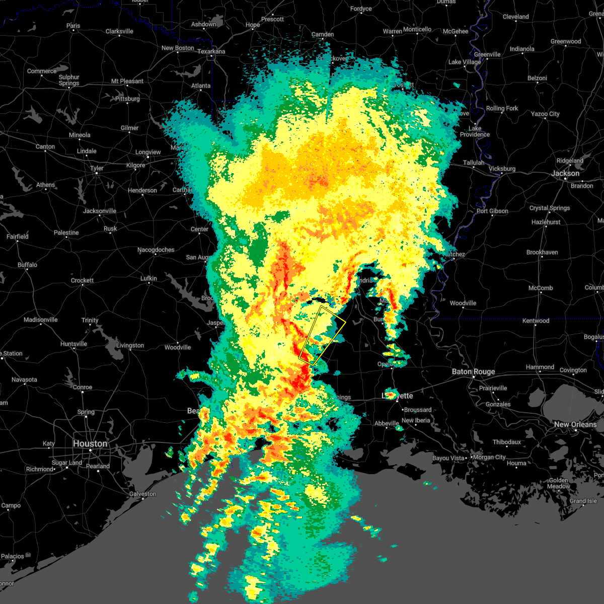
Hail Map for Pitkin, LA
The Pitkin, LA area has had 5 reports of on-the-ground hail by trained spotters, and has been under severe weather warnings 23 times during the past 12 months. Doppler radar has detected hail at or near Pitkin, LA on 68 occasions, including 1 occasion during the past year.
| Name: | Pitkin, LA |
| Where Located: | 72.9 miles NW of Lafayette, LA |
| Map: | Google Map for Pitkin, LA |
| Population: | 576 |
| Housing Units: | 284 |
| More Info: | Search Google for Pitkin, LA |
0
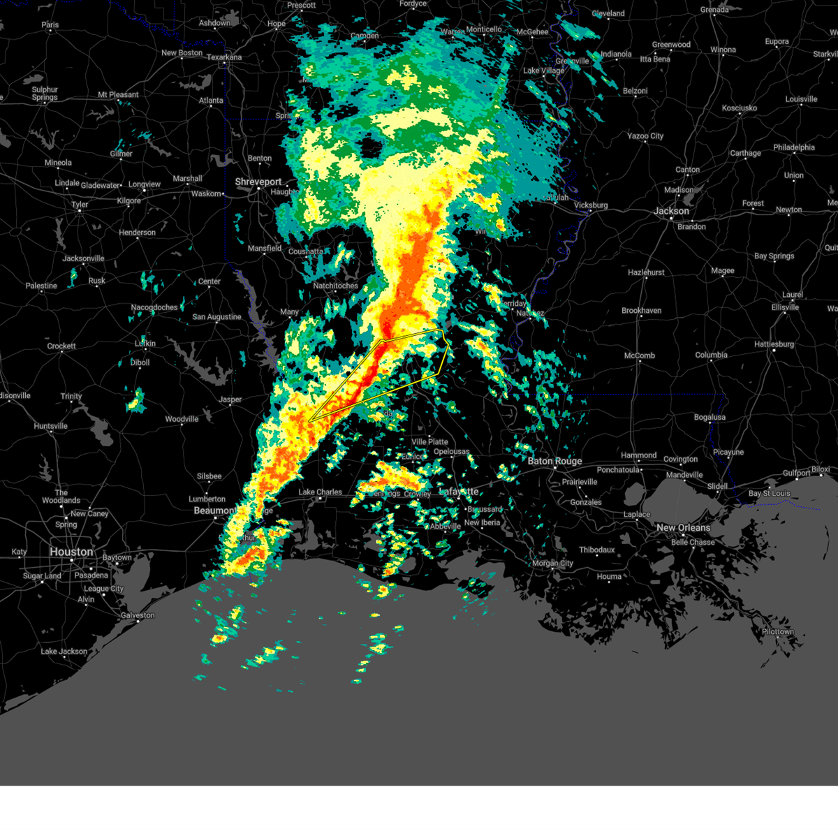
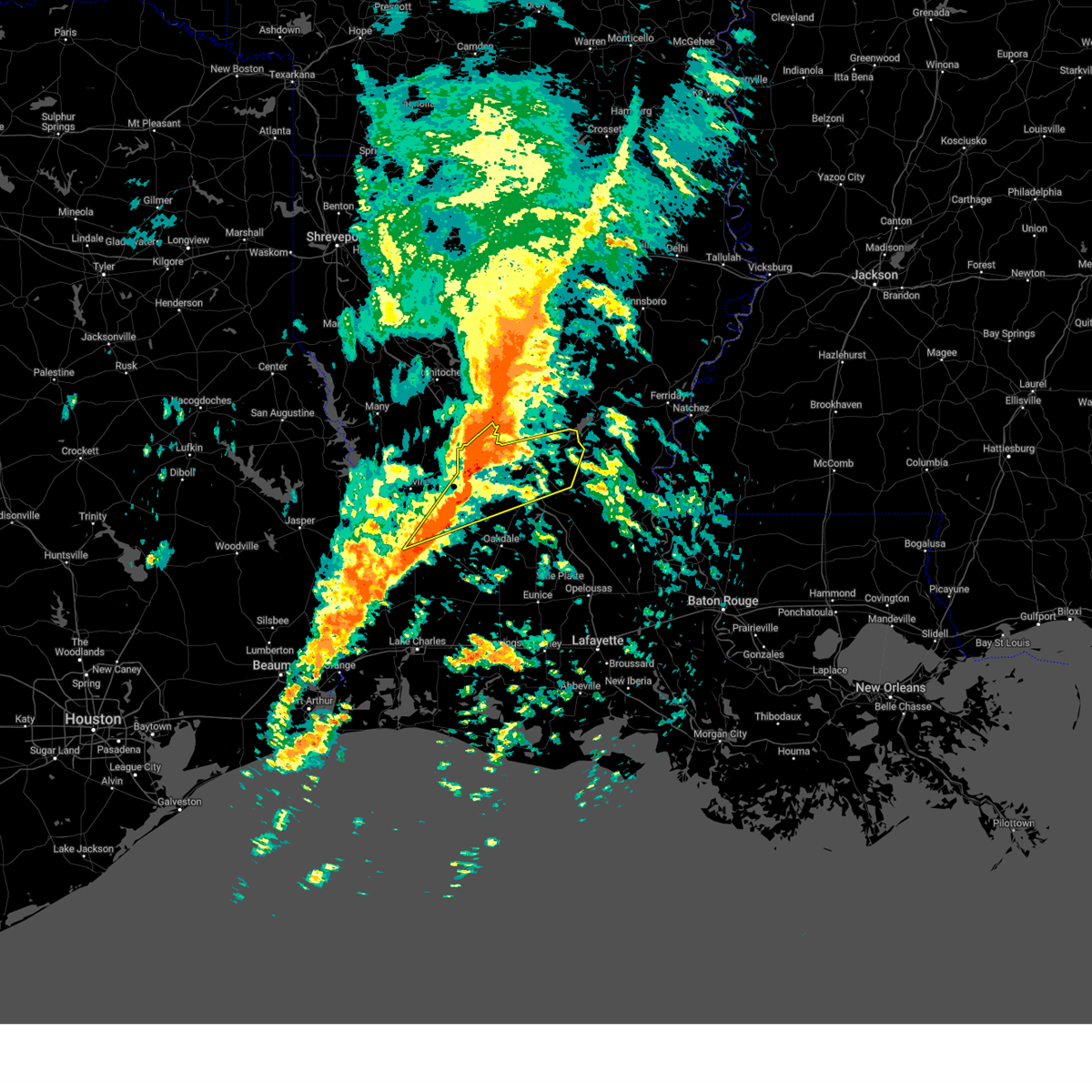
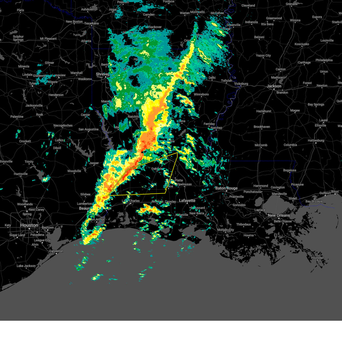
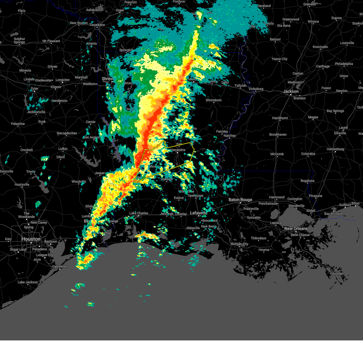
The Top Recent Hail Date for Pitkin, LA is Tuesday, April 22, 2025 (32nd out of 68)
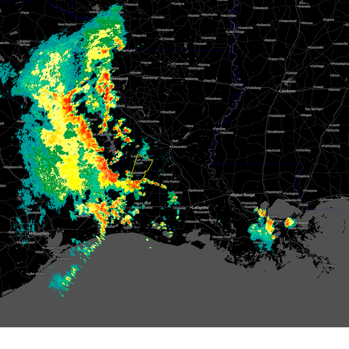
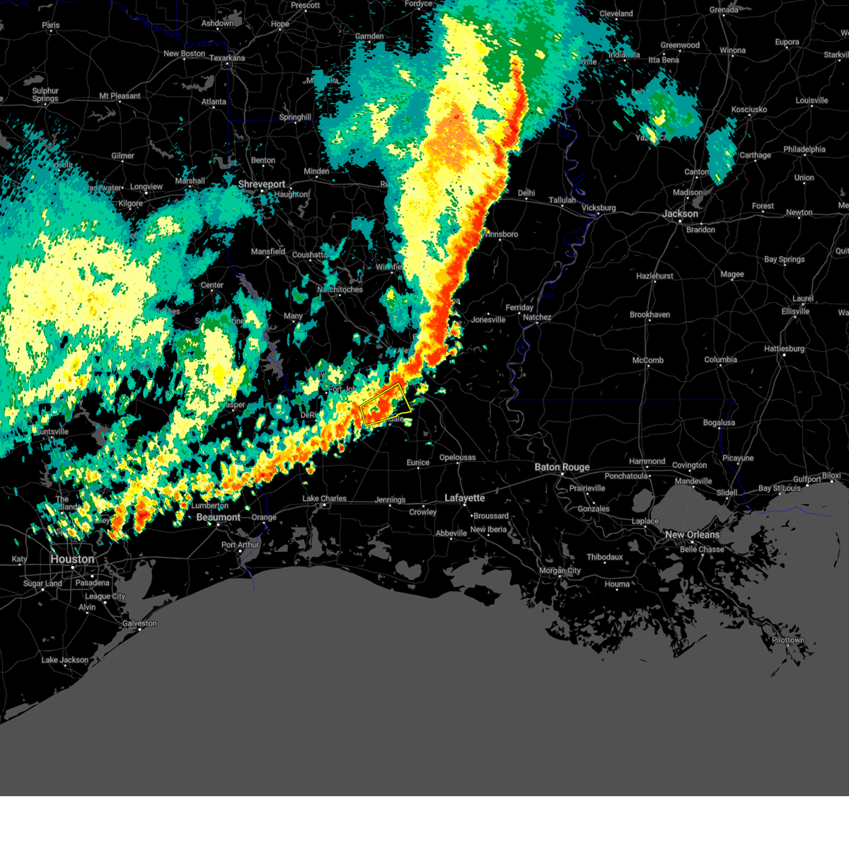
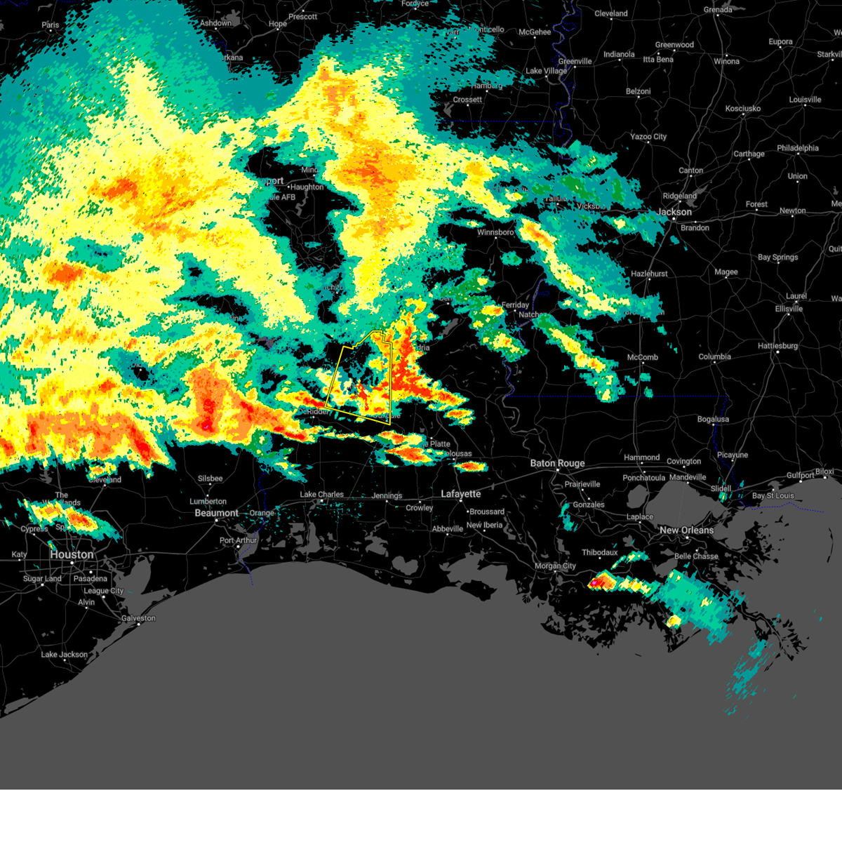
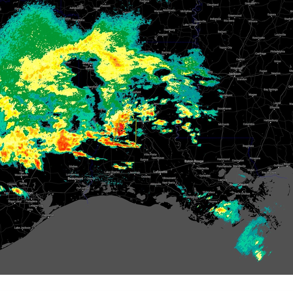
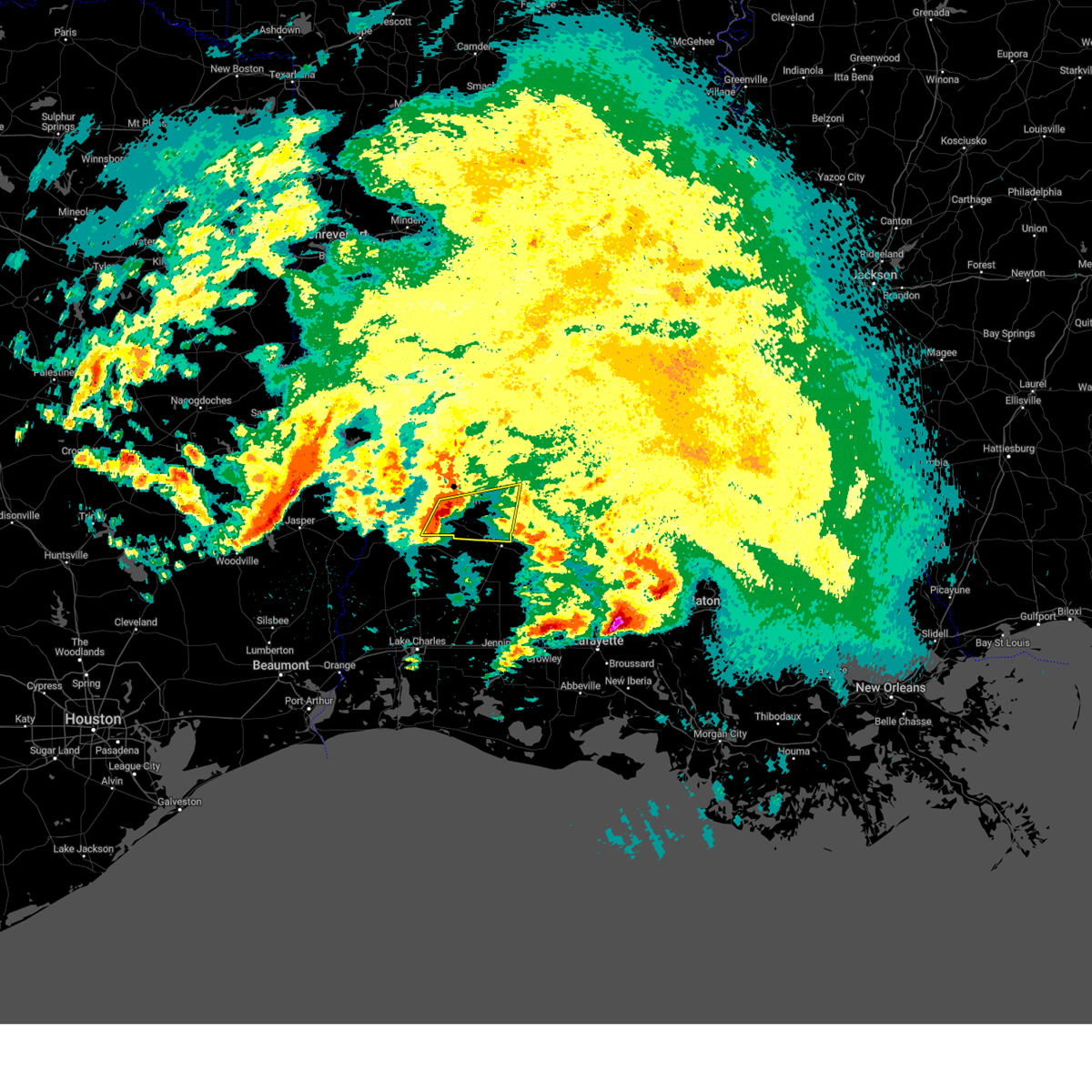
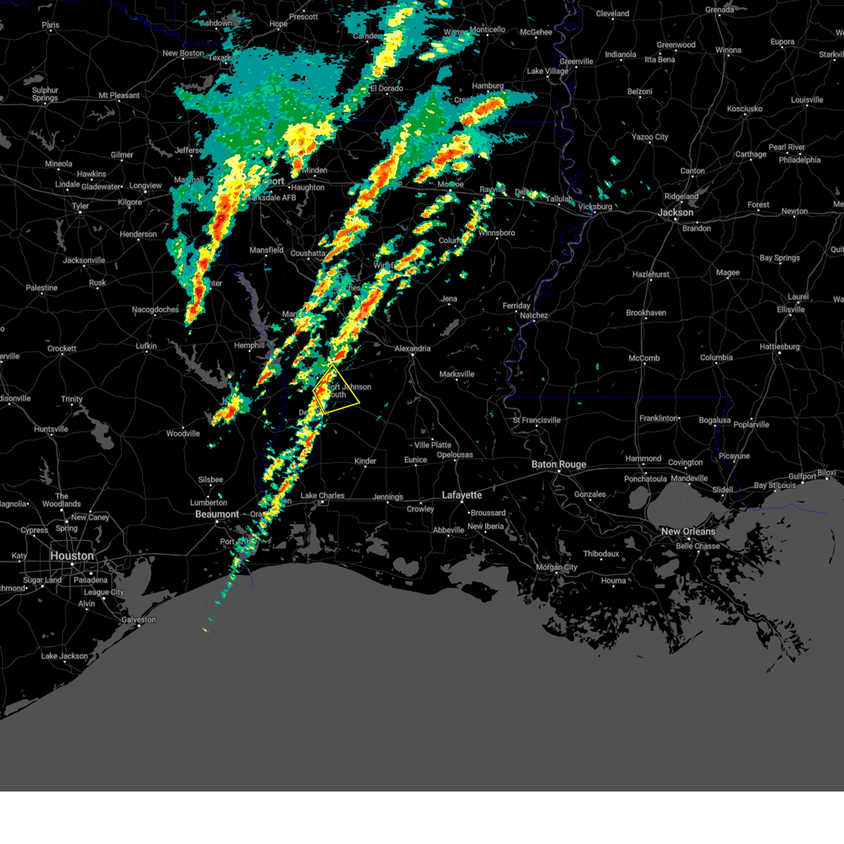
Hail and Wind Damage Spotted near Pitkin, LA
| Date / Time | Report Details |
|---|---|
| 6/11/2025 2:43 PM CDT |
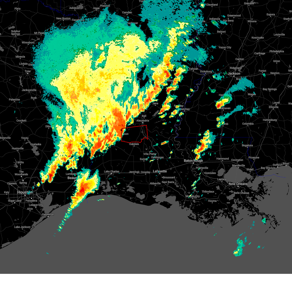
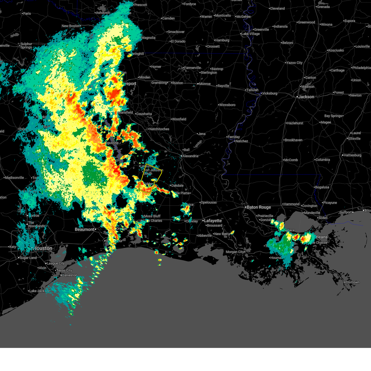 At 243 pm cdt, a severe thunderstorm was located near tulla, or 9 miles southeast of de ridder, moving north at 25 mph (radar indicated). Hazards include 60 mph wind gusts and nickel size hail. Expect damage to roofs, siding, and trees. Locations impacted include, pitkin, sugartown, fort johnson, tulla, fullerton, cravens, and bundick lake. At 243 pm cdt, a severe thunderstorm was located near tulla, or 9 miles southeast of de ridder, moving north at 25 mph (radar indicated). Hazards include 60 mph wind gusts and nickel size hail. Expect damage to roofs, siding, and trees. Locations impacted include, pitkin, sugartown, fort johnson, tulla, fullerton, cravens, and bundick lake.
|
| 6/11/2025 2:31 PM CDT |
 Svrlch the national weather service in lake charles has issued a * severe thunderstorm warning for, northeastern beauregard parish in southwestern louisiana, southeastern vernon parish in west central louisiana, * until 300 pm cdt. * at 231 pm cdt, a severe thunderstorm was located near longville, or near ragley, moving northeast at 45 mph (radar indicated). Hazards include 60 mph wind gusts and nickel size hail. expect damage to roofs, siding, and trees Svrlch the national weather service in lake charles has issued a * severe thunderstorm warning for, northeastern beauregard parish in southwestern louisiana, southeastern vernon parish in west central louisiana, * until 300 pm cdt. * at 231 pm cdt, a severe thunderstorm was located near longville, or near ragley, moving northeast at 45 mph (radar indicated). Hazards include 60 mph wind gusts and nickel size hail. expect damage to roofs, siding, and trees
|
| 5/26/2025 11:38 AM CDT |
 the severe thunderstorm warning has been cancelled and is no longer in effect the severe thunderstorm warning has been cancelled and is no longer in effect
|
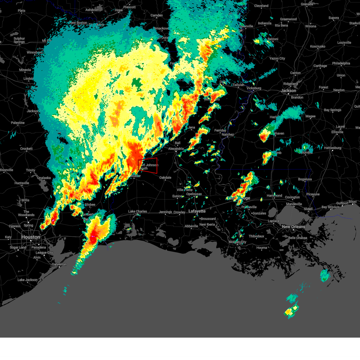
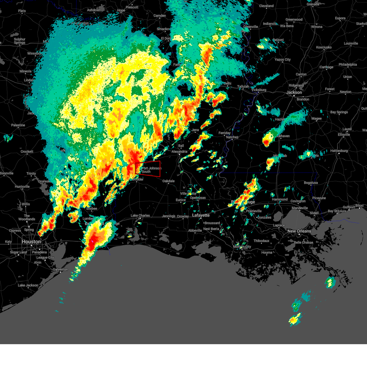
| 5/26/2025 11:38 AM CDT |
 At 1138 am cdt, a severe thunderstorm was located near pitkin, moving northeast at 30 mph (radar indicated). Hazards include 60 mph wind gusts and penny size hail. Expect damage to roofs, siding, and trees. Locations impacted include, glenmora, elizabeth, mcnary, and union hill. At 1138 am cdt, a severe thunderstorm was located near pitkin, moving northeast at 30 mph (radar indicated). Hazards include 60 mph wind gusts and penny size hail. Expect damage to roofs, siding, and trees. Locations impacted include, glenmora, elizabeth, mcnary, and union hill.
|
| 5/26/2025 11:24 AM CDT |
 Svrlch the national weather service in lake charles has issued a * severe thunderstorm warning for, southwestern rapides parish in central louisiana, northeastern beauregard parish in southwestern louisiana, southeastern vernon parish in west central louisiana, northeastern allen parish in southwestern louisiana, * until 1230 pm cdt. * at 1124 am cdt, a severe thunderstorm was located over sugartown, moving northeast at 30 mph (radar indicated). Hazards include 60 mph wind gusts and penny size hail. expect damage to roofs, siding, and trees Svrlch the national weather service in lake charles has issued a * severe thunderstorm warning for, southwestern rapides parish in central louisiana, northeastern beauregard parish in southwestern louisiana, southeastern vernon parish in west central louisiana, northeastern allen parish in southwestern louisiana, * until 1230 pm cdt. * at 1124 am cdt, a severe thunderstorm was located over sugartown, moving northeast at 30 mph (radar indicated). Hazards include 60 mph wind gusts and penny size hail. expect damage to roofs, siding, and trees
|
| 5/6/2025 7:13 PM CDT | Vehicle hit a tree that had fallen onto hwy 112 at turner rd. time estimated from rada in allen county LA, 7.2 miles NNW of Pitkin, LA |
| 5/6/2025 7:03 PM CDT |
 At 703 pm cdt, a severe thunderstorm was located near grant, or near sugartown, moving northeast at 40 mph (radar indicated). Hazards include 60 mph wind gusts and penny size hail. Expect damage to roofs, siding, and trees. Locations impacted include, grant, elizabeth, and oakdale. At 703 pm cdt, a severe thunderstorm was located near grant, or near sugartown, moving northeast at 40 mph (radar indicated). Hazards include 60 mph wind gusts and penny size hail. Expect damage to roofs, siding, and trees. Locations impacted include, grant, elizabeth, and oakdale.
|
| 5/6/2025 7:03 PM CDT |
 the severe thunderstorm warning has been cancelled and is no longer in effect the severe thunderstorm warning has been cancelled and is no longer in effect
|
| 5/6/2025 6:52 PM CDT |
 Svrlch the national weather service in lake charles has issued a * severe thunderstorm warning for, southwestern rapides parish in central louisiana, northeastern beauregard parish in southwestern louisiana, southeastern vernon parish in west central louisiana, northeastern allen parish in southwestern louisiana, * until 715 pm cdt. * at 651 pm cdt, a severe thunderstorm was located near grant, or near sugartown, moving northeast at 40 mph (radar indicated). Hazards include 60 mph wind gusts and penny size hail. expect damage to roofs, siding, and trees Svrlch the national weather service in lake charles has issued a * severe thunderstorm warning for, southwestern rapides parish in central louisiana, northeastern beauregard parish in southwestern louisiana, southeastern vernon parish in west central louisiana, northeastern allen parish in southwestern louisiana, * until 715 pm cdt. * at 651 pm cdt, a severe thunderstorm was located near grant, or near sugartown, moving northeast at 40 mph (radar indicated). Hazards include 60 mph wind gusts and penny size hail. expect damage to roofs, siding, and trees
|
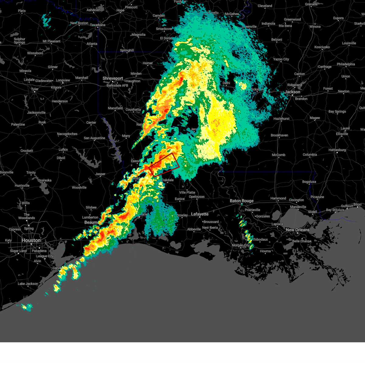
| 4/22/2025 9:21 PM CDT |
 At 921 pm cdt, a severe thunderstorm was located near elizabeth, moving southeast at 15 mph (broadcast media). Hazards include 60 mph wind gusts and quarter size hail. Hail damage to vehicles is expected. expect wind damage to roofs, siding, and trees. Locations impacted include, glenmora, allen parish airport, union hill, elizabeth, beaver, oakdale, mcnary, bond, and turkey creek. At 921 pm cdt, a severe thunderstorm was located near elizabeth, moving southeast at 15 mph (broadcast media). Hazards include 60 mph wind gusts and quarter size hail. Hail damage to vehicles is expected. expect wind damage to roofs, siding, and trees. Locations impacted include, glenmora, allen parish airport, union hill, elizabeth, beaver, oakdale, mcnary, bond, and turkey creek.
|
| 4/22/2025 9:10 PM CDT | Trees down across highway 113 in sw rapides parish near plainvie in rapides county LA, 7.5 miles WSW of Pitkin, LA |
| 4/22/2025 9:02 PM CDT |
 Svrlch the national weather service in lake charles has issued a * severe thunderstorm warning for, southwestern rapides parish in central louisiana, northwestern evangeline parish in central louisiana, southeastern vernon parish in west central louisiana, northeastern allen parish in southwestern louisiana, * until 1000 pm cdt. * at 902 pm cdt, a severe thunderstorm was located near elizabeth, moving southeast at 15 mph (radar indicated). Hazards include 60 mph wind gusts and quarter size hail. Hail damage to vehicles is expected. Expect wind damage to roofs, siding, and trees. Svrlch the national weather service in lake charles has issued a * severe thunderstorm warning for, southwestern rapides parish in central louisiana, northwestern evangeline parish in central louisiana, southeastern vernon parish in west central louisiana, northeastern allen parish in southwestern louisiana, * until 1000 pm cdt. * at 902 pm cdt, a severe thunderstorm was located near elizabeth, moving southeast at 15 mph (radar indicated). Hazards include 60 mph wind gusts and quarter size hail. Hail damage to vehicles is expected. Expect wind damage to roofs, siding, and trees.
|
| 3/31/2025 3:09 AM CDT |
 The storm which prompted the warning has weakened below severe limits, and no longer poses an immediate threat to life or property. therefore, the warning will be allowed to expire. a severe thunderstorm watch remains in effect until 800 am cdt for central, southwestern and west central louisiana. The storm which prompted the warning has weakened below severe limits, and no longer poses an immediate threat to life or property. therefore, the warning will be allowed to expire. a severe thunderstorm watch remains in effect until 800 am cdt for central, southwestern and west central louisiana.
|
| 3/31/2025 2:54 AM CDT |
 At 254 am cdt, a severe thunderstorm was located near slagle, moving southeast at 40 mph (radar indicated). Hazards include 60 mph wind gusts and quarter size hail. Hail damage to vehicles is expected. expect wind damage to roofs, siding, and trees. Locations impacted include, leesville, hornbeck, anacoco, lacamp, fullerton, hutton, clifton, flatwoods, fort johnson, new llano, pitkin, kurthwood, leander, pickering, slagle, cravens, and simpson. At 254 am cdt, a severe thunderstorm was located near slagle, moving southeast at 40 mph (radar indicated). Hazards include 60 mph wind gusts and quarter size hail. Hail damage to vehicles is expected. expect wind damage to roofs, siding, and trees. Locations impacted include, leesville, hornbeck, anacoco, lacamp, fullerton, hutton, clifton, flatwoods, fort johnson, new llano, pitkin, kurthwood, leander, pickering, slagle, cravens, and simpson.
|
| 3/31/2025 2:14 AM CDT |
 Svrlch the national weather service in lake charles has issued a * severe thunderstorm warning for, northwestern rapides parish in central louisiana, vernon parish in west central louisiana, * until 315 am cdt. * at 214 am cdt, a severe thunderstorm was located 11 miles northwest of hornbeck, or 15 miles north of toledo bend dam, moving southeast at 40 mph (radar indicated). Hazards include 60 mph wind gusts and quarter size hail. Hail damage to vehicles is expected. Expect wind damage to roofs, siding, and trees. Svrlch the national weather service in lake charles has issued a * severe thunderstorm warning for, northwestern rapides parish in central louisiana, vernon parish in west central louisiana, * until 315 am cdt. * at 214 am cdt, a severe thunderstorm was located 11 miles northwest of hornbeck, or 15 miles north of toledo bend dam, moving southeast at 40 mph (radar indicated). Hazards include 60 mph wind gusts and quarter size hail. Hail damage to vehicles is expected. Expect wind damage to roofs, siding, and trees.
|
| 3/4/2025 12:09 PM CST |
 At 1208 pm cst, severe thunderstorms were located along a line extending from 6 miles northeast of pitkin to near de quincy, moving east at 25 mph (radar indicated). Hazards include 60 mph wind gusts. Expect damage to roofs, siding, and trees. Locations impacted include, dry creek, singer, cheneyville, turkey creek, basile, bayou chicot, topsy, oakdale, duralde, glenmora, allen parish airport, forest hill, elton, sugartown, kinder, de quincy, leblanc, beaver, oretta, and ragley. At 1208 pm cst, severe thunderstorms were located along a line extending from 6 miles northeast of pitkin to near de quincy, moving east at 25 mph (radar indicated). Hazards include 60 mph wind gusts. Expect damage to roofs, siding, and trees. Locations impacted include, dry creek, singer, cheneyville, turkey creek, basile, bayou chicot, topsy, oakdale, duralde, glenmora, allen parish airport, forest hill, elton, sugartown, kinder, de quincy, leblanc, beaver, oretta, and ragley.
|
| 3/4/2025 12:07 PM CST |
 At 1207 pm cst, severe thunderstorms were located along a line extending from 11 miles southwest of olla to near elizabeth, moving east at 65 mph (radar indicated). Hazards include 70 mph wind gusts. Expect considerable tree damage. damage is likely to mobile homes, roofs, and outbuildings. Locations impacted include, ball, tioga, timber trails, esler regional airport, calcasieu, otis, elmer, kingsville, alexandria international airport, sieper, boyce, poland, kolin, alexandria, ruby, holloway, deville, union hill, lacamp, and libuse. At 1207 pm cst, severe thunderstorms were located along a line extending from 11 miles southwest of olla to near elizabeth, moving east at 65 mph (radar indicated). Hazards include 70 mph wind gusts. Expect considerable tree damage. damage is likely to mobile homes, roofs, and outbuildings. Locations impacted include, ball, tioga, timber trails, esler regional airport, calcasieu, otis, elmer, kingsville, alexandria international airport, sieper, boyce, poland, kolin, alexandria, ruby, holloway, deville, union hill, lacamp, and libuse.
|
| 3/4/2025 11:49 AM CST |
 At 1149 am cst, severe thunderstorms were located along a line extending from 13 miles north of colfax to near sugartown, moving east at 40 mph (radar indicated). Hazards include 70 mph wind gusts. Expect considerable tree damage. damage is likely to mobile homes, roofs, and outbuildings. Locations impacted include, ball, tioga, timber trails, esler regional airport, flatwoods, calcasieu, otis, elmer, kingsville, alexandria international airport, sieper, boyce, poland, kolin, alexandria, ruby, holloway, deville, union hill, and lacamp. At 1149 am cst, severe thunderstorms were located along a line extending from 13 miles north of colfax to near sugartown, moving east at 40 mph (radar indicated). Hazards include 70 mph wind gusts. Expect considerable tree damage. damage is likely to mobile homes, roofs, and outbuildings. Locations impacted include, ball, tioga, timber trails, esler regional airport, flatwoods, calcasieu, otis, elmer, kingsville, alexandria international airport, sieper, boyce, poland, kolin, alexandria, ruby, holloway, deville, union hill, and lacamp.
|
| 3/4/2025 11:41 AM CST |
 Svrlch the national weather service in lake charles has issued a * severe thunderstorm warning for, southeastern rapides parish in central louisiana, northern jefferson davis parish in southwestern louisiana, evangeline parish in central louisiana, beauregard parish in southwestern louisiana, northwestern acadia parish in southwestern louisiana, northwestern calcasieu parish in southwestern louisiana, southeastern vernon parish in west central louisiana, allen parish in southwestern louisiana, * until 1245 pm cst. * at 1141 am cst, severe thunderstorms were located along a line extending from near cravens to near lunita, moving northeast at 85 mph (radar indicated). Hazards include 60 mph wind gusts. expect damage to roofs, siding, and trees Svrlch the national weather service in lake charles has issued a * severe thunderstorm warning for, southeastern rapides parish in central louisiana, northern jefferson davis parish in southwestern louisiana, evangeline parish in central louisiana, beauregard parish in southwestern louisiana, northwestern acadia parish in southwestern louisiana, northwestern calcasieu parish in southwestern louisiana, southeastern vernon parish in west central louisiana, allen parish in southwestern louisiana, * until 1245 pm cst. * at 1141 am cst, severe thunderstorms were located along a line extending from near cravens to near lunita, moving northeast at 85 mph (radar indicated). Hazards include 60 mph wind gusts. expect damage to roofs, siding, and trees
|
| 3/4/2025 11:28 AM CST |
 Svrlch the national weather service in lake charles has issued a * severe thunderstorm warning for, rapides parish in central louisiana, north central beauregard parish in southwestern louisiana, northwestern avoyelles parish in central louisiana, eastern vernon parish in west central louisiana, * until 1230 pm cst. * at 1127 am cst, severe thunderstorms were located along a line extending from 6 miles southwest of montgomery to near rosepine, moving northeast at 60 mph (radar indicated). Hazards include 70 mph wind gusts. Expect considerable tree damage. Damage is likely to mobile homes, roofs, and outbuildings. Svrlch the national weather service in lake charles has issued a * severe thunderstorm warning for, rapides parish in central louisiana, north central beauregard parish in southwestern louisiana, northwestern avoyelles parish in central louisiana, eastern vernon parish in west central louisiana, * until 1230 pm cst. * at 1127 am cst, severe thunderstorms were located along a line extending from 6 miles southwest of montgomery to near rosepine, moving northeast at 60 mph (radar indicated). Hazards include 70 mph wind gusts. Expect considerable tree damage. Damage is likely to mobile homes, roofs, and outbuildings.
|
| 3/4/2025 11:27 AM CST | Awos station kpoe fort polk f in vernon county LA, 18.3 miles ESE of Pitkin, LA |
| 12/28/2024 4:18 PM CST | Svrlch the national weather service in lake charles has issued a * severe thunderstorm warning for, southern rapides parish in central louisiana, evangeline parish in central louisiana, northeastern beauregard parish in southwestern louisiana, southeastern vernon parish in west central louisiana, allen parish in southwestern louisiana, * until 515 pm cst. * at 418 pm cst, severe thunderstorms were located along a line extending from 6 miles west of glenmora to longville, moving southeast at 60 mph (radar indicated). Hazards include 70 mph wind gusts. Expect considerable tree damage. Damage is likely to mobile homes, roofs, and outbuildings. |
| 12/28/2024 3:55 PM CST |
 Torlch the national weather service in lake charles has issued a * tornado warning for, southwestern rapides parish in central louisiana, southeastern vernon parish in west central louisiana, * until 430 pm cst. * at 355 pm cst, severe thunderstorms capable of producing both tornadoes and extensive straight line wind damage were located near fullerton, or near pitkin, moving east at 45 mph (radar indicated rotation). Hazards include tornado. Flying debris will be dangerous to those caught without shelter. mobile homes will be damaged or destroyed. damage to roofs, windows, and vehicles will occur. tree damage is likely. these dangerous storms will be near, glenmora around 410 pm cst. other locations impacted by this tornadic thunderstorm include union hill, forest hill, calcasieu, mcnary, and woodworth. This includes interstate 49 between mile markers 58 and 81. Torlch the national weather service in lake charles has issued a * tornado warning for, southwestern rapides parish in central louisiana, southeastern vernon parish in west central louisiana, * until 430 pm cst. * at 355 pm cst, severe thunderstorms capable of producing both tornadoes and extensive straight line wind damage were located near fullerton, or near pitkin, moving east at 45 mph (radar indicated rotation). Hazards include tornado. Flying debris will be dangerous to those caught without shelter. mobile homes will be damaged or destroyed. damage to roofs, windows, and vehicles will occur. tree damage is likely. these dangerous storms will be near, glenmora around 410 pm cst. other locations impacted by this tornadic thunderstorm include union hill, forest hill, calcasieu, mcnary, and woodworth. This includes interstate 49 between mile markers 58 and 81.
|
| 12/28/2024 3:35 PM CST |
 At 335 pm cst, a confirmed tornado was located over fort johnson, moving east at 35 mph (radar confirmed tornado). Hazards include damaging tornado. Flying debris will be dangerous to those caught without shelter. mobile homes will be damaged or destroyed. damage to roofs, windows, and vehicles will occur. tree damage is likely. This tornado will be near, lacamp and fullerton around 345 pm cst. At 335 pm cst, a confirmed tornado was located over fort johnson, moving east at 35 mph (radar confirmed tornado). Hazards include damaging tornado. Flying debris will be dangerous to those caught without shelter. mobile homes will be damaged or destroyed. damage to roofs, windows, and vehicles will occur. tree damage is likely. This tornado will be near, lacamp and fullerton around 345 pm cst.
|
| 12/28/2024 3:29 PM CST |
 Torlch the national weather service in lake charles has issued a * tornado warning for, southeastern vernon parish in west central louisiana, * until 400 pm cst. * at 328 pm cst, a tornado producing storm was located over fort johnson, moving east at 35 mph (radar confirmed tornado). Hazards include damaging tornado. Flying debris will be dangerous to those caught without shelter. mobile homes will be damaged or destroyed. damage to roofs, windows, and vehicles will occur. tree damage is likely. this tornadic storm will be near, fort johnson around 335 pm cst. cravens around 340 pm cst. fullerton around 345 pm cst. Other locations impacted by this tornadic thunderstorm include pickering. Torlch the national weather service in lake charles has issued a * tornado warning for, southeastern vernon parish in west central louisiana, * until 400 pm cst. * at 328 pm cst, a tornado producing storm was located over fort johnson, moving east at 35 mph (radar confirmed tornado). Hazards include damaging tornado. Flying debris will be dangerous to those caught without shelter. mobile homes will be damaged or destroyed. damage to roofs, windows, and vehicles will occur. tree damage is likely. this tornadic storm will be near, fort johnson around 335 pm cst. cravens around 340 pm cst. fullerton around 345 pm cst. Other locations impacted by this tornadic thunderstorm include pickering.
|
| 12/26/2024 8:34 PM CST |
 Torlch the national weather service in lake charles has issued a * tornado warning for, southwestern rapides parish in central louisiana, southeastern vernon parish in west central louisiana, * until 900 pm cst. * at 834 pm cst, a tornado producing storm was located near fullerton, or near pitkin, moving northeast at 40 mph (radar confirmed tornado). Hazards include damaging tornado. Flying debris will be dangerous to those caught without shelter. mobile homes will be damaged or destroyed. damage to roofs, windows, and vehicles will occur. tree damage is likely. this tornadic storm will be near, hineston and leander around 840 pm cst. elmer around 845 pm cst. otis around 850 pm cst. other locations impacted by this tornadic thunderstorm include union hill, calcasieu, woodworth, and forest hill. This includes interstate 49 between mile markers 68 and 69. Torlch the national weather service in lake charles has issued a * tornado warning for, southwestern rapides parish in central louisiana, southeastern vernon parish in west central louisiana, * until 900 pm cst. * at 834 pm cst, a tornado producing storm was located near fullerton, or near pitkin, moving northeast at 40 mph (radar confirmed tornado). Hazards include damaging tornado. Flying debris will be dangerous to those caught without shelter. mobile homes will be damaged or destroyed. damage to roofs, windows, and vehicles will occur. tree damage is likely. this tornadic storm will be near, hineston and leander around 840 pm cst. elmer around 845 pm cst. otis around 850 pm cst. other locations impacted by this tornadic thunderstorm include union hill, calcasieu, woodworth, and forest hill. This includes interstate 49 between mile markers 68 and 69.
|
| 6/4/2024 3:22 PM CDT |
 The storm which prompted the warning has moved out of the area. therefore, the warning will be allowed to expire. however heavy rain is still possible with this thunderstorm. a severe thunderstorm watch remains in effect until 800 pm cdt for central, southwestern and west central louisiana. The storm which prompted the warning has moved out of the area. therefore, the warning will be allowed to expire. however heavy rain is still possible with this thunderstorm. a severe thunderstorm watch remains in effect until 800 pm cdt for central, southwestern and west central louisiana.
|
| 6/4/2024 2:39 PM CDT |
 Svrlch the national weather service in lake charles has issued a * severe thunderstorm warning for, southeastern rapides parish in central louisiana, northeastern jefferson davis parish in southwestern louisiana, evangeline parish in central louisiana, northeastern beauregard parish in southwestern louisiana, avoyelles parish in central louisiana, north central st. landry parish in central louisiana, southeastern vernon parish in west central louisiana, allen parish in southwestern louisiana, * until 345 pm cdt. * at 239 pm cdt, a severe thunderstorm was located over hineston, moving southeast at 10 mph (radar indicated). Hazards include 60 mph wind gusts and penny size hail. expect damage to roofs, siding, and trees Svrlch the national weather service in lake charles has issued a * severe thunderstorm warning for, southeastern rapides parish in central louisiana, northeastern jefferson davis parish in southwestern louisiana, evangeline parish in central louisiana, northeastern beauregard parish in southwestern louisiana, avoyelles parish in central louisiana, north central st. landry parish in central louisiana, southeastern vernon parish in west central louisiana, allen parish in southwestern louisiana, * until 345 pm cdt. * at 239 pm cdt, a severe thunderstorm was located over hineston, moving southeast at 10 mph (radar indicated). Hazards include 60 mph wind gusts and penny size hail. expect damage to roofs, siding, and trees
|
| 6/4/2024 2:24 PM CDT |
 Svrlch the national weather service in lake charles has issued a * severe thunderstorm warning for, central rapides parish in central louisiana, northern beauregard parish in southwestern louisiana, vernon parish in west central louisiana, northeastern newton county in southeastern texas, * until 330 pm cdt. * at 224 pm cdt, a severe thunderstorm was located near hutton, or 12 miles northeast of slagle, moving east at 15 mph (radar indicated). Hazards include 60 mph wind gusts and penny size hail. expect damage to roofs, siding, and trees Svrlch the national weather service in lake charles has issued a * severe thunderstorm warning for, central rapides parish in central louisiana, northern beauregard parish in southwestern louisiana, vernon parish in west central louisiana, northeastern newton county in southeastern texas, * until 330 pm cdt. * at 224 pm cdt, a severe thunderstorm was located near hutton, or 12 miles northeast of slagle, moving east at 15 mph (radar indicated). Hazards include 60 mph wind gusts and penny size hail. expect damage to roofs, siding, and trees
|
| 5/30/2024 9:25 PM CDT |
 At 925 pm cdt, severe thunderstorms were located along a line extending from near boyce to gardner to near elmer to near oakdale, moving east at 55 mph (radar indicated). Hazards include 60 mph wind gusts and penny size hail. Expect damage to roofs, siding, and trees. Locations impacted include, alexandria, pineville, glenmora, boyce, cheneyville, elizabeth, turkey creek, alexandria international airport, hineston, pitkin, ball, lecompte, tioga, timber trails, esler regional airport, otis, elmer, kingsville, sieper, and poland. At 925 pm cdt, severe thunderstorms were located along a line extending from near boyce to gardner to near elmer to near oakdale, moving east at 55 mph (radar indicated). Hazards include 60 mph wind gusts and penny size hail. Expect damage to roofs, siding, and trees. Locations impacted include, alexandria, pineville, glenmora, boyce, cheneyville, elizabeth, turkey creek, alexandria international airport, hineston, pitkin, ball, lecompte, tioga, timber trails, esler regional airport, otis, elmer, kingsville, sieper, and poland.
|
| 5/30/2024 8:58 PM CDT |
 Svrlch the national weather service in lake charles has issued a * severe thunderstorm warning for, rapides parish in central louisiana, northern evangeline parish in central louisiana, northwestern avoyelles parish in central louisiana, eastern vernon parish in west central louisiana, northeastern allen parish in southwestern louisiana, * until 1000 pm cdt. * at 857 pm cdt, severe thunderstorms were located along a line extending from near hutton to 7 miles north of fullerton to near sugartown, moving east at 40 mph (radar indicated). Hazards include 60 mph wind gusts and penny size hail. expect damage to roofs, siding, and trees Svrlch the national weather service in lake charles has issued a * severe thunderstorm warning for, rapides parish in central louisiana, northern evangeline parish in central louisiana, northwestern avoyelles parish in central louisiana, eastern vernon parish in west central louisiana, northeastern allen parish in southwestern louisiana, * until 1000 pm cdt. * at 857 pm cdt, severe thunderstorms were located along a line extending from near hutton to 7 miles north of fullerton to near sugartown, moving east at 40 mph (radar indicated). Hazards include 60 mph wind gusts and penny size hail. expect damage to roofs, siding, and trees
|
| 5/30/2024 8:55 PM CDT | Awos station kpoe fort polk f in vernon county LA, 18.3 miles ESE of Pitkin, LA |
| 5/16/2024 6:25 PM CDT |
 The severe thunderstorm which prompted the warning has moved out of the warned area. therefore, the warning will be allowed to expire. a tornado watch remains in effect until 1000 pm cdt for central, southwestern and west central louisiana. remember, a severe thunderstorm warning still remains in effect for southeast beauregard and west allen until 7 pm. The severe thunderstorm which prompted the warning has moved out of the warned area. therefore, the warning will be allowed to expire. a tornado watch remains in effect until 1000 pm cdt for central, southwestern and west central louisiana. remember, a severe thunderstorm warning still remains in effect for southeast beauregard and west allen until 7 pm.
|
| 5/16/2024 6:09 PM CDT |
 At 609 pm cdt, a severe thunderstorm was located near longville, or 9 miles north of ragley, moving east at 20 mph (radar indicated). Hazards include 70 mph wind gusts and ping pong ball size hail. People and animals outdoors will be injured. expect hail damage to roofs, siding, windows, and vehicles. expect considerable tree damage. wind damage is also likely to mobile homes, roofs, and outbuildings. Locations impacted include, de ridder, rosepine, merryville, elizabeth, reeves, dry creek, singer, sugartown, mittie, ragley, grant, longville, tulla, oretta, and bundick lake. At 609 pm cdt, a severe thunderstorm was located near longville, or 9 miles north of ragley, moving east at 20 mph (radar indicated). Hazards include 70 mph wind gusts and ping pong ball size hail. People and animals outdoors will be injured. expect hail damage to roofs, siding, windows, and vehicles. expect considerable tree damage. wind damage is also likely to mobile homes, roofs, and outbuildings. Locations impacted include, de ridder, rosepine, merryville, elizabeth, reeves, dry creek, singer, sugartown, mittie, ragley, grant, longville, tulla, oretta, and bundick lake.
|
| 5/16/2024 6:09 PM CDT |
 the severe thunderstorm warning has been cancelled and is no longer in effect the severe thunderstorm warning has been cancelled and is no longer in effect
|
| 5/16/2024 5:55 PM CDT |
 Svrlch the national weather service in lake charles has issued a * severe thunderstorm warning for, beauregard parish in southwestern louisiana, north central calcasieu parish in southwestern louisiana, southeastern vernon parish in west central louisiana, northwestern allen parish in southwestern louisiana, * until 630 pm cdt. * at 555 pm cdt, a severe thunderstorm was located near singer, moving east at 20 mph (radar indicated). Hazards include 60 mph wind gusts and quarter size hail. Hail damage to vehicles is expected. Expect wind damage to roofs, siding, and trees. Svrlch the national weather service in lake charles has issued a * severe thunderstorm warning for, beauregard parish in southwestern louisiana, north central calcasieu parish in southwestern louisiana, southeastern vernon parish in west central louisiana, northwestern allen parish in southwestern louisiana, * until 630 pm cdt. * at 555 pm cdt, a severe thunderstorm was located near singer, moving east at 20 mph (radar indicated). Hazards include 60 mph wind gusts and quarter size hail. Hail damage to vehicles is expected. Expect wind damage to roofs, siding, and trees.
|
| 5/16/2024 4:37 PM CDT |
 The storm which prompted the warning has weakened below severe limits, and has exited the warned area. therefore, the warning will be allowed to expire. a tornado watch remains in effect until 1000 pm cdt for central, southwestern and west central louisiana. The storm which prompted the warning has weakened below severe limits, and has exited the warned area. therefore, the warning will be allowed to expire. a tornado watch remains in effect until 1000 pm cdt for central, southwestern and west central louisiana.
|
| 5/16/2024 4:05 PM CDT |
 the severe thunderstorm warning has been cancelled and is no longer in effect the severe thunderstorm warning has been cancelled and is no longer in effect
|
| 5/16/2024 4:05 PM CDT |
 At 405 pm cdt, a severe thunderstorm was located near fort johnson, moving east at 50 mph (radar indicated). Hazards include 60 mph wind gusts and quarter size hail. Hail damage to vehicles is expected. expect wind damage to roofs, siding, and trees. Locations impacted include, oakdale, boyce, elizabeth, hineston, lena, pitkin, lacamp, fullerton, hutton, clifton, flatwoods, otis, elmer, leander, sieper, gardner, cravens, calcasieu, simpson, and union hill. At 405 pm cdt, a severe thunderstorm was located near fort johnson, moving east at 50 mph (radar indicated). Hazards include 60 mph wind gusts and quarter size hail. Hail damage to vehicles is expected. expect wind damage to roofs, siding, and trees. Locations impacted include, oakdale, boyce, elizabeth, hineston, lena, pitkin, lacamp, fullerton, hutton, clifton, flatwoods, otis, elmer, leander, sieper, gardner, cravens, calcasieu, simpson, and union hill.
|
| 5/16/2024 3:40 PM CDT |
 Svrlch the national weather service in lake charles has issued a * severe thunderstorm warning for, western rapides parish in central louisiana, vernon parish in west central louisiana, northeastern allen parish in southwestern louisiana, northeastern newton county in southeastern texas, * until 445 pm cdt. * at 339 pm cdt, a severe thunderstorm was located near burr ferry, or near toledo bend dam, moving east at 50 mph (radar indicated). Hazards include 60 mph wind gusts and quarter size hail. Hail damage to vehicles is expected. Expect wind damage to roofs, siding, and trees. Svrlch the national weather service in lake charles has issued a * severe thunderstorm warning for, western rapides parish in central louisiana, vernon parish in west central louisiana, northeastern allen parish in southwestern louisiana, northeastern newton county in southeastern texas, * until 445 pm cdt. * at 339 pm cdt, a severe thunderstorm was located near burr ferry, or near toledo bend dam, moving east at 50 mph (radar indicated). Hazards include 60 mph wind gusts and quarter size hail. Hail damage to vehicles is expected. Expect wind damage to roofs, siding, and trees.
|
| 5/12/2024 4:52 PM CDT |
 At 452 pm cdt, a severe thunderstorm was located over cravens, or near pitkin, moving east at 35 mph (radar indicated). Hazards include 60 mph wind gusts and quarter size hail. Hail damage to vehicles is expected. expect wind damage to roofs, siding, and trees. Locations impacted include, glenmora, elizabeth, pitkin, fullerton, elmer, cravens, calcasieu, mcnary, and union hill. At 452 pm cdt, a severe thunderstorm was located over cravens, or near pitkin, moving east at 35 mph (radar indicated). Hazards include 60 mph wind gusts and quarter size hail. Hail damage to vehicles is expected. expect wind damage to roofs, siding, and trees. Locations impacted include, glenmora, elizabeth, pitkin, fullerton, elmer, cravens, calcasieu, mcnary, and union hill.
|
| 5/12/2024 4:39 PM CDT |
 Svrlch the national weather service in lake charles has issued a * severe thunderstorm warning for, southwestern rapides parish in central louisiana, southeastern vernon parish in west central louisiana, northeastern allen parish in southwestern louisiana, * until 530 pm cdt. * at 439 pm cdt, a severe thunderstorm was located near cravens, or near fort johnson, moving east at 50 mph (radar indicated). Hazards include quarter size hail. damage to vehicles is expected Svrlch the national weather service in lake charles has issued a * severe thunderstorm warning for, southwestern rapides parish in central louisiana, southeastern vernon parish in west central louisiana, northeastern allen parish in southwestern louisiana, * until 530 pm cdt. * at 439 pm cdt, a severe thunderstorm was located near cravens, or near fort johnson, moving east at 50 mph (radar indicated). Hazards include quarter size hail. damage to vehicles is expected
|
| 5/12/2024 2:25 PM CDT |
 The storm which prompted the warning has weakened below severe limits, and no longer poses an immediate threat to life or property. therefore, the warning will be allowed to expire. however small hail and gusty winds are still possible with this thunderstorm. a tornado watch remains in effect until 700 pm cdt for southwestern and west central louisiana. The storm which prompted the warning has weakened below severe limits, and no longer poses an immediate threat to life or property. therefore, the warning will be allowed to expire. however small hail and gusty winds are still possible with this thunderstorm. a tornado watch remains in effect until 700 pm cdt for southwestern and west central louisiana.
|
| 5/12/2024 1:58 PM CDT |
 the severe thunderstorm warning has been cancelled and is no longer in effect the severe thunderstorm warning has been cancelled and is no longer in effect
|
| 5/12/2024 1:58 PM CDT |
 At 157 pm cdt, a severe thunderstorm was located near tulla, or 8 miles northwest of dry creek, moving east at 40 mph (radar indicated). Hazards include ping pong ball size hail and 60 mph wind gusts. People and animals outdoors will be injured. expect hail damage to roofs, siding, windows, and vehicles. expect wind damage to roofs, siding, and trees. Locations impacted include, de ridder, rosepine, dry creek, pitkin, sugartown, mittie, grant, tulla, fullerton, cravens, and bundick lake. At 157 pm cdt, a severe thunderstorm was located near tulla, or 8 miles northwest of dry creek, moving east at 40 mph (radar indicated). Hazards include ping pong ball size hail and 60 mph wind gusts. People and animals outdoors will be injured. expect hail damage to roofs, siding, windows, and vehicles. expect wind damage to roofs, siding, and trees. Locations impacted include, de ridder, rosepine, dry creek, pitkin, sugartown, mittie, grant, tulla, fullerton, cravens, and bundick lake.
|
| 5/12/2024 1:32 PM CDT |
 Svrlch the national weather service in lake charles has issued a * severe thunderstorm warning for, beauregard parish in southwestern louisiana, southern vernon parish in west central louisiana, north central allen parish in southwestern louisiana, east central newton county in southeastern texas, * until 230 pm cdt. * at 132 pm cdt, a severe thunderstorm was located over merryville, moving east at 35 mph (radar indicated). Hazards include ping pong ball size hail and 60 mph wind gusts. People and animals outdoors will be injured. expect hail damage to roofs, siding, windows, and vehicles. Expect wind damage to roofs, siding, and trees. Svrlch the national weather service in lake charles has issued a * severe thunderstorm warning for, beauregard parish in southwestern louisiana, southern vernon parish in west central louisiana, north central allen parish in southwestern louisiana, east central newton county in southeastern texas, * until 230 pm cdt. * at 132 pm cdt, a severe thunderstorm was located over merryville, moving east at 35 mph (radar indicated). Hazards include ping pong ball size hail and 60 mph wind gusts. People and animals outdoors will be injured. expect hail damage to roofs, siding, windows, and vehicles. Expect wind damage to roofs, siding, and trees.
|
| 5/9/2024 11:39 PM CDT |
 Svrlch the national weather service in lake charles has issued a * severe thunderstorm warning for, vernon parish in west central louisiana, * until 1230 am cdt. * at 1139 pm cdt, severe thunderstorms were located along a line extending from near burr ferry to near new llano to 8 miles south of leesville to near rosepine, moving east at 45 mph (radar indicated). Hazards include 60 mph wind gusts. expect damage to roofs, siding, and trees Svrlch the national weather service in lake charles has issued a * severe thunderstorm warning for, vernon parish in west central louisiana, * until 1230 am cdt. * at 1139 pm cdt, severe thunderstorms were located along a line extending from near burr ferry to near new llano to 8 miles south of leesville to near rosepine, moving east at 45 mph (radar indicated). Hazards include 60 mph wind gusts. expect damage to roofs, siding, and trees
|
| 4/10/2024 7:25 AM CDT |
 the severe thunderstorm warning has been cancelled and is no longer in effect the severe thunderstorm warning has been cancelled and is no longer in effect
|
| 4/10/2024 7:18 AM CDT |
 Svrlch the national weather service in lake charles has issued a * severe thunderstorm warning for, rapides parish in central louisiana, evangeline parish in central louisiana, avoyelles parish in central louisiana, northern st. landry parish in central louisiana, southeastern vernon parish in west central louisiana, northeastern allen parish in southwestern louisiana, * until 815 am cdt. * at 718 am cdt, severe thunderstorms were located along a line extending from fullerton to near beaver to near eunice, moving northeast at 60 mph (radar indicated). Hazards include 60 mph wind gusts and quarter size hail. Hail damage to vehicles is expected. Expect wind damage to roofs, siding, and trees. Svrlch the national weather service in lake charles has issued a * severe thunderstorm warning for, rapides parish in central louisiana, evangeline parish in central louisiana, avoyelles parish in central louisiana, northern st. landry parish in central louisiana, southeastern vernon parish in west central louisiana, northeastern allen parish in southwestern louisiana, * until 815 am cdt. * at 718 am cdt, severe thunderstorms were located along a line extending from fullerton to near beaver to near eunice, moving northeast at 60 mph (radar indicated). Hazards include 60 mph wind gusts and quarter size hail. Hail damage to vehicles is expected. Expect wind damage to roofs, siding, and trees.
|
| 4/10/2024 6:47 AM CDT |
 Svrlch the national weather service in lake charles has issued a * severe thunderstorm warning for, southwestern rapides parish in central louisiana, northern jefferson davis parish in southwestern louisiana, southwestern evangeline parish in central louisiana, eastern beauregard parish in southwestern louisiana, northwestern acadia parish in southwestern louisiana, southeastern vernon parish in west central louisiana, allen parish in southwestern louisiana, * until 745 am cdt. * at 647 am cdt, severe thunderstorms were located along a line extending from near de ridder to near dry creek to buller, moving northeast at 40 mph (radar indicated). Hazards include 60 mph wind gusts and nickel size hail. expect damage to roofs, siding, and trees Svrlch the national weather service in lake charles has issued a * severe thunderstorm warning for, southwestern rapides parish in central louisiana, northern jefferson davis parish in southwestern louisiana, southwestern evangeline parish in central louisiana, eastern beauregard parish in southwestern louisiana, northwestern acadia parish in southwestern louisiana, southeastern vernon parish in west central louisiana, allen parish in southwestern louisiana, * until 745 am cdt. * at 647 am cdt, severe thunderstorms were located along a line extending from near de ridder to near dry creek to buller, moving northeast at 40 mph (radar indicated). Hazards include 60 mph wind gusts and nickel size hail. expect damage to roofs, siding, and trees
|
| 1/12/2024 5:01 AM CST |
 At 501 am cst, a severe thunderstorm was located near rosepine, moving northeast at 35 mph (radar indicated). Hazards include 60 mph wind gusts and penny size hail. Expect damage to roofs, siding, and trees. locations impacted include, slagle, fort johnson, new llano, cravens, fullerton, and pickering. hail threat, radar indicated max hail size, 0. 75 in wind threat, radar indicated max wind gust, 60 mph. At 501 am cst, a severe thunderstorm was located near rosepine, moving northeast at 35 mph (radar indicated). Hazards include 60 mph wind gusts and penny size hail. Expect damage to roofs, siding, and trees. locations impacted include, slagle, fort johnson, new llano, cravens, fullerton, and pickering. hail threat, radar indicated max hail size, 0. 75 in wind threat, radar indicated max wind gust, 60 mph.
|
| 1/12/2024 4:56 AM CST |
 At 456 am cst, a severe thunderstorm was located near rosepine, moving northeast at 35 mph (radar indicated). Hazards include 60 mph wind gusts and penny size hail. expect damage to roofs, siding, and trees At 456 am cst, a severe thunderstorm was located near rosepine, moving northeast at 35 mph (radar indicated). Hazards include 60 mph wind gusts and penny size hail. expect damage to roofs, siding, and trees
|
| 9/8/2023 1:04 PM CDT | Thunderstorm caused a large tree branch to fall across 10 mile roa in allen county LA, 13.8 miles N of Pitkin, LA |
| 9/8/2023 1:00 PM CDT | Tree damage in the plainview fd distric in rapides county LA, 7 miles W of Pitkin, LA |
| 9/8/2023 12:37 PM CDT |
 At 1236 pm cdt, a severe thunderstorm was located near fullerton, or near pitkin, moving south at 35 mph (radar indicated). Hazards include 60 mph wind gusts and penny size hail. expect damage to roofs, siding, and trees At 1236 pm cdt, a severe thunderstorm was located near fullerton, or near pitkin, moving south at 35 mph (radar indicated). Hazards include 60 mph wind gusts and penny size hail. expect damage to roofs, siding, and trees
|
| 7/9/2023 8:01 PM CDT |
 At 801 pm cdt, a severe thunderstorm was located near rosepine, moving southeast at 15 mph (radar indicated). Hazards include 60 mph wind gusts and quarter size hail. Hail damage to vehicles is expected. expect wind damage to roofs, siding, and trees. locations impacted include, de ridder, rosepine, sugartown and bundick lake. hail threat, radar indicated max hail size, 1. 00 in wind threat, radar indicated max wind gust, 60 mph. At 801 pm cdt, a severe thunderstorm was located near rosepine, moving southeast at 15 mph (radar indicated). Hazards include 60 mph wind gusts and quarter size hail. Hail damage to vehicles is expected. expect wind damage to roofs, siding, and trees. locations impacted include, de ridder, rosepine, sugartown and bundick lake. hail threat, radar indicated max hail size, 1. 00 in wind threat, radar indicated max wind gust, 60 mph.
|
| 7/9/2023 7:46 PM CDT |
 At 746 pm cdt, a severe thunderstorm was located over rosepine, moving southeast at 15 mph (radar indicated). Hazards include 60 mph wind gusts and quarter size hail. Hail damage to vehicles is expected. Expect wind damage to roofs, siding, and trees. At 746 pm cdt, a severe thunderstorm was located over rosepine, moving southeast at 15 mph (radar indicated). Hazards include 60 mph wind gusts and quarter size hail. Hail damage to vehicles is expected. Expect wind damage to roofs, siding, and trees.
|
| 6/21/2023 2:45 AM CDT |
 At 245 am cdt, a severe thunderstorm was located near sugartown, moving south at 20 mph (radar indicated). Hazards include two inch hail and 60 mph wind gusts. People and animals outdoors will be injured. expect hail damage to roofs, siding, windows, and vehicles. expect wind damage to roofs, siding, and trees. locations impacted include, sugartown and grant. thunderstorm damage threat, considerable hail threat, radar indicated max hail size, 2. 00 in wind threat, radar indicated max wind gust, 60 mph. At 245 am cdt, a severe thunderstorm was located near sugartown, moving south at 20 mph (radar indicated). Hazards include two inch hail and 60 mph wind gusts. People and animals outdoors will be injured. expect hail damage to roofs, siding, windows, and vehicles. expect wind damage to roofs, siding, and trees. locations impacted include, sugartown and grant. thunderstorm damage threat, considerable hail threat, radar indicated max hail size, 2. 00 in wind threat, radar indicated max wind gust, 60 mph.
|
| 6/21/2023 2:36 AM CDT |
 The severe thunderstorm warning for southwestern rapides and southeastern vernon parishes will expire at 245 am cdt, the storm which prompted the warning has weakened below severe limits, and has exited the warned area. therefore, the warning will be allowed to expire. however small hail and gusty winds are still possible with this thunderstorm. The severe thunderstorm warning for southwestern rapides and southeastern vernon parishes will expire at 245 am cdt, the storm which prompted the warning has weakened below severe limits, and has exited the warned area. therefore, the warning will be allowed to expire. however small hail and gusty winds are still possible with this thunderstorm.
|
| 6/21/2023 2:27 AM CDT |
 At 227 am cdt, a severe thunderstorm was located over pitkin, moving southwest at 25 mph (radar indicated). Hazards include two inch hail and 70 mph wind gusts. People and animals outdoors will be injured. expect hail damage to roofs, siding, windows, and vehicles. expect considerable tree damage. Wind damage is also likely to mobile homes, roofs, and outbuildings. At 227 am cdt, a severe thunderstorm was located over pitkin, moving southwest at 25 mph (radar indicated). Hazards include two inch hail and 70 mph wind gusts. People and animals outdoors will be injured. expect hail damage to roofs, siding, windows, and vehicles. expect considerable tree damage. Wind damage is also likely to mobile homes, roofs, and outbuildings.
|
| 6/21/2023 2:25 AM CDT |
 At 225 am cdt, a severe thunderstorm was located 8 miles north of elizabeth, moving south at 20 mph (radar indicated). Hazards include two inch hail and 70 mph wind gusts. People and animals outdoors will be injured. expect hail damage to roofs, siding, windows, and vehicles. expect considerable tree damage. wind damage is also likely to mobile homes, roofs, and outbuildings. locations impacted include, pitkin, hineston, elmer, leander, calcasieu and union hill. thunderstorm damage threat, considerable hail threat, radar indicated max hail size, 2. 00 in wind threat, radar indicated max wind gust, 70 mph. At 225 am cdt, a severe thunderstorm was located 8 miles north of elizabeth, moving south at 20 mph (radar indicated). Hazards include two inch hail and 70 mph wind gusts. People and animals outdoors will be injured. expect hail damage to roofs, siding, windows, and vehicles. expect considerable tree damage. wind damage is also likely to mobile homes, roofs, and outbuildings. locations impacted include, pitkin, hineston, elmer, leander, calcasieu and union hill. thunderstorm damage threat, considerable hail threat, radar indicated max hail size, 2. 00 in wind threat, radar indicated max wind gust, 70 mph.
|
| 6/21/2023 2:22 AM CDT |
 At 221 am cdt, a severe thunderstorm was located 9 miles northeast of pitkin, moving south at 20 mph (radar indicated). Hazards include 70 mph wind gusts and ping pong ball size hail. People and animals outdoors will be injured. expect hail damage to roofs, siding, windows, and vehicles. expect considerable tree damage. wind damage is also likely to mobile homes, roofs, and outbuildings. locations impacted include, pitkin, hineston, elmer, leander, calcasieu and union hill. thunderstorm damage threat, considerable hail threat, radar indicated max hail size, 1. 50 in wind threat, radar indicated max wind gust, 70 mph. At 221 am cdt, a severe thunderstorm was located 9 miles northeast of pitkin, moving south at 20 mph (radar indicated). Hazards include 70 mph wind gusts and ping pong ball size hail. People and animals outdoors will be injured. expect hail damage to roofs, siding, windows, and vehicles. expect considerable tree damage. wind damage is also likely to mobile homes, roofs, and outbuildings. locations impacted include, pitkin, hineston, elmer, leander, calcasieu and union hill. thunderstorm damage threat, considerable hail threat, radar indicated max hail size, 1. 50 in wind threat, radar indicated max wind gust, 70 mph.
|
| 6/21/2023 2:14 AM CDT |
 At 211 am cdt, a severe thunderstorm was located 7 miles south of hineston, moving south at 20 mph (radar indicated). Hazards include 70 mph wind gusts and ping pong ball size hail. People and animals outdoors will be injured. expect hail damage to roofs, siding, windows, and vehicles. expect considerable tree damage. wind damage is also likely to mobile homes, roofs, and outbuildings. locations impacted include, pitkin, hineston, lacamp, leander, sieper, otis, elmer, calcasieu and union hill. thunderstorm damage threat, considerable hail threat, radar indicated max hail size, 1. 50 in wind threat, radar indicated max wind gust, 70 mph. At 211 am cdt, a severe thunderstorm was located 7 miles south of hineston, moving south at 20 mph (radar indicated). Hazards include 70 mph wind gusts and ping pong ball size hail. People and animals outdoors will be injured. expect hail damage to roofs, siding, windows, and vehicles. expect considerable tree damage. wind damage is also likely to mobile homes, roofs, and outbuildings. locations impacted include, pitkin, hineston, lacamp, leander, sieper, otis, elmer, calcasieu and union hill. thunderstorm damage threat, considerable hail threat, radar indicated max hail size, 1. 50 in wind threat, radar indicated max wind gust, 70 mph.
|
| 6/21/2023 1:50 AM CDT |
 At 150 am cdt, a severe thunderstorm was located near hineston, moving south at 40 mph (radar indicated). Hazards include ping pong ball size hail and 60 mph wind gusts. People and animals outdoors will be injured. expect hail damage to roofs, siding, windows, and vehicles. Expect wind damage to roofs, siding, and trees. At 150 am cdt, a severe thunderstorm was located near hineston, moving south at 40 mph (radar indicated). Hazards include ping pong ball size hail and 60 mph wind gusts. People and animals outdoors will be injured. expect hail damage to roofs, siding, windows, and vehicles. Expect wind damage to roofs, siding, and trees.
|
| 6/20/2023 5:44 PM CDT |
 At 543 pm cdt, a severe thunderstorm was located over hineston, moving south at 15 mph (radar indicated). Hazards include 60 mph wind gusts and quarter size hail. Hail damage to vehicles is expected. Expect wind damage to roofs, siding, and trees. At 543 pm cdt, a severe thunderstorm was located over hineston, moving south at 15 mph (radar indicated). Hazards include 60 mph wind gusts and quarter size hail. Hail damage to vehicles is expected. Expect wind damage to roofs, siding, and trees.
|
| 6/12/2023 3:24 PM CDT |
 At 323 pm cdt, severe thunderstorms were located along a line extending from 8 miles north of toledo bend dam to near hutton, moving south at 30 mph (radar indicated). Hazards include 70 mph wind gusts and quarter size hail. Hail damage to vehicles is expected. expect considerable tree damage. Wind damage is also likely to mobile homes, roofs, and outbuildings. At 323 pm cdt, severe thunderstorms were located along a line extending from 8 miles north of toledo bend dam to near hutton, moving south at 30 mph (radar indicated). Hazards include 70 mph wind gusts and quarter size hail. Hail damage to vehicles is expected. expect considerable tree damage. Wind damage is also likely to mobile homes, roofs, and outbuildings.
|
| 4/15/2023 8:38 AM CDT |
 At 837 am cdt, a severe thunderstorm was located over grant, or near sugartown, moving northeast at 25 mph (radar indicated). Hazards include 60 mph wind gusts and quarter size hail. Hail damage to vehicles is expected. Expect wind damage to roofs, siding, and trees. At 837 am cdt, a severe thunderstorm was located over grant, or near sugartown, moving northeast at 25 mph (radar indicated). Hazards include 60 mph wind gusts and quarter size hail. Hail damage to vehicles is expected. Expect wind damage to roofs, siding, and trees.
|
| 3/26/2023 4:11 PM CDT |
 At 411 pm cdt, a severe thunderstorm was located over elizabeth, moving east at 40 mph (radar indicated). Hazards include ping pong ball size hail and 60 mph wind gusts. People and animals outdoors will be injured. expect hail damage to roofs, siding, windows, and vehicles. Expect wind damage to roofs, siding, and trees. At 411 pm cdt, a severe thunderstorm was located over elizabeth, moving east at 40 mph (radar indicated). Hazards include ping pong ball size hail and 60 mph wind gusts. People and animals outdoors will be injured. expect hail damage to roofs, siding, windows, and vehicles. Expect wind damage to roofs, siding, and trees.
|
| 3/26/2023 4:05 PM CDT |
 At 405 pm cdt, a severe thunderstorm was located over elizabeth, moving east at 45 mph (radar indicated). Hazards include two inch hail and 60 mph wind gusts. People and animals outdoors will be injured. expect hail damage to roofs, siding, windows, and vehicles. expect wind damage to roofs, siding, and trees. Locations impacted include, elizabeth, pitkin, sugartown and grant. At 405 pm cdt, a severe thunderstorm was located over elizabeth, moving east at 45 mph (radar indicated). Hazards include two inch hail and 60 mph wind gusts. People and animals outdoors will be injured. expect hail damage to roofs, siding, windows, and vehicles. expect wind damage to roofs, siding, and trees. Locations impacted include, elizabeth, pitkin, sugartown and grant.
|
| 3/26/2023 4:04 PM CDT | Public reports two homes with roof damage in the same neighborhood. video of funnel cloud were reported from this area at the time of damage. possible tornad in allen county LA, 10.9 miles N of Pitkin, LA |
| 3/26/2023 3:55 PM CDT |
 At 355 pm cdt, a severe thunderstorm was located near sugartown, moving east at 45 mph (radar indicated). Hazards include golf ball size hail and 60 mph wind gusts. People and animals outdoors will be injured. expect hail damage to roofs, siding, windows, and vehicles. expect wind damage to roofs, siding, and trees. locations impacted include, elizabeth, pitkin, sugartown, grant, cravens and fullerton. thunderstorm damage threat, considerable hail threat, radar indicated max hail size, 1. 75 in wind threat, radar indicated max wind gust, 60 mph. At 355 pm cdt, a severe thunderstorm was located near sugartown, moving east at 45 mph (radar indicated). Hazards include golf ball size hail and 60 mph wind gusts. People and animals outdoors will be injured. expect hail damage to roofs, siding, windows, and vehicles. expect wind damage to roofs, siding, and trees. locations impacted include, elizabeth, pitkin, sugartown, grant, cravens and fullerton. thunderstorm damage threat, considerable hail threat, radar indicated max hail size, 1. 75 in wind threat, radar indicated max wind gust, 60 mph.
|
| 3/26/2023 3:48 PM CDT |
 At 348 pm cdt, a severe thunderstorm was located over sugartown, moving east at 45 mph (radar indicated). Hazards include golf ball size hail and 60 mph wind gusts. People and animals outdoors will be injured. expect hail damage to roofs, siding, windows, and vehicles. Expect wind damage to roofs, siding, and trees. At 348 pm cdt, a severe thunderstorm was located over sugartown, moving east at 45 mph (radar indicated). Hazards include golf ball size hail and 60 mph wind gusts. People and animals outdoors will be injured. expect hail damage to roofs, siding, windows, and vehicles. Expect wind damage to roofs, siding, and trees.
|
| 1/3/2023 1:11 PM CST |
 The severe thunderstorm warning for southwestern rapides, southeastern vernon and northeastern allen parishes will expire at 115 pm cst, the storm which prompted the warning has weakened below severe limits, and no longer poses an immediate threat to life or property. therefore, the warning will be allowed to expire. however gusty winds are still possible with this thunderstorm. The severe thunderstorm warning for southwestern rapides, southeastern vernon and northeastern allen parishes will expire at 115 pm cst, the storm which prompted the warning has weakened below severe limits, and no longer poses an immediate threat to life or property. therefore, the warning will be allowed to expire. however gusty winds are still possible with this thunderstorm.
|
| 1/3/2023 12:58 PM CST |
 At 1257 pm cst, a severe thunderstorm was located near elizabeth, moving northeast at 30 mph (radar indicated). Hazards include 60 mph wind gusts and quarter size hail. Hail damage to vehicles is expected. expect wind damage to roofs, siding, and trees. locations impacted include, elizabeth, pitkin and union hill. hail threat, radar indicated max hail size, 1. 00 in wind threat, radar indicated max wind gust, 60 mph. At 1257 pm cst, a severe thunderstorm was located near elizabeth, moving northeast at 30 mph (radar indicated). Hazards include 60 mph wind gusts and quarter size hail. Hail damage to vehicles is expected. expect wind damage to roofs, siding, and trees. locations impacted include, elizabeth, pitkin and union hill. hail threat, radar indicated max hail size, 1. 00 in wind threat, radar indicated max wind gust, 60 mph.
|
| 1/3/2023 12:35 PM CST |
 At 1235 pm cst, a severe thunderstorm was located over sugartown, moving northeast at 35 mph (radar indicated). Hazards include 60 mph wind gusts and quarter size hail. Hail damage to vehicles is expected. Expect wind damage to roofs, siding, and trees. At 1235 pm cst, a severe thunderstorm was located over sugartown, moving northeast at 35 mph (radar indicated). Hazards include 60 mph wind gusts and quarter size hail. Hail damage to vehicles is expected. Expect wind damage to roofs, siding, and trees.
|
| 12/30/2022 3:46 AM CST |
 At 345 am cst, a severe thunderstorm was located over grant, or near mittie, moving northeast at 45 mph (radar indicated). Hazards include 60 mph wind gusts and nickel size hail. Expect damage to roofs, siding, and trees. locations impacted include, glenmora, elizabeth, mittie, grant and union hill. hail threat, radar indicated max hail size, 0. 88 in wind threat, radar indicated max wind gust, 60 mph. At 345 am cst, a severe thunderstorm was located over grant, or near mittie, moving northeast at 45 mph (radar indicated). Hazards include 60 mph wind gusts and nickel size hail. Expect damage to roofs, siding, and trees. locations impacted include, glenmora, elizabeth, mittie, grant and union hill. hail threat, radar indicated max hail size, 0. 88 in wind threat, radar indicated max wind gust, 60 mph.
|
| 12/30/2022 3:35 AM CST |
 At 335 am cst, a severe thunderstorm was located near dry creek, moving northeast at 45 mph (radar indicated). Hazards include 60 mph wind gusts and nickel size hail. expect damage to roofs, siding, and trees At 335 am cst, a severe thunderstorm was located near dry creek, moving northeast at 45 mph (radar indicated). Hazards include 60 mph wind gusts and nickel size hail. expect damage to roofs, siding, and trees
|
| 10/12/2022 4:00 PM CDT |
 At 400 pm cdt, a severe thunderstorm was located near cravens, or near sugartown, moving east at 15 mph (radar indicated). Hazards include quarter size hail. damage to vehicles is expected At 400 pm cdt, a severe thunderstorm was located near cravens, or near sugartown, moving east at 15 mph (radar indicated). Hazards include quarter size hail. damage to vehicles is expected
|
| 6/10/2022 4:08 PM CDT |
 The severe thunderstorm warning for southwestern rapides, northwestern evangeline, northeastern beauregard, southeastern vernon and allen parishes will expire at 415 pm cdt, the storms which prompted the warning have moved out of the area. therefore, the warning will be allowed to expire. a severe thunderstorm watch remains in effect until 900 pm cdt for central and southwestern louisiana. The severe thunderstorm warning for southwestern rapides, northwestern evangeline, northeastern beauregard, southeastern vernon and allen parishes will expire at 415 pm cdt, the storms which prompted the warning have moved out of the area. therefore, the warning will be allowed to expire. a severe thunderstorm watch remains in effect until 900 pm cdt for central and southwestern louisiana.
|
| 6/10/2022 3:10 PM CDT |
 At 310 pm cdt, severe thunderstorms were located along a line extending from near elizabeth to near sugartown, moving southeast at 40 mph (radar indicated). Hazards include 70 mph wind gusts and ping pong ball size hail. People and animals outdoors will be injured. expect hail damage to roofs, siding, windows, and vehicles. expect considerable tree damage. Wind damage is also likely to mobile homes, roofs, and outbuildings. At 310 pm cdt, severe thunderstorms were located along a line extending from near elizabeth to near sugartown, moving southeast at 40 mph (radar indicated). Hazards include 70 mph wind gusts and ping pong ball size hail. People and animals outdoors will be injured. expect hail damage to roofs, siding, windows, and vehicles. expect considerable tree damage. Wind damage is also likely to mobile homes, roofs, and outbuildings.
|
| 6/10/2022 2:52 PM CDT |
 At 251 pm cdt, severe thunderstorms were located along a line extending from near lacamp to 6 miles west of cravens, moving southeast at 40 mph (radar indicated). Hazards include 70 mph wind gusts and ping pong ball size hail. People and animals outdoors will be injured. expect hail damage to roofs, siding, windows, and vehicles. expect considerable tree damage. Wind damage is also likely to mobile homes, roofs, and outbuildings. At 251 pm cdt, severe thunderstorms were located along a line extending from near lacamp to 6 miles west of cravens, moving southeast at 40 mph (radar indicated). Hazards include 70 mph wind gusts and ping pong ball size hail. People and animals outdoors will be injured. expect hail damage to roofs, siding, windows, and vehicles. expect considerable tree damage. Wind damage is also likely to mobile homes, roofs, and outbuildings.
|
| 6/10/2022 2:45 PM CDT | Half Dollar sized hail reported 17.8 miles SE of Pitkin, LA, quarter to half dollar size hail reported north of fort polk. photo of hail received via social media. |
| 5/24/2022 6:49 PM CDT |
 At 648 pm cdt, severe thunderstorms were located along a line extending from near sugartown to tulla to near bancroft, moving north at 60 mph (radar indicated). Hazards include 60 mph wind gusts. expect damage to roofs, siding, and trees At 648 pm cdt, severe thunderstorms were located along a line extending from near sugartown to tulla to near bancroft, moving north at 60 mph (radar indicated). Hazards include 60 mph wind gusts. expect damage to roofs, siding, and trees
|
| 4/13/2022 6:11 PM CDT |
 The severe thunderstorm warning for central rapides and southeastern vernon parishes will expire at 615 pm cdt, the storms which prompted the warning have weakened below severe limits, and no longer pose an immediate threat to life or property. therefore, the warning will be allowed to expire. however gusty winds and heavy rain are still possible with these thunderstorms. a tornado watch remains in effect until 1000 pm cdt for central and west central louisiana. The severe thunderstorm warning for central rapides and southeastern vernon parishes will expire at 615 pm cdt, the storms which prompted the warning have weakened below severe limits, and no longer pose an immediate threat to life or property. therefore, the warning will be allowed to expire. however gusty winds and heavy rain are still possible with these thunderstorms. a tornado watch remains in effect until 1000 pm cdt for central and west central louisiana.
|
| 4/13/2022 6:01 PM CDT |
 At 600 pm cdt, severe thunderstorms were located along a line extending from manifest to fullerton, moving east at 45 mph (radar indicated). Hazards include 60 mph wind gusts and penny size hail. Expect damage to roofs, siding, and trees. locations impacted include, alexandria, pineville, fort polk, alexandria international airport, hineston, ball, new llano, tioga, timber trails, esler regional airport, otis, elmer, kingsville, sieper, kolin, holloway, lacamp, libuse, fullerton and leander. hail threat, radar indicated max hail size, 0. 75 in wind threat, radar indicated max wind gust, 60 mph. At 600 pm cdt, severe thunderstorms were located along a line extending from manifest to fullerton, moving east at 45 mph (radar indicated). Hazards include 60 mph wind gusts and penny size hail. Expect damage to roofs, siding, and trees. locations impacted include, alexandria, pineville, fort polk, alexandria international airport, hineston, ball, new llano, tioga, timber trails, esler regional airport, otis, elmer, kingsville, sieper, kolin, holloway, lacamp, libuse, fullerton and leander. hail threat, radar indicated max hail size, 0. 75 in wind threat, radar indicated max wind gust, 60 mph.
|
| 4/13/2022 5:51 PM CDT |
 At 551 pm cdt, severe thunderstorms were located along a line extending from near jena to near cravens, moving east at 45 mph (radar indicated). Hazards include 70 mph wind gusts and penny size hail. Expect considerable tree damage. damage is likely to mobile homes, roofs, and outbuildings. Locations impacted include, alexandria, pineville, boyce, fort polk, alexandria international airport, hineston, ball, new llano, tioga, timber trails, esler regional airport, otis, elmer, kingsville, sieper, kolin, holloway, lacamp, libuse and fullerton. At 551 pm cdt, severe thunderstorms were located along a line extending from near jena to near cravens, moving east at 45 mph (radar indicated). Hazards include 70 mph wind gusts and penny size hail. Expect considerable tree damage. damage is likely to mobile homes, roofs, and outbuildings. Locations impacted include, alexandria, pineville, boyce, fort polk, alexandria international airport, hineston, ball, new llano, tioga, timber trails, esler regional airport, otis, elmer, kingsville, sieper, kolin, holloway, lacamp, libuse and fullerton.
|
| 4/13/2022 5:38 PM CDT |
 At 538 pm cdt, severe thunderstorms were located along a line extending from near midway to near fort polk, moving east at 45 mph (radar indicated). Hazards include 70 mph wind gusts and penny size hail. Expect considerable tree damage. damage is likely to mobile homes, roofs, and outbuildings. locations impacted include, alexandria, pineville, leesville, boyce, fort polk, alexandria international airport, slagle, hineston, lena, ball, new llano, tioga, timber trails, esler regional airport, flatwoods, otis, elmer, kingsville, sieper and kolin. thunderstorm damage threat, considerable hail threat, radar indicated max hail size, 0. 75 in wind threat, radar indicated max wind gust, 70 mph. At 538 pm cdt, severe thunderstorms were located along a line extending from near midway to near fort polk, moving east at 45 mph (radar indicated). Hazards include 70 mph wind gusts and penny size hail. Expect considerable tree damage. damage is likely to mobile homes, roofs, and outbuildings. locations impacted include, alexandria, pineville, leesville, boyce, fort polk, alexandria international airport, slagle, hineston, lena, ball, new llano, tioga, timber trails, esler regional airport, flatwoods, otis, elmer, kingsville, sieper and kolin. thunderstorm damage threat, considerable hail threat, radar indicated max hail size, 0. 75 in wind threat, radar indicated max wind gust, 70 mph.
|
| 4/13/2022 5:24 PM CDT | At 522 pm cdt, severe thunderstorms were located along a line extending from 15 miles west of midway to near burr ferry, moving southeast at 40 mph (radar indicated). Hazards include 70 mph wind gusts and penny size hail. Expect considerable tree damage. damage is likely to mobile homes, roofs, and outbuildings. locations impacted include, alexandria, pineville, leesville, boyce, anacoco, fort polk, alexandria international airport, slagle, hineston, lena, ball, new llano, tioga, timber trails, hutton, esler regional airport, flatwoods, otis, elmer and kingsville. thunderstorm damage threat, considerable hail threat, radar indicated max hail size, 0. 75 in wind threat, radar indicated max wind gust, 70 mph. |
| 4/13/2022 5:08 PM CDT |
 At 507 pm cdt, severe thunderstorms were located along a line extending from 9 miles southeast of winnfield to near burr ferry, moving east at 45 mph (radar indicated). Hazards include 70 mph wind gusts and penny size hail. Expect considerable tree damage. Damage is likely to mobile homes, roofs, and outbuildings. At 507 pm cdt, severe thunderstorms were located along a line extending from 9 miles southeast of winnfield to near burr ferry, moving east at 45 mph (radar indicated). Hazards include 70 mph wind gusts and penny size hail. Expect considerable tree damage. Damage is likely to mobile homes, roofs, and outbuildings.
|
| 3/30/2022 1:24 PM CDT |
 At 123 pm cdt, severe thunderstorms were located along a line extending from near alexandria international airport to 6 miles northeast of elizabeth to harmony, moving northeast at 55 mph (radar indicated). Hazards include 60 mph wind gusts. Expect damage to roofs, siding, and trees. Locations impacted include, oakdale, kinder, basile, oberlin, glenmora, elton, cheneyville, elizabeth, turkey creek, reeves, dry creek, mittie, grant, pine prairie, lecompte, bayou chicot, elmer, duralde, allen parish airport and leblanc. At 123 pm cdt, severe thunderstorms were located along a line extending from near alexandria international airport to 6 miles northeast of elizabeth to harmony, moving northeast at 55 mph (radar indicated). Hazards include 60 mph wind gusts. Expect damage to roofs, siding, and trees. Locations impacted include, oakdale, kinder, basile, oberlin, glenmora, elton, cheneyville, elizabeth, turkey creek, reeves, dry creek, mittie, grant, pine prairie, lecompte, bayou chicot, elmer, duralde, allen parish airport and leblanc.
|
| 3/30/2022 1:01 PM CDT |
 At 100 pm cdt, severe thunderstorms were located along a line extending from near leander to near sugartown to near ragley, moving northeast at 55 mph (radar indicated). Hazards include 60 mph wind gusts. expect damage to roofs, siding, and trees At 100 pm cdt, severe thunderstorms were located along a line extending from near leander to near sugartown to near ragley, moving northeast at 55 mph (radar indicated). Hazards include 60 mph wind gusts. expect damage to roofs, siding, and trees
|
| 12/18/2021 2:00 PM CST |
 At 200 pm cst, severe thunderstorms were located along a line extending from sugartown to sulphur, moving east at 20 mph (radar indicated). Hazards include 60 mph wind gusts and penny size hail. Expect damage to roofs, siding, and trees. Locations impacted include, lake charles, sulphur, westlake, elizabeth, reeves, dry creek, lake charles regional airport, moss bluff, sugartown, mittie, ragley, grant, carlyss, longville, buller, buhler, harmony, topsy, lebleu settlement and gillis. At 200 pm cst, severe thunderstorms were located along a line extending from sugartown to sulphur, moving east at 20 mph (radar indicated). Hazards include 60 mph wind gusts and penny size hail. Expect damage to roofs, siding, and trees. Locations impacted include, lake charles, sulphur, westlake, elizabeth, reeves, dry creek, lake charles regional airport, moss bluff, sugartown, mittie, ragley, grant, carlyss, longville, buller, buhler, harmony, topsy, lebleu settlement and gillis.
|
| 12/18/2021 1:30 PM CST |
 At 130 pm cst, severe thunderstorms were located along a line extending from 6 miles east of de ridder to near edgerly, moving east at 20 mph (radar indicated). Hazards include 60 mph wind gusts and penny size hail. expect damage to roofs, siding, and trees At 130 pm cst, severe thunderstorms were located along a line extending from 6 miles east of de ridder to near edgerly, moving east at 20 mph (radar indicated). Hazards include 60 mph wind gusts and penny size hail. expect damage to roofs, siding, and trees
|
| 10/27/2021 12:56 PM CDT |
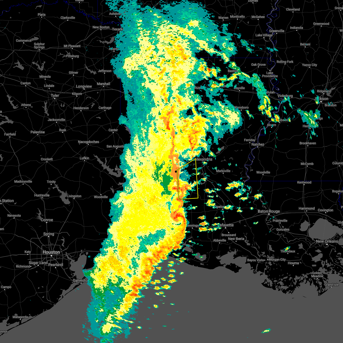 At 1256 pm cdt, severe thunderstorms were located along a line extending from near clifton to near mittie, moving southeast at 30 mph (radar indicated). Hazards include 60 mph wind gusts and penny size hail. expect damage to roofs, siding, and trees At 1256 pm cdt, severe thunderstorms were located along a line extending from near clifton to near mittie, moving southeast at 30 mph (radar indicated). Hazards include 60 mph wind gusts and penny size hail. expect damage to roofs, siding, and trees
|
| 10/27/2021 12:31 PM CDT |
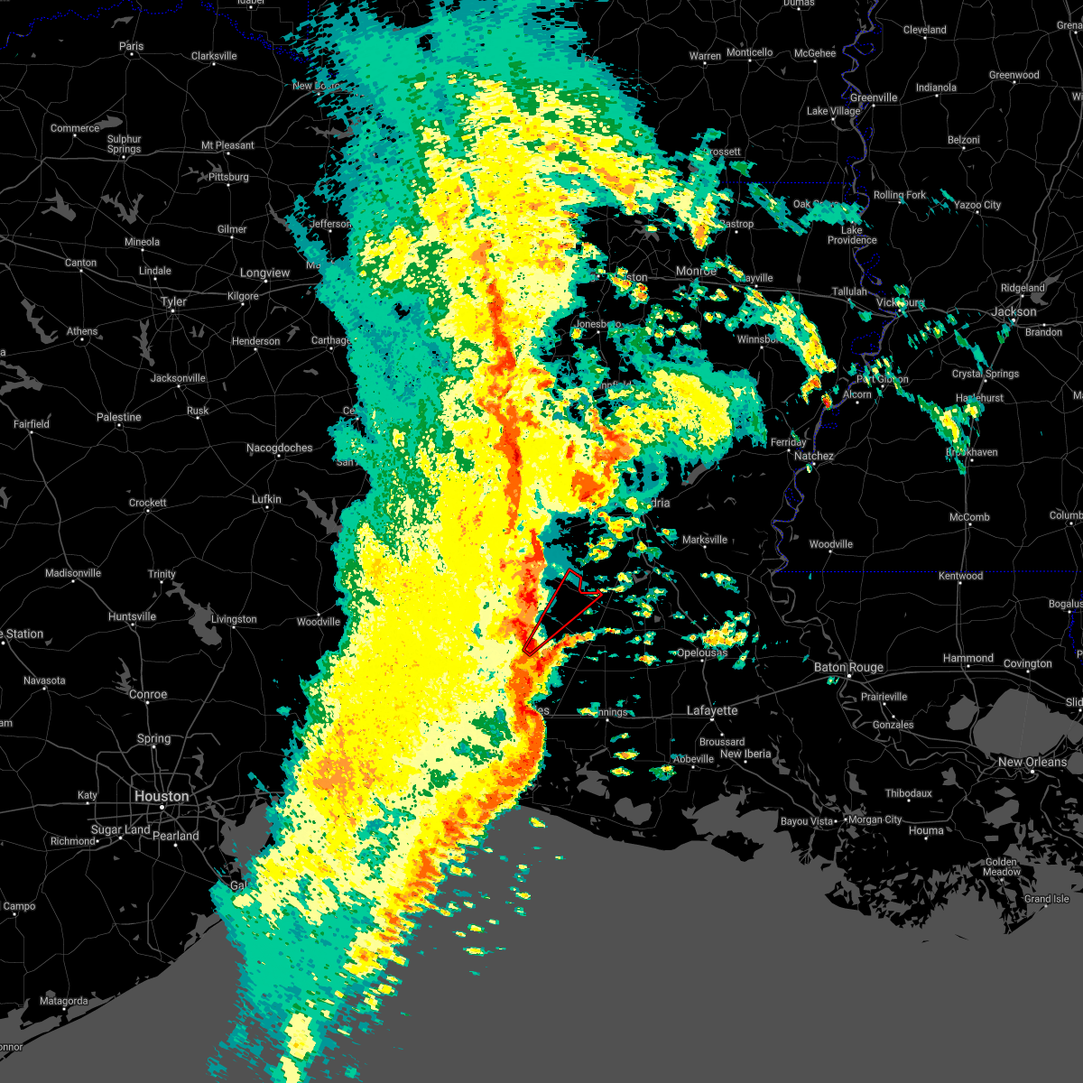 At 1231 pm cdt, a severe thunderstorm capable of producing a tornado was located near longville, or near ragley, moving northeast at 50 mph (radar indicated rotation). Hazards include tornado. Flying debris will be dangerous to those caught without shelter. mobile homes will be damaged or destroyed. damage to roofs, windows, and vehicles will occur. tree damage is likely. this dangerous storm will be near, dry creek around 1245 pm cdt. grant around 1255 pm cdt. Elizabeth around 100 pm cdt. At 1231 pm cdt, a severe thunderstorm capable of producing a tornado was located near longville, or near ragley, moving northeast at 50 mph (radar indicated rotation). Hazards include tornado. Flying debris will be dangerous to those caught without shelter. mobile homes will be damaged or destroyed. damage to roofs, windows, and vehicles will occur. tree damage is likely. this dangerous storm will be near, dry creek around 1245 pm cdt. grant around 1255 pm cdt. Elizabeth around 100 pm cdt.
|
| 5/17/2021 9:09 AM CDT |
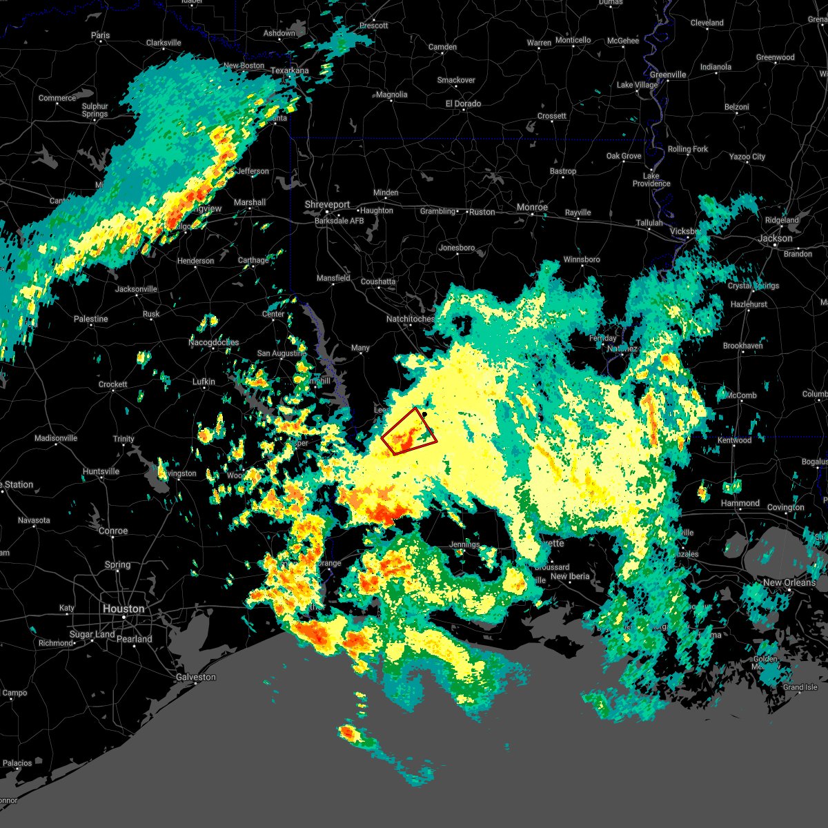 The tornado warning for southeastern vernon parish will expire at 915 am cdt, the storm which prompted the warning has weakened below severe limits, and no longer appears capable of producing a tornado. therefore, the warning will be allowed to expire. however gusty winds are still possible with this thunderstorm. The tornado warning for southeastern vernon parish will expire at 915 am cdt, the storm which prompted the warning has weakened below severe limits, and no longer appears capable of producing a tornado. therefore, the warning will be allowed to expire. however gusty winds are still possible with this thunderstorm.
|
| 5/17/2021 8:45 AM CDT |
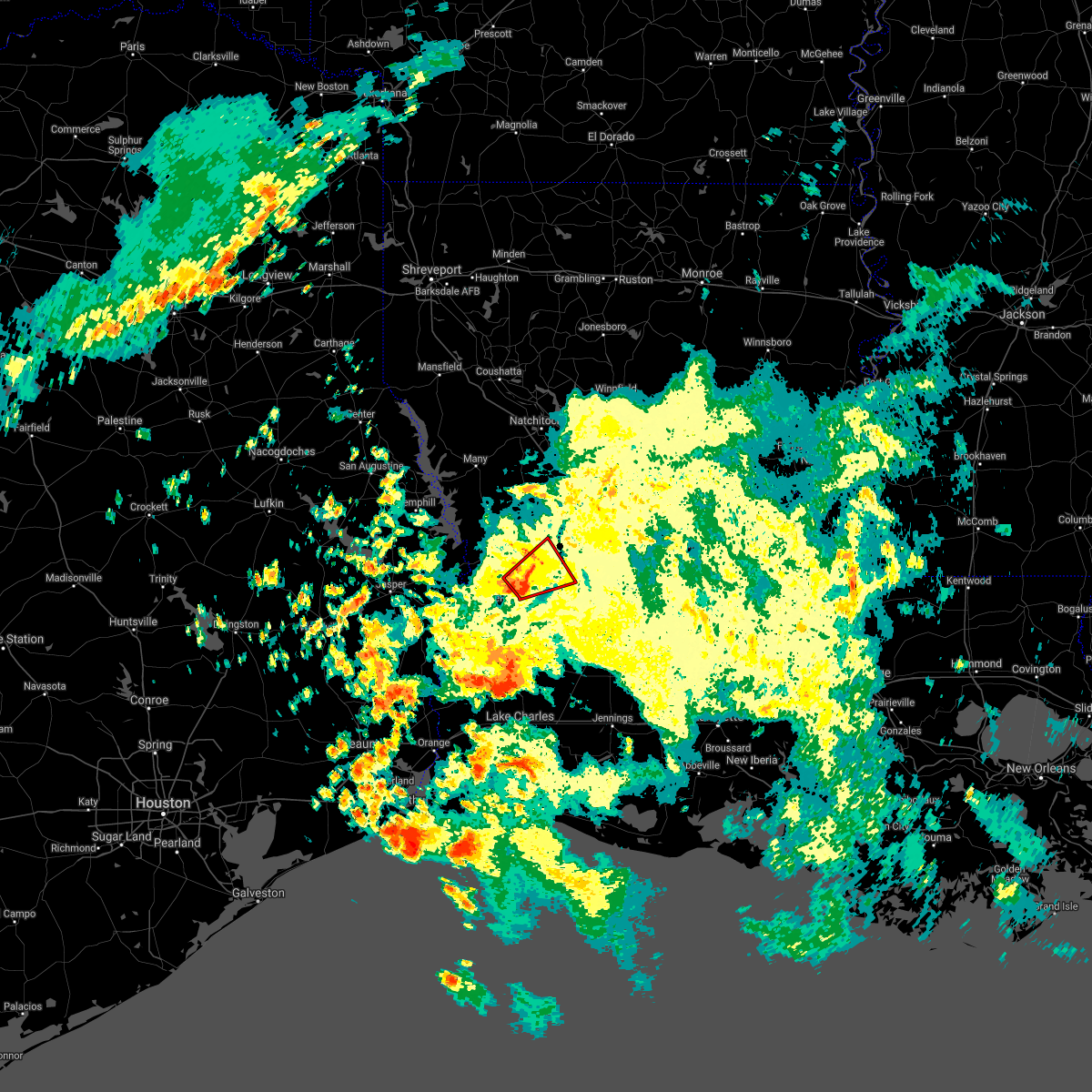 At 845 am cdt, a severe thunderstorm capable of producing a tornado was located near fort polk, moving northeast at 20 mph (radar indicated rotation). Hazards include tornado. Flying debris will be dangerous to those caught without shelter. mobile homes will be damaged or destroyed. damage to roofs, windows, and vehicles will occur. tree damage is likely. this dangerous storm will be near, fort polk around 855 am cdt. cravens around 910 am cdt. Fullerton around 915 am cdt. At 845 am cdt, a severe thunderstorm capable of producing a tornado was located near fort polk, moving northeast at 20 mph (radar indicated rotation). Hazards include tornado. Flying debris will be dangerous to those caught without shelter. mobile homes will be damaged or destroyed. damage to roofs, windows, and vehicles will occur. tree damage is likely. this dangerous storm will be near, fort polk around 855 am cdt. cravens around 910 am cdt. Fullerton around 915 am cdt.
|
| 4/23/2021 9:43 PM CDT |
 At 942 pm cdt, a severe thunderstorm was located over grant, or near mittie, moving east at 50 mph (radar indicated). Hazards include 70 mph wind gusts and half dollar size hail. Hail damage to vehicles is expected. expect considerable tree damage. Wind damage is also likely to mobile homes, roofs, and outbuildings. At 942 pm cdt, a severe thunderstorm was located over grant, or near mittie, moving east at 50 mph (radar indicated). Hazards include 70 mph wind gusts and half dollar size hail. Hail damage to vehicles is expected. expect considerable tree damage. Wind damage is also likely to mobile homes, roofs, and outbuildings.
|
| 4/23/2021 9:00 PM CDT |
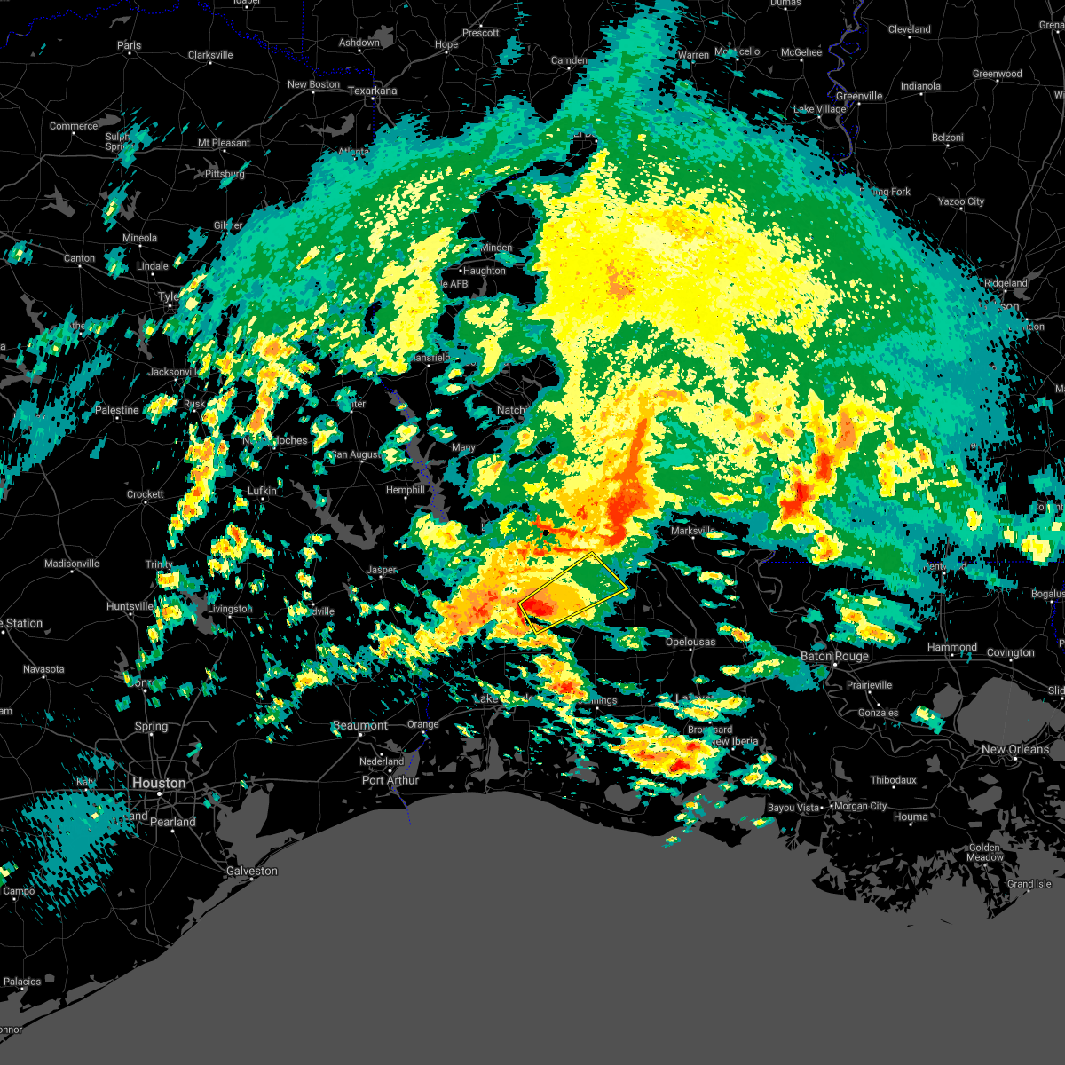 At 900 pm cdt, a severe thunderstorm was located near dry creek, moving northeast at 50 mph (radar indicated). Hazards include 60 mph wind gusts. expect damage to roofs, siding, and trees At 900 pm cdt, a severe thunderstorm was located near dry creek, moving northeast at 50 mph (radar indicated). Hazards include 60 mph wind gusts. expect damage to roofs, siding, and trees
|
| 4/23/2021 8:00 PM CDT |
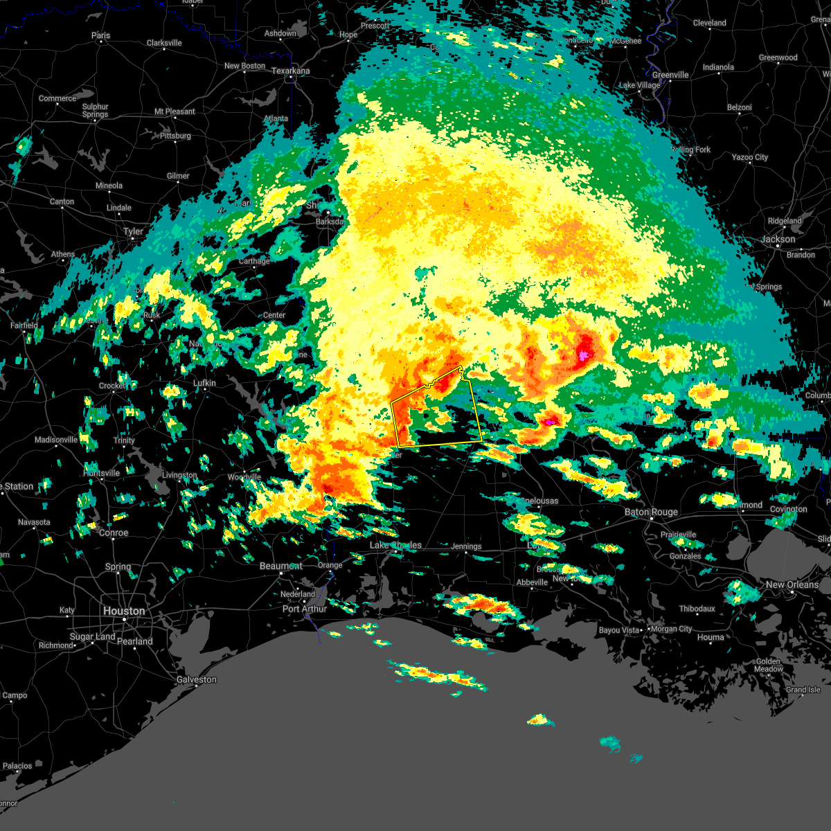 At 800 pm cdt, a severe thunderstorm was located 7 miles south of slagle, moving east at 30 mph (radar indicated). Hazards include 60 mph wind gusts and nickel size hail. expect damage to roofs, siding, and trees At 800 pm cdt, a severe thunderstorm was located 7 miles south of slagle, moving east at 30 mph (radar indicated). Hazards include 60 mph wind gusts and nickel size hail. expect damage to roofs, siding, and trees
|
| 4/7/2021 7:53 PM CDT |
 At 752 pm cdt, a severe thunderstorm was located near fort polk, moving east at 25 mph (radar indicated). Hazards include 60 mph wind gusts and quarter size hail. Hail damage to vehicles is expected. Expect wind damage to roofs, siding, and trees. At 752 pm cdt, a severe thunderstorm was located near fort polk, moving east at 25 mph (radar indicated). Hazards include 60 mph wind gusts and quarter size hail. Hail damage to vehicles is expected. Expect wind damage to roofs, siding, and trees.
|
| 12/23/2020 8:55 PM CST |
 The national weather service in lake charles has issued a * tornado warning for. southwestern rapides parish in central louisiana. southeastern vernon parish in west central louisiana. until 930 pm cst. At 855 pm cst, a severe thunderstorm capable of producing a tornado. The national weather service in lake charles has issued a * tornado warning for. southwestern rapides parish in central louisiana. southeastern vernon parish in west central louisiana. until 930 pm cst. At 855 pm cst, a severe thunderstorm capable of producing a tornado.
|
| 8/26/2020 3:53 PM CDT |
 The tornado warning for eastern vernon parish will expire at 400 pm cdt, the storm which prompted the warning has weakened below severe limits. therefore, the warning will be allowed to expire. a tornado watch remains in effect until 900 pm cdt for central and west central louisiana. The tornado warning for eastern vernon parish will expire at 400 pm cdt, the storm which prompted the warning has weakened below severe limits. therefore, the warning will be allowed to expire. a tornado watch remains in effect until 900 pm cdt for central and west central louisiana.
|
| 8/26/2020 3:37 PM CDT |
 At 337 pm cdt, a severe thunderstorm capable of producing a tornado was located over fullerton, or near pitkin, moving northwest at 40 mph (radar indicated rotation). Hazards include tornado. Flying debris will be dangerous to those caught without shelter. mobile homes will be damaged or destroyed. damage to roofs, windows, and vehicles will occur. tree damage is likely. this dangerous storm will be near, fullerton and cravens around 340 pm cdt. leesville, slagle, fort polk and new llano around 400 pm cdt. Other locations impacted by this tornadic thunderstorm include pickering. At 337 pm cdt, a severe thunderstorm capable of producing a tornado was located over fullerton, or near pitkin, moving northwest at 40 mph (radar indicated rotation). Hazards include tornado. Flying debris will be dangerous to those caught without shelter. mobile homes will be damaged or destroyed. damage to roofs, windows, and vehicles will occur. tree damage is likely. this dangerous storm will be near, fullerton and cravens around 340 pm cdt. leesville, slagle, fort polk and new llano around 400 pm cdt. Other locations impacted by this tornadic thunderstorm include pickering.
|
| 6/23/2020 4:19 PM CDT |
 At 419 pm cdt, a severe thunderstorm was located over fullerton, or near pitkin, moving north at 15 mph (radar indicated). Hazards include 60 mph wind gusts and quarter size hail. Hail damage to vehicles is expected. Expect wind damage to roofs, siding, and trees. At 419 pm cdt, a severe thunderstorm was located over fullerton, or near pitkin, moving north at 15 mph (radar indicated). Hazards include 60 mph wind gusts and quarter size hail. Hail damage to vehicles is expected. Expect wind damage to roofs, siding, and trees.
|
| 5/26/2020 6:48 PM CDT | Trees blown dow in rapides county LA, 13.7 miles SSW of Pitkin, LA |
| 5/26/2020 6:30 PM CDT | Quarter sized hail reported 5.4 miles SE of Pitkin, LA, reports and pictures of marble to quarter sized hail. |
| 5/8/2020 1:48 PM CDT |
 The national weather service in lake charles has issued a * severe thunderstorm warning for. southern rapides parish in central louisiana. northern evangeline parish in central louisiana. southeastern vernon parish in west central louisiana. Northeastern allen parish in southwestern louisiana. The national weather service in lake charles has issued a * severe thunderstorm warning for. southern rapides parish in central louisiana. northern evangeline parish in central louisiana. southeastern vernon parish in west central louisiana. Northeastern allen parish in southwestern louisiana.
|
| 5/8/2020 1:27 PM CDT |
 At 127 pm cdt, a severe thunderstorm was located 7 miles east of rosepine, moving southeast at 35 mph (radar indicated). Hazards include 60 mph wind gusts and quarter size hail. Hail damage to vehicles is expected. Expect wind damage to roofs, siding, and trees. At 127 pm cdt, a severe thunderstorm was located 7 miles east of rosepine, moving southeast at 35 mph (radar indicated). Hazards include 60 mph wind gusts and quarter size hail. Hail damage to vehicles is expected. Expect wind damage to roofs, siding, and trees.
|
| 4/29/2020 3:23 AM CDT |
 At 322 am cdt, severe thunderstorms were located along a line extending from 6 miles southeast of archie to 6 miles east of fort polk to near colmesneil, moving south at 45 mph (radar indicated). Hazards include 60 mph wind gusts and quarter size hail. Hail damage to vehicles is expected. expect wind damage to roofs, siding, and trees. locations impacted include, alexandria, pineville, de ridder, oakdale, jasper, leesville, marksville, woodville, newton, kirbyville, rosepine, glenmora, merryville, boyce, moreauville, anacoco, cheneyville, colmesneil, elizabeth and chester. This includes interstate 49 between mile markers 54 and 109. At 322 am cdt, severe thunderstorms were located along a line extending from 6 miles southeast of archie to 6 miles east of fort polk to near colmesneil, moving south at 45 mph (radar indicated). Hazards include 60 mph wind gusts and quarter size hail. Hail damage to vehicles is expected. expect wind damage to roofs, siding, and trees. locations impacted include, alexandria, pineville, de ridder, oakdale, jasper, leesville, marksville, woodville, newton, kirbyville, rosepine, glenmora, merryville, boyce, moreauville, anacoco, cheneyville, colmesneil, elizabeth and chester. This includes interstate 49 between mile markers 54 and 109.
|
| 4/29/2020 2:47 AM CDT |
 At 247 am cdt, severe thunderstorms were located along a line extending from near rosefield to near kurthwood to near huntington, moving south at 40 mph (radar indicated). Hazards include 60 mph wind gusts and quarter size hail. Hail damage to vehicles is expected. Expect wind damage to roofs, siding, and trees. At 247 am cdt, severe thunderstorms were located along a line extending from near rosefield to near kurthwood to near huntington, moving south at 40 mph (radar indicated). Hazards include 60 mph wind gusts and quarter size hail. Hail damage to vehicles is expected. Expect wind damage to roofs, siding, and trees.
|
| 4/12/2020 5:56 PM CDT |
 The severe thunderstorm warning for southwestern rapides, northeastern beauregard, southeastern vernon and north central allen parishes will expire at 600 pm cdt, the storm which prompted the warning has weakened below severe limits, and no longer poses an immediate threat to life or property. therefore, the warning will be allowed to expire. The severe thunderstorm warning for southwestern rapides, northeastern beauregard, southeastern vernon and north central allen parishes will expire at 600 pm cdt, the storm which prompted the warning has weakened below severe limits, and no longer poses an immediate threat to life or property. therefore, the warning will be allowed to expire.
|
| 4/12/2020 5:47 PM CDT |
 At 547 pm cdt, a severe thunderstorm was located near sugartown, moving northeast at 60 mph (radar indicated). Hazards include 60 mph wind gusts and quarter size hail. Hail damage to vehicles is expected. expect wind damage to roofs, siding, and trees. Locations impacted include, elizabeth, pitkin, sugartown, fullerton and cravens. At 547 pm cdt, a severe thunderstorm was located near sugartown, moving northeast at 60 mph (radar indicated). Hazards include 60 mph wind gusts and quarter size hail. Hail damage to vehicles is expected. expect wind damage to roofs, siding, and trees. Locations impacted include, elizabeth, pitkin, sugartown, fullerton and cravens.
|
| 4/12/2020 5:37 PM CDT |
 At 536 pm cdt, severe thunderstorms were located along a line extending from 6 miles west of sugartown to near tulla, moving northeast at 45 mph (radar indicated). Hazards include 60 mph wind gusts and quarter size hail. Hail damage to vehicles is expected. Expect wind damage to roofs, siding, and trees. At 536 pm cdt, severe thunderstorms were located along a line extending from 6 miles west of sugartown to near tulla, moving northeast at 45 mph (radar indicated). Hazards include 60 mph wind gusts and quarter size hail. Hail damage to vehicles is expected. Expect wind damage to roofs, siding, and trees.
|
| 4/9/2020 6:45 PM CDT |
 At 645 pm cdt, a severe thunderstorm was located near pitkin, moving southeast at 20 mph (radar indicated). Hazards include 60 mph wind gusts and quarter size hail. Hail damage to vehicles is expected. Expect wind damage to roofs, siding, and trees. At 645 pm cdt, a severe thunderstorm was located near pitkin, moving southeast at 20 mph (radar indicated). Hazards include 60 mph wind gusts and quarter size hail. Hail damage to vehicles is expected. Expect wind damage to roofs, siding, and trees.
|
| 4/9/2020 6:21 PM CDT |
 At 620 pm cdt, a severe thunderstorm was located near pitkin, moving southeast at 30 mph (radar indicated). Hazards include 60 mph wind gusts and quarter size hail. Hail damage to vehicles is expected. Expect wind damage to roofs, siding, and trees. At 620 pm cdt, a severe thunderstorm was located near pitkin, moving southeast at 30 mph (radar indicated). Hazards include 60 mph wind gusts and quarter size hail. Hail damage to vehicles is expected. Expect wind damage to roofs, siding, and trees.
|
| 2/5/2020 11:22 AM CST | Half Dollar sized hail reported 9.1 miles ESE of Pitkin, LA, photo of half-dollar size hail in cravens posted on facebook. |
| 1/11/2020 4:17 AM CST |
 At 416 am cst, severe thunderstorms were located along a line extending from near boyce to near grand chenier, moving east at 45 mph (radar indicated). Hazards include 60 mph wind gusts. expect damage to roofs, siding, and trees At 416 am cst, severe thunderstorms were located along a line extending from near boyce to near grand chenier, moving east at 45 mph (radar indicated). Hazards include 60 mph wind gusts. expect damage to roofs, siding, and trees
|
| 1/11/2020 3:14 AM CST |
 At 313 am cst, severe thunderstorms were located along a line extending from near kurthwood to near johnsons bayou, moving east at 30 mph (radar indicated). Hazards include 60 mph wind gusts. expect damage to roofs, siding, and trees At 313 am cst, severe thunderstorms were located along a line extending from near kurthwood to near johnsons bayou, moving east at 30 mph (radar indicated). Hazards include 60 mph wind gusts. expect damage to roofs, siding, and trees
|
| 12/16/2019 11:41 AM CST |
 At 1140 am cst, a confirmed large and extremely dangerous tornado was located over cravens, or 7 miles northwest of pitkin, moving northeast at 35 mph. this is a particularly dangerous situation. take cover now! (radar confirmed tornado). Hazards include damaging tornado. You are in a life-threatening situation. flying debris may be deadly to those caught without shelter. mobile homes will be destroyed. considerable damage to homes, businesses, and vehicles is likely and complete destruction is possible. The tornado will be near, pitkin and fullerton around 1145 am cst. At 1140 am cst, a confirmed large and extremely dangerous tornado was located over cravens, or 7 miles northwest of pitkin, moving northeast at 35 mph. this is a particularly dangerous situation. take cover now! (radar confirmed tornado). Hazards include damaging tornado. You are in a life-threatening situation. flying debris may be deadly to those caught without shelter. mobile homes will be destroyed. considerable damage to homes, businesses, and vehicles is likely and complete destruction is possible. The tornado will be near, pitkin and fullerton around 1145 am cst.
|
| 12/16/2019 11:35 AM CST |
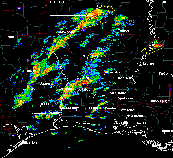 At 1135 am cst, a confirmed tornado was located near cravens, or 8 miles southeast of fort polk, moving northeast at 35 mph (radar confirmed tornado). Hazards include damaging tornado. Flying debris will be dangerous to those caught without shelter. mobile homes will be damaged or destroyed. damage to roofs, windows, and vehicles will occur. tree damage is likely. This tornado will be near, pitkin and fullerton around 1145 am cst. At 1135 am cst, a confirmed tornado was located near cravens, or 8 miles southeast of fort polk, moving northeast at 35 mph (radar confirmed tornado). Hazards include damaging tornado. Flying debris will be dangerous to those caught without shelter. mobile homes will be damaged or destroyed. damage to roofs, windows, and vehicles will occur. tree damage is likely. This tornado will be near, pitkin and fullerton around 1145 am cst.
|
| 12/16/2019 11:32 AM CST | Numerous trees down and damage reported at marlow church along hwy 10. tornado possibl in vernon county LA, 10.6 miles ESE of Pitkin, LA |
| 12/16/2019 11:26 AM CST |
 At 1125 am cst, a tornado producing storm was located 7 miles west of cravens, or 7 miles east of rosepine, moving northeast at 35 mph (radar confirmed tornado). Hazards include damaging tornado. Flying debris will be dangerous to those caught without shelter. mobile homes will be damaged or destroyed. damage to roofs, windows, and vehicles will occur. tree damage is likely. this tornadic storm will be near, cravens around 1140 am cst. Pitkin and fullerton around 1145 am cst. At 1125 am cst, a tornado producing storm was located 7 miles west of cravens, or 7 miles east of rosepine, moving northeast at 35 mph (radar confirmed tornado). Hazards include damaging tornado. Flying debris will be dangerous to those caught without shelter. mobile homes will be damaged or destroyed. damage to roofs, windows, and vehicles will occur. tree damage is likely. this tornadic storm will be near, cravens around 1140 am cst. Pitkin and fullerton around 1145 am cst.
|
| 12/16/2019 10:27 AM CST |
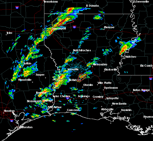 At 1026 am cst, a severe thunderstorm capable of producing a tornado was located near elizabeth, moving northeast at 15 mph (radar indicated rotation). Hazards include tornado. Flying debris will be dangerous to those caught without shelter. mobile homes will be damaged or destroyed. damage to roofs, windows, and vehicles will occur. tree damage is likely. This tornadic thunderstorm will remain over mainly rural areas of southwestern rapides and southeastern vernon parishes, including the following locations, union hill. At 1026 am cst, a severe thunderstorm capable of producing a tornado was located near elizabeth, moving northeast at 15 mph (radar indicated rotation). Hazards include tornado. Flying debris will be dangerous to those caught without shelter. mobile homes will be damaged or destroyed. damage to roofs, windows, and vehicles will occur. tree damage is likely. This tornadic thunderstorm will remain over mainly rural areas of southwestern rapides and southeastern vernon parishes, including the following locations, union hill.
|
| 12/16/2019 10:13 AM CST |
 At 1012 am cst, a severe thunderstorm capable of producing a tornado was located near grant, or near elizabeth, moving northeast at 20 mph (radar indicated rotation). Hazards include tornado. Flying debris will be dangerous to those caught without shelter. mobile homes will be damaged or destroyed. damage to roofs, windows, and vehicles will occur. tree damage is likely. this dangerous storm will be near, elizabeth around 1025 am cst. Other locations impacted by this tornadic thunderstorm include union hill. At 1012 am cst, a severe thunderstorm capable of producing a tornado was located near grant, or near elizabeth, moving northeast at 20 mph (radar indicated rotation). Hazards include tornado. Flying debris will be dangerous to those caught without shelter. mobile homes will be damaged or destroyed. damage to roofs, windows, and vehicles will occur. tree damage is likely. this dangerous storm will be near, elizabeth around 1025 am cst. Other locations impacted by this tornadic thunderstorm include union hill.
|
| 12/16/2019 10:07 AM CST |
 At 1006 am cst, a severe thunderstorm was located near grant, or near sugartown, moving northeast at 10 mph (radar indicated). Hazards include 60 mph wind gusts. expect damage to roofs, siding, and trees At 1006 am cst, a severe thunderstorm was located near grant, or near sugartown, moving northeast at 10 mph (radar indicated). Hazards include 60 mph wind gusts. expect damage to roofs, siding, and trees
|
| 6/20/2019 3:07 AM CDT |
 The severe thunderstorm warning for eastern vernon parish will expire at 315 am cdt, the storm which prompted the warning has weakened below severe limits, and no longer poses an immediate threat to life or property. therefore, the warning will be allowed to expire. however gusty winds are still possible with this thunderstorm. The severe thunderstorm warning for eastern vernon parish will expire at 315 am cdt, the storm which prompted the warning has weakened below severe limits, and no longer poses an immediate threat to life or property. therefore, the warning will be allowed to expire. however gusty winds are still possible with this thunderstorm.
|
| 6/20/2019 2:48 AM CDT |
 At 248 am cdt, a severe thunderstorm was located near slagle, moving southeast at 35 mph (radar indicated). Hazards include 60 mph wind gusts. expect damage to roofs, siding, and trees At 248 am cdt, a severe thunderstorm was located near slagle, moving southeast at 35 mph (radar indicated). Hazards include 60 mph wind gusts. expect damage to roofs, siding, and trees
|
| 5/19/2019 4:07 AM CDT |
 At 406 am cdt, a severe thunderstorm capable of producing a tornado was located near grant, or near dry creek, moving northeast at 25 mph (radar indicated rotation). Hazards include tornado. Flying debris will be dangerous to those caught without shelter. mobile homes will be damaged or destroyed. damage to roofs, windows, and vehicles will occur. tree damage is likely. this dangerous storm will be near, sugartown around 415 am cdt. grant around 420 am cdt. Elizabeth around 445 am cdt. At 406 am cdt, a severe thunderstorm capable of producing a tornado was located near grant, or near dry creek, moving northeast at 25 mph (radar indicated rotation). Hazards include tornado. Flying debris will be dangerous to those caught without shelter. mobile homes will be damaged or destroyed. damage to roofs, windows, and vehicles will occur. tree damage is likely. this dangerous storm will be near, sugartown around 415 am cdt. grant around 420 am cdt. Elizabeth around 445 am cdt.
|
| 4/25/2019 5:07 AM CDT |
 At 507 am cdt, a severe thunderstorm capable of producing a tornado was located over pitkin, moving northeast at 60 mph (radar indicated rotation). Hazards include tornado. Flying debris will be dangerous to those caught without shelter. mobile homes will be damaged or destroyed. damage to roofs, windows, and vehicles will occur. tree damage is likely. This tornadic thunderstorm will remain over mainly rural areas of southwestern rapides and southeastern vernon parishes, including the following locations, union hill. At 507 am cdt, a severe thunderstorm capable of producing a tornado was located over pitkin, moving northeast at 60 mph (radar indicated rotation). Hazards include tornado. Flying debris will be dangerous to those caught without shelter. mobile homes will be damaged or destroyed. damage to roofs, windows, and vehicles will occur. tree damage is likely. This tornadic thunderstorm will remain over mainly rural areas of southwestern rapides and southeastern vernon parishes, including the following locations, union hill.
|
| 4/25/2019 4:59 AM CDT |
 At 458 am cdt, a severe thunderstorm capable of producing a tornado was located near sugartown, moving northeast at 60 mph (radar indicated rotation). Hazards include tornado. Flying debris will be dangerous to those caught without shelter. mobile homes will be damaged or destroyed. damage to roofs, windows, and vehicles will occur. tree damage is likely. this dangerous storm will be near, pitkin and fullerton around 510 am cdt. elizabeth around 515 am cdt. Other locations impacted by this tornadic thunderstorm include union hill and bundick lake. At 458 am cdt, a severe thunderstorm capable of producing a tornado was located near sugartown, moving northeast at 60 mph (radar indicated rotation). Hazards include tornado. Flying debris will be dangerous to those caught without shelter. mobile homes will be damaged or destroyed. damage to roofs, windows, and vehicles will occur. tree damage is likely. this dangerous storm will be near, pitkin and fullerton around 510 am cdt. elizabeth around 515 am cdt. Other locations impacted by this tornadic thunderstorm include union hill and bundick lake.
|
| 4/7/2019 3:44 PM CDT |
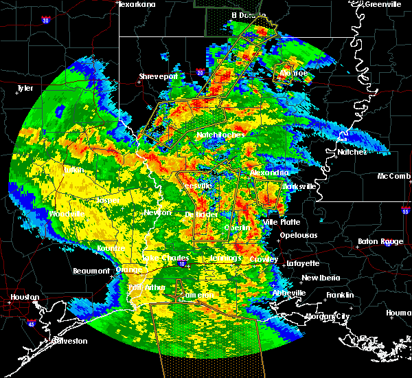 At 344 pm cdt, severe thunderstorms were located along a line extending from near kurthwood to near fullerton to dry creek, moving northeast at 35 mph (radar indicated). Hazards include 60 mph wind gusts. expect damage to roofs, siding, and trees At 344 pm cdt, severe thunderstorms were located along a line extending from near kurthwood to near fullerton to dry creek, moving northeast at 35 mph (radar indicated). Hazards include 60 mph wind gusts. expect damage to roofs, siding, and trees
|
| 4/4/2019 12:31 PM CDT |
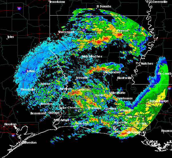 At 1231 pm cdt, a severe thunderstorm was located over singer, moving east at 25 mph (radar indicated). Hazards include 60 mph wind gusts and nickel size hail. expect damage to roofs, siding, and trees At 1231 pm cdt, a severe thunderstorm was located over singer, moving east at 25 mph (radar indicated). Hazards include 60 mph wind gusts and nickel size hail. expect damage to roofs, siding, and trees
|
| 11/1/2018 12:09 AM CDT |
 At 1209 am cdt, severe thunderstorms were located along a line extending from near boyce to 8 miles west of glenmora to near oberlin, moving east at 40 mph (radar indicated). Hazards include 60 mph wind gusts. expect damage to roofs, siding, and trees At 1209 am cdt, severe thunderstorms were located along a line extending from near boyce to 8 miles west of glenmora to near oberlin, moving east at 40 mph (radar indicated). Hazards include 60 mph wind gusts. expect damage to roofs, siding, and trees
|
| 11/1/2018 12:01 AM CDT |
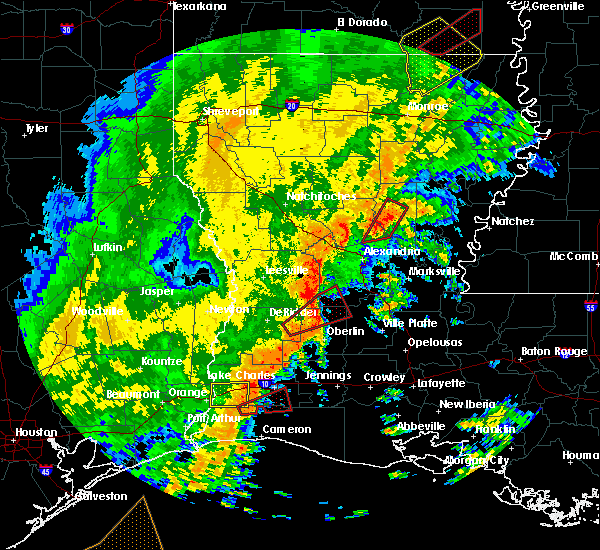 At 1200 am cdt, a severe thunderstorm capable of producing a tornado was located near elizabeth, moving northeast at 60 mph (radar indicated rotation). Hazards include tornado. Flying debris will be dangerous to those caught without shelter. mobile homes will be damaged or destroyed. damage to roofs, windows, and vehicles will occur. tree damage is likely. Locations impacted include, oakdale, elizabeth, dry creek, mittie, grant, union hill and bundick lake. At 1200 am cdt, a severe thunderstorm capable of producing a tornado was located near elizabeth, moving northeast at 60 mph (radar indicated rotation). Hazards include tornado. Flying debris will be dangerous to those caught without shelter. mobile homes will be damaged or destroyed. damage to roofs, windows, and vehicles will occur. tree damage is likely. Locations impacted include, oakdale, elizabeth, dry creek, mittie, grant, union hill and bundick lake.
|
| 10/31/2018 11:48 PM CDT |
 At 1148 pm cdt, a severe thunderstorm capable of producing a tornado was located near dry creek, moving northeast at 60 mph (radar indicated rotation). Hazards include tornado. Flying debris will be dangerous to those caught without shelter. mobile homes will be damaged or destroyed. damage to roofs, windows, and vehicles will occur. tree damage is likely. this dangerous storm will be near, grant around 1155 pm cdt. elizabeth around 1205 am cdt. oakdale around 1210 am cdt. Other locations impacted by this tornadic thunderstorm include union hill and bundick lake. At 1148 pm cdt, a severe thunderstorm capable of producing a tornado was located near dry creek, moving northeast at 60 mph (radar indicated rotation). Hazards include tornado. Flying debris will be dangerous to those caught without shelter. mobile homes will be damaged or destroyed. damage to roofs, windows, and vehicles will occur. tree damage is likely. this dangerous storm will be near, grant around 1155 pm cdt. elizabeth around 1205 am cdt. oakdale around 1210 am cdt. Other locations impacted by this tornadic thunderstorm include union hill and bundick lake.
|
| 10/31/2018 10:21 PM CDT |
 At 1021 pm cdt, severe thunderstorms were located along a line extending from 6 miles east of pitkin to near elizabeth to 7 miles west of allen parish airport, moving northeast at 40 mph (radar indicated). Hazards include 60 mph wind gusts. Expect damage to roofs, siding, and trees. locations impacted include, elizabeth, pitkin and union hill. A tornado watch remains in effect until 400 am cdt for central, southwestern and west central louisiana. At 1021 pm cdt, severe thunderstorms were located along a line extending from 6 miles east of pitkin to near elizabeth to 7 miles west of allen parish airport, moving northeast at 40 mph (radar indicated). Hazards include 60 mph wind gusts. Expect damage to roofs, siding, and trees. locations impacted include, elizabeth, pitkin and union hill. A tornado watch remains in effect until 400 am cdt for central, southwestern and west central louisiana.
|
| 10/31/2018 10:12 PM CDT |
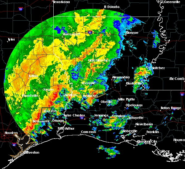 At 1012 pm cdt, severe thunderstorms were located along a line extending from near pitkin to near elizabeth to near mittie, moving northeast at 35 mph (radar indicated). Hazards include 60 mph wind gusts. Expect damage to roofs, siding, and trees. locations impacted include, elizabeth, pitkin and union hill. A tornado watch remains in effect until 400 am cdt for central, southwestern and west central louisiana. At 1012 pm cdt, severe thunderstorms were located along a line extending from near pitkin to near elizabeth to near mittie, moving northeast at 35 mph (radar indicated). Hazards include 60 mph wind gusts. Expect damage to roofs, siding, and trees. locations impacted include, elizabeth, pitkin and union hill. A tornado watch remains in effect until 400 am cdt for central, southwestern and west central louisiana.
|
| 10/31/2018 10:00 PM CDT |
 At 1000 pm cdt, severe thunderstorms were located along a line extending from near sugartown to grant to near mittie, moving northeast at 30 mph (radar indicated). Hazards include 60 mph wind gusts. Expect damage to roofs, siding, and trees. locations impacted include, oakdale, elizabeth, pitkin, sugartown, mittie, grant, allen parish airport and union hill. A tornado watch remains in effect until 400 am cdt for central, southwestern and west central louisiana. At 1000 pm cdt, severe thunderstorms were located along a line extending from near sugartown to grant to near mittie, moving northeast at 30 mph (radar indicated). Hazards include 60 mph wind gusts. Expect damage to roofs, siding, and trees. locations impacted include, oakdale, elizabeth, pitkin, sugartown, mittie, grant, allen parish airport and union hill. A tornado watch remains in effect until 400 am cdt for central, southwestern and west central louisiana.
|
| 10/31/2018 9:41 PM CDT |
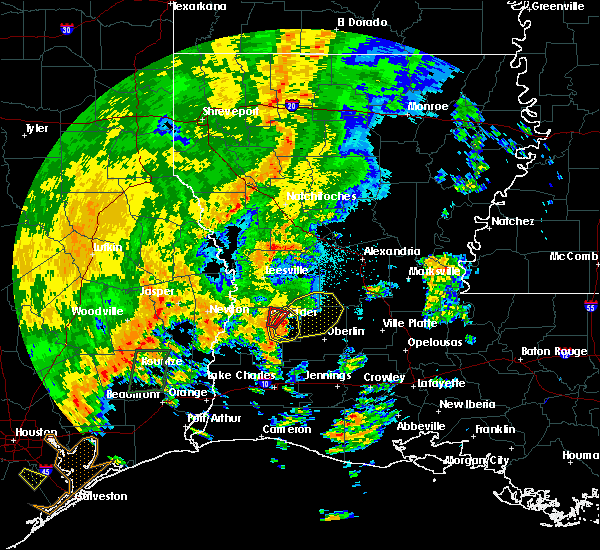 At 941 pm cdt, severe thunderstorms were located along a line extending from 6 miles southwest of sugartown to near dry creek, moving northeast at 40 mph (radar indicated). Hazards include 60 mph wind gusts. expect damage to roofs, siding, and trees At 941 pm cdt, severe thunderstorms were located along a line extending from 6 miles southwest of sugartown to near dry creek, moving northeast at 40 mph (radar indicated). Hazards include 60 mph wind gusts. expect damage to roofs, siding, and trees
|
| 6/11/2018 2:38 PM CDT |
 At 238 pm cdt, a severe thunderstorm was located near fullerton, or near pitkin, moving northeast at 15 mph (radar indicated). Hazards include 60 mph wind gusts and quarter size hail. Hail damage to vehicles is expected. Expect wind damage to roofs, siding, and trees. At 238 pm cdt, a severe thunderstorm was located near fullerton, or near pitkin, moving northeast at 15 mph (radar indicated). Hazards include 60 mph wind gusts and quarter size hail. Hail damage to vehicles is expected. Expect wind damage to roofs, siding, and trees.
|
| 4/3/2018 9:59 PM CDT |
 At 959 pm cdt, severe thunderstorms were located along a line extending from sieper to near fields, moving east at 30 mph (radar indicated). Hazards include 60 mph wind gusts and quarter size hail. Hail damage to vehicles is expected. expect wind damage to roofs, siding, and trees. Locations impacted include, alexandria, rosepine, merryville, dry creek, singer, de ridder, sugartown, ragley, hineston, fields, pitkin, fort polk, deridder, dequincy, bivens, otis, elmer, wrights settlement, devils pocket and sieper. At 959 pm cdt, severe thunderstorms were located along a line extending from sieper to near fields, moving east at 30 mph (radar indicated). Hazards include 60 mph wind gusts and quarter size hail. Hail damage to vehicles is expected. expect wind damage to roofs, siding, and trees. Locations impacted include, alexandria, rosepine, merryville, dry creek, singer, de ridder, sugartown, ragley, hineston, fields, pitkin, fort polk, deridder, dequincy, bivens, otis, elmer, wrights settlement, devils pocket and sieper.
|
| 4/3/2018 9:56 PM CDT |
 At 955 pm cdt, severe thunderstorms were located along a line extending from near hineston to gist, moving southeast at 15 mph (radar indicated). Hazards include 60 mph wind gusts and quarter size hail. Hail damage to vehicles is expected. Expect wind damage to roofs, siding, and trees. At 955 pm cdt, severe thunderstorms were located along a line extending from near hineston to gist, moving southeast at 15 mph (radar indicated). Hazards include 60 mph wind gusts and quarter size hail. Hail damage to vehicles is expected. Expect wind damage to roofs, siding, and trees.
|
| 4/3/2018 9:30 PM CDT |
 The national weather service in lake charles has issued a * severe thunderstorm warning for. western rapides parish in central louisiana. beauregard parish in southwestern louisiana. vernon parish in west central louisiana. Southern newton county in southeastern texas. The national weather service in lake charles has issued a * severe thunderstorm warning for. western rapides parish in central louisiana. beauregard parish in southwestern louisiana. vernon parish in west central louisiana. Southern newton county in southeastern texas.
|
| 4/3/2018 9:30 PM CDT |
 At 929 pm cdt, severe thunderstorms were located along a line extending from near slagle to near devils pocket, moving east at 30 mph (radar indicated). Hazards include 60 mph wind gusts and quarter size hail. Hail damage to vehicles is expected. Expect wind damage to roofs, siding, and trees. At 929 pm cdt, severe thunderstorms were located along a line extending from near slagle to near devils pocket, moving east at 30 mph (radar indicated). Hazards include 60 mph wind gusts and quarter size hail. Hail damage to vehicles is expected. Expect wind damage to roofs, siding, and trees.
|
| 4/3/2018 7:44 PM CDT | Vernon sheriffs dept reports tree dow in vernon county LA, 1.2 miles SE of Pitkin, LA |
| 4/3/2018 7:17 PM CDT |
 At 715 pm cdt, a severe thunderstorm was located over lacamp, or 10 miles west of hineston, moving east at 35 mph (radar indicated). Hazards include 60 mph wind gusts. Expect damage to roofs, siding, and trees. Locations impacted include, alexandria, pineville, leesville, rosepine, boyce, fort polk, alexandria international airport, slagle, hineston, lena, pitkin, deridder, ball, new llano, tioga, timber trails, hutton, esler regional airport, flatwoods and otis. At 715 pm cdt, a severe thunderstorm was located over lacamp, or 10 miles west of hineston, moving east at 35 mph (radar indicated). Hazards include 60 mph wind gusts. Expect damage to roofs, siding, and trees. Locations impacted include, alexandria, pineville, leesville, rosepine, boyce, fort polk, alexandria international airport, slagle, hineston, lena, pitkin, deridder, ball, new llano, tioga, timber trails, hutton, esler regional airport, flatwoods and otis.
|
| 4/3/2018 6:48 PM CDT |
 At 647 pm cdt, a line of severe thunderstorms was located near leesville, moving east at 35 mph (radar indicated). Hazards include 60 mph wind gusts. expect damage to roofs, siding, and trees At 647 pm cdt, a line of severe thunderstorms was located near leesville, moving east at 35 mph (radar indicated). Hazards include 60 mph wind gusts. expect damage to roofs, siding, and trees
|
| 2/7/2018 3:56 AM CST |
 At 356 am cst, a severe thunderstorm capable of producing a tornado was located near pitkin, moving east at 35 mph (radar indicated rotation). Hazards include tornado. Flying debris will be dangerous to those caught without shelter. mobile homes will be damaged or destroyed. damage to roofs, windows, and vehicles will occur. tree damage is likely. This tornadic thunderstorm will remain over mainly rural areas of southwestern rapides and southeastern vernon parishes, including the following locations: union hill and calcasieu. At 356 am cst, a severe thunderstorm capable of producing a tornado was located near pitkin, moving east at 35 mph (radar indicated rotation). Hazards include tornado. Flying debris will be dangerous to those caught without shelter. mobile homes will be damaged or destroyed. damage to roofs, windows, and vehicles will occur. tree damage is likely. This tornadic thunderstorm will remain over mainly rural areas of southwestern rapides and southeastern vernon parishes, including the following locations: union hill and calcasieu.
|
| 2/7/2018 3:49 AM CST |
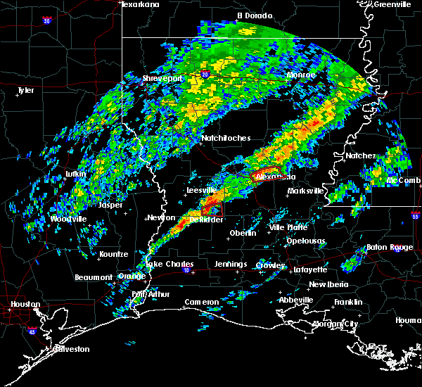 At 349 am cst, a severe thunderstorm capable of producing a tornado was located over fullerton, or near pitkin, moving east at 30 mph (radar indicated rotation). Hazards include tornado and quarter size hail. Flying debris will be dangerous to those caught without shelter. mobile homes will be damaged or destroyed. damage to roofs, windows, and vehicles will occur. tree damage is likely. This dangerous storm will be near, pitkin around 355 am cst. At 349 am cst, a severe thunderstorm capable of producing a tornado was located over fullerton, or near pitkin, moving east at 30 mph (radar indicated rotation). Hazards include tornado and quarter size hail. Flying debris will be dangerous to those caught without shelter. mobile homes will be damaged or destroyed. damage to roofs, windows, and vehicles will occur. tree damage is likely. This dangerous storm will be near, pitkin around 355 am cst.
|
| 2/7/2018 3:36 AM CST |
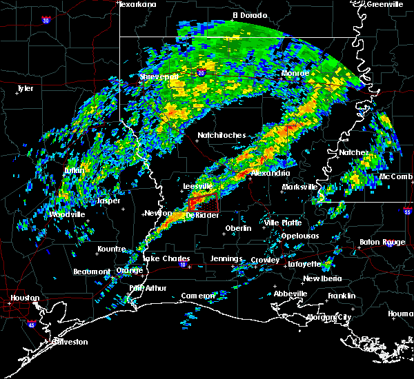 At 336 am cst, a severe thunderstorm capable of producing a tornado was located near cravens, or 7 miles southeast of fort polk, moving east at 30 mph (radar indicated rotation). Hazards include tornado and quarter size hail. Flying debris will be dangerous to those caught without shelter. mobile homes will be damaged or destroyed. damage to roofs, windows, and vehicles will occur. tree damage is likely. this dangerous storm will be near, cravens around 345 am cst. fullerton around 350 am cst. Pitkin around 355 am cst. At 336 am cst, a severe thunderstorm capable of producing a tornado was located near cravens, or 7 miles southeast of fort polk, moving east at 30 mph (radar indicated rotation). Hazards include tornado and quarter size hail. Flying debris will be dangerous to those caught without shelter. mobile homes will be damaged or destroyed. damage to roofs, windows, and vehicles will occur. tree damage is likely. this dangerous storm will be near, cravens around 345 am cst. fullerton around 350 am cst. Pitkin around 355 am cst.
|
| 5/28/2017 8:44 PM CDT |
 At 844 pm cdt, severe thunderstorms were located along a line extending from near timber trails to near elmer to near sugartown, moving southeast at 40 mph (radar indicated). Hazards include 60 mph wind gusts and nickel size hail. Expect damage to roofs, siding, and trees. Locations impacted include, alexandria, pineville, oakdale, glenmora, boyce, elizabeth, fort polk, alexandria international airport, hineston, lena, pitkin, ball, lecompte, tioga, timber trails, esler regional airport, otis, elmer, kingsville and allen parish airport. At 844 pm cdt, severe thunderstorms were located along a line extending from near timber trails to near elmer to near sugartown, moving southeast at 40 mph (radar indicated). Hazards include 60 mph wind gusts and nickel size hail. Expect damage to roofs, siding, and trees. Locations impacted include, alexandria, pineville, oakdale, glenmora, boyce, elizabeth, fort polk, alexandria international airport, hineston, lena, pitkin, ball, lecompte, tioga, timber trails, esler regional airport, otis, elmer, kingsville and allen parish airport.
|
| 5/28/2017 8:15 PM CDT |
 At 814 pm cdt, severe thunderstorms were located along a line extending from near montgomery to near fort polk, moving southeast at 30 mph (radar indicated). Hazards include 60 mph wind gusts and nickel size hail. expect damage to roofs, siding, and trees At 814 pm cdt, severe thunderstorms were located along a line extending from near montgomery to near fort polk, moving southeast at 30 mph (radar indicated). Hazards include 60 mph wind gusts and nickel size hail. expect damage to roofs, siding, and trees
|
| 5/28/2017 8:10 PM CDT |
 At 809 pm cdt, severe thunderstorms were located along a line extending from near montgomery to 6 miles south of slagle, moving southeast at 35 mph (radar indicated). Hazards include 60 mph wind gusts and nickel size hail. Expect damage to roofs, siding, and trees. Locations impacted include, leesville, boyce, anacoco, hineston, lena, pitkin, slagle, fort polk, hornbeck, lacamp, fullerton, hutton, clifton, flatwoods, otis, kurthwood, leander, sieper, gardner and cravens. At 809 pm cdt, severe thunderstorms were located along a line extending from near montgomery to 6 miles south of slagle, moving southeast at 35 mph (radar indicated). Hazards include 60 mph wind gusts and nickel size hail. Expect damage to roofs, siding, and trees. Locations impacted include, leesville, boyce, anacoco, hineston, lena, pitkin, slagle, fort polk, hornbeck, lacamp, fullerton, hutton, clifton, flatwoods, otis, kurthwood, leander, sieper, gardner and cravens.
|
| 5/28/2017 7:46 PM CDT |
 At 746 pm cdt, severe thunderstorms were located along a line extending from 10 miles south of natchitoches to near burr ferry to near browndell, moving southeast at 40 mph (radar indicated). Hazards include 60 mph wind gusts and nickel size hail. Expect damage to roofs, siding, and trees. Locations impacted include, leesville, newton, rosepine, boyce, anacoco, fort polk, de ridder, sugartown, slagle, toledo bend dam, hineston, lena, pitkin, burkeville, deridder, new llano, colfax, hornbeck, hutton and flatwoods. At 746 pm cdt, severe thunderstorms were located along a line extending from 10 miles south of natchitoches to near burr ferry to near browndell, moving southeast at 40 mph (radar indicated). Hazards include 60 mph wind gusts and nickel size hail. Expect damage to roofs, siding, and trees. Locations impacted include, leesville, newton, rosepine, boyce, anacoco, fort polk, de ridder, sugartown, slagle, toledo bend dam, hineston, lena, pitkin, burkeville, deridder, new llano, colfax, hornbeck, hutton and flatwoods.
|
| 5/28/2017 7:19 PM CDT |
 At 715 pm cdt, severe thunderstorms were located along a line extending from 15 miles west of natchitoches to 7 miles southeast of hemphill to 10 miles southeast of etoile, moving southeast at 45 mph (radar indicated). Hazards include 60 mph wind gusts and nickel size hail. expect damage to roofs, siding, and trees At 715 pm cdt, severe thunderstorms were located along a line extending from 15 miles west of natchitoches to 7 miles southeast of hemphill to 10 miles southeast of etoile, moving southeast at 45 mph (radar indicated). Hazards include 60 mph wind gusts and nickel size hail. expect damage to roofs, siding, and trees
|
| 5/21/2017 1:54 PM CDT |
 At 153 pm cdt, severe thunderstorms were located along a line extending from near de ridder to 7 miles northwest of dry creek, moving north at 25 mph (radar indicated). Hazards include 60 mph wind gusts. expect damage to roofs, siding, and trees At 153 pm cdt, severe thunderstorms were located along a line extending from near de ridder to 7 miles northwest of dry creek, moving north at 25 mph (radar indicated). Hazards include 60 mph wind gusts. expect damage to roofs, siding, and trees
|
| 4/29/2017 7:54 PM CDT |
 At 753 pm cdt, a severe thunderstorm was located near fullerton, or near pitkin, moving northeast at 50 mph (radar indicated). Hazards include 60 mph wind gusts and half dollar size hail. Hail damage to vehicles is expected. expect wind damage to roofs, siding, and trees. Locations impacted include, pitkin, lacamp, cravens, leander, fullerton and simpson. At 753 pm cdt, a severe thunderstorm was located near fullerton, or near pitkin, moving northeast at 50 mph (radar indicated). Hazards include 60 mph wind gusts and half dollar size hail. Hail damage to vehicles is expected. expect wind damage to roofs, siding, and trees. Locations impacted include, pitkin, lacamp, cravens, leander, fullerton and simpson.
|
| 4/29/2017 7:50 PM CDT | Quarter sized hail reported 1.2 miles SE of Pitkin, LA, public reported quarter sized hail near strothers country store. |
| 4/29/2017 7:30 PM CDT |
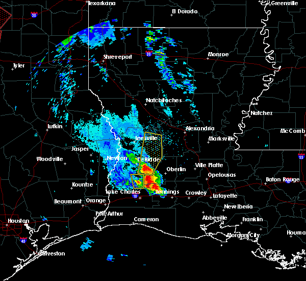 At 730 pm cdt, a severe thunderstorm was located near dry creek, moving north at 40 mph (radar indicated). Hazards include 60 mph wind gusts and half dollar size hail. Hail damage to vehicles is expected. Expect wind damage to roofs, siding, and trees. At 730 pm cdt, a severe thunderstorm was located near dry creek, moving north at 40 mph (radar indicated). Hazards include 60 mph wind gusts and half dollar size hail. Hail damage to vehicles is expected. Expect wind damage to roofs, siding, and trees.
|
| 1/2/2017 10:58 AM CST |
 At 1058 am cst, severe thunderstorms were located along a line extending from near boyce to near reeves, moving east at 45 mph (radar indicated). Hazards include 70 mph wind gusts. Expect considerable tree damage. damage is likely to mobile homes, roofs, and outbuildings. locations impacted include, alexandria, pineville, eunice, oakdale, mamou, kinder, basile, oberlin, glenmora, boyce, cheneyville, elizabeth, turkey creek, reeves, lena, dry creek, ragley, sugartown, alexandria international airport and mittie. A tornado watch remains in effect until 200 pm cst for west central, central and southwestern louisiana. At 1058 am cst, severe thunderstorms were located along a line extending from near boyce to near reeves, moving east at 45 mph (radar indicated). Hazards include 70 mph wind gusts. Expect considerable tree damage. damage is likely to mobile homes, roofs, and outbuildings. locations impacted include, alexandria, pineville, eunice, oakdale, mamou, kinder, basile, oberlin, glenmora, boyce, cheneyville, elizabeth, turkey creek, reeves, lena, dry creek, ragley, sugartown, alexandria international airport and mittie. A tornado watch remains in effect until 200 pm cst for west central, central and southwestern louisiana.
|
| 1/2/2017 10:32 AM CST |
 At 1032 am cst, severe thunderstorms were located along a line extending from near flatwoods to near buhler, moving east at 45 mph (radar indicated). Hazards include 70 mph wind gusts. Expect considerable tree damage. Damage is likely to mobile homes, roofs, and outbuildings. At 1032 am cst, severe thunderstorms were located along a line extending from near flatwoods to near buhler, moving east at 45 mph (radar indicated). Hazards include 70 mph wind gusts. Expect considerable tree damage. Damage is likely to mobile homes, roofs, and outbuildings.
|
| 1/2/2017 10:23 AM CST |
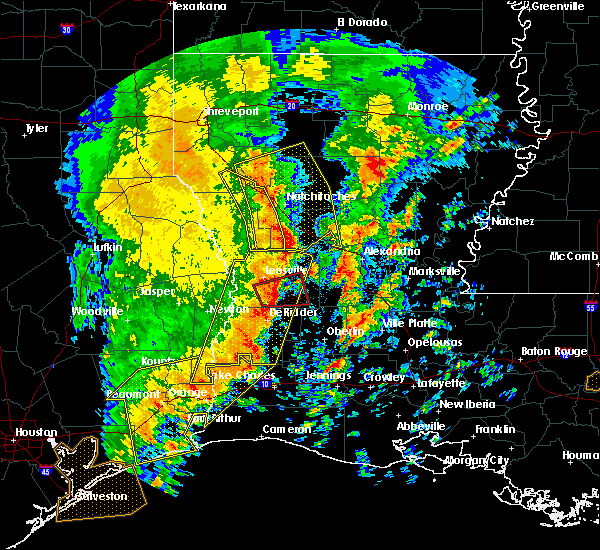 At 1023 am cst, a severe thunderstorm capable of producing a tornado was located over fort polk, moving east at 40 mph (radar indicated rotation). Hazards include tornado. Flying debris will be dangerous to those caught without shelter. mobile homes will be damaged or destroyed. damage to roofs, windows, and vehicles will occur. tree damage is likely. this dangerous storm will be near, cravens around 1035 am cst. fullerton around 1040 am cst. Other locations impacted by this tornadic thunderstorm include pickering. At 1023 am cst, a severe thunderstorm capable of producing a tornado was located over fort polk, moving east at 40 mph (radar indicated rotation). Hazards include tornado. Flying debris will be dangerous to those caught without shelter. mobile homes will be damaged or destroyed. damage to roofs, windows, and vehicles will occur. tree damage is likely. this dangerous storm will be near, cravens around 1035 am cst. fullerton around 1040 am cst. Other locations impacted by this tornadic thunderstorm include pickering.
|
| 1/2/2017 10:10 AM CST |
 At 1009 am cst, a severe thunderstorm capable of producing a tornado was located near rosepine, moving east at 35 mph (radar indicated rotation). Hazards include tornado. Flying debris will be dangerous to those caught without shelter. mobile homes will be damaged or destroyed. damage to roofs, windows, and vehicles will occur. tree damage is likely. this dangerous storm will be near, rosepine around 1015 am cst. fort polk around 1020 am cst. fullerton and cravens around 1045 am cst. Other locations impacted by this tornadic thunderstorm include pickering. At 1009 am cst, a severe thunderstorm capable of producing a tornado was located near rosepine, moving east at 35 mph (radar indicated rotation). Hazards include tornado. Flying debris will be dangerous to those caught without shelter. mobile homes will be damaged or destroyed. damage to roofs, windows, and vehicles will occur. tree damage is likely. this dangerous storm will be near, rosepine around 1015 am cst. fort polk around 1020 am cst. fullerton and cravens around 1045 am cst. Other locations impacted by this tornadic thunderstorm include pickering.
|
| 8/12/2016 5:52 PM CDT |
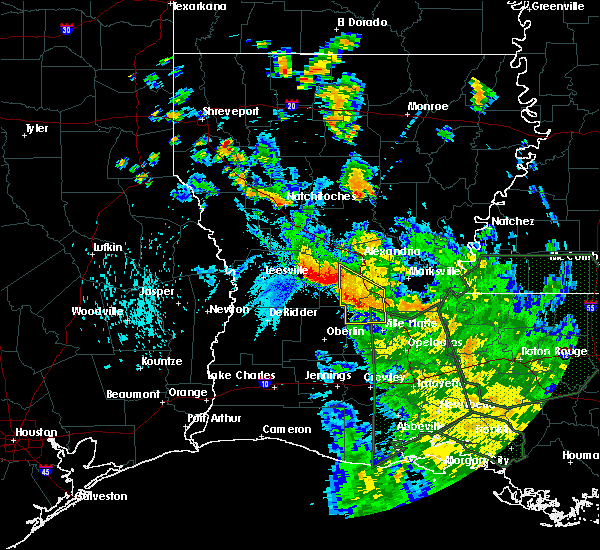 At 551 pm cdt, severe thunderstorms were located along a line extending from near glenmora to near hineston to near lacamp, moving south at 30 mph (radar indicated). Hazards include 60 mph wind gusts. Expect damage to roofs. siding. And trees. At 551 pm cdt, severe thunderstorms were located along a line extending from near glenmora to near hineston to near lacamp, moving south at 30 mph (radar indicated). Hazards include 60 mph wind gusts. Expect damage to roofs. siding. And trees.
|
| 6/18/2016 2:19 PM CDT |
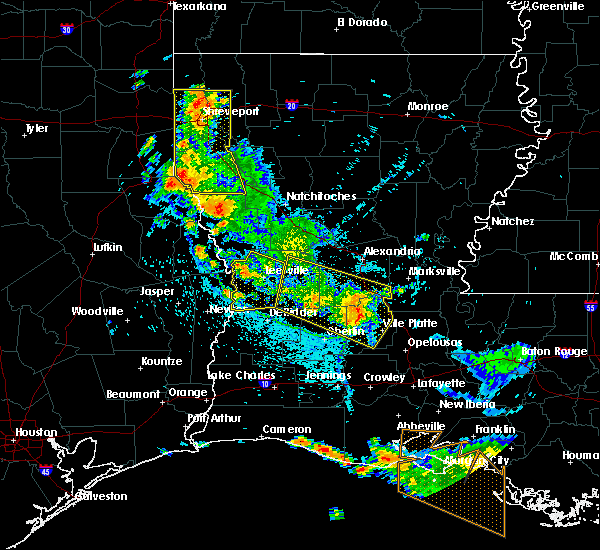 At 218 pm cdt, severe thunderstorms were located along a line extending from 6 miles west of cravens to near pine prairie, moving southwest at 15 mph. a tree has been reported to be blown down near pitkin (radar indicated). Hazards include 60 mph wind gusts. Expect damage to roofs. siding. and trees. Locations impacted include, oakdale, ville platte, mamou, glenmora, elizabeth, turkey creek, pitkin, sugartown, grant, pine prairie, reddell, allen parish airport, cravens, chicot state park, fullerton, bayou chicot, indian lake, beaver, bond and calcasieu. At 218 pm cdt, severe thunderstorms were located along a line extending from 6 miles west of cravens to near pine prairie, moving southwest at 15 mph. a tree has been reported to be blown down near pitkin (radar indicated). Hazards include 60 mph wind gusts. Expect damage to roofs. siding. and trees. Locations impacted include, oakdale, ville platte, mamou, glenmora, elizabeth, turkey creek, pitkin, sugartown, grant, pine prairie, reddell, allen parish airport, cravens, chicot state park, fullerton, bayou chicot, indian lake, beaver, bond and calcasieu.
|
| 6/18/2016 1:52 PM CDT | Sheriffs dept reports tree down on hwy 1 in vernon county LA, 1.2 miles SE of Pitkin, LA |
| 6/18/2016 1:45 PM CDT |
 At 144 pm cdt, severe thunderstorms were located along a line extending from 7 miles northwest of fullerton to 6 miles northeast of bayou chicot, moving southwest at 15 mph (radar indicated). Hazards include 60 mph wind gusts. Expect damage to roofs. siding. And trees. At 144 pm cdt, severe thunderstorms were located along a line extending from 7 miles northwest of fullerton to 6 miles northeast of bayou chicot, moving southwest at 15 mph (radar indicated). Hazards include 60 mph wind gusts. Expect damage to roofs. siding. And trees.
|
| 6/18/2016 1:23 PM CDT |
 At 122 pm cdt, severe thunderstorms were located along a line extending from 9 miles east of elmer to near slagle, moving south at 25 mph (radar indicated). Hazards include 60 mph wind gusts. Expect damage to roofs. siding. and trees. Locations impacted include, alexandria, glenmora, boyce, pitkin, hineston, alexandria international airport, lacamp, elmer, gardner, cravens, flatwoods, hutton, clifton, fullerton, leander, otis, sieper, calcasieu, simpson and mcnary. At 122 pm cdt, severe thunderstorms were located along a line extending from 9 miles east of elmer to near slagle, moving south at 25 mph (radar indicated). Hazards include 60 mph wind gusts. Expect damage to roofs. siding. and trees. Locations impacted include, alexandria, glenmora, boyce, pitkin, hineston, alexandria international airport, lacamp, elmer, gardner, cravens, flatwoods, hutton, clifton, fullerton, leander, otis, sieper, calcasieu, simpson and mcnary.
|
| 6/18/2016 12:47 PM CDT |
 At 1247 pm cdt, a severe thunderstorm was located over flatwoods, or near lena, moving south at 20 mph (radar indicated). Hazards include 60 mph wind gusts. Expect damage to roofs. siding. And trees. At 1247 pm cdt, a severe thunderstorm was located over flatwoods, or near lena, moving south at 20 mph (radar indicated). Hazards include 60 mph wind gusts. Expect damage to roofs. siding. And trees.
|
| 5/27/2016 5:49 PM CDT |
 At 548 pm cdt, severe thunderstorms were located along a line extending from clifton to elizabeth to lake charles, moving east at 35 mph (radar indicated). Hazards include 60 mph wind gusts. Expect damage to roofs. siding. and trees. Locations impacted include, lake charles, alexandria, sulphur, oakdale, westlake, welsh, iowa, kinder, oberlin, glenmora, elton, boyce, elizabeth, fenton, reeves, lena, dry creek, ragley, sugartown and alexandria international airport. At 548 pm cdt, severe thunderstorms were located along a line extending from clifton to elizabeth to lake charles, moving east at 35 mph (radar indicated). Hazards include 60 mph wind gusts. Expect damage to roofs. siding. and trees. Locations impacted include, lake charles, alexandria, sulphur, oakdale, westlake, welsh, iowa, kinder, oberlin, glenmora, elton, boyce, elizabeth, fenton, reeves, lena, dry creek, ragley, sugartown and alexandria international airport.
|
| 5/27/2016 5:14 PM CDT |
 At 512 pm cdt, severe thunderstorms were located along a line extending from near slagle to 6 miles southwest of sugartown to 6 miles southeast of vinton, moving east at 35 mph (radar indicated). Hazards include 60 mph wind gusts. Expect damage to roofs. siding. And trees. At 512 pm cdt, severe thunderstorms were located along a line extending from near slagle to 6 miles southwest of sugartown to 6 miles southeast of vinton, moving east at 35 mph (radar indicated). Hazards include 60 mph wind gusts. Expect damage to roofs. siding. And trees.
|
| 4/27/2016 8:21 AM CDT |
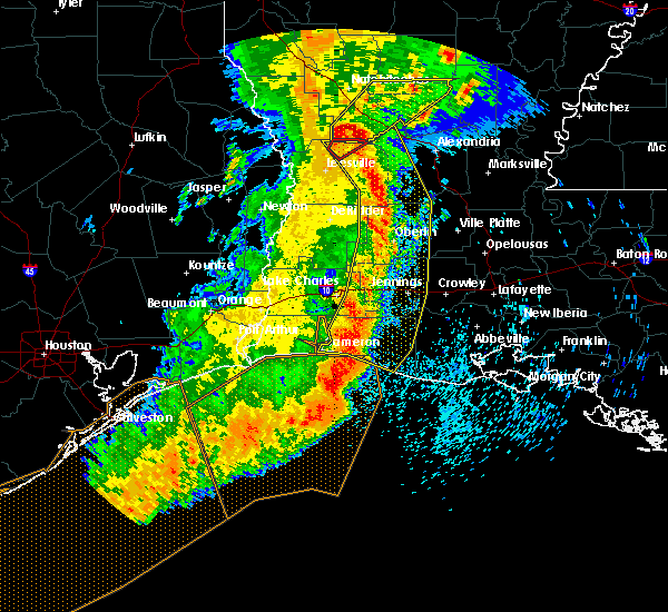 At 819 am cdt, severe thunderstorms were located along a line extending from near hutton to near elizabeth to near oberlin to near welsh to 6 miles north of grand chenier to 27 miles south of cameron, moving east at 45 mph (radar indicated). Hazards include 60 mph wind gusts and penny size hail. Expect damage to roofs. siding. and trees. trees have been reported down in vernon and calcasieu parishes. a wind gust of 70 mph was recorded at cameron. Locations impacted include, lake charles, jennings, oakdale, cameron, welsh, iowa, lake arthur, kinder, basile, oberlin, glenmora, elton, mermentau, elizabeth, fenton, reeves, lena, rockefeller wildlife range, sugartown and klondike. At 819 am cdt, severe thunderstorms were located along a line extending from near hutton to near elizabeth to near oberlin to near welsh to 6 miles north of grand chenier to 27 miles south of cameron, moving east at 45 mph (radar indicated). Hazards include 60 mph wind gusts and penny size hail. Expect damage to roofs. siding. and trees. trees have been reported down in vernon and calcasieu parishes. a wind gust of 70 mph was recorded at cameron. Locations impacted include, lake charles, jennings, oakdale, cameron, welsh, iowa, lake arthur, kinder, basile, oberlin, glenmora, elton, mermentau, elizabeth, fenton, reeves, lena, rockefeller wildlife range, sugartown and klondike.
|
| 4/27/2016 7:46 AM CDT |
 At 746 am cdt, severe thunderstorms were located along a line extending from near hornbeck to near rosepine to near longville to near moss bluff to 6 miles northeast of holly beach to 25 miles south of johnsons bayou, moving east at 45 mph (radar indicated). Hazards include 60 mph wind gusts and penny size hail. Expect damage to roofs. siding. And trees. At 746 am cdt, severe thunderstorms were located along a line extending from near hornbeck to near rosepine to near longville to near moss bluff to 6 miles northeast of holly beach to 25 miles south of johnsons bayou, moving east at 45 mph (radar indicated). Hazards include 60 mph wind gusts and penny size hail. Expect damage to roofs. siding. And trees.
|
| 4/27/2016 7:27 AM CDT |
 At 726 am cdt, severe thunderstorms were located along a line extending from near anacoco to near de ridder to longville to sulphur to 16 miles south of johnsons bayou, moving east at 45 mph (radar indicated). Hazards include 60 mph wind gusts and penny size hail. Expect damage to roofs. siding. and trees. Locations impacted include, lake charles, sulphur, cameron, leesville, westlake, iowa, rosepine, anacoco, reeves, moss bluff, lake charles regional airport, mittie, dry creek, pitkin, ragley, fort polk, sabine national wildlife, sugartown, slagle and grand lake. At 726 am cdt, severe thunderstorms were located along a line extending from near anacoco to near de ridder to longville to sulphur to 16 miles south of johnsons bayou, moving east at 45 mph (radar indicated). Hazards include 60 mph wind gusts and penny size hail. Expect damage to roofs. siding. and trees. Locations impacted include, lake charles, sulphur, cameron, leesville, westlake, iowa, rosepine, anacoco, reeves, moss bluff, lake charles regional airport, mittie, dry creek, pitkin, ragley, fort polk, sabine national wildlife, sugartown, slagle and grand lake.
|
| 4/27/2016 6:47 AM CDT |
 At 646 am cdt, severe thunderstorms were located along a line extending from 8 miles southeast of pineland to newton to near bancroft to mauriceville to 12 miles east of high island, moving east at 45 mph (radar indicated). Hazards include 60 mph wind gusts and quarter size hail. Hail damage to vehicles is expected. Expect wind damage to roofs, siding, and trees. At 646 am cdt, severe thunderstorms were located along a line extending from 8 miles southeast of pineland to newton to near bancroft to mauriceville to 12 miles east of high island, moving east at 45 mph (radar indicated). Hazards include 60 mph wind gusts and quarter size hail. Hail damage to vehicles is expected. Expect wind damage to roofs, siding, and trees.
|
| 3/18/2016 7:03 PM CDT |
 At 703 pm cdt, a severe thunderstorm was located over cravens, or 8 miles west of pitkin, moving northeast at 20 mph (radar indicated). Hazards include 60 mph wind gusts and quarter size hail. Hail damage to vehicles is expected. Expect wind damage to roofs, siding and trees. At 703 pm cdt, a severe thunderstorm was located over cravens, or 8 miles west of pitkin, moving northeast at 20 mph (radar indicated). Hazards include 60 mph wind gusts and quarter size hail. Hail damage to vehicles is expected. Expect wind damage to roofs, siding and trees.
|
| 1/21/2016 2:41 PM CST | At 241 pm cst, severe thunderstorms were located along a line extending from near timber trails to near glenmora to near cravens, moving northeast at 50 mph (radar indicated). Hazards include 60 mph wind gusts and quarter size hail. Hail damage to vehicles is expected. Expect wind damage to roofs, siding and trees. |
| 1/21/2016 2:23 PM CST | Quarter sized hail reported 1.2 miles SE of Pitkin, LA, public posted a photo on facebook of quarter size hail near pitkin |
| 1/21/2016 2:20 PM CST | A severe thunderstorm warning remains in effect until 245 pm cst for southeastern vernon. northeastern allen. northeastern beauregard and southwestern rapides parishes. at 220 pm cst. a severe thunderstorm was located near pitkin. moving northeast at 45 mph. hazard. Quarter size hail. |
| 1/21/2016 1:55 PM CST | At 154 pm cst, a severe thunderstorm was located 7 miles east of de ridder, moving east at 40 mph (radar indicated). Hazards include 60 mph wind gusts and half dollar size hail. Hail damage to vehicles is expected. Expect wind damage to roofs, siding and trees. |
| 1/8/2016 9:46 PM CST |
 At 946 pm cst, severe thunderstorms were located along a line extending from near pitkin to near oretta, moving east at 20 mph (radar indicated). Hazards include quarter size hail. damage to vehicles is expected At 946 pm cst, severe thunderstorms were located along a line extending from near pitkin to near oretta, moving east at 20 mph (radar indicated). Hazards include quarter size hail. damage to vehicles is expected
|
| 1/8/2016 9:37 PM CST |
 At 937 pm cst, severe thunderstorms were located along a line extending from near fullerton to near oretta, moving east at 25 mph (radar indicated). Hazards include quarter size hail. Damage to vehicles is expected. Locations impacted include, rosepine, pitkin, ragley, de ridder, fields, sugartown, singer, dry creek, fort polk, grant, deridder, dequincy, bivens, cravens, longville, fullerton, tulla, bancroft, oretta and bundick lake. At 937 pm cst, severe thunderstorms were located along a line extending from near fullerton to near oretta, moving east at 25 mph (radar indicated). Hazards include quarter size hail. Damage to vehicles is expected. Locations impacted include, rosepine, pitkin, ragley, de ridder, fields, sugartown, singer, dry creek, fort polk, grant, deridder, dequincy, bivens, cravens, longville, fullerton, tulla, bancroft, oretta and bundick lake.
|
| 1/8/2016 9:17 PM CST |
 At 916 pm cst, severe thunderstorms were located along a line extending from near cravens to near de quincy, moving east at 35 mph (radar indicated). Hazards include quarter size hail. damage to vehicles is expected At 916 pm cst, severe thunderstorms were located along a line extending from near cravens to near de quincy, moving east at 35 mph (radar indicated). Hazards include quarter size hail. damage to vehicles is expected
|
| 12/21/2015 4:56 PM CST |
 At 455 pm cst, a severe thunderstorm capable of producing a tornado was located over pitkin, moving east at 25 mph (radar indicated rotation). Hazards include tornado. Flying debris will be dangerous to those caught without shelter. mobile homes will be damaged or destroyed. damage to roofs, windows and vehicles will occur. tree damage is likely. This tornadic thunderstorm will remain over mainly rural areas of southeastern vernon and southwestern rapides parishes, including the following locations, calcasieu and union hill. At 455 pm cst, a severe thunderstorm capable of producing a tornado was located over pitkin, moving east at 25 mph (radar indicated rotation). Hazards include tornado. Flying debris will be dangerous to those caught without shelter. mobile homes will be damaged or destroyed. damage to roofs, windows and vehicles will occur. tree damage is likely. This tornadic thunderstorm will remain over mainly rural areas of southeastern vernon and southwestern rapides parishes, including the following locations, calcasieu and union hill.
|
| 11/17/2015 2:26 PM CST |
 At 226 pm cst, a severe thunderstorm capable of producing a tornado was located over dry creek, moving north at 50 mph (radar indicated rotation). Hazards include tornado. Flying debris will be dangerous to those caught without shelter. mobile homes will be damaged or destroyed. damage to roofs, windows and vehicles will occur. tree damage is likely. this dangerous storm will be near, sugartown around 240 pm cst. pitkin around 245 pm cst. Fullerton and cravens around 250 pm cst. At 226 pm cst, a severe thunderstorm capable of producing a tornado was located over dry creek, moving north at 50 mph (radar indicated rotation). Hazards include tornado. Flying debris will be dangerous to those caught without shelter. mobile homes will be damaged or destroyed. damage to roofs, windows and vehicles will occur. tree damage is likely. this dangerous storm will be near, sugartown around 240 pm cst. pitkin around 245 pm cst. Fullerton and cravens around 250 pm cst.
|
| 11/17/2015 11:43 AM CST |
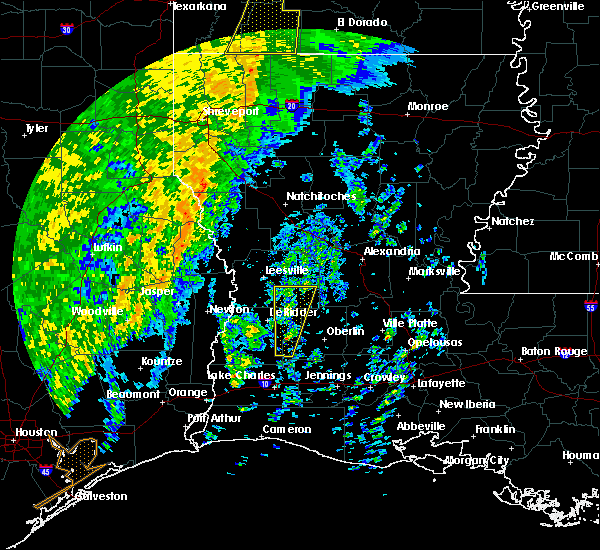 At 1142 am cst, a severe thunderstorm was located near sugartown, moving north at 50 mph (radar indicated). Hazards include 60 mph wind gusts. Expect damage to roofs. siding and trees. locations impacted include, reeves, pitkin, sugartown, dry creek, fort polk, grant, fullerton, cravens and bundick lake. A tornado watch remains in effect until 400 pm cst for southwestern louisiana. At 1142 am cst, a severe thunderstorm was located near sugartown, moving north at 50 mph (radar indicated). Hazards include 60 mph wind gusts. Expect damage to roofs. siding and trees. locations impacted include, reeves, pitkin, sugartown, dry creek, fort polk, grant, fullerton, cravens and bundick lake. A tornado watch remains in effect until 400 pm cst for southwestern louisiana.
|
| 11/17/2015 11:13 AM CST |
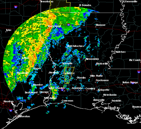 At 1113 am cst, a severe thunderstorm was located near reeves, moving north at 55 mph (radar indicated). Hazards include 60 mph wind gusts. Expect damage to roofs. Siding and trees. At 1113 am cst, a severe thunderstorm was located near reeves, moving north at 55 mph (radar indicated). Hazards include 60 mph wind gusts. Expect damage to roofs. Siding and trees.
|
| 10/31/2015 10:23 AM CDT |
 At 1022 am cdt, severe thunderstorms were located along a line extending from near clifton to near pitkin to near reeves to westlake to near vidor, and are nearly stationary (radar indicated). Hazards include 60 mph wind gusts. Expect damage to roofs. Siding and trees. At 1022 am cdt, severe thunderstorms were located along a line extending from near clifton to near pitkin to near reeves to westlake to near vidor, and are nearly stationary (radar indicated). Hazards include 60 mph wind gusts. Expect damage to roofs. Siding and trees.
|
| 10/31/2015 7:16 AM CDT |
 At 716 am cdt, severe thunderstorms were located along a line extending from near clifton to near leander to near pitkin, moving northeast at 35 mph (radar indicated). Hazards include 60 mph wind gusts. Expect damage to roofs. Siding and trees. At 716 am cdt, severe thunderstorms were located along a line extending from near clifton to near leander to near pitkin, moving northeast at 35 mph (radar indicated). Hazards include 60 mph wind gusts. Expect damage to roofs. Siding and trees.
|
| 10/31/2015 6:53 AM CDT |
 At 652 am cdt, a severe thunderstorm capable of producing a tornado was located over cravens, or near pitkin, moving northeast at 40 mph (radar indicated rotation). Hazards include tornado. Flying debris will be dangerous to those caught without shelter. mobile homes will be damaged or destroyed. damage to roofs, windows and vehicles will occur. tree damage is likely. This dangerous storm will be near, leander and lacamp around 715 am cdt. At 652 am cdt, a severe thunderstorm capable of producing a tornado was located over cravens, or near pitkin, moving northeast at 40 mph (radar indicated rotation). Hazards include tornado. Flying debris will be dangerous to those caught without shelter. mobile homes will be damaged or destroyed. damage to roofs, windows and vehicles will occur. tree damage is likely. This dangerous storm will be near, leander and lacamp around 715 am cdt.
|
| 10/31/2015 6:45 AM CDT |
 At 645 am cdt, a confirmed tornado was located near cravens, or 7 miles northwest of sugartown, moving northeast at 30 mph (radar confirmed tornado). Hazards include damaging tornado. Flying debris will be dangerous to those caught without shelter. mobile homes will be damaged or destroyed. damage to roofs, windows and vehicles will occur. tree damage is likely. this tornado will be near, cravens around 655 am cdt. pitkin and fullerton around 700 am cdt. Lacamp and leander around 715 am cdt. At 645 am cdt, a confirmed tornado was located near cravens, or 7 miles northwest of sugartown, moving northeast at 30 mph (radar confirmed tornado). Hazards include damaging tornado. Flying debris will be dangerous to those caught without shelter. mobile homes will be damaged or destroyed. damage to roofs, windows and vehicles will occur. tree damage is likely. this tornado will be near, cravens around 655 am cdt. pitkin and fullerton around 700 am cdt. Lacamp and leander around 715 am cdt.
|
| 10/31/2015 6:43 AM CDT |
 At 643 am cdt, a severe thunderstorm capable of producing a tornado was located 7 miles southwest of cravens, or 7 miles northwest of sugartown, moving northeast at 25 mph (radar indicated rotation). Hazards include tornado. Flying debris will be dangerous to those caught without shelter. mobile homes will be damaged or destroyed. damage to roofs, windows and vehicles will occur. tree damage is likely. this dangerous storm will be near, cravens around 700 am cdt. pitkin around 705 am cdt. Fullerton around 710 am cdt. At 643 am cdt, a severe thunderstorm capable of producing a tornado was located 7 miles southwest of cravens, or 7 miles northwest of sugartown, moving northeast at 25 mph (radar indicated rotation). Hazards include tornado. Flying debris will be dangerous to those caught without shelter. mobile homes will be damaged or destroyed. damage to roofs, windows and vehicles will occur. tree damage is likely. this dangerous storm will be near, cravens around 700 am cdt. pitkin around 705 am cdt. Fullerton around 710 am cdt.
|
| 8/24/2015 7:06 PM CDT |
 At 705 pm cdt, doppler radar indicated a line of severe thunderstorms capable of producing damaging winds in excess of 60 mph. these storms were located along a line extending from near cravens to harmony, and moving south at 10 mph. At 705 pm cdt, doppler radar indicated a line of severe thunderstorms capable of producing damaging winds in excess of 60 mph. these storms were located along a line extending from near cravens to harmony, and moving south at 10 mph.
|
| 8/24/2015 7:03 PM CDT |
 At 702 pm cdt, doppler radar indicated a line of severe thunderstorms capable of producing damaging winds in excess of 60 mph. these storms were located along a line extending from near fort polk to near harmony, and moving south at 70 mph. At 702 pm cdt, doppler radar indicated a line of severe thunderstorms capable of producing damaging winds in excess of 60 mph. these storms were located along a line extending from near fort polk to near harmony, and moving south at 70 mph.
|
| 5/27/2015 7:06 AM CDT | At 705 am cdt, doppler radar indicated a line of severe thunderstorms capable of producing quarter size hail and damaging winds in excess of 60 mph. these storms were located along a line extending from pineville to near leblanc, moving east at 30 mph. locations impacted include, alexandria, pineville, oakdale, marksville, bunkie, kinder, basile, oberlin, glenmora, cheneyville, elizabeth, turkey creek, reeves, mittie, effie, dry creek, pitkin, ragley, alexandria international airport and grant. |
| 5/27/2015 6:23 AM CDT | At 623 am cdt, doppler radar indicated a line of severe thunderstorms capable of producing quarter size hail and damaging winds in excess of 60 mph. these storms were located along a line extending from near boyce to ragley, and moving east at 30 mph. |
| 5/25/2015 10:45 PM CDT | At 1045 pm cdt, doppler radar indicated a line of severe thunderstorms capable of producing quarter size hail and damaging winds in excess of 60 mph. these storms were located along a line extending from near boyce to near buhler to near fannett, moving east at 30 mph. locations impacted include, beaumont, port arthur, alexandria, orange, lumberton, vidor, bridge city, west orange, vinton, sour lake, rosepine, merryville, boyce, nome, deweyville, lena, dry creek, ragley, fort polk and evadale. a tornado watch remains in effect until 200 am cdt for southwestern louisiana and southeastern texas. |
| 5/25/2015 10:45 PM CDT | At 1045 pm cdt, doppler radar indicated a line of severe thunderstorms capable of producing quarter size hail and damaging winds in excess of 60 mph. these storms were located along a line extending from near boyce to near buhler to near fannett, moving east at 30 mph. locations impacted include, beaumont, port arthur, alexandria, orange, lumberton, vidor, bridge city, west orange, vinton, sour lake, rosepine, merryville, boyce, nome, deweyville, lena, dry creek, ragley, fort polk and evadale. a tornado watch remains in effect until 200 am cdt for southwestern louisiana and southeastern texas. |
| 5/25/2015 10:19 PM CDT | At 1018 pm cdt, doppler radar indicated a line of severe thunderstorms capable of producing quarter size hail and damaging winds in excess of 60 mph. these storms were located along a line extending from near de ridder to near lunita to nome. these storms were nearly stationary. |
| 5/25/2015 10:19 PM CDT | At 1018 pm cdt, doppler radar indicated a line of severe thunderstorms capable of producing quarter size hail and damaging winds in excess of 60 mph. these storms were located along a line extending from near de ridder to near lunita to nome. these storms were nearly stationary. |
| 4/27/2015 7:05 AM CDT | Trees down in much of the paris in vernon county LA, 1.2 miles SE of Pitkin, LA |
| 4/27/2015 6:58 AM CDT | At 658 am cdt, doppler radar indicated a line of severe thunderstorms capable of producing quarter size hail and damaging winds in excess of 60 mph. these storms were located along a line extending from near anacoco to near cravens to near sulphur, and moving east at 55 mph. |
| 4/27/2015 6:50 AM CDT | At 649 am cdt, local law enforcement reported a line of severe thunderstorms producing quarter size hail and damaging winds in excess of 60 mph. these storms were located along a line extending from near leesville to near rosepine to near edgerly, moving east at 55 mph. locations impacted include, lake charles, sulphur, leesville, westlake, vinton, rosepine, merryville, anacoco, de ridder, moss bluff, starks, dry creek, pitkin, ragley, fort polk, fields, sugartown, de quincy, singer and slagle. a tornado watch remains in effect until 900 am cdt for southeastern texas. a tornado watch also remains in effect until 100 pm cdt for southwestern louisiana and southeastern texas. |
| 4/27/2015 6:21 AM CDT | At 621 am cdt, doppler radar indicated a line of severe thunderstorms capable of producing damaging winds in excess of 60 mph. these storms were located along a line extending from near mayflower to stringtown to near mauriceville, and moving east at 55 mph. |
| 10/13/2014 12:55 PM CDT | 911 relayed report of snapped power lines in pitkin in vernon county LA, 1.2 miles SE of Pitkin, LA |
| 12/25/2012 12:34 PM CST | State police report damage to a barn and trees down near pitkin as the result of a possible tornado. time estimated by rada in vernon county LA, 1.2 miles SE of Pitkin, LA |
| 7/20/2012 9:05 PM CDT | Sheriffs dept reports several trees dow in vernon county LA, 1.2 miles SE of Pitkin, LA |
| 1/1/0001 12:00 AM | Sheriffs department reported several trees down across the paris in vernon county LA, 1.2 miles SE of Pitkin, LA |
Hail Maps for Pitkin, LA


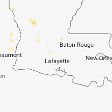


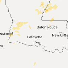


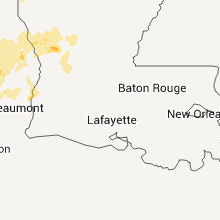
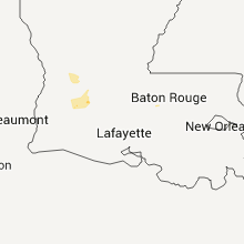

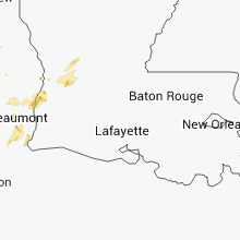


Connect with Interactive Hail Maps