

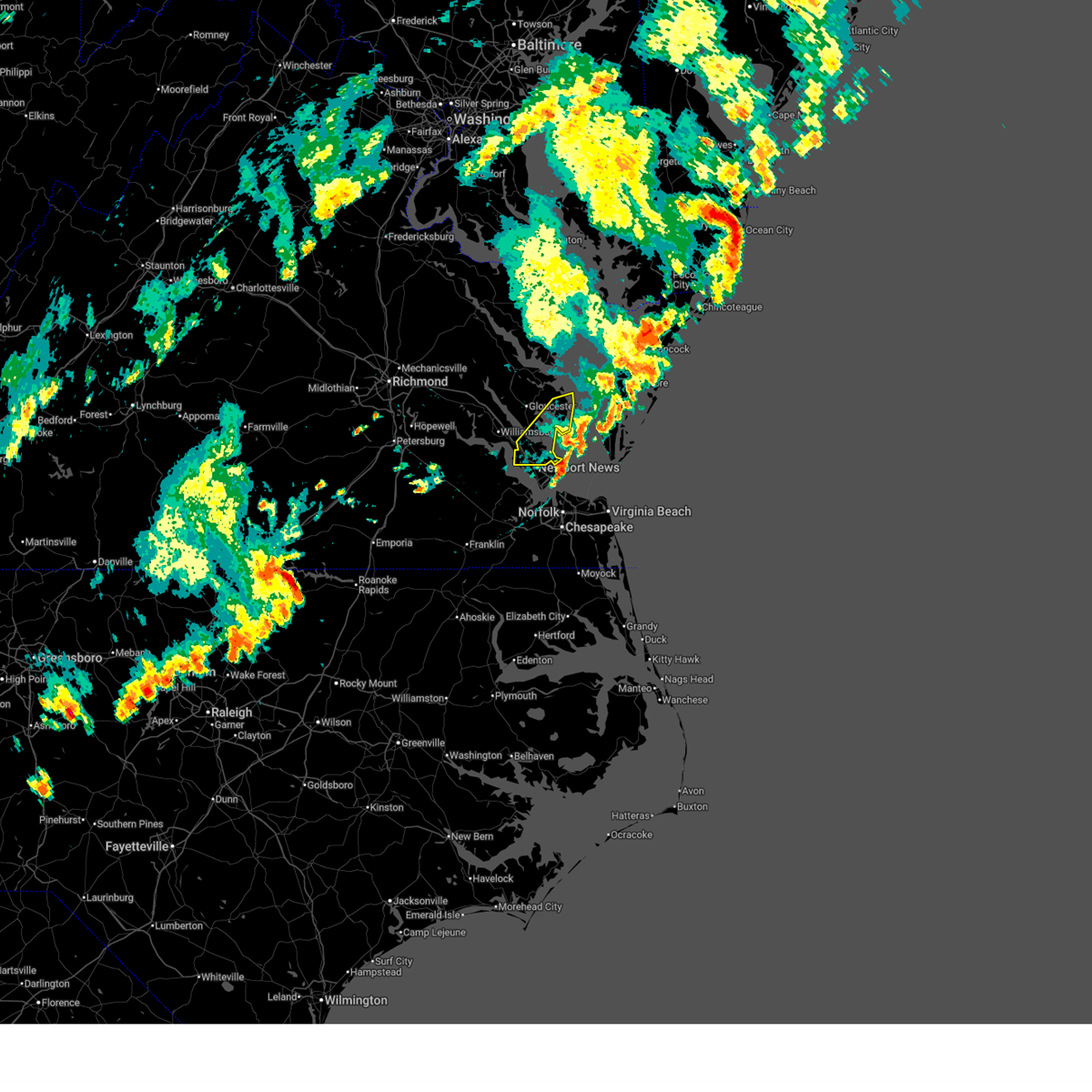
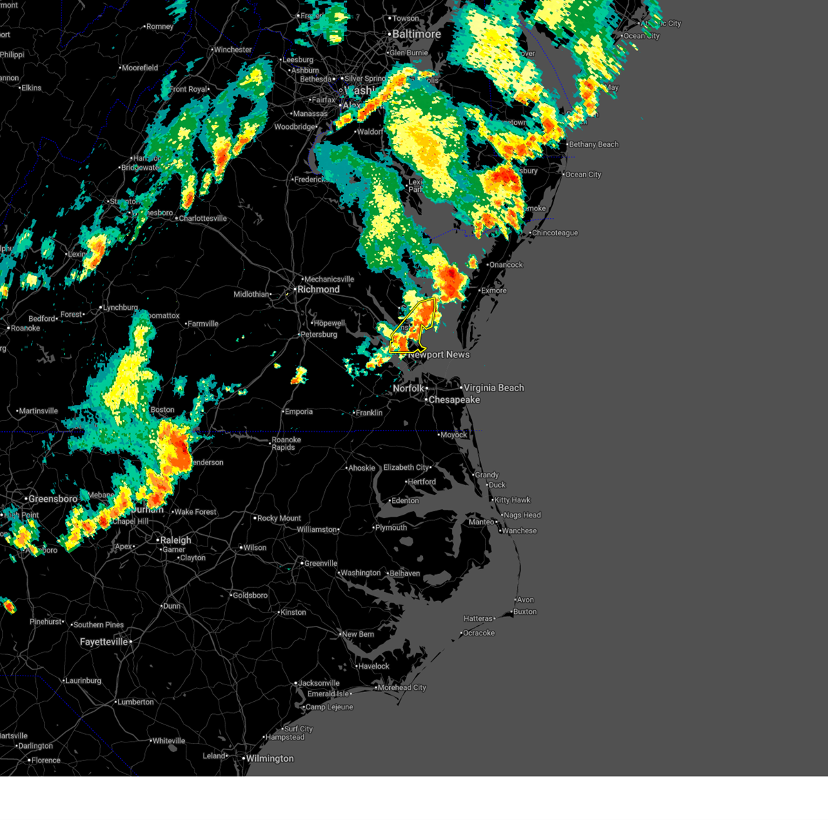
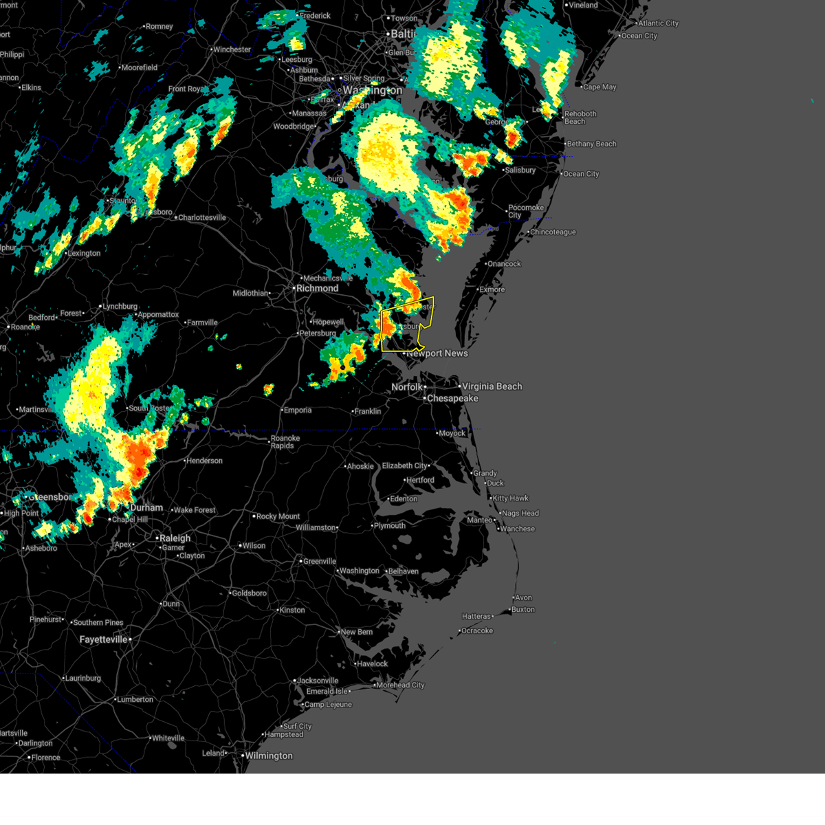
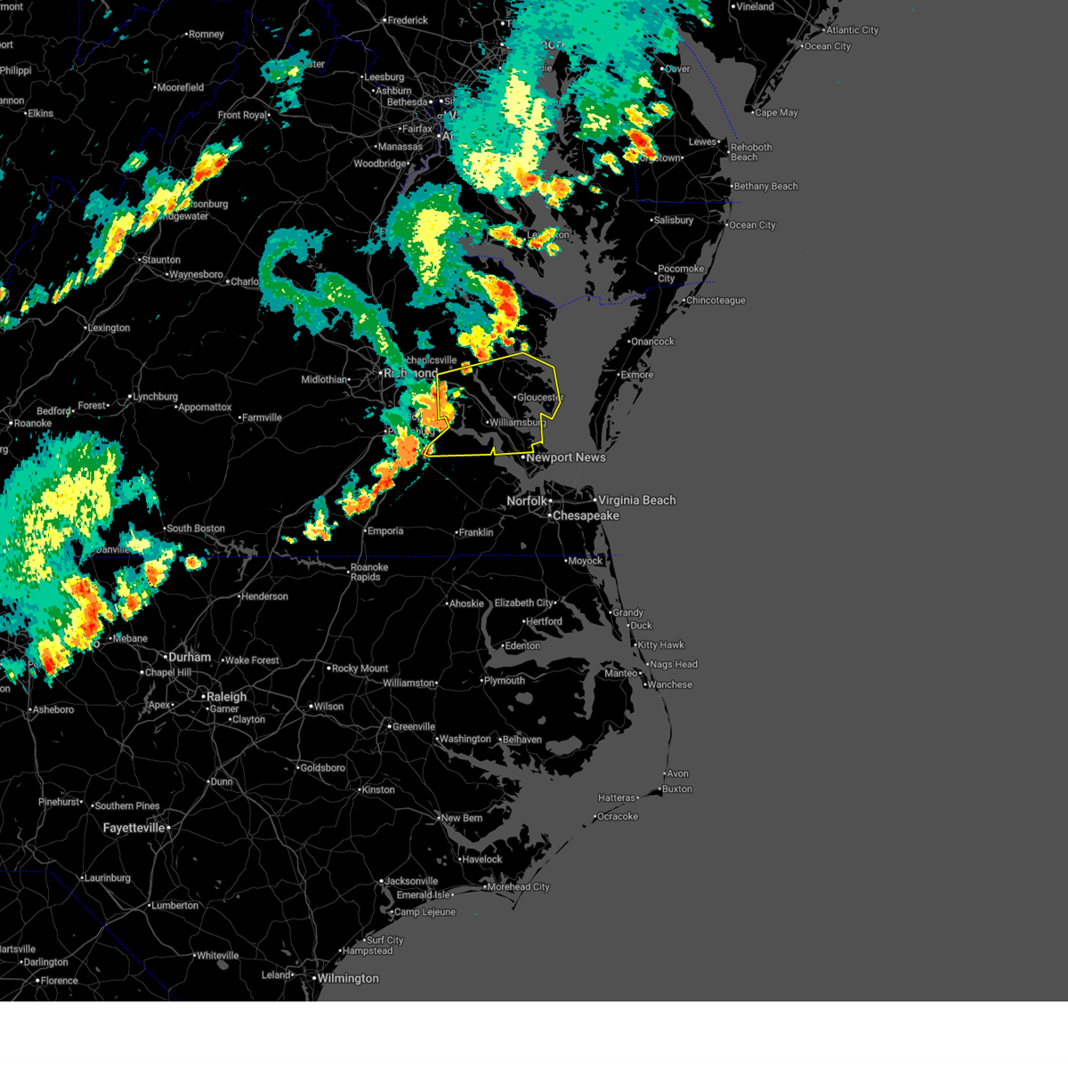
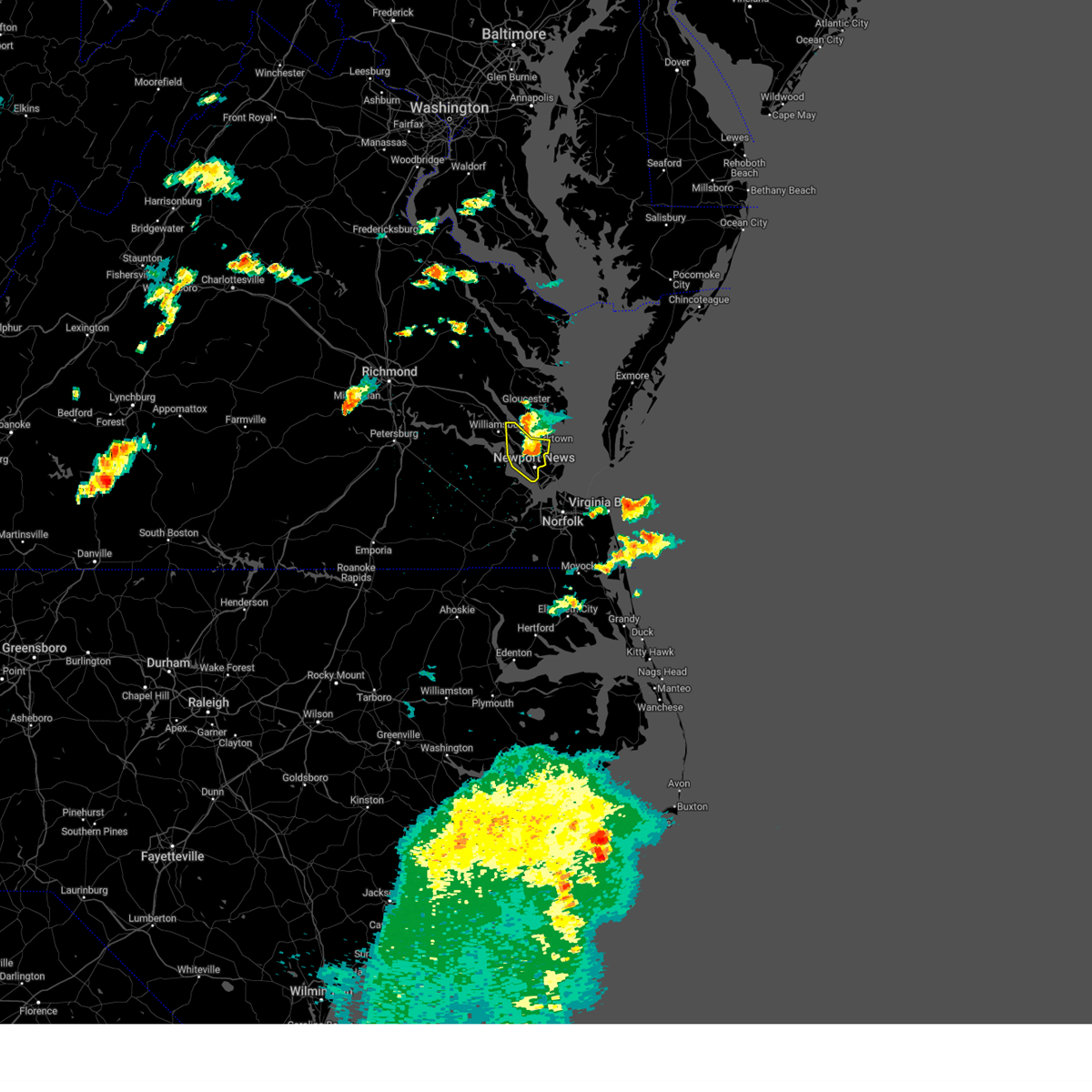
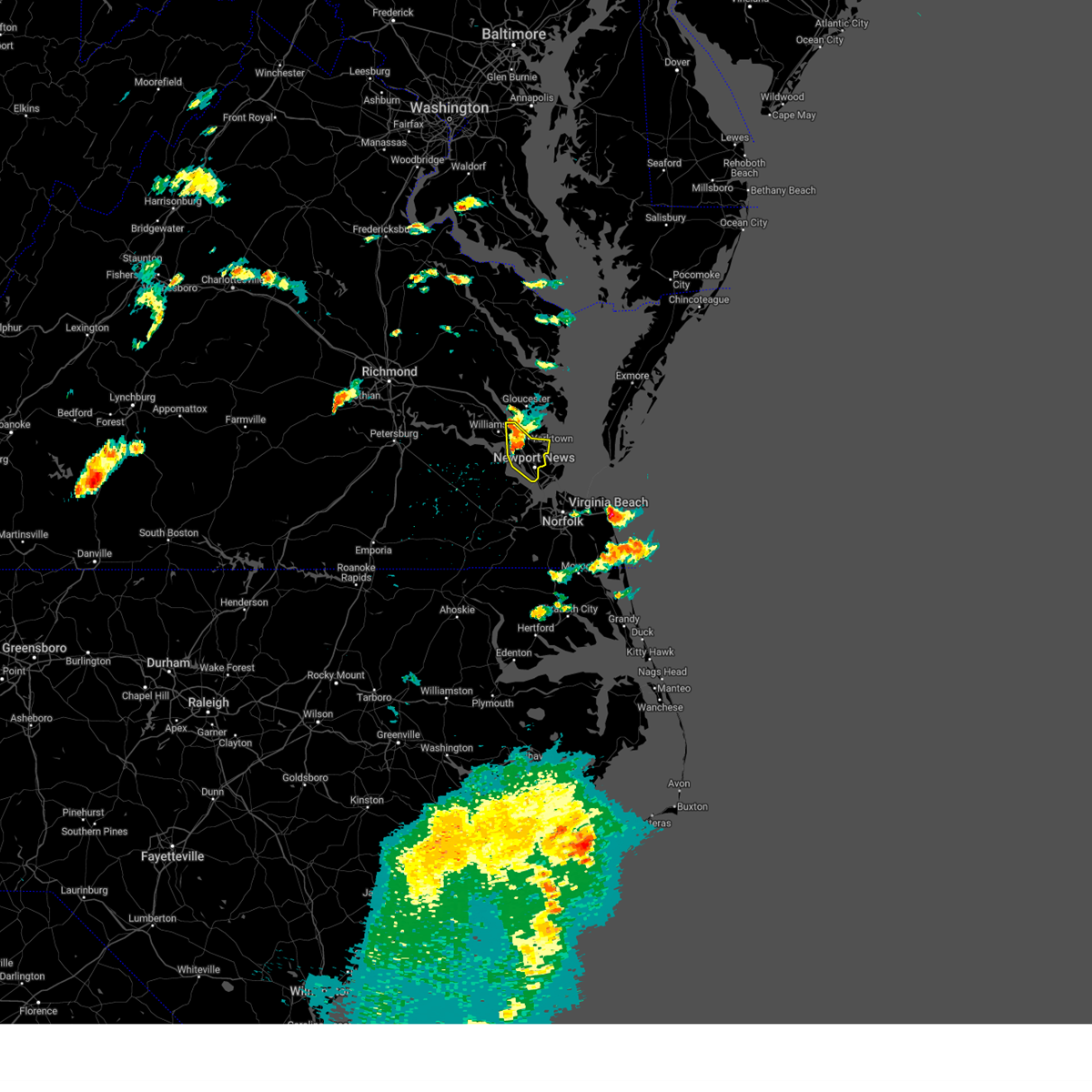
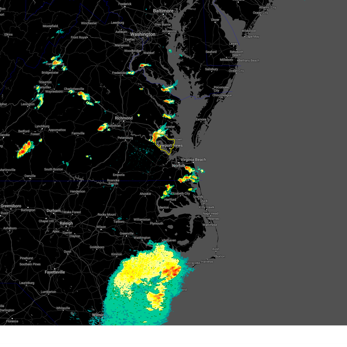
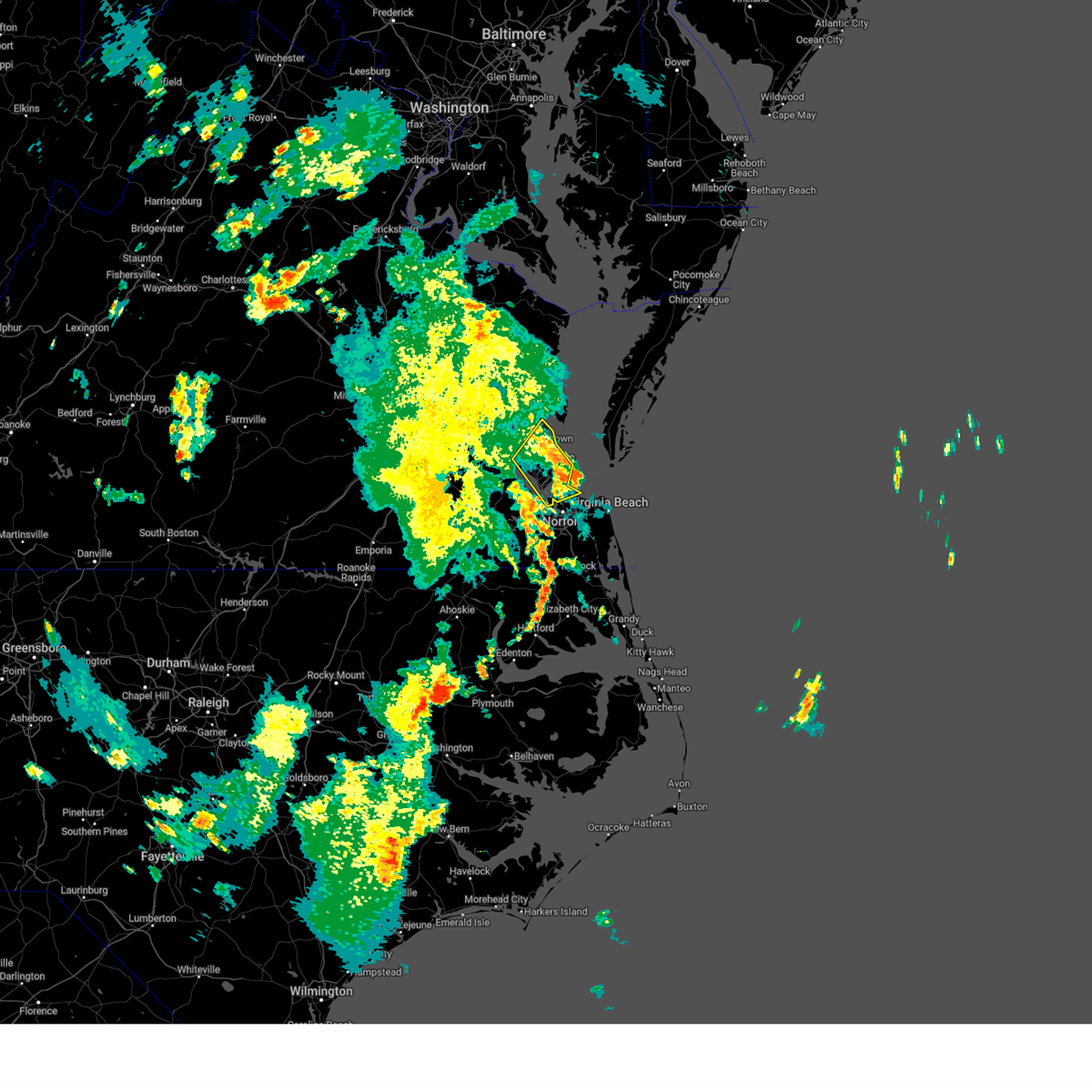
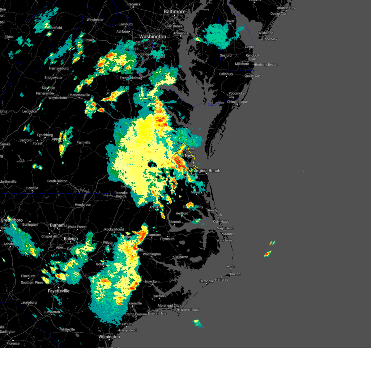
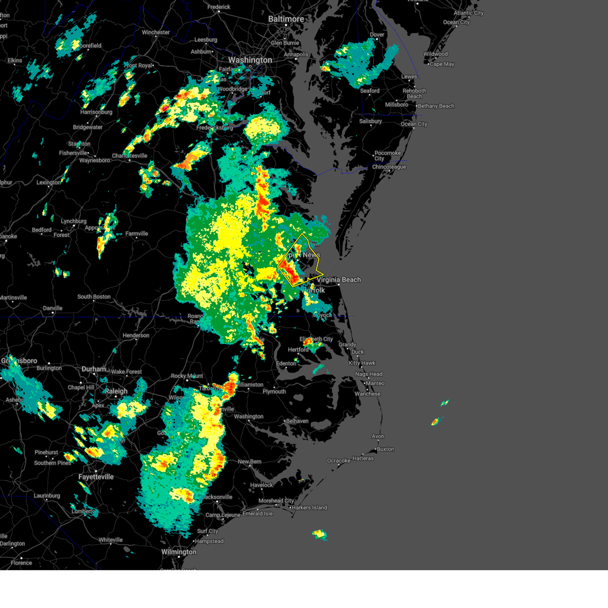
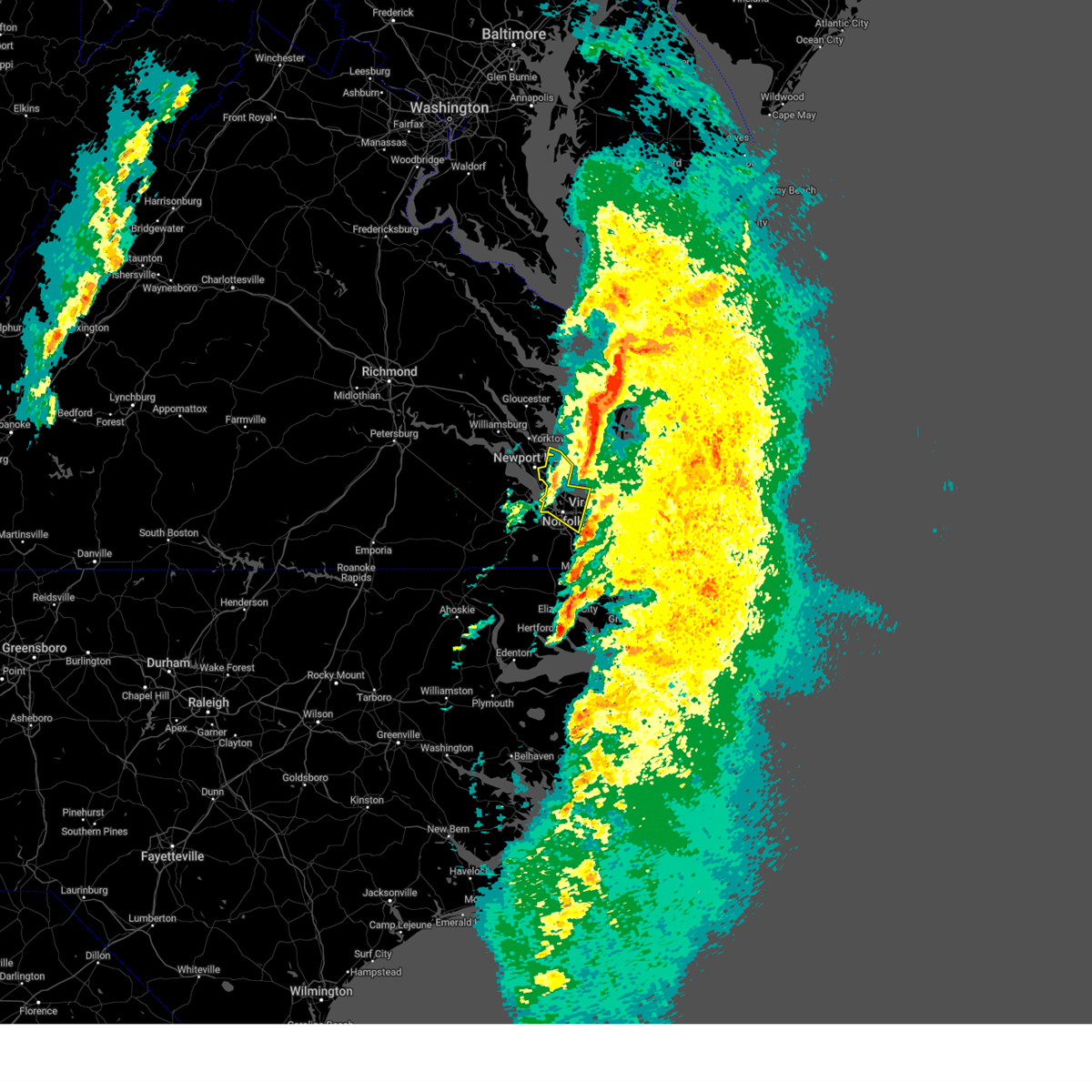
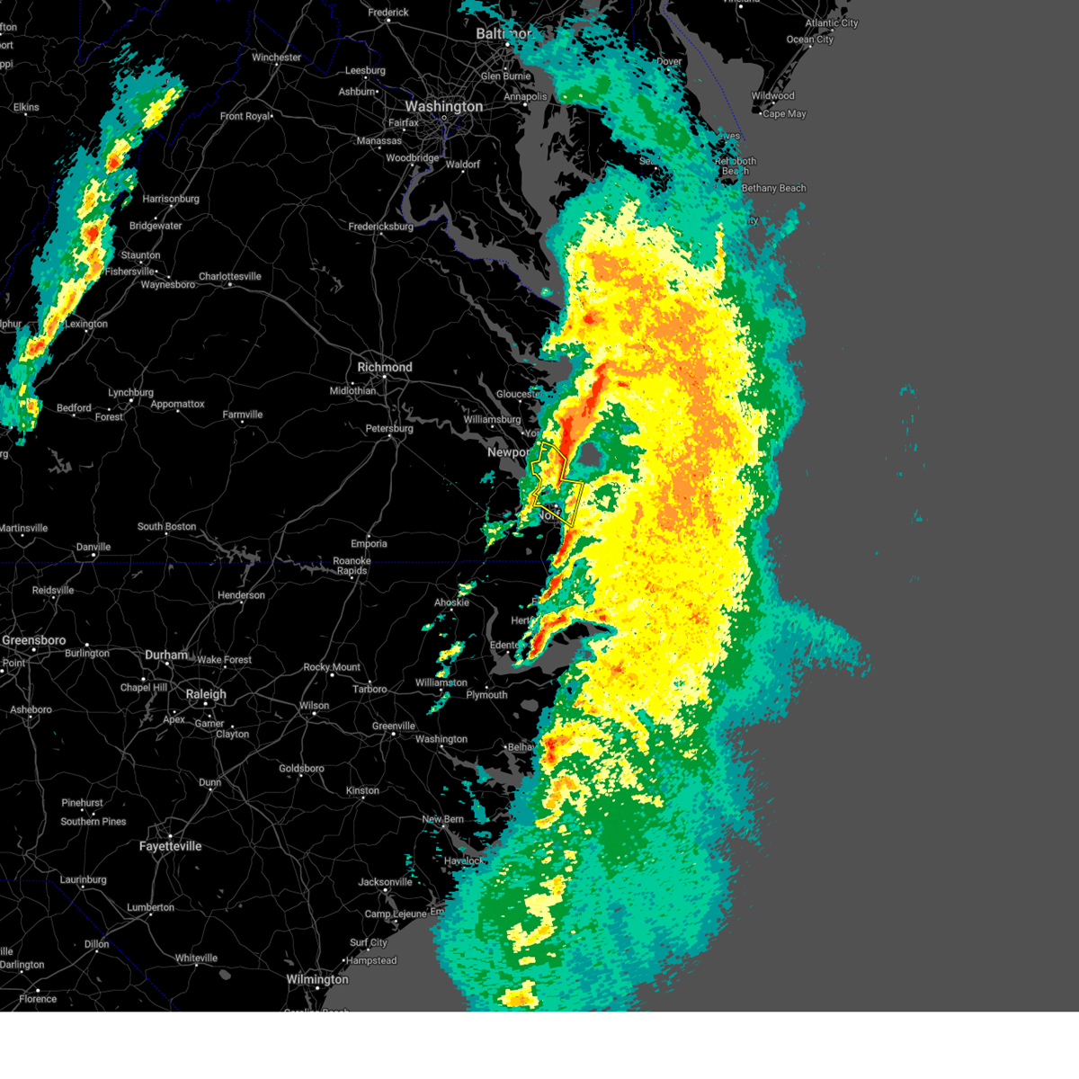
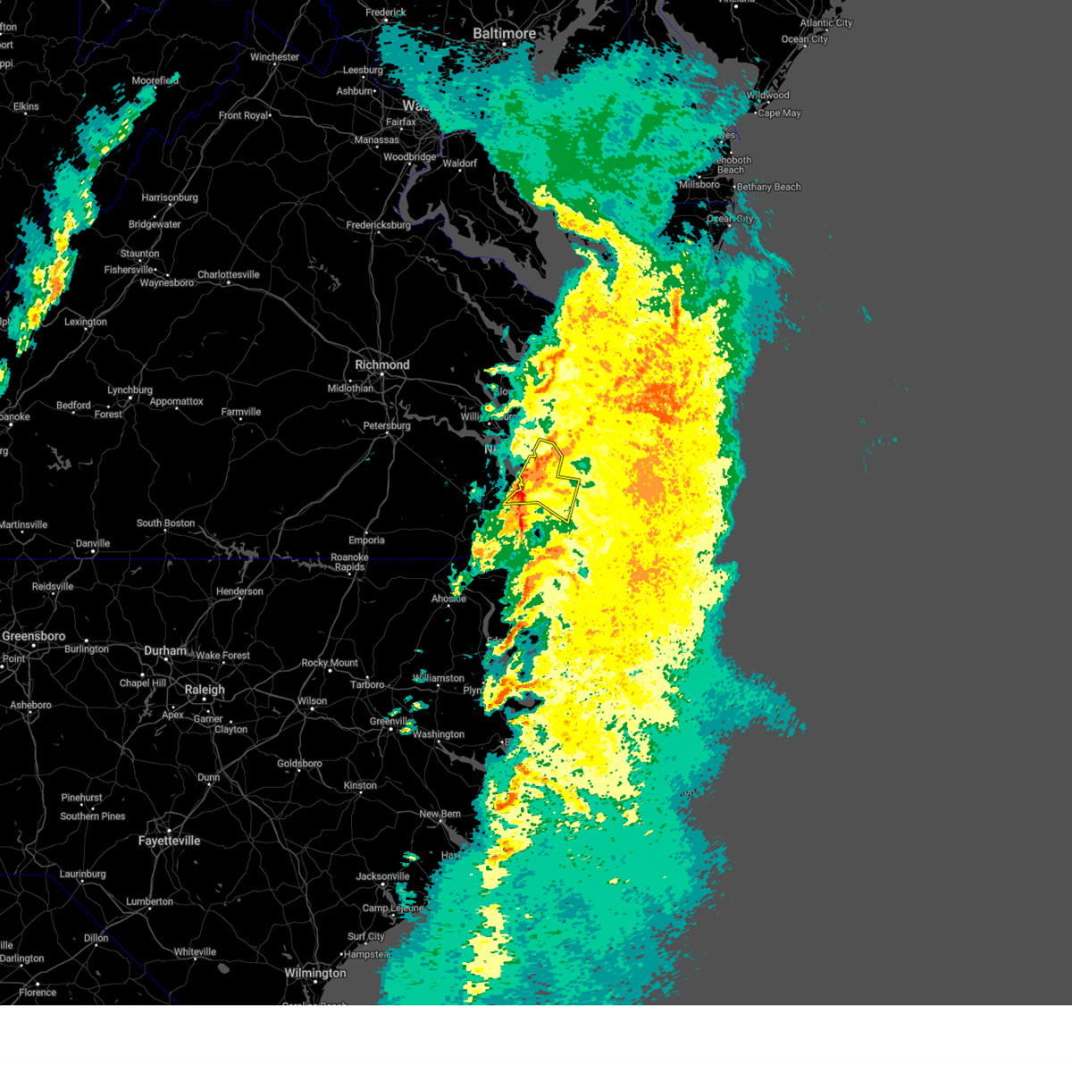
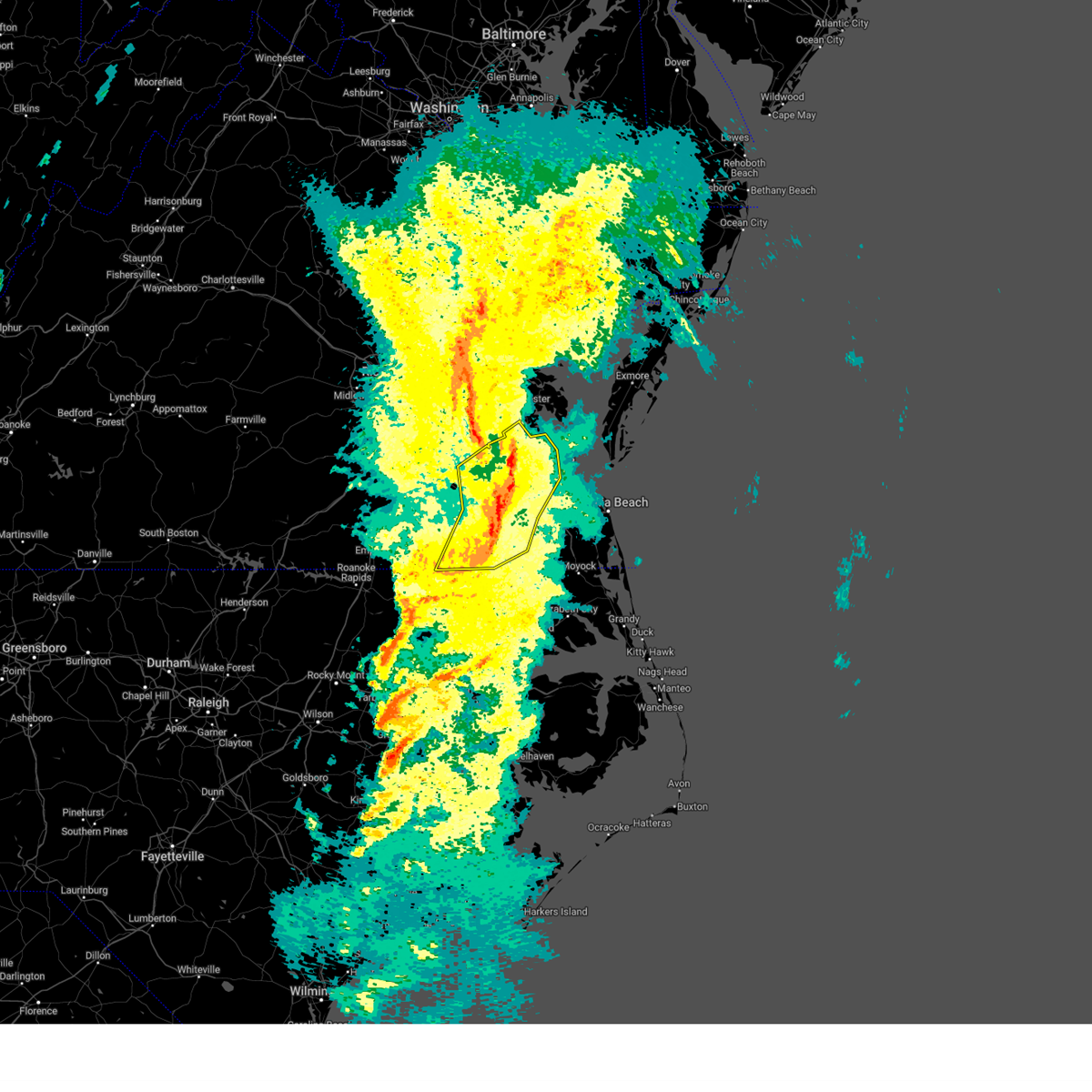
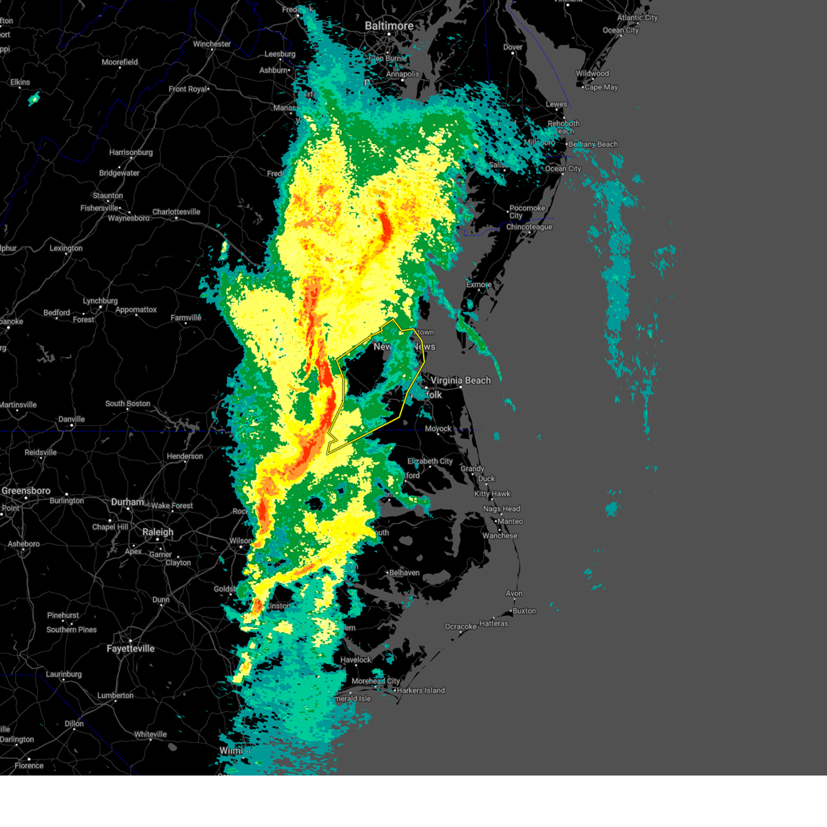
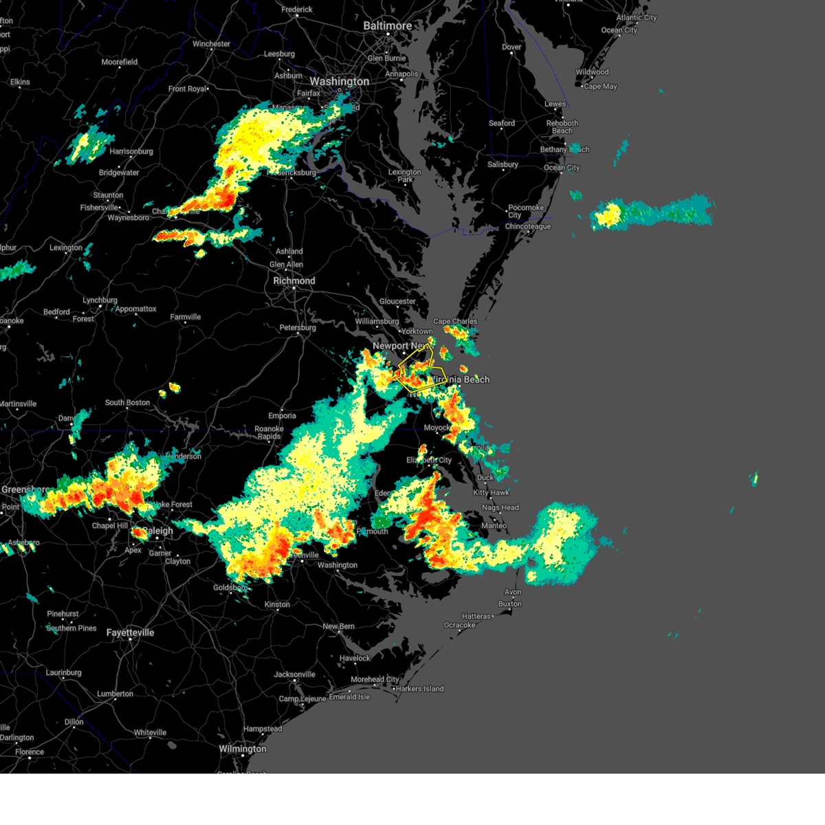
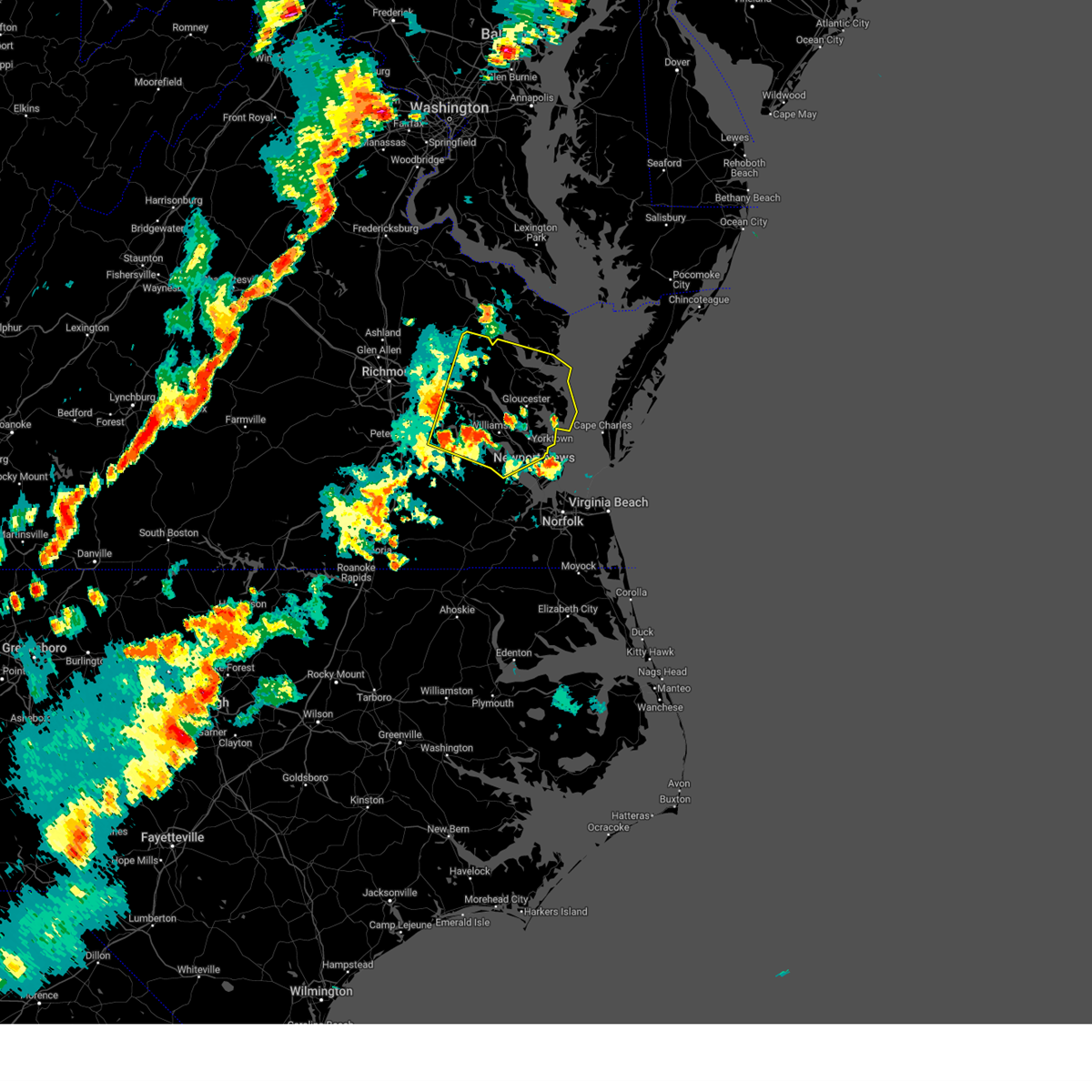
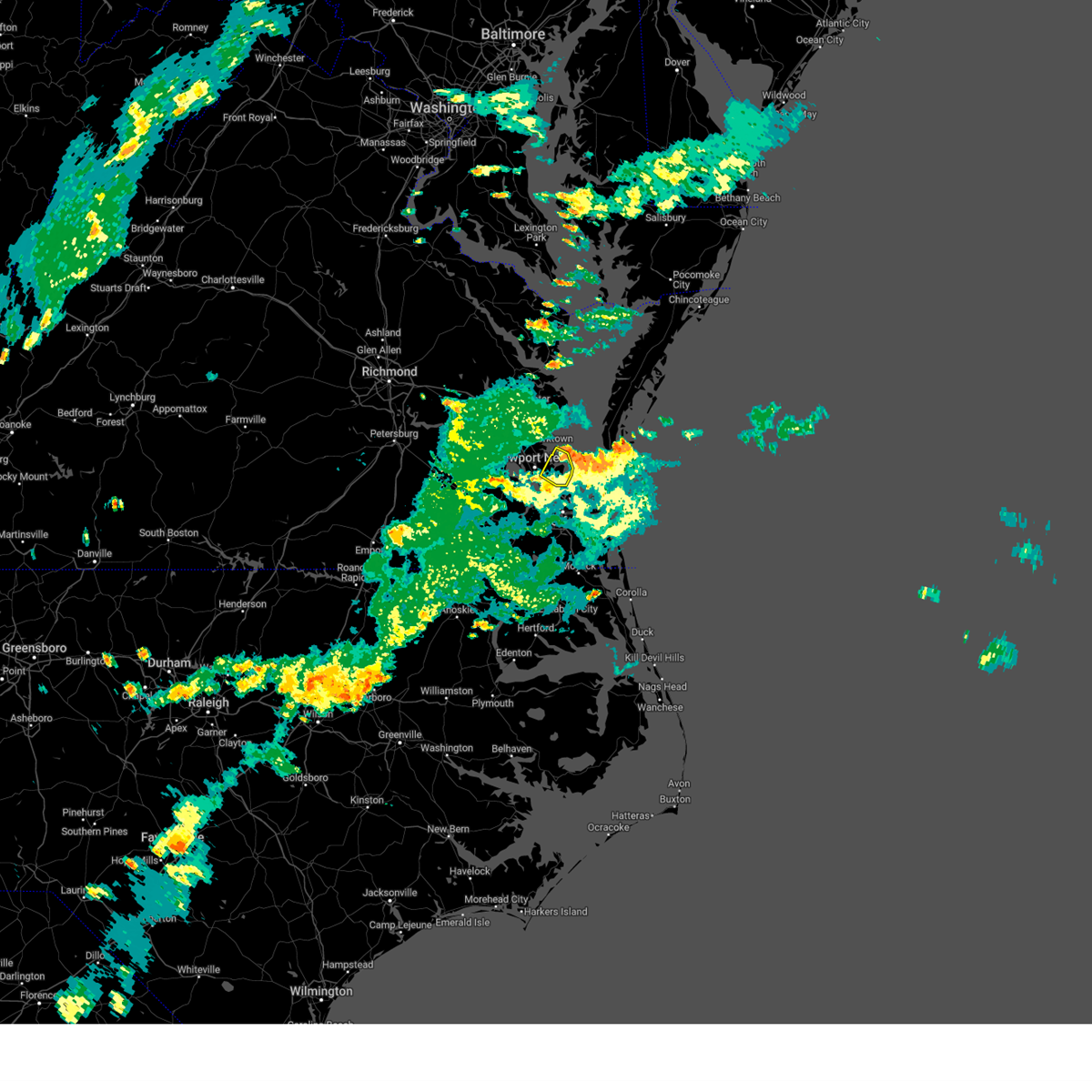
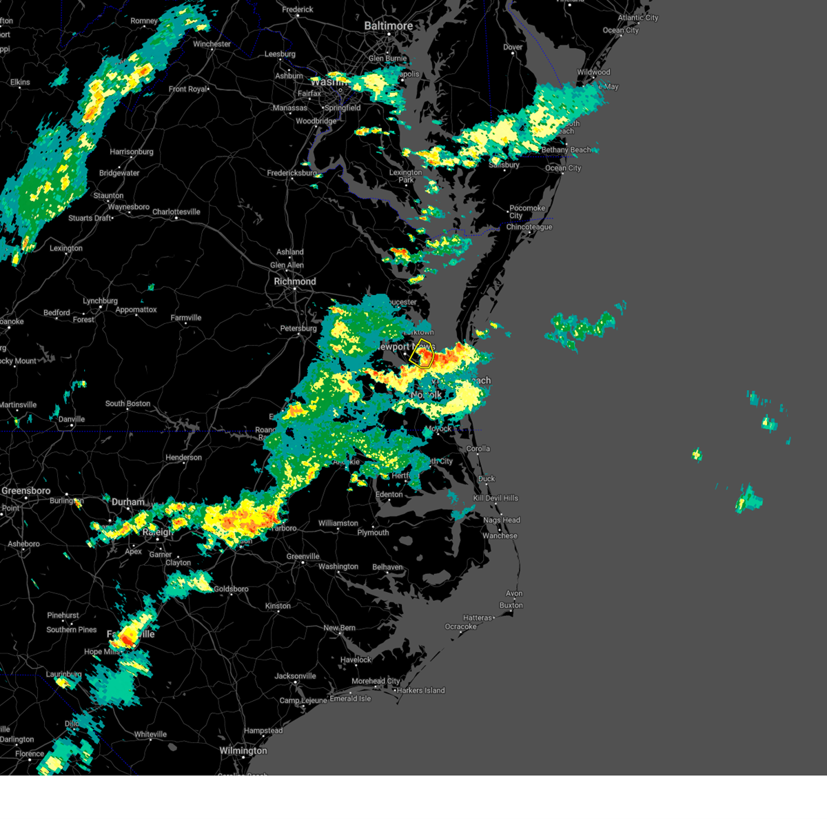
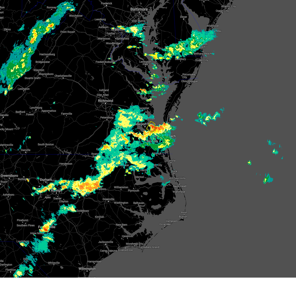
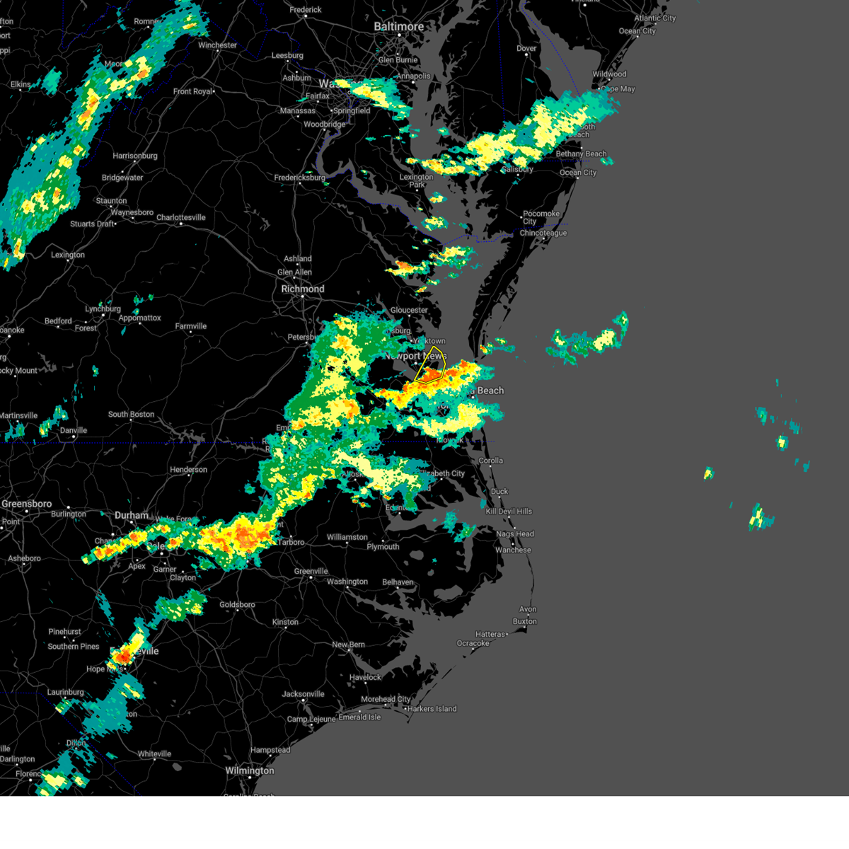
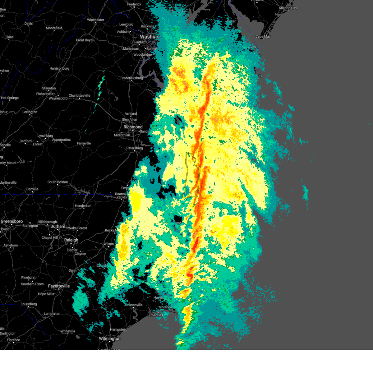
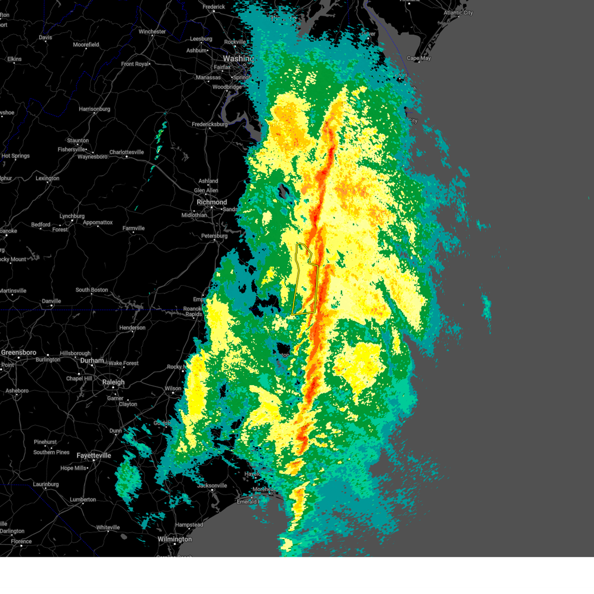
Hail Map for Poquoson, VA
The Poquoson, VA area has had 1 report of on-the-ground hail by trained spotters, and has been under severe weather warnings 37 times during the past 12 months. Doppler radar has detected hail at or near Poquoson, VA on 52 occasions.
| Name: | Poquoson, VA |
| Where Located: | 31.3 miles NW of Virginia Beach, VA |
| Map: | Google Map for Poquoson, VA |
| Population: | 12150 |
| Housing Units: | 4726 |
| More Info: | Search Google for Poquoson, VA |
5
The Top Recent Hail Date for Poquoson, VA is Saturday, February 25, 2017 (1st out of 52)

Hail and Wind Damage Spotted near Poquoson, VA
| Date / Time | Report Details |
|---|---|
| 6/19/2025 7:41 PM EDT |
 The storms which prompted the warning have moved out of the area. therefore, the warning will be allowed to expire. a severe thunderstorm watch remains in effect until 900 pm edt for eastern and southeastern virginia. The storms which prompted the warning have moved out of the area. therefore, the warning will be allowed to expire. a severe thunderstorm watch remains in effect until 900 pm edt for eastern and southeastern virginia.
|
| 6/19/2025 7:22 PM EDT |
 the severe thunderstorm warning has been cancelled and is no longer in effect the severe thunderstorm warning has been cancelled and is no longer in effect
|
| 6/19/2025 7:22 PM EDT |
 At 721 pm edt, severe thunderstorms were located along a line extending from near mathews to near bavon to near langley afb, moving east at 40 mph (radar indicated). Hazards include 60 mph wind gusts. Expect damage to trees and powerlines. These severe thunderstorms will remain over mainly rural areas of southeastern gloucester, southeastern york, and southeastern mathews counties, the city of poquoson and the northern city of newport news, including the following locations, diggs, lackey, ruff, moon, peary, cardinal, laban, glass, naxera, and oriana. At 721 pm edt, severe thunderstorms were located along a line extending from near mathews to near bavon to near langley afb, moving east at 40 mph (radar indicated). Hazards include 60 mph wind gusts. Expect damage to trees and powerlines. These severe thunderstorms will remain over mainly rural areas of southeastern gloucester, southeastern york, and southeastern mathews counties, the city of poquoson and the northern city of newport news, including the following locations, diggs, lackey, ruff, moon, peary, cardinal, laban, glass, naxera, and oriana.
|
| 6/19/2025 6:57 PM EDT |
 Svrakq the national weather service in wakefield has issued a * severe thunderstorm warning for, the city of poquoson in southeastern virginia, southern gloucester county in eastern virginia, york county in southeastern virginia, central mathews county in eastern virginia, the northern city of newport news in southeastern virginia, southeastern james city county in southeastern virginia, * until 745 pm edt. * at 657 pm edt, severe thunderstorms were located along a line extending from near hayes to virginia institute for marine sciences to fort eustis, moving east at 40 mph (radar indicated). Hazards include 60 mph wind gusts. Expect damage to trees and powerlines. severe thunderstorms will be near, newport news, gloucester courthouse, virginia institute for marine sciences, gloucester point, patrick henry field, seaford, fort eustis, lee hall, hayes, and denbigh around 700 pm edt. tabb and mobjack around 705 pm edt. mathews and bavon around 710 pm edt. Other locations impacted by these severe thunderstorms include lackey, beulah, ruff, moon, camp peary, laban, glass, naxera, oriana, and newport news golf course. Svrakq the national weather service in wakefield has issued a * severe thunderstorm warning for, the city of poquoson in southeastern virginia, southern gloucester county in eastern virginia, york county in southeastern virginia, central mathews county in eastern virginia, the northern city of newport news in southeastern virginia, southeastern james city county in southeastern virginia, * until 745 pm edt. * at 657 pm edt, severe thunderstorms were located along a line extending from near hayes to virginia institute for marine sciences to fort eustis, moving east at 40 mph (radar indicated). Hazards include 60 mph wind gusts. Expect damage to trees and powerlines. severe thunderstorms will be near, newport news, gloucester courthouse, virginia institute for marine sciences, gloucester point, patrick henry field, seaford, fort eustis, lee hall, hayes, and denbigh around 700 pm edt. tabb and mobjack around 705 pm edt. mathews and bavon around 710 pm edt. Other locations impacted by these severe thunderstorms include lackey, beulah, ruff, moon, camp peary, laban, glass, naxera, oriana, and newport news golf course.
|
| 6/19/2025 6:39 PM EDT | the severe thunderstorm warning has been cancelled and is no longer in effect |
| 6/19/2025 6:39 PM EDT | At 638 pm edt, severe thunderstorms were located along a line extending from near glenns to near wicomico to grove, moving east at 50 mph (radar indicated). Hazards include 60 mph wind gusts and penny size hail. Expect damage to trees and powerlines. these severe storms will be near, newport news, gloucester courthouse, virginia institute for marine sciences, gloucester point, seaford, blakes, achilles, wicomico, and hartfield around 645 pm edt. mathews, deltaville, gwynn, mobjack, and bavon around 650 pm edt. Other locations impacted by these severe thunderstorms include eltham, croaker, lackey, chippokes state park, beulah, moon, laban, camp peary, naxera, and oriana. |
| 6/19/2025 6:13 PM EDT |
 Svrakq the national weather service in wakefield has issued a * severe thunderstorm warning for, gloucester county in eastern virginia, southern middlesex county in eastern virginia, southeastern king and queen county in east central virginia, eastern charles city county in east central virginia, york county in southeastern virginia, eastern new kent county in east central virginia, mathews county in eastern virginia, southeastern king william county in east central virginia, the northern city of newport news in southeastern virginia, james city county in southeastern virginia, surry county in southeastern virginia, the city of williamsburg in southeastern virginia, * until 700 pm edt. * at 613 pm edt, severe thunderstorms were located along a line extending from new kent to rustic to cabin point, moving east at 50 mph (radar indicated). Hazards include 60 mph wind gusts and penny size hail. Expect damage to trees and powerlines. severe thunderstorms will be near, williamsburg, west point, surry, toano, norge, and barhamsville around 620 pm edt. queens lake, college of william and mary, jamestown, scotland, kings point, and shacklefords around 625 pm edt. grove, york terrace, carver gardens, busch gardens, and glenns around 630 pm edt. newport news, gloucester courthouse, gloucester point, lee hall, hayes, and wicomico around 635 pm edt. virginia institute for marine sciences and hartfield around 640 pm edt. seaford, blakes, achilles, and mobjack around 645 pm edt. mathews, deltaville, and bavon around 650 pm edt. Other locations impacted by these severe thunderstorms include eltham, croaker, lackey, chippokes state park, beulah, moon, laban, camp peary, naxera, and oriana. Svrakq the national weather service in wakefield has issued a * severe thunderstorm warning for, gloucester county in eastern virginia, southern middlesex county in eastern virginia, southeastern king and queen county in east central virginia, eastern charles city county in east central virginia, york county in southeastern virginia, eastern new kent county in east central virginia, mathews county in eastern virginia, southeastern king william county in east central virginia, the northern city of newport news in southeastern virginia, james city county in southeastern virginia, surry county in southeastern virginia, the city of williamsburg in southeastern virginia, * until 700 pm edt. * at 613 pm edt, severe thunderstorms were located along a line extending from new kent to rustic to cabin point, moving east at 50 mph (radar indicated). Hazards include 60 mph wind gusts and penny size hail. Expect damage to trees and powerlines. severe thunderstorms will be near, williamsburg, west point, surry, toano, norge, and barhamsville around 620 pm edt. queens lake, college of william and mary, jamestown, scotland, kings point, and shacklefords around 625 pm edt. grove, york terrace, carver gardens, busch gardens, and glenns around 630 pm edt. newport news, gloucester courthouse, gloucester point, lee hall, hayes, and wicomico around 635 pm edt. virginia institute for marine sciences and hartfield around 640 pm edt. seaford, blakes, achilles, and mobjack around 645 pm edt. mathews, deltaville, and bavon around 650 pm edt. Other locations impacted by these severe thunderstorms include eltham, croaker, lackey, chippokes state park, beulah, moon, laban, camp peary, naxera, and oriana.
|
| 6/8/2025 4:27 PM EDT |
 The storm which prompted the warning has weakened below severe limits, and no longer poses an immediate threat to life or property. therefore, the warning will be allowed to expire. a tornado watch remains in effect until 1000 pm edt for eastern and southeastern virginia. The storm which prompted the warning has weakened below severe limits, and no longer poses an immediate threat to life or property. therefore, the warning will be allowed to expire. a tornado watch remains in effect until 1000 pm edt for eastern and southeastern virginia.
|
| 6/8/2025 4:15 PM EDT |
 the severe thunderstorm warning has been cancelled and is no longer in effect the severe thunderstorm warning has been cancelled and is no longer in effect
|
| 6/8/2025 4:15 PM EDT |
 At 414 pm edt, a severe thunderstorm was located over lee hall, or near virginia institute for marine sciences, moving east at 30 mph (radar indicated). Hazards include 60 mph wind gusts. Expect damage to trees and powerlines. this severe storm will be near, newport news, virginia institute for marine sciences, gloucester point, patrick henry field, and seaford around 420 pm edt. tabb around 425 pm edt. other locations impacted by this severe thunderstorm include dare, newport news golf course, lackey, water country u. s. a. oyster point, oriana, hornsbyville, hilton village, harris grove, and u. s. Naval weapons. At 414 pm edt, a severe thunderstorm was located over lee hall, or near virginia institute for marine sciences, moving east at 30 mph (radar indicated). Hazards include 60 mph wind gusts. Expect damage to trees and powerlines. this severe storm will be near, newport news, virginia institute for marine sciences, gloucester point, patrick henry field, and seaford around 420 pm edt. tabb around 425 pm edt. other locations impacted by this severe thunderstorm include dare, newport news golf course, lackey, water country u. s. a. oyster point, oriana, hornsbyville, hilton village, harris grove, and u. s. Naval weapons.
|
| 6/8/2025 3:51 PM EDT |
 Svrakq the national weather service in wakefield has issued a * severe thunderstorm warning for, york county in southeastern virginia, the city of newport news in southeastern virginia, southeastern james city county in southeastern virginia, northeastern surry county in southeastern virginia, the city of williamsburg in southeastern virginia, * until 430 pm edt. * at 351 pm edt, a severe thunderstorm was located over jamestown, or over college of william and mary, moving east at 30 mph (radar indicated). Hazards include 60 mph wind gusts. Expect damage to trees and powerlines. this severe thunderstorm will be near, williamsburg, college of william and mary, kings point, york terrace, carver gardens, and busch gardens around 355 pm edt. newport news and grove around 400 pm edt. lee hall around 405 pm edt. gloucester point around 415 pm edt. virginia institute for marine sciences, patrick henry field, and seaford around 420 pm edt. tabb around 425 pm edt. other locations impacted by this severe thunderstorm include lackey, chippokes state park, water country u. s. a. Camp peary, oriana, hilton village, dare, newport news golf course, oyster point, and hog island game reserve. Svrakq the national weather service in wakefield has issued a * severe thunderstorm warning for, york county in southeastern virginia, the city of newport news in southeastern virginia, southeastern james city county in southeastern virginia, northeastern surry county in southeastern virginia, the city of williamsburg in southeastern virginia, * until 430 pm edt. * at 351 pm edt, a severe thunderstorm was located over jamestown, or over college of william and mary, moving east at 30 mph (radar indicated). Hazards include 60 mph wind gusts. Expect damage to trees and powerlines. this severe thunderstorm will be near, williamsburg, college of william and mary, kings point, york terrace, carver gardens, and busch gardens around 355 pm edt. newport news and grove around 400 pm edt. lee hall around 405 pm edt. gloucester point around 415 pm edt. virginia institute for marine sciences, patrick henry field, and seaford around 420 pm edt. tabb around 425 pm edt. other locations impacted by this severe thunderstorm include lackey, chippokes state park, water country u. s. a. Camp peary, oriana, hilton village, dare, newport news golf course, oyster point, and hog island game reserve.
|
| 5/14/2025 7:32 PM EDT |
 The storm which prompted the warning has weakened below severe limits, and has exited the warned area. therefore, the warning has been allowed to expire. however, heavy rain is still possible with this thunderstorm. The storm which prompted the warning has weakened below severe limits, and has exited the warned area. therefore, the warning has been allowed to expire. however, heavy rain is still possible with this thunderstorm.
|
| 5/14/2025 7:06 PM EDT |
 At 706 pm edt, a severe thunderstorm was located over northampton, or over hampton, moving northeast at 20 mph (radar indicated). Hazards include 60 mph wind gusts. Expect damage to trees and powerlines. this severe storm will be near, hampton, hampton university, and langley afb around 710 pm edt. buckroe beach around 715 pm edt. grand view around 720 pm edt. Other locations impacted by this severe thunderstorm include fox hill, phoebus, langley view, oriana, maryus, hilton village, raleigh terrace, dare, newport news golf course, and severn. At 706 pm edt, a severe thunderstorm was located over northampton, or over hampton, moving northeast at 20 mph (radar indicated). Hazards include 60 mph wind gusts. Expect damage to trees and powerlines. this severe storm will be near, hampton, hampton university, and langley afb around 710 pm edt. buckroe beach around 715 pm edt. grand view around 720 pm edt. Other locations impacted by this severe thunderstorm include fox hill, phoebus, langley view, oriana, maryus, hilton village, raleigh terrace, dare, newport news golf course, and severn.
|
| 5/14/2025 7:06 PM EDT |
 the severe thunderstorm warning has been cancelled and is no longer in effect the severe thunderstorm warning has been cancelled and is no longer in effect
|
| 5/14/2025 6:47 PM EDT |
 Svrakq the national weather service in wakefield has issued a * severe thunderstorm warning for, the northern city of norfolk in southeastern virginia, the city of poquoson in southeastern virginia, southeastern gloucester county in eastern virginia, the northwestern city of portsmouth in southeastern virginia, northeastern isle of wight county in southeastern virginia, the northeastern city of suffolk in southeastern virginia, southeastern york county in southeastern virginia, the city of hampton in southeastern virginia, the city of newport news in southeastern virginia, * until 730 pm edt. * at 647 pm edt, a severe thunderstorm was located near rescue, or near christopher newport university, moving northeast at 20 mph (radar indicated). Hazards include 60 mph wind gusts. Expect damage to trees and powerlines. this severe thunderstorm will be near, newport news and hampton around 650 pm edt. northampton around 655 pm edt. beaconsdale around 700 pm edt. hampton university and langley afb around 705 pm edt. grand view and buckroe beach around 720 pm edt. Other locations impacted by this severe thunderstorm include carrollton, benns church, oriana, huntersville, hilton village, newport news golf course, wards corner, oyster point, messick, and mogarts beach. Svrakq the national weather service in wakefield has issued a * severe thunderstorm warning for, the northern city of norfolk in southeastern virginia, the city of poquoson in southeastern virginia, southeastern gloucester county in eastern virginia, the northwestern city of portsmouth in southeastern virginia, northeastern isle of wight county in southeastern virginia, the northeastern city of suffolk in southeastern virginia, southeastern york county in southeastern virginia, the city of hampton in southeastern virginia, the city of newport news in southeastern virginia, * until 730 pm edt. * at 647 pm edt, a severe thunderstorm was located near rescue, or near christopher newport university, moving northeast at 20 mph (radar indicated). Hazards include 60 mph wind gusts. Expect damage to trees and powerlines. this severe thunderstorm will be near, newport news and hampton around 650 pm edt. northampton around 655 pm edt. beaconsdale around 700 pm edt. hampton university and langley afb around 705 pm edt. grand view and buckroe beach around 720 pm edt. Other locations impacted by this severe thunderstorm include carrollton, benns church, oriana, huntersville, hilton village, newport news golf course, wards corner, oyster point, messick, and mogarts beach.
|
| 3/5/2025 5:36 PM EST |
 The storms which prompted the warning have weakened below severe limits, and have exited the warned area. therefore, the warning will be allowed to expire. a tornado watch remains in effect until 800 pm est for southeastern virginia. The storms which prompted the warning have weakened below severe limits, and have exited the warned area. therefore, the warning will be allowed to expire. a tornado watch remains in effect until 800 pm est for southeastern virginia.
|
| 3/5/2025 5:23 PM EST |
 the severe thunderstorm warning has been cancelled and is no longer in effect the severe thunderstorm warning has been cancelled and is no longer in effect
|
| 3/5/2025 5:23 PM EST |
 At 523 pm est, severe thunderstorms were located along a line extending from 7 miles west of cape charles to cradock, moving northeast at 30 mph (radar indicated). Hazards include 60 mph wind gusts. Expect damage to trees and powerlines. these severe storms will be near, regent university, ghent, virginia beach, downtown norfolk, norview, norfolk, portsmouth, norfolk international, virginia wesleyan university, and chesapeake around 530 pm est. kempsville around 535 pm est. Other locations impacted by these severe thunderstorms include greenbrier, south norfolk, bayside, fox hill, phoebus, langley view, wards corner, messick, willoughby spit, and plum tree island refuge. At 523 pm est, severe thunderstorms were located along a line extending from 7 miles west of cape charles to cradock, moving northeast at 30 mph (radar indicated). Hazards include 60 mph wind gusts. Expect damage to trees and powerlines. these severe storms will be near, regent university, ghent, virginia beach, downtown norfolk, norview, norfolk, portsmouth, norfolk international, virginia wesleyan university, and chesapeake around 530 pm est. kempsville around 535 pm est. Other locations impacted by these severe thunderstorms include greenbrier, south norfolk, bayside, fox hill, phoebus, langley view, wards corner, messick, willoughby spit, and plum tree island refuge.
|
| 3/5/2025 5:03 PM EST |
 Svrakq the national weather service in wakefield has issued a * severe thunderstorm warning for, the city of poquoson in southeastern virginia, the city of norfolk in southeastern virginia, the north central city of chesapeake in southeastern virginia, the city of portsmouth in southeastern virginia, the northeastern city of suffolk in southeastern virginia, the northwestern city of virginia beach in southeastern virginia, the city of hampton in southeastern virginia, the southern city of newport news in southeastern virginia, * until 545 pm est. * at 502 pm est, severe thunderstorms were located along a line extending from near grand view to 7 miles southwest of deep creek, moving northeast at 30 mph (radar indicated). Hazards include 60 mph wind gusts. Expect damage to trees and powerlines. severe thunderstorms will be near, hampton university, norfolk nas, grand view, ghent, fort monroe, downtown norfolk, buckroe beach, churchland, norfolk, and portsmouth around 510 pm est. norview and norfolk state university around 515 pm est. virginia beach around 520 pm est. norfolk international and virginia wesleyan university around 525 pm est. regent university around 530 pm est. Other locations impacted by these severe thunderstorms include south norfolk, fox hill, phoebus, langley view, huntersville, hilton village, chuckatuck, raleigh terrace, greenbrier, and hobson. Svrakq the national weather service in wakefield has issued a * severe thunderstorm warning for, the city of poquoson in southeastern virginia, the city of norfolk in southeastern virginia, the north central city of chesapeake in southeastern virginia, the city of portsmouth in southeastern virginia, the northeastern city of suffolk in southeastern virginia, the northwestern city of virginia beach in southeastern virginia, the city of hampton in southeastern virginia, the southern city of newport news in southeastern virginia, * until 545 pm est. * at 502 pm est, severe thunderstorms were located along a line extending from near grand view to 7 miles southwest of deep creek, moving northeast at 30 mph (radar indicated). Hazards include 60 mph wind gusts. Expect damage to trees and powerlines. severe thunderstorms will be near, hampton university, norfolk nas, grand view, ghent, fort monroe, downtown norfolk, buckroe beach, churchland, norfolk, and portsmouth around 510 pm est. norview and norfolk state university around 515 pm est. virginia beach around 520 pm est. norfolk international and virginia wesleyan university around 525 pm est. regent university around 530 pm est. Other locations impacted by these severe thunderstorms include south norfolk, fox hill, phoebus, langley view, huntersville, hilton village, chuckatuck, raleigh terrace, greenbrier, and hobson.
|
| 3/5/2025 3:47 PM EST |
 Svrakq the national weather service in wakefield has issued a * severe thunderstorm warning for, the city of norfolk in southeastern virginia, the northwestern city of chesapeake in southeastern virginia, the city of portsmouth in southeastern virginia, the northeastern city of suffolk in southeastern virginia, the northwestern city of virginia beach in southeastern virginia, the city of hampton in southeastern virginia, * until 430 pm est. * at 347 pm est, severe thunderstorms were located along a line extending from near bavon to hampton to near downtown suffolk, moving northeast at 50 mph (radar indicated). Hazards include 70 mph wind gusts. Expect considerable tree damage. damage is likely to mobile homes, roofs, and outbuildings. severe thunderstorms will be near, bowers hill, norfolk nas, grand view, driver, fort monroe, buckroe beach, churchland, norfolk, portsmouth, and old dominion university around 350 pm est. ghent, deep creek, downtown norfolk, cradock, ocean view, and downtown portsmouth around 355 pm est. norview and norfolk state university around 400 pm est. virginia beach, norfolk international, and virginia wesleyan university around 405 pm est. regent university and kempsville around 410 pm est. Other locations impacted by these severe thunderstorms include south norfolk, fox hill, portlock, princess anne plaza, huntersville, magnolia, greenbrier, bayside, oceana, and wards corner. Svrakq the national weather service in wakefield has issued a * severe thunderstorm warning for, the city of norfolk in southeastern virginia, the northwestern city of chesapeake in southeastern virginia, the city of portsmouth in southeastern virginia, the northeastern city of suffolk in southeastern virginia, the northwestern city of virginia beach in southeastern virginia, the city of hampton in southeastern virginia, * until 430 pm est. * at 347 pm est, severe thunderstorms were located along a line extending from near bavon to hampton to near downtown suffolk, moving northeast at 50 mph (radar indicated). Hazards include 70 mph wind gusts. Expect considerable tree damage. damage is likely to mobile homes, roofs, and outbuildings. severe thunderstorms will be near, bowers hill, norfolk nas, grand view, driver, fort monroe, buckroe beach, churchland, norfolk, portsmouth, and old dominion university around 350 pm est. ghent, deep creek, downtown norfolk, cradock, ocean view, and downtown portsmouth around 355 pm est. norview and norfolk state university around 400 pm est. virginia beach, norfolk international, and virginia wesleyan university around 405 pm est. regent university and kempsville around 410 pm est. Other locations impacted by these severe thunderstorms include south norfolk, fox hill, portlock, princess anne plaza, huntersville, magnolia, greenbrier, bayside, oceana, and wards corner.
|
| 3/5/2025 3:39 PM EST |
 At 338 pm est, severe thunderstorms were located along a line extending from achilles to near tabb to near northampton to near downtown suffolk, moving east at 55 mph (radar indicated). Hazards include 70 mph wind gusts. Expect considerable tree damage. damage is likely to mobile homes, roofs, and outbuildings. these severe storms will be near, hampton university, newport news, langley afb, portsmouth, suffolk, and hampton around 345 pm est. Other locations impacted by these severe thunderstorms include rushmere, carrollton, lackey, chippokes state park, longview, benns church, suffolk airport, oriana, huntersville, and bethel church. At 338 pm est, severe thunderstorms were located along a line extending from achilles to near tabb to near northampton to near downtown suffolk, moving east at 55 mph (radar indicated). Hazards include 70 mph wind gusts. Expect considerable tree damage. damage is likely to mobile homes, roofs, and outbuildings. these severe storms will be near, hampton university, newport news, langley afb, portsmouth, suffolk, and hampton around 345 pm est. Other locations impacted by these severe thunderstorms include rushmere, carrollton, lackey, chippokes state park, longview, benns church, suffolk airport, oriana, huntersville, and bethel church.
|
| 3/5/2025 3:39 PM EST |
 the severe thunderstorm warning has been cancelled and is no longer in effect the severe thunderstorm warning has been cancelled and is no longer in effect
|
| 3/5/2025 3:27 PM EST |
 At 326 pm est, severe thunderstorms were located along a line extending from near lee hall to near rescue to near isle of wight to holland, moving northeast at 60 mph (radar indicated). Hazards include 60 mph wind gusts. Expect damage to trees and powerlines. these severe storms will be near, downtown suffolk, virginia institute for marine sciences, christopher newport university, gloucester point, rescue, tabb, kings fork, newport news, lee hall, and patrick henry field around 330 pm est. northampton, driver, and langley afb around 335 pm est. hampton university and portsmouth around 340 pm est. Other locations impacted by these severe thunderstorms include pons, carrollton, lackey, chippokes state park, longview, oriana, huntersville, chuckatuck, wilroy, and lees mill. At 326 pm est, severe thunderstorms were located along a line extending from near lee hall to near rescue to near isle of wight to holland, moving northeast at 60 mph (radar indicated). Hazards include 60 mph wind gusts. Expect damage to trees and powerlines. these severe storms will be near, downtown suffolk, virginia institute for marine sciences, christopher newport university, gloucester point, rescue, tabb, kings fork, newport news, lee hall, and patrick henry field around 330 pm est. northampton, driver, and langley afb around 335 pm est. hampton university and portsmouth around 340 pm est. Other locations impacted by these severe thunderstorms include pons, carrollton, lackey, chippokes state park, longview, oriana, huntersville, chuckatuck, wilroy, and lees mill.
|
| 3/5/2025 3:27 PM EST |
 the severe thunderstorm warning has been cancelled and is no longer in effect the severe thunderstorm warning has been cancelled and is no longer in effect
|
| 3/5/2025 3:05 PM EST |
 Svrakq the national weather service in wakefield has issued a * severe thunderstorm warning for, northwestern gates county in northeastern north carolina, northwestern hertford county in northeastern north carolina, the city of poquoson in southeastern virginia, isle of wight county in southeastern virginia, eastern southampton county in southeastern virginia, york county in southeastern virginia, the city of hampton in southeastern virginia, the city of newport news in southeastern virginia, east central sussex county in southeastern virginia, southeastern james city county in southeastern virginia, the city of franklin in southeastern virginia, the city of suffolk in southeastern virginia, central surry county in southeastern virginia, * until 400 pm est. * at 304 pm est, severe thunderstorms were located along a line extending from near waverly to near wakefield to near sedley to near como, moving northeast at 50 mph (radar indicated). Hazards include 60 mph wind gusts. Expect damage to trees and powerlines. severe thunderstorms will be near, ivor, franklin, hunterdale, dendron, zuni, carrsville, elberon, and suffolk around 310 pm est. isle of wight, windsor, holland, and surry around 315 pm est. scotland and smithfield around 320 pm est. kings fork and newport news around 325 pm est. grove, williamsburg, fort eustis, rescue, york terrace, lee hall, denbigh, carver gardens, crittenden, and busch gardens around 330 pm est. downtown suffolk, northampton, virginia institute for marine sciences, driver, christopher newport university, gloucester point, tabb, patrick henry field, beaconsdale, and hampton around 335 pm est. langley afb, portsmouth, and seaford around 340 pm est. hampton university around 345 pm est. Other locations impacted by these severe thunderstorms include pons, carrollton, lackey, chippokes state park, longview, topsy, oriana, huntersville, dort, and chuckatuck. Svrakq the national weather service in wakefield has issued a * severe thunderstorm warning for, northwestern gates county in northeastern north carolina, northwestern hertford county in northeastern north carolina, the city of poquoson in southeastern virginia, isle of wight county in southeastern virginia, eastern southampton county in southeastern virginia, york county in southeastern virginia, the city of hampton in southeastern virginia, the city of newport news in southeastern virginia, east central sussex county in southeastern virginia, southeastern james city county in southeastern virginia, the city of franklin in southeastern virginia, the city of suffolk in southeastern virginia, central surry county in southeastern virginia, * until 400 pm est. * at 304 pm est, severe thunderstorms were located along a line extending from near waverly to near wakefield to near sedley to near como, moving northeast at 50 mph (radar indicated). Hazards include 60 mph wind gusts. Expect damage to trees and powerlines. severe thunderstorms will be near, ivor, franklin, hunterdale, dendron, zuni, carrsville, elberon, and suffolk around 310 pm est. isle of wight, windsor, holland, and surry around 315 pm est. scotland and smithfield around 320 pm est. kings fork and newport news around 325 pm est. grove, williamsburg, fort eustis, rescue, york terrace, lee hall, denbigh, carver gardens, crittenden, and busch gardens around 330 pm est. downtown suffolk, northampton, virginia institute for marine sciences, driver, christopher newport university, gloucester point, tabb, patrick henry field, beaconsdale, and hampton around 335 pm est. langley afb, portsmouth, and seaford around 340 pm est. hampton university around 345 pm est. Other locations impacted by these severe thunderstorms include pons, carrollton, lackey, chippokes state park, longview, topsy, oriana, huntersville, dort, and chuckatuck.
|
| 9/1/2024 6:35 PM EDT |
 The storm which prompted the warning has moved out of the area. therefore, the warning will be allowed to expire. to report severe weather, contact your nearest law enforcement agency. they will relay your report to the national weather service wakefield. The storm which prompted the warning has moved out of the area. therefore, the warning will be allowed to expire. to report severe weather, contact your nearest law enforcement agency. they will relay your report to the national weather service wakefield.
|
| 9/1/2024 6:07 PM EDT |
 At 607 pm edt, a severe thunderstorm was located near crittenden, or near churchland, moving northeast at 15 mph (radar indicated). Hazards include 60 mph wind gusts. Expect damage to trees and powerlines. Locations impacted include, newport news, hampton, virginia wesleyan university, hampton university, langley afb, old dominion university, downtown norfolk, ocean view, downtown portsmouth, churchland, norfolk state university, norfolk, portsmouth, northampton, buckroe beach, norfolk international, ghent, norfolk nas, norview, and grand view. At 607 pm edt, a severe thunderstorm was located near crittenden, or near churchland, moving northeast at 15 mph (radar indicated). Hazards include 60 mph wind gusts. Expect damage to trees and powerlines. Locations impacted include, newport news, hampton, virginia wesleyan university, hampton university, langley afb, old dominion university, downtown norfolk, ocean view, downtown portsmouth, churchland, norfolk state university, norfolk, portsmouth, northampton, buckroe beach, norfolk international, ghent, norfolk nas, norview, and grand view.
|
| 9/1/2024 6:07 PM EDT |
 the severe thunderstorm warning has been cancelled and is no longer in effect the severe thunderstorm warning has been cancelled and is no longer in effect
|
| 9/1/2024 6:01 PM EDT |
 Svrakq the national weather service in wakefield has issued a * severe thunderstorm warning for, the city of norfolk in southeastern virginia, the northwestern city of chesapeake in southeastern virginia, the city of portsmouth in southeastern virginia, the northeastern city of suffolk in southeastern virginia, the northwestern city of virginia beach in southeastern virginia, the city of hampton in southeastern virginia, the southern city of newport news in southeastern virginia, * until 645 pm edt. * at 601 pm edt, a severe thunderstorm was located near crittenden, or near churchland, moving northeast at 20 mph (radar indicated). Hazards include 60 mph wind gusts. expect damage to trees and powerlines Svrakq the national weather service in wakefield has issued a * severe thunderstorm warning for, the city of norfolk in southeastern virginia, the northwestern city of chesapeake in southeastern virginia, the city of portsmouth in southeastern virginia, the northeastern city of suffolk in southeastern virginia, the northwestern city of virginia beach in southeastern virginia, the city of hampton in southeastern virginia, the southern city of newport news in southeastern virginia, * until 645 pm edt. * at 601 pm edt, a severe thunderstorm was located near crittenden, or near churchland, moving northeast at 20 mph (radar indicated). Hazards include 60 mph wind gusts. expect damage to trees and powerlines
|
| 8/3/2024 5:34 PM EDT |
 Svrakq the national weather service in wakefield has issued a * severe thunderstorm warning for, middlesex county in eastern virginia, northern isle of wight county in southeastern virginia, york county in southeastern virginia, the northern city of newport news in southeastern virginia, james city county in southeastern virginia, gloucester county in eastern virginia, king and queen county in east central virginia, charles city county in east central virginia, northeastern prince george county in south central virginia, mathews county in eastern virginia, new kent county in east central virginia, southeastern king william county in east central virginia, northern surry county in southeastern virginia, the city of williamsburg in southeastern virginia, southern lancaster county in eastern virginia, * until 615 pm edt. * at 534 pm edt, severe thunderstorms were located along a line extending from near ruthville to near carver gardens to patrick henry field, moving northeast at 40 mph (radar indicated). Hazards include 60 mph wind gusts. Expect damage to trees and powerlines. severe thunderstorms will be near, virginia institute for marine sciences, toano, gloucester point, seaford, norge, holdcroft, achilles, and wicomico around 540 pm edt. gloucester courthouse, hayes, and barhamsville around 545 pm edt. west point around 550 pm edt. mobjack, bavon, and shacklefords around 555 pm edt. mathews, hartfield, little plymouth, blakes, and glenns around 600 pm edt. saluda around 605 pm edt. Other locations impacted by these severe thunderstorms include eltham, croaker, lackey, moon, laban, camp peary, oriana, grafton, amburg, and rose garden. Svrakq the national weather service in wakefield has issued a * severe thunderstorm warning for, middlesex county in eastern virginia, northern isle of wight county in southeastern virginia, york county in southeastern virginia, the northern city of newport news in southeastern virginia, james city county in southeastern virginia, gloucester county in eastern virginia, king and queen county in east central virginia, charles city county in east central virginia, northeastern prince george county in south central virginia, mathews county in eastern virginia, new kent county in east central virginia, southeastern king william county in east central virginia, northern surry county in southeastern virginia, the city of williamsburg in southeastern virginia, southern lancaster county in eastern virginia, * until 615 pm edt. * at 534 pm edt, severe thunderstorms were located along a line extending from near ruthville to near carver gardens to patrick henry field, moving northeast at 40 mph (radar indicated). Hazards include 60 mph wind gusts. Expect damage to trees and powerlines. severe thunderstorms will be near, virginia institute for marine sciences, toano, gloucester point, seaford, norge, holdcroft, achilles, and wicomico around 540 pm edt. gloucester courthouse, hayes, and barhamsville around 545 pm edt. west point around 550 pm edt. mobjack, bavon, and shacklefords around 555 pm edt. mathews, hartfield, little plymouth, blakes, and glenns around 600 pm edt. saluda around 605 pm edt. Other locations impacted by these severe thunderstorms include eltham, croaker, lackey, moon, laban, camp peary, oriana, grafton, amburg, and rose garden.
|
| 7/22/2024 6:08 PM EDT |
 the severe thunderstorm warning has been cancelled and is no longer in effect the severe thunderstorm warning has been cancelled and is no longer in effect
|
| 7/22/2024 5:56 PM EDT |
 the severe thunderstorm warning has been cancelled and is no longer in effect the severe thunderstorm warning has been cancelled and is no longer in effect
|
| 7/22/2024 5:56 PM EDT |
 At 555 pm edt, a severe thunderstorm was located over grand view, or near hampton, moving northeast at 25 mph (radar indicated). Hazards include 60 mph wind gusts. Expect damage to trees and powerlines. this severe storm will be near, hampton and grand view around 600 pm edt. Other locations impacted by this severe thunderstorm include messick, fox hill, phoebus, langley view, and plum tree island refuge. At 555 pm edt, a severe thunderstorm was located over grand view, or near hampton, moving northeast at 25 mph (radar indicated). Hazards include 60 mph wind gusts. Expect damage to trees and powerlines. this severe storm will be near, hampton and grand view around 600 pm edt. Other locations impacted by this severe thunderstorm include messick, fox hill, phoebus, langley view, and plum tree island refuge.
|
| 7/22/2024 5:50 PM EDT |
 Svrakq the national weather service in wakefield has issued a * severe thunderstorm warning for, the eastern city of poquoson in southeastern virginia, the city of hampton in southeastern virginia, the southern city of newport news in southeastern virginia, * until 630 pm edt. * at 549 pm edt, a severe thunderstorm was located near norfolk nas, or near churchland, moving northeast at 30 mph (radar indicated). Hazards include 60 mph wind gusts. Expect damage to trees and powerlines. this severe thunderstorm will be near, newport news, hampton, hampton university, and fort monroe around 555 pm edt. buckroe beach around 600 pm edt. grand view around 605 pm edt. Other locations impacted by this severe thunderstorm include messick, fox hill, phoebus, langley view, plum tree island refuge, and raleigh terrace. Svrakq the national weather service in wakefield has issued a * severe thunderstorm warning for, the eastern city of poquoson in southeastern virginia, the city of hampton in southeastern virginia, the southern city of newport news in southeastern virginia, * until 630 pm edt. * at 549 pm edt, a severe thunderstorm was located near norfolk nas, or near churchland, moving northeast at 30 mph (radar indicated). Hazards include 60 mph wind gusts. Expect damage to trees and powerlines. this severe thunderstorm will be near, newport news, hampton, hampton university, and fort monroe around 555 pm edt. buckroe beach around 600 pm edt. grand view around 605 pm edt. Other locations impacted by this severe thunderstorm include messick, fox hill, phoebus, langley view, plum tree island refuge, and raleigh terrace.
|
| 7/5/2024 8:04 PM EDT |
 At 803 pm edt, severe thunderstorms were located along a line extending from beaconsdale to northampton to near crittenden, moving northeast at 20 mph (radar indicated). Hazards include 60 mph wind gusts. Expect damage to trees and powerlines. these severe storms will be near, newport news, hampton, hampton university, langley afb, and buckroe beach around 810 pm edt. grand view around 815 pm edt. Other locations impacted by these severe thunderstorms include fox hill, phoebus, langley view, oyster point, messick, hilton village, menchville, raleigh terrace, and dare. At 803 pm edt, severe thunderstorms were located along a line extending from beaconsdale to northampton to near crittenden, moving northeast at 20 mph (radar indicated). Hazards include 60 mph wind gusts. Expect damage to trees and powerlines. these severe storms will be near, newport news, hampton, hampton university, langley afb, and buckroe beach around 810 pm edt. grand view around 815 pm edt. Other locations impacted by these severe thunderstorms include fox hill, phoebus, langley view, oyster point, messick, hilton village, menchville, raleigh terrace, and dare.
|
| 7/5/2024 8:04 PM EDT |
 the severe thunderstorm warning has been cancelled and is no longer in effect the severe thunderstorm warning has been cancelled and is no longer in effect
|
| 7/5/2024 7:35 PM EDT |
 Svrakq the national weather service in wakefield has issued a * severe thunderstorm warning for, the southwestern city of poquoson in southeastern virginia, northeastern isle of wight county in southeastern virginia, the northeastern city of suffolk in southeastern virginia, southeastern york county in southeastern virginia, the city of hampton in southeastern virginia, the southern city of newport news in southeastern virginia, * until 815 pm edt. * at 735 pm edt, severe thunderstorms were located along a line extending from rescue to near smithfield to near crittenden, moving northeast at 20 mph (radar indicated). Hazards include 60 mph wind gusts. Expect damage to trees and powerlines. severe thunderstorms will be near, newport news, christopher newport university, suffolk, rescue, and crittenden around 740 pm edt. hampton and beaconsdale around 745 pm edt. northampton around 750 pm edt. Other locations impacted by these severe thunderstorms include fox hill, carrollton, phoebus, langley view, longview, benns church, huntersville, wills corner, hilton village, and chuckatuck. Svrakq the national weather service in wakefield has issued a * severe thunderstorm warning for, the southwestern city of poquoson in southeastern virginia, northeastern isle of wight county in southeastern virginia, the northeastern city of suffolk in southeastern virginia, southeastern york county in southeastern virginia, the city of hampton in southeastern virginia, the southern city of newport news in southeastern virginia, * until 815 pm edt. * at 735 pm edt, severe thunderstorms were located along a line extending from rescue to near smithfield to near crittenden, moving northeast at 20 mph (radar indicated). Hazards include 60 mph wind gusts. Expect damage to trees and powerlines. severe thunderstorms will be near, newport news, christopher newport university, suffolk, rescue, and crittenden around 740 pm edt. hampton and beaconsdale around 745 pm edt. northampton around 750 pm edt. Other locations impacted by these severe thunderstorms include fox hill, carrollton, phoebus, langley view, longview, benns church, huntersville, wills corner, hilton village, and chuckatuck.
|
| 5/27/2024 6:02 PM EDT |
 Svrakq the national weather service in wakefield has issued a * severe thunderstorm warning for, the southeastern city of poquoson in southeastern virginia, the city of norfolk in southeastern virginia, the northwestern city of chesapeake in southeastern virginia, the city of portsmouth in southeastern virginia, the northeastern city of suffolk in southeastern virginia, the northwestern city of virginia beach in southeastern virginia, the city of hampton in southeastern virginia, the southern city of newport news in southeastern virginia, * until 645 pm edt. * at 602 pm edt, severe thunderstorms were located along a line extending from langley afb to near old dominion university to near bowers hill, moving northeast at 25 mph (radar indicated). Hazards include 60 mph wind gusts. Expect damage to trees and powerlines. severe thunderstorms will be near, hampton, hampton university, downtown norfolk, langley afb, old dominion university, ocean view, downtown portsmouth, norfolk state university, norfolk, and chesapeake around 605 pm edt. virginia beach around 610 pm edt. virginia wesleyan university and norfolk international around 615 pm edt. regent university around 620 pm edt. kempsville around 625 pm edt. Other locations impacted by these severe thunderstorms include south norfolk, rudee heights, fox hill, portlock, phoebus, langley view, princess anne plaza, huntersville, hilton village, and oceana nas. Svrakq the national weather service in wakefield has issued a * severe thunderstorm warning for, the southeastern city of poquoson in southeastern virginia, the city of norfolk in southeastern virginia, the northwestern city of chesapeake in southeastern virginia, the city of portsmouth in southeastern virginia, the northeastern city of suffolk in southeastern virginia, the northwestern city of virginia beach in southeastern virginia, the city of hampton in southeastern virginia, the southern city of newport news in southeastern virginia, * until 645 pm edt. * at 602 pm edt, severe thunderstorms were located along a line extending from langley afb to near old dominion university to near bowers hill, moving northeast at 25 mph (radar indicated). Hazards include 60 mph wind gusts. Expect damage to trees and powerlines. severe thunderstorms will be near, hampton, hampton university, downtown norfolk, langley afb, old dominion university, ocean view, downtown portsmouth, norfolk state university, norfolk, and chesapeake around 605 pm edt. virginia beach around 610 pm edt. virginia wesleyan university and norfolk international around 615 pm edt. regent university around 620 pm edt. kempsville around 625 pm edt. Other locations impacted by these severe thunderstorms include south norfolk, rudee heights, fox hill, portlock, phoebus, langley view, princess anne plaza, huntersville, hilton village, and oceana nas.
|
| 5/27/2024 6:02 PM EDT |
 The storm which prompted the warning has weakened below severe limits, and no longer poses an immediate threat to life or property. therefore, the warning will be allowed to expire. however, gusty winds are still possible with this thunderstorm. a tornado watch remains in effect until 1100 pm edt for southeastern virginia. The storm which prompted the warning has weakened below severe limits, and no longer poses an immediate threat to life or property. therefore, the warning will be allowed to expire. however, gusty winds are still possible with this thunderstorm. a tornado watch remains in effect until 1100 pm edt for southeastern virginia.
|
| 5/27/2024 5:44 PM EDT |
 At 544 pm edt, a severe thunderstorm was located over rescue, or near smithfield, moving northeast at 25 mph (radar indicated). Hazards include 60 mph wind gusts. Expect damage to trees and powerlines. this severe storm will be near, newport news and hampton around 550 pm edt. northampton around 555 pm edt. hampton university around 600 pm edt. fort monroe around 605 pm edt. langley afb, grand view, and buckroe beach around 610 pm edt. Other locations impacted by this severe thunderstorm include fox hill, carrollton, phoebus, langley view, longview, benns church, wills corner, hilton village, chuckatuck, and lawson. At 544 pm edt, a severe thunderstorm was located over rescue, or near smithfield, moving northeast at 25 mph (radar indicated). Hazards include 60 mph wind gusts. Expect damage to trees and powerlines. this severe storm will be near, newport news and hampton around 550 pm edt. northampton around 555 pm edt. hampton university around 600 pm edt. fort monroe around 605 pm edt. langley afb, grand view, and buckroe beach around 610 pm edt. Other locations impacted by this severe thunderstorm include fox hill, carrollton, phoebus, langley view, longview, benns church, wills corner, hilton village, chuckatuck, and lawson.
|
| 5/27/2024 5:20 PM EDT |
 Svrakq the national weather service in wakefield has issued a * severe thunderstorm warning for, the city of poquoson in southeastern virginia, central isle of wight county in southeastern virginia, the north central city of suffolk in southeastern virginia, southeastern york county in southeastern virginia, the city of hampton in southeastern virginia, the city of newport news in southeastern virginia, * until 600 pm edt. * at 519 pm edt, a severe thunderstorm was located over isle of wight, or near windsor, moving northeast at 30 mph (radar indicated). Hazards include 60 mph wind gusts. Expect damage to trees and powerlines. this severe thunderstorm will be near, smithfield and isle of wight around 525 pm edt. rescue around 535 pm edt. newport news, hampton, christopher newport university, and beaconsdale around 550 pm edt. Other locations impacted by this severe thunderstorm include pons, carrollton, longview, benns church, oriana, bethel church, hilton village, chuckatuck, oyster point, and messick. Svrakq the national weather service in wakefield has issued a * severe thunderstorm warning for, the city of poquoson in southeastern virginia, central isle of wight county in southeastern virginia, the north central city of suffolk in southeastern virginia, southeastern york county in southeastern virginia, the city of hampton in southeastern virginia, the city of newport news in southeastern virginia, * until 600 pm edt. * at 519 pm edt, a severe thunderstorm was located over isle of wight, or near windsor, moving northeast at 30 mph (radar indicated). Hazards include 60 mph wind gusts. Expect damage to trees and powerlines. this severe thunderstorm will be near, smithfield and isle of wight around 525 pm edt. rescue around 535 pm edt. newport news, hampton, christopher newport university, and beaconsdale around 550 pm edt. Other locations impacted by this severe thunderstorm include pons, carrollton, longview, benns church, oriana, bethel church, hilton village, chuckatuck, oyster point, and messick.
|
| 1/9/2024 9:24 PM EST |
 At 923 pm est, severe thunderstorms were located along a line extending from near grand view to near northwest, moving northeast at 50 mph (radar indicated). Hazards include 60 mph wind gusts. Expect damage to trees and powerlines. these severe storms will be near, virginia beach, great bridge, regent university, kempsville, virginia wesleyan university, norfolk, chesapeake, fentress, and norfolk international around 930 pm est. other locations impacted by these severe thunderstorms include south norfolk, fox hill, portlock, phoebus, langley view, herberts corner, raleigh terrace, greenbrier, wards corner, and messick. hail threat, radar indicated max hail size, <. 75 in wind threat, radar indicated max wind gust, 60 mph. At 923 pm est, severe thunderstorms were located along a line extending from near grand view to near northwest, moving northeast at 50 mph (radar indicated). Hazards include 60 mph wind gusts. Expect damage to trees and powerlines. these severe storms will be near, virginia beach, great bridge, regent university, kempsville, virginia wesleyan university, norfolk, chesapeake, fentress, and norfolk international around 930 pm est. other locations impacted by these severe thunderstorms include south norfolk, fox hill, portlock, phoebus, langley view, herberts corner, raleigh terrace, greenbrier, wards corner, and messick. hail threat, radar indicated max hail size, <. 75 in wind threat, radar indicated max wind gust, 60 mph.
|
| 1/9/2024 9:02 PM EST |
 At 901 pm est, severe thunderstorms were located along a line extending from near churchland to near hobbsville, moving northeast at 45 mph (radar indicated). Hazards include 60 mph wind gusts. Expect damage to trees and powerlines. these severe storms will be near, hampton, deep creek, downtown norfolk, churchland, old dominion university, downtown portsmouth, norfolk, chesapeake, portsmouth, and ghent around 905 pm est. hampton university, ocean view, norfolk state university, morgans corner, norview, and buckroe beach around 910 pm est. virginia beach, great bridge, south mills, and norfolk international around 915 pm est. regent university, virginia wesleyan university, and grand view around 920 pm est. kempsville, northwest, and fentress around 925 pm est. other locations impacted by these severe thunderstorms include south norfolk, gliden, horseshoe, portlock, pierceville, savage, peach, huntersville, tar corner, and nicanor. hail threat, radar indicated max hail size, <. 75 in wind threat, radar indicated max wind gust, 60 mph. At 901 pm est, severe thunderstorms were located along a line extending from near churchland to near hobbsville, moving northeast at 45 mph (radar indicated). Hazards include 60 mph wind gusts. Expect damage to trees and powerlines. these severe storms will be near, hampton, deep creek, downtown norfolk, churchland, old dominion university, downtown portsmouth, norfolk, chesapeake, portsmouth, and ghent around 905 pm est. hampton university, ocean view, norfolk state university, morgans corner, norview, and buckroe beach around 910 pm est. virginia beach, great bridge, south mills, and norfolk international around 915 pm est. regent university, virginia wesleyan university, and grand view around 920 pm est. kempsville, northwest, and fentress around 925 pm est. other locations impacted by these severe thunderstorms include south norfolk, gliden, horseshoe, portlock, pierceville, savage, peach, huntersville, tar corner, and nicanor. hail threat, radar indicated max hail size, <. 75 in wind threat, radar indicated max wind gust, 60 mph.
|
| 1/9/2024 8:39 PM EST |
 At 838 pm est, severe thunderstorms were located along a line extending from near fort eustis to near isle of wight to near holland, moving northeast at 60 mph (radar indicated). Hazards include 60 mph wind gusts. Expect damage to trees and powerlines. these severe storms will be near, newport news, smithfield, windsor, suffolk, fort eustis, rescue, kings fork, and denbigh around 845 pm est. hampton, christopher newport university, patrick henry field, tabb, beaconsdale, and crittenden around 850 pm est. seaford and northampton around 855 pm est. other locations impacted by these severe thunderstorms include rushmere, pons, carrollton, longview, benns church, oriana, bethel church, hilton village, chuckatuck, and lees mill. hail threat, radar indicated max hail size, <. 75 in wind threat, radar indicated max wind gust, 60 mph. At 838 pm est, severe thunderstorms were located along a line extending from near fort eustis to near isle of wight to near holland, moving northeast at 60 mph (radar indicated). Hazards include 60 mph wind gusts. Expect damage to trees and powerlines. these severe storms will be near, newport news, smithfield, windsor, suffolk, fort eustis, rescue, kings fork, and denbigh around 845 pm est. hampton, christopher newport university, patrick henry field, tabb, beaconsdale, and crittenden around 850 pm est. seaford and northampton around 855 pm est. other locations impacted by these severe thunderstorms include rushmere, pons, carrollton, longview, benns church, oriana, bethel church, hilton village, chuckatuck, and lees mill. hail threat, radar indicated max hail size, <. 75 in wind threat, radar indicated max wind gust, 60 mph.
|
| 1/9/2024 8:31 PM EST |
 At 831 pm est, severe thunderstorms were located along a line extending from near whaleyville to 8 miles south of colerain, moving northeast at 50 mph (radar indicated). Hazards include 60 mph wind gusts. Expect damage to trees and powerlines. severe thunderstorms will be near, gatesville, suffolk, gates, colerain, harrellsville, rockyhock, and whaleyville around 835 pm est. downtown suffolk, ryland, sunbury, tyner, valhalla, and hobbsville around 840 pm est. kings fork and corapeake around 845 pm est. chesapeake, driver, and belvidere around 850 pm est. portsmouth, bowers hill, and crittenden around 855 pm est. churchland and western branch around 900 pm est. newport news, hampton, deep creek, old dominion university, norfolk, and cradock around 905 pm est. hampton university, downtown norfolk, south mills, downtown portsmouth, ghent, norfolk nas, morgans corner, and fort monroe around 910 pm est. other locations impacted by these severe thunderstorms include goose pond, south norfolk, portlock, pierceville, newsome store, savage, arrowhead beach, huntersville, mount gould, and carter. hail threat, radar indicated max hail size, <. 75 in wind threat, radar indicated max wind gust, 60 mph. At 831 pm est, severe thunderstorms were located along a line extending from near whaleyville to 8 miles south of colerain, moving northeast at 50 mph (radar indicated). Hazards include 60 mph wind gusts. Expect damage to trees and powerlines. severe thunderstorms will be near, gatesville, suffolk, gates, colerain, harrellsville, rockyhock, and whaleyville around 835 pm est. downtown suffolk, ryland, sunbury, tyner, valhalla, and hobbsville around 840 pm est. kings fork and corapeake around 845 pm est. chesapeake, driver, and belvidere around 850 pm est. portsmouth, bowers hill, and crittenden around 855 pm est. churchland and western branch around 900 pm est. newport news, hampton, deep creek, old dominion university, norfolk, and cradock around 905 pm est. hampton university, downtown norfolk, south mills, downtown portsmouth, ghent, norfolk nas, morgans corner, and fort monroe around 910 pm est. other locations impacted by these severe thunderstorms include goose pond, south norfolk, portlock, pierceville, newsome store, savage, arrowhead beach, huntersville, mount gould, and carter. hail threat, radar indicated max hail size, <. 75 in wind threat, radar indicated max wind gust, 60 mph.
|
| 1/9/2024 8:15 PM EST |
 At 813 pm est, severe thunderstorms were located along a line extending from 6 miles southwest of wakefield to near courtland to near chowan university, moving northeast at 60 mph (radar indicated). Hazards include 60 mph wind gusts. Expect damage to trees and powerlines. severe thunderstorms will be near, franklin, murfreesboro, suffolk, ivor, como, hunterdale, and sedley around 820 pm est. zuni and carrsville around 825 pm est. windsor, holland, and isle of wight around 830 pm est. smithfield around 835 pm est. newport news and fort eustis around 840 pm est. rescue, kings fork, and denbigh around 845 pm est. hampton, christopher newport university, patrick henry field, tabb, beaconsdale, and crittenden around 850 pm est. other locations impacted by these severe thunderstorms include eagletown, vicksville, pons, carrollton, longview, menola, oriana, dort, chuckatuck, and dory. hail threat, radar indicated max hail size, <. 75 in wind threat, radar indicated max wind gust, 60 mph. At 813 pm est, severe thunderstorms were located along a line extending from 6 miles southwest of wakefield to near courtland to near chowan university, moving northeast at 60 mph (radar indicated). Hazards include 60 mph wind gusts. Expect damage to trees and powerlines. severe thunderstorms will be near, franklin, murfreesboro, suffolk, ivor, como, hunterdale, and sedley around 820 pm est. zuni and carrsville around 825 pm est. windsor, holland, and isle of wight around 830 pm est. smithfield around 835 pm est. newport news and fort eustis around 840 pm est. rescue, kings fork, and denbigh around 845 pm est. hampton, christopher newport university, patrick henry field, tabb, beaconsdale, and crittenden around 850 pm est. other locations impacted by these severe thunderstorms include eagletown, vicksville, pons, carrollton, longview, menola, oriana, dort, chuckatuck, and dory. hail threat, radar indicated max hail size, <. 75 in wind threat, radar indicated max wind gust, 60 mph.
|
| 8/15/2023 4:56 PM EDT |
 At 456 pm edt, a severe thunderstorm was located over christopher newport university, moving northeast at 25 mph (radar indicated). Hazards include 60 mph wind gusts. Expect damage to trees and powerlines. this severe storm will be near, newport news, hampton, christopher newport university, northampton, and beaconsdale around 500 pm edt. langley afb and tabb around 505 pm edt. other locations impacted by this severe thunderstorm include dare, newport news golf course, langley view, oyster point, oriana, messick, hornsbyville, hilton village, harris grove, and menchville. hail threat, radar indicated max hail size, <. 75 in wind threat, radar indicated max wind gust, 60 mph. At 456 pm edt, a severe thunderstorm was located over christopher newport university, moving northeast at 25 mph (radar indicated). Hazards include 60 mph wind gusts. Expect damage to trees and powerlines. this severe storm will be near, newport news, hampton, christopher newport university, northampton, and beaconsdale around 500 pm edt. langley afb and tabb around 505 pm edt. other locations impacted by this severe thunderstorm include dare, newport news golf course, langley view, oyster point, oriana, messick, hornsbyville, hilton village, harris grove, and menchville. hail threat, radar indicated max hail size, <. 75 in wind threat, radar indicated max wind gust, 60 mph.
|
| 8/15/2023 4:37 PM EDT |
 At 437 pm edt, a severe thunderstorm was located over smithfield, moving northeast at 25 mph (radar indicated). Hazards include 60 mph wind gusts. Expect damage to trees and powerlines. this severe thunderstorm will be near, smithfield and rescue around 440 pm edt. newport news and christopher newport university around 450 pm edt. beaconsdale around 455 pm edt. hampton, patrick henry field, and denbigh around 500 pm edt. tabb around 505 pm edt. other locations impacted by this severe thunderstorm include carrollton, lackey, langley view, longview, benns church, oriana, wills corner, bethel church, hilton village, and chuckatuck. hail threat, radar indicated max hail size, <. 75 in wind threat, radar indicated max wind gust, 60 mph. At 437 pm edt, a severe thunderstorm was located over smithfield, moving northeast at 25 mph (radar indicated). Hazards include 60 mph wind gusts. Expect damage to trees and powerlines. this severe thunderstorm will be near, smithfield and rescue around 440 pm edt. newport news and christopher newport university around 450 pm edt. beaconsdale around 455 pm edt. hampton, patrick henry field, and denbigh around 500 pm edt. tabb around 505 pm edt. other locations impacted by this severe thunderstorm include carrollton, lackey, langley view, longview, benns church, oriana, wills corner, bethel church, hilton village, and chuckatuck. hail threat, radar indicated max hail size, <. 75 in wind threat, radar indicated max wind gust, 60 mph.
|
| 7/3/2023 4:27 PM EDT |
 At 427 pm edt, severe thunderstorms were located along a line extending from near crittenden to near deep creek to 6 miles north of south mills, moving northeast at 30 mph (radar indicated). Hazards include 70 mph wind gusts and quarter size hail. Minor damage to vehicles is possible. expect considerable tree damage. wind damage is also likely to mobile homes, roofs, and outbuildings. these severe storms will be near, deep creek, chesapeake and cradock around 435 pm edt. downtown portsmouth and great bridge around 440 pm edt. norfolk state university, downtown norfolk, churchland, old dominion university, christopher newport university, northwest and ghent around 445 pm edt. regent university, norview and beaconsdale around 450 pm edt. kempsville, virginia wesleyan university, portsmouth, northampton, norfolk international and fentress around 455 pm edt. hampton university, langley afb, norfolk, fort monroe and norfolk nas around 500 pm edt. ocean view, back bay and buckroe beach around 505 pm edt. grand view and princess anne around 510 pm edt. other locations impacted by these severe thunderstorms include south norfolk, rudee heights, carrollton, portlock, longview, benns church, princess anne plaza, sigma, huntersville and hilton village. thunderstorm damage threat, considerable hail threat, radar indicated max hail size, 1. 00 in wind threat, radar indicated max wind gust, 70 mph. At 427 pm edt, severe thunderstorms were located along a line extending from near crittenden to near deep creek to 6 miles north of south mills, moving northeast at 30 mph (radar indicated). Hazards include 70 mph wind gusts and quarter size hail. Minor damage to vehicles is possible. expect considerable tree damage. wind damage is also likely to mobile homes, roofs, and outbuildings. these severe storms will be near, deep creek, chesapeake and cradock around 435 pm edt. downtown portsmouth and great bridge around 440 pm edt. norfolk state university, downtown norfolk, churchland, old dominion university, christopher newport university, northwest and ghent around 445 pm edt. regent university, norview and beaconsdale around 450 pm edt. kempsville, virginia wesleyan university, portsmouth, northampton, norfolk international and fentress around 455 pm edt. hampton university, langley afb, norfolk, fort monroe and norfolk nas around 500 pm edt. ocean view, back bay and buckroe beach around 505 pm edt. grand view and princess anne around 510 pm edt. other locations impacted by these severe thunderstorms include south norfolk, rudee heights, carrollton, portlock, longview, benns church, princess anne plaza, sigma, huntersville and hilton village. thunderstorm damage threat, considerable hail threat, radar indicated max hail size, 1. 00 in wind threat, radar indicated max wind gust, 70 mph.
|
| 7/3/2023 4:12 PM EDT |
 At 412 pm edt, severe thunderstorms were located along a line extending from near windsor to near downtown suffolk to 6 miles east of corapeake, moving northeast at 30 mph (radar indicated). Hazards include 70 mph wind gusts and quarter size hail. Minor damage to vehicles is possible. expect considerable tree damage. wind damage is also likely to mobile homes, roofs, and outbuildings. these severe storms will be near, smithfield and bowers hill around 425 pm edt. deep creek, chesapeake, western branch and driver around 430 pm edt. crittenden, cradock and rescue around 435 pm edt. downtown portsmouth, great bridge, old dominion university, suffolk and ghent around 440 pm edt. norfolk state university, downtown norfolk, churchland, christopher newport university and northwest around 445 pm edt. regent university, portsmouth, northampton, norview and beaconsdale around 450 pm edt. kempsville, virginia wesleyan university, norfolk, norfolk nas, norfolk international and fentress around 455 pm edt. virginia beach, hampton university, ocean view, langley afb, fort monroe, buckroe beach, back bay, grand view and princess anne around 500 pm edt. other locations impacted by these severe thunderstorms include south norfolk, rudee heights, carrollton, portlock, longview, benns church, princess anne plaza, savage, sigma and suffolk airport. thunderstorm damage threat, considerable hail threat, radar indicated max hail size, 1. 00 in wind threat, radar indicated max wind gust, 70 mph. At 412 pm edt, severe thunderstorms were located along a line extending from near windsor to near downtown suffolk to 6 miles east of corapeake, moving northeast at 30 mph (radar indicated). Hazards include 70 mph wind gusts and quarter size hail. Minor damage to vehicles is possible. expect considerable tree damage. wind damage is also likely to mobile homes, roofs, and outbuildings. these severe storms will be near, smithfield and bowers hill around 425 pm edt. deep creek, chesapeake, western branch and driver around 430 pm edt. crittenden, cradock and rescue around 435 pm edt. downtown portsmouth, great bridge, old dominion university, suffolk and ghent around 440 pm edt. norfolk state university, downtown norfolk, churchland, christopher newport university and northwest around 445 pm edt. regent university, portsmouth, northampton, norview and beaconsdale around 450 pm edt. kempsville, virginia wesleyan university, norfolk, norfolk nas, norfolk international and fentress around 455 pm edt. virginia beach, hampton university, ocean view, langley afb, fort monroe, buckroe beach, back bay, grand view and princess anne around 500 pm edt. other locations impacted by these severe thunderstorms include south norfolk, rudee heights, carrollton, portlock, longview, benns church, princess anne plaza, savage, sigma and suffolk airport. thunderstorm damage threat, considerable hail threat, radar indicated max hail size, 1. 00 in wind threat, radar indicated max wind gust, 70 mph.
|
| 7/3/2023 4:05 PM EDT |
 At 405 pm edt, severe thunderstorms were located along a line extending from windsor to near downtown suffolk to near corapeake, moving northeast at 30 mph (radar indicated). Hazards include 60 mph wind gusts. Expect damage to trees and powerlines. severe thunderstorms will be near, smithfield around 420 pm edt. bowers hill around 425 pm edt. deep creek, chesapeake, western branch and driver around 430 pm edt. suffolk, crittenden, cradock and rescue around 435 pm edt. downtown portsmouth, downtown norfolk, great bridge, churchland, northwest and ghent around 440 pm edt. norfolk state university around 445 pm edt. regent university, virginia wesleyan university, old dominion university, portsmouth, northampton, fentress and norview around 450 pm edt. kempsville, hampton university, norfolk, norfolk nas and norfolk international around 455 pm edt. other locations impacted by these severe thunderstorms include south norfolk, rudee heights, carrollton, portlock, longview, savage, huntersville, chuckatuck, pungo and bayside. hail threat, radar indicated max hail size, <. 75 in wind threat, radar indicated max wind gust, 60 mph. At 405 pm edt, severe thunderstorms were located along a line extending from windsor to near downtown suffolk to near corapeake, moving northeast at 30 mph (radar indicated). Hazards include 60 mph wind gusts. Expect damage to trees and powerlines. severe thunderstorms will be near, smithfield around 420 pm edt. bowers hill around 425 pm edt. deep creek, chesapeake, western branch and driver around 430 pm edt. suffolk, crittenden, cradock and rescue around 435 pm edt. downtown portsmouth, downtown norfolk, great bridge, churchland, northwest and ghent around 440 pm edt. norfolk state university around 445 pm edt. regent university, virginia wesleyan university, old dominion university, portsmouth, northampton, fentress and norview around 450 pm edt. kempsville, hampton university, norfolk, norfolk nas and norfolk international around 455 pm edt. other locations impacted by these severe thunderstorms include south norfolk, rudee heights, carrollton, portlock, longview, savage, huntersville, chuckatuck, pungo and bayside. hail threat, radar indicated max hail size, <. 75 in wind threat, radar indicated max wind gust, 60 mph.
|
| 6/27/2023 1:32 AM EDT |
 At 132 am edt, severe thunderstorms were located along a line extending from near tabb to northampton to crittenden, moving east at 45 mph (radar indicated). Hazards include 60 mph wind gusts and nickel size hail. Expect damage to trees and powerlines. these severe storms will be near, hampton, hampton university and langley afb around 135 am edt. buckroe beach, fort monroe and grand view around 140 am edt. old dominion university, downtown portsmouth, portsmouth, norfolk nas and ghent around 145 am edt. downtown norfolk, norfolk state university, ocean view and norview around 150 am edt. norfolk around 155 am edt. other locations impacted by these severe thunderstorms include fox hill, carrollton, phoebus, langley view, longview, benns church, oriana, huntersville, wills corner and hilton village. hail threat, radar indicated max hail size, 0. 88 in wind threat, radar indicated max wind gust, 60 mph. At 132 am edt, severe thunderstorms were located along a line extending from near tabb to northampton to crittenden, moving east at 45 mph (radar indicated). Hazards include 60 mph wind gusts and nickel size hail. Expect damage to trees and powerlines. these severe storms will be near, hampton, hampton university and langley afb around 135 am edt. buckroe beach, fort monroe and grand view around 140 am edt. old dominion university, downtown portsmouth, portsmouth, norfolk nas and ghent around 145 am edt. downtown norfolk, norfolk state university, ocean view and norview around 150 am edt. norfolk around 155 am edt. other locations impacted by these severe thunderstorms include fox hill, carrollton, phoebus, langley view, longview, benns church, oriana, huntersville, wills corner and hilton village. hail threat, radar indicated max hail size, 0. 88 in wind threat, radar indicated max wind gust, 60 mph.
|
| 6/27/2023 1:23 AM EDT |
 At 123 am edt, severe thunderstorms were located along a line extending from near fort eustis to near smithfield to near isle of wight, moving east at 35 mph (radar indicated). Hazards include 60 mph wind gusts and nickel size hail. Expect damage to trees and powerlines. these severe storms will be near, newport news and rescue around 130 am edt. patrick henry field and denbigh around 135 am edt. christopher newport university, crittenden, beaconsdale and tabb around 140 am edt. hampton and northampton around 145 am edt. langley afb, hampton university, portsmouth and fort monroe around 150 am edt. old dominion university and norfolk nas around 155 am edt. downtown norfolk, ocean view, norfolk state university, downtown portsmouth, grand view, ghent, norview and buckroe beach around 200 am edt. norfolk around 205 am edt. other locations impacted by these severe thunderstorms include rushmere, pons, carrollton, chippokes state park, longview, benns church, oriana, huntersville, bethel church and hilton village. hail threat, radar indicated max hail size, 0. 88 in wind threat, radar indicated max wind gust, 60 mph. At 123 am edt, severe thunderstorms were located along a line extending from near fort eustis to near smithfield to near isle of wight, moving east at 35 mph (radar indicated). Hazards include 60 mph wind gusts and nickel size hail. Expect damage to trees and powerlines. these severe storms will be near, newport news and rescue around 130 am edt. patrick henry field and denbigh around 135 am edt. christopher newport university, crittenden, beaconsdale and tabb around 140 am edt. hampton and northampton around 145 am edt. langley afb, hampton university, portsmouth and fort monroe around 150 am edt. old dominion university and norfolk nas around 155 am edt. downtown norfolk, ocean view, norfolk state university, downtown portsmouth, grand view, ghent, norview and buckroe beach around 200 am edt. norfolk around 205 am edt. other locations impacted by these severe thunderstorms include rushmere, pons, carrollton, chippokes state park, longview, benns church, oriana, huntersville, bethel church and hilton village. hail threat, radar indicated max hail size, 0. 88 in wind threat, radar indicated max wind gust, 60 mph.
|
| 6/27/2023 1:14 AM EDT |
 At 113 am edt, severe thunderstorms were located along a line extending from near scotland to near smithfield to near isle of wight, moving east at 35 mph (radar indicated). Hazards include 60 mph wind gusts. Expect damage to trees and powerlines. severe thunderstorms will be near, smithfield around 120 am edt. fort eustis around 125 am edt. newport news and rescue around 130 am edt. patrick henry field and denbigh around 135 am edt. christopher newport university, suffolk, crittenden, beaconsdale and tabb around 140 am edt. hampton and northampton around 145 am edt. langley afb, churchland, hampton university, portsmouth and fort monroe around 150 am edt. old dominion university, norfolk nas and buckroe beach around 155 am edt. other locations impacted by these severe thunderstorms include rushmere, pons, carrollton, chippokes state park, longview, benns church, oriana, huntersville, bethel church and hilton village. hail threat, radar indicated max hail size, <. 75 in wind threat, radar indicated max wind gust, 60 mph. At 113 am edt, severe thunderstorms were located along a line extending from near scotland to near smithfield to near isle of wight, moving east at 35 mph (radar indicated). Hazards include 60 mph wind gusts. Expect damage to trees and powerlines. severe thunderstorms will be near, smithfield around 120 am edt. fort eustis around 125 am edt. newport news and rescue around 130 am edt. patrick henry field and denbigh around 135 am edt. christopher newport university, suffolk, crittenden, beaconsdale and tabb around 140 am edt. hampton and northampton around 145 am edt. langley afb, churchland, hampton university, portsmouth and fort monroe around 150 am edt. old dominion university, norfolk nas and buckroe beach around 155 am edt. other locations impacted by these severe thunderstorms include rushmere, pons, carrollton, chippokes state park, longview, benns church, oriana, huntersville, bethel church and hilton village. hail threat, radar indicated max hail size, <. 75 in wind threat, radar indicated max wind gust, 60 mph.
|
| 6/16/2023 5:01 PM EDT |
 At 501 pm edt, a severe thunderstorm was located near langley afb, moving east at 30 mph (radar indicated). Hazards include 70 mph wind gusts and half dollar size hail. Minor damage to vehicles is possible. expect considerable tree damage. wind damage is also likely to mobile homes, roofs, and outbuildings. this severe storm will be near, hampton around 505 pm edt. hampton university around 510 pm edt. grand view and buckroe beach around 515 pm edt. other locations impacted by this severe thunderstorm include fox hill, carrollton, phoebus, langley view, oriana, hilton village, raleigh terrace, dare, oyster point and messick. thunderstorm damage threat, considerable hail threat, radar indicated max hail size, 1. 25 in wind threat, radar indicated max wind gust, 70 mph. At 501 pm edt, a severe thunderstorm was located near langley afb, moving east at 30 mph (radar indicated). Hazards include 70 mph wind gusts and half dollar size hail. Minor damage to vehicles is possible. expect considerable tree damage. wind damage is also likely to mobile homes, roofs, and outbuildings. this severe storm will be near, hampton around 505 pm edt. hampton university around 510 pm edt. grand view and buckroe beach around 515 pm edt. other locations impacted by this severe thunderstorm include fox hill, carrollton, phoebus, langley view, oriana, hilton village, raleigh terrace, dare, oyster point and messick. thunderstorm damage threat, considerable hail threat, radar indicated max hail size, 1. 25 in wind threat, radar indicated max wind gust, 70 mph.
|
| 6/16/2023 4:47 PM EDT |
 At 447 pm edt, a severe thunderstorm was located over denbigh, or over patrick henry field, moving east at 30 mph (radar indicated). Hazards include 70 mph wind gusts and ping pong ball size hail. People and animals outdoors will be injured. expect hail damage to roofs, siding, windows, and vehicles. expect considerable tree damage. wind damage is also likely to mobile homes, roofs, and outbuildings. this severe storm will be near, patrick henry field and christopher newport university around 450 pm edt. seaford, tabb and beaconsdale around 455 pm edt. hampton and northampton around 500 pm edt. langley afb around 505 pm edt. hampton university around 510 pm edt. grand view and buckroe beach around 515 pm edt. other locations impacted by this severe thunderstorm include fox hill, carrollton, lackey, phoebus, langley view, oriana, hilton village, lawson, raleigh terrace and dare. thunderstorm damage threat, considerable hail threat, radar indicated max hail size, 1. 50 in wind threat, radar indicated max wind gust, 70 mph. At 447 pm edt, a severe thunderstorm was located over denbigh, or over patrick henry field, moving east at 30 mph (radar indicated). Hazards include 70 mph wind gusts and ping pong ball size hail. People and animals outdoors will be injured. expect hail damage to roofs, siding, windows, and vehicles. expect considerable tree damage. wind damage is also likely to mobile homes, roofs, and outbuildings. this severe storm will be near, patrick henry field and christopher newport university around 450 pm edt. seaford, tabb and beaconsdale around 455 pm edt. hampton and northampton around 500 pm edt. langley afb around 505 pm edt. hampton university around 510 pm edt. grand view and buckroe beach around 515 pm edt. other locations impacted by this severe thunderstorm include fox hill, carrollton, lackey, phoebus, langley view, oriana, hilton village, lawson, raleigh terrace and dare. thunderstorm damage threat, considerable hail threat, radar indicated max hail size, 1. 50 in wind threat, radar indicated max wind gust, 70 mph.
|
| 6/16/2023 4:30 PM EDT |
 At 430 pm edt, a severe thunderstorm was located near busch gardens, or near williamsburg, moving east at 30 mph (radar indicated). Hazards include 60 mph wind gusts and quarter size hail. Minor damage to vehicles is possible. expect wind damage to trees and powerlines. this severe thunderstorm will be near, grove around 435 pm edt. lee hall and fort eustis around 440 pm edt. newport news around 445 pm edt. patrick henry field, virginia institute for marine sciences and denbigh around 450 pm edt. seaford, christopher newport university, tabb and beaconsdale around 455 pm edt. northampton around 500 pm edt. hampton and langley afb around 505 pm edt. hampton university around 510 pm edt. other locations impacted by this severe thunderstorm include rushmere, carrollton, lackey, oriana, hilton village, newport news golf course, poolesville, oyster point, hog island game reserve and messick. hail threat, radar indicated max hail size, 1. 00 in wind threat, radar indicated max wind gust, 60 mph. At 430 pm edt, a severe thunderstorm was located near busch gardens, or near williamsburg, moving east at 30 mph (radar indicated). Hazards include 60 mph wind gusts and quarter size hail. Minor damage to vehicles is possible. expect wind damage to trees and powerlines. this severe thunderstorm will be near, grove around 435 pm edt. lee hall and fort eustis around 440 pm edt. newport news around 445 pm edt. patrick henry field, virginia institute for marine sciences and denbigh around 450 pm edt. seaford, christopher newport university, tabb and beaconsdale around 455 pm edt. northampton around 500 pm edt. hampton and langley afb around 505 pm edt. hampton university around 510 pm edt. other locations impacted by this severe thunderstorm include rushmere, carrollton, lackey, oriana, hilton village, newport news golf course, poolesville, oyster point, hog island game reserve and messick. hail threat, radar indicated max hail size, 1. 00 in wind threat, radar indicated max wind gust, 60 mph.
|
| 6/16/2023 3:18 PM EDT | York river east rear range light (ykrv2) tower reported wind gust of 53kt in anz632 county VA, 8.4 miles S of Poquoson, VA |
| 4/22/2023 3:30 PM EDT |
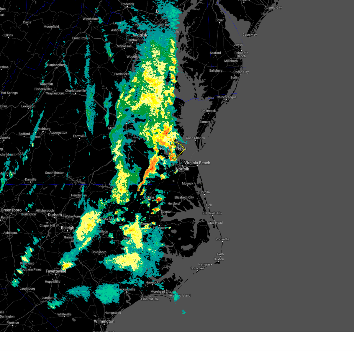 At 330 pm edt, a severe thunderstorm was located over christopher newport university, moving northeast at 35 mph (radar indicated). Hazards include 60 mph wind gusts. Expect damage to trees and powerlines. this severe storm will be near, northampton and beaconsdale around 335 pm edt. patrick henry field around 340 pm edt. hampton, langley afb and tabb around 345 pm edt. seaford around 355 pm edt. other locations impacted by this severe thunderstorm include dare, fox hill, langley view, oyster point, messick, hornsbyville, hilton village, harris grove, menchville and plum tree island refuge. hail threat, radar indicated max hail size, <. 75 in wind threat, radar indicated max wind gust, 60 mph. At 330 pm edt, a severe thunderstorm was located over christopher newport university, moving northeast at 35 mph (radar indicated). Hazards include 60 mph wind gusts. Expect damage to trees and powerlines. this severe storm will be near, northampton and beaconsdale around 335 pm edt. patrick henry field around 340 pm edt. hampton, langley afb and tabb around 345 pm edt. seaford around 355 pm edt. other locations impacted by this severe thunderstorm include dare, fox hill, langley view, oyster point, messick, hornsbyville, hilton village, harris grove, menchville and plum tree island refuge. hail threat, radar indicated max hail size, <. 75 in wind threat, radar indicated max wind gust, 60 mph.
|
| 4/22/2023 3:08 PM EDT |
 At 308 pm edt, a severe thunderstorm was located near isle of wight, or 7 miles south of smithfield, moving northeast at 30 mph (radar indicated). Hazards include 60 mph wind gusts and quarter size hail. Minor damage to vehicles is possible. expect wind damage to trees and powerlines. this severe thunderstorm will be near, smithfield and crittenden around 320 pm edt. rescue around 325 pm edt. christopher newport university around 335 pm edt. northampton, beaconsdale and denbigh around 340 pm edt. hampton, patrick henry field, langley afb and tabb around 345 pm edt. newport news around 350 pm edt. seaford and virginia institute for marine sciences around 355 pm edt. other locations impacted by this severe thunderstorm include fox hill, carrollton, langley view, longview, benns church, oriana, wills corner, hilton village, chuckatuck and raleigh terrace. hail threat, radar indicated max hail size, 1. 00 in wind threat, radar indicated max wind gust, 60 mph. At 308 pm edt, a severe thunderstorm was located near isle of wight, or 7 miles south of smithfield, moving northeast at 30 mph (radar indicated). Hazards include 60 mph wind gusts and quarter size hail. Minor damage to vehicles is possible. expect wind damage to trees and powerlines. this severe thunderstorm will be near, smithfield and crittenden around 320 pm edt. rescue around 325 pm edt. christopher newport university around 335 pm edt. northampton, beaconsdale and denbigh around 340 pm edt. hampton, patrick henry field, langley afb and tabb around 345 pm edt. newport news around 350 pm edt. seaford and virginia institute for marine sciences around 355 pm edt. other locations impacted by this severe thunderstorm include fox hill, carrollton, langley view, longview, benns church, oriana, wills corner, hilton village, chuckatuck and raleigh terrace. hail threat, radar indicated max hail size, 1. 00 in wind threat, radar indicated max wind gust, 60 mph.
|
| 12/23/2022 11:06 AM EST | Mesonet station ykrv2 york river east rear range ligh in anz632 county VA, 8.8 miles SSW of Poquoson, VA |
| 10/17/2022 8:22 PM EDT |
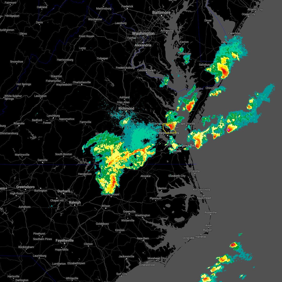 The severe thunderstorm warning for southeastern gloucester, and southeastern york counties, the northern city of poquoson and the north central city of newport news will expire at 830 pm edt, the storm which prompted the warning has moved out of the area. therefore, the warning will be allowed to expire. to report severe weather, contact your nearest law enforcement agency. they will relay your report to the national weather service wakefield. The severe thunderstorm warning for southeastern gloucester, and southeastern york counties, the northern city of poquoson and the north central city of newport news will expire at 830 pm edt, the storm which prompted the warning has moved out of the area. therefore, the warning will be allowed to expire. to report severe weather, contact your nearest law enforcement agency. they will relay your report to the national weather service wakefield.
|
| 10/17/2022 8:15 PM EDT |
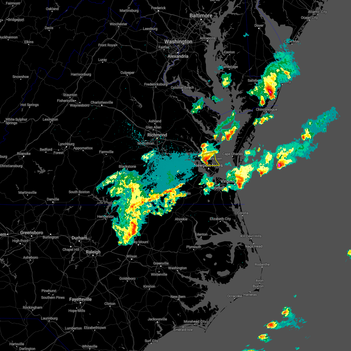 At 815 pm edt, a severe thunderstorm was located over seaford, moving east at 35 mph (radar indicated). Hazards include 60 mph wind gusts and quarter size hail. Minor damage to vehicles is possible. expect wind damage to trees and powerlines. this severe thunderstorm will remain over mainly rural areas of southeastern gloucester, and southeastern york counties, the northern city of poquoson and the north central city of newport news, including the following locations, dare, lackey, severn, glass, maryus, hornsbyville, harris grove, u. s. Naval weapons and yorktown. At 815 pm edt, a severe thunderstorm was located over seaford, moving east at 35 mph (radar indicated). Hazards include 60 mph wind gusts and quarter size hail. Minor damage to vehicles is possible. expect wind damage to trees and powerlines. this severe thunderstorm will remain over mainly rural areas of southeastern gloucester, and southeastern york counties, the northern city of poquoson and the north central city of newport news, including the following locations, dare, lackey, severn, glass, maryus, hornsbyville, harris grove, u. s. Naval weapons and yorktown.
|
| 10/17/2022 8:03 PM EDT |
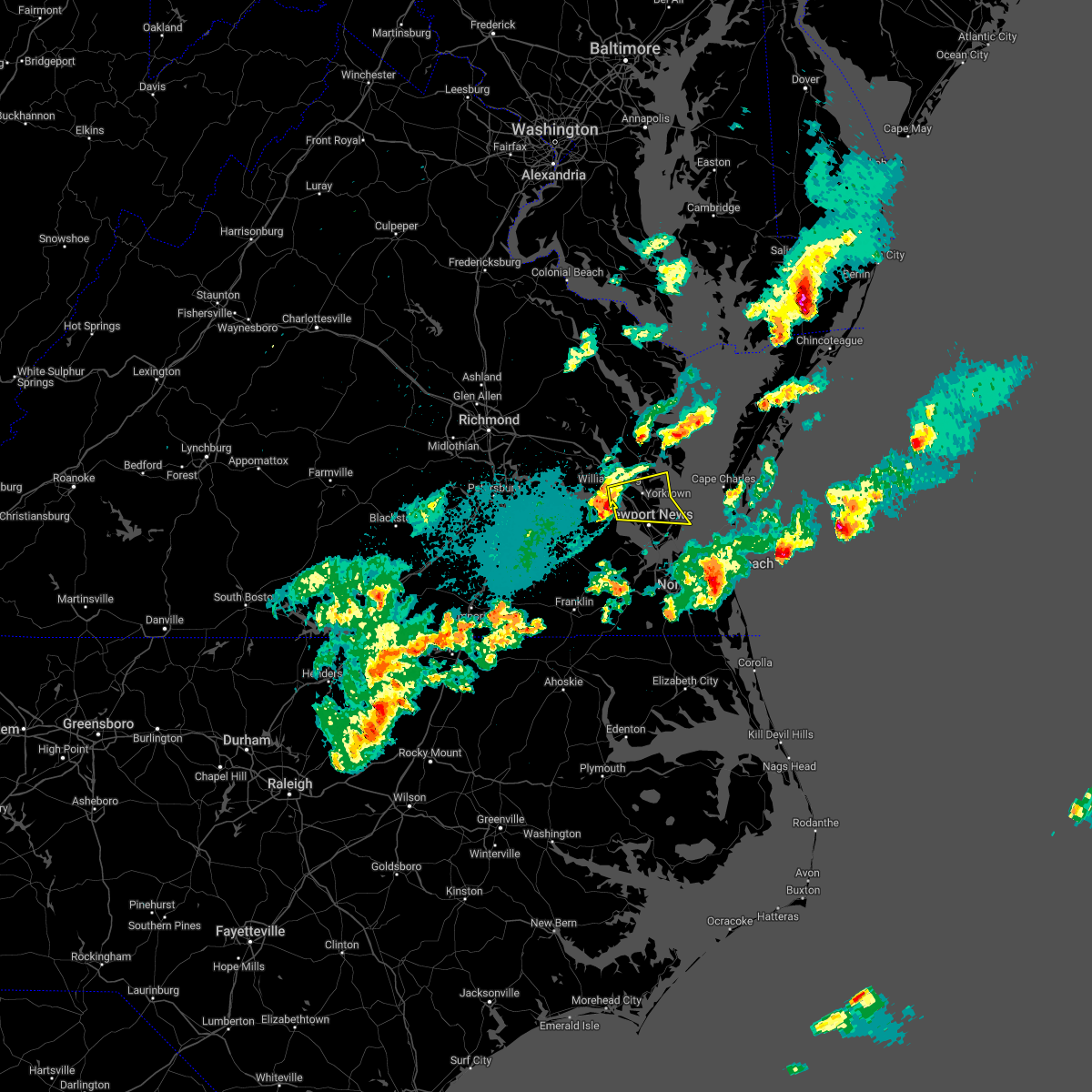 At 803 pm edt, a severe thunderstorm was located over lee hall, or near patrick henry field, moving east at 30 mph (radar indicated). Hazards include 60 mph wind gusts and quarter size hail. Minor damage to vehicles is possible. expect wind damage to trees and powerlines. this severe storm will be near, newport news around 810 pm edt. virginia institute for marine sciences, patrick henry field, gloucester point, tabb and wicomico around 815 pm edt. seaford and achilles around 820 pm edt. hampton around 825 pm edt. other locations impacted by this severe thunderstorm include lackey, water country u. s. a. Glass, oriana, maryus, dare, newport news golf course, severn, oyster point and messick. At 803 pm edt, a severe thunderstorm was located over lee hall, or near patrick henry field, moving east at 30 mph (radar indicated). Hazards include 60 mph wind gusts and quarter size hail. Minor damage to vehicles is possible. expect wind damage to trees and powerlines. this severe storm will be near, newport news around 810 pm edt. virginia institute for marine sciences, patrick henry field, gloucester point, tabb and wicomico around 815 pm edt. seaford and achilles around 820 pm edt. hampton around 825 pm edt. other locations impacted by this severe thunderstorm include lackey, water country u. s. a. Glass, oriana, maryus, dare, newport news golf course, severn, oyster point and messick.
|
| 10/17/2022 7:49 PM EDT |
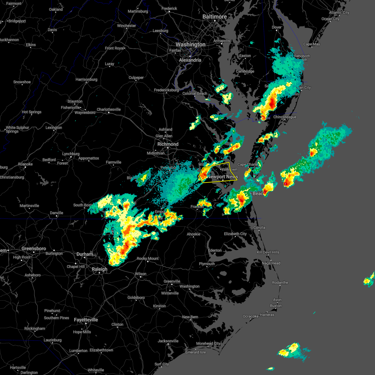 At 748 pm edt, a severe thunderstorm was located over scotland, or near surry, moving east at 30 mph (radar indicated). Hazards include 60 mph wind gusts and quarter size hail. Minor damage to vehicles is possible. expect wind damage to trees and powerlines. this severe thunderstorm will be near, busch gardens, carver gardens and york terrace around 800 pm edt. lee hall, fort eustis and grove around 805 pm edt. newport news and denbigh around 810 pm edt. virginia institute for marine sciences, patrick henry field, gloucester point and wicomico around 815 pm edt. seaford and tabb around 820 pm edt. hampton and achilles around 825 pm edt. other locations impacted by this severe thunderstorm include rushmere, lackey, chippokes state park, water country u. s. a. glass, oriana, maryus, bacons castle, dare and newport news golf course. hail threat, radar indicated max hail size, 1. 00 in wind threat, radar indicated max wind gust, 60 mph. At 748 pm edt, a severe thunderstorm was located over scotland, or near surry, moving east at 30 mph (radar indicated). Hazards include 60 mph wind gusts and quarter size hail. Minor damage to vehicles is possible. expect wind damage to trees and powerlines. this severe thunderstorm will be near, busch gardens, carver gardens and york terrace around 800 pm edt. lee hall, fort eustis and grove around 805 pm edt. newport news and denbigh around 810 pm edt. virginia institute for marine sciences, patrick henry field, gloucester point and wicomico around 815 pm edt. seaford and tabb around 820 pm edt. hampton and achilles around 825 pm edt. other locations impacted by this severe thunderstorm include rushmere, lackey, chippokes state park, water country u. s. a. glass, oriana, maryus, bacons castle, dare and newport news golf course. hail threat, radar indicated max hail size, 1. 00 in wind threat, radar indicated max wind gust, 60 mph.
|
| 9/25/2022 5:54 PM EDT | Buoy station ykrv2 york river east rear range ligh in anz632 county VA, 8.6 miles SSW of Poquoson, VA |
| 9/25/2022 5:35 PM EDT |
 At 535 pm edt, severe thunderstorms were located along a line extending from near glenns to near queens lake to near busch gardens, moving east at 60 mph (radar indicated). Hazards include 60 mph wind gusts and penny size hail. Expect damage to trees and powerlines. severe thunderstorms will be near, gloucester courthouse, gloucester point, hayes and wicomico around 540 pm edt. virginia institute for marine sciences and blakes around 545 pm edt. mathews, seaford, mobjack, gwynn, achilles and bavon around 550 pm edt. other locations impacted by these severe thunderstorms include lackey, ruff, beulah, moon, laban, glass, naxera, harcum, fort nonsense and clay bank. hail threat, radar indicated max hail size, 0. 75 in wind threat, radar indicated max wind gust, 60 mph. At 535 pm edt, severe thunderstorms were located along a line extending from near glenns to near queens lake to near busch gardens, moving east at 60 mph (radar indicated). Hazards include 60 mph wind gusts and penny size hail. Expect damage to trees and powerlines. severe thunderstorms will be near, gloucester courthouse, gloucester point, hayes and wicomico around 540 pm edt. virginia institute for marine sciences and blakes around 545 pm edt. mathews, seaford, mobjack, gwynn, achilles and bavon around 550 pm edt. other locations impacted by these severe thunderstorms include lackey, ruff, beulah, moon, laban, glass, naxera, harcum, fort nonsense and clay bank. hail threat, radar indicated max hail size, 0. 75 in wind threat, radar indicated max wind gust, 60 mph.
|
| 8/10/2022 4:23 PM EDT |
 At 423 pm edt, a severe thunderstorm was located over lee hall, or near patrick henry field, and is nearly stationary (radar indicated). Hazards include 60 mph wind gusts. Expect damage to trees and powerlines. locations impacted include, newport news, hampton, williamsburg, college of william and mary, christopher newport university, queens lake, patrick henry field, virginia institute for marine sciences, seaford, gloucester point, busch gardens, york terrace, lee hall, denbigh, carver gardens, tabb, grove, kings point, beaconsdale and fort eustis. hail threat, radar indicated max hail size, <. 75 in wind threat, radar indicated max wind gust, 60 mph. At 423 pm edt, a severe thunderstorm was located over lee hall, or near patrick henry field, and is nearly stationary (radar indicated). Hazards include 60 mph wind gusts. Expect damage to trees and powerlines. locations impacted include, newport news, hampton, williamsburg, college of william and mary, christopher newport university, queens lake, patrick henry field, virginia institute for marine sciences, seaford, gloucester point, busch gardens, york terrace, lee hall, denbigh, carver gardens, tabb, grove, kings point, beaconsdale and fort eustis. hail threat, radar indicated max hail size, <. 75 in wind threat, radar indicated max wind gust, 60 mph.
|
| 8/10/2022 3:48 PM EDT |
 At 348 pm edt, a severe thunderstorm was located over denbigh, or over newport news, moving north at 5 mph. in addition, a strong thunderstorm over williamsburg was moving southeast at 15 mph (radar indicated). Hazards include 60 mph wind gusts and penny size hail. expect damage to trees and powerlines At 348 pm edt, a severe thunderstorm was located over denbigh, or over newport news, moving north at 5 mph. in addition, a strong thunderstorm over williamsburg was moving southeast at 15 mph (radar indicated). Hazards include 60 mph wind gusts and penny size hail. expect damage to trees and powerlines
|
| 8/1/2022 4:24 PM EDT |
 At 424 pm edt, a severe thunderstorm was located over hampton university, moving east at 30 mph (radar indicated). Hazards include 60 mph wind gusts and penny size hail. Expect damage to trees and powerlines. this severe thunderstorm will be near, fort monroe, buckroe beach and grand view around 430 pm edt. norfolk nas around 435 pm edt. ocean view around 440 pm edt. norfolk international around 445 pm edt. norfolk around 450 pm edt. virginia beach around 510 pm edt. other locations impacted by this severe thunderstorm include bayside, fox hill, phoebus, langley view, wards corner, messick, willoughby spit and raleigh terrace. hail threat, radar indicated max hail size, 0. 75 in wind threat, radar indicated max wind gust, 60 mph. At 424 pm edt, a severe thunderstorm was located over hampton university, moving east at 30 mph (radar indicated). Hazards include 60 mph wind gusts and penny size hail. Expect damage to trees and powerlines. this severe thunderstorm will be near, fort monroe, buckroe beach and grand view around 430 pm edt. norfolk nas around 435 pm edt. ocean view around 440 pm edt. norfolk international around 445 pm edt. norfolk around 450 pm edt. virginia beach around 510 pm edt. other locations impacted by this severe thunderstorm include bayside, fox hill, phoebus, langley view, wards corner, messick, willoughby spit and raleigh terrace. hail threat, radar indicated max hail size, 0. 75 in wind threat, radar indicated max wind gust, 60 mph.
|
| 6/14/2022 10:20 AM EDT |
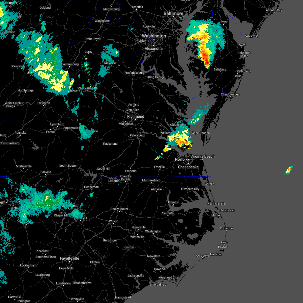 At 1019 am edt, severe thunderstorms were located along a line extending from near tabb to near grand view, moving east at 45 mph (radar indicated. at 1010 am edt, a wind gust of 62 mph was reported in newport news). Hazards include 60 mph wind gusts and nickel size hail. Expect damage to trees and powerlines. these severe thunderstorms will remain over mainly rural areas of southeastern york , the city of poquoson, the city of hampton and the northern city of newport news, including the following locations, dare, newport news golf course, fox hill, langley view, oyster point, oriana, messick, hornsbyville, harris grove and plum tree island refuge. hail threat, radar indicated max hail size, 0. 88 in wind threat, observed max wind gust, 60 mph. At 1019 am edt, severe thunderstorms were located along a line extending from near tabb to near grand view, moving east at 45 mph (radar indicated. at 1010 am edt, a wind gust of 62 mph was reported in newport news). Hazards include 60 mph wind gusts and nickel size hail. Expect damage to trees and powerlines. these severe thunderstorms will remain over mainly rural areas of southeastern york , the city of poquoson, the city of hampton and the northern city of newport news, including the following locations, dare, newport news golf course, fox hill, langley view, oyster point, oriana, messick, hornsbyville, harris grove and plum tree island refuge. hail threat, radar indicated max hail size, 0. 88 in wind threat, observed max wind gust, 60 mph.
|
| 6/14/2022 10:06 AM EDT |
 At 1006 am edt, severe thunderstorms were located along a line extending from lee hall to near langley afb, moving east at 45 mph (radar indicated). Hazards include 60 mph wind gusts and nickel size hail. Expect damage to trees and powerlines. severe thunderstorms will be near, langley afb around 1010 am edt. grand view and buckroe beach around 1015 am edt. seaford around 1020 am edt. hampton around 1025 am edt. other locations impacted by these severe thunderstorms include dare, newport news golf course, fox hill, langley view, oyster point, oriana, messick, hornsbyville, harris grove and plum tree island refuge. hail threat, radar indicated max hail size, 0. 88 in wind threat, radar indicated max wind gust, 60 mph. At 1006 am edt, severe thunderstorms were located along a line extending from lee hall to near langley afb, moving east at 45 mph (radar indicated). Hazards include 60 mph wind gusts and nickel size hail. Expect damage to trees and powerlines. severe thunderstorms will be near, langley afb around 1010 am edt. grand view and buckroe beach around 1015 am edt. seaford around 1020 am edt. hampton around 1025 am edt. other locations impacted by these severe thunderstorms include dare, newport news golf course, fox hill, langley view, oyster point, oriana, messick, hornsbyville, harris grove and plum tree island refuge. hail threat, radar indicated max hail size, 0. 88 in wind threat, radar indicated max wind gust, 60 mph.
|
| 6/12/2022 12:30 PM EDT |
 At 1229 pm edt, severe thunderstorms were located along a line extending from near hartfield to near gloucester courthouse to queens lake, moving east at 30 mph (radar indicated). Hazards include 60 mph wind gusts and penny size hail. Expect damage to trees and powerlines. severe thunderstorms will be near, hayes around 1235 pm edt. virginia institute for marine sciences, gloucester point, wicomico and blakes around 1245 pm edt. mathews, achilles and mobjack around 1250 pm edt. seaford and gwynn around 1255 pm edt. bavon around 100 pm edt. other locations impacted by these severe thunderstorms include lackey, ruff, beulah, moon, laban, camp peary, glass, naxera, harcum and cash. hail threat, radar indicated max hail size, 0. 75 in wind threat, radar indicated max wind gust, 60 mph. At 1229 pm edt, severe thunderstorms were located along a line extending from near hartfield to near gloucester courthouse to queens lake, moving east at 30 mph (radar indicated). Hazards include 60 mph wind gusts and penny size hail. Expect damage to trees and powerlines. severe thunderstorms will be near, hayes around 1235 pm edt. virginia institute for marine sciences, gloucester point, wicomico and blakes around 1245 pm edt. mathews, achilles and mobjack around 1250 pm edt. seaford and gwynn around 1255 pm edt. bavon around 100 pm edt. other locations impacted by these severe thunderstorms include lackey, ruff, beulah, moon, laban, camp peary, glass, naxera, harcum and cash. hail threat, radar indicated max hail size, 0. 75 in wind threat, radar indicated max wind gust, 60 mph.
|
| 6/2/2022 8:23 PM EDT |
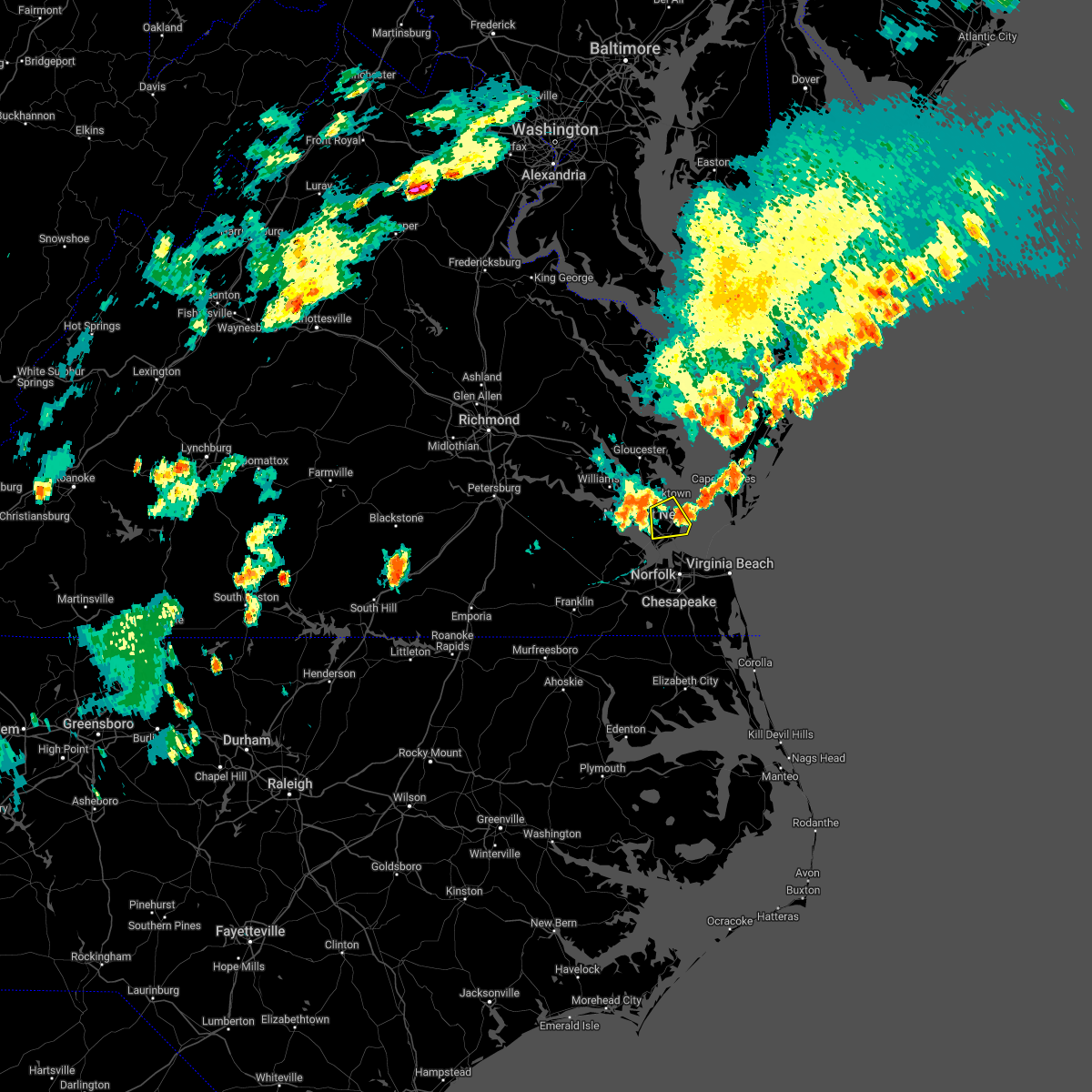 The severe thunderstorm warning for southeastern york , the city of poquoson, the city of hampton and the southern city of newport news will expire at 830 pm edt, the storm which prompted the warning has moved out of the area. therefore, the warning will be allowed to expire. The severe thunderstorm warning for southeastern york , the city of poquoson, the city of hampton and the southern city of newport news will expire at 830 pm edt, the storm which prompted the warning has moved out of the area. therefore, the warning will be allowed to expire.
|
| 6/2/2022 8:04 PM EDT |
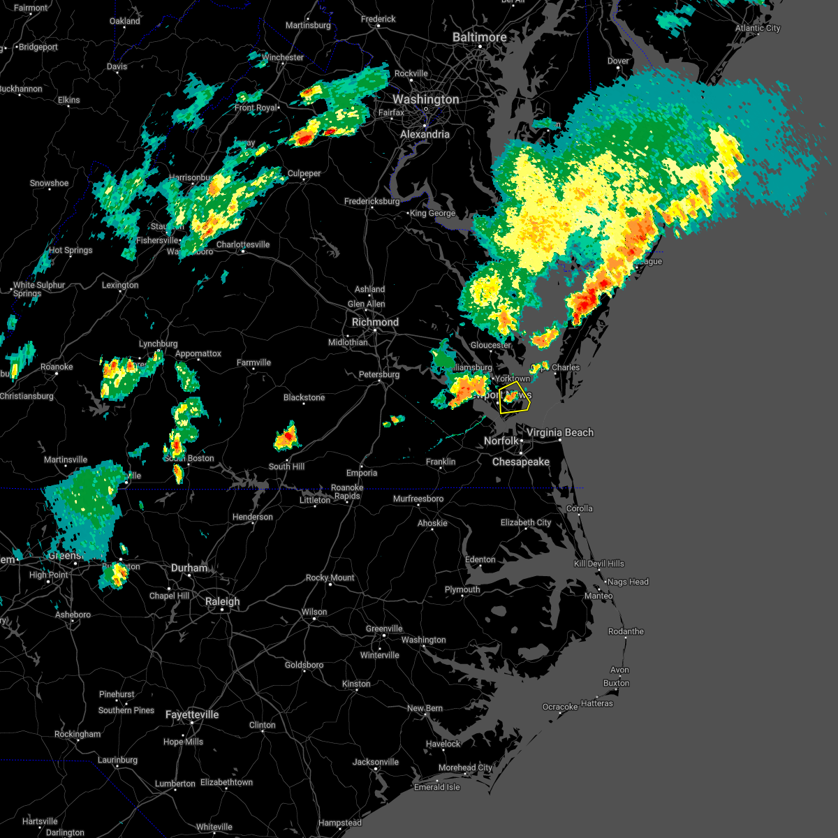 At 804 pm edt, a severe thunderstorm was located near langley afb, moving east at 20 mph (radar indicated). Hazards include 60 mph wind gusts. Expect damage to trees and powerlines. this severe thunderstorm will be near, grand view around 810 pm edt. other locations impacted by this severe thunderstorm include dare, messick, fox hill, langley view and plum tree island refuge. hail threat, radar indicated max hail size, <. 75 in wind threat, radar indicated max wind gust, 60 mph. At 804 pm edt, a severe thunderstorm was located near langley afb, moving east at 20 mph (radar indicated). Hazards include 60 mph wind gusts. Expect damage to trees and powerlines. this severe thunderstorm will be near, grand view around 810 pm edt. other locations impacted by this severe thunderstorm include dare, messick, fox hill, langley view and plum tree island refuge. hail threat, radar indicated max hail size, <. 75 in wind threat, radar indicated max wind gust, 60 mph.
|
| 5/16/2022 1:58 PM EDT | Mesonet station xpoq poquoso in city of poquoson county VA, 3.5 miles WNW of Poquoson, VA |
| 5/16/2022 1:52 PM EDT |
 At 152 pm edt, a severe thunderstorm was located near hampton university, moving northeast at 40 mph (radar indicated). Hazards include 60 mph wind gusts and quarter size hail. Minor damage to vehicles is possible. expect wind damage to trees and powerlines. this severe storm will be near, old dominion university around 155 pm edt. hampton university, langley afb, fort monroe and norfolk nas around 200 pm edt. ocean view, buckroe beach and grand view around 205 pm edt. other locations impacted by this severe thunderstorm include hobson, fox hill, phoebus, langley view, wards corner, huntersville, deanes, messick, hilton village and willoughby spit. hail threat, radar indicated max hail size, 1. 00 in wind threat, radar indicated max wind gust, 60 mph. At 152 pm edt, a severe thunderstorm was located near hampton university, moving northeast at 40 mph (radar indicated). Hazards include 60 mph wind gusts and quarter size hail. Minor damage to vehicles is possible. expect wind damage to trees and powerlines. this severe storm will be near, old dominion university around 155 pm edt. hampton university, langley afb, fort monroe and norfolk nas around 200 pm edt. ocean view, buckroe beach and grand view around 205 pm edt. other locations impacted by this severe thunderstorm include hobson, fox hill, phoebus, langley view, wards corner, huntersville, deanes, messick, hilton village and willoughby spit. hail threat, radar indicated max hail size, 1. 00 in wind threat, radar indicated max wind gust, 60 mph.
|
| 5/16/2022 1:32 PM EDT |
 At 132 pm edt, a severe thunderstorm was located near isle of wight, or 7 miles northeast of windsor, moving northeast at 40 mph (radar indicated). Hazards include 60 mph wind gusts and quarter size hail. Minor damage to vehicles is possible. expect wind damage to trees and powerlines. this severe thunderstorm will be near, smithfield around 135 pm edt. driver around 140 pm edt. crittenden and rescue around 145 pm edt. churchland around 150 pm edt. northampton and beaconsdale around 155 pm edt. old dominion university, portsmouth and norfolk nas around 200 pm edt. hampton university, ocean view, langley afb, fort monroe and buckroe beach around 205 pm edt. norfolk and grand view around 210 pm edt. other locations impacted by this severe thunderstorm include fox hill, carrollton, phoebus, langley view, longview, benns church, huntersville, wills corner, bethel church and hilton village. hail threat, radar indicated max hail size, 1. 00 in wind threat, radar indicated max wind gust, 60 mph. At 132 pm edt, a severe thunderstorm was located near isle of wight, or 7 miles northeast of windsor, moving northeast at 40 mph (radar indicated). Hazards include 60 mph wind gusts and quarter size hail. Minor damage to vehicles is possible. expect wind damage to trees and powerlines. this severe thunderstorm will be near, smithfield around 135 pm edt. driver around 140 pm edt. crittenden and rescue around 145 pm edt. churchland around 150 pm edt. northampton and beaconsdale around 155 pm edt. old dominion university, portsmouth and norfolk nas around 200 pm edt. hampton university, ocean view, langley afb, fort monroe and buckroe beach around 205 pm edt. norfolk and grand view around 210 pm edt. other locations impacted by this severe thunderstorm include fox hill, carrollton, phoebus, langley view, longview, benns church, huntersville, wills corner, bethel church and hilton village. hail threat, radar indicated max hail size, 1. 00 in wind threat, radar indicated max wind gust, 60 mph.
|
| 5/6/2022 5:52 PM EDT |
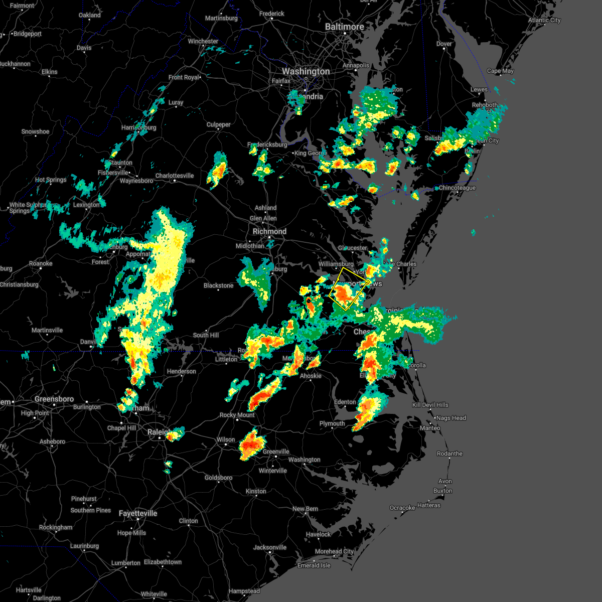 At 551 pm edt, a severe thunderstorm was located near smithfield, moving northeast at 40 mph (radar indicated). Hazards include 60 mph wind gusts. Expect damage to trees and powerlines. this severe storm will be near, christopher newport university, fort eustis and beaconsdale around 600 pm edt. patrick henry field, denbigh and lee hall around 605 pm edt. newport news, hampton and tabb around 610 pm edt. other locations impacted by this severe thunderstorm include rushmere, carrollton, lackey, water country u. s. a. benns church, oriana, lawson, bacons castle, dare and newport news golf course. hail threat, radar indicated max hail size, <. 75 in wind threat, radar indicated max wind gust, 60 mph. At 551 pm edt, a severe thunderstorm was located near smithfield, moving northeast at 40 mph (radar indicated). Hazards include 60 mph wind gusts. Expect damage to trees and powerlines. this severe storm will be near, christopher newport university, fort eustis and beaconsdale around 600 pm edt. patrick henry field, denbigh and lee hall around 605 pm edt. newport news, hampton and tabb around 610 pm edt. other locations impacted by this severe thunderstorm include rushmere, carrollton, lackey, water country u. s. a. benns church, oriana, lawson, bacons castle, dare and newport news golf course. hail threat, radar indicated max hail size, <. 75 in wind threat, radar indicated max wind gust, 60 mph.
|
| 5/6/2022 5:25 PM EDT |
 At 524 pm edt, a severe thunderstorm was located over zuni, or 8 miles northwest of windsor, moving northeast at 40 mph (radar indicated). Hazards include 60 mph wind gusts and quarter size hail. Minor damage to vehicles is possible. expect wind damage to trees and powerlines. this severe thunderstorm will be near, isle of wight around 530 pm edt. smithfield around 540 pm edt. surry around 545 pm edt. fort eustis and scotland around 555 pm edt. patrick henry field, kings point, denbigh and jamestown around 600 pm edt. newport news, college of william and mary, grove, lee hall, busch gardens, carver gardens and york terrace around 605 pm edt. queens lake around 610 pm edt. other locations impacted by this severe thunderstorm include rushmere, pons, carrollton, lackey, chippokes state park, longview, benns church, oriana, bethel church and ewell. hail threat, radar indicated max hail size, 1. 00 in wind threat, radar indicated max wind gust, 60 mph. At 524 pm edt, a severe thunderstorm was located over zuni, or 8 miles northwest of windsor, moving northeast at 40 mph (radar indicated). Hazards include 60 mph wind gusts and quarter size hail. Minor damage to vehicles is possible. expect wind damage to trees and powerlines. this severe thunderstorm will be near, isle of wight around 530 pm edt. smithfield around 540 pm edt. surry around 545 pm edt. fort eustis and scotland around 555 pm edt. patrick henry field, kings point, denbigh and jamestown around 600 pm edt. newport news, college of william and mary, grove, lee hall, busch gardens, carver gardens and york terrace around 605 pm edt. queens lake around 610 pm edt. other locations impacted by this severe thunderstorm include rushmere, pons, carrollton, lackey, chippokes state park, longview, benns church, oriana, bethel church and ewell. hail threat, radar indicated max hail size, 1. 00 in wind threat, radar indicated max wind gust, 60 mph.
|
| 4/7/2022 6:21 PM EDT |
 At 621 pm edt, a severe thunderstorm was located over northampton, or near christopher newport university, moving east at 35 mph (radar indicated). Hazards include 60 mph wind gusts and penny size hail. Expect damage to trees and powerlines. this severe storm will be near, hampton around 625 pm edt. langley afb, hampton university and fort monroe around 630 pm edt. grand view and buckroe beach around 635 pm edt. other locations impacted by this severe thunderstorm include rushmere, pons, carrollton, chippokes state park, longview, benns church, oriana, bethel church, ellis fork and hilton village. hail threat, radar indicated max hail size, 0. 75 in wind threat, radar indicated max wind gust, 60 mph. At 621 pm edt, a severe thunderstorm was located over northampton, or near christopher newport university, moving east at 35 mph (radar indicated). Hazards include 60 mph wind gusts and penny size hail. Expect damage to trees and powerlines. this severe storm will be near, hampton around 625 pm edt. langley afb, hampton university and fort monroe around 630 pm edt. grand view and buckroe beach around 635 pm edt. other locations impacted by this severe thunderstorm include rushmere, pons, carrollton, chippokes state park, longview, benns church, oriana, bethel church, ellis fork and hilton village. hail threat, radar indicated max hail size, 0. 75 in wind threat, radar indicated max wind gust, 60 mph.
|
| 4/7/2022 5:50 PM EDT |
 At 550 pm edt, a severe thunderstorm was located near ivor, or 8 miles east of wakefield, moving east at 50 mph (radar indicated). Hazards include 60 mph wind gusts and penny size hail. Expect damage to trees and powerlines. this severe thunderstorm will be near, isle of wight around 555 pm edt. smithfield around 600 pm edt. rescue and fort eustis around 610 pm edt. christopher newport university, patrick henry field, beaconsdale and denbigh around 615 pm edt. hampton, northampton and tabb around 620 pm edt. langley afb, hampton university, buckroe beach and fort monroe around 625 pm edt. grand view around 630 pm edt. other locations impacted by this severe thunderstorm include rushmere, pons, carrollton, chippokes state park, longview, benns church, oriana, bethel church, ellis fork and hilton village. hail threat, radar indicated max hail size, 0. 75 in wind threat, radar indicated max wind gust, 60 mph. At 550 pm edt, a severe thunderstorm was located near ivor, or 8 miles east of wakefield, moving east at 50 mph (radar indicated). Hazards include 60 mph wind gusts and penny size hail. Expect damage to trees and powerlines. this severe thunderstorm will be near, isle of wight around 555 pm edt. smithfield around 600 pm edt. rescue and fort eustis around 610 pm edt. christopher newport university, patrick henry field, beaconsdale and denbigh around 615 pm edt. hampton, northampton and tabb around 620 pm edt. langley afb, hampton university, buckroe beach and fort monroe around 625 pm edt. grand view around 630 pm edt. other locations impacted by this severe thunderstorm include rushmere, pons, carrollton, chippokes state park, longview, benns church, oriana, bethel church, ellis fork and hilton village. hail threat, radar indicated max hail size, 0. 75 in wind threat, radar indicated max wind gust, 60 mph.
|
| 9/8/2021 5:43 PM EDT |
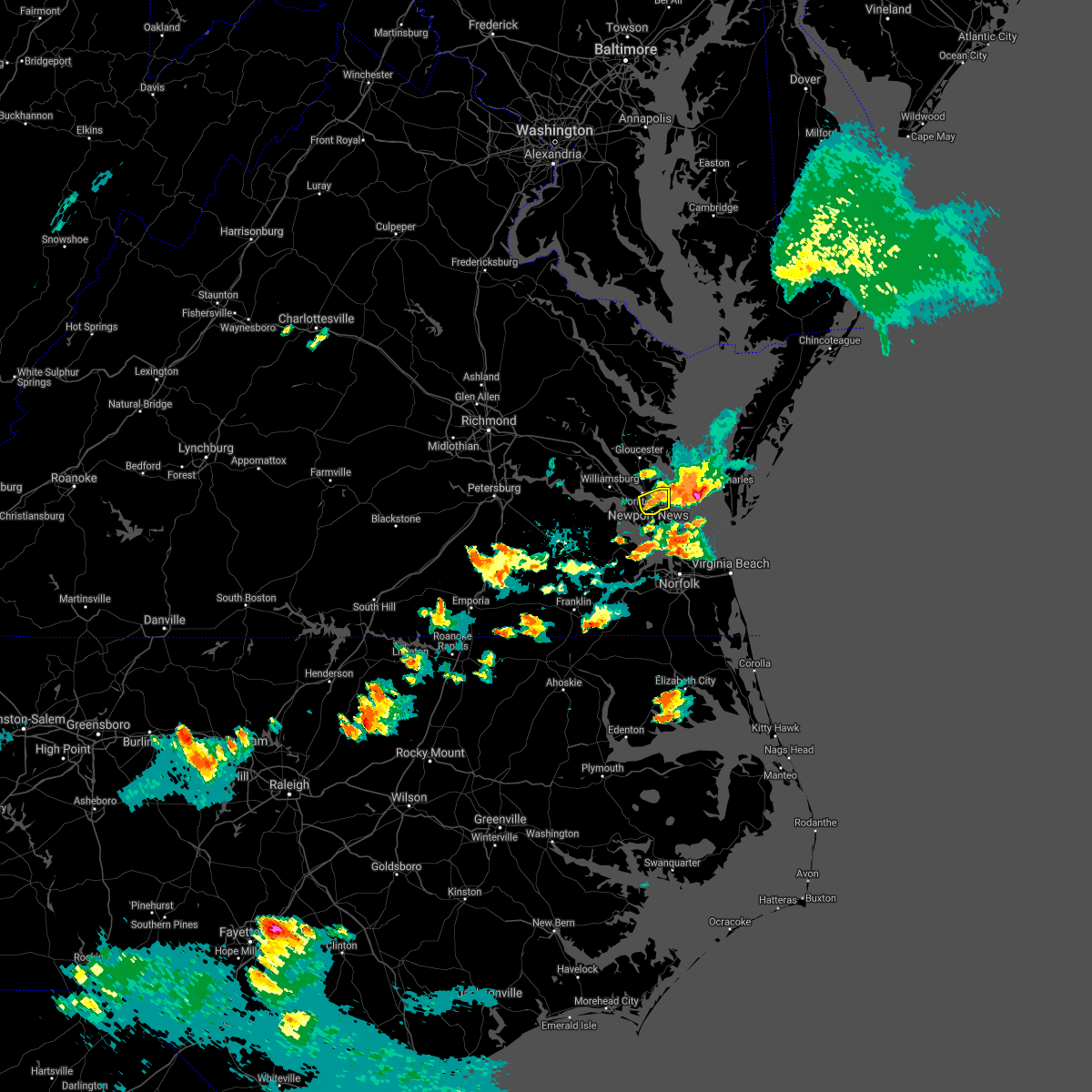 At 542 pm edt, a severe thunderstorm was located over lee hall, or near virginia institute for marine sciences, moving northeast at 20 mph (radar indicated). Hazards include 60 mph wind gusts and quarter size hail. Minor damage to vehicles is possible. expect wind damage to trees and powerlines. this severe storm will be near, seaford around 600 pm edt. other locations impacted by this severe thunderstorm include dare, hornsbyville and harris grove. hail threat, observed max hail size, 1. 00 in wind threat, radar indicated max wind gust, 60 mph. At 542 pm edt, a severe thunderstorm was located over lee hall, or near virginia institute for marine sciences, moving northeast at 20 mph (radar indicated). Hazards include 60 mph wind gusts and quarter size hail. Minor damage to vehicles is possible. expect wind damage to trees and powerlines. this severe storm will be near, seaford around 600 pm edt. other locations impacted by this severe thunderstorm include dare, hornsbyville and harris grove. hail threat, observed max hail size, 1. 00 in wind threat, radar indicated max wind gust, 60 mph.
|
| 9/8/2021 5:28 PM EDT |
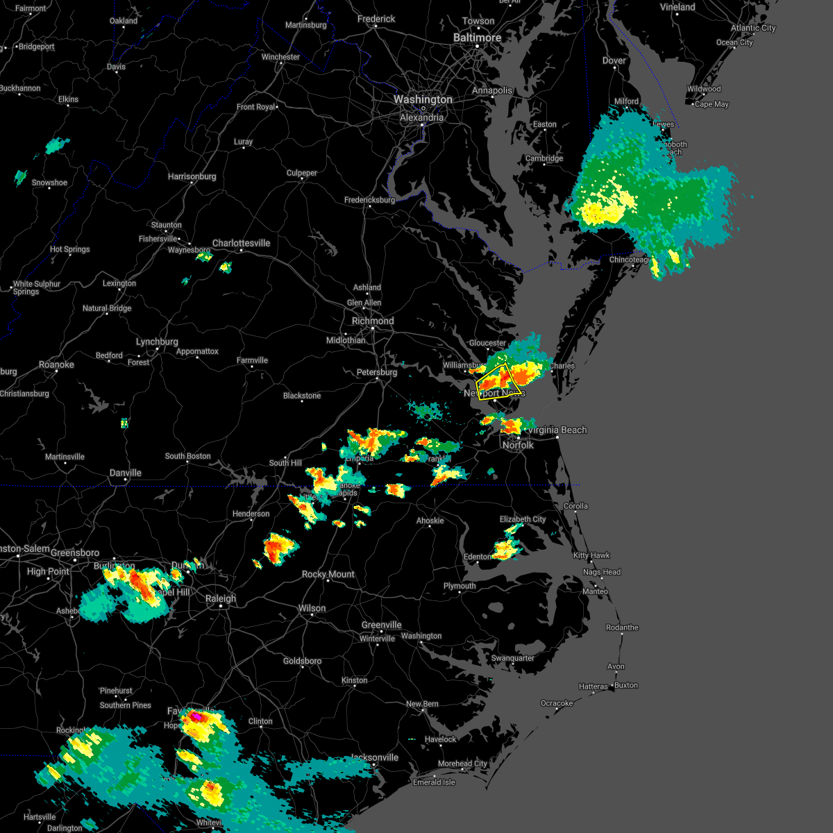 At 527 pm edt, a severe thunderstorm was located over lee hall, or near newport news, moving northeast at 20 mph (radar indicated). Hazards include 60 mph wind gusts and quarter size hail. Minor damage to vehicles is possible. expect wind damage to trees and powerlines. this severe storm will be near, denbigh around 535 pm edt. newport news and patrick henry field around 540 pm edt. virginia institute for marine sciences and tabb around 550 pm edt. gloucester point around 555 pm edt. seaford around 600 pm edt. achilles around 605 pm edt. other locations impacted by this severe thunderstorm include dare, newport news golf course, lackey, severn, oyster point, oriana, maryus, hornsbyville, harris grove and plum tree island refuge. hail threat, radar indicated max hail size, 1. 00 in wind threat, radar indicated max wind gust, 60 mph. At 527 pm edt, a severe thunderstorm was located over lee hall, or near newport news, moving northeast at 20 mph (radar indicated). Hazards include 60 mph wind gusts and quarter size hail. Minor damage to vehicles is possible. expect wind damage to trees and powerlines. this severe storm will be near, denbigh around 535 pm edt. newport news and patrick henry field around 540 pm edt. virginia institute for marine sciences and tabb around 550 pm edt. gloucester point around 555 pm edt. seaford around 600 pm edt. achilles around 605 pm edt. other locations impacted by this severe thunderstorm include dare, newport news golf course, lackey, severn, oyster point, oriana, maryus, hornsbyville, harris grove and plum tree island refuge. hail threat, radar indicated max hail size, 1. 00 in wind threat, radar indicated max wind gust, 60 mph.
|
| 9/8/2021 5:20 PM EDT | Half Dollar sized hail reported 4.5 miles SSE of Poquoson, VA, reports of hail up to half dollar size in seaford. |
| 9/8/2021 5:16 PM EDT |
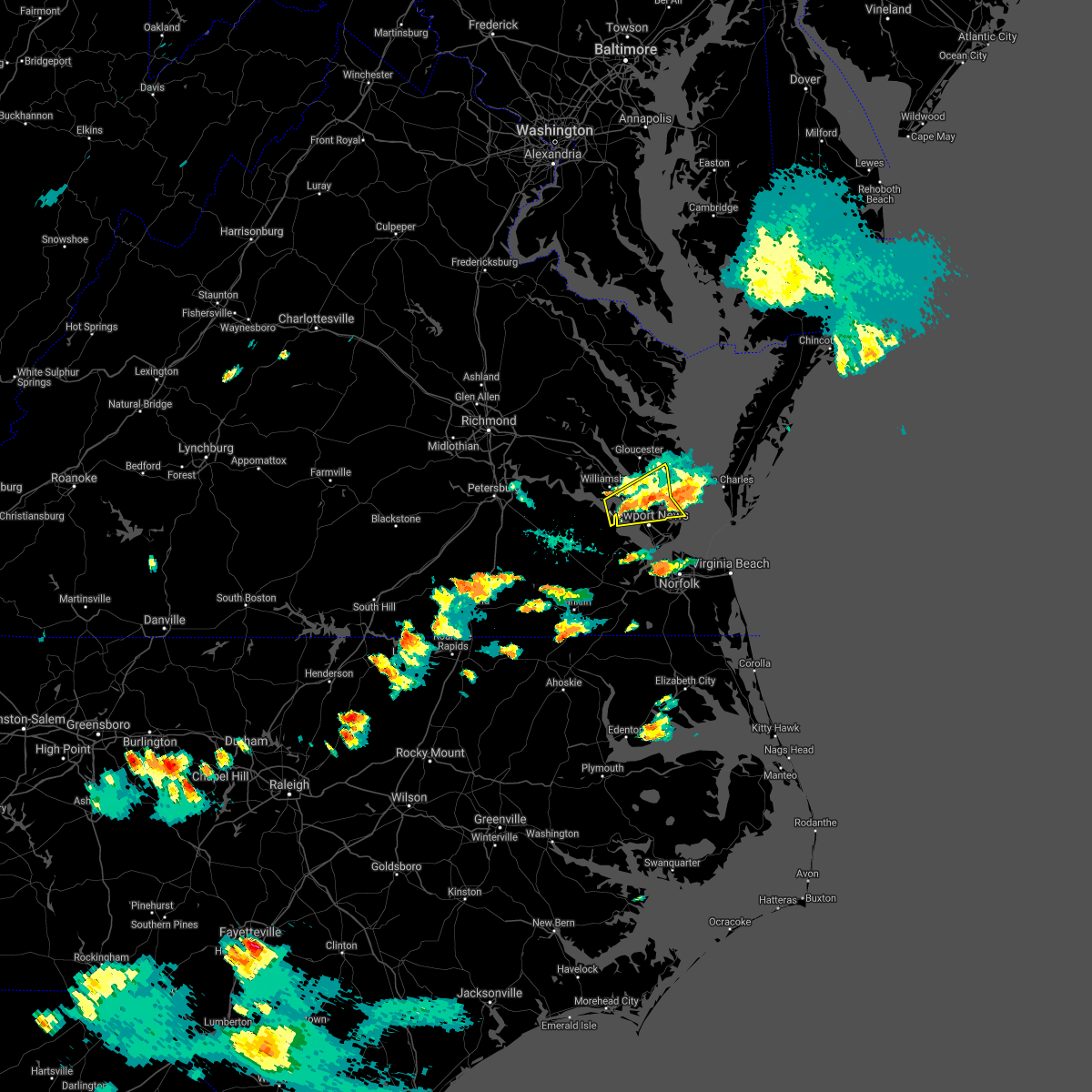 At 516 pm edt, a severe thunderstorm was located near fort eustis, or 7 miles northwest of newport news, moving east at 20 mph (radar indicated). Hazards include 60 mph wind gusts and quarter size hail. Minor damage to vehicles is possible. expect wind damage to trees and powerlines. this severe thunderstorm will be near, fort eustis, grove and busch gardens around 525 pm edt. lee hall around 530 pm edt. denbigh around 535 pm edt. newport news and patrick henry field around 540 pm edt. tabb around 545 pm edt. virginia institute for marine sciences, gloucester point and wicomico around 550 pm edt. seaford around 555 pm edt. achilles around 600 pm edt. other locations impacted by this severe thunderstorm include lackey, glass, naxera, oriana, maryus, dare, newport news golf course, severn, oyster point and hog island game reserve. hail threat, radar indicated max hail size, 1. 00 in wind threat, radar indicated max wind gust, 60 mph. At 516 pm edt, a severe thunderstorm was located near fort eustis, or 7 miles northwest of newport news, moving east at 20 mph (radar indicated). Hazards include 60 mph wind gusts and quarter size hail. Minor damage to vehicles is possible. expect wind damage to trees and powerlines. this severe thunderstorm will be near, fort eustis, grove and busch gardens around 525 pm edt. lee hall around 530 pm edt. denbigh around 535 pm edt. newport news and patrick henry field around 540 pm edt. tabb around 545 pm edt. virginia institute for marine sciences, gloucester point and wicomico around 550 pm edt. seaford around 555 pm edt. achilles around 600 pm edt. other locations impacted by this severe thunderstorm include lackey, glass, naxera, oriana, maryus, dare, newport news golf course, severn, oyster point and hog island game reserve. hail threat, radar indicated max hail size, 1. 00 in wind threat, radar indicated max wind gust, 60 mph.
|
| 8/30/2021 9:18 PM EDT |
 At 918 pm edt, a severe thunderstorm was located over patrick henry field, moving southeast at 25 mph (radar indicated). Hazards include 60 mph wind gusts. Expect damage to trees and powerlines. this severe thunderstorm will be near, beaconsdale around 925 pm edt. hampton around 930 pm edt. langley afb and northampton around 935 pm edt. hampton university and grand view around 945 pm edt. fort monroe and buckroe beach around 950 pm edt. other locations impacted by this severe thunderstorm include fox hill, phoebus, langley view, oriana, hilton village, raleigh terrace, dare, oyster point, messick and hornsbyville. hail threat, radar indicated max hail size, <. 75 in wind threat, radar indicated max wind gust, 60 mph. At 918 pm edt, a severe thunderstorm was located over patrick henry field, moving southeast at 25 mph (radar indicated). Hazards include 60 mph wind gusts. Expect damage to trees and powerlines. this severe thunderstorm will be near, beaconsdale around 925 pm edt. hampton around 930 pm edt. langley afb and northampton around 935 pm edt. hampton university and grand view around 945 pm edt. fort monroe and buckroe beach around 950 pm edt. other locations impacted by this severe thunderstorm include fox hill, phoebus, langley view, oriana, hilton village, raleigh terrace, dare, oyster point, messick and hornsbyville. hail threat, radar indicated max hail size, <. 75 in wind threat, radar indicated max wind gust, 60 mph.
|
| 7/29/2021 8:54 PM EDT |
 The severe thunderstorm warning for york, and southeastern james city counties, the city of poquoson, the city of hampton, the city of newport news and the city of williamsburg will expire at 900 pm edt, the storm which prompted the warning has weakened below severe limits, and has exited the warned area. therefore, the warning will be allowed to expire. however gusty winds and heavy rain are still possible with this thunderstorm. to report severe weather, contact your nearest law enforcement agency. they will relay your report to the national weather service wakefield. The severe thunderstorm warning for york, and southeastern james city counties, the city of poquoson, the city of hampton, the city of newport news and the city of williamsburg will expire at 900 pm edt, the storm which prompted the warning has weakened below severe limits, and has exited the warned area. therefore, the warning will be allowed to expire. however gusty winds and heavy rain are still possible with this thunderstorm. to report severe weather, contact your nearest law enforcement agency. they will relay your report to the national weather service wakefield.
|
| 7/29/2021 8:13 PM EDT |
 At 813 pm edt, a severe thunderstorm was located over grove, or near queens lake, moving southeast at 30 mph (radar indicated). Hazards include 60 mph wind gusts and quarter size hail. Minor damage to vehicles is possible. Expect wind damage to trees and powerlines. At 813 pm edt, a severe thunderstorm was located over grove, or near queens lake, moving southeast at 30 mph (radar indicated). Hazards include 60 mph wind gusts and quarter size hail. Minor damage to vehicles is possible. Expect wind damage to trees and powerlines.
|
| 7/28/2021 1:07 PM EDT |
 At 107 pm edt, a severe thunderstorm was located near hampton university, moving south at 15 mph (radar indicated). Hazards include 60 mph wind gusts and quarter size hail. Minor damage to vehicles is possible. expect wind damage to trees and powerlines. Locations impacted include, newport news, hampton, hampton university, langley afb, christopher newport university, patrick henry field, northampton, buckroe beach, tabb, fort monroe, beaconsdale, phoebus, langley view, hilton village, raleigh terrace, dare and oyster point. At 107 pm edt, a severe thunderstorm was located near hampton university, moving south at 15 mph (radar indicated). Hazards include 60 mph wind gusts and quarter size hail. Minor damage to vehicles is possible. expect wind damage to trees and powerlines. Locations impacted include, newport news, hampton, hampton university, langley afb, christopher newport university, patrick henry field, northampton, buckroe beach, tabb, fort monroe, beaconsdale, phoebus, langley view, hilton village, raleigh terrace, dare and oyster point.
|
| 7/28/2021 12:25 PM EDT |
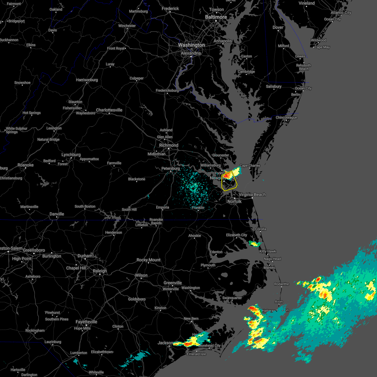 At 1225 pm edt, a severe thunderstorm was located over tabb, or near patrick henry field, moving south at 15 mph (radar indicated). Hazards include 60 mph wind gusts and quarter size hail. Minor damage to vehicles is possible. Expect wind damage to trees and powerlines. At 1225 pm edt, a severe thunderstorm was located over tabb, or near patrick henry field, moving south at 15 mph (radar indicated). Hazards include 60 mph wind gusts and quarter size hail. Minor damage to vehicles is possible. Expect wind damage to trees and powerlines.
|
| 6/22/2021 2:37 PM EDT |
 At 236 pm edt, severe thunderstorms were located along a line extending from near cheriton to 12 miles east of grand view to near norfolk nas, moving east at 45 mph (radar indicated). Hazards include 60 mph wind gusts. Expect damage to trees and powerlines. these severe storms will be near, cheriton and bay view around 240 pm edt. kempsville and regent university around 245 pm edt. virginia beach and princess anne around 255 pm edt. Other locations impacted by these severe thunderstorms include capeville, south norfolk, kiptopeke state park, rudee heights, portlock, princess anne plaza, sigma, eastville, pungo and greenbrier. At 236 pm edt, severe thunderstorms were located along a line extending from near cheriton to 12 miles east of grand view to near norfolk nas, moving east at 45 mph (radar indicated). Hazards include 60 mph wind gusts. Expect damage to trees and powerlines. these severe storms will be near, cheriton and bay view around 240 pm edt. kempsville and regent university around 245 pm edt. virginia beach and princess anne around 255 pm edt. Other locations impacted by these severe thunderstorms include capeville, south norfolk, kiptopeke state park, rudee heights, portlock, princess anne plaza, sigma, eastville, pungo and greenbrier.
|
| 6/22/2021 2:23 PM EDT |
 At 222 pm edt, severe thunderstorms were located along a line extending from 6 miles northeast of bavon to near grand view to near christopher newport university, moving east at 40 mph (radar indicated). Hazards include 60 mph wind gusts. Expect damage to trees and powerlines. severe thunderstorms will be near, grand view around 235 pm edt. cape charles, ocean view, old dominion university, cheriton, bay view and ghent around 240 pm edt. norfolk international and norview around 245 pm edt. virginia wesleyan university and norfolk around 250 pm edt. virginia beach around 300 pm edt. Other locations impacted by these severe thunderstorms include capeville, south norfolk, kiptopeke state park, rudee heights, carrollton, portlock, princess anne plaza, sigma, eastville and hilton village. At 222 pm edt, severe thunderstorms were located along a line extending from 6 miles northeast of bavon to near grand view to near christopher newport university, moving east at 40 mph (radar indicated). Hazards include 60 mph wind gusts. Expect damage to trees and powerlines. severe thunderstorms will be near, grand view around 235 pm edt. cape charles, ocean view, old dominion university, cheriton, bay view and ghent around 240 pm edt. norfolk international and norview around 245 pm edt. virginia wesleyan university and norfolk around 250 pm edt. virginia beach around 300 pm edt. Other locations impacted by these severe thunderstorms include capeville, south norfolk, kiptopeke state park, rudee heights, carrollton, portlock, princess anne plaza, sigma, eastville and hilton village.
|
| 6/4/2021 6:53 PM EDT |
 The severe thunderstorm warning for northeastern isle of wight , the city of poquoson, the city of hampton and the city of newport news will expire at 700 pm edt, the storms which prompted the warning have weakened. therefore, the warning will be allowed to expire. however gusty winds to 45 mph and heavy rain are still possible with these thunderstorms. a severe thunderstorm watch remains in effect until 900 pm edt for southeastern virginia. The severe thunderstorm warning for northeastern isle of wight , the city of poquoson, the city of hampton and the city of newport news will expire at 700 pm edt, the storms which prompted the warning have weakened. therefore, the warning will be allowed to expire. however gusty winds to 45 mph and heavy rain are still possible with these thunderstorms. a severe thunderstorm watch remains in effect until 900 pm edt for southeastern virginia.
|
| 6/4/2021 6:36 PM EDT |
 At 635 pm edt, severe thunderstorms were located along a line extending from langley afb to christopher newport university to near smithfield, moving east at 15 mph (radar indicated). Hazards include 60 mph wind gusts. Expect damage to trees and powerlines. these severe storms will be near, hampton, christopher newport university, langley afb, patrick henry field and beaconsdale around 640 pm edt. northampton around 650 pm edt. grand view around 655 pm edt. hampton university around 710 pm edt. buckroe beach and fort monroe around 720 pm edt. Other locations impacted by these severe thunderstorms include rushmere, fox hill, carrollton, phoebus, langley view, benns church, oriana, hilton village, lawson and raleigh terrace. At 635 pm edt, severe thunderstorms were located along a line extending from langley afb to christopher newport university to near smithfield, moving east at 15 mph (radar indicated). Hazards include 60 mph wind gusts. Expect damage to trees and powerlines. these severe storms will be near, hampton, christopher newport university, langley afb, patrick henry field and beaconsdale around 640 pm edt. northampton around 650 pm edt. grand view around 655 pm edt. hampton university around 710 pm edt. buckroe beach and fort monroe around 720 pm edt. Other locations impacted by these severe thunderstorms include rushmere, fox hill, carrollton, phoebus, langley view, benns church, oriana, hilton village, lawson and raleigh terrace.
|
| 6/4/2021 6:09 PM EDT |
 At 609 pm edt, severe thunderstorms were located along a line extending from near seaford to denbigh to near surry, moving southeast at 25 mph (radar indicated). Hazards include 60 mph wind gusts. Expect damage to trees and powerlines. these severe storms will be near, newport news, seaford, patrick henry field, virginia institute for marine sciences and denbigh around 615 pm edt. tabb around 620 pm edt. christopher newport university and beaconsdale around 625 pm edt. hampton, smithfield and northampton around 630 pm edt. langley afb around 635 pm edt. rescue and grand view around 640 pm edt. hampton university and buckroe beach around 645 pm edt. fort monroe around 650 pm edt. Other locations impacted by these severe thunderstorms include rushmere, carrollton, chippokes state park, lackey, benns church, oriana, hilton village, newport news golf course, poolesville and oyster point. At 609 pm edt, severe thunderstorms were located along a line extending from near seaford to denbigh to near surry, moving southeast at 25 mph (radar indicated). Hazards include 60 mph wind gusts. Expect damage to trees and powerlines. these severe storms will be near, newport news, seaford, patrick henry field, virginia institute for marine sciences and denbigh around 615 pm edt. tabb around 620 pm edt. christopher newport university and beaconsdale around 625 pm edt. hampton, smithfield and northampton around 630 pm edt. langley afb around 635 pm edt. rescue and grand view around 640 pm edt. hampton university and buckroe beach around 645 pm edt. fort monroe around 650 pm edt. Other locations impacted by these severe thunderstorms include rushmere, carrollton, chippokes state park, lackey, benns church, oriana, hilton village, newport news golf course, poolesville and oyster point.
|
| 6/4/2021 5:59 PM EDT |
 At 558 pm edt, severe thunderstorms were located along a line extending from wicomico to near busch gardens to surry, moving southeast at 15 mph (radar indicated). Hazards include 60 mph wind gusts. Expect damage to trees and powerlines. severe thunderstorms will be near, gloucester point around 605 pm edt. virginia institute for marine sciences and lee hall around 610 pm edt. newport news and fort eustis around 615 pm edt. denbigh around 625 pm edt. seaford and patrick henry field around 630 pm edt. tabb around 635 pm edt. christopher newport university and beaconsdale around 645 pm edt. hampton and smithfield around 650 pm edt. Other locations impacted by these severe thunderstorms include rushmere, carrollton, chippokes state park, lackey, benns church, oriana, hilton village, newport news golf course, poolesville and oyster point. At 558 pm edt, severe thunderstorms were located along a line extending from wicomico to near busch gardens to surry, moving southeast at 15 mph (radar indicated). Hazards include 60 mph wind gusts. Expect damage to trees and powerlines. severe thunderstorms will be near, gloucester point around 605 pm edt. virginia institute for marine sciences and lee hall around 610 pm edt. newport news and fort eustis around 615 pm edt. denbigh around 625 pm edt. seaford and patrick henry field around 630 pm edt. tabb around 635 pm edt. christopher newport university and beaconsdale around 645 pm edt. hampton and smithfield around 650 pm edt. Other locations impacted by these severe thunderstorms include rushmere, carrollton, chippokes state park, lackey, benns church, oriana, hilton village, newport news golf course, poolesville and oyster point.
|
| 5/4/2021 7:11 PM EDT |
 At 711 pm edt, severe thunderstorms were located along a line extending from near hayes to near seaford to near crittenden, moving east at 45 mph (radar indicated). Hazards include 60 mph wind gusts. Expect damage to trees and powerlines. severe thunderstorms will be near, old dominion university around 720 pm edt. hampton university, fort monroe and norfolk nas around 725 pm edt. ocean view, norfolk, buckroe beach and grand view around 730 pm edt. Other locations impacted by these severe thunderstorms include carrollton, lackey, benns church, oriana, huntersville, hilton village, chuckatuck, newport news golf course, wards corner and oyster point. At 711 pm edt, severe thunderstorms were located along a line extending from near hayes to near seaford to near crittenden, moving east at 45 mph (radar indicated). Hazards include 60 mph wind gusts. Expect damage to trees and powerlines. severe thunderstorms will be near, old dominion university around 720 pm edt. hampton university, fort monroe and norfolk nas around 725 pm edt. ocean view, norfolk, buckroe beach and grand view around 730 pm edt. Other locations impacted by these severe thunderstorms include carrollton, lackey, benns church, oriana, huntersville, hilton village, chuckatuck, newport news golf course, wards corner and oyster point.
|
| 5/4/2021 6:58 PM EDT |
 At 658 pm edt, severe thunderstorms were located along a line extending from college of william and mary to fort eustis to isle of wight, moving east at 45 mph (radar indicated). Hazards include 60 mph wind gusts. Expect damage to trees and powerlines. these severe storms will be near, newport news, patrick henry field, christopher newport university, denbigh, beaconsdale and lee hall around 705 pm edt. hampton, seaford and tabb around 710 pm edt. gloucester point and langley afb around 715 pm edt. northampton around 720 pm edt. hampton university around 725 pm edt. buckroe beach, fort monroe and grand view around 730 pm edt. Other locations impacted by these severe thunderstorms include rushmere, carrollton, chippokes state park, lackey, longview, benns church, oriana, huntersville, bethel church and hilton village. At 658 pm edt, severe thunderstorms were located along a line extending from college of william and mary to fort eustis to isle of wight, moving east at 45 mph (radar indicated). Hazards include 60 mph wind gusts. Expect damage to trees and powerlines. these severe storms will be near, newport news, patrick henry field, christopher newport university, denbigh, beaconsdale and lee hall around 705 pm edt. hampton, seaford and tabb around 710 pm edt. gloucester point and langley afb around 715 pm edt. northampton around 720 pm edt. hampton university around 725 pm edt. buckroe beach, fort monroe and grand view around 730 pm edt. Other locations impacted by these severe thunderstorms include rushmere, carrollton, chippokes state park, lackey, longview, benns church, oriana, huntersville, bethel church and hilton village.
|
| 5/4/2021 6:39 PM EDT |
 At 639 pm edt, severe thunderstorms were located along a line extending from claremont to near elberon to near ivor, moving east at 45 mph (radar indicated). Hazards include 60 mph wind gusts. Expect damage to trees and powerlines. severe thunderstorms will be near, scotland around 650 pm edt. isle of wight, fort eustis, kings point and jamestown around 655 pm edt. williamsburg, smithfield, christopher newport university, denbigh, york terrace, carver gardens, busch gardens and lee hall around 700 pm edt. newport news, patrick henry field, tabb, beaconsdale and grove around 705 pm edt. hampton, seaford, langley afb, suffolk, crittenden and rescue around 710 pm edt. gloucester point, hampton university, northampton and grand view around 715 pm edt. Other locations impacted by these severe thunderstorms include rushmere, pons, carrollton, chippokes state park, lackey, longview, benns church, oriana, huntersville and bethel church. At 639 pm edt, severe thunderstorms were located along a line extending from claremont to near elberon to near ivor, moving east at 45 mph (radar indicated). Hazards include 60 mph wind gusts. Expect damage to trees and powerlines. severe thunderstorms will be near, scotland around 650 pm edt. isle of wight, fort eustis, kings point and jamestown around 655 pm edt. williamsburg, smithfield, christopher newport university, denbigh, york terrace, carver gardens, busch gardens and lee hall around 700 pm edt. newport news, patrick henry field, tabb, beaconsdale and grove around 705 pm edt. hampton, seaford, langley afb, suffolk, crittenden and rescue around 710 pm edt. gloucester point, hampton university, northampton and grand view around 715 pm edt. Other locations impacted by these severe thunderstorms include rushmere, pons, carrollton, chippokes state park, lackey, longview, benns church, oriana, huntersville and bethel church.
|
| 3/18/2021 7:01 PM EDT |
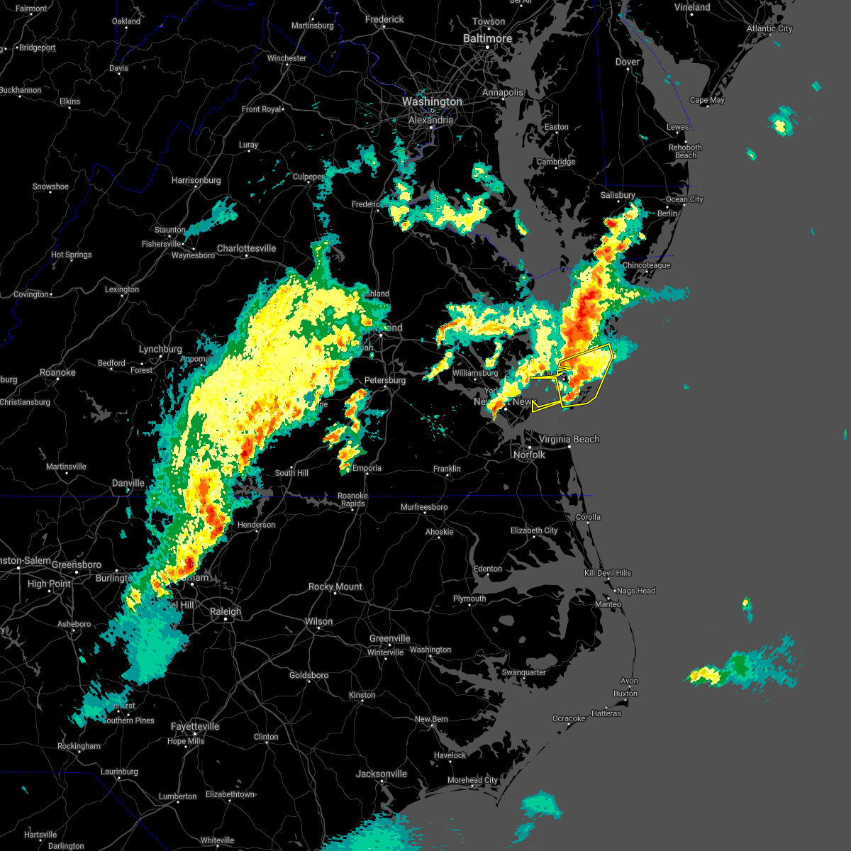 At 700 pm edt, a severe thunderstorm was located 8 miles southeast of bay view, or 10 miles east of cape charles, moving east at 45 mph (radar indicated). Hazards include 60 mph wind gusts and quarter size hail. Minor damage to vehicles is possible. expect wind damage to trees and powerlines. This severe thunderstorm will remain over mainly rural areas of northampton county, including the following locations, simpkins, capeville, townsend, kiptopeke state park, oyster, eastville, cheapside, kiptopeke, plantation and machipongo. At 700 pm edt, a severe thunderstorm was located 8 miles southeast of bay view, or 10 miles east of cape charles, moving east at 45 mph (radar indicated). Hazards include 60 mph wind gusts and quarter size hail. Minor damage to vehicles is possible. expect wind damage to trees and powerlines. This severe thunderstorm will remain over mainly rural areas of northampton county, including the following locations, simpkins, capeville, townsend, kiptopeke state park, oyster, eastville, cheapside, kiptopeke, plantation and machipongo.
|
| 3/18/2021 6:43 PM EDT |
 The severe thunderstorm warning for northeastern isle of wight, and southeastern york counties, the city of poquoson, the city of hampton and the city of newport news will expire at 645 pm edt, the storm which prompted the warning has weakened below severe limits, and has exited the warned area. therefore, the warning will be allowed to expire. however gusty winds and heavy rain are still possible with this thunderstorm. a tornado watch remains in effect until 900 pm edt for southeastern virginia. to report severe weather, contact your nearest law enforcement agency. they will relay your report to the national weather service wakefield. The severe thunderstorm warning for northeastern isle of wight, and southeastern york counties, the city of poquoson, the city of hampton and the city of newport news will expire at 645 pm edt, the storm which prompted the warning has weakened below severe limits, and has exited the warned area. therefore, the warning will be allowed to expire. however gusty winds and heavy rain are still possible with this thunderstorm. a tornado watch remains in effect until 900 pm edt for southeastern virginia. to report severe weather, contact your nearest law enforcement agency. they will relay your report to the national weather service wakefield.
|
| 3/18/2021 6:34 PM EDT |
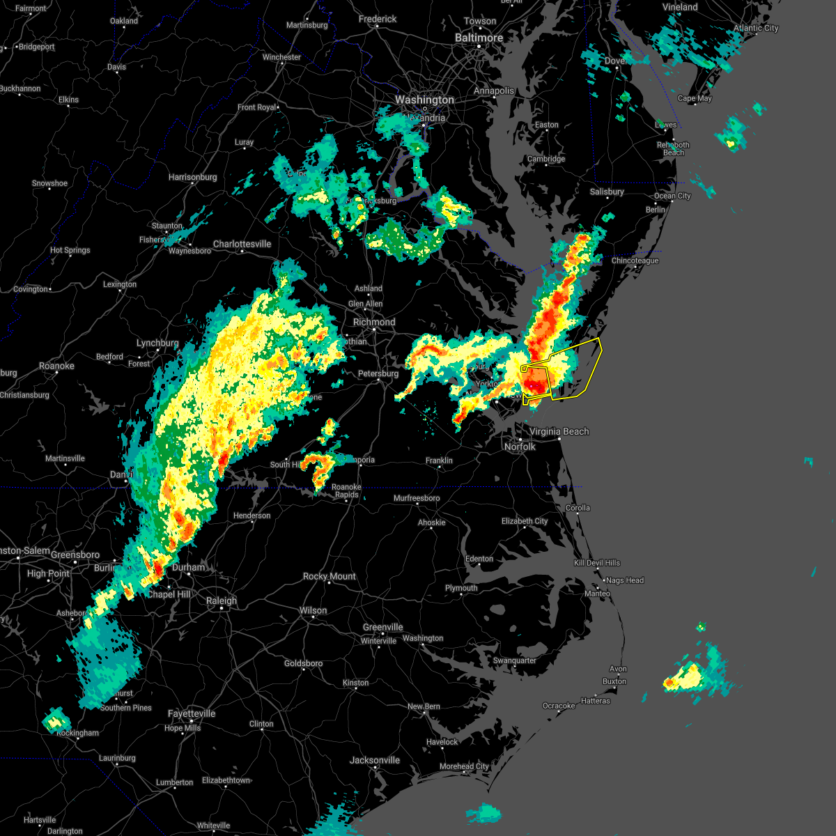 At 633 pm edt, a severe thunderstorm was located 8 miles northeast of grand view, or 11 miles southwest of cape charles, moving east at 40 mph (radar indicated). Hazards include 60 mph wind gusts and quarter size hail. Minor damage to vehicles is possible. expect wind damage to trees and powerlines. this severe thunderstorm will be near, cape charles, cheriton and bay view around 650 pm edt. Other locations impacted by this severe thunderstorm include simpkins, capeville, townsend, kiptopeke state park, oyster, eastville, cheapside, kiptopeke, plantation and machipongo. At 633 pm edt, a severe thunderstorm was located 8 miles northeast of grand view, or 11 miles southwest of cape charles, moving east at 40 mph (radar indicated). Hazards include 60 mph wind gusts and quarter size hail. Minor damage to vehicles is possible. expect wind damage to trees and powerlines. this severe thunderstorm will be near, cape charles, cheriton and bay view around 650 pm edt. Other locations impacted by this severe thunderstorm include simpkins, capeville, townsend, kiptopeke state park, oyster, eastville, cheapside, kiptopeke, plantation and machipongo.
|
| 3/18/2021 6:00 PM EDT |
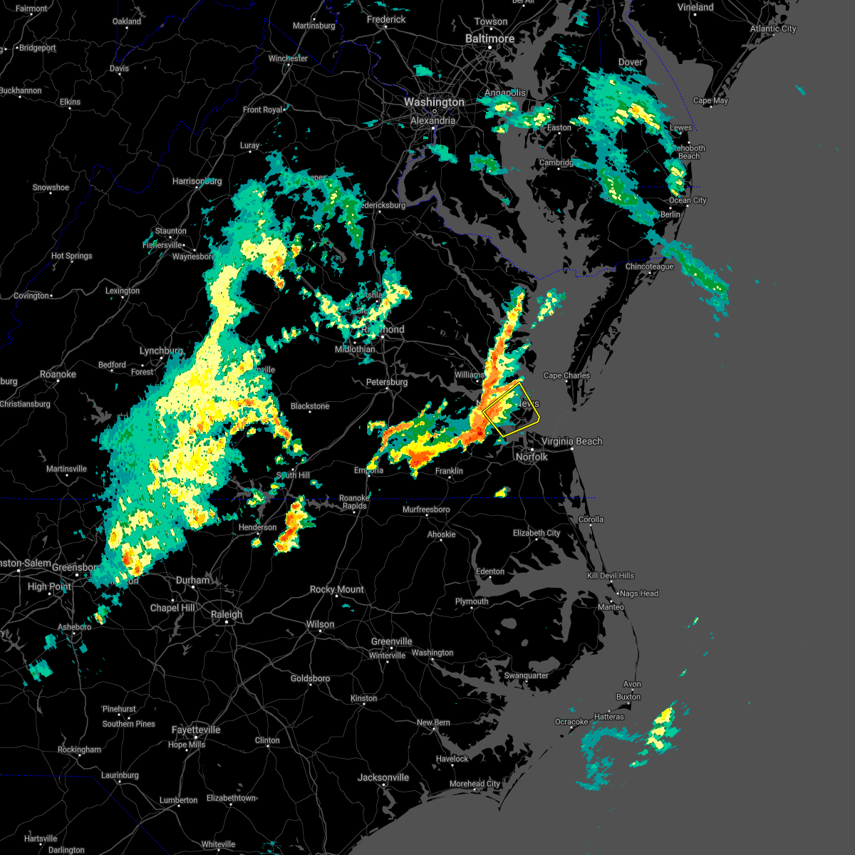 At 600 pm edt, a severe thunderstorm was located over rescue, or near smithfield, moving northeast at 35 mph (radar indicated). Hazards include 60 mph wind gusts and quarter size hail. Minor damage to vehicles is possible. expect wind damage to trees and powerlines. this severe thunderstorm will be near, christopher newport university, patrick henry field, beaconsdale and denbigh around 610 pm edt. northampton and tabb around 615 pm edt. hampton, langley afb and hampton university around 620 pm edt. buckroe beach and fort monroe around 625 pm edt. grand view around 630 pm edt. other locations impacted by this severe thunderstorm include fox hill, phoebus, langley view, oriana, hilton village, raleigh terrace, dare, oyster point, messick and mogarts beach. A tornado watch remains in effect until 900 pm edt for southeastern virginia. At 600 pm edt, a severe thunderstorm was located over rescue, or near smithfield, moving northeast at 35 mph (radar indicated). Hazards include 60 mph wind gusts and quarter size hail. Minor damage to vehicles is possible. expect wind damage to trees and powerlines. this severe thunderstorm will be near, christopher newport university, patrick henry field, beaconsdale and denbigh around 610 pm edt. northampton and tabb around 615 pm edt. hampton, langley afb and hampton university around 620 pm edt. buckroe beach and fort monroe around 625 pm edt. grand view around 630 pm edt. other locations impacted by this severe thunderstorm include fox hill, phoebus, langley view, oriana, hilton village, raleigh terrace, dare, oyster point, messick and mogarts beach. A tornado watch remains in effect until 900 pm edt for southeastern virginia.
|
| 2/22/2021 2:21 PM EST |
 At 221 pm est, severe thunderstorms were located along a line extending from near bavon to near conway, moving east at 40 mph (radar indicated). Hazards include 60 mph wind gusts. Expect damage to trees and powerlines. these severe storms will be near, murfreesboro and chowan university around 240 pm est. ahoskie, winton and cofield around 250 pm est. roduco around 300 pm est. gates around 305 pm est. Other locations impacted by these severe thunderstorms include eagletown, vicksville, milwaukee, tunis, pons, carrollton, lackey, longview, chowan beach and oriana. At 221 pm est, severe thunderstorms were located along a line extending from near bavon to near conway, moving east at 40 mph (radar indicated). Hazards include 60 mph wind gusts. Expect damage to trees and powerlines. these severe storms will be near, murfreesboro and chowan university around 240 pm est. ahoskie, winton and cofield around 250 pm est. roduco around 300 pm est. gates around 305 pm est. Other locations impacted by these severe thunderstorms include eagletown, vicksville, milwaukee, tunis, pons, carrollton, lackey, longview, chowan beach and oriana.
|
| 2/22/2021 2:19 PM EST |
 At 219 pm est, severe thunderstorms were located along a line extending from near marion station to near tabb, moving east at 45 mph (radar indicated). Hazards include 60 mph wind gusts and quarter size hail. a 70 mph wind gust was reported at tangier island. Minor damage to vehicles is possible. expect wind damage to trees and powerlines. These severe thunderstorms will remain over mainly rural areas of accomack and northampton counties, including the following locations, horntown, hallwood, capeville, kiptopeke state park, harborton, melfa, mappsville, eastville, saxis and franktown. At 219 pm est, severe thunderstorms were located along a line extending from near marion station to near tabb, moving east at 45 mph (radar indicated). Hazards include 60 mph wind gusts and quarter size hail. a 70 mph wind gust was reported at tangier island. Minor damage to vehicles is possible. expect wind damage to trees and powerlines. These severe thunderstorms will remain over mainly rural areas of accomack and northampton counties, including the following locations, horntown, hallwood, capeville, kiptopeke state park, harborton, melfa, mappsville, eastville, saxis and franktown.
|
| 2/22/2021 1:57 PM EST |
 The national weather service in wakefield has issued a * severe thunderstorm warning for. northampton county in northeastern north carolina. northwestern gates county in northeastern north carolina. hertford county in northeastern north carolina. The city of poquoson in southeastern virginia. The national weather service in wakefield has issued a * severe thunderstorm warning for. northampton county in northeastern north carolina. northwestern gates county in northeastern north carolina. hertford county in northeastern north carolina. The city of poquoson in southeastern virginia.
|
| 12/25/2020 12:20 AM EST |
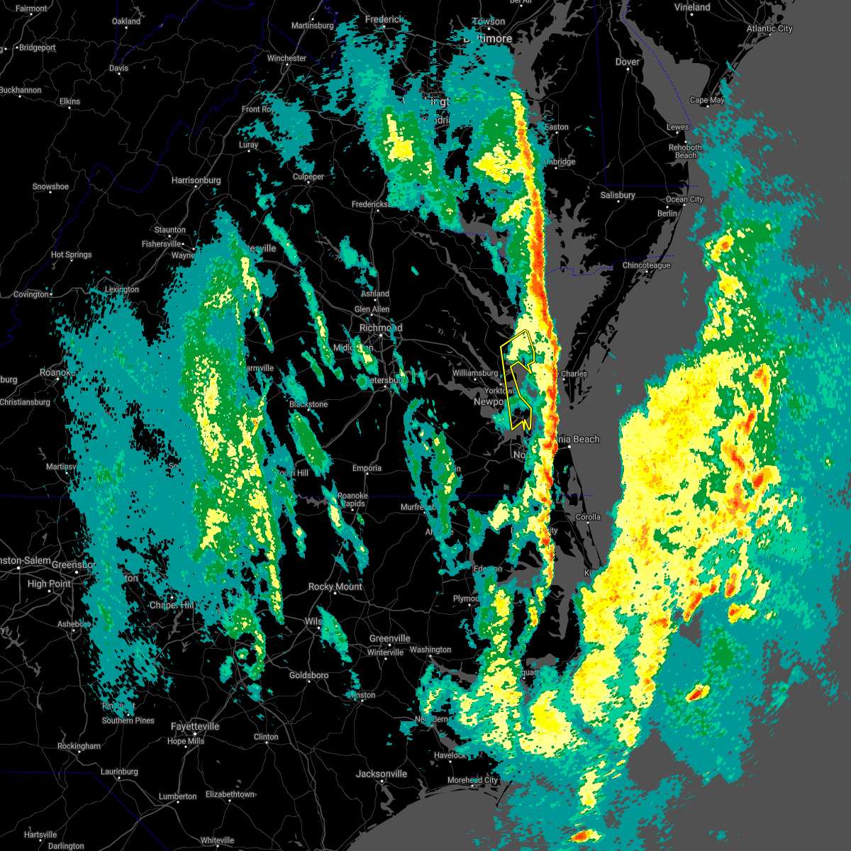 The severe thunderstorm warning for southeastern gloucester, southeastern middlesex, southeastern york, and mathews counties, the city of poquoson, the northwestern city of norfolk, the city of hampton and the southern city of newport news will expire at 1230 am est, the storms which prompted the warning have moved out of the area. therefore, the warning will be allowed to expire. The severe thunderstorm warning for southeastern gloucester, southeastern middlesex, southeastern york, and mathews counties, the city of poquoson, the northwestern city of norfolk, the city of hampton and the southern city of newport news will expire at 1230 am est, the storms which prompted the warning have moved out of the area. therefore, the warning will be allowed to expire.
|
| 12/24/2020 11:58 PM EST |
 At 1157 pm est, severe thunderstorms were located along a line extending from near blakes to near hampton university, moving northeast at 55 mph (radar indicated). Hazards include 60 mph wind gusts. Expect damage to trees and powerlines. severe thunderstorms will be near, deltaville, blakes and gwynn around 1205 am est. Other locations impacted by these severe thunderstorms include ruff, beulah, moon, laban, glass, naxera, fort nonsense, messick, north and soles. At 1157 pm est, severe thunderstorms were located along a line extending from near blakes to near hampton university, moving northeast at 55 mph (radar indicated). Hazards include 60 mph wind gusts. Expect damage to trees and powerlines. severe thunderstorms will be near, deltaville, blakes and gwynn around 1205 am est. Other locations impacted by these severe thunderstorms include ruff, beulah, moon, laban, glass, naxera, fort nonsense, messick, north and soles.
|
| 12/24/2020 11:43 PM EST |
 At 1142 pm est, severe thunderstorms were located along a line extending from queens lake to near rescue to near kings fork, moving east at 50 mph (radar indicated). Hazards include 60 mph wind gusts. Expect damage to trees and powerlines. these severe storms will be near, christopher newport university, gloucester point, patrick henry field and beaconsdale around 1150 pm est. hampton, virginia institute for marine sciences, northampton, achilles, hayes and tabb around 1155 pm est. langley afb around 1200 am est. Other locations impacted by these severe thunderstorms include carrollton, lackey, beulah, longview, benns church, camp peary, glass, naxera, oriana and hilton village. At 1142 pm est, severe thunderstorms were located along a line extending from queens lake to near rescue to near kings fork, moving east at 50 mph (radar indicated). Hazards include 60 mph wind gusts. Expect damage to trees and powerlines. these severe storms will be near, christopher newport university, gloucester point, patrick henry field and beaconsdale around 1150 pm est. hampton, virginia institute for marine sciences, northampton, achilles, hayes and tabb around 1155 pm est. langley afb around 1200 am est. Other locations impacted by these severe thunderstorms include carrollton, lackey, beulah, longview, benns church, camp peary, glass, naxera, oriana and hilton village.
|
| 12/24/2020 11:30 PM EST |
 At 1130 pm est, severe thunderstorms were located along a line extending from near jamestown to near isle of wight to near holland, moving northeast at 50 mph (radar indicated). Hazards include 60 mph wind gusts. Expect damage to trees and powerlines. severe thunderstorms will be near, williamsburg, smithfield, college of william and mary, kings point, jamestown and scotland around 1135 pm est. queens lake, york terrace, carver gardens, rescue, busch gardens and grove around 1140 pm est. fort eustis and wicomico around 1145 pm est. newport news, gloucester courthouse, patrick henry field, christopher newport university, gloucester point, northampton, hayes, denbigh, beaconsdale and crittenden around 1150 pm est. hampton, seaford, langley afb, suffolk and tabb around 1155 pm est. Other locations impacted by these severe thunderstorms include pons, carrollton, chippokes state park, lackey, beulah, longview, camp peary, naxera, oriana and chuckatuck. At 1130 pm est, severe thunderstorms were located along a line extending from near jamestown to near isle of wight to near holland, moving northeast at 50 mph (radar indicated). Hazards include 60 mph wind gusts. Expect damage to trees and powerlines. severe thunderstorms will be near, williamsburg, smithfield, college of william and mary, kings point, jamestown and scotland around 1135 pm est. queens lake, york terrace, carver gardens, rescue, busch gardens and grove around 1140 pm est. fort eustis and wicomico around 1145 pm est. newport news, gloucester courthouse, patrick henry field, christopher newport university, gloucester point, northampton, hayes, denbigh, beaconsdale and crittenden around 1150 pm est. hampton, seaford, langley afb, suffolk and tabb around 1155 pm est. Other locations impacted by these severe thunderstorms include pons, carrollton, chippokes state park, lackey, beulah, longview, camp peary, naxera, oriana and chuckatuck.
|
| 8/27/2020 10:20 PM EDT |
 At 1018 pm edt, severe thunderstorms were located along a line extending from near bavon to near tabb to near elberon, moving southeast at 30 mph (radar indicated). Hazards include 60 mph wind gusts and nickel size hail. Expect damage to trees and powerlines. these severe storms will be near, hampton, seaford, patrick henry field, tabb, beaconsdale and denbigh around 1025 pm edt. langley afb and northampton around 1030 pm edt. hampton university, grand view, buckroe beach and fort monroe around 1040 pm edt. smithfield around 1050 pm edt. rescue around 1100 pm edt. Other locations impacted by these severe thunderstorms include rushmere, capeville, kiptopeke state park, carsley, pons, carrollton, chippokes state park, benns church, oriana and bethel church. At 1018 pm edt, severe thunderstorms were located along a line extending from near bavon to near tabb to near elberon, moving southeast at 30 mph (radar indicated). Hazards include 60 mph wind gusts and nickel size hail. Expect damage to trees and powerlines. these severe storms will be near, hampton, seaford, patrick henry field, tabb, beaconsdale and denbigh around 1025 pm edt. langley afb and northampton around 1030 pm edt. hampton university, grand view, buckroe beach and fort monroe around 1040 pm edt. smithfield around 1050 pm edt. rescue around 1100 pm edt. Other locations impacted by these severe thunderstorms include rushmere, capeville, kiptopeke state park, carsley, pons, carrollton, chippokes state park, benns church, oriana and bethel church.
|
| 8/27/2020 10:11 PM EDT |
 At 1011 pm edt, a severe thunderstorm was located over hampton, moving southeast at 50 mph (radar indicated). Hazards include 60 mph wind gusts and nickel size hail. Expect damage to trees and powerlines. this severe thunderstorm will be near, fort monroe around 1015 pm edt. ocean view, old dominion university, portsmouth and norfolk nas around 1020 pm edt. norfolk state university, downtown norfolk, norfolk, norfolk international, norview and ghent around 1025 pm edt. virginia wesleyan university, kempsville and regent university around 1030 pm edt. virginia beach around 1035 pm edt. princess anne around 1040 pm edt. Other locations impacted by this severe thunderstorm include south norfolk, rudee heights, carrollton, portlock, longview, benns church, princess anne plaza, sigma, huntersville and bethel church. At 1011 pm edt, a severe thunderstorm was located over hampton, moving southeast at 50 mph (radar indicated). Hazards include 60 mph wind gusts and nickel size hail. Expect damage to trees and powerlines. this severe thunderstorm will be near, fort monroe around 1015 pm edt. ocean view, old dominion university, portsmouth and norfolk nas around 1020 pm edt. norfolk state university, downtown norfolk, norfolk, norfolk international, norview and ghent around 1025 pm edt. virginia wesleyan university, kempsville and regent university around 1030 pm edt. virginia beach around 1035 pm edt. princess anne around 1040 pm edt. Other locations impacted by this severe thunderstorm include south norfolk, rudee heights, carrollton, portlock, longview, benns church, princess anne plaza, sigma, huntersville and bethel church.
|
| 8/27/2020 9:50 PM EDT |
 At 949 pm edt, severe thunderstorms were located along a line extending from hayes to york terrace to near burrowsville, moving southeast at 30 mph (radar indicated). Hazards include 60 mph wind gusts and nickel size hail. Expect damage to trees and powerlines. severe thunderstorms will be near, williamsburg, gloucester courthouse, queens lake, gloucester point, college of william and mary, grove, busch gardens, hayes, carver gardens and york terrace around 955 pm edt. wicomico around 1000 pm edt. newport news, virginia institute for marine sciences, lee hall, achilles, mobjack and fort eustis around 1005 pm edt. denbigh around 1010 pm edt. seaford, patrick henry field and bavon around 1015 pm edt. christopher newport university, dendron, elberon, tabb and beaconsdale around 1020 pm edt. hampton, surry, northampton and scotland around 1025 pm edt. langley afb, hampton university, grand view, buckroe beach and fort monroe around 1030 pm edt. Other locations impacted by these severe thunderstorms include pons, carrollton, chippokes state park, lackey, beulah, camp peary, naxera, oriana, ewell and poolesville. At 949 pm edt, severe thunderstorms were located along a line extending from hayes to york terrace to near burrowsville, moving southeast at 30 mph (radar indicated). Hazards include 60 mph wind gusts and nickel size hail. Expect damage to trees and powerlines. severe thunderstorms will be near, williamsburg, gloucester courthouse, queens lake, gloucester point, college of william and mary, grove, busch gardens, hayes, carver gardens and york terrace around 955 pm edt. wicomico around 1000 pm edt. newport news, virginia institute for marine sciences, lee hall, achilles, mobjack and fort eustis around 1005 pm edt. denbigh around 1010 pm edt. seaford, patrick henry field and bavon around 1015 pm edt. christopher newport university, dendron, elberon, tabb and beaconsdale around 1020 pm edt. hampton, surry, northampton and scotland around 1025 pm edt. langley afb, hampton university, grand view, buckroe beach and fort monroe around 1030 pm edt. Other locations impacted by these severe thunderstorms include pons, carrollton, chippokes state park, lackey, beulah, camp peary, naxera, oriana, ewell and poolesville.
|
| 8/4/2020 4:46 AM EDT |
 At 446 am edt, a severe thunderstorm capable of producing a tornado was located over virginia institute for marine sciences, moving north at 50 mph (radar indicated rotation). Hazards include tornado. Flying debris will be dangerous to those caught without shelter. mobile homes will be damaged or destroyed. damage to roofs, windows, and vehicles will occur. tree damage is likely. this dangerous storm will be near, wicomico, carver gardens and york terrace around 450 am edt. queens lake and hayes around 455 am edt. other locations impacted by this tornadic thunderstorm include ordinary, lackey, water country u. s. a. Camp peary, glass, naxera, dare, newport news golf course, selden and clay bank. At 446 am edt, a severe thunderstorm capable of producing a tornado was located over virginia institute for marine sciences, moving north at 50 mph (radar indicated rotation). Hazards include tornado. Flying debris will be dangerous to those caught without shelter. mobile homes will be damaged or destroyed. damage to roofs, windows, and vehicles will occur. tree damage is likely. this dangerous storm will be near, wicomico, carver gardens and york terrace around 450 am edt. queens lake and hayes around 455 am edt. other locations impacted by this tornadic thunderstorm include ordinary, lackey, water country u. s. a. Camp peary, glass, naxera, dare, newport news golf course, selden and clay bank.
|
| 8/4/2020 4:38 AM EDT |
 At 437 am edt, a severe thunderstorm capable of producing a tornado was located over patrick henry field, moving northwest at 55 mph (radar indicated rotation). Hazards include tornado. Flying debris will be dangerous to those caught without shelter. mobile homes will be damaged or destroyed. damage to roofs, windows, and vehicles will occur. tree damage is likely. this dangerous storm will be near, virginia institute for marine sciences around 445 am edt. gloucester point, wicomico, grove, busch gardens, york terrace, carver gardens and achilles around 450 am edt. williamsburg, queens lake and hayes around 455 am edt. other locations impacted by this tornadic thunderstorm include ordinary, lackey, water country u. s. a. Camp peary, glass, naxera, oriana, hilton village, dare and newport news golf course. At 437 am edt, a severe thunderstorm capable of producing a tornado was located over patrick henry field, moving northwest at 55 mph (radar indicated rotation). Hazards include tornado. Flying debris will be dangerous to those caught without shelter. mobile homes will be damaged or destroyed. damage to roofs, windows, and vehicles will occur. tree damage is likely. this dangerous storm will be near, virginia institute for marine sciences around 445 am edt. gloucester point, wicomico, grove, busch gardens, york terrace, carver gardens and achilles around 450 am edt. williamsburg, queens lake and hayes around 455 am edt. other locations impacted by this tornadic thunderstorm include ordinary, lackey, water country u. s. a. Camp peary, glass, naxera, oriana, hilton village, dare and newport news golf course.
|
| 8/4/2020 4:29 AM EDT |
 At 428 am edt, a severe thunderstorm capable of producing a tornado was located near northampton, or near hampton university, moving northwest at 55 mph (radar indicated rotation). Hazards include tornado. Flying debris will be dangerous to those caught without shelter. mobile homes will be damaged or destroyed. damage to roofs, windows, and vehicles will occur. tree damage is likely. this dangerous storm will be near, patrick henry field, denbigh, tabb and fort eustis around 440 am edt. newport news, seaford and lee hall around 445 am edt. virginia institute for marine sciences, gloucester point, wicomico, grove, busch gardens, carver gardens and achilles around 450 am edt. williamsburg, queens lake, york terrace and hayes around 455 am edt. other locations impacted by this tornadic thunderstorm include ordinary, lackey, langley view, water country u. s. a. Camp peary, glass, naxera, oriana, hilton village and raleigh terrace. At 428 am edt, a severe thunderstorm capable of producing a tornado was located near northampton, or near hampton university, moving northwest at 55 mph (radar indicated rotation). Hazards include tornado. Flying debris will be dangerous to those caught without shelter. mobile homes will be damaged or destroyed. damage to roofs, windows, and vehicles will occur. tree damage is likely. this dangerous storm will be near, patrick henry field, denbigh, tabb and fort eustis around 440 am edt. newport news, seaford and lee hall around 445 am edt. virginia institute for marine sciences, gloucester point, wicomico, grove, busch gardens, carver gardens and achilles around 450 am edt. williamsburg, queens lake, york terrace and hayes around 455 am edt. other locations impacted by this tornadic thunderstorm include ordinary, lackey, langley view, water country u. s. a. Camp peary, glass, naxera, oriana, hilton village and raleigh terrace.
|
| 8/4/2020 1:40 AM EDT |
 At 139 am edt, a severe thunderstorm capable of producing a tornado was located over fort monroe, or over hampton university, moving north at 30 mph (radar indicated rotation). Hazards include tornado. Flying debris will be dangerous to those caught without shelter. mobile homes will be damaged or destroyed. damage to roofs, windows, and vehicles will occur. tree damage is likely. this dangerous storm will be near, langley afb, northampton and grand view around 150 am edt. hampton around 155 am edt. tabb around 200 am edt. seaford around 210 am edt. Other locations impacted by this tornadic thunderstorm include dare, fox hill, phoebus, langley view, messick, hornsbyville, hilton village, plum tree island refuge, raleigh terrace and harris grove. At 139 am edt, a severe thunderstorm capable of producing a tornado was located over fort monroe, or over hampton university, moving north at 30 mph (radar indicated rotation). Hazards include tornado. Flying debris will be dangerous to those caught without shelter. mobile homes will be damaged or destroyed. damage to roofs, windows, and vehicles will occur. tree damage is likely. this dangerous storm will be near, langley afb, northampton and grand view around 150 am edt. hampton around 155 am edt. tabb around 200 am edt. seaford around 210 am edt. Other locations impacted by this tornadic thunderstorm include dare, fox hill, phoebus, langley view, messick, hornsbyville, hilton village, plum tree island refuge, raleigh terrace and harris grove.
|
| 8/4/2020 1:31 AM EDT |
 At 130 am edt, a severe thunderstorm capable of producing a tornado was located over norfolk nas, or over ocean view, moving north at 35 mph (radar indicated rotation). Hazards include tornado. Flying debris will be dangerous to those caught without shelter. mobile homes will be damaged or destroyed. damage to roofs, windows, and vehicles will occur. tree damage is likely. this dangerous storm will be near, hampton university, fort monroe and buckroe beach around 140 am edt. northampton and grand view around 145 am edt. hampton and langley afb around 150 am edt. tabb around 155 am edt. seaford and patrick henry field around 200 am edt. Other locations impacted by this tornadic thunderstorm include dare, fox hill, phoebus, langley view, wards corner, messick, willoughby spit, plum tree island refuge, raleigh terrace and hornsbyville. At 130 am edt, a severe thunderstorm capable of producing a tornado was located over norfolk nas, or over ocean view, moving north at 35 mph (radar indicated rotation). Hazards include tornado. Flying debris will be dangerous to those caught without shelter. mobile homes will be damaged or destroyed. damage to roofs, windows, and vehicles will occur. tree damage is likely. this dangerous storm will be near, hampton university, fort monroe and buckroe beach around 140 am edt. northampton and grand view around 145 am edt. hampton and langley afb around 150 am edt. tabb around 155 am edt. seaford and patrick henry field around 200 am edt. Other locations impacted by this tornadic thunderstorm include dare, fox hill, phoebus, langley view, wards corner, messick, willoughby spit, plum tree island refuge, raleigh terrace and hornsbyville.
|
| 8/4/2020 1:24 AM EDT |
 At 124 am edt, a severe thunderstorm capable of producing a tornado was located over norfolk, or over old dominion university, moving north at 35 mph (radar indicated rotation). Hazards include tornado. Flying debris will be dangerous to those caught without shelter. mobile homes will be damaged or destroyed. damage to roofs, windows, and vehicles will occur. tree damage is likely. this dangerous storm will be near, ocean view and norfolk nas around 130 am edt. hampton university and fort monroe around 140 am edt. northampton, buckroe beach and grand view around 145 am edt. langley afb and beaconsdale around 150 am edt. hampton around 155 am edt. seaford, patrick henry field and tabb around 200 am edt. Other locations impacted by this tornadic thunderstorm include fox hill, phoebus, langley view, raleigh terrace, dare, bayside, wards corner, messick, willoughby spit and plum tree island refuge. At 124 am edt, a severe thunderstorm capable of producing a tornado was located over norfolk, or over old dominion university, moving north at 35 mph (radar indicated rotation). Hazards include tornado. Flying debris will be dangerous to those caught without shelter. mobile homes will be damaged or destroyed. damage to roofs, windows, and vehicles will occur. tree damage is likely. this dangerous storm will be near, ocean view and norfolk nas around 130 am edt. hampton university and fort monroe around 140 am edt. northampton, buckroe beach and grand view around 145 am edt. langley afb and beaconsdale around 150 am edt. hampton around 155 am edt. seaford, patrick henry field and tabb around 200 am edt. Other locations impacted by this tornadic thunderstorm include fox hill, phoebus, langley view, raleigh terrace, dare, bayside, wards corner, messick, willoughby spit and plum tree island refuge.
|
| 6/22/2020 4:18 PM EDT |
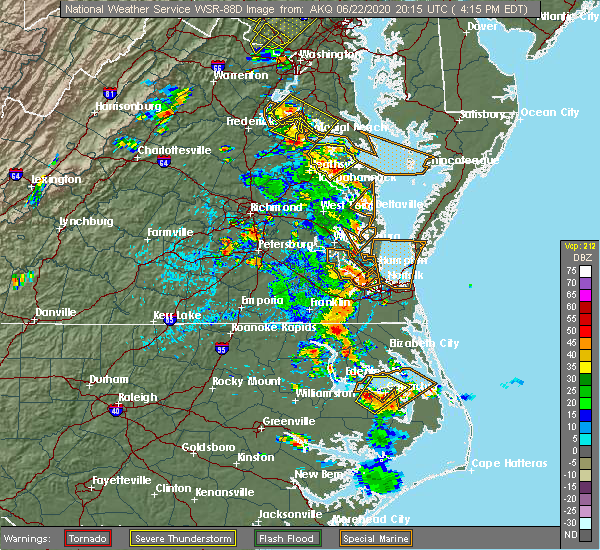 At 418 pm edt, a severe thunderstorm was located over virginia institute for marine sciences, moving northeast at 30 mph (radar indicated). Hazards include 60 mph wind gusts and quarter size hail. Minor damage to vehicles is possible. expect wind damage to trees and powerlines. this severe thunderstorm will be near, achilles around 430 pm edt. Other locations impacted by this severe thunderstorm include dare, lackey, severn, glass, maryus, hornsbyville, harris grove and yorktown. At 418 pm edt, a severe thunderstorm was located over virginia institute for marine sciences, moving northeast at 30 mph (radar indicated). Hazards include 60 mph wind gusts and quarter size hail. Minor damage to vehicles is possible. expect wind damage to trees and powerlines. this severe thunderstorm will be near, achilles around 430 pm edt. Other locations impacted by this severe thunderstorm include dare, lackey, severn, glass, maryus, hornsbyville, harris grove and yorktown.
|
| 2/7/2020 9:24 AM EST | Mesonet station ykrv2 york river east rear range ligh in anz632 county VA, 8.8 miles SSW of Poquoson, VA |
| 2/7/2020 9:07 AM EST |
 At 906 am est, showers with severe winds were located along a line extending from near lee hall to near churchland to near corapeake, moving northeast at 60 mph (radar indicated). Hazards include 60 mph wind gusts. Expect damage to trees and powerlines. severe storms will be near, virginia institute for marine sciences, old dominion university, seaford, downtown norfolk, gloucester point, norfolk state university, downtown portsmouth, hampton university, patrick henry field and portsmouth around 910 am est. ocean view, virginia wesleyan university, norfolk, achilles, norfolk international, fort monroe and buckroe beach around 915 am est. deep creek and mobjack around 920 am est. great bridge and bavon around 925 am est. regent university and fentress around 930 am est. kempsville, princess anne and back bay around 935 am est. cheriton around 940 am est. virginia beach around 945 am est. Other locations impacted by these severe thunderstorms include south norfolk, rudee heights, portlock, lackey, laban, eastville, naxera, franktown, pungo and bayside. At 906 am est, showers with severe winds were located along a line extending from near lee hall to near churchland to near corapeake, moving northeast at 60 mph (radar indicated). Hazards include 60 mph wind gusts. Expect damage to trees and powerlines. severe storms will be near, virginia institute for marine sciences, old dominion university, seaford, downtown norfolk, gloucester point, norfolk state university, downtown portsmouth, hampton university, patrick henry field and portsmouth around 910 am est. ocean view, virginia wesleyan university, norfolk, achilles, norfolk international, fort monroe and buckroe beach around 915 am est. deep creek and mobjack around 920 am est. great bridge and bavon around 925 am est. regent university and fentress around 930 am est. kempsville, princess anne and back bay around 935 am est. cheriton around 940 am est. virginia beach around 945 am est. Other locations impacted by these severe thunderstorms include south norfolk, rudee heights, portlock, lackey, laban, eastville, naxera, franktown, pungo and bayside.
|
| 2/6/2020 3:52 PM EST |
 At 350 pm est, severe thunderstorms were located along a line extending from near northampton to near western branch to near downtown suffolk, moving east at 50 mph (radar indicated). Hazards include 60 mph wind gusts. Expect damage to trees and powerlines. these severe storms will be near, hampton, hampton university, langley afb, northampton, buckroe beach and fort monroe around 355 pm est. old dominion university, downtown norfolk, norfolk state university, chesapeake, portsmouth, ghent, grand view and norfolk nas around 400 pm est. virginia wesleyan university, ocean view, cradock, norfolk international and norview around 405 pm est. downtown portsmouth and norfolk around 410 pm est. virginia beach, regent university and kempsville around 415 pm est. Other locations impacted by these severe thunderstorms include south norfolk, rudee heights, portlock, princess anne plaza, huntersville, greenbrier, bayside, wilroy, wards corner and kilby. At 350 pm est, severe thunderstorms were located along a line extending from near northampton to near western branch to near downtown suffolk, moving east at 50 mph (radar indicated). Hazards include 60 mph wind gusts. Expect damage to trees and powerlines. these severe storms will be near, hampton, hampton university, langley afb, northampton, buckroe beach and fort monroe around 355 pm est. old dominion university, downtown norfolk, norfolk state university, chesapeake, portsmouth, ghent, grand view and norfolk nas around 400 pm est. virginia wesleyan university, ocean view, cradock, norfolk international and norview around 405 pm est. downtown portsmouth and norfolk around 410 pm est. virginia beach, regent university and kempsville around 415 pm est. Other locations impacted by these severe thunderstorms include south norfolk, rudee heights, portlock, princess anne plaza, huntersville, greenbrier, bayside, wilroy, wards corner and kilby.
|
| 2/6/2020 3:26 PM EST |
 At 325 pm est, severe thunderstorms were located along a line extending from near isle of wight to near windsor to carrsville, moving east at 55 mph (radar indicated). Hazards include 60 mph wind gusts and quarter size hail. Minor damage to vehicles is possible. expect wind damage to trees and powerlines. severe thunderstorms will be near, smithfield and isle of wight around 330 pm est. kings fork around 335 pm est. downtown suffolk, suffolk and rescue around 340 pm est. christopher newport university, northampton, driver, beaconsdale and crittenden around 345 pm est. hampton, churchland, hampton university, langley afb, bowers hill and western branch around 350 pm est. old dominion university, downtown norfolk, deep creek, chesapeake, portsmouth, buckroe beach, ghent, grand view, fort monroe and norfolk nas around 355 pm est. downtown portsmouth, norfolk state university, ocean view, norview, cradock and norfolk international around 400 pm est. regent university and norfolk around 405 pm est. other locations impacted by these severe thunderstorms include south norfolk, rudee heights, portlock, carrollton, longview, benns church, princess anne plaza, huntersville, bethel church and hilton village. A tornado watch remains in effect until 700 pm est for southeastern virginia. At 325 pm est, severe thunderstorms were located along a line extending from near isle of wight to near windsor to carrsville, moving east at 55 mph (radar indicated). Hazards include 60 mph wind gusts and quarter size hail. Minor damage to vehicles is possible. expect wind damage to trees and powerlines. severe thunderstorms will be near, smithfield and isle of wight around 330 pm est. kings fork around 335 pm est. downtown suffolk, suffolk and rescue around 340 pm est. christopher newport university, northampton, driver, beaconsdale and crittenden around 345 pm est. hampton, churchland, hampton university, langley afb, bowers hill and western branch around 350 pm est. old dominion university, downtown norfolk, deep creek, chesapeake, portsmouth, buckroe beach, ghent, grand view, fort monroe and norfolk nas around 355 pm est. downtown portsmouth, norfolk state university, ocean view, norview, cradock and norfolk international around 400 pm est. regent university and norfolk around 405 pm est. other locations impacted by these severe thunderstorms include south norfolk, rudee heights, portlock, carrollton, longview, benns church, princess anne plaza, huntersville, bethel church and hilton village. A tornado watch remains in effect until 700 pm est for southeastern virginia.
|
| 10/31/2019 11:58 PM EDT |
 The national weather service in wakefield has issued a * severe thunderstorm warning for. the city of poquoson in southeastern virginia. the city of norfolk in southeastern virginia. the northwestern city of chesapeake in southeastern virginia. Isle of wight county in southeastern virginia. The national weather service in wakefield has issued a * severe thunderstorm warning for. the city of poquoson in southeastern virginia. the city of norfolk in southeastern virginia. the northwestern city of chesapeake in southeastern virginia. Isle of wight county in southeastern virginia.
|
| 8/15/2019 5:56 PM EDT |
 At 555 pm edt, severe thunderstorms were located along a line extending from near virginia institute for marine sciences to denbigh to smithfield, moving east at 20 mph (radar indicated). Hazards include 60 mph wind gusts. Expect damage to trees and powerlines. these severe storms will be near, newport news and patrick henry field around 600 pm edt. christopher newport university, tabb and beaconsdale around 605 pm edt. hampton, seaford and northampton around 615 pm edt. Other locations impacted by these severe thunderstorms include dare, newport news golf course, lackey, oyster point, oriana, hornsbyville, hilton village, harris grove, menchville and yorktown. At 555 pm edt, severe thunderstorms were located along a line extending from near virginia institute for marine sciences to denbigh to smithfield, moving east at 20 mph (radar indicated). Hazards include 60 mph wind gusts. Expect damage to trees and powerlines. these severe storms will be near, newport news and patrick henry field around 600 pm edt. christopher newport university, tabb and beaconsdale around 605 pm edt. hampton, seaford and northampton around 615 pm edt. Other locations impacted by these severe thunderstorms include dare, newport news golf course, lackey, oyster point, oriana, hornsbyville, hilton village, harris grove, menchville and yorktown.
|
| 8/15/2019 5:32 PM EDT |
 At 532 pm edt, severe thunderstorms were located along a line extending from near queens lake to near busch gardens to 6 miles east of elberon, moving east at 20 mph (radar indicated). Hazards include 60 mph wind gusts. Expect damage to trees and powerlines. severe thunderstorms will be near, busch gardens and grove around 535 pm edt. newport news, lee hall and fort eustis around 550 pm edt. gloucester point, wicomico and denbigh around 600 pm edt. patrick henry field and virginia institute for marine sciences around 605 pm edt. seaford and tabb around 610 pm edt. hampton, christopher newport university, northampton, achilles and beaconsdale around 615 pm edt. other locations impacted by these severe thunderstorms include lackey, water country u. s. a. Glass, oriana, maryus, hilton village, dare, newport news golf course, severn and oyster point. At 532 pm edt, severe thunderstorms were located along a line extending from near queens lake to near busch gardens to 6 miles east of elberon, moving east at 20 mph (radar indicated). Hazards include 60 mph wind gusts. Expect damage to trees and powerlines. severe thunderstorms will be near, busch gardens and grove around 535 pm edt. newport news, lee hall and fort eustis around 550 pm edt. gloucester point, wicomico and denbigh around 600 pm edt. patrick henry field and virginia institute for marine sciences around 605 pm edt. seaford and tabb around 610 pm edt. hampton, christopher newport university, northampton, achilles and beaconsdale around 615 pm edt. other locations impacted by these severe thunderstorms include lackey, water country u. s. a. Glass, oriana, maryus, hilton village, dare, newport news golf course, severn and oyster point.
|
| 8/13/2019 6:17 PM EDT |
 At 617 pm edt, a severe thunderstorm was located over northampton, or near hampton university, moving southeast at 15 mph (radar indicated). Hazards include 60 mph wind gusts. Expect damage to trees and powerlines. this severe storm will be near, hampton around 620 pm edt. hampton university around 630 pm edt. fort monroe, buckroe beach and grand view around 635 pm edt. Other locations impacted by this severe thunderstorm include fox hill, phoebus, langley view, messick, hilton village, plum tree island refuge and raleigh terrace. At 617 pm edt, a severe thunderstorm was located over northampton, or near hampton university, moving southeast at 15 mph (radar indicated). Hazards include 60 mph wind gusts. Expect damage to trees and powerlines. this severe storm will be near, hampton around 620 pm edt. hampton university around 630 pm edt. fort monroe, buckroe beach and grand view around 635 pm edt. Other locations impacted by this severe thunderstorm include fox hill, phoebus, langley view, messick, hilton village, plum tree island refuge and raleigh terrace.
|
| 8/13/2019 5:57 PM EDT |
 The severe thunderstorm warning for southeastern york , the city of poquoson, the city of hampton and the city of newport news will expire at 600 pm edt, the storm which prompted the warning has moved out of the area. therefore, the warning will be allowed to expire. a severe thunderstorm watch remains in effect until 900 pm edt for southeastern virginia. a new severe thunderstorm warning is in effect for portions of newport news, hampton, poquoson, and york county. The severe thunderstorm warning for southeastern york , the city of poquoson, the city of hampton and the city of newport news will expire at 600 pm edt, the storm which prompted the warning has moved out of the area. therefore, the warning will be allowed to expire. a severe thunderstorm watch remains in effect until 900 pm edt for southeastern virginia. a new severe thunderstorm warning is in effect for portions of newport news, hampton, poquoson, and york county.
|
| 8/13/2019 5:55 PM EDT |
 At 555 pm edt, a severe thunderstorm was located over beaconsdale, or over newport news, moving east at 20 mph (radar indicated). Hazards include 60 mph wind gusts. Expect damage to trees and powerlines. this severe thunderstorm will be near, hampton and northampton around 610 pm edt. langley afb around 615 pm edt. hampton university around 625 pm edt. buckroe beach, fort monroe and grand view around 630 pm edt. Other locations impacted by this severe thunderstorm include fox hill, phoebus, langley view, oyster point, oriana, messick, hilton village, plum tree island refuge, menchville and raleigh terrace. At 555 pm edt, a severe thunderstorm was located over beaconsdale, or over newport news, moving east at 20 mph (radar indicated). Hazards include 60 mph wind gusts. Expect damage to trees and powerlines. this severe thunderstorm will be near, hampton and northampton around 610 pm edt. langley afb around 615 pm edt. hampton university around 625 pm edt. buckroe beach, fort monroe and grand view around 630 pm edt. Other locations impacted by this severe thunderstorm include fox hill, phoebus, langley view, oyster point, oriana, messick, hilton village, plum tree island refuge, menchville and raleigh terrace.
|
| 8/13/2019 5:38 PM EDT |
 The severe thunderstorm warning for southeastern york and southeastern james city counties, the northwestern city of poquoson and the northern city of newport news will expire at 545 pm edt, the storm which prompted the warning has moved out of the area. therefore, the warning will be allowed to expire. a severe thunderstorm watch remains in effect until 900 pm edt for southeastern virginia. The severe thunderstorm warning for southeastern york and southeastern james city counties, the northwestern city of poquoson and the northern city of newport news will expire at 545 pm edt, the storm which prompted the warning has moved out of the area. therefore, the warning will be allowed to expire. a severe thunderstorm watch remains in effect until 900 pm edt for southeastern virginia.
|
| 8/13/2019 5:34 PM EDT |
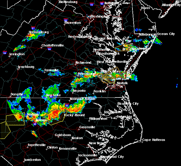 At 533 pm edt, a severe thunderstorm was located over denbigh, or over patrick henry field, moving southeast at 15 mph (radar indicated). Hazards include 60 mph wind gusts. Expect damage to trees and powerlines. this severe storm will be near, newport news and patrick henry field around 540 pm edt. tabb around 545 pm edt. christopher newport university and beaconsdale around 550 pm edt. hampton, langley afb, hampton university, northampton, buckroe beach and fort monroe around 600 pm edt. Other locations impacted by this severe thunderstorm include fox hill, phoebus, langley view, oyster point, oriana, messick, hilton village, plum tree island refuge, menchville and raleigh terrace. At 533 pm edt, a severe thunderstorm was located over denbigh, or over patrick henry field, moving southeast at 15 mph (radar indicated). Hazards include 60 mph wind gusts. Expect damage to trees and powerlines. this severe storm will be near, newport news and patrick henry field around 540 pm edt. tabb around 545 pm edt. christopher newport university and beaconsdale around 550 pm edt. hampton, langley afb, hampton university, northampton, buckroe beach and fort monroe around 600 pm edt. Other locations impacted by this severe thunderstorm include fox hill, phoebus, langley view, oyster point, oriana, messick, hilton village, plum tree island refuge, menchville and raleigh terrace.
|
| 8/13/2019 5:23 PM EDT |
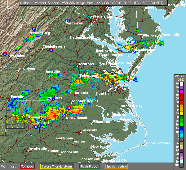 A severe thunderstorm warning remains in effect until 545 pm edt for southeastern york and southeastern james city counties. the northwestern city of poquoson and the northern city of newport news. At 523 pm edt, a severe thunderstorm was located over lee hall, or near patrick henry field, moving southeast at 15 mph. A severe thunderstorm warning remains in effect until 545 pm edt for southeastern york and southeastern james city counties. the northwestern city of poquoson and the northern city of newport news. At 523 pm edt, a severe thunderstorm was located over lee hall, or near patrick henry field, moving southeast at 15 mph.
|
| 8/13/2019 5:20 PM EDT |
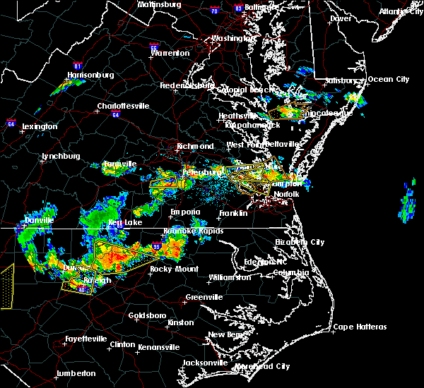 The severe thunderstorm warning for southeastern gloucester, york, and southeastern james city counties, the northwestern city of poquoson, the northern city of newport news and the city of williamsburg will expire at 530 pm edt, the storm which prompted the warning has moved out of the area. therefore, the warning will be allowed to expire. a severe thunderstorm watch remains in effect until 900 pm edt for southeastern virginia. The severe thunderstorm warning for southeastern gloucester, york, and southeastern james city counties, the northwestern city of poquoson, the northern city of newport news and the city of williamsburg will expire at 530 pm edt, the storm which prompted the warning has moved out of the area. therefore, the warning will be allowed to expire. a severe thunderstorm watch remains in effect until 900 pm edt for southeastern virginia.
|
| 8/13/2019 5:10 PM EDT |
 At 510 pm edt, a severe thunderstorm was located over lee hall, or near virginia institute for marine sciences, moving east at 20 mph (radar indicated). Hazards include 60 mph wind gusts and quarter size hail. Minor damage to vehicles is possible. expect wind damage to trees and powerlines. this severe storm will be near, newport news, virginia institute for marine sciences and gloucester point around 515 pm edt. achilles around 525 pm edt. seaford around 530 pm edt. other locations impacted by this severe thunderstorm include dare, newport news golf course, lackey, severn, water country u. s. a. maryus, hornsbyville, harris grove, u. s. Naval weapons and yorktown. At 510 pm edt, a severe thunderstorm was located over lee hall, or near virginia institute for marine sciences, moving east at 20 mph (radar indicated). Hazards include 60 mph wind gusts and quarter size hail. Minor damage to vehicles is possible. expect wind damage to trees and powerlines. this severe storm will be near, newport news, virginia institute for marine sciences and gloucester point around 515 pm edt. achilles around 525 pm edt. seaford around 530 pm edt. other locations impacted by this severe thunderstorm include dare, newport news golf course, lackey, severn, water country u. s. a. maryus, hornsbyville, harris grove, u. s. Naval weapons and yorktown.
|
| 8/13/2019 5:09 PM EDT |
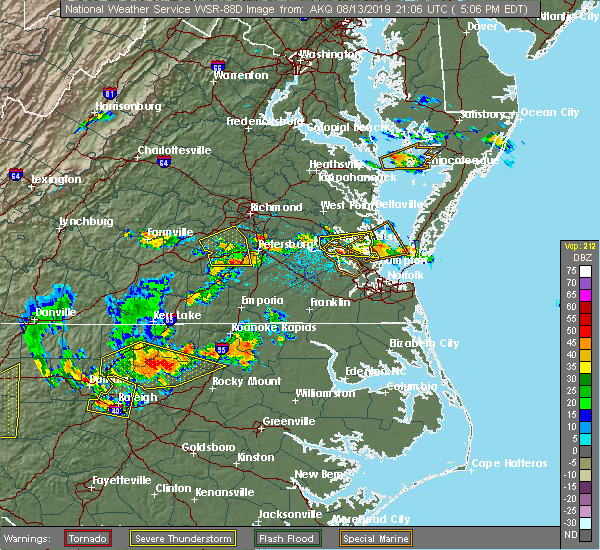 The national weather service in wakefield has issued a * severe thunderstorm warning for. the city of poquoson in southeastern virginia. southeastern york county in southeastern virginia. the city of hampton in southeastern virginia. The city of newport news in southeastern virginia. The national weather service in wakefield has issued a * severe thunderstorm warning for. the city of poquoson in southeastern virginia. southeastern york county in southeastern virginia. the city of hampton in southeastern virginia. The city of newport news in southeastern virginia.
|
| 8/13/2019 4:55 PM EDT |
 At 455 pm edt, a severe thunderstorm was located over busch gardens, or near williamsburg, moving east at 20 mph (radar indicated). Hazards include 60 mph wind gusts and quarter size hail. Minor damage to vehicles is possible. expect wind damage to trees and powerlines. this severe thunderstorm will be near, grove around 500 pm edt. newport news and lee hall around 510 pm edt. gloucester point and wicomico around 515 pm edt. virginia institute for marine sciences around 520 pm edt. achilles around 525 pm edt. seaford around 530 pm edt. other locations impacted by this severe thunderstorm include ordinary, lackey, water country u. s. a. Glass, naxera, maryus, dare, newport news golf course, severn and hornsbyville. At 455 pm edt, a severe thunderstorm was located over busch gardens, or near williamsburg, moving east at 20 mph (radar indicated). Hazards include 60 mph wind gusts and quarter size hail. Minor damage to vehicles is possible. expect wind damage to trees and powerlines. this severe thunderstorm will be near, grove around 500 pm edt. newport news and lee hall around 510 pm edt. gloucester point and wicomico around 515 pm edt. virginia institute for marine sciences around 520 pm edt. achilles around 525 pm edt. seaford around 530 pm edt. other locations impacted by this severe thunderstorm include ordinary, lackey, water country u. s. a. Glass, naxera, maryus, dare, newport news golf course, severn and hornsbyville.
|
| 8/13/2019 4:43 PM EDT |
 At 443 pm edt, a severe thunderstorm was located over kings point, or over college of william and mary, moving east at 25 mph (radar indicated). Hazards include 60 mph wind gusts and penny size hail. Expect damage to trees and powerlines. this severe thunderstorm will be near, queens lake, carver gardens and york terrace around 455 pm edt. grove and busch gardens around 500 pm edt. newport news and lee hall around 510 pm edt. gloucester point and wicomico around 515 pm edt. virginia institute for marine sciences around 520 pm edt. achilles around 525 pm edt. seaford around 530 pm edt. other locations impacted by this severe thunderstorm include ordinary, lackey, water country u. s. a. Camp peary, glass, naxera, maryus, centerville, ewell and dare. At 443 pm edt, a severe thunderstorm was located over kings point, or over college of william and mary, moving east at 25 mph (radar indicated). Hazards include 60 mph wind gusts and penny size hail. Expect damage to trees and powerlines. this severe thunderstorm will be near, queens lake, carver gardens and york terrace around 455 pm edt. grove and busch gardens around 500 pm edt. newport news and lee hall around 510 pm edt. gloucester point and wicomico around 515 pm edt. virginia institute for marine sciences around 520 pm edt. achilles around 525 pm edt. seaford around 530 pm edt. other locations impacted by this severe thunderstorm include ordinary, lackey, water country u. s. a. Camp peary, glass, naxera, maryus, centerville, ewell and dare.
|
| 8/7/2019 4:36 PM EDT |
 At 436 pm edt, a severe thunderstorm was located over northampton, or over hampton university, moving northeast at 15 mph (radar indicated). Hazards include 60 mph wind gusts. Expect damage to trees and powerlines. Locations impacted include, newport news, hampton, hampton university, langley afb, christopher newport university, northampton, buckroe beach, fort monroe, beaconsdale, grand view, fox hill, phoebus, langley view, hilton village, raleigh terrace, messick and plum tree island refuge. At 436 pm edt, a severe thunderstorm was located over northampton, or over hampton university, moving northeast at 15 mph (radar indicated). Hazards include 60 mph wind gusts. Expect damage to trees and powerlines. Locations impacted include, newport news, hampton, hampton university, langley afb, christopher newport university, northampton, buckroe beach, fort monroe, beaconsdale, grand view, fox hill, phoebus, langley view, hilton village, raleigh terrace, messick and plum tree island refuge.
|
| 8/7/2019 4:12 PM EDT |
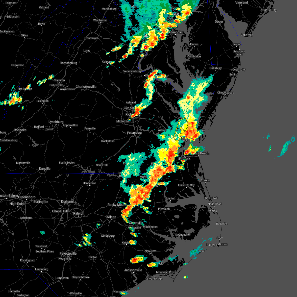 The severe thunderstorm warning for southeastern gloucester, southeastern york and mathews counties will expire at 415 pm edt, the storms which prompted the warning have moved out of the area. therefore, the warning will be allowed to expire. a severe thunderstorm watch remains in effect until 800 pm edt for eastern and southeastern virginia. remember, another severe thunderstorm warning still remains in effect for southeastern york county until 5 pm. The severe thunderstorm warning for southeastern gloucester, southeastern york and mathews counties will expire at 415 pm edt, the storms which prompted the warning have moved out of the area. therefore, the warning will be allowed to expire. a severe thunderstorm watch remains in effect until 800 pm edt for eastern and southeastern virginia. remember, another severe thunderstorm warning still remains in effect for southeastern york county until 5 pm.
|
| 8/7/2019 4:00 PM EDT |
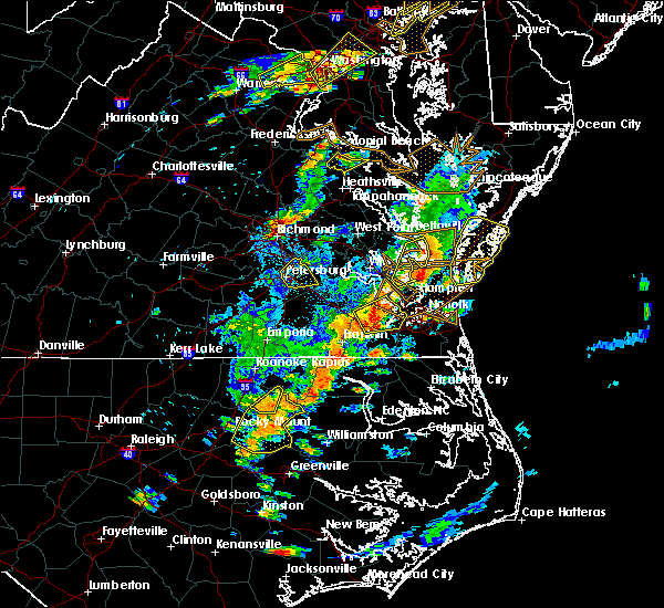 At 359 pm edt, a severe thunderstorm was located over christopher newport university, moving east at 25 mph (radar indicated). Hazards include 60 mph wind gusts and quarter size hail. Minor damage to vehicles is possible. Expect wind damage to trees and powerlines. At 359 pm edt, a severe thunderstorm was located over christopher newport university, moving east at 25 mph (radar indicated). Hazards include 60 mph wind gusts and quarter size hail. Minor damage to vehicles is possible. Expect wind damage to trees and powerlines.
|
| 8/7/2019 3:58 PM EDT | Poquoson river ligh in anz632 county VA, 2.8 miles S of Poquoson, VA |
| 8/7/2019 3:46 PM EDT |
 At 327 pm edt, severe thunderstorms were located along a line extending from mathews to near tabb, moving northeast at 35 mph (radar indicated). Hazards include 60 mph wind gusts and quarter size hail. Minor damage to vehicles is possible. expect wind damage to trees and powerlines. severe thunderstorms will be near, mathews and mobjack around 330 pm edt. gwynn around 335 pm edt. bavon around 350 pm edt. Other locations impacted by these severe thunderstorms include diggs, ruff, beulah, moon, peary, laban, cardinal, hudgins, glass and naxera. At 327 pm edt, severe thunderstorms were located along a line extending from mathews to near tabb, moving northeast at 35 mph (radar indicated). Hazards include 60 mph wind gusts and quarter size hail. Minor damage to vehicles is possible. expect wind damage to trees and powerlines. severe thunderstorms will be near, mathews and mobjack around 330 pm edt. gwynn around 335 pm edt. bavon around 350 pm edt. Other locations impacted by these severe thunderstorms include diggs, ruff, beulah, moon, peary, laban, cardinal, hudgins, glass and naxera.
|
| 8/7/2019 3:27 PM EDT |
 The national weather service in wakefield has issued a * severe thunderstorm warning for. southeastern gloucester county in eastern virginia. southeastern york county in southeastern virginia. mathews county in eastern virginia. Until 415 pm edt. The national weather service in wakefield has issued a * severe thunderstorm warning for. southeastern gloucester county in eastern virginia. southeastern york county in southeastern virginia. mathews county in eastern virginia. Until 415 pm edt.
|
| 8/4/2019 5:00 PM EDT |
 At 459 pm edt, severe thunderstorms were located along a line extending from near norfolk international to norfolk nas to near western branch, moving east at 15 mph (radar indicated). Hazards include 60 mph wind gusts and penny size hail. Expect damage to trees and powerlines. Locations impacted include, virginia beach, hampton, virginia wesleyan university, hampton university, old dominion university, downtown norfolk, regent university, ocean view, deep creek, downtown portsmouth, churchland, norfolk state university, norfolk, chesapeake, portsmouth, suffolk, driver, norfolk international, ghent and norfolk nas. At 459 pm edt, severe thunderstorms were located along a line extending from near norfolk international to norfolk nas to near western branch, moving east at 15 mph (radar indicated). Hazards include 60 mph wind gusts and penny size hail. Expect damage to trees and powerlines. Locations impacted include, virginia beach, hampton, virginia wesleyan university, hampton university, old dominion university, downtown norfolk, regent university, ocean view, deep creek, downtown portsmouth, churchland, norfolk state university, norfolk, chesapeake, portsmouth, suffolk, driver, norfolk international, ghent and norfolk nas.
|
| 8/4/2019 4:47 PM EDT |
 At 447 pm edt, severe thunderstorms were located along a line extending from near ocean view to near norfolk nas to driver, moving east at 15 mph (radar indicated). Hazards include 60 mph wind gusts and penny size hail. Expect damage to trees and powerlines. Locations impacted include, virginia beach, newport news, hampton, virginia wesleyan university, hampton university, langley afb, old dominion university, downtown norfolk, regent university, ocean view, deep creek, downtown portsmouth, churchland, norfolk state university, norfolk, chesapeake, portsmouth, suffolk, northampton and driver. At 447 pm edt, severe thunderstorms were located along a line extending from near ocean view to near norfolk nas to driver, moving east at 15 mph (radar indicated). Hazards include 60 mph wind gusts and penny size hail. Expect damage to trees and powerlines. Locations impacted include, virginia beach, newport news, hampton, virginia wesleyan university, hampton university, langley afb, old dominion university, downtown norfolk, regent university, ocean view, deep creek, downtown portsmouth, churchland, norfolk state university, norfolk, chesapeake, portsmouth, suffolk, northampton and driver.
|
| 8/4/2019 4:30 PM EDT |
 At 430 pm edt, severe thunderstorms were located along a line extending from near grand view to near northampton to near driver, moving east at 15 mph (radar indicated). Hazards include 60 mph wind gusts. Expect damage to trees and powerlines. severe thunderstorms will be near, hampton and langley afb around 435 pm edt. grand view and buckroe beach around 440 pm edt. hampton university around 445 pm edt. portsmouth and fort monroe around 450 pm edt. old dominion university and norfolk nas around 500 pm edt. churchland and ghent around 505 pm edt. ocean view, downtown norfolk, chesapeake, western branch and bowers hill around 510 pm edt. virginia wesleyan university, deep creek, norfolk state university, downtown portsmouth, regent university, norfolk, norview, norfolk international and cradock around 515 pm edt. Other locations impacted by these severe thunderstorms include south norfolk, fox hill, portlock, carrollton, phoebus, langley view, longview, benns church, huntersville and wills corner. At 430 pm edt, severe thunderstorms were located along a line extending from near grand view to near northampton to near driver, moving east at 15 mph (radar indicated). Hazards include 60 mph wind gusts. Expect damage to trees and powerlines. severe thunderstorms will be near, hampton and langley afb around 435 pm edt. grand view and buckroe beach around 440 pm edt. hampton university around 445 pm edt. portsmouth and fort monroe around 450 pm edt. old dominion university and norfolk nas around 500 pm edt. churchland and ghent around 505 pm edt. ocean view, downtown norfolk, chesapeake, western branch and bowers hill around 510 pm edt. virginia wesleyan university, deep creek, norfolk state university, downtown portsmouth, regent university, norfolk, norview, norfolk international and cradock around 515 pm edt. Other locations impacted by these severe thunderstorms include south norfolk, fox hill, portlock, carrollton, phoebus, langley view, longview, benns church, huntersville and wills corner.
|
| 7/17/2019 9:50 PM EDT |
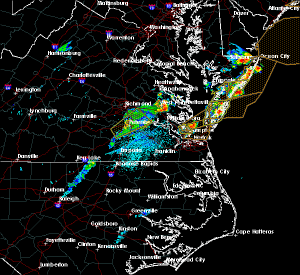 The severe thunderstorm warning for southeastern york , the city of poquoson, the city of hampton and the central city of newport news will expire at 1000 pm edt, the storm which prompted the warning has moved out of the area. therefore, the warning will be allowed to expire. The severe thunderstorm warning for southeastern york , the city of poquoson, the city of hampton and the central city of newport news will expire at 1000 pm edt, the storm which prompted the warning has moved out of the area. therefore, the warning will be allowed to expire.
|
| 7/17/2019 9:27 PM EDT |
 At 927 pm edt, a severe thunderstorm was located near langley afb, moving east at 35 mph (radar indicated). Hazards include 60 mph wind gusts. Expect damage to trees and powerlines. this severe thunderstorm will be near, hampton around 930 pm edt. grand view around 935 pm edt. Other locations impacted by this severe thunderstorm include dare, fox hill, langley view, messick, hornsbyville, harris grove and plum tree island refuge. At 927 pm edt, a severe thunderstorm was located near langley afb, moving east at 35 mph (radar indicated). Hazards include 60 mph wind gusts. Expect damage to trees and powerlines. this severe thunderstorm will be near, hampton around 930 pm edt. grand view around 935 pm edt. Other locations impacted by this severe thunderstorm include dare, fox hill, langley view, messick, hornsbyville, harris grove and plum tree island refuge.
|
| 7/11/2019 9:07 PM EDT |
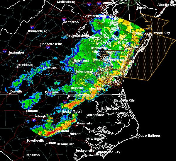 The severe thunderstorm warning for southeastern york , the city of poquoson, the city of hampton and the city of newport news will expire at 915 pm edt, the severe thunderstorm which prompted the warning has weakened and drifted southeast towards norfolk. therefore, the warning will be allowed to expire. The severe thunderstorm warning for southeastern york , the city of poquoson, the city of hampton and the city of newport news will expire at 915 pm edt, the severe thunderstorm which prompted the warning has weakened and drifted southeast towards norfolk. therefore, the warning will be allowed to expire.
|
| 7/11/2019 8:40 PM EDT |
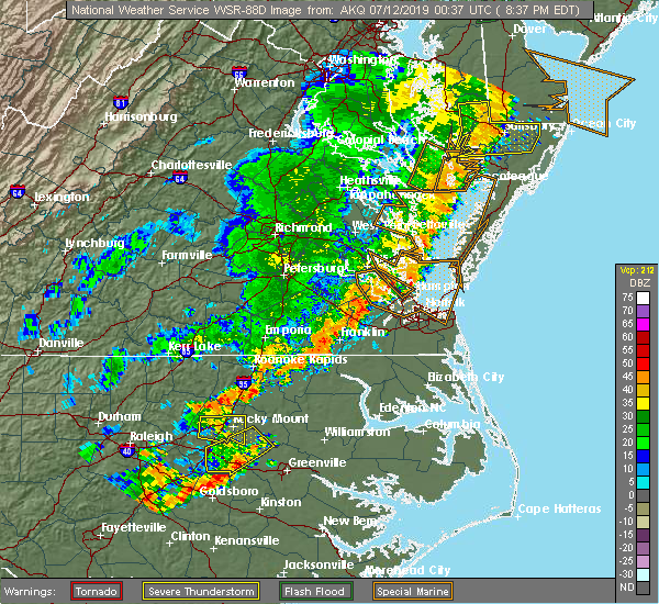 At 840 pm edt, a severe thunderstorm was located over tabb, or over patrick henry field, moving northeast at 25 to 30 mph (radar indicated). Hazards include 60 mph wind gusts. Expect damage to trees and powerlines. this severe thunderstorm will be near, hampton, seaford and langley afb around 845 pm edt. Other locations impacted by this severe thunderstorm include fox hill, lackey, phoebus, langley view, oriana, hilton village, raleigh terrace, dare, newport news golf course and oyster point. At 840 pm edt, a severe thunderstorm was located over tabb, or over patrick henry field, moving northeast at 25 to 30 mph (radar indicated). Hazards include 60 mph wind gusts. Expect damage to trees and powerlines. this severe thunderstorm will be near, hampton, seaford and langley afb around 845 pm edt. Other locations impacted by this severe thunderstorm include fox hill, lackey, phoebus, langley view, oriana, hilton village, raleigh terrace, dare, newport news golf course and oyster point.
|
| 6/5/2019 6:33 PM EDT |
 At 633 pm edt, severe thunderstorms were located along a line extending from 7 miles east of gwynn to 8 miles northwest of cape charles to 8 miles northeast of grand view, moving east at 45 mph (radar indicated). Hazards include 60 mph wind gusts. Expect damage to trees and powerlines. these severe storms will be near, cheriton and bay view around 650 pm edt. exmore, nassawadox and willis wharf around 655 pm edt. Other locations impacted by these severe thunderstorms include melfa, lackey, ruff, moon, laban, eastville, oriana, franktown, oyster point and painter. At 633 pm edt, severe thunderstorms were located along a line extending from 7 miles east of gwynn to 8 miles northwest of cape charles to 8 miles northeast of grand view, moving east at 45 mph (radar indicated). Hazards include 60 mph wind gusts. Expect damage to trees and powerlines. these severe storms will be near, cheriton and bay view around 650 pm edt. exmore, nassawadox and willis wharf around 655 pm edt. Other locations impacted by these severe thunderstorms include melfa, lackey, ruff, moon, laban, eastville, oriana, franktown, oyster point and painter.
|
| 6/5/2019 6:26 PM EDT |
 At 626 pm edt, severe thunderstorms were located along a line extending from rescue to near downtown suffolk to near whaleyville, moving east at 35 mph (radar indicated). Hazards include 60 mph wind gusts. Expect damage to trees and powerlines. these severe storms will be near, christopher newport university, crittenden and driver around 630 pm edt. bowers hill and beaconsdale around 635 pm edt. chesapeake, northampton and western branch around 640 pm edt. deep creek, langley afb, portsmouth and cradock around 645 pm edt. hampton university, downtown portsmouth, old dominion university, downtown norfolk, fort monroe, buckroe beach and norfolk nas around 650 pm edt. great bridge, ocean view, norfolk state university, grand view and norview around 655 pm edt. regent university, virginia wesleyan university, fentress and norfolk international around 700 pm edt. kempsville and norfolk around 705 pm edt. Other locations impacted by these severe thunderstorms include south norfolk, rudee heights, portlock, carrollton, longview, huntersville, chuckatuck, pungo, bayside and wilroy. At 626 pm edt, severe thunderstorms were located along a line extending from rescue to near downtown suffolk to near whaleyville, moving east at 35 mph (radar indicated). Hazards include 60 mph wind gusts. Expect damage to trees and powerlines. these severe storms will be near, christopher newport university, crittenden and driver around 630 pm edt. bowers hill and beaconsdale around 635 pm edt. chesapeake, northampton and western branch around 640 pm edt. deep creek, langley afb, portsmouth and cradock around 645 pm edt. hampton university, downtown portsmouth, old dominion university, downtown norfolk, fort monroe, buckroe beach and norfolk nas around 650 pm edt. great bridge, ocean view, norfolk state university, grand view and norview around 655 pm edt. regent university, virginia wesleyan university, fentress and norfolk international around 700 pm edt. kempsville and norfolk around 705 pm edt. Other locations impacted by these severe thunderstorms include south norfolk, rudee heights, portlock, carrollton, longview, huntersville, chuckatuck, pungo, bayside and wilroy.
|
| 6/5/2019 6:19 PM EDT |
 At 618 pm edt, severe thunderstorms were located along a line extending from near mathews to bavon to langley afb, moving east at 45 mph (radar indicated). Hazards include 60 mph wind gusts. Expect damage to trees and powerlines. these severe storms will be near, gwynn around 625 pm edt. cape charles, cheriton and bay view around 650 pm edt. nassawadox and willis wharf around 655 pm edt. exmore around 700 pm edt. Other locations impacted by these severe thunderstorms include melfa, lackey, beulah, moon, laban, eastville, naxera, oriana, franktown and painter. At 618 pm edt, severe thunderstorms were located along a line extending from near mathews to bavon to langley afb, moving east at 45 mph (radar indicated). Hazards include 60 mph wind gusts. Expect damage to trees and powerlines. these severe storms will be near, gwynn around 625 pm edt. cape charles, cheriton and bay view around 650 pm edt. nassawadox and willis wharf around 655 pm edt. exmore around 700 pm edt. Other locations impacted by these severe thunderstorms include melfa, lackey, beulah, moon, laban, eastville, naxera, oriana, franktown and painter.
|
| 6/5/2019 6:09 PM EDT |
 At 609 pm edt, severe thunderstorms were located along a line extending from near smithfield to suffolk to near gates, moving east at 35 mph (radar indicated). Hazards include 60 mph wind gusts. Expect damage to trees and powerlines. severe thunderstorms will be near, smithfield, downtown suffolk and kings fork around 615 pm edt. rescue, driver and crittenden around 625 pm edt. christopher newport university, suffolk and beaconsdale around 630 pm edt. chesapeake, northampton, bowers hill and western branch around 635 pm edt. hampton, deep creek, churchland and portsmouth around 640 pm edt. hampton university, downtown portsmouth, langley afb, old dominion university, cradock, fort monroe, ghent and norfolk nas around 645 pm edt. norfolk state university, downtown norfolk, ocean view, buckroe beach, grand view and norview around 650 pm edt. regent university, virginia wesleyan university and norfolk international around 655 pm edt. Other locations impacted by these severe thunderstorms include south norfolk, rudee heights, portlock, carrollton, longview, huntersville, chuckatuck, pungo, bayside and wilroy. At 609 pm edt, severe thunderstorms were located along a line extending from near smithfield to suffolk to near gates, moving east at 35 mph (radar indicated). Hazards include 60 mph wind gusts. Expect damage to trees and powerlines. severe thunderstorms will be near, smithfield, downtown suffolk and kings fork around 615 pm edt. rescue, driver and crittenden around 625 pm edt. christopher newport university, suffolk and beaconsdale around 630 pm edt. chesapeake, northampton, bowers hill and western branch around 635 pm edt. hampton, deep creek, churchland and portsmouth around 640 pm edt. hampton university, downtown portsmouth, langley afb, old dominion university, cradock, fort monroe, ghent and norfolk nas around 645 pm edt. norfolk state university, downtown norfolk, ocean view, buckroe beach, grand view and norview around 650 pm edt. regent university, virginia wesleyan university and norfolk international around 655 pm edt. Other locations impacted by these severe thunderstorms include south norfolk, rudee heights, portlock, carrollton, longview, huntersville, chuckatuck, pungo, bayside and wilroy.
|
| 6/5/2019 6:02 PM EDT |
 At 602 pm edt, severe thunderstorms were located along a line extending from near newport news to near crittenden to near suffolk, moving northeast at 50 mph (radar indicated). Hazards include 60 mph wind gusts. Expect damage to trees and powerlines. these severe storms will be near, christopher newport university, churchland, northampton, crittenden and beaconsdale around 610 pm edt. hampton, langley afb, hampton university, old dominion university, portsmouth, norfolk nas, fort monroe, bowers hill and buckroe beach around 615 pm edt. Other locations impacted by these severe thunderstorms include carrollton, longview, benns church, huntersville, suffolk airport, bethel church, hilton village, chuckatuck, wilroy and lees mill. At 602 pm edt, severe thunderstorms were located along a line extending from near newport news to near crittenden to near suffolk, moving northeast at 50 mph (radar indicated). Hazards include 60 mph wind gusts. Expect damage to trees and powerlines. these severe storms will be near, christopher newport university, churchland, northampton, crittenden and beaconsdale around 610 pm edt. hampton, langley afb, hampton university, old dominion university, portsmouth, norfolk nas, fort monroe, bowers hill and buckroe beach around 615 pm edt. Other locations impacted by these severe thunderstorms include carrollton, longview, benns church, huntersville, suffolk airport, bethel church, hilton village, chuckatuck, wilroy and lees mill.
|
| 6/5/2019 5:58 PM EDT |
 The national weather service in wakefield has issued a * severe thunderstorm warning for. the city of poquoson in southeastern virginia. southern accomack county in southeastern virginia. gloucester county in eastern virginia. Southeastern middlesex county in eastern virginia. The national weather service in wakefield has issued a * severe thunderstorm warning for. the city of poquoson in southeastern virginia. southern accomack county in southeastern virginia. gloucester county in eastern virginia. Southeastern middlesex county in eastern virginia.
|
| 6/5/2019 5:31 PM EDT |
 At 530 pm edt, severe thunderstorms were located along a line extending from near wakefield to sedley to near newsoms, moving northeast at 50 mph (radar indicated). Hazards include 60 mph wind gusts. Expect damage to trees and powerlines. severe thunderstorms will be near, ivor and sedley around 535 pm edt. franklin and zuni around 545 pm edt. windsor around 550 pm edt. smithfield, holland, isle of wight and carrsville around 555 pm edt. rescue around 600 pm edt. christopher newport university and crittenden around 605 pm edt. downtown suffolk, churchland, suffolk, northampton, kings fork and beaconsdale around 610 pm edt. hampton, langley afb, hampton university, old dominion university, chesapeake, portsmouth, driver, norfolk nas, fort monroe and bowers hill around 615 pm edt. Other locations impacted by these severe thunderstorms include vicksville, south norfolk, carrollton, longview, benns church, huntersville, suffolk airport, bethel church, hilton village and chuckatuck. At 530 pm edt, severe thunderstorms were located along a line extending from near wakefield to sedley to near newsoms, moving northeast at 50 mph (radar indicated). Hazards include 60 mph wind gusts. Expect damage to trees and powerlines. severe thunderstorms will be near, ivor and sedley around 535 pm edt. franklin and zuni around 545 pm edt. windsor around 550 pm edt. smithfield, holland, isle of wight and carrsville around 555 pm edt. rescue around 600 pm edt. christopher newport university and crittenden around 605 pm edt. downtown suffolk, churchland, suffolk, northampton, kings fork and beaconsdale around 610 pm edt. hampton, langley afb, hampton university, old dominion university, chesapeake, portsmouth, driver, norfolk nas, fort monroe and bowers hill around 615 pm edt. Other locations impacted by these severe thunderstorms include vicksville, south norfolk, carrollton, longview, benns church, huntersville, suffolk airport, bethel church, hilton village and chuckatuck.
|
| 6/5/2019 5:14 PM EDT |
 At 513 pm edt, severe thunderstorms were located along a line extending from near grand view to cape henry, moving northeast at 45 mph (radar indicated). Hazards include 70 mph wind gusts and quarter size hail. Minor damage to vehicles is possible. expect considerable tree damage. wind damage is also likely to mobile homes, roofs, and outbuildings. severe thunderstorms will be near, cheriton around 535 pm edt. bay view around 540 pm edt. nassawadox around 555 pm edt. Other locations impacted by these severe thunderstorms include birdsnest, capeville, kiptopeke state park, harborton, jamesville, eastville, machipongo, wardtown, franktown and simpkins. At 513 pm edt, severe thunderstorms were located along a line extending from near grand view to cape henry, moving northeast at 45 mph (radar indicated). Hazards include 70 mph wind gusts and quarter size hail. Minor damage to vehicles is possible. expect considerable tree damage. wind damage is also likely to mobile homes, roofs, and outbuildings. severe thunderstorms will be near, cheriton around 535 pm edt. bay view around 540 pm edt. nassawadox around 555 pm edt. Other locations impacted by these severe thunderstorms include birdsnest, capeville, kiptopeke state park, harborton, jamesville, eastville, machipongo, wardtown, franktown and simpkins.
|
| 5/31/2019 12:20 AM EDT |
 At 1203 am edt, severe thunderstorms were located along a line extending from 8 miles southwest of cape charles to churchland to downtown suffolk, moving east at 40 mph (radar indicated). Hazards include 60 mph wind gusts. Expect damage to trees and powerlines. these severe storms will be near, ocean view and norview around 1215 am edt. virginia wesleyan university, kempsville, regent university and norfolk international around 1220 am edt. deep creek, virginia beach, and fentress around 1225 am edt. Other locations impacted by these severe thunderstorms include capeville, south norfolk, kiptopeke state park, rudee heights, portlock, princess anne plaza, sigma, huntersville, pungo and greenbrier. At 1203 am edt, severe thunderstorms were located along a line extending from 8 miles southwest of cape charles to churchland to downtown suffolk, moving east at 40 mph (radar indicated). Hazards include 60 mph wind gusts. Expect damage to trees and powerlines. these severe storms will be near, ocean view and norview around 1215 am edt. virginia wesleyan university, kempsville, regent university and norfolk international around 1220 am edt. deep creek, virginia beach, and fentress around 1225 am edt. Other locations impacted by these severe thunderstorms include capeville, south norfolk, kiptopeke state park, rudee heights, portlock, princess anne plaza, sigma, huntersville, pungo and greenbrier.
|
| 5/31/2019 12:05 AM EDT |
 At 1203 am edt, severe thunderstorms were located along a line extending from 8 miles southwest of cape charles to churchland to downtown suffolk, moving east at 40 mph (radar indicated). Hazards include 60 mph wind gusts. Expect damage to trees and powerlines. these severe storms will be near, ocean view and norview around 1215 am edt. virginia wesleyan university, kempsville, regent university and norfolk international around 1220 am edt. deep creek, virginia beach, and fentress around 1225 am edt. Other locations impacted by these severe thunderstorms include capeville, south norfolk, kiptopeke state park, rudee heights, portlock, princess anne plaza, sigma, huntersville, pungo and greenbrier. At 1203 am edt, severe thunderstorms were located along a line extending from 8 miles southwest of cape charles to churchland to downtown suffolk, moving east at 40 mph (radar indicated). Hazards include 60 mph wind gusts. Expect damage to trees and powerlines. these severe storms will be near, ocean view and norview around 1215 am edt. virginia wesleyan university, kempsville, regent university and norfolk international around 1220 am edt. deep creek, virginia beach, and fentress around 1225 am edt. Other locations impacted by these severe thunderstorms include capeville, south norfolk, kiptopeke state park, rudee heights, portlock, princess anne plaza, sigma, huntersville, pungo and greenbrier.
|
| 5/30/2019 11:41 PM EDT |
 At 1140 pm edt, severe thunderstorms were located along a line extending from near seaford to near isle of wight to near carrsville, moving east at 40 mph (radar indicated). Hazards include 60 mph wind gusts. Expect damage to trees and powerlines. severe thunderstorms will be near, hampton, langley afb, seaford and tabb around 1145 pm edt. grand view around 1150 pm edt. suffolk, crittenden and driver around 1155 pm edt. downtown suffolk, churchland, portsmouth and western branch around 1205 am edt. old dominion university, downtown norfolk, downtown portsmouth, ghent and norfolk nas around 1210 am edt. norfolk state university, ocean view, norview and bowers hill around 1215 am edt. virginia wesleyan university, kempsville, regent university, norfolk, chesapeake and norfolk international around 1220 am edt. deep creek and cradock around 1225 am edt. Other locations impacted by these severe thunderstorms include south norfolk, rudee heights, portlock, longview, huntersville, oriana, chuckatuck, pungo, bayside and wilroy. At 1140 pm edt, severe thunderstorms were located along a line extending from near seaford to near isle of wight to near carrsville, moving east at 40 mph (radar indicated). Hazards include 60 mph wind gusts. Expect damage to trees and powerlines. severe thunderstorms will be near, hampton, langley afb, seaford and tabb around 1145 pm edt. grand view around 1150 pm edt. suffolk, crittenden and driver around 1155 pm edt. downtown suffolk, churchland, portsmouth and western branch around 1205 am edt. old dominion university, downtown norfolk, downtown portsmouth, ghent and norfolk nas around 1210 am edt. norfolk state university, ocean view, norview and bowers hill around 1215 am edt. virginia wesleyan university, kempsville, regent university, norfolk, chesapeake and norfolk international around 1220 am edt. deep creek and cradock around 1225 am edt. Other locations impacted by these severe thunderstorms include south norfolk, rudee heights, portlock, longview, huntersville, oriana, chuckatuck, pungo, bayside and wilroy.
|
| 5/30/2019 11:30 PM EDT | Mesonet station ykrv2 york river east rear range ligh in anz632 county VA, 8.8 miles SSW of Poquoson, VA |
| 4/26/2019 3:49 PM EDT |
 At 348 pm edt, a severe thunderstorm was located over crittenden, or near churchland, moving northeast at 35 mph (radar indicated). Hazards include 60 mph wind gusts and quarter size hail. Minor damage to vehicles is possible. expect wind damage to trees and powerlines. this severe storm will be near, northampton and norfolk nas around 400 pm edt. hampton, hampton university, langley afb, ocean view and fort monroe around 405 pm edt. buckroe beach around 410 pm edt. grand view around 415 pm edt. Other locations impacted by this severe thunderstorm include fox hill, phoebus, langley view, messick, hilton village, willoughby spit, plum tree island refuge and raleigh terrace. At 348 pm edt, a severe thunderstorm was located over crittenden, or near churchland, moving northeast at 35 mph (radar indicated). Hazards include 60 mph wind gusts and quarter size hail. Minor damage to vehicles is possible. expect wind damage to trees and powerlines. this severe storm will be near, northampton and norfolk nas around 400 pm edt. hampton, hampton university, langley afb, ocean view and fort monroe around 405 pm edt. buckroe beach around 410 pm edt. grand view around 415 pm edt. Other locations impacted by this severe thunderstorm include fox hill, phoebus, langley view, messick, hilton village, willoughby spit, plum tree island refuge and raleigh terrace.
|
| 4/26/2019 3:37 PM EDT |
 At 336 pm edt, a severe thunderstorm was located near driver, or 8 miles west of churchland, moving northeast at 35 mph (radar indicated). Hazards include 60 mph wind gusts and quarter size hail. Minor damage to vehicles is possible. expect wind damage to trees and powerlines. this severe thunderstorm will be near, crittenden around 345 pm edt. portsmouth around 355 pm edt. northampton and norfolk nas around 400 pm edt. hampton university, ocean view and fort monroe around 405 pm edt. hampton, langley afb and buckroe beach around 410 pm edt. grand view around 415 pm edt. Other locations impacted by this severe thunderstorm include fox hill, phoebus, langley view, longview, huntersville, wills corner, hilton village, chuckatuck, raleigh terrace and hobson. At 336 pm edt, a severe thunderstorm was located near driver, or 8 miles west of churchland, moving northeast at 35 mph (radar indicated). Hazards include 60 mph wind gusts and quarter size hail. Minor damage to vehicles is possible. expect wind damage to trees and powerlines. this severe thunderstorm will be near, crittenden around 345 pm edt. portsmouth around 355 pm edt. northampton and norfolk nas around 400 pm edt. hampton university, ocean view and fort monroe around 405 pm edt. hampton, langley afb and buckroe beach around 410 pm edt. grand view around 415 pm edt. Other locations impacted by this severe thunderstorm include fox hill, phoebus, langley view, longview, huntersville, wills corner, hilton village, chuckatuck, raleigh terrace and hobson.
|
| 4/26/2019 12:23 PM EDT |
 At 1223 pm edt, severe thunderstorms were located along a line extending from old dominion university to 6 miles northwest of south mills to near sunbury, moving northeast at 55 mph (radar indicated). Hazards include 60 mph wind gusts and quarter size hail. Minor damage to vehicles is possible. expect wind damage to trees and powerlines. severe thunderstorms will be near, ocean view, virginia wesleyan university, old dominion university, norfolk state university, downtown norfolk, norfolk, portsmouth, norfolk international, norview and norfolk nas around 1230 pm edt. northwest and moyock around 1240 pm edt. fentress around 100 pm edt. back bay around 105 pm edt. princess anne around 110 pm edt. Other locations impacted by these severe thunderstorms include south norfolk, rudee heights, portlock, pierceville, newsome store, savage, huntersville, carter, pungo and bayside. At 1223 pm edt, severe thunderstorms were located along a line extending from old dominion university to 6 miles northwest of south mills to near sunbury, moving northeast at 55 mph (radar indicated). Hazards include 60 mph wind gusts and quarter size hail. Minor damage to vehicles is possible. expect wind damage to trees and powerlines. severe thunderstorms will be near, ocean view, virginia wesleyan university, old dominion university, norfolk state university, downtown norfolk, norfolk, portsmouth, norfolk international, norview and norfolk nas around 1230 pm edt. northwest and moyock around 1240 pm edt. fentress around 100 pm edt. back bay around 105 pm edt. princess anne around 110 pm edt. Other locations impacted by these severe thunderstorms include south norfolk, rudee heights, portlock, pierceville, newsome store, savage, huntersville, carter, pungo and bayside.
|
| 4/19/2019 8:55 PM EDT |
 At 854 pm edt, severe thunderstorms were located along a line extending from near holland to near whaleyville to near sunbury, moving northeast at 50 mph (radar indicated). Hazards include 60 mph wind gusts. Expect damage to trees and powerlines. severe thunderstorms will be near, downtown suffolk and kings fork around 905 pm edt. driver around 910 pm edt. churchland, deep creek, suffolk, crittenden and bowers hill around 915 pm edt. chesapeake, portsmouth, western branch, cradock and rescue around 920 pm edt. old dominion university, downtown norfolk, downtown portsmouth, norfolk state university, ghent and fort monroe around 925 pm edt. hampton, ocean view, norfolk, buckroe beach, norfolk nas and norview around 930 pm edt. other locations impacted by these severe thunderstorms include carrollton, longview, benns church, lummis, savage, huntersville, suffolk airport, wills corner, saunders and magnolia. A tornado watch remains in effect until midnight edt for northeastern north carolina, and southeastern virginia. At 854 pm edt, severe thunderstorms were located along a line extending from near holland to near whaleyville to near sunbury, moving northeast at 50 mph (radar indicated). Hazards include 60 mph wind gusts. Expect damage to trees and powerlines. severe thunderstorms will be near, downtown suffolk and kings fork around 905 pm edt. driver around 910 pm edt. churchland, deep creek, suffolk, crittenden and bowers hill around 915 pm edt. chesapeake, portsmouth, western branch, cradock and rescue around 920 pm edt. old dominion university, downtown norfolk, downtown portsmouth, norfolk state university, ghent and fort monroe around 925 pm edt. hampton, ocean view, norfolk, buckroe beach, norfolk nas and norview around 930 pm edt. other locations impacted by these severe thunderstorms include carrollton, longview, benns church, lummis, savage, huntersville, suffolk airport, wills corner, saunders and magnolia. A tornado watch remains in effect until midnight edt for northeastern north carolina, and southeastern virginia.
|
| 4/19/2019 8:49 PM EDT |
 At 848 pm edt, severe thunderstorms were located along a line extending from 6 miles southeast of bavon to near crittenden, moving northeast at 65 mph (radar indicated. at 845 pm edt, law enforcement reported numerous trees down in the city of newport news). Hazards include 60 mph wind gusts. Expect damage to trees and powerlines. these severe thunderstorms will remain over mainly rural areas of east central isle of wight, and southeastern york counties, the city of poquoson, the city of hampton and the southern city of newport news, including the following locations, fox hill, carrollton, phoebus, langley view, longview, benns church, hilton village, raleigh terrace, dare and oyster point. A tornado watch remains in effect until midnight edt for eastern and southeastern virginia. At 848 pm edt, severe thunderstorms were located along a line extending from 6 miles southeast of bavon to near crittenden, moving northeast at 65 mph (radar indicated. at 845 pm edt, law enforcement reported numerous trees down in the city of newport news). Hazards include 60 mph wind gusts. Expect damage to trees and powerlines. these severe thunderstorms will remain over mainly rural areas of east central isle of wight, and southeastern york counties, the city of poquoson, the city of hampton and the southern city of newport news, including the following locations, fox hill, carrollton, phoebus, langley view, longview, benns church, hilton village, raleigh terrace, dare and oyster point. A tornado watch remains in effect until midnight edt for eastern and southeastern virginia.
|
| 4/19/2019 8:30 PM EDT |
 At 830 pm edt, severe thunderstorms were located along a line extending from near bavon to near crittenden, moving northeast at 50 mph (radar indicated). Hazards include 60 mph wind gusts. Expect damage to trees and powerlines. severe thunderstorms will be near, hampton, grand view, buckroe beach and tabb around 845 pm edt. other locations impacted by these severe thunderstorms include fox hill, carrollton, phoebus, langley view, longview, benns church, hilton village, raleigh terrace, dare and oyster point. A tornado watch remains in effect until midnight edt for eastern and southeastern virginia. At 830 pm edt, severe thunderstorms were located along a line extending from near bavon to near crittenden, moving northeast at 50 mph (radar indicated). Hazards include 60 mph wind gusts. Expect damage to trees and powerlines. severe thunderstorms will be near, hampton, grand view, buckroe beach and tabb around 845 pm edt. other locations impacted by these severe thunderstorms include fox hill, carrollton, phoebus, langley view, longview, benns church, hilton village, raleigh terrace, dare and oyster point. A tornado watch remains in effect until midnight edt for eastern and southeastern virginia.
|
| 4/19/2019 8:04 PM EDT |
 At 803 pm edt, a severe squall line capable of producing both tornadoes and extensive straight line wind damage was located over newport news, moving northeast at 70 mph. this line extends southward into smithfield. anywhere along the line has the potenial for a tornado (radar indicated rotation). Hazards include tornado. Flying debris will be dangerous to those caught without shelter. mobile homes will be damaged or destroyed. damage to roofs, windows, and vehicles will occur. tree damage is likely. these dangerous storms will be near, hampton and seaford around 810 pm edt. Other locations impacted by this tornadic thunderstorm include fox hill, carrollton, phoebus, langley view, longview, benns church, oriana, wills corner, hilton village and lawson. At 803 pm edt, a severe squall line capable of producing both tornadoes and extensive straight line wind damage was located over newport news, moving northeast at 70 mph. this line extends southward into smithfield. anywhere along the line has the potenial for a tornado (radar indicated rotation). Hazards include tornado. Flying debris will be dangerous to those caught without shelter. mobile homes will be damaged or destroyed. damage to roofs, windows, and vehicles will occur. tree damage is likely. these dangerous storms will be near, hampton and seaford around 810 pm edt. Other locations impacted by this tornadic thunderstorm include fox hill, carrollton, phoebus, langley view, longview, benns church, oriana, wills corner, hilton village and lawson.
|
| 4/19/2019 7:55 PM EDT |
 At 755 pm edt, a severe thunderstorm capable of producing a tornado was located over smithfield, moving northeast at 50 mph (radar indicated rotation). Hazards include tornado. Flying debris will be dangerous to those caught without shelter. mobile homes will be damaged or destroyed. damage to roofs, windows, and vehicles will occur. tree damage is likely. this dangerous storm will be near, christopher newport university, beaconsdale, denbigh and fort eustis around 805 pm edt. patrick henry field, hampton university, northampton and tabb around 810 pm edt. hampton, langley afb, seaford and buckroe beach around 815 pm edt. grand view around 820 pm edt. Other locations impacted by this tornadic thunderstorm include fox hill, carrollton, phoebus, langley view, longview, benns church, oriana, wills corner, hilton village and lawson. At 755 pm edt, a severe thunderstorm capable of producing a tornado was located over smithfield, moving northeast at 50 mph (radar indicated rotation). Hazards include tornado. Flying debris will be dangerous to those caught without shelter. mobile homes will be damaged or destroyed. damage to roofs, windows, and vehicles will occur. tree damage is likely. this dangerous storm will be near, christopher newport university, beaconsdale, denbigh and fort eustis around 805 pm edt. patrick henry field, hampton university, northampton and tabb around 810 pm edt. hampton, langley afb, seaford and buckroe beach around 815 pm edt. grand view around 820 pm edt. Other locations impacted by this tornadic thunderstorm include fox hill, carrollton, phoebus, langley view, longview, benns church, oriana, wills corner, hilton village and lawson.
|
| 4/15/2019 4:20 AM EDT |
 At 420 am edt, severe thunderstorms were located along a line extending from near cape charles to 9 miles east of grand view to near bowers hill, moving northeast at 80 mph (radar indicated). Hazards include 60 mph wind gusts and quarter size hail. Minor damage to vehicles is possible. expect wind damage to trees and powerlines. these severe storms will be near, old dominion university, regent university, virginia wesleyan college, kempsville, ocean view, norfolk, portsmouth, norview, norfolk international and norfolk nas around 430 am edt. other locations impacted by these severe thunderstorms include south norfolk, fox hill, portlock, phoebus, huntersville, magnolia, raleigh terrace, greenbrier, bayside and wards corner. A tornado watch remains in effect until 700 am edt for southeastern virginia. At 420 am edt, severe thunderstorms were located along a line extending from near cape charles to 9 miles east of grand view to near bowers hill, moving northeast at 80 mph (radar indicated). Hazards include 60 mph wind gusts and quarter size hail. Minor damage to vehicles is possible. expect wind damage to trees and powerlines. these severe storms will be near, old dominion university, regent university, virginia wesleyan college, kempsville, ocean view, norfolk, portsmouth, norview, norfolk international and norfolk nas around 430 am edt. other locations impacted by these severe thunderstorms include south norfolk, fox hill, portlock, phoebus, huntersville, magnolia, raleigh terrace, greenbrier, bayside and wards corner. A tornado watch remains in effect until 700 am edt for southeastern virginia.
|
| 4/15/2019 4:04 AM EDT |
 At 403 am edt, severe thunderstorms were located along a line extending from 6 miles east of bavon to near grand view to driver, moving northeast at 55 mph (observed. an nws employee in smithfield reported wind gusts to 60 mph with this line of storms). Hazards include 60 mph wind gusts and quarter size hail. Minor damage to vehicles is possible. expect wind damage to trees and powerlines. these severe storms will be near, ocean view, virginia wesleyan college, hampton university, norview, norfolk international and fort monroe around 420 am edt. norfolk around 425 am edt. other locations impacted by these severe thunderstorms include south norfolk, carrollton, portlock, longview, benns church, oriana, suffolk airport, huntersville, hilton village and chuckatuck. A tornado watch remains in effect until 700 am edt for eastern and southeastern virginia. At 403 am edt, severe thunderstorms were located along a line extending from 6 miles east of bavon to near grand view to driver, moving northeast at 55 mph (observed. an nws employee in smithfield reported wind gusts to 60 mph with this line of storms). Hazards include 60 mph wind gusts and quarter size hail. Minor damage to vehicles is possible. expect wind damage to trees and powerlines. these severe storms will be near, ocean view, virginia wesleyan college, hampton university, norview, norfolk international and fort monroe around 420 am edt. norfolk around 425 am edt. other locations impacted by these severe thunderstorms include south norfolk, carrollton, portlock, longview, benns church, oriana, suffolk airport, huntersville, hilton village and chuckatuck. A tornado watch remains in effect until 700 am edt for eastern and southeastern virginia.
|
| 4/15/2019 4:00 AM EDT | Mesonet station xpoq poquoso in city of poquoson county VA, 3.5 miles WNW of Poquoson, VA |
| 4/15/2019 3:46 AM EDT |
 At 345 am edt, severe thunderstorms were located along a line extending from near achilles to christopher newport university to near holland, moving northeast at 55 mph (radar indicated). Hazards include 60 mph wind gusts and quarter size hail. Minor damage to vehicles is possible. expect wind damage to trees and powerlines. severe thunderstorms will be near, christopher newport university, patrick henry field, seaford, virginia institute for marine sciences, gloucester point, northampton, beaconsdale, tabb and denbigh around 350 am edt. hampton, langley afb, hampton university and buckroe beach around 355 am edt. grand view around 400 am edt. driver, bowers hill and crittenden around 405 am edt. churchland, chesapeake, suffolk, western branch and cradock around 410 am edt. old dominion university, downtown norfolk, downtown portsmouth, norfolk state university, portsmouth and ghent around 415 am edt. ocean view, virginia wesleyan college, norview, norfolk nas, norfolk international and fort monroe around 420 am edt. norfolk around 425 am edt. other locations impacted by these severe thunderstorms include south norfolk, carrollton, portlock, lackey, longview, benns church, oriana, suffolk airport, huntersville and hilton village. A tornado watch remains in effect until 700 am edt for eastern and southeastern virginia. At 345 am edt, severe thunderstorms were located along a line extending from near achilles to christopher newport university to near holland, moving northeast at 55 mph (radar indicated). Hazards include 60 mph wind gusts and quarter size hail. Minor damage to vehicles is possible. expect wind damage to trees and powerlines. severe thunderstorms will be near, christopher newport university, patrick henry field, seaford, virginia institute for marine sciences, gloucester point, northampton, beaconsdale, tabb and denbigh around 350 am edt. hampton, langley afb, hampton university and buckroe beach around 355 am edt. grand view around 400 am edt. driver, bowers hill and crittenden around 405 am edt. churchland, chesapeake, suffolk, western branch and cradock around 410 am edt. old dominion university, downtown norfolk, downtown portsmouth, norfolk state university, portsmouth and ghent around 415 am edt. ocean view, virginia wesleyan college, norview, norfolk nas, norfolk international and fort monroe around 420 am edt. norfolk around 425 am edt. other locations impacted by these severe thunderstorms include south norfolk, carrollton, portlock, lackey, longview, benns church, oriana, suffolk airport, huntersville and hilton village. A tornado watch remains in effect until 700 am edt for eastern and southeastern virginia.
|
| 4/15/2019 3:06 AM EDT |
 At 305 am edt, severe thunderstorms were located along a line extending from dendron to near zuni to hunterdale, moving northeast at 80 mph (radar indicated). Hazards include 60 mph wind gusts. Expect damage to trees and powerlines. severe thunderstorms will be near, dendron and elberon around 310 am edt. windsor, surry and scotland around 315 am edt. williamsburg, isle of wight, kings point, jamestown, york terrace and carver gardens around 320 am edt. smithfield, lee hall, grove and busch gardens around 325 am edt. newport news and rescue around 330 am edt. gloucester point, patrick henry field, christopher newport university, fort eustis, denbigh, tabb and beaconsdale around 335 am edt. virginia institute for marine sciences and seaford around 340 am edt. other locations impacted by these severe thunderstorms include vicksville, pons, carrollton, chippokes state park, lackey, longview, oriana, chuckatuck, dory and lees mill. A tornado watch remains in effect until 700 am edt for northeastern north carolina, and eastern and southeastern virginia. At 305 am edt, severe thunderstorms were located along a line extending from dendron to near zuni to hunterdale, moving northeast at 80 mph (radar indicated). Hazards include 60 mph wind gusts. Expect damage to trees and powerlines. severe thunderstorms will be near, dendron and elberon around 310 am edt. windsor, surry and scotland around 315 am edt. williamsburg, isle of wight, kings point, jamestown, york terrace and carver gardens around 320 am edt. smithfield, lee hall, grove and busch gardens around 325 am edt. newport news and rescue around 330 am edt. gloucester point, patrick henry field, christopher newport university, fort eustis, denbigh, tabb and beaconsdale around 335 am edt. virginia institute for marine sciences and seaford around 340 am edt. other locations impacted by these severe thunderstorms include vicksville, pons, carrollton, chippokes state park, lackey, longview, oriana, chuckatuck, dory and lees mill. A tornado watch remains in effect until 700 am edt for northeastern north carolina, and eastern and southeastern virginia.
|
| 3/22/2019 7:06 PM EDT | Mesonet station ykrv2... york river east rear range ligh in anz632 county VA, 8.8 miles SSW of Poquoson, VA |
| 9/9/2018 11:15 AM EDT |
 At 1115 am edt, a severe thunderstorm capable of producing a tornado or waterspout was located near chesapake bay northeast of seaford, and is nearly stationary (radar indicated rotation). Hazards include tornado. Expect damage to mobile homes, roofs, and vehicles. This dangerous storm will be near, seaford around 1130 am edt. At 1115 am edt, a severe thunderstorm capable of producing a tornado or waterspout was located near chesapake bay northeast of seaford, and is nearly stationary (radar indicated rotation). Hazards include tornado. Expect damage to mobile homes, roofs, and vehicles. This dangerous storm will be near, seaford around 1130 am edt.
|
| 9/9/2018 11:02 AM EDT |
 At 1101 am edt, a thunderstorm capable of producing a waterspout and tornado was located over the chesapeake bay just northeast of seaford, moving southwest at 5 mph (radar indicated rotation). Hazards include tornado. Flying debris will be dangerous to those caught without shelter. mobile homes will be damaged or destroyed. damage to roofs, windows, and vehicles will occur. tree damage is likely. This dangerous storm will be near, seaford around 1130 am edt. At 1101 am edt, a thunderstorm capable of producing a waterspout and tornado was located over the chesapeake bay just northeast of seaford, moving southwest at 5 mph (radar indicated rotation). Hazards include tornado. Flying debris will be dangerous to those caught without shelter. mobile homes will be damaged or destroyed. damage to roofs, windows, and vehicles will occur. tree damage is likely. This dangerous storm will be near, seaford around 1130 am edt.
|
| 5/14/2018 8:42 PM EDT |
 At 841 pm edt, severe thunderstorms were located along a line extending from near virginia institute for marine sciences to near stony creek, moving southeast at 50 mph (radar indicated). Hazards include 60 mph wind gusts and quarter size hail. Minor damage to vehicles is possible. expect wind damage to trees and powerlines. severe thunderstorms will be near, newport news, lee hall and fort eustis around 845 pm edt. seaford, patrick henry field, tabb, denbigh and homeville around 850 pm edt. hampton, langley afb, christopher newport university, northampton and beaconsdale around 855 pm edt. hampton university around 905 pm edt. courtland and sedley around 910 pm edt. Other locations impacted by these severe thunderstorms include vicksville, pons, carrollton, chippokes state park, booker, oriana, yale, lumberton, hilda and dory. At 841 pm edt, severe thunderstorms were located along a line extending from near virginia institute for marine sciences to near stony creek, moving southeast at 50 mph (radar indicated). Hazards include 60 mph wind gusts and quarter size hail. Minor damage to vehicles is possible. expect wind damage to trees and powerlines. severe thunderstorms will be near, newport news, lee hall and fort eustis around 845 pm edt. seaford, patrick henry field, tabb, denbigh and homeville around 850 pm edt. hampton, langley afb, christopher newport university, northampton and beaconsdale around 855 pm edt. hampton university around 905 pm edt. courtland and sedley around 910 pm edt. Other locations impacted by these severe thunderstorms include vicksville, pons, carrollton, chippokes state park, booker, oriana, yale, lumberton, hilda and dory.
|
| 5/6/2018 10:25 PM EDT |
 The severe thunderstorm warning for southern gloucester, york, mathews, and eastern james city counties, the city of poquoson, the city of hampton, the city of newport news and the city of williamsburg will expire at 1030 pm edt, the storms which prompted the warning have weakened below severe limits, and no longer pose an immediate threat to life or property. therefore the warning will be allowed to expire. however, gusty winds and heavy rain are still possible with these thunderstorms. to report severe weather, contact your nearest law enforcement agency. they will relay your report to the national weather service wakefield. The severe thunderstorm warning for southern gloucester, york, mathews, and eastern james city counties, the city of poquoson, the city of hampton, the city of newport news and the city of williamsburg will expire at 1030 pm edt, the storms which prompted the warning have weakened below severe limits, and no longer pose an immediate threat to life or property. therefore the warning will be allowed to expire. however, gusty winds and heavy rain are still possible with these thunderstorms. to report severe weather, contact your nearest law enforcement agency. they will relay your report to the national weather service wakefield.
|
| 5/6/2018 10:09 PM EDT |
 At 1009 pm edt, severe thunderstorms were located along a line extending from gloucester courthouse to near wicomico to near busch gardens, moving east at 25 mph (radar indicated). Hazards include 60 mph wind gusts. Expect damage to trees and powerlines. Locations impacted include, newport news, hampton, williamsburg, mathews, gloucester courthouse, langley afb, queens lake, virginia institute for marine sciences, gloucester point, college of william and mary, patrick henry field, seaford, busch gardens, hayes, carver gardens, tabb, kings point, beaconsdale, buckroe beach and wicomico. At 1009 pm edt, severe thunderstorms were located along a line extending from gloucester courthouse to near wicomico to near busch gardens, moving east at 25 mph (radar indicated). Hazards include 60 mph wind gusts. Expect damage to trees and powerlines. Locations impacted include, newport news, hampton, williamsburg, mathews, gloucester courthouse, langley afb, queens lake, virginia institute for marine sciences, gloucester point, college of william and mary, patrick henry field, seaford, busch gardens, hayes, carver gardens, tabb, kings point, beaconsdale, buckroe beach and wicomico.
|
| 5/6/2018 9:48 PM EDT |
 At 947 pm edt, severe thunderstorms were located along a line extending from 6 miles northeast of norge to queens lake to scotland, moving east at 25 mph (radar indicated). Hazards include 60 mph wind gusts. Expect damage to trees and powerlines. severe thunderstorms will be near, queens lake around 955 pm edt. gloucester courthouse around 1000 pm edt. wicomico around 1005 pm edt. gloucester point, hayes, busch gardens and grove around 1010 pm edt. fort eustis and achilles around 1015 pm edt. newport news, lee hall and denbigh around 1020 pm edt. patrick henry field around 1025 pm edt. hampton, mathews, mobjack, bavon, tabb and gwynn around 1030 pm edt. Other locations impacted by these severe thunderstorms include chippokes state park, lackey, beulah, moon, camp peary, naxera, oriana, poolesville, allmondsville and fort nonsense. At 947 pm edt, severe thunderstorms were located along a line extending from 6 miles northeast of norge to queens lake to scotland, moving east at 25 mph (radar indicated). Hazards include 60 mph wind gusts. Expect damage to trees and powerlines. severe thunderstorms will be near, queens lake around 955 pm edt. gloucester courthouse around 1000 pm edt. wicomico around 1005 pm edt. gloucester point, hayes, busch gardens and grove around 1010 pm edt. fort eustis and achilles around 1015 pm edt. newport news, lee hall and denbigh around 1020 pm edt. patrick henry field around 1025 pm edt. hampton, mathews, mobjack, bavon, tabb and gwynn around 1030 pm edt. Other locations impacted by these severe thunderstorms include chippokes state park, lackey, beulah, moon, camp peary, naxera, oriana, poolesville, allmondsville and fort nonsense.
|
| 8/7/2017 6:37 PM EDT |
 At 637 pm edt, a severe thunderstorm was located over christopher newport university, moving northeast at 30 mph (radar indicated). Hazards include 60 mph wind gusts and penny size hail. Expect damage to trees and powerlines. Locations impacted include, newport news, hampton, smithfield, hampton university, langley afb, christopher newport university, patrick henry field, northampton, rescue, denbigh, tabb, fort monroe, beaconsdale, carrollton, benns church, hilton village, oyster point, menchville, phoebus and langley view. At 637 pm edt, a severe thunderstorm was located over christopher newport university, moving northeast at 30 mph (radar indicated). Hazards include 60 mph wind gusts and penny size hail. Expect damage to trees and powerlines. Locations impacted include, newport news, hampton, smithfield, hampton university, langley afb, christopher newport university, patrick henry field, northampton, rescue, denbigh, tabb, fort monroe, beaconsdale, carrollton, benns church, hilton village, oyster point, menchville, phoebus and langley view.
|
| 8/7/2017 6:26 PM EDT |
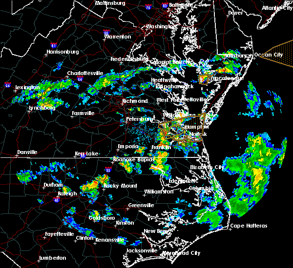 At 625 pm edt, a severe thunderstorm was located over smithfield, moving east at 35 mph (radar indicated). Hazards include 60 mph wind gusts and penny size hail. Expect damage to trees and powerlines. this severe thunderstorm will be near, rescue around 630 pm edt. christopher newport university around 635 pm edt. beaconsdale around 640 pm edt. northampton around 645 pm edt. hampton, hampton university and langley afb around 650 pm edt. fort monroe around 655 pm edt. Other locations impacted by this severe thunderstorm include carrollton, phoebus, langley view, benns church, oyster point, hilton village, menchville, lawson, raleigh terrace and moonlight. At 625 pm edt, a severe thunderstorm was located over smithfield, moving east at 35 mph (radar indicated). Hazards include 60 mph wind gusts and penny size hail. Expect damage to trees and powerlines. this severe thunderstorm will be near, rescue around 630 pm edt. christopher newport university around 635 pm edt. beaconsdale around 640 pm edt. northampton around 645 pm edt. hampton, hampton university and langley afb around 650 pm edt. fort monroe around 655 pm edt. Other locations impacted by this severe thunderstorm include carrollton, phoebus, langley view, benns church, oyster point, hilton village, menchville, lawson, raleigh terrace and moonlight.
|
| 5/22/2017 3:09 PM EDT |
 At 309 pm edt, severe thunderstorms were located along a line extending from near northampton to downtown portsmouth to near northwest, moving northeast at 25 mph (radar indicated). Hazards include 60 mph wind gusts. Expect damage to trees and powerlines. these severe storms will be near, hampton, hampton university, norfolk state university, downtown norfolk, ghent and norfolk nas around 315 pm edt. regent university, langley afb and norview around 320 pm edt. virginia wesleyan college, kempsville, ocean view, great bridge, buckroe beach and norfolk international around 325 pm edt. norfolk, grand view and fentress around 330 pm edt. Other locations impacted by these severe thunderstorms include south norfolk, fox hill, portlock, phoebus, langley view, mount pleasant, princess anne plaza, huntersville, herberts corner and hilton village. At 309 pm edt, severe thunderstorms were located along a line extending from near northampton to downtown portsmouth to near northwest, moving northeast at 25 mph (radar indicated). Hazards include 60 mph wind gusts. Expect damage to trees and powerlines. these severe storms will be near, hampton, hampton university, norfolk state university, downtown norfolk, ghent and norfolk nas around 315 pm edt. regent university, langley afb and norview around 320 pm edt. virginia wesleyan college, kempsville, ocean view, great bridge, buckroe beach and norfolk international around 325 pm edt. norfolk, grand view and fentress around 330 pm edt. Other locations impacted by these severe thunderstorms include south norfolk, fox hill, portlock, phoebus, langley view, mount pleasant, princess anne plaza, huntersville, herberts corner and hilton village.
|
| 5/22/2017 2:46 PM EDT |
 At 245 pm edt, severe thunderstorms were located along a line extending from near crittenden to near bowers hill to 6 miles east of corapeake, moving east at 25 mph (radar indicated). Hazards include 70 mph wind gusts and penny size hail. Expect considerable tree damage. damage is likely to mobile homes, roofs, and outbuildings. severe thunderstorms will be near, chesapeake, crittenden and bowers hill around 255 pm edt. deep creek, churchland and western branch around 300 pm edt. cradock around 305 pm edt. downtown portsmouth and northampton around 310 pm edt. downtown norfolk, old dominion university, portsmouth and ghent around 315 pm edt. norfolk state university, hampton university, norfolk nas and northwest around 320 pm edt. regent university, great bridge, langley afb and norview around 325 pm edt. virginia wesleyan college, kempsville, ocean view, norfolk, fentress, buckroe beach, norfolk international and grand view around 330 pm edt. Other locations impacted by these severe thunderstorms include south norfolk, carrollton, portlock, princess anne plaza, huntersville, hilton village, greenbrier, bayside, wards corner and messick. At 245 pm edt, severe thunderstorms were located along a line extending from near crittenden to near bowers hill to 6 miles east of corapeake, moving east at 25 mph (radar indicated). Hazards include 70 mph wind gusts and penny size hail. Expect considerable tree damage. damage is likely to mobile homes, roofs, and outbuildings. severe thunderstorms will be near, chesapeake, crittenden and bowers hill around 255 pm edt. deep creek, churchland and western branch around 300 pm edt. cradock around 305 pm edt. downtown portsmouth and northampton around 310 pm edt. downtown norfolk, old dominion university, portsmouth and ghent around 315 pm edt. norfolk state university, hampton university, norfolk nas and northwest around 320 pm edt. regent university, great bridge, langley afb and norview around 325 pm edt. virginia wesleyan college, kempsville, ocean view, norfolk, fentress, buckroe beach, norfolk international and grand view around 330 pm edt. Other locations impacted by these severe thunderstorms include south norfolk, carrollton, portlock, princess anne plaza, huntersville, hilton village, greenbrier, bayside, wards corner and messick.
|
| 5/19/2017 5:02 PM EDT |
 At 501 pm edt, a severe thunderstorm was located near seaford, moving east at 15 mph (radar indicated). Hazards include 60 mph wind gusts and quarter size hail. Minor damage to vehicles is possible. Expect wind damage to trees and powerlines. At 501 pm edt, a severe thunderstorm was located near seaford, moving east at 15 mph (radar indicated). Hazards include 60 mph wind gusts and quarter size hail. Minor damage to vehicles is possible. Expect wind damage to trees and powerlines.
|
| 5/19/2017 4:29 PM EDT |
 At 429 pm edt, a severe thunderstorm was located over denbigh, or over patrick henry field, moving east at 15 mph (radar indicated). Hazards include 60 mph wind gusts and quarter size hail. Minor damage to vehicles is possible. expect wind damage to trees and powerlines. this severe thunderstorm will be near, patrick henry field around 435 pm edt. beaconsdale around 440 pm edt. tabb around 445 pm edt. seaford around 450 pm edt. hampton around 455 pm edt. langley afb around 500 pm edt. Other locations impacted by this severe thunderstorm include dare, newport news golf course, fox hill, lackey, oyster point, oriana, messick, hornsbyville, harris grove and menchville. At 429 pm edt, a severe thunderstorm was located over denbigh, or over patrick henry field, moving east at 15 mph (radar indicated). Hazards include 60 mph wind gusts and quarter size hail. Minor damage to vehicles is possible. expect wind damage to trees and powerlines. this severe thunderstorm will be near, patrick henry field around 435 pm edt. beaconsdale around 440 pm edt. tabb around 445 pm edt. seaford around 450 pm edt. hampton around 455 pm edt. langley afb around 500 pm edt. Other locations impacted by this severe thunderstorm include dare, newport news golf course, fox hill, lackey, oyster point, oriana, messick, hornsbyville, harris grove and menchville.
|
| 4/6/2017 1:10 PM EDT |
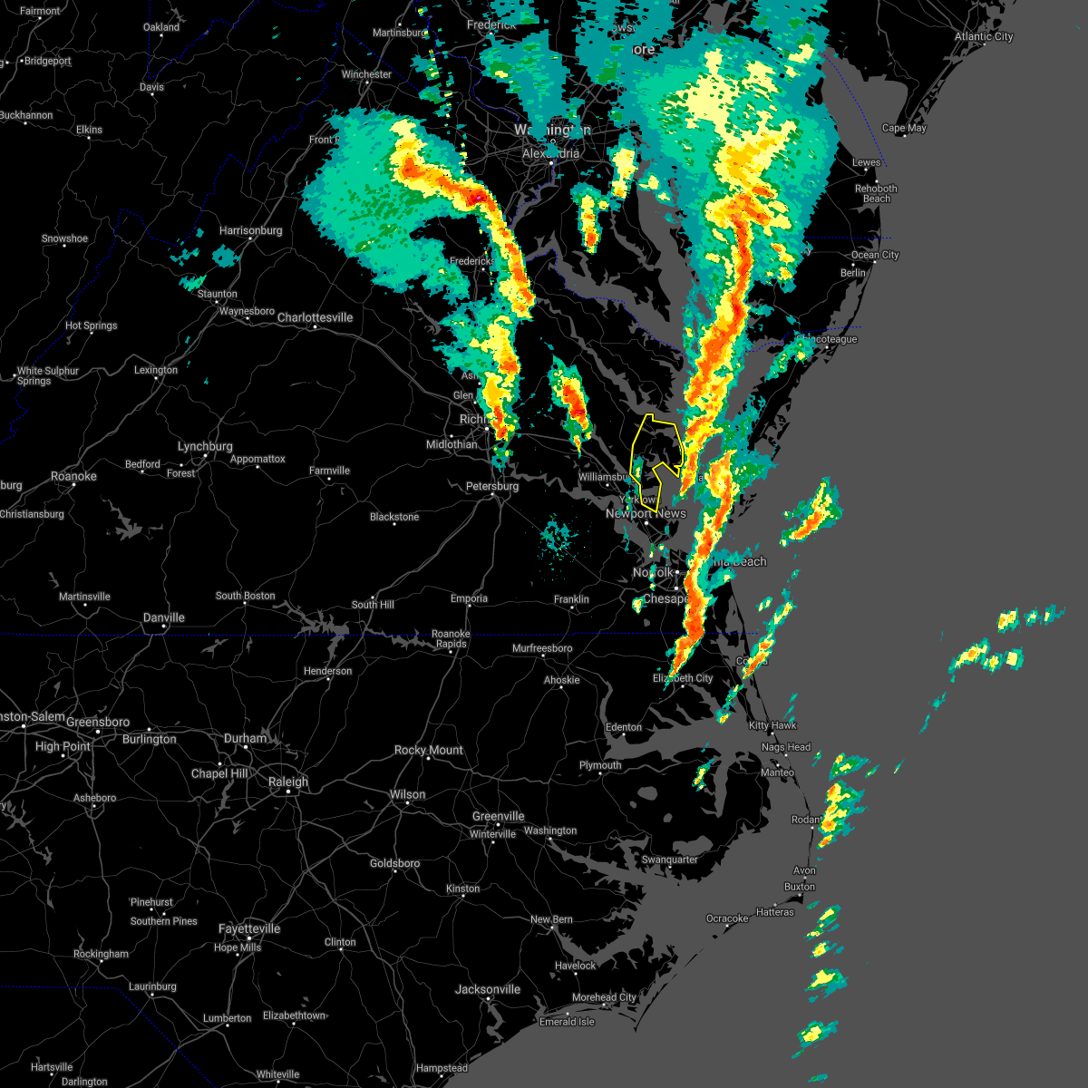 The severe thunderstorm warning for eastern gloucester, southeastern middlesex, east central york and mathews counties will expire at 115 pm edt, the storms which prompted the warning have moved out of the area. therefore the warning will be allowed to expire. a tornado watch remains in effect until 400 pm edt for eastern and southeastern virginia. The severe thunderstorm warning for eastern gloucester, southeastern middlesex, east central york and mathews counties will expire at 115 pm edt, the storms which prompted the warning have moved out of the area. therefore the warning will be allowed to expire. a tornado watch remains in effect until 400 pm edt for eastern and southeastern virginia.
|
| 4/6/2017 12:42 PM EDT |
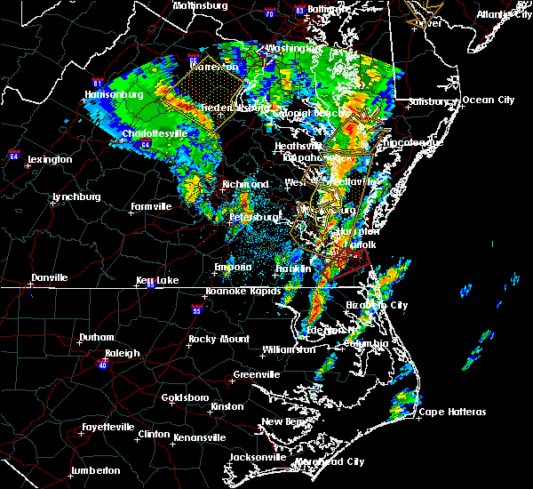 At 1242 pm edt, severe thunderstorms were located along a line extending from near gwynn to seaford, moving northeast at 40 mph (radar indicated). Hazards include 60 mph wind gusts and nickel size hail. Expect damage to roofs, siding, and trees. locations impacted include, mathews, gloucester courthouse, virginia institute for marine sciences, deltaville, gloucester point, seaford, hayes, gwynn, wicomico, achilles, bavon, hartfield, blakes, mobjack, beulah, moon, laban, naxera, grafton and amburg. precautionary/preparedness actions, for your protection move to an interior room on the lowest floor of a building. please send your reports of hail and or wind damage, including trees or large limbs downed, by calling noaa`s national weather service in wakefield at , 7 5 7, 8 9 9, 2 4 1 5. A tornado watch remains in effect until 100 pm edt for eastern and southeastern virginia. At 1242 pm edt, severe thunderstorms were located along a line extending from near gwynn to seaford, moving northeast at 40 mph (radar indicated). Hazards include 60 mph wind gusts and nickel size hail. Expect damage to roofs, siding, and trees. locations impacted include, mathews, gloucester courthouse, virginia institute for marine sciences, deltaville, gloucester point, seaford, hayes, gwynn, wicomico, achilles, bavon, hartfield, blakes, mobjack, beulah, moon, laban, naxera, grafton and amburg. precautionary/preparedness actions, for your protection move to an interior room on the lowest floor of a building. please send your reports of hail and or wind damage, including trees or large limbs downed, by calling noaa`s national weather service in wakefield at , 7 5 7, 8 9 9, 2 4 1 5. A tornado watch remains in effect until 100 pm edt for eastern and southeastern virginia.
|
| 4/6/2017 12:24 PM EDT |
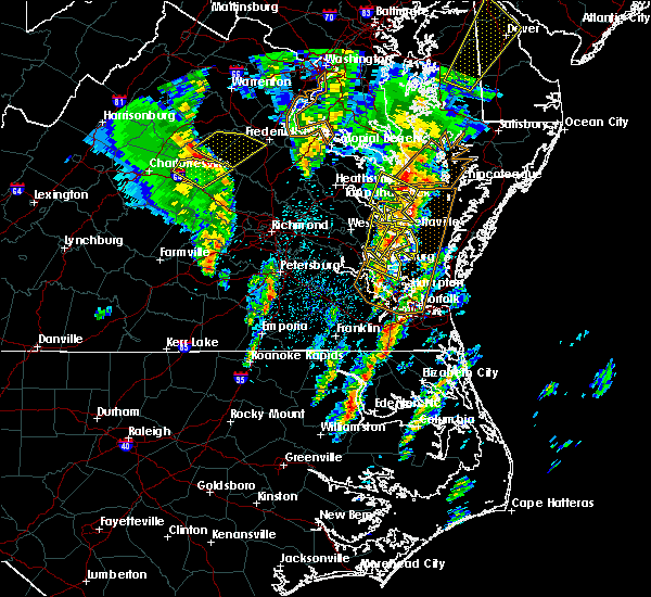 At 1224 pm edt, severe thunderstorms were located along a line extending from near white stone to near virginia institute for marine sciences, moving northeast at 50 mph (radar indicated). Hazards include 60 mph wind gusts and nickel size hail. expect damage to roofs, siding, and trees At 1224 pm edt, severe thunderstorms were located along a line extending from near white stone to near virginia institute for marine sciences, moving northeast at 50 mph (radar indicated). Hazards include 60 mph wind gusts and nickel size hail. expect damage to roofs, siding, and trees
|
| 2/25/2017 5:45 PM EST |
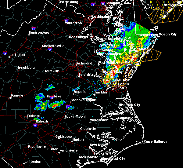 At 545 pm est, a severe thunderstorm was located over christopher newport university, moving east at 55 mph (radar indicated). Hazards include 60 mph wind gusts and quarter size hail. Hail damage to vehicles is expected. expect wind damage to roofs, siding, and trees. this severe thunderstorm will be near, hampton and langley afb around 550 pm est. hampton university, buckroe beach, grand view and fort monroe around 555 pm est. Other locations impacted by this severe thunderstorm include fox hill, phoebus, langley view, oyster point, oriana, messick, hilton village, menchville, plum tree island refuge and raleigh terrace. At 545 pm est, a severe thunderstorm was located over christopher newport university, moving east at 55 mph (radar indicated). Hazards include 60 mph wind gusts and quarter size hail. Hail damage to vehicles is expected. expect wind damage to roofs, siding, and trees. this severe thunderstorm will be near, hampton and langley afb around 550 pm est. hampton university, buckroe beach, grand view and fort monroe around 555 pm est. Other locations impacted by this severe thunderstorm include fox hill, phoebus, langley view, oyster point, oriana, messick, hilton village, menchville, plum tree island refuge and raleigh terrace.
|
| 2/25/2017 5:42 PM EST | York river east rear range light /ykrv2 in anz632 county VA, 8.8 miles SSW of Poquoson, VA |
| 6/23/2016 8:06 AM EDT |
 At 805 am edt, a severe thunderstorm was located over busch gardens, or near williamsburg, moving east at 45 mph (radar indicated). Hazards include 60 mph wind gusts and quarter size hail. Hail damage to vehicles is expected. expect wind damage to roofs, siding, and trees. this severe storm will be near, newport news, virginia institute for marine sciences, lee hall and fort eustis around 815 am edt. patrick henry field, seaford, tabb and denbigh around 820 am edt. hampton and beaconsdale around 825 am edt. langley afb around 830 am edt. other locations impacted by this severe thunderstorm include ruff, belroi, harcum, hog island game reserve, adner, bacons castle, ark, hornsbyville, harris grove and selden. precautionary/preparedness actions, for your protection move to an interior room on the lowest floor of a building. continuous cloud to ground lightning is occurring with this storm. move indoors immediately. lightning is one of nature`s leading killers. remember, if you can hear thunder, you are close enough to be struck by lightning. please send your reports of hail and or wind damage, including trees or large limbs downed, by calling noaa`s national weather service in wakefield at , 7 5 7, 8 9 9, 2 4 1 5. At 805 am edt, a severe thunderstorm was located over busch gardens, or near williamsburg, moving east at 45 mph (radar indicated). Hazards include 60 mph wind gusts and quarter size hail. Hail damage to vehicles is expected. expect wind damage to roofs, siding, and trees. this severe storm will be near, newport news, virginia institute for marine sciences, lee hall and fort eustis around 815 am edt. patrick henry field, seaford, tabb and denbigh around 820 am edt. hampton and beaconsdale around 825 am edt. langley afb around 830 am edt. other locations impacted by this severe thunderstorm include ruff, belroi, harcum, hog island game reserve, adner, bacons castle, ark, hornsbyville, harris grove and selden. precautionary/preparedness actions, for your protection move to an interior room on the lowest floor of a building. continuous cloud to ground lightning is occurring with this storm. move indoors immediately. lightning is one of nature`s leading killers. remember, if you can hear thunder, you are close enough to be struck by lightning. please send your reports of hail and or wind damage, including trees or large limbs downed, by calling noaa`s national weather service in wakefield at , 7 5 7, 8 9 9, 2 4 1 5.
|
| 6/23/2016 7:38 AM EDT |
 At 738 am edt, a severe thunderstorm was located near charles city, moving east at 45 mph (radar indicated). Hazards include 60 mph wind gusts and quarter size hail. Hail damage to vehicles is expected. expect wind damage to roofs, siding, and trees. this severe thunderstorm will be near, rustic and holdcroft around 745 am edt. claremont around 750 am edt. williamsburg, surry, college of william and mary, jamestown and scotland around 800 am edt. queens lake, kings point, carver gardens and york terrace around 805 am edt. busch gardens and grove around 810 am edt. newport news, virginia institute for marine sciences, lee hall and fort eustis around 815 am edt. patrick henry field and denbigh around 820 am edt. seaford, tabb and beaconsdale around 825 am edt. Other locations impacted by this severe thunderstorm include ruff, belroi, harcum, hog island game reserve, sandybottom, adner, bacons castle, new hope, ark and hornsbyville. At 738 am edt, a severe thunderstorm was located near charles city, moving east at 45 mph (radar indicated). Hazards include 60 mph wind gusts and quarter size hail. Hail damage to vehicles is expected. expect wind damage to roofs, siding, and trees. this severe thunderstorm will be near, rustic and holdcroft around 745 am edt. claremont around 750 am edt. williamsburg, surry, college of william and mary, jamestown and scotland around 800 am edt. queens lake, kings point, carver gardens and york terrace around 805 am edt. busch gardens and grove around 810 am edt. newport news, virginia institute for marine sciences, lee hall and fort eustis around 815 am edt. patrick henry field and denbigh around 820 am edt. seaford, tabb and beaconsdale around 825 am edt. Other locations impacted by this severe thunderstorm include ruff, belroi, harcum, hog island game reserve, sandybottom, adner, bacons castle, new hope, ark and hornsbyville.
|
| 6/16/2016 11:27 PM EDT | The severe thunderstorm warning for middlesex, gloucester, northumberland, lancaster, mathews, southeastern richmond, southeastern king and queen, southeastern essex and central york counties will expire at 1130 pm edt, the storms which prompted the warning have weakened below severe limits, and no longer pose an immediate threat to life or property. therefore the warning will be allowed to expire. a severe thunderstorm watch remains in effect until 300 am edt for southeastern virginia. |
| 6/16/2016 11:11 PM EDT |
 At 1111 pm edt, severe thunderstorms were located along a line extending from fort eustis to near waverly, moving southeast at 50 mph (radar indicated). Hazards include 60 mph wind gusts and quarter size hail. Hail damage to vehicles is expected. expect wind damage to roofs, siding, and trees. these severe storms will be near, patrick henry field, denbigh, fort eustis and lee hall around 1115 pm edt. tabb around 1120 pm edt. other locations impacted by these severe thunderstorms include carsley, hog island game reserve, gwaltney corner, newport news golf course, oyster point, bacons castle, newville, hornsbyville, alliance and delk crossroads. precautionary/preparedness actions, for your protection move to an interior room on the lowest floor of a building. please send your reports of hail and or wind damage, including trees or large limbs downed, by calling noaa`s national weather service in wakefield at , 7 5 7, 8 9 9, 2 4 1 5. At 1111 pm edt, severe thunderstorms were located along a line extending from fort eustis to near waverly, moving southeast at 50 mph (radar indicated). Hazards include 60 mph wind gusts and quarter size hail. Hail damage to vehicles is expected. expect wind damage to roofs, siding, and trees. these severe storms will be near, patrick henry field, denbigh, fort eustis and lee hall around 1115 pm edt. tabb around 1120 pm edt. other locations impacted by these severe thunderstorms include carsley, hog island game reserve, gwaltney corner, newport news golf course, oyster point, bacons castle, newville, hornsbyville, alliance and delk crossroads. precautionary/preparedness actions, for your protection move to an interior room on the lowest floor of a building. please send your reports of hail and or wind damage, including trees or large limbs downed, by calling noaa`s national weather service in wakefield at , 7 5 7, 8 9 9, 2 4 1 5.
|
| 6/16/2016 11:10 PM EDT |
 At 1109 pm edt, severe thunderstorms were located along a line extending from 8 miles west of tylerton to near fair port to near kilmarnock to near hartfield to near wicomico to near fort eustis, moving east at 25 mph (radar indicated). Hazards include 60 mph wind gusts and quarter size hail. Hail damage to vehicles is expected. expect wind damage to roofs, siding, and trees. these severe storms will be near, fair port around 1115 pm edt. mathews, deltaville, blakes, bavon, mobjack and gwynn around 1130 pm edt. other locations impacted by these severe thunderstorms include ruff, belroi, harcum, healys, water view, lara, diggs, adner, warner and foxwells. precautionary/preparedness actions, for your protection move to an interior room on the lowest floor of a building. please send your reports of hail and or wind damage, including trees or large limbs downed, by calling noaa`s national weather service in wakefield at , 7 5 7, 8 9 9, 2 4 1 5. At 1109 pm edt, severe thunderstorms were located along a line extending from 8 miles west of tylerton to near fair port to near kilmarnock to near hartfield to near wicomico to near fort eustis, moving east at 25 mph (radar indicated). Hazards include 60 mph wind gusts and quarter size hail. Hail damage to vehicles is expected. expect wind damage to roofs, siding, and trees. these severe storms will be near, fair port around 1115 pm edt. mathews, deltaville, blakes, bavon, mobjack and gwynn around 1130 pm edt. other locations impacted by these severe thunderstorms include ruff, belroi, harcum, healys, water view, lara, diggs, adner, warner and foxwells. precautionary/preparedness actions, for your protection move to an interior room on the lowest floor of a building. please send your reports of hail and or wind damage, including trees or large limbs downed, by calling noaa`s national weather service in wakefield at , 7 5 7, 8 9 9, 2 4 1 5.
|
| 6/16/2016 10:49 PM EDT |
 At 1048 pm edt, severe thunderstorms were located along a line extending from near lewisetta to near wicomico church to near morattico to near glenns to 6 miles north of queens lake to near scotland, moving southeast at 35 mph (radar indicated). Hazards include 60 mph wind gusts and quarter size hail. Hail damage to vehicles is expected. expect wind damage to roofs, siding, and trees. these severe storms will be near, gloucester courthouse, queens lake, wicomico church and york terrace around 1055 pm edt. fair port and hayes around 1100 pm edt. kilmarnock, gloucester point and wicomico around 1105 pm edt. virginia institute for marine sciences, white stone, achilles and hartfield around 1110 pm edt. blakes around 1115 pm edt. deltaville around 1120 pm edt. mathews, mobjack and gwynn around 1125 pm edt. bavon around 1130 pm edt. other locations impacted by these severe thunderstorms include water view, diggs, foxwells, nuttsville, stampers, ark, fleeton, severn, camp peary and samos. precautionary/preparedness actions, for your protection move to an interior room on the lowest floor of a building. please send your reports of hail and or wind damage, including trees or large limbs downed, by calling noaa`s national weather service in wakefield at , 7 5 7, 8 9 9, 2 4 1 5. At 1048 pm edt, severe thunderstorms were located along a line extending from near lewisetta to near wicomico church to near morattico to near glenns to 6 miles north of queens lake to near scotland, moving southeast at 35 mph (radar indicated). Hazards include 60 mph wind gusts and quarter size hail. Hail damage to vehicles is expected. expect wind damage to roofs, siding, and trees. these severe storms will be near, gloucester courthouse, queens lake, wicomico church and york terrace around 1055 pm edt. fair port and hayes around 1100 pm edt. kilmarnock, gloucester point and wicomico around 1105 pm edt. virginia institute for marine sciences, white stone, achilles and hartfield around 1110 pm edt. blakes around 1115 pm edt. deltaville around 1120 pm edt. mathews, mobjack and gwynn around 1125 pm edt. bavon around 1130 pm edt. other locations impacted by these severe thunderstorms include water view, diggs, foxwells, nuttsville, stampers, ark, fleeton, severn, camp peary and samos. precautionary/preparedness actions, for your protection move to an interior room on the lowest floor of a building. please send your reports of hail and or wind damage, including trees or large limbs downed, by calling noaa`s national weather service in wakefield at , 7 5 7, 8 9 9, 2 4 1 5.
|
| 6/16/2016 10:46 PM EDT |
 At 1046 pm edt, severe thunderstorms were located along a line extending from near rustic to near petersburg, moving southeast at 40 mph (radar indicated). Hazards include 60 mph wind gusts and quarter size hail. Hail damage to vehicles is expected. expect wind damage to roofs, siding, and trees. severe thunderstorms will be near, claremont around 1050 pm edt. surry, jamestown and scotland around 1055 pm edt. disputanta and kings point around 1100 pm edt. busch gardens and grove around 1105 pm edt. newport news, lee hall and fort eustis around 1110 pm edt. waverly, denbigh and homeville around 1115 pm edt. patrick henry field, seaford and tabb around 1120 pm edt. dendron around 1125 pm edt. Other locations impacted by these severe thunderstorms include addison, hog island game reserve, newport news golf course, jordan point country club, bacons castle, richard bland college, spring grove, newville, hornsbyville and alliance. At 1046 pm edt, severe thunderstorms were located along a line extending from near rustic to near petersburg, moving southeast at 40 mph (radar indicated). Hazards include 60 mph wind gusts and quarter size hail. Hail damage to vehicles is expected. expect wind damage to roofs, siding, and trees. severe thunderstorms will be near, claremont around 1050 pm edt. surry, jamestown and scotland around 1055 pm edt. disputanta and kings point around 1100 pm edt. busch gardens and grove around 1105 pm edt. newport news, lee hall and fort eustis around 1110 pm edt. waverly, denbigh and homeville around 1115 pm edt. patrick henry field, seaford and tabb around 1120 pm edt. dendron around 1125 pm edt. Other locations impacted by these severe thunderstorms include addison, hog island game reserve, newport news golf course, jordan point country club, bacons castle, richard bland college, spring grove, newville, hornsbyville and alliance.
|
| 6/16/2016 10:28 PM EDT |
 At 1027 pm edt, severe thunderstorms were located along a line extending from near hague to near haynesville to near center cross to near king and queen court house to barhamsville to near charles city, moving southeast at 35 mph (radar indicated). Hazards include 60 mph wind gusts and quarter size hail. Hail damage to vehicles is expected. expect wind damage to roofs, siding, and trees. severe thunderstorms will be near, callao, toano and robley around 1035 pm edt. norge, heathsville, morattico, jamaica and church view around 1040 pm edt. williamsburg and shacklefords around 1045 pm edt. queens lake, glenns, wicomico church and saluda around 1050 pm edt. gloucester courthouse, urbanna, college of william and mary and lancaster around 1055 pm edt. fair port, hayes and kings point around 1100 pm edt. kilmarnock, gloucester point, virginia institute for marine sciences, white stone, wicomico, hartfield and carver gardens around 1105 pm edt. achilles around 1110 pm edt. Other locations impacted by these severe thunderstorms include water view, diggs, foxwells, nuttsville, stampers, lyells, ark, fleeton, threeway and henley fork. At 1027 pm edt, severe thunderstorms were located along a line extending from near hague to near haynesville to near center cross to near king and queen court house to barhamsville to near charles city, moving southeast at 35 mph (radar indicated). Hazards include 60 mph wind gusts and quarter size hail. Hail damage to vehicles is expected. expect wind damage to roofs, siding, and trees. severe thunderstorms will be near, callao, toano and robley around 1035 pm edt. norge, heathsville, morattico, jamaica and church view around 1040 pm edt. williamsburg and shacklefords around 1045 pm edt. queens lake, glenns, wicomico church and saluda around 1050 pm edt. gloucester courthouse, urbanna, college of william and mary and lancaster around 1055 pm edt. fair port, hayes and kings point around 1100 pm edt. kilmarnock, gloucester point, virginia institute for marine sciences, white stone, wicomico, hartfield and carver gardens around 1105 pm edt. achilles around 1110 pm edt. Other locations impacted by these severe thunderstorms include water view, diggs, foxwells, nuttsville, stampers, lyells, ark, fleeton, threeway and henley fork.
|
| 6/5/2016 8:44 PM EDT |
 At 844 pm edt, a severe thunderstorm was located over driver, or near churchland, moving east at 35 mph (law enforcement). Hazards include 60 mph wind gusts. Expect damage to roofs. siding. and trees. this severe storm will be near, churchland and chesapeake around 850 pm edt. deep creek, portsmouth and cradock around 855 pm edt. downtown portsmouth, downtown norfolk, norfolk state university, old dominion university, ocean view, ghent, norview and norfolk nas around 900 pm edt. other locations impacted by this severe thunderstorm include south norfolk, magnolia, raleigh terrace, chesapeake airport, chuckatuck, wilroy, portlock, langley view, wards corner and herberts corner. precautionary/preparedness actions, for your protection move to an interior room on the lowest floor of a building. please send your reports of hail and or wind damage, including trees or large limbs downed, by calling noaa`s national weather service in wakefield at , 7 5 7, 8 9 9, 2 4 1 5. At 844 pm edt, a severe thunderstorm was located over driver, or near churchland, moving east at 35 mph (law enforcement). Hazards include 60 mph wind gusts. Expect damage to roofs. siding. and trees. this severe storm will be near, churchland and chesapeake around 850 pm edt. deep creek, portsmouth and cradock around 855 pm edt. downtown portsmouth, downtown norfolk, norfolk state university, old dominion university, ocean view, ghent, norview and norfolk nas around 900 pm edt. other locations impacted by this severe thunderstorm include south norfolk, magnolia, raleigh terrace, chesapeake airport, chuckatuck, wilroy, portlock, langley view, wards corner and herberts corner. precautionary/preparedness actions, for your protection move to an interior room on the lowest floor of a building. please send your reports of hail and or wind damage, including trees or large limbs downed, by calling noaa`s national weather service in wakefield at , 7 5 7, 8 9 9, 2 4 1 5.
|
| 6/5/2016 8:23 PM EDT |
 At 822 pm edt, a severe thunderstorm was located over windsor, moving east at 40 mph (radar indicated). Hazards include 60 mph wind gusts. Expect damage to roofs. siding. and trees. this severe thunderstorm will be near, kings fork around 830 pm edt. downtown suffolk around 835 pm edt. driver around 845 pm edt. suffolk and crittenden around 850 pm edt. western branch and bowers hill around 855 pm edt. churchland, downtown portsmouth, old dominion university, downtown norfolk, norfolk state university, deep creek, chesapeake, portsmouth, cradock and ghent around 900 pm edt. Other locations impacted by this severe thunderstorm include suffolk airport, south norfolk, indika, lees mill, lawson, chuckatuck, raynor, collosse, langley view and benns church. At 822 pm edt, a severe thunderstorm was located over windsor, moving east at 40 mph (radar indicated). Hazards include 60 mph wind gusts. Expect damage to roofs. siding. and trees. this severe thunderstorm will be near, kings fork around 830 pm edt. downtown suffolk around 835 pm edt. driver around 845 pm edt. suffolk and crittenden around 850 pm edt. western branch and bowers hill around 855 pm edt. churchland, downtown portsmouth, old dominion university, downtown norfolk, norfolk state university, deep creek, chesapeake, portsmouth, cradock and ghent around 900 pm edt. Other locations impacted by this severe thunderstorm include suffolk airport, south norfolk, indika, lees mill, lawson, chuckatuck, raynor, collosse, langley view and benns church.
|
| 5/2/2016 8:36 PM EDT |
 At 836 pm edt, a severe thunderstorm was located near newport news, moving northeast at 45 mph (radar indicated). Hazards include 60 mph wind gusts and quarter size hail. Hail damage to vehicles is expected. expect wind damage to roofs, siding, and trees. this severe storm will be near, christopher newport university, northampton and beaconsdale around 840 pm edt. newport news, hampton, patrick henry field, denbigh, tabb and lee hall around 845 pm edt. other locations impacted by this severe thunderstorm include rushmere, newport news golf course, oyster point, hilton village, mogarts beach, lawson, menchville, carrollton, oriana and langley view. precautionary/preparedness actions, for your protection move to an interior room on the lowest floor of a building. please send your reports of hail and or wind damage, including trees or large limbs downed, by calling noaa`s national weather service in wakefield at , 7 5 7, 8 9 9, 2 4 1 5. At 836 pm edt, a severe thunderstorm was located near newport news, moving northeast at 45 mph (radar indicated). Hazards include 60 mph wind gusts and quarter size hail. Hail damage to vehicles is expected. expect wind damage to roofs, siding, and trees. this severe storm will be near, christopher newport university, northampton and beaconsdale around 840 pm edt. newport news, hampton, patrick henry field, denbigh, tabb and lee hall around 845 pm edt. other locations impacted by this severe thunderstorm include rushmere, newport news golf course, oyster point, hilton village, mogarts beach, lawson, menchville, carrollton, oriana and langley view. precautionary/preparedness actions, for your protection move to an interior room on the lowest floor of a building. please send your reports of hail and or wind damage, including trees or large limbs downed, by calling noaa`s national weather service in wakefield at , 7 5 7, 8 9 9, 2 4 1 5.
|
| 5/2/2016 8:22 PM EDT |
 At 822 pm edt, a severe thunderstorm was located near isle of wight, or near smithfield, moving northeast at 45 mph (radar indicated). Hazards include 60 mph wind gusts and quarter size hail. Hail damage to vehicles is expected. expect wind damage to roofs, siding, and trees. this severe thunderstorm will be near, smithfield around 825 pm edt. rescue around 830 pm edt. christopher newport university, northampton, fort eustis and beaconsdale around 840 pm edt. newport news, hampton, patrick henry field, denbigh, tabb and lee hall around 845 pm edt. Other locations impacted by this severe thunderstorm include newport news golf course, oyster point, longview, indika, lawson, raynor, moonlight, benns church, comet and rushmere. At 822 pm edt, a severe thunderstorm was located near isle of wight, or near smithfield, moving northeast at 45 mph (radar indicated). Hazards include 60 mph wind gusts and quarter size hail. Hail damage to vehicles is expected. expect wind damage to roofs, siding, and trees. this severe thunderstorm will be near, smithfield around 825 pm edt. rescue around 830 pm edt. christopher newport university, northampton, fort eustis and beaconsdale around 840 pm edt. newport news, hampton, patrick henry field, denbigh, tabb and lee hall around 845 pm edt. Other locations impacted by this severe thunderstorm include newport news golf course, oyster point, longview, indika, lawson, raynor, moonlight, benns church, comet and rushmere.
|
| 2/24/2016 8:30 PM EST | Tree down in residential backyard in york county VA, 5.4 miles SE of Poquoson, VA |
| 2/24/2016 8:30 PM EST |
 At 830 pm est, doppler radar indicated a severe thunderstorm capable of producing damaging winds in excess of 60 mph. this storm was located over hampton university, and moving northeast at 75 mph. * this severe thunderstorm will remain over mainly rural areas of , the city of poquoson, the southeastern city of newport news and the city of hampton, including the following locations: plum tree island refuge, fox hill, raleigh terrace, langley view, messick and phoebus. a tornado watch remains in effect until 900 pm est for southeastern virginia. At 830 pm est, doppler radar indicated a severe thunderstorm capable of producing damaging winds in excess of 60 mph. this storm was located over hampton university, and moving northeast at 75 mph. * this severe thunderstorm will remain over mainly rural areas of , the city of poquoson, the southeastern city of newport news and the city of hampton, including the following locations: plum tree island refuge, fox hill, raleigh terrace, langley view, messick and phoebus. a tornado watch remains in effect until 900 pm est for southeastern virginia.
|
| 2/24/2016 3:54 PM EST |
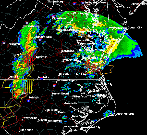 At 353 pm est, doppler radar indicated a tornado. this dangerous storm was located over tabb, or near patrick henry field, and moving northeast at 55 mph. * this dangerous storm will be near, achilles around 405 pm est. bavon and mobjack around 415 pm est. mathews around 420 pm est. other locations impacted by this tornadic thunderstorm include ruff, port haywood, diggs, moon, peary, hornsbyville, dare, severn, redart and new point. At 353 pm est, doppler radar indicated a tornado. this dangerous storm was located over tabb, or near patrick henry field, and moving northeast at 55 mph. * this dangerous storm will be near, achilles around 405 pm est. bavon and mobjack around 415 pm est. mathews around 420 pm est. other locations impacted by this tornadic thunderstorm include ruff, port haywood, diggs, moon, peary, hornsbyville, dare, severn, redart and new point.
|
| 2/24/2016 3:47 PM EST |
 At 346 pm est, doppler radar indicated a severe thunderstorm capable of producing a tornado. this dangerous storm was located near christopher newport university, moving northeast at 55 mph. this dangerous storm will be near, hampton university, northampton, beaconsdale and denbigh around 350 pm est. hampton, langley afb, patrick henry field, tabb, grand view and buckroe beach around 355 pm est. other locations impacted by this tornadic thunderstorm include messick, oyster point, hilton village, fox hill, menchville, langley view and oriana. At 346 pm est, doppler radar indicated a severe thunderstorm capable of producing a tornado. this dangerous storm was located near christopher newport university, moving northeast at 55 mph. this dangerous storm will be near, hampton university, northampton, beaconsdale and denbigh around 350 pm est. hampton, langley afb, patrick henry field, tabb, grand view and buckroe beach around 355 pm est. other locations impacted by this tornadic thunderstorm include messick, oyster point, hilton village, fox hill, menchville, langley view and oriana.
|
| 2/24/2016 3:24 PM EST |
 At 323 pm est, doppler radar indicated a possible tornado. this dangerous storm was located over suffolk, or near windsor, and moving northeast at 55 mph. * this dangerous storm will be near, driver around 335 pm est. smithfield, suffolk and crittenden around 340 pm est. rescue around 345 pm est. christopher newport university, hampton university, northampton and beaconsdale around 350 pm est. hampton, langley afb, patrick henry field, tabb and denbigh around 355 pm est. other locations impacted by this tornadic thunderstorm include raleigh terrace, oyster point, longview, indika, lawson, chuckatuck, langley view, benns church, lummis and wills corner. At 323 pm est, doppler radar indicated a possible tornado. this dangerous storm was located over suffolk, or near windsor, and moving northeast at 55 mph. * this dangerous storm will be near, driver around 335 pm est. smithfield, suffolk and crittenden around 340 pm est. rescue around 345 pm est. christopher newport university, hampton university, northampton and beaconsdale around 350 pm est. hampton, langley afb, patrick henry field, tabb and denbigh around 355 pm est. other locations impacted by this tornadic thunderstorm include raleigh terrace, oyster point, longview, indika, lawson, chuckatuck, langley view, benns church, lummis and wills corner.
|
| 6/30/2015 10:26 PM EDT |
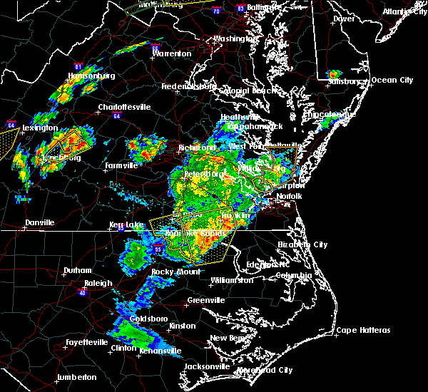 The severe thunderstorm warning for southeastern york county, the city of hampton, the central city of newport news and the city of poquoson will expire at 1030 pm edt, the storm which prompted the warning has weakened below severe limits and exited the warned area. therefore the warning will be allowed to expire. however heavy rain is still possible with this thunderstorm. The severe thunderstorm warning for southeastern york county, the city of hampton, the central city of newport news and the city of poquoson will expire at 1030 pm edt, the storm which prompted the warning has weakened below severe limits and exited the warned area. therefore the warning will be allowed to expire. however heavy rain is still possible with this thunderstorm.
|
| 6/30/2015 10:17 PM EDT |
 At 1015 pm edt, doppler radar indicated a severe thunderstorm capable of producing quarter size hail and damaging winds in excess of 60 mph. this storm was located near langley afb, moving northeast at 30 mph. in addition, newport news international airport recorded a wind gust to 62 mph at 958 pm edt. this severe thunderstorm will remain over mainly rural areas of southeastern york county, the city of hampton, the central city of newport news and the city of poquoson, including the following locations, plum tree island refuge, messick, fox hill, langley view, hornsbyville, dare and harris grove. At 1015 pm edt, doppler radar indicated a severe thunderstorm capable of producing quarter size hail and damaging winds in excess of 60 mph. this storm was located near langley afb, moving northeast at 30 mph. in addition, newport news international airport recorded a wind gust to 62 mph at 958 pm edt. this severe thunderstorm will remain over mainly rural areas of southeastern york county, the city of hampton, the central city of newport news and the city of poquoson, including the following locations, plum tree island refuge, messick, fox hill, langley view, hornsbyville, dare and harris grove.
|
| 6/30/2015 9:52 PM EDT |
 At 951 pm edt, doppler radar indicated a severe thunderstorm capable of producing quarter size hail and damaging winds in excess of 60 mph. this storm was located over newport news, and moving northeast at 30 mph. * this severe thunderstorm will be near, christopher newport university and beaconsdale around 955 pm edt. patrick henry field and northampton around 1000 pm edt. tabb around 1005 pm edt. hampton, langley afb and seaford around 1010 pm edt. buckroe beach around 1015 pm edt. grand view around 1020 pm edt. other locations impacted by this severe thunderstorm include plum tree island refuge, newport news golf course, messick, oyster point, hilton village, fox hill, menchville, langley view, hornsbyville and dare. At 951 pm edt, doppler radar indicated a severe thunderstorm capable of producing quarter size hail and damaging winds in excess of 60 mph. this storm was located over newport news, and moving northeast at 30 mph. * this severe thunderstorm will be near, christopher newport university and beaconsdale around 955 pm edt. patrick henry field and northampton around 1000 pm edt. tabb around 1005 pm edt. hampton, langley afb and seaford around 1010 pm edt. buckroe beach around 1015 pm edt. grand view around 1020 pm edt. other locations impacted by this severe thunderstorm include plum tree island refuge, newport news golf course, messick, oyster point, hilton village, fox hill, menchville, langley view, hornsbyville and dare.
|
| 6/25/2015 11:48 PM EDT |
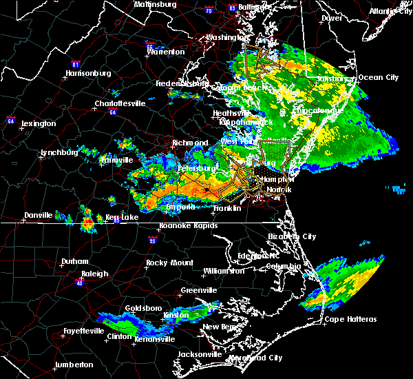 At 1146 pm edt, doppler radar indicated a line of severe thunderstorms capable of producing damaging winds in excess of 60 mph. these storms were located along a line extending from near hayes to tabb to near isle of wight, moving east, southeast at 35 mph. these severe storms will be near, patrick henry field, christopher newport university, seaford, tabb and beaconsdale around 1150 pm edt. hampton, langley afb and northampton around 1155 pm edt. other locations impacted by these severe thunderstorms include newport news golf course, oyster point, longview, lawson, raynor, benns church, langley view, hornsbyville, dare and comet. At 1146 pm edt, doppler radar indicated a line of severe thunderstorms capable of producing damaging winds in excess of 60 mph. these storms were located along a line extending from near hayes to tabb to near isle of wight, moving east, southeast at 35 mph. these severe storms will be near, patrick henry field, christopher newport university, seaford, tabb and beaconsdale around 1150 pm edt. hampton, langley afb and northampton around 1155 pm edt. other locations impacted by these severe thunderstorms include newport news golf course, oyster point, longview, lawson, raynor, benns church, langley view, hornsbyville, dare and comet.
|
| 6/25/2015 11:10 PM EDT |
 At 1109 pm edt, doppler radar indicated a line of severe thunderstorms capable of producing destructive winds in excess of 70 mph. these storms were located along a line extending from near barhamsville to near scotland to waverly, and moving east at 35 mph. * severe thunderstorms will be near, surry, scotland and jamestown around 1115 pm edt. toano, college of william and mary and kings point around 1120 pm edt. norge, elberon, busch gardens, carver gardens and york terrace around 1125 pm edt. williamsburg and grove around 1130 pm edt. newport news and lee hall around 1135 pm edt. queens lake and denbigh around 1140 pm edt. gloucester courthouse, patrick henry field, christopher newport university, seaford, isle of wight, tabb and beaconsdale around 1145 pm edt. smithfield, gloucester point, northampton and hayes around 1150 pm edt. other locations impacted by these severe thunderstorms include belroi, bacons castle, raynor, hornsbyville, harris grove, selden, severn, camp peary, clay bank and lackey. At 1109 pm edt, doppler radar indicated a line of severe thunderstorms capable of producing destructive winds in excess of 70 mph. these storms were located along a line extending from near barhamsville to near scotland to waverly, and moving east at 35 mph. * severe thunderstorms will be near, surry, scotland and jamestown around 1115 pm edt. toano, college of william and mary and kings point around 1120 pm edt. norge, elberon, busch gardens, carver gardens and york terrace around 1125 pm edt. williamsburg and grove around 1130 pm edt. newport news and lee hall around 1135 pm edt. queens lake and denbigh around 1140 pm edt. gloucester courthouse, patrick henry field, christopher newport university, seaford, isle of wight, tabb and beaconsdale around 1145 pm edt. smithfield, gloucester point, northampton and hayes around 1150 pm edt. other locations impacted by these severe thunderstorms include belroi, bacons castle, raynor, hornsbyville, harris grove, selden, severn, camp peary, clay bank and lackey.
|
| 6/20/2015 11:37 PM EDT | Trees down around poquoson in city of poquoson county VA, 0.1 miles SE of Poquoson, VA |
| 6/20/2015 11:07 PM EDT |
 At 1106 pm edt, doppler radar indicated a severe thunderstorm capable of producing damaging winds in excess of 60 mph. this storm was located near fort eustis, or 8 miles east of surry, and moving northeast at 50 mph. penny size hail may also accompany the damaging winds. * this severe thunderstorm will be near, grove, busch gardens, carver gardens and york terrace around 1110 pm edt. newport news, patrick henry field, lee hall, denbigh and tabb around 1115 pm edt. virginia institute for marine sciences, seaford, gloucester point and wicomico around 1120 pm edt. achilles around 1125 pm edt. mobjack around 1130 pm edt. bavon around 1135 pm edt. other locations impacted by this severe thunderstorm include ruff, belroi, hog island game reserve, diggs, bacons castle, raynor, hornsbyville, harris grove, selden and severn. At 1106 pm edt, doppler radar indicated a severe thunderstorm capable of producing damaging winds in excess of 60 mph. this storm was located near fort eustis, or 8 miles east of surry, and moving northeast at 50 mph. penny size hail may also accompany the damaging winds. * this severe thunderstorm will be near, grove, busch gardens, carver gardens and york terrace around 1110 pm edt. newport news, patrick henry field, lee hall, denbigh and tabb around 1115 pm edt. virginia institute for marine sciences, seaford, gloucester point and wicomico around 1120 pm edt. achilles around 1125 pm edt. mobjack around 1130 pm edt. bavon around 1135 pm edt. other locations impacted by this severe thunderstorm include ruff, belroi, hog island game reserve, diggs, bacons castle, raynor, hornsbyville, harris grove, selden and severn.
|
| 2/2/2015 12:35 PM EST | 52 kt gust at new point comfort weatherflow in anz632 county VA, 13.5 miles SSW of Poquoson, VA |
| 4/15/2014 7:14 PM EDT | Storm damage reported in city of poquoson county VA, 3.5 miles WNW of Poquoson, VA |
| 6/13/2013 5:24 PM EDT | 61 knot wind gus in anz632 county VA, 8.8 miles SSW of Poquoson, VA |
| 6/13/2013 5:20 PM EDT | Poquoson weatherflow site in city of poquoson county VA, 3.5 miles WNW of Poquoson, VA |
| 6/13/2013 5:09 PM EDT | Two mobile homes destroyed by falling tree in york county VA, 4 miles ESE of Poquoson, VA |
| 3/6/2013 6:42 PM EST | Storm damage reported in anz632 county VA, 8.8 miles SSW of Poquoson, VA |
| 7/24/2012 5:15 PM EDT | Storm damage reported in city of poquoson county VA, 3.5 miles WNW of Poquoson, VA |
Hail Maps for Poquoson, VA


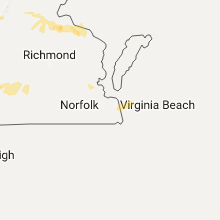


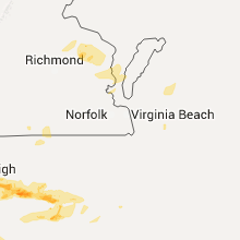
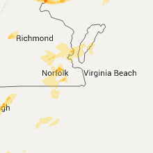


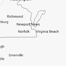

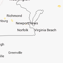


Connect with Interactive Hail Maps