

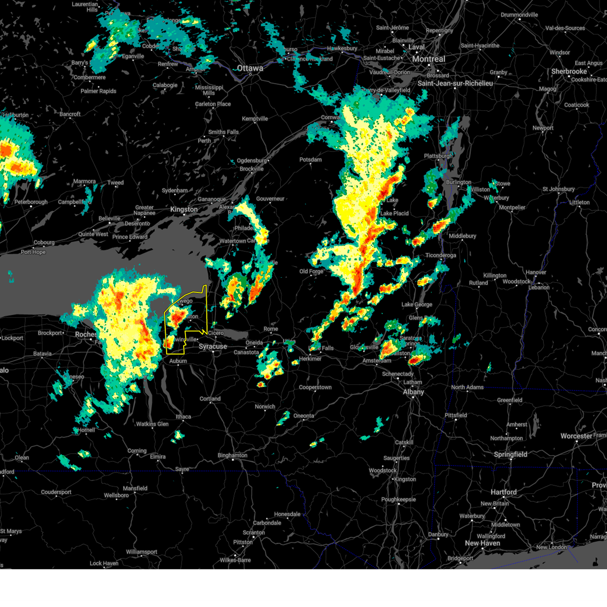
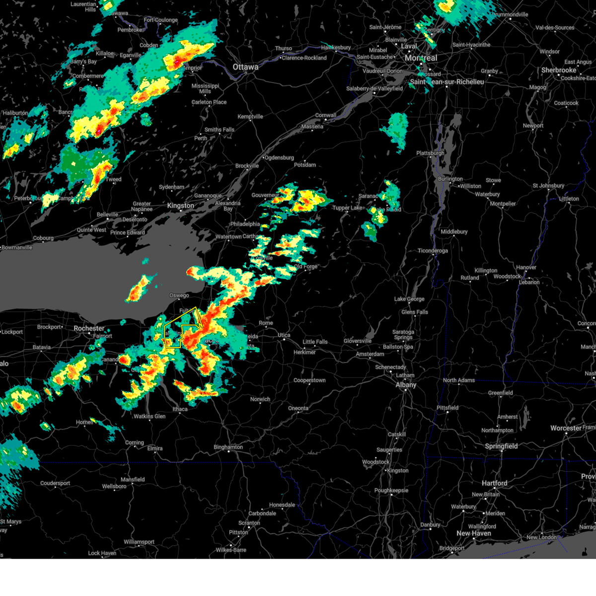
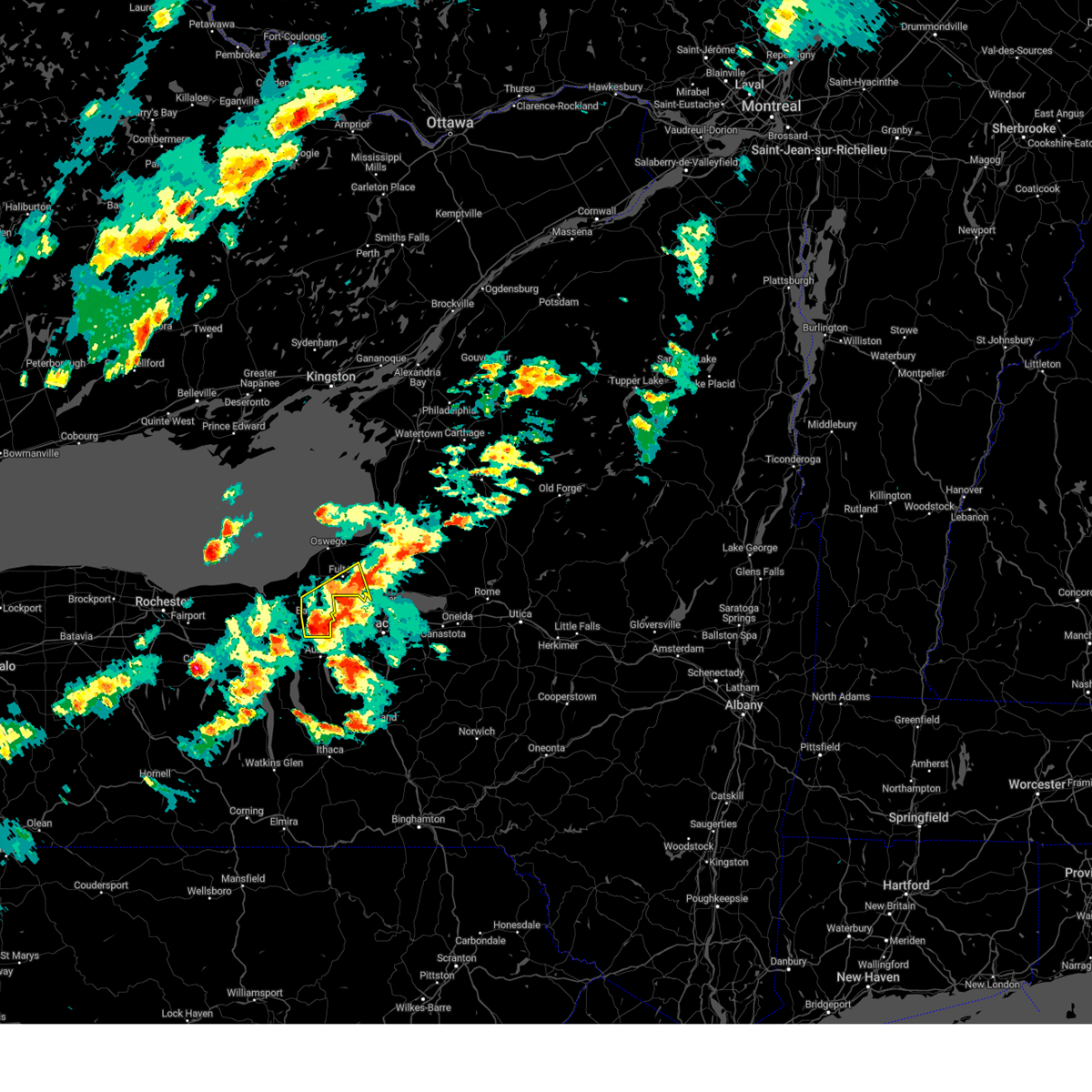
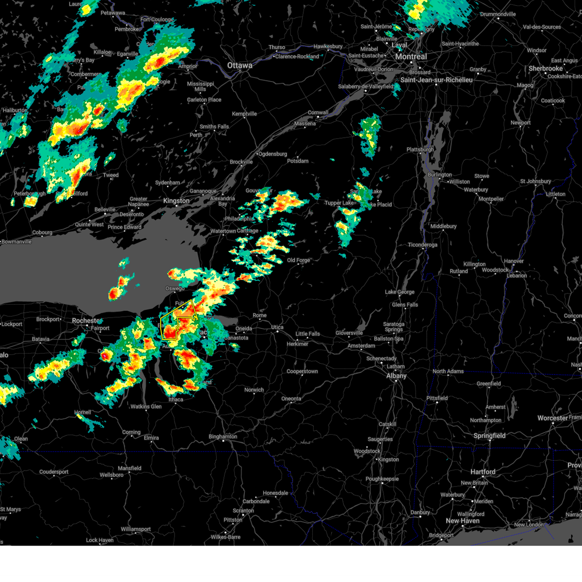
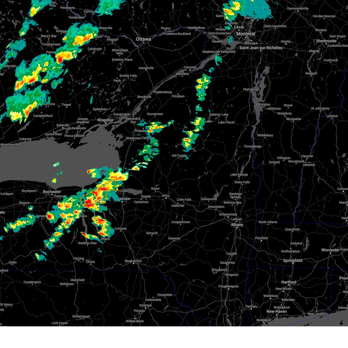
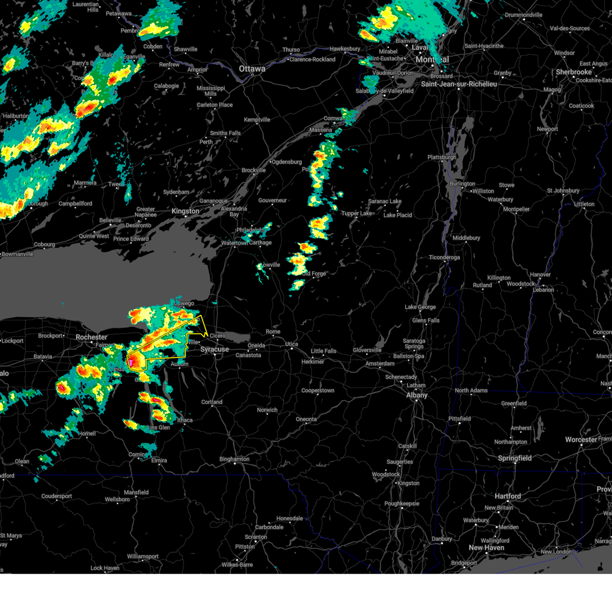
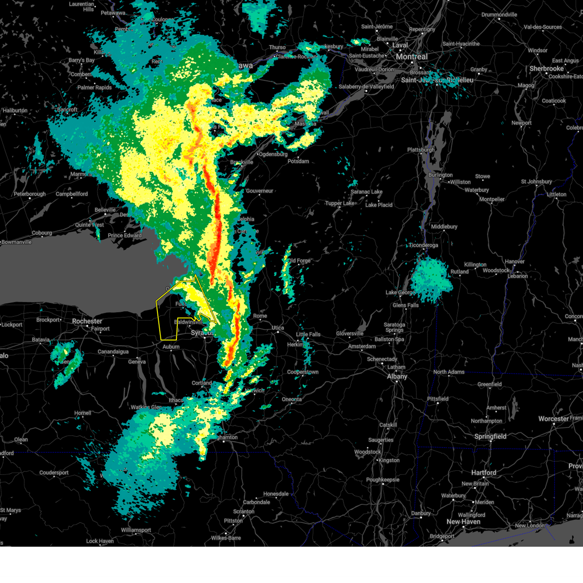
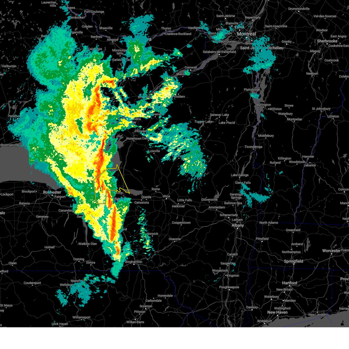
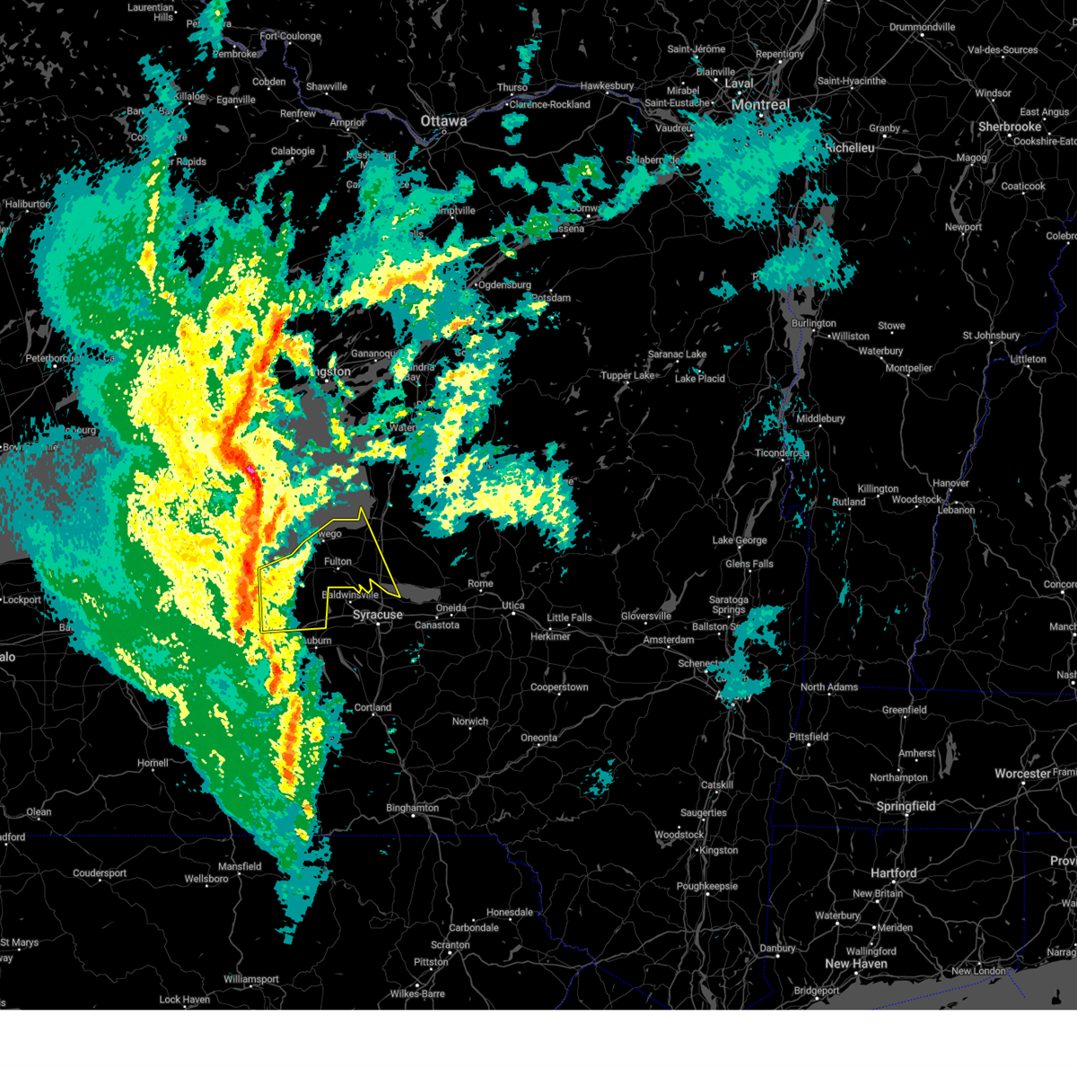
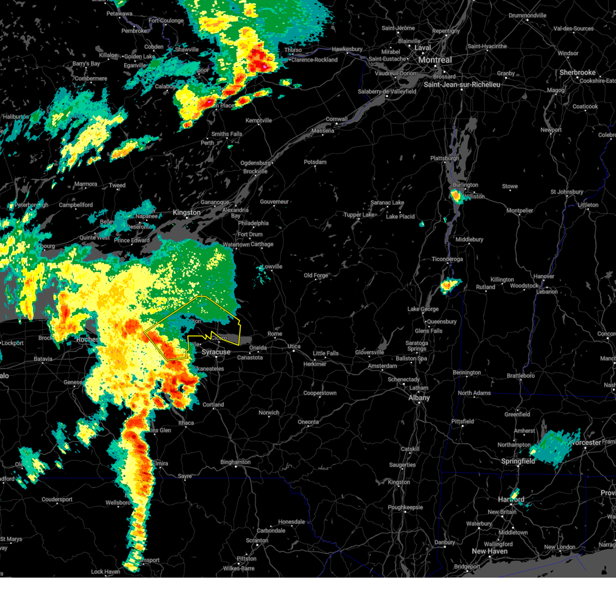
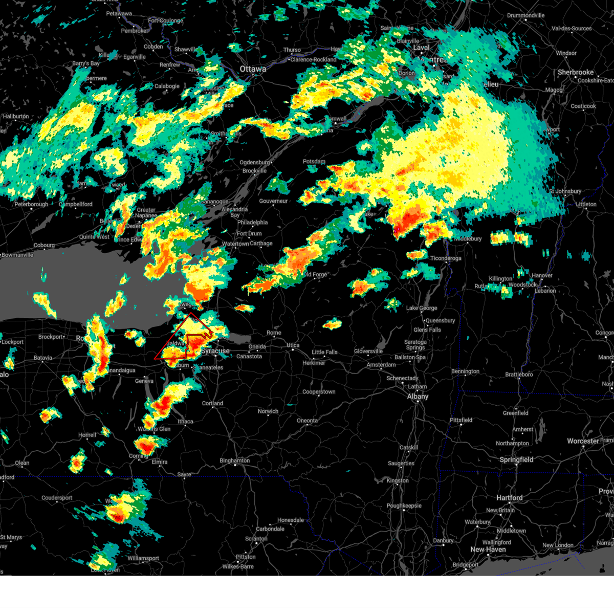
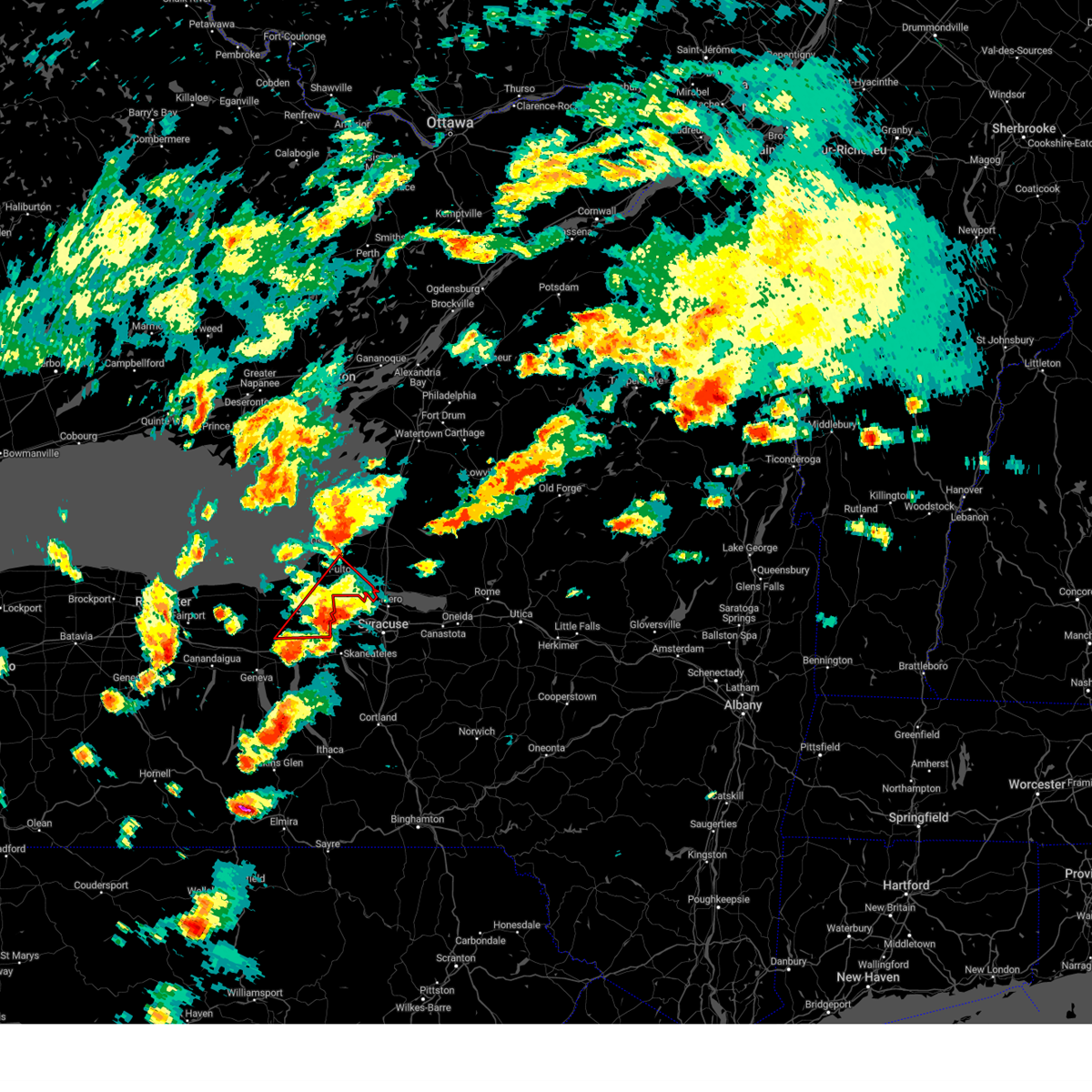
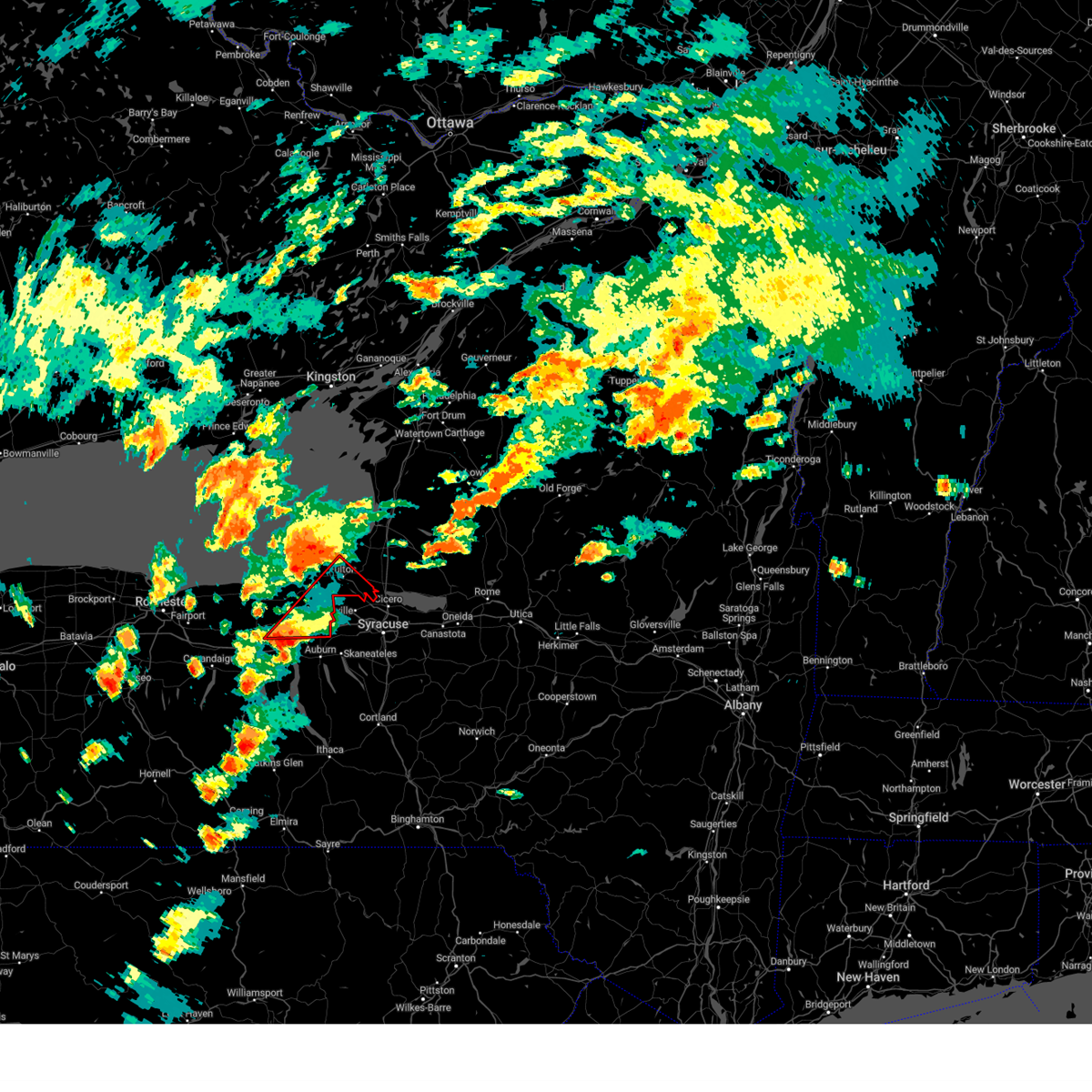
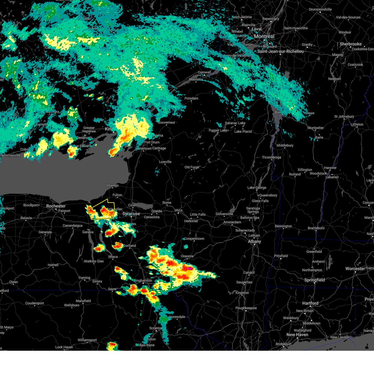
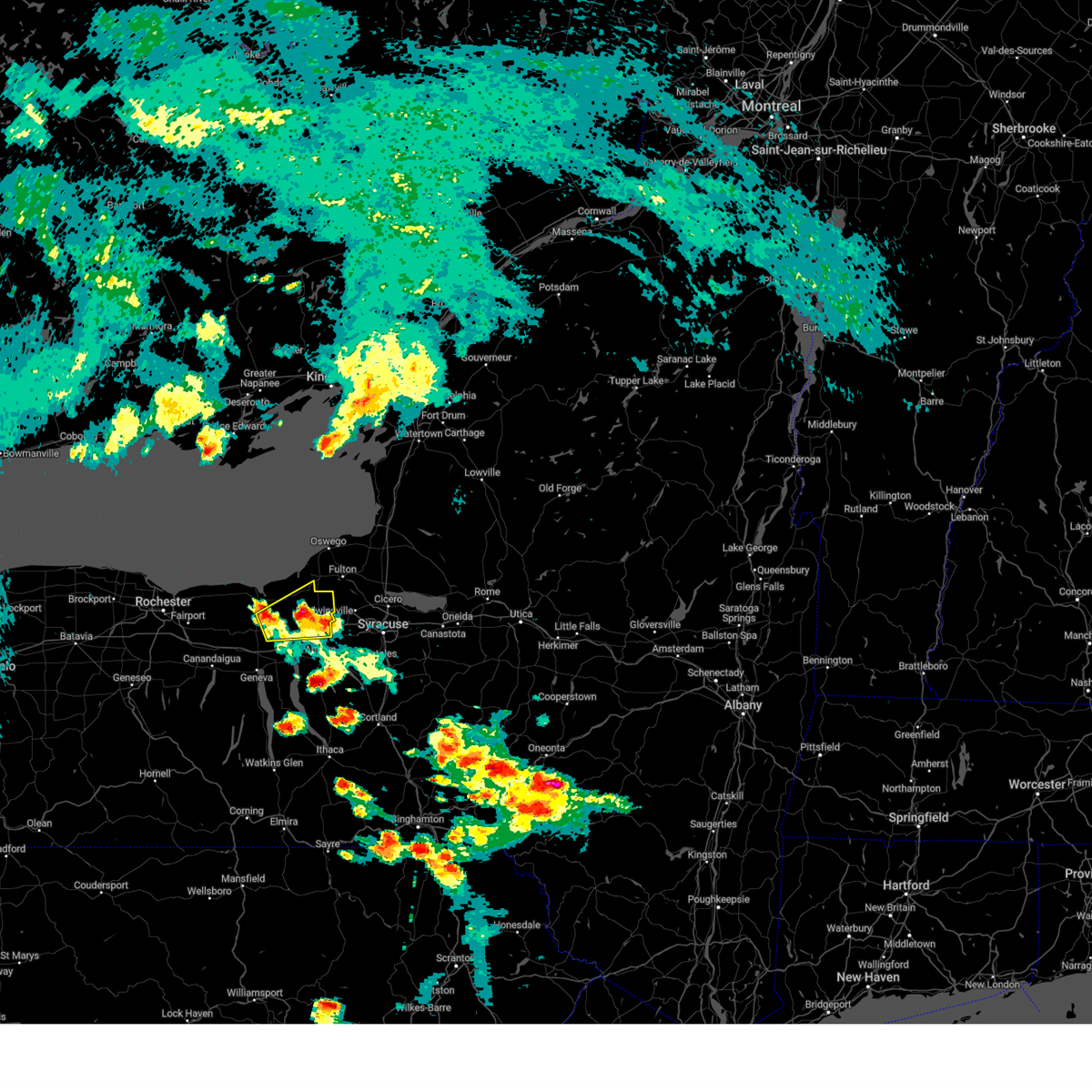
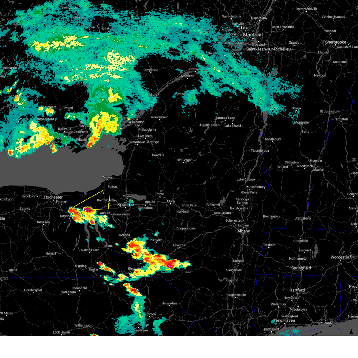
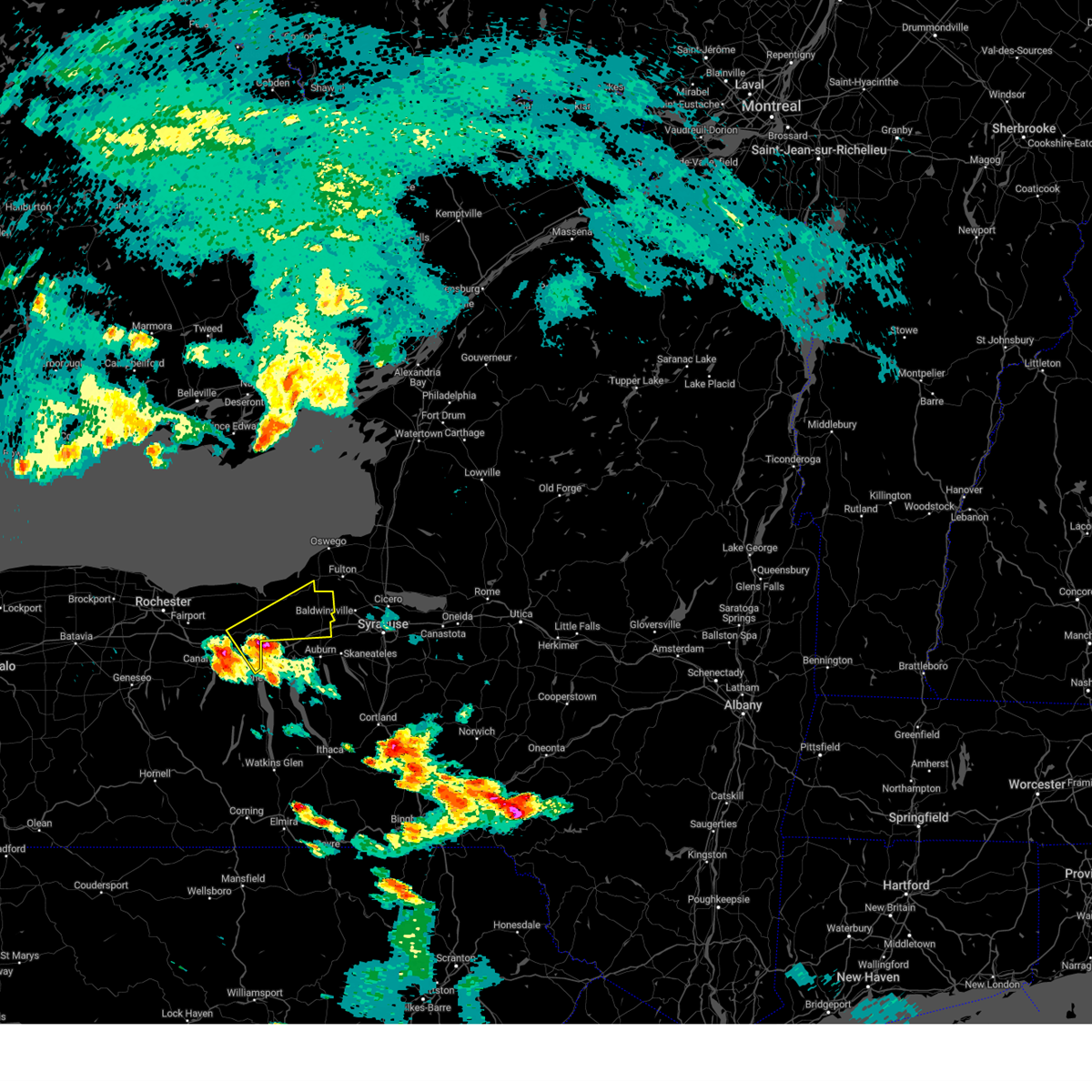
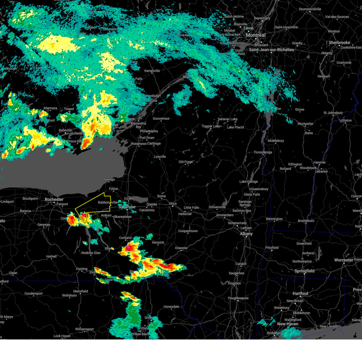
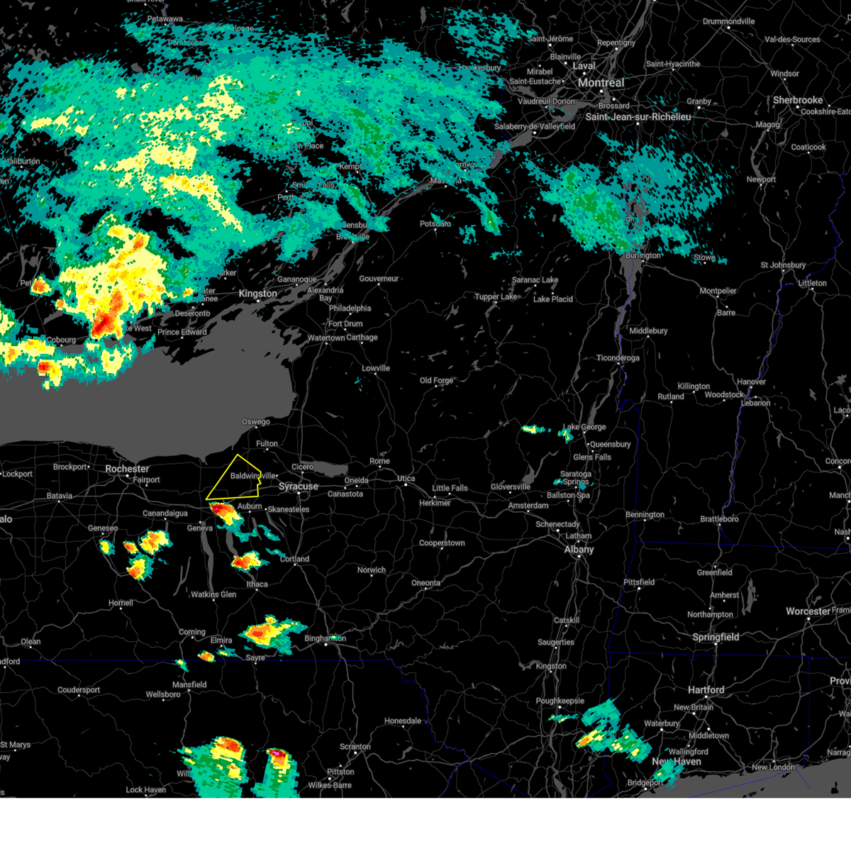
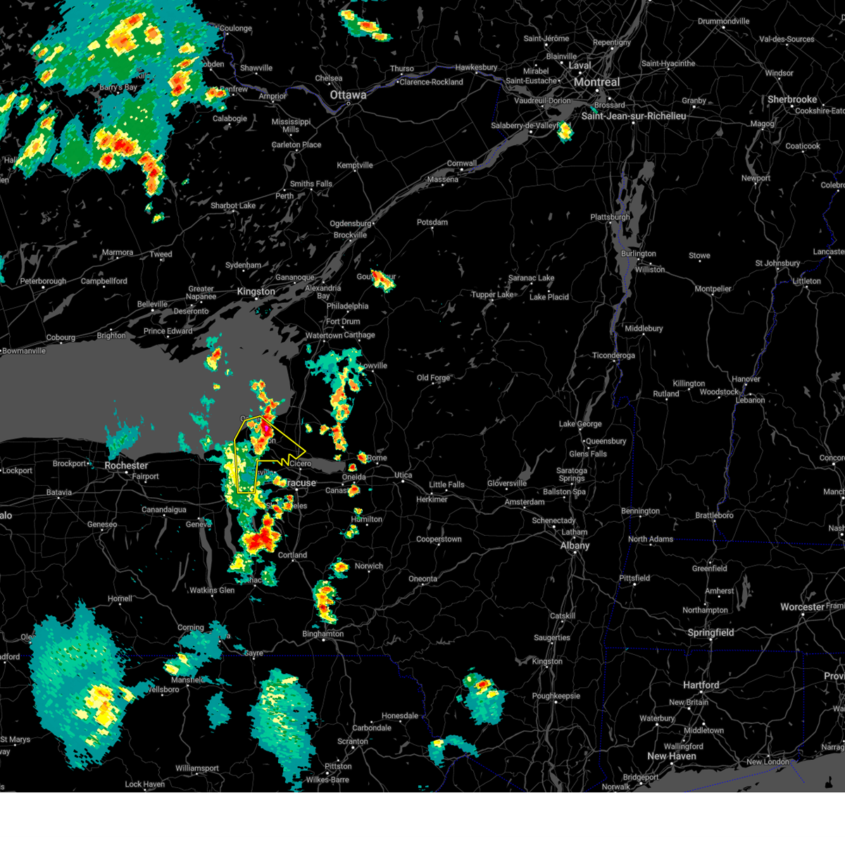
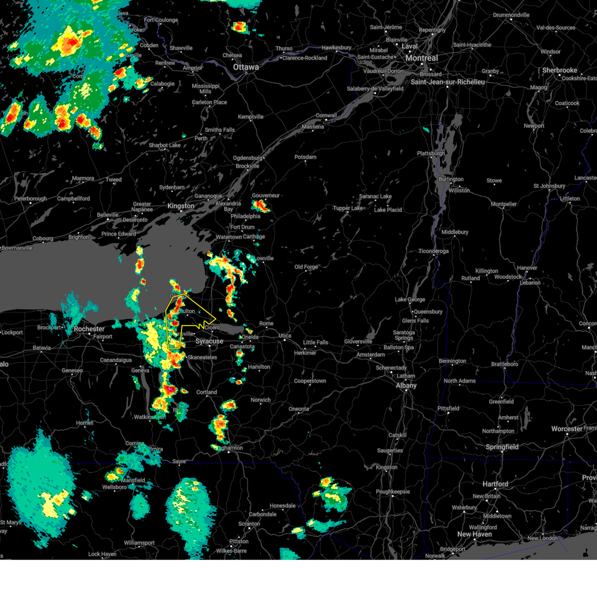
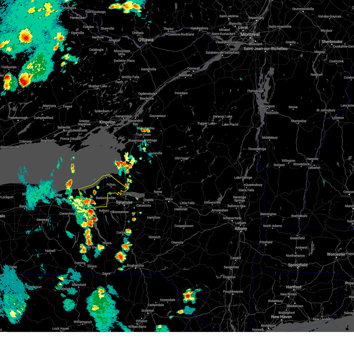
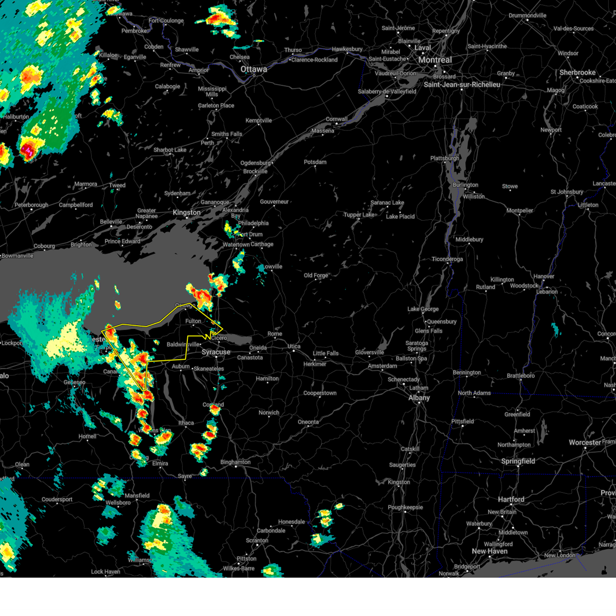
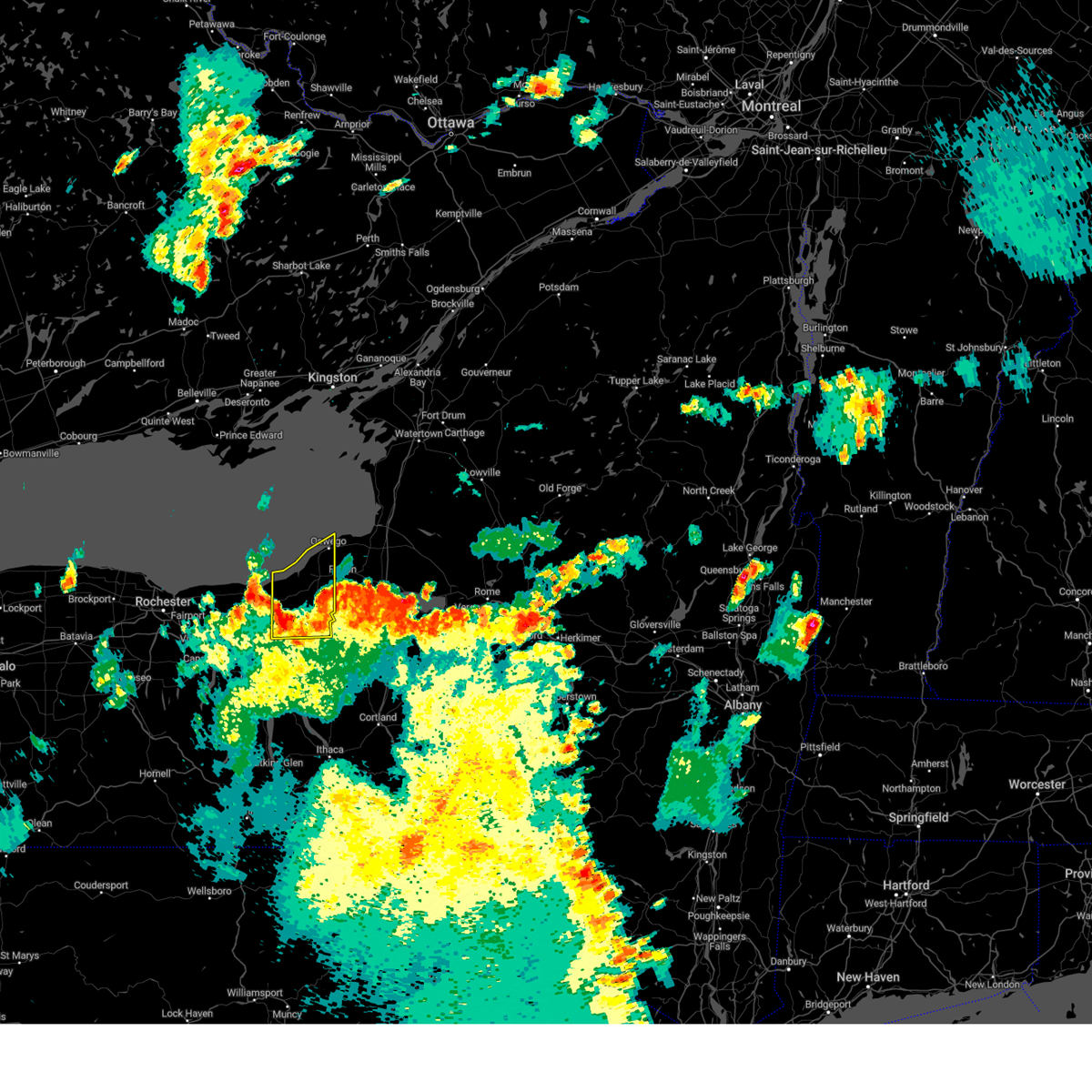
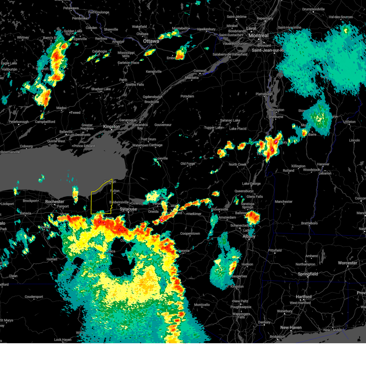
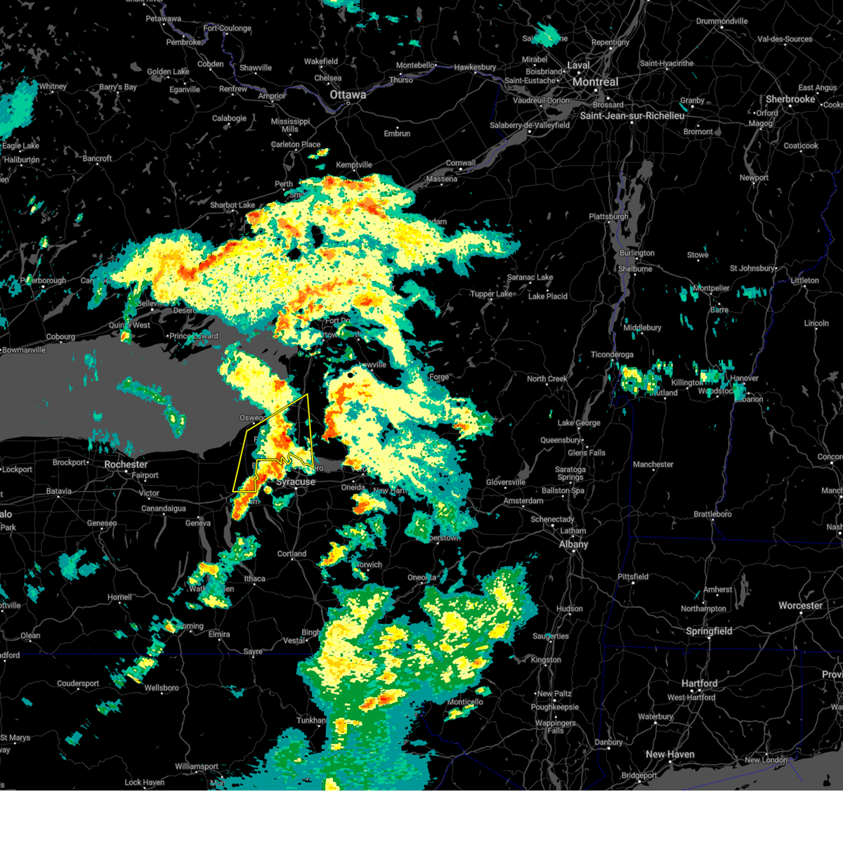
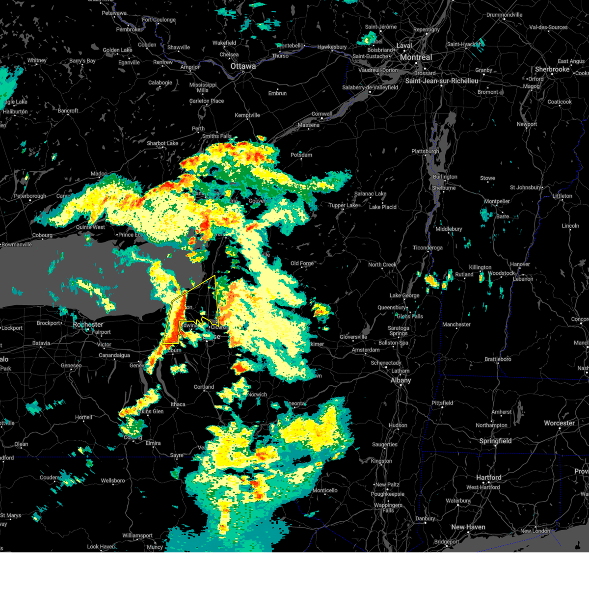
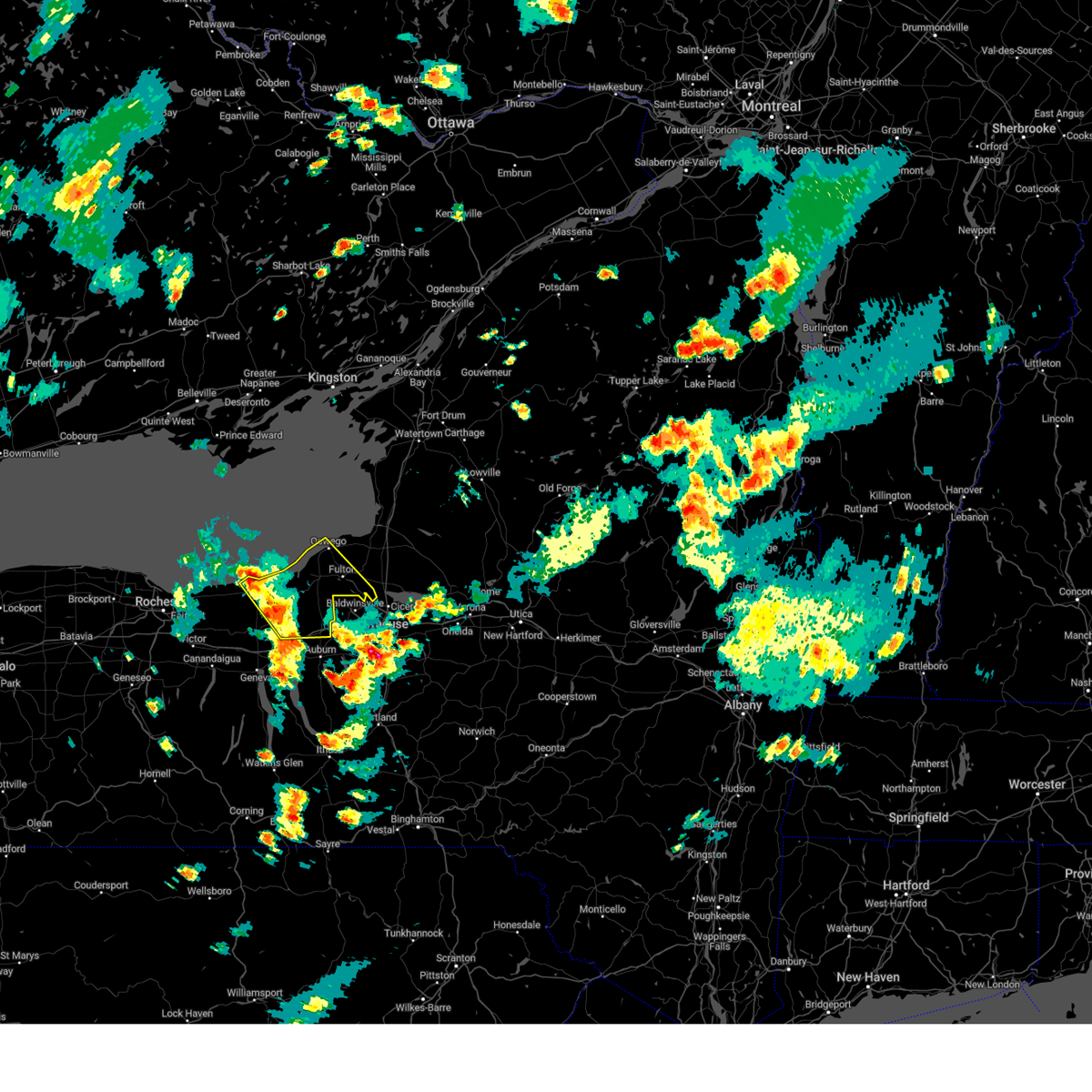
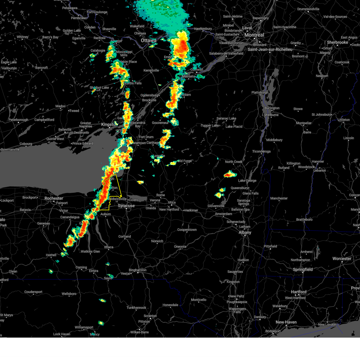
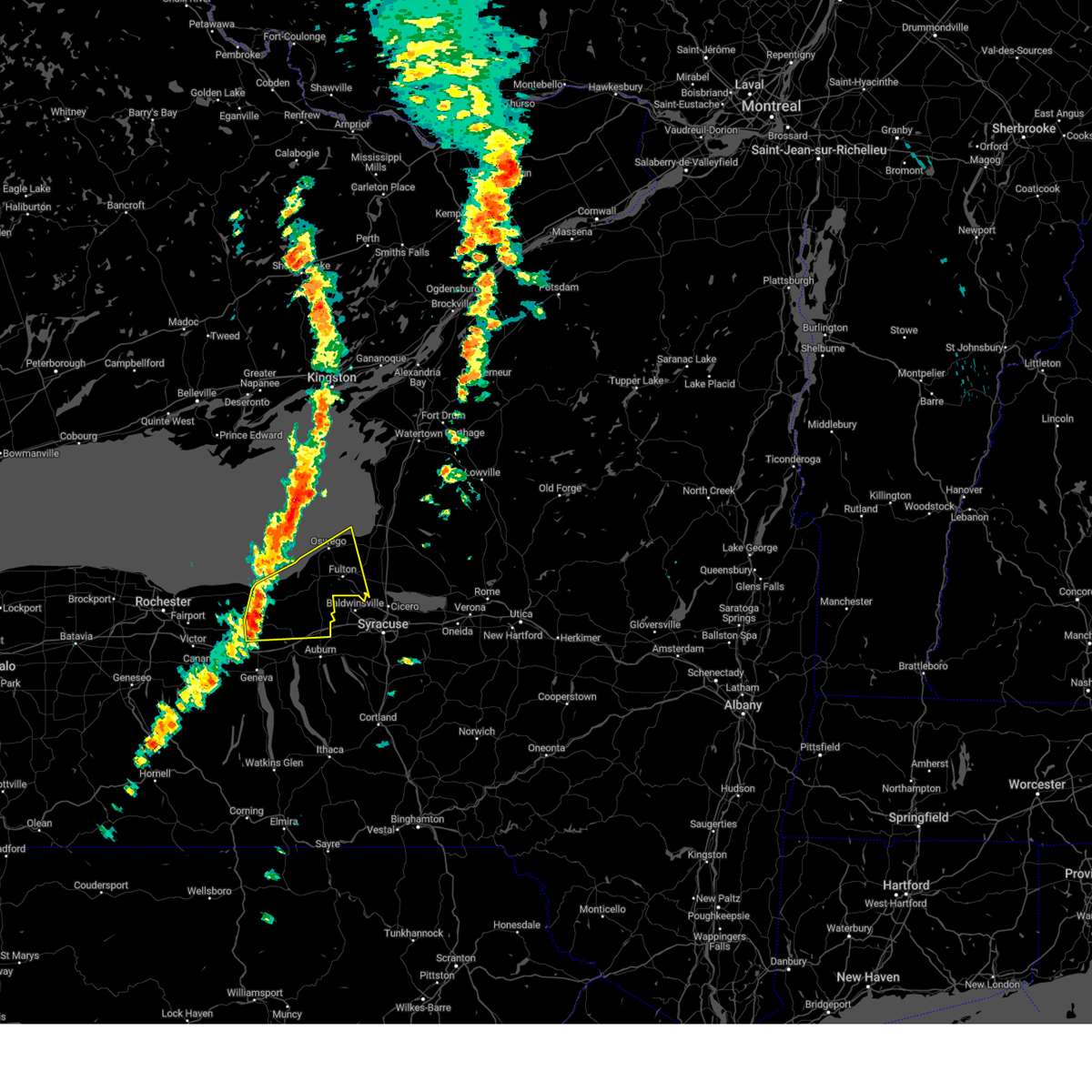
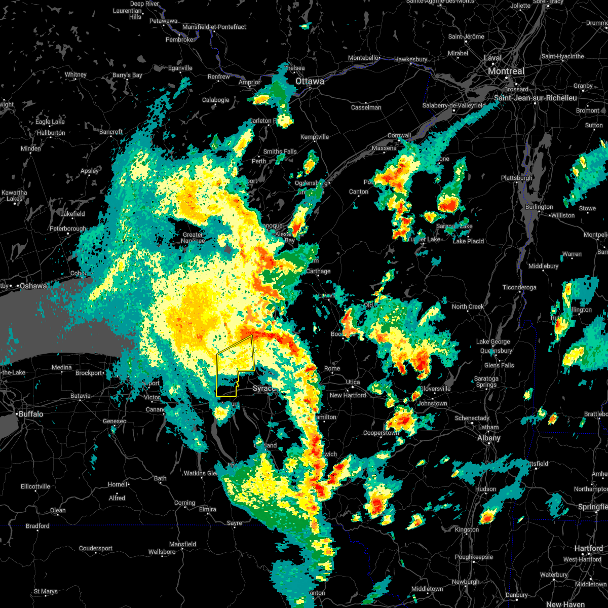
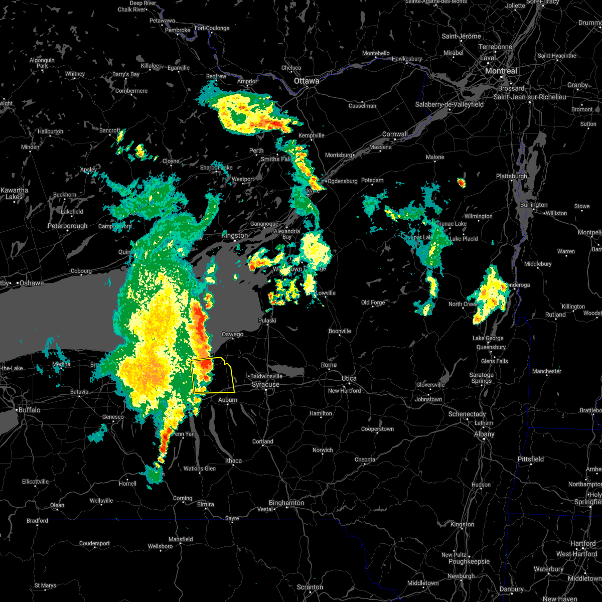
Hail Map for Port Byron, NY
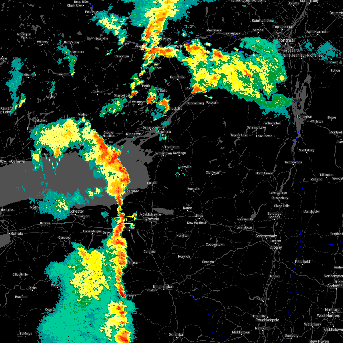
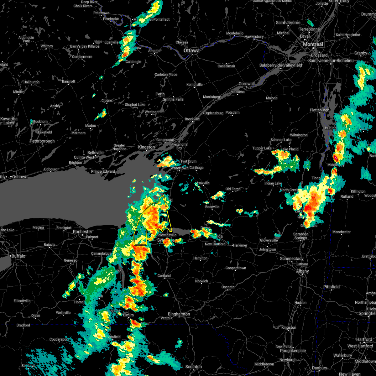
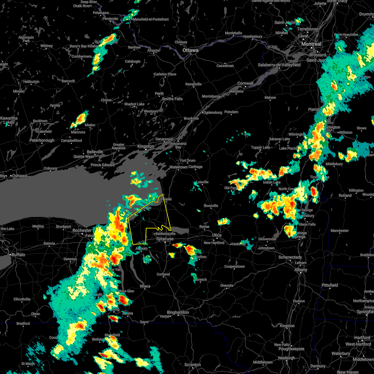
The Port Byron, NY area has had 1 report of on-the-ground hail by trained spotters, and has been under severe weather warnings 27 times during the past 12 months. Doppler radar has detected hail at or near Port Byron, NY on 19 occasions, including 2 occasions during the past year.
| Name: | Port Byron, NY |
| Where Located: | 24.3 miles W of Syracuse, NY |
| Map: | Google Map for Port Byron, NY |
| Population: | 1290 |
| Housing Units: | 537 |
| More Info: | Search Google for Port Byron, NY |
5
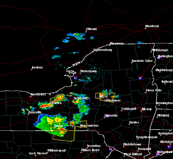
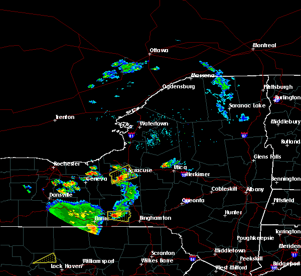
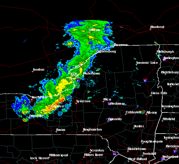
The Top Recent Hail Date for Port Byron, NY is Wednesday, July 10, 2024 (3rd out of 19)

Hail and Wind Damage Spotted near Port Byron, NY
| Date / Time | Report Details |
|---|---|
| 5/17/2025 2:02 PM EDT |
 Svrbuf the national weather service in buffalo has issued a * severe thunderstorm warning for, cayuga county in central new york, southwestern oswego county in central new york, * until 300 pm edt. * at 202 pm edt, severe thunderstorms were located along a line extending from near oswego to near clyde, moving northeast at 35 mph (radar indicated). Hazards include 60 mph wind gusts and nickel size hail. expect damage to roofs, siding, and trees Svrbuf the national weather service in buffalo has issued a * severe thunderstorm warning for, cayuga county in central new york, southwestern oswego county in central new york, * until 300 pm edt. * at 202 pm edt, severe thunderstorms were located along a line extending from near oswego to near clyde, moving northeast at 35 mph (radar indicated). Hazards include 60 mph wind gusts and nickel size hail. expect damage to roofs, siding, and trees
|
| 4/29/2025 7:08 PM EDT | The storms which prompted the warning have weakened below severe limits, and no longer pose an immediate threat to life or property. therefore, the warning will be allowed to expire. a severe thunderstorm watch remains in effect until 1000 pm edt for central new york. |
| 4/29/2025 6:26 PM EDT | Svrbgm the national weather service in binghamton has issued a * severe thunderstorm warning for, seneca county in central new york, northeastern yates county in central new york, cayuga county in central new york, onondaga county in central new york, * until 715 pm edt. * at 626 pm edt, severe thunderstorms were located along a line extending from near camillus to melrose park to union springs to near romulus, moving east at 40 mph (radar indicated). Hazards include 60 mph wind gusts and penny size hail. expect damage to roofs, siding, and trees |
| 4/29/2025 5:20 PM EDT |
 the severe thunderstorm warning has been cancelled and is no longer in effect the severe thunderstorm warning has been cancelled and is no longer in effect
|
| 4/29/2025 5:06 PM EDT |
 the severe thunderstorm warning has been cancelled and is no longer in effect the severe thunderstorm warning has been cancelled and is no longer in effect
|
| 4/29/2025 5:06 PM EDT |
 At 506 pm edt, a severe thunderstorm was located near weedsport, or 10 miles north of auburn, moving east at 55 mph (radar indicated). Hazards include 60 mph wind gusts and quarter size hail. Hail damage to vehicles is expected. expect wind damage to roofs, siding, and trees. locations impacted include, volney, fulton, south hannibal, pennellville, port byron, cato, conquest, phoenix, ira, and weedsport. This includes interstate 90 near exit 40. At 506 pm edt, a severe thunderstorm was located near weedsport, or 10 miles north of auburn, moving east at 55 mph (radar indicated). Hazards include 60 mph wind gusts and quarter size hail. Hail damage to vehicles is expected. expect wind damage to roofs, siding, and trees. locations impacted include, volney, fulton, south hannibal, pennellville, port byron, cato, conquest, phoenix, ira, and weedsport. This includes interstate 90 near exit 40.
|
| 4/29/2025 5:05 PM EDT | Delayed report. multiple trees and wired down in the village of port byron and the town of ment in cayuga county NY, 0.5 miles NW of Port Byron, NY |
| 4/29/2025 5:01 PM EDT | Trees down church street. time estimated from rada in cayuga county NY, 0.4 miles SW of Port Byron, NY |
| 4/29/2025 4:56 PM EDT | Tree down on church street... corrected tim in cayuga county NY, 0.3 miles SE of Port Byron, NY |
| 4/29/2025 4:52 PM EDT |
 the severe thunderstorm warning has been cancelled and is no longer in effect the severe thunderstorm warning has been cancelled and is no longer in effect
|
| 4/29/2025 4:52 PM EDT |
 At 451 pm edt, a severe thunderstorm was located near clyde, or 8 miles north of waterloo, moving east at 55 mph (radar indicated). Hazards include 70 mph wind gusts and quarter size hail. Hail damage to vehicles is expected. expect considerable tree damage. wind damage is also likely to mobile homes, roofs, and outbuildings. locations impacted include, volney, fulton, lyons, south hannibal, savannah, pennellville, cato, conquest, rose, and hinmansville. This includes interstate 90 near exit 40. At 451 pm edt, a severe thunderstorm was located near clyde, or 8 miles north of waterloo, moving east at 55 mph (radar indicated). Hazards include 70 mph wind gusts and quarter size hail. Hail damage to vehicles is expected. expect considerable tree damage. wind damage is also likely to mobile homes, roofs, and outbuildings. locations impacted include, volney, fulton, lyons, south hannibal, savannah, pennellville, cato, conquest, rose, and hinmansville. This includes interstate 90 near exit 40.
|
| 4/29/2025 4:40 PM EDT |
 At 440 pm edt, a severe thunderstorm was located over phelps, or 9 miles northwest of geneva, moving east at 55 mph (radar indicated). Hazards include 70 mph wind gusts and quarter size hail. Hail damage to vehicles is expected. expect considerable tree damage. wind damage is also likely to mobile homes, roofs, and outbuildings. locations impacted include, volney, fulton, lyons, south hannibal, savannah, pennellville, cato, port gibson, conquest, and rose. This includes interstate 90 between exits 40 and 42. At 440 pm edt, a severe thunderstorm was located over phelps, or 9 miles northwest of geneva, moving east at 55 mph (radar indicated). Hazards include 70 mph wind gusts and quarter size hail. Hail damage to vehicles is expected. expect considerable tree damage. wind damage is also likely to mobile homes, roofs, and outbuildings. locations impacted include, volney, fulton, lyons, south hannibal, savannah, pennellville, cato, port gibson, conquest, and rose. This includes interstate 90 between exits 40 and 42.
|
| 4/29/2025 4:31 PM EDT | Svrbuf the national weather service in buffalo has issued a * severe thunderstorm warning for, southeastern wayne county in western new york, cayuga county in central new york, southwestern oswego county in central new york, northeastern ontario county in western new york, * until 530 pm edt. * at 431 pm edt, a severe thunderstorm was located near clifton springs, or near canandaigua, moving east at 55 mph (radar indicated). Hazards include 60 mph wind gusts and quarter size hail. Hail damage to vehicles is expected. Expect wind damage to roofs, siding, and trees. |
| 3/16/2025 5:18 PM EDT |
 the severe thunderstorm warning has been cancelled and is no longer in effect the severe thunderstorm warning has been cancelled and is no longer in effect
|
| 3/16/2025 4:47 PM EDT |
 At 446 pm edt, a severe thunderstorm was located near fair haven beach state park, moving east at 45 mph (radar indicated). Hazards include 60 mph wind gusts. Expect damage to roofs, siding, and trees. locations impacted include, volney, fulton, sterling, south hannibal, pennellville, central square, fruit valley, fair haven beach state park, granby center, and palermo. this includes the following highways, interstate 90 near exit 40. Interstate 81 near exit 32. At 446 pm edt, a severe thunderstorm was located near fair haven beach state park, moving east at 45 mph (radar indicated). Hazards include 60 mph wind gusts. Expect damage to roofs, siding, and trees. locations impacted include, volney, fulton, sterling, south hannibal, pennellville, central square, fruit valley, fair haven beach state park, granby center, and palermo. this includes the following highways, interstate 90 near exit 40. Interstate 81 near exit 32.
|
| 3/16/2025 4:24 PM EDT |
 Svrbuf the national weather service in buffalo has issued a * severe thunderstorm warning for, eastern wayne county in western new york, cayuga county in central new york, southwestern oswego county in central new york, * until 530 pm edt. * at 424 pm edt, a severe thunderstorm was located near chimney bluffs state park, or 16 miles southwest of fair haven beach state park, moving east at 45 mph (radar indicated). Hazards include 60 mph wind gusts. expect damage to roofs, siding, and trees Svrbuf the national weather service in buffalo has issued a * severe thunderstorm warning for, eastern wayne county in western new york, cayuga county in central new york, southwestern oswego county in central new york, * until 530 pm edt. * at 424 pm edt, a severe thunderstorm was located near chimney bluffs state park, or 16 miles southwest of fair haven beach state park, moving east at 45 mph (radar indicated). Hazards include 60 mph wind gusts. expect damage to roofs, siding, and trees
|
| 7/16/2024 2:14 PM EDT |
 Svrbuf the national weather service in buffalo has issued a * severe thunderstorm warning for, southeastern wayne county in western new york, cayuga county in central new york, oswego county in central new york, * until 330 pm edt. * at 213 pm edt, severe thunderstorms were located along a line extending from near oswego to near weedsport, moving east at 30 mph (radar indicated). Hazards include 70 mph wind gusts and ping pong ball size hail. People and animals outdoors will be injured. expect hail damage to roofs, siding, windows, and vehicles. expect considerable tree damage. Wind damage is also likely to mobile homes, roofs, and outbuildings. Svrbuf the national weather service in buffalo has issued a * severe thunderstorm warning for, southeastern wayne county in western new york, cayuga county in central new york, oswego county in central new york, * until 330 pm edt. * at 213 pm edt, severe thunderstorms were located along a line extending from near oswego to near weedsport, moving east at 30 mph (radar indicated). Hazards include 70 mph wind gusts and ping pong ball size hail. People and animals outdoors will be injured. expect hail damage to roofs, siding, windows, and vehicles. expect considerable tree damage. Wind damage is also likely to mobile homes, roofs, and outbuildings.
|
| 7/16/2024 1:56 PM EDT |
 At 155 pm edt, severe thunderstorms were located along a line extending from 6 miles northwest of fair haven beach state park to clyde, moving northeast at 25 mph (radar indicated). Hazards include 70 mph wind gusts and ping pong ball size hail. People and animals outdoors will be injured. expect hail damage to roofs, siding, windows, and vehicles. expect considerable tree damage. wind damage is also likely to mobile homes, roofs, and outbuildings. locations impacted include, oswego, fulton, fair haven beach state park, lyons, clyde, central square, weedsport, cato, chimney bluffs state park, and mexico point state park. this includes the following highways, interstate 90 near exit 40. Interstate 81 between exits 32 and 35. At 155 pm edt, severe thunderstorms were located along a line extending from 6 miles northwest of fair haven beach state park to clyde, moving northeast at 25 mph (radar indicated). Hazards include 70 mph wind gusts and ping pong ball size hail. People and animals outdoors will be injured. expect hail damage to roofs, siding, windows, and vehicles. expect considerable tree damage. wind damage is also likely to mobile homes, roofs, and outbuildings. locations impacted include, oswego, fulton, fair haven beach state park, lyons, clyde, central square, weedsport, cato, chimney bluffs state park, and mexico point state park. this includes the following highways, interstate 90 near exit 40. Interstate 81 between exits 32 and 35.
|
| 7/16/2024 1:56 PM EDT |
 the severe thunderstorm warning has been cancelled and is no longer in effect the severe thunderstorm warning has been cancelled and is no longer in effect
|
| 7/16/2024 1:19 PM EDT |
 Svrbuf the national weather service in buffalo has issued a * severe thunderstorm warning for, southeastern wayne county in western new york, cayuga county in central new york, oswego county in central new york, northeastern ontario county in western new york, * until 230 pm edt. * at 118 pm edt, severe thunderstorms were located along a line extending from 8 miles northwest of chimney bluffs state park to near newark, moving northeast at 30 mph (radar indicated). Hazards include 60 mph wind gusts. expect damage to roofs, siding, and trees Svrbuf the national weather service in buffalo has issued a * severe thunderstorm warning for, southeastern wayne county in western new york, cayuga county in central new york, oswego county in central new york, northeastern ontario county in western new york, * until 230 pm edt. * at 118 pm edt, severe thunderstorms were located along a line extending from 8 miles northwest of chimney bluffs state park to near newark, moving northeast at 30 mph (radar indicated). Hazards include 60 mph wind gusts. expect damage to roofs, siding, and trees
|
| 7/15/2024 6:44 PM EDT |
 The storms which prompted the warning have weakened below severe limits, and have exited the warned area. therefore, the warning will be allowed to expire. a severe thunderstorm watch remains in effect until 900 pm edt for central new york. to report severe weather, contact your nearest law enforcement agency. they will relay your report to the national weather service buffalo. The storms which prompted the warning have weakened below severe limits, and have exited the warned area. therefore, the warning will be allowed to expire. a severe thunderstorm watch remains in effect until 900 pm edt for central new york. to report severe weather, contact your nearest law enforcement agency. they will relay your report to the national weather service buffalo.
|
| 7/15/2024 6:05 PM EDT | the severe thunderstorm warning has been cancelled and is no longer in effect |
| 7/15/2024 6:05 PM EDT | At 604 pm edt, severe thunderstorms were located along a line extending from near fair haven beach state park to lysander, moving northeast at 40 mph (radar indicated). Hazards include 70 mph wind gusts. Expect considerable tree damage. damage is likely to mobile homes, roofs, and outbuildings. locations impacted include, oswego, fulton, fair haven beach state park, central square, weedsport, cato, mexico point state park, nine mile point, battle island state park, and brewerton. this includes the following highways, interstate 90 near exit 40. Interstate 81 between exits 32 and 34. |
| 7/15/2024 5:51 PM EDT | Trees and wires down in the town of port byro in cayuga county NY, 0.3 miles SE of Port Byron, NY |
| 7/15/2024 5:48 PM EDT | Trees and wires down in the town of conques in cayuga county NY, 5.9 miles SSE of Port Byron, NY |
| 7/15/2024 5:42 PM EDT |
 Svrbuf the national weather service in buffalo has issued a * severe thunderstorm warning for, northeastern wayne county in western new york, cayuga county in central new york, oswego county in central new york, * until 645 pm edt. * at 542 pm edt, severe thunderstorms were located along a line extending from 6 miles southeast of chimney bluffs state park to near montezuma, moving northeast at 45 mph (radar indicated). Hazards include 60 mph wind gusts. expect damage to roofs, siding, and trees Svrbuf the national weather service in buffalo has issued a * severe thunderstorm warning for, northeastern wayne county in western new york, cayuga county in central new york, oswego county in central new york, * until 645 pm edt. * at 542 pm edt, severe thunderstorms were located along a line extending from 6 miles southeast of chimney bluffs state park to near montezuma, moving northeast at 45 mph (radar indicated). Hazards include 60 mph wind gusts. expect damage to roofs, siding, and trees
|
| 7/15/2024 5:20 PM EDT | At 520 pm edt, a severe thunderstorm was located near lyons, or 8 miles northwest of waterloo, moving northeast at 40 mph (radar indicated). Hazards include 70 mph wind gusts and nickel size hail. Expect considerable tree damage. damage is likely to mobile homes, roofs, and outbuildings. locations impacted include, geneva, newark, lyons, clifton springs, clyde, phelps, weedsport, cato, sterling, and rose. This includes interstate 90 between exits 40 and 42. |
| 7/15/2024 4:51 PM EDT |
 Svrbuf the national weather service in buffalo has issued a * severe thunderstorm warning for, southeastern wayne county in western new york, cayuga county in central new york, southwestern oswego county in central new york, northeastern ontario county in western new york, * until 545 pm edt. * at 450 pm edt, a severe thunderstorm was located over canandaigua, moving east at 45 mph (radar indicated). Hazards include 70 mph wind gusts and nickel size hail. Expect considerable tree damage. Damage is likely to mobile homes, roofs, and outbuildings. Svrbuf the national weather service in buffalo has issued a * severe thunderstorm warning for, southeastern wayne county in western new york, cayuga county in central new york, southwestern oswego county in central new york, northeastern ontario county in western new york, * until 545 pm edt. * at 450 pm edt, a severe thunderstorm was located over canandaigua, moving east at 45 mph (radar indicated). Hazards include 70 mph wind gusts and nickel size hail. Expect considerable tree damage. Damage is likely to mobile homes, roofs, and outbuildings.
|
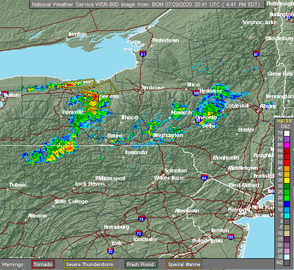
| 7/10/2024 3:59 PM EDT |
 The storm which prompted the warning has moved out of the area. therefore, the warning will be allowed to expire. a tornado watch remains in effect until 900 pm edt for central and western new york. to report severe weather, contact your nearest law enforcement agency. they will relay your report to the national weather service buffalo. The storm which prompted the warning has moved out of the area. therefore, the warning will be allowed to expire. a tornado watch remains in effect until 900 pm edt for central and western new york. to report severe weather, contact your nearest law enforcement agency. they will relay your report to the national weather service buffalo.
|
| 7/10/2024 3:45 PM EDT |
 At 344 pm edt, a severe thunderstorm capable of producing a tornado was located over weedsport, or 10 miles north of auburn, moving northeast at 40 mph (radar indicated rotation). Hazards include tornado. Flying debris will be dangerous to those caught without shelter. mobile homes will be damaged or destroyed. damage to roofs, windows, and vehicles will occur. tree damage is likely. locations impacted include, fulton, weedsport, cato, battle island state park, volney, phoenix, ira, conquest, savannah, and port byron. This includes interstate 90 near exit 40. At 344 pm edt, a severe thunderstorm capable of producing a tornado was located over weedsport, or 10 miles north of auburn, moving northeast at 40 mph (radar indicated rotation). Hazards include tornado. Flying debris will be dangerous to those caught without shelter. mobile homes will be damaged or destroyed. damage to roofs, windows, and vehicles will occur. tree damage is likely. locations impacted include, fulton, weedsport, cato, battle island state park, volney, phoenix, ira, conquest, savannah, and port byron. This includes interstate 90 near exit 40.
|
| 7/10/2024 3:41 PM EDT |
 Torbgm the national weather service in binghamton has issued a * tornado warning for, north central cayuga county in central new york, northwestern onondaga county in central new york, * until 415 pm edt. * at 341 pm edt, a severe thunderstorm capable of producing a tornado was located over sennett, or near auburn, moving east at 35 mph (radar indicated rotation). Hazards include tornado. Flying debris will be dangerous to those caught without shelter. mobile homes will be damaged or destroyed. damage to roofs, windows, and vehicles will occur. tree damage is likely. this dangerous storm will be near, jordan around 345 pm edt. camillus around 350 pm edt. liverpool, new york state fairgrounds, and galeville around 400 pm edt. Syracuse around 405 pm edt. Torbgm the national weather service in binghamton has issued a * tornado warning for, north central cayuga county in central new york, northwestern onondaga county in central new york, * until 415 pm edt. * at 341 pm edt, a severe thunderstorm capable of producing a tornado was located over sennett, or near auburn, moving east at 35 mph (radar indicated rotation). Hazards include tornado. Flying debris will be dangerous to those caught without shelter. mobile homes will be damaged or destroyed. damage to roofs, windows, and vehicles will occur. tree damage is likely. this dangerous storm will be near, jordan around 345 pm edt. camillus around 350 pm edt. liverpool, new york state fairgrounds, and galeville around 400 pm edt. Syracuse around 405 pm edt.
|
| 7/10/2024 3:20 PM EDT |
 Torbuf the national weather service in buffalo has issued a * tornado warning for, southeastern wayne county in western new york, cayuga county in central new york, southwestern oswego county in central new york, * until 400 pm edt. * at 320 pm edt, a severe thunderstorm capable of producing a tornado was located near montezuma, or near seneca falls, moving northeast at 45 mph (radar indicated rotation). Hazards include tornado. Flying debris will be dangerous to those caught without shelter. mobile homes will be damaged or destroyed. damage to roofs, windows, and vehicles will occur. Tree damage is likely. Torbuf the national weather service in buffalo has issued a * tornado warning for, southeastern wayne county in western new york, cayuga county in central new york, southwestern oswego county in central new york, * until 400 pm edt. * at 320 pm edt, a severe thunderstorm capable of producing a tornado was located near montezuma, or near seneca falls, moving northeast at 45 mph (radar indicated rotation). Hazards include tornado. Flying debris will be dangerous to those caught without shelter. mobile homes will be damaged or destroyed. damage to roofs, windows, and vehicles will occur. Tree damage is likely.
|
| 6/22/2024 8:26 PM EDT |
 the severe thunderstorm warning has been cancelled and is no longer in effect the severe thunderstorm warning has been cancelled and is no longer in effect
|
| 6/22/2024 8:26 PM EDT |
 At 825 pm edt, a severe thunderstorm was located near cato, or 12 miles north of auburn, moving northeast at 30 mph (law enforcement). Hazards include 60 mph wind gusts and half dollar size hail. Hail damage to vehicles is expected. expect wind damage to roofs, siding, and trees. locations impacted include, clyde, weedsport, cato, rose, ira, conquest, savannah, wolcott, port byron, and red creek. This includes interstate 90 near exit 40. At 825 pm edt, a severe thunderstorm was located near cato, or 12 miles north of auburn, moving northeast at 30 mph (law enforcement). Hazards include 60 mph wind gusts and half dollar size hail. Hail damage to vehicles is expected. expect wind damage to roofs, siding, and trees. locations impacted include, clyde, weedsport, cato, rose, ira, conquest, savannah, wolcott, port byron, and red creek. This includes interstate 90 near exit 40.
|
| 6/22/2024 8:22 PM EDT | Multiple trees down in the town of conques in cayuga county NY, 5.9 miles SSE of Port Byron, NY |
| 6/22/2024 8:03 PM EDT |
 At 802 pm edt, a severe thunderstorm was located near clyde, or 8 miles north of seneca falls, moving northeast at 30 mph (law enforcement). Hazards include two inch hail and 70 mph wind gusts. People and animals outdoors will be injured. expect hail damage to roofs, siding, windows, and vehicles. expect considerable tree damage. wind damage is also likely to mobile homes, roofs, and outbuildings. locations impacted include, geneva, newark, lyons, clyde, phelps, weedsport, cato, rose, ira, and conquest. This includes interstate 90 between exits 40 and 42. At 802 pm edt, a severe thunderstorm was located near clyde, or 8 miles north of seneca falls, moving northeast at 30 mph (law enforcement). Hazards include two inch hail and 70 mph wind gusts. People and animals outdoors will be injured. expect hail damage to roofs, siding, windows, and vehicles. expect considerable tree damage. wind damage is also likely to mobile homes, roofs, and outbuildings. locations impacted include, geneva, newark, lyons, clyde, phelps, weedsport, cato, rose, ira, and conquest. This includes interstate 90 between exits 40 and 42.
|
| 6/22/2024 7:52 PM EDT |
 At 751 pm edt, a severe thunderstorm was located near lyons, or near waterloo, moving northeast at 30 mph (radar indicated). Hazards include golf ball size hail and 70 mph wind gusts. People and animals outdoors will be injured. expect hail damage to roofs, siding, windows, and vehicles. expect considerable tree damage. wind damage is also likely to mobile homes, roofs, and outbuildings. locations impacted include, geneva, newark, lyons, clyde, phelps, weedsport, cato, rose, ira, and conquest. This includes interstate 90 between exits 40 and 42. At 751 pm edt, a severe thunderstorm was located near lyons, or near waterloo, moving northeast at 30 mph (radar indicated). Hazards include golf ball size hail and 70 mph wind gusts. People and animals outdoors will be injured. expect hail damage to roofs, siding, windows, and vehicles. expect considerable tree damage. wind damage is also likely to mobile homes, roofs, and outbuildings. locations impacted include, geneva, newark, lyons, clyde, phelps, weedsport, cato, rose, ira, and conquest. This includes interstate 90 between exits 40 and 42.
|
| 6/22/2024 7:45 PM EDT |
 Svrbuf the national weather service in buffalo has issued a * severe thunderstorm warning for, southeastern wayne county in western new york, cayuga county in central new york, northeastern ontario county in western new york, * until 845 pm edt. * at 745 pm edt, a severe thunderstorm was located near phelps, or 7 miles northwest of waterloo, moving northeast at 30 mph (radar indicated). Hazards include 60 mph wind gusts and quarter size hail. Hail damage to vehicles is expected. Expect wind damage to roofs, siding, and trees. Svrbuf the national weather service in buffalo has issued a * severe thunderstorm warning for, southeastern wayne county in western new york, cayuga county in central new york, northeastern ontario county in western new york, * until 845 pm edt. * at 745 pm edt, a severe thunderstorm was located near phelps, or 7 miles northwest of waterloo, moving northeast at 30 mph (radar indicated). Hazards include 60 mph wind gusts and quarter size hail. Hail damage to vehicles is expected. Expect wind damage to roofs, siding, and trees.
|
| 6/22/2024 7:25 PM EDT |
 The storm which prompted the warning has weakened below severe limits, and has exited the warned area. therefore, the warning will be allowed to expire. The storm which prompted the warning has weakened below severe limits, and has exited the warned area. therefore, the warning will be allowed to expire.
|
| 6/22/2024 7:13 PM EDT |
 the severe thunderstorm warning has been cancelled and is no longer in effect the severe thunderstorm warning has been cancelled and is no longer in effect
|
| 6/22/2024 7:13 PM EDT |
 At 713 pm edt, a severe thunderstorm was located over weedsport, or 9 miles north of auburn, moving northeast at 25 mph (radar indicated). Hazards include 60 mph wind gusts and penny size hail. Expect damage to roofs, siding, and trees. locations impacted include, weedsport, port byron, and meridian. This includes interstate 90 near exit 40. At 713 pm edt, a severe thunderstorm was located over weedsport, or 9 miles north of auburn, moving northeast at 25 mph (radar indicated). Hazards include 60 mph wind gusts and penny size hail. Expect damage to roofs, siding, and trees. locations impacted include, weedsport, port byron, and meridian. This includes interstate 90 near exit 40.
|
| 6/22/2024 6:38 PM EDT |
 Svrbuf the national weather service in buffalo has issued a * severe thunderstorm warning for, southeastern wayne county in western new york, cayuga county in central new york, * until 730 pm edt. * at 637 pm edt, a severe thunderstorm was located near lehigh valley junction, or near seneca falls, moving northeast at 25 mph (radar indicated). Hazards include 60 mph wind gusts and quarter size hail. Hail damage to vehicles is expected. Expect wind damage to roofs, siding, and trees. Svrbuf the national weather service in buffalo has issued a * severe thunderstorm warning for, southeastern wayne county in western new york, cayuga county in central new york, * until 730 pm edt. * at 637 pm edt, a severe thunderstorm was located near lehigh valley junction, or near seneca falls, moving northeast at 25 mph (radar indicated). Hazards include 60 mph wind gusts and quarter size hail. Hail damage to vehicles is expected. Expect wind damage to roofs, siding, and trees.
|
| 5/22/2024 4:59 PM EDT |
 The storm which prompted the warning has moved out of the area. therefore, the warning will be allowed to expire. however, small hail and gusty winds are still possible with this thunderstorm. a severe thunderstorm watch remains in effect until 800 pm edt for central new york. remember, a severe thunderstorm warning still remains in effect for northeastern oswego county until 545 pm!. The storm which prompted the warning has moved out of the area. therefore, the warning will be allowed to expire. however, small hail and gusty winds are still possible with this thunderstorm. a severe thunderstorm watch remains in effect until 800 pm edt for central new york. remember, a severe thunderstorm warning still remains in effect for northeastern oswego county until 545 pm!.
|
| 5/22/2024 4:58 PM EDT |
 the severe thunderstorm warning has been cancelled and is no longer in effect the severe thunderstorm warning has been cancelled and is no longer in effect
|
| 5/22/2024 4:58 PM EDT |
 At 457 pm edt, severe thunderstorms were located along a line extending from near fulton to near marcellus to casowasco to near king ferry, moving northeast at 65 mph (radar indicated). Hazards include 60 mph wind gusts and quarter size hail. Hail damage to vehicles is expected. expect wind damage to roofs, siding, and trees. Locations impacted include, onondaga, syracuse, clay, cicero, auburn, de witt, lysander, van buren, baldwinsville, and north syracuse. At 457 pm edt, severe thunderstorms were located along a line extending from near fulton to near marcellus to casowasco to near king ferry, moving northeast at 65 mph (radar indicated). Hazards include 60 mph wind gusts and quarter size hail. Hail damage to vehicles is expected. expect wind damage to roofs, siding, and trees. Locations impacted include, onondaga, syracuse, clay, cicero, auburn, de witt, lysander, van buren, baldwinsville, and north syracuse.
|
| 5/22/2024 4:44 PM EDT |
 Svrbgm the national weather service in binghamton has issued a * severe thunderstorm warning for, southeastern seneca county in central new york, northeastern schuyler county in central new york, cayuga county in central new york, northwestern cortland county in central new york, onondaga county in central new york, northern tompkins county in central new york, * until 530 pm edt. * at 443 pm edt, severe thunderstorms were located along a line extending from lysander to melrose park to king ferry to searsburg, moving northeast at 65 mph (radar indicated). Hazards include 60 mph wind gusts and quarter size hail. Hail damage to vehicles is expected. Expect wind damage to roofs, siding, and trees. Svrbgm the national weather service in binghamton has issued a * severe thunderstorm warning for, southeastern seneca county in central new york, northeastern schuyler county in central new york, cayuga county in central new york, northwestern cortland county in central new york, onondaga county in central new york, northern tompkins county in central new york, * until 530 pm edt. * at 443 pm edt, severe thunderstorms were located along a line extending from lysander to melrose park to king ferry to searsburg, moving northeast at 65 mph (radar indicated). Hazards include 60 mph wind gusts and quarter size hail. Hail damage to vehicles is expected. Expect wind damage to roofs, siding, and trees.
|
| 5/22/2024 4:42 PM EDT |
 the severe thunderstorm warning has been cancelled and is no longer in effect the severe thunderstorm warning has been cancelled and is no longer in effect
|
| 5/22/2024 4:42 PM EDT |
 At 441 pm edt, a severe thunderstorm was located near lysander, or 7 miles southwest of fulton, moving northeast at 25 mph (radar indicated). Hazards include 60 mph wind gusts and penny size hail. Expect damage to roofs, siding, and trees. locations impacted include, oswego, fulton, fair haven beach state park, central square, weedsport, cato, battle island state park, scriba, volney, and palermo. this includes the following highways, interstate 90 near exit 40. Interstate 81 near exit 32. At 441 pm edt, a severe thunderstorm was located near lysander, or 7 miles southwest of fulton, moving northeast at 25 mph (radar indicated). Hazards include 60 mph wind gusts and penny size hail. Expect damage to roofs, siding, and trees. locations impacted include, oswego, fulton, fair haven beach state park, central square, weedsport, cato, battle island state park, scriba, volney, and palermo. this includes the following highways, interstate 90 near exit 40. Interstate 81 near exit 32.
|
| 5/22/2024 4:18 PM EDT |
 At 417 pm edt, a cluster of severe thunderstorms was located near clyde, or 14 miles north of seneca falls, moving northeast at 15 mph (radar indicated). Hazards include 60 mph wind gusts and penny size hail. Expect damage to roofs, siding, and trees. locations impacted include, oswego, fulton, fair haven beach state park, lyons, clyde, central square, sodus, weedsport, cato, and chimney bluffs state park. this includes the following highways, interstate 90 near exit 40. Interstate 81 near exit 32. At 417 pm edt, a cluster of severe thunderstorms was located near clyde, or 14 miles north of seneca falls, moving northeast at 15 mph (radar indicated). Hazards include 60 mph wind gusts and penny size hail. Expect damage to roofs, siding, and trees. locations impacted include, oswego, fulton, fair haven beach state park, lyons, clyde, central square, sodus, weedsport, cato, and chimney bluffs state park. this includes the following highways, interstate 90 near exit 40. Interstate 81 near exit 32.
|
| 5/22/2024 4:18 PM EDT |
 the severe thunderstorm warning has been cancelled and is no longer in effect the severe thunderstorm warning has been cancelled and is no longer in effect
|
| 5/22/2024 3:56 PM EDT |
 Svrbuf the national weather service in buffalo has issued a * severe thunderstorm warning for, wayne county in western new york, cayuga county in central new york, southwestern oswego county in central new york, east central monroe county in western new york, northeastern ontario county in western new york, * until 500 pm edt. * at 356 pm edt, a severe thunderstorm was located over lyons, or 11 miles northwest of waterloo, moving northeast at 45 mph (radar indicated). Hazards include 60 mph wind gusts and penny size hail. expect damage to roofs, siding, and trees Svrbuf the national weather service in buffalo has issued a * severe thunderstorm warning for, wayne county in western new york, cayuga county in central new york, southwestern oswego county in central new york, east central monroe county in western new york, northeastern ontario county in western new york, * until 500 pm edt. * at 356 pm edt, a severe thunderstorm was located over lyons, or 11 miles northwest of waterloo, moving northeast at 45 mph (radar indicated). Hazards include 60 mph wind gusts and penny size hail. expect damage to roofs, siding, and trees
|
| 9/7/2023 6:56 PM EDT |
 At 655 pm edt, a severe thunderstorm was located near clyde, or 14 miles north of seneca falls, moving northeast at 20 mph (radar indicated). Hazards include 60 mph wind gusts and quarter size hail. Hail damage to vehicles is expected. expect wind damage to roofs, siding, and trees. locations impacted include, oswego, fair haven beach state park, clyde, weedsport, cato, sterling, rose, ira, huron, and conquest. this includes interstate 90 near exit 40. hail threat, radar indicated max hail size, 1. 00 in wind threat, radar indicated max wind gust, 60 mph. At 655 pm edt, a severe thunderstorm was located near clyde, or 14 miles north of seneca falls, moving northeast at 20 mph (radar indicated). Hazards include 60 mph wind gusts and quarter size hail. Hail damage to vehicles is expected. expect wind damage to roofs, siding, and trees. locations impacted include, oswego, fair haven beach state park, clyde, weedsport, cato, sterling, rose, ira, huron, and conquest. this includes interstate 90 near exit 40. hail threat, radar indicated max hail size, 1. 00 in wind threat, radar indicated max wind gust, 60 mph.
|
| 9/7/2023 6:14 PM EDT |
 At 613 pm edt, a severe thunderstorm was located over throopsville, or near auburn, moving north at 30 mph (radar indicated). Hazards include 60 mph wind gusts and penny size hail. expect damage to roofs, siding, and trees At 613 pm edt, a severe thunderstorm was located over throopsville, or near auburn, moving north at 30 mph (radar indicated). Hazards include 60 mph wind gusts and penny size hail. expect damage to roofs, siding, and trees
|
| 8/7/2023 6:57 PM EDT |
 The severe thunderstorm warning for cayuga and central oswego counties will expire at 700 pm edt, the storms which prompted the warning have weakened below severe limits, and no longer pose an immediate threat to life or property. therefore, the warning will be allowed to expire. The severe thunderstorm warning for cayuga and central oswego counties will expire at 700 pm edt, the storms which prompted the warning have weakened below severe limits, and no longer pose an immediate threat to life or property. therefore, the warning will be allowed to expire.
|
| 8/7/2023 6:37 PM EDT |
 At 636 pm edt, severe thunderstorms were located along a line extending from near mexico point state park to baldwinsville to near levanna, moving east at 20 mph (radar indicated). Hazards include 60 mph wind gusts and penny size hail. Expect damage to roofs, siding, and trees. locations impacted include, auburn, van buren, baldwinsville, fayette, sennett, fleming, jordan, port byron, union springs and elbridge. hail threat, radar indicated max hail size, 0. 75 in wind threat, radar indicated max wind gust, 60 mph. At 636 pm edt, severe thunderstorms were located along a line extending from near mexico point state park to baldwinsville to near levanna, moving east at 20 mph (radar indicated). Hazards include 60 mph wind gusts and penny size hail. Expect damage to roofs, siding, and trees. locations impacted include, auburn, van buren, baldwinsville, fayette, sennett, fleming, jordan, port byron, union springs and elbridge. hail threat, radar indicated max hail size, 0. 75 in wind threat, radar indicated max wind gust, 60 mph.
|
| 8/7/2023 6:27 PM EDT |
 At 627 pm edt, severe thunderstorms were located along a line extending from near battle island state park to plainville to throopsville, moving northeast at 25 mph (radar indicated). Hazards include 60 mph wind gusts. Expect damage to roofs, siding, and trees. locations impacted include, oswego, fulton, pulaski, central square, weedsport, cato, selkirk shores state park, mexico point state park, battle island state park, and hastings. this includes the following highways, interstate 90 near exit 40. interstate 81 between exits 32 and 36. hail threat, radar indicated max hail size, <. 75 in wind threat, radar indicated max wind gust, 60 mph. At 627 pm edt, severe thunderstorms were located along a line extending from near battle island state park to plainville to throopsville, moving northeast at 25 mph (radar indicated). Hazards include 60 mph wind gusts. Expect damage to roofs, siding, and trees. locations impacted include, oswego, fulton, pulaski, central square, weedsport, cato, selkirk shores state park, mexico point state park, battle island state park, and hastings. this includes the following highways, interstate 90 near exit 40. interstate 81 between exits 32 and 36. hail threat, radar indicated max hail size, <. 75 in wind threat, radar indicated max wind gust, 60 mph.
|
| 8/7/2023 6:01 PM EDT |
 At 601 pm edt, severe thunderstorms were located along a line extending from 6 miles east of fair haven beach state park to near weedsport to near kendaia, moving northeast at 30 mph (radar indicated). Hazards include 60 mph wind gusts and penny size hail. expect damage to roofs, siding, and trees At 601 pm edt, severe thunderstorms were located along a line extending from 6 miles east of fair haven beach state park to near weedsport to near kendaia, moving northeast at 30 mph (radar indicated). Hazards include 60 mph wind gusts and penny size hail. expect damage to roofs, siding, and trees
|
| 8/7/2023 5:59 PM EDT |
 At 559 pm edt, severe thunderstorms were located along a line extending from near fair haven beach state park to near cato to seneca falls, moving northeast at 25 mph (radar indicated). Hazards include 60 mph wind gusts. expect damage to roofs, siding, and trees At 559 pm edt, severe thunderstorms were located along a line extending from near fair haven beach state park to near cato to seneca falls, moving northeast at 25 mph (radar indicated). Hazards include 60 mph wind gusts. expect damage to roofs, siding, and trees
|
| 8/7/2023 5:31 PM EDT |
 At 530 pm edt, severe thunderstorms were located along a line extending from 6 miles south of chimney bluffs state park to just west of geneva, moving northeast at 30 mph (radar indicated). Hazards include 60 mph wind gusts. Expect damage to roofs, siding, and trees. locations impacted include, oswego, geneva, fair haven beach state park, newark, lyons, clyde, phelps, sodus, weedsport, and cato. this includes interstate 90 between exits 40 and 42. hail threat, radar indicated max hail size, <. 75 in wind threat, radar indicated max wind gust, 60 mph. At 530 pm edt, severe thunderstorms were located along a line extending from 6 miles south of chimney bluffs state park to just west of geneva, moving northeast at 30 mph (radar indicated). Hazards include 60 mph wind gusts. Expect damage to roofs, siding, and trees. locations impacted include, oswego, geneva, fair haven beach state park, newark, lyons, clyde, phelps, sodus, weedsport, and cato. this includes interstate 90 between exits 40 and 42. hail threat, radar indicated max hail size, <. 75 in wind threat, radar indicated max wind gust, 60 mph.
|
| 8/7/2023 4:58 PM EDT |
 At 458 pm edt, severe thunderstorms were located along a line extending from near marion to near canandaigua to near naples, moving northeast at 30 mph (radar indicated). Hazards include 60 mph wind gusts. expect damage to roofs, siding, and trees At 458 pm edt, severe thunderstorms were located along a line extending from near marion to near canandaigua to near naples, moving northeast at 30 mph (radar indicated). Hazards include 60 mph wind gusts. expect damage to roofs, siding, and trees
|
| 7/24/2023 3:24 PM EDT |
 At 323 pm edt, a severe thunderstorm was located near clyde, or 14 miles southwest of fair haven beach state park, moving northeast at 20 mph (radar indicated). Hazards include 60 mph wind gusts and quarter size hail. Hail damage to vehicles is expected. expect wind damage to roofs, siding, and trees. locations impacted include, clyde, weedsport, conquest, savannah, port byron, and south butler. hail threat, radar indicated max hail size, 1. 00 in wind threat, radar indicated max wind gust, 60 mph. At 323 pm edt, a severe thunderstorm was located near clyde, or 14 miles southwest of fair haven beach state park, moving northeast at 20 mph (radar indicated). Hazards include 60 mph wind gusts and quarter size hail. Hail damage to vehicles is expected. expect wind damage to roofs, siding, and trees. locations impacted include, clyde, weedsport, conquest, savannah, port byron, and south butler. hail threat, radar indicated max hail size, 1. 00 in wind threat, radar indicated max wind gust, 60 mph.
|
| 7/24/2023 3:19 PM EDT |
 At 318 pm edt, a severe thunderstorm was located near clyde, or 14 miles southwest of fair haven beach state park, moving northeast at 20 mph (radar indicated). Hazards include 60 mph wind gusts and quarter size hail. Hail damage to vehicles is expected. Expect wind damage to roofs, siding, and trees. At 318 pm edt, a severe thunderstorm was located near clyde, or 14 miles southwest of fair haven beach state park, moving northeast at 20 mph (radar indicated). Hazards include 60 mph wind gusts and quarter size hail. Hail damage to vehicles is expected. Expect wind damage to roofs, siding, and trees.
|
| 7/24/2023 3:02 PM EDT |
 At 301 pm edt, a severe thunderstorm was located near clyde, or 14 miles north of waterloo, moving northeast at 25 mph (radar indicated). Hazards include 60 mph wind gusts and quarter size hail. Hail damage to vehicles is expected. expect wind damage to roofs, siding, and trees. locations impacted include, lyons, clyde, weedsport, conquest, savannah, port byron, and south butler. hail threat, radar indicated max hail size, 1. 00 in wind threat, radar indicated max wind gust, 60 mph. At 301 pm edt, a severe thunderstorm was located near clyde, or 14 miles north of waterloo, moving northeast at 25 mph (radar indicated). Hazards include 60 mph wind gusts and quarter size hail. Hail damage to vehicles is expected. expect wind damage to roofs, siding, and trees. locations impacted include, lyons, clyde, weedsport, conquest, savannah, port byron, and south butler. hail threat, radar indicated max hail size, 1. 00 in wind threat, radar indicated max wind gust, 60 mph.
|
| 7/24/2023 2:47 PM EDT |
 At 247 pm edt, a severe thunderstorm was located over lyons, or 13 miles northwest of waterloo, moving northeast at 25 mph (radar indicated). Hazards include 60 mph wind gusts and quarter size hail. Hail damage to vehicles is expected. Expect wind damage to roofs, siding, and trees. At 247 pm edt, a severe thunderstorm was located over lyons, or 13 miles northwest of waterloo, moving northeast at 25 mph (radar indicated). Hazards include 60 mph wind gusts and quarter size hail. Hail damage to vehicles is expected. Expect wind damage to roofs, siding, and trees.
|
| 7/13/2023 2:23 PM EDT |
 At 223 pm edt, severe thunderstorms were located along a line extending from 6 miles south of pulaski to melrose park, moving northeast at 35 mph (radar indicated). Hazards include 60 mph wind gusts and nickel size hail. expect damage to roofs, siding, and trees At 223 pm edt, severe thunderstorms were located along a line extending from 6 miles south of pulaski to melrose park, moving northeast at 35 mph (radar indicated). Hazards include 60 mph wind gusts and nickel size hail. expect damage to roofs, siding, and trees
|
| 7/13/2023 2:05 PM EDT |
 At 204 pm edt, a severe thunderstorm was located over lysander, or 8 miles southwest of fulton, moving east at 30 mph (radar indicated). Hazards include 60 mph wind gusts and quarter size hail. Minor damage to vehicles is possible. expect wind damage to trees and power lines. locations impacted include, oswego, fulton, weedsport, cato, nine mile point, battle island state park, scriba, volney, phoenix, and ira. this includes interstate 90 near exit 40. hail threat, radar indicated max hail size, 1. 00 in wind threat, radar indicated max wind gust, 60 mph. At 204 pm edt, a severe thunderstorm was located over lysander, or 8 miles southwest of fulton, moving east at 30 mph (radar indicated). Hazards include 60 mph wind gusts and quarter size hail. Minor damage to vehicles is possible. expect wind damage to trees and power lines. locations impacted include, oswego, fulton, weedsport, cato, nine mile point, battle island state park, scriba, volney, phoenix, and ira. this includes interstate 90 near exit 40. hail threat, radar indicated max hail size, 1. 00 in wind threat, radar indicated max wind gust, 60 mph.
|
| 7/13/2023 1:46 PM EDT |
 At 145 pm edt, a severe thunderstorm was located near cato, or 11 miles south of fair haven beach state park, moving east at 30 mph (radar indicated). Hazards include 60 mph wind gusts and quarter size hail. Minor damage to vehicles is possible. expect wind damage to trees and power lines. locations impacted include, oswego, fulton, fair haven beach state park, clyde, weedsport, cato, nine mile point, battle island state park, scriba, and volney. this includes interstate 90 near exit 40. hail threat, radar indicated max hail size, 1. 00 in wind threat, radar indicated max wind gust, 60 mph. At 145 pm edt, a severe thunderstorm was located near cato, or 11 miles south of fair haven beach state park, moving east at 30 mph (radar indicated). Hazards include 60 mph wind gusts and quarter size hail. Minor damage to vehicles is possible. expect wind damage to trees and power lines. locations impacted include, oswego, fulton, fair haven beach state park, clyde, weedsport, cato, nine mile point, battle island state park, scriba, and volney. this includes interstate 90 near exit 40. hail threat, radar indicated max hail size, 1. 00 in wind threat, radar indicated max wind gust, 60 mph.
|
| 7/13/2023 1:20 PM EDT |
 At 119 pm edt, a severe thunderstorm was located near lyons, or 16 miles north of waterloo, moving east at 30 mph (radar indicated). Hazards include 60 mph wind gusts and quarter size hail. Minor damage to vehicles is possible. Expect wind damage to trees and power lines. At 119 pm edt, a severe thunderstorm was located near lyons, or 16 miles north of waterloo, moving east at 30 mph (radar indicated). Hazards include 60 mph wind gusts and quarter size hail. Minor damage to vehicles is possible. Expect wind damage to trees and power lines.
|
| 6/26/2023 6:40 PM EDT |
 At 638 pm edt, a severe thunderstorm was located near union springs, or near auburn, moving northeast at 25 mph (law enforcement. this storm has a history of producing wind damage with multiple reports of trees down). Hazards include 60 mph wind gusts and quarter size hail. Hail damage to vehicles is expected. Expect wind damage to roofs, siding, and trees. At 638 pm edt, a severe thunderstorm was located near union springs, or near auburn, moving northeast at 25 mph (law enforcement. this storm has a history of producing wind damage with multiple reports of trees down). Hazards include 60 mph wind gusts and quarter size hail. Hail damage to vehicles is expected. Expect wind damage to roofs, siding, and trees.
|
| 6/26/2023 6:15 PM EDT | Multiple reports of trees and wires down. time estimated from rada in cayuga county NY, 5.6 miles NE of Port Byron, NY |
| 6/26/2023 5:48 PM EDT |
 At 548 pm edt, a severe thunderstorm was located over seneca falls, moving north at 30 mph (radar indicated). Hazards include 60 mph wind gusts and half dollar size hail. Hail damage to vehicles is expected. Expect wind damage to roofs, siding, and trees. At 548 pm edt, a severe thunderstorm was located over seneca falls, moving north at 30 mph (radar indicated). Hazards include 60 mph wind gusts and half dollar size hail. Hail damage to vehicles is expected. Expect wind damage to roofs, siding, and trees.
|
| 4/1/2023 4:21 PM EDT |
 At 420 pm edt, a severe thunderstorm was located over canandaigua, moving east at 55 mph (radar indicated). Hazards include 60 mph wind gusts. Expect damage to trees and power lines. locations impacted include, geneva, canandaigua, east rochester, fairport, newark, lyons, palmyra, victor, bristol and clifton springs. this includes interstate 90 between exits 40 and 45. hail threat, radar indicated max hail size, <. 75 in wind threat, radar indicated max wind gust, 60 mph. At 420 pm edt, a severe thunderstorm was located over canandaigua, moving east at 55 mph (radar indicated). Hazards include 60 mph wind gusts. Expect damage to trees and power lines. locations impacted include, geneva, canandaigua, east rochester, fairport, newark, lyons, palmyra, victor, bristol and clifton springs. this includes interstate 90 between exits 40 and 45. hail threat, radar indicated max hail size, <. 75 in wind threat, radar indicated max wind gust, 60 mph.
|
| 4/1/2023 3:45 PM EDT |
 At 344 pm edt, a severe thunderstorm was located over canandaigua, moving east at 45 mph (radar indicated). Hazards include 60 mph wind gusts. expect damage to trees and power lines At 344 pm edt, a severe thunderstorm was located over canandaigua, moving east at 45 mph (radar indicated). Hazards include 60 mph wind gusts. expect damage to trees and power lines
|
| 9/22/2022 2:37 AM EDT |
 At 236 am edt, a severe thunderstorm was located over weedsport, or 8 miles north of auburn, moving east at 30 mph (radar indicated). Hazards include 60 mph wind gusts. Expect damage to trees and power lines. locations impacted include, weedsport and port byron. this includes interstate 90 near exit 40. hail threat, radar indicated max hail size, <. 75 in wind threat, radar indicated max wind gust, 60 mph. At 236 am edt, a severe thunderstorm was located over weedsport, or 8 miles north of auburn, moving east at 30 mph (radar indicated). Hazards include 60 mph wind gusts. Expect damage to trees and power lines. locations impacted include, weedsport and port byron. this includes interstate 90 near exit 40. hail threat, radar indicated max hail size, <. 75 in wind threat, radar indicated max wind gust, 60 mph.
|
| 9/22/2022 2:24 AM EDT |
 At 223 am edt, a severe thunderstorm was located over montezuma, or 7 miles northeast of seneca falls, moving east at 45 mph (radar indicated). Hazards include 60 mph wind gusts and penny size hail. Expect damage to trees and power lines. locations impacted include, clyde, weedsport, savannah and port byron. this includes interstate 90 near exit 40. hail threat, radar indicated max hail size, 0. 75 in wind threat, radar indicated max wind gust, 60 mph. At 223 am edt, a severe thunderstorm was located over montezuma, or 7 miles northeast of seneca falls, moving east at 45 mph (radar indicated). Hazards include 60 mph wind gusts and penny size hail. Expect damage to trees and power lines. locations impacted include, clyde, weedsport, savannah and port byron. this includes interstate 90 near exit 40. hail threat, radar indicated max hail size, 0. 75 in wind threat, radar indicated max wind gust, 60 mph.
|
| 9/22/2022 1:59 AM EDT |
 At 158 am edt, a severe thunderstorm was located over clifton springs, or 10 miles northwest of geneva, moving east at 45 mph (radar indicated). Hazards include 60 mph wind gusts and quarter size hail. Minor damage to vehicles is possible. Expect wind damage to trees and power lines. At 158 am edt, a severe thunderstorm was located over clifton springs, or 10 miles northwest of geneva, moving east at 45 mph (radar indicated). Hazards include 60 mph wind gusts and quarter size hail. Minor damage to vehicles is possible. Expect wind damage to trees and power lines.
|
| 8/29/2022 6:20 PM EDT |
 At 619 pm edt, severe thunderstorms were located along a line extending from 12 miles northwest of oswego to 7 miles northwest of cato, moving northeast at 45 mph (radar indicated). Hazards include 60 mph wind gusts. Expect damage to trees and power lines. locations impacted include, oswego, fulton, fair haven beach state park, weedsport, cato, nine mile point, battle island state park, scriba, volney and sterling. this includes interstate 90 near exit 40. hail threat, radar indicated max hail size, <. 75 in wind threat, radar indicated max wind gust, 60 mph. At 619 pm edt, severe thunderstorms were located along a line extending from 12 miles northwest of oswego to 7 miles northwest of cato, moving northeast at 45 mph (radar indicated). Hazards include 60 mph wind gusts. Expect damage to trees and power lines. locations impacted include, oswego, fulton, fair haven beach state park, weedsport, cato, nine mile point, battle island state park, scriba, volney and sterling. this includes interstate 90 near exit 40. hail threat, radar indicated max hail size, <. 75 in wind threat, radar indicated max wind gust, 60 mph.
|
| 8/29/2022 5:42 PM EDT |
 At 542 pm edt, severe thunderstorms were located along a line extending from near sodus to near lyons, moving northeast at 50 mph (radar indicated). Hazards include 60 mph wind gusts. expect damage to trees and power lines At 542 pm edt, severe thunderstorms were located along a line extending from near sodus to near lyons, moving northeast at 50 mph (radar indicated). Hazards include 60 mph wind gusts. expect damage to trees and power lines
|
| 7/21/2022 2:13 AM EDT |
 At 213 am edt, a severe thunderstorm was located over montezuma, or 10 miles northwest of auburn, moving northeast at 60 mph (radar indicated). Hazards include 60 mph wind gusts and penny size hail. expect damage to trees and power lines At 213 am edt, a severe thunderstorm was located over montezuma, or 10 miles northwest of auburn, moving northeast at 60 mph (radar indicated). Hazards include 60 mph wind gusts and penny size hail. expect damage to trees and power lines
|
| 6/16/2022 5:04 PM EDT |
 At 504 pm edt, severe thunderstorms were located along a line extending from plainville to near clifton springs, moving east at 40 mph (radar indicated). Hazards include 60 mph wind gusts and quarter size hail. Minor damage to vehicles is possible. Expect wind damage to trees and power lines. At 504 pm edt, severe thunderstorms were located along a line extending from plainville to near clifton springs, moving east at 40 mph (radar indicated). Hazards include 60 mph wind gusts and quarter size hail. Minor damage to vehicles is possible. Expect wind damage to trees and power lines.
|
| 6/16/2022 4:20 PM EDT |
 At 420 pm edt, a severe thunderstorm was located near cato, or 11 miles south of fair haven beach state park, moving east at 60 mph (radar indicated). Hazards include 60 mph wind gusts and half dollar size hail. Minor damage to vehicles is possible. Expect wind damage to trees and power lines. At 420 pm edt, a severe thunderstorm was located near cato, or 11 miles south of fair haven beach state park, moving east at 60 mph (radar indicated). Hazards include 60 mph wind gusts and half dollar size hail. Minor damage to vehicles is possible. Expect wind damage to trees and power lines.
|
| 6/16/2022 4:08 PM EDT | Trees and wires down in conques in cayuga county NY, 5.9 miles SSE of Port Byron, NY |
| 6/16/2022 3:57 PM EDT |
 At 357 pm edt, a severe thunderstorm was located near cato, or 11 miles south of fair haven beach state park, moving east at 25 mph (radar indicated). Hazards include ping pong ball size hail and 60 mph wind gusts. People and animals outdoors will be injured. expect hail damage to roofs, siding, windows, and vehicles. Expect wind damage to trees and power lines. At 357 pm edt, a severe thunderstorm was located near cato, or 11 miles south of fair haven beach state park, moving east at 25 mph (radar indicated). Hazards include ping pong ball size hail and 60 mph wind gusts. People and animals outdoors will be injured. expect hail damage to roofs, siding, windows, and vehicles. Expect wind damage to trees and power lines.
|
| 5/16/2022 2:06 PM EDT |
 The severe thunderstorm warning for cayuga and southwestern oswego counties will expire at 215 pm edt, the storm which prompted the warning has moved out of the area. therefore, the warning will be allowed to expire. however heavy rain is still possible with this thunderstorm. a severe thunderstorm watch remains in effect until 400 pm edt for central and western new york. The severe thunderstorm warning for cayuga and southwestern oswego counties will expire at 215 pm edt, the storm which prompted the warning has moved out of the area. therefore, the warning will be allowed to expire. however heavy rain is still possible with this thunderstorm. a severe thunderstorm watch remains in effect until 400 pm edt for central and western new york.
|
| 5/16/2022 1:36 PM EDT |
 At 135 pm edt, a severe thunderstorm was located near cato, or 9 miles west of baldwinsville, moving north at 30 mph (radar indicated). Hazards include 60 mph wind gusts. Expect damage to trees and power lines. locations impacted include, oswego, fulton, fair haven beach state park, weedsport, cato, battle island state park, scriba, volney, sterling and phoenix. this includes interstate 90 near exit 40. hail threat, radar indicated max hail size, <. 75 in wind threat, radar indicated max wind gust, 60 mph. At 135 pm edt, a severe thunderstorm was located near cato, or 9 miles west of baldwinsville, moving north at 30 mph (radar indicated). Hazards include 60 mph wind gusts. Expect damage to trees and power lines. locations impacted include, oswego, fulton, fair haven beach state park, weedsport, cato, battle island state park, scriba, volney, sterling and phoenix. this includes interstate 90 near exit 40. hail threat, radar indicated max hail size, <. 75 in wind threat, radar indicated max wind gust, 60 mph.
|
| 5/16/2022 1:02 PM EDT |
 At 1258 pm edt, a severe thunderstorm was located near cayuga, or near auburn, moving north at 30 mph (radar indicated). Hazards include 60 mph wind gusts. expect damage to trees and power lines At 1258 pm edt, a severe thunderstorm was located near cayuga, or near auburn, moving north at 30 mph (radar indicated). Hazards include 60 mph wind gusts. expect damage to trees and power lines
|
| 4/25/2022 7:50 PM EDT |
 At 749 pm edt, severe thunderstorms were located along a line extending from near ontario to near bristol, moving east at 50 mph (radar indicated). Hazards include 60 mph wind gusts. expect damage to trees and power lines At 749 pm edt, severe thunderstorms were located along a line extending from near ontario to near bristol, moving east at 50 mph (radar indicated). Hazards include 60 mph wind gusts. expect damage to trees and power lines
|
| 7/13/2021 9:03 PM EDT |
 At 903 pm edt, a severe thunderstorm was located over montezuma, or 7 miles northwest of auburn, moving northeast at 45 mph (radar indicated). Hazards include 60 mph wind gusts and penny size hail. expect damage to roofs, siding, and trees At 903 pm edt, a severe thunderstorm was located over montezuma, or 7 miles northwest of auburn, moving northeast at 45 mph (radar indicated). Hazards include 60 mph wind gusts and penny size hail. expect damage to roofs, siding, and trees
|
| 6/21/2021 5:10 PM EDT |
 At 509 pm edt, severe thunderstorms were located along a line extending from near nine mile point to liverpool, moving east at 50 mph (radar indicated). Hazards include 70 mph wind gusts and penny size hail. Expect considerable tree damage. damage is likely to mobile homes, roofs, and outbuildings. locations impacted include, oswego, fulton, sandy island beach state park, central square, weedsport, cato, selkirk shores state park, mexico point state park, nine mile point and battle island state park. this includes the following highways, interstate 90 near exit 40. Interstate 81 between exits 32 and 33. At 509 pm edt, severe thunderstorms were located along a line extending from near nine mile point to liverpool, moving east at 50 mph (radar indicated). Hazards include 70 mph wind gusts and penny size hail. Expect considerable tree damage. damage is likely to mobile homes, roofs, and outbuildings. locations impacted include, oswego, fulton, sandy island beach state park, central square, weedsport, cato, selkirk shores state park, mexico point state park, nine mile point and battle island state park. this includes the following highways, interstate 90 near exit 40. Interstate 81 between exits 32 and 33.
|
| 6/21/2021 4:35 PM EDT |
 At 433 pm edt, severe thunderstorms were located along a line extending from near chimney bluffs state park to near lehigh valley junction, moving east at 50 mph (radar indicated). Hazards include 60 mph wind gusts and quarter size hail. Minor damage to vehicles is possible. Expect wind damage to roofs, siding, and trees. At 433 pm edt, severe thunderstorms were located along a line extending from near chimney bluffs state park to near lehigh valley junction, moving east at 50 mph (radar indicated). Hazards include 60 mph wind gusts and quarter size hail. Minor damage to vehicles is possible. Expect wind damage to roofs, siding, and trees.
|
| 6/21/2021 7:11 AM EDT |
 The severe thunderstorm warning for eastern wayne and cayuga counties will expire at 715 am edt, the storm which prompted the warning has moved out of the area. therefore, the warning will be allowed to expire. The severe thunderstorm warning for eastern wayne and cayuga counties will expire at 715 am edt, the storm which prompted the warning has moved out of the area. therefore, the warning will be allowed to expire.
|
| 6/21/2021 6:52 AM EDT |
 At 652 am edt, a severe thunderstorm was located near clyde, or 15 miles south of fair haven beach state park, moving northeast at 55 mph (trained weather spotters). Hazards include 60 mph wind gusts. Expect damage to roofs, siding, and trees. locations impacted include, clyde, weedsport, cato, chimney bluffs state park, rose, ira, huron, conquest, savannah and wolcott. This includes interstate 90 near exit 40. At 652 am edt, a severe thunderstorm was located near clyde, or 15 miles south of fair haven beach state park, moving northeast at 55 mph (trained weather spotters). Hazards include 60 mph wind gusts. Expect damage to roofs, siding, and trees. locations impacted include, clyde, weedsport, cato, chimney bluffs state park, rose, ira, huron, conquest, savannah and wolcott. This includes interstate 90 near exit 40.
|
| 6/21/2021 6:25 AM EDT |
 At 624 am edt, a severe thunderstorm was located near clifton springs, or near canandaigua, moving northeast at 55 mph (radar indicated). Hazards include 60 mph wind gusts. expect damage to roofs, siding, and trees At 624 am edt, a severe thunderstorm was located near clifton springs, or near canandaigua, moving northeast at 55 mph (radar indicated). Hazards include 60 mph wind gusts. expect damage to roofs, siding, and trees
|
| 11/15/2020 5:38 PM EST | Trees and power lines dow in cayuga county NY, 5.9 miles SSE of Port Byron, NY |
| 11/15/2020 5:33 PM EST |
 At 532 pm est, severe thunderstorms were located along a line extending from near fair haven beach state park to near geneva, moving east at 60 mph (radar indicated). Hazards include 70 mph wind gusts. Expect considerable tree damage. damage is likely to mobile homes, roofs, and outbuildings. locations impacted include, oswego, fair haven beach state park, clyde, weedsport, cato, sterling, rose, ira, conquest and savannah. This includes interstate 90 near exit 40. At 532 pm est, severe thunderstorms were located along a line extending from near fair haven beach state park to near geneva, moving east at 60 mph (radar indicated). Hazards include 70 mph wind gusts. Expect considerable tree damage. damage is likely to mobile homes, roofs, and outbuildings. locations impacted include, oswego, fair haven beach state park, clyde, weedsport, cato, sterling, rose, ira, conquest and savannah. This includes interstate 90 near exit 40.
|
| 11/15/2020 5:12 PM EST |
 At 512 pm est, severe thunderstorms were located along a line extending from near chimney bluffs state park to rushville, moving east at 60 mph (radar indicated). Hazards include 60 mph wind gusts. Expect damage to roofs, siding, and trees. locations impacted include, oswego, geneva, canandaigua, fair haven beach state park, newark, lyons, clifton springs, clyde, phelps and sodus. This includes interstate 90 between exits 42 and 40. At 512 pm est, severe thunderstorms were located along a line extending from near chimney bluffs state park to rushville, moving east at 60 mph (radar indicated). Hazards include 60 mph wind gusts. Expect damage to roofs, siding, and trees. locations impacted include, oswego, geneva, canandaigua, fair haven beach state park, newark, lyons, clifton springs, clyde, phelps and sodus. This includes interstate 90 between exits 42 and 40.
|
| 11/15/2020 4:51 PM EST |
 At 450 pm est, severe thunderstorms were located along a line extending from near webster to near bristol, moving east at 60 mph (radar indicated). Hazards include 60 mph wind gusts. expect damage to roofs, siding, and trees At 450 pm est, severe thunderstorms were located along a line extending from near webster to near bristol, moving east at 60 mph (radar indicated). Hazards include 60 mph wind gusts. expect damage to roofs, siding, and trees
|
| 10/7/2020 2:13 PM EDT |
 The national weather service in binghamton has issued a * severe thunderstorm warning for. southwestern madison county in central new york. cayuga county in central new york. cortland county in central new york. Onondaga county in central new york. The national weather service in binghamton has issued a * severe thunderstorm warning for. southwestern madison county in central new york. cayuga county in central new york. cortland county in central new york. Onondaga county in central new york.
|
| 7/29/2020 5:19 PM EDT |
 At 519 pm edt, a severe thunderstorm was located near cato, or 9 miles west of baldwinsville, moving northeast at 45 mph (radar indicated). Hazards include 60 mph wind gusts and quarter size hail. Minor damage to vehicles is possible. expect wind damage to roofs, siding, and trees. locations impacted include, fulton, central square, weedsport, cato, hastings, volney, constantia, west monroe, palermo and phoenix. this includes the following highways, interstate 90 near exit 40. Interstate 81 between exits 32 and 33. At 519 pm edt, a severe thunderstorm was located near cato, or 9 miles west of baldwinsville, moving northeast at 45 mph (radar indicated). Hazards include 60 mph wind gusts and quarter size hail. Minor damage to vehicles is possible. expect wind damage to roofs, siding, and trees. locations impacted include, fulton, central square, weedsport, cato, hastings, volney, constantia, west monroe, palermo and phoenix. this includes the following highways, interstate 90 near exit 40. Interstate 81 between exits 32 and 33.
|
| 7/29/2020 5:07 PM EDT | Large tree down on hard point rd in cayuga county NY, 4.1 miles SSE of Port Byron, NY |
| 7/29/2020 4:56 PM EDT |
 At 455 pm edt, a severe thunderstorm was located over clyde, or 11 miles north of seneca falls, moving northeast at 45 mph (radar indicated). Hazards include 60 mph wind gusts and quarter size hail. Minor damage to vehicles is possible. Expect wind damage to roofs, siding, and trees. At 455 pm edt, a severe thunderstorm was located over clyde, or 11 miles north of seneca falls, moving northeast at 45 mph (radar indicated). Hazards include 60 mph wind gusts and quarter size hail. Minor damage to vehicles is possible. Expect wind damage to roofs, siding, and trees.
|
| 7/29/2020 4:41 PM EDT |
 At 420 pm edt, a severe thunderstorm was located near victor, or near canandaigua, moving northeast at 40 mph (radar indicated). Hazards include 60 mph wind gusts. expect damage to roofs, siding, and trees At 420 pm edt, a severe thunderstorm was located near victor, or near canandaigua, moving northeast at 40 mph (radar indicated). Hazards include 60 mph wind gusts. expect damage to roofs, siding, and trees
|
| 7/29/2020 4:20 PM EDT |
 At 420 pm edt, a severe thunderstorm was located near victor, or near canandaigua, moving northeast at 40 mph (radar indicated). Hazards include 60 mph wind gusts. expect damage to roofs, siding, and trees At 420 pm edt, a severe thunderstorm was located near victor, or near canandaigua, moving northeast at 40 mph (radar indicated). Hazards include 60 mph wind gusts. expect damage to roofs, siding, and trees
|
| 5/15/2020 4:22 PM EDT |
 At 421 pm edt, a severe thunderstorm was located over plainville, or near baldwinsville, moving northeast at 45 mph (radar indicated). Hazards include 60 mph wind gusts and half dollar size hail. Hail damage to vehicles is expected. expect wind damage to roofs, siding, and trees. Locations impacted include, clay, cicero, van buren, baldwinsville, north syracuse, liverpool, jordan, port byron, montezuma and elbridge. At 421 pm edt, a severe thunderstorm was located over plainville, or near baldwinsville, moving northeast at 45 mph (radar indicated). Hazards include 60 mph wind gusts and half dollar size hail. Hail damage to vehicles is expected. expect wind damage to roofs, siding, and trees. Locations impacted include, clay, cicero, van buren, baldwinsville, north syracuse, liverpool, jordan, port byron, montezuma and elbridge.
|
| 5/15/2020 3:53 PM EDT |
 At 352 pm edt, a severe thunderstorm was located near clyde, or 9 miles north of waterloo, moving northeast at 45 mph (radar indicated). Hazards include 60 mph wind gusts and half dollar size hail. Hail damage to vehicles is expected. Expect wind damage to roofs, siding, and trees. At 352 pm edt, a severe thunderstorm was located near clyde, or 9 miles north of waterloo, moving northeast at 45 mph (radar indicated). Hazards include 60 mph wind gusts and half dollar size hail. Hail damage to vehicles is expected. Expect wind damage to roofs, siding, and trees.
|
| 8/18/2019 3:53 PM EDT |
 The severe thunderstorm warning for southeastern wayne and cayuga counties will expire at 400 pm edt, the storm which prompted the warning has weakened below severe limits, and no longer poses an immediate threat to life or property. therefore, the warning will be allowed to expire. The severe thunderstorm warning for southeastern wayne and cayuga counties will expire at 400 pm edt, the storm which prompted the warning has weakened below severe limits, and no longer poses an immediate threat to life or property. therefore, the warning will be allowed to expire.
|
| 8/18/2019 3:40 PM EDT |
 At 314 pm edt, a severe thunderstorm was located over clyde, or 11 miles north of seneca falls, moving east at 30 mph (radar indicated). Hazards include 60 mph wind gusts and quarter size hail. Minor damage to vehicles is possible. Expect wind damage to roofs, siding, and trees. At 314 pm edt, a severe thunderstorm was located over clyde, or 11 miles north of seneca falls, moving east at 30 mph (radar indicated). Hazards include 60 mph wind gusts and quarter size hail. Minor damage to vehicles is possible. Expect wind damage to roofs, siding, and trees.
|
| 8/18/2019 3:14 PM EDT |
 The national weather service in buffalo has issued a * severe thunderstorm warning for. southeastern wayne county in western new york. cayuga county in central new york. until 400 pm edt. At 314 pm edt, a severe thunderstorm was located over clyde, or 11. The national weather service in buffalo has issued a * severe thunderstorm warning for. southeastern wayne county in western new york. cayuga county in central new york. until 400 pm edt. At 314 pm edt, a severe thunderstorm was located over clyde, or 11.
|
| 8/17/2019 1:38 PM EDT |
 At 131 pm edt, a severe thunderstorm was located over cato, or 14 miles north of auburn, moving east at 30 mph (radar indicated). Hazards include 60 mph wind gusts and quarter size hail. Minor damage to vehicles is possible. Expect wind damage to roofs, siding, and trees. At 131 pm edt, a severe thunderstorm was located over cato, or 14 miles north of auburn, moving east at 30 mph (radar indicated). Hazards include 60 mph wind gusts and quarter size hail. Minor damage to vehicles is possible. Expect wind damage to roofs, siding, and trees.
|
| 8/17/2019 1:31 PM EDT |
 The national weather service in buffalo has issued a * severe thunderstorm warning for. east central wayne county in western new york. cayuga county in central new york. south central oswego county in central new york. Until 230 pm edt. The national weather service in buffalo has issued a * severe thunderstorm warning for. east central wayne county in western new york. cayuga county in central new york. south central oswego county in central new york. Until 230 pm edt.
|
| 8/16/2019 8:02 PM EDT |
 A severe thunderstorm warning remains in effect until 845 pm edt for seneca and cayuga counties. at 801 pm edt, a severe thunderstorm was located over romulus, or 9 miles south of seneca falls, moving northeast at 30 mph. hazard. 60 mph wind gusts and quarter size hail. source. Radar indicated. A severe thunderstorm warning remains in effect until 845 pm edt for seneca and cayuga counties. at 801 pm edt, a severe thunderstorm was located over romulus, or 9 miles south of seneca falls, moving northeast at 30 mph. hazard. 60 mph wind gusts and quarter size hail. source. Radar indicated.
|
| 8/16/2019 7:47 PM EDT | Tree down at spring lake rd and nys route 38. relayed by wfo bg in cayuga county NY, 4.6 miles SSE of Port Byron, NY |
| 8/16/2019 7:43 PM EDT |
 At 743 pm edt, a severe thunderstorm was located near dresden, or 7 miles northeast of penn yan, moving northeast at 30 mph (radar indicated). Hazards include 60 mph wind gusts and quarter size hail. Hail damage to vehicles is expected. Expect wind damage to roofs, siding, and trees. At 743 pm edt, a severe thunderstorm was located near dresden, or 7 miles northeast of penn yan, moving northeast at 30 mph (radar indicated). Hazards include 60 mph wind gusts and quarter size hail. Hail damage to vehicles is expected. Expect wind damage to roofs, siding, and trees.
|
| 8/8/2019 1:29 PM EDT |
 At 128 pm edt, severe thunderstorms were located along a line extending from chimney bluffs state park to near geneva, moving east at 30 mph (radar indicated). Hazards include 60 mph wind gusts and penny size hail. Expect damage to roofs, siding, and trees. locations impacted include, oswego, fulton, fair haven beach state park, newark, lyons, clyde, phelps, sodus, weedsport and cato. This includes interstate 90 between exits 42 and 40. At 128 pm edt, severe thunderstorms were located along a line extending from chimney bluffs state park to near geneva, moving east at 30 mph (radar indicated). Hazards include 60 mph wind gusts and penny size hail. Expect damage to roofs, siding, and trees. locations impacted include, oswego, fulton, fair haven beach state park, newark, lyons, clyde, phelps, sodus, weedsport and cato. This includes interstate 90 between exits 42 and 40.
|
| 8/8/2019 1:06 PM EDT |
 At 105 pm edt, severe thunderstorms were located along a line extending from near sodus to near canandaigua, moving east at 35 mph (radar indicated). Hazards include 60 mph wind gusts and penny size hail. expect damage to roofs, siding, and trees At 105 pm edt, severe thunderstorms were located along a line extending from near sodus to near canandaigua, moving east at 35 mph (radar indicated). Hazards include 60 mph wind gusts and penny size hail. expect damage to roofs, siding, and trees
|
| 5/25/2019 8:35 PM EDT | Large tree ripped the wires and box off a hous in cayuga county NY, 4.1 miles ENE of Port Byron, NY |
| 5/25/2019 8:23 PM EDT |
 At 822 pm edt, severe thunderstorms were located along a line extending from near fair haven beach state park to near clyde, moving northeast at 55 mph (radar indicated). Hazards include 70 mph wind gusts and penny size hail. Expect considerable tree damage. damage is likely to mobile homes, roofs, and outbuildings. locations impacted include, oswego, fair haven beach state park, clyde, weedsport, cato, sterling, ira, conquest, savannah and wolcott. This includes interstate 90 near exit 40. At 822 pm edt, severe thunderstorms were located along a line extending from near fair haven beach state park to near clyde, moving northeast at 55 mph (radar indicated). Hazards include 70 mph wind gusts and penny size hail. Expect considerable tree damage. damage is likely to mobile homes, roofs, and outbuildings. locations impacted include, oswego, fair haven beach state park, clyde, weedsport, cato, sterling, ira, conquest, savannah and wolcott. This includes interstate 90 near exit 40.
|
| 5/25/2019 7:57 PM EDT |
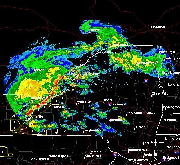 At 757 pm edt, a severe thunderstorm was located over palmyra, or 12 miles east of fairport, moving east at 55 mph (radar indicated). Hazards include 60 mph wind gusts and penny size hail. expect damage to roofs, siding, and trees At 757 pm edt, a severe thunderstorm was located over palmyra, or 12 miles east of fairport, moving east at 55 mph (radar indicated). Hazards include 60 mph wind gusts and penny size hail. expect damage to roofs, siding, and trees
|
| 5/19/2019 4:06 PM EDT |
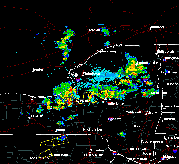 The severe thunderstorm warning for cayuga county will expire at 415 pm edt, the storm which prompted the warning has moved out of the area. therefore, the warning will be allowed to expire. a severe thunderstorm watch remains in effect until 900 pm edt for central and western new york. The severe thunderstorm warning for cayuga county will expire at 415 pm edt, the storm which prompted the warning has moved out of the area. therefore, the warning will be allowed to expire. a severe thunderstorm watch remains in effect until 900 pm edt for central and western new york.
|
| 5/19/2019 3:41 PM EDT |
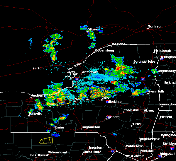 At 341 pm edt, a severe thunderstorm was located near montezuma, or 11 miles northwest of auburn, moving northeast at 35 mph (radar indicated). Hazards include 60 mph wind gusts and quarter size hail. Minor damage to vehicles is possible. Expect wind damage to roofs, siding, and trees. At 341 pm edt, a severe thunderstorm was located near montezuma, or 11 miles northwest of auburn, moving northeast at 35 mph (radar indicated). Hazards include 60 mph wind gusts and quarter size hail. Minor damage to vehicles is possible. Expect wind damage to roofs, siding, and trees.
|
| 7/16/2018 5:56 PM EDT |
 At 555 pm edt, severe thunderstorms were located along a line extending from near chimney bluffs state park to near clyde to lehigh vallley junction, moving northeast at 15 mph (radar indicated). Hazards include 60 mph wind gusts and penny size hail. expect damage to roofs, siding, and trees At 555 pm edt, severe thunderstorms were located along a line extending from near chimney bluffs state park to near clyde to lehigh vallley junction, moving northeast at 15 mph (radar indicated). Hazards include 60 mph wind gusts and penny size hail. expect damage to roofs, siding, and trees
|
| 6/1/2018 2:51 PM EDT |
 The severe thunderstorm warning for southeastern wayne and cayuga counties will expire at 300 pm edt, the storm which prompted the warning has moved out of the area. therefore, the warning will be allowed to expire. The severe thunderstorm warning for southeastern wayne and cayuga counties will expire at 300 pm edt, the storm which prompted the warning has moved out of the area. therefore, the warning will be allowed to expire.
|
| 6/1/2018 2:16 PM EDT |
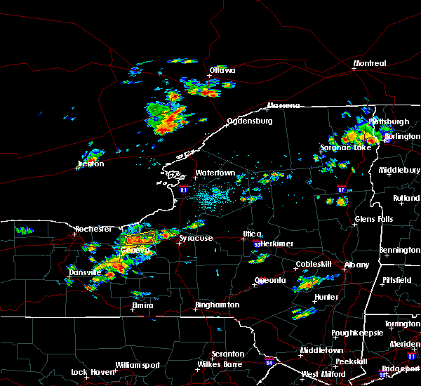 At 215 pm edt, a severe thunderstorm was located near montezuma, or 10 miles north of seneca falls, moving east at 25 mph (radar indicated). Hazards include 60 mph wind gusts. expect damage to roofs, siding, and trees At 215 pm edt, a severe thunderstorm was located near montezuma, or 10 miles north of seneca falls, moving east at 25 mph (radar indicated). Hazards include 60 mph wind gusts. expect damage to roofs, siding, and trees
|
| 6/1/2018 1:59 PM EDT |
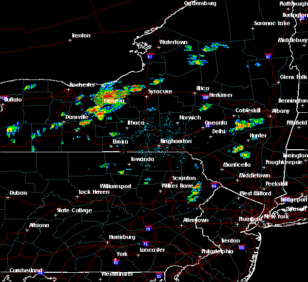 At 158 pm edt, a severe thunderstorm was located near lyons, moving east at 35 mph (radar indicated). Hazards include 60 mph wind gusts. Expect damage to roofs, siding, and trees. Locations impacted include, geneva, newark, lyons, clyde, phelps, weedsport, savannah and port byron. At 158 pm edt, a severe thunderstorm was located near lyons, moving east at 35 mph (radar indicated). Hazards include 60 mph wind gusts. Expect damage to roofs, siding, and trees. Locations impacted include, geneva, newark, lyons, clyde, phelps, weedsport, savannah and port byron.
|
| 6/1/2018 1:24 PM EDT |
 At 123 pm edt, a severe thunderstorm was located over clifton springs, or 7 miles east of canandaigua, moving east at 35 mph (radar indicated). Hazards include 60 mph wind gusts and penny size hail. expect damage to roofs, siding, and trees At 123 pm edt, a severe thunderstorm was located over clifton springs, or 7 miles east of canandaigua, moving east at 35 mph (radar indicated). Hazards include 60 mph wind gusts and penny size hail. expect damage to roofs, siding, and trees
|
| 10/15/2017 5:42 PM EDT |
 At 541 pm edt, severe thunderstorms were located along a line extending from near nine mile point to near fair haven beach state park to near clyde, moving east at 55 mph (radar indicated). Hazards include 70 mph wind gusts. Expect considerable tree damage. damage is likely to mobile homes, roofs, and outbuildings. locations impacted include, oswego, fulton, fair haven beach state park, sandy island beach state park, pulaski, clyde, weedsport and cato. this includes the following highways, interstate 90 near exit 40. Interstate 81 between exits 34 and 37. At 541 pm edt, severe thunderstorms were located along a line extending from near nine mile point to near fair haven beach state park to near clyde, moving east at 55 mph (radar indicated). Hazards include 70 mph wind gusts. Expect considerable tree damage. damage is likely to mobile homes, roofs, and outbuildings. locations impacted include, oswego, fulton, fair haven beach state park, sandy island beach state park, pulaski, clyde, weedsport and cato. this includes the following highways, interstate 90 near exit 40. Interstate 81 between exits 34 and 37.
|
| 10/15/2017 5:16 PM EDT |
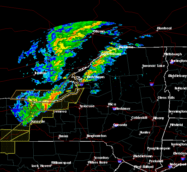 At 515 pm edt, severe thunderstorms were located along a line extending from 16 miles northwest of fair haven beach state park to near williamson to near palmyra, moving east at 55 mph (radar indicated). Hazards include 70 mph wind gusts. Expect considerable tree damage. Damage is likely to mobile homes, roofs, and outbuildings. At 515 pm edt, severe thunderstorms were located along a line extending from 16 miles northwest of fair haven beach state park to near williamson to near palmyra, moving east at 55 mph (radar indicated). Hazards include 70 mph wind gusts. Expect considerable tree damage. Damage is likely to mobile homes, roofs, and outbuildings.
|
| 9/5/2017 12:30 AM EDT |
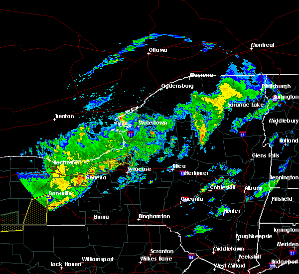 At 1230 am edt, a severe thunderstorm was located near clyde, or 11 miles north of seneca falls, moving northeast at 65 mph (radar indicated). Hazards include 60 mph wind gusts. Expect wind damage to trees and power lines. locations impacted include, fulton, clyde, central square, weedsport, cato, hastings, constantia and west monroe. this includes the following highways, interstate 90 near exit 40. Interstate 81 near exit 32. At 1230 am edt, a severe thunderstorm was located near clyde, or 11 miles north of seneca falls, moving northeast at 65 mph (radar indicated). Hazards include 60 mph wind gusts. Expect wind damage to trees and power lines. locations impacted include, fulton, clyde, central square, weedsport, cato, hastings, constantia and west monroe. this includes the following highways, interstate 90 near exit 40. Interstate 81 near exit 32.
|
| 9/4/2017 11:57 PM EDT |
 At 1157 pm edt, a severe thunderstorm was located over newark, or 14 miles north of geneva, moving east at 55 mph (radar indicated). Hazards include 60 mph wind gusts. expect wind damage to trees and power lines At 1157 pm edt, a severe thunderstorm was located over newark, or 14 miles north of geneva, moving east at 55 mph (radar indicated). Hazards include 60 mph wind gusts. expect wind damage to trees and power lines
|
| 8/22/2017 4:40 PM EDT |
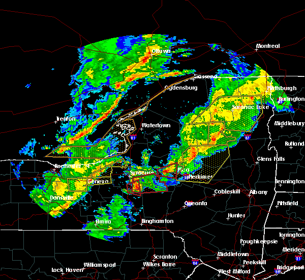 At 440 pm edt, a severe thunderstorm was located over montezuma, or 7 miles north of seneca falls, moving east at 60 mph (radar indicated). Hazards include 60 mph wind gusts. expect wind damage to trees and power lines At 440 pm edt, a severe thunderstorm was located over montezuma, or 7 miles north of seneca falls, moving east at 60 mph (radar indicated). Hazards include 60 mph wind gusts. expect wind damage to trees and power lines
|
| 8/22/2017 2:55 PM EDT |
 At 255 pm edt, severe thunderstorms were located along a line extending from phoenix to throopsville, moving east at 50 mph (radar indicated). Hazards include 60 mph wind gusts. Expect damage to trees, and power lines. severe thunderstorms will be near, baldwinsville, liverpool and galeville around 300 pm edt. cicero around 305 pm edt. marcellus and bridgeport around 315 pm edt. vienna, sylvan beach and lyndon around 330 pm edt. A tornado watch remains in effect until 900 pm edt for central new york. At 255 pm edt, severe thunderstorms were located along a line extending from phoenix to throopsville, moving east at 50 mph (radar indicated). Hazards include 60 mph wind gusts. Expect damage to trees, and power lines. severe thunderstorms will be near, baldwinsville, liverpool and galeville around 300 pm edt. cicero around 305 pm edt. marcellus and bridgeport around 315 pm edt. vienna, sylvan beach and lyndon around 330 pm edt. A tornado watch remains in effect until 900 pm edt for central new york.
|
| 8/22/2017 2:52 PM EDT |
 The severe thunderstorm warning for south central lewis, cayuga and southern oswego counties will expire at 300 pm edt, the storms which prompted the warning have moved out of the area. therefore the warning will be allowed to expire. remember, a severe thunderstorm warning still remains in effect for far eastern jefferson, eastern oswego and all of lewis county. a tornado watch remains in effect until 900 pm edt for central new york. The severe thunderstorm warning for south central lewis, cayuga and southern oswego counties will expire at 300 pm edt, the storms which prompted the warning have moved out of the area. therefore the warning will be allowed to expire. remember, a severe thunderstorm warning still remains in effect for far eastern jefferson, eastern oswego and all of lewis county. a tornado watch remains in effect until 900 pm edt for central new york.
|
| 8/22/2017 2:28 PM EDT |
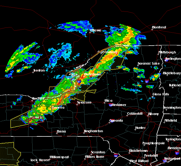 At 227 pm edt, severe thunderstorms were located along a line extending from 6 miles southeast of nine mile point to jordan, moving east at 50 mph (radar indicated). Hazards include 70 mph wind gusts. Expect considerable tree damage. damage is likely to mobile homes, roofs, and outbuildings. locations impacted include, oswego, fulton, central square, weedsport, cato, battle island state park, brewerton and hastings. this includes the following highways, interstate 90 near exit 40. interstate 81 between exits 32 and 34. A tornado watch remains in effect until 900 pm edt for central new york. At 227 pm edt, severe thunderstorms were located along a line extending from 6 miles southeast of nine mile point to jordan, moving east at 50 mph (radar indicated). Hazards include 70 mph wind gusts. Expect considerable tree damage. damage is likely to mobile homes, roofs, and outbuildings. locations impacted include, oswego, fulton, central square, weedsport, cato, battle island state park, brewerton and hastings. this includes the following highways, interstate 90 near exit 40. interstate 81 between exits 32 and 34. A tornado watch remains in effect until 900 pm edt for central new york.
|
| 8/22/2017 2:05 PM EDT |
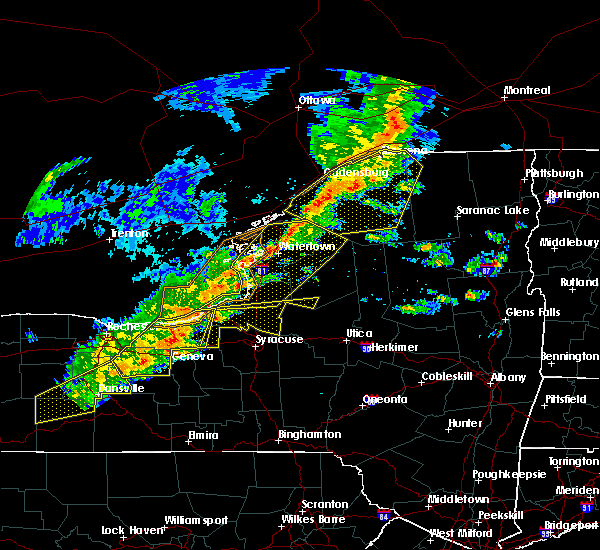 At 205 pm edt, severe thunderstorms were located along a line extending from near battle island state park to near weedsport, moving east at 35 mph (radar indicated). Hazards include 60 mph wind gusts and penny size hail. expect wind damage to trees and power lines At 205 pm edt, severe thunderstorms were located along a line extending from near battle island state park to near weedsport, moving east at 35 mph (radar indicated). Hazards include 60 mph wind gusts and penny size hail. expect wind damage to trees and power lines
|
| 8/22/2017 2:03 PM EDT |
 At 202 pm edt, severe thunderstorms were located along a line extending from near sodus to near clifton springs, moving east at 40 mph (radar indicated). Hazards include 60 mph wind gusts. Expect wind damage to trees and power lines. locations impacted include, geneva, canandaigua, fair haven beach state park, newark, williamson, marion, lyons and palmyra. this includes interstate 90 between exits 45 and 42. A tornado watch remains in effect until 900 pm edt for central and western new york. At 202 pm edt, severe thunderstorms were located along a line extending from near sodus to near clifton springs, moving east at 40 mph (radar indicated). Hazards include 60 mph wind gusts. Expect wind damage to trees and power lines. locations impacted include, geneva, canandaigua, fair haven beach state park, newark, williamson, marion, lyons and palmyra. this includes interstate 90 between exits 45 and 42. A tornado watch remains in effect until 900 pm edt for central and western new york.
|
| 8/22/2017 1:23 PM EDT |
 At 123 pm edt, severe thunderstorms were located along a line extending from near penfield to near hemlock, moving east at 40 mph (radar indicated). Hazards include 60 mph wind gusts. expect wind damage to trees and power lines At 123 pm edt, severe thunderstorms were located along a line extending from near penfield to near hemlock, moving east at 40 mph (radar indicated). Hazards include 60 mph wind gusts. expect wind damage to trees and power lines
|
| 8/4/2017 7:47 PM EDT |
 At 746 pm edt, a severe thunderstorm was located near cato, or 12 miles south of fair haven beach state park, moving northeast at 55 mph (radar indicated). Hazards include 60 mph wind gusts and quarter size hail. Minor damage to vehicles is possible. expect wind damage to trees and power lines. locations impacted include, oswego, fulton, fair haven beach state park, clyde, weedsport, cato, battle island state park and volney. This includes interstate 90 near exit 40. At 746 pm edt, a severe thunderstorm was located near cato, or 12 miles south of fair haven beach state park, moving northeast at 55 mph (radar indicated). Hazards include 60 mph wind gusts and quarter size hail. Minor damage to vehicles is possible. expect wind damage to trees and power lines. locations impacted include, oswego, fulton, fair haven beach state park, clyde, weedsport, cato, battle island state park and volney. This includes interstate 90 near exit 40.
|
| 8/4/2017 7:15 PM EDT |
 At 714 pm edt, a severe thunderstorm was located near geneva, moving northeast at 40 mph (radar indicated). Hazards include 60 mph wind gusts and quarter size hail. Minor damage to vehicles is possible. Expect wind damage to trees and power lines. At 714 pm edt, a severe thunderstorm was located near geneva, moving northeast at 40 mph (radar indicated). Hazards include 60 mph wind gusts and quarter size hail. Minor damage to vehicles is possible. Expect wind damage to trees and power lines.
|
| 8/4/2017 5:04 PM EDT |
 At 504 pm edt, a severe thunderstorm was located over weedsport, or 7 miles north of auburn, moving northeast at 40 mph (radar indicated). Hazards include 60 mph wind gusts and quarter size hail. Minor damage to vehicles is possible. Expect wind damage to trees and power lines. At 504 pm edt, a severe thunderstorm was located over weedsport, or 7 miles north of auburn, moving northeast at 40 mph (radar indicated). Hazards include 60 mph wind gusts and quarter size hail. Minor damage to vehicles is possible. Expect wind damage to trees and power lines.
|
| 7/1/2017 1:50 PM EDT |
 At 150 pm edt, a severe thunderstorm was located over kendaia, or 10 miles northeast of penn yan, moving east at 30 mph (radar indicated). Hazards include 60 mph wind gusts. Expect damage to trees, and power lines. this severe thunderstorm will be near, aurora and interlaken around 205 pm edt. levanna, sheldrake and kidders around 210 pm edt. ledyard and king ferry around 215 pm edt. venice center around 220 pm edt. genoa and scipio center around 225 pm edt. cascade and casowasco around 230 pm edt. owasco, locke and moravia around 235 pm edt. Niles and montville around 240 pm edt. At 150 pm edt, a severe thunderstorm was located over kendaia, or 10 miles northeast of penn yan, moving east at 30 mph (radar indicated). Hazards include 60 mph wind gusts. Expect damage to trees, and power lines. this severe thunderstorm will be near, aurora and interlaken around 205 pm edt. levanna, sheldrake and kidders around 210 pm edt. ledyard and king ferry around 215 pm edt. venice center around 220 pm edt. genoa and scipio center around 225 pm edt. cascade and casowasco around 230 pm edt. owasco, locke and moravia around 235 pm edt. Niles and montville around 240 pm edt.
|
| 6/18/2017 6:54 PM EDT |
 At 630 pm edt, severe thunderstorms were located along a line extending from chimney bluffs state park to near clyde, moving northeast at 60 mph (radar indicated). Hazards include 70 mph wind gusts. Expect considerable tree damage. Damage is likely to mobile homes, roofs, and outbuildings. At 630 pm edt, severe thunderstorms were located along a line extending from chimney bluffs state park to near clyde, moving northeast at 60 mph (radar indicated). Hazards include 70 mph wind gusts. Expect considerable tree damage. Damage is likely to mobile homes, roofs, and outbuildings.
|
| 6/18/2017 6:54 PM EDT |
 A severe thunderstorm warning remains in effect until 715 pm edt for cayuga and southwestern oswego counties. at 654 pm edt, severe thunderstorms were located along a line extending from near oswego to plainville, moving east at 60 mph. hazard. 70 mph wind gusts. source. Radar indicated. A severe thunderstorm warning remains in effect until 715 pm edt for cayuga and southwestern oswego counties. at 654 pm edt, severe thunderstorms were located along a line extending from near oswego to plainville, moving east at 60 mph. hazard. 70 mph wind gusts. source. Radar indicated.
|
| 6/18/2017 6:30 PM EDT |
 At 630 pm edt, severe thunderstorms were located along a line extending from chimney bluffs state park to near clyde, moving northeast at 60 mph (radar indicated). Hazards include 70 mph wind gusts. Expect considerable tree damage. Damage is likely to mobile homes, roofs, and outbuildings. At 630 pm edt, severe thunderstorms were located along a line extending from chimney bluffs state park to near clyde, moving northeast at 60 mph (radar indicated). Hazards include 70 mph wind gusts. Expect considerable tree damage. Damage is likely to mobile homes, roofs, and outbuildings.
|
| 5/30/2017 2:52 PM EDT |
 At 251 pm edt, a severe thunderstorm was located near clyde, or near waterloo, moving east at 30 mph (radar indicated). Hazards include 60 mph wind gusts and quarter size hail. Minor damage to vehicles is possible. expect wind damage to trees and power lines. locations impacted include, lyons, clyde, weedsport, cato, rose, ira, conquest and savannah. This includes interstate 90 near exit 40. At 251 pm edt, a severe thunderstorm was located near clyde, or near waterloo, moving east at 30 mph (radar indicated). Hazards include 60 mph wind gusts and quarter size hail. Minor damage to vehicles is possible. expect wind damage to trees and power lines. locations impacted include, lyons, clyde, weedsport, cato, rose, ira, conquest and savannah. This includes interstate 90 near exit 40.
|
| 5/30/2017 2:21 PM EDT |
 At 221 pm edt, a severe thunderstorm was located over clifton springs, or 7 miles northeast of canandaigua, moving northeast at 35 mph (radar indicated). Hazards include 60 mph wind gusts and quarter size hail. Minor damage to vehicles is possible. Expect wind damage to trees and power lines. At 221 pm edt, a severe thunderstorm was located over clifton springs, or 7 miles northeast of canandaigua, moving northeast at 35 mph (radar indicated). Hazards include 60 mph wind gusts and quarter size hail. Minor damage to vehicles is possible. Expect wind damage to trees and power lines.
|
| 5/30/2017 2:08 PM EDT |
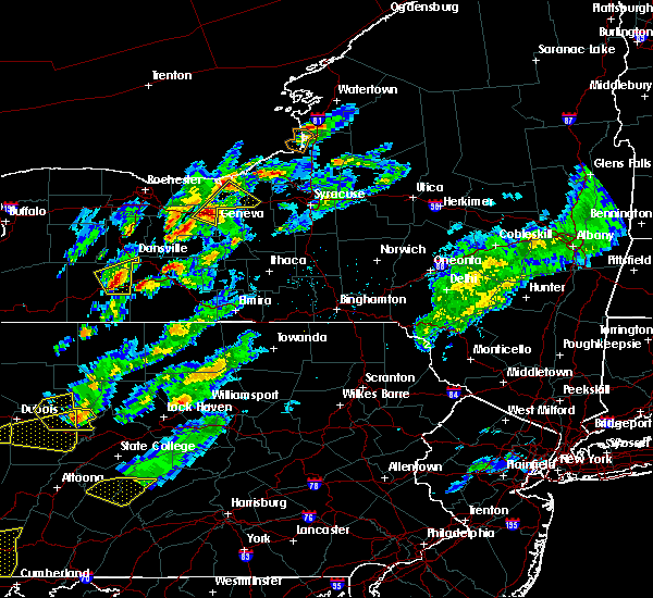 At 208 pm edt, a severe thunderstorm was located over phelps, or 8 miles north of geneva, moving northeast at 50 mph (radar indicated). Hazards include 60 mph wind gusts and quarter size hail. Minor damage to vehicles is possible. expect wind damage to trees and power lines. locations impacted include, geneva, newark, lyons, clifton springs, clyde, phelps, montezuma and rose. This includes interstate 90 near exit 42. At 208 pm edt, a severe thunderstorm was located over phelps, or 8 miles north of geneva, moving northeast at 50 mph (radar indicated). Hazards include 60 mph wind gusts and quarter size hail. Minor damage to vehicles is possible. expect wind damage to trees and power lines. locations impacted include, geneva, newark, lyons, clifton springs, clyde, phelps, montezuma and rose. This includes interstate 90 near exit 42.
|
| 5/30/2017 1:41 PM EDT |
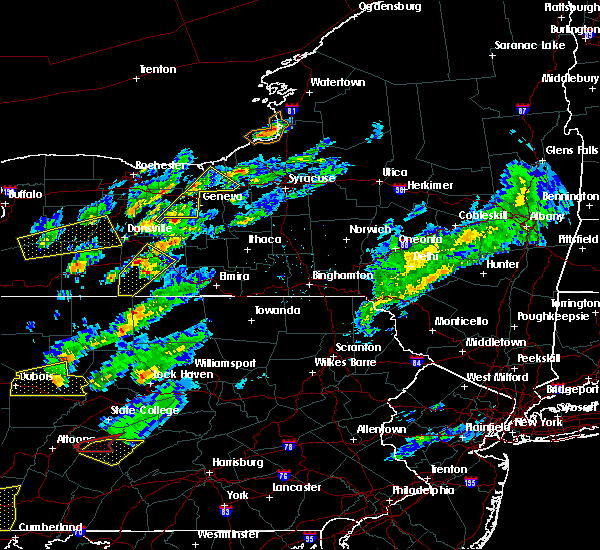 At 141 pm edt, a severe thunderstorm was located over rushville, or 10 miles northwest of penn yan, moving northeast at 45 mph (radar indicated). Hazards include 60 mph wind gusts and quarter size hail. Minor damage to vehicles is possible. Expect wind damage to trees and power lines. At 141 pm edt, a severe thunderstorm was located over rushville, or 10 miles northwest of penn yan, moving northeast at 45 mph (radar indicated). Hazards include 60 mph wind gusts and quarter size hail. Minor damage to vehicles is possible. Expect wind damage to trees and power lines.
|
| 5/18/2017 11:39 PM EDT |
 At 1138 pm edt, a severe thunderstorm was located over lyons, or 11 miles north of geneva, moving east at 50 mph (radar indicated). Hazards include 60 mph wind gusts and quarter size hail. Minor damage to vehicles is possible. expect wind damage to trees and power lines. locations impacted include, fairport, newark, lyons, palmyra, victor, clifton springs, clyde and phelps. this includes the following highways, interstate 90 between exits 45 and 40. Interstate 81 near exit 32. At 1138 pm edt, a severe thunderstorm was located over lyons, or 11 miles north of geneva, moving east at 50 mph (radar indicated). Hazards include 60 mph wind gusts and quarter size hail. Minor damage to vehicles is possible. expect wind damage to trees and power lines. locations impacted include, fairport, newark, lyons, palmyra, victor, clifton springs, clyde and phelps. this includes the following highways, interstate 90 between exits 45 and 40. Interstate 81 near exit 32.
|
| 5/18/2017 11:14 PM EDT |
 At 1114 pm edt, a severe thunderstorm was located near marion, or 15 miles east of webster, moving east at 60 mph (radar indicated). Hazards include 60 mph wind gusts and quarter size hail. Minor damage to vehicles is possible. Expect wind damage to trees and power lines. At 1114 pm edt, a severe thunderstorm was located near marion, or 15 miles east of webster, moving east at 60 mph (radar indicated). Hazards include 60 mph wind gusts and quarter size hail. Minor damage to vehicles is possible. Expect wind damage to trees and power lines.
|
| 5/1/2017 6:39 PM EDT |
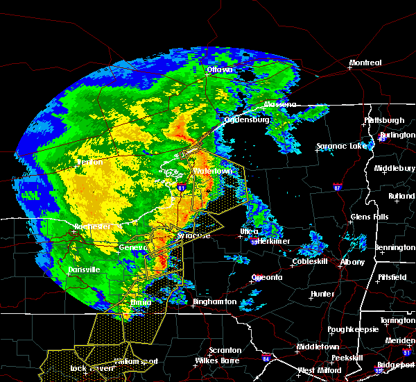 The severe thunderstorm warning for southeastern wayne and cayuga counties will expire at 645 pm edt, the storms which prompted the warning have moved out of the area. therefore the warning will be allowed to expire. a tornado watch remains in effect until 1000 pm edt for central new york. The severe thunderstorm warning for southeastern wayne and cayuga counties will expire at 645 pm edt, the storms which prompted the warning have moved out of the area. therefore the warning will be allowed to expire. a tornado watch remains in effect until 1000 pm edt for central new york.
|
| 5/1/2017 6:15 PM EDT |
 At 613 pm edt, severe thunderstorms were located along a line extending from lysander to weedsport to near throopsville, moving east at 60 mph (radar indicated). Hazards include 60 mph wind gusts. Expect damage to roofs, siding, and trees. locations impacted include, weedsport, montezuma, savannah and port byron. this includes interstate 90 near exit 40. A tornado watch remains in effect until 1000 pm edt for central and western new york. At 613 pm edt, severe thunderstorms were located along a line extending from lysander to weedsport to near throopsville, moving east at 60 mph (radar indicated). Hazards include 60 mph wind gusts. Expect damage to roofs, siding, and trees. locations impacted include, weedsport, montezuma, savannah and port byron. this includes interstate 90 near exit 40. A tornado watch remains in effect until 1000 pm edt for central and western new york.
|
| 5/1/2017 5:46 PM EDT |
 At 546 pm edt, a severe thunderstorm was located 7 miles south of clifton springs, or 7 miles east of canandaigua, moving east at 55 mph (radar indicated). Hazards include 60 mph wind gusts. expect damage to roofs, siding, and trees At 546 pm edt, a severe thunderstorm was located 7 miles south of clifton springs, or 7 miles east of canandaigua, moving east at 55 mph (radar indicated). Hazards include 60 mph wind gusts. expect damage to roofs, siding, and trees
|
| 10/2/2016 4:56 PM EDT |
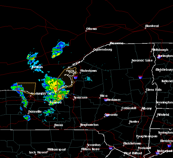 At 456 pm edt, a severe thunderstorm was located over cato, or 11 miles west of baldwinsville, moving northeast at 20 mph (radar indicated). Hazards include 60 mph wind gusts and penny size hail. Expect damage to roofs. siding. and trees. locations impacted include, weedsport, cato, ira, conquest, port byron and meridian. This includes interstate 90 near exit 40. At 456 pm edt, a severe thunderstorm was located over cato, or 11 miles west of baldwinsville, moving northeast at 20 mph (radar indicated). Hazards include 60 mph wind gusts and penny size hail. Expect damage to roofs. siding. and trees. locations impacted include, weedsport, cato, ira, conquest, port byron and meridian. This includes interstate 90 near exit 40.
|
| 10/2/2016 4:20 PM EDT |
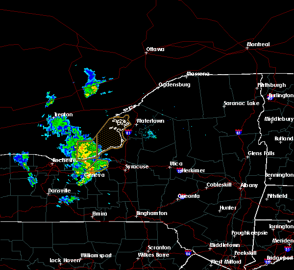 At 419 pm edt, a severe thunderstorm was located near montezuma, or 10 miles north of seneca falls, moving northeast at 25 mph (radar indicated). Hazards include 60 mph wind gusts and penny size hail. Expect damage to roofs. siding. And trees. At 419 pm edt, a severe thunderstorm was located near montezuma, or 10 miles north of seneca falls, moving northeast at 25 mph (radar indicated). Hazards include 60 mph wind gusts and penny size hail. Expect damage to roofs. siding. And trees.
|
| 8/13/2016 8:10 PM EDT |
 At 809 pm edt, a severe thunderstorm was located near otisco, or 9 miles southwest of syracuse, moving east at 40 mph (radar indicated). Hazards include 60 mph wind gusts. Expect damage to roofs. siding. and trees. This severe thunderstorm will remain over mainly rural areas of central seneca, cayuga and southwestern onondaga counties. At 809 pm edt, a severe thunderstorm was located near otisco, or 9 miles southwest of syracuse, moving east at 40 mph (radar indicated). Hazards include 60 mph wind gusts. Expect damage to roofs. siding. and trees. This severe thunderstorm will remain over mainly rural areas of central seneca, cayuga and southwestern onondaga counties.
|
| 8/13/2016 7:34 PM EDT |
 At 733 pm edt, a severe thunderstorm was located over cayuga, or near seneca falls, moving east at 40 mph (radar indicated). Hazards include 60 mph wind gusts. Expect damage to roofs. siding. and trees. this severe thunderstorm will be near, auburn, fleming and throopsville around 745 pm edt. sennett and melrose park around 750 pm edt. owasco and skaneateles around 755 pm edt. niles around 800 pm edt. Marcellus around 805 pm edt. At 733 pm edt, a severe thunderstorm was located over cayuga, or near seneca falls, moving east at 40 mph (radar indicated). Hazards include 60 mph wind gusts. Expect damage to roofs. siding. and trees. this severe thunderstorm will be near, auburn, fleming and throopsville around 745 pm edt. sennett and melrose park around 750 pm edt. owasco and skaneateles around 755 pm edt. niles around 800 pm edt. Marcellus around 805 pm edt.
|
| 6/20/2016 11:31 PM EDT |
 At 1131 pm edt, a severe thunderstorm was located near cato, or 14 miles south of fair haven beach state park, moving east at 50 mph (radar indicated). Hazards include 60 mph wind gusts and quarter size hail. Hail damage to vehicles is expected. expect wind damage to roofs, siding, and trees. Locations impacted include, clyde, weedsport, cato, ira, conquest, savannah, wolcott and port byron. At 1131 pm edt, a severe thunderstorm was located near cato, or 14 miles south of fair haven beach state park, moving east at 50 mph (radar indicated). Hazards include 60 mph wind gusts and quarter size hail. Hail damage to vehicles is expected. expect wind damage to roofs, siding, and trees. Locations impacted include, clyde, weedsport, cato, ira, conquest, savannah, wolcott and port byron.
|
| 6/20/2016 11:13 PM EDT |
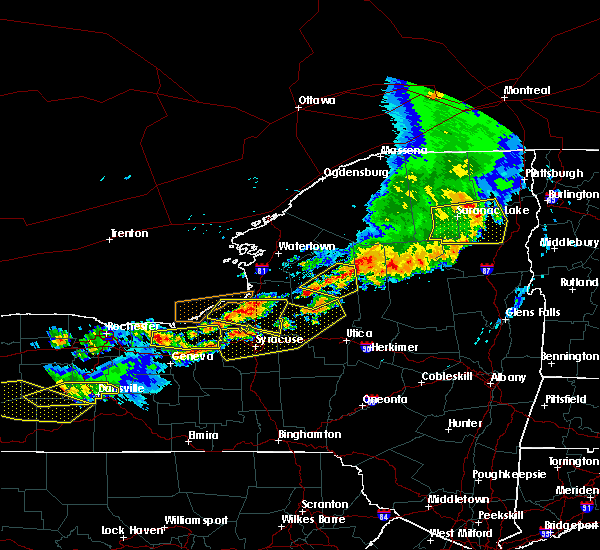 At 1113 pm edt, a severe thunderstorm was located near lyons, or 16 miles northwest of waterloo, moving east at 50 mph (radar indicated). Hazards include 60 mph wind gusts and quarter size hail. Hail damage to vehicles is expected. Expect wind damage to roofs, siding, and trees. At 1113 pm edt, a severe thunderstorm was located near lyons, or 16 miles northwest of waterloo, moving east at 50 mph (radar indicated). Hazards include 60 mph wind gusts and quarter size hail. Hail damage to vehicles is expected. Expect wind damage to roofs, siding, and trees.
|
| 8/10/2015 6:06 PM EDT |
 The severe thunderstorm warning for cayuga and southeastern wayne counties will expire at 615 pm edt, the storm which prompted the warning has weakened below severe limits, and no longer poses an immediate threat to life or property. therefore the warning will be allowed to expire. The severe thunderstorm warning for cayuga and southeastern wayne counties will expire at 615 pm edt, the storm which prompted the warning has weakened below severe limits, and no longer poses an immediate threat to life or property. therefore the warning will be allowed to expire.
|
| 8/10/2015 5:40 PM EDT |
 At 539 pm edt, doppler radar indicated a severe thunderstorm capable of producing quarter size hail and damaging winds in excess of 60 mph. this storm was located over clyde, or 12 miles north of seneca falls, moving east at 15 mph. locations impacted include, clyde, savannah, port byron and south butler. At 539 pm edt, doppler radar indicated a severe thunderstorm capable of producing quarter size hail and damaging winds in excess of 60 mph. this storm was located over clyde, or 12 miles north of seneca falls, moving east at 15 mph. locations impacted include, clyde, savannah, port byron and south butler.
|
| 8/10/2015 5:22 PM EDT |
 At 521 pm edt, doppler radar indicated a severe thunderstorm capable of producing quarter size hail and damaging winds in excess of 60 mph. this storm was located near lyons, or 12 miles north of waterloo, and moving east at 15 mph. At 521 pm edt, doppler radar indicated a severe thunderstorm capable of producing quarter size hail and damaging winds in excess of 60 mph. this storm was located near lyons, or 12 miles north of waterloo, and moving east at 15 mph.
|
| 8/4/2015 3:10 PM EDT |
 The severe thunderstorm warning for cayuga and southeastern wayne counties will expire at 315 pm edt, the storm which prompted the warning has weakened below severe limits and exited the warned area. therefore the warning will be allowed to expire. The severe thunderstorm warning for cayuga and southeastern wayne counties will expire at 315 pm edt, the storm which prompted the warning has weakened below severe limits and exited the warned area. therefore the warning will be allowed to expire.
|
| 8/4/2015 2:40 PM EDT | Quarter sized hail reported 0.4 miles SW of Port Byron, NY |
| 8/4/2015 2:40 PM EDT | Tree down on shotwell stree in cayuga county NY, 0.4 miles SW of Port Byron, NY |
| 8/4/2015 2:40 PM EDT | Large limb down on mcclellan stree in cayuga county NY, 0.4 miles SW of Port Byron, NY |
| 8/4/2015 2:36 PM EDT |
 At 236 pm edt, doppler radar indicated a severe thunderstorm capable of producing quarter size hail and damaging winds in excess of 60 mph. this storm was located near montezuma, or 11 miles northwest of auburn, and moving east at 30 mph. At 236 pm edt, doppler radar indicated a severe thunderstorm capable of producing quarter size hail and damaging winds in excess of 60 mph. this storm was located near montezuma, or 11 miles northwest of auburn, and moving east at 30 mph.
|
| 6/12/2015 5:20 PM EDT |
 At 519 pm edt, doppler radar indicated a severe thunderstorm capable of producing quarter size hail and damaging winds in excess of 60 mph. this storm was located over palmyra, or 10 miles north of canandaigua, and moving east at 45 mph. At 519 pm edt, doppler radar indicated a severe thunderstorm capable of producing quarter size hail and damaging winds in excess of 60 mph. this storm was located over palmyra, or 10 miles north of canandaigua, and moving east at 45 mph.
|
| 6/24/2014 5:46 PM EDT | Trees down in cayuga county NY, 2.3 miles S of Port Byron, NY |
| 5/29/2013 4:40 PM EDT | Trees and powerlines down in cayuga county NY, 0.3 miles SE of Port Byron, NY |
| 1/1/0001 12:00 AM | Multiple trees down and wires... bush hill r in cayuga county NY, 0.3 miles SE of Port Byron, NY |
Hail Maps for Port Byron, NY


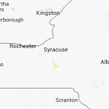


Connect with Interactive Hail Maps