

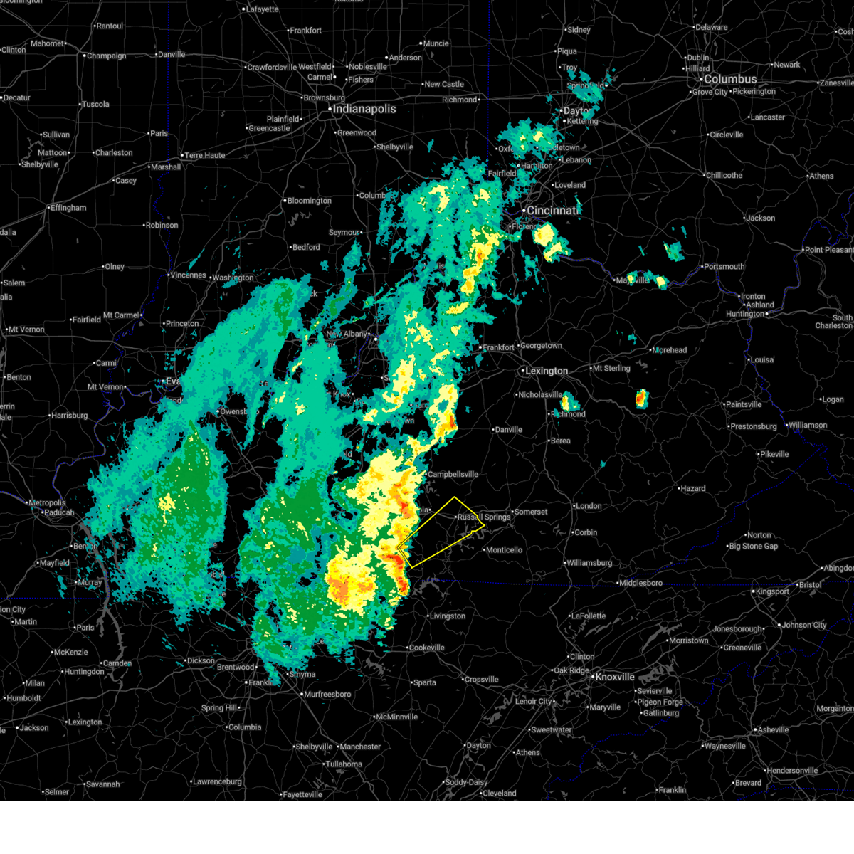
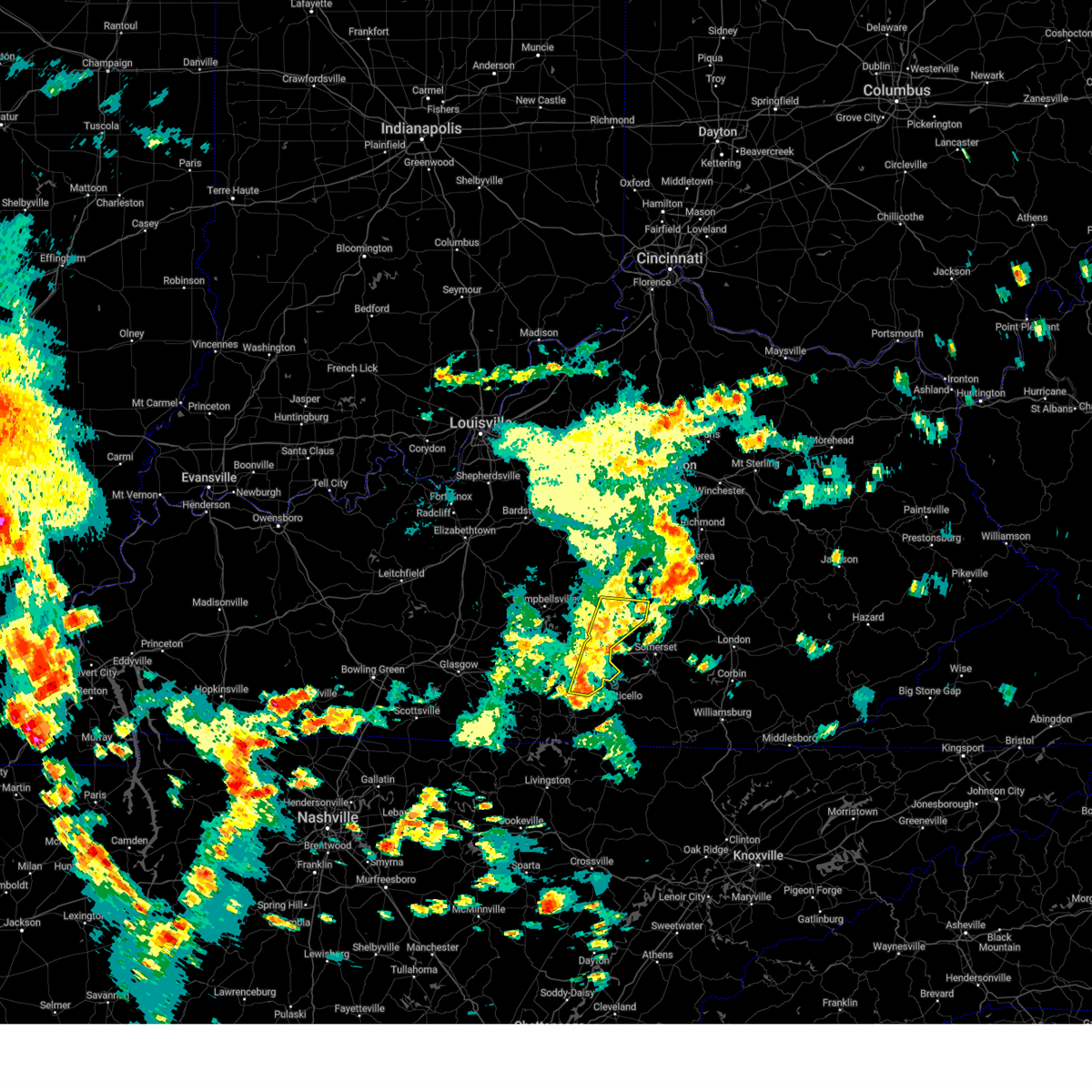
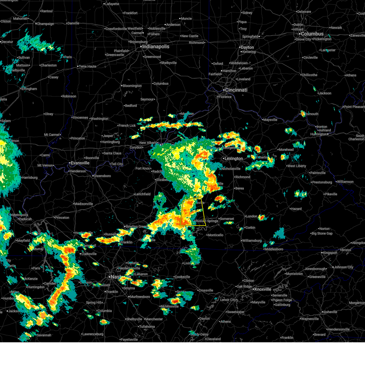
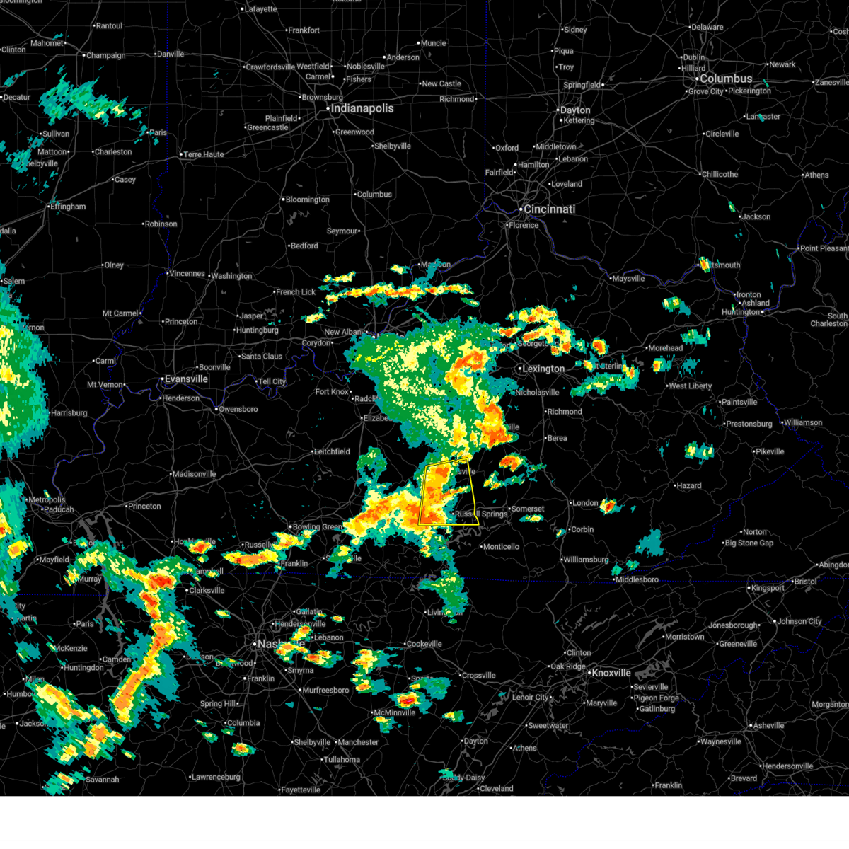
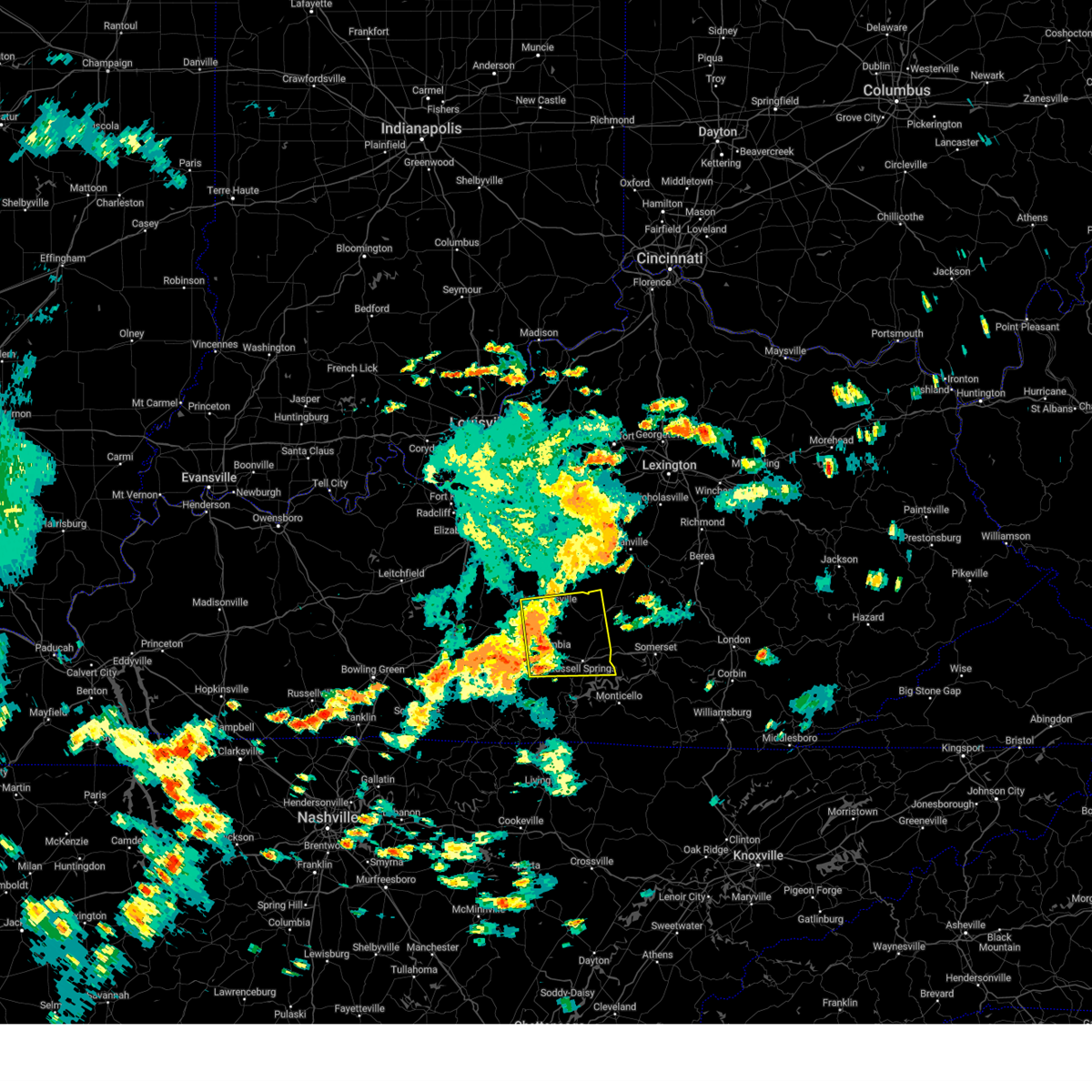
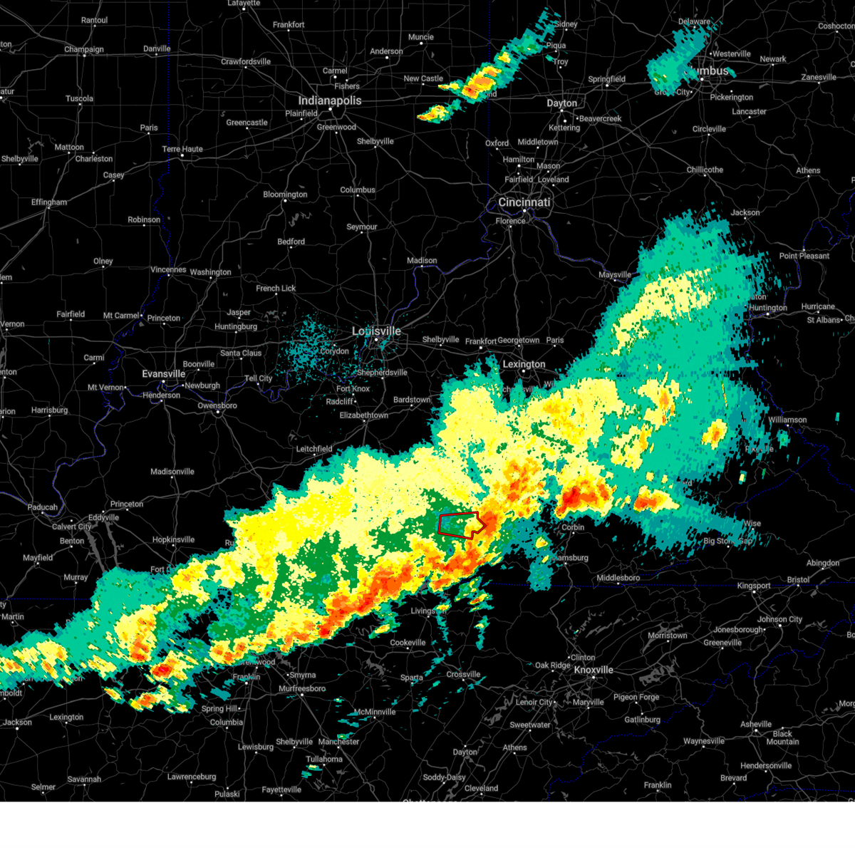
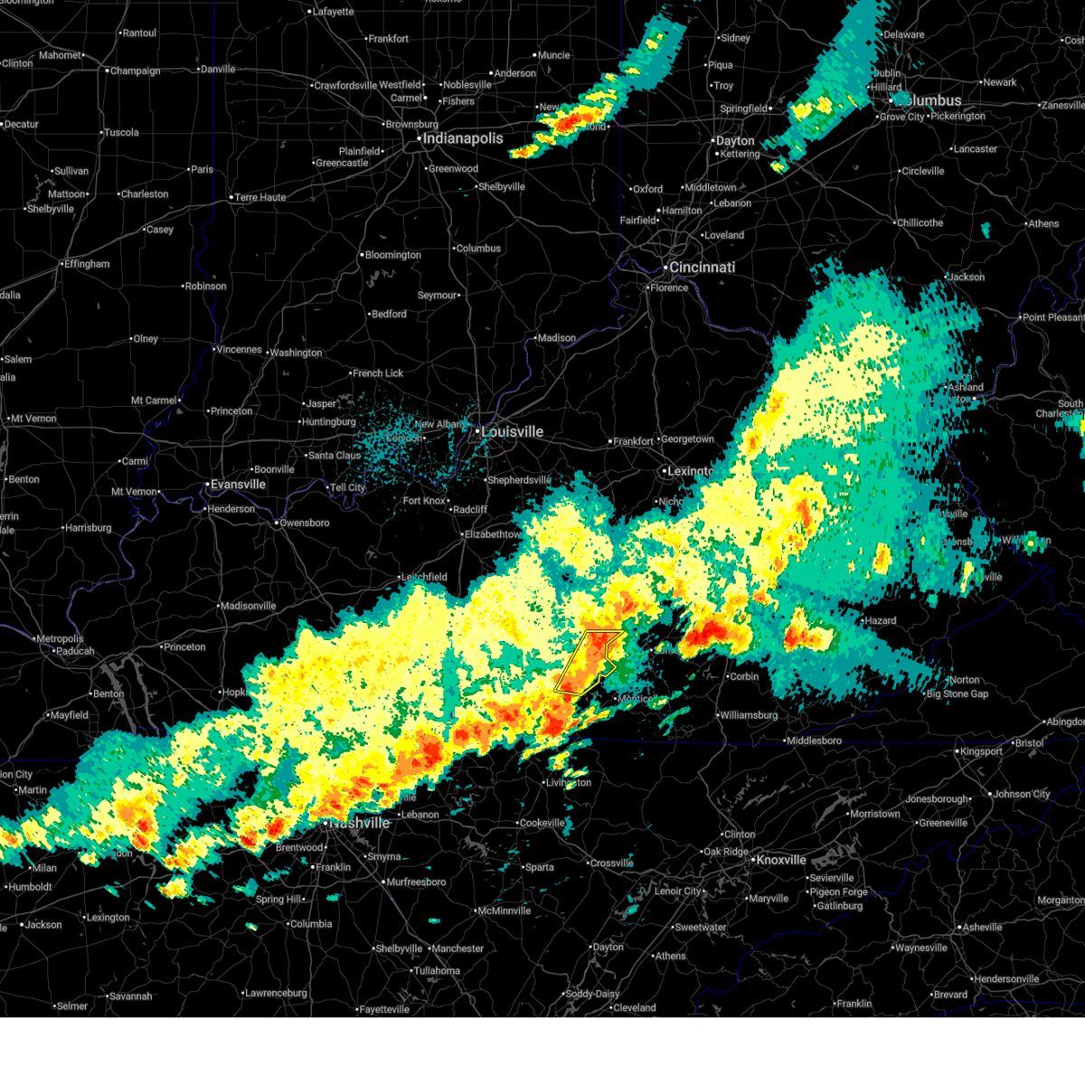
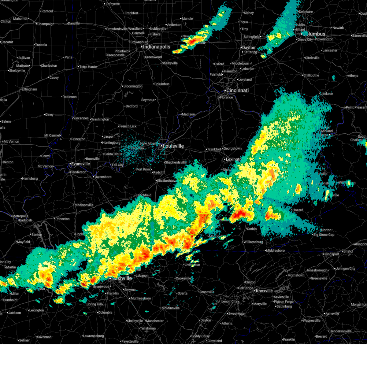
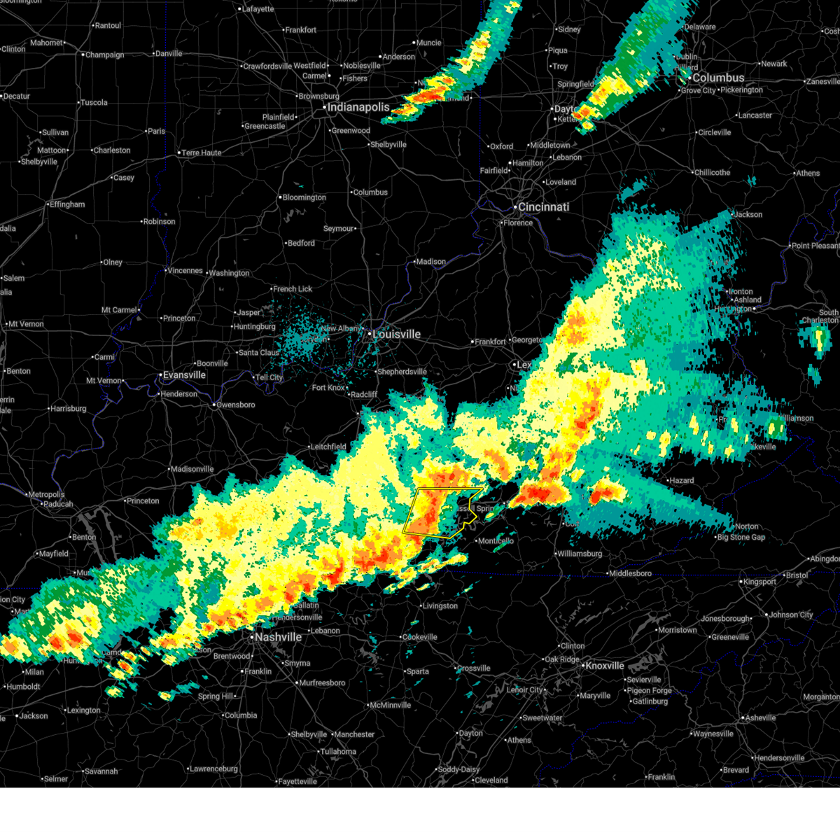
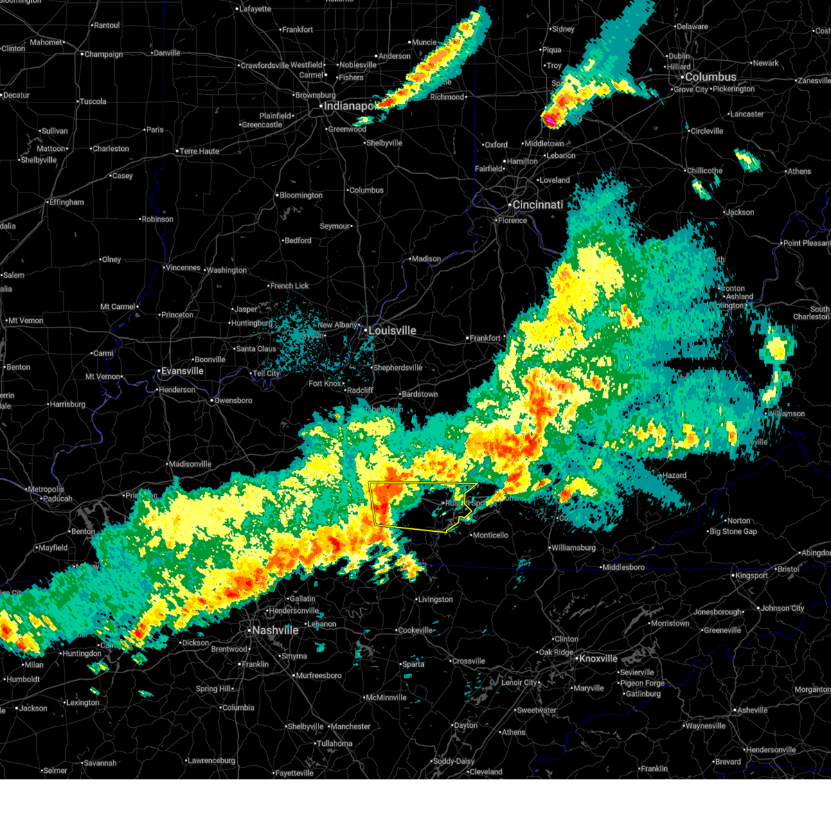
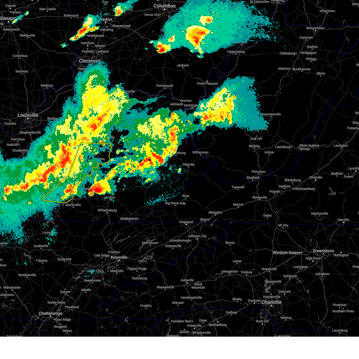
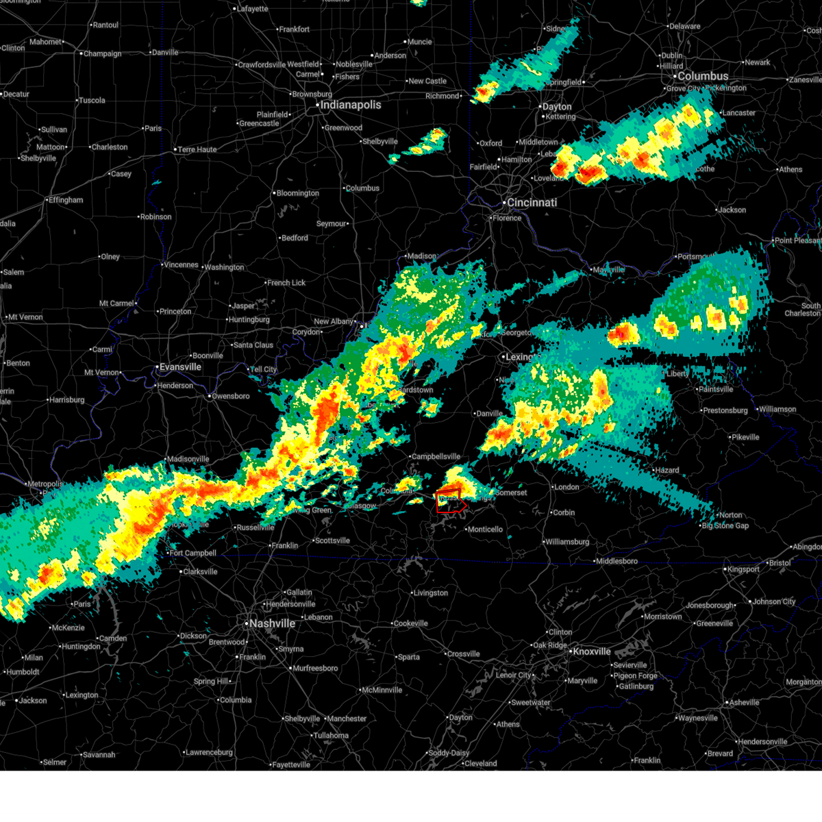
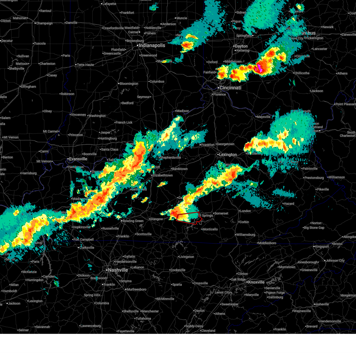
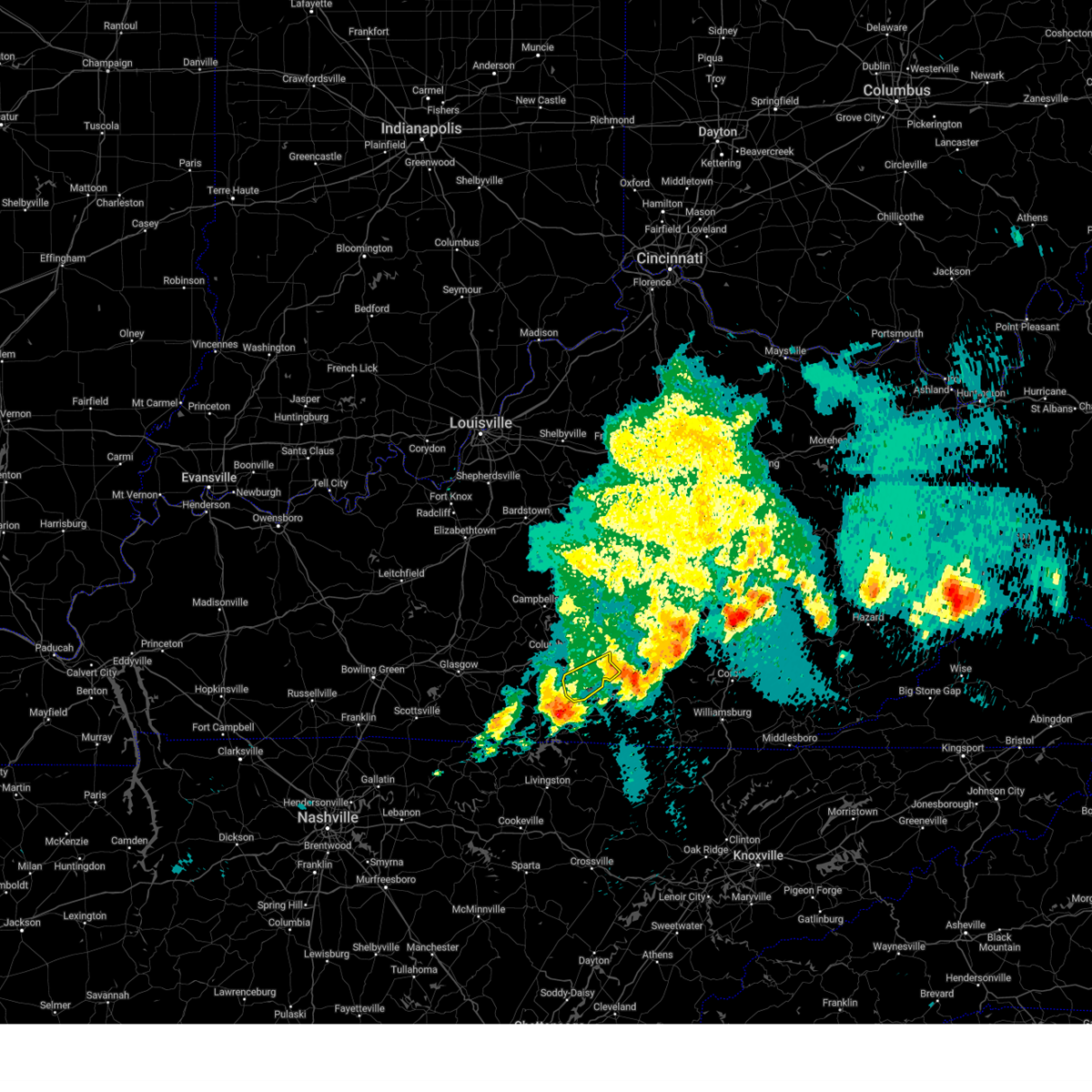
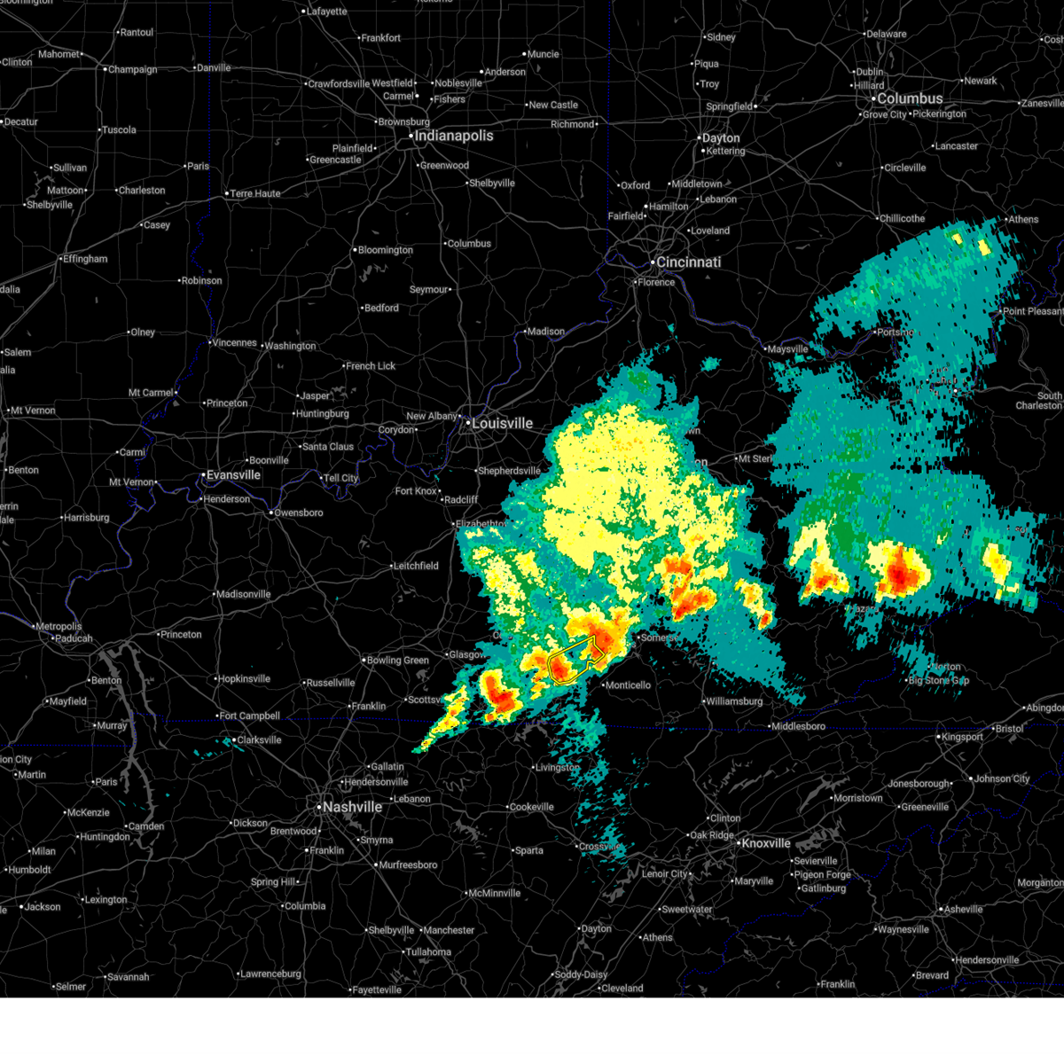
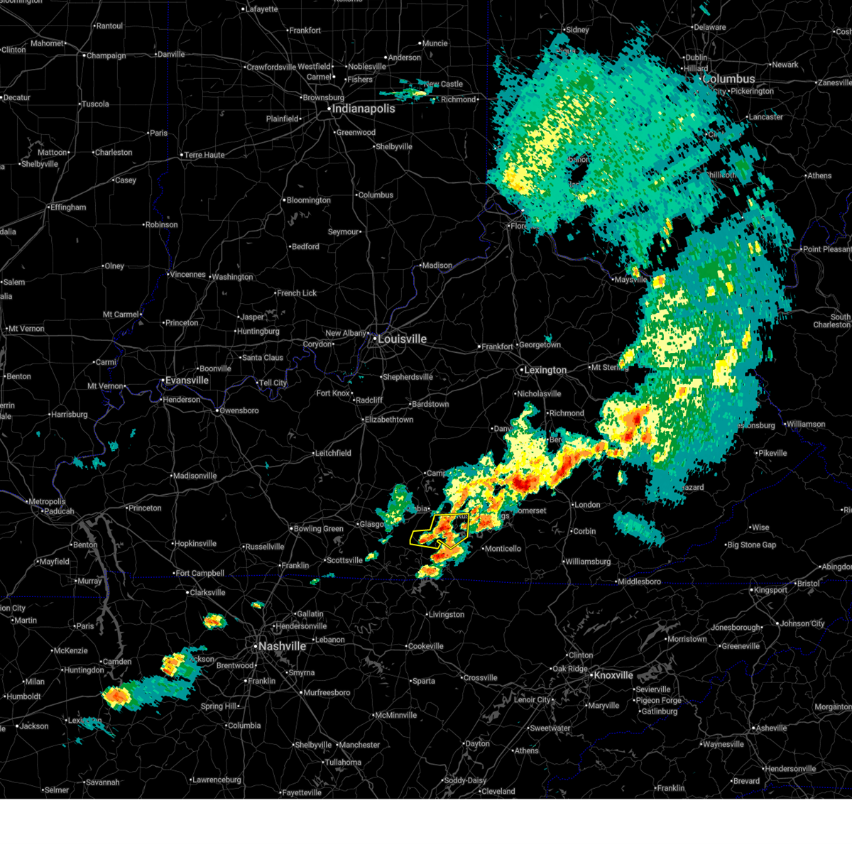
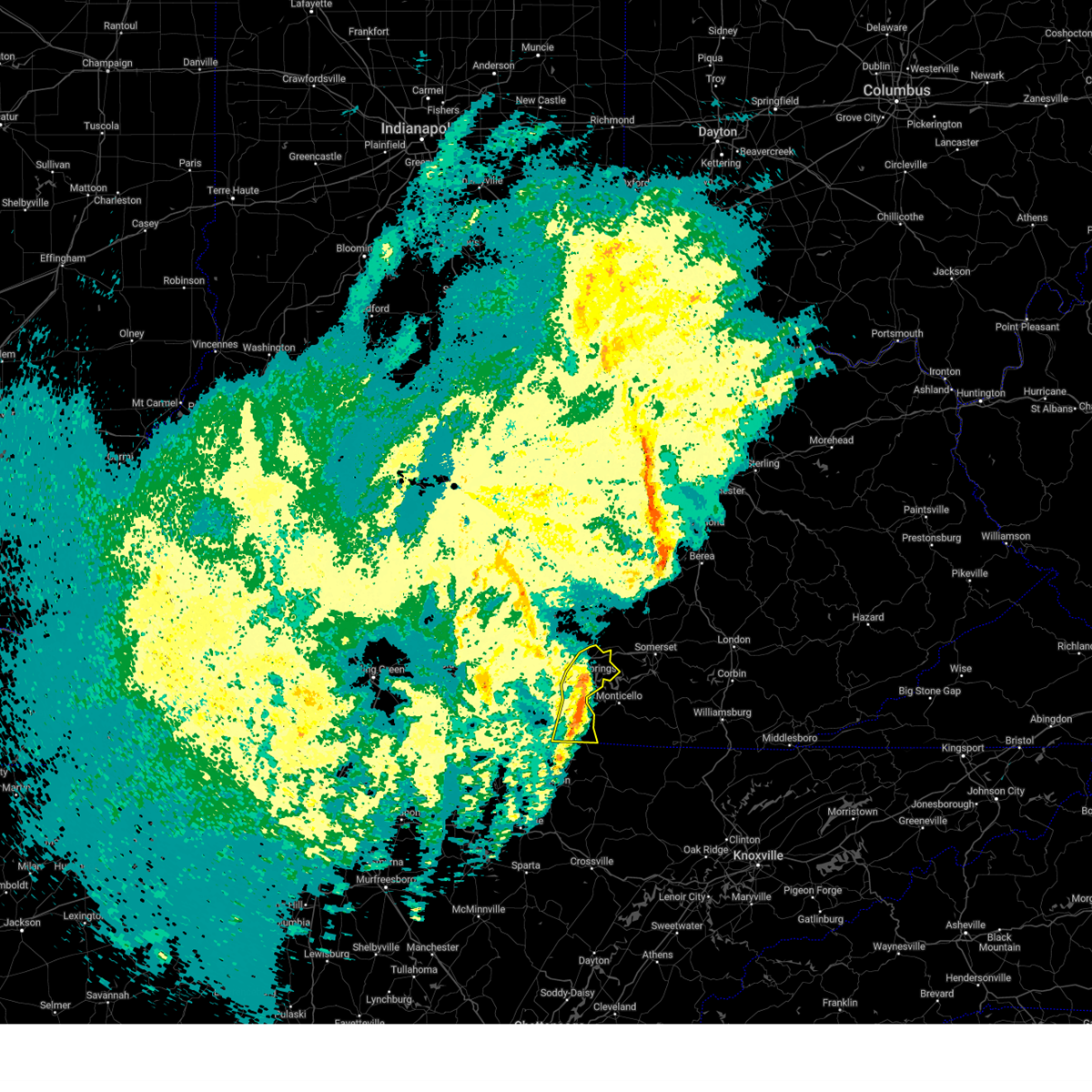
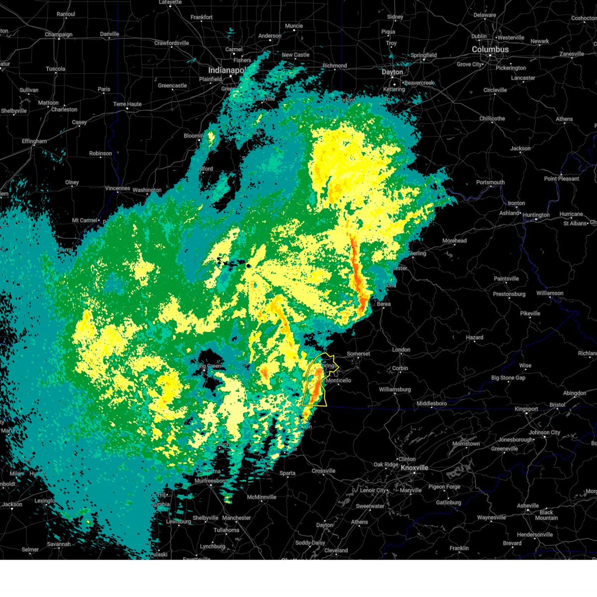
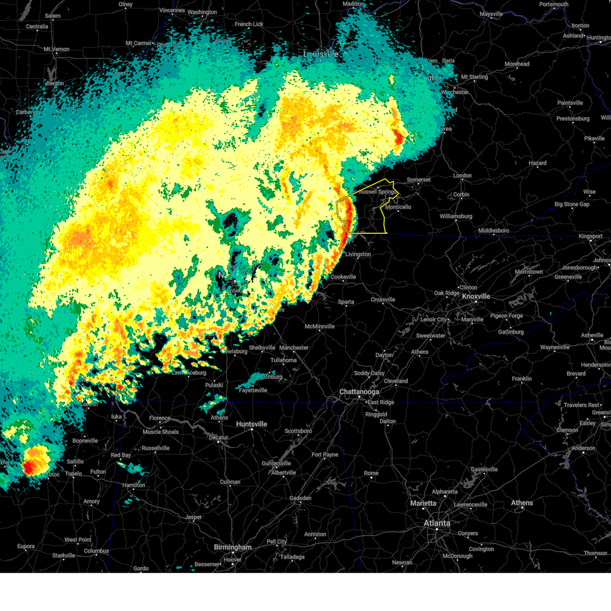
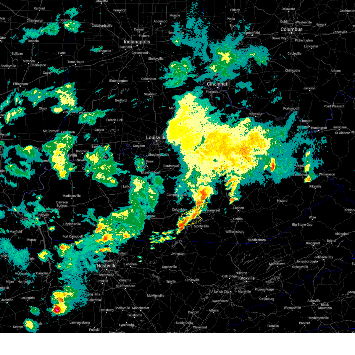
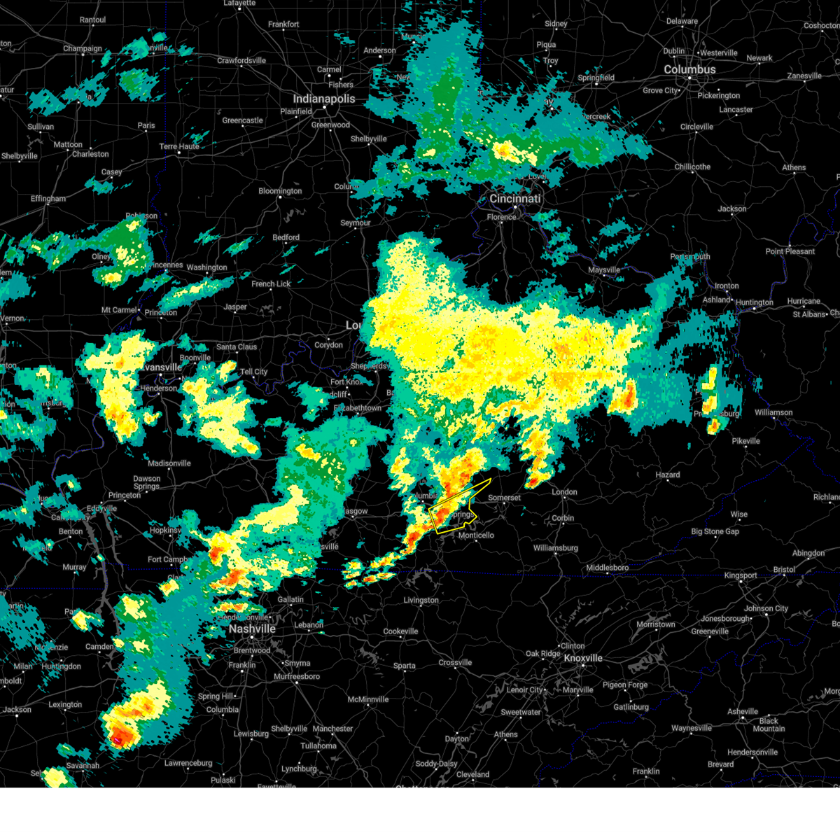
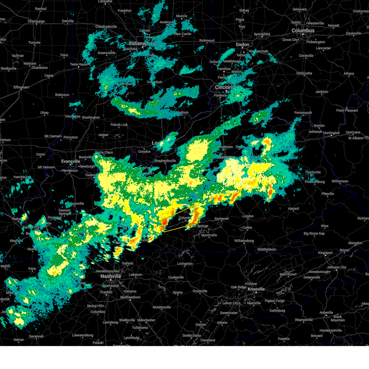
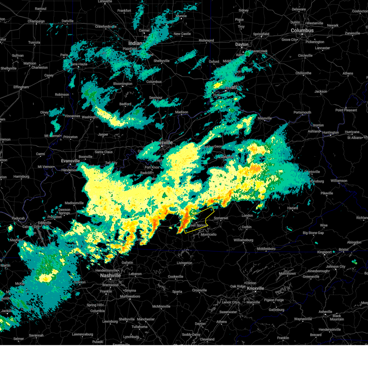
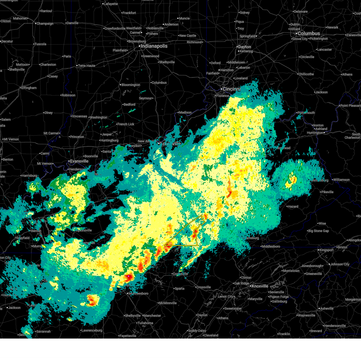
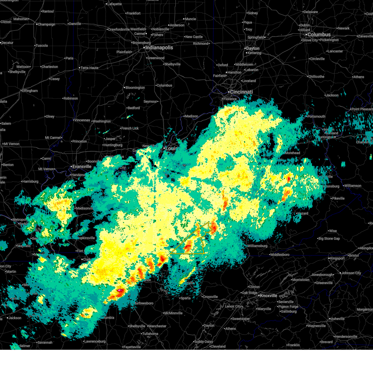
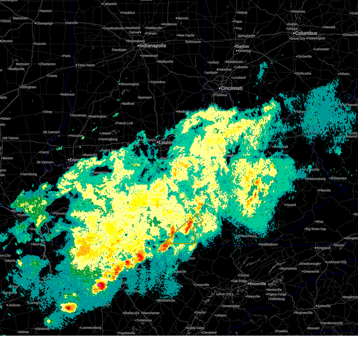
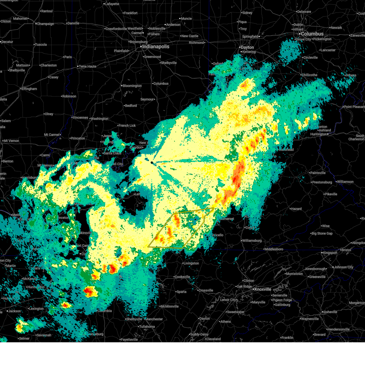
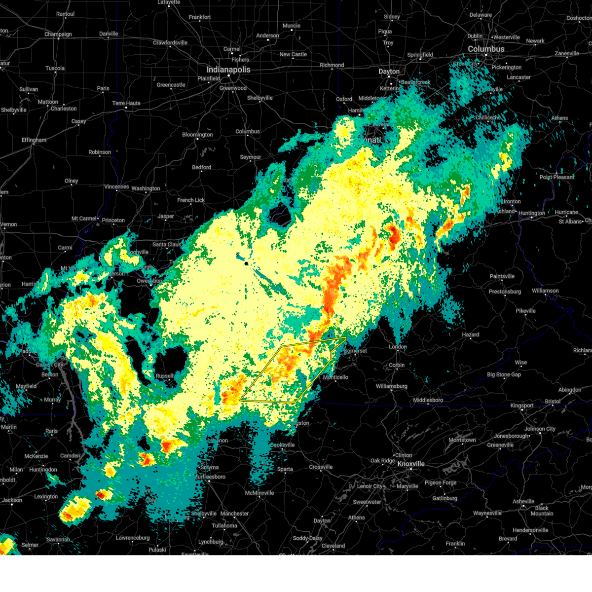
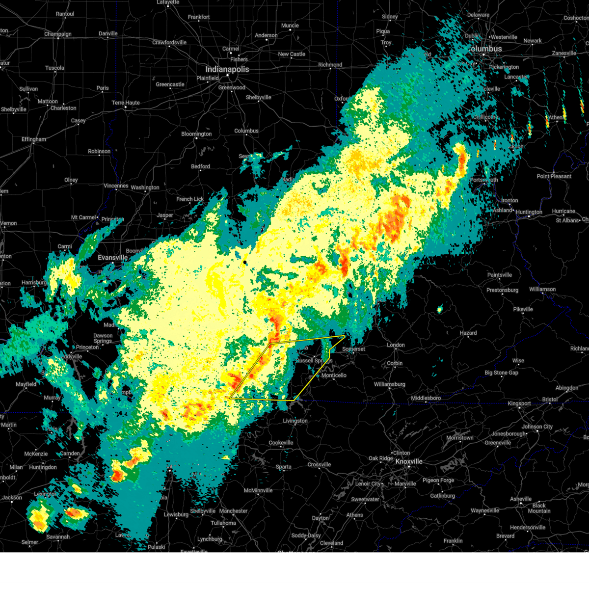
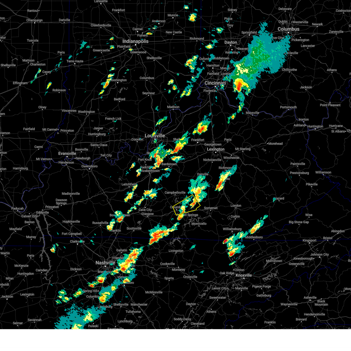
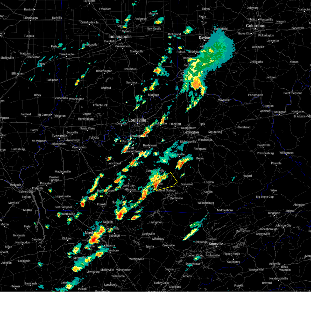
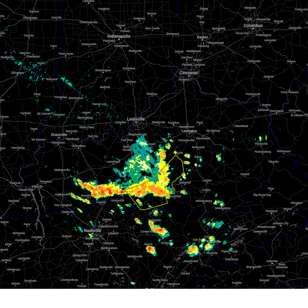
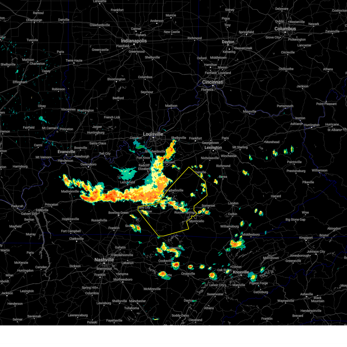
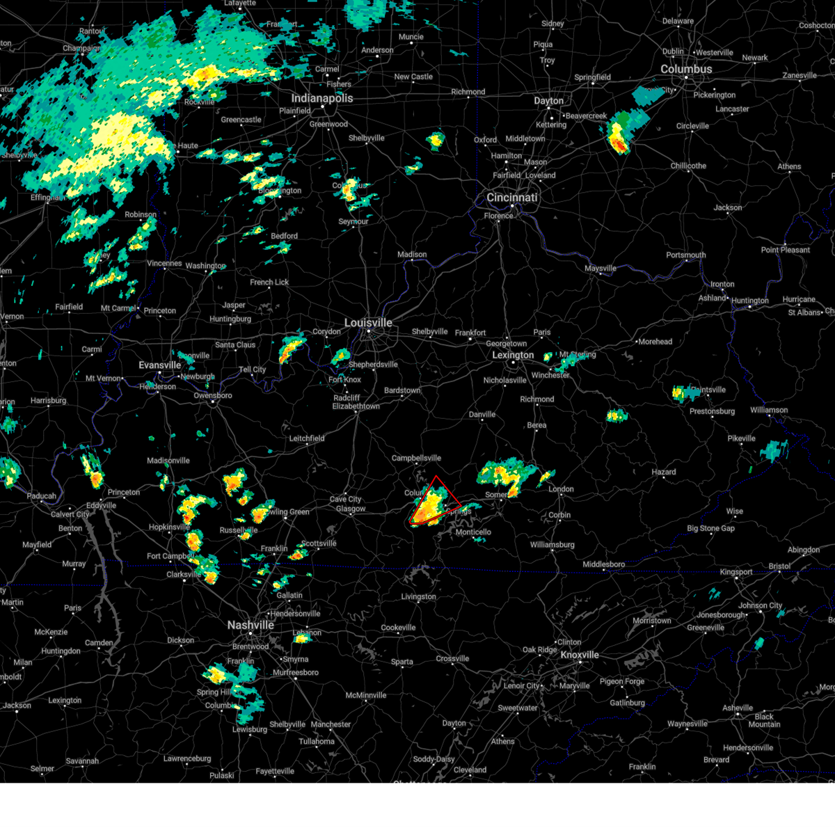
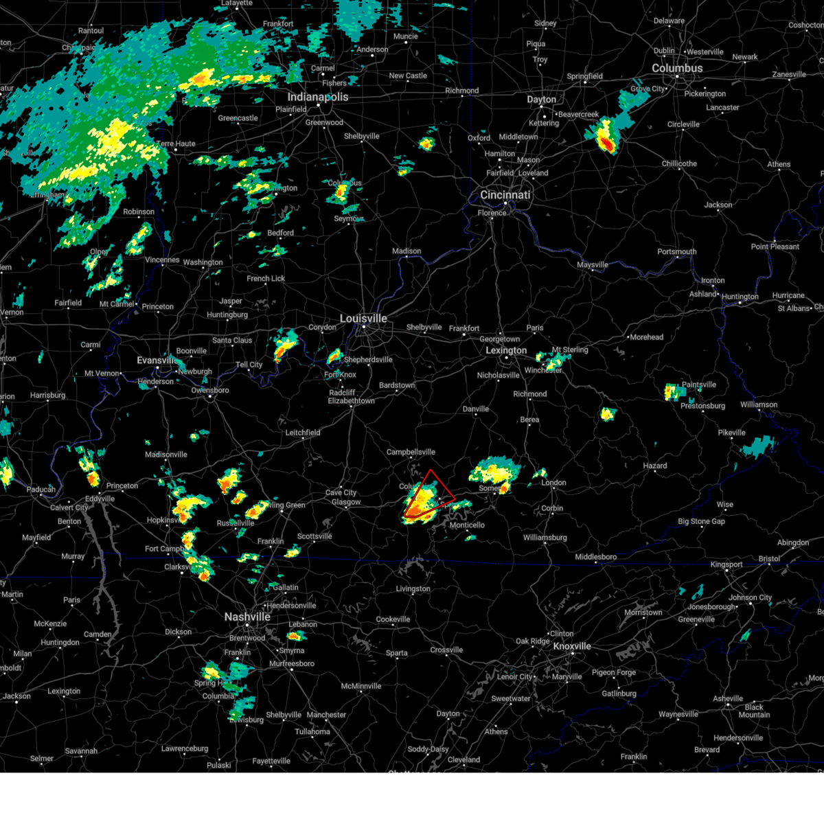
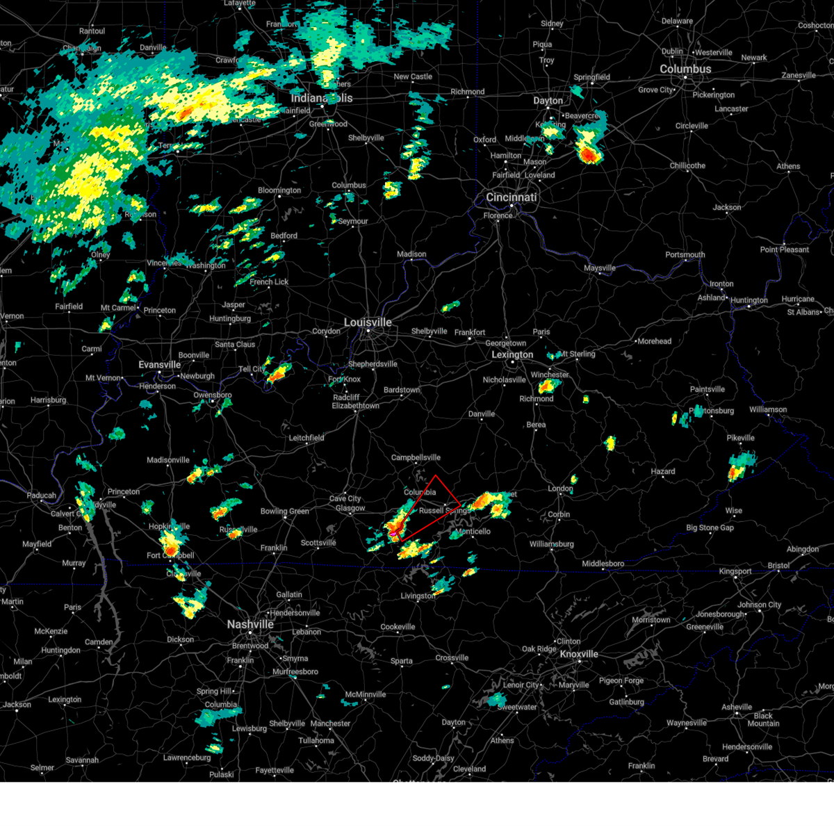
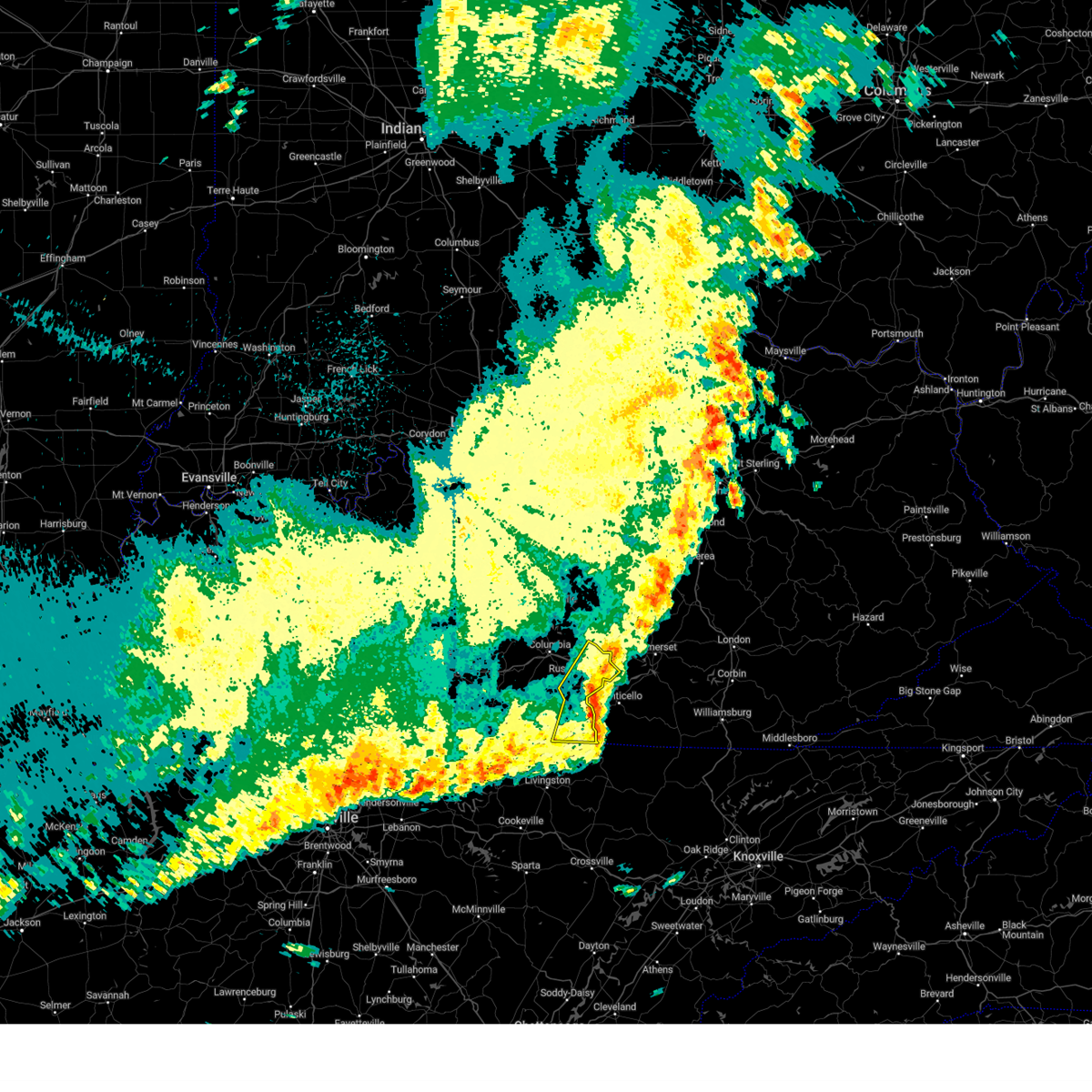
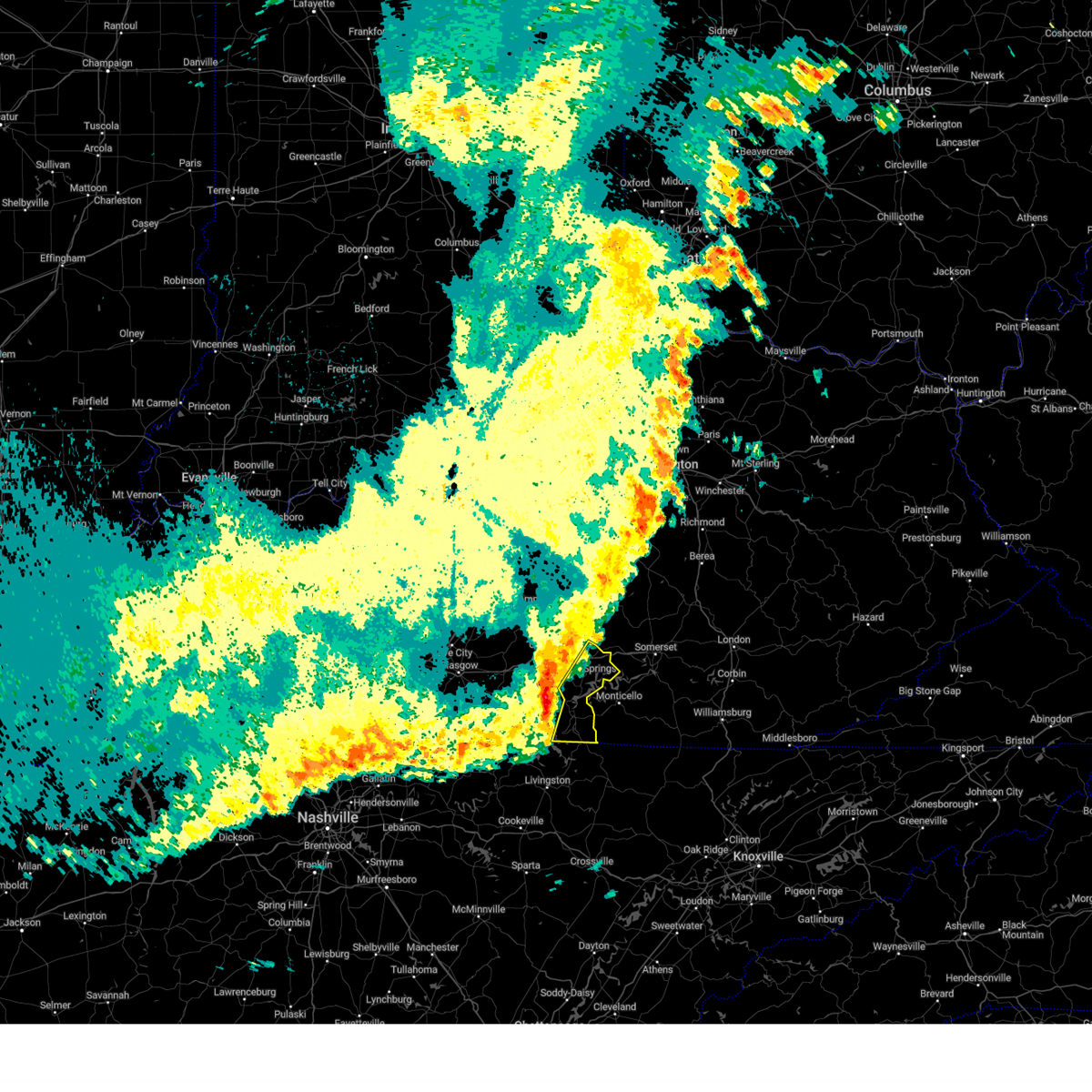
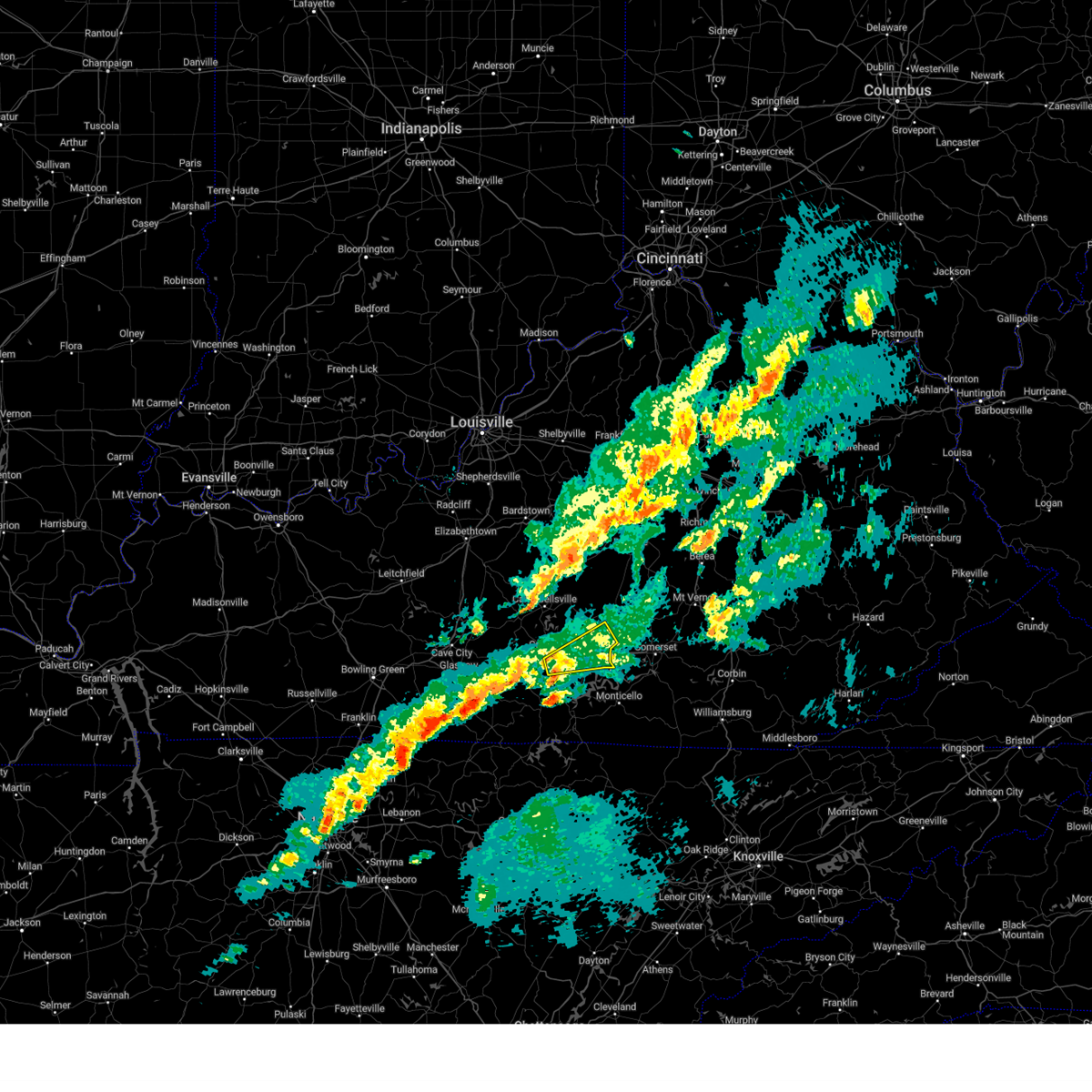
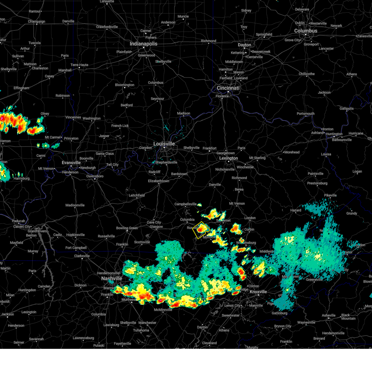
Hail Map for Russell Springs, KY
The Russell Springs, KY area has had 9 reports of on-the-ground hail by trained spotters, and has been under severe weather warnings 9 times during the past 12 months. Doppler radar has detected hail at or near Russell Springs, KY on 58 occasions, including 1 occasion during the past year.
| Name: | Russell Springs, KY |
| Where Located: | 73.6 miles SSE of Louisville, KY |
| Map: | Google Map for Russell Springs, KY |
| Population: | 2441 |
| Housing Units: | 1261 |
| More Info: | Search Google for Russell Springs, KY |
0
The Top Recent Hail Date for Russell Springs, KY is Monday, September 22, 2025 (43rd out of 58)
Hail and Wind Damage Spotted near Russell Springs, KY
| Date / Time | Report Details |
|---|---|
| 4/28/2026 3:33 AM EDT |
 At 333 am edt/233 am cdt/, severe thunderstorms were located along a line extending from 9 miles northeast of liberty to near jamestown, moving southeast at 60 mph (radar indicated). Hazards include 60 mph wind gusts. Expect damage to roofs, siding, and trees. Locations impacted include, liberty, columbia, jamestown, russell springs, hustonville, eli, lawhorn hill, absher, teddy, and royville. At 333 am edt/233 am cdt/, severe thunderstorms were located along a line extending from 9 miles northeast of liberty to near jamestown, moving southeast at 60 mph (radar indicated). Hazards include 60 mph wind gusts. Expect damage to roofs, siding, and trees. Locations impacted include, liberty, columbia, jamestown, russell springs, hustonville, eli, lawhorn hill, absher, teddy, and royville.
|
| 4/28/2026 3:10 AM EDT |
 Svrlmk the national weather service in louisville has issued a * severe thunderstorm warning for, central lincoln county in central kentucky, southeastern green county in central kentucky, southeastern marion county in central kentucky, central russell county in south central kentucky, eastern taylor county in central kentucky, casey county in central kentucky, adair county in south central kentucky, * until 345 am edt/245 am cdt/. * at 310 am edt/210 am cdt/, severe thunderstorms were located along a line extending from 7 miles southeast of lebanon to 8 miles south of greensburg, moving southeast at 60 mph (radar indicated). Hazards include 60 mph wind gusts. expect damage to roofs, siding, and trees Svrlmk the national weather service in louisville has issued a * severe thunderstorm warning for, central lincoln county in central kentucky, southeastern green county in central kentucky, southeastern marion county in central kentucky, central russell county in south central kentucky, eastern taylor county in central kentucky, casey county in central kentucky, adair county in south central kentucky, * until 345 am edt/245 am cdt/. * at 310 am edt/210 am cdt/, severe thunderstorms were located along a line extending from 7 miles southeast of lebanon to 8 miles south of greensburg, moving southeast at 60 mph (radar indicated). Hazards include 60 mph wind gusts. expect damage to roofs, siding, and trees
|
| 4/4/2026 6:14 PM CDT |
 At 614 pm cdt, a severe thunderstorm was located 9 miles southwest of jamestown, moving northeast at 60 mph (radar indicated). Hazards include 60 mph wind gusts. Expect damage to roofs, siding, and trees. Locations impacted include, jamestown, russell springs, horntown, eli, cundiff, gadberry, jericho, webbs cross roads, royville, and sano. At 614 pm cdt, a severe thunderstorm was located 9 miles southwest of jamestown, moving northeast at 60 mph (radar indicated). Hazards include 60 mph wind gusts. Expect damage to roofs, siding, and trees. Locations impacted include, jamestown, russell springs, horntown, eli, cundiff, gadberry, jericho, webbs cross roads, royville, and sano.
|
| 4/4/2026 6:14 PM CDT |
 the severe thunderstorm warning has been cancelled and is no longer in effect the severe thunderstorm warning has been cancelled and is no longer in effect
|
| 4/4/2026 5:59 PM CDT |
 Svrlmk the national weather service in louisville has issued a * severe thunderstorm warning for, north central clinton county in south central kentucky, russell county in south central kentucky, northern cumberland county in south central kentucky, southeastern adair county in south central kentucky, southeastern metcalfe county in south central kentucky, * until 630 pm cdt. * at 559 pm cdt, a severe thunderstorm was located near burkesville, moving northeast at 60 mph (radar indicated). Hazards include 60 mph wind gusts. expect damage to roofs, siding, and trees Svrlmk the national weather service in louisville has issued a * severe thunderstorm warning for, north central clinton county in south central kentucky, russell county in south central kentucky, northern cumberland county in south central kentucky, southeastern adair county in south central kentucky, southeastern metcalfe county in south central kentucky, * until 630 pm cdt. * at 559 pm cdt, a severe thunderstorm was located near burkesville, moving northeast at 60 mph (radar indicated). Hazards include 60 mph wind gusts. expect damage to roofs, siding, and trees
|
| 3/16/2026 12:54 AM CDT |
 The storms which prompted the warning have moved out of the area. therefore, the warning will be allowed to expire. a tornado watch remains in effect until 500 am edt/400 am cdt/ for south central and central kentucky. to report severe weather, contact your nearest law enforcement agency. they will relay your report to the national weather service louisville. The storms which prompted the warning have moved out of the area. therefore, the warning will be allowed to expire. a tornado watch remains in effect until 500 am edt/400 am cdt/ for south central and central kentucky. to report severe weather, contact your nearest law enforcement agency. they will relay your report to the national weather service louisville.
|
| 3/16/2026 12:40 AM CDT |
 the severe thunderstorm warning has been cancelled and is no longer in effect the severe thunderstorm warning has been cancelled and is no longer in effect
|
| 3/16/2026 12:40 AM CDT |
 At 140 am edt/1240 am cdt/, severe thunderstorms were located along a line extending from 7 miles northwest of jamestown to albany to 6 miles east of livingston, moving northeast at 60 mph (radar indicated). Hazards include 70 mph wind gusts. Expect considerable tree damage. damage is likely to mobile homes, roofs, and outbuildings. Locations impacted include, albany, jamestown, russell springs, desda, cartwright, eli, snow, cundiff, savage, and ida. At 140 am edt/1240 am cdt/, severe thunderstorms were located along a line extending from 7 miles northwest of jamestown to albany to 6 miles east of livingston, moving northeast at 60 mph (radar indicated). Hazards include 70 mph wind gusts. Expect considerable tree damage. damage is likely to mobile homes, roofs, and outbuildings. Locations impacted include, albany, jamestown, russell springs, desda, cartwright, eli, snow, cundiff, savage, and ida.
|
| 3/16/2026 1:13 AM EDT |
 Svrlmk the national weather service in louisville has issued a * severe thunderstorm warning for, clinton county in south central kentucky, eastern monroe county in south central kentucky, russell county in south central kentucky, cumberland county in south central kentucky, south central casey county in central kentucky, southern adair county in south central kentucky, southeastern metcalfe county in south central kentucky, * until 200 am edt/100 am cdt/. * at 113 am edt/1213 am cdt/, severe thunderstorms were located along a line extending from 8 miles northeast of tompkinsville to 8 miles south of celina to near baxter, moving northeast at 60 mph (radar indicated). Hazards include 70 mph wind gusts. Expect considerable tree damage. Damage is likely to mobile homes, roofs, and outbuildings. Svrlmk the national weather service in louisville has issued a * severe thunderstorm warning for, clinton county in south central kentucky, eastern monroe county in south central kentucky, russell county in south central kentucky, cumberland county in south central kentucky, south central casey county in central kentucky, southern adair county in south central kentucky, southeastern metcalfe county in south central kentucky, * until 200 am edt/100 am cdt/. * at 113 am edt/1213 am cdt/, severe thunderstorms were located along a line extending from 8 miles northeast of tompkinsville to 8 miles south of celina to near baxter, moving northeast at 60 mph (radar indicated). Hazards include 70 mph wind gusts. Expect considerable tree damage. Damage is likely to mobile homes, roofs, and outbuildings.
|
| 6/6/2025 2:13 PM CDT |
 The storms which prompted the warning have moved out of the area. therefore, the warning will be allowed to expire. to report severe weather, contact your nearest law enforcement agency. they will relay your report to the national weather service louisville. The storms which prompted the warning have moved out of the area. therefore, the warning will be allowed to expire. to report severe weather, contact your nearest law enforcement agency. they will relay your report to the national weather service louisville.
|
| 6/6/2025 2:03 PM CDT |
 the severe thunderstorm warning has been cancelled and is no longer in effect the severe thunderstorm warning has been cancelled and is no longer in effect
|
| 6/6/2025 2:03 PM CDT |
 At 302 pm edt/202 pm cdt/, severe thunderstorms were located along a line extending from 6 miles northeast of liberty to near cabell, moving east at 35 mph (radar indicated). Hazards include 60 mph wind gusts and penny size hail. Expect damage to roofs, siding, and trees. Locations impacted include, liberty, jamestown, russell springs, horntown, eli, lawhorn hill, jericho, windsor, teddy, and webbs cross roads. At 302 pm edt/202 pm cdt/, severe thunderstorms were located along a line extending from 6 miles northeast of liberty to near cabell, moving east at 35 mph (radar indicated). Hazards include 60 mph wind gusts and penny size hail. Expect damage to roofs, siding, and trees. Locations impacted include, liberty, jamestown, russell springs, horntown, eli, lawhorn hill, jericho, windsor, teddy, and webbs cross roads.
|
| 6/6/2025 1:50 PM CDT |
 At 249 pm edt/149 pm cdt/, severe thunderstorms were located along a line extending from near liberty to 8 miles southwest of jamestown, moving east at 35 mph (radar indicated). Hazards include 60 mph wind gusts and nickel size hail. Expect damage to roofs, siding, and trees. Locations impacted include, liberty, jamestown, russell springs, eli, lawhorn hill, cundiff, teddy, royville, sano, and gilpin. At 249 pm edt/149 pm cdt/, severe thunderstorms were located along a line extending from near liberty to 8 miles southwest of jamestown, moving east at 35 mph (radar indicated). Hazards include 60 mph wind gusts and nickel size hail. Expect damage to roofs, siding, and trees. Locations impacted include, liberty, jamestown, russell springs, eli, lawhorn hill, cundiff, teddy, royville, sano, and gilpin.
|
| 6/6/2025 1:50 PM CDT |
 the severe thunderstorm warning has been cancelled and is no longer in effect the severe thunderstorm warning has been cancelled and is no longer in effect
|
| 6/6/2025 2:46 PM EDT |
 The storms which prompted the warning have moved out of the area. therefore, the warning has been allowed to expire. remember, a severe thunderstorm warning still remains in effect for portions of russell, casey, and adair county until 315 pm edt/215 pm cdt. The storms which prompted the warning have moved out of the area. therefore, the warning has been allowed to expire. remember, a severe thunderstorm warning still remains in effect for portions of russell, casey, and adair county until 315 pm edt/215 pm cdt.
|
| 6/6/2025 1:44 PM CDT |
 Svrlmk the national weather service in louisville has issued a * severe thunderstorm warning for, southwestern lincoln county in central kentucky, russell county in south central kentucky, east central taylor county in central kentucky, northeastern cumberland county in south central kentucky, casey county in central kentucky, eastern adair county in south central kentucky, * until 315 pm edt/215 pm cdt/. * at 243 pm edt/143 pm cdt/, severe thunderstorms were located along a line extending from 8 miles northwest of liberty to 10 miles northeast of burkesville, moving east at 35 mph (radar indicated). Hazards include 60 mph wind gusts and nickel size hail. expect damage to roofs, siding, and trees Svrlmk the national weather service in louisville has issued a * severe thunderstorm warning for, southwestern lincoln county in central kentucky, russell county in south central kentucky, east central taylor county in central kentucky, northeastern cumberland county in south central kentucky, casey county in central kentucky, eastern adair county in south central kentucky, * until 315 pm edt/215 pm cdt/. * at 243 pm edt/143 pm cdt/, severe thunderstorms were located along a line extending from 8 miles northwest of liberty to 10 miles northeast of burkesville, moving east at 35 mph (radar indicated). Hazards include 60 mph wind gusts and nickel size hail. expect damage to roofs, siding, and trees
|
| 6/6/2025 2:33 PM EDT |
 At 233 pm edt/133 pm cdt/, severe thunderstorms were located along a line extending from near campbellsville to 6 miles southeast of columbia, moving east at 45 mph (radar indicated). Hazards include 60 mph wind gusts and penny size hail. Expect damage to roofs, siding, and trees. Locations impacted include, liberty, campbellsville, columbia, jamestown, russell springs, eli, absher, teddy, royville, and sano. At 233 pm edt/133 pm cdt/, severe thunderstorms were located along a line extending from near campbellsville to 6 miles southeast of columbia, moving east at 45 mph (radar indicated). Hazards include 60 mph wind gusts and penny size hail. Expect damage to roofs, siding, and trees. Locations impacted include, liberty, campbellsville, columbia, jamestown, russell springs, eli, absher, teddy, royville, and sano.
|
| 6/6/2025 2:33 PM EDT |
 the severe thunderstorm warning has been cancelled and is no longer in effect the severe thunderstorm warning has been cancelled and is no longer in effect
|
| 6/6/2025 1:18 PM CDT |
 Svrlmk the national weather service in louisville has issued a * severe thunderstorm warning for, southeastern green county in central kentucky, central russell county in south central kentucky, taylor county in central kentucky, southwestern casey county in central kentucky, adair county in south central kentucky, * until 245 pm edt/145 pm cdt/. * at 217 pm edt/117 pm cdt/, severe thunderstorms were located along a line extending from near campbellsville to 6 miles south of columbia, moving east at 50 mph (radar indicated). Hazards include 60 mph wind gusts and quarter size hail. Hail damage to vehicles is expected. Expect wind damage to roofs, siding, and trees. Svrlmk the national weather service in louisville has issued a * severe thunderstorm warning for, southeastern green county in central kentucky, central russell county in south central kentucky, taylor county in central kentucky, southwestern casey county in central kentucky, adair county in south central kentucky, * until 245 pm edt/145 pm cdt/. * at 217 pm edt/117 pm cdt/, severe thunderstorms were located along a line extending from near campbellsville to 6 miles south of columbia, moving east at 50 mph (radar indicated). Hazards include 60 mph wind gusts and quarter size hail. Hail damage to vehicles is expected. Expect wind damage to roofs, siding, and trees.
|
| 5/16/2025 11:30 PM CDT |
 the tornado warning has been cancelled and is no longer in effect the tornado warning has been cancelled and is no longer in effect
|
| 5/16/2025 11:21 PM CDT |
 At 1220 am edt/1120 pm cdt/, a severe thunderstorm was located near faubush, moving east at 75 mph. this is a destructive storm for the lake cumberland region (radar indicated). Hazards include 80 mph wind gusts. Flying debris will be dangerous to those caught without shelter. mobile homes will be heavily damaged. expect considerable damage to roofs, windows, and vehicles. extensive tree damage and power outages are likely. Locations impacted include, jamestown, russell springs, horntown, eli, mintonville, jericho, windsor, teddy, webbs cross roads, and royville. At 1220 am edt/1120 pm cdt/, a severe thunderstorm was located near faubush, moving east at 75 mph. this is a destructive storm for the lake cumberland region (radar indicated). Hazards include 80 mph wind gusts. Flying debris will be dangerous to those caught without shelter. mobile homes will be heavily damaged. expect considerable damage to roofs, windows, and vehicles. extensive tree damage and power outages are likely. Locations impacted include, jamestown, russell springs, horntown, eli, mintonville, jericho, windsor, teddy, webbs cross roads, and royville.
|
| 5/16/2025 11:21 PM CDT |
 the severe thunderstorm warning has been cancelled and is no longer in effect the severe thunderstorm warning has been cancelled and is no longer in effect
|
| 5/16/2025 11:09 PM CDT |
 Torlmk the national weather service in louisville has issued a * tornado warning for, russell county in south central kentucky, southeastern adair county in south central kentucky, * until 1145 pm cdt. * at 1109 pm cdt, a severe thunderstorm capable of producing a tornado was located 8 miles southwest of columbia, moving east at 70 mph (radar indicated rotation). Hazards include tornado. Flying debris will be dangerous to those caught without shelter. mobile homes will be damaged or destroyed. damage to roofs, windows, and vehicles will occur. tree damage is likely. this dangerous storm will be near, jamestown around 1120 pm cdt. Other locations impacted by this tornadic thunderstorm include horntown, jabez, eli, whittle, royville, esto, karlus, russell springs, russell county airport, and crocus. Torlmk the national weather service in louisville has issued a * tornado warning for, russell county in south central kentucky, southeastern adair county in south central kentucky, * until 1145 pm cdt. * at 1109 pm cdt, a severe thunderstorm capable of producing a tornado was located 8 miles southwest of columbia, moving east at 70 mph (radar indicated rotation). Hazards include tornado. Flying debris will be dangerous to those caught without shelter. mobile homes will be damaged or destroyed. damage to roofs, windows, and vehicles will occur. tree damage is likely. this dangerous storm will be near, jamestown around 1120 pm cdt. Other locations impacted by this tornadic thunderstorm include horntown, jabez, eli, whittle, royville, esto, karlus, russell springs, russell county airport, and crocus.
|
| 5/16/2025 11:06 PM CDT |
 the severe thunderstorm warning has been cancelled and is no longer in effect the severe thunderstorm warning has been cancelled and is no longer in effect
|
| 5/16/2025 11:06 PM CDT |
 At 1205 am edt/1105 pm cdt/, a severe thunderstorm was located 7 miles southeast of columbia, moving east at 75 mph. this is a destructive storm for the lake cumberland region (radar indicated). Hazards include 80 mph wind gusts. Flying debris will be dangerous to those caught without shelter. mobile homes will be heavily damaged. expect considerable damage to roofs, windows, and vehicles. extensive tree damage and power outages are likely. Locations impacted include, columbia, jamestown, russell springs, eli, mintonville, cundiff, absher, teddy, royville, and sano. At 1205 am edt/1105 pm cdt/, a severe thunderstorm was located 7 miles southeast of columbia, moving east at 75 mph. this is a destructive storm for the lake cumberland region (radar indicated). Hazards include 80 mph wind gusts. Flying debris will be dangerous to those caught without shelter. mobile homes will be heavily damaged. expect considerable damage to roofs, windows, and vehicles. extensive tree damage and power outages are likely. Locations impacted include, columbia, jamestown, russell springs, eli, mintonville, cundiff, absher, teddy, royville, and sano.
|
| 5/16/2025 10:51 PM CDT |
 Svrlmk the national weather service in louisville has issued a * severe thunderstorm warning for, north central clinton county in south central kentucky, southern green county in central kentucky, russell county in south central kentucky, southeastern hart county in central kentucky, northeastern cumberland county in south central kentucky, southeastern casey county in central kentucky, adair county in south central kentucky, metcalfe county in south central kentucky, * until 1230 am edt/1130 pm cdt/. * at 1150 pm edt/1050 pm cdt/, a severe thunderstorm was located near edmonton, moving east at 75 mph. this is a destructive storm for the lake cumberland region (radar indicated). Hazards include 80 mph wind gusts. Flying debris will be dangerous to those caught without shelter. mobile homes will be heavily damaged. expect considerable damage to roofs, windows, and vehicles. Extensive tree damage and power outages are likely. Svrlmk the national weather service in louisville has issued a * severe thunderstorm warning for, north central clinton county in south central kentucky, southern green county in central kentucky, russell county in south central kentucky, southeastern hart county in central kentucky, northeastern cumberland county in south central kentucky, southeastern casey county in central kentucky, adair county in south central kentucky, metcalfe county in south central kentucky, * until 1230 am edt/1130 pm cdt/. * at 1150 pm edt/1050 pm cdt/, a severe thunderstorm was located near edmonton, moving east at 75 mph. this is a destructive storm for the lake cumberland region (radar indicated). Hazards include 80 mph wind gusts. Flying debris will be dangerous to those caught without shelter. mobile homes will be heavily damaged. expect considerable damage to roofs, windows, and vehicles. Extensive tree damage and power outages are likely.
|
| 5/16/2025 11:14 PM EDT |
 Svrlmk the national weather service in louisville has issued a * severe thunderstorm warning for, lincoln county in central kentucky, southeastern mercer county in central kentucky, garrard county in central kentucky, russell county in south central kentucky, southern jessamine county in central kentucky, eastern boyle county in central kentucky, madison county in central kentucky, casey county in central kentucky, southern adair county in south central kentucky, * until midnight edt/1100 pm cdt/. * at 1113 pm edt/1013 pm cdt/, severe thunderstorms were located along a line extending from 6 miles west of nicholasville to 10 miles southwest of danville to near greensburg, moving east at 75 mph (radar indicated). Hazards include 70 mph wind gusts and quarter size hail. Hail damage to vehicles is expected. expect considerable tree damage. Wind damage is also likely to mobile homes, roofs, and outbuildings. Svrlmk the national weather service in louisville has issued a * severe thunderstorm warning for, lincoln county in central kentucky, southeastern mercer county in central kentucky, garrard county in central kentucky, russell county in south central kentucky, southern jessamine county in central kentucky, eastern boyle county in central kentucky, madison county in central kentucky, casey county in central kentucky, southern adair county in south central kentucky, * until midnight edt/1100 pm cdt/. * at 1113 pm edt/1013 pm cdt/, severe thunderstorms were located along a line extending from 6 miles west of nicholasville to 10 miles southwest of danville to near greensburg, moving east at 75 mph (radar indicated). Hazards include 70 mph wind gusts and quarter size hail. Hail damage to vehicles is expected. expect considerable tree damage. Wind damage is also likely to mobile homes, roofs, and outbuildings.
|
| 5/16/2025 9:32 PM CDT | Quarter sized hail reported 5.8 miles WSW of Russell Springs, KY, report from mping: quarter (1.00 in.). |
| 5/16/2025 9:32 PM CDT | Quarter sized hail reported 4.7 miles WSW of Russell Springs, KY, report from mping: quarter (1.00 in.). |
| 5/16/2025 9:27 PM CDT |
 the tornado warning has been cancelled and is no longer in effect the tornado warning has been cancelled and is no longer in effect
|
| 5/16/2025 9:27 PM CDT |
 At 927 pm cdt, a severe thunderstorm capable of producing a tornado was located over jamestown, moving east at 45 mph (radar indicated rotation). Hazards include tornado and quarter size hail. Flying debris will be dangerous to those caught without shelter. mobile homes will be damaged or destroyed. damage to roofs, windows, and vehicles will occur. tree damage is likely. This tornadic thunderstorm will remain over mainly rural areas of central russell county, including the following locations, horntown, jabez, ono, vinnie, eli, whittle, jericho, royville, karlus, and russell springs. At 927 pm cdt, a severe thunderstorm capable of producing a tornado was located over jamestown, moving east at 45 mph (radar indicated rotation). Hazards include tornado and quarter size hail. Flying debris will be dangerous to those caught without shelter. mobile homes will be damaged or destroyed. damage to roofs, windows, and vehicles will occur. tree damage is likely. This tornadic thunderstorm will remain over mainly rural areas of central russell county, including the following locations, horntown, jabez, ono, vinnie, eli, whittle, jericho, royville, karlus, and russell springs.
|
| 5/16/2025 9:23 PM CDT | Golf Ball sized hail reported 0.9 miles SSE of Russell Springs, KY |
| 5/16/2025 9:05 PM CDT |
 Torlmk the national weather service in louisville has issued a * tornado warning for, russell county in south central kentucky, southeastern adair county in south central kentucky, * until 945 pm cdt. * at 905 pm cdt, a severe thunderstorm capable of producing a tornado was located near columbia, moving east at 45 mph (radar indicated rotation). Hazards include tornado and quarter size hail. Flying debris will be dangerous to those caught without shelter. mobile homes will be damaged or destroyed. damage to roofs, windows, and vehicles will occur. tree damage is likely. this dangerous storm will be near, jamestown around 920 pm cdt. Other locations impacted by this tornadic thunderstorm include horntown, eli, gadberry, jericho, royville, karlus, russell springs, fairplay, russell county airport, and crocus. Torlmk the national weather service in louisville has issued a * tornado warning for, russell county in south central kentucky, southeastern adair county in south central kentucky, * until 945 pm cdt. * at 905 pm cdt, a severe thunderstorm capable of producing a tornado was located near columbia, moving east at 45 mph (radar indicated rotation). Hazards include tornado and quarter size hail. Flying debris will be dangerous to those caught without shelter. mobile homes will be damaged or destroyed. damage to roofs, windows, and vehicles will occur. tree damage is likely. this dangerous storm will be near, jamestown around 920 pm cdt. Other locations impacted by this tornadic thunderstorm include horntown, eli, gadberry, jericho, royville, karlus, russell springs, fairplay, russell county airport, and crocus.
|
| 5/16/2025 11:54 AM CDT |
 The storm which prompted the warning has moved out of the area. therefore, the warning will be allowed to expire. however, small hail, gusty winds and heavy rain are still possible with this thunderstorm. to report severe weather, contact your nearest law enforcement agency. they will relay your report to the national weather service louisville. The storm which prompted the warning has moved out of the area. therefore, the warning will be allowed to expire. however, small hail, gusty winds and heavy rain are still possible with this thunderstorm. to report severe weather, contact your nearest law enforcement agency. they will relay your report to the national weather service louisville.
|
| 5/16/2025 11:37 AM CDT |
 Svrlmk the national weather service in louisville has issued a * severe thunderstorm warning for, russell county in south central kentucky, * until noon cdt. * at 1137 am cdt, a severe thunderstorm was located near jamestown, moving east at 70 mph (radar indicated). Hazards include quarter size hail. damage to vehicles is expected Svrlmk the national weather service in louisville has issued a * severe thunderstorm warning for, russell county in south central kentucky, * until noon cdt. * at 1137 am cdt, a severe thunderstorm was located near jamestown, moving east at 70 mph (radar indicated). Hazards include quarter size hail. damage to vehicles is expected
|
| 5/2/2025 3:17 PM CDT |
 The storm which prompted the warning has weakened below severe limits, and no longer poses an immediate threat to life or property. therefore, the warning has been allowed to expire. however, gusty winds and heavy rain are still possible with this thunderstorm. a severe thunderstorm watch remains in effect until 500 pm cdt for south central kentucky. to report severe weather, contact your nearest law enforcement agency. they will relay your report to the national weather service louisville. The storm which prompted the warning has weakened below severe limits, and no longer poses an immediate threat to life or property. therefore, the warning has been allowed to expire. however, gusty winds and heavy rain are still possible with this thunderstorm. a severe thunderstorm watch remains in effect until 500 pm cdt for south central kentucky. to report severe weather, contact your nearest law enforcement agency. they will relay your report to the national weather service louisville.
|
| 5/2/2025 2:50 PM CDT |
 Svrlmk the national weather service in louisville has issued a * severe thunderstorm warning for, central clinton county in south central kentucky, east central monroe county in south central kentucky, southwestern russell county in south central kentucky, eastern cumberland county in south central kentucky, south central adair county in south central kentucky, * until 315 pm cdt. * at 250 pm cdt, a severe thunderstorm was located near burkesville, moving east at 15 mph (radar indicated). Hazards include 60 mph wind gusts and quarter size hail. Hail damage to vehicles is expected. Expect wind damage to roofs, siding, and trees. Svrlmk the national weather service in louisville has issued a * severe thunderstorm warning for, central clinton county in south central kentucky, east central monroe county in south central kentucky, southwestern russell county in south central kentucky, eastern cumberland county in south central kentucky, south central adair county in south central kentucky, * until 315 pm cdt. * at 250 pm cdt, a severe thunderstorm was located near burkesville, moving east at 15 mph (radar indicated). Hazards include 60 mph wind gusts and quarter size hail. Hail damage to vehicles is expected. Expect wind damage to roofs, siding, and trees.
|
| 4/29/2025 8:04 PM CDT |
 the severe thunderstorm warning has been cancelled and is no longer in effect the severe thunderstorm warning has been cancelled and is no longer in effect
|
| 4/29/2025 7:58 PM CDT |
 the severe thunderstorm warning has been cancelled and is no longer in effect the severe thunderstorm warning has been cancelled and is no longer in effect
|
| 4/29/2025 7:58 PM CDT |
 At 758 pm cdt, a severe thunderstorm was located near jamestown, or 15 miles west of monticello, moving east at 25 mph (radar indicated). Hazards include 60 mph wind gusts. Expect damage to roofs, siding, and trees. Locations impacted include, horntown, bryan, esto, karlus, creelsboro, russell springs, russell county airport, olga, jamestown, ribbon, manntown, rose crossroads, long bottom, sewellton, old olga, helm, and rowena. At 758 pm cdt, a severe thunderstorm was located near jamestown, or 15 miles west of monticello, moving east at 25 mph (radar indicated). Hazards include 60 mph wind gusts. Expect damage to roofs, siding, and trees. Locations impacted include, horntown, bryan, esto, karlus, creelsboro, russell springs, russell county airport, olga, jamestown, ribbon, manntown, rose crossroads, long bottom, sewellton, old olga, helm, and rowena.
|
| 4/29/2025 7:44 PM CDT |
 At 744 pm cdt, a severe thunderstorm was located 10 miles south of columbia, or 23 miles west of monticello, moving east at 20 mph (radar indicated). Hazards include 60 mph wind gusts and penny size hail. Expect damage to roofs, siding, and trees. Locations impacted include, horntown, cundiff, karlus, russell springs, russell county airport, crocus, ribbon, sewellton, joppa, rowena, montpelier, bryan, esto, creelsboro, inroad, olga, jamestown, manntown, rose crossroads, and amandaville. At 744 pm cdt, a severe thunderstorm was located 10 miles south of columbia, or 23 miles west of monticello, moving east at 20 mph (radar indicated). Hazards include 60 mph wind gusts and penny size hail. Expect damage to roofs, siding, and trees. Locations impacted include, horntown, cundiff, karlus, russell springs, russell county airport, crocus, ribbon, sewellton, joppa, rowena, montpelier, bryan, esto, creelsboro, inroad, olga, jamestown, manntown, rose crossroads, and amandaville.
|
| 4/29/2025 7:30 PM CDT |
 At 730 pm cdt, a severe thunderstorm was located near jamestown, or 12 miles northwest of monticello, moving east at 25 mph. a second sever storm was located over southern adair county just east of breeding (radar indicated). Hazards include 60 mph wind gusts and penny size hail. Expect damage to roofs, siding, and trees. Locations impacted include, horntown, jabez, eli, whittle, esto, karlus, russell springs, russell county airport, crocus, ono, vinnie, jamestown, rose crossroads, joppa, glens fork, montpelier, and royville. At 730 pm cdt, a severe thunderstorm was located near jamestown, or 12 miles northwest of monticello, moving east at 25 mph. a second sever storm was located over southern adair county just east of breeding (radar indicated). Hazards include 60 mph wind gusts and penny size hail. Expect damage to roofs, siding, and trees. Locations impacted include, horntown, jabez, eli, whittle, esto, karlus, russell springs, russell county airport, crocus, ono, vinnie, jamestown, rose crossroads, joppa, glens fork, montpelier, and royville.
|
| 4/29/2025 7:25 PM CDT |
 Svrlmk the national weather service in louisville has issued a * severe thunderstorm warning for, russell county in south central kentucky, northeastern cumberland county in south central kentucky, southern adair county in south central kentucky, * until 815 pm cdt. * at 724 pm cdt, a severe thunderstorm was located 11 miles southwest of columbia, or 28 miles north of celina, moving east at 20 mph (radar indicated). Hazards include 60 mph wind gusts and penny size hail. expect damage to roofs, siding, and trees Svrlmk the national weather service in louisville has issued a * severe thunderstorm warning for, russell county in south central kentucky, northeastern cumberland county in south central kentucky, southern adair county in south central kentucky, * until 815 pm cdt. * at 724 pm cdt, a severe thunderstorm was located 11 miles southwest of columbia, or 28 miles north of celina, moving east at 20 mph (radar indicated). Hazards include 60 mph wind gusts and penny size hail. expect damage to roofs, siding, and trees
|
| 4/29/2025 7:11 PM CDT |
 Svrlmk the national weather service in louisville has issued a * severe thunderstorm warning for, russell county in south central kentucky, southeastern adair county in south central kentucky, * until 800 pm cdt. * at 711 pm cdt, a severe thunderstorm was located near columbia, or 24 miles northwest of monticello, moving east at 30 mph (radar indicated). Hazards include 60 mph wind gusts and quarter size hail. Hail damage to vehicles is expected. Expect wind damage to roofs, siding, and trees. Svrlmk the national weather service in louisville has issued a * severe thunderstorm warning for, russell county in south central kentucky, southeastern adair county in south central kentucky, * until 800 pm cdt. * at 711 pm cdt, a severe thunderstorm was located near columbia, or 24 miles northwest of monticello, moving east at 30 mph (radar indicated). Hazards include 60 mph wind gusts and quarter size hail. Hail damage to vehicles is expected. Expect wind damage to roofs, siding, and trees.
|
| 4/5/2025 6:50 PM CDT |
 At 649 pm cdt, severe thunderstorms were located along a line extending from 8 miles north of jamestown to zula, moving northeast at 60 mph (radar indicated). Hazards include 60 mph wind gusts and quarter size hail. Hail damage to vehicles is expected. expect wind damage to roofs, siding, and trees. Locations impacted include, albany, jamestown, russell springs, desda, cartwright, eli, snow, savage, ida, and royville. At 649 pm cdt, severe thunderstorms were located along a line extending from 8 miles north of jamestown to zula, moving northeast at 60 mph (radar indicated). Hazards include 60 mph wind gusts and quarter size hail. Hail damage to vehicles is expected. expect wind damage to roofs, siding, and trees. Locations impacted include, albany, jamestown, russell springs, desda, cartwright, eli, snow, savage, ida, and royville.
|
| 4/5/2025 6:50 PM CDT |
 the severe thunderstorm warning has been cancelled and is no longer in effect the severe thunderstorm warning has been cancelled and is no longer in effect
|
| 4/5/2025 6:29 PM CDT |
 Svrlmk the national weather service in louisville has issued a * severe thunderstorm warning for, clinton county in south central kentucky, russell county in south central kentucky, cumberland county in south central kentucky, southeastern adair county in south central kentucky, southeastern metcalfe county in south central kentucky, * until 715 pm cdt. * at 629 pm cdt, severe thunderstorms were located along a line extending from 7 miles south of columbia to 9 miles south of burkesville, moving northeast at 60 mph (radar indicated). Hazards include 60 mph wind gusts and quarter size hail. Hail damage to vehicles is expected. Expect wind damage to roofs, siding, and trees. Svrlmk the national weather service in louisville has issued a * severe thunderstorm warning for, clinton county in south central kentucky, russell county in south central kentucky, cumberland county in south central kentucky, southeastern adair county in south central kentucky, southeastern metcalfe county in south central kentucky, * until 715 pm cdt. * at 629 pm cdt, severe thunderstorms were located along a line extending from 7 miles south of columbia to 9 miles south of burkesville, moving northeast at 60 mph (radar indicated). Hazards include 60 mph wind gusts and quarter size hail. Hail damage to vehicles is expected. Expect wind damage to roofs, siding, and trees.
|
| 4/3/2025 2:44 PM CDT |
 The storm which prompted the warning has moved out of the area. therefore, the warning will be allowed to expire. a tornado watch remains in effect until 1100 pm edt/1000 pm cdt/ for south central and central kentucky. The storm which prompted the warning has moved out of the area. therefore, the warning will be allowed to expire. a tornado watch remains in effect until 1100 pm edt/1000 pm cdt/ for south central and central kentucky.
|
| 4/3/2025 2:26 PM CDT |
 Svrlmk the national weather service in louisville has issued a * severe thunderstorm warning for, russell county in south central kentucky, southeastern casey county in central kentucky, southeastern adair county in south central kentucky, * until 345 pm edt/245 pm cdt/. * at 325 pm edt/225 pm cdt/, a severe thunderstorm was located near jamestown, moving east at 55 mph (radar indicated). Hazards include 60 mph wind gusts and quarter size hail. Hail damage to vehicles is expected. Expect wind damage to roofs, siding, and trees. Svrlmk the national weather service in louisville has issued a * severe thunderstorm warning for, russell county in south central kentucky, southeastern casey county in central kentucky, southeastern adair county in south central kentucky, * until 345 pm edt/245 pm cdt/. * at 325 pm edt/225 pm cdt/, a severe thunderstorm was located near jamestown, moving east at 55 mph (radar indicated). Hazards include 60 mph wind gusts and quarter size hail. Hail damage to vehicles is expected. Expect wind damage to roofs, siding, and trees.
|
| 4/3/2025 2:02 PM CDT |
 Svrlmk the national weather service in louisville has issued a * severe thunderstorm warning for, west central russell county in south central kentucky, northwestern cumberland county in south central kentucky, southern adair county in south central kentucky, southeastern metcalfe county in south central kentucky, * until 230 pm cdt. * at 202 pm cdt, a severe thunderstorm was located 8 miles east of edmonton, moving east at 50 mph (radar indicated). Hazards include 60 mph wind gusts and quarter size hail. Hail damage to vehicles is expected. Expect wind damage to roofs, siding, and trees. Svrlmk the national weather service in louisville has issued a * severe thunderstorm warning for, west central russell county in south central kentucky, northwestern cumberland county in south central kentucky, southern adair county in south central kentucky, southeastern metcalfe county in south central kentucky, * until 230 pm cdt. * at 202 pm cdt, a severe thunderstorm was located 8 miles east of edmonton, moving east at 50 mph (radar indicated). Hazards include 60 mph wind gusts and quarter size hail. Hail damage to vehicles is expected. Expect wind damage to roofs, siding, and trees.
|
| 4/3/2025 2:45 PM EDT |
 The severe thunderstorm which prompted the warning has moved out of the warned area. therefore, the warning will be allowed to expire. a tornado watch remains in effect until 1100 pm edt/1000 pm cdt/ for south central and central kentucky. The severe thunderstorm which prompted the warning has moved out of the warned area. therefore, the warning will be allowed to expire. a tornado watch remains in effect until 1100 pm edt/1000 pm cdt/ for south central and central kentucky.
|
| 4/3/2025 2:30 PM EDT |
 the severe thunderstorm warning has been cancelled and is no longer in effect the severe thunderstorm warning has been cancelled and is no longer in effect
|
| 4/3/2025 2:30 PM EDT |
 At 230 pm edt/130 pm cdt/, a severe thunderstorm was located near jamestown, moving east at 40 mph (radar indicated). Hazards include 60 mph wind gusts. Expect damage to roofs, siding, and trees. Locations impacted include, russell springs, horntown, sycamore flat, eli, jericho, windsor, teddy, webbs cross roads, dunnville, and gilpin. At 230 pm edt/130 pm cdt/, a severe thunderstorm was located near jamestown, moving east at 40 mph (radar indicated). Hazards include 60 mph wind gusts. Expect damage to roofs, siding, and trees. Locations impacted include, russell springs, horntown, sycamore flat, eli, jericho, windsor, teddy, webbs cross roads, dunnville, and gilpin.
|
| 4/3/2025 1:25 PM CDT |
 Svrlmk the national weather service in louisville has issued a * severe thunderstorm warning for, southeastern green county in central kentucky, north central russell county in south central kentucky, southeastern taylor county in central kentucky, east central barren county in south central kentucky, adair county in south central kentucky, central metcalfe county in south central kentucky, * until 300 pm edt/200 pm cdt/. * at 225 pm edt/125 pm cdt/, a severe thunderstorm was located near edmonton, moving east at 50 mph (radar indicated). Hazards include 60 mph wind gusts. expect damage to roofs, siding, and trees Svrlmk the national weather service in louisville has issued a * severe thunderstorm warning for, southeastern green county in central kentucky, north central russell county in south central kentucky, southeastern taylor county in central kentucky, east central barren county in south central kentucky, adair county in south central kentucky, central metcalfe county in south central kentucky, * until 300 pm edt/200 pm cdt/. * at 225 pm edt/125 pm cdt/, a severe thunderstorm was located near edmonton, moving east at 50 mph (radar indicated). Hazards include 60 mph wind gusts. expect damage to roofs, siding, and trees
|
| 4/3/2025 1:12 PM CDT |
 Svrlmk the national weather service in louisville has issued a * severe thunderstorm warning for, russell county in south central kentucky, northern cumberland county in south central kentucky, southeastern casey county in central kentucky, southeastern adair county in south central kentucky, * until 245 pm edt/145 pm cdt/. * at 212 pm edt/112 pm cdt/, a severe thunderstorm was located near columbia, moving east at 40 mph (radar indicated). Hazards include 60 mph wind gusts. expect damage to roofs, siding, and trees Svrlmk the national weather service in louisville has issued a * severe thunderstorm warning for, russell county in south central kentucky, northern cumberland county in south central kentucky, southeastern casey county in central kentucky, southeastern adair county in south central kentucky, * until 245 pm edt/145 pm cdt/. * at 212 pm edt/112 pm cdt/, a severe thunderstorm was located near columbia, moving east at 40 mph (radar indicated). Hazards include 60 mph wind gusts. expect damage to roofs, siding, and trees
|
| 4/3/2025 6:12 AM EDT |
 The severe thunderstorm warning has expired and a new warning has been issued. a tornado watch remains in effect until 600 am cdt for south central kentucky. The severe thunderstorm warning has expired and a new warning has been issued. a tornado watch remains in effect until 600 am cdt for south central kentucky.
|
| 4/3/2025 6:11 AM EDT |
 Svrlmk the national weather service in louisville has issued a * severe thunderstorm warning for, clinton county in south central kentucky, southeastern monroe county in south central kentucky, russell county in south central kentucky, cumberland county in south central kentucky, * until 545 am cdt. * at 510 am cdt, a severe thunderstorm was located near celina, moving northeast at 55 mph (radar indicated). Hazards include 60 mph wind gusts. expect damage to roofs, siding, and trees Svrlmk the national weather service in louisville has issued a * severe thunderstorm warning for, clinton county in south central kentucky, southeastern monroe county in south central kentucky, russell county in south central kentucky, cumberland county in south central kentucky, * until 545 am cdt. * at 510 am cdt, a severe thunderstorm was located near celina, moving northeast at 55 mph (radar indicated). Hazards include 60 mph wind gusts. expect damage to roofs, siding, and trees
|
| 4/3/2025 5:52 AM EDT |
 At 452 am cdt, a severe thunderstorm was located near albany, moving northeast at 50 mph (radar indicated). Hazards include 70 mph wind gusts. Expect considerable tree damage. damage is likely to mobile homes, roofs, and outbuildings. Locations impacted include, albany, jamestown, burkesville, littrell, desda, cartwright, eli, snow, savage, and ida. At 452 am cdt, a severe thunderstorm was located near albany, moving northeast at 50 mph (radar indicated). Hazards include 70 mph wind gusts. Expect considerable tree damage. damage is likely to mobile homes, roofs, and outbuildings. Locations impacted include, albany, jamestown, burkesville, littrell, desda, cartwright, eli, snow, savage, and ida.
|
| 4/3/2025 5:28 AM EDT |
 Svrlmk the national weather service in louisville has issued a * severe thunderstorm warning for, clinton county in south central kentucky, southeastern monroe county in south central kentucky, russell county in south central kentucky, eastern cumberland county in south central kentucky, * until 515 am cdt. * at 428 am cdt, a severe thunderstorm was located near celina, moving northeast at 55 mph (radar indicated). Hazards include 70 mph wind gusts. Expect considerable tree damage. Damage is likely to mobile homes, roofs, and outbuildings. Svrlmk the national weather service in louisville has issued a * severe thunderstorm warning for, clinton county in south central kentucky, southeastern monroe county in south central kentucky, russell county in south central kentucky, eastern cumberland county in south central kentucky, * until 515 am cdt. * at 428 am cdt, a severe thunderstorm was located near celina, moving northeast at 55 mph (radar indicated). Hazards include 70 mph wind gusts. Expect considerable tree damage. Damage is likely to mobile homes, roofs, and outbuildings.
|
| 4/3/2025 2:32 AM CDT |
 The storms which prompted the warning have weakened below severe limits, and no longer pose an immediate threat to life or property. therefore, the warning has been allowed to expire. however, gusty winds and heavy rain are still possible with these thunderstorms. a tornado watch remains in effect until 700 am edt/600 am cdt/ for south central and central kentucky. to report severe weather, contact your nearest law enforcement agency. they will relay your report to the national weather service louisville. The storms which prompted the warning have weakened below severe limits, and no longer pose an immediate threat to life or property. therefore, the warning has been allowed to expire. however, gusty winds and heavy rain are still possible with these thunderstorms. a tornado watch remains in effect until 700 am edt/600 am cdt/ for south central and central kentucky. to report severe weather, contact your nearest law enforcement agency. they will relay your report to the national weather service louisville.
|
| 4/3/2025 2:03 AM CDT |
 At 302 am edt/202 am cdt/, severe thunderstorms were located along a line extending from 9 miles north of jamestown to 8 miles east of tompkinsville, moving east at 60 mph (radar indicated). Hazards include 60 mph wind gusts. Expect damage to roofs, siding, and trees. Locations impacted include, columbia, tompkinsville, jamestown, edmonton, burkesville, leslie, russell springs, gamaliel, pickett, and desda. At 302 am edt/202 am cdt/, severe thunderstorms were located along a line extending from 9 miles north of jamestown to 8 miles east of tompkinsville, moving east at 60 mph (radar indicated). Hazards include 60 mph wind gusts. Expect damage to roofs, siding, and trees. Locations impacted include, columbia, tompkinsville, jamestown, edmonton, burkesville, leslie, russell springs, gamaliel, pickett, and desda.
|
| 4/3/2025 1:29 AM CDT |
 Svrlmk the national weather service in louisville has issued a * severe thunderstorm warning for, northwestern clinton county in south central kentucky, southern green county in central kentucky, monroe county in south central kentucky, russell county in south central kentucky, southeastern allen county in south central kentucky, cumberland county in south central kentucky, southeastern barren county in south central kentucky, southeastern casey county in central kentucky, adair county in south central kentucky, metcalfe county in south central kentucky, * until 330 am edt/230 am cdt/. * at 229 am edt/129 am cdt/, severe thunderstorms were located along a line extending from near glasgow to near westmoreland, moving east at 50 mph (radar indicated). Hazards include 60 mph wind gusts. expect damage to roofs, siding, and trees Svrlmk the national weather service in louisville has issued a * severe thunderstorm warning for, northwestern clinton county in south central kentucky, southern green county in central kentucky, monroe county in south central kentucky, russell county in south central kentucky, southeastern allen county in south central kentucky, cumberland county in south central kentucky, southeastern barren county in south central kentucky, southeastern casey county in central kentucky, adair county in south central kentucky, metcalfe county in south central kentucky, * until 330 am edt/230 am cdt/. * at 229 am edt/129 am cdt/, severe thunderstorms were located along a line extending from near glasgow to near westmoreland, moving east at 50 mph (radar indicated). Hazards include 60 mph wind gusts. expect damage to roofs, siding, and trees
|
| 9/24/2024 3:28 PM CDT |
 The storm which prompted the warning has moved out of the area. therefore, the warning will be allowed to expire. a severe thunderstorm watch remains in effect until 800 pm edt/700 pm cdt/ for south central and central kentucky. The storm which prompted the warning has moved out of the area. therefore, the warning will be allowed to expire. a severe thunderstorm watch remains in effect until 800 pm edt/700 pm cdt/ for south central and central kentucky.
|
| 9/24/2024 2:56 PM CDT |
 Svrlmk the national weather service in louisville has issued a * severe thunderstorm warning for, northeastern russell county in south central kentucky, southwestern casey county in central kentucky, eastern adair county in south central kentucky, * until 430 pm edt/330 pm cdt/. * at 356 pm edt/256 pm cdt/, a severe thunderstorm was located over columbia, moving east at 45 mph (radar indicated). Hazards include 60 mph wind gusts and half dollar size hail. Hail damage to vehicles is expected. Expect wind damage to roofs, siding, and trees. Svrlmk the national weather service in louisville has issued a * severe thunderstorm warning for, northeastern russell county in south central kentucky, southwestern casey county in central kentucky, eastern adair county in south central kentucky, * until 430 pm edt/330 pm cdt/. * at 356 pm edt/256 pm cdt/, a severe thunderstorm was located over columbia, moving east at 45 mph (radar indicated). Hazards include 60 mph wind gusts and half dollar size hail. Hail damage to vehicles is expected. Expect wind damage to roofs, siding, and trees.
|
| 7/30/2024 2:14 PM CDT |
 the severe thunderstorm warning has been cancelled and is no longer in effect the severe thunderstorm warning has been cancelled and is no longer in effect
|
| 7/30/2024 2:14 PM CDT |
 At 314 pm edt/214 pm cdt/, a severe thunderstorm was located 11 miles southwest of liberty, moving southeast at 35 mph (radar indicated). Hazards include 60 mph wind gusts and penny size hail. Expect damage to roofs, siding, and trees. Locations impacted include, liberty, danville, glasgow, columbia, stanford, tompkinsville, albany, jamestown, edmonton, and burkesville. At 314 pm edt/214 pm cdt/, a severe thunderstorm was located 11 miles southwest of liberty, moving southeast at 35 mph (radar indicated). Hazards include 60 mph wind gusts and penny size hail. Expect damage to roofs, siding, and trees. Locations impacted include, liberty, danville, glasgow, columbia, stanford, tompkinsville, albany, jamestown, edmonton, and burkesville.
|
| 7/30/2024 1:33 PM CDT |
 Svrlmk the national weather service in louisville has issued a * severe thunderstorm warning for, southeastern marion county in central kentucky, russell county in south central kentucky, taylor county in central kentucky, casey county in central kentucky, adair county in south central kentucky, western lincoln county in central kentucky, southwestern mercer county in central kentucky, central clinton county in south central kentucky, southern green county in central kentucky, central monroe county in south central kentucky, southeastern washington county in central kentucky, boyle county in central kentucky, cumberland county in south central kentucky, eastern barren county in south central kentucky, metcalfe county in south central kentucky, * until 330 pm edt/230 pm cdt/. * at 231 pm edt/131 pm cdt/, severe thunderstorms were located along a line extending from near bardstown to 11 miles northwest of campbellsville to 7 miles west of greensburg to 10 miles east of brownsville, moving southeast at 50 mph (radar indicated). Hazards include 60 mph wind gusts and penny size hail. expect damage to roofs, siding, and trees Svrlmk the national weather service in louisville has issued a * severe thunderstorm warning for, southeastern marion county in central kentucky, russell county in south central kentucky, taylor county in central kentucky, casey county in central kentucky, adair county in south central kentucky, western lincoln county in central kentucky, southwestern mercer county in central kentucky, central clinton county in south central kentucky, southern green county in central kentucky, central monroe county in south central kentucky, southeastern washington county in central kentucky, boyle county in central kentucky, cumberland county in south central kentucky, eastern barren county in south central kentucky, metcalfe county in south central kentucky, * until 330 pm edt/230 pm cdt/. * at 231 pm edt/131 pm cdt/, severe thunderstorms were located along a line extending from near bardstown to 11 miles northwest of campbellsville to 7 miles west of greensburg to 10 miles east of brownsville, moving southeast at 50 mph (radar indicated). Hazards include 60 mph wind gusts and penny size hail. expect damage to roofs, siding, and trees
|
| 7/9/2024 2:35 PM CDT |
 The storm which prompted the warning has weakened below severe limits, and no longer appears capable of producing a tornado. therefore, the warning will be allowed to expire. however, gusty winds and heavy rain are still possible with this thunderstorm. a tornado watch remains in effect until 1100 pm cdt for south central kentucky. to report severe weather, contact your nearest law enforcement agency. they will relay your report to the national weather service louisville. The storm which prompted the warning has weakened below severe limits, and no longer appears capable of producing a tornado. therefore, the warning will be allowed to expire. however, gusty winds and heavy rain are still possible with this thunderstorm. a tornado watch remains in effect until 1100 pm cdt for south central kentucky. to report severe weather, contact your nearest law enforcement agency. they will relay your report to the national weather service louisville.
|
| 7/9/2024 2:23 PM CDT |
 At 222 pm cdt, a severe thunderstorm capable of producing a tornado was located 9 miles south of columbia, moving northeast at 25 mph (radar indicated rotation). Hazards include tornado and quarter size hail. Flying debris will be dangerous to those caught without shelter. mobile homes will be damaged or destroyed. damage to roofs, windows, and vehicles will occur. tree damage is likely. This tornadic thunderstorm will remain over mainly rural areas of central russell and central adair counties, including the following locations, horntown, christine, cundiff, gadberry, jericho, webbs cross roads, royville, sano, russell springs, and fairplay. At 222 pm cdt, a severe thunderstorm capable of producing a tornado was located 9 miles south of columbia, moving northeast at 25 mph (radar indicated rotation). Hazards include tornado and quarter size hail. Flying debris will be dangerous to those caught without shelter. mobile homes will be damaged or destroyed. damage to roofs, windows, and vehicles will occur. tree damage is likely. This tornadic thunderstorm will remain over mainly rural areas of central russell and central adair counties, including the following locations, horntown, christine, cundiff, gadberry, jericho, webbs cross roads, royville, sano, russell springs, and fairplay.
|
| 7/9/2024 2:23 PM CDT |
 the tornado warning has been cancelled and is no longer in effect the tornado warning has been cancelled and is no longer in effect
|
| 7/9/2024 2:06 PM CDT |
 Torlmk the national weather service in louisville has issued a * tornado warning for, central russell county in south central kentucky, north central cumberland county in south central kentucky, eastern adair county in south central kentucky, * until 245 pm cdt. * at 206 pm cdt, a severe thunderstorm capable of producing a tornado was located 7 miles northwest of burkesville, moving northeast at 25 mph (radar indicated rotation). Hazards include tornado and ping pong ball size hail. Flying debris will be dangerous to those caught without shelter. mobile homes will be damaged or destroyed. damage to roofs, windows, and vehicles will occur. tree damage is likely. this dangerous storm will be near, columbia around 235 pm cdt. Other locations impacted by this tornadic thunderstorm include horntown, christine, eli, cundiff, gadberry, jericho, webbs cross roads, royville, sano, and russell springs. Torlmk the national weather service in louisville has issued a * tornado warning for, central russell county in south central kentucky, north central cumberland county in south central kentucky, eastern adair county in south central kentucky, * until 245 pm cdt. * at 206 pm cdt, a severe thunderstorm capable of producing a tornado was located 7 miles northwest of burkesville, moving northeast at 25 mph (radar indicated rotation). Hazards include tornado and ping pong ball size hail. Flying debris will be dangerous to those caught without shelter. mobile homes will be damaged or destroyed. damage to roofs, windows, and vehicles will occur. tree damage is likely. this dangerous storm will be near, columbia around 235 pm cdt. Other locations impacted by this tornadic thunderstorm include horntown, christine, eli, cundiff, gadberry, jericho, webbs cross roads, royville, sano, and russell springs.
|
| 5/27/2024 1:22 AM EDT |
 The storms which prompted the warning have moved out of the area. therefore, the warning will be allowed to expire. however, heavy rain is still possible with these thunderstorms. a tornado watch remains in effect until 100 am cdt for south central kentucky. a tornado watch also remains in effect until 500 am cdt for central kentucky. to report severe weather, contact your nearest law enforcement agency. they will relay your report to the national weather service louisville. The storms which prompted the warning have moved out of the area. therefore, the warning will be allowed to expire. however, heavy rain is still possible with these thunderstorms. a tornado watch remains in effect until 100 am cdt for south central kentucky. a tornado watch also remains in effect until 500 am cdt for central kentucky. to report severe weather, contact your nearest law enforcement agency. they will relay your report to the national weather service louisville.
|
| 5/27/2024 1:04 AM EDT |
 At 1204 am cdt, severe thunderstorms were located along a line extending from near magnum to 9 miles east of celina, moving east at 50 mph (radar indicated). Hazards include 60 mph wind gusts and quarter size hail. Hail damage to vehicles is expected. expect wind damage to roofs, siding, and trees. Locations impacted include, albany, jamestown, russell springs, desda, cartwright, eli, snow, savage, ida, and royville. At 1204 am cdt, severe thunderstorms were located along a line extending from near magnum to 9 miles east of celina, moving east at 50 mph (radar indicated). Hazards include 60 mph wind gusts and quarter size hail. Hail damage to vehicles is expected. expect wind damage to roofs, siding, and trees. Locations impacted include, albany, jamestown, russell springs, desda, cartwright, eli, snow, savage, ida, and royville.
|
| 5/27/2024 1:04 AM EDT |
 the severe thunderstorm warning has been cancelled and is no longer in effect the severe thunderstorm warning has been cancelled and is no longer in effect
|
| 5/26/2024 11:42 PM CDT |
 Svrlmk the national weather service in louisville has issued a * severe thunderstorm warning for, clinton county in south central kentucky, southeastern green county in central kentucky, eastern monroe county in south central kentucky, russell county in south central kentucky, south central taylor county in central kentucky, cumberland county in south central kentucky, adair county in south central kentucky, southeastern metcalfe county in south central kentucky, * until 130 am edt/1230 am cdt/. * at 1242 am edt/1142 pm cdt/, severe thunderstorms were located along a line extending from 11 miles southwest of liberty to 6 miles southeast of tompkinsville, moving east at 50 mph (radar indicated). Hazards include 60 mph wind gusts and quarter size hail. Hail damage to vehicles is expected. Expect wind damage to roofs, siding, and trees. Svrlmk the national weather service in louisville has issued a * severe thunderstorm warning for, clinton county in south central kentucky, southeastern green county in central kentucky, eastern monroe county in south central kentucky, russell county in south central kentucky, south central taylor county in central kentucky, cumberland county in south central kentucky, adair county in south central kentucky, southeastern metcalfe county in south central kentucky, * until 130 am edt/1230 am cdt/. * at 1242 am edt/1142 pm cdt/, severe thunderstorms were located along a line extending from 11 miles southwest of liberty to 6 miles southeast of tompkinsville, moving east at 50 mph (radar indicated). Hazards include 60 mph wind gusts and quarter size hail. Hail damage to vehicles is expected. Expect wind damage to roofs, siding, and trees.
|
| 5/26/2024 11:38 AM CDT | Power lines down in the city of russell spring in russell county KY, 0.1 miles SW of Russell Springs, KY |
| 5/26/2024 11:29 AM CDT |
 The storms which prompted the warning have moved out of the area. therefore, the warning will be allowed to expire. however, gusty winds are still possible with these thunderstorms. a tornado watch remains in effect until 300 pm cdt for south central kentucky. remember, a severe thunderstorm warning still remains in effect for russell and clinton counties. The storms which prompted the warning have moved out of the area. therefore, the warning will be allowed to expire. however, gusty winds are still possible with these thunderstorms. a tornado watch remains in effect until 300 pm cdt for south central kentucky. remember, a severe thunderstorm warning still remains in effect for russell and clinton counties.
|
| 5/26/2024 11:19 AM CDT |
 the severe thunderstorm warning has been cancelled and is no longer in effect the severe thunderstorm warning has been cancelled and is no longer in effect
|
| 5/26/2024 11:19 AM CDT |
 At 1119 am cdt, severe thunderstorms were located along a line extending from 7 miles northwest of jamestown to near albany, moving east at 60 mph (radar indicated). Hazards include 60 mph wind gusts. Expect damage to roofs, siding, and trees. Locations impacted include, albany, jamestown, burkesville, russell springs, littrell, desda, cartwright, snow, cundiff, and savage. At 1119 am cdt, severe thunderstorms were located along a line extending from 7 miles northwest of jamestown to near albany, moving east at 60 mph (radar indicated). Hazards include 60 mph wind gusts. Expect damage to roofs, siding, and trees. Locations impacted include, albany, jamestown, burkesville, russell springs, littrell, desda, cartwright, snow, cundiff, and savage.
|
| 5/26/2024 10:43 AM CDT |
 Svrlmk the national weather service in louisville has issued a * severe thunderstorm warning for, clinton county in south central kentucky, monroe county in south central kentucky, russell county in south central kentucky, cumberland county in south central kentucky, east central barren county in south central kentucky, southwestern adair county in south central kentucky, southern metcalfe county in south central kentucky, * until 1130 am cdt. * at 1042 am cdt, severe thunderstorms were located along a line extending from 7 miles east of glasgow to 6 miles north of red boiling springs, moving east at 60 mph (radar indicated). Hazards include 60 mph wind gusts. expect damage to roofs, siding, and trees Svrlmk the national weather service in louisville has issued a * severe thunderstorm warning for, clinton county in south central kentucky, monroe county in south central kentucky, russell county in south central kentucky, cumberland county in south central kentucky, east central barren county in south central kentucky, southwestern adair county in south central kentucky, southern metcalfe county in south central kentucky, * until 1130 am cdt. * at 1042 am cdt, severe thunderstorms were located along a line extending from 7 miles east of glasgow to 6 miles north of red boiling springs, moving east at 60 mph (radar indicated). Hazards include 60 mph wind gusts. expect damage to roofs, siding, and trees
|
| 5/8/2024 7:01 PM CDT |
 the tornado warning has been cancelled and is no longer in effect the tornado warning has been cancelled and is no longer in effect
|
| 5/8/2024 6:53 PM CDT |
 the tornado warning has been cancelled and is no longer in effect the tornado warning has been cancelled and is no longer in effect
|
| 5/8/2024 6:53 PM CDT |
 At 753 pm edt/653 pm cdt/, a severe thunderstorm capable of producing a tornado was located 8 miles northeast of columbia, moving southeast at 35 mph (radar indicated rotation). Hazards include tornado. Flying debris will be dangerous to those caught without shelter. mobile homes will be damaged or destroyed. damage to roofs, windows, and vehicles will occur. tree damage is likely. Locations impacted include, jamestown, russell springs, knifley, sycamore flat, christine, jericho, absher, pellyton, teddy, and webbs cross roads. At 753 pm edt/653 pm cdt/, a severe thunderstorm capable of producing a tornado was located 8 miles northeast of columbia, moving southeast at 35 mph (radar indicated rotation). Hazards include tornado. Flying debris will be dangerous to those caught without shelter. mobile homes will be damaged or destroyed. damage to roofs, windows, and vehicles will occur. tree damage is likely. Locations impacted include, jamestown, russell springs, knifley, sycamore flat, christine, jericho, absher, pellyton, teddy, and webbs cross roads.
|
| 5/8/2024 6:44 PM CDT |
 Torlmk the national weather service in louisville has issued a * tornado warning for, north central russell county in south central kentucky, south central taylor county in central kentucky, south central casey county in central kentucky, northeastern adair county in south central kentucky, * until 815 pm edt/715 pm cdt/. * at 744 pm edt/644 pm cdt/, a severe thunderstorm capable of producing a tornado was located 8 miles north of columbia, moving southeast at 35 mph (radar indicated rotation). Hazards include tornado. Flying debris will be dangerous to those caught without shelter. mobile homes will be damaged or destroyed. damage to roofs, windows, and vehicles will occur. tree damage is likely. This tornadic thunderstorm will remain over mainly rural areas of north central russell, south central taylor, south central casey and northeastern adair counties, including the following locations, christine, jericho, absher, teddy, webbs cross roads, royville, sano, coburg, russell springs, and russell county airport. Torlmk the national weather service in louisville has issued a * tornado warning for, north central russell county in south central kentucky, south central taylor county in central kentucky, south central casey county in central kentucky, northeastern adair county in south central kentucky, * until 815 pm edt/715 pm cdt/. * at 744 pm edt/644 pm cdt/, a severe thunderstorm capable of producing a tornado was located 8 miles north of columbia, moving southeast at 35 mph (radar indicated rotation). Hazards include tornado. Flying debris will be dangerous to those caught without shelter. mobile homes will be damaged or destroyed. damage to roofs, windows, and vehicles will occur. tree damage is likely. This tornadic thunderstorm will remain over mainly rural areas of north central russell, south central taylor, south central casey and northeastern adair counties, including the following locations, christine, jericho, absher, teddy, webbs cross roads, royville, sano, coburg, russell springs, and russell county airport.
|
| 4/2/2024 8:27 PM CDT |
 the severe thunderstorm warning has been cancelled and is no longer in effect the severe thunderstorm warning has been cancelled and is no longer in effect
|
| 4/2/2024 8:10 PM CDT |
 Svrlmk the national weather service in louisville has issued a * severe thunderstorm warning for, northern russell county in south central kentucky, south central casey county in central kentucky, southeastern adair county in south central kentucky, * until 945 pm edt/845 pm cdt/. * at 910 pm edt/810 pm cdt/, a severe thunderstorm was located near columbia, moving northeast at 45 mph (radar indicated). Hazards include 60 mph wind gusts. expect damage to roofs, siding, and trees Svrlmk the national weather service in louisville has issued a * severe thunderstorm warning for, northern russell county in south central kentucky, south central casey county in central kentucky, southeastern adair county in south central kentucky, * until 945 pm edt/845 pm cdt/. * at 910 pm edt/810 pm cdt/, a severe thunderstorm was located near columbia, moving northeast at 45 mph (radar indicated). Hazards include 60 mph wind gusts. expect damage to roofs, siding, and trees
|
| 3/6/2024 10:06 AM EST |
 Torlmk the national weather service in louisville has issued a * this is a test message. tornado warning for, meade county in central kentucky, larue county in central kentucky, jessamine county in central kentucky, nicholas county in central kentucky, adair county in south central kentucky, bourbon county in central kentucky, warren county in south central kentucky, cumberland county in south central kentucky, henry county in central kentucky, russell county in south central kentucky, taylor county in central kentucky, jefferson county in central kentucky, hardin county in central kentucky, spencer county in central kentucky, scott county in central kentucky, hancock county in central kentucky, trimble county in central kentucky, monroe county in south central kentucky, metcalfe county in south central kentucky, shelby county in central kentucky, logan county in south central kentucky, nelson county in central kentucky, anderson county in central kentucky, clark county in central kentucky, marion county in central kentucky, simpson county in south central kentucky, grayson county in central kentucky, casey county in central kentucky, franklin county in central kentucky, edmonson county in south central kentucky, lincoln county in central kentucky, woodford county in central kentucky, butler county in south central kentucky, madison county in central kentucky, barren county in south central kentucky, ohio county in central kentucky, oldham county in central kentucky, garrard county in central kentucky, hart county in central kentucky, bullitt county in central kentucky, harrison county in central kentucky, mercer county in central kentucky, clinton county in south central kentucky, green county in central kentucky, allen county in south central kentucky, washington county in central kentucky, boyle county in central kentucky, breckinridge county in central kentucky, fayette county in central kentucky, * this is a test message. until 1030 am est/930 am cst/. * this is a test message. Torlmk the national weather service in louisville has issued a * this is a test message. tornado warning for, meade county in central kentucky, larue county in central kentucky, jessamine county in central kentucky, nicholas county in central kentucky, adair county in south central kentucky, bourbon county in central kentucky, warren county in south central kentucky, cumberland county in south central kentucky, henry county in central kentucky, russell county in south central kentucky, taylor county in central kentucky, jefferson county in central kentucky, hardin county in central kentucky, spencer county in central kentucky, scott county in central kentucky, hancock county in central kentucky, trimble county in central kentucky, monroe county in south central kentucky, metcalfe county in south central kentucky, shelby county in central kentucky, logan county in south central kentucky, nelson county in central kentucky, anderson county in central kentucky, clark county in central kentucky, marion county in central kentucky, simpson county in south central kentucky, grayson county in central kentucky, casey county in central kentucky, franklin county in central kentucky, edmonson county in south central kentucky, lincoln county in central kentucky, woodford county in central kentucky, butler county in south central kentucky, madison county in central kentucky, barren county in south central kentucky, ohio county in central kentucky, oldham county in central kentucky, garrard county in central kentucky, hart county in central kentucky, bullitt county in central kentucky, harrison county in central kentucky, mercer county in central kentucky, clinton county in south central kentucky, green county in central kentucky, allen county in south central kentucky, washington county in central kentucky, boyle county in central kentucky, breckinridge county in central kentucky, fayette county in central kentucky, * this is a test message. until 1030 am est/930 am cst/. * this is a test message.
|
| 2/28/2024 7:23 AM CST | Carport blown down and a few trees down. one tree down on a vehicle. nearby personal weather station had a 47 mph gust. time estimated from rada in russell county KY, 1.6 miles SSW of Russell Springs, KY |
| 7/29/2023 5:39 PM CDT |
 At 539 pm cdt, a severe thunderstorm was located over jamestown, moving southeast at 15 mph (radar indicated). Hazards include 60 mph wind gusts and quarter size hail. Hail damage to vehicles is expected. expect wind damage to roofs, siding, and trees. locations impacted include, jamestown, russell springs, jabez, eli, whittle, esto, karlus, russell county airport, ono and olga. hail threat, radar indicated max hail size, 1. 00 in wind threat, radar indicated max wind gust, 60 mph. At 539 pm cdt, a severe thunderstorm was located over jamestown, moving southeast at 15 mph (radar indicated). Hazards include 60 mph wind gusts and quarter size hail. Hail damage to vehicles is expected. expect wind damage to roofs, siding, and trees. locations impacted include, jamestown, russell springs, jabez, eli, whittle, esto, karlus, russell county airport, ono and olga. hail threat, radar indicated max hail size, 1. 00 in wind threat, radar indicated max wind gust, 60 mph.
|
| 7/29/2023 5:38 PM CDT | A tree blew down which brought a light pole down on the 200 block of stephens ridge roa in russell county KY, 3.5 miles NW of Russell Springs, KY |
| 7/29/2023 5:28 PM CDT |
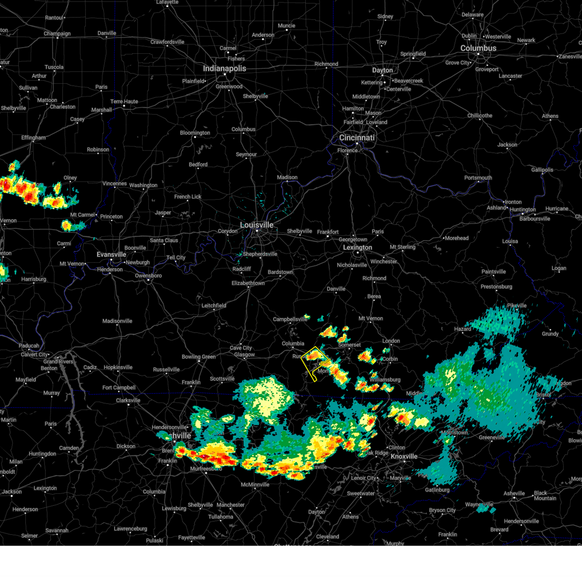 At 528 pm cdt, a severe thunderstorm was located over jamestown, moving southeast at 15 mph (radar indicated). Hazards include 60 mph wind gusts and quarter size hail. Hail damage to vehicles is expected. Expect wind damage to roofs, siding, and trees. At 528 pm cdt, a severe thunderstorm was located over jamestown, moving southeast at 15 mph (radar indicated). Hazards include 60 mph wind gusts and quarter size hail. Hail damage to vehicles is expected. Expect wind damage to roofs, siding, and trees.
|
| 6/25/2023 11:01 PM CDT |
 At 1100 pm cdt, severe thunderstorms were located along a line extending from near columbia to 11 miles southwest of jamestown to 7 miles west of burkesville, moving southeast at 60 mph (radar indicated). Hazards include 70 mph wind gusts and quarter size hail. Hail damage to vehicles is expected. expect considerable tree damage. Wind damage is also likely to mobile homes, roofs, and outbuildings. At 1100 pm cdt, severe thunderstorms were located along a line extending from near columbia to 11 miles southwest of jamestown to 7 miles west of burkesville, moving southeast at 60 mph (radar indicated). Hazards include 70 mph wind gusts and quarter size hail. Hail damage to vehicles is expected. expect considerable tree damage. Wind damage is also likely to mobile homes, roofs, and outbuildings.
|
| 5/16/2023 2:03 PM CDT |
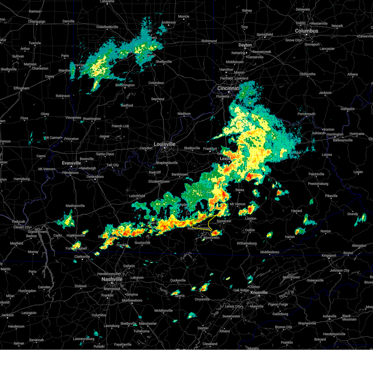 At 303 pm edt/203 pm cdt/, a severe thunderstorm was located 8 miles east of columbia, moving east at 40 mph (radar indicated). Hazards include 60 mph wind gusts and quarter size hail. Hail damage to vehicles is expected. Expect wind damage to roofs, siding, and trees. At 303 pm edt/203 pm cdt/, a severe thunderstorm was located 8 miles east of columbia, moving east at 40 mph (radar indicated). Hazards include 60 mph wind gusts and quarter size hail. Hail damage to vehicles is expected. Expect wind damage to roofs, siding, and trees.
|
| 2/16/2023 3:56 PM EST |
 At 356 pm est/256 pm cst/, a severe thunderstorm was located near jamestown, moving east at 40 mph (radar indicated). Hazards include 60 mph wind gusts. Expect damage to roofs, siding, and trees. this severe thunderstorm will remain over mainly rural areas of central russell and southeastern casey counties, including the following locations, sycamore flat, eli, whittle, windsor, teddy, webbs cross roads, esto, karlus, bethelridge and russell springs. hail threat, radar indicated max hail size, <. 75 in wind threat, radar indicated max wind gust, 60 mph. At 356 pm est/256 pm cst/, a severe thunderstorm was located near jamestown, moving east at 40 mph (radar indicated). Hazards include 60 mph wind gusts. Expect damage to roofs, siding, and trees. this severe thunderstorm will remain over mainly rural areas of central russell and southeastern casey counties, including the following locations, sycamore flat, eli, whittle, windsor, teddy, webbs cross roads, esto, karlus, bethelridge and russell springs. hail threat, radar indicated max hail size, <. 75 in wind threat, radar indicated max wind gust, 60 mph.
|
| 2/16/2023 2:51 PM CST | Trees down on mobile home along west road near highway 8 in russell county KY, 2.3 miles SW of Russell Springs, KY |
| 2/16/2023 2:50 PM CST | Roof to ace hardware in russell springs blown off... and damage to stephens store next to ace hardware as well. time estimated based on rada in russell county KY, 1.5 miles S of Russell Springs, KY |
| 2/16/2023 2:47 PM CST |
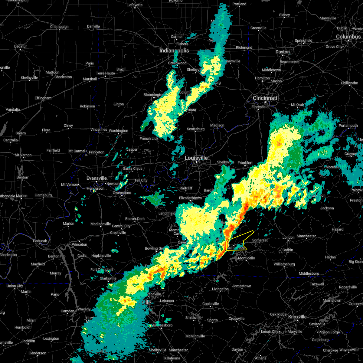 At 346 pm est/246 pm cst/, a severe thunderstorm was located near jamestown, moving east at 40 mph (radar indicated). Hazards include 60 mph wind gusts. Expect damage to roofs, siding, and trees. this severe thunderstorm will be near, jamestown around 250 pm cst. hail threat, radar indicated max hail size, <. 75 in wind threat, radar indicated max wind gust, 60 mph. At 346 pm est/246 pm cst/, a severe thunderstorm was located near jamestown, moving east at 40 mph (radar indicated). Hazards include 60 mph wind gusts. Expect damage to roofs, siding, and trees. this severe thunderstorm will be near, jamestown around 250 pm cst. hail threat, radar indicated max hail size, <. 75 in wind threat, radar indicated max wind gust, 60 mph.
|
| 1/3/2023 9:17 AM CST |
 At 917 am cst, a severe thunderstorm was located 8 miles west of jamestown, moving northeast at 50 mph (radar indicated). Hazards include 60 mph wind gusts. Expect damage to roofs, siding, and trees. Locations impacted include, albany, jamestown, russell springs, desda, cartwright, snow, cundiff, savage, ida and modoc. At 917 am cst, a severe thunderstorm was located 8 miles west of jamestown, moving northeast at 50 mph (radar indicated). Hazards include 60 mph wind gusts. Expect damage to roofs, siding, and trees. Locations impacted include, albany, jamestown, russell springs, desda, cartwright, snow, cundiff, savage, ida and modoc.
|
| 1/3/2023 9:02 AM CST |
 At 901 am cst, a severe thunderstorm was located over burkesville, moving northeast at 50 mph (radar indicated). Hazards include 60 mph wind gusts. expect damage to roofs, siding, and trees At 901 am cst, a severe thunderstorm was located over burkesville, moving northeast at 50 mph (radar indicated). Hazards include 60 mph wind gusts. expect damage to roofs, siding, and trees
|
| 10/12/2022 3:35 PM CDT |
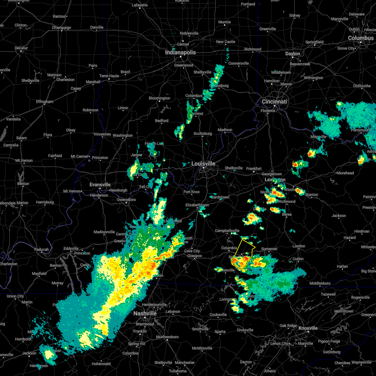 At 434 pm edt/334 pm cdt/, a severe thunderstorm was located near jamestown, moving northeast at 60 mph (radar indicated). Hazards include 60 mph wind gusts and penny size hail. Expect damage to roofs, siding, and trees. this severe thunderstorm will remain over mainly rural areas of russell, south central casey and southeastern adair counties, including the following locations, eli, cundiff, windsor, teddy, webbs cross roads, royville, sano, karlus, russell springs and russell county airport. hail threat, radar indicated max hail size, 0. 75 in wind threat, radar indicated max wind gust, 60 mph. At 434 pm edt/334 pm cdt/, a severe thunderstorm was located near jamestown, moving northeast at 60 mph (radar indicated). Hazards include 60 mph wind gusts and penny size hail. Expect damage to roofs, siding, and trees. this severe thunderstorm will remain over mainly rural areas of russell, south central casey and southeastern adair counties, including the following locations, eli, cundiff, windsor, teddy, webbs cross roads, royville, sano, karlus, russell springs and russell county airport. hail threat, radar indicated max hail size, 0. 75 in wind threat, radar indicated max wind gust, 60 mph.
|
| 10/12/2022 3:17 PM CDT |
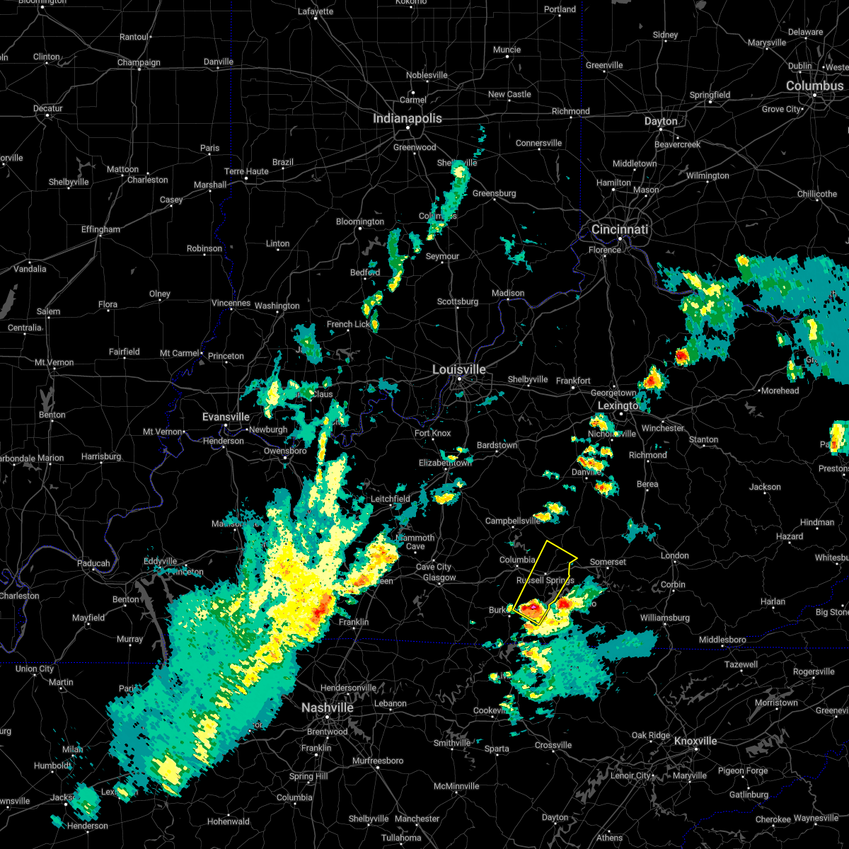 At 416 pm edt/316 pm cdt/, a severe thunderstorm was located 9 miles east of burkesville, moving northeast at 60 mph (radar indicated). Hazards include 60 mph wind gusts and nickel size hail. Expect damage to roofs, siding, and trees. this severe thunderstorm will be near, jamestown around 330 pm cdt. hail threat, radar indicated max hail size, 0. 88 in wind threat, radar indicated max wind gust, 60 mph. At 416 pm edt/316 pm cdt/, a severe thunderstorm was located 9 miles east of burkesville, moving northeast at 60 mph (radar indicated). Hazards include 60 mph wind gusts and nickel size hail. Expect damage to roofs, siding, and trees. this severe thunderstorm will be near, jamestown around 330 pm cdt. hail threat, radar indicated max hail size, 0. 88 in wind threat, radar indicated max wind gust, 60 mph.
|
| 8/21/2022 2:37 PM CDT | Wrn ambassador sent pictures of large tree limbs broken on highway 76 in the community of eli. barn roof metal was also peeled back... but not blown away. time estimate in russell county KY, 6.2 miles W of Russell Springs, KY |
| 7/12/2022 4:06 PM CDT |
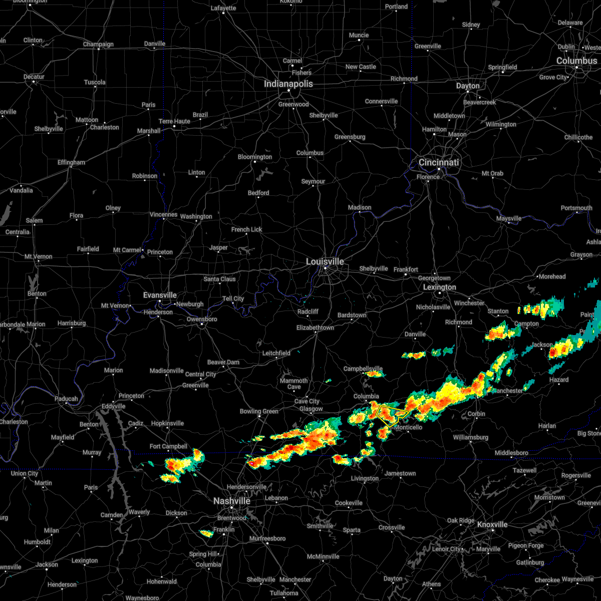 At 405 pm cdt, a severe thunderstorm was located over jamestown, moving east at 25 mph (radar indicated). Hazards include 60 mph wind gusts and quarter size hail. Hail damage to vehicles is expected. expect wind damage to roofs, siding, and trees. this severe thunderstorm will remain over mainly rural areas of central russell county, including the following locations, jabez, ono, olga, whittle, rose crossroads, esto, sewellton, karlus, russell county airport and russell springs. hail threat, radar indicated max hail size, 1. 00 in wind threat, radar indicated max wind gust, 60 mph. At 405 pm cdt, a severe thunderstorm was located over jamestown, moving east at 25 mph (radar indicated). Hazards include 60 mph wind gusts and quarter size hail. Hail damage to vehicles is expected. expect wind damage to roofs, siding, and trees. this severe thunderstorm will remain over mainly rural areas of central russell county, including the following locations, jabez, ono, olga, whittle, rose crossroads, esto, sewellton, karlus, russell county airport and russell springs. hail threat, radar indicated max hail size, 1. 00 in wind threat, radar indicated max wind gust, 60 mph.
|
| 7/12/2022 3:48 PM CDT |
 At 348 pm cdt, a severe thunderstorm was located near jamestown, moving east at 25 mph (radar indicated). Hazards include 60 mph wind gusts and penny size hail. Expect damage to roofs, siding, and trees. this severe thunderstorm will be near, jamestown around 400 pm cdt. hail threat, radar indicated max hail size, 0. 75 in wind threat, radar indicated max wind gust, 60 mph. At 348 pm cdt, a severe thunderstorm was located near jamestown, moving east at 25 mph (radar indicated). Hazards include 60 mph wind gusts and penny size hail. Expect damage to roofs, siding, and trees. this severe thunderstorm will be near, jamestown around 400 pm cdt. hail threat, radar indicated max hail size, 0. 75 in wind threat, radar indicated max wind gust, 60 mph.
|
| 7/6/2022 6:11 PM CDT |
 The severe thunderstorm warning for northwestern clinton, russell, northeastern cumberland, south central casey and southeastern adair counties will expire at 715 pm edt/615 pm cdt/, the storms which prompted the warning have weakened below severe limits, and no longer pose an immediate threat to life or property. therefore, the warning will be allowed to expire. however small hail and gusty winds are still possible with these thunderstorms. The severe thunderstorm warning for northwestern clinton, russell, northeastern cumberland, south central casey and southeastern adair counties will expire at 715 pm edt/615 pm cdt/, the storms which prompted the warning have weakened below severe limits, and no longer pose an immediate threat to life or property. therefore, the warning will be allowed to expire. however small hail and gusty winds are still possible with these thunderstorms.
|
| 7/6/2022 5:59 PM CDT |
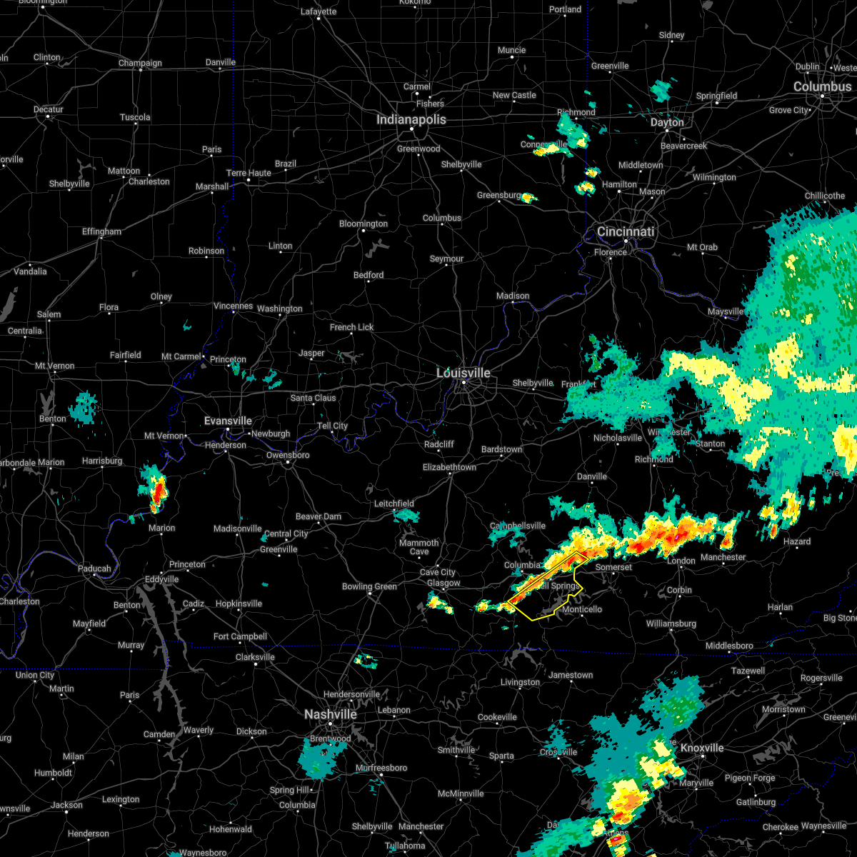 At 659 pm edt/559 pm cdt/, severe thunderstorms were located along a line extending from near magnum to 10 miles west of jamestown, moving east at 30 mph (radar indicated). Hazards include 60 mph wind gusts. Expect damage to roofs, siding, and trees. locations impacted include, jamestown, russell springs, desda, eli, mintonville, cundiff, windsor, teddy, webbs cross roads and royville. hail threat, radar indicated max hail size, <. 75 in wind threat, radar indicated max wind gust, 60 mph. At 659 pm edt/559 pm cdt/, severe thunderstorms were located along a line extending from near magnum to 10 miles west of jamestown, moving east at 30 mph (radar indicated). Hazards include 60 mph wind gusts. Expect damage to roofs, siding, and trees. locations impacted include, jamestown, russell springs, desda, eli, mintonville, cundiff, windsor, teddy, webbs cross roads and royville. hail threat, radar indicated max hail size, <. 75 in wind threat, radar indicated max wind gust, 60 mph.
|
| 7/6/2022 5:42 PM CDT |
 At 641 pm edt/541 pm cdt/, severe thunderstorms were located along a line extending from 7 miles south of liberty to 10 miles southwest of columbia, moving east at 30 mph (radar indicated). Hazards include 60 mph wind gusts and penny size hail. expect damage to roofs, siding, and trees At 641 pm edt/541 pm cdt/, severe thunderstorms were located along a line extending from 7 miles south of liberty to 10 miles southwest of columbia, moving east at 30 mph (radar indicated). Hazards include 60 mph wind gusts and penny size hail. expect damage to roofs, siding, and trees
|
| 6/22/2022 6:51 PM CDT |
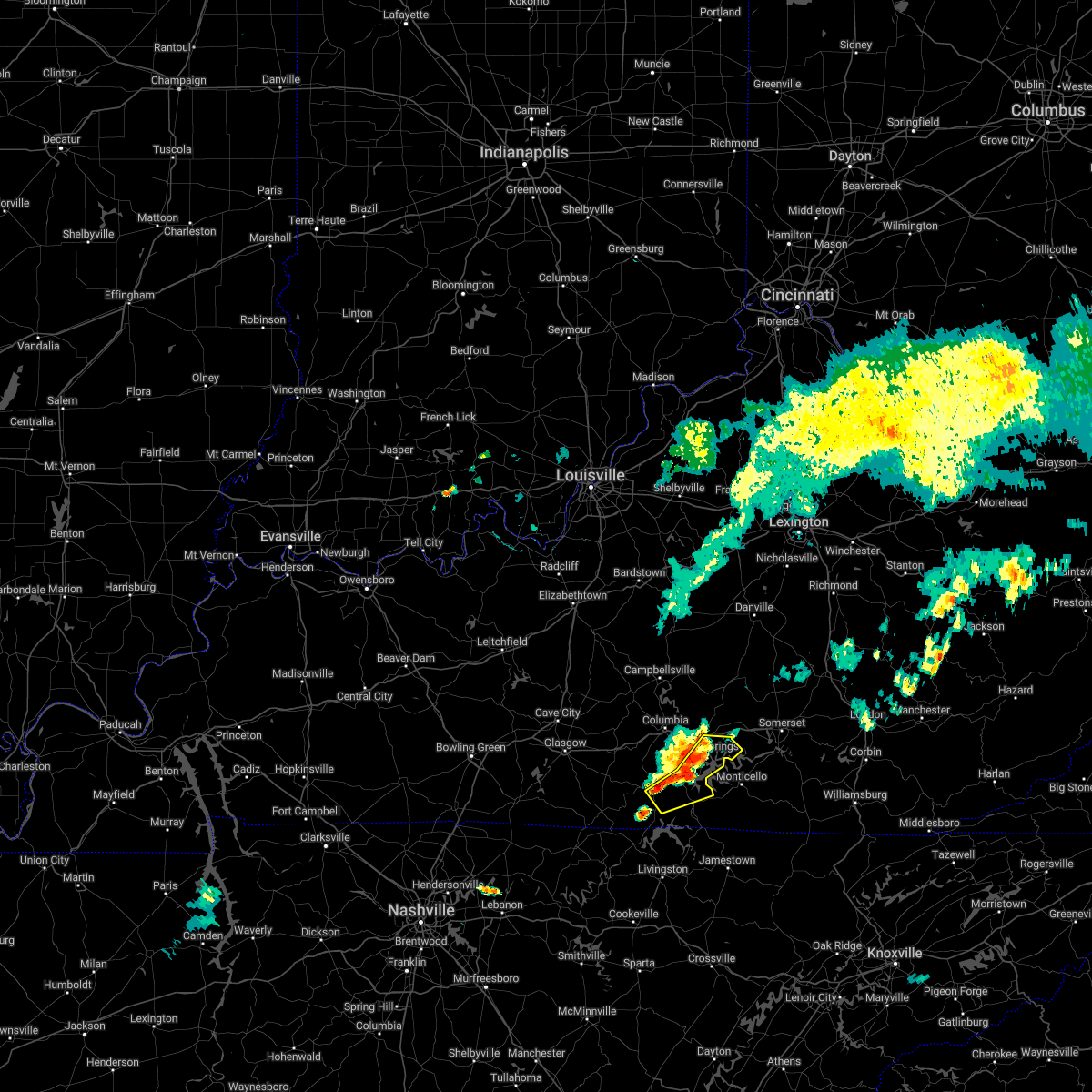 At 650 pm cdt, severe thunderstorms were from near jamestown to 7 miles west of cabell to burkesville, moving southeast at 25 mph (radar indicated). Hazards include 60 mph wind gusts and nickel size hail. Expect damage to roofs, siding, and trees. locations impacted include, jamestown, burkesville, russell springs, desda, eli, snow, ida, modoc, karlus, and seventy six. hail threat, radar indicated max hail size, 0. 88 in wind threat, radar indicated max wind gust, 60 mph. At 650 pm cdt, severe thunderstorms were from near jamestown to 7 miles west of cabell to burkesville, moving southeast at 25 mph (radar indicated). Hazards include 60 mph wind gusts and nickel size hail. Expect damage to roofs, siding, and trees. locations impacted include, jamestown, burkesville, russell springs, desda, eli, snow, ida, modoc, karlus, and seventy six. hail threat, radar indicated max hail size, 0. 88 in wind threat, radar indicated max wind gust, 60 mph.
|
| 6/22/2022 6:43 PM CDT | Branch fell on camper...two people inside were extricated by ems. unknown if any injuries. also...one tree down in tow in russell county KY, 0.5 miles ESE of Russell Springs, KY |
| 6/22/2022 6:34 PM CDT |
 At 633 pm cdt, severe thunderstorms were from 8 miles northwest of jamestown to 13 miles northwest of cabell to near burkesville, moving southeast at 25 mph. trees and power lines were reported down with these storms in adair county (radar indicated). Hazards include 60 mph wind gusts and quarter size hail. Hail damage to vehicles is expected. Expect wind damage to roofs, siding, and trees. At 633 pm cdt, severe thunderstorms were from 8 miles northwest of jamestown to 13 miles northwest of cabell to near burkesville, moving southeast at 25 mph. trees and power lines were reported down with these storms in adair county (radar indicated). Hazards include 60 mph wind gusts and quarter size hail. Hail damage to vehicles is expected. Expect wind damage to roofs, siding, and trees.
|
| 6/17/2022 11:18 AM CDT |
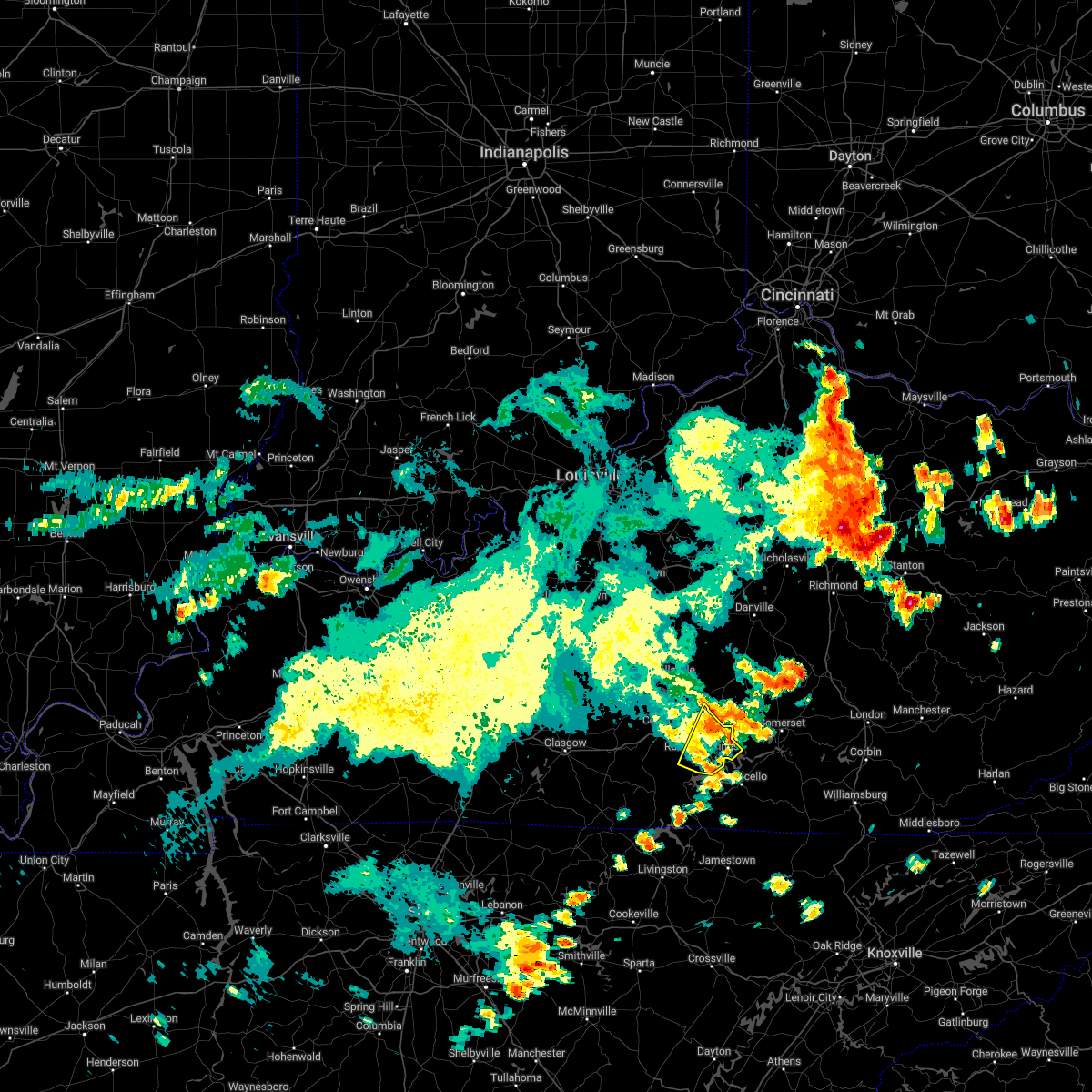 At 1117 am cdt, a severe thunderstorm was located near faubush, moving east at 40 mph (radar indicated). Hazards include 60 mph wind gusts and penny size hail. Expect damage to roofs, siding, and trees. locations impacted include, jamestown, russell springs, jabez, sycamore flat, bryan, eli, whittle, webbs cross roads, royville and esto. hail threat, radar indicated max hail size, 0. 75 in wind threat, radar indicated max wind gust, 60 mph. At 1117 am cdt, a severe thunderstorm was located near faubush, moving east at 40 mph (radar indicated). Hazards include 60 mph wind gusts and penny size hail. Expect damage to roofs, siding, and trees. locations impacted include, jamestown, russell springs, jabez, sycamore flat, bryan, eli, whittle, webbs cross roads, royville and esto. hail threat, radar indicated max hail size, 0. 75 in wind threat, radar indicated max wind gust, 60 mph.
|
| 6/17/2022 11:07 AM CDT |
 At 1204 pm edt/1104 am cdt/, a severe thunderstorm was located 8 miles north of jamestown, moving east at 35 mph. there have been several trees and power lines down through various parts of adair county (radar indicated). Hazards include 60 mph wind gusts and penny size hail. Expect damage to roofs, siding, and trees. locations impacted include, columbia, jamestown, russell springs, eli, cundiff, absher, royville, sano, bliss and fairplay. hail threat, radar indicated max hail size, 0. 75 in wind threat, radar indicated max wind gust, 60 mph. At 1204 pm edt/1104 am cdt/, a severe thunderstorm was located 8 miles north of jamestown, moving east at 35 mph. there have been several trees and power lines down through various parts of adair county (radar indicated). Hazards include 60 mph wind gusts and penny size hail. Expect damage to roofs, siding, and trees. locations impacted include, columbia, jamestown, russell springs, eli, cundiff, absher, royville, sano, bliss and fairplay. hail threat, radar indicated max hail size, 0. 75 in wind threat, radar indicated max wind gust, 60 mph.
|
| 6/17/2022 10:43 AM CDT |
 At 1143 am edt/1043 am cdt/, a severe thunderstorm was located over columbia, moving east at 40 mph (radar indicated). Hazards include 60 mph wind gusts and penny size hail. expect damage to roofs, siding, and trees At 1143 am edt/1043 am cdt/, a severe thunderstorm was located over columbia, moving east at 40 mph (radar indicated). Hazards include 60 mph wind gusts and penny size hail. expect damage to roofs, siding, and trees
|
| 5/26/2022 2:54 PM CDT |
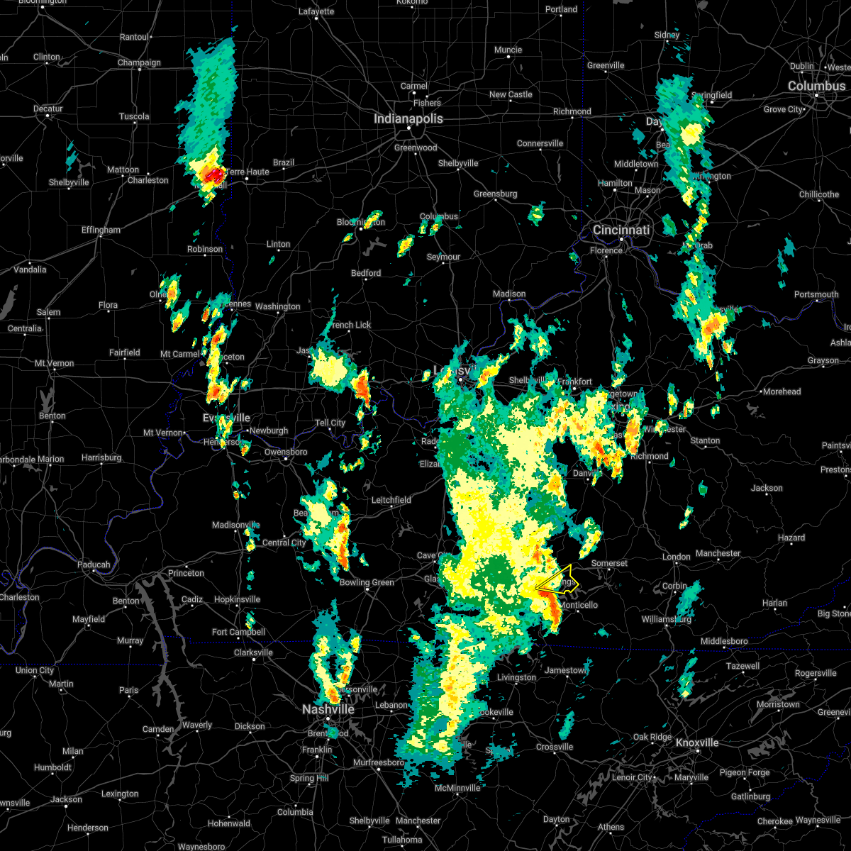 At 253 pm cdt, a severe thunderstorm was located over jamestown, moving northeast at 50 mph (radar indicated). Hazards include 60 mph wind gusts. Expect damage to roofs, siding, and trees. this severe thunderstorm will remain over mainly rural areas of east central russell county, including the following locations, jabez, ono, vinnie, eli, whittle, rose crossroads, karlus, esto and russell springs. hail threat, radar indicated max hail size, <. 75 in wind threat, radar indicated max wind gust, 60 mph. At 253 pm cdt, a severe thunderstorm was located over jamestown, moving northeast at 50 mph (radar indicated). Hazards include 60 mph wind gusts. Expect damage to roofs, siding, and trees. this severe thunderstorm will remain over mainly rural areas of east central russell county, including the following locations, jabez, ono, vinnie, eli, whittle, rose crossroads, karlus, esto and russell springs. hail threat, radar indicated max hail size, <. 75 in wind threat, radar indicated max wind gust, 60 mph.
|
| 5/18/2022 8:21 PM EDT | Half Dollar sized hail reported 10.5 miles WSW of Russell Springs, KY, picture of half dollar-sized hail from windsor via social media. time estimated from radar. |
| 4/13/2022 9:08 PM EDT |
 At 907 pm edt/807 pm cdt/, severe thunderstorms were located along a line extending from 10 miles east of springfield to 7 miles west of liberty to 7 miles south of columbia, moving east at 55 mph (radar indicated). Hazards include 60 mph wind gusts and penny size hail. Expect damage to roofs, siding, and trees. severe thunderstorms will be near, liberty around 915 pm edt. danville around 920 pm edt. Other locations in the path of these severe thunderstorms include richmond. At 907 pm edt/807 pm cdt/, severe thunderstorms were located along a line extending from 10 miles east of springfield to 7 miles west of liberty to 7 miles south of columbia, moving east at 55 mph (radar indicated). Hazards include 60 mph wind gusts and penny size hail. Expect damage to roofs, siding, and trees. severe thunderstorms will be near, liberty around 915 pm edt. danville around 920 pm edt. Other locations in the path of these severe thunderstorms include richmond.
|
| 4/13/2022 8:42 PM EDT |
 At 842 pm edt/742 pm cdt/, severe thunderstorms were located along a line extending from 12 miles northwest of campbellsville to 8 miles south of edmonton, moving east at 60 mph (radar indicated). Hazards include 70 mph wind gusts and quarter size hail. Hail damage to vehicles is expected. expect considerable tree damage. wind damage is also likely to mobile homes, roofs, and outbuildings. Severe thunderstorms will be near, lebanon around 855 pm edt. At 842 pm edt/742 pm cdt/, severe thunderstorms were located along a line extending from 12 miles northwest of campbellsville to 8 miles south of edmonton, moving east at 60 mph (radar indicated). Hazards include 70 mph wind gusts and quarter size hail. Hail damage to vehicles is expected. expect considerable tree damage. wind damage is also likely to mobile homes, roofs, and outbuildings. Severe thunderstorms will be near, lebanon around 855 pm edt.
|
| 2/17/2022 5:37 PM CST |
 The severe thunderstorm warning for russell, northeastern monroe, northern cumberland, southeastern metcalfe and southeastern adair counties will expire at 545 pm cst, the storm which prompted the warning has weakened below severe limits, and no longer poses an immediate threat to life or property. therefore, the warning will be allowed to expire. however gusty winds are still possible with this thunderstorm. to report severe weather, contact your nearest law enforcement agency. they will relay your report to the national weather service louisville. The severe thunderstorm warning for russell, northeastern monroe, northern cumberland, southeastern metcalfe and southeastern adair counties will expire at 545 pm cst, the storm which prompted the warning has weakened below severe limits, and no longer poses an immediate threat to life or property. therefore, the warning will be allowed to expire. however gusty winds are still possible with this thunderstorm. to report severe weather, contact your nearest law enforcement agency. they will relay your report to the national weather service louisville.
|
| 2/17/2022 5:21 PM CST |
 At 521 pm cst, a severe thunderstorm was located 8 miles northwest of burkesville, moving northeast at 75 mph (radar indicated). Hazards include 60 mph wind gusts. Expect damage to roofs, siding, and trees. this severe thunderstorm will be near, burkesville around 525 pm cst. jamestown around 540 pm cst. hail threat, radar indicated max hail size, <. 75 in wind threat, radar indicated max wind gust, 60 mph. At 521 pm cst, a severe thunderstorm was located 8 miles northwest of burkesville, moving northeast at 75 mph (radar indicated). Hazards include 60 mph wind gusts. Expect damage to roofs, siding, and trees. this severe thunderstorm will be near, burkesville around 525 pm cst. jamestown around 540 pm cst. hail threat, radar indicated max hail size, <. 75 in wind threat, radar indicated max wind gust, 60 mph.
|
| 1/1/2022 3:26 PM EST |
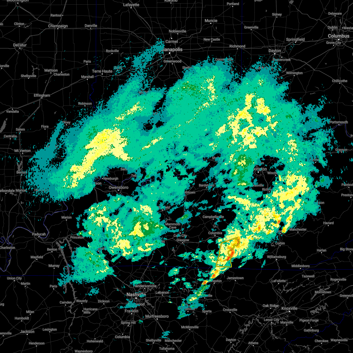 The severe thunderstorm warning for clinton and russell counties will expire at 230 pm cst, the storms which prompted the warning have moved out of the area. therefore, the warning will be allowed to expire. a tornado watch remains in effect until 600 pm cst for south central kentucky. The severe thunderstorm warning for clinton and russell counties will expire at 230 pm cst, the storms which prompted the warning have moved out of the area. therefore, the warning will be allowed to expire. a tornado watch remains in effect until 600 pm cst for south central kentucky.
|
| 1/1/2022 3:12 PM EST |
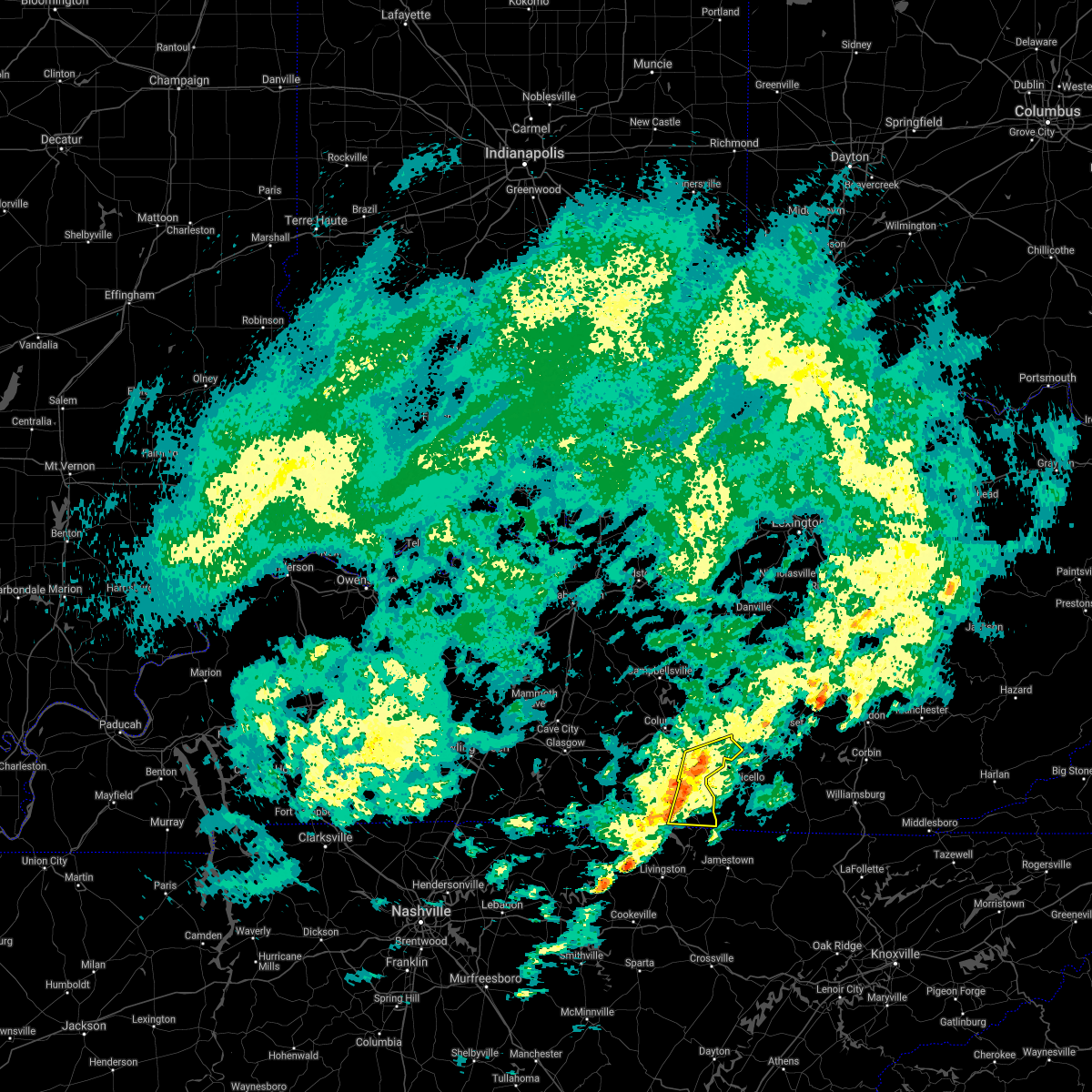 At 212 pm cst, severe thunderstorms were located along a line extending from near jamestown to 6 miles southwest of albany, moving east at 55 mph. these are very dangerous storms (radar indicated). Hazards include 80 mph wind gusts. Flying debris will be dangerous to those caught without shelter. mobile homes will be heavily damaged. expect considerable damage to roofs, windows, and vehicles. extensive tree damage and power outages are likely. These severe thunderstorms will remain over mainly rural areas of clinton and russell counties, including the following locations, desda, cartwright, eli, snow, savage, ida, karlus, seventy six, russell county airport and decide. At 212 pm cst, severe thunderstorms were located along a line extending from near jamestown to 6 miles southwest of albany, moving east at 55 mph. these are very dangerous storms (radar indicated). Hazards include 80 mph wind gusts. Flying debris will be dangerous to those caught without shelter. mobile homes will be heavily damaged. expect considerable damage to roofs, windows, and vehicles. extensive tree damage and power outages are likely. These severe thunderstorms will remain over mainly rural areas of clinton and russell counties, including the following locations, desda, cartwright, eli, snow, savage, ida, karlus, seventy six, russell county airport and decide.
|
| 1/1/2022 1:53 PM CST |
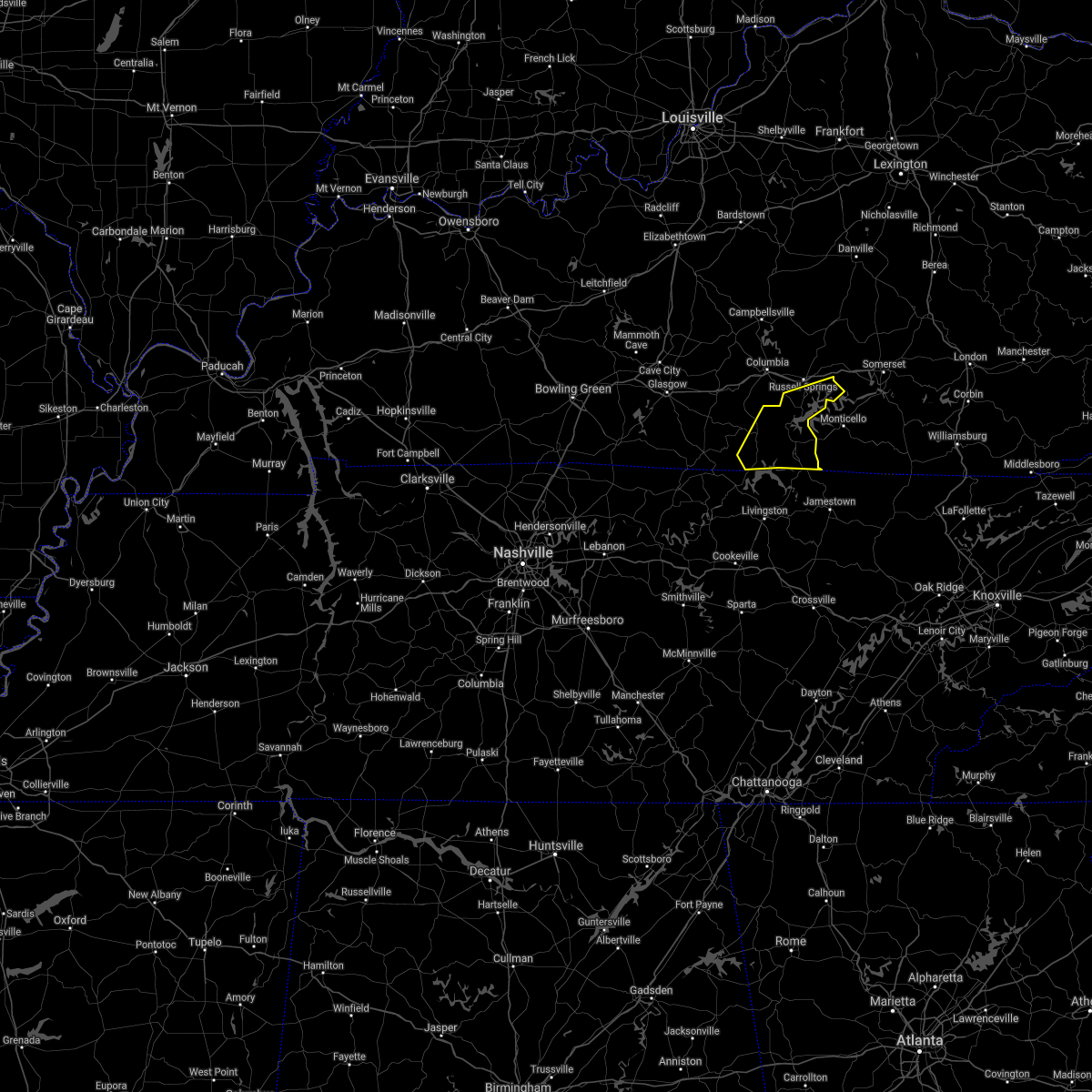 At 153 pm cst, severe thunderstorms were located along a line extending from 11 miles south of columbia to near celina, moving east at 65 mph (radar indicated). Hazards include 70 mph wind gusts. Expect considerable tree damage. damage is likely to mobile homes, roofs, and outbuildings. severe thunderstorms will be near, jamestown and burkesville around 205 pm cst. Other locations in the path of these severe thunderstorms include albany. At 153 pm cst, severe thunderstorms were located along a line extending from 11 miles south of columbia to near celina, moving east at 65 mph (radar indicated). Hazards include 70 mph wind gusts. Expect considerable tree damage. damage is likely to mobile homes, roofs, and outbuildings. severe thunderstorms will be near, jamestown and burkesville around 205 pm cst. Other locations in the path of these severe thunderstorms include albany.
|
| 1/1/2022 6:57 AM EST |
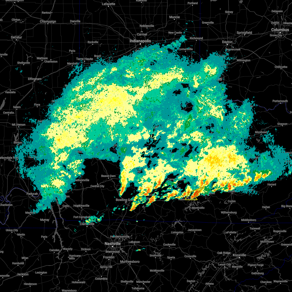 The severe thunderstorm warning for northeastern russell and southeastern casey counties will expire at 700 am est/600 am cst/, the storm which prompted the warning has moved out of the area. therefore, the warning will be allowed to expire. a tornado watch remains in effect until 800 am est/700 am cst/ for central and south central kentucky. to report severe weather, contact your nearest law enforcement agency. they will relay your report to the national weather service louisville. The severe thunderstorm warning for northeastern russell and southeastern casey counties will expire at 700 am est/600 am cst/, the storm which prompted the warning has moved out of the area. therefore, the warning will be allowed to expire. a tornado watch remains in effect until 800 am est/700 am cst/ for central and south central kentucky. to report severe weather, contact your nearest law enforcement agency. they will relay your report to the national weather service louisville.
|
| 1/1/2022 6:47 AM EST |
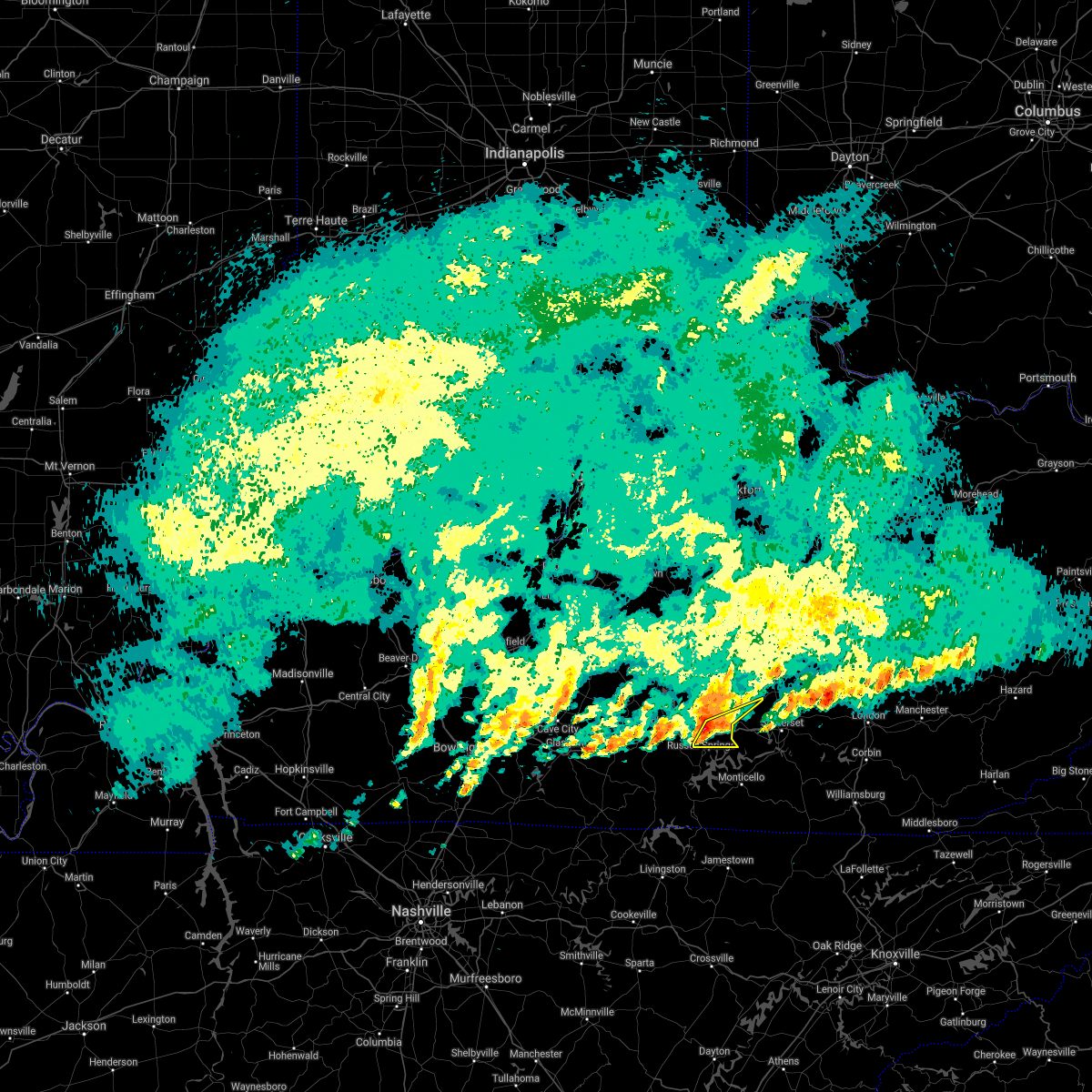 At 646 am est/546 am cst/, a severe thunderstorm was located near cains store, moving east at 60 mph (radar indicated). Hazards include ping pong ball size hail. People and animals outdoors will be injured. expect damage to roofs, siding, windows, and vehicles. locations impacted include, jamestown, russell springs, sycamore flat, eli, whittle, windsor, webbs cross roads, royville, bethelridge and decatur. hail threat, radar indicated max hail size, 1. 50 in wind threat, radar indicated max wind gust, <50 mph. At 646 am est/546 am cst/, a severe thunderstorm was located near cains store, moving east at 60 mph (radar indicated). Hazards include ping pong ball size hail. People and animals outdoors will be injured. expect damage to roofs, siding, windows, and vehicles. locations impacted include, jamestown, russell springs, sycamore flat, eli, whittle, windsor, webbs cross roads, royville, bethelridge and decatur. hail threat, radar indicated max hail size, 1. 50 in wind threat, radar indicated max wind gust, <50 mph.
|
| 1/1/2022 6:39 AM EST |
 At 638 am est/538 am cst/, a severe thunderstorm was located 7 miles north of jamestown, moving east at 60 mph (radar indicated). Hazards include ping pong ball size hail. People and animals outdoors will be injured. expect damage to roofs, siding, windows, and vehicles. this severe thunderstorm will remain over mainly rural areas of northeastern russell, southeastern casey and east central adair counties, including the following locations, sycamore flat, eli, whittle, windsor, teddy, webbs cross roads, royville, sano, bethelridge and russell springs. hail threat, observed max hail size, 1. 50 in wind threat, radar indicated max wind gust, <50 mph. At 638 am est/538 am cst/, a severe thunderstorm was located 7 miles north of jamestown, moving east at 60 mph (radar indicated). Hazards include ping pong ball size hail. People and animals outdoors will be injured. expect damage to roofs, siding, windows, and vehicles. this severe thunderstorm will remain over mainly rural areas of northeastern russell, southeastern casey and east central adair counties, including the following locations, sycamore flat, eli, whittle, windsor, teddy, webbs cross roads, royville, sano, bethelridge and russell springs. hail threat, observed max hail size, 1. 50 in wind threat, radar indicated max wind gust, <50 mph.
|
| 12/6/2021 7:15 AM EST | Nearby ky mesonet stations gusted 40mph causing many snapped pine trees near dunnville... k in casey county KY, 10.2 miles SW of Russell Springs, KY |
| 7/16/2021 5:48 PM EDT |
 At 547 pm edt/447 pm cdt/, severe thunderstorms were located along a line extending from 13 miles east of lebanon to 8 miles north of jamestown, moving east at 45 mph (radar indicated). Hazards include 60 mph wind gusts. Expect damage to roofs, siding, and trees. Locations impacted include, liberty, danville, lebanon, jamestown, russell springs, junction city, hustonville, bradfordsville, brumfield and parksville. At 547 pm edt/447 pm cdt/, severe thunderstorms were located along a line extending from 13 miles east of lebanon to 8 miles north of jamestown, moving east at 45 mph (radar indicated). Hazards include 60 mph wind gusts. Expect damage to roofs, siding, and trees. Locations impacted include, liberty, danville, lebanon, jamestown, russell springs, junction city, hustonville, bradfordsville, brumfield and parksville.
|
| 7/16/2021 5:28 PM EDT |
 At 528 pm edt/428 pm cdt/, severe thunderstorms were located along a line extending from near lebanon to 6 miles southeast of columbia, moving east at 55 mph (radar indicated). Hazards include 60 mph wind gusts. expect damage to roofs, siding, and trees At 528 pm edt/428 pm cdt/, severe thunderstorms were located along a line extending from near lebanon to 6 miles southeast of columbia, moving east at 55 mph (radar indicated). Hazards include 60 mph wind gusts. expect damage to roofs, siding, and trees
|
| 1/25/2021 5:10 PM CST | Quarter sized hail reported 5.1 miles SW of Russell Springs, KY, mping report |
| 7/6/2020 9:35 PM EDT | Trees down on hwy 80 near windso in casey county KY, 11 miles WSW of Russell Springs, KY |
| 6/23/2019 5:10 PM CDT | Trees and power lines dow in russell county KY, 4.7 miles WSW of Russell Springs, KY |
| 6/23/2019 4:50 PM CDT |
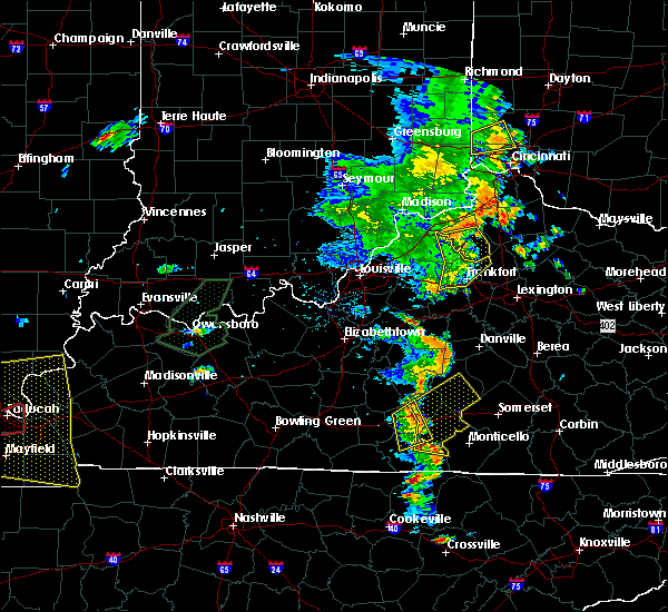 At 550 pm edt/450 pm cdt/, severe thunderstorms were located along a line extending from near columbia to 9 miles northwest of jamestown to 12 miles northeast of burkesville, moving east at 35 mph (radar indicated). Hazards include 60 mph wind gusts and penny size hail. expect damage to roofs, siding, and trees At 550 pm edt/450 pm cdt/, severe thunderstorms were located along a line extending from near columbia to 9 miles northwest of jamestown to 12 miles northeast of burkesville, moving east at 35 mph (radar indicated). Hazards include 60 mph wind gusts and penny size hail. expect damage to roofs, siding, and trees
|
| 6/21/2019 9:04 PM CDT |
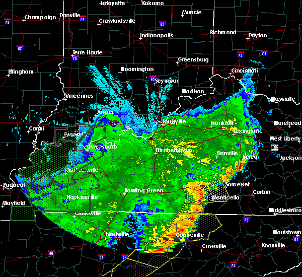 At 903 pm cdt, a severe thunderstorm was located over parnell, moving east at 45 mph (radar indicated). Hazards include 70 mph wind gusts. Expect considerable tree damage. damage is likely to mobile homes, roofs, and outbuildings. Locations impacted include, jamestown, russell springs, eli, webbs cross roads, royville, sano, karlus, russell county airport, ono and vinnie. At 903 pm cdt, a severe thunderstorm was located over parnell, moving east at 45 mph (radar indicated). Hazards include 70 mph wind gusts. Expect considerable tree damage. damage is likely to mobile homes, roofs, and outbuildings. Locations impacted include, jamestown, russell springs, eli, webbs cross roads, royville, sano, karlus, russell county airport, ono and vinnie.
|
| 6/21/2019 8:53 PM CDT |
 At 842 pm cdt, a severe thunderstorm was located 10 miles southwest of jamestown, moving east at 45 mph (radar indicated). Hazards include 70 mph wind gusts and penny size hail. Expect considerable tree damage. damage is likely to mobile homes, roofs, and outbuildings. Locations impacted include, columbia, jamestown, russell springs, pickett, desda, eli, cundiff, royville, sano and bliss. At 842 pm cdt, a severe thunderstorm was located 10 miles southwest of jamestown, moving east at 45 mph (radar indicated). Hazards include 70 mph wind gusts and penny size hail. Expect considerable tree damage. damage is likely to mobile homes, roofs, and outbuildings. Locations impacted include, columbia, jamestown, russell springs, pickett, desda, eli, cundiff, royville, sano and bliss.
|
| 6/21/2019 8:43 PM CDT |
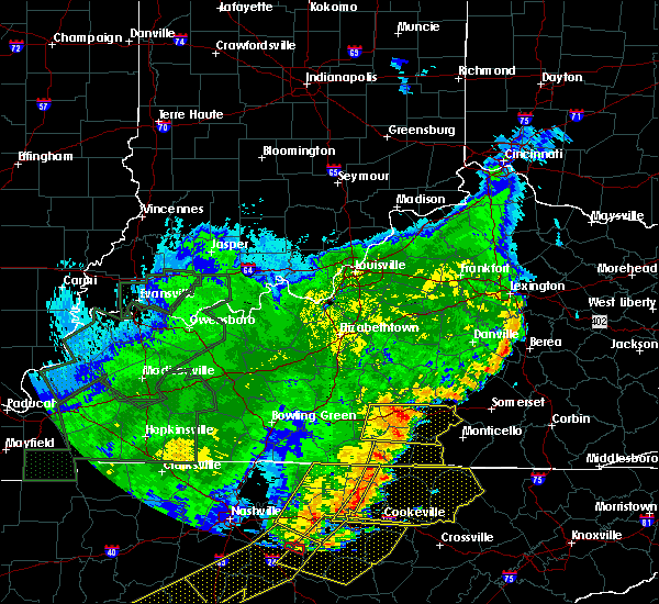 At 842 pm cdt, a severe thunderstorm was located 10 miles southwest of jamestown, moving east at 45 mph (radar indicated). Hazards include 70 mph wind gusts and penny size hail. Expect considerable tree damage. damage is likely to mobile homes, roofs, and outbuildings. Locations impacted include, columbia, jamestown, russell springs, pickett, desda, eli, cundiff, royville, sano and bliss. At 842 pm cdt, a severe thunderstorm was located 10 miles southwest of jamestown, moving east at 45 mph (radar indicated). Hazards include 70 mph wind gusts and penny size hail. Expect considerable tree damage. damage is likely to mobile homes, roofs, and outbuildings. Locations impacted include, columbia, jamestown, russell springs, pickett, desda, eli, cundiff, royville, sano and bliss.
|
| 6/21/2019 8:31 PM CDT |
 At 831 pm cdt, a severe thunderstorm was located 11 miles north of burkesville, moving east at 45 mph (radar indicated). Hazards include 70 mph wind gusts and penny size hail. Expect considerable tree damage. damage is likely to mobile homes, roofs, and outbuildings. Locations impacted include, columbia, jamestown, edmonton, russell springs, pickett, desda, eli, cundiff, curtis and royville. At 831 pm cdt, a severe thunderstorm was located 11 miles north of burkesville, moving east at 45 mph (radar indicated). Hazards include 70 mph wind gusts and penny size hail. Expect considerable tree damage. damage is likely to mobile homes, roofs, and outbuildings. Locations impacted include, columbia, jamestown, edmonton, russell springs, pickett, desda, eli, cundiff, curtis and royville.
|
| 6/21/2019 8:20 PM CDT |
 At 819 pm cdt, a severe thunderstorm was located over edmonton, moving east at 45 mph (radar indicated). Hazards include 60 mph wind gusts and penny size hail. expect damage to roofs, siding, and trees At 819 pm cdt, a severe thunderstorm was located over edmonton, moving east at 45 mph (radar indicated). Hazards include 60 mph wind gusts and penny size hail. expect damage to roofs, siding, and trees
|
| 8/7/2018 8:31 PM CDT |
 At 830 pm cdt, severe thunderstorms were from 6 miles west of jamestown to parnell, moving east at 35 mph (radar indicated). Hazards include 60 mph wind gusts and penny size hail. Expect damage to roofs, siding, and trees. Locations impacted include, jamestown, russell springs, eli, cundiff, webbs cross roads, royville, karlus, crocus, and decatur. At 830 pm cdt, severe thunderstorms were from 6 miles west of jamestown to parnell, moving east at 35 mph (radar indicated). Hazards include 60 mph wind gusts and penny size hail. Expect damage to roofs, siding, and trees. Locations impacted include, jamestown, russell springs, eli, cundiff, webbs cross roads, royville, karlus, crocus, and decatur.
|
| 8/7/2018 8:17 PM CDT |
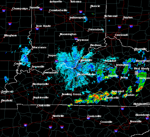 At 816 pm cdt, severe thunderstorms were from 7 miles south of columbia to cabell, moving east at 35 mph (radar indicated). Hazards include 60 mph wind gusts. expect damage to roofs, siding, and trees At 816 pm cdt, severe thunderstorms were from 7 miles south of columbia to cabell, moving east at 35 mph (radar indicated). Hazards include 60 mph wind gusts. expect damage to roofs, siding, and trees
|
| 8/7/2018 8:09 PM CDT |
 The severe thunderstorm warning for northeastern russell county will expire at 815 pm cdt, the storm which prompted the warning has weakened below severe limits and has exited the warned area. therefore, the warning will be allowed to expire. however, gusty winds and heavy rain are still possible as new thunderstorms move in from the southwest over the next hour. report severe weather to local law enforcement, post your report to the national weather service louisville facebook page, or tweet your report using hashtag l, m, k, spotter. The severe thunderstorm warning for northeastern russell county will expire at 815 pm cdt, the storm which prompted the warning has weakened below severe limits and has exited the warned area. therefore, the warning will be allowed to expire. however, gusty winds and heavy rain are still possible as new thunderstorms move in from the southwest over the next hour. report severe weather to local law enforcement, post your report to the national weather service louisville facebook page, or tweet your report using hashtag l, m, k, spotter.
|
| 8/7/2018 7:48 PM CDT | Multiple trees dow in russell county KY, 7 miles WNW of Russell Springs, KY |
| 8/7/2018 7:47 PM CDT |
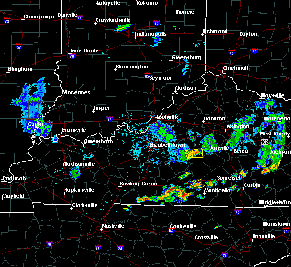 At 747 pm cdt, a severe thunderstorm was located near jamestown between whittle and karlus, moving northeast at 25 mph (radar indicated). Hazards include 60 mph wind gusts. expect damage to roofs, siding, and trees At 747 pm cdt, a severe thunderstorm was located near jamestown between whittle and karlus, moving northeast at 25 mph (radar indicated). Hazards include 60 mph wind gusts. expect damage to roofs, siding, and trees
|
| 7/20/2018 7:25 PM CDT |
 The severe thunderstorm warning for northeastern russell, south central casey and east central adair counties will expire at 830 pm edt/730 pm cdt/, the storm which prompted the warning has weakened below severe limits, and no longer poses an immediate threat to life or property. therefore, the warning will be allowed to expire. a tornado watch remains in effect until 300 am edt/200 am cdt/ for south central and central kentucky. report severe weather to local law enforcement, post your report to the national weather service louisville facebook page, or tweet your report using hashtag l, m, k, spotter. The severe thunderstorm warning for northeastern russell, south central casey and east central adair counties will expire at 830 pm edt/730 pm cdt/, the storm which prompted the warning has weakened below severe limits, and no longer poses an immediate threat to life or property. therefore, the warning will be allowed to expire. a tornado watch remains in effect until 300 am edt/200 am cdt/ for south central and central kentucky. report severe weather to local law enforcement, post your report to the national weather service louisville facebook page, or tweet your report using hashtag l, m, k, spotter.
|
| 7/20/2018 7:18 PM CDT |
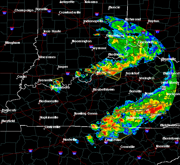 At 818 pm edt/718 pm cdt/, a severe thunderstorm was located 9 miles north of jamestown, moving east at 30 mph (radar indicated). Hazards include 60 mph wind gusts and quarter size hail. Hail damage to vehicles is expected. expect wind damage to roofs, siding, and trees. locations impacted include, russell springs, decatur, sycamore flat, windsor, webbs cross roads, royville, sano, gentrys mill, honey acre and fonthill. A tornado watch remains in effect until 300 am edt/200 am cdt/ for south central and central kentucky. At 818 pm edt/718 pm cdt/, a severe thunderstorm was located 9 miles north of jamestown, moving east at 30 mph (radar indicated). Hazards include 60 mph wind gusts and quarter size hail. Hail damage to vehicles is expected. expect wind damage to roofs, siding, and trees. locations impacted include, russell springs, decatur, sycamore flat, windsor, webbs cross roads, royville, sano, gentrys mill, honey acre and fonthill. A tornado watch remains in effect until 300 am edt/200 am cdt/ for south central and central kentucky.
|
| 7/20/2018 7:16 PM CDT |
 At 715 pm cdt, severe thunderstorms were located along a line extending from 8 miles southeast of edmonton to 6 miles north of celina, moving east at 35 mph (radar indicated). Hazards include 60 mph wind gusts and quarter size hail. Hail damage to vehicles is expected. expect wind damage to roofs, siding, and trees. locations impacted include, albany, jamestown, burkesville, leslie, russell springs, littrell, desda, cartwright, snow and cundiff. A tornado watch remains in effect until 200 am cdt for south central kentucky. At 715 pm cdt, severe thunderstorms were located along a line extending from 8 miles southeast of edmonton to 6 miles north of celina, moving east at 35 mph (radar indicated). Hazards include 60 mph wind gusts and quarter size hail. Hail damage to vehicles is expected. expect wind damage to roofs, siding, and trees. locations impacted include, albany, jamestown, burkesville, leslie, russell springs, littrell, desda, cartwright, snow and cundiff. A tornado watch remains in effect until 200 am cdt for south central kentucky.
|
| 7/20/2018 8:04 PM EDT |
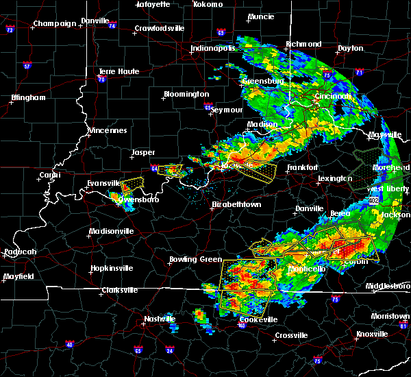 At 803 pm edt/703 pm cdt/, severe thunderstorms were located along a line extending from columbia to near magnum, moving southeast at 10 mph (radar indicated). Hazards include 60 mph wind gusts and quarter size hail. Hail damage to vehicles is expected. Expect wind damage to roofs, siding, and trees. At 803 pm edt/703 pm cdt/, severe thunderstorms were located along a line extending from columbia to near magnum, moving southeast at 10 mph (radar indicated). Hazards include 60 mph wind gusts and quarter size hail. Hail damage to vehicles is expected. Expect wind damage to roofs, siding, and trees.
|
| 7/20/2018 6:59 PM CDT |
 The national weather service in louisville has issued a * severe thunderstorm warning for. clinton county in south central kentucky. southwestern russell county in south central kentucky. eastern monroe county in south central kentucky. Cumberland county in south central kentucky. The national weather service in louisville has issued a * severe thunderstorm warning for. clinton county in south central kentucky. southwestern russell county in south central kentucky. eastern monroe county in south central kentucky. Cumberland county in south central kentucky.
|
| 7/20/2018 6:24 PM CDT |
 At 624 pm cdt, severe thunderstorms were located along a line extending from columbia to 6 miles north of celina, moving east at 25 mph (radar indicated). Hazards include tennis ball size hail and 60 mph wind gusts. People and animals outdoors will be injured. expect hail damage to roofs, siding, windows, and vehicles. Expect wind damage to roofs, siding, and trees. At 624 pm cdt, severe thunderstorms were located along a line extending from columbia to 6 miles north of celina, moving east at 25 mph (radar indicated). Hazards include tennis ball size hail and 60 mph wind gusts. People and animals outdoors will be injured. expect hail damage to roofs, siding, windows, and vehicles. Expect wind damage to roofs, siding, and trees.
|
| 7/5/2018 6:15 PM CDT | Multiple trees down on hwy 768 road east... and freeman coomer rd. time estimated based on rada in adair county KY, 6.3 miles S of Russell Springs, KY |
| 6/26/2018 1:31 PM CDT |
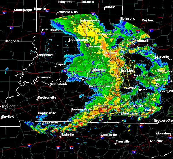 At 231 pm edt/131 pm cdt/, a severe thunderstorm was located 7 miles southeast of columbia, moving east at 20 mph (radar indicated). Hazards include 60 mph wind gusts. expect damage to roofs, siding, and trees At 231 pm edt/131 pm cdt/, a severe thunderstorm was located 7 miles southeast of columbia, moving east at 20 mph (radar indicated). Hazards include 60 mph wind gusts. expect damage to roofs, siding, and trees
|
| 5/31/2018 4:09 PM CDT | Power line down blocking the road on e hwy 619 near indian caves hil in russell county KY, 2.6 miles WNW of Russell Springs, KY |
| 5/31/2018 3:56 PM CDT |
 At 456 pm edt/356 pm cdt/, a severe thunderstorm was located 7 miles northwest of jamestown, moving east at 55 mph (radar indicated). Hazards include 60 mph wind gusts and quarter size hail. Hail damage to vehicles is expected. Expect wind damage to roofs, siding, and trees. At 456 pm edt/356 pm cdt/, a severe thunderstorm was located 7 miles northwest of jamestown, moving east at 55 mph (radar indicated). Hazards include 60 mph wind gusts and quarter size hail. Hail damage to vehicles is expected. Expect wind damage to roofs, siding, and trees.
|
| 2/24/2018 11:23 PM CST |
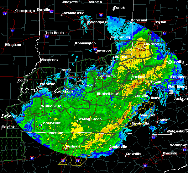 At 1123 pm cst, a severe thunderstorm was located near jamestown, moving east at 55 mph (radar indicated). Hazards include 60 mph wind gusts. Expect damage to roofs, siding, and trees. locations impacted include, jamestown, russell springs, jabez, bryan, eli, whittle, esto, karlus, creelsboro and russell county airport. A tornado watch remains in effect until 200 am cst for south central kentucky. At 1123 pm cst, a severe thunderstorm was located near jamestown, moving east at 55 mph (radar indicated). Hazards include 60 mph wind gusts. Expect damage to roofs, siding, and trees. locations impacted include, jamestown, russell springs, jabez, bryan, eli, whittle, esto, karlus, creelsboro and russell county airport. A tornado watch remains in effect until 200 am cst for south central kentucky.
|
| 2/25/2018 12:21 AM EST |
 At 1221 am est/1121 pm cst/, a severe thunderstorm was located near liberty, moving east at 55 mph (radar indicated). Hazards include 60 mph wind gusts. expect damage to roofs, siding, and trees At 1221 am est/1121 pm cst/, a severe thunderstorm was located near liberty, moving east at 55 mph (radar indicated). Hazards include 60 mph wind gusts. expect damage to roofs, siding, and trees
|
| 2/24/2018 11:13 PM CST |
 At 1112 pm cst, a severe thunderstorm was located 10 miles south of columbia, moving east at 55 mph (radar indicated). Hazards include 60 mph wind gusts. Expect damage to roofs, siding, and trees. locations impacted include, jamestown, russell springs, eli, cundiff, karlus, fairplay, russell county airport, crocus, ono and vinnie. A tornado watch remains in effect until 200 am cst for south central kentucky. At 1112 pm cst, a severe thunderstorm was located 10 miles south of columbia, moving east at 55 mph (radar indicated). Hazards include 60 mph wind gusts. Expect damage to roofs, siding, and trees. locations impacted include, jamestown, russell springs, eli, cundiff, karlus, fairplay, russell county airport, crocus, ono and vinnie. A tornado watch remains in effect until 200 am cst for south central kentucky.
|
| 2/24/2018 11:00 PM CST |
 At 1100 pm cst, a severe thunderstorm was located 9 miles northwest of burkesville, moving east at 55 mph (radar indicated). Hazards include 60 mph wind gusts. expect damage to roofs, siding, and trees At 1100 pm cst, a severe thunderstorm was located 9 miles northwest of burkesville, moving east at 55 mph (radar indicated). Hazards include 60 mph wind gusts. expect damage to roofs, siding, and trees
|
| 5/27/2017 6:40 PM CDT |
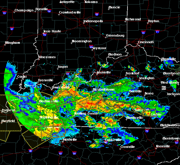 The national weather service in louisville has issued a * severe thunderstorm warning for. northwestern clinton county in south central kentucky. russell county in south central kentucky. northeastern cumberland county in south central kentucky. Until 715 pm cdt. The national weather service in louisville has issued a * severe thunderstorm warning for. northwestern clinton county in south central kentucky. russell county in south central kentucky. northeastern cumberland county in south central kentucky. Until 715 pm cdt.
|
| 5/4/2017 6:37 PM CDT |
 At 735 pm edt/635 pm cdt/, severe thunderstorms were located along a line extending from near greensburg to near columbia to near albany, moving northeast at 35 mph (radar indicated. kentucky mesonet in cumberland county gusted to 59 mph). Hazards include 60 mph wind gusts. Expect damage to roofs, siding, and trees. Locations impacted include, campbellsville, columbia, greensburg, albany, jamestown, russell springs, desda, cartwright, snow and cundiff. At 735 pm edt/635 pm cdt/, severe thunderstorms were located along a line extending from near greensburg to near columbia to near albany, moving northeast at 35 mph (radar indicated. kentucky mesonet in cumberland county gusted to 59 mph). Hazards include 60 mph wind gusts. Expect damage to roofs, siding, and trees. Locations impacted include, campbellsville, columbia, greensburg, albany, jamestown, russell springs, desda, cartwright, snow and cundiff.
|
| 5/4/2017 6:20 PM CDT |
 At 719 pm edt/619 pm cdt/, severe thunderstorms were located along a line extending from near greensburg to 7 miles southwest of columbia to 7 miles west of albany, moving northeast at 35 mph (radar indicated. kentucky mesonet gust of 59 mph in cumberland county). Hazards include 60 mph wind gusts. expect damage to roofs, siding, and trees At 719 pm edt/619 pm cdt/, severe thunderstorms were located along a line extending from near greensburg to 7 miles southwest of columbia to 7 miles west of albany, moving northeast at 35 mph (radar indicated. kentucky mesonet gust of 59 mph in cumberland county). Hazards include 60 mph wind gusts. expect damage to roofs, siding, and trees
|
| 4/30/2017 5:47 PM CDT |
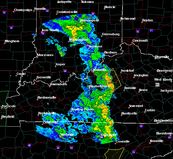 At 646 pm edt/546 pm cdt/, severe thunderstorms were located along a line extending from 7 miles southeast of greensburg to 9 miles northeast of burkesville to near albany, moving northeast at 55 mph (radar indicated). Hazards include 60 mph wind gusts. expect damage to roofs, siding, and trees At 646 pm edt/546 pm cdt/, severe thunderstorms were located along a line extending from 7 miles southeast of greensburg to 9 miles northeast of burkesville to near albany, moving northeast at 55 mph (radar indicated). Hazards include 60 mph wind gusts. expect damage to roofs, siding, and trees
|
| 4/5/2017 8:19 PM EDT |
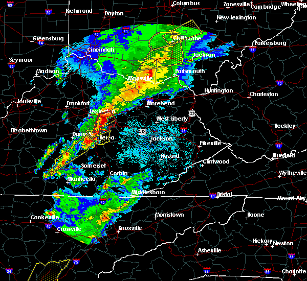 At 819 pm edt/719 pm cdt/, a severe thunderstorm was located 8 miles south of stanford, moving northeast at 95 mph (radar indicated). Hazards include 60 mph wind gusts and penny size hail. Expect damage to roofs, siding, and trees. locations impacted include, liberty, stanford, lancaster, mccreary, russell springs, crab orchard, boneyville, lawhorn hill, teddy and royville. A tornado watch remains in effect until 1000 pm edt/900 pm cdt/ for south central and central kentucky. At 819 pm edt/719 pm cdt/, a severe thunderstorm was located 8 miles south of stanford, moving northeast at 95 mph (radar indicated). Hazards include 60 mph wind gusts and penny size hail. Expect damage to roofs, siding, and trees. locations impacted include, liberty, stanford, lancaster, mccreary, russell springs, crab orchard, boneyville, lawhorn hill, teddy and royville. A tornado watch remains in effect until 1000 pm edt/900 pm cdt/ for south central and central kentucky.
|
| 4/5/2017 8:00 PM EDT |
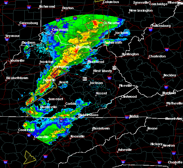 At 759 pm edt/659 pm cdt/, a severe thunderstorm was located 8 miles north of jamestown, moving northeast at 55 mph (radar indicated). Hazards include 60 mph wind gusts and quarter size hail. Hail damage to vehicles is expected. Expect wind damage to roofs, siding, and trees. At 759 pm edt/659 pm cdt/, a severe thunderstorm was located 8 miles north of jamestown, moving northeast at 55 mph (radar indicated). Hazards include 60 mph wind gusts and quarter size hail. Hail damage to vehicles is expected. Expect wind damage to roofs, siding, and trees.
|
| 4/5/2017 6:05 PM CDT |
 At 705 pm edt/605 pm cdt/, severe thunderstorms were located along a line extending from 8 miles northeast of campbellsville to 8 miles east of edmonton, moving east at 40 mph (radar indicated). Hazards include 60 mph wind gusts and half dollar size hail. Hail damage to vehicles is expected. Expect wind damage to roofs, siding, and trees. At 705 pm edt/605 pm cdt/, severe thunderstorms were located along a line extending from 8 miles northeast of campbellsville to 8 miles east of edmonton, moving east at 40 mph (radar indicated). Hazards include 60 mph wind gusts and half dollar size hail. Hail damage to vehicles is expected. Expect wind damage to roofs, siding, and trees.
|
| 3/27/2017 6:32 PM EDT |
 At 631 pm edt/531 pm cdt/, severe thunderstorms were located along a line extending from near campbellsville to near columbia to 10 miles east of edmonton, moving east at 60 mph (radar indicated). Hazards include 60 mph wind gusts. expect damage to roofs, siding, and trees At 631 pm edt/531 pm cdt/, severe thunderstorms were located along a line extending from near campbellsville to near columbia to 10 miles east of edmonton, moving east at 60 mph (radar indicated). Hazards include 60 mph wind gusts. expect damage to roofs, siding, and trees
|
| 3/1/2017 8:08 AM CST |
 At 907 am est/807 am cst/, severe thunderstorms were located along a line extending from near pointer to near burkesville to near celina, moving east at 50 mph (radar indicated). Hazards include 70 mph wind gusts. Expect considerable tree damage. damage is likely to mobile homes, roofs, and outbuildings. locations impacted include, albany, jamestown, burkesville, leslie, russell springs, desda, cartwright, cundiff, savage and royville. a tornado watch remains in effect until 1100 am est/1000 am cst/ for south central and central kentucky. Time, mot, loc 1407z 282deg 185kt 3710 8480 3687 8537 3659 8544. At 907 am est/807 am cst/, severe thunderstorms were located along a line extending from near pointer to near burkesville to near celina, moving east at 50 mph (radar indicated). Hazards include 70 mph wind gusts. Expect considerable tree damage. damage is likely to mobile homes, roofs, and outbuildings. locations impacted include, albany, jamestown, burkesville, leslie, russell springs, desda, cartwright, cundiff, savage and royville. a tornado watch remains in effect until 1100 am est/1000 am cst/ for south central and central kentucky. Time, mot, loc 1407z 282deg 185kt 3710 8480 3687 8537 3659 8544.
|
| 3/1/2017 8:03 AM CST |
 At 902 am est/802 am cst/, severe thunderstorms were located along a line extending from 6 miles east of campbellsville to near glasgow to 11 miles northwest of red boiling springs, moving west at 50 mph (radar indicated). Hazards include 70 mph wind gusts. Expect considerable tree damage. damage is likely to mobile homes, roofs, and outbuildings. locations impacted include, columbia, tompkinsville, albany, jamestown, edmonton, burkesville, leslie, russell springs, gamaliel and desda. A tornado watch remains in effect until 1100 am est/1000 am cst/ for south central and central kentucky. At 902 am est/802 am cst/, severe thunderstorms were located along a line extending from 6 miles east of campbellsville to near glasgow to 11 miles northwest of red boiling springs, moving west at 50 mph (radar indicated). Hazards include 70 mph wind gusts. Expect considerable tree damage. damage is likely to mobile homes, roofs, and outbuildings. locations impacted include, columbia, tompkinsville, albany, jamestown, edmonton, burkesville, leslie, russell springs, gamaliel and desda. A tornado watch remains in effect until 1100 am est/1000 am cst/ for south central and central kentucky.
|
| 3/1/2017 7:57 AM CST |
 At 856 am est/756 am cst/, severe thunderstorms were located along a line extending from near greensburg to near glasgow to near westmoreland, moving west at 50 mph (radar indicated). Hazards include 70 mph wind gusts. Expect considerable tree damage. damage is likely to mobile homes, roofs, and outbuildings. locations impacted include, columbia, tompkinsville, albany, jamestown, edmonton, burkesville, leslie, russell springs, gamaliel and fountain run. A tornado watch remains in effect until 1100 am est/1000 am cst/ for south central and central kentucky. At 856 am est/756 am cst/, severe thunderstorms were located along a line extending from near greensburg to near glasgow to near westmoreland, moving west at 50 mph (radar indicated). Hazards include 70 mph wind gusts. Expect considerable tree damage. damage is likely to mobile homes, roofs, and outbuildings. locations impacted include, columbia, tompkinsville, albany, jamestown, edmonton, burkesville, leslie, russell springs, gamaliel and fountain run. A tornado watch remains in effect until 1100 am est/1000 am cst/ for south central and central kentucky.
|
| 3/1/2017 7:39 AM CST |
 At 838 am est/738 am cst/, severe thunderstorms were located along a line extending from 6 miles east of campbellsville to near glasgow to 8 miles northeast of westmoreland, moving east southeast at 45 mph (radar indicated). Hazards include 60 mph wind gusts. expect damage to roofs, siding, and trees At 838 am est/738 am cst/, severe thunderstorms were located along a line extending from 6 miles east of campbellsville to near glasgow to 8 miles northeast of westmoreland, moving east southeast at 45 mph (radar indicated). Hazards include 60 mph wind gusts. expect damage to roofs, siding, and trees
|
| 12/18/2016 12:27 AM EST |
 At 1226 am est/1126 pm cst/, a severe thunderstorm was located near hogue, moving east at 20 mph (law enforcement in columbia reported wind damage as the storm went through town). Hazards include 60 mph wind gusts. expect damage to roofs, siding, and trees At 1226 am est/1126 pm cst/, a severe thunderstorm was located near hogue, moving east at 20 mph (law enforcement in columbia reported wind damage as the storm went through town). Hazards include 60 mph wind gusts. expect damage to roofs, siding, and trees
|
| 8/28/2016 6:41 PM EDT |
 The severe thunderstorm warning for northeastern russell and southeastern casey counties will expire at 645 pm edt/545 pm cdt/, the severe thunderstorm which prompted the warning has weakened therefore the warning will be allowed to expire. report severe weather to local law enforcement, post your report to the national weather service louisville facebook page, or tweet your report using hashtag l, m, k, spotter. The severe thunderstorm warning for northeastern russell and southeastern casey counties will expire at 645 pm edt/545 pm cdt/, the severe thunderstorm which prompted the warning has weakened therefore the warning will be allowed to expire. report severe weather to local law enforcement, post your report to the national weather service louisville facebook page, or tweet your report using hashtag l, m, k, spotter.
|
| 8/28/2016 6:14 PM EDT |
 At 614 pm edt/514 pm cdt/, a severe thunderstorm was located near magnum, moving south at 10 mph (radar indicated). Hazards include 60 mph wind gusts and penny size hail. Expect damage to roofs. siding. And trees. At 614 pm edt/514 pm cdt/, a severe thunderstorm was located near magnum, moving south at 10 mph (radar indicated). Hazards include 60 mph wind gusts and penny size hail. Expect damage to roofs. siding. And trees.
|
| 7/7/2016 5:26 PM EDT |
 At 525 pm edt/425 pm cdt/, severe thunderstorms were located along a line extending from 11 miles north of liberty to 6 miles north of magnum to 6 miles east of jamestown, moving east at 55 mph. this line of storms caused structural damage in both taylor and adair counties and downed numerous trees in those counties as well as russell county (emergency management and law enforcement). Hazards include 70 mph wind gusts. Expect considerable tree damage. damage is likely to mobile homes, roofs, and outbuildings. Locations impacted include, liberty, stanford, jamestown, russell springs, junction city, crab orchard, hustonville, eubank, preachersville and peytons store. At 525 pm edt/425 pm cdt/, severe thunderstorms were located along a line extending from 11 miles north of liberty to 6 miles north of magnum to 6 miles east of jamestown, moving east at 55 mph. this line of storms caused structural damage in both taylor and adair counties and downed numerous trees in those counties as well as russell county (emergency management and law enforcement). Hazards include 70 mph wind gusts. Expect considerable tree damage. damage is likely to mobile homes, roofs, and outbuildings. Locations impacted include, liberty, stanford, jamestown, russell springs, junction city, crab orchard, hustonville, eubank, preachersville and peytons store.
|
| 7/7/2016 5:16 PM EDT |
 At 516 pm edt/416 pm cdt/, severe thunderstorms were located along a line extending from 11 miles southeast of lebanon to 7 miles southwest of liberty to jamestown, moving east at 55 mph (radar indicated). Hazards include 70 mph wind gusts. Expect considerable tree damage. Damage is likely to mobile homes, roofs, and outbuildings. At 516 pm edt/416 pm cdt/, severe thunderstorms were located along a line extending from 11 miles southeast of lebanon to 7 miles southwest of liberty to jamestown, moving east at 55 mph (radar indicated). Hazards include 70 mph wind gusts. Expect considerable tree damage. Damage is likely to mobile homes, roofs, and outbuildings.
|
| 7/7/2016 4:02 PM CDT |
 At 502 pm edt/402 pm cdt/, severe thunderstorms were located along and behind a line extending from near campbellsville to 13 miles east of greensburg to 8 miles southeast of columbia, moving east at 50 mph (radar indicated). Hazards include 60 mph wind gusts. Expect damage to roofs. siding. and trees. Locations impacted include, liberty, campbellsville, columbia, jamestown, russell springs, montpelier, royville, creston, garlin and rheber. At 502 pm edt/402 pm cdt/, severe thunderstorms were located along and behind a line extending from near campbellsville to 13 miles east of greensburg to 8 miles southeast of columbia, moving east at 50 mph (radar indicated). Hazards include 60 mph wind gusts. Expect damage to roofs. siding. and trees. Locations impacted include, liberty, campbellsville, columbia, jamestown, russell springs, montpelier, royville, creston, garlin and rheber.
|
| 7/7/2016 3:49 PM CDT |
 At 449 pm edt/349 pm cdt/, severe thunderstorms were located along and behind a line extending from 11 miles northwest of campbellsville to near greensburg to 9 miles southwest of columbia, moving east at 50 mph (radar indicated). Hazards include 70 mph wind gusts. Expect considerable tree damage. Damage is likely to mobile homes, roofs, and outbuildings. At 449 pm edt/349 pm cdt/, severe thunderstorms were located along and behind a line extending from 11 miles northwest of campbellsville to near greensburg to 9 miles southwest of columbia, moving east at 50 mph (radar indicated). Hazards include 70 mph wind gusts. Expect considerable tree damage. Damage is likely to mobile homes, roofs, and outbuildings.
|
| 7/6/2016 4:16 PM CDT |
 At 516 pm edt/416 pm cdt/, a severe thunderstorm was located 7 miles north of jamestown, moving east at 45 mph (radar indicated). Hazards include 60 mph wind gusts and penny size hail. Expect damage to roofs. siding. and trees. Locations impacted include, columbia, jamestown, russell springs, sparksville, montpelier, royville, bliss, garlin, breeding and crocus. At 516 pm edt/416 pm cdt/, a severe thunderstorm was located 7 miles north of jamestown, moving east at 45 mph (radar indicated). Hazards include 60 mph wind gusts and penny size hail. Expect damage to roofs. siding. and trees. Locations impacted include, columbia, jamestown, russell springs, sparksville, montpelier, royville, bliss, garlin, breeding and crocus.
|
| 7/6/2016 3:58 PM CDT |
 At 458 pm edt/358 pm cdt/, a severe thunderstorm was located near columbia, moving east at 45 mph (radar indicated). Hazards include 60 mph wind gusts and penny size hail. Expect damage to roofs. siding. And trees. At 458 pm edt/358 pm cdt/, a severe thunderstorm was located near columbia, moving east at 45 mph (radar indicated). Hazards include 60 mph wind gusts and penny size hail. Expect damage to roofs. siding. And trees.
|
| 6/23/2016 8:14 PM CDT |
 At 814 pm cdt, a severe thunderstorm was located near columbia, moving southeast at 30 mph (radar indicated). Hazards include 60 mph wind gusts and penny size hail. Expect damage to roofs. siding. and trees. Locations impacted include, columbia, jamestown, russell springs, flatwood, olga, sparksville, montpelier, royville, bliss and pickett. At 814 pm cdt, a severe thunderstorm was located near columbia, moving southeast at 30 mph (radar indicated). Hazards include 60 mph wind gusts and penny size hail. Expect damage to roofs. siding. and trees. Locations impacted include, columbia, jamestown, russell springs, flatwood, olga, sparksville, montpelier, royville, bliss and pickett.
|
| 6/23/2016 8:01 PM CDT |
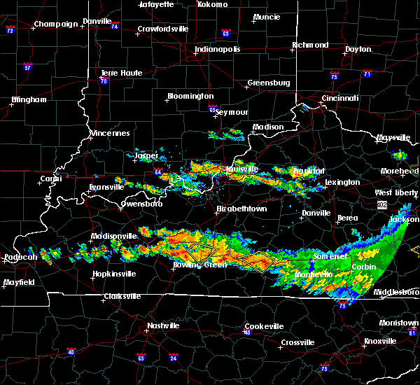 At 801 pm cdt, a severe thunderstorm was located 8 miles west of columbia, moving southeast at 30 mph (radar indicated). Hazards include 60 mph wind gusts. Expect damage to roofs. siding. And trees. At 801 pm cdt, a severe thunderstorm was located 8 miles west of columbia, moving southeast at 30 mph (radar indicated). Hazards include 60 mph wind gusts. Expect damage to roofs. siding. And trees.
|
| 6/16/2016 5:57 PM CDT |
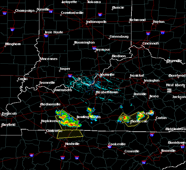 At 556 pm cdt, a severe thunderstorm was located near jamestown, moving southeast at 30 mph (radar indicated). Hazards include 60 mph wind gusts. Expect damage to roofs. siding. And trees. At 556 pm cdt, a severe thunderstorm was located near jamestown, moving southeast at 30 mph (radar indicated). Hazards include 60 mph wind gusts. Expect damage to roofs. siding. And trees.
|
| 6/16/2016 5:50 PM CDT |
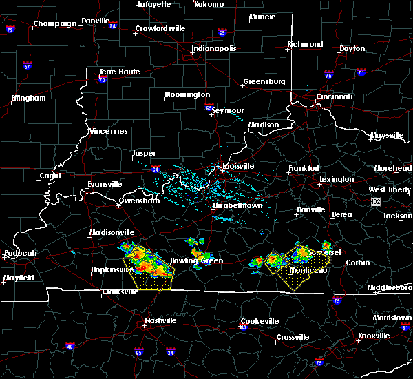 At 549 pm cdt, a severe thunderstorm was located near jamestown, moving southeast at 30 mph (radar indicated). Hazards include 60 mph wind gusts. Expect damage to roofs. siding. and trees. Locations impacted include, jamestown, russell springs, royville, webbs cross roads, rose crossroads, ono, russell county airport, karlus, jabez and fonthill. At 549 pm cdt, a severe thunderstorm was located near jamestown, moving southeast at 30 mph (radar indicated). Hazards include 60 mph wind gusts. Expect damage to roofs. siding. and trees. Locations impacted include, jamestown, russell springs, royville, webbs cross roads, rose crossroads, ono, russell county airport, karlus, jabez and fonthill.
|
| 6/16/2016 5:29 PM CDT |
 At 528 pm cdt, a severe thunderstorm was located northeast of columbia near absher, moving southeast at 40 mph (radar indicated). Hazards include 60 mph wind gusts and penny size hail. Expect damage to roofs. siding. And trees. At 528 pm cdt, a severe thunderstorm was located northeast of columbia near absher, moving southeast at 40 mph (radar indicated). Hazards include 60 mph wind gusts and penny size hail. Expect damage to roofs. siding. And trees.
|
| 6/16/2016 5:20 PM CDT |
 At 620 pm edt/520 pm cdt/, severe thunderstorms were located along a line extending from 6 miles west of liberty to 8 miles north of columbia, moving southeast at 45 mph (radar indicated). Hazards include 60 mph wind gusts and nickel size hail. Expect damage to roofs. siding. and trees. Locations impacted include, jamestown, russell springs, royville, creston, neatsville, decatur, ono, rheber, ella and dunnville. At 620 pm edt/520 pm cdt/, severe thunderstorms were located along a line extending from 6 miles west of liberty to 8 miles north of columbia, moving southeast at 45 mph (radar indicated). Hazards include 60 mph wind gusts and nickel size hail. Expect damage to roofs. siding. and trees. Locations impacted include, jamestown, russell springs, royville, creston, neatsville, decatur, ono, rheber, ella and dunnville.
|
| 6/16/2016 5:06 PM CDT |
 At 605 pm edt/505 pm cdt/, severe thunderstorms were located along a line extending from 13 miles south of lebanon to 13 miles east of greensburg to near campbellsville, moving southeast at 45 mph (radar indicated). Hazards include 60 mph wind gusts and penny size hail. Expect damage to roofs. siding. And trees. At 605 pm edt/505 pm cdt/, severe thunderstorms were located along a line extending from 13 miles south of lebanon to 13 miles east of greensburg to near campbellsville, moving southeast at 45 mph (radar indicated). Hazards include 60 mph wind gusts and penny size hail. Expect damage to roofs. siding. And trees.
|
| 5/10/2016 8:44 PM CDT |
 At 843 pm cdt, a severe thunderstorm was located over jamestown, moving east at 40 mph (trained weather spotters reported quarter size hail in jamestown). Hazards include 60 mph wind gusts and half dollar size hail. Hail damage to vehicles is expected. Expect wind damage to roofs, siding, and trees. At 843 pm cdt, a severe thunderstorm was located over jamestown, moving east at 40 mph (trained weather spotters reported quarter size hail in jamestown). Hazards include 60 mph wind gusts and half dollar size hail. Hail damage to vehicles is expected. Expect wind damage to roofs, siding, and trees.
|
| 5/10/2016 8:37 PM CDT |
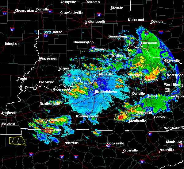 At 836 pm cdt, a severe thunderstorm was located over jamestown, moving east at 30 mph (radar indicated). Hazards include 60 mph wind gusts and half dollar size hail. Hail damage to vehicles is expected. expect wind damage to roofs, siding, and trees. locations impacted include, jamestown, russell springs, olga, royville, bryan, rose crossroads, ono, russell county airport, karlus and jabez. A tornado watch remains in effect until 1100 pm cdt for south central kentucky. At 836 pm cdt, a severe thunderstorm was located over jamestown, moving east at 30 mph (radar indicated). Hazards include 60 mph wind gusts and half dollar size hail. Hail damage to vehicles is expected. expect wind damage to roofs, siding, and trees. locations impacted include, jamestown, russell springs, olga, royville, bryan, rose crossroads, ono, russell county airport, karlus and jabez. A tornado watch remains in effect until 1100 pm cdt for south central kentucky.
|
| 5/10/2016 8:24 PM CDT |
 At 824 pm cdt, a severe thunderstorm was located near jamestown, moving east at 40 mph (radar indicated). Hazards include 60 mph wind gusts and half dollar size hail. Hail damage to vehicles is expected. expect wind damage to roofs, siding, and trees. locations impacted include, jamestown, russell springs, olga, montpelier, royville, bryan, rose crossroads, ono, whittle and gentrys mill. A tornado watch remains in effect until 1100 pm cdt for south central kentucky. At 824 pm cdt, a severe thunderstorm was located near jamestown, moving east at 40 mph (radar indicated). Hazards include 60 mph wind gusts and half dollar size hail. Hail damage to vehicles is expected. expect wind damage to roofs, siding, and trees. locations impacted include, jamestown, russell springs, olga, montpelier, royville, bryan, rose crossroads, ono, whittle and gentrys mill. A tornado watch remains in effect until 1100 pm cdt for south central kentucky.
|
| 5/10/2016 8:09 PM CDT |
 At 808 pm cdt, a severe thunderstorm was located near jamestown, moving east at 40 mph (radar indicated). Hazards include 60 mph wind gusts and half dollar size hail. Hail damage to vehicles is expected. expect wind damage to roofs, siding, and trees. locations impacted include, jamestown, russell springs, flatwood, olga, sparksville, montpelier, royville, bryan, rose crossroads and ono. A tornado watch remains in effect until 1100 pm cdt for south central kentucky. At 808 pm cdt, a severe thunderstorm was located near jamestown, moving east at 40 mph (radar indicated). Hazards include 60 mph wind gusts and half dollar size hail. Hail damage to vehicles is expected. expect wind damage to roofs, siding, and trees. locations impacted include, jamestown, russell springs, flatwood, olga, sparksville, montpelier, royville, bryan, rose crossroads and ono. A tornado watch remains in effect until 1100 pm cdt for south central kentucky.
|
| 5/10/2016 7:58 PM CDT |
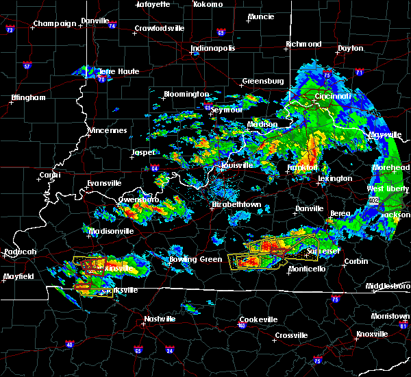 At 758 pm cdt, a severe thunderstorm was located near columbia, moving east at 40 mph (radar indicated). Hazards include 60 mph wind gusts and half dollar size hail. Hail damage to vehicles is expected. Expect wind damage to roofs, siding, and trees. At 758 pm cdt, a severe thunderstorm was located near columbia, moving east at 40 mph (radar indicated). Hazards include 60 mph wind gusts and half dollar size hail. Hail damage to vehicles is expected. Expect wind damage to roofs, siding, and trees.
|
| 4/6/2016 7:56 PM EDT |
 At 655 pm cdt, a severe thunderstorm was located 8 miles west of cabell, moving northeast at 55 mph (trained weather spotters reported small limbs down south of burkesville). Hazards include 60 mph wind gusts. Expect damage to roofs. siding. and trees. Locations impacted include, albany, jamestown, russell springs, aaron, olga, ida, rowena, shipley, willis creek and bryan. At 655 pm cdt, a severe thunderstorm was located 8 miles west of cabell, moving northeast at 55 mph (trained weather spotters reported small limbs down south of burkesville). Hazards include 60 mph wind gusts. Expect damage to roofs. siding. and trees. Locations impacted include, albany, jamestown, russell springs, aaron, olga, ida, rowena, shipley, willis creek and bryan.
|
| 4/6/2016 6:41 PM CDT |
 At 641 pm cdt, a severe thunderstorm was located over burkesville, moving northeast at 55 mph (radar indicated). Hazards include 60 mph wind gusts. Expect damage to roofs. siding. And trees. At 641 pm cdt, a severe thunderstorm was located over burkesville, moving northeast at 55 mph (radar indicated). Hazards include 60 mph wind gusts. Expect damage to roofs. siding. And trees.
|
| 3/31/2016 5:30 PM CDT |
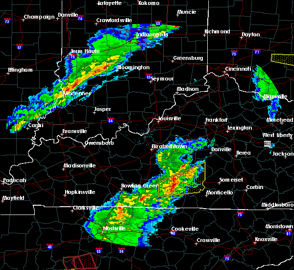 At 628 pm edt/528 pm cdt/, a severe thunderstorm was located near columbia, moving northeast at 45 mph (radar indicated). Hazards include 60 mph wind gusts and dime size hail. Expect damage to roofs. siding. and trees. Locations impacted include, liberty, columbia, jamestown, russell springs, sparksville, montpelier, royville, creston, bliss and garlin. At 628 pm edt/528 pm cdt/, a severe thunderstorm was located near columbia, moving northeast at 45 mph (radar indicated). Hazards include 60 mph wind gusts and dime size hail. Expect damage to roofs. siding. and trees. Locations impacted include, liberty, columbia, jamestown, russell springs, sparksville, montpelier, royville, creston, bliss and garlin.
|
| 3/31/2016 5:12 PM CDT |
 At 611 pm edt/511 pm cdt/, a severe thunderstorm was located over edmonton, moving east northeast at 40 mph (radar indicated). Hazards include 60 mph wind gusts and penny size hail. Expect damage to roofs. siding. And trees. At 611 pm edt/511 pm cdt/, a severe thunderstorm was located over edmonton, moving east northeast at 40 mph (radar indicated). Hazards include 60 mph wind gusts and penny size hail. Expect damage to roofs. siding. And trees.
|
| 12/23/2015 10:46 PM CST | At 1045 pm cst, a severe thunderstorm was located 9 miles west of cains store, moving northeast at 55 mph (radar indicated). Hazards include 60 mph wind gusts. Expect damage to roofs. siding and trees. Locations impacted include, russell springs, webbs cross roads, sycamore flat and fonthill. |
| 12/23/2015 10:35 PM CST | At 1035 pm cst, a severe thunderstorm was located 8 miles east of columbia, moving northeast at 55 mph (radar indicated). Hazards include 60 mph wind gusts. Expect damage to roofs. siding and trees. Locations impacted include, jamestown, russell springs, purdy, glens fork, montpelier, royville, ozark, webbs cross roads, russell county airport, ella, christine, sycamore flat, esto, joppa, gentrys mill, crocus, cundiff, craycraft and sano. |
| 12/23/2015 10:30 PM CST | At 1029 pm cst, a severe thunderstorm was located near columbia, moving northeast at 55 mph (radar indicated). Hazards include 60 mph wind gusts. Expect damage to roofs. siding and trees. Locations impacted include, columbia, jamestown, russell springs, flatwood, montpelier, royville, garlin, ella, sycamore flat, gentrys mill, crocus, cundiff, gadberry, sano, purdy, glens fork, inroad, ozark, chance and fairplay. |
| 12/23/2015 10:23 PM CST | At 1022 pm cst, a severe thunderstorm was located near columbia, moving northeast at 55 mph (radar indicated). Hazards include 60 mph wind gusts. Expect damage to roofs. siding and trees. Locations impacted include, columbia, jamestown, russell springs, flatwood, sparksville, montpelier, royville, bliss, rose crossroads, garlin, ella, sycamore flat, breeding, gentrys mill, crocus, cundiff, gadberry, sano, purdy and glens fork. |
| 12/23/2015 10:14 PM CST | At 1013 pm cst, a severe thunderstorm was located near edmonton, moving northeast at 55 mph (radar indicated). Hazards include 60 mph wind gusts. Expect damage to roofs. Siding and trees. |
| 7/14/2015 8:07 PM CDT |
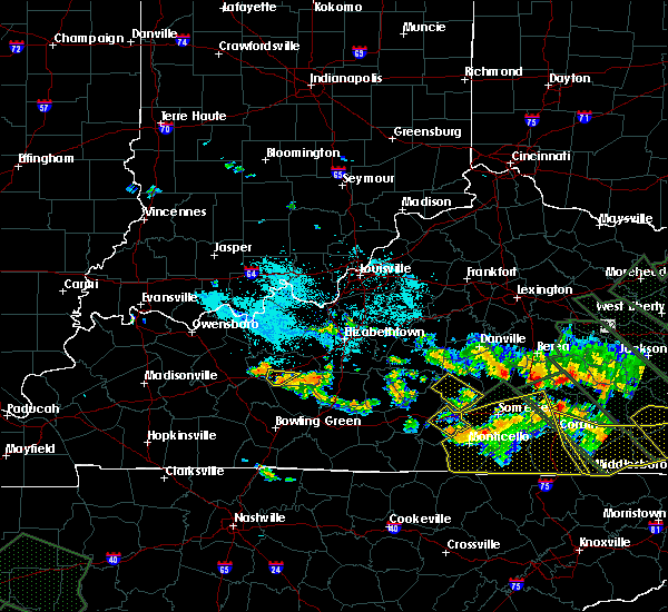 The severe thunderstorm warning for russell county will expire at 915 pm edt/815 pm cdt/, the storm which prompted the warning has moved out of the warned area. The severe thunderstorm warning for russell county will expire at 915 pm edt/815 pm cdt/, the storm which prompted the warning has moved out of the warned area.
|
| 7/14/2015 7:44 PM CDT |
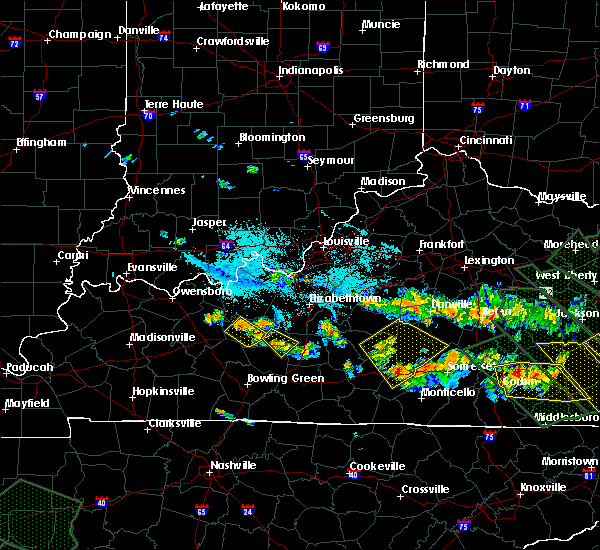 At 744 pm cdt, a severe thunderstorm was located 6 miles northeast of jamestown, and moving southeast at 40 mph (radar indicated). Hazards include 60 mph wind gusts. Expect damage to roofs. Siding and trees. At 744 pm cdt, a severe thunderstorm was located 6 miles northeast of jamestown, and moving southeast at 40 mph (radar indicated). Hazards include 60 mph wind gusts. Expect damage to roofs. Siding and trees.
|
| 7/14/2015 8:00 PM EDT |
 At 757 pm edt, a severe thunderstorm was located 9 miles northeast of campbellsville, and moving southeast at 35 mph (radar indicated). Hazards include 60 mph wind gusts. Expect damage to roofs. Siding and trees. At 757 pm edt, a severe thunderstorm was located 9 miles northeast of campbellsville, and moving southeast at 35 mph (radar indicated). Hazards include 60 mph wind gusts. Expect damage to roofs. Siding and trees.
|
| 7/14/2015 5:10 AM CDT |
 At 608 am edt, severe thunderstorms were located along a line extending from 10 miles north of science hill to 6 miles east of campbellsville, and moving southeast at 65 mph (radar indicated). Hazards include 60 mph wind gusts. Expect damage to roofs. Siding and trees. At 608 am edt, severe thunderstorms were located along a line extending from 10 miles north of science hill to 6 miles east of campbellsville, and moving southeast at 65 mph (radar indicated). Hazards include 60 mph wind gusts. Expect damage to roofs. Siding and trees.
|
| 7/9/2015 4:15 PM CDT |
 At 410 pm cdt, a severe thunderstorm was located near jamestown, and moving east at 35 mph. at 456 pm edt, a roof off a barn was blown down in russell springs (radar indicated). Hazards include 60 mph wind gusts. Expect damage to roofs. siding and trees. Locations impacted include, webbs cross roads, jericho, sycamore flat, horntown, fonthill, salem, eli, karlus, whittle, honey acre, decatur, ono, indian hills, windsor, jabez, vinnie, teddy, dunnville, evona and phil. At 410 pm cdt, a severe thunderstorm was located near jamestown, and moving east at 35 mph. at 456 pm edt, a roof off a barn was blown down in russell springs (radar indicated). Hazards include 60 mph wind gusts. Expect damage to roofs. siding and trees. Locations impacted include, webbs cross roads, jericho, sycamore flat, horntown, fonthill, salem, eli, karlus, whittle, honey acre, decatur, ono, indian hills, windsor, jabez, vinnie, teddy, dunnville, evona and phil.
|
| 7/9/2015 4:05 PM CDT | Trees down on car in russell county KY, 5.8 miles WSW of Russell Springs, KY |
| 7/9/2015 4:04 PM CDT | Trees and power lines dow in russell county KY, 0.6 miles W of Russell Springs, KY |
| 7/9/2015 3:56 PM CDT | Roof blown off of a bar in russell county KY, 1.4 miles NNE of Russell Springs, KY |
| 7/9/2015 3:48 PM CDT |
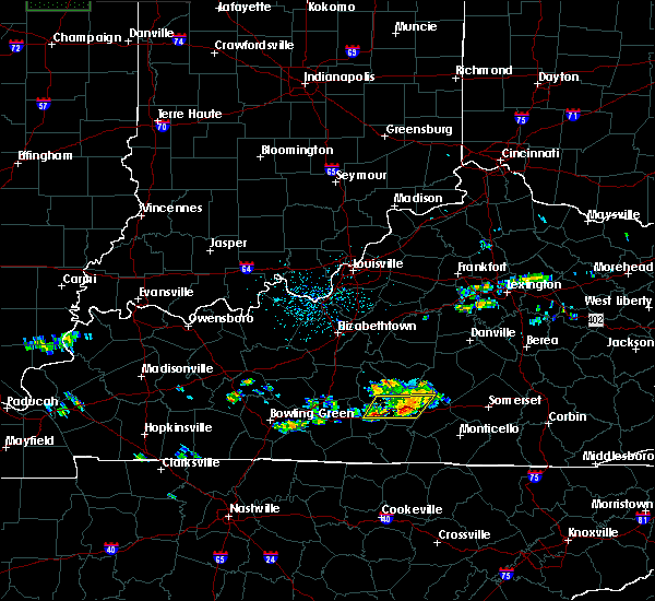 At 346 pm cdt, a severe thunderstorm was located 6 miles southeast of columbia, and moving east at 35 mph (radar indicated). Hazards include 60 mph wind gusts. Expect damage to roofs. Siding and trees. At 346 pm cdt, a severe thunderstorm was located 6 miles southeast of columbia, and moving east at 35 mph (radar indicated). Hazards include 60 mph wind gusts. Expect damage to roofs. Siding and trees.
|
| 6/26/2015 3:06 AM EDT |
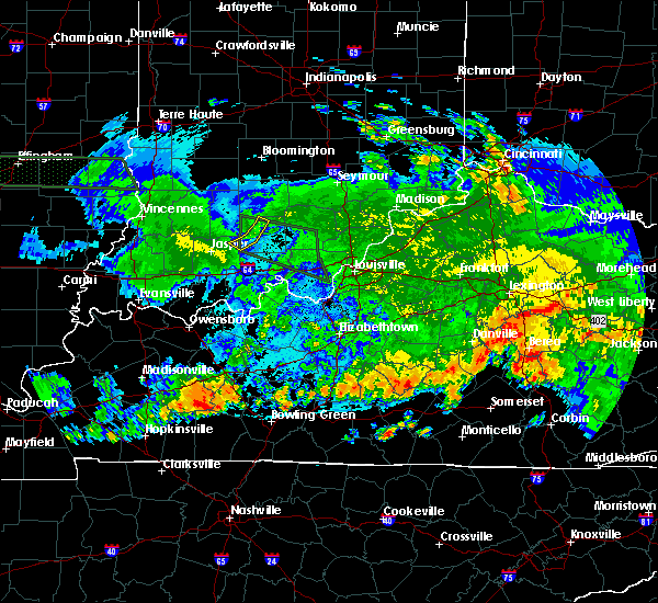 At 302 am edt/202 am cdt/, severe thunderstorms were located along a line extending from 7 miles north of liberty to 6 miles northwest of columbia, and moving southeast at 55 mph (radar indicated). Hazards include 60 mph wind gusts. Expect damage to roofs. Siding and trees. At 302 am edt/202 am cdt/, severe thunderstorms were located along a line extending from 7 miles north of liberty to 6 miles northwest of columbia, and moving southeast at 55 mph (radar indicated). Hazards include 60 mph wind gusts. Expect damage to roofs. Siding and trees.
|
| 6/25/2015 6:11 PM CDT |
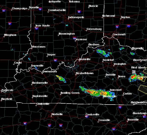 At 609 pm cdt, a severe thunderstorm was located near columbia, and moving east at 30 mph (radar indicated). Hazards include 60 mph wind gusts and penny size hail. Expect damage to roofs. siding and trees. Locations impacted include, jamestown, ozark, joppa, glens fork, craycraft, crocus, gentrys mill, montpelier, esto, russell county airport, rose crossroads, middletown, royville, russell springs, sewellton, karlus, ono, whittle, eli and indian hills. At 609 pm cdt, a severe thunderstorm was located near columbia, and moving east at 30 mph (radar indicated). Hazards include 60 mph wind gusts and penny size hail. Expect damage to roofs. siding and trees. Locations impacted include, jamestown, ozark, joppa, glens fork, craycraft, crocus, gentrys mill, montpelier, esto, russell county airport, rose crossroads, middletown, royville, russell springs, sewellton, karlus, ono, whittle, eli and indian hills.
|
| 6/25/2015 5:56 PM CDT |
 At 554 pm cdt, a severe thunderstorm was located 6 miles east of columbia, and moving east at 20 mph (radar indicated). Hazards include 60 mph wind gusts and penny size hail. Expect damage to roofs. siding and trees. Locations impacted include, jamestown, crocus, montpelier, ella, gentrys mill, sano, royville, esto, rose crossroads, russell springs, russell county airport, webbs cross roads, sycamore flat, sewellton, middletown, jericho, decatur, fonthill, horntown and karlus. At 554 pm cdt, a severe thunderstorm was located 6 miles east of columbia, and moving east at 20 mph (radar indicated). Hazards include 60 mph wind gusts and penny size hail. Expect damage to roofs. siding and trees. Locations impacted include, jamestown, crocus, montpelier, ella, gentrys mill, sano, royville, esto, rose crossroads, russell springs, russell county airport, webbs cross roads, sycamore flat, sewellton, middletown, jericho, decatur, fonthill, horntown and karlus.
|
| 6/25/2015 5:40 PM CDT |
 At 538 pm cdt, a severe thunderstorm was located 5 miles east of columbia, and moving east at 40 mph (radar indicated). Hazards include 60 mph wind gusts and penny size hail. Expect damage to roofs. Siding and trees. At 538 pm cdt, a severe thunderstorm was located 5 miles east of columbia, and moving east at 40 mph (radar indicated). Hazards include 60 mph wind gusts and penny size hail. Expect damage to roofs. Siding and trees.
|
| 5/11/2015 3:22 PM EDT | At 220 pm cdt, a severe thunderstorm was located 7 miles northeast of jamestown, and moving northeast at 40 mph (radar indicated). Hazards include 60 mph wind gusts and penny size hail. Expect damage to roofs. Siding and trees. |
| 5/11/2015 1:56 PM CDT | At 153 pm cdt, a severe thunderstorm was located 6 miles southeast of columbia, and moving northeast at 35 mph (radar indicated). Hazards include 60 mph wind gusts. Expect damage to roofs. siding and trees. locations impacted include, esto, craycraft, russell county airport, gentrys mill, christine, middletown, royville, russell springs, purdy, sano, ella, jericho and webbs cross roads. 75in. |
| 5/11/2015 1:40 PM CDT | At 139 pm cdt, a severe thunderstorm was located 11 miles north of burkesville, and moving northeast at 35 mph (radar indicated). Hazards include 60 mph wind gusts. Expect damage to roofs. Siding and trees. |
| 4/25/2015 8:47 PM CDT | At 843 pm cdt, severe thunderstorms were located along a line extending from 10 miles north of jamestown to jamestown, moving east at 50 mph (radar indicated). Hazards include 60 mph wind gusts and penny size hail. Expect damage to roofs. siding and trees. locations impacted include, karlus, eli, windsor, whittle, ono, indian hills, jabez and vinnie. Possible. |
| 4/25/2015 8:38 PM CDT | Trees...power lines and power poles down on old montpelier road. roof damage to several homes. barns pushed over and silos knocked dow in adair county KY, 6.3 miles ENE of Russell Springs, KY |
| 4/25/2015 8:30 PM CDT | At 827 pm cdt, severe thunderstorms were located along a line extending from 6 miles north of columbia to columbia, and moving east at 50 mph (radar indicated). Hazards include 60 mph wind gusts and penny size hail. Expect damage to roofs. Siding and trees. |
| 4/10/2015 4:01 AM CDT | A severe thunderstorm warning remains in effect for clinton. eastern cumberland. southern casey. southeastern adair. russell and south central lincoln counties until 430 am cdt/530 am edt/. at 459 am edt/359 am cdt/. severe thunderstorms were located along a line extending from 6 miles east of liberty to jamestown to 9 miles southwest of albany. And moving east at 50 mph. |
| 4/10/2015 3:54 AM CDT | A severe thunderstorm warning remains in effect for clinton. cumberland. southern casey. southeastern adair. russell. southeastern monroe and south central lincoln counties until 430 am cdt/530 am edt/. at 451 am edt/351 am cdt/. Severe thunderstorms were located along a line extending from liberty to 6 miles northwest of jamestown to 9. |
| 4/10/2015 3:29 AM CDT | The national weather service in louisville has issued a * severe thunderstorm warning for. southeastern adair county in south central kentucky. southern casey county in south central kentucky. clinton county in south central kentucky. Cumberland county in south central kentucky. |
| 4/2/2015 6:42 PM CDT | The severe thunderstorm warning for clinton. eastern cumberland. southern casey. eastern adair and russell counties will expire at 745 pm edt/645 pm cdt/. the line of storms which prompted the warning has moved out of the warned area. additional strong thunderstorms are still possible. And a severe. |
| 4/2/2015 6:15 PM CDT | The national weather service in louisville has issued a * severe thunderstorm warning for. eastern adair county in south central kentucky. southern casey county in south central kentucky. clinton county in south central kentucky. Eastern cumberland county in south central kentucky. |
| 8/31/2013 6:13 PM CDT | Trees reported down in the city in russell county KY, 0.1 miles SW of Russell Springs, KY |
| 6/26/2013 10:59 PM CDT | Trees reported dow in russell county KY, 0.1 miles SW of Russell Springs, KY |
| 6/26/2013 10:40 PM CDT | Report of a roof blown off a barn in salem community in russell county KY, 4 miles W of Russell Springs, KY |
| 6/26/2013 10:32 PM CDT | Trees down on kentucky 76 in the webbs crossroads community in russell county KY, 4.2 miles S of Russell Springs, KY |
| 1/30/2013 4:52 AM CST | Barn flattened as well as tree damage and gutter damage on a house in adair county KY, 5.2 miles SSE of Russell Springs, KY |
| 7/27/2012 10:50 PM CDT | Reports called into local radio station of trees down in the salem community...approx. 5 east of russell springs in russell county KY, 5.8 miles WSW of Russell Springs, KY |
| 7/5/2012 3:59 PM CDT | Dispatch reports trees and power lines down along highway 379 near russell springs in russell county KY, 1.6 miles NE of Russell Springs, KY |
| 7/5/2012 3:35 PM CDT | Dispatch reports trees and power lines down along 619 near russell springs in russell county KY, 1.8 miles WNW of Russell Springs, KY |
| 7/1/2012 10:00 PM CDT | Thunderstorm winds brought down three trees across the county. one fell across a power line in russell springs on county highway 910. another tree fell 3 miles west of in russell county KY, 0.1 miles SW of Russell Springs, KY |
| 4/26/2012 3:50 PM CDT | Golf Ball sized hail reported 5.1 miles W of Russell Springs, KY |
| 4/26/2012 4:42 AM CDT | On tree was blown dow in russell county KY, 0.1 miles SW of Russell Springs, KY |
| 3/15/2012 4:53 PM CDT | Half Dollar sized hail reported 0.1 miles SW of Russell Springs, KY |
| 1/1/0001 12:00 AM | Golf Ball sized hail reported 4.9 miles S of Russell Springs, KY |
| 3/2/2012 6:10 PM EST | Quarter sized hail reported 13.3 miles WSW of Russell Springs, KY |
| 1/1/0001 12:00 AM | Trees...power lines down near webbs crossroad near ky 127 in russell county KY, 4.9 miles S of Russell Springs, KY |
| 1/1/0001 12:00 AM | Trees and power lines down and debris in roads just north of sycamore fla in russell county KY, 6.2 miles SW of Russell Springs, KY |
| 1/1/0001 12:00 AM | Mobile homes destroyed along with some barns and homes on patty ridge roa in russell county KY, 6.3 miles S of Russell Springs, KY |
| 1/1/0001 12:00 AM | Numerous trees down in the cit in russell county KY, 0.1 miles SW of Russell Springs, KY |
| 1/1/0001 12:00 AM | Trees dow in russell county KY, 0.1 miles SW of Russell Springs, KY |
| 1/1/0001 12:00 AM | 4 trees uprooted...one fell on a house. power poles and lines down near intersection of shawnee ave and french valley r in russell county KY, 0.1 miles SW of Russell Springs, KY |
Hail Maps for Russell Springs, KY
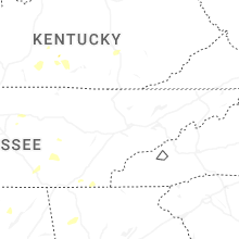
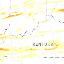


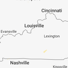


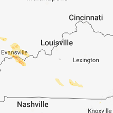


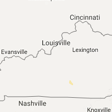


Connect with Interactive Hail Maps