

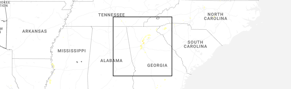
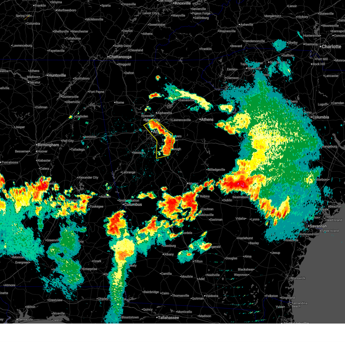
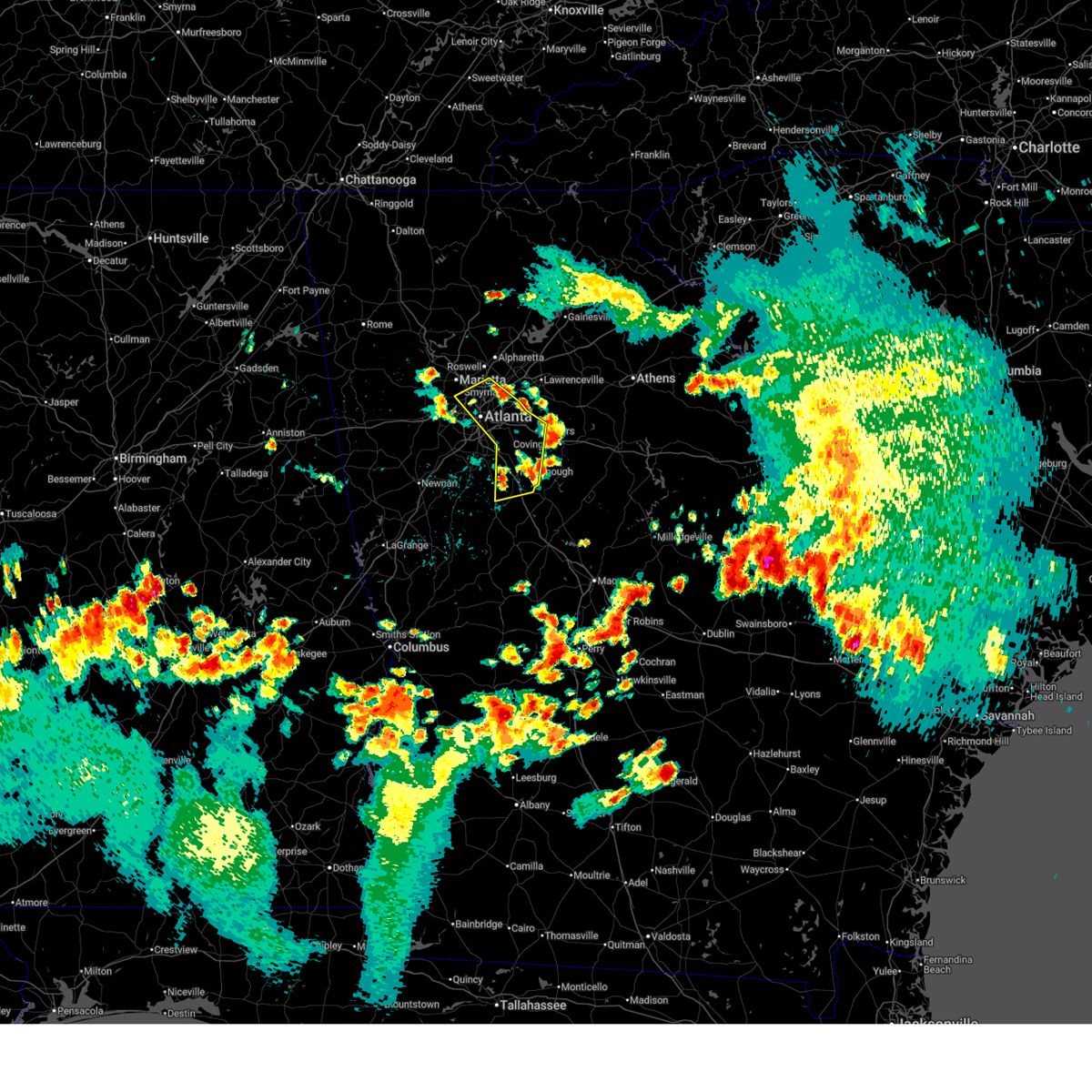
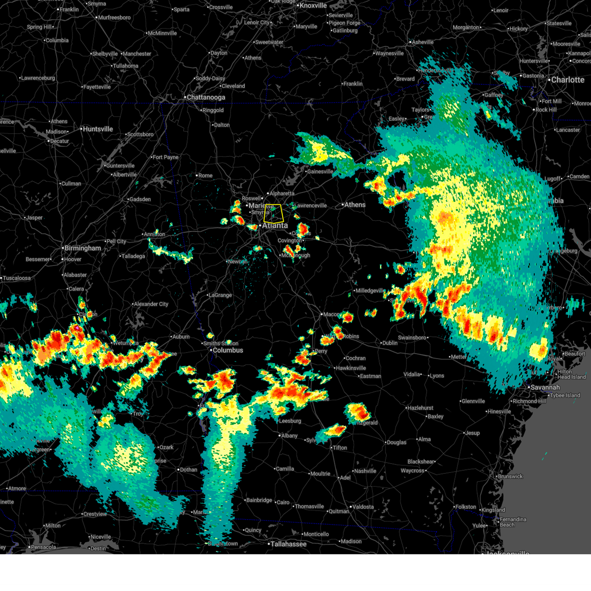
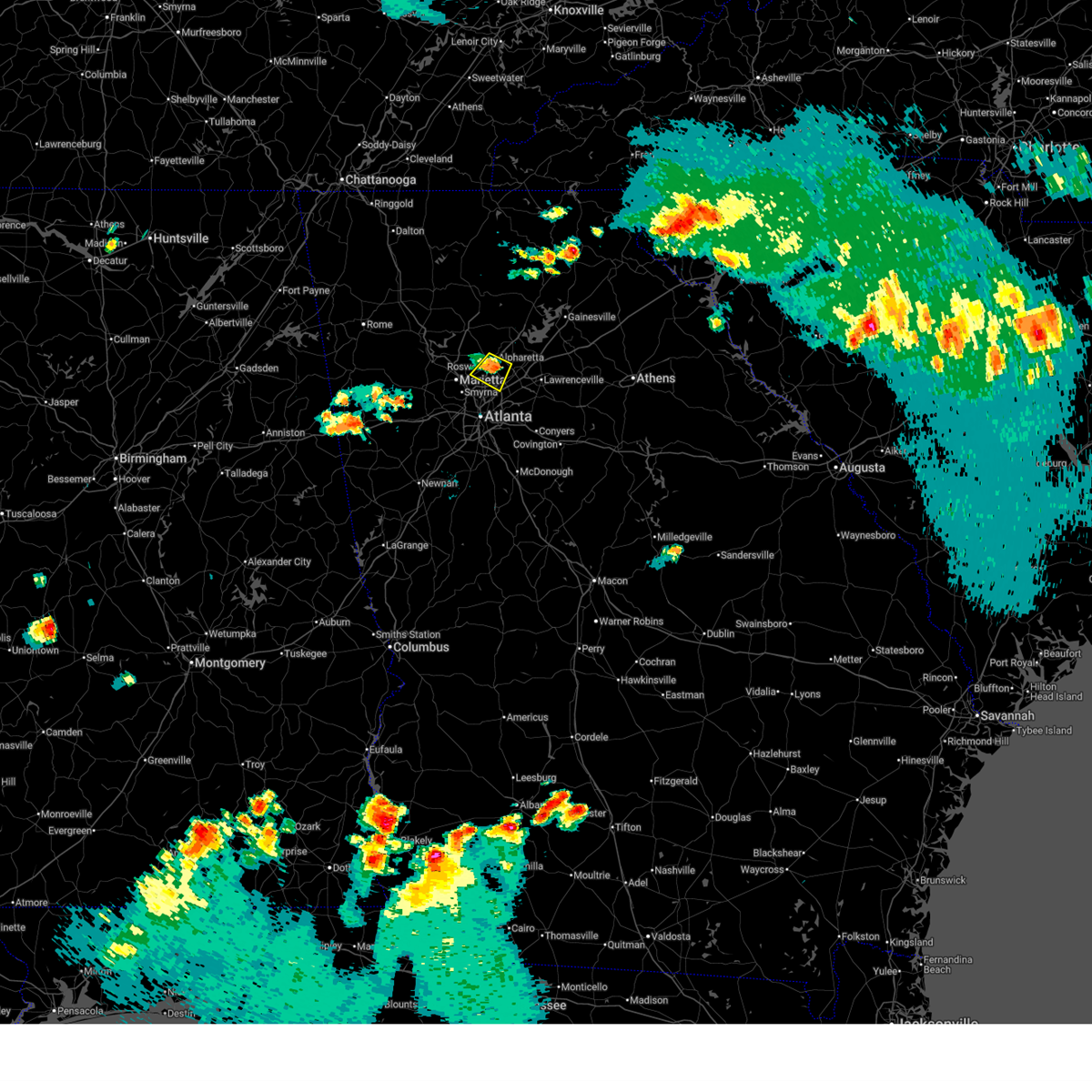
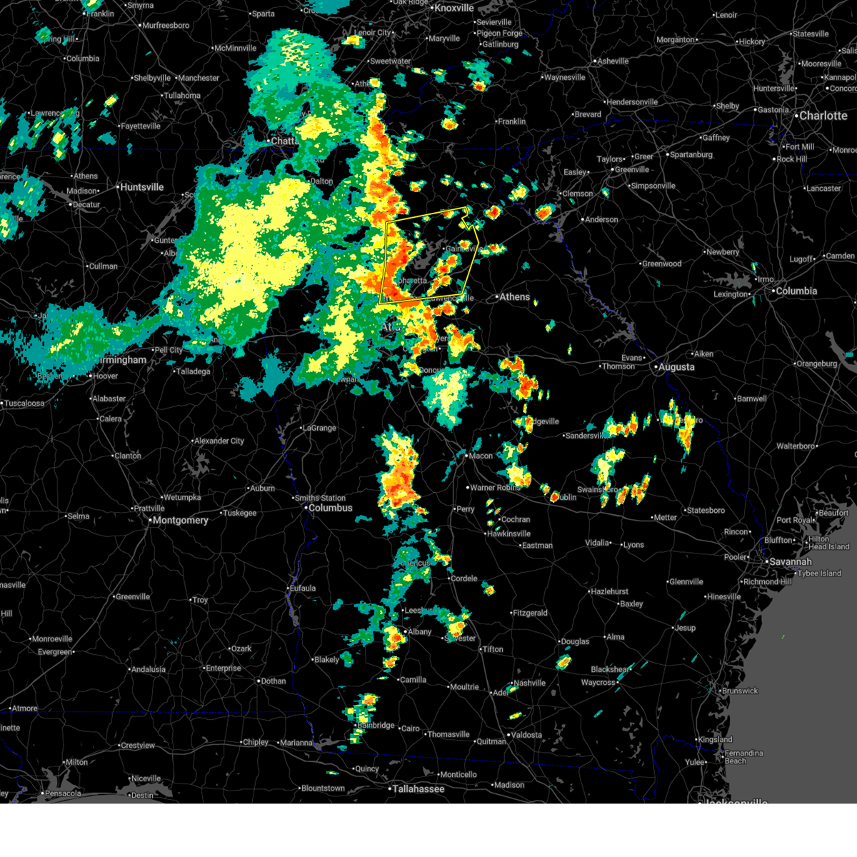
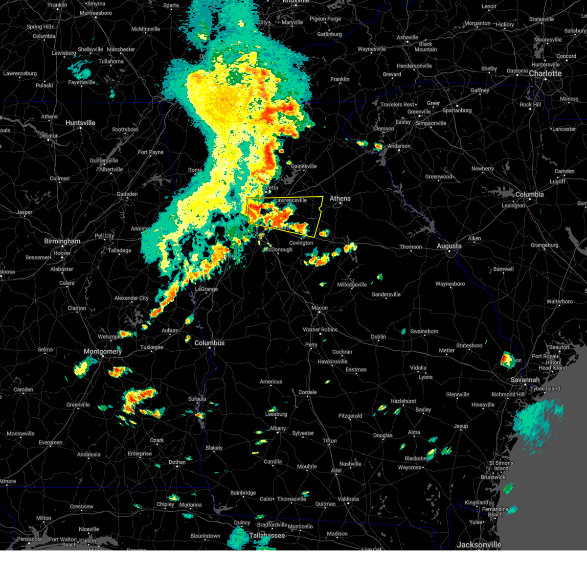
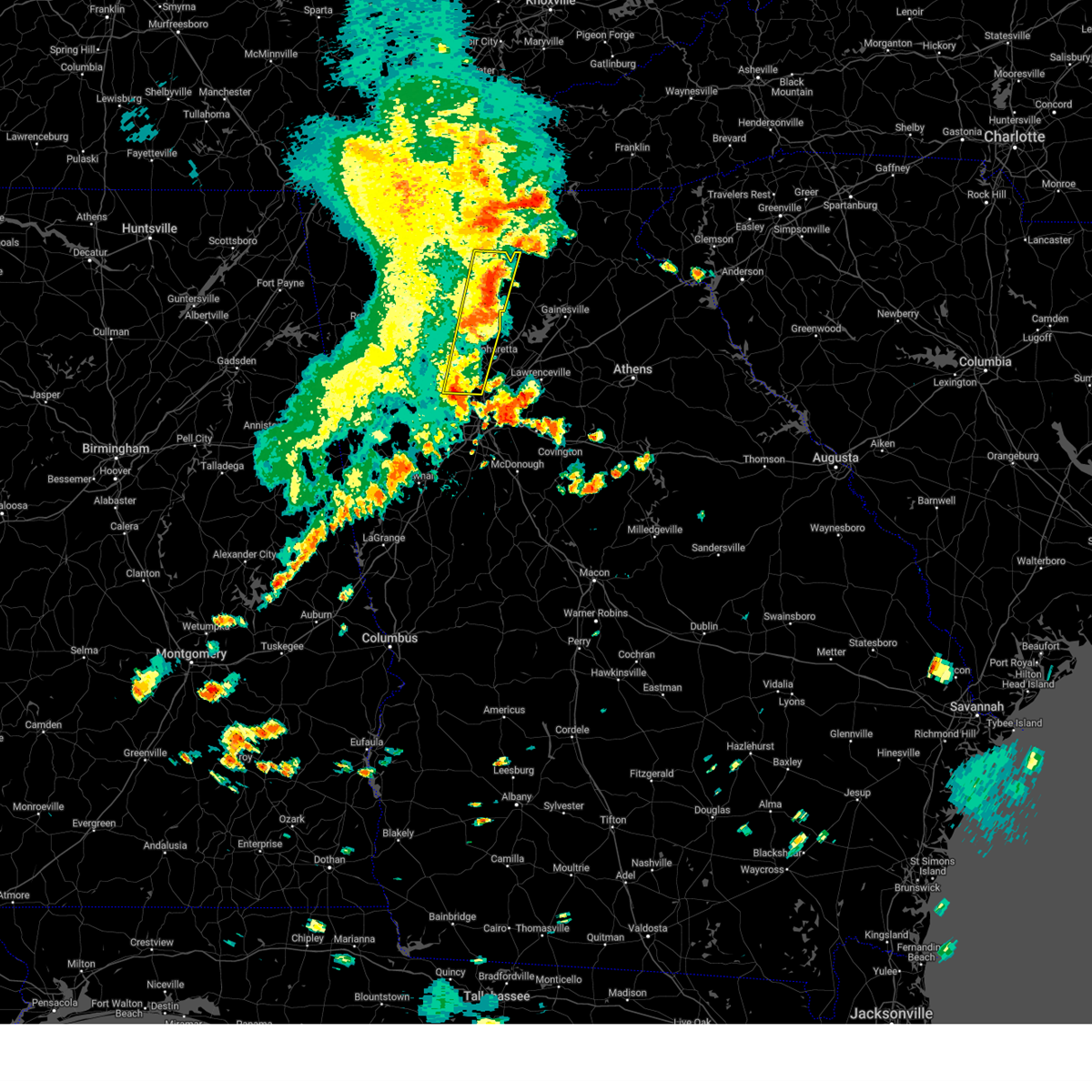
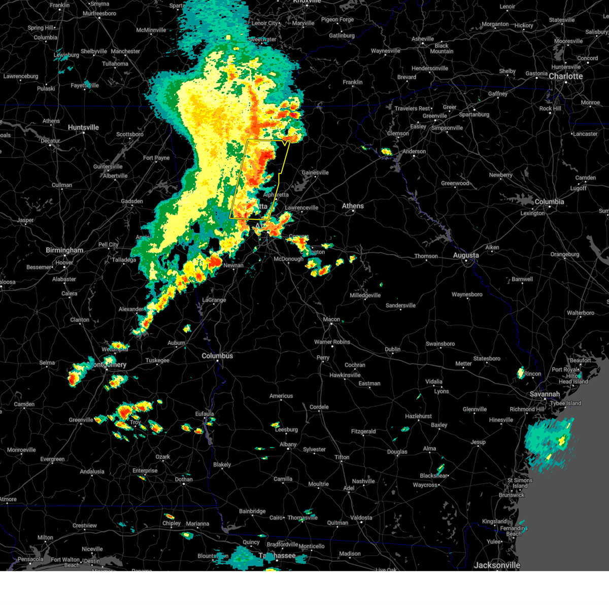
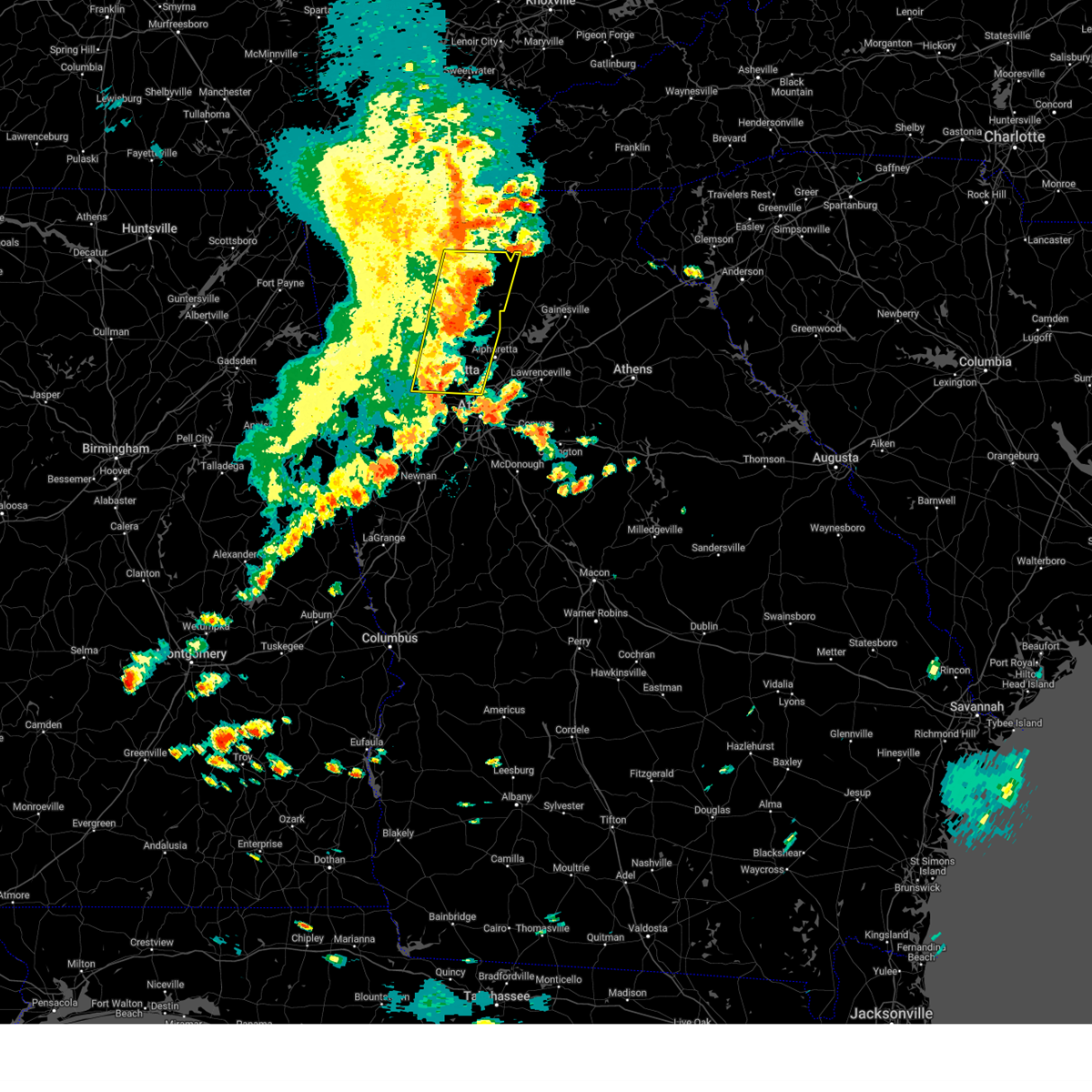
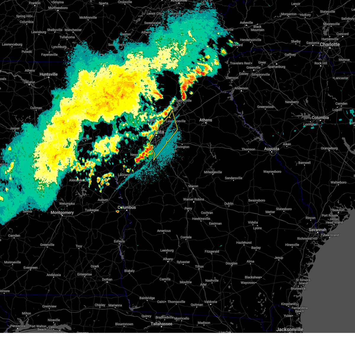
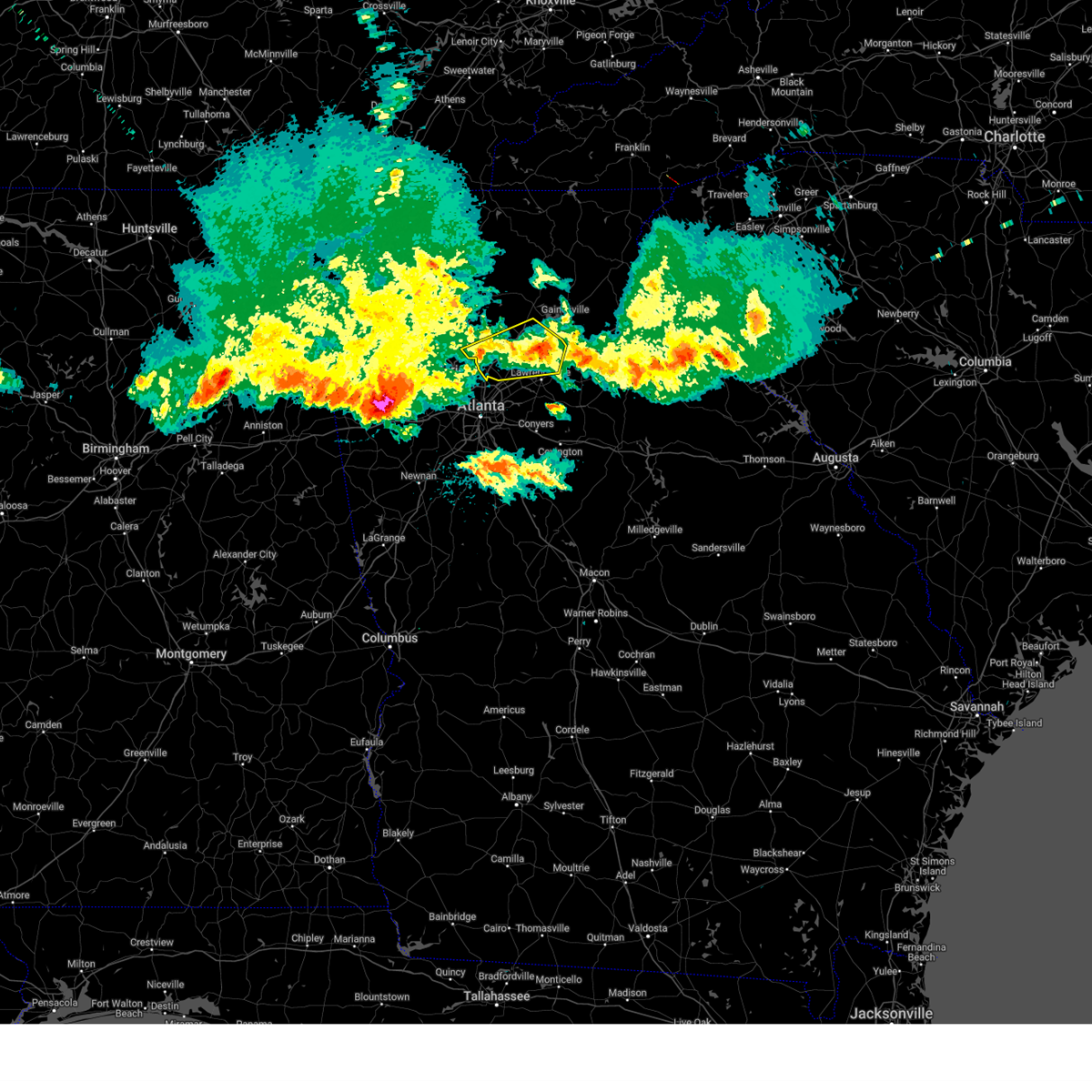
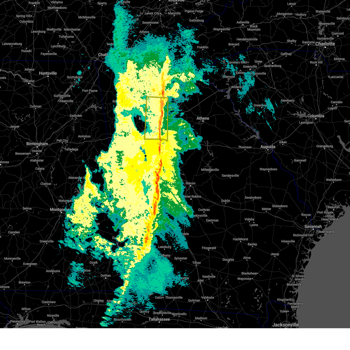
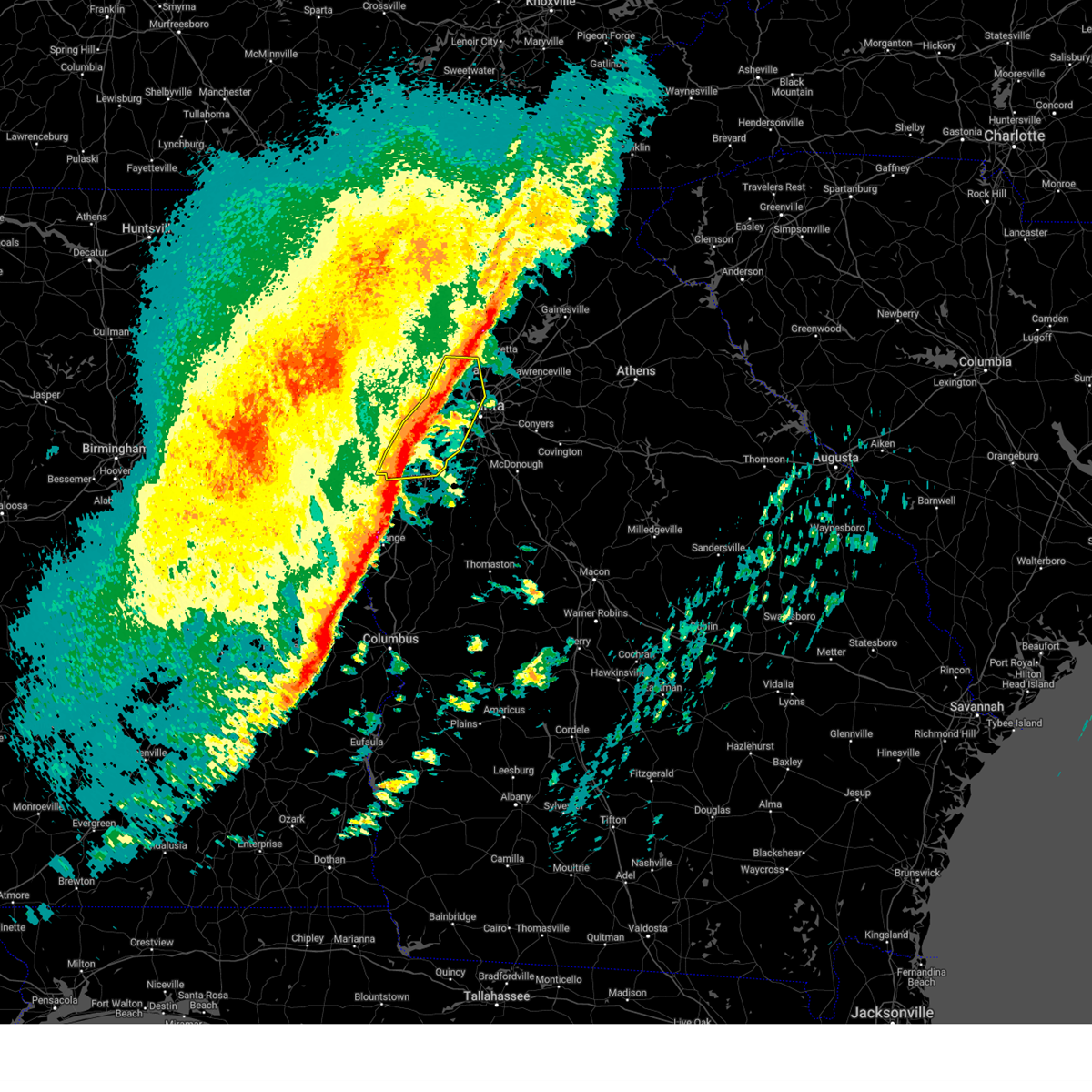
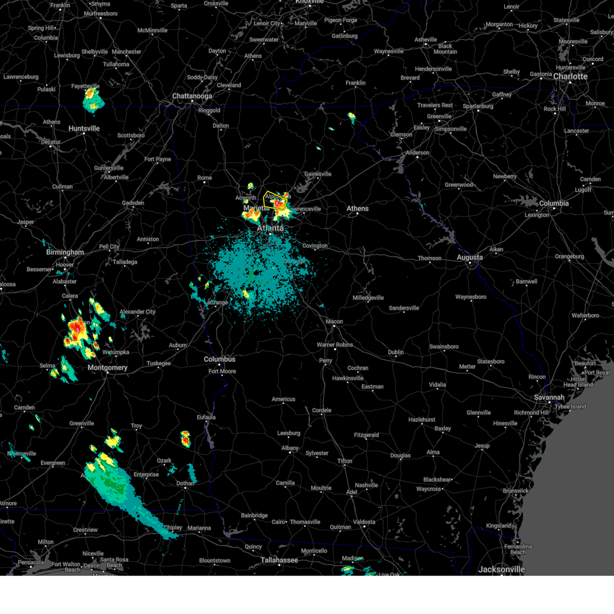
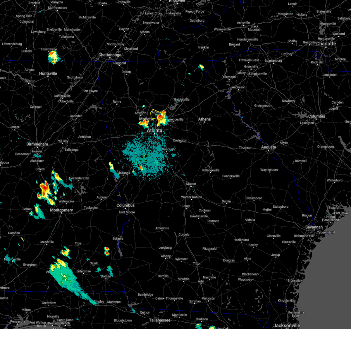
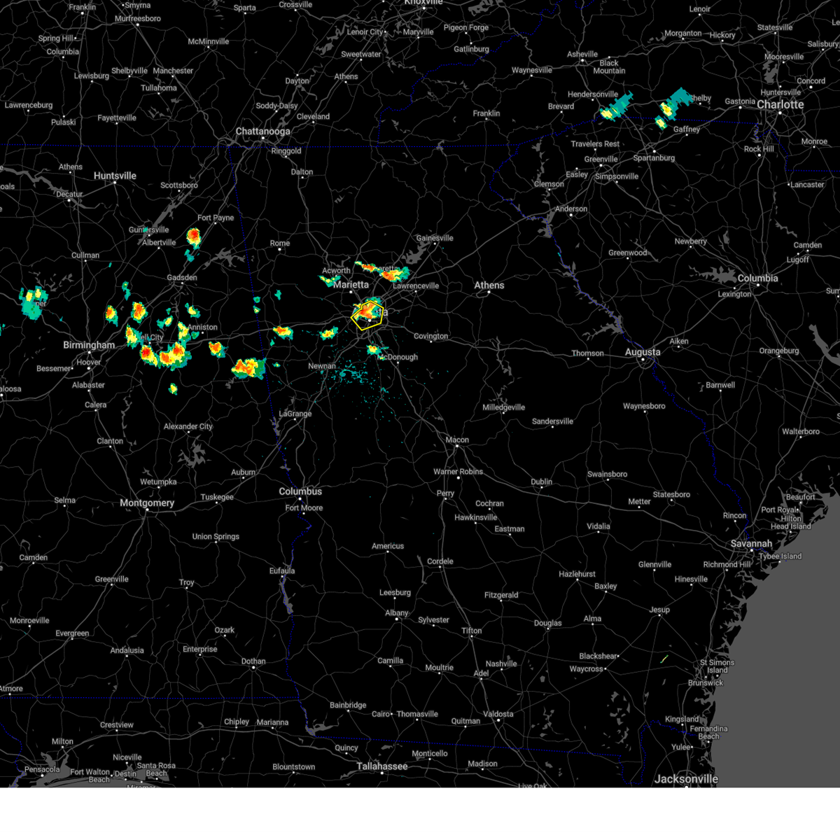
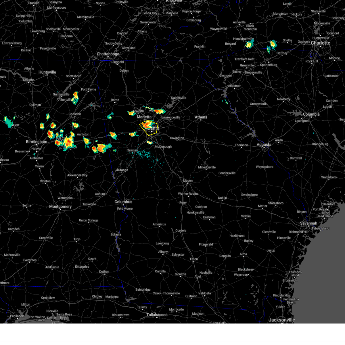
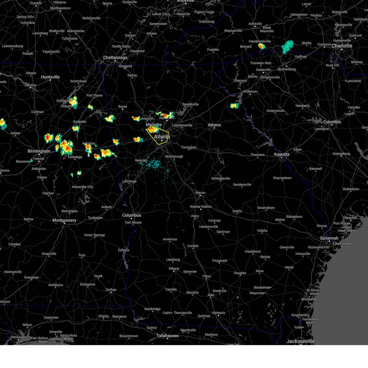
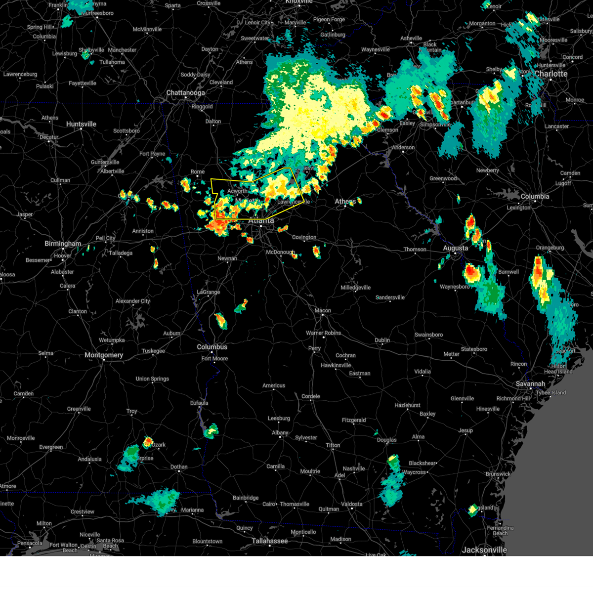
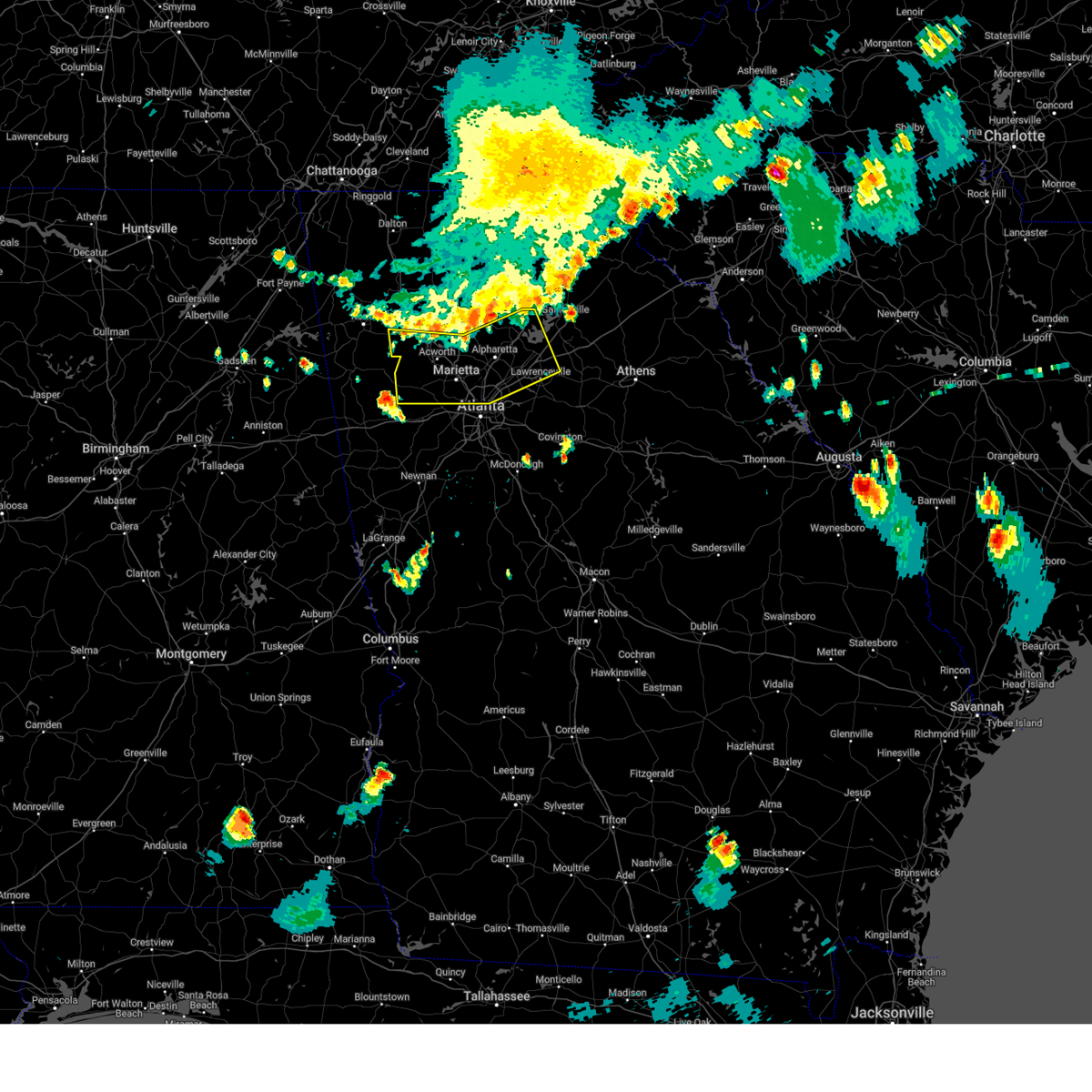
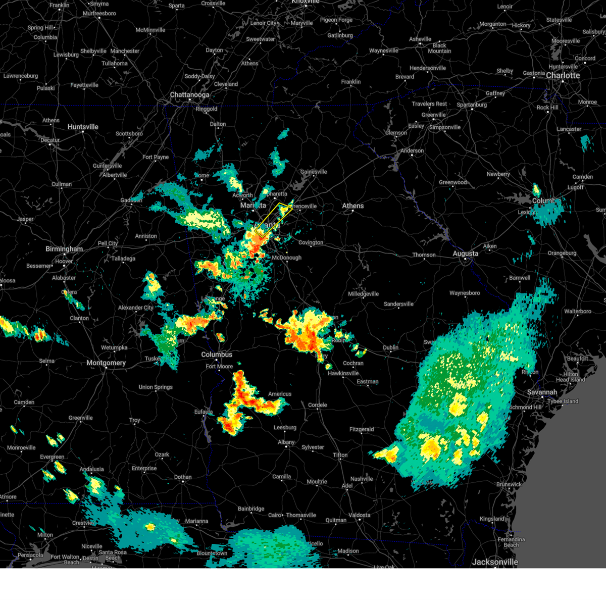
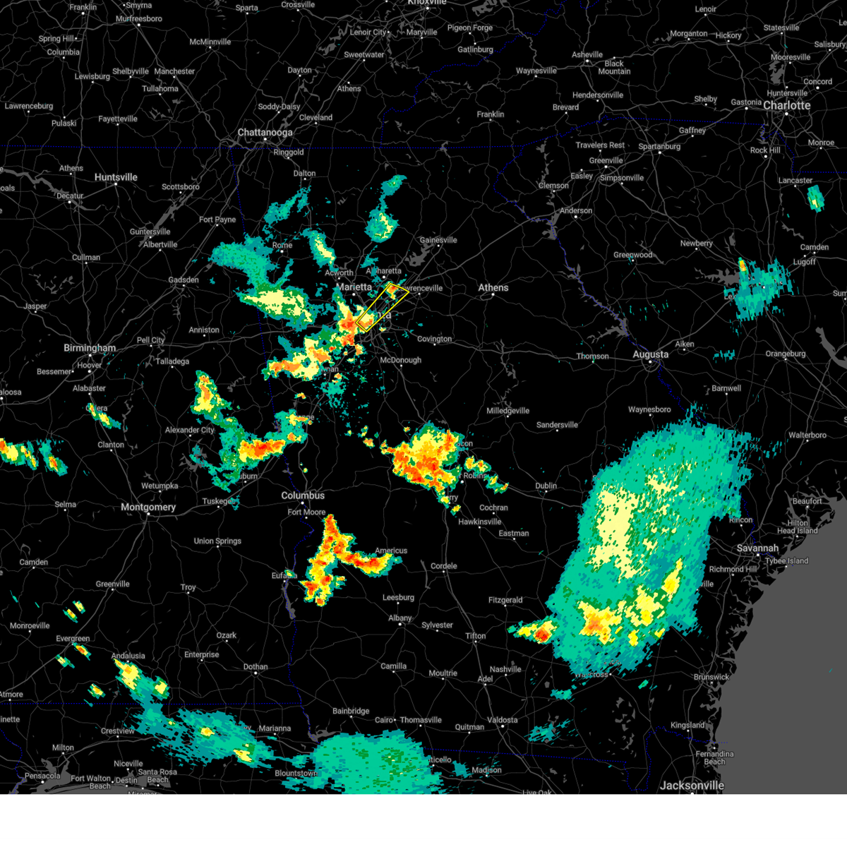
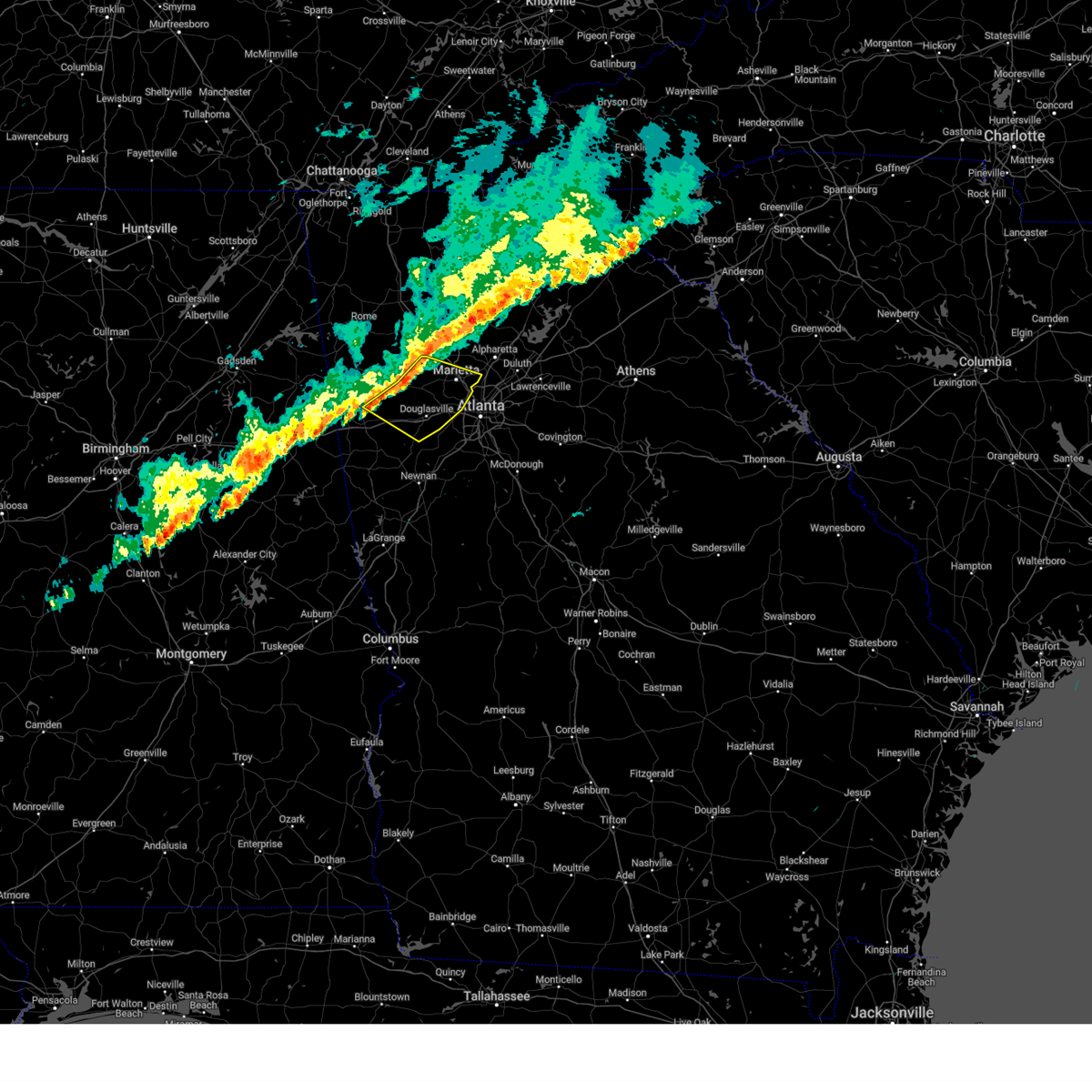
Hail Map for Sandy Springs, GA
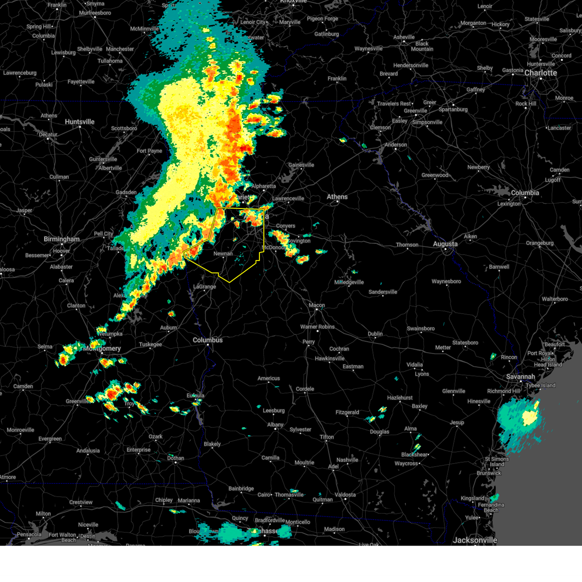
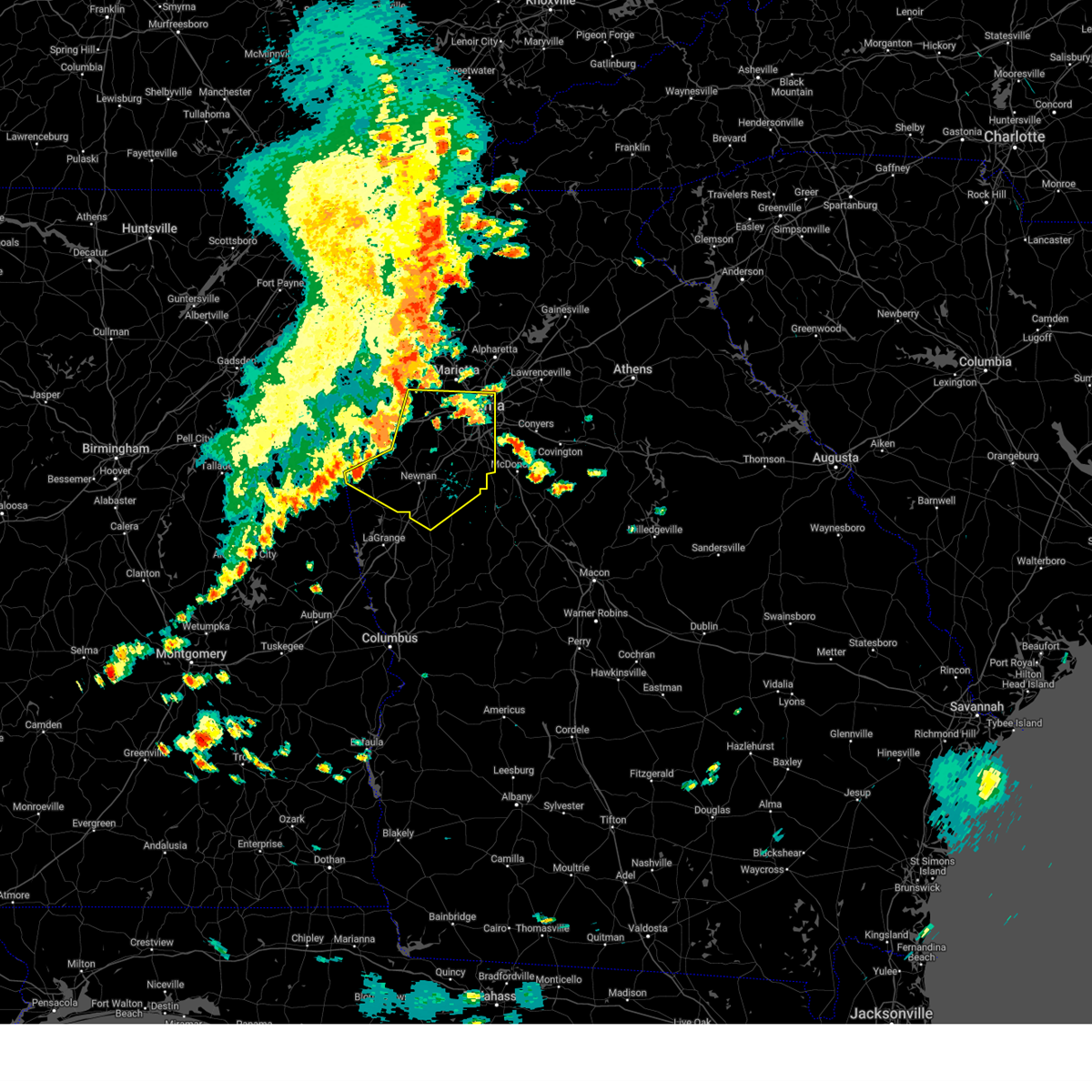
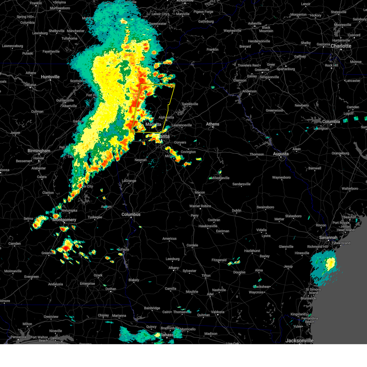
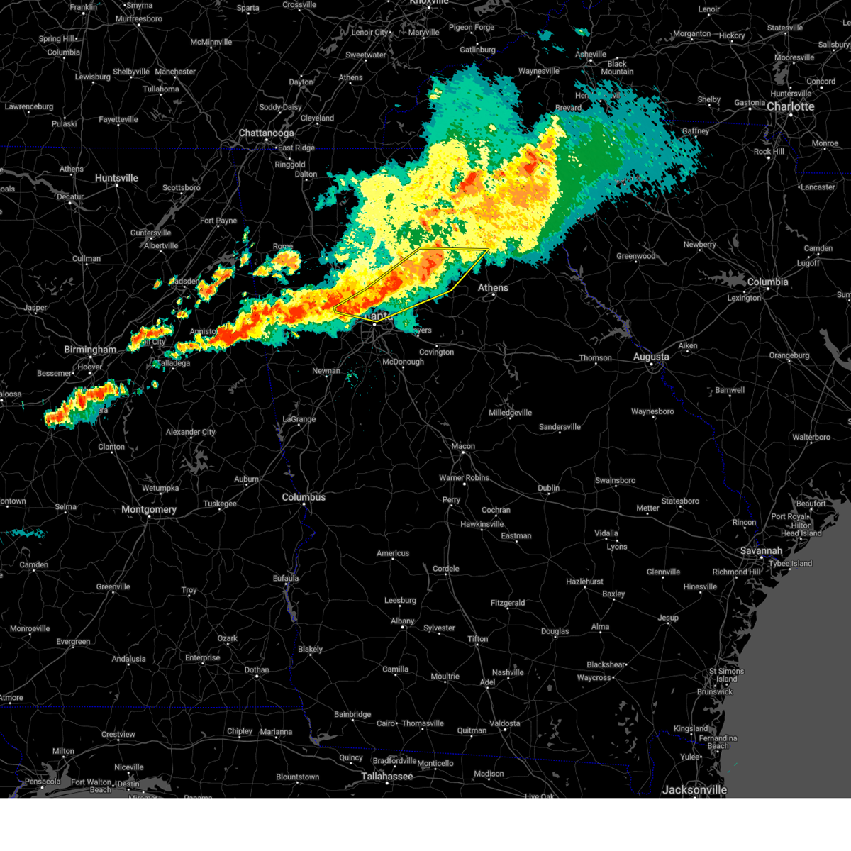
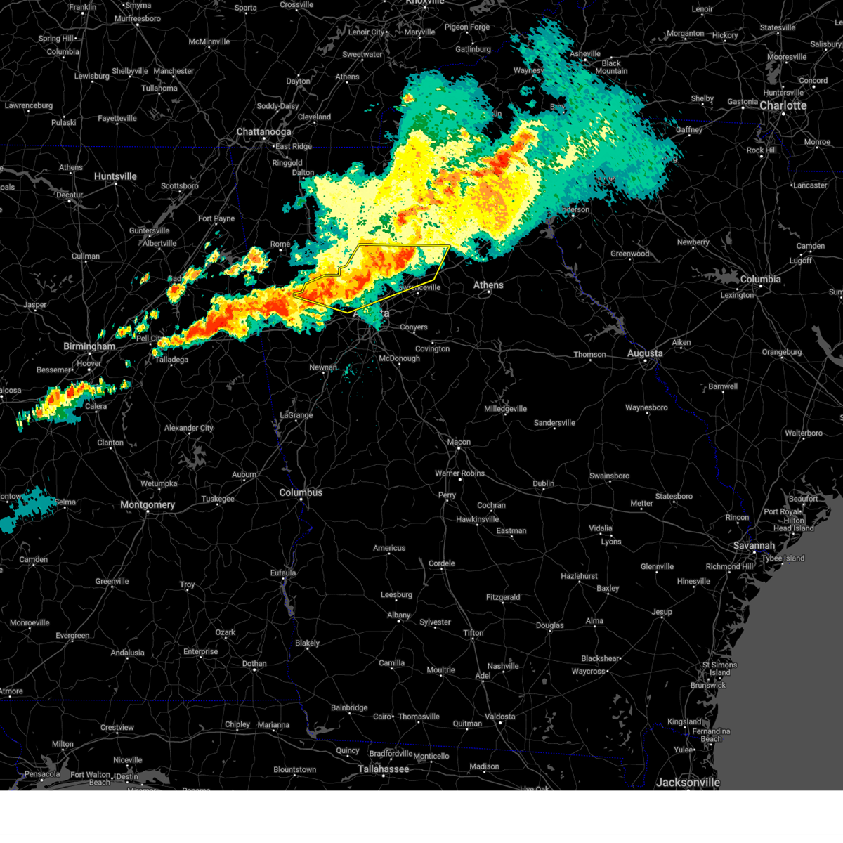
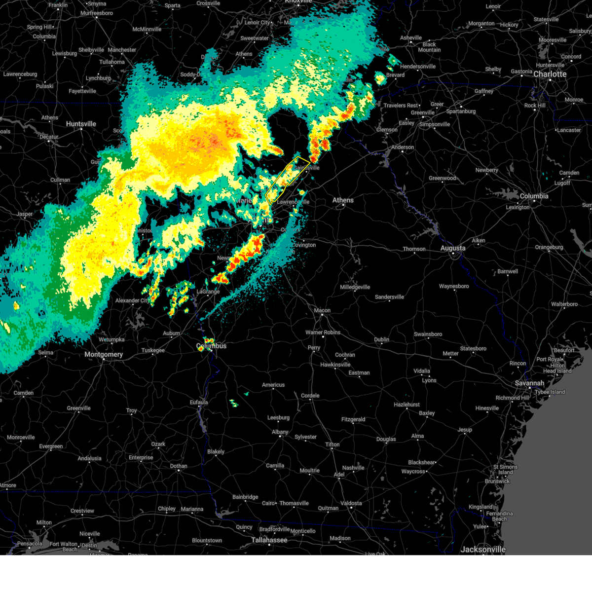
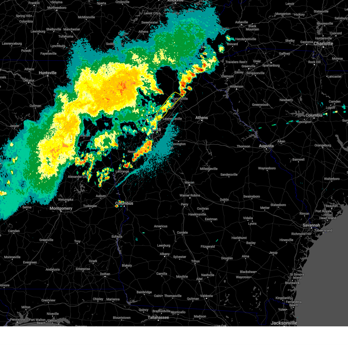
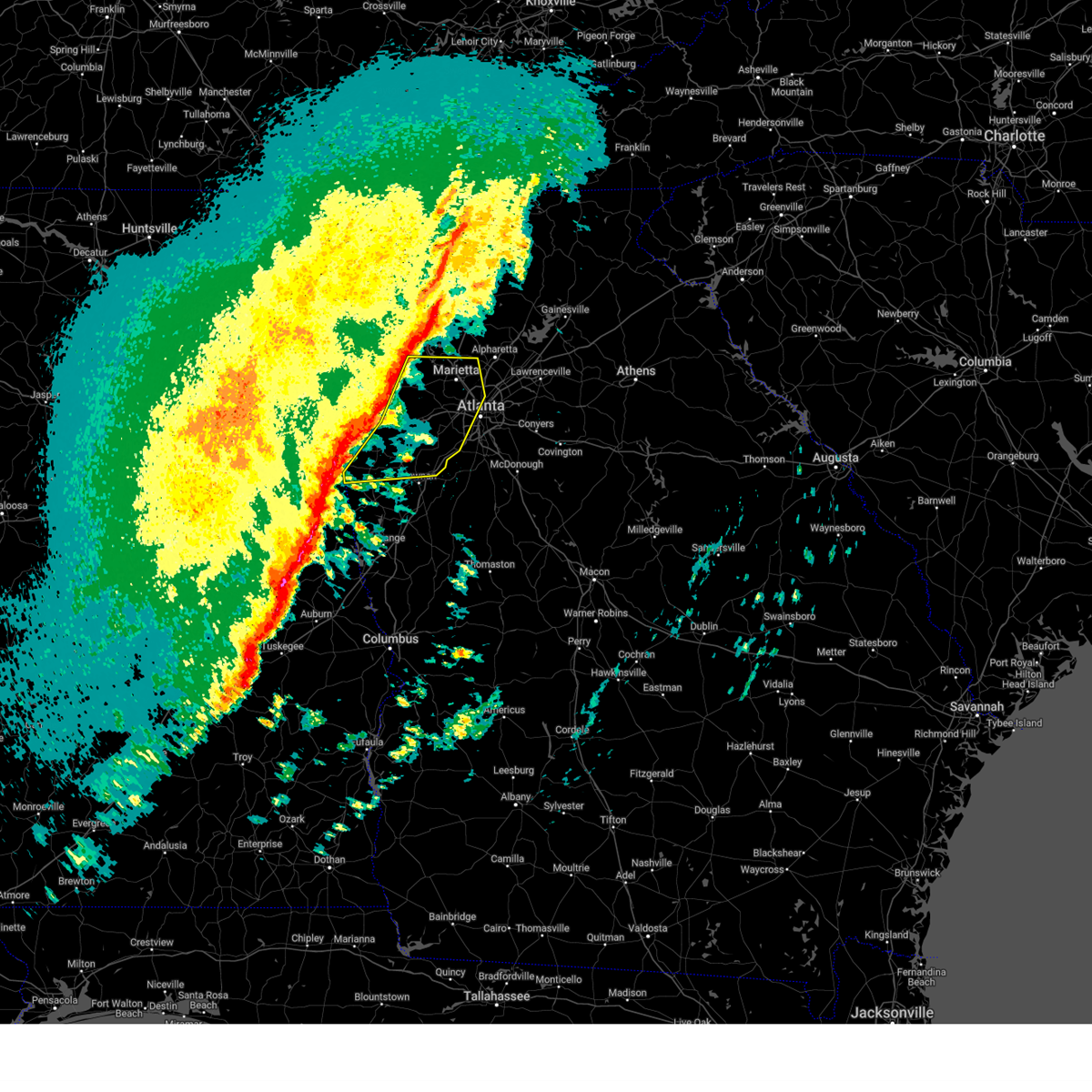
The Sandy Springs, GA area has had 2 reports of on-the-ground hail by trained spotters, and has been under severe weather warnings 76 times during the past 12 months. Doppler radar has detected hail at or near Sandy Springs, GA on 72 occasions, including 9 occasions during the past year.
| Name: | Sandy Springs, GA |
| Where Located: | 13.9 miles N of Atlanta, GA |
| Map: | Google Map for Sandy Springs, GA |
| Population: | 93853 |
| Housing Units: | 46955 |
| More Info: | Search Google for Sandy Springs, GA |
1
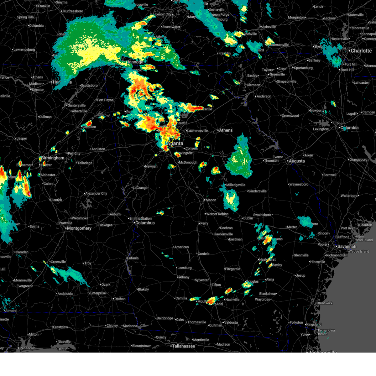
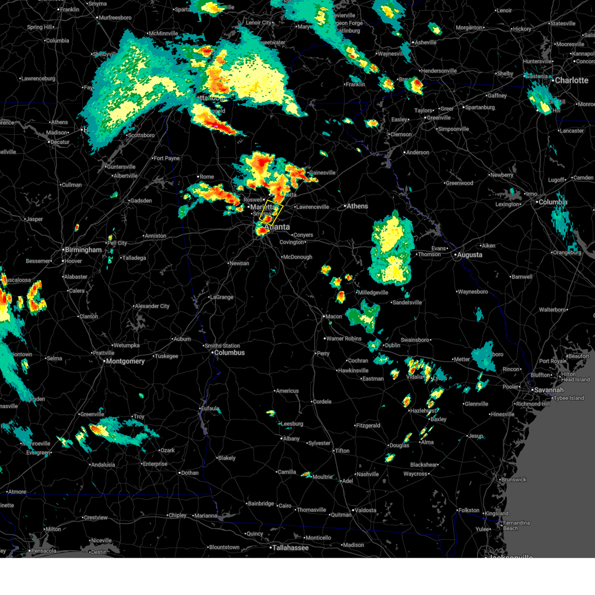
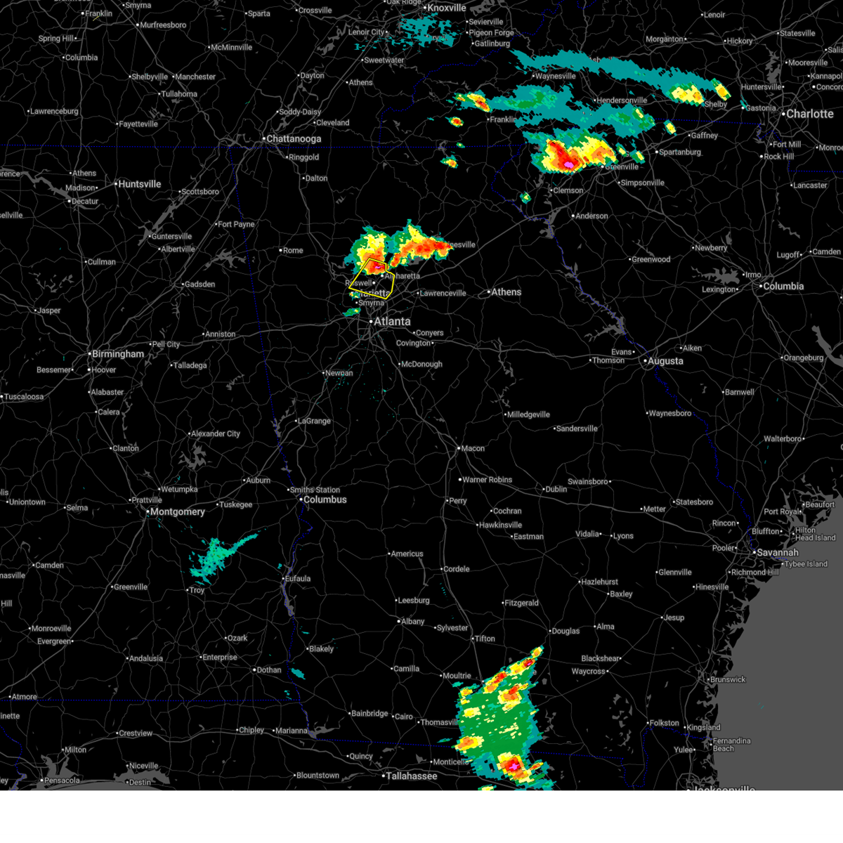
The Top Recent Hail Date for Sandy Springs, GA is Thursday, June 26, 2025 (4th out of 72)
Hail and Wind Damage Spotted near Sandy Springs, GA
| Date / Time | Report Details |
|---|---|
| 6/27/2025 7:35 PM EDT |
 The storm which prompted the warning has weakened below severe limits, and no longer poses an immediate threat to life or property. therefore, the warning will be allowed to expire. however, gusty winds and heavy rain are still possible with this thunderstorm. The storm which prompted the warning has weakened below severe limits, and no longer poses an immediate threat to life or property. therefore, the warning will be allowed to expire. however, gusty winds and heavy rain are still possible with this thunderstorm.
|
| 6/27/2025 7:08 PM EDT |
 Svrffc the national weather service in peachtree city has issued a * severe thunderstorm warning for, northwestern dekalb county in north central georgia, west central gwinnett county in north central georgia, east central fulton county in north central georgia, * until 745 pm edt. * at 708 pm edt, a severe thunderstorm was located over doraville, or near peachtree corners, moving northwest at 10 mph (radar indicated). Hazards include 60 mph wind gusts and quarter size hail. Hail damage to vehicles is expected. Expect wind damage to roofs, siding, and trees. Svrffc the national weather service in peachtree city has issued a * severe thunderstorm warning for, northwestern dekalb county in north central georgia, west central gwinnett county in north central georgia, east central fulton county in north central georgia, * until 745 pm edt. * at 708 pm edt, a severe thunderstorm was located over doraville, or near peachtree corners, moving northwest at 10 mph (radar indicated). Hazards include 60 mph wind gusts and quarter size hail. Hail damage to vehicles is expected. Expect wind damage to roofs, siding, and trees.
|
| 6/26/2025 5:15 PM EDT | Svrffc the national weather service in peachtree city has issued a * severe thunderstorm warning for, southeastern paulding county in northwestern georgia, cobb county in north central georgia, northeastern douglas county in north central georgia, south central fulton county in north central georgia, * until 600 pm edt. * at 514 pm edt, severe thunderstorms were located along a line extending from near jim r miller park to smyrna to near brookhaven, moving south at 10 mph (radar indicated). Hazards include 60 mph wind gusts and quarter size hail. Hail damage to vehicles is expected. Expect wind damage to roofs, siding, and trees. |
| 6/26/2025 5:05 PM EDT | The storm which prompted the warning has moved out of the area. therefore, the warning will be allowed to expire. |
| 6/26/2025 5:02 PM EDT | At 502 pm edt, a severe thunderstorm was located over johns creek, or near peachtree corners, and is nearly stationary (radar indicated). Hazards include ping pong ball size hail and 60 mph wind gusts. People and animals outdoors will be injured. expect hail damage to roofs, siding, windows, and vehicles. expect wind damage to roofs, siding, and trees. Locations impacted include, peachtree corners, sandy springs, roswell, johns creek, alpharetta, dunwoody, duluth, suwanee, lilburn, chamblee, norcross, doraville, berkeley lake, tucker, mountain park, and mechanicsville. |
| 6/26/2025 4:54 PM EDT | Svrffc the national weather service in peachtree city has issued a * severe thunderstorm warning for, northwestern dekalb county in north central georgia, southwestern gwinnett county in north central georgia, northeastern fulton county in north central georgia, * until 530 pm edt. * at 454 pm edt, a severe thunderstorm was located over johns creek, or near peachtree corners, and is nearly stationary (radar indicated). Hazards include 60 mph wind gusts and quarter size hail. Hail damage to vehicles is expected. Expect wind damage to roofs, siding, and trees. |
| 6/26/2025 4:39 PM EDT |
 Svrffc the national weather service in peachtree city has issued a * severe thunderstorm warning for, southeastern cherokee county in north central georgia, northwestern dekalb county in north central georgia, northeastern cobb county in north central georgia, west central gwinnett county in north central georgia, northeastern fulton county in north central georgia, * until 515 pm edt. * at 439 pm edt, a severe thunderstorm was located over milton, or near mountain park, moving southwest at 10 mph (radar indicated). Hazards include 60 mph wind gusts and quarter size hail. Hail damage to vehicles is expected. Expect wind damage to roofs, siding, and trees. Svrffc the national weather service in peachtree city has issued a * severe thunderstorm warning for, southeastern cherokee county in north central georgia, northwestern dekalb county in north central georgia, northeastern cobb county in north central georgia, west central gwinnett county in north central georgia, northeastern fulton county in north central georgia, * until 515 pm edt. * at 439 pm edt, a severe thunderstorm was located over milton, or near mountain park, moving southwest at 10 mph (radar indicated). Hazards include 60 mph wind gusts and quarter size hail. Hail damage to vehicles is expected. Expect wind damage to roofs, siding, and trees.
|
| 6/26/2025 12:13 AM EDT |
 The storms which prompted the warning have moved out of the area. therefore, the warning will be allowed to expire. a severe thunderstorm watch remains in effect until 200 am edt for north central georgia. a severe thunderstorm watch also remains in effect until 400 am edt for central, north central and west central georgia. The storms which prompted the warning have moved out of the area. therefore, the warning will be allowed to expire. a severe thunderstorm watch remains in effect until 200 am edt for north central georgia. a severe thunderstorm watch also remains in effect until 400 am edt for central, north central and west central georgia.
|
| 6/25/2025 11:48 PM EDT |
 Svrffc the national weather service in peachtree city has issued a * severe thunderstorm warning for, rockdale county in north central georgia, northeastern spalding county in west central georgia, dekalb county in north central georgia, southeastern cobb county in north central georgia, henry county in north central georgia, northeastern clayton county in north central georgia, central fulton county in north central georgia, west central newton county in north central georgia, * until 1215 am edt. * at 1148 pm edt, severe thunderstorms were located along a line extending from near brookhaven to milstead to near jenkinsburg, moving southwest at 20 mph (radar indicated). Hazards include 60 mph wind gusts and quarter size hail. Hail damage to vehicles is expected. Expect wind damage to roofs, siding, and trees. Svrffc the national weather service in peachtree city has issued a * severe thunderstorm warning for, rockdale county in north central georgia, northeastern spalding county in west central georgia, dekalb county in north central georgia, southeastern cobb county in north central georgia, henry county in north central georgia, northeastern clayton county in north central georgia, central fulton county in north central georgia, west central newton county in north central georgia, * until 1215 am edt. * at 1148 pm edt, severe thunderstorms were located along a line extending from near brookhaven to milstead to near jenkinsburg, moving southwest at 20 mph (radar indicated). Hazards include 60 mph wind gusts and quarter size hail. Hail damage to vehicles is expected. Expect wind damage to roofs, siding, and trees.
|
| 6/25/2025 11:30 PM EDT |
 Svrffc the national weather service in peachtree city has issued a * severe thunderstorm warning for, northern dekalb county in north central georgia, southwestern gwinnett county in north central georgia, * until midnight edt. * at 1130 pm edt, a severe thunderstorm was located over tucker, or near peachtree corners, moving south at 5 mph (radar indicated). Hazards include 60 mph wind gusts and quarter size hail. Hail damage to vehicles is expected. Expect wind damage to roofs, siding, and trees. Svrffc the national weather service in peachtree city has issued a * severe thunderstorm warning for, northern dekalb county in north central georgia, southwestern gwinnett county in north central georgia, * until midnight edt. * at 1130 pm edt, a severe thunderstorm was located over tucker, or near peachtree corners, moving south at 5 mph (radar indicated). Hazards include 60 mph wind gusts and quarter size hail. Hail damage to vehicles is expected. Expect wind damage to roofs, siding, and trees.
|
| 6/25/2025 8:29 PM EDT |
 the severe thunderstorm warning has been cancelled and is no longer in effect the severe thunderstorm warning has been cancelled and is no longer in effect
|
| 6/25/2025 8:16 PM EDT | Svrffc the national weather service in peachtree city has issued a * severe thunderstorm warning for, northwestern dekalb county in north central georgia, east central cobb county in north central georgia, west central gwinnett county in north central georgia, northeastern fulton county in north central georgia, * until 845 pm edt. * at 816 pm edt, a severe thunderstorm was located over alpharetta, or near peachtree corners, moving southwest at 5 mph (radar indicated). Hazards include 60 mph wind gusts and quarter size hail. Hail damage to vehicles is expected. Expect wind damage to roofs, siding, and trees. |
| 6/17/2025 6:32 PM EDT |
 Svrffc the national weather service in peachtree city has issued a * severe thunderstorm warning for, northwestern dekalb county in north central georgia, northern gwinnett county in north central georgia, hall county in north central georgia, northwestern jackson county in northeastern georgia, northwestern barrow county in north central georgia, northeastern cherokee county in north central georgia, forsyth county in north central georgia, southern lumpkin county in north central georgia, western banks county in northeastern georgia, southern white county in northeastern georgia, dawson county in north central georgia, northeastern fulton county in north central georgia, southeastern pickens county in north central georgia, * until 715 pm edt. * at 631 pm edt, severe thunderstorms were located along a line extending from near juno to cumming to johns creek to near mechanicsville, moving east at 45 mph (radar indicated. at 615 pm a 54 mph wind gust was reported in canton). Hazards include 60 mph wind gusts. expect damage to roofs, siding, and trees Svrffc the national weather service in peachtree city has issued a * severe thunderstorm warning for, northwestern dekalb county in north central georgia, northern gwinnett county in north central georgia, hall county in north central georgia, northwestern jackson county in northeastern georgia, northwestern barrow county in north central georgia, northeastern cherokee county in north central georgia, forsyth county in north central georgia, southern lumpkin county in north central georgia, western banks county in northeastern georgia, southern white county in northeastern georgia, dawson county in north central georgia, northeastern fulton county in north central georgia, southeastern pickens county in north central georgia, * until 715 pm edt. * at 631 pm edt, severe thunderstorms were located along a line extending from near juno to cumming to johns creek to near mechanicsville, moving east at 45 mph (radar indicated. at 615 pm a 54 mph wind gust was reported in canton). Hazards include 60 mph wind gusts. expect damage to roofs, siding, and trees
|
| 6/7/2025 5:55 PM EDT |
 Svrffc the national weather service in peachtree city has issued a * severe thunderstorm warning for, northeastern rockdale county in north central georgia, barrow county in north central georgia, dekalb county in north central georgia, eastern cobb county in north central georgia, gwinnett county in north central georgia, walton county in north central georgia, central fulton county in north central georgia, northeastern newton county in north central georgia, * until 645 pm edt. * at 555 pm edt, a severe thunderstorm was located over tucker, or near decatur, moving east at 50 mph (radar indicated). Hazards include 60 mph wind gusts. expect damage to roofs, siding, and trees Svrffc the national weather service in peachtree city has issued a * severe thunderstorm warning for, northeastern rockdale county in north central georgia, barrow county in north central georgia, dekalb county in north central georgia, eastern cobb county in north central georgia, gwinnett county in north central georgia, walton county in north central georgia, central fulton county in north central georgia, northeastern newton county in north central georgia, * until 645 pm edt. * at 555 pm edt, a severe thunderstorm was located over tucker, or near decatur, moving east at 50 mph (radar indicated). Hazards include 60 mph wind gusts. expect damage to roofs, siding, and trees
|
| 6/7/2025 5:53 PM EDT |
 The storms which prompted the warning have weakened below severe limits, and no longer pose an immediate threat to life or property. therefore, the warning will be allowed to expire. however, gusty winds are still possible with these thunderstorms. a severe thunderstorm watch remains in effect until 900 pm edt for north central and west central georgia. The storms which prompted the warning have weakened below severe limits, and no longer pose an immediate threat to life or property. therefore, the warning will be allowed to expire. however, gusty winds are still possible with these thunderstorms. a severe thunderstorm watch remains in effect until 900 pm edt for north central and west central georgia.
|
| 6/7/2025 5:52 PM EDT |
 The storms which prompted the warning have weakened below severe limits, and have exited the warned area. therefore, the warning will be allowed to expire. however, gusty winds and heavy rain are still possible with these thunderstorms. a severe thunderstorm watch remains in effect until 900 pm edt for north central georgia. remember, a severe thunderstorm warning still remains in effect for eastern pickens and western dawson counties. The storms which prompted the warning have weakened below severe limits, and have exited the warned area. therefore, the warning will be allowed to expire. however, gusty winds and heavy rain are still possible with these thunderstorms. a severe thunderstorm watch remains in effect until 900 pm edt for north central georgia. remember, a severe thunderstorm warning still remains in effect for eastern pickens and western dawson counties.
|
| 6/7/2025 5:47 PM EDT |
 At 547 pm edt, severe thunderstorms were located along a line extending from roy to jim r miller park, moving east at 45 mph (radar indicated). Hazards include 60 mph wind gusts. Expect damage to roofs, siding, and trees. Locations impacted include, atlanta, marietta, canton, jasper, mountain park, sandy springs, roswell, alpharetta, smyrna, milton, kennesaw, woodstock, holly springs, ball ground, nelson, free home, fair oaks, buffington, mount bethel, and amicalola falls state park. At 547 pm edt, severe thunderstorms were located along a line extending from roy to jim r miller park, moving east at 45 mph (radar indicated). Hazards include 60 mph wind gusts. Expect damage to roofs, siding, and trees. Locations impacted include, atlanta, marietta, canton, jasper, mountain park, sandy springs, roswell, alpharetta, smyrna, milton, kennesaw, woodstock, holly springs, ball ground, nelson, free home, fair oaks, buffington, mount bethel, and amicalola falls state park.
|
| 6/7/2025 5:47 PM EDT |
 the severe thunderstorm warning has been cancelled and is no longer in effect the severe thunderstorm warning has been cancelled and is no longer in effect
|
| 6/7/2025 5:46 PM EDT |
 the severe thunderstorm warning has been cancelled and is no longer in effect the severe thunderstorm warning has been cancelled and is no longer in effect
|
| 6/7/2025 5:46 PM EDT |
 At 546 pm edt, severe thunderstorms were located along a line extending from near mableton to near cannongate to near corinth, moving east at 50 mph (radar indicated). Hazards include 60 mph wind gusts. Expect damage to roofs, siding, and trees. Locations impacted include, atlanta, newnan, douglasville, decatur, fayetteville, jonesboro, city of south fulton, sandy springs, smyrna, peachtree city, east point, union city, forest park, riverdale, college park, powder springs, fairburn, chamblee, tyrone, and austell. At 546 pm edt, severe thunderstorms were located along a line extending from near mableton to near cannongate to near corinth, moving east at 50 mph (radar indicated). Hazards include 60 mph wind gusts. Expect damage to roofs, siding, and trees. Locations impacted include, atlanta, newnan, douglasville, decatur, fayetteville, jonesboro, city of south fulton, sandy springs, smyrna, peachtree city, east point, union city, forest park, riverdale, college park, powder springs, fairburn, chamblee, tyrone, and austell.
|
| 6/7/2025 5:35 PM EDT |
 the severe thunderstorm warning has been cancelled and is no longer in effect the severe thunderstorm warning has been cancelled and is no longer in effect
|
| 6/7/2025 5:35 PM EDT |
 At 535 pm edt, severe thunderstorms were located along a line extending from near talona to near powder springs, moving east at 45 mph (radar indicated). Hazards include 60 mph wind gusts. Expect damage to roofs, siding, and trees. Locations impacted include, atlanta, marietta, canton, cartersville, dallas, jasper, mountain park, sandy springs, roswell, alpharetta, smyrna, milton, kennesaw, woodstock, acworth, powder springs, holly springs, hiram, emerson, and ball ground. At 535 pm edt, severe thunderstorms were located along a line extending from near talona to near powder springs, moving east at 45 mph (radar indicated). Hazards include 60 mph wind gusts. Expect damage to roofs, siding, and trees. Locations impacted include, atlanta, marietta, canton, cartersville, dallas, jasper, mountain park, sandy springs, roswell, alpharetta, smyrna, milton, kennesaw, woodstock, acworth, powder springs, holly springs, hiram, emerson, and ball ground.
|
| 6/7/2025 5:26 PM EDT |
 At 526 pm edt, severe thunderstorms were located along a line extending from hiram to near hannah to near frolona, moving east at 50 mph (radar indicated). Hazards include 60 mph wind gusts. Expect damage to roofs, siding, and trees. Locations impacted include, atlanta, newnan, douglasville, decatur, fayetteville, jonesboro, franklin, city of south fulton, sandy springs, smyrna, peachtree city, east point, union city, forest park, riverdale, villa rica, college park, powder springs, fairburn, and chamblee. At 526 pm edt, severe thunderstorms were located along a line extending from hiram to near hannah to near frolona, moving east at 50 mph (radar indicated). Hazards include 60 mph wind gusts. Expect damage to roofs, siding, and trees. Locations impacted include, atlanta, newnan, douglasville, decatur, fayetteville, jonesboro, franklin, city of south fulton, sandy springs, smyrna, peachtree city, east point, union city, forest park, riverdale, villa rica, college park, powder springs, fairburn, and chamblee.
|
| 6/7/2025 5:18 PM EDT |
 Svrffc the national weather service in peachtree city has issued a * severe thunderstorm warning for, southeastern paulding county in northwestern georgia, southwestern dekalb county in north central georgia, fayette county in north central georgia, northwestern meriwether county in west central georgia, eastern carroll county in northwestern georgia, southern cobb county in north central georgia, douglas county in north central georgia, northern heard county in west central georgia, coweta county in west central georgia, clayton county in north central georgia, fulton county in north central georgia, * until 600 pm edt. * at 517 pm edt, severe thunderstorms were located along a line extending from near dallas to near clem to near frolona, moving east at 50 mph (radar indicated). Hazards include 70 mph wind gusts. Expect considerable tree damage. Damage is likely to mobile homes, roofs, and outbuildings. Svrffc the national weather service in peachtree city has issued a * severe thunderstorm warning for, southeastern paulding county in northwestern georgia, southwestern dekalb county in north central georgia, fayette county in north central georgia, northwestern meriwether county in west central georgia, eastern carroll county in northwestern georgia, southern cobb county in north central georgia, douglas county in north central georgia, northern heard county in west central georgia, coweta county in west central georgia, clayton county in north central georgia, fulton county in north central georgia, * until 600 pm edt. * at 517 pm edt, severe thunderstorms were located along a line extending from near dallas to near clem to near frolona, moving east at 50 mph (radar indicated). Hazards include 70 mph wind gusts. Expect considerable tree damage. Damage is likely to mobile homes, roofs, and outbuildings.
|
| 6/7/2025 5:14 PM EDT |
 Svrffc the national weather service in peachtree city has issued a * severe thunderstorm warning for, central paulding county in northwestern georgia, cherokee county in north central georgia, cobb county in north central georgia, west central lumpkin county in north central georgia, southern gilmer county in north central georgia, south central murray county in northwestern georgia, western dawson county in north central georgia, eastern gordon county in northwestern georgia, north central fulton county in north central georgia, pickens county in north central georgia, bartow county in northwestern georgia, * until 600 pm edt. * at 513 pm edt, severe thunderstorms were located along a line extending from carters to near yorkville, moving east at 40 mph (radar indicated). Hazards include 60 mph wind gusts. expect damage to roofs, siding, and trees Svrffc the national weather service in peachtree city has issued a * severe thunderstorm warning for, central paulding county in northwestern georgia, cherokee county in north central georgia, cobb county in north central georgia, west central lumpkin county in north central georgia, southern gilmer county in north central georgia, south central murray county in northwestern georgia, western dawson county in north central georgia, eastern gordon county in northwestern georgia, north central fulton county in north central georgia, pickens county in north central georgia, bartow county in northwestern georgia, * until 600 pm edt. * at 513 pm edt, severe thunderstorms were located along a line extending from carters to near yorkville, moving east at 40 mph (radar indicated). Hazards include 60 mph wind gusts. expect damage to roofs, siding, and trees
|
| 5/25/2025 8:58 PM EDT | the severe thunderstorm warning has been cancelled and is no longer in effect |
| 5/25/2025 8:49 PM EDT | At 849 pm edt, a severe thunderstorm was located over sherwood, or 13 miles northwest of bridgeport, moving southeast at 35 mph (radar indicated). Hazards include 60 mph wind gusts and quarter size hail. Hail damage to vehicles is expected. expect wind damage to roofs, siding, and trees. Locations impacted include, atlanta, peachtree corners, sandy springs, roswell, dunwoody, chamblee, norcross, doraville, north atlanta, tucker, mechanicsville, brookhaven, and chastain memorial park. |
| 5/25/2025 8:49 PM EDT | the severe thunderstorm warning has been cancelled and is no longer in effect |
| 5/25/2025 8:31 PM EDT | The storms which prompted the warning have moved out of the area. therefore, the warning will be allowed to expire. a severe thunderstorm warning still remains in effect for northeastern cobb and northeastern fulton counties until 900 pm edt. a severe thunderstorm watch remains in effect until midnight edt for north central and northwestern georgia. |
| 5/25/2025 8:29 PM EDT | Svrffc the national weather service in peachtree city has issued a * severe thunderstorm warning for, northwestern dekalb county in north central georgia, northeastern cobb county in north central georgia, west central gwinnett county in north central georgia, northeastern fulton county in north central georgia, * until 915 pm edt. * at 829 pm edt, a severe thunderstorm was located over sweat mountain, or near mountain park, moving southeast at 35 mph (radar indicated). Hazards include 60 mph wind gusts and quarter size hail. Hail damage to vehicles is expected. Expect wind damage to roofs, siding, and trees. |
| 5/25/2025 8:07 PM EDT | Svrffc the national weather service in peachtree city has issued a * severe thunderstorm warning for, southern cherokee county in north central georgia, southwestern forsyth county in north central georgia, northeastern cobb county in north central georgia, northeastern fulton county in north central georgia, * until 830 pm edt. * at 807 pm edt, severe thunderstorms were located along a line extending from buffington to oak grove, moving southeast at 35 mph (radar indicated). Hazards include 60 mph wind gusts and quarter size hail. Hail damage to vehicles is expected. Expect wind damage to roofs, siding, and trees. |
| 5/21/2025 1:09 AM EDT |
 the severe thunderstorm warning has been cancelled and is no longer in effect the severe thunderstorm warning has been cancelled and is no longer in effect
|
| 5/21/2025 12:54 AM EDT |
 The storms which prompted the warning have moved out of the area. therefore, the warning will be allowed to expire. a tornado watch remains in effect until 200 am edt for north central and northwestern georgia. remember, a severe thunderstorm warning still remains in effect for cobb, fulton, forsyth, hall, gwinnett, and dekalb. The storms which prompted the warning have moved out of the area. therefore, the warning will be allowed to expire. a tornado watch remains in effect until 200 am edt for north central and northwestern georgia. remember, a severe thunderstorm warning still remains in effect for cobb, fulton, forsyth, hall, gwinnett, and dekalb.
|
| 5/21/2025 12:50 AM EDT |
 Svrffc the national weather service in peachtree city has issued a * severe thunderstorm warning for, northwestern barrow county in north central georgia, northwestern dekalb county in north central georgia, central forsyth county in north central georgia, central cobb county in north central georgia, gwinnett county in north central georgia, southwestern banks county in northeastern georgia, southern hall county in north central georgia, northwestern jackson county in northeastern georgia, northeastern fulton county in north central georgia, * until 130 am edt. * at 1250 am edt, severe thunderstorms were located along a line extending from near oscarville to near roswell to near hiram, moving east at 45 mph (radar indicated). Hazards include 60 mph wind gusts and penny size hail. expect damage to roofs, siding, and trees Svrffc the national weather service in peachtree city has issued a * severe thunderstorm warning for, northwestern barrow county in north central georgia, northwestern dekalb county in north central georgia, central forsyth county in north central georgia, central cobb county in north central georgia, gwinnett county in north central georgia, southwestern banks county in northeastern georgia, southern hall county in north central georgia, northwestern jackson county in northeastern georgia, northeastern fulton county in north central georgia, * until 130 am edt. * at 1250 am edt, severe thunderstorms were located along a line extending from near oscarville to near roswell to near hiram, moving east at 45 mph (radar indicated). Hazards include 60 mph wind gusts and penny size hail. expect damage to roofs, siding, and trees
|
| 5/21/2025 12:47 AM EDT |
 the severe thunderstorm warning has been cancelled and is no longer in effect the severe thunderstorm warning has been cancelled and is no longer in effect
|
| 5/21/2025 12:47 AM EDT |
 At 1247 am edt, severe thunderstorms were located along a line extending from murrayville to near sugar hill to white water park, moving east at 50 mph (radar indicated). Hazards include 60 mph wind gusts and quarter size hail. Hail damage to vehicles is expected. expect wind damage to roofs, siding, and trees. Locations impacted include, atlanta, marietta, gainesville, canton, dallas, cumming, peachtree corners, mountain park, sandy springs, roswell, johns creek, alpharetta, smyrna, dunwoody, milton, kennesaw, duluth, woodstock, acworth, and sugar hill. At 1247 am edt, severe thunderstorms were located along a line extending from murrayville to near sugar hill to white water park, moving east at 50 mph (radar indicated). Hazards include 60 mph wind gusts and quarter size hail. Hail damage to vehicles is expected. expect wind damage to roofs, siding, and trees. Locations impacted include, atlanta, marietta, gainesville, canton, dallas, cumming, peachtree corners, mountain park, sandy springs, roswell, johns creek, alpharetta, smyrna, dunwoody, milton, kennesaw, duluth, woodstock, acworth, and sugar hill.
|
| 5/21/2025 12:19 AM EDT |
 Svrffc the national weather service in peachtree city has issued a * severe thunderstorm warning for, central paulding county in northwestern georgia, cherokee county in north central georgia, northwestern dekalb county in north central georgia, forsyth county in north central georgia, cobb county in north central georgia, northern gwinnett county in north central georgia, southern dawson county in north central georgia, hall county in north central georgia, northeastern fulton county in north central georgia, southeastern pickens county in north central georgia, * until 100 am edt. * at 1219 am edt, severe thunderstorms were located along a line extending from near marblehill to lebanon to near braswell, moving east at 50 mph (radar indicated). Hazards include 60 mph wind gusts and quarter size hail. Hail damage to vehicles is expected. Expect wind damage to roofs, siding, and trees. Svrffc the national weather service in peachtree city has issued a * severe thunderstorm warning for, central paulding county in northwestern georgia, cherokee county in north central georgia, northwestern dekalb county in north central georgia, forsyth county in north central georgia, cobb county in north central georgia, northern gwinnett county in north central georgia, southern dawson county in north central georgia, hall county in north central georgia, northeastern fulton county in north central georgia, southeastern pickens county in north central georgia, * until 100 am edt. * at 1219 am edt, severe thunderstorms were located along a line extending from near marblehill to lebanon to near braswell, moving east at 50 mph (radar indicated). Hazards include 60 mph wind gusts and quarter size hail. Hail damage to vehicles is expected. Expect wind damage to roofs, siding, and trees.
|
| 5/2/2025 10:03 PM EDT |
 the severe thunderstorm warning has been cancelled and is no longer in effect the severe thunderstorm warning has been cancelled and is no longer in effect
|
| 5/2/2025 9:52 PM EDT |
 The storms which prompted the warning have moved out of the area. therefore, the warning will be allowed to expire. a severe thunderstorm watch remains in effect until 200 am edt for north central, northwestern and west central georgia. The storms which prompted the warning have moved out of the area. therefore, the warning will be allowed to expire. a severe thunderstorm watch remains in effect until 200 am edt for north central, northwestern and west central georgia.
|
| 5/2/2025 9:51 PM EDT |
 the severe thunderstorm warning has been cancelled and is no longer in effect the severe thunderstorm warning has been cancelled and is no longer in effect
|
| 5/2/2025 9:51 PM EDT |
 At 951 pm edt, a severe thunderstorm was located near chestatee, or 8 miles southeast of dawsonville, moving northeast at 15 mph (radar indicated). Hazards include 60 mph wind gusts and penny size hail. Expect damage to roofs, siding, and trees. Locations impacted include, gainesville, cumming, peachtree corners, sandy springs, roswell, johns creek, alpharetta, sugar hill, coal mountain, brookwood, chestatee, murrayville, oscarville, lake lanier islands, and war hill park. At 951 pm edt, a severe thunderstorm was located near chestatee, or 8 miles southeast of dawsonville, moving northeast at 15 mph (radar indicated). Hazards include 60 mph wind gusts and penny size hail. Expect damage to roofs, siding, and trees. Locations impacted include, gainesville, cumming, peachtree corners, sandy springs, roswell, johns creek, alpharetta, sugar hill, coal mountain, brookwood, chestatee, murrayville, oscarville, lake lanier islands, and war hill park.
|
| 5/2/2025 9:43 PM EDT |
 Svrffc the national weather service in peachtree city has issued a * severe thunderstorm warning for, dekalb county in north central georgia, northeastern fayette county in north central georgia, central gwinnett county in north central georgia, northwestern henry county in north central georgia, clayton county in north central georgia, southeastern fulton county in north central georgia, * until 1030 pm edt. * at 943 pm edt, severe thunderstorms were located along a line extending from berkeley lake to near union city, moving east at 25 mph (radar indicated). Hazards include 60 mph wind gusts and penny size hail. expect damage to roofs, siding, and trees Svrffc the national weather service in peachtree city has issued a * severe thunderstorm warning for, dekalb county in north central georgia, northeastern fayette county in north central georgia, central gwinnett county in north central georgia, northwestern henry county in north central georgia, clayton county in north central georgia, southeastern fulton county in north central georgia, * until 1030 pm edt. * at 943 pm edt, severe thunderstorms were located along a line extending from berkeley lake to near union city, moving east at 25 mph (radar indicated). Hazards include 60 mph wind gusts and penny size hail. expect damage to roofs, siding, and trees
|
| 5/2/2025 9:26 PM EDT |
 Svrffc the national weather service in peachtree city has issued a * severe thunderstorm warning for, southeastern cherokee county in north central georgia, forsyth county in north central georgia, southeastern dawson county in north central georgia, northwestern hall county in north central georgia, northeastern fulton county in north central georgia, * until 1015 pm edt. * at 926 pm edt, a severe thunderstorm was located over coal mountain, or over cumming, moving northeast at 15 mph (radar indicated). Hazards include 60 mph wind gusts and penny size hail. expect damage to roofs, siding, and trees Svrffc the national weather service in peachtree city has issued a * severe thunderstorm warning for, southeastern cherokee county in north central georgia, forsyth county in north central georgia, southeastern dawson county in north central georgia, northwestern hall county in north central georgia, northeastern fulton county in north central georgia, * until 1015 pm edt. * at 926 pm edt, a severe thunderstorm was located over coal mountain, or over cumming, moving northeast at 15 mph (radar indicated). Hazards include 60 mph wind gusts and penny size hail. expect damage to roofs, siding, and trees
|
| 5/2/2025 9:12 PM EDT | Svrffc the national weather service in peachtree city has issued a * severe thunderstorm warning for, northwestern dekalb county in north central georgia, central cobb county in north central georgia, douglas county in north central georgia, central fulton county in north central georgia, * until 1000 pm edt. * at 912 pm edt, severe thunderstorms were located along a line extending from smyrna to chattahoochee hill, moving east at 45 mph (radar indicated). Hazards include 60 mph wind gusts. expect damage to roofs, siding, and trees |
| 5/2/2025 12:58 PM EDT |
 The storm which prompted the warning has moved out of the area. therefore, the warning will be allowed to expire. remember, a severe thunderstorm warning still remains in effect for forsyth county until 1:45. The storm which prompted the warning has moved out of the area. therefore, the warning will be allowed to expire. remember, a severe thunderstorm warning still remains in effect for forsyth county until 1:45.
|
| 5/2/2025 12:37 PM EDT |
 Svrffc the national weather service in peachtree city has issued a * severe thunderstorm warning for, southwestern forsyth county in north central georgia, northeastern fulton county in north central georgia, * until 100 pm edt. * at 1236 pm edt, a severe thunderstorm was located over alpharetta, or 7 miles east of mountain park, moving east at 15 mph (radar indicated). Hazards include 60 mph wind gusts and quarter size hail. Hail damage to vehicles is expected. Expect wind damage to roofs, siding, and trees. Svrffc the national weather service in peachtree city has issued a * severe thunderstorm warning for, southwestern forsyth county in north central georgia, northeastern fulton county in north central georgia, * until 100 pm edt. * at 1236 pm edt, a severe thunderstorm was located over alpharetta, or 7 miles east of mountain park, moving east at 15 mph (radar indicated). Hazards include 60 mph wind gusts and quarter size hail. Hail damage to vehicles is expected. Expect wind damage to roofs, siding, and trees.
|
| 4/10/2025 8:48 PM EDT |
 the severe thunderstorm warning has been cancelled and is no longer in effect the severe thunderstorm warning has been cancelled and is no longer in effect
|
| 4/10/2025 8:24 PM EDT |
 At 823 pm edt, severe thunderstorms were located along a line extending from near rest haven to sweat mountain, moving southeast at 20 mph (public). Hazards include golf ball size hail and 60 mph wind gusts. People and animals outdoors will be injured. expect hail damage to roofs, siding, windows, and vehicles. expect wind damage to roofs, siding, and trees. Locations impacted include, drew, duluth, suwanee, rest haven, buford dam-lake lanier parks, johns creek, brookwood, alpharetta, lake lanier islands, hog mountain, berkeley lake, cumming, birmingham, buford, aqualand park, roswell, peachtree corners, sugar hill, mountain park, and flowery branch. At 823 pm edt, severe thunderstorms were located along a line extending from near rest haven to sweat mountain, moving southeast at 20 mph (public). Hazards include golf ball size hail and 60 mph wind gusts. People and animals outdoors will be injured. expect hail damage to roofs, siding, windows, and vehicles. expect wind damage to roofs, siding, and trees. Locations impacted include, drew, duluth, suwanee, rest haven, buford dam-lake lanier parks, johns creek, brookwood, alpharetta, lake lanier islands, hog mountain, berkeley lake, cumming, birmingham, buford, aqualand park, roswell, peachtree corners, sugar hill, mountain park, and flowery branch.
|
| 4/10/2025 8:18 PM EDT |
 Svrffc the national weather service in peachtree city has issued a * severe thunderstorm warning for, southeastern cherokee county in north central georgia, central forsyth county in north central georgia, northern gwinnett county in north central georgia, southwestern hall county in north central georgia, northeastern fulton county in north central georgia, * until 900 pm edt. * at 818 pm edt, severe thunderstorms were located along a line extending from rest haven to sweat mountain, moving southeast at 20 mph (radar indicated). Hazards include 60 mph wind gusts and half dollar size hail. Hail damage to vehicles is expected. Expect wind damage to roofs, siding, and trees. Svrffc the national weather service in peachtree city has issued a * severe thunderstorm warning for, southeastern cherokee county in north central georgia, central forsyth county in north central georgia, northern gwinnett county in north central georgia, southwestern hall county in north central georgia, northeastern fulton county in north central georgia, * until 900 pm edt. * at 818 pm edt, severe thunderstorms were located along a line extending from rest haven to sweat mountain, moving southeast at 20 mph (radar indicated). Hazards include 60 mph wind gusts and half dollar size hail. Hail damage to vehicles is expected. Expect wind damage to roofs, siding, and trees.
|
| 4/10/2025 7:47 PM EDT |
 Svrffc the national weather service in peachtree city has issued a * severe thunderstorm warning for, southern cherokee county in north central georgia, southwestern forsyth county in north central georgia, northern cobb county in north central georgia, northeastern fulton county in north central georgia, * until 830 pm edt. * at 747 pm edt, a severe thunderstorm was located over acworth, or 8 miles southeast of cartersville, moving east at 45 mph (emergency management). Hazards include golf ball size hail. People and animals outdoors will be injured. Expect damage to roofs, siding, windows, and vehicles. Svrffc the national weather service in peachtree city has issued a * severe thunderstorm warning for, southern cherokee county in north central georgia, southwestern forsyth county in north central georgia, northern cobb county in north central georgia, northeastern fulton county in north central georgia, * until 830 pm edt. * at 747 pm edt, a severe thunderstorm was located over acworth, or 8 miles southeast of cartersville, moving east at 45 mph (emergency management). Hazards include golf ball size hail. People and animals outdoors will be injured. Expect damage to roofs, siding, windows, and vehicles.
|
| 4/6/2025 12:58 PM EDT |
 Svrffc the national weather service in peachtree city has issued a * severe thunderstorm warning for, southwestern rockdale county in north central georgia, northwestern spalding county in west central georgia, western dekalb county in north central georgia, fayette county in north central georgia, western henry county in north central georgia, clayton county in north central georgia, south central fulton county in north central georgia, * until 145 pm edt. * at 1257 pm edt, severe thunderstorms were located along a line extending from sweetwater creek state park to near turin, moving east at 35 mph (radar indicated). Hazards include 60 mph wind gusts. expect damage to roofs, siding, and trees Svrffc the national weather service in peachtree city has issued a * severe thunderstorm warning for, southwestern rockdale county in north central georgia, northwestern spalding county in west central georgia, western dekalb county in north central georgia, fayette county in north central georgia, western henry county in north central georgia, clayton county in north central georgia, south central fulton county in north central georgia, * until 145 pm edt. * at 1257 pm edt, severe thunderstorms were located along a line extending from sweetwater creek state park to near turin, moving east at 35 mph (radar indicated). Hazards include 60 mph wind gusts. expect damage to roofs, siding, and trees
|
| 3/5/2025 2:37 AM EST |
 The storms which prompted the warning have weakened below severe limits, and no longer pose an immediate threat to life or property. therefore, the warning will be allowed to expire. a severe thunderstorm watch remains in effect until 400 am est for north central georgia. The storms which prompted the warning have weakened below severe limits, and no longer pose an immediate threat to life or property. therefore, the warning will be allowed to expire. a severe thunderstorm watch remains in effect until 400 am est for north central georgia.
|
| 3/5/2025 2:07 AM EST |
 Svrffc the national weather service in peachtree city has issued a * severe thunderstorm warning for, cherokee county in north central georgia, dekalb county in north central georgia, forsyth county in north central georgia, eastern cobb county in north central georgia, western gwinnett county in north central georgia, south central dawson county in north central georgia, fulton county in north central georgia, * until 245 am est. * at 207 am est, severe thunderstorms were located along a line extending from near talmadge to near east point, moving east at 35 mph (radar indicated). Hazards include 60 mph wind gusts. expect damage to roofs, siding, and trees Svrffc the national weather service in peachtree city has issued a * severe thunderstorm warning for, cherokee county in north central georgia, dekalb county in north central georgia, forsyth county in north central georgia, eastern cobb county in north central georgia, western gwinnett county in north central georgia, south central dawson county in north central georgia, fulton county in north central georgia, * until 245 am est. * at 207 am est, severe thunderstorms were located along a line extending from near talmadge to near east point, moving east at 35 mph (radar indicated). Hazards include 60 mph wind gusts. expect damage to roofs, siding, and trees
|
| 3/5/2025 1:52 AM EST |
 At 151 am est, severe thunderstorms were located along a line extending from near salacoa valley to sweetwater creek state park, moving east at 25 mph (radar indicated). Hazards include 60 mph wind gusts. Expect damage to roofs, siding, and trees. Locations impacted include, marietta, douglasville, canton, mountain park, roswell, smyrna, kennesaw, woodstock, acworth, powder springs, holly springs, austell, ball ground, nelson, waleska, lithia springs, fair oaks, buffington, hickory flat, and kellogg creek. At 151 am est, severe thunderstorms were located along a line extending from near salacoa valley to sweetwater creek state park, moving east at 25 mph (radar indicated). Hazards include 60 mph wind gusts. Expect damage to roofs, siding, and trees. Locations impacted include, marietta, douglasville, canton, mountain park, roswell, smyrna, kennesaw, woodstock, acworth, powder springs, holly springs, austell, ball ground, nelson, waleska, lithia springs, fair oaks, buffington, hickory flat, and kellogg creek.
|
| 3/5/2025 1:52 AM EST |
 the severe thunderstorm warning has been cancelled and is no longer in effect the severe thunderstorm warning has been cancelled and is no longer in effect
|
| 3/5/2025 1:25 AM EST |
 Svrffc the national weather service in peachtree city has issued a * severe thunderstorm warning for, paulding county in northwestern georgia, cherokee county in north central georgia, cobb county in north central georgia, northern douglas county in north central georgia, eastern bartow county in northwestern georgia, * until 215 am est. * at 125 am est, severe thunderstorms were located along a line extending from funkhouser to winston, moving east at 25 mph (radar indicated). Hazards include 60 mph wind gusts. expect damage to roofs, siding, and trees Svrffc the national weather service in peachtree city has issued a * severe thunderstorm warning for, paulding county in northwestern georgia, cherokee county in north central georgia, cobb county in north central georgia, northern douglas county in north central georgia, eastern bartow county in northwestern georgia, * until 215 am est. * at 125 am est, severe thunderstorms were located along a line extending from funkhouser to winston, moving east at 25 mph (radar indicated). Hazards include 60 mph wind gusts. expect damage to roofs, siding, and trees
|
| 2/16/2025 4:25 AM EST |
 Svrffc the national weather service in peachtree city has issued a * severe thunderstorm warning for, rockdale county in north central georgia, western barrow county in north central georgia, dekalb county in north central georgia, fayette county in north central georgia, southwestern forsyth county in north central georgia, eastern cobb county in north central georgia, gwinnett county in north central georgia, henry county in north central georgia, northwestern walton county in north central georgia, northern coweta county in west central georgia, fulton county in north central georgia, clayton county in north central georgia, * until 515 am est. * at 424 am est, severe thunderstorms were located along a line extending from near roswell to near six flags over georgia to dunaway gardens, moving east at 55 mph (radar indicated). Hazards include 60 mph wind gusts. expect damage to roofs, siding, and trees Svrffc the national weather service in peachtree city has issued a * severe thunderstorm warning for, rockdale county in north central georgia, western barrow county in north central georgia, dekalb county in north central georgia, fayette county in north central georgia, southwestern forsyth county in north central georgia, eastern cobb county in north central georgia, gwinnett county in north central georgia, henry county in north central georgia, northwestern walton county in north central georgia, northern coweta county in west central georgia, fulton county in north central georgia, clayton county in north central georgia, * until 515 am est. * at 424 am est, severe thunderstorms were located along a line extending from near roswell to near six flags over georgia to dunaway gardens, moving east at 55 mph (radar indicated). Hazards include 60 mph wind gusts. expect damage to roofs, siding, and trees
|
| 2/16/2025 4:17 AM EST |
 the severe thunderstorm warning has been cancelled and is no longer in effect the severe thunderstorm warning has been cancelled and is no longer in effect
|
| 2/16/2025 4:17 AM EST |
 At 417 am est, severe thunderstorms were located along a line extending from near due west to near powder springs to near hannah to near roopville, moving east at 45 mph (radar indicated). Hazards include 60 mph wind gusts. Expect damage to roofs, siding, and trees. Locations impacted include, atlanta, marietta, douglasville, city of south fulton, sandy springs, roswell, smyrna, east point, kennesaw, acworth, union city, villa rica, college park, powder springs, fairburn, tyrone, austell, palmetto, whitesburg, and lithia springs. At 417 am est, severe thunderstorms were located along a line extending from near due west to near powder springs to near hannah to near roopville, moving east at 45 mph (radar indicated). Hazards include 60 mph wind gusts. Expect damage to roofs, siding, and trees. Locations impacted include, atlanta, marietta, douglasville, city of south fulton, sandy springs, roswell, smyrna, east point, kennesaw, acworth, union city, villa rica, college park, powder springs, fairburn, tyrone, austell, palmetto, whitesburg, and lithia springs.
|
| 2/16/2025 3:56 AM EST |
 Svrffc the national weather service in peachtree city has issued a * severe thunderstorm warning for, paulding county in northwestern georgia, carroll county in northwestern georgia, cobb county in north central georgia, douglas county in north central georgia, northwestern heard county in west central georgia, northwestern coweta county in west central georgia, western fulton county in north central georgia, * until 445 am est. * at 356 am est, severe thunderstorms were located along a line extending from near burnt hickory ridge to near new georgia to john tanner state park to near graham, moving east at 45 mph (radar indicated). Hazards include 60 mph wind gusts. expect damage to roofs, siding, and trees Svrffc the national weather service in peachtree city has issued a * severe thunderstorm warning for, paulding county in northwestern georgia, carroll county in northwestern georgia, cobb county in north central georgia, douglas county in north central georgia, northwestern heard county in west central georgia, northwestern coweta county in west central georgia, western fulton county in north central georgia, * until 445 am est. * at 356 am est, severe thunderstorms were located along a line extending from near burnt hickory ridge to near new georgia to john tanner state park to near graham, moving east at 45 mph (radar indicated). Hazards include 60 mph wind gusts. expect damage to roofs, siding, and trees
|
| 8/29/2024 9:23 PM EDT |
 The storm which prompted the warning has weakened below severe limits, and no longer poses an immediate threat to life or property. therefore, the warning will be allowed to expire. The storm which prompted the warning has weakened below severe limits, and no longer poses an immediate threat to life or property. therefore, the warning will be allowed to expire.
|
| 8/29/2024 9:09 PM EDT |
 At 908 pm edt, a severe thunderstorm was located over mountain park, moving west at 15 mph (radar indicated). Hazards include 60 mph wind gusts and penny size hail. Expect damage to roofs, siding, and trees. Locations impacted include, mountain park, sandy springs, roswell, alpharetta, and sweat mountain. At 908 pm edt, a severe thunderstorm was located over mountain park, moving west at 15 mph (radar indicated). Hazards include 60 mph wind gusts and penny size hail. Expect damage to roofs, siding, and trees. Locations impacted include, mountain park, sandy springs, roswell, alpharetta, and sweat mountain.
|
| 8/29/2024 8:50 PM EDT |
 At 849 pm edt, a severe thunderstorm was located over alpharetta, or near mountain park, moving west at 15 mph (trained weather spotters). Hazards include 60 mph wind gusts and half dollar size hail. Hail damage to vehicles is expected. expect wind damage to roofs, siding, and trees. Locations impacted include, mountain park, peachtree corners, roswell, alpharetta, and sweat mountain. At 849 pm edt, a severe thunderstorm was located over alpharetta, or near mountain park, moving west at 15 mph (trained weather spotters). Hazards include 60 mph wind gusts and half dollar size hail. Hail damage to vehicles is expected. expect wind damage to roofs, siding, and trees. Locations impacted include, mountain park, peachtree corners, roswell, alpharetta, and sweat mountain.
|
| 8/29/2024 8:43 PM EDT |
 Svrffc the national weather service in peachtree city has issued a * severe thunderstorm warning for, south central cherokee county in north central georgia, northeastern cobb county in north central georgia, northeastern fulton county in north central georgia, * until 930 pm edt. * at 843 pm edt, a severe thunderstorm was located over alpharetta, or near peachtree corners, moving west at 15 mph (radar indicated). Hazards include 60 mph wind gusts and penny size hail. expect damage to roofs, siding, and trees Svrffc the national weather service in peachtree city has issued a * severe thunderstorm warning for, south central cherokee county in north central georgia, northeastern cobb county in north central georgia, northeastern fulton county in north central georgia, * until 930 pm edt. * at 843 pm edt, a severe thunderstorm was located over alpharetta, or near peachtree corners, moving west at 15 mph (radar indicated). Hazards include 60 mph wind gusts and penny size hail. expect damage to roofs, siding, and trees
|
| 8/18/2024 3:49 PM EDT |
 the severe thunderstorm warning has been cancelled and is no longer in effect the severe thunderstorm warning has been cancelled and is no longer in effect
|
| 8/18/2024 3:49 PM EDT |
 At 349 pm edt, a severe thunderstorm was located over atlantic station, or over atlanta, moving southeast at 30 mph (radar indicated). Hazards include 60 mph wind gusts and penny size hail. Expect damage to roofs, siding, and trees. Locations impacted include, atlanta, decatur, city of south fulton, sandy springs, east point, north decatur, north atlanta, north druid hills, midtown, grant park-zoo atlanta, druid hills, candler-mcafee, belvedere park, sweet auburn, piedmont park, cascade heights, lakewood park, brookhaven, east lake, and little five points. At 349 pm edt, a severe thunderstorm was located over atlantic station, or over atlanta, moving southeast at 30 mph (radar indicated). Hazards include 60 mph wind gusts and penny size hail. Expect damage to roofs, siding, and trees. Locations impacted include, atlanta, decatur, city of south fulton, sandy springs, east point, north decatur, north atlanta, north druid hills, midtown, grant park-zoo atlanta, druid hills, candler-mcafee, belvedere park, sweet auburn, piedmont park, cascade heights, lakewood park, brookhaven, east lake, and little five points.
|
| 8/18/2024 3:37 PM EDT |
 At 337 pm edt, a severe thunderstorm was located over vinings, or near atlanta, moving southeast at 30 mph (radar indicated). Hazards include 60 mph wind gusts and penny size hail. Expect damage to roofs, siding, and trees. Locations impacted include, atlanta, marietta, decatur, city of south fulton, sandy springs, smyrna, east point, chamblee, doraville, north decatur, fair oaks, north atlanta, north druid hills, midtown, grant park-zoo atlanta, druid hills, candler-mcafee, belvedere park, vinings, and sweet auburn. At 337 pm edt, a severe thunderstorm was located over vinings, or near atlanta, moving southeast at 30 mph (radar indicated). Hazards include 60 mph wind gusts and penny size hail. Expect damage to roofs, siding, and trees. Locations impacted include, atlanta, marietta, decatur, city of south fulton, sandy springs, smyrna, east point, chamblee, doraville, north decatur, fair oaks, north atlanta, north druid hills, midtown, grant park-zoo atlanta, druid hills, candler-mcafee, belvedere park, vinings, and sweet auburn.
|
| 8/18/2024 3:27 PM EDT |
 Svrffc the national weather service in peachtree city has issued a * severe thunderstorm warning for, west central dekalb county in north central georgia, central cobb county in north central georgia, central fulton county in north central georgia, * until 415 pm edt. * at 326 pm edt, a severe thunderstorm was located over jim r miller park, or near marietta, moving southeast at 30 mph (radar indicated). Hazards include 60 mph wind gusts and penny size hail. expect damage to roofs, siding, and trees Svrffc the national weather service in peachtree city has issued a * severe thunderstorm warning for, west central dekalb county in north central georgia, central cobb county in north central georgia, central fulton county in north central georgia, * until 415 pm edt. * at 326 pm edt, a severe thunderstorm was located over jim r miller park, or near marietta, moving southeast at 30 mph (radar indicated). Hazards include 60 mph wind gusts and penny size hail. expect damage to roofs, siding, and trees
|
| 7/30/2024 8:21 PM EDT |
 The storms which prompted the warning have weakened below severe limits, and no longer pose an immediate threat to life or property. therefore, the warning will be allowed to expire. a severe thunderstorm watch remains in effect until 1100 pm edt for north central and northwestern georgia. The storms which prompted the warning have weakened below severe limits, and no longer pose an immediate threat to life or property. therefore, the warning will be allowed to expire. a severe thunderstorm watch remains in effect until 1100 pm edt for north central and northwestern georgia.
|
| 7/30/2024 7:52 PM EDT |
 Svrffc the national weather service in peachtree city has issued a * severe thunderstorm warning for, paulding county in northwestern georgia, southern cherokee county in north central georgia, northwestern dekalb county in north central georgia, forsyth county in north central georgia, cobb county in north central georgia, central gwinnett county in north central georgia, southwestern hall county in north central georgia, northeastern fulton county in north central georgia, southern bartow county in northwestern georgia, * until 830 pm edt. * at 752 pm edt, severe thunderstorms were located along a line extending from near silver city to holly springs to near kingston, moving south at 30 mph (radar indicated). Hazards include 60 mph wind gusts and quarter size hail. Hail damage to vehicles is expected. Expect wind damage to roofs, siding, and trees. Svrffc the national weather service in peachtree city has issued a * severe thunderstorm warning for, paulding county in northwestern georgia, southern cherokee county in north central georgia, northwestern dekalb county in north central georgia, forsyth county in north central georgia, cobb county in north central georgia, central gwinnett county in north central georgia, southwestern hall county in north central georgia, northeastern fulton county in north central georgia, southern bartow county in northwestern georgia, * until 830 pm edt. * at 752 pm edt, severe thunderstorms were located along a line extending from near silver city to holly springs to near kingston, moving south at 30 mph (radar indicated). Hazards include 60 mph wind gusts and quarter size hail. Hail damage to vehicles is expected. Expect wind damage to roofs, siding, and trees.
|
| 7/29/2024 8:38 PM EDT |
 The storms which prompted the warning have weakened below severe limits, and have exited the warned area. therefore, the warning will be allowed to expire. The storms which prompted the warning have weakened below severe limits, and have exited the warned area. therefore, the warning will be allowed to expire.
|
| 7/29/2024 8:27 PM EDT |
 At 827 pm edt, severe thunderstorms were located along a line extending from norcross to cascade heights, moving east at 35 mph (radar indicated). Hazards include 60 mph wind gusts and quarter size hail. Hail damage to vehicles is expected. expect wind damage to roofs, siding, and trees. Locations impacted include, atlanta, peachtree corners, sandy springs, roswell, dunwoody, east point, duluth, chamblee, norcross, doraville, berkeley lake, north atlanta, north druid hills, midtown, druid hills, north decatur, tucker, sweet auburn, piedmont park, and cascade heights. At 827 pm edt, severe thunderstorms were located along a line extending from norcross to cascade heights, moving east at 35 mph (radar indicated). Hazards include 60 mph wind gusts and quarter size hail. Hail damage to vehicles is expected. expect wind damage to roofs, siding, and trees. Locations impacted include, atlanta, peachtree corners, sandy springs, roswell, dunwoody, east point, duluth, chamblee, norcross, doraville, berkeley lake, north atlanta, north druid hills, midtown, druid hills, north decatur, tucker, sweet auburn, piedmont park, and cascade heights.
|
| 7/29/2024 8:27 PM EDT |
 the severe thunderstorm warning has been cancelled and is no longer in effect the severe thunderstorm warning has been cancelled and is no longer in effect
|
| 7/29/2024 8:10 PM EDT |
 The storms which prompted the warning have moved out of the area. therefore, the warning will be allowed to expire. The storms which prompted the warning have moved out of the area. therefore, the warning will be allowed to expire.
|
| 7/29/2024 8:05 PM EDT |
 Svrffc the national weather service in peachtree city has issued a * severe thunderstorm warning for, east central paulding county in northwestern georgia, northwestern dekalb county in north central georgia, cobb county in north central georgia, west central gwinnett county in north central georgia, central fulton county in north central georgia, * until 845 pm edt. * at 805 pm edt, severe thunderstorms were located along a line extending from mountain park to near powder springs, moving southeast at 25 mph (radar indicated). Hazards include 60 mph wind gusts and quarter size hail. Hail damage to vehicles is expected. Expect wind damage to roofs, siding, and trees. Svrffc the national weather service in peachtree city has issued a * severe thunderstorm warning for, east central paulding county in northwestern georgia, northwestern dekalb county in north central georgia, cobb county in north central georgia, west central gwinnett county in north central georgia, central fulton county in north central georgia, * until 845 pm edt. * at 805 pm edt, severe thunderstorms were located along a line extending from mountain park to near powder springs, moving southeast at 25 mph (radar indicated). Hazards include 60 mph wind gusts and quarter size hail. Hail damage to vehicles is expected. Expect wind damage to roofs, siding, and trees.
|
| 7/29/2024 7:36 PM EDT |
 Svrffc the national weather service in peachtree city has issued a * severe thunderstorm warning for, northeastern paulding county in northwestern georgia, southwestern cherokee county in north central georgia, northern cobb county in north central georgia, northeastern fulton county in north central georgia, southeastern bartow county in northwestern georgia, * until 815 pm edt. * at 735 pm edt, severe thunderstorms were located along a line extending from near cassville to near red top mountain state park to bridgemill, moving southeast at 20 mph (radar indicated). Hazards include 60 mph wind gusts and penny size hail. expect damage to roofs, siding, and trees Svrffc the national weather service in peachtree city has issued a * severe thunderstorm warning for, northeastern paulding county in northwestern georgia, southwestern cherokee county in north central georgia, northern cobb county in north central georgia, northeastern fulton county in north central georgia, southeastern bartow county in northwestern georgia, * until 815 pm edt. * at 735 pm edt, severe thunderstorms were located along a line extending from near cassville to near red top mountain state park to bridgemill, moving southeast at 20 mph (radar indicated). Hazards include 60 mph wind gusts and penny size hail. expect damage to roofs, siding, and trees
|
| 5/27/2024 8:52 AM EDT |
 At 850 am edt, severe thunderstorms were located along a line extending from near stone mountain to near hidden valley park to digbey, moving east at 50 mph (radar indicated). Hazards include 60 mph wind gusts and penny size hail. Expect damage to roofs, siding, and trees. Locations impacted include, atlanta, douglasville, griffin, mcdonough, decatur, fayetteville, conyers, jonesboro, city of south fulton, peachtree city, east point, stockbridge, union city, forest park, snellville, riverdale, college park, fairburn, lilburn, and loganville. At 850 am edt, severe thunderstorms were located along a line extending from near stone mountain to near hidden valley park to digbey, moving east at 50 mph (radar indicated). Hazards include 60 mph wind gusts and penny size hail. Expect damage to roofs, siding, and trees. Locations impacted include, atlanta, douglasville, griffin, mcdonough, decatur, fayetteville, conyers, jonesboro, city of south fulton, peachtree city, east point, stockbridge, union city, forest park, snellville, riverdale, college park, fairburn, lilburn, and loganville.
|
| 5/27/2024 8:52 AM EDT |
 the severe thunderstorm warning has been cancelled and is no longer in effect the severe thunderstorm warning has been cancelled and is no longer in effect
|
| 5/27/2024 8:35 AM EDT |
 Svrffc the national weather service in peachtree city has issued a * severe thunderstorm warning for, southeastern paulding county in northwestern georgia, northwestern fayette county in north central georgia, southern cobb county in north central georgia, eastern douglas county in north central georgia, northeastern coweta county in west central georgia, southwestern fulton county in north central georgia, * until 845 am edt. * at 835 am edt, severe thunderstorms were located along a line extending from near hiram to near chattahoochee hills to near arnco-sargent, moving east at 70 mph (radar indicated). Hazards include 60 mph wind gusts and penny size hail. expect damage to roofs, siding, and trees Svrffc the national weather service in peachtree city has issued a * severe thunderstorm warning for, southeastern paulding county in northwestern georgia, northwestern fayette county in north central georgia, southern cobb county in north central georgia, eastern douglas county in north central georgia, northeastern coweta county in west central georgia, southwestern fulton county in north central georgia, * until 845 am edt. * at 835 am edt, severe thunderstorms were located along a line extending from near hiram to near chattahoochee hills to near arnco-sargent, moving east at 70 mph (radar indicated). Hazards include 60 mph wind gusts and penny size hail. expect damage to roofs, siding, and trees
|
| 5/9/2024 7:42 AM EDT |
 Svrffc the national weather service in peachtree city has issued a * severe thunderstorm warning for, paulding county in northwestern georgia, southern cherokee county in north central georgia, northwestern dekalb county in north central georgia, southwestern forsyth county in north central georgia, northeastern haralson county in northwestern georgia, cobb county in north central georgia, northeastern douglas county in north central georgia, northern gwinnett county in north central georgia, northeastern fulton county in north central georgia, eastern polk county in northwestern georgia, southern bartow county in northwestern georgia, * until 830 am edt. * at 742 am edt, a severe thunderstorm was located over acworth, or 10 miles northwest of marietta, moving southeast at 65 mph (radar indicated). Hazards include 60 mph wind gusts and penny size hail. expect damage to roofs, siding, and trees Svrffc the national weather service in peachtree city has issued a * severe thunderstorm warning for, paulding county in northwestern georgia, southern cherokee county in north central georgia, northwestern dekalb county in north central georgia, southwestern forsyth county in north central georgia, northeastern haralson county in northwestern georgia, cobb county in north central georgia, northeastern douglas county in north central georgia, northern gwinnett county in north central georgia, northeastern fulton county in north central georgia, eastern polk county in northwestern georgia, southern bartow county in northwestern georgia, * until 830 am edt. * at 742 am edt, a severe thunderstorm was located over acworth, or 10 miles northwest of marietta, moving southeast at 65 mph (radar indicated). Hazards include 60 mph wind gusts and penny size hail. expect damage to roofs, siding, and trees
|
| 2/28/2024 3:11 PM EST |
 At 311 pm est, severe thunderstorms were located along a line extending from near dunwoody to bankhead to near chapel hill, moving southeast at 40 mph (radar indicated). Hazards include 60 mph wind gusts. Expect damage to roofs, siding, and trees. Locations impacted include, atlanta, douglasville, decatur, peachtree corners, city of south fulton, sandy springs, roswell, smyrna, dunwoody, east point, union city, college park, fairburn, lilburn, chamblee, norcross, doraville, clarkston, austell, and hapeville. At 311 pm est, severe thunderstorms were located along a line extending from near dunwoody to bankhead to near chapel hill, moving southeast at 40 mph (radar indicated). Hazards include 60 mph wind gusts. Expect damage to roofs, siding, and trees. Locations impacted include, atlanta, douglasville, decatur, peachtree corners, city of south fulton, sandy springs, roswell, smyrna, dunwoody, east point, union city, college park, fairburn, lilburn, chamblee, norcross, doraville, clarkston, austell, and hapeville.
|
| 2/28/2024 2:58 PM EST |
 Svrffc the national weather service in peachtree city has issued a * severe thunderstorm warning for, southeastern paulding county in northwestern georgia, northwestern dekalb county in north central georgia, central cobb county in north central georgia, douglas county in north central georgia, west central gwinnett county in north central georgia, fulton county in north central georgia, * until 330 pm est. * at 258 pm est, severe thunderstorms were located along a line extending from near roswell to smyrna to winston, moving southeast at 35 mph (radar indicated). Hazards include 60 mph wind gusts and penny size hail. expect damage to roofs, siding, and trees Svrffc the national weather service in peachtree city has issued a * severe thunderstorm warning for, southeastern paulding county in northwestern georgia, northwestern dekalb county in north central georgia, central cobb county in north central georgia, douglas county in north central georgia, west central gwinnett county in north central georgia, fulton county in north central georgia, * until 330 pm est. * at 258 pm est, severe thunderstorms were located along a line extending from near roswell to smyrna to winston, moving southeast at 35 mph (radar indicated). Hazards include 60 mph wind gusts and penny size hail. expect damage to roofs, siding, and trees
|
| 2/28/2024 2:35 PM EST |
 Svrffc the national weather service in peachtree city has issued a * severe thunderstorm warning for, paulding county in northwestern georgia, east central haralson county in northwestern georgia, northeastern carroll county in northwestern georgia, cobb county in north central georgia, douglas county in north central georgia, * until 300 pm est. * at 235 pm est, severe thunderstorms were located along a line extending from near acworth to dallas to near draketown, moving east at 35 mph (radar indicated). Hazards include 60 mph wind gusts and penny size hail. expect damage to roofs, siding, and trees Svrffc the national weather service in peachtree city has issued a * severe thunderstorm warning for, paulding county in northwestern georgia, east central haralson county in northwestern georgia, northeastern carroll county in northwestern georgia, cobb county in north central georgia, douglas county in north central georgia, * until 300 pm est. * at 235 pm est, severe thunderstorms were located along a line extending from near acworth to dallas to near draketown, moving east at 35 mph (radar indicated). Hazards include 60 mph wind gusts and penny size hail. expect damage to roofs, siding, and trees
|
| 1/9/2024 8:19 AM EST |
 At 819 am est, severe thunderstorms were located along a line extending from near city of south fulton to union city to sandy creek, moving northeast at 65 mph (radar indicated). Hazards include 60 mph wind gusts. expect damage to roofs, siding, and trees At 819 am est, severe thunderstorms were located along a line extending from near city of south fulton to union city to sandy creek, moving northeast at 65 mph (radar indicated). Hazards include 60 mph wind gusts. expect damage to roofs, siding, and trees
|
| 8/28/2023 7:07 PM EDT |
 The severe thunderstorm warning for southern cherokee, northwestern dekalb, southwestern forsyth, cobb, southwestern gwinnett and northeastern fulton counties will expire at 715 pm edt, the storm which prompted the warning has weakened below severe limits, and no longer poses an immediate threat to life or property. therefore, the warning will be allowed to expire. however, heavy rain is still possible with this thunderstorm. The severe thunderstorm warning for southern cherokee, northwestern dekalb, southwestern forsyth, cobb, southwestern gwinnett and northeastern fulton counties will expire at 715 pm edt, the storm which prompted the warning has weakened below severe limits, and no longer poses an immediate threat to life or property. therefore, the warning will be allowed to expire. however, heavy rain is still possible with this thunderstorm.
|
| 8/28/2023 6:34 PM EDT |
 At 633 pm edt, a severe thunderstorm was located over dobbins air reserve base, or near marietta, moving northeast at 15 mph (radar indicated). Hazards include 60 mph wind gusts and nickel size hail. expect damage to roofs, siding, and trees At 633 pm edt, a severe thunderstorm was located over dobbins air reserve base, or near marietta, moving northeast at 15 mph (radar indicated). Hazards include 60 mph wind gusts and nickel size hail. expect damage to roofs, siding, and trees
|
| 8/28/2023 5:53 PM EDT |
 The severe thunderstorm warning for southern cherokee, northwestern dekalb, eastern cobb and north central fulton counties will expire at 600 pm edt, the storm which prompted the warning has weakened below severe limits, and no longer poses an immediate threat to life or property. therefore, the warning will be allowed to expire. however, heavy rain is still possible with this thunderstorm. The severe thunderstorm warning for southern cherokee, northwestern dekalb, eastern cobb and north central fulton counties will expire at 600 pm edt, the storm which prompted the warning has weakened below severe limits, and no longer poses an immediate threat to life or property. therefore, the warning will be allowed to expire. however, heavy rain is still possible with this thunderstorm.
|
| 8/28/2023 5:12 PM EDT |
 At 512 pm edt, a severe thunderstorm was located over vinings, or near marietta, moving north at 30 mph (radar indicated). Hazards include 60 mph wind gusts and nickel size hail. expect damage to roofs, siding, and trees At 512 pm edt, a severe thunderstorm was located over vinings, or near marietta, moving north at 30 mph (radar indicated). Hazards include 60 mph wind gusts and nickel size hail. expect damage to roofs, siding, and trees
|
| 8/28/2023 4:52 PM EDT |
 The severe thunderstorm warning for southwestern forsyth, northwestern gwinnett and northeastern fulton counties will expire at 500 pm edt, the storm which prompted the warning has weakened below severe limits, and no longer poses an immediate threat to life or property. therefore, the warning will be allowed to expire. however, small hail is still possible with this thunderstorm. The severe thunderstorm warning for southwestern forsyth, northwestern gwinnett and northeastern fulton counties will expire at 500 pm edt, the storm which prompted the warning has weakened below severe limits, and no longer poses an immediate threat to life or property. therefore, the warning will be allowed to expire. however, small hail is still possible with this thunderstorm.
|
| 8/28/2023 4:10 PM EDT |
 At 410 pm edt, a severe thunderstorm was located over alpharetta, or near peachtree corners, moving east at 10 mph (radar indicated). Hazards include 60 mph wind gusts and nickel size hail. expect damage to roofs, siding, and trees At 410 pm edt, a severe thunderstorm was located over alpharetta, or near peachtree corners, moving east at 10 mph (radar indicated). Hazards include 60 mph wind gusts and nickel size hail. expect damage to roofs, siding, and trees
|
| 8/7/2023 6:11 PM EDT |
 The severe thunderstorm warning for dekalb, south central forsyth, cobb, douglas, western gwinnett, fulton and northwestern clayton counties will expire at 615 pm edt, the storms which prompted the warning have moved out of the area. therefore, the warning will be allowed to expire. a severe thunderstorm watch remains in effect until 800 pm edt for north central and northwestern georgia. The severe thunderstorm warning for dekalb, south central forsyth, cobb, douglas, western gwinnett, fulton and northwestern clayton counties will expire at 615 pm edt, the storms which prompted the warning have moved out of the area. therefore, the warning will be allowed to expire. a severe thunderstorm watch remains in effect until 800 pm edt for north central and northwestern georgia.
|
| 8/7/2023 5:27 PM EDT |
 At 527 pm edt, severe thunderstorms were located along a line extending from near sandy plains to treasure lake, moving east at 50 mph (radar indicated). Hazards include 60 mph wind gusts and quarter size hail. Hail damage to vehicles is expected. Expect wind damage to roofs, siding, and trees. At 527 pm edt, severe thunderstorms were located along a line extending from near sandy plains to treasure lake, moving east at 50 mph (radar indicated). Hazards include 60 mph wind gusts and quarter size hail. Hail damage to vehicles is expected. Expect wind damage to roofs, siding, and trees.
|
| 8/7/2023 4:36 PM EDT |
 At 435 pm edt, a severe thunderstorm was located over chastain memorial park, or near vinings. another severe storm was located over cascade heights or near west atlatna. both storms were moving east at 30 mph (radar indicated). Hazards include 60 mph wind gusts and quarter size hail. Hail damage to vehicles is expected. Expect wind damage to roofs, siding, and trees. At 435 pm edt, a severe thunderstorm was located over chastain memorial park, or near vinings. another severe storm was located over cascade heights or near west atlatna. both storms were moving east at 30 mph (radar indicated). Hazards include 60 mph wind gusts and quarter size hail. Hail damage to vehicles is expected. Expect wind damage to roofs, siding, and trees.
|
| 8/3/2023 4:40 PM EDT |
 At 440 pm edt, a severe thunderstorm was located near sweetwater creek state park, or near city of south fulton, moving southeast at 35 mph (radar indicated). Hazards include 60 mph wind gusts. expect damage to roofs, siding, and trees At 440 pm edt, a severe thunderstorm was located near sweetwater creek state park, or near city of south fulton, moving southeast at 35 mph (radar indicated). Hazards include 60 mph wind gusts. expect damage to roofs, siding, and trees
|
| 7/29/2023 11:25 PM EDT |
 At 1125 pm edt, a severe thunderstorm was located over chastain memorial park, or near atlanta, moving southeast at 25 mph (radar indicated). Hazards include 60 mph wind gusts. expect damage to roofs, siding, and trees At 1125 pm edt, a severe thunderstorm was located over chastain memorial park, or near atlanta, moving southeast at 25 mph (radar indicated). Hazards include 60 mph wind gusts. expect damage to roofs, siding, and trees
|
| 7/28/2023 7:26 PM EDT |
 The severe thunderstorm warning for northwestern dekalb, southwestern gwinnett and east central fulton counties will expire at 730 pm edt, the storm which prompted the warning has moved out of the area. therefore, the warning will be allowed to expire. The severe thunderstorm warning for northwestern dekalb, southwestern gwinnett and east central fulton counties will expire at 730 pm edt, the storm which prompted the warning has moved out of the area. therefore, the warning will be allowed to expire.
|
| 7/28/2023 7:05 PM EDT |
 At 705 pm edt, a severe thunderstorm was located over doraville, or near peachtree corners, and is nearly stationary (radar indicated). Hazards include 60 mph wind gusts. Expect damage to roofs, siding, and trees. locations impacted include, atlanta, peachtree corners, sandy springs, roswell, dunwoody, lilburn, chamblee, norcross, doraville, tucker, north atlanta, north decatur, north druid hills, mountain park, mechanicsville, and brookhaven. hail threat, radar indicated max hail size, <. 75 in wind threat, radar indicated max wind gust, 60 mph. At 705 pm edt, a severe thunderstorm was located over doraville, or near peachtree corners, and is nearly stationary (radar indicated). Hazards include 60 mph wind gusts. Expect damage to roofs, siding, and trees. locations impacted include, atlanta, peachtree corners, sandy springs, roswell, dunwoody, lilburn, chamblee, norcross, doraville, tucker, north atlanta, north decatur, north druid hills, mountain park, mechanicsville, and brookhaven. hail threat, radar indicated max hail size, <. 75 in wind threat, radar indicated max wind gust, 60 mph.
|
| 7/28/2023 6:45 PM EDT |
 At 643 pm edt, a severe thunderstorm was located over milton, or 7 miles northeast of mountain park, and is nearly stationary (tree damage has been reported with this storm). Hazards include 60 mph wind gusts. Expect damage to roofs, siding, and trees. locations impacted include, mountain park, peachtree corners, sandy springs, roswell, johns creek, alpharetta, milton, woodstock, holly springs, berkeley lake, sweat mountain, and brookwood. hail threat, radar indicated max hail size, <. 75 in wind threat, radar indicated max wind gust, 60 mph. At 643 pm edt, a severe thunderstorm was located over milton, or 7 miles northeast of mountain park, and is nearly stationary (tree damage has been reported with this storm). Hazards include 60 mph wind gusts. Expect damage to roofs, siding, and trees. locations impacted include, mountain park, peachtree corners, sandy springs, roswell, johns creek, alpharetta, milton, woodstock, holly springs, berkeley lake, sweat mountain, and brookwood. hail threat, radar indicated max hail size, <. 75 in wind threat, radar indicated max wind gust, 60 mph.
|
| 7/28/2023 6:42 PM EDT |
 At 641 pm edt, a severe thunderstorm was located over mechanicsville, or near peachtree corners, and is nearly stationary (radar indicated). Hazards include 60 mph wind gusts. expect damage to roofs, siding, and trees At 641 pm edt, a severe thunderstorm was located over mechanicsville, or near peachtree corners, and is nearly stationary (radar indicated). Hazards include 60 mph wind gusts. expect damage to roofs, siding, and trees
|
| 7/28/2023 6:17 PM EDT |
 At 617 pm edt, a severe thunderstorm was located over milton, or 7 miles northeast of mountain park, and is nearly stationary (radar indicated). Hazards include 60 mph wind gusts. expect damage to roofs, siding, and trees At 617 pm edt, a severe thunderstorm was located over milton, or 7 miles northeast of mountain park, and is nearly stationary (radar indicated). Hazards include 60 mph wind gusts. expect damage to roofs, siding, and trees
|
| 7/20/2023 5:57 PM EDT |
 At 557 pm edt, severe thunderstorms were located along a line extending from duluth to chattoogaville, moving southeast at 50 mph (radar indicated). Hazards include 70 mph wind gusts and penny size hail. Expect considerable tree damage. Damage is likely to mobile homes, roofs, and outbuildings. At 557 pm edt, severe thunderstorms were located along a line extending from duluth to chattoogaville, moving southeast at 50 mph (radar indicated). Hazards include 70 mph wind gusts and penny size hail. Expect considerable tree damage. Damage is likely to mobile homes, roofs, and outbuildings.
|
| 7/2/2023 5:06 PM EDT |
 The severe thunderstorm warning for southern cobb, northeastern douglas and central fulton counties will expire at 515 pm edt, the storm which prompted the warning has weakened below severe limits, and no longer poses an immediate threat to life or property. therefore, the warning will be allowed to expire. however gusty winds are still possible with this thunderstorm. The severe thunderstorm warning for southern cobb, northeastern douglas and central fulton counties will expire at 515 pm edt, the storm which prompted the warning has weakened below severe limits, and no longer poses an immediate threat to life or property. therefore, the warning will be allowed to expire. however gusty winds are still possible with this thunderstorm.
|
| 7/2/2023 4:34 PM EDT |
 At 434 pm edt, a severe thunderstorm was located over mableton, or 8 miles west of atlanta, moving east at 10 mph (radar indicated). Hazards include 60 mph wind gusts and penny size hail. expect damage to roofs, siding, and trees At 434 pm edt, a severe thunderstorm was located over mableton, or 8 miles west of atlanta, moving east at 10 mph (radar indicated). Hazards include 60 mph wind gusts and penny size hail. expect damage to roofs, siding, and trees
|
| 6/25/2023 6:24 PM EDT |
 At 623 pm edt, severe thunderstorms were located along a line extending from near lilburn to hiram to winston to near arnco-sargent, moving southeast at 45 mph (radar indicated). Hazards include 60 mph wind gusts and penny size hail. Expect damage to roofs, siding, and trees. locations impacted include, atlanta, marietta, douglasville, lawrenceville, decatur, fayetteville, conyers, covington, dallas, jonesboro, peachtree corners, city of south fulton, sandy springs, roswell, smyrna, dunwoody, east point, kennesaw, duluth and stockbridge. hail threat, radar indicated max hail size, 0. 75 in wind threat, radar indicated max wind gust, 60 mph. At 623 pm edt, severe thunderstorms were located along a line extending from near lilburn to hiram to winston to near arnco-sargent, moving southeast at 45 mph (radar indicated). Hazards include 60 mph wind gusts and penny size hail. Expect damage to roofs, siding, and trees. locations impacted include, atlanta, marietta, douglasville, lawrenceville, decatur, fayetteville, conyers, covington, dallas, jonesboro, peachtree corners, city of south fulton, sandy springs, roswell, smyrna, dunwoody, east point, kennesaw, duluth and stockbridge. hail threat, radar indicated max hail size, 0. 75 in wind threat, radar indicated max wind gust, 60 mph.
|
| 6/25/2023 6:00 PM EDT |
 At 600 pm edt, severe thunderstorms were located along a line extending from near alpharetta to near taylorsville to near yorkville to near clem, moving southeast at 45 mph (radar indicated). Hazards include 60 mph wind gusts and penny size hail. expect damage to roofs, siding, and trees At 600 pm edt, severe thunderstorms were located along a line extending from near alpharetta to near taylorsville to near yorkville to near clem, moving southeast at 45 mph (radar indicated). Hazards include 60 mph wind gusts and penny size hail. expect damage to roofs, siding, and trees
|
| 6/25/2023 5:43 PM EDT |
 At 543 pm edt, severe thunderstorms were located along a line extending from banks crossing to milton, moving southeast at 45 mph (radar indicated). Hazards include 60 mph wind gusts and penny size hail. expect damage to roofs, siding, and trees At 543 pm edt, severe thunderstorms were located along a line extending from banks crossing to milton, moving southeast at 45 mph (radar indicated). Hazards include 60 mph wind gusts and penny size hail. expect damage to roofs, siding, and trees
|
| 3/26/2023 9:55 PM EDT |
 At 955 pm edt, severe thunderstorms were located along a line extending from brookhaven to tucker to redan, moving northeast at 35 mph (radar indicated). Hazards include 60 mph wind gusts and quarter size hail. Hail damage to vehicles is expected. Expect wind damage to roofs, siding, and trees. At 955 pm edt, severe thunderstorms were located along a line extending from brookhaven to tucker to redan, moving northeast at 35 mph (radar indicated). Hazards include 60 mph wind gusts and quarter size hail. Hail damage to vehicles is expected. Expect wind damage to roofs, siding, and trees.
|
| 3/26/2023 9:47 PM EDT |
 At 947 pm edt, a severe thunderstorm was located over little five points, or near decatur, moving northeast at 25 mph (radar indicated). Hazards include ping pong ball size hail and 60 mph wind gusts. People and animals outdoors will be injured. expect hail damage to roofs, siding, windows, and vehicles. expect wind damage to roofs, siding, and trees. locations impacted include, atlanta, decatur, city of south fulton, east point, chamblee, clarkston, avondale estates, pine lake, belvedere park, north decatur, north atlanta, north druid hills, midtown, grant park-zoo atlanta, candler-mcafee, druid hills, tucker, belmont, sweet auburn and piedmont park. hail threat, radar indicated max hail size, 1. 50 in wind threat, radar indicated max wind gust, 60 mph. At 947 pm edt, a severe thunderstorm was located over little five points, or near decatur, moving northeast at 25 mph (radar indicated). Hazards include ping pong ball size hail and 60 mph wind gusts. People and animals outdoors will be injured. expect hail damage to roofs, siding, windows, and vehicles. expect wind damage to roofs, siding, and trees. locations impacted include, atlanta, decatur, city of south fulton, east point, chamblee, clarkston, avondale estates, pine lake, belvedere park, north decatur, north atlanta, north druid hills, midtown, grant park-zoo atlanta, candler-mcafee, druid hills, tucker, belmont, sweet auburn and piedmont park. hail threat, radar indicated max hail size, 1. 50 in wind threat, radar indicated max wind gust, 60 mph.
|
| 3/26/2023 9:31 PM EDT |
 At 930 pm edt, a severe thunderstorm was located over east point, or near atlanta, moving northeast at 25 mph (radar indicated). Hazards include golf ball size hail and 60 mph wind gusts. People and animals outdoors will be injured. expect hail damage to roofs, siding, windows, and vehicles. Expect wind damage to roofs, siding, and trees. At 930 pm edt, a severe thunderstorm was located over east point, or near atlanta, moving northeast at 25 mph (radar indicated). Hazards include golf ball size hail and 60 mph wind gusts. People and animals outdoors will be injured. expect hail damage to roofs, siding, windows, and vehicles. Expect wind damage to roofs, siding, and trees.
|
| 3/3/2023 5:20 PM EST |
 At 520 pm est, a severe thunderstorm was located over oscarville, or 9 miles east of cumming, moving northeast at 80 mph (radar indicated). Hazards include 60 mph wind gusts. Expect damage to roofs, siding, and trees. Locations impacted include, gainesville, cumming, mountain park, sandy springs, roswell, johns creek, alpharetta, milton, sugar hill, suwanee, buford, flowery branch, oakwood, rest haven, dougherty, drew, buford dam-lake lanier parks, coal mountain, brookwood and matt. At 520 pm est, a severe thunderstorm was located over oscarville, or 9 miles east of cumming, moving northeast at 80 mph (radar indicated). Hazards include 60 mph wind gusts. Expect damage to roofs, siding, and trees. Locations impacted include, gainesville, cumming, mountain park, sandy springs, roswell, johns creek, alpharetta, milton, sugar hill, suwanee, buford, flowery branch, oakwood, rest haven, dougherty, drew, buford dam-lake lanier parks, coal mountain, brookwood and matt.
|
| 3/3/2023 5:00 PM EST |
 At 500 pm est, a severe thunderstorm was located over roswell, or near mountain park, moving northeast at 80 mph (radar indicated). Hazards include 60 mph wind gusts. expect damage to roofs, siding, and trees At 500 pm est, a severe thunderstorm was located over roswell, or near mountain park, moving northeast at 80 mph (radar indicated). Hazards include 60 mph wind gusts. expect damage to roofs, siding, and trees
|
| 3/3/2023 4:31 PM EST |
 At 431 pm est, severe thunderstorms were located along a line extending from kennesaw to abilene, moving east at 40 mph (radar indicated). Hazards include 60 mph wind gusts. expect damage to roofs, siding, and trees At 431 pm est, severe thunderstorms were located along a line extending from kennesaw to abilene, moving east at 40 mph (radar indicated). Hazards include 60 mph wind gusts. expect damage to roofs, siding, and trees
|
| 1/12/2023 3:31 PM EST |
 At 331 pm est, severe thunderstorms were located along a line extending from sandy plains to near mableton to chattahoochee hills, moving northeast at 55 mph (radar indicated). Hazards include 60 mph wind gusts. expect damage to roofs, siding, and trees At 331 pm est, severe thunderstorms were located along a line extending from sandy plains to near mableton to chattahoochee hills, moving northeast at 55 mph (radar indicated). Hazards include 60 mph wind gusts. expect damage to roofs, siding, and trees
|
| 8/5/2022 6:38 PM EDT |
 The severe thunderstorm warning for southern cherokee, southwestern forsyth, northeastern cobb and northeastern fulton counties will expire at 645 pm edt, the storm which prompted the warning has weakened below severe limits, and no longer poses an immediate threat to life or property. therefore, the warning will be allowed to expire. however small hail, gusty winds and heavy rain are still possible with this thunderstorm. The severe thunderstorm warning for southern cherokee, southwestern forsyth, northeastern cobb and northeastern fulton counties will expire at 645 pm edt, the storm which prompted the warning has weakened below severe limits, and no longer poses an immediate threat to life or property. therefore, the warning will be allowed to expire. however small hail, gusty winds and heavy rain are still possible with this thunderstorm.
|
| 8/5/2022 6:12 PM EDT |
 At 612 pm edt, a severe thunderstorm was located over sweat mountain, or over mountain park, moving north at 30 mph (radar indicated). Hazards include ping pong ball size hail. People and animals outdoors will be injured. Expect damage to roofs, siding, windows, and vehicles. At 612 pm edt, a severe thunderstorm was located over sweat mountain, or over mountain park, moving north at 30 mph (radar indicated). Hazards include ping pong ball size hail. People and animals outdoors will be injured. Expect damage to roofs, siding, windows, and vehicles.
|
| 7/29/2022 5:40 PM EDT |
 The severe thunderstorm warning for northwestern dekalb county will expire at 545 pm edt, the storm which prompted the warning has weakened below severe limits, and no longer poses an immediate threat to life or property. therefore, the warning will be allowed to expire. to report severe weather, contact your nearest law enforcement agency. they will relay your report to the national weather service peachtree city. The severe thunderstorm warning for northwestern dekalb county will expire at 545 pm edt, the storm which prompted the warning has weakened below severe limits, and no longer poses an immediate threat to life or property. therefore, the warning will be allowed to expire. to report severe weather, contact your nearest law enforcement agency. they will relay your report to the national weather service peachtree city.
|
| 7/29/2022 5:34 PM EDT |
 At 533 pm edt, a severe thunderstorm was located over clarkston, or near decatur, moving east at 20 mph (radar indicated). Hazards include 60 mph wind gusts and quarter size hail. Hail damage to vehicles is expected. expect wind damage to roofs, siding, and trees. locations impacted include, atlanta, decatur, dunwoody, chamblee, doraville, clarkston, stone mountain, avondale estates, pine lake, tucker, belvedere park, north decatur, north atlanta, north druid hills, candler-mcafee, druid hills, mountain park, scottdale, kirkwood and brookhaven. hail threat, radar indicated max hail size, 1. 00 in wind threat, radar indicated max wind gust, 60 mph. At 533 pm edt, a severe thunderstorm was located over clarkston, or near decatur, moving east at 20 mph (radar indicated). Hazards include 60 mph wind gusts and quarter size hail. Hail damage to vehicles is expected. expect wind damage to roofs, siding, and trees. locations impacted include, atlanta, decatur, dunwoody, chamblee, doraville, clarkston, stone mountain, avondale estates, pine lake, tucker, belvedere park, north decatur, north atlanta, north druid hills, candler-mcafee, druid hills, mountain park, scottdale, kirkwood and brookhaven. hail threat, radar indicated max hail size, 1. 00 in wind threat, radar indicated max wind gust, 60 mph.
|
| 7/29/2022 5:11 PM EDT |
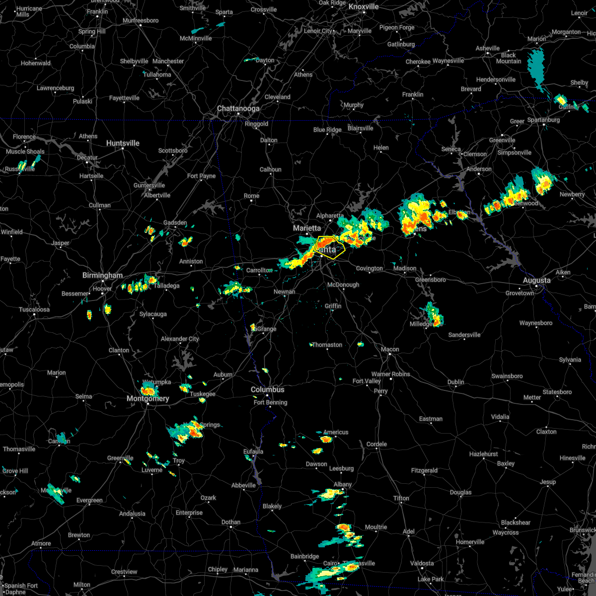 At 511 pm edt, a severe thunderstorm was located over brookhaven, or near decatur, moving east at 20 mph (radar indicated). Hazards include 60 mph wind gusts and quarter size hail. Hail damage to vehicles is expected. Expect wind damage to roofs, siding, and trees. At 511 pm edt, a severe thunderstorm was located over brookhaven, or near decatur, moving east at 20 mph (radar indicated). Hazards include 60 mph wind gusts and quarter size hail. Hail damage to vehicles is expected. Expect wind damage to roofs, siding, and trees.
|
| 7/8/2022 10:04 PM EDT |
 At 1004 pm edt, a severe thunderstorm was located over doraville, or 8 miles north of decatur, moving southeast at 20 mph (radar indicated). Hazards include 60 mph wind gusts and quarter size hail. Hail damage to vehicles is expected. Expect wind damage to roofs, siding, and trees. At 1004 pm edt, a severe thunderstorm was located over doraville, or 8 miles north of decatur, moving southeast at 20 mph (radar indicated). Hazards include 60 mph wind gusts and quarter size hail. Hail damage to vehicles is expected. Expect wind damage to roofs, siding, and trees.
|
| 7/8/2022 9:44 PM EDT |
 At 944 pm edt, severe thunderstorms were located along a line extending from hightower to milton to near sweat mountain, moving southeast at 30 mph (radar indicated). Hazards include 60 mph wind gusts. Expect damage to roofs, siding, and trees. locations impacted include, canton, cumming, sandy springs, roswell, alpharetta, milton, woodstock, holly springs, free home, buffington, hickory flat, drew, union hill, sweat mountain, hightower, birmingham, matt, little river landing, lebanon and holbrook. hail threat, radar indicated max hail size, <. 75 in wind threat, radar indicated max wind gust, 60 mph. At 944 pm edt, severe thunderstorms were located along a line extending from hightower to milton to near sweat mountain, moving southeast at 30 mph (radar indicated). Hazards include 60 mph wind gusts. Expect damage to roofs, siding, and trees. locations impacted include, canton, cumming, sandy springs, roswell, alpharetta, milton, woodstock, holly springs, free home, buffington, hickory flat, drew, union hill, sweat mountain, hightower, birmingham, matt, little river landing, lebanon and holbrook. hail threat, radar indicated max hail size, <. 75 in wind threat, radar indicated max wind gust, 60 mph.
|
| 7/8/2022 9:26 PM EDT |
 At 926 pm edt, severe thunderstorms were located along a line extending from ball ground to near buffington to lebanon, moving southeast at 30 mph (radar indicated). Hazards include 60 mph wind gusts. expect damage to roofs, siding, and trees At 926 pm edt, severe thunderstorms were located along a line extending from ball ground to near buffington to lebanon, moving southeast at 30 mph (radar indicated). Hazards include 60 mph wind gusts. expect damage to roofs, siding, and trees
|
| 7/2/2022 7:35 PM EDT |
 At 735 pm edt, a severe thunderstorm was located over white water park, or near marietta, and is nearly stationary (radar indicated). Hazards include 60 mph wind gusts. Expect damage to roofs, siding, and trees. locations impacted include, marietta, smyrna, fair oaks, white water park and dobbins air reserve base. hail threat, radar indicated max hail size, <. 75 in wind threat, radar indicated max wind gust, 60 mph. At 735 pm edt, a severe thunderstorm was located over white water park, or near marietta, and is nearly stationary (radar indicated). Hazards include 60 mph wind gusts. Expect damage to roofs, siding, and trees. locations impacted include, marietta, smyrna, fair oaks, white water park and dobbins air reserve base. hail threat, radar indicated max hail size, <. 75 in wind threat, radar indicated max wind gust, 60 mph.
|
| 7/2/2022 7:01 PM EDT |
 At 701 pm edt, a severe thunderstorm was located over white water park, or near marietta, and is nearly stationary (radar indicated). Hazards include 60 mph wind gusts. expect damage to roofs, siding, and trees At 701 pm edt, a severe thunderstorm was located over white water park, or near marietta, and is nearly stationary (radar indicated). Hazards include 60 mph wind gusts. expect damage to roofs, siding, and trees
|
| 6/17/2022 5:28 PM EDT |
 At 528 pm edt, a severe thunderstorm was located over roswell, or 11 miles east of marietta, moving southeast at 25 mph (radar indicated). Hazards include 60 mph wind gusts and quarter size hail. Hail damage to vehicles is expected. Expect wind damage to roofs, siding, and trees. At 528 pm edt, a severe thunderstorm was located over roswell, or 11 miles east of marietta, moving southeast at 25 mph (radar indicated). Hazards include 60 mph wind gusts and quarter size hail. Hail damage to vehicles is expected. Expect wind damage to roofs, siding, and trees.
|
| 6/16/2022 10:08 PM EDT |
 At 1007 pm edt, a severe thunderstorm was located near bolton, or 7 miles northwest of atlanta, moving southwest at 5 mph (radar indicated). Hazards include 60 mph wind gusts and quarter size hail. Hail damage to vehicles is expected. expect wind damage to roofs, siding, and trees. locations impacted include, atlanta, marietta, sandy springs, smyrna, vinings, bolton, atlantic station, mableton, bankhead and chastain memorial park. hail threat, radar indicated max hail size, 1. 00 in wind threat, radar indicated max wind gust, 60 mph. At 1007 pm edt, a severe thunderstorm was located near bolton, or 7 miles northwest of atlanta, moving southwest at 5 mph (radar indicated). Hazards include 60 mph wind gusts and quarter size hail. Hail damage to vehicles is expected. expect wind damage to roofs, siding, and trees. locations impacted include, atlanta, marietta, sandy springs, smyrna, vinings, bolton, atlantic station, mableton, bankhead and chastain memorial park. hail threat, radar indicated max hail size, 1. 00 in wind threat, radar indicated max wind gust, 60 mph.
|
| 6/16/2022 9:46 PM EDT |
 At 946 pm edt, a severe thunderstorm was located over chastain memorial park, or 9 miles southeast of marietta, moving southwest at 5 mph (radar indicated). Hazards include 60 mph wind gusts and quarter size hail. Hail damage to vehicles is expected. Expect wind damage to roofs, siding, and trees. At 946 pm edt, a severe thunderstorm was located over chastain memorial park, or 9 miles southeast of marietta, moving southwest at 5 mph (radar indicated). Hazards include 60 mph wind gusts and quarter size hail. Hail damage to vehicles is expected. Expect wind damage to roofs, siding, and trees.
|
| 12/29/2021 11:52 PM EST |
 The severe thunderstorm warning for southeastern cherokee, forsyth, northern cobb and northeastern fulton counties will expire at midnight est, the storms which prompted the warning have weakened below severe limits, and no longer pose an immediate threat to life or property. therefore, the warning will be allowed to expire. however gusty winds, lightning and very heavy rain are still possible with these thunderstorms. a tornado watch remains in effect until 500 am est for north central and northwestern georgia. The severe thunderstorm warning for southeastern cherokee, forsyth, northern cobb and northeastern fulton counties will expire at midnight est, the storms which prompted the warning have weakened below severe limits, and no longer pose an immediate threat to life or property. therefore, the warning will be allowed to expire. however gusty winds, lightning and very heavy rain are still possible with these thunderstorms. a tornado watch remains in effect until 500 am est for north central and northwestern georgia.
|
| 12/29/2021 11:51 PM EST |
 The severe thunderstorm warning for southern paulding, central haralson, central cobb, northern carroll and douglas counties will expire at midnight est, the storms which prompted the warning have weakened below severe limits, and no longer pose an immediate threat to life or property. therefore, the warning will be allowed to expire. however lightning and very heavy rain are still possible with these thunderstorms. a tornado watch remains in effect until 500 am est for north central and northwestern georgia. The severe thunderstorm warning for southern paulding, central haralson, central cobb, northern carroll and douglas counties will expire at midnight est, the storms which prompted the warning have weakened below severe limits, and no longer pose an immediate threat to life or property. therefore, the warning will be allowed to expire. however lightning and very heavy rain are still possible with these thunderstorms. a tornado watch remains in effect until 500 am est for north central and northwestern georgia.
|
| 12/29/2021 11:37 PM EST |
 At 1137 pm est, severe thunderstorms were located along a line extending from ducktown to near alpharetta to near white water park, moving east at 55 mph (radar indicated). Hazards include 60 mph wind gusts. Expect damage to roofs, siding, and trees. locations impacted include, marietta, cumming, sandy springs, roswell, johns creek, alpharetta, milton, kennesaw, acworth, free home, drew, kennesaw state university, coal mountain, brookwood, birmingham, matt, chestatee, oscarville, sandy plains and holbrook. hail threat, radar indicated max hail size, <. 75 in wind threat, radar indicated max wind gust, 60 mph. At 1137 pm est, severe thunderstorms were located along a line extending from ducktown to near alpharetta to near white water park, moving east at 55 mph (radar indicated). Hazards include 60 mph wind gusts. Expect damage to roofs, siding, and trees. locations impacted include, marietta, cumming, sandy springs, roswell, johns creek, alpharetta, milton, kennesaw, acworth, free home, drew, kennesaw state university, coal mountain, brookwood, birmingham, matt, chestatee, oscarville, sandy plains and holbrook. hail threat, radar indicated max hail size, <. 75 in wind threat, radar indicated max wind gust, 60 mph.
|
| 12/29/2021 11:31 PM EST |
 At 1131 pm est, severe thunderstorms were located along a line extending from near due west to near draketown to near i 20 welcome center, moving south at 25 mph (radar indicated). Hazards include 60 mph wind gusts. Expect damage to roofs, siding, and trees. locations impacted include, marietta, douglasville, dallas, buchanan, smyrna, villa rica, powder springs, austell, bremen, temple, hiram, tallapoosa, mount zion, waco, lithia springs, fair oaks, mount bethel, lost mountain park, vinings and brownsville. hail threat, radar indicated max hail size, <. 75 in wind threat, radar indicated max wind gust, 60 mph. At 1131 pm est, severe thunderstorms were located along a line extending from near due west to near draketown to near i 20 welcome center, moving south at 25 mph (radar indicated). Hazards include 60 mph wind gusts. Expect damage to roofs, siding, and trees. locations impacted include, marietta, douglasville, dallas, buchanan, smyrna, villa rica, powder springs, austell, bremen, temple, hiram, tallapoosa, mount zion, waco, lithia springs, fair oaks, mount bethel, lost mountain park, vinings and brownsville. hail threat, radar indicated max hail size, <. 75 in wind threat, radar indicated max wind gust, 60 mph.
|
| 12/29/2021 11:26 PM EST |
 At 1125 pm est, severe thunderstorms were located along a line extending from marblehill to hollis lathem reservoir to lathemtown to hickory flat to near due west, moving east at 55 mph (radar indicated). Hazards include 60 mph wind gusts. Expect damage to roofs, siding, and trees. locations impacted include, marietta, canton, cumming, dawsonville, sandy springs, roswell, johns creek, alpharetta, milton, kennesaw, woodstock, acworth, holly springs, ball ground, braswell, free home, buffington, dougherty, hickory flat and kellogg creek. hail threat, radar indicated max hail size, <. 75 in wind threat, radar indicated max wind gust, 60 mph. At 1125 pm est, severe thunderstorms were located along a line extending from marblehill to hollis lathem reservoir to lathemtown to hickory flat to near due west, moving east at 55 mph (radar indicated). Hazards include 60 mph wind gusts. Expect damage to roofs, siding, and trees. locations impacted include, marietta, canton, cumming, dawsonville, sandy springs, roswell, johns creek, alpharetta, milton, kennesaw, woodstock, acworth, holly springs, ball ground, braswell, free home, buffington, dougherty, hickory flat and kellogg creek. hail threat, radar indicated max hail size, <. 75 in wind threat, radar indicated max wind gust, 60 mph.
|
| 12/29/2021 11:12 PM EST |
 At 1112 pm est, severe thunderstorms were located along a line extending from near braswell to yorkville to near eubank lake to near tallapoosa, moving east at 50 mph (radar indicated). Hazards include 60 mph wind gusts. expect damage to roofs, siding, and trees At 1112 pm est, severe thunderstorms were located along a line extending from near braswell to yorkville to near eubank lake to near tallapoosa, moving east at 50 mph (radar indicated). Hazards include 60 mph wind gusts. expect damage to roofs, siding, and trees
|
| 12/29/2021 11:08 PM EST |
 At 1108 pm est, severe thunderstorms were located along a line extending from near salacoa valley to waleska to little river landing to emerson to near braswell, moving east at 55 mph (radar indicated). Hazards include 60 mph wind gusts. expect damage to roofs, siding, and trees At 1108 pm est, severe thunderstorms were located along a line extending from near salacoa valley to waleska to little river landing to emerson to near braswell, moving east at 55 mph (radar indicated). Hazards include 60 mph wind gusts. expect damage to roofs, siding, and trees
|
| 9/7/2021 11:34 PM EDT |
 At 1134 pm edt, a severe thunderstorm was located near mount bethel, or near marietta, moving northeast at 10 mph (radar indicated). Hazards include 60 mph wind gusts and nickel size hail. expect damage to roofs, siding, and trees At 1134 pm edt, a severe thunderstorm was located near mount bethel, or near marietta, moving northeast at 10 mph (radar indicated). Hazards include 60 mph wind gusts and nickel size hail. expect damage to roofs, siding, and trees
|
| 7/27/2021 5:58 PM EDT |
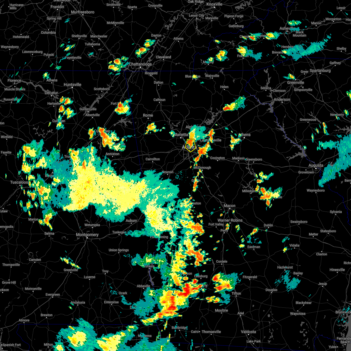 At 558 pm edt, a severe thunderstorm was located over chastain memorial park, or 7 miles northwest of decatur, moving south at 10 mph (radar indicated). Hazards include 60 mph wind gusts and quarter size hail. Hail damage to vehicles is expected. Expect wind damage to roofs, siding, and trees. At 558 pm edt, a severe thunderstorm was located over chastain memorial park, or 7 miles northwest of decatur, moving south at 10 mph (radar indicated). Hazards include 60 mph wind gusts and quarter size hail. Hail damage to vehicles is expected. Expect wind damage to roofs, siding, and trees.
|
| 7/27/2021 5:28 PM EDT |
 At 528 pm edt, a severe thunderstorm was located over berkeley lake, or 14 miles west of lawrenceville, moving south at 10 mph (radar indicated). Hazards include 60 mph wind gusts and quarter size hail. Hail damage to vehicles is expected. expect wind damage to roofs, siding, and trees. Locations impacted include, sandy springs, roswell, johns creek, alpharetta, dunwoody, duluth, norcross, doraville, berkeley lake and mechanicsville. At 528 pm edt, a severe thunderstorm was located over berkeley lake, or 14 miles west of lawrenceville, moving south at 10 mph (radar indicated). Hazards include 60 mph wind gusts and quarter size hail. Hail damage to vehicles is expected. expect wind damage to roofs, siding, and trees. Locations impacted include, sandy springs, roswell, johns creek, alpharetta, dunwoody, duluth, norcross, doraville, berkeley lake and mechanicsville.
|
| 7/27/2021 5:11 PM EDT |
 At 511 pm edt, a severe thunderstorm was located near johns creek, or 12 miles southwest of cumming, moving south at 10 mph (radar indicated). Hazards include 60 mph wind gusts and quarter size hail. Hail damage to vehicles is expected. Expect wind damage to roofs, siding, and trees. At 511 pm edt, a severe thunderstorm was located near johns creek, or 12 miles southwest of cumming, moving south at 10 mph (radar indicated). Hazards include 60 mph wind gusts and quarter size hail. Hail damage to vehicles is expected. Expect wind damage to roofs, siding, and trees.
|
| 5/4/2021 2:08 PM EDT |
 A severe thunderstorm warning remains in effect until 230 pm edt for central forsyth. northern gwinnett. southwestern hall and northeastern fulton counties. at 207 pm edt, a severe thunderstorm was located over johns creek, or 10 miles south of cumming, moving east at 45 mph. hazard. 60 mph wind gusts. A severe thunderstorm warning remains in effect until 230 pm edt for central forsyth. northern gwinnett. southwestern hall and northeastern fulton counties. at 207 pm edt, a severe thunderstorm was located over johns creek, or 10 miles south of cumming, moving east at 45 mph. hazard. 60 mph wind gusts.
|
| 5/4/2021 1:52 PM EDT |
 At 152 pm edt, severe thunderstorms were located along a line extending from near mount bethel to near lithia springs, moving east at 50 mph (trained weather spotters). Hazards include 60 mph wind gusts. Expect damage to roofs, siding, and trees. Locations impacted include, marietta, douglasville, smyrna, kennesaw, villa rica, powder springs, austell, hiram, lithia springs, fair oaks, mount bethel, sweetwater creek state park, white water park, vinings, brownsville, jim r miller park, winston, lake val-do-mar, sandy plains and dobbins air reserve base. At 152 pm edt, severe thunderstorms were located along a line extending from near mount bethel to near lithia springs, moving east at 50 mph (trained weather spotters). Hazards include 60 mph wind gusts. Expect damage to roofs, siding, and trees. Locations impacted include, marietta, douglasville, smyrna, kennesaw, villa rica, powder springs, austell, hiram, lithia springs, fair oaks, mount bethel, sweetwater creek state park, white water park, vinings, brownsville, jim r miller park, winston, lake val-do-mar, sandy plains and dobbins air reserve base.
|
| 5/4/2021 1:52 PM EDT |
 At 151 pm edt, a severe thunderstorm was located over roswell, or 10 miles northeast of marietta, moving east at 45 mph (radar indicated). Hazards include 60 mph wind gusts. expect damage to roofs, siding, and trees At 151 pm edt, a severe thunderstorm was located over roswell, or 10 miles northeast of marietta, moving east at 45 mph (radar indicated). Hazards include 60 mph wind gusts. expect damage to roofs, siding, and trees
|
| 5/4/2021 1:28 PM EDT |
 At 128 pm edt, severe thunderstorms were located along a line extending from new hope to temple, moving east at 50 mph (trained weather spotters). Hazards include 60 mph wind gusts. expect damage to roofs, siding, and trees At 128 pm edt, severe thunderstorms were located along a line extending from new hope to temple, moving east at 50 mph (trained weather spotters). Hazards include 60 mph wind gusts. expect damage to roofs, siding, and trees
|
| 4/24/2021 8:52 PM EDT |
 The severe thunderstorm warning for southeastern paulding, northwestern dekalb, northwestern fayette, cobb, douglas, west central gwinnett, northern heard, northern coweta, fulton and northwestern clayton counties will expire at 900 pm edt, the storms which prompted the warning have moved out of the area. therefore, the warning will be allowed to expire. a severe thunderstorm watch remains in effect until 1000 pm edt for north central, northwestern and west central georgia. The severe thunderstorm warning for southeastern paulding, northwestern dekalb, northwestern fayette, cobb, douglas, west central gwinnett, northern heard, northern coweta, fulton and northwestern clayton counties will expire at 900 pm edt, the storms which prompted the warning have moved out of the area. therefore, the warning will be allowed to expire. a severe thunderstorm watch remains in effect until 1000 pm edt for north central, northwestern and west central georgia.
|
| 4/24/2021 8:19 PM EDT |
 At 818 pm edt, severe thunderstorms were located along a line extending from due west to near lithia springs to plant wansley, moving northeast at 70 mph (radar indicated). Hazards include 70 mph wind gusts and quarter size hail. Hail damage to vehicles is expected. expect considerable tree damage. wind damage is also likely to mobile homes, roofs, and outbuildings. Locations impacted include, atlanta, marietta, newnan, douglasville, decatur, fayetteville, dallas, sandy springs, roswell, johns creek, alpharetta, smyrna, dunwoody, peachtree city, east point, kennesaw, duluth, union city, forest park and riverdale. At 818 pm edt, severe thunderstorms were located along a line extending from due west to near lithia springs to plant wansley, moving northeast at 70 mph (radar indicated). Hazards include 70 mph wind gusts and quarter size hail. Hail damage to vehicles is expected. expect considerable tree damage. wind damage is also likely to mobile homes, roofs, and outbuildings. Locations impacted include, atlanta, marietta, newnan, douglasville, decatur, fayetteville, dallas, sandy springs, roswell, johns creek, alpharetta, smyrna, dunwoody, peachtree city, east point, kennesaw, duluth, union city, forest park and riverdale.
|
| 4/24/2021 8:07 PM EDT |
 At 807 pm edt, severe thunderstorms were located along a line extending from near new hope to near douglasville to centralhatchee, moving east at 70 mph (radar indicated). Hazards include 60 mph wind gusts and quarter size hail. Hail damage to vehicles is expected. Expect wind damage to roofs, siding, and trees. At 807 pm edt, severe thunderstorms were located along a line extending from near new hope to near douglasville to centralhatchee, moving east at 70 mph (radar indicated). Hazards include 60 mph wind gusts and quarter size hail. Hail damage to vehicles is expected. Expect wind damage to roofs, siding, and trees.
|
| 3/25/2021 1:04 PM EDT |
 At 104 pm edt, a severe thunderstorm was located near emerson, or near cartersville, moving east at 70 mph (radar indicated). Hazards include 60 mph wind gusts and quarter size hail. Hail damage to vehicles is expected. Expect wind damage to roofs, siding, and trees. At 104 pm edt, a severe thunderstorm was located near emerson, or near cartersville, moving east at 70 mph (radar indicated). Hazards include 60 mph wind gusts and quarter size hail. Hail damage to vehicles is expected. Expect wind damage to roofs, siding, and trees.
|
| 8/19/2020 5:51 PM EDT |
 At 551 pm edt, a severe thunderstorm was located over sandy plains, or near marietta, and is nearly stationary (radar indicated). Hazards include quarter size hail. damage to vehicles is expected At 551 pm edt, a severe thunderstorm was located over sandy plains, or near marietta, and is nearly stationary (radar indicated). Hazards include quarter size hail. damage to vehicles is expected
|
| 8/10/2020 3:35 PM EDT |
 At 335 pm edt, severe thunderstorms were located along a line extending from bold springs to near mountain park to near vinings, moving southeast at 45 mph (radar indicated). Hazards include 60 mph wind gusts and penny size hail. Expect damage to roofs, siding, and trees. Locations impacted include, atlanta, lawrenceville, decatur, sandy springs, roswell, alpharetta, dunwoody, duluth, snellville, suwanee, lilburn, chamblee, norcross, doraville, clarkston, stone mountain, dacula, avondale estates, grayson and berkeley lake. At 335 pm edt, severe thunderstorms were located along a line extending from bold springs to near mountain park to near vinings, moving southeast at 45 mph (radar indicated). Hazards include 60 mph wind gusts and penny size hail. Expect damage to roofs, siding, and trees. Locations impacted include, atlanta, lawrenceville, decatur, sandy springs, roswell, alpharetta, dunwoody, duluth, snellville, suwanee, lilburn, chamblee, norcross, doraville, clarkston, stone mountain, dacula, avondale estates, grayson and berkeley lake.
|
| 8/10/2020 3:27 PM EDT |
 At 327 pm edt, severe thunderstorms were located along a line extending from dacula to lilburn to near sandy plains, moving southeast at 40 mph (radar indicated). Hazards include 60 mph wind gusts and nickel size hail. Expect damage to roofs, siding, and trees. Locations impacted include, atlanta, marietta, lawrenceville, decatur, sandy springs, roswell, johns creek, alpharetta, smyrna, dunwoody, milton, kennesaw, duluth, acworth, sugar hill, snellville, suwanee, buford, lilburn and chamblee. At 327 pm edt, severe thunderstorms were located along a line extending from dacula to lilburn to near sandy plains, moving southeast at 40 mph (radar indicated). Hazards include 60 mph wind gusts and nickel size hail. Expect damage to roofs, siding, and trees. Locations impacted include, atlanta, marietta, lawrenceville, decatur, sandy springs, roswell, johns creek, alpharetta, smyrna, dunwoody, milton, kennesaw, duluth, acworth, sugar hill, snellville, suwanee, buford, lilburn and chamblee.
|
| 8/10/2020 2:54 PM EDT |
 At 253 pm edt, severe thunderstorms were located along a line extending from woodstock to cumming and chestatee, moving southeast at 40 mph (radar indicated). Hazards include 60 mph wind gusts and nickel size hail. expect damage to roofs, siding, and trees At 253 pm edt, severe thunderstorms were located along a line extending from woodstock to cumming and chestatee, moving southeast at 40 mph (radar indicated). Hazards include 60 mph wind gusts and nickel size hail. expect damage to roofs, siding, and trees
|
| 7/18/2020 5:56 PM EDT |
 At 556 pm edt, severe thunderstorms were located along a line extending from berkeley lake to dobbins air reserve base, and are nearly stationary (radar indicated). Hazards include golf ball size hail and 60 mph wind gusts. People and animals outdoors will be injured. expect hail damage to roofs, siding, windows, and vehicles. expect wind damage to roofs, siding, and trees. Locations impacted include, marietta, sandy springs, roswell, mount bethel, white water park and sandy plains. At 556 pm edt, severe thunderstorms were located along a line extending from berkeley lake to dobbins air reserve base, and are nearly stationary (radar indicated). Hazards include golf ball size hail and 60 mph wind gusts. People and animals outdoors will be injured. expect hail damage to roofs, siding, windows, and vehicles. expect wind damage to roofs, siding, and trees. Locations impacted include, marietta, sandy springs, roswell, mount bethel, white water park and sandy plains.
|
| 7/18/2020 5:42 PM EDT |
 At 541 pm edt, severe thunderstorms were located along a line extending from berkeley lake to dobbins air reserve base, and are nearly stationary (radar indicated). Hazards include golf ball size hail and 60 mph wind gusts. People and animals outdoors will be injured. expect hail damage to roofs, siding, windows, and vehicles. expect wind damage to roofs, siding, and trees. Locations impacted include, marietta, sandy springs, roswell, alpharetta, smyrna, dunwoody, norcross, doraville, fair oaks, mount bethel, white water park, sandy plains and dobbins air reserve base. At 541 pm edt, severe thunderstorms were located along a line extending from berkeley lake to dobbins air reserve base, and are nearly stationary (radar indicated). Hazards include golf ball size hail and 60 mph wind gusts. People and animals outdoors will be injured. expect hail damage to roofs, siding, windows, and vehicles. expect wind damage to roofs, siding, and trees. Locations impacted include, marietta, sandy springs, roswell, alpharetta, smyrna, dunwoody, norcross, doraville, fair oaks, mount bethel, white water park, sandy plains and dobbins air reserve base.
|
| 7/18/2020 5:36 PM EDT |
 At 536 pm edt, severe thunderstorms were located along a line extending from berkeley lake to dobbins air reserve base, and are nearly stationary (radar indicated). Hazards include 60 mph wind gusts and quarter size hail. Hail damage to vehicles is expected. Expect wind damage to roofs, siding, and trees. At 536 pm edt, severe thunderstorms were located along a line extending from berkeley lake to dobbins air reserve base, and are nearly stationary (radar indicated). Hazards include 60 mph wind gusts and quarter size hail. Hail damage to vehicles is expected. Expect wind damage to roofs, siding, and trees.
|
| 7/15/2020 5:42 PM EDT |
 The severe thunderstorm warning for southeastern cobb and central fulton counties will expire at 545 pm edt, the storm which prompted the warning has weakened below severe limits, and no longer poses an immediate threat to life or property. therefore, the warning will be allowed to expire. to report severe weather, contact your nearest law enforcement agency. they will relay your report to the national weather service peachtree city. The severe thunderstorm warning for southeastern cobb and central fulton counties will expire at 545 pm edt, the storm which prompted the warning has weakened below severe limits, and no longer poses an immediate threat to life or property. therefore, the warning will be allowed to expire. to report severe weather, contact your nearest law enforcement agency. they will relay your report to the national weather service peachtree city.
|
| 7/15/2020 5:14 PM EDT |
 At 513 pm edt, a severe thunderstorm was located over chastain memorial park, or 8 miles north of atlanta, moving northwest at 10 mph (radar indicated). Hazards include 60 mph wind gusts and quarter size hail. Hail damage to vehicles is expected. Expect wind damage to roofs, siding, and trees. At 513 pm edt, a severe thunderstorm was located over chastain memorial park, or 8 miles north of atlanta, moving northwest at 10 mph (radar indicated). Hazards include 60 mph wind gusts and quarter size hail. Hail damage to vehicles is expected. Expect wind damage to roofs, siding, and trees.
|
| 6/24/2020 2:53 PM EDT |
 At 252 pm edt, a severe thunderstorm was located over berkeley lake, or 9 miles west of lawrenceville, moving east at 20 mph (radar indicated). Hazards include 60 mph wind gusts and quarter size hail. Hail damage to vehicles is expected. expect wind damage to roofs, siding, and trees. Locations impacted include, lawrenceville, dunwoody, duluth, snellville, suwanee, lilburn, norcross, dacula, grayson, berkeley lake, tucker, mountain park, harbin, rosebud, mechanicsville and hog mountain. At 252 pm edt, a severe thunderstorm was located over berkeley lake, or 9 miles west of lawrenceville, moving east at 20 mph (radar indicated). Hazards include 60 mph wind gusts and quarter size hail. Hail damage to vehicles is expected. expect wind damage to roofs, siding, and trees. Locations impacted include, lawrenceville, dunwoody, duluth, snellville, suwanee, lilburn, norcross, dacula, grayson, berkeley lake, tucker, mountain park, harbin, rosebud, mechanicsville and hog mountain.
|
| 6/24/2020 2:36 PM EDT |
 At 236 pm edt, a severe thunderstorm was located near norcross, or 14 miles north of decatur, moving east at 20 mph (radar indicated). Hazards include 60 mph wind gusts and quarter size hail. Hail damage to vehicles is expected. Expect wind damage to roofs, siding, and trees. At 236 pm edt, a severe thunderstorm was located near norcross, or 14 miles north of decatur, moving east at 20 mph (radar indicated). Hazards include 60 mph wind gusts and quarter size hail. Hail damage to vehicles is expected. Expect wind damage to roofs, siding, and trees.
|
| 6/14/2020 5:59 PM EDT |
 At 559 pm edt, a severe thunderstorm was located near sweat mountain, or 11 miles southeast of canton, moving southeast at 5 mph (radar indicated). Hazards include 60 mph wind gusts and quarter size hail. Hail damage to vehicles is expected. Expect wind damage to roofs, siding, and trees. At 559 pm edt, a severe thunderstorm was located near sweat mountain, or 11 miles southeast of canton, moving southeast at 5 mph (radar indicated). Hazards include 60 mph wind gusts and quarter size hail. Hail damage to vehicles is expected. Expect wind damage to roofs, siding, and trees.
|
| 4/13/2020 2:22 AM EDT |
 At 222 am edt, a severe thunderstorm was located over roswell, or 11 miles northeast of marietta, moving east at 85 mph (radar indicated). Hazards include 60 mph wind gusts. expect damage to roofs, siding, and trees At 222 am edt, a severe thunderstorm was located over roswell, or 11 miles northeast of marietta, moving east at 85 mph (radar indicated). Hazards include 60 mph wind gusts. expect damage to roofs, siding, and trees
|
| 3/24/2020 11:36 PM EDT |
 At 1135 pm edt, a severe thunderstorm was located over kennesaw, or 7 miles northwest of marietta, moving east at 40 mph (radar indicated). Hazards include 60 mph wind gusts and penny size hail. expect damage to roofs, siding, and trees At 1135 pm edt, a severe thunderstorm was located over kennesaw, or 7 miles northwest of marietta, moving east at 40 mph (radar indicated). Hazards include 60 mph wind gusts and penny size hail. expect damage to roofs, siding, and trees
|
| 2/6/2020 7:42 AM EST |
 At 742 am est, a severe thunderstorm was located over chamblee, or 8 miles north of decatur, moving northeast at 70 mph (radar indicated). Hazards include 60 mph wind gusts. expect damage to roofs, siding, and trees At 742 am est, a severe thunderstorm was located over chamblee, or 8 miles north of decatur, moving northeast at 70 mph (radar indicated). Hazards include 60 mph wind gusts. expect damage to roofs, siding, and trees
|
| 1/11/2020 5:24 PM EST |
 At 523 pm est, severe thunderstorms were located along a line extending from near hollis lathem reservoir to near palmetto, moving east at 40 mph (radar indicated). Hazards include 60 mph wind gusts. expect damage to roofs, siding, and trees At 523 pm est, severe thunderstorms were located along a line extending from near hollis lathem reservoir to near palmetto, moving east at 40 mph (radar indicated). Hazards include 60 mph wind gusts. expect damage to roofs, siding, and trees
|
| 1/11/2020 4:51 PM EST |
 At 450 pm est, severe thunderstorms were located along a line extending from salacoa valley to whitesburg, moving east at 45 mph (radar indicated). Hazards include 60 mph wind gusts. expect damage to roofs, siding, and trees At 450 pm est, severe thunderstorms were located along a line extending from salacoa valley to whitesburg, moving east at 45 mph (radar indicated). Hazards include 60 mph wind gusts. expect damage to roofs, siding, and trees
|
| 9/10/2019 5:29 PM EDT |
 At 528 pm edt, a severe thunderstorm was located over sandy springs, or 9 miles east of marietta, moving west at 5 mph (radar indicated). Hazards include 60 mph wind gusts. Expect damage to roofs, siding, and trees. Locations impacted include, atlanta, marietta, sandy springs, smyrna, dunwoody, chamblee, doraville, tucker, fair oaks, north atlanta, north druid hills, vinings, brookhaven, bolton, dobbins air reserve base and chastain memorial park. At 528 pm edt, a severe thunderstorm was located over sandy springs, or 9 miles east of marietta, moving west at 5 mph (radar indicated). Hazards include 60 mph wind gusts. Expect damage to roofs, siding, and trees. Locations impacted include, atlanta, marietta, sandy springs, smyrna, dunwoody, chamblee, doraville, tucker, fair oaks, north atlanta, north druid hills, vinings, brookhaven, bolton, dobbins air reserve base and chastain memorial park.
|
| 9/10/2019 5:00 PM EDT |
 The national weather service in peachtree city has issued a * severe thunderstorm warning for. northwestern dekalb county in north central georgia. southeastern cobb county in north central georgia. central fulton county in north central georgia. Until 545 pm edt. The national weather service in peachtree city has issued a * severe thunderstorm warning for. northwestern dekalb county in north central georgia. southeastern cobb county in north central georgia. central fulton county in north central georgia. Until 545 pm edt.
|
| 8/14/2019 6:06 PM EDT |
 At 606 pm edt, a severe thunderstorm was located over oak grove, or 9 miles northwest of marietta, moving southeast at 30 mph (radar indicated). Hazards include 60 mph wind gusts and quarter size hail. Hail damage to vehicles is expected. expect wind damage to roofs, siding, and trees. Locations impacted include, atlanta, marietta, canton, sandy springs, roswell, alpharetta, smyrna, kennesaw, woodstock, acworth, holly springs, emerson, fair oaks, mount bethel, hickory flat, kellogg creek, red top mountain state park, cross roads, due west and sandy plains. At 606 pm edt, a severe thunderstorm was located over oak grove, or 9 miles northwest of marietta, moving southeast at 30 mph (radar indicated). Hazards include 60 mph wind gusts and quarter size hail. Hail damage to vehicles is expected. expect wind damage to roofs, siding, and trees. Locations impacted include, atlanta, marietta, canton, sandy springs, roswell, alpharetta, smyrna, kennesaw, woodstock, acworth, holly springs, emerson, fair oaks, mount bethel, hickory flat, kellogg creek, red top mountain state park, cross roads, due west and sandy plains.
|
| 8/14/2019 5:51 PM EDT |
 At 550 pm edt, a severe thunderstorm was located over emerson, or near cartersville, moving southeast at 30 mph (radar indicated). Hazards include 60 mph wind gusts and quarter size hail. Hail damage to vehicles is expected. Expect wind damage to roofs, siding, and trees. At 550 pm edt, a severe thunderstorm was located over emerson, or near cartersville, moving southeast at 30 mph (radar indicated). Hazards include 60 mph wind gusts and quarter size hail. Hail damage to vehicles is expected. Expect wind damage to roofs, siding, and trees.
|
| 8/1/2019 5:36 PM EDT |
 At 536 pm edt, a severe thunderstorm was located over mechanicsville, or 10 miles north of decatur, moving northeast at 15 mph (radar indicated). Hazards include 60 mph wind gusts and penny size hail. Expect damage to roofs, siding, and trees. Locations impacted include, sandy springs, roswell, dunwoody, duluth, chamblee, norcross, doraville, clarkston, berkeley lake, tucker, north atlanta, north decatur, mechanicsville, brookhaven and scottdale. At 536 pm edt, a severe thunderstorm was located over mechanicsville, or 10 miles north of decatur, moving northeast at 15 mph (radar indicated). Hazards include 60 mph wind gusts and penny size hail. Expect damage to roofs, siding, and trees. Locations impacted include, sandy springs, roswell, dunwoody, duluth, chamblee, norcross, doraville, clarkston, berkeley lake, tucker, north atlanta, north decatur, mechanicsville, brookhaven and scottdale.
|
| 8/1/2019 5:21 PM EDT |
 At 521 pm edt, a severe thunderstorm was located over doraville, or 8 miles north of decatur, moving northeast at 15 mph (radar indicated). Hazards include 60 mph wind gusts and quarter size hail. Hail damage to vehicles is expected. Expect wind damage to roofs, siding, and trees. At 521 pm edt, a severe thunderstorm was located over doraville, or 8 miles north of decatur, moving northeast at 15 mph (radar indicated). Hazards include 60 mph wind gusts and quarter size hail. Hail damage to vehicles is expected. Expect wind damage to roofs, siding, and trees.
|
| 8/1/2019 4:07 PM EDT |
 At 406 pm edt, a severe thunderstorm was located over sandy plains, or near marietta, moving north at 10 mph (radar indicated). Hazards include 60 mph wind gusts and quarter size hail. Hail damage to vehicles is expected. Expect wind damage to roofs, siding, and trees. At 406 pm edt, a severe thunderstorm was located over sandy plains, or near marietta, moving north at 10 mph (radar indicated). Hazards include 60 mph wind gusts and quarter size hail. Hail damage to vehicles is expected. Expect wind damage to roofs, siding, and trees.
|
| 7/30/2019 6:49 PM EDT |
 At 649 pm edt, a severe thunderstorm was located near roswell, or 14 miles east of marietta, moving northeast at 10 mph (radar indicated). Hazards include 60 mph wind gusts and quarter size hail. Hail damage to vehicles is expected. expect wind damage to roofs, siding, and trees. Locations impacted include, sandy springs, roswell, alpharetta, dunwoody, milton, norcross and berkeley lake. At 649 pm edt, a severe thunderstorm was located near roswell, or 14 miles east of marietta, moving northeast at 10 mph (radar indicated). Hazards include 60 mph wind gusts and quarter size hail. Hail damage to vehicles is expected. expect wind damage to roofs, siding, and trees. Locations impacted include, sandy springs, roswell, alpharetta, dunwoody, milton, norcross and berkeley lake.
|
| 7/30/2019 6:32 PM EDT |
 The national weather service in peachtree city has issued a * severe thunderstorm warning for. northwestern dekalb county in north central georgia. northeastern cobb county in north central georgia. west central gwinnett county in north central georgia. Northeastern fulton county in north central georgia. The national weather service in peachtree city has issued a * severe thunderstorm warning for. northwestern dekalb county in north central georgia. northeastern cobb county in north central georgia. west central gwinnett county in north central georgia. Northeastern fulton county in north central georgia.
|
| 6/24/2019 7:07 PM EDT |
 At 707 pm edt, a severe thunderstorm was located near duluth, or near lawrenceville, moving east at 35 mph (radar indicated). Hazards include 60 mph wind gusts. Expect damage to roofs, siding, and trees. Locations impacted include, atlanta, lawrenceville, sandy springs, roswell, johns creek, alpharetta, dunwoody, duluth, sugar hill, snellville, suwanee, buford, lilburn, chamblee, norcross, doraville, clarkston, braselton, stone mountain and flowery branch. At 707 pm edt, a severe thunderstorm was located near duluth, or near lawrenceville, moving east at 35 mph (radar indicated). Hazards include 60 mph wind gusts. Expect damage to roofs, siding, and trees. Locations impacted include, atlanta, lawrenceville, sandy springs, roswell, johns creek, alpharetta, dunwoody, duluth, sugar hill, snellville, suwanee, buford, lilburn, chamblee, norcross, doraville, clarkston, braselton, stone mountain and flowery branch.
|
| 6/24/2019 6:39 PM EDT |
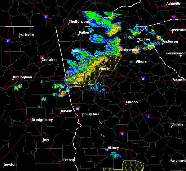 At 638 pm edt, a severe thunderstorm was located over mount bethel, or 7 miles east of marietta, moving east at 35 mph (radar indicated). Hazards include 60 mph wind gusts and penny size hail. expect damage to roofs, siding, and trees At 638 pm edt, a severe thunderstorm was located over mount bethel, or 7 miles east of marietta, moving east at 35 mph (radar indicated). Hazards include 60 mph wind gusts and penny size hail. expect damage to roofs, siding, and trees
|
| 6/24/2019 6:15 PM EDT |
 At 615 pm edt, a severe thunderstorm was located over due west, or 8 miles northeast of dallas, moving east at 30 mph (radar indicated). Hazards include 60 mph wind gusts and quarter size hail. Hail damage to vehicles is expected. Expect wind damage to roofs, siding, and trees. At 615 pm edt, a severe thunderstorm was located over due west, or 8 miles northeast of dallas, moving east at 30 mph (radar indicated). Hazards include 60 mph wind gusts and quarter size hail. Hail damage to vehicles is expected. Expect wind damage to roofs, siding, and trees.
|
| 6/22/2019 1:50 AM EDT |
 At 150 am edt, severe thunderstorms were located along a line extending from near eastanolee to near suwanee, moving southeast at 45 mph (radar indicated). Hazards include 60 mph wind gusts. Expect damage to roofs, siding, and trees. Locations impacted include, gainesville, cumming, sandy springs, roswell, johns creek, alpharetta, milton, duluth, sugar hill, suwanee, buford, braselton, flowery branch, oakwood, berkeley lake, rest haven, candler, drew, buford dam-lake lanier parks and coal mountain. At 150 am edt, severe thunderstorms were located along a line extending from near eastanolee to near suwanee, moving southeast at 45 mph (radar indicated). Hazards include 60 mph wind gusts. Expect damage to roofs, siding, and trees. Locations impacted include, gainesville, cumming, sandy springs, roswell, johns creek, alpharetta, milton, duluth, sugar hill, suwanee, buford, braselton, flowery branch, oakwood, berkeley lake, rest haven, candler, drew, buford dam-lake lanier parks and coal mountain.
|
| 6/22/2019 1:17 AM EDT |
 At 116 am edt, severe thunderstorms were located along a line extending from near sautee to canton, moving southeast at 45 mph (radar indicated). Hazards include 60 mph wind gusts. expect damage to roofs, siding, and trees At 116 am edt, severe thunderstorms were located along a line extending from near sautee to canton, moving southeast at 45 mph (radar indicated). Hazards include 60 mph wind gusts. expect damage to roofs, siding, and trees
|
| 4/19/2019 5:03 AM EDT |
 At 503 am edt, a severe thunderstorm capable of producing a tornado was located near berkeley lake, or 14 miles west of lawrenceville, moving northeast at 30 mph (radar indicated rotation). Hazards include tornado. Flying debris will be dangerous to those caught without shelter. mobile homes will be damaged or destroyed. damage to roofs, windows, and vehicles will occur. Tree damage is likely. At 503 am edt, a severe thunderstorm capable of producing a tornado was located near berkeley lake, or 14 miles west of lawrenceville, moving northeast at 30 mph (radar indicated rotation). Hazards include tornado. Flying debris will be dangerous to those caught without shelter. mobile homes will be damaged or destroyed. damage to roofs, windows, and vehicles will occur. Tree damage is likely.
|
| 4/14/2019 7:34 PM EDT |
 At 734 pm edt, a severe thunderstorm was located over avondale estates, or over decatur, moving northeast at 45 mph (radar indicated). Hazards include 60 mph wind gusts and penny size hail. Expect damage to roofs, siding, and trees. Locations impacted include, atlanta, lawrenceville, decatur, dunwoody, duluth, snellville, suwanee, lilburn, chamblee, norcross, doraville, clarkston, stone mountain, dacula, avondale estates, grayson, berkeley lake, pine lake, tucker and belvedere park. At 734 pm edt, a severe thunderstorm was located over avondale estates, or over decatur, moving northeast at 45 mph (radar indicated). Hazards include 60 mph wind gusts and penny size hail. Expect damage to roofs, siding, and trees. Locations impacted include, atlanta, lawrenceville, decatur, dunwoody, duluth, snellville, suwanee, lilburn, chamblee, norcross, doraville, clarkston, stone mountain, dacula, avondale estates, grayson, berkeley lake, pine lake, tucker and belvedere park.
|
| 4/14/2019 7:31 PM EDT |
 At 731 pm edt, a severe thunderstorm was located over candler-mcafee, or over decatur, moving northeast at 45 mph (radar indicated). Hazards include 60 mph wind gusts and penny size hail. expect damage to roofs, siding, and trees At 731 pm edt, a severe thunderstorm was located over candler-mcafee, or over decatur, moving northeast at 45 mph (radar indicated). Hazards include 60 mph wind gusts and penny size hail. expect damage to roofs, siding, and trees
|
| 7/21/2018 8:35 PM EDT |
 At 835 pm edt, a severe thunderstorm was located near burnt hickory ridge, or near cartersville, moving southeast at 30 mph (radar indicated). Hazards include 60 mph wind gusts and half dollar size hail. Hail damage to vehicles is expected. Expect wind damage to roofs, siding, and trees. At 835 pm edt, a severe thunderstorm was located near burnt hickory ridge, or near cartersville, moving southeast at 30 mph (radar indicated). Hazards include 60 mph wind gusts and half dollar size hail. Hail damage to vehicles is expected. Expect wind damage to roofs, siding, and trees.
|
| 7/21/2018 6:51 AM EDT |
 The severe thunderstorm warning for northwestern dekalb, southeastern cobb and central fulton counties will expire at 700 am edt, the storms which prompted the warning have weakened or moved out of the warned area. therefore, the warning will be allowed to expire. however gusty winds are still possible with these thunderstorms. a severe thunderstorm watch remains in effect until 1000 am edt for north central georgia. The severe thunderstorm warning for northwestern dekalb, southeastern cobb and central fulton counties will expire at 700 am edt, the storms which prompted the warning have weakened or moved out of the warned area. therefore, the warning will be allowed to expire. however gusty winds are still possible with these thunderstorms. a severe thunderstorm watch remains in effect until 1000 am edt for north central georgia.
|
| 7/21/2018 6:27 AM EDT |
 At 627 am edt, severe thunderstorms were located along a line extending from doraville to chastain memorial park to smyrna, moving southeast at 40 mph (radar indicated). Hazards include 60 mph wind gusts and quarter size hail. Hail damage to vehicles is expected. expect wind damage to roofs, siding, and trees. Locations impacted include, atlanta, marietta, decatur, sandy springs, roswell, smyrna, dunwoody, chamblee, doraville, north decatur, fair oaks, north atlanta, north druid hills, midtown, druid hills, tucker, mount bethel, vinings, piedmont park and brookhaven. At 627 am edt, severe thunderstorms were located along a line extending from doraville to chastain memorial park to smyrna, moving southeast at 40 mph (radar indicated). Hazards include 60 mph wind gusts and quarter size hail. Hail damage to vehicles is expected. expect wind damage to roofs, siding, and trees. Locations impacted include, atlanta, marietta, decatur, sandy springs, roswell, smyrna, dunwoody, chamblee, doraville, north decatur, fair oaks, north atlanta, north druid hills, midtown, druid hills, tucker, mount bethel, vinings, piedmont park and brookhaven.
|
| 7/21/2018 6:25 AM EDT |
 At 625 am edt, severe thunderstorms were located along a line extending from lake lanier islands to suwanee to near berkeley lake, moving southeast at 45 mph (radar indicated). Hazards include 60 mph wind gusts and quarter size hail. Hail damage to vehicles is expected. Expect wind damage to roofs, siding, and trees. At 625 am edt, severe thunderstorms were located along a line extending from lake lanier islands to suwanee to near berkeley lake, moving southeast at 45 mph (radar indicated). Hazards include 60 mph wind gusts and quarter size hail. Hail damage to vehicles is expected. Expect wind damage to roofs, siding, and trees.
|
| 7/21/2018 6:10 AM EDT |
 At 610 am edt, a severe thunderstorm was located over woodstock, or 9 miles north of marietta, moving southeast at 35 mph (radar indicated). Hazards include 60 mph wind gusts and quarter size hail. Hail damage to vehicles is expected. Expect wind damage to roofs, siding, and trees. At 610 am edt, a severe thunderstorm was located over woodstock, or 9 miles north of marietta, moving southeast at 35 mph (radar indicated). Hazards include 60 mph wind gusts and quarter size hail. Hail damage to vehicles is expected. Expect wind damage to roofs, siding, and trees.
|
| 7/6/2018 5:12 PM EDT |
 The severe thunderstorm warning for southern cobb, northeastern douglas and southwestern fulton counties will expire at 515 pm edt, the storm which prompted the warning has weakened below severe limits, and no longer poses an immediate threat to life or property. therefore, the warning will be allowed to expire. however gusty winds and heavy rain are still possible with this thunderstorm. additional storms will affect much of metro atlanta through 7 pm. to report severe weather, contact your nearest law enforcement agency. they will relay your report to the national weather service peachtree city. The severe thunderstorm warning for southern cobb, northeastern douglas and southwestern fulton counties will expire at 515 pm edt, the storm which prompted the warning has weakened below severe limits, and no longer poses an immediate threat to life or property. therefore, the warning will be allowed to expire. however gusty winds and heavy rain are still possible with this thunderstorm. additional storms will affect much of metro atlanta through 7 pm. to report severe weather, contact your nearest law enforcement agency. they will relay your report to the national weather service peachtree city.
|
| 7/6/2018 4:39 PM EDT |
 At 439 pm edt, a severe thunderstorm was located over bankhead, or near atlanta, moving west at 10 mph (radar indicated). Hazards include 60 mph wind gusts and nickel size hail. expect damage to roofs, siding, and trees At 439 pm edt, a severe thunderstorm was located over bankhead, or near atlanta, moving west at 10 mph (radar indicated). Hazards include 60 mph wind gusts and nickel size hail. expect damage to roofs, siding, and trees
|
| 6/22/2018 5:13 PM EDT |
 At 511 pm edt, a severe thunderstorm was located over alpharetta, moving northeast at 40 mph (radar indicated). Hazards include 60 mph wind gusts and penny size hail. expect damage to roofs, siding, and trees At 511 pm edt, a severe thunderstorm was located over alpharetta, moving northeast at 40 mph (radar indicated). Hazards include 60 mph wind gusts and penny size hail. expect damage to roofs, siding, and trees
|
| 6/11/2018 4:42 PM EDT |
 At 441 pm edt, a severe thunderstorm was located over sandy springs, or 7 miles east of marietta, and is nearly stationary (radar indicated). Hazards include golf ball size hail and 60 mph wind gusts. People and animals outdoors will be injured. expect hail damage to roofs, siding, windows, and vehicles. Expect wind damage to roofs, siding, and trees. At 441 pm edt, a severe thunderstorm was located over sandy springs, or 7 miles east of marietta, and is nearly stationary (radar indicated). Hazards include golf ball size hail and 60 mph wind gusts. People and animals outdoors will be injured. expect hail damage to roofs, siding, windows, and vehicles. Expect wind damage to roofs, siding, and trees.
|
| 6/1/2018 3:51 PM EDT |
 At 351 pm edt, severe thunderstorms were located along a line extending from near sandy plains to douglasville to near clem, moving east at 45 mph (radar indicated). Hazards include 60 mph wind gusts and quarter size hail. Hail damage to vehicles is expected. Expect wind damage to roofs, siding, and trees. At 351 pm edt, severe thunderstorms were located along a line extending from near sandy plains to douglasville to near clem, moving east at 45 mph (radar indicated). Hazards include 60 mph wind gusts and quarter size hail. Hail damage to vehicles is expected. Expect wind damage to roofs, siding, and trees.
|
| 6/1/2018 3:30 PM EDT |
 At 330 pm edt, a severe thunderstorm was located over hobgood park, or 8 miles southwest of canton, moving east at 15 mph (radar indicated). Hazards include 60 mph wind gusts and quarter size hail. Hail damage to vehicles is expected. Expect wind damage to roofs, siding, and trees. At 330 pm edt, a severe thunderstorm was located over hobgood park, or 8 miles southwest of canton, moving east at 15 mph (radar indicated). Hazards include 60 mph wind gusts and quarter size hail. Hail damage to vehicles is expected. Expect wind damage to roofs, siding, and trees.
|
| 3/19/2018 11:15 PM EDT |
 At 1115 pm edt, a severe thunderstorm was located over sweet auburn, or over atlanta, moving southeast at 35 mph (radar indicated). Hazards include 60 mph wind gusts and penny size hail. expect damage to roofs, siding, and trees At 1115 pm edt, a severe thunderstorm was located over sweet auburn, or over atlanta, moving southeast at 35 mph (radar indicated). Hazards include 60 mph wind gusts and penny size hail. expect damage to roofs, siding, and trees
|
| 3/19/2018 10:51 PM EDT |
 At 1050 pm edt, a severe thunderstorm was located over powder springs, or 8 miles southwest of marietta, moving southeast at 35 mph (radar indicated). Hazards include 60 mph wind gusts and penny size hail. expect damage to roofs, siding, and trees At 1050 pm edt, a severe thunderstorm was located over powder springs, or 8 miles southwest of marietta, moving southeast at 35 mph (radar indicated). Hazards include 60 mph wind gusts and penny size hail. expect damage to roofs, siding, and trees
|
| 3/1/2018 11:41 AM EST |
 The severe thunderstorm warning for northwestern dekalb, southwestern forsyth, northern cobb, northwestern gwinnett and northeastern fulton counties will expire at 1145 am est, the storm which prompted the warning has weakened below severe limits, and no longer poses an immediate threat to life or property. therefore the warning will be allowed to expire. however gusty winds are still possible with this thunderstorm. The severe thunderstorm warning for northwestern dekalb, southwestern forsyth, northern cobb, northwestern gwinnett and northeastern fulton counties will expire at 1145 am est, the storm which prompted the warning has weakened below severe limits, and no longer poses an immediate threat to life or property. therefore the warning will be allowed to expire. however gusty winds are still possible with this thunderstorm.
|
| 3/1/2018 11:17 AM EST |
 At 1116 am est, a severe thunderstorm was located over due west, or near marietta, moving east at 55 mph (radar indicated). Hazards include 60 mph wind gusts. expect damage to roofs, siding, and trees At 1116 am est, a severe thunderstorm was located over due west, or near marietta, moving east at 55 mph (radar indicated). Hazards include 60 mph wind gusts. expect damage to roofs, siding, and trees
|
| 7/4/2017 5:22 PM EDT |
 The severe thunderstorm warning for southeastern paulding, southern cobb, douglas and south central fulton counties will expire at 530 pm edt, the storms that prompted the warning have weakened below severe limits, and no longer poses an immediate threat to life or property. therefore the warning will be allowed to expire. however small hail, gusty winds over 40 mph and heavy rain are still likely with these thunderstorms. to report severe weather, contact your nearest law enforcement agency. they will relay your report to the national weather service peachtree city. The severe thunderstorm warning for southeastern paulding, southern cobb, douglas and south central fulton counties will expire at 530 pm edt, the storms that prompted the warning have weakened below severe limits, and no longer poses an immediate threat to life or property. therefore the warning will be allowed to expire. however small hail, gusty winds over 40 mph and heavy rain are still likely with these thunderstorms. to report severe weather, contact your nearest law enforcement agency. they will relay your report to the national weather service peachtree city.
|
| 7/4/2017 4:52 PM EDT |
 At 451 pm edt, a severe thunderstorm was located near douglasville, moving east at 35 mph (radar indicated). Hazards include 60 mph wind gusts and penny size hail. expect damage to roofs, siding, and trees At 451 pm edt, a severe thunderstorm was located near douglasville, moving east at 35 mph (radar indicated). Hazards include 60 mph wind gusts and penny size hail. expect damage to roofs, siding, and trees
|
| 6/23/2017 7:59 PM EDT |
 At 757 pm edt, severe thunderstorms were located along a line extending from near free home to near milton to alpharetta, moving northeast at 45 mph. a second storm was located along a line from kennesaw to jim miller park moving northeast at 45 mph (radar indicated). Hazards include 60 mph wind gusts. Expect damage to roofs, siding, and trees. Locations impacted include, marietta, canton, cumming, sandy springs, roswell, johns creek, alpharetta, dunwoody, milton, kennesaw, woodstock, acworth, sugar hill, powder springs, holly springs, berkeley lake, free home, fair oaks, buffington and mount bethel. At 757 pm edt, severe thunderstorms were located along a line extending from near free home to near milton to alpharetta, moving northeast at 45 mph. a second storm was located along a line from kennesaw to jim miller park moving northeast at 45 mph (radar indicated). Hazards include 60 mph wind gusts. Expect damage to roofs, siding, and trees. Locations impacted include, marietta, canton, cumming, sandy springs, roswell, johns creek, alpharetta, dunwoody, milton, kennesaw, woodstock, acworth, sugar hill, powder springs, holly springs, berkeley lake, free home, fair oaks, buffington and mount bethel.
|
| 6/23/2017 7:26 PM EDT |
 At 726 pm edt, severe thunderstorms were located along a line extending from hobgood park to kennesaw state university to lost mountain park, moving northeast at 40 mph (radar indicated). Hazards include 60 mph wind gusts. expect damage to roofs, siding, and trees At 726 pm edt, severe thunderstorms were located along a line extending from hobgood park to kennesaw state university to lost mountain park, moving northeast at 40 mph (radar indicated). Hazards include 60 mph wind gusts. expect damage to roofs, siding, and trees
|
| 6/14/2017 7:48 PM EDT |
 At 748 pm edt, a severe thunderstorm was located over jim r miller park, or near marietta, and is nearly stationary (radar indicated). Hazards include 60 mph wind gusts. expect damage to roofs, siding, and trees At 748 pm edt, a severe thunderstorm was located over jim r miller park, or near marietta, and is nearly stationary (radar indicated). Hazards include 60 mph wind gusts. expect damage to roofs, siding, and trees
|
| 6/13/2017 10:20 PM EDT |
 At 1019 pm edt, a severe thunderstorm was located over alpharetta, or 12 miles southwest of cumming, and is nearly stationary (radar indicated). Hazards include 60 mph wind gusts and penny size hail. expect damage to roofs, siding, and trees At 1019 pm edt, a severe thunderstorm was located over alpharetta, or 12 miles southwest of cumming, and is nearly stationary (radar indicated). Hazards include 60 mph wind gusts and penny size hail. expect damage to roofs, siding, and trees
|
| 5/28/2017 6:08 AM EDT |
 The severe thunderstorm warning for southeastern paulding, carroll, cobb and douglas counties will expire at 615 am edt, the storms which prompted the warning have moved out of the area. therefore the warning will be allowed to expire. a severe thunderstorm watch remains in effect until 1100 am edt for north central and west central georgia. The severe thunderstorm warning for southeastern paulding, carroll, cobb and douglas counties will expire at 615 am edt, the storms which prompted the warning have moved out of the area. therefore the warning will be allowed to expire. a severe thunderstorm watch remains in effect until 1100 am edt for north central and west central georgia.
|
| 5/28/2017 5:48 AM EDT |
 At 548 am edt, severe thunderstorms were located along a line extending from near mableton to hannah to near lowell, moving east at 45 mph (radar indicated). Hazards include 60 mph wind gusts. Expect damage to roofs, siding, and trees. Locations impacted include, marietta, douglasville, carrollton, dallas, smyrna, kennesaw, acworth, villa rica, powder springs, austell, hiram, bowdon, whitesburg, roopville, lithia springs, fair oaks, lost mountain park, vinings, brownsville and bill arp. At 548 am edt, severe thunderstorms were located along a line extending from near mableton to hannah to near lowell, moving east at 45 mph (radar indicated). Hazards include 60 mph wind gusts. Expect damage to roofs, siding, and trees. Locations impacted include, marietta, douglasville, carrollton, dallas, smyrna, kennesaw, acworth, villa rica, powder springs, austell, hiram, bowdon, whitesburg, roopville, lithia springs, fair oaks, lost mountain park, vinings, brownsville and bill arp.
|
| 5/28/2017 5:24 AM EDT |
 At 524 am edt, severe thunderstorms were located along a line extending from draketown to near ranburne to micaville, moving east at 50 mph (radar indicated). Hazards include 60 mph wind gusts. expect damage to roofs, siding, and trees At 524 am edt, severe thunderstorms were located along a line extending from draketown to near ranburne to micaville, moving east at 50 mph (radar indicated). Hazards include 60 mph wind gusts. expect damage to roofs, siding, and trees
|
| 4/18/2017 3:00 PM EDT |
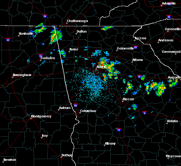 At 259 pm edt, a severe thunderstorm was located over tucker, moving east at 5 mph (radar indicated). Hazards include 60 mph wind gusts and quarter size hail. Hail damage to vehicles is expected. Expect wind damage to roofs, siding, and trees. At 259 pm edt, a severe thunderstorm was located over tucker, moving east at 5 mph (radar indicated). Hazards include 60 mph wind gusts and quarter size hail. Hail damage to vehicles is expected. Expect wind damage to roofs, siding, and trees.
|
| 4/3/2017 12:04 PM EDT |
 At 1203 pm edt, a severe thunderstorm was located over la vista, or near decatur, moving northeast at 50 mph (radar indicated). Hazards include 60 mph wind gusts. Expect damage to roofs, siding, and trees. Locations impacted include, atlanta, decatur, sandy springs, dunwoody, east point, forest park, college park, chamblee, doraville, clarkston, hapeville, avondale estates, belvedere park, north decatur, north atlanta, hartsfield-jackson airport, north druid hills, midtown, grant park-zoo atlanta and candler-mcafee. At 1203 pm edt, a severe thunderstorm was located over la vista, or near decatur, moving northeast at 50 mph (radar indicated). Hazards include 60 mph wind gusts. Expect damage to roofs, siding, and trees. Locations impacted include, atlanta, decatur, sandy springs, dunwoody, east point, forest park, college park, chamblee, doraville, clarkston, hapeville, avondale estates, belvedere park, north decatur, north atlanta, hartsfield-jackson airport, north druid hills, midtown, grant park-zoo atlanta and candler-mcafee.
|
| 4/3/2017 11:52 AM EDT |
 The severe thunderstorm warning for northwestern dekalb, central cobb, northeastern douglas and central fulton counties will expire at noon edt, the storm which prompted the warning has moved out of the area. therefore the warning will be allowed to expire. however gusty winds and heavy rain are still possible with this thunderstorm. a severe thunderstorm watch remains in effect until 500 pm edt for north central georgia. The severe thunderstorm warning for northwestern dekalb, central cobb, northeastern douglas and central fulton counties will expire at noon edt, the storm which prompted the warning has moved out of the area. therefore the warning will be allowed to expire. however gusty winds and heavy rain are still possible with this thunderstorm. a severe thunderstorm watch remains in effect until 500 pm edt for north central georgia.
|
| 4/3/2017 11:50 AM EDT |
 At 1149 am edt, a severe thunderstorm was located over sandtown, or 7 miles west of atlanta, moving northeast at 50 mph (radar indicated). Hazards include 60 mph wind gusts. expect damage to roofs, siding, and trees At 1149 am edt, a severe thunderstorm was located over sandtown, or 7 miles west of atlanta, moving northeast at 50 mph (radar indicated). Hazards include 60 mph wind gusts. expect damage to roofs, siding, and trees
|
| 4/3/2017 11:32 AM EDT |
 At 1131 am edt, a severe thunderstorm was located over austell, or 8 miles northeast of douglasville, moving northeast at 55 mph (radar indicated). Hazards include 60 mph wind gusts. expect damage to roofs, siding, and trees At 1131 am edt, a severe thunderstorm was located over austell, or 8 miles northeast of douglasville, moving northeast at 55 mph (radar indicated). Hazards include 60 mph wind gusts. expect damage to roofs, siding, and trees
|
| 3/21/2017 8:40 PM EDT |
 At 838 pm edt, severe thunderstorms were located extending from near milton to sandy plains to near eubank lake to near piedmont, moving southeast at 40 mph (radar indicated, plus multiple reports of downed trees and powerlines due to the very strong winds). Hazards include 60 mph wind gusts and penny size hail. expect damage to roofs, siding, and trees At 838 pm edt, severe thunderstorms were located extending from near milton to sandy plains to near eubank lake to near piedmont, moving southeast at 40 mph (radar indicated, plus multiple reports of downed trees and powerlines due to the very strong winds). Hazards include 60 mph wind gusts and penny size hail. expect damage to roofs, siding, and trees
|
| 3/21/2017 8:14 PM EDT |
 At 812 pm edt, severe thunderstorms were located extending from near hightower to near canton to near taylorsville to near forney, moving southeast at 50 mph (radar indicated, plus multiple reports of very strong winds knocking down trees and powerlines across northwest georgia). Hazards include 60 mph wind gusts and nickel size hail. expect damage to roofs, siding, and trees At 812 pm edt, severe thunderstorms were located extending from near hightower to near canton to near taylorsville to near forney, moving southeast at 50 mph (radar indicated, plus multiple reports of very strong winds knocking down trees and powerlines across northwest georgia). Hazards include 60 mph wind gusts and nickel size hail. expect damage to roofs, siding, and trees
|
| 11/30/2016 1:58 PM EST |
 At 157 pm est, severe thunderstorms were located along a line extending from near lathemtown to near milton to near mechanicsville, moving northeast at 40 mph (radar indicated). Hazards include 60 mph wind gusts. Expect damage to roofs. siding. And trees. At 157 pm est, severe thunderstorms were located along a line extending from near lathemtown to near milton to near mechanicsville, moving northeast at 40 mph (radar indicated). Hazards include 60 mph wind gusts. Expect damage to roofs. siding. And trees.
|
| 11/30/2016 1:51 PM EST |
 At 150 pm est, a confirmed tornado was located over vinings, or 7 miles north of atlanta, moving northeast at 40 mph (radar confirmed tornado). Hazards include damaging tornado. Flying debris will be dangerous to those caught without shelter. mobile homes will be damaged or destroyed. damage to roofs, windows, and vehicles will occur. tree damage is likely. Locations impacted include, atlanta, sandy springs, dunwoody, chamblee, doraville, north atlanta, tucker, chastain memorial park and brookhaven. At 150 pm est, a confirmed tornado was located over vinings, or 7 miles north of atlanta, moving northeast at 40 mph (radar confirmed tornado). Hazards include damaging tornado. Flying debris will be dangerous to those caught without shelter. mobile homes will be damaged or destroyed. damage to roofs, windows, and vehicles will occur. tree damage is likely. Locations impacted include, atlanta, sandy springs, dunwoody, chamblee, doraville, north atlanta, tucker, chastain memorial park and brookhaven.
|
| 11/30/2016 1:44 PM EST |
 At 143 pm est, a confirmed tornado was located over bolton, or near atlanta, moving northeast at 45 mph (radar confirmed tornado). Hazards include damaging tornado. Flying debris will be dangerous to those caught without shelter. mobile homes will be damaged or destroyed. damage to roofs, windows, and vehicles will occur. tree damage is likely. Locations impacted include, atlanta, decatur, sandy springs, dunwoody, chamblee, doraville, clarkston, pine lake, north atlanta, midtown, tucker, druid hills, north decatur, north druid hills, chastain memorial park, piedmont park, bolton, brookhaven, la vista and scottdale. At 143 pm est, a confirmed tornado was located over bolton, or near atlanta, moving northeast at 45 mph (radar confirmed tornado). Hazards include damaging tornado. Flying debris will be dangerous to those caught without shelter. mobile homes will be damaged or destroyed. damage to roofs, windows, and vehicles will occur. tree damage is likely. Locations impacted include, atlanta, decatur, sandy springs, dunwoody, chamblee, doraville, clarkston, pine lake, north atlanta, midtown, tucker, druid hills, north decatur, north druid hills, chastain memorial park, piedmont park, bolton, brookhaven, la vista and scottdale.
|
| 11/30/2016 1:39 PM EST |
 At 138 pm est, severe thunderstorms were located along a line extending from kennesaw state university to smyrna to near six flags over georgia, moving northeast at 45 mph (radar indicated). Hazards include 60 mph wind gusts. Expect damage to roofs. siding. and trees. locations impacted include, atlanta, marietta, sandy springs, smyrna, kennesaw, austell, fair oaks, white water park, mount bethel, vinings, kennesaw state university, jim r miller park, six flags over georgia, chastain memorial park, sandy plains, bolton, dobbins air reserve base, bankhead, mableton and atlantic station. A tornado watch remains in effect until 600 pm est for north central georgia. At 138 pm est, severe thunderstorms were located along a line extending from kennesaw state university to smyrna to near six flags over georgia, moving northeast at 45 mph (radar indicated). Hazards include 60 mph wind gusts. Expect damage to roofs. siding. and trees. locations impacted include, atlanta, marietta, sandy springs, smyrna, kennesaw, austell, fair oaks, white water park, mount bethel, vinings, kennesaw state university, jim r miller park, six flags over georgia, chastain memorial park, sandy plains, bolton, dobbins air reserve base, bankhead, mableton and atlantic station. A tornado watch remains in effect until 600 pm est for north central georgia.
|
| 11/30/2016 1:38 PM EST |
 At 138 pm est, a severe thunderstorm capable of producing a tornado was located over six flags over georgia, or 9 miles west of atlanta, moving east at 45 mph (radar indicated rotation). Hazards include tornado. Flying debris will be dangerous to those caught without shelter. mobile homes will be damaged or destroyed. damage to roofs, windows, and vehicles will occur. Tree damage is likely. At 138 pm est, a severe thunderstorm capable of producing a tornado was located over six flags over georgia, or 9 miles west of atlanta, moving east at 45 mph (radar indicated rotation). Hazards include tornado. Flying debris will be dangerous to those caught without shelter. mobile homes will be damaged or destroyed. damage to roofs, windows, and vehicles will occur. Tree damage is likely.
|
| 11/30/2016 1:15 PM EST |
 At 115 pm est, severe thunderstorms were located along a line extending from new georgia to near douglasville to hannah, moving northeast at 60 mph (radar indicated). Hazards include 60 mph wind gusts. Expect damage to roofs. siding. And trees. At 115 pm est, severe thunderstorms were located along a line extending from new georgia to near douglasville to hannah, moving northeast at 60 mph (radar indicated). Hazards include 60 mph wind gusts. Expect damage to roofs. siding. And trees.
|
| 7/21/2016 4:41 PM EDT |
 At 440 pm edt, a severe thunderstorm was located over north atlanta, or near decatur, moving south at 10 mph (radar indicated). Hazards include 60 mph wind gusts and penny size hail. Expect damage to roofs. siding. and trees. Other locations in the warning include but are not limited to atlanta, decatur, east point, chamblee, clarkston, stone mountain, avondale estates, pine lake, north atlanta, midtown, druid hills, north decatur, candler- mcafee, belvedere park, grant park-zoo atlanta, tucker, north druid hills, belmont, turner field and lakewood park. At 440 pm edt, a severe thunderstorm was located over north atlanta, or near decatur, moving south at 10 mph (radar indicated). Hazards include 60 mph wind gusts and penny size hail. Expect damage to roofs. siding. and trees. Other locations in the warning include but are not limited to atlanta, decatur, east point, chamblee, clarkston, stone mountain, avondale estates, pine lake, north atlanta, midtown, druid hills, north decatur, candler- mcafee, belvedere park, grant park-zoo atlanta, tucker, north druid hills, belmont, turner field and lakewood park.
|
| 7/21/2016 4:28 PM EDT |
 At 427 pm edt, a severe thunderstorm was located near berkeley lake, or 14 miles southwest of cumming, and is nearly stationary (radar indicated). Hazards include 60 mph wind gusts and penny size hail. Expect damage to roofs. siding. and trees. Other locations in the warning include but are not limited to sandy springs, roswell, johns creek, alpharetta, dunwoody, duluth, lilburn, chamblee, norcross, doraville, berkeley lake, north atlanta, tucker and mechanicsville. At 427 pm edt, a severe thunderstorm was located near berkeley lake, or 14 miles southwest of cumming, and is nearly stationary (radar indicated). Hazards include 60 mph wind gusts and penny size hail. Expect damage to roofs. siding. and trees. Other locations in the warning include but are not limited to sandy springs, roswell, johns creek, alpharetta, dunwoody, duluth, lilburn, chamblee, norcross, doraville, berkeley lake, north atlanta, tucker and mechanicsville.
|
| 7/11/2016 6:12 PM EDT |
 At 612 pm edt, severe thunderstorms were located along a line extending from 7 miles southwest of emerson to near kennesaw to near roswell, moving northeast at 20 mph (radar indicated). Hazards include 60 mph wind gusts and quarter size hail. Hail damage to vehicles is expected. expect wind damage to roofs, siding, and trees. Other locations in the warning include but are not limited to marietta, canton, cartersville, cumming, sandy springs, roswell, johns creek, alpharetta, dunwoody, milton, kennesaw, woodstock, acworth, holly springs, berkeley lake, emerson, white, waleska, braswell and buffington. At 612 pm edt, severe thunderstorms were located along a line extending from 7 miles southwest of emerson to near kennesaw to near roswell, moving northeast at 20 mph (radar indicated). Hazards include 60 mph wind gusts and quarter size hail. Hail damage to vehicles is expected. expect wind damage to roofs, siding, and trees. Other locations in the warning include but are not limited to marietta, canton, cartersville, cumming, sandy springs, roswell, johns creek, alpharetta, dunwoody, milton, kennesaw, woodstock, acworth, holly springs, berkeley lake, emerson, white, waleska, braswell and buffington.
|
| 7/6/2016 12:47 PM EDT |
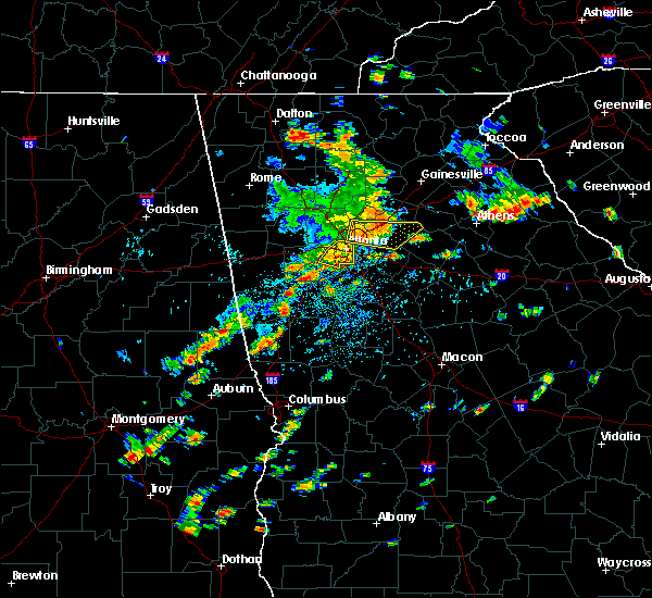 At 1247 pm edt, a severe thunderstorm was located over tucker, or 8 miles northeast of decatur, moving east at 40 mph (radar indicated). Hazards include 60 mph wind gusts. Expect damage to roofs. siding. and trees. other locations in the warning include but are not limited to atlanta, lawrenceville, sandy springs, roswell, dunwoody, duluth, snellville, lilburn, loganville, chamblee, norcross, doraville. Clarkston, stone mountain, dacula, grayson, berkeley lake, pine lake, north atlanta and north decatur. At 1247 pm edt, a severe thunderstorm was located over tucker, or 8 miles northeast of decatur, moving east at 40 mph (radar indicated). Hazards include 60 mph wind gusts. Expect damage to roofs. siding. and trees. other locations in the warning include but are not limited to atlanta, lawrenceville, sandy springs, roswell, dunwoody, duluth, snellville, lilburn, loganville, chamblee, norcross, doraville. Clarkston, stone mountain, dacula, grayson, berkeley lake, pine lake, north atlanta and north decatur.
|
| 7/6/2016 12:35 PM EDT |
 At 1235 pm edt, a severe thunderstorm was located over north atlanta, or 8 miles northwest of decatur, moving east at 40 mph (radar indicated). Hazards include 60 mph wind gusts. Expect damage to roofs. siding. and trees. Other locations in the warning include but are not limited to atlanta, lawrenceville, sandy springs, roswell, dunwoody, duluth, snellville, lilburn, loganville, chamblee, norcross, doraville , clarkston, stone mountain, dacula, grayson, berkeley lake, pine lake, north atlanta and tucker. At 1235 pm edt, a severe thunderstorm was located over north atlanta, or 8 miles northwest of decatur, moving east at 40 mph (radar indicated). Hazards include 60 mph wind gusts. Expect damage to roofs. siding. and trees. Other locations in the warning include but are not limited to atlanta, lawrenceville, sandy springs, roswell, dunwoody, duluth, snellville, lilburn, loganville, chamblee, norcross, doraville , clarkston, stone mountain, dacula, grayson, berkeley lake, pine lake, north atlanta and tucker.
|
| 4/30/2016 6:31 PM EDT |
 At 631 pm edt, a severe thunderstorm was located near atlanta, moving north at 25 mph (radar indicated). Hazards include 60 mph wind gusts and quarter size hail. Hail damage to vehicles is expected. expect wind damage to roofs, siding, and trees. Other locations in the warning include but are not limited to atlanta, marietta, sandy springs, smyrna, chamblee, north atlanta, midtown, fair oaks, grant park-zoo atlanta, north druid hills, druid hills, vinings, turner field, dobbins air reserve base, sweet auburn, brookhaven, la vista, atlantic station, west end and cascade heights. At 631 pm edt, a severe thunderstorm was located near atlanta, moving north at 25 mph (radar indicated). Hazards include 60 mph wind gusts and quarter size hail. Hail damage to vehicles is expected. expect wind damage to roofs, siding, and trees. Other locations in the warning include but are not limited to atlanta, marietta, sandy springs, smyrna, chamblee, north atlanta, midtown, fair oaks, grant park-zoo atlanta, north druid hills, druid hills, vinings, turner field, dobbins air reserve base, sweet auburn, brookhaven, la vista, atlantic station, west end and cascade heights.
|
| 4/7/2016 12:11 AM EDT |
 At 1211 am edt, severe thunderstorms were located along a line extending from doraville to near candler-mcafee to near peachtree city, moving east at 50 mph (radar indicated). Hazards include 60 mph wind gusts. Expect damage to roofs. siding. and trees. Other locations in the warning include but are not limited to atlanta, newnan, decatur, fayetteville, jonesboro, sandy springs, dunwoody, peachtree city, east point, stockbridge, union city, forest park, snellville, riverdale, college park, fairburn, lilburn, chamblee, norcross and doraville. At 1211 am edt, severe thunderstorms were located along a line extending from doraville to near candler-mcafee to near peachtree city, moving east at 50 mph (radar indicated). Hazards include 60 mph wind gusts. Expect damage to roofs. siding. and trees. Other locations in the warning include but are not limited to atlanta, newnan, decatur, fayetteville, jonesboro, sandy springs, dunwoody, peachtree city, east point, stockbridge, union city, forest park, snellville, riverdale, college park, fairburn, lilburn, chamblee, norcross and doraville.
|
| 4/6/2016 11:41 PM EDT |
 At 1141 pm edt, severe thunderstorms were located along a line extending from near marietta to near lithia springs to near newnan, moving east at 50 mph (radar indicated). Hazards include 60 mph wind gusts and quarter size hail. Hail damage to vehicles is expected. expect wind damage to roofs, siding, and trees. Other locations in the warning include but are not limited to atlanta, marietta, newnan, douglasville, decatur, fayetteville, jonesboro, sandy springs, smyrna, dunwoody, peachtree city, east point, stockbridge, union city, forest park, snellville, riverdale, college park, powder springs and fairburn. At 1141 pm edt, severe thunderstorms were located along a line extending from near marietta to near lithia springs to near newnan, moving east at 50 mph (radar indicated). Hazards include 60 mph wind gusts and quarter size hail. Hail damage to vehicles is expected. expect wind damage to roofs, siding, and trees. Other locations in the warning include but are not limited to atlanta, marietta, newnan, douglasville, decatur, fayetteville, jonesboro, sandy springs, smyrna, dunwoody, peachtree city, east point, stockbridge, union city, forest park, snellville, riverdale, college park, powder springs and fairburn.
|
| 4/6/2016 10:45 PM EDT |
 At 1045 pm edt, a severe thunderstorm was located over dallas, moving east at 35 mph (radar indicated. at 1030 pm quarter sized hail was reported west of dallas). Hazards include 60 mph wind gusts and quarter size hail. Hail damage to vehicles is expected. expect wind damage to roofs, siding, and trees. Other locations in the warning include but are not limited to marietta, dallas, smyrna, kennesaw, acworth, powder springs, hiram, braswell, fair oaks, white water park, due west, mount bethel, kennesaw state university, jim r miller park, sweat mountain, new hope, sandy plains, lost mountain park, dobbins air reserve base and burnt hickory ridge. At 1045 pm edt, a severe thunderstorm was located over dallas, moving east at 35 mph (radar indicated. at 1030 pm quarter sized hail was reported west of dallas). Hazards include 60 mph wind gusts and quarter size hail. Hail damage to vehicles is expected. expect wind damage to roofs, siding, and trees. Other locations in the warning include but are not limited to marietta, dallas, smyrna, kennesaw, acworth, powder springs, hiram, braswell, fair oaks, white water park, due west, mount bethel, kennesaw state university, jim r miller park, sweat mountain, new hope, sandy plains, lost mountain park, dobbins air reserve base and burnt hickory ridge.
|
| 7/14/2015 9:06 PM EDT |
 At 905 pm edt, severe thunderstorms were located extending from near milton to sandy springs, austell, douglasville and dallas, moving southeast at 45 mph (radar indicated). Hazards include 60 mph wind gusts and quarter size hail. Hail damage to vehicles is expected. expect wind damage to roofs, siding and trees. Other locations in the warning include but are not limited to atlanta, marietta, douglasville, lawrenceville, canton, cartersville, decatur, dallas, sandy springs, roswell, johns creek, alpharetta, smyrna, dunwoody, east point, milton, kennesaw, duluth, woodstock and acworth. At 905 pm edt, severe thunderstorms were located extending from near milton to sandy springs, austell, douglasville and dallas, moving southeast at 45 mph (radar indicated). Hazards include 60 mph wind gusts and quarter size hail. Hail damage to vehicles is expected. expect wind damage to roofs, siding and trees. Other locations in the warning include but are not limited to atlanta, marietta, douglasville, lawrenceville, canton, cartersville, decatur, dallas, sandy springs, roswell, johns creek, alpharetta, smyrna, dunwoody, east point, milton, kennesaw, duluth, woodstock and acworth.
|
| 7/14/2015 8:44 PM EDT |
 At 843 pm edt, severe thunderstorms were located extending from near waleska to woodstock to southwest of kennesaw to near dallas to aragon, moving southeast at 55 mph (radar indicated). Hazards include 70 mph wind gusts and quarter size hail. Hail damage to vehicles is expected. expect considerable tree damage. wind damage is also likely to mobile homes, roofs and outbuildings. Other locations in the warning include but are not limited to atlanta, marietta, douglasville, lawrenceville, canton, cartersville, decatur, dallas, buchanan, sandy springs, roswell, johns creek, alpharetta, smyrna, dunwoody, east point, milton, kennesaw, duluth and woodstock. At 843 pm edt, severe thunderstorms were located extending from near waleska to woodstock to southwest of kennesaw to near dallas to aragon, moving southeast at 55 mph (radar indicated). Hazards include 70 mph wind gusts and quarter size hail. Hail damage to vehicles is expected. expect considerable tree damage. wind damage is also likely to mobile homes, roofs and outbuildings. Other locations in the warning include but are not limited to atlanta, marietta, douglasville, lawrenceville, canton, cartersville, decatur, dallas, buchanan, sandy springs, roswell, johns creek, alpharetta, smyrna, dunwoody, east point, milton, kennesaw, duluth and woodstock.
|
| 6/26/2015 9:36 PM EDT | The severe thunderstorm warning for southwestern forsyth and northeastern fulton counties will expire at 945 pm edt, the storm which prompted the warning has weakened below severe limits, and no longer pose an immediate threat to life or property. therefore the warning will be allowed to expire. to report severe weather, contact your nearest law enforcement agency. they will relay your report to the national weather service peachtree city. |
| 6/26/2015 9:09 PM EDT | At 909 pm edt, a severe thunderstorm was located near roswell, or 15 miles east of marietta, moving northeast at 15 mph (radar indicated). Hazards include 60 mph wind gusts and quarter size hail. Hail damage to vehicles is expected. expect wind damage to roofs, siding and trees. Other locations in the warning include but are not limited to sandy springs, roswell, johns creek, alpharetta, milton, duluth and brookwood. |
| 6/24/2015 4:38 PM EDT |
 The severe thunderstorm warning for southern gwinnett and central dekalb counties will expire at 445 pm edt, the storm which prompted the warning has weakened below severe limits, therefore the severe thunderstorm warning will be allowed to expire. a flash flood warning remains in effect until 930 pm edt for much of gwinnett county. remain alert and do not drive into flooded areas. just because the rain has ended does not mean water levels will recede. a severe thunderstorm watch remains in effect until 1000 pm edt for north central georgia. The severe thunderstorm warning for southern gwinnett and central dekalb counties will expire at 445 pm edt, the storm which prompted the warning has weakened below severe limits, therefore the severe thunderstorm warning will be allowed to expire. a flash flood warning remains in effect until 930 pm edt for much of gwinnett county. remain alert and do not drive into flooded areas. just because the rain has ended does not mean water levels will recede. a severe thunderstorm watch remains in effect until 1000 pm edt for north central georgia.
|
| 6/24/2015 3:59 PM EDT |
 At 358 pm edt, a severe thunderstorm was centered over lilburn, or 7 miles southwest of lawrenceville, and moving south at 5 mph (radar indicated). Hazards include 60 mph wind gusts and quarter size hail. Hail damage to vehicles is expected. expect wind damage to roofs, siding and trees. Other locations in the warning include but are not limited to lawrenceville, dunwoody, duluth, snellville, lilburn, loganville, chamblee, norcross, doraville, clarkston, stone mountain, grayson, lithonia, berkeley lake, pine lake, tucker, north atlanta, north decatur, mountain park and belmont. At 358 pm edt, a severe thunderstorm was centered over lilburn, or 7 miles southwest of lawrenceville, and moving south at 5 mph (radar indicated). Hazards include 60 mph wind gusts and quarter size hail. Hail damage to vehicles is expected. expect wind damage to roofs, siding and trees. Other locations in the warning include but are not limited to lawrenceville, dunwoody, duluth, snellville, lilburn, loganville, chamblee, norcross, doraville, clarkston, stone mountain, grayson, lithonia, berkeley lake, pine lake, tucker, north atlanta, north decatur, mountain park and belmont.
|
| 6/24/2015 3:30 PM EDT |
 At 329 pm edt, a severe thunderstorm was located over johns creek, or 11 miles south of cumming, moving southeast at 10 mph (radar indicated). Hazards include 60 mph wind gusts and quarter size hail. Hail damage to vehicles is expected. expect wind damage to roofs, siding and trees. Other locations in the warning include but are not limited to johns creek, alpharetta, duluth, sugar hill, suwanee, berkeley lake and brookwood. At 329 pm edt, a severe thunderstorm was located over johns creek, or 11 miles south of cumming, moving southeast at 10 mph (radar indicated). Hazards include 60 mph wind gusts and quarter size hail. Hail damage to vehicles is expected. expect wind damage to roofs, siding and trees. Other locations in the warning include but are not limited to johns creek, alpharetta, duluth, sugar hill, suwanee, berkeley lake and brookwood.
|
| 6/24/2015 2:34 PM EDT |
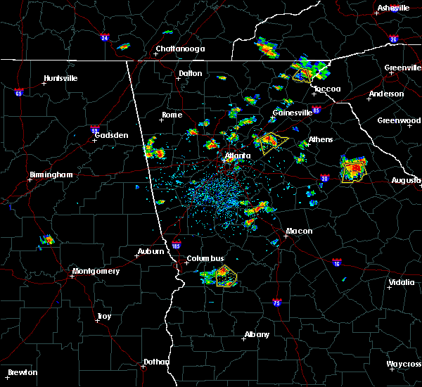 At 234 pm edt, a severe thunderstorm was located over fair oaks, or near marietta, moving south at 10 mph (radar indicated). Hazards include 60 mph wind gusts and penny size hail. Expect damage to roofs. siding and trees. Other locations in the warning include but are not limited to marietta, smyrna, powder springs, austell, fair oaks, lithia springs, dobbins air reserve base, white water park, vinings, jim r miller park, six flags over georgia and mableton. At 234 pm edt, a severe thunderstorm was located over fair oaks, or near marietta, moving south at 10 mph (radar indicated). Hazards include 60 mph wind gusts and penny size hail. Expect damage to roofs. siding and trees. Other locations in the warning include but are not limited to marietta, smyrna, powder springs, austell, fair oaks, lithia springs, dobbins air reserve base, white water park, vinings, jim r miller park, six flags over georgia and mableton.
|
| 5/26/2015 4:49 PM EDT | At 449 pm edt, severe thunderstorms were located along a line extending from near east point to near mcdonough, moving northeast at 45 mph (radar indicated). Hazards include 60 mph wind gusts and quarter size hail. Hail damage to vehicles is expected. expect wind damage to roofs, siding and trees. Other locations in the warning include but are not limited to atlanta, mcdonough, decatur, conyers, jonesboro, east point, stockbridge, union city, forest park, snellville, riverdale, college park, lilburn, chamblee, doraville, clarkston, hampton, morrow, lovejoy and hapeville. |
| 5/26/2015 4:25 PM EDT | At 424 pm edt, severe thunderstorms were located along a line extending from near tyrone to near woolsey, moving northeast at 65 mph (radar indicated). Hazards include 60 mph wind gusts and quarter size hail. Hail damage to vehicles is expected. expect wind damage to roofs, siding and trees. Other locations in the warning include but are not limited to atlanta, griffin, mcdonough, decatur, fayetteville, conyers, jonesboro, peachtree city, east point, stockbridge, union city, forest park, snellville, riverdale, college park, fairburn, lilburn, chamblee, doraville and clarkston. |
| 5/18/2015 5:04 PM EDT | At 503 pm edt, a severe thunderstorm was located near north atlanta, or 7 miles north of atlanta, moving east at 15 mph (radar indicated). Hazards include 60 mph wind gusts and quarter size hail. Hail damage to vehicles is expected. expect wind damage to roofs, siding and trees. other locations in the warning include but are not limited to atlanta, marietta, sandy springs, smyrna, dunwoody, grant park-zoo atlanta, midtown, west end, vinings, six flags over georgia, cascade heights, chastain memorial park, turner field, piedmont park, bolton, dobbins air reserve base, sweet auburn, bankhead, virginia highland and atlantic station. 1. 00in. |
| 5/18/2015 4:38 PM EDT | At 437 pm edt, a severe thunderstorm was located over smyrna, or near marietta, moving east at 15 mph (radar indicated). Hazards include 60 mph wind gusts and quarter size hail. Hail damage to vehicles is expected. expect wind damage to roofs, siding and trees. other locations in the warning include but are not limited to atlanta, marietta, sandy springs, smyrna, dunwoody, midtown, fair oaks, grant park-zoo atlanta, vinings, jim r miller park, turner field, dobbins air reserve base, sweet auburn, atlantic station, west end, white water park, mount bethel, six flags over georgia, cascade heights and chastain memorial park. 1. 00in. |
| 5/18/2015 4:35 PM EDT | At 434 pm edt, a severe thunderstorm was located near dobbins air reserve base, moving east at 25 mph (radar indicated). Hazards include 60 mph wind gusts and quarter size hail. Hail damage to vehicles is expected. expect wind damage to roofs, siding and trees. other locations in the warning include but are not limited to marietta, smyrna, kennesaw, acworth, fair oaks, dobbins air reserve base, white water park, mount bethel, kennesaw state university, jim r miller park, sweat mountain, sandy plains and vinings. 1. 00in. |
| 5/18/2015 4:21 PM EDT | At 421 pm edt, a severe thunderstorm was located over marietta, moving east at 25 mph (radar indicated). Hazards include 60 mph wind gusts and quarter size hail. Hail damage to vehicles is expected. expect wind damage to roofs, siding and trees. other locations in the warning include but are not limited to marietta, smyrna, kennesaw, acworth, fair oaks, dobbins air reserve base, white water park, mount bethel, kennesaw state university, jim r miller park, sweat mountain, sandy plains and vinings. 1. 00in. |
| 4/20/2015 2:28 PM EDT | At 228 pm edt, a severe thunderstorm capable of producing a tornado was located near alpharetta, or 15 miles southwest of cumming, moving east at 35 mph (radar indicated rotation). Hazards include tornado and golf ball size hail. Flying debris will be dangerous to those caught without shelter. mobile homes will be damaged or destroyed. damage to roofs, windows and vehicles will occur. tree damage is likely. other locations in the warning include but are not limited to lawrenceville, sandy springs, roswell, johns creek, alpharetta, dunwoody, duluth, sugar hill, suwanee, buford, norcross, berkeley lake, brookwood and hog mountain. Radar indicated. |
| 4/20/2015 2:26 PM EDT | Tree down on the roadway at spaulding drive and ball creek way in fulton county GA, 3 miles SW of Sandy Springs, GA |
| 4/20/2015 2:21 PM EDT | At 220 pm edt, a severe thunderstorm capable of producing a tornado was located over roswell, or 11 miles east of marietta, moving east at 35 mph (radar indicated rotation). Hazards include tornado and quarter size hail. Flying debris will be dangerous to those caught without shelter. mobile homes will be damaged or destroyed. damage to roofs, windows and vehicles will occur. tree damage is likely. other locations in the warning include but are not limited to lawrenceville, sandy springs, roswell, johns creek, alpharetta, dunwoody, duluth, sugar hill, suwanee, buford, lilburn, chamblee, norcross, doraville, berkeley lake, mount bethel, brookwood, hog mountain and mechanicsville. Radar indicated. |
| 4/20/2015 2:18 PM EDT | Tree down in north sandy springs in fulton county GA, 1.8 miles NE of Sandy Springs, GA |
| 4/20/2015 2:07 PM EDT | At 207 pm edt, a severe thunderstorm capable of producing a tornado was located over marietta, moving east at 35 mph (radar indicated rotation). Hazards include tornado and quarter size hail. Flying debris will be dangerous to those caught without shelter. mobile homes will be damaged or destroyed. damage to roofs, windows and vehicles will occur. tree damage is likely. other locations in the warning include but are not limited to marietta, lawrenceville, sandy springs, roswell, johns creek, alpharetta, smyrna, dunwoody, duluth, sugar hill, suwanee, buford, lilburn, chamblee, norcross, doraville, berkeley lake, fair oaks, dobbins air reserve base and hog mountain. Radar indicated. |
| 4/20/2015 2:06 PM EDT | At 206 pm edt, a severe thunderstorm was located near marietta, moving east at 45 mph (radar indicated). Hazards include 60 mph wind gusts and half dollar size hail. Hail damage to vehicles is expected. expect wind damage to roofs, siding and trees. other locations in the warning include but are not limited to marietta, sandy springs, roswell, johns creek, alpharetta, dunwoody, milton, kennesaw, woodstock, berkeley lake, fair oaks, white water park, mount bethel, kennesaw state university, sweat mountain, sandy plains and birmingham. a tornado watch remains in effect until 800 pm edt for north central georgia. Possible. |
| 4/20/2015 2:03 PM EDT | At 203 pm edt, a severe thunderstorm was located over marietta, moving east at 40 mph (radar indicated). Hazards include 60 mph wind gusts and half dollar size hail. Hail damage to vehicles is expected. expect wind damage to roofs, siding and trees. other locations in the warning include but are not limited to marietta, sandy springs, roswell, johns creek, alpharetta, dunwoody, milton, kennesaw, woodstock, acworth, berkeley lake, fair oaks, white water park, due west, mount bethel, kennesaw state university, sweat mountain, sandy plains, dobbins air reserve base and birmingham. a tornado watch remains in effect until 800 pm edt for north central georgia. 1. 25in. |
| 4/20/2015 1:58 PM EDT | The national weather service in peachtree city has issued a * severe thunderstorm warning for. southeastern cherokee county in north central georgia. northeastern fulton county in north central georgia. northern cobb county in north central georgia. Until 245 pm edt. |
| 4/19/2015 9:39 AM EDT | At 938 am edt, a severe thunderstorm was located near smyrna, or 9 miles northwest of atlanta, moving northeast at 25 mph (radar indicated). Hazards include 60 mph wind gusts. Expect damage to roofs. siding and trees. other locations in the warning include but are not limited to atlanta, marietta, sandy springs, smyrna, austell, fair oaks, dobbins air reserve base, vinings, six flags over georgia, chastain memorial park, mableton and bolton. a tornado watch remains in effect until 300 pm edt for north central georgia. Possible. |
| 4/19/2015 9:21 AM EDT | At 921 am edt, a severe thunderstorm was located near lithia springs, or 7 miles east of douglasville, moving northeast at 25 mph (radar indicated). Hazards include 60 mph wind gusts. Expect damage to roofs. siding and trees. other locations in the warning include but are not limited to atlanta, marietta, douglasville, sandy springs, smyrna, austell, fair oaks, lithia springs, sweetwater creek state park, vinings, six flags over georgia, chastain memorial park, bolton, dobbins air reserve base, bankhead, mableton and atlantic station. a tornado watch remains in effect until 300 pm edt for north central georgia. Possible. |
| 4/10/2015 6:07 PM EDT | The national weather service in peachtree city has issued a * severe thunderstorm warning for. southern gwinnett county in north central georgia. dekalb county in north central georgia. central fulton county in north central georgia. Until 645 pm edt. |
| 6/13/2013 7:51 PM EDT | Several large trees are down near north ridge and roswell road in fulton county GA, 1.8 miles NE of Sandy Springs, GA |
| 6/13/2013 7:50 PM EDT | Several trees are down across sandy spring in fulton county GA, 1.8 miles NE of Sandy Springs, GA |
| 5/17/2012 8:00 PM EDT | A weather channel employee reports a large tree blown down on cherokee place road. also a large tree limb or portion of a tree fell on a house on settlers court and cau in cobb county GA, 4.8 miles E of Sandy Springs, GA |
| 1/1/0001 12:00 AM | Quarter sized hail reported 1.8 miles NE of Sandy Springs, GA, public reported quarter size hail just south of sandy springs. |
| 5/26/2011 6:20 PM EDT | Public reports over 10 downed trees...some onto car in fulton county GA, 2.1 miles NNE of Sandy Springs, GA |
| 1/1/0001 12:00 AM | Quarter sized hail reported 2.4 miles NE of Sandy Springs, GA, chatcomm 911 reported hail about the size of quarters hitting their windows. |
| 4/15/2011 8:08 PM EDT | Fulton county ema relayed a report of tree down across the northern and central parts of the county. also reports that a house has collapsed in the sandy springs are in fulton county GA, 1 miles ENE of Sandy Springs, GA |
Hail Maps for Sandy Springs, GA


Connect with Interactive Hail Maps