

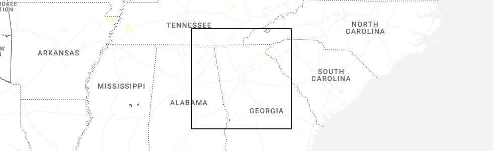
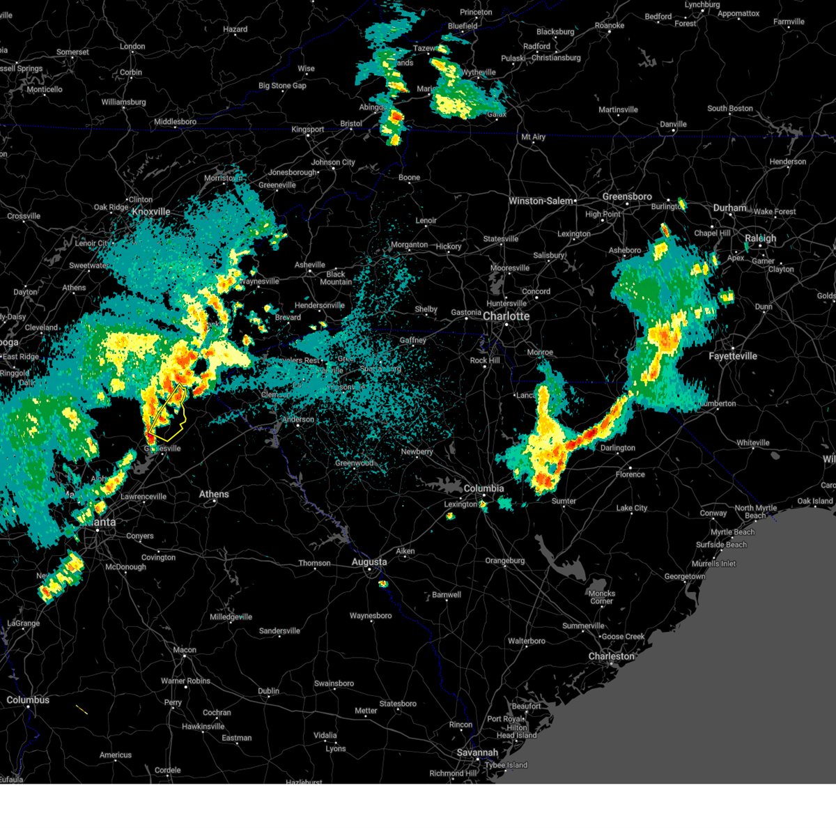
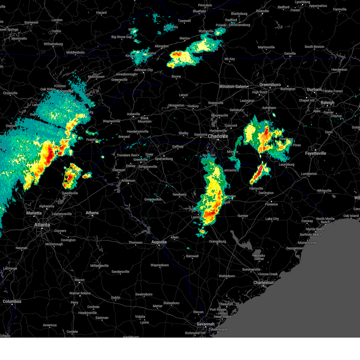
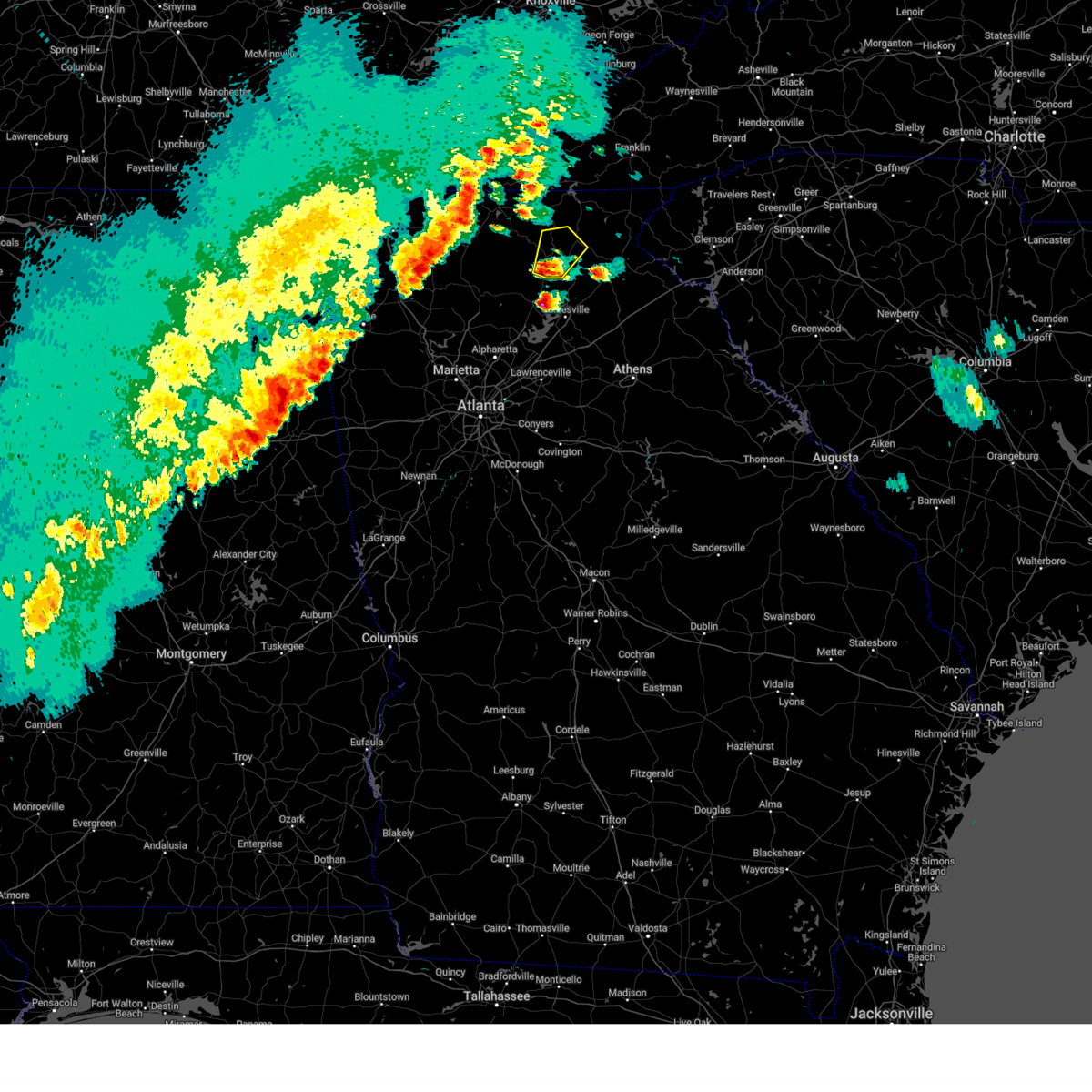
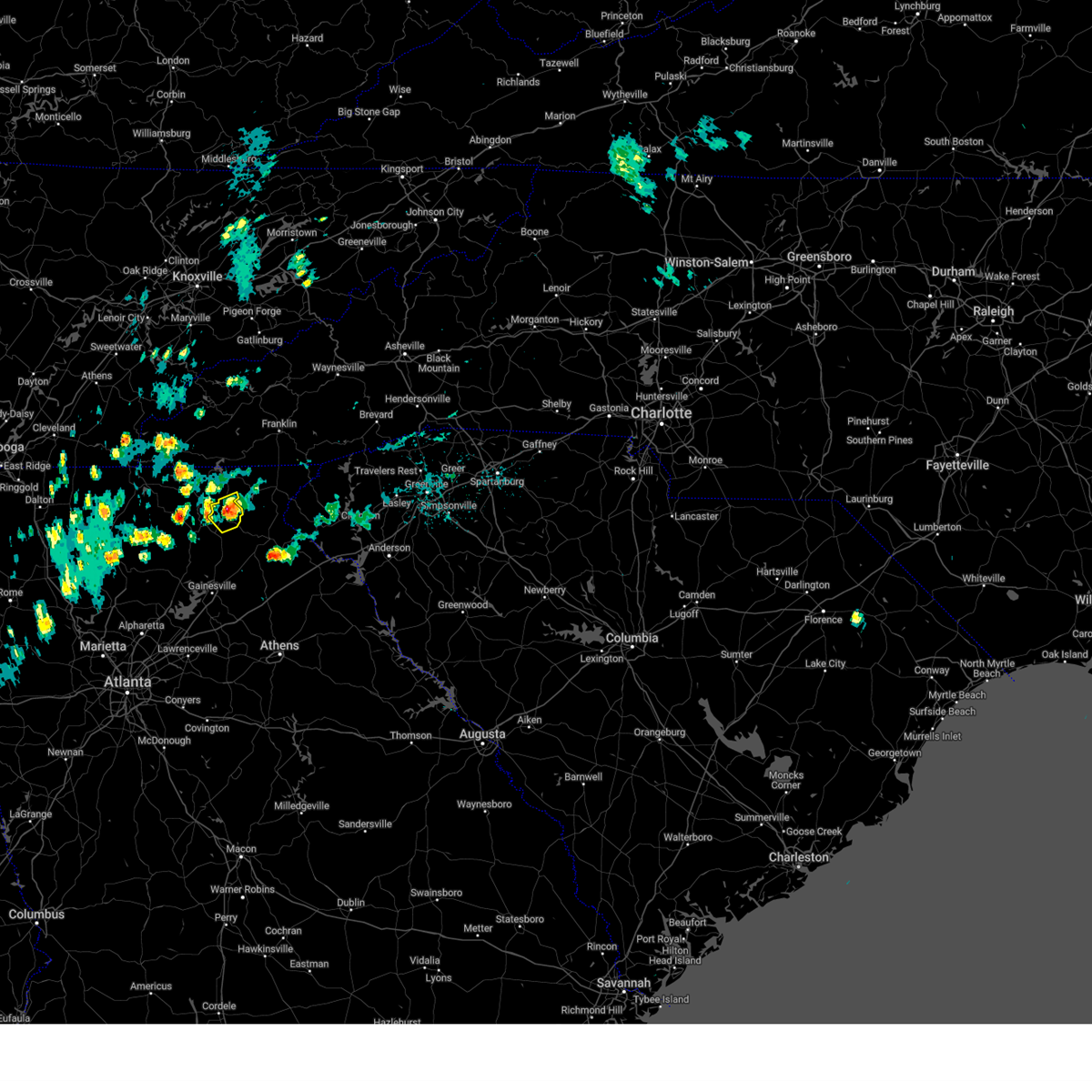
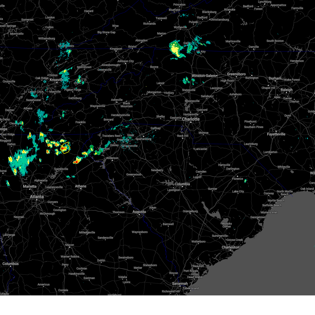
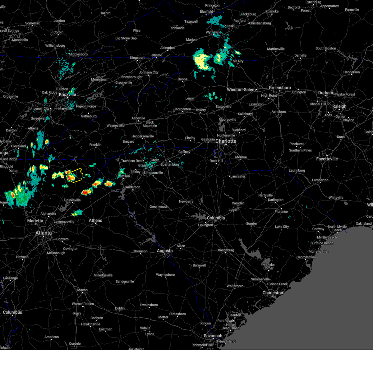
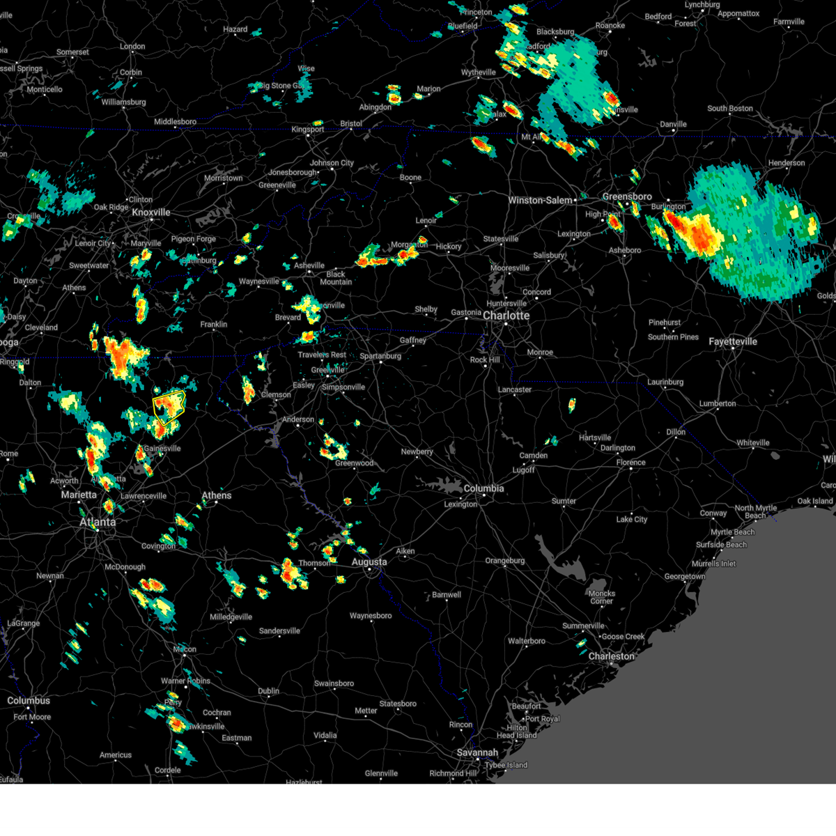
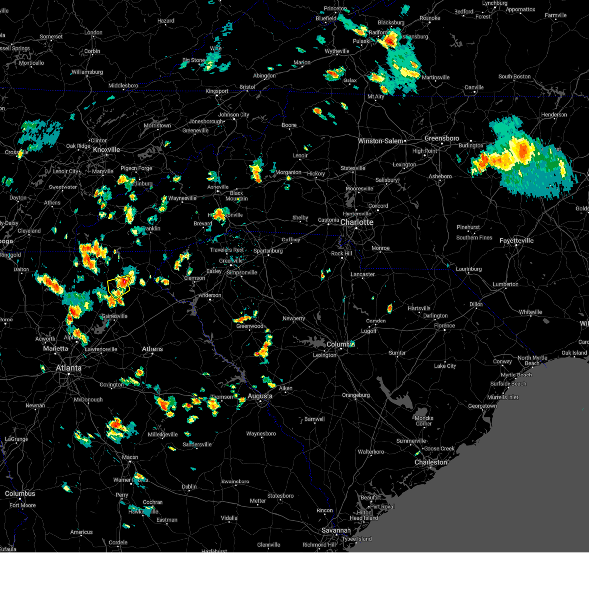
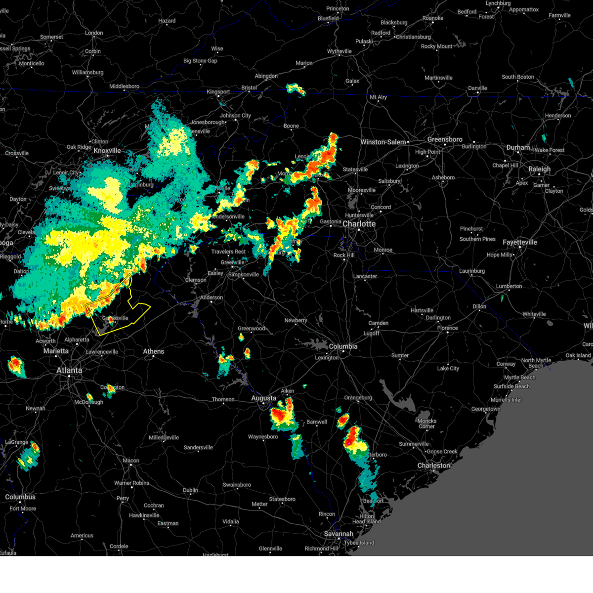
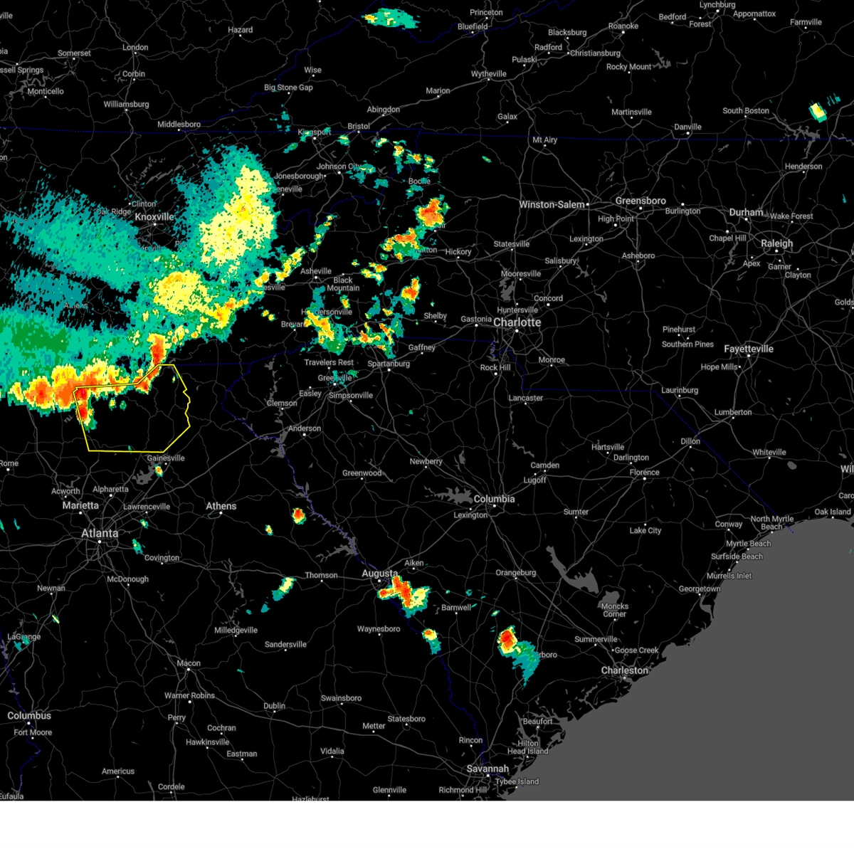
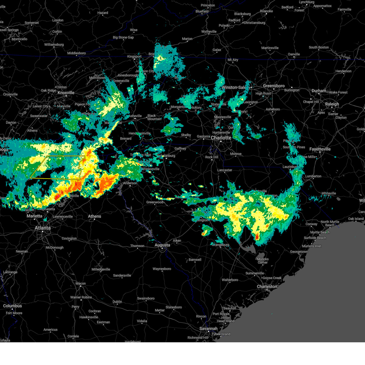
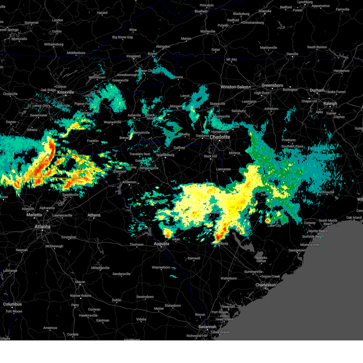
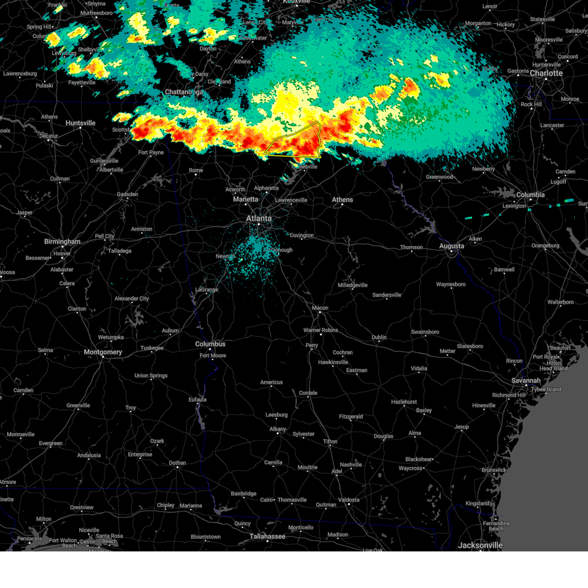
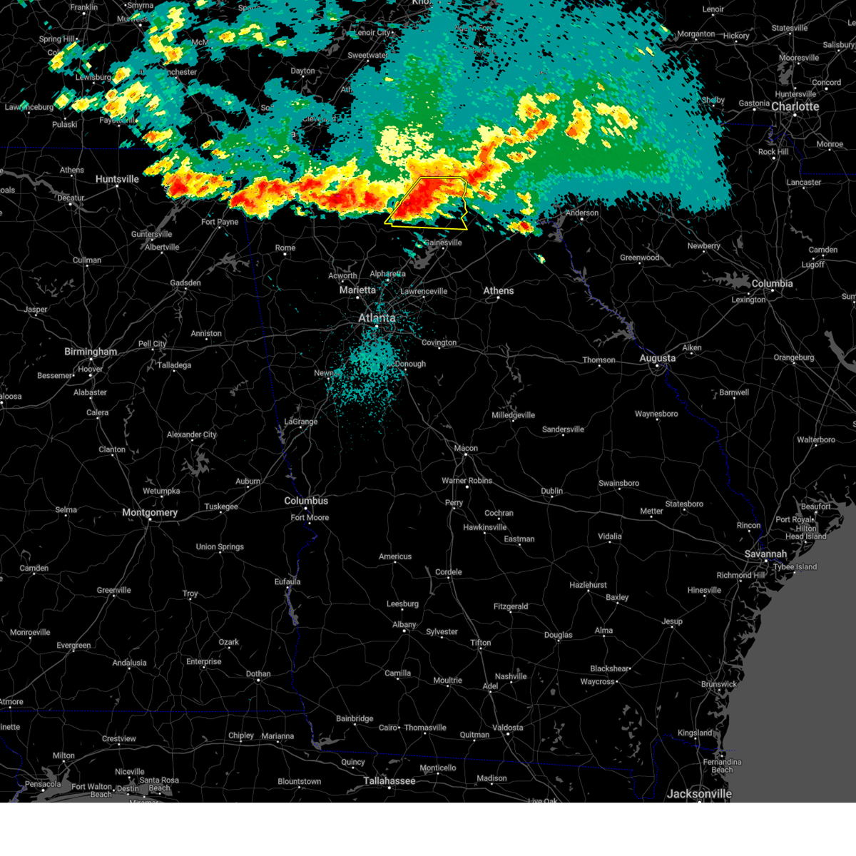
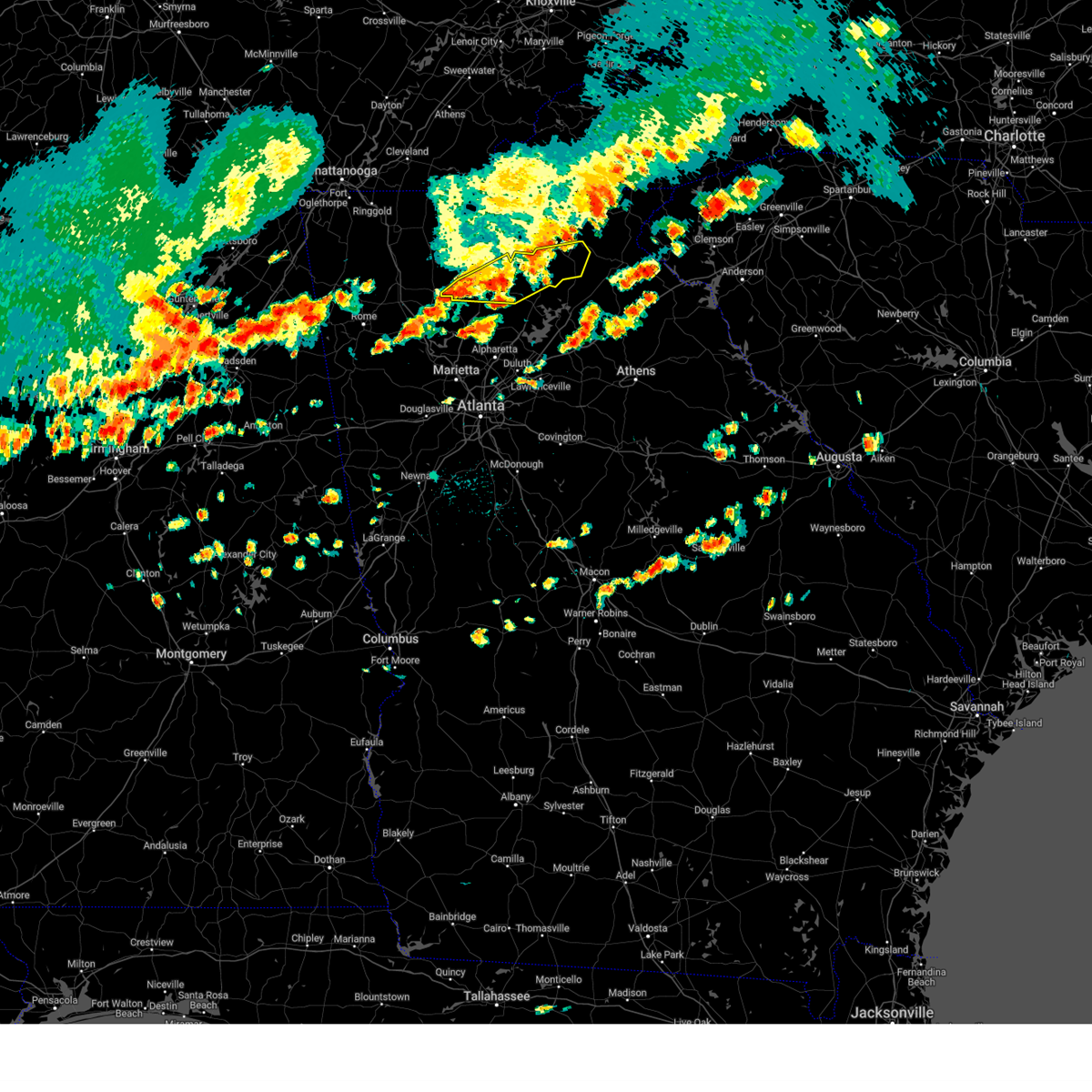
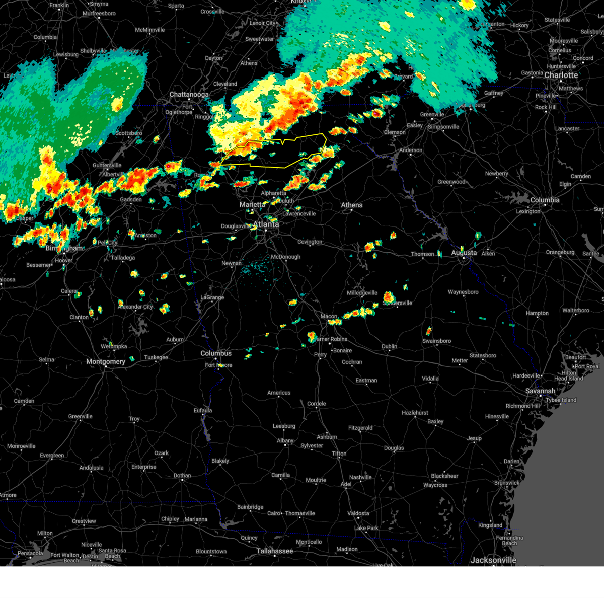
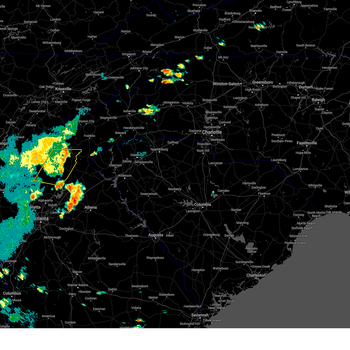
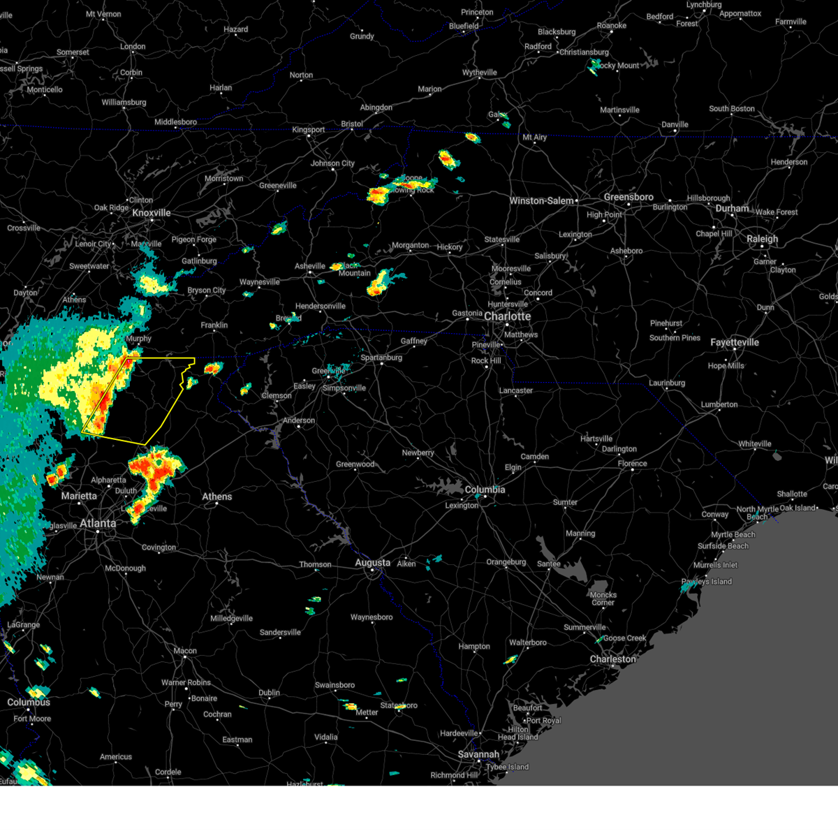
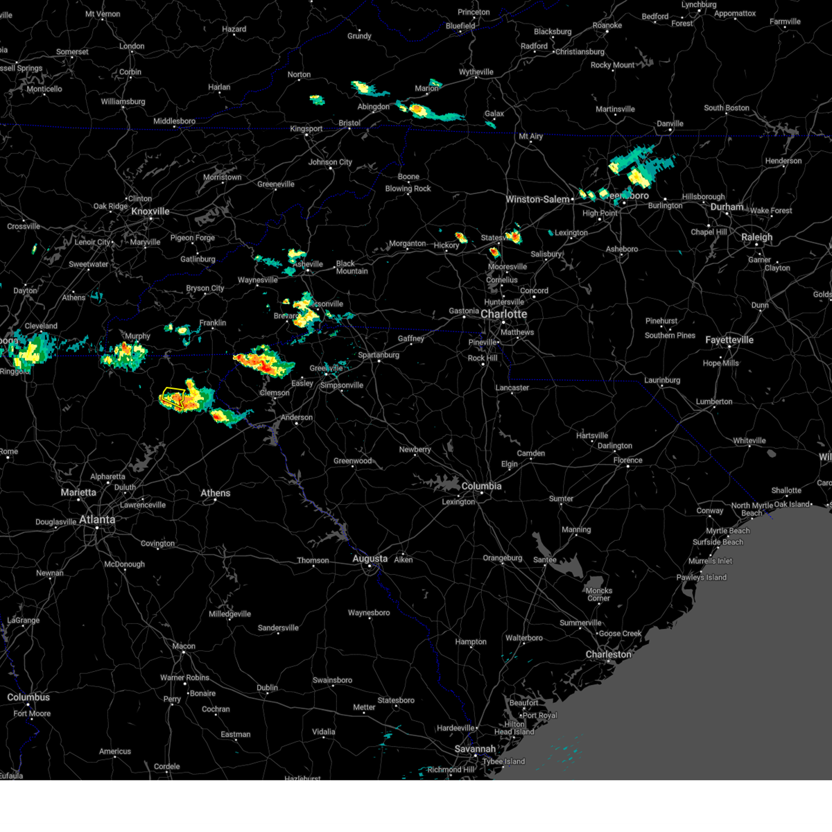
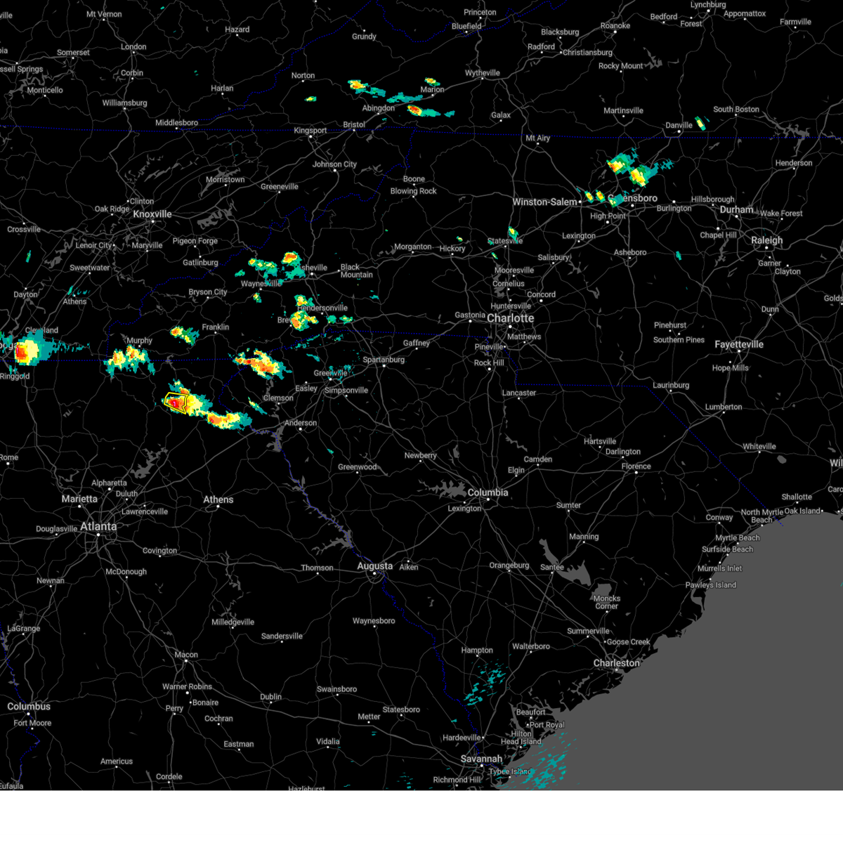
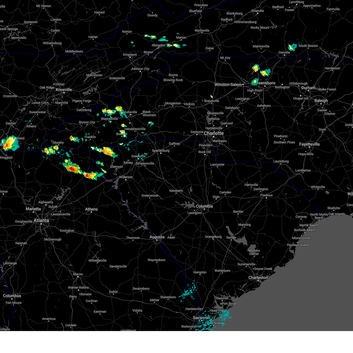
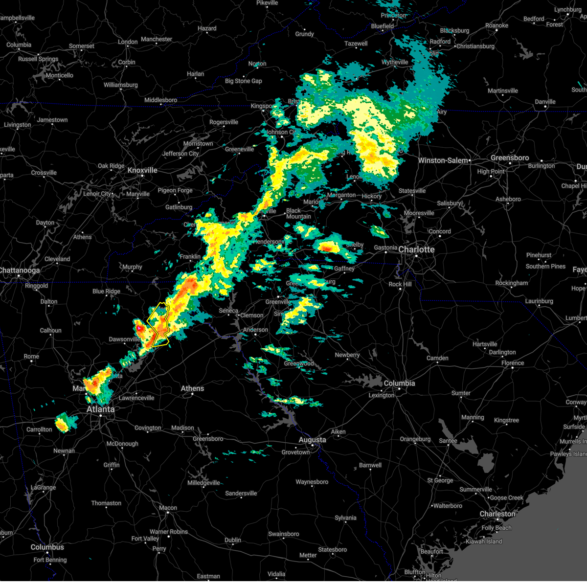
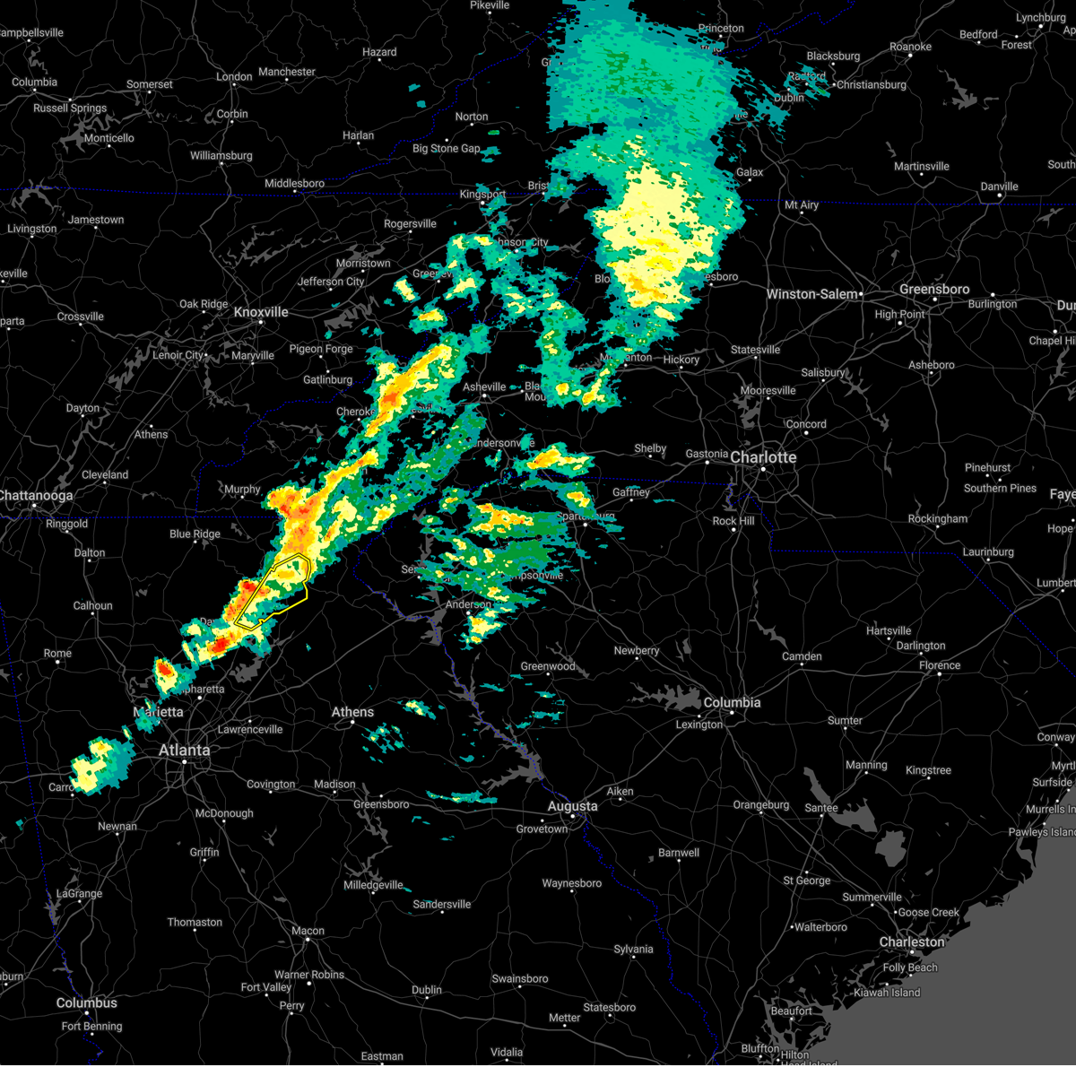
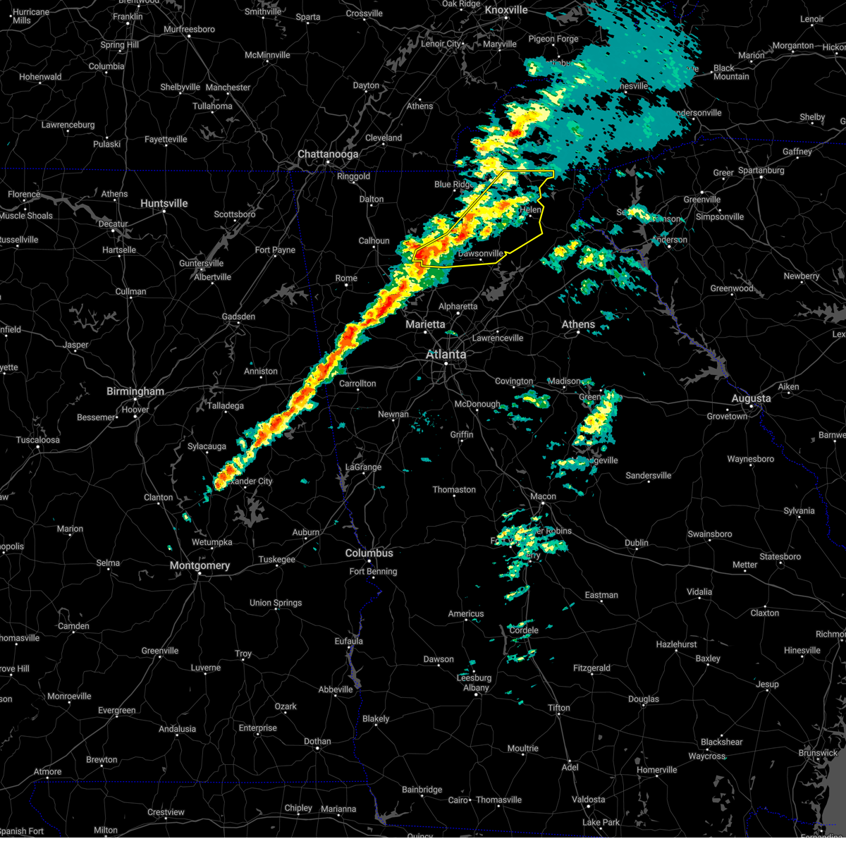
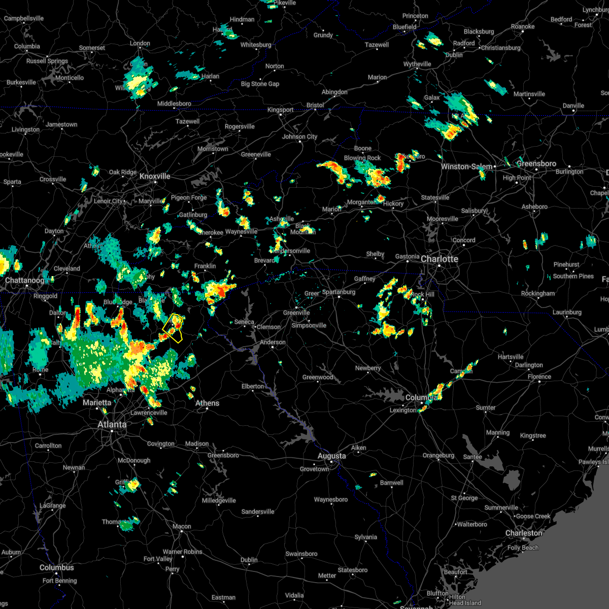
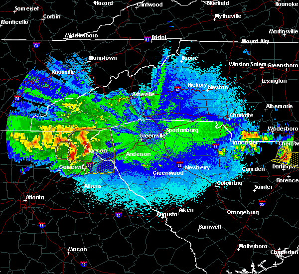
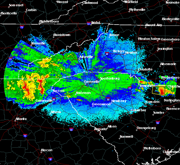
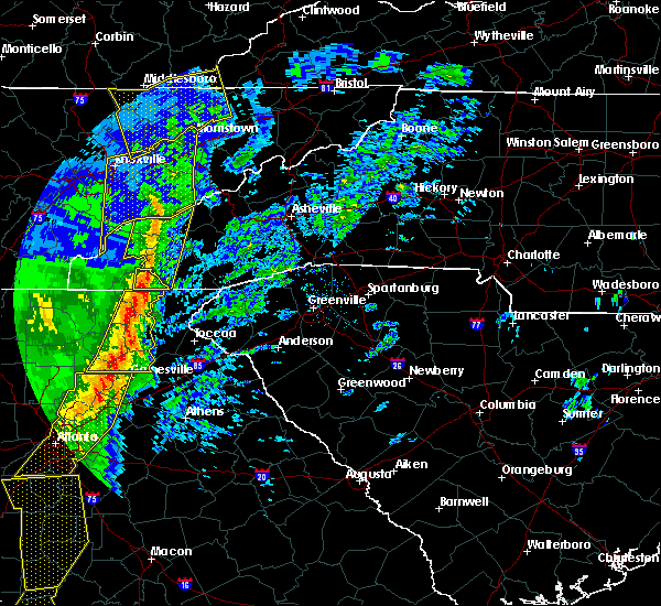
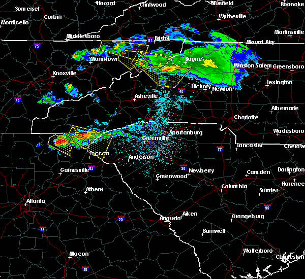
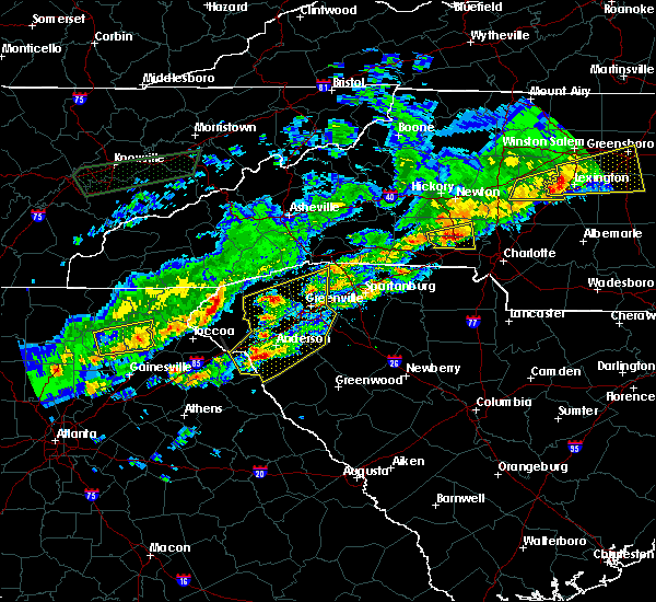
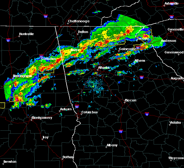
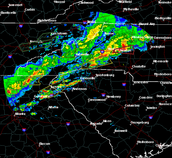
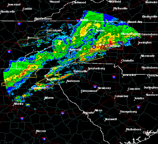
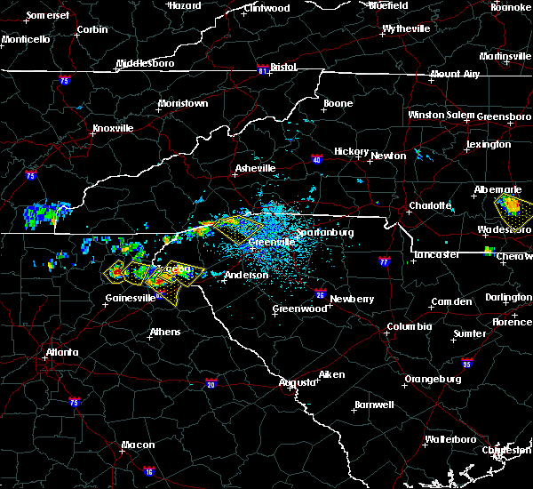
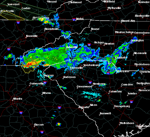
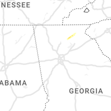
Hail Map for Sautee Nacoochee, GA
The Sautee Nacoochee, GA area has had 2 reports of on-the-ground hail by trained spotters, and has been under severe weather warnings 16 times during the past 12 months. Doppler radar has detected hail at or near Sautee Nacoochee, GA on 30 occasions, including 2 occasions during the past year.
| Name: | Sautee Nacoochee, GA |
| Where Located: | 62.7 miles W of Greenville, SC |
| Map: | Google Map for Sautee Nacoochee, GA |
| Population: | 363 |
| Housing Units: | 224 |
| More Info: | Search Google for Sautee Nacoochee, GA |
4
The Top Recent Hail Date for Sautee Nacoochee, GA is Saturday, June 28, 2025 (3rd out of 30)
Hail and Wind Damage Spotted near Sautee Nacoochee, GA
| Date / Time | Report Details |
|---|---|
| 6/17/2025 7:37 PM EDT |
 the severe thunderstorm warning has been cancelled and is no longer in effect the severe thunderstorm warning has been cancelled and is no longer in effect
|
| 6/17/2025 7:37 PM EDT |
 At 736 pm edt, severe thunderstorms were located along a line extending from near tate city to near homer, moving east at 35 mph (radar indicated). Hazards include 60 mph wind gusts. Expect damage to roofs, siding, and trees. Locations impacted include, jefferson, homer, lula, maysville, helen, gillsville, unicoi state park, robertstown, pinefield crossroads, mossy creek, anna ruby falls, leaf, smithgall woods conservation are, hollingsworth, and sautee. At 736 pm edt, severe thunderstorms were located along a line extending from near tate city to near homer, moving east at 35 mph (radar indicated). Hazards include 60 mph wind gusts. Expect damage to roofs, siding, and trees. Locations impacted include, jefferson, homer, lula, maysville, helen, gillsville, unicoi state park, robertstown, pinefield crossroads, mossy creek, anna ruby falls, leaf, smithgall woods conservation are, hollingsworth, and sautee.
|
| 6/17/2025 7:14 PM EDT |
 Svrffc the national weather service in peachtree city has issued a * severe thunderstorm warning for, central barrow county in north central georgia, banks county in northeastern georgia, white county in northeastern georgia, northeastern hall county in north central georgia, northwestern jackson county in northeastern georgia, * until 800 pm edt. * at 714 pm edt, severe thunderstorms were located along a line extending from hiawassee to gillsville, moving east at 35 mph (radar indicated). Hazards include 60 mph wind gusts. expect damage to roofs, siding, and trees Svrffc the national weather service in peachtree city has issued a * severe thunderstorm warning for, central barrow county in north central georgia, banks county in northeastern georgia, white county in northeastern georgia, northeastern hall county in north central georgia, northwestern jackson county in northeastern georgia, * until 800 pm edt. * at 714 pm edt, severe thunderstorms were located along a line extending from hiawassee to gillsville, moving east at 35 mph (radar indicated). Hazards include 60 mph wind gusts. expect damage to roofs, siding, and trees
|
| 5/2/2025 10:04 PM EDT |
 the severe thunderstorm warning has been cancelled and is no longer in effect the severe thunderstorm warning has been cancelled and is no longer in effect
|
| 5/2/2025 9:28 PM EDT |
 Svrffc the national weather service in peachtree city has issued a * severe thunderstorm warning for, southeastern lumpkin county in north central georgia, white county in northeastern georgia, northeastern hall county in north central georgia, * until 1015 pm edt. * at 927 pm edt, a severe thunderstorm was located near sautee, or near cleveland, moving northeast at 15 mph (radar indicated). Hazards include 60 mph wind gusts and penny size hail. expect damage to roofs, siding, and trees Svrffc the national weather service in peachtree city has issued a * severe thunderstorm warning for, southeastern lumpkin county in north central georgia, white county in northeastern georgia, northeastern hall county in north central georgia, * until 1015 pm edt. * at 927 pm edt, a severe thunderstorm was located near sautee, or near cleveland, moving northeast at 15 mph (radar indicated). Hazards include 60 mph wind gusts and penny size hail. expect damage to roofs, siding, and trees
|
| 5/2/2025 8:20 PM EDT |
 At 820 pm edt, a severe thunderstorm was located over turners corner, or 8 miles northwest of cleveland, moving north at 20 mph (radar indicated). Hazards include 60 mph wind gusts and quarter size hail. Hail damage to vehicles is expected. expect wind damage to roofs, siding, and trees. Locations impacted include, cleveland, helen, camp coleman lake, whitley gap shelter, robertstown, garland, smithgall woods conservation are, turners corner, qualatchee lake, and low gap shelter. At 820 pm edt, a severe thunderstorm was located over turners corner, or 8 miles northwest of cleveland, moving north at 20 mph (radar indicated). Hazards include 60 mph wind gusts and quarter size hail. Hail damage to vehicles is expected. expect wind damage to roofs, siding, and trees. Locations impacted include, cleveland, helen, camp coleman lake, whitley gap shelter, robertstown, garland, smithgall woods conservation are, turners corner, qualatchee lake, and low gap shelter.
|
| 5/2/2025 8:20 PM EDT |
 the severe thunderstorm warning has been cancelled and is no longer in effect the severe thunderstorm warning has been cancelled and is no longer in effect
|
| 5/2/2025 8:00 PM EDT |
 Svrffc the national weather service in peachtree city has issued a * severe thunderstorm warning for, northeastern lumpkin county in north central georgia, western white county in northeastern georgia, southeastern union county in north central georgia, * until 845 pm edt. * at 800 pm edt, a severe thunderstorm was located near dahlonega, moving north at 20 mph (radar indicated). Hazards include 60 mph wind gusts and quarter size hail. Hail damage to vehicles is expected. Expect wind damage to roofs, siding, and trees. Svrffc the national weather service in peachtree city has issued a * severe thunderstorm warning for, northeastern lumpkin county in north central georgia, western white county in northeastern georgia, southeastern union county in north central georgia, * until 845 pm edt. * at 800 pm edt, a severe thunderstorm was located near dahlonega, moving north at 20 mph (radar indicated). Hazards include 60 mph wind gusts and quarter size hail. Hail damage to vehicles is expected. Expect wind damage to roofs, siding, and trees.
|
| 4/25/2025 7:38 PM EDT |
 The storm which prompted the warning has weakened below severe limits, and no longer poses an immediate threat to life or property. therefore, the warning will be allowed to expire. however, small hail and gusty winds are still possible with this thunderstorm. The storm which prompted the warning has weakened below severe limits, and no longer poses an immediate threat to life or property. therefore, the warning will be allowed to expire. however, small hail and gusty winds are still possible with this thunderstorm.
|
| 4/25/2025 7:18 PM EDT |
 the severe thunderstorm warning has been cancelled and is no longer in effect the severe thunderstorm warning has been cancelled and is no longer in effect
|
| 4/25/2025 7:18 PM EDT |
 At 718 pm edt, a severe thunderstorm was located over whitley gap shelter, or 9 miles north of cleveland, moving northeast at 15 mph (radar indicated). Hazards include 60 mph wind gusts and quarter size hail. Hail damage to vehicles is expected. expect wind damage to roofs, siding, and trees. Locations impacted include, whitley gap shelter, robertstown, anna ruby falls, smithgall woods conservation are, sautee, helen, low gap shelter, unicoi state park, and batesville. At 718 pm edt, a severe thunderstorm was located over whitley gap shelter, or 9 miles north of cleveland, moving northeast at 15 mph (radar indicated). Hazards include 60 mph wind gusts and quarter size hail. Hail damage to vehicles is expected. expect wind damage to roofs, siding, and trees. Locations impacted include, whitley gap shelter, robertstown, anna ruby falls, smithgall woods conservation are, sautee, helen, low gap shelter, unicoi state park, and batesville.
|
| 4/25/2025 7:02 PM EDT |
 Svrffc the national weather service in peachtree city has issued a * severe thunderstorm warning for, south central towns county in northeastern georgia, northeastern lumpkin county in north central georgia, northern white county in northeastern georgia, east central union county in north central georgia, * until 745 pm edt. * at 702 pm edt, a severe thunderstorm was located over camp coleman lake, or 9 miles northwest of cleveland, moving northeast at 15 mph (radar indicated). Hazards include 60 mph wind gusts and quarter size hail. Hail damage to vehicles is expected. Expect wind damage to roofs, siding, and trees. Svrffc the national weather service in peachtree city has issued a * severe thunderstorm warning for, south central towns county in northeastern georgia, northeastern lumpkin county in north central georgia, northern white county in northeastern georgia, east central union county in north central georgia, * until 745 pm edt. * at 702 pm edt, a severe thunderstorm was located over camp coleman lake, or 9 miles northwest of cleveland, moving northeast at 15 mph (radar indicated). Hazards include 60 mph wind gusts and quarter size hail. Hail damage to vehicles is expected. Expect wind damage to roofs, siding, and trees.
|
| 8/30/2024 3:50 PM EDT |
 The storm which prompted the warning has weakened below severe limits, and no longer poses an immediate threat to life or property. therefore, the warning will be allowed to expire. to report severe weather, contact your nearest law enforcement agency. they will relay your report to the national weather service peachtree city. The storm which prompted the warning has weakened below severe limits, and no longer poses an immediate threat to life or property. therefore, the warning will be allowed to expire. to report severe weather, contact your nearest law enforcement agency. they will relay your report to the national weather service peachtree city.
|
| 8/30/2024 3:25 PM EDT | Em reports seven trees down in area of helen hwy and duncan bridge rd. powerlines also taken down by tree in white county GA, 2.2 miles NE of Sautee Nacoochee, GA |
| 8/30/2024 3:17 PM EDT |
 Svrffc the national weather service in peachtree city has issued a * severe thunderstorm warning for, northeastern lumpkin county in north central georgia, white county in northeastern georgia, * until 400 pm edt. * at 317 pm edt, a severe thunderstorm was located near sautee, or near cleveland, moving west at 10 mph (radar indicated). Hazards include 60 mph wind gusts and penny size hail. expect damage to roofs, siding, and trees Svrffc the national weather service in peachtree city has issued a * severe thunderstorm warning for, northeastern lumpkin county in north central georgia, white county in northeastern georgia, * until 400 pm edt. * at 317 pm edt, a severe thunderstorm was located near sautee, or near cleveland, moving west at 10 mph (radar indicated). Hazards include 60 mph wind gusts and penny size hail. expect damage to roofs, siding, and trees
|
| 7/30/2024 7:39 PM EDT |
 Svrffc the national weather service in peachtree city has issued a * severe thunderstorm warning for, northeastern forsyth county in north central georgia, southern lumpkin county in north central georgia, northwestern banks county in northeastern georgia, white county in northeastern georgia, southeastern dawson county in north central georgia, hall county in north central georgia, * until 830 pm edt. * at 739 pm edt, severe thunderstorms were located along a line extending from sautee to near garland to dawsonville, moving southeast at 20 mph (radar indicated). Hazards include 60 mph wind gusts and quarter size hail. Hail damage to vehicles is expected. Expect wind damage to roofs, siding, and trees. Svrffc the national weather service in peachtree city has issued a * severe thunderstorm warning for, northeastern forsyth county in north central georgia, southern lumpkin county in north central georgia, northwestern banks county in northeastern georgia, white county in northeastern georgia, southeastern dawson county in north central georgia, hall county in north central georgia, * until 830 pm edt. * at 739 pm edt, severe thunderstorms were located along a line extending from sautee to near garland to dawsonville, moving southeast at 20 mph (radar indicated). Hazards include 60 mph wind gusts and quarter size hail. Hail damage to vehicles is expected. Expect wind damage to roofs, siding, and trees.
|
| 7/30/2024 6:55 PM EDT |
 Svrffc the national weather service in peachtree city has issued a * severe thunderstorm warning for, towns county in northeastern georgia, lumpkin county in north central georgia, gilmer county in north central georgia, white county in northeastern georgia, dawson county in north central georgia, northwestern hall county in north central georgia, eastern pickens county in north central georgia, union county in north central georgia, southeastern fannin county in north central georgia, * until 745 pm edt. * at 655 pm edt, severe thunderstorms were located along a line extending from young harris to near woods hole shelter to near fort mountain state park, moving south at 35 mph (radar indicated). Hazards include 60 mph wind gusts and quarter size hail. Hail damage to vehicles is expected. Expect wind damage to roofs, siding, and trees. Svrffc the national weather service in peachtree city has issued a * severe thunderstorm warning for, towns county in northeastern georgia, lumpkin county in north central georgia, gilmer county in north central georgia, white county in northeastern georgia, dawson county in north central georgia, northwestern hall county in north central georgia, eastern pickens county in north central georgia, union county in north central georgia, southeastern fannin county in north central georgia, * until 745 pm edt. * at 655 pm edt, severe thunderstorms were located along a line extending from young harris to near woods hole shelter to near fort mountain state park, moving south at 35 mph (radar indicated). Hazards include 60 mph wind gusts and quarter size hail. Hail damage to vehicles is expected. Expect wind damage to roofs, siding, and trees.
|
| 5/9/2024 7:50 AM EDT |
 the severe thunderstorm warning has been cancelled and is no longer in effect the severe thunderstorm warning has been cancelled and is no longer in effect
|
| 5/9/2024 6:55 AM EDT |
 Svrffc the national weather service in peachtree city has issued a * severe thunderstorm warning for, towns county in northeastern georgia, northern lumpkin county in north central georgia, central gilmer county in north central georgia, white county in northeastern georgia, union county in north central georgia, fannin county in north central georgia, * until 800 am edt. * at 655 am edt, severe thunderstorms were located along a line extending from hot house to near carters, moving east at 55 mph (radar indicated). Hazards include 60 mph wind gusts. expect damage to roofs, siding, and trees Svrffc the national weather service in peachtree city has issued a * severe thunderstorm warning for, towns county in northeastern georgia, northern lumpkin county in north central georgia, central gilmer county in north central georgia, white county in northeastern georgia, union county in north central georgia, fannin county in north central georgia, * until 800 am edt. * at 655 am edt, severe thunderstorms were located along a line extending from hot house to near carters, moving east at 55 mph (radar indicated). Hazards include 60 mph wind gusts. expect damage to roofs, siding, and trees
|
| 5/9/2024 12:55 AM EDT |
 At 1255 am edt, severe thunderstorms were located along a line extending from near batesville to juno, moving east at 25 mph (radar indicated). Hazards include 60 mph wind gusts and quarter size hail. Hail damage to vehicles is expected. expect wind damage to roofs, siding, and trees. Locations impacted include, dahlonega, cleveland, dawsonville, clermont, helen, unicoi state park, camp merrill, whitley gap shelter, robertstown, mossy creek, juno, camp coleman lake, auraria, anna ruby falls, garland, leaf, smithgall woods conservation are, porter springs, turners corner, and nimblewill. At 1255 am edt, severe thunderstorms were located along a line extending from near batesville to juno, moving east at 25 mph (radar indicated). Hazards include 60 mph wind gusts and quarter size hail. Hail damage to vehicles is expected. expect wind damage to roofs, siding, and trees. Locations impacted include, dahlonega, cleveland, dawsonville, clermont, helen, unicoi state park, camp merrill, whitley gap shelter, robertstown, mossy creek, juno, camp coleman lake, auraria, anna ruby falls, garland, leaf, smithgall woods conservation are, porter springs, turners corner, and nimblewill.
|
| 5/9/2024 12:55 AM EDT |
 the severe thunderstorm warning has been cancelled and is no longer in effect the severe thunderstorm warning has been cancelled and is no longer in effect
|
| 5/9/2024 12:32 AM EDT |
 Svrffc the national weather service in peachtree city has issued a * severe thunderstorm warning for, lumpkin county in north central georgia, white county in northeastern georgia, northwestern dawson county in north central georgia, northeastern hall county in north central georgia, southern union county in north central georgia, * until 115 am edt. * at 1231 am edt, severe thunderstorms were located along a line extending from low gap shelter to juno, moving east at 35 mph (radar indicated). Hazards include 60 mph wind gusts and quarter size hail. Hail damage to vehicles is expected. Expect wind damage to roofs, siding, and trees. Svrffc the national weather service in peachtree city has issued a * severe thunderstorm warning for, lumpkin county in north central georgia, white county in northeastern georgia, northwestern dawson county in north central georgia, northeastern hall county in north central georgia, southern union county in north central georgia, * until 115 am edt. * at 1231 am edt, severe thunderstorms were located along a line extending from low gap shelter to juno, moving east at 35 mph (radar indicated). Hazards include 60 mph wind gusts and quarter size hail. Hail damage to vehicles is expected. Expect wind damage to roofs, siding, and trees.
|
| 8/7/2023 4:07 PM EDT | A tree was downed at duncan bridge rd at primrose d in white county GA, 3.3 miles N of Sautee Nacoochee, GA |
| 8/7/2023 4:03 PM EDT | A tree fell into the roadway on duncan bridge rd near mt. yonah elementary schoo in white county GA, 2 miles NNE of Sautee Nacoochee, GA |
| 8/7/2023 3:55 PM EDT |
 At 355 pm edt, severe thunderstorms were located along a line extending from near juno to near jasper to salacoa valley, moving east at 50 mph (radar indicated). Hazards include 60 mph wind gusts and penny size hail. Expect damage to roofs, siding, and trees. locations impacted include, dahlonega, jasper, cleveland, dawsonville, nelson, helen, talking rock, amicalola falls state park, sequoyah lake, juno, fausett lake, len foote hike inn, talmadge, tate, turners corner, qualatchee lake, mckee, camp merrill, marblehill, and camp coleman lake. hail threat, radar indicated max hail size, 0. 75 in wind threat, radar indicated max wind gust, 60 mph. At 355 pm edt, severe thunderstorms were located along a line extending from near juno to near jasper to salacoa valley, moving east at 50 mph (radar indicated). Hazards include 60 mph wind gusts and penny size hail. Expect damage to roofs, siding, and trees. locations impacted include, dahlonega, jasper, cleveland, dawsonville, nelson, helen, talking rock, amicalola falls state park, sequoyah lake, juno, fausett lake, len foote hike inn, talmadge, tate, turners corner, qualatchee lake, mckee, camp merrill, marblehill, and camp coleman lake. hail threat, radar indicated max hail size, 0. 75 in wind threat, radar indicated max wind gust, 60 mph.
|
| 8/7/2023 3:28 PM EDT |
 At 328 pm edt, severe thunderstorms were located along a line extending from cartecay to near blaine to near ranger, moving east at 50 mph (radar indicated). Hazards include 60 mph wind gusts and penny size hail. expect damage to roofs, siding, and trees At 328 pm edt, severe thunderstorms were located along a line extending from cartecay to near blaine to near ranger, moving east at 50 mph (radar indicated). Hazards include 60 mph wind gusts and penny size hail. expect damage to roofs, siding, and trees
|
| 7/2/2023 6:57 PM EDT |
 The severe thunderstorm warning for towns, lumpkin, southeastern gilmer, northwestern white, dawson, northwestern hall, northeastern pickens, union and eastern fannin counties will expire at 700 pm edt, the storms which prompted the warning have weakened below severe limits, and no longer pose an immediate threat to life or property. therefore, the warning will be allowed to expire. however gusty winds are still possible with these thunderstorms. a severe thunderstorm watch remains in effect until 900 pm edt for north central and northeastern georgia. The severe thunderstorm warning for towns, lumpkin, southeastern gilmer, northwestern white, dawson, northwestern hall, northeastern pickens, union and eastern fannin counties will expire at 700 pm edt, the storms which prompted the warning have weakened below severe limits, and no longer pose an immediate threat to life or property. therefore, the warning will be allowed to expire. however gusty winds are still possible with these thunderstorms. a severe thunderstorm watch remains in effect until 900 pm edt for north central and northeastern georgia.
|
| 7/2/2023 6:24 PM EDT |
 At 623 pm edt, severe thunderstorms were located along a line extending from gumlog to near lake tamarack, moving east at 40 mph (radar indicated). Hazards include 60 mph wind gusts and quarter size hail. Hail damage to vehicles is expected. Expect wind damage to roofs, siding, and trees. At 623 pm edt, severe thunderstorms were located along a line extending from gumlog to near lake tamarack, moving east at 40 mph (radar indicated). Hazards include 60 mph wind gusts and quarter size hail. Hail damage to vehicles is expected. Expect wind damage to roofs, siding, and trees.
|
| 6/25/2023 4:54 PM EDT |
 At 453 pm edt, severe thunderstorms were located along a line extending from near juno to mossy creek, moving southeast at 30 mph (radar indicated). Hazards include 60 mph wind gusts and penny size hail. expect damage to roofs, siding, and trees At 453 pm edt, severe thunderstorms were located along a line extending from near juno to mossy creek, moving southeast at 30 mph (radar indicated). Hazards include 60 mph wind gusts and penny size hail. expect damage to roofs, siding, and trees
|
| 6/15/2023 4:07 PM EDT |
 The severe thunderstorm warning for northeastern white county will expire at 415 pm edt, the storm which prompted the warning has weakened below severe limits, and no longer poses an immediate threat to life or property. therefore, the warning will be allowed to expire. The severe thunderstorm warning for northeastern white county will expire at 415 pm edt, the storm which prompted the warning has weakened below severe limits, and no longer poses an immediate threat to life or property. therefore, the warning will be allowed to expire.
|
| 6/15/2023 3:52 PM EDT |
 At 352 pm edt, a severe thunderstorm was located over helen, or 7 miles north of cleveland, moving east at 10 mph (public). Hazards include quarter size hail. Damage to vehicles is expected. locations impacted include, helen, unicoi state park, smithgall woods conservation are, robertstown, sautee and batesville. hail threat, observed max hail size, 1. 00 in wind threat, radar indicated max wind gust, <50 mph. At 352 pm edt, a severe thunderstorm was located over helen, or 7 miles north of cleveland, moving east at 10 mph (public). Hazards include quarter size hail. Damage to vehicles is expected. locations impacted include, helen, unicoi state park, smithgall woods conservation are, robertstown, sautee and batesville. hail threat, observed max hail size, 1. 00 in wind threat, radar indicated max wind gust, <50 mph.
|
| 6/15/2023 3:35 PM EDT |
 At 334 pm edt, a severe thunderstorm was located over robertstown, or 7 miles north of cleveland, moving east at 10 mph (radar indicated). Hazards include quarter size hail. damage to vehicles is expected At 334 pm edt, a severe thunderstorm was located over robertstown, or 7 miles north of cleveland, moving east at 10 mph (radar indicated). Hazards include quarter size hail. damage to vehicles is expected
|
| 3/3/2023 5:02 PM EST |
 At 501 pm est, a severe thunderstorm was centered near qualatchee lake, or 5 miles northwest of cleveland, moving northeast at 80 mph (radar indicated). Hazards include 60 mph wind gusts and penny size hail. Expect damage to roofs, siding, and trees. locations impacted include, cleveland, clermont, helen, unicoi state park, robertstown, anna ruby falls, leaf, mossy creek, smithgall woods conservation are, sautee, qualatchee lake and batesville. hail threat, radar indicated max hail size, 0. 75 in wind threat, radar indicated max wind gust, 60 mph. At 501 pm est, a severe thunderstorm was centered near qualatchee lake, or 5 miles northwest of cleveland, moving northeast at 80 mph (radar indicated). Hazards include 60 mph wind gusts and penny size hail. Expect damage to roofs, siding, and trees. locations impacted include, cleveland, clermont, helen, unicoi state park, robertstown, anna ruby falls, leaf, mossy creek, smithgall woods conservation are, sautee, qualatchee lake and batesville. hail threat, radar indicated max hail size, 0. 75 in wind threat, radar indicated max wind gust, 60 mph.
|
| 3/3/2023 4:55 PM EST |
 At 454 pm est, a severe thunderstorm was located near dahlonega, moving northeast at 90 mph (radar indicated). Hazards include 60 mph wind gusts and quarter size hail. Hail damage to vehicles is expected. Expect wind damage to roofs, siding, and trees. At 454 pm est, a severe thunderstorm was located near dahlonega, moving northeast at 90 mph (radar indicated). Hazards include 60 mph wind gusts and quarter size hail. Hail damage to vehicles is expected. Expect wind damage to roofs, siding, and trees.
|
| 3/3/2023 4:34 PM EST |
 At 434 pm est, severe thunderstorms were located along a line extending from camp coleman lake to auraria, moving northeast at 65 mph (radar indicated). Hazards include 60 mph wind gusts and penny size hail. expect damage to roofs, siding, and trees At 434 pm est, severe thunderstorms were located along a line extending from camp coleman lake to auraria, moving northeast at 65 mph (radar indicated). Hazards include 60 mph wind gusts and penny size hail. expect damage to roofs, siding, and trees
|
| 3/3/2023 3:52 PM EST |
 At 352 pm est, severe thunderstorms were located along a line extending from margret to amicalola falls state park to near talmadge, moving northeast at 65 mph (radar indicated). Hazards include 60 mph wind gusts and penny size hail. expect damage to roofs, siding, and trees At 352 pm est, severe thunderstorms were located along a line extending from margret to amicalola falls state park to near talmadge, moving northeast at 65 mph (radar indicated). Hazards include 60 mph wind gusts and penny size hail. expect damage to roofs, siding, and trees
|
| 8/9/2022 3:15 PM EDT | Trees reported down on top of mt yona in white county GA, 4.2 miles NNE of Sautee Nacoochee, GA |
| 8/9/2022 3:10 PM EDT |
 At 310 pm edt, a severe thunderstorm was located over sautee, or near cleveland, moving northeast at 15 mph (radar indicated). Hazards include 60 mph wind gusts and quarter size hail. Hail damage to vehicles is expected. Expect wind damage to roofs, siding, and trees. At 310 pm edt, a severe thunderstorm was located over sautee, or near cleveland, moving northeast at 15 mph (radar indicated). Hazards include 60 mph wind gusts and quarter size hail. Hail damage to vehicles is expected. Expect wind damage to roofs, siding, and trees.
|
| 5/5/2020 6:38 PM EDT |
 At 638 pm edt, a severe thunderstorm was located near sautee, or near cleveland, moving east at 40 mph (radar indicated). Hazards include 60 mph wind gusts and quarter size hail. Hail damage to vehicles is expected. Expect wind damage to roofs, siding, and trees. At 638 pm edt, a severe thunderstorm was located near sautee, or near cleveland, moving east at 40 mph (radar indicated). Hazards include 60 mph wind gusts and quarter size hail. Hail damage to vehicles is expected. Expect wind damage to roofs, siding, and trees.
|
| 5/5/2020 1:34 AM EDT |
 At 133 am edt, severe thunderstorms were located along a line extending from near lake burton to near clarkesville, moving east at 70 mph (radar indicated). Hazards include 60 mph wind gusts and quarter size hail. Hail damage to vehicles is expected. expect wind damage to roofs, siding, and trees. Locations impacted include, cleveland, helen, unicoi state park, whitley gap shelter, robertstown, mossy creek, camp coleman lake, anna ruby falls, leaf, smithgall woods conservation are, sautee, qualatchee lake and low gap shelter. At 133 am edt, severe thunderstorms were located along a line extending from near lake burton to near clarkesville, moving east at 70 mph (radar indicated). Hazards include 60 mph wind gusts and quarter size hail. Hail damage to vehicles is expected. expect wind damage to roofs, siding, and trees. Locations impacted include, cleveland, helen, unicoi state park, whitley gap shelter, robertstown, mossy creek, camp coleman lake, anna ruby falls, leaf, smithgall woods conservation are, sautee, qualatchee lake and low gap shelter.
|
| 5/5/2020 1:11 AM EDT |
 At 111 am edt, severe thunderstorms were located along a line extending from suches to dahlonega, moving east at 70 mph (radar indicated). Hazards include 60 mph wind gusts and quarter size hail. Hail damage to vehicles is expected. Expect wind damage to roofs, siding, and trees. At 111 am edt, severe thunderstorms were located along a line extending from suches to dahlonega, moving east at 70 mph (radar indicated). Hazards include 60 mph wind gusts and quarter size hail. Hail damage to vehicles is expected. Expect wind damage to roofs, siding, and trees.
|
| 4/13/2020 2:42 AM EDT |
 At 242 am edt, a severe thunderstorm was located near lula, or 8 miles northeast of gainesville, moving east at 60 mph (radar indicated). Hazards include 60 mph wind gusts. expect damage to roofs, siding, and trees At 242 am edt, a severe thunderstorm was located near lula, or 8 miles northeast of gainesville, moving east at 60 mph (radar indicated). Hazards include 60 mph wind gusts. expect damage to roofs, siding, and trees
|
| 1/11/2020 5:51 PM EST |
 At 551 pm est, severe thunderstorms were located along a line extending from titus to near war hill park, moving east at 40 mph (radar indicated). Hazards include 60 mph wind gusts. Expect damage to roofs, siding, and trees. Locations impacted include, gainesville, dahlonega, cleveland, dawsonville, hiawassee, lula, young harris, clermont, helen, unicoi state park, dougherty, robertstown, blue mountain shelter, mossy creek, titus, woods hole shelter, low gap shelter, murrayville, vogel state park and anna ruby falls. At 551 pm est, severe thunderstorms were located along a line extending from titus to near war hill park, moving east at 40 mph (radar indicated). Hazards include 60 mph wind gusts. Expect damage to roofs, siding, and trees. Locations impacted include, gainesville, dahlonega, cleveland, dawsonville, hiawassee, lula, young harris, clermont, helen, unicoi state park, dougherty, robertstown, blue mountain shelter, mossy creek, titus, woods hole shelter, low gap shelter, murrayville, vogel state park and anna ruby falls.
|
| 1/11/2020 5:27 PM EST |
 At 526 pm est, severe thunderstorms were located along a line extending from alexanders mill to near silver city, moving east at 40 mph (radar indicated). Hazards include 60 mph wind gusts. expect damage to roofs, siding, and trees At 526 pm est, severe thunderstorms were located along a line extending from alexanders mill to near silver city, moving east at 40 mph (radar indicated). Hazards include 60 mph wind gusts. expect damage to roofs, siding, and trees
|
| 8/19/2019 3:10 PM EDT |
 The national weather service in peachtree city has issued a * severe thunderstorm warning for. northeastern lumpkin county in north central georgia. central white county in northeastern georgia. until 400 pm edt. At 310 pm edt, a severe thunderstorm was located over qualatchee. The national weather service in peachtree city has issued a * severe thunderstorm warning for. northeastern lumpkin county in north central georgia. central white county in northeastern georgia. until 400 pm edt. At 310 pm edt, a severe thunderstorm was located over qualatchee.
|
| 8/19/2019 3:05 PM EDT | Tree down at hwy 255 n and sky lake rd in white county GA, 2.2 miles SW of Sautee Nacoochee, GA |
| 8/19/2019 2:52 PM EDT | Tree down at 4823 helen hwy in white county GA, 3.1 miles NE of Sautee Nacoochee, GA |
| 8/13/2019 9:59 PM EDT |
 At 959 pm edt, severe thunderstorms were located along a line extending from near amicalola falls state park to near dahlonega to smithgall woods conservation are to near mountain scene, moving southeast at 30 mph (radar indicated). Hazards include 60 mph wind gusts. expect damage to roofs, siding, and trees At 959 pm edt, severe thunderstorms were located along a line extending from near amicalola falls state park to near dahlonega to smithgall woods conservation are to near mountain scene, moving southeast at 30 mph (radar indicated). Hazards include 60 mph wind gusts. expect damage to roofs, siding, and trees
|
| 6/22/2019 1:28 AM EDT |
 At 127 am edt, severe thunderstorms were located along a line extending from sautee to near murrayville, moving southeast at 30 mph (radar indicated). Hazards include 60 mph wind gusts. Expect damage to roofs, siding, and trees. Locations impacted include, dahlonega, cleveland, helen, unicoi state park, camp merrill, whitley gap shelter, robertstown, mossy creek, camp coleman lake, auraria, anna ruby falls, leaf, garland, smithgall woods conservation are, porter springs, turners corner, nimblewill, sautee, qualatchee lake and blood mountain shelter. At 127 am edt, severe thunderstorms were located along a line extending from sautee to near murrayville, moving southeast at 30 mph (radar indicated). Hazards include 60 mph wind gusts. Expect damage to roofs, siding, and trees. Locations impacted include, dahlonega, cleveland, helen, unicoi state park, camp merrill, whitley gap shelter, robertstown, mossy creek, camp coleman lake, auraria, anna ruby falls, leaf, garland, smithgall woods conservation are, porter springs, turners corner, nimblewill, sautee, qualatchee lake and blood mountain shelter.
|
| 6/22/2019 1:13 AM EDT |
 At 113 am edt, severe thunderstorms were located along a line extending from near long creek to near auraria, moving east at 70 mph (radar indicated). Hazards include 60 mph wind gusts. Expect damage to roofs, siding, and trees. Locations impacted include, dahlonega, cleveland, helen, suches, unicoi state park, robertstown, mossy creek, woods hole shelter, cartecay, pisgah, anna ruby falls, stover creek shelter, leaf, turners corner, sautee, gaddistown, qualatchee lake, margret, camp merrill and whitley gap shelter. At 113 am edt, severe thunderstorms were located along a line extending from near long creek to near auraria, moving east at 70 mph (radar indicated). Hazards include 60 mph wind gusts. Expect damage to roofs, siding, and trees. Locations impacted include, dahlonega, cleveland, helen, suches, unicoi state park, robertstown, mossy creek, woods hole shelter, cartecay, pisgah, anna ruby falls, stover creek shelter, leaf, turners corner, sautee, gaddistown, qualatchee lake, margret, camp merrill and whitley gap shelter.
|
| 6/22/2019 12:54 AM EDT |
 At 1253 am edt, severe thunderstorms were located along a line extending from near mountain scene to jasper, moving east at 70 mph (radar indicated). Hazards include 60 mph wind gusts. expect damage to roofs, siding, and trees At 1253 am edt, severe thunderstorms were located along a line extending from near mountain scene to jasper, moving east at 70 mph (radar indicated). Hazards include 60 mph wind gusts. expect damage to roofs, siding, and trees
|
| 4/14/2019 1:26 PM EDT |
 The severe thunderstorm warning for eastern lumpkin and white counties will expire at 130 pm edt, the storm which prompted the warning has weakened below severe limits, and has exited the warned area. therefore, the warning will be allowed to expire. a tornado watch remains in effect until 200 pm edt for north central and northeastern georgia. The severe thunderstorm warning for eastern lumpkin and white counties will expire at 130 pm edt, the storm which prompted the warning has weakened below severe limits, and has exited the warned area. therefore, the warning will be allowed to expire. a tornado watch remains in effect until 200 pm edt for north central and northeastern georgia.
|
| 4/14/2019 1:04 PM EDT |
 At 104 pm edt, a severe thunderstorm was located near camp coleman lake, or near cleveland, moving northeast at 60 mph (radar indicated). Hazards include 60 mph wind gusts and penny size hail. expect damage to roofs, siding, and trees At 104 pm edt, a severe thunderstorm was located near camp coleman lake, or near cleveland, moving northeast at 60 mph (radar indicated). Hazards include 60 mph wind gusts and penny size hail. expect damage to roofs, siding, and trees
|
| 7/21/2018 3:22 AM EDT |
 At 312 am edt, severe thunderstorms were located along a line extending from near unicoi state park to smithgall woods conservation area, moving southeast at 30 mph (radar indicated). Hazards include 60 mph wind gusts. Expect damage to roofs, siding, and trees. Locations impacted include, cleveland, helen, unicoi state park, whitley gap shelter, robertstown, blue mountain shelter, woods hole shelter, low gap shelter, camp coleman lake, anna ruby falls, leaf, smithgall woods conservation are, turners corner, blood mountain shelter, sautee and qualatchee lake. At 312 am edt, severe thunderstorms were located along a line extending from near unicoi state park to smithgall woods conservation area, moving southeast at 30 mph (radar indicated). Hazards include 60 mph wind gusts. Expect damage to roofs, siding, and trees. Locations impacted include, cleveland, helen, unicoi state park, whitley gap shelter, robertstown, blue mountain shelter, woods hole shelter, low gap shelter, camp coleman lake, anna ruby falls, leaf, smithgall woods conservation are, turners corner, blood mountain shelter, sautee and qualatchee lake.
|
| 7/21/2018 3:12 AM EDT |
 At 312 am edt, severe thunderstorms were located along a line extending from near unicoi state park to smithgall woods conservation area, moving southeast at 30 mph (radar indicated). Hazards include 60 mph wind gusts. Expect damage to roofs, siding, and trees. Locations impacted include, cleveland, helen, unicoi state park, whitley gap shelter, robertstown, blue mountain shelter, woods hole shelter, low gap shelter, camp coleman lake, anna ruby falls, leaf, smithgall woods conservation are, turners corner, blood mountain shelter, sautee and qualatchee lake. At 312 am edt, severe thunderstorms were located along a line extending from near unicoi state park to smithgall woods conservation area, moving southeast at 30 mph (radar indicated). Hazards include 60 mph wind gusts. Expect damage to roofs, siding, and trees. Locations impacted include, cleveland, helen, unicoi state park, whitley gap shelter, robertstown, blue mountain shelter, woods hole shelter, low gap shelter, camp coleman lake, anna ruby falls, leaf, smithgall woods conservation are, turners corner, blood mountain shelter, sautee and qualatchee lake.
|
| 7/21/2018 2:50 AM EDT |
 At 250 am edt, severe thunderstorms were located along a line extending from young harris to near track rock to near owltown, moving southeast at 25 mph (radar indicated). Hazards include 60 mph wind gusts. expect damage to roofs, siding, and trees At 250 am edt, severe thunderstorms were located along a line extending from young harris to near track rock to near owltown, moving southeast at 25 mph (radar indicated). Hazards include 60 mph wind gusts. expect damage to roofs, siding, and trees
|
| 6/26/2018 8:36 PM EDT |
 The severe thunderstorm warning for eastern white county will expire at 845 pm edt, the storm which prompted the warning has moved out of the area. therefore, the warning will be allowed to expire. however gusty winds and heavy rain are still possible over the next hour as additional storms move through the area. to report severe weather, contact your nearest law enforcement agency. they will relay your report to the national weather service peachtree city. The severe thunderstorm warning for eastern white county will expire at 845 pm edt, the storm which prompted the warning has moved out of the area. therefore, the warning will be allowed to expire. however gusty winds and heavy rain are still possible over the next hour as additional storms move through the area. to report severe weather, contact your nearest law enforcement agency. they will relay your report to the national weather service peachtree city.
|
| 6/26/2018 8:10 PM EDT |
 At 809 pm edt, a severe thunderstorm was located over sautee, or near cleveland, moving southeast at 15 mph (radar indicated). Hazards include 60 mph wind gusts and penny size hail. expect damage to roofs, siding, and trees At 809 pm edt, a severe thunderstorm was located over sautee, or near cleveland, moving southeast at 15 mph (radar indicated). Hazards include 60 mph wind gusts and penny size hail. expect damage to roofs, siding, and trees
|
| 6/23/2018 3:31 PM EDT |
 At 330 pm edt, severe thunderstorms were located along a line extending from near nottely dam to near camp merrill, moving east at 45 mph (radar indicated). Hazards include 60 mph wind gusts. Expect damage to roofs, siding, and trees. Locations impacted include, hiawassee, blairsville, young harris, helen, suches, unicoi state park, robertstown, blue mountain shelter, gumlog, titus, woods hole shelter, low gap shelter, vogel state park, anna ruby falls, plum orchard gap shelter, turners corner, sautee, qualatchee lake, whitley gap shelter and brasstown bald. At 330 pm edt, severe thunderstorms were located along a line extending from near nottely dam to near camp merrill, moving east at 45 mph (radar indicated). Hazards include 60 mph wind gusts. Expect damage to roofs, siding, and trees. Locations impacted include, hiawassee, blairsville, young harris, helen, suches, unicoi state park, robertstown, blue mountain shelter, gumlog, titus, woods hole shelter, low gap shelter, vogel state park, anna ruby falls, plum orchard gap shelter, turners corner, sautee, qualatchee lake, whitley gap shelter and brasstown bald.
|
| 6/23/2018 3:14 PM EDT |
 At 314 pm edt, severe thunderstorms were located along a line extending from near hot house to roy, moving east at 45 mph (radar indicated). Hazards include 60 mph wind gusts. expect damage to roofs, siding, and trees At 314 pm edt, severe thunderstorms were located along a line extending from near hot house to roy, moving east at 45 mph (radar indicated). Hazards include 60 mph wind gusts. expect damage to roofs, siding, and trees
|
| 5/31/2018 4:55 PM EDT |
 At 454 pm edt, a severe thunderstorm was located over helen, or near cleveland, and is nearly stationary (radar indicated). Hazards include 60 mph wind gusts and nickel size hail. Expect damage to roofs, siding, and trees. Locations impacted include, cleveland, helen, unicoi state park, robertstown, anna ruby falls, leaf, mossy creek, smithgall woods conservation are, sautee and qualatchee lake. At 454 pm edt, a severe thunderstorm was located over helen, or near cleveland, and is nearly stationary (radar indicated). Hazards include 60 mph wind gusts and nickel size hail. Expect damage to roofs, siding, and trees. Locations impacted include, cleveland, helen, unicoi state park, robertstown, anna ruby falls, leaf, mossy creek, smithgall woods conservation are, sautee and qualatchee lake.
|
| 5/31/2018 4:36 PM EDT |
 At 436 pm edt, a severe thunderstorm was located over helen, or near cleveland, moving southeast at 10 mph (radar indicated). Hazards include 60 mph wind gusts and nickel size hail. expect damage to roofs, siding, and trees At 436 pm edt, a severe thunderstorm was located over helen, or near cleveland, moving southeast at 10 mph (radar indicated). Hazards include 60 mph wind gusts and nickel size hail. expect damage to roofs, siding, and trees
|
| 3/17/2018 9:34 PM EDT |
 At 933 pm edt, a severe thunderstorm was located over anna ruby falls, or 11 miles south of hiawassee, moving southeast at 40 mph (radar indicated). Hazards include 60 mph wind gusts and quarter size hail. Hail damage to vehicles is expected. expect wind damage to roofs, siding, and trees. Locations impacted include, helen, unicoi state park, robertstown, blue mountain shelter, anna ruby falls, mountain scene, sautee and low gap shelter. At 933 pm edt, a severe thunderstorm was located over anna ruby falls, or 11 miles south of hiawassee, moving southeast at 40 mph (radar indicated). Hazards include 60 mph wind gusts and quarter size hail. Hail damage to vehicles is expected. expect wind damage to roofs, siding, and trees. Locations impacted include, helen, unicoi state park, robertstown, blue mountain shelter, anna ruby falls, mountain scene, sautee and low gap shelter.
|
| 3/17/2018 9:23 PM EDT |
 At 923 pm edt, a severe thunderstorm was located over brasstown bald, or 8 miles southwest of hiawassee, moving southeast at 40 mph (radar indicated). Hazards include 60 mph wind gusts and quarter size hail. Hail damage to vehicles is expected. expect wind damage to roofs, siding, and trees. Locations impacted include, blairsville, young harris, helen, unicoi state park, whitley gap shelter, robertstown, blue mountain shelter, brasstown bald, mountain scene, low gap shelter, owltown, vogel state park, track rock, anna ruby falls, smithgall woods conservation are and sautee. At 923 pm edt, a severe thunderstorm was located over brasstown bald, or 8 miles southwest of hiawassee, moving southeast at 40 mph (radar indicated). Hazards include 60 mph wind gusts and quarter size hail. Hail damage to vehicles is expected. expect wind damage to roofs, siding, and trees. Locations impacted include, blairsville, young harris, helen, unicoi state park, whitley gap shelter, robertstown, blue mountain shelter, brasstown bald, mountain scene, low gap shelter, owltown, vogel state park, track rock, anna ruby falls, smithgall woods conservation are and sautee.
|
| 3/17/2018 9:10 PM EDT |
 At 909 pm edt, a severe thunderstorm was located over blairsville, moving southeast at 40 mph (radar indicated). Hazards include 60 mph wind gusts and quarter size hail. Hail damage to vehicles is expected. expect wind damage to roofs, siding, and trees. Locations impacted include, blairsville, young harris, helen, unicoi state park, hemp, whitley gap shelter, robertstown, blue mountain shelter, brasstown bald, gumlog, nottely dam, ivy log, jones creek, mountain scene, low gap shelter, owltown, vogel state park, track rock, anna ruby falls and smithgall woods conservation are. At 909 pm edt, a severe thunderstorm was located over blairsville, moving southeast at 40 mph (radar indicated). Hazards include 60 mph wind gusts and quarter size hail. Hail damage to vehicles is expected. expect wind damage to roofs, siding, and trees. Locations impacted include, blairsville, young harris, helen, unicoi state park, hemp, whitley gap shelter, robertstown, blue mountain shelter, brasstown bald, gumlog, nottely dam, ivy log, jones creek, mountain scene, low gap shelter, owltown, vogel state park, track rock, anna ruby falls and smithgall woods conservation are.
|
| 3/17/2018 8:57 PM EDT |
 At 857 pm edt, a severe thunderstorm was located over nottely dam, or 8 miles northwest of blairsville, moving southeast at 40 mph (radar indicated). Hazards include 60 mph wind gusts and quarter size hail. Hail damage to vehicles is expected. Expect wind damage to roofs, siding, and trees. At 857 pm edt, a severe thunderstorm was located over nottely dam, or 8 miles northwest of blairsville, moving southeast at 40 mph (radar indicated). Hazards include 60 mph wind gusts and quarter size hail. Hail damage to vehicles is expected. Expect wind damage to roofs, siding, and trees.
|
| 3/21/2017 8:07 PM EDT |
 At 805 pm edt, severe thunderstorms were located extending from hot house to near morganton to amicalola falls state park to near tate, moving east at 45 mph (radar indicated, plus multiple reports of damage to trees and powerlines due to very strong winds). Hazards include 60 mph wind gusts and quarter size hail. Hail damage to vehicles is expected. Expect wind damage to roofs, siding, and trees. At 805 pm edt, severe thunderstorms were located extending from hot house to near morganton to amicalola falls state park to near tate, moving east at 45 mph (radar indicated, plus multiple reports of damage to trees and powerlines due to very strong winds). Hazards include 60 mph wind gusts and quarter size hail. Hail damage to vehicles is expected. Expect wind damage to roofs, siding, and trees.
|
| 3/1/2017 6:08 PM EST |
 At 608 pm est, a severe thunderstorm was located over cleveland, moving east at 50 mph (radar indicated). Hazards include 60 mph wind gusts and quarter size hail. Hail damage to vehicles is expected. expect wind damage to roofs, siding, and trees. locations impacted include, dahlonega, cleveland, clermont, helen, mossy creek, camp coleman lake, auraria, garland, leaf, smithgall woods conservation are, porter springs, turners corner, sautee and qualatchee lake. A tornado watch remains in effect until 700 pm est for north central and northeastern georgia. At 608 pm est, a severe thunderstorm was located over cleveland, moving east at 50 mph (radar indicated). Hazards include 60 mph wind gusts and quarter size hail. Hail damage to vehicles is expected. expect wind damage to roofs, siding, and trees. locations impacted include, dahlonega, cleveland, clermont, helen, mossy creek, camp coleman lake, auraria, garland, leaf, smithgall woods conservation are, porter springs, turners corner, sautee and qualatchee lake. A tornado watch remains in effect until 700 pm est for north central and northeastern georgia.
|
| 3/1/2017 5:47 PM EST |
 At 547 pm est, a severe thunderstorm was located over nimblewill, or 7 miles west of dahlonega, moving east at 60 mph (radar indicated). Hazards include 60 mph wind gusts and quarter size hail. Hail damage to vehicles is expected. Expect wind damage to roofs, siding, and trees. At 547 pm est, a severe thunderstorm was located over nimblewill, or 7 miles west of dahlonega, moving east at 60 mph (radar indicated). Hazards include 60 mph wind gusts and quarter size hail. Hail damage to vehicles is expected. Expect wind damage to roofs, siding, and trees.
|
| 3/1/2017 5:22 PM EST |
 At 521 pm est, a severe thunderstorm was located over owltown, or near blairsville, moving east at 50 mph (radar indicated). Hazards include 60 mph wind gusts and quarter size hail. Hail damage to vehicles is expected. expect wind damage to roofs, siding, and trees. locations impacted include, hiawassee, blairsville, young harris, helen, unicoi state park, whitley gap shelter, robertstown, blue mountain shelter, brasstown bald, titus, mountain scene, woods hole shelter, low gap shelter, owltown, vogel state park, track rock, anna ruby falls, macedonia, plum orchard gap shelter and blood mountain shelter. A tornado watch remains in effect until 700 pm est for north central and northeastern georgia. At 521 pm est, a severe thunderstorm was located over owltown, or near blairsville, moving east at 50 mph (radar indicated). Hazards include 60 mph wind gusts and quarter size hail. Hail damage to vehicles is expected. expect wind damage to roofs, siding, and trees. locations impacted include, hiawassee, blairsville, young harris, helen, unicoi state park, whitley gap shelter, robertstown, blue mountain shelter, brasstown bald, titus, mountain scene, woods hole shelter, low gap shelter, owltown, vogel state park, track rock, anna ruby falls, macedonia, plum orchard gap shelter and blood mountain shelter. A tornado watch remains in effect until 700 pm est for north central and northeastern georgia.
|
| 3/1/2017 5:12 PM EST |
 At 511 pm est, a severe thunderstorm was located over jones creek, or 10 miles southwest of blairsville, moving east at 45 mph (radar indicated). Hazards include 60 mph wind gusts and quarter size hail. Hail damage to vehicles is expected. expect wind damage to roofs, siding, and trees. locations impacted include, hiawassee, blairsville, young harris, helen, unicoi state park, robertstown, blue mountain shelter, jones creek, titus, woods hole shelter, low gap shelter, vogel state park, anna ruby falls, plum orchard gap shelter, gaddistown, hemp, margret, whitley gap shelter, brasstown bald and hurst. A tornado watch remains in effect until 700 pm est for north central and northeastern georgia. At 511 pm est, a severe thunderstorm was located over jones creek, or 10 miles southwest of blairsville, moving east at 45 mph (radar indicated). Hazards include 60 mph wind gusts and quarter size hail. Hail damage to vehicles is expected. expect wind damage to roofs, siding, and trees. locations impacted include, hiawassee, blairsville, young harris, helen, unicoi state park, robertstown, blue mountain shelter, jones creek, titus, woods hole shelter, low gap shelter, vogel state park, anna ruby falls, plum orchard gap shelter, gaddistown, hemp, margret, whitley gap shelter, brasstown bald and hurst. A tornado watch remains in effect until 700 pm est for north central and northeastern georgia.
|
| 3/1/2017 4:58 PM EST |
 At 457 pm est, a severe thunderstorm was located near cherry log, or near blue ridge, moving east at 45 mph (radar indicated). Hazards include 60 mph wind gusts and quarter size hail. Hail damage to vehicles is expected. Expect wind damage to roofs, siding, and trees. At 457 pm est, a severe thunderstorm was located near cherry log, or near blue ridge, moving east at 45 mph (radar indicated). Hazards include 60 mph wind gusts and quarter size hail. Hail damage to vehicles is expected. Expect wind damage to roofs, siding, and trees.
|
| 7/8/2016 8:45 PM EDT |
 At 845 pm edt, severe thunderstorms were located along a line extending from near moccasin creek state park to near ducktown, moving southeast at 35 mph (radar indicated). Hazards include 60 mph wind gusts and quarter size hail. Hail damage to vehicles is expected. expect wind damage to roofs, siding, and trees. Other locations in the warning include but are not limited to cleveland, blue ridge, hiawassee, blairsville, young harris, helen, morganton, suches, unicoi state park, jones creek, sautee, epworth, smithgall woods conservation are, leaf, macedonia, alexanders mill, turners corner, mountain scene, low gap shelter and titus. At 845 pm edt, severe thunderstorms were located along a line extending from near moccasin creek state park to near ducktown, moving southeast at 35 mph (radar indicated). Hazards include 60 mph wind gusts and quarter size hail. Hail damage to vehicles is expected. expect wind damage to roofs, siding, and trees. Other locations in the warning include but are not limited to cleveland, blue ridge, hiawassee, blairsville, young harris, helen, morganton, suches, unicoi state park, jones creek, sautee, epworth, smithgall woods conservation are, leaf, macedonia, alexanders mill, turners corner, mountain scene, low gap shelter and titus.
|
| 5/11/2016 3:03 PM EDT |
 At 303 pm edt, a severe thunderstorm was located near cleveland, moving southeast at 20 mph (radar indicated). Hazards include 60 mph wind gusts and quarter size hail. Hail damage to vehicles is expected. expect wind damage to roofs, siding, and trees. Other locations in the warning include but are not limited to cleveland, helen, mossy creek, sautee and leaf. At 303 pm edt, a severe thunderstorm was located near cleveland, moving southeast at 20 mph (radar indicated). Hazards include 60 mph wind gusts and quarter size hail. Hail damage to vehicles is expected. expect wind damage to roofs, siding, and trees. Other locations in the warning include but are not limited to cleveland, helen, mossy creek, sautee and leaf.
|
| 7/21/2015 4:33 PM EDT | One large branch down along the 3300 block of higway 255 nort in white county GA, 2.7 miles SW of Sautee Nacoochee, GA |
| 7/14/2015 6:48 PM EDT |
 At 646 pm edt, severe thunderstorms were located extending from southwest of lake burton to near helen and suches to northwest of dahlonega and east of ellijay, moving southeast at 60 mph (radar indicated). Hazards include 60 mph wind gusts and quarter size hail. Hail damage to vehicles is expected. expect wind damage to roofs, siding and trees. Other locations in the warning include but are not limited to dahlonega, cleveland, ellijay, east ellijay, helen, unicoi state park, sautee, amicalola falls state park, mountaintown, the smithgall woods conservation area, leaf, qualatchee lake, the stover creek shelter, talona, turners corner, the black gap shelter, the len foote hike inn, mossy creek, garland and nimblewill. At 646 pm edt, severe thunderstorms were located extending from southwest of lake burton to near helen and suches to northwest of dahlonega and east of ellijay, moving southeast at 60 mph (radar indicated). Hazards include 60 mph wind gusts and quarter size hail. Hail damage to vehicles is expected. expect wind damage to roofs, siding and trees. Other locations in the warning include but are not limited to dahlonega, cleveland, ellijay, east ellijay, helen, unicoi state park, sautee, amicalola falls state park, mountaintown, the smithgall woods conservation area, leaf, qualatchee lake, the stover creek shelter, talona, turners corner, the black gap shelter, the len foote hike inn, mossy creek, garland and nimblewill.
|
| 7/14/2015 12:43 PM EDT |
 At 1242 pm edt, severe thunderstorms were located extending from near moccasin creek state park to near unicoi state park to 6 miles southeast of blairsville, moving southeast at 20 mph. although the forward speed has slowed down, the storms were just entering northern white and extreme northeast lumpking counties (radar indicated). Hazards include 60 mph wind gusts and quarter size hail. Hail damage to vehicles is expected. expect wind damage to roofs, siding and trees. Other locations in the warning include but are not limited to cleveland, helen, unicoi state park, sautee, mossy creek, garland, smithgall woods conservation are, leaf, anna ruby falls, camp coleman lake, qualatchee lake, porter springs, whitley gap shelter, turners corner, robertstown and blood mountain shelter. At 1242 pm edt, severe thunderstorms were located extending from near moccasin creek state park to near unicoi state park to 6 miles southeast of blairsville, moving southeast at 20 mph. although the forward speed has slowed down, the storms were just entering northern white and extreme northeast lumpking counties (radar indicated). Hazards include 60 mph wind gusts and quarter size hail. Hail damage to vehicles is expected. expect wind damage to roofs, siding and trees. Other locations in the warning include but are not limited to cleveland, helen, unicoi state park, sautee, mossy creek, garland, smithgall woods conservation are, leaf, anna ruby falls, camp coleman lake, qualatchee lake, porter springs, whitley gap shelter, turners corner, robertstown and blood mountain shelter.
|
| 7/14/2015 12:11 PM EDT |
 At 1211 pm edt, severe thunderstorms were located extending from 7 miles south of nantahala lake to near young harris to near blairsville, moving southeast at 35 mph (radar indicated). Hazards include 60 mph wind gusts and quarter size hail. Hail damage to vehicles is expected. expect wind damage to roofs, siding and trees. Other locations in the warning include but are not limited to cleveland, helen, unicoi state park, sautee, mossy creek, garland, smithgall woods conservation are, leaf, anna ruby falls, camp coleman lake, qualatchee lake, porter springs, whitley gap shelter, turners corner, robertstown and blood mountain shelter. At 1211 pm edt, severe thunderstorms were located extending from 7 miles south of nantahala lake to near young harris to near blairsville, moving southeast at 35 mph (radar indicated). Hazards include 60 mph wind gusts and quarter size hail. Hail damage to vehicles is expected. expect wind damage to roofs, siding and trees. Other locations in the warning include but are not limited to cleveland, helen, unicoi state park, sautee, mossy creek, garland, smithgall woods conservation are, leaf, anna ruby falls, camp coleman lake, qualatchee lake, porter springs, whitley gap shelter, turners corner, robertstown and blood mountain shelter.
|
| 6/18/2015 5:42 PM EDT | Power line down and tree blown down near batesvill in habersham county GA, 6.2 miles SW of Sautee Nacoochee, GA |
| 6/3/2015 5:26 PM EDT | Quarter sized hail reported 1.2 miles WNW of Sautee Nacoochee, GA, dime to up to quarter sized hail fell briefly in sautee. report from a hotel clerk in sautee |
| 6/3/2015 5:22 PM EDT | At 521 pm edt, a severe thunderstorm was located near helen, or 9 miles northwest of clarkesville, moving southeast at 5 mph (radar indicated). Hazards include ping pong ball size hail and 60 mph wind gusts. People and animals outdoors will be injured. expect hail damage to roofs, siding, windows and vehicles. expect wind damage to roofs, siding and trees. Other locations in the warning include but are not limited to helen, sautee and batesville. |
| 4/20/2015 1:22 PM EDT | At 122 pm edt, severe thunderstorms were located along a line extending from near demorest to 6 miles west of clermont, moving northeast at 45 mph (radar indicated). Hazards include 60 mph wind gusts and quarter size hail. Hail damage to vehicles is expected. expect wind damage to roofs, siding and trees. other locations in the warning include but are not limited to gainesville, dahlonega, cleveland, clermont, helen, unicoi state park, sautee, mossy creek, garland, smithgall woods conservation are, leaf, qualatchee lake, auraria, murrayville, robertstown and batesville. a tornado watch remains in effect until 800 pm edt for north central georgia. Possible. |
| 4/20/2015 1:04 PM EDT | At 103 pm edt, severe thunderstorms were located along a line extending from near clermont to near dawsonville, moving northeast at 45 mph (radar indicated). Hazards include 60 mph wind gusts and quarter size hail. Hail damage to vehicles is expected. expect wind damage to roofs, siding and trees. other locations in the warning include but are not limited to gainesville, dahlonega, cleveland, dawsonville, clermont, helen, unicoi state park, dougherty, sautee, mossy creek, garland, smithgall woods conservation are, leaf, qualatchee lake, auraria, murrayville, robertstown and batesville. 1. 00in. |
| 4/20/2015 1:00 PM EDT | At 1259 pm edt, severe thunderstorms were located along a line extending from near clermont to near dawsonville, moving northeast at 45 mph (radar indicated). Hazards include 60 mph wind gusts and quarter size hail. Hail damage to vehicles is expected. expect wind damage to roofs, siding and trees. other locations in the warning include but are not limited to gainesville, cumming, dahlonega, cleveland, dawsonville, clermont, helen, unicoi state park, dougherty, sautee, smithgall woods conservation are, leaf, qualatchee lake, matt, mckee, coal mountain, hollis lathem reservoir, mossy creek, garland and war hill park. 1. 00in. |
| 4/20/2015 6:57 AM EDT | At 656 am edt, a severe thunderstorm was located near cleveland, moving east at 35 mph (radar indicated). Hazards include 60 mph wind gusts and quarter size hail. Hail damage to vehicles is expected. expect wind damage to roofs, siding and trees. other locations in the warning include but are not limited to cleveland, helen, sautee, mossy creek, smithgall woods conservation are, robertstown and leaf. 1. 00in. |
| 7/25/2013 6:10 PM EDT | 1 tree down off 15838 north state hwy 19 in habersham county GA, 9 miles SW of Sautee Nacoochee, GA |
| 1/1/0001 12:00 AM | Quarter sized hail reported 4 miles SSE of Sautee Nacoochee, GA, hail the size the quarters was reported at the unicoi lodge. |
| 1/1/0001 12:00 AM | Trees down along highway 197 in batesvill in habersham county GA, 6.2 miles SW of Sautee Nacoochee, GA |
Hail Maps for Sautee Nacoochee, GA


Connect with Interactive Hail Maps