

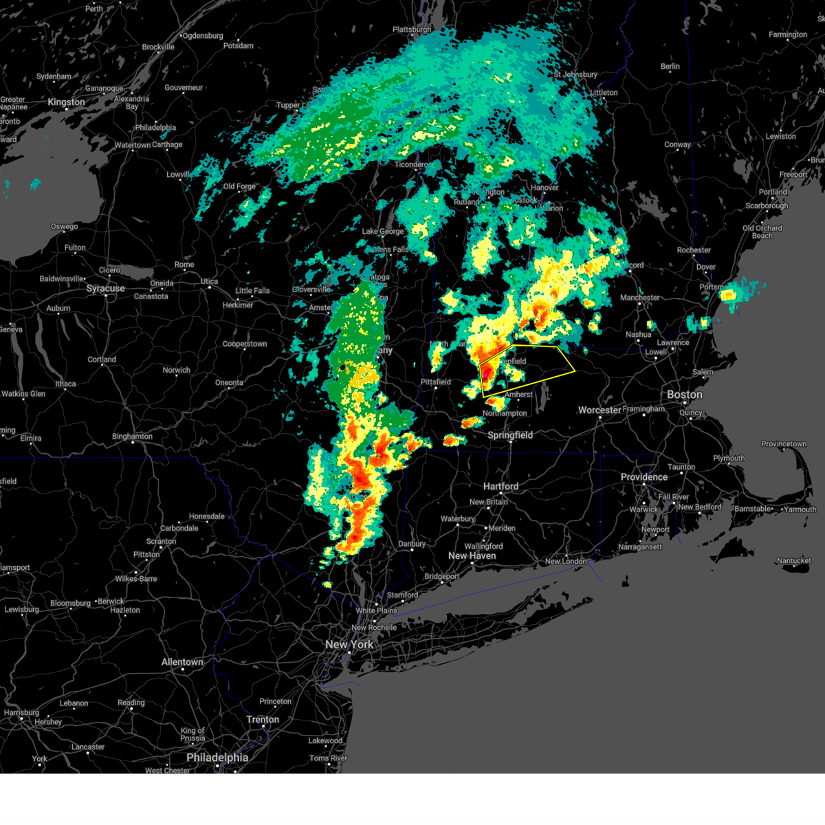
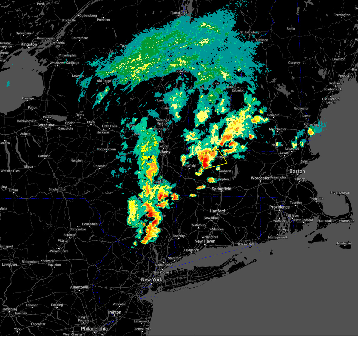
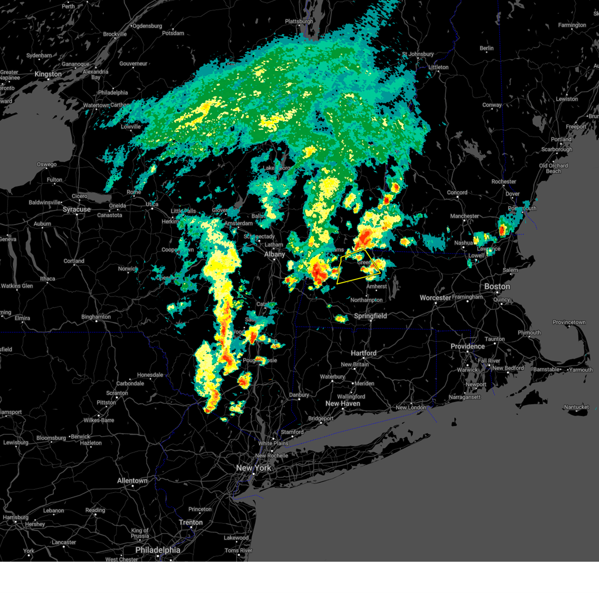
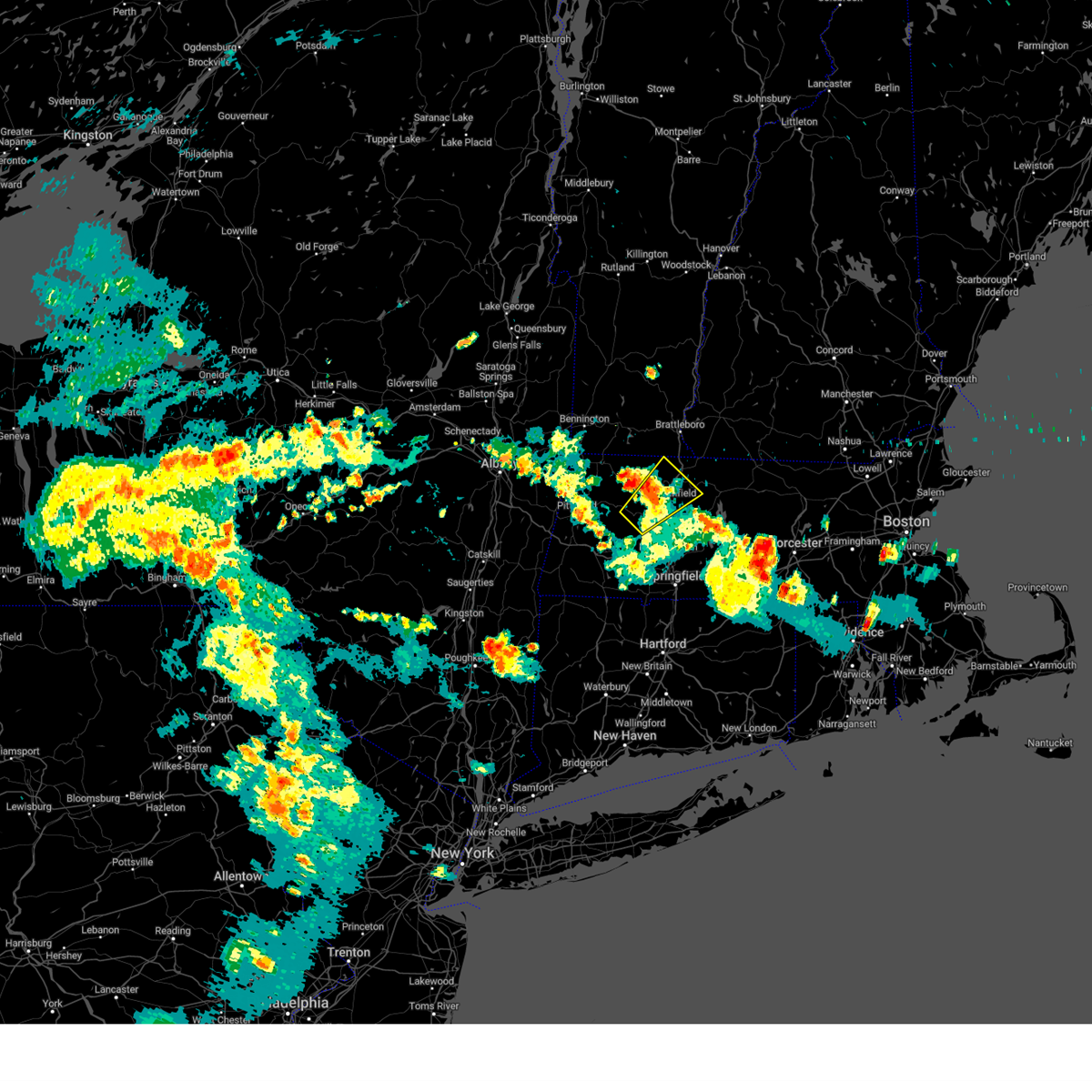
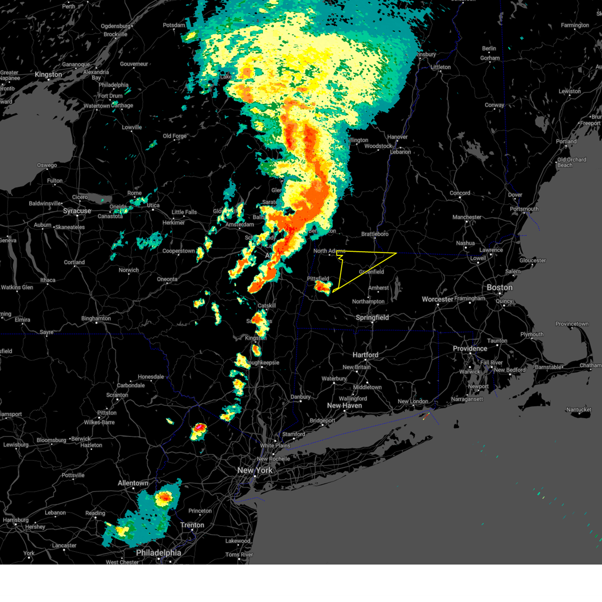
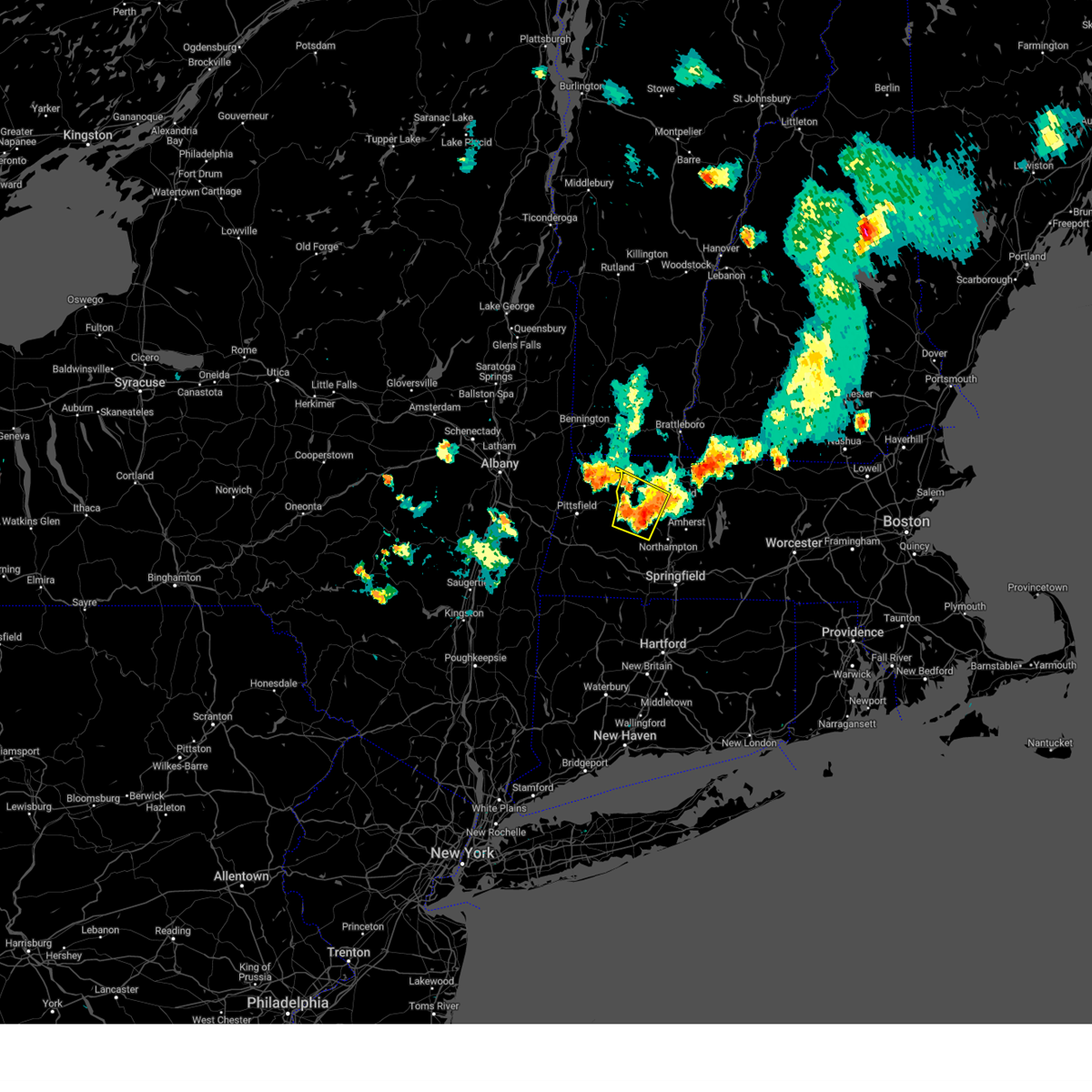
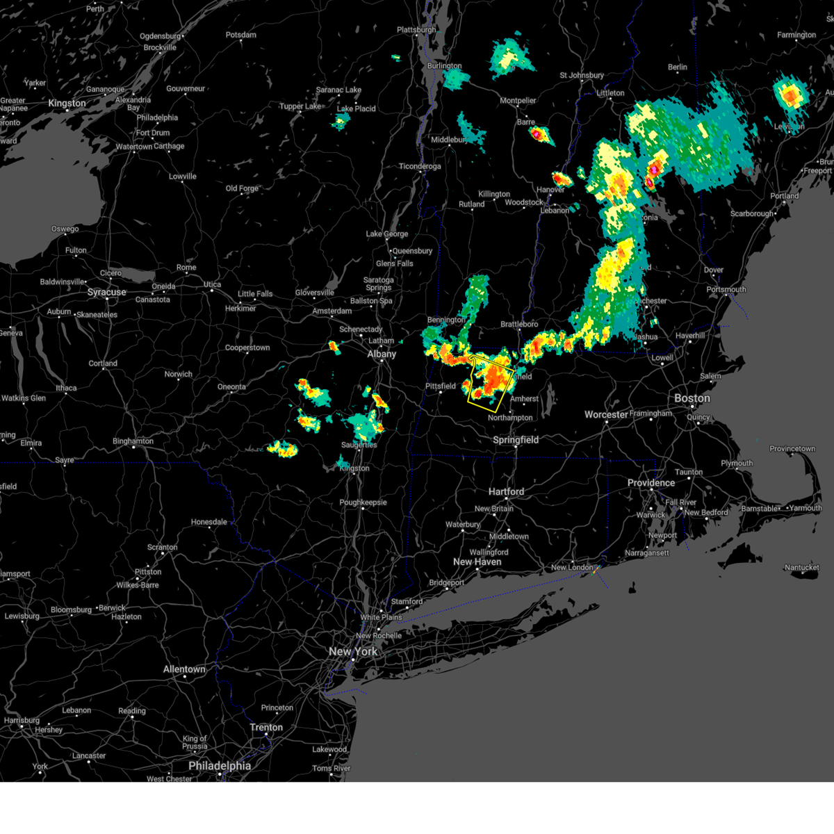
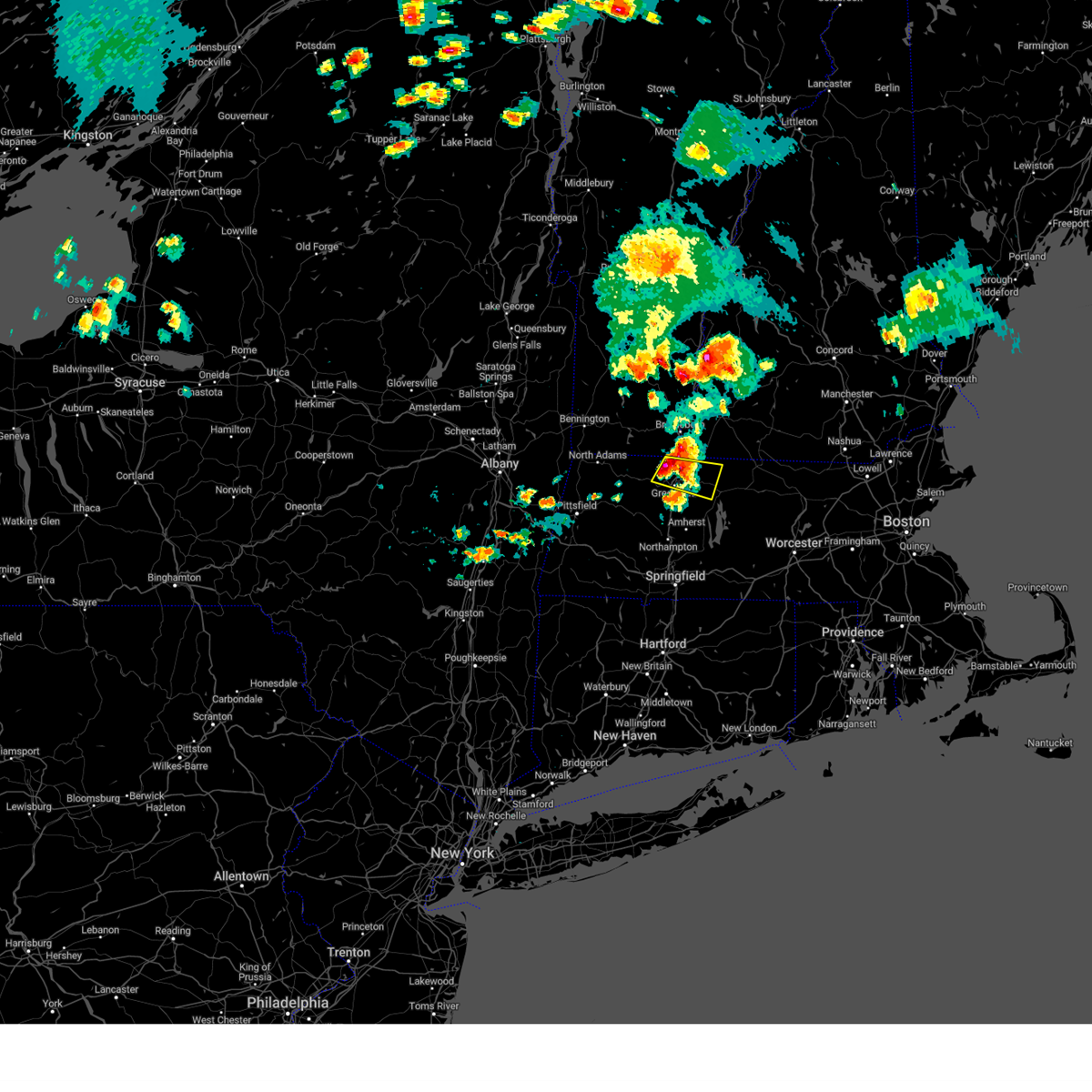
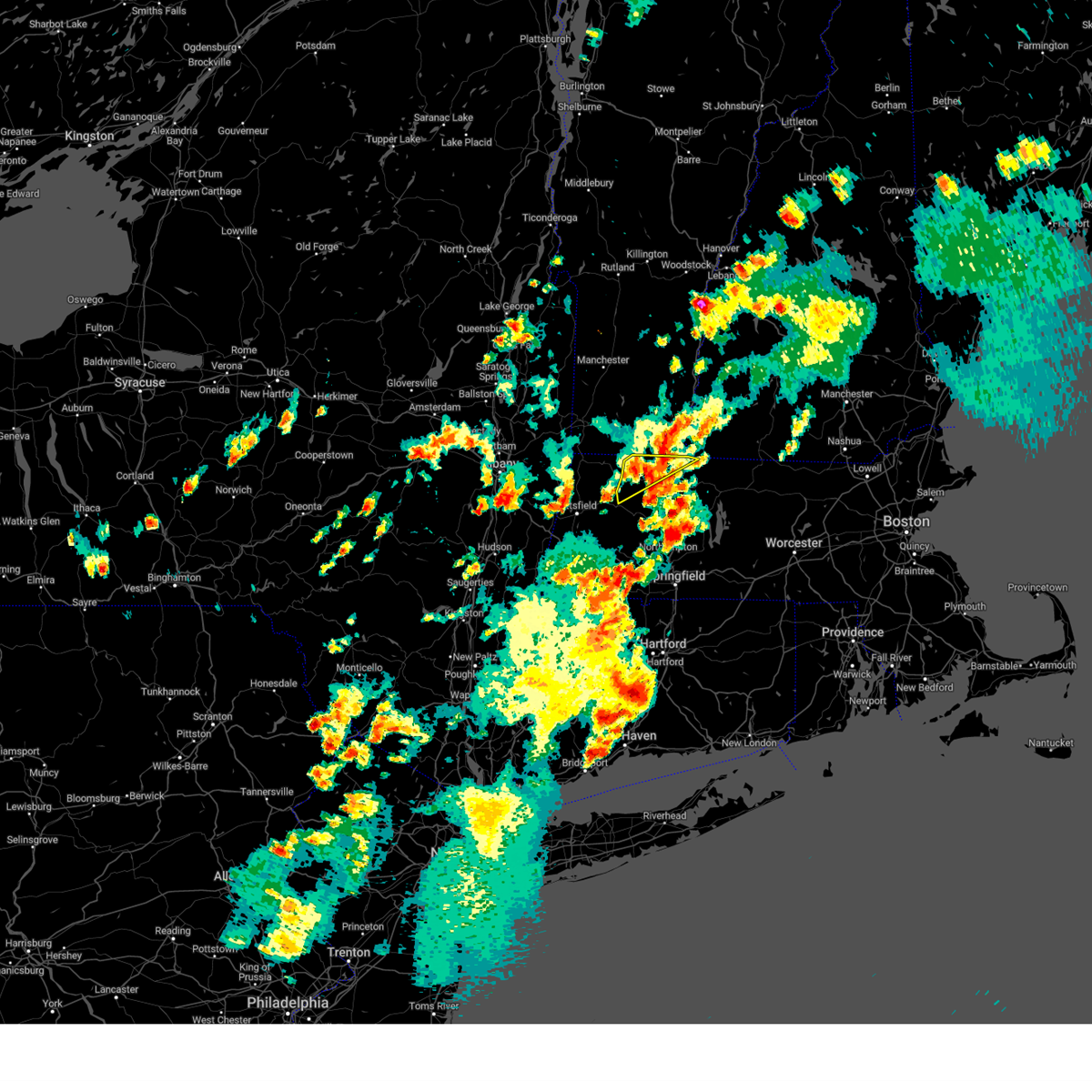
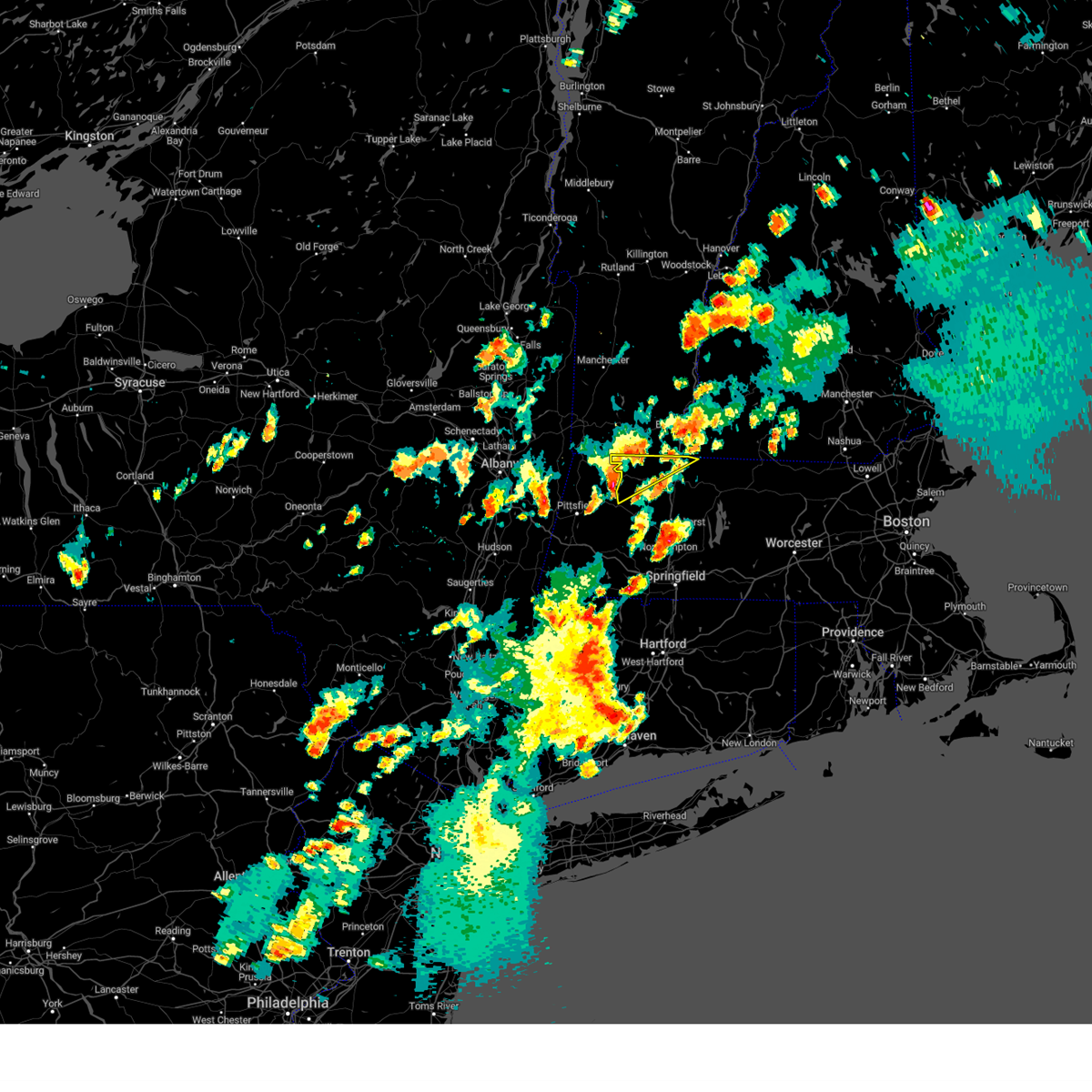
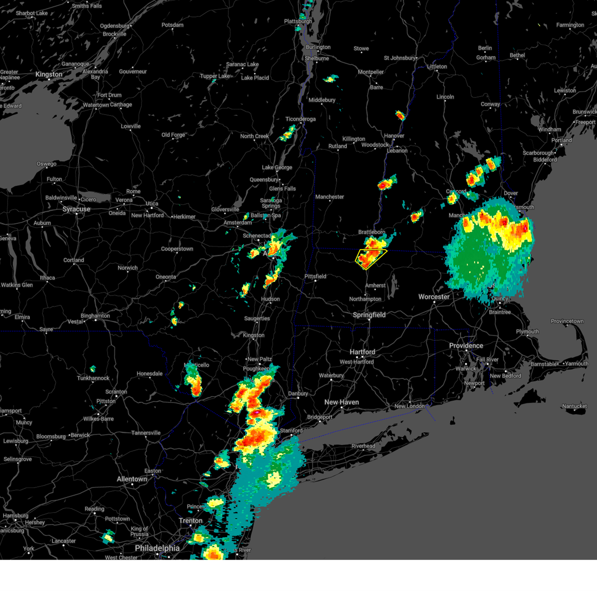
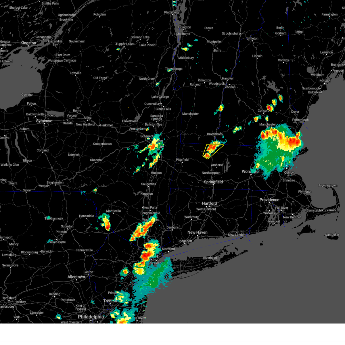
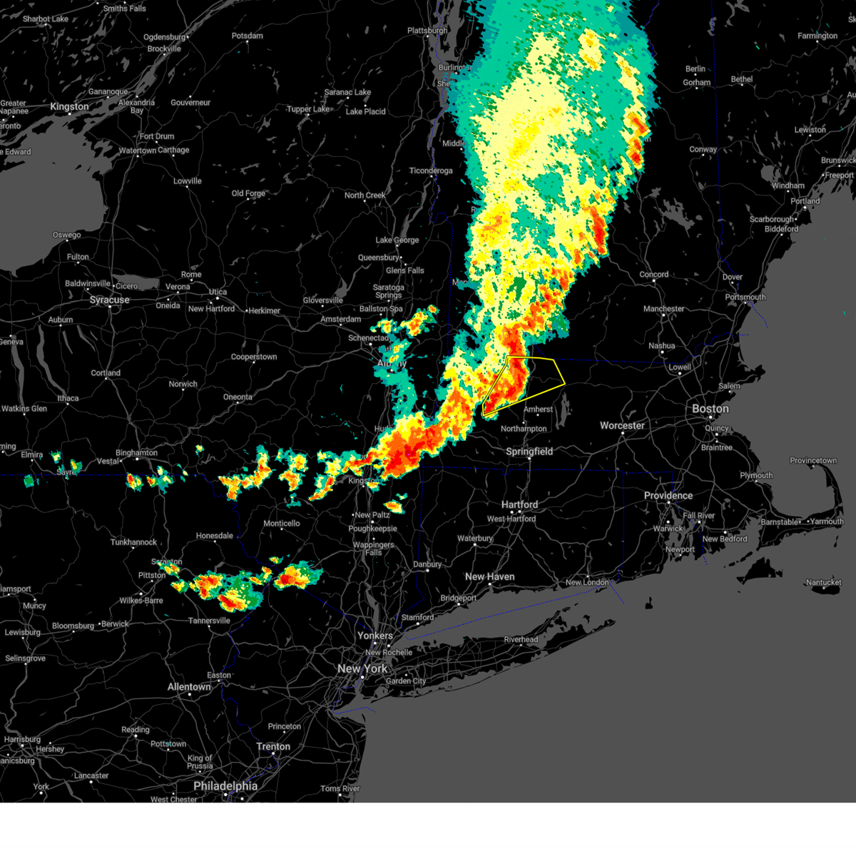
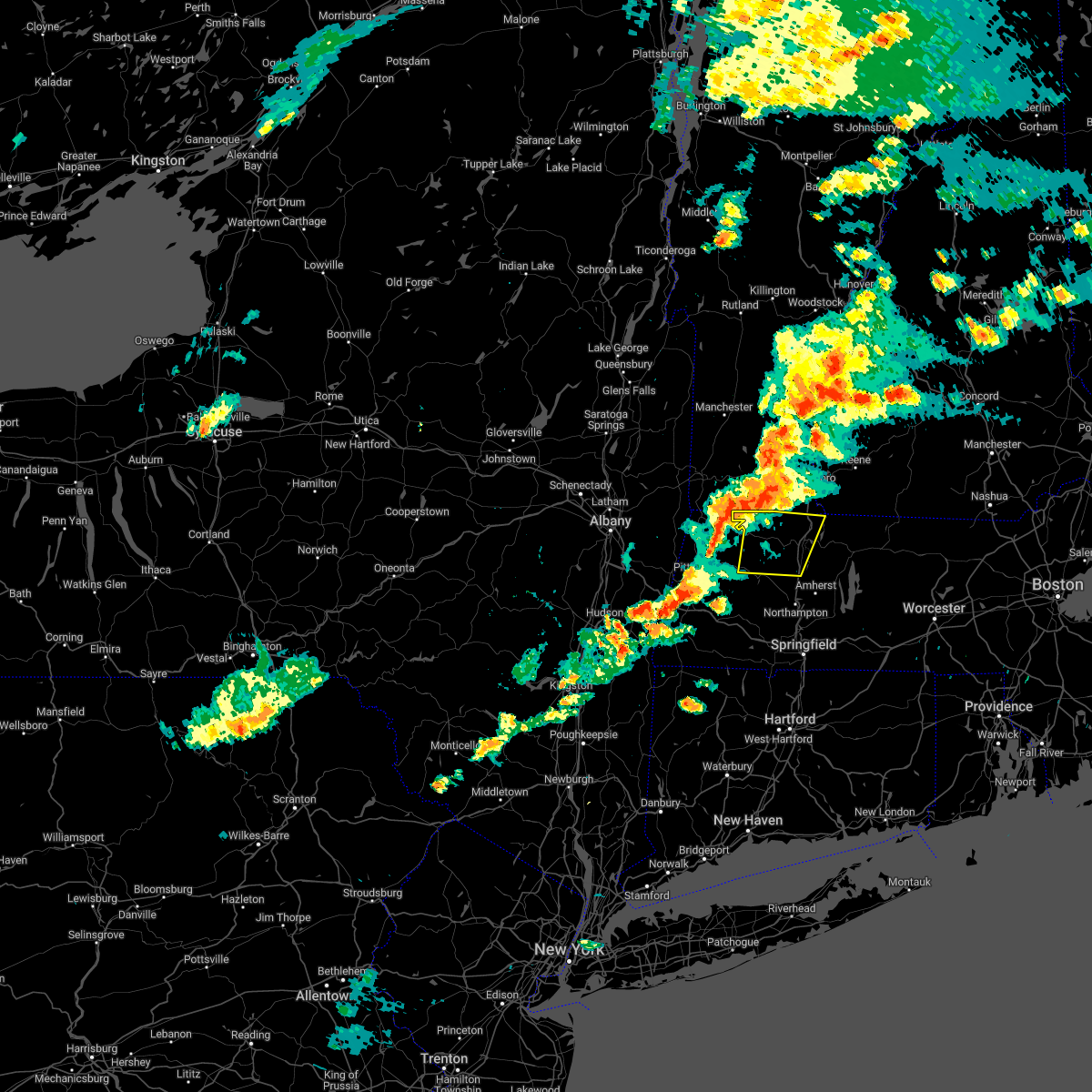
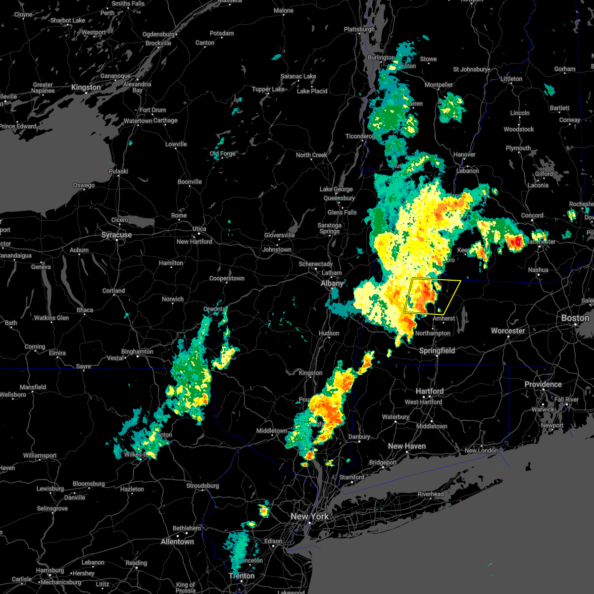
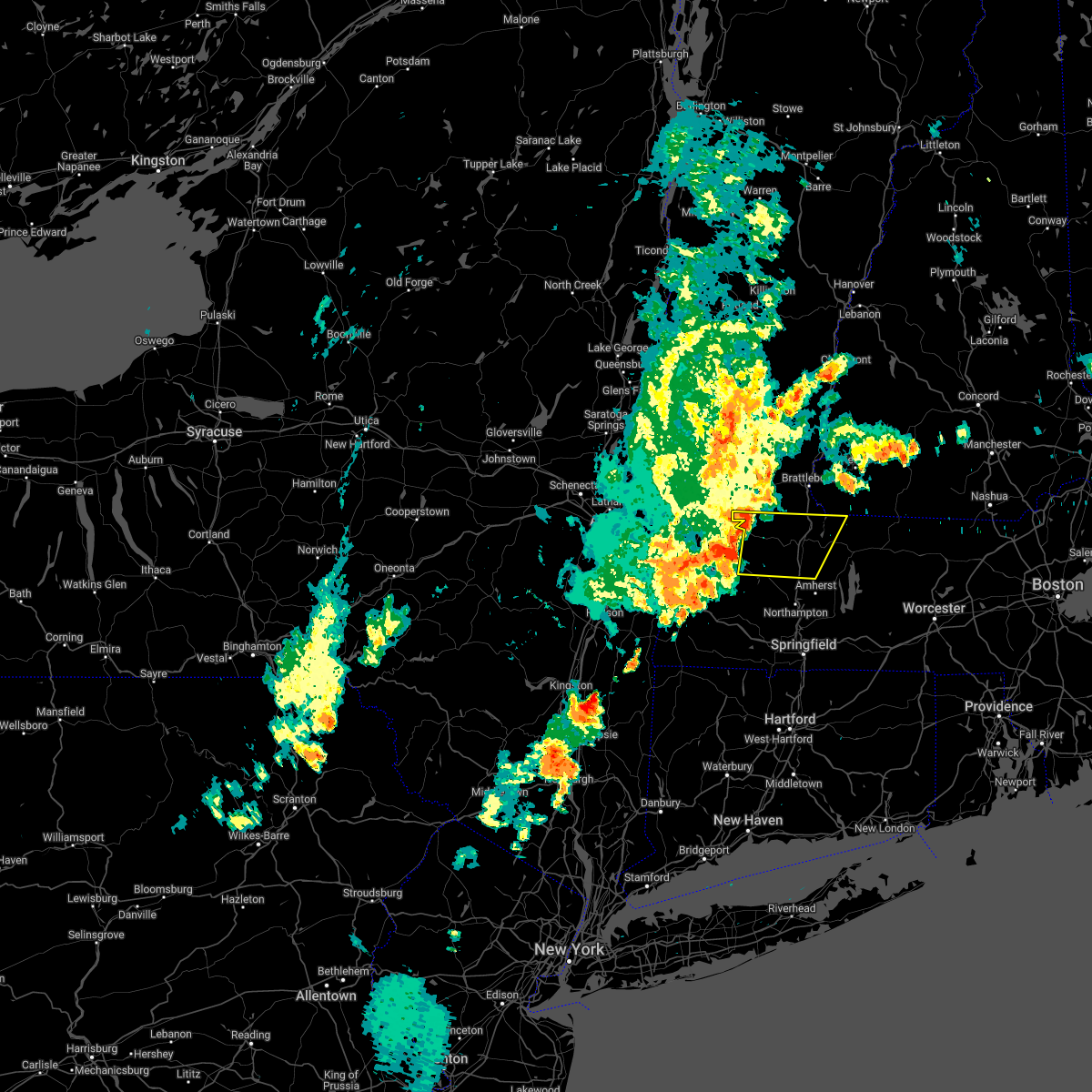
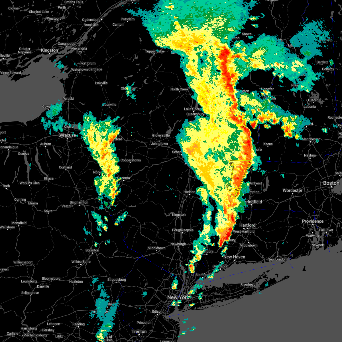
Hail Map for Shelburne Falls, MA
The Shelburne Falls, MA area has had 6 reports of on-the-ground hail by trained spotters, and has been under severe weather warnings 21 times during the past 12 months. Doppler radar has detected hail at or near Shelburne Falls, MA on 20 occasions, including 2 occasions during the past year.
| Name: | Shelburne Falls, MA |
| Where Located: | 62.5 miles ESE of Schenectady, NY |
| Map: | Google Map for Shelburne Falls, MA |
| Population: | 1731 |
| Housing Units: | 902 |
| More Info: | Search Google for Shelburne Falls, MA |
5
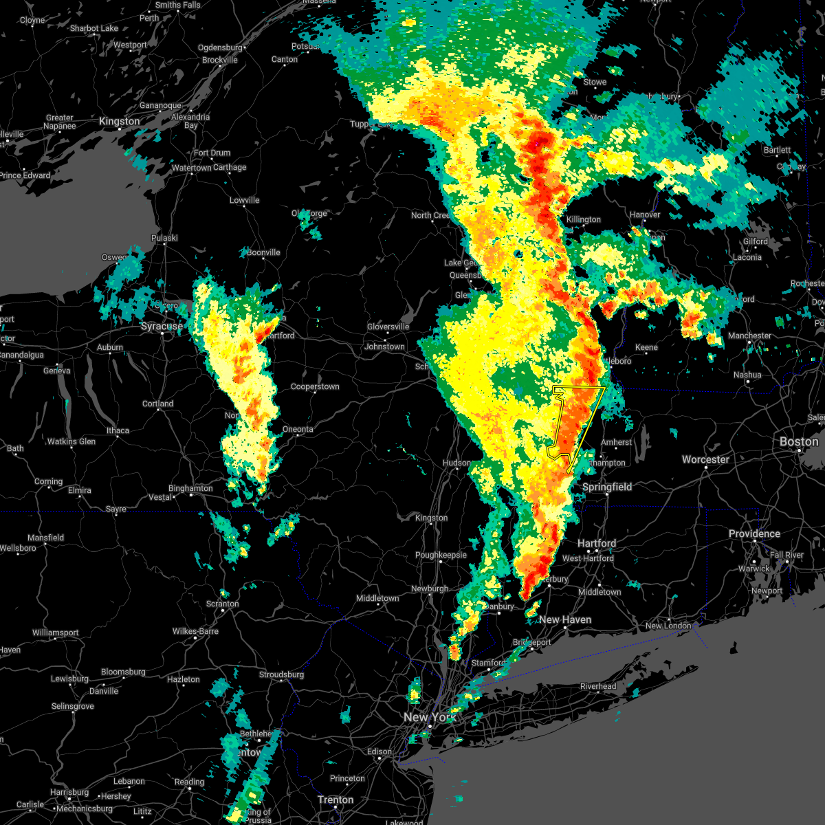
The Top Recent Hail Date for Shelburne Falls, MA is Wednesday, July 17, 2024 (5th out of 20)

Hail and Wind Damage Spotted near Shelburne Falls, MA
| Date / Time | Report Details |
|---|---|
| 7/1/2025 5:50 PM EDT | The storm which prompted the warning has weakened below severe limits, and no longer poses an immediate threat to life or property. therefore, the warning will be allowed to expire. |
| 7/1/2025 5:22 PM EDT |
 Svrbox the national weather service in boston/norton has issued a * severe thunderstorm warning for, northwestern hampshire county in western massachusetts, northwestern franklin county in western massachusetts, * until 600 pm edt. * at 521 pm edt, a severe thunderstorm was located over florida, or near north adams, moving east at 25 mph (radar indicated). Hazards include 60 mph wind gusts and penny size hail. expect damage to trees and power lines Svrbox the national weather service in boston/norton has issued a * severe thunderstorm warning for, northwestern hampshire county in western massachusetts, northwestern franklin county in western massachusetts, * until 600 pm edt. * at 521 pm edt, a severe thunderstorm was located over florida, or near north adams, moving east at 25 mph (radar indicated). Hazards include 60 mph wind gusts and penny size hail. expect damage to trees and power lines
|
| 7/1/2025 5:06 PM EDT | The storm which prompted the warning has weakened below severe limits, and no longer poses an immediate threat to life or property. therefore, the warning will be allowed to expire. |
| 7/1/2025 4:31 PM EDT |
 Svrbox the national weather service in boston/norton has issued a * severe thunderstorm warning for, northwestern hampshire county in western massachusetts, northwestern franklin county in western massachusetts, * until 515 pm edt. * at 431 pm edt, a severe thunderstorm was located near east windsor, or 11 miles east of pittsfield, moving east at 25 mph (radar indicated). Hazards include 60 mph wind gusts and penny size hail. expect damage to trees and power lines Svrbox the national weather service in boston/norton has issued a * severe thunderstorm warning for, northwestern hampshire county in western massachusetts, northwestern franklin county in western massachusetts, * until 515 pm edt. * at 431 pm edt, a severe thunderstorm was located near east windsor, or 11 miles east of pittsfield, moving east at 25 mph (radar indicated). Hazards include 60 mph wind gusts and penny size hail. expect damage to trees and power lines
|
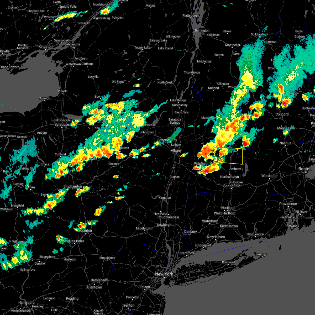
| 6/6/2025 4:52 PM EDT |
 Svrbox the national weather service in boston/norton has issued a * severe thunderstorm warning for, western hampshire county in western massachusetts, central franklin county in western massachusetts, northwestern hampden county in western massachusetts, * until 545 pm edt. * at 452 pm edt, a severe thunderstorm was located over huntington, or 11 miles west of northampton, moving northeast at 25 mph (radar indicated). Hazards include 60 mph wind gusts and quarter size hail. Hail damage to vehicles is expected. Expect wind damage to trees and power lines. Svrbox the national weather service in boston/norton has issued a * severe thunderstorm warning for, western hampshire county in western massachusetts, central franklin county in western massachusetts, northwestern hampden county in western massachusetts, * until 545 pm edt. * at 452 pm edt, a severe thunderstorm was located over huntington, or 11 miles west of northampton, moving northeast at 25 mph (radar indicated). Hazards include 60 mph wind gusts and quarter size hail. Hail damage to vehicles is expected. Expect wind damage to trees and power lines.
|
| 6/6/2025 4:11 PM EDT |
 The storm which prompted the warning has weakened below severe limits, and has exited the warned area. therefore, the warning will be allowed to expire. The storm which prompted the warning has weakened below severe limits, and has exited the warned area. therefore, the warning will be allowed to expire.
|
| 6/6/2025 3:38 PM EDT | In charlemont trees and wires blocked north river roa in franklin county MA, 7.1 miles ESE of Shelburne Falls, MA |
| 6/6/2025 3:24 PM EDT | Svrbox the national weather service in boston/norton has issued a * severe thunderstorm warning for, northwestern worcester county in central massachusetts, northeastern franklin county in western massachusetts, * until 415 pm edt. * at 323 pm edt, a severe thunderstorm was located over colrain, or near greenfield, moving northeast at 20 mph (radar indicated). Hazards include 60 mph wind gusts and quarter size hail. Hail damage to vehicles is expected. Expect wind damage to trees and power lines. |
| 5/3/2025 2:35 PM EDT |
 Svrbox the national weather service in boston/norton has issued a * severe thunderstorm warning for, northwestern worcester county in central massachusetts, central hampshire county in western massachusetts, franklin county in western massachusetts, * until 315 pm edt. * at 235 pm edt, a severe thunderstorm was located over ashfield, or 9 miles southwest of greenfield, moving northeast at 40 mph (radar indicated). Hazards include 60 mph wind gusts and quarter size hail. Hail damage to vehicles is expected. Expect wind damage to trees and power lines. Svrbox the national weather service in boston/norton has issued a * severe thunderstorm warning for, northwestern worcester county in central massachusetts, central hampshire county in western massachusetts, franklin county in western massachusetts, * until 315 pm edt. * at 235 pm edt, a severe thunderstorm was located over ashfield, or 9 miles southwest of greenfield, moving northeast at 40 mph (radar indicated). Hazards include 60 mph wind gusts and quarter size hail. Hail damage to vehicles is expected. Expect wind damage to trees and power lines.
|
| 5/3/2025 2:25 PM EDT |
 At 224 pm edt, a severe thunderstorm was located over charlemont, or 11 miles west of greenfield, moving east at 45 mph (broadcast media. at 202 pm edt, a wind gust to 56 mph was reported south of pittsfield). Hazards include 60 mph wind gusts and quarter size hail. Hail damage to vehicles is expected. expect wind damage to trees and power lines. Locations impacted include, plainfield, colrain, conway, hawley, buckland, montague, greenfield, cummington, leyden, ashfield, charlemont, deerfield, shelburne, heath, rowe, goshen, gill, and worthington. At 224 pm edt, a severe thunderstorm was located over charlemont, or 11 miles west of greenfield, moving east at 45 mph (broadcast media. at 202 pm edt, a wind gust to 56 mph was reported south of pittsfield). Hazards include 60 mph wind gusts and quarter size hail. Hail damage to vehicles is expected. expect wind damage to trees and power lines. Locations impacted include, plainfield, colrain, conway, hawley, buckland, montague, greenfield, cummington, leyden, ashfield, charlemont, deerfield, shelburne, heath, rowe, goshen, gill, and worthington.
|
| 5/3/2025 1:57 PM EDT |
 Svrbox the national weather service in boston/norton has issued a * severe thunderstorm warning for, northwestern hampshire county in western massachusetts, northwestern franklin county in western massachusetts, * until 245 pm edt. * at 157 pm edt, a severe thunderstorm was located near cheshire, or near pittsfield, moving east at 40 mph (radar indicated). Hazards include 60 mph wind gusts and quarter size hail. Hail damage to vehicles is expected. Expect wind damage to trees and power lines. Svrbox the national weather service in boston/norton has issued a * severe thunderstorm warning for, northwestern hampshire county in western massachusetts, northwestern franklin county in western massachusetts, * until 245 pm edt. * at 157 pm edt, a severe thunderstorm was located near cheshire, or near pittsfield, moving east at 40 mph (radar indicated). Hazards include 60 mph wind gusts and quarter size hail. Hail damage to vehicles is expected. Expect wind damage to trees and power lines.
|
| 8/2/2024 4:09 PM EDT |
 the severe thunderstorm warning has been cancelled and is no longer in effect the severe thunderstorm warning has been cancelled and is no longer in effect
|
| 8/2/2024 3:52 PM EDT |
 At 352 pm edt, a severe thunderstorm was located over goshen, or 10 miles northwest of northampton, moving northeast at 20 mph (radar indicated). Hazards include 60 mph wind gusts and penny size hail. Expect damage to trees and power lines. Locations impacted include, greenfield, deerfield, montague, sunderland, williamsburg, bernardston, buckland, conway, shelburne, leverett, erving, ashfield, colrain, gill, whately, charlemont, chesterfield, worthington, goshen, and cummington. At 352 pm edt, a severe thunderstorm was located over goshen, or 10 miles northwest of northampton, moving northeast at 20 mph (radar indicated). Hazards include 60 mph wind gusts and penny size hail. Expect damage to trees and power lines. Locations impacted include, greenfield, deerfield, montague, sunderland, williamsburg, bernardston, buckland, conway, shelburne, leverett, erving, ashfield, colrain, gill, whately, charlemont, chesterfield, worthington, goshen, and cummington.
|
| 8/2/2024 3:40 PM EDT |
 Svrbox the national weather service in boston/norton has issued a * severe thunderstorm warning for, northwestern hampshire county in western massachusetts, central franklin county in western massachusetts, * until 430 pm edt. * at 340 pm edt, a severe thunderstorm was located over goshen, or 10 miles northwest of northampton, moving northeast at 20 mph (radar indicated). Hazards include 60 mph wind gusts and penny size hail. expect damage to trees and power lines Svrbox the national weather service in boston/norton has issued a * severe thunderstorm warning for, northwestern hampshire county in western massachusetts, central franklin county in western massachusetts, * until 430 pm edt. * at 340 pm edt, a severe thunderstorm was located over goshen, or 10 miles northwest of northampton, moving northeast at 20 mph (radar indicated). Hazards include 60 mph wind gusts and penny size hail. expect damage to trees and power lines
|
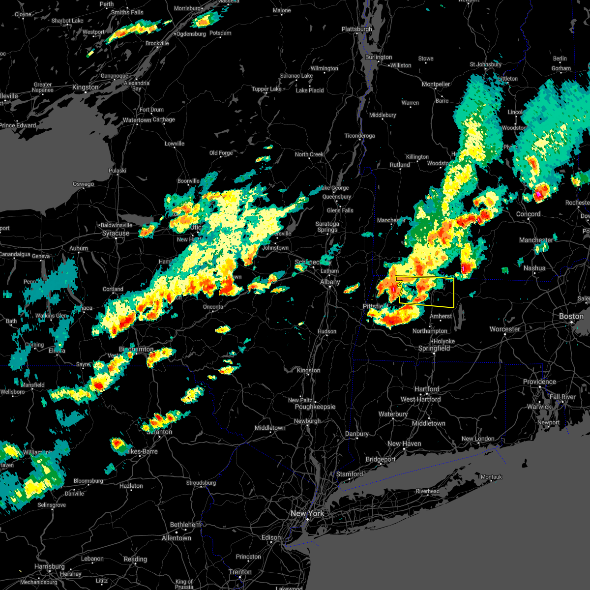
| 7/17/2024 5:05 PM EDT | Svrbox the national weather service in boston/norton has issued a * severe thunderstorm warning for, central hampshire county in western massachusetts, franklin county in western massachusetts, * until 530 pm edt. * at 505 pm edt, a severe thunderstorm was located over deerfield, or near greenfield, moving east at 25 mph (radar indicated). Hazards include 60 mph wind gusts and quarter size hail. Hail damage to vehicles is expected. Expect wind damage to roofs, siding, and trees. |
| 7/17/2024 4:44 PM EDT | At 443 pm edt, a severe thunderstorm was located over conway, or 8 miles southwest of greenfield, moving east at 20 mph (radar indicated). Hazards include ping pong ball size hail and 60 mph wind gusts. People and animals outdoors will be injured. expect hail damage to roofs, siding, windows, and vehicles. expect wind damage to roofs, siding, and trees. Locations impacted include, amherst, greenfield, deerfield, montague, hadley, sunderland, hatfield, northfield, williamsburg, bernardston, buckland, conway, shelburne, leverett, erving, shutesbury, ashfield, colrain, gill, and whately. |
| 7/17/2024 4:35 PM EDT | In plainfield tree reported down blocking the road. relayed via amateur radi in hampshire county MA, 9.7 miles NE of Shelburne Falls, MA |
| 7/17/2024 4:33 PM EDT | In plainfield tree reported down on car. relayed via amateur radi in hampshire county MA, 10.5 miles ENE of Shelburne Falls, MA |
| 7/17/2024 4:30 PM EDT | At 429 pm edt, a severe thunderstorm was located over plainfield, or 15 miles southwest of greenfield, moving east at 20 mph (radar indicated). Hazards include ping pong ball size hail and 60 mph wind gusts. People and animals outdoors will be injured. expect hail damage to roofs, siding, windows, and vehicles. expect wind damage to roofs, siding, and trees. Locations impacted include, amherst, greenfield, deerfield, montague, hadley, sunderland, hatfield, northfield, williamsburg, bernardston, buckland, conway, shelburne, leverett, erving, shutesbury, ashfield, colrain, gill, and whately. |
| 7/17/2024 4:13 PM EDT |
 Svrbox the national weather service in boston/norton has issued a * severe thunderstorm warning for, northwestern hampshire county in western massachusetts, central franklin county in western massachusetts, * until 515 pm edt. * at 411 pm edt, a severe thunderstorm was located near east windsor, or 12 miles southeast of north adams, moving east at 20 mph (radar indicated). Hazards include 60 mph wind gusts and penny size hail. expect damage to roofs, siding, and trees Svrbox the national weather service in boston/norton has issued a * severe thunderstorm warning for, northwestern hampshire county in western massachusetts, central franklin county in western massachusetts, * until 515 pm edt. * at 411 pm edt, a severe thunderstorm was located near east windsor, or 12 miles southeast of north adams, moving east at 20 mph (radar indicated). Hazards include 60 mph wind gusts and penny size hail. expect damage to roofs, siding, and trees
|
| 7/16/2024 6:59 PM EDT | Tree down blocking a lane of travel on rte 2 westbound. time estimated from rada in franklin county MA, 3 miles WNW of Shelburne Falls, MA |
| 7/16/2024 6:53 PM EDT | Pole snapped and wires on avery road. time estimated from rada in franklin county MA, 3.3 miles E of Shelburne Falls, MA |
| 7/16/2024 6:48 PM EDT | At 647 pm edt, severe thunderstorms were located along a line extending from 6 miles northwest of guilford center to hawley to near lee, moving east at 45 mph (radar indicated). Hazards include 70 mph wind gusts. Expect considerable tree damage. damage is likely to mobile homes, roofs, and outbuildings. Locations impacted include, amherst, northampton, greenfield, orange, deerfield, belchertown, monroe, athol, winchendon, montague, templeton, hadley, sunderland, hatfield, northfield, hardwick, williamsburg, huntington, bernardston, and buckland. |
| 7/16/2024 6:23 PM EDT |
 Svrbox the national weather service in boston/norton has issued a * severe thunderstorm warning for, northwestern worcester county in central massachusetts, hampshire county in western massachusetts, franklin county in western massachusetts, northwestern hampden county in western massachusetts, * until 730 pm edt. * at 622 pm edt, severe thunderstorms were located along a line extending from 7 miles west of wilmington to near new ashford to near chatham, moving east at 45 mph (radar indicated). Hazards include 70 mph wind gusts. Expect considerable tree damage. Damage is likely to mobile homes, roofs, and outbuildings. Svrbox the national weather service in boston/norton has issued a * severe thunderstorm warning for, northwestern worcester county in central massachusetts, hampshire county in western massachusetts, franklin county in western massachusetts, northwestern hampden county in western massachusetts, * until 730 pm edt. * at 622 pm edt, severe thunderstorms were located along a line extending from 7 miles west of wilmington to near new ashford to near chatham, moving east at 45 mph (radar indicated). Hazards include 70 mph wind gusts. Expect considerable tree damage. Damage is likely to mobile homes, roofs, and outbuildings.
|
| 7/16/2024 6:15 PM EDT |
 At 614 pm edt, a severe thunderstorm was located over plainfield, or 13 miles southeast of north adams, moving northeast at 35 mph (radar indicated). Hazards include 60 mph wind gusts and quarter size hail. Hail damage to vehicles is expected. expect wind damage to roofs, siding, and trees. Locations impacted include, greenfield, deerfield, montague, northfield, bernardston, buckland, conway, shelburne, ashfield, colrain, gill, charlemont, worthington, goshen, cummington, warwick, leyden, heath, plainfield, and rowe. At 614 pm edt, a severe thunderstorm was located over plainfield, or 13 miles southeast of north adams, moving northeast at 35 mph (radar indicated). Hazards include 60 mph wind gusts and quarter size hail. Hail damage to vehicles is expected. expect wind damage to roofs, siding, and trees. Locations impacted include, greenfield, deerfield, montague, northfield, bernardston, buckland, conway, shelburne, ashfield, colrain, gill, charlemont, worthington, goshen, cummington, warwick, leyden, heath, plainfield, and rowe.
|
| 7/16/2024 5:48 PM EDT |
 Svrbox the national weather service in boston/norton has issued a * severe thunderstorm warning for, northwestern hampshire county in western massachusetts, northwestern franklin county in western massachusetts, * until 645 pm edt. * at 547 pm edt, a severe thunderstorm was located near pittsfield, moving northeast at 35 mph (radar indicated). Hazards include 60 mph wind gusts and quarter size hail. Hail damage to vehicles is expected. Expect wind damage to roofs, siding, and trees. Svrbox the national weather service in boston/norton has issued a * severe thunderstorm warning for, northwestern hampshire county in western massachusetts, northwestern franklin county in western massachusetts, * until 645 pm edt. * at 547 pm edt, a severe thunderstorm was located near pittsfield, moving northeast at 35 mph (radar indicated). Hazards include 60 mph wind gusts and quarter size hail. Hail damage to vehicles is expected. Expect wind damage to roofs, siding, and trees.
|
| 6/19/2024 5:28 PM EDT | Tree down on rt 116 at conway rd in ashfield. time estimated by radar. relayed by amateur radi in franklin county MA, 6.6 miles NNE of Shelburne Falls, MA |
| 6/19/2024 5:22 PM EDT | Tree and wires downed in ashfield. relayed by amateur radi in franklin county MA, 5 miles N of Shelburne Falls, MA |
| 6/19/2024 5:16 PM EDT |
 At 515 pm edt, a severe thunderstorm was located over chesterfield, or 7 miles northwest of northampton, moving southeast at 15 mph (radar indicated). Hazards include 60 mph wind gusts and nickel size hail. Expect damage to roofs, siding, and trees. Locations impacted include, deerfield, williamsburg, huntington, buckland, conway, shelburne, ashfield, westhampton, whately, charlemont, chesterfield, worthington, goshen, cummington, plainfield, middlefield, rowe, and hawley. At 515 pm edt, a severe thunderstorm was located over chesterfield, or 7 miles northwest of northampton, moving southeast at 15 mph (radar indicated). Hazards include 60 mph wind gusts and nickel size hail. Expect damage to roofs, siding, and trees. Locations impacted include, deerfield, williamsburg, huntington, buckland, conway, shelburne, ashfield, westhampton, whately, charlemont, chesterfield, worthington, goshen, cummington, plainfield, middlefield, rowe, and hawley.
|
| 6/19/2024 4:58 PM EDT |
 Svrbox the national weather service in boston/norton has issued a * severe thunderstorm warning for, northwestern hampshire county in western massachusetts, northwestern franklin county in western massachusetts, * until 545 pm edt. * at 458 pm edt, a severe thunderstorm was located over cummington, or 14 miles northwest of northampton, moving east at 10 mph (radar indicated). Hazards include 60 mph wind gusts and nickel size hail. expect damage to roofs, siding, and trees Svrbox the national weather service in boston/norton has issued a * severe thunderstorm warning for, northwestern hampshire county in western massachusetts, northwestern franklin county in western massachusetts, * until 545 pm edt. * at 458 pm edt, a severe thunderstorm was located over cummington, or 14 miles northwest of northampton, moving east at 10 mph (radar indicated). Hazards include 60 mph wind gusts and nickel size hail. expect damage to roofs, siding, and trees
|
| 5/21/2024 5:00 PM EDT | Half Dollar sized hail reported 5.2 miles SSW of Shelburne Falls, MA, relayed by amateur radio. half dollar size hail reported by spotter in colrain. |
| 5/21/2024 5:00 PM EDT | Quarter sized hail reported 5.2 miles SSW of Shelburne Falls, MA, multiple reports of hail in colrain with sizes up to 1 inch covering the ground. |
| 5/21/2024 5:00 PM EDT | Multiple reports of trees and wires down in colrai in franklin county MA, 5.2 miles SSW of Shelburne Falls, MA |
| 5/21/2024 4:59 PM EDT |
 Svrbox the national weather service in boston/norton has issued a * severe thunderstorm warning for, northeastern franklin county in western massachusetts, * until 545 pm edt. * at 459 pm edt, a severe thunderstorm was located near leyden, or near greenfield, moving east at 15 mph (radar indicated). Hazards include 60 mph wind gusts and quarter size hail. Hail damage to vehicles is expected. Expect wind damage to roofs, siding, and trees. Svrbox the national weather service in boston/norton has issued a * severe thunderstorm warning for, northeastern franklin county in western massachusetts, * until 545 pm edt. * at 459 pm edt, a severe thunderstorm was located near leyden, or near greenfield, moving east at 15 mph (radar indicated). Hazards include 60 mph wind gusts and quarter size hail. Hail damage to vehicles is expected. Expect wind damage to roofs, siding, and trees.
|
| 9/8/2023 6:12 PM EDT |
 At 612 pm edt, severe thunderstorms were located along a line extending from near winchester to near erving to hadley, moving northeast at 25 mph (radar indicated). Hazards include 60 mph wind gusts and quarter size hail. Hail damage to vehicles is expected. expect wind damage to roofs, siding, and trees. locations impacted include, amherst, northampton, greenfield, orange, deerfield, gardner, south hadley, belchertown, athol, winchendon, montague, templeton, granby, ashburnham, hadley, sunderland, hatfield, northfield, williamsburg, and bernardston. hail threat, radar indicated max hail size, 1. 00 in wind threat, radar indicated max wind gust, 60 mph. At 612 pm edt, severe thunderstorms were located along a line extending from near winchester to near erving to hadley, moving northeast at 25 mph (radar indicated). Hazards include 60 mph wind gusts and quarter size hail. Hail damage to vehicles is expected. expect wind damage to roofs, siding, and trees. locations impacted include, amherst, northampton, greenfield, orange, deerfield, gardner, south hadley, belchertown, athol, winchendon, montague, templeton, granby, ashburnham, hadley, sunderland, hatfield, northfield, williamsburg, and bernardston. hail threat, radar indicated max hail size, 1. 00 in wind threat, radar indicated max wind gust, 60 mph.
|
| 9/8/2023 5:43 PM EDT |
 At 542 pm edt, severe thunderstorms were located along a line extending from near guilford center to near buckland to near hadley, moving northeast at 30 mph (radar indicated). Hazards include 60 mph wind gusts and quarter size hail. Hail damage to vehicles is expected. Expect wind damage to roofs, siding, and trees. At 542 pm edt, severe thunderstorms were located along a line extending from near guilford center to near buckland to near hadley, moving northeast at 30 mph (radar indicated). Hazards include 60 mph wind gusts and quarter size hail. Hail damage to vehicles is expected. Expect wind damage to roofs, siding, and trees.
|
| 9/8/2023 5:38 PM EDT |
 At 538 pm edt, a severe thunderstorm was located over colrain, or 7 miles northwest of greenfield, moving northeast at 30 mph (radar indicated). Hazards include 60 mph wind gusts and quarter size hail. Hail damage to vehicles is expected. expect wind damage to roofs, siding, and trees. locations impacted include, northfield, bernardston, buckland, shelburne, ashfield, colrain, charlemont, leyden, heath, plainfield, rowe, and hawley. hail threat, radar indicated max hail size, 1. 00 in wind threat, radar indicated max wind gust, 60 mph. At 538 pm edt, a severe thunderstorm was located over colrain, or 7 miles northwest of greenfield, moving northeast at 30 mph (radar indicated). Hazards include 60 mph wind gusts and quarter size hail. Hail damage to vehicles is expected. expect wind damage to roofs, siding, and trees. locations impacted include, northfield, bernardston, buckland, shelburne, ashfield, colrain, charlemont, leyden, heath, plainfield, rowe, and hawley. hail threat, radar indicated max hail size, 1. 00 in wind threat, radar indicated max wind gust, 60 mph.
|
| 9/8/2023 5:19 PM EDT |
 At 519 pm edt, a severe thunderstorm was located over savoy, or 9 miles southeast of north adams, moving northeast at 20 mph (radar indicated). Hazards include 60 mph wind gusts and quarter size hail. Hail damage to vehicles is expected. Expect wind damage to roofs, siding, and trees. At 519 pm edt, a severe thunderstorm was located over savoy, or 9 miles southeast of north adams, moving northeast at 20 mph (radar indicated). Hazards include 60 mph wind gusts and quarter size hail. Hail damage to vehicles is expected. Expect wind damage to roofs, siding, and trees.
|
| 9/8/2023 3:40 PM EDT |
 At 340 pm edt, a severe thunderstorm was located over greenfield, moving northeast at 20 mph (radar indicated). Hazards include 60 mph wind gusts and quarter size hail. Hail damage to vehicles is expected. expect wind damage to roofs, siding, and trees. locations impacted include, greenfield, deerfield, montague, northfield, bernardston, buckland, shelburne, colrain, gill, charlemont, warwick, and leyden. hail threat, radar indicated max hail size, 1. 00 in wind threat, radar indicated max wind gust, 60 mph. At 340 pm edt, a severe thunderstorm was located over greenfield, moving northeast at 20 mph (radar indicated). Hazards include 60 mph wind gusts and quarter size hail. Hail damage to vehicles is expected. expect wind damage to roofs, siding, and trees. locations impacted include, greenfield, deerfield, montague, northfield, bernardston, buckland, shelburne, colrain, gill, charlemont, warwick, and leyden. hail threat, radar indicated max hail size, 1. 00 in wind threat, radar indicated max wind gust, 60 mph.
|
| 9/8/2023 3:22 PM EDT |
 At 321 pm edt, a severe thunderstorm was located over shelburne, or near greenfield, moving northeast at 30 mph (radar indicated). Hazards include 60 mph wind gusts and quarter size hail. Hail damage to vehicles is expected. Expect wind damage to roofs, siding, and trees. At 321 pm edt, a severe thunderstorm was located over shelburne, or near greenfield, moving northeast at 30 mph (radar indicated). Hazards include 60 mph wind gusts and quarter size hail. Hail damage to vehicles is expected. Expect wind damage to roofs, siding, and trees.
|
| 9/7/2023 9:57 PM EDT |
 The severe thunderstorm warning for northwestern worcester, central hampshire and franklin counties will expire at 1000 pm edt, the storms which prompted the warning have moved out of the area. therefore, the warning will be allowed to expire. however gusty winds and heavy rain are still possible with these thunderstorms. The severe thunderstorm warning for northwestern worcester, central hampshire and franklin counties will expire at 1000 pm edt, the storms which prompted the warning have moved out of the area. therefore, the warning will be allowed to expire. however gusty winds and heavy rain are still possible with these thunderstorms.
|
| 9/7/2023 9:50 PM EDT |
 At 947 pm edt, severe thunderstorms were located along a line extending from near stratton to near leyden to sunderland, moving northeast at 50 mph (law enforcement and fire departments. several reports of downed trees and powerlines have been reported in russell, rowe, worthington, huntington, charlemont and deerfield). Hazards include 60 mph wind gusts. Expect damage to roofs, siding, and trees. locations impacted include, amherst, northampton, greenfield, orange, deerfield, athol, montague, hadley, sunderland, hatfield, northfield, williamsburg, bernardston, buckland, conway, shelburne, leverett, erving, shutesbury, and ashfield. hail threat, radar indicated max hail size, <. 75 in wind threat, observed max wind gust, 60 mph. At 947 pm edt, severe thunderstorms were located along a line extending from near stratton to near leyden to sunderland, moving northeast at 50 mph (law enforcement and fire departments. several reports of downed trees and powerlines have been reported in russell, rowe, worthington, huntington, charlemont and deerfield). Hazards include 60 mph wind gusts. Expect damage to roofs, siding, and trees. locations impacted include, amherst, northampton, greenfield, orange, deerfield, athol, montague, hadley, sunderland, hatfield, northfield, williamsburg, bernardston, buckland, conway, shelburne, leverett, erving, shutesbury, and ashfield. hail threat, radar indicated max hail size, <. 75 in wind threat, observed max wind gust, 60 mph.
|
| 9/7/2023 9:33 PM EDT |
 At 932 pm edt, severe thunderstorms were located along a line extending from 6 miles east of bennington to near heath to williamsburg, moving northeast at 50 mph (law enforcement reported trees downed in huntington, worthington and russell between 915 and 920 pm). Hazards include 60 mph wind gusts. Expect damage to roofs, siding, and trees. locations impacted include, amherst, northampton, greenfield, orange, deerfield, easthampton, monroe, athol, montague, templeton, southampton, hadley, sunderland, hatfield, northfield, williamsburg, huntington, bernardston, buckland, and conway. hail threat, radar indicated max hail size, <. 75 in wind threat, observed max wind gust, 60 mph. At 932 pm edt, severe thunderstorms were located along a line extending from 6 miles east of bennington to near heath to williamsburg, moving northeast at 50 mph (law enforcement reported trees downed in huntington, worthington and russell between 915 and 920 pm). Hazards include 60 mph wind gusts. Expect damage to roofs, siding, and trees. locations impacted include, amherst, northampton, greenfield, orange, deerfield, easthampton, monroe, athol, montague, templeton, southampton, hadley, sunderland, hatfield, northfield, williamsburg, huntington, bernardston, buckland, and conway. hail threat, radar indicated max hail size, <. 75 in wind threat, observed max wind gust, 60 mph.
|
| 9/7/2023 9:30 PM EDT | Tree down blocking south river rd in charlemont. relayed by amateur radi in franklin county MA, 5.6 miles ESE of Shelburne Falls, MA |
| 9/7/2023 9:03 PM EDT |
 At 902 pm edt, severe thunderstorms were located along a line extending from near berlin to near east windsor to near blandford, moving northeast at 50 mph (radar indicated. these storms have a history of producing downed trees in richmond and pittsfield, ma as of 845 pm). Hazards include 60 mph wind gusts. expect damage to roofs, siding, and trees At 902 pm edt, severe thunderstorms were located along a line extending from near berlin to near east windsor to near blandford, moving northeast at 50 mph (radar indicated. these storms have a history of producing downed trees in richmond and pittsfield, ma as of 845 pm). Hazards include 60 mph wind gusts. expect damage to roofs, siding, and trees
|
| 1/1/0001 12:00 AM | Two trees down on hog hollow roa in franklin county MA, 1.2 miles E of Shelburne Falls, MA |
| 1/1/0001 12:00 AM | Numerous trees down near cummington roa in franklin county MA, 9.7 miles NE of Shelburne Falls, MA |
| 7/13/2023 8:47 PM EDT |
 At 846 pm edt, a severe thunderstorm was located over shelburne, or near greenfield, moving northeast at 25 mph (radar indicated). Hazards include 60 mph wind gusts. Expect damage to trees and power lines. Locations impacted include, greenfield, orange, deerfield, montague, sunderland, northfield, williamsburg, bernardston, buckland, conway, shelburne, leverett, erving, ashfield, colrain, gill, whately, charlemont, chesterfield and worthington. At 846 pm edt, a severe thunderstorm was located over shelburne, or near greenfield, moving northeast at 25 mph (radar indicated). Hazards include 60 mph wind gusts. Expect damage to trees and power lines. Locations impacted include, greenfield, orange, deerfield, montague, sunderland, northfield, williamsburg, bernardston, buckland, conway, shelburne, leverett, erving, ashfield, colrain, gill, whately, charlemont, chesterfield and worthington.
|
| 1/1/0001 12:00 AM | Multiple trees down on route 2 in charlemon in franklin county MA, 3.5 miles ESE of Shelburne Falls, MA |
| 7/13/2023 8:08 PM EDT |
 At 807 pm edt, a severe thunderstorm was located over east windsor, or 15 miles southeast of north adams, moving northeast at 25 mph (radar indicated). Hazards include 60 mph wind gusts. expect damage to trees and power lines At 807 pm edt, a severe thunderstorm was located over east windsor, or 15 miles southeast of north adams, moving northeast at 25 mph (radar indicated). Hazards include 60 mph wind gusts. expect damage to trees and power lines
|
| 9/13/2022 6:21 PM EDT |
 At 620 pm edt, a severe thunderstorm was located over colrain, or 8 miles northwest of greenfield, moving northeast at 55 mph (radar indicated). Hazards include 60 mph wind gusts. expect damage to trees and power lines At 620 pm edt, a severe thunderstorm was located over colrain, or 8 miles northwest of greenfield, moving northeast at 55 mph (radar indicated). Hazards include 60 mph wind gusts. expect damage to trees and power lines
|
| 7/28/2022 6:37 PM EDT |
 At 637 pm edt, severe thunderstorms were located along a line extending from heath to cummington, moving east at 30 mph (radar indicated). Hazards include 60 mph wind gusts. Expect damage to trees and power lines. these severe storms will be near, buckland and goshen around 645 pm edt. conway, ashfield and colrain around 650 pm edt. shelburne and leyden around 655 pm edt. greenfield, deerfield, montague, bernardston and whately around 705 pm edt. gill around 710 pm edt. northfield around 715 pm edt. hail threat, radar indicated max hail size, <. 75 in wind threat, radar indicated max wind gust, 60 mph. At 637 pm edt, severe thunderstorms were located along a line extending from heath to cummington, moving east at 30 mph (radar indicated). Hazards include 60 mph wind gusts. Expect damage to trees and power lines. these severe storms will be near, buckland and goshen around 645 pm edt. conway, ashfield and colrain around 650 pm edt. shelburne and leyden around 655 pm edt. greenfield, deerfield, montague, bernardston and whately around 705 pm edt. gill around 710 pm edt. northfield around 715 pm edt. hail threat, radar indicated max hail size, <. 75 in wind threat, radar indicated max wind gust, 60 mph.
|
| 7/28/2022 6:10 PM EDT |
 At 610 pm edt, severe thunderstorms were located along a line extending from near stamford to near cheshire, moving east at 30 mph (radar indicated). Hazards include 60 mph wind gusts. Expect damage to trees and power lines. severe thunderstorms will be near, monroe around 620 pm edt. charlemont, cummington and rowe around 630 pm edt. heath around 635 pm edt. plainfield and hawley around 640 pm edt. buckland, ashfield and goshen around 645 pm edt. conway and colrain around 650 pm edt. shelburne and leyden around 655 pm edt. greenfield around 700 pm edt. hail threat, radar indicated max hail size, <. 75 in wind threat, radar indicated max wind gust, 60 mph. At 610 pm edt, severe thunderstorms were located along a line extending from near stamford to near cheshire, moving east at 30 mph (radar indicated). Hazards include 60 mph wind gusts. Expect damage to trees and power lines. severe thunderstorms will be near, monroe around 620 pm edt. charlemont, cummington and rowe around 630 pm edt. heath around 635 pm edt. plainfield and hawley around 640 pm edt. buckland, ashfield and goshen around 645 pm edt. conway and colrain around 650 pm edt. shelburne and leyden around 655 pm edt. greenfield around 700 pm edt. hail threat, radar indicated max hail size, <. 75 in wind threat, radar indicated max wind gust, 60 mph.
|
| 7/12/2022 5:05 PM EDT |
 At 505 pm edt, severe thunderstorms were located along a line extending from hawley to near millerton, moving east at 50 mph (radar indicated). Hazards include 60 mph wind gusts and quarter size hail. Expect wind damage to trees and power lines. Minor hail damage to vehicles is possible. At 505 pm edt, severe thunderstorms were located along a line extending from hawley to near millerton, moving east at 50 mph (radar indicated). Hazards include 60 mph wind gusts and quarter size hail. Expect wind damage to trees and power lines. Minor hail damage to vehicles is possible.
|
| 5/22/2022 7:12 PM EDT | Tree down on wires on water stree in franklin county MA, 0.6 miles SSW of Shelburne Falls, MA |
| 5/22/2022 7:12 PM EDT | Trees and powerlines downed on route 2 near the greenfield/shelburne town line. time radar estimate in franklin county MA, 4.9 miles W of Shelburne Falls, MA |
| 5/22/2022 7:12 PM EDT |
 At 712 pm edt, a severe thunderstorm was located over deerfield, or near greenfield, moving east at 40 mph (radar indicated). Hazards include 60 mph wind gusts and quarter size hail. Expect wind damage to trees and power lines. minor hail damage to vehicles is possible. locations impacted include, greenfield, deerfield, montague, sunderland, northfield, bernardston, buckland, conway, shelburne, leverett, erving, ashfield, colrain, gill, whately, charlemont, goshen, cummington, wendell and warwick. hail threat, radar indicated max hail size, 1. 00 in wind threat, radar indicated max wind gust, 60 mph. At 712 pm edt, a severe thunderstorm was located over deerfield, or near greenfield, moving east at 40 mph (radar indicated). Hazards include 60 mph wind gusts and quarter size hail. Expect wind damage to trees and power lines. minor hail damage to vehicles is possible. locations impacted include, greenfield, deerfield, montague, sunderland, northfield, bernardston, buckland, conway, shelburne, leverett, erving, ashfield, colrain, gill, whately, charlemont, goshen, cummington, wendell and warwick. hail threat, radar indicated max hail size, 1. 00 in wind threat, radar indicated max wind gust, 60 mph.
|
| 5/22/2022 6:44 PM EDT |
 At 644 pm edt, a severe thunderstorm was located over savoy, or 10 miles southeast of north adams, moving east at 40 mph (radar indicated). Hazards include 60 mph wind gusts and quarter size hail. Expect wind damage to trees and power lines. Minor hail damage to vehicles is possible. At 644 pm edt, a severe thunderstorm was located over savoy, or 10 miles southeast of north adams, moving east at 40 mph (radar indicated). Hazards include 60 mph wind gusts and quarter size hail. Expect wind damage to trees and power lines. Minor hail damage to vehicles is possible.
|
| 5/16/2022 6:06 PM EDT |
 The severe thunderstorm warning for western hampshire and northwestern franklin counties will expire at 615 pm edt, the storm which prompted the warning has moved out of the area. therefore, the warning will be allowed to expire. however heavy rain is still possible with this thunderstorm. a severe thunderstorm watch remains in effect until 800 pm edt for western massachusetts. The severe thunderstorm warning for western hampshire and northwestern franklin counties will expire at 615 pm edt, the storm which prompted the warning has moved out of the area. therefore, the warning will be allowed to expire. however heavy rain is still possible with this thunderstorm. a severe thunderstorm watch remains in effect until 800 pm edt for western massachusetts.
|
| 5/16/2022 5:53 PM EDT | Tree and wires down on 110 cal coombs road per fire dept/rescue. reported by amateur radi in franklin county MA, 7.6 miles S of Shelburne Falls, MA |
| 5/16/2022 5:52 PM EDT |
 At 552 pm edt, a severe thunderstorm was located near newfane, or near brattleboro, moving northeast at 45 mph (radar indicated). Hazards include 60 mph wind gusts. Expect damage to trees and power lines. locations impacted include, monroe, huntington, buckland, conway, shelburne, ashfield, colrain, chester, charlemont, chesterfield, worthington, goshen, cummington, leyden, heath, plainfield, middlefield, rowe and hawley. hail threat, radar indicated max hail size, <. 75 in wind threat, radar indicated max wind gust, 60 mph. At 552 pm edt, a severe thunderstorm was located near newfane, or near brattleboro, moving northeast at 45 mph (radar indicated). Hazards include 60 mph wind gusts. Expect damage to trees and power lines. locations impacted include, monroe, huntington, buckland, conway, shelburne, ashfield, colrain, chester, charlemont, chesterfield, worthington, goshen, cummington, leyden, heath, plainfield, middlefield, rowe and hawley. hail threat, radar indicated max hail size, <. 75 in wind threat, radar indicated max wind gust, 60 mph.
|
| 5/16/2022 5:29 PM EDT |
 At 528 pm edt, a severe thunderstorm was located over readsboro, or 11 miles northeast of north adams, moving northeast at 45 mph (radar indicated). Hazards include 60 mph wind gusts. Expect damage to trees and power lines. locations impacted include, monroe, huntington, buckland, conway, shelburne, ashfield, colrain, chester, charlemont, chesterfield, worthington, goshen, cummington, leyden, heath, plainfield, middlefield, rowe and hawley. hail threat, radar indicated max hail size, <. 75 in wind threat, radar indicated max wind gust, 60 mph. At 528 pm edt, a severe thunderstorm was located over readsboro, or 11 miles northeast of north adams, moving northeast at 45 mph (radar indicated). Hazards include 60 mph wind gusts. Expect damage to trees and power lines. locations impacted include, monroe, huntington, buckland, conway, shelburne, ashfield, colrain, chester, charlemont, chesterfield, worthington, goshen, cummington, leyden, heath, plainfield, middlefield, rowe and hawley. hail threat, radar indicated max hail size, <. 75 in wind threat, radar indicated max wind gust, 60 mph.
|
| 5/16/2022 5:14 PM EDT |
 At 513 pm edt, a severe thunderstorm was located over north adams, moving northeast at 45 mph (radar indicated). Hazards include 60 mph wind gusts. expect damage to trees and power lines At 513 pm edt, a severe thunderstorm was located over north adams, moving northeast at 45 mph (radar indicated). Hazards include 60 mph wind gusts. expect damage to trees and power lines
|
| 3/7/2022 9:24 PM EST |
 The severe thunderstorm warning for northwestern tolland, northwestern worcester, hampshire, franklin and hampden counties will expire at 930 pm est, the storms which prompted the warning have moved out of the area. therefore, the warning will be allowed to expire. however gusty winds are still possible with these thunderstorms. The severe thunderstorm warning for northwestern tolland, northwestern worcester, hampshire, franklin and hampden counties will expire at 930 pm est, the storms which prompted the warning have moved out of the area. therefore, the warning will be allowed to expire. however gusty winds are still possible with these thunderstorms.
|
| 3/7/2022 9:10 PM EST | Large limb down on main street in franklin county MA, 5.3 miles NNE of Shelburne Falls, MA |
| 3/7/2022 8:47 PM EST |
 At 847 pm est, severe thunderstorms were located along a line extending from 6 miles northwest of townshend to williamstown to catskill, moving east at 70 mph (radar indicated). Hazards include 60 mph wind gusts. expect damage to trees and power lines At 847 pm est, severe thunderstorms were located along a line extending from 6 miles northwest of townshend to williamstown to catskill, moving east at 70 mph (radar indicated). Hazards include 60 mph wind gusts. expect damage to trees and power lines
|
| 10/16/2021 6:23 PM EDT |
 At 622 pm edt, a severe thunderstorm was located over rowe, or 11 miles east of north adams, moving northeast at 40 mph (radar indicated). Hazards include 60 mph wind gusts. Expect damage to trees and power lines. locations impacted include, monroe, buckland, shelburne, ashfield, colrain, charlemont, leyden, heath, plainfield, rowe and hawley. hail threat, radar indicated max hail size, <. 75 in wind threat, radar indicated max wind gust, 60 mph. At 622 pm edt, a severe thunderstorm was located over rowe, or 11 miles east of north adams, moving northeast at 40 mph (radar indicated). Hazards include 60 mph wind gusts. Expect damage to trees and power lines. locations impacted include, monroe, buckland, shelburne, ashfield, colrain, charlemont, leyden, heath, plainfield, rowe and hawley. hail threat, radar indicated max hail size, <. 75 in wind threat, radar indicated max wind gust, 60 mph.
|
| 10/16/2021 6:00 PM EDT |
 At 559 pm edt, a severe thunderstorm was located over cheshire, or 9 miles south of north adams, moving northeast at 40 mph (radar indicated). Hazards include 60 mph wind gusts. expect damage to trees and power lines At 559 pm edt, a severe thunderstorm was located over cheshire, or 9 miles south of north adams, moving northeast at 40 mph (radar indicated). Hazards include 60 mph wind gusts. expect damage to trees and power lines
|
| 7/20/2021 10:28 PM EDT |
 At 1028 pm edt, a severe thunderstorm was located near heath, or 9 miles west of greenfield, moving east at 40 mph (radar indicated). Hazards include 60 mph wind gusts and penny size hail. Expect damage to trees and power lines. Locations impacted include, greenfield, deerfield, monroe, montague, northfield, bernardston, buckland, conway, shelburne, ashfield, colrain, gill, whately, charlemont, leyden, heath, plainfield, rowe and hawley. At 1028 pm edt, a severe thunderstorm was located near heath, or 9 miles west of greenfield, moving east at 40 mph (radar indicated). Hazards include 60 mph wind gusts and penny size hail. Expect damage to trees and power lines. Locations impacted include, greenfield, deerfield, monroe, montague, northfield, bernardston, buckland, conway, shelburne, ashfield, colrain, gill, whately, charlemont, leyden, heath, plainfield, rowe and hawley.
|
| 7/20/2021 9:53 PM EDT |
 At 953 pm edt, a severe thunderstorm was located near williamstown, or near north adams, moving east at 40 mph (radar indicated). Hazards include 60 mph wind gusts. expect damage to trees and power lines At 953 pm edt, a severe thunderstorm was located near williamstown, or near north adams, moving east at 40 mph (radar indicated). Hazards include 60 mph wind gusts. expect damage to trees and power lines
|
| 6/30/2021 4:27 PM EDT |
 At 426 pm edt, a severe thunderstorm was located over greenfield, moving east at 25 mph (radar indicated). Hazards include 60 mph wind gusts and penny size hail. Expect damage to trees and power lines. Locations impacted include, greenfield, deerfield, monroe, montague, sunderland, northfield, bernardston, buckland, conway, shelburne, leverett, erving, shutesbury, ashfield, colrain, gill, charlemont, wendell, warwick and leyden. At 426 pm edt, a severe thunderstorm was located over greenfield, moving east at 25 mph (radar indicated). Hazards include 60 mph wind gusts and penny size hail. Expect damage to trees and power lines. Locations impacted include, greenfield, deerfield, monroe, montague, sunderland, northfield, bernardston, buckland, conway, shelburne, leverett, erving, shutesbury, ashfield, colrain, gill, charlemont, wendell, warwick and leyden.
|
| 6/30/2021 4:14 PM EDT |
 At 414 pm edt, a severe thunderstorm was located over florida, or near north adams, moving east at 25 mph (radar indicated). Hazards include 60 mph wind gusts and penny size hail. Expect damage to trees and power lines. Locations impacted include, greenfield, deerfield, monroe, montague, sunderland, northfield, bernardston, buckland, conway, shelburne, leverett, erving, shutesbury, ashfield, colrain, gill, charlemont, wendell, warwick and leyden. At 414 pm edt, a severe thunderstorm was located over florida, or near north adams, moving east at 25 mph (radar indicated). Hazards include 60 mph wind gusts and penny size hail. Expect damage to trees and power lines. Locations impacted include, greenfield, deerfield, monroe, montague, sunderland, northfield, bernardston, buckland, conway, shelburne, leverett, erving, shutesbury, ashfield, colrain, gill, charlemont, wendell, warwick and leyden.
|
| 6/30/2021 4:03 PM EDT |
 At 403 pm edt, a severe thunderstorm was located over adams, or near north adams, moving east at 25 mph (radar indicated). Hazards include 60 mph wind gusts and penny size hail. expect damage to trees and power lines At 403 pm edt, a severe thunderstorm was located over adams, or near north adams, moving east at 25 mph (radar indicated). Hazards include 60 mph wind gusts and penny size hail. expect damage to trees and power lines
|
| 5/26/2021 5:47 PM EDT |
 At 547 pm edt, severe thunderstorms were located along a line extending from bernardston to near chesterfield, moving east at 35 mph (radar indicated). Hazards include 60 mph wind gusts. expect damage to trees and power lines At 547 pm edt, severe thunderstorms were located along a line extending from bernardston to near chesterfield, moving east at 35 mph (radar indicated). Hazards include 60 mph wind gusts. expect damage to trees and power lines
|
| 10/7/2020 4:49 PM EDT | Hawley road - trees down in franklin county MA, 5.3 miles NNE of Shelburne Falls, MA |
| 10/7/2020 4:47 PM EDT | Tree down on route 116 in hampshire county MA, 10.5 miles ENE of Shelburne Falls, MA |
| 10/7/2020 4:13 PM EDT |
 At 412 pm edt, severe thunderstorms were located along a line extending from near shaftsbury to near williamstown to near nassau, moving east at 55 mph (radar indicated). Hazards include 70 mph wind gusts. Expect considerable damage to trees and power lines. Damage is likely to mobile homes and outbuildings. At 412 pm edt, severe thunderstorms were located along a line extending from near shaftsbury to near williamstown to near nassau, moving east at 55 mph (radar indicated). Hazards include 70 mph wind gusts. Expect considerable damage to trees and power lines. Damage is likely to mobile homes and outbuildings.
|
| 8/29/2020 8:44 PM EDT |
 At 843 pm edt, severe thunderstorms were located along a line extending from bernardston to cummington, moving east at 40 mph (radar indicated). Hazards include 60 mph wind gusts. Expect damage to trees and power lines. Locations impacted include, chicopee, holyoke, amherst, northampton, greenfield, orange, deerfield, south hadley, easthampton, belchertown, athol, montague, granby, hadley, sunderland, hatfield, northfield, williamsburg, huntington and bernardston. At 843 pm edt, severe thunderstorms were located along a line extending from bernardston to cummington, moving east at 40 mph (radar indicated). Hazards include 60 mph wind gusts. Expect damage to trees and power lines. Locations impacted include, chicopee, holyoke, amherst, northampton, greenfield, orange, deerfield, south hadley, easthampton, belchertown, athol, montague, granby, hadley, sunderland, hatfield, northfield, williamsburg, huntington and bernardston.
|
| 8/29/2020 8:14 PM EDT |
 At 814 pm edt, severe thunderstorms were located along a line extending from readsboro to near hancock, moving southeast at 50 mph (radar indicated). Hazards include 60 mph wind gusts. expect damage to trees and power lines At 814 pm edt, severe thunderstorms were located along a line extending from readsboro to near hancock, moving southeast at 50 mph (radar indicated). Hazards include 60 mph wind gusts. expect damage to trees and power lines
|
| 8/29/2020 7:43 PM EDT |
 At 743 pm edt, a severe thunderstorm was located over florida, or 7 miles east of north adams, moving southeast at 45 mph (radar indicated). Hazards include 60 mph wind gusts and quarter size hail. Expect wind damage to trees and power lines. minor hail damage to vehicles is possible. Locations impacted include, northampton, greenfield, deerfield, monroe, montague, hadley, sunderland, hatfield, northfield, williamsburg, bernardston, buckland, conway, shelburne, leverett, erving, ashfield, colrain, gill and whately. At 743 pm edt, a severe thunderstorm was located over florida, or 7 miles east of north adams, moving southeast at 45 mph (radar indicated). Hazards include 60 mph wind gusts and quarter size hail. Expect wind damage to trees and power lines. minor hail damage to vehicles is possible. Locations impacted include, northampton, greenfield, deerfield, monroe, montague, hadley, sunderland, hatfield, northfield, williamsburg, bernardston, buckland, conway, shelburne, leverett, erving, ashfield, colrain, gill and whately.
|
| 8/29/2020 7:15 PM EDT |
 At 714 pm edt, a severe thunderstorm was located over williamstown, or near north adams, moving southeast at 40 mph (radar indicated). Hazards include 60 mph wind gusts and quarter size hail. Expect wind damage to trees and power lines. Minor hail damage to vehicles is possible. At 714 pm edt, a severe thunderstorm was located over williamstown, or near north adams, moving southeast at 40 mph (radar indicated). Hazards include 60 mph wind gusts and quarter size hail. Expect wind damage to trees and power lines. Minor hail damage to vehicles is possible.
|
| 8/4/2020 9:30 AM EDT |
 At 930 am edt, a severe thunderstorm capable of producing a tornado was located over colrain, or 8 miles northwest of greenfield, moving northeast at 30 mph (radar indicated rotation). Hazards include tornado. Flying debris will be dangerous to those caught without shelter. mobile homes will be damaged or destroyed. damage to roofs, windows, and vehicles will occur. tree damage is likely. this dangerous storm will be near, colrain around 940 am edt. Leyden around 945 am edt. At 930 am edt, a severe thunderstorm capable of producing a tornado was located over colrain, or 8 miles northwest of greenfield, moving northeast at 30 mph (radar indicated rotation). Hazards include tornado. Flying debris will be dangerous to those caught without shelter. mobile homes will be damaged or destroyed. damage to roofs, windows, and vehicles will occur. tree damage is likely. this dangerous storm will be near, colrain around 940 am edt. Leyden around 945 am edt.
|
| 8/4/2020 9:27 AM EDT |
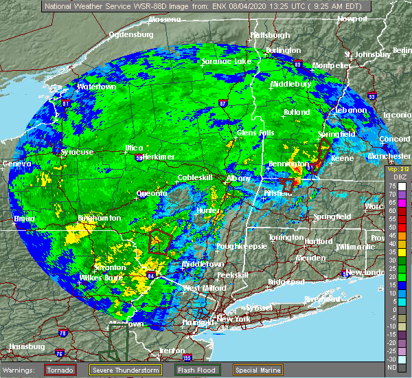 At 926 am edt, a severe thunderstorm was located near charlemont, or 9 miles west of greenfield, moving northeast at 30 mph (radar indicated). Hazards include 60 mph wind gusts. expect damage to trees and power lines At 926 am edt, a severe thunderstorm was located near charlemont, or 9 miles west of greenfield, moving northeast at 30 mph (radar indicated). Hazards include 60 mph wind gusts. expect damage to trees and power lines
|
| 7/30/2020 4:37 PM EDT |
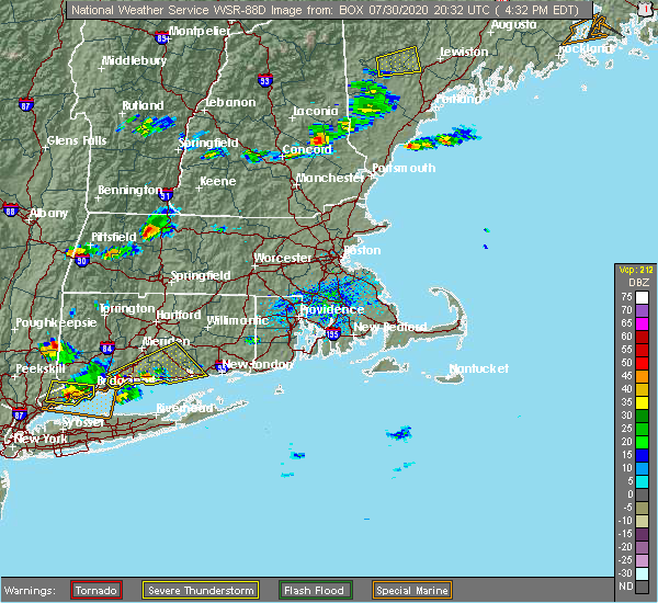 The national weather service in boston/norton has issued a * severe thunderstorm warning for. northwestern worcester county in central massachusetts. central franklin county in western massachusetts. until 530 pm edt. At 437 pm edt, a severe thunderstorm was located near conway, or. The national weather service in boston/norton has issued a * severe thunderstorm warning for. northwestern worcester county in central massachusetts. central franklin county in western massachusetts. until 530 pm edt. At 437 pm edt, a severe thunderstorm was located near conway, or.
|
| 7/14/2020 12:25 PM EDT |
 The severe thunderstorm warning for northwestern worcester, central hampshire and central franklin counties will expire at 1230 pm edt, the storm which prompted the warning has weakened below severe limits, and no longer poses an immediate threat to life or property. therefore, the warning will be allowed to expire. however gusty winds, up to penny sized hail and heavy rain are still possible with this thunderstorm so it will be followed by a special weather statement. The severe thunderstorm warning for northwestern worcester, central hampshire and central franklin counties will expire at 1230 pm edt, the storm which prompted the warning has weakened below severe limits, and no longer poses an immediate threat to life or property. therefore, the warning will be allowed to expire. however gusty winds, up to penny sized hail and heavy rain are still possible with this thunderstorm so it will be followed by a special weather statement.
|
| 7/14/2020 12:13 PM EDT |
 At 1213 pm edt, a severe thunderstorm was located over greenfield, moving southeast at 15 mph (radar indicated). Hazards include 60 mph wind gusts and nickel size hail. Expect damage to trees and power lines. Locations impacted include, amherst, greenfield, deerfield, montague, hadley, sunderland, hatfield, northfield, bernardston, buckland, conway, shelburne, leverett, erving, shutesbury, colrain, gill, whately, pelham and charlemont. At 1213 pm edt, a severe thunderstorm was located over greenfield, moving southeast at 15 mph (radar indicated). Hazards include 60 mph wind gusts and nickel size hail. Expect damage to trees and power lines. Locations impacted include, amherst, greenfield, deerfield, montague, hadley, sunderland, hatfield, northfield, bernardston, buckland, conway, shelburne, leverett, erving, shutesbury, colrain, gill, whately, pelham and charlemont.
|
| 7/14/2020 11:35 AM EDT |
 At 1134 am edt, a severe thunderstorm was located over leyden, or near greenfield, moving southeast at 20 mph (radar indicated). Hazards include 60 mph wind gusts and quarter size hail. Expect wind damage to trees and power lines. Minor hail damage to vehicles is possible. At 1134 am edt, a severe thunderstorm was located over leyden, or near greenfield, moving southeast at 20 mph (radar indicated). Hazards include 60 mph wind gusts and quarter size hail. Expect wind damage to trees and power lines. Minor hail damage to vehicles is possible.
|
| 6/29/2020 3:01 PM EDT | Trees and wires down on cummington rd in franklin county MA, 5.3 miles NNE of Shelburne Falls, MA |
| 6/29/2020 2:38 PM EDT | Tree down and blocking fiske mill roa in franklin county MA, 3.7 miles WNW of Shelburne Falls, MA |
| 6/29/2020 2:29 PM EDT | Quarter sized hail reported 7.2 miles ENE of Shelburne Falls, MA |
| 6/29/2020 2:10 PM EDT | Trees and wires down on cummington rd in franklin county MA, 5.3 miles NNE of Shelburne Falls, MA |
| 6/29/2020 1:58 PM EDT |
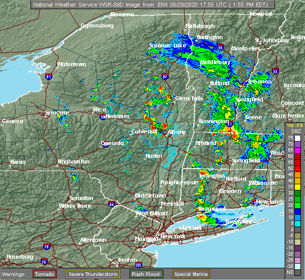 At 158 pm edt, a severe thunderstorm was located over rowe, or 10 miles east of north adams, moving south at 10 mph (public). Hazards include quarter size hail. minor hail damage to vehicles is possible At 158 pm edt, a severe thunderstorm was located over rowe, or 10 miles east of north adams, moving south at 10 mph (public). Hazards include quarter size hail. minor hail damage to vehicles is possible
|
| 5/15/2020 7:31 PM EDT |
 At 731 pm edt, a severe thunderstorm was located over gill, or near greenfield, moving east at 50 mph (radar indicated). Hazards include 60 mph wind gusts and quarter size hail. Expect wind damage to trees and power lines. Minor hail damage to vehicles is possible. At 731 pm edt, a severe thunderstorm was located over gill, or near greenfield, moving east at 50 mph (radar indicated). Hazards include 60 mph wind gusts and quarter size hail. Expect wind damage to trees and power lines. Minor hail damage to vehicles is possible.
|
| 5/15/2020 7:23 PM EDT |
 At 722 pm edt, a severe thunderstorm was located over colrain, or near greenfield, moving east at 55 mph (radar indicated). Hazards include 60 mph wind gusts. Expect damage to trees and power lines. Locations impacted include, amherst, northampton, greenfield, orange, deerfield, belchertown, monroe, montague, hadley, sunderland, hatfield, northfield, williamsburg, bernardston, buckland, conway, shelburne, leverett, erving and shutesbury. At 722 pm edt, a severe thunderstorm was located over colrain, or near greenfield, moving east at 55 mph (radar indicated). Hazards include 60 mph wind gusts. Expect damage to trees and power lines. Locations impacted include, amherst, northampton, greenfield, orange, deerfield, belchertown, monroe, montague, hadley, sunderland, hatfield, northfield, williamsburg, bernardston, buckland, conway, shelburne, leverett, erving and shutesbury.
|
| 5/15/2020 7:13 PM EDT |
 At 713 pm edt, a severe thunderstorm was located over heath, or 13 miles east of north adams, moving east at 55 mph (radar indicated). Hazards include 60 mph wind gusts. Expect damage to trees and power lines. Locations impacted include, amherst, northampton, greenfield, orange, deerfield, belchertown, monroe, montague, hadley, sunderland, hatfield, northfield, williamsburg, bernardston, buckland, conway, shelburne, leverett, erving and shutesbury. At 713 pm edt, a severe thunderstorm was located over heath, or 13 miles east of north adams, moving east at 55 mph (radar indicated). Hazards include 60 mph wind gusts. Expect damage to trees and power lines. Locations impacted include, amherst, northampton, greenfield, orange, deerfield, belchertown, monroe, montague, hadley, sunderland, hatfield, northfield, williamsburg, bernardston, buckland, conway, shelburne, leverett, erving and shutesbury.
|
| 5/15/2020 7:02 PM EDT |
 At 702 pm edt, a severe thunderstorm was located over stamford, or near north adams, moving east at 55 mph (radar indicated). Hazards include 60 mph wind gusts. Expect damage to trees and power lines. Locations impacted include, amherst, northampton, greenfield, orange, deerfield, belchertown, monroe, montague, hadley, sunderland, hatfield, northfield, williamsburg, bernardston, buckland, conway, shelburne, leverett, erving and shutesbury. At 702 pm edt, a severe thunderstorm was located over stamford, or near north adams, moving east at 55 mph (radar indicated). Hazards include 60 mph wind gusts. Expect damage to trees and power lines. Locations impacted include, amherst, northampton, greenfield, orange, deerfield, belchertown, monroe, montague, hadley, sunderland, hatfield, northfield, williamsburg, bernardston, buckland, conway, shelburne, leverett, erving and shutesbury.
|
| 5/15/2020 6:49 PM EDT |
 At 649 pm edt, a severe thunderstorm was located near pownal, or 9 miles west of north adams, moving east at 50 mph (radar indicated). Hazards include 60 mph wind gusts. expect damage to trees and power lines At 649 pm edt, a severe thunderstorm was located near pownal, or 9 miles west of north adams, moving east at 50 mph (radar indicated). Hazards include 60 mph wind gusts. expect damage to trees and power lines
|
| 3/29/2020 9:06 PM EDT |
 At 905 pm edt, a severe thunderstorm was located over bernardston, or near greenfield, moving east at 60 mph (radar indicated). Hazards include quarter size hail. Minor hail damage to vehicles is possible. Locations impacted include, greenfield, deerfield, montague, northfield, bernardston, buckland, conway, shelburne, erving, ashfield, colrain, gill, charlemont, goshen, cummington, leyden, heath, plainfield, rowe and hawley. At 905 pm edt, a severe thunderstorm was located over bernardston, or near greenfield, moving east at 60 mph (radar indicated). Hazards include quarter size hail. Minor hail damage to vehicles is possible. Locations impacted include, greenfield, deerfield, montague, northfield, bernardston, buckland, conway, shelburne, erving, ashfield, colrain, gill, charlemont, goshen, cummington, leyden, heath, plainfield, rowe and hawley.
|
| 3/29/2020 8:47 PM EDT |
 At 847 pm edt, a severe thunderstorm was located over hawley, or 13 miles southeast of north adams, moving east at 60 mph (radar indicated). Hazards include quarter size hail. minor hail damage to vehicles is possible At 847 pm edt, a severe thunderstorm was located over hawley, or 13 miles southeast of north adams, moving east at 60 mph (radar indicated). Hazards include quarter size hail. minor hail damage to vehicles is possible
|
| 8/17/2019 7:52 PM EDT |
 At 752 pm edt, a severe thunderstorm was located over greenfield, moving east at 15 mph (radar indicated). Hazards include 60 mph wind gusts and penny size hail. Expect damage to trees and power lines. this severe storm will be near, leyden around 805 pm edt. greenfield, montague and bernardston around 810 pm edt. northfield, gill and wendell around 815 pm edt. Other locations impacted by this severe thunderstorm include south vernon. At 752 pm edt, a severe thunderstorm was located over greenfield, moving east at 15 mph (radar indicated). Hazards include 60 mph wind gusts and penny size hail. Expect damage to trees and power lines. this severe storm will be near, leyden around 805 pm edt. greenfield, montague and bernardston around 810 pm edt. northfield, gill and wendell around 815 pm edt. Other locations impacted by this severe thunderstorm include south vernon.
|
| 8/17/2019 7:33 PM EDT |
 At 733 pm edt, a severe thunderstorm was located over shelburne, or 7 miles west of greenfield, moving east at 10 mph (radar indicated). Hazards include 60 mph wind gusts and quarter size hail. Hail damage to vehicles is possible. expect damage to trees and power lines. this severe thunderstorm will be near, colrain around 755 pm edt. shelburne around 800 pm edt. greenfield, deerfield, montague, bernardston, gill and leyden around 815 pm edt. Other locations impacted by this severe thunderstorm include south vernon. At 733 pm edt, a severe thunderstorm was located over shelburne, or 7 miles west of greenfield, moving east at 10 mph (radar indicated). Hazards include 60 mph wind gusts and quarter size hail. Hail damage to vehicles is possible. expect damage to trees and power lines. this severe thunderstorm will be near, colrain around 755 pm edt. shelburne around 800 pm edt. greenfield, deerfield, montague, bernardston, gill and leyden around 815 pm edt. Other locations impacted by this severe thunderstorm include south vernon.
|
| 8/8/2019 6:55 PM EDT |
 The severe thunderstorm warning for hampshire, franklin and western hampden counties will expire at 700 pm edt, the storms which prompted the warning have moved out of the area. therefore, the warning will be allowed to expire. however gusty winds are still possible behind the line of thunderstorms. a severe thunderstorm watch remains in effect until midnight edt for western massachusetts. remember, a severe thunderstorm warning still remains in effect for eastern franklin county ma until 730 pm. The severe thunderstorm warning for hampshire, franklin and western hampden counties will expire at 700 pm edt, the storms which prompted the warning have moved out of the area. therefore, the warning will be allowed to expire. however gusty winds are still possible behind the line of thunderstorms. a severe thunderstorm watch remains in effect until midnight edt for western massachusetts. remember, a severe thunderstorm warning still remains in effect for eastern franklin county ma until 730 pm.
|
| 8/8/2019 6:33 PM EDT |
 At 631 pm edt, a line of severe thunderstorms continued to progress east at 40 mph across western massachusetts. already trained weather spotters have reported wind gusts as high as 63 mph at west stockbridge ma and 55 mph at cheshire ma with accompanying reports of downed tree and tree limbs as well as power lines (trained weather spotters). Hazards include 60 mph wind gusts. Expect damage to trees and power lines. Locations impacted include, westfield, holyoke, amherst, northampton, agawam, west springfield, greenfield, deerfield, south hadley, easthampton, monroe, southwick, montague, southampton, hadley, sunderland, hatfield, northfield, williamsburg and huntington. At 631 pm edt, a line of severe thunderstorms continued to progress east at 40 mph across western massachusetts. already trained weather spotters have reported wind gusts as high as 63 mph at west stockbridge ma and 55 mph at cheshire ma with accompanying reports of downed tree and tree limbs as well as power lines (trained weather spotters). Hazards include 60 mph wind gusts. Expect damage to trees and power lines. Locations impacted include, westfield, holyoke, amherst, northampton, agawam, west springfield, greenfield, deerfield, south hadley, easthampton, monroe, southwick, montague, southampton, hadley, sunderland, hatfield, northfield, williamsburg and huntington.
|
| 8/8/2019 6:08 PM EDT |
 At 605 pm edt, a north to south line of severe thunderstorms across berkshire county ma, from williamstown down south to sheffield, was moving east at 40 mph (radar indicated). Hazards include 60 mph wind gusts. expect damage to trees and power lines At 605 pm edt, a north to south line of severe thunderstorms across berkshire county ma, from williamstown down south to sheffield, was moving east at 40 mph (radar indicated). Hazards include 60 mph wind gusts. expect damage to trees and power lines
|
| 8/7/2019 6:36 PM EDT |
 At 625 pm edt, severe thunderstorms were located along a line extending from near chesterfield to near montgomery, moving east at 25 mph. a wind gust to 43 mph was recently reported in chester (radar indicated). Hazards include 60 mph wind gusts. Expect damage to trees and power lines. these severe storms will be near, chesterfield and goshen around 630 pm edt. Easthampton, southampton, hatfield, williamsburg, conway, ashfield, westhampton and whately around 645 pm edt. At 625 pm edt, severe thunderstorms were located along a line extending from near chesterfield to near montgomery, moving east at 25 mph. a wind gust to 43 mph was recently reported in chester (radar indicated). Hazards include 60 mph wind gusts. Expect damage to trees and power lines. these severe storms will be near, chesterfield and goshen around 630 pm edt. Easthampton, southampton, hatfield, williamsburg, conway, ashfield, westhampton and whately around 645 pm edt.
|
| 8/7/2019 6:35 PM EDT | Tree and wires down blocking the road at pine hill and shelburne falls roa in franklin county MA, 4.5 miles NNW of Shelburne Falls, MA |
| 8/7/2019 6:35 PM EDT | Large tree and wires down with one utility cross arm knocked down and two other utility pole cross arms damaged along buckland roa in franklin county MA, 5.7 miles NNE of Shelburne Falls, MA |
| 8/7/2019 6:35 PM EDT | Large tree... utility pole and wires down at west road and steady lan in franklin county MA, 6.3 miles NNE of Shelburne Falls, MA |
| 8/7/2019 6:25 PM EDT |
 At 625 pm edt, severe thunderstorms were located along a line extending from near chesterfield to near montgomery, moving east at 25 mph. a wind gust to 43 mph was recently reported in chester (radar indicated). Hazards include 60 mph wind gusts. Expect damage to trees and power lines. these severe storms will be near, chesterfield and goshen around 630 pm edt. Easthampton, southampton, hatfield, williamsburg, conway, ashfield, westhampton and whately around 645 pm edt. At 625 pm edt, severe thunderstorms were located along a line extending from near chesterfield to near montgomery, moving east at 25 mph. a wind gust to 43 mph was recently reported in chester (radar indicated). Hazards include 60 mph wind gusts. Expect damage to trees and power lines. these severe storms will be near, chesterfield and goshen around 630 pm edt. Easthampton, southampton, hatfield, williamsburg, conway, ashfield, westhampton and whately around 645 pm edt.
|
| 8/7/2019 6:18 PM EDT |
 At 618 pm edt, severe thunderstorms were located along a line extending from worthington to blandford, moving east at 25 mph (radar indicated). Hazards include 60 mph wind gusts. Expect damage to trees and power lines. these severe storms will be near, huntington around 625 pm edt. chesterfield and goshen around 630 pm edt. montgomery around 635 pm edt. Easthampton, southampton, hatfield, williamsburg, conway, ashfield, westhampton and whately around 645 pm edt. At 618 pm edt, severe thunderstorms were located along a line extending from worthington to blandford, moving east at 25 mph (radar indicated). Hazards include 60 mph wind gusts. Expect damage to trees and power lines. these severe storms will be near, huntington around 625 pm edt. chesterfield and goshen around 630 pm edt. montgomery around 635 pm edt. Easthampton, southampton, hatfield, williamsburg, conway, ashfield, westhampton and whately around 645 pm edt.
|
| 8/7/2019 6:00 PM EDT |
 At 600 pm edt, severe thunderstorms were located along a line extending from near middlefield to near tolland, moving northeast at 30 mph (radar indicated). Hazards include 60 mph wind gusts. Expect damage to trees and power lines. severe thunderstorms will be near, cummington and east windsor around 615 pm edt. goshen around 620 pm edt. russell and plainfield around 625 pm edt. montgomery around 630 pm edt. ashfield, chester and middlefield around 635 pm edt. huntington around 640 pm edt. Buckland, chesterfield and worthington around 645 pm edt. At 600 pm edt, severe thunderstorms were located along a line extending from near middlefield to near tolland, moving northeast at 30 mph (radar indicated). Hazards include 60 mph wind gusts. Expect damage to trees and power lines. severe thunderstorms will be near, cummington and east windsor around 615 pm edt. goshen around 620 pm edt. russell and plainfield around 625 pm edt. montgomery around 630 pm edt. ashfield, chester and middlefield around 635 pm edt. huntington around 640 pm edt. Buckland, chesterfield and worthington around 645 pm edt.
|
| 5/23/2019 10:42 PM EDT |
 At 1041 pm edt, a severe thunderstorm was located over conway, or near greenfield, moving southeast at 50 mph (radar indicated). Hazards include 60 mph wind gusts and penny size hail. Expect damage to trees and power lines. Locations impacted include, amherst, greenfield, orange, deerfield, belchertown, montague, hadley, sunderland, hatfield, northfield, williamsburg, bernardston, buckland, conway, shelburne, leverett, erving, shutesbury, ashfield and colrain. At 1041 pm edt, a severe thunderstorm was located over conway, or near greenfield, moving southeast at 50 mph (radar indicated). Hazards include 60 mph wind gusts and penny size hail. Expect damage to trees and power lines. Locations impacted include, amherst, greenfield, orange, deerfield, belchertown, montague, hadley, sunderland, hatfield, northfield, williamsburg, bernardston, buckland, conway, shelburne, leverett, erving, shutesbury, ashfield and colrain.
|
| 5/23/2019 10:14 PM EDT |
 At 1014 pm edt, a severe thunderstorm was located over florida, or over north adams, moving east at 55 mph (radar indicated). Hazards include 60 mph wind gusts and penny size hail. expect damage to trees and power lines At 1014 pm edt, a severe thunderstorm was located over florida, or over north adams, moving east at 55 mph (radar indicated). Hazards include 60 mph wind gusts and penny size hail. expect damage to trees and power lines
|
| 7/27/2018 5:07 PM EDT |
 The severe thunderstorm warning for northwestern franklin county will expire at 515 pm edt, the storm which prompted the warning has weakened below severe limits, and has exited the warned area. therefore, the warning will be allowed to expire. however heavy rain is still possible with this thunderstorm. a severe thunderstorm watch remains in effect until 1000 pm edt for western massachusetts. The severe thunderstorm warning for northwestern franklin county will expire at 515 pm edt, the storm which prompted the warning has weakened below severe limits, and has exited the warned area. therefore, the warning will be allowed to expire. however heavy rain is still possible with this thunderstorm. a severe thunderstorm watch remains in effect until 1000 pm edt for western massachusetts.
|
| 7/27/2018 5:00 PM EDT | Tree on wires on south roa in franklin county MA, 6.3 miles SE of Shelburne Falls, MA |
| 7/27/2018 4:57 PM EDT | Trees and wires down on avery brook road in franklin county MA, 7.1 miles ESE of Shelburne Falls, MA |
| 7/27/2018 4:43 PM EDT |
 At 443 pm edt, a severe thunderstorm was located over charlemont, or 12 miles west of greenfield, moving northeast at 35 mph (radar indicated). Hazards include 60 mph wind gusts and penny size hail. expect damage to trees and power lines At 443 pm edt, a severe thunderstorm was located over charlemont, or 12 miles west of greenfield, moving northeast at 35 mph (radar indicated). Hazards include 60 mph wind gusts and penny size hail. expect damage to trees and power lines
|
| 7/27/2018 4:24 PM EDT | Tree and wires down on prospect street in hampshire county MA, 10.5 miles ENE of Shelburne Falls, MA |
| 6/18/2018 5:31 PM EDT | Wires and transformer down on conway road in franklin county MA, 5.3 miles NNE of Shelburne Falls, MA |
| 6/18/2018 5:28 PM EDT |
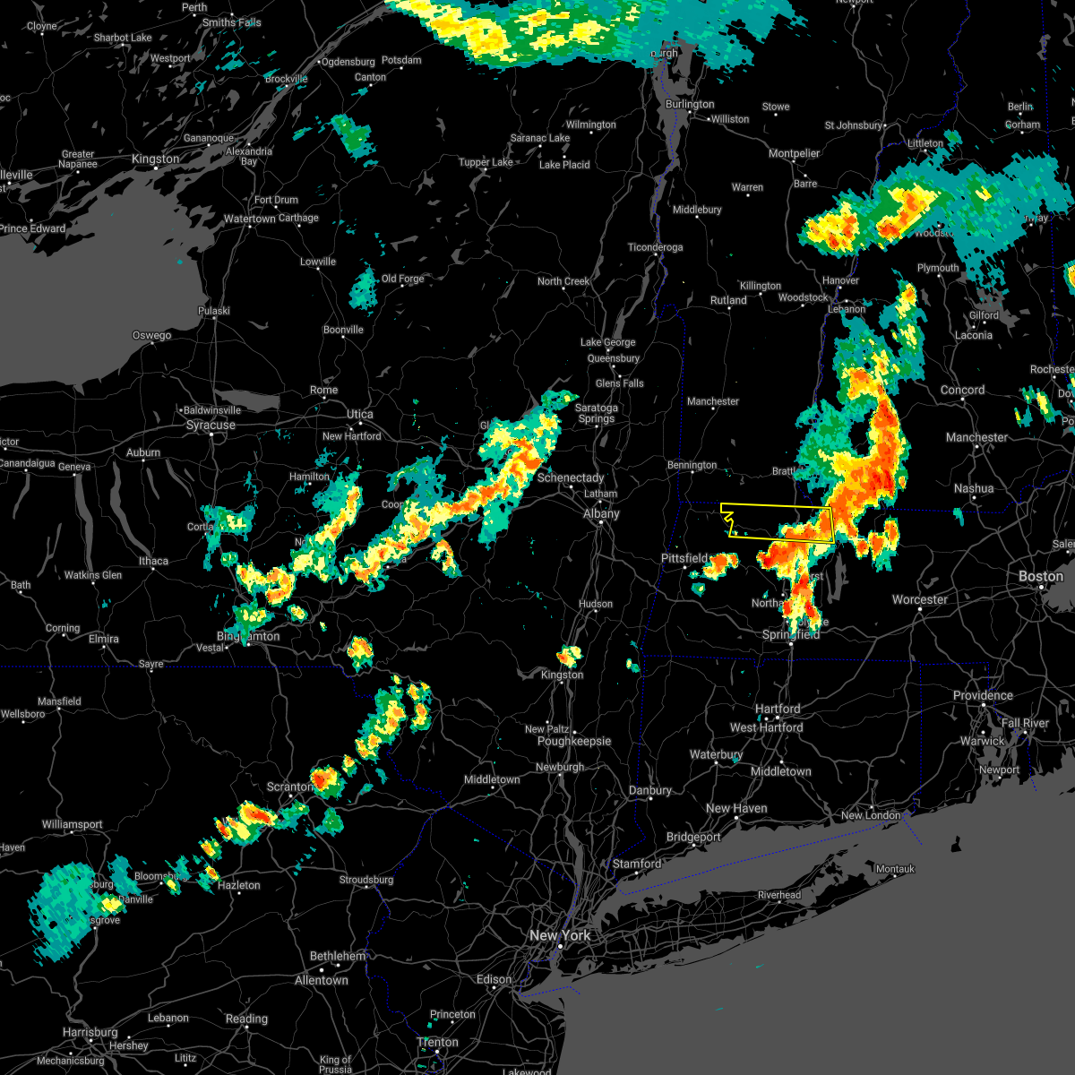 The severe thunderstorm warning for northern franklin county will expire at 530 pm edt, the storm which prompted the warning is moving out of the area. therefore, the warning will be allowed to expire. The severe thunderstorm warning for northern franklin county will expire at 530 pm edt, the storm which prompted the warning is moving out of the area. therefore, the warning will be allowed to expire.
|
| 6/18/2018 5:19 PM EDT | Quarter sized hail reported 5.3 miles NNE of Shelburne Falls, MA, nickel to quarter sized hail on hawley road |
| 6/18/2018 5:17 PM EDT | Quarter sized hail reported 10.5 miles ENE of Shelburne Falls, MA |
| 6/18/2018 4:49 PM EDT |
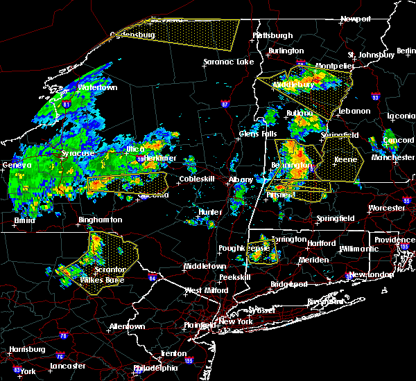 At 448 pm edt, a severe thunderstorm was located near savoy, or near north adams, moving east at 40 mph (radar indicated). Hazards include 60 mph wind gusts and quarter size hail. Hail damage to vehicles is possible. Expect damage to trees and power lines. At 448 pm edt, a severe thunderstorm was located near savoy, or near north adams, moving east at 40 mph (radar indicated). Hazards include 60 mph wind gusts and quarter size hail. Hail damage to vehicles is possible. Expect damage to trees and power lines.
|
| 6/18/2018 4:38 PM EDT |
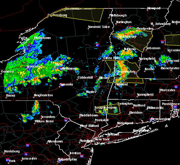 At 438 pm edt, a severe thunderstorm was located over north adams, moving east at 50 mph (radar indicated). Hazards include 60 mph wind gusts. expect damage to trees and power lines At 438 pm edt, a severe thunderstorm was located over north adams, moving east at 50 mph (radar indicated). Hazards include 60 mph wind gusts. expect damage to trees and power lines
|
| 5/15/2018 3:28 PM EDT |
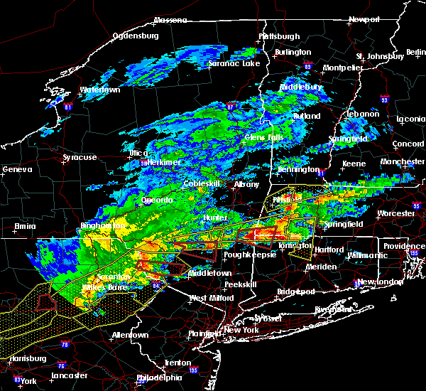 At 324 pm edt, a severe thunderstorm was located over savoy, or near north adams, moving northeast at 60 mph. the core of the storm appeared headed toward charlemont, heath, and monroe (radar indicated). Hazards include ping pong ball size hail and 60 mph wind gusts. People and animals outdoors will be injured. expect hail damage to roofs, siding, windows, and vehicles. expect damage to trees and power lines. locations impacted include, greenfield, deerfield, monroe, montague, northfield, bernardston, buckland, conway, shelburne, erving, ashfield, colrain, gill, charlemont, cummington, leyden, heath, plainfield, rowe and hawley. A tornado watch remains in effect until 900 pm edt for western massachusetts. At 324 pm edt, a severe thunderstorm was located over savoy, or near north adams, moving northeast at 60 mph. the core of the storm appeared headed toward charlemont, heath, and monroe (radar indicated). Hazards include ping pong ball size hail and 60 mph wind gusts. People and animals outdoors will be injured. expect hail damage to roofs, siding, windows, and vehicles. expect damage to trees and power lines. locations impacted include, greenfield, deerfield, monroe, montague, northfield, bernardston, buckland, conway, shelburne, erving, ashfield, colrain, gill, charlemont, cummington, leyden, heath, plainfield, rowe and hawley. A tornado watch remains in effect until 900 pm edt for western massachusetts.
|
| 5/15/2018 3:13 PM EDT |
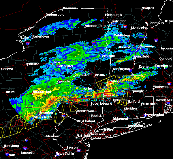 At 312 pm edt, a severe thunderstorm was located near hancock, or near pittsfield, moving northeast at 60 mph (radar indicated). Hazards include 60 mph wind gusts and quarter size hail. Hail damage to vehicles is possible. Expect damage to trees and power lines. At 312 pm edt, a severe thunderstorm was located near hancock, or near pittsfield, moving northeast at 60 mph (radar indicated). Hazards include 60 mph wind gusts and quarter size hail. Hail damage to vehicles is possible. Expect damage to trees and power lines.
|
| 5/4/2018 9:35 PM EDT |
 At 934 pm edt, a line of strong to severe thunderstorms were sweeping into western massachusetts moving east at 50 mph (radar indicated). Hazards include 60 mph wind gusts. expect damage to trees and power lines At 934 pm edt, a line of strong to severe thunderstorms were sweeping into western massachusetts moving east at 50 mph (radar indicated). Hazards include 60 mph wind gusts. expect damage to trees and power lines
|
| 5/4/2018 5:54 PM EDT |
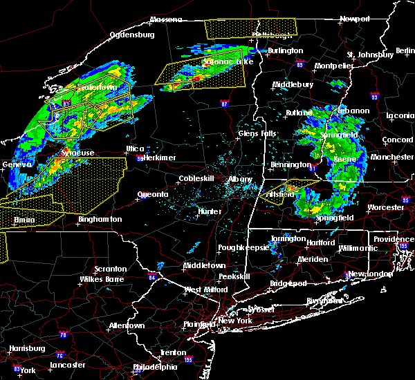 At 553 pm edt, a severe thunderstorm was located over hawley, or 10 miles southeast of north adams, moving northeast at 65 mph (radar indicated). Hazards include 60 mph wind gusts and penny size hail. expect damage to trees and power lines At 553 pm edt, a severe thunderstorm was located over hawley, or 10 miles southeast of north adams, moving northeast at 65 mph (radar indicated). Hazards include 60 mph wind gusts and penny size hail. expect damage to trees and power lines
|
| 8/22/2017 10:08 PM EDT |
 At 1007 pm edt, severe thunderstorms were located along a line extending from near guilford center to near housatonic, moving east at 35 mph (radar indicated). Hazards include 60 mph wind gusts and torrential downpours with localized flooding. expect damage to trees and power lines and localized flooding At 1007 pm edt, severe thunderstorms were located along a line extending from near guilford center to near housatonic, moving east at 35 mph (radar indicated). Hazards include 60 mph wind gusts and torrential downpours with localized flooding. expect damage to trees and power lines and localized flooding
|
| 8/2/2017 2:28 PM EDT | Quarter sized hail reported 7.2 miles ENE of Shelburne Falls, MA, hail covering ground |
| 6/30/2017 5:24 PM EDT | Tree down on route 2 partially blocking the road near the savoy state fores in franklin county MA, 7.1 miles ESE of Shelburne Falls, MA |
| 6/30/2017 4:59 PM EDT |
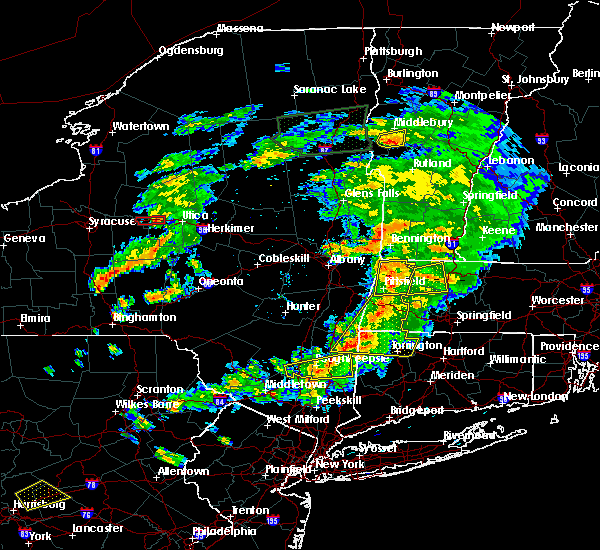 At 459 pm edt, a severe thunderstorm was located near cheshire, or 8 miles northeast of pittsfield, moving east at 35 mph (radar indicated). Hazards include 60 mph wind gusts. expect damage to trees and power lines At 459 pm edt, a severe thunderstorm was located near cheshire, or 8 miles northeast of pittsfield, moving east at 35 mph (radar indicated). Hazards include 60 mph wind gusts. expect damage to trees and power lines
|
| 6/19/2017 4:29 PM EDT |
 At 429 pm edt, severe thunderstorms were located along a line extending from near lenox to near norfolk to near litchfield, moving northeast at 30 mph (radar indicated). Hazards include 60 mph wind gusts and penny size hail. expect damage to trees and power lines At 429 pm edt, severe thunderstorms were located along a line extending from near lenox to near norfolk to near litchfield, moving northeast at 30 mph (radar indicated). Hazards include 60 mph wind gusts and penny size hail. expect damage to trees and power lines
|
| 6/19/2017 2:25 PM EDT | Trees down on wires route 8a north in franklin county MA, 7.1 miles ESE of Shelburne Falls, MA |
| 6/19/2017 2:20 PM EDT | Power lines down on west branch road at route 8a north in franklin county MA, 6.3 miles SE of Shelburne Falls, MA |
| 6/19/2017 2:15 PM EDT | Tree down with a power outage in area of route 112 in franklin county MA, 5.3 miles NNE of Shelburne Falls, MA |
| 6/19/2017 2:10 PM EDT |
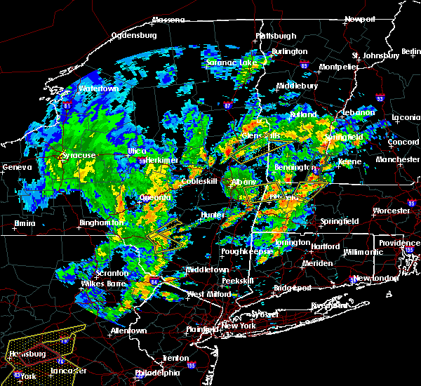 At 209 pm edt, a severe thunderstorm was located over ashfield, or 14 miles southwest of greenfield, moving northeast at 30 mph (radar indicated). Hazards include 60 mph wind gusts and penny size hail. Expect damage to trees and power lines. Locations impacted include, greenfield, deerfield, montague, northfield, bernardston, buckland, conway, shelburne, ashfield, colrain, gill, charlemont, leyden, heath, hawley and south vernon. At 209 pm edt, a severe thunderstorm was located over ashfield, or 14 miles southwest of greenfield, moving northeast at 30 mph (radar indicated). Hazards include 60 mph wind gusts and penny size hail. Expect damage to trees and power lines. Locations impacted include, greenfield, deerfield, montague, northfield, bernardston, buckland, conway, shelburne, ashfield, colrain, gill, charlemont, leyden, heath, hawley and south vernon.
|
| 6/19/2017 1:43 PM EDT |
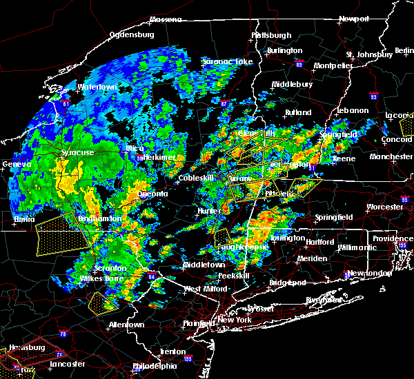 At 142 pm edt, a severe thunderstorm was located over buckland, or 10 miles west of greenfield, moving northeast at 30 mph (radar indicated). Hazards include 60 mph wind gusts and penny size hail. expect damage to trees and power lines At 142 pm edt, a severe thunderstorm was located over buckland, or 10 miles west of greenfield, moving northeast at 30 mph (radar indicated). Hazards include 60 mph wind gusts and penny size hail. expect damage to trees and power lines
|
| 5/31/2017 6:26 PM EDT |
 At 625 pm edt, severe thunderstorms were located along a line extending from hinsdale to near deerfield to near otis, moving east at 35 mph (radar indicated. though spotters have reported hail up to the size of nickels with wind gusts as high as 45 mph). Hazards include 60 mph wind gusts and quarter size hail. Hail damage to vehicles is possible. expect damage to trees and power lines. Locations impacted include, westfield, holyoke, amherst, northampton, greenfield, orange, deerfield, south hadley, easthampton, montague, southampton, hadley, sunderland, hatfield, northfield, williamsburg, huntington, bernardston, buckland and conway. At 625 pm edt, severe thunderstorms were located along a line extending from hinsdale to near deerfield to near otis, moving east at 35 mph (radar indicated. though spotters have reported hail up to the size of nickels with wind gusts as high as 45 mph). Hazards include 60 mph wind gusts and quarter size hail. Hail damage to vehicles is possible. expect damage to trees and power lines. Locations impacted include, westfield, holyoke, amherst, northampton, greenfield, orange, deerfield, south hadley, easthampton, montague, southampton, hadley, sunderland, hatfield, northfield, williamsburg, huntington, bernardston, buckland and conway.
|
| 5/31/2017 6:15 PM EDT | Strong winds blew down multiple large trees and damaged roof of building on prospect street in hampshire county MA, 12.1 miles NE of Shelburne Falls, MA |
| 5/31/2017 6:12 PM EDT |
 At 611 pm edt, severe thunderstorms were located along a line extending from near guilford center to ashfield to near lee, moving east at 35 mph (radar indicated). Hazards include 60 mph wind gusts and half dollar size hail. Hail damage to vehicles is possible. Expect damage to trees and power lines. At 611 pm edt, severe thunderstorms were located along a line extending from near guilford center to ashfield to near lee, moving east at 35 mph (radar indicated). Hazards include 60 mph wind gusts and half dollar size hail. Hail damage to vehicles is possible. Expect damage to trees and power lines.
|
| 5/31/2017 5:58 PM EDT |
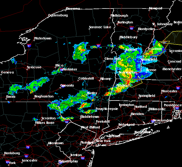 At 557 pm edt, a severe thunderstorm was located over rowe, or 10 miles east of north adams, and is nearly stationary (radar indicated. though spotters have reported 40 mph winds and dime sized hail). Hazards include 60 mph wind gusts and quarter size hail. Hail damage to vehicles is possible. expect damage to trees and power lines. Locations impacted include, greenfield, deerfield, monroe, montague, northfield, bernardston, buckland, conway, shelburne, erving, ashfield, colrain, gill, charlemont, leyden, heath, plainfield, rowe, hawley and hoosac tunnel. At 557 pm edt, a severe thunderstorm was located over rowe, or 10 miles east of north adams, and is nearly stationary (radar indicated. though spotters have reported 40 mph winds and dime sized hail). Hazards include 60 mph wind gusts and quarter size hail. Hail damage to vehicles is possible. expect damage to trees and power lines. Locations impacted include, greenfield, deerfield, monroe, montague, northfield, bernardston, buckland, conway, shelburne, erving, ashfield, colrain, gill, charlemont, leyden, heath, plainfield, rowe, hawley and hoosac tunnel.
|
| 5/31/2017 5:51 PM EDT |
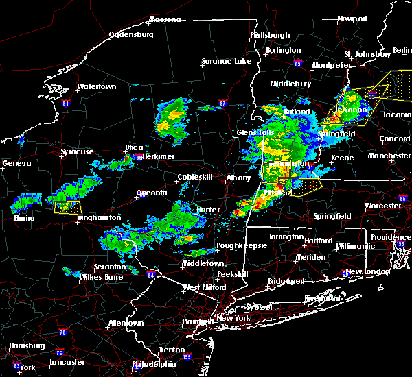 At 551 pm edt, a severe thunderstorm was located over florida, or 7 miles east of north adams, moving east at 35 mph (radar indicated). Hazards include 60 mph wind gusts. expect damage to trees and power lines At 551 pm edt, a severe thunderstorm was located over florida, or 7 miles east of north adams, moving east at 35 mph (radar indicated). Hazards include 60 mph wind gusts. expect damage to trees and power lines
|
| 5/18/2017 9:05 PM EDT |
 At 905 pm edt, a severe thunderstorm was located near ashfield, or 13 miles west of greenfield, moving east at 45 mph (radar indicated). Hazards include 60 mph wind gusts and penny size hail. expect damage to trees and power lines At 905 pm edt, a severe thunderstorm was located near ashfield, or 13 miles west of greenfield, moving east at 45 mph (radar indicated). Hazards include 60 mph wind gusts and penny size hail. expect damage to trees and power lines
|
| 5/18/2017 8:36 PM EDT |
 At 836 pm edt, a severe thunderstorm was located over williamstown, or over north adams, moving southeast at 45 mph (radar indicated). Hazards include 60 mph wind gusts. expect damage to trees and power lines At 836 pm edt, a severe thunderstorm was located over williamstown, or over north adams, moving southeast at 45 mph (radar indicated). Hazards include 60 mph wind gusts. expect damage to trees and power lines
|
| 2/25/2017 7:40 PM EST | Tree and wires down on south shelburne rd in franklin county MA, 3.7 miles WNW of Shelburne Falls, MA |
| 2/25/2017 7:37 PM EST | Trees and wires down on pfersick road. also tree down on car causing severe damage to car in franklin county MA, 5.3 miles NNE of Shelburne Falls, MA |
| 2/25/2017 7:35 PM EST | Tree down on a house at 2011 conway r in franklin county MA, 5.3 miles NNE of Shelburne Falls, MA |
| 2/25/2017 7:35 PM EST | Tree down on a house at 2011 conway r in franklin county MA, 5.3 miles NNE of Shelburne Falls, MA |
| 9/11/2016 8:40 AM EDT | Tree down on wires in franklin county MA, 3.7 miles WNW of Shelburne Falls, MA |
| 9/11/2016 8:11 AM EDT |
 At 811 am edt, severe thunderstorms were located along a line extending from near claremont to near putney to charlemont to near middlefield to near amenia, moving northeast at 45 mph (radar indicated). Hazards include 60 mph wind gusts. Expect damage to roofs. siding. And trees. At 811 am edt, severe thunderstorms were located along a line extending from near claremont to near putney to charlemont to near middlefield to near amenia, moving northeast at 45 mph (radar indicated). Hazards include 60 mph wind gusts. Expect damage to roofs. siding. And trees.
|
| 8/13/2016 9:29 PM EDT |
 At 927 pm edt, severe thunderstorms were located along a line extending from near guilford center to plainfield to near blandford to 6 miles south of norfolk, moving east at 45 mph (radar indicated). Hazards include 60 mph wind gusts. Expect damage to roofs. siding. And trees. At 927 pm edt, severe thunderstorms were located along a line extending from near guilford center to plainfield to near blandford to 6 miles south of norfolk, moving east at 45 mph (radar indicated). Hazards include 60 mph wind gusts. Expect damage to roofs. siding. And trees.
|
| 8/13/2016 8:37 PM EDT |
 At 836 pm edt, severe thunderstorms were located along a line extending from near pownal to near nassau to near livingston to port ewen, moving east at 25 mph (radar indicated). Hazards include 60 mph wind gusts. Expect damage to roofs. siding. And trees. At 836 pm edt, severe thunderstorms were located along a line extending from near pownal to near nassau to near livingston to port ewen, moving east at 25 mph (radar indicated). Hazards include 60 mph wind gusts. Expect damage to roofs. siding. And trees.
|
| 8/12/2016 5:52 PM EDT |
 The severe thunderstorm warning for western hampshire, northwestern hampden and west central franklin counties will expire at 600 pm edt, the storms which prompted the warning have weakened below severe limits, and no longer pose an immediate threat to life or property. therefore, the warning will be allowed to expire. The severe thunderstorm warning for western hampshire, northwestern hampden and west central franklin counties will expire at 600 pm edt, the storms which prompted the warning have weakened below severe limits, and no longer pose an immediate threat to life or property. therefore, the warning will be allowed to expire.
|
| 8/12/2016 5:17 PM EDT |
 At 516 pm edt, severe thunderstorms were located along a line extending from adams to near pittsfield to near new lebanon to chatham, moving east at 30 mph (radar indicated). Hazards include 60 mph wind gusts. Expect damage to roofs. siding. And trees. At 516 pm edt, severe thunderstorms were located along a line extending from adams to near pittsfield to near new lebanon to chatham, moving east at 30 mph (radar indicated). Hazards include 60 mph wind gusts. Expect damage to roofs. siding. And trees.
|
| 7/23/2016 8:06 PM EDT |
 The severe thunderstorm warning for hampshire, northern hampden, northwestern worcester and franklin counties will expire at 815 pm edt, the severe thunderstorm which prompted the warning has weakened. however, brief wind gusts to 45 mph from weakening showers may still result in a few downed trees and isolated power outages. a severe thunderstorm watch remains in effect until 1000 pm edt for western and central massachusetts. The severe thunderstorm warning for hampshire, northern hampden, northwestern worcester and franklin counties will expire at 815 pm edt, the severe thunderstorm which prompted the warning has weakened. however, brief wind gusts to 45 mph from weakening showers may still result in a few downed trees and isolated power outages. a severe thunderstorm watch remains in effect until 1000 pm edt for western and central massachusetts.
|
| 7/23/2016 7:15 PM EDT |
 At 713 pm edt, a line of severe thunderstorms with a history of damaging wind gusts will drop south into much of western massachusetts. the strongest winds may occur well out ahead of the thunderstorms (radar indicated). Hazards include 60 mph wind gusts. Expect damage to roofs. siding. And trees. At 713 pm edt, a line of severe thunderstorms with a history of damaging wind gusts will drop south into much of western massachusetts. the strongest winds may occur well out ahead of the thunderstorms (radar indicated). Hazards include 60 mph wind gusts. Expect damage to roofs. siding. And trees.
|
| 7/23/2016 6:52 PM EDT |
 At 652 pm edt, a severe thunderstorm was located over heath, or 14 miles northwest of greenfield, moving southeast at 35 mph (radar indicated). Hazards include 60 mph wind gusts. Expect damage to roofs. siding. And trees. At 652 pm edt, a severe thunderstorm was located over heath, or 14 miles northwest of greenfield, moving southeast at 35 mph (radar indicated). Hazards include 60 mph wind gusts. Expect damage to roofs. siding. And trees.
|
| 7/18/2016 2:11 PM EDT | Tree down on wires on bardswell ferry road in franklin county MA, 3.7 miles WNW of Shelburne Falls, MA |
| 7/18/2016 2:10 PM EDT | Tree down just east of goulds sugar house on route in franklin county MA, 3.7 miles WNW of Shelburne Falls, MA |
| 7/18/2016 2:09 PM EDT | Tree and wires down on apple valley road in franklin county MA, 5.3 miles NNE of Shelburne Falls, MA |
| 7/18/2016 2:05 PM EDT | Trees and wires down on east hawley roa in franklin county MA, 7.2 miles ENE of Shelburne Falls, MA |
| 7/18/2016 1:54 PM EDT |
 At 152 pm edt, a severe thunderstorm was located over savoy, or 10 miles southeast of north adams, moving east at 45 mph. trees and wires have been reported downed in lanesboro and cheshire in berkshire county with this storm (radar indicated). Hazards include 70 mph wind gusts and quarter size hail. Expect considerable tree damage. wind damage is also likely to mobile homes, roofs, and outbuildings. some hail damage is also possible. Locations impacted include, greenfield, deerfield, montague, sunderland, northfield, williamsburg, bernardston, buckland, conway, shelburne, leverett, erving, shutesbury, ashfield, colrain, gill, whately, charlemont, goshen and cummington. At 152 pm edt, a severe thunderstorm was located over savoy, or 10 miles southeast of north adams, moving east at 45 mph. trees and wires have been reported downed in lanesboro and cheshire in berkshire county with this storm (radar indicated). Hazards include 70 mph wind gusts and quarter size hail. Expect considerable tree damage. wind damage is also likely to mobile homes, roofs, and outbuildings. some hail damage is also possible. Locations impacted include, greenfield, deerfield, montague, sunderland, northfield, williamsburg, bernardston, buckland, conway, shelburne, leverett, erving, shutesbury, ashfield, colrain, gill, whately, charlemont, goshen and cummington.
|
| 7/18/2016 1:42 PM EDT |
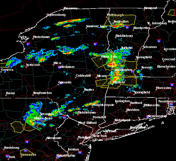 At 141 pm edt, a severe thunderstorm was located over cheshire, or 7 miles northeast of pittsfield, moving east at 50 mph (radar indicated). Hazards include 60 mph wind gusts. Expect damage to roofs. siding. And trees. At 141 pm edt, a severe thunderstorm was located over cheshire, or 7 miles northeast of pittsfield, moving east at 50 mph (radar indicated). Hazards include 60 mph wind gusts. Expect damage to roofs. siding. And trees.
|
| 2/25/2016 1:36 AM EST |
 At 135 am est, doppler radar indicated a line of severe thunderstorms producing destructive winds in excess of 70 mph. these storms were located along a line extending from 8 miles northwest of newport to walpole to near conway, moving northeast at 65 mph. locations impacted include, westfield, holyoke, amherst, northampton, agawam, west springfield, greenfield, deerfield, south hadley, easthampton, suffield, southwick, montague, southampton, hadley, sunderland, hatfield, northfield, williamsburg and huntington. At 135 am est, doppler radar indicated a line of severe thunderstorms producing destructive winds in excess of 70 mph. these storms were located along a line extending from 8 miles northwest of newport to walpole to near conway, moving northeast at 65 mph. locations impacted include, westfield, holyoke, amherst, northampton, agawam, west springfield, greenfield, deerfield, south hadley, easthampton, suffield, southwick, montague, southampton, hadley, sunderland, hatfield, northfield, williamsburg and huntington.
|
| 2/25/2016 12:56 AM EST |
 The severe thunderstorm warning for northwestern hartford, hampshire, western hampden and franklin counties will expire at 100 am est, a new severe thunderstorm warning has been issued. The severe thunderstorm warning for northwestern hartford, hampshire, western hampden and franklin counties will expire at 100 am est, a new severe thunderstorm warning has been issued.
|
| 2/25/2016 12:55 AM EST |
 At 1254 am est, doppler radar indicated a line of severe thunderstorms capable of producing destructive winds in excess of 70 mph. these storms were located along a line extending from near newfane to near ashfield to near hartland, and was moving northeast at 45 mph. At 1254 am est, doppler radar indicated a line of severe thunderstorms capable of producing destructive winds in excess of 70 mph. these storms were located along a line extending from near newfane to near ashfield to near hartland, and was moving northeast at 45 mph.
|
| 2/25/2016 12:19 AM EST |
 At 1218 am est, doppler radar indicated a severe thunderstorm capable of producing destructive winds in excess of 70 mph. this storm was located near tolland, or 14 miles north of torrington, and was moving northeast at 45 mph. At 1218 am est, doppler radar indicated a severe thunderstorm capable of producing destructive winds in excess of 70 mph. this storm was located near tolland, or 14 miles north of torrington, and was moving northeast at 45 mph.
|
| 9/3/2015 5:06 PM EDT |
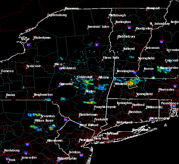 At 506 pm edt, doppler radar indicated a severe thunderstorm capable of producing quarter size hail and damaging winds in excess of 60 mph. this storm was located over conway, or 10 miles southwest of greenfield, moving southeast at 20 mph. locations impacted include, deerfield, hadley, sunderland, hatfield, williamsburg, buckland, conway, shelburne, leverett, ashfield, whately, charlemont, goshen and hawley. At 506 pm edt, doppler radar indicated a severe thunderstorm capable of producing quarter size hail and damaging winds in excess of 60 mph. this storm was located over conway, or 10 miles southwest of greenfield, moving southeast at 20 mph. locations impacted include, deerfield, hadley, sunderland, hatfield, williamsburg, buckland, conway, shelburne, leverett, ashfield, whately, charlemont, goshen and hawley.
|
| 9/3/2015 4:48 PM EDT |
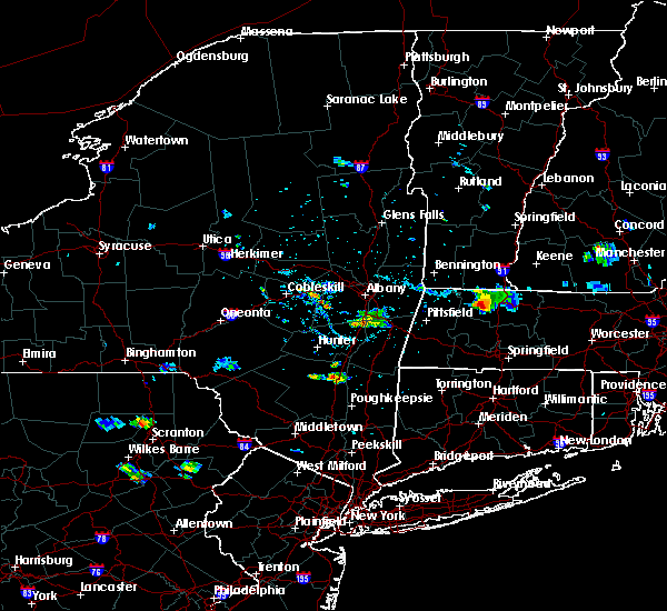 At 448 pm edt, doppler radar indicated a severe thunderstorm capable of producing quarter size hail and damaging winds in excess of 60 mph. this storm was located over buckland, or 9 miles west of greenfield, and was moving southeast at 20 mph. * some locations impacted include, deerfield, hadley, sunderland, hatfield, williamsburg, buckland, conway, shelburne, leverett, ashfield, whately, charlemont, goshen and hawley. At 448 pm edt, doppler radar indicated a severe thunderstorm capable of producing quarter size hail and damaging winds in excess of 60 mph. this storm was located over buckland, or 9 miles west of greenfield, and was moving southeast at 20 mph. * some locations impacted include, deerfield, hadley, sunderland, hatfield, williamsburg, buckland, conway, shelburne, leverett, ashfield, whately, charlemont, goshen and hawley.
|
| 8/4/2015 1:28 PM EDT |
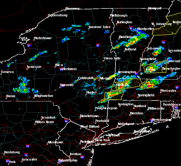 At 127 pm edt, doppler radar indicated a severe thunderstorm capable of producing quarter size hail and damaging winds in excess of 60 mph. this storm was located near cheshire, or 8 miles east of pittsfield, and was moving east at 35 mph. * some locations impacted include, greenfield, deerfield, montague, sunderland, northfield, williamsburg, bernardston, buckland, conway, shelburne, leverett, erving, shutesbury, ashfield, colrain, gill, whately, charlemont, chesterfield and worthington. At 127 pm edt, doppler radar indicated a severe thunderstorm capable of producing quarter size hail and damaging winds in excess of 60 mph. this storm was located near cheshire, or 8 miles east of pittsfield, and was moving east at 35 mph. * some locations impacted include, greenfield, deerfield, montague, sunderland, northfield, williamsburg, bernardston, buckland, conway, shelburne, leverett, erving, shutesbury, ashfield, colrain, gill, whately, charlemont, chesterfield and worthington.
|
| 7/27/2015 1:11 PM EDT |
 At 110 pm edt, doppler radar indicated a severe thunderstorm capable of producing quarter size hail and damaging winds in excess of 60 mph. this storm was located over ashfield, or 13 miles southwest of greenfield, and was moving south at 10 mph. * some locations impacted include, northampton, deerfield, hadley, hatfield, williamsburg, huntington, buckland, conway, ashfield, westhampton, whately, chesterfield, worthington, goshen, cummington, plainfield and hawley. At 110 pm edt, doppler radar indicated a severe thunderstorm capable of producing quarter size hail and damaging winds in excess of 60 mph. this storm was located over ashfield, or 13 miles southwest of greenfield, and was moving south at 10 mph. * some locations impacted include, northampton, deerfield, hadley, hatfield, williamsburg, huntington, buckland, conway, ashfield, westhampton, whately, chesterfield, worthington, goshen, cummington, plainfield and hawley.
|
| 7/19/2015 7:29 PM EDT | Tree and wires down and blocking hawley road in franklin county MA, 7.4 miles ENE of Shelburne Falls, MA |
| 7/19/2015 7:29 PM EDT |
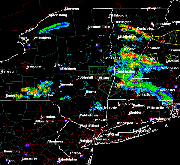 At 728 pm edt, doppler radar indicated a severe thunderstorm capable of producing quarter size hail and damaging winds in excess of 60 mph. this storm was located near savoy, or 9 miles southeast of north adams, moving east at 30 mph. locations impacted include, greenfield, deerfield, montague, sunderland, northfield, bernardston, buckland, conway, shelburne, leverett, erving, shutesbury, ashfield, colrain, gill, whately, charlemont, goshen, cummington and wendell. At 728 pm edt, doppler radar indicated a severe thunderstorm capable of producing quarter size hail and damaging winds in excess of 60 mph. this storm was located near savoy, or 9 miles southeast of north adams, moving east at 30 mph. locations impacted include, greenfield, deerfield, montague, sunderland, northfield, bernardston, buckland, conway, shelburne, leverett, erving, shutesbury, ashfield, colrain, gill, whately, charlemont, goshen, cummington and wendell.
|
| 7/19/2015 7:11 PM EDT |
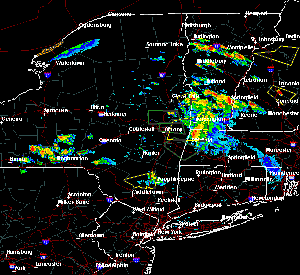 At 708 pm edt, doppler radar indicated a line of severe thunderstorms capable of producing quarter size hail and damaging winds in excess of 60 mph. these storms were located along a line extending from near north adams to just north of pittsfield, and was moving east at 45 mph. skywarn spotters reported a tree down in cheshire massachusetts. torrential rainfall of up to 2 inches per hour and frequent dangerous cloud to ground lightning accompany these storms. * some locations impacted include, greenfield, orange, deerfield, monroe, montague, sunderland, northfield, williamsburg, bernardston, buckland, conway, shelburne, leverett, erving, shutesbury, ashfield, colrain, gill, whately and charlemont. At 708 pm edt, doppler radar indicated a line of severe thunderstorms capable of producing quarter size hail and damaging winds in excess of 60 mph. these storms were located along a line extending from near north adams to just north of pittsfield, and was moving east at 45 mph. skywarn spotters reported a tree down in cheshire massachusetts. torrential rainfall of up to 2 inches per hour and frequent dangerous cloud to ground lightning accompany these storms. * some locations impacted include, greenfield, orange, deerfield, monroe, montague, sunderland, northfield, williamsburg, bernardston, buckland, conway, shelburne, leverett, erving, shutesbury, ashfield, colrain, gill, whately and charlemont.
|
| 6/23/2015 6:26 PM EDT |
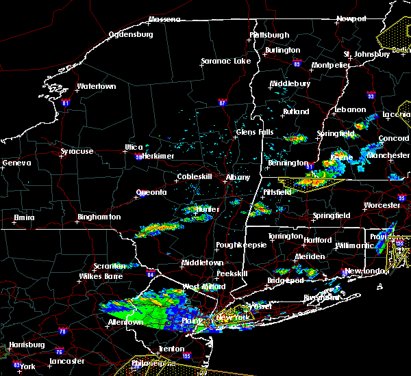 At 625 pm edt, doppler radar indicated a line of severe thunderstorms capable of producing damaging winds in excess of 60 mph. these storms were located along a line extending from near vernon to leyden to near heath, moving east-southeast at 30 mph. locations impacted include, greenfield, orange, deerfield, winchendon, montague, northfield, bernardston, buckland, shelburne, erving, colrain, gill, charlemont, royalston, wendell, warwick, leyden and heath. At 625 pm edt, doppler radar indicated a line of severe thunderstorms capable of producing damaging winds in excess of 60 mph. these storms were located along a line extending from near vernon to leyden to near heath, moving east-southeast at 30 mph. locations impacted include, greenfield, orange, deerfield, winchendon, montague, northfield, bernardston, buckland, shelburne, erving, colrain, gill, charlemont, royalston, wendell, warwick, leyden and heath.
|
| 6/23/2015 6:11 PM EDT | Tree and wires down on car on calvin coombs road in franklin county MA, 5.2 miles SSW of Shelburne Falls, MA |
| 6/23/2015 5:57 PM EDT |
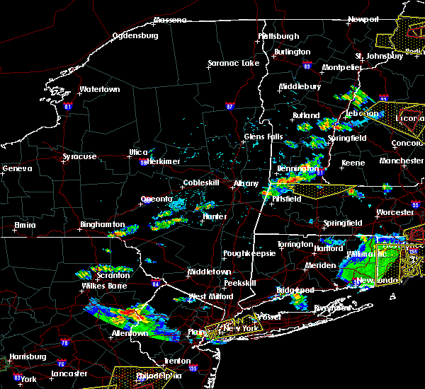 At 556 pm edt, doppler radar indicated a line of severe thunderstorms capable of producing quarter size hail and damaging winds in excess of 60 mph. these storms were located along a line extending from 7 miles southeast of wilmington to near readsboro to near monroe, and was moving east at 25 mph. * some locations impacted include, greenfield, orange, deerfield, monroe, winchendon, montague, northfield, bernardston, buckland, conway, shelburne, erving, ashfield, colrain, gill, charlemont, royalston, wendell, warwick and leyden. At 556 pm edt, doppler radar indicated a line of severe thunderstorms capable of producing quarter size hail and damaging winds in excess of 60 mph. these storms were located along a line extending from 7 miles southeast of wilmington to near readsboro to near monroe, and was moving east at 25 mph. * some locations impacted include, greenfield, orange, deerfield, monroe, winchendon, montague, northfield, bernardston, buckland, conway, shelburne, erving, ashfield, colrain, gill, charlemont, royalston, wendell, warwick and leyden.
|
| 6/12/2015 10:35 PM EDT |
 At 1033 pm edt, doppler radar indicated that the storms had significantly weakened. however strong storms remained near shelburne and buckland, with another in cheshire in berkshire county. there is still some potential for locally damaging wind gusts of 50 to 60 mph. the storms were moving to the east at 35 mph. locations impacted include, northampton, greenfield, deerfield, monroe, montague, hatfield, williamsburg, buckland, conway, shelburne, ashfield, colrain, gill, whately, charlemont, chesterfield, worthington, goshen, cummington and heath. At 1033 pm edt, doppler radar indicated that the storms had significantly weakened. however strong storms remained near shelburne and buckland, with another in cheshire in berkshire county. there is still some potential for locally damaging wind gusts of 50 to 60 mph. the storms were moving to the east at 35 mph. locations impacted include, northampton, greenfield, deerfield, monroe, montague, hatfield, williamsburg, buckland, conway, shelburne, ashfield, colrain, gill, whately, charlemont, chesterfield, worthington, goshen, cummington and heath.
|
| 6/12/2015 9:58 PM EDT |
 At 957 pm edt, doppler radar indicated a severe thunderstorm capable of producing quarter size hail and damaging winds in excess of 60 mph. this storm was located over cheshire, or 9 miles south of north adams, and was moving east at 35 mph. another potentially severe storm was located near florida massachusetts. * some locations impacted include, northampton, greenfield, deerfield, monroe, montague, hatfield, williamsburg, buckland, conway, shelburne, ashfield, colrain, gill, whately, charlemont, chesterfield, worthington, goshen, cummington and heath. At 957 pm edt, doppler radar indicated a severe thunderstorm capable of producing quarter size hail and damaging winds in excess of 60 mph. this storm was located over cheshire, or 9 miles south of north adams, and was moving east at 35 mph. another potentially severe storm was located near florida massachusetts. * some locations impacted include, northampton, greenfield, deerfield, monroe, montague, hatfield, williamsburg, buckland, conway, shelburne, ashfield, colrain, gill, whately, charlemont, chesterfield, worthington, goshen, cummington and heath.
|
| 5/28/2015 3:02 PM EDT | At 300 pm edt, doppler radar indicated a severe thunderstorm capable of producing quarter size hail and damaging winds in excess of 60 mph. this storm was located over deerfield, or 7 miles south of greenfield, moving east at 35 mph. locations impacted include, greenfield, deerfield, montague, sunderland, northfield, bernardston, buckland, conway, shelburne, leverett, erving, shutesbury, ashfield, colrain, gill, whately, charlemont, goshen, new salem and wendell. |
| 5/28/2015 2:38 PM EDT | At 238 pm edt, doppler radar indicated a severe thunderstorm capable of producing quarter size hail and damaging winds in excess of 60 mph. this storm was located over cummington, or 16 miles northwest of northampton, moving east at 45 mph. locations impacted include, greenfield, deerfield, montague, sunderland, northfield, williamsburg, bernardston, buckland, conway, shelburne, leverett, erving, shutesbury, ashfield, colrain, gill, whately, charlemont, worthington and goshen. |
| 5/28/2015 2:31 PM EDT | At 231 pm edt, doppler radar indicated a severe thunderstorm capable of producing quarter size hail and damaging winds in excess of 60 mph. this storm was located over savoy, or 12 miles south of north adams, and was moving east at 40 mph. * some locations impacted include, greenfield, deerfield, montague, sunderland, northfield, williamsburg, bernardston, buckland, conway, shelburne, leverett, erving, shutesbury, ashfield, colrain, gill, whately, charlemont, worthington and goshen. |
| 5/27/2015 6:37 PM EDT | Trees and wires down on south shelburne road...lucy fiske road...and bardwells ferry road in franklin county MA, 3 miles WNW of Shelburne Falls, MA |
| 5/27/2015 6:27 PM EDT | At 626 pm edt, doppler radar indicated a line of severe thunderstorms capable of producing quarter size hail and damaging winds in excess of 60 mph. these storms were located along a line extending from shelburne to near westhampton, and was moving east at 55 mph. * some locations impacted include, fitchburg, holyoke, amherst, northampton, greenfield, orange, deerfield, gardner, south hadley, easthampton, belchertown, athol, winchendon, ware, montague, templeton, rutland, westminster, granby and ashburnham. |
| 5/27/2015 6:19 PM EDT | At 618 pm edt, doppler radar indicated a line of severe thunderstorms capable of producing damaging winds in excess of 60 mph. these storms were located along a line extending from near charlemont to near chester, moving east at 30 mph. locations impacted include, northampton, greenfield, deerfield, montague, southampton, sunderland, hatfield, northfield, williamsburg, huntington, bernardston, buckland, conway, shelburne, erving, russell, ashfield, colrain, westhampton and gill. |
| 5/27/2015 5:52 PM EDT | At 551 pm edt, doppler radar indicated a line of severe thunderstorms capable of producing quarter size hail and damaging winds in excess of 60 mph. these storms were located along a line extending from near wilmington vermont to near ashley falls massachusetts, moving east at 35 mph. locations impacted include, westfield, northampton, greenfield, deerfield, easthampton, monroe, montague, southampton, sunderland, hatfield, northfield, williamsburg, huntington, bernardston, buckland, conway, shelburne, erving, russell and ashfield. |
| 5/27/2015 5:29 PM EDT | At 527 pm edt, doppler radar indicated a line of severe thunderstorms capable of producing damaging winds in excess of 60 mph and hail as large as quarters. these storms were located along a line extending from southwest vermont into eastern new york, and were moving east at 35 mph. * some locations impacted include, westfield, northampton, greenfield, deerfield, easthampton, monroe, montague, southampton, sunderland, hatfield, northfield, williamsburg, huntington, bernardston, buckland, conway, shelburne, erving, russell and ashfield. |
| 7/2/2014 2:38 PM EDT | Trees and wires down on taylor road and guy manor road in franklin county MA, 0.4 miles WNW of Shelburne Falls, MA |
| 10/7/2013 4:49 PM EDT | Tree and wires down on toner road in franklin county MA, 0.4 miles WNW of Shelburne Falls, MA |
| 9/11/2013 8:13 PM EDT | Large limb down on west st off the side of the roa in franklin county MA, 7.2 miles ENE of Shelburne Falls, MA |
| 6/24/2013 5:59 PM EDT | Tree down on conway road in franklin county MA, 5.3 miles NNE of Shelburne Falls, MA |
| 5/29/2013 8:24 PM EDT | Tree down on wires on route 2 at state roa in franklin county MA, 0.4 miles WNW of Shelburne Falls, MA |
| 5/29/2013 8:10 PM EDT | Tree down on wire in hampshire county MA, 10.5 miles ENE of Shelburne Falls, MA |
| 9/8/2012 6:23 PM EDT | Tree down on wires on hill roa in franklin county MA, 5.3 miles NNE of Shelburne Falls, MA |
| 1/1/0001 12:00 AM | Multiple trees down on route 116...road closed in hampshire county MA, 10.5 miles ENE of Shelburne Falls, MA |
| 1/1/0001 12:00 AM | Tree down on wires on route 116 in hampshire county MA, 10.5 miles ENE of Shelburne Falls, MA |
| 1/1/0001 12:00 AM | Multiple trees down on route 116...road closed in hampshire county MA, 10.5 miles ENE of Shelburne Falls, MA |
| 1/1/0001 12:00 AM | Tree down on long hill road in franklin county MA, 6.3 miles SE of Shelburne Falls, MA |
Hail Maps for Shelburne Falls, MA


Connect with Interactive Hail Maps