

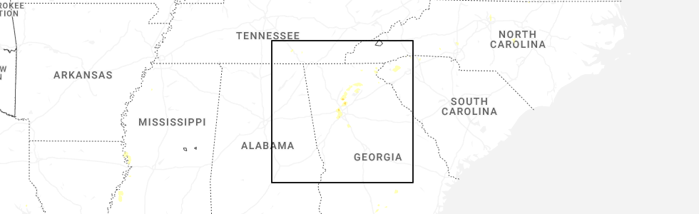
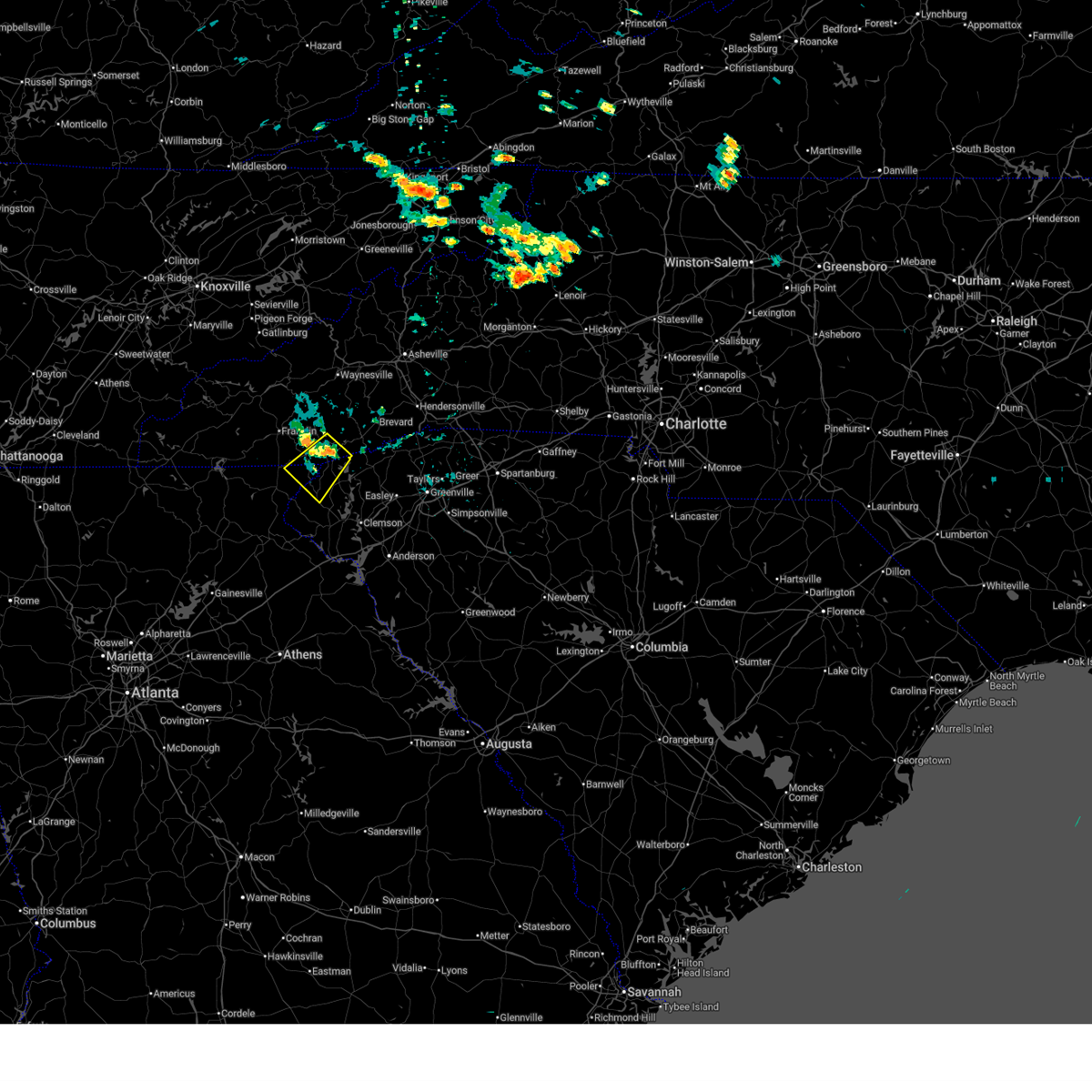
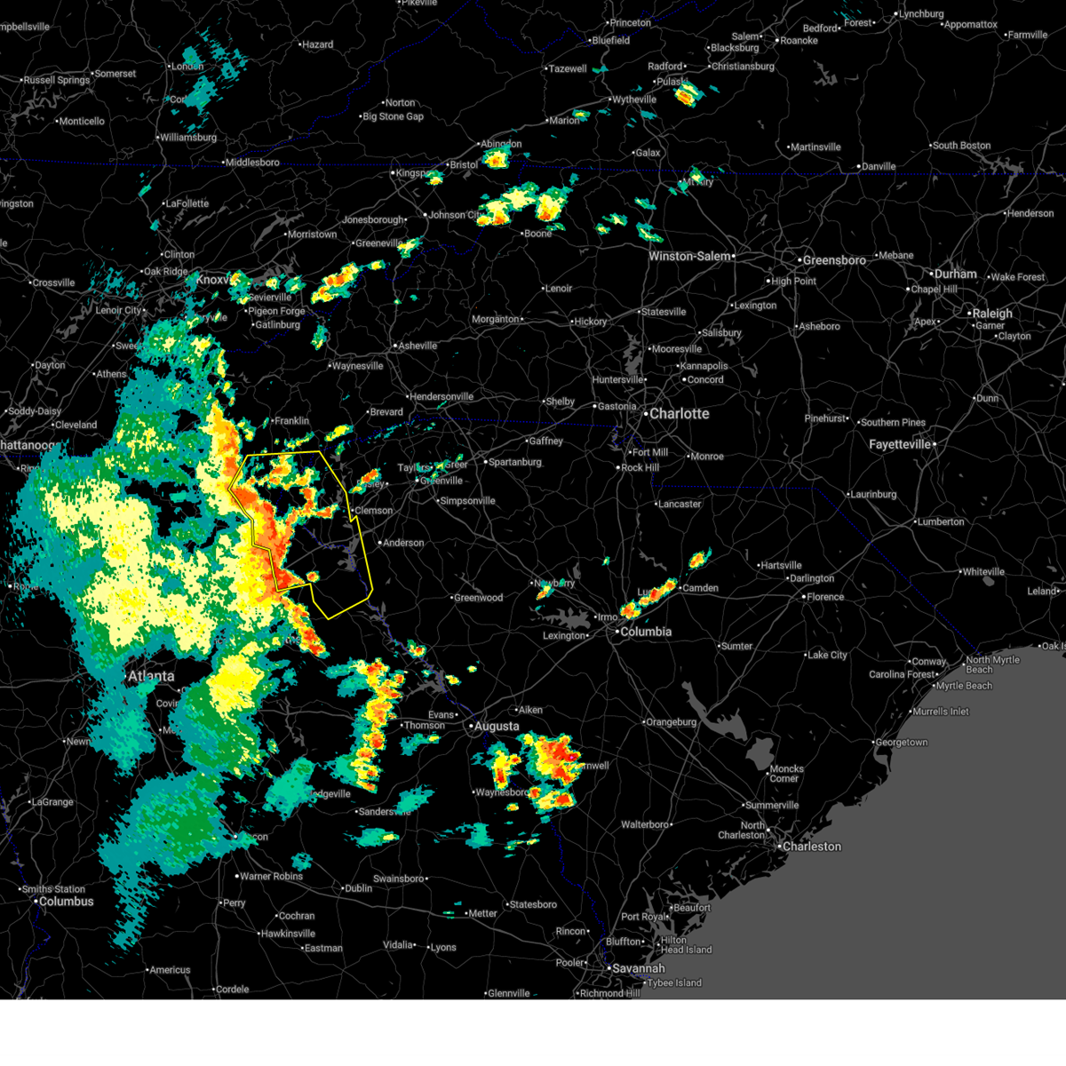
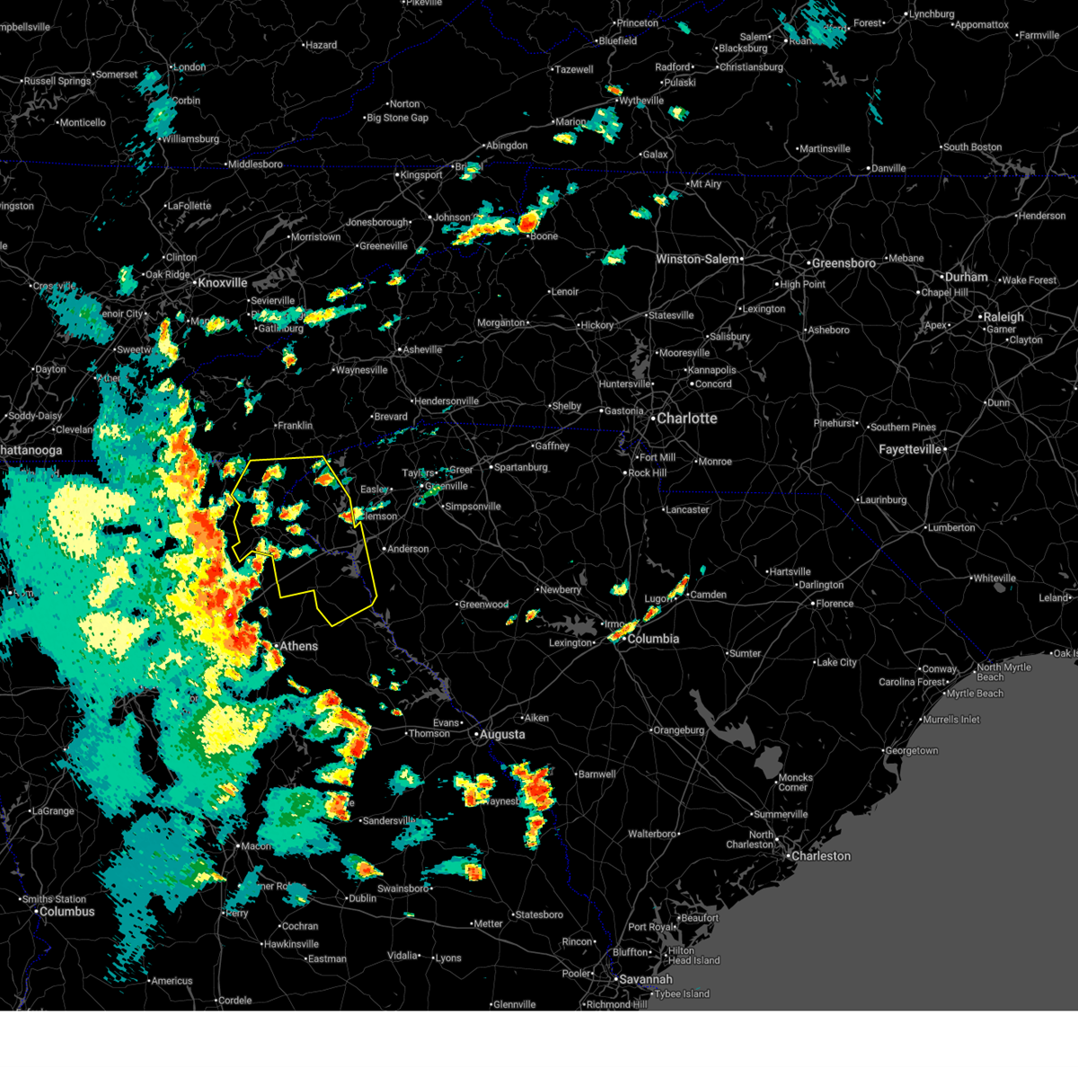
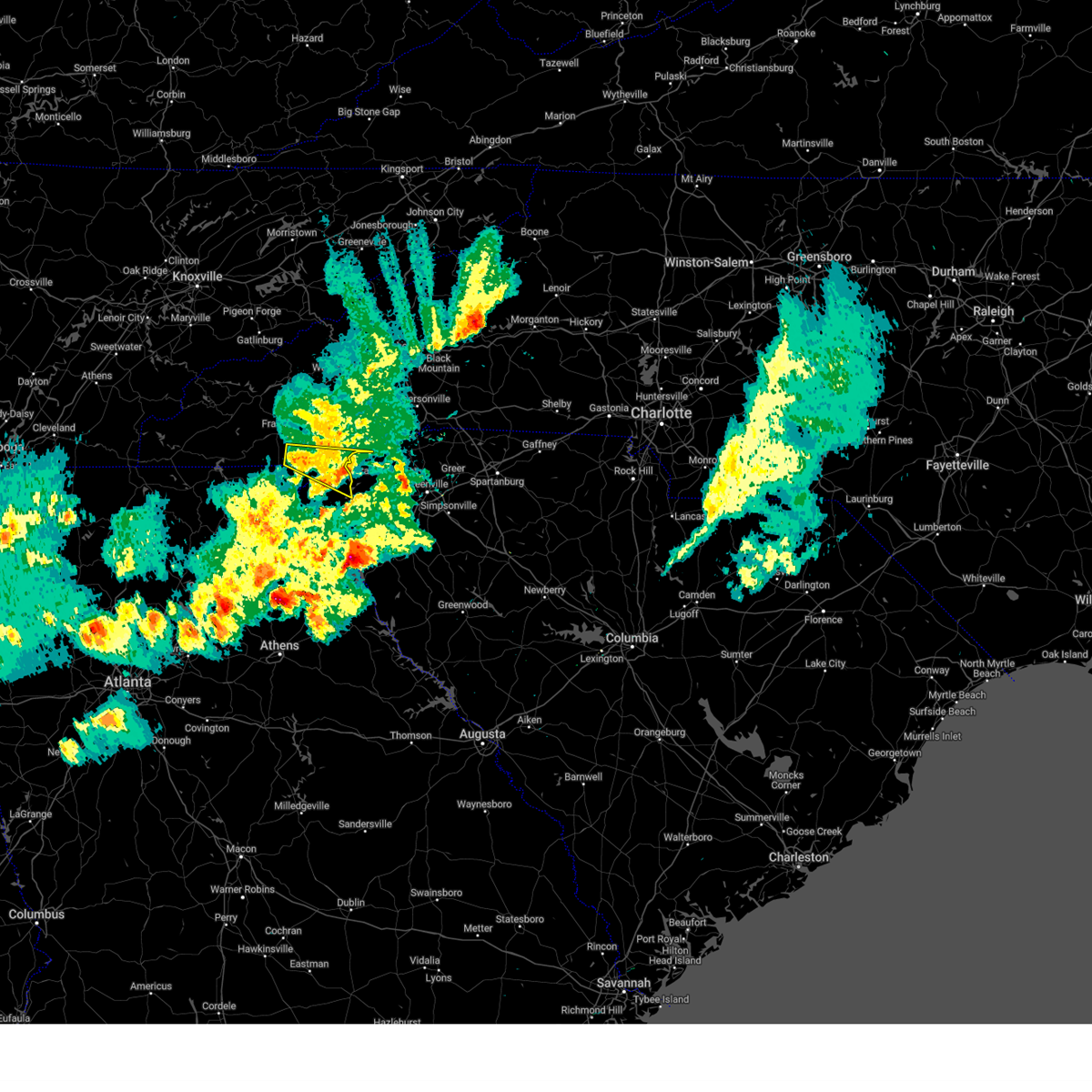
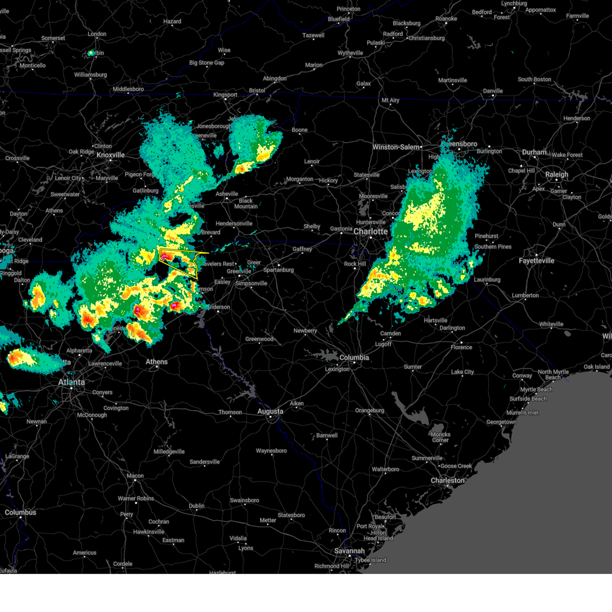
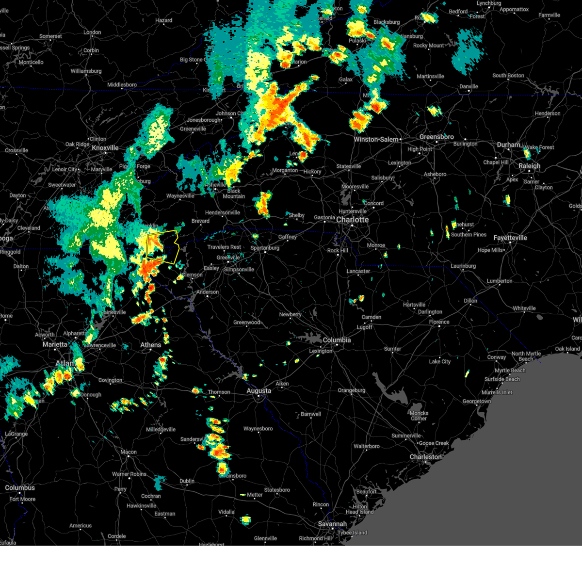
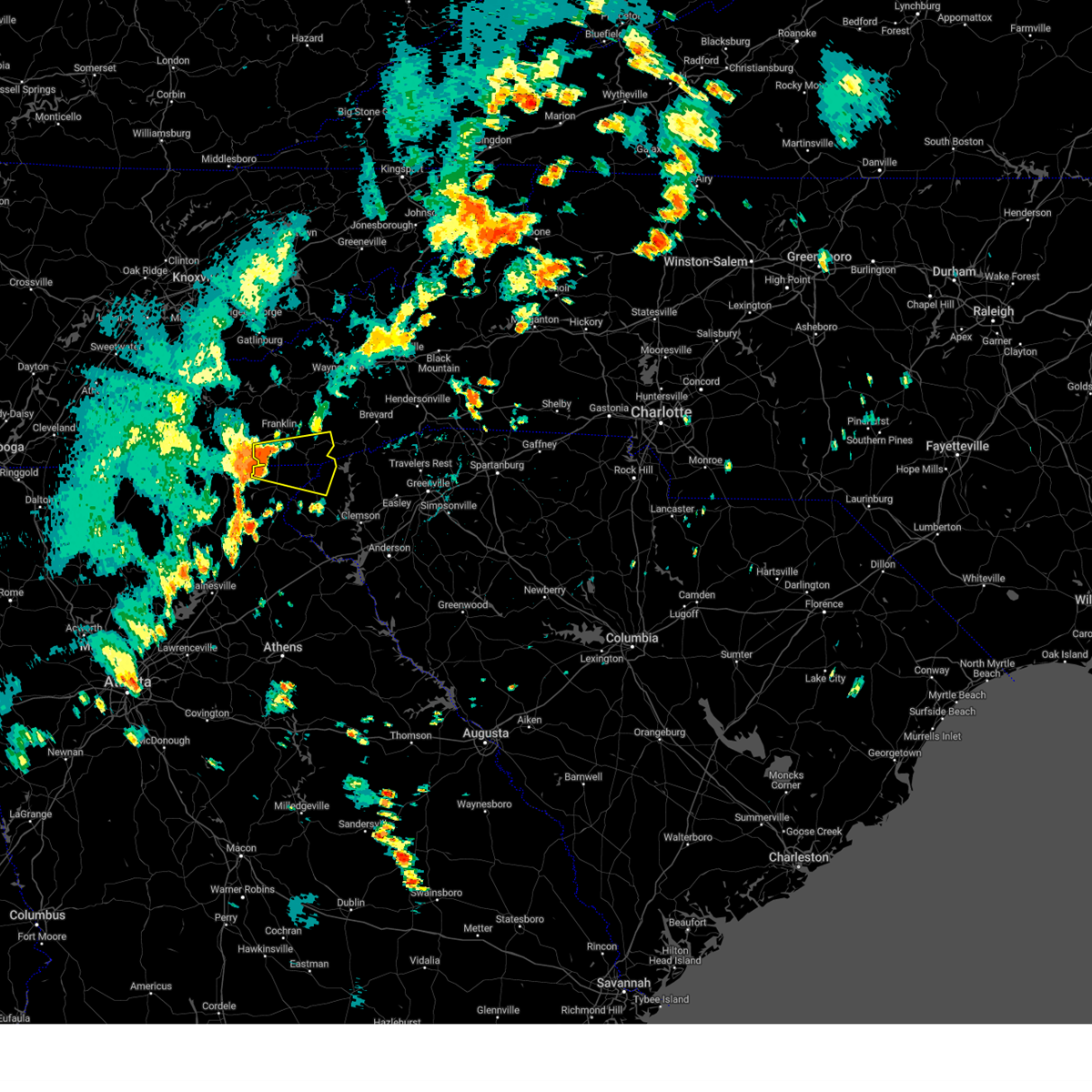
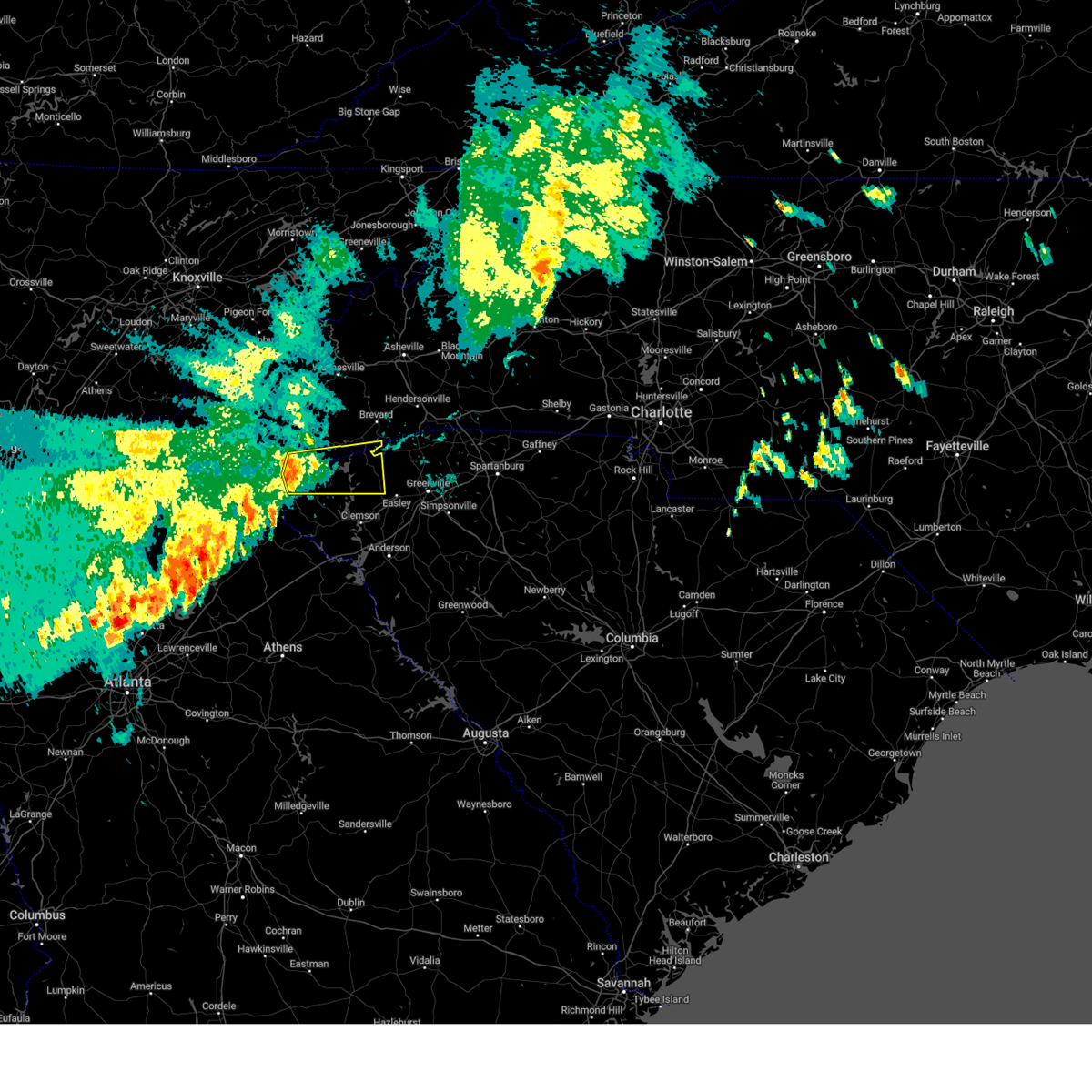
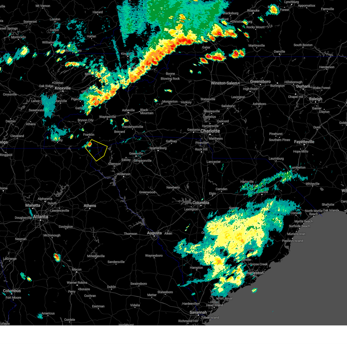
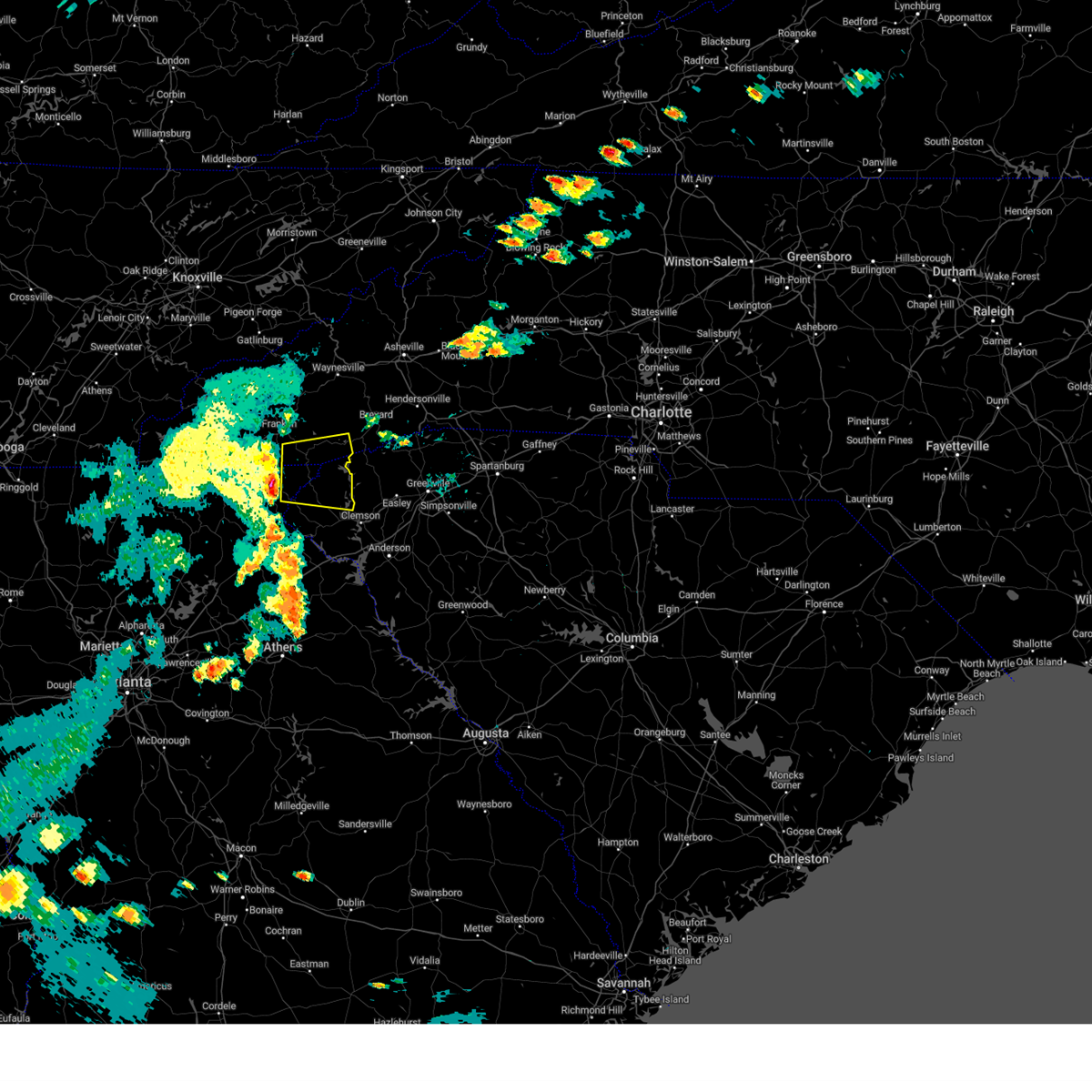
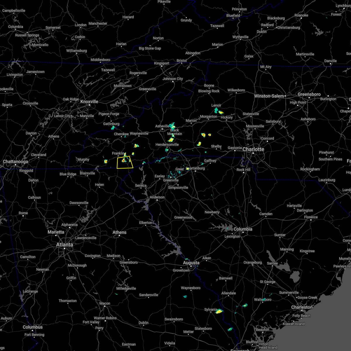
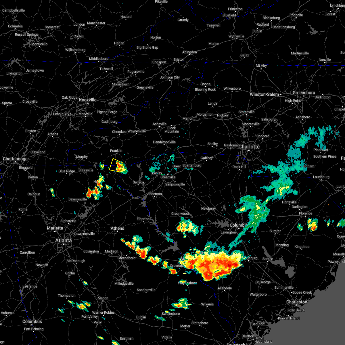
Hail Map for Sky Valley, GA
The Sky Valley, GA area has had 1 report of on-the-ground hail by trained spotters, and has been under severe weather warnings 13 times during the past 12 months. Doppler radar has detected hail at or near Sky Valley, GA on 26 occasions, including 2 occasions during the past year.
| Name: | Sky Valley, GA |
| Where Located: | 42.6 miles WNW of Greenville, SC |
| Map: | Google Map for Sky Valley, GA |
| Population: | 272 |
| Housing Units: | 917 |
| More Info: | Search Google for Sky Valley, GA |
0
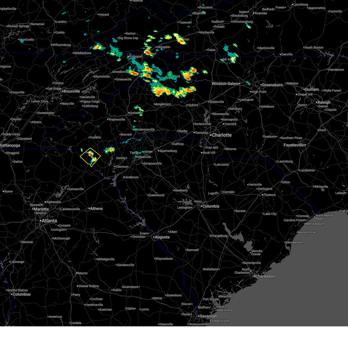
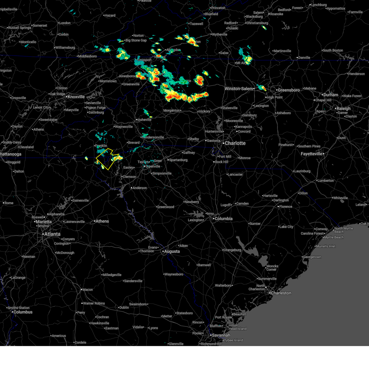
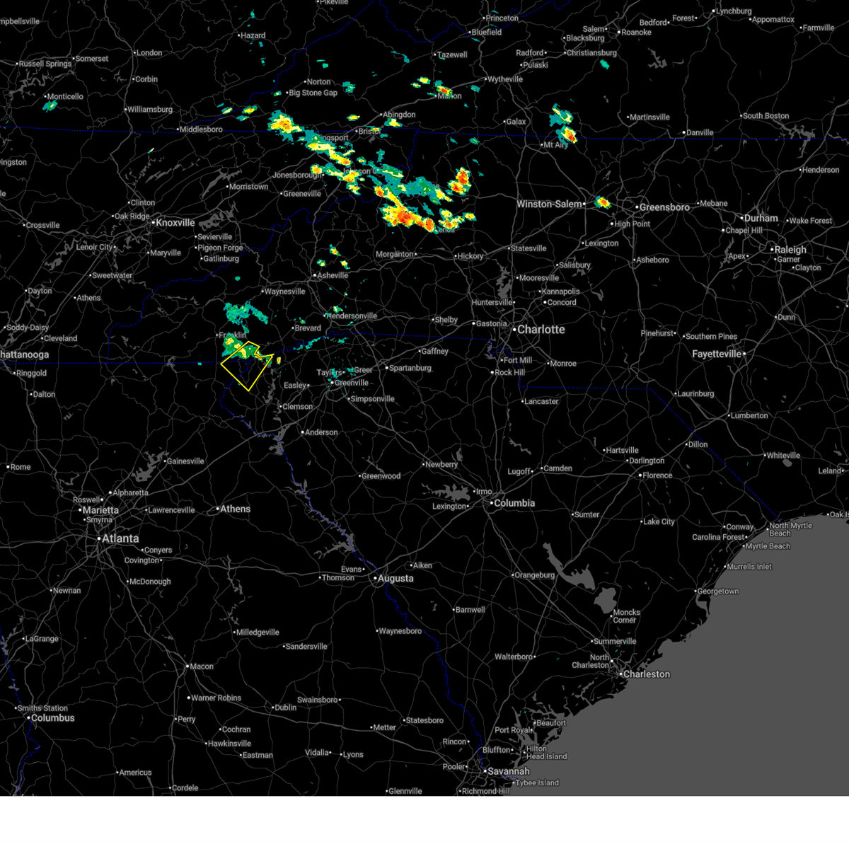
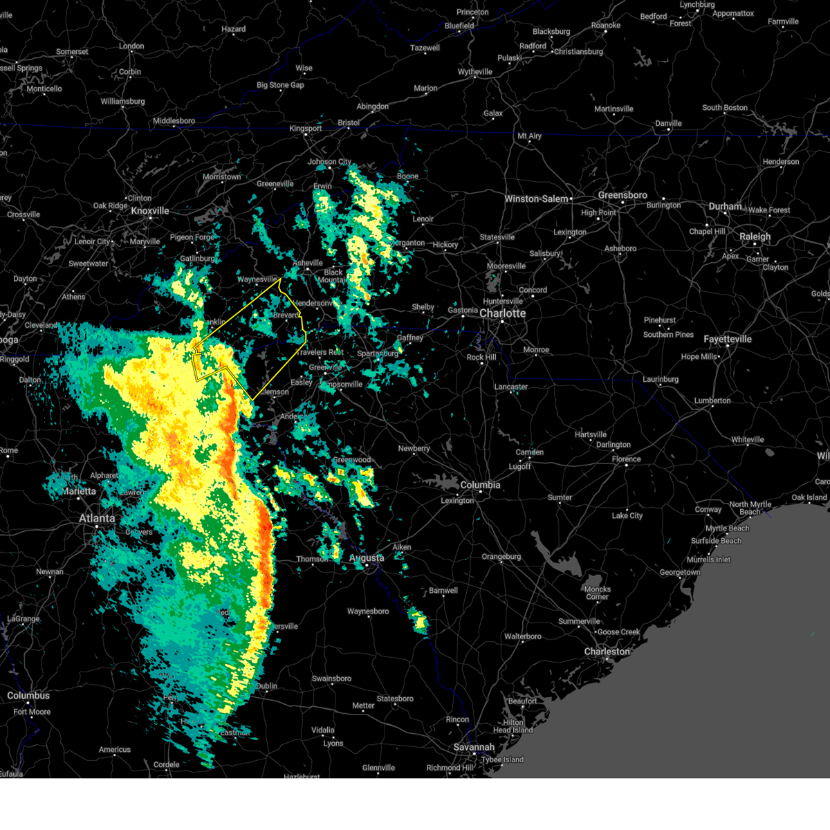
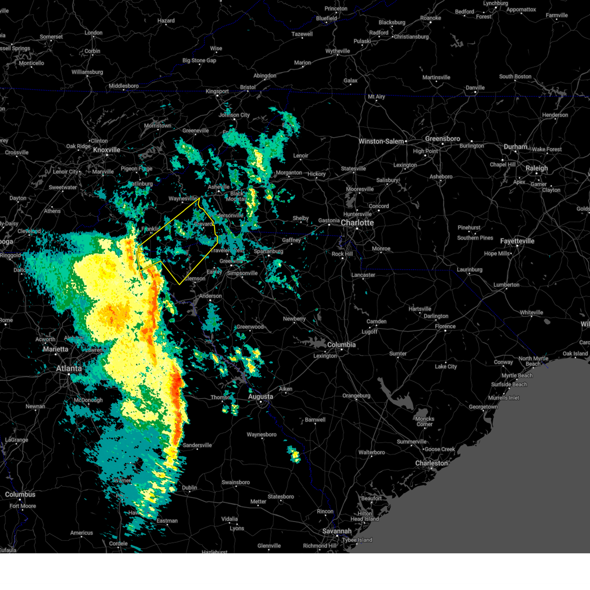
The Top Recent Hail Date for Sky Valley, GA is Thursday, June 26, 2025 (9th out of 26)
Hail and Wind Damage Spotted near Sky Valley, GA
| Date / Time | Report Details |
|---|---|
| 6/26/2025 12:54 PM EDT |
 Svrgsp the national weather service in greenville-spartanburg has issued a * severe thunderstorm warning for, central rabun county in northeastern georgia, west central oconee county in upstate south carolina, * until 145 pm edt. * at 1254 pm edt, a severe thunderstorm was located 4 miles east of clayton, or near mountain city, moving southwest at 10 mph (radar indicated). Hazards include 60 mph wind gusts and penny size hail. expect damage to trees and power lines Svrgsp the national weather service in greenville-spartanburg has issued a * severe thunderstorm warning for, central rabun county in northeastern georgia, west central oconee county in upstate south carolina, * until 145 pm edt. * at 1254 pm edt, a severe thunderstorm was located 4 miles east of clayton, or near mountain city, moving southwest at 10 mph (radar indicated). Hazards include 60 mph wind gusts and penny size hail. expect damage to trees and power lines
|
| 6/26/2025 12:47 PM EDT |
 the severe thunderstorm warning has been cancelled and is no longer in effect the severe thunderstorm warning has been cancelled and is no longer in effect
|
| 6/26/2025 12:32 PM EDT |
 At 1232 pm edt, a severe thunderstorm was located 17 miles north of walhalla, or 5 miles south of cashiers, moving southwest at 10 mph (radar indicated). Hazards include 60 mph wind gusts and penny size hail. Expect damage to trees and power lines. Locations impacted include, highlands, sky valley, cashiers, oconee state park, mountain rest, bad creek, pine mountain, whiteside mountain, scaly mountain, and lake jocassee. At 1232 pm edt, a severe thunderstorm was located 17 miles north of walhalla, or 5 miles south of cashiers, moving southwest at 10 mph (radar indicated). Hazards include 60 mph wind gusts and penny size hail. Expect damage to trees and power lines. Locations impacted include, highlands, sky valley, cashiers, oconee state park, mountain rest, bad creek, pine mountain, whiteside mountain, scaly mountain, and lake jocassee.
|
| 6/26/2025 12:32 PM EDT |
 the severe thunderstorm warning has been cancelled and is no longer in effect the severe thunderstorm warning has been cancelled and is no longer in effect
|
| 6/26/2025 12:12 PM EDT |
 Svrgsp the national weather service in greenville-spartanburg has issued a * severe thunderstorm warning for, northeastern rabun county in northeastern georgia, southeastern macon county in western north carolina, southwestern transylvania county in western north carolina, southeastern jackson county in western north carolina, north central oconee county in upstate south carolina, * until 115 pm edt. * at 1212 pm edt, a severe thunderstorm was located 19 miles north of walhalla, or 4 miles southeast of cashiers, moving southwest at 10 mph (radar indicated). Hazards include 60 mph wind gusts and penny size hail. expect damage to trees and power lines Svrgsp the national weather service in greenville-spartanburg has issued a * severe thunderstorm warning for, northeastern rabun county in northeastern georgia, southeastern macon county in western north carolina, southwestern transylvania county in western north carolina, southeastern jackson county in western north carolina, north central oconee county in upstate south carolina, * until 115 pm edt. * at 1212 pm edt, a severe thunderstorm was located 19 miles north of walhalla, or 4 miles southeast of cashiers, moving southwest at 10 mph (radar indicated). Hazards include 60 mph wind gusts and penny size hail. expect damage to trees and power lines
|
| 6/17/2025 7:44 PM EDT |
 At 744 pm edt, severe thunderstorms were located along a line extending from 6 miles west of clayton to 6 miles southeast of toccoa to 5 miles east of danielsville, moving northeast at 40 mph (radar indicated). Hazards include 60 mph wind gusts. Expect damage to trees and power lines. Locations impacted include, toccoa, seneca, hartwell, walhalla, clayton, carnesville, royston, westminster, reed creek, and lavonia. At 744 pm edt, severe thunderstorms were located along a line extending from 6 miles west of clayton to 6 miles southeast of toccoa to 5 miles east of danielsville, moving northeast at 40 mph (radar indicated). Hazards include 60 mph wind gusts. Expect damage to trees and power lines. Locations impacted include, toccoa, seneca, hartwell, walhalla, clayton, carnesville, royston, westminster, reed creek, and lavonia.
|
| 6/17/2025 7:11 PM EDT |
 Svrgsp the national weather service in greenville-spartanburg has issued a * severe thunderstorm warning for, franklin county in northeastern georgia, stephens county in northeastern georgia, northwestern elbert county in northeastern georgia, habersham county in northeastern georgia, rabun county in northeastern georgia, hart county in northeastern georgia, southwestern anderson county in upstate south carolina, oconee county in upstate south carolina, * until 815 pm edt. * at 710 pm edt, severe thunderstorms were located along a line extending from 8 miles north of cleveland to near homer to near athens, moving northeast at 35 mph (radar indicated). Hazards include 60 mph wind gusts. expect damage to trees and power lines Svrgsp the national weather service in greenville-spartanburg has issued a * severe thunderstorm warning for, franklin county in northeastern georgia, stephens county in northeastern georgia, northwestern elbert county in northeastern georgia, habersham county in northeastern georgia, rabun county in northeastern georgia, hart county in northeastern georgia, southwestern anderson county in upstate south carolina, oconee county in upstate south carolina, * until 815 pm edt. * at 710 pm edt, severe thunderstorms were located along a line extending from 8 miles north of cleveland to near homer to near athens, moving northeast at 35 mph (radar indicated). Hazards include 60 mph wind gusts. expect damage to trees and power lines
|
| 4/10/2025 8:04 PM EDT |
 the severe thunderstorm warning has been cancelled and is no longer in effect the severe thunderstorm warning has been cancelled and is no longer in effect
|
| 4/10/2025 7:21 PM EDT |
 Svrgsp the national weather service in greenville-spartanburg has issued a * severe thunderstorm warning for, northeastern rabun county in northeastern georgia, southeastern macon county in western north carolina, southwestern transylvania county in western north carolina, south central jackson county in western north carolina, northeastern oconee county in upstate south carolina, * until 815 pm edt. * at 721 pm edt, a severe thunderstorm was located 14 miles northeast of clayton, or near highlands, moving east at 30 mph (radar indicated). Hazards include two inch hail and 60 mph wind gusts. People and animals outdoors will be injured. expect hail damage to roofs, siding, windows, and vehicles. Expect wind damage to trees and power lines. Svrgsp the national weather service in greenville-spartanburg has issued a * severe thunderstorm warning for, northeastern rabun county in northeastern georgia, southeastern macon county in western north carolina, southwestern transylvania county in western north carolina, south central jackson county in western north carolina, northeastern oconee county in upstate south carolina, * until 815 pm edt. * at 721 pm edt, a severe thunderstorm was located 14 miles northeast of clayton, or near highlands, moving east at 30 mph (radar indicated). Hazards include two inch hail and 60 mph wind gusts. People and animals outdoors will be injured. expect hail damage to roofs, siding, windows, and vehicles. Expect wind damage to trees and power lines.
|
| 12/29/2024 6:46 AM EST | At 646 am est, severe thunderstorms were located along a line extending from 7 miles west of sylva to 20 miles southeast of franklin to near walhalla, moving northeast at 50 mph (radar indicated). Hazards include 60 mph wind gusts. Expect damage to trees and power lines. Locations impacted include, brevard, walhalla, highlands, rosman, dillard, sky valley, cashiers, salem, jocassee gorges, and lake keowee. |
| 12/29/2024 6:34 AM EST |
 At 634 am est, severe thunderstorms were located along a line extending from 3 miles northwest of franklin to 11 miles northwest of walhalla to 8 miles west of seneca, moving northeast at 50 mph (radar indicated). Hazards include 60 mph wind gusts. Expect damage to trees and power lines. Locations impacted include, brevard, walhalla, clayton, highlands, mountain city, rosman, tiger, dillard, sky valley, and cashiers. At 634 am est, severe thunderstorms were located along a line extending from 3 miles northwest of franklin to 11 miles northwest of walhalla to 8 miles west of seneca, moving northeast at 50 mph (radar indicated). Hazards include 60 mph wind gusts. Expect damage to trees and power lines. Locations impacted include, brevard, walhalla, clayton, highlands, mountain city, rosman, tiger, dillard, sky valley, and cashiers.
|
| 12/29/2024 6:20 AM EST |
 Svrgsp the national weather service in greenville-spartanburg has issued a * severe thunderstorm warning for, northern rabun county in northeastern georgia, southeastern macon county in western north carolina, transylvania county in western north carolina, southeastern jackson county in western north carolina, southeastern haywood county in western north carolina, northwestern greenville county in upstate south carolina, northwestern pickens county in upstate south carolina, northeastern oconee county in upstate south carolina, * until 730 am est. * at 619 am est, severe thunderstorms were located along a line extending from 12 miles west of franklin to 8 miles southeast of clayton to 6 miles east of toccoa, moving northeast at 50 mph (radar indicated). Hazards include 60 mph wind gusts. expect damage to trees and power lines Svrgsp the national weather service in greenville-spartanburg has issued a * severe thunderstorm warning for, northern rabun county in northeastern georgia, southeastern macon county in western north carolina, transylvania county in western north carolina, southeastern jackson county in western north carolina, southeastern haywood county in western north carolina, northwestern greenville county in upstate south carolina, northwestern pickens county in upstate south carolina, northeastern oconee county in upstate south carolina, * until 730 am est. * at 619 am est, severe thunderstorms were located along a line extending from 12 miles west of franklin to 8 miles southeast of clayton to 6 miles east of toccoa, moving northeast at 50 mph (radar indicated). Hazards include 60 mph wind gusts. expect damage to trees and power lines
|
| 9/25/2024 3:16 PM EDT |
 Svrgsp the national weather service in greenville-spartanburg has issued a * severe thunderstorm warning for, northeastern habersham county in northeastern georgia, central rabun county in northeastern georgia, southeastern macon county in western north carolina, central oconee county in upstate south carolina, * until 400 pm edt. * at 316 pm edt, a severe thunderstorm was located 8 miles northeast of clarkesville, or near tallulah falls, moving northeast at 30 mph (radar indicated). Hazards include 60 mph wind gusts. expect damage to trees and power lines Svrgsp the national weather service in greenville-spartanburg has issued a * severe thunderstorm warning for, northeastern habersham county in northeastern georgia, central rabun county in northeastern georgia, southeastern macon county in western north carolina, central oconee county in upstate south carolina, * until 400 pm edt. * at 316 pm edt, a severe thunderstorm was located 8 miles northeast of clarkesville, or near tallulah falls, moving northeast at 30 mph (radar indicated). Hazards include 60 mph wind gusts. expect damage to trees and power lines
|
| 7/5/2024 4:20 PM EDT |
 At 419 pm edt, a severe thunderstorm was located 15 miles southeast of franklin, or near highlands, moving east at 35 mph (radar indicated). Hazards include 60 mph wind gusts and quarter size hail. Minor hail damage to vehicles is expected. expect wind damage to trees and power lines. Locations impacted include, highlands, mountain city, dillard, sky valley, cashiers, oconee state park, mountain rest, otto, bad creek, and pine mountain. At 419 pm edt, a severe thunderstorm was located 15 miles southeast of franklin, or near highlands, moving east at 35 mph (radar indicated). Hazards include 60 mph wind gusts and quarter size hail. Minor hail damage to vehicles is expected. expect wind damage to trees and power lines. Locations impacted include, highlands, mountain city, dillard, sky valley, cashiers, oconee state park, mountain rest, otto, bad creek, and pine mountain.
|
| 7/5/2024 3:52 PM EDT |
 Svrgsp the national weather service in greenville-spartanburg has issued a * severe thunderstorm warning for, northern rabun county in northeastern georgia, southeastern macon county in western north carolina, south central jackson county in western north carolina, northwestern oconee county in upstate south carolina, * until 430 pm edt. * at 351 pm edt, a severe thunderstorm was located 10 miles north of clayton, or 5 miles northwest of dillard, moving east at 35 mph (radar indicated). Hazards include 60 mph wind gusts and quarter size hail. Minor hail damage to vehicles is expected. Expect wind damage to trees and power lines. Svrgsp the national weather service in greenville-spartanburg has issued a * severe thunderstorm warning for, northern rabun county in northeastern georgia, southeastern macon county in western north carolina, south central jackson county in western north carolina, northwestern oconee county in upstate south carolina, * until 430 pm edt. * at 351 pm edt, a severe thunderstorm was located 10 miles north of clayton, or 5 miles northwest of dillard, moving east at 35 mph (radar indicated). Hazards include 60 mph wind gusts and quarter size hail. Minor hail damage to vehicles is expected. Expect wind damage to trees and power lines.
|
| 5/27/2024 6:37 AM EDT |
 Svrgsp the national weather service in greenville-spartanburg has issued a * severe thunderstorm warning for, northeastern rabun county in northeastern georgia, southeastern macon county in western north carolina, southwestern transylvania county in western north carolina, south central jackson county in western north carolina, northwestern pickens county in upstate south carolina, northern oconee county in upstate south carolina, * until 715 am edt. * at 637 am edt, a severe thunderstorm was located 12 miles northeast of clayton, or 5 miles south of highlands, moving east at 45 mph (radar indicated). Hazards include 60 mph wind gusts and penny size hail. expect damage to trees and power lines Svrgsp the national weather service in greenville-spartanburg has issued a * severe thunderstorm warning for, northeastern rabun county in northeastern georgia, southeastern macon county in western north carolina, southwestern transylvania county in western north carolina, south central jackson county in western north carolina, northwestern pickens county in upstate south carolina, northern oconee county in upstate south carolina, * until 715 am edt. * at 637 am edt, a severe thunderstorm was located 12 miles northeast of clayton, or 5 miles south of highlands, moving east at 45 mph (radar indicated). Hazards include 60 mph wind gusts and penny size hail. expect damage to trees and power lines
|
| 5/27/2024 6:17 AM EDT |
 At 617 am edt, severe thunderstorms were located along a line extending from 3 miles northwest of franklin to 21 miles southwest of sylva to 5 miles southwest of clayton, moving east at 45 mph (radar indicated). Hazards include 60 mph wind gusts and penny size hail. Expect damage to trees and power lines. Locations impacted include, franklin, clayton, highlands, mountain city, tiger, dillard, sky valley, lake rabun, lake burton, and lakemont. At 617 am edt, severe thunderstorms were located along a line extending from 3 miles northwest of franklin to 21 miles southwest of sylva to 5 miles southwest of clayton, moving east at 45 mph (radar indicated). Hazards include 60 mph wind gusts and penny size hail. Expect damage to trees and power lines. Locations impacted include, franklin, clayton, highlands, mountain city, tiger, dillard, sky valley, lake rabun, lake burton, and lakemont.
|
| 5/27/2024 5:55 AM EDT |
 Svrgsp the national weather service in greenville-spartanburg has issued a * severe thunderstorm warning for, northwestern habersham county in northeastern georgia, rabun county in northeastern georgia, macon county in western north carolina, * until 645 am edt. * at 555 am edt, severe thunderstorms were located along a line extending from 5 miles east of andrews to 8 miles east of hayesville to 7 miles south of hiawassee, moving east at 40 mph (radar indicated). Hazards include 60 mph wind gusts and penny size hail. expect damage to trees and power lines Svrgsp the national weather service in greenville-spartanburg has issued a * severe thunderstorm warning for, northwestern habersham county in northeastern georgia, rabun county in northeastern georgia, macon county in western north carolina, * until 645 am edt. * at 555 am edt, severe thunderstorms were located along a line extending from 5 miles east of andrews to 8 miles east of hayesville to 7 miles south of hiawassee, moving east at 40 mph (radar indicated). Hazards include 60 mph wind gusts and penny size hail. expect damage to trees and power lines
|
| 5/9/2024 8:13 AM EDT |
 The storms which prompted the warning have weakened below severe limits, and have exited the warned area. therefore, the warning will be allowed to expire. a tornado watch remains in effect until 100 pm edt for northeastern georgia. The storms which prompted the warning have weakened below severe limits, and have exited the warned area. therefore, the warning will be allowed to expire. a tornado watch remains in effect until 100 pm edt for northeastern georgia.
|
| 5/9/2024 7:57 AM EDT |
 At 757 am edt, severe thunderstorms were located along a line extending from 10 miles southeast of franklin to 10 miles east of clayton to near toccoa, moving east at 50 mph (radar indicated). Hazards include 60 mph wind gusts. Expect damage to trees and power lines. Locations impacted include, clayton, clarkesville, highlands, mountain city, tiger, dillard, sky valley, tallulah falls, lake rabun, and lakemont. At 757 am edt, severe thunderstorms were located along a line extending from 10 miles southeast of franklin to 10 miles east of clayton to near toccoa, moving east at 50 mph (radar indicated). Hazards include 60 mph wind gusts. Expect damage to trees and power lines. Locations impacted include, clayton, clarkesville, highlands, mountain city, tiger, dillard, sky valley, tallulah falls, lake rabun, and lakemont.
|
| 5/9/2024 7:24 AM EDT |
 Svrgsp the national weather service in greenville-spartanburg has issued a * severe thunderstorm warning for, habersham county in northeastern georgia, rabun county in northeastern georgia, southern macon county in western north carolina, * until 815 am edt. * at 724 am edt, severe thunderstorms were located along a line extending from 6 miles southeast of andrews to 4 miles southeast of hiawassee to 4 miles northwest of cleveland, moving east at 50 mph (radar indicated). Hazards include 60 mph wind gusts. expect damage to trees and power lines Svrgsp the national weather service in greenville-spartanburg has issued a * severe thunderstorm warning for, habersham county in northeastern georgia, rabun county in northeastern georgia, southern macon county in western north carolina, * until 815 am edt. * at 724 am edt, severe thunderstorms were located along a line extending from 6 miles southeast of andrews to 4 miles southeast of hiawassee to 4 miles northwest of cleveland, moving east at 50 mph (radar indicated). Hazards include 60 mph wind gusts. expect damage to trees and power lines
|
| 5/8/2024 4:29 PM EDT |
 The storms which prompted the warning have weakened below severe limits, and have exited the warned area. therefore, the warning will be allowed to expire. however, small hail, gusty winds and heavy rain are still possible with these thunderstorms. The storms which prompted the warning have weakened below severe limits, and have exited the warned area. therefore, the warning will be allowed to expire. however, small hail, gusty winds and heavy rain are still possible with these thunderstorms.
|
| 5/8/2024 4:14 PM EDT |
 At 414 pm edt, severe thunderstorms were located along a line extending from 16 miles north of walhalla to 7 miles northeast of clayton, moving east at 10 mph (radar indicated). Hazards include 60 mph wind gusts and quarter size hail. Minor hail damage to vehicles is expected. expect wind damage to trees and power lines. Locations impacted include, mountain city, dillard, sky valley, jocassee gorges, lake jocassee, devils fork state park, keowee toxaway state park, bad creek, pine mountain, and sunset. At 414 pm edt, severe thunderstorms were located along a line extending from 16 miles north of walhalla to 7 miles northeast of clayton, moving east at 10 mph (radar indicated). Hazards include 60 mph wind gusts and quarter size hail. Minor hail damage to vehicles is expected. expect wind damage to trees and power lines. Locations impacted include, mountain city, dillard, sky valley, jocassee gorges, lake jocassee, devils fork state park, keowee toxaway state park, bad creek, pine mountain, and sunset.
|
| 5/8/2024 4:14 PM EDT |
 the severe thunderstorm warning has been cancelled and is no longer in effect the severe thunderstorm warning has been cancelled and is no longer in effect
|
| 5/8/2024 3:50 PM EDT |
 Svrgsp the national weather service in greenville-spartanburg has issued a * severe thunderstorm warning for, northeastern rabun county in northeastern georgia, southeastern macon county in western north carolina, southwestern transylvania county in western north carolina, southeastern jackson county in western north carolina, northwestern pickens county in upstate south carolina, northern oconee county in upstate south carolina, * until 430 pm edt. * at 350 pm edt, severe thunderstorms were located along a line extending from 17 miles north of walhalla to 6 miles north of clayton, moving east at 10 mph (radar indicated). Hazards include 60 mph wind gusts and quarter size hail. Minor hail damage to vehicles is expected. Expect wind damage to trees and power lines. Svrgsp the national weather service in greenville-spartanburg has issued a * severe thunderstorm warning for, northeastern rabun county in northeastern georgia, southeastern macon county in western north carolina, southwestern transylvania county in western north carolina, southeastern jackson county in western north carolina, northwestern pickens county in upstate south carolina, northern oconee county in upstate south carolina, * until 430 pm edt. * at 350 pm edt, severe thunderstorms were located along a line extending from 17 miles north of walhalla to 6 miles north of clayton, moving east at 10 mph (radar indicated). Hazards include 60 mph wind gusts and quarter size hail. Minor hail damage to vehicles is expected. Expect wind damage to trees and power lines.
|
| 8/7/2023 3:39 PM EDT |
 At 338 pm edt, severe thunderstorms were located along a line extending from 5 miles east of andrews to 3 miles northeast of hiawassee to 4 miles southwest of blairsville, moving east at 40 mph (radar indicated). Hazards include 70 mph wind gusts and quarter size hail. Minor hail damage to vehicles is expected. expect considerable tree damage. Wind damage is also likely to mobile homes, roofs, and outbuildings. At 338 pm edt, severe thunderstorms were located along a line extending from 5 miles east of andrews to 3 miles northeast of hiawassee to 4 miles southwest of blairsville, moving east at 40 mph (radar indicated). Hazards include 70 mph wind gusts and quarter size hail. Minor hail damage to vehicles is expected. expect considerable tree damage. Wind damage is also likely to mobile homes, roofs, and outbuildings.
|
| 7/29/2023 5:42 PM EDT |
 At 542 pm edt, a severe thunderstorm was located 11 miles northeast of clayton, or near sky valley, moving southeast at 20 mph (radar indicated). Hazards include 60 mph wind gusts and penny size hail. expect damage to trees and power lines At 542 pm edt, a severe thunderstorm was located 11 miles northeast of clayton, or near sky valley, moving southeast at 20 mph (radar indicated). Hazards include 60 mph wind gusts and penny size hail. expect damage to trees and power lines
|
| 7/19/2023 12:11 AM EDT |
 The severe thunderstorm warning for north central rabun and central macon counties will expire at 1215 am edt, the storm which prompted the warning has moved out of the area. therefore, the warning will be allowed to expire. The severe thunderstorm warning for north central rabun and central macon counties will expire at 1215 am edt, the storm which prompted the warning has moved out of the area. therefore, the warning will be allowed to expire.
|
| 7/19/2023 12:00 AM EDT |
 At 1200 am edt, a severe thunderstorm was located 9 miles southeast of franklin, or 5 miles west of highlands, moving east at 30 mph (radar indicated). Hazards include 60 mph wind gusts. Expect damage to trees and power lines. locations impacted include, franklin, mountain city, dillard, sky valley, scaly mountain, burningtown, otto, cullasaja and cowee. hail threat, radar indicated max hail size, <. 75 in wind threat, radar indicated max wind gust, 60 mph. At 1200 am edt, a severe thunderstorm was located 9 miles southeast of franklin, or 5 miles west of highlands, moving east at 30 mph (radar indicated). Hazards include 60 mph wind gusts. Expect damage to trees and power lines. locations impacted include, franklin, mountain city, dillard, sky valley, scaly mountain, burningtown, otto, cullasaja and cowee. hail threat, radar indicated max hail size, <. 75 in wind threat, radar indicated max wind gust, 60 mph.
|
| 7/18/2023 11:42 PM EDT |
 At 1141 pm edt, a severe thunderstorm was located 8 miles southwest of franklin, or 8 miles northwest of dillard, moving east at 30 mph (radar indicated). Hazards include 60 mph wind gusts and penny size hail. Expect damage to trees and power lines. locations impacted include, franklin, mountain city, dillard, sky valley, black rock mountain state park, burningtown, otto, rainbow springs, wayah bald and cowee. hail threat, radar indicated max hail size, 0. 75 in wind threat, radar indicated max wind gust, 60 mph. At 1141 pm edt, a severe thunderstorm was located 8 miles southwest of franklin, or 8 miles northwest of dillard, moving east at 30 mph (radar indicated). Hazards include 60 mph wind gusts and penny size hail. Expect damage to trees and power lines. locations impacted include, franklin, mountain city, dillard, sky valley, black rock mountain state park, burningtown, otto, rainbow springs, wayah bald and cowee. hail threat, radar indicated max hail size, 0. 75 in wind threat, radar indicated max wind gust, 60 mph.
|
| 7/18/2023 11:15 PM EDT |
 At 1115 pm edt, a severe thunderstorm was located 6 miles east of hayesville, moving east at 30 mph (radar indicated). Hazards include 60 mph wind gusts and penny size hail. expect damage to trees and power lines At 1115 pm edt, a severe thunderstorm was located 6 miles east of hayesville, moving east at 30 mph (radar indicated). Hazards include 60 mph wind gusts and penny size hail. expect damage to trees and power lines
|
| 7/2/2023 7:47 PM EDT |
 At 747 pm edt, severe thunderstorms were located along a line extending from 8 miles southwest of franklin to 5 miles southwest of clayton, moving east at 35 mph (radar indicated). Hazards include 60 mph wind gusts and nickel size hail. expect damage to trees and power lines At 747 pm edt, severe thunderstorms were located along a line extending from 8 miles southwest of franklin to 5 miles southwest of clayton, moving east at 35 mph (radar indicated). Hazards include 60 mph wind gusts and nickel size hail. expect damage to trees and power lines
|
| 7/1/2023 5:20 PM EDT |
 The severe thunderstorm warning for central macon county will expire at 530 pm edt, the storm which prompted the warning has weakened below severe limits, and no longer poses an immediate threat to life or property. therefore, the warning will be allowed to expire. The severe thunderstorm warning for central macon county will expire at 530 pm edt, the storm which prompted the warning has weakened below severe limits, and no longer poses an immediate threat to life or property. therefore, the warning will be allowed to expire.
|
| 7/1/2023 4:55 PM EDT |
 At 455 pm edt, a severe thunderstorm was located near franklin, moving southeast at 5 mph (radar indicated). Hazards include 60 mph wind gusts and quarter size hail. Minor hail damage to vehicles is expected. Expect wind damage to trees and power lines. At 455 pm edt, a severe thunderstorm was located near franklin, moving southeast at 5 mph (radar indicated). Hazards include 60 mph wind gusts and quarter size hail. Minor hail damage to vehicles is expected. Expect wind damage to trees and power lines.
|
| 7/1/2023 4:50 PM EDT | 911 call center reports numerous trees and powerlines down across oconee count in oconee county SC, 10.4 miles NW of Sky Valley, GA |
| 6/4/2023 2:52 PM EDT |
 At 251 pm edt, a severe thunderstorm was located near franklin, moving southwest at 15 mph (radar indicated). Hazards include 60 mph wind gusts and quarter size hail. Minor hail damage to vehicles is expected. expect wind damage to trees and power lines. locations impacted include, franklin, scaly mountain, otto, rainbow springs, wayah bald, cullasaja, sky valley and nantahala lake. hail threat, radar indicated max hail size, 1. 00 in wind threat, radar indicated max wind gust, 60 mph. At 251 pm edt, a severe thunderstorm was located near franklin, moving southwest at 15 mph (radar indicated). Hazards include 60 mph wind gusts and quarter size hail. Minor hail damage to vehicles is expected. expect wind damage to trees and power lines. locations impacted include, franklin, scaly mountain, otto, rainbow springs, wayah bald, cullasaja, sky valley and nantahala lake. hail threat, radar indicated max hail size, 1. 00 in wind threat, radar indicated max wind gust, 60 mph.
|
| 6/4/2023 2:34 PM EDT |
 At 234 pm edt, a severe thunderstorm was located 4 miles south of franklin, moving southwest at 25 mph (radar indicated). Hazards include 60 mph wind gusts and quarter size hail. Minor hail damage to vehicles is expected. Expect wind damage to trees and power lines. At 234 pm edt, a severe thunderstorm was located 4 miles south of franklin, moving southwest at 25 mph (radar indicated). Hazards include 60 mph wind gusts and quarter size hail. Minor hail damage to vehicles is expected. Expect wind damage to trees and power lines.
|
| 3/3/2023 4:46 PM EST |
 At 445 pm est, severe thunderstorms were located along a line extending from 9 miles northeast of hiawassee to 10 miles north of cleveland to 4 miles southwest of dahlonega, moving east at 40 mph (radar indicated). Hazards include 60 mph wind gusts and penny size hail. Expect damage to trees and power lines. Locations impacted include, clayton, clarkesville, cornelia, baldwin, demorest, mount airy, alto, mountain city, tiger and dillard. At 445 pm est, severe thunderstorms were located along a line extending from 9 miles northeast of hiawassee to 10 miles north of cleveland to 4 miles southwest of dahlonega, moving east at 40 mph (radar indicated). Hazards include 60 mph wind gusts and penny size hail. Expect damage to trees and power lines. Locations impacted include, clayton, clarkesville, cornelia, baldwin, demorest, mount airy, alto, mountain city, tiger and dillard.
|
| 3/3/2023 4:37 PM EST |
 At 436 pm est, a severe thunderstorm was located near franklin, moving northeast at 100 mph (radar indicated). Hazards include 60 mph wind gusts. expect damage to trees and power lines At 436 pm est, a severe thunderstorm was located near franklin, moving northeast at 100 mph (radar indicated). Hazards include 60 mph wind gusts. expect damage to trees and power lines
|
| 3/3/2023 4:18 PM EST |
 At 417 pm est, severe thunderstorms were located along a line extending from 3 miles northwest of hiawassee to 11 miles north of dahlonega to 6 miles west of dawsonville, moving east at 40 mph (radar indicated). Hazards include 60 mph wind gusts. expect damage to trees and power lines At 417 pm est, severe thunderstorms were located along a line extending from 3 miles northwest of hiawassee to 11 miles north of dahlonega to 6 miles west of dawsonville, moving east at 40 mph (radar indicated). Hazards include 60 mph wind gusts. expect damage to trees and power lines
|
| 8/9/2022 2:43 PM EDT |
 At 243 pm edt, a severe thunderstorm was located 13 miles northeast of clayton, or near highlands, moving northeast at 15 mph (radar indicated). Hazards include 60 mph wind gusts and quarter size hail. Minor hail damage to vehicles is expected. Expect wind damage to trees and power lines. At 243 pm edt, a severe thunderstorm was located 13 miles northeast of clayton, or near highlands, moving northeast at 15 mph (radar indicated). Hazards include 60 mph wind gusts and quarter size hail. Minor hail damage to vehicles is expected. Expect wind damage to trees and power lines.
|
| 6/17/2022 4:30 PM EDT |
 At 430 pm edt, severe thunderstorms were located along a line extending from 12 miles southeast of sylva to 9 miles north of clayton, moving southeast at 30 mph (radar indicated). Hazards include 60 mph wind gusts and penny size hail. expect damage to trees and power lines At 430 pm edt, severe thunderstorms were located along a line extending from 12 miles southeast of sylva to 9 miles north of clayton, moving southeast at 30 mph (radar indicated). Hazards include 60 mph wind gusts and penny size hail. expect damage to trees and power lines
|
| 6/16/2022 1:41 PM EDT |
 At 115 pm edt, a severe thunderstorm was located 11 miles east of clayton, or 7 miles northwest of oconee state park, and is nearly stationary (radar indicated). Hazards include 60 mph wind gusts and quarter size hail. Minor hail damage to vehicles is expected. Expect wind damage to trees and power lines. At 115 pm edt, a severe thunderstorm was located 11 miles east of clayton, or 7 miles northwest of oconee state park, and is nearly stationary (radar indicated). Hazards include 60 mph wind gusts and quarter size hail. Minor hail damage to vehicles is expected. Expect wind damage to trees and power lines.
|
| 6/16/2022 1:41 PM EDT |
 At 141 pm edt, a severe thunderstorm was located 6 miles east of clayton, or 5 miles east of mountain city, moving southeast at 10 mph. additional strong to severe storms could develop in the warning area at any time (radar indicated). Hazards include 60 mph wind gusts and quarter size hail. Minor hail damage to vehicles is expected. expect wind damage to trees and power lines. locations impacted include, highlands, mountain city, dillard, sky valley, oconee state park, black rock mountain state park, mountain rest, scaly mountain, pine mountain and clayton. hail threat, radar indicated max hail size, 1. 00 in wind threat, radar indicated max wind gust, 60 mph. At 141 pm edt, a severe thunderstorm was located 6 miles east of clayton, or 5 miles east of mountain city, moving southeast at 10 mph. additional strong to severe storms could develop in the warning area at any time (radar indicated). Hazards include 60 mph wind gusts and quarter size hail. Minor hail damage to vehicles is expected. expect wind damage to trees and power lines. locations impacted include, highlands, mountain city, dillard, sky valley, oconee state park, black rock mountain state park, mountain rest, scaly mountain, pine mountain and clayton. hail threat, radar indicated max hail size, 1. 00 in wind threat, radar indicated max wind gust, 60 mph.
|
| 6/16/2022 1:15 PM EDT |
 At 115 pm edt, a severe thunderstorm was located 11 miles east of clayton, or 7 miles northwest of oconee state park, and is nearly stationary (radar indicated). Hazards include 60 mph wind gusts and quarter size hail. Minor hail damage to vehicles is expected. Expect wind damage to trees and power lines. At 115 pm edt, a severe thunderstorm was located 11 miles east of clayton, or 7 miles northwest of oconee state park, and is nearly stationary (radar indicated). Hazards include 60 mph wind gusts and quarter size hail. Minor hail damage to vehicles is expected. Expect wind damage to trees and power lines.
|
| 6/15/2022 4:42 PM EDT |
 At 441 pm edt, a severe thunderstorm was located 11 miles southeast of franklin, or near highlands, moving southwest at 10 mph (radar indicated). Hazards include 60 mph wind gusts and quarter size hail. Minor hail damage to vehicles is expected. expect wind damage to trees and power lines. locations impacted include, highlands, scaly mountain, whiteside mountain, otto and pine mountain. hail threat, radar indicated max hail size, 1. 00 in wind threat, radar indicated max wind gust, 60 mph. At 441 pm edt, a severe thunderstorm was located 11 miles southeast of franklin, or near highlands, moving southwest at 10 mph (radar indicated). Hazards include 60 mph wind gusts and quarter size hail. Minor hail damage to vehicles is expected. expect wind damage to trees and power lines. locations impacted include, highlands, scaly mountain, whiteside mountain, otto and pine mountain. hail threat, radar indicated max hail size, 1. 00 in wind threat, radar indicated max wind gust, 60 mph.
|
| 6/15/2022 4:27 PM EDT |
 At 427 pm edt, a severe thunderstorm was located 12 miles southeast of franklin, or near highlands, moving southwest at 10 mph (radar indicated). Hazards include 60 mph wind gusts and quarter size hail. Minor hail damage to vehicles is expected. Expect wind damage to trees and power lines. At 427 pm edt, a severe thunderstorm was located 12 miles southeast of franklin, or near highlands, moving southwest at 10 mph (radar indicated). Hazards include 60 mph wind gusts and quarter size hail. Minor hail damage to vehicles is expected. Expect wind damage to trees and power lines.
|
| 6/15/2022 3:02 PM EDT |
 At 302 pm edt, a severe thunderstorm was located 7 miles southeast of franklin, or 5 miles northwest of highlands, and is nearly stationary (radar indicated). Hazards include 60 mph wind gusts and quarter size hail. Minor hail damage to vehicles is expected. expect wind damage to trees and power lines. locations impacted include, highlands, scaly mountain, whiteside mountain, otto, cullasaja and sky valley. hail threat, radar indicated max hail size, 1. 00 in wind threat, radar indicated max wind gust, 60 mph. At 302 pm edt, a severe thunderstorm was located 7 miles southeast of franklin, or 5 miles northwest of highlands, and is nearly stationary (radar indicated). Hazards include 60 mph wind gusts and quarter size hail. Minor hail damage to vehicles is expected. expect wind damage to trees and power lines. locations impacted include, highlands, scaly mountain, whiteside mountain, otto, cullasaja and sky valley. hail threat, radar indicated max hail size, 1. 00 in wind threat, radar indicated max wind gust, 60 mph.
|
| 6/15/2022 2:47 PM EDT |
 At 247 pm edt, a severe thunderstorm was located 8 miles southeast of franklin, or 5 miles northwest of highlands, moving south at 5 mph (radar indicated). Hazards include 60 mph wind gusts and quarter size hail. Minor hail damage to vehicles is expected. Expect wind damage to trees and power lines. At 247 pm edt, a severe thunderstorm was located 8 miles southeast of franklin, or 5 miles northwest of highlands, moving south at 5 mph (radar indicated). Hazards include 60 mph wind gusts and quarter size hail. Minor hail damage to vehicles is expected. Expect wind damage to trees and power lines.
|
| 6/14/2022 11:50 AM EDT |
 At 1150 am edt, a severe thunderstorm was located 9 miles north of clayton, or near sky valley, moving west at 10 mph (radar indicated). Hazards include 60 mph wind gusts and nickel size hail. Expect damage to trees and power lines. locations impacted include, mountain city, dillard, sky valley, scaly mountain, otto and black rock mountain state park. hail threat, radar indicated max hail size, 0. 88 in wind threat, radar indicated max wind gust, 60 mph. At 1150 am edt, a severe thunderstorm was located 9 miles north of clayton, or near sky valley, moving west at 10 mph (radar indicated). Hazards include 60 mph wind gusts and nickel size hail. Expect damage to trees and power lines. locations impacted include, mountain city, dillard, sky valley, scaly mountain, otto and black rock mountain state park. hail threat, radar indicated max hail size, 0. 88 in wind threat, radar indicated max wind gust, 60 mph.
|
| 6/14/2022 11:50 AM EDT |
 At 1128 am edt, a severe thunderstorm was located 10 miles northeast of clayton, or near sky valley, moving west at 10 mph (radar indicated). Hazards include 60 mph wind gusts and quarter size hail. Minor hail damage to vehicles is expected. Expect wind damage to trees and power lines. At 1128 am edt, a severe thunderstorm was located 10 miles northeast of clayton, or near sky valley, moving west at 10 mph (radar indicated). Hazards include 60 mph wind gusts and quarter size hail. Minor hail damage to vehicles is expected. Expect wind damage to trees and power lines.
|
| 6/14/2022 11:29 AM EDT |
 At 1128 am edt, a severe thunderstorm was located 10 miles northeast of clayton, or near sky valley, moving west at 10 mph (radar indicated). Hazards include 60 mph wind gusts and quarter size hail. Minor hail damage to vehicles is expected. Expect wind damage to trees and power lines. At 1128 am edt, a severe thunderstorm was located 10 miles northeast of clayton, or near sky valley, moving west at 10 mph (radar indicated). Hazards include 60 mph wind gusts and quarter size hail. Minor hail damage to vehicles is expected. Expect wind damage to trees and power lines.
|
| 8/17/2021 2:31 PM EDT |
 At 230 pm edt, a severe thunderstorm capable of producing a tornado was located 7 miles east of clayton, or 6 miles east of mountain city, moving north at 30 mph (radar indicated rotation). Hazards include tornado. Flying debris will be dangerous to those caught without shelter. mobile homes will be damaged or destroyed. damage to roofs, windows, and vehicles will occur. tree damage is likely. this dangerous storm will be near, dillard around 240 pm edt. sky valley around 250 pm edt. highlands around 300 pm edt. franklin around 310 pm edt. Other locations impacted by this dangerous thunderstorm include pine mountain, ellijay, scaly mountain, otto and cullasaja. At 230 pm edt, a severe thunderstorm capable of producing a tornado was located 7 miles east of clayton, or 6 miles east of mountain city, moving north at 30 mph (radar indicated rotation). Hazards include tornado. Flying debris will be dangerous to those caught without shelter. mobile homes will be damaged or destroyed. damage to roofs, windows, and vehicles will occur. tree damage is likely. this dangerous storm will be near, dillard around 240 pm edt. sky valley around 250 pm edt. highlands around 300 pm edt. franklin around 310 pm edt. Other locations impacted by this dangerous thunderstorm include pine mountain, ellijay, scaly mountain, otto and cullasaja.
|
| 8/17/2021 11:47 AM EDT |
 At 1147 am edt, a severe thunderstorm capable of producing a tornado was located 4 miles northeast of toccoa, moving north at 35 mph (radar indicated rotation). Hazards include tornado. Flying debris will be dangerous to those caught without shelter. mobile homes will be damaged or destroyed. damage to roofs, windows, and vehicles will occur. tree damage is likely. this dangerous storm will be near, tallulah gorge state park and tallulah falls around 1200 pm edt. lakemont and lake rabun around 1210 pm edt. clayton, mountain city, black rock mountain state park and tiger around 1220 pm edt. dillard and sky valley around 1230 pm edt. Other locations impacted by this dangerous thunderstorm include turnerville and long creek. At 1147 am edt, a severe thunderstorm capable of producing a tornado was located 4 miles northeast of toccoa, moving north at 35 mph (radar indicated rotation). Hazards include tornado. Flying debris will be dangerous to those caught without shelter. mobile homes will be damaged or destroyed. damage to roofs, windows, and vehicles will occur. tree damage is likely. this dangerous storm will be near, tallulah gorge state park and tallulah falls around 1200 pm edt. lakemont and lake rabun around 1210 pm edt. clayton, mountain city, black rock mountain state park and tiger around 1220 pm edt. dillard and sky valley around 1230 pm edt. Other locations impacted by this dangerous thunderstorm include turnerville and long creek.
|
| 5/5/2020 3:52 PM EDT |
 At 351 pm edt, a severe thunderstorm was located 7 miles northeast of clayton, or near sky valley, moving east at 35 mph (radar indicated). Hazards include 60 mph wind gusts and quarter size hail. Minor hail damage to vehicles is expected. Expect wind damage to trees and power lines. At 351 pm edt, a severe thunderstorm was located 7 miles northeast of clayton, or near sky valley, moving east at 35 mph (radar indicated). Hazards include 60 mph wind gusts and quarter size hail. Minor hail damage to vehicles is expected. Expect wind damage to trees and power lines.
|
| 5/5/2020 1:52 AM EDT |
 At 150 am edt, severe thunderstorms were located along a line extending from near clayton to 12 miles southwest of walhalla to 7 miles south of toccoa, moving east at 60 mph. another line of strong thunderstorms in oconee county south carolina was being overtaken by the severe thunderstorms moving out of georgia (radar indicated). Hazards include 60 mph wind gusts and quarter size hail. Minor hail damage to vehicles is expected. expect wind damage to trees and power lines. Locations impacted include, toccoa, seneca, hartwell, walhalla, clayton, clarkesville, carnesville, cornelia, baldwin and royston. At 150 am edt, severe thunderstorms were located along a line extending from near clayton to 12 miles southwest of walhalla to 7 miles south of toccoa, moving east at 60 mph. another line of strong thunderstorms in oconee county south carolina was being overtaken by the severe thunderstorms moving out of georgia (radar indicated). Hazards include 60 mph wind gusts and quarter size hail. Minor hail damage to vehicles is expected. expect wind damage to trees and power lines. Locations impacted include, toccoa, seneca, hartwell, walhalla, clayton, clarkesville, carnesville, cornelia, baldwin and royston.
|
| 5/5/2020 1:24 AM EDT |
 At 123 am edt, severe thunderstorms were located along a line extending from 6 miles southwest of hiawassee to near cleveland to 8 miles northeast of gainesville, moving east at 70 mph (radar indicated). Hazards include 60 mph wind gusts and quarter size hail. Minor hail damage to vehicles is expected. Expect wind damage to trees and power lines. At 123 am edt, severe thunderstorms were located along a line extending from 6 miles southwest of hiawassee to near cleveland to 8 miles northeast of gainesville, moving east at 70 mph (radar indicated). Hazards include 60 mph wind gusts and quarter size hail. Minor hail damage to vehicles is expected. Expect wind damage to trees and power lines.
|
| 4/25/2020 8:10 PM EDT |
 The severe thunderstorm warning for northeastern rabun county will expire at 815 pm edt, the storm which prompted the warning has moved out of the area. therefore the warning will be allowed to expire. a tornado watch remains in effect until 1000 pm edt for northeastern georgia, western north carolina, and upstate south carolina. The severe thunderstorm warning for northeastern rabun county will expire at 815 pm edt, the storm which prompted the warning has moved out of the area. therefore the warning will be allowed to expire. a tornado watch remains in effect until 1000 pm edt for northeastern georgia, western north carolina, and upstate south carolina.
|
| 4/25/2020 8:01 PM EDT |
 At 800 pm edt, a severe thunderstorm capable of producing a tornado was located 9 miles east of clayton, or 7 miles west of oconee state park, moving east at 40 mph (radar indicated rotation). Hazards include tornado and quarter size hail. Flying debris will be dangerous to those caught without shelter. mobile homes will be damaged or destroyed. damage to roofs, windows, and vehicles will occur. tree damage is likely. this dangerous storm will be near, oconee state park around 810 pm edt. Other locations impacted by this dangerous storm include pine mountain and mountain rest. At 800 pm edt, a severe thunderstorm capable of producing a tornado was located 9 miles east of clayton, or 7 miles west of oconee state park, moving east at 40 mph (radar indicated rotation). Hazards include tornado and quarter size hail. Flying debris will be dangerous to those caught without shelter. mobile homes will be damaged or destroyed. damage to roofs, windows, and vehicles will occur. tree damage is likely. this dangerous storm will be near, oconee state park around 810 pm edt. Other locations impacted by this dangerous storm include pine mountain and mountain rest.
|
| 4/25/2020 8:00 PM EDT |
 At 800 pm edt, a severe thunderstorm was located near clayton, or near mountain city, moving east at 35 mph (radar indicated). Hazards include 60 mph wind gusts and quarter size hail. Minor hail damage to vehicles is expected. expect wind damage to trees and power lines. Locations impacted include, clayton, mountain city, dillard, sky valley and black rock mountain state park. At 800 pm edt, a severe thunderstorm was located near clayton, or near mountain city, moving east at 35 mph (radar indicated). Hazards include 60 mph wind gusts and quarter size hail. Minor hail damage to vehicles is expected. expect wind damage to trees and power lines. Locations impacted include, clayton, mountain city, dillard, sky valley and black rock mountain state park.
|
| 4/25/2020 7:50 PM EDT |
 At 749 pm edt, a severe thunderstorm capable of producing a tornado was located near clayton, moving east at 40 mph (radar indicated rotation). Hazards include tornado and quarter size hail. Flying debris will be dangerous to those caught without shelter. mobile homes will be damaged or destroyed. damage to roofs, windows, and vehicles will occur. tree damage is likely. this dangerous storm will be near, dillard around 750 pm edt. sky valley around 800 pm edt. oconee state park around 810 pm edt. Other locations impacted by this dangerous thunderstorm include pine mountain and mountain rest. At 749 pm edt, a severe thunderstorm capable of producing a tornado was located near clayton, moving east at 40 mph (radar indicated rotation). Hazards include tornado and quarter size hail. Flying debris will be dangerous to those caught without shelter. mobile homes will be damaged or destroyed. damage to roofs, windows, and vehicles will occur. tree damage is likely. this dangerous storm will be near, dillard around 750 pm edt. sky valley around 800 pm edt. oconee state park around 810 pm edt. Other locations impacted by this dangerous thunderstorm include pine mountain and mountain rest.
|
| 4/25/2020 7:44 PM EDT |
 At 744 pm edt, a severe thunderstorm was located 6 miles west of clayton, or 4 miles northeast of lake burton, moving east at 35 mph (radar indicated). Hazards include 60 mph wind gusts and quarter size hail. Minor hail damage to vehicles is expected. expect wind damage to trees and power lines. Locations impacted include, clayton, mountain city, tiger, dillard, sky valley, lake burton, black rock mountain state park, scaly mountain and seed lake. At 744 pm edt, a severe thunderstorm was located 6 miles west of clayton, or 4 miles northeast of lake burton, moving east at 35 mph (radar indicated). Hazards include 60 mph wind gusts and quarter size hail. Minor hail damage to vehicles is expected. expect wind damage to trees and power lines. Locations impacted include, clayton, mountain city, tiger, dillard, sky valley, lake burton, black rock mountain state park, scaly mountain and seed lake.
|
| 4/25/2020 7:29 PM EDT |
 At 729 pm edt, a severe thunderstorm was located 9 miles southeast of hiawassee, or 5 miles west of lake burton, moving east at 35 mph (radar indicated). Hazards include 60 mph wind gusts and quarter size hail. Minor hail damage to vehicles is expected. Expect wind damage to trees and power lines. At 729 pm edt, a severe thunderstorm was located 9 miles southeast of hiawassee, or 5 miles west of lake burton, moving east at 35 mph (radar indicated). Hazards include 60 mph wind gusts and quarter size hail. Minor hail damage to vehicles is expected. Expect wind damage to trees and power lines.
|
| 4/25/2020 5:53 PM EDT |
 At 552 pm edt, a severe thunderstorm was located 6 miles south of clayton, or over lakemont, moving northeast at 30 mph (radar indicated). Hazards include 60 mph wind gusts and quarter size hail. Minor hail damage to vehicles is expected. Expect wind damage to trees and power lines. At 552 pm edt, a severe thunderstorm was located 6 miles south of clayton, or over lakemont, moving northeast at 30 mph (radar indicated). Hazards include 60 mph wind gusts and quarter size hail. Minor hail damage to vehicles is expected. Expect wind damage to trees and power lines.
|
| 2/13/2020 6:46 AM EST |
 At 645 am est, severe thunderstorms were located along a line extending from 11 miles southwest of clayton to 5 miles northwest of clarkesville to 8 miles southeast of cleveland, moving east at 45 mph (radar indicated). Hazards include 60 mph wind gusts. expect damage to trees and power lines At 645 am est, severe thunderstorms were located along a line extending from 11 miles southwest of clayton to 5 miles northwest of clarkesville to 8 miles southeast of cleveland, moving east at 45 mph (radar indicated). Hazards include 60 mph wind gusts. expect damage to trees and power lines
|
| 1/11/2020 5:59 PM EST |
 At 559 pm est, severe thunderstorms were located along a line extending from 11 miles northwest of clayton to 9 miles southeast of cleveland, moving northeast at 40 mph (radar indicated). Hazards include 60 mph wind gusts. expect damage to trees and power lines At 559 pm est, severe thunderstorms were located along a line extending from 11 miles northwest of clayton to 9 miles southeast of cleveland, moving northeast at 40 mph (radar indicated). Hazards include 60 mph wind gusts. expect damage to trees and power lines
|
| 10/31/2019 2:14 PM EDT |
 At 214 pm edt, severe thunderstorms were located along a line extending from 8 miles east of clayton to 6 miles northeast of toccoa to 7 miles northwest of carnesville, moving northeast at 45 mph (radar indicated). Hazards include 60 mph wind gusts. Expect damage to trees and power lines. Locations impacted include, toccoa, seneca, walhalla, clayton, carnesville, cornelia, westminster, lavonia, gumlog and mount airy. At 214 pm edt, severe thunderstorms were located along a line extending from 8 miles east of clayton to 6 miles northeast of toccoa to 7 miles northwest of carnesville, moving northeast at 45 mph (radar indicated). Hazards include 60 mph wind gusts. Expect damage to trees and power lines. Locations impacted include, toccoa, seneca, walhalla, clayton, carnesville, cornelia, westminster, lavonia, gumlog and mount airy.
|
| 10/31/2019 1:56 PM EDT |
 At 155 pm edt, severe thunderstorms were located along a line extending from 7 miles southwest of clayton to near clarkesville to 6 miles west of homer, moving northeast at 50 mph (radar indicated). Hazards include 60 mph wind gusts. expect damage to trees and power lines At 155 pm edt, severe thunderstorms were located along a line extending from 7 miles southwest of clayton to near clarkesville to 6 miles west of homer, moving northeast at 50 mph (radar indicated). Hazards include 60 mph wind gusts. expect damage to trees and power lines
|
| 8/13/2019 9:34 PM EDT |
 At 933 pm edt, severe thunderstorms were located along a line extending from 11 miles east of hayesville to 4 miles southeast of hiawassee to 11 miles south of blairsville, moving east at 25 mph (radar indicated). Hazards include 60 mph wind gusts and penny size hail. expect damage to trees and power lines At 933 pm edt, severe thunderstorms were located along a line extending from 11 miles east of hayesville to 4 miles southeast of hiawassee to 11 miles south of blairsville, moving east at 25 mph (radar indicated). Hazards include 60 mph wind gusts and penny size hail. expect damage to trees and power lines
|
| 6/22/2019 1:41 AM EDT |
 The severe thunderstorm warning for franklin, stephens, habersham, rabun, northwestern pickens and oconee counties will expire at 145 am edt, the storm which prompted the warning has moved out of the area. therefore the warning will be allowed to expire. however small hail is still possible with this thunderstorm. a severe thunderstorm watch remains in effect until 500 am edt for northeastern georgia, western north carolina, and upstate south carolina. remember, a severe thunderstorm warning still remains in effect for habersham, stephens, oconee, and hart counties until 245 am. The severe thunderstorm warning for franklin, stephens, habersham, rabun, northwestern pickens and oconee counties will expire at 145 am edt, the storm which prompted the warning has moved out of the area. therefore the warning will be allowed to expire. however small hail is still possible with this thunderstorm. a severe thunderstorm watch remains in effect until 500 am edt for northeastern georgia, western north carolina, and upstate south carolina. remember, a severe thunderstorm warning still remains in effect for habersham, stephens, oconee, and hart counties until 245 am.
|
| 6/22/2019 12:48 AM EDT |
 At 1248 am edt, a severe thunderstorm was located 4 miles east of hiawassee, moving east at 35 mph (radar indicated). Hazards include 60 mph wind gusts and nickel size hail. expect damage to trees and power lines At 1248 am edt, a severe thunderstorm was located 4 miles east of hiawassee, moving east at 35 mph (radar indicated). Hazards include 60 mph wind gusts and nickel size hail. expect damage to trees and power lines
|
| 5/17/2019 4:56 PM EDT |
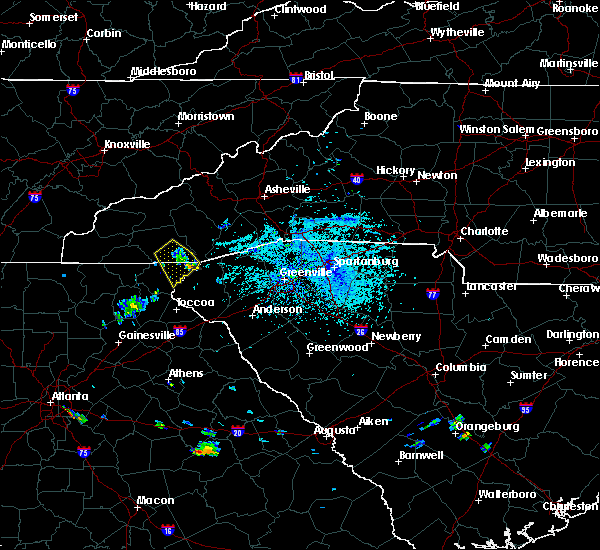 The severe thunderstorm warning for northeastern rabun and southeastern macon counties will expire at 500 pm edt, the storm which prompted the warning has weakened below severe limits, and no longer poses an immediate threat to life or property. therefore the warning will be allowed to expire. The severe thunderstorm warning for northeastern rabun and southeastern macon counties will expire at 500 pm edt, the storm which prompted the warning has weakened below severe limits, and no longer poses an immediate threat to life or property. therefore the warning will be allowed to expire.
|
| 5/17/2019 4:46 PM EDT |
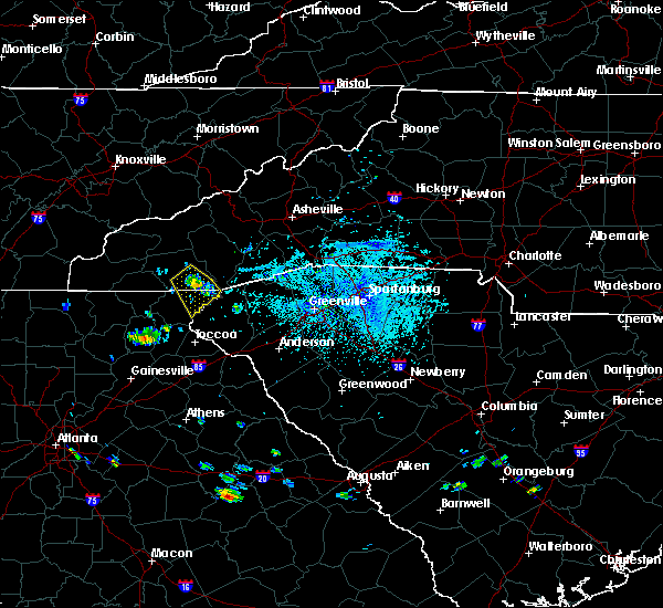 At 446 pm edt, a severe thunderstorm was located 12 miles southeast of franklin, or 4 miles northeast of sky valley, moving southeast at 15 mph (radar indicated). Hazards include 60 mph wind gusts and quarter size hail. Minor hail damage to vehicles is expected. expect wind damage to trees and power lines. Locations impacted include, highlands, sky valley, pine mountain and scaly mountain. At 446 pm edt, a severe thunderstorm was located 12 miles southeast of franklin, or 4 miles northeast of sky valley, moving southeast at 15 mph (radar indicated). Hazards include 60 mph wind gusts and quarter size hail. Minor hail damage to vehicles is expected. expect wind damage to trees and power lines. Locations impacted include, highlands, sky valley, pine mountain and scaly mountain.
|
| 5/17/2019 4:38 PM EDT |
 At 438 pm edt, a severe thunderstorm was located 10 miles south of franklin, or 4 miles north of sky valley, moving southeast at 15 mph (radar indicated). Hazards include 60 mph wind gusts and quarter size hail. Minor hail damage to vehicles is expected. expect wind damage to trees and power lines. Locations impacted include, highlands, mountain city, dillard, sky valley, scaly mountain, otto, pine mountain, black rock mountain state park and clayton. At 438 pm edt, a severe thunderstorm was located 10 miles south of franklin, or 4 miles north of sky valley, moving southeast at 15 mph (radar indicated). Hazards include 60 mph wind gusts and quarter size hail. Minor hail damage to vehicles is expected. expect wind damage to trees and power lines. Locations impacted include, highlands, mountain city, dillard, sky valley, scaly mountain, otto, pine mountain, black rock mountain state park and clayton.
|
| 5/17/2019 4:22 PM EDT |
 At 422 pm edt, a severe thunderstorm was located 7 miles south of franklin, or 6 miles north of sky valley, moving southeast at 15 mph (radar indicated). Hazards include 60 mph wind gusts and quarter size hail. Minor hail damage to vehicles is expected. Expect wind damage to trees and power lines. At 422 pm edt, a severe thunderstorm was located 7 miles south of franklin, or 6 miles north of sky valley, moving southeast at 15 mph (radar indicated). Hazards include 60 mph wind gusts and quarter size hail. Minor hail damage to vehicles is expected. Expect wind damage to trees and power lines.
|
| 4/19/2019 6:36 AM EDT |
 At 636 am edt, severe thunderstorms were located along a line extending from 6 miles northeast of clayton to 3 miles north of toccoa, moving northeast at 45 mph (radar indicated). Hazards include 60 mph wind gusts. Expect damage to trees and power lines. Locations impacted include, toccoa, clayton, mountain city, tiger, dillard, sky valley, tallulah falls, lakemont, tallulah gorge state park and black rock mountain state park. At 636 am edt, severe thunderstorms were located along a line extending from 6 miles northeast of clayton to 3 miles north of toccoa, moving northeast at 45 mph (radar indicated). Hazards include 60 mph wind gusts. Expect damage to trees and power lines. Locations impacted include, toccoa, clayton, mountain city, tiger, dillard, sky valley, tallulah falls, lakemont, tallulah gorge state park and black rock mountain state park.
|
| 4/19/2019 6:26 AM EDT |
 At 625 am edt, severe thunderstorms were located along a line extending from 6 miles west of clayton to 6 miles southeast of clarkesville, moving northeast at 45 mph (radar indicated). Hazards include 60 mph wind gusts. expect damage to trees and power lines At 625 am edt, severe thunderstorms were located along a line extending from 6 miles west of clayton to 6 miles southeast of clarkesville, moving northeast at 45 mph (radar indicated). Hazards include 60 mph wind gusts. expect damage to trees and power lines
|
| 4/14/2019 1:52 PM EDT |
 At 152 pm edt, a severe thunderstorm was located near clayton, moving northeast at 45 mph (radar indicated). Hazards include 60 mph wind gusts and quarter size hail. Minor hail damage to vehicles is expected. expect wind damage to trees and power lines. locations impacted include, clayton, mountain city, tiger, dillard, sky valley, lake burton, moccasin creek state park, black rock mountain state park and seed lake. A tornado watch remains in effect until 700 pm edt for northeastern georgia, and upstate south carolina. At 152 pm edt, a severe thunderstorm was located near clayton, moving northeast at 45 mph (radar indicated). Hazards include 60 mph wind gusts and quarter size hail. Minor hail damage to vehicles is expected. expect wind damage to trees and power lines. locations impacted include, clayton, mountain city, tiger, dillard, sky valley, lake burton, moccasin creek state park, black rock mountain state park and seed lake. A tornado watch remains in effect until 700 pm edt for northeastern georgia, and upstate south carolina.
|
| 4/14/2019 1:23 PM EDT |
 At 122 pm edt, a severe thunderstorm was located 6 miles northeast of cleveland, or 4 miles southeast of helen, moving northeast at 45 mph (radar indicated). Hazards include 60 mph wind gusts and quarter size hail. Minor hail damage to vehicles is expected. Expect wind damage to trees and power lines. At 122 pm edt, a severe thunderstorm was located 6 miles northeast of cleveland, or 4 miles southeast of helen, moving northeast at 45 mph (radar indicated). Hazards include 60 mph wind gusts and quarter size hail. Minor hail damage to vehicles is expected. Expect wind damage to trees and power lines.
|
| 8/8/2018 5:36 PM EDT |
 At 536 pm edt, severe thunderstorms were located along a line extending from 4 miles south of franklin to 3 miles west of clayton to 11 miles northwest of clarkesville, moving east at 25 mph (radar indicated). Hazards include 60 mph wind gusts and penny size hail. expect damage to trees and power lines At 536 pm edt, severe thunderstorms were located along a line extending from 4 miles south of franklin to 3 miles west of clayton to 11 miles northwest of clarkesville, moving east at 25 mph (radar indicated). Hazards include 60 mph wind gusts and penny size hail. expect damage to trees and power lines
|
| 6/25/2018 4:56 PM EDT |
 At 456 pm edt, severe thunderstorms were located along a line extending from 8 miles east of clayton to 7 miles southeast of cleveland, moving east at 30 mph (radar indicated). Hazards include 60 mph wind gusts and quarter size hail. Minor hail damage to vehicles is expected. expect wind damage to trees and power lines. Locations impacted include, toccoa, clayton, clarkesville, cornelia, baldwin, demorest, mount airy, alto, mountain city and tiger. At 456 pm edt, severe thunderstorms were located along a line extending from 8 miles east of clayton to 7 miles southeast of cleveland, moving east at 30 mph (radar indicated). Hazards include 60 mph wind gusts and quarter size hail. Minor hail damage to vehicles is expected. expect wind damage to trees and power lines. Locations impacted include, toccoa, clayton, clarkesville, cornelia, baldwin, demorest, mount airy, alto, mountain city and tiger.
|
| 6/25/2018 4:44 PM EDT |
 At 444 pm edt, severe thunderstorms were located along a line extending from 4 miles northeast of waynesville to 10 miles northwest of clayton, moving east at 15 mph (radar indicated). Hazards include 60 mph wind gusts and quarter size hail. Minor hail damage to vehicles is expected. expect wind damage to trees and power lines. Locations impacted include, franklin, sylva, waynesville, canton, cullowhee, lake junaluska, clyde, highlands, maggie valley and balsam. At 444 pm edt, severe thunderstorms were located along a line extending from 4 miles northeast of waynesville to 10 miles northwest of clayton, moving east at 15 mph (radar indicated). Hazards include 60 mph wind gusts and quarter size hail. Minor hail damage to vehicles is expected. expect wind damage to trees and power lines. Locations impacted include, franklin, sylva, waynesville, canton, cullowhee, lake junaluska, clyde, highlands, maggie valley and balsam.
|
| 6/25/2018 4:34 PM EDT |
 At 433 pm edt, severe thunderstorms were located along a line extending from 6 miles northwest of clayton to 6 miles east of dahlonega, moving east at 30 mph (radar indicated). Hazards include 60 mph wind gusts and quarter size hail. Minor hail damage to vehicles is expected. Expect wind damage to trees and power lines. At 433 pm edt, severe thunderstorms were located along a line extending from 6 miles northwest of clayton to 6 miles east of dahlonega, moving east at 30 mph (radar indicated). Hazards include 60 mph wind gusts and quarter size hail. Minor hail damage to vehicles is expected. Expect wind damage to trees and power lines.
|
| 6/25/2018 4:19 PM EDT |
 At 419 pm edt, severe thunderstorms were located along a line extending from 4 miles northwest of waynesville to 6 miles east of hiawassee, moving east at 15 mph (radar indicated). Hazards include 60 mph wind gusts and quarter size hail. Minor hail damage to vehicles is expected. Expect wind damage to trees and power lines. At 419 pm edt, severe thunderstorms were located along a line extending from 4 miles northwest of waynesville to 6 miles east of hiawassee, moving east at 15 mph (radar indicated). Hazards include 60 mph wind gusts and quarter size hail. Minor hail damage to vehicles is expected. Expect wind damage to trees and power lines.
|
| 6/24/2018 4:11 PM EDT |
 At 410 pm edt, severe thunderstorms were located along a line extending from 7 miles south of bryson city to 4 miles northeast of franklin to 19 miles south of sylva to 6 miles east of clayton to 12 miles northeast of clarkesville, moving east at 35 mph (radar indicated). Hazards include 60 mph wind gusts. expect damage to trees and power lines At 410 pm edt, severe thunderstorms were located along a line extending from 7 miles south of bryson city to 4 miles northeast of franklin to 19 miles south of sylva to 6 miles east of clayton to 12 miles northeast of clarkesville, moving east at 35 mph (radar indicated). Hazards include 60 mph wind gusts. expect damage to trees and power lines
|
| 6/24/2018 3:52 PM EDT |
 At 352 pm edt, severe thunderstorms were located along a line extending from 9 miles southwest of bryson city to 6 miles west of franklin to 20 miles east of hayesville to 10 miles northwest of clayton to 10 miles southeast of hiawassee, moving east at 35 mph (radar indicated). Hazards include 60 mph wind gusts and penny size hail. Expect damage to trees and power lines. Locations impacted include, franklin, clayton, bryson city, highlands, mountain city, tiger, dillard, sky valley, tallulah falls and lake burton. At 352 pm edt, severe thunderstorms were located along a line extending from 9 miles southwest of bryson city to 6 miles west of franklin to 20 miles east of hayesville to 10 miles northwest of clayton to 10 miles southeast of hiawassee, moving east at 35 mph (radar indicated). Hazards include 60 mph wind gusts and penny size hail. Expect damage to trees and power lines. Locations impacted include, franklin, clayton, bryson city, highlands, mountain city, tiger, dillard, sky valley, tallulah falls and lake burton.
|
| 6/24/2018 3:33 PM EDT |
 At 333 pm edt, severe thunderstorms were located along a line extending from 4 miles north of robbinsville to 19 miles southwest of bryson city to 5 miles east of andrews to 3 miles east of hayesville to near blairsville, moving east at 30 mph (radar indicated). Hazards include 60 mph wind gusts and penny size hail. expect damage to trees and power lines At 333 pm edt, severe thunderstorms were located along a line extending from 4 miles north of robbinsville to 19 miles southwest of bryson city to 5 miles east of andrews to 3 miles east of hayesville to near blairsville, moving east at 30 mph (radar indicated). Hazards include 60 mph wind gusts and penny size hail. expect damage to trees and power lines
|
| 6/23/2018 4:22 PM EDT |
 The national weather service in greenville-spartanburg has issued a * severe thunderstorm warning for. stephens county in northeastern georgia. southeastern habersham county in northeastern georgia. eastern rabun county in northeastern georgia. Eastern macon county in western north carolina. The national weather service in greenville-spartanburg has issued a * severe thunderstorm warning for. stephens county in northeastern georgia. southeastern habersham county in northeastern georgia. eastern rabun county in northeastern georgia. Eastern macon county in western north carolina.
|
| 6/23/2018 4:22 PM EDT |
 At 420 pm edt, severe thunderstorms were located along a line extending from 6 miles north of franklin to 9 miles northeast of clayton to 4 miles west of toccoa, moving east at 50 mph (radar indicated). Hazards include 60 mph wind gusts. expect damage to trees and power lines At 420 pm edt, severe thunderstorms were located along a line extending from 6 miles north of franklin to 9 miles northeast of clayton to 4 miles west of toccoa, moving east at 50 mph (radar indicated). Hazards include 60 mph wind gusts. expect damage to trees and power lines
|
| 6/23/2018 4:15 PM EDT |
 At 414 pm edt, severe thunderstorms were located along a line extending from 3 miles south of franklin to near clayton to 4 miles northeast of clarkesville, moving east at 50 mph (radar indicated). Hazards include 60 mph wind gusts. Expect damage to trees and power lines. Locations impacted include, toccoa, franklin, clayton, clarkesville, cornelia, demorest, mount airy, highlands, mountain city and tiger. At 414 pm edt, severe thunderstorms were located along a line extending from 3 miles south of franklin to near clayton to 4 miles northeast of clarkesville, moving east at 50 mph (radar indicated). Hazards include 60 mph wind gusts. Expect damage to trees and power lines. Locations impacted include, toccoa, franklin, clayton, clarkesville, cornelia, demorest, mount airy, highlands, mountain city and tiger.
|
| 6/23/2018 3:43 PM EDT |
 At 342 pm edt, severe thunderstorms were located along a line extending from 4 miles south of andrews to 6 miles east of blairsville to 8 miles northeast of dahlonega, moving east at 50 mph (radar indicated). Hazards include 60 mph wind gusts. expect damage to trees and power lines At 342 pm edt, severe thunderstorms were located along a line extending from 4 miles south of andrews to 6 miles east of blairsville to 8 miles northeast of dahlonega, moving east at 50 mph (radar indicated). Hazards include 60 mph wind gusts. expect damage to trees and power lines
|
| 6/16/2018 2:45 PM EDT |
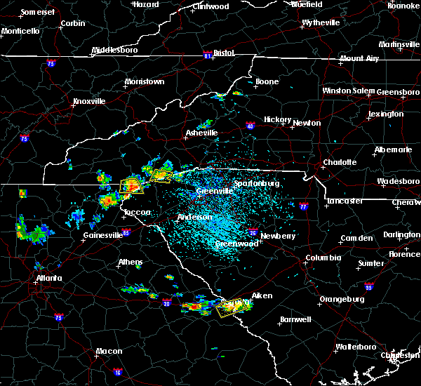 At 245 pm edt, a severe thunderstorm was located 12 miles east of clayton, or 7 miles northwest of oconee state park, moving south at 10 mph (radar indicated). Hazards include 60 mph wind gusts and quarter size hail. Minor hail damage to vehicles is expected. expect wind damage to trees and power lines. Locations impacted include, highlands, sky valley, pine mountain and scaly mountain. At 245 pm edt, a severe thunderstorm was located 12 miles east of clayton, or 7 miles northwest of oconee state park, moving south at 10 mph (radar indicated). Hazards include 60 mph wind gusts and quarter size hail. Minor hail damage to vehicles is expected. expect wind damage to trees and power lines. Locations impacted include, highlands, sky valley, pine mountain and scaly mountain.
|
| 6/16/2018 2:17 PM EDT |
 At 217 pm edt, a severe thunderstorm was located 12 miles northeast of clayton, or 4 miles southwest of highlands, moving south at 15 mph (radar indicated). Hazards include 60 mph wind gusts and quarter size hail. Minor hail damage to vehicles is expected. Expect wind damage to trees and power lines. At 217 pm edt, a severe thunderstorm was located 12 miles northeast of clayton, or 4 miles southwest of highlands, moving south at 15 mph (radar indicated). Hazards include 60 mph wind gusts and quarter size hail. Minor hail damage to vehicles is expected. Expect wind damage to trees and power lines.
|
| 6/16/2018 2:17 PM EDT |
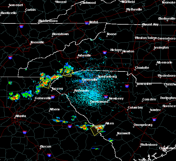 At 217 pm edt, a severe thunderstorm was located 12 miles northeast of clayton, or 4 miles southwest of highlands, moving south at 15 mph (radar indicated). Hazards include 60 mph wind gusts and quarter size hail. Minor hail damage to vehicles is expected. Expect wind damage to trees and power lines. At 217 pm edt, a severe thunderstorm was located 12 miles northeast of clayton, or 4 miles southwest of highlands, moving south at 15 mph (radar indicated). Hazards include 60 mph wind gusts and quarter size hail. Minor hail damage to vehicles is expected. Expect wind damage to trees and power lines.
|
| 5/20/2018 2:13 PM EDT |
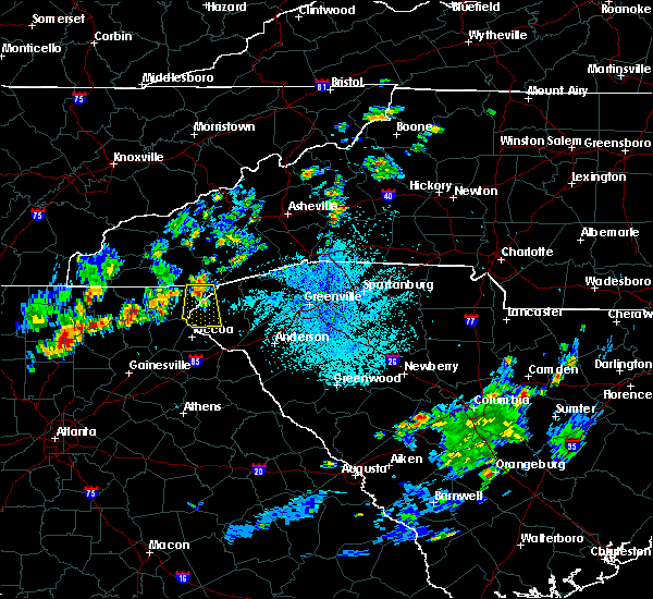 At 211 pm edt, a severe thunderstorm was located 9 miles northeast of clayton, or 5 miles southeast of sky valley, moving south at 15 mph (radar indicated). Hazards include 60 mph wind gusts and quarter size hail. Minor hail damage to vehicles is expected. Expect wind damage to trees and power lines. At 211 pm edt, a severe thunderstorm was located 9 miles northeast of clayton, or 5 miles southeast of sky valley, moving south at 15 mph (radar indicated). Hazards include 60 mph wind gusts and quarter size hail. Minor hail damage to vehicles is expected. Expect wind damage to trees and power lines.
|
| 3/17/2018 9:20 PM EDT |
 At 920 pm edt, a severe thunderstorm was located 6 miles northwest of clayton, or 5 miles northwest of black rock mountain state park, moving southeast at 40 mph (radar indicated). Hazards include 60 mph wind gusts and quarter size hail. Minor hail damage to vehicles is expected. Expect wind damage to trees and power lines. At 920 pm edt, a severe thunderstorm was located 6 miles northwest of clayton, or 5 miles northwest of black rock mountain state park, moving southeast at 40 mph (radar indicated). Hazards include 60 mph wind gusts and quarter size hail. Minor hail damage to vehicles is expected. Expect wind damage to trees and power lines.
|
| 3/17/2018 9:11 PM EDT |
 At 911 pm edt, a severe thunderstorm was located 12 miles east of hiawassee, or 9 miles west of dillard, moving east at 35 mph (radar indicated). Hazards include 60 mph wind gusts and quarter size hail. Minor hail damage to vehicles is expected. expect wind damage to trees and power lines. Locations impacted include, mountain city, dillard, sky valley, scaly mountain, otto, rainbow springs and black rock mountain state park. At 911 pm edt, a severe thunderstorm was located 12 miles east of hiawassee, or 9 miles west of dillard, moving east at 35 mph (radar indicated). Hazards include 60 mph wind gusts and quarter size hail. Minor hail damage to vehicles is expected. expect wind damage to trees and power lines. Locations impacted include, mountain city, dillard, sky valley, scaly mountain, otto, rainbow springs and black rock mountain state park.
|
| 3/17/2018 9:11 PM EDT |
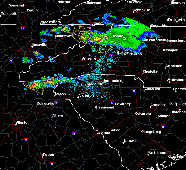 At 911 pm edt, a severe thunderstorm was located 12 miles east of hiawassee, or 9 miles west of dillard, moving east at 35 mph (radar indicated). Hazards include 60 mph wind gusts and quarter size hail. Minor hail damage to vehicles is expected. expect wind damage to trees and power lines. Locations impacted include, mountain city, dillard, sky valley, scaly mountain, otto, rainbow springs and black rock mountain state park. At 911 pm edt, a severe thunderstorm was located 12 miles east of hiawassee, or 9 miles west of dillard, moving east at 35 mph (radar indicated). Hazards include 60 mph wind gusts and quarter size hail. Minor hail damage to vehicles is expected. expect wind damage to trees and power lines. Locations impacted include, mountain city, dillard, sky valley, scaly mountain, otto, rainbow springs and black rock mountain state park.
|
| 3/17/2018 8:52 PM EDT |
 At 851 pm edt, a severe thunderstorm was located 8 miles northeast of hayesville, or 5 miles southwest of nantahala lake, moving east at 35 mph (radar indicated). Hazards include 60 mph wind gusts and quarter size hail. Minor hail damage to vehicles is expected. Expect wind damage to trees and power lines. At 851 pm edt, a severe thunderstorm was located 8 miles northeast of hayesville, or 5 miles southwest of nantahala lake, moving east at 35 mph (radar indicated). Hazards include 60 mph wind gusts and quarter size hail. Minor hail damage to vehicles is expected. Expect wind damage to trees and power lines.
|
| 5/28/2017 12:28 AM EDT |
 The severe thunderstorm warning for rabun, macon, southern transylvania and southern jackson counties will expire at 1230 am edt, the storms which prompted the warning have moved out of the area. therefore the warning will be allowed to expire. however gusty winds and heavy rain are still possible with these thunderstorms. a severe thunderstorm watch remains in effect until 200 am edt for western north carolina. a severe thunderstorm watch also remains in effect until 600 am edt for northeastern georgia, and upstate south carolina. The severe thunderstorm warning for rabun, macon, southern transylvania and southern jackson counties will expire at 1230 am edt, the storms which prompted the warning have moved out of the area. therefore the warning will be allowed to expire. however gusty winds and heavy rain are still possible with these thunderstorms. a severe thunderstorm watch remains in effect until 200 am edt for western north carolina. a severe thunderstorm watch also remains in effect until 600 am edt for northeastern georgia, and upstate south carolina.
|
| 5/28/2017 12:11 AM EDT |
 At 1211 am edt, severe thunderstorms were located along a line extending from 19 miles southwest of brevard to 11 miles south of blairsville, moving southeast at 45 mph (radar indicated). Hazards include 60 mph wind gusts and penny size hail. expect damage to trees and power lines At 1211 am edt, severe thunderstorms were located along a line extending from 19 miles southwest of brevard to 11 miles south of blairsville, moving southeast at 45 mph (radar indicated). Hazards include 60 mph wind gusts and penny size hail. expect damage to trees and power lines
|
| 5/27/2017 11:43 PM EDT |
 At 1143 pm edt, severe thunderstorms were located along a line extending from 7 miles southeast of sylva to 12 miles east of hayesville, moving southeast at 45 mph (radar indicated). Hazards include 60 mph wind gusts and nickel size hail. expect damage to trees and power lines At 1143 pm edt, severe thunderstorms were located along a line extending from 7 miles southeast of sylva to 12 miles east of hayesville, moving southeast at 45 mph (radar indicated). Hazards include 60 mph wind gusts and nickel size hail. expect damage to trees and power lines
|
| 3/21/2017 8:44 PM EDT |
 At 844 pm edt, severe thunderstorms were located along a line extending from 4 miles northeast of clayton to 13 miles northwest of toccoa to 7 miles south of clarkesville, moving east at 30 mph (radar indicated). Hazards include 60 mph wind gusts and penny size hail. Expect damage to siding and trees. Locations impacted include, clayton, clarkesville, cornelia, demorest, mount airy, mountain city, tiger, dillard, sky valley and tallulah falls. At 844 pm edt, severe thunderstorms were located along a line extending from 4 miles northeast of clayton to 13 miles northwest of toccoa to 7 miles south of clarkesville, moving east at 30 mph (radar indicated). Hazards include 60 mph wind gusts and penny size hail. Expect damage to siding and trees. Locations impacted include, clayton, clarkesville, cornelia, demorest, mount airy, mountain city, tiger, dillard, sky valley and tallulah falls.
|
| 3/21/2017 8:16 PM EDT |
 At 815 pm edt, severe thunderstorms were located along a line extending from 5 miles northeast of hayesville to 11 miles southeast of hiawassee to near cleveland, moving east at 30 mph (radar indicated). Hazards include 60 mph wind gusts and penny size hail. Expect damage to roofs. Siding and trees. At 815 pm edt, severe thunderstorms were located along a line extending from 5 miles northeast of hayesville to 11 miles southeast of hiawassee to near cleveland, moving east at 30 mph (radar indicated). Hazards include 60 mph wind gusts and penny size hail. Expect damage to roofs. Siding and trees.
|
| 11/30/2016 3:05 PM EST |
 At 305 pm est, severe thunderstorms were located along a line extending from 16 miles west of brevard to 15 miles north of walhalla to 6 miles south of clayton to 6 miles southeast of clarkesville, moving east at 45 mph (radar indicated). Hazards include 60 mph wind gusts. Expect damage to roofs. siding and trees. Locations impacted include, toccoa, clayton, clarkesville, cornelia, mount airy, highlands, mountain city, tiger, avalon and dillard. At 305 pm est, severe thunderstorms were located along a line extending from 16 miles west of brevard to 15 miles north of walhalla to 6 miles south of clayton to 6 miles southeast of clarkesville, moving east at 45 mph (radar indicated). Hazards include 60 mph wind gusts. Expect damage to roofs. siding and trees. Locations impacted include, toccoa, clayton, clarkesville, cornelia, mount airy, highlands, mountain city, tiger, avalon and dillard.
|
| 11/30/2016 2:45 PM EST |
 At 245 pm est, severe thunderstorms were located along a line extending from 13 miles southeast of franklin to near clayton to 14 miles southeast of hiawassee to 9 miles southeast of cleveland, moving east at 25 mph (radar indicated). Hazards include 60 mph wind gusts. Expect damage to roofs. Siding and trees. At 245 pm est, severe thunderstorms were located along a line extending from 13 miles southeast of franklin to near clayton to 14 miles southeast of hiawassee to 9 miles southeast of cleveland, moving east at 25 mph (radar indicated). Hazards include 60 mph wind gusts. Expect damage to roofs. Siding and trees.
|
| 7/7/2016 8:37 PM EDT |
 The severe thunderstorm warning for jackson, southwestern transylvania and macon counties will expire at 845 pm edt, the storms which prompted the warning have weakened below severe limits, and have exited the warned area. therefore the warning will be allowed to expire. a severe thunderstorm watch remains in effect until 1100 pm edt for western north carolina. The severe thunderstorm warning for jackson, southwestern transylvania and macon counties will expire at 845 pm edt, the storms which prompted the warning have weakened below severe limits, and have exited the warned area. therefore the warning will be allowed to expire. a severe thunderstorm watch remains in effect until 1100 pm edt for western north carolina.
|
| 7/7/2016 7:56 PM EDT |
 At 756 pm edt, severe thunderstorms were located along a line extending from 10 miles west of waynesville to 5 miles south of sylva to 8 miles west of franklin, moving southeast at 50 mph (radar indicated). Hazards include 60 mph wind gusts. Expect damage to roofs. Siding and trees. At 756 pm edt, severe thunderstorms were located along a line extending from 10 miles west of waynesville to 5 miles south of sylva to 8 miles west of franklin, moving southeast at 50 mph (radar indicated). Hazards include 60 mph wind gusts. Expect damage to roofs. Siding and trees.
|
| 8/10/2015 5:27 PM EDT |
 At 526 pm edt, emergency management reported a line of severe thunderstorms producing damaging winds in excess of 60 mph. these storms were located along a line extending from 6 miles northwest of clayton to 9 miles southwest of toccoa, and moving east at 40 mph. * locations in the warning include, anderson, easley, clemson, toccoa, seneca, hartwell, walhalla, pickens, clayton and clarkesville. At 526 pm edt, emergency management reported a line of severe thunderstorms producing damaging winds in excess of 60 mph. these storms were located along a line extending from 6 miles northwest of clayton to 9 miles southwest of toccoa, and moving east at 40 mph. * locations in the warning include, anderson, easley, clemson, toccoa, seneca, hartwell, walhalla, pickens, clayton and clarkesville.
|
| 7/18/2015 2:56 PM EDT |
 At 255 pm edt, doppler radar indicated a severe thunderstorm capable of producing quarter size hail and damaging winds in excess of 60 mph. this storm was located 5 miles north of clayton, or near dillard, and moving south at 10 mph. * locations in the warning include, clayton, mountain city, tiger, dillard, sky valley, tallulah gorge state park, black rock mountain state park, lakemont, lake rabun and long creek. At 255 pm edt, doppler radar indicated a severe thunderstorm capable of producing quarter size hail and damaging winds in excess of 60 mph. this storm was located 5 miles north of clayton, or near dillard, and moving south at 10 mph. * locations in the warning include, clayton, mountain city, tiger, dillard, sky valley, tallulah gorge state park, black rock mountain state park, lakemont, lake rabun and long creek.
|
| 7/14/2015 6:30 PM EDT |
 At 628 pm edt, doppler radar indicated a line of severe thunderstorms with a history of producing damaging winds in excess of 60 mph. these storms were located along a line extending from 19 miles southeast of franklin to 10 miles southeast of hiawassee to 8 miles southwest of blairsville, moving southeast at 40 mph. locations impacted include, clayton, lake burton, highlands, mountain city, tiger, dillard, sky valley, cashiers, tallulah falls and salem. At 628 pm edt, doppler radar indicated a line of severe thunderstorms with a history of producing damaging winds in excess of 60 mph. these storms were located along a line extending from 19 miles southeast of franklin to 10 miles southeast of hiawassee to 8 miles southwest of blairsville, moving southeast at 40 mph. locations impacted include, clayton, lake burton, highlands, mountain city, tiger, dillard, sky valley, cashiers, tallulah falls and salem.
|
| 7/14/2015 5:58 PM EDT |
 At 556 pm edt, doppler radar indicated a line of severe thunderstorms with a history of producing damaging winds in excess of 60 mph. these storms were located along a line extending from 3 miles south of sylva to 3 miles north of hayesville to 10 miles southwest of murphy, and moving southeast at 30 mph. At 556 pm edt, doppler radar indicated a line of severe thunderstorms with a history of producing damaging winds in excess of 60 mph. these storms were located along a line extending from 3 miles south of sylva to 3 miles north of hayesville to 10 miles southwest of murphy, and moving southeast at 30 mph.
|
| 7/14/2015 10:58 AM EDT |
 At 1057 am edt, doppler radar indicated a severe thunderstorm capable of producing quarter size hail and damaging winds in excess of 60 mph. this storm was located 9 miles southwest of bryson city, moving southeast at 35 mph. locations impacted include, franklin, highlands, dillsboro, cashiers, nantahala lake, lake glenville, cowee, wayah bald, wesser and aquone. At 1057 am edt, doppler radar indicated a severe thunderstorm capable of producing quarter size hail and damaging winds in excess of 60 mph. this storm was located 9 miles southwest of bryson city, moving southeast at 35 mph. locations impacted include, franklin, highlands, dillsboro, cashiers, nantahala lake, lake glenville, cowee, wayah bald, wesser and aquone.
|
| 7/14/2015 10:45 AM EDT |
 At 1045 am edt, doppler radar indicated a severe thunderstorm capable of producing large damaging hail up to golf ball size and damaging winds in excess of 60 mph. this storm was located 9 miles southwest of bryson city, or 8 miles southeast of fontana lake, moving southeast at 30 mph. locations impacted include, franklin, bryson city, highlands, dillsboro, cashiers, nantahala lake, lake glenville, smoky mountains-deep creek, cowee and cheoah. At 1045 am edt, doppler radar indicated a severe thunderstorm capable of producing large damaging hail up to golf ball size and damaging winds in excess of 60 mph. this storm was located 9 miles southwest of bryson city, or 8 miles southeast of fontana lake, moving southeast at 30 mph. locations impacted include, franklin, bryson city, highlands, dillsboro, cashiers, nantahala lake, lake glenville, smoky mountains-deep creek, cowee and cheoah.
|
| 7/14/2015 10:34 AM EDT |
 The national weather service in greenville-spartanburg has issued a * severe thunderstorm warning for. central jackson county in western north carolina. southeastern swain county in western north carolina. eastern graham county in western north carolina. Macon county in western north carolina. The national weather service in greenville-spartanburg has issued a * severe thunderstorm warning for. central jackson county in western north carolina. southeastern swain county in western north carolina. eastern graham county in western north carolina. Macon county in western north carolina.
|
| 6/22/2015 4:41 PM EDT |
 At 441 pm edt, doppler radar indicated a severe thunderstorm capable of producing quarter size hail and damaging winds in excess of 60 mph. this storm was located 4 miles north of clayton, or near mountain city, moving east at 10 mph. locations impacted include, clayton, highlands, mountain city, dillard, sky valley, black rock mountain state park, oconee state park, scaly mountain, pine mountain and mountain rest. At 441 pm edt, doppler radar indicated a severe thunderstorm capable of producing quarter size hail and damaging winds in excess of 60 mph. this storm was located 4 miles north of clayton, or near mountain city, moving east at 10 mph. locations impacted include, clayton, highlands, mountain city, dillard, sky valley, black rock mountain state park, oconee state park, scaly mountain, pine mountain and mountain rest.
|
| 6/22/2015 4:31 PM EDT |
 At 431 pm edt, doppler radar indicated a severe thunderstorm capable of producing quarter size hail and damaging winds in excess of 60 mph. this storm was located 4 miles north of clayton, or near mountain city, and moving east at 20 mph. At 431 pm edt, doppler radar indicated a severe thunderstorm capable of producing quarter size hail and damaging winds in excess of 60 mph. this storm was located 4 miles north of clayton, or near mountain city, and moving east at 20 mph.
|
| 6/8/2015 9:54 PM EDT | At 953 pm edt, doppler radar indicated a line of severe thunderstorms capable of producing damaging winds in excess of 60 mph. these storms were located along a line extending from 14 miles southeast of sylva to 9 miles east of clayton, moving east at 20 mph. locations impacted include, walhalla, clayton, mountain city, rosman, tiger, cashiers, salem, keowee toxaway state park, moccasin creek state park and oconee state park. |
| 6/8/2015 9:54 PM EDT | At 953 pm edt, doppler radar indicated a line of severe thunderstorms capable of producing damaging winds in excess of 60 mph. these storms were located along a line extending from 14 miles southeast of sylva to 9 miles east of clayton, moving east at 20 mph. locations impacted include, walhalla, clayton, mountain city, rosman, tiger, cashiers, salem, keowee toxaway state park, moccasin creek state park and oconee state park. |
| 6/8/2015 9:54 PM EDT | At 953 pm edt, doppler radar indicated a line of severe thunderstorms capable of producing damaging winds in excess of 60 mph. these storms were located along a line extending from 14 miles southeast of sylva to 9 miles east of clayton, moving east at 20 mph. locations impacted include, walhalla, clayton, mountain city, rosman, tiger, cashiers, salem, keowee toxaway state park, moccasin creek state park and oconee state park. |
| 6/8/2015 9:34 PM EDT | At 934 pm edt, doppler radar indicated a severe thunderstorm capable of producing damaging winds in excess of 60 mph. this storm was located 11 miles southeast of franklin, or near highlands, and moving east at 30 mph. |
| 6/8/2015 9:34 PM EDT | At 934 pm edt, doppler radar indicated a severe thunderstorm capable of producing damaging winds in excess of 60 mph. this storm was located 11 miles southeast of franklin, or near highlands, and moving east at 30 mph. |
| 6/8/2015 9:34 PM EDT | At 934 pm edt, doppler radar indicated a severe thunderstorm capable of producing damaging winds in excess of 60 mph. this storm was located 11 miles southeast of franklin, or near highlands, and moving east at 30 mph. |
| 5/10/2015 3:51 PM EDT | At 350 pm edt, doppler radar indicated a severe thunderstorm capable of producing quarter size hail and damaging winds in excess of 60 mph. this storm was located 6 miles east of clayton, or 5 miles east of mountain city, moving southwest at 10 mph. locations impacted include, clayton, mountain city, tiger, black rock mountain state park, lakemont, long creek, pine mountain, sky valley and tallulah gorge state park. |
| 5/10/2015 3:51 PM EDT | At 350 pm edt, doppler radar indicated a severe thunderstorm capable of producing quarter size hail and damaging winds in excess of 60 mph. this storm was located 6 miles east of clayton, or 5 miles east of mountain city, moving southwest at 10 mph. locations impacted include, clayton, mountain city, tiger, black rock mountain state park, lakemont, long creek, pine mountain, sky valley and tallulah gorge state park. |
| 5/10/2015 3:34 PM EDT | At 334 pm edt, doppler radar indicated a severe thunderstorm capable of producing half dollar size hail and damaging winds in excess of 60 mph. this storm was located 7 miles east of clayton, or 5 miles southeast of sky valley, and moving southwest at 10 mph. |
| 5/10/2015 3:34 PM EDT | At 334 pm edt, doppler radar indicated a severe thunderstorm capable of producing half dollar size hail and damaging winds in excess of 60 mph. this storm was located 7 miles east of clayton, or 5 miles southeast of sky valley, and moving southwest at 10 mph. |
| 1/1/0001 12:00 AM | Mobile home rolled at 238 dryman rd. two trees dow in macon county NC, 1.9 miles SSW of Sky Valley, GA |
| 1/1/0001 12:00 AM | Quarter sized hail reported 1.9 miles SSW of Sky Valley, GA, nickel to quarter size hail. |
| 1/1/0001 12:00 AM | Several trees down from sky valley southward in rabun county GA, 5.3 miles NNW of Sky Valley, GA |
Hail Maps for Sky Valley, GA


Connect with Interactive Hail Maps