

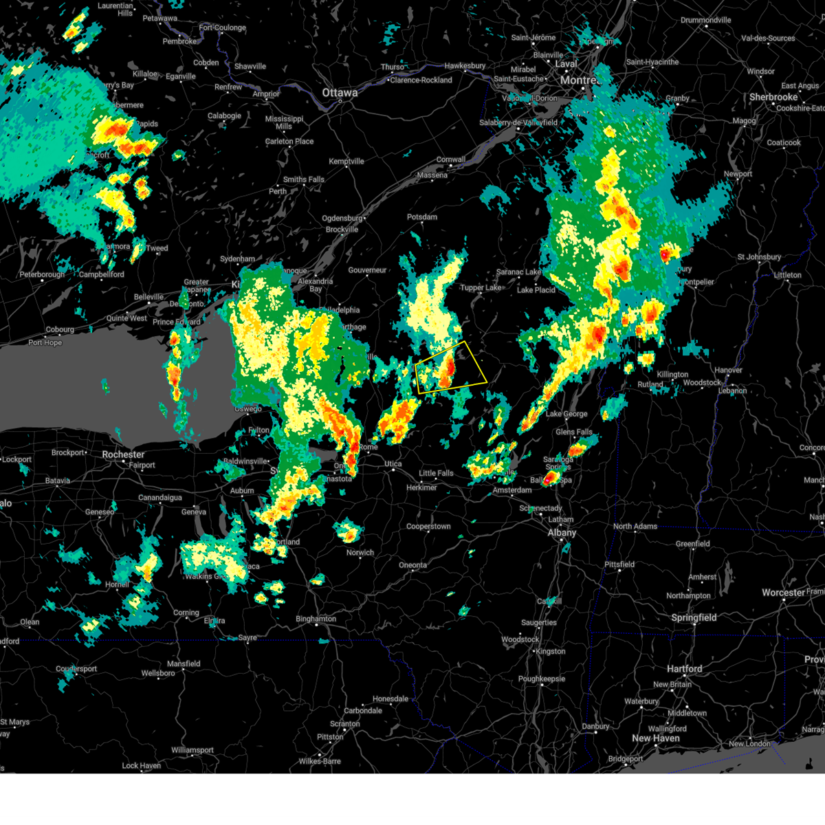
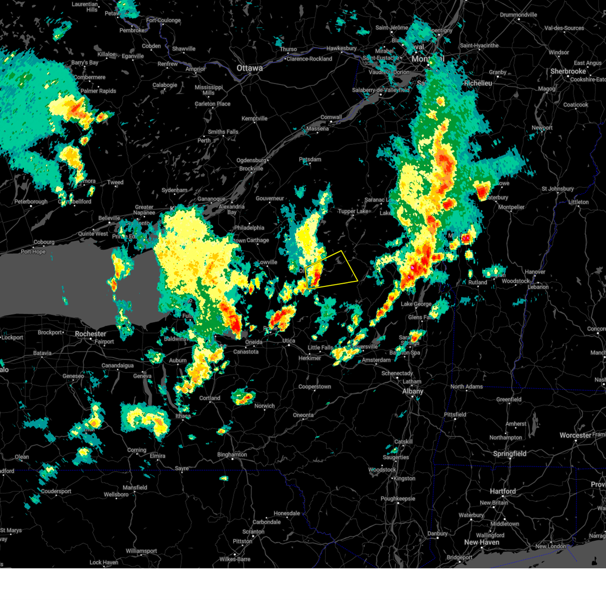
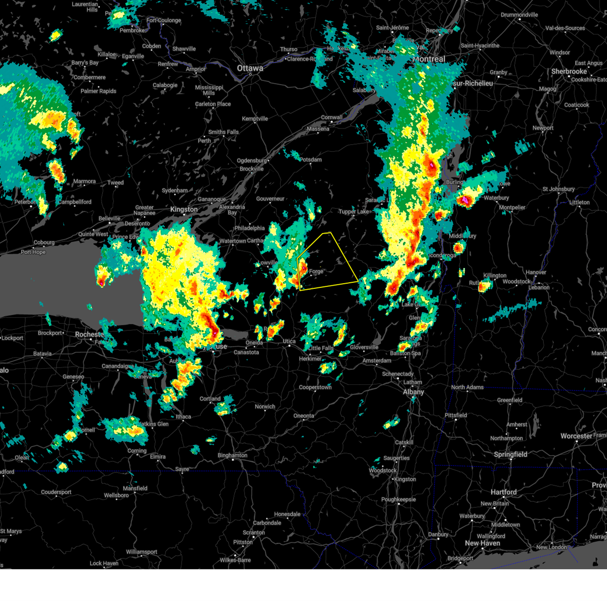
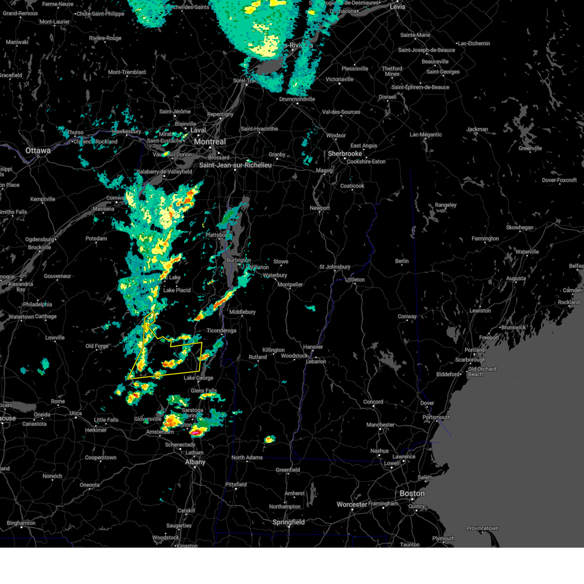
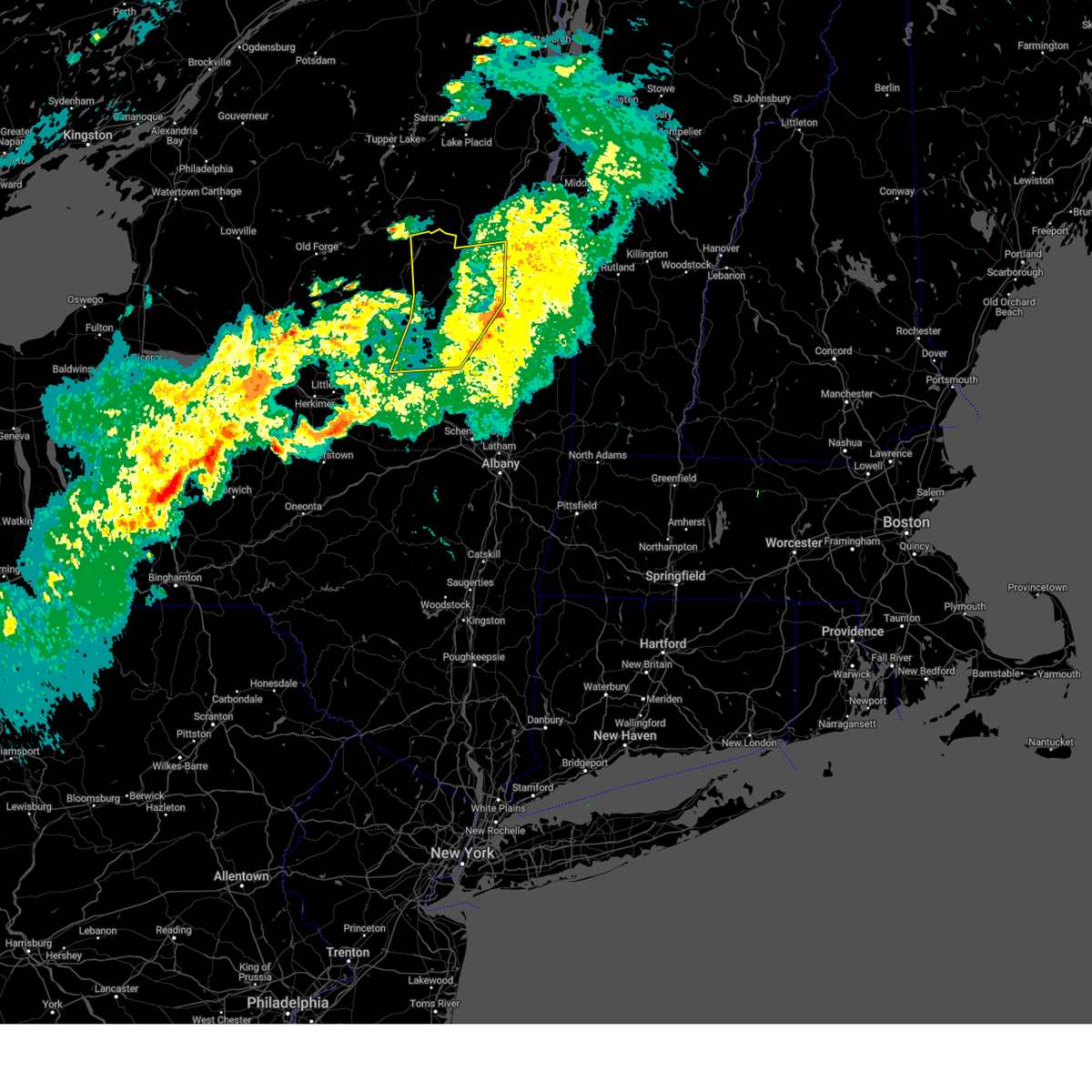
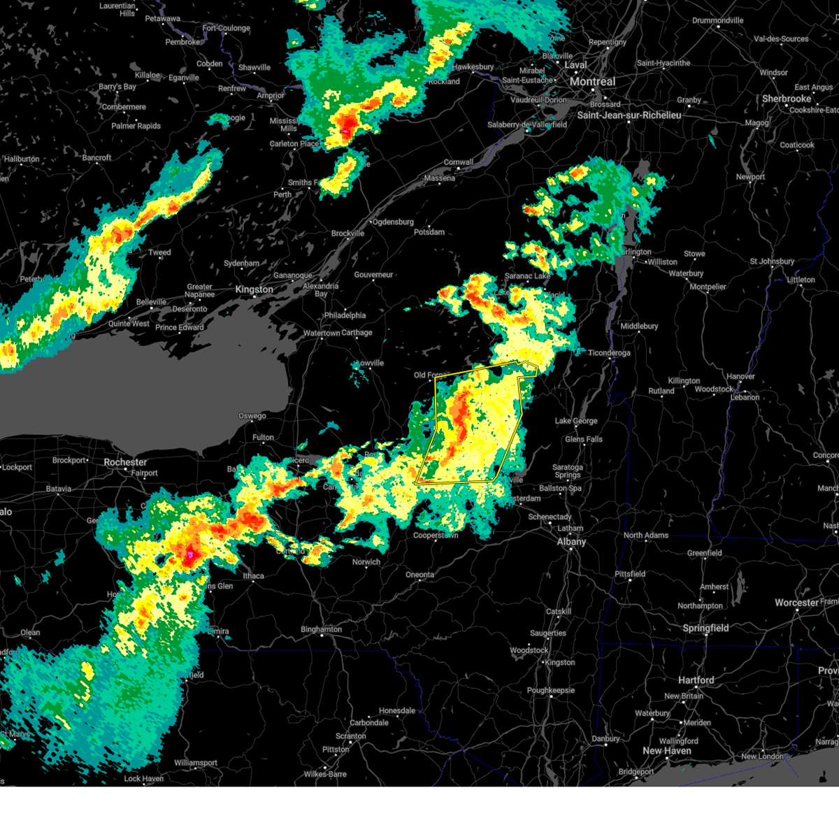
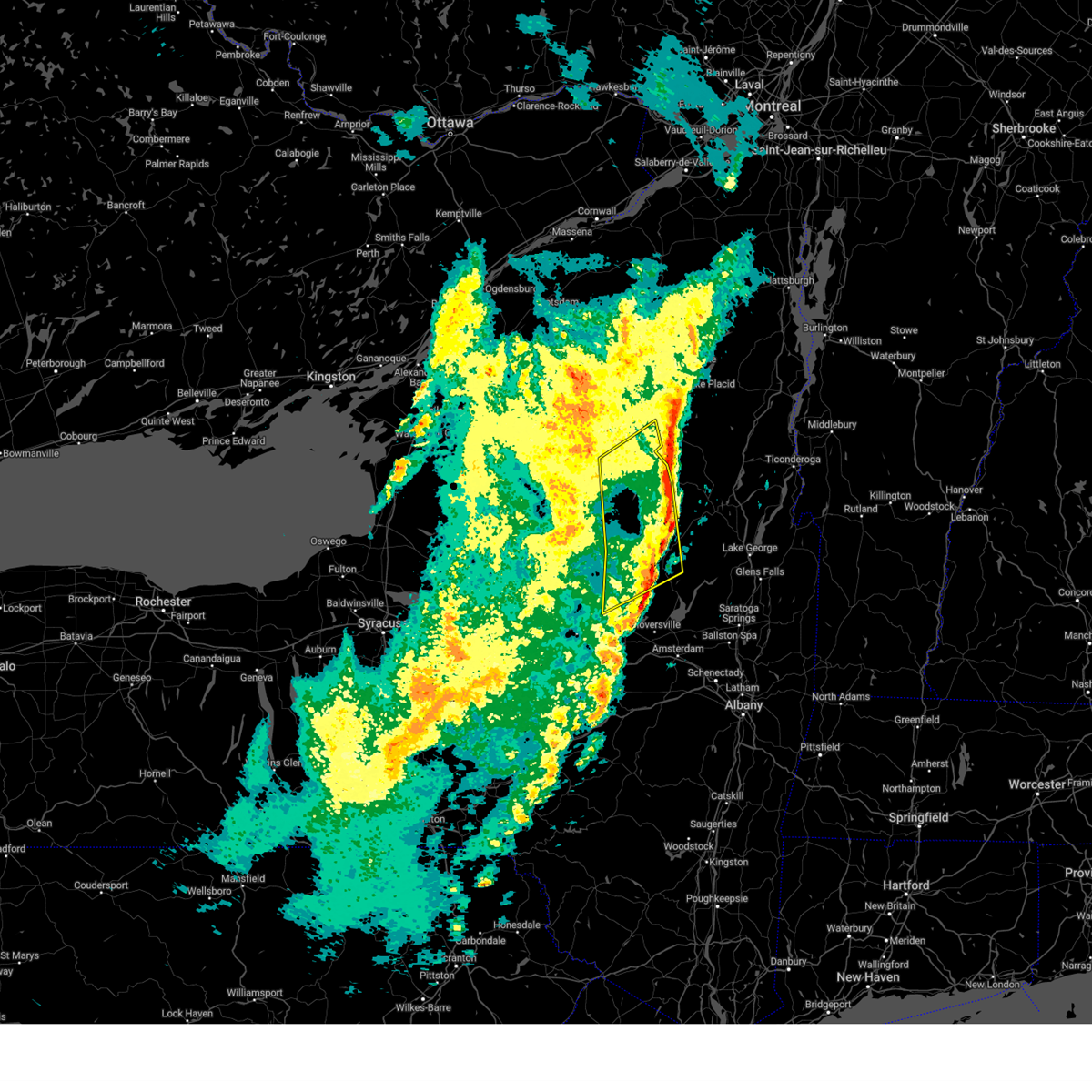
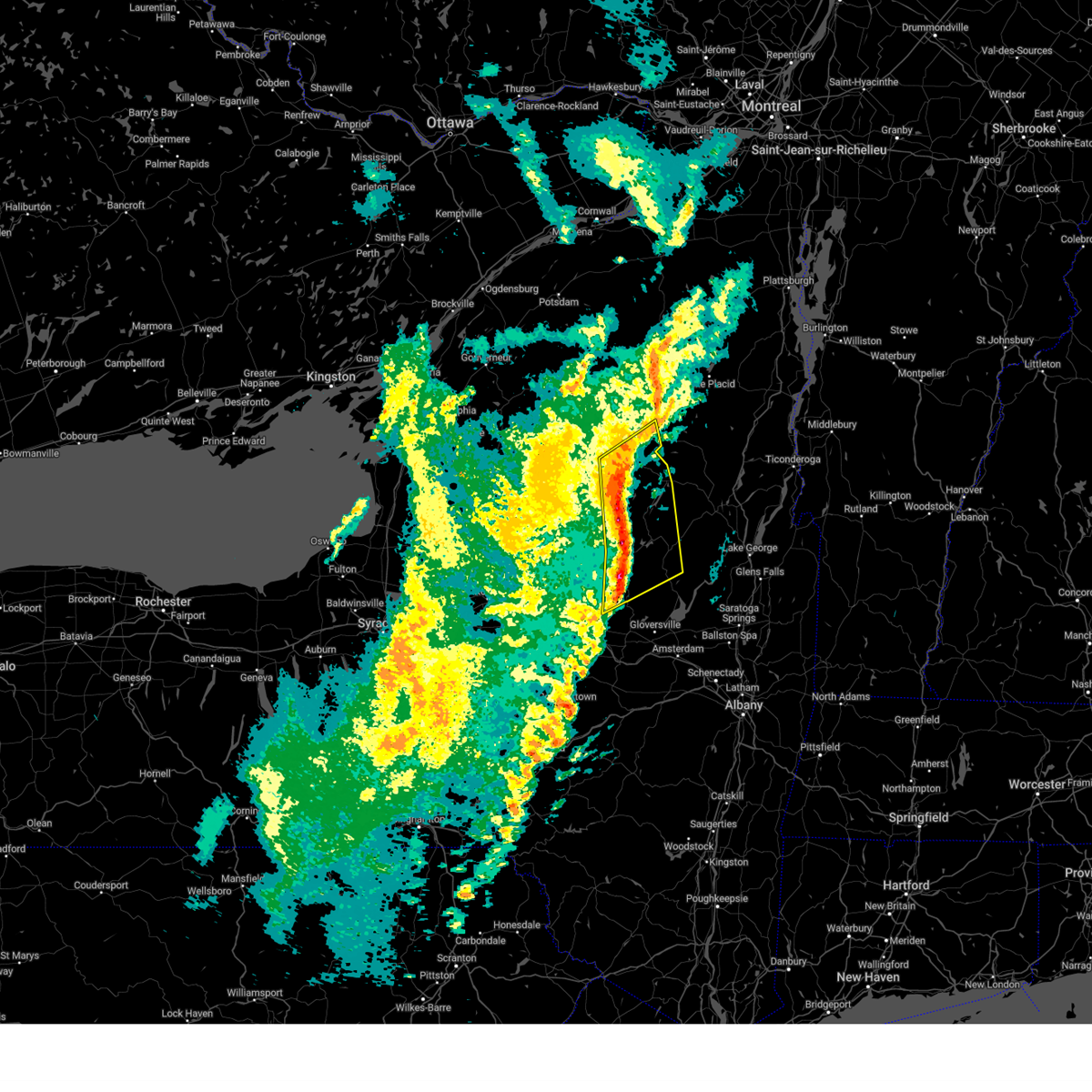
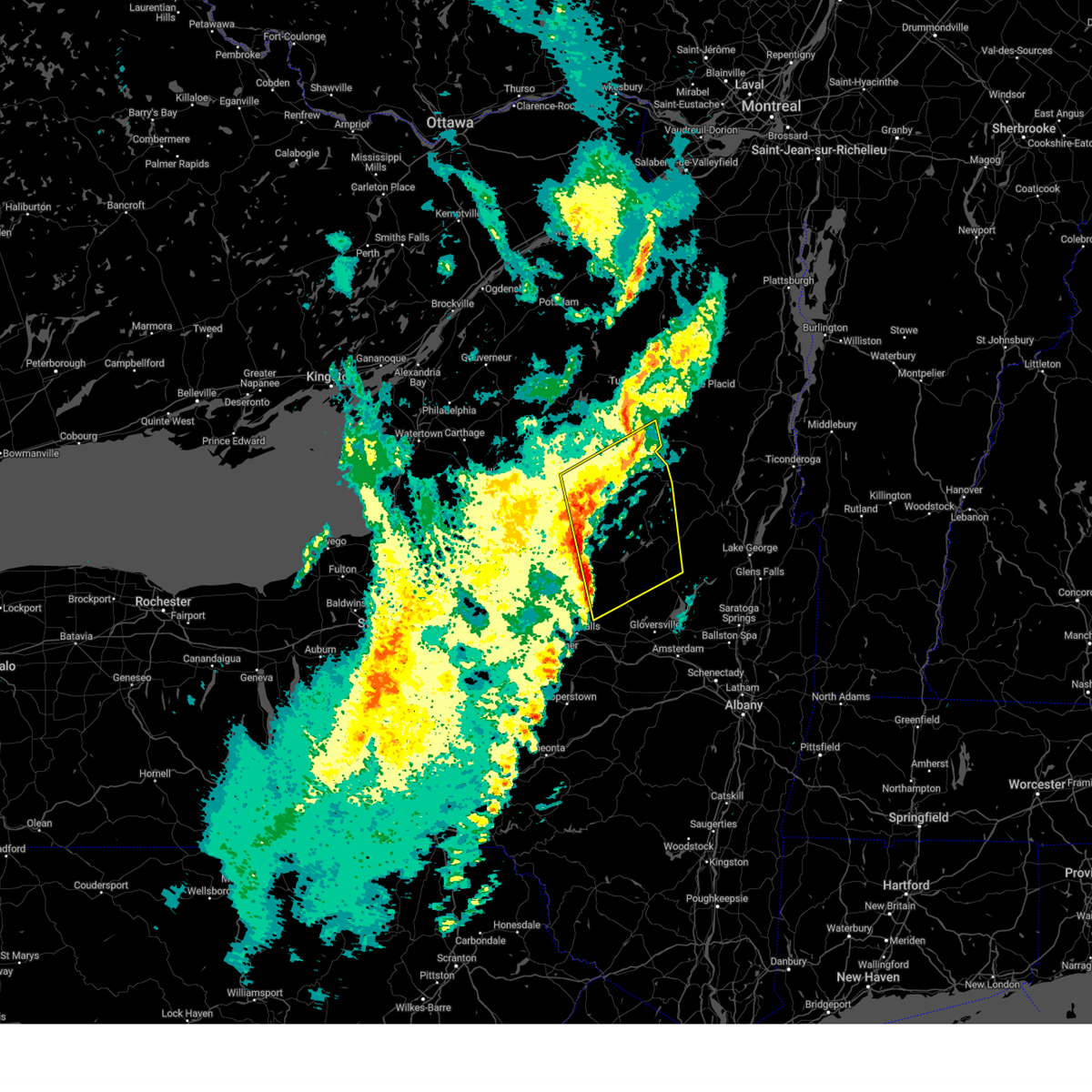
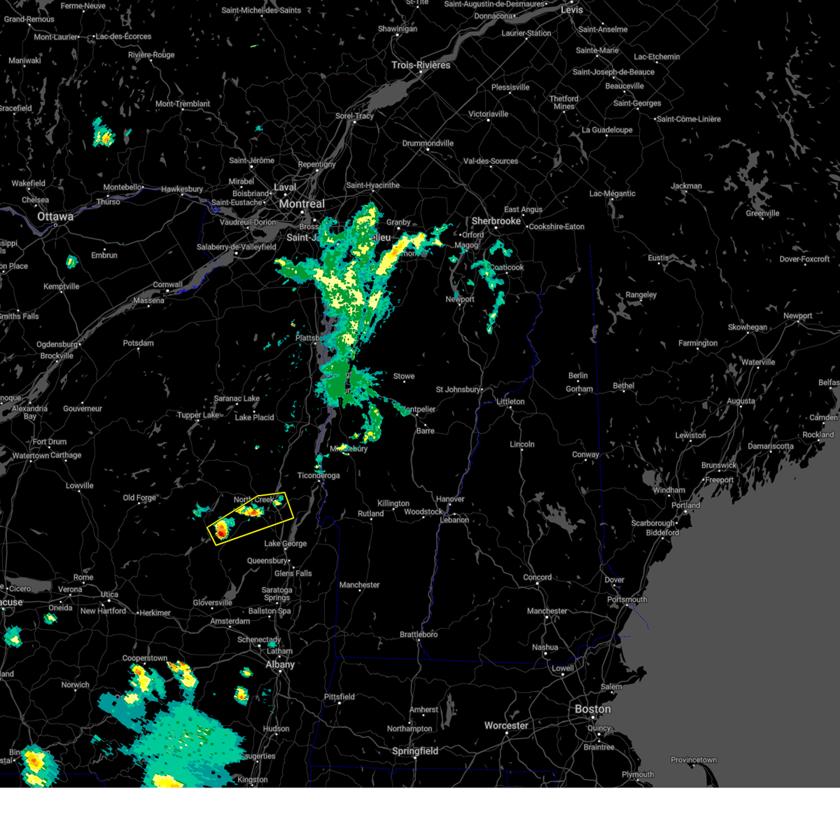
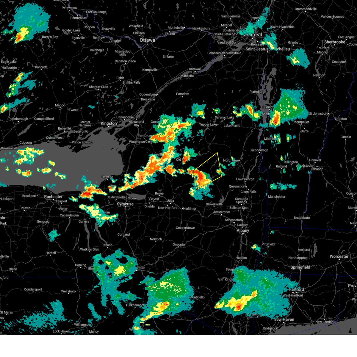
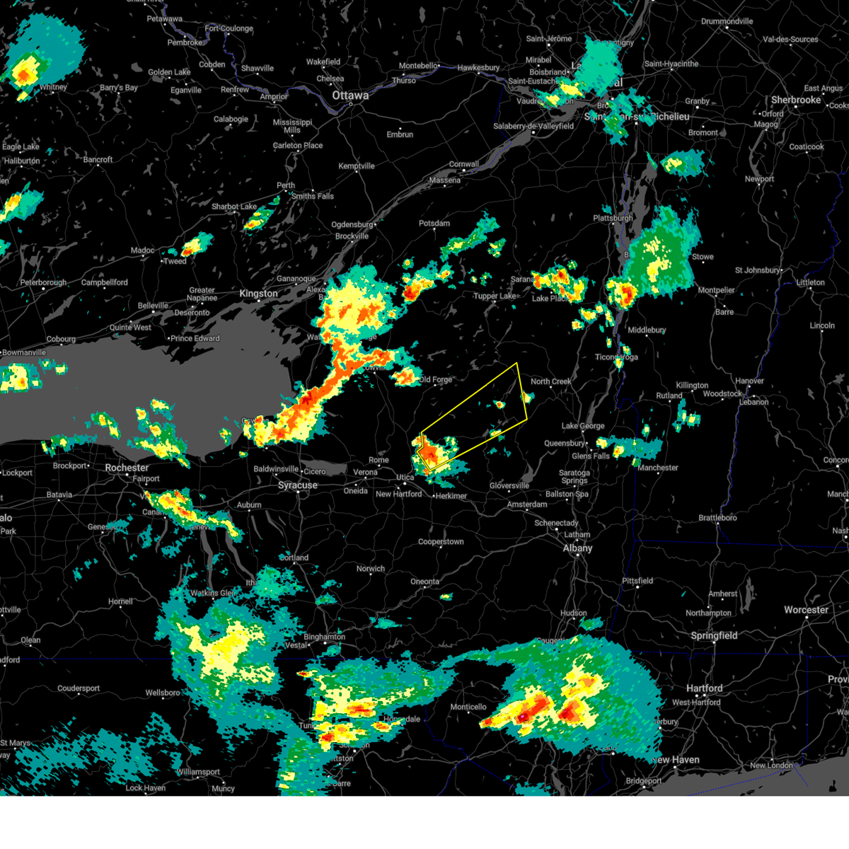
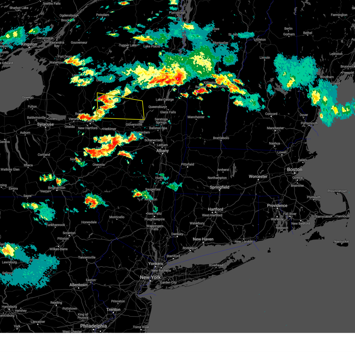
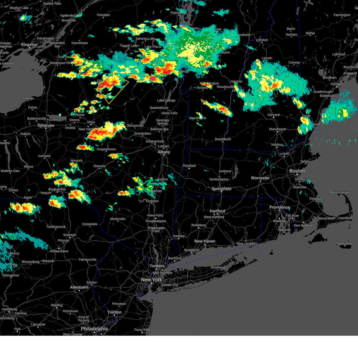
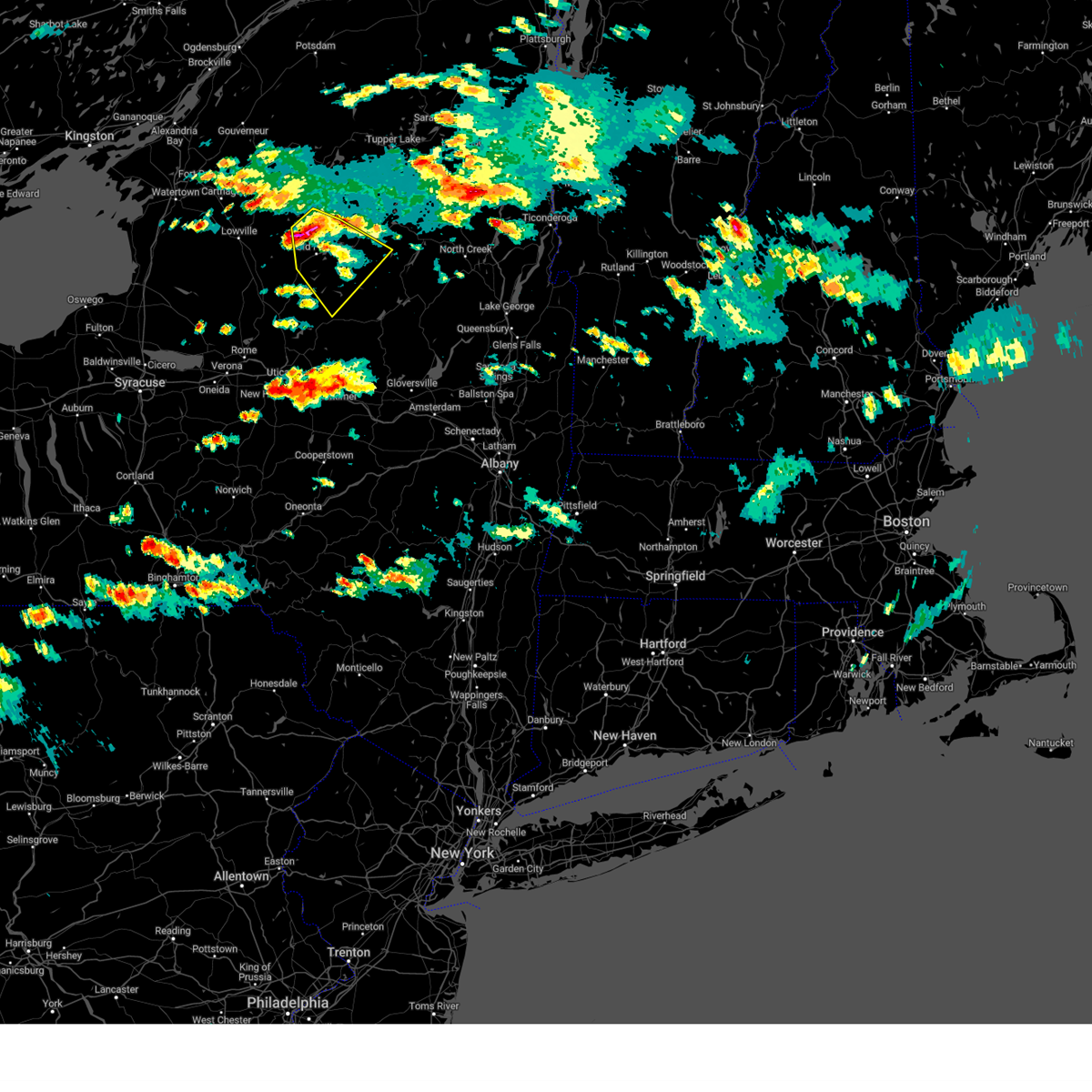
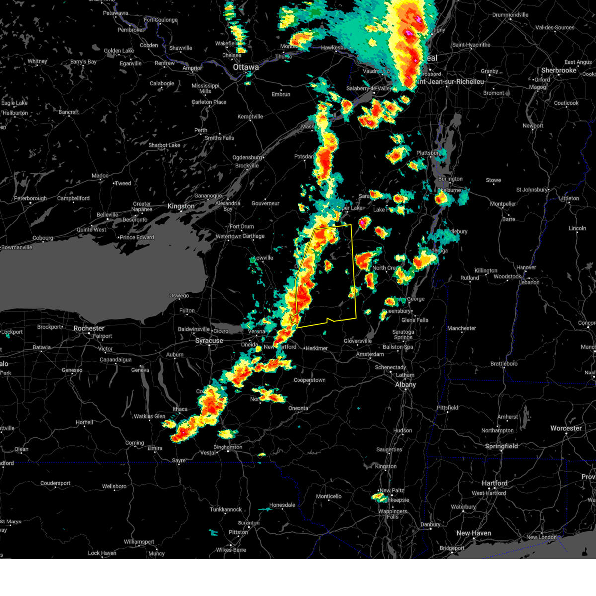
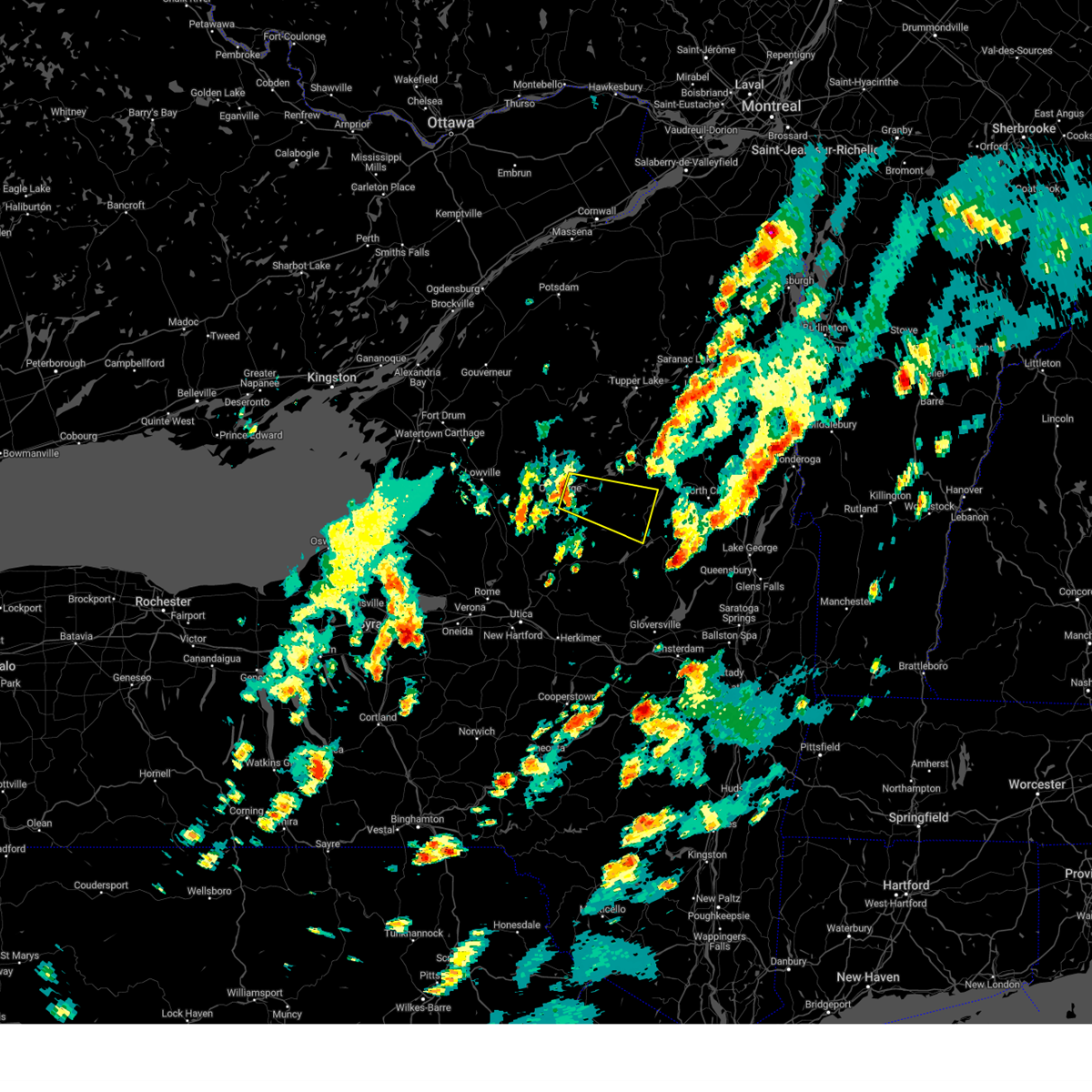
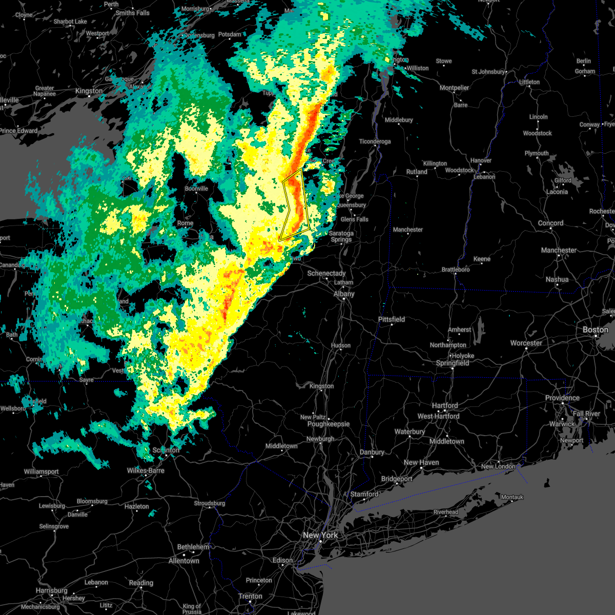
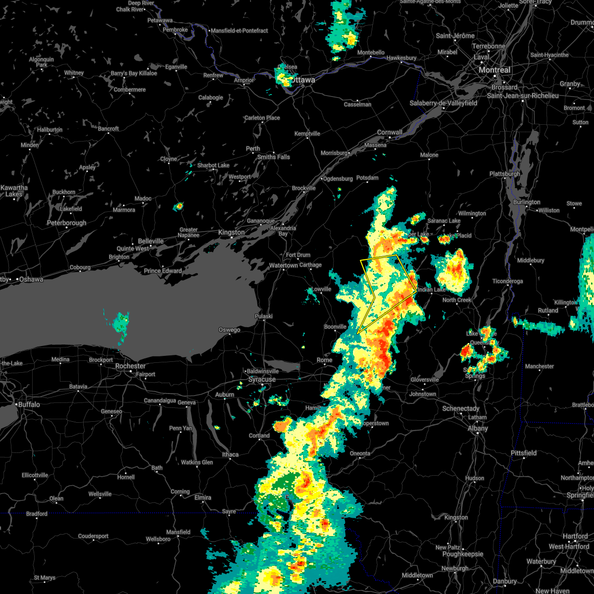
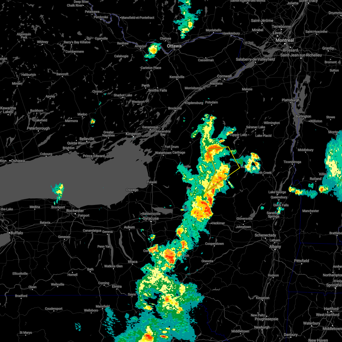
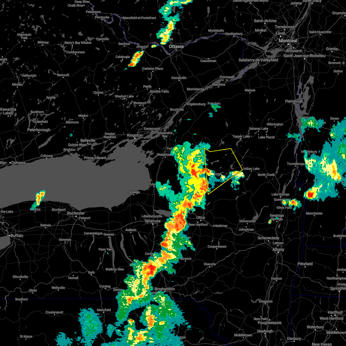
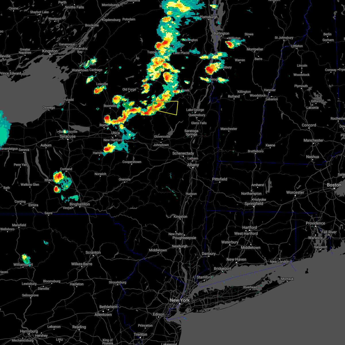
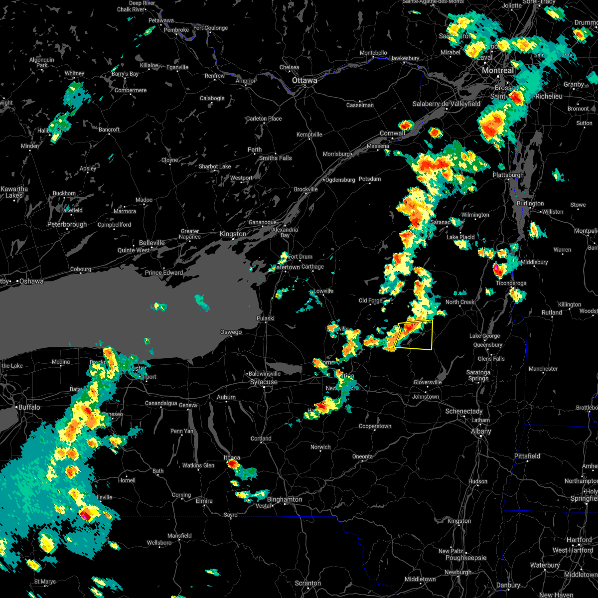
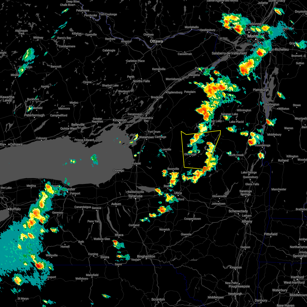
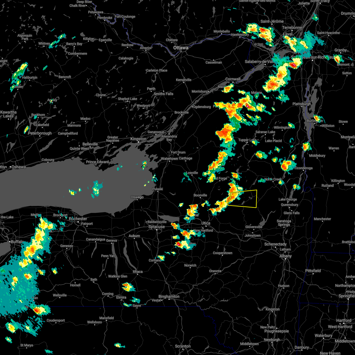
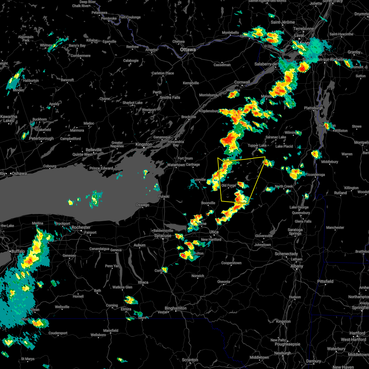
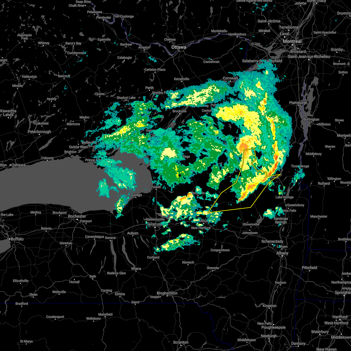
Hail Map for Speculator, NY
The Speculator, NY area has had 7 reports of on-the-ground hail by trained spotters, and has been under severe weather warnings 17 times during the past 12 months. Doppler radar has detected hail at or near Speculator, NY on 24 occasions.
| Name: | Speculator, NY |
| Where Located: | 57.2 miles NNW of Schenectady, NY |
| Map: | Google Map for Speculator, NY |
| Population: | 324 |
| Housing Units: | 522 |
| More Info: | Search Google for Speculator, NY |
1
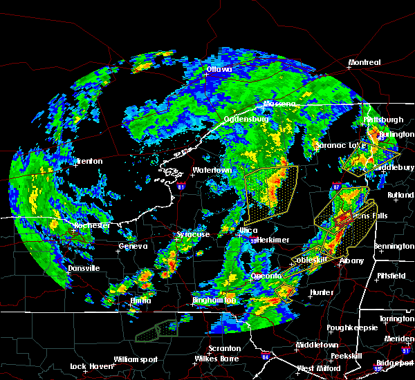
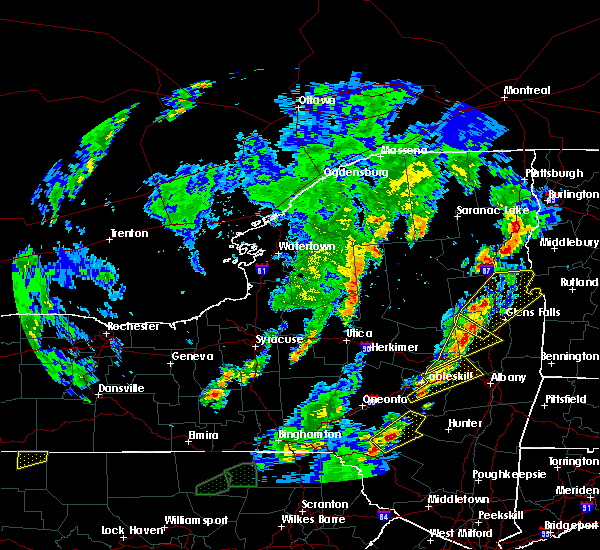
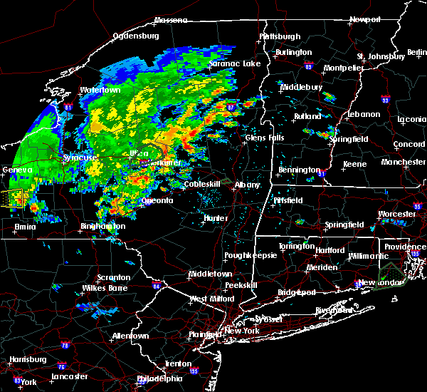
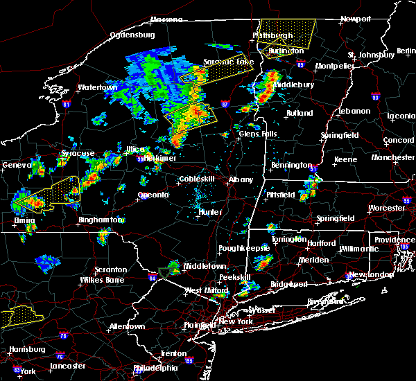
The Top Recent Hail Date for Speculator, NY is Friday, July 14, 2023 (11th out of 24)

Hail and Wind Damage Spotted near Speculator, NY
| Date / Time | Report Details |
|---|---|
| 5/17/2025 3:28 PM EDT |
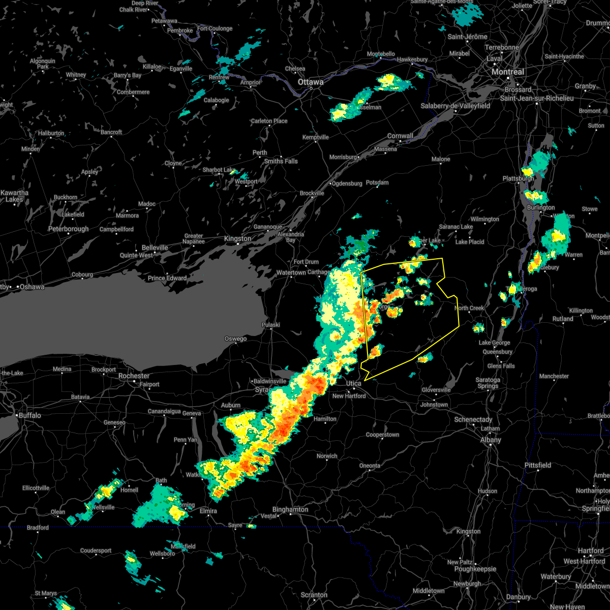
 The storm which prompted the warning has weakened below severe limits, and no longer poses an immediate threat to life or property. therefore, the warning will be allowed to expire. a severe thunderstorm watch remains in effect until 800 pm edt for eastern new york. The storm which prompted the warning has weakened below severe limits, and no longer poses an immediate threat to life or property. therefore, the warning will be allowed to expire. a severe thunderstorm watch remains in effect until 800 pm edt for eastern new york.
|
| 5/17/2025 3:14 PM EDT |
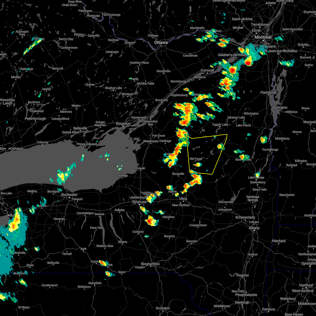
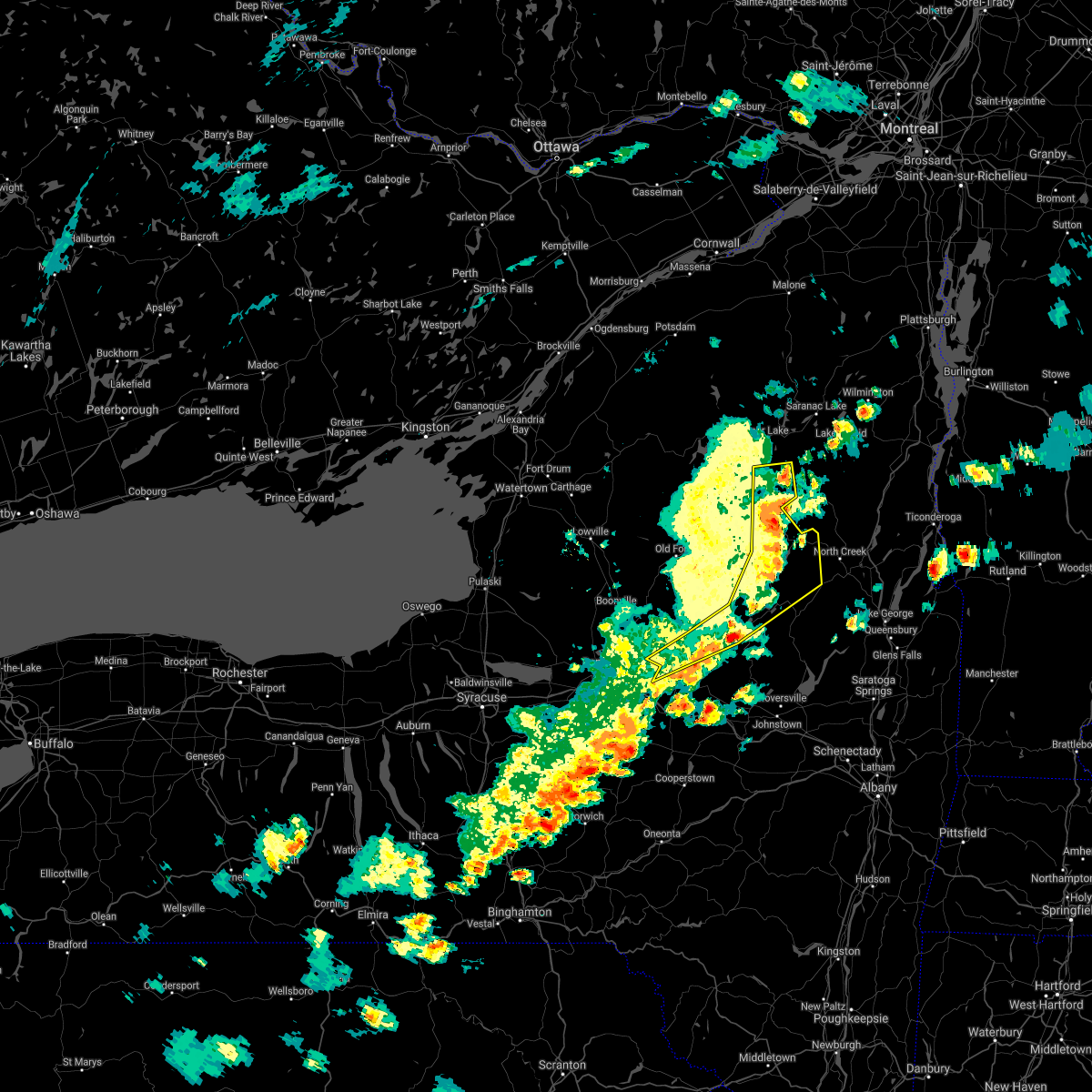
 At 314 pm edt, a severe thunderstorm was located near alger island public campground, or near old forge, moving east at 30 mph (radar indicated). Hazards include 60 mph wind gusts and quarter size hail. Hail damage to vehicles is expected. expect wind damage to roofs, siding, and trees. Locations impacted include, hasbroucks, russian lake, eighth lake campground, thendara, carter station, quaker beach, brown tract pond campground, first lake, inlet, limekiln lake campground, eagle bay, sagamore, nicks lake campground, woods, old forge, raquette lake, mountain lodge, golden beach campground, sagamore lake, and alger island public campground. At 314 pm edt, a severe thunderstorm was located near alger island public campground, or near old forge, moving east at 30 mph (radar indicated). Hazards include 60 mph wind gusts and quarter size hail. Hail damage to vehicles is expected. expect wind damage to roofs, siding, and trees. Locations impacted include, hasbroucks, russian lake, eighth lake campground, thendara, carter station, quaker beach, brown tract pond campground, first lake, inlet, limekiln lake campground, eagle bay, sagamore, nicks lake campground, woods, old forge, raquette lake, mountain lodge, golden beach campground, sagamore lake, and alger island public campground.
|
| 5/17/2025 2:55 PM EDT |
 Svraly the national weather service in albany has issued a * severe thunderstorm warning for, northwestern hamilton county in eastern new york, northern herkimer county in eastern new york, * until 330 pm edt. * at 255 pm edt, a severe thunderstorm was located near mckeever, or near old forge, moving northeast at 30 mph (radar indicated). Hazards include 60 mph wind gusts and quarter size hail. Hail damage to vehicles is expected. Expect wind damage to roofs, siding, and trees. Svraly the national weather service in albany has issued a * severe thunderstorm warning for, northwestern hamilton county in eastern new york, northern herkimer county in eastern new york, * until 330 pm edt. * at 255 pm edt, a severe thunderstorm was located near mckeever, or near old forge, moving northeast at 30 mph (radar indicated). Hazards include 60 mph wind gusts and quarter size hail. Hail damage to vehicles is expected. Expect wind damage to roofs, siding, and trees.
|
| 5/17/2025 2:04 PM EDT |
 Svraly the national weather service in albany has issued a * severe thunderstorm warning for, northeastern hamilton county in eastern new york, northwestern warren county in east central new york, * until 300 pm edt. * at 204 pm edt, severe thunderstorms were located along a line extending from near newcomb to indian lake to speculator, moving northeast at 30 mph (radar indicated). Hazards include 60 mph wind gusts and quarter size hail. Hail damage to vehicles is expected. Expect wind damage to roofs, siding, and trees. Svraly the national weather service in albany has issued a * severe thunderstorm warning for, northeastern hamilton county in eastern new york, northwestern warren county in east central new york, * until 300 pm edt. * at 204 pm edt, severe thunderstorms were located along a line extending from near newcomb to indian lake to speculator, moving northeast at 30 mph (radar indicated). Hazards include 60 mph wind gusts and quarter size hail. Hail damage to vehicles is expected. Expect wind damage to roofs, siding, and trees.
|
| 4/29/2025 7:18 PM EDT |
 the severe thunderstorm warning has been cancelled and is no longer in effect the severe thunderstorm warning has been cancelled and is no longer in effect
|
| 4/29/2025 7:00 PM EDT | the severe thunderstorm warning has been cancelled and is no longer in effect |
| 4/29/2025 7:00 PM EDT | At 700 pm edt, severe thunderstorms were located along a line extending from 9 miles east of speculator to 7 miles northeast of wells to 7 miles west of northville, moving east at 55 mph (radar indicated). Hazards include 60 mph wind gusts. Expect damage to roofs, siding, and trees. Locations impacted include, thurman station, sodom, girards sugarbush, tenantville, sweets crossing, wevertown, pinnacle, eagle point campground, conklingville, north river, warrensburg, carpenters corners, tomantown, osbourne bridge, riverbank, byrnes corners, west day, garnet lake, thurman, and fox hill. |
| 4/29/2025 6:52 PM EDT | Reports of trees down in well in hamilton county NY, 13.7 miles NNW of Speculator, NY |
| 4/29/2025 6:42 PM EDT | Svraly the national weather service in albany has issued a * severe thunderstorm warning for, southeastern hamilton county in eastern new york, warren county in east central new york, northern fulton county in eastern new york, northwestern saratoga county in east central new york, east central herkimer county in eastern new york, * until 730 pm edt. * at 641 pm edt, severe thunderstorms were located along a line extending from near lewey lake campground to near lake pleasant to stratford, moving east at 55 mph (radar indicated). Hazards include 60 mph wind gusts. expect damage to roofs, siding, and trees |
| 4/29/2025 6:31 PM EDT |
 At 630 pm edt, severe thunderstorms were located along a line extending from 7 miles southeast of eighth lake campground to 13 miles southwest of lake pleasant to near middleville, moving east at 65 mph (radar indicated). Hazards include 70 mph wind gusts and penny size hail. Expect considerable tree damage. damage is likely to mobile homes, roofs, and outbuildings. Locations impacted include, nobleboro, curtis, countryman, lotville, whitehouse, rasbach corner, knappville, shaker place, burrell corners, sagamore, caroga lake public campground, shedd corners, hoffmeister, phipps corners, old city, gray, powley place, bleecker center, lake pleasant, and west canada lakes. At 630 pm edt, severe thunderstorms were located along a line extending from 7 miles southeast of eighth lake campground to 13 miles southwest of lake pleasant to near middleville, moving east at 65 mph (radar indicated). Hazards include 70 mph wind gusts and penny size hail. Expect considerable tree damage. damage is likely to mobile homes, roofs, and outbuildings. Locations impacted include, nobleboro, curtis, countryman, lotville, whitehouse, rasbach corner, knappville, shaker place, burrell corners, sagamore, caroga lake public campground, shedd corners, hoffmeister, phipps corners, old city, gray, powley place, bleecker center, lake pleasant, and west canada lakes.
|
| 4/29/2025 6:10 PM EDT | At 609 pm edt, severe thunderstorms were located along a line extending from near mckeever to hinckley to near yorkville, moving east at 55 mph (radar indicated). Hazards include 70 mph wind gusts and quarter size hail. Hail damage to vehicles is expected. expect considerable tree damage. wind damage is also likely to mobile homes, roofs, and outbuildings. Locations impacted include, farrel corner, countryman, whitehouse, shedd corners, old city, powley place, bleecker center, atwell, lake pleasant, west canada lakes, thendara, averys place, dolgeville, wood corners, emmonsburg, paper mill corners, wilmurt, moffitt beach campground, upper benson, and ives hollow. |
| 4/29/2025 6:05 PM EDT | Svraly the national weather service in albany has issued a * severe thunderstorm warning for, hamilton county in eastern new york, northwestern fulton county in eastern new york, central herkimer county in eastern new york, * until 645 pm edt. * at 604 pm edt, severe thunderstorms were located along a line extending from mckeever to remsen to near westmoreland, moving east at 55 mph (radar indicated). Hazards include 60 mph wind gusts and quarter size hail. Hail damage to vehicles is expected. Expect wind damage to roofs, siding, and trees. |
| 3/16/2025 7:31 PM EDT |
 the severe thunderstorm warning has been cancelled and is no longer in effect the severe thunderstorm warning has been cancelled and is no longer in effect
|
| 3/16/2025 7:13 PM EDT |
 At 712 pm edt, severe thunderstorms were located along a line extending from near golden beach campground to 11 miles northeast of stratford, moving northeast at 60 mph (radar indicated). Hazards include 60 mph wind gusts. Expect damage to roofs, siding, and trees. Locations impacted include, oregon, eagle nest, blue mountain lake, gilmantown, girards sugarbush, perkins clearing, clockmill corners, blackbridge, lake eaton campground, quaker beach, brown tract pond campground, indian lake, deerland, whitehouse, knappville, shaker place, sagamore, piseco, lake durant campground, and hasbroucks. At 712 pm edt, severe thunderstorms were located along a line extending from near golden beach campground to 11 miles northeast of stratford, moving northeast at 60 mph (radar indicated). Hazards include 60 mph wind gusts. Expect damage to roofs, siding, and trees. Locations impacted include, oregon, eagle nest, blue mountain lake, gilmantown, girards sugarbush, perkins clearing, clockmill corners, blackbridge, lake eaton campground, quaker beach, brown tract pond campground, indian lake, deerland, whitehouse, knappville, shaker place, sagamore, piseco, lake durant campground, and hasbroucks.
|
| 3/16/2025 7:13 PM EDT |
 the severe thunderstorm warning has been cancelled and is no longer in effect the severe thunderstorm warning has been cancelled and is no longer in effect
|
| 3/16/2025 7:08 PM EDT | Tree down on wires along higgins bay road near pisec in hamilton county NY, 14.1 miles NE of Speculator, NY |
| 3/16/2025 6:58 PM EDT |
 Svraly the national weather service in albany has issued a * severe thunderstorm warning for, hamilton county in eastern new york, northwestern fulton county in eastern new york, northeastern herkimer county in eastern new york, * until 800 pm edt. * at 658 pm edt, severe thunderstorms were located along a line extending from limekiln lake campground to near stratford, moving northeast at 65 mph (radar indicated). Hazards include 60 mph wind gusts. expect damage to roofs, siding, and trees Svraly the national weather service in albany has issued a * severe thunderstorm warning for, hamilton county in eastern new york, northwestern fulton county in eastern new york, northeastern herkimer county in eastern new york, * until 800 pm edt. * at 658 pm edt, severe thunderstorms were located along a line extending from limekiln lake campground to near stratford, moving northeast at 65 mph (radar indicated). Hazards include 60 mph wind gusts. expect damage to roofs, siding, and trees
|
| 7/16/2024 4:50 PM EDT | Numerous trees down near oxbow inn. time estimated from rada in hamilton county NY, 11.6 miles NNE of Speculator, NY |
| 7/16/2024 4:17 PM EDT |
 Svraly the national weather service in albany has issued a * severe thunderstorm warning for, northwestern schenectady county in east central new york, southern hamilton county in eastern new york, southwestern warren county in east central new york, fulton county in eastern new york, northern saratoga county in east central new york, northern schoharie county in east central new york, southeastern herkimer county in eastern new york, montgomery county in eastern new york, * until 515 pm edt. * at 417 pm edt, severe thunderstorms were located along a line extending from 12 miles west of lake pleasant to near caroga lake to springfield, moving east at 35 mph (radar indicated). Hazards include 70 mph wind gusts. Expect considerable tree damage. Damage is likely to mobile homes, roofs, and outbuildings. Svraly the national weather service in albany has issued a * severe thunderstorm warning for, northwestern schenectady county in east central new york, southern hamilton county in eastern new york, southwestern warren county in east central new york, fulton county in eastern new york, northern saratoga county in east central new york, northern schoharie county in east central new york, southeastern herkimer county in eastern new york, montgomery county in eastern new york, * until 515 pm edt. * at 417 pm edt, severe thunderstorms were located along a line extending from 12 miles west of lake pleasant to near caroga lake to springfield, moving east at 35 mph (radar indicated). Hazards include 70 mph wind gusts. Expect considerable tree damage. Damage is likely to mobile homes, roofs, and outbuildings.
|
| 7/16/2024 4:15 PM EDT |
 Svraly the national weather service in albany has issued a * severe thunderstorm warning for, hamilton county in eastern new york, northwestern warren county in east central new york, * until 500 pm edt. * at 414 pm edt, severe thunderstorms were located along a line extending from near horseshoe lake to 14 miles northeast of ohio, moving east at 55 mph (radar indicated). Hazards include 60 mph wind gusts. expect damage to roofs, siding, and trees Svraly the national weather service in albany has issued a * severe thunderstorm warning for, hamilton county in eastern new york, northwestern warren county in east central new york, * until 500 pm edt. * at 414 pm edt, severe thunderstorms were located along a line extending from near horseshoe lake to 14 miles northeast of ohio, moving east at 55 mph (radar indicated). Hazards include 60 mph wind gusts. expect damage to roofs, siding, and trees
|
| 9/7/2023 4:53 PM EDT |
 At 453 pm edt, a severe thunderstorm was located 7 miles east of moffitt beach campground, or 8 miles southeast of speculator, moving northeast at 25 mph (radar indicated). Hazards include 60 mph wind gusts and quarter size hail. Hail damage to vehicles is expected. Expect wind damage to roofs, siding, and trees. At 453 pm edt, a severe thunderstorm was located 7 miles east of moffitt beach campground, or 8 miles southeast of speculator, moving northeast at 25 mph (radar indicated). Hazards include 60 mph wind gusts and quarter size hail. Hail damage to vehicles is expected. Expect wind damage to roofs, siding, and trees.
|
| 8/12/2023 8:23 PM EDT |
 At 822 pm edt, a severe thunderstorm was located 8 miles west of moffitt beach campground, or 10 miles southwest of speculator, moving northeast at 40 mph (radar indicated). Hazards include 60 mph wind gusts and quarter size hail. Hail damage to vehicles is expected. expect wind damage to roofs, siding, and trees. locations impacted include, indian lake, speculator, lake pleasant, lewey lake campground, moffitt beach campground, perkins clearing, rudeston, west canada lakes, clockmill corners, mountain home, sled harbor, sabael, piseco, hoffmeister and higgins bay. hail threat, radar indicated max hail size, 1. 00 in wind threat, radar indicated max wind gust, 60 mph. At 822 pm edt, a severe thunderstorm was located 8 miles west of moffitt beach campground, or 10 miles southwest of speculator, moving northeast at 40 mph (radar indicated). Hazards include 60 mph wind gusts and quarter size hail. Hail damage to vehicles is expected. expect wind damage to roofs, siding, and trees. locations impacted include, indian lake, speculator, lake pleasant, lewey lake campground, moffitt beach campground, perkins clearing, rudeston, west canada lakes, clockmill corners, mountain home, sled harbor, sabael, piseco, hoffmeister and higgins bay. hail threat, radar indicated max hail size, 1. 00 in wind threat, radar indicated max wind gust, 60 mph.
|
| 8/12/2023 7:51 PM EDT |
 At 751 pm edt, a severe thunderstorm was located over ohio, or 19 miles northeast of utica, moving northeast at 45 mph (radar indicated). Hazards include 60 mph wind gusts and quarter size hail. Hail damage to vehicles is expected. Expect wind damage to roofs, siding, and trees. At 751 pm edt, a severe thunderstorm was located over ohio, or 19 miles northeast of utica, moving northeast at 45 mph (radar indicated). Hazards include 60 mph wind gusts and quarter size hail. Hail damage to vehicles is expected. Expect wind damage to roofs, siding, and trees.
|
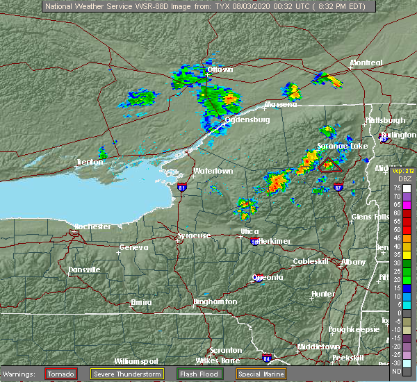
| 8/4/2023 3:28 PM EDT |
 At 328 pm edt, a severe thunderstorm was located near northwood, or 14 miles east of boonville, moving east at 35 mph (radar indicated). Hazards include 60 mph wind gusts and quarter size hail. Hail damage to vehicles is expected. Expect wind damage to roofs, siding, and trees. At 328 pm edt, a severe thunderstorm was located near northwood, or 14 miles east of boonville, moving east at 35 mph (radar indicated). Hazards include 60 mph wind gusts and quarter size hail. Hail damage to vehicles is expected. Expect wind damage to roofs, siding, and trees.
|
| 8/4/2023 2:39 PM EDT |
 At 234 pm edt, a severe thunderstorm was located near limekiln lake campground, or 8 miles east of old forge, moving southeast at 20 mph (radar indicated). Hazards include 60 mph wind gusts and quarter size hail. Hail damage to vehicles is expected. expect wind damage to roofs, siding, and trees. locations impacted include, old forge, inlet, eighth lake campground, brown tract pond campground, limekiln lake campground, eagle bay, nicks lake campground, alger island public campground, russian lake, atwell, minnehaha, thendara, first lake, herkimer landing, caswell lake, sagamore, wolf lake landing, mountain lodge, sagamore lake and kamp kill kare. hail threat, radar indicated max hail size, 1. 00 in wind threat, radar indicated max wind gust, 60 mph. At 234 pm edt, a severe thunderstorm was located near limekiln lake campground, or 8 miles east of old forge, moving southeast at 20 mph (radar indicated). Hazards include 60 mph wind gusts and quarter size hail. Hail damage to vehicles is expected. expect wind damage to roofs, siding, and trees. locations impacted include, old forge, inlet, eighth lake campground, brown tract pond campground, limekiln lake campground, eagle bay, nicks lake campground, alger island public campground, russian lake, atwell, minnehaha, thendara, first lake, herkimer landing, caswell lake, sagamore, wolf lake landing, mountain lodge, sagamore lake and kamp kill kare. hail threat, radar indicated max hail size, 1. 00 in wind threat, radar indicated max wind gust, 60 mph.
|
| 8/4/2023 2:34 PM EDT |
 At 234 pm edt, a severe thunderstorm was located near limekiln lake campground, or 8 miles east of old forge, moving southeast at 20 mph (radar indicated). Hazards include 60 mph wind gusts and quarter size hail. Hail damage to vehicles is expected. expect wind damage to roofs, siding, and trees. locations impacted include, old forge, inlet, eighth lake campground, brown tract pond campground, limekiln lake campground, eagle bay, nicks lake campground, alger island public campground, russian lake, atwell, minnehaha, thendara, first lake, herkimer landing, caswell lake, sagamore, wolf lake landing, mountain lodge, sagamore lake and kamp kill kare. hail threat, radar indicated max hail size, 1. 00 in wind threat, radar indicated max wind gust, 60 mph. At 234 pm edt, a severe thunderstorm was located near limekiln lake campground, or 8 miles east of old forge, moving southeast at 20 mph (radar indicated). Hazards include 60 mph wind gusts and quarter size hail. Hail damage to vehicles is expected. expect wind damage to roofs, siding, and trees. locations impacted include, old forge, inlet, eighth lake campground, brown tract pond campground, limekiln lake campground, eagle bay, nicks lake campground, alger island public campground, russian lake, atwell, minnehaha, thendara, first lake, herkimer landing, caswell lake, sagamore, wolf lake landing, mountain lodge, sagamore lake and kamp kill kare. hail threat, radar indicated max hail size, 1. 00 in wind threat, radar indicated max wind gust, 60 mph.
|
| 8/4/2023 1:55 PM EDT |
 At 155 pm edt, a severe thunderstorm was located near old forge, moving southeast at 20 mph (radar indicated). Hazards include 60 mph wind gusts and quarter size hail. Hail damage to vehicles is expected. Expect wind damage to roofs, siding, and trees. At 155 pm edt, a severe thunderstorm was located near old forge, moving southeast at 20 mph (radar indicated). Hazards include 60 mph wind gusts and quarter size hail. Hail damage to vehicles is expected. Expect wind damage to roofs, siding, and trees.
|
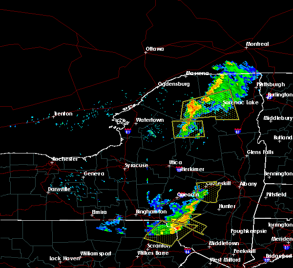
| 7/13/2023 5:15 PM EDT |
 At 515 pm edt, severe thunderstorms were located along a line extending from near north creek to near cooperstown, moving east at 55 mph (radar indicated). Hazards include 60 mph wind gusts and quarter size hail. Hail damage to vehicles is expected. Expect wind damage to roofs, siding, and trees. At 515 pm edt, severe thunderstorms were located along a line extending from near north creek to near cooperstown, moving east at 55 mph (radar indicated). Hazards include 60 mph wind gusts and quarter size hail. Hail damage to vehicles is expected. Expect wind damage to roofs, siding, and trees.
|
| 7/13/2023 5:02 PM EDT |
 At 502 pm edt, severe thunderstorms were located along a line extending from 7 miles northeast of newcomb to near jordanville, moving east at 35 mph (radar indicated). Hazards include 70 mph wind gusts and quarter size hail. Hail damage to vehicles is expected. expect considerable tree damage. wind damage is also likely to mobile homes, roofs, and outbuildings. locations impacted include, gloversville, ilion, herkimer, little falls, indian lake, speculator, mohawk, dolgeville, broadalbin, northville, mayfield, lake pleasant, wells, stratford, cranberry creek, northampton beach public campground, moffitt beach campground, caroga lake, caroga lake public campground and sacandaga campground. thunderstorm damage threat, considerable hail threat, radar indicated max hail size, 1. 00 in wind threat, radar indicated max wind gust, 70 mph. At 502 pm edt, severe thunderstorms were located along a line extending from 7 miles northeast of newcomb to near jordanville, moving east at 35 mph (radar indicated). Hazards include 70 mph wind gusts and quarter size hail. Hail damage to vehicles is expected. expect considerable tree damage. wind damage is also likely to mobile homes, roofs, and outbuildings. locations impacted include, gloversville, ilion, herkimer, little falls, indian lake, speculator, mohawk, dolgeville, broadalbin, northville, mayfield, lake pleasant, wells, stratford, cranberry creek, northampton beach public campground, moffitt beach campground, caroga lake, caroga lake public campground and sacandaga campground. thunderstorm damage threat, considerable hail threat, radar indicated max hail size, 1. 00 in wind threat, radar indicated max wind gust, 70 mph.
|
| 7/13/2023 4:47 PM EDT |
 At 447 pm edt, severe thunderstorms were located along a line extending from near newcomb to near jordanville, moving east at 45 mph (radar indicated). Hazards include 70 mph wind gusts and quarter size hail. Hail damage to vehicles is expected. expect considerable tree damage. wind damage is also likely to mobile homes, roofs, and outbuildings. locations impacted include, gloversville, ilion, herkimer, little falls, indian lake, speculator, mohawk, frankfort, dolgeville, broadalbin, northville, mayfield, lake pleasant, wells, stratford, middleville, blue mountain lake, lake eaton campground, cranberry creek and northampton beach public campground. thunderstorm damage threat, considerable hail threat, radar indicated max hail size, 1. 00 in wind threat, radar indicated max wind gust, 70 mph. At 447 pm edt, severe thunderstorms were located along a line extending from near newcomb to near jordanville, moving east at 45 mph (radar indicated). Hazards include 70 mph wind gusts and quarter size hail. Hail damage to vehicles is expected. expect considerable tree damage. wind damage is also likely to mobile homes, roofs, and outbuildings. locations impacted include, gloversville, ilion, herkimer, little falls, indian lake, speculator, mohawk, frankfort, dolgeville, broadalbin, northville, mayfield, lake pleasant, wells, stratford, middleville, blue mountain lake, lake eaton campground, cranberry creek and northampton beach public campground. thunderstorm damage threat, considerable hail threat, radar indicated max hail size, 1. 00 in wind threat, radar indicated max wind gust, 70 mph.
|
| 7/13/2023 4:30 PM EDT |
 At 429 pm edt, severe thunderstorms were located along a line extending from 8 miles northeast of lake eaton campground to near little falls, moving east at 45 mph (radar indicated). Hazards include 70 mph wind gusts and quarter size hail. Hail damage to vehicles is expected. expect considerable tree damage. wind damage is also likely to mobile homes, roofs, and outbuildings. locations impacted include, gloversville, ilion, herkimer, little falls, indian lake, speculator, mohawk, frankfort, dolgeville, broadalbin, northville, ohio, mayfield, lake pleasant, wells, newport, stratford, middleville, poland and inlet. thunderstorm damage threat, considerable hail threat, radar indicated max hail size, 1. 00 in wind threat, radar indicated max wind gust, 70 mph. At 429 pm edt, severe thunderstorms were located along a line extending from 8 miles northeast of lake eaton campground to near little falls, moving east at 45 mph (radar indicated). Hazards include 70 mph wind gusts and quarter size hail. Hail damage to vehicles is expected. expect considerable tree damage. wind damage is also likely to mobile homes, roofs, and outbuildings. locations impacted include, gloversville, ilion, herkimer, little falls, indian lake, speculator, mohawk, frankfort, dolgeville, broadalbin, northville, ohio, mayfield, lake pleasant, wells, newport, stratford, middleville, poland and inlet. thunderstorm damage threat, considerable hail threat, radar indicated max hail size, 1. 00 in wind threat, radar indicated max wind gust, 70 mph.
|
| 7/13/2023 4:15 PM EDT |
 At 415 pm edt, severe thunderstorms were located along a line extending from near horseshoe lake to near cedarville, moving east at 35 mph (radar indicated). Hazards include 60 mph wind gusts and quarter size hail. Hail damage to vehicles is expected. Expect wind damage to roofs, siding, and trees. At 415 pm edt, severe thunderstorms were located along a line extending from near horseshoe lake to near cedarville, moving east at 35 mph (radar indicated). Hazards include 60 mph wind gusts and quarter size hail. Hail damage to vehicles is expected. Expect wind damage to roofs, siding, and trees.
|
| 7/13/2023 4:04 PM EDT |
 At 404 pm edt, severe thunderstorms were located along a line extending from near piercefield to northwood, moving northeast at 40 mph (radar indicated). Hazards include 60 mph wind gusts and penny size hail. Expect damage to roofs, siding, and trees. locations impacted include, speculator, old forge, ohio, lake pleasant, poland, inlet, cold brook, blue mountain lake, lake eaton campground, brown tract pond campground, big moose, eighth lake campground, lewey lake campground, golden beach campground, moffitt beach campground, limekiln lake campground, nicks lake campground, eagle bay, forked lake public campground and northwood. hail threat, radar indicated max hail size, 0. 75 in wind threat, radar indicated max wind gust, 60 mph. At 404 pm edt, severe thunderstorms were located along a line extending from near piercefield to northwood, moving northeast at 40 mph (radar indicated). Hazards include 60 mph wind gusts and penny size hail. Expect damage to roofs, siding, and trees. locations impacted include, speculator, old forge, ohio, lake pleasant, poland, inlet, cold brook, blue mountain lake, lake eaton campground, brown tract pond campground, big moose, eighth lake campground, lewey lake campground, golden beach campground, moffitt beach campground, limekiln lake campground, nicks lake campground, eagle bay, forked lake public campground and northwood. hail threat, radar indicated max hail size, 0. 75 in wind threat, radar indicated max wind gust, 60 mph.
|
| 7/13/2023 3:22 PM EDT |
 At 322 pm edt, severe thunderstorms were located along a line extending from 8 miles south of star lake to new london, moving east at 40 mph (radar indicated). Hazards include 60 mph wind gusts and penny size hail. expect damage to roofs, siding, and trees At 322 pm edt, severe thunderstorms were located along a line extending from 8 miles south of star lake to new london, moving east at 40 mph (radar indicated). Hazards include 60 mph wind gusts and penny size hail. expect damage to roofs, siding, and trees
|
| 7/7/2023 2:02 PM EDT |
 At 202 pm edt, a severe thunderstorm was located over alger island public campground, or near old forge, moving east at 35 mph (radar indicated). Hazards include 60 mph wind gusts and quarter size hail. Hail damage to vehicles is expected. expect wind damage to roofs, siding, and trees. this severe thunderstorm will be near, inlet and limekiln lake campground around 205 pm edt. eighth lake campground around 210 pm edt. lewey lake campground around 230 pm edt. other locations impacted by this severe thunderstorm include sled harbor, perkins clearing, sagamore, west canada lakes, mountain lodge, sagamore lake and kamp kill kare. please report hail size, damaging winds and reports of trees down to the national weather service by email at alb. stormreport@noaa. gov, on facebook at www. facebook. com/nwsalbany or twitter @nwsalbany hail threat, radar indicated max hail size, 1. 00 in wind threat, radar indicated max wind gust, 60 mph. At 202 pm edt, a severe thunderstorm was located over alger island public campground, or near old forge, moving east at 35 mph (radar indicated). Hazards include 60 mph wind gusts and quarter size hail. Hail damage to vehicles is expected. expect wind damage to roofs, siding, and trees. this severe thunderstorm will be near, inlet and limekiln lake campground around 205 pm edt. eighth lake campground around 210 pm edt. lewey lake campground around 230 pm edt. other locations impacted by this severe thunderstorm include sled harbor, perkins clearing, sagamore, west canada lakes, mountain lodge, sagamore lake and kamp kill kare. please report hail size, damaging winds and reports of trees down to the national weather service by email at alb. stormreport@noaa. gov, on facebook at www. facebook. com/nwsalbany or twitter @nwsalbany hail threat, radar indicated max hail size, 1. 00 in wind threat, radar indicated max wind gust, 60 mph.
|
| 7/12/2022 1:30 PM EDT | Downed trees. times estimated from rada in hamilton county NY, 7.6 miles NNE of Speculator, NY |
| 5/16/2022 4:00 PM EDT | Tree and wires dow in hamilton county NY, 15.2 miles SSW of Speculator, NY |
| 10/16/2021 1:44 PM EDT |
 At 144 pm edt, severe thunderstorms were located along a line extending from near speculator to near northville to near cranberry creek, moving northeast at 50 mph (radar indicated). Hazards include 60 mph wind gusts. Expect damage to roofs, siding, and trees. These severe thunderstorms will remain over mainly rural areas of southeastern hamilton and northeastern fulton counties, including the following locations, fairchilds corners, gilmantown, girards sugarbush, hope falls, bleecker center, benson, sweets crossing, pinnacle, blackbridge and bowlers corners. At 144 pm edt, severe thunderstorms were located along a line extending from near speculator to near northville to near cranberry creek, moving northeast at 50 mph (radar indicated). Hazards include 60 mph wind gusts. Expect damage to roofs, siding, and trees. These severe thunderstorms will remain over mainly rural areas of southeastern hamilton and northeastern fulton counties, including the following locations, fairchilds corners, gilmantown, girards sugarbush, hope falls, bleecker center, benson, sweets crossing, pinnacle, blackbridge and bowlers corners.
|
| 10/16/2021 1:28 PM EDT |
 At 127 pm edt, severe thunderstorms were located along a line extending from 7 miles southwest of lake pleasant to near caroga lake to near caroga lake public campground, moving east at 50 mph (radar indicated). Hazards include 60 mph wind gusts. Expect damage to roofs, siding, and trees. these severe storms will be near, lake pleasant and moffitt beach campground around 135 pm edt. wells around 140 pm edt. speculator and sacandaga campground around 145 pm edt. northville and northampton beach public campground around 150 pm edt. Other locations impacted by these severe thunderstorms include fairchilds corners, gilmantown, girards sugarbush, sweets crossing, clockmill corners, pinnacle, blackbridge, whitehouse, shaker place and maple grove. At 127 pm edt, severe thunderstorms were located along a line extending from 7 miles southwest of lake pleasant to near caroga lake to near caroga lake public campground, moving east at 50 mph (radar indicated). Hazards include 60 mph wind gusts. Expect damage to roofs, siding, and trees. these severe storms will be near, lake pleasant and moffitt beach campground around 135 pm edt. wells around 140 pm edt. speculator and sacandaga campground around 145 pm edt. northville and northampton beach public campground around 150 pm edt. Other locations impacted by these severe thunderstorms include fairchilds corners, gilmantown, girards sugarbush, sweets crossing, clockmill corners, pinnacle, blackbridge, whitehouse, shaker place and maple grove.
|
| 10/16/2021 1:08 PM EDT |
 At 108 pm edt, severe thunderstorms were located along a line extending from 9 miles east of ohio to near little falls, moving northeast at 50 mph (radar indicated). Hazards include 60 mph wind gusts. Expect damage to roofs, siding, and trees. severe thunderstorms will be near, caroga lake and caroga lake public campground around 130 pm edt. lake pleasant and moffitt beach campground around 135 pm edt. speculator and northampton beach public campground around 145 pm edt. northville, wells and sacandaga campground around 150 pm edt. other locations impacted by these severe thunderstorms include ingham mills, girards sugarbush, curtis, sweets crossing, pinnacle, lotville, whitehouse, rasbach corner, knappville and shaker place. please report hail size, damaging winds and reports of trees down to the national weather service by email at alb. stormreport@noaa. gov, on facebook at www. facebook. Com/nwsalbany or twitter @nwsalbany. At 108 pm edt, severe thunderstorms were located along a line extending from 9 miles east of ohio to near little falls, moving northeast at 50 mph (radar indicated). Hazards include 60 mph wind gusts. Expect damage to roofs, siding, and trees. severe thunderstorms will be near, caroga lake and caroga lake public campground around 130 pm edt. lake pleasant and moffitt beach campground around 135 pm edt. speculator and northampton beach public campground around 145 pm edt. northville, wells and sacandaga campground around 150 pm edt. other locations impacted by these severe thunderstorms include ingham mills, girards sugarbush, curtis, sweets crossing, pinnacle, lotville, whitehouse, rasbach corner, knappville and shaker place. please report hail size, damaging winds and reports of trees down to the national weather service by email at alb. stormreport@noaa. gov, on facebook at www. facebook. Com/nwsalbany or twitter @nwsalbany.
|
| 6/21/2021 7:28 PM EDT | Trees down near route 8 in lake pleasant town cente in hamilton county NY, 7.6 miles NNE of Speculator, NY |
| 6/21/2021 7:28 PM EDT |
 At 727 pm edt, severe thunderstorms were located along a line extending from near speculator to 9 miles southwest of sacandaga campground to near stratford, moving east at 50 mph (radar indicated). Hazards include 60 mph wind gusts and penny size hail. expect damage to roofs, siding, and trees At 727 pm edt, severe thunderstorms were located along a line extending from near speculator to 9 miles southwest of sacandaga campground to near stratford, moving east at 50 mph (radar indicated). Hazards include 60 mph wind gusts and penny size hail. expect damage to roofs, siding, and trees
|
| 6/21/2021 7:19 PM EDT |
 At 719 pm edt, severe thunderstorms were located along a line extending from 8 miles west of speculator to near stratford, moving northeast at 50 mph (radar indicated). Hazards include 60 mph wind gusts and quarter size hail. Hail damage to vehicles is expected. expect wind damage to roofs, siding, and trees. Locations impacted include, indian lake, speculator, dolgeville, northville, lake pleasant, wells, stratford, cranberry creek, caroga lake public campground, northampton beach public campground, lewey lake campground, moffitt beach campground, caroga lake, sacandaga campground, oppenheim, bleecker, hope, arietta, benson and girards sugarbush. At 719 pm edt, severe thunderstorms were located along a line extending from 8 miles west of speculator to near stratford, moving northeast at 50 mph (radar indicated). Hazards include 60 mph wind gusts and quarter size hail. Hail damage to vehicles is expected. expect wind damage to roofs, siding, and trees. Locations impacted include, indian lake, speculator, dolgeville, northville, lake pleasant, wells, stratford, cranberry creek, caroga lake public campground, northampton beach public campground, lewey lake campground, moffitt beach campground, caroga lake, sacandaga campground, oppenheim, bleecker, hope, arietta, benson and girards sugarbush.
|
| 6/21/2021 7:06 PM EDT |
 The severe thunderstorm warning for northwestern hamilton and northeastern herkimer counties will expire at 715 pm edt, the storms which prompted the warning have weakened below severe limits, and no longer pose an immediate threat to life or property. therefore, the warning will be allowed to expire. a severe thunderstorm watch remains in effect until 900 pm edt for eastern new york. remember, a severe thunderstorm warning still remains in effect for hamilton county and southern herkimer county until 730 pm. remember, a tornado warning still remains in effect for central herkimer and southwestern hamilton counties until 715 pm. The severe thunderstorm warning for northwestern hamilton and northeastern herkimer counties will expire at 715 pm edt, the storms which prompted the warning have weakened below severe limits, and no longer pose an immediate threat to life or property. therefore, the warning will be allowed to expire. a severe thunderstorm watch remains in effect until 900 pm edt for eastern new york. remember, a severe thunderstorm warning still remains in effect for hamilton county and southern herkimer county until 730 pm. remember, a tornado warning still remains in effect for central herkimer and southwestern hamilton counties until 715 pm.
|
| 6/21/2021 6:59 PM EDT |
 At 658 pm edt, severe thunderstorms were located along a line extending from 13 miles southeast of nicks lake campground to near middleville, moving east at 55 mph (radar indicated). Hazards include 60 mph wind gusts and quarter size hail. Hail damage to vehicles is expected. expect wind damage to roofs, siding, and trees. Locations impacted include, ilion, herkimer, little falls, indian lake, speculator, mohawk, frankfort, dolgeville, northville, ohio, lake pleasant, wells, newport, stratford, middleville, poland, cold brook, cranberry creek, northampton beach public campground and moffitt beach campground. At 658 pm edt, severe thunderstorms were located along a line extending from 13 miles southeast of nicks lake campground to near middleville, moving east at 55 mph (radar indicated). Hazards include 60 mph wind gusts and quarter size hail. Hail damage to vehicles is expected. expect wind damage to roofs, siding, and trees. Locations impacted include, ilion, herkimer, little falls, indian lake, speculator, mohawk, frankfort, dolgeville, northville, ohio, lake pleasant, wells, newport, stratford, middleville, poland, cold brook, cranberry creek, northampton beach public campground and moffitt beach campground.
|
| 6/21/2021 6:53 PM EDT |
 At 653 pm edt, severe thunderstorms were located along a line extending from 8 miles south of star lake to near raquette lake, moving northeast at 50 mph (radar indicated). Hazards include 60 mph wind gusts and penny size hail. Expect damage to roofs, siding, and trees. Locations impacted include, inlet, brown tract pond campground, limekiln lake campground, big moose, eighth lake campground, eagle bay, forked lake public campground, raquette lake, golden beach campground, alger island public campground, eagle nest, little rapids, beaver river, quaker beach, first lake, sabattis, partlow, robinwood, sagamore and brandreth. At 653 pm edt, severe thunderstorms were located along a line extending from 8 miles south of star lake to near raquette lake, moving northeast at 50 mph (radar indicated). Hazards include 60 mph wind gusts and penny size hail. Expect damage to roofs, siding, and trees. Locations impacted include, inlet, brown tract pond campground, limekiln lake campground, big moose, eighth lake campground, eagle bay, forked lake public campground, raquette lake, golden beach campground, alger island public campground, eagle nest, little rapids, beaver river, quaker beach, first lake, sabattis, partlow, robinwood, sagamore and brandreth.
|
| 6/21/2021 6:39 PM EDT |
 At 639 pm edt, severe thunderstorms were located along a line extending from 10 miles southeast of mckeever to near clinton, moving east at 55 mph (radar indicated). Hazards include 60 mph wind gusts and quarter size hail. Hail damage to vehicles is expected. expect wind damage to roofs, siding, and trees. Locations impacted include, ilion, herkimer, little falls, indian lake, speculator, mohawk, frankfort, dolgeville, northville, ohio, lake pleasant, wells, newport, stratford, middleville, poland, cold brook, cranberry creek, northampton beach public campground and moffitt beach campground. At 639 pm edt, severe thunderstorms were located along a line extending from 10 miles southeast of mckeever to near clinton, moving east at 55 mph (radar indicated). Hazards include 60 mph wind gusts and quarter size hail. Hail damage to vehicles is expected. expect wind damage to roofs, siding, and trees. Locations impacted include, ilion, herkimer, little falls, indian lake, speculator, mohawk, frankfort, dolgeville, northville, ohio, lake pleasant, wells, newport, stratford, middleville, poland, cold brook, cranberry creek, northampton beach public campground and moffitt beach campground.
|
| 6/21/2021 6:28 PM EDT |
 At 628 pm edt, severe thunderstorms were located along a line extending from 6 miles east of forestport to augusta, moving east at 55 mph (radar indicated). Hazards include 60 mph wind gusts and penny size hail. expect damage to roofs, siding, and trees At 628 pm edt, severe thunderstorms were located along a line extending from 6 miles east of forestport to augusta, moving east at 55 mph (radar indicated). Hazards include 60 mph wind gusts and penny size hail. expect damage to roofs, siding, and trees
|
| 6/21/2021 6:18 PM EDT |
 At 617 pm edt, severe thunderstorms were located along a line extending from 7 miles north of lowville to near forestport, moving northeast at 40 mph (radar indicated). Hazards include 60 mph wind gusts and penny size hail. expect damage to roofs, siding, and trees At 617 pm edt, severe thunderstorms were located along a line extending from 7 miles north of lowville to near forestport, moving northeast at 40 mph (radar indicated). Hazards include 60 mph wind gusts and penny size hail. expect damage to roofs, siding, and trees
|
| 6/21/2021 3:58 PM EDT |
 At 358 pm edt, a severe thunderstorm was located near lake pleasant, or 12 miles south of speculator, moving east at 30 mph (radar indicated). Hazards include 60 mph wind gusts and penny size hail. Expect damage to roofs, siding, and trees. Locations impacted include, speculator, lake pleasant, wells, sacandaga campground, moffitt beach campground, gilmantown, girards sugarbush, rudeston, blackbridge, whitehouse, piseco, griffin and higgins bay. At 358 pm edt, a severe thunderstorm was located near lake pleasant, or 12 miles south of speculator, moving east at 30 mph (radar indicated). Hazards include 60 mph wind gusts and penny size hail. Expect damage to roofs, siding, and trees. Locations impacted include, speculator, lake pleasant, wells, sacandaga campground, moffitt beach campground, gilmantown, girards sugarbush, rudeston, blackbridge, whitehouse, piseco, griffin and higgins bay.
|
| 6/21/2021 3:57 PM EDT |
 At 357 pm edt, a severe thunderstorm was located near moffitt beach campground, or 8 miles southeast of speculator, moving east at 15 mph (radar indicated). Hazards include 60 mph wind gusts and penny size hail. Expect damage to roofs, siding, and trees. Locations impacted include, speculator, lake pleasant, moffitt beach campground, harrisburg, girards sugarbush, griffin and gilmantown. At 357 pm edt, a severe thunderstorm was located near moffitt beach campground, or 8 miles southeast of speculator, moving east at 15 mph (radar indicated). Hazards include 60 mph wind gusts and penny size hail. Expect damage to roofs, siding, and trees. Locations impacted include, speculator, lake pleasant, moffitt beach campground, harrisburg, girards sugarbush, griffin and gilmantown.
|
| 6/21/2021 3:45 PM EDT | Trees and wires down on south shore roa in hamilton county NY, 14.7 miles NNE of Speculator, NY |
| 6/21/2021 3:41 PM EDT |
 At 341 pm edt, a severe thunderstorm was located 9 miles southwest of lake pleasant, or 16 miles southwest of speculator, moving east at 30 mph (radar indicated). Hazards include 60 mph wind gusts and penny size hail. expect damage to roofs, siding, and trees At 341 pm edt, a severe thunderstorm was located 9 miles southwest of lake pleasant, or 16 miles southwest of speculator, moving east at 30 mph (radar indicated). Hazards include 60 mph wind gusts and penny size hail. expect damage to roofs, siding, and trees
|
| 6/21/2021 3:38 PM EDT | Numerous power poles and trees down along county route 24 on the backside of piseco lak in hamilton county NY, 14.7 miles NE of Speculator, NY |
| 6/21/2021 3:35 PM EDT | Trees down at moffitt beach near route in hamilton county NY, 6.1 miles N of Speculator, NY |
| 6/21/2021 3:34 PM EDT |
 At 334 pm edt, a severe thunderstorm was located over moffitt beach campground, or near speculator, moving east at 30 mph (radar indicated). Hazards include 60 mph wind gusts and penny size hail. expect damage to roofs, siding, and trees At 334 pm edt, a severe thunderstorm was located over moffitt beach campground, or near speculator, moving east at 30 mph (radar indicated). Hazards include 60 mph wind gusts and penny size hail. expect damage to roofs, siding, and trees
|
| 6/21/2021 3:25 PM EDT | Trees down near arietta town court along old piseco roa in hamilton county NY, 11.6 miles NE of Speculator, NY |
| 6/21/2021 3:23 PM EDT |
 At 322 pm edt, a severe thunderstorm was located 7 miles west of moffitt beach campground, or 11 miles southwest of speculator, moving east at 30 mph (radar indicated). Hazards include 60 mph wind gusts and penny size hail. Expect damage to roofs, siding, and trees. Locations impacted include, speculator, lake pleasant, moffitt beach campground, gilmantown, sled harbor, perkins clearing, piseco, rudeston, blackbridge, higgins bay and whitehouse. At 322 pm edt, a severe thunderstorm was located 7 miles west of moffitt beach campground, or 11 miles southwest of speculator, moving east at 30 mph (radar indicated). Hazards include 60 mph wind gusts and penny size hail. Expect damage to roofs, siding, and trees. Locations impacted include, speculator, lake pleasant, moffitt beach campground, gilmantown, sled harbor, perkins clearing, piseco, rudeston, blackbridge, higgins bay and whitehouse.
|
| 6/21/2021 3:09 PM EDT |
 The severe thunderstorm warning for northwestern hamilton and northern herkimer counties will expire at 315 pm edt, the storms which prompted the warning have weakened below severe limits, and no longer pose an immediate threat to life or property. therefore, the warning will be allowed to expire. a severe thunderstorm watch remains in effect until 900 pm edt for eastern new york. remember, a severe thunderstorm warning still remains in effect for southwestern hamilton county until 345 pm edt. The severe thunderstorm warning for northwestern hamilton and northern herkimer counties will expire at 315 pm edt, the storms which prompted the warning have weakened below severe limits, and no longer pose an immediate threat to life or property. therefore, the warning will be allowed to expire. a severe thunderstorm watch remains in effect until 900 pm edt for eastern new york. remember, a severe thunderstorm warning still remains in effect for southwestern hamilton county until 345 pm edt.
|
| 6/21/2021 3:03 PM EDT |
 At 303 pm edt, a severe thunderstorm was located 15 miles west of lake pleasant, or 19 miles southwest of speculator, moving east at 20 mph (radar indicated). Hazards include 60 mph wind gusts and penny size hail. expect damage to roofs, siding, and trees At 303 pm edt, a severe thunderstorm was located 15 miles west of lake pleasant, or 19 miles southwest of speculator, moving east at 20 mph (radar indicated). Hazards include 60 mph wind gusts and penny size hail. expect damage to roofs, siding, and trees
|
| 6/21/2021 2:53 PM EDT |
 At 250 pm edt, severe thunderstorms were located along a line extending from near star lake to 11 miles northwest of big moose to 8 miles northwest of mckeever, moving east at 50 mph. another potentially severe thunderstorm was located 10 miles southeast of old forge, moving northeast at 30 mph (radar indicated). Hazards include 60 mph wind gusts and penny size hail. Expect damage to roofs, siding, and trees. Locations impacted include, speculator, old forge, inlet, blue mountain lake, lake eaton campground, brown tract pond campground, limekiln lake campground, big moose, nicks lake campground, eighth lake campground, eagle bay, forked lake public campground, mckeever, raquette lake, golden beach campground, alger island public campground, long lake, eagle nest, little rapids and beaver river. At 250 pm edt, severe thunderstorms were located along a line extending from near star lake to 11 miles northwest of big moose to 8 miles northwest of mckeever, moving east at 50 mph. another potentially severe thunderstorm was located 10 miles southeast of old forge, moving northeast at 30 mph (radar indicated). Hazards include 60 mph wind gusts and penny size hail. Expect damage to roofs, siding, and trees. Locations impacted include, speculator, old forge, inlet, blue mountain lake, lake eaton campground, brown tract pond campground, limekiln lake campground, big moose, nicks lake campground, eighth lake campground, eagle bay, forked lake public campground, mckeever, raquette lake, golden beach campground, alger island public campground, long lake, eagle nest, little rapids and beaver river.
|
| 6/21/2021 2:33 PM EDT |
 At 232 pm edt, severe thunderstorms were located along a line extending from 9 miles southwest of oswegatchie to 15 miles northeast of lowville to near highmarket, moving east at 55 mph (radar indicated). Hazards include 60 mph wind gusts and penny size hail. expect damage to roofs, siding, and trees At 232 pm edt, severe thunderstorms were located along a line extending from 9 miles southwest of oswegatchie to 15 miles northeast of lowville to near highmarket, moving east at 55 mph (radar indicated). Hazards include 60 mph wind gusts and penny size hail. expect damage to roofs, siding, and trees
|
| 5/26/2021 2:36 PM EDT |
 At 236 pm edt, severe thunderstorms were located along a line extending from 7 miles northwest of newcomb to near indian lake to 8 miles north of stratford, moving east at 55 mph (radar indicated). Hazards include 60 mph wind gusts and quarter size hail. Hail damage to vehicles is expected. expect wind damage to roofs, siding, and trees. Locations impacted include, indian lake, speculator, ohio, lake pleasant, poland, cold brook, blue mountain lake, lake eaton campground, lake durant campground, lewey lake campground, moffitt beach campground, russia, long lake, eagle nest, nobleboro, perkins clearing, clockmill corners, deerland, piseco and wilmurt corners. At 236 pm edt, severe thunderstorms were located along a line extending from 7 miles northwest of newcomb to near indian lake to 8 miles north of stratford, moving east at 55 mph (radar indicated). Hazards include 60 mph wind gusts and quarter size hail. Hail damage to vehicles is expected. expect wind damage to roofs, siding, and trees. Locations impacted include, indian lake, speculator, ohio, lake pleasant, poland, cold brook, blue mountain lake, lake eaton campground, lake durant campground, lewey lake campground, moffitt beach campground, russia, long lake, eagle nest, nobleboro, perkins clearing, clockmill corners, deerland, piseco and wilmurt corners.
|
| 5/26/2021 2:30 PM EDT | Tree and wires downed on route 30 at lewey lake campsite road in hamilton county NY, 5.1 miles S of Speculator, NY |
| 5/26/2021 1:50 PM EDT |
 At 150 pm edt, severe thunderstorms were located along a line extending from 15 miles northwest of big moose to near alder creek to near floyd, moving east at 45 mph (radar indicated). Hazards include 60 mph wind gusts and quarter size hail. Hail damage to vehicles is expected. Expect wind damage to roofs, siding, and trees. At 150 pm edt, severe thunderstorms were located along a line extending from 15 miles northwest of big moose to near alder creek to near floyd, moving east at 45 mph (radar indicated). Hazards include 60 mph wind gusts and quarter size hail. Hail damage to vehicles is expected. Expect wind damage to roofs, siding, and trees.
|
| 3/26/2021 12:56 PM EDT |
 The severe thunderstorm warning for hamilton, northwestern warren and central herkimer counties will expire at 100 pm edt, the storms which prompted the warning have weakened below severe limits, and have exited the warned area. therefore, the warning will be allowed to expire. however gusty winds are still possible with these thunderstorms. a severe thunderstorm watch remains in effect until 400 pm edt for eastern and east central new york. The severe thunderstorm warning for hamilton, northwestern warren and central herkimer counties will expire at 100 pm edt, the storms which prompted the warning have weakened below severe limits, and have exited the warned area. therefore, the warning will be allowed to expire. however gusty winds are still possible with these thunderstorms. a severe thunderstorm watch remains in effect until 400 pm edt for eastern and east central new york.
|
| 3/26/2021 12:16 PM EDT |
 At 1216 pm edt, a line of severe thunderstorms were located along a line extending from near wawbeek to near lake eaton campground to 6 miles west of lewey lake campground to 12 miles south of limekiln lake campground to near ohio, moving east at 40 mph (radar indicated). Hazards include 60 mph wind gusts. expect damage to roofs, siding, and trees At 1216 pm edt, a line of severe thunderstorms were located along a line extending from near wawbeek to near lake eaton campground to 6 miles west of lewey lake campground to 12 miles south of limekiln lake campground to near ohio, moving east at 40 mph (radar indicated). Hazards include 60 mph wind gusts. expect damage to roofs, siding, and trees
|
| 3/26/2021 11:59 AM EDT |
 At 1129 am edt, severe thunderstorms were located along a line extending from near star lake to near boonville, moving east at 55 mph (radar indicated). Hazards include 60 mph wind gusts and nickel size hail. expect damage to roofs, siding, and trees At 1129 am edt, severe thunderstorms were located along a line extending from near star lake to near boonville, moving east at 55 mph (radar indicated). Hazards include 60 mph wind gusts and nickel size hail. expect damage to roofs, siding, and trees
|
| 3/26/2021 11:29 AM EDT |
 At 1129 am edt, severe thunderstorms were located along a line extending from near star lake to near boonville, moving east at 55 mph (radar indicated). Hazards include 60 mph wind gusts and nickel size hail. expect damage to roofs, siding, and trees At 1129 am edt, severe thunderstorms were located along a line extending from near star lake to near boonville, moving east at 55 mph (radar indicated). Hazards include 60 mph wind gusts and nickel size hail. expect damage to roofs, siding, and trees
|
| 11/15/2020 8:07 PM EST |
 The severe thunderstorm warning for hamilton and central fulton counties will expire at 815 pm est, the storms which prompted the warning have weakened below severe limits, and no longer pose an immediate threat to life or property. therefore, the warning will be allowed to expire. The severe thunderstorm warning for hamilton and central fulton counties will expire at 815 pm est, the storms which prompted the warning have weakened below severe limits, and no longer pose an immediate threat to life or property. therefore, the warning will be allowed to expire.
|
| 11/15/2020 7:50 PM EST |
 At 749 pm est, severe thunderstorms were located along a line extending from near lake eaton campground to 9 miles northwest of moffitt beach campground to near stratford, moving east at 50 mph (radar indicated). Hazards include 60 mph wind gusts. Expect damage to roofs, siding, and trees. these severe storms will be near, lake pleasant, caroga lake, caroga lake public campground, moffitt beach campground and lewey lake campground around 800 pm est. speculator around 805 pm est. mayfield and cranberry creek around 815 pm est. Northville and northampton beach public campground around 820 pm est. At 749 pm est, severe thunderstorms were located along a line extending from near lake eaton campground to 9 miles northwest of moffitt beach campground to near stratford, moving east at 50 mph (radar indicated). Hazards include 60 mph wind gusts. Expect damage to roofs, siding, and trees. these severe storms will be near, lake pleasant, caroga lake, caroga lake public campground, moffitt beach campground and lewey lake campground around 800 pm est. speculator around 805 pm est. mayfield and cranberry creek around 815 pm est. Northville and northampton beach public campground around 820 pm est.
|
| 11/15/2020 7:09 PM EST |
 At 709 pm est, severe thunderstorms were located along a line extending from near star lake to near mckeever to near stittville, moving east at 50 mph (trained weather spotters reported downed trees and powerlines in lewis county). Hazards include 60 mph wind gusts. Expect damage to roofs, siding, and trees. severe thunderstorms will be near, old forge, newport and nicks lake campground around 720 pm est. middleville around 725 pm est. limekiln lake campground around 730 pm est. dolgeville around 735 pm est. stratford around 740 pm est. lewey lake campground around 750 pm est. speculator, caroga lake and caroga lake public campground around 755 pm est. northville, northampton beach public campground and cranberry creek around 810 pm est. other locations impacted by these severe thunderstorms include girards sugarbush, sweets crossing, farrel corner, whitehouse, robinwood, tomantown, shedd corners, north broadalbin, woods lake and old city. please report hail size, damaging winds and reports of trees down to the national weather service by email at alb. stormreport@noaa. gov, on facebook at www. facebook. Com/nwsalbany or twitter @nwsalbany. At 709 pm est, severe thunderstorms were located along a line extending from near star lake to near mckeever to near stittville, moving east at 50 mph (trained weather spotters reported downed trees and powerlines in lewis county). Hazards include 60 mph wind gusts. Expect damage to roofs, siding, and trees. severe thunderstorms will be near, old forge, newport and nicks lake campground around 720 pm est. middleville around 725 pm est. limekiln lake campground around 730 pm est. dolgeville around 735 pm est. stratford around 740 pm est. lewey lake campground around 750 pm est. speculator, caroga lake and caroga lake public campground around 755 pm est. northville, northampton beach public campground and cranberry creek around 810 pm est. other locations impacted by these severe thunderstorms include girards sugarbush, sweets crossing, farrel corner, whitehouse, robinwood, tomantown, shedd corners, north broadalbin, woods lake and old city. please report hail size, damaging winds and reports of trees down to the national weather service by email at alb. stormreport@noaa. gov, on facebook at www. facebook. Com/nwsalbany or twitter @nwsalbany.
|
| 10/7/2020 2:44 PM EDT | Down utlity poles and wires blocking route 30 in hamilton county NY, 15 miles SSW of Speculator, NY |
| 8/2/2020 8:33 PM EDT |
 At 833 pm edt, a severe thunderstorm was located over raquette lake, or 17 miles northeast of old forge, moving northeast at 50 mph (radar indicated). Hazards include 60 mph wind gusts. expect damage to roofs, siding, and trees At 833 pm edt, a severe thunderstorm was located over raquette lake, or 17 miles northeast of old forge, moving northeast at 50 mph (radar indicated). Hazards include 60 mph wind gusts. expect damage to roofs, siding, and trees
|
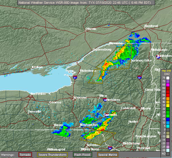
| 7/19/2020 7:10 PM EDT |
 At 710 pm edt, a severe thunderstorm was located near big moose, or 11 miles northeast of old forge, moving east at 30 mph (radar indicated). Hazards include 60 mph wind gusts. Expect damage to roofs, siding, and trees. Locations impacted include, inlet, eighth lake campground, brown tract pond campground, limekiln lake campground, eagle bay, big moose, raquette lake, golden beach campground, alger island public campground, hasbroucks, nehasane, russian lake, little rapids, beaver river, quaker beach, partlow, sagamore, keepawa, woods and mountain lodge. At 710 pm edt, a severe thunderstorm was located near big moose, or 11 miles northeast of old forge, moving east at 30 mph (radar indicated). Hazards include 60 mph wind gusts. Expect damage to roofs, siding, and trees. Locations impacted include, inlet, eighth lake campground, brown tract pond campground, limekiln lake campground, eagle bay, big moose, raquette lake, golden beach campground, alger island public campground, hasbroucks, nehasane, russian lake, little rapids, beaver river, quaker beach, partlow, sagamore, keepawa, woods and mountain lodge.
|
| 7/19/2020 6:49 PM EDT |
 At 649 pm edt, a severe thunderstorm was located 8 miles west of big moose, or 11 miles northwest of old forge, moving east at 30 mph (radar indicated). Hazards include 60 mph wind gusts. expect damage to roofs, siding, and trees At 649 pm edt, a severe thunderstorm was located 8 miles west of big moose, or 11 miles northwest of old forge, moving east at 30 mph (radar indicated). Hazards include 60 mph wind gusts. expect damage to roofs, siding, and trees
|
| 5/29/2020 6:23 PM EDT |
 The severe thunderstorm warning for western hamilton county will expire at 630 pm edt, the storms which prompted the warning have weakened below severe limits, and no longer pose an immediate threat to life or property. therefore, the warning will be allowed to expire. however gusty winds are still possible with these thunderstorms. a severe thunderstorm watch remains in effect until 900 pm edt for eastern new york. The severe thunderstorm warning for western hamilton county will expire at 630 pm edt, the storms which prompted the warning have weakened below severe limits, and no longer pose an immediate threat to life or property. therefore, the warning will be allowed to expire. however gusty winds are still possible with these thunderstorms. a severe thunderstorm watch remains in effect until 900 pm edt for eastern new york.
|
| 5/29/2020 6:08 PM EDT |
 At 607 pm edt, severe thunderstorms were located along a line extending from 6 miles west of lake eaton campground to 6 miles southeast of eighth lake campground to 14 miles northeast of ohio, moving northeast at 50 mph (radar indicated). Hazards include 60 mph wind gusts and quarter size hail. Hail damage to vehicles is expected. expect wind damage to roofs, siding, and trees. these severe storms will be near, lake eaton campground around 615 pm edt. blue mountain lake around 625 pm edt. speculator around 635 pm edt. Other locations impacted by these severe thunderstorms include hasbroucks, nehasane, russian lake, eagle nest, west canada lakes, quaker beach, deerland, caswell lake, sabattis and mountain home. At 607 pm edt, severe thunderstorms were located along a line extending from 6 miles west of lake eaton campground to 6 miles southeast of eighth lake campground to 14 miles northeast of ohio, moving northeast at 50 mph (radar indicated). Hazards include 60 mph wind gusts and quarter size hail. Hail damage to vehicles is expected. expect wind damage to roofs, siding, and trees. these severe storms will be near, lake eaton campground around 615 pm edt. blue mountain lake around 625 pm edt. speculator around 635 pm edt. Other locations impacted by these severe thunderstorms include hasbroucks, nehasane, russian lake, eagle nest, west canada lakes, quaker beach, deerland, caswell lake, sabattis and mountain home.
|
| 5/29/2020 5:35 PM EDT |
 At 535 pm edt, severe thunderstorms were located along a line extending from 9 miles west of big moose to near mckeever to trenton, moving northeast at 30 mph (radar indicated). Hazards include 60 mph wind gusts and quarter size hail. Hail damage to vehicles is expected. expect wind damage to roofs, siding, and trees. severe thunderstorms will be near, mckeever around 540 pm edt. big moose around 545 pm edt. ohio and nicks lake campground around 555 pm edt. old forge around 600 pm edt. limekiln lake campground and alger island public campground around 610 pm edt. inlet and eagle bay around 615 pm edt. eighth lake campground and brown tract pond campground around 625 pm edt. golden beach campground, raquette lake and lake eaton campground around 630 pm edt. Other locations impacted by these severe thunderstorms include eagle nest, little rapids, beaver river, nobleboro, minnehaha, carter station, quaker beach, first lake, deerland and sabattis. At 535 pm edt, severe thunderstorms were located along a line extending from 9 miles west of big moose to near mckeever to trenton, moving northeast at 30 mph (radar indicated). Hazards include 60 mph wind gusts and quarter size hail. Hail damage to vehicles is expected. expect wind damage to roofs, siding, and trees. severe thunderstorms will be near, mckeever around 540 pm edt. big moose around 545 pm edt. ohio and nicks lake campground around 555 pm edt. old forge around 600 pm edt. limekiln lake campground and alger island public campground around 610 pm edt. inlet and eagle bay around 615 pm edt. eighth lake campground and brown tract pond campground around 625 pm edt. golden beach campground, raquette lake and lake eaton campground around 630 pm edt. Other locations impacted by these severe thunderstorms include eagle nest, little rapids, beaver river, nobleboro, minnehaha, carter station, quaker beach, first lake, deerland and sabattis.
|
| 3/20/2020 3:29 PM EDT |
 At 328 pm edt, severe thunderstorms were located along a line extending from near lake durant campground to poland, moving east at 50 mph (radar indicated). Hazards include 60 mph wind gusts. expect damage to roofs, siding, and trees At 328 pm edt, severe thunderstorms were located along a line extending from near lake durant campground to poland, moving east at 50 mph (radar indicated). Hazards include 60 mph wind gusts. expect damage to roofs, siding, and trees
|
| 3/20/2020 2:43 PM EDT |
 At 243 pm edt, severe thunderstorms were located along a line extending from near mckeever to near cicero, moving east at 60 mph (radar indicated). Hazards include 60 mph wind gusts. expect damage to roofs, siding, and trees At 243 pm edt, severe thunderstorms were located along a line extending from near mckeever to near cicero, moving east at 60 mph (radar indicated). Hazards include 60 mph wind gusts. expect damage to roofs, siding, and trees
|
| 3/20/2020 2:32 PM EDT |
 At 231 pm edt, severe thunderstorms were located along a line extending from near colton to near whetstone gulf state park, moving east at 50 mph (radar indicated). Hazards include 60 mph wind gusts. expect damage to roofs, siding, and trees At 231 pm edt, severe thunderstorms were located along a line extending from near colton to near whetstone gulf state park, moving east at 50 mph (radar indicated). Hazards include 60 mph wind gusts. expect damage to roofs, siding, and trees
|
| 10/31/2019 8:44 PM EDT |
 At 843 pm edt, a severe thunderstorm was located near stratford, or 18 miles northeast of little falls, moving northeast at 55 mph (radar indicated). Hazards include 60 mph wind gusts. Expect damage to roofs, siding, and trees. this severe thunderstorm will be near, lake pleasant around 900 pm edt. Wells and sacandaga campground around 905 pm edt. At 843 pm edt, a severe thunderstorm was located near stratford, or 18 miles northeast of little falls, moving northeast at 55 mph (radar indicated). Hazards include 60 mph wind gusts. Expect damage to roofs, siding, and trees. this severe thunderstorm will be near, lake pleasant around 900 pm edt. Wells and sacandaga campground around 905 pm edt.
|
| 10/31/2019 7:44 PM EDT |
 At 743 pm edt, severe thunderstorms were located along a line extending from inlet to near northwood to ohio to earlville, moving northeast at 40 mph (radar indicated). Hazards include 60 mph wind gusts. expect damage to roofs, siding, and trees At 743 pm edt, severe thunderstorms were located along a line extending from inlet to near northwood to ohio to earlville, moving northeast at 40 mph (radar indicated). Hazards include 60 mph wind gusts. expect damage to roofs, siding, and trees
|
| 8/17/2019 4:02 PM EDT |
 At 402 pm edt, a severe thunderstorm was located 9 miles southwest of sacandaga campground, or 16 miles north of gloversville, moving northeast at 30 mph (radar indicated). Hazards include 60 mph wind gusts and penny size hail. Expect damage to roofs, siding, and trees. this severe thunderstorm will be near, wells and sacandaga campground around 420 pm edt. Other locations impacted by this severe thunderstorm include gilmantown, girards sugarbush, hope falls, bleecker center, benson, pinnacle, blackbridge, knowelhurst, bakertown and bowlers corners. At 402 pm edt, a severe thunderstorm was located 9 miles southwest of sacandaga campground, or 16 miles north of gloversville, moving northeast at 30 mph (radar indicated). Hazards include 60 mph wind gusts and penny size hail. Expect damage to roofs, siding, and trees. this severe thunderstorm will be near, wells and sacandaga campground around 420 pm edt. Other locations impacted by this severe thunderstorm include gilmantown, girards sugarbush, hope falls, bleecker center, benson, pinnacle, blackbridge, knowelhurst, bakertown and bowlers corners.
|
| 8/7/2019 4:28 PM EDT | Tree down on wires in hamilton county NY, 13.7 miles NNW of Speculator, NY |
| 8/7/2019 4:22 PM EDT |
 At 422 pm edt, a severe thunderstorm was located over wells, or 15 miles south of speculator, moving east at 20 mph (radar indicated). Hazards include 60 mph wind gusts and quarter size hail. Hail damage to vehicles is expected. Expect wind damage to roofs, siding, and trees. At 422 pm edt, a severe thunderstorm was located over wells, or 15 miles south of speculator, moving east at 20 mph (radar indicated). Hazards include 60 mph wind gusts and quarter size hail. Hail damage to vehicles is expected. Expect wind damage to roofs, siding, and trees.
|
| 8/6/2019 5:33 PM EDT |
 At 533 pm edt, severe thunderstorms were located along a line extending from 14 miles northeast of ohio to near stratford to near dolgeville to near springfield, moving east at 30 mph (radar indicated). Hazards include 60 mph wind gusts and penny size hail. Expect damage to roofs, siding, and trees. locations impacted include, gloversville, johnstown, herkimer, little falls, canajoharie, fonda, mohawk, fort plain, dolgeville, st. Johnsville, ephratah, broadalbin, northville, mayfield, lake pleasant, wells, stratford, sharon springs, middleville and ames. At 533 pm edt, severe thunderstorms were located along a line extending from 14 miles northeast of ohio to near stratford to near dolgeville to near springfield, moving east at 30 mph (radar indicated). Hazards include 60 mph wind gusts and penny size hail. Expect damage to roofs, siding, and trees. locations impacted include, gloversville, johnstown, herkimer, little falls, canajoharie, fonda, mohawk, fort plain, dolgeville, st. Johnsville, ephratah, broadalbin, northville, mayfield, lake pleasant, wells, stratford, sharon springs, middleville and ames.
|
| 8/6/2019 5:16 PM EDT |
 At 515 pm edt, severe thunderstorms were located along a line extending from near northwood to near little falls to near cedarville, moving east at 30 mph (radar indicated). Hazards include 60 mph wind gusts and penny size hail. expect damage to roofs, siding, and trees At 515 pm edt, severe thunderstorms were located along a line extending from near northwood to near little falls to near cedarville, moving east at 30 mph (radar indicated). Hazards include 60 mph wind gusts and penny size hail. expect damage to roofs, siding, and trees
|
| 7/30/2019 4:23 PM EDT |
 At 421 pm edt, a severe thunderstorm was located over north creek, or 16 miles east of indian lake, moving northeast at 30 mph. another line of strong and potentially severe winds is located farther south and will move across wells through 440 pm (radar indicated). Hazards include 60 mph wind gusts. Expect damage to roofs, siding, and trees. Locations impacted include, warrensburg, johnsburg, wells, north creek, hope, holcombville, whitehouse and north river. At 421 pm edt, a severe thunderstorm was located over north creek, or 16 miles east of indian lake, moving northeast at 30 mph. another line of strong and potentially severe winds is located farther south and will move across wells through 440 pm (radar indicated). Hazards include 60 mph wind gusts. Expect damage to roofs, siding, and trees. Locations impacted include, warrensburg, johnsburg, wells, north creek, hope, holcombville, whitehouse and north river.
|
| 7/30/2019 4:07 PM EDT |
 At 407 pm edt, a severe thunderstorm was located near north creek, or 12 miles southeast of indian lake, moving northeast at 40 mph (radar indicated). Hazards include 60 mph wind gusts. expect damage to roofs, siding, and trees At 407 pm edt, a severe thunderstorm was located near north creek, or 12 miles southeast of indian lake, moving northeast at 40 mph (radar indicated). Hazards include 60 mph wind gusts. expect damage to roofs, siding, and trees
|
| 7/30/2019 4:00 PM EDT | Trees down blocking ny state route in warren county NY, 11.4 miles WNW of Speculator, NY |
| 7/30/2019 3:40 PM EDT | Tree down on ny state route in hamilton county NY, 7.7 miles NNE of Speculator, NY |
| 7/30/2019 3:33 PM EDT |
 At 331 pm edt, a severe thunderstorm was located near moffitt beach campground, or 9 miles southwest of speculator, moving northeast at 35 mph (radar indicated). Hazards include 60 mph wind gusts. expect damage to roofs, siding, and trees At 331 pm edt, a severe thunderstorm was located near moffitt beach campground, or 9 miles southwest of speculator, moving northeast at 35 mph (radar indicated). Hazards include 60 mph wind gusts. expect damage to roofs, siding, and trees
|
| 5/23/2019 8:23 PM EDT |
 At 823 pm edt, severe thunderstorms were located along a line extending from near brown tract pond campground to 6 miles north of northwood, moving southeast at 55 mph (radar indicated). Hazards include 60 mph wind gusts. Expect damage to roofs, siding, and trees. Locations impacted include, speculator, ohio, inlet, blue mountain lake, lake eaton campground, brown tract pond campground, limekiln lake campground, lake durant campground, eighth lake campground, forked lake public campground, northwood, raquette lake, golden beach campground, long lake, eagle nest, nobleboro, quaker beach, deerland, sagamore and wilmurt corners. At 823 pm edt, severe thunderstorms were located along a line extending from near brown tract pond campground to 6 miles north of northwood, moving southeast at 55 mph (radar indicated). Hazards include 60 mph wind gusts. Expect damage to roofs, siding, and trees. Locations impacted include, speculator, ohio, inlet, blue mountain lake, lake eaton campground, brown tract pond campground, limekiln lake campground, lake durant campground, eighth lake campground, forked lake public campground, northwood, raquette lake, golden beach campground, long lake, eagle nest, nobleboro, quaker beach, deerland, sagamore and wilmurt corners.
|
| 5/23/2019 7:46 PM EDT |
 At 745 pm edt, severe thunderstorms were located along a line extending from 12 miles southwest of star lake to near camden, moving east at 55 mph (radar indicated). Hazards include 60 mph wind gusts. expect damage to roofs, siding, and trees At 745 pm edt, severe thunderstorms were located along a line extending from 12 miles southwest of star lake to near camden, moving east at 55 mph (radar indicated). Hazards include 60 mph wind gusts. expect damage to roofs, siding, and trees
|
| 5/19/2019 6:31 PM EDT |
 A severe thunderstorm warning remains in effect until 645 pm edt for southwestern hamilton and northwestern fulton counties. at 630 pm edt, a severe thunderstorm was located 9 miles southwest of lake pleasant, or 16 miles southwest of speculator, moving east at 40 mph. hazard. 60 mph wind gusts. A severe thunderstorm warning remains in effect until 645 pm edt for southwestern hamilton and northwestern fulton counties. at 630 pm edt, a severe thunderstorm was located 9 miles southwest of lake pleasant, or 16 miles southwest of speculator, moving east at 40 mph. hazard. 60 mph wind gusts.
|
| 5/19/2019 6:12 PM EDT |
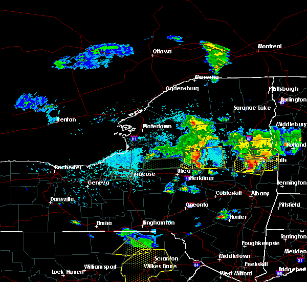 The national weather service in albany has issued a * severe thunderstorm warning for. southwestern hamilton county in eastern new york. northwestern fulton county in eastern new york. east central herkimer county in eastern new york. Until 645 pm edt. The national weather service in albany has issued a * severe thunderstorm warning for. southwestern hamilton county in eastern new york. northwestern fulton county in eastern new york. east central herkimer county in eastern new york. Until 645 pm edt.
|
| 5/19/2019 5:16 PM EDT |
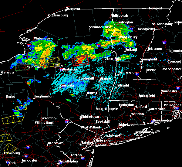 At 516 pm edt, a severe thunderstorm capable of producing a tornado was located over wells, or 14 miles south of speculator, moving east at 35 mph (radar indicated rotation). Hazards include tornado and half dollar size hail. Flying debris will be dangerous to those caught without shelter. mobile homes will be damaged or destroyed. damage to roofs, windows, and vehicles will occur. tree damage is likely. This tornadic thunderstorm will remain over mainly rural areas of southeastern hamilton county, including the following locations, arietta, gilmantown, hope falls, benson, rudeston, blackbridge, averys place, whitehouse, shaker place and maple grove. At 516 pm edt, a severe thunderstorm capable of producing a tornado was located over wells, or 14 miles south of speculator, moving east at 35 mph (radar indicated rotation). Hazards include tornado and half dollar size hail. Flying debris will be dangerous to those caught without shelter. mobile homes will be damaged or destroyed. damage to roofs, windows, and vehicles will occur. tree damage is likely. This tornadic thunderstorm will remain over mainly rural areas of southeastern hamilton county, including the following locations, arietta, gilmantown, hope falls, benson, rudeston, blackbridge, averys place, whitehouse, shaker place and maple grove.
|
| 5/19/2019 4:39 PM EDT |
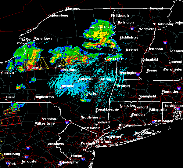 At 439 pm edt, a severe thunderstorm capable of producing a tornado was located 8 miles north of stratford, or 19 miles northeast of little falls, moving east at 35 mph (radar indicated rotation). Hazards include tornado and half dollar size hail. Flying debris will be dangerous to those caught without shelter. mobile homes will be damaged or destroyed. damage to roofs, windows, and vehicles will occur. tree damage is likely. this dangerous storm will be near, lake pleasant around 510 pm edt. wells and sacandaga campground around 515 pm edt. Other locations impacted by this tornadic thunderstorm include oregon, arietta, gilmantown, powley place, hope falls, benson, rudeston, clockmill corners, blackbridge and averys place. At 439 pm edt, a severe thunderstorm capable of producing a tornado was located 8 miles north of stratford, or 19 miles northeast of little falls, moving east at 35 mph (radar indicated rotation). Hazards include tornado and half dollar size hail. Flying debris will be dangerous to those caught without shelter. mobile homes will be damaged or destroyed. damage to roofs, windows, and vehicles will occur. tree damage is likely. this dangerous storm will be near, lake pleasant around 510 pm edt. wells and sacandaga campground around 515 pm edt. Other locations impacted by this tornadic thunderstorm include oregon, arietta, gilmantown, powley place, hope falls, benson, rudeston, clockmill corners, blackbridge and averys place.
|
| 5/19/2019 4:20 PM EDT |
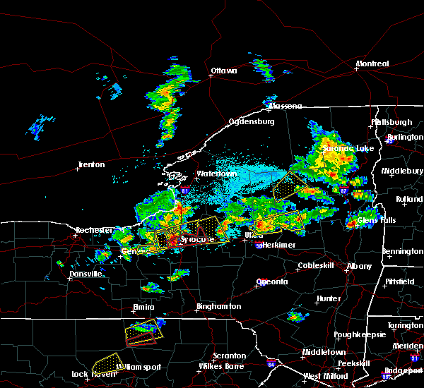 At 355 pm edt, a severe thunderstorm was located over inlet, or 10 miles northeast of old forge, moving northeast at 30 mph (radar indicated). Hazards include 60 mph wind gusts and quarter size hail. Hail damage to vehicles is expected. expect wind damage to roofs, siding, and trees. Locations impacted include, inlet, blue mountain lake, eighth lake campground, brown tract pond campground, forked lake public campground, raquette lake, golden beach campground, lake eaton campground, hasbroucks, eagle nest, quaker beach, deerland, sagamore, woods, little tupper lake, sagamore lake and kamp kill kare. At 355 pm edt, a severe thunderstorm was located over inlet, or 10 miles northeast of old forge, moving northeast at 30 mph (radar indicated). Hazards include 60 mph wind gusts and quarter size hail. Hail damage to vehicles is expected. expect wind damage to roofs, siding, and trees. Locations impacted include, inlet, blue mountain lake, eighth lake campground, brown tract pond campground, forked lake public campground, raquette lake, golden beach campground, lake eaton campground, hasbroucks, eagle nest, quaker beach, deerland, sagamore, woods, little tupper lake, sagamore lake and kamp kill kare.
|
| 5/19/2019 3:55 PM EDT |
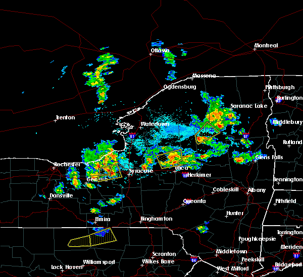 At 355 pm edt, a severe thunderstorm was located over inlet, or 10 miles northeast of old forge, moving northeast at 30 mph (radar indicated). Hazards include 60 mph wind gusts and quarter size hail. Hail damage to vehicles is expected. expect wind damage to roofs, siding, and trees. Locations impacted include, inlet, blue mountain lake, eighth lake campground, brown tract pond campground, forked lake public campground, raquette lake, golden beach campground, lake eaton campground, hasbroucks, eagle nest, quaker beach, deerland, sagamore, woods, little tupper lake, sagamore lake and kamp kill kare. At 355 pm edt, a severe thunderstorm was located over inlet, or 10 miles northeast of old forge, moving northeast at 30 mph (radar indicated). Hazards include 60 mph wind gusts and quarter size hail. Hail damage to vehicles is expected. expect wind damage to roofs, siding, and trees. Locations impacted include, inlet, blue mountain lake, eighth lake campground, brown tract pond campground, forked lake public campground, raquette lake, golden beach campground, lake eaton campground, hasbroucks, eagle nest, quaker beach, deerland, sagamore, woods, little tupper lake, sagamore lake and kamp kill kare.
|
| 5/19/2019 3:40 PM EDT |
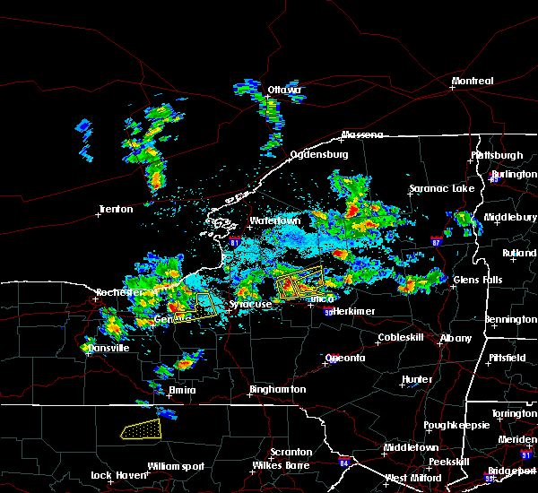 At 340 pm edt, a severe thunderstorm was located near alger island public campground, or near old forge, moving northeast at 30 mph (radar indicated). Hazards include quarter size hail. damage to vehicles is expected At 340 pm edt, a severe thunderstorm was located near alger island public campground, or near old forge, moving northeast at 30 mph (radar indicated). Hazards include quarter size hail. damage to vehicles is expected
|
| 8/17/2018 4:15 PM EDT |
 At 415 pm edt, a severe thunderstorm was located near ohio, or 17 miles north of little falls, moving east at 25 mph (radar indicated). Hazards include 60 mph wind gusts and penny size hail. Expect damage to roofs, siding, and trees. this severe thunderstorm will be near, lake pleasant and moffitt beach campground around 515 pm edt. Other locations impacted by this severe thunderstorm include gray, powley place, nobleboro, black creek reservoir, rudeston, clockmill corners, averys place, whitehouse, bull hill and mountain home. At 415 pm edt, a severe thunderstorm was located near ohio, or 17 miles north of little falls, moving east at 25 mph (radar indicated). Hazards include 60 mph wind gusts and penny size hail. Expect damage to roofs, siding, and trees. this severe thunderstorm will be near, lake pleasant and moffitt beach campground around 515 pm edt. Other locations impacted by this severe thunderstorm include gray, powley place, nobleboro, black creek reservoir, rudeston, clockmill corners, averys place, whitehouse, bull hill and mountain home.
|
| 8/15/2018 5:14 PM EDT |
 At 514 pm edt, a severe thunderstorm was located over lewey lake campground, or over speculator, moving east at 15 mph (radar indicated). Hazards include 60 mph wind gusts and quarter size hail. Hail damage to vehicles is expected. expect wind damage to roofs, siding, and trees. This severe thunderstorm will remain over mainly rural areas of central hamilton and west central warren counties, including the following locations, perkins clearing, sled harbor and west canada lakes. At 514 pm edt, a severe thunderstorm was located over lewey lake campground, or over speculator, moving east at 15 mph (radar indicated). Hazards include 60 mph wind gusts and quarter size hail. Hail damage to vehicles is expected. expect wind damage to roofs, siding, and trees. This severe thunderstorm will remain over mainly rural areas of central hamilton and west central warren counties, including the following locations, perkins clearing, sled harbor and west canada lakes.
|
| 8/15/2018 4:52 PM EDT |
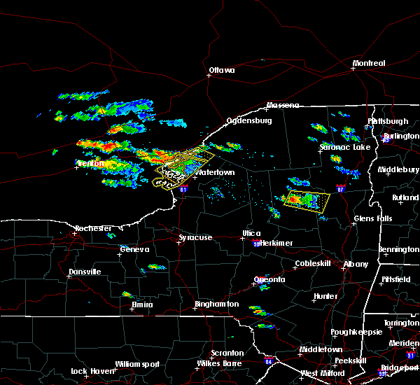 At 451 pm edt, a severe thunderstorm was located near lewey lake campground, or 7 miles northwest of speculator, moving southeast at 15 mph (radar indicated). Hazards include 60 mph wind gusts and quarter size hail. Hail damage to vehicles is expected. expect wind damage to roofs, siding, and trees. this severe thunderstorm will be near, lewey lake campground around 510 pm edt. speculator around 535 pm edt. Other locations impacted by this severe thunderstorm include sled harbor, bakers mills, sabael, perkins clearing, west canada lakes, edwards hill and christian hill. At 451 pm edt, a severe thunderstorm was located near lewey lake campground, or 7 miles northwest of speculator, moving southeast at 15 mph (radar indicated). Hazards include 60 mph wind gusts and quarter size hail. Hail damage to vehicles is expected. expect wind damage to roofs, siding, and trees. this severe thunderstorm will be near, lewey lake campground around 510 pm edt. speculator around 535 pm edt. Other locations impacted by this severe thunderstorm include sled harbor, bakers mills, sabael, perkins clearing, west canada lakes, edwards hill and christian hill.
|
| 6/18/2018 3:31 PM EDT |
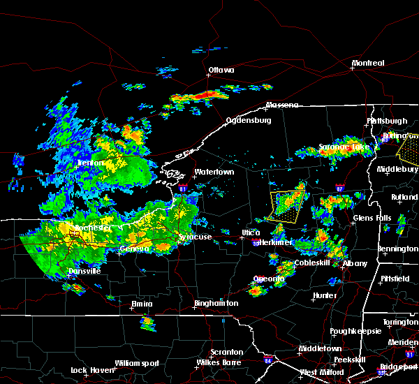 At 330 pm edt, a severe thunderstorm was located 8 miles west of speculator, moving east at 50 mph (radar indicated). Hazards include 60 mph wind gusts. Expect damage to roofs, siding, and trees. this severe storm will be near, lewey lake campground and moffitt beach campground around 340 pm edt. speculator around 345 pm edt. Other locations impacted by this severe thunderstorm include perkins clearing, rudeston, west canada lakes, clockmill corners, caswell lake, mountain home, shaker place, sled harbor, piseco and morehouseville. At 330 pm edt, a severe thunderstorm was located 8 miles west of speculator, moving east at 50 mph (radar indicated). Hazards include 60 mph wind gusts. Expect damage to roofs, siding, and trees. this severe storm will be near, lewey lake campground and moffitt beach campground around 340 pm edt. speculator around 345 pm edt. Other locations impacted by this severe thunderstorm include perkins clearing, rudeston, west canada lakes, clockmill corners, caswell lake, mountain home, shaker place, sled harbor, piseco and morehouseville.
|
| 6/18/2018 3:09 PM EDT |
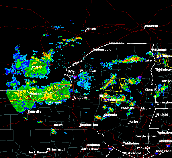 At 308 pm edt, a severe thunderstorm was located 8 miles southeast of mckeever, or 12 miles south of old forge, moving east at 50 mph (radar indicated). Hazards include 60 mph wind gusts. Expect damage to roofs, siding, and trees. this severe thunderstorm will be near, moffitt beach campground around 340 pm edt. speculator around 345 pm edt. Other locations impacted by this severe thunderstorm include nobleboro, atwell, perkins clearing, wheelertown, rudeston, west canada lakes, clockmill corners, first lake, herkimer landing and caswell lake. At 308 pm edt, a severe thunderstorm was located 8 miles southeast of mckeever, or 12 miles south of old forge, moving east at 50 mph (radar indicated). Hazards include 60 mph wind gusts. Expect damage to roofs, siding, and trees. this severe thunderstorm will be near, moffitt beach campground around 340 pm edt. speculator around 345 pm edt. Other locations impacted by this severe thunderstorm include nobleboro, atwell, perkins clearing, wheelertown, rudeston, west canada lakes, clockmill corners, first lake, herkimer landing and caswell lake.
|
| 6/13/2018 7:17 PM EDT |
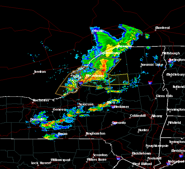 At 716 pm edt, a severe thunderstorm was located 10 miles east of carthage, or 18 miles east of fort drum, moving east at 60 mph (radar indicated). Hazards include 60 mph wind gusts. Expect damage to roofs, siding, and trees. This severe thunderstorm will remain over mainly rural areas of northwestern hamilton and northern herkimer counties, including the following locations, hasbroucks, nehasane, russian lake, little rapids, beaver river, moshier falls, carter station, quaker beach, lyon lake and sabattis. At 716 pm edt, a severe thunderstorm was located 10 miles east of carthage, or 18 miles east of fort drum, moving east at 60 mph (radar indicated). Hazards include 60 mph wind gusts. Expect damage to roofs, siding, and trees. This severe thunderstorm will remain over mainly rural areas of northwestern hamilton and northern herkimer counties, including the following locations, hasbroucks, nehasane, russian lake, little rapids, beaver river, moshier falls, carter station, quaker beach, lyon lake and sabattis.
|
| 5/4/2018 7:37 PM EDT |
 At 736 pm edt, severe thunderstorms were located along a line extending from near minerva to mayfield to cherry valley, moving east at 55 mph (radar indicated). Hazards include 60 mph wind gusts. Expect damage to roofs, siding, and trees. locations impacted include, amsterdam, gloversville, johnstown, warrensburg, canajoharie, fonda, speculator, johnsburg, fort plain, st. johnsville, ephratah, broadalbin, edinburg, northville, mayfield, wells, fort johnson, ames, eagle point campground and day center. A tornado watch remains in effect until 1000 pm edt for eastern and east central new york. At 736 pm edt, severe thunderstorms were located along a line extending from near minerva to mayfield to cherry valley, moving east at 55 mph (radar indicated). Hazards include 60 mph wind gusts. Expect damage to roofs, siding, and trees. locations impacted include, amsterdam, gloversville, johnstown, warrensburg, canajoharie, fonda, speculator, johnsburg, fort plain, st. johnsville, ephratah, broadalbin, edinburg, northville, mayfield, wells, fort johnson, ames, eagle point campground and day center. A tornado watch remains in effect until 1000 pm edt for eastern and east central new york.
|
| 5/4/2018 7:12 PM EDT |
 At 712 pm edt, severe thunderstorms were located along a line extending from newcomb to 6 miles southwest of lake pleasant to near jordanville, moving east at 50 mph (radar indicated). Hazards include 60 mph wind gusts. expect damage to roofs, siding, and trees At 712 pm edt, severe thunderstorms were located along a line extending from newcomb to 6 miles southwest of lake pleasant to near jordanville, moving east at 50 mph (radar indicated). Hazards include 60 mph wind gusts. expect damage to roofs, siding, and trees
|
| 5/4/2018 6:53 PM EDT |
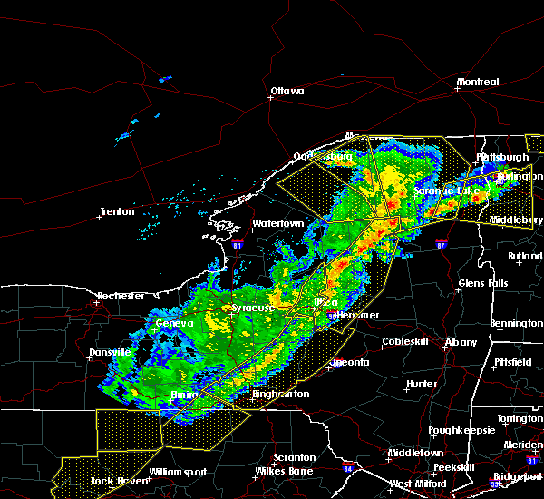 At 652 pm edt, severe thunderstorms were located along a line extending from 8 miles northeast of lake eaton campground to near raquette lake to 9 miles south of limekiln lake campground to ohio to near newport, moving northeast at 95 mph (radar indicated). Hazards include 60 mph wind gusts. Expect damage to roofs, siding, and trees. these severe storms will be near, blue mountain lake, lake durant campground and forked lake public campground around 700 pm edt. golden beach campground around 705 pm edt. moffitt beach campground around 710 pm edt. speculator and lewey lake campground around 715 pm edt. other locations impacted by these severe thunderstorms include ingham mills, spinnerville, cedar lake, farrel corner, countryman, south ilion, kelhi corners, chepachet, shedd corners and old city. A tornado watch remains in effect until 1000 pm edt for eastern new york. At 652 pm edt, severe thunderstorms were located along a line extending from 8 miles northeast of lake eaton campground to near raquette lake to 9 miles south of limekiln lake campground to ohio to near newport, moving northeast at 95 mph (radar indicated). Hazards include 60 mph wind gusts. Expect damage to roofs, siding, and trees. these severe storms will be near, blue mountain lake, lake durant campground and forked lake public campground around 700 pm edt. golden beach campground around 705 pm edt. moffitt beach campground around 710 pm edt. speculator and lewey lake campground around 715 pm edt. other locations impacted by these severe thunderstorms include ingham mills, spinnerville, cedar lake, farrel corner, countryman, south ilion, kelhi corners, chepachet, shedd corners and old city. A tornado watch remains in effect until 1000 pm edt for eastern new york.
|
| 5/4/2018 6:22 PM EDT |
 At 621 pm edt, severe thunderstorms were located along a line extending from 7 miles east of highmarket to near verona to cuyler, moving east at 55 mph (radar indicated). Hazards include 60 mph wind gusts. Expect damage to roofs, siding, and trees. severe thunderstorms will be near, mckeever around 635 pm edt. old forge, poland and nicks lake campground around 645 pm edt. newport, cold brook, alger island public campground, northwood and big moose around 650 pm edt. ohio, inlet, limekiln lake campground and eagle bay around 655 pm edt. eighth lake campground and brown tract pond campground around 700 pm edt. west winfield and raquette lake around 705 pm edt. cedarville and golden beach campground around 710 pm edt. ilion, herkimer, mohawk, jordanville, lake durant campground and blue mountain lake around 715 pm edt. A tornado watch remains in effect until 1000 pm edt for eastern new york. At 621 pm edt, severe thunderstorms were located along a line extending from 7 miles east of highmarket to near verona to cuyler, moving east at 55 mph (radar indicated). Hazards include 60 mph wind gusts. Expect damage to roofs, siding, and trees. severe thunderstorms will be near, mckeever around 635 pm edt. old forge, poland and nicks lake campground around 645 pm edt. newport, cold brook, alger island public campground, northwood and big moose around 650 pm edt. ohio, inlet, limekiln lake campground and eagle bay around 655 pm edt. eighth lake campground and brown tract pond campground around 700 pm edt. west winfield and raquette lake around 705 pm edt. cedarville and golden beach campground around 710 pm edt. ilion, herkimer, mohawk, jordanville, lake durant campground and blue mountain lake around 715 pm edt. A tornado watch remains in effect until 1000 pm edt for eastern new york.
|
| 10/15/2017 7:17 PM EDT |
 At 717 pm edt, severe thunderstorms were located along a line extending from 8 miles southeast of tupper lake to limekiln lake campground to near northwood, moving east at 45 mph (radar indicated). Hazards include 60 mph wind gusts. Expect damage to trees, and power lines. these severe storms will be near, raquette lake around 725 pm edt. golden beach campground around 730 pm edt. Other locations impacted by these severe thunderstorms include eagle nest, nobleboro, quaker beach, deerland, russia, sagamore, wilmurt corners, morehouseville, hoffmeister and hurricane. At 717 pm edt, severe thunderstorms were located along a line extending from 8 miles southeast of tupper lake to limekiln lake campground to near northwood, moving east at 45 mph (radar indicated). Hazards include 60 mph wind gusts. Expect damage to trees, and power lines. these severe storms will be near, raquette lake around 725 pm edt. golden beach campground around 730 pm edt. Other locations impacted by these severe thunderstorms include eagle nest, nobleboro, quaker beach, deerland, russia, sagamore, wilmurt corners, morehouseville, hoffmeister and hurricane.
|
| 10/15/2017 6:28 PM EDT |
 At 628 pm edt, severe thunderstorms were located along a line extending from near star lake to whetstone gulf state park to near camden, moving east at 45 mph (radar indicated). Hazards include 60 mph wind gusts. Expect damage to trees, and power lines. severe thunderstorms will be near, mckeever around 655 pm edt. nicks lake campground around 700 pm edt. old forge around 705 pm edt. alger island public campground and big moose around 710 pm edt. inlet, limekiln lake campground and eagle bay around 715 pm edt. eighth lake campground and northwood around 720 pm edt. ohio, raquette lake and brown tract pond campground around 725 pm edt. golden beach campground around 730 pm edt. Other locations impacted by these severe thunderstorms include eagle nest, beaver river, nobleboro, quaker beach, first lake, deerland, partlow, robinwood, sagamore and hoffmeister. At 628 pm edt, severe thunderstorms were located along a line extending from near star lake to whetstone gulf state park to near camden, moving east at 45 mph (radar indicated). Hazards include 60 mph wind gusts. Expect damage to trees, and power lines. severe thunderstorms will be near, mckeever around 655 pm edt. nicks lake campground around 700 pm edt. old forge around 705 pm edt. alger island public campground and big moose around 710 pm edt. inlet, limekiln lake campground and eagle bay around 715 pm edt. eighth lake campground and northwood around 720 pm edt. ohio, raquette lake and brown tract pond campground around 725 pm edt. golden beach campground around 730 pm edt. Other locations impacted by these severe thunderstorms include eagle nest, beaver river, nobleboro, quaker beach, first lake, deerland, partlow, robinwood, sagamore and hoffmeister.
|
| 8/22/2017 6:41 PM EDT |
 At 641 pm edt, severe thunderstorms were located along a line extending from 8 miles southeast of eighth lake campground to frankfort, moving east at 30 mph (radar indicated). Hazards include 60 mph wind gusts. Expect damage to trees, and power lines. these severe storms will be near, little falls, speculator, lewey lake campground and jordanville around 700 pm edt. A tornado watch remains in effect until 900 pm edt for eastern new york. At 641 pm edt, severe thunderstorms were located along a line extending from 8 miles southeast of eighth lake campground to frankfort, moving east at 30 mph (radar indicated). Hazards include 60 mph wind gusts. Expect damage to trees, and power lines. these severe storms will be near, little falls, speculator, lewey lake campground and jordanville around 700 pm edt. A tornado watch remains in effect until 900 pm edt for eastern new york.
|
| 8/22/2017 6:20 PM EDT |
 At 619 pm edt, severe thunderstorms were located along a line extending from inlet to new hartford, moving east at 30 mph (radar indicated). Hazards include 60 mph wind gusts. Expect damage to trees, and power lines. severe thunderstorms will be near, inlet, limekiln lake campground, eighth lake campground and eagle bay around 625 pm edt. frankfort and cedarville around 640 pm edt. ilion, herkimer and mohawk around 645 pm edt. jordanville around 655 pm edt. little falls, speculator and lewey lake campground around 700 pm edt. other locations impacted by these severe thunderstorms include ingham mills, spinnerville, cedar lake, farrel corner, countryman, south ilion, kelhi corners, shedd corners, old city and powley place. A tornado watch remains in effect until 900 pm edt for eastern new york. At 619 pm edt, severe thunderstorms were located along a line extending from inlet to new hartford, moving east at 30 mph (radar indicated). Hazards include 60 mph wind gusts. Expect damage to trees, and power lines. severe thunderstorms will be near, inlet, limekiln lake campground, eighth lake campground and eagle bay around 625 pm edt. frankfort and cedarville around 640 pm edt. ilion, herkimer and mohawk around 645 pm edt. jordanville around 655 pm edt. little falls, speculator and lewey lake campground around 700 pm edt. other locations impacted by these severe thunderstorms include ingham mills, spinnerville, cedar lake, farrel corner, countryman, south ilion, kelhi corners, shedd corners, old city and powley place. A tornado watch remains in effect until 900 pm edt for eastern new york.
|
| 8/22/2017 5:39 PM EDT |
 At 538 pm edt, severe thunderstorms were located along a line extending from moffitt beach campground to 10 miles southwest of lake pleasant to near dolgeville, moving southeast at 35 mph (radar indicated). Hazards include 60 mph wind gusts. Expect damage to trees, and power lines. severe thunderstorms will be near, wells, caroga lake public campground and caroga lake around 550 pm edt. sacandaga campground around 555 pm edt. gloversville and johnstown around 605 pm edt. northville, northampton beach public campground and cranberry creek around 610 pm edt. edinburg and day center around 615 pm edt. hagaman around 620 pm edt. lake luzerne-hadle and lake luzerne campground around 625 pm edt. corinth around 630 pm edt. A tornado watch remains in effect until 900 pm edt for eastern and east central new york. At 538 pm edt, severe thunderstorms were located along a line extending from moffitt beach campground to 10 miles southwest of lake pleasant to near dolgeville, moving southeast at 35 mph (radar indicated). Hazards include 60 mph wind gusts. Expect damage to trees, and power lines. severe thunderstorms will be near, wells, caroga lake public campground and caroga lake around 550 pm edt. sacandaga campground around 555 pm edt. gloversville and johnstown around 605 pm edt. northville, northampton beach public campground and cranberry creek around 610 pm edt. edinburg and day center around 615 pm edt. hagaman around 620 pm edt. lake luzerne-hadle and lake luzerne campground around 625 pm edt. corinth around 630 pm edt. A tornado watch remains in effect until 900 pm edt for eastern and east central new york.
|
| 8/22/2017 5:18 PM EDT |
 At 518 pm edt, severe thunderstorms were located along a line extending from 9 miles north of newcomb to 10 miles west of johnsburg, moving east at 15 mph (radar indicated). Hazards include 60 mph wind gusts. Expect damage to trees, and power lines. these severe thunderstorms will remain over mainly rural areas of east central hamilton and northern warren counties, including the following locations: byrnes corners, shelving rock, sodom, starbuckville, riparius, edwards hill, christian hill, wevertown, silver bay and pottersville. A tornado watch remains in effect until 900 pm edt for eastern and east central new york. At 518 pm edt, severe thunderstorms were located along a line extending from 9 miles north of newcomb to 10 miles west of johnsburg, moving east at 15 mph (radar indicated). Hazards include 60 mph wind gusts. Expect damage to trees, and power lines. these severe thunderstorms will remain over mainly rural areas of east central hamilton and northern warren counties, including the following locations: byrnes corners, shelving rock, sodom, starbuckville, riparius, edwards hill, christian hill, wevertown, silver bay and pottersville. A tornado watch remains in effect until 900 pm edt for eastern and east central new york.
|
| 8/22/2017 5:01 PM EDT |
 At 501 pm edt, severe thunderstorms were located along a line extending from speculator to 10 miles north of stratford to herkimer, moving east at 35 mph (radar indicated). Hazards include 60 mph wind gusts and penny size hail. Expect damage to trees, and power lines. these severe storms will be near, moffitt beach campground around 505 pm edt. speculator around 510 pm edt. dolgeville and st. johnsville around 515 pm edt. A tornado watch remains in effect until 900 pm edt for eastern and east central new york. At 501 pm edt, severe thunderstorms were located along a line extending from speculator to 10 miles north of stratford to herkimer, moving east at 35 mph (radar indicated). Hazards include 60 mph wind gusts and penny size hail. Expect damage to trees, and power lines. these severe storms will be near, moffitt beach campground around 505 pm edt. speculator around 510 pm edt. dolgeville and st. johnsville around 515 pm edt. A tornado watch remains in effect until 900 pm edt for eastern and east central new york.
|
| 8/22/2017 4:52 PM EDT | Downed tree and wire in hamilton county NY, 15 miles SSW of Speculator, NY |
| 8/22/2017 4:47 PM EDT |
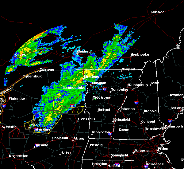 At 447 pm edt, severe thunderstorms were located along a line extending from 10 miles north of newcomb to 9 miles south of indian lake, moving east at 45 mph (radar indicated). Hazards include 60 mph wind gusts. Expect damage to trees, and power lines. severe thunderstorms will be near, north creek around 500 pm edt. johnsburg around 505 pm edt. warrensburg, chestertown, eagle point campground and scaroon manor public campground around 515 pm edt. hague and huletts landing around 530 pm edt. A tornado watch remains in effect until 900 pm edt for eastern and east central new york. At 447 pm edt, severe thunderstorms were located along a line extending from 10 miles north of newcomb to 9 miles south of indian lake, moving east at 45 mph (radar indicated). Hazards include 60 mph wind gusts. Expect damage to trees, and power lines. severe thunderstorms will be near, north creek around 500 pm edt. johnsburg around 505 pm edt. warrensburg, chestertown, eagle point campground and scaroon manor public campground around 515 pm edt. hague and huletts landing around 530 pm edt. A tornado watch remains in effect until 900 pm edt for eastern and east central new york.
|
| 8/22/2017 4:26 PM EDT |
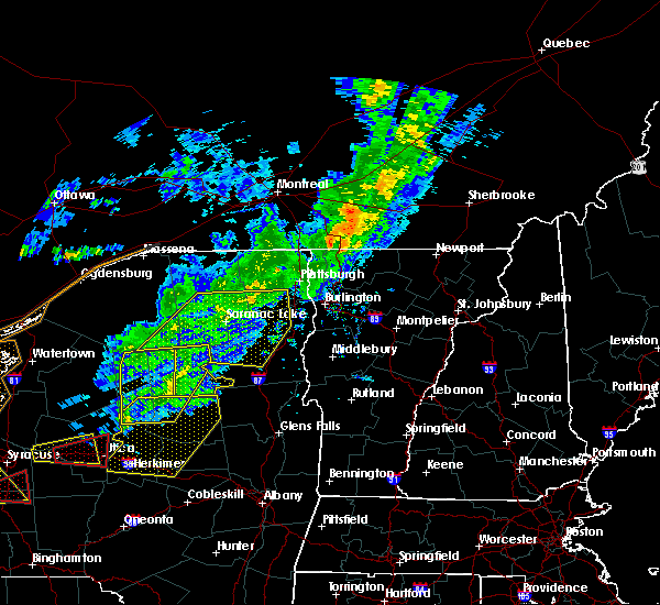 At 425 pm edt, severe thunderstorms were located along a line extending from near tupper lake to 8 miles south of golden beach campground, moving east at 55 mph (radar indicated). Hazards include 70 mph wind gusts. Expect considerable tree damage. damage is likely to mobile homes, roofs, and outbuildings. severe thunderstorms will be near, lewey lake campground around 435 pm edt. indian lake around 440 pm edt. A tornado watch remains in effect until 900 pm edt for eastern and east central new york. At 425 pm edt, severe thunderstorms were located along a line extending from near tupper lake to 8 miles south of golden beach campground, moving east at 55 mph (radar indicated). Hazards include 70 mph wind gusts. Expect considerable tree damage. damage is likely to mobile homes, roofs, and outbuildings. severe thunderstorms will be near, lewey lake campground around 435 pm edt. indian lake around 440 pm edt. A tornado watch remains in effect until 900 pm edt for eastern and east central new york.
|
| 8/22/2017 4:19 PM EDT |
 At 419 pm edt, severe thunderstorms were located along a line extending from 7 miles southeast of nicks lake campground to remsen to near clinton, moving east at 35 mph (radar indicated). Hazards include 60 mph wind gusts and penny size hail. Expect damage to trees, and power lines. severe thunderstorms will be near, poland, cold brook and northwood around 430 pm edt. ohio around 435 pm edt. frankfort around 450 pm edt. ilion, herkimer and mohawk around 455 pm edt. middleville, lewey lake campground and moffitt beach campground around 500 pm edt. speculator around 505 pm edt. little falls around 510 pm edt. dolgeville and st. johnsville around 515 pm edt. A tornado watch remains in effect until 900 pm edt for east central new york. At 419 pm edt, severe thunderstorms were located along a line extending from 7 miles southeast of nicks lake campground to remsen to near clinton, moving east at 35 mph (radar indicated). Hazards include 60 mph wind gusts and penny size hail. Expect damage to trees, and power lines. severe thunderstorms will be near, poland, cold brook and northwood around 430 pm edt. ohio around 435 pm edt. frankfort around 450 pm edt. ilion, herkimer and mohawk around 455 pm edt. middleville, lewey lake campground and moffitt beach campground around 500 pm edt. speculator around 505 pm edt. little falls around 510 pm edt. dolgeville and st. johnsville around 515 pm edt. A tornado watch remains in effect until 900 pm edt for east central new york.
|
| 8/22/2017 4:03 PM EDT |
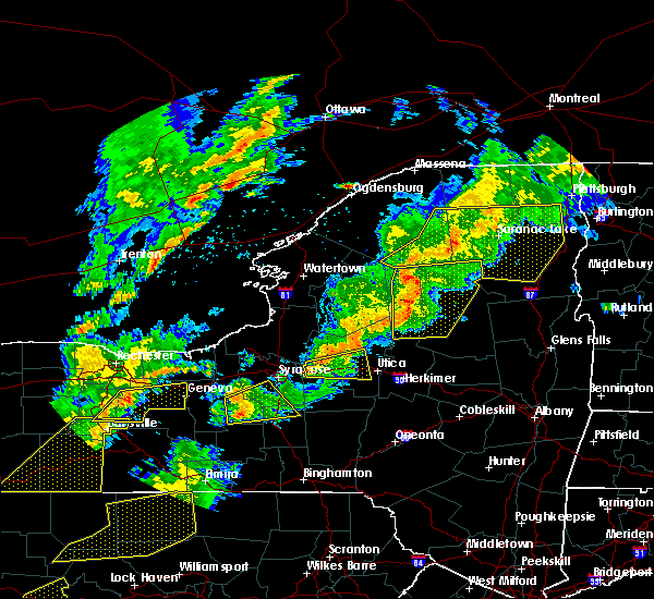 At 403 pm edt, severe thunderstorms were located along a line extending from near piercefield to near eagle bay to 6 miles south of mckeever, moving east at 35 mph (radar indicated). Hazards include 70 mph wind gusts and penny size hail. Expect considerable tree damage. damage is likely to mobile homes, roofs, and outbuildings. these severe storms will be near, brown tract pond campground and eighth lake campground around 415 pm edt. raquette lake around 420 pm edt. golden beach campground around 425 pm edt. forked lake public campground and blue mountain lake around 430 pm edt. other locations impacted by these severe thunderstorms include eagle nest, little rapids, beaver river, minnehaha, carter station, quaker beach, first lake, deerland, sabattis and partlow. A tornado watch remains in effect until 900 pm edt for eastern new york. At 403 pm edt, severe thunderstorms were located along a line extending from near piercefield to near eagle bay to 6 miles south of mckeever, moving east at 35 mph (radar indicated). Hazards include 70 mph wind gusts and penny size hail. Expect considerable tree damage. damage is likely to mobile homes, roofs, and outbuildings. these severe storms will be near, brown tract pond campground and eighth lake campground around 415 pm edt. raquette lake around 420 pm edt. golden beach campground around 425 pm edt. forked lake public campground and blue mountain lake around 430 pm edt. other locations impacted by these severe thunderstorms include eagle nest, little rapids, beaver river, minnehaha, carter station, quaker beach, first lake, deerland, sabattis and partlow. A tornado watch remains in effect until 900 pm edt for eastern new york.
|
| 8/22/2017 3:30 PM EDT |
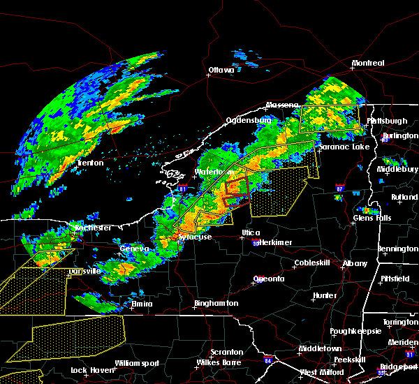 At 329 pm edt, severe thunderstorms were located along a line extending from near wanakena to 10 miles northwest of mckeever to 8 miles west of boonville, moving east at 35 mph (radar indicated). Hazards include 70 mph wind gusts and penny size hail. Expect considerable tree damage. damage is likely to mobile homes, roofs, and outbuildings. severe thunderstorms will be near, old forge and nicks lake campground around 350 pm edt. big moose and alger island public campground around 400 pm edt. inlet, eagle bay and limekiln lake campground around 405 pm edt. mckeever around 410 pm edt. eighth lake campground around 415 pm edt. raquette lake and brown tract pond campground around 420 pm edt. golden beach campground around 425 pm edt. forked lake public campground and blue mountain lake around 430 pm edt. A tornado watch remains in effect until 900 pm edt for eastern new york. At 329 pm edt, severe thunderstorms were located along a line extending from near wanakena to 10 miles northwest of mckeever to 8 miles west of boonville, moving east at 35 mph (radar indicated). Hazards include 70 mph wind gusts and penny size hail. Expect considerable tree damage. damage is likely to mobile homes, roofs, and outbuildings. severe thunderstorms will be near, old forge and nicks lake campground around 350 pm edt. big moose and alger island public campground around 400 pm edt. inlet, eagle bay and limekiln lake campground around 405 pm edt. mckeever around 410 pm edt. eighth lake campground around 415 pm edt. raquette lake and brown tract pond campground around 420 pm edt. golden beach campground around 425 pm edt. forked lake public campground and blue mountain lake around 430 pm edt. A tornado watch remains in effect until 900 pm edt for eastern new york.
|
| 8/12/2017 3:25 PM EDT |
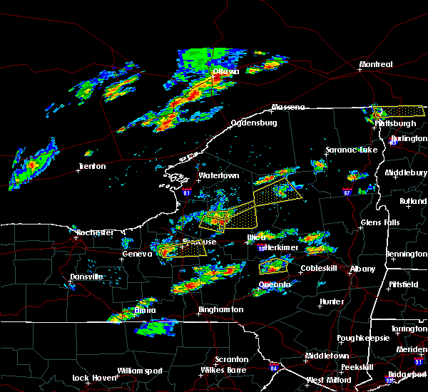 The severe thunderstorm warning for northwestern hamilton and northern herkimer counties will expire at 330 pm edt, the storm which prompted the warning has weakened below severe limits, and no longer poses an immediate threat to life or property. therefore the warning will be allowed to expire. however heavy rain is still possible with this thunderstorm. a severe thunderstorm watch remains in effect until 900 pm edt for eastern new york. The severe thunderstorm warning for northwestern hamilton and northern herkimer counties will expire at 330 pm edt, the storm which prompted the warning has weakened below severe limits, and no longer poses an immediate threat to life or property. therefore the warning will be allowed to expire. however heavy rain is still possible with this thunderstorm. a severe thunderstorm watch remains in effect until 900 pm edt for eastern new york.
|
| 8/12/2017 2:45 PM EDT |
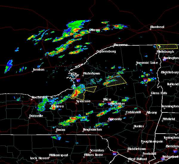 At 245 pm edt, a severe thunderstorm was located near mckeever, or 8 miles west of old forge, moving east at 30 mph (radar indicated). Hazards include 60 mph wind gusts and quarter size hail. Minor damage to vehicles is possible. expect wind damage to trees, and power lines. this severe thunderstorm will be near, old forge and nicks lake campground around 300 pm edt. alger island public campground and big moose around 315 pm edt. inlet, eagle bay and limekiln lake campground around 320 pm edt. brown tract pond campground, eighth lake campground, raquette lake and golden beach campground around 330 pm edt. Other locations impacted by this severe thunderstorm include hasbroucks, russian lake, beaver river, minnehaha, thendara, carter station, quaker beach, sagamore, woods and mountain lodge. At 245 pm edt, a severe thunderstorm was located near mckeever, or 8 miles west of old forge, moving east at 30 mph (radar indicated). Hazards include 60 mph wind gusts and quarter size hail. Minor damage to vehicles is possible. expect wind damage to trees, and power lines. this severe thunderstorm will be near, old forge and nicks lake campground around 300 pm edt. alger island public campground and big moose around 315 pm edt. inlet, eagle bay and limekiln lake campground around 320 pm edt. brown tract pond campground, eighth lake campground, raquette lake and golden beach campground around 330 pm edt. Other locations impacted by this severe thunderstorm include hasbroucks, russian lake, beaver river, minnehaha, thendara, carter station, quaker beach, sagamore, woods and mountain lodge.
|
| 8/4/2017 8:10 PM EDT |
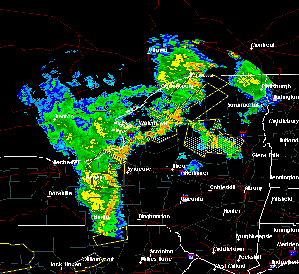 The severe thunderstorm warning for western hamilton and northeastern herkimer counties will expire at 815 pm edt, the storm which prompted the warning has weakened below severe limits, and no longer poses an immediate threat to life or property. therefore the warning will be allowed to expire. The severe thunderstorm warning for western hamilton and northeastern herkimer counties will expire at 815 pm edt, the storm which prompted the warning has weakened below severe limits, and no longer poses an immediate threat to life or property. therefore the warning will be allowed to expire.
|
| 8/4/2017 8:10 PM EDT |
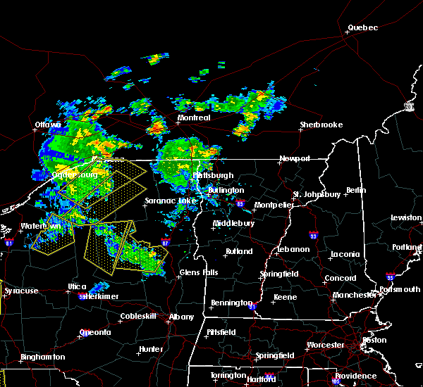 The severe thunderstorm warning for eastern hamilton and northwestern warren counties will expire at 815 pm edt, the storms which prompted the warning have weakened below severe limits, and no longer pose an immediate threat to life or property. therefore the warning will be allowed to expire. The severe thunderstorm warning for eastern hamilton and northwestern warren counties will expire at 815 pm edt, the storms which prompted the warning have weakened below severe limits, and no longer pose an immediate threat to life or property. therefore the warning will be allowed to expire.
|
| 8/4/2017 7:54 PM EDT |
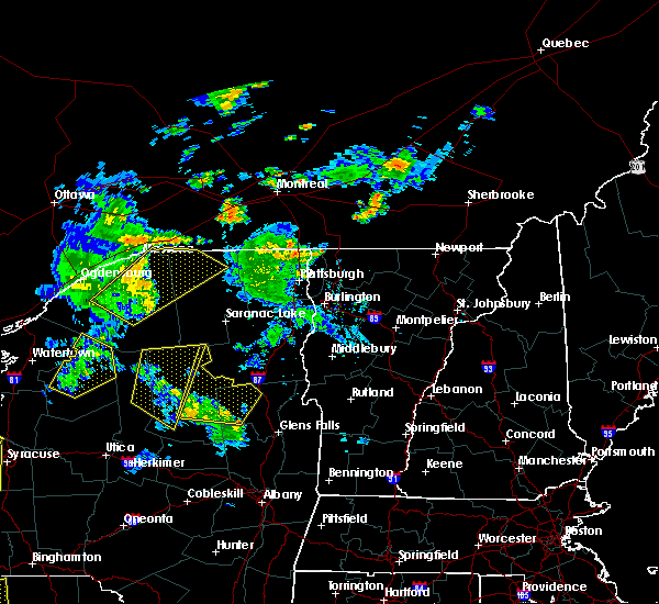 At 754 pm edt, severe thunderstorms were located along a line extending from lewey lake campground to 9 miles north of day center, moving northeast at 40 mph (radar indicated). Hazards include 60 mph wind gusts. Expect damage to trees, and power lines. these severe storms will be near, indian lake and johnsburg around 810 pm edt. chestertown, lake durant campground and north creek around 815 pm edt. Other locations impacted by these severe thunderstorms include byrnes corners, garnet lake, thurman, gilmantown, sodom, girards sugarbush, riparius, perkins clearing, edwards hill and christian hill. At 754 pm edt, severe thunderstorms were located along a line extending from lewey lake campground to 9 miles north of day center, moving northeast at 40 mph (radar indicated). Hazards include 60 mph wind gusts. Expect damage to trees, and power lines. these severe storms will be near, indian lake and johnsburg around 810 pm edt. chestertown, lake durant campground and north creek around 815 pm edt. Other locations impacted by these severe thunderstorms include byrnes corners, garnet lake, thurman, gilmantown, sodom, girards sugarbush, riparius, perkins clearing, edwards hill and christian hill.
|
| 8/4/2017 7:39 PM EDT |
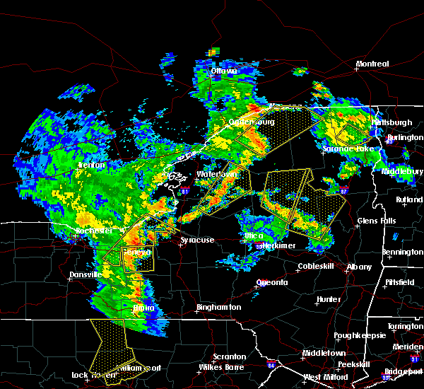 At 739 pm edt, a severe thunderstorm was located near limekiln lake campground, or 10 miles southeast of old forge, moving north at 45 mph (radar indicated). Hazards include 60 mph wind gusts and quarter size hail. Minor damage to vehicles is possible. expect wind damage to trees, and power lines. this severe storm will be near, limekiln lake campground around 745 pm edt. inlet, eagle bay and alger island public campground around 750 pm edt. eighth lake campground and brown tract pond campground around 755 pm edt. raquette lake and golden beach campground around 800 pm edt. Other locations impacted by this severe thunderstorm include eagle nest, little rapids, beaver river, quaker beach, first lake, deerland, sabattis, partlow, robinwood and sagamore. At 739 pm edt, a severe thunderstorm was located near limekiln lake campground, or 10 miles southeast of old forge, moving north at 45 mph (radar indicated). Hazards include 60 mph wind gusts and quarter size hail. Minor damage to vehicles is possible. expect wind damage to trees, and power lines. this severe storm will be near, limekiln lake campground around 745 pm edt. inlet, eagle bay and alger island public campground around 750 pm edt. eighth lake campground and brown tract pond campground around 755 pm edt. raquette lake and golden beach campground around 800 pm edt. Other locations impacted by this severe thunderstorm include eagle nest, little rapids, beaver river, quaker beach, first lake, deerland, sabattis, partlow, robinwood and sagamore.
|
| 8/4/2017 7:22 PM EDT |
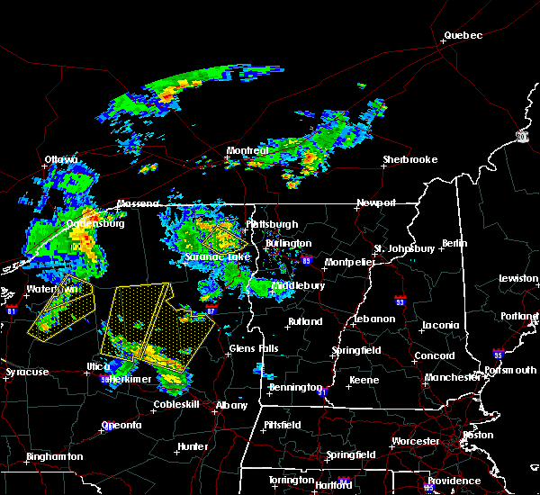 At 722 pm edt, severe thunderstorms were located along a line extending from 10 miles southwest of lake pleasant to near northampton beach public campground, moving north at 30 mph (radar indicated). Hazards include 60 mph wind gusts and quarter size hail. Minor damage to vehicles is possible. expect wind damage to trees, and power lines. severe thunderstorms will be near, edinburg around 730 pm edt. lake pleasant and sacandaga campground around 740 pm edt. wells and moffitt beach campground around 745 pm edt. speculator around 755 pm edt. lewey lake campground around 805 pm edt. indian lake and johnsburg around 815 pm edt. Other locations impacted by these severe thunderstorms include fairchilds corners, gilmantown, sodom, girards sugarbush, tenantville, perkins clearing, sweets crossing, clockmill corners, edwards hill and wevertown. At 722 pm edt, severe thunderstorms were located along a line extending from 10 miles southwest of lake pleasant to near northampton beach public campground, moving north at 30 mph (radar indicated). Hazards include 60 mph wind gusts and quarter size hail. Minor damage to vehicles is possible. expect wind damage to trees, and power lines. severe thunderstorms will be near, edinburg around 730 pm edt. lake pleasant and sacandaga campground around 740 pm edt. wells and moffitt beach campground around 745 pm edt. speculator around 755 pm edt. lewey lake campground around 805 pm edt. indian lake and johnsburg around 815 pm edt. Other locations impacted by these severe thunderstorms include fairchilds corners, gilmantown, sodom, girards sugarbush, tenantville, perkins clearing, sweets crossing, clockmill corners, edwards hill and wevertown.
|
| 8/4/2017 7:17 PM EDT |
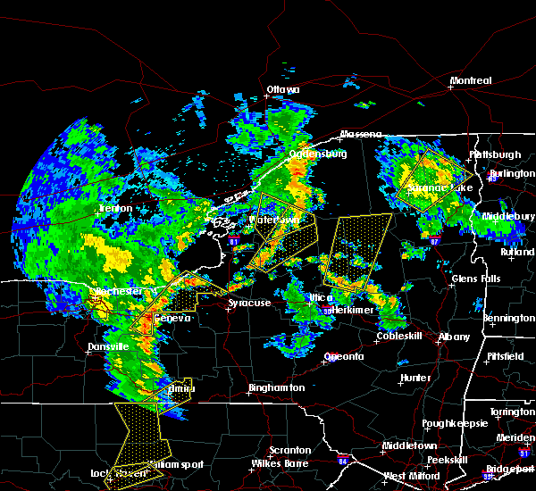 At 717 pm edt, a severe thunderstorm was located 8 miles northeast of ohio, or 22 miles south of old forge, moving north at 45 mph (radar indicated). Hazards include 60 mph wind gusts and quarter size hail. Minor damage to vehicles is possible. expect wind damage to trees, and power lines. this severe thunderstorm will be near, limekiln lake campground around 745 pm edt. inlet, eagle bay and alger island public campground around 750 pm edt. brown tract pond campground and eighth lake campground around 755 pm edt. raquette lake and golden beach campground around 800 pm edt. Other locations impacted by this severe thunderstorm include eagle nest, little rapids, beaver river, nobleboro, clockmill corners, carter station, quaker beach, first lake, deerland and sabattis. At 717 pm edt, a severe thunderstorm was located 8 miles northeast of ohio, or 22 miles south of old forge, moving north at 45 mph (radar indicated). Hazards include 60 mph wind gusts and quarter size hail. Minor damage to vehicles is possible. expect wind damage to trees, and power lines. this severe thunderstorm will be near, limekiln lake campground around 745 pm edt. inlet, eagle bay and alger island public campground around 750 pm edt. brown tract pond campground and eighth lake campground around 755 pm edt. raquette lake and golden beach campground around 800 pm edt. Other locations impacted by this severe thunderstorm include eagle nest, little rapids, beaver river, nobleboro, clockmill corners, carter station, quaker beach, first lake, deerland and sabattis.
|
| 8/2/2017 5:56 PM EDT |
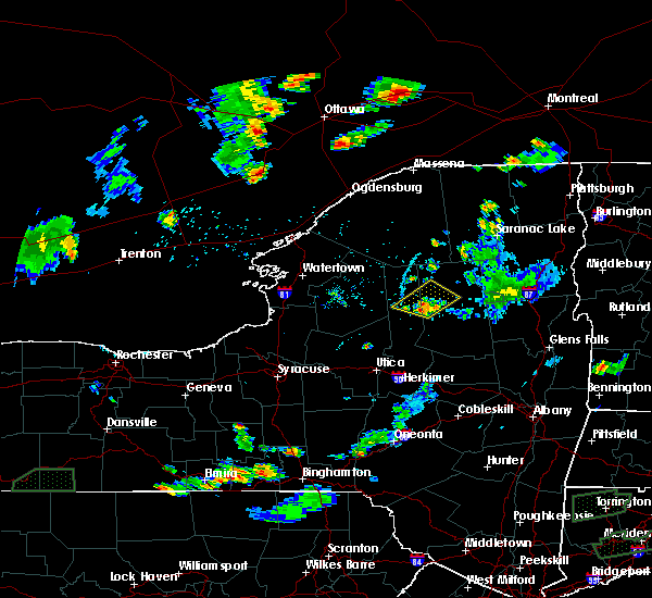 At 555 pm edt, a severe thunderstorm was located over limekiln lake campground, or 10 miles east of old forge, moving northeast at 25 mph (radar indicated). Hazards include 60 mph wind gusts and quarter size hail. Minor damage to vehicles is possible. expect wind damage to trees, and power lines. this severe storm will be near, eighth lake campground around 610 pm edt. brown tract pond campground around 615 pm edt. raquette lake around 620 pm edt. golden beach campground around 625 pm edt. Other locations impacted by this severe thunderstorm include hasbroucks, russian lake, sagamore, thendara, carter station, mountain lodge, quaker beach, sagamore lake and kamp kill kare. At 555 pm edt, a severe thunderstorm was located over limekiln lake campground, or 10 miles east of old forge, moving northeast at 25 mph (radar indicated). Hazards include 60 mph wind gusts and quarter size hail. Minor damage to vehicles is possible. expect wind damage to trees, and power lines. this severe storm will be near, eighth lake campground around 610 pm edt. brown tract pond campground around 615 pm edt. raquette lake around 620 pm edt. golden beach campground around 625 pm edt. Other locations impacted by this severe thunderstorm include hasbroucks, russian lake, sagamore, thendara, carter station, mountain lodge, quaker beach, sagamore lake and kamp kill kare.
|
| 8/2/2017 5:35 PM EDT |
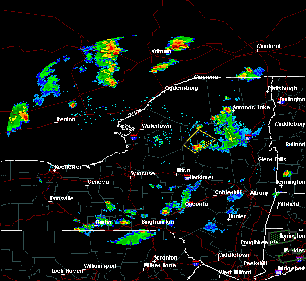 At 535 pm edt, a severe thunderstorm was located near nicks lake campground, or near old forge, moving northeast at 25 mph (radar indicated). Hazards include 60 mph wind gusts and quarter size hail. Minor damage to vehicles is possible. expect wind damage to trees, and power lines. this severe thunderstorm will be near, old forge around 545 pm edt. limekiln lake campground and alger island public campground around 555 pm edt. inlet, eagle bay and big moose around 600 pm edt. eighth lake campground around 610 pm edt. brown tract pond campground around 615 pm edt. raquette lake around 620 pm edt. golden beach campground around 625 pm edt. Other locations impacted by this severe thunderstorm include hasbroucks, russian lake, sagamore, minnehaha, thendara, carter station, mountain lodge, quaker beach, sagamore lake and first lake. At 535 pm edt, a severe thunderstorm was located near nicks lake campground, or near old forge, moving northeast at 25 mph (radar indicated). Hazards include 60 mph wind gusts and quarter size hail. Minor damage to vehicles is possible. expect wind damage to trees, and power lines. this severe thunderstorm will be near, old forge around 545 pm edt. limekiln lake campground and alger island public campground around 555 pm edt. inlet, eagle bay and big moose around 600 pm edt. eighth lake campground around 610 pm edt. brown tract pond campground around 615 pm edt. raquette lake around 620 pm edt. golden beach campground around 625 pm edt. Other locations impacted by this severe thunderstorm include hasbroucks, russian lake, sagamore, minnehaha, thendara, carter station, mountain lodge, quaker beach, sagamore lake and first lake.
|
| 7/17/2017 1:31 PM EDT |
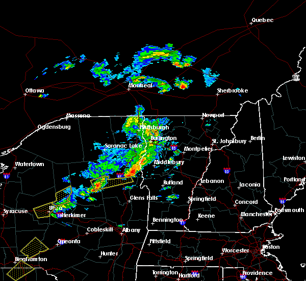 At 131 pm edt, a severe thunderstorm was located near lewey lake campground, or 7 miles northeast of speculator, moving east at 30 mph (radar indicated). Hazards include 60 mph wind gusts and quarter size hail. Minor damage to vehicles is possible. expect wind damage to trees, and power lines. this severe thunderstorm will be near, johnsburg and north creek around 200 pm edt. scaroon manor public campground and eagle point campground around 225 pm edt. Other locations impacted by this severe thunderstorm include byrnes corners, sodom, starbuckville, riparius, edwards hill, christian hill, wevertown, pottersville, holcombville and north river. At 131 pm edt, a severe thunderstorm was located near lewey lake campground, or 7 miles northeast of speculator, moving east at 30 mph (radar indicated). Hazards include 60 mph wind gusts and quarter size hail. Minor damage to vehicles is possible. expect wind damage to trees, and power lines. this severe thunderstorm will be near, johnsburg and north creek around 200 pm edt. scaroon manor public campground and eagle point campground around 225 pm edt. Other locations impacted by this severe thunderstorm include byrnes corners, sodom, starbuckville, riparius, edwards hill, christian hill, wevertown, pottersville, holcombville and north river.
|
| 7/17/2017 1:10 PM EDT | Quarter sized hail reported 2.6 miles SE of Speculator, NY, also reported trees down at mason lake. |
| 7/17/2017 12:59 PM EDT |
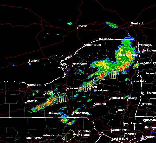 At 1259 pm edt, a severe thunderstorm was located near speculator, moving east at 25 mph (radar indicated). Hazards include 60 mph wind gusts and quarter size hail. Minor damage to vehicles is possible. expect wind damage to trees, and power lines. this severe storm will be near, moffitt beach campground around 105 pm edt. lewey lake campground around 115 pm edt. speculator around 120 pm edt. Other locations impacted by this severe thunderstorm include perkins clearing and sled harbor. At 1259 pm edt, a severe thunderstorm was located near speculator, moving east at 25 mph (radar indicated). Hazards include 60 mph wind gusts and quarter size hail. Minor damage to vehicles is possible. expect wind damage to trees, and power lines. this severe storm will be near, moffitt beach campground around 105 pm edt. lewey lake campground around 115 pm edt. speculator around 120 pm edt. Other locations impacted by this severe thunderstorm include perkins clearing and sled harbor.
|
| 7/17/2017 12:29 PM EDT |
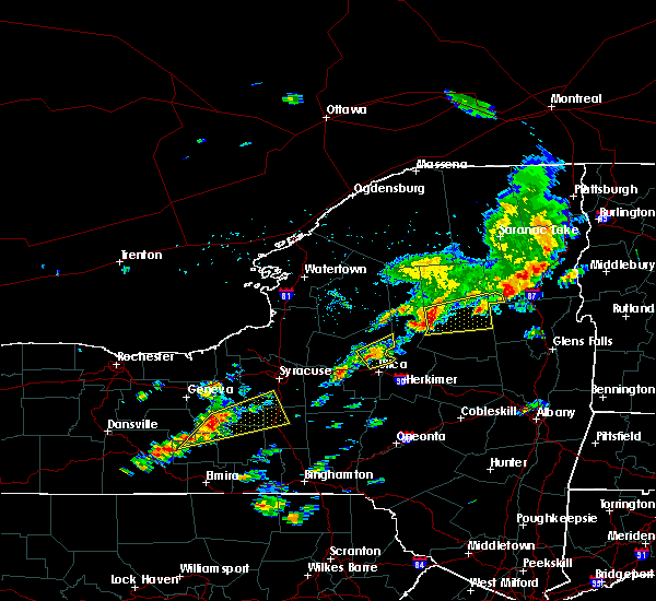 At 1229 pm edt, a severe thunderstorm was located 11 miles southeast of limekiln lake campground, or 16 miles southeast of old forge, moving east at 30 mph (radar indicated). Hazards include 60 mph wind gusts and quarter size hail. Minor damage to vehicles is possible. expect wind damage to trees, and power lines. this severe thunderstorm will be near, lewey lake campground around 105 pm edt. speculator around 110 pm edt. Other locations impacted by this severe thunderstorm include caswell lake, sled harbor, sabael, perkins clearing and west canada lakes. At 1229 pm edt, a severe thunderstorm was located 11 miles southeast of limekiln lake campground, or 16 miles southeast of old forge, moving east at 30 mph (radar indicated). Hazards include 60 mph wind gusts and quarter size hail. Minor damage to vehicles is possible. expect wind damage to trees, and power lines. this severe thunderstorm will be near, lewey lake campground around 105 pm edt. speculator around 110 pm edt. Other locations impacted by this severe thunderstorm include caswell lake, sled harbor, sabael, perkins clearing and west canada lakes.
|
| 7/17/2017 7:03 AM EDT |
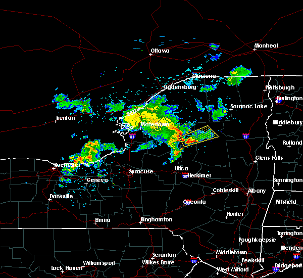 At 703 am edt, a severe thunderstorm was located over brown tract pond campground, or 13 miles northeast of old forge, moving northeast at 40 mph (radar indicated). Hazards include 60 mph wind gusts and quarter size hail. Minor damage to vehicles is possible. expect wind damage to trees, and power lines. this severe storm will be near, golden beach campground around 715 am edt. forked lake public campground around 720 am edt. blue mountain lake around 725 am edt. Other locations impacted by this severe thunderstorm include hasbroucks, russian lake, eagle nest, minnehaha, thendara, carter station, quaker beach, sagamore, woods and mountain lodge. At 703 am edt, a severe thunderstorm was located over brown tract pond campground, or 13 miles northeast of old forge, moving northeast at 40 mph (radar indicated). Hazards include 60 mph wind gusts and quarter size hail. Minor damage to vehicles is possible. expect wind damage to trees, and power lines. this severe storm will be near, golden beach campground around 715 am edt. forked lake public campground around 720 am edt. blue mountain lake around 725 am edt. Other locations impacted by this severe thunderstorm include hasbroucks, russian lake, eagle nest, minnehaha, thendara, carter station, quaker beach, sagamore, woods and mountain lodge.
|
| 7/17/2017 6:33 AM EDT |
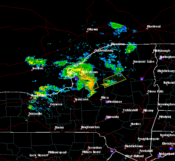 At 633 am edt, a severe thunderstorm was located over mckeever, or 7 miles southwest of old forge, moving northeast at 40 mph (radar indicated). Hazards include 60 mph wind gusts and quarter size hail. Minor damage to vehicles is possible. expect wind damage to trees, and power lines. this severe thunderstorm will be near, nicks lake campground around 640 am edt. old forge around 645 am edt. alger island public campground around 650 am edt. inlet, eagle bay, limekiln lake campground and big moose around 655 am edt. brown tract pond campground and eighth lake campground around 705 am edt. raquette lake around 710 am edt. golden beach campground around 715 am edt. forked lake public campground and blue mountain lake around 725 am edt. Other locations impacted by this severe thunderstorm include hasbroucks, russian lake, eagle nest, minnehaha, thendara, carter station, quaker beach, first lake, sagamore and wolf lake landing. At 633 am edt, a severe thunderstorm was located over mckeever, or 7 miles southwest of old forge, moving northeast at 40 mph (radar indicated). Hazards include 60 mph wind gusts and quarter size hail. Minor damage to vehicles is possible. expect wind damage to trees, and power lines. this severe thunderstorm will be near, nicks lake campground around 640 am edt. old forge around 645 am edt. alger island public campground around 650 am edt. inlet, eagle bay, limekiln lake campground and big moose around 655 am edt. brown tract pond campground and eighth lake campground around 705 am edt. raquette lake around 710 am edt. golden beach campground around 715 am edt. forked lake public campground and blue mountain lake around 725 am edt. Other locations impacted by this severe thunderstorm include hasbroucks, russian lake, eagle nest, minnehaha, thendara, carter station, quaker beach, first lake, sagamore and wolf lake landing.
|
| 7/12/2017 11:39 PM EDT |
 At 1138 pm edt, a severe thunderstorm was located 7 miles south of lake pleasant, or 15 miles south of speculator, moving east at 35 mph (radar indicated). Hazards include 60 mph wind gusts. Expect damage to trees, and power lines. this severe thunderstorm will be near, wells and sacandaga campground around 1155 pm edt. northville and northampton beach public campground around 1210 am edt. edinburg around 1215 am edt. day center around 1220 am edt. Other locations impacted by this severe thunderstorm include munsonville, tenantville, sweets crossing, shaw corners, pinnacle, barkersville, glenwild, whitehouse, wiley corners and conklingville. At 1138 pm edt, a severe thunderstorm was located 7 miles south of lake pleasant, or 15 miles south of speculator, moving east at 35 mph (radar indicated). Hazards include 60 mph wind gusts. Expect damage to trees, and power lines. this severe thunderstorm will be near, wells and sacandaga campground around 1155 pm edt. northville and northampton beach public campground around 1210 am edt. edinburg around 1215 am edt. day center around 1220 am edt. Other locations impacted by this severe thunderstorm include munsonville, tenantville, sweets crossing, shaw corners, pinnacle, barkersville, glenwild, whitehouse, wiley corners and conklingville.
|
| 7/12/2017 11:30 PM EDT | One tree down on county route 2 in hamilton county NY, 13.9 miles NE of Speculator, NY |
| 6/18/2017 7:41 PM EDT |
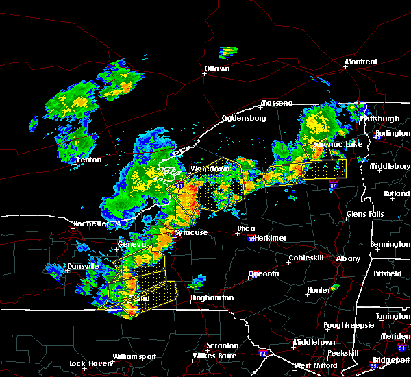 The severe thunderstorm warning for northwestern hamilton county will expire at 745 pm edt, the storm which prompted the warning has moved out of the area. therefore the warning will be allowed to expire. however heavy rain is still possible with additional thunderstorms. The severe thunderstorm warning for northwestern hamilton county will expire at 745 pm edt, the storm which prompted the warning has moved out of the area. therefore the warning will be allowed to expire. however heavy rain is still possible with additional thunderstorms.
|
| 6/18/2017 7:35 PM EDT |
 At 734 pm edt, a severe thunderstorm was located near lake eaton campground, or 8 miles west of newcomb, moving east at 40 mph (radar indicated). Hazards include 60 mph wind gusts and penny size hail. Expect damage to trees, and power lines. Locations impacted include, blue mountain lake, lake eaton campground, brown tract pond campground, forked lake public campground, raquette lake, lake durant campground, golden beach campground, long lake, hasbroucks, nehasane, russian lake, eagle nest, quaker beach, catlin lake, deerland, sabattis, robinwood, woods, little tupper lake and lake lila. At 734 pm edt, a severe thunderstorm was located near lake eaton campground, or 8 miles west of newcomb, moving east at 40 mph (radar indicated). Hazards include 60 mph wind gusts and penny size hail. Expect damage to trees, and power lines. Locations impacted include, blue mountain lake, lake eaton campground, brown tract pond campground, forked lake public campground, raquette lake, lake durant campground, golden beach campground, long lake, hasbroucks, nehasane, russian lake, eagle nest, quaker beach, catlin lake, deerland, sabattis, robinwood, woods, little tupper lake and lake lila.
|
| 6/18/2017 7:10 PM EDT |
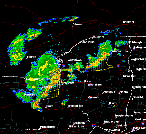 At 710 pm edt, severe thunderstorms were located along a line extending from near wawbeek to near lake eaton campground to near golden beach campground to alger island public campground, moving northeast at 50 mph (radar indicated). Hazards include 60 mph wind gusts and penny size hail. Expect damage to trees, and power lines. Locations impacted include, indian lake, speculator, old forge, inlet, blue mountain lake, lake eaton campground, brown tract pond campground, limekiln lake campground, big moose, nicks lake campground, lake durant campground, eighth lake campground, lewey lake campground, eagle bay, forked lake public campground, mckeever, raquette lake, golden beach campground, alger island public campground and long lake. At 710 pm edt, severe thunderstorms were located along a line extending from near wawbeek to near lake eaton campground to near golden beach campground to alger island public campground, moving northeast at 50 mph (radar indicated). Hazards include 60 mph wind gusts and penny size hail. Expect damage to trees, and power lines. Locations impacted include, indian lake, speculator, old forge, inlet, blue mountain lake, lake eaton campground, brown tract pond campground, limekiln lake campground, big moose, nicks lake campground, lake durant campground, eighth lake campground, lewey lake campground, eagle bay, forked lake public campground, mckeever, raquette lake, golden beach campground, alger island public campground and long lake.
|
| 6/18/2017 6:40 PM EDT |
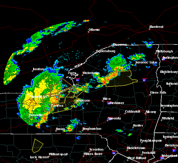 At 640 pm edt, severe thunderstorms were located along a line extending from near horseshoe lake to 9 miles north of brown tract pond campground to near nicks lake campground to near mckeever, moving east at 35 mph (radar indicated). Hazards include 60 mph wind gusts and penny size hail. Expect damage to trees, and power lines. severe thunderstorms will be near, forked lake public campground and big moose around 655 pm edt. eagle bay around 700 pm edt. inlet, limekiln lake campground, lake eaton campground and blue mountain lake around 705 pm edt. eighth lake campground around 710 pm edt. raquette lake and brown tract pond campground around 715 pm edt. golden beach campground around 720 pm edt. lake durant campground around 740 pm edt. indian lake and lewey lake campground around 745 pm edt. Other locations impacted by these severe thunderstorms include eagle nest, little rapids, beaver river, minnehaha, carter station, quaker beach, first lake, deerland, sabattis and partlow. At 640 pm edt, severe thunderstorms were located along a line extending from near horseshoe lake to 9 miles north of brown tract pond campground to near nicks lake campground to near mckeever, moving east at 35 mph (radar indicated). Hazards include 60 mph wind gusts and penny size hail. Expect damage to trees, and power lines. severe thunderstorms will be near, forked lake public campground and big moose around 655 pm edt. eagle bay around 700 pm edt. inlet, limekiln lake campground, lake eaton campground and blue mountain lake around 705 pm edt. eighth lake campground around 710 pm edt. raquette lake and brown tract pond campground around 715 pm edt. golden beach campground around 720 pm edt. lake durant campground around 740 pm edt. indian lake and lewey lake campground around 745 pm edt. Other locations impacted by these severe thunderstorms include eagle nest, little rapids, beaver river, minnehaha, carter station, quaker beach, first lake, deerland, sabattis and partlow.
|
| 5/18/2017 7:11 PM EDT | Quarter sized hail reported 15 miles SSW of Speculator, NY |
| 5/18/2017 7:09 PM EDT | Ping Pong Ball sized hail reported 15.7 miles SSW of Speculator, NY |
| 5/18/2017 6:56 PM EDT |
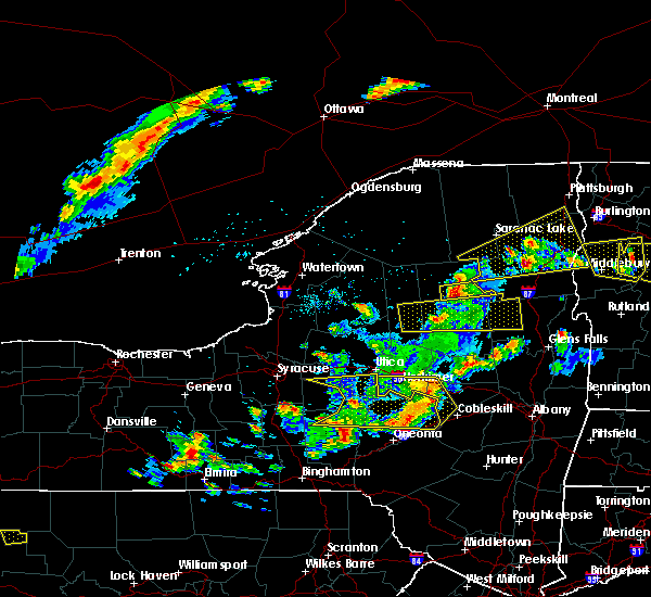 At 656 pm edt, a severe thunderstorm was located near golden beach campground, or 12 miles west of indian lake, moving east at 50 mph (radar indicated). Hazards include 60 mph wind gusts and quarter size hail. Hail damage to vehicles is expected. expect wind damage to roofs, siding, and trees. this severe storm will be near, blue mountain lake around 700 pm edt. lake durant campground around 705 pm edt. indian lake around 710 pm edt. Other locations impacted by this severe thunderstorm include eagle nest and kamp kill kare. At 656 pm edt, a severe thunderstorm was located near golden beach campground, or 12 miles west of indian lake, moving east at 50 mph (radar indicated). Hazards include 60 mph wind gusts and quarter size hail. Hail damage to vehicles is expected. expect wind damage to roofs, siding, and trees. this severe storm will be near, blue mountain lake around 700 pm edt. lake durant campground around 705 pm edt. indian lake around 710 pm edt. Other locations impacted by this severe thunderstorm include eagle nest and kamp kill kare.
|
| 5/18/2017 6:43 PM EDT |
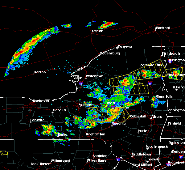 At 642 pm edt, a severe thunderstorm was located 9 miles southeast of nicks lake campground, or 11 miles south of old forge, moving east at 45 mph (radar indicated). Hazards include 60 mph wind gusts and quarter size hail. Hail damage to vehicles is expected. expect wind damage to roofs, siding, and trees. this severe thunderstorm will be near, lake pleasant, moffitt beach campground and lewey lake campground around 715 pm edt. speculator around 720 pm edt. Other locations impacted by this severe thunderstorm include sodom, girards sugarbush, perkins clearing, edwards hill, wevertown, holcombville, first lake, north river, byrnes corners and garnet lake. At 642 pm edt, a severe thunderstorm was located 9 miles southeast of nicks lake campground, or 11 miles south of old forge, moving east at 45 mph (radar indicated). Hazards include 60 mph wind gusts and quarter size hail. Hail damage to vehicles is expected. expect wind damage to roofs, siding, and trees. this severe thunderstorm will be near, lake pleasant, moffitt beach campground and lewey lake campground around 715 pm edt. speculator around 720 pm edt. Other locations impacted by this severe thunderstorm include sodom, girards sugarbush, perkins clearing, edwards hill, wevertown, holcombville, first lake, north river, byrnes corners and garnet lake.
|
| 5/18/2017 6:17 PM EDT |
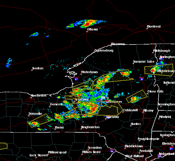 At 617 pm edt, a severe thunderstorm was located 7 miles west of big moose, or 9 miles northwest of old forge, moving east at 40 mph (radar indicated). Hazards include 60 mph wind gusts and quarter size hail. Hail damage to vehicles is expected. expect wind damage to roofs, siding, and trees. this severe thunderstorm will be near, big moose and alger island public campground around 630 pm edt. inlet and eagle bay around 635 pm edt. eighth lake campground around 640 pm edt. brown tract pond campground and raquette lake around 645 pm edt. golden beach campground around 650 pm edt. forked lake public campground around 655 pm edt. blue mountain lake, lake durant campground and lake eaton campground around 705 pm edt. Other locations impacted by this severe thunderstorm include hasbroucks, nehasane, russian lake, eagle nest, little rapids, beaver river, carter station, quaker beach, lyon lake and catlin lake. At 617 pm edt, a severe thunderstorm was located 7 miles west of big moose, or 9 miles northwest of old forge, moving east at 40 mph (radar indicated). Hazards include 60 mph wind gusts and quarter size hail. Hail damage to vehicles is expected. expect wind damage to roofs, siding, and trees. this severe thunderstorm will be near, big moose and alger island public campground around 630 pm edt. inlet and eagle bay around 635 pm edt. eighth lake campground around 640 pm edt. brown tract pond campground and raquette lake around 645 pm edt. golden beach campground around 650 pm edt. forked lake public campground around 655 pm edt. blue mountain lake, lake durant campground and lake eaton campground around 705 pm edt. Other locations impacted by this severe thunderstorm include hasbroucks, nehasane, russian lake, eagle nest, little rapids, beaver river, carter station, quaker beach, lyon lake and catlin lake.
|
| 5/1/2017 8:39 PM EDT |
 At 839 pm edt, severe thunderstorms were located along a line extending from 7 miles east of speculator to near richfield springs, moving east at 35 mph (radar indicated). Hazards include 60 mph wind gusts. Expect damage to roofs, siding, and trees. these severe storms will be near, canajoharie, fort plain and ames around 910 pm edt. warrensburg around 915 pm edt. Other locations impacted by these severe thunderstorms include meco, charleston, spinnerville, glenwild, whitehouse, wiley corners, mindenville, kelhi corners, ripple corners and garnet lake. At 839 pm edt, severe thunderstorms were located along a line extending from 7 miles east of speculator to near richfield springs, moving east at 35 mph (radar indicated). Hazards include 60 mph wind gusts. Expect damage to roofs, siding, and trees. these severe storms will be near, canajoharie, fort plain and ames around 910 pm edt. warrensburg around 915 pm edt. Other locations impacted by these severe thunderstorms include meco, charleston, spinnerville, glenwild, whitehouse, wiley corners, mindenville, kelhi corners, ripple corners and garnet lake.
|
| 5/1/2017 8:31 PM EDT |
 At 831 pm edt, severe thunderstorms were located along a line extending from near speculator to near richfield springs, moving east at 35 mph (radar indicated). Hazards include 60 mph wind gusts. Expect damage to roofs, siding, and trees. severe thunderstorms will be near, speculator around 835 pm edt. fort plain and ames around 905 pm edt. canajoharie around 910 pm edt. warrensburg around 915 pm edt. Other locations impacted by these severe thunderstorms include meco, charleston, spinnerville, countryman, glenwild, whitehouse, wiley corners, south ilion, mindenville and kelhi corners. At 831 pm edt, severe thunderstorms were located along a line extending from near speculator to near richfield springs, moving east at 35 mph (radar indicated). Hazards include 60 mph wind gusts. Expect damage to roofs, siding, and trees. severe thunderstorms will be near, speculator around 835 pm edt. fort plain and ames around 905 pm edt. canajoharie around 910 pm edt. warrensburg around 915 pm edt. Other locations impacted by these severe thunderstorms include meco, charleston, spinnerville, countryman, glenwild, whitehouse, wiley corners, south ilion, mindenville and kelhi corners.
|
| 5/1/2017 8:25 PM EDT | Tree down in the village in hamilton county NY, 0.2 miles SSE of Speculator, NY |
| 5/1/2017 8:13 PM EDT |
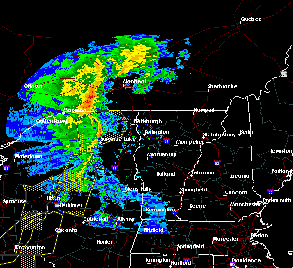 At 813 pm edt, severe thunderstorms were located along a line extending from 9 miles south of wawbeek to near lake durant campground to 10 miles west of speculator, moving east at 50 mph (radar indicated). Hazards include 60 mph wind gusts. Expect damage to roofs, siding, and trees. severe thunderstorms will be near, indian lake around 825 pm edt. johnsburg, scaroon manor public campground, eagle point campground and north creek around 850 pm edt. warrensburg and chestertown around 900 pm edt. hague, rogers rock campground and bolton landing around 910 pm edt. huletts landing around 915 pm edt. Other locations impacted by these severe thunderstorms include shelving rock, sodom, starbuckville, edwards hill, wevertown, pottersville, holcombville, north river, sabbath day point and south horicon. At 813 pm edt, severe thunderstorms were located along a line extending from 9 miles south of wawbeek to near lake durant campground to 10 miles west of speculator, moving east at 50 mph (radar indicated). Hazards include 60 mph wind gusts. Expect damage to roofs, siding, and trees. severe thunderstorms will be near, indian lake around 825 pm edt. johnsburg, scaroon manor public campground, eagle point campground and north creek around 850 pm edt. warrensburg and chestertown around 900 pm edt. hague, rogers rock campground and bolton landing around 910 pm edt. huletts landing around 915 pm edt. Other locations impacted by these severe thunderstorms include shelving rock, sodom, starbuckville, edwards hill, wevertown, pottersville, holcombville, north river, sabbath day point and south horicon.
|
| 5/1/2017 8:11 PM EDT |
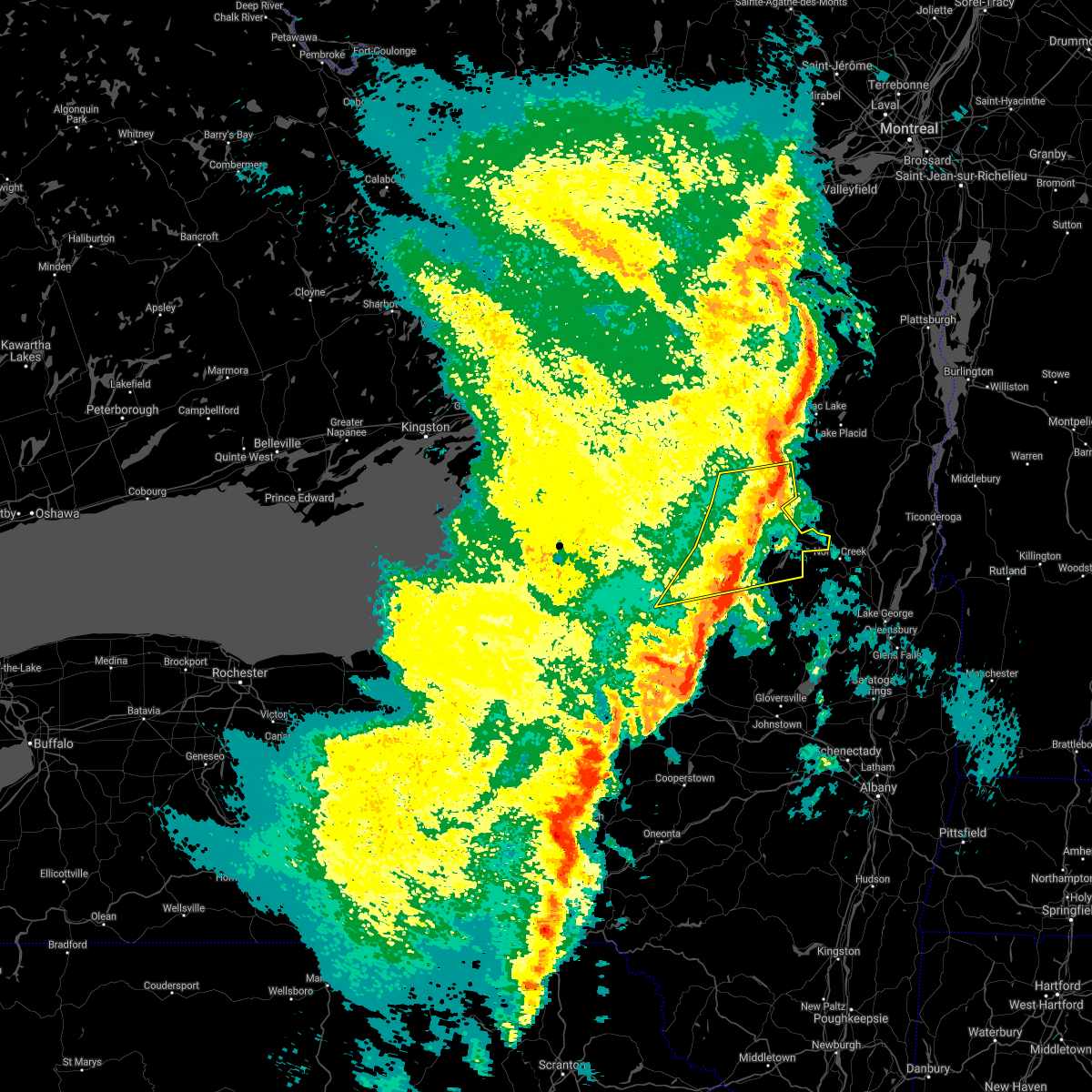 The severe thunderstorm warning for northern hamilton and central herkimer counties will expire at 815 pm edt, the storms which prompted the warning have weakened therefore, the warning will be allowed to expire. however heavy rain is still possible with these thunderstorms. a severe thunderstorm watch remains in effect until midnight edt for eastern and east central new york. to report severe weather, contact your nearest law enforcement agency. they will relay your report to the national weather service albany. The severe thunderstorm warning for northern hamilton and central herkimer counties will expire at 815 pm edt, the storms which prompted the warning have weakened therefore, the warning will be allowed to expire. however heavy rain is still possible with these thunderstorms. a severe thunderstorm watch remains in effect until midnight edt for eastern and east central new york. to report severe weather, contact your nearest law enforcement agency. they will relay your report to the national weather service albany.
|
| 5/1/2017 8:10 PM EDT |
 At 809 pm edt, severe thunderstorms were located along a line extending from 11 miles west of lake pleasant to near cedarville, moving east at 40 mph (radar indicated). Hazards include 60 mph wind gusts. Expect damage to roofs, siding, and trees. these severe storms will be near, speculator, st. johnsville, lake pleasant and moffitt beach campground around 830 pm edt. Other locations impacted by these severe thunderstorms include ingham mills, spinnerville, cedar lake, farrel corner, countryman, whitehouse, south ilion, mindenville, kelhi corners and chepachet. At 809 pm edt, severe thunderstorms were located along a line extending from 11 miles west of lake pleasant to near cedarville, moving east at 40 mph (radar indicated). Hazards include 60 mph wind gusts. Expect damage to roofs, siding, and trees. these severe storms will be near, speculator, st. johnsville, lake pleasant and moffitt beach campground around 830 pm edt. Other locations impacted by these severe thunderstorms include ingham mills, spinnerville, cedar lake, farrel corner, countryman, whitehouse, south ilion, mindenville, kelhi corners and chepachet.
|
| 5/1/2017 7:58 PM EDT |
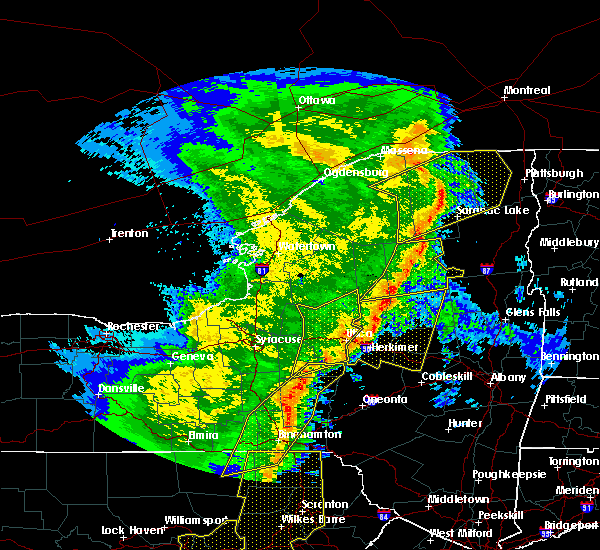 At 758 pm edt, severe thunderstorms were located along a line extending from tupper lake to near forked lake public campground to near limekiln lake campground, moving east at 45 mph (radar indicated). Hazards include 60 mph wind gusts. Expect damage to roofs, siding, and trees. Locations impacted include, indian lake, speculator, inlet, blue mountain lake, lake eaton campground, brown tract pond campground, limekiln lake campground, lake durant campground, eighth lake campground, lewey lake campground, eagle bay, forked lake public campground, raquette lake, golden beach campground, long lake, eagle nest, quaker beach, first lake, deerland and sagamore. At 758 pm edt, severe thunderstorms were located along a line extending from tupper lake to near forked lake public campground to near limekiln lake campground, moving east at 45 mph (radar indicated). Hazards include 60 mph wind gusts. Expect damage to roofs, siding, and trees. Locations impacted include, indian lake, speculator, inlet, blue mountain lake, lake eaton campground, brown tract pond campground, limekiln lake campground, lake durant campground, eighth lake campground, lewey lake campground, eagle bay, forked lake public campground, raquette lake, golden beach campground, long lake, eagle nest, quaker beach, first lake, deerland and sagamore.
|
| 5/1/2017 7:39 PM EDT |
 At 738 pm edt, severe thunderstorms were located along a line extending from near northwood to near solsville, moving east at 55 mph (radar indicated). Hazards include 60 mph wind gusts. Expect damage to roofs, siding, and trees. severe thunderstorms will be near, ohio and northwood around 745 pm edt. west winfield around 755 pm edt. cedarville around 800 pm edt. ilion, herkimer and mohawk around 805 pm edt. jordanville around 810 pm edt. little falls, lake pleasant and moffitt beach campground around 815 pm edt. speculator around 820 pm edt. canajoharie, fort plain and st. johnsville around 825 pm edt. Other locations impacted by these severe thunderstorms include ingham mills, spinnerville, cedar lake, farrel corner, countryman, whitehouse, south ilion, mindenville, kelhi corners and chepachet. At 738 pm edt, severe thunderstorms were located along a line extending from near northwood to near solsville, moving east at 55 mph (radar indicated). Hazards include 60 mph wind gusts. Expect damage to roofs, siding, and trees. severe thunderstorms will be near, ohio and northwood around 745 pm edt. west winfield around 755 pm edt. cedarville around 800 pm edt. ilion, herkimer and mohawk around 805 pm edt. jordanville around 810 pm edt. little falls, lake pleasant and moffitt beach campground around 815 pm edt. speculator around 820 pm edt. canajoharie, fort plain and st. johnsville around 825 pm edt. Other locations impacted by these severe thunderstorms include ingham mills, spinnerville, cedar lake, farrel corner, countryman, whitehouse, south ilion, mindenville, kelhi corners and chepachet.
|
| 5/1/2017 7:21 PM EDT |
 At 720 pm edt, severe thunderstorms were located along a line extending from 7 miles southwest of wanakena to 7 miles west of big moose to boonville, moving east at 45 mph (radar indicated). Hazards include 60 mph wind gusts. Expect damage to roofs, siding, and trees. severe thunderstorms will be near, big moose and alger island public campground around 730 pm edt. eagle bay around 735 pm edt. mckeever and brown tract pond campground around 740 pm edt. nicks lake campground and raquette lake around 745 pm edt. old forge around 750 pm edt. forked lake public campground around 755 pm edt. inlet, lake eaton campground, limekiln lake campground and blue mountain lake around 800 pm edt. eighth lake campground around 805 pm edt. Other locations impacted by these severe thunderstorms include eagle nest, little rapids, beaver river, minnehaha, carter station, quaker beach, first lake, deerland, sabattis and partlow. At 720 pm edt, severe thunderstorms were located along a line extending from 7 miles southwest of wanakena to 7 miles west of big moose to boonville, moving east at 45 mph (radar indicated). Hazards include 60 mph wind gusts. Expect damage to roofs, siding, and trees. severe thunderstorms will be near, big moose and alger island public campground around 730 pm edt. eagle bay around 735 pm edt. mckeever and brown tract pond campground around 740 pm edt. nicks lake campground and raquette lake around 745 pm edt. old forge around 750 pm edt. forked lake public campground around 755 pm edt. inlet, lake eaton campground, limekiln lake campground and blue mountain lake around 800 pm edt. eighth lake campground around 805 pm edt. Other locations impacted by these severe thunderstorms include eagle nest, little rapids, beaver river, minnehaha, carter station, quaker beach, first lake, deerland, sabattis and partlow.
|
| 9/11/2016 2:33 AM EDT |
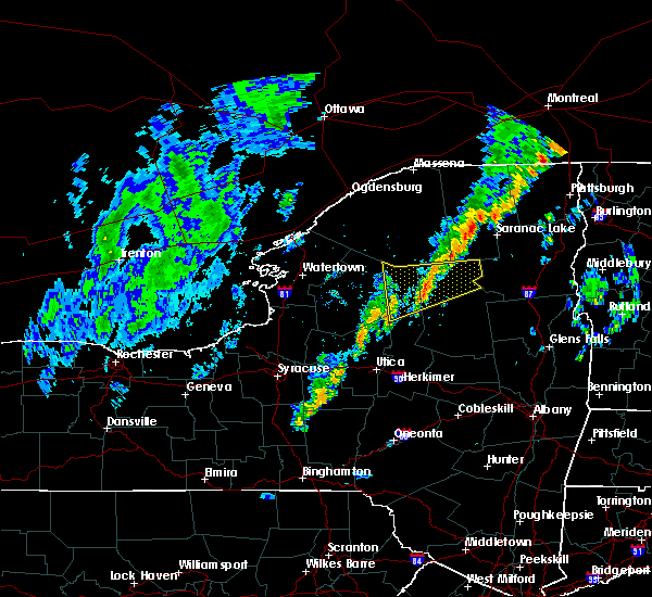 At 233 am edt, a severe thunderstorm was located near brown tract pond campground, or 17 miles northeast of old forge, moving northeast at 50 mph (radar indicated). Hazards include 60 mph wind gusts. Expect damage to roofs. siding. and trees. this severe storm will be near, forked lake public campground around 245 am edt. lake eaton campground around 250 am edt. Other locations impacted by this severe thunderstorm include keepawa, woods lake, brandreth, woods, minnehaha, partlow, beaver river, deerland, hasbroucks and catlin lake. At 233 am edt, a severe thunderstorm was located near brown tract pond campground, or 17 miles northeast of old forge, moving northeast at 50 mph (radar indicated). Hazards include 60 mph wind gusts. Expect damage to roofs. siding. and trees. this severe storm will be near, forked lake public campground around 245 am edt. lake eaton campground around 250 am edt. Other locations impacted by this severe thunderstorm include keepawa, woods lake, brandreth, woods, minnehaha, partlow, beaver river, deerland, hasbroucks and catlin lake.
|
| 9/11/2016 2:01 AM EDT |
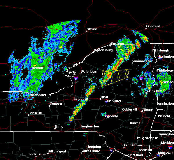 The national weather service in albany has issued a * severe thunderstorm warning for. northern herkimer county in eastern new york. northwestern hamilton county in eastern new york. until 300 am edt * at 200 am edt. Severe thunderstorms were located along a line. The national weather service in albany has issued a * severe thunderstorm warning for. northern herkimer county in eastern new york. northwestern hamilton county in eastern new york. until 300 am edt * at 200 am edt. Severe thunderstorms were located along a line.
|
| 9/8/2016 4:27 PM EDT |
 The severe thunderstorm warning for central herkimer and hamilton counties will expire at 430 pm edt. the storms which prompted the warning have weakened below severe limits. and no longer pose an immediate threat to life or property. therefore. the warning will be allowed to expire. However heavy rain is still possible with these thunderstorms. The severe thunderstorm warning for central herkimer and hamilton counties will expire at 430 pm edt. the storms which prompted the warning have weakened below severe limits. and no longer pose an immediate threat to life or property. therefore. the warning will be allowed to expire. However heavy rain is still possible with these thunderstorms.
|
| 9/8/2016 4:00 PM EDT |
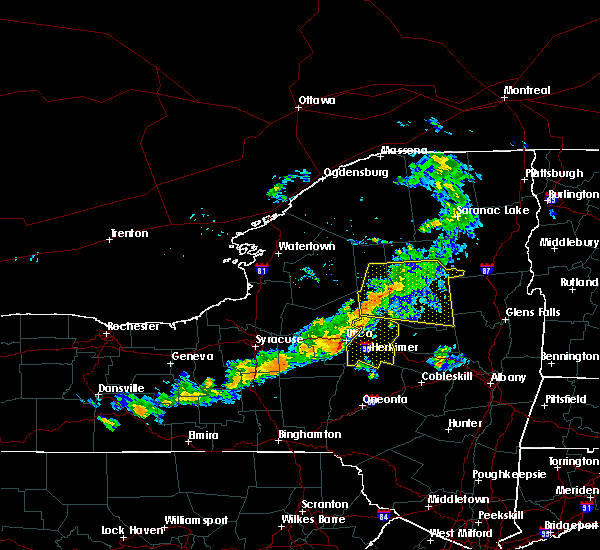 At 400 pm edt, severe thunderstorms were located along a line extending from golden beach campground to 11 miles southeast of eighth lake campground to 8 miles north of ohio, moving east at 30 mph (radar indicated). Hazards include 60 mph wind gusts. Expect damage to roofs. siding. and trees. these severe storms will be near, golden beach campground around 405 pm edt. blue mountain lake around 410 pm edt. lake durant campground around 420 pm edt. lewey lake campground around 425 pm edt. Indian lake and speculator around 430 pm edt. At 400 pm edt, severe thunderstorms were located along a line extending from golden beach campground to 11 miles southeast of eighth lake campground to 8 miles north of ohio, moving east at 30 mph (radar indicated). Hazards include 60 mph wind gusts. Expect damage to roofs. siding. and trees. these severe storms will be near, golden beach campground around 405 pm edt. blue mountain lake around 410 pm edt. lake durant campground around 420 pm edt. lewey lake campground around 425 pm edt. Indian lake and speculator around 430 pm edt.
|
| 9/8/2016 3:22 PM EDT |
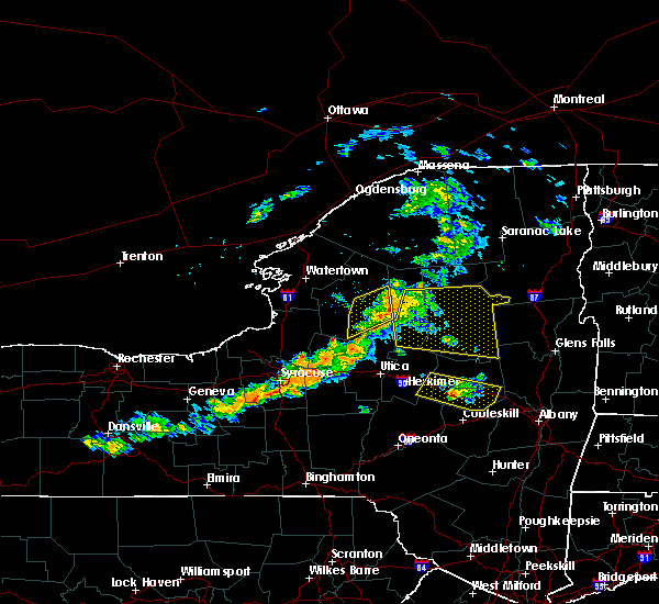 At 321 pm edt, severe thunderstorms were located along a line extending from big moose to near nicks lake campground to near forestport, moving east at 30 mph (radar indicated). Hazards include 60 mph wind gusts. Expect damage to roofs. siding. and trees. severe thunderstorms will be near, old forge, big moose, alger island public campground and nicks lake campground around 325 pm edt. eagle bay around 330 pm edt. inlet and limekiln lake campground around 335 pm edt. brown tract pond campground and eighth lake campground around 345 pm edt. raquette lake around 350 pm edt. golden beach campground around 355 pm edt. blue mountain lake around 410 pm edt. lake durant campground around 420 pm edt. Other locations impacted by these severe thunderstorms include woods lake, woods, perkins clearing, girards sugarbush, west canada lakes, mountain home, sabael, maple grove, clockmill corners and hasbroucks. At 321 pm edt, severe thunderstorms were located along a line extending from big moose to near nicks lake campground to near forestport, moving east at 30 mph (radar indicated). Hazards include 60 mph wind gusts. Expect damage to roofs. siding. and trees. severe thunderstorms will be near, old forge, big moose, alger island public campground and nicks lake campground around 325 pm edt. eagle bay around 330 pm edt. inlet and limekiln lake campground around 335 pm edt. brown tract pond campground and eighth lake campground around 345 pm edt. raquette lake around 350 pm edt. golden beach campground around 355 pm edt. blue mountain lake around 410 pm edt. lake durant campground around 420 pm edt. Other locations impacted by these severe thunderstorms include woods lake, woods, perkins clearing, girards sugarbush, west canada lakes, mountain home, sabael, maple grove, clockmill corners and hasbroucks.
|
| 8/16/2016 9:15 PM EDT |
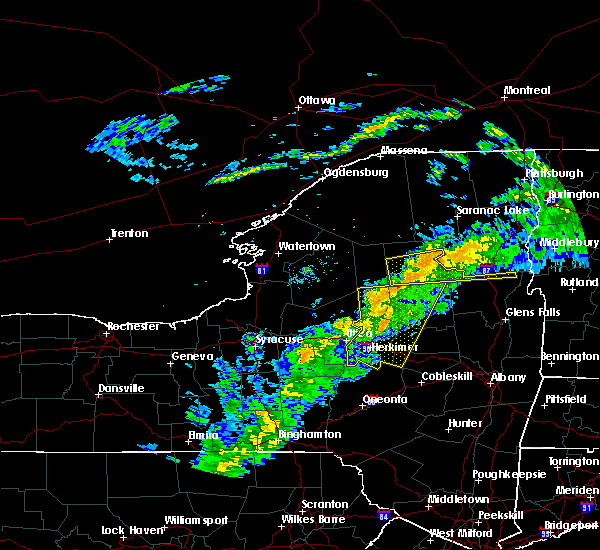 At 914 pm edt, severe thunderstorms were located along a line extending from 6 miles west of lewey lake campground to ilion, moving east at 45 mph (radar indicated). Hazards include 60 mph wind gusts. Expect damage to roofs. siding. and trees. these severe storms will be near, lewey lake campground around 925 pm edt. Other locations impacted by these severe thunderstorms include fical corners, emmonsburg, fairview corners, dempster corners, west canada lakes, mountain home, goodell corners, wilmurt corners, irish settlement and old city. At 914 pm edt, severe thunderstorms were located along a line extending from 6 miles west of lewey lake campground to ilion, moving east at 45 mph (radar indicated). Hazards include 60 mph wind gusts. Expect damage to roofs. siding. and trees. these severe storms will be near, lewey lake campground around 925 pm edt. Other locations impacted by these severe thunderstorms include fical corners, emmonsburg, fairview corners, dempster corners, west canada lakes, mountain home, goodell corners, wilmurt corners, irish settlement and old city.
|
| 8/16/2016 9:00 PM EDT |
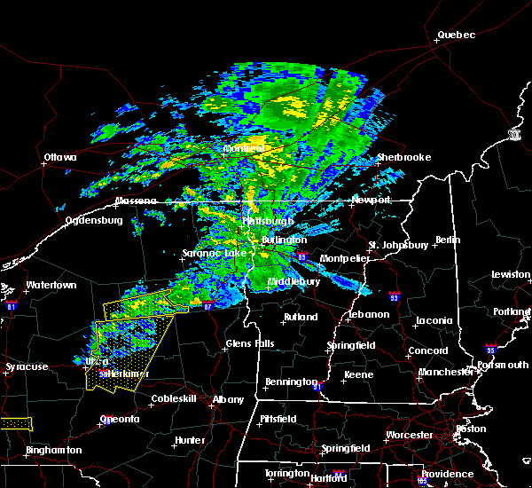 At 859 pm edt, a severe thunderstorm was located over eighth lake campground, or 13 miles east of old forge, moving east at 55 mph (radar indicated). Hazards include 60 mph wind gusts. Expect damage to roofs. siding. and trees. this severe thunderstorm will be near, golden beach campground around 910 pm edt. blue mountain lake and forked lake public campground around 915 pm edt. lake durant campground around 920 pm edt. indian lake around 925 pm edt. Other locations impacted by this severe thunderstorm include graphite, sagamore lake, christian hill, woods, igerna, byrnes corners, pottersville, sabael, adirondack and deerland. At 859 pm edt, a severe thunderstorm was located over eighth lake campground, or 13 miles east of old forge, moving east at 55 mph (radar indicated). Hazards include 60 mph wind gusts. Expect damage to roofs. siding. and trees. this severe thunderstorm will be near, golden beach campground around 910 pm edt. blue mountain lake and forked lake public campground around 915 pm edt. lake durant campground around 920 pm edt. indian lake around 925 pm edt. Other locations impacted by this severe thunderstorm include graphite, sagamore lake, christian hill, woods, igerna, byrnes corners, pottersville, sabael, adirondack and deerland.
|
| 8/16/2016 8:49 PM EDT |
 At 848 pm edt, a severe thunderstorm was located over raquette lake, or 16 miles east of old forge, moving east at 40 mph (radar indicated). Hazards include 60 mph wind gusts. Expect damage to roofs. siding. and trees. this severe storm will be near, golden beach campground around 900 pm edt. Other locations impacted by this severe thunderstorm include hasbroucks, sagamore lake, quaker beach, kamp kill kare, eagle nest, carter station, woods, russian lake, mountain lodge and sabael. At 848 pm edt, a severe thunderstorm was located over raquette lake, or 16 miles east of old forge, moving east at 40 mph (radar indicated). Hazards include 60 mph wind gusts. Expect damage to roofs. siding. and trees. this severe storm will be near, golden beach campground around 900 pm edt. Other locations impacted by this severe thunderstorm include hasbroucks, sagamore lake, quaker beach, kamp kill kare, eagle nest, carter station, woods, russian lake, mountain lodge and sabael.
|
| 8/16/2016 8:37 PM EDT |
 At 836 pm edt, severe thunderstorms were located along a line extending from near nicks lake campground to stockbridge, moving east at 45 mph (radar indicated). Hazards include 60 mph wind gusts. Expect damage to roofs. siding. and trees. severe thunderstorms will be near, mckeever around 840 pm edt. west winfield around 905 pm edt. frankfort and cedarville around 910 pm edt. ilion, herkimer and mohawk around 915 pm edt. jordanville around 920 pm edt. little falls and lewey lake campground around 925 pm edt. st. johnsville around 930 pm edt. Other locations impacted by these severe thunderstorms include youngs crossing, martin corners, fical corners, deck, kast bridge, ripple corners, west canada lakes, birmingham corners, west schuyler and mountain home. At 836 pm edt, severe thunderstorms were located along a line extending from near nicks lake campground to stockbridge, moving east at 45 mph (radar indicated). Hazards include 60 mph wind gusts. Expect damage to roofs. siding. and trees. severe thunderstorms will be near, mckeever around 840 pm edt. west winfield around 905 pm edt. frankfort and cedarville around 910 pm edt. ilion, herkimer and mohawk around 915 pm edt. jordanville around 920 pm edt. little falls and lewey lake campground around 925 pm edt. st. johnsville around 930 pm edt. Other locations impacted by these severe thunderstorms include youngs crossing, martin corners, fical corners, deck, kast bridge, ripple corners, west canada lakes, birmingham corners, west schuyler and mountain home.
|
| 8/16/2016 8:25 PM EDT | Trees down on route 2 in hamilton county NY, 21.4 miles SE of Speculator, NY |
| 8/16/2016 8:23 PM EDT | Trees down on route 2 in hamilton county NY, 21.4 miles SE of Speculator, NY |
| 8/16/2016 8:04 PM EDT |
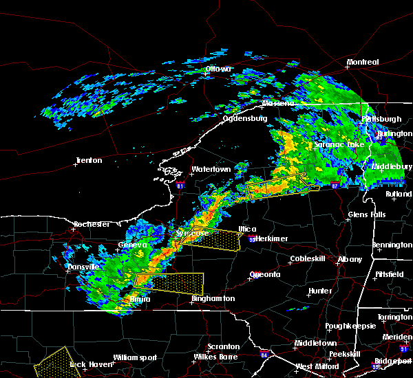 At 803 pm edt, a severe thunderstorm was located over old forge, moving east at 35 mph (radar indicated). Hazards include 60 mph wind gusts. Expect damage to roofs. siding. and trees. this severe thunderstorm will be near, alger island public campground and big moose around 815 pm edt. inlet, eagle bay and limekiln lake campground around 820 pm edt. eighth lake campground and brown tract pond campground around 830 pm edt. raquette lake around 835 pm edt. golden beach campground around 840 pm edt. forked lake public campground around 850 pm edt. blue mountain lake around 855 pm edt. indian lake and lake durant campground around 900 pm edt. Other locations impacted by this severe thunderstorm include hasbroucks, sagamore lake, quaker beach, kamp kill kare, eagle nest, thendara, carter station, woods, russian lake and mountain lodge. At 803 pm edt, a severe thunderstorm was located over old forge, moving east at 35 mph (radar indicated). Hazards include 60 mph wind gusts. Expect damage to roofs. siding. and trees. this severe thunderstorm will be near, alger island public campground and big moose around 815 pm edt. inlet, eagle bay and limekiln lake campground around 820 pm edt. eighth lake campground and brown tract pond campground around 830 pm edt. raquette lake around 835 pm edt. golden beach campground around 840 pm edt. forked lake public campground around 850 pm edt. blue mountain lake around 855 pm edt. indian lake and lake durant campground around 900 pm edt. Other locations impacted by this severe thunderstorm include hasbroucks, sagamore lake, quaker beach, kamp kill kare, eagle nest, thendara, carter station, woods, russian lake and mountain lodge.
|
| 8/13/2016 6:16 PM EDT |
 At 616 pm edt, severe thunderstorms were located along a line extending from 6 miles south of eighth lake campground to 6 miles northeast of stratford to near springfield, moving east at 40 mph (radar indicated). Hazards include 70 mph wind gusts and quarter size hail. Hail damage to vehicles is expected. expect considerable tree damage. wind damage is also likely to mobile homes, roofs, and outbuildings. severe thunderstorms will be near, caroga lake and caroga lake public campground around 630 pm edt. sharon springs and lewey lake campground around 635 pm edt. moffitt beach campground around 640 pm edt. speculator, northville, mayfield, cranberry creek and northampton beach public campground around 645 pm edt. broadalbin around 650 pm edt. Other locations impacted by these severe thunderstorms include smiths corners, kingsboro, kilmartin corners, stone arabia, munsonville, auriesville, braman corners, mckinley, rockton and market corners. At 616 pm edt, severe thunderstorms were located along a line extending from 6 miles south of eighth lake campground to 6 miles northeast of stratford to near springfield, moving east at 40 mph (radar indicated). Hazards include 70 mph wind gusts and quarter size hail. Hail damage to vehicles is expected. expect considerable tree damage. wind damage is also likely to mobile homes, roofs, and outbuildings. severe thunderstorms will be near, caroga lake and caroga lake public campground around 630 pm edt. sharon springs and lewey lake campground around 635 pm edt. moffitt beach campground around 640 pm edt. speculator, northville, mayfield, cranberry creek and northampton beach public campground around 645 pm edt. broadalbin around 650 pm edt. Other locations impacted by these severe thunderstorms include smiths corners, kingsboro, kilmartin corners, stone arabia, munsonville, auriesville, braman corners, mckinley, rockton and market corners.
|
| 6/28/2016 2:37 PM EDT |
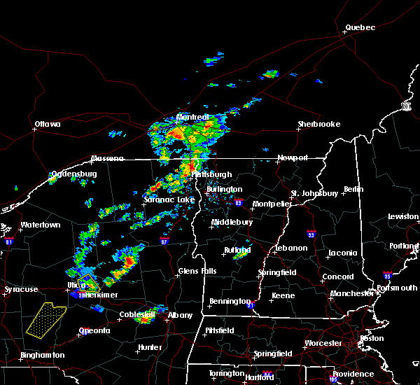 At 237 pm edt, a severe thunderstorm was located near speculator, moving northeast at 30 mph (radar indicated). Hazards include 60 mph wind gusts and quarter size hail. Hail damage to vehicles is expected. Expect wind damage to roofs, siding, and trees. At 237 pm edt, a severe thunderstorm was located near speculator, moving northeast at 30 mph (radar indicated). Hazards include 60 mph wind gusts and quarter size hail. Hail damage to vehicles is expected. Expect wind damage to roofs, siding, and trees.
|
| 6/21/2016 12:54 AM EDT |
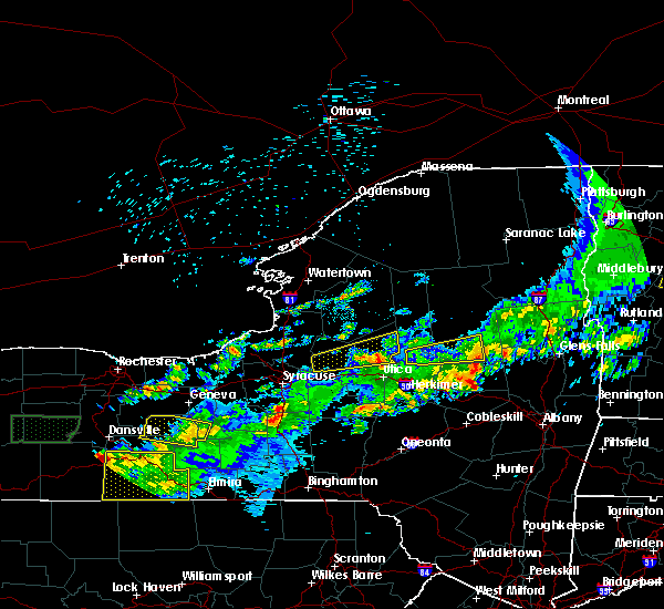 The severe thunderstorm warning for east central herkimer, southwestern hamilton and northwestern fulton counties will expire at 100 am edt, the severe thunderstorm which prompted the warning has weakened. therefore, the warning will be allowed to expire. The severe thunderstorm warning for east central herkimer, southwestern hamilton and northwestern fulton counties will expire at 100 am edt, the severe thunderstorm which prompted the warning has weakened. therefore, the warning will be allowed to expire.
|
| 6/21/2016 12:26 AM EDT |
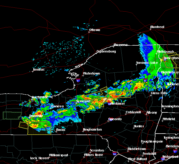 At 1225 am edt, a severe thunderstorm was located 7 miles north of stratford, or 17 miles north of little falls, moving east at 60 mph (radar indicated). Hazards include 60 mph wind gusts and penny size hail. Expect damage to roofs. siding. and trees. Locations impacted include, speculator, ohio, lake pleasant, arietta, shaker place, bull hill, mountain home, higgins bay, gray, clockmill corners, averys place, rudeston, oregon, powley place, black creek reservoir, wilmurt corners, hurricane, morehouseville, piseco and hoffmeister. At 1225 am edt, a severe thunderstorm was located 7 miles north of stratford, or 17 miles north of little falls, moving east at 60 mph (radar indicated). Hazards include 60 mph wind gusts and penny size hail. Expect damage to roofs. siding. and trees. Locations impacted include, speculator, ohio, lake pleasant, arietta, shaker place, bull hill, mountain home, higgins bay, gray, clockmill corners, averys place, rudeston, oregon, powley place, black creek reservoir, wilmurt corners, hurricane, morehouseville, piseco and hoffmeister.
|
| 6/21/2016 12:07 AM EDT |
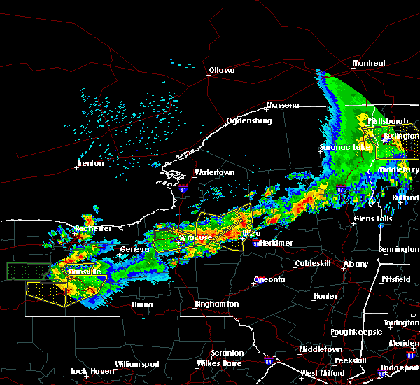 At 1206 am edt, a severe thunderstorm was located over remsen, or 12 miles southeast of boonville, moving east at 45 mph (radar indicated). Hazards include 60 mph wind gusts and nickel size hail. Expect damage to roofs. siding. And trees. At 1206 am edt, a severe thunderstorm was located over remsen, or 12 miles southeast of boonville, moving east at 45 mph (radar indicated). Hazards include 60 mph wind gusts and nickel size hail. Expect damage to roofs. siding. And trees.
|
| 6/20/2016 10:36 PM EDT |
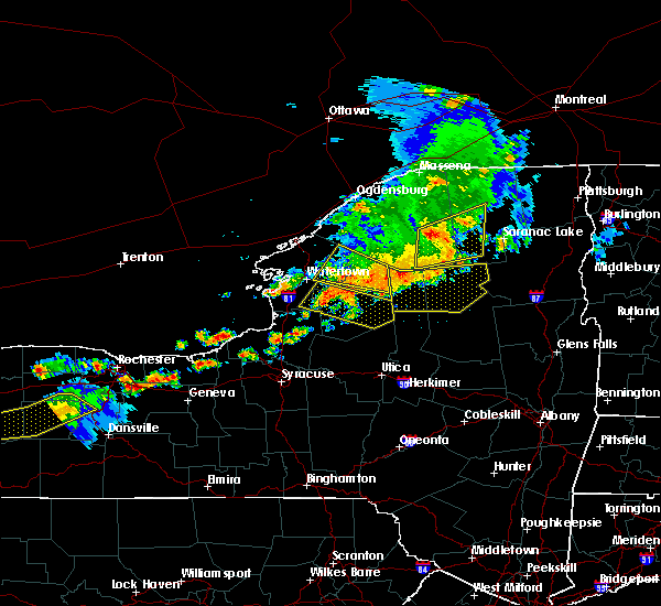 At 1036 pm edt, severe thunderstorms were located along a line extending from piercefield to near horseshoe lake to 7 miles northwest of big moose, moving east at 55 mph (radar indicated). Hazards include 60 mph wind gusts. Expect damage to roofs. siding. and trees. Locations impacted include, speculator, old forge, inlet, limekiln lake campground, lake eaton campground, lake durant campground, raquette lake, blue mountain lake, brown tract pond campground, forked lake public campground, big moose, golden beach campground, eighth lake campground, eagle bay, alger island public campground, long lake, keepawa, woods lake, brandreth and woods. At 1036 pm edt, severe thunderstorms were located along a line extending from piercefield to near horseshoe lake to 7 miles northwest of big moose, moving east at 55 mph (radar indicated). Hazards include 60 mph wind gusts. Expect damage to roofs. siding. and trees. Locations impacted include, speculator, old forge, inlet, limekiln lake campground, lake eaton campground, lake durant campground, raquette lake, blue mountain lake, brown tract pond campground, forked lake public campground, big moose, golden beach campground, eighth lake campground, eagle bay, alger island public campground, long lake, keepawa, woods lake, brandreth and woods.
|
| 6/20/2016 10:05 PM EDT |
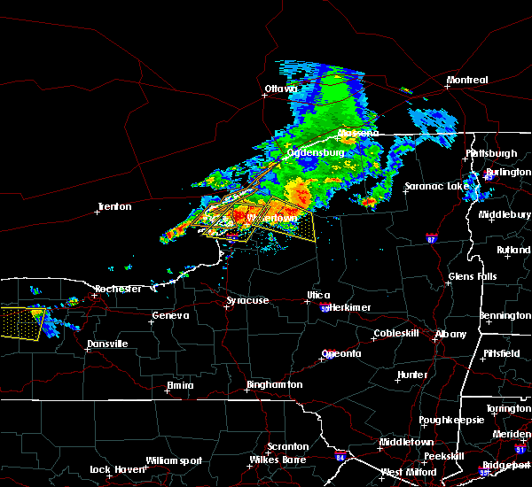 At 1004 pm edt, severe thunderstorms were located along a line extending from near degrasse to 8 miles west of star lake to near carthage, moving east at 55 mph (radar indicated). Hazards include 60 mph wind gusts and penny size hail. Expect damage to roofs. siding. And trees. At 1004 pm edt, severe thunderstorms were located along a line extending from near degrasse to 8 miles west of star lake to near carthage, moving east at 55 mph (radar indicated). Hazards include 60 mph wind gusts and penny size hail. Expect damage to roofs. siding. And trees.
|
| 6/12/2015 6:46 PM EDT |
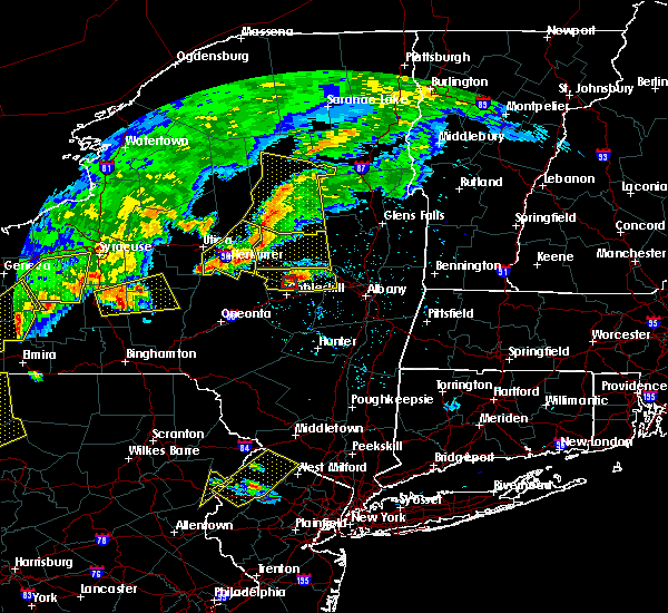 At 645 pm edt, severe thunderstorms were located along a line extending from lewey lake campground to moffitt beach campground to 7 miles northeast of stratford, moving east at 40 mph (radar indicated). Hazards include 60 mph wind gusts. Expect damage to roofs. siding and trees. these severe storms will be near, wells around 655 pm edt. other locations impacted by these severe thunderstorms include gilmantown, shaker place, perkins clearing, girards sugarbush, higgins bay, sabael, clockmill corners, averys place, rudeston and powley place. A tornado watch remains in effect until 1100 pm edt for eastern new york. At 645 pm edt, severe thunderstorms were located along a line extending from lewey lake campground to moffitt beach campground to 7 miles northeast of stratford, moving east at 40 mph (radar indicated). Hazards include 60 mph wind gusts. Expect damage to roofs. siding and trees. these severe storms will be near, wells around 655 pm edt. other locations impacted by these severe thunderstorms include gilmantown, shaker place, perkins clearing, girards sugarbush, higgins bay, sabael, clockmill corners, averys place, rudeston and powley place. A tornado watch remains in effect until 1100 pm edt for eastern new york.
|
| 6/12/2015 6:11 PM EDT |
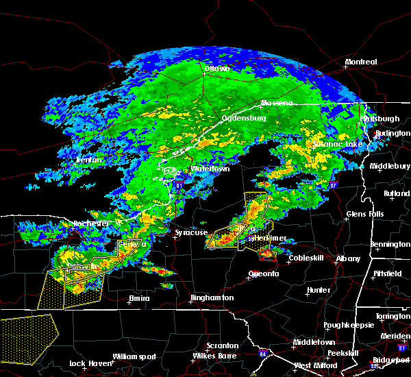 At 610 pm edt, severe thunderstorms were located along a line extending from near golden beach campground to 7 miles southeast of eighth lake campground to 6 miles east of ohio, moving east at 30 mph (radar indicated). Hazards include 60 mph wind gusts. Expect damage to roofs. siding and trees. severe thunderstorms will be near, blue mountain lake around 625 pm edt. lewey lake campground and lake durant campground around 630 pm edt. indian lake and speculator around 645 pm edt. other locations impacted by these severe thunderstorms include woods, perkins clearing, girards sugarbush, west canada lakes, mountain home, sabael, clockmill corners, hasbroucks, quaker beach and eagle nest. A tornado watch remains in effect until 1100 pm edt for eastern new york. At 610 pm edt, severe thunderstorms were located along a line extending from near golden beach campground to 7 miles southeast of eighth lake campground to 6 miles east of ohio, moving east at 30 mph (radar indicated). Hazards include 60 mph wind gusts. Expect damage to roofs. siding and trees. severe thunderstorms will be near, blue mountain lake around 625 pm edt. lewey lake campground and lake durant campground around 630 pm edt. indian lake and speculator around 645 pm edt. other locations impacted by these severe thunderstorms include woods, perkins clearing, girards sugarbush, west canada lakes, mountain home, sabael, clockmill corners, hasbroucks, quaker beach and eagle nest. A tornado watch remains in effect until 1100 pm edt for eastern new york.
|
| 7/8/2014 8:20 PM EDT | 3 trees down in hamilton county NY, 7.6 miles NNE of Speculator, NY |
| 7/3/2014 5:00 PM EDT | Quarter sized hail reported 13.7 miles NNW of Speculator, NY |
| 6/17/2014 10:17 PM EDT | Large tree limbs down across roa in hamilton county NY, 21.4 miles SE of Speculator, NY |
| 5/21/2013 8:35 PM EDT | Ping Pong Ball sized hail reported 13.7 miles NNW of Speculator, NY, wten |
| 5/21/2013 8:11 PM EDT | Ping Pong Ball sized hail reported 13.6 miles NE of Speculator, NY, weathernet 6 |
| 9/8/2012 3:02 PM EDT | Trees and wires down in hamilton county NY, 15 miles SSW of Speculator, NY |
| 5/29/2012 6:12 AM EDT | 1 tree down on wires knocking out powe in hamilton county NY, 7.9 miles SSE of Speculator, NY |
| 1/1/0001 12:00 AM | One tree down partially blocking road on county route 1 in hamilton county NY, 7.6 miles NNE of Speculator, NY |
| 1/1/0001 12:00 AM | Quarter sized hail reported 5.1 miles S of Speculator, NY |
| 1/1/0001 12:00 AM | Wxnet6 in hamilton county NY, 13.7 miles NNW of Speculator, NY |
| 1/1/0001 12:00 AM | Trees and wires down in hamilton county NY, 0.2 miles SSE of Speculator, NY |
| 1/1/0001 12:00 AM | Trees and wires down in hamilton county NY, 15 miles SSW of Speculator, NY |
| 1/1/0001 12:00 AM | Trees and wires down in hamilton county NY, 11.1 miles SSW of Speculator, NY |
| 1/1/0001 12:00 AM | Possible down in hamilton county NY, 15 miles SSW of Speculator, NY |
Hail Maps for Speculator, NY


Connect with Interactive Hail Maps